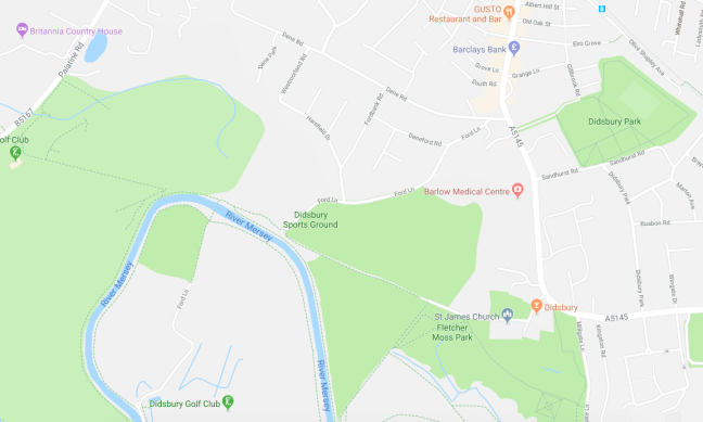
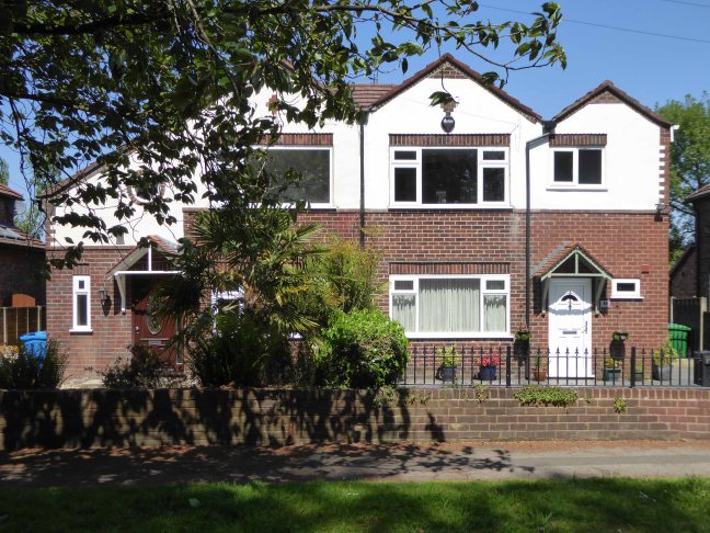
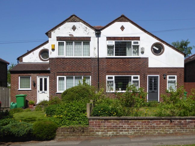
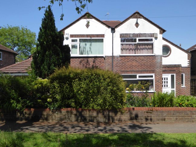
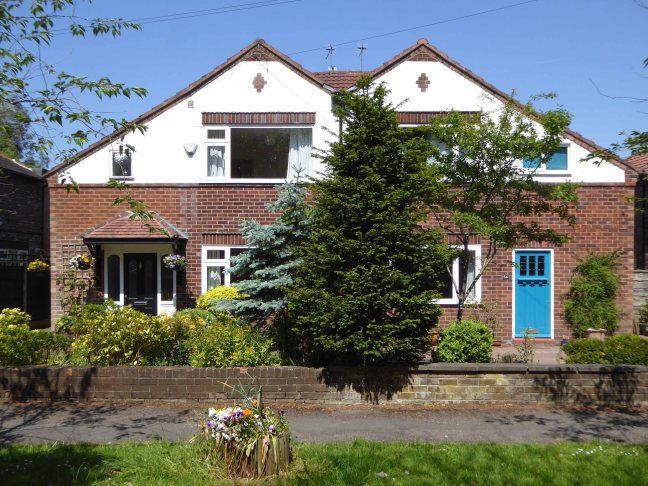
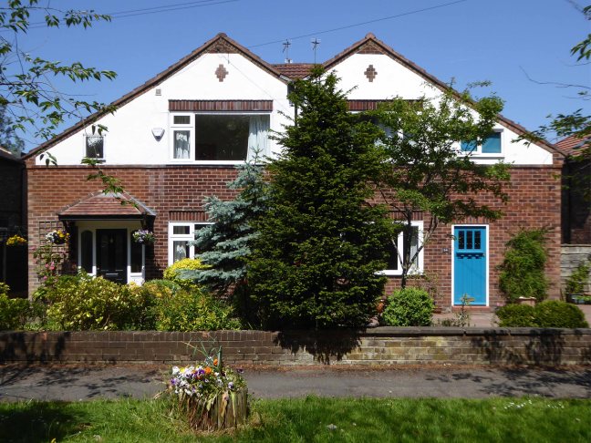
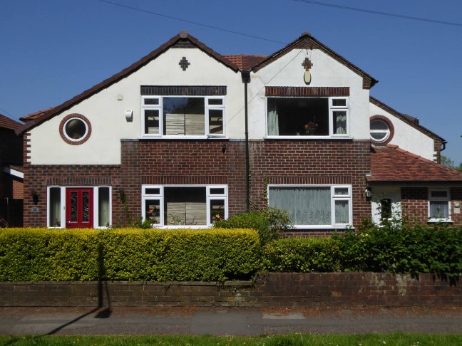
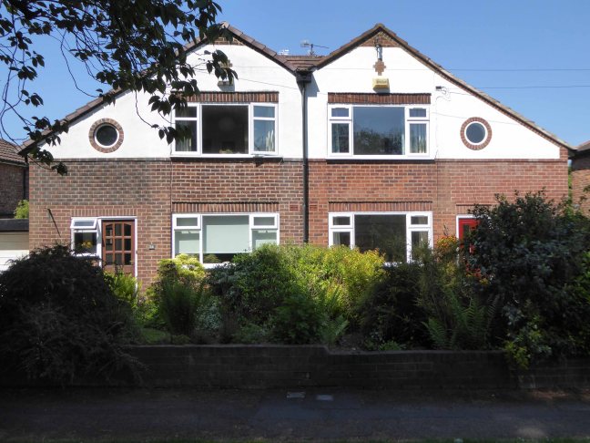
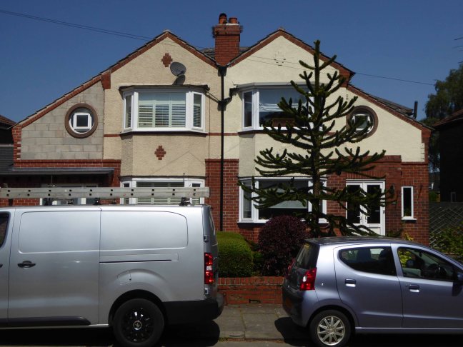
And so our journey continues, leaving behind the semi-detached haven of East Didsbury.
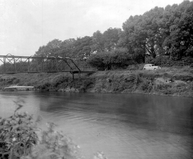
Once again graciously greeting Mr Henry Simon and his wondrous footbridge across the Mersey – the greenest of structures on the greyest of days.
No more fords and/or ferries, say goodbye to wet feet.
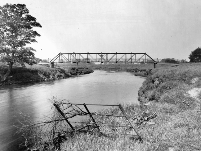
We are down by the river, a place of pleasure and practical workaday goings on – on our way to Northenden.
Northenden was mentioned as Norwordine in the Domesday Book of 1086; its name came from Anglo-Saxon Norþ-worþign – north enclosure. It was then a small farming community with a manor house and woodland.
Northenden is on a major crossing place of the Mersey on the salt road from Cheshire to Manchester. The ford was an important way into and out of and into Manchester, in 1745 Bonnie Prince Charlie’s army built a troop-bridge out of big poplar tree trunks where the B5095 now crosses the Mersey, south of Didsbury, in his abortive attempt to seize the crown of England.
The Northenden ford was unusual because its northern and southern ends were not opposite each other, but people using the ford had to wade about 500 feet along the riverbed. The Simon’s Bridge was built at the ford in 1901 to help access to Poor’s Field, and the rent from this field was used by the church to buy blankets and clothes for the needy.

Little is known of Northenden’s Saxon origins other than that it was one of the few disembarkation points on the Mersey flood plain between Stockport and Stretford. A church was recorded here in the Domesday book of 1086. The village has grown in importance since 1641, when a ferry boat for crossing the River Mersey was installed. In 1642 a ford was also constructed, hence the names Boat Lane and Ford Lane. There was a water mill and, it is rumoured, a public house. The plan form of the village was established with properties being built along the two lanes, which intersected near the church.

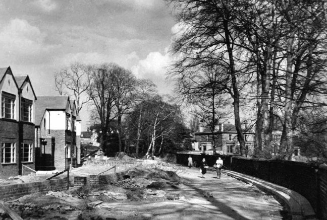
Little change occurred for the next two centuries until, by the mid 19th century, market gardens in and around the village supplied food for the rapidly expanding population of Manchester. The only routes to the City were via the ferry boat or the ford until, in 1862, Palatine Road was opened and provided a bridge crossing. Northenden was still a rural village and, towards the turn of the century, good quality semi-detached houses were built for clerks and managers who were able to commute to Manchester on the horse-drawn bus and the tram.
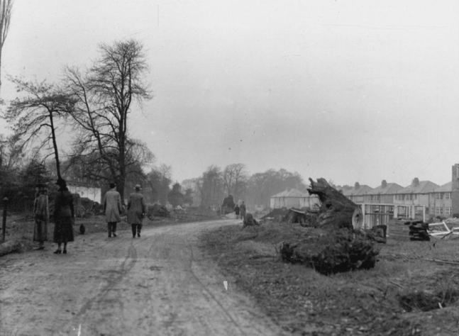
In the 1940s the new suburb of Wythenshawe was largely completed, and by then Northenden’s rural character had gone. Palatine Road was developed for shopping and other commercial uses, and slum clearance removed many of the village’s early cottages around the church.
The water mill, which had provided a flour-milling service for a wide area, survived until the 1950s. It was situated on the banks of the Mersey where the weir, to create the change in water level and power the machinery, is still in existence.
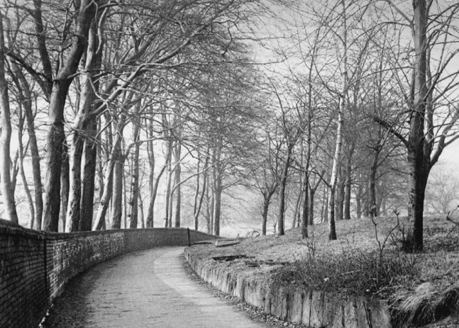
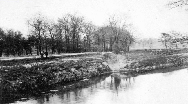
Ford Lane affords a rural route twixt suburban settlements, tree lined and river-run.
Once the province of pleasure gardens, cruisers, boaters.
And wrestlers.


The lane is home to several listed buildings – the most prominent being St Wilfrids – the oldest part of the church is the tower, the rest having been rebuilt in 1873–76 by J. S. Crowther. The new part of the church is built in sandstone from Alderley Edge, with slate roofs, and is in Perpendicular style.
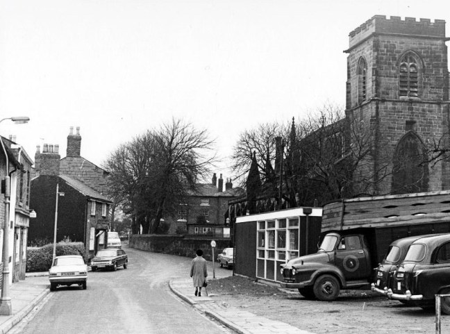
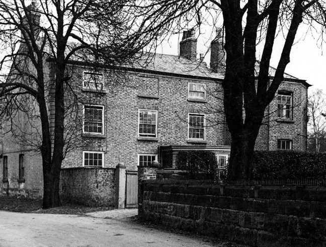
The Old Rectory and Northern House both mid to late 18th century, form a group of notable homes clustered around St Wilfrids.

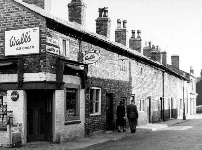
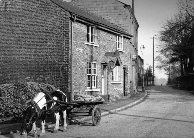
Also in close proximity were a number of public houses – most notably The Tatton Arms.
Built in 1873 by the Tatton family and originally known as The Boat House.
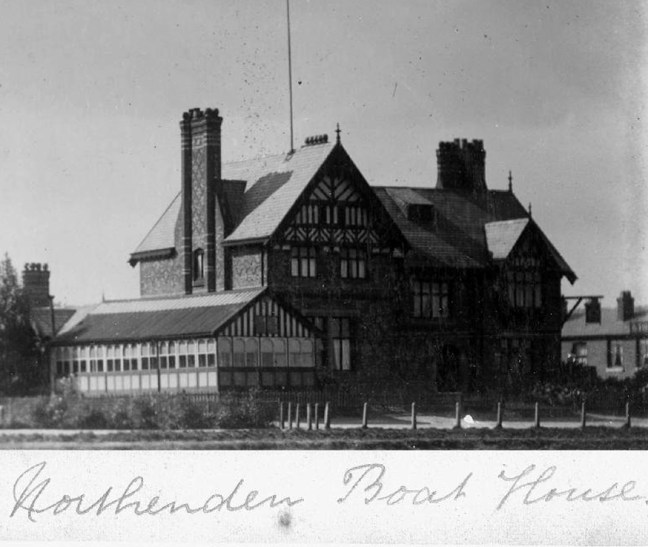
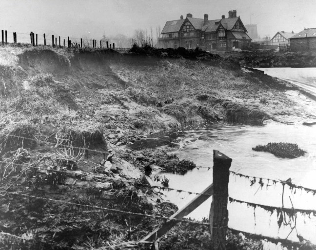
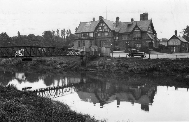
Closed in 2007 and still standing, still awaiting proposed redevelopment into an apartment complex.
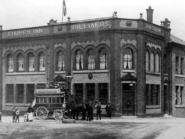
The Church Inn built in 1897 closed in 2006 – burnt out left for dead eventually refurbished into flats.

The Spread Eagle built to replace an old pub of the same name, the Spread Eagle was the second estate-style boozer on Royle Green Road, and it outlasted the Jolly Carter by almost a decade – long gone, following a shooting in 2008, the site now developed as housing.
Happily The Crown is still standing and still serving – cyclists and walkers welcome!

This was once my way to work, Stockport to Northenden each and every day, the river on occasion liable to flood – foolishly I cycled the Mersey in Spate, against the current clinging to the handrail, up to my axles in the raging torrent.
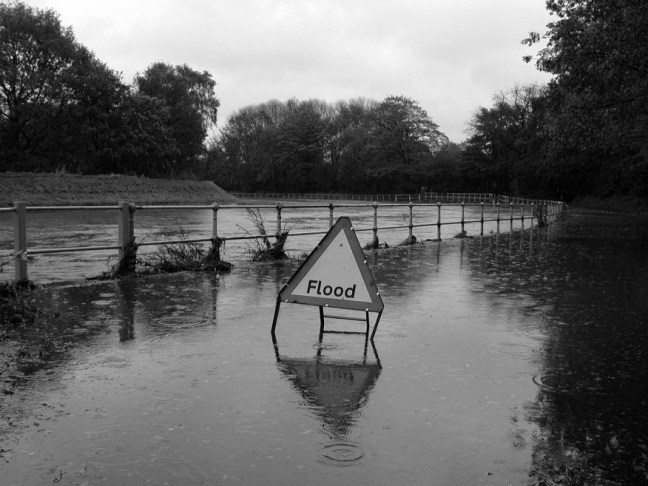
I lived to tell the tale.
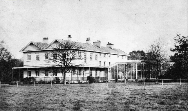
Photographs from the Manchester Local Image Collection


