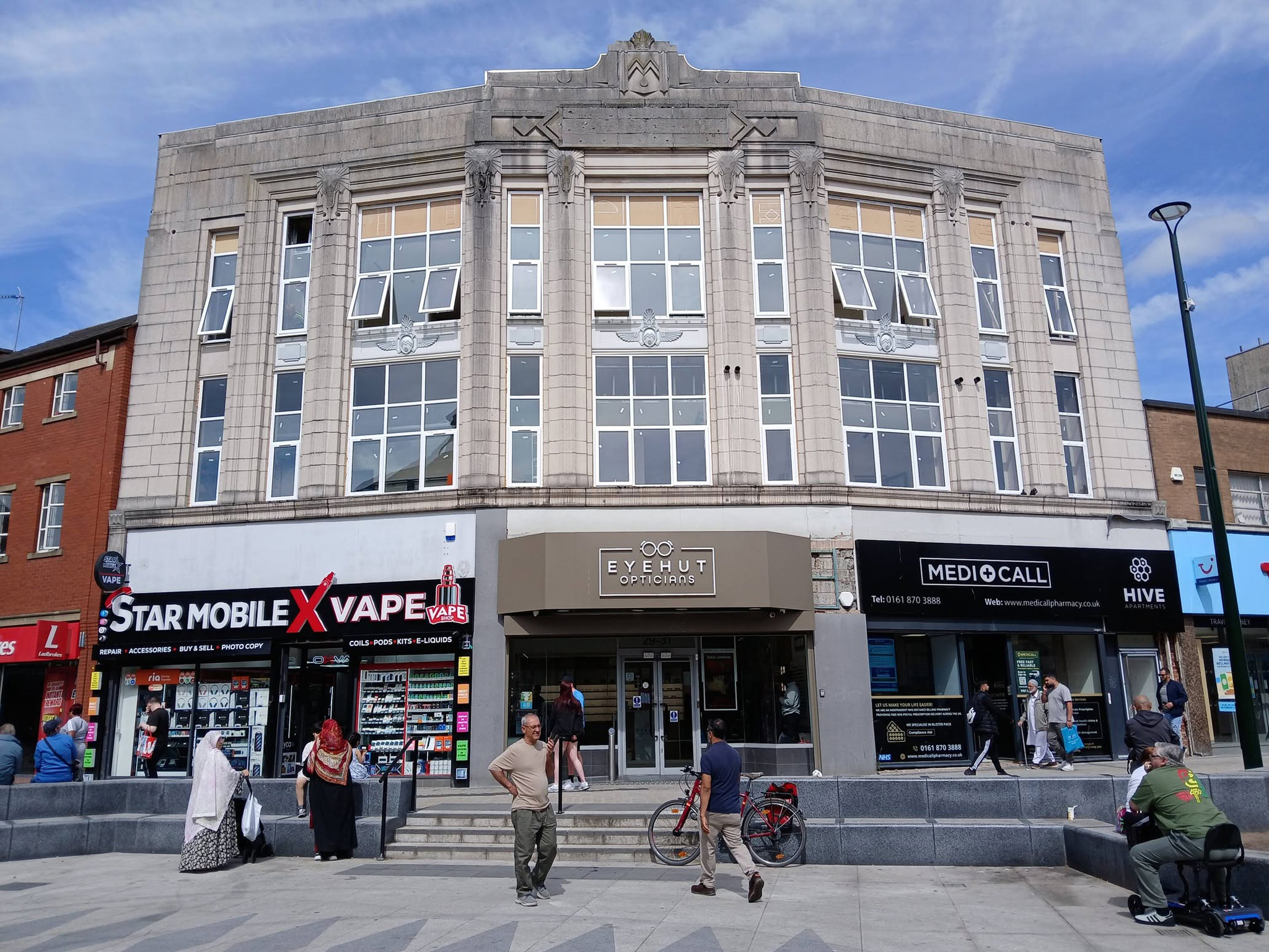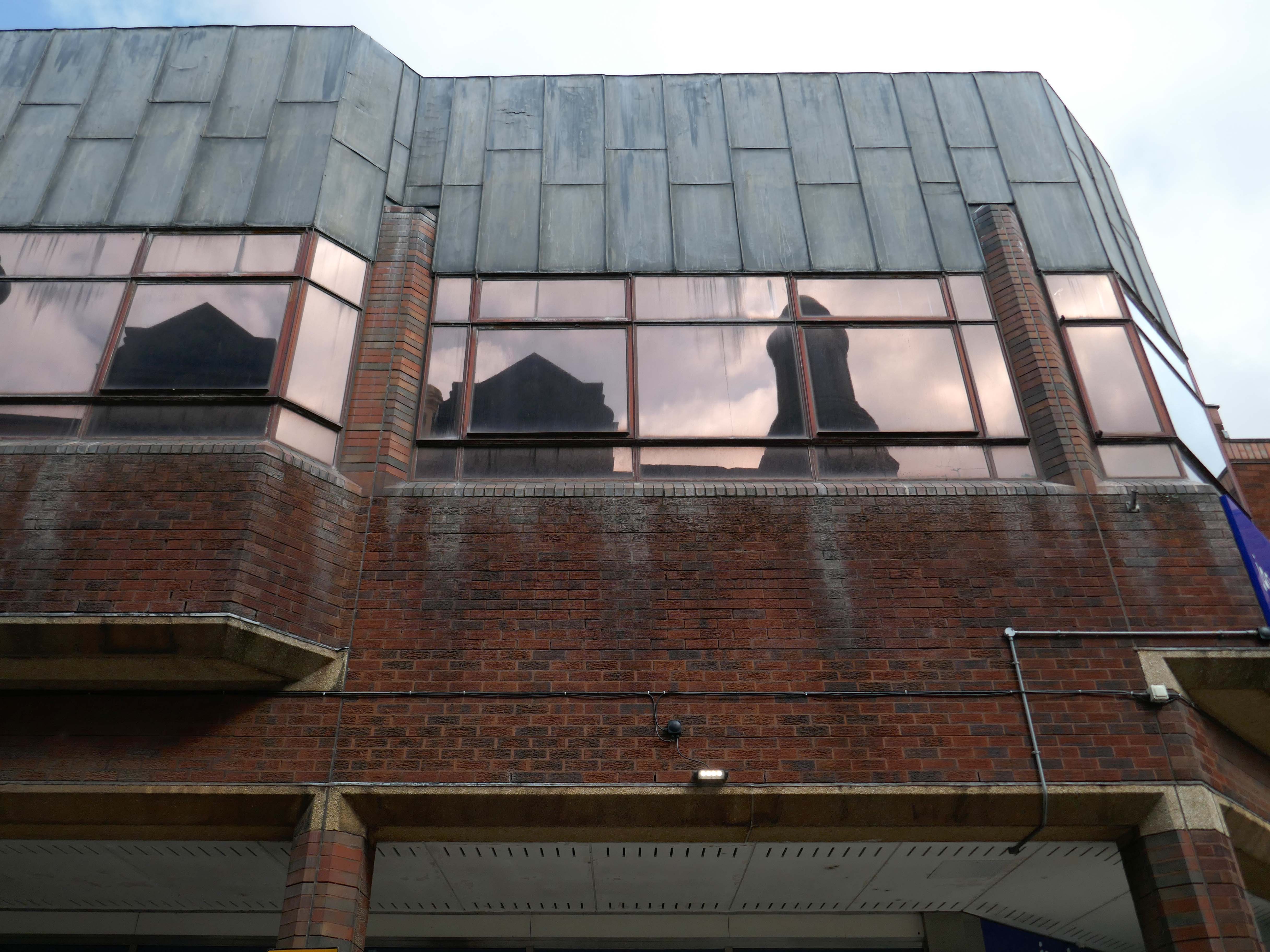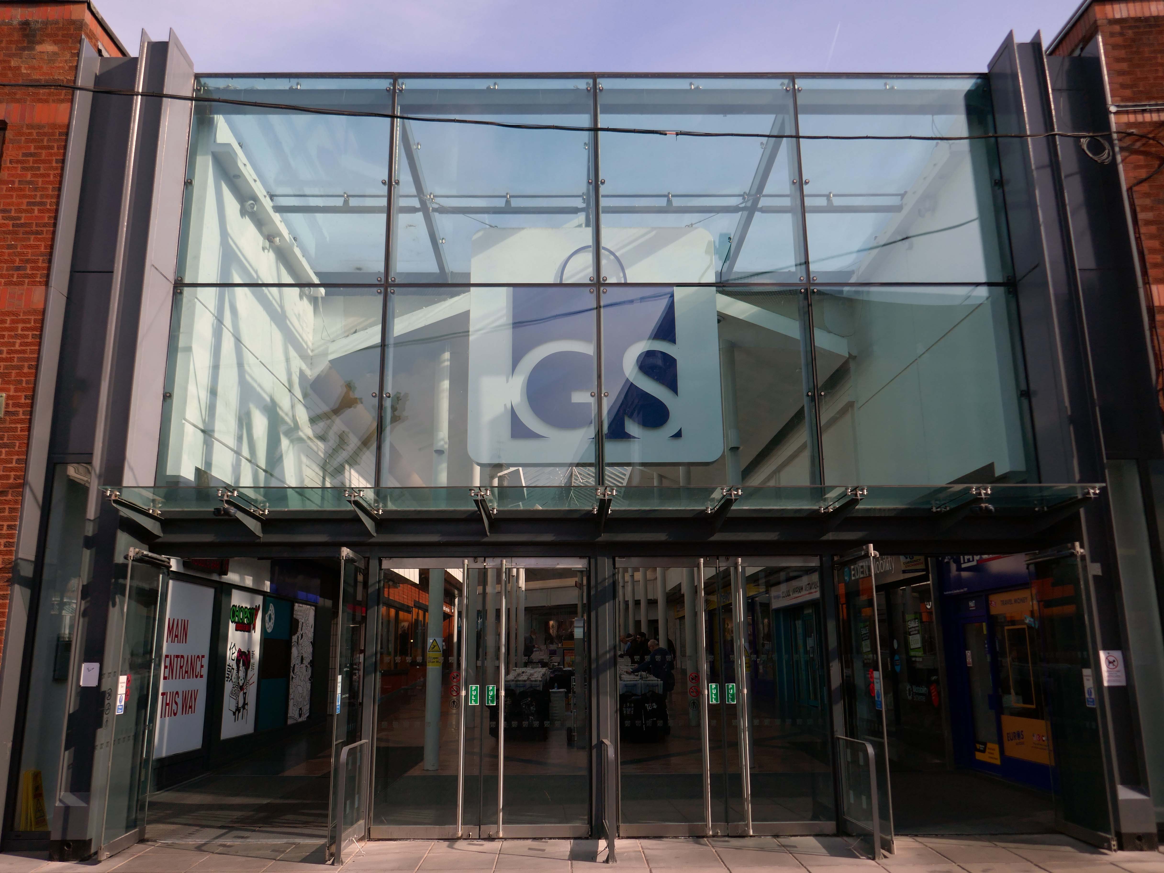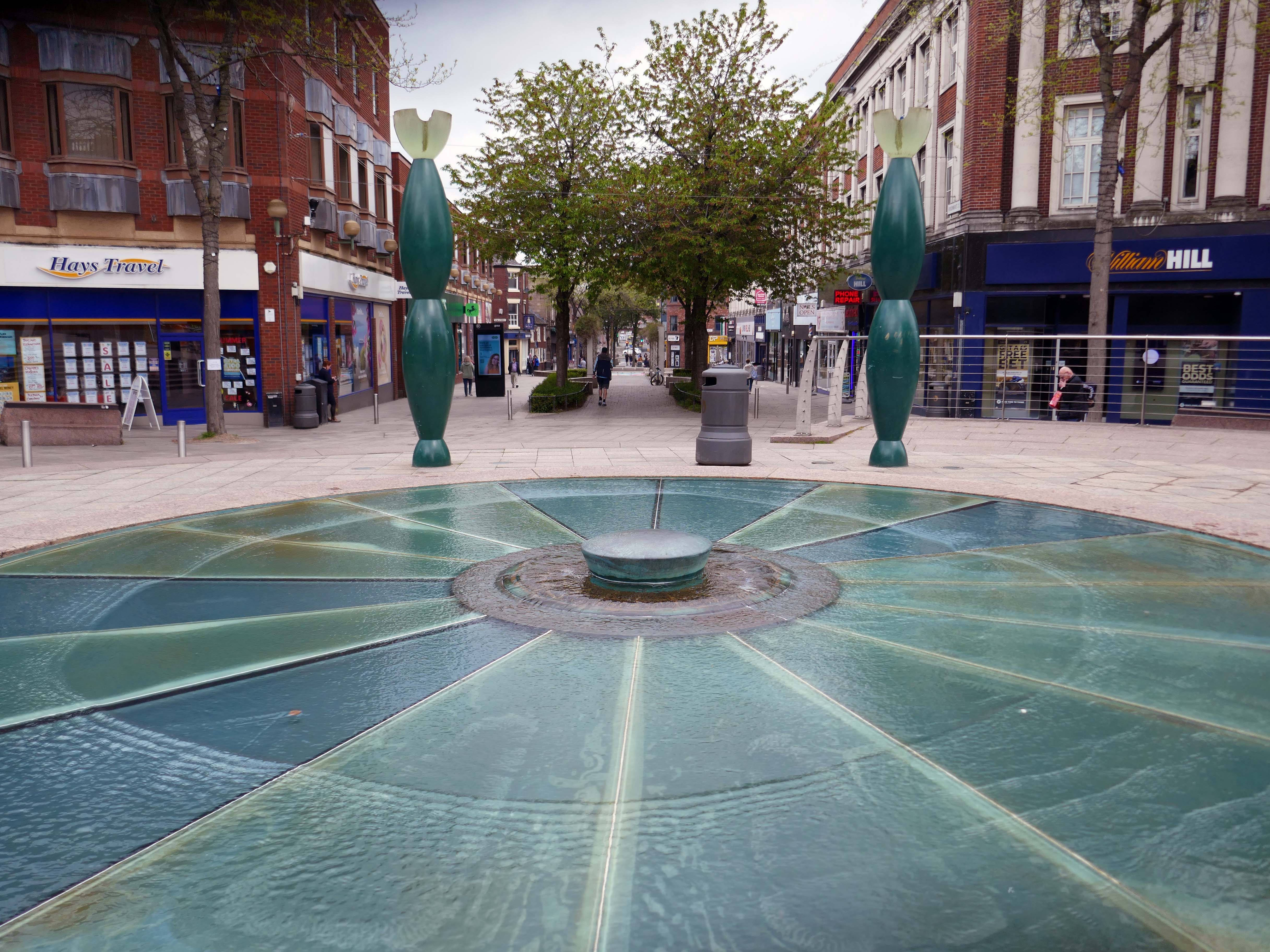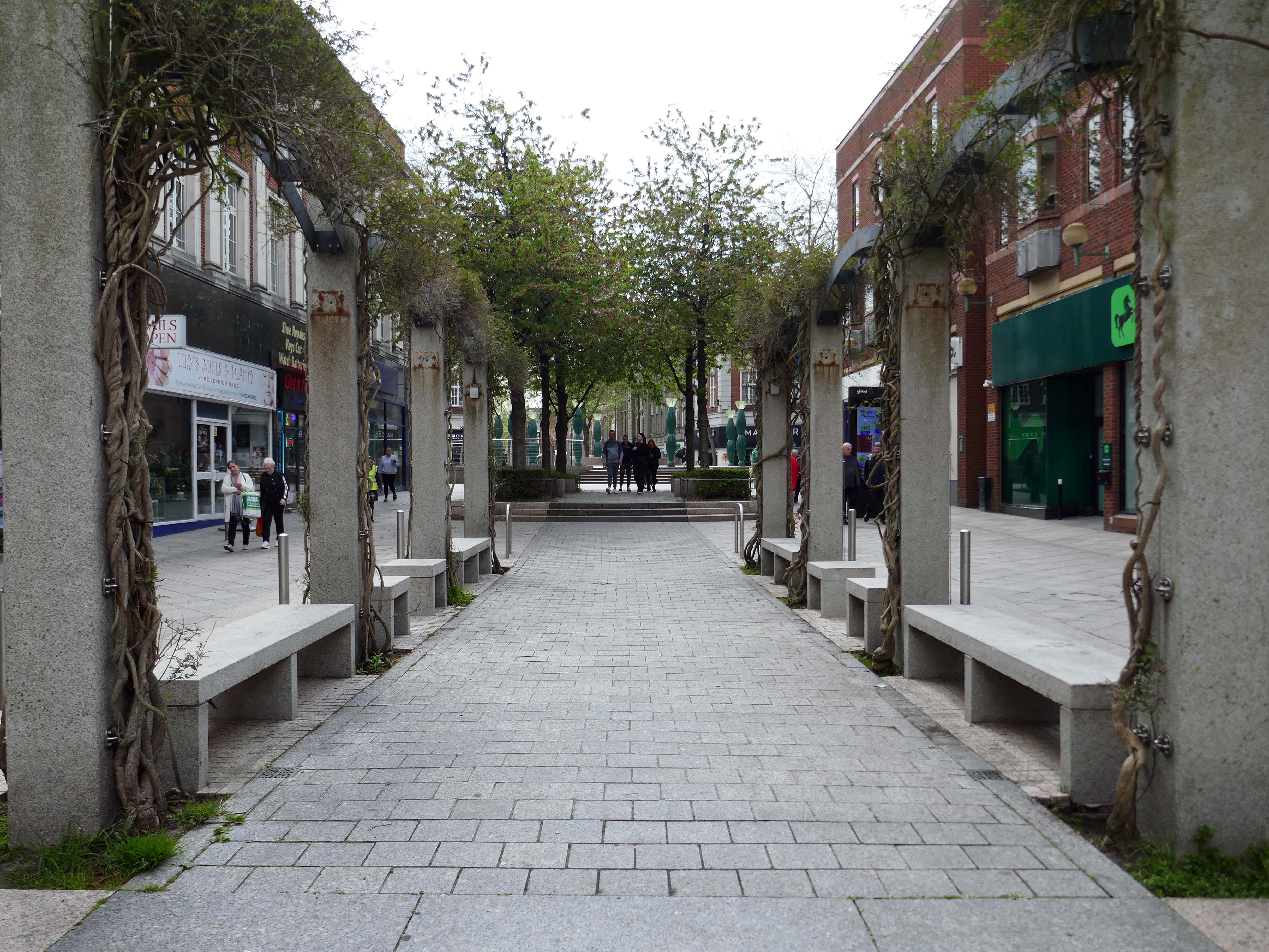
A Short Stockport Walk

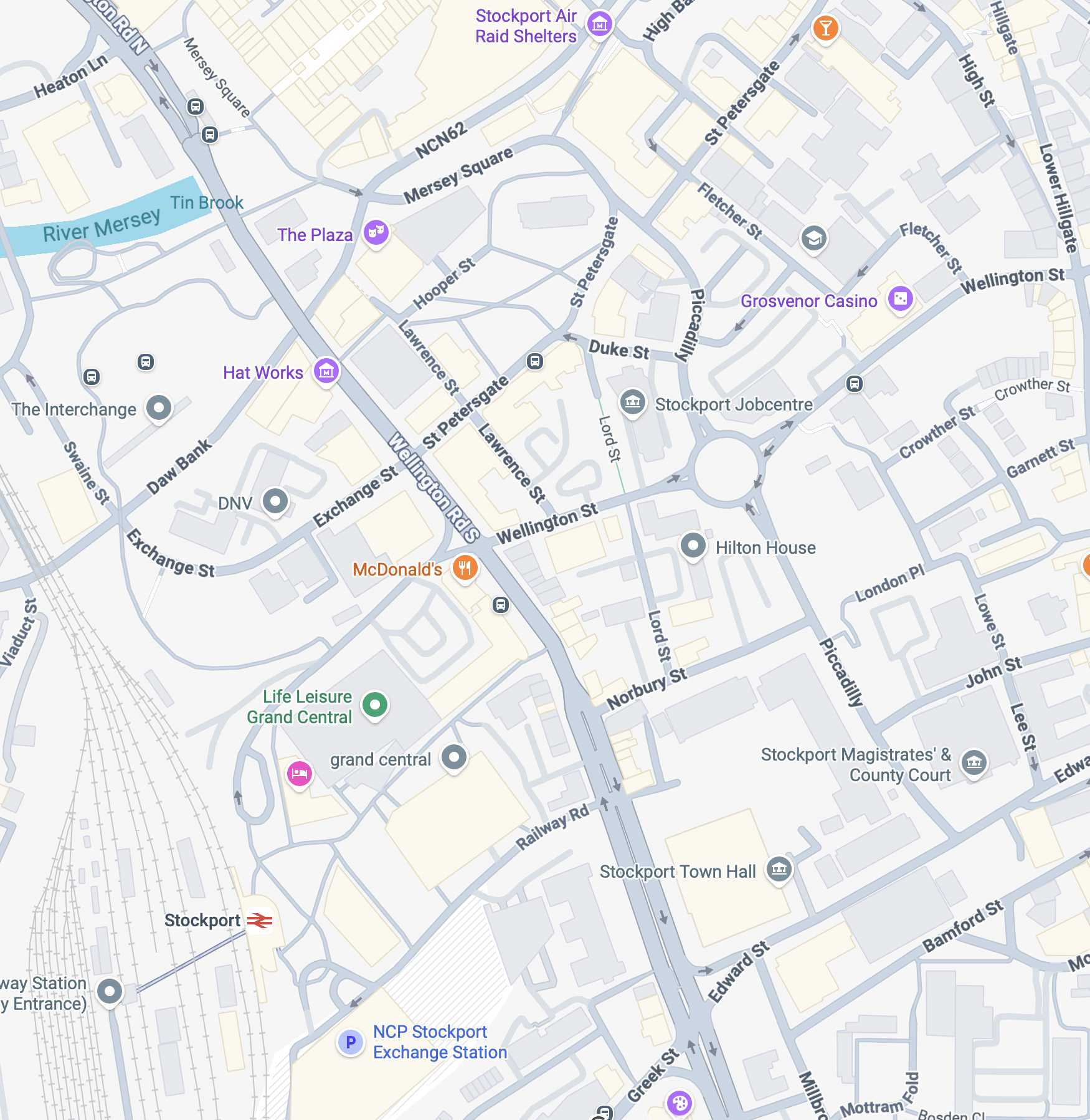
I was asked by SMBC to take folks on a short Stockport walk – beginning at Stockport War Memorial Art Gallery and concluding at the Stockroom, a distance of less than a mile.

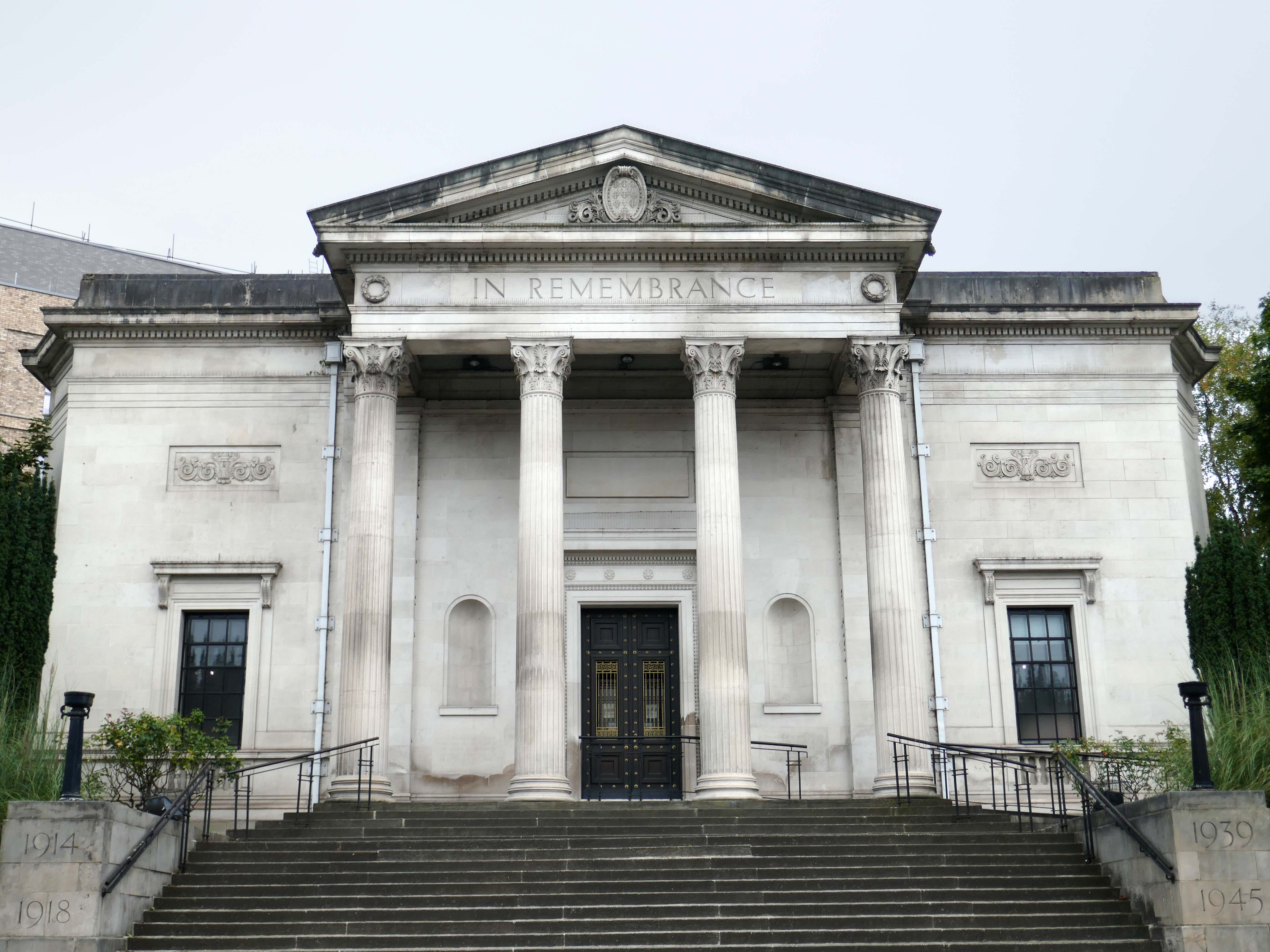
So here we are beginning at Stockport War Memorial Art Gallery a Grade II* listed building opened in 1927.

Designed in Neoclassical Greek Revival style with central tetrastyle Corinthian portico, the order loosely based on Temple of Apollo at Bassae

The Gallery has a long history of exhibitions from some of the art world’s finest artists. Today the gallery boasts an extensive exhibition program, which gives emerging artists a chance to showcase their work.
 Designed by James Theodore Halliday of Halliday Paterson & Agate of Manchester.

Sculpture by Gilbert Ledward.
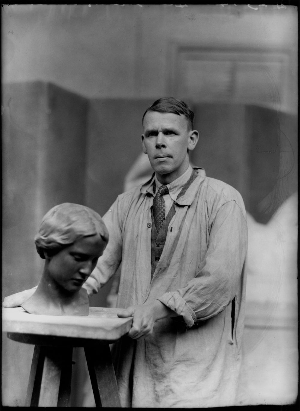
© National Portrait Gallery

Crossing over the Wellington Road South to the site of the former Mount Tabor Chapel 1868 designed by William Hill.
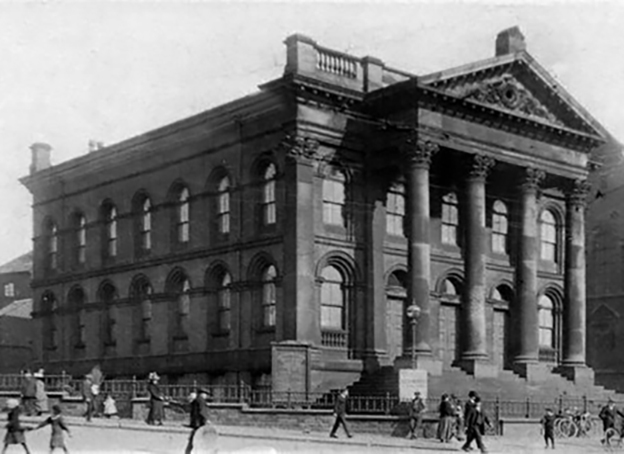
Closed in 1954 demolished in 1969.

The capitals of Chapel’s Corinthian columns, surround the site of the Cockleshell Hero memorial 2017 – sculptor Luke Perry.

The former Edgeley milkman James Conway took part in the Royal Marines’ most famous wartime raid, where he was one of the twelve men who paddled more than eighty miles in canoes up the Gironde to plant limpet mines on shipping in the German occupied French city of Bordeaux in 1942.
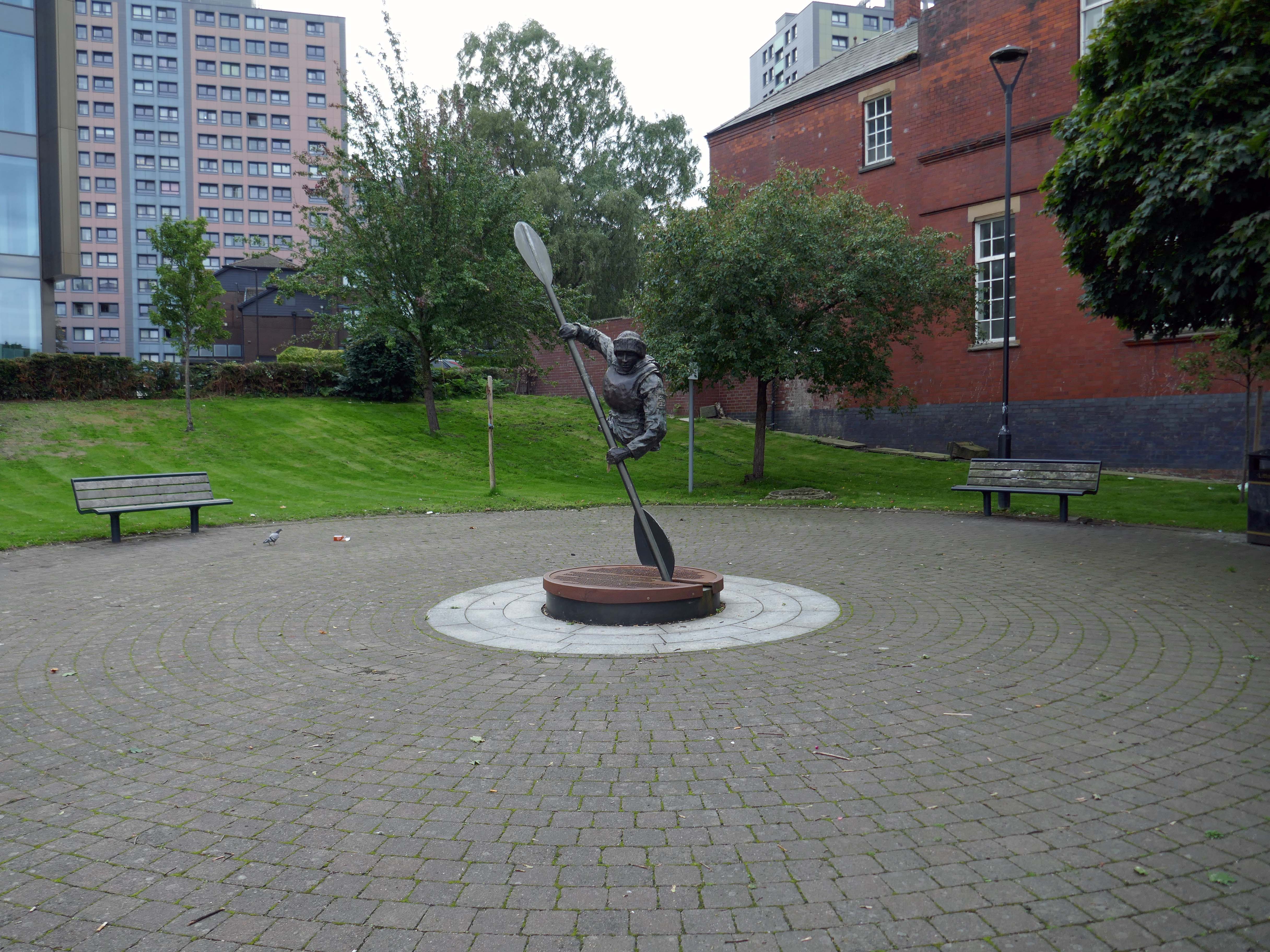
Royal Navy UK

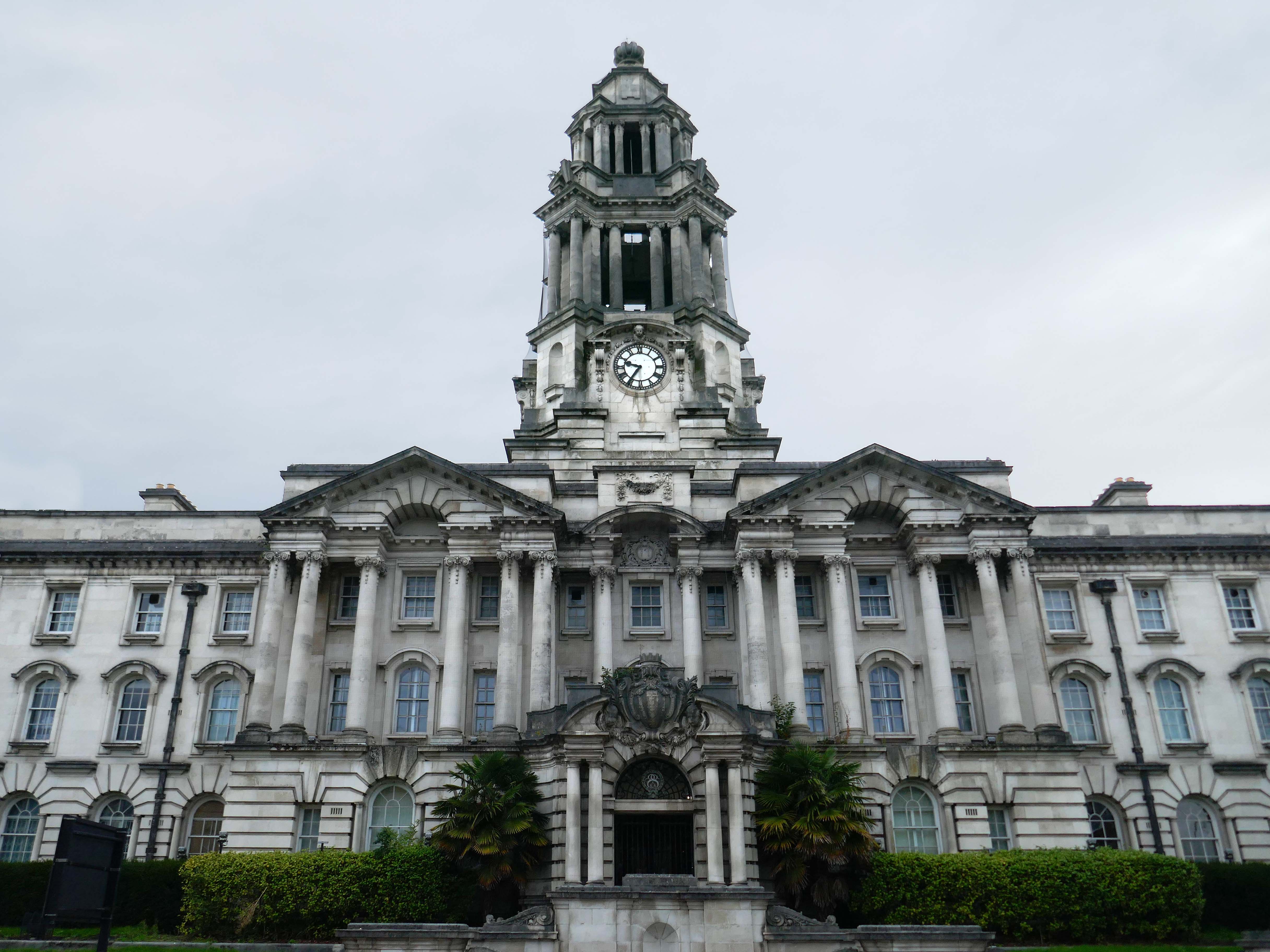
Down the hill to Stockport Town Hall 1908 another Grade II* listed building – designed by Sir Alfred Brumwell Thomas, built in a free English Baroque style.

Although much simpler than continental Baroque architecture, English Baroque designs were equally heavy, sensual and decorative.
Across the road the former Stockport Infirmary l832 Grade II listed – architect Richard Lane.

Currently named Millennium House, home to the Department of Works and Pensions.
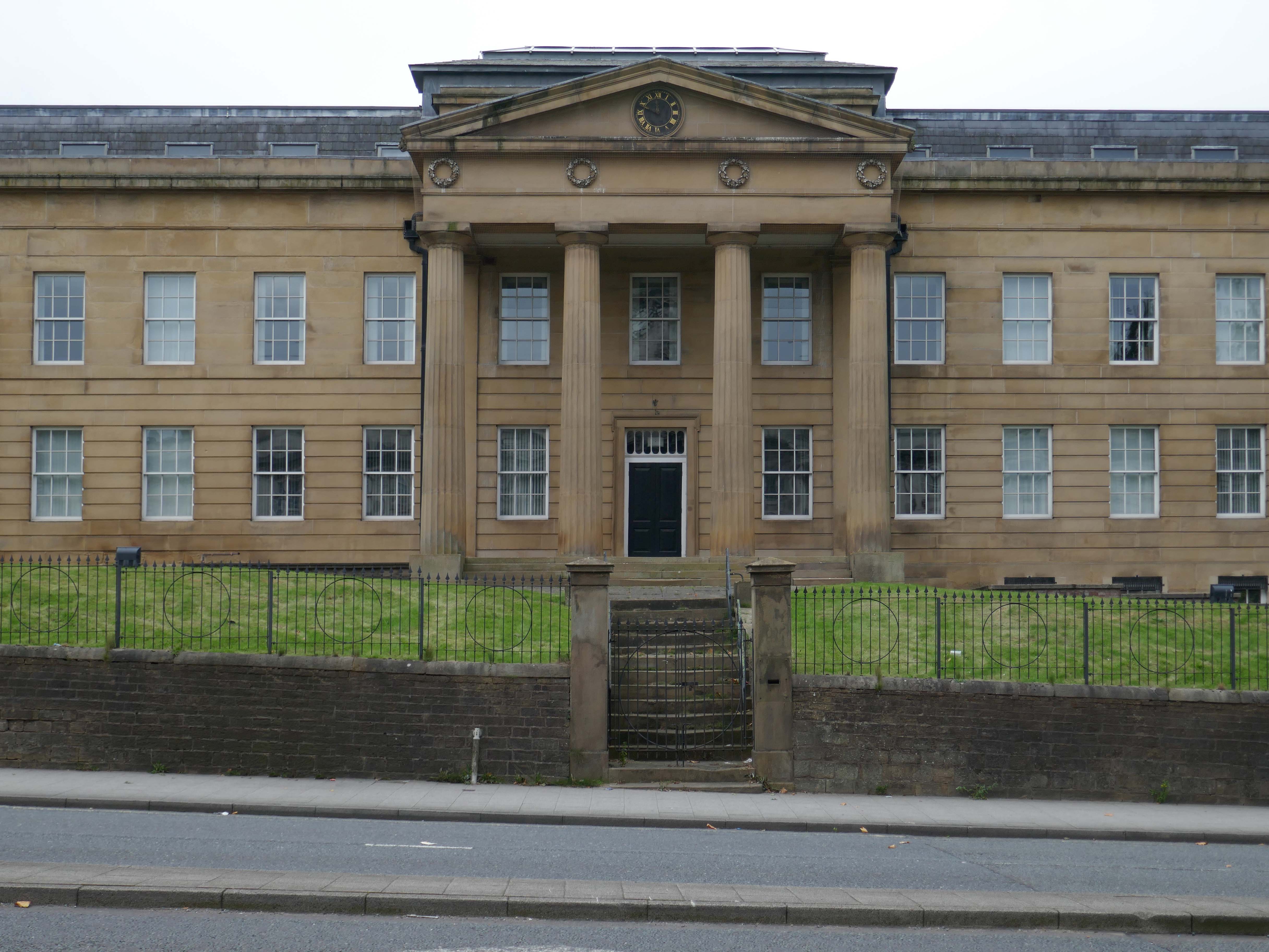
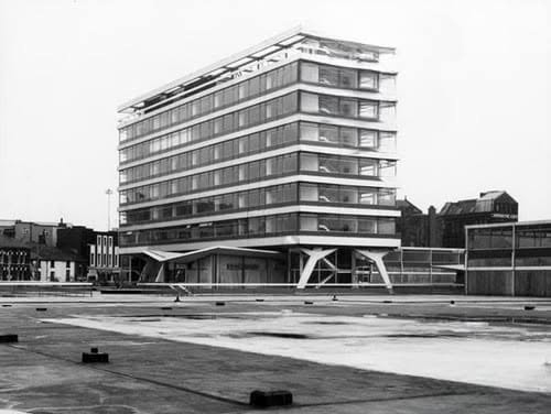
Around the back of the Town hall we find Stopford House built in 1975 and designed by JS Rank OBE, Director of Development & Town Planning, Stockport Council.
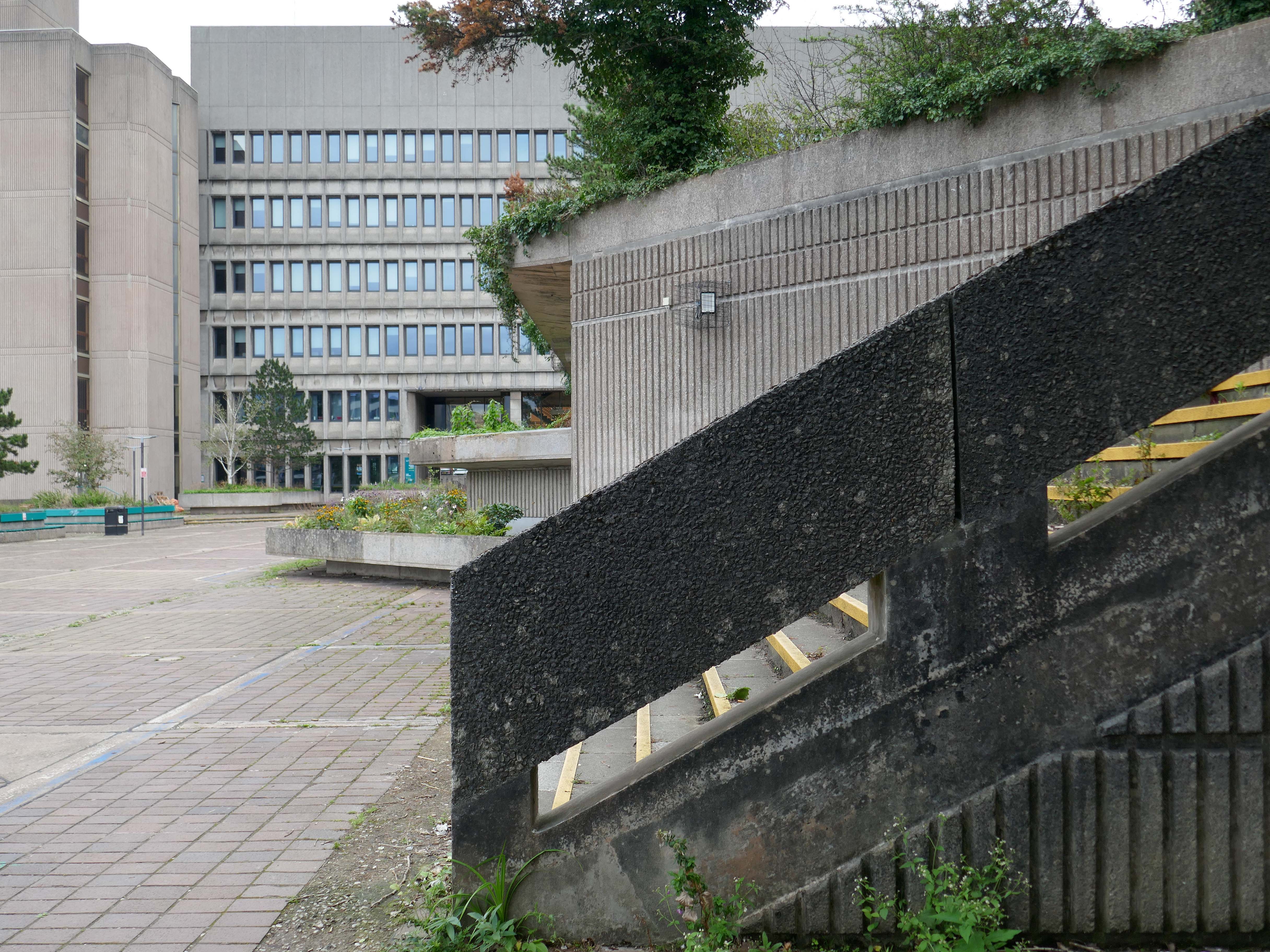
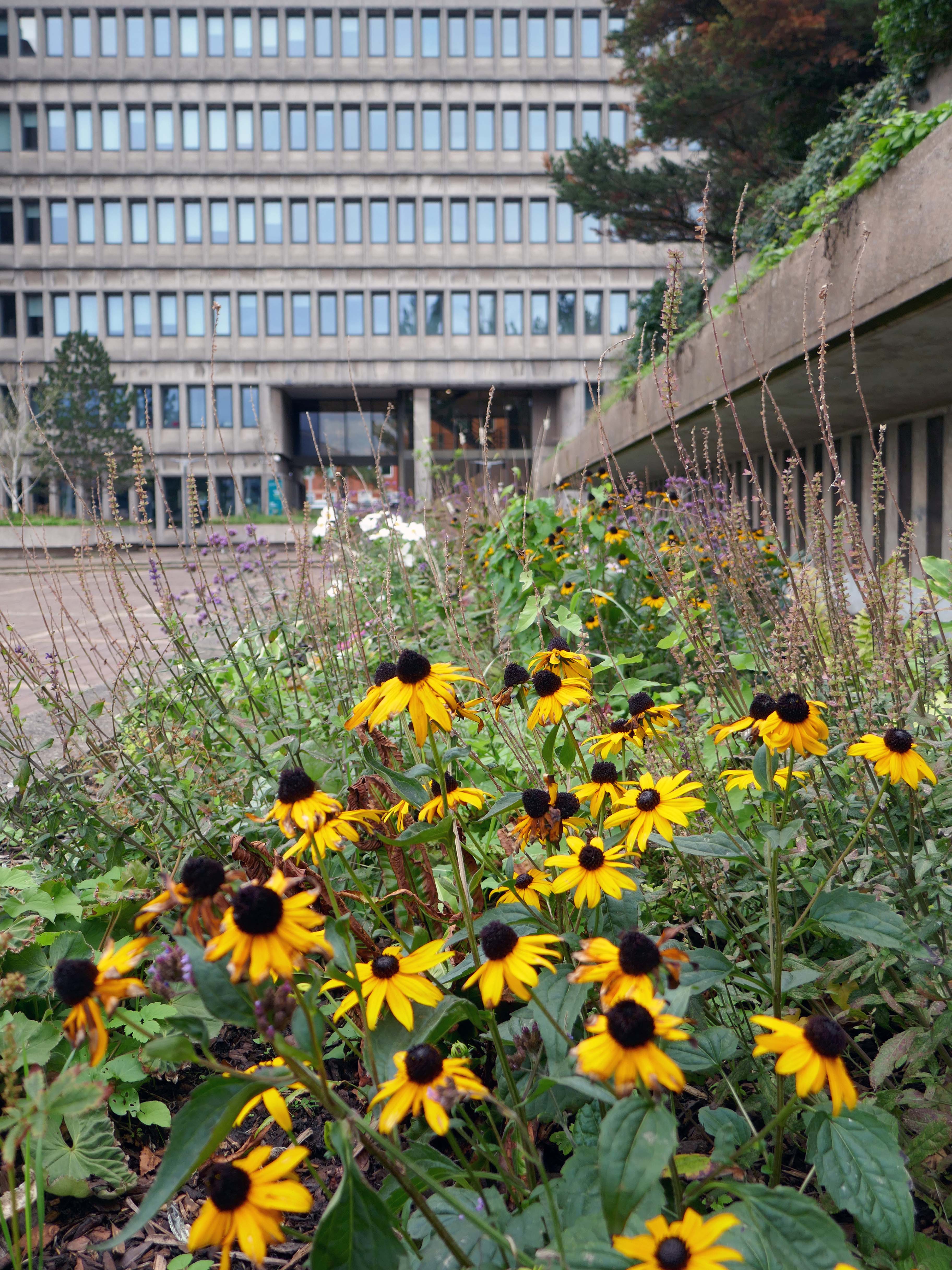
The painting has recently been much improved by the folks from Merseyway Workshop along with local volunteers.
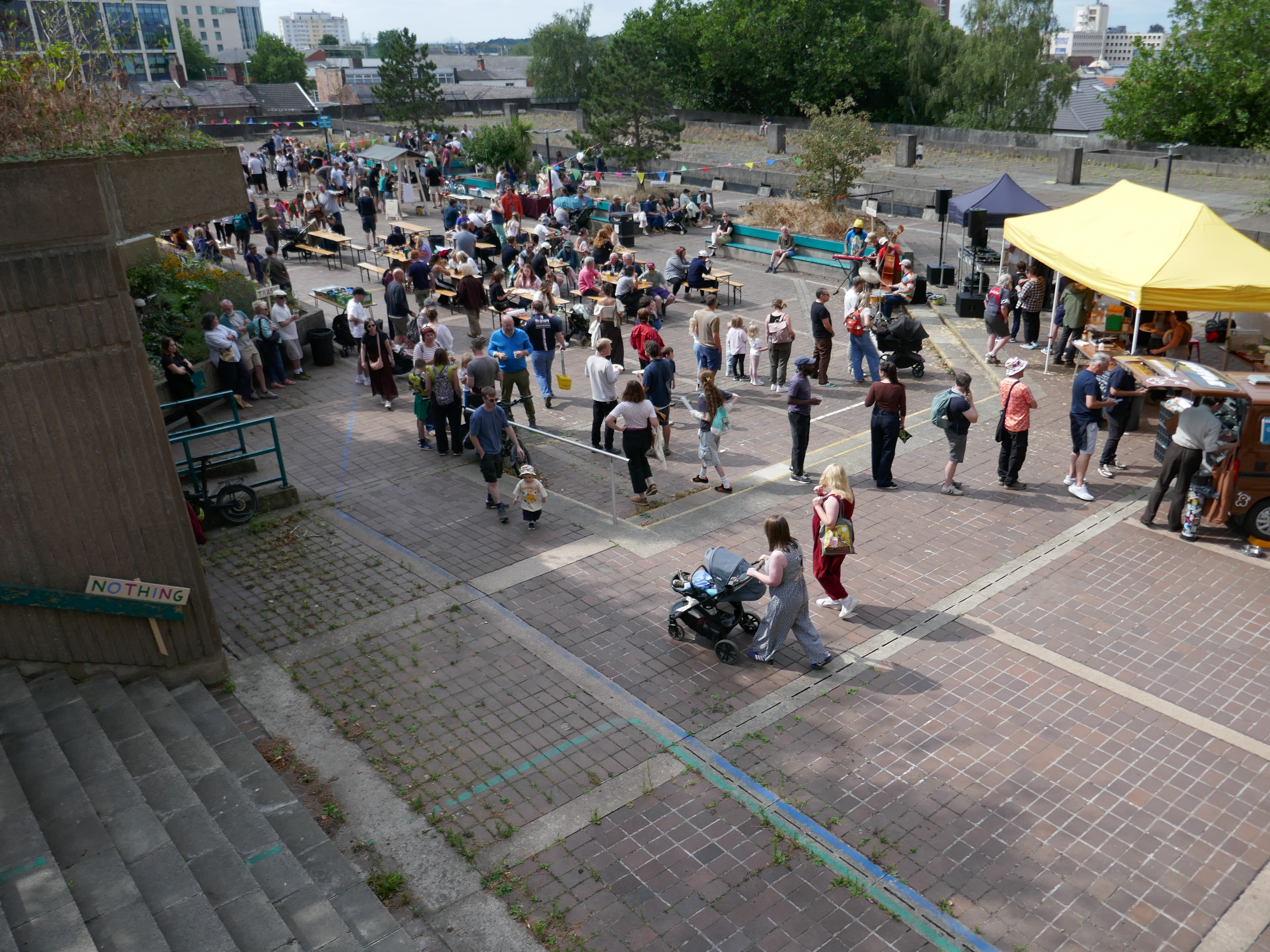
They also staged the hugely successful Stopford House Party in August.
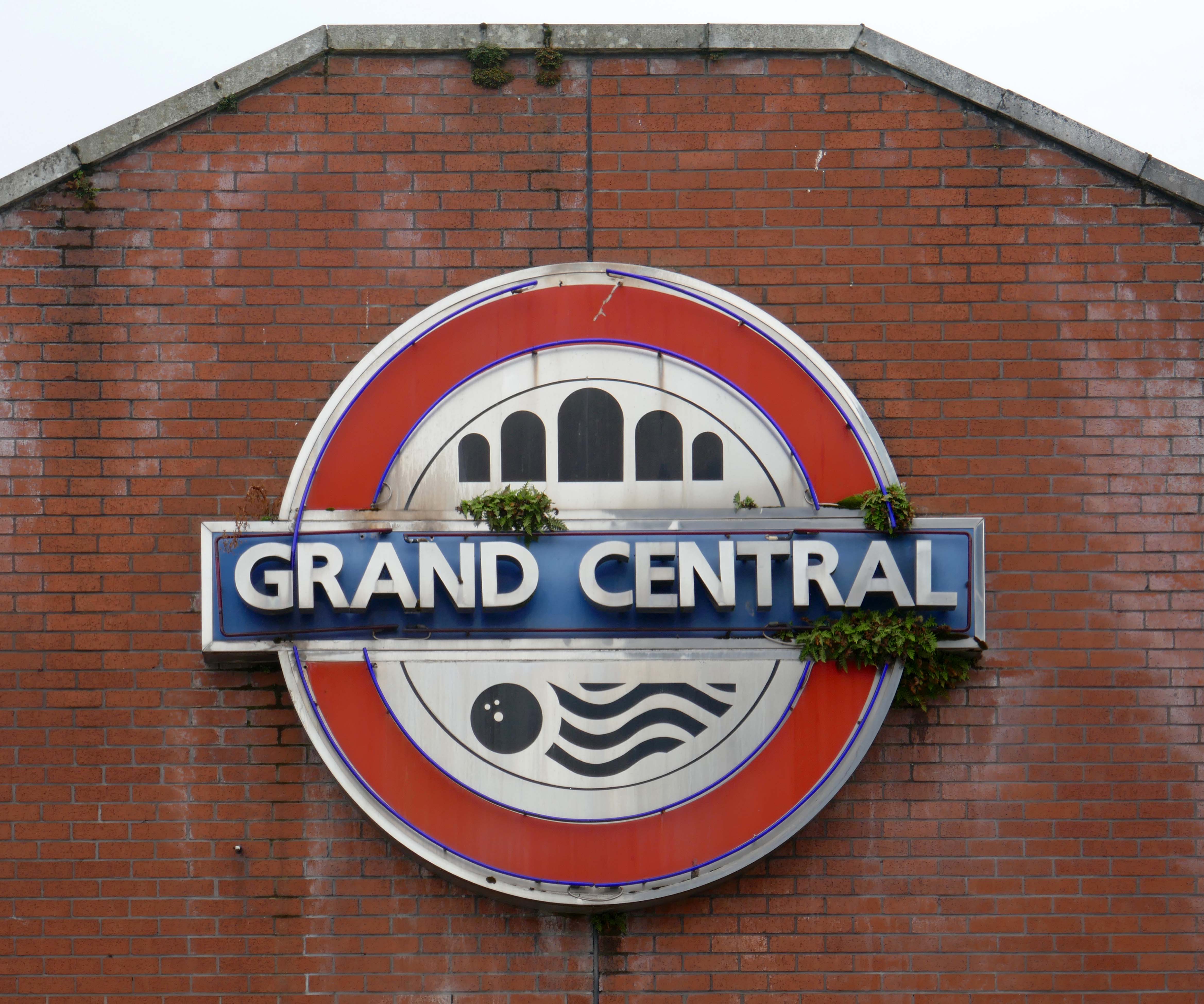
Back down the road to the old Grand Central.
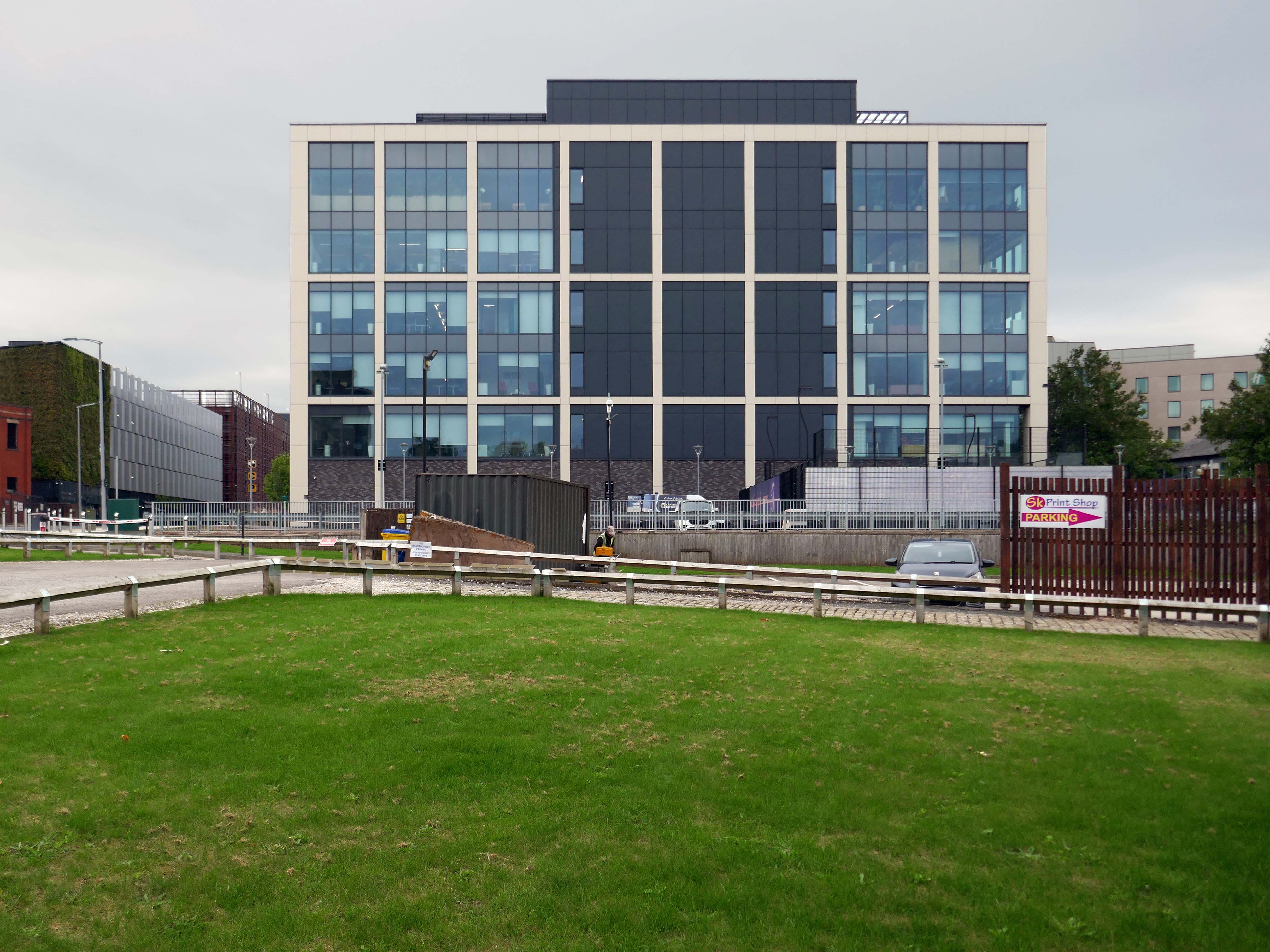
Formerly a large coal yard, replaced by a huge leisure facility and now a hotel and office complex, with a municipal swimming pool attached.
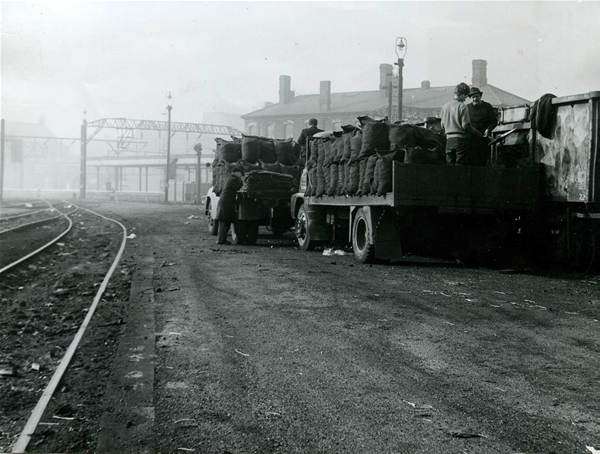
Next door the former Royal Mail sorting office.
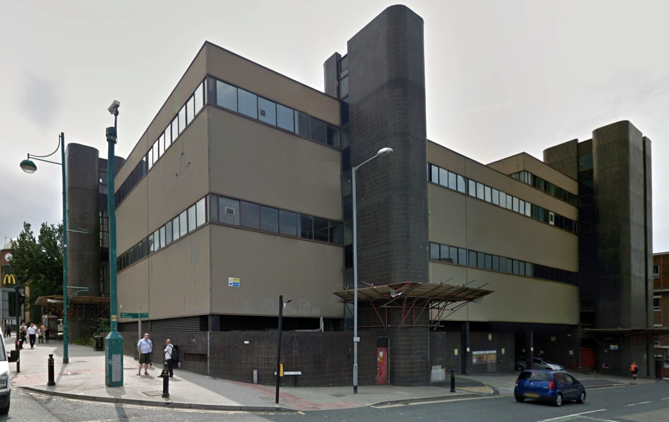
The transformation of a building once dubbed Stockport’s ugliest has been completed, now known as The Mailbox.

When it was built in the 1970s, it was given extra reinforcement due to the risk of IRA letter bombs. The sorting office closed and moved sites in 2010, from when the building was vacant for nearly a decade.

The state-of-the-art development is now home to 117 ‘stunning’ new one and two-bedroom apartments and 12,500 square feet of commercial space. There is an atrium at its heart a roof terrace with views across the town centre.

It also has an eighteen -metre high green ‘living wall’ covering the front and other parts of the exterior, which with 114,500 plants is the largest of its kind by surface area in the North of England.
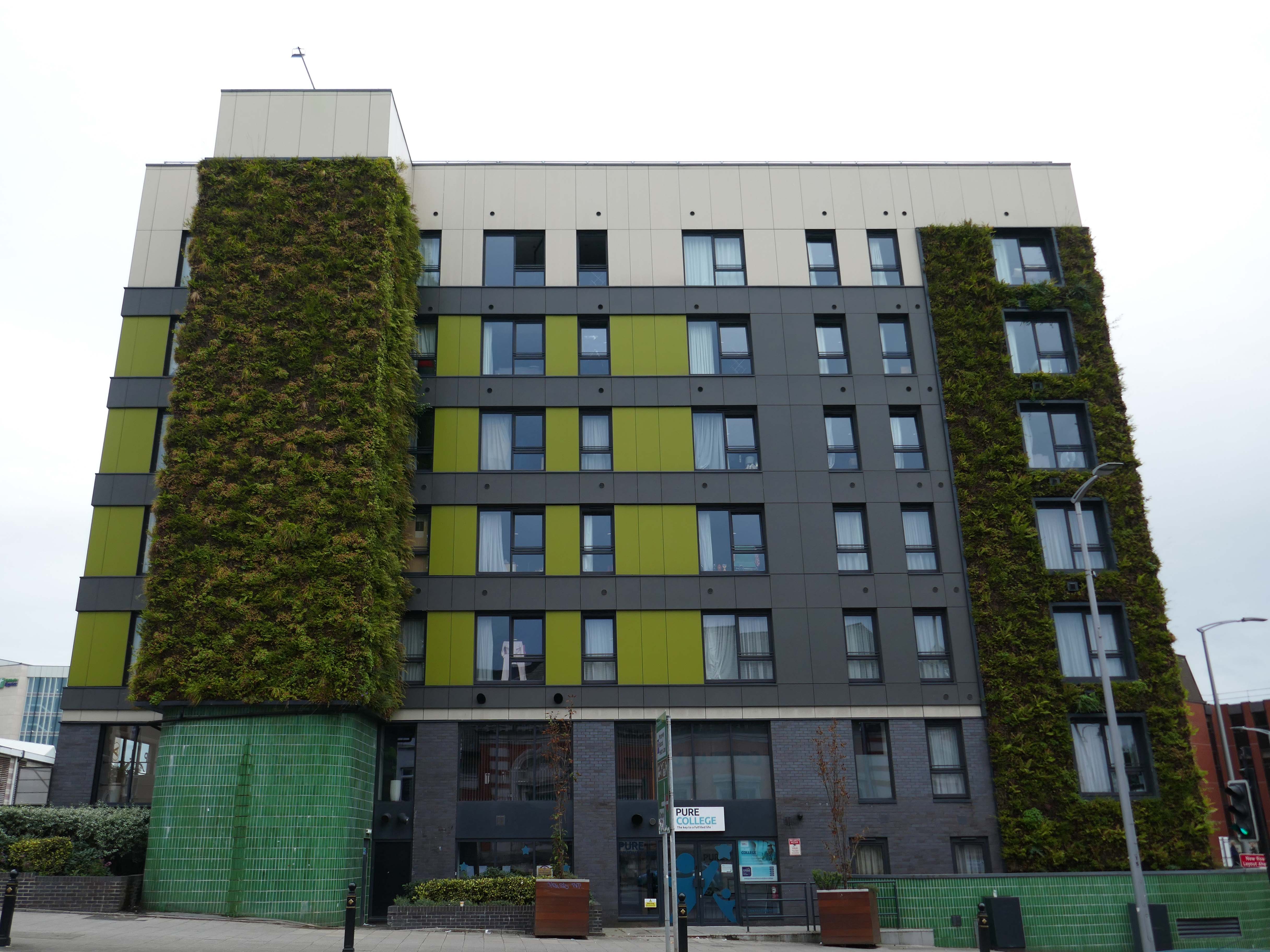
MEN 2023

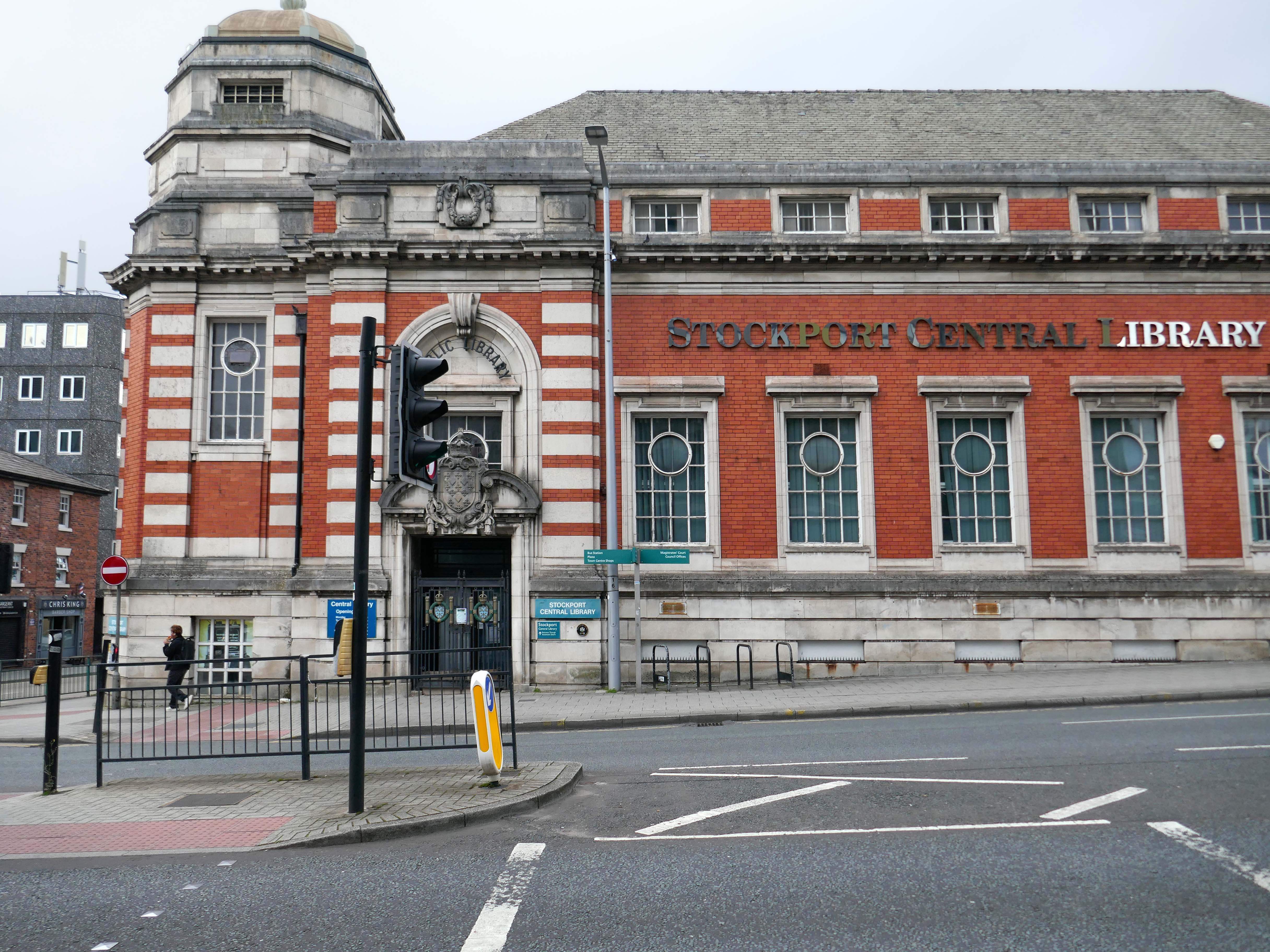
Over the road the Grade II listed former Central Library – architects Bradshaw Gass and Hope, funded by Andrew Carnegie, opened in October 1913.

Current plans are to use the building as a new home for the Stockport Music Service.
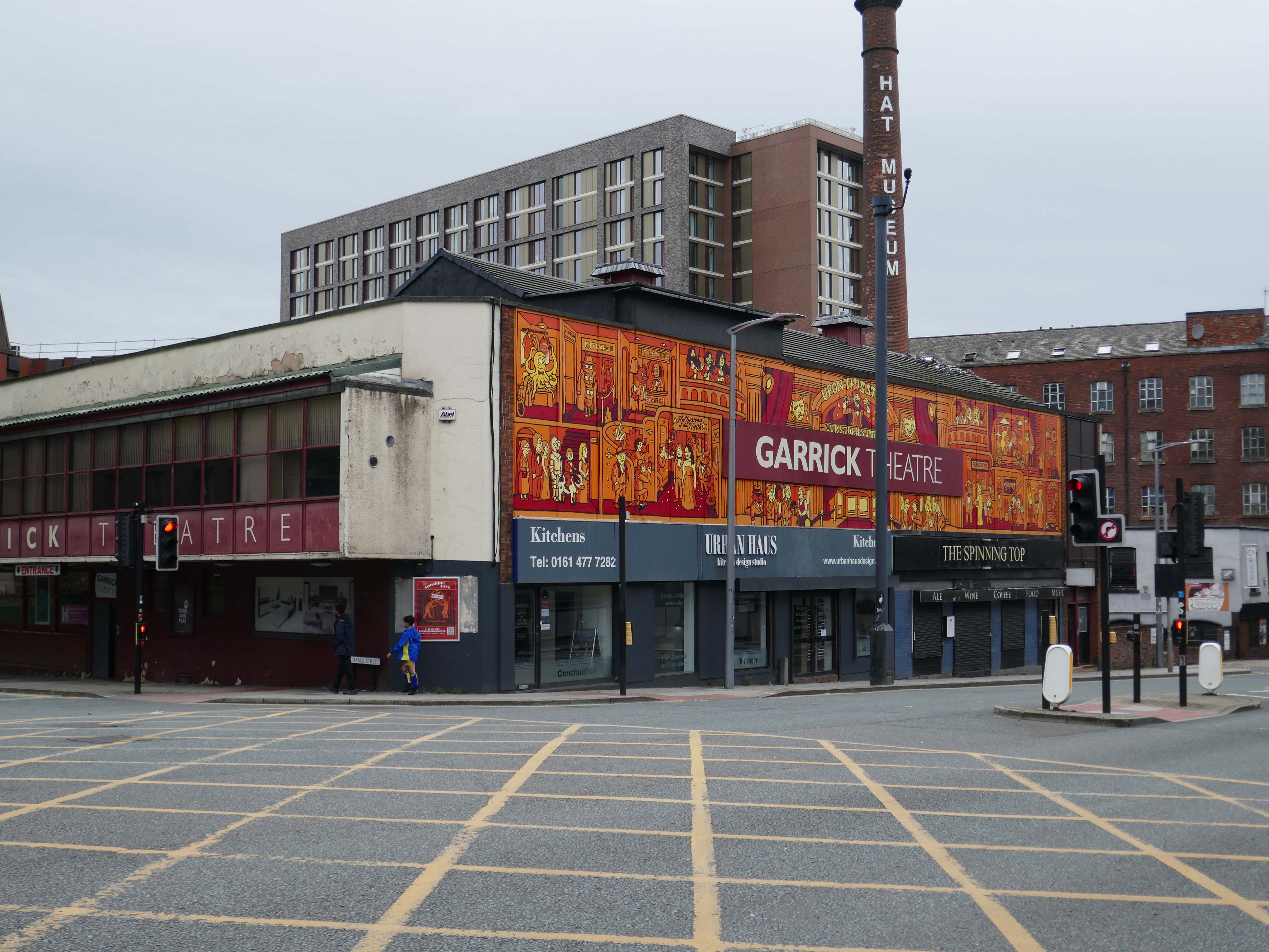
Adjacent is the Garrick Theatre.

The Stockport Garrick Theatre was founded on 24th of October 1901, by engineer Edwin Heys and his fellow actors: fugitives from the disbanded dramatic society of Stockport Unitarian Church. Meeting in what was then The Church Coffee Tavern on St Petersgate, Heys and his friends resolved to found a new society ‘to perform the best plays by the most capable amateur actors and with the finest scenic effects’.

The society purchased its current building, an old mill occupied by an assortment of small businesses, in 1920. Since then, the building’s labyrinthine interior has undergone various refurbishments to enhance the society’s ability to produce theatre to the highest standards possible.

The newly painted murals are by Captain Kris.
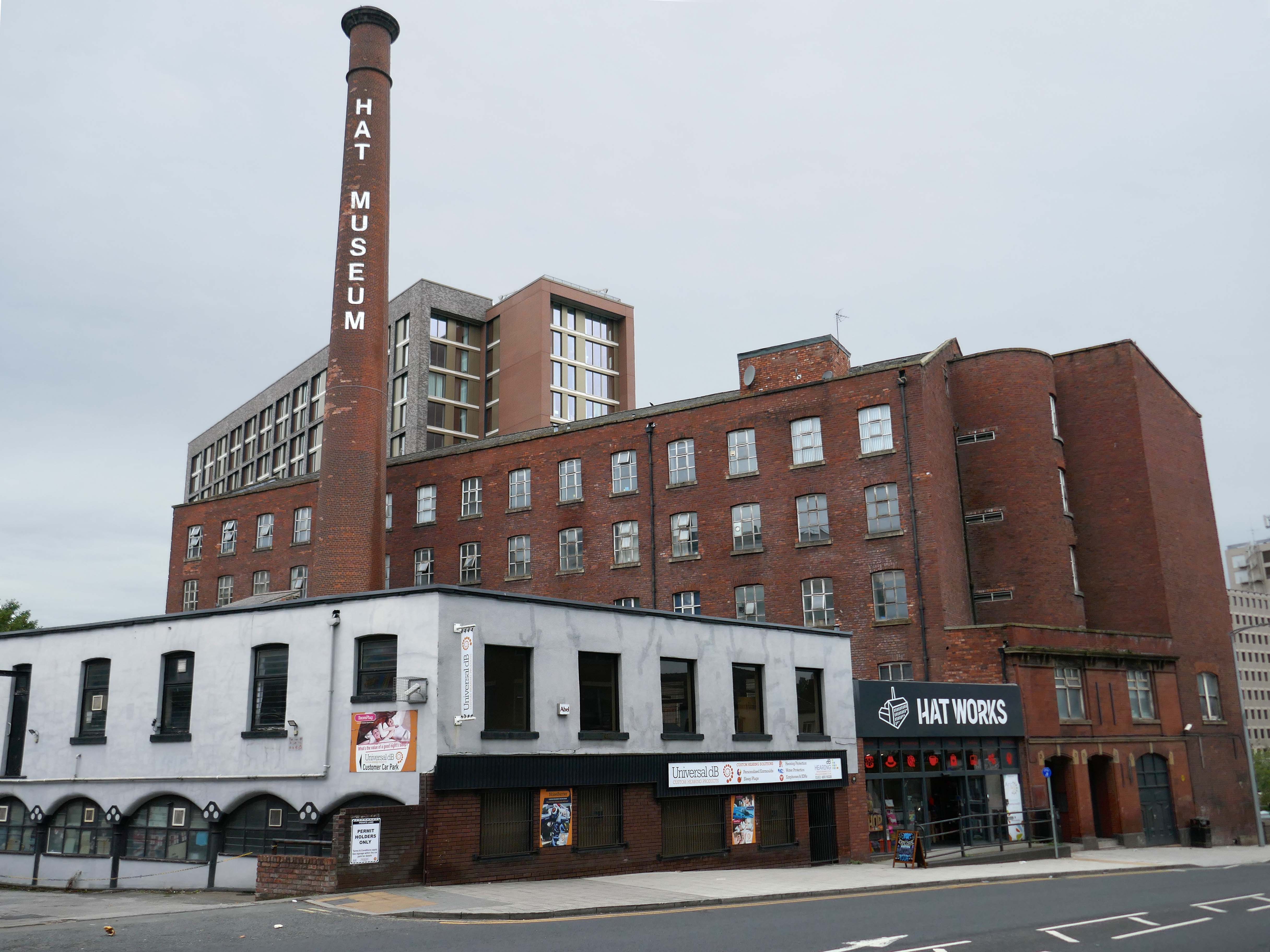
Next door the Hat Works – the UK’s only museum dedicated to the hatting industry, hats and headwear.
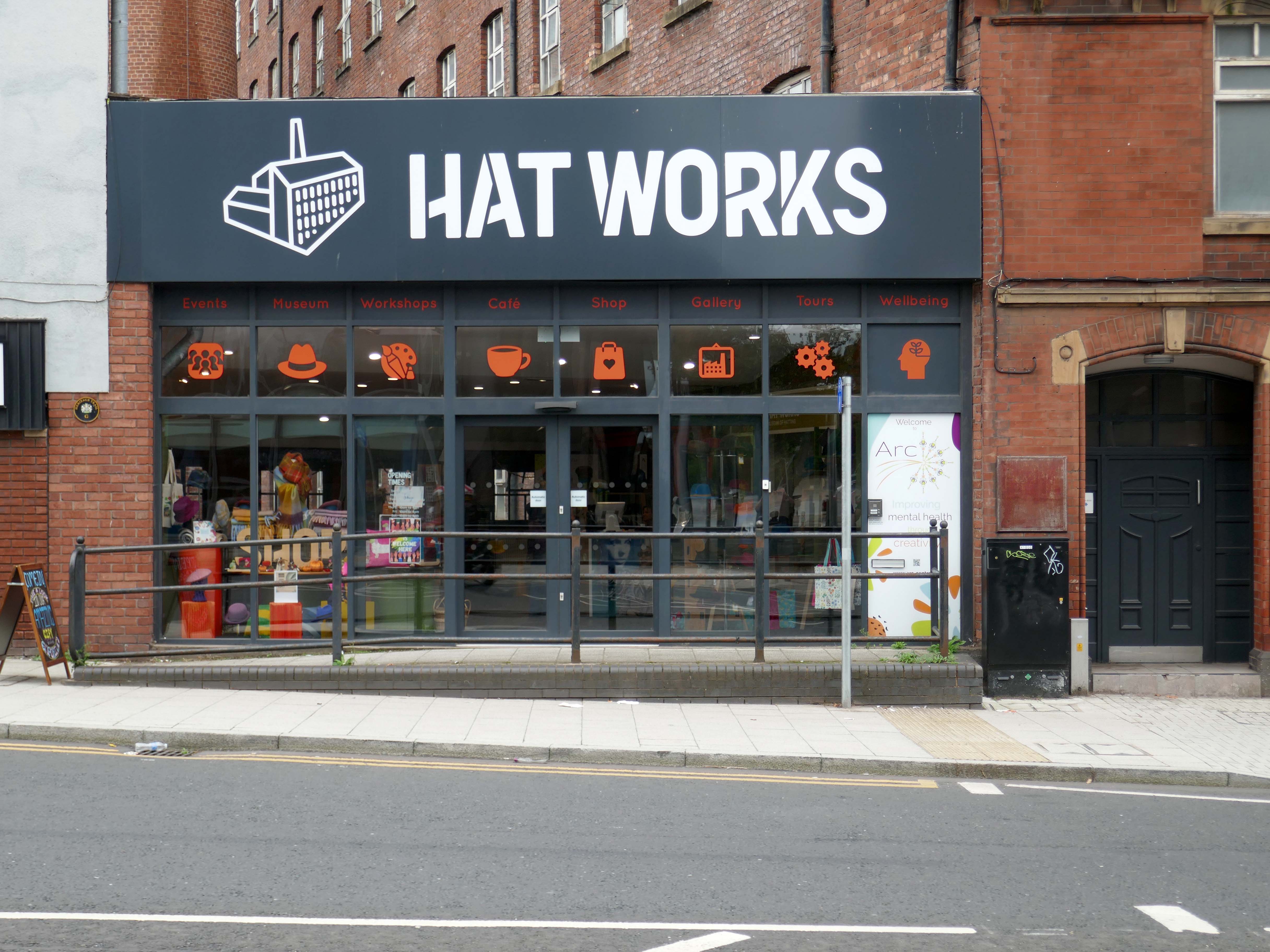
Occupying part of the Grade II listed Wellington Mill, a cotton mill of 1831 which became Ward’s Hat Works.

Both cotton spinning and hat making contributing to the economic development of Stockport in the C19th.
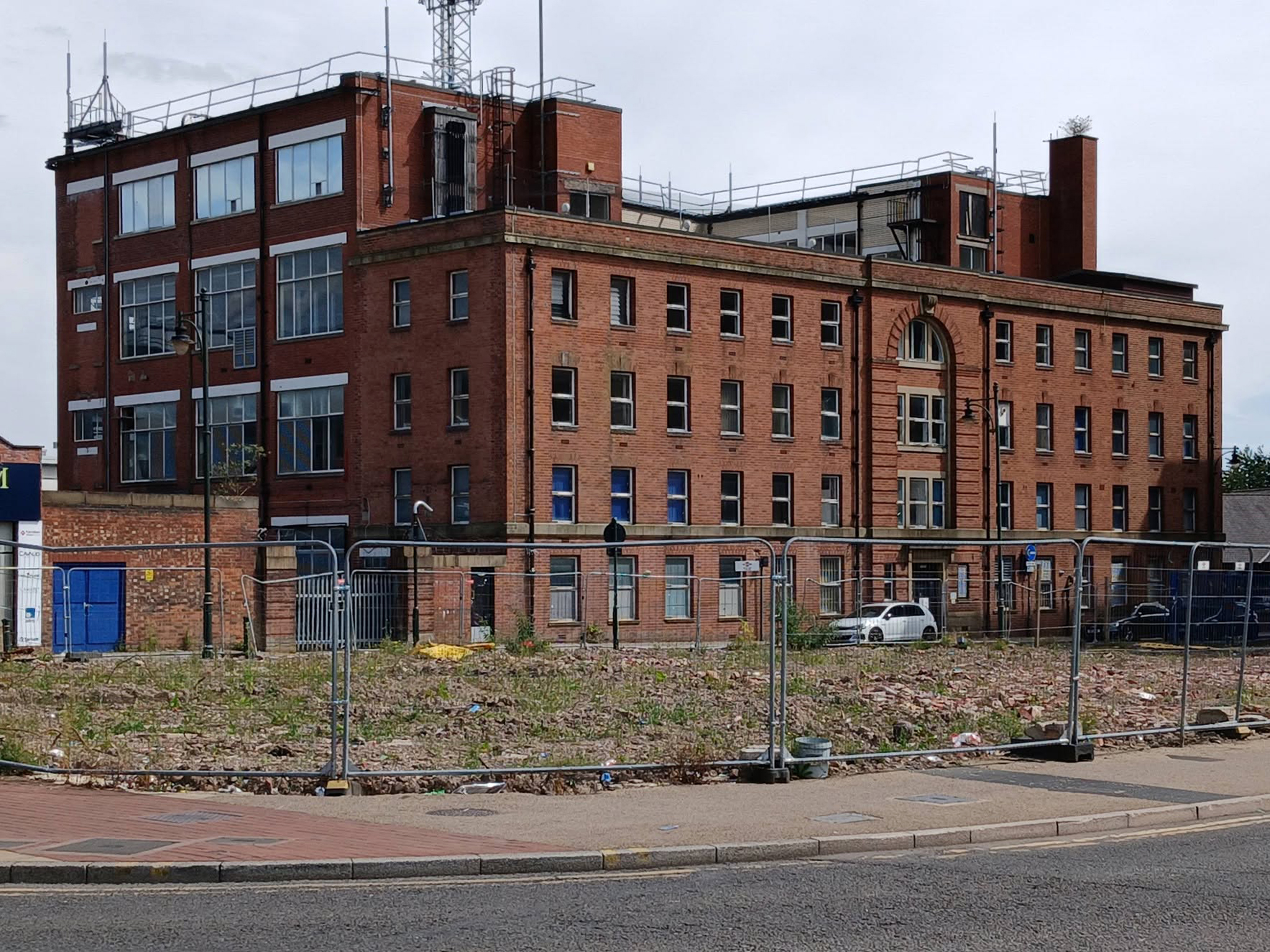
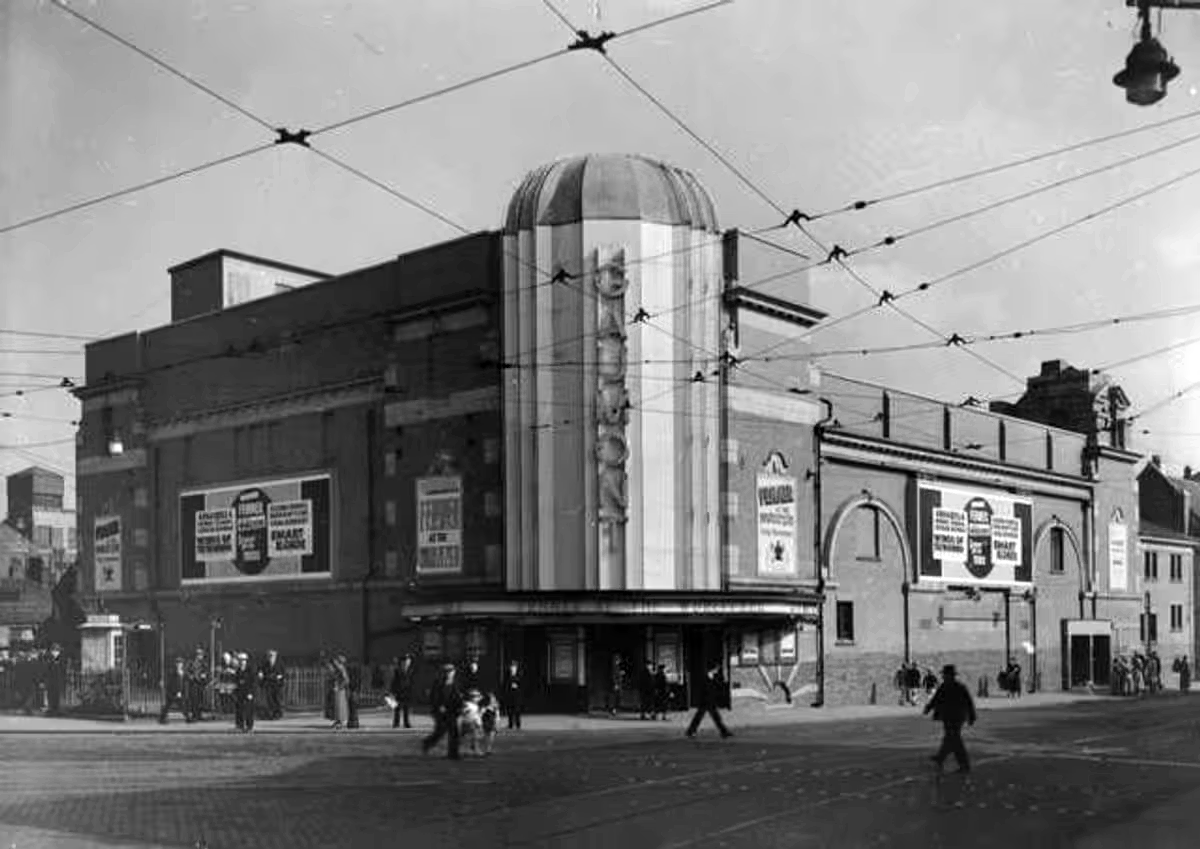
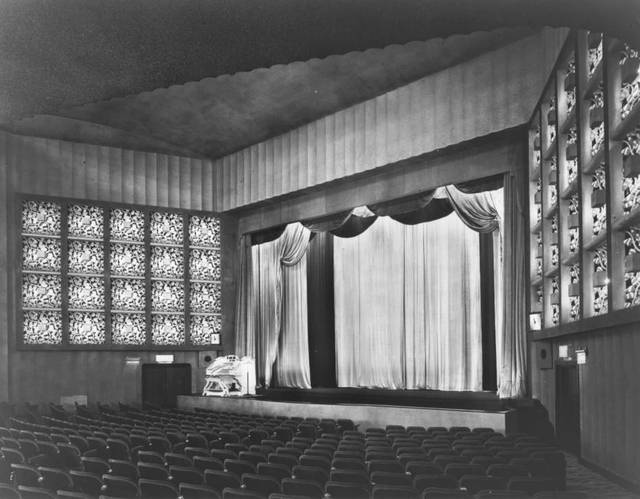
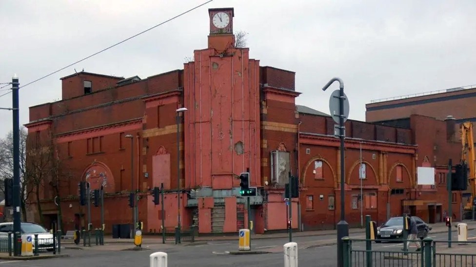
Across the way the long gone Carlton Cinema Architects: Francis Edison Drury and Joseph G Gomersall.

Opened on 28th July 1937.

In July 1948 the cinema was taken over by the Essoldo Cinemas chain. In 1954 the Essoldo became the town’s first CinemaScope cinema and for many years was the only cinema to offer full stereophonic sound. Richard Burton in The Robe was the first widescreen film to be shown, followed by Marilyn Monroe in How to Marry a Millionaire.

At the height of the Davy Crockett craze, in 1956, Fess Parker made a personal appearance at the Essoldo.

It was converted into a twin screen cinema in 1971, by converting the balcony into Screen 2, it was taken over by the Classic Cinemas chain in 1972. Its final owners were the Cannon Group who ran the cinema from 1982 to its final closure on June 21st 1990.

The cinema was demolished in 1994 and a small park occupied the site for several years.

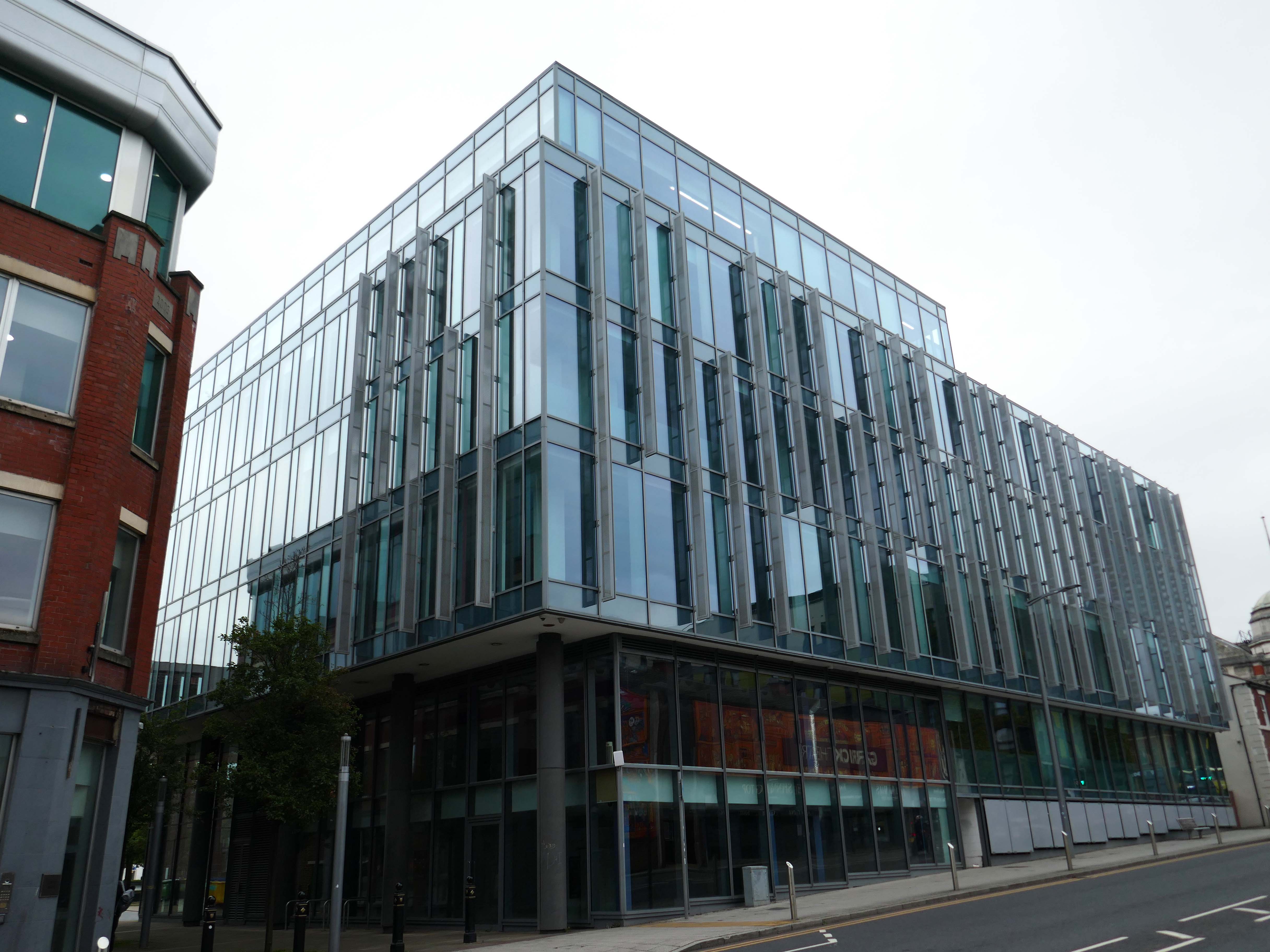
By 2011, offices had been built on site.
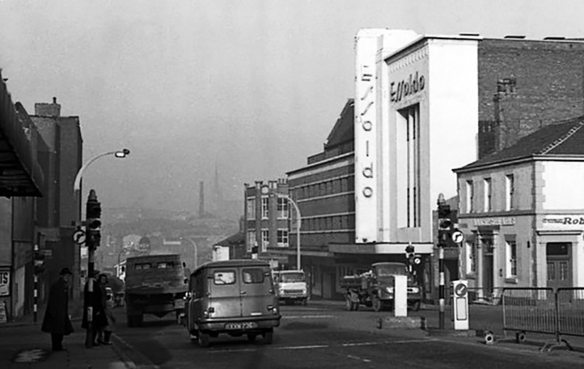
Cinema Treasures

Until March 2025 home to the Sky call centre.
Further down the road the former Wellington Hotel.
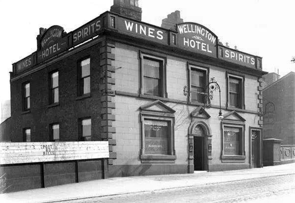
Known variously as Ups ‘n’ Downs, Glitz, Bentley’s and the Bees Knees.

Finally, partial occupation by a forlorn Pound Shop – defying economic trends by closing.

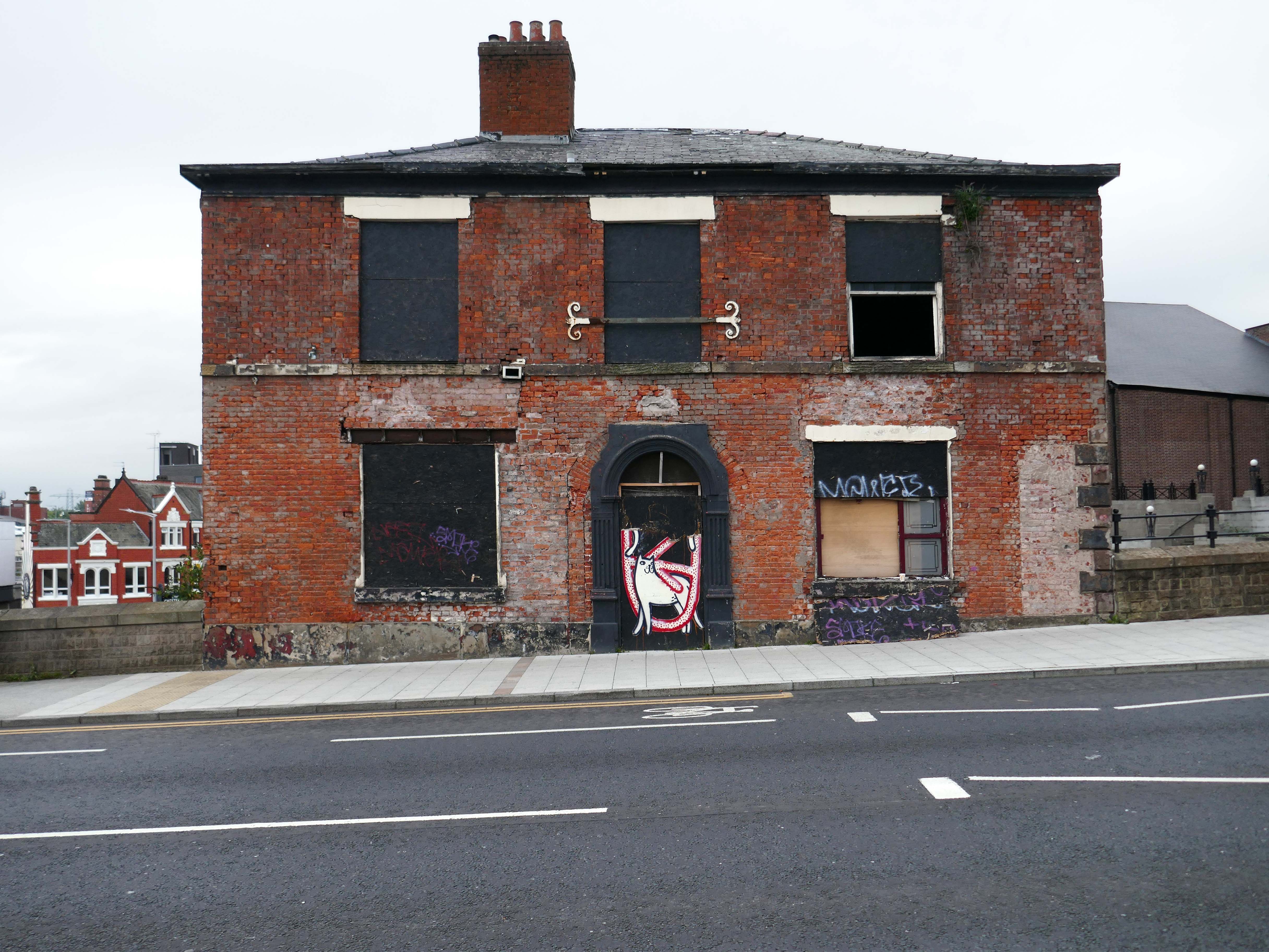
Street art by Cats and That.
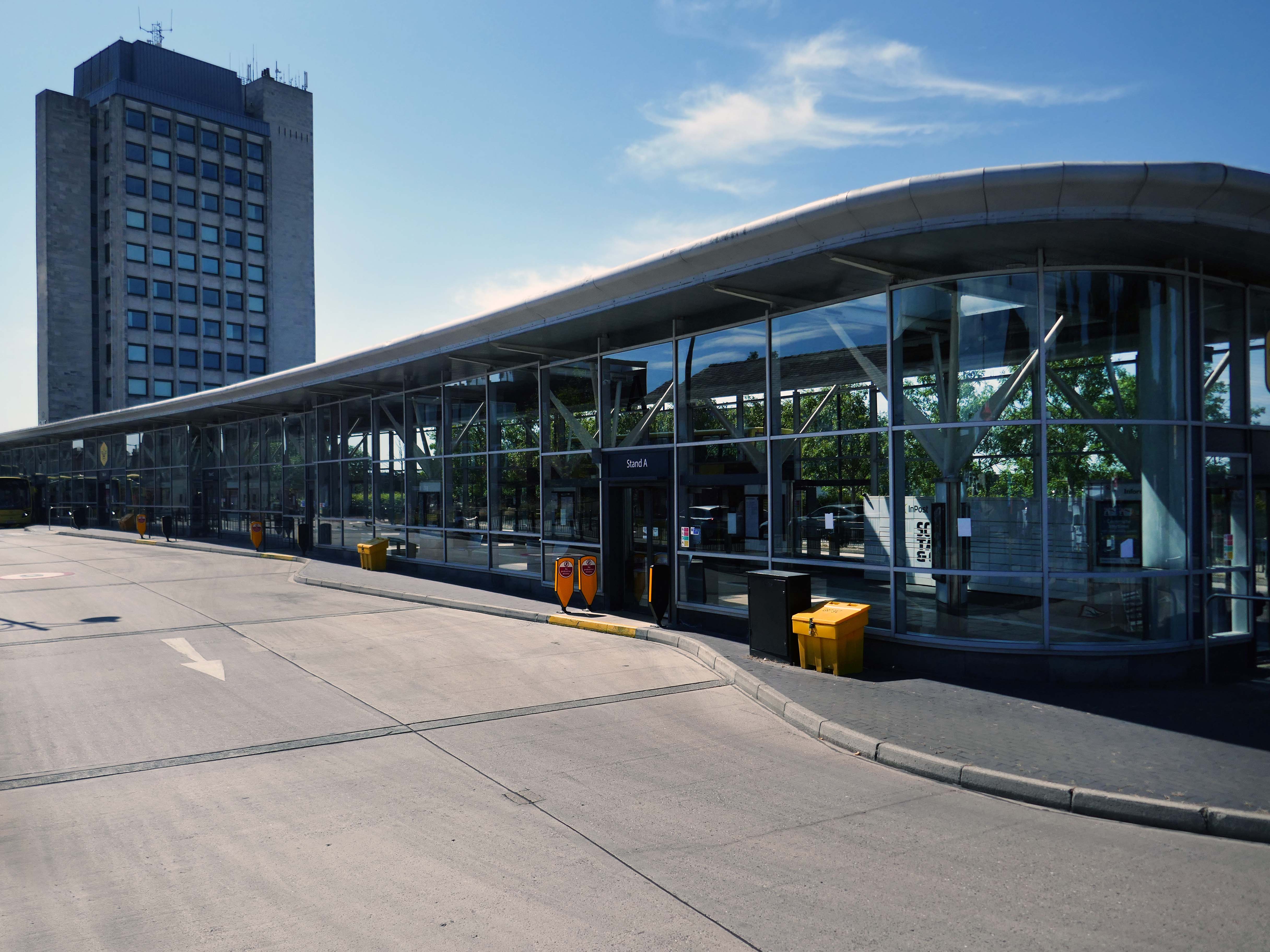
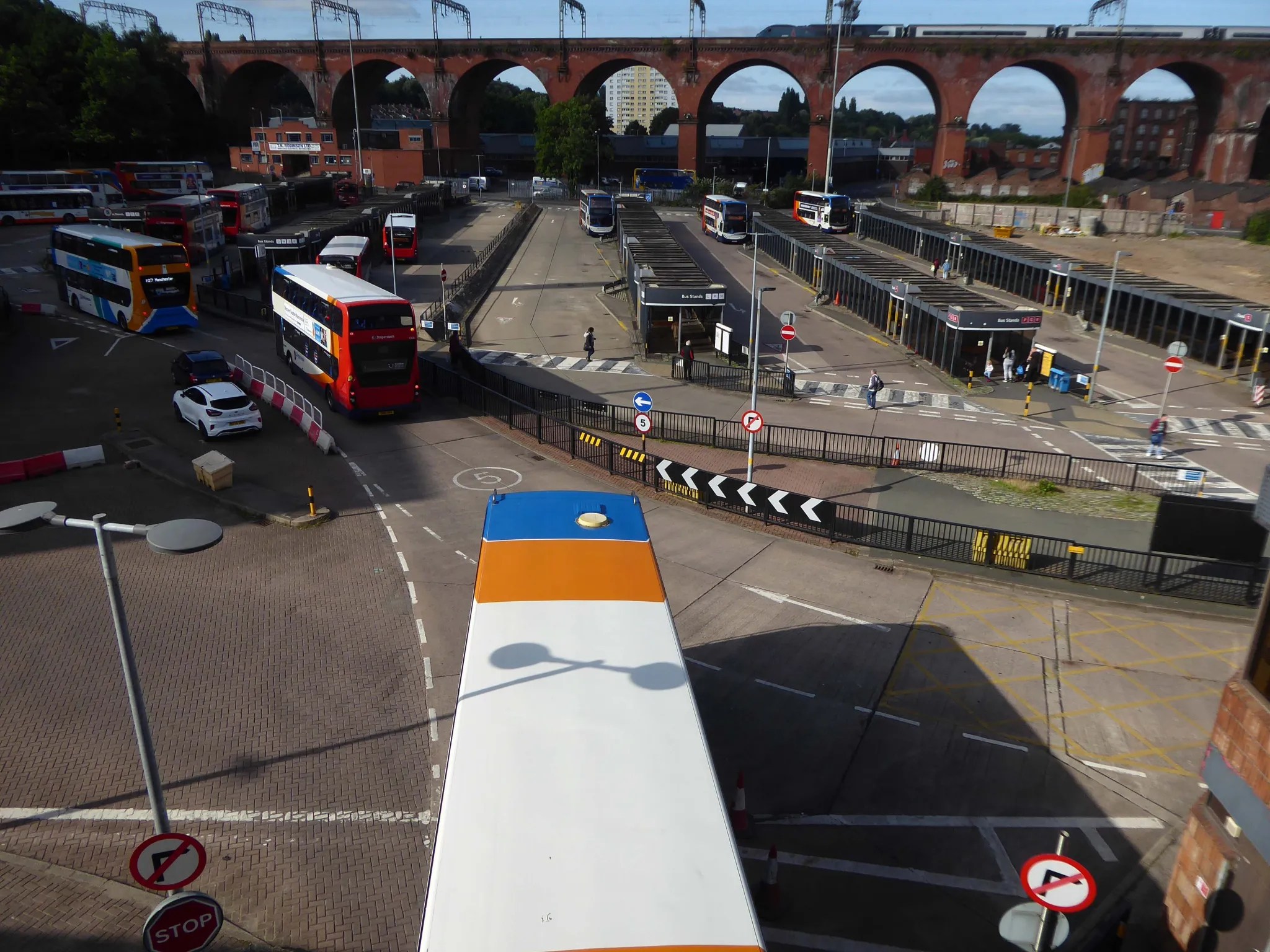
Next to the Transport Interchange aka the Bus Station.

In collaboration with Transport for Greater Manchester and Stockport Metropolitan Borough Council, the project redesigned a 10,000 sq m bus interchange, linking the rail station with new landscaped parks. 

The development includes a fifteen-storey building with one hundred and ninety six apartments, commercial space, and parking. New parks and riverside spaces improve connectivity and enhance urban living, marking a transformative step in placemaking for Stockport.
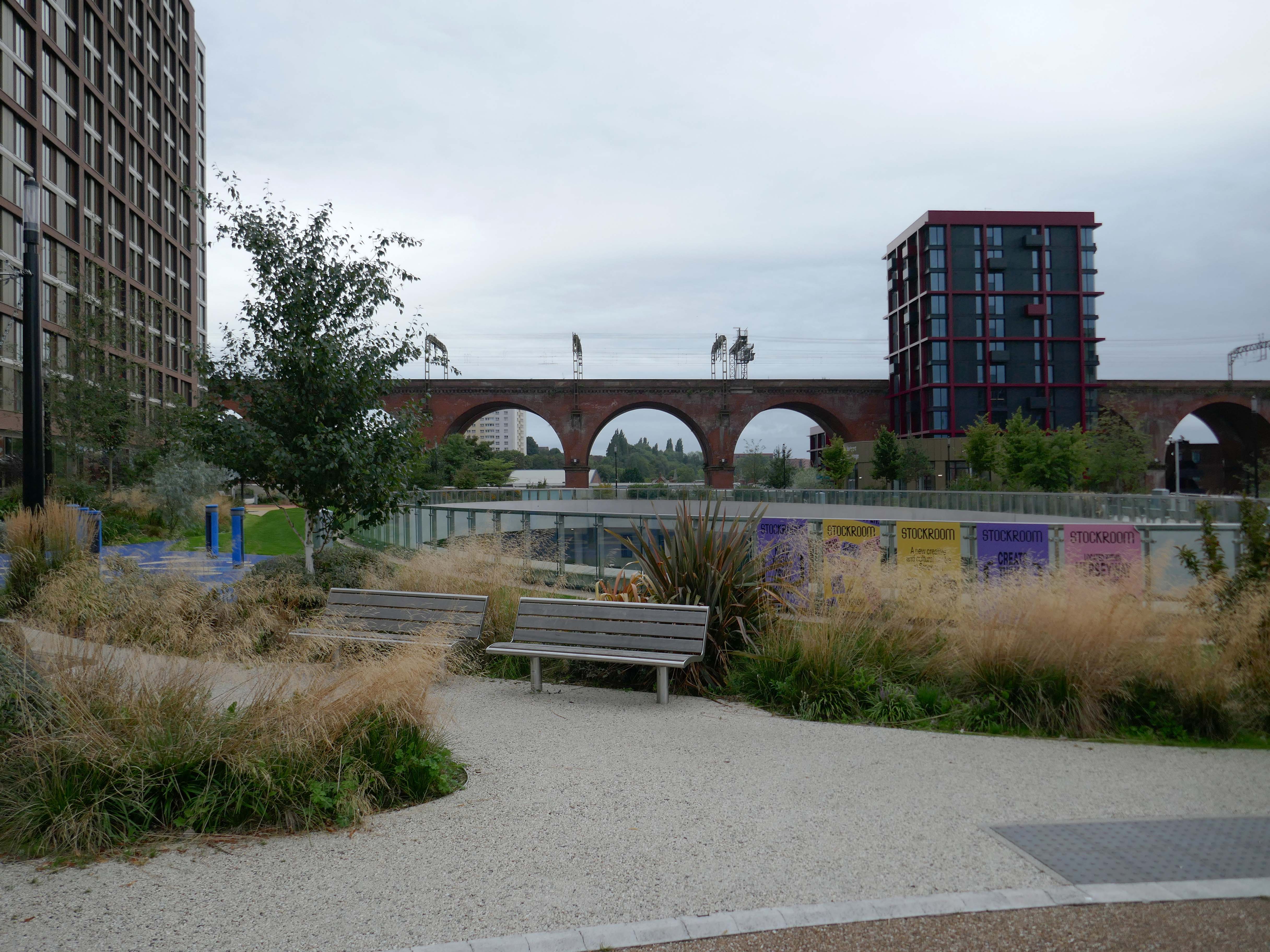
BDP Design

Replacing the former Bus Station closed on Saturday 28th August 2021.
Down to the top of the Lowry Steps
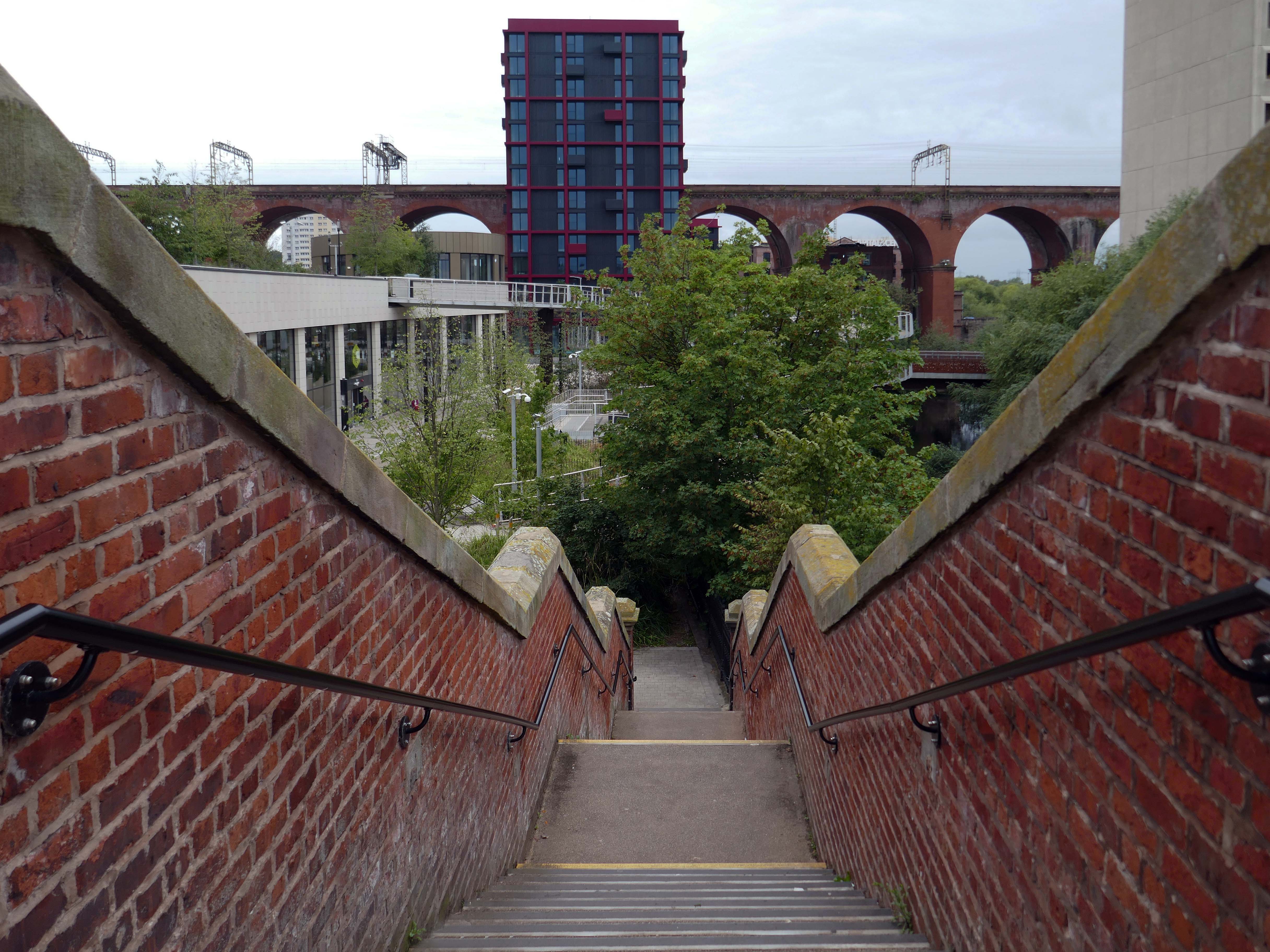
LS Lowry snapped in 1962, the Viaduct in the not too distant distance – Grade II* listed structure and remains one of the world’s biggest brick structures.
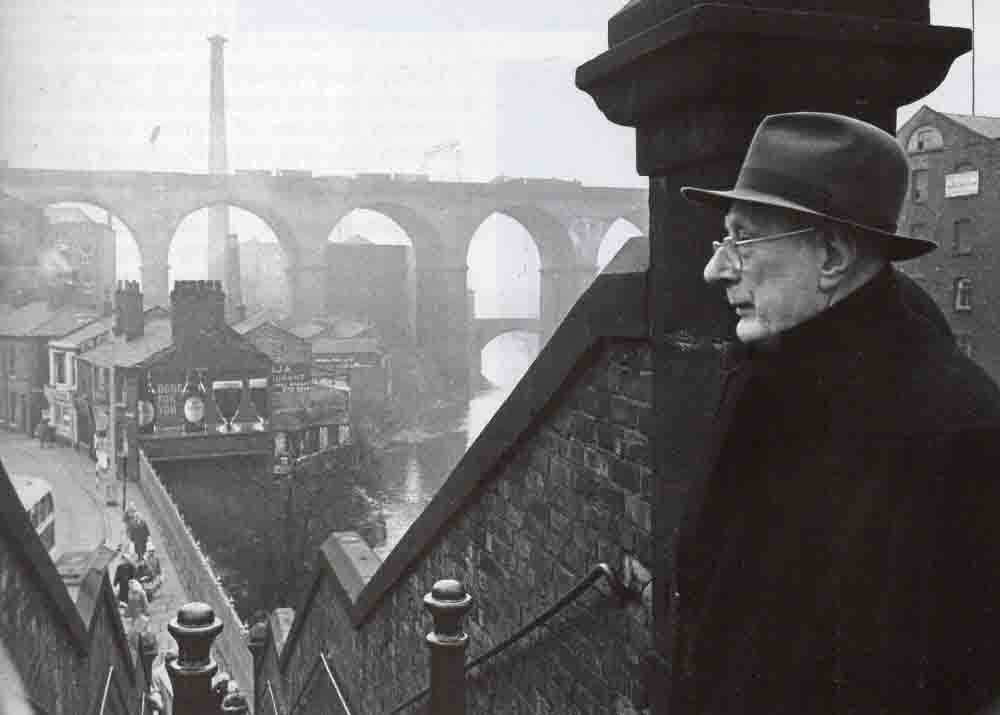
Railway viaduct opened 1840 by GW Buck for Manchester and Birmingham Railway in brick and stone.

Twenty eight arches of total length over 540m – three spans at either end of 18ft, twenty two spans between of 63ft, and nearly 34m high above the river.

Said to contain eleven million bricks.

Stone moulded impost bands and rusticated faces to piers.

Took 21 months to build, at a cost of £72,700.

Widened to the west 1888 to 1889.

Historic England.
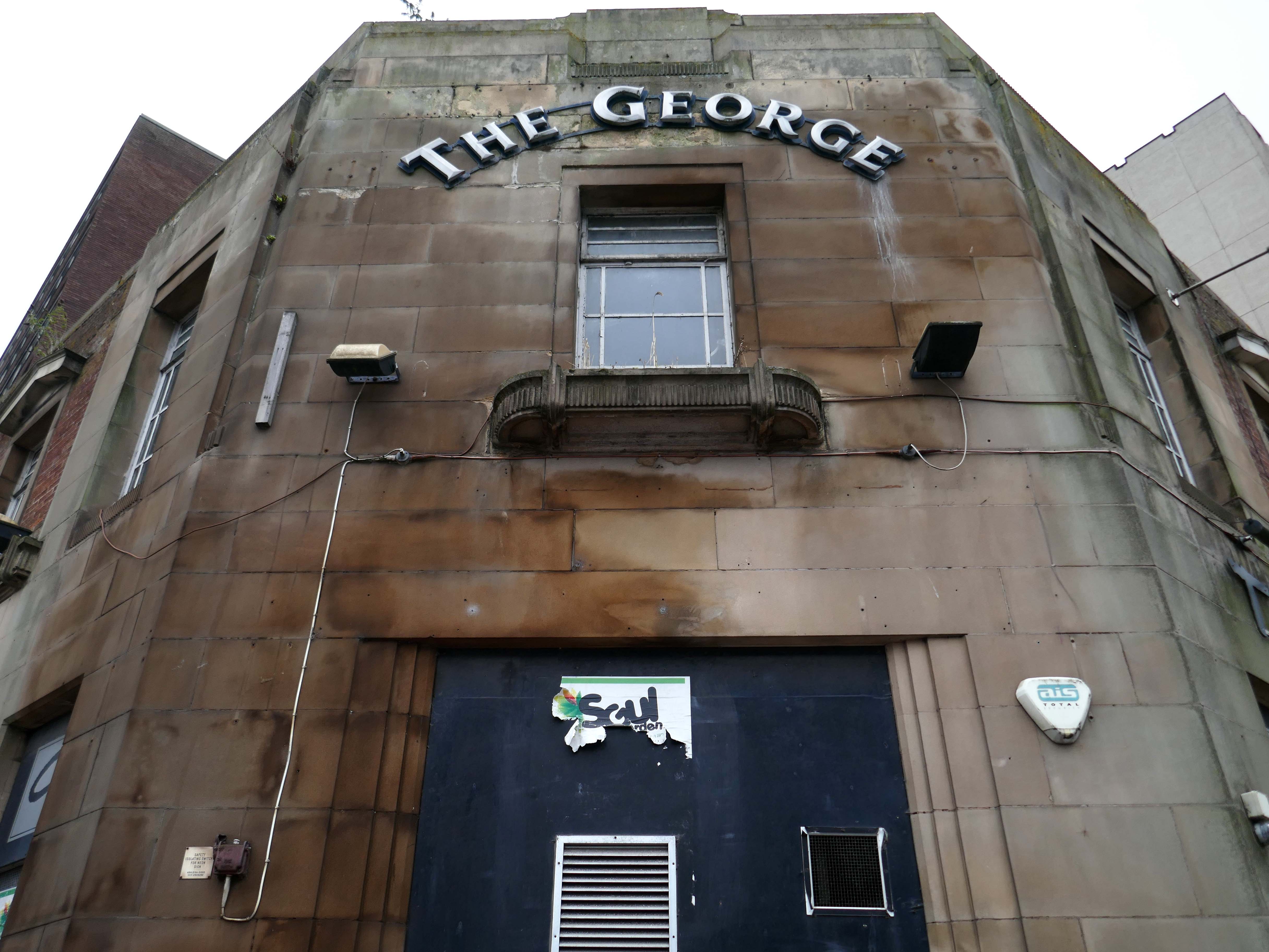
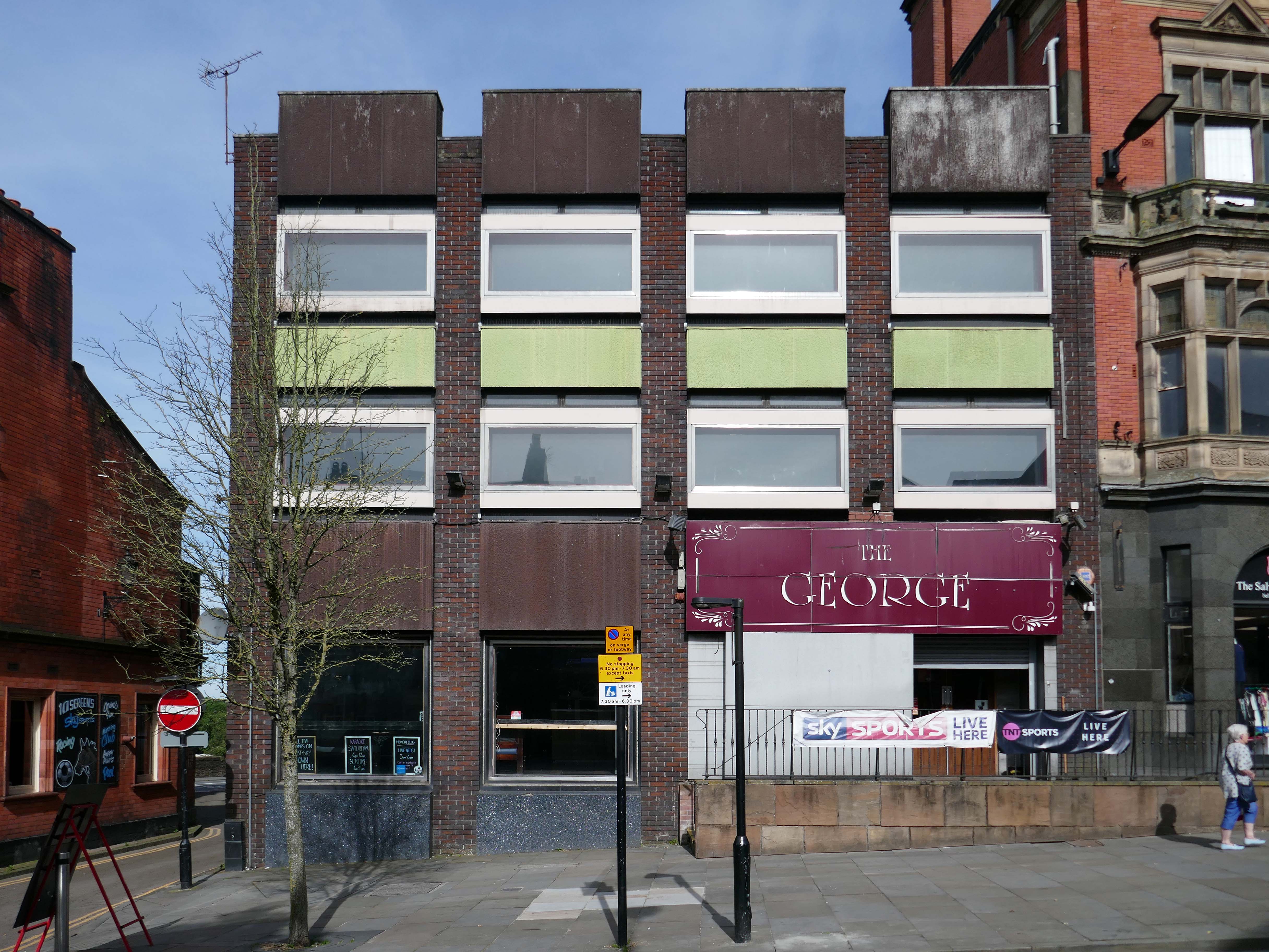
Down on the corner the former George Hotel.

Premises To Let as of 13th May 2018 – on the 2nd April 2018 the licence has lapsed, so this proved to be a barrier to it re-opening.

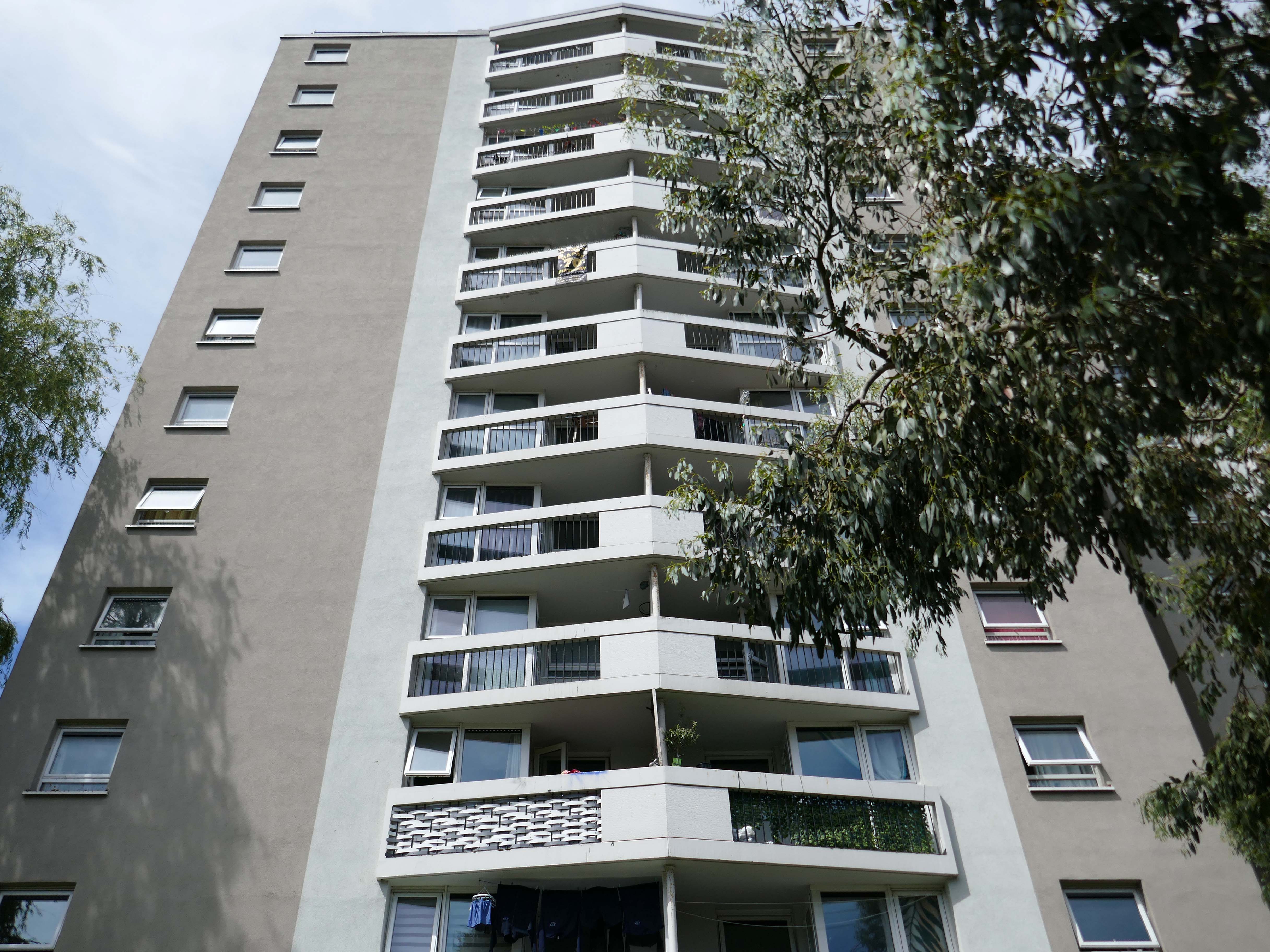
A former pub in Stockport town centre could be knocked down to make way for a tower stretching 17-storeys high. Plans have been sent to Stockport council for consideration and would bring 76 new apartments to the town replacing The George on Wellington Road, based opposite Merseyway Shopping Centre and near Stockport Viaduct.
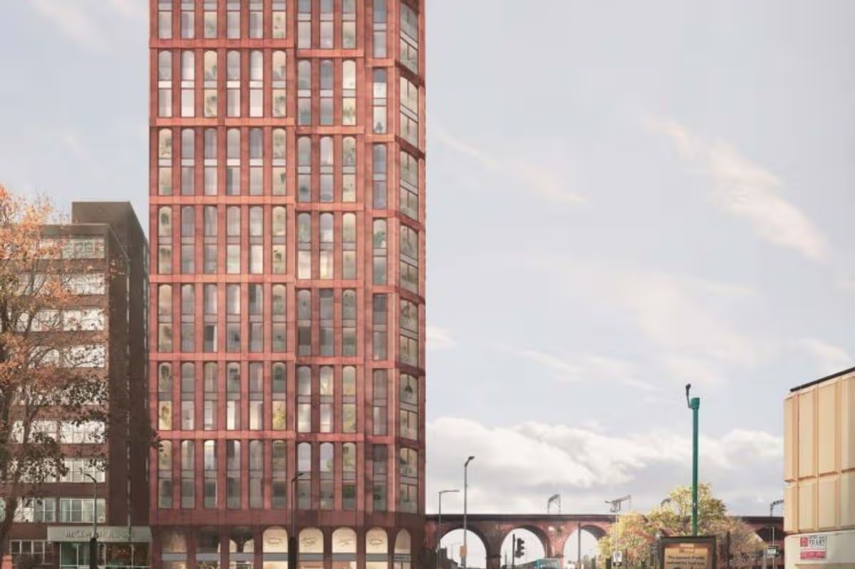
MEN November 2025

Across the way the Heaton Lane Car Park is now rubble.
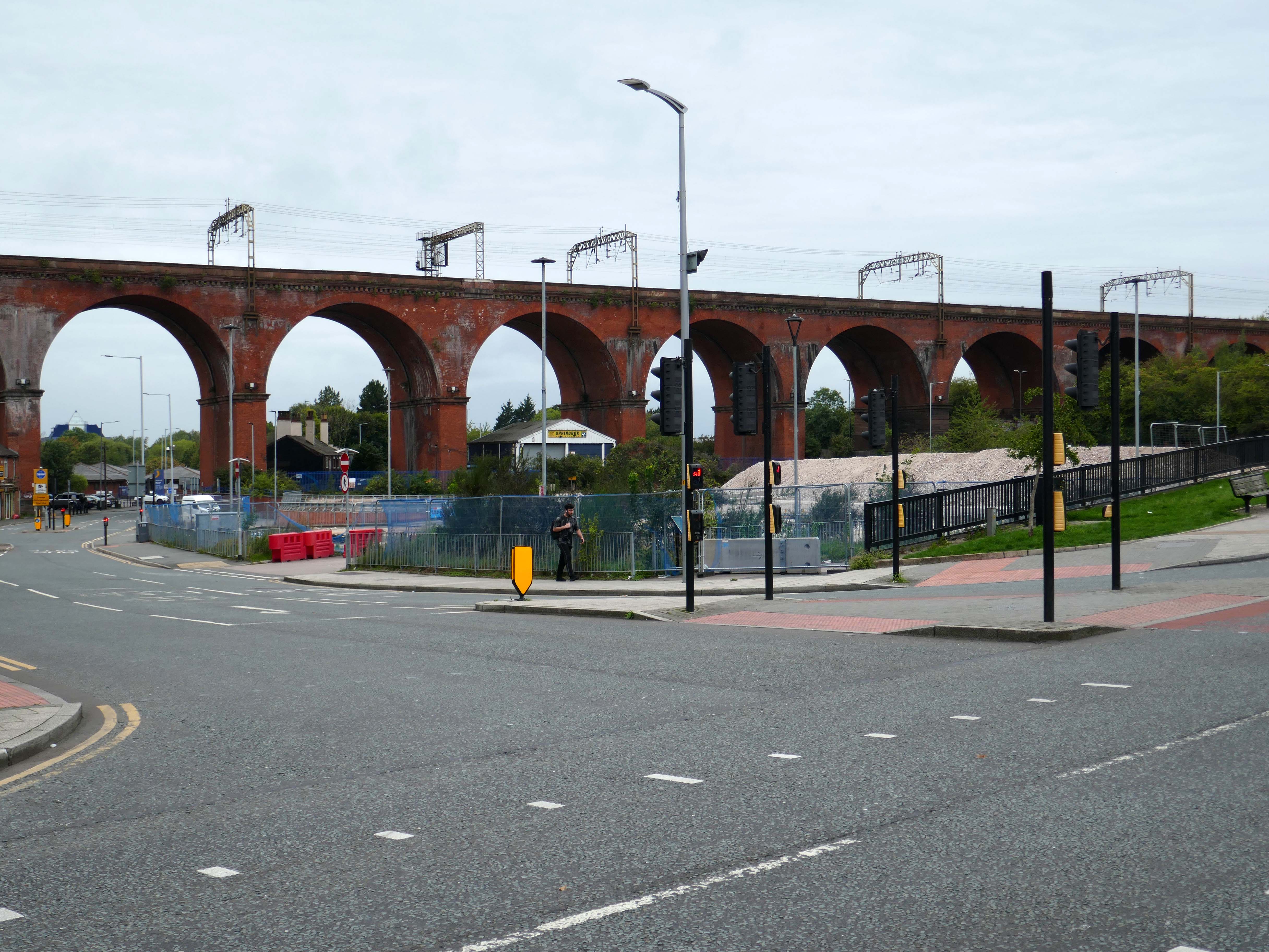
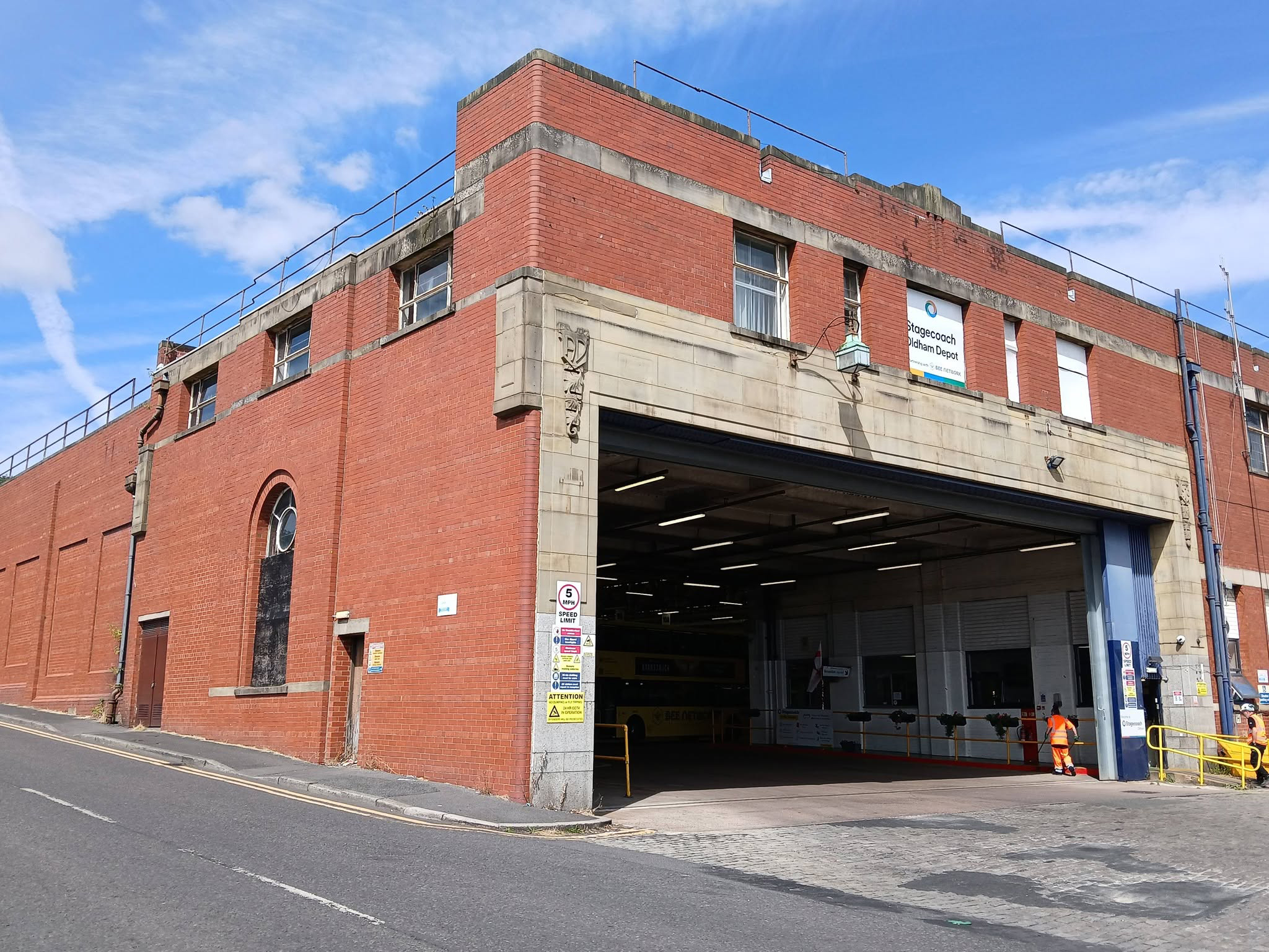
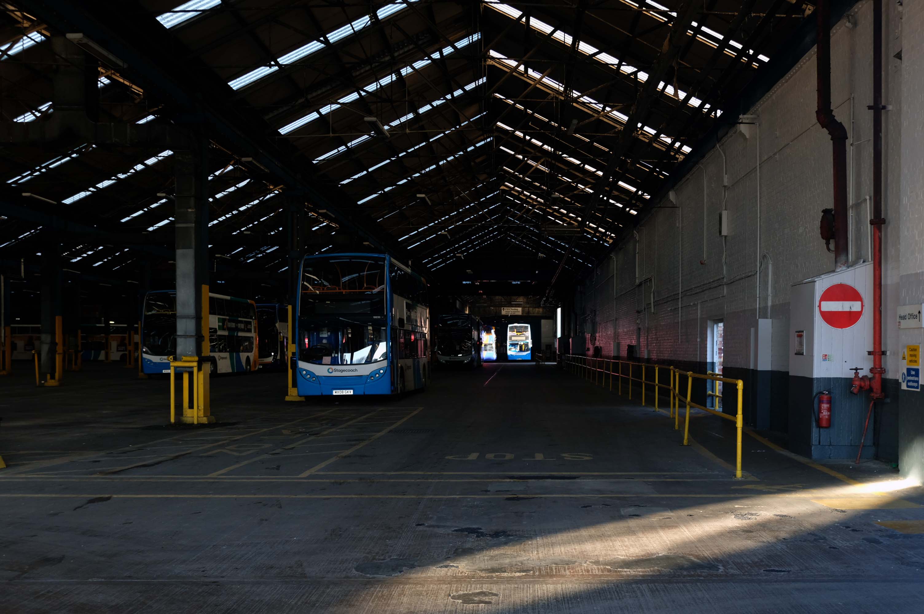
It is to become the site for the re-sited bus depot, as the current bus depot is demolished to make way for housing.

Though Place North West reports in August 2026:

Talks over a deal for a bus depot off Daw Bank have broken down after the council refused to meet the operator’s financial demands, prompting the authority to use compulsory purchase powers to acquire the site.

Despite protracted negotiations, Stockport Council and Stagecoach have failed to reach an agreement over an important piece of land the authority needs to deliver Stockport 8, a £350m, 1,300-home regeneration scheme.

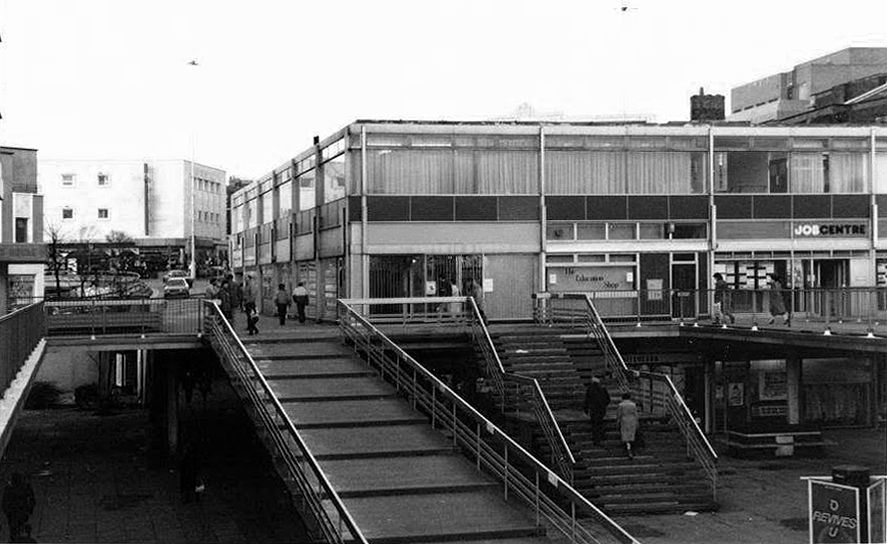
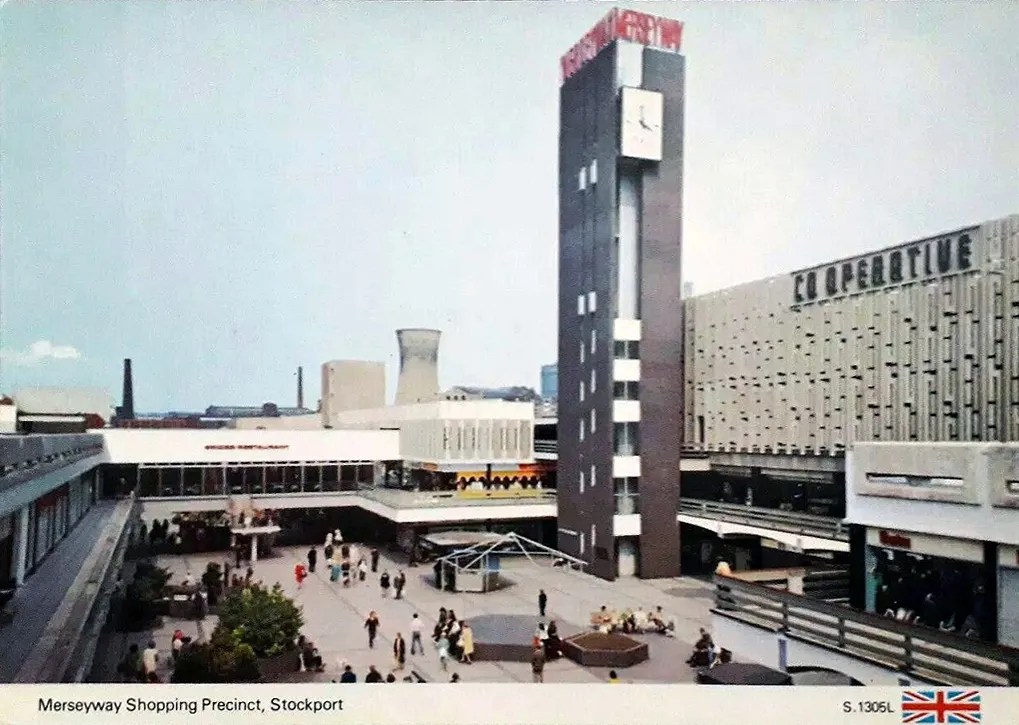
Leaving Wellington Road we head for the Merseyway Precinct – 1965 architects Bernard Engle & Partners.
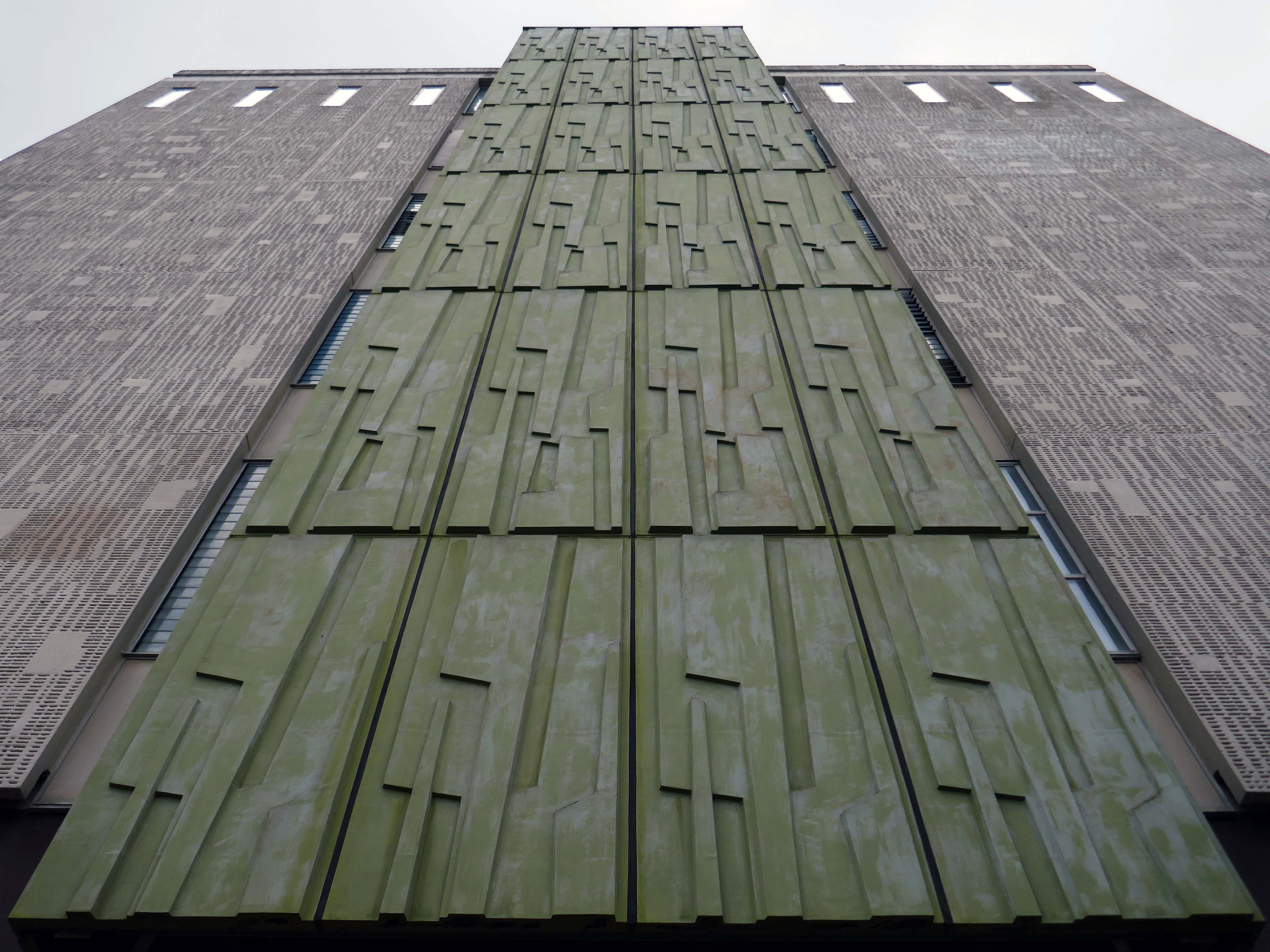
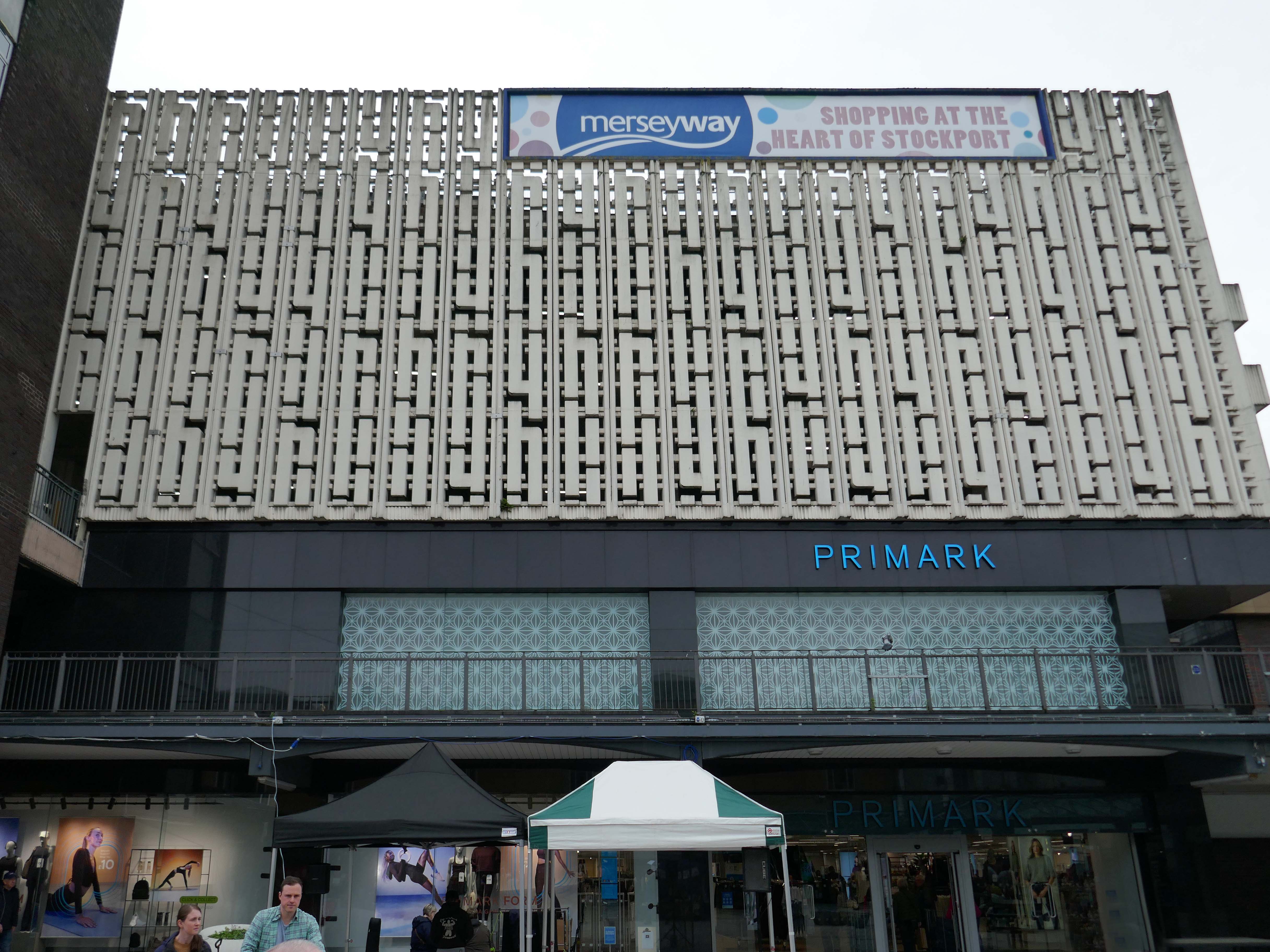
Where we find the Alan Boyson screen wall, screening the multi storey car park, now no longer above the Co-operative store, but above Primark.
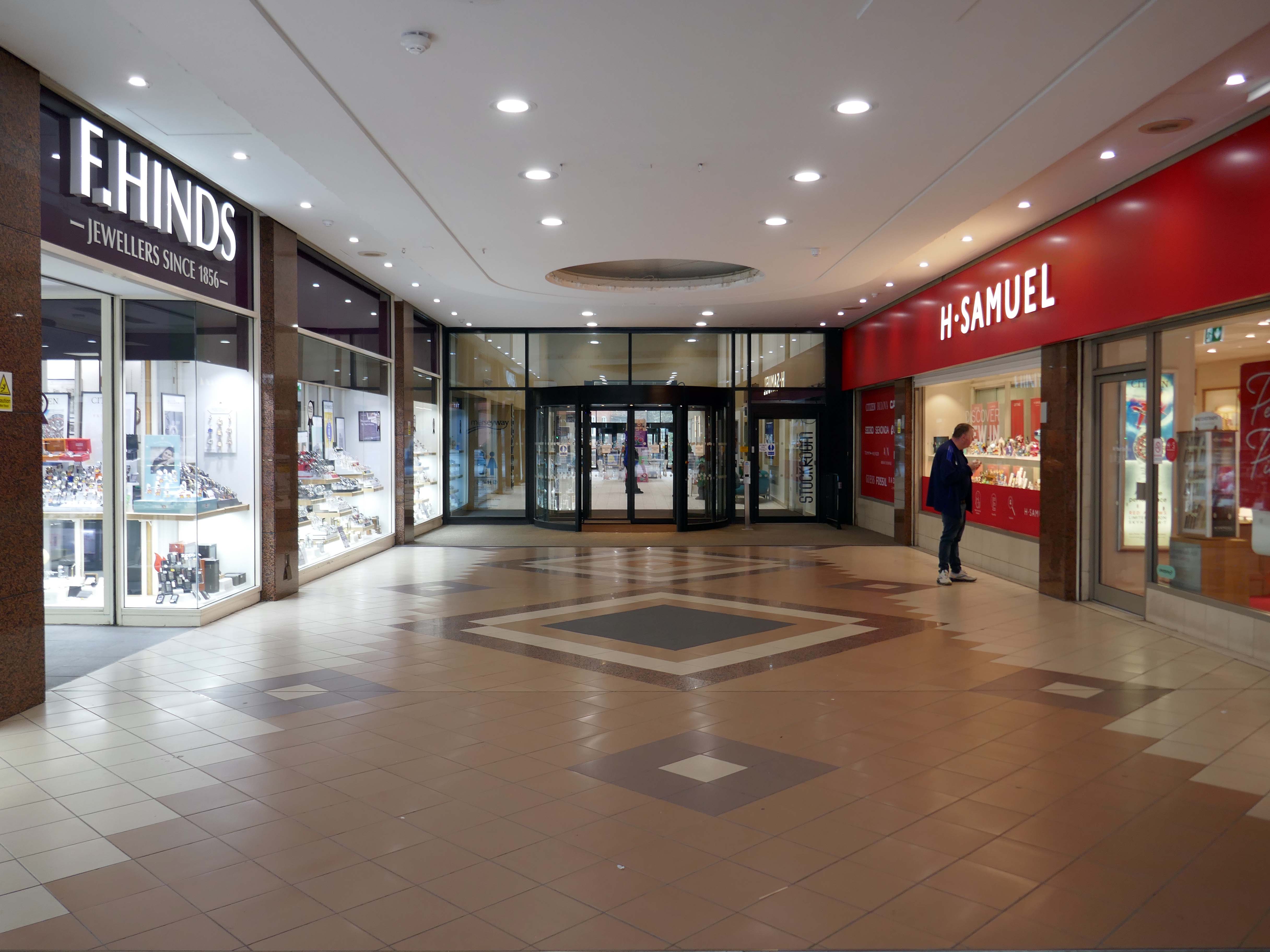
Next in line the new occupants to Adlington Walk – Stockport’s fabulous Stockroom.
Stockroom is an exciting new creative and cultural centre in Stockport, designed for getting together, getting involved or just popping by for a brew. It has been developed with and for local people and the creative community to build an exceptional communal resource for entertainment and learning.

There’s room for everyone: to make noise, meet friends or find some peace, play, take part, think or do new things.

Part of Stockport’s £1 billion transformation, Stockroom is an ambitious £14.5 million cultural and creative centre that will breathe new life into the heart of the town.

Located in previously disused retail units, Stockroom has been brought to life through funding from UK Government’s Future High Streets Fund, which aims to rejuvenate town centres across the country.
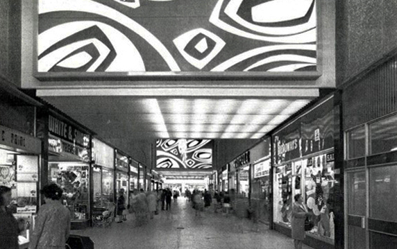
The Stockroom have hosted a tribute to Alan Boyson, the exhibition The Marvel from Marple.
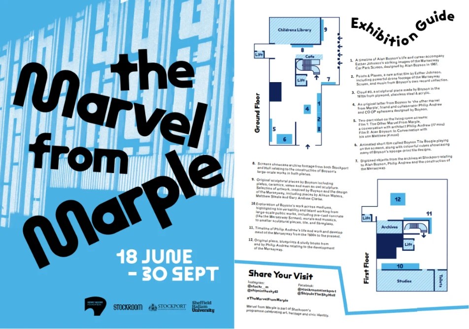
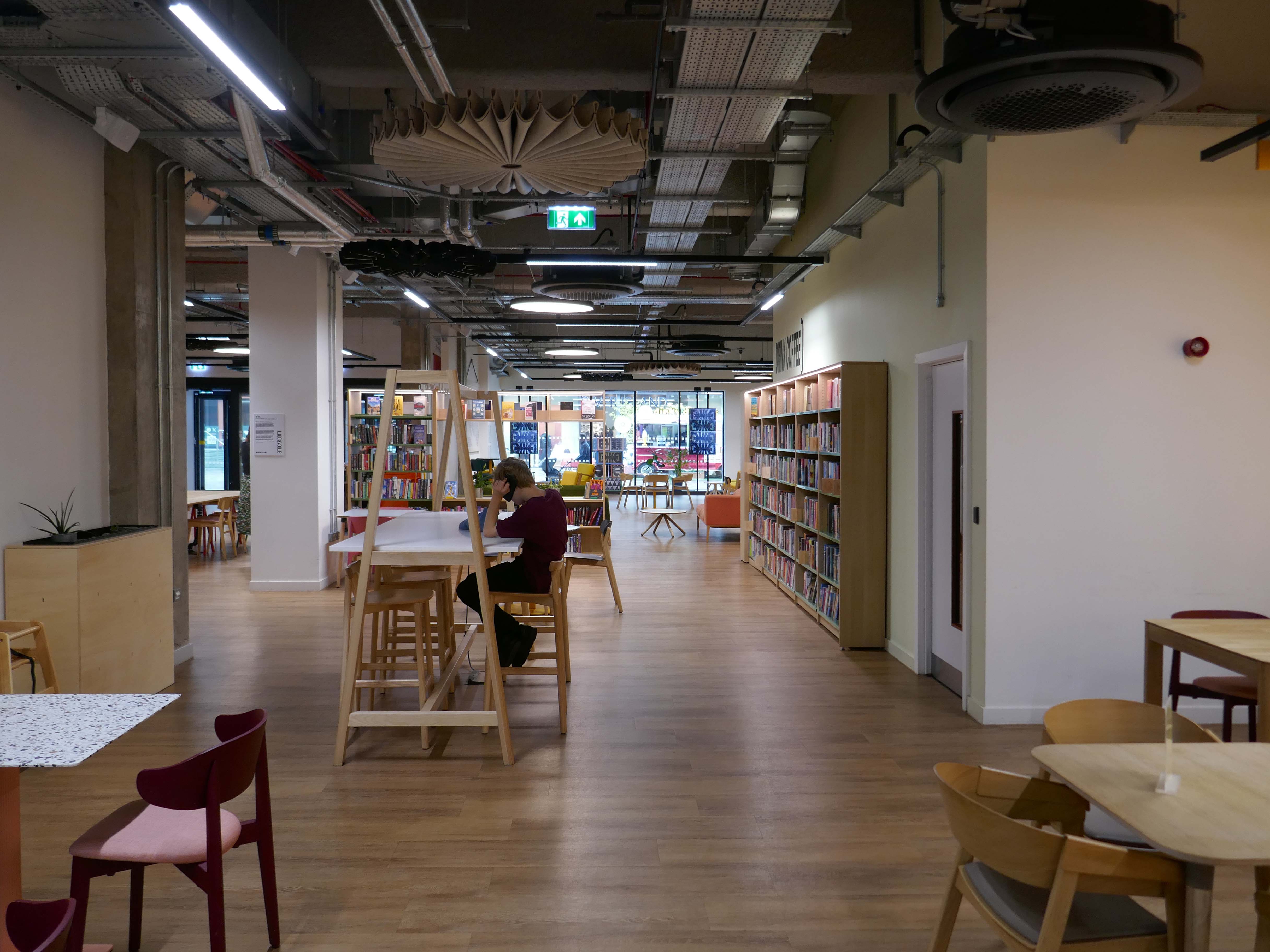
Otherwise open to access the Library service and archives, eat drink and play, use a computer, or a lavatory, read whilst relaxing in a comfy chair, stay cool or warm, stare into space either upstairs or downstairs.

Whatever floats your personal boat, though currently unsuitable for floating actual boats.
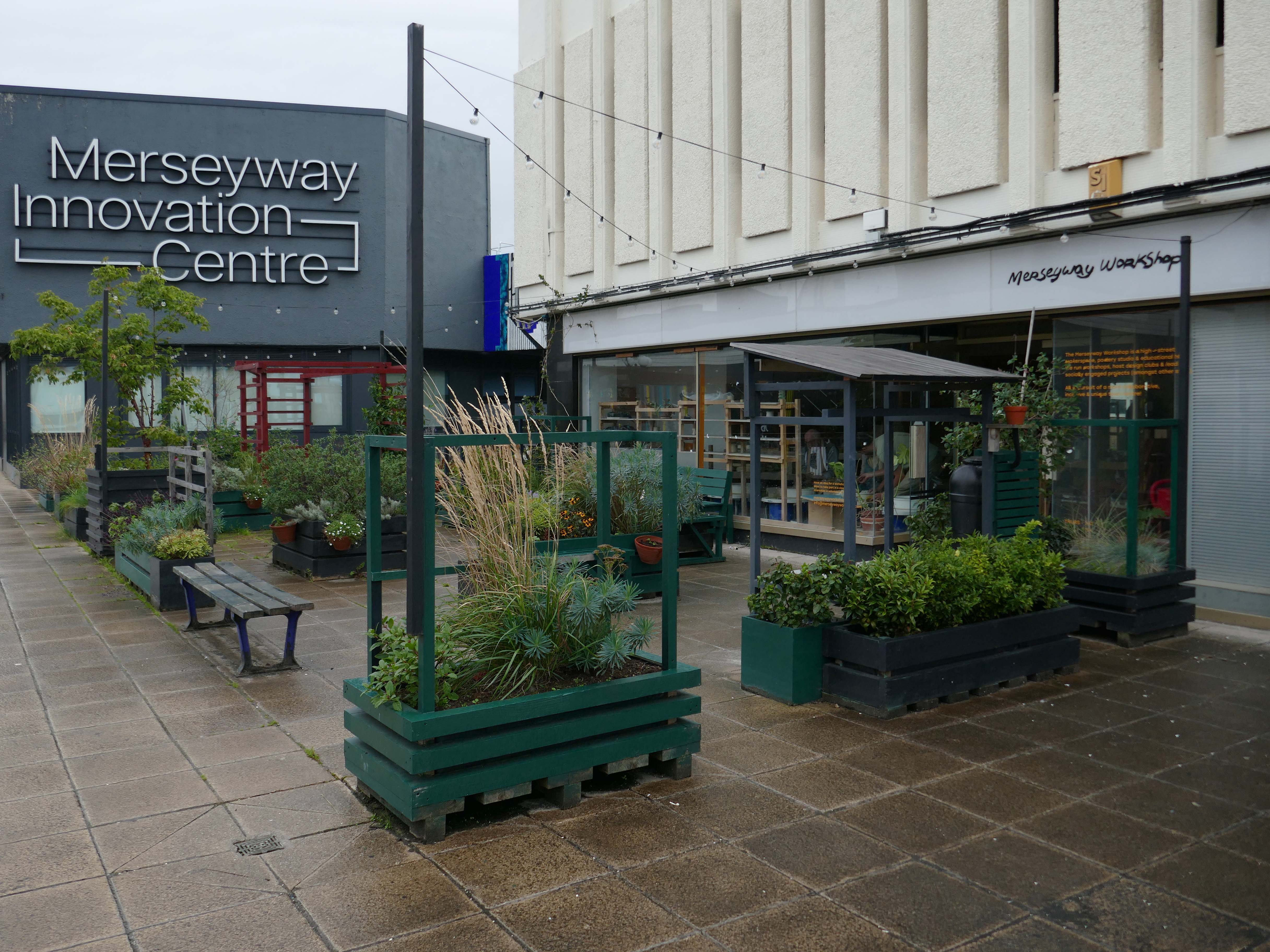
Mention must be made of near neighbours the Merseyway Workshop – the plant planters who we met up at Stopford House.

The Merseyway Workshop is a community focused, inspiring place for innovation and collaboration.

A DIY-style hub on Stockport’s pedestrianised high-street. Offering open use of creative workshops, drop-in activity sessions and skill exchanges.

Working in clay and wood, access to a fully equipped B&W darkroom and so much more.
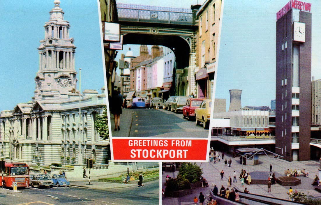
One short mile or so a cornucopia of history – layer upon layer of exciting architecture.

Get out take a walk take a look!
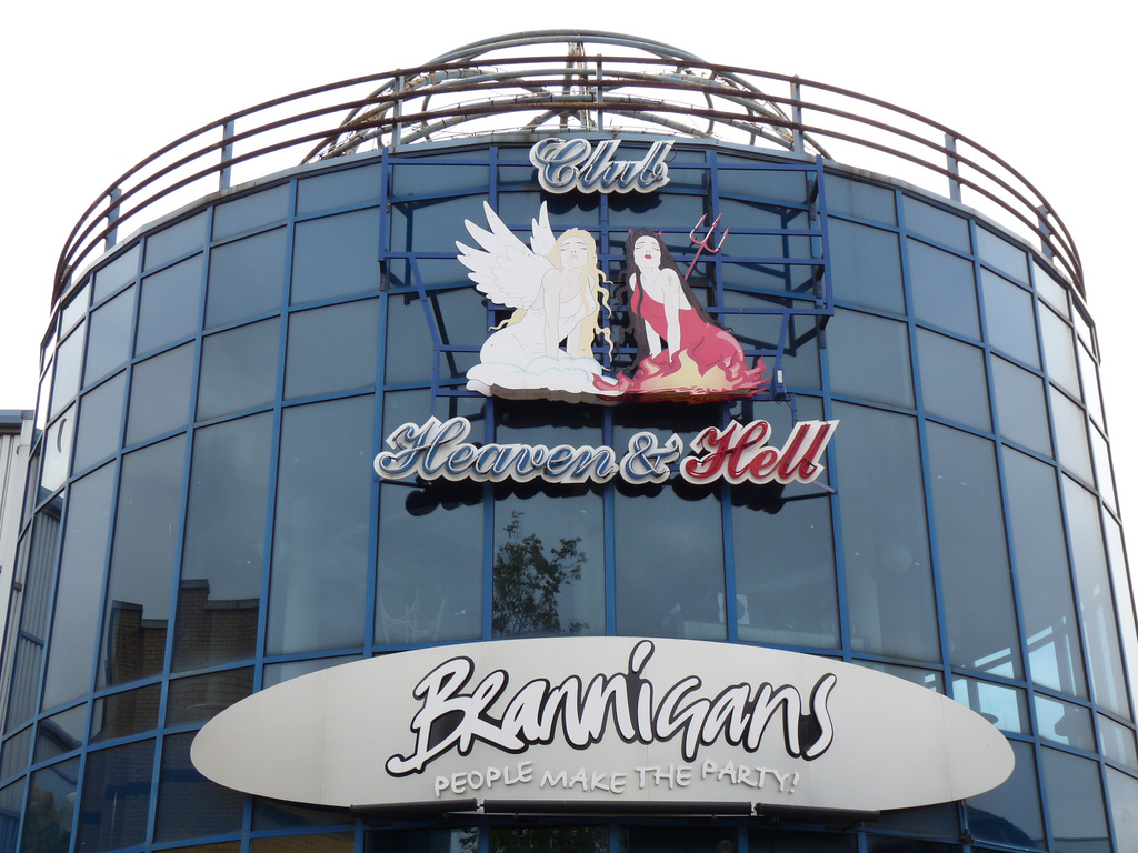
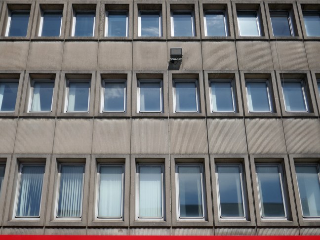
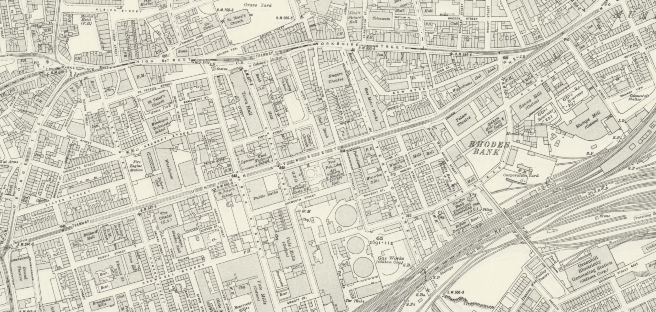
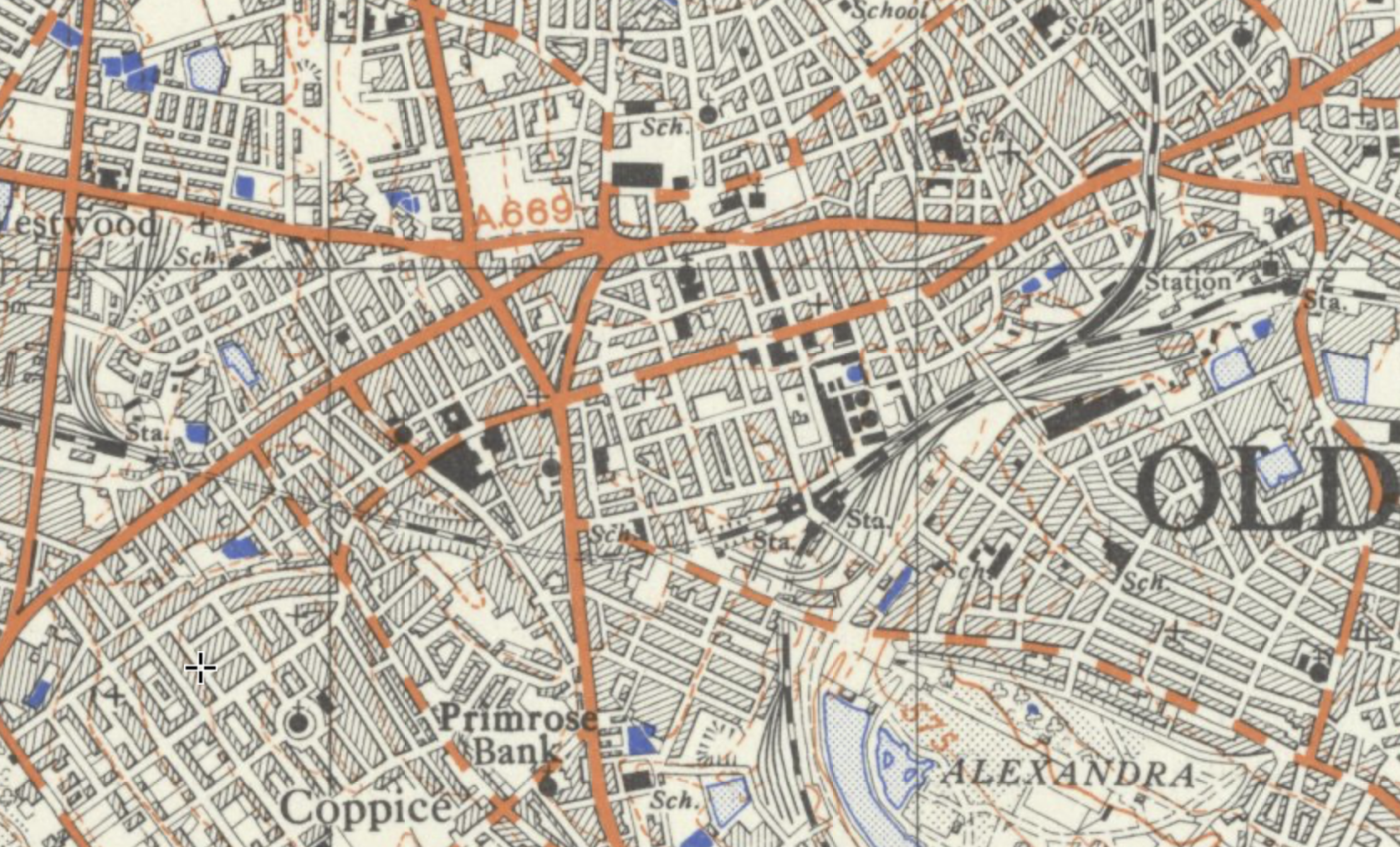
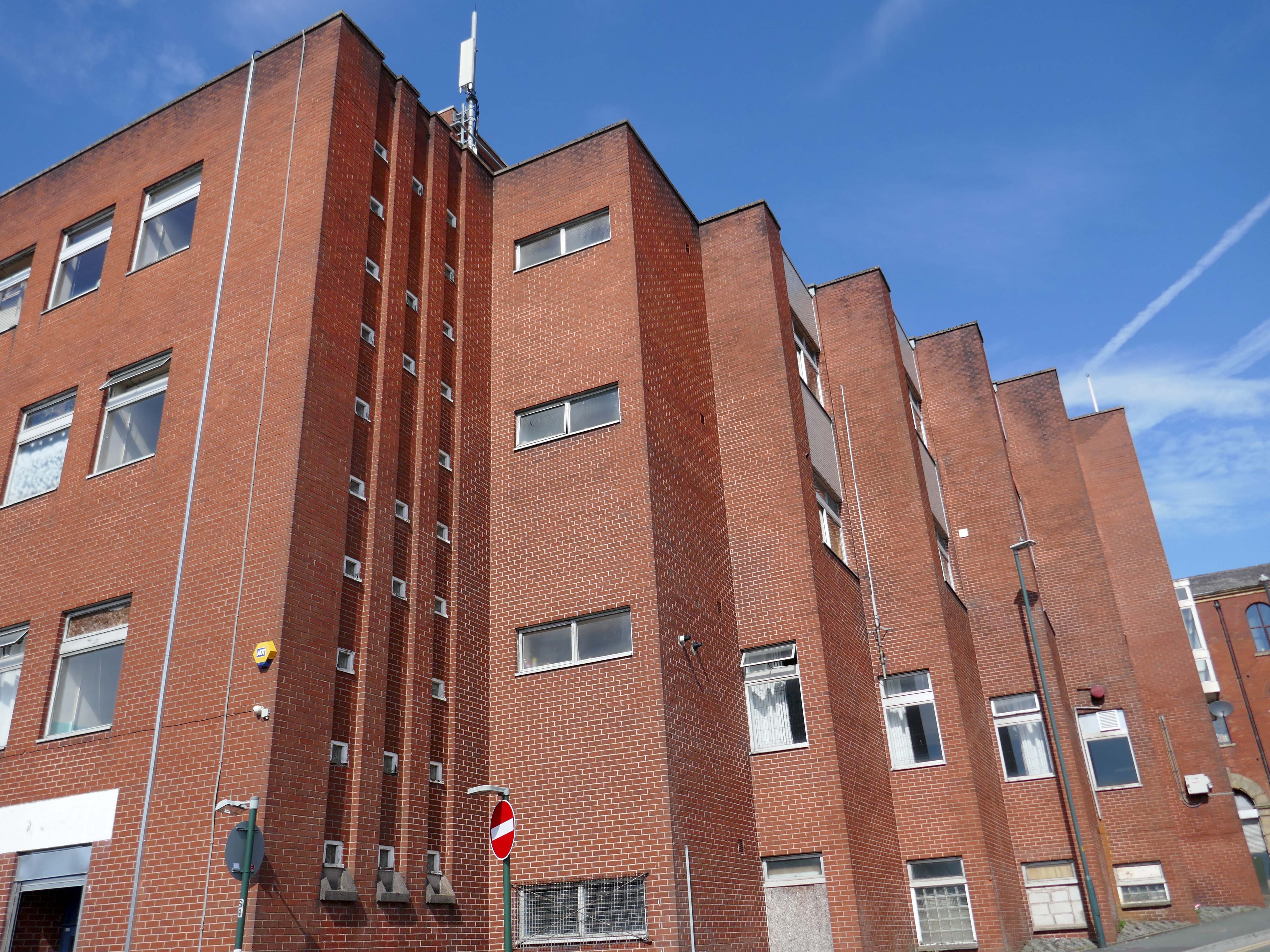
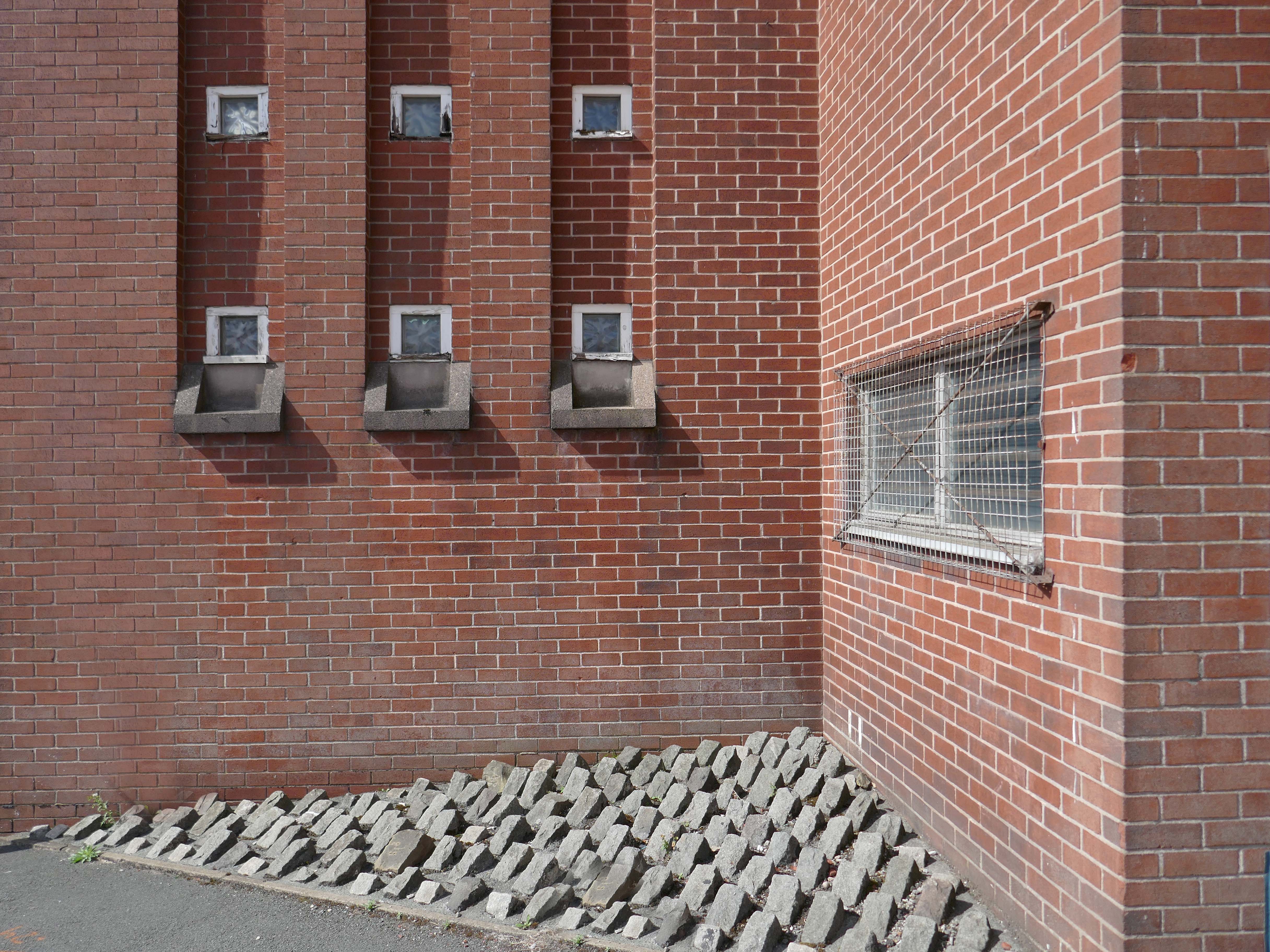
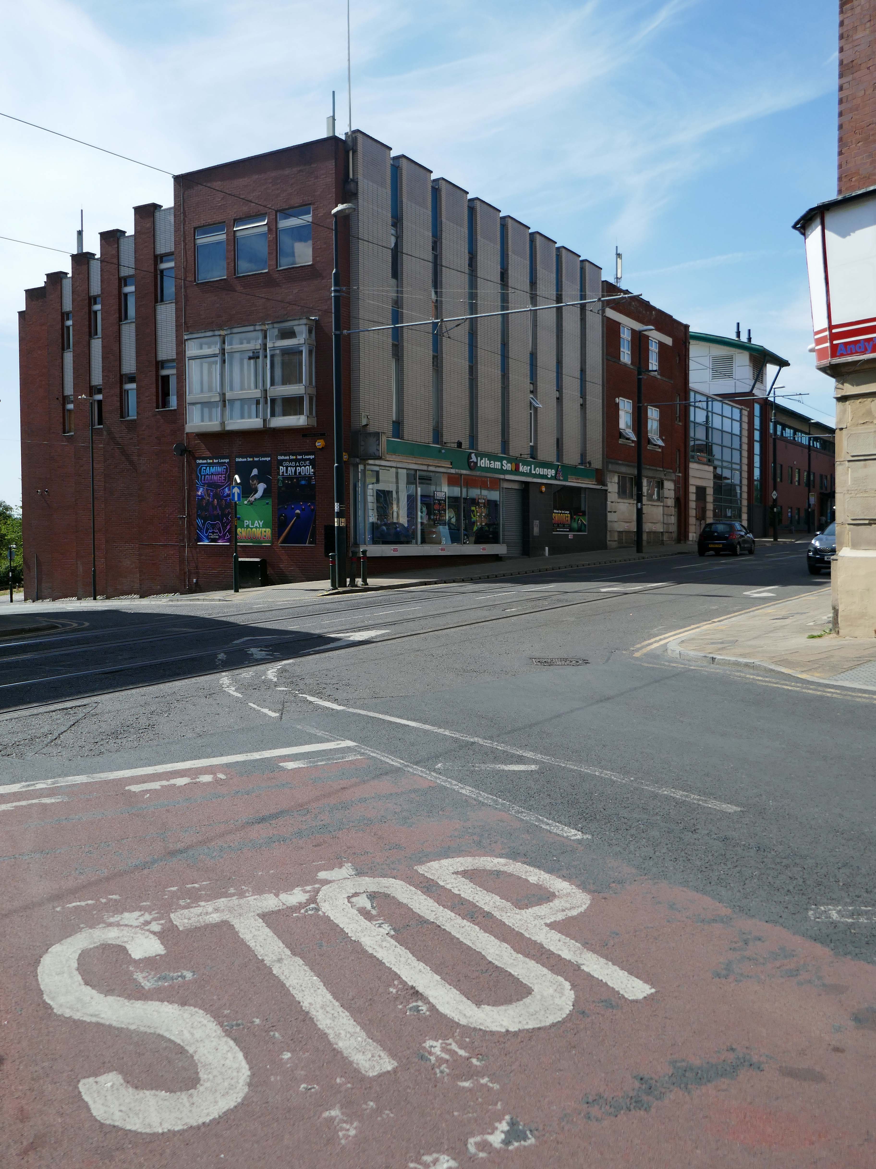
Oldham Walk

1915

The Oldham area was once home to several railway stations – many of which have since closed.

There is currently no rail link to and from the town.

Tram services between Manchester and Oldham have returned – for the first time since trams stopped running in Oldham in 1946. 

The first service to Oldham Mumps left Manchester Victoria at 05:24 BST – calling at the eight stops on the line.

The tram then made the return journey, leaving Oldham at 06:00 BST and taking about 25 minutes to reach Manchester city centre.

BBC News

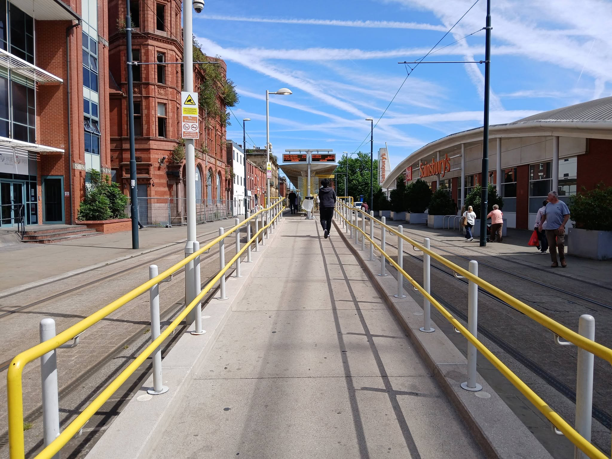
Oldham Central

To the right an huge Sainsbury’s supermarket 1999-2001 Pringle Richards Sharratt.

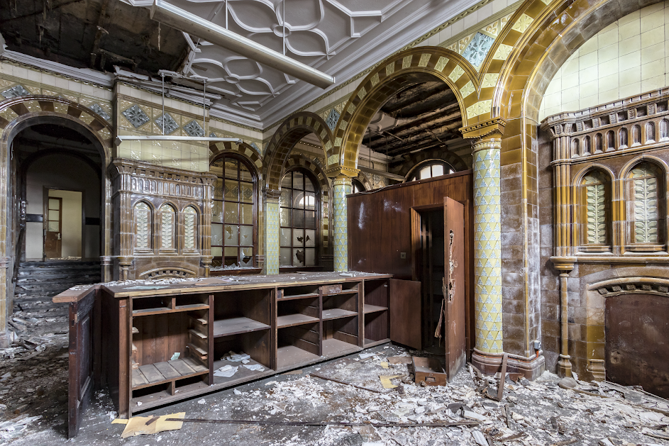
To the left can be seen the semi-derelict Grade II Listed Prudential Assurance Building 1898-91 Alfred Waterhouse & Son – now in the ownership of Oldham Council.

Image – Victorian Society

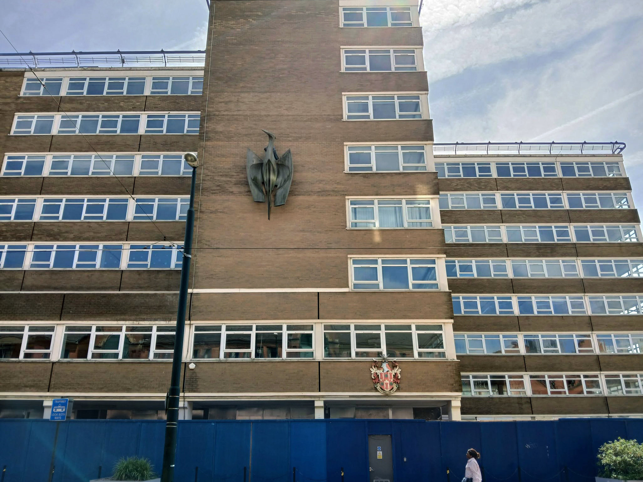
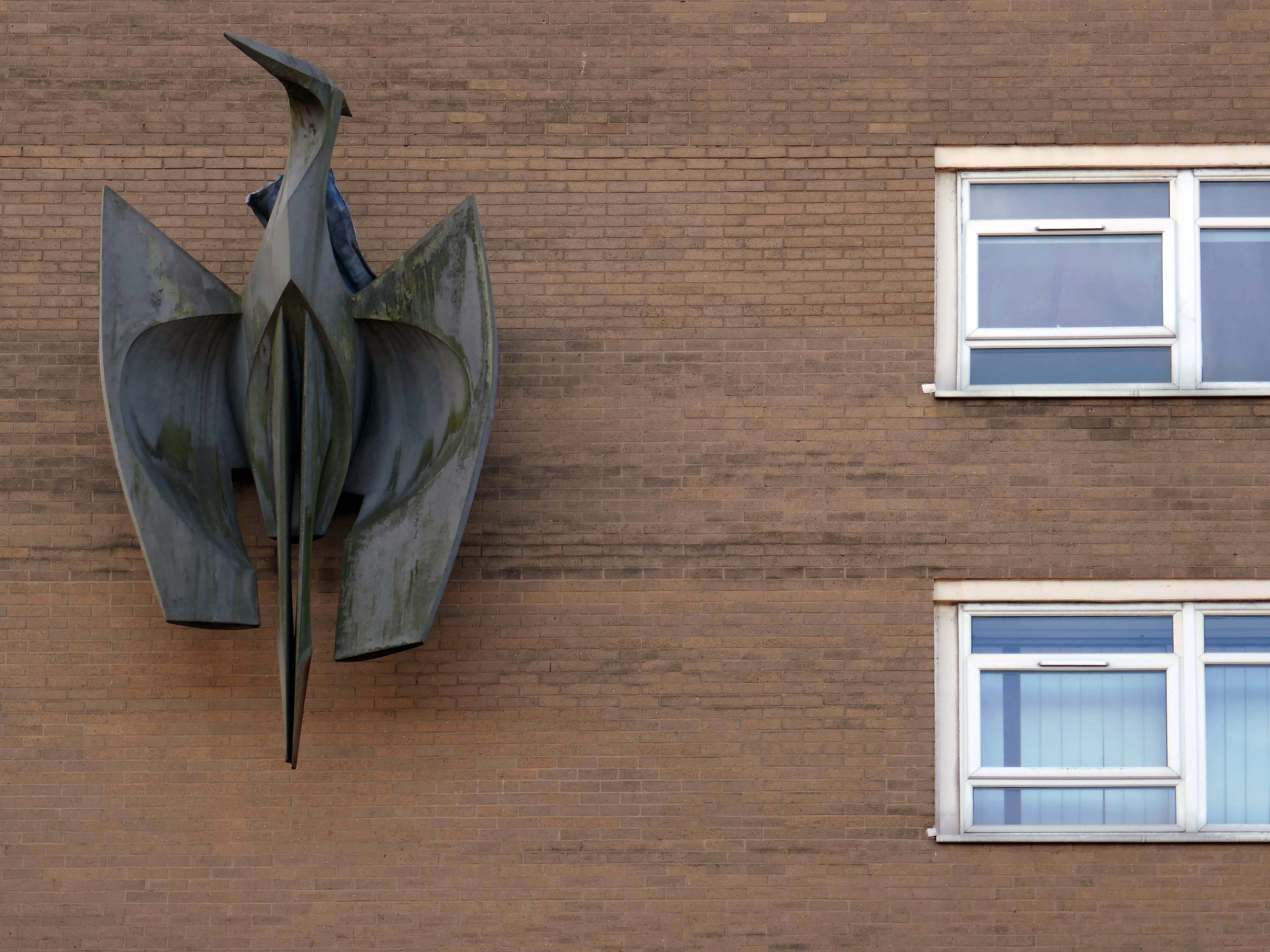
Back tracking toward Phoenix House – with its implausible heron.

It’s been four years since the Department of Work and Pensions left their Union Street office and eighteen months since plans were submitted to turn it into eighty two flats.

However, apart from hoardings being installed around the building, there doesn’t appear to have been much movement at the site – at least not legally.

Oldham Times

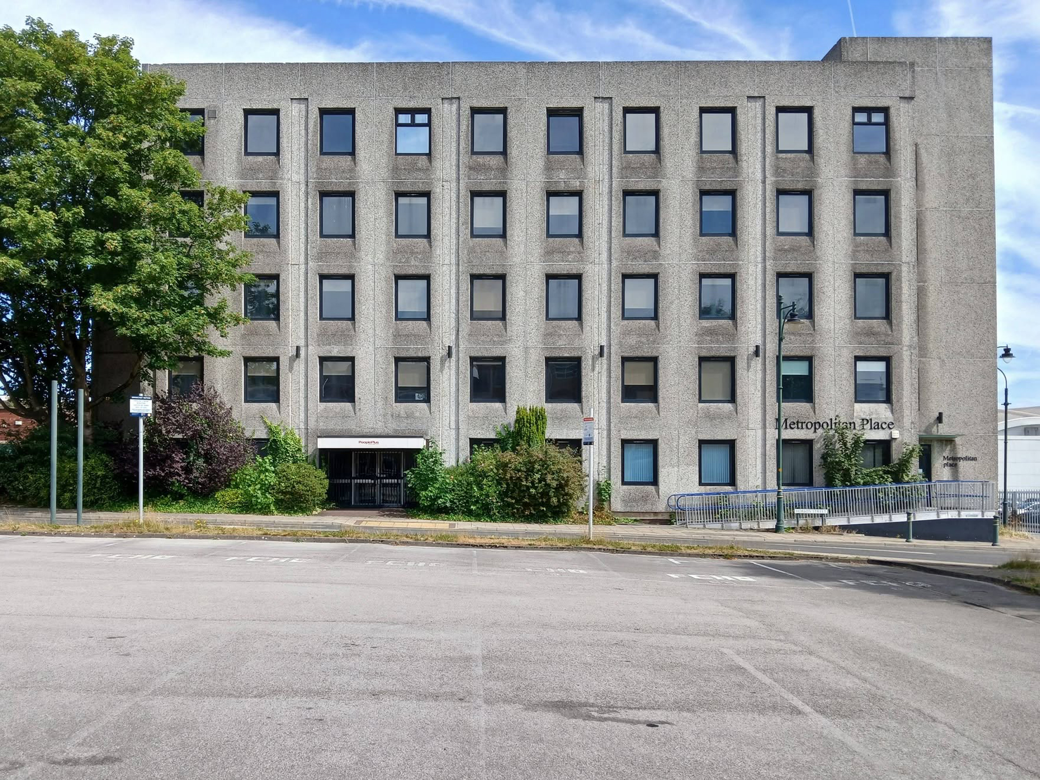
Turning the corner to Metropolitan Place.

Currently in use by Oldham Council – formerly home to the Registry Office, wedded couples referred to it as the Hobson Street Cathedral.

Though there seems to have been plans for both office and co-working space, along with conversion to apartments.

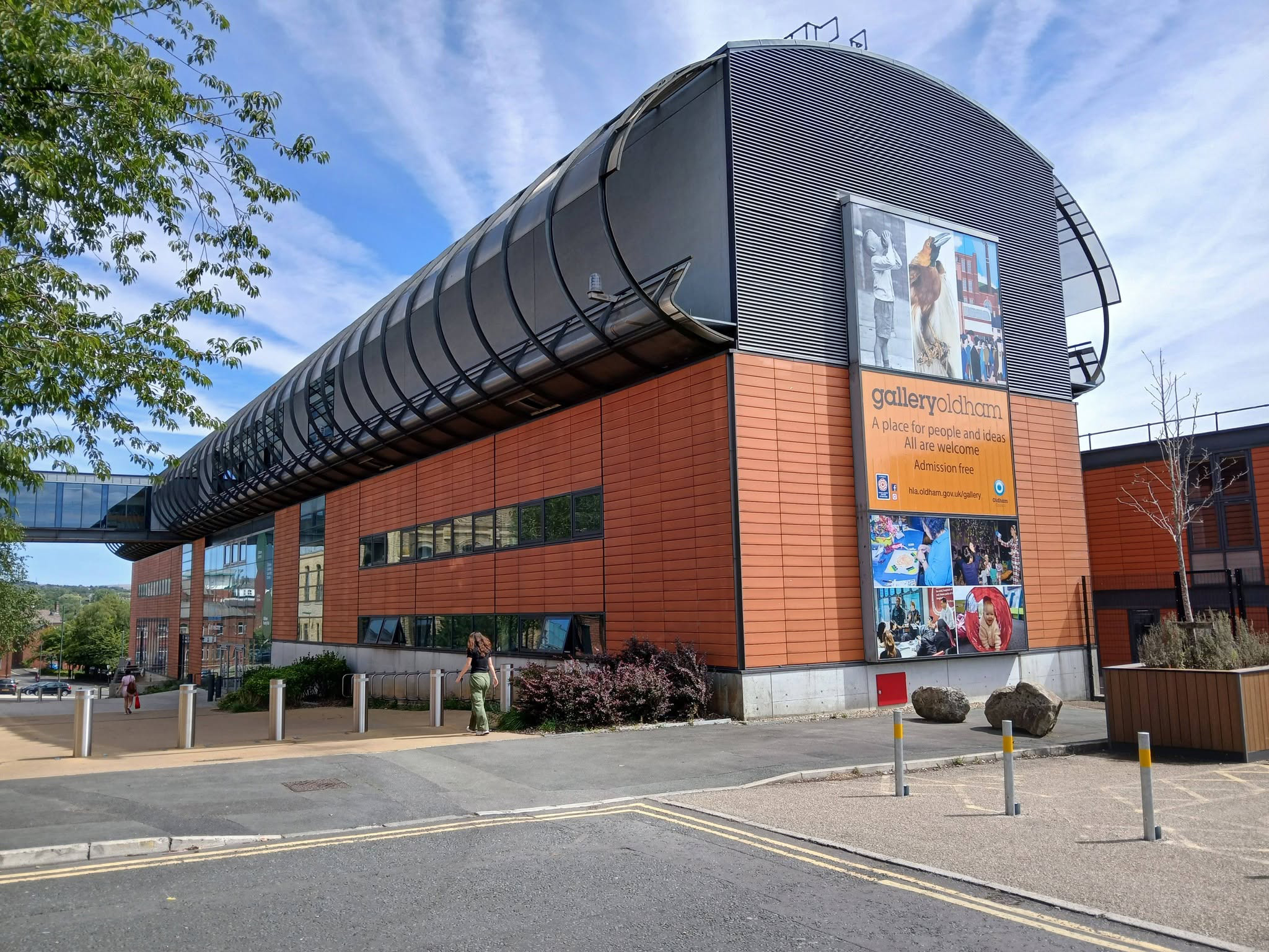
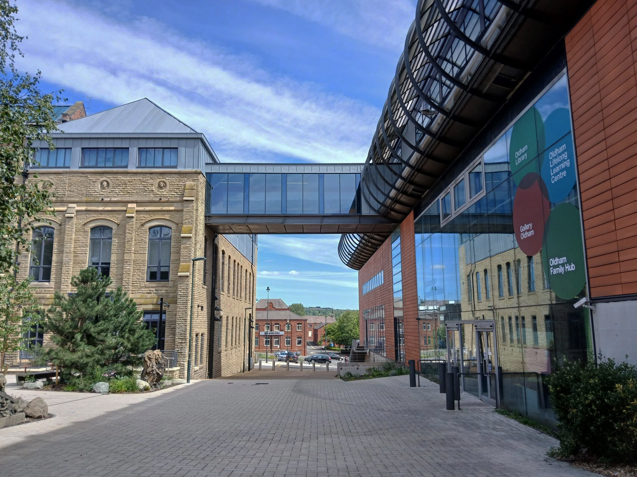
Back out onto Union Street and down to Gallery Oldham 2002 Pringle Richards Sharratt.

Linking to the older Library and Art Gallery 1883 T Mitchell with sculpture by JJ Milson.

Today the building has been restored to include the Council Chamber and Mayor’s Dining Room, public exhibition spaces and a new home for Oldham Theatre Workshop.

The Old Library is one of the earliest examples of an ashlar faced, in-situ formed concrete multi story building.

Oldham Gov

Take a turn up Greaves Street and here’s a faience clad Victoria House a former Billiard Club 1912 Winder & Taylor – subsequently the hall was used as council housing offices and a college before becoming vacant.

Oldham Boxing moved into the building in 2011.

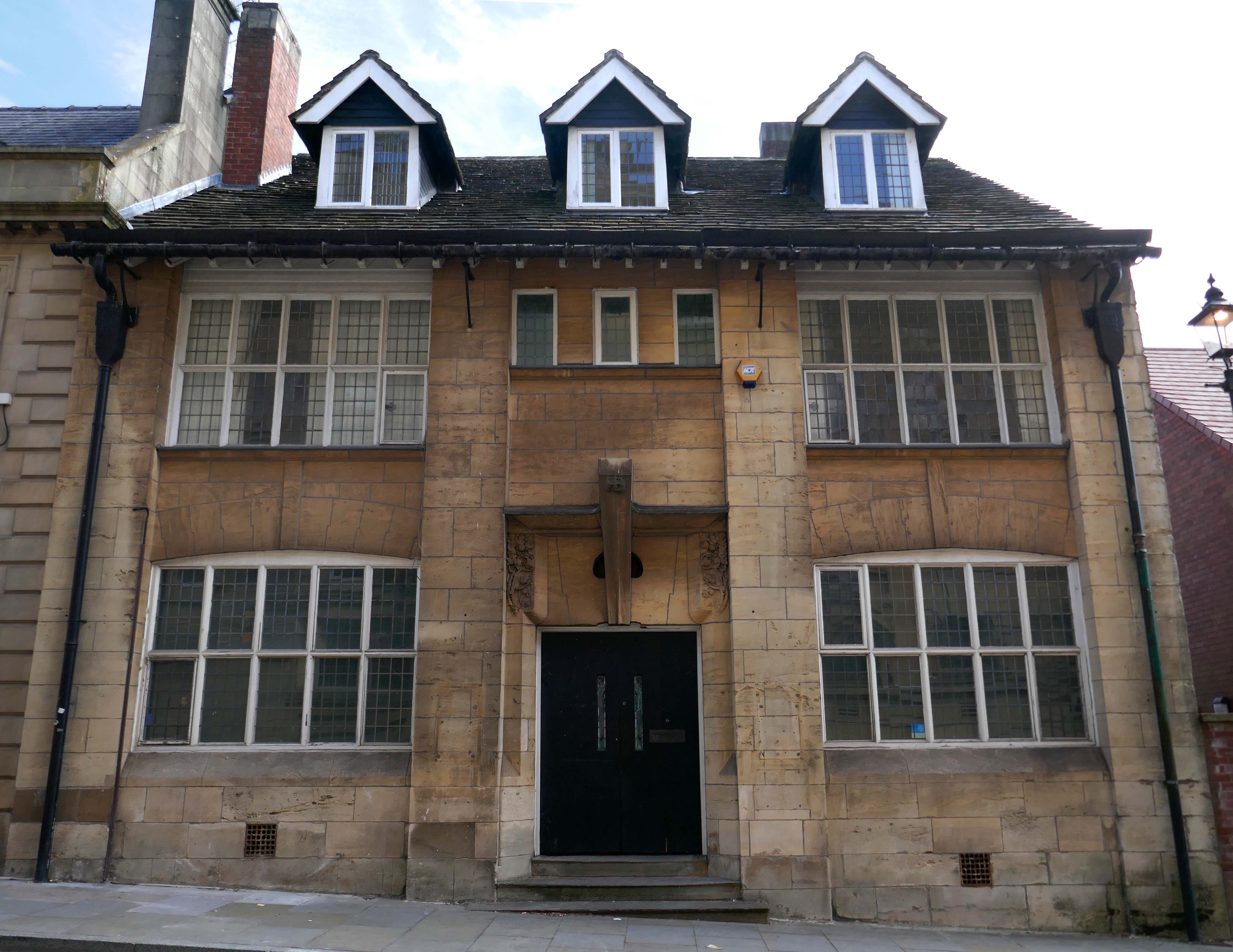
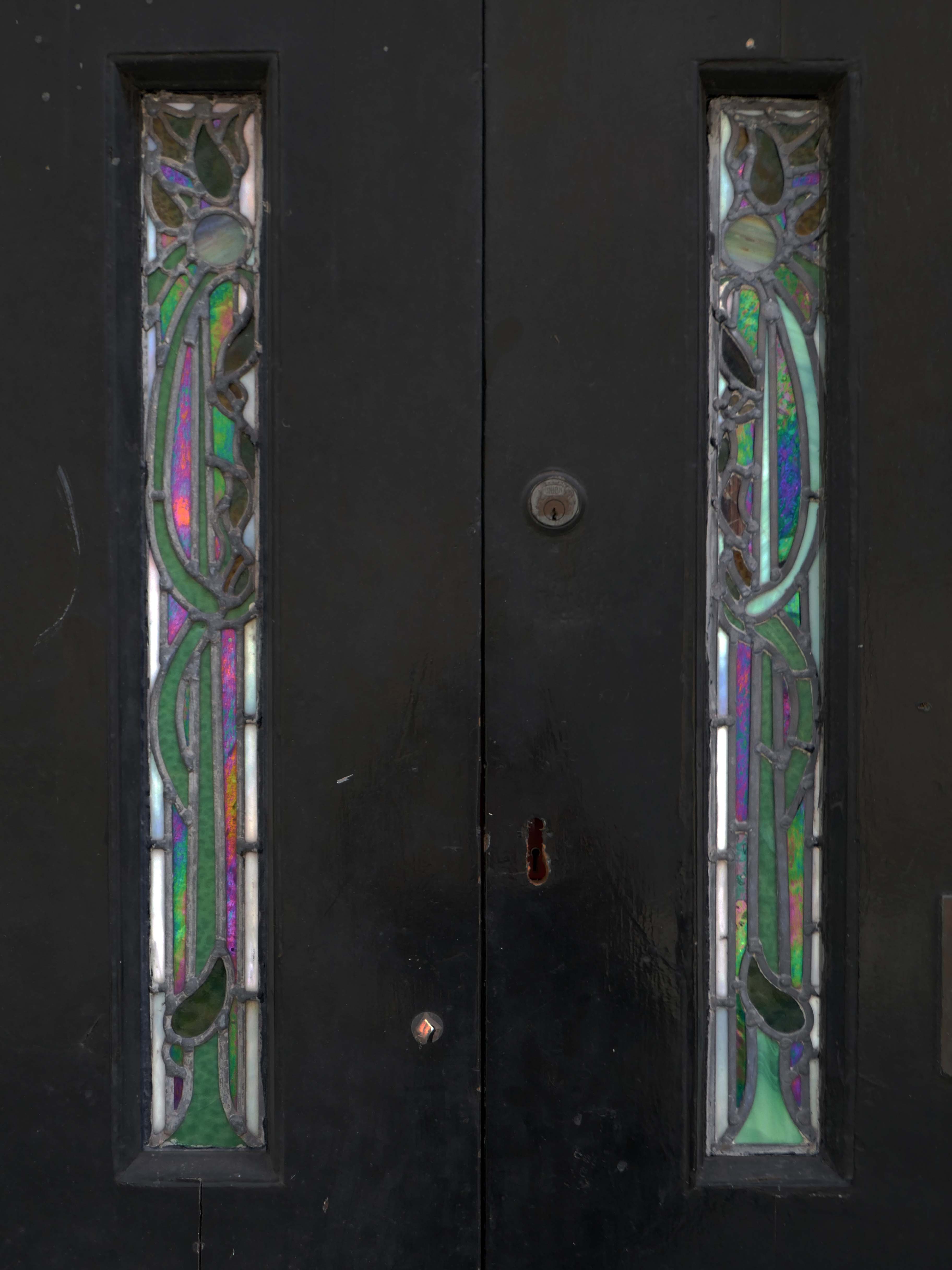
Next door a Ponsonby And Carlile Solicitors Office 1902 Edgar WoodGrade II Listed.

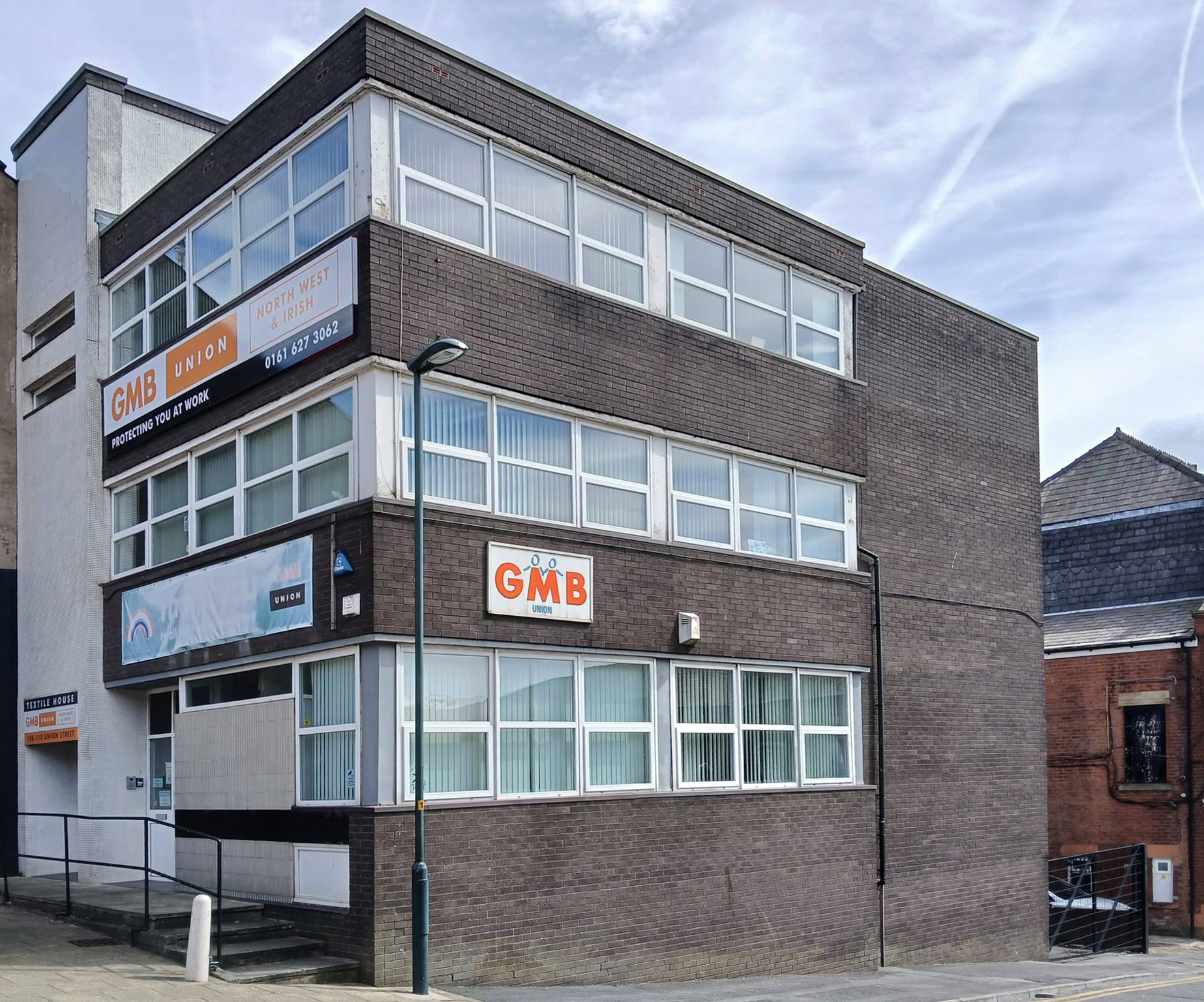
Back now onto Union Street and the GMB Offices.

Onwards to the former Oldham Evening Chronicle

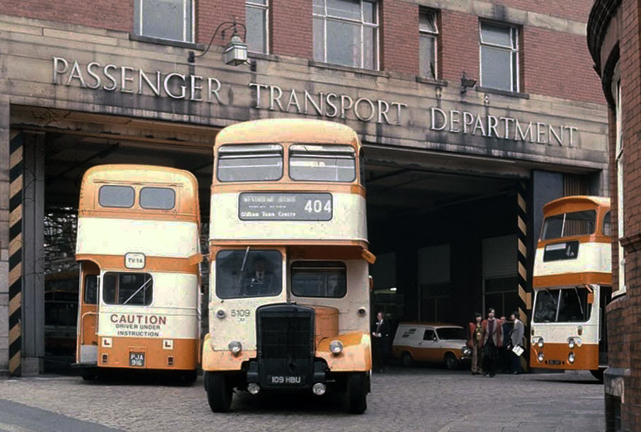
Down the hill and left to the Walshaw Street Bus Depot 1936

Image: Jeff Smith Oldham’s Past

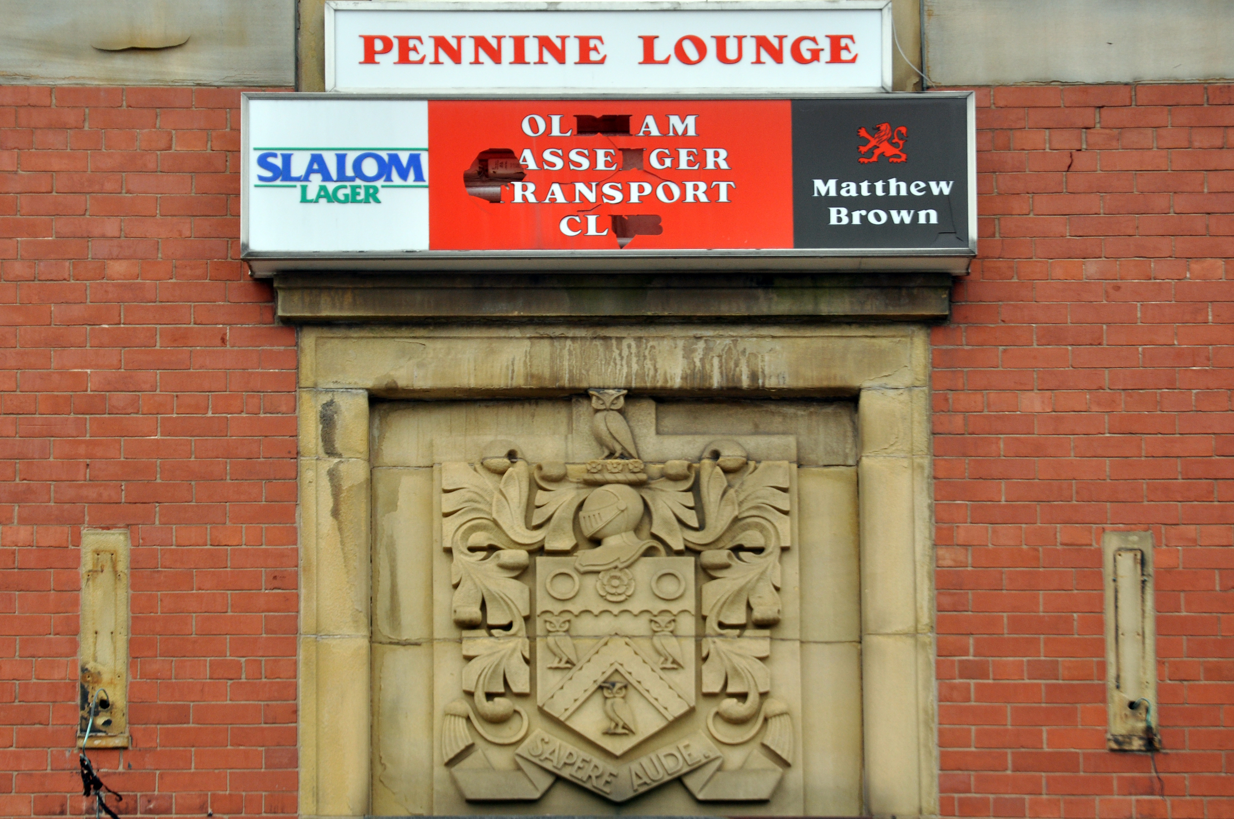
Home to the Pennine Lounge.

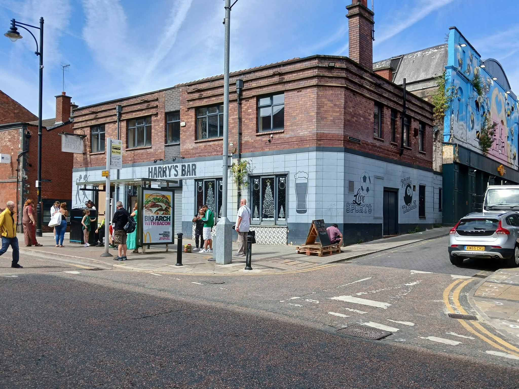
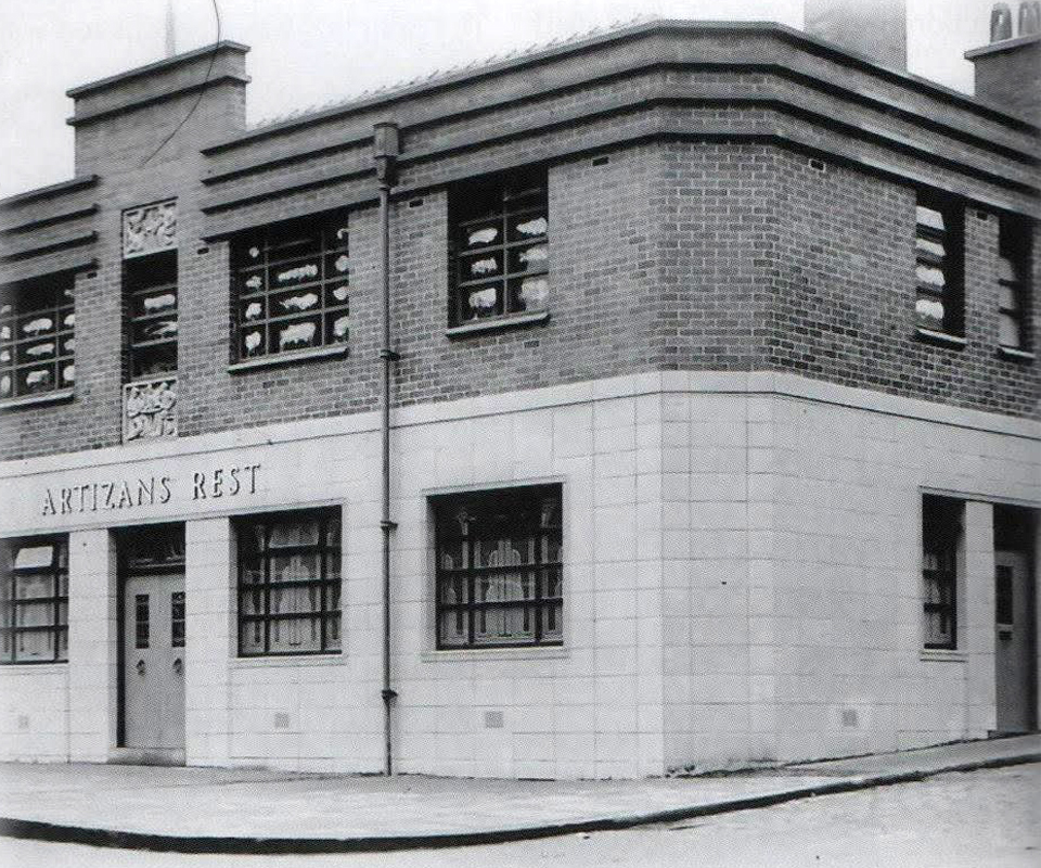
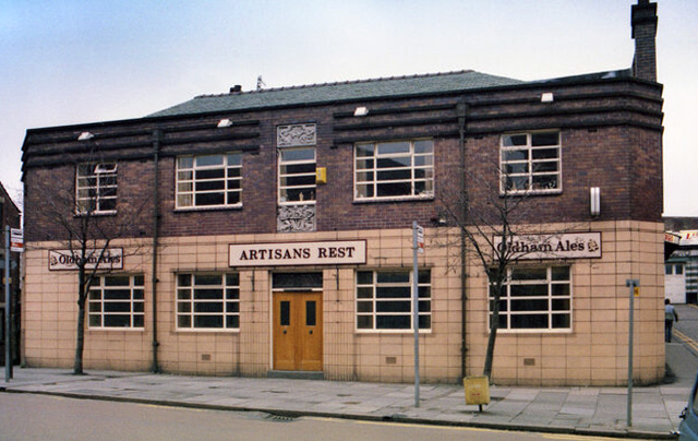
Next we head up Yorkshire Street to Harry’s Bar – formerly The Artizans Rest 1937.

Architects: CT Taylor – Roberts & Bowman.

In 2025, it was revealed by the Manchester Evening News that Oldham council planned to buy the building and demolish it with the price tag for the project reported to be £1m. The money comes from a £2.5m pot of regeneration finding given to the local authority by the government.

MEN

Image: Oldham’s Past

Image: George Symes

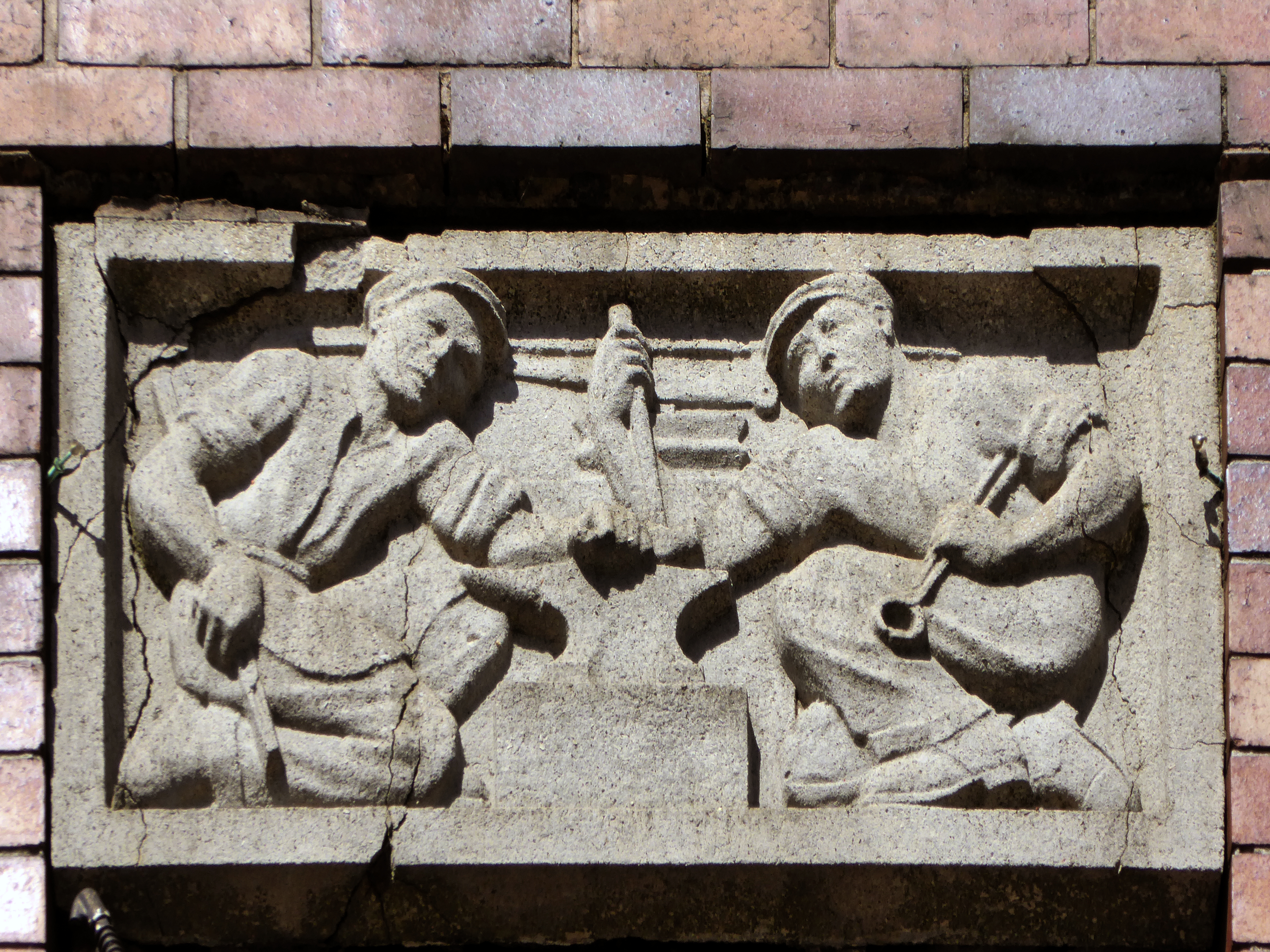
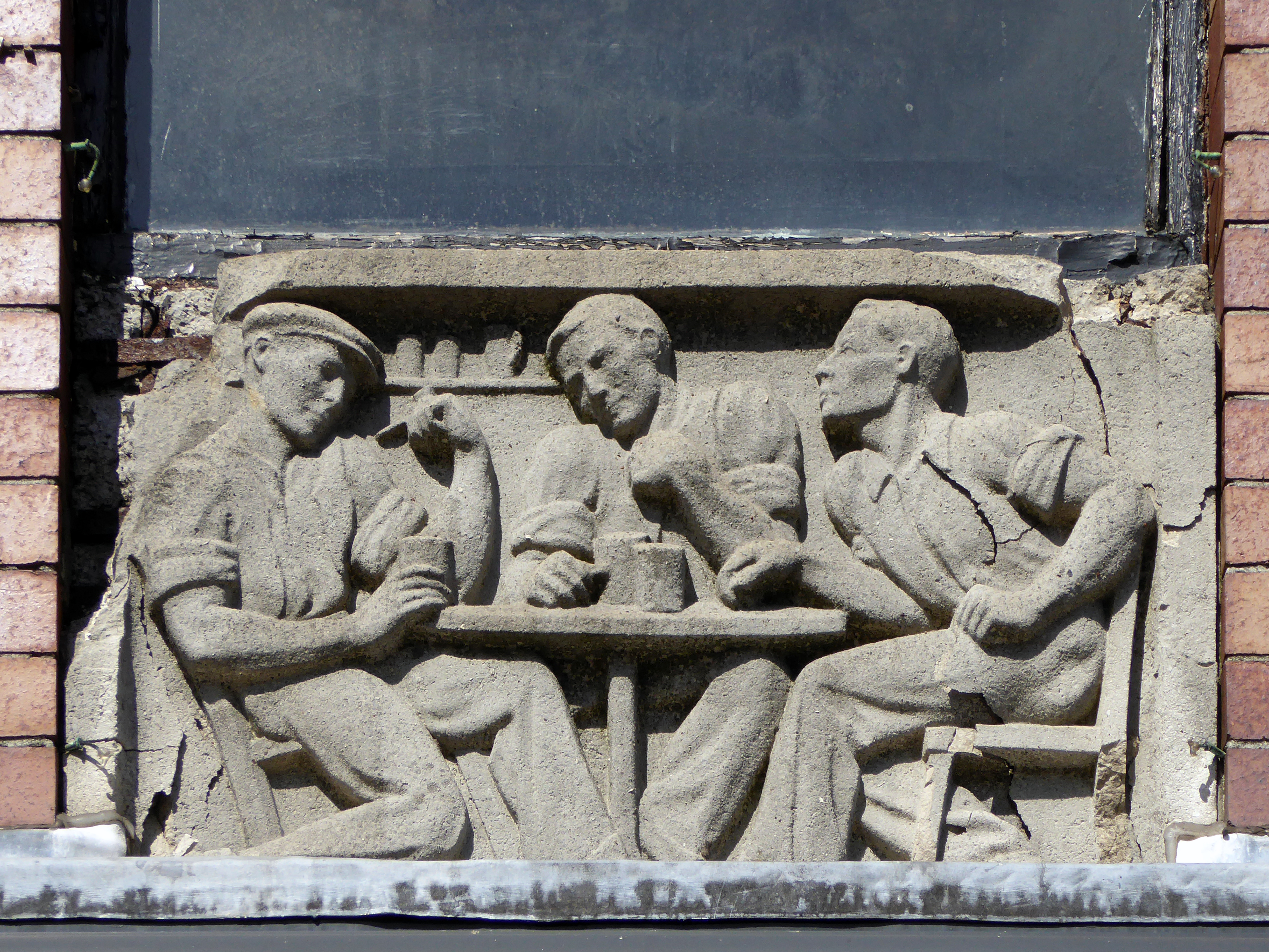
These two carved panels have been removed.

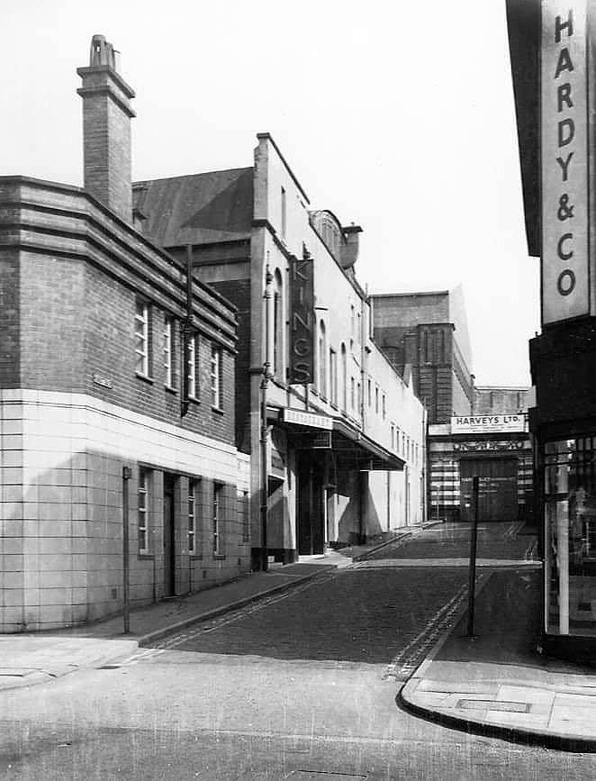
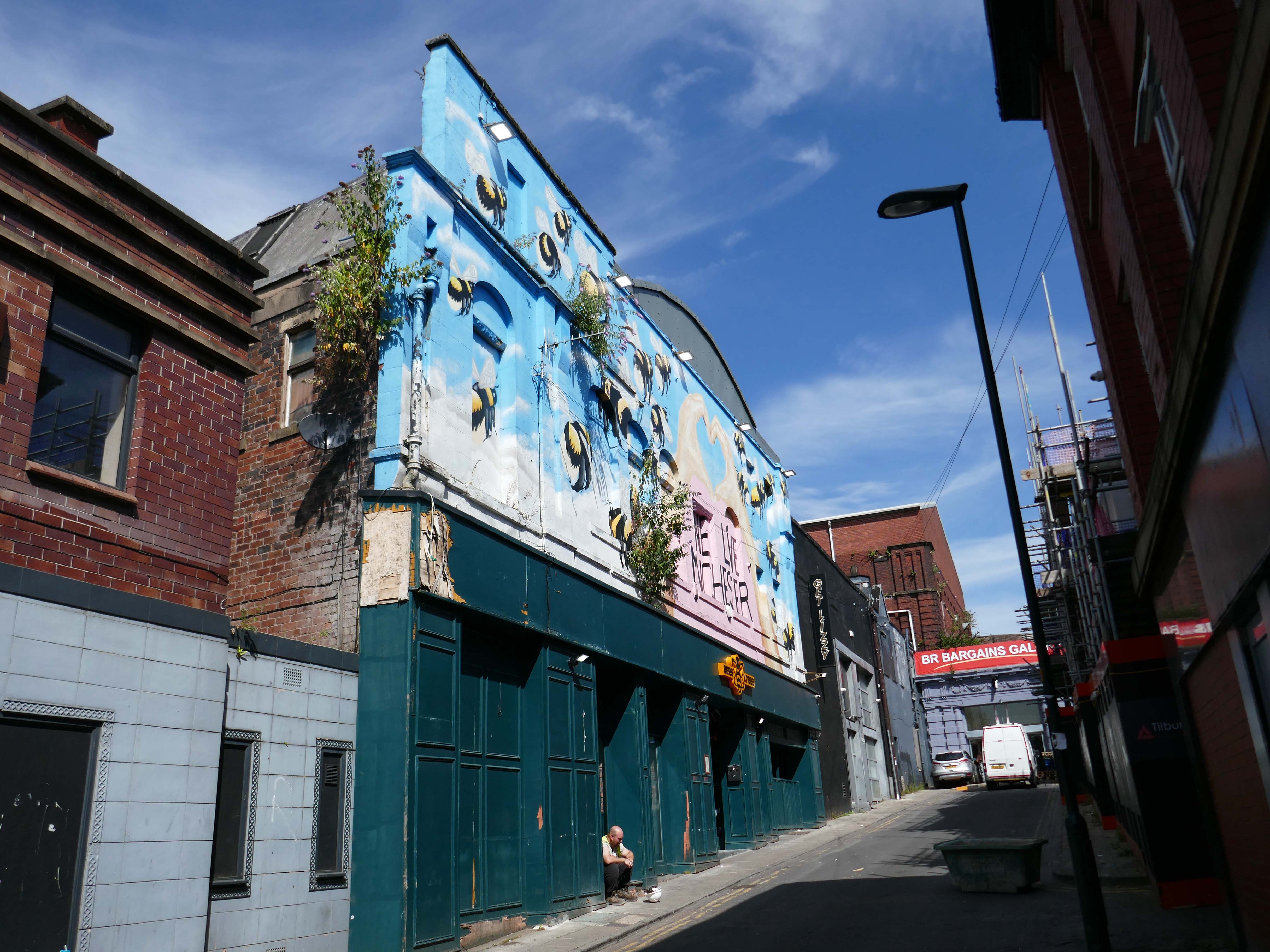
Just around the corner is the former Kings Picture Hall – currently Bees Knees.

Located in the town centre, directly opposite the Coliseum Theatre. The King’s Picture Hall was opened 18th September 1911. In October 1912 a café was opened in the building adding a further amenity to the cinema. In 1929 it was equipped with a British Thomson Houston sound system.

The King’s Picture Hall was closed on 25th June 1966 with Ryo Ikebe in Battle in Outer Space and Randolph Scott in Comanche Territory.

On 2nd July 1966 it was converted into a bingo club.

In 2006 it was a nightclub.

Cinema Treasures

A stand of shops – stepped the accommodate the incline, partially clad in Westmorland Slate.

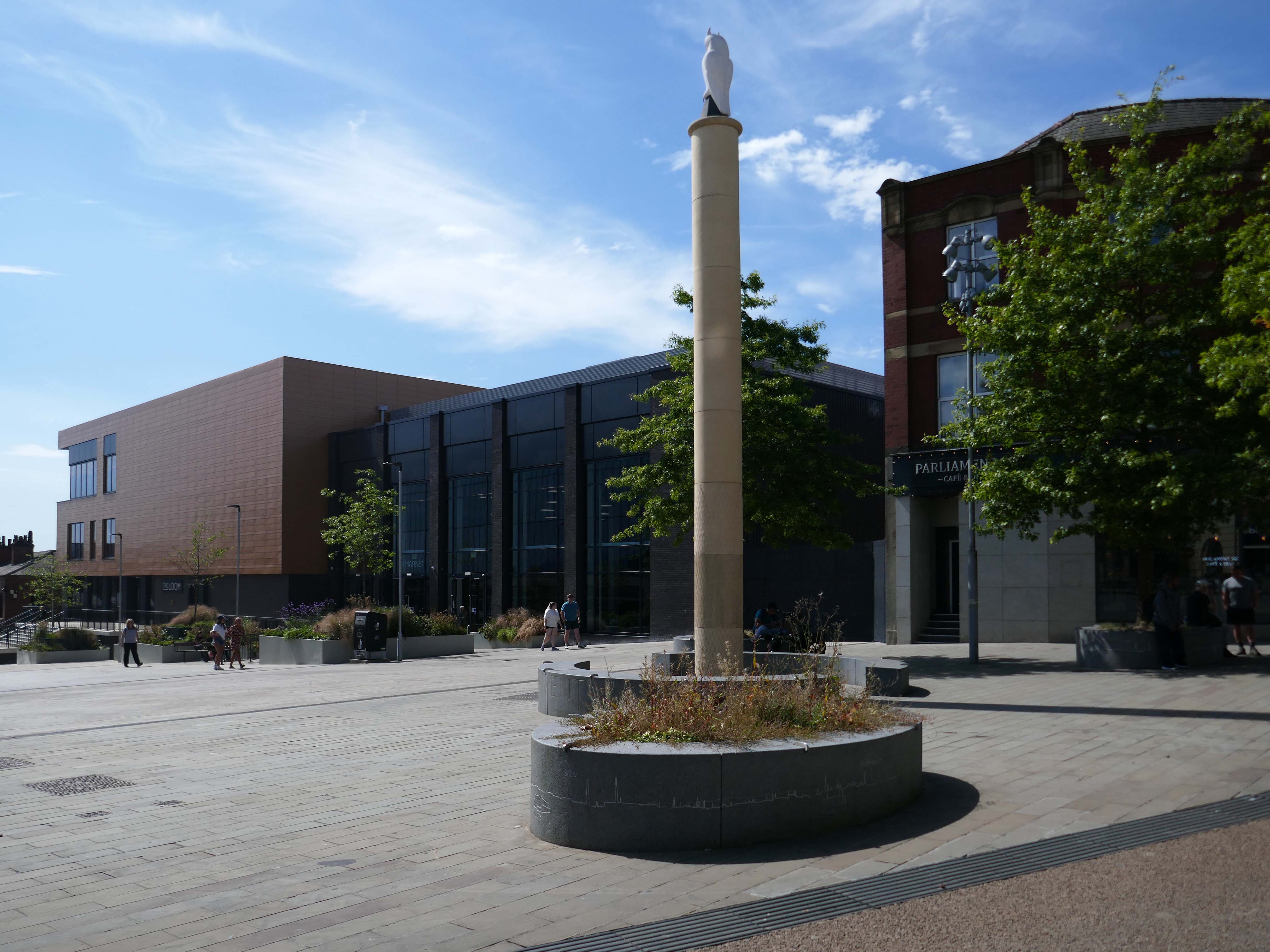
Oldham Town Centre now has a new high-quality public space – Parliament Square

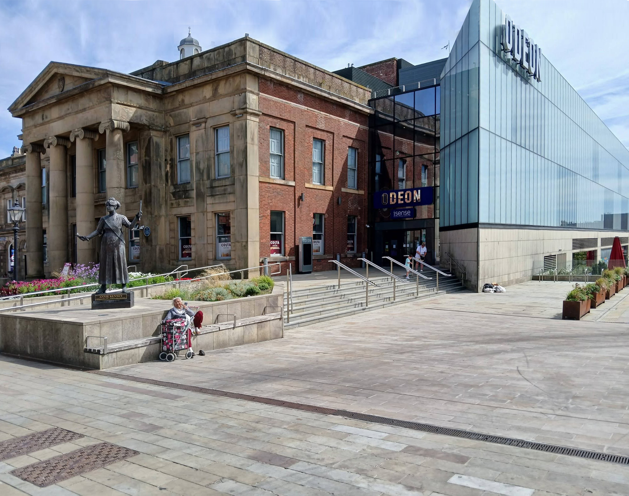
Six new restaurant units will be located within the Old Town Hall alongside a brand new 800-seat, seven screen ODEON cinema.

BDP 2017

A stunning glass extension to the side of the Grade II-listed building provides access to the various levels of the cinema and is also the frontage to the new restaurants.

George Woodhouse of Bolton 1841, extended by Edward Potts of Oldham 1879-80. 

Oldham Gov

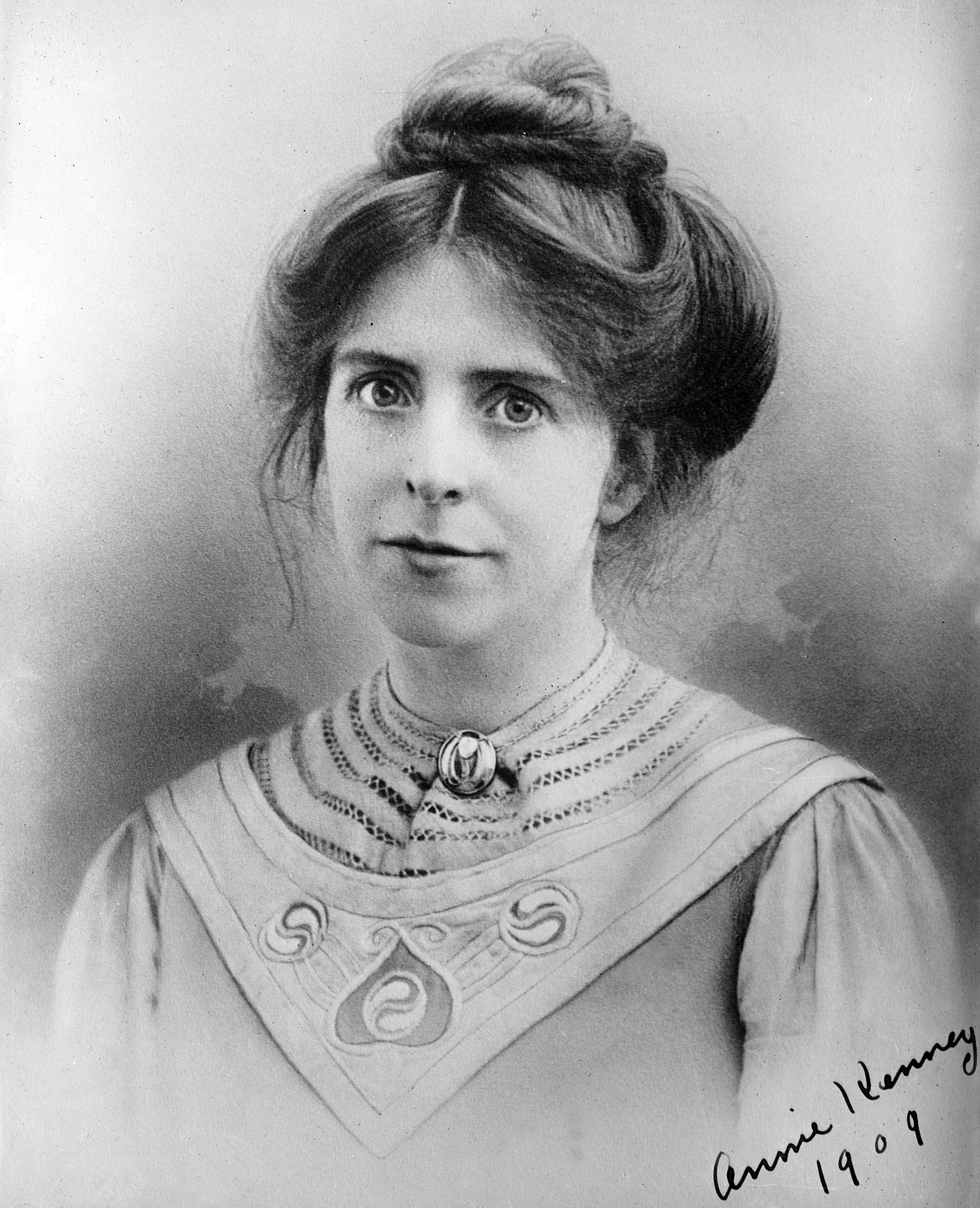
To the left is a statue of Springhead born Annie Kenney – political activist, socialist feminist and suffragette, modelled by Denise Dutton, unveiled 14 December 2018.

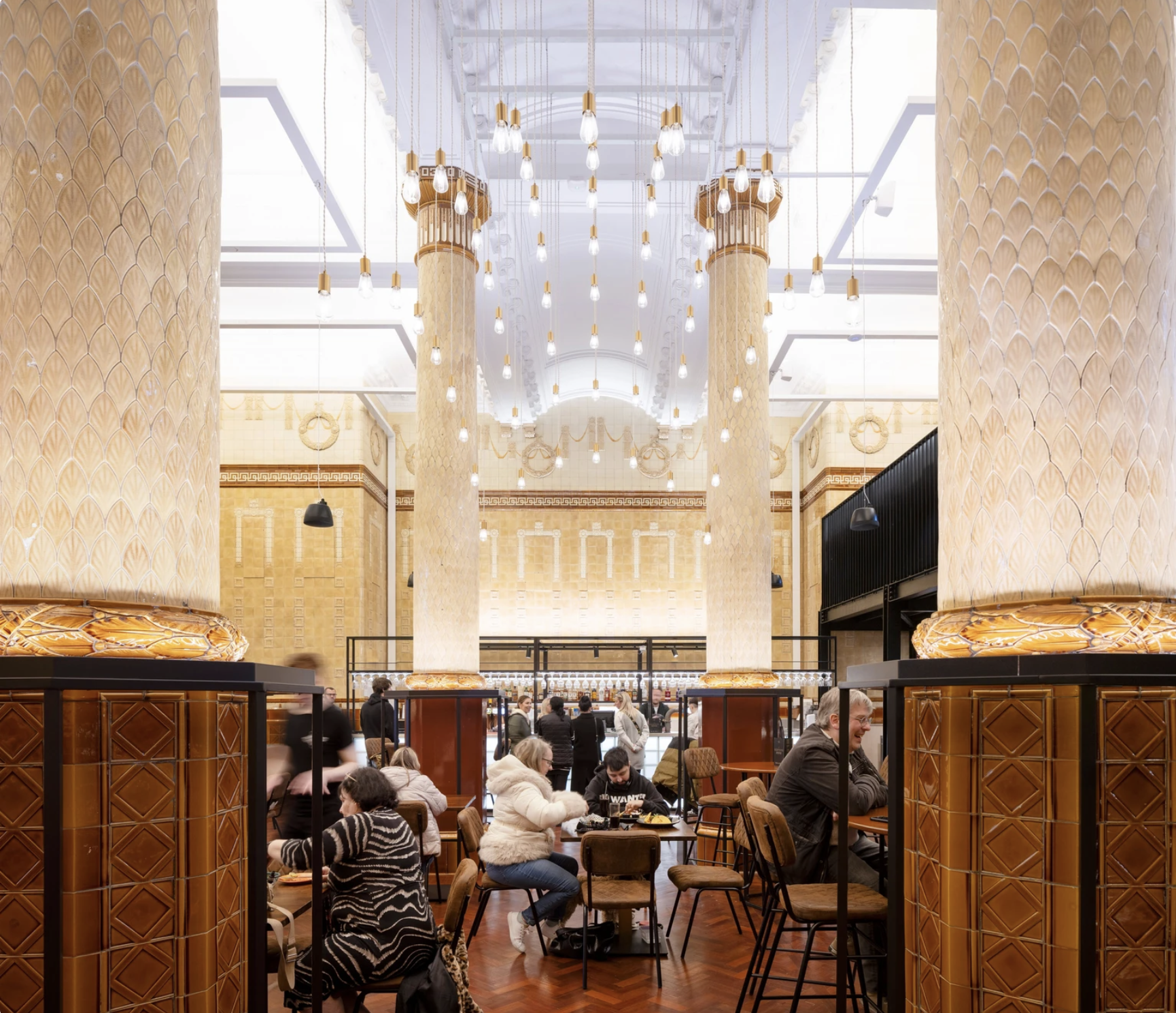
The Egyptian Room Food Hall project extends BDP’s partnership with Oldham Council and the rejuvenated Grade II listed Old Town Hall building in Oldham town centre, the main transformation of which was also designed and delivered by BDP.

The Loom is a brand new events space next to Oldham’s new indoor market on Parliament Square in the town centre. The gala-sized event space can fit up to one thousand standing guests, seven hundred seated, or five hundred dining, or can be split-off into smaller rooms for exhibitions, gigs, or theatre performances.

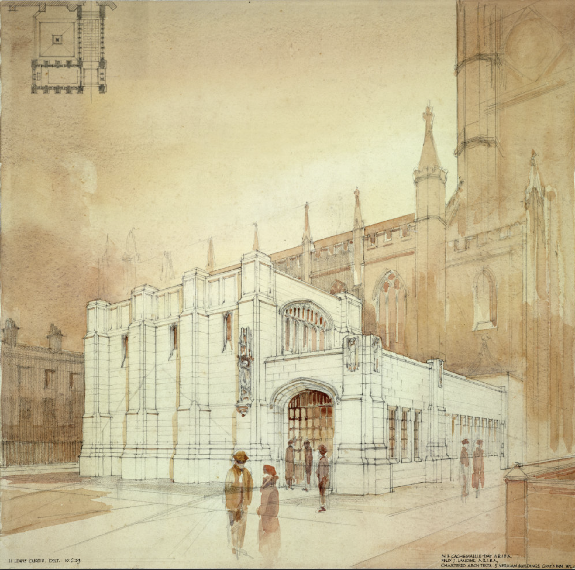
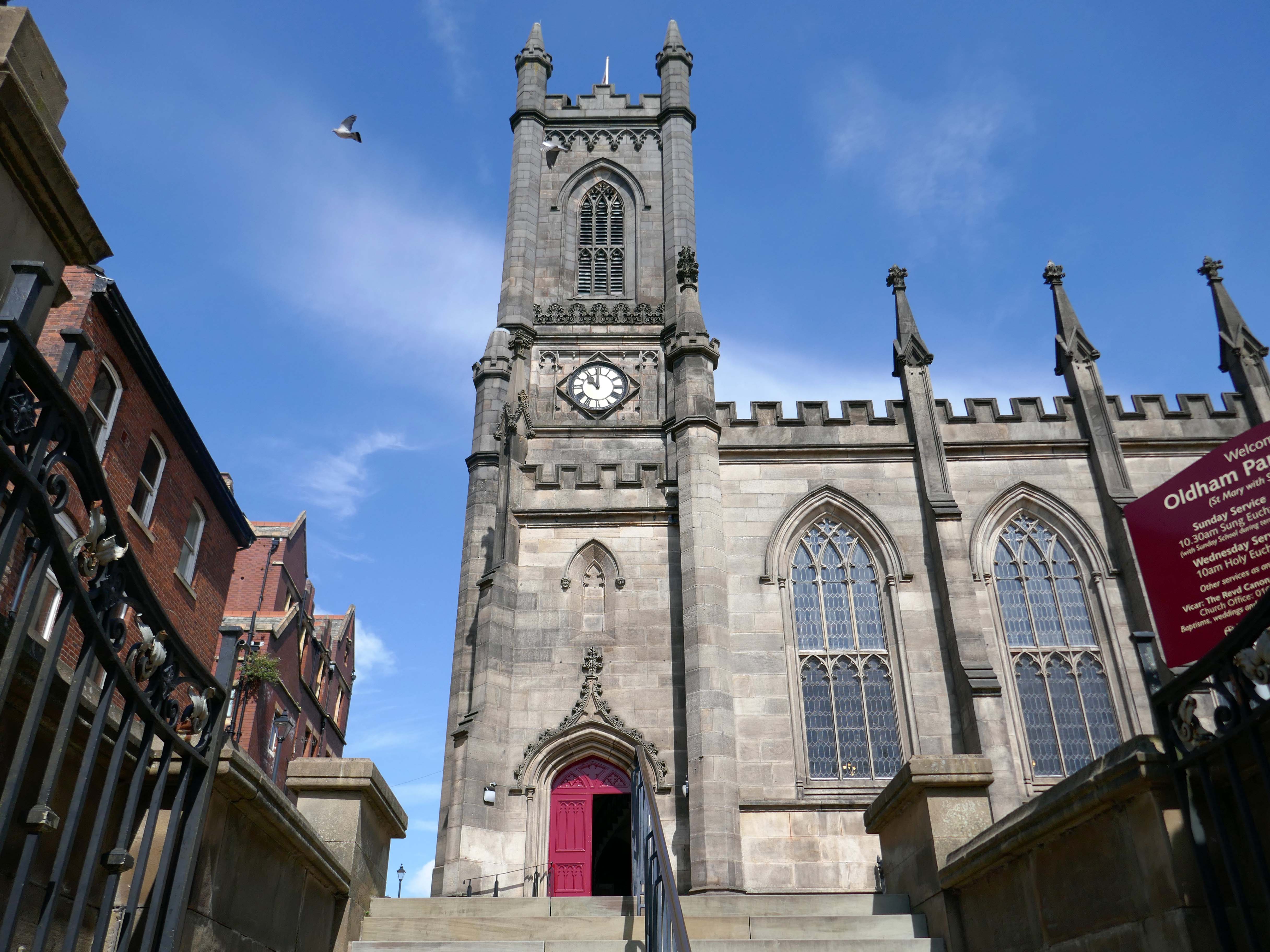
Design for a war memorial chapel, St Mary’s Church 1920.

Architect: Nugent Francis Cachemaille-Day.

Artist: H Lewis Curtis.

Image: RIBA pix

Next to the former Yorkshire Bank 1970 John Brunton & Partners.

Under construction 1970

Image: Kayla Chadwick

Down to the Spindles Shopping Centre 1991

Originally the site of St Peter’s Shopping Centre architect Richard Seifert

St Peter’s House – housed Oldham Area Health Authority Administrative Offices

Images: Yesteryear Oldham then & now 

Spindles has been revamped by AEW Architects.

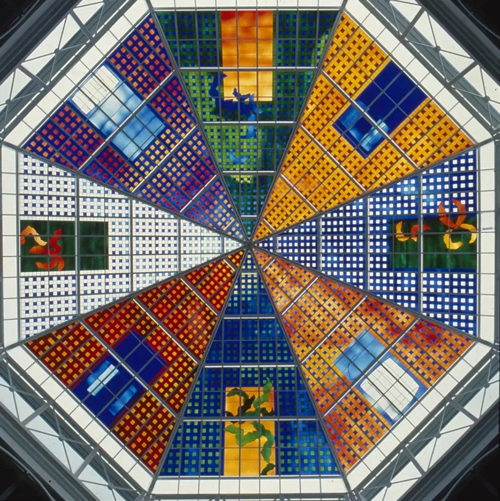
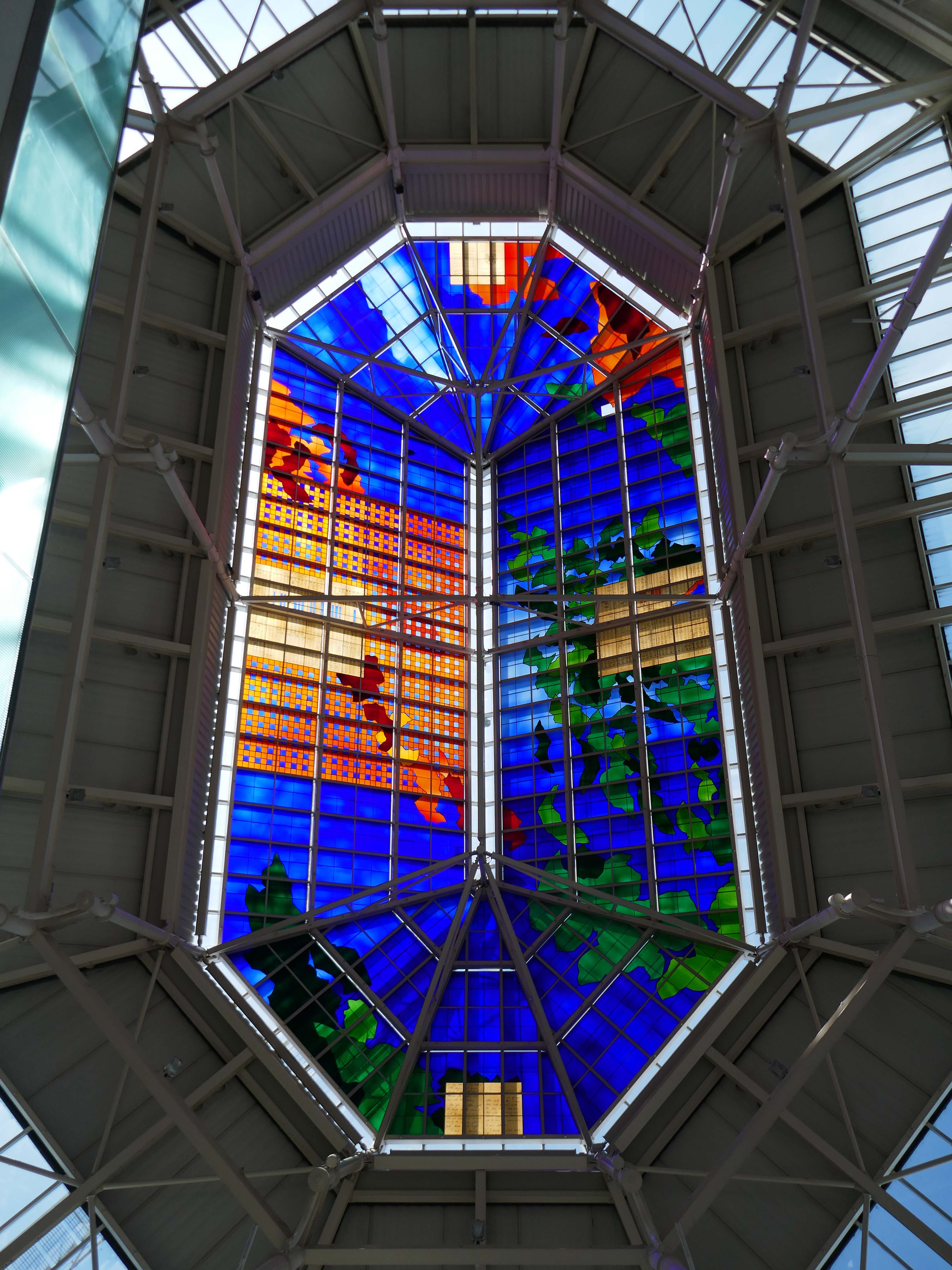
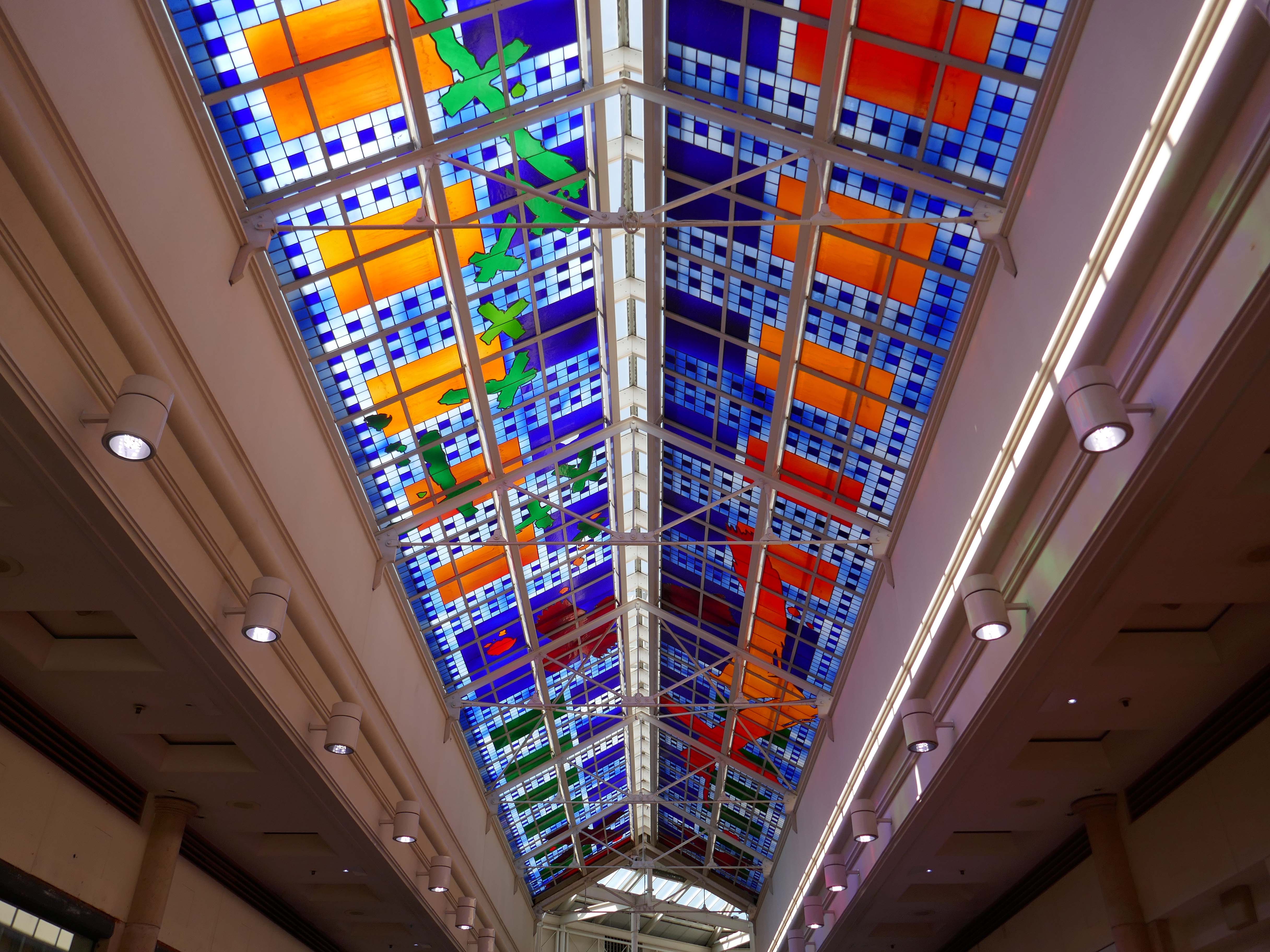
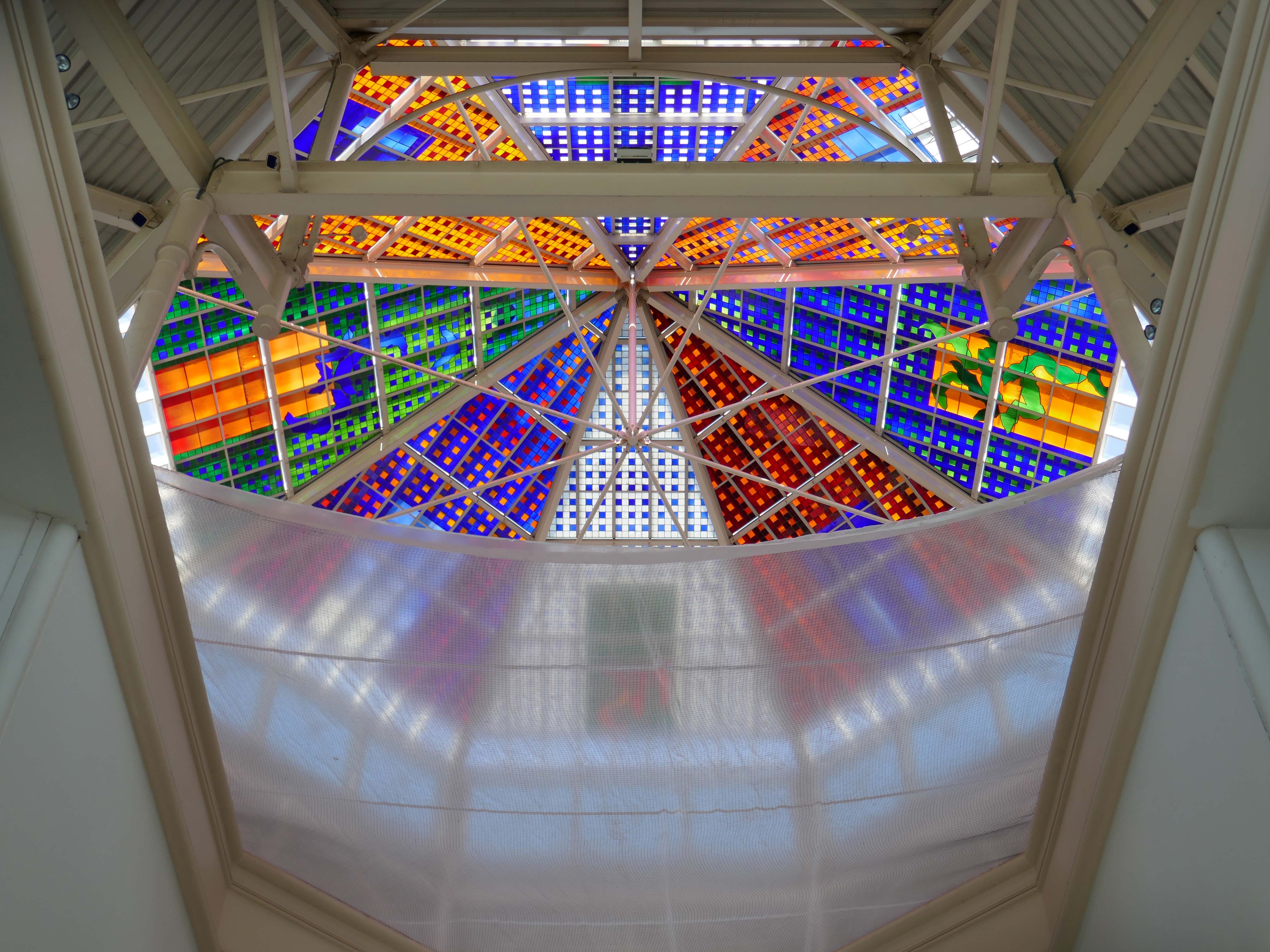
Stained glass by Brian Clarke installed in 1993.

Between 1990 and 1993, Brian Clarke designed a series of three interrelated roof lights in stained glass for the Spindles Shopping Centre in his hometown of Oldham, Lancashire. Among the largest stained glass windows in Europe, and some of the largest public artworks in the UK, these panels connect the main public areas of the principal shopping centre in the town.

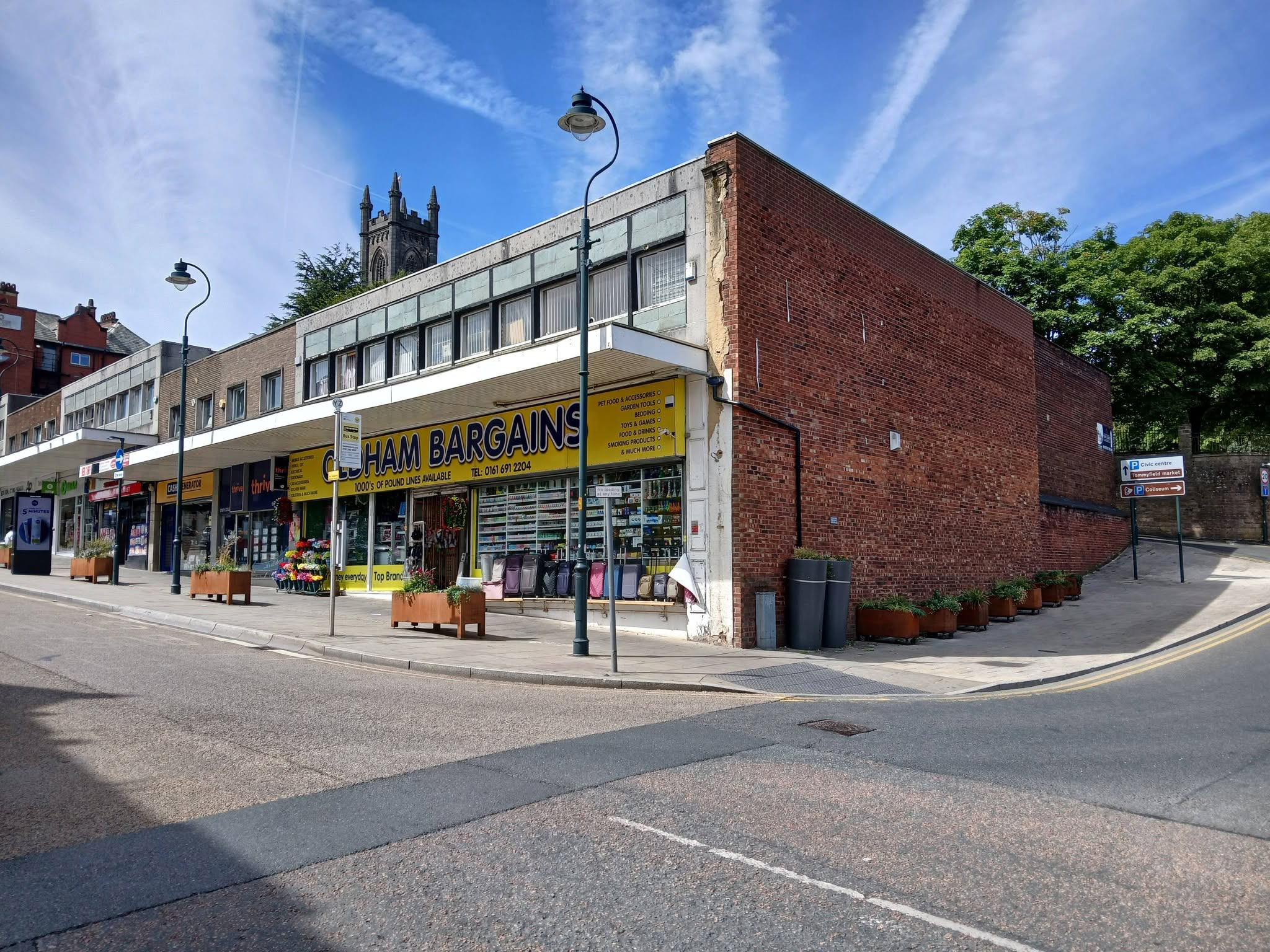
No town walk would be complete without a former Burton’s.

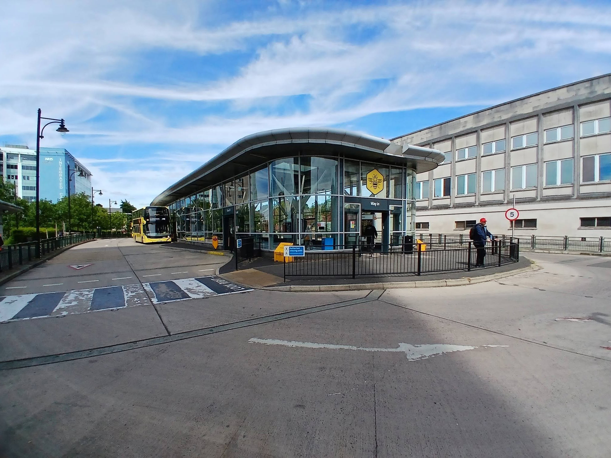
Next to the Bus Stations 2008 Austin-Smith Lord situated either side of the Civic Centre.

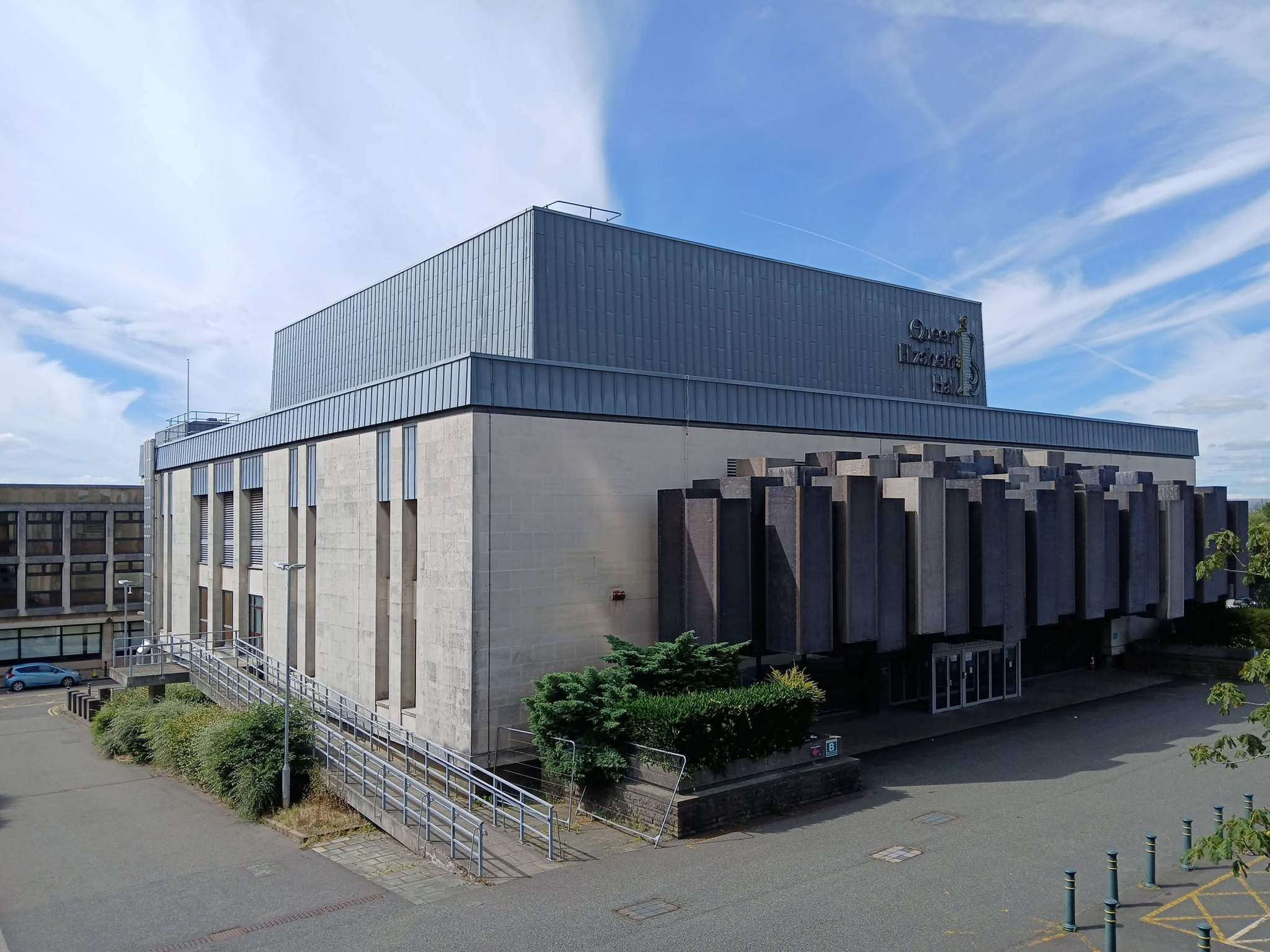
In the midst of it all is the Queen Elizabeth Hall.

The Queen Elizabeth Hall in Oldham will soon open its doors for the last time before it permanently closes to the public and is prepared for demolition. Since being condemned for containing Reinforced Autoclaved Aerated Concrete – RAAC in 2023, its days have been numbered.

Now the old theatre is part of plans to bring 2,000 new homes into the town centre in a partnership between Oldham Council and the developers Muse.

Oldham Times

Chris Connor as Elvis at the Oldham Queen Elizabeth Hall.

Surrounded on two sides by the Civic Centre – the lower parts are by Richard Seifert & Partners 1962, the fourteen storey Tower and Hall 1974-78 are by Cecil Howitt & Partners.

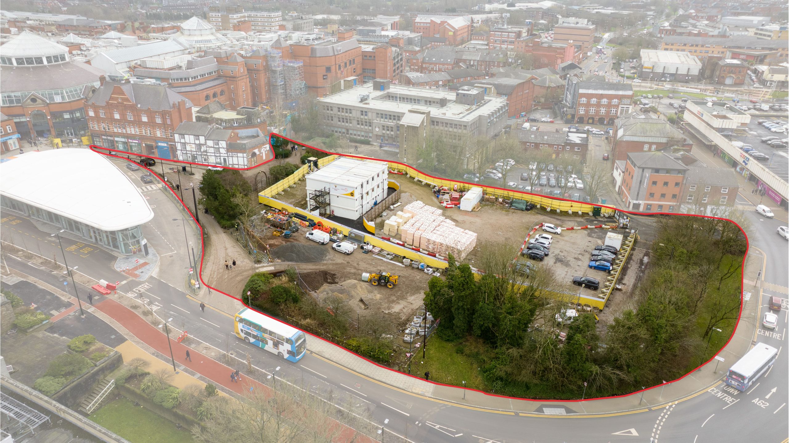
Plans are underway at the civic centre, the largest site in the regeneration project, to create a vibrant community providing eight hundred and thirty eight homes rising up to fifteen-storeys with mixed-use commercial spaces on the ground floor. This development will integrate seamlessly with the surrounding neighbourhood, particularly the nearby Former Magistrates’ Court site. The Civic Tower at the edge of the site will be retained and redeveloped as a hotel in a later phase.

Where have the Magistrates’ Courts gone?

Architects: Leach Rhodes Walker 1977.

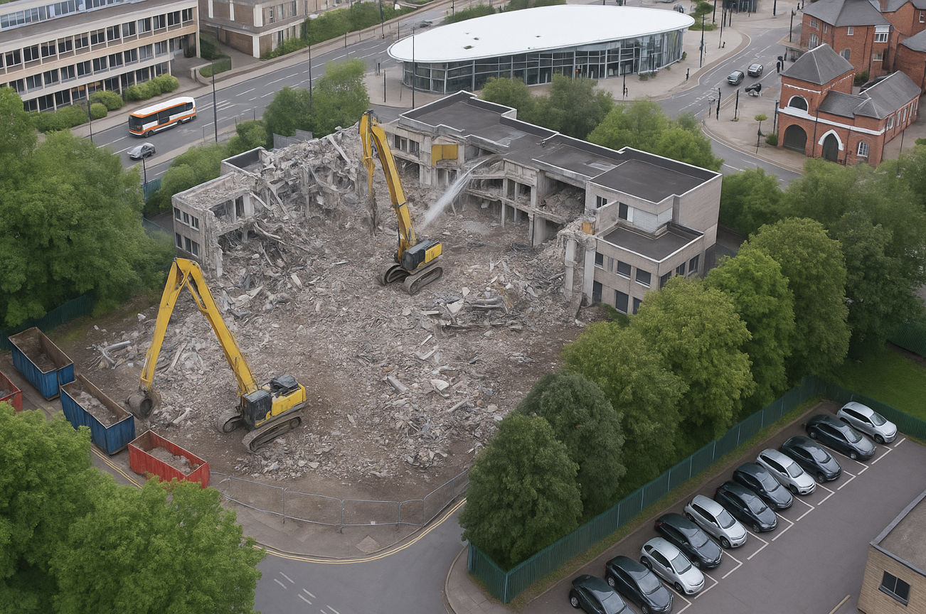
Demolished in 2019 to make way for further redevelopment.

The proposals for the Former Magistrates Court site include two hundred and nineteen new homes with the tallest block ten-storeys and a green route connecting Manchester Chambers with King Street. The designs have been developed to ensure a unified neighbourhood with a common design language and seamless movement between other sites. 

Team Civic

Oldham Council and Muse intend to work in partnership over the next 15 years to develop the sextet of council-owned brownfield sites across the town centre.

Place North West

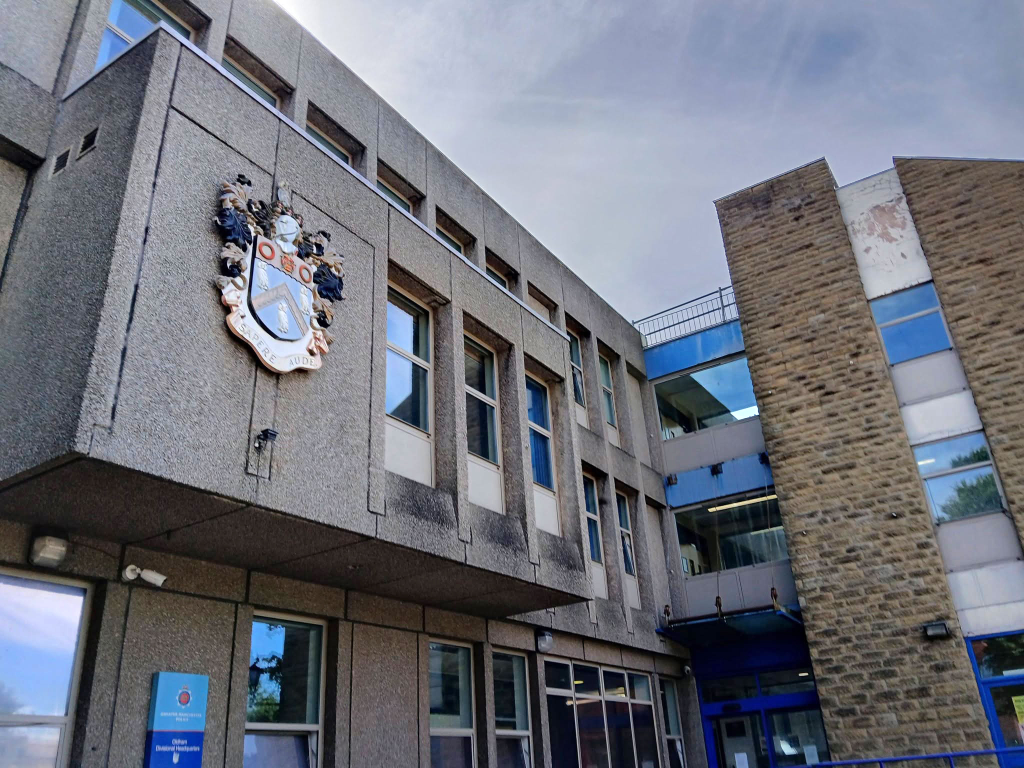
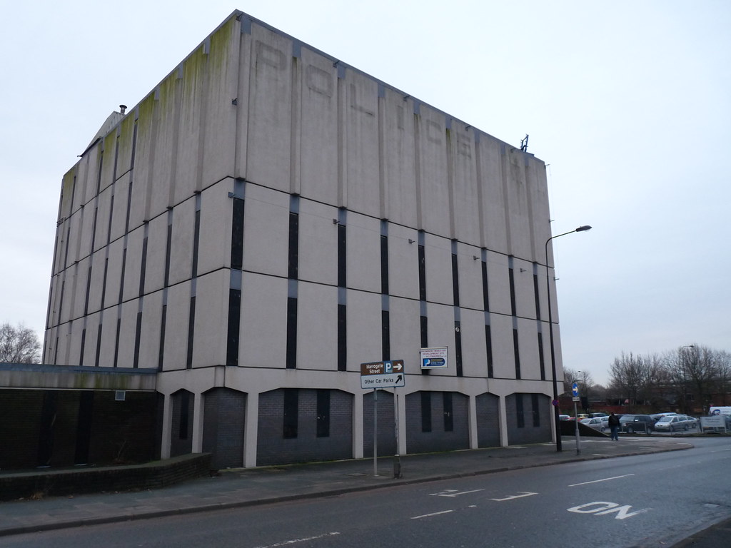
Next door the Police Station – architects: Leach Rhodes Walker.

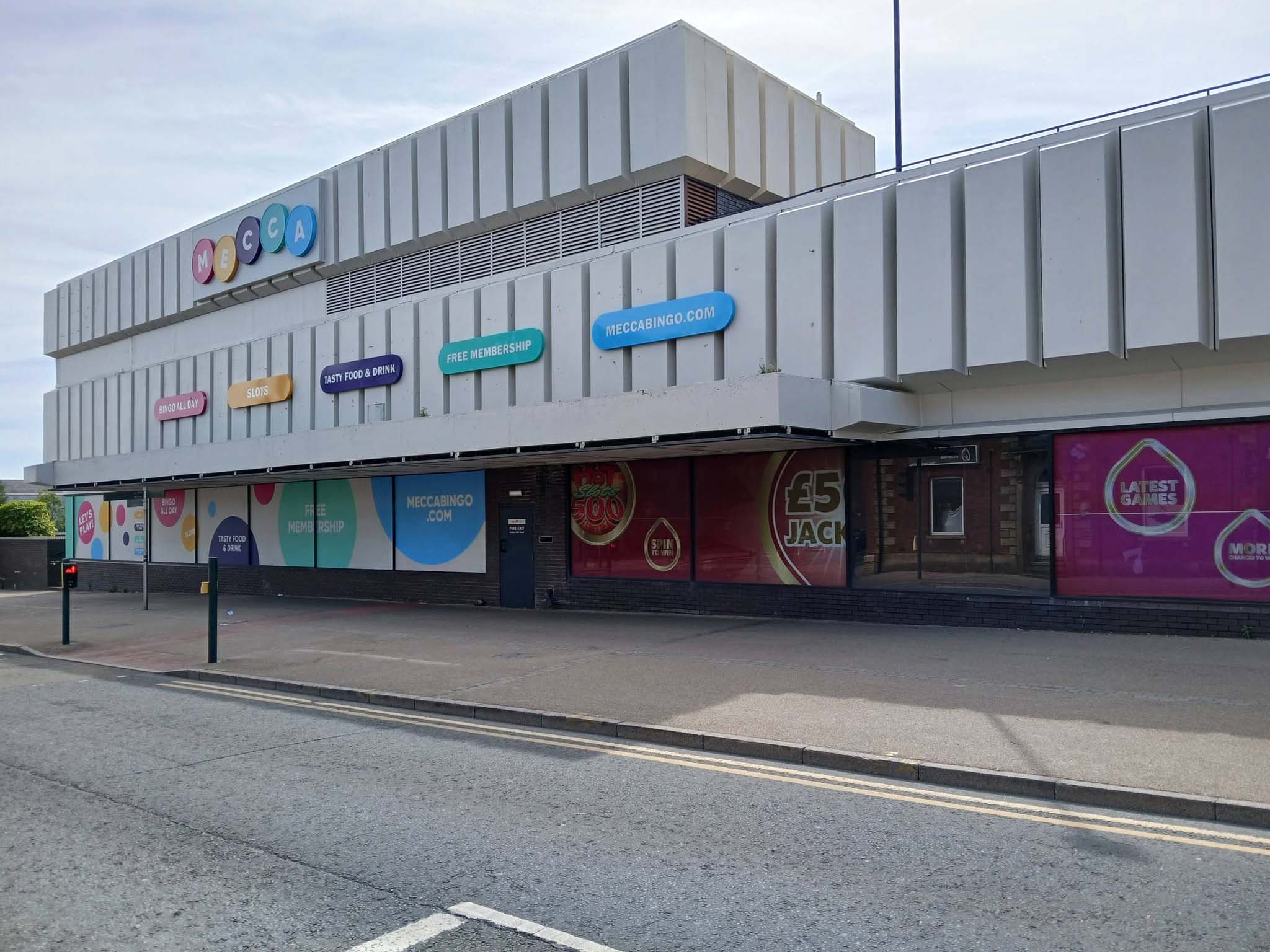
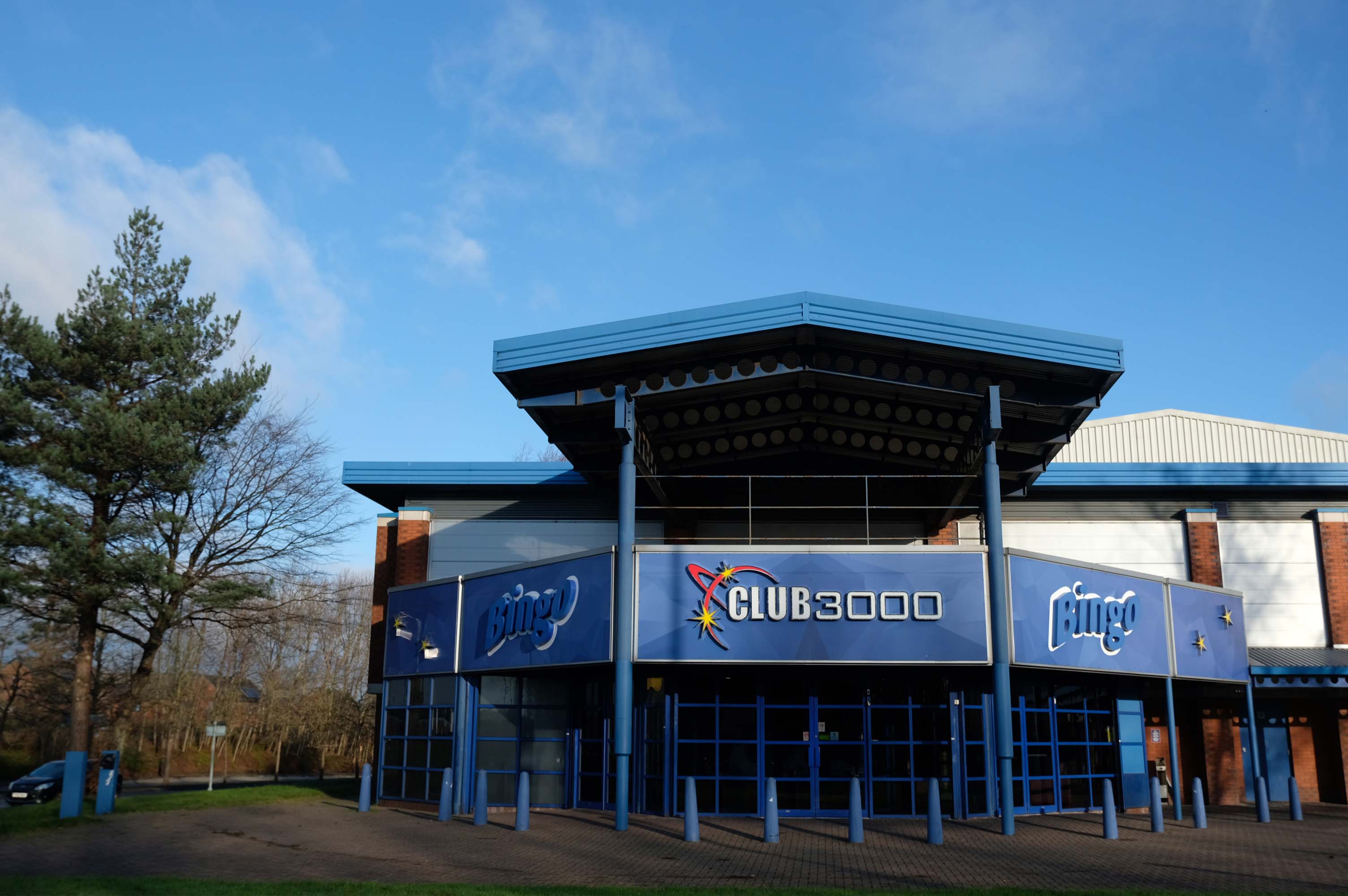
Next to the Mecca Bingo formerly Shopping Giant.

We conclude at the Telephone Exchange.

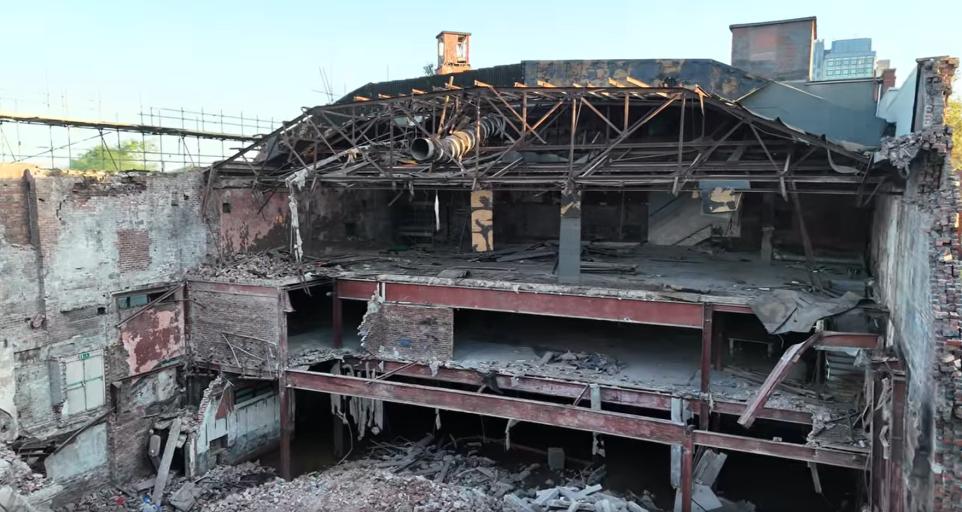
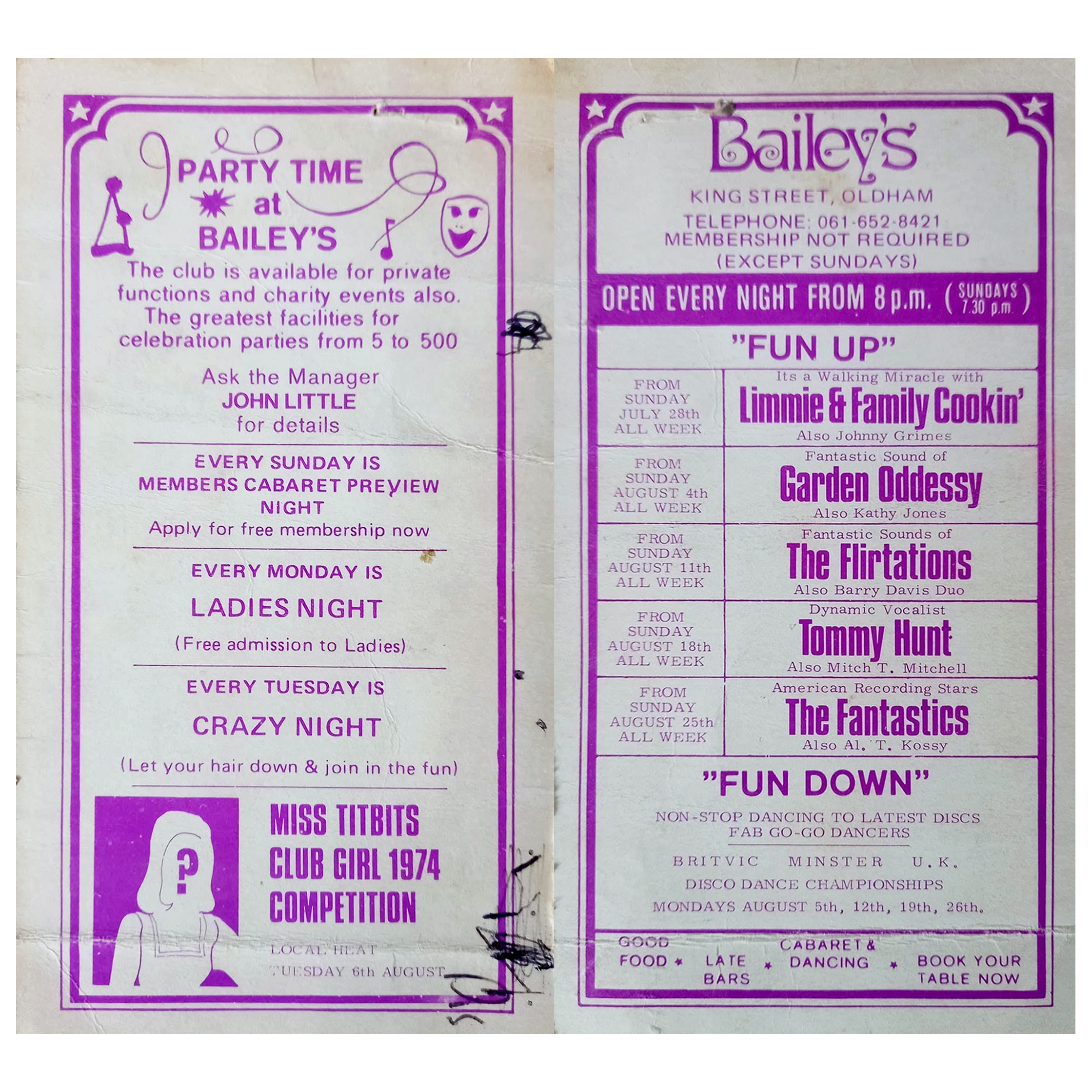
Viewed across the site where Bailey’s used to be – aka Romeo & Juliet’s, Butterflies, Astoria ballroom and Bowling Alley, Froggies and Riley’s.

The site originally started out as the Grand Theatre, a performance space designed by London architects Thomas Taylor and Ernest Simister who also designed Chadderton Town Hall.

In 1937, Gaumont Super Cinemas took over the building, gutted the auditorium and transformed it into stalls and one circle seating totalling 1,842 to open their 1930s cinema.

BBC

In 1991, the Chronicle reported on a mysterious haunting which was thought to have taken place in Butterfly’s nightclub in Oldham.

Before Butterfly’s had been a nightclub the building had been used for many purposes, and in 1939 was known as the ‘Grand Theatre.’ The building was undergoing renovations when Mr Lloyd was killed. ‘Witnesses said that Mr Lloyd was crushed underneath the beam which he was trying to guide down with a rope.’

However, Derek Lloyd’s theory of the origin of the ghost was not accepted by everyone at the time. Due to the fact the ghost appeared to be wearing a white T-shirt, people believed it was unlikely to be the spirit of a 1930s man. In response, Derek argued that ‘my father always had his sleeves rolled up at work because he suffered from a skin complaint.’ 

Gallery Oldham

In 2011 the building was converted into a roller derby centre known as the Thunderdome, once home to the Rainy City Roller Derby who moved out in 2020.

It was announced in April 2023 that the building was proposed for demolition and the end came in May 2025.

Image: Mark Hughes

Cheetwood Road Manchester

1900

1920

1960

2026

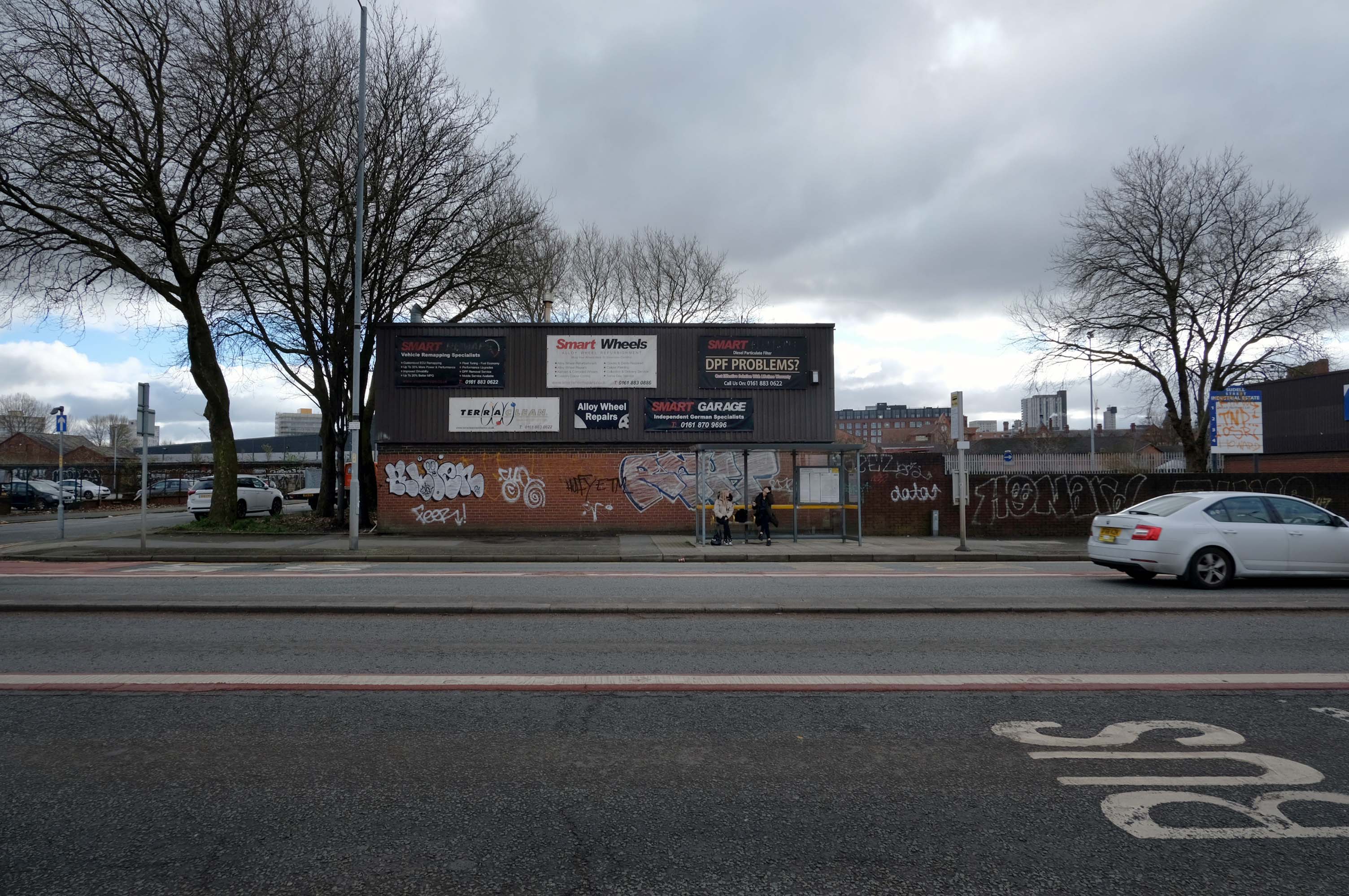
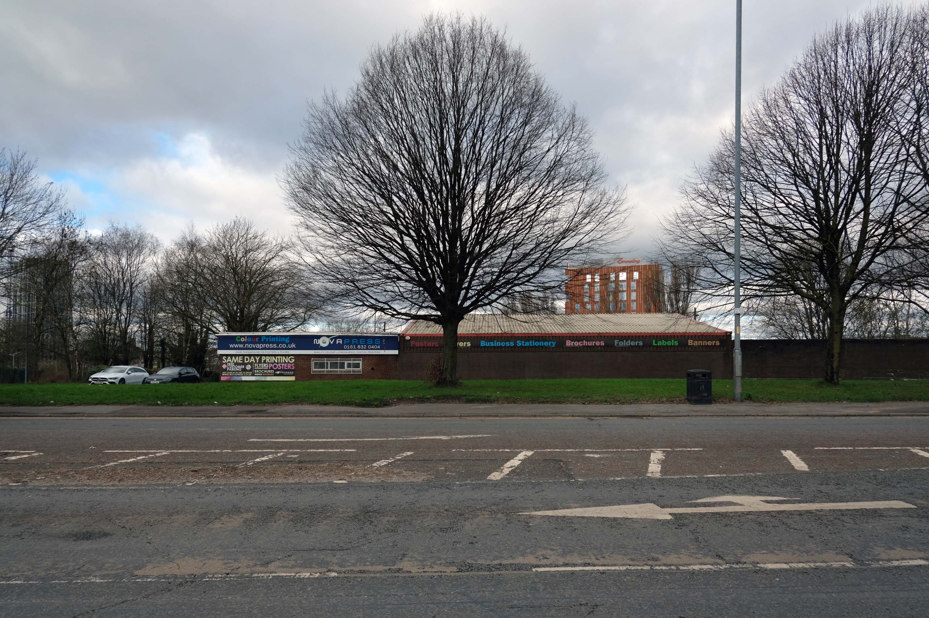
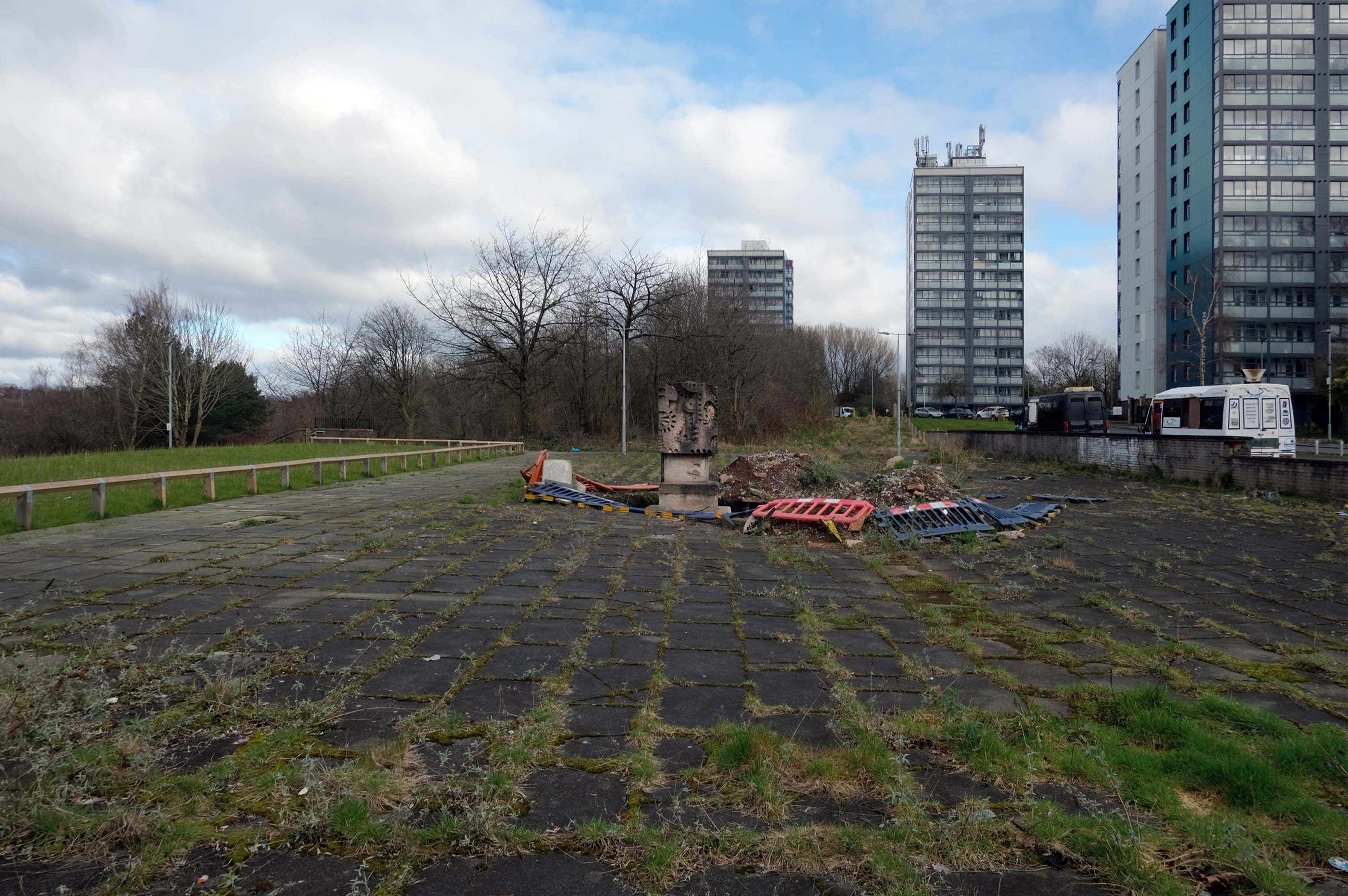
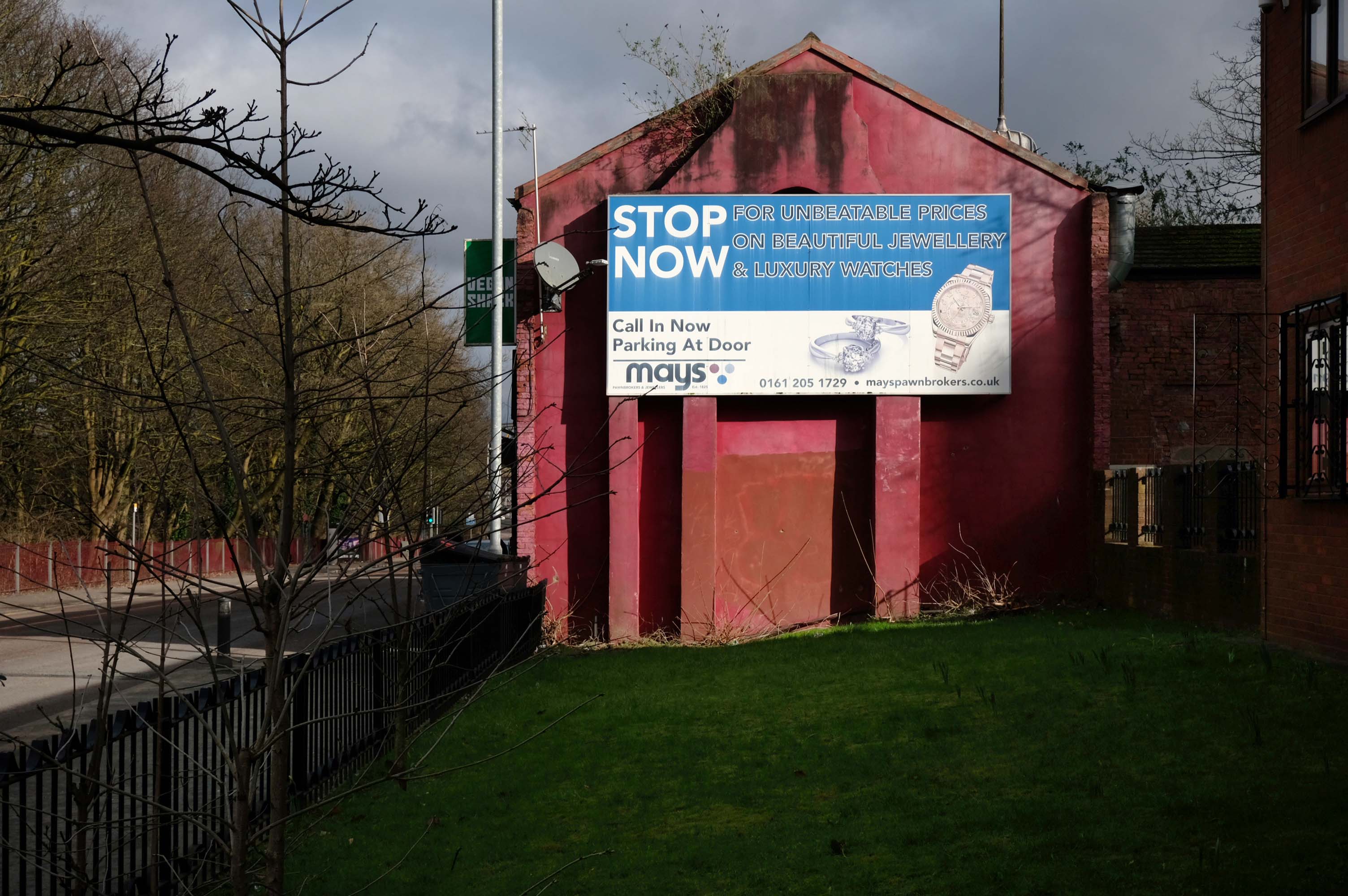
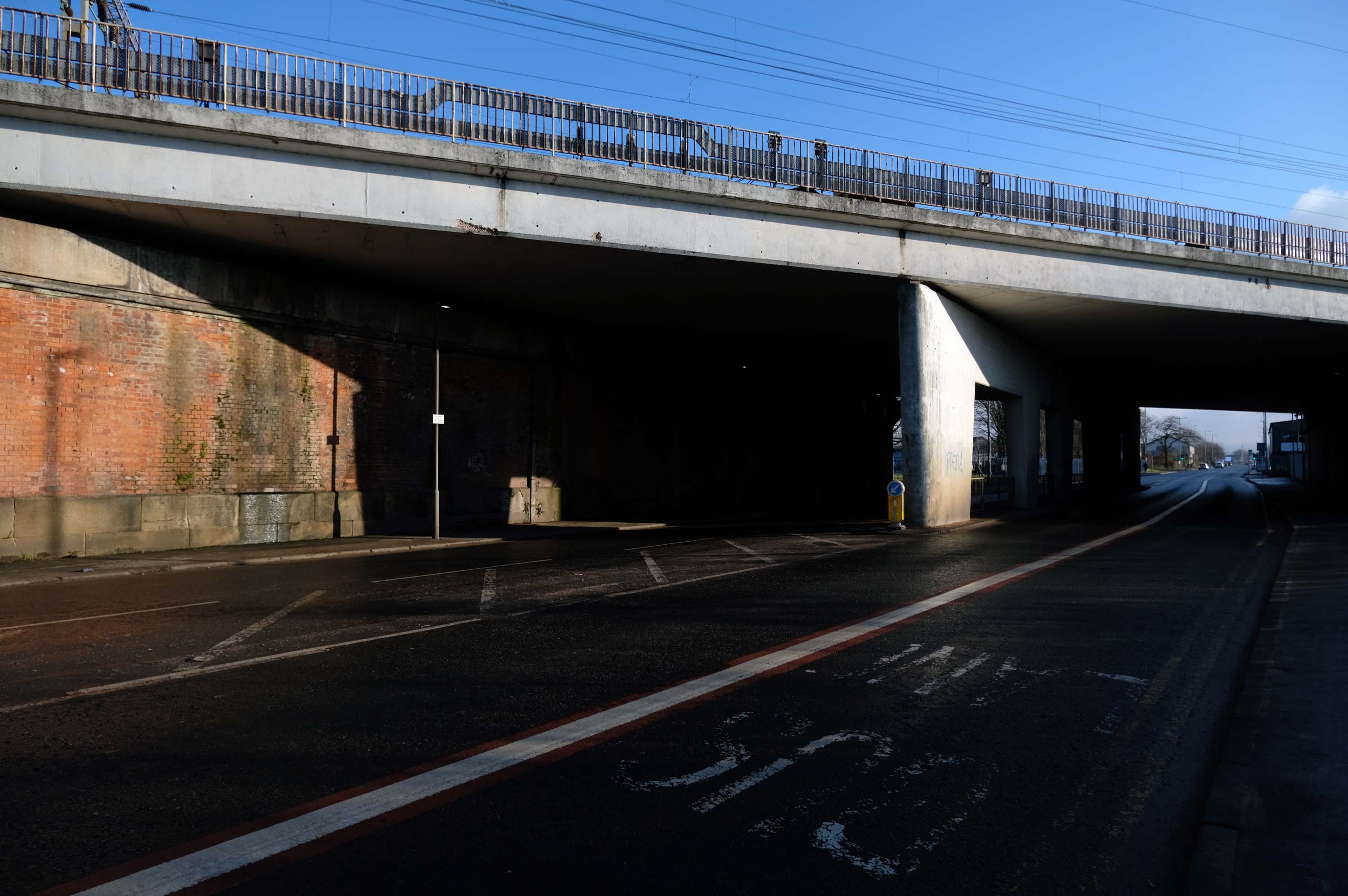
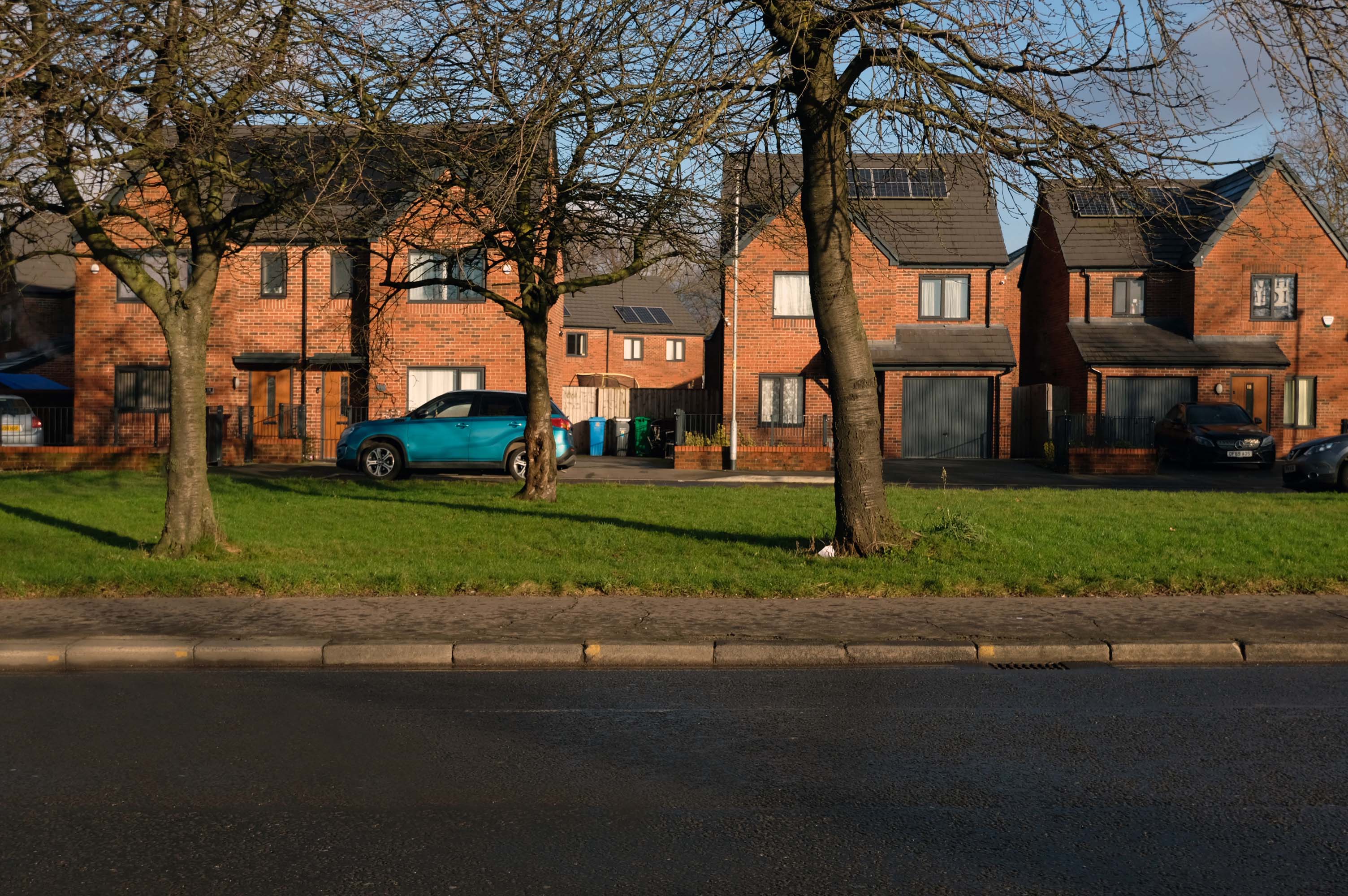
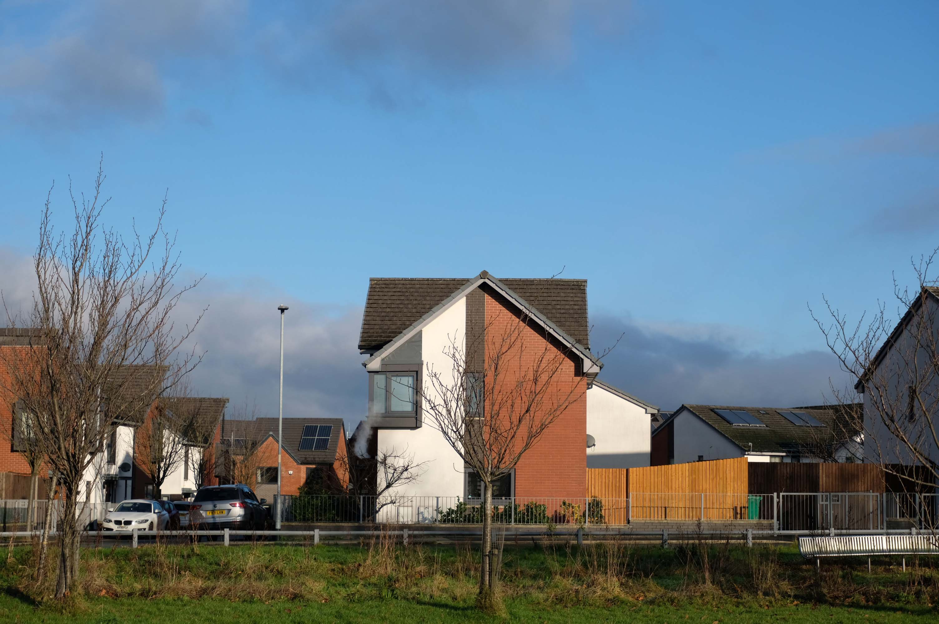
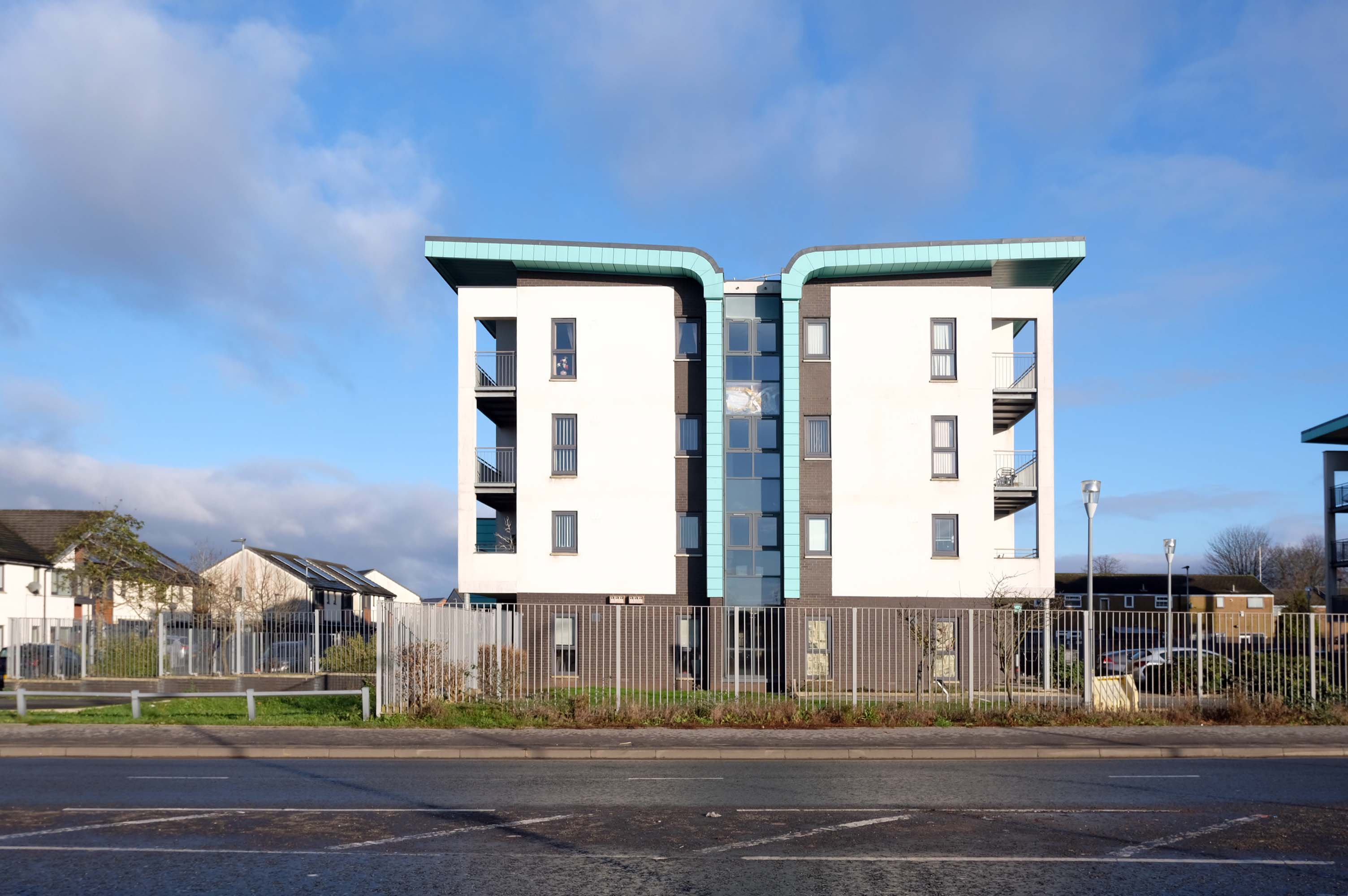
I often wander these streets and write about the area’s history, or record the current state of affairs, then returning with 35mm film to photograph a black and white world.

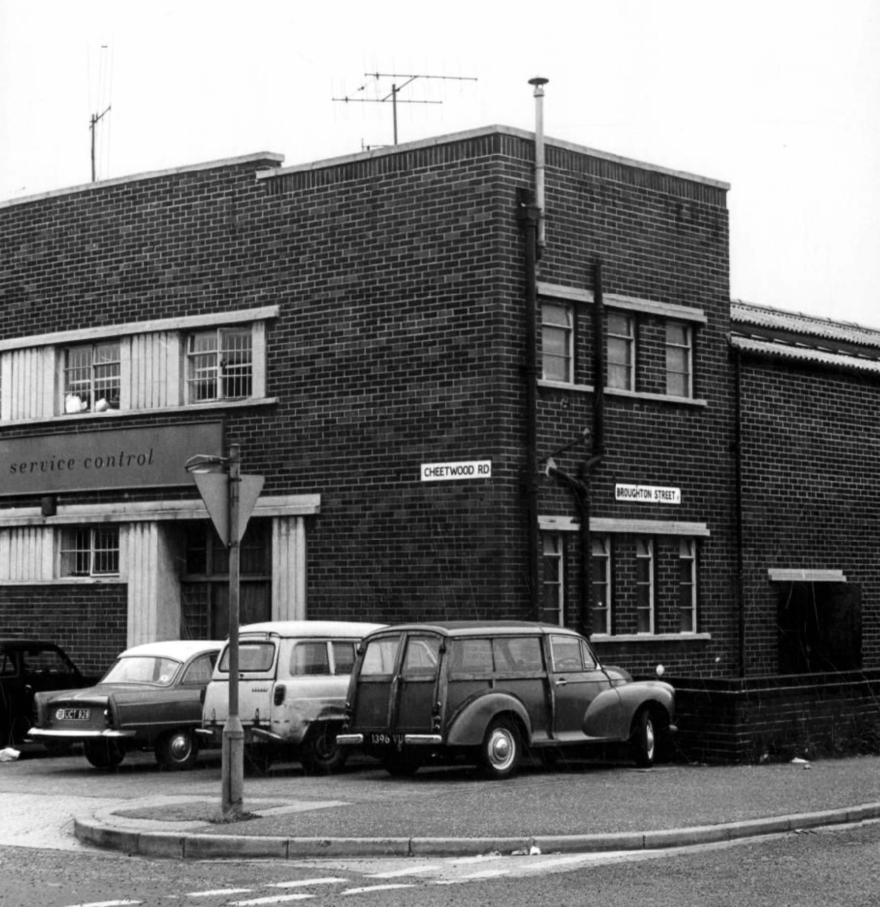
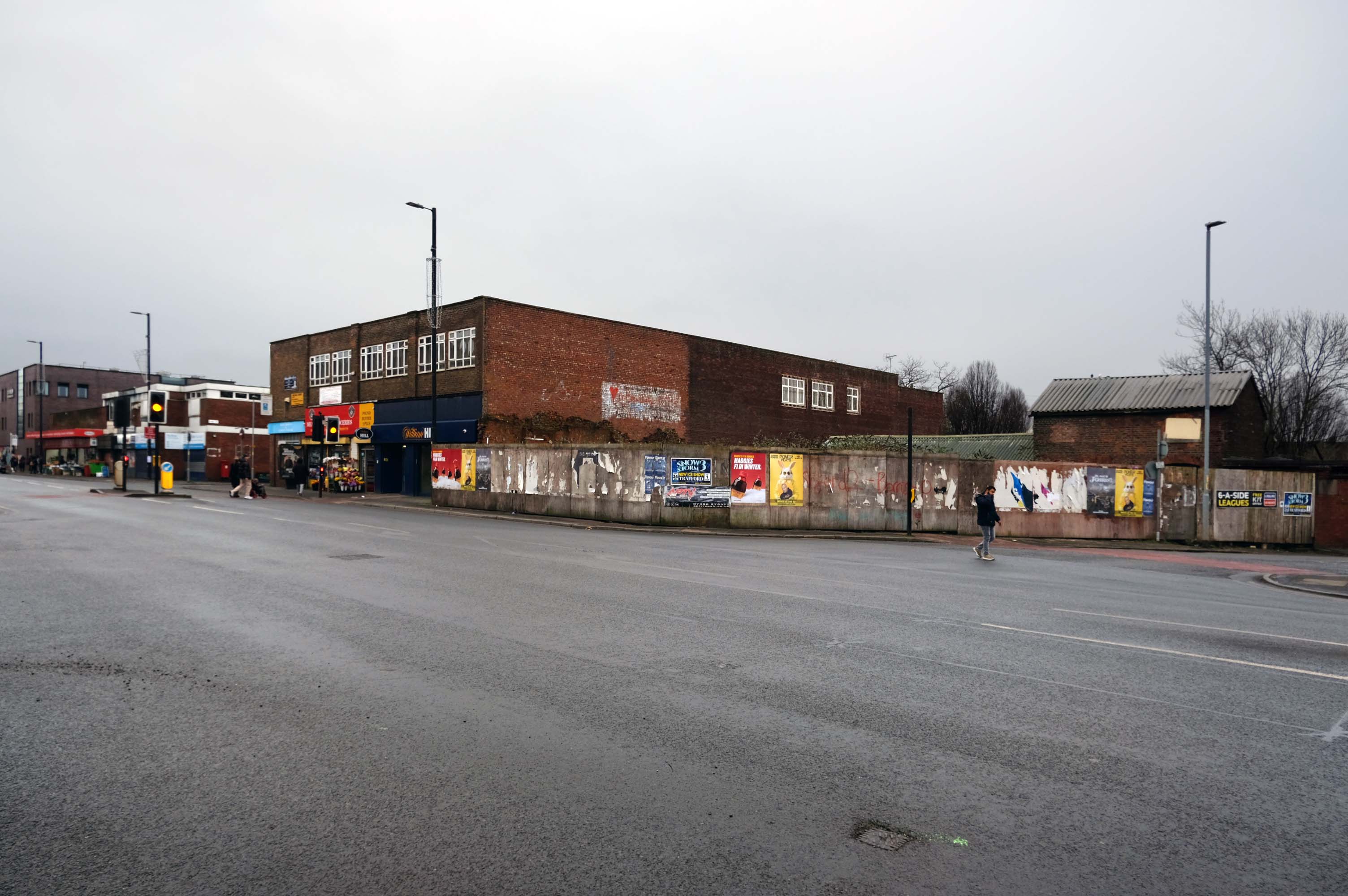
On this occasion I am concerned with the tight little rectangle formed by Cheetwood Road, Broughton, Alison and Sherborne Streets.

Cheetwood Road is a postwar construction, a straight route replacing the meandering Cheetwood Lane. The road is lined with low level functionalist brick, steel and concrete industrial units.

Having fallen into disrepair they are now being renovated and reused.

In the early Twentieth Century the area was a mix of semi-derelict Victorian housing and industry.

Corner of Sherborne Street 1905

Cheetwood Lane 1917

The huge Holt’s Cheetwood Hotel has since been demolished, lasting until c1990.

Cheetwood Lane 1920

Images: Thomas Baddeley

Progress House 1969 – Domtar Howard Smith Ltd Paper Manufacturers.

Norweb Electricity

Images: Louis H Price Manchester Local Image Collection.

So here we are on Friday 7th August, taking yet another look.

The whole area and beyond is now the centre of a plan for regeneration.

Salford City Council and Manchester City Council have developed a joint Strategic Regeneration Framework to transform the Strangeways and Cambridge areas.

This plan addresses long-standing challenges such as counterfeit crime, poor-quality buildings, and flood risk, while creating opportunities for new homes, businesses, and green spaces.

Salford Gov

The Strangeways and Cambridge strategic regeneration framework sets out a vision to deliver around 7,000 homes in buildings up to 30 storeys and 3.1m sq ft of new or improved commercial space across 320 acres spanning both Manchester and Salford.

HMP Manchester & Jury Street: A catalytic neighbourhood at the heart of the SRF. Home of the existing HMP Manchester with potential for long term change subject to the relocation of the prison.

Derby Street: An intensified business district, supported to ensure the long-term preservation and evolution of the business base in the area.

Copper Park: A regional destination, multi-functional open space delivered to create positive amenity and biodiversity in response to future flood risk.

Overbridge: Gateway to Copper Park from the city centre, an area of significant residential potential – up to 2,000 homes – but with important economic assets and heritage.

Cheetham Park: A new urban-suburban residential neighbourhood of up to 1,000 homes, building on the heritage of the Victorian Cheetham Park and the nascent residential community around it.

Dutton Street: The Dutton Street area is a natural extension of the city centre. Subject to the existing Great Ducie Street SRF, it is identified as residential-led mixed use area – up to 4,000 homes – where significant development and investment is already evident. This part of the SRF could accommodate 1.75m sq ft of new commercial space

Lord Street: A transitional neighbourhood, connecting the residential-led change in Dutton Street with the economic focus of Derby Street to the north, and with Red Bank and Victoria North to the east.

Place Northwest

Wigan Walk – 2026

It’s been four years since our 2022 Wigan Walk – so time to see if there has been a refreshing change.

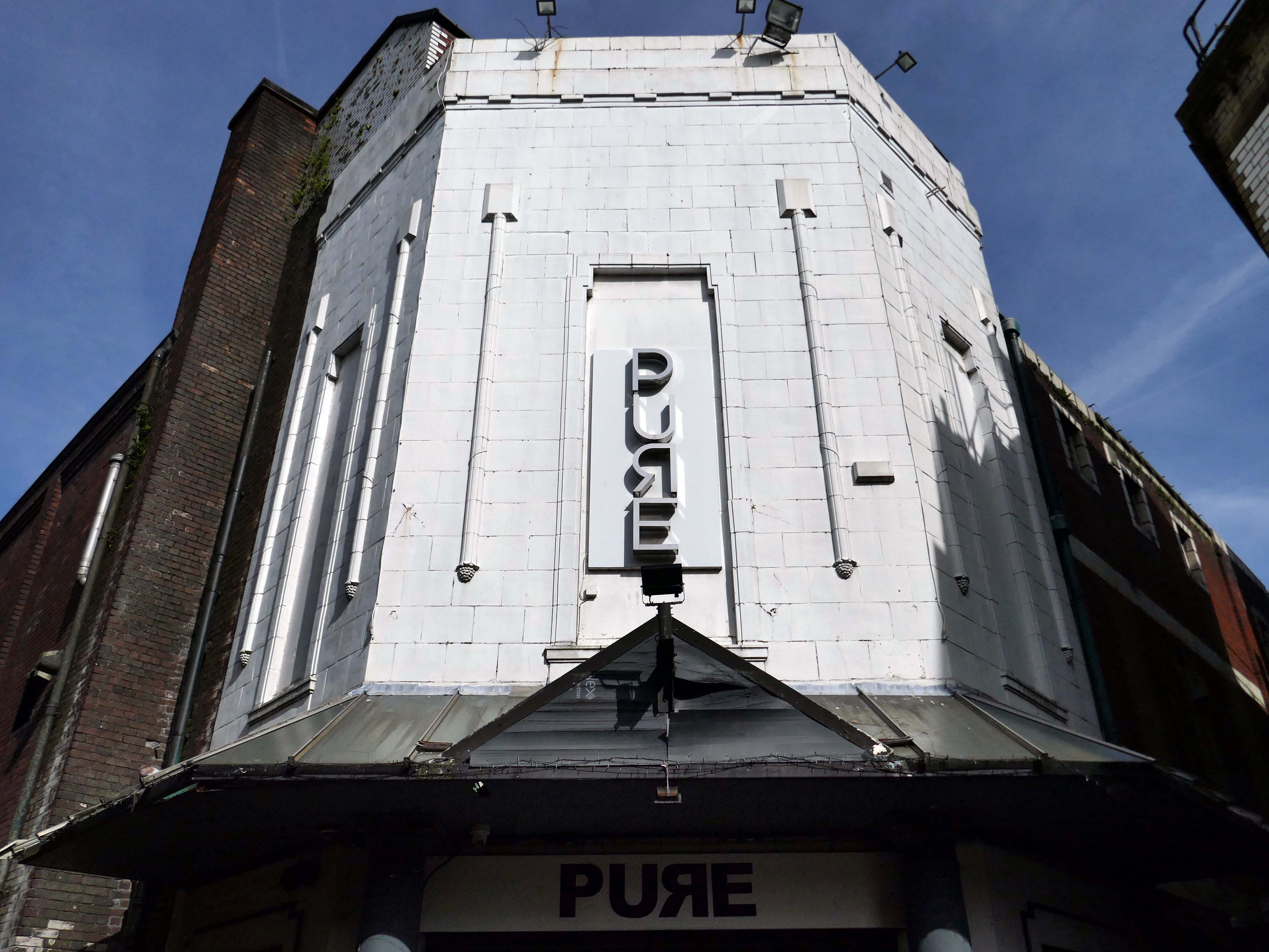
Beginning with a trip to the former flicks, the Princes Cinema now trading as Pure nightclub, sometimes home to Singo Bingo.

Originally the site of New Princes Theatre, opened on the 1st May 1911, the cinema was demolished and replaced, on an adjacent plot, by Princes Cinema in 1933.

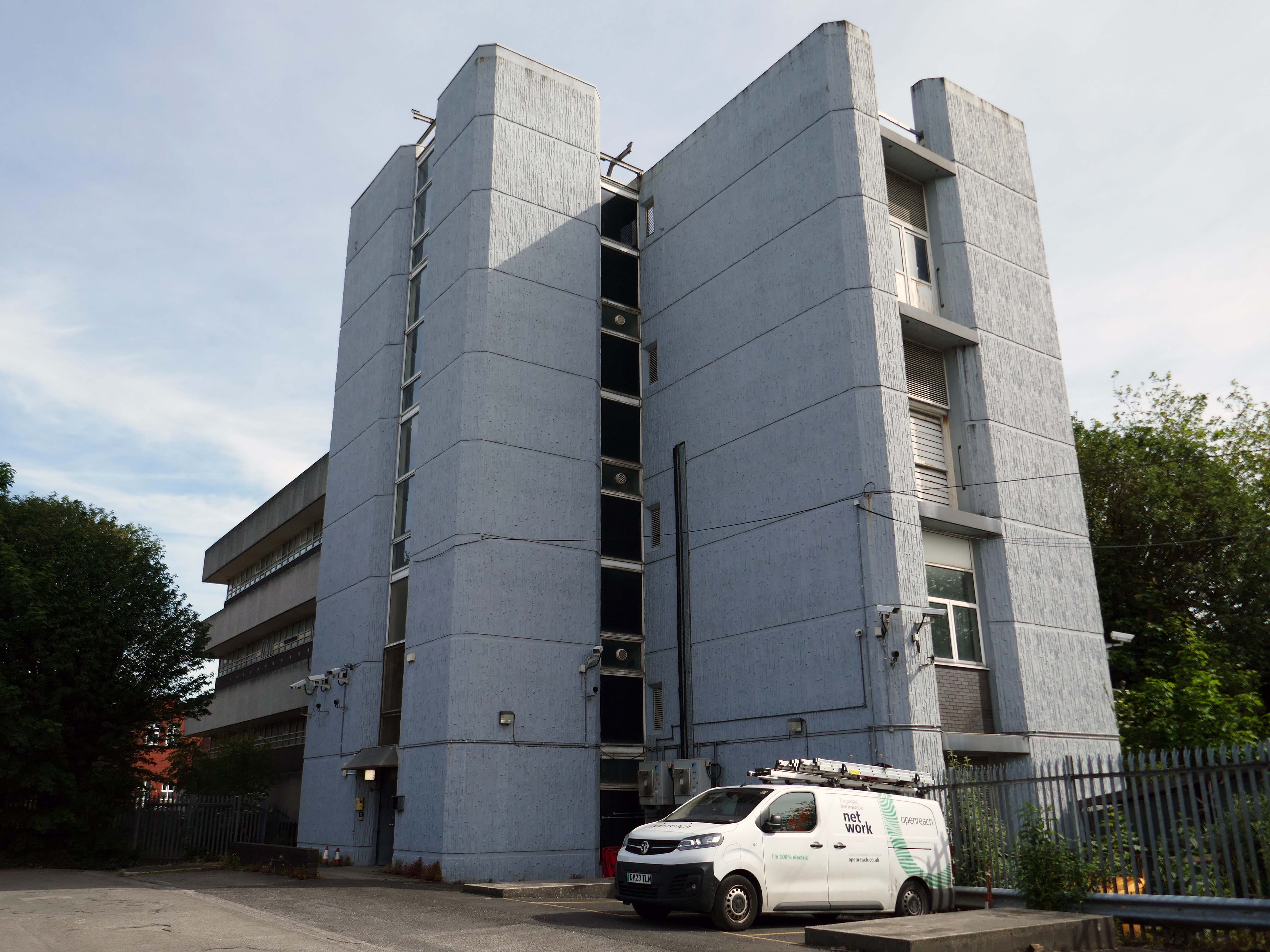
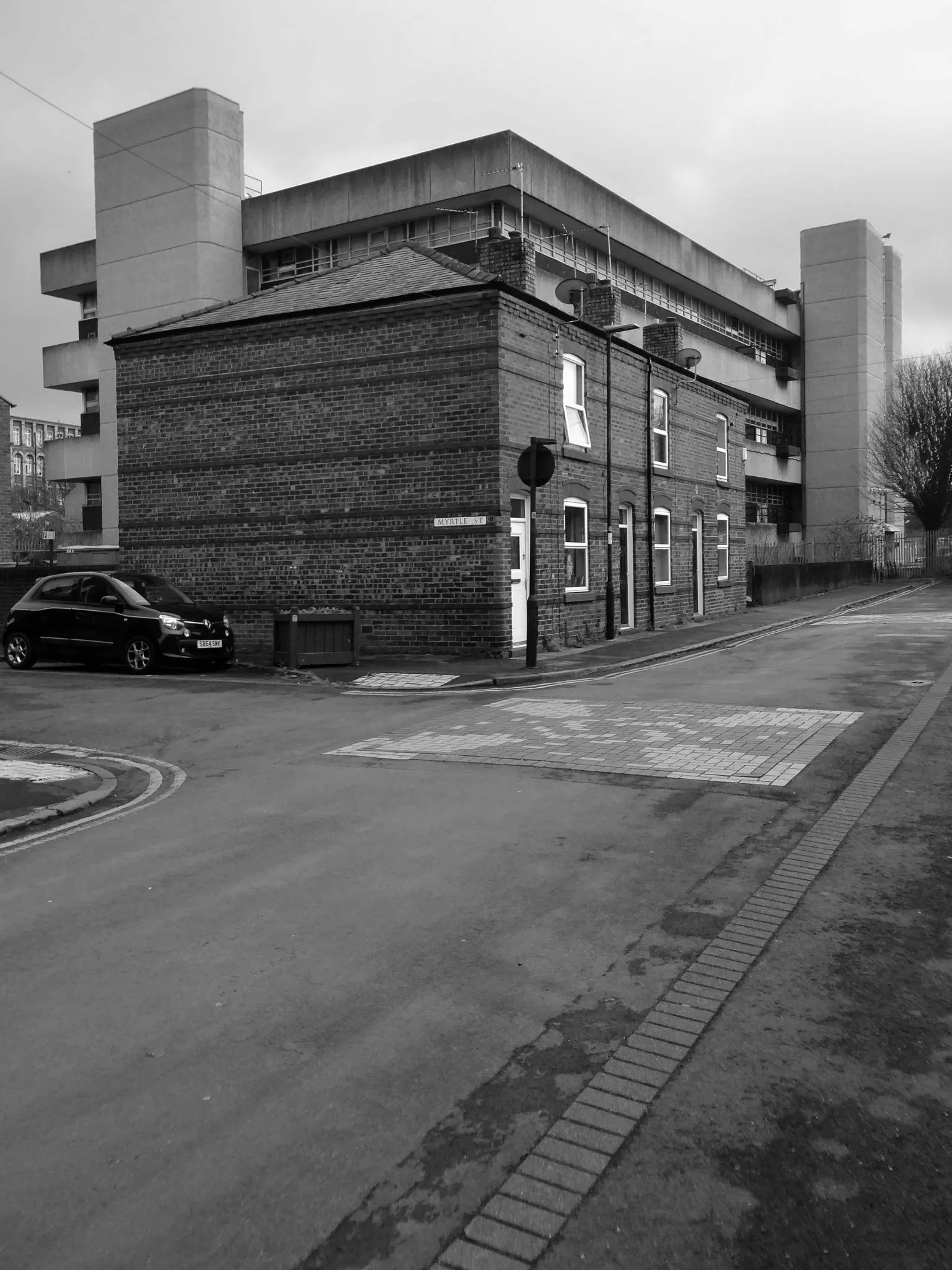
Onward now to see the three Telephone Exchanges.

Interwar

Sixties

Ofd special note the adjacent Electrical Substation of the day.

Plus extra added military history.

Seventies

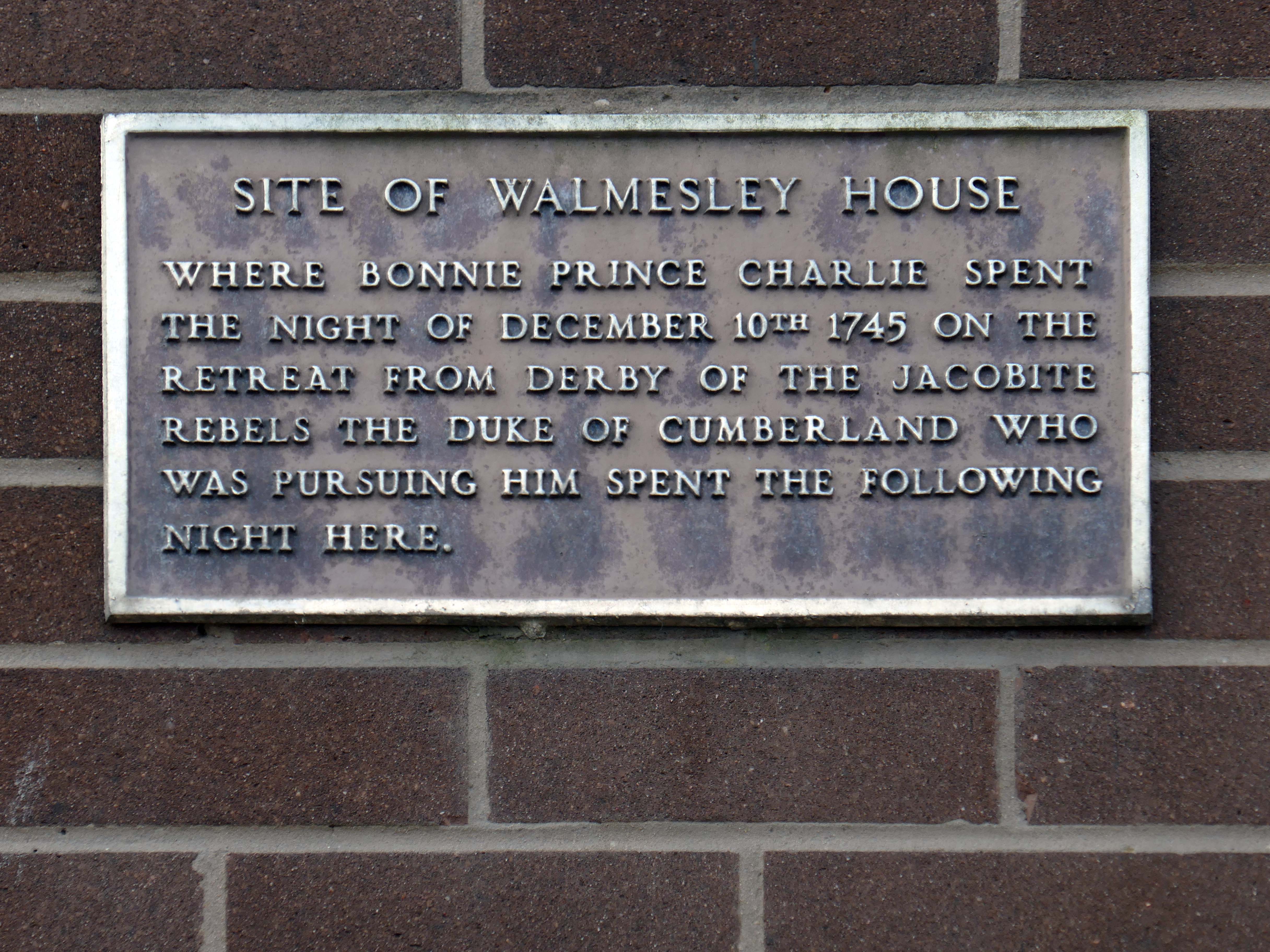
Tucked in behind the Telephone Exchange are several streets of Edwardian social housing – the Spring Gardens Scheme of 1905.

The property is practically paying its way, and all the present generation has to find is a small sum of ninety odd pounds for sinking funds. For this we get fifty-nine families decently housed, the rateable value of the town increased, a slum abolished, an eyesore removed, the health of the inhabitants remarkably improved, their environment made clean, refined, and elevating, whilst our successors in 1959 will inherit an unencumbered estate.

Municipal Dreams

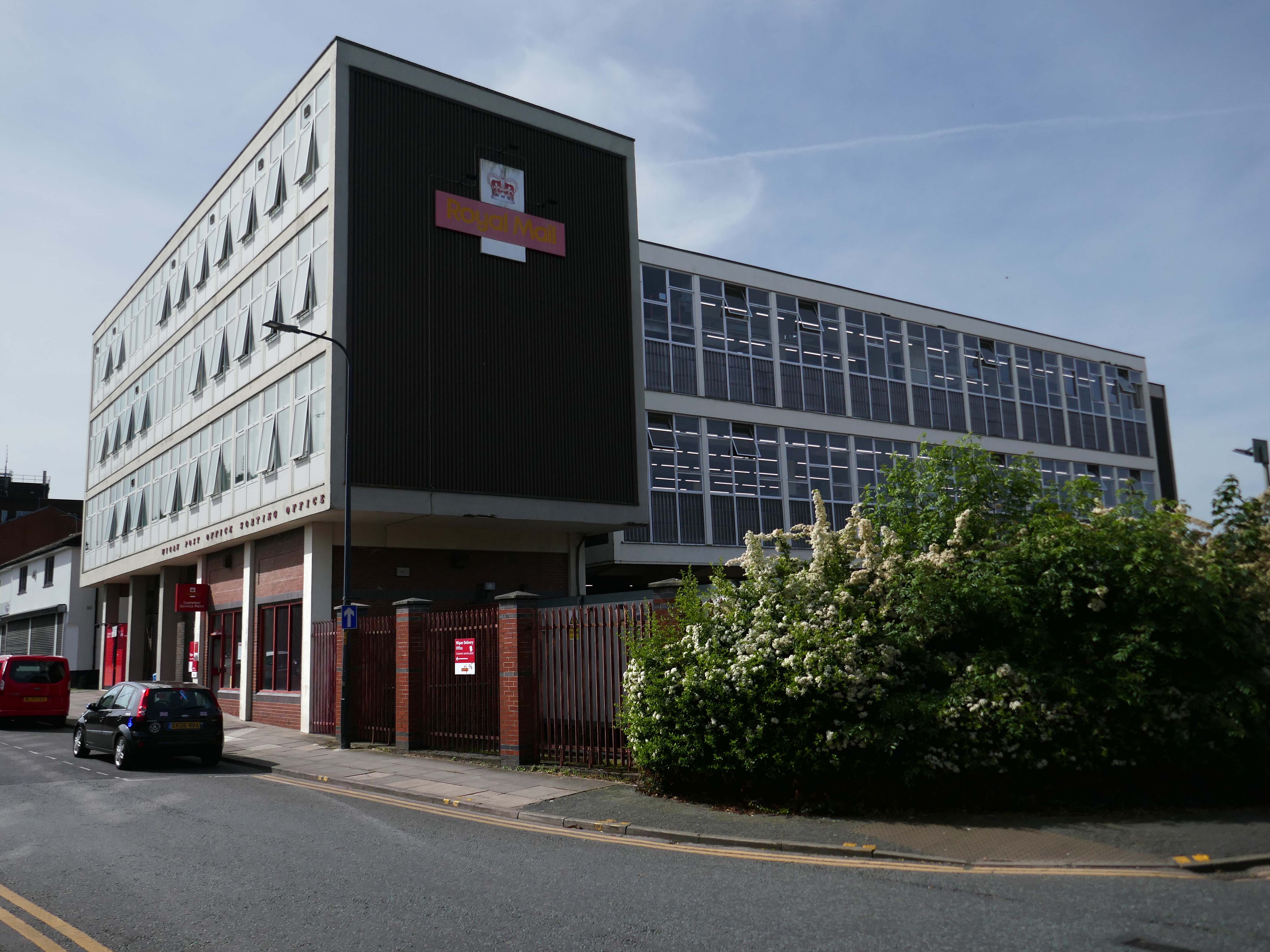
Next to the Wigan Post Office Sorting Office 1959.

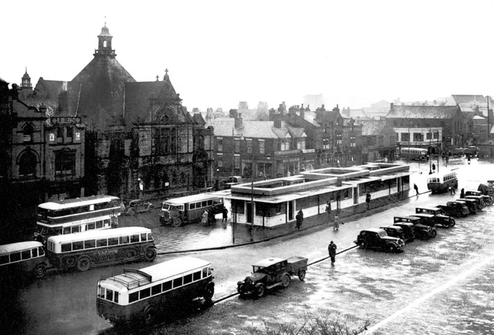
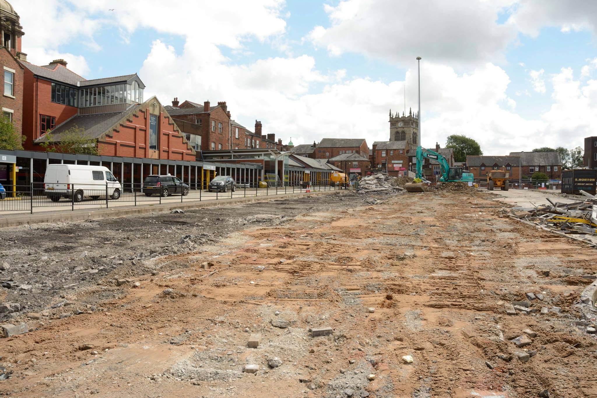
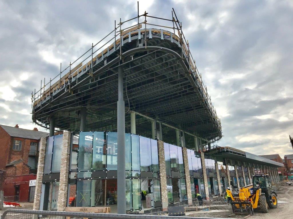
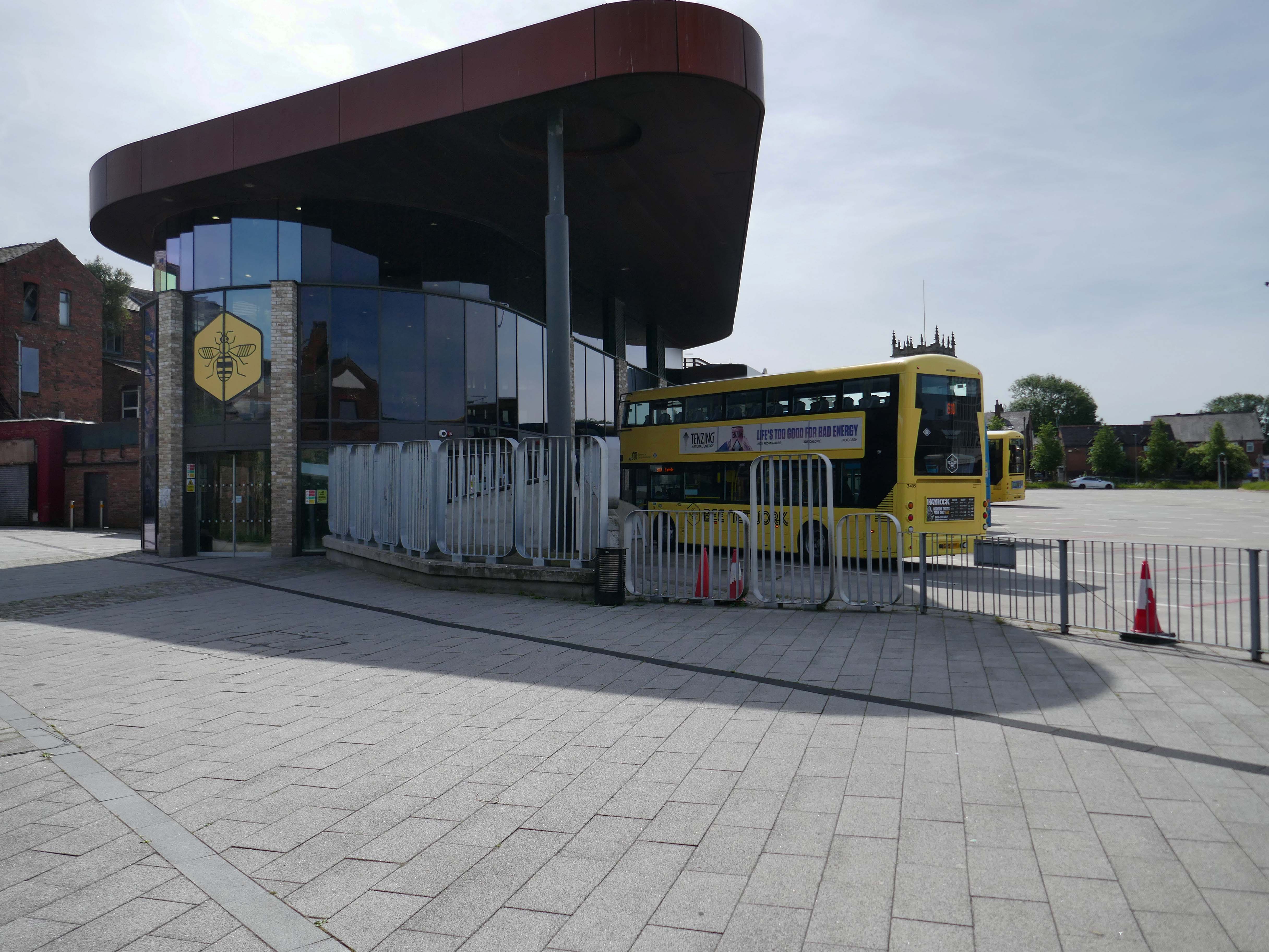
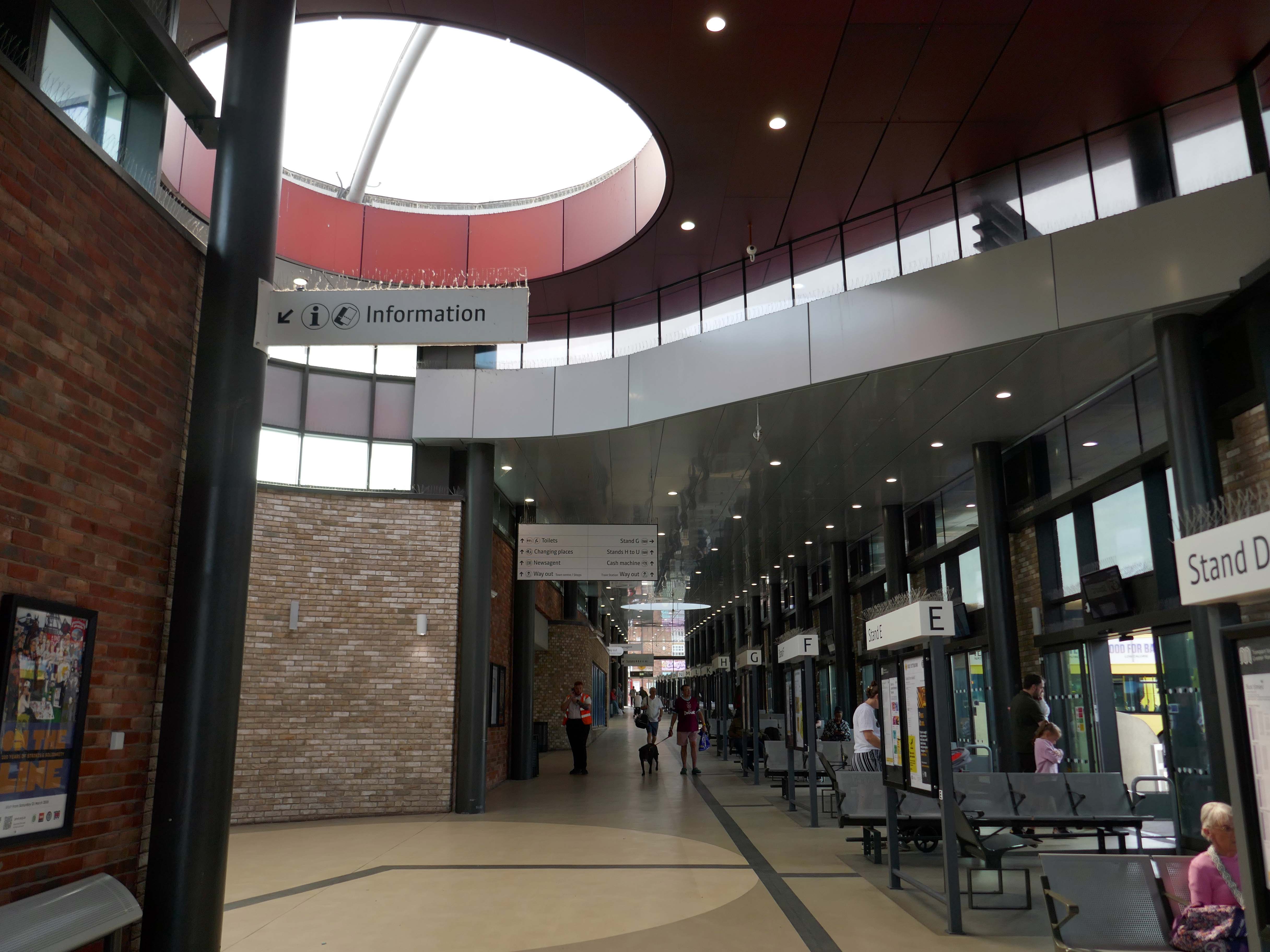
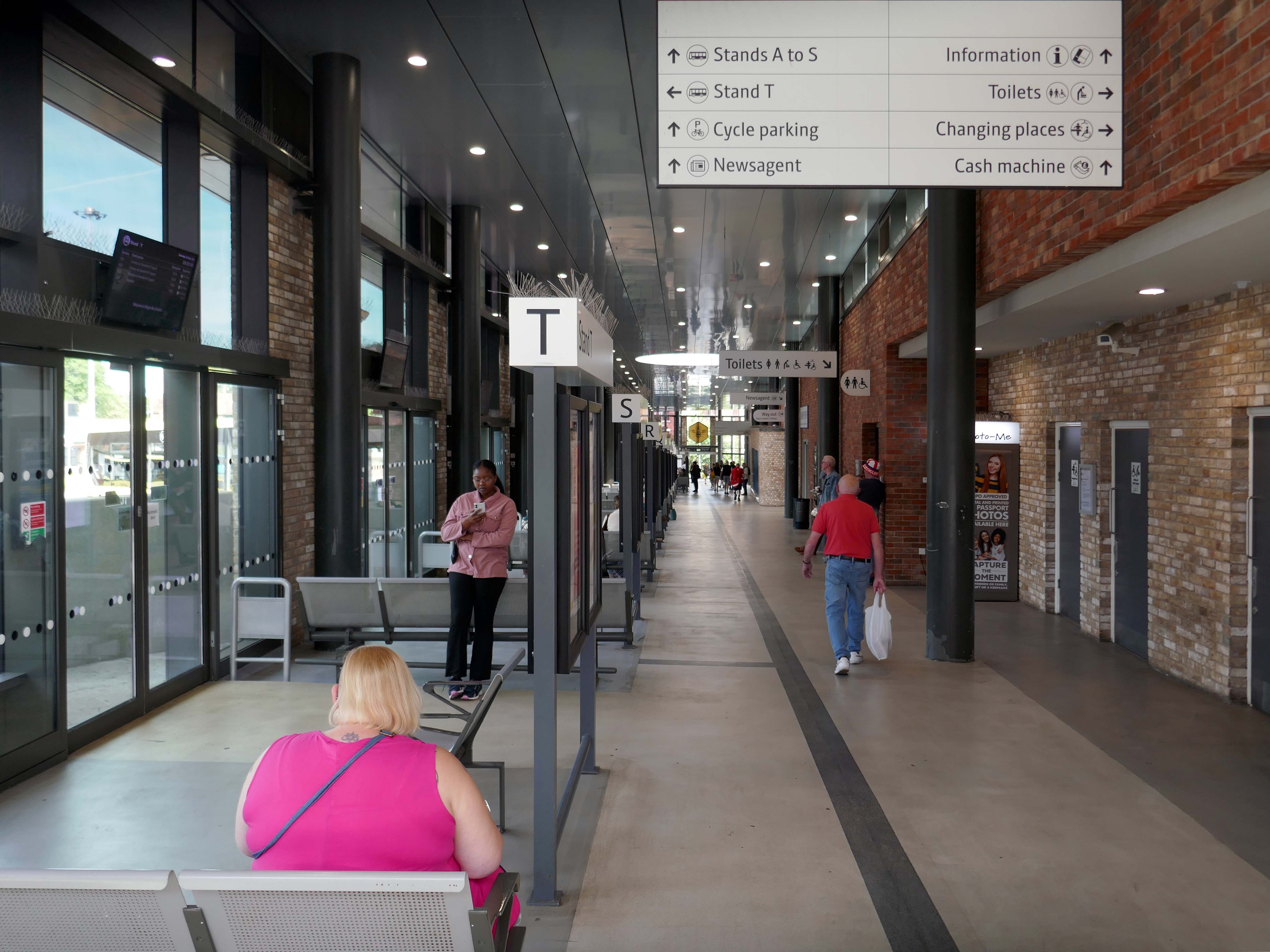
Next we take a look at the Bus Station.

Wigan’s original bus station was on Market Square.

Image Wigan World

It was demolished in 1985 as part of a wider redevelopment of the town centre to make way for the Galleries Shopping Centre. A new bus station, built at a cost of £2.3 million, began construction in April 1986, and opened in November 1987.

Wikipedia

Transport for Greater Manchester commissioned Austin-Smith:Lord to design a replacement nineteen stand £15.7m bus station in Wigan Town Centre, the project was completed in October 2018.

Construction images – Bee Network.

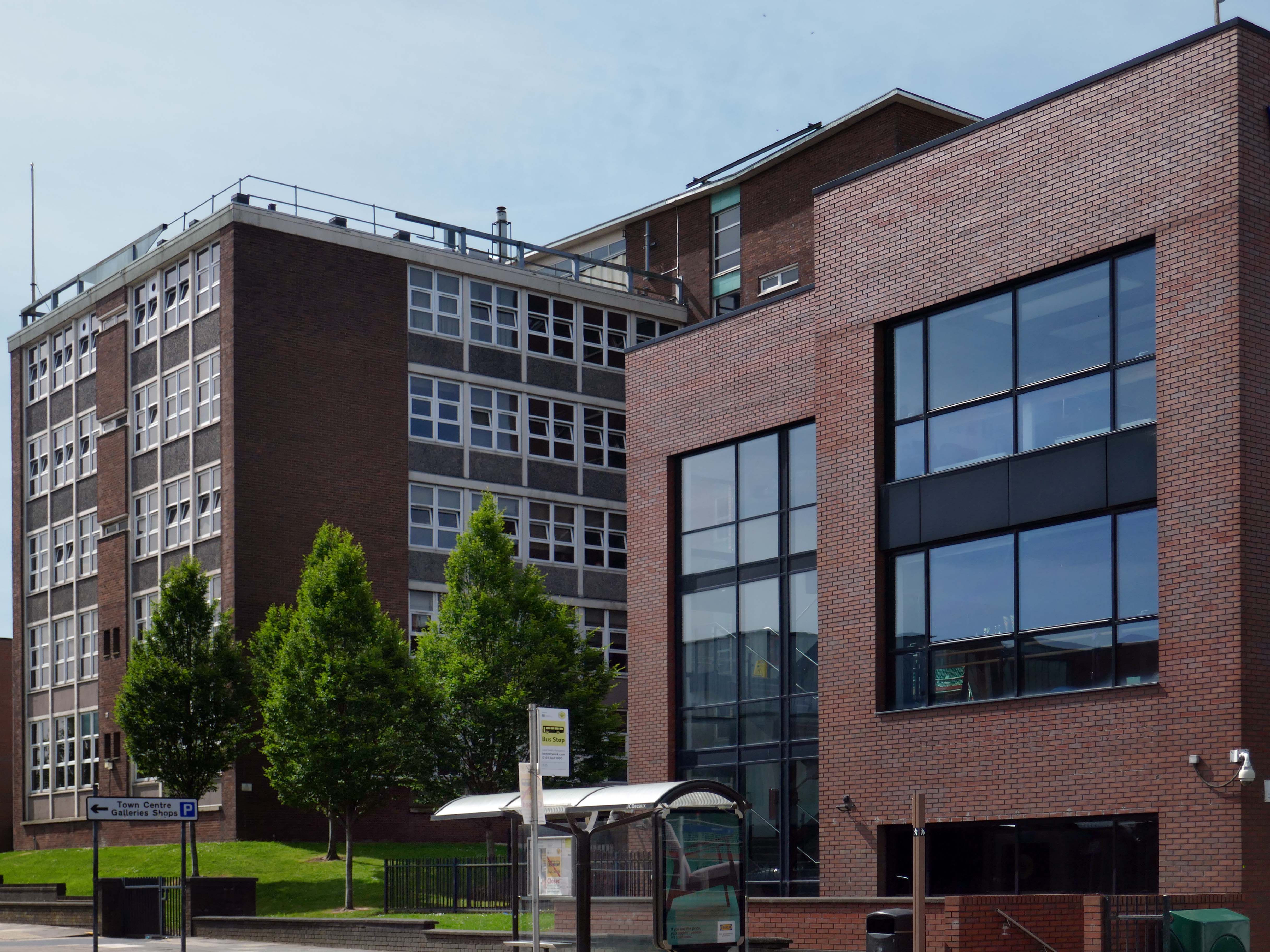
Around the corner to the Wigan & Leigh College.

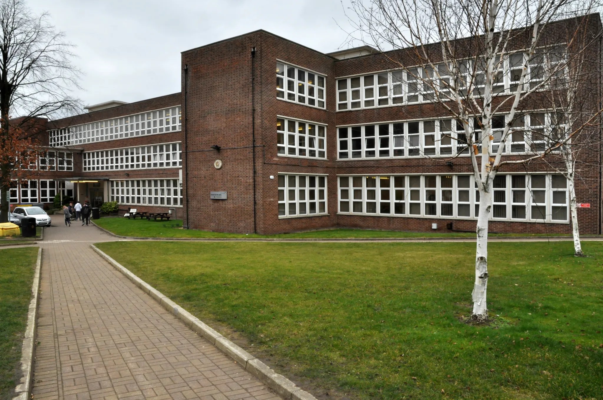
The original building of 1954 by Howard V Lobb G Grenfell Bains & Hargreaves, with later extension.

There have been several phases of redevelopment and new build in recent years.

This block of the Technical School has been demolished since my last visit.

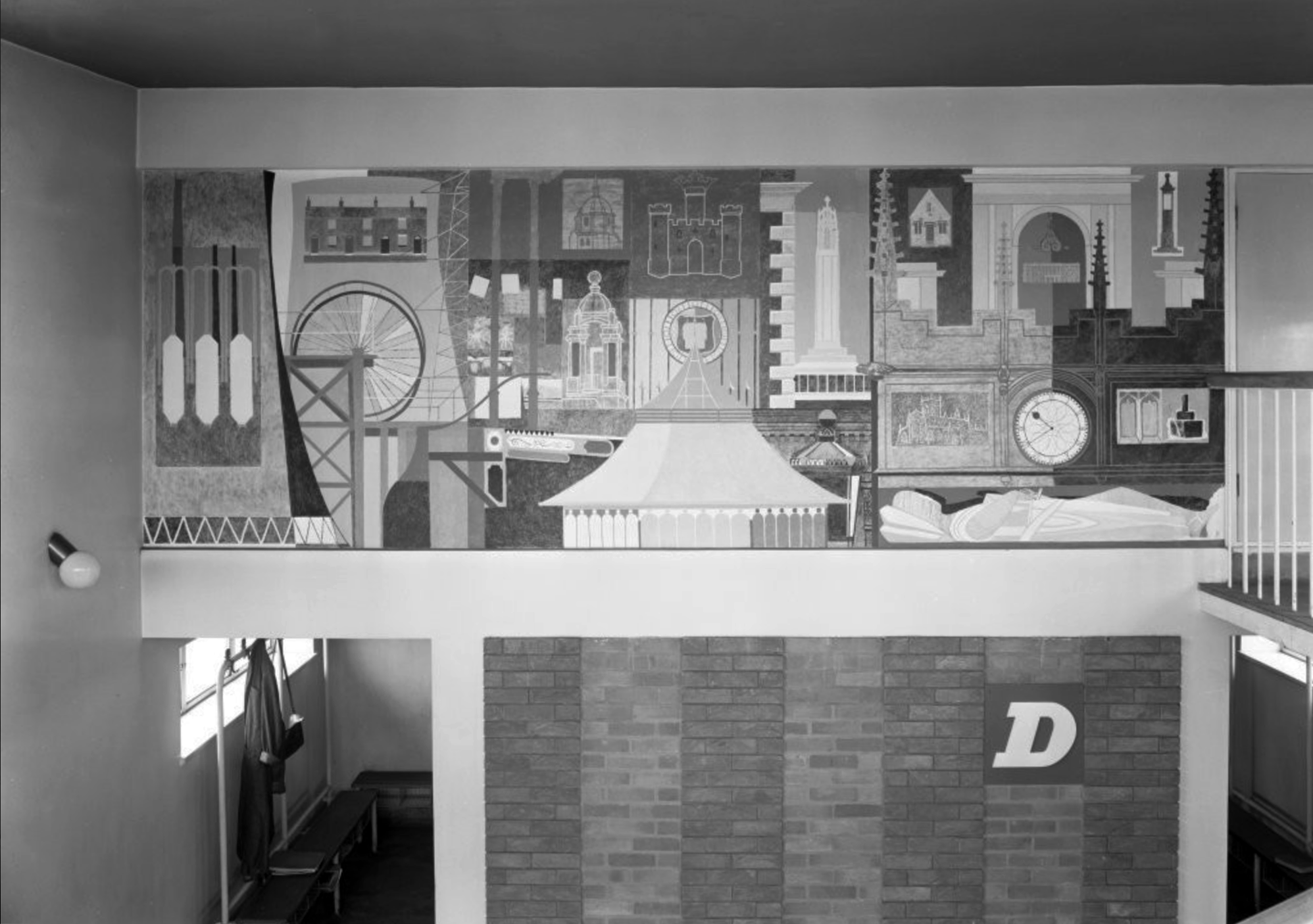
Thomas Linacre Technical School for Boys mural 1954.

Image – RIBA pix

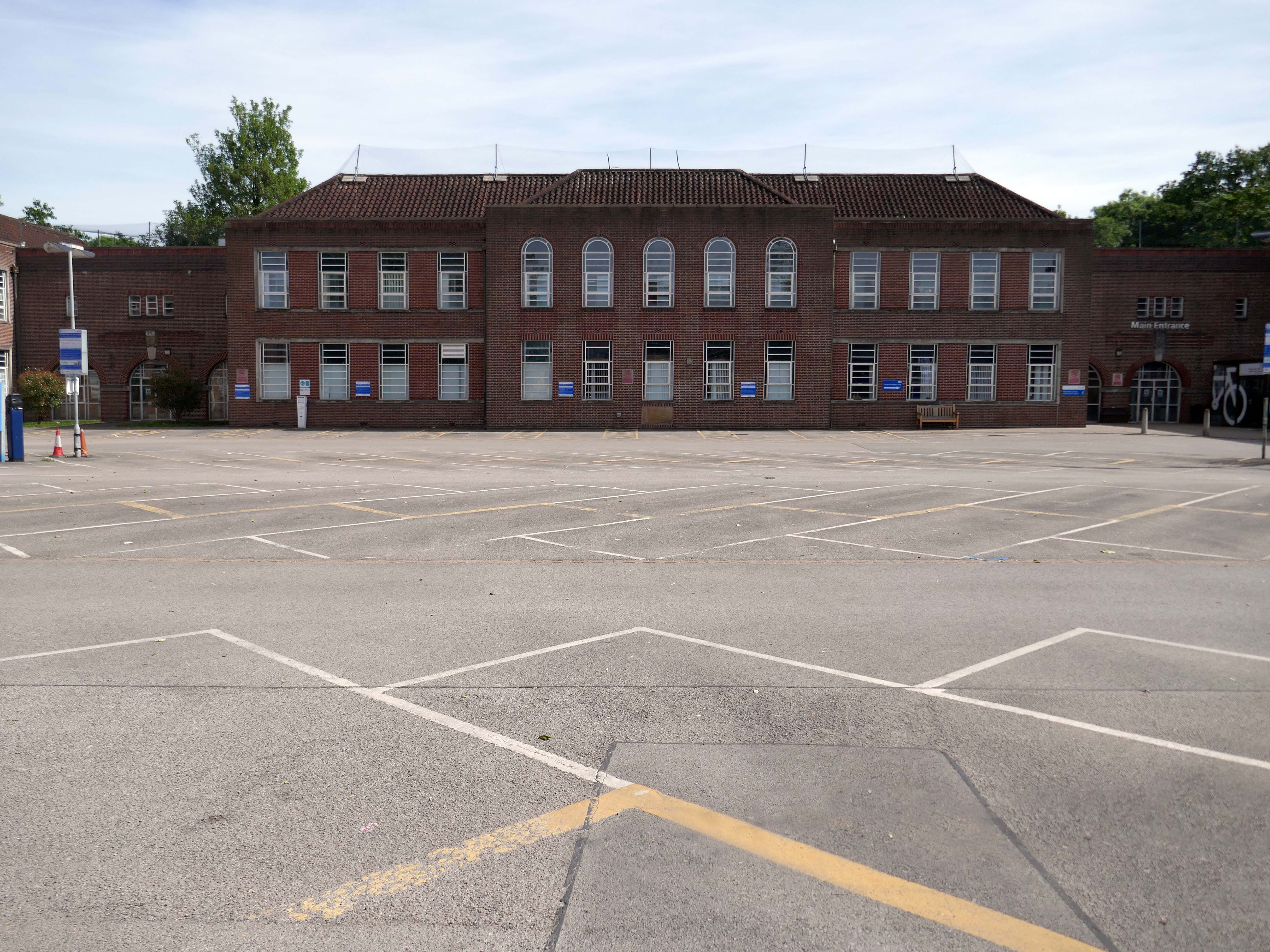
Across the road the former Grammar School.

Wigan Grammar School was founded in 1597 and closed in 1972, as part of the comprehensive education movement.

It then became Mesnes High School, and subsequently Wigan College’s Mesnes Building in 1989. 

Since 2003, it has been known as the Thomas Linacre Centre and is an out-patient department for the Wrightington Wigan and Leigh NHS Trust.

It was designated a Grade II listed building in 1997.

Architect: A E Munby

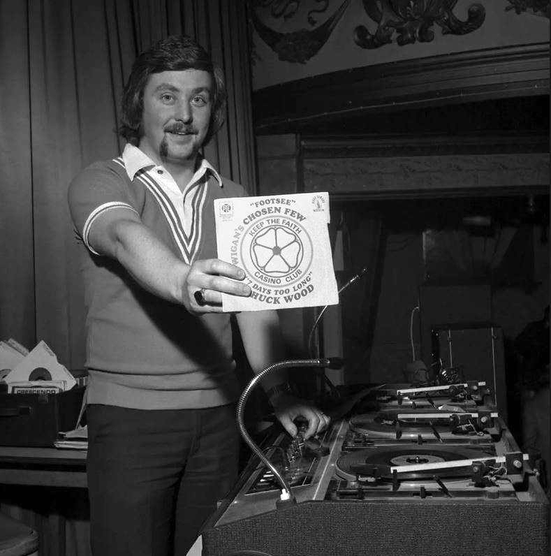
DJ Russ Winstanley was a former pupil, here he is in 1975 at the Wigan Casino holding up a copy of Footsee by Wigan’s Chosen Few b/w Seven Days Too Long by Chuck Wood.

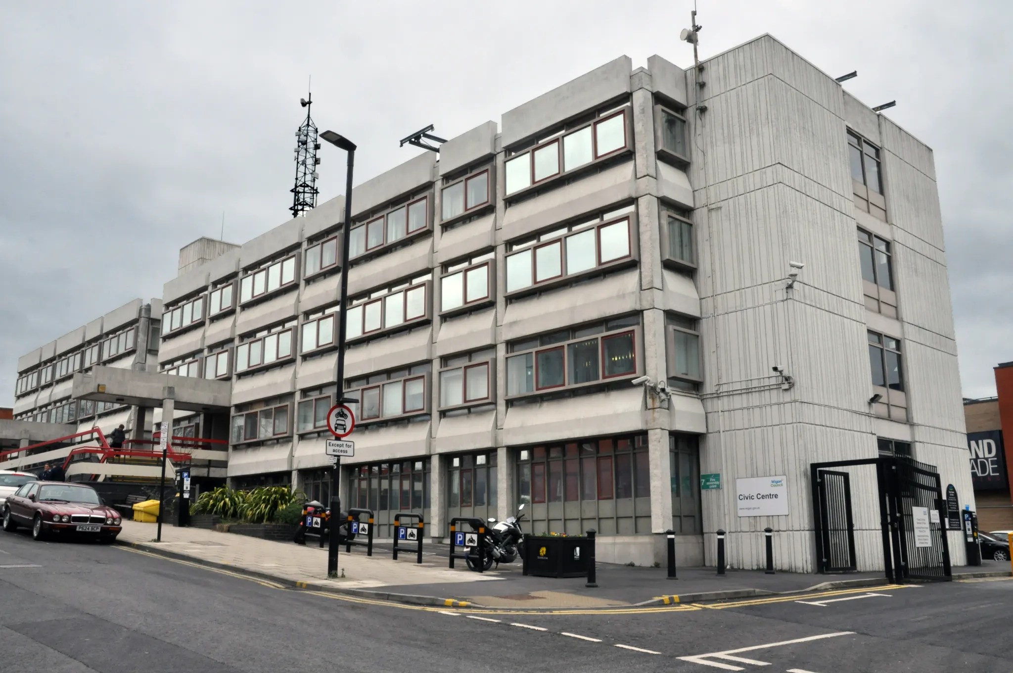
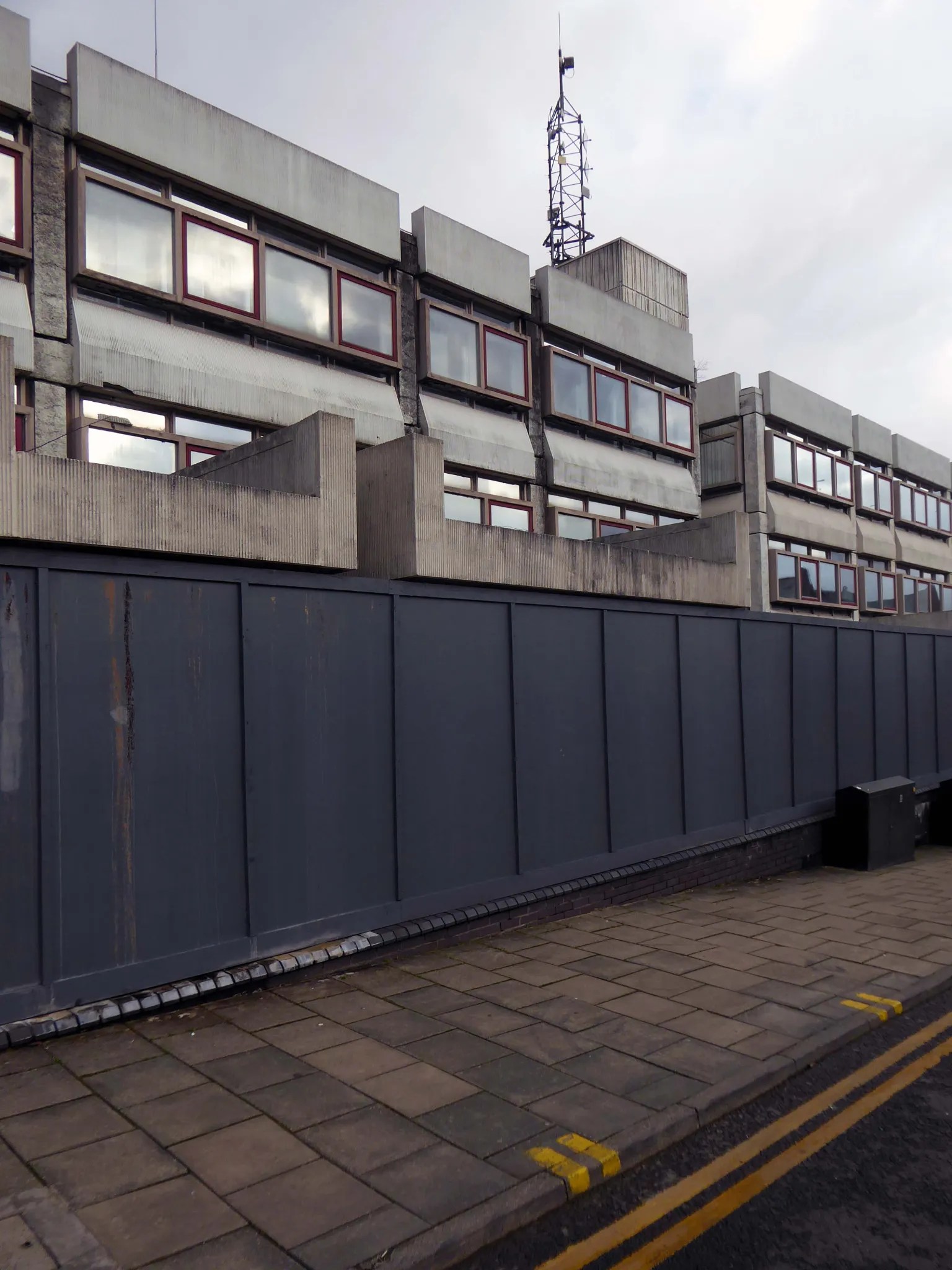
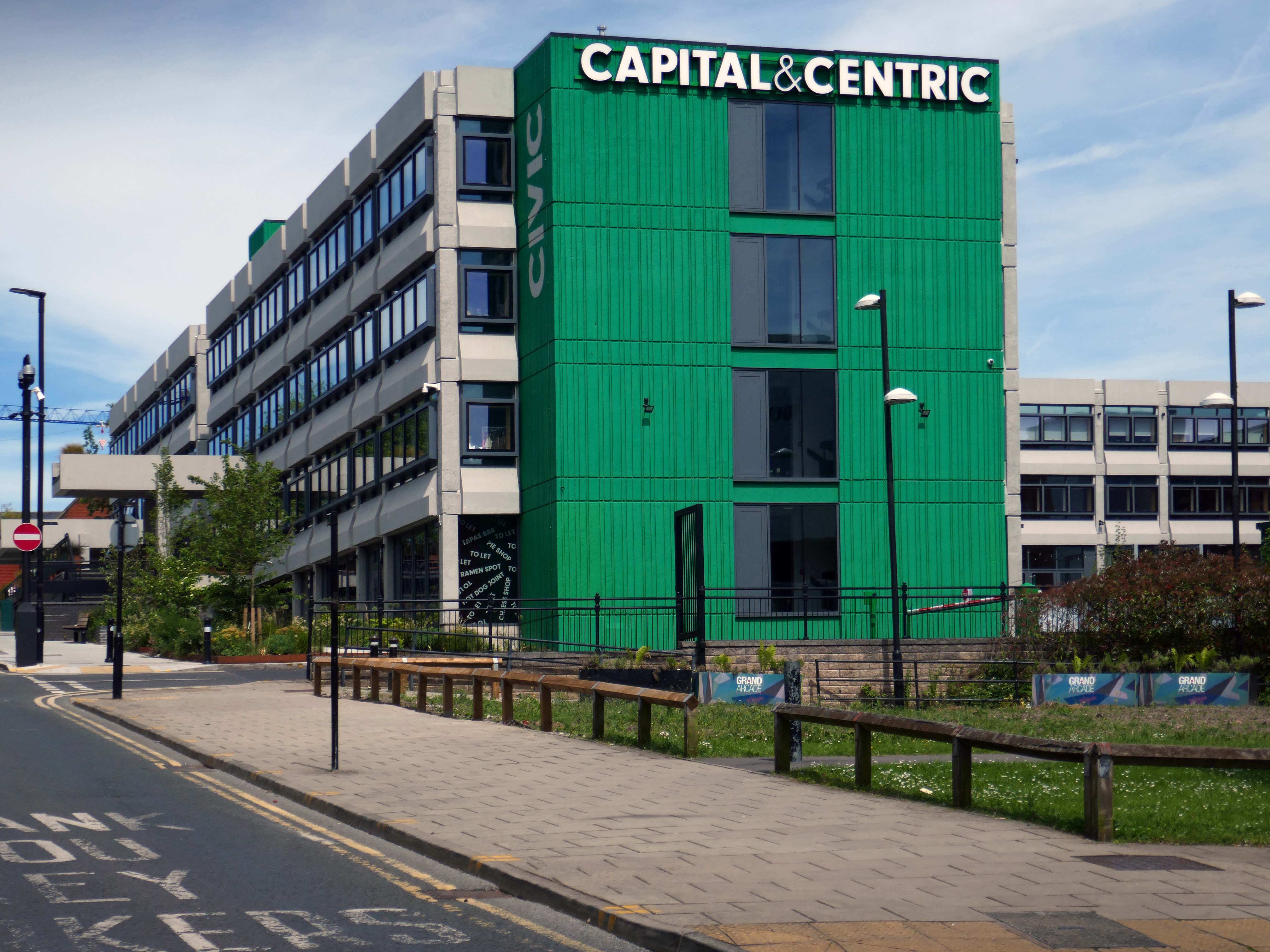
On Millgate we find the former Wigan Civic Centre.

Once it was all boarded up with nowhere to go.

Subsequently resuscitated by Capital&Centric.

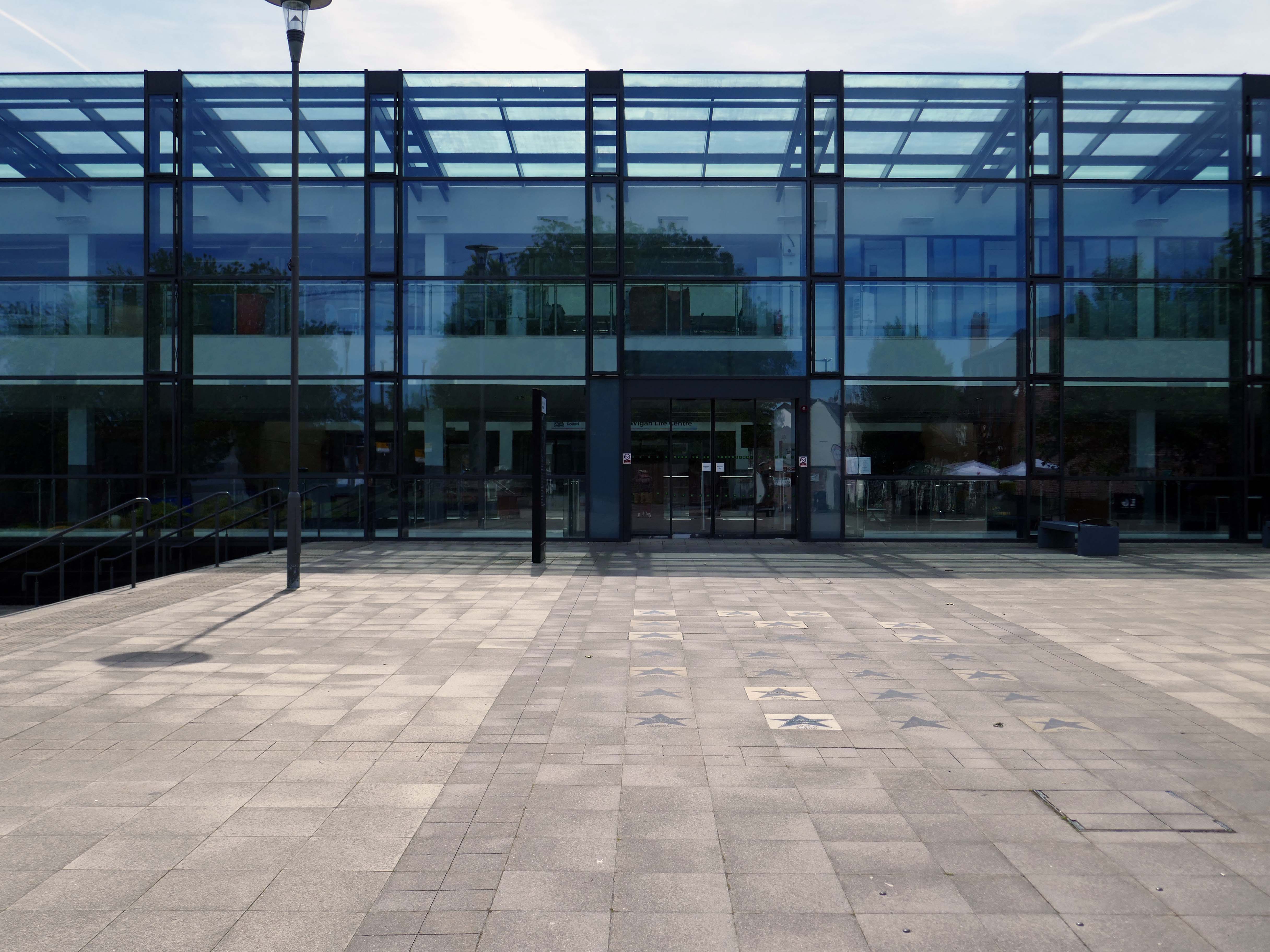
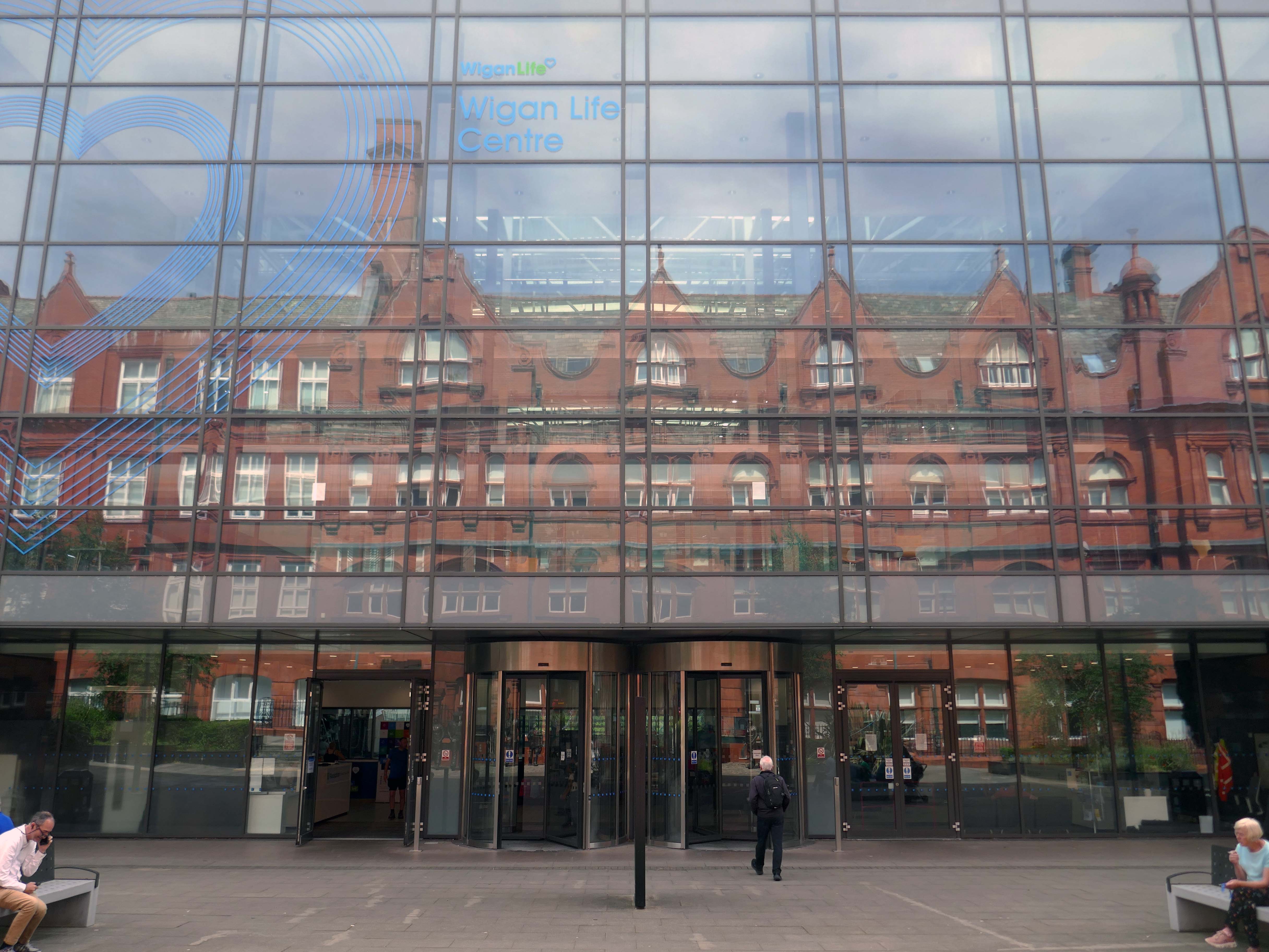
Across the way the new Library and Life Centre by Astudio and LCE Architects.

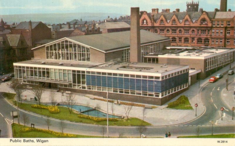
Down the road is the recently refurbished Leisure Centre.

Built on the site of the International Swimming Pool – opened 1968 demolished 2010.

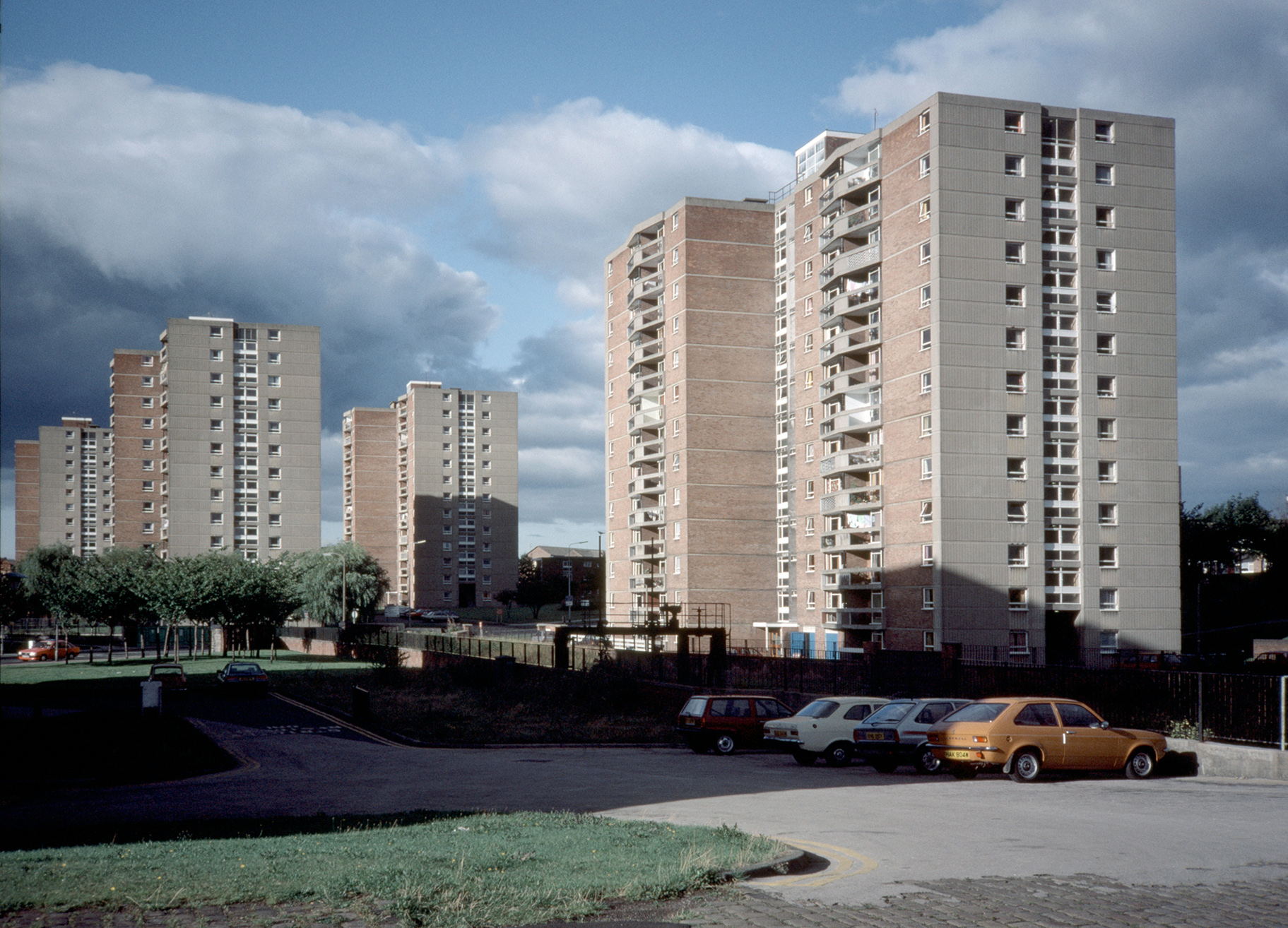
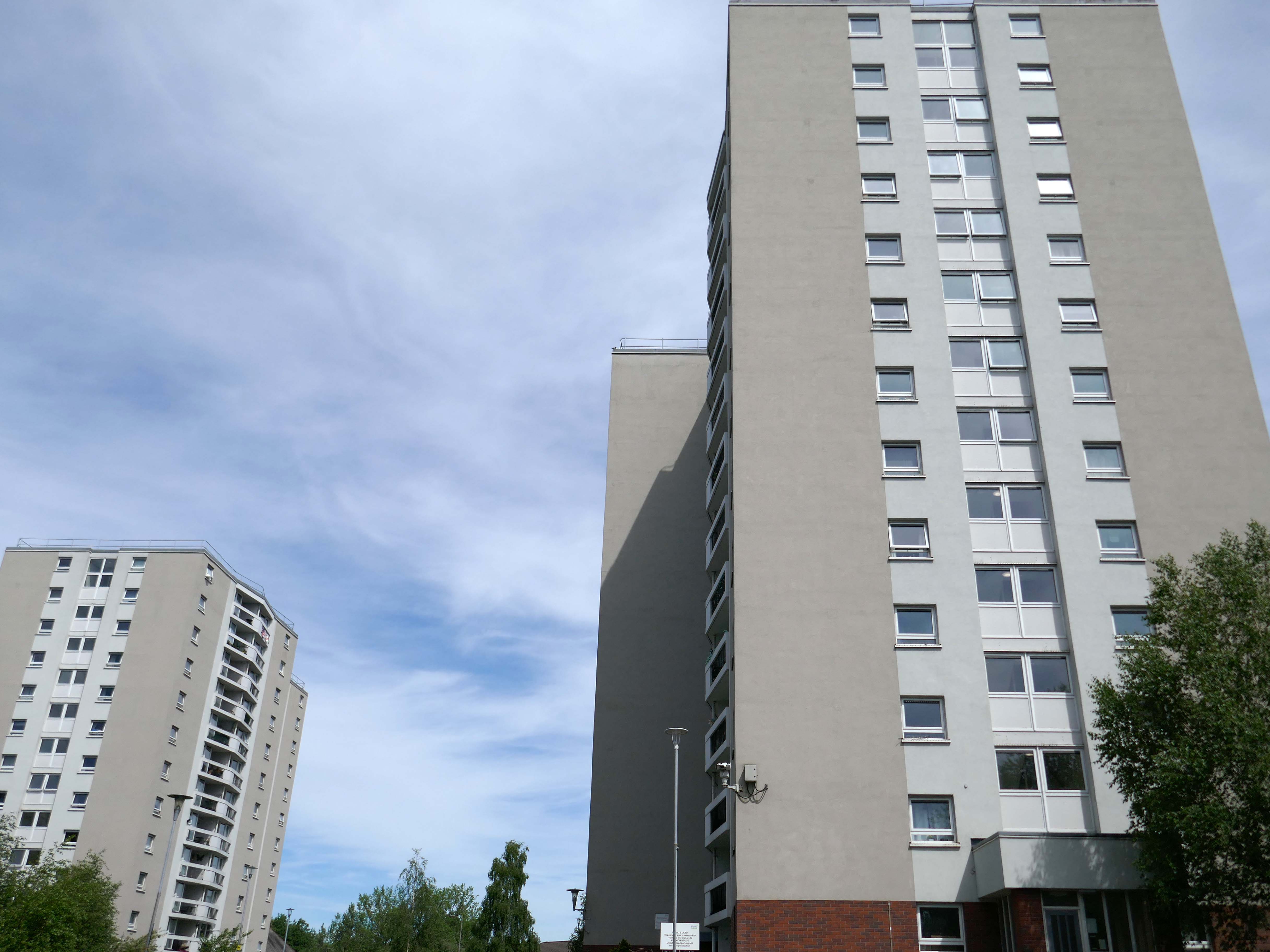
Across the way to Scholes Comprehensive Development 1964

Five thirteen-storey tower blocks adjacent to Douglas House in Scholes were approved in 1964. Lower-rise housing and flats spread to the east. In 1968, a further 13-storey block, Boyswell House, was built at this eastern end of the Scholes Comprehensive Development Area. Almost 500 slum houses, housing 566 families, were demolished that same year and 581 new council homes completed.

Municipal Dreams

Image – Tower Block 1987

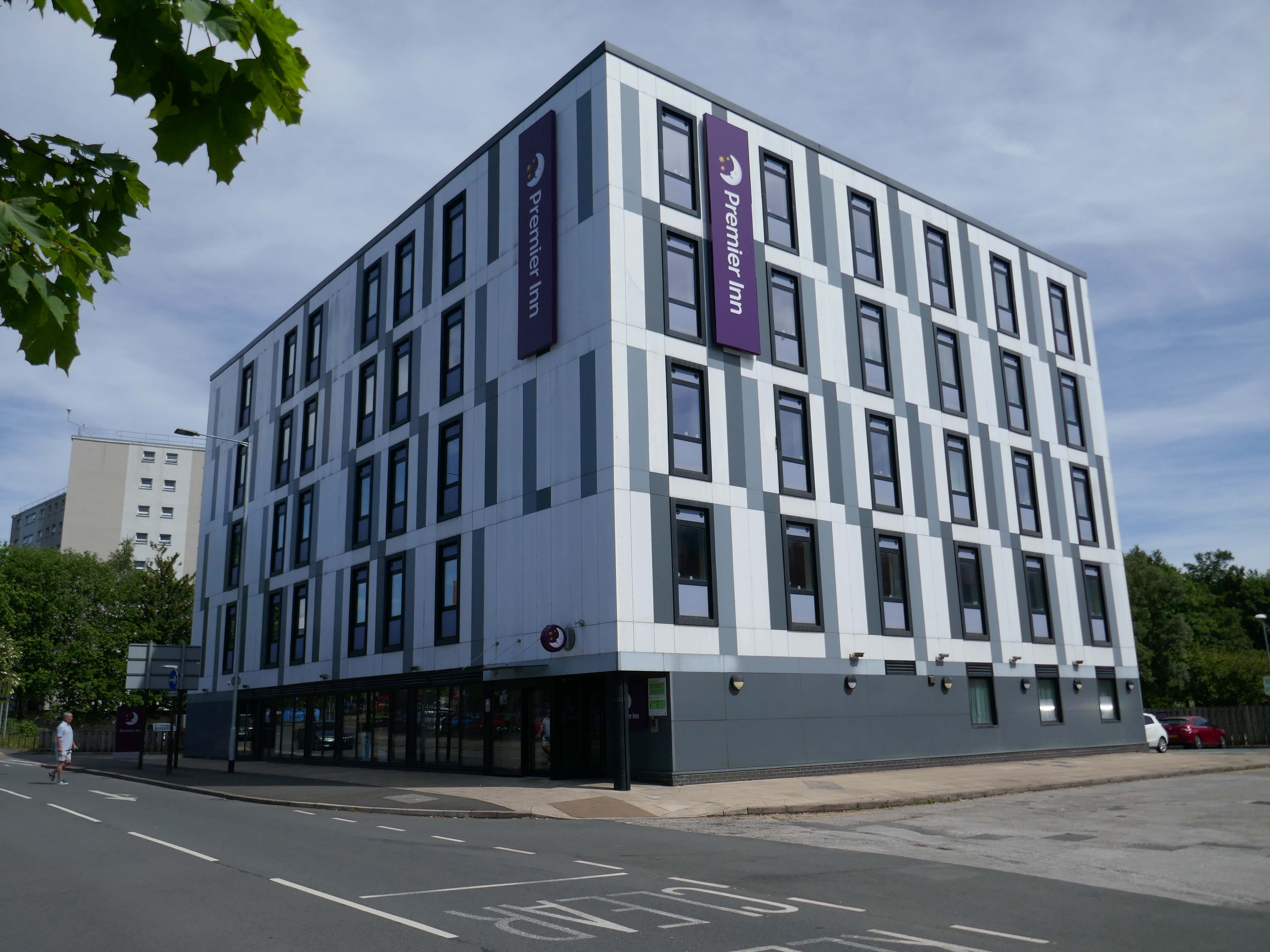
Next to the Roger Booth cop shop that became a Premier Inn.

A super-comfy bed, blackout curtains, a powerful shower and free Wi-Fi – our double rooms have everything you’ll need for a great night’s sleep.

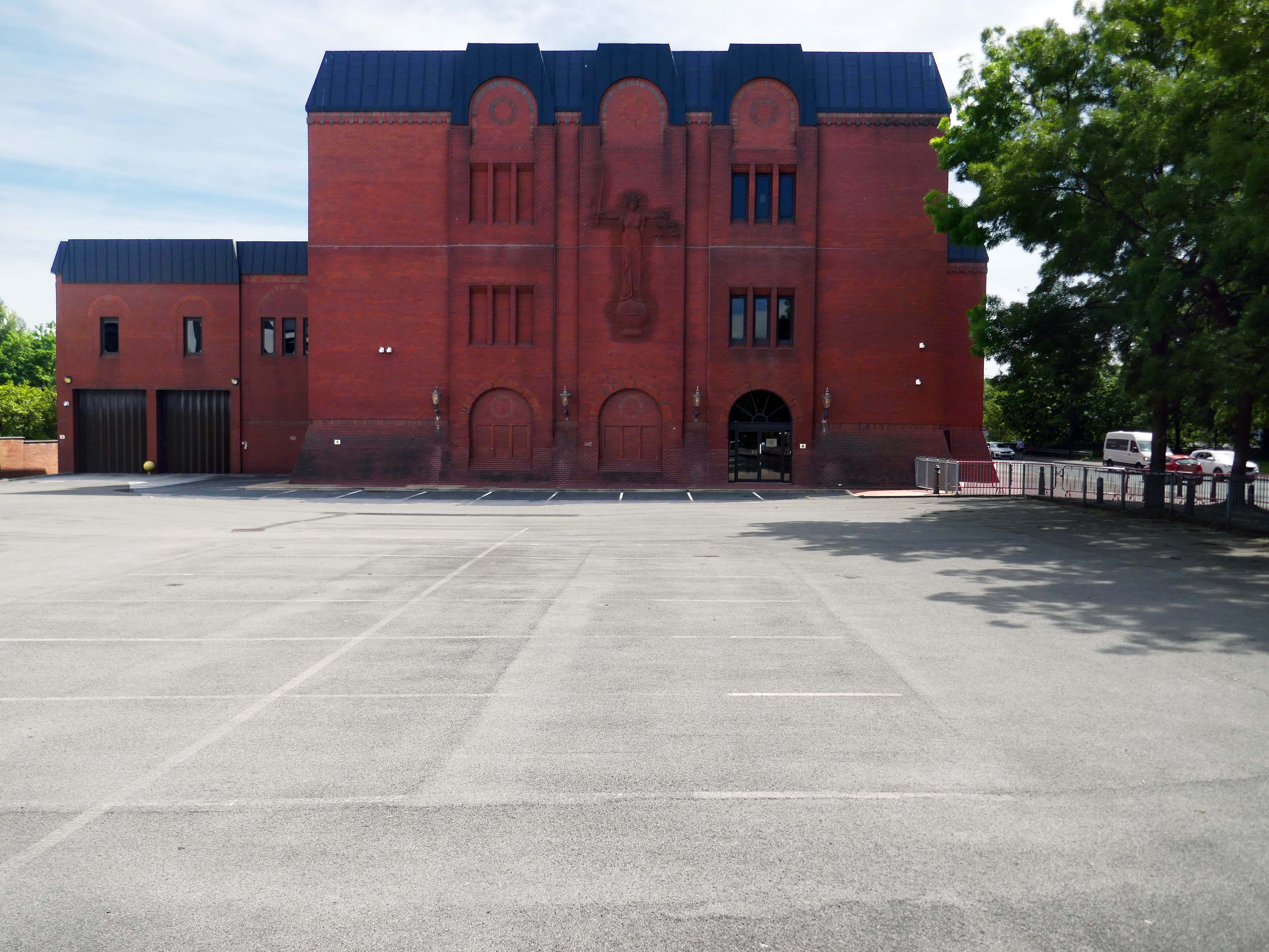
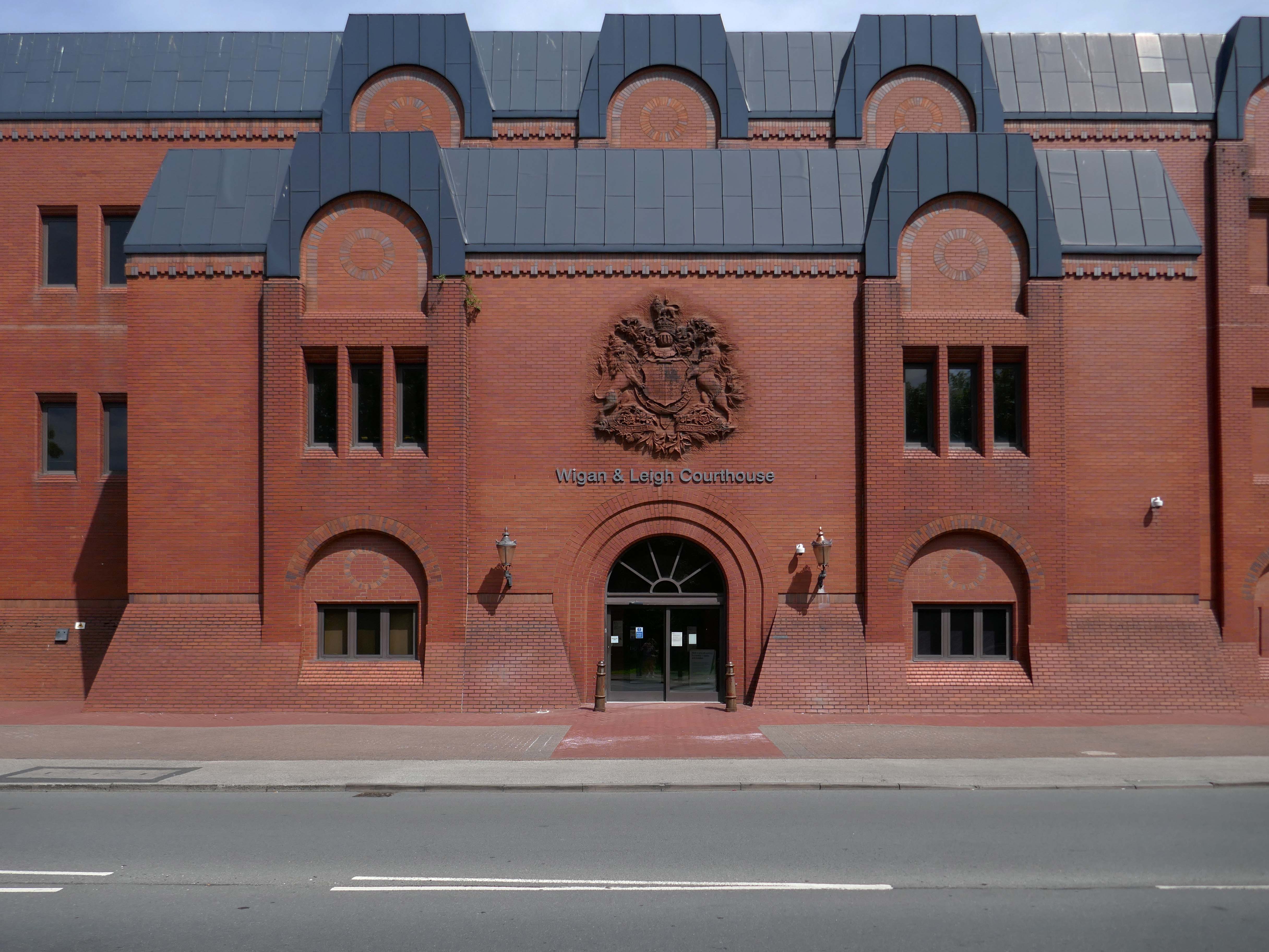
Next door the Wigan & Leigh Courthouse 1992 Wigan MBC Architect.

Relief figure of justice by Christine Ward.

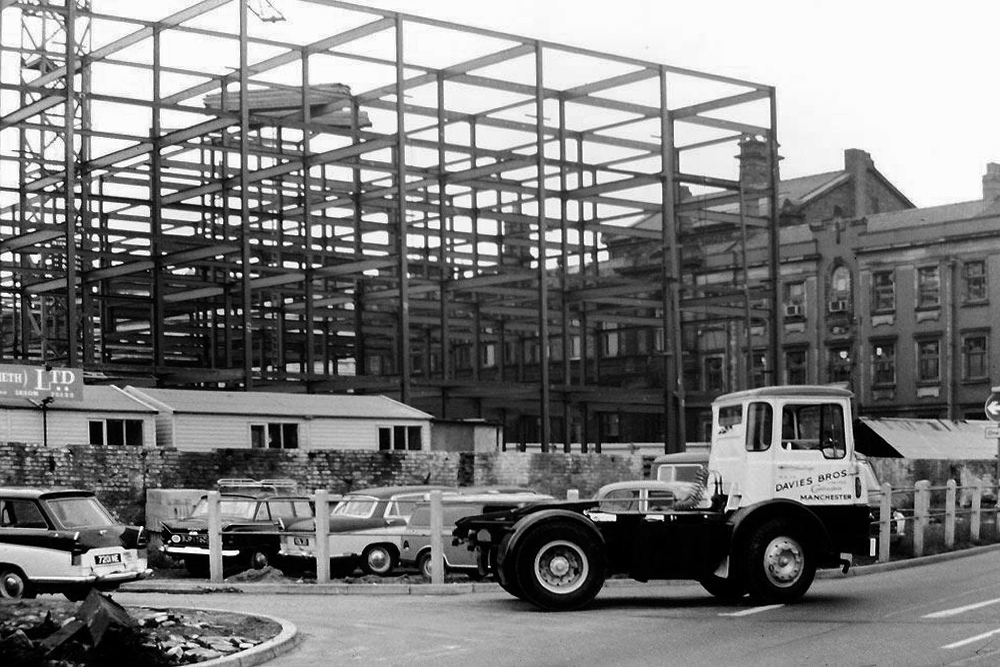
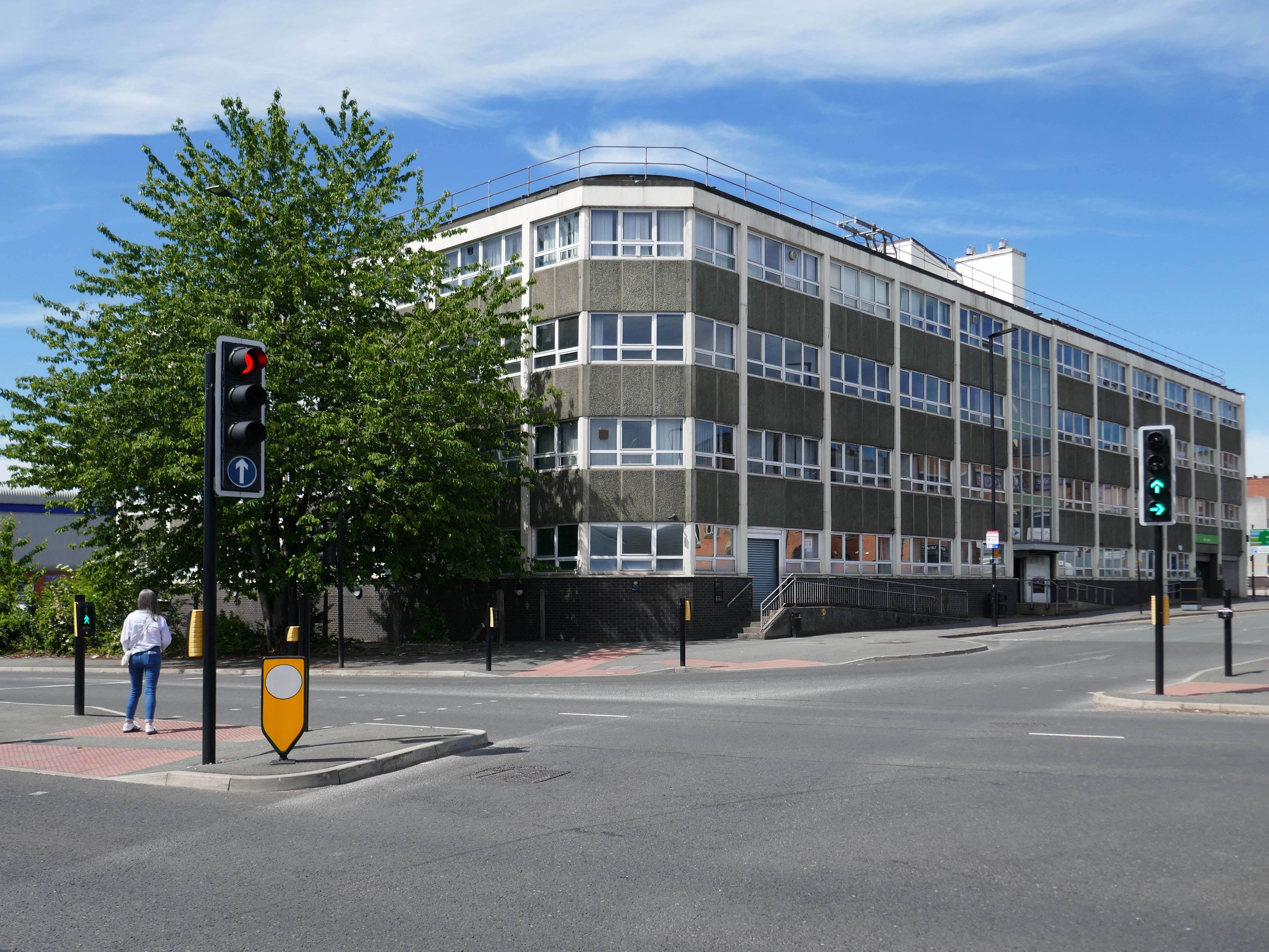
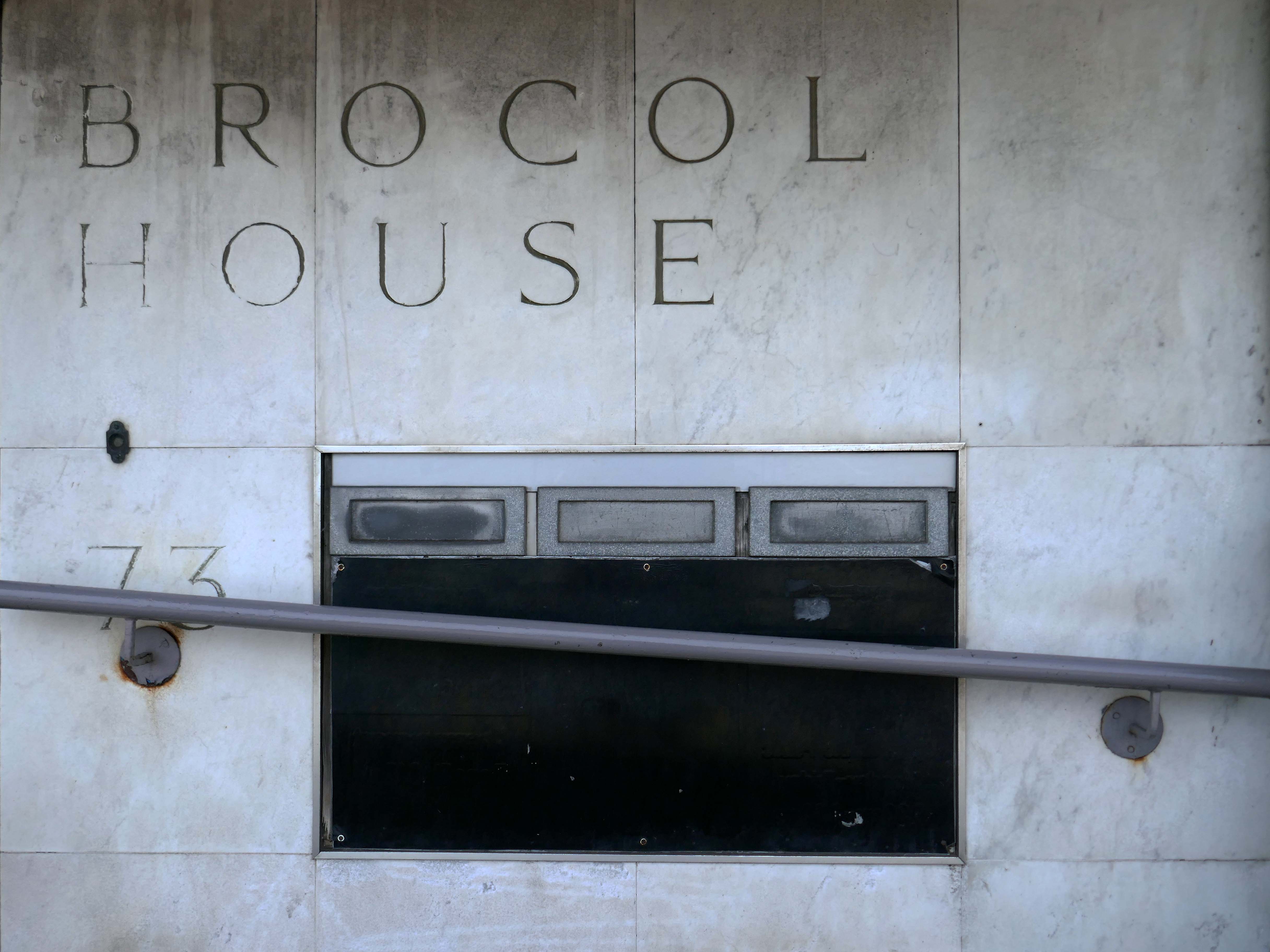
Onward to Brocol House – currently home to the Job Centre

Image – Wigan Peers

Originally built for the Inland Revenue one the site of the Brewers Arms – has the welcoming charm shared by the majority of Ministry of Works buildings of the period.

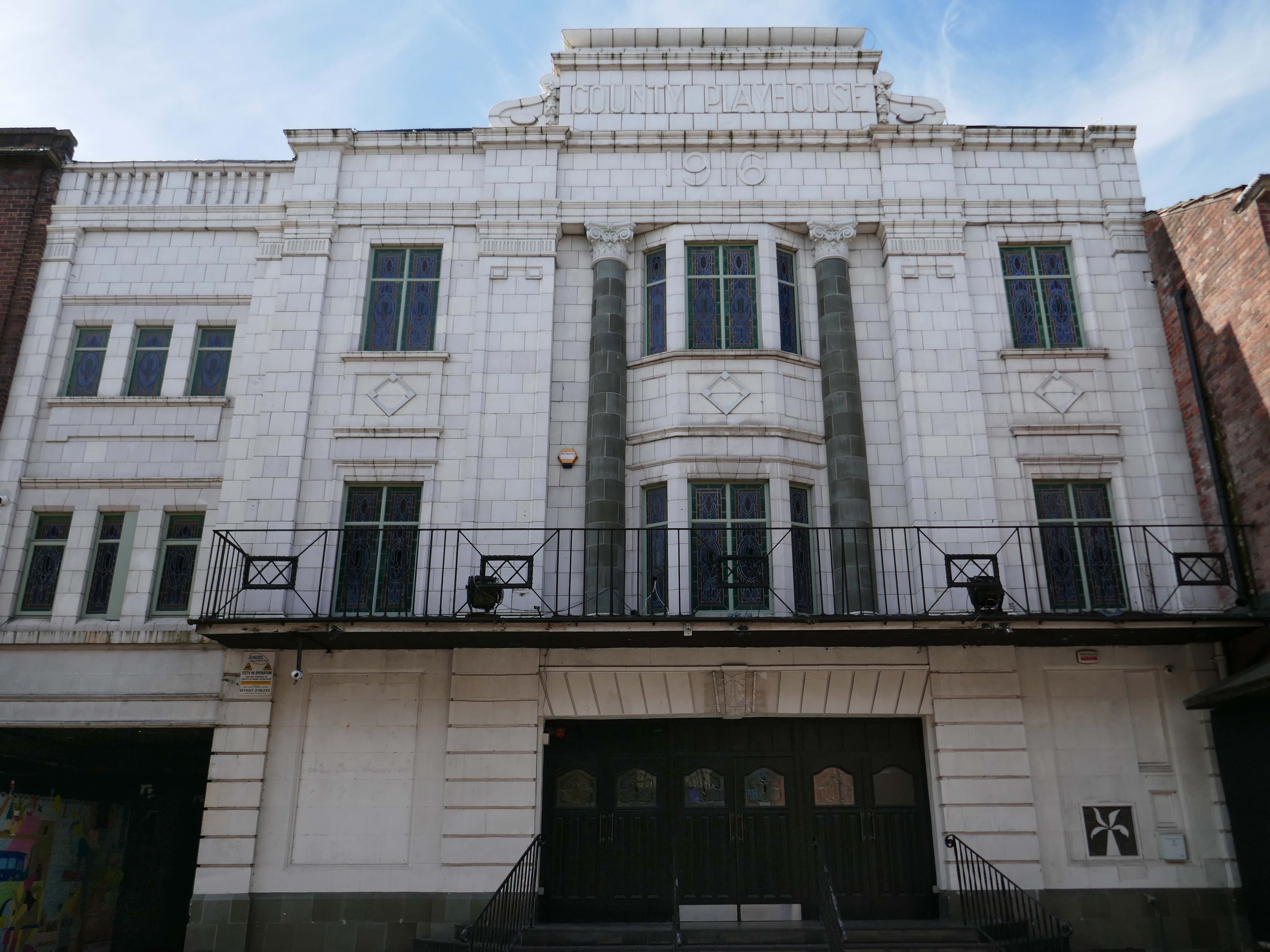
Nearly done – up the road to the County Playhouse.

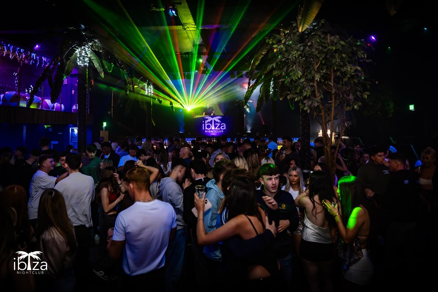
Which masquerades as Ibiza.

The club’s atmosphere is defined by thumping music and a vibrant crowd eager to dance and celebrate. Its modern interior design complements the lively ambience, creating an inviting space for locals and visitors alike.

Construction began on the County Playhouse in 1916. However, due to a shortage of materials and labour during World War I, it was not completed until 1919.

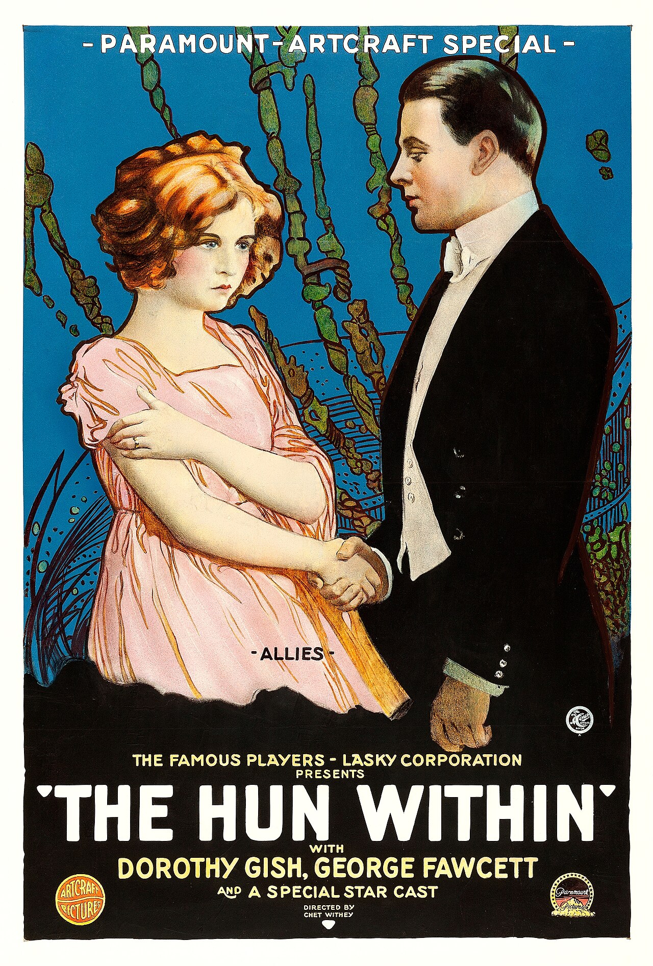
Finally opened on 22nd December 1919 with The Hun Within – starring Dorothy Gish.

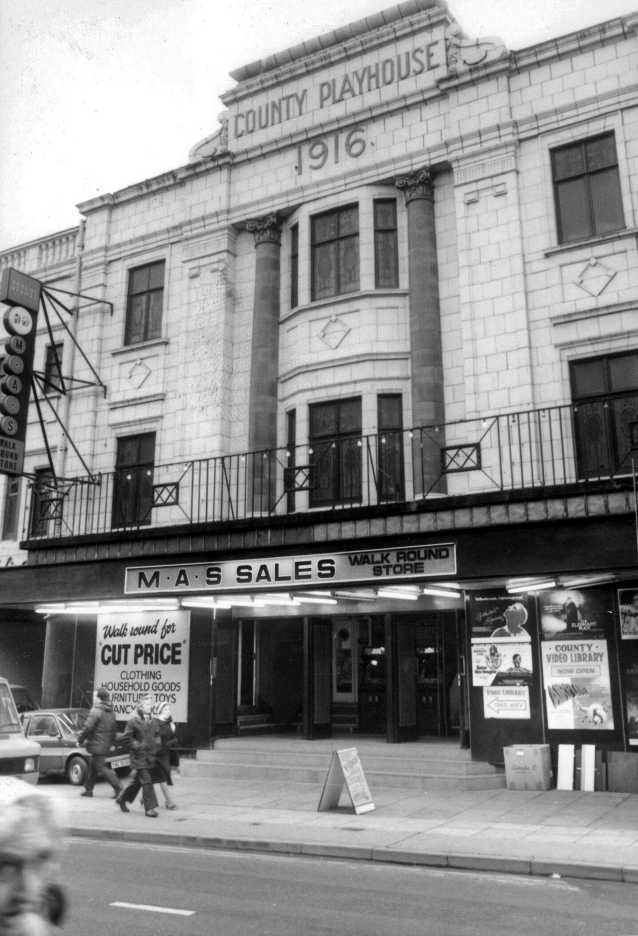
The County Playhouse closed on Sunday 13th November 1966 with Disney’s “The Sword and the Stone”. It was taken over by the Leeds Based Star Cinemas chain and they converted it into Star Bingo and Social Club opened on 24th November 1966.

MAS sales store 1982 – Frank Orrell Photography

The building has since been used as a discount store and Playhouse Club Café. It then became home to the 1,200 capacity Pure Nightclub. In the early-2000’s it became the Ibiza nightclub. The Pure nightclub move into the former Princes Cinema

Cinema Treasures

Time for a swift half in The George to end your tour?

Great for a local pint one of the cheapest in Wigan I believe, slightly rough at times but no fights just real local people who are generally friendly. Proper drinking gaff, and karaoke on certain nights.

Use Your Local

Warrington Walk

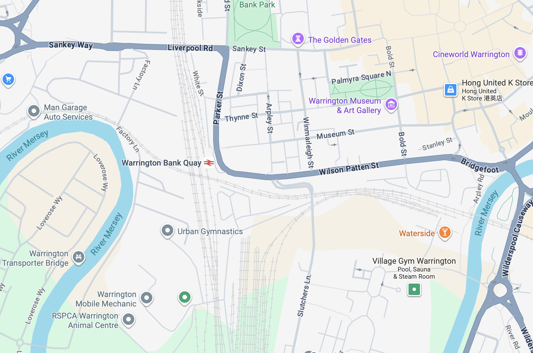
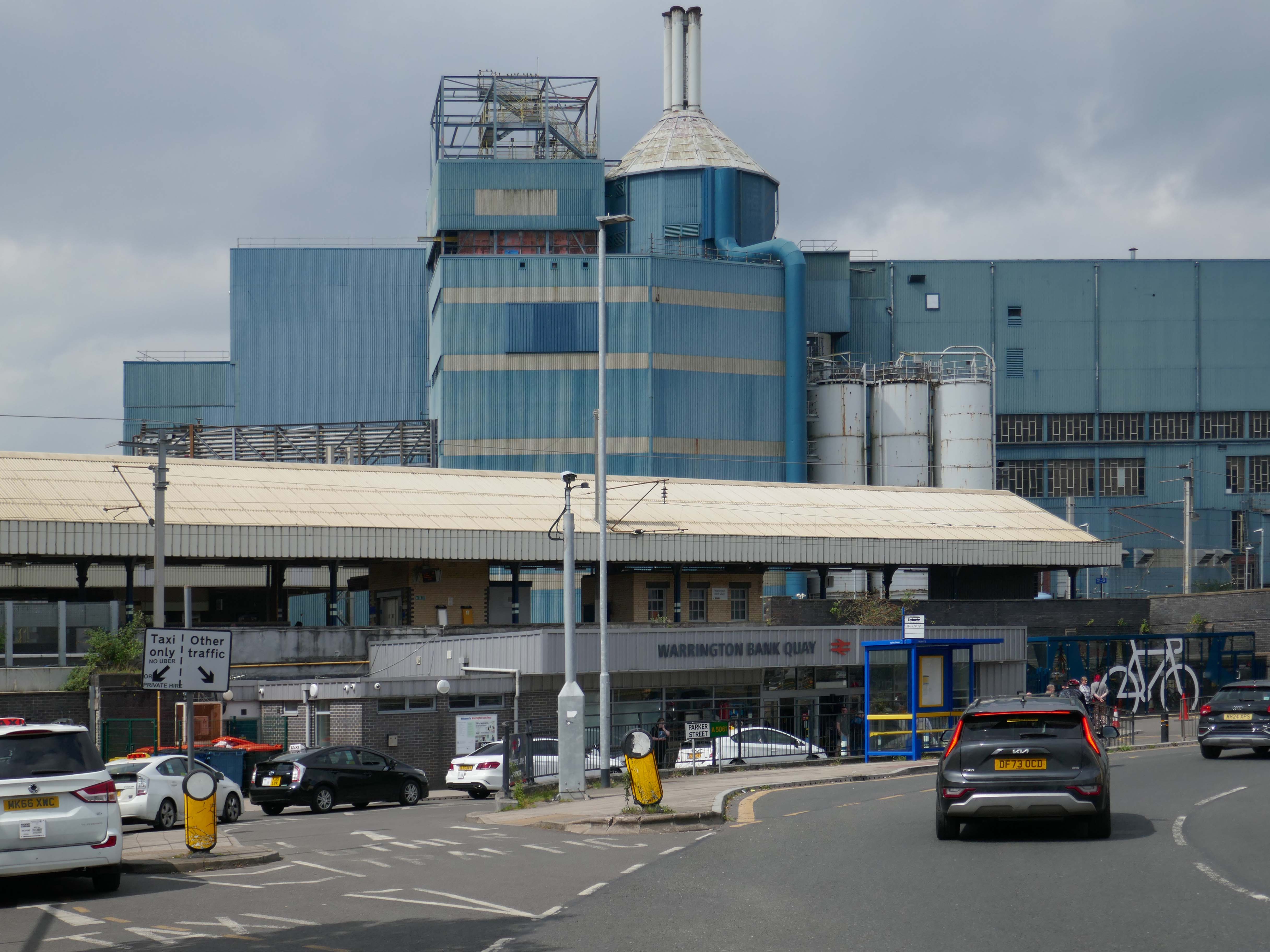
It’s a sunny day in May and we begin at Warrington Bank Quay station.

The first Warrington Bank Quay station opened on 4 July 1837.

The station was rebuilt when the line was electrified in 1973, a new power signal box covering an extended area was built east of the station for the electrification.

In 2009 a new entrance hall was completed, with a travel centre/ticket office and a shop.

The buffet on the London bound platforms was modernised.

Wikipedia

The station was once operated on a split level.

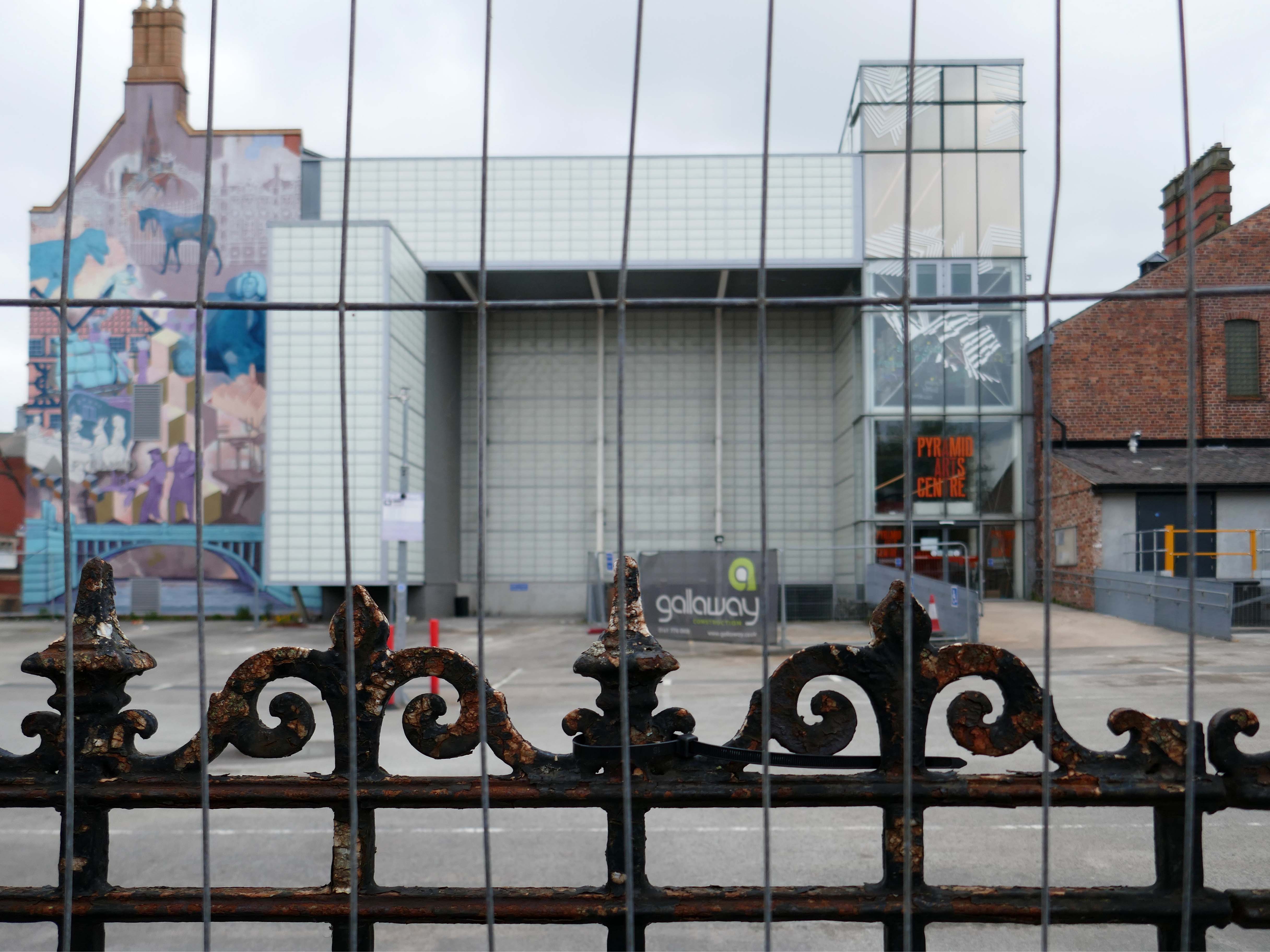
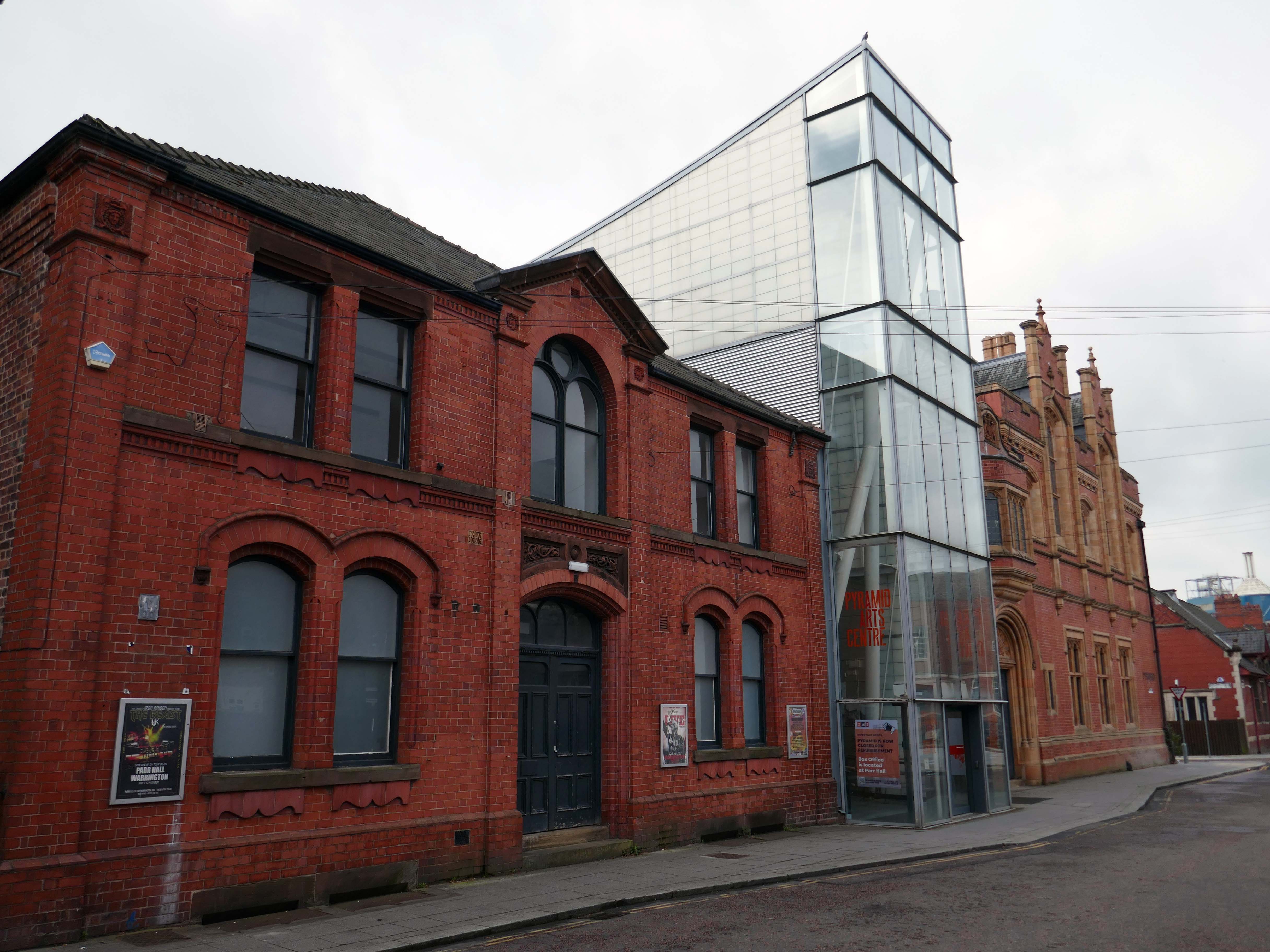
Next onwards to the Pyramid Arts extension 2002, a reworking by Studio BAAD of the former County Court and Inland Revenue Offices 1897-8 by Sir Henry Tanner.

Studio BAAD Ltd started winding up proceedings for a Creditors Voluntary Liquidation in April 2021 and the company was dissolved on 21 July 2021

The centre is currently closed – work began on the redevelopment, which has been funded by a £5 million grant from the Government, in July 2024.

The project aims to make the building more modern, accessible and fit for the future.

The redevelopment includes the addition of a new café and bar area while the Exhibition Hall will become a bigger capacity venue.

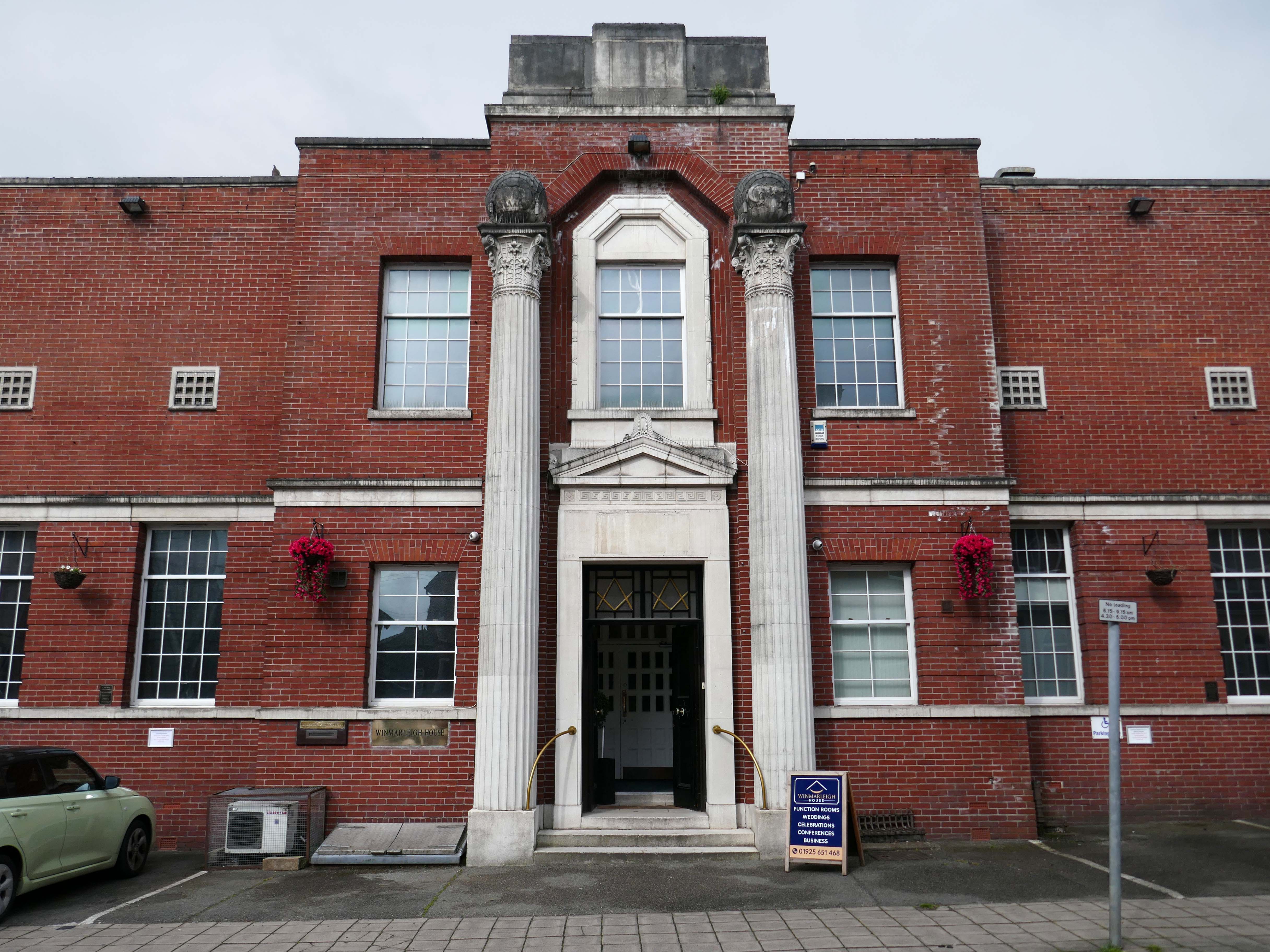
Across the way the Masonic Hall 1932-33 Albert Warburton.

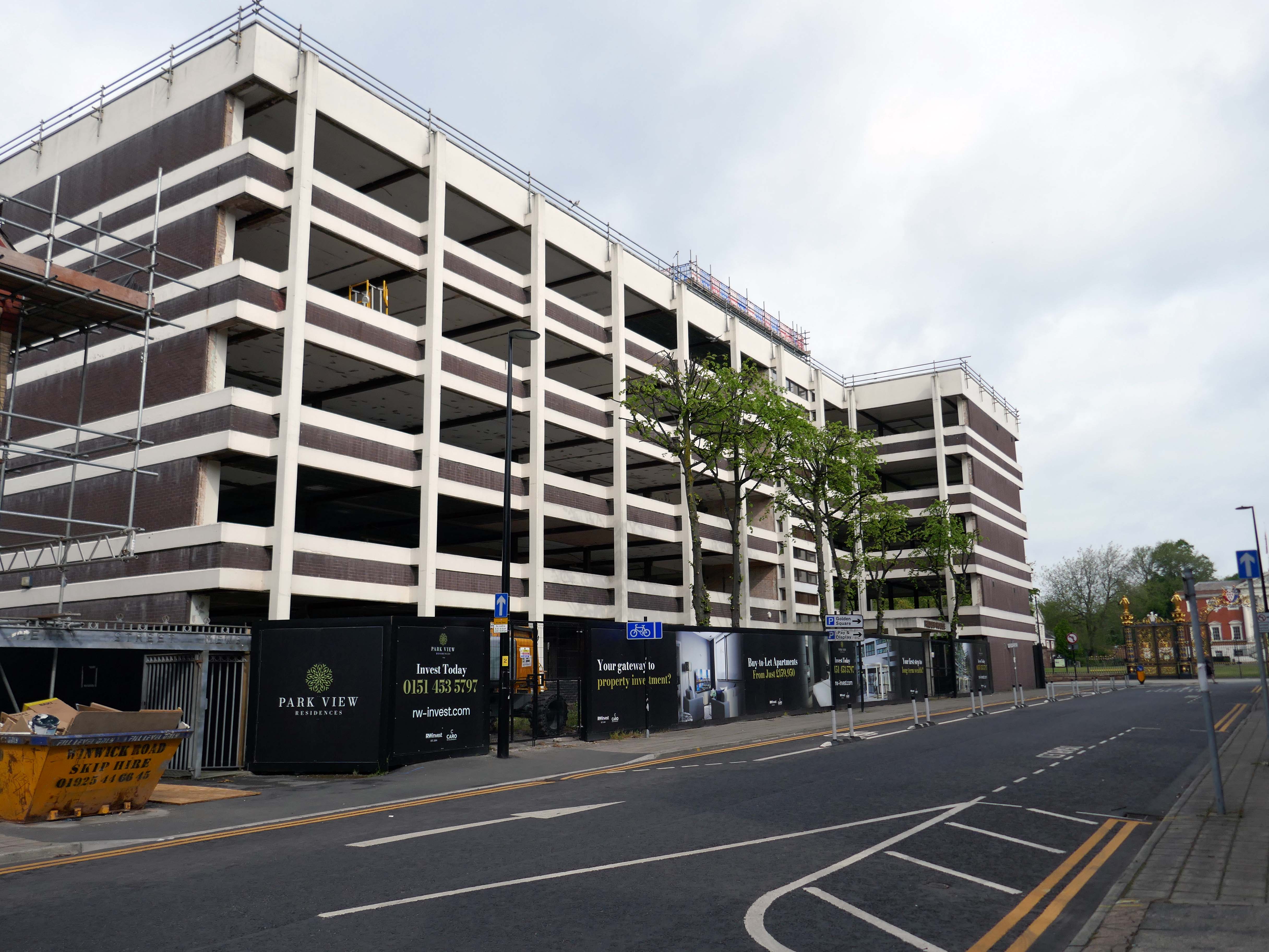
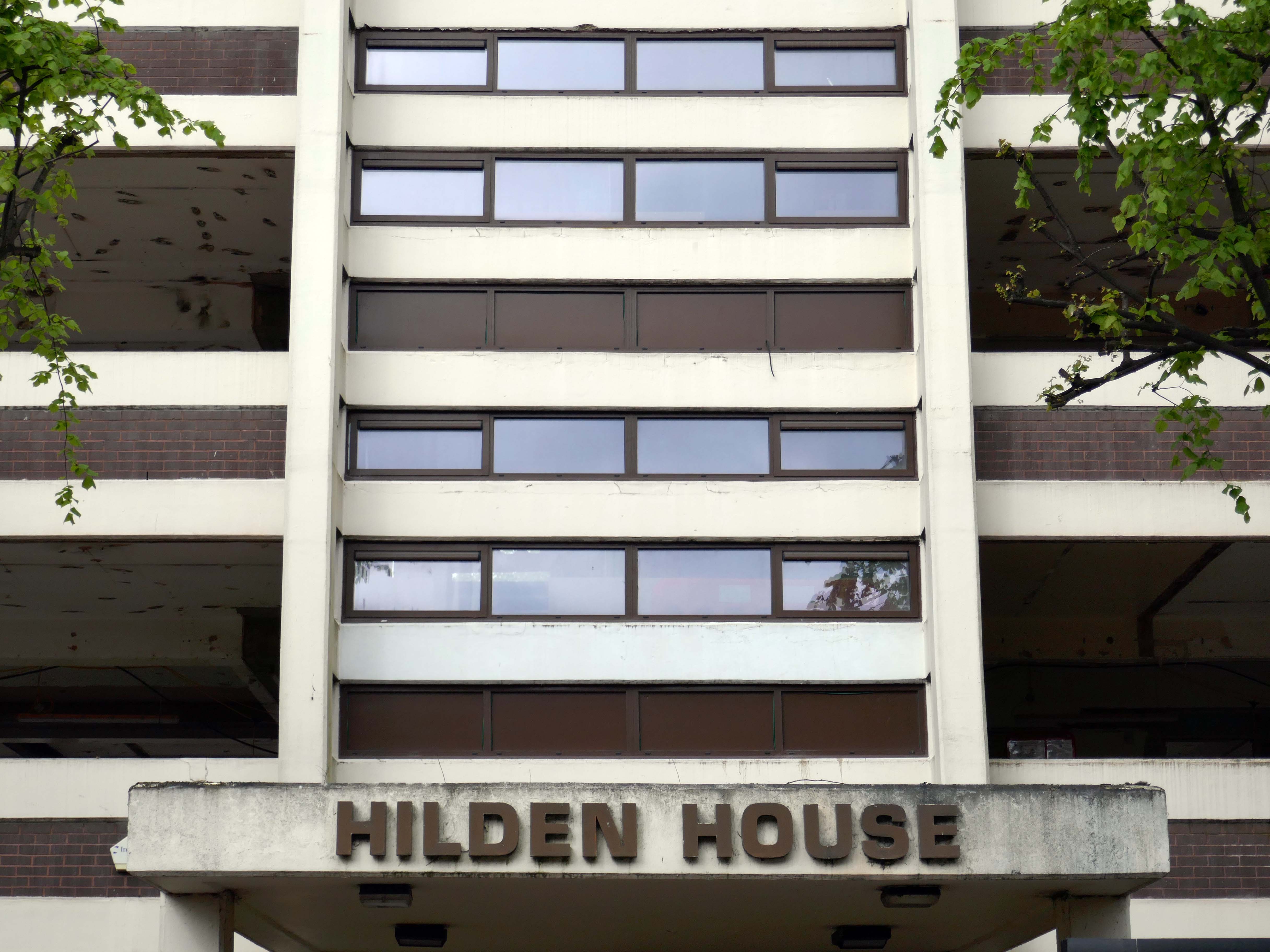
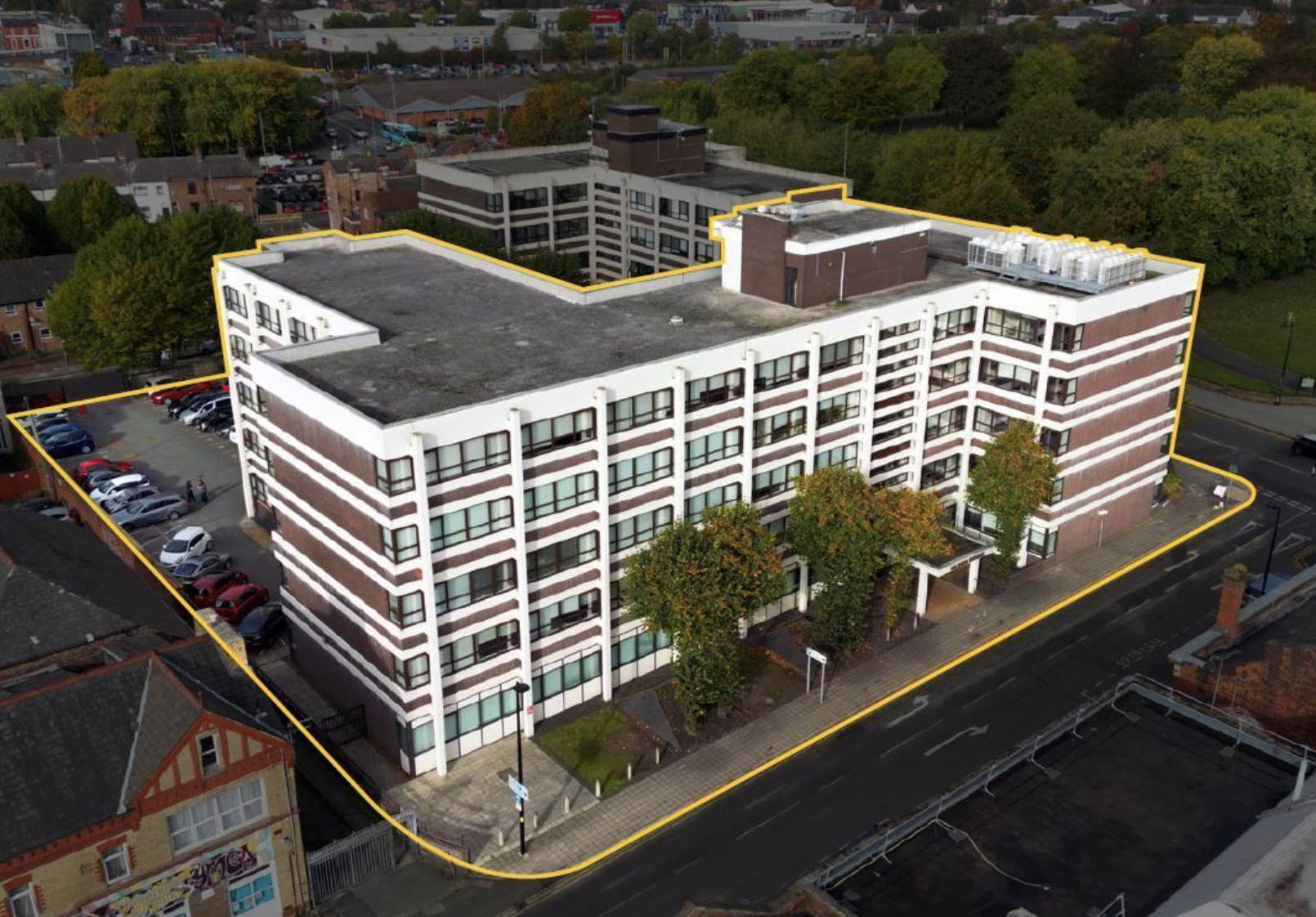
Further along to Hilden House a former Department of Works and Pension building, currently undergoing a transformation into a residential block.

The £18m office to residential reset of the 52,400 sq ft building will offer a mix of one- and two-bedroom apartments in plans now approved by the local authority.

Caro Developments, working in tandem with architect Falconer Chester Hall, hopes to start construction later this year.

According to a planning statement submitted on the developer’s behalf by Savills, once complete, the five-storey block will offer residents a concierge service, a gym and wellness facility, a resident’s lounge, and a co-working area.

Place North West 2025

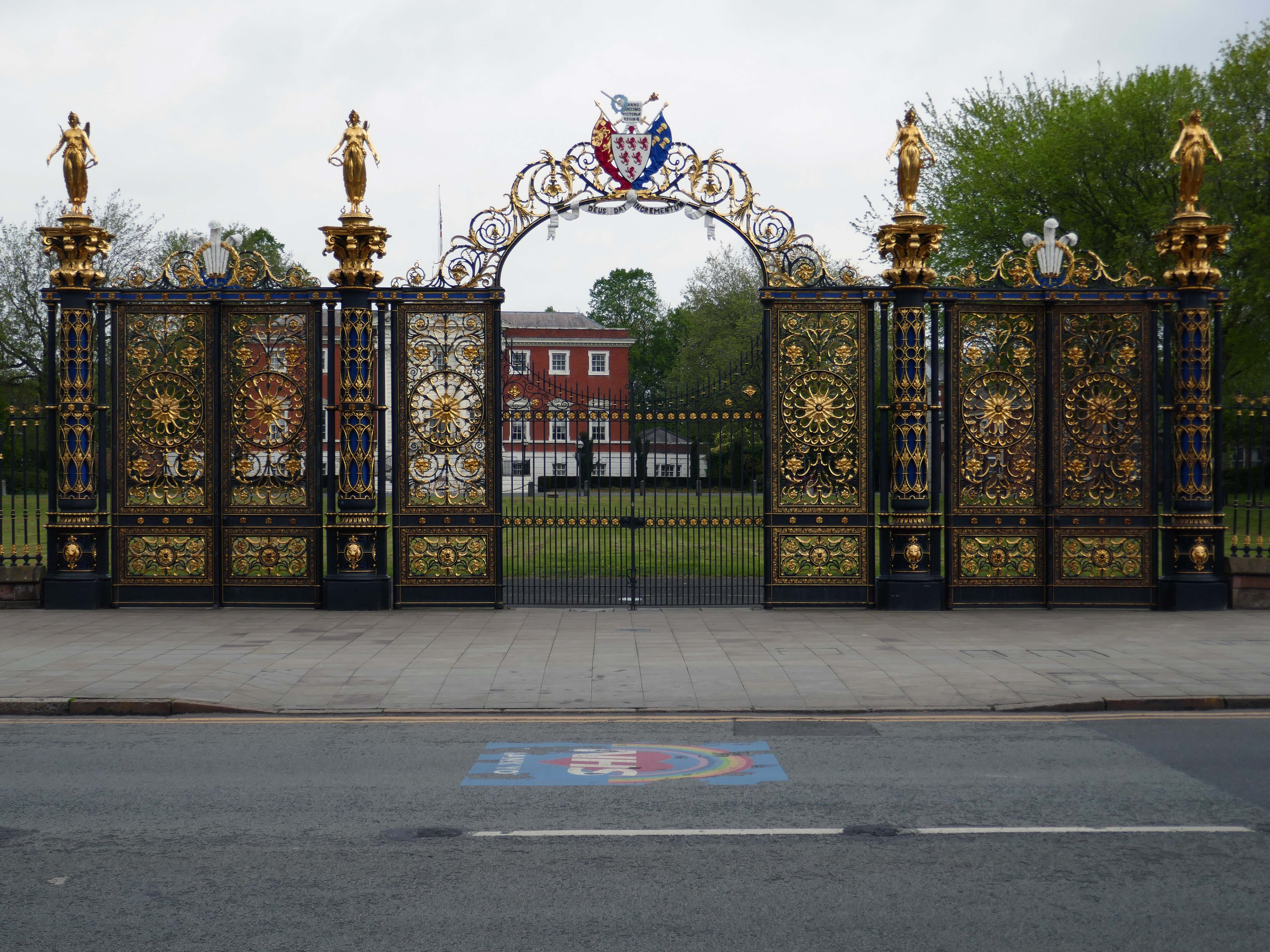
Way out of period but a notable Warrington landmark are the Golden Gates designed in 1862.

The gates were made for the International Exhibition of 1862, and then intended for Queen Victoria’s Sandringham home in Norfolk. Coalbrookdale found it hard to find a buyer for such grand gates, so Frederick Monks, one of the town’s earliest councillors, was able to buy and bring them to Warrington to stand at the front of the town hall lawn.  Monks also presented the cast iron Cromwell statue, designed by John Bell, to Warrington in 1899.

Warrington Gov

The Golden Gates are Grade II* Listed, along with the gate piers and the lamps which line the driveways at either side of the town hall

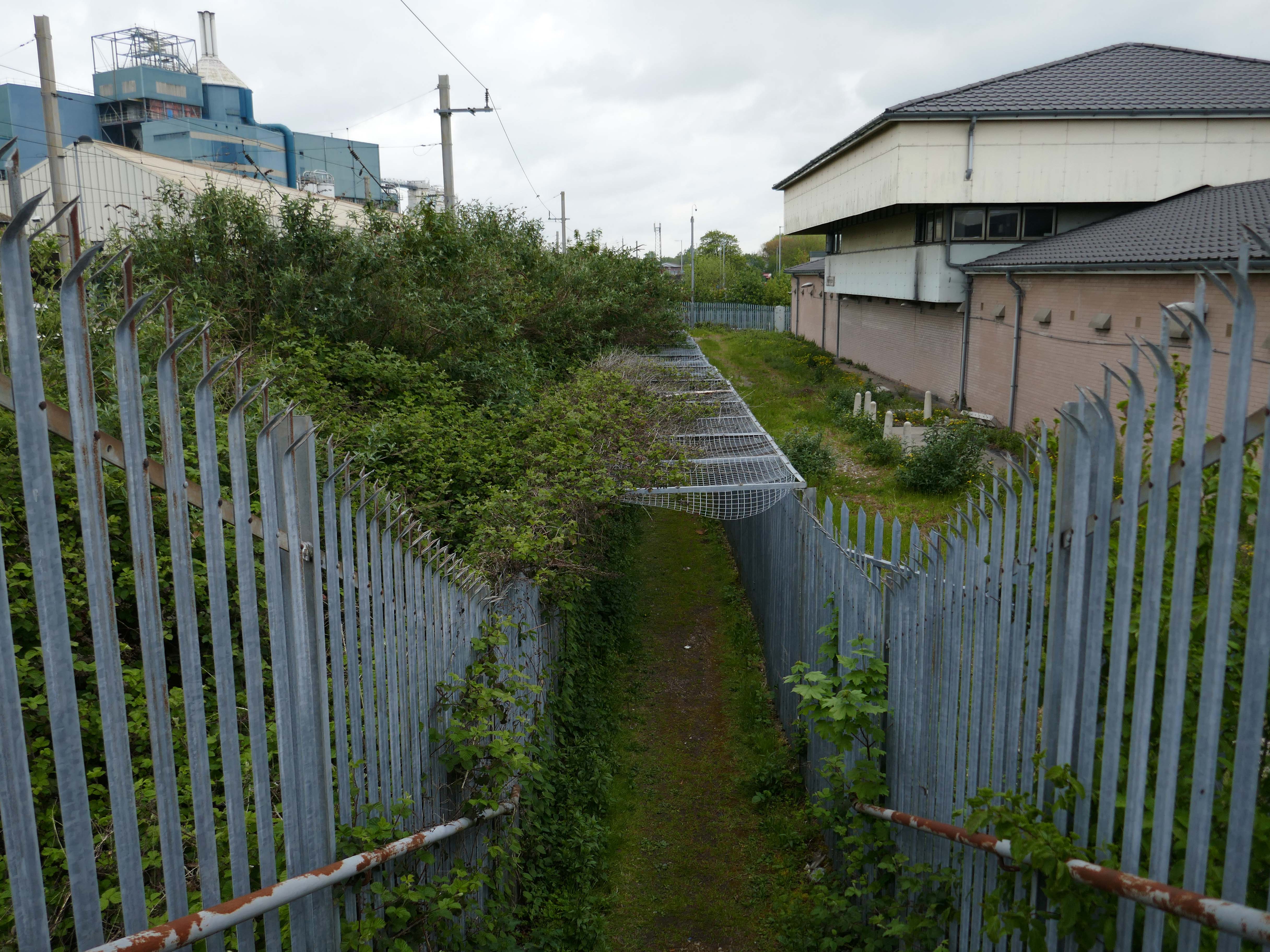
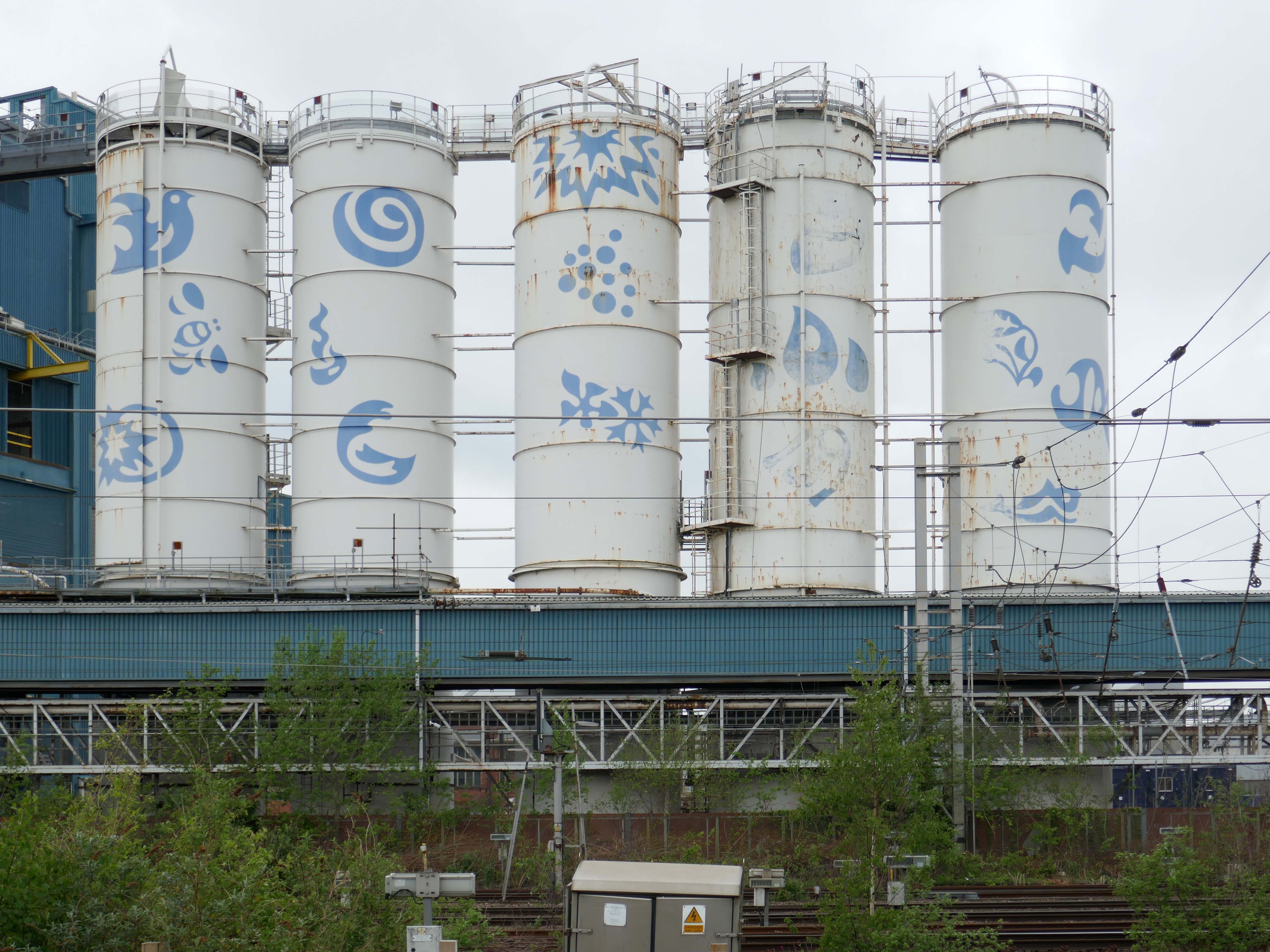
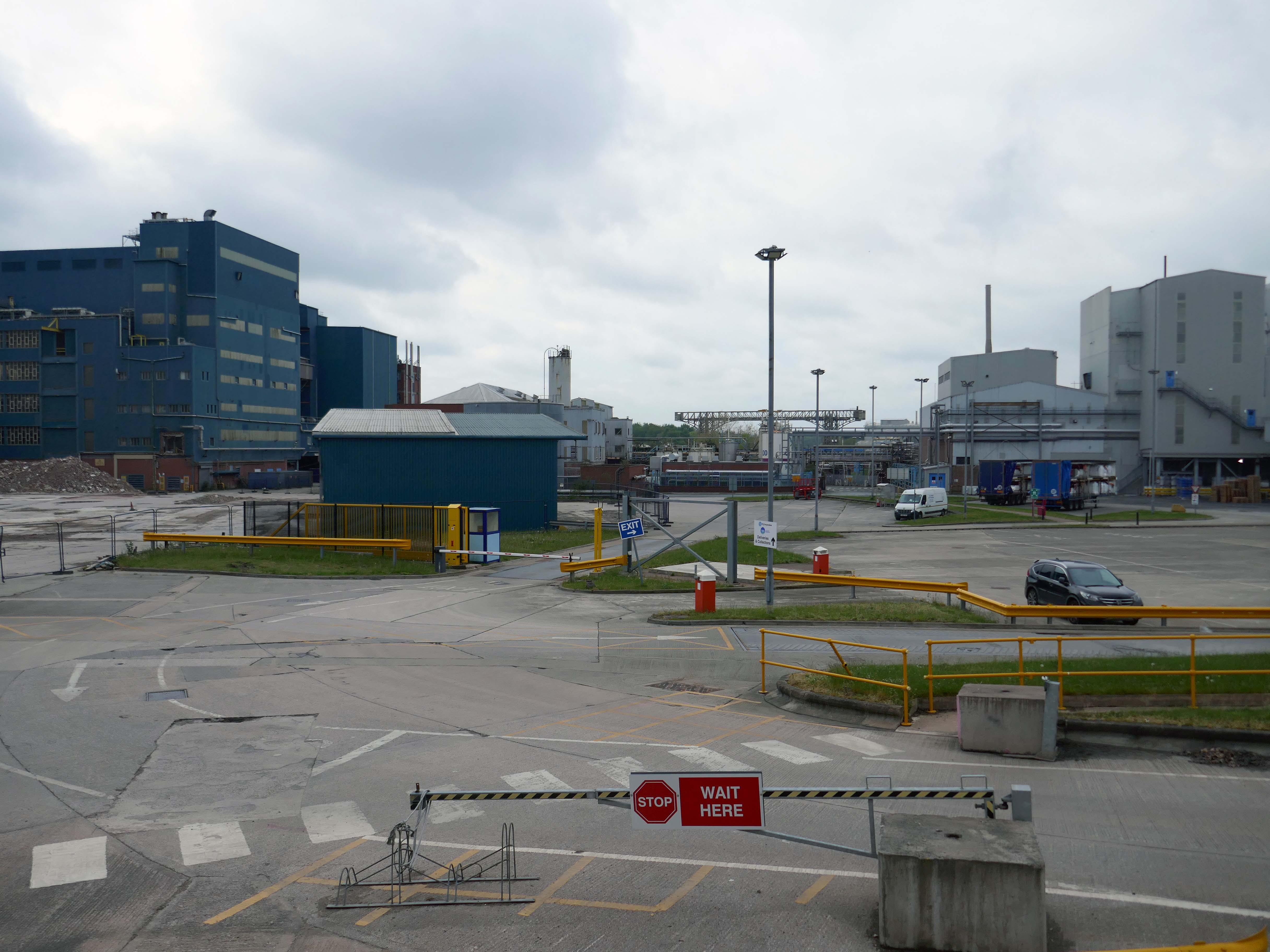
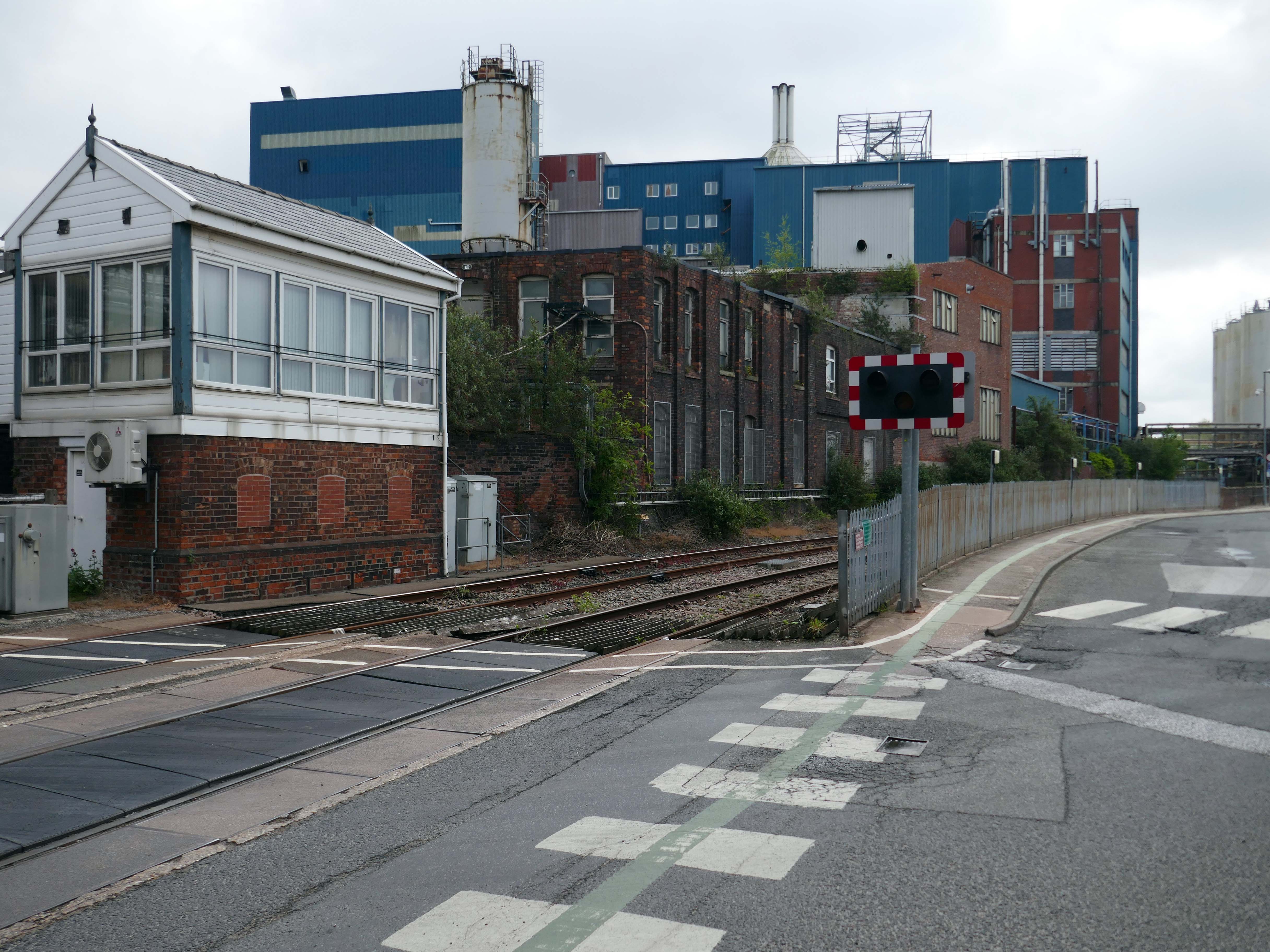
Up the road now to the Soap Works – first views from across the railway tracks.

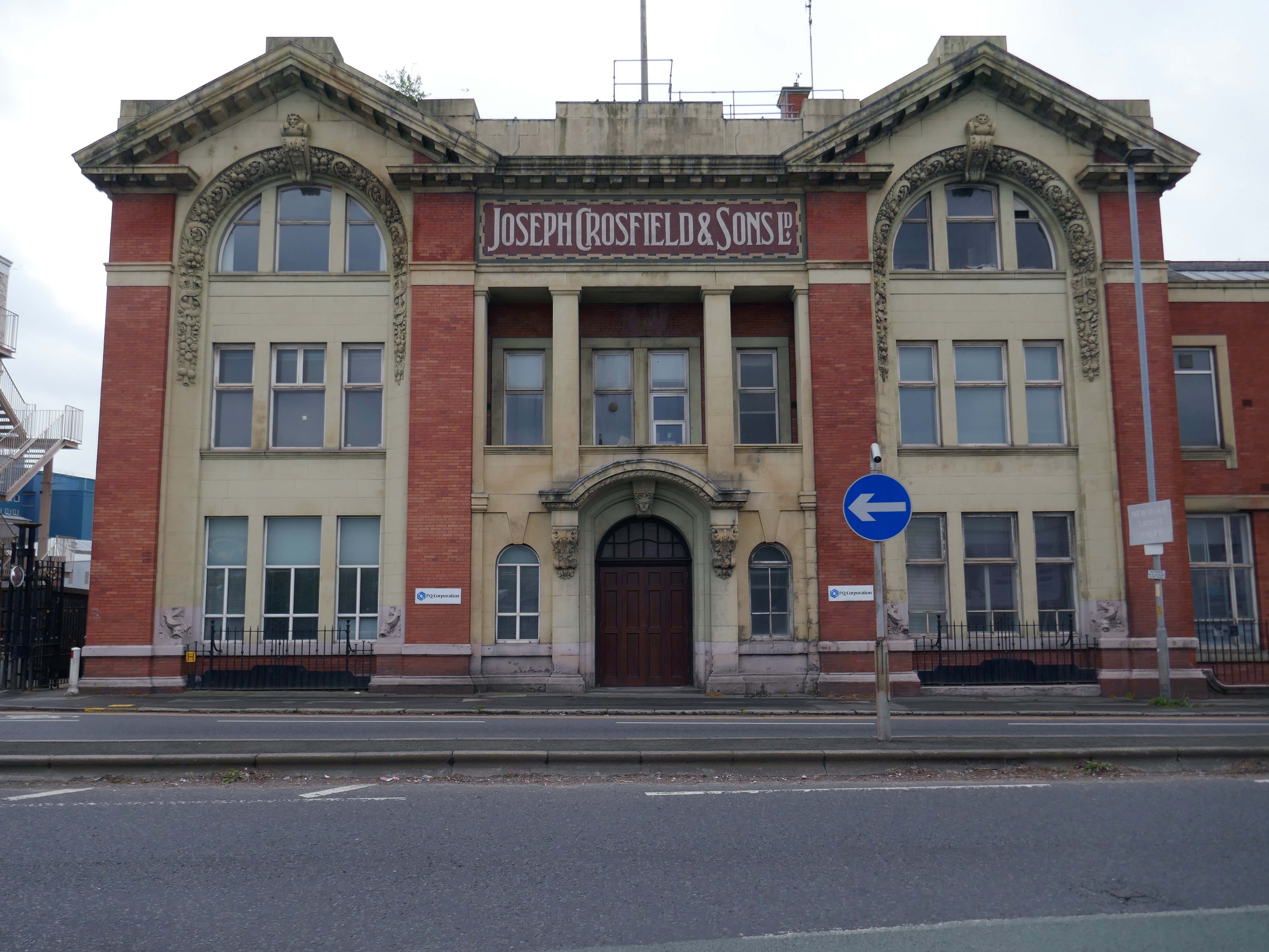
Then over the bridge.

Joseph Crosfield was born in Warrington, the fourth son of George Crosfield and his wife Ann née Key. In 1814, Joseph’s apprenticeship having finished, at the age of 21 he decided to establish his own soap making business in Warrington.

In 1911 the company was purchased by Brunner, Mond & Company and 1919 it was absorbed into Lever Brothers. From 1929 Crosfield was a subsidiary of Unilever. In 1997 its Warrington speciality chemicals division that made ingredients for detergents and toothpastes was acquired by ICI and in 2001, Ineos Capital purchased the company. The name Crosfield was finally lost as it was renamed Ineos Silicas. In 2008 Ineos Silicas was merged with PQ Corporation, with the new company retaining the name of PQ Corporation.

Wikipedia

The Crosfield’s factory closed for good in October 2020.

Dante FS Group formally acquired four acres of the site this month for an undisclosed fee from EcoVyst.

The latter firm will continue to operate from sections of the site, as will PQ Corporation, with Dante buying land closest to the train station, including the visible blue buildings and white Unilever tanks.

Renamed Platform at Bank Quay, the ‘next-generation, state-of-the-art modular data centre’ is ‘set to power the UK’s growing AI economy’ and bring high-tech jobs to the town.

Warrington Guardian

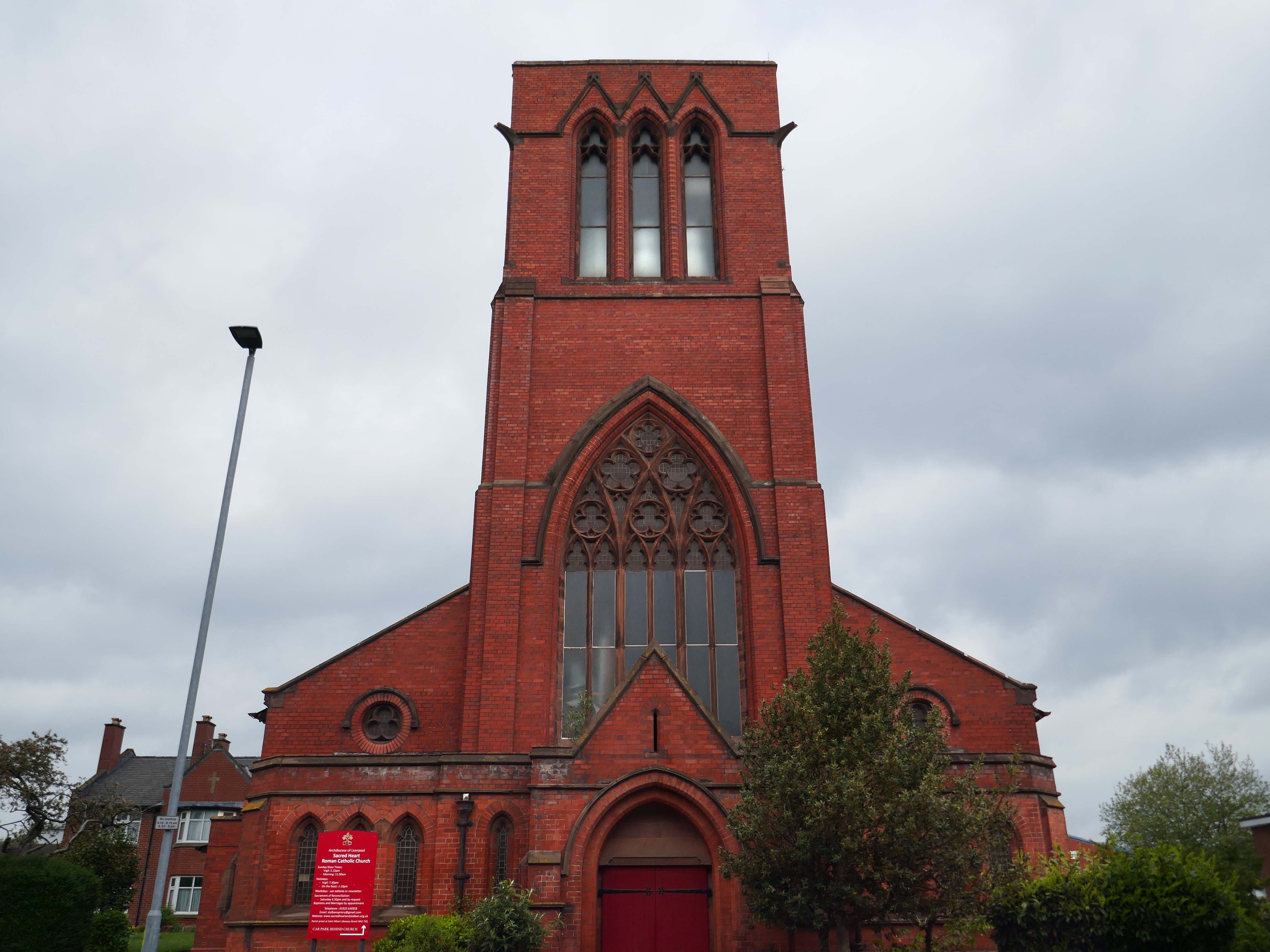
Across the way the Scared Heart RC Church 1894 Sinnott Sinnott and Powell.

Listed Grade II

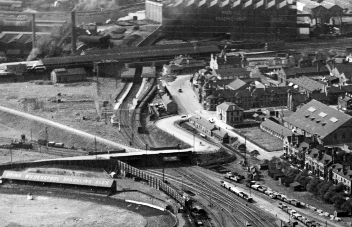
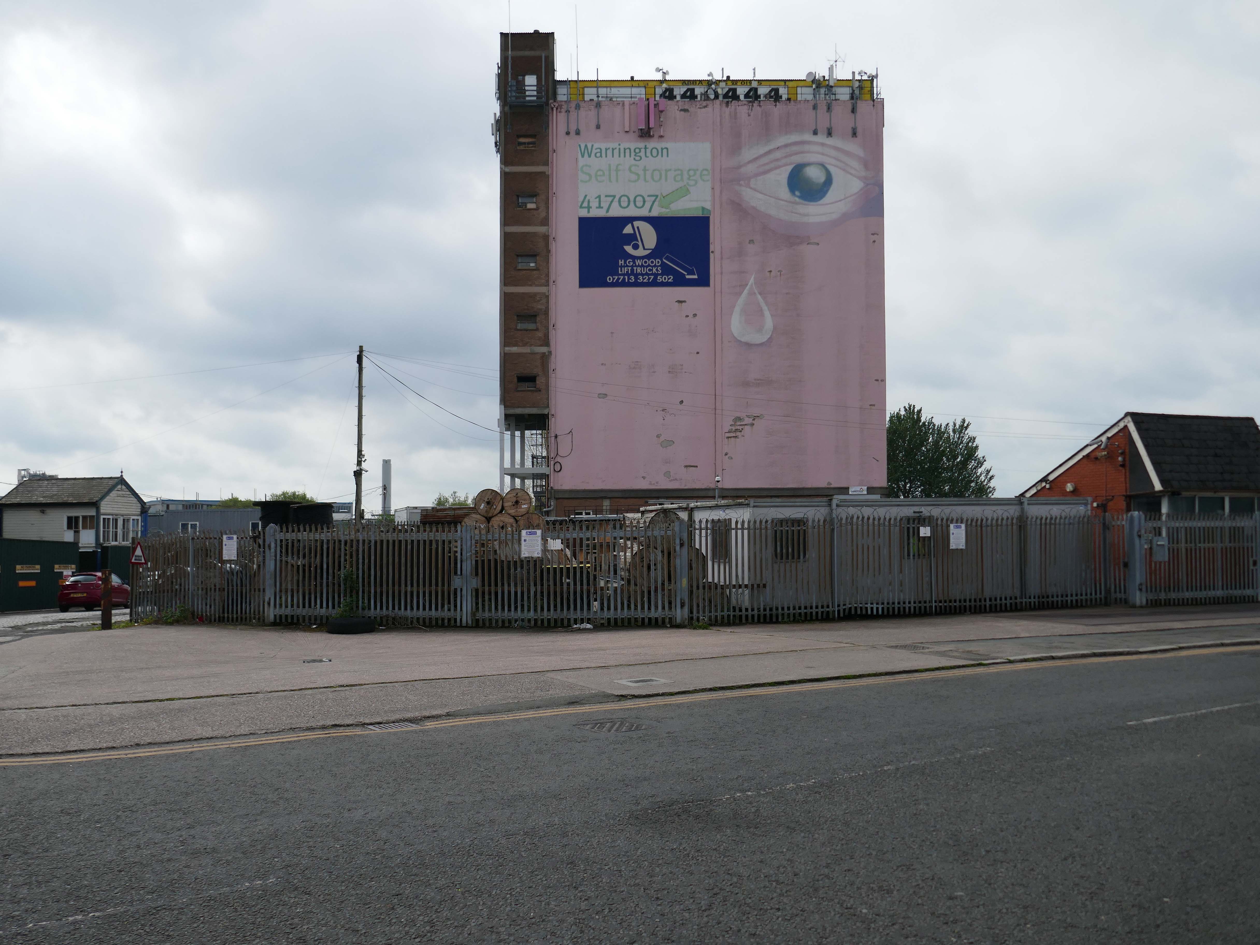
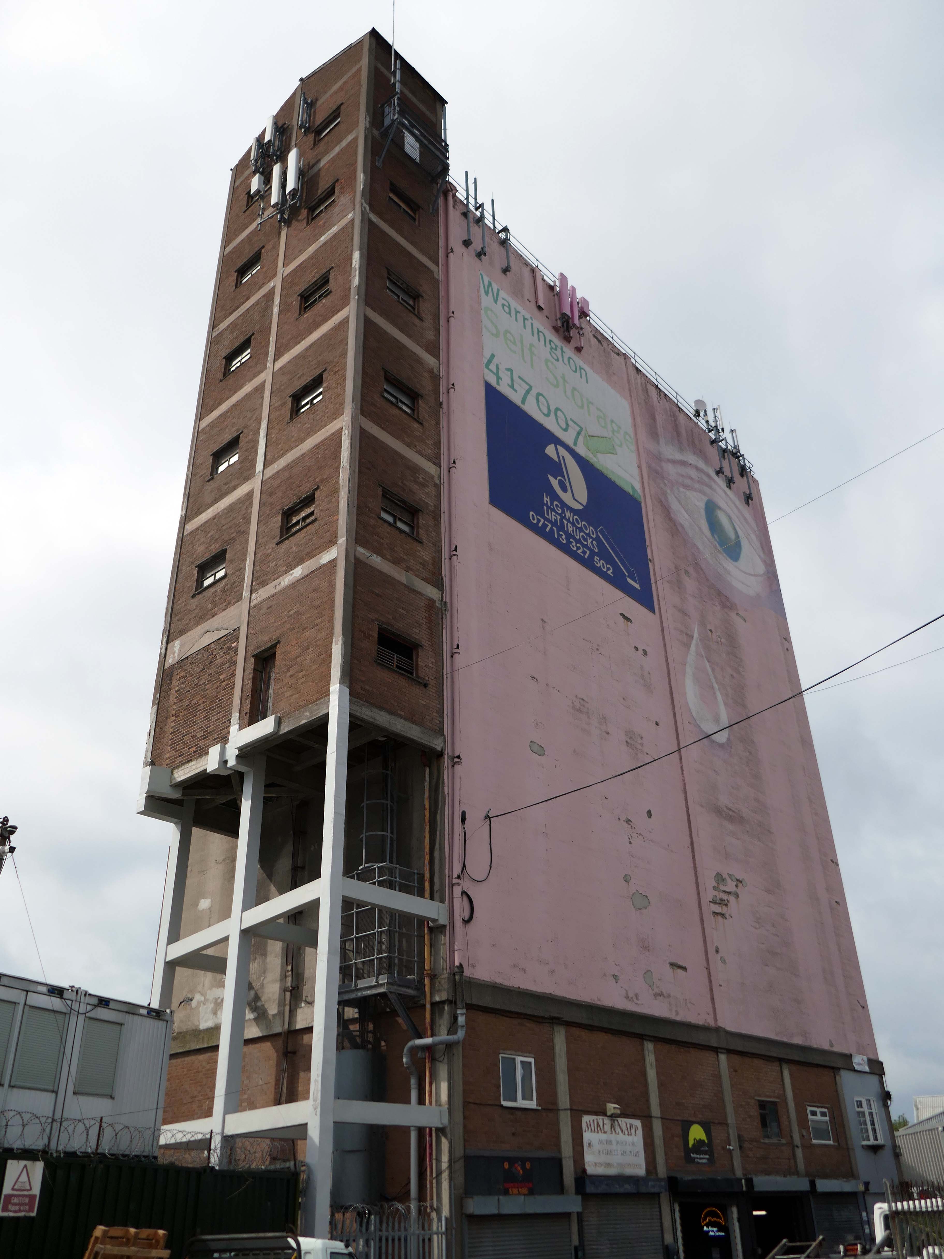
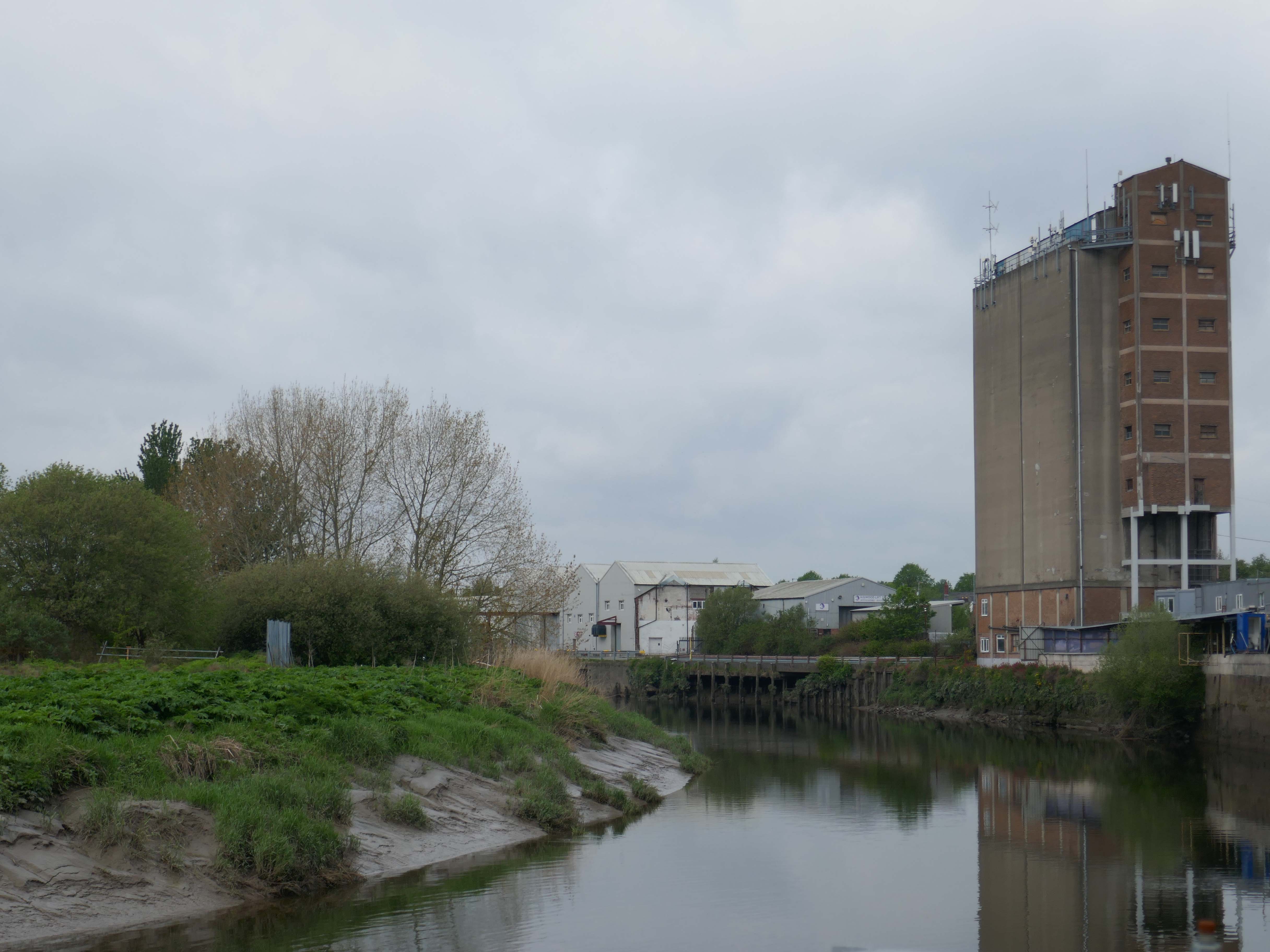
We now approach the Pink Eye roundabout where we may view the Pink Eye Silo.

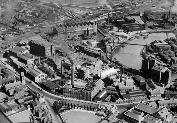
Middle right this Aero Photo of 1928 shows a much larger mill complex.

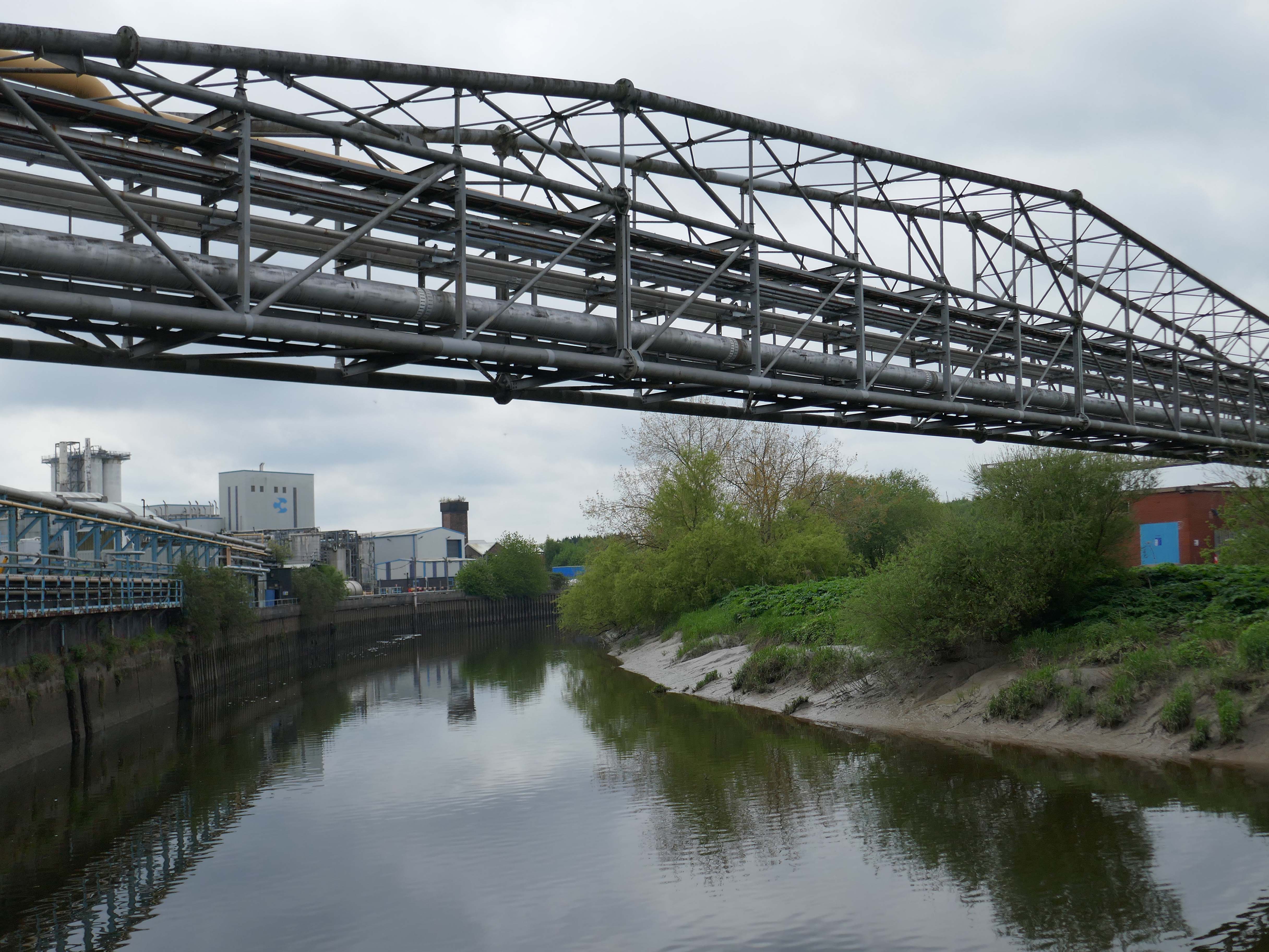
Also the site of an older bridge – later replaced by a pipe carrying structure.

We then follow the riverside green line path twixt Soap works and Mersey, heading toward the Transporter Bridge.

The route explained by the indispensable Friends of the Warrington Transporter Bridge.

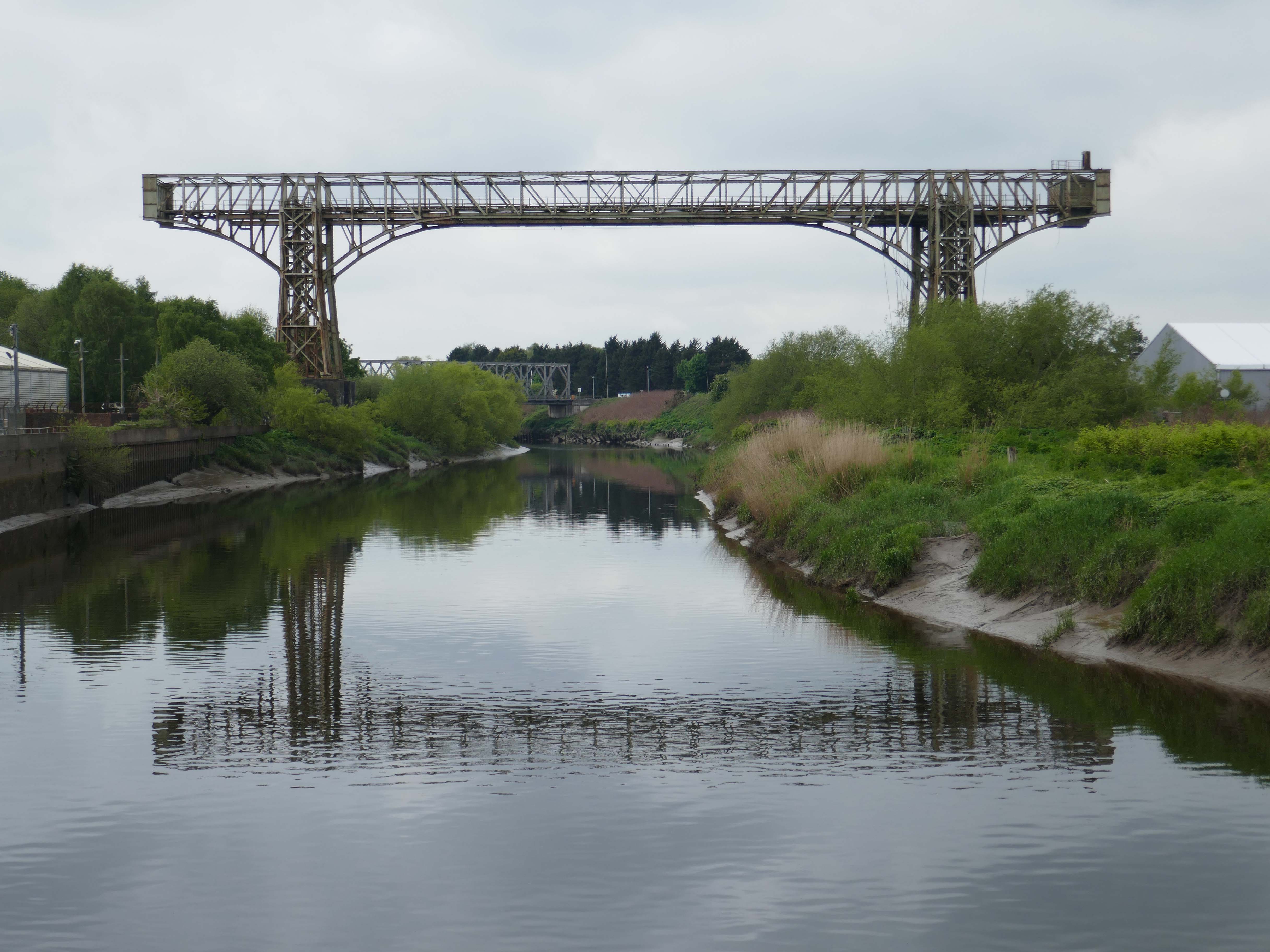
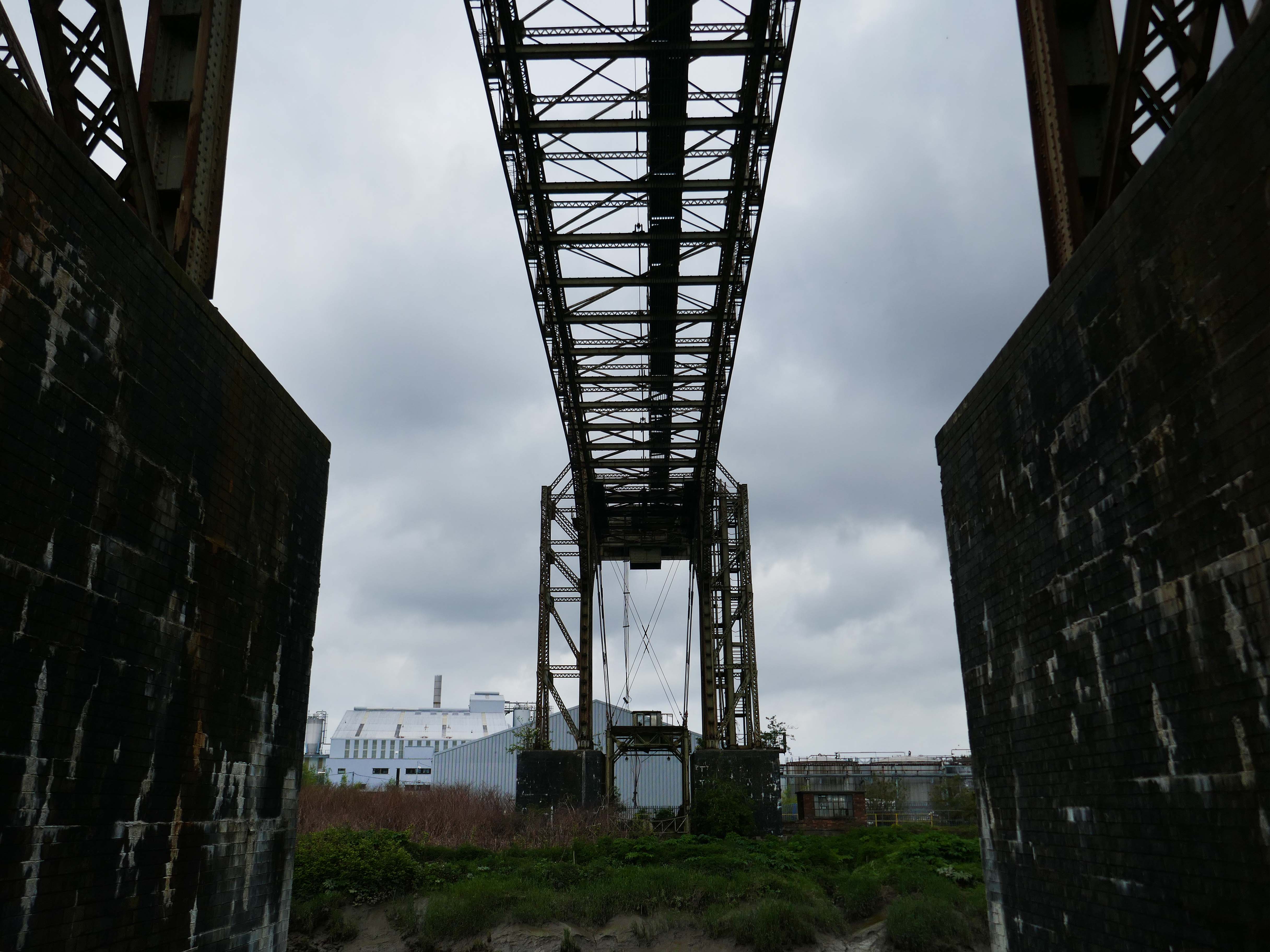
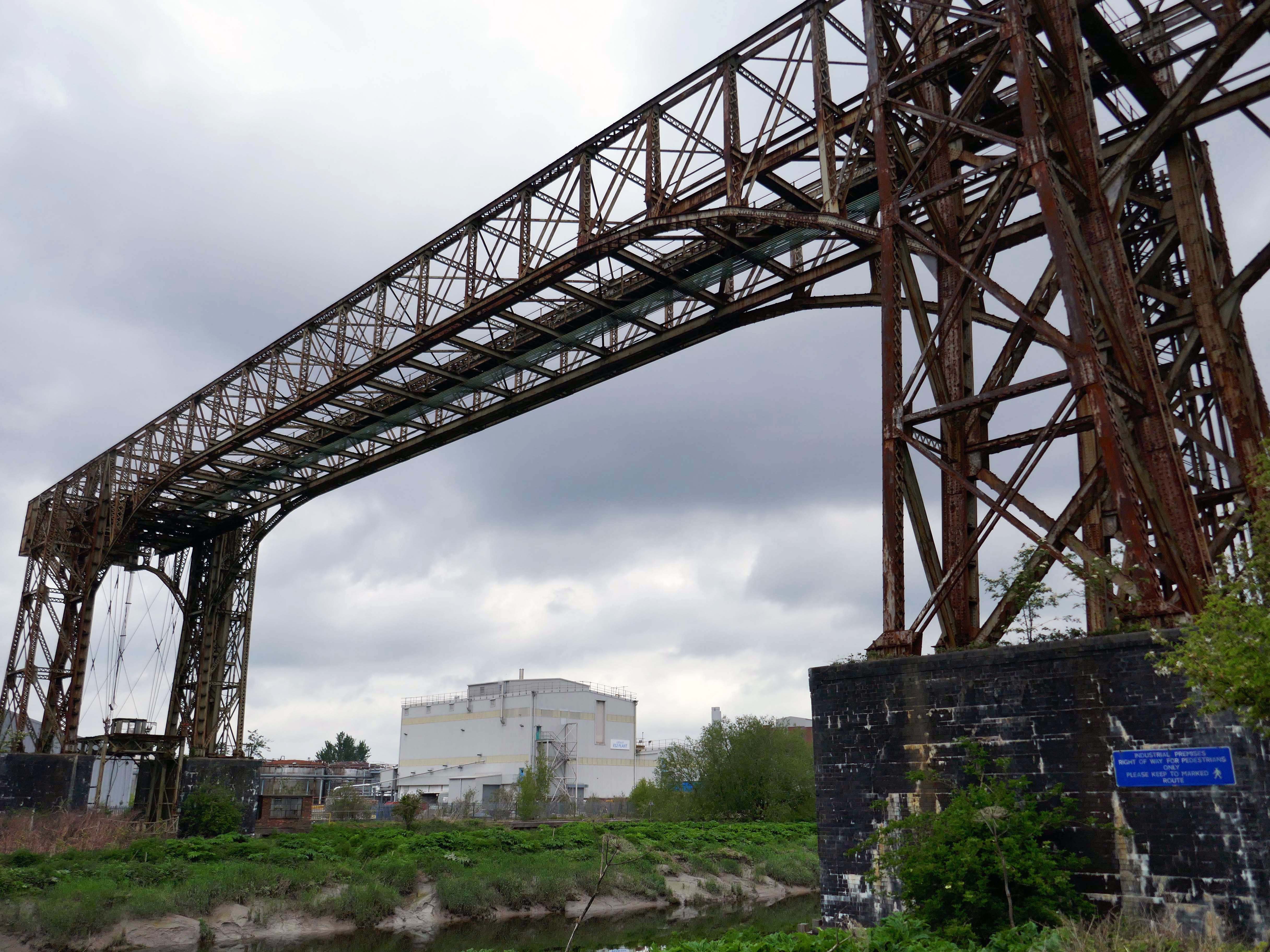
Warrington Transporter Bridge aka Bank Quay Transporter Bridge or Crosfield’s Transporter Bridge across the River Mersey is a structural steel transporter bridge with a span of 200 feet.

It is 30 feet wide and 76 feet above high water level, with an overall length of 339 feet.

It was commissioned in 1916 and, although it has been out of use since about 1964, it is still standing. It was designed by William Henry Hunter and built by William Arrol and Co.

The Transporter Bridge was built to despatch finished product from the cement plant that had been built on the peninsula. It was originally designed to carry rail vehicles up to eighteen tons loaded weight.

The bridge was converted for road vehicles in 1940, and was certified to carry loads of up to thirty tons in 1953.

FOTWTB

This was my first visit in 2017 – recorded on Modern Mooch.

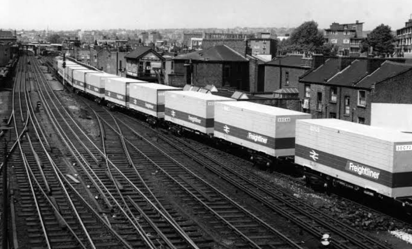
Highlight on any day out anywhere is the discovery of arcane British Rail typography.

There’s a brief history of Freightliner history right here.

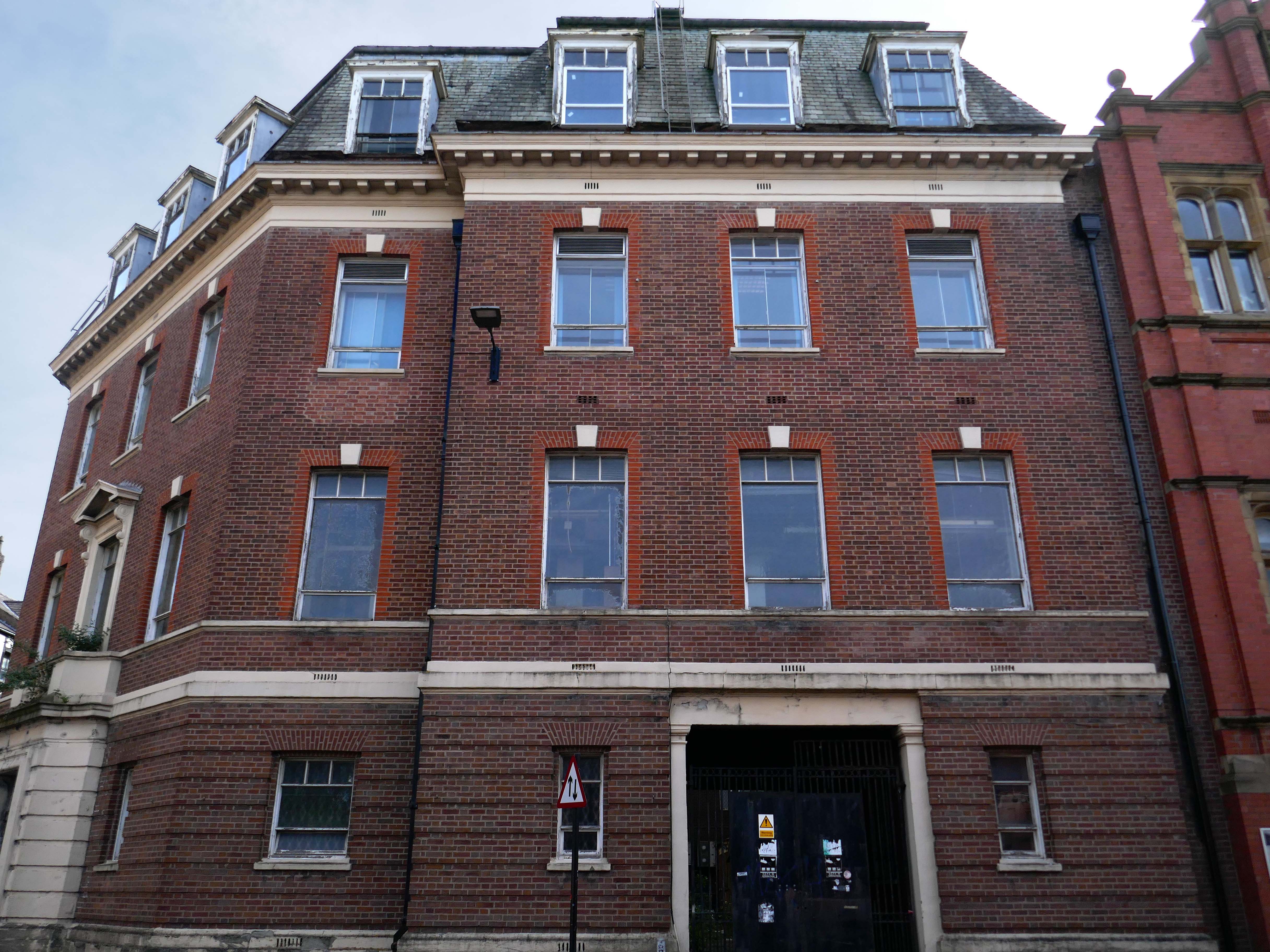
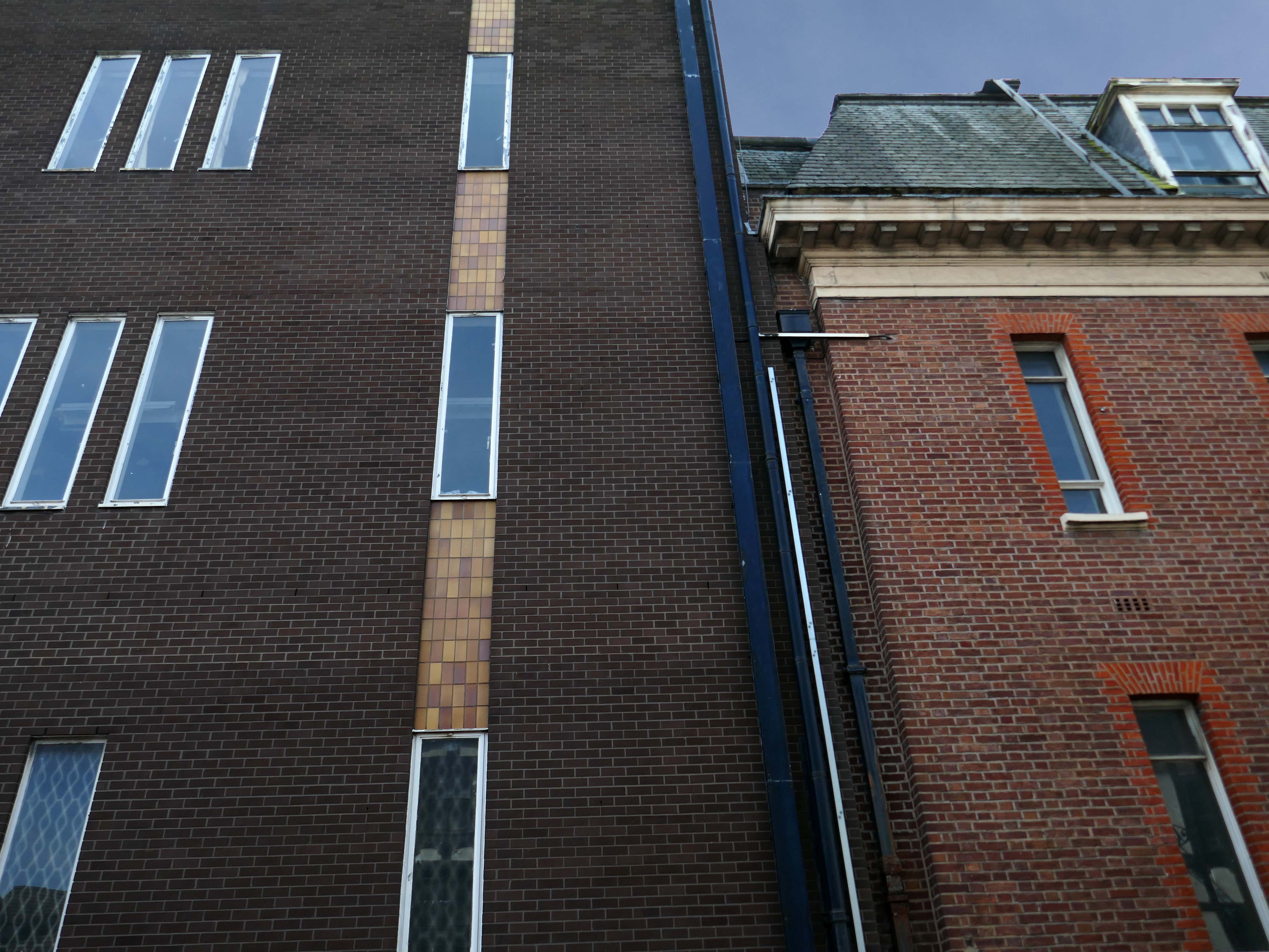
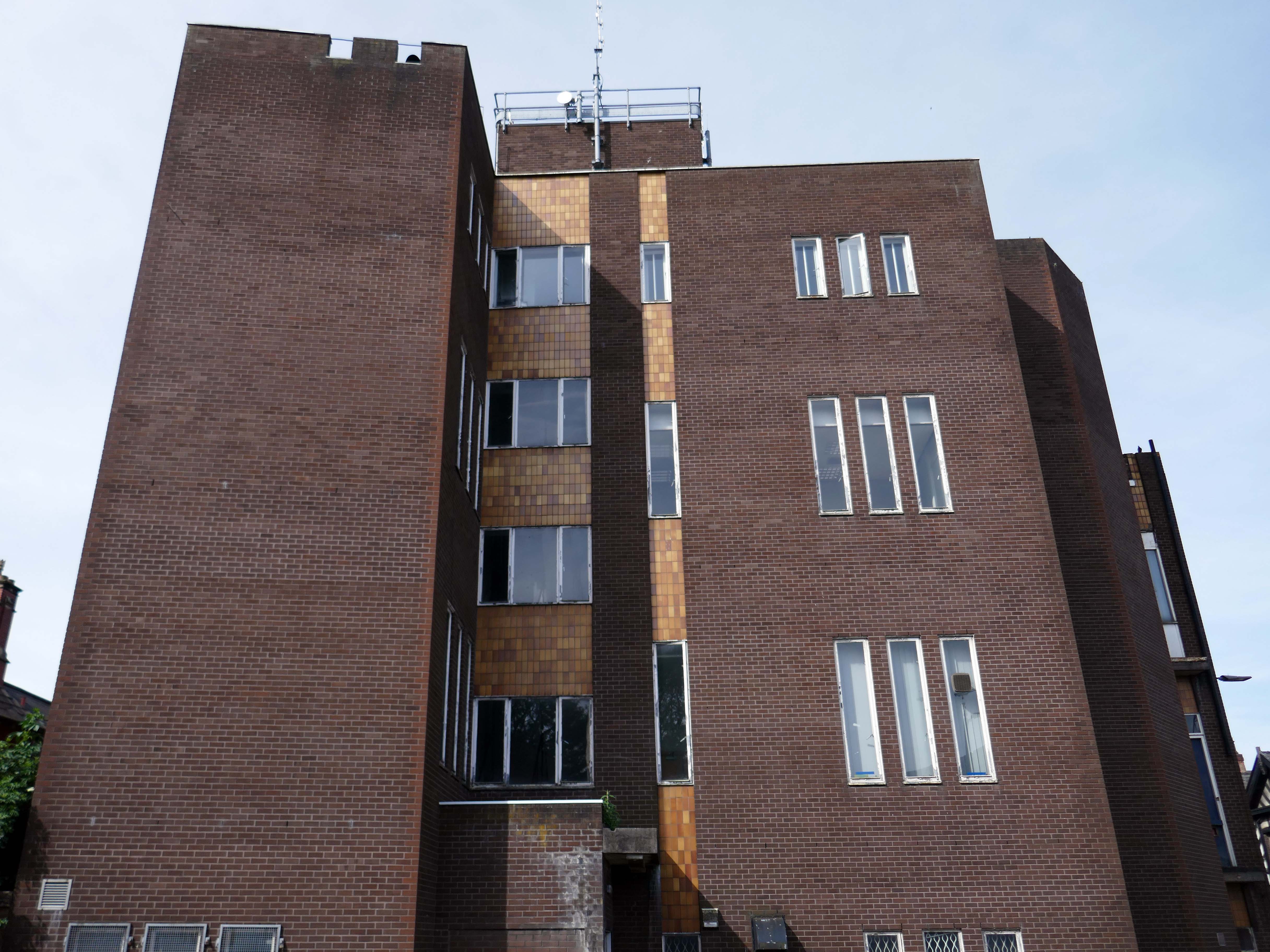
Back now to Bank Quay and off to the Telephone Exchange.

This is the 1969 building designed by the MODBW, Reginald Norman Dixon with lead architect P Clinton.

Linked to the 1955 building designed by John Onslow Stevens.

Biggest thanks to Lisa Kinch who can be found over on Instagram, for all her informative research into telephone exchanges.

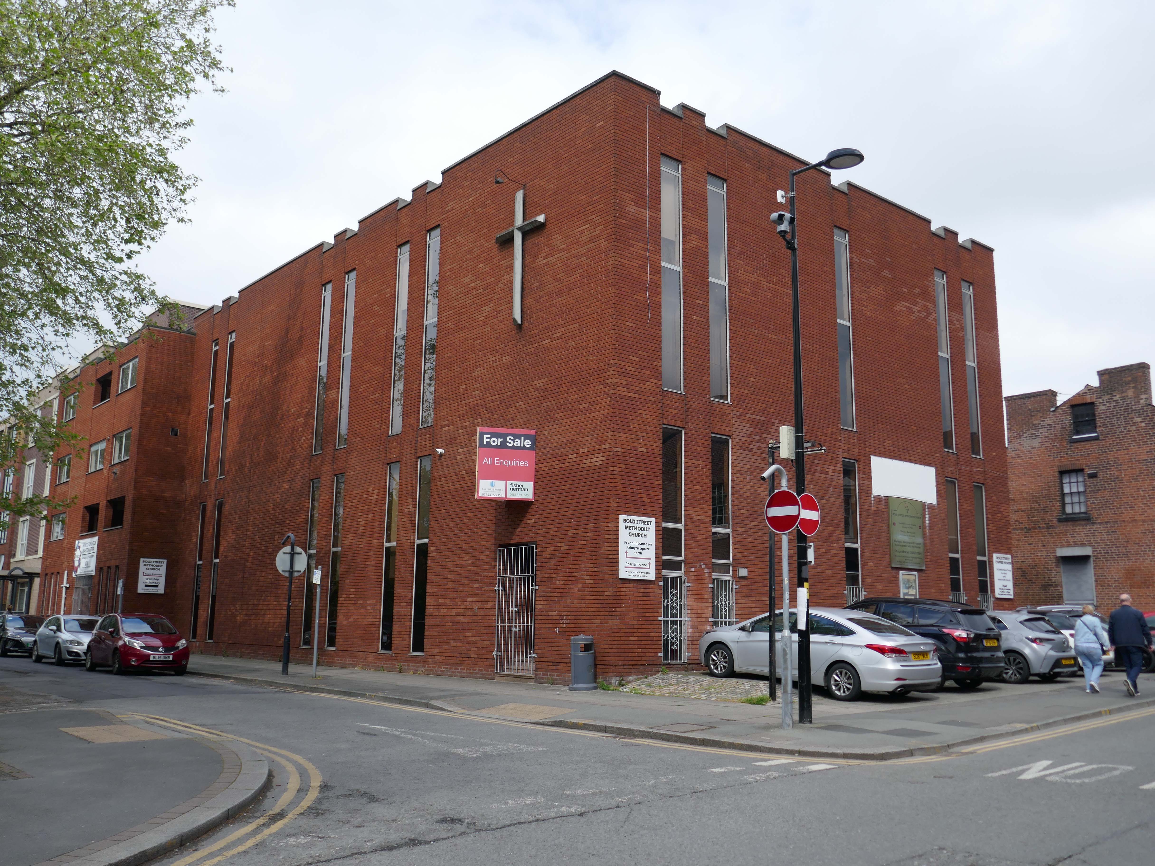
Toward the town centre and we pass the Bold Street Methodists Church – 1973-75.

Currently closed and for sale.

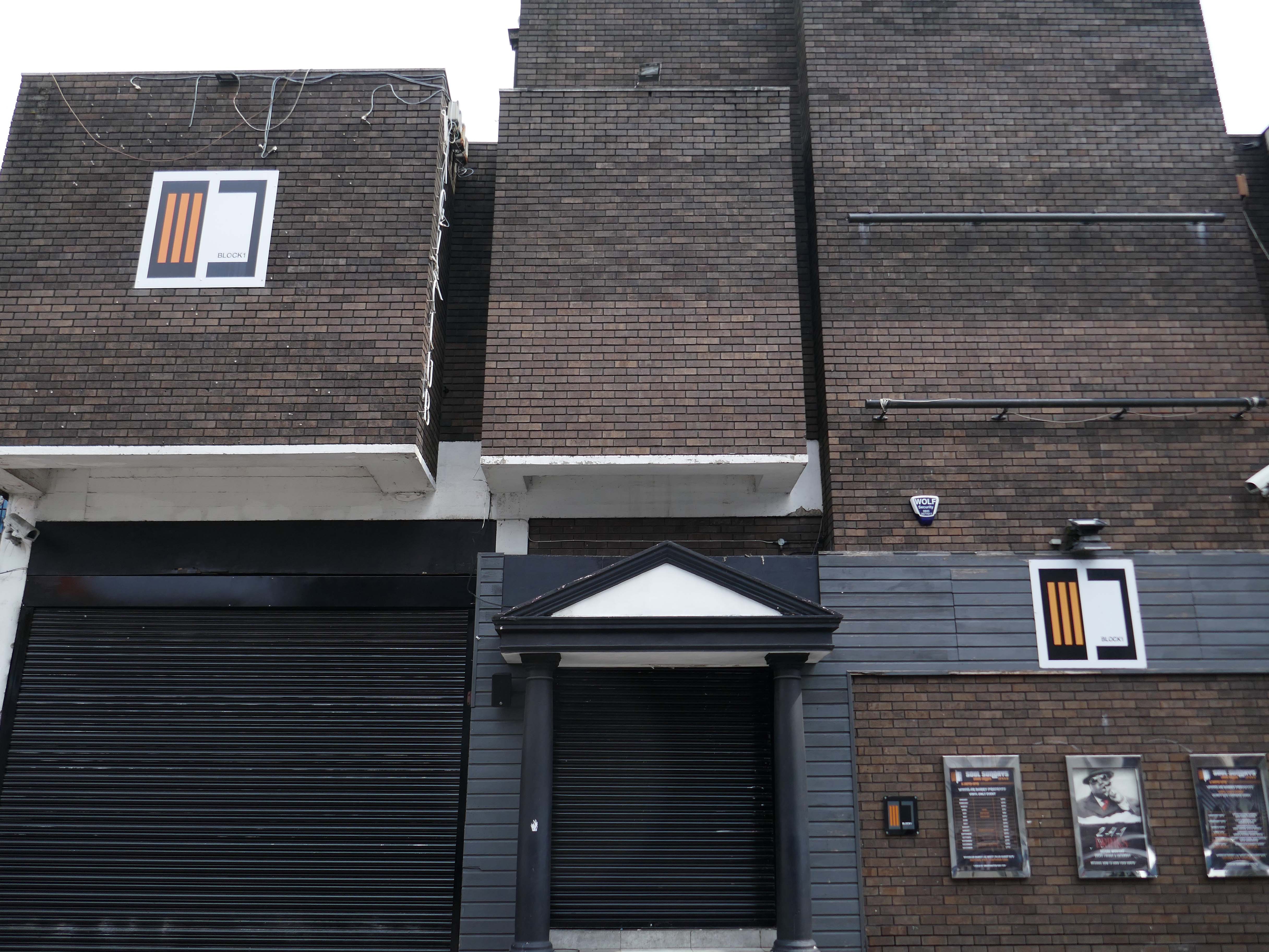
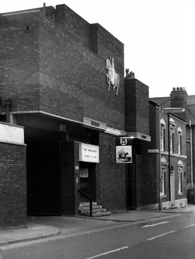
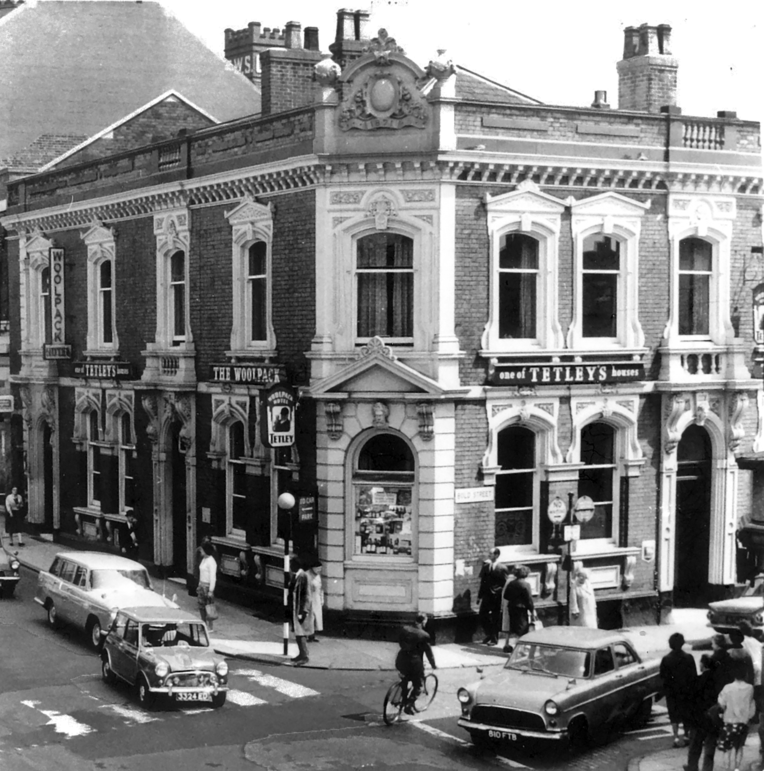
Thence to the Block 1 nightclub.

Medicine night club early 2000s.

Originally a Tetley’s house named The Woolpack.

Got served my first pint in there, I was only 14.

Karl Beckett

Coming down those stairs, I slipped and the heel came off my boot, I’d only had one drink – loved those boots.

Sue Duncan

This was the original Woolpack on the site.

Much of the town centre is dominated by the Golden Square shopping centre.

Designed in 1974 by Ardin and Brookes and Partners, since enlarged.

There is also extensive pedestrianisation and hard landscaping on the surrounding streets, carried out in 2002 by Landscape Design Associates with sculptural works by Howard Ben Tre.

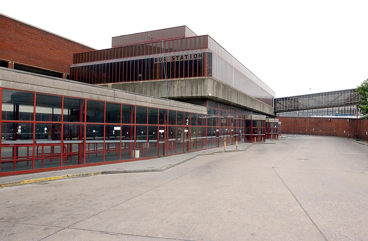
Finally to the Bus Station which used to look like this:

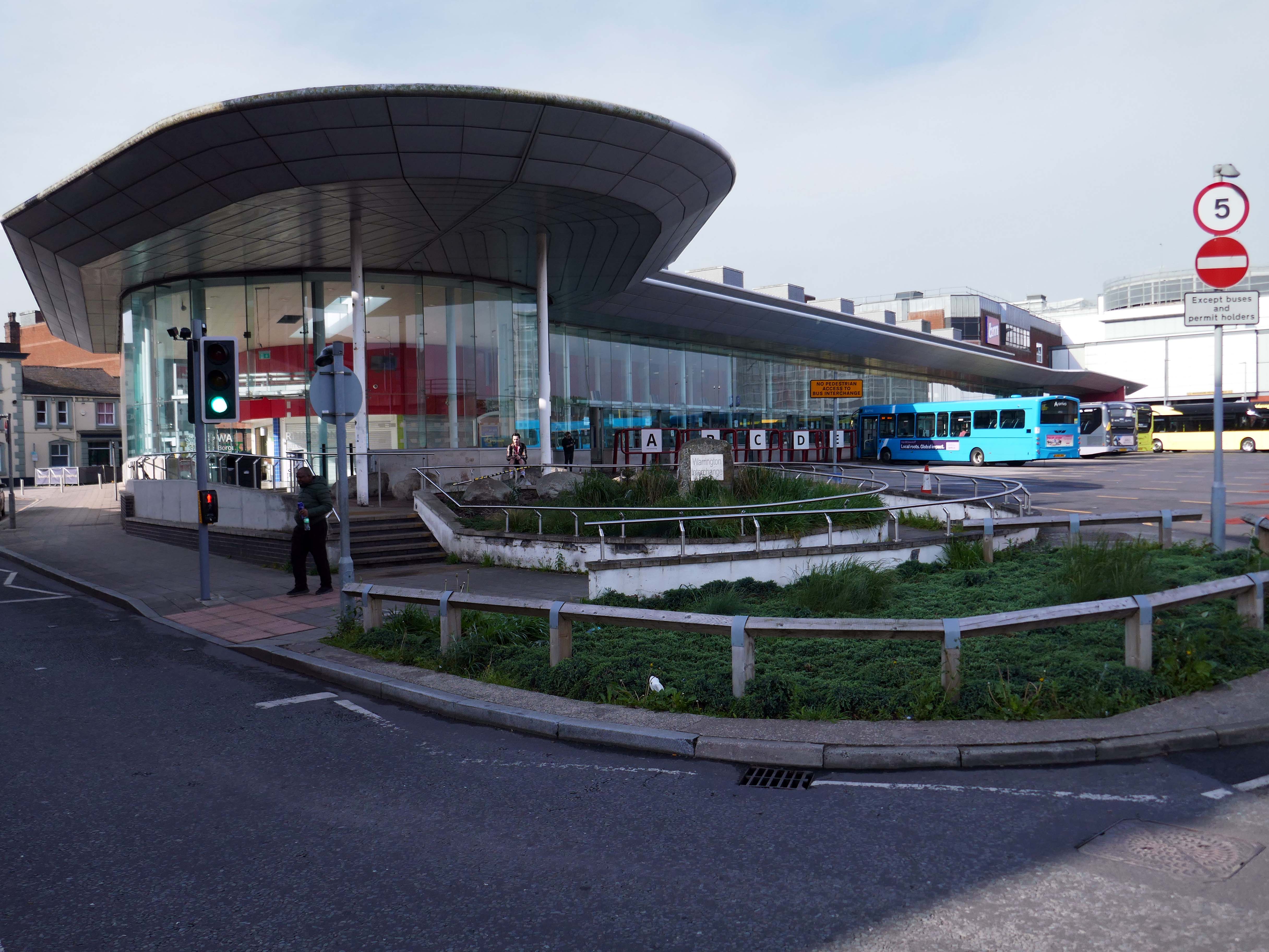
Until it became an Interchange and looks a lot like this.

Warrington’s new bus interchange was opened on 21 August 2006. From 1979, bus users travelled from a facility on Golborne Street, but it was very unpopular due to its very dreary appearance. 

On The Buses.

Though the final word must go to an absent friend.

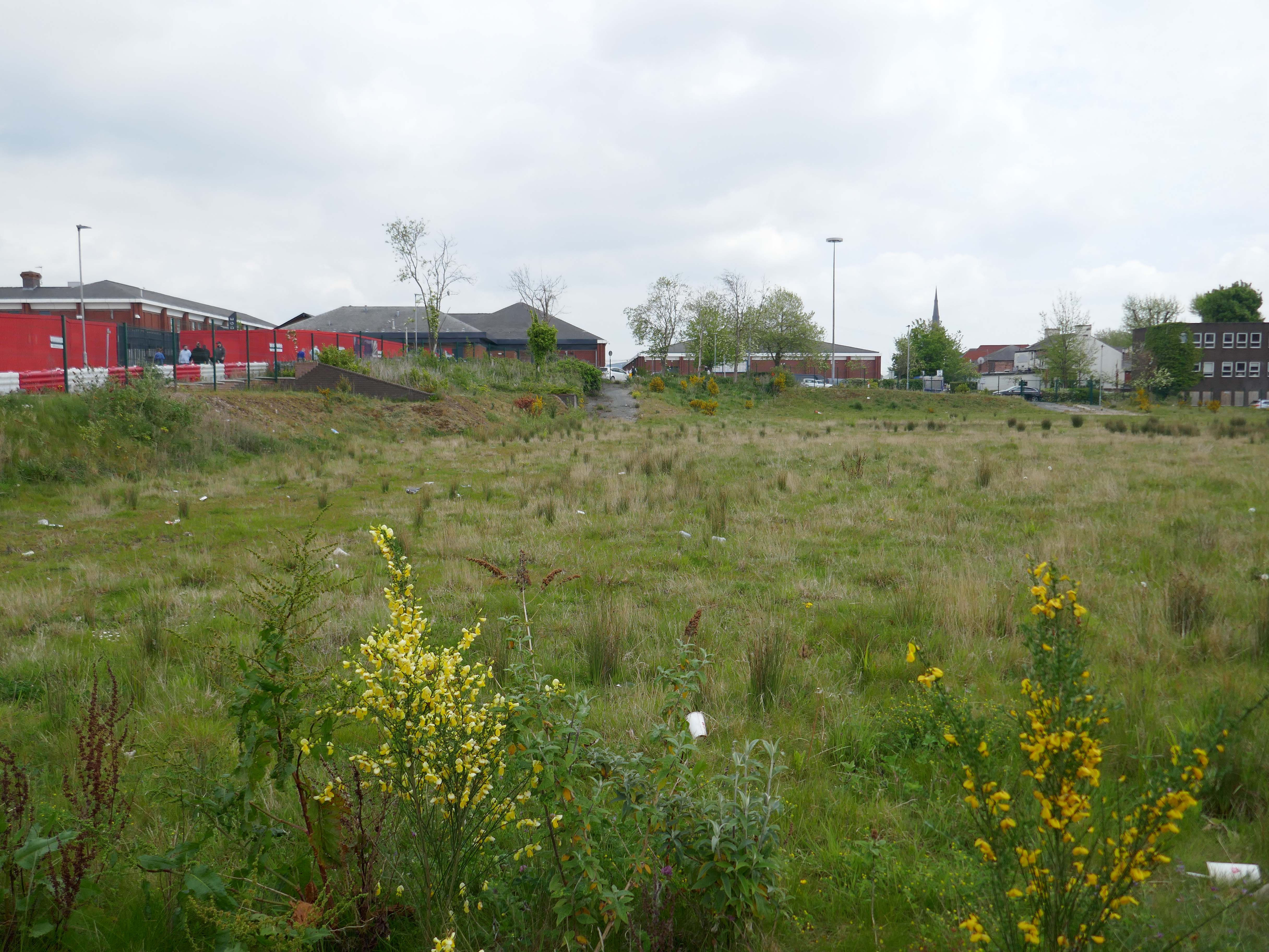
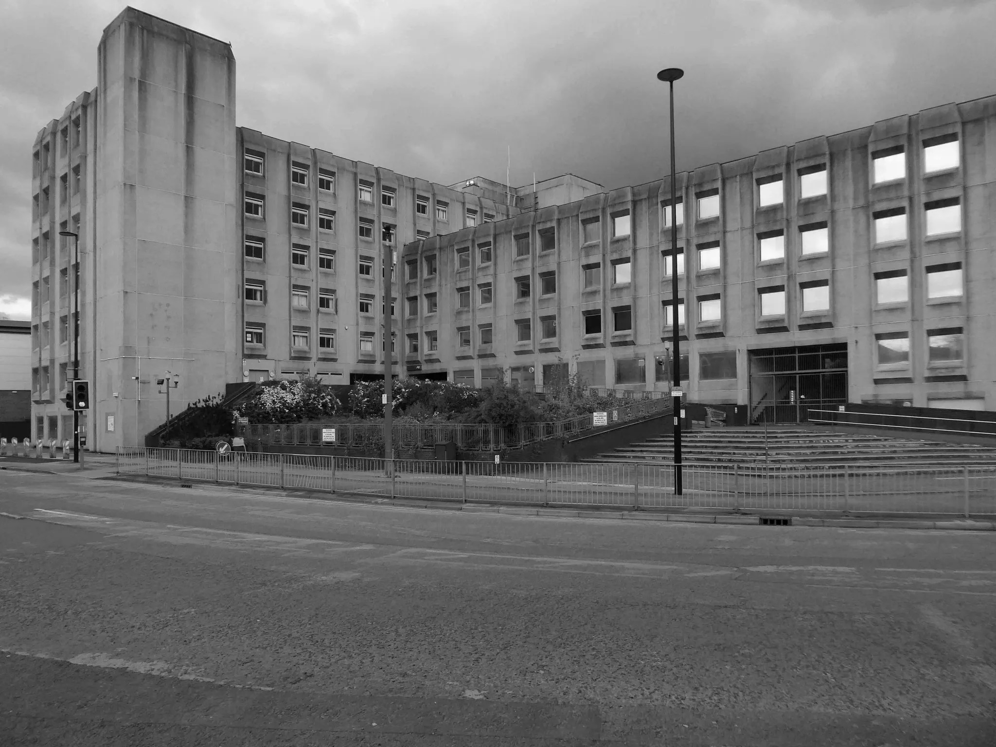
Where once the New Town House stood.

Built in 1976 to house the Warrington & Runcorn Development Corporation.

Visited by myself the Modern Mooch in 2021

Nobody actually likes brutalist buildings. 

They just pretend to like them to make themselves look cool, it’s like craft beer and food that comes in tiny portions.

Dockland Liverpool

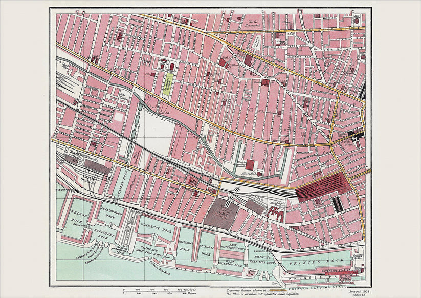
1928

The days when a vast multitude of things came and went have been and gone.

The docks as they were are no more.

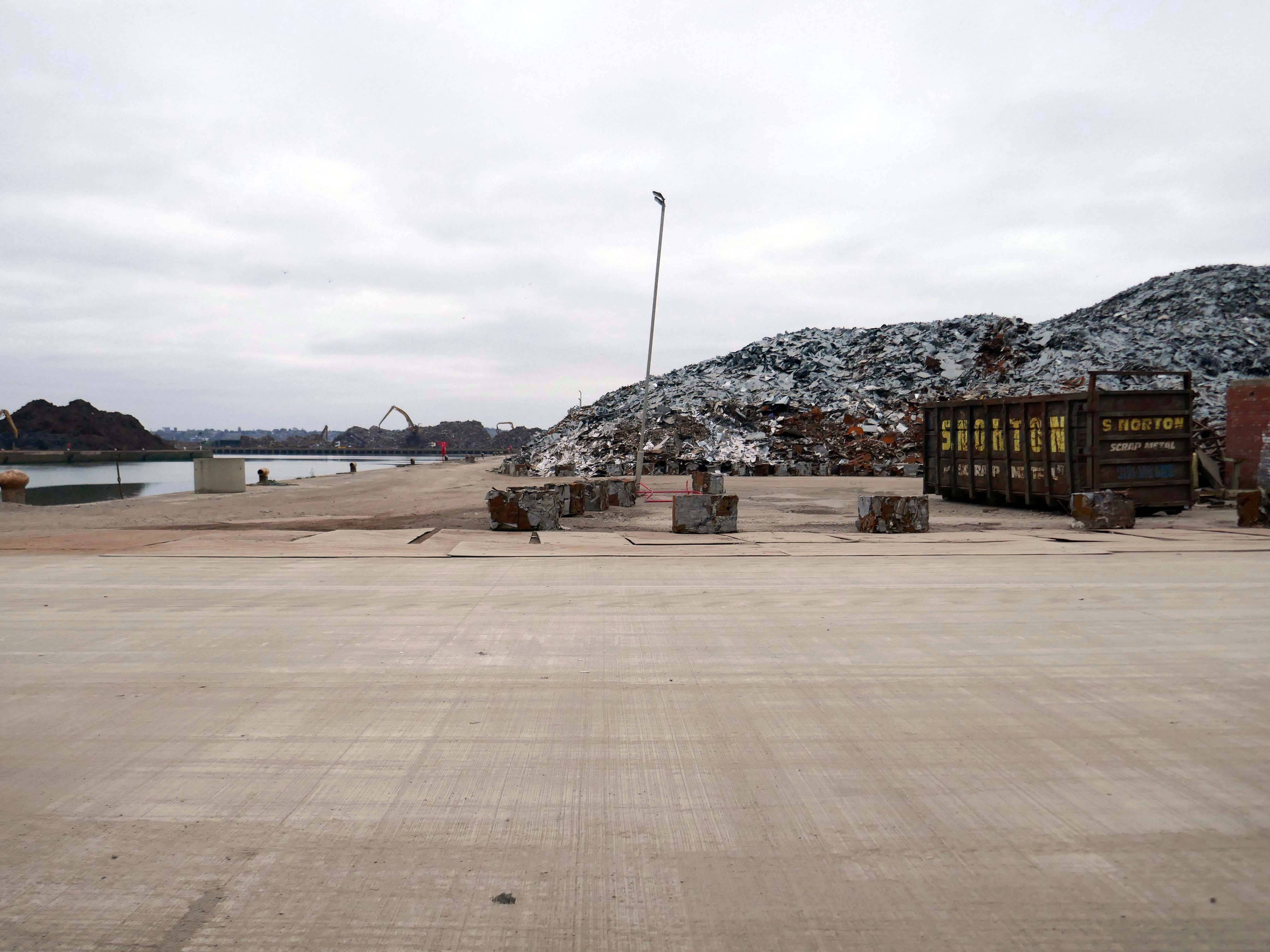
Yet in 2023, the Port of Liverpool was the UK’s fourth busiest container port, handling over 30 million tonnes of freight per annum. It handles a wide variety of cargo, including containers, bulk cargoes such as coal, grain and animal feed, and roll-on/roll-off cargoes such as cars, trucks and recycled metals. The port is also home to one of the largest cruise terminals in the UK which handles approximately 200,000 passengers and over 100 cruise ships each year.

Wikipedia

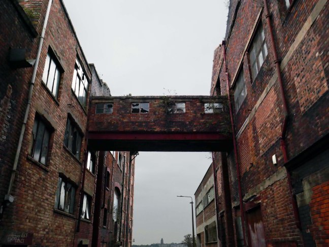
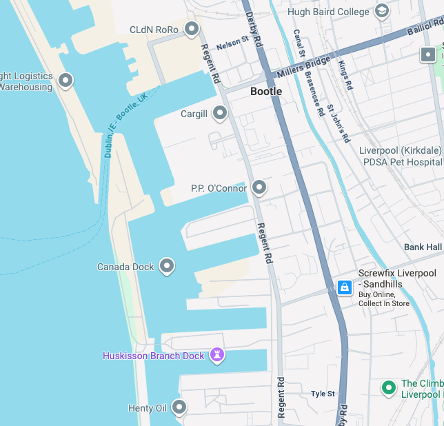
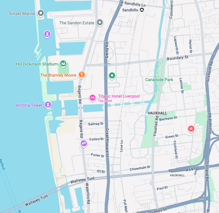
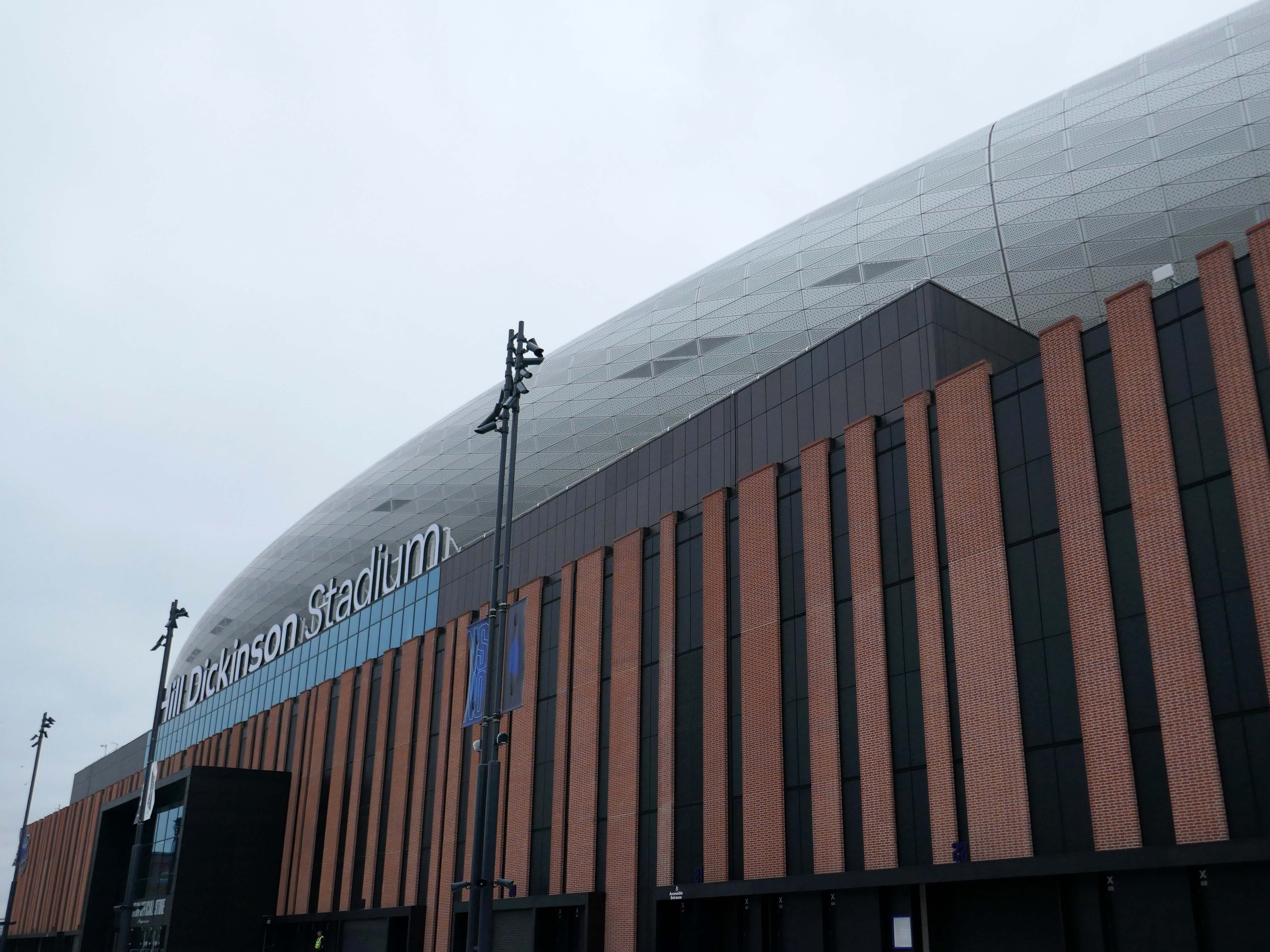
Now with the opening of the Titanic Hotel in the Stanley Dock and the arrival of the Toffees just up the road at the Hill Dickinson Stadium, the whole area is slowly being transformed into a destination, as they say in modern parlance.

However much of the Industrial heritage remains in various states of disarray, used and possibly disabused, but hanging on in there.

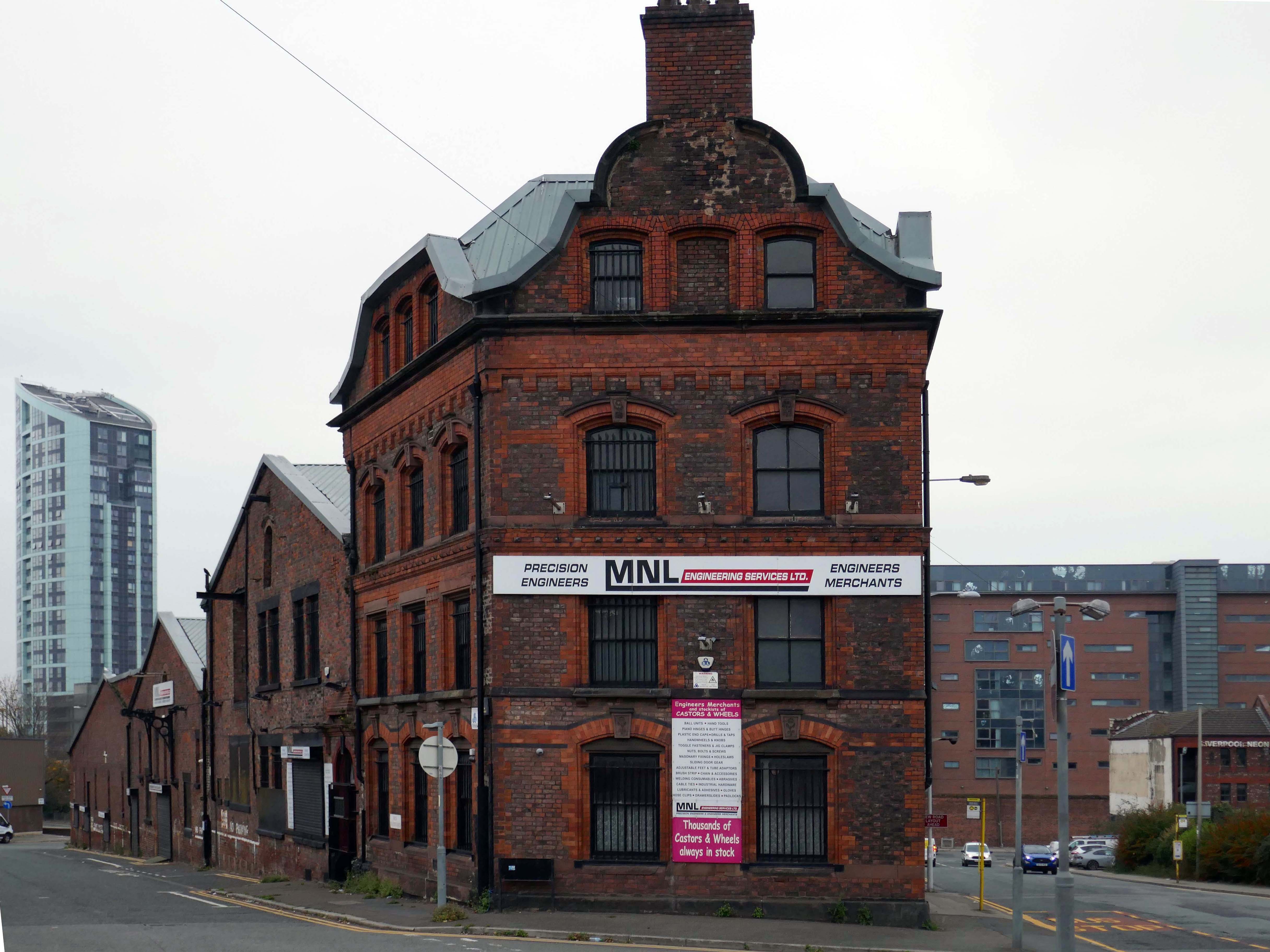
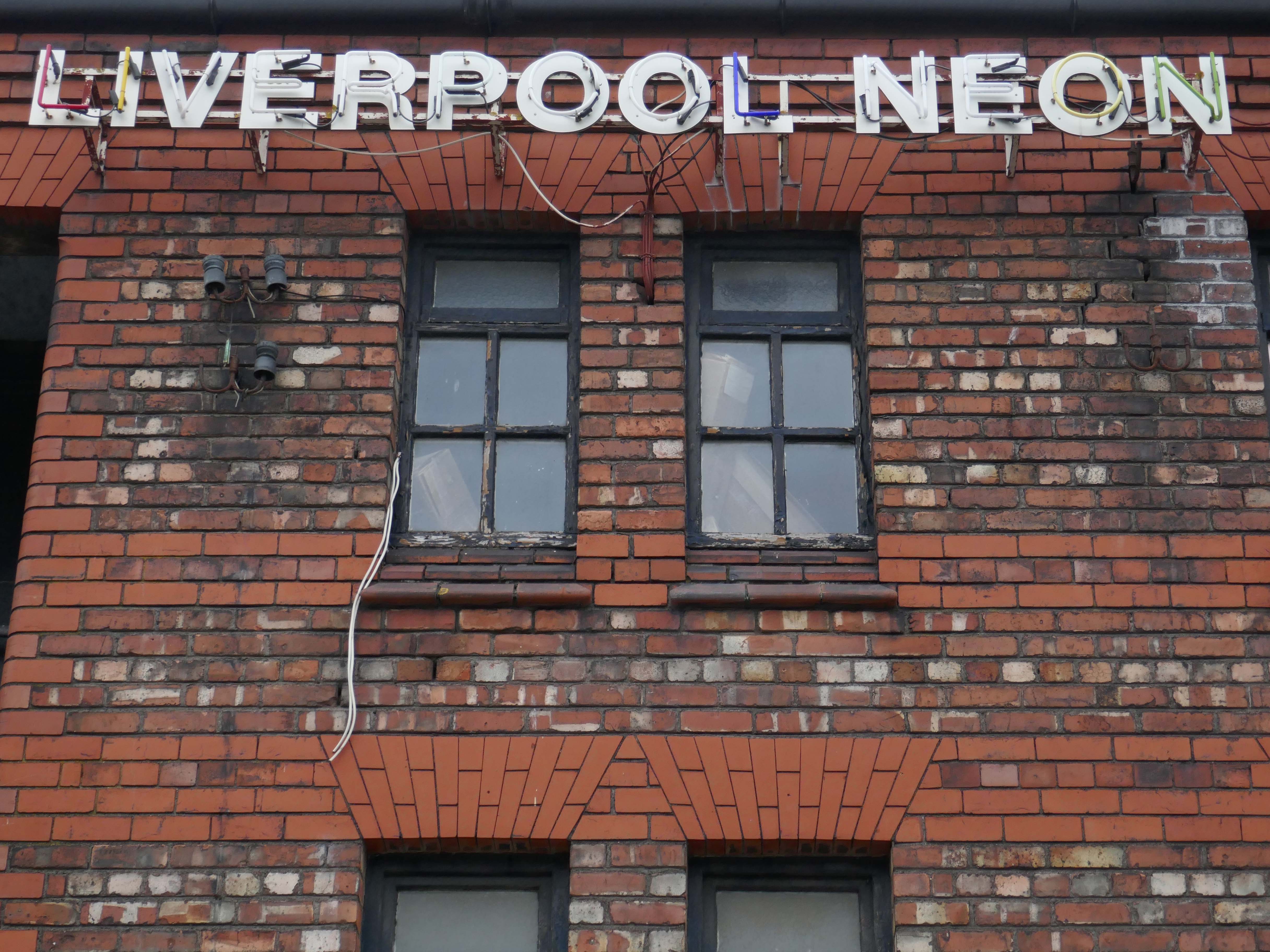
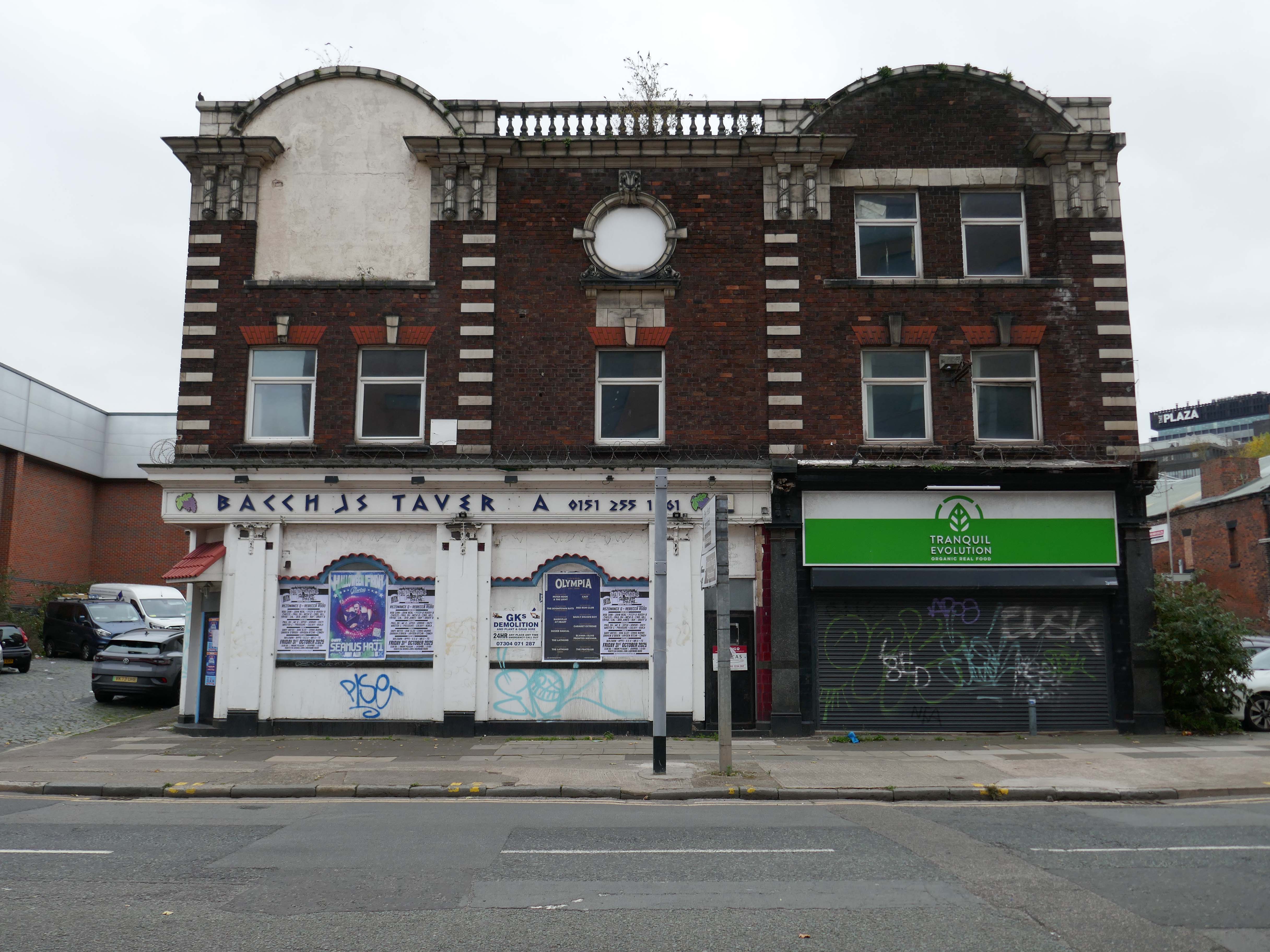
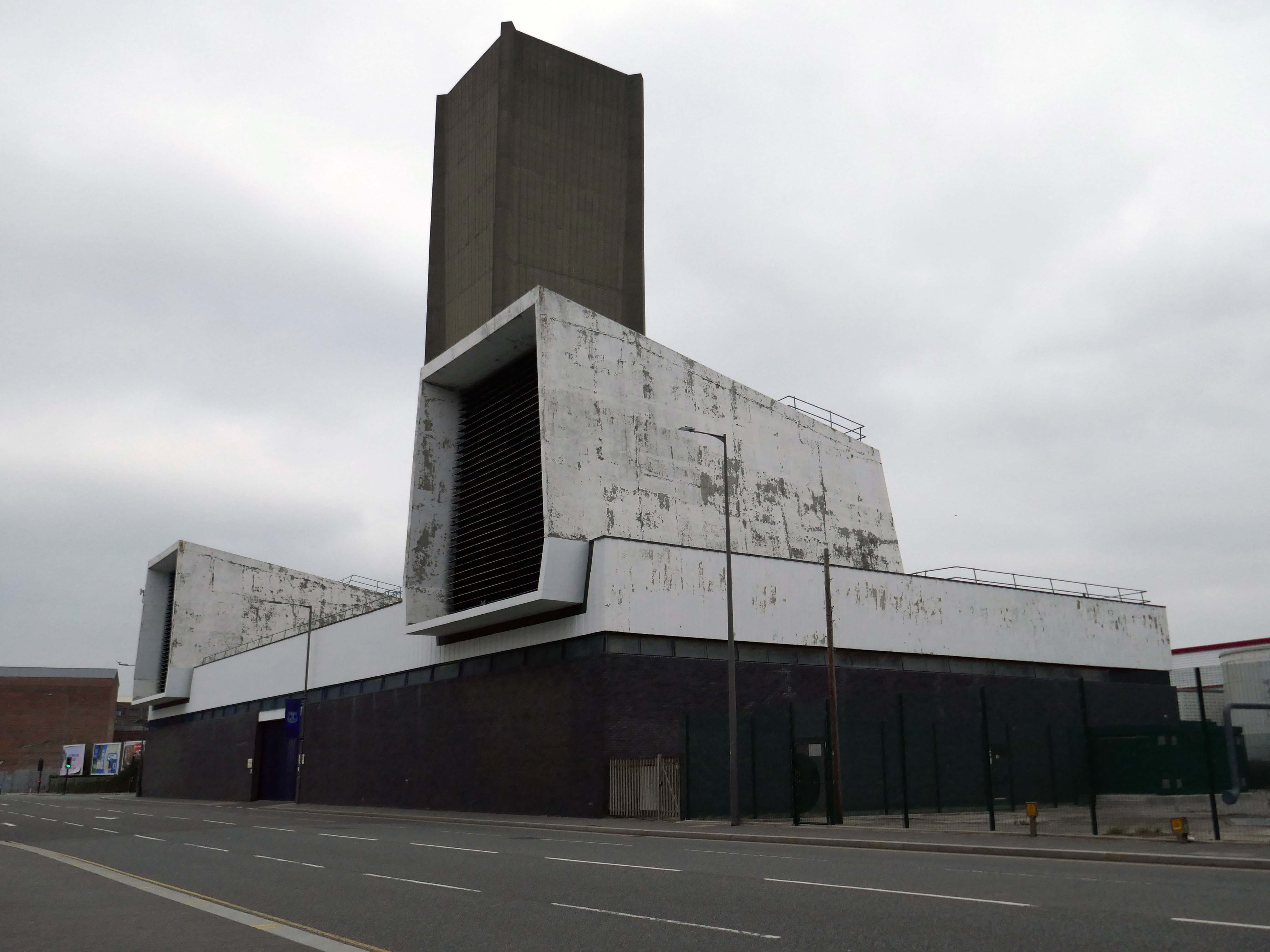
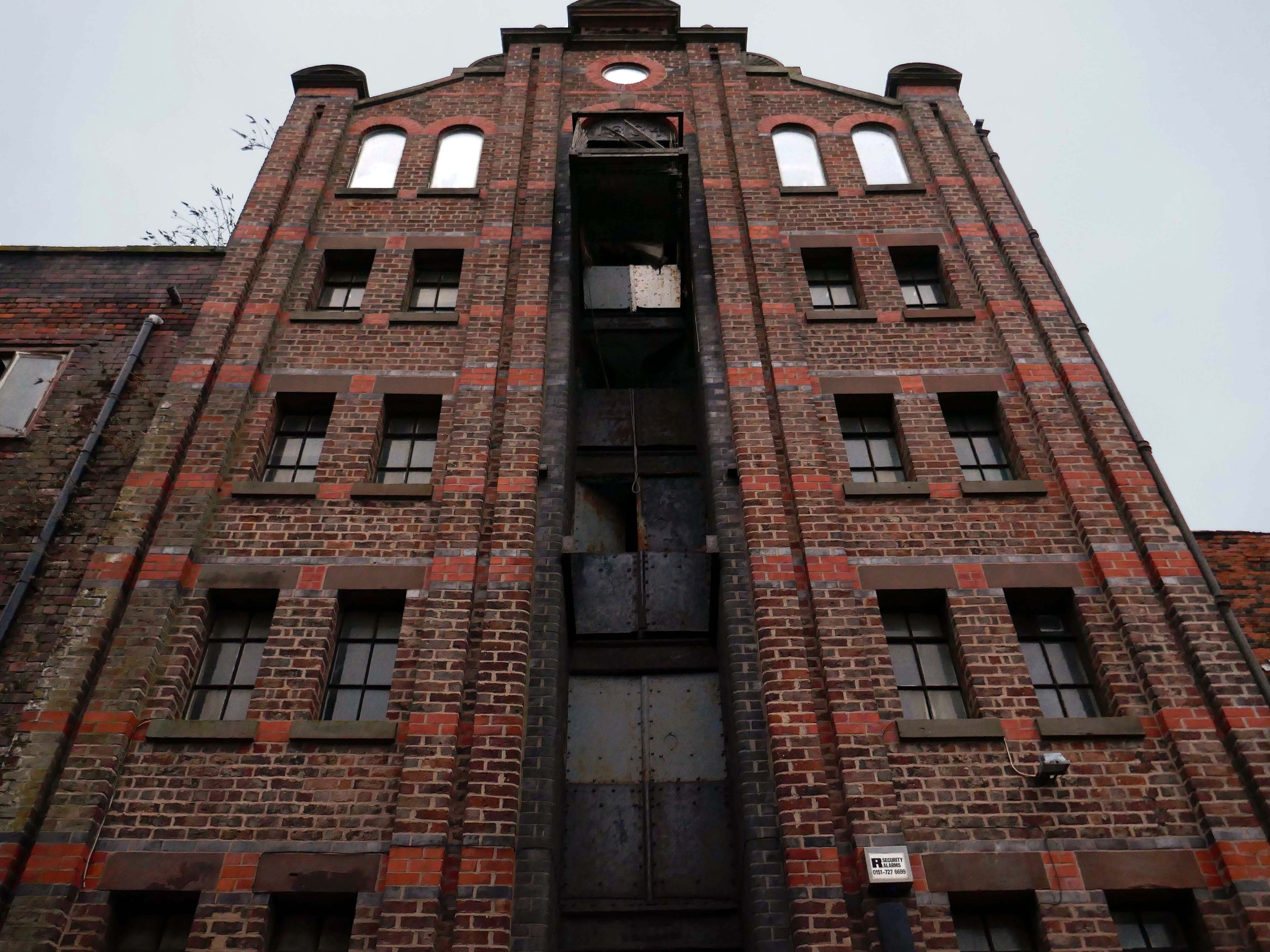
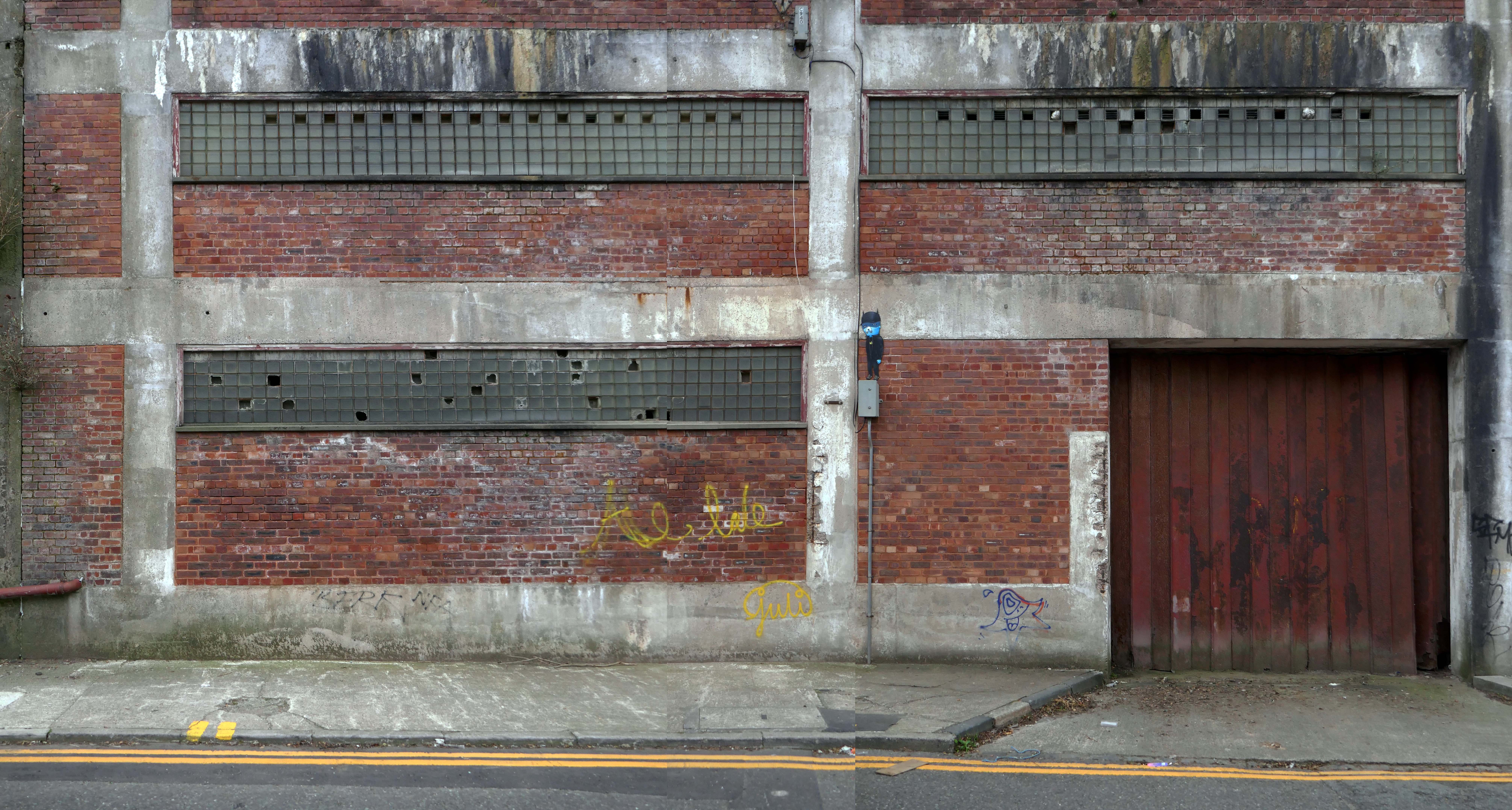
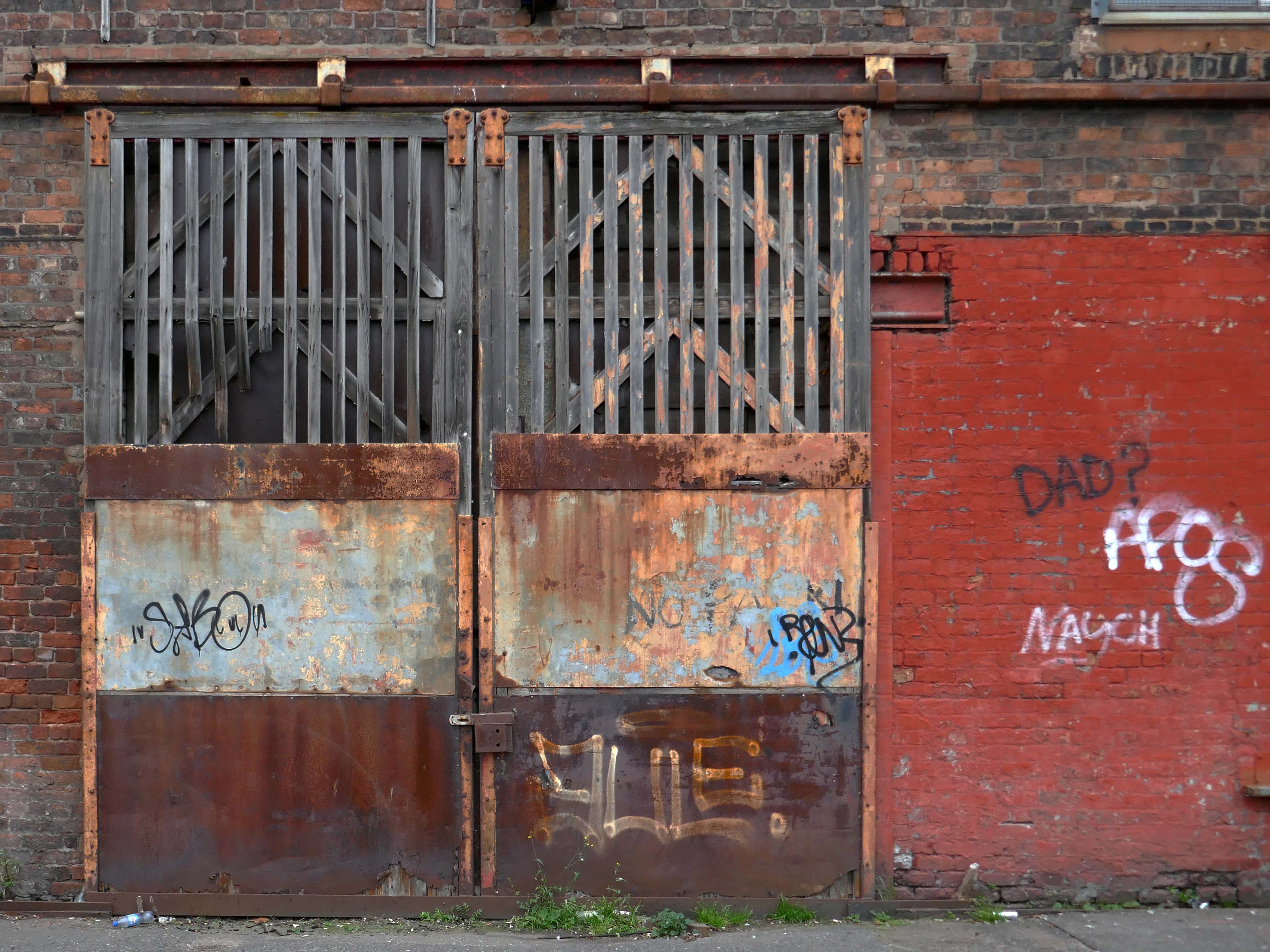
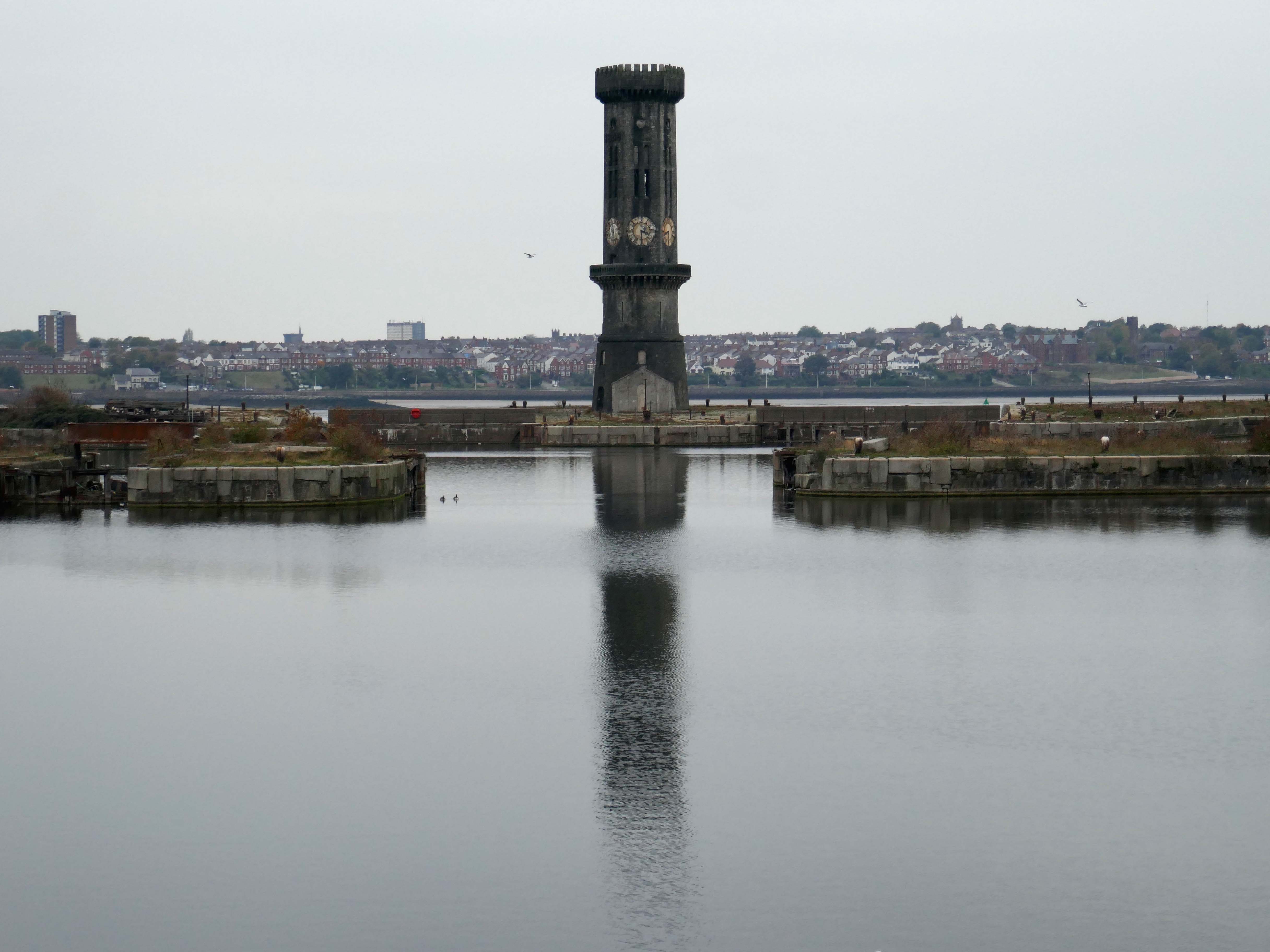
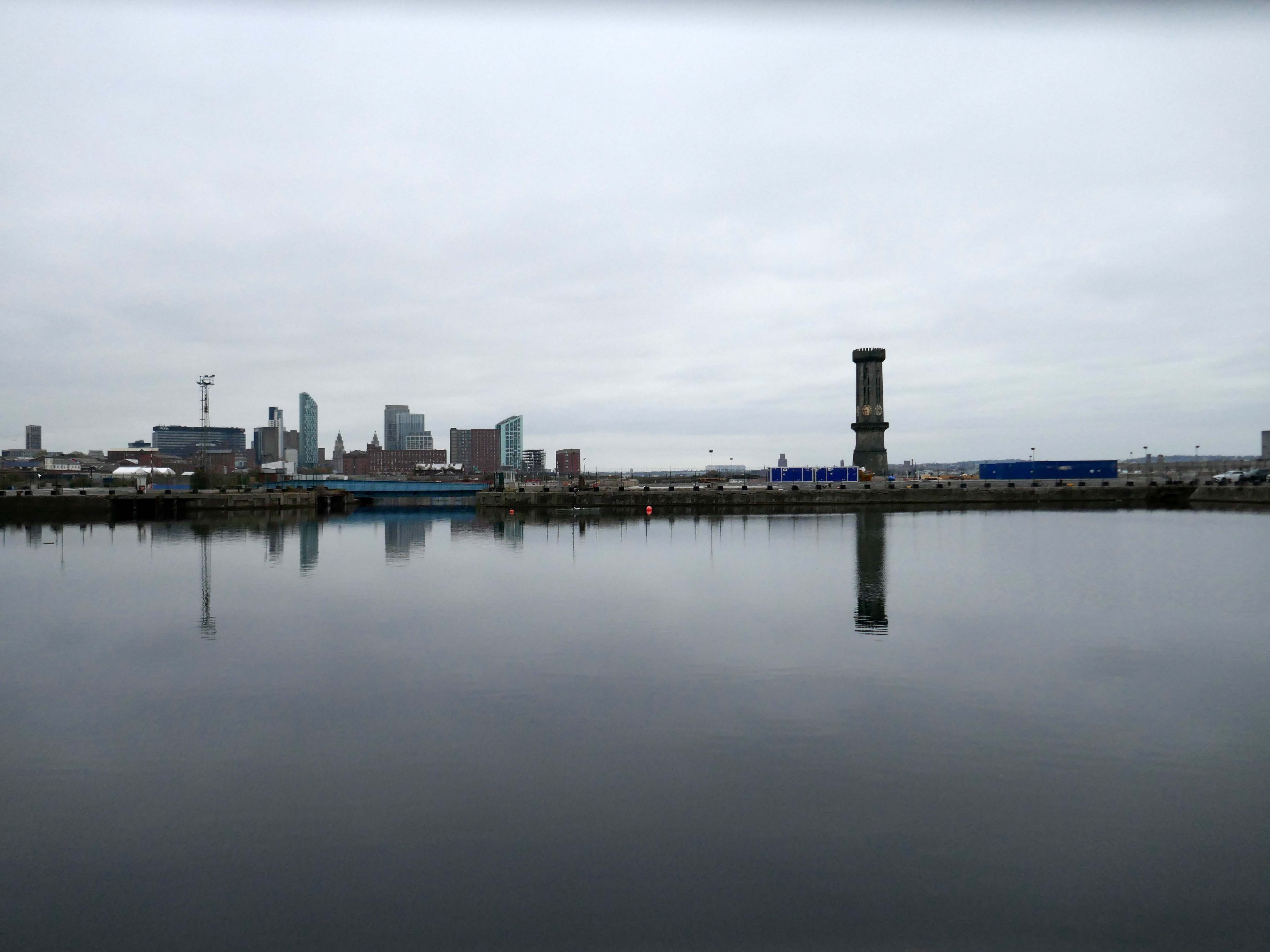
It looks like this.

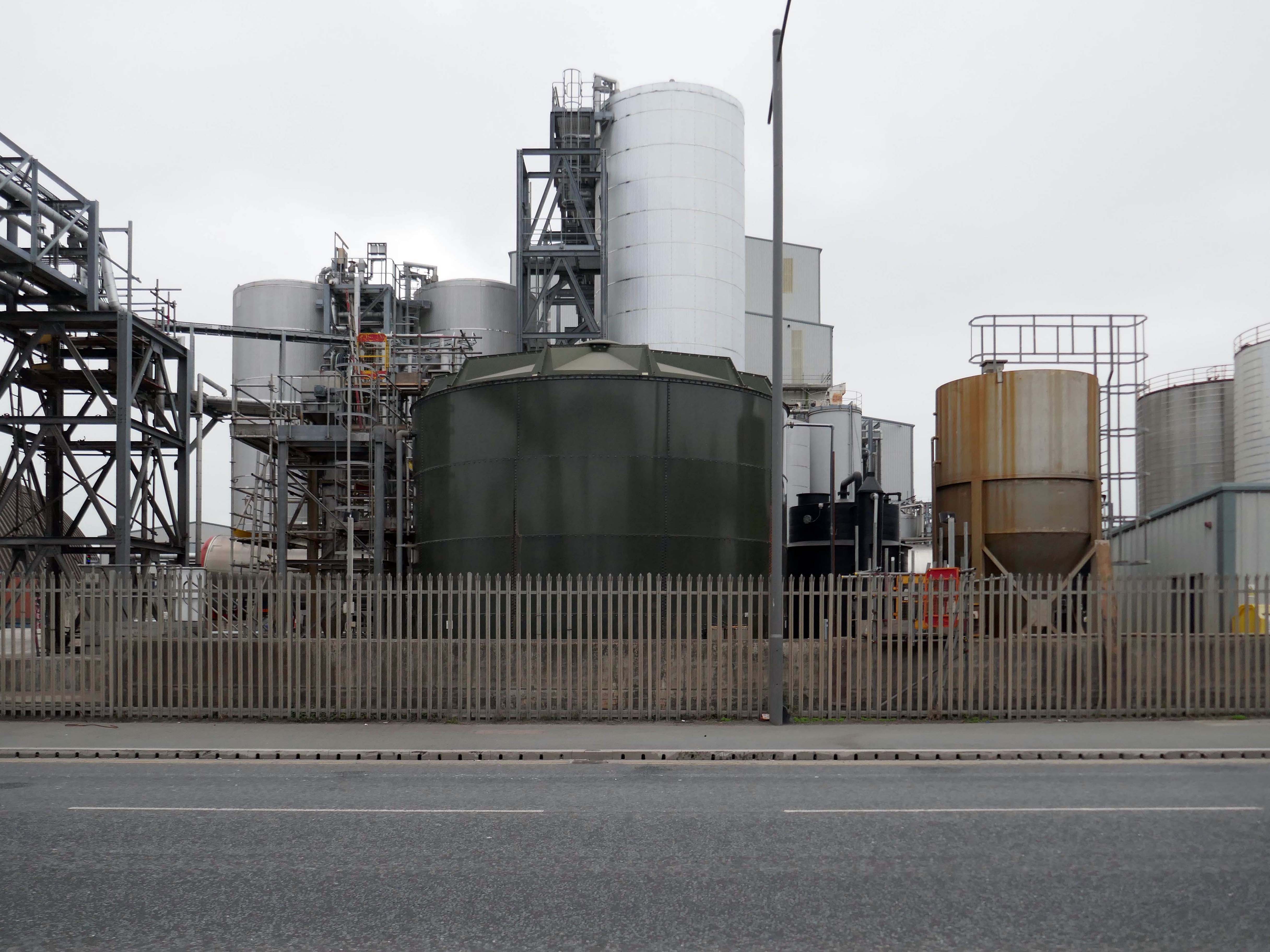
Kingsway Tunnel Vents

Victoria Tower

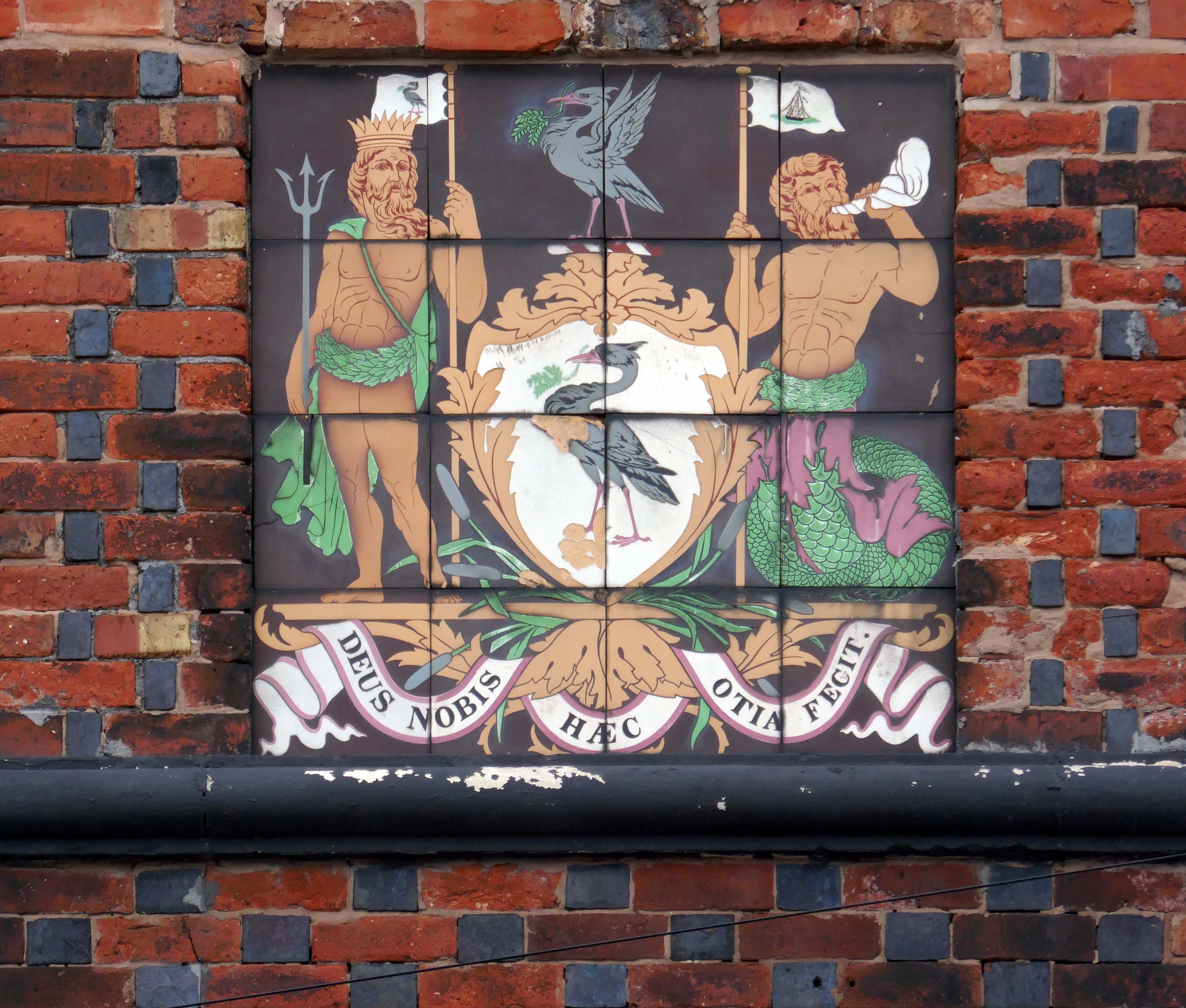
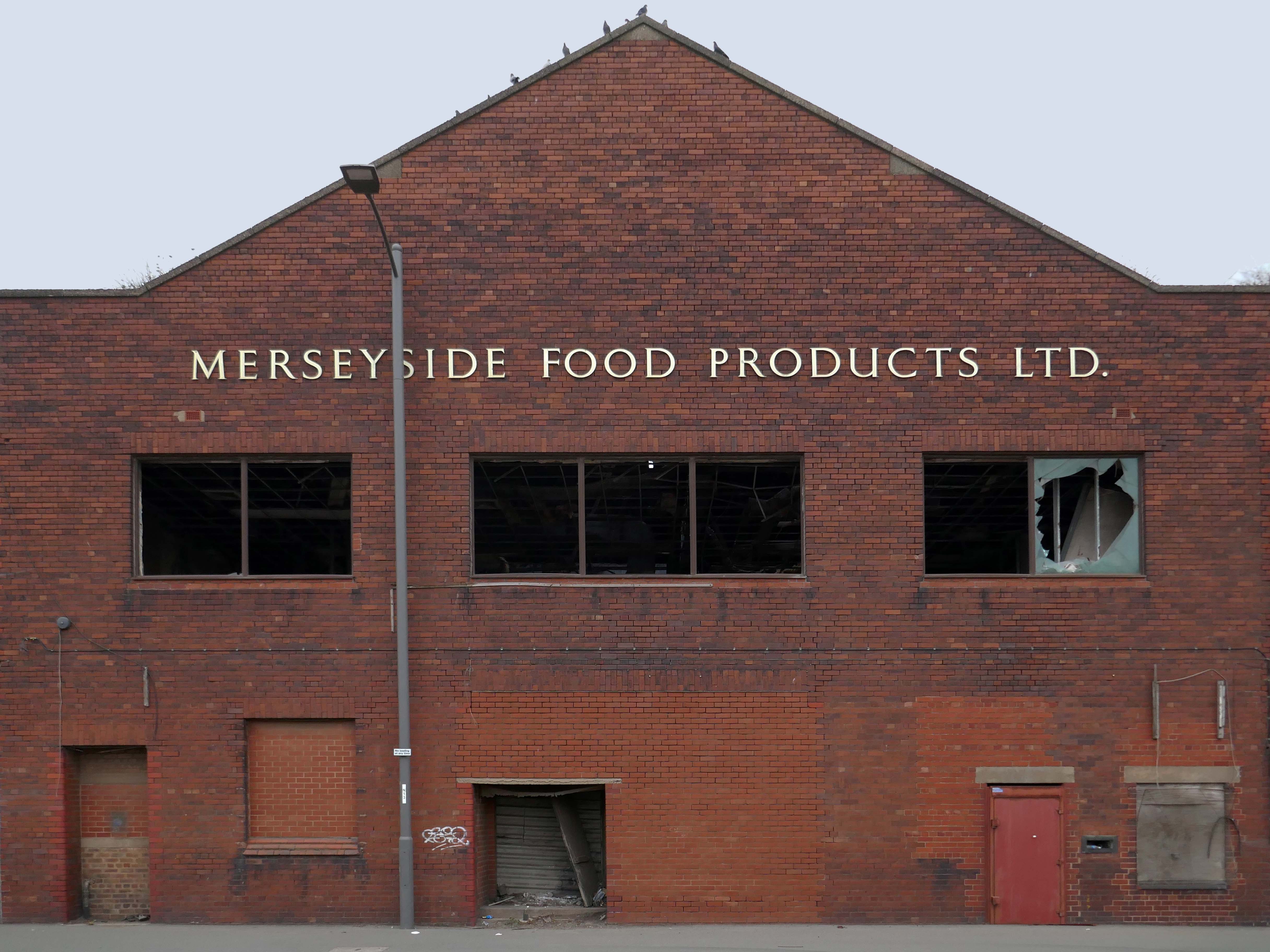
Merseyside Food Products

Tate & Lyle Sugar Silo

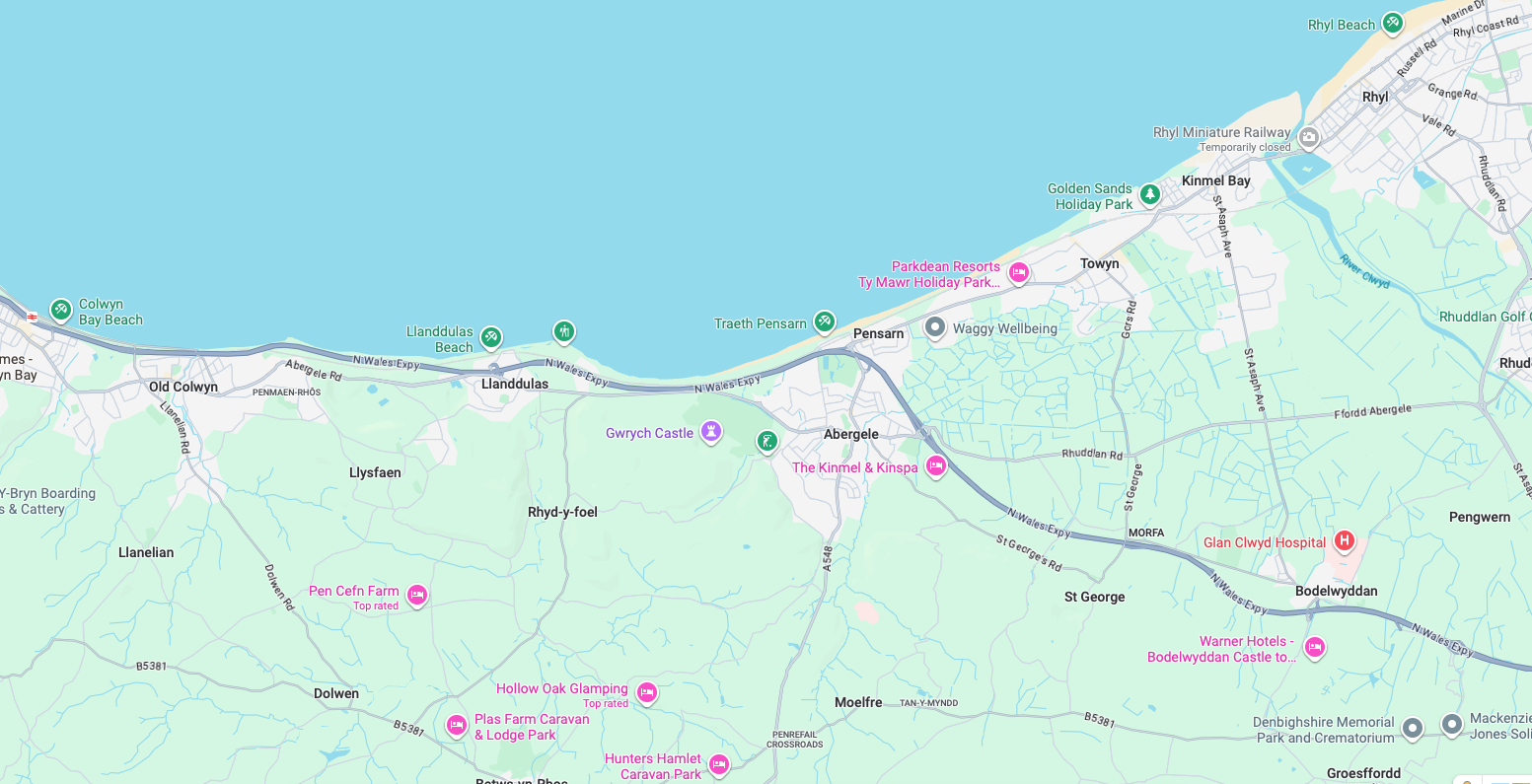
Walking From Rhyl To Colwyn

Previously on Modern Mooch.

My last words on my last North Wales post were:

Time for the train home to Stockport – but you can bet I’ll be back.

And true to my word I have been back, several times – on this occasion alone and on foot.

An almost overcast mid-grey day in November, alighting at Rhyl Station and loafing along to Colwyn Bay – this what I done seen.

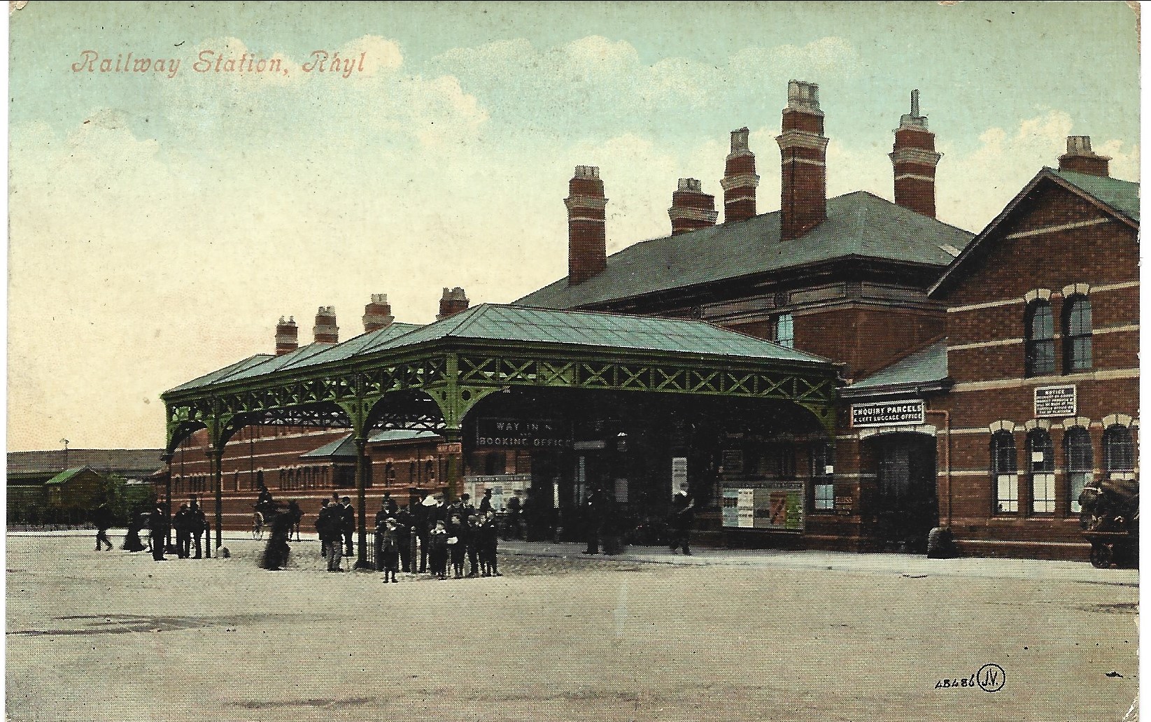
1907

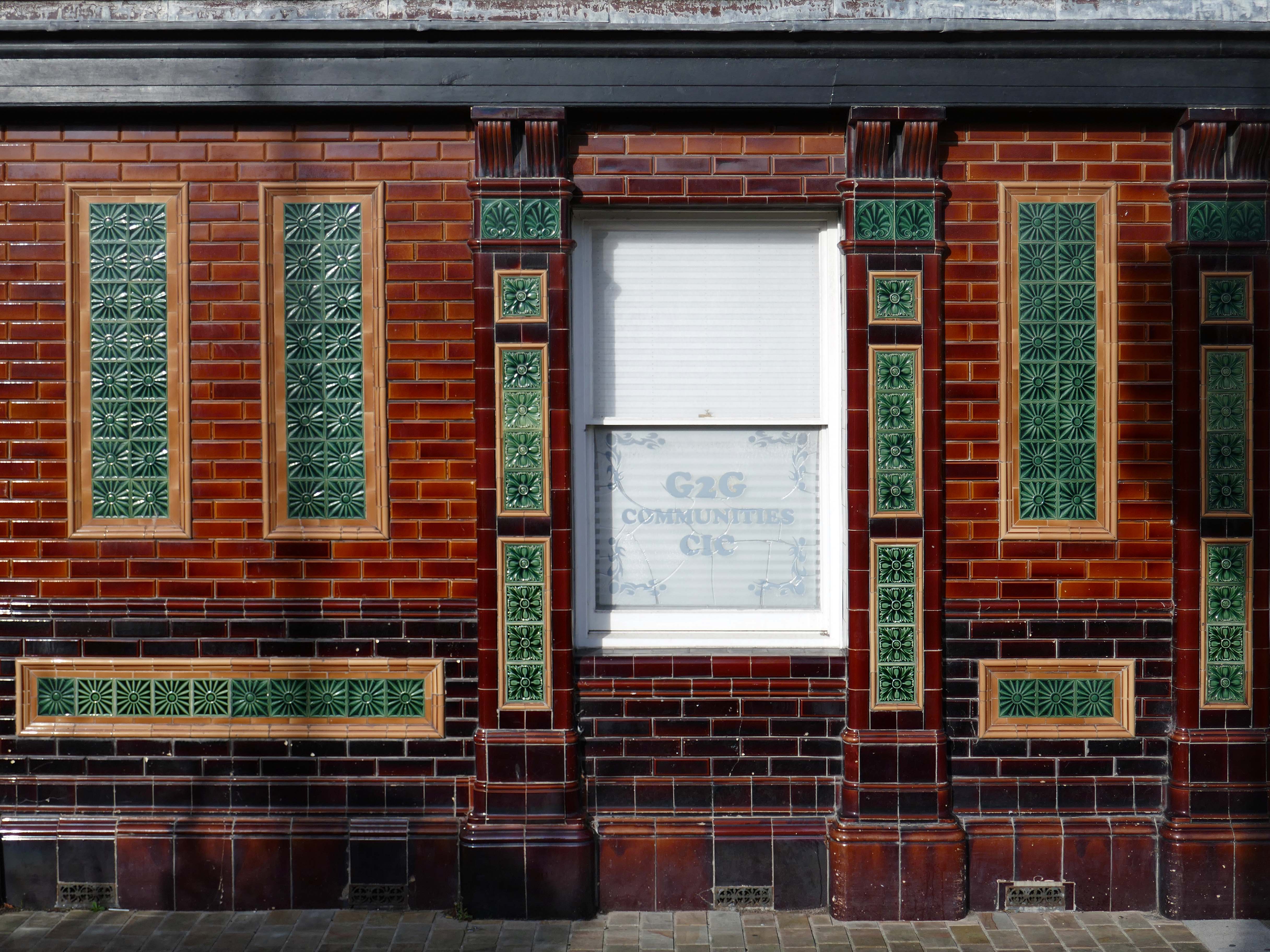
Former Bee and Station Hotel immediately opposite the Station.

The Bee and Station Hotel was built in the 1860s. The decorative tile work of the exterior was probably added during remodelling c.1890. Inside, the lobby is also richly decorated with brightly coloured tiling. The building was listed in 1991 as an excellent example of pub of the late 19th century with a complete tiled frontage and a rare surviving internal layout throughout.

The pub closed in 2005. The building reopened in 2013 after being refurbished and given a modern extension by Denbighshire County Council, under the Townscape Heritage Initiative, to provide new offices for small businesses

History Points

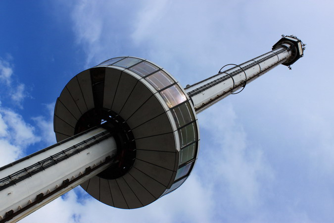
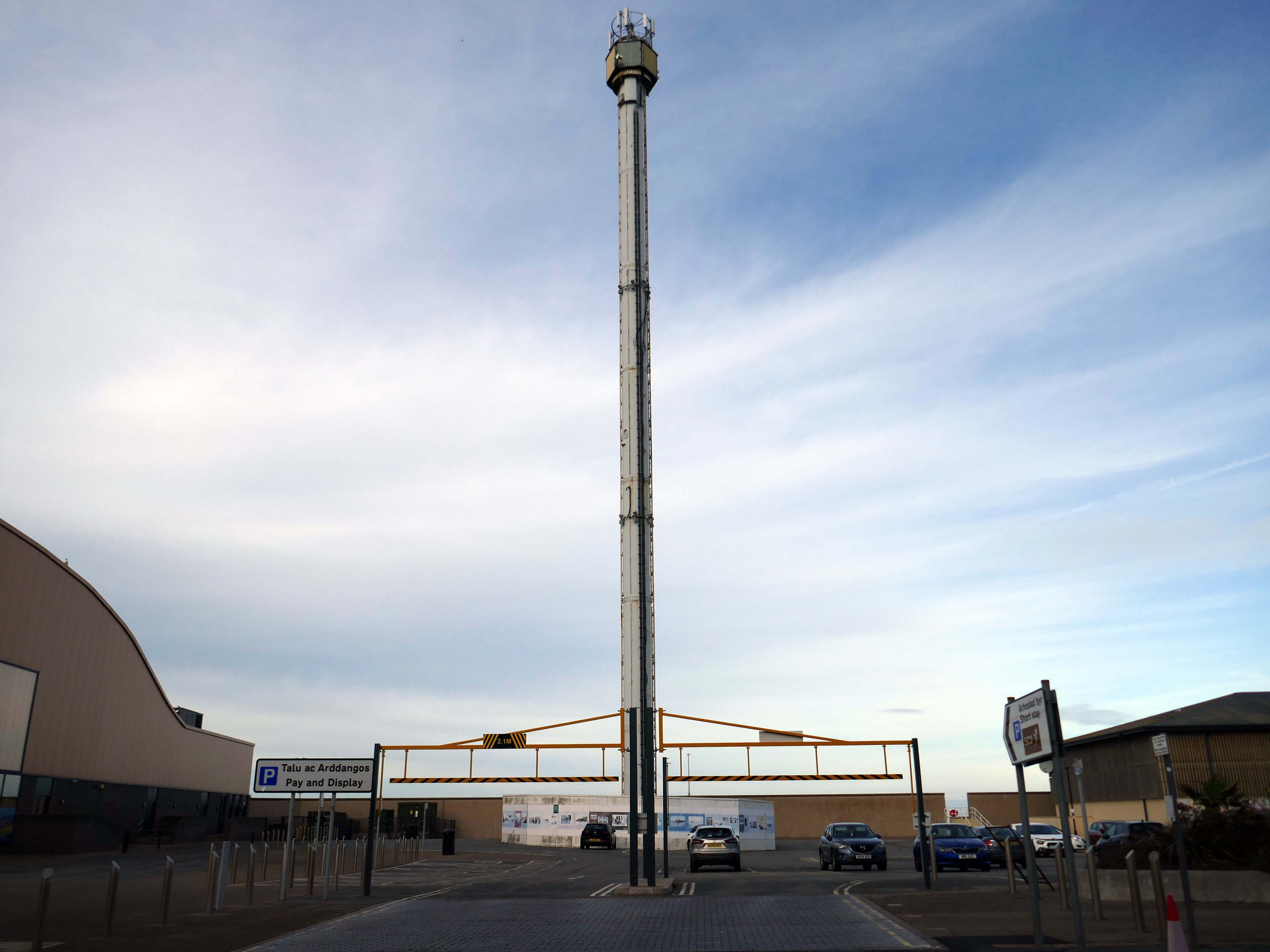
Onward to the seafront, home to the defunct Skytower.

The tower first operated at the 1988 Glasgow Garden Festival, where it was known as the Clydesdale Bank Tower and was opened by Prince Charles and Princess Diana. Following the festival, it was dismantled and reassembled on the Rhyl seafront.

The tower last operated in 2010. The following year, a safety report found that £400,000 worth of repairs were required to keep the ride operational. After standing but not operating for seven years, in 2017 work was carried out to turn the tower into a beacon.

Photo – GA Stephen ©

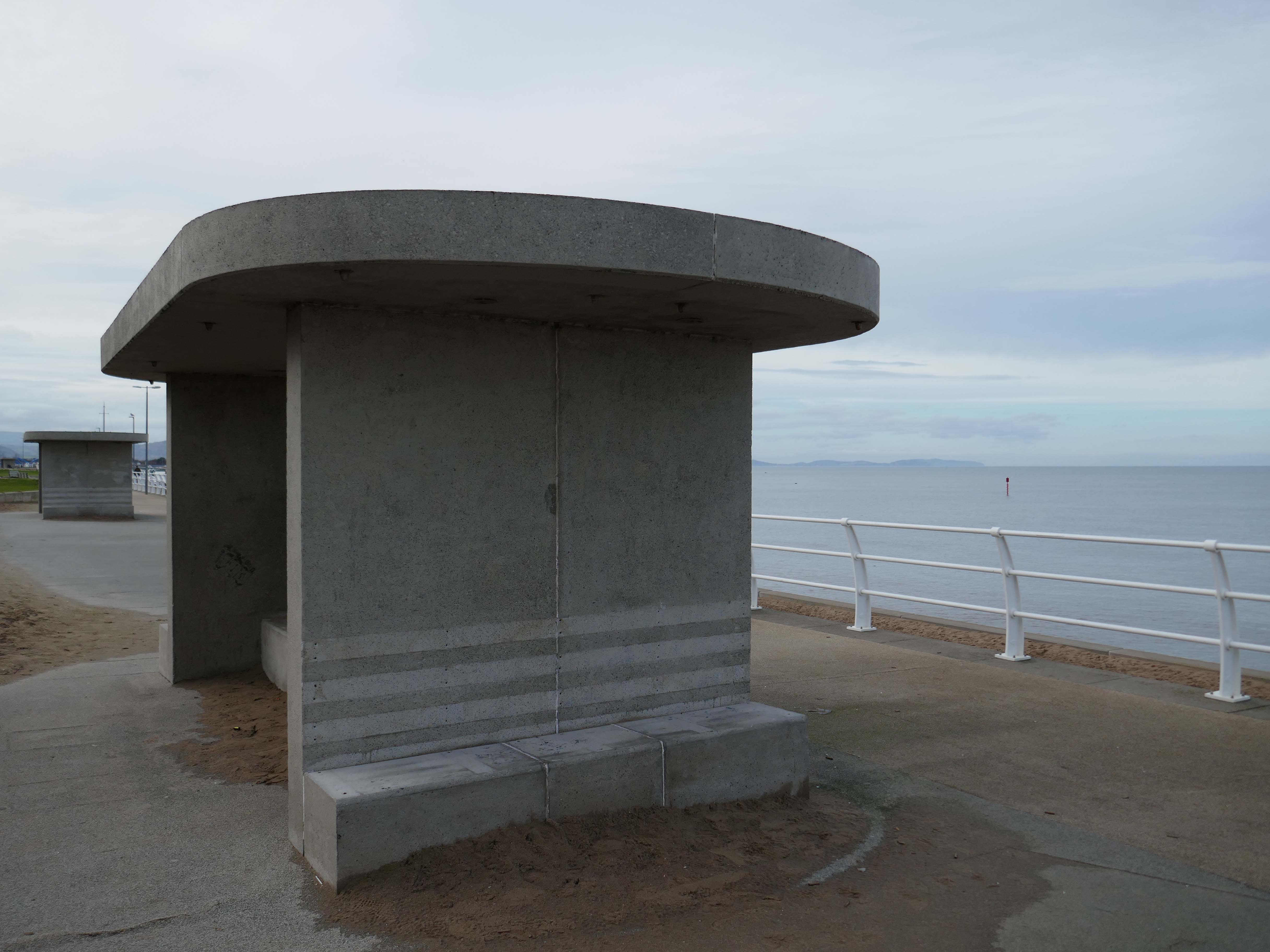
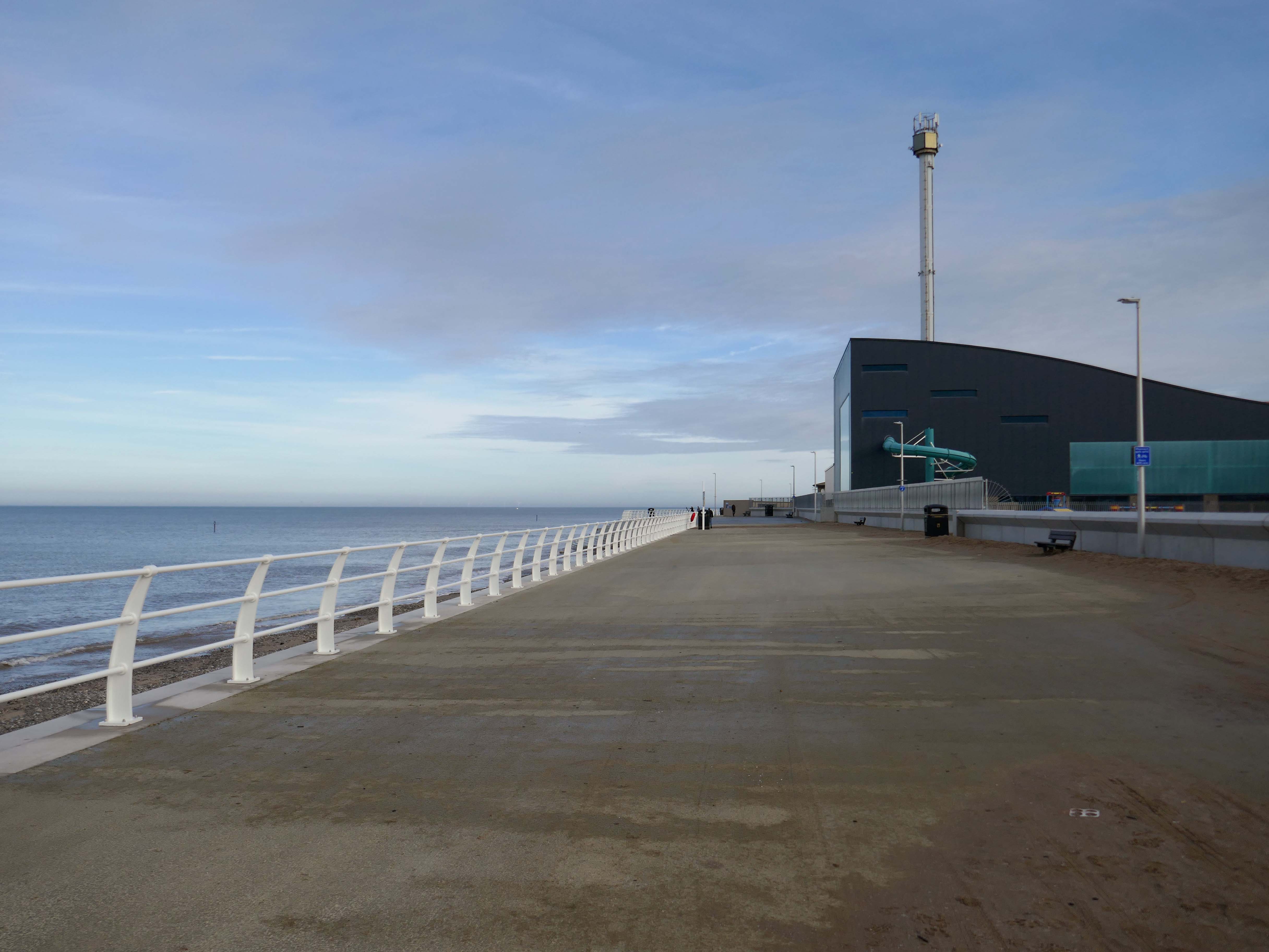
Much has been done to improve the promenade, with sumptuous hard landscaping, coastal defences and seafront shelters.

The £66m Central Rhyl Coastal Defences Scheme will protect almost 600 properties in Rhyl from flooding and coastal erosion for decades to come.

85% of the construction costs have been funded by the Welsh Government, with the Deputy First Minister labelling the project a ‘significant milestone’ in efforts to protect Welsh communities from the growing threats of climate change. Denbighshire County Council contributed the remaining 15%.

Gov. Wales

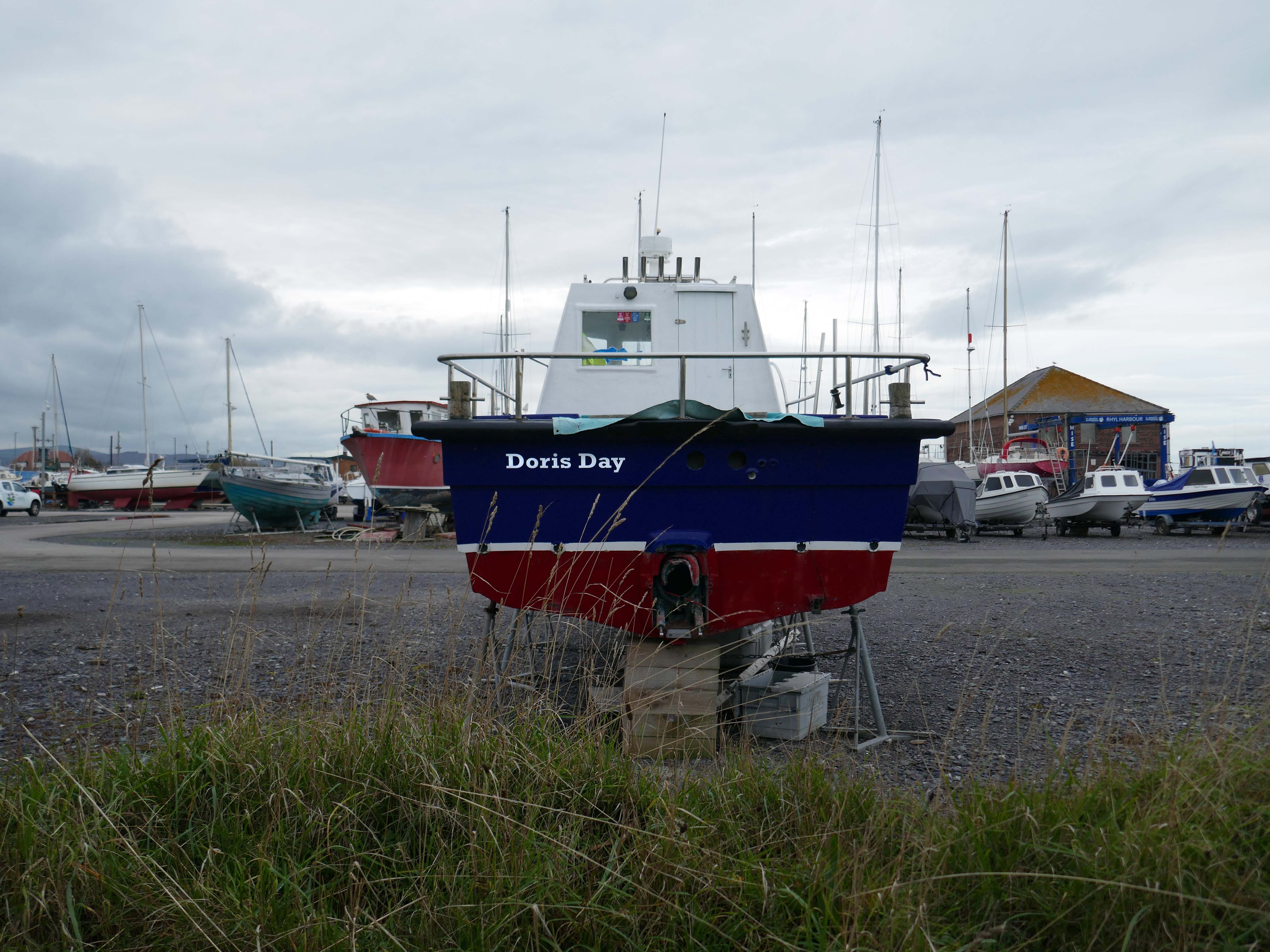
Over the estuary to Rhyl Harbour home to Doris Day.

Rhyl Harbour is located on the spectacular North Wales Coast and has undergone a dramatic refurbishment which has hugely improved the facilities on offer. The original timber yard which was used by sailing ships up until the Second World War, has been redeveloped and now offers storage for over 150 boats.

Denbighshire Gov UK

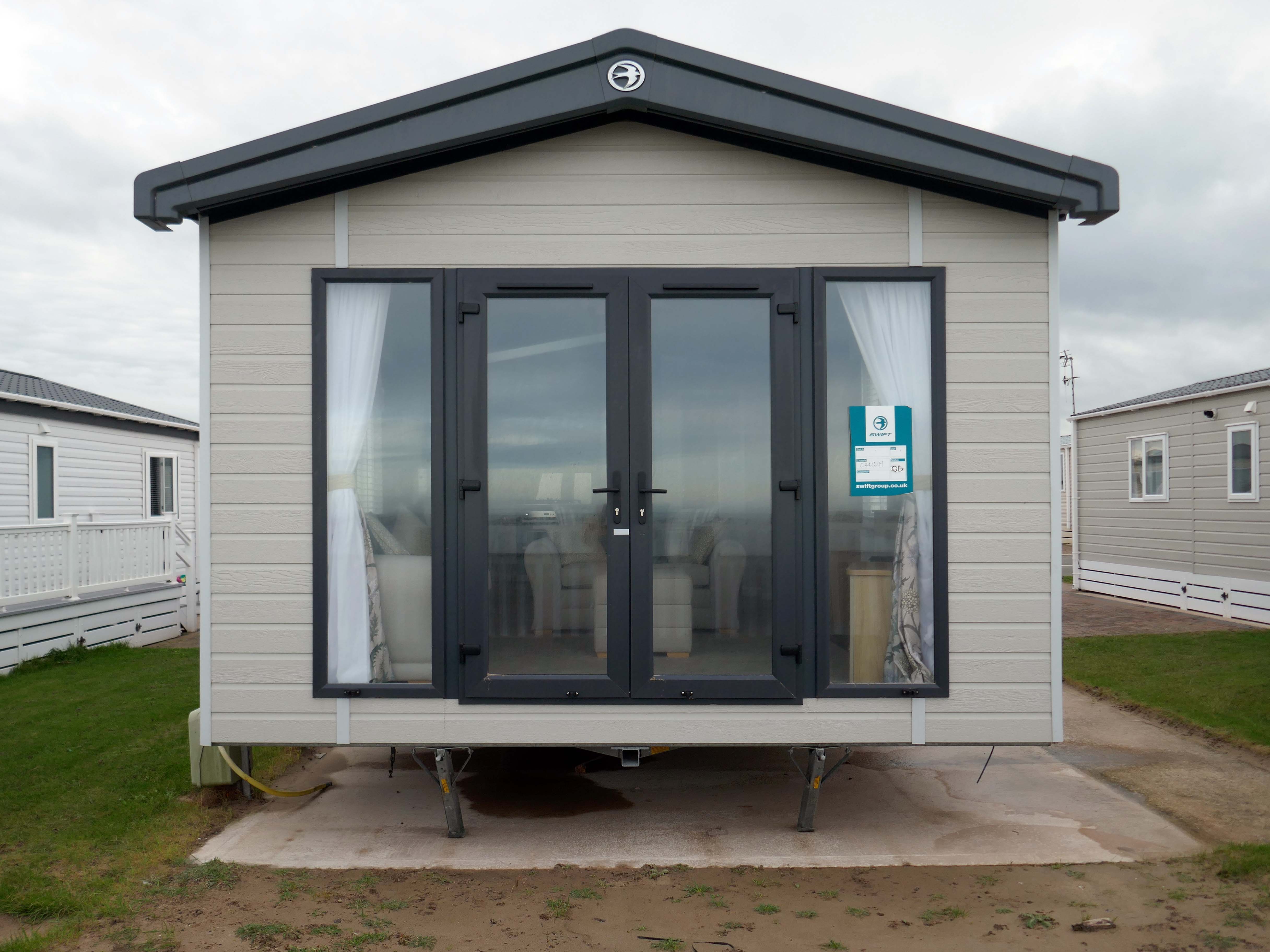
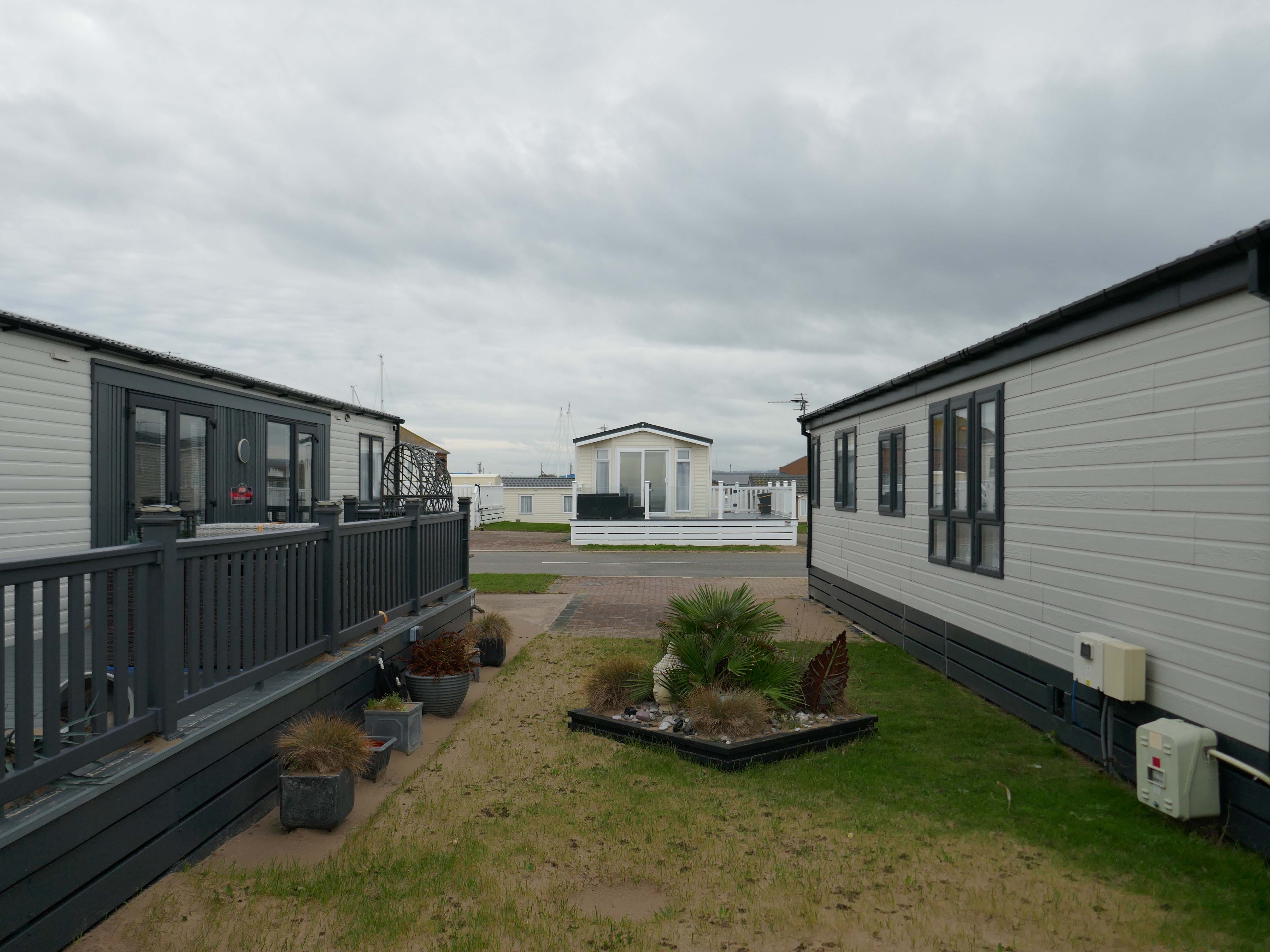
The foreshore home from home for thousands of caravan dwellers.

Golden Sands Holiday Park Rhyl has over 85 years history of fun filled holidays. Wonderfully located right next to the beach in Kinmel Bay in North Wales, it’s the perfect place for a family seaside holiday. It’s also an excellent base for exploring the beauty of North Wales. The town of Rhyl is closest, though also nearby are Prestatyn, Colwyn Bay and Llandudno – with the Great Orme. Blue Flag beaches offering wonderful seaside holiday traditions along with stunning Snowdonia National Park are within an easy drive.

Hoseasons

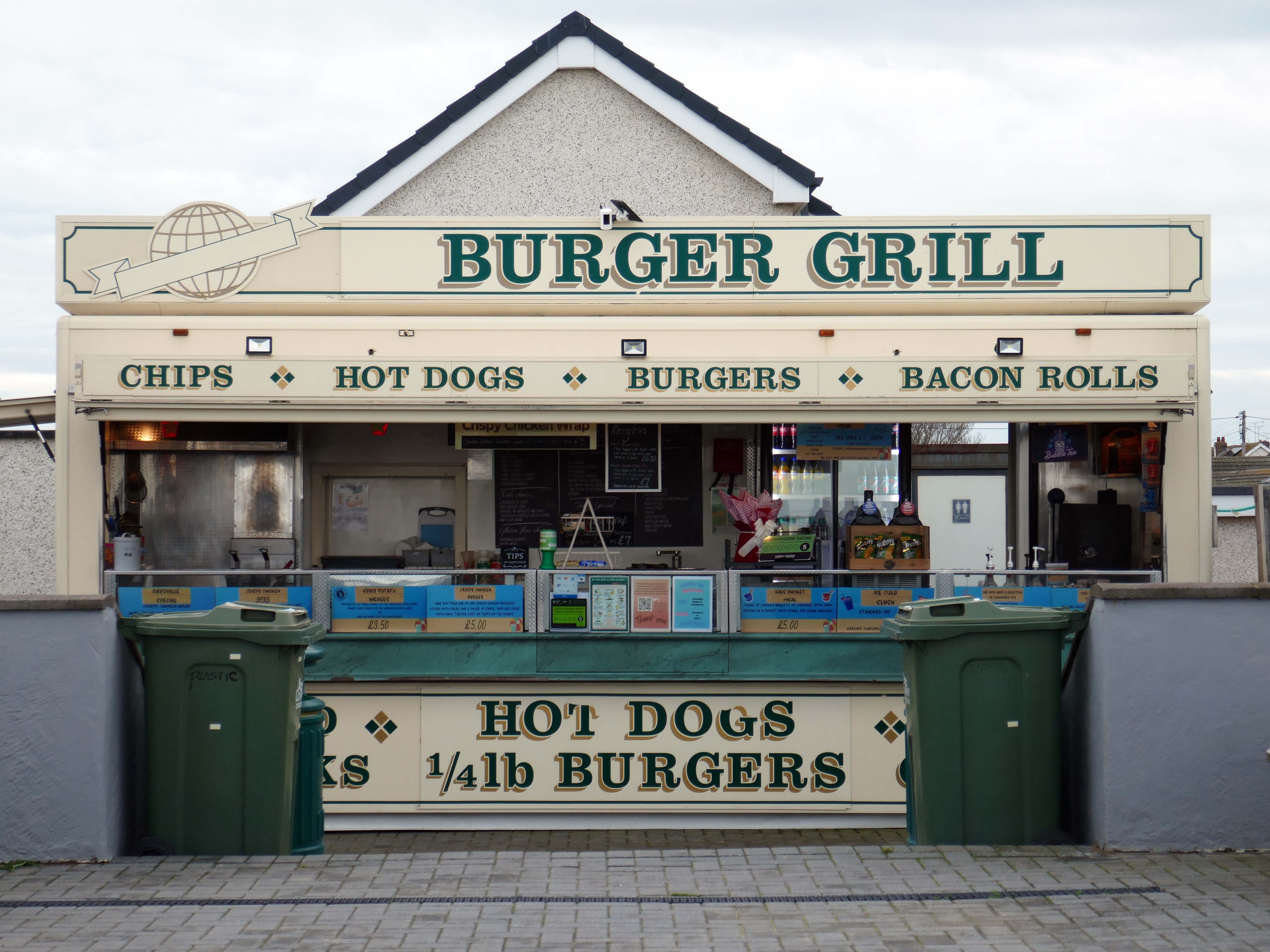
This is not food for thought, or is it?

Fast food is often nutritionally poor and high in calories. Evidence demonstrates that overeating commercial fast food products can negatively impact health in both the short and long term.

However:

Baysville is lovely and clean, lots of tables and a good choice of foods from ice cream, donuts, burgers, hot and cold drinks and a bar. The staff are pleasant and welcoming.

Christinecupcake

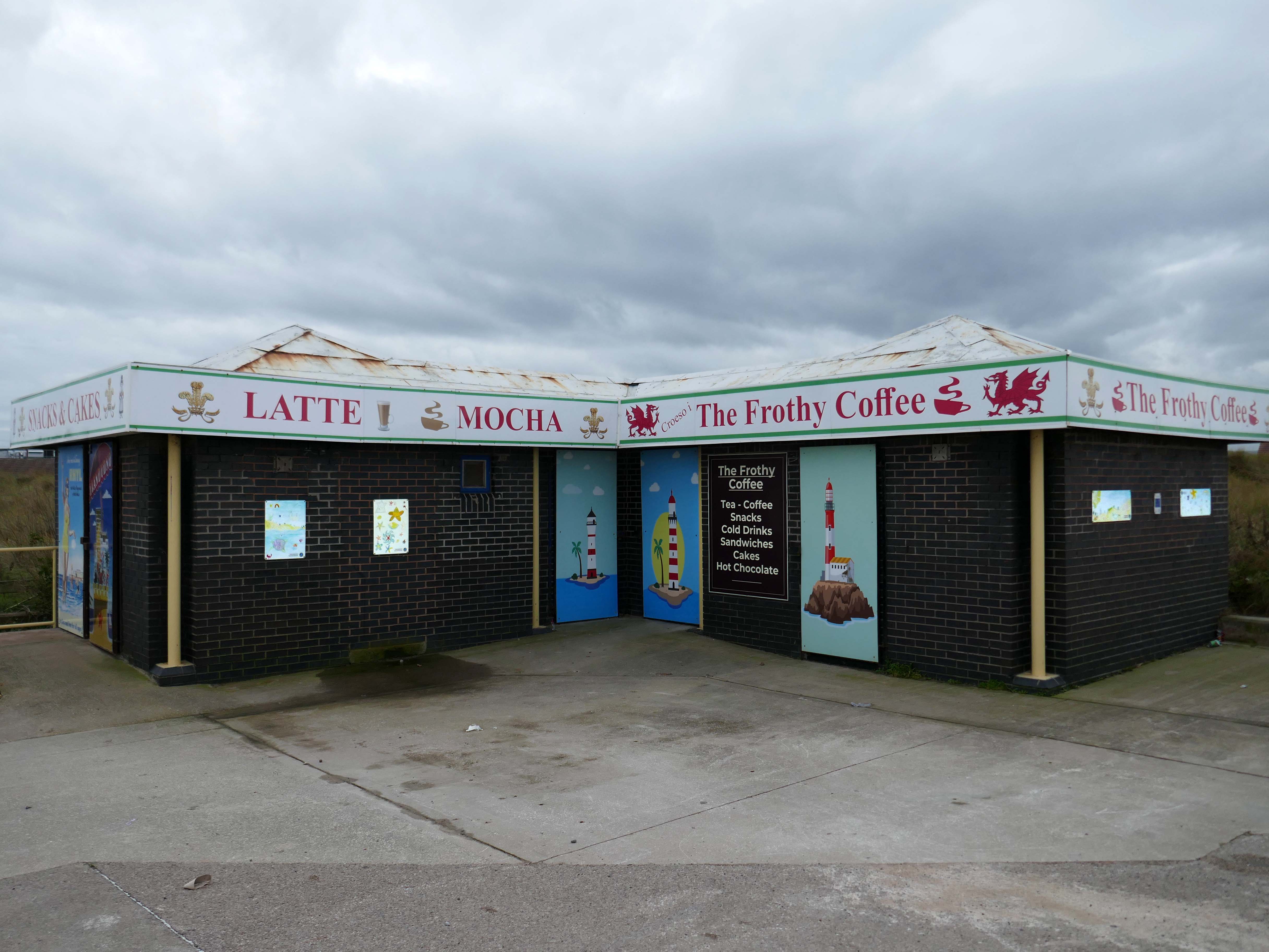
I am unaware of the effects, negative or otherwise, concerning overexposure to Frothy Coffee.

I love this place, what an amazing way to spend a day, having the best cappuccino I’ve ever tasted while taking in the sea air.

Lovely lady, amazing prices, brilliant with my son that has autism.

Anna S

Researchers have found people who drink up to three cups of coffee a day could have a healthier heart and a lower risk of dying of any cause.

But too much caffeine can produce anxiety, sleeplessness, agitation, palpitations, diarrhoea and restlessness. In individuals with a mental health condition caffeine can worsen psychosis and result in the need for higher amounts of medication.

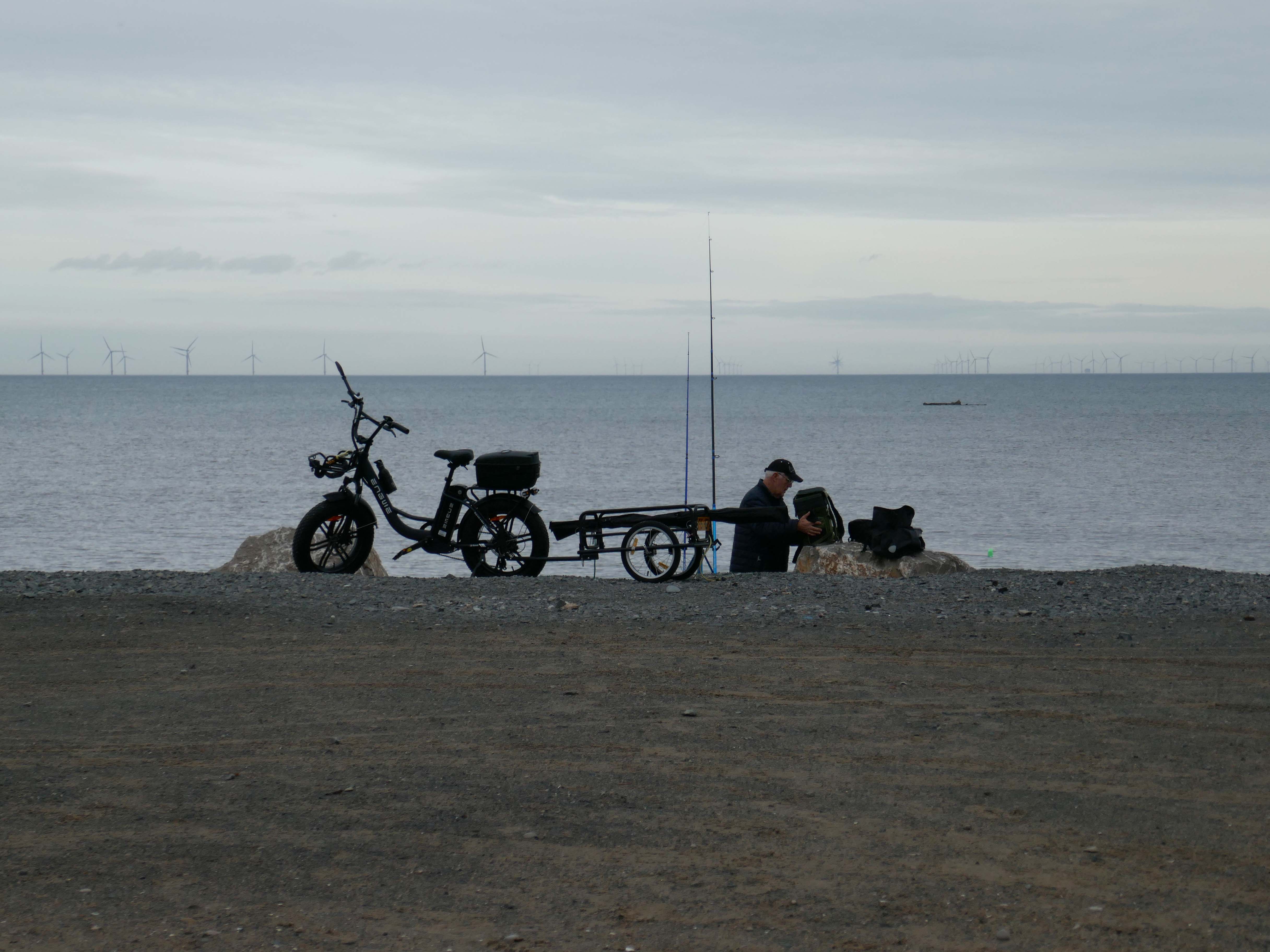
Possibly wiser to take a leisurely ride on your electric bicycle, followed by an hour or two of beach casting .

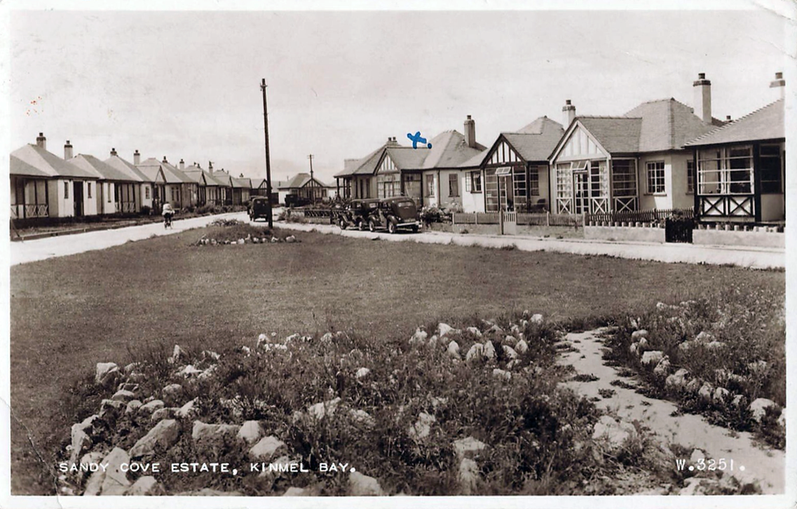
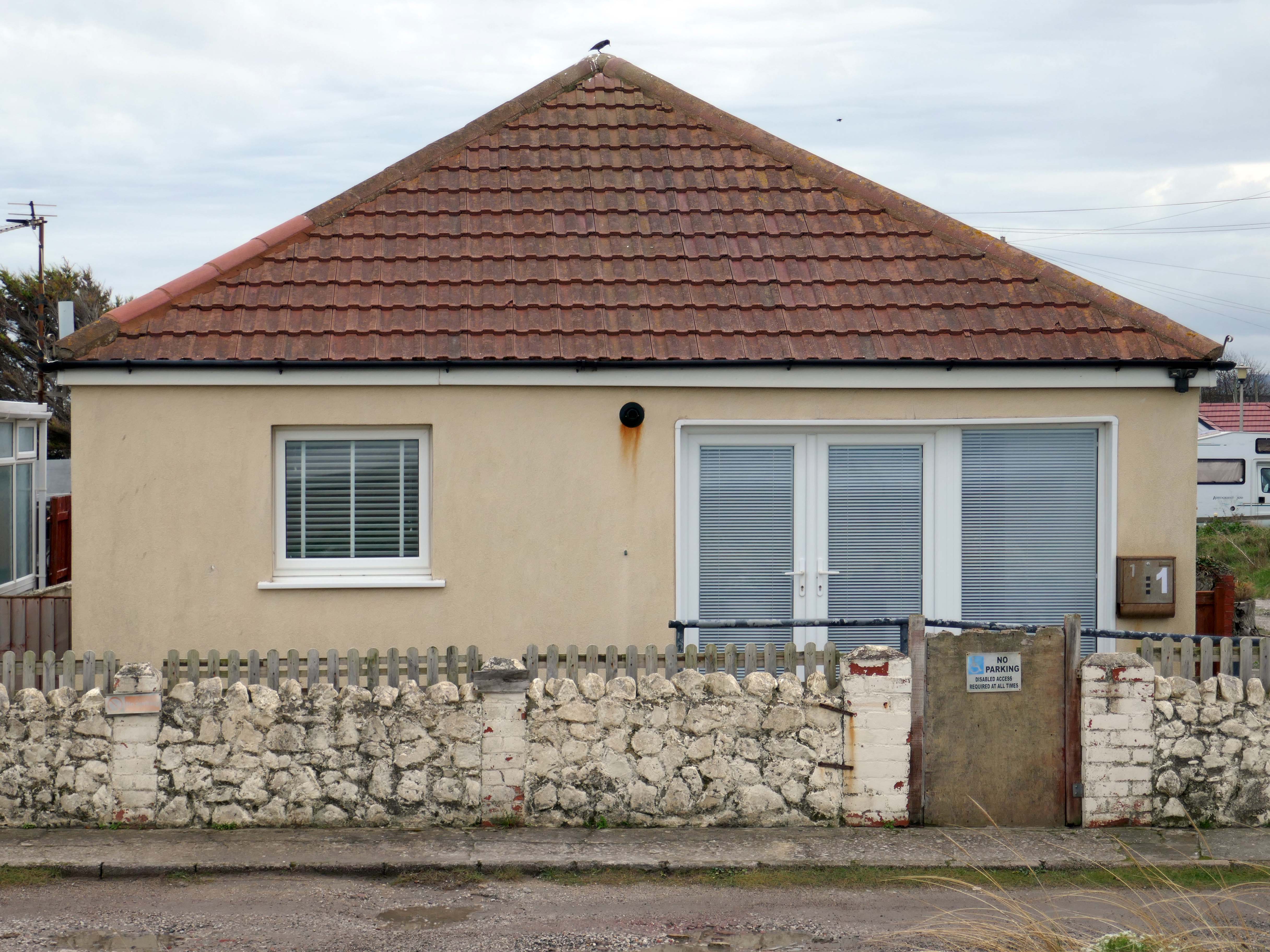
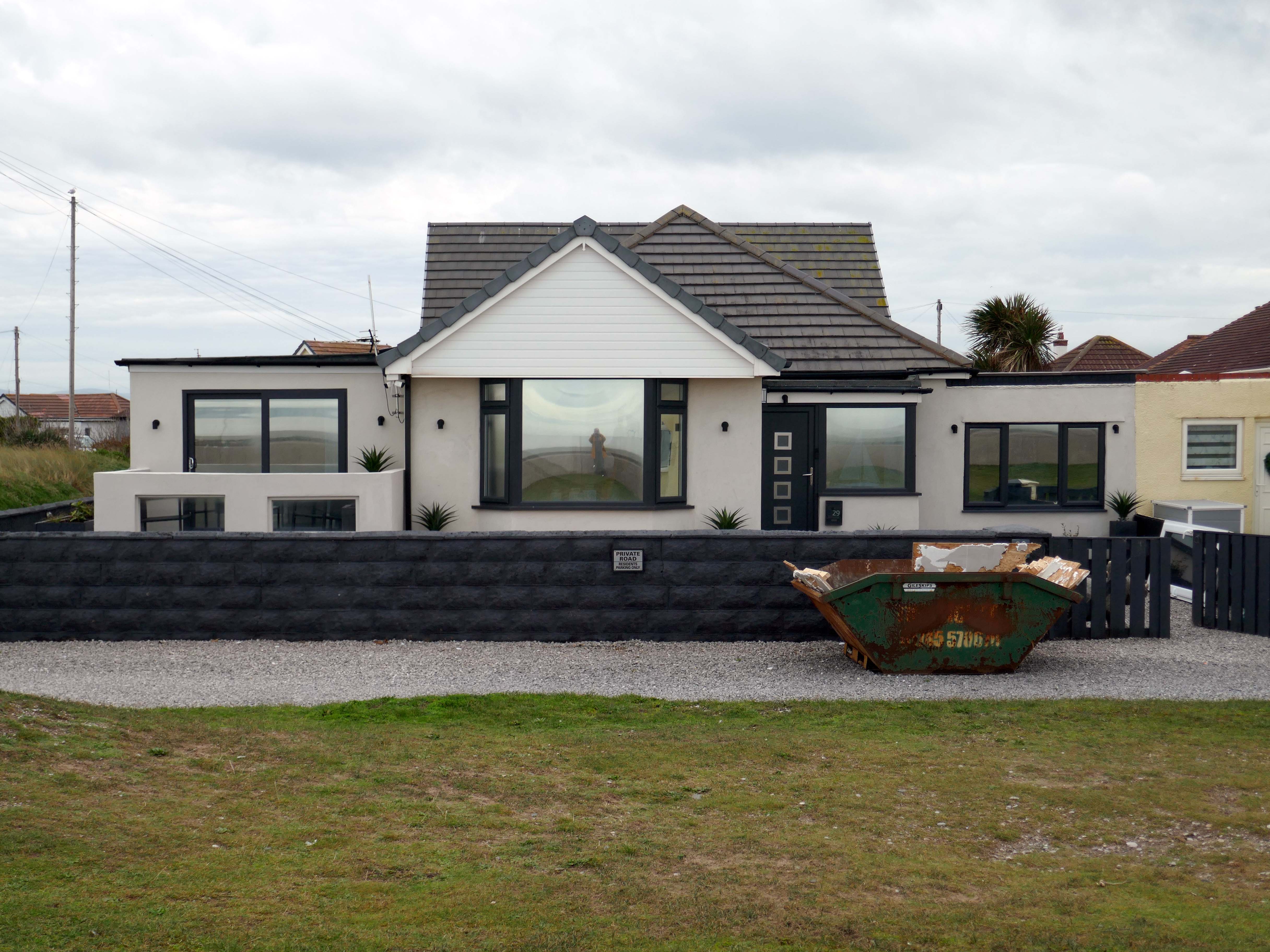
The coastal housing at Kinmel bay is undergoing a cosmetic upheaval, the determinedly down home bungalow swamped by the relentless monotone tide of home improvements.

The Sandy Cove Estate consists of 250 bungalows that were built in the 1930s by the Kinmel Estates Ltd, who sadly went into liquidation around 1947, before the estate was completed. This left the estate with only dirt tracks for roads with no sidewalks or pavements, no drainage for surface water or any adequate street lighting. After the liquidation of the company the roads and communal greens were escheated to the Crown who then offered the land free of charge to successive Councils for the to incorperate into the towns that were developing. This was refused by the Councils.

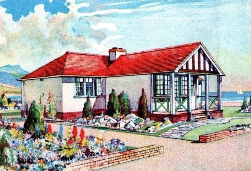
Sandy Cove

Fifty or more homes are ready for you to choose from, gardens and tennis courts have been provided for the sole use, in perpetuity of residents.

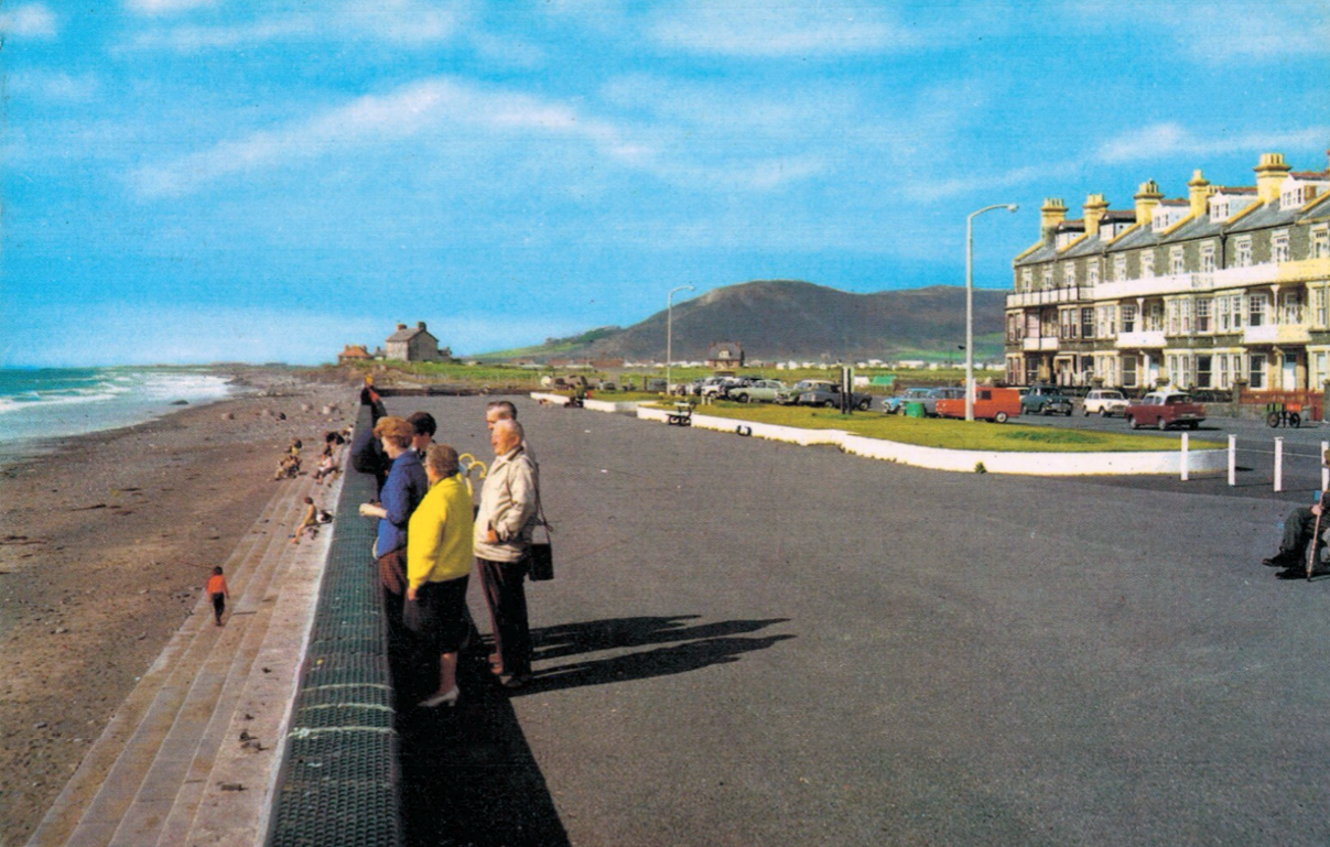
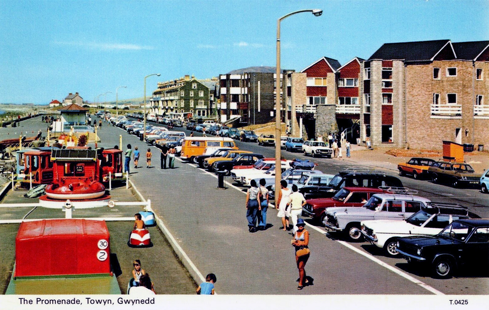
Onward now to Towyn.

The town made national headlines in 1990 when a combination of gale-force winds, a high tide and rough seas caused Towyn’s flood defences to be breached at about 11.00am on 26 February. 4 square miles of land was flooded, affecting 2,800 properties and causing areas of the resort to be evacuated. Further flooding occurred later the same week, on 1 March, shortly after the site of the disaster was visited by Prince Charles and Princess Diana.

Scientific experts also believe that the silt left behind from the flooding had left the town with a higher concentration of radioactivity, over ten times the governmental safety limits, most likely originating from the nuclear processing plant at Sellafield which had been dispersed into the Irish Sea over many years since its construction. The National Radiological Protection Board stated that there was a “small risk” to the people there, while the Welsh Office claimed there was no danger to the public. The coastal defences have since been reconstructed and significantly enhanced.

Wikipedia

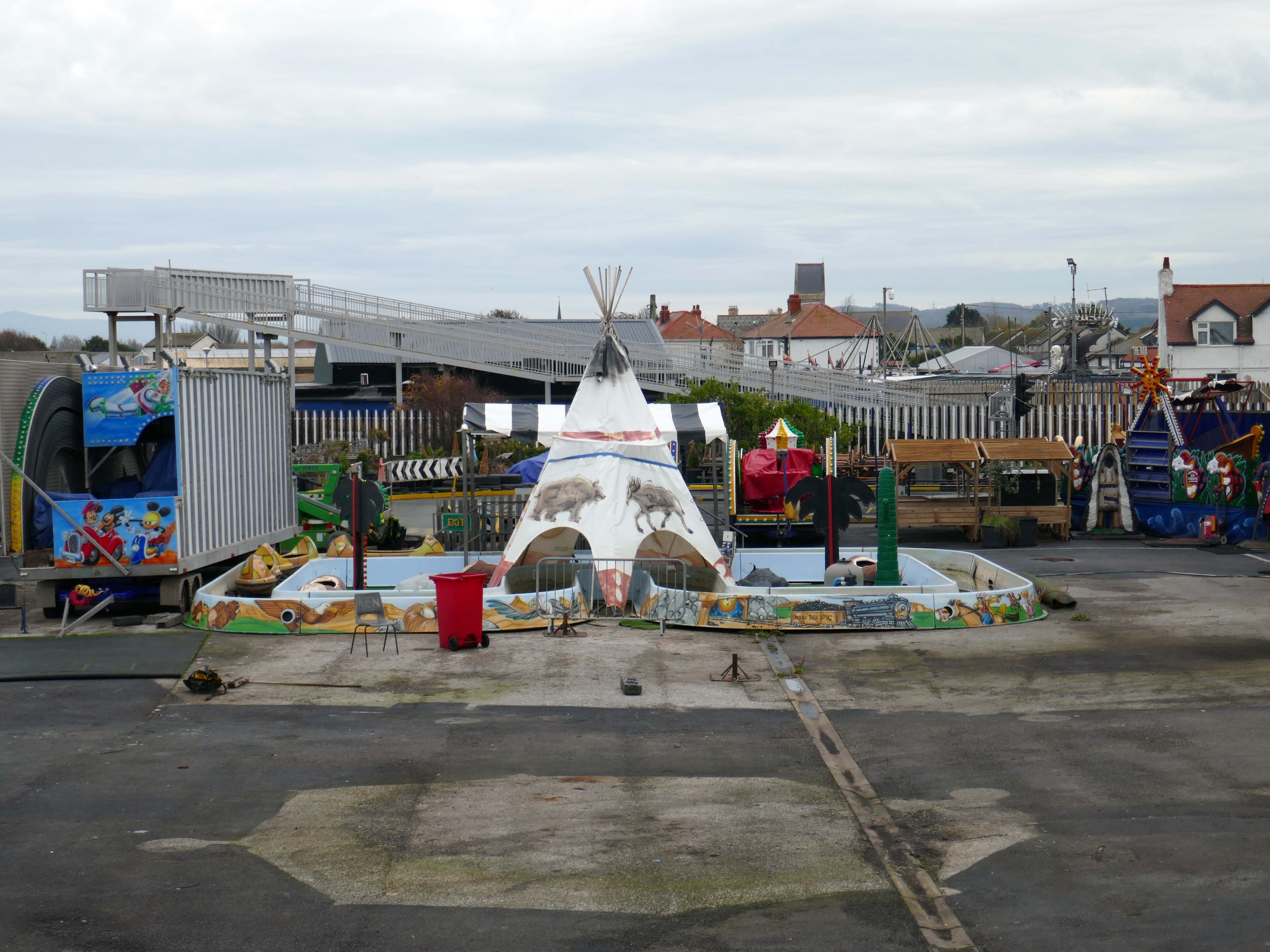
The People of the First Nation here at Knightly’s Fun Park are now safe from the threat of flood.

Knightly’s Funfair has a fantastic range of rides for the whole family! Experience high speed thrills and heart pumping excitement! We’ve got rides for the little ones too as well as games and food stalls to keep the whole family entertained all day!
We also welcome dogs, so you don’t have to leave your furry friends behind!

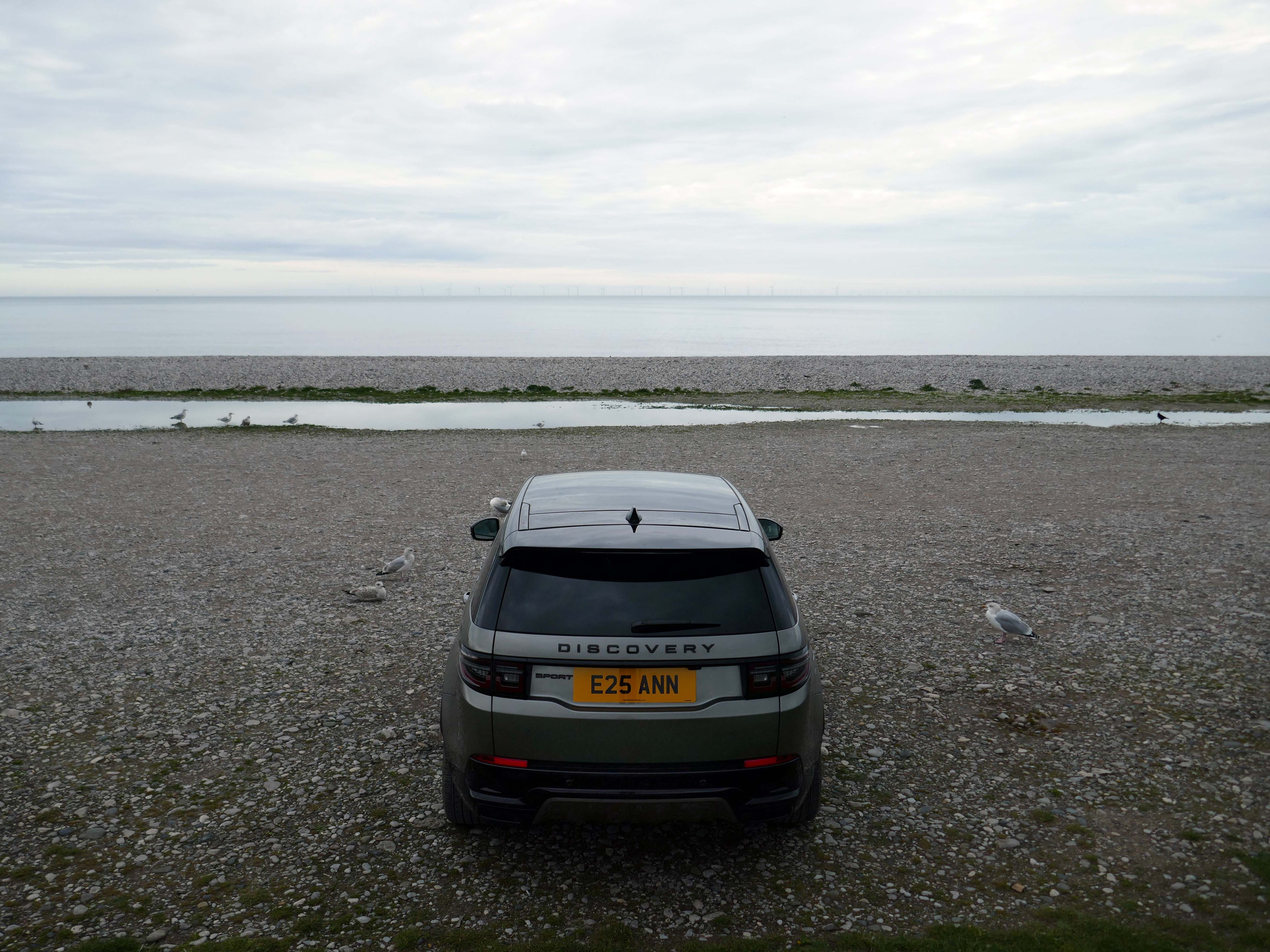
The monotone gentrified home is accompanied by the monotone SUV – the Land Rover Discovery Sport.

The joy of Discovery Sport is in finding that no adventure is out of reach. Offering the ultimate in comfort, while having the toughness to cope with family life.

All yours for from £43,195

Land Rover UK

According to a Europe-wide study, which included the UK, when vehicles are 300kg heavier, the risk of fatal injuries is 30% higher for vulnerable road users.

Pedestrians and cyclists are also 30% more likely to be killed if they’re hit by a car with a bonnet that’s 10cm higher than average.

My Green Pod

Think again Ann.

E25 is Spirulina Extract Phycocyanin, when taken as directed, Spirulina generally doesn’t cause side effects. In some people, it may cause mild side effects, including headaches, diarrhoea, bloating and gas.

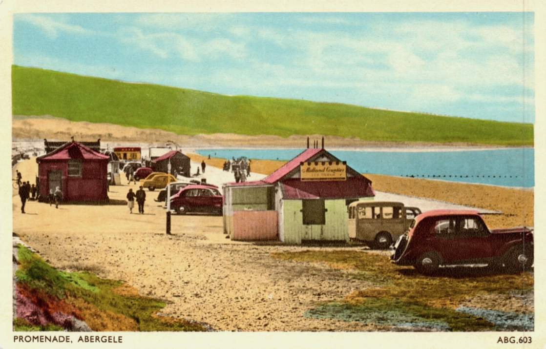
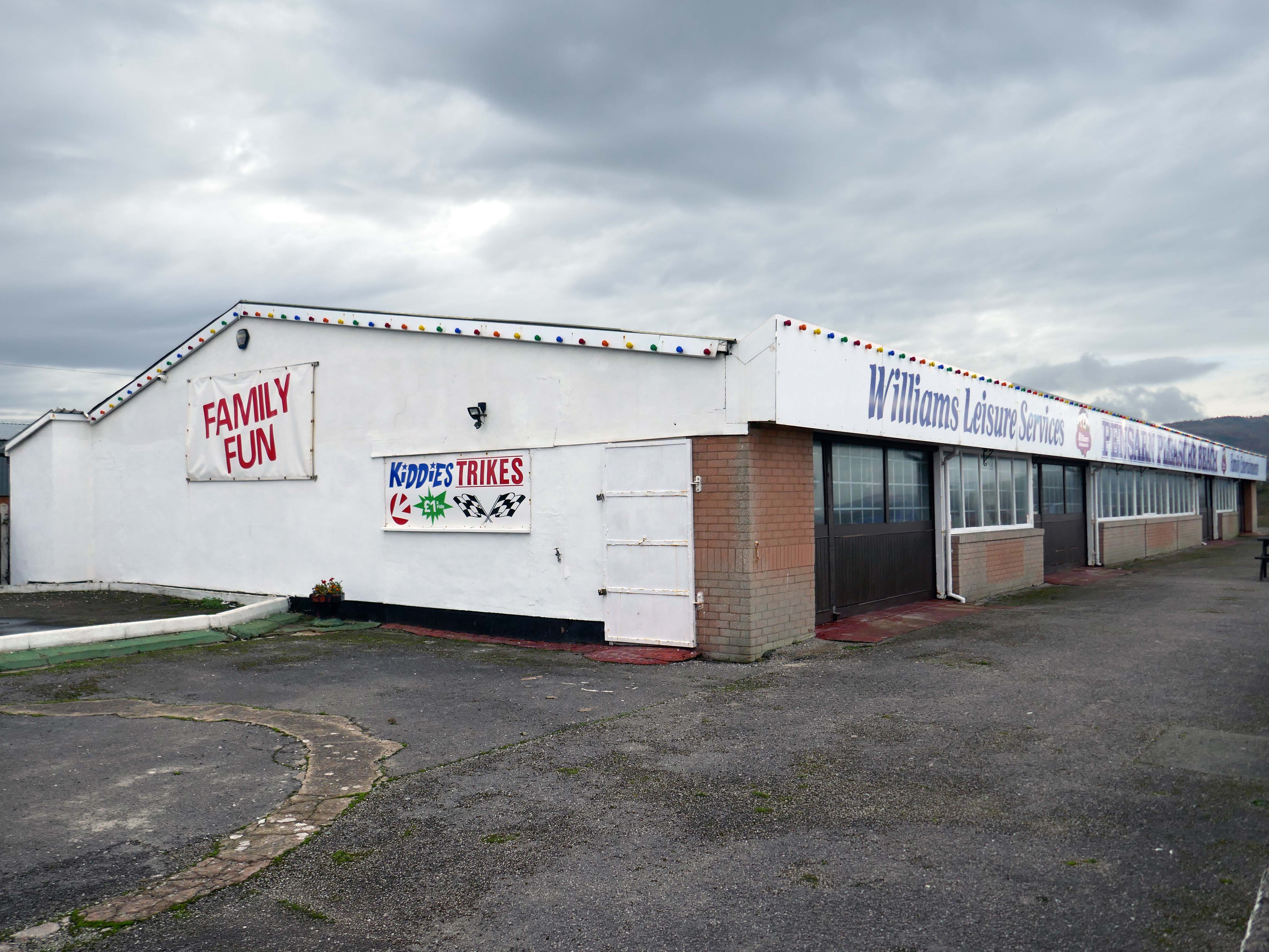
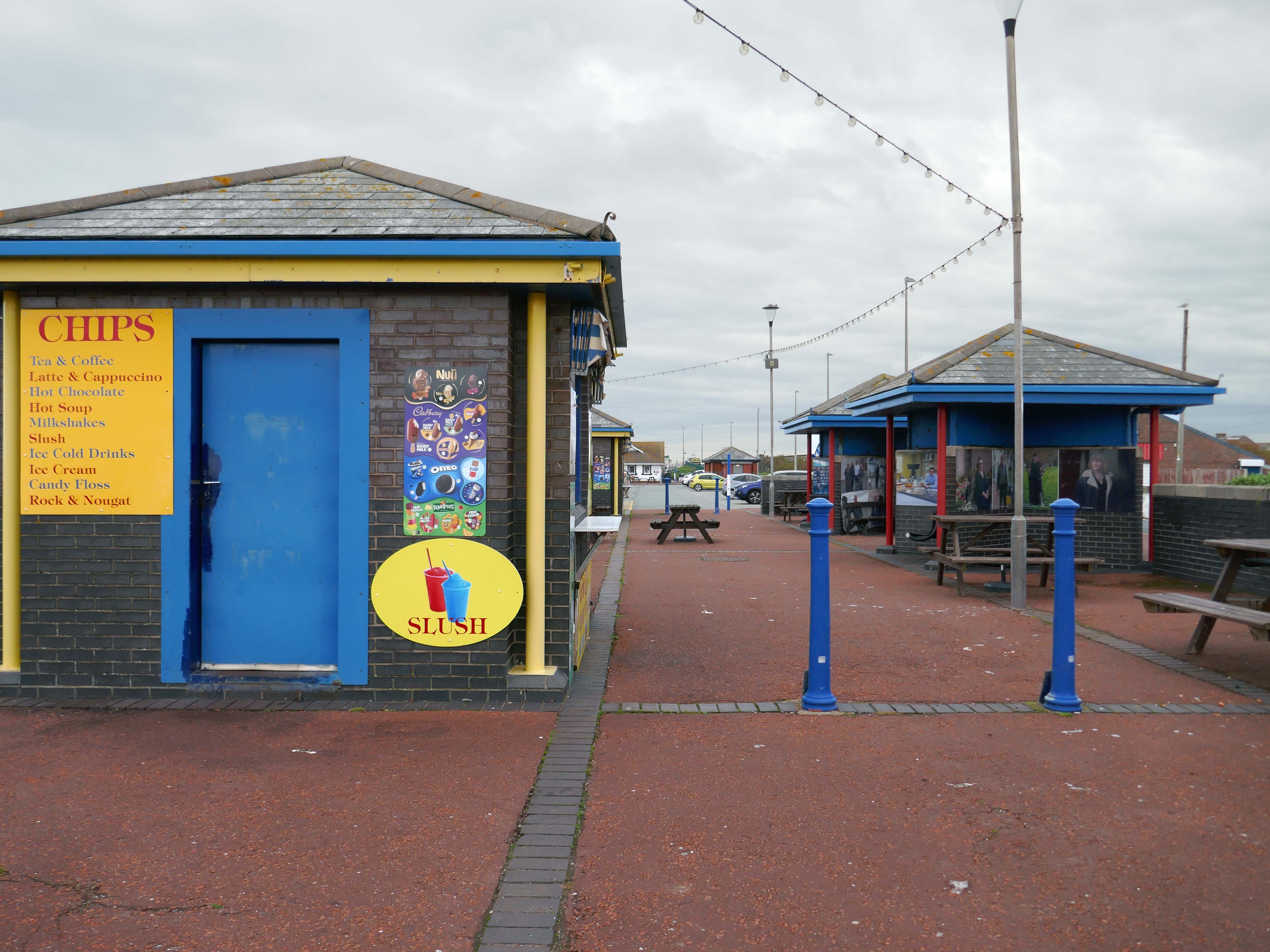
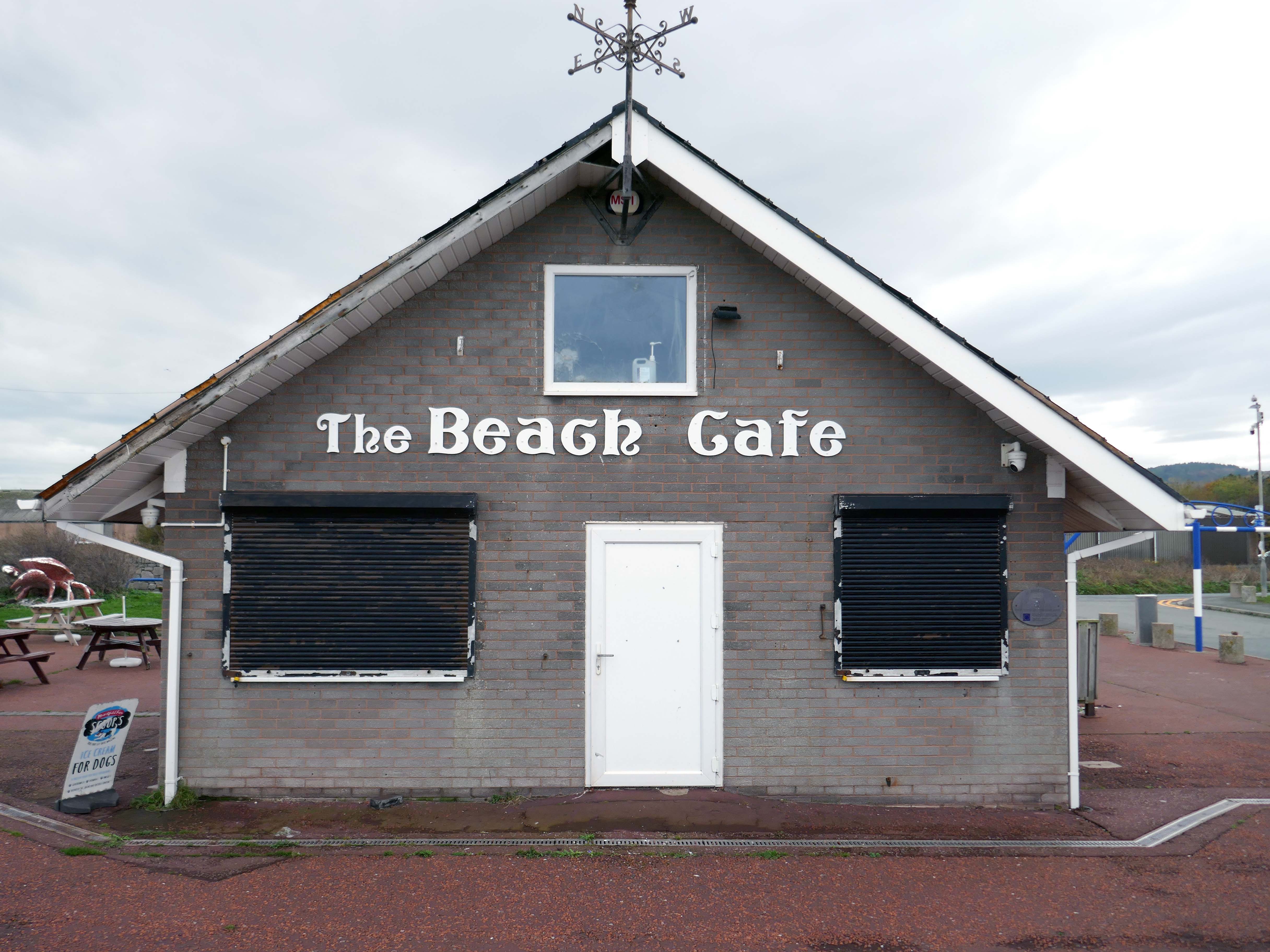
Here we are now at Abergele and Pensarn which have quiet sandy beaches close to historic sites and wooded hills. From here, you can escape the stresses of everyday life. Enjoy sea views, historic places such as Gwrych Castle – home to ITV’s I’m a Celebrity 2020 and 2021 TV series, and a range of things to do providing fun for all the family.

Visit Conwy

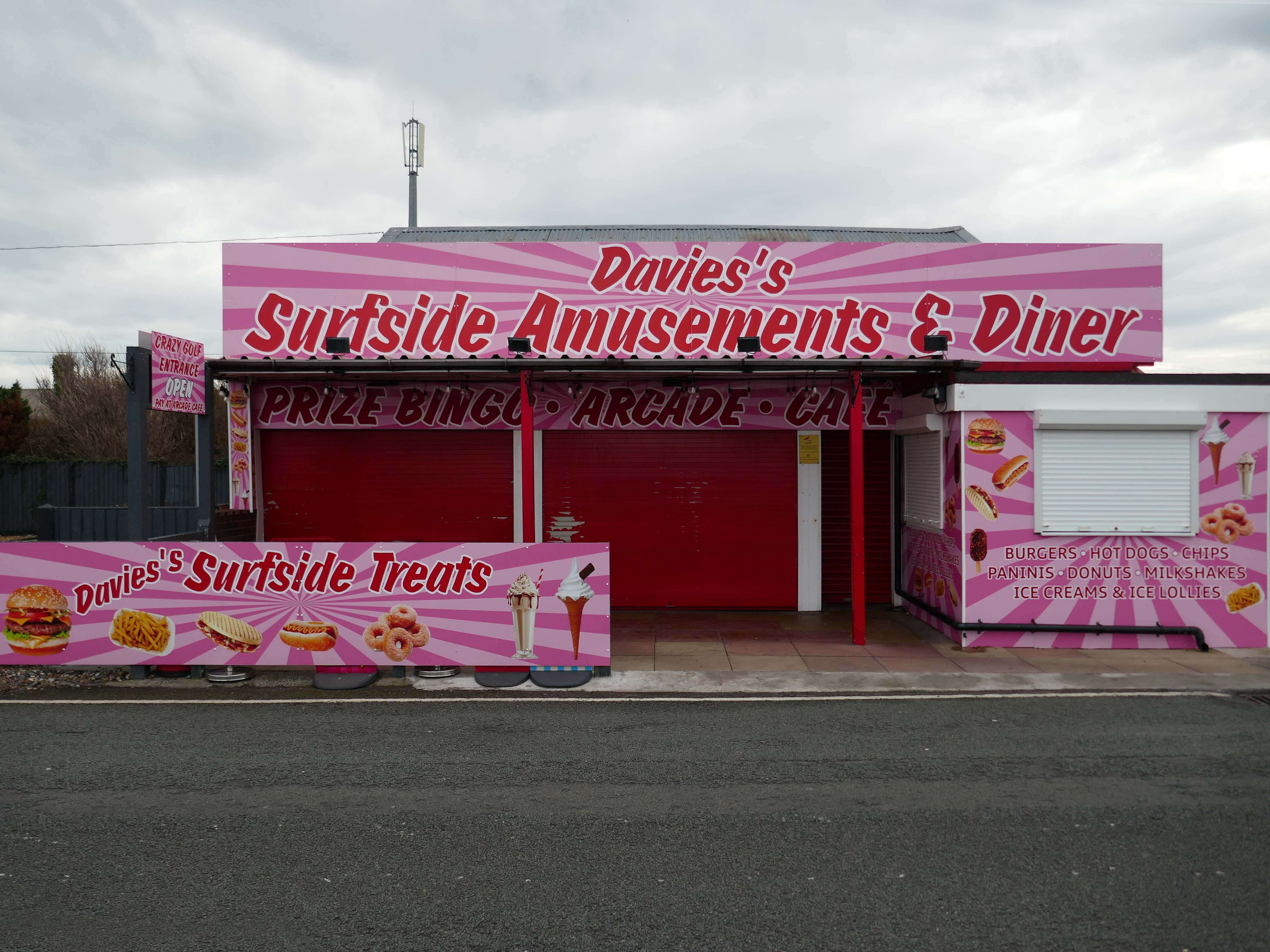
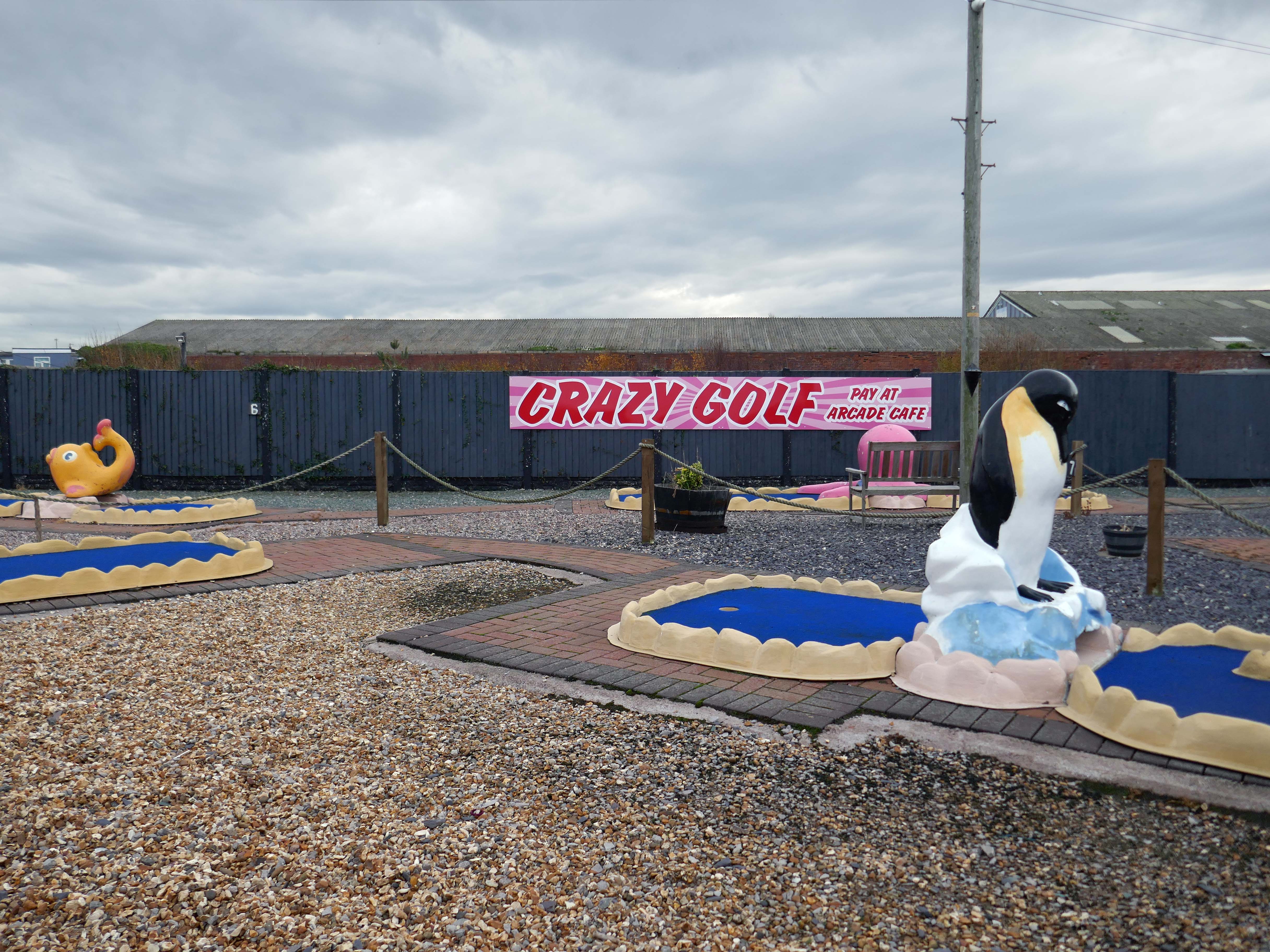
We are open seven days a week, cafe, arcade, crazy golf from 10am and bingo from midday. 

Surfside Amusements

Pensarn Pleasure Beach Amusement Arcade, operated by Laurence Williams Amusements, offers a charming family-friendly experience. Visitors often highlight its nostalgic appeal with fun penny machines and small shops selling drinks and handmade goods.

While many appreciate the charm of the arcade, some mention that certain machines are quite dated and do not work properly, this aspect may affect overall enjoyment for some users.

The reviews indicate a good variety of activities including classic penny slots and local shops offering food and unique handmade items like dog harnesses, catering to diverse interests.

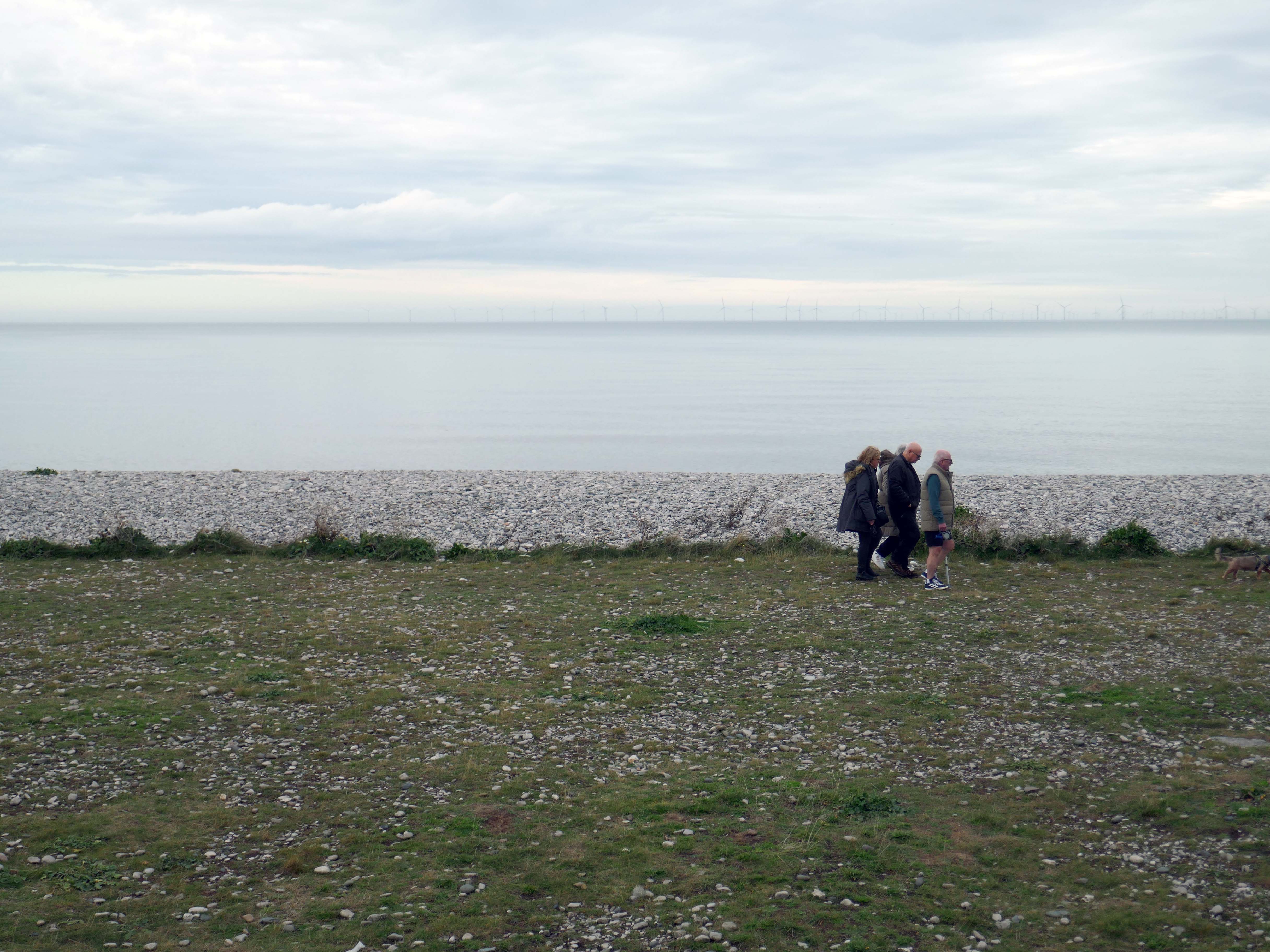
Such a pleasant stretch of coast to stretch your legs along.

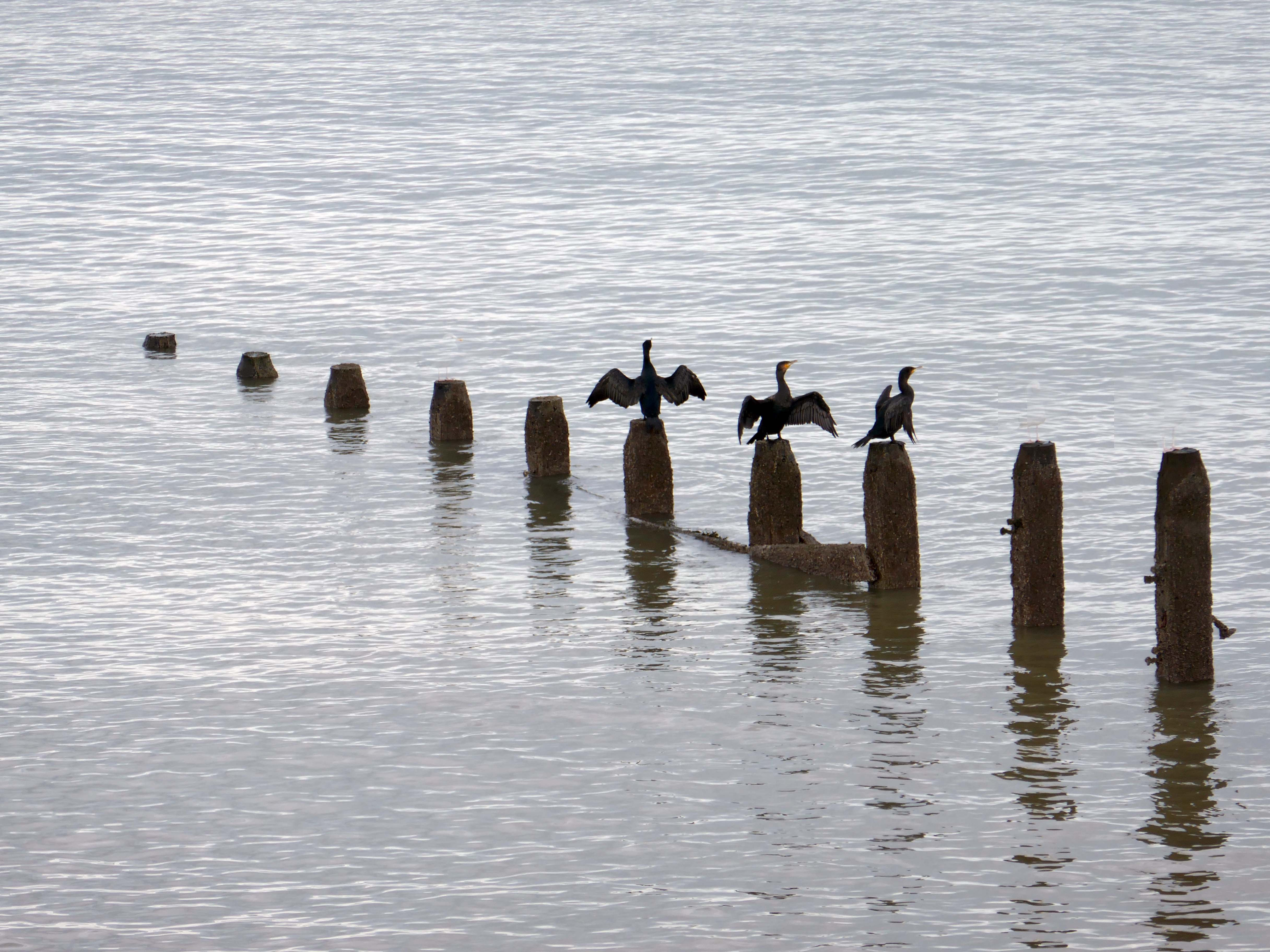
Or to stretch your wings for that matter, should you happen to be a cormorant.

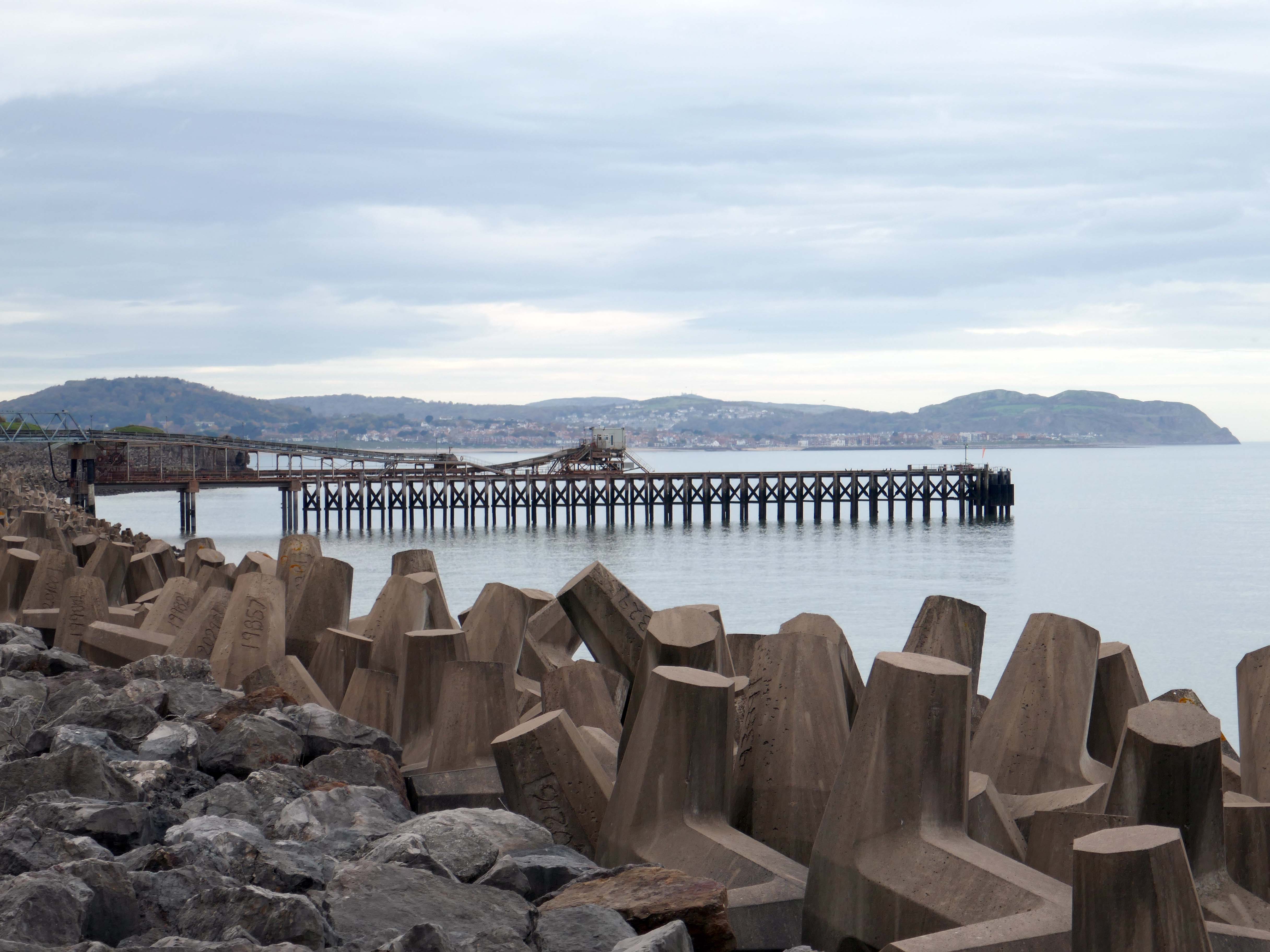
Coastal defences from the giant concrete bobbers and jacks.

tetrapod is a form of wave-dissipating concrete block used to prevent erosion caused by weather and longshore drift, primarily to enforce coastal structures such as seawalls and breakwaters. Tetrapods are made of concrete, and use a tetrahedral shape to dissipate the force of incoming waves by allowing water to flow around rather than against them, and to reduce displacement by interlocking.

Tetrapods were originally developed in 1950 by Pierre Danel and Paul Anglès d’Auriac of Laboratoire Dauphinois d’Hydraulique in Grenoble,who received a patent for the design. The French invention was named tétrapode, derived from Greek tetra ‘four’ and pode ‘foot’.

Tetrapods were first used at the thermal power station in Roches Noires in Casablanca, to protect the sea water intake.

Wikipedia

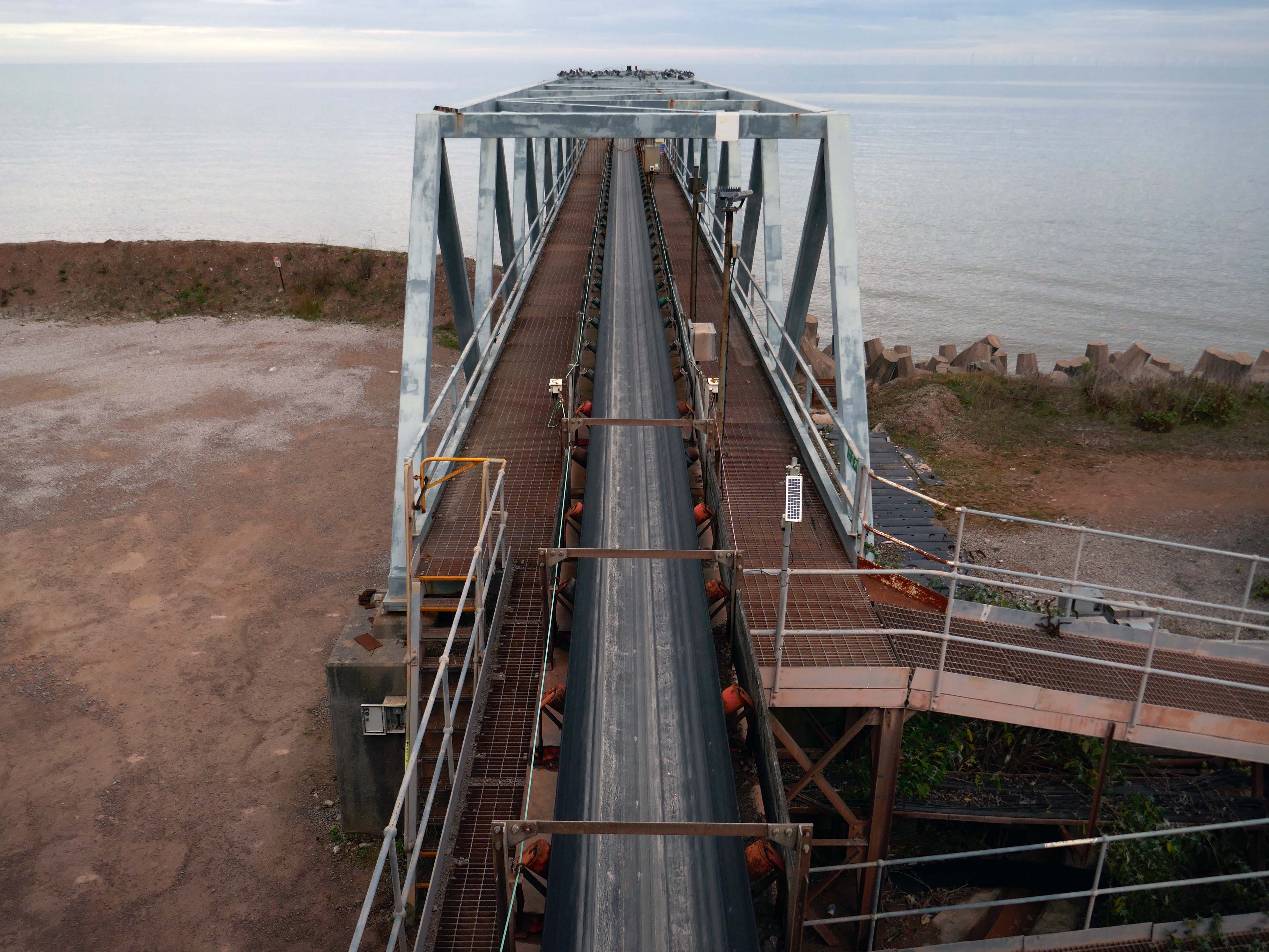
Next we pass Raynes Jetty the quarry conveyor belt – shifting and shipping limestone out to sea.

Limestone from Raynes quarry, to the south, is transported by conveyor belts to the jetty, crossing the A55 Expressway and railway. From the jetty it is loaded into coastal freighters which take it to other parts of the British Isles. Limestone from this quarry is a pure form of the rock, making it ideal for the chemical and cement industries.

History Points

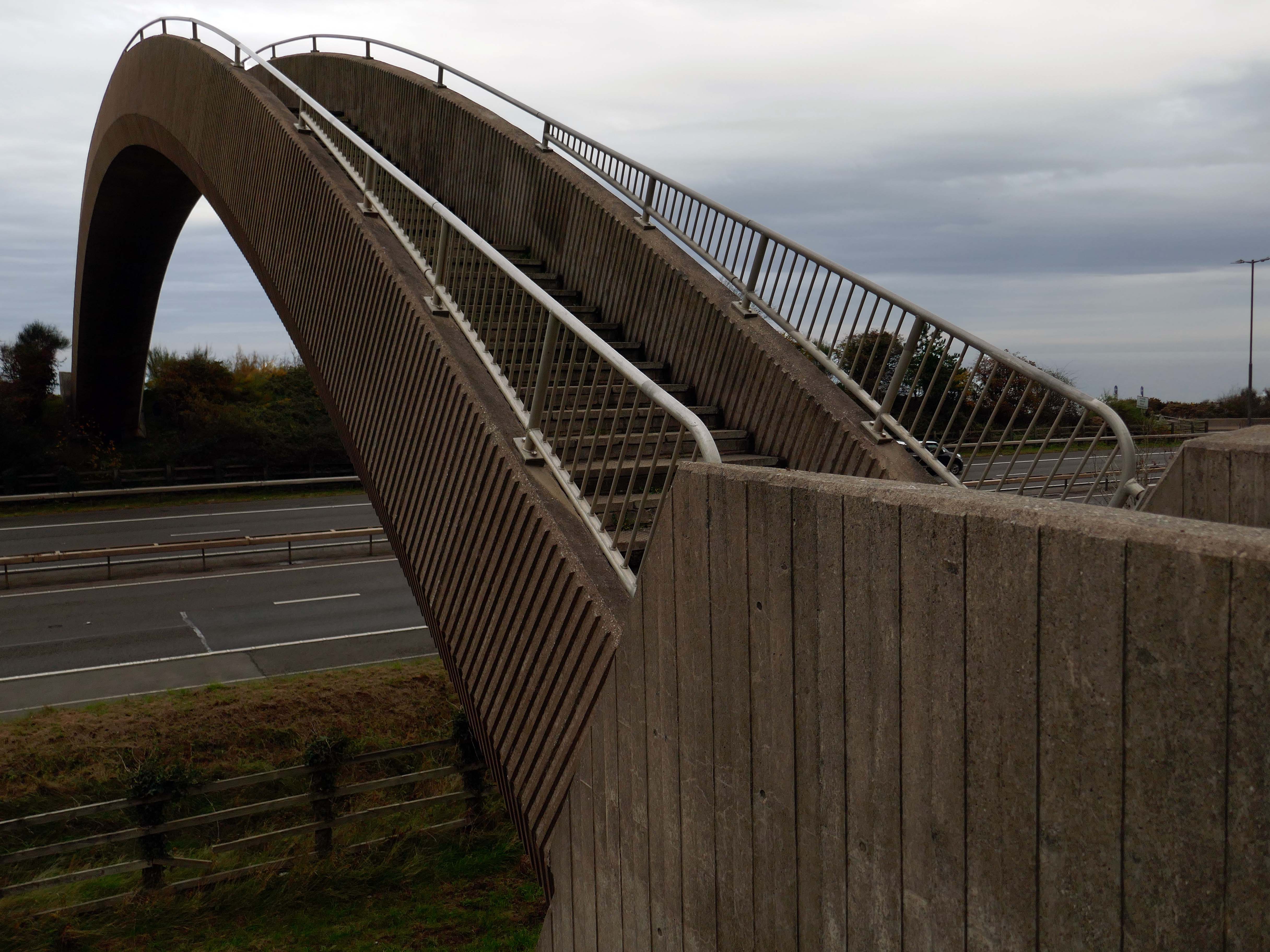
Limestone forming an important constituent part of the nearby concrete Rainbow Bridge – linking Old Colwyn’s pedestrians to the shore.

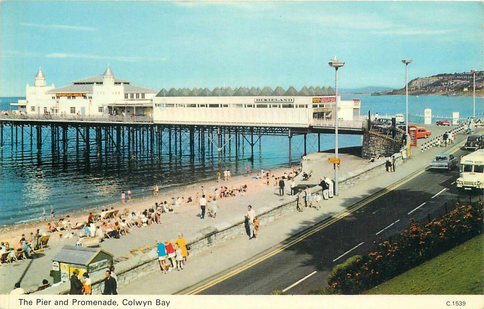
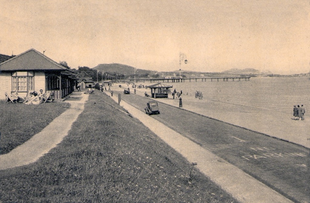
On the site of Colwyn Bay Pier is a seriously truncated pier.

It was conceived in the late 19th century, when Colwyn Bay wanted to catch up with other towns which had piers where steamers deposited and collected passengers. However, it was found that the proposed pier would have to extend almost half a mile to reach the area where the water was deep enough for ships. This was too costly, so the pier was built purely for entertainments. The councillors saved face by saying this would avoid day trippers arriving by steamer and lowering the tone of Colwyn Bay!

The pier was less than 100 metres long when it opened in 1900. The pavilion had a 2,500-seat theatre, shops and a restaurant. The opening performance featured Adelina Patti, one of the world’s most renowned operatic sopranos in her day.

The final pavilion, opened in 1934, incorporated Art Deco features and murals by Eric Ravilious and Mary Adshead.

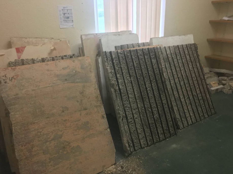
Both walls of the last remaining Eric Ravilious mural have been successfully removed, and were placed safely in storage. But with CCBC staff set to relocate to new Colwyn Bay offices a more permanent home is needed for the murals.

North Wales Pioneer

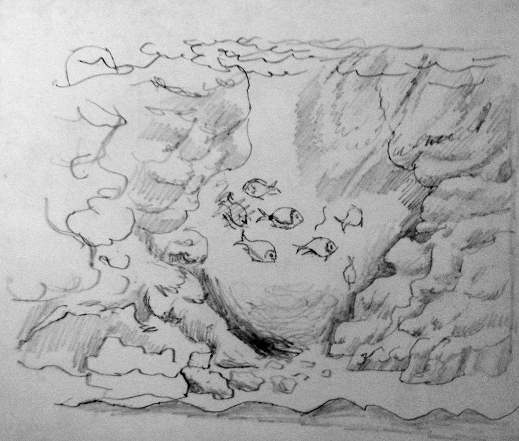
Fish sketch for the Colwyn Bay Mural.

Many of those features were destroyed or obscured in post-war refurbishments. Entertainers who performed at the pier in this period included comedians Ken Dodd and Morecambe and Wise, and singers Harry Secombe and Elvis Costello.

History Points

The promenade has recently been updated.

The new promenade, measuring 2.3 miles long, has been designed to protect the town and its infrastructure from the effects of the sea. The project was split into two phases; the first, to remove what was originally there and to construct the new raised promenade including a road, cycleway and car parking. The second phase was to transform the promenade with further development as well as reinforce the defence structures.

BSFG

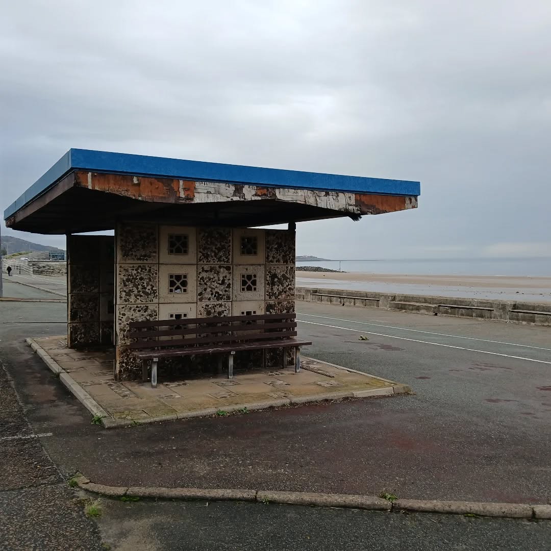
This is the last of the Sixties concrete shelters – which once stretched all the way to Rhos on Sea.

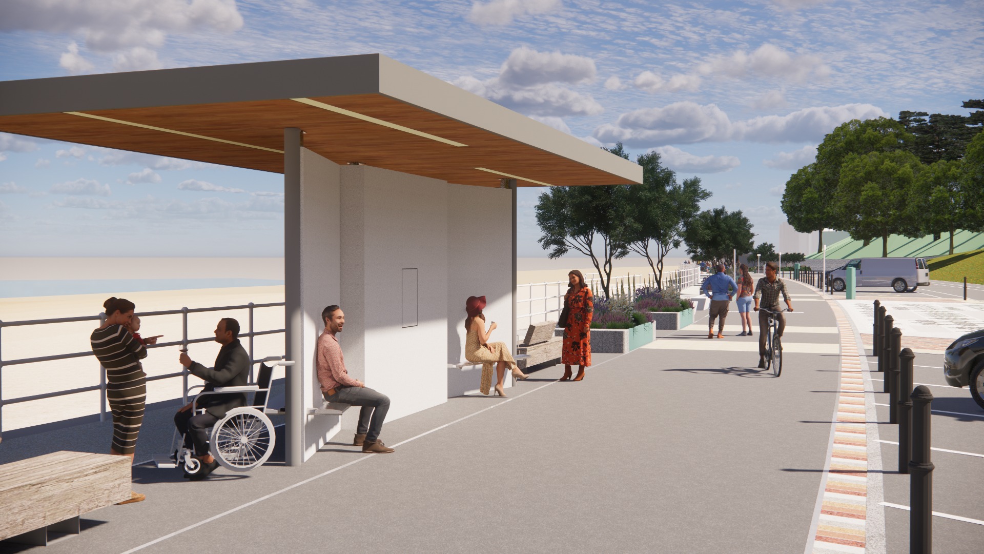
New shelters have appeared

A Conwy County Borough Council spokesperson said:

The shelters include new features such as solar power lighting and are designed to be accessible for wheelchair and mobility scooter users.

The closed design of the old shelters made anti-social behaviour easier and led to their condition deteriorating.

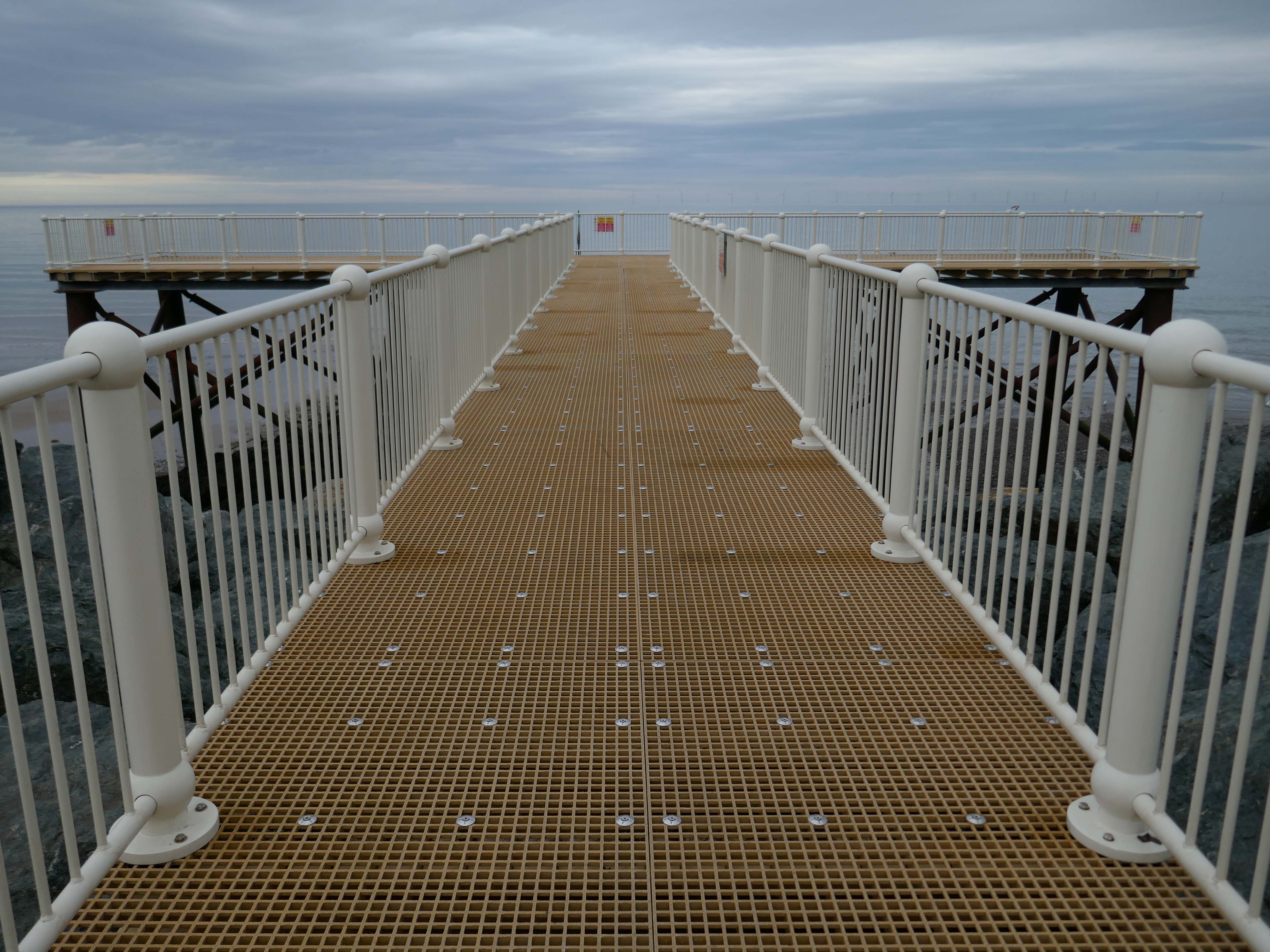
And a new pier has appeared.

Construction on the new Pier at Colwyn Bay commenced in July 2020. Despite being initially slated for completion in the summer, the erection of scaffolding and subsequent work on the 45-meter truncated Colwyn Bay pier were delayed. However, the project timeline was expedited, and the construction was successfully finished in July 2021.

Pier Bae Colwyn

At this point it began to rain – so I hastened to see solace and shelter in the Black Cloak, again.

Time for the train home to Stockport – but you can bet I’ll be back.

Brunswick Estate – History

1813

1836

1900

2025

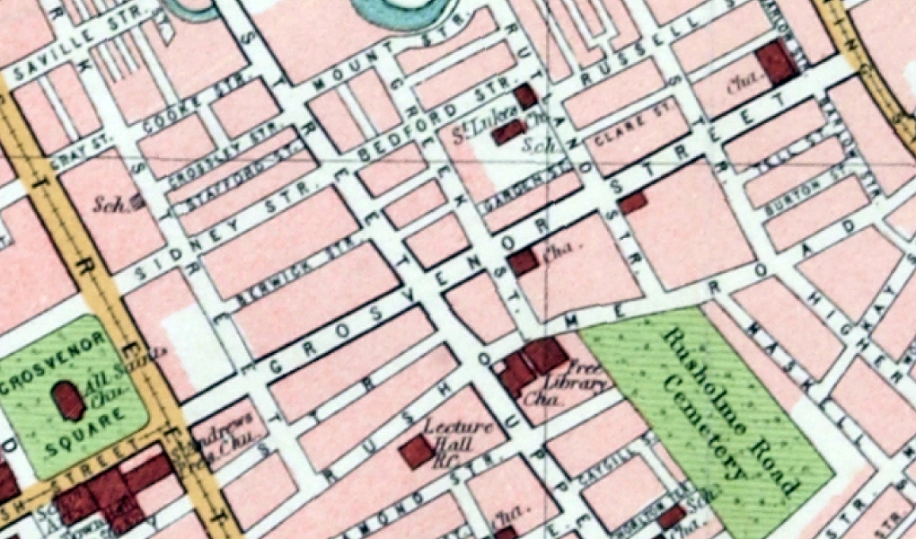
Manchester Historical Maps

I was walking around town, with a view to updating my Ardwick Walk.

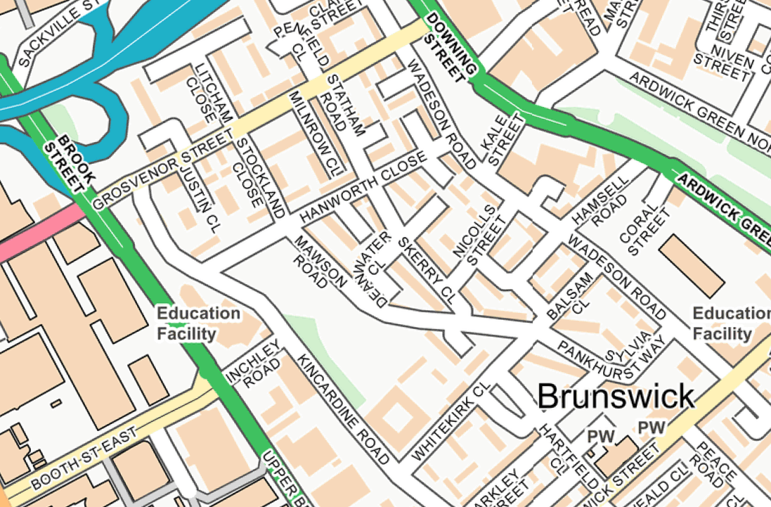
Idle curiosity took me toward the Brunswick Estate – that pocket of housing nestle twixt the Mancunian Way/River Medlock, Ardwick Green, Brunswick Street and Upper Brook Street.

A subset of the greater set of Chorlton on Medlock.

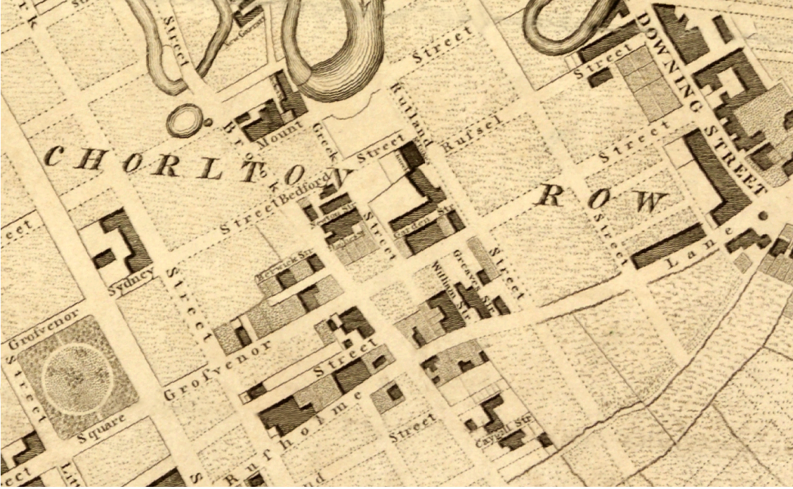
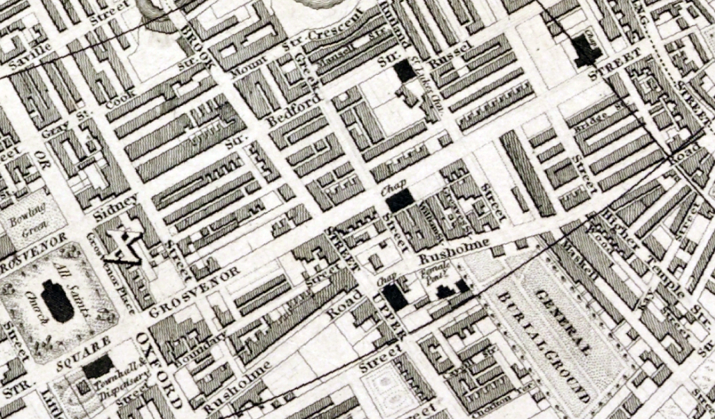
Back in 1813, a web of streets and enclosed fields, and more fields, along with small groups of higher status housing, but by the early 20th century it was very much a working class district, within which industry began to grow.

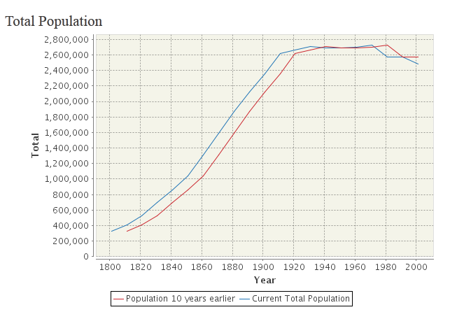
The population of Manchester expanded unstoppably throughout the nineteenth century.

Here’s a personal and insightful family history of the area, along with a broader history from the Evening News.

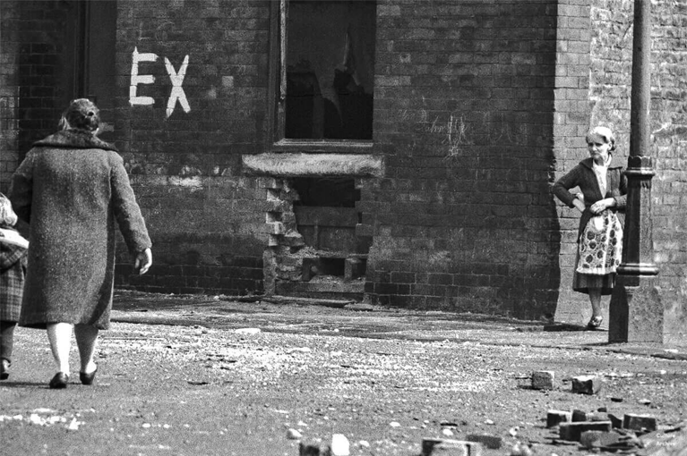
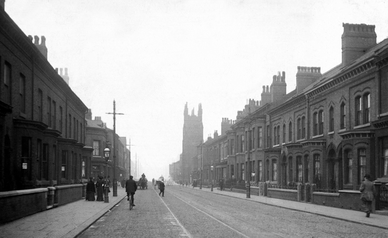
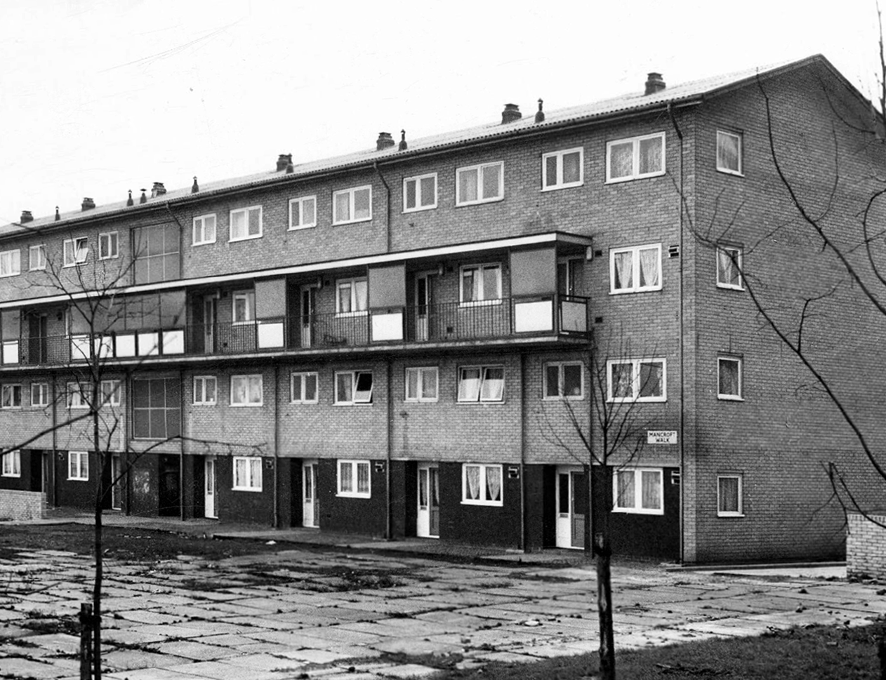
Extensive slum clearance in the nineteen sixties saw the area and its street names change, some erased forever in the new build.

In Manchester, in a vast belt immediately outside the central area of the city, there still exist all too many remnants of a planless, knotted chaos of dark, dismal and crumbling homes. Many of these crossed the verge of uninhabit-ableness long before their most elderly inhabitants were born.

Alfred Morris MP 1965

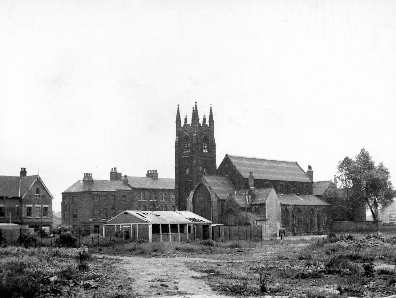
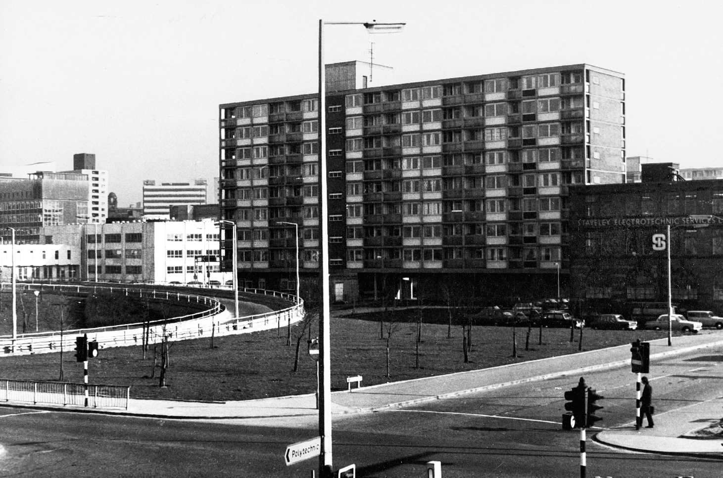
As recorded by photographer Roger Shelley.

Brunswick Street 1904.

Mancroft Walk W Higham 1969

St Paul’s and St Luke’s Brunswick Street W Higham 1970

Lamport Court W Higham 1970

One of three nine-storey blocks, containing two hundred and nineteen dwellings; also including Silkin Court and Lockton Court.

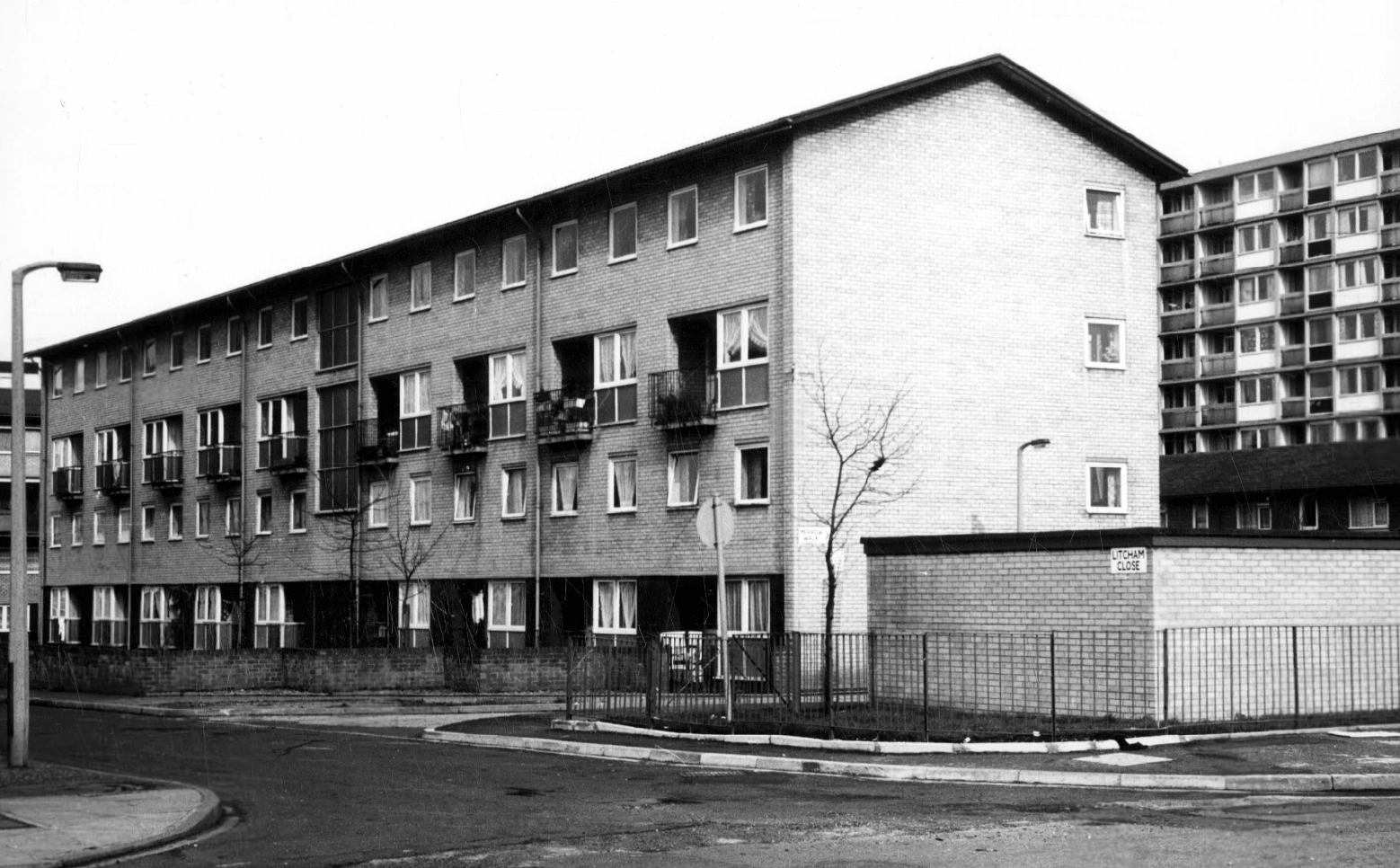
Litcham Close W Higham 1970

Harry Milligan 1903 – 1986 worked as the photographer at Manchester Central Library until his retirement in around 1968. He was instrumental in setting up the Manchester Region Industrial Archaeology Society in 1965. He volunteered at the North Western Museum of Science and Industry from 1968, assisting with reprographics requests. His knowledge of the history of photography in Manchester and the UK led to him taking on the role of Honorary Curator of Photography at the museum.

These are his photographs taken from the Manchester Local Image Collection.

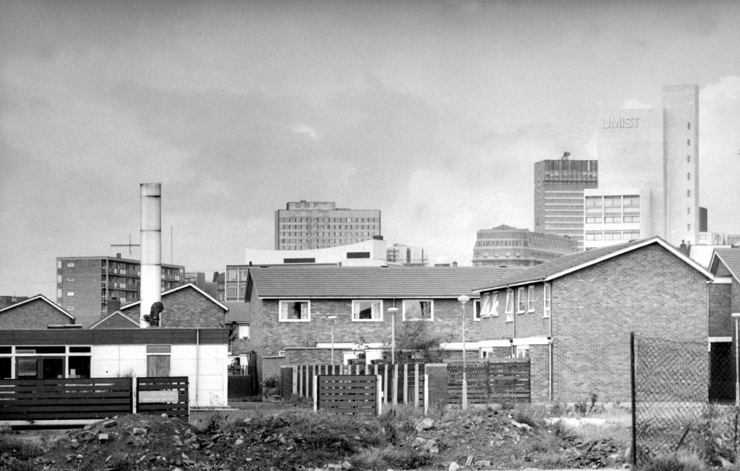
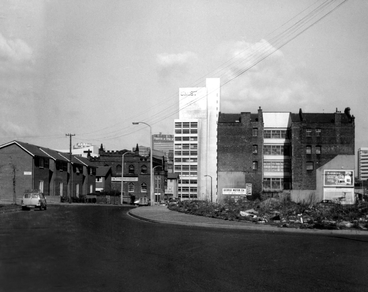
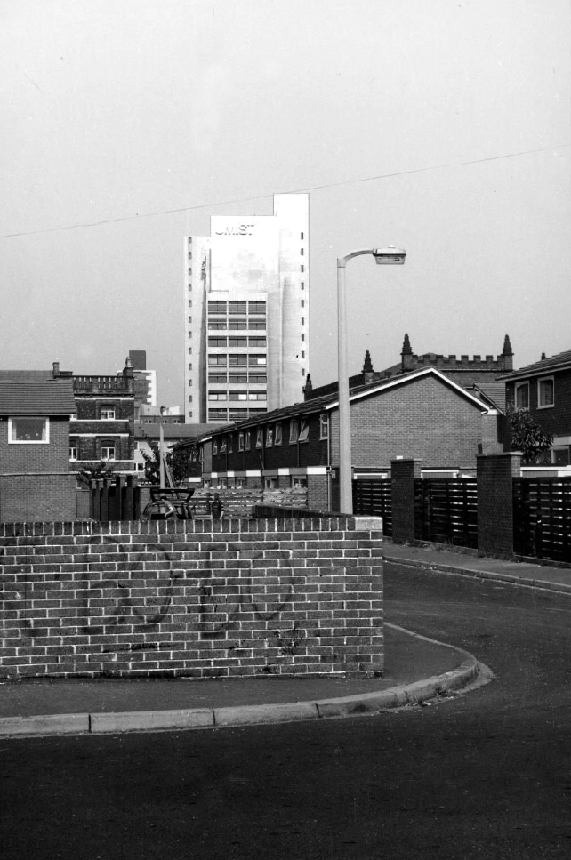
Panorama of Brunswick with UMIST in the background.

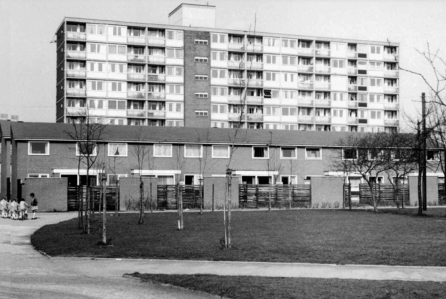
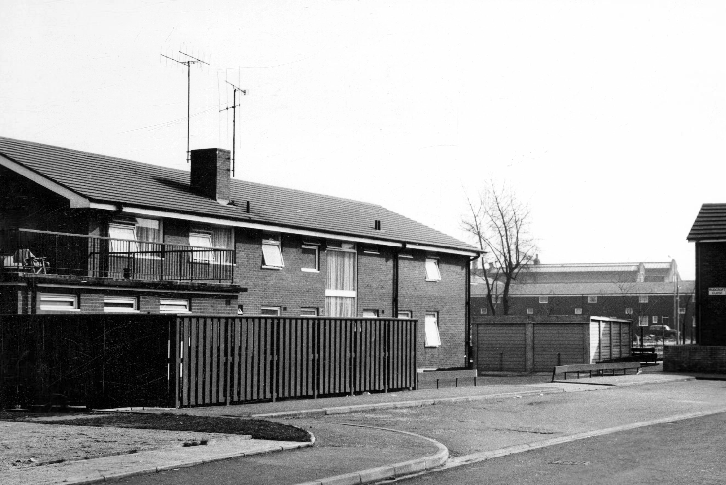
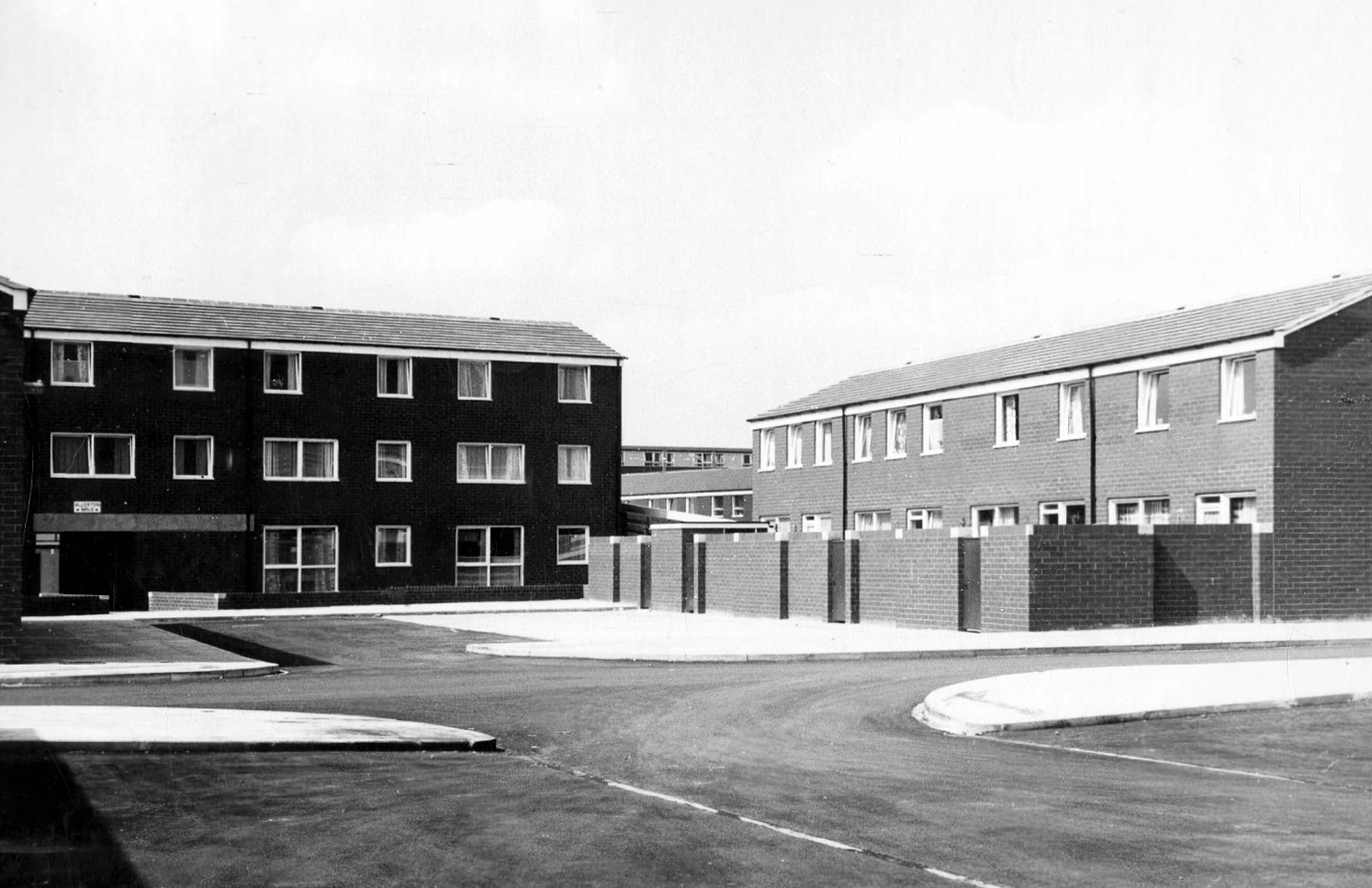
Hanworth Close area terraced housing and flats 1972.

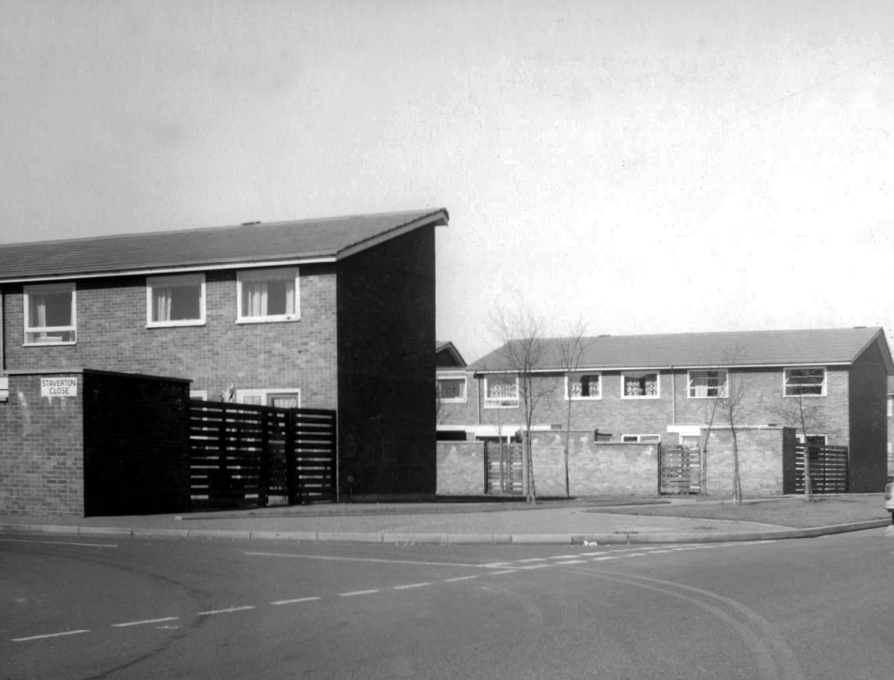
Staverton Close

Melcroft Close

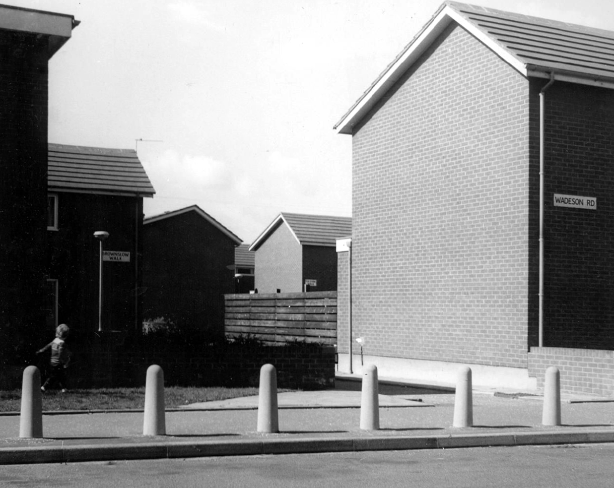
Wadeson Road

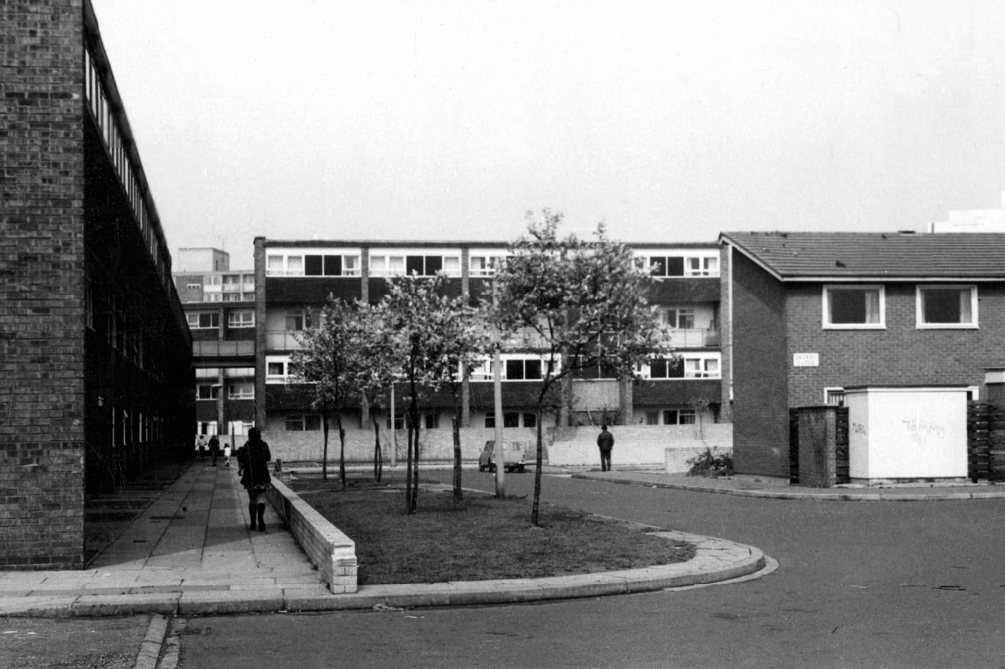
Helmshore WalkSkerry Close

Cherryton Walk

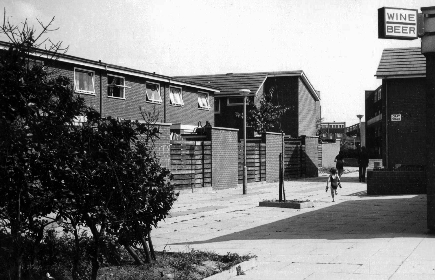
Cray Walk

Wadeson Road

Hanworth Close

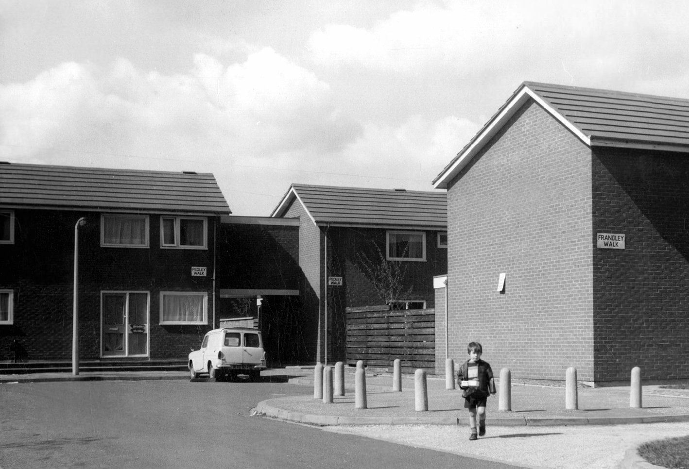
Pedley Walk

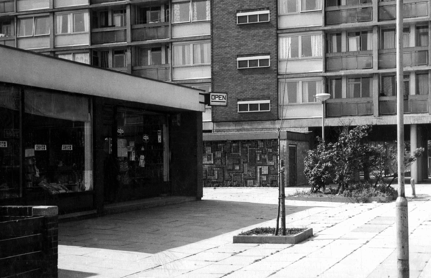
Cray Walk – note the decorative brick relief

King William IV

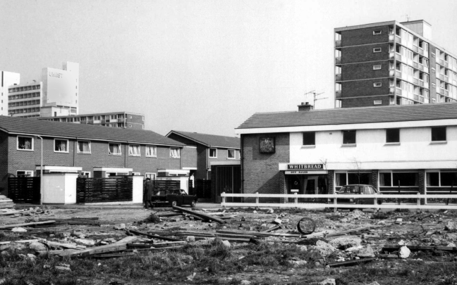
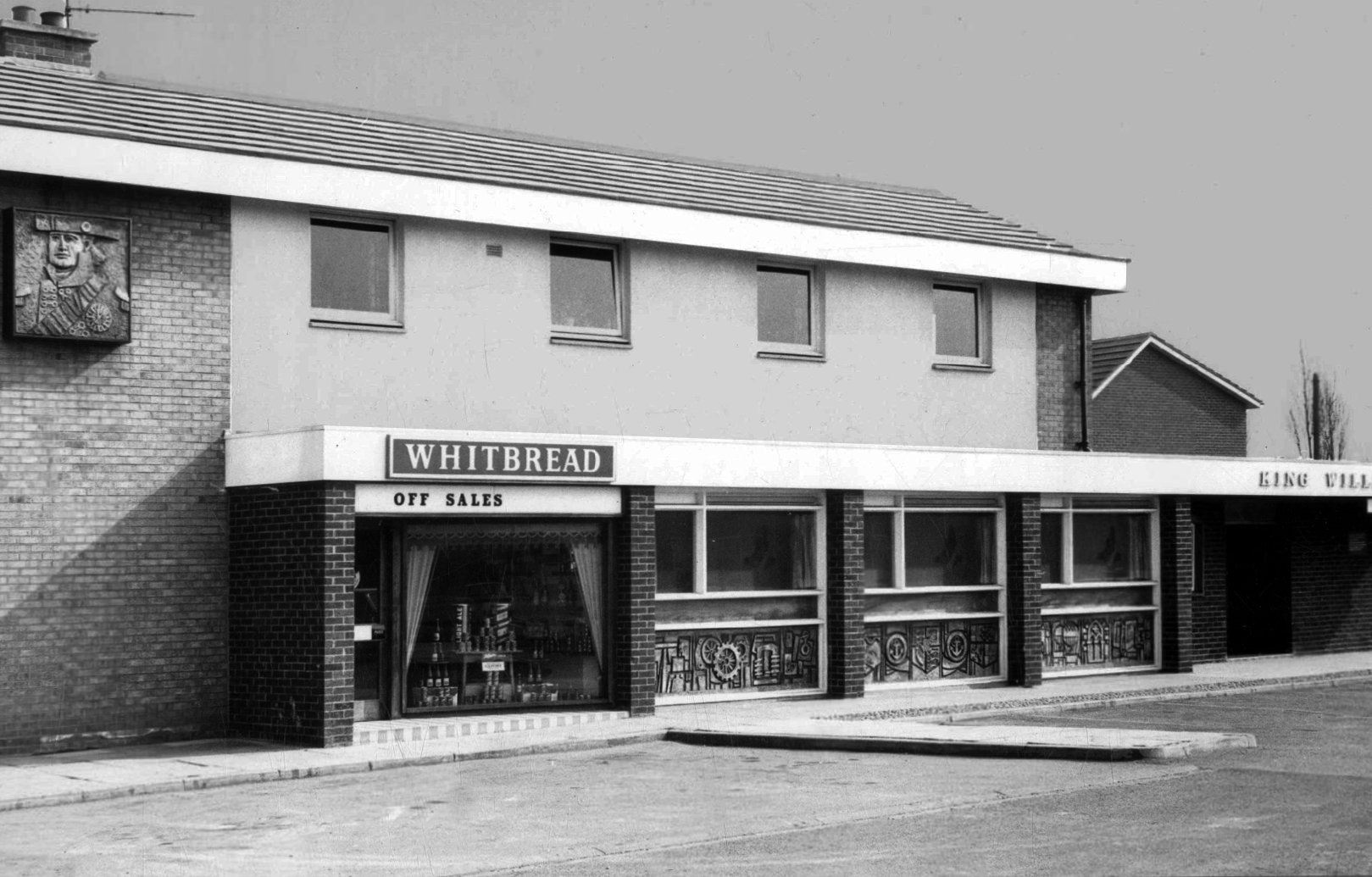
Former Chesters then Whitbread estate pub was built in 1967. Closed in 1996 when it was converted to residential property. It had a brief spell 1991 to 1995 as brewery premises for the Dobbin’s West Coast Brewery, during this period the interior was stripped out to accommodate the brewery paraphernalia.

As a companion to the radical reshaping of Manchester see also All Saints, plus look around Brunswick Parish Church, close by the lost terrace of Hartfield Close.

In addition the Brunswick Street Launderette.

Chester Road

Walking from Cornbrook toward Stretford along Chester Road – which is one half of my Tram Trip to Altrincham

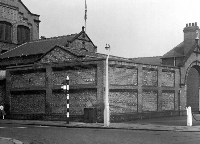
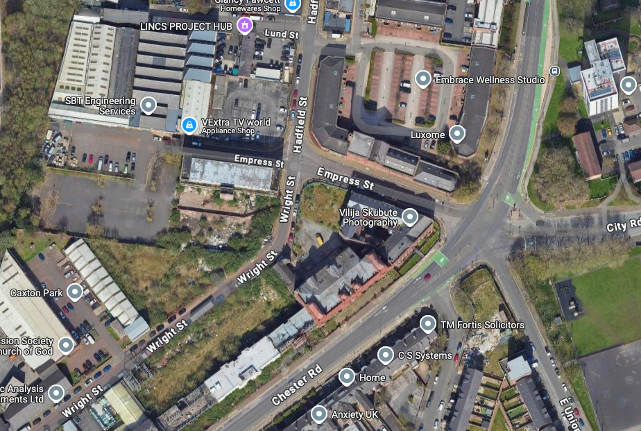
There is a cluster of former industrial buildings around Empress Street.

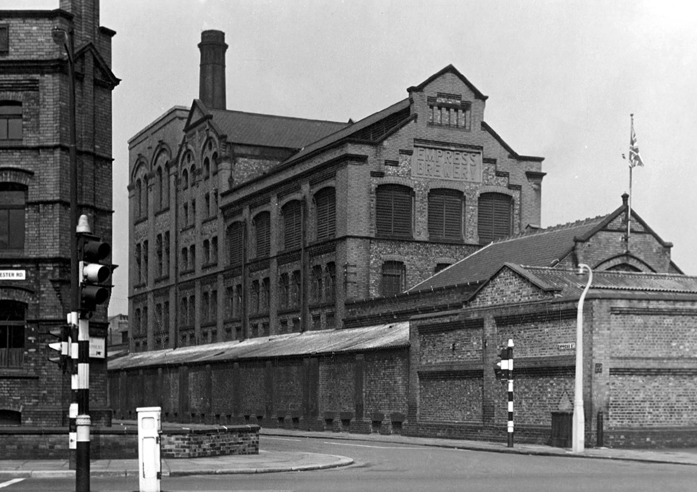
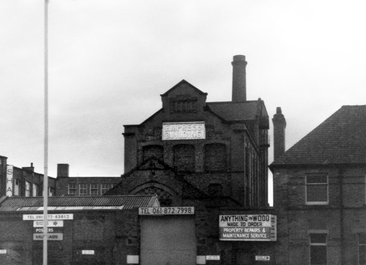
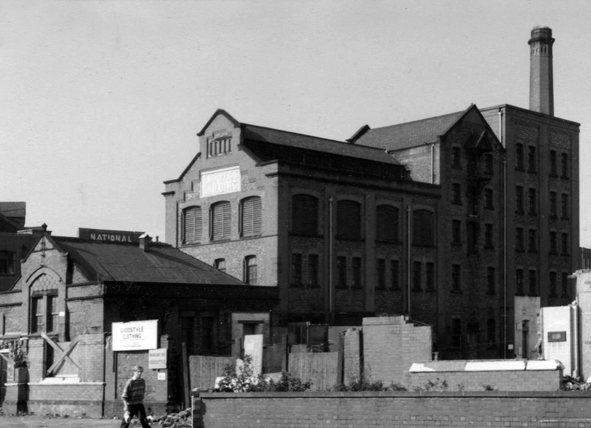
First up is the Empress Brewery.

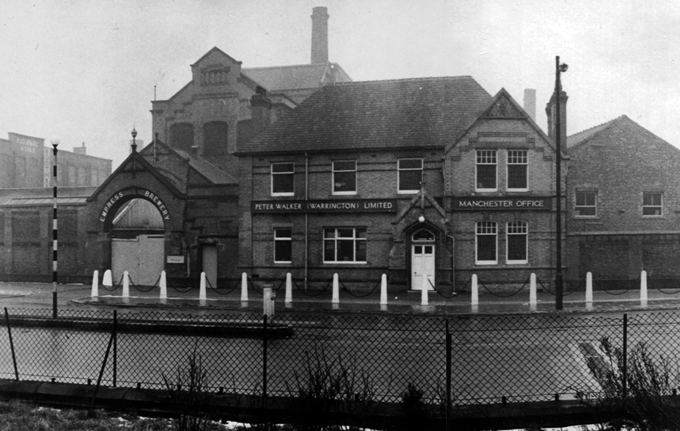
The Empress Brewing Company was established by Charles Dawes in c. 1880, although the company was sold to William Henry Fulford in 1884, who had recently sold the Monarch Brewery in Salford. Fulford was based at the Empress Brewery on Clarence Street in Manchester, but had relocated to new premises on 383 Chester Road. These had been built in 1889 and operated initially as the Old Trafford Brewing Company, but the name had changed to the Empress Brewery Company by 1895. The company acquired a number of breweries and associated licenced house during the early 20th century, however, in 1929 it was taken over by Peter Walker and Son. The brewery closed in 1955.

Local Heritage List

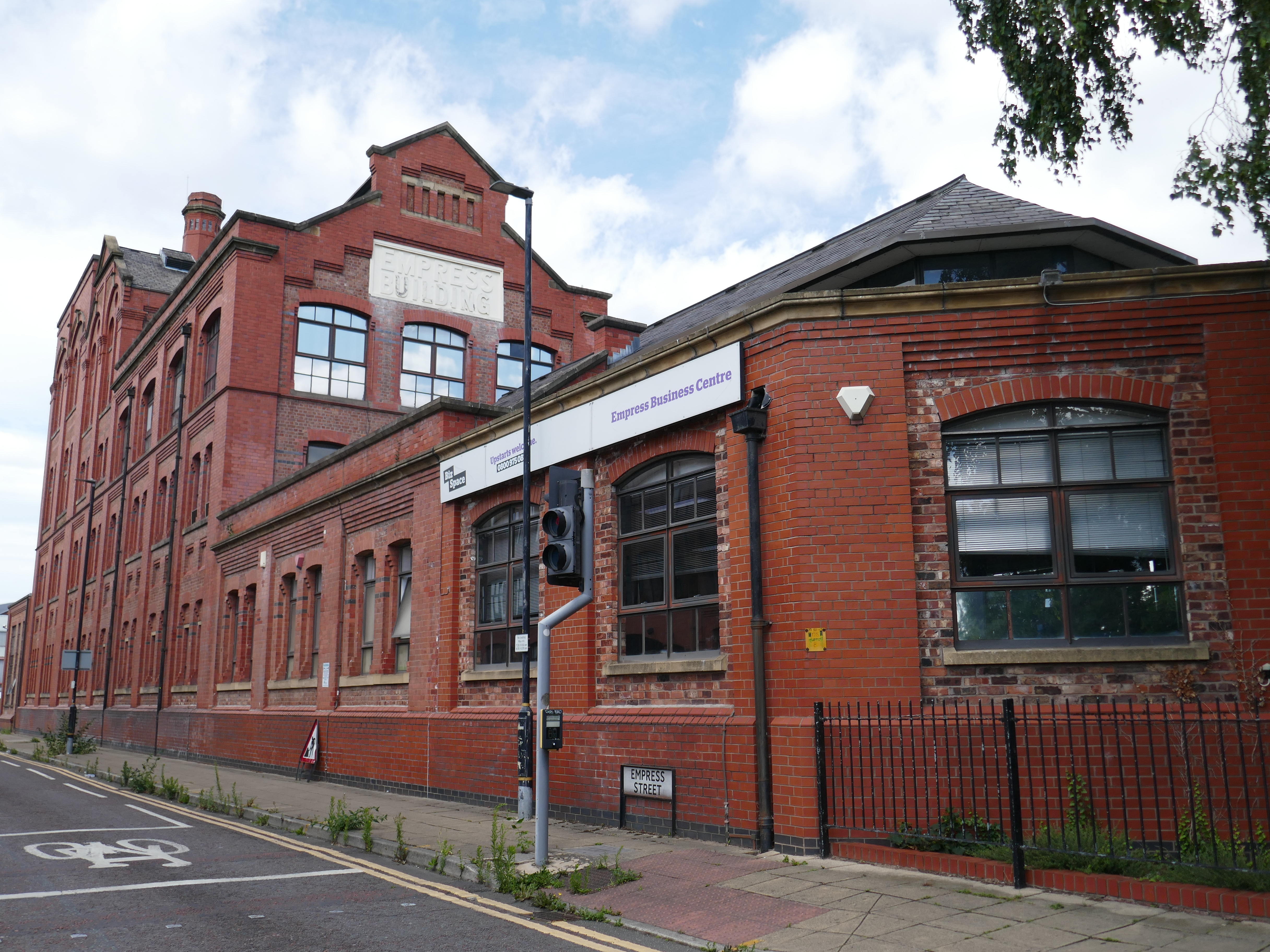
The building was converted into offices in 1992 as part of the development of the Empress Business Centre, which saw new office and business units built to form a courtyard.

Empress had 236 public houses

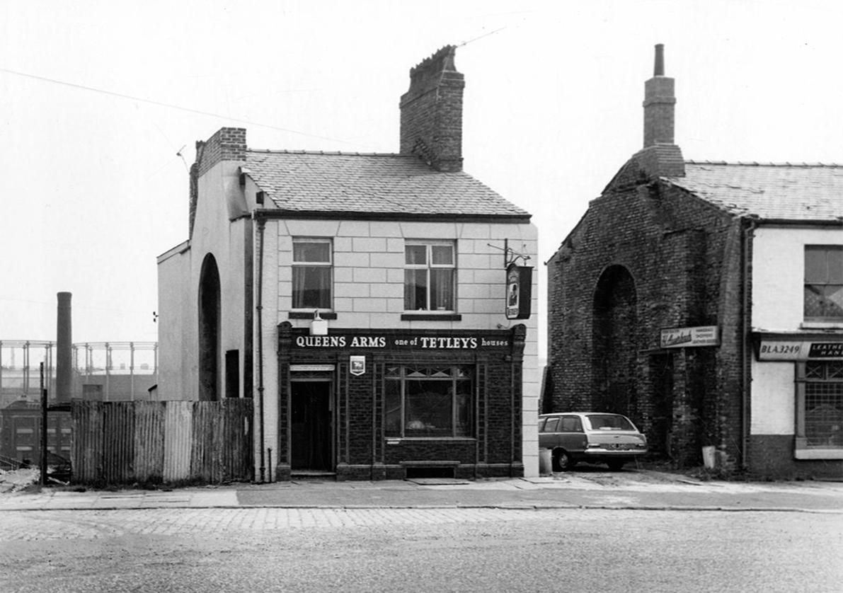
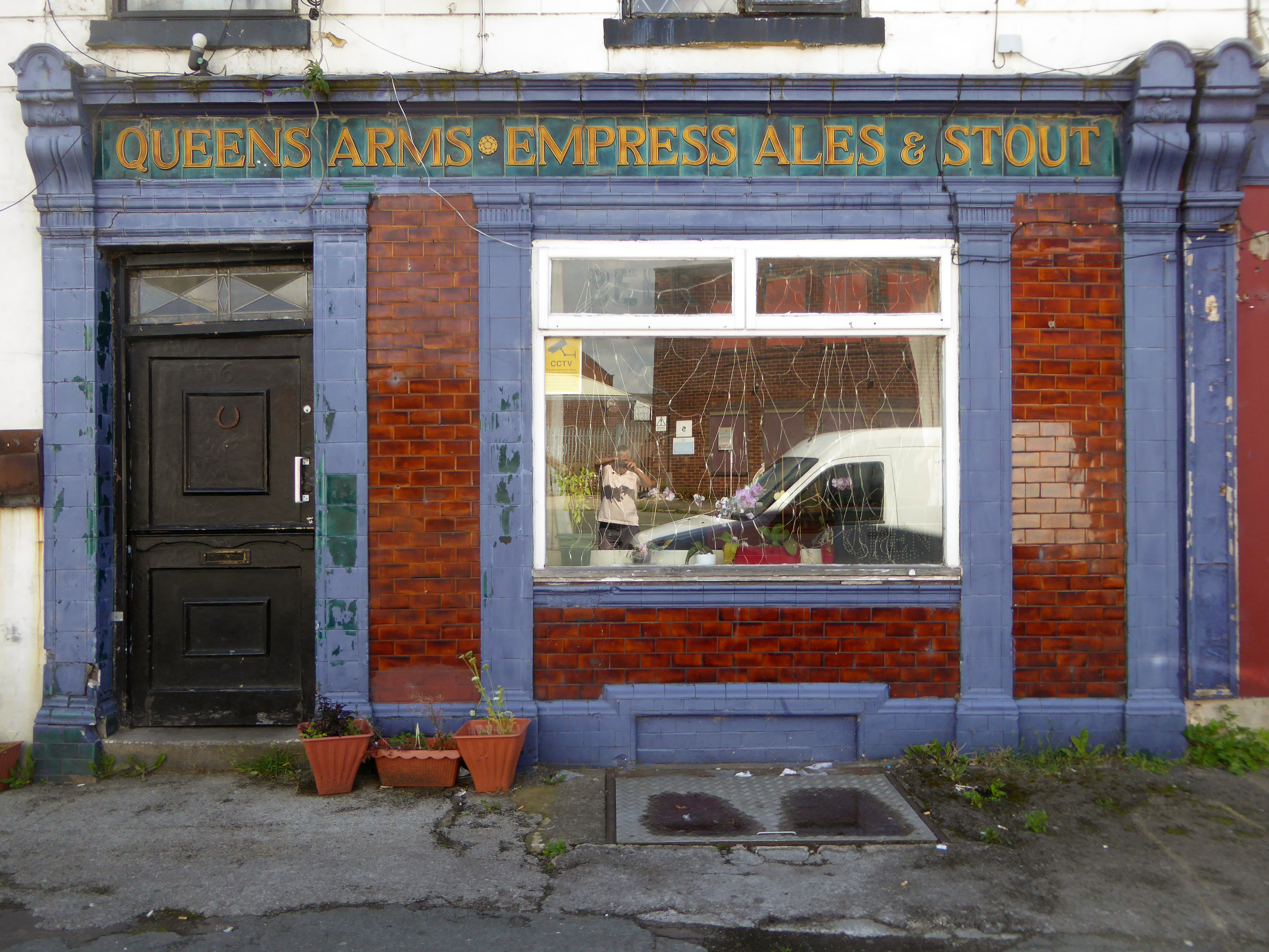
Including the Queens Arms on Honey Street Red Bank, one of the first independent real boozers back in the 1980’s, subsequently it has seen various uses last seen on my Collyhurst Circular walk.

1967 Local Image Collection

This is the brewery building over time.

Here it is in July 2025

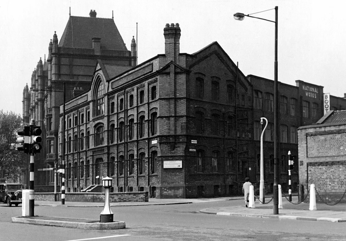
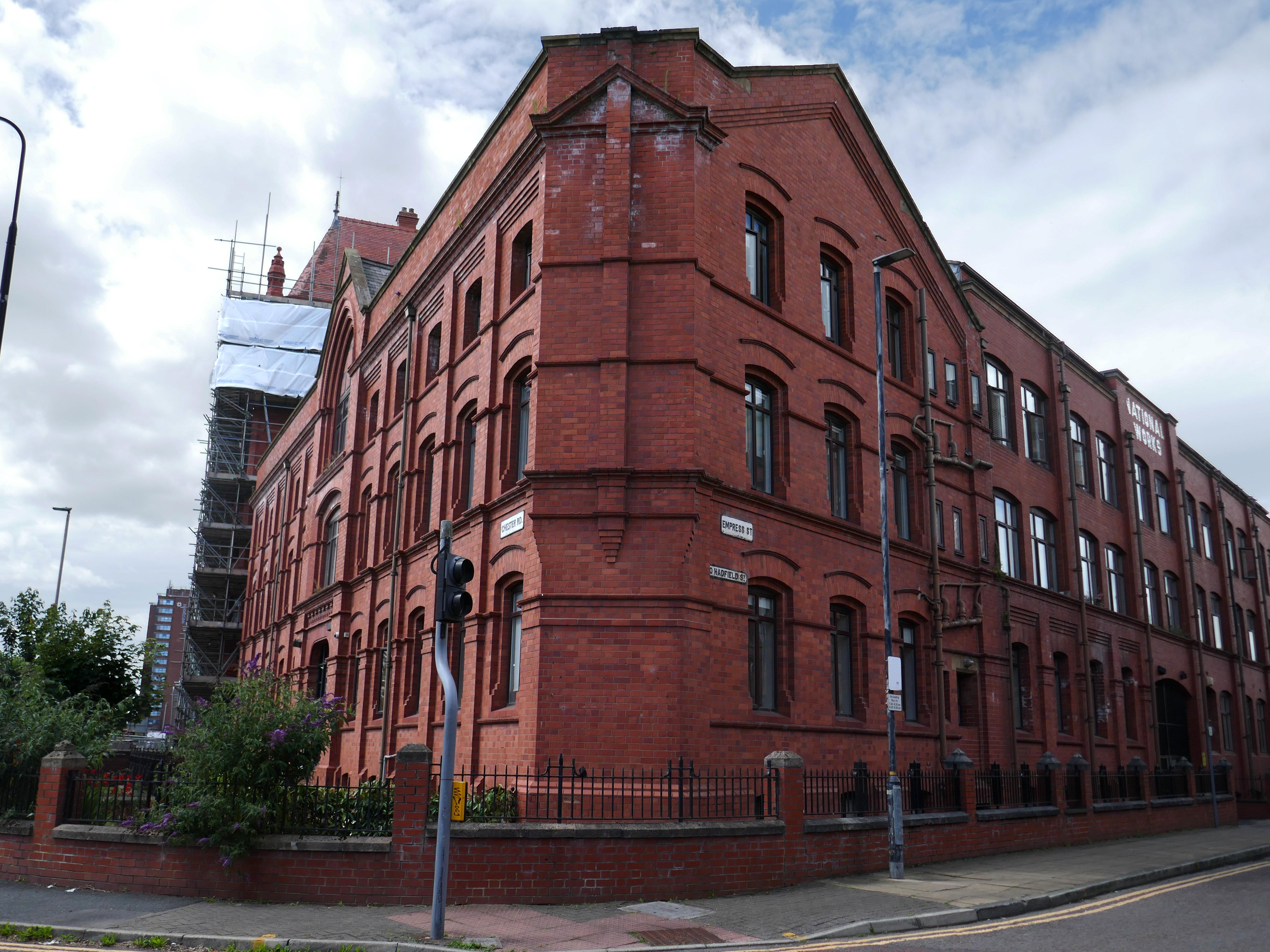
Across the way is the National Works.

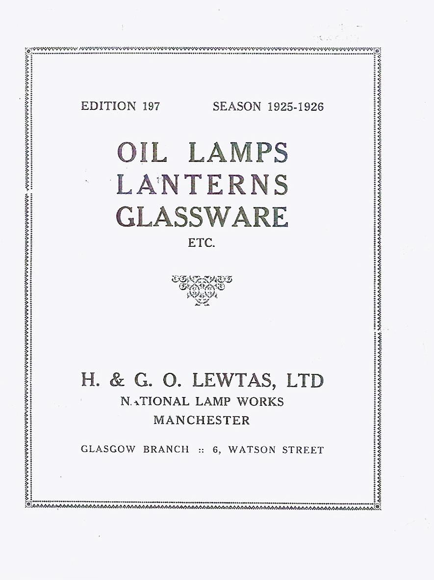
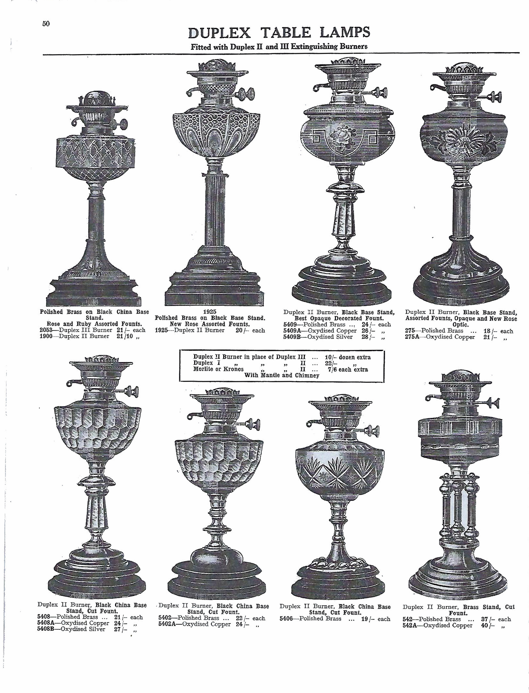
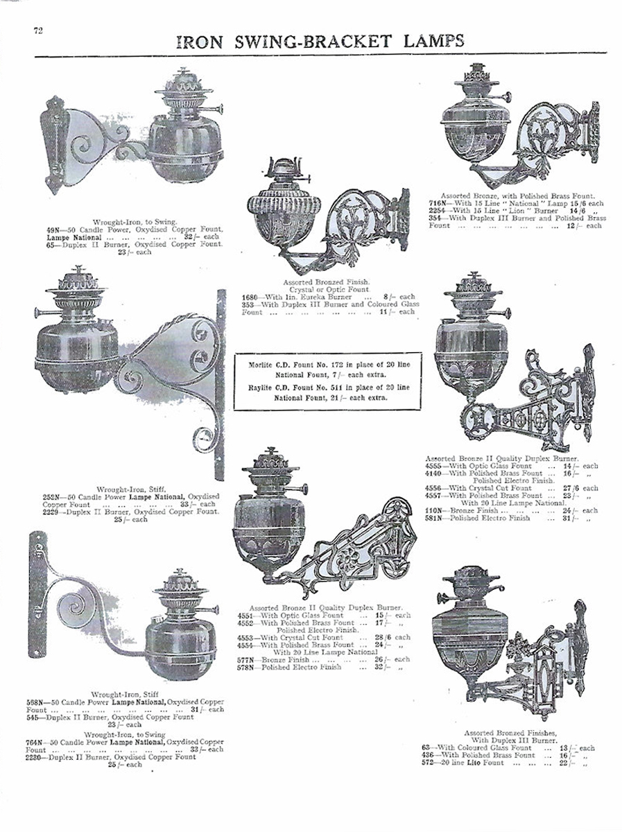
The development of the site can be traced from the sequence of Ordnance Survey 1:2500 maps. The First Edition of 1893 shows the site as undeveloped. The First Revision map of 1908 shows 384 Chester Road to have been developed, and the site of the National Works to have been occupied by an open-fronted L-shaped range along the western and southern sides, with a detached rectangular building in a central courtyard. It is possible that these buildings all formed part of 384 Chester Road, listed as being occupied by H, G & O Lewtas, lamp manufacturers, in Slater’s trade directory for 1911. The Second Revision map of 1922 shows the early building to have been subsumed by the current building.

1961 Local Image Collection

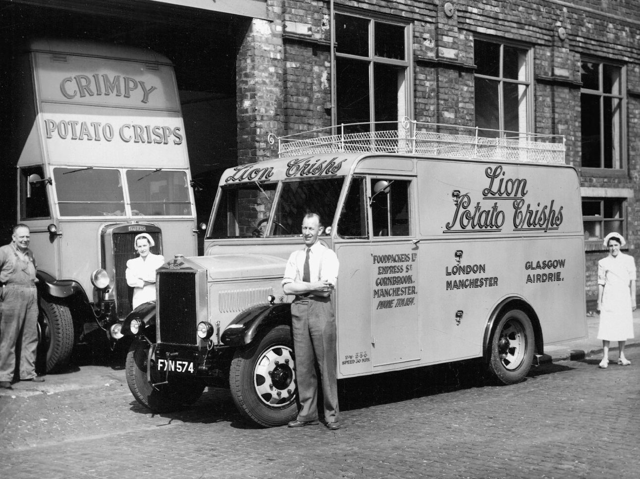
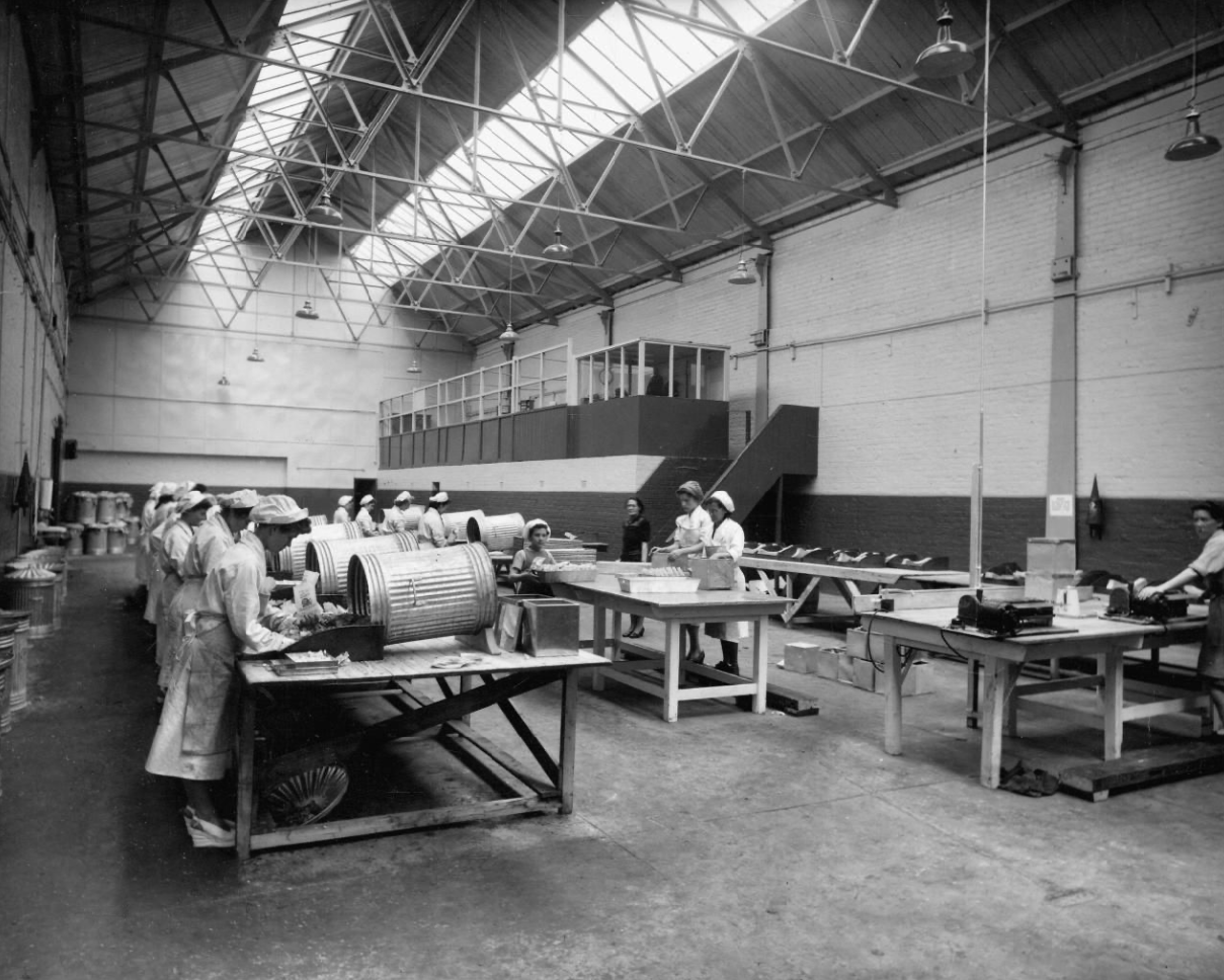
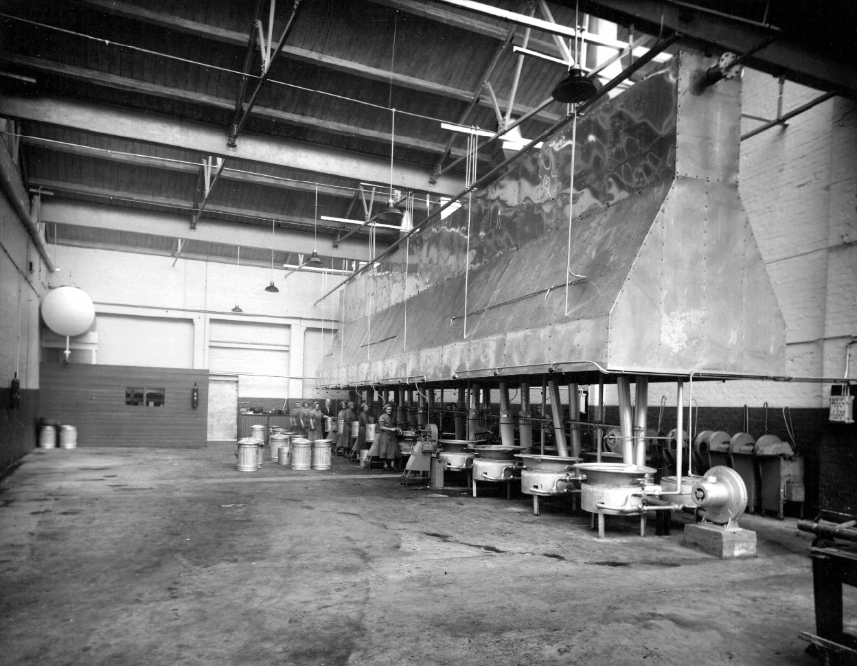
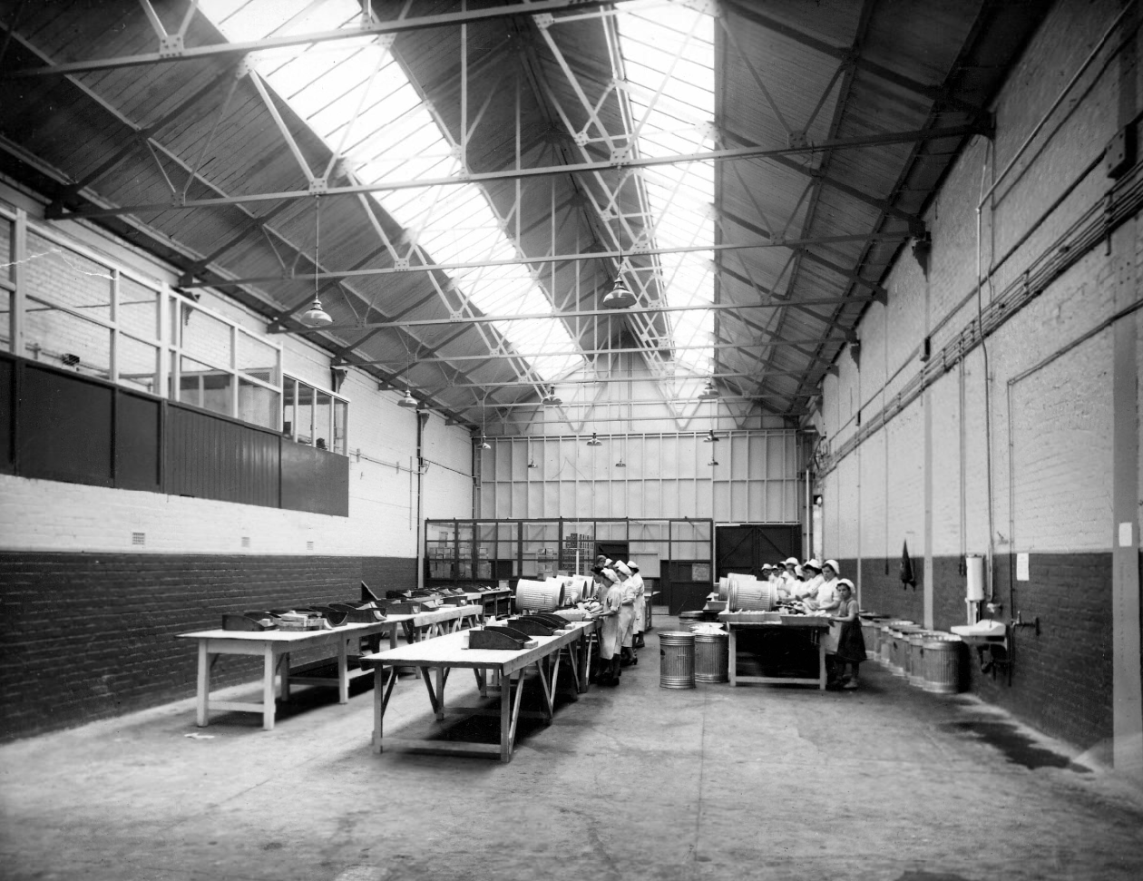
Later the home of Lion Foodpackers Ltd and Crimpy Crisps.

1947 Local Image Collection

The building has been converted into apartments.

Situated on the lower ground floor of a gorgeous, red brick, landmark building, this 2 double bedroom apartment merits further inspection. A good size living room opens on to a good fitted kitchen. It also has a great, spacious shower room. It also benefits from a parking space, although a great attraction is the location, being just 1 mile from Deansgate and the City along with being 10 minutes walk to a Metro station.

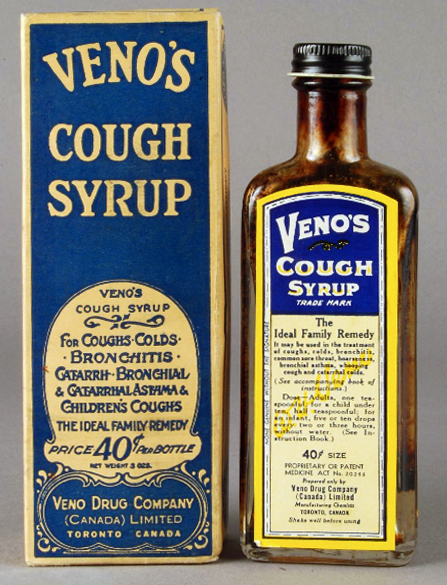
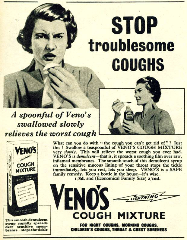
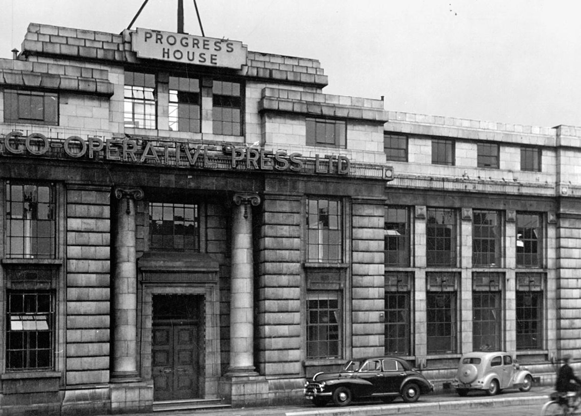
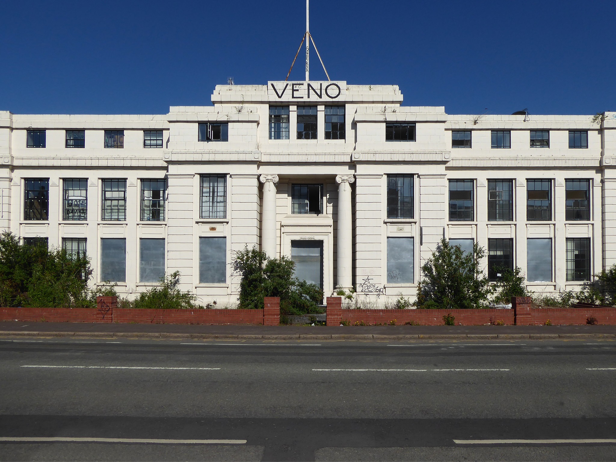
Then we have the Veno’s Building, which was once a pharmaceutical company founded by William Henry Veno. He established a company in the US before returning to Britain and founded the Veno drug Company in Manchester in 1898.

In 1925 the company was sold to Beecham Estate and Pills Ltd. In the 60s the building was under the name Progress House and was home to the Co-Operative Press Limited, later to become Trafford Press. 

Derelict Places

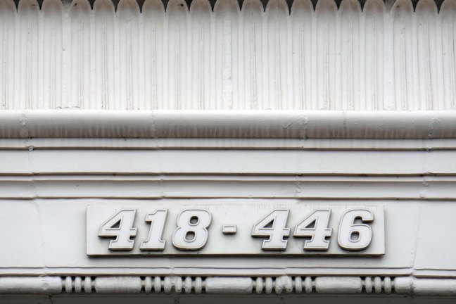
Rare sighting of a Profil aka Stymie Bold Italic hyphen.

Designed by brothers Max and Eugen Lenz and first cast by Haas in 1947.

The front elevation was originally in red brick, with a later faience facade applied.

Veno’s a stalled and cursed development. In 1925 William Henry Veno sold his company for £500,000, a decision he later rued. He sought to enhance his million pound fortune but lost everything through speculative investments and the 1929 Depression. He shot himself at his home during a fit of impulsive insanity.

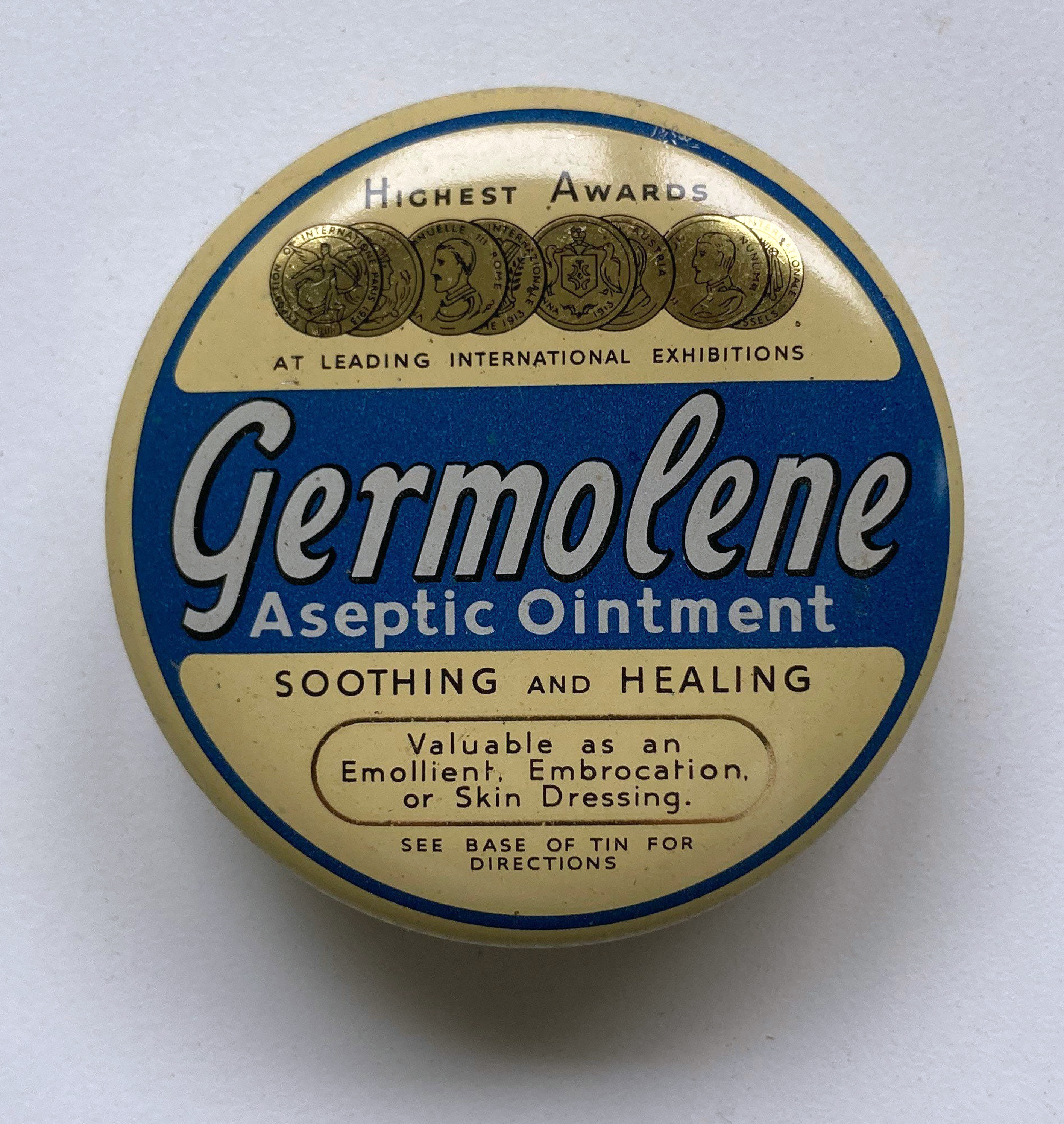
It was also the home of Germolene, a thick antiseptic ointment with a distinctive pink colour and scented with oil of wintergreen

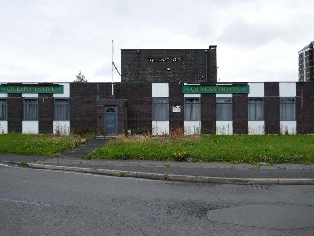
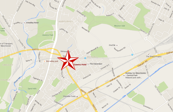
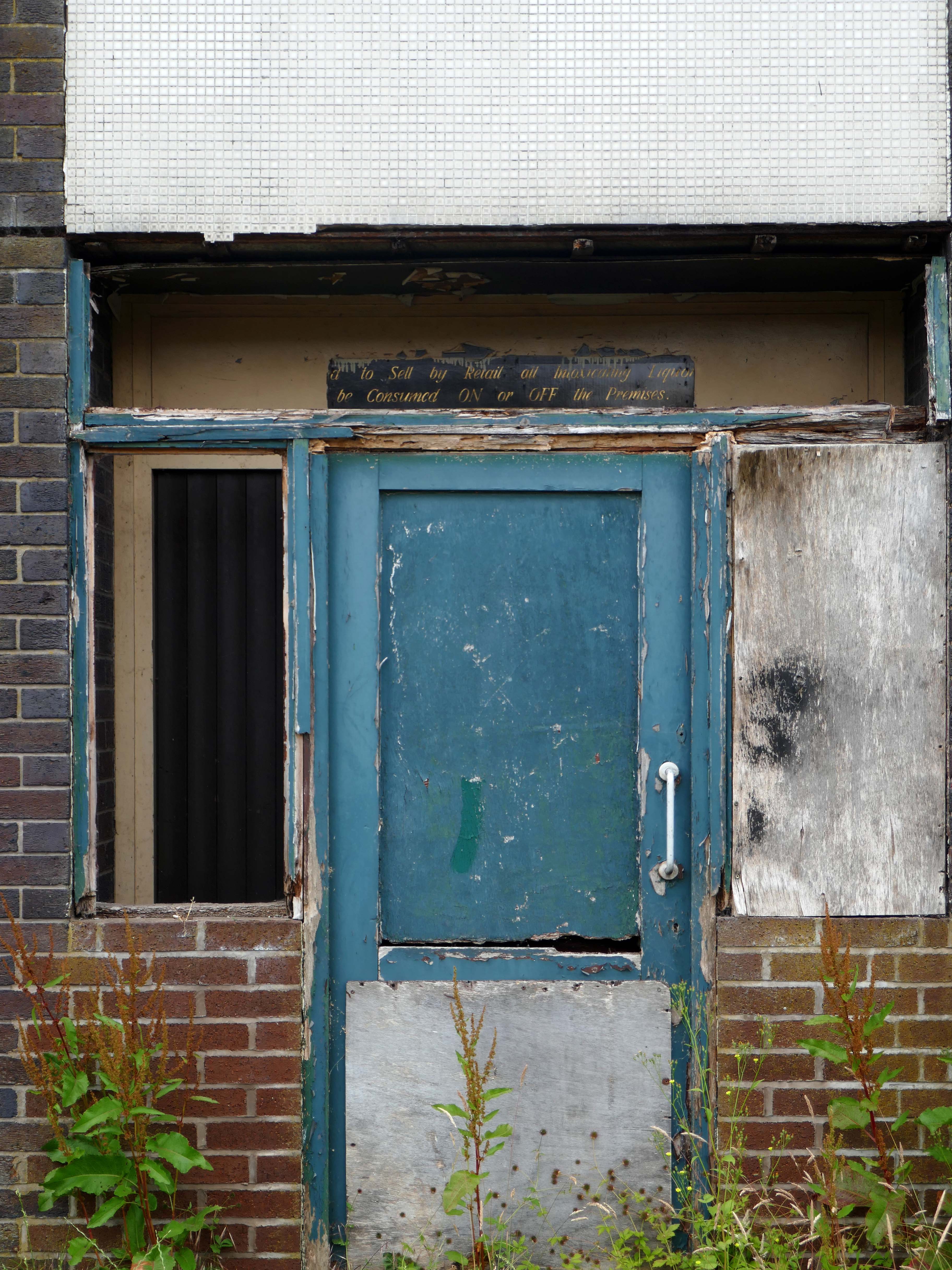
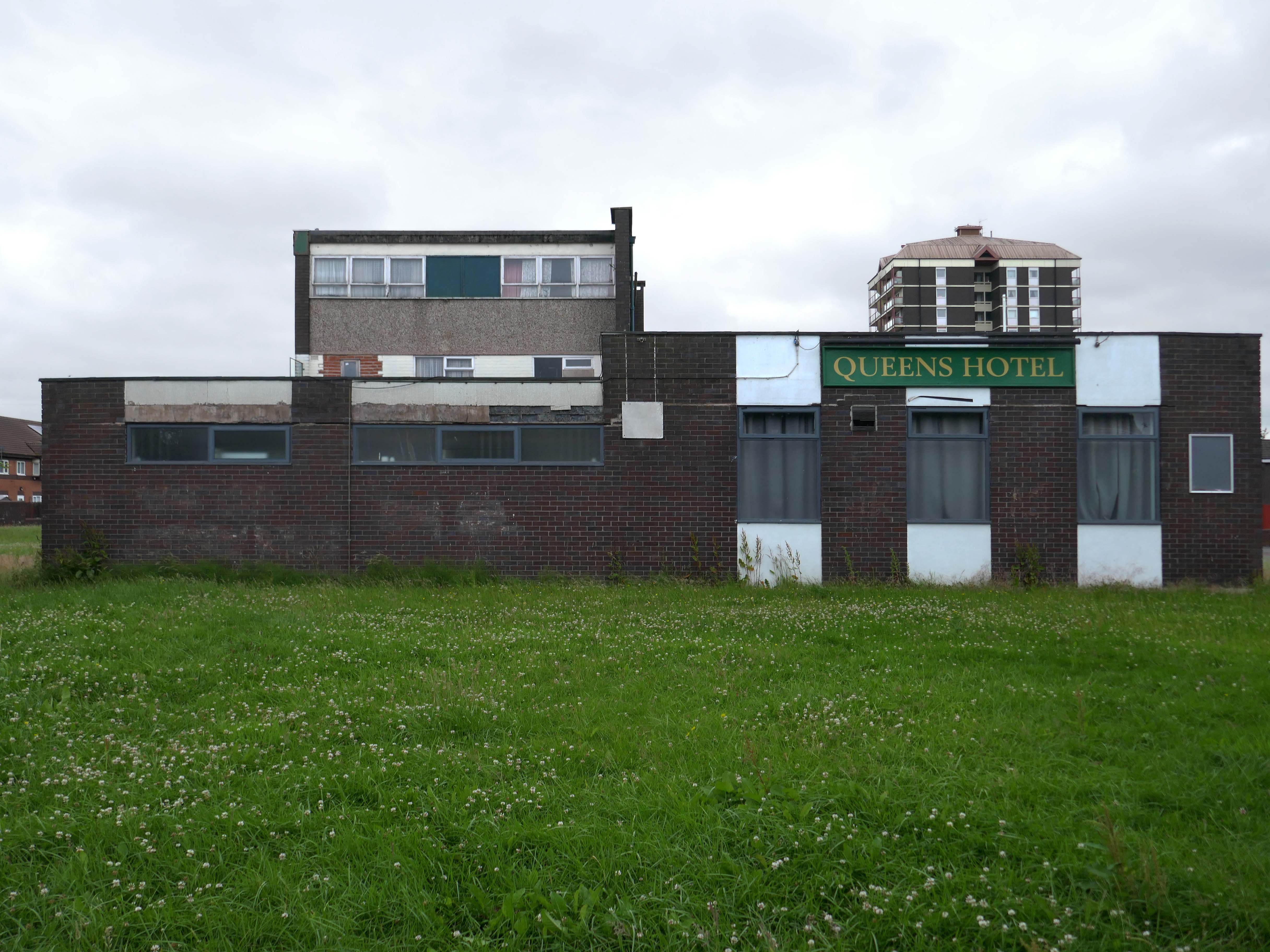
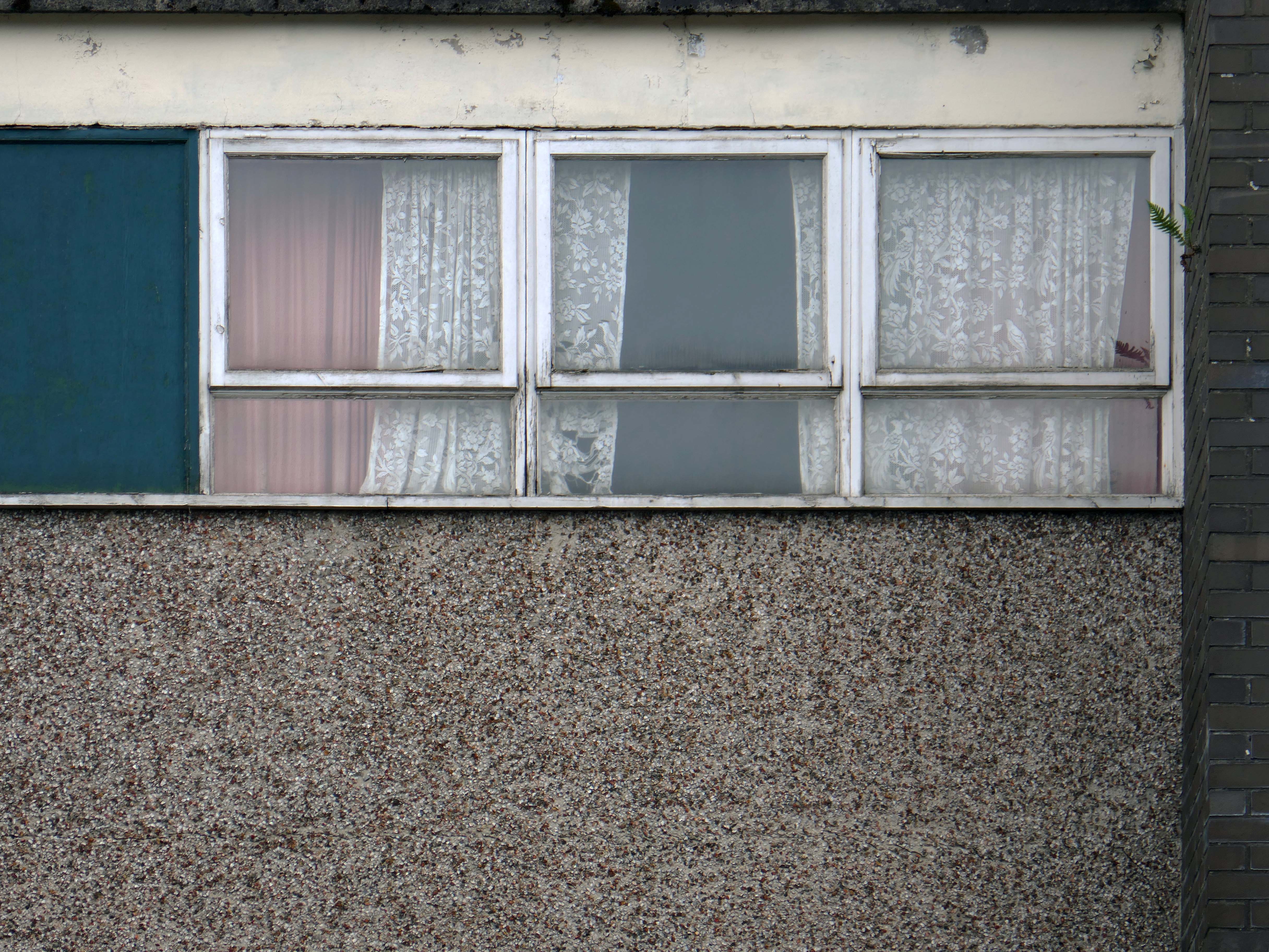
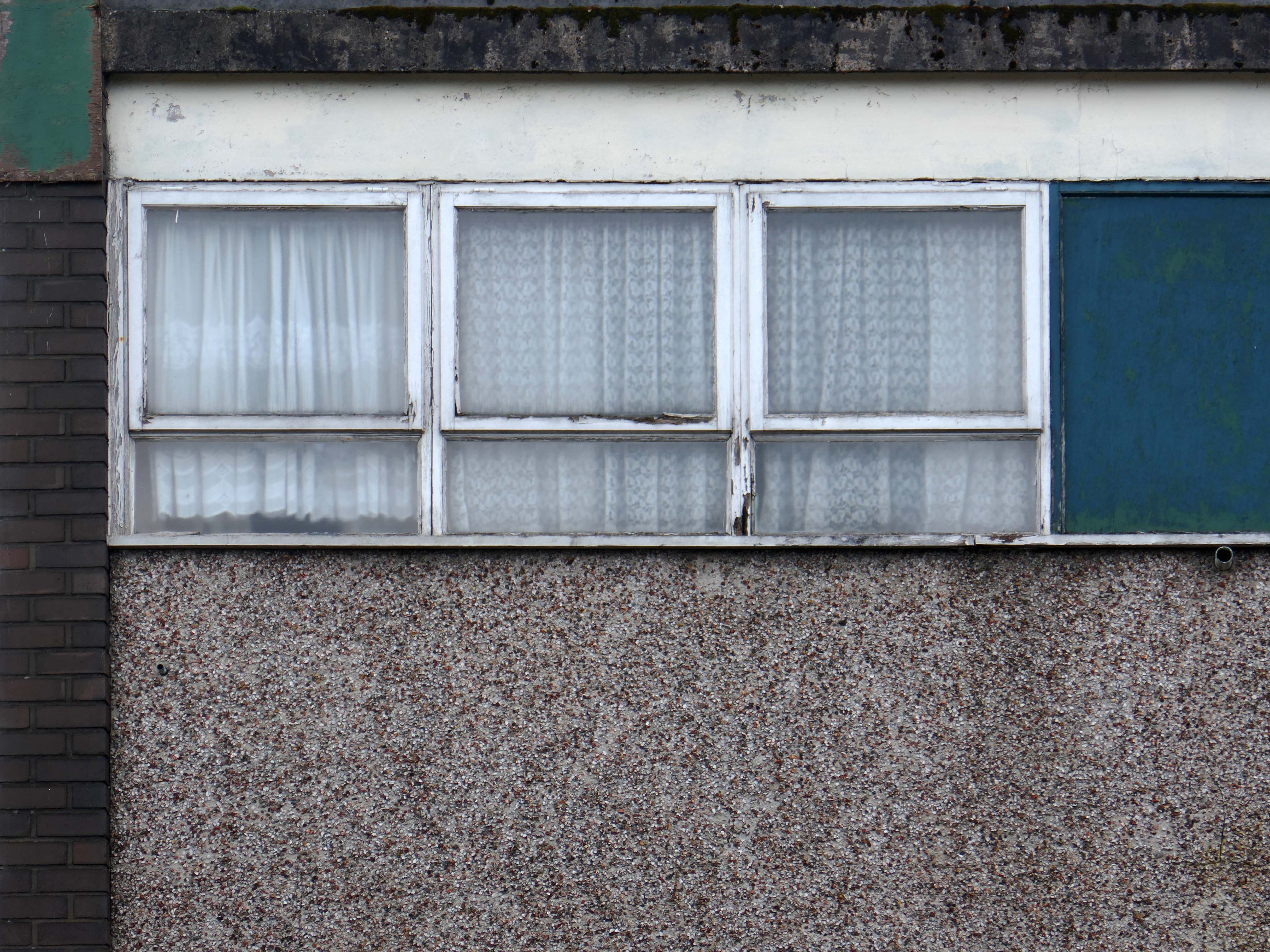
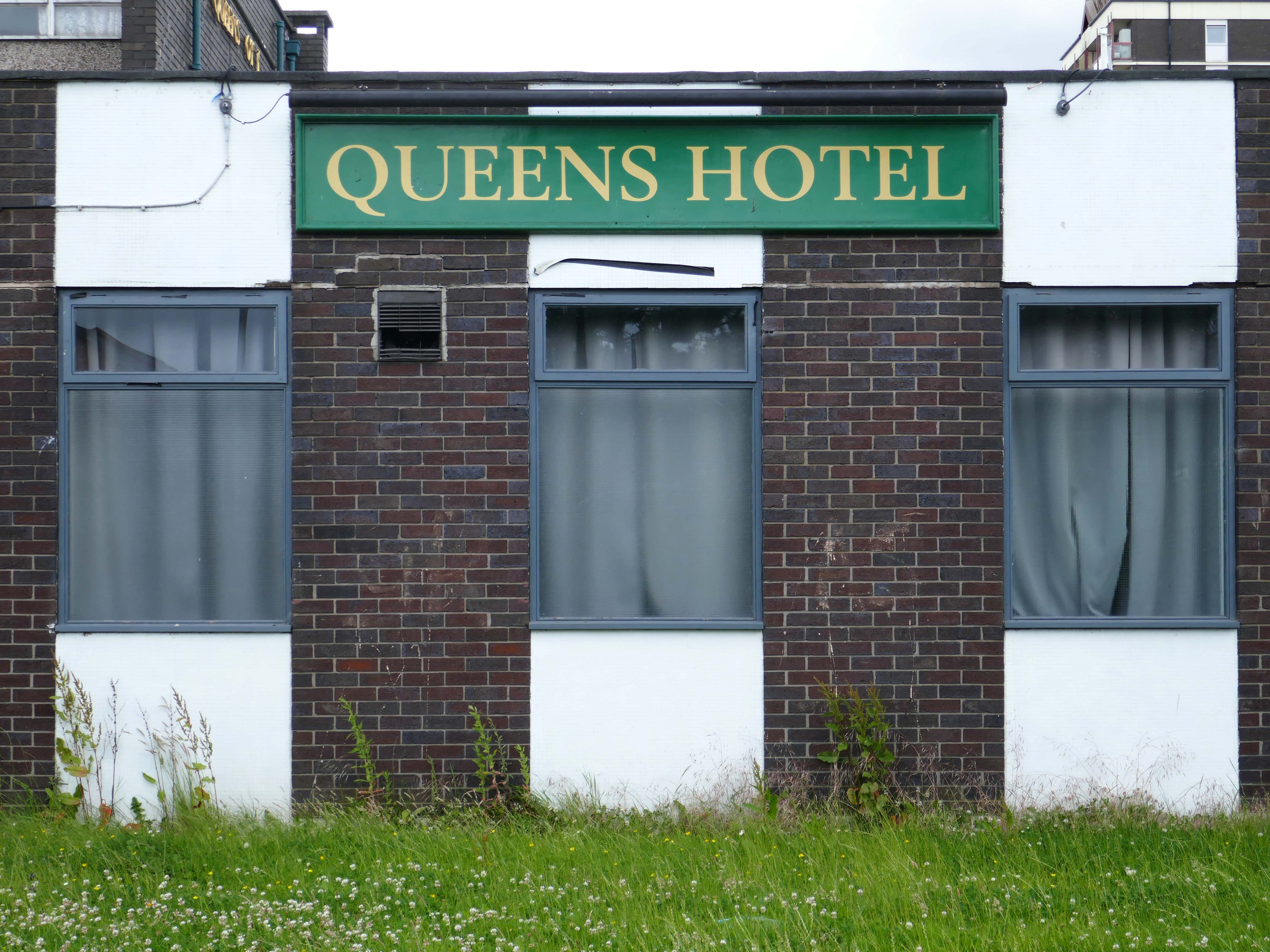
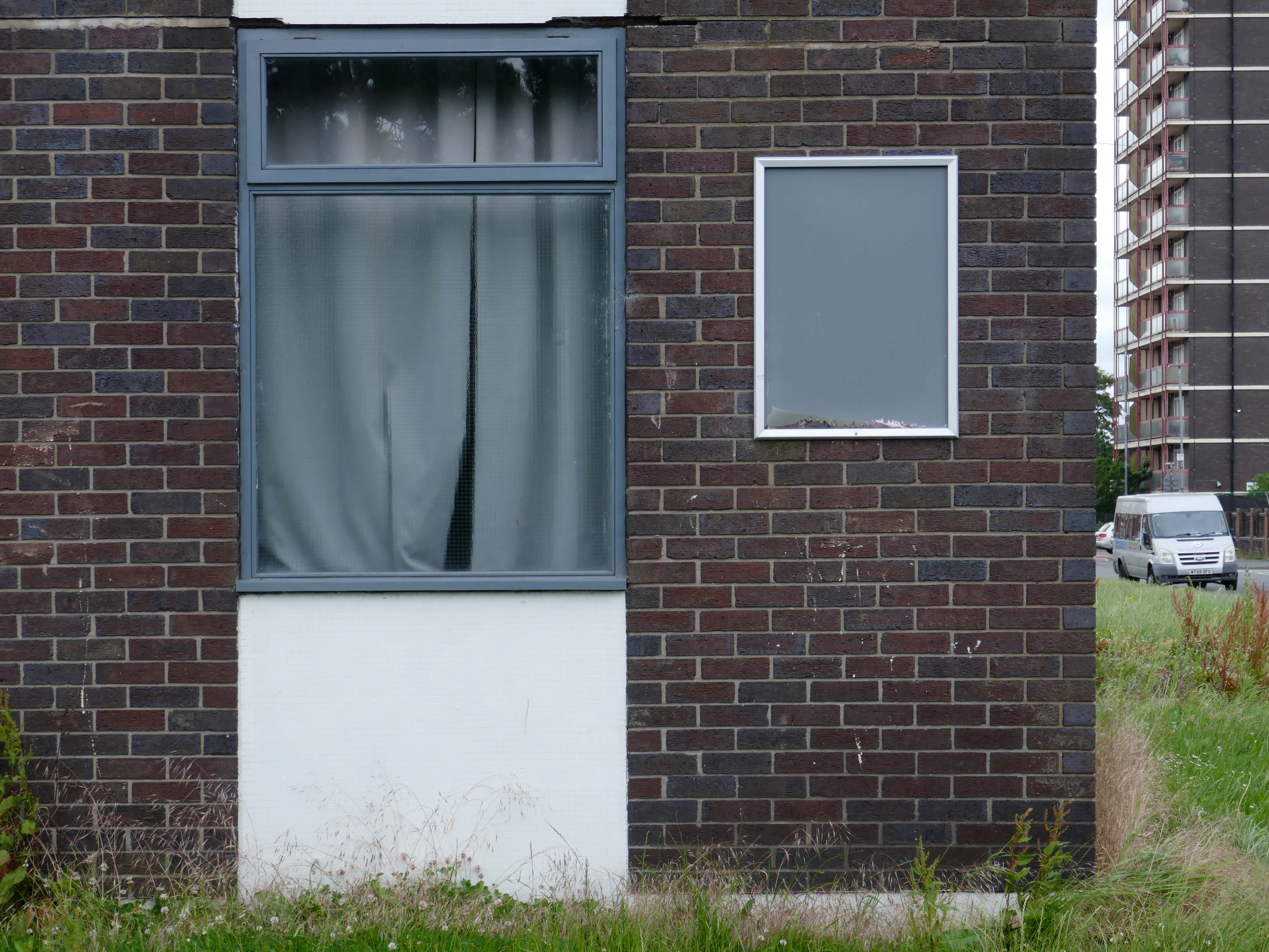
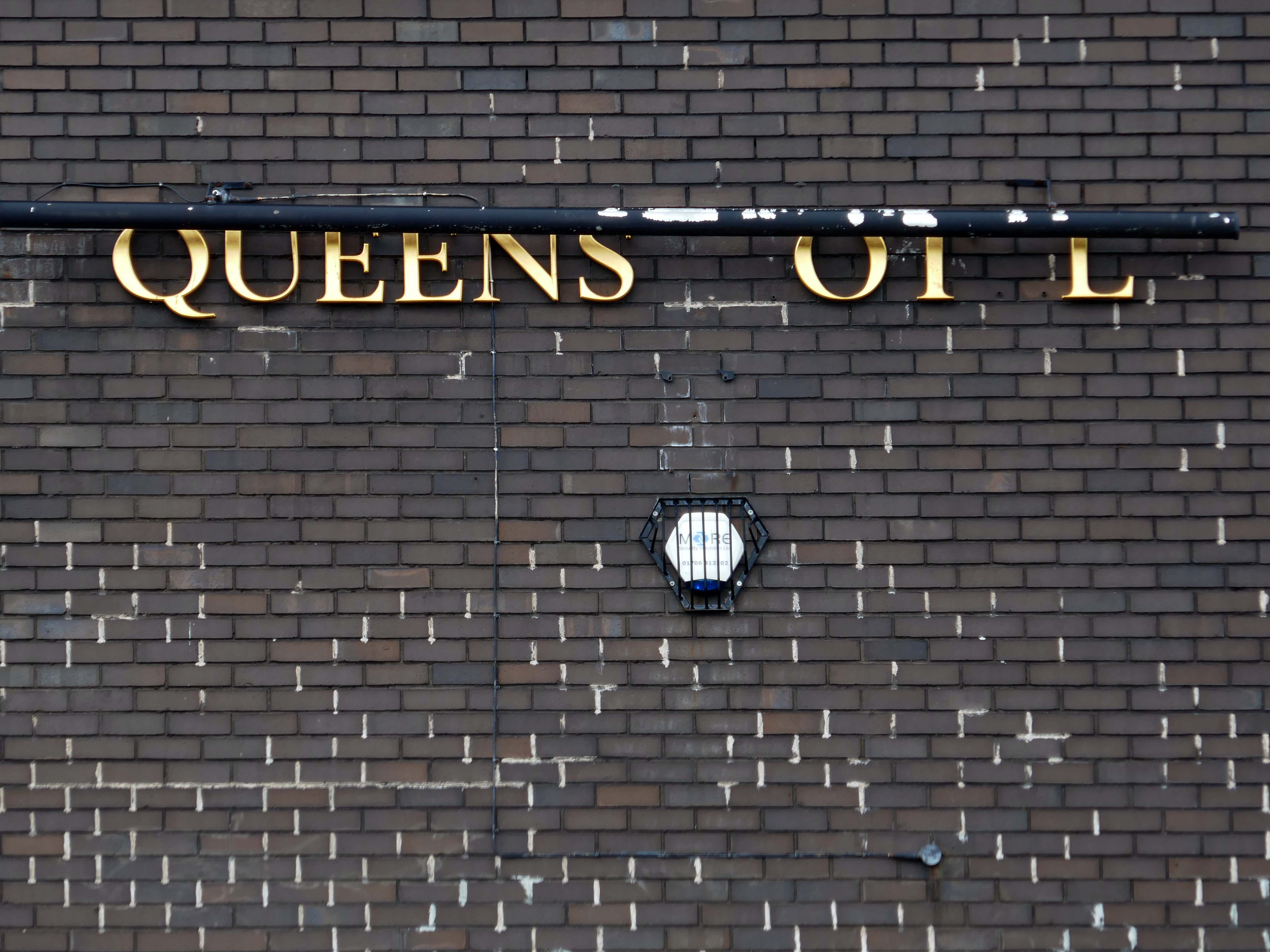
Queens Hotel – Monsall/Collyhurst Manchester

Sedgeford Rd Manchester M40 8QU

I have been here before, notably, as recored on my Manchester Estate Pubs site.

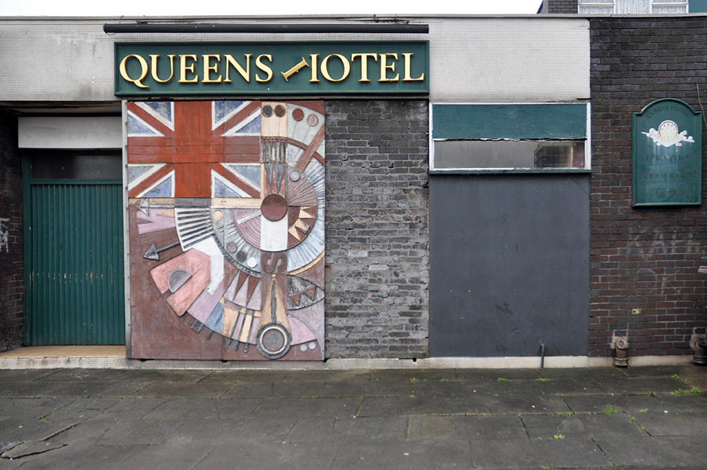
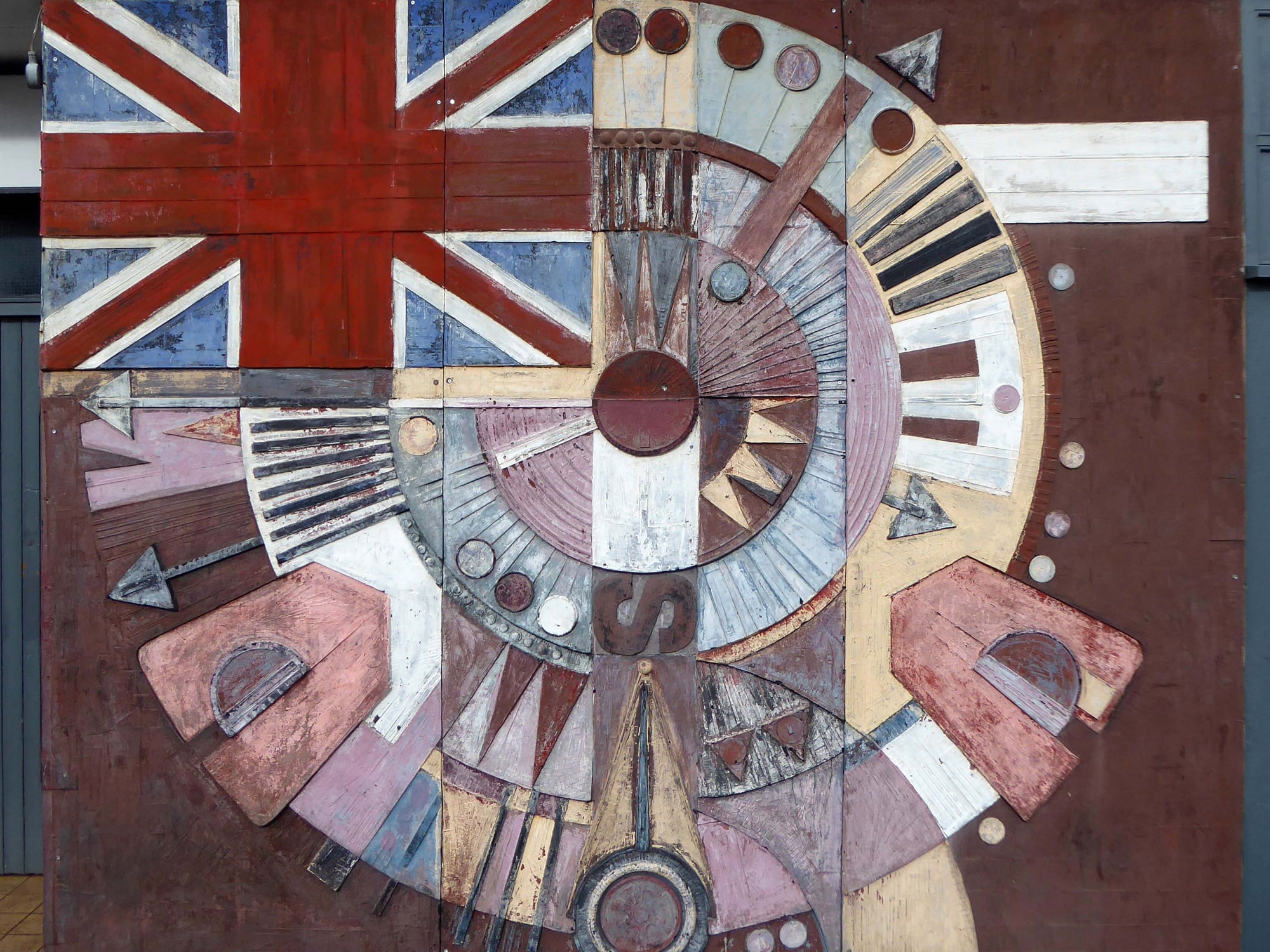
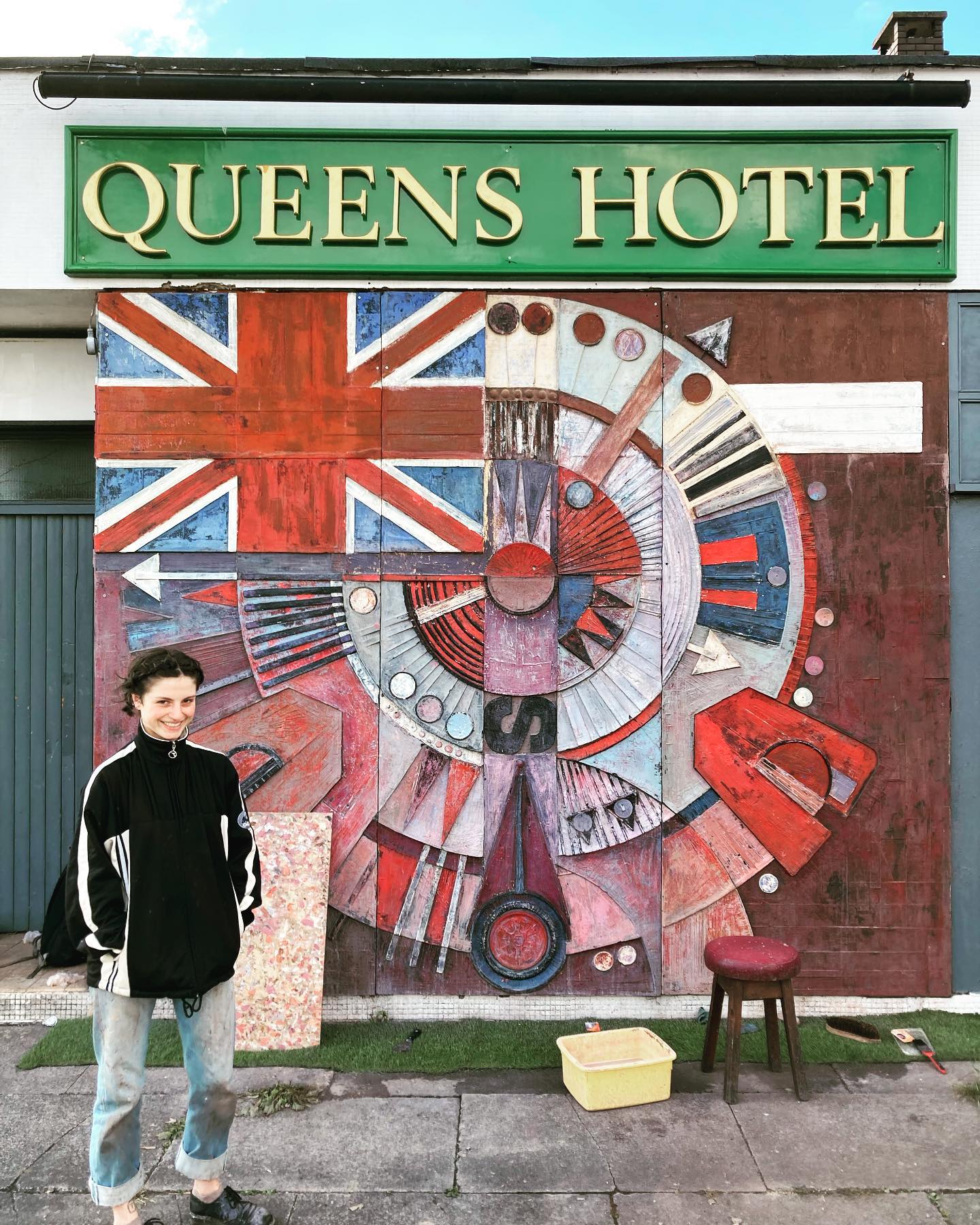
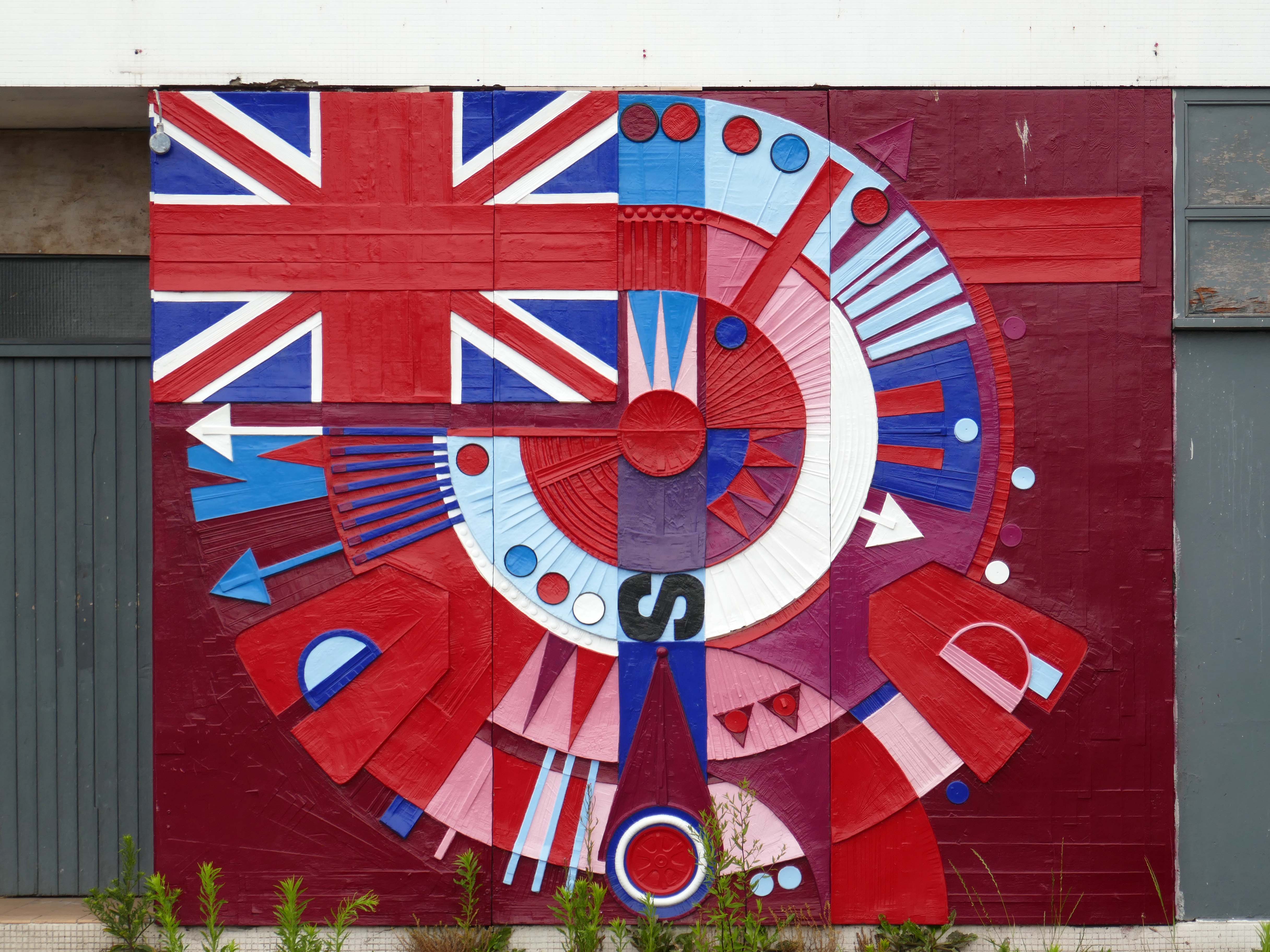
The pub was open, but the Alan Boyson mural was in need of repair.

The missing panel, stored in the pub’s cellar was subsequently reinstated.

Then, following a Modernist crowdfunding project instigated by Richard Brook and Christopher Marsden, Alice Vincent-Barwood restored the work, during July 2022.

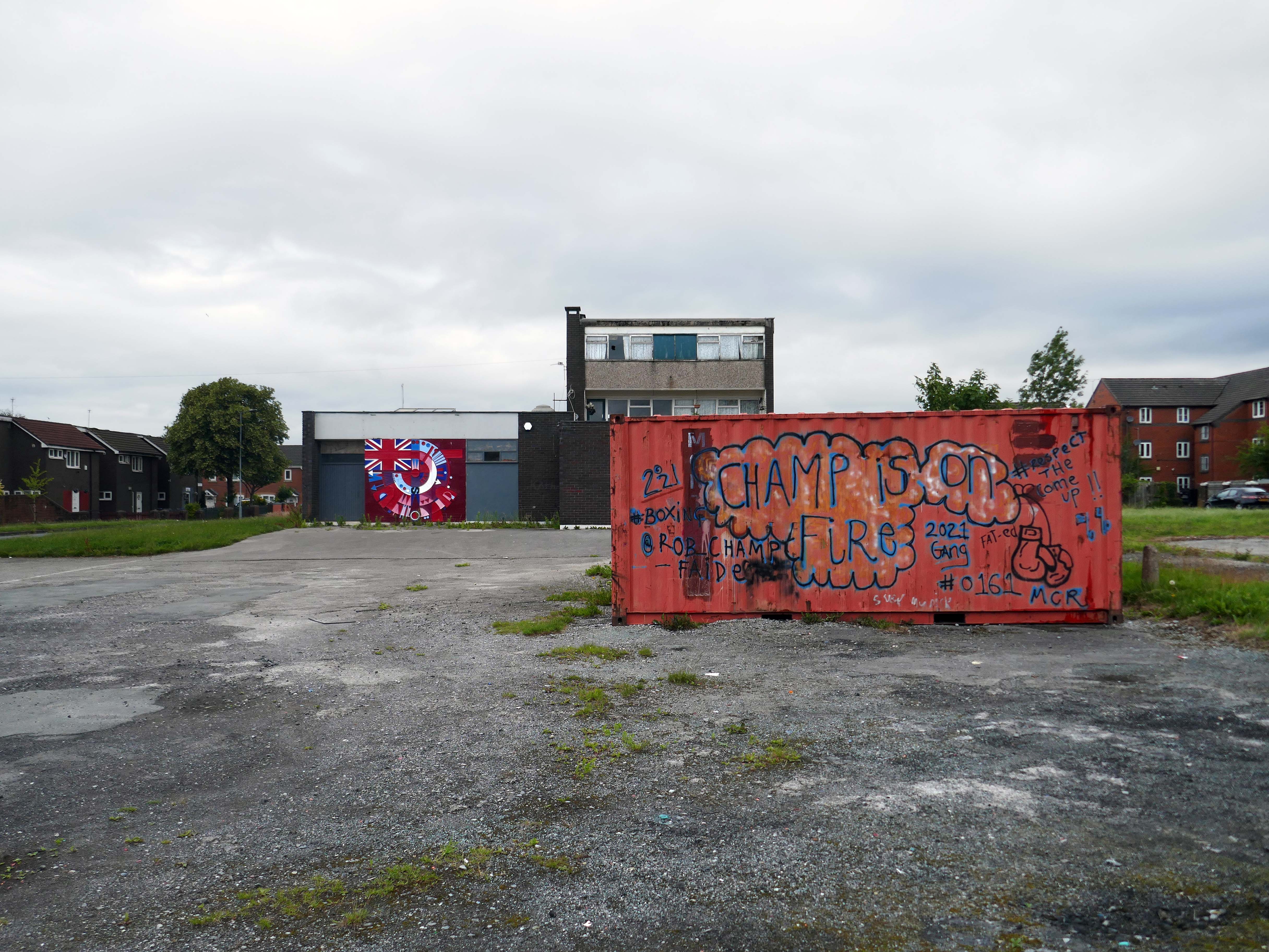
Sadly in August 2023 the pub lost its licence and remains closed.

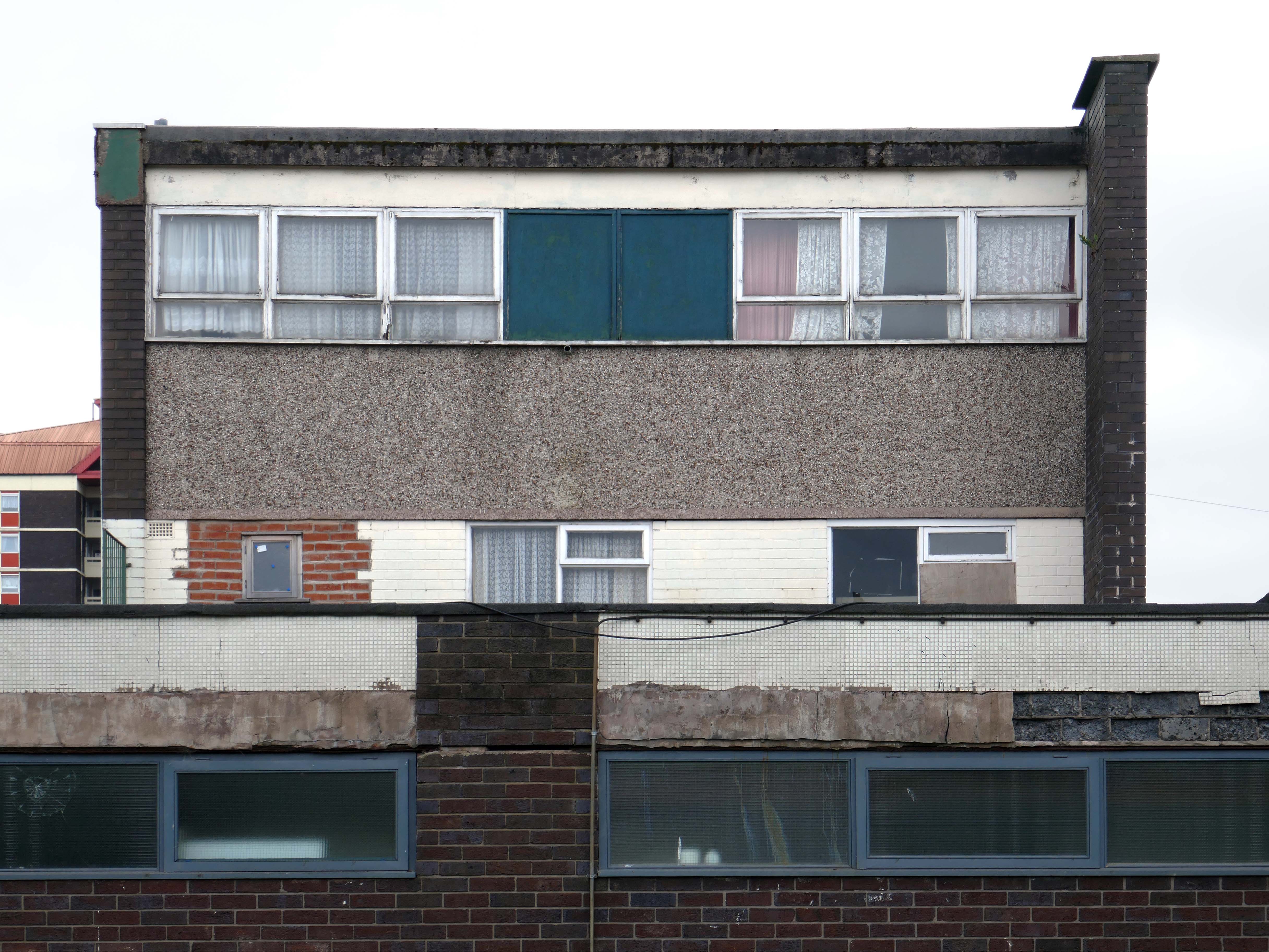
Wandering from Town to Moston yesterday, I happened to pass by, so I took some photos, here they are:

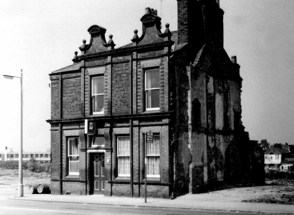
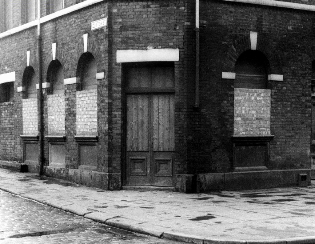
Collyhurst Pubs

Taking images from the Local Image Collection I have compiled a section of pubs in the Collyhurst area.

There are but a few still open – many long gone, since demolished.

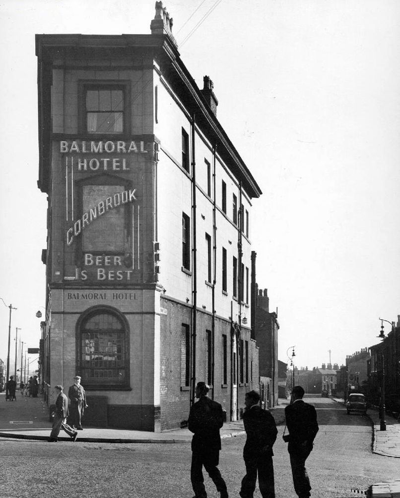
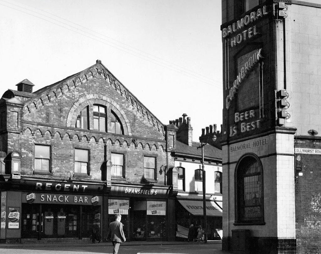
Balmoral HotelCornbrook Brewery

W Kaye 1958

Billy Greens – formerly the Vauxhall

S Marland

Collyhurst InnManchester Brewery Company later Wilsons

W Kaye 1958

The Balloon VaultsWalker & Homfray’s

H Whitehead 1971

The Globe Inn Threlfall’s later Whitbread

Dawson 1971

The Grapes Tavern Joseph Holt

W Kaye 1964

Joiners Arms Wilsons

W Kaye 1959

Lorimers Arms

S Marland 2022

Lord ClydeCornbrook

1958

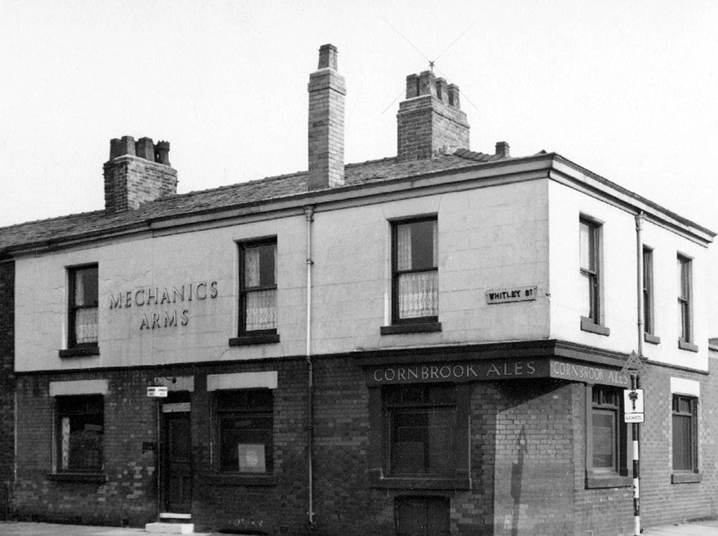
Mechanics ArmsCornbrook

E Stanley 1958

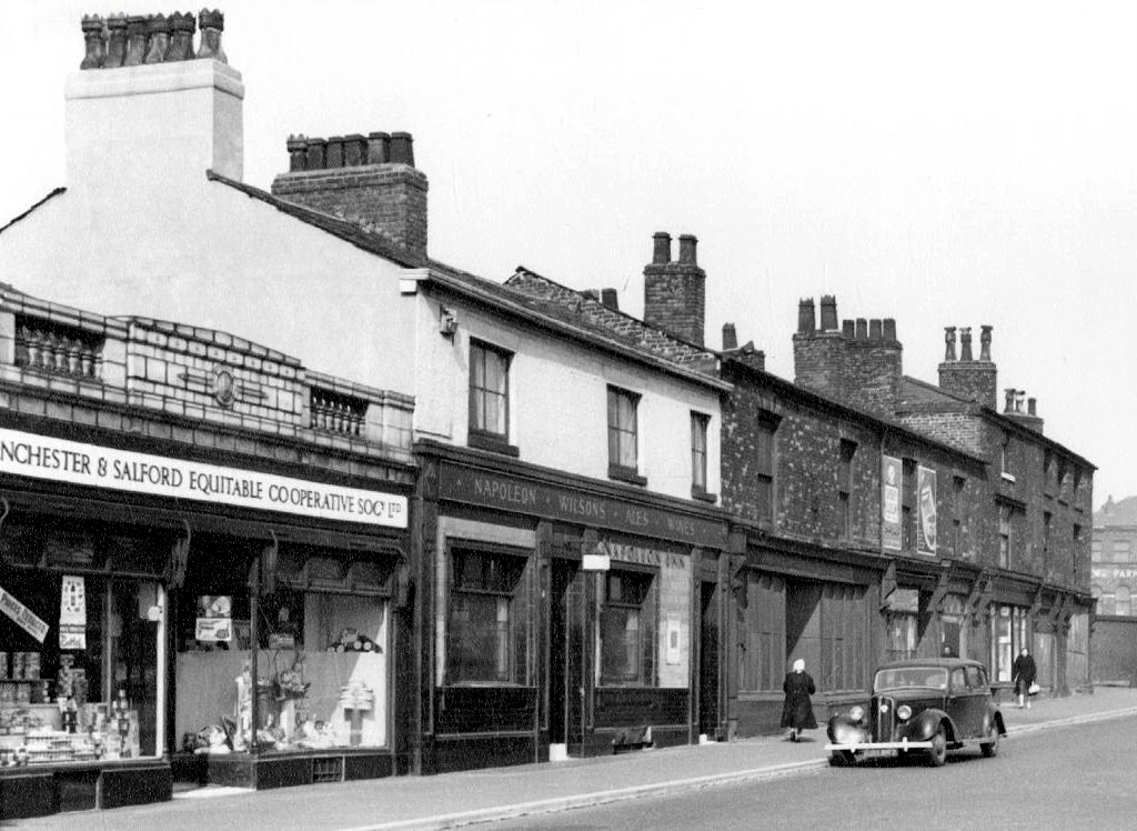
NapoleonMcKenna’s later Walker & Homfray then Wilsons

L Kaye 1958

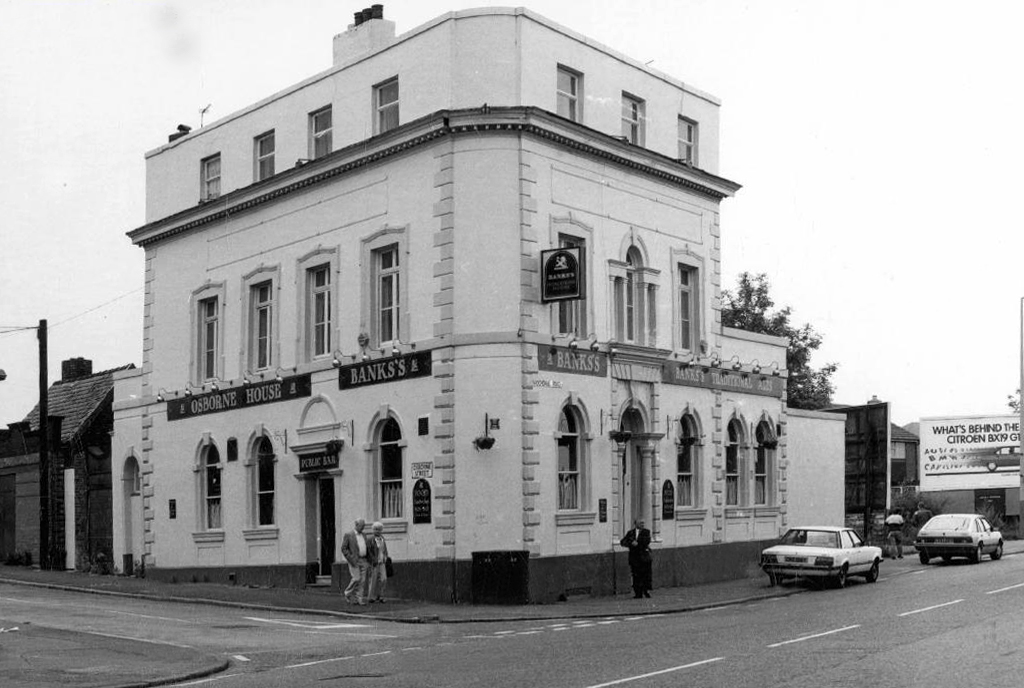
The OsborneWilsons later Banks’s

1976

1986

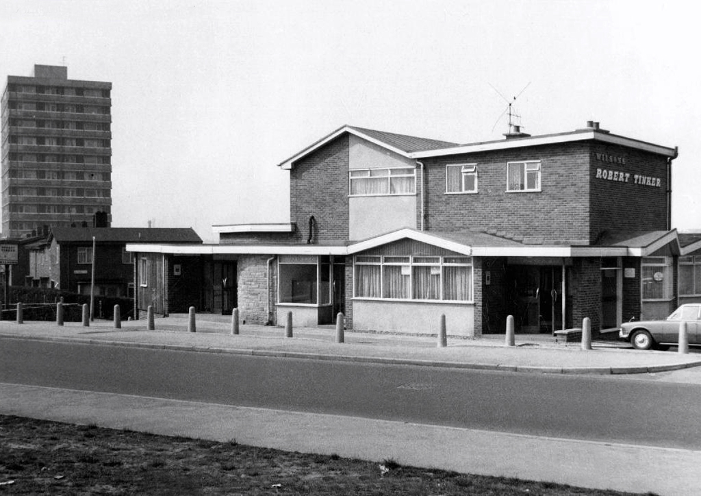
Robert TinkerWilsons

A Dawson 1971

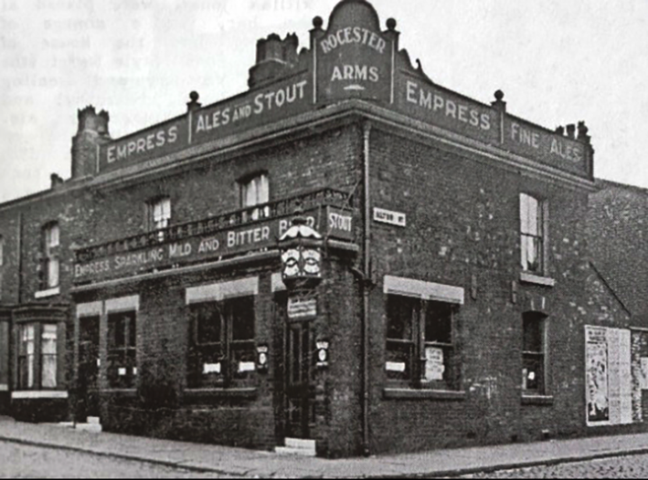
Rocester ArmsEmpress Brewery

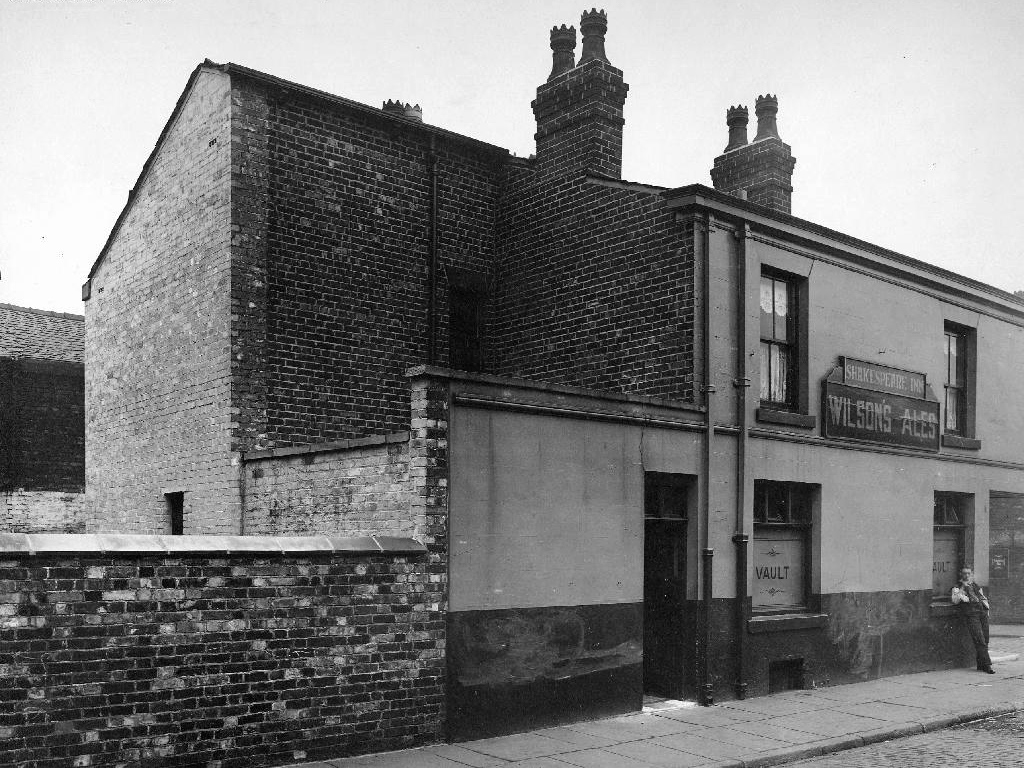
Shakespeare InnWilsons

1934

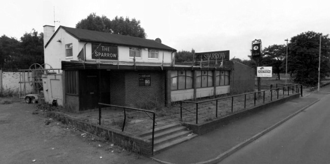
The Sparrow

Google 2012

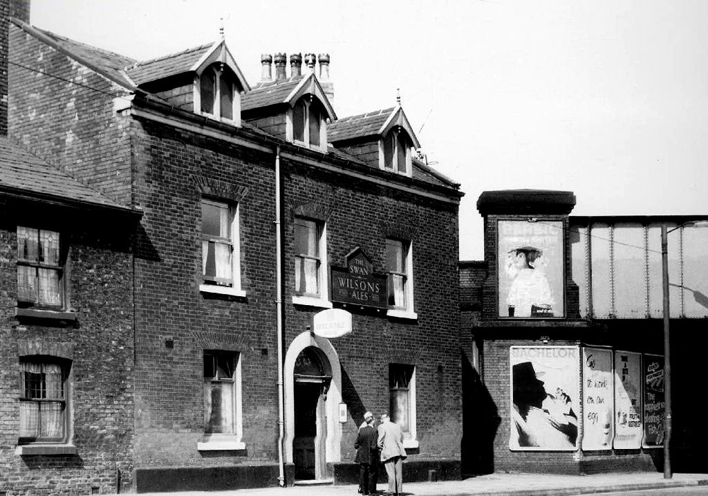
The Swan Wilsons

A Dawson 1971

Three Tuns Manchester Brewery Company later Threlfall’s

L Kaye 1958

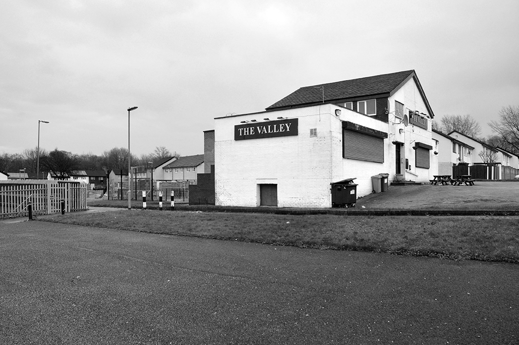
The Valley – now open as The Vines

S Marland

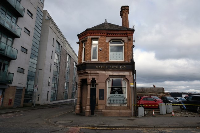
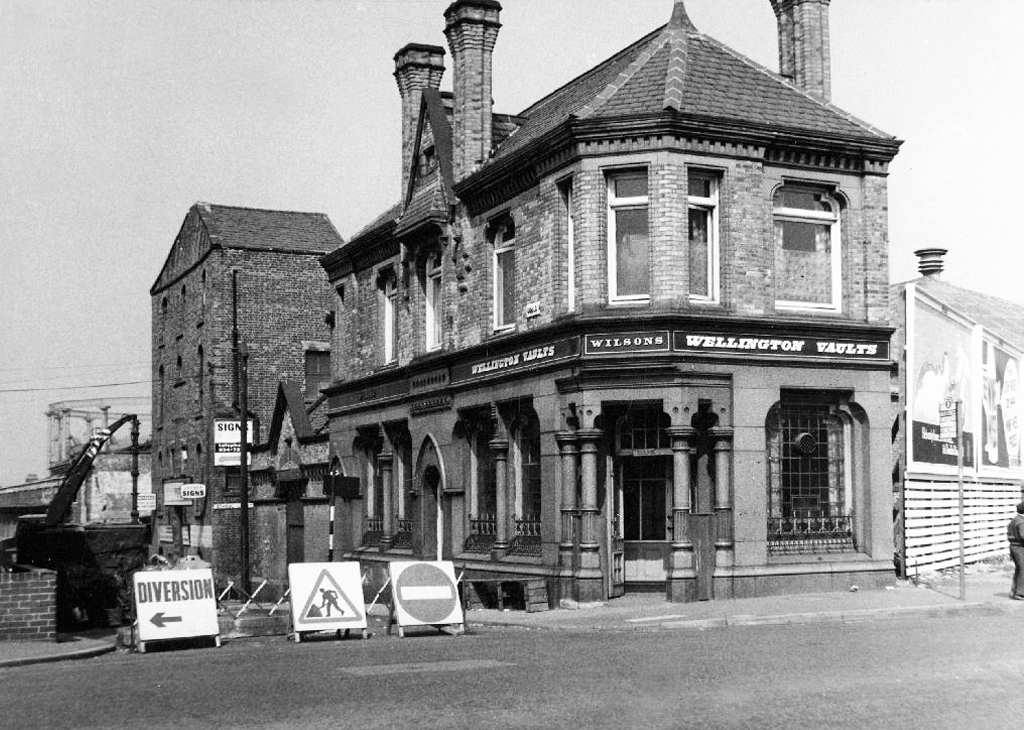
The Wellington Vaults – Wilsons now open as the Marble Arch

A Dawson 1971

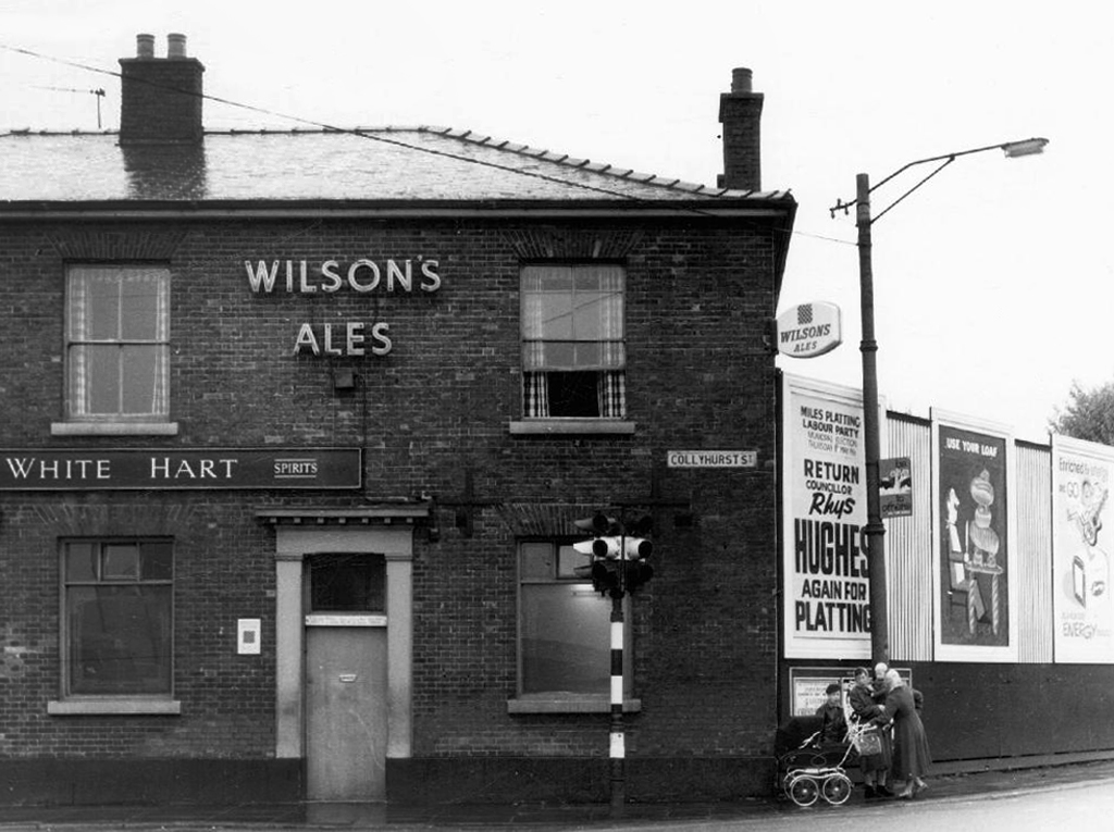
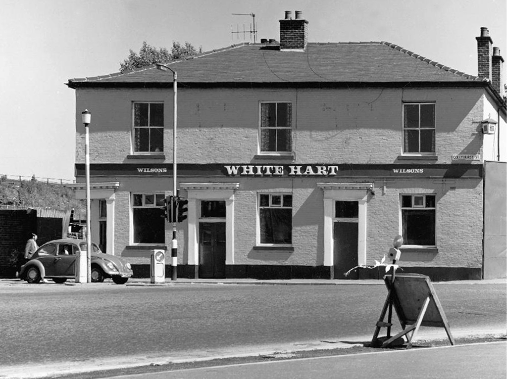
White HartWilsons

T Brooks 1961

1976

Manchester Arterial – A662

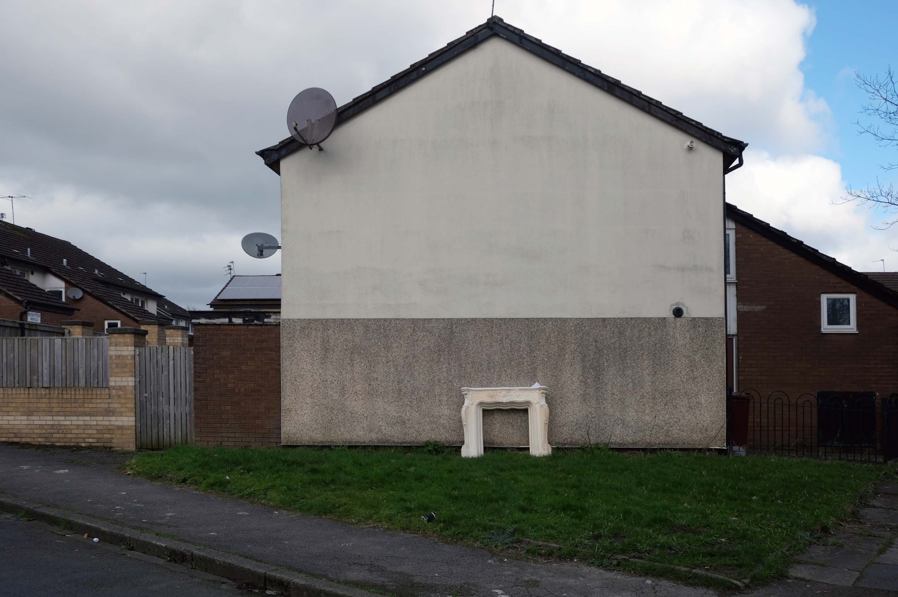
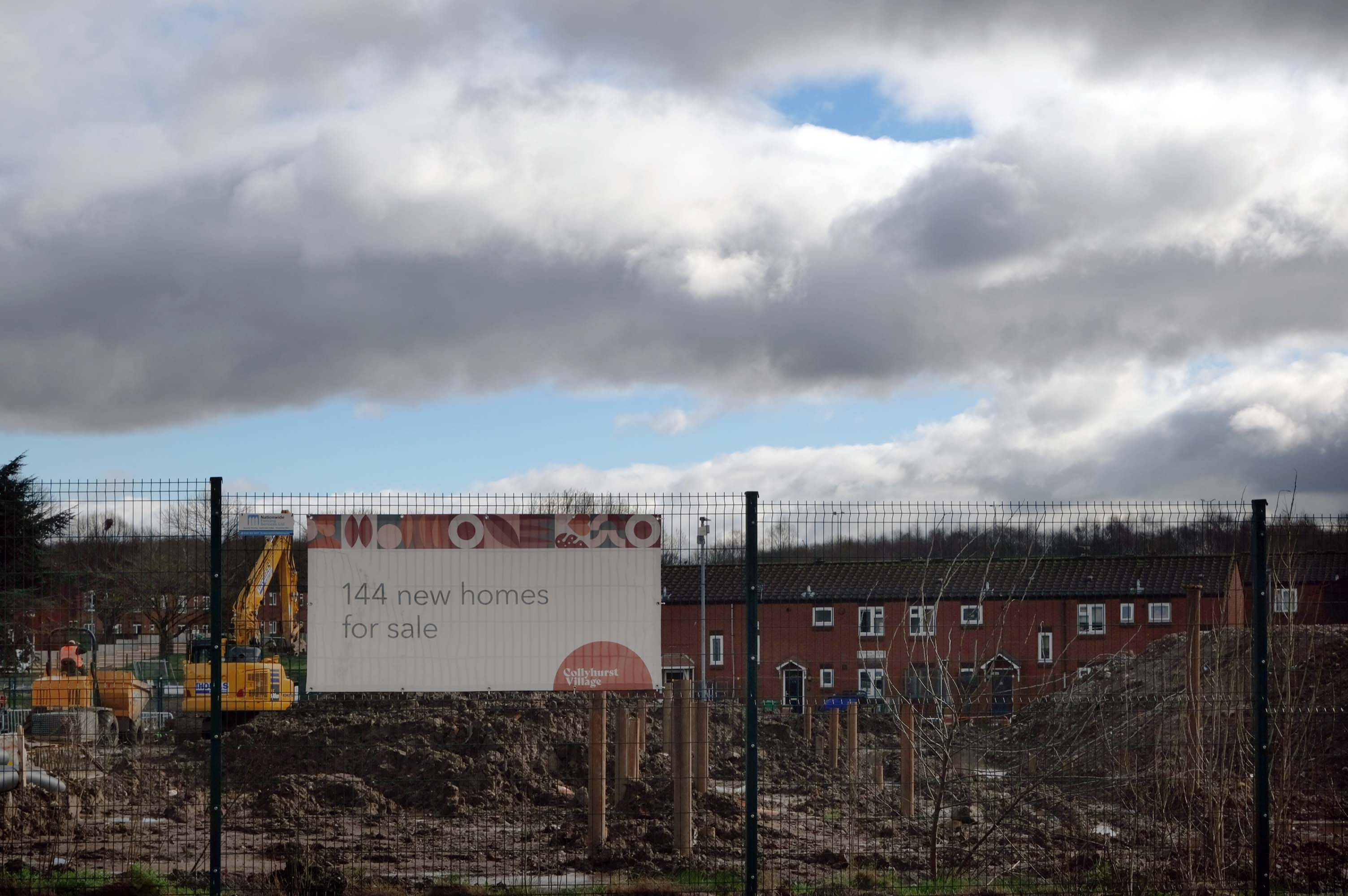
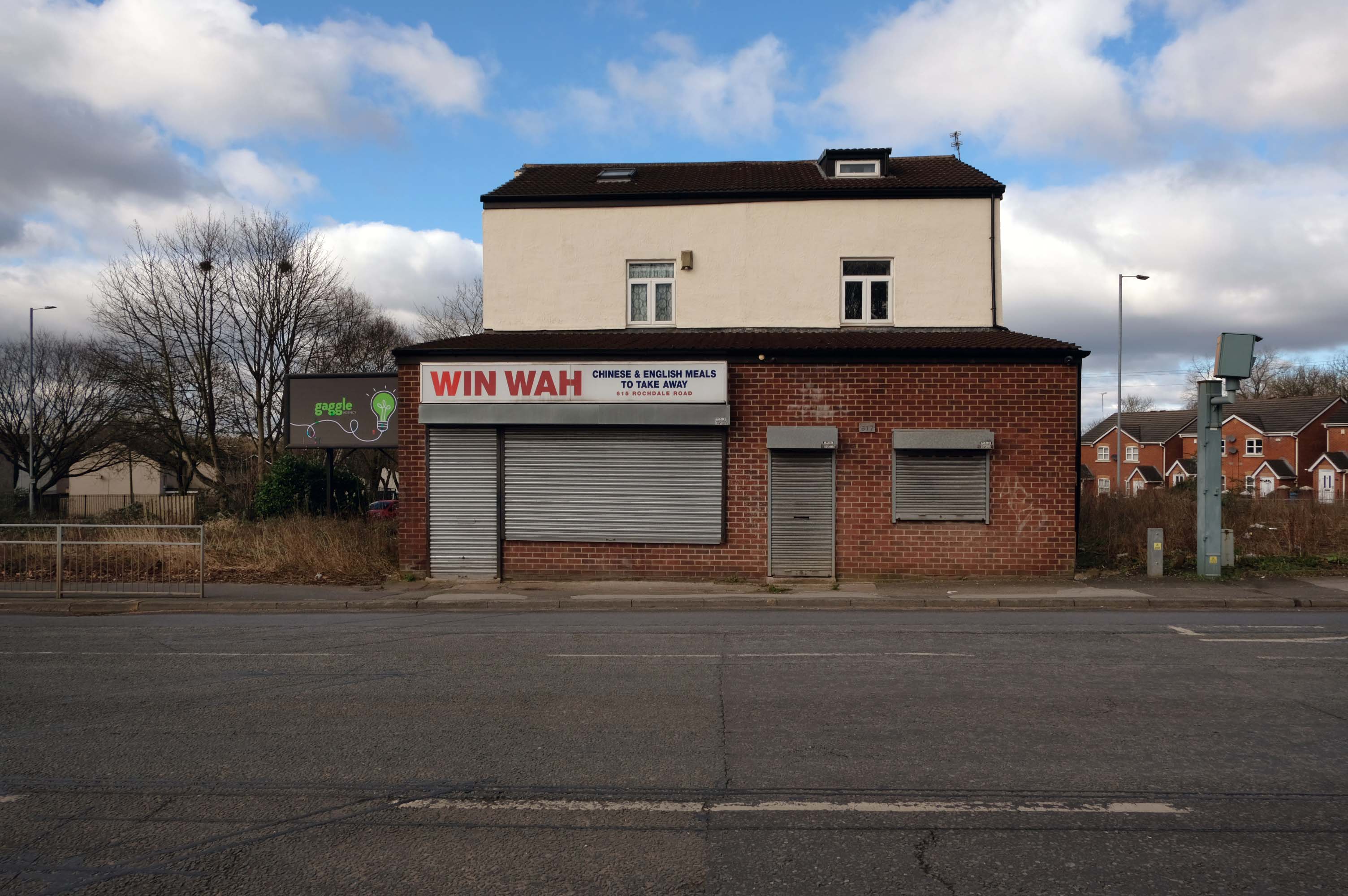
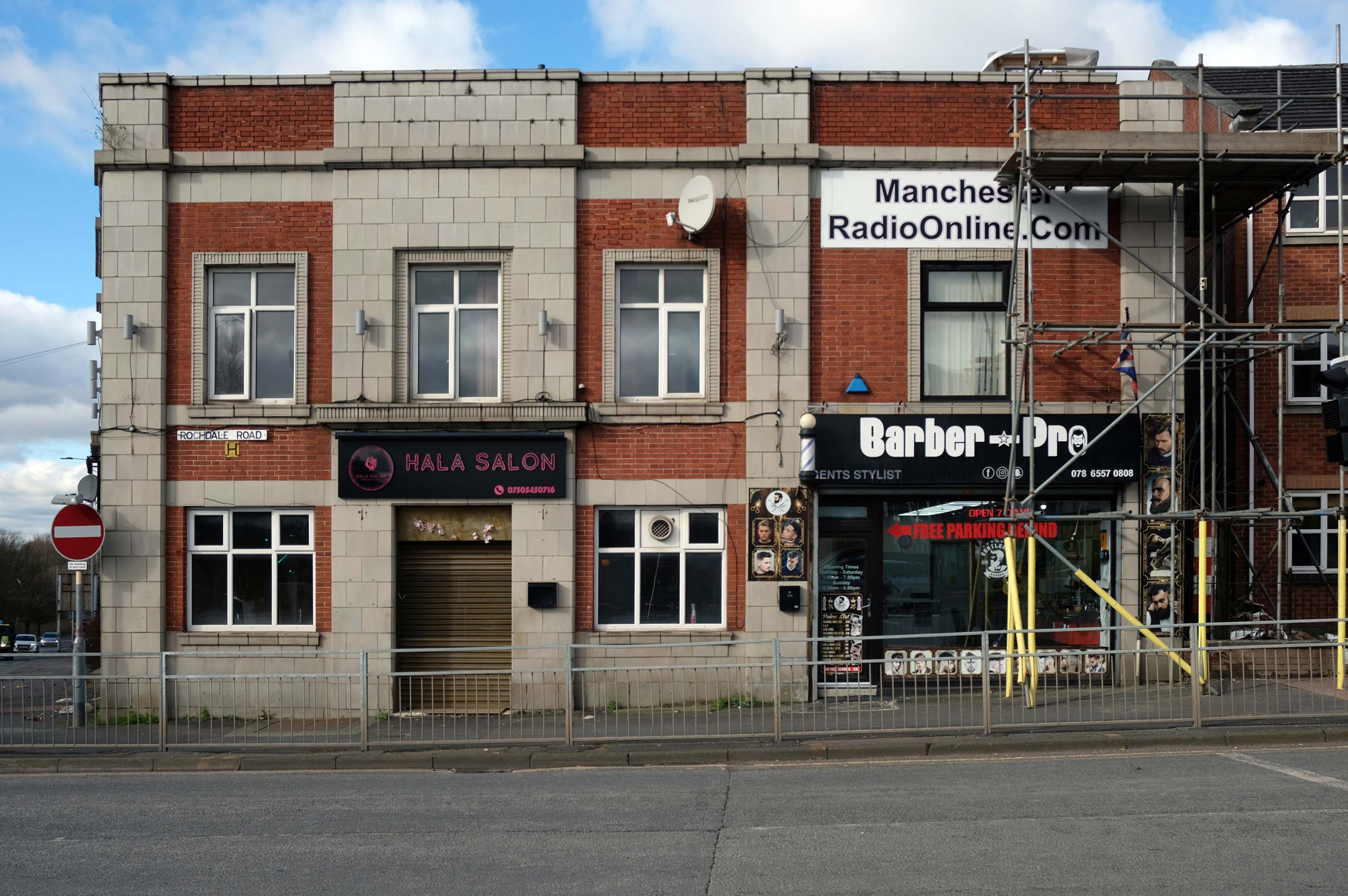
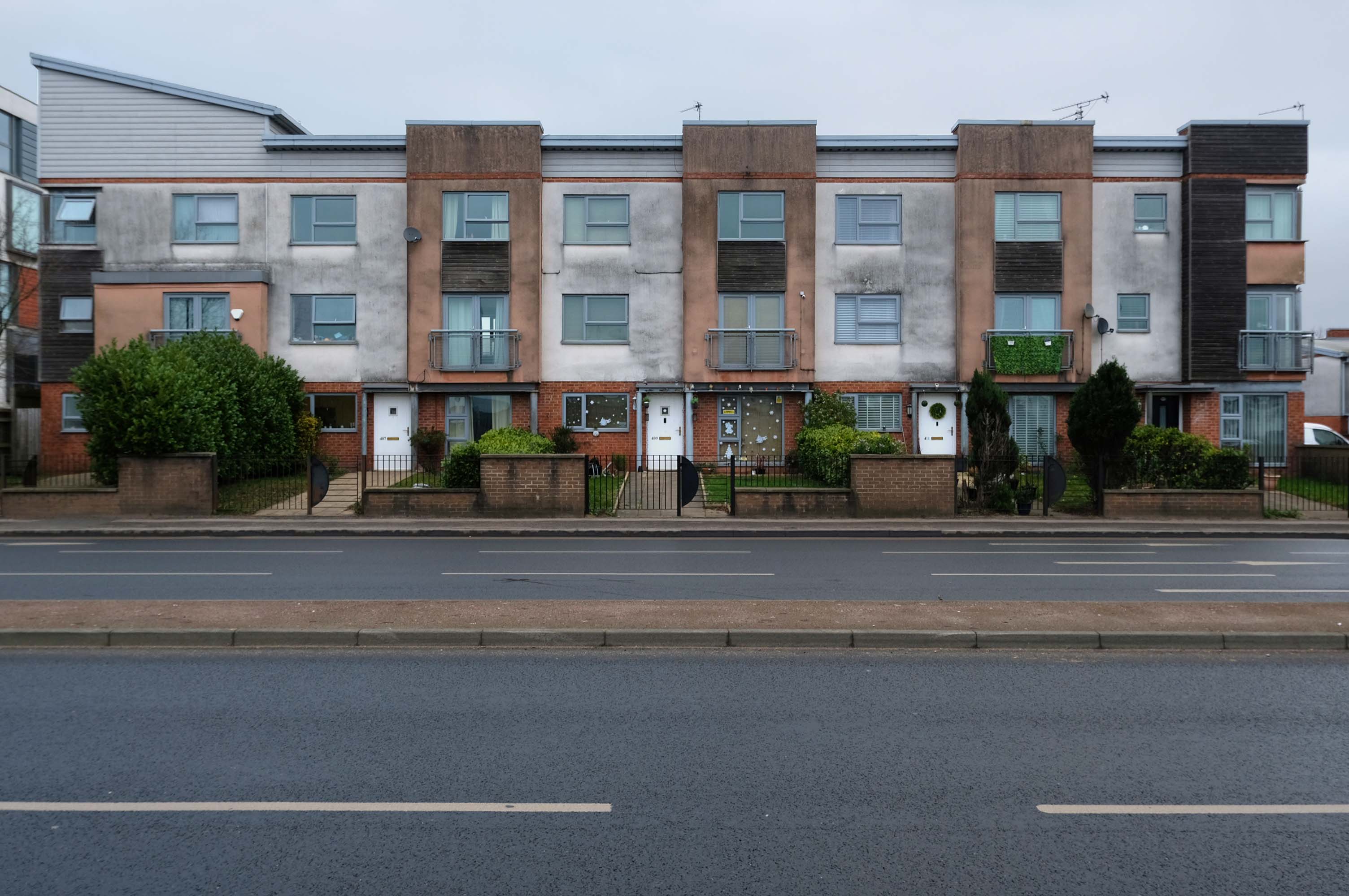
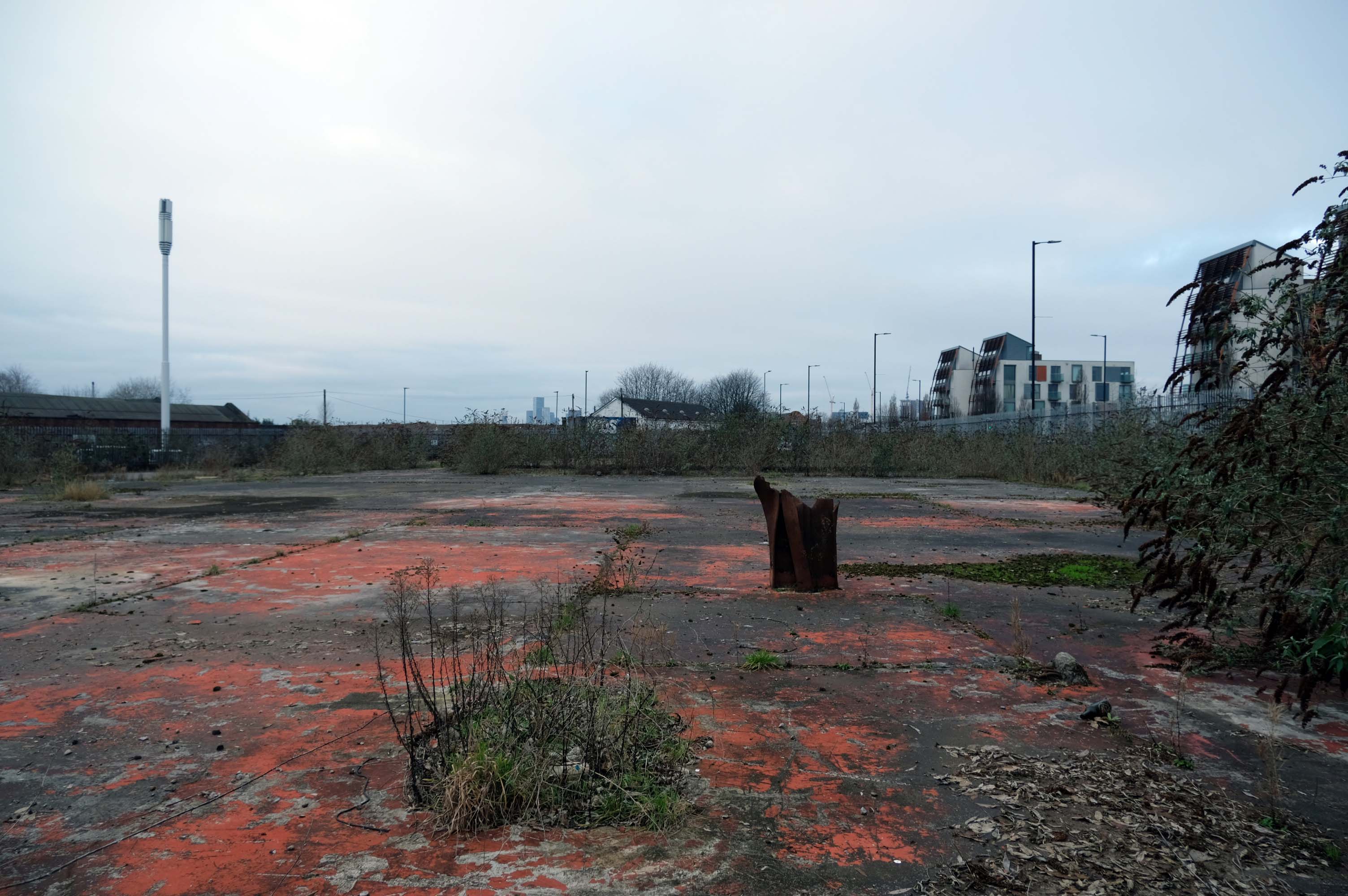
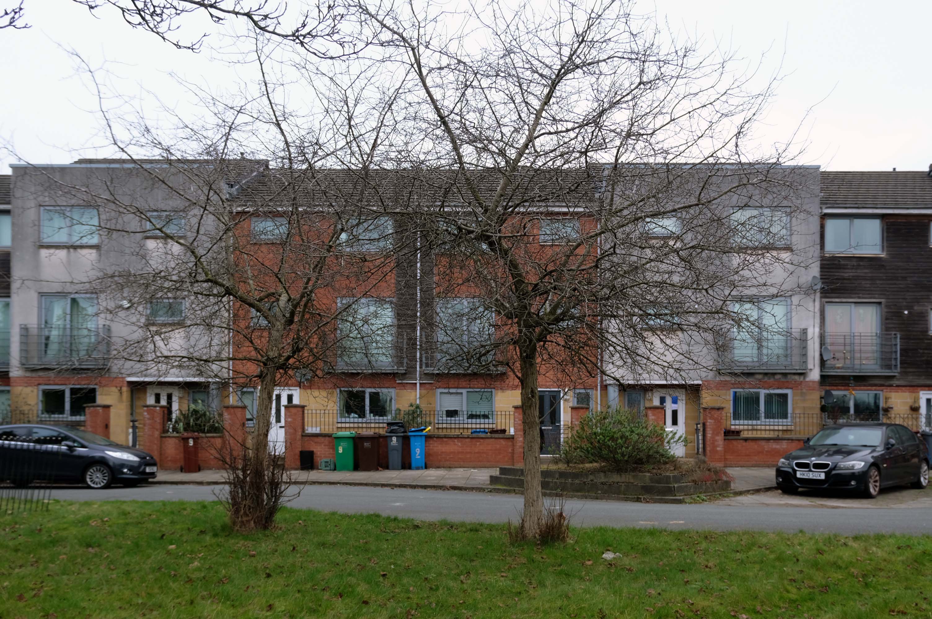
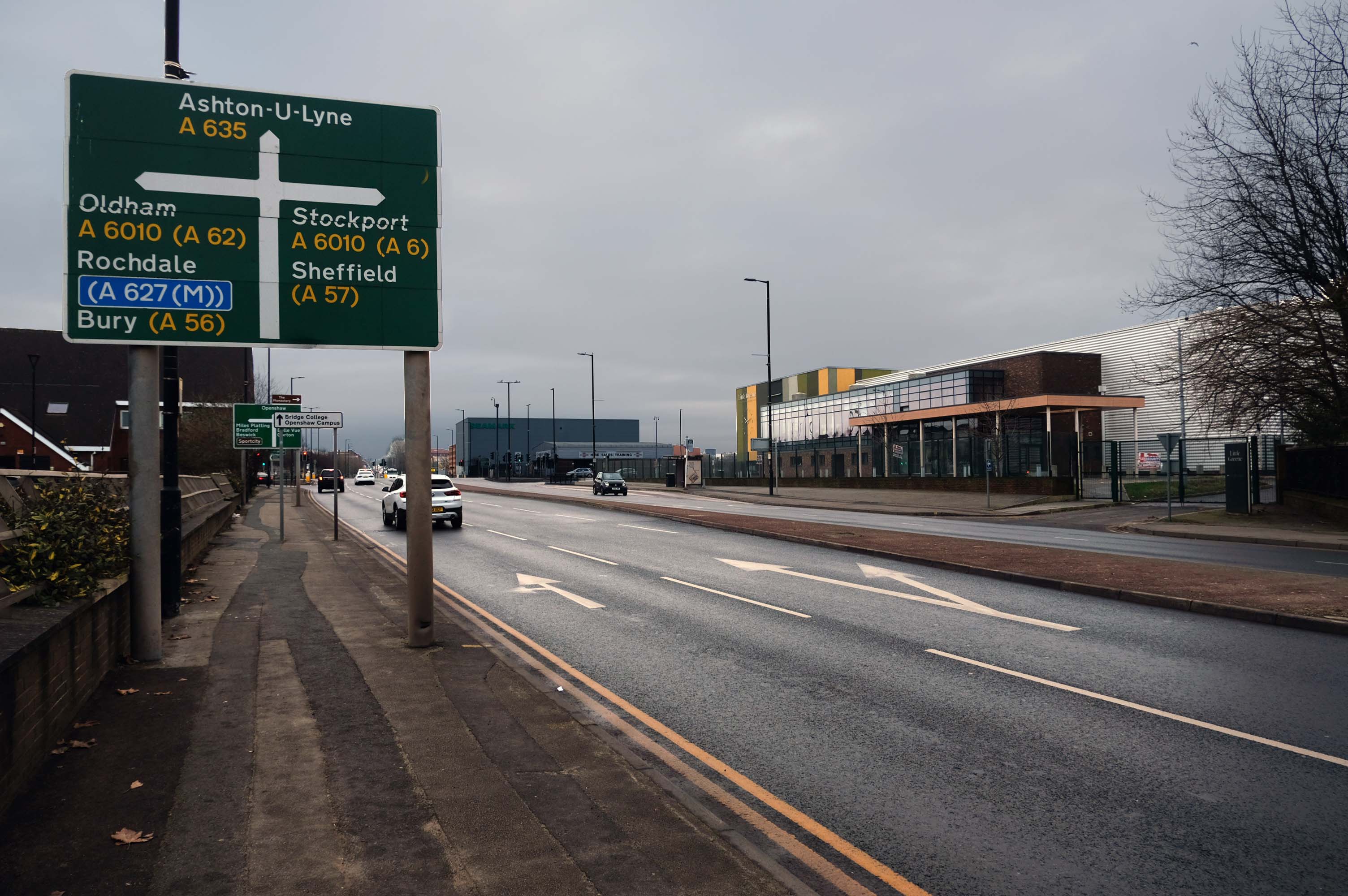
Having photographed the arterial roads of Manchester in 2014  I have resolved to return to the task in 2024.

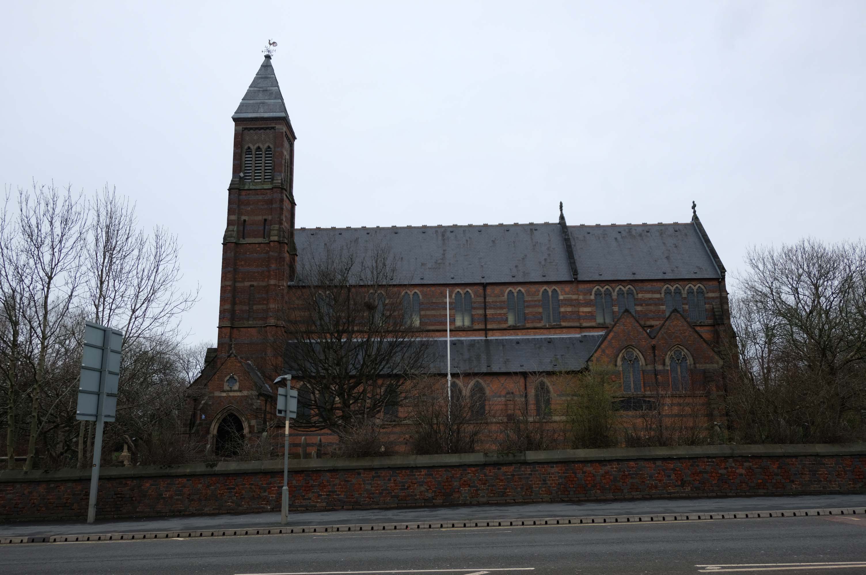
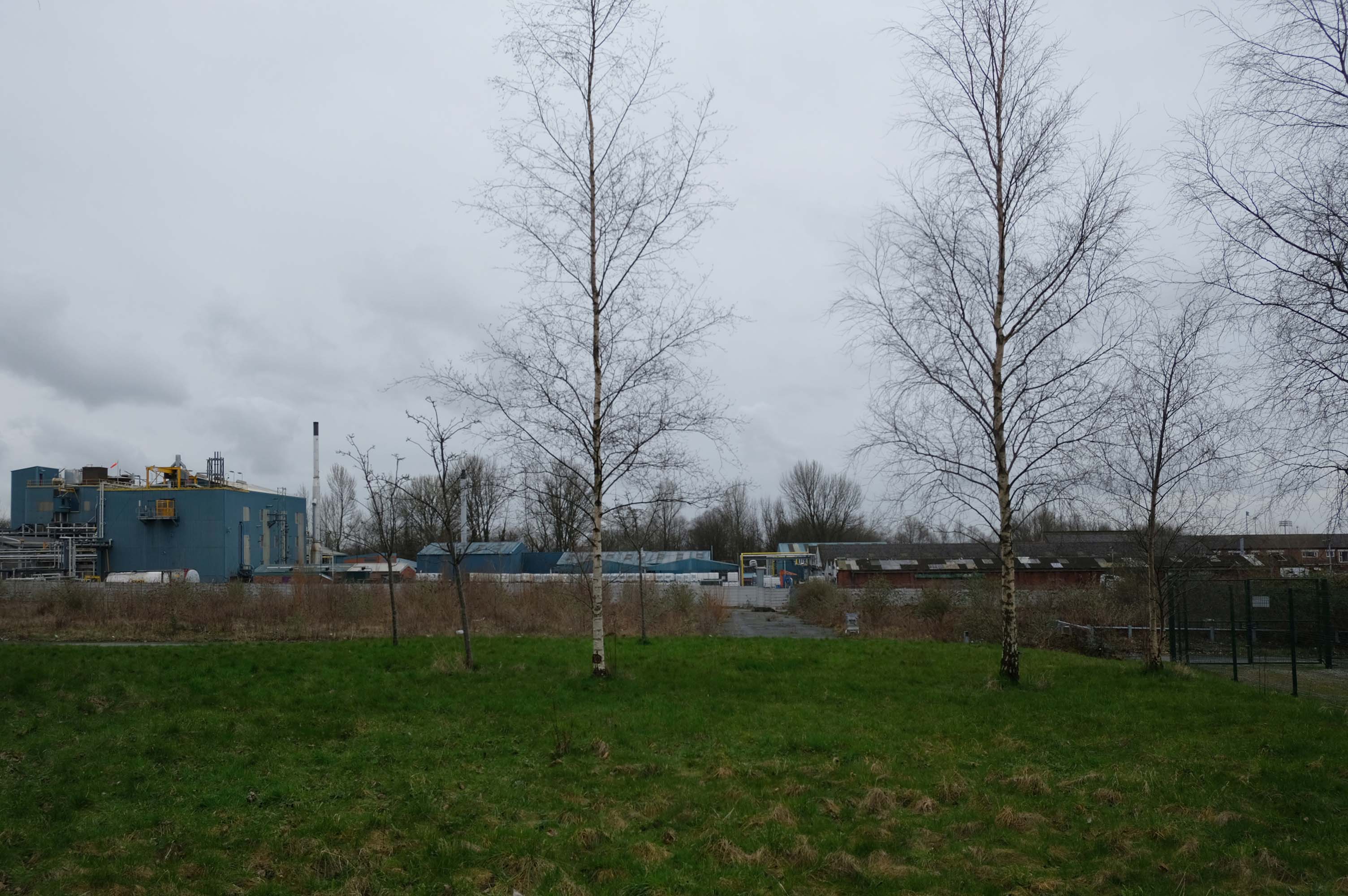
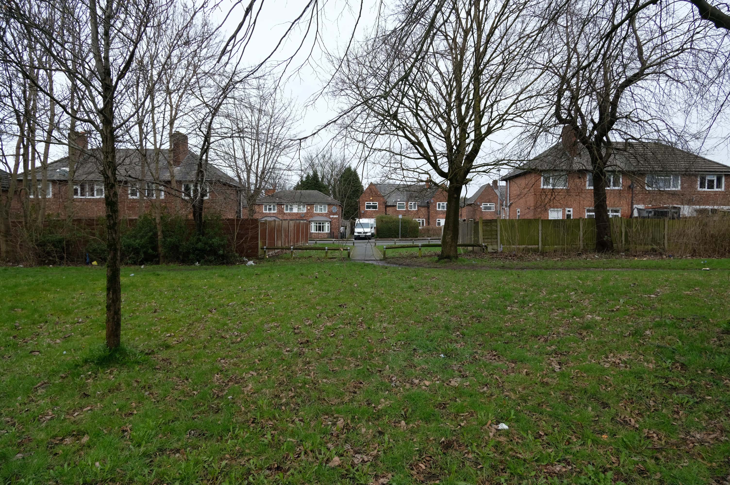
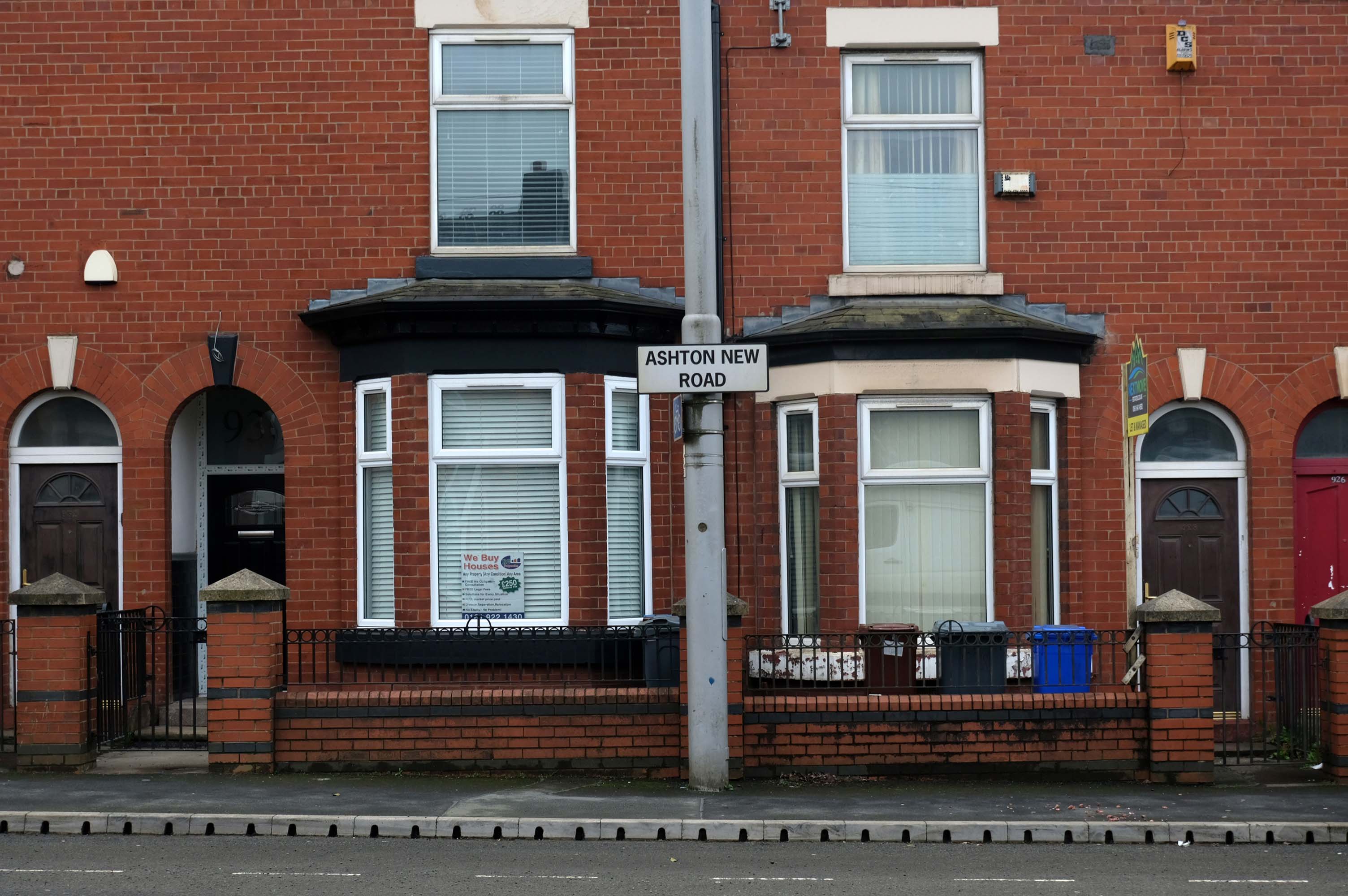
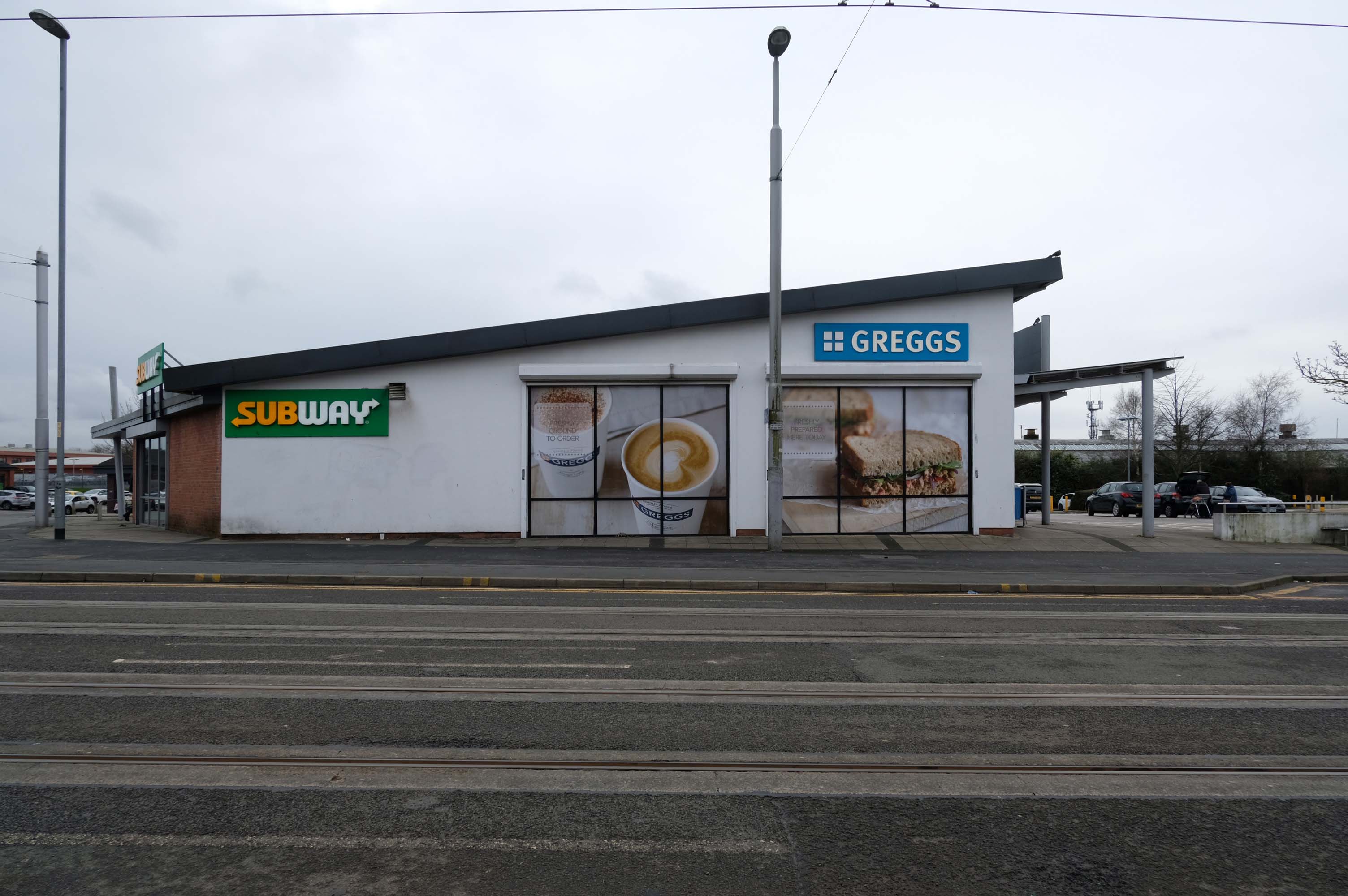
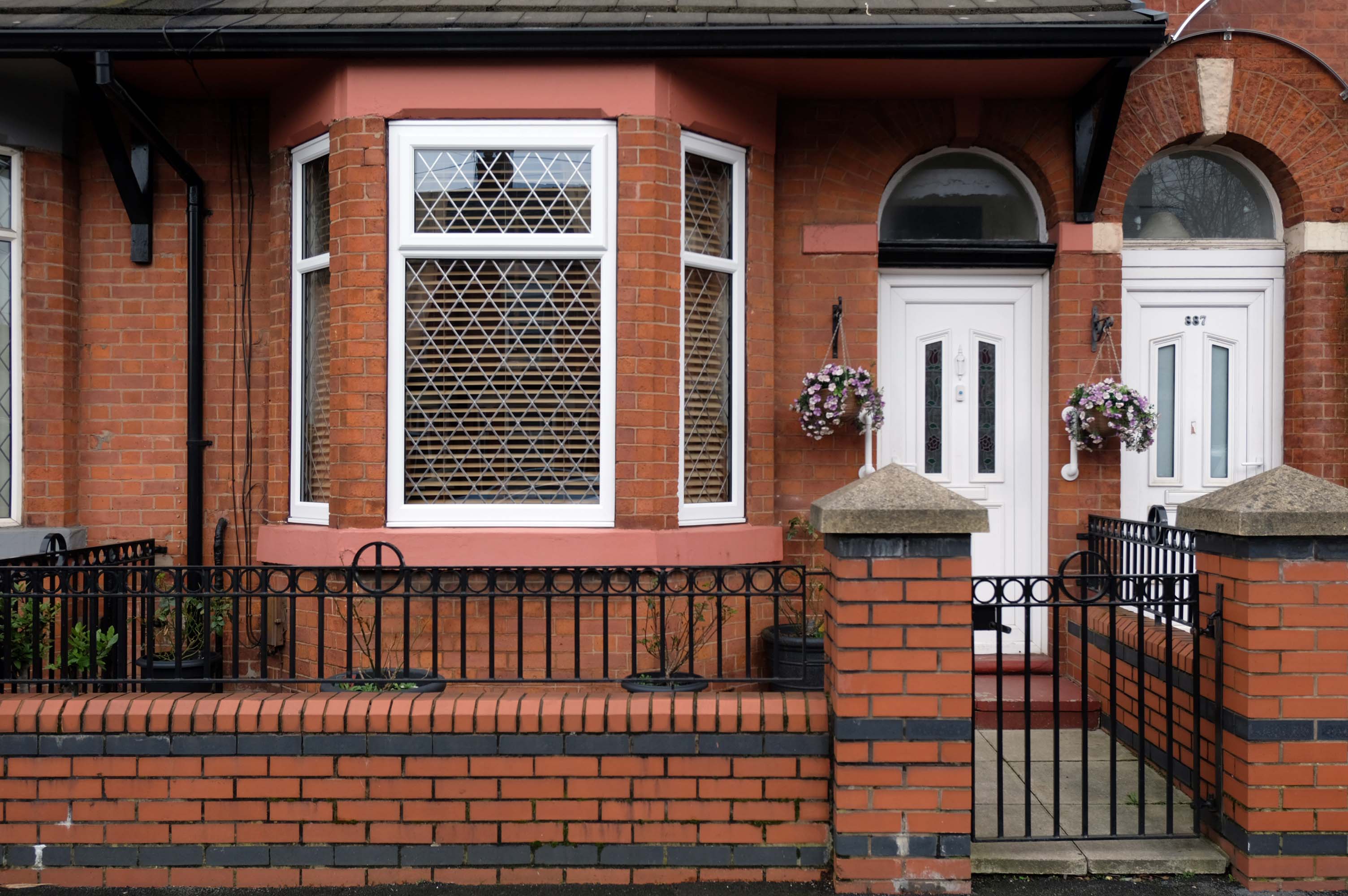
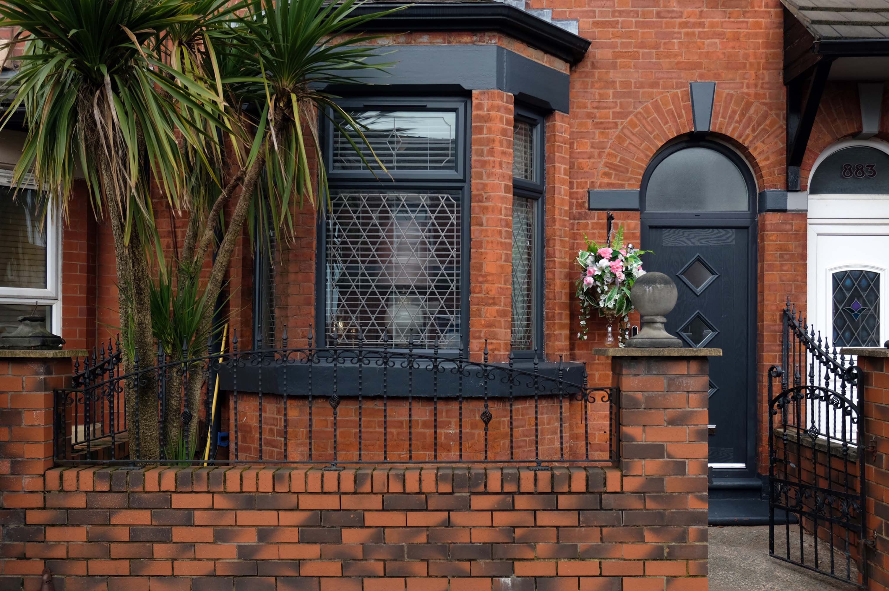
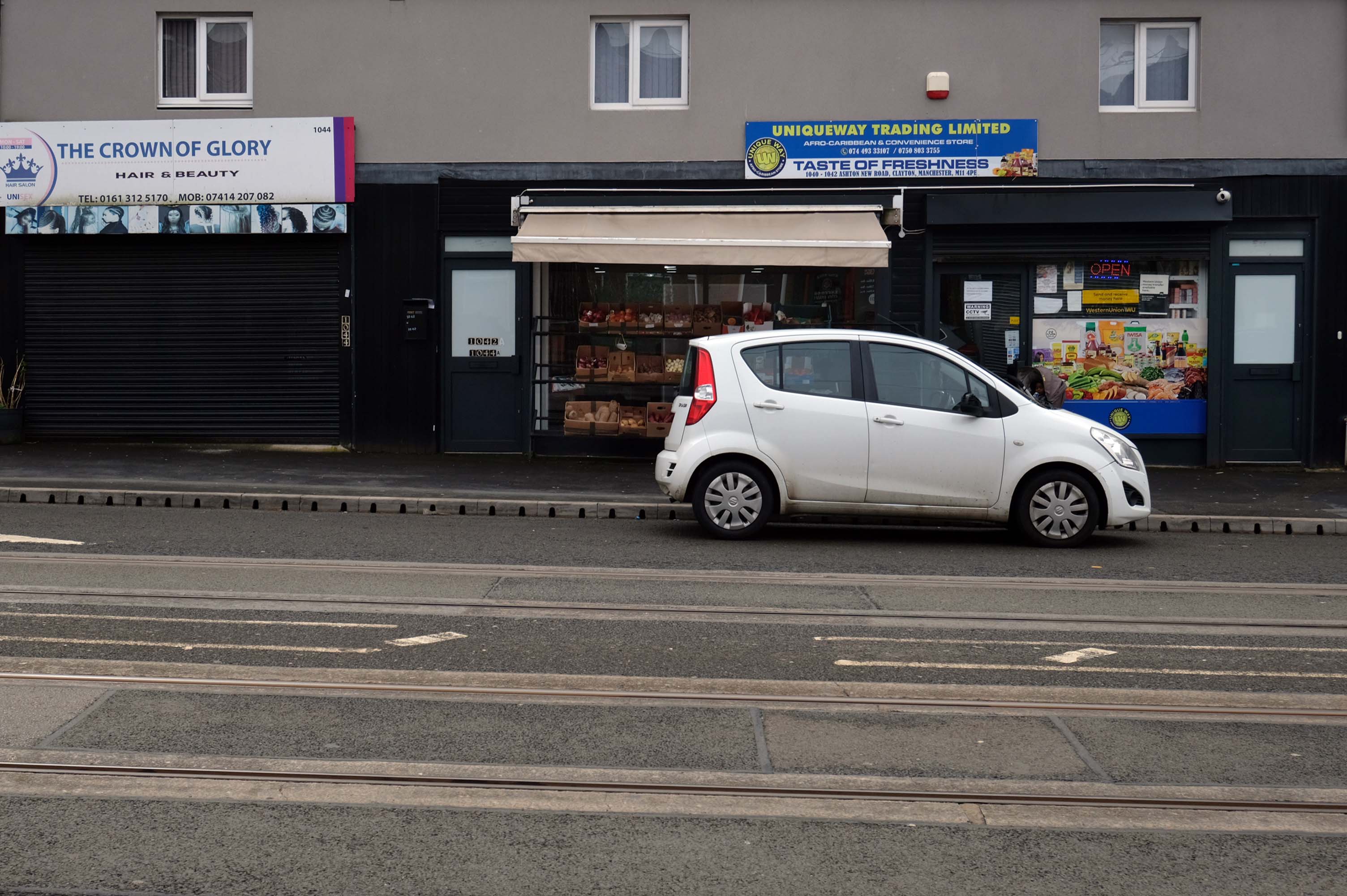
Some things seem to have changed, some things seem to have stayed the same on Ashton New Road.

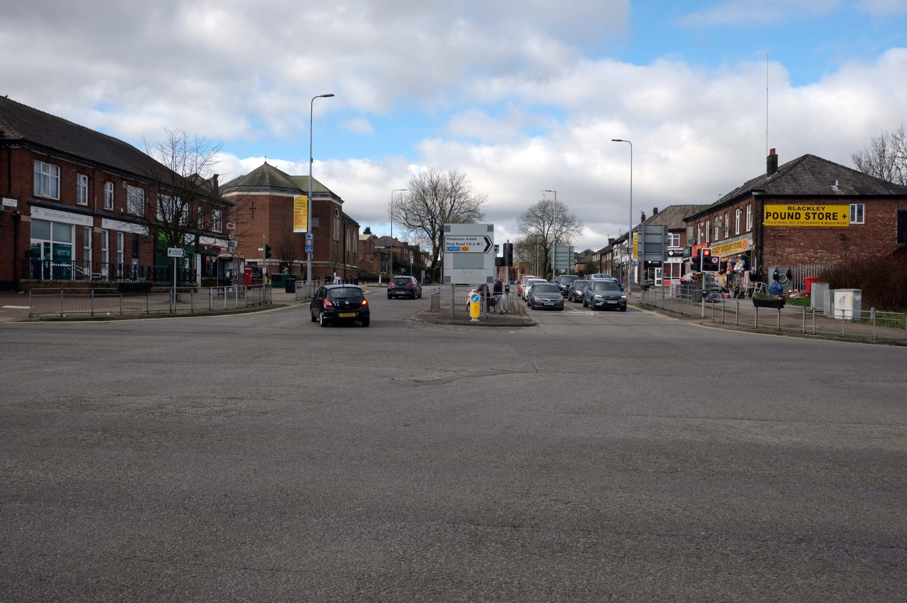
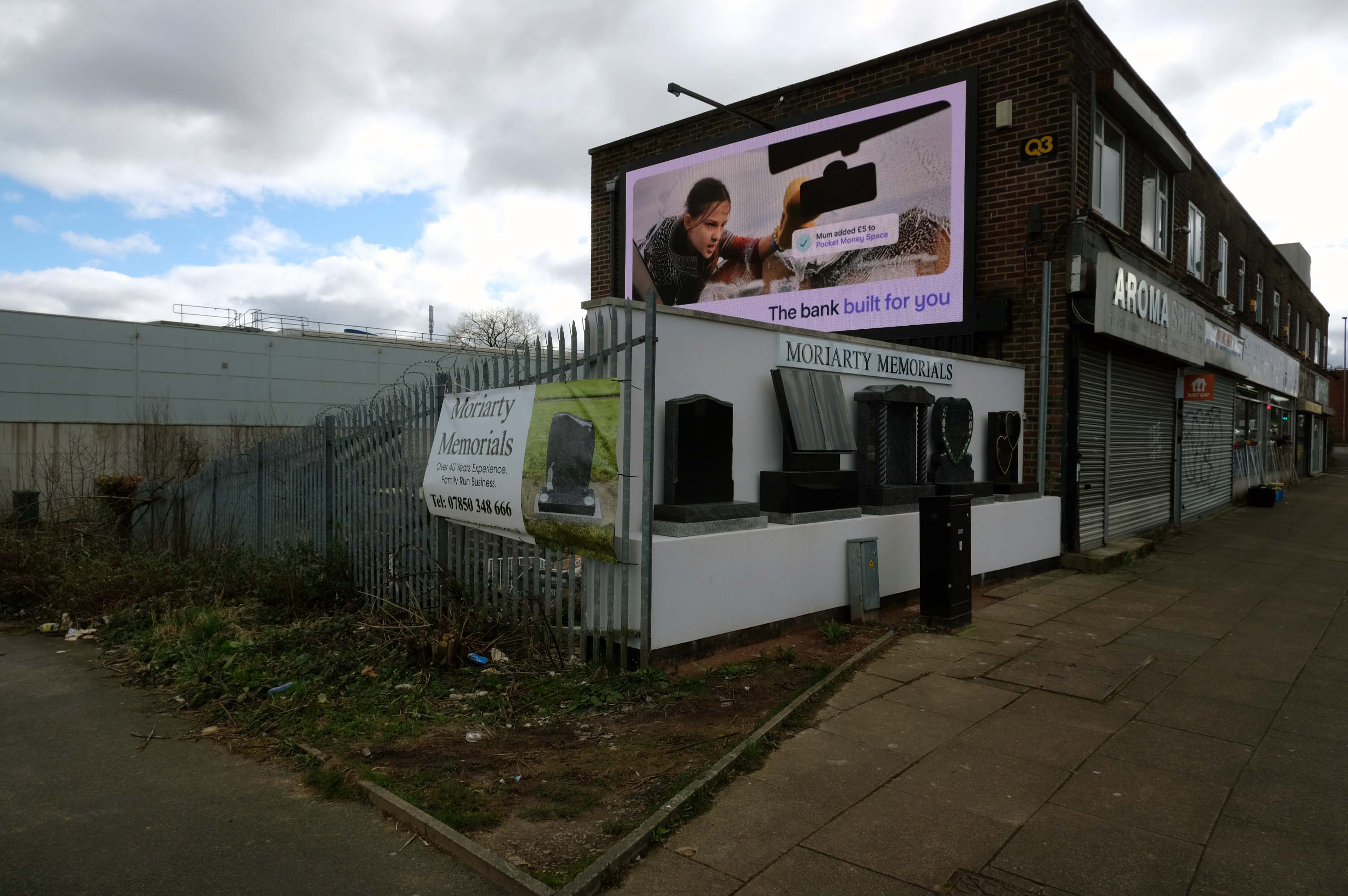
Manchester Arterial 2024 – A664

Having photographed the arterial roads of Manchester in 2014, I have resolved to return to the task in 2024.

Some things seem to have changed, some things seem to have stayed the same.

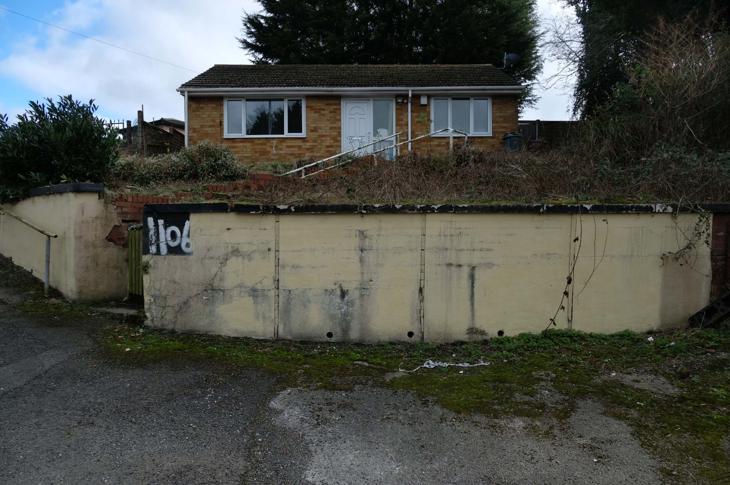
Pleasant Street Harpurhey – Manchester

Pleasant Street  Harpurhey M9 5XZ 

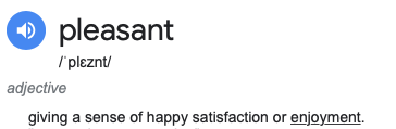
Walking along Rochdale Road yesterday, I was suddenly arrested by the Pleasant Street street sign.

Having already been suddenly arrested last week, by the Bland Close street sign.

With my expectations defined by the above definition, I ventured along the street in search of happy satisfaction.

Coincidentally – The 18th century entrepreneur Josiah Wedgwood pioneered many of the marketing strategies used today, including the satisfaction or you money back guarantee, on the entire range of his pottery products. The money-back guarantee was also a major tool of early US mail order sales pioneers in the United States such as Richard Sears and Powel Crosley Jr. to win the confidence of consumers.

It is also a top tune by Harold Melvin and the Bluenotes!

In 1958 the street looked just like this:

Photo – L Kaye

Whilst ten tears later it looked just like this:

Photos – LH Price

Manchester Local Image Collection

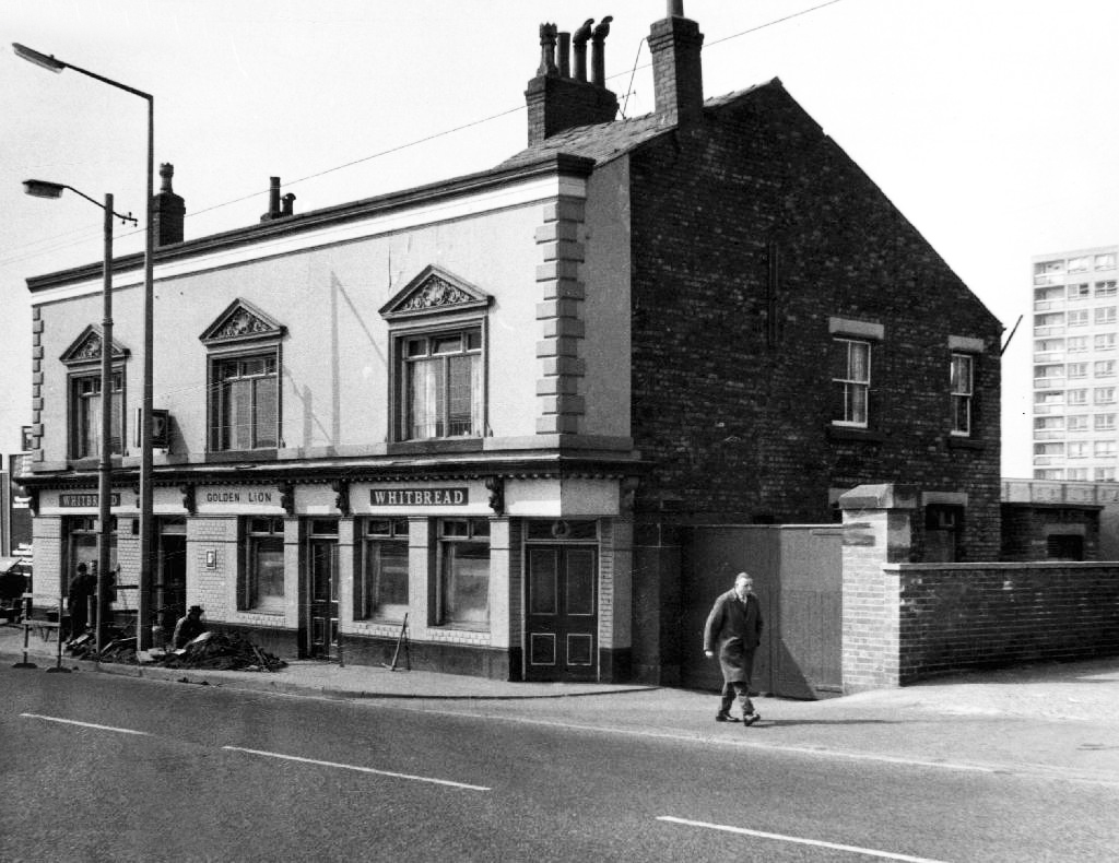
However at someone between 1968 and 2024 the housing had been cleared away – also missing in action is the Golden Lion pub adjoining Pleasant Street on Rochdale Road.

The Golden Lion was a proper old pub on the very busy rochdale road in the Harpurhey area of Manchester. Once inside there was a decent lounge and a basic bar i had a drink in the lounge and this was quite a comfy room.


This pub was a Whitbread tied house and there were two real ales on the bar I had a drink of Chesters bitter and this was a nice drink the other beer was Chesters mild. I thought this was quite a nice pub but sadly this pub has now been pulled down in the name of progress.

Alan Winfield – 1992

So here we are here today – yesterday has long gone and tomorrow never knows no how.

What’s left to see?

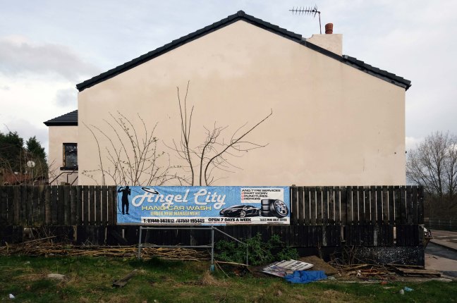
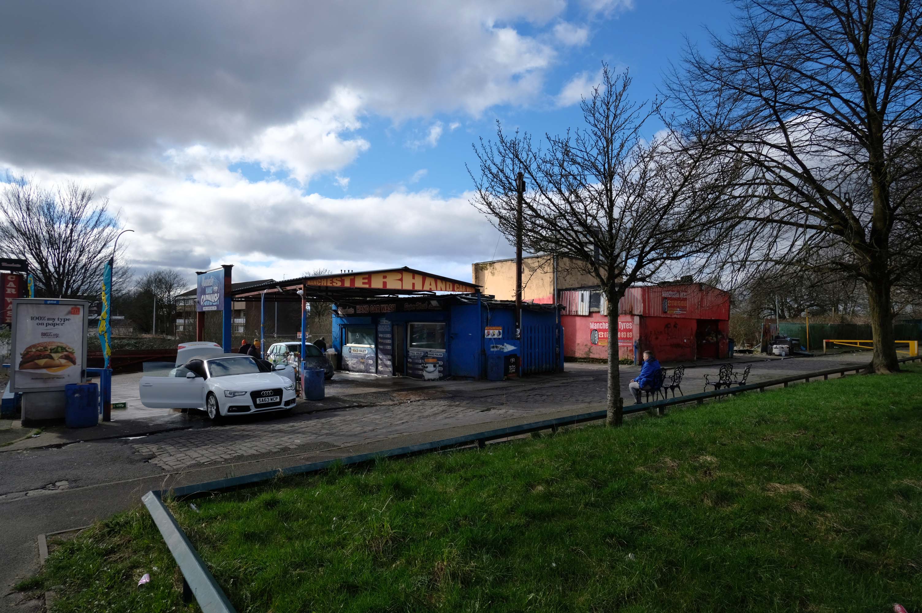
Manchester Hand Car Wash

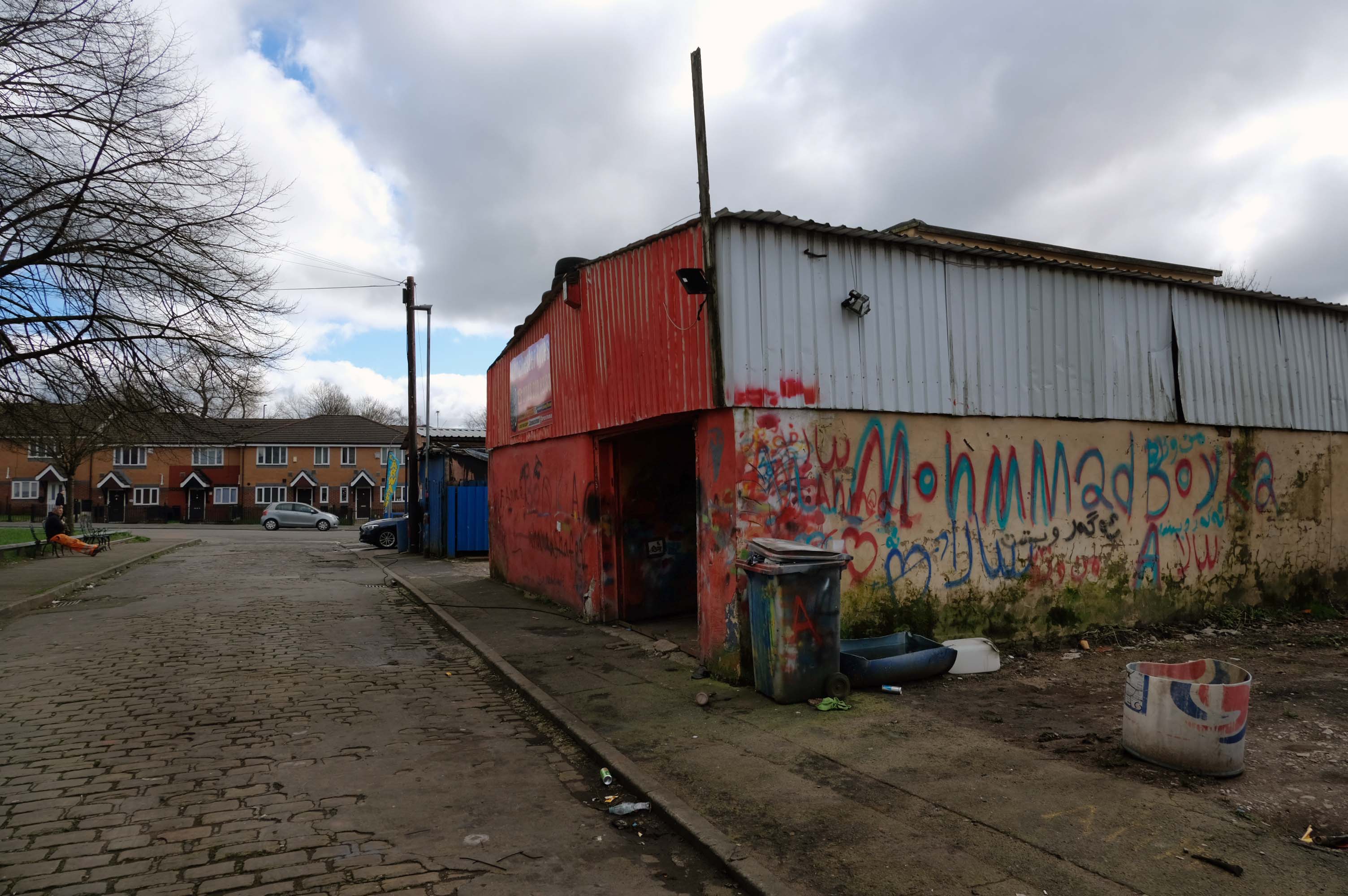
Manchester Tyres

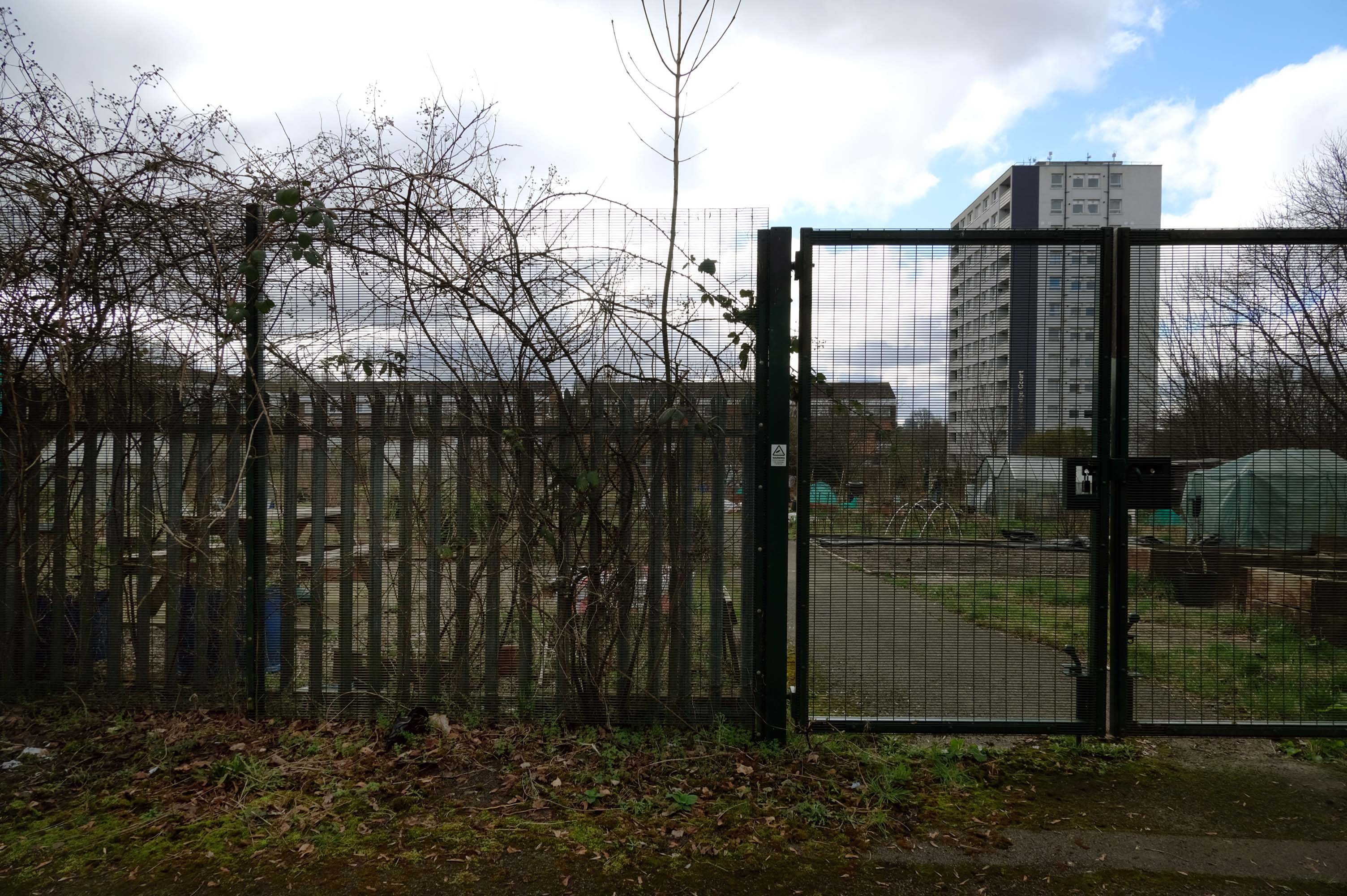
Pleasant Street Allotments

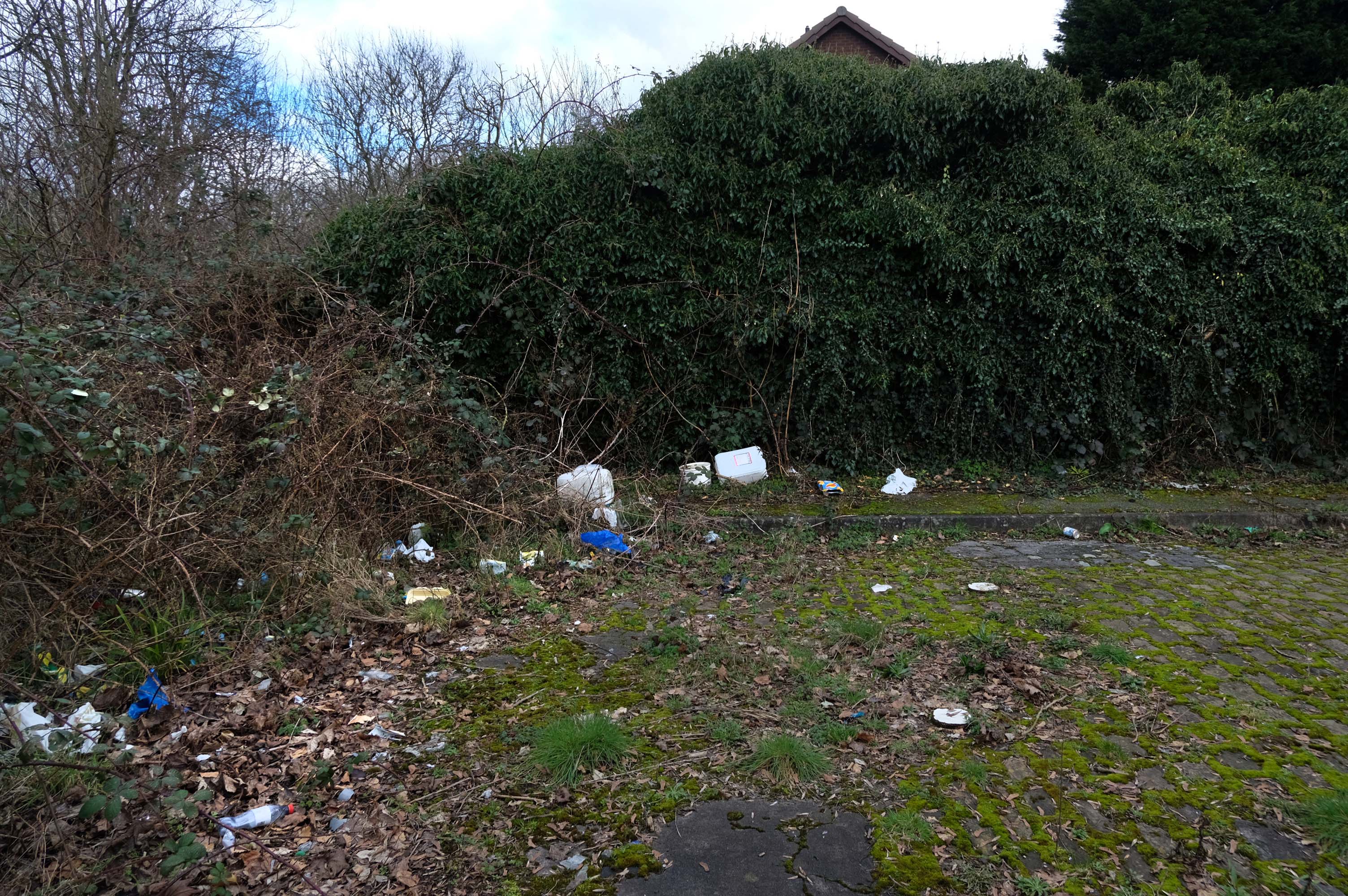
The allotments have had issues with fly tipping back in 2021.

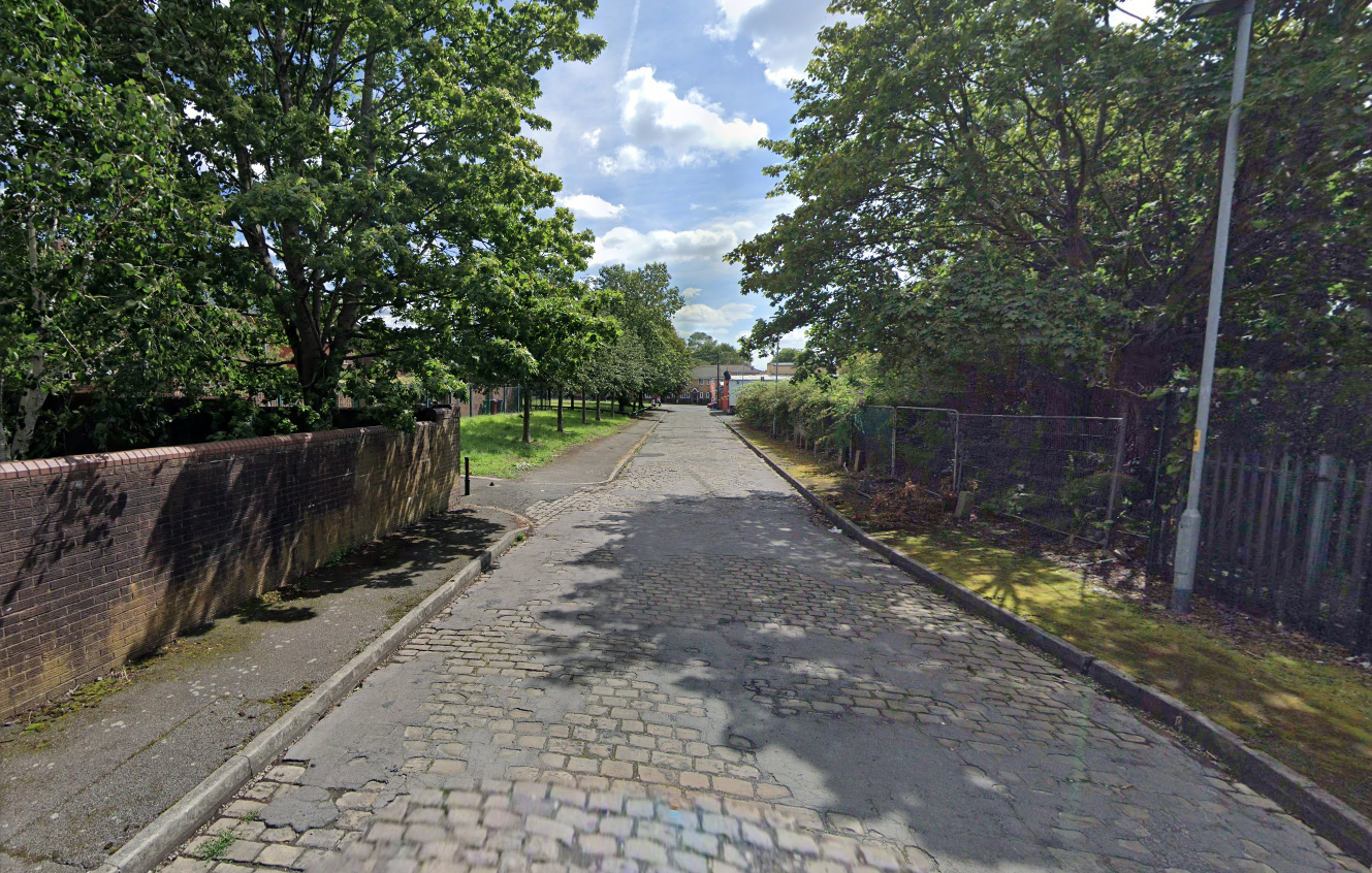
There is now a lockable barrier in place on the cobbled cul-de-sac.

Photo – Howard Bristol

It is understood that the heaps of rubbish, including bin bags full of waste and unwanted wood and cardboard, have been growing in recent weeks.

Howard Bristol, the Secretary of the Pleasant Street allotments committee, said the situation has been ongoing for some time but has worsened since the removal of nearby CCTV cameras.

He told the Evening News that the road has been – piling high with rubbish, and that the area also had issues with the woodland behind the allotments being used for drug dealing during summer.

Pat Karney, councillor for Harpurhey tweeted about the flytipping on Sunday, calling it – unbelievable and disgraceful.

He added that those responsible should be – locked up in Strangeways for a long time, before adding that the council will – get it cleared.

Manchester Evening News

How pleasant is/was Pleasant Street?

Google says wait until there are trees are in leaf and the sun shines in the bright blue sky.

Oldham Road Pubs – Manchester

This is Oldham Road Manchester – this also Memory Lane.

Walking from the city centre to Failsworth I noted the absence of public houses, some long since demolished, some now serving other purposes – very few open selling beer.

Many of the breweries no longer trading.

Much of this the consequence of changing economic circumstances, the decline in manufacturing and subsequent serious absence in regular drinkers.

I encountered a similar situation on Hyde Road.

Where possible I have linked back to Pubs of Manchester Blogspot and the Brewery History Society.

There may well be errors and omissions which I am happy to correct – have a look let me know.

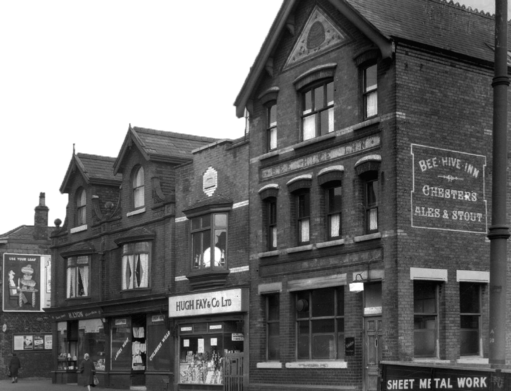
Bee Hive InnChesters Brewery

Bird In Hand – latterly Ace of Diamonds on the 2nd April 2010 the Ace of Diamonds burnt down.

Hardys’ Ales

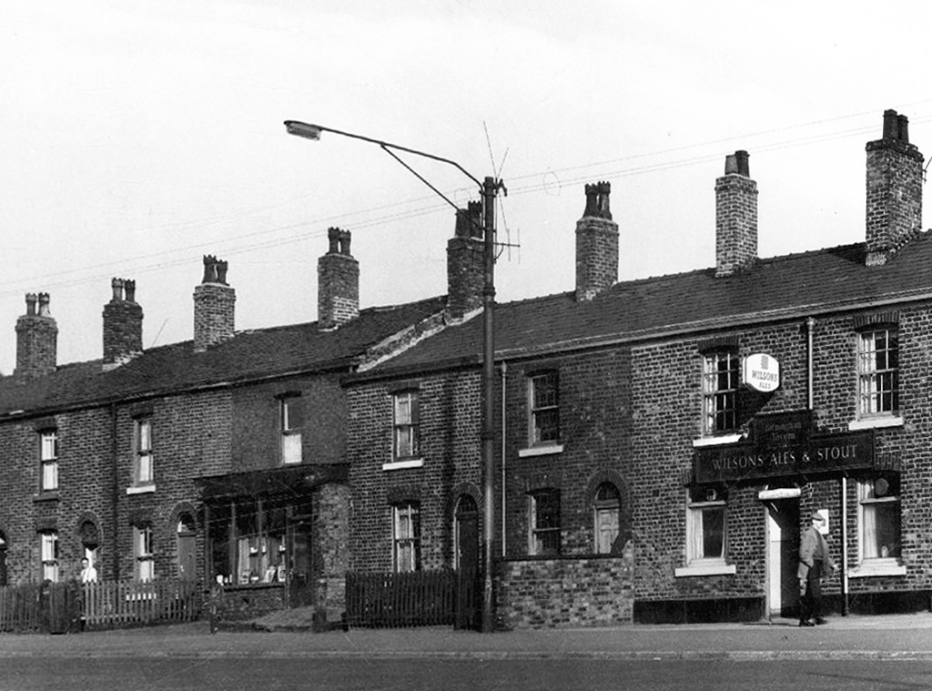
Birmingham TavernWilsons Brewery

Cheshire CheeseJohn Smiths

City ArmsGroves and Whitnalls

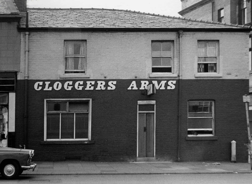
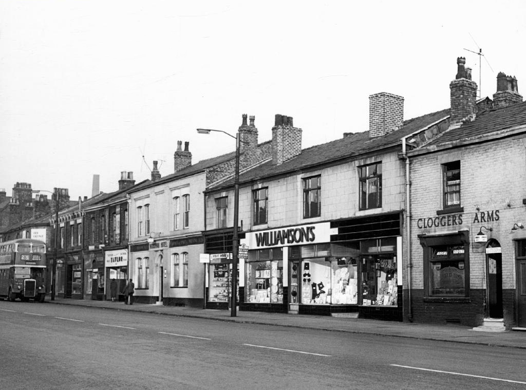
Cloggers Arms – Wilsons

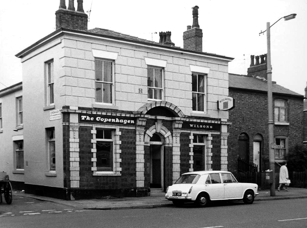
The Copenhagen – Wilsons

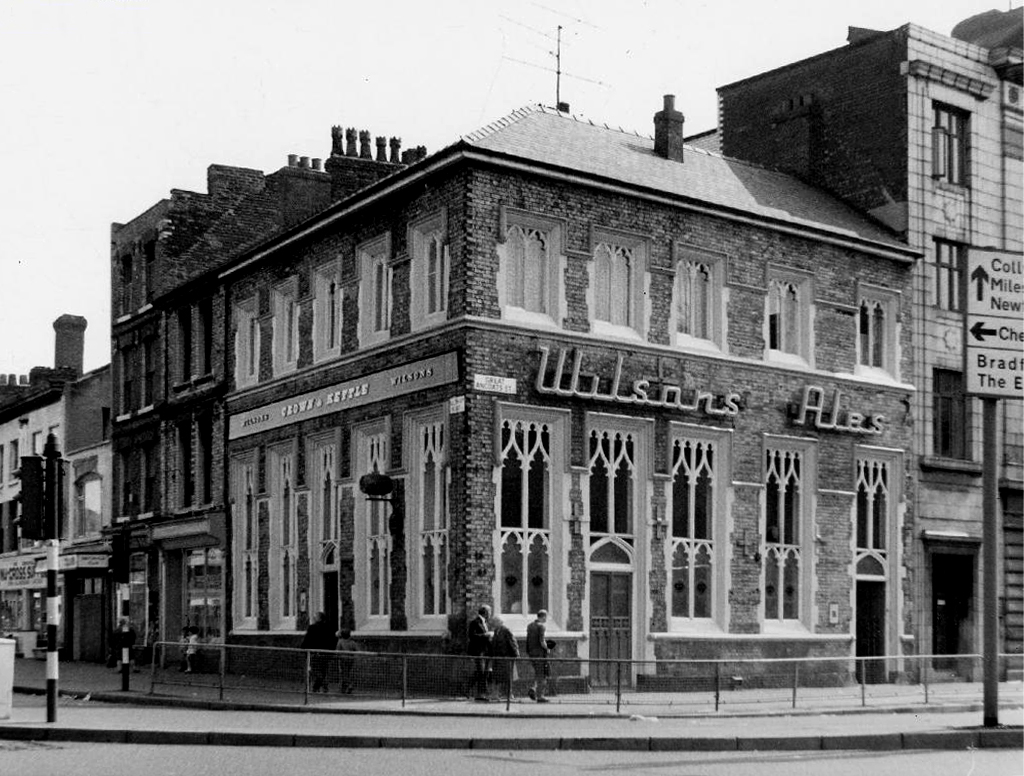
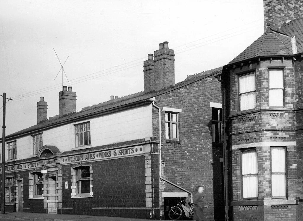
Crown & Kettle – Wilsons though now a free house.

I do remember the huge Winston Churchill relief in the Room and R100 Airship wooden panelling in the lounge. Also of note were the ornate plater work ceilings and pendulous lighting, much damaged as the pub awaited restoration.

Duke of York – Wilsons Free House

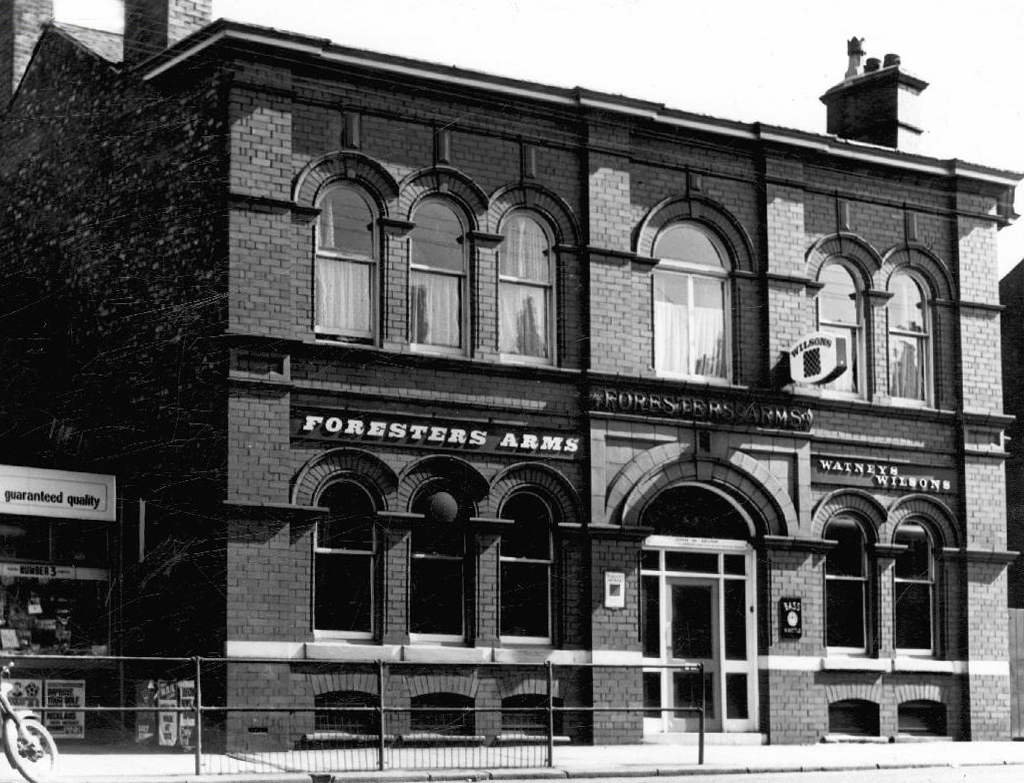
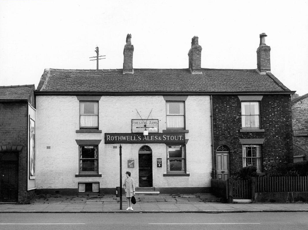
Foresters Arms – Wilsons

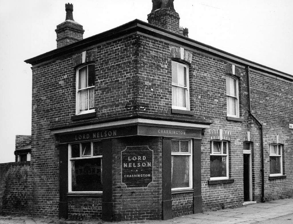
Lord NelsonCharrington

O’Connell ArmsWhitbread

Old Pack Horse – Wilsons

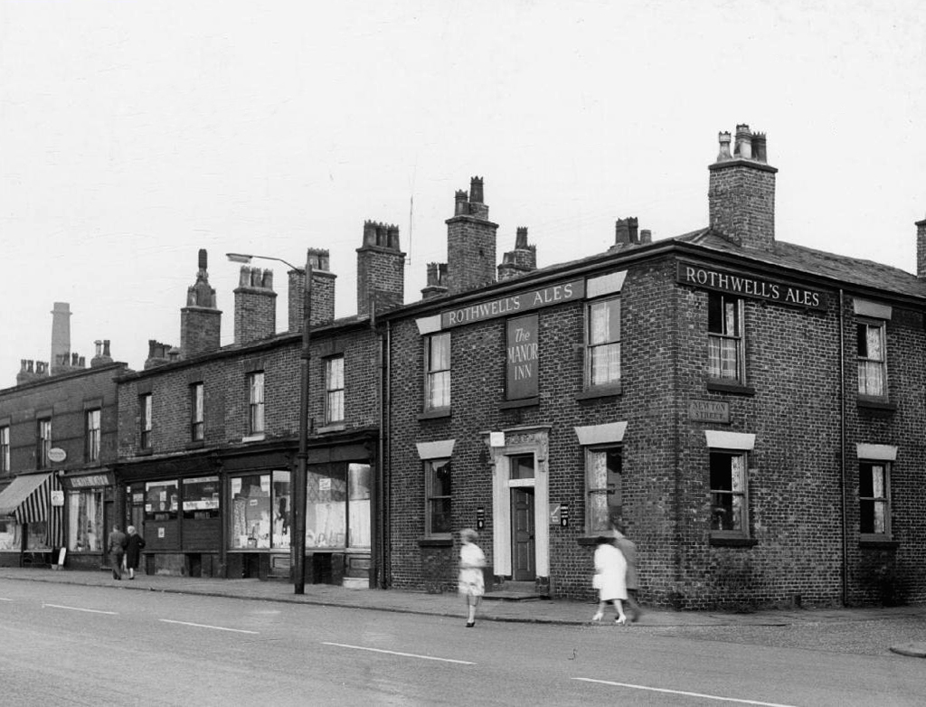
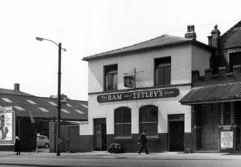
The RamTetley’s

Royal Oak Hotel – Wilsons

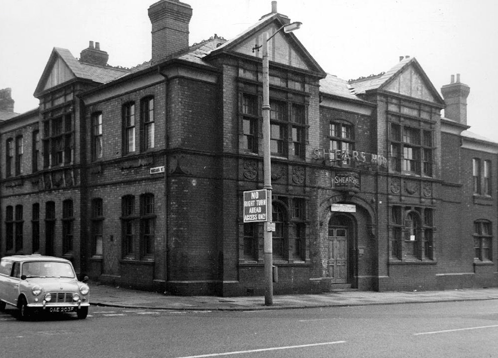
Shears Hotel

St Vincent Cornbrook

The Swan – Wilsons

Three Crowns – Wilsons

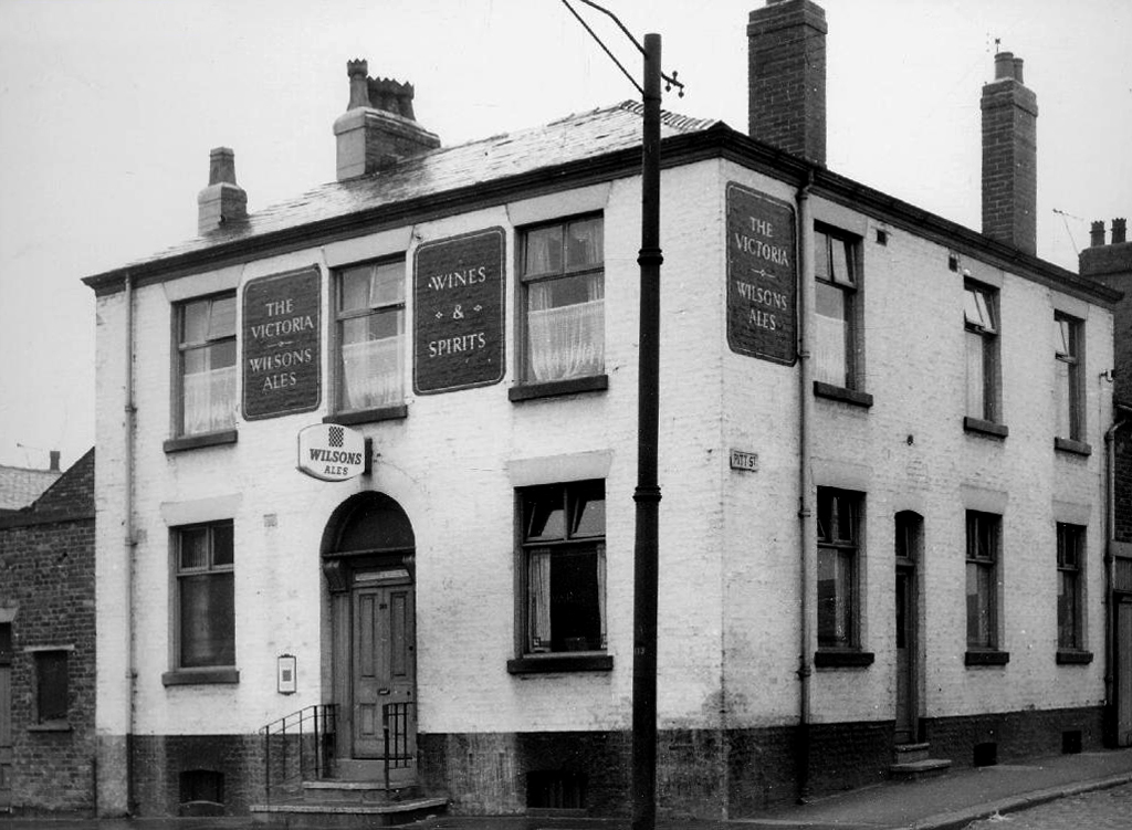
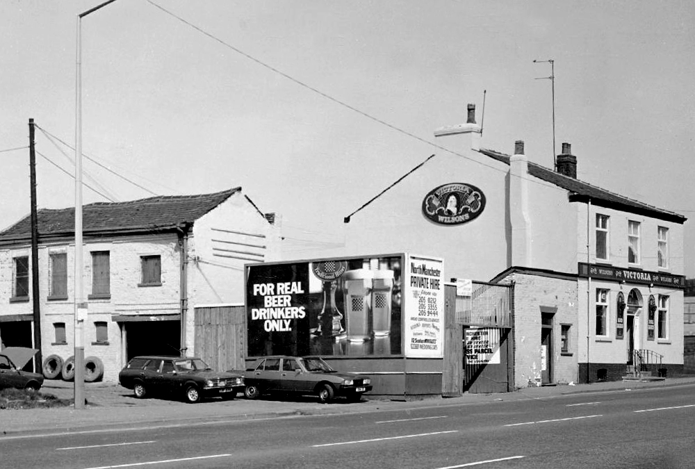
The Victoria – Wilsons

Vulcan Hotel Threlfalls

Wosons House?

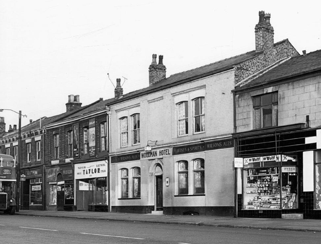
Woodman Hotel – Wilsons

All photographs from the Manchester Local Image Collection.

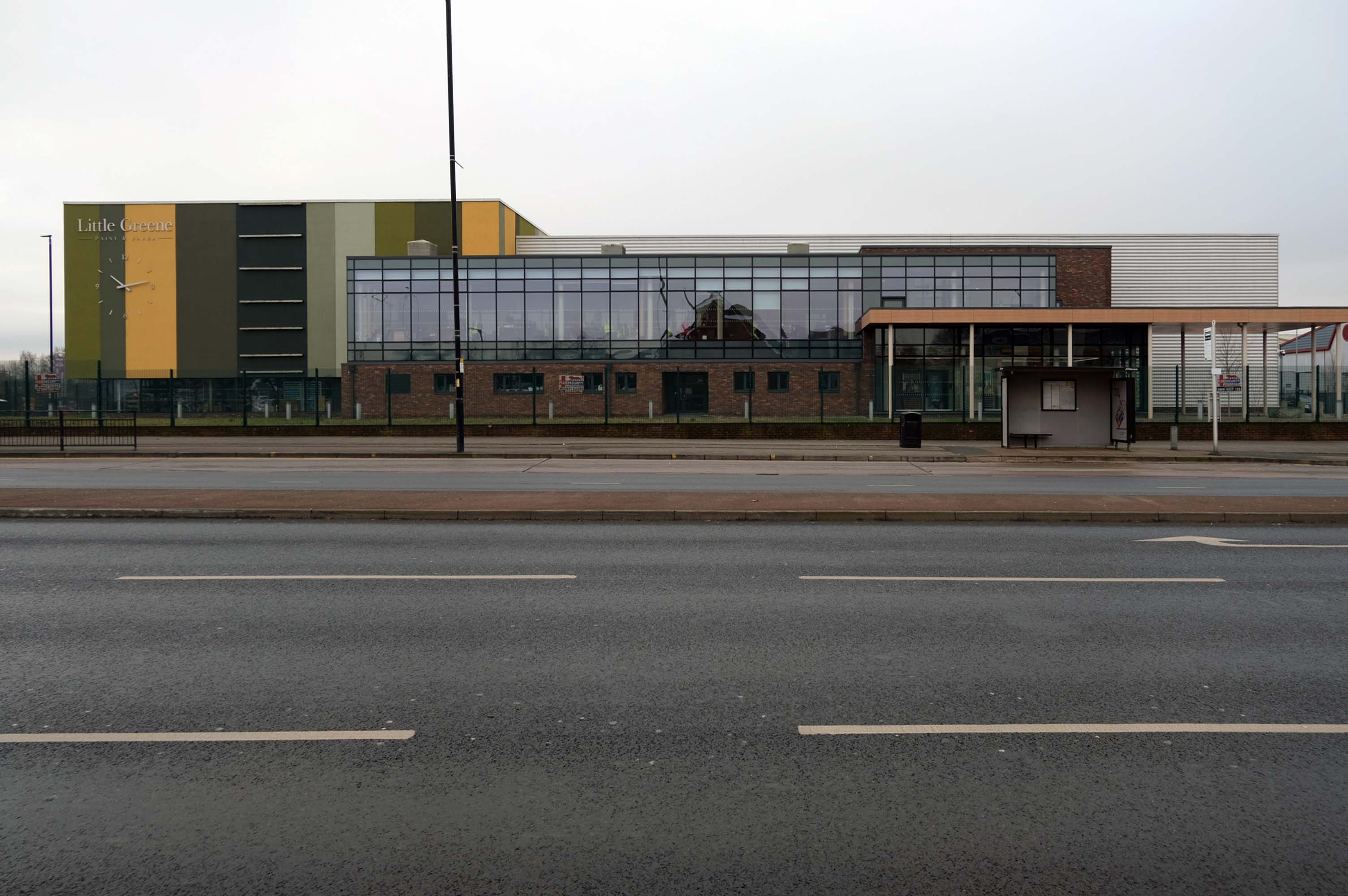
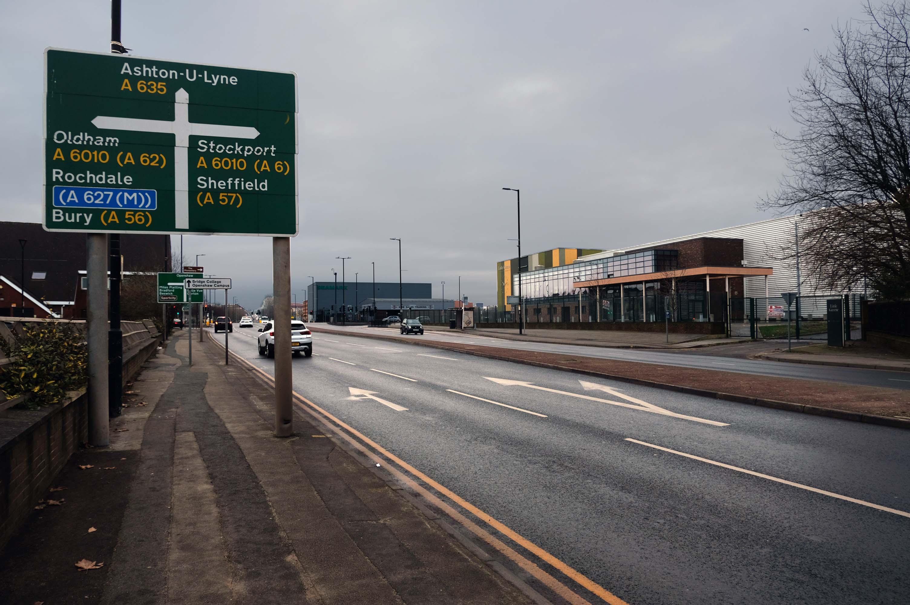
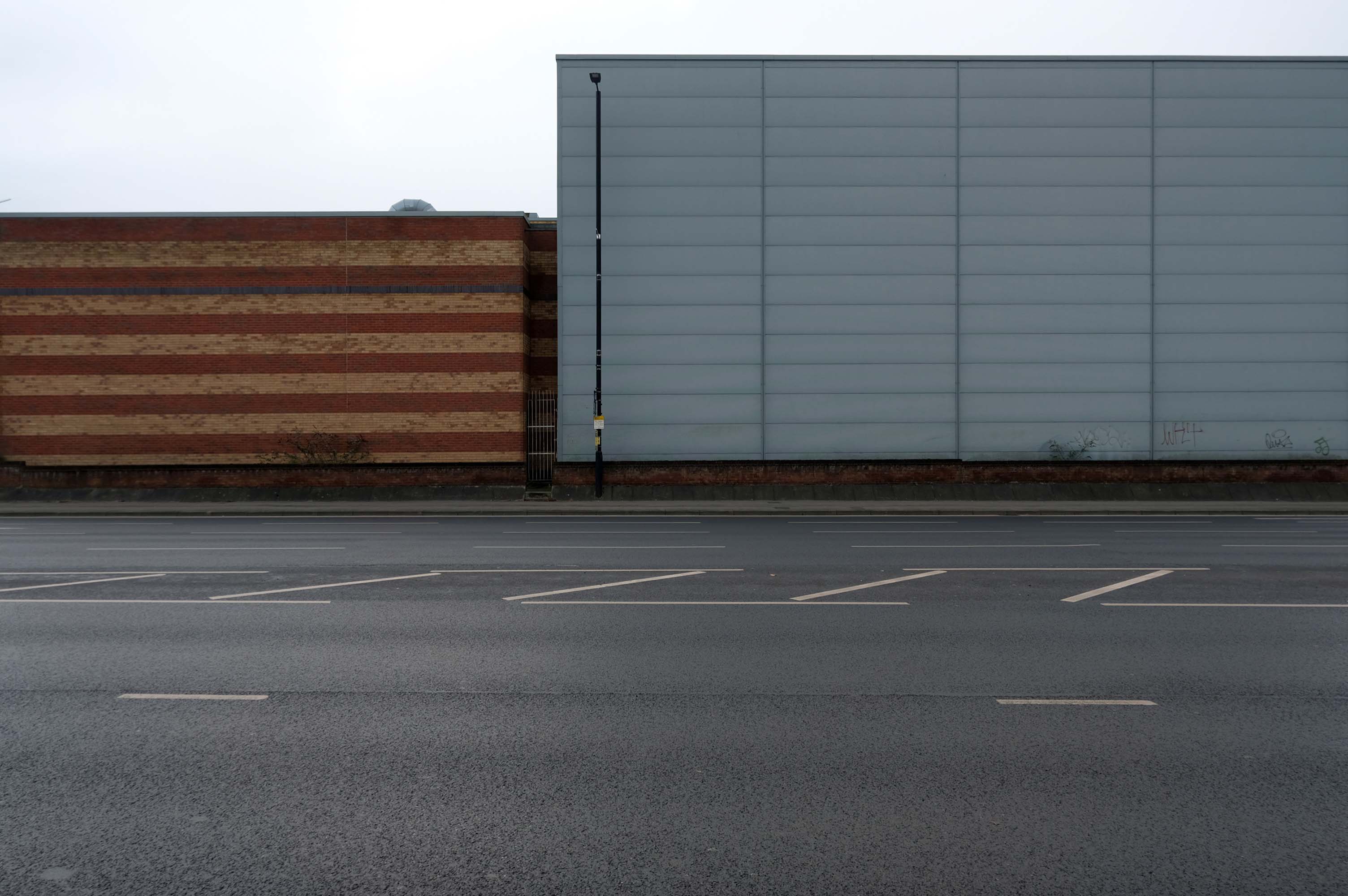
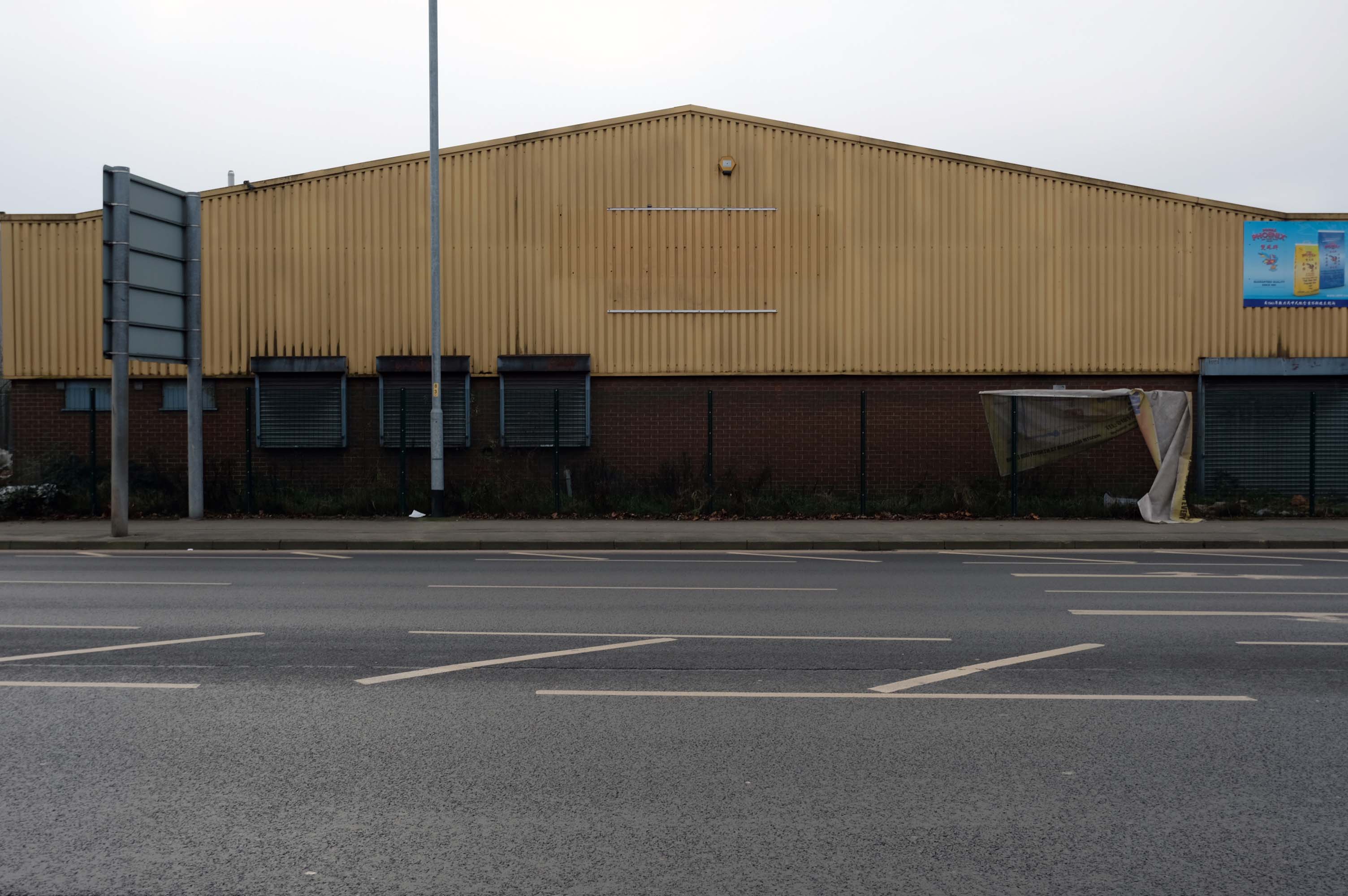
Manchester Arterial 2024 – A635

Having photographed the arterial roads of Manchester in 2014, I have resolved to return to the task in 2024.

Some things seem to have changed, some things seem to have stayed the same.

Manchester Arterial 2024 – A57

Having photographed the arterial roads of Manchester in 2014, I have resolved to return to the task in 2024.

Some things seem to have changed, some things seem to have stayed the same.

Manchester Arterial 2024 – A6

Having photographed the arterial roads of Manchester in 2014, I have resolved to return to the task in 2024.

Some things seem to have changed, some things seem to have stayed the same.

Manchester Arterial – A34

The A34 is a major route from the ports on the South Coast of England to the Midlands and the North West, with the standard varying from rural dual carriageway sections in the south to urban single carriageway in the north, and everything else in between.

Slade Lane junction, Rushford Park to Parr’s Wood, East Didsbury – to connect to Manchester Road to Cheadle. It continued on to Laneside Road as a residential road. Opened on 11 April 1923 by Mary Cundiff, Lady Mayoress, and Margaret Turnbull, daughter of Alderman Turnbull, Chairman of Manchester Town Planning Committee. Width was 100 feet and it was designed for tram tracks in the central reservation. The dual road carriageways were 20 feet wide. Manchester’s tram system was closed in 1949. The carriageways were widened and central reservation grassed over. Originally opened as A5079.

Laneside Road, East Didsbury to Schools Hill/ Wilmslow Road junction, Cheadle. Opened on 12 October 1959. The official opening was on 15 October 1959. Planning for the bypass had been halted by the war. In December 1949 Manchester Corporation stated that it was not a priority since the Corporation was only responsible for the 200 yards to the proposed bridge over the River Mersey and Cheshire County Council had not asked for a joint approach to Ministry of Transport to build it. Work was finally authorised in January 1957 and started in the June. Width was 90 feet with dual 24 foot carriageways. Expected cost was £600,000 to £700,000.

Sabre Roads

In 2014, having taken early retirement from teaching photography, I embarked on a series of walks along the arterial roads of Manchester.

See also Bury New Road and Cheetham Hill Road and Rochdale Road and Oldham Road and Ashton New Road and Ashton Old Road and Hyde Road and Stockport Road.

Manchester Arterial – A6

The A6 is Britain’s fourth longest road. Its route varies greatly from the lower lands of the South East, though the Peak District, right though the heart of Manchester city centre, then onwards towards Preston. It then goes though the historic city of Lancaster before skirting the Eastern fringe of the Lake District before ending in Carlisle, bang on the start of the A7.

Sabre Roads

North from Stockport towards Manchester, the A6 was a wide, four lane road, but still 30 mph, which usually flowed pretty well. According to Mudge, it looks like it has now been massacred by bus lanes and red paint. Shame. We meet the A57 from the east, just south of the city centre, and multiplex until we reach Mancunian Way, the A57 heading off as a short urban motorway, the A6 heading into the city centre via London Road/Piccadily, where it loses its number and vanishes. It would have gone straight down Piccadily/Market Street to meet Deansgate, and then across the River Irwell into Salford, and up Chapel Street, where the number reappears. Market Street has been pedestrianised for years, so the A6 has long ceased to be a through route.

Sabre Roads

In 2014, having taken early retirement from teaching photography, I embarked on a series of walks along the arterial roads of Manchester.

See also Bury New Road and Cheetham Hill Road and Rochdale Road and Oldham Road and Ashton New Road and Ashton Old Road and Hyde Road.