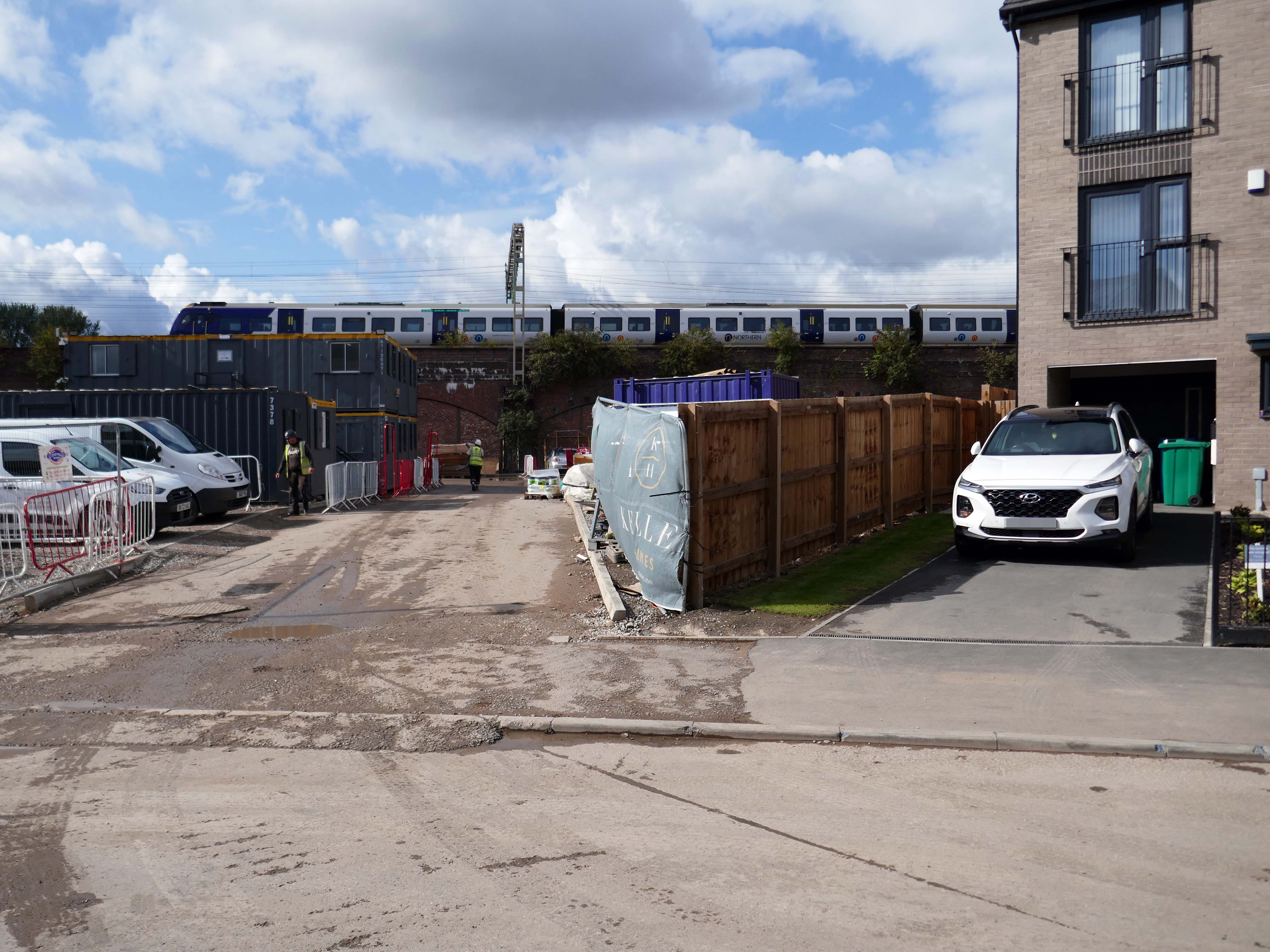
It’s been four years since our 2022 Wigan Walk – so time to see if there has been a refreshing change.
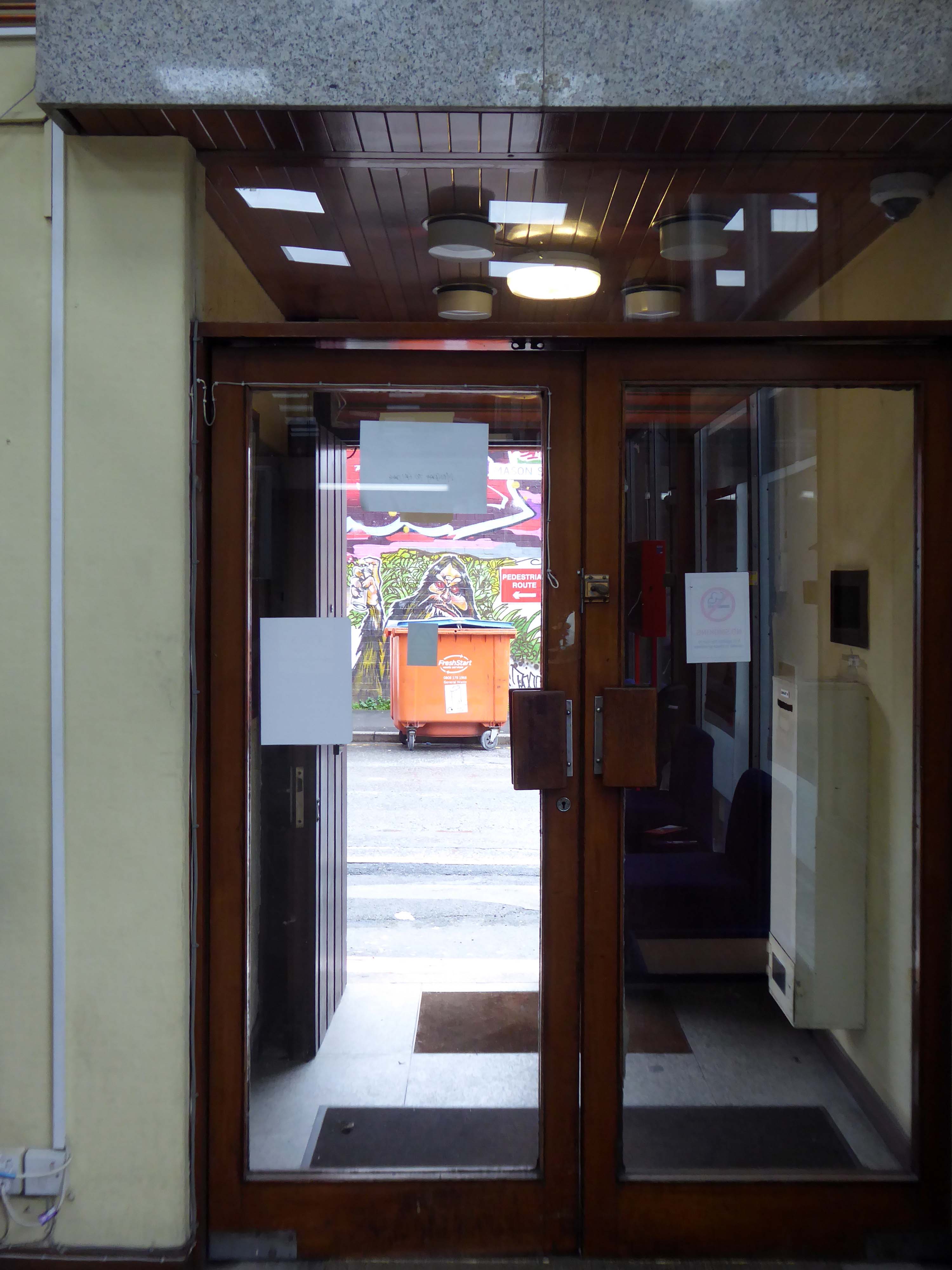
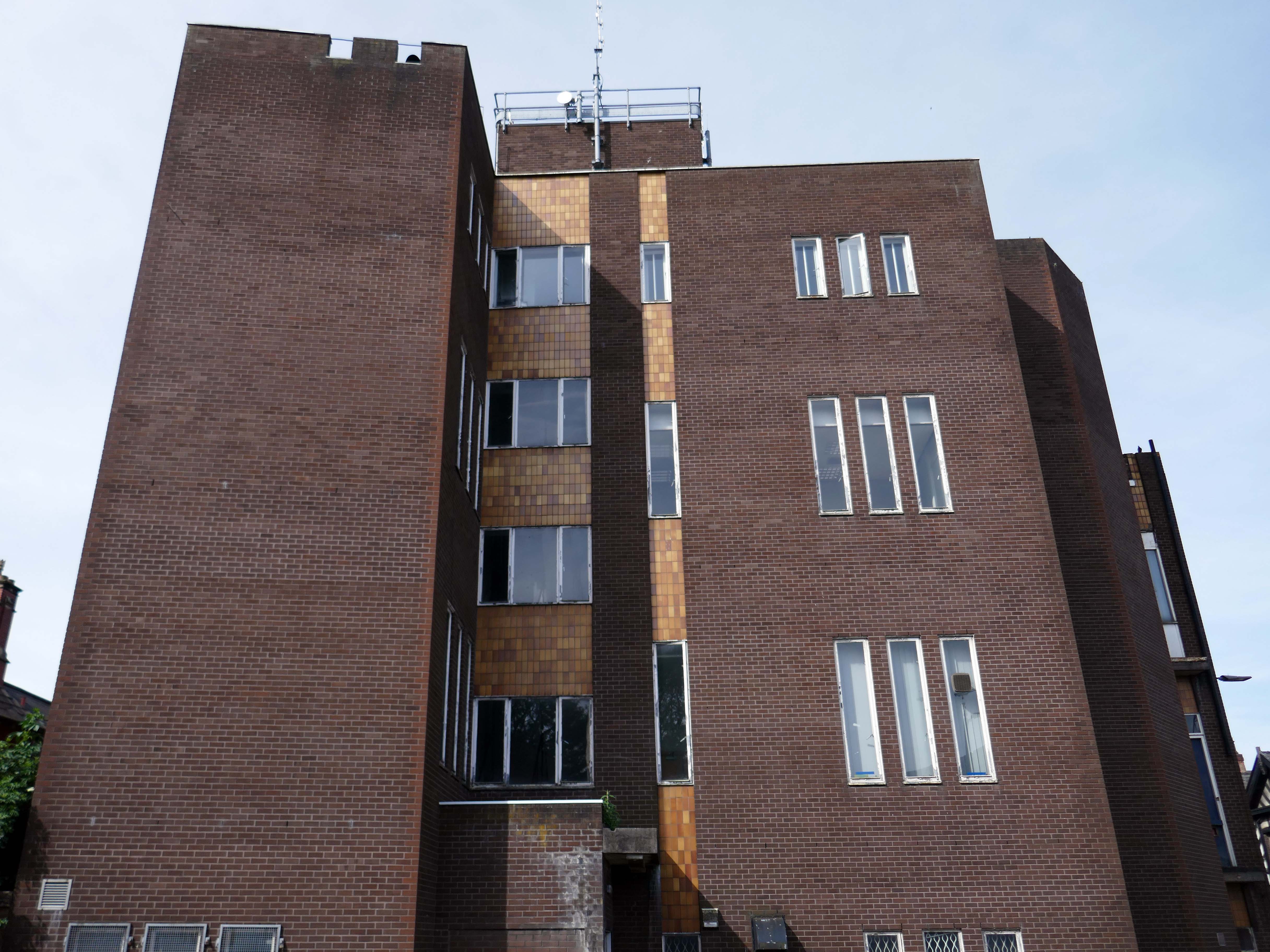
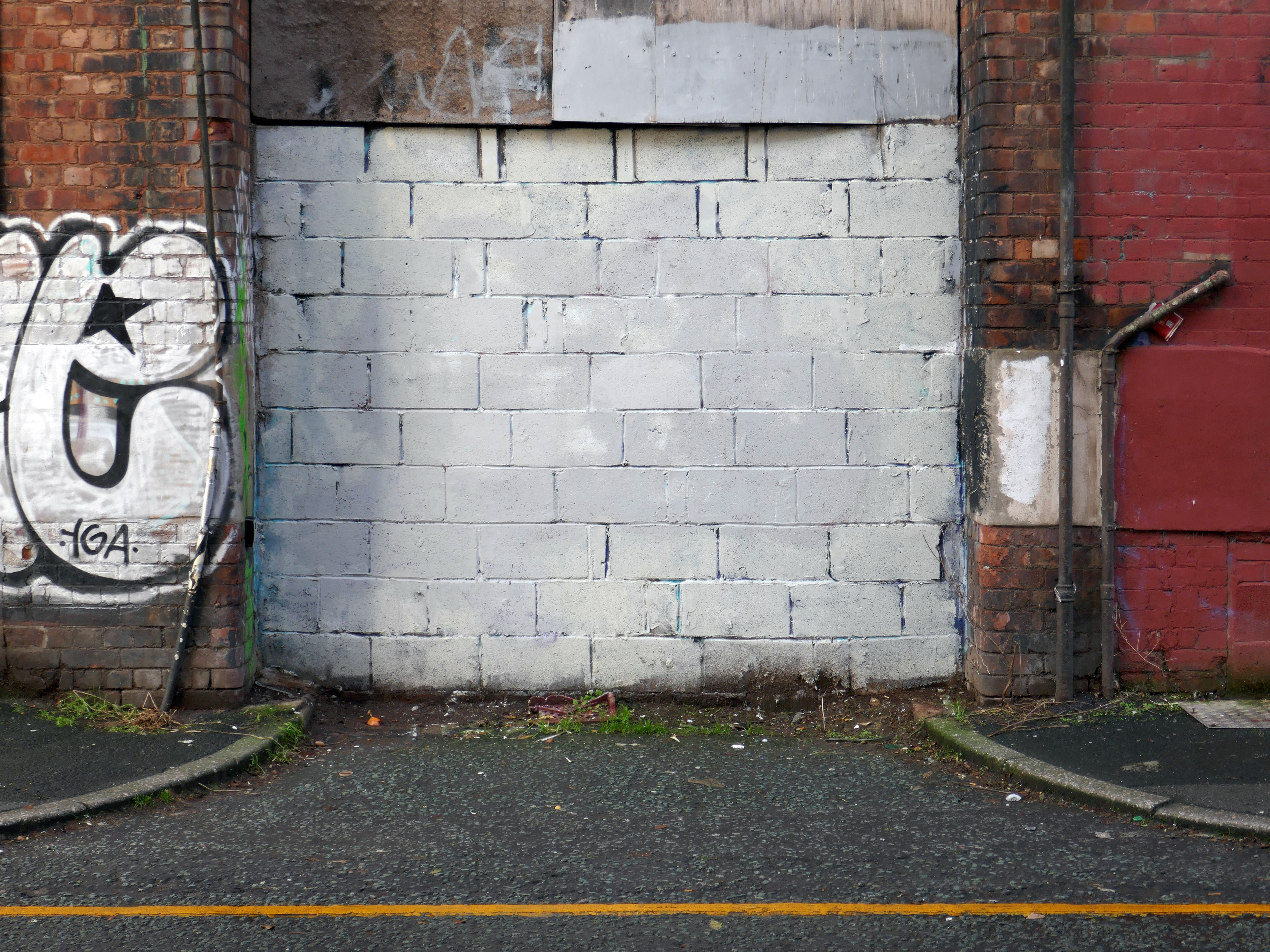
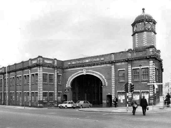
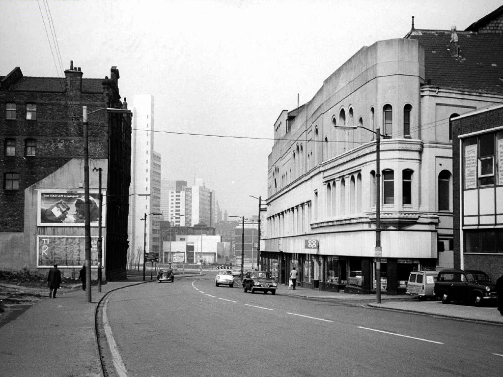
Beginning with a trip to the former flicks, the Princes Cinema now trading as Pure nightclub, sometimes home to Singo Bingo.
Originally the site of New Princes Theatre, opened on the 1st May 1911, the cinema was demolished and replaced, on an adjacent plot, by Princes Cinema in 1933.
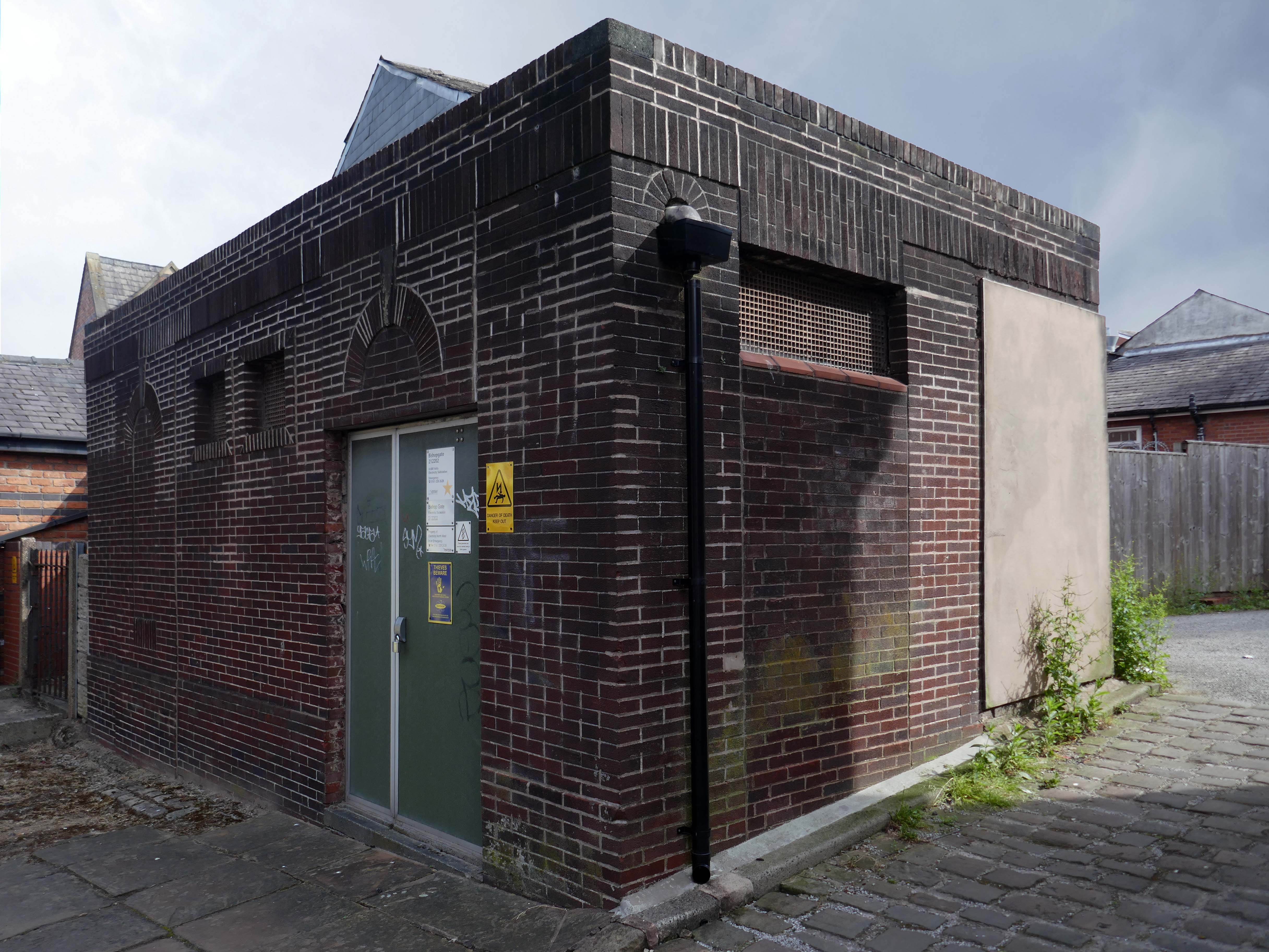
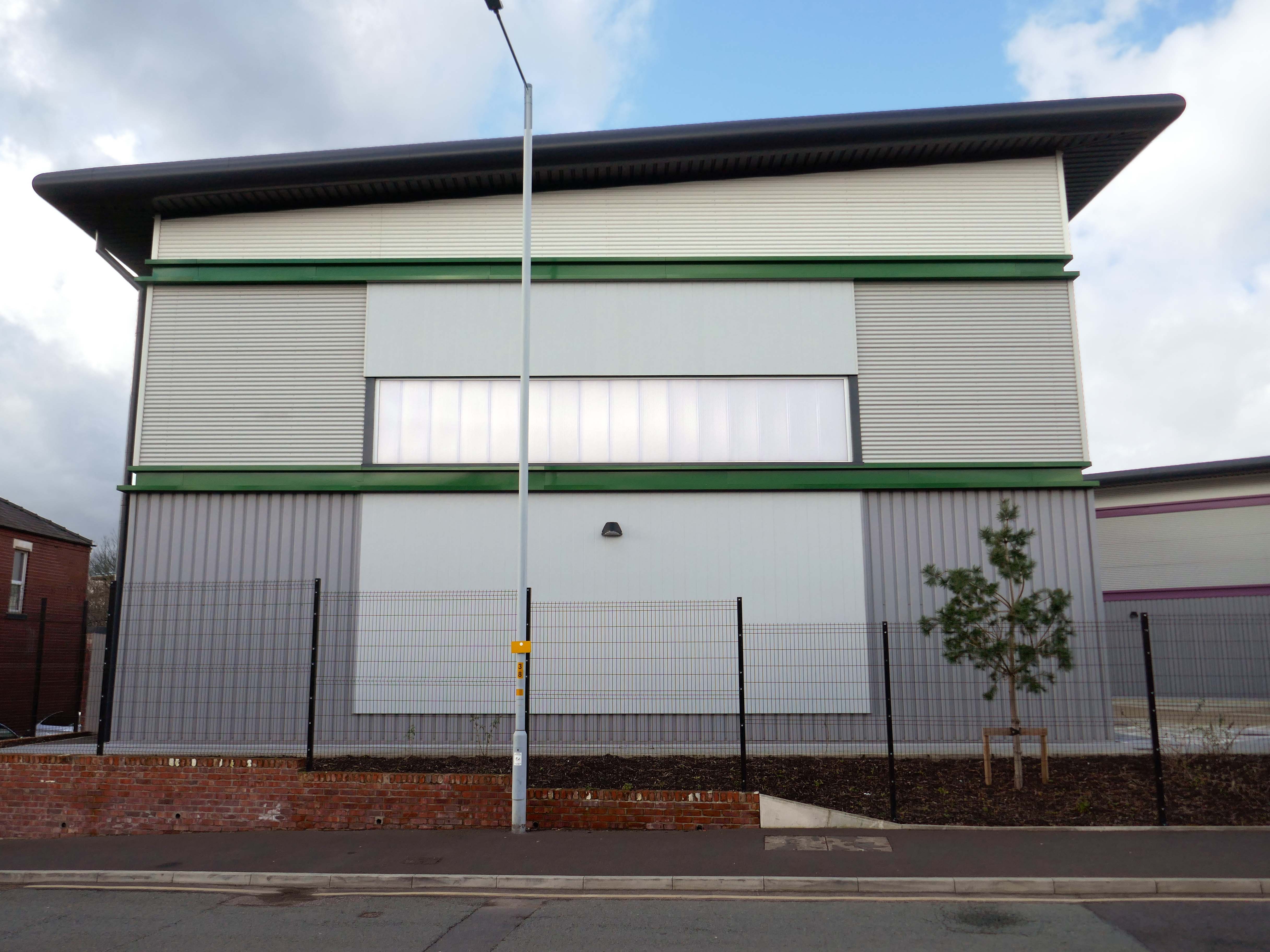
Ofd special note the adjacent Electrical Substation of the day.
Plus extra added military history.
Seventies
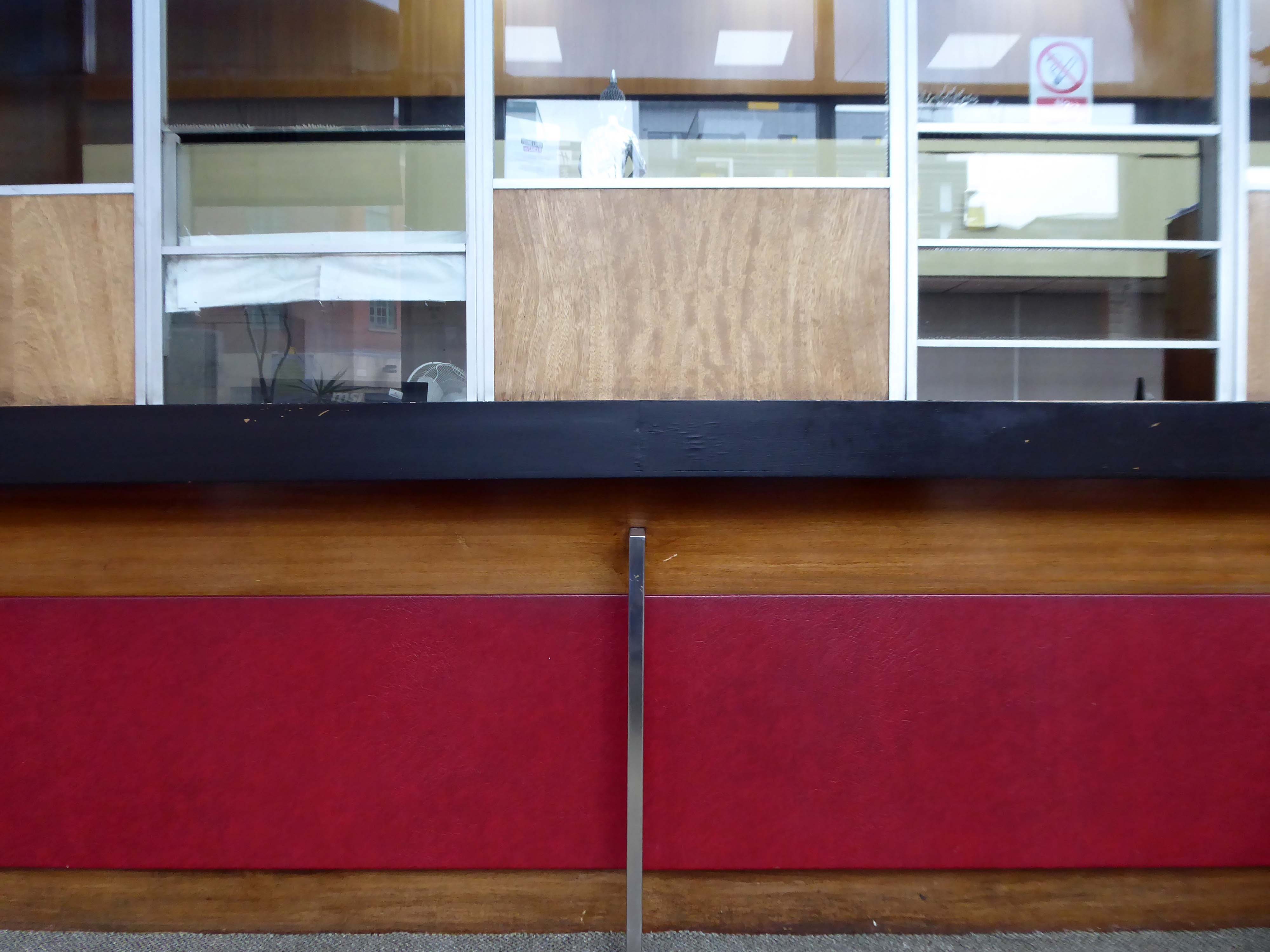
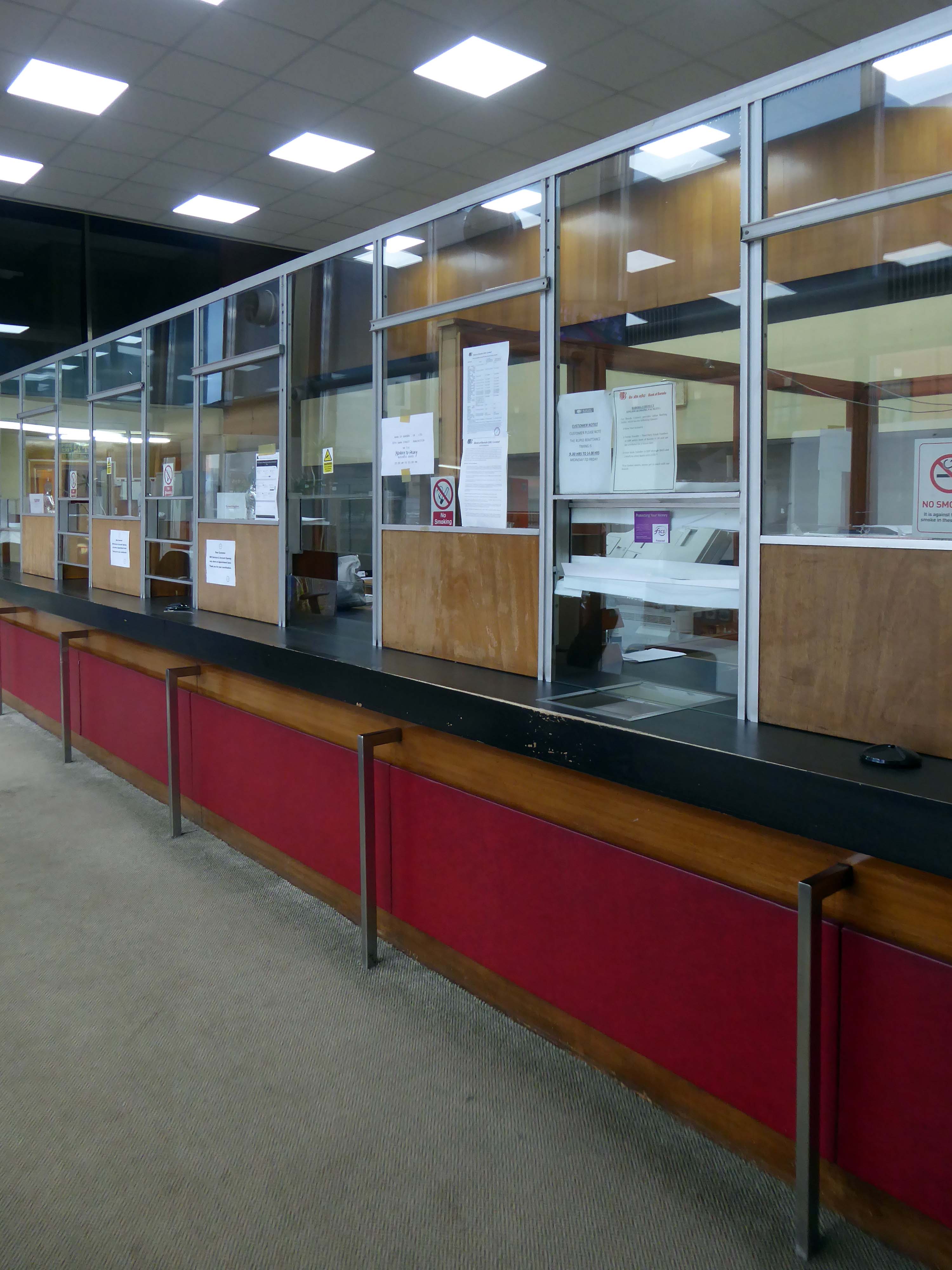
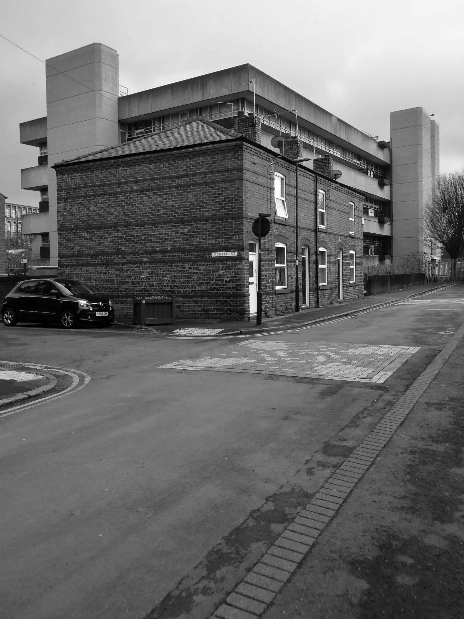
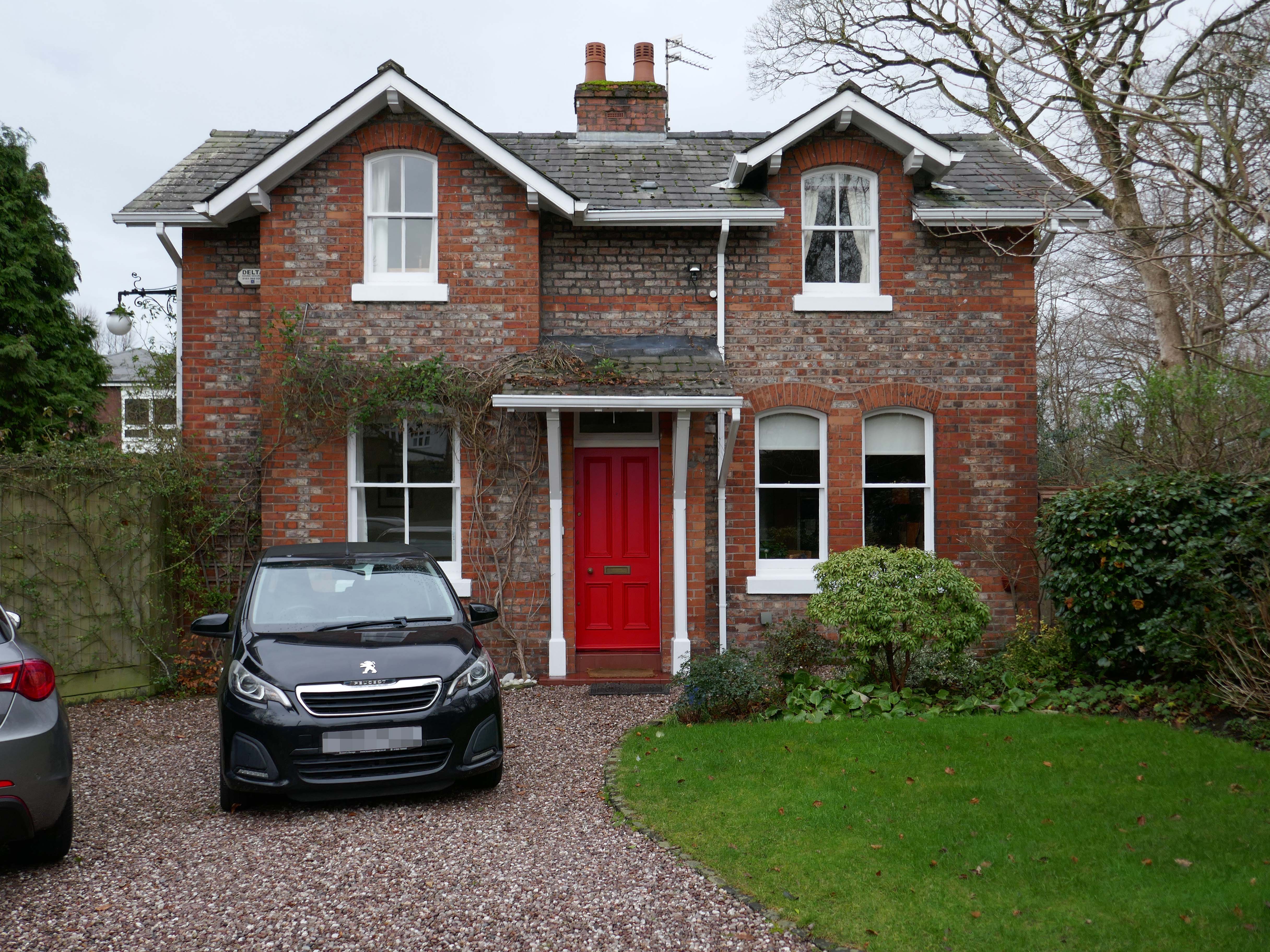
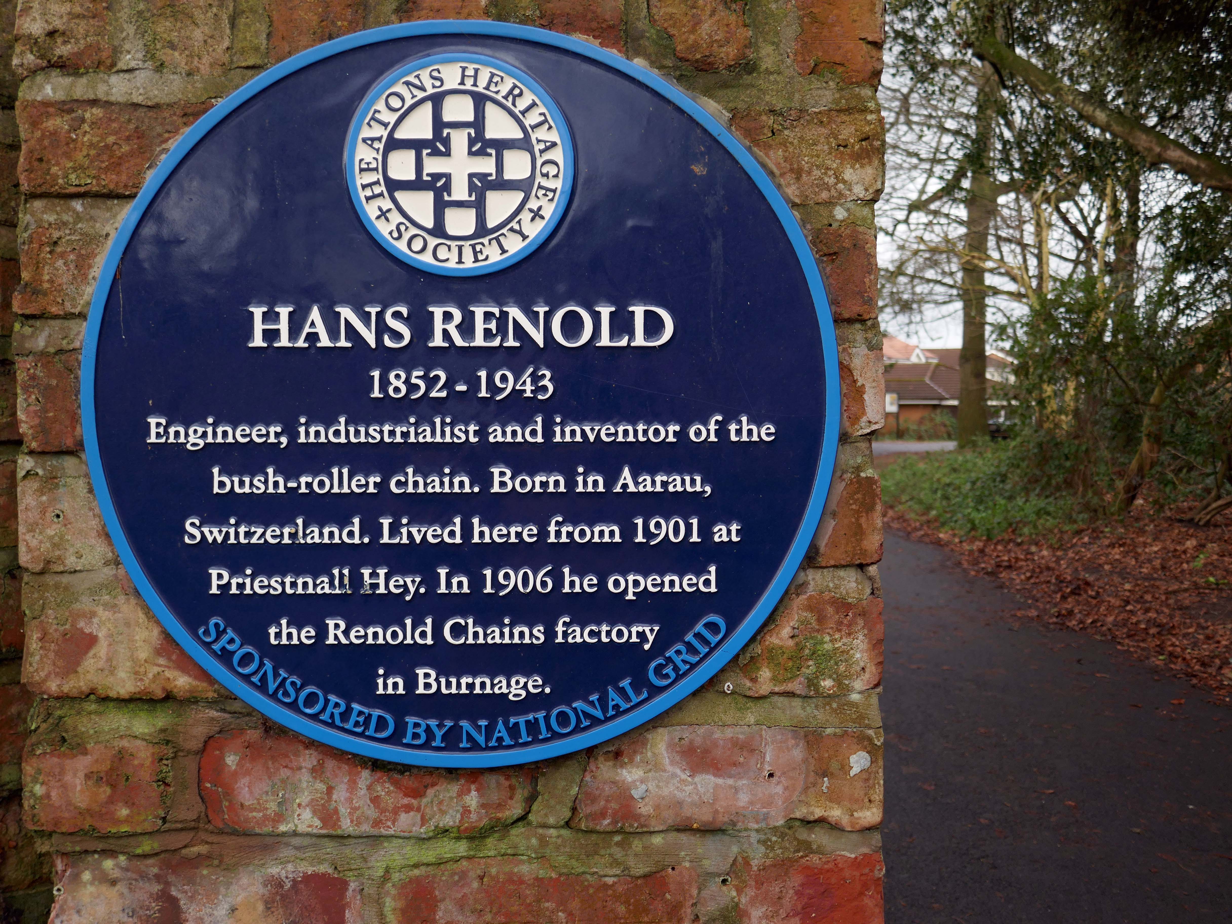
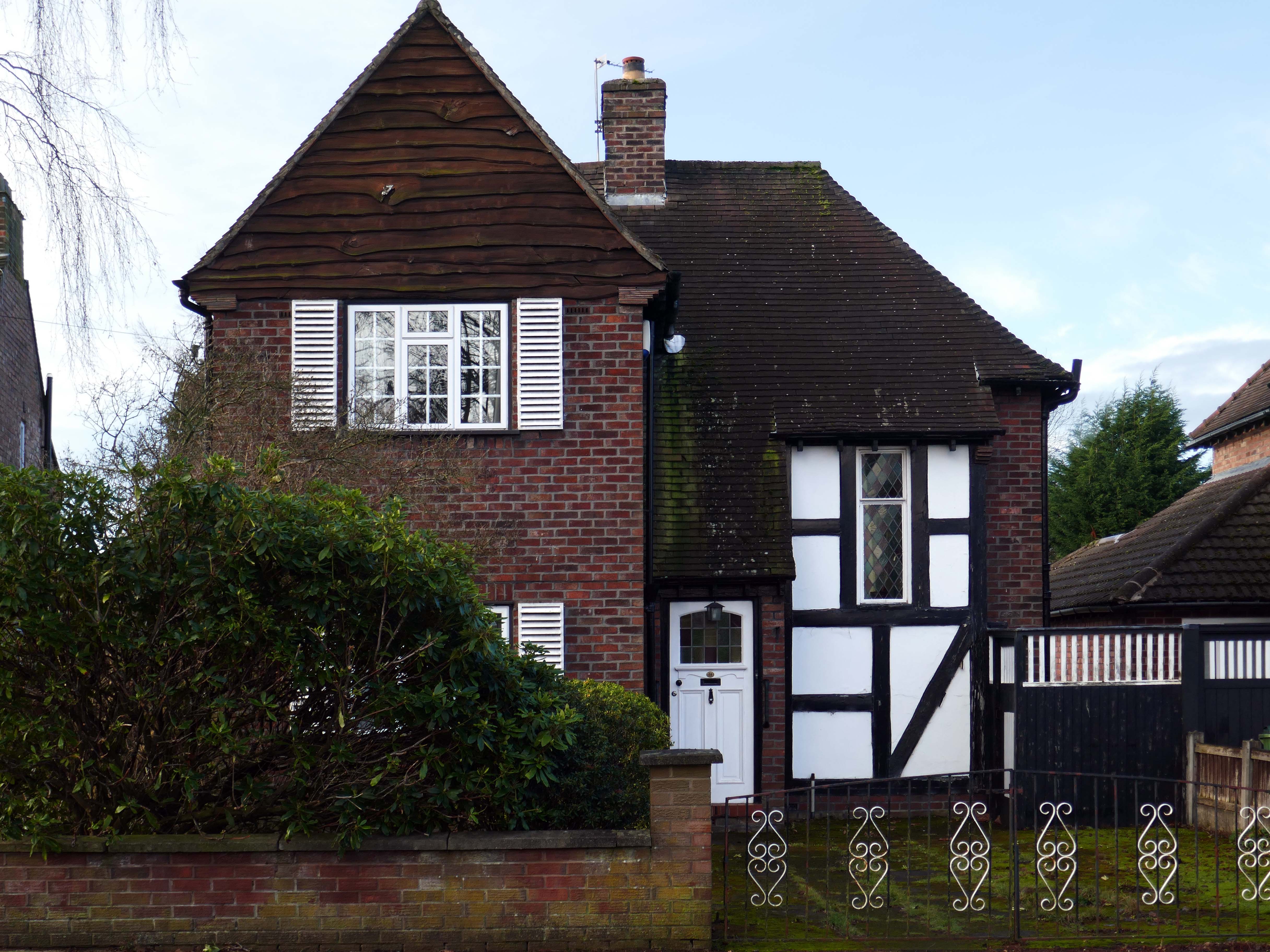
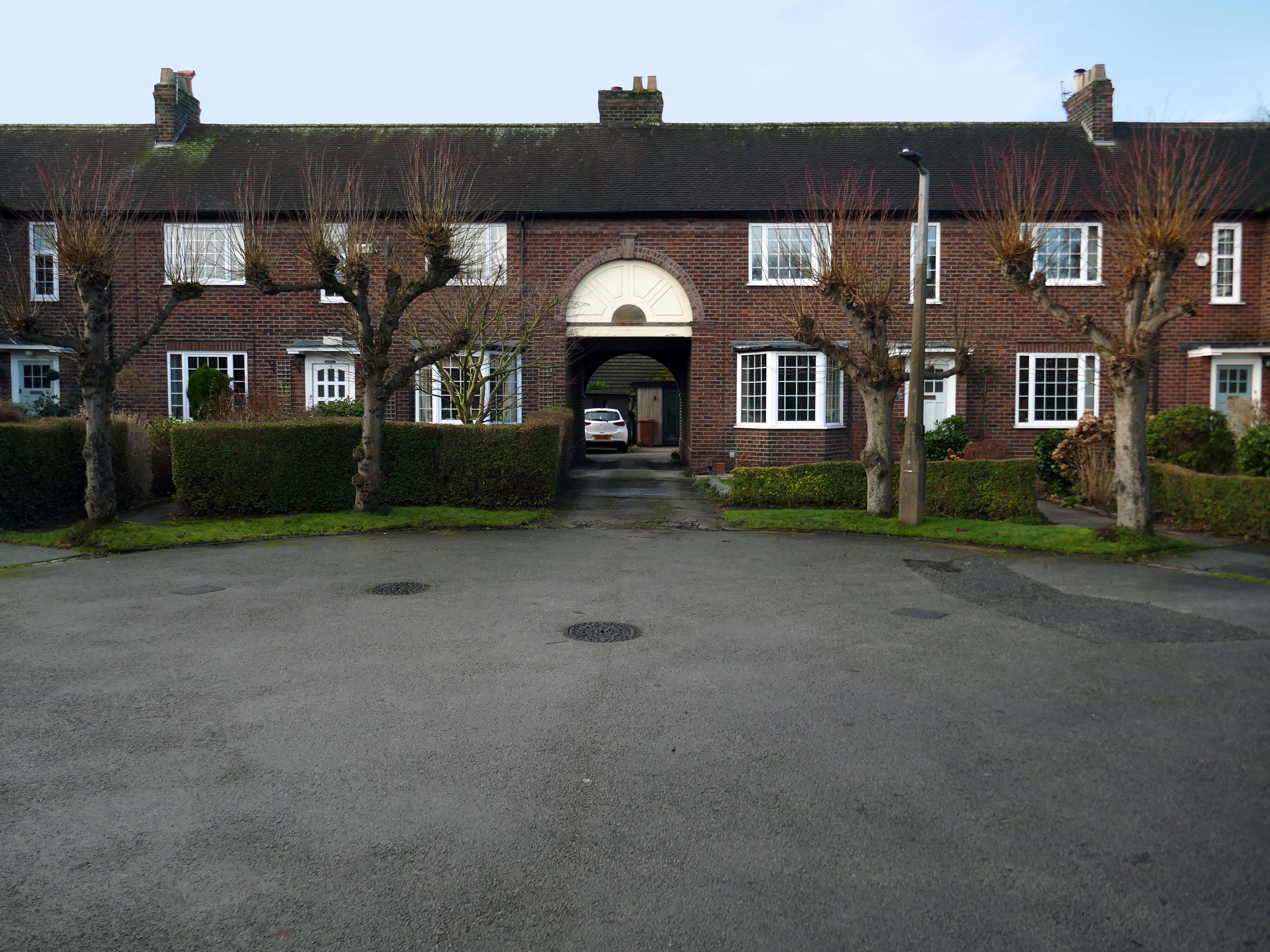
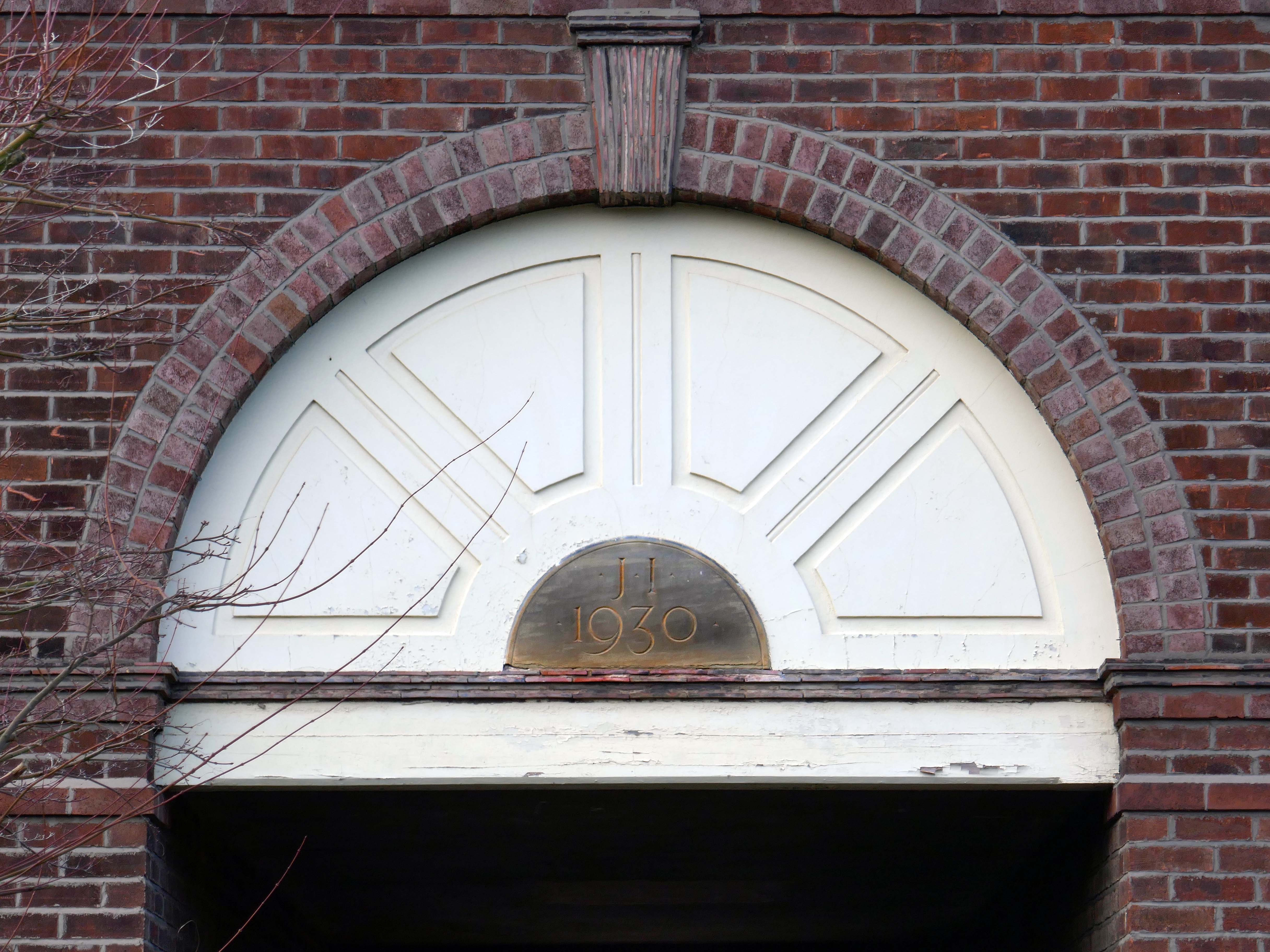
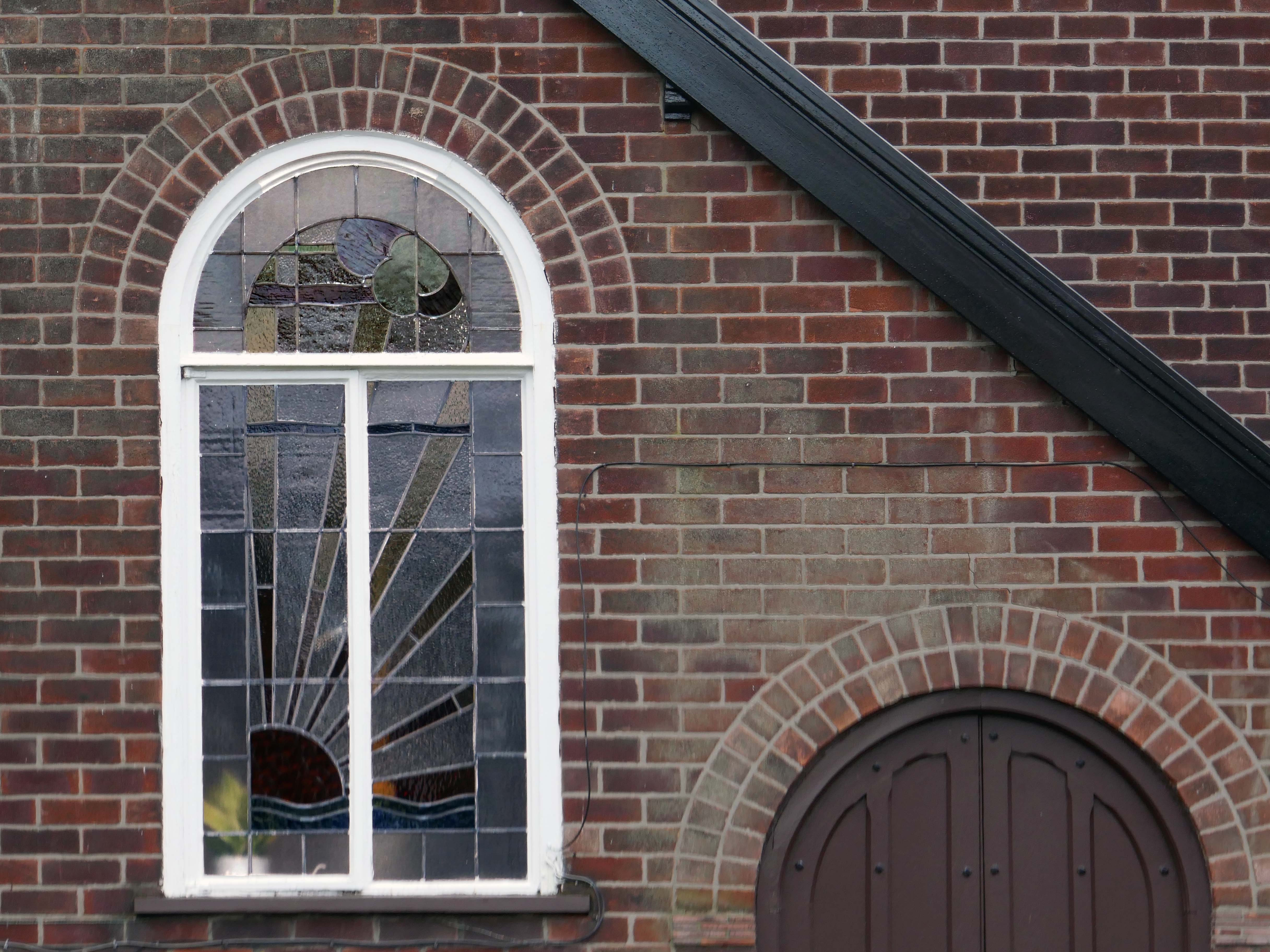
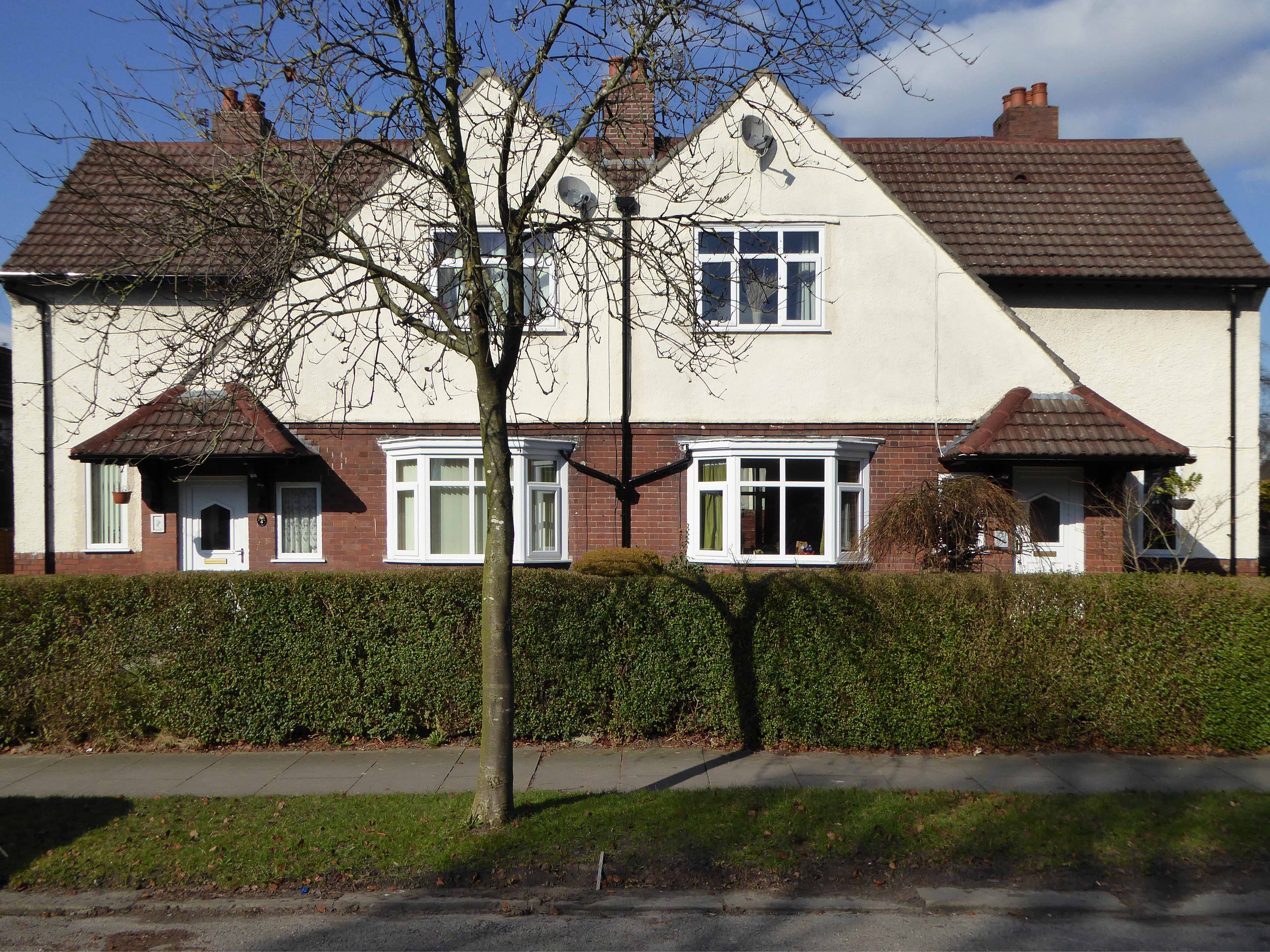
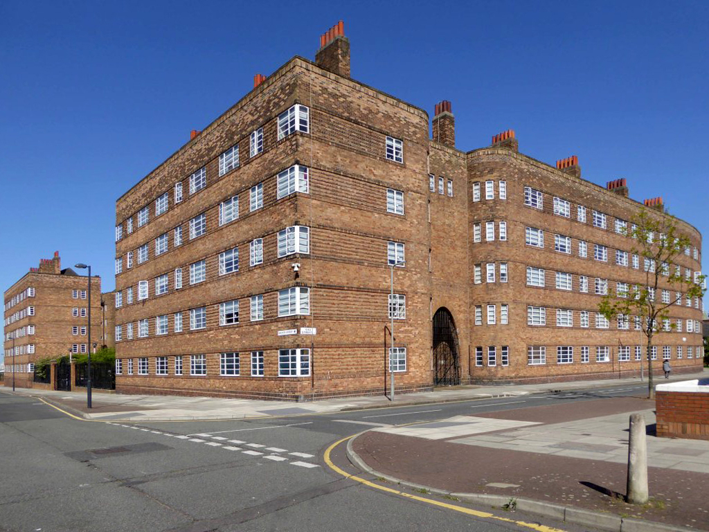
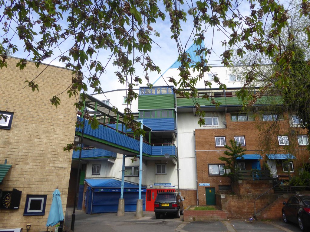
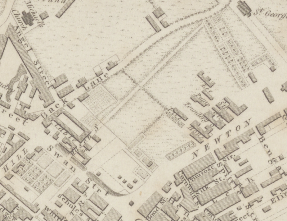
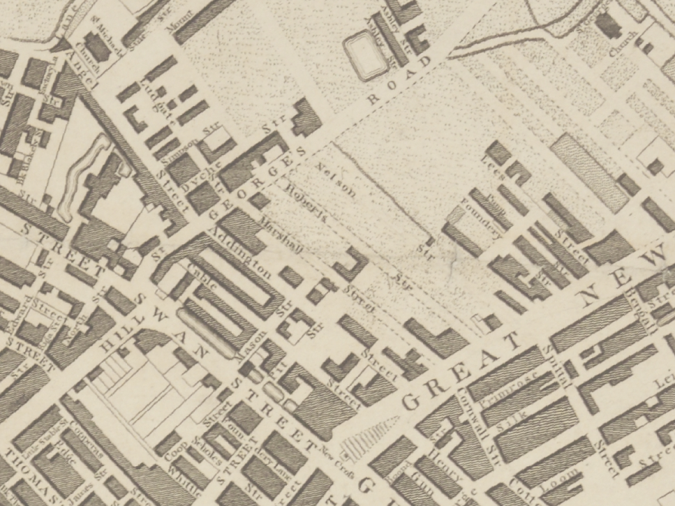
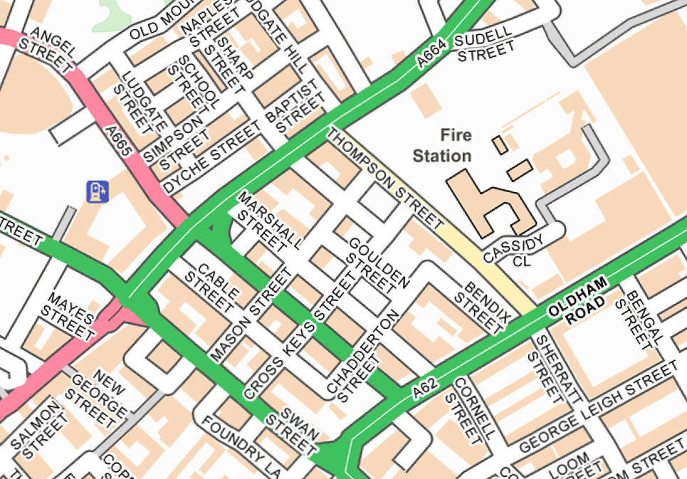
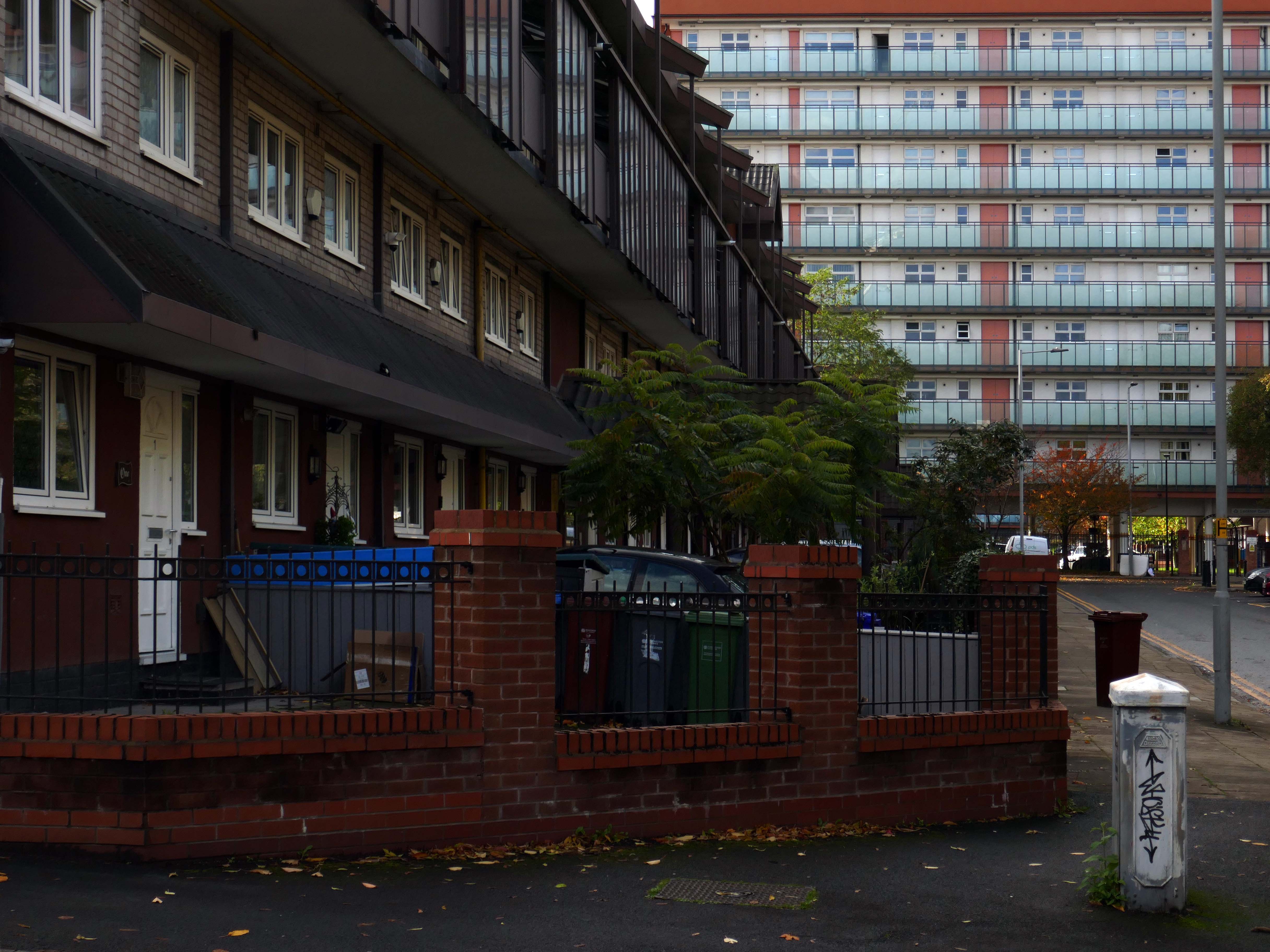
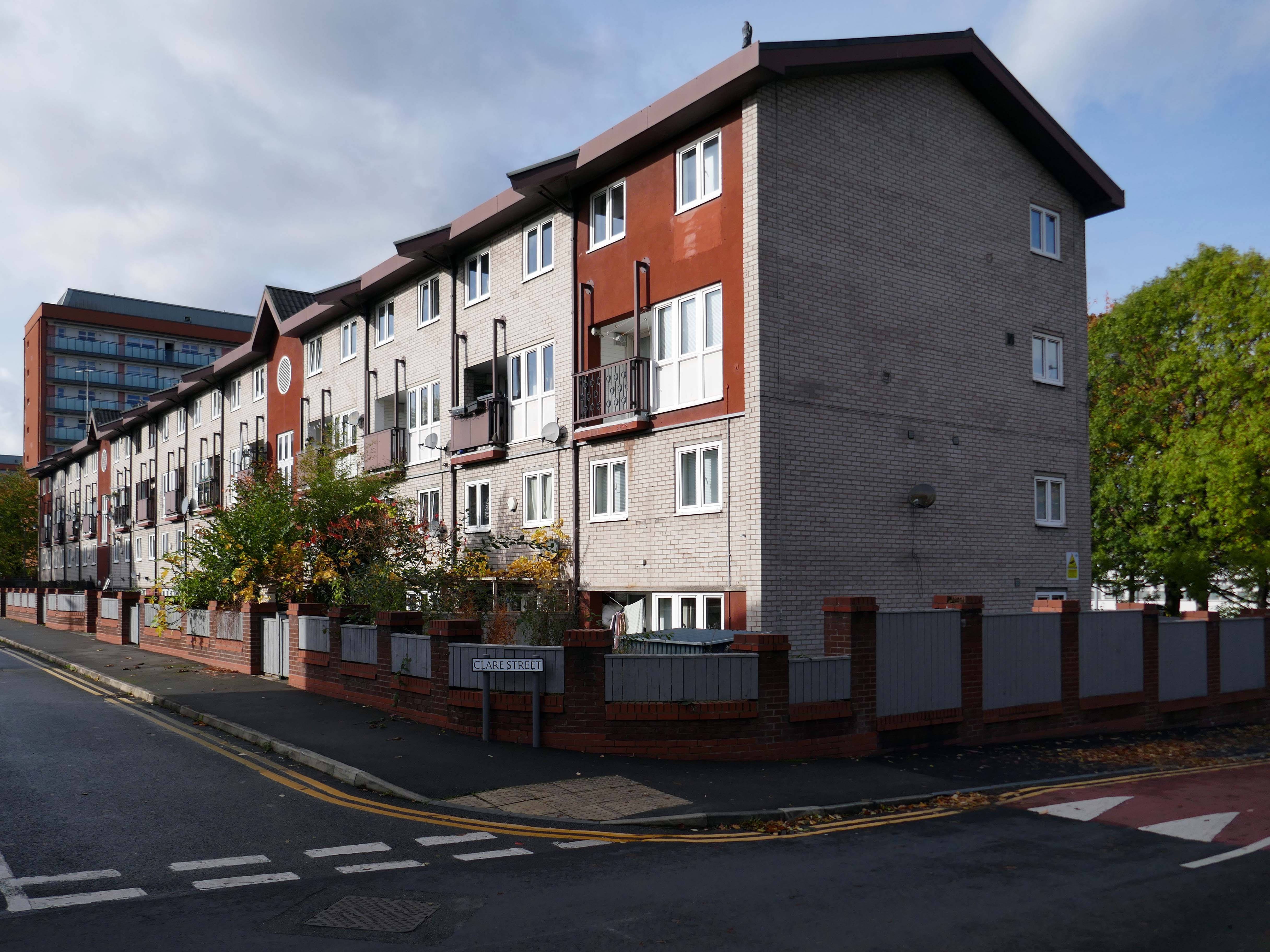
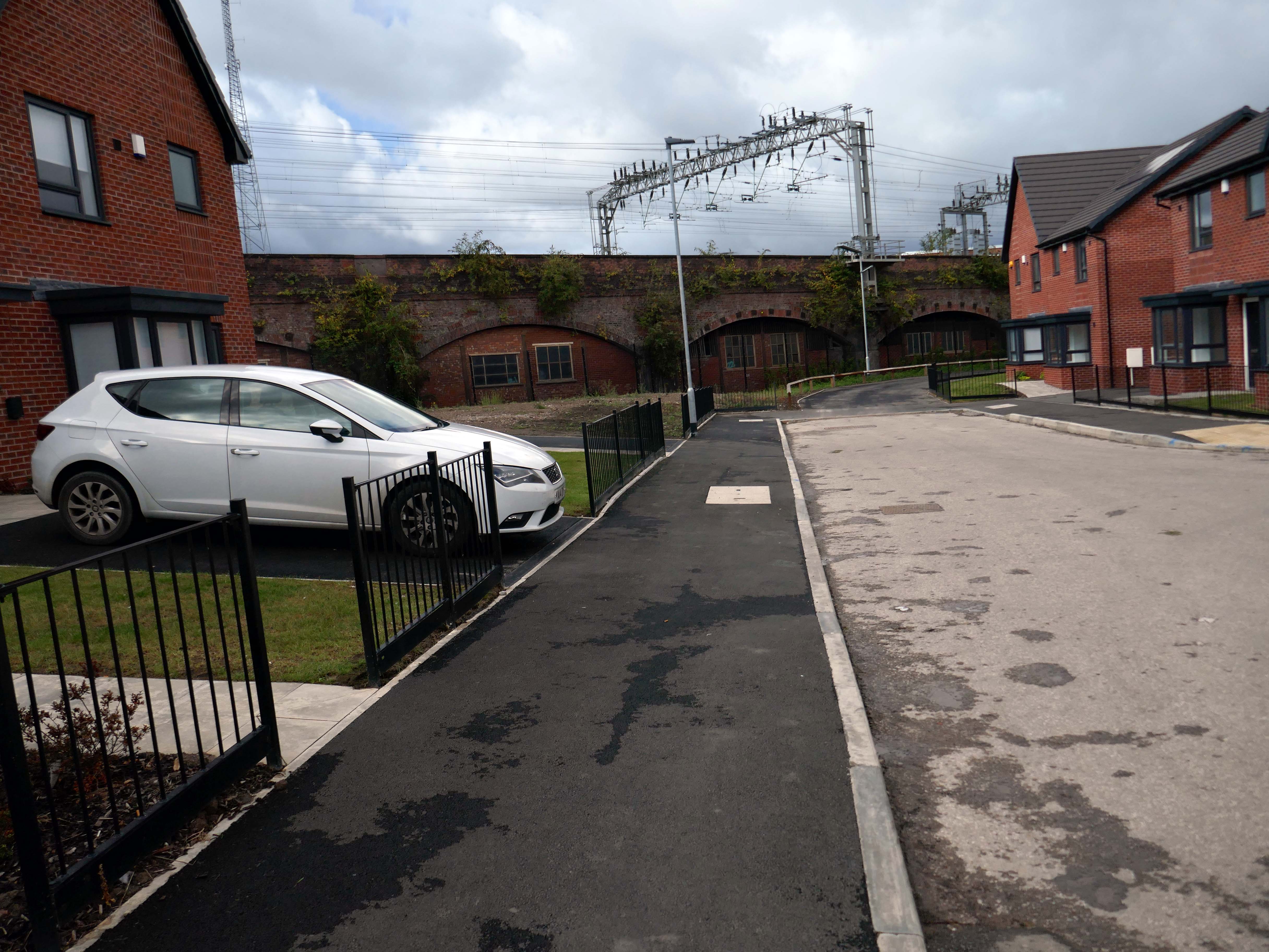
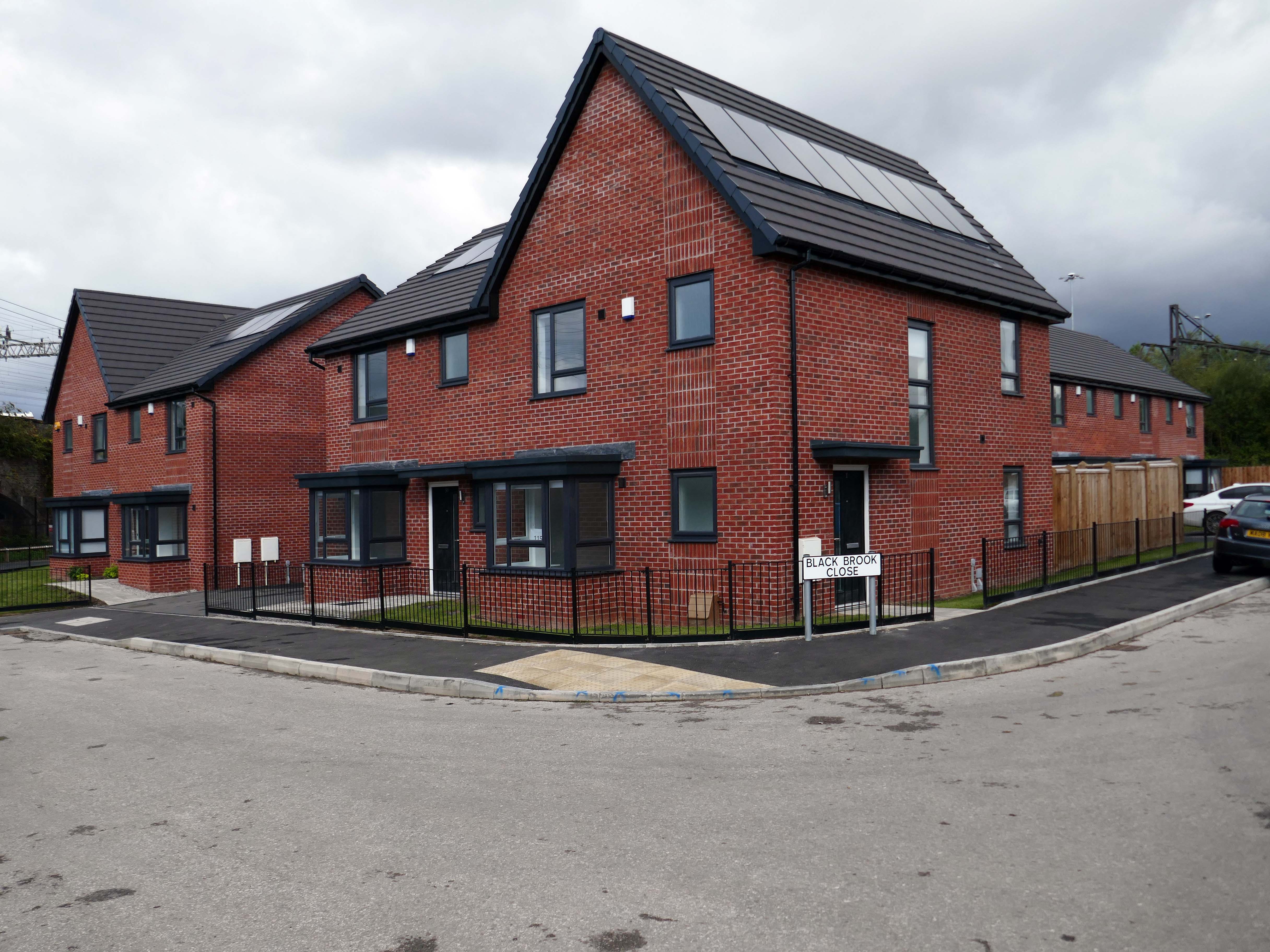
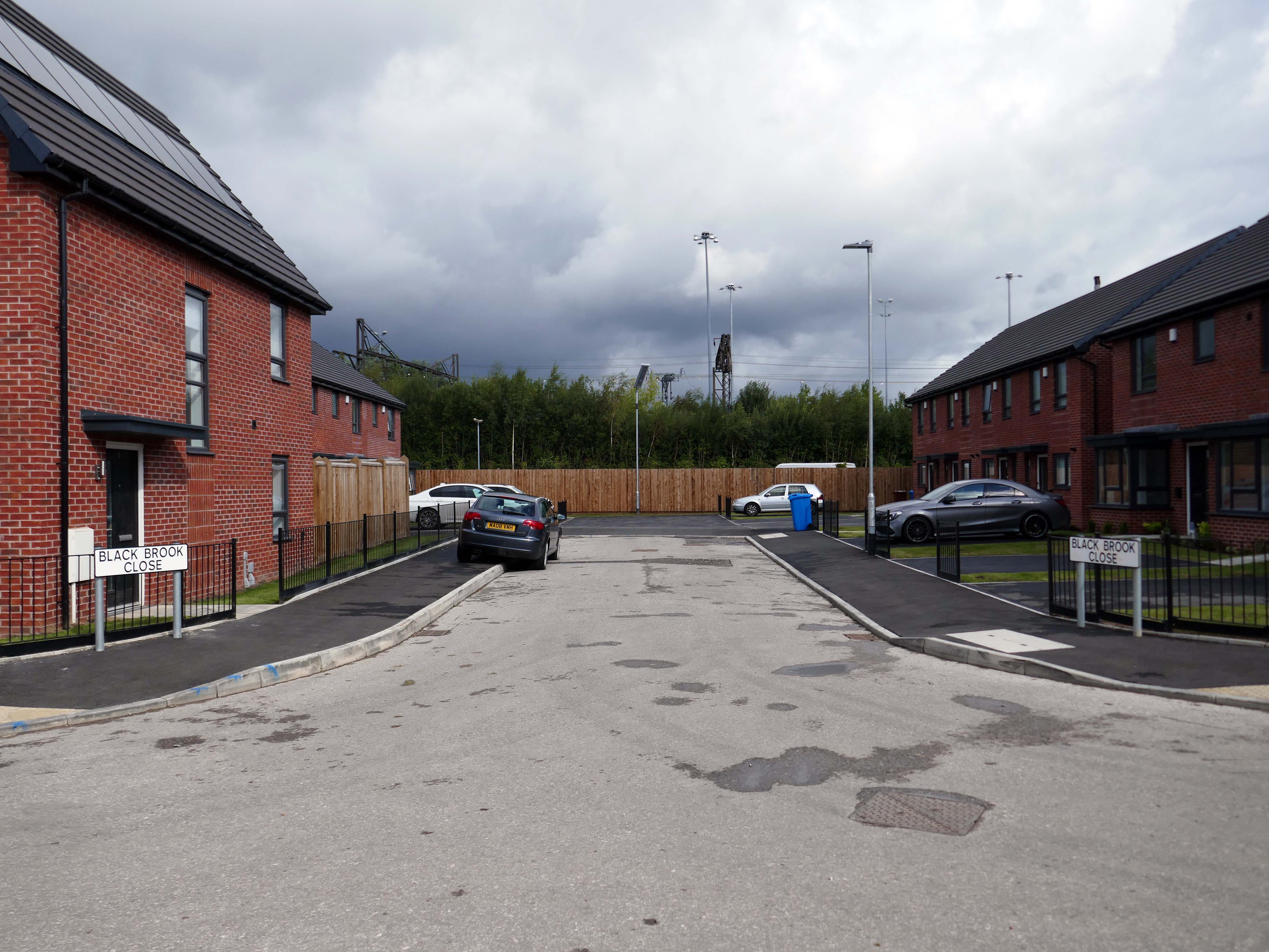
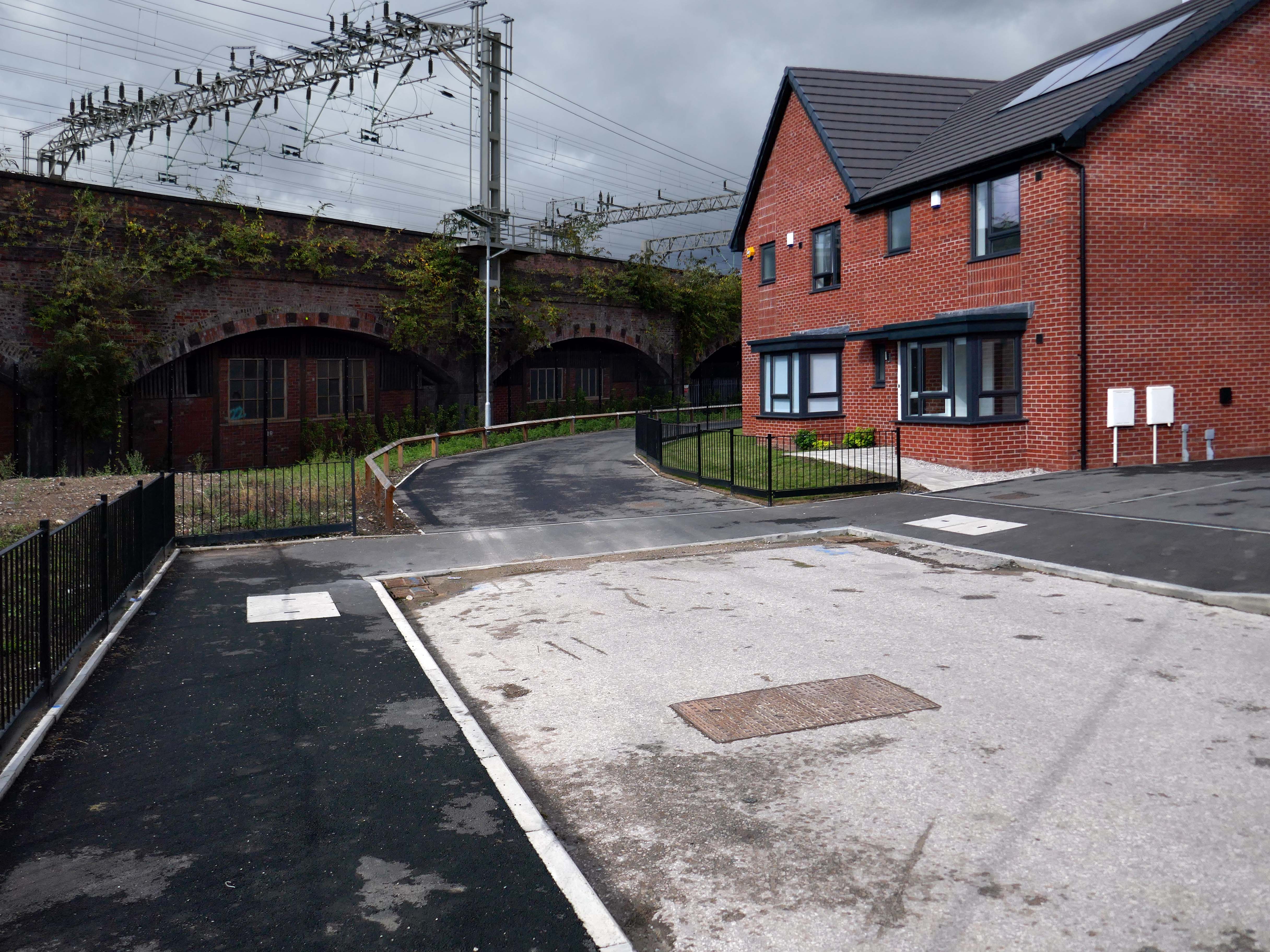
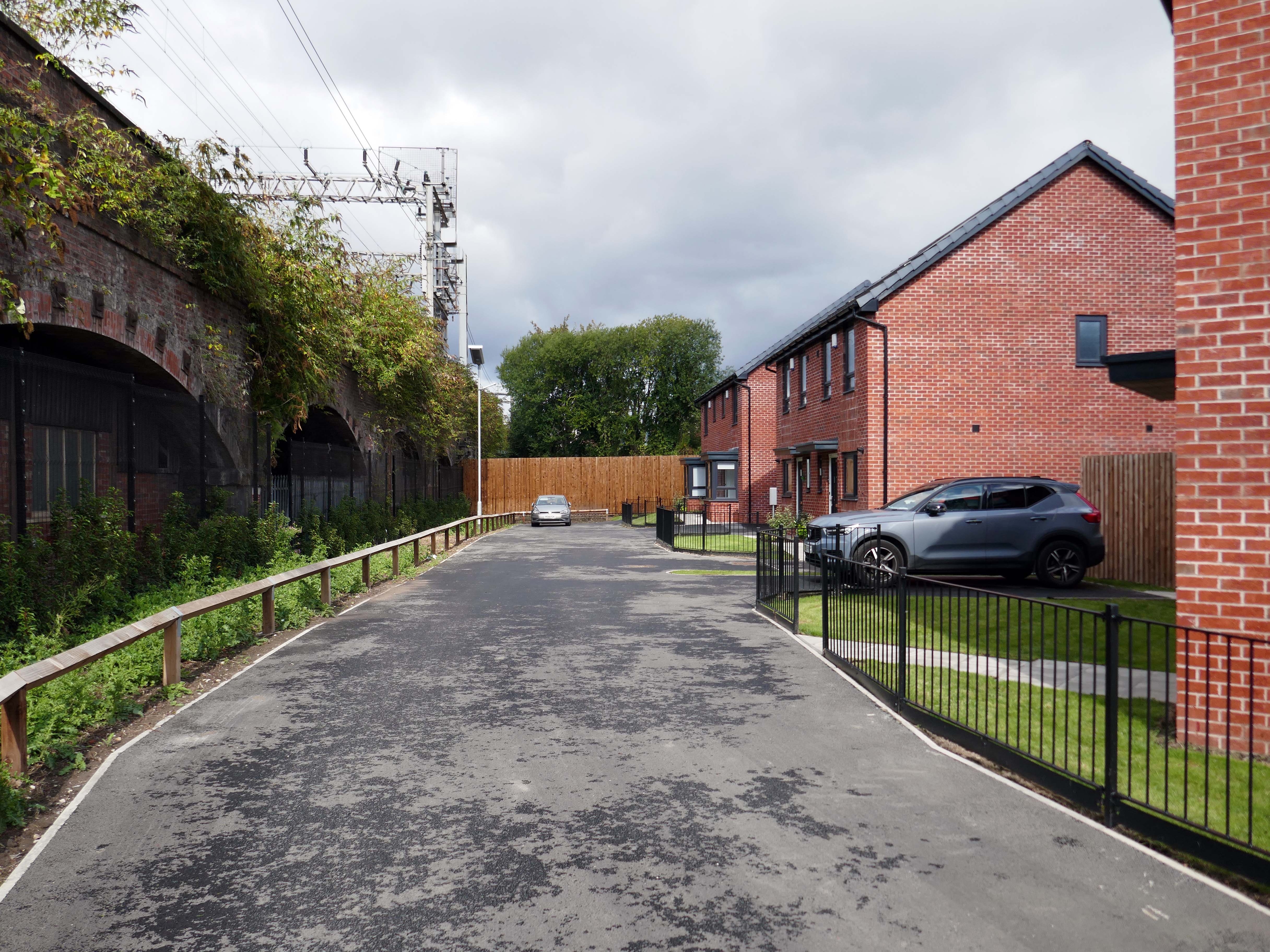
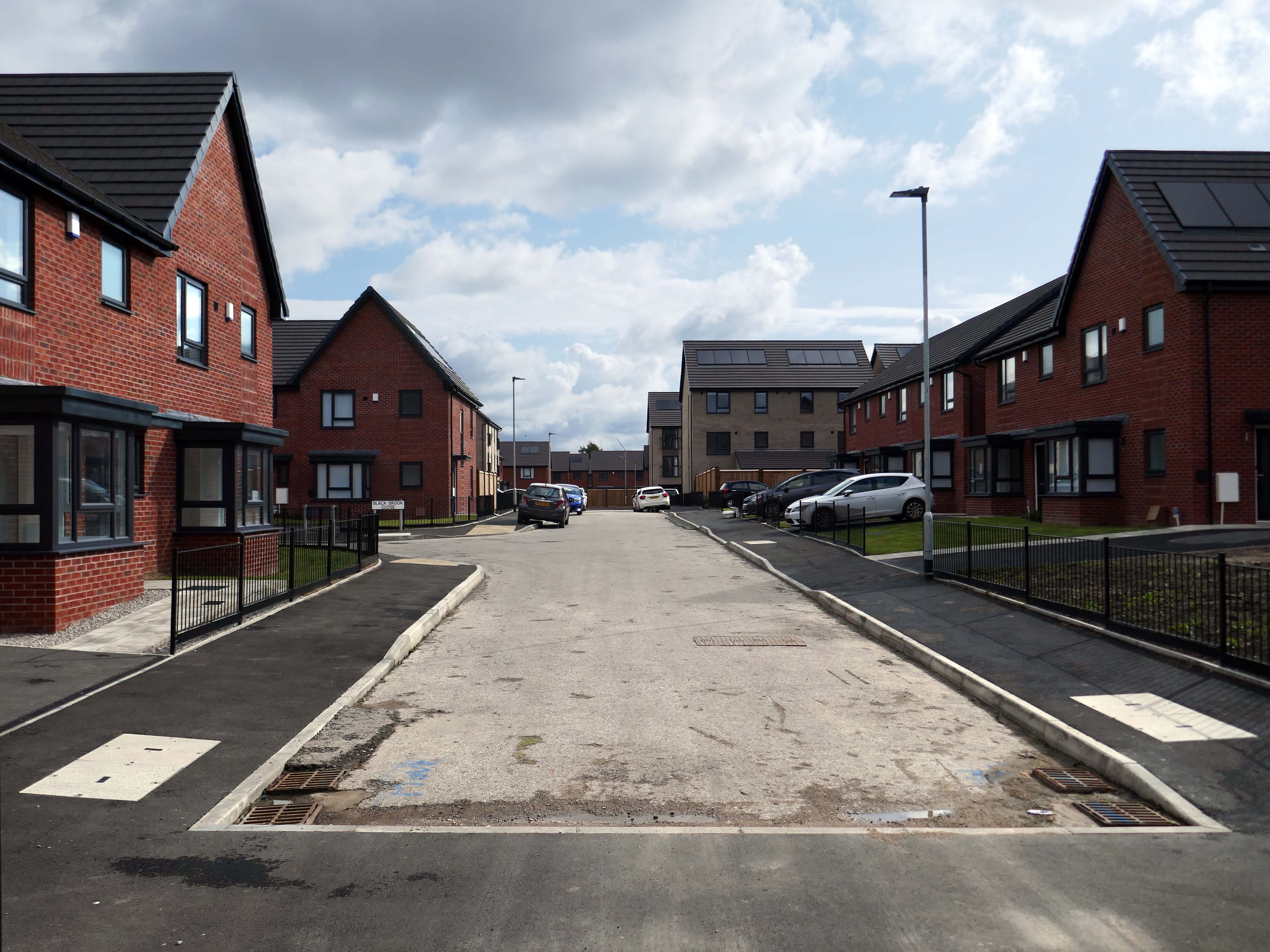
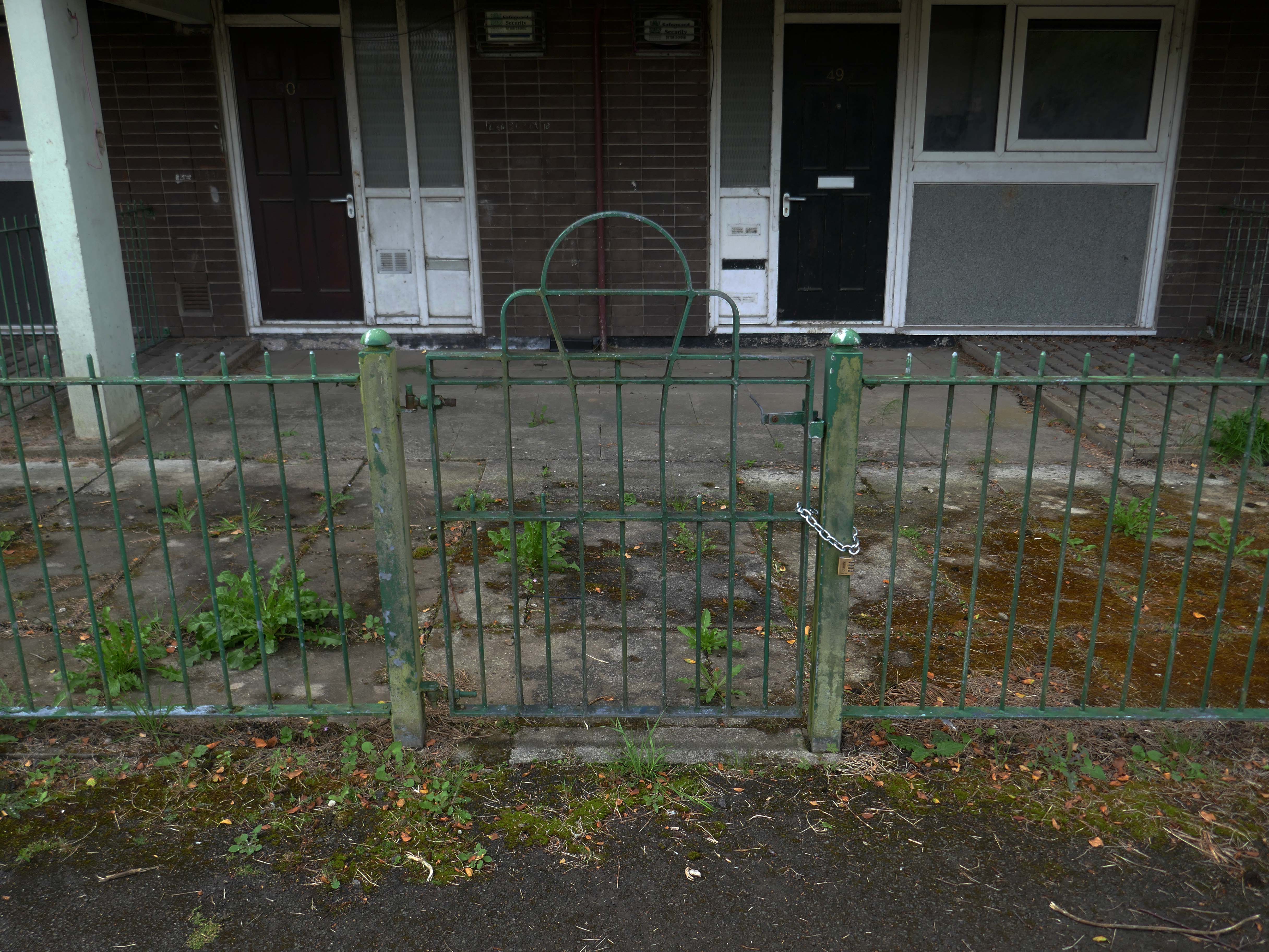
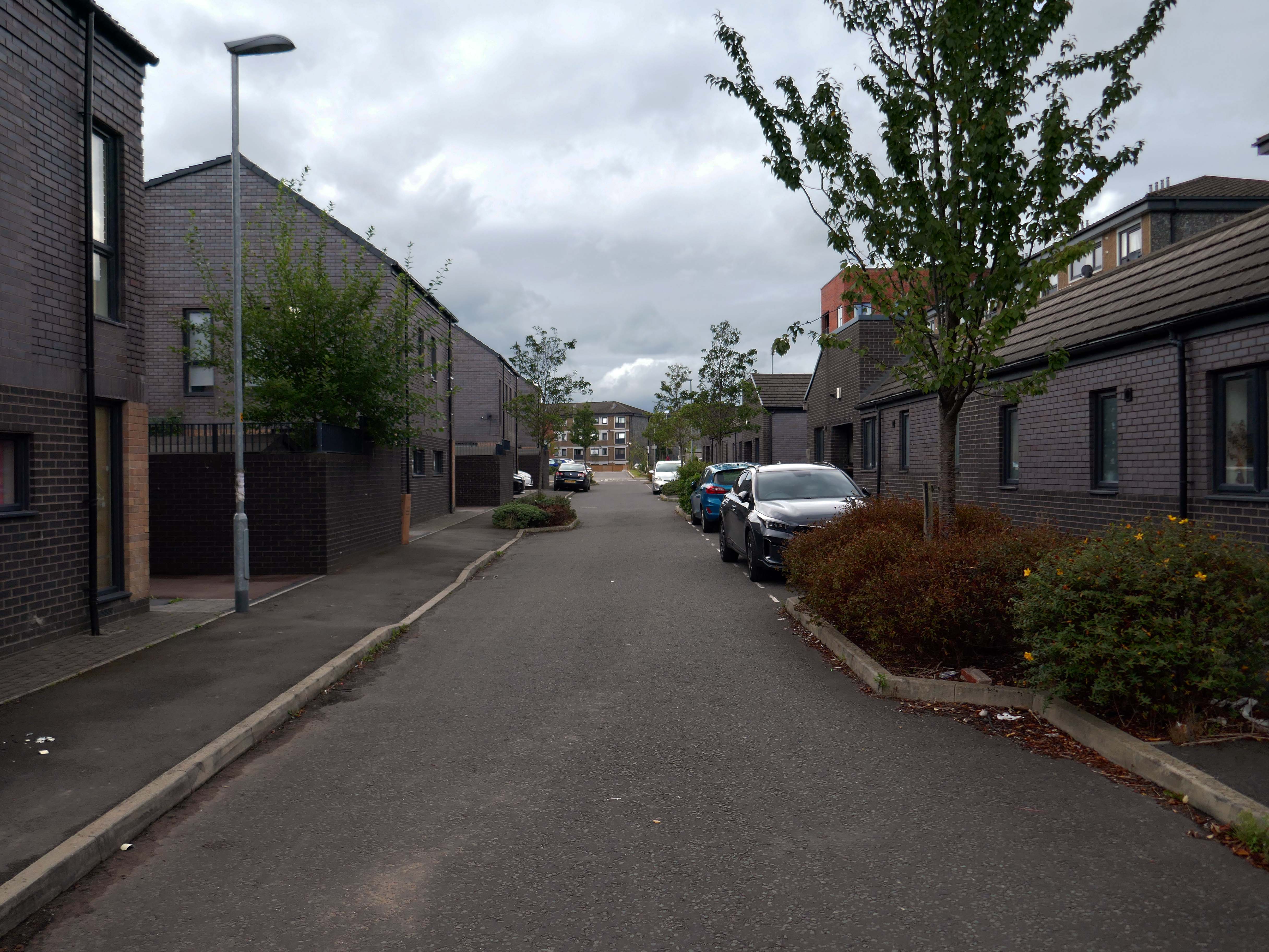
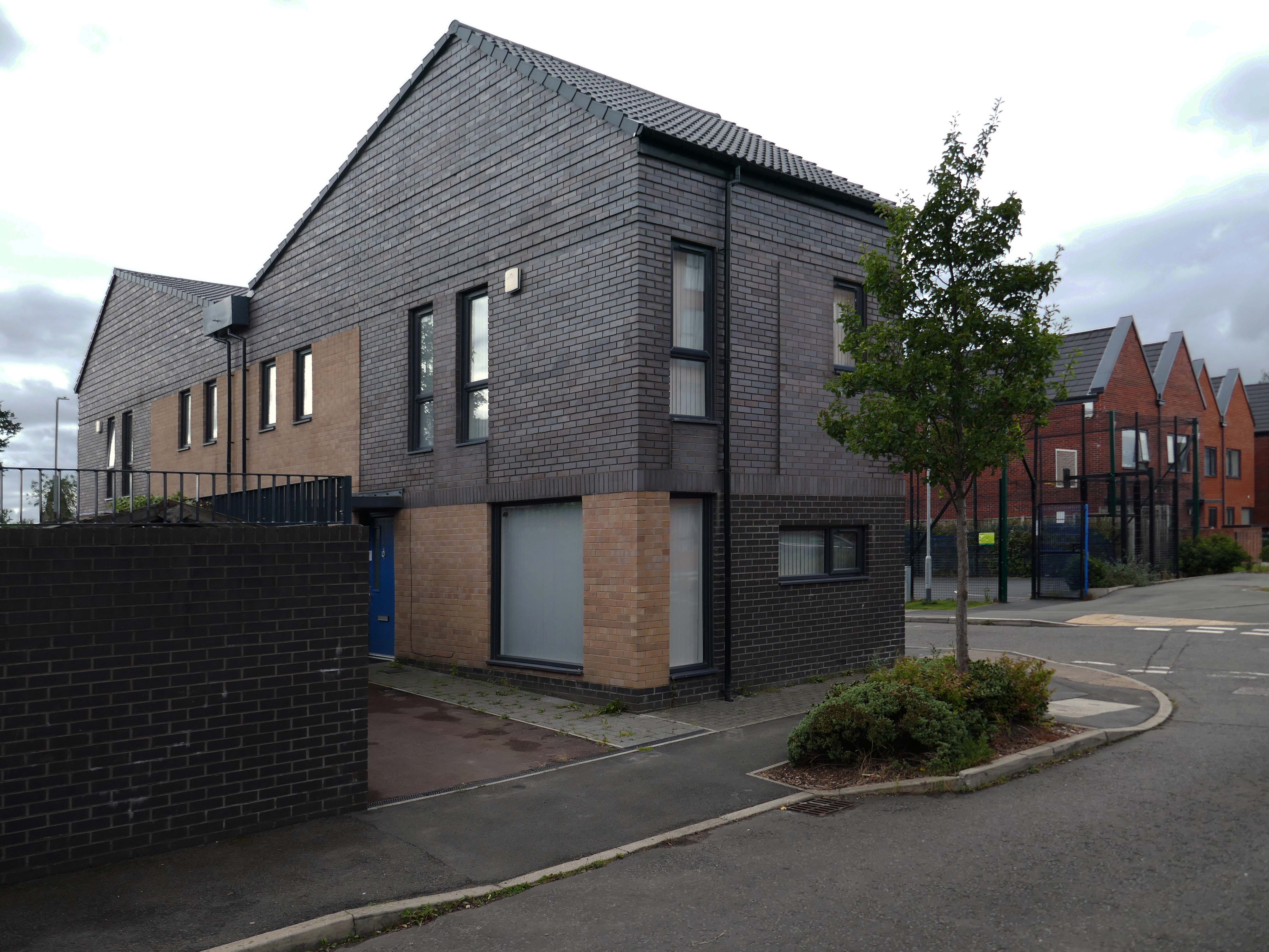
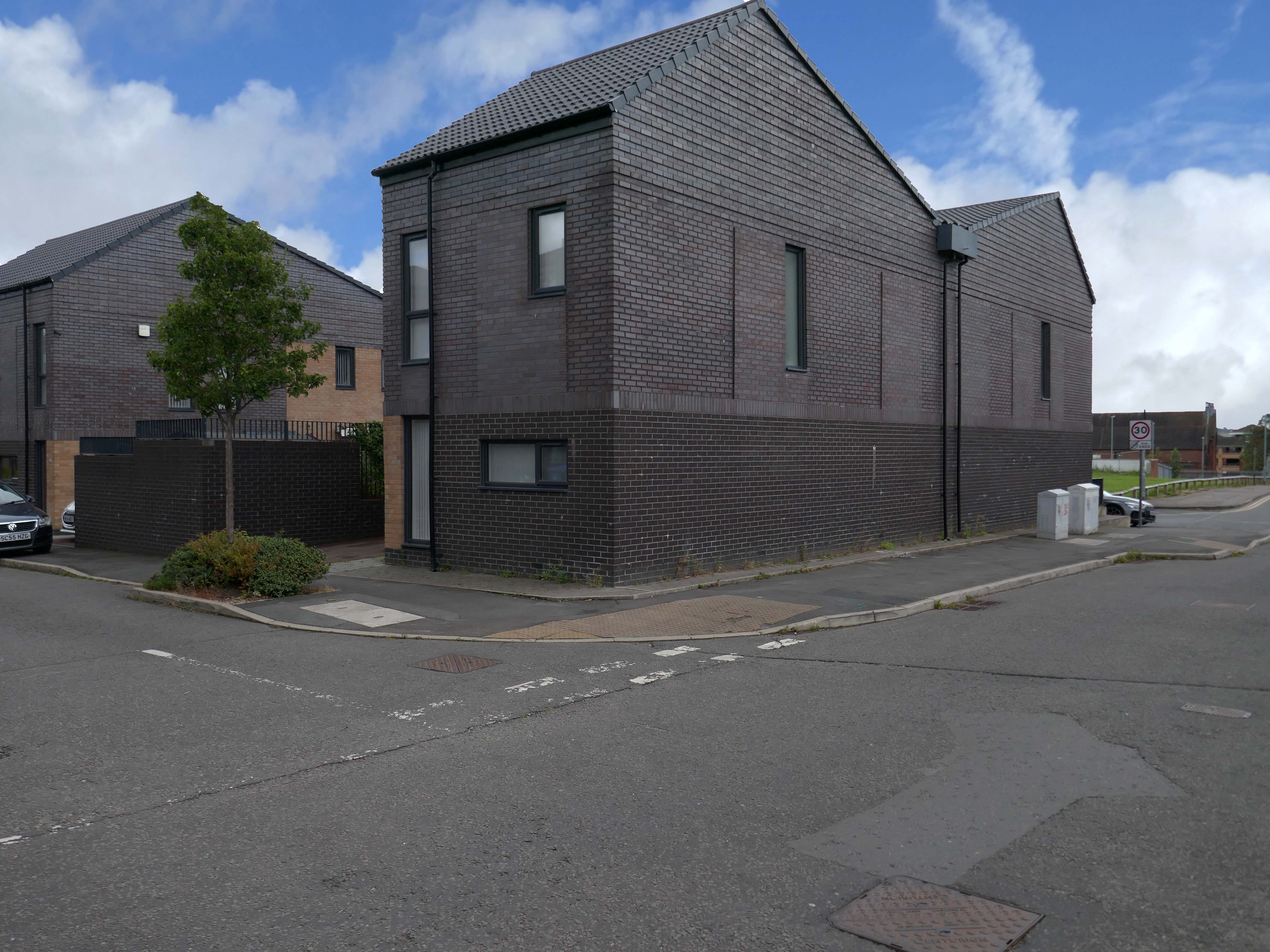
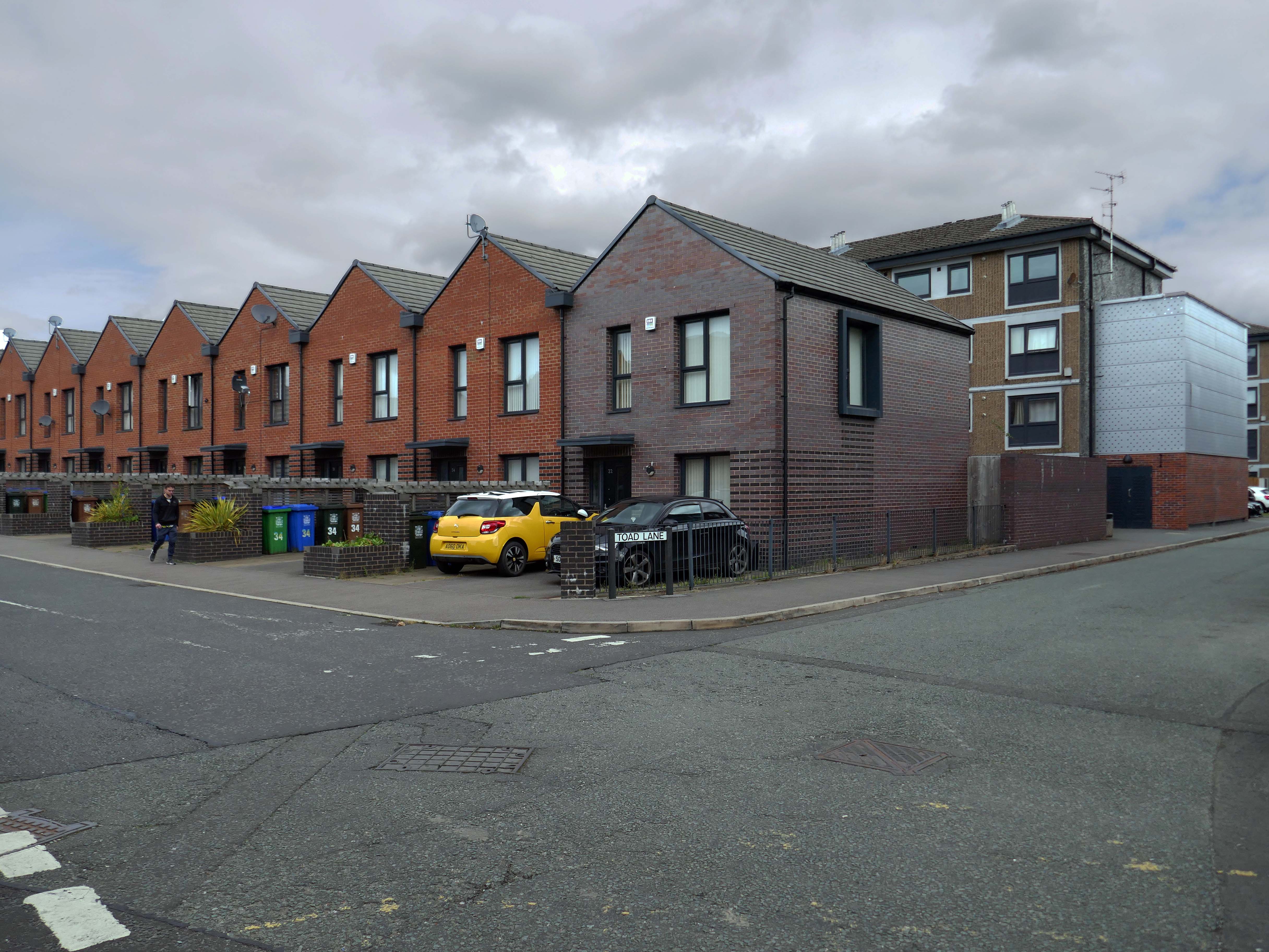
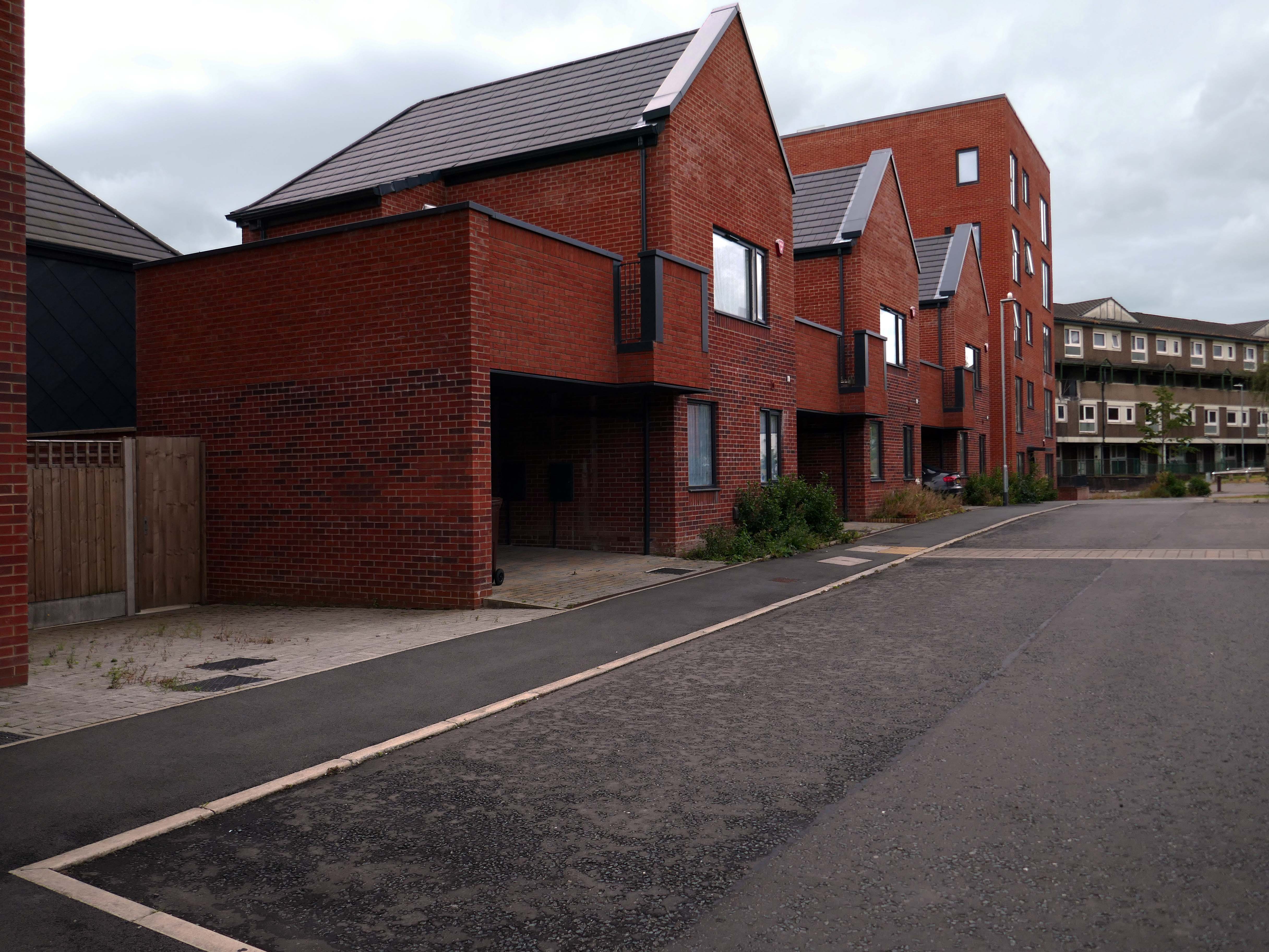
Tucked in behind the Telephone Exchange are several streets of Edwardian social housing – the Spring Gardens Scheme of 1905.
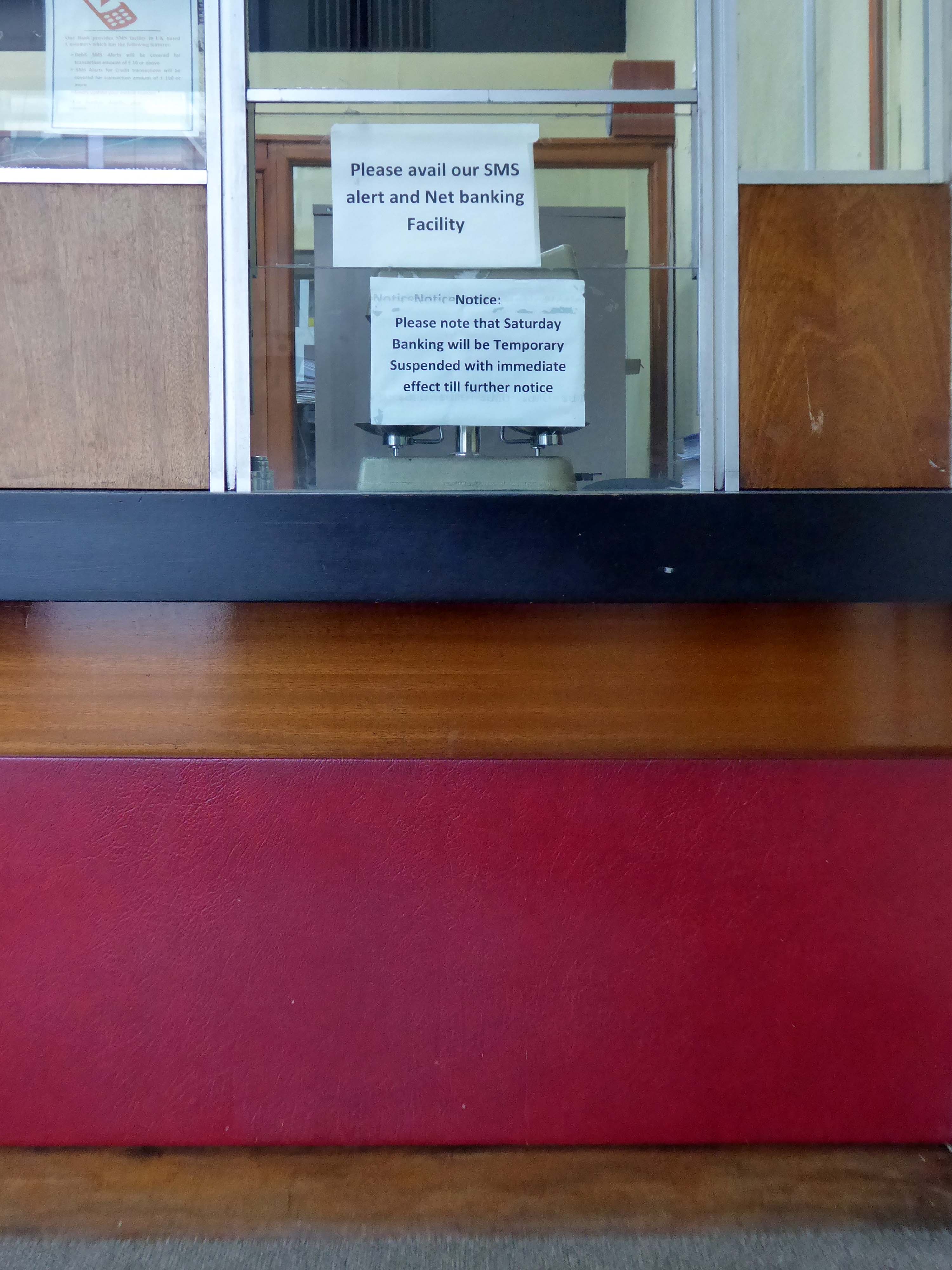
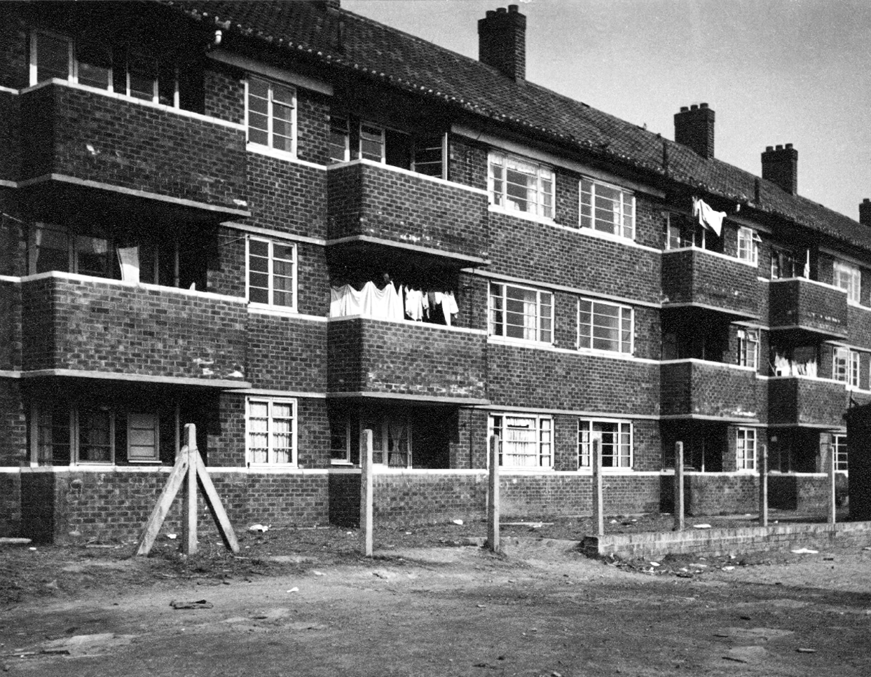
The property is practically paying its way, and all the present generation has to find is a small sum of ninety odd pounds for sinking funds. For this we get fifty-nine families decently housed, the rateable value of the town increased, a slum abolished, an eyesore removed, the health of the inhabitants remarkably improved, their environment made clean, refined, and elevating, whilst our successors in 1959 will inherit an unencumbered estate.
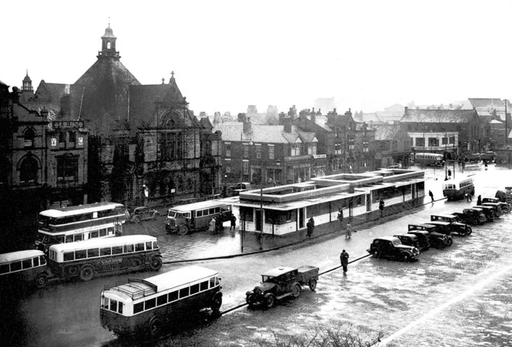
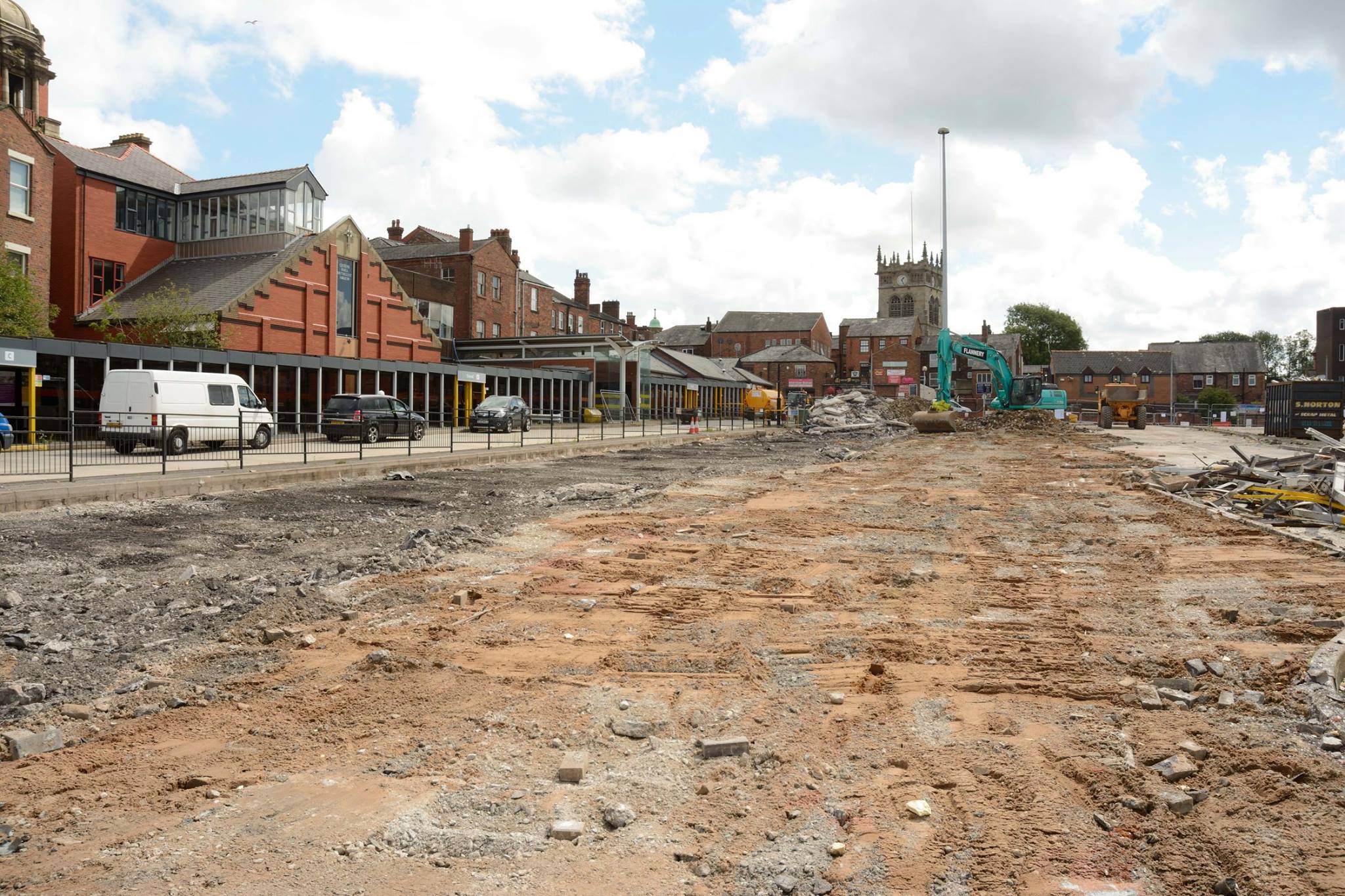
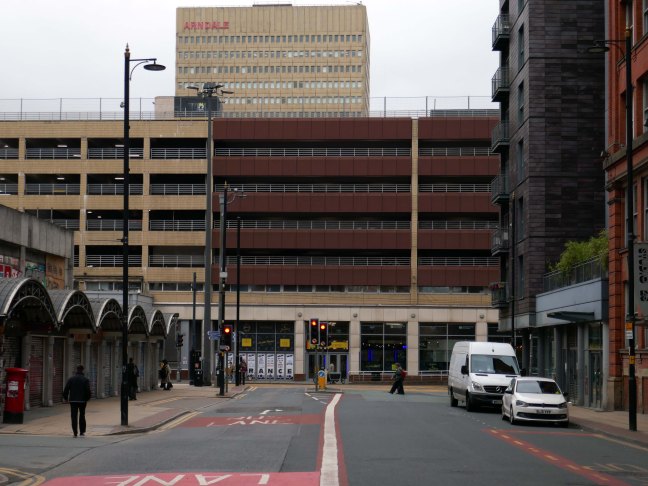
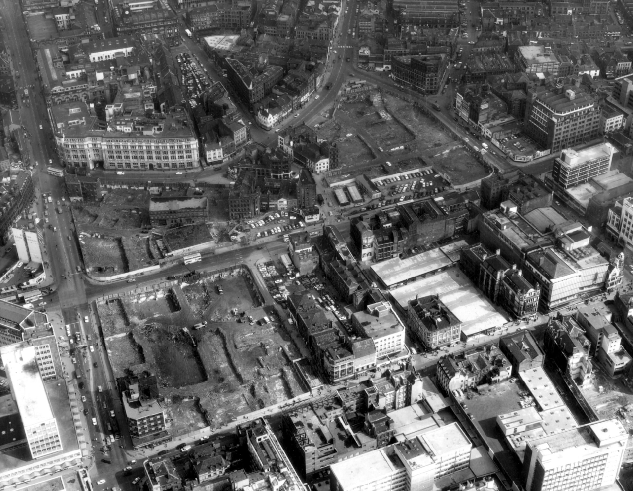
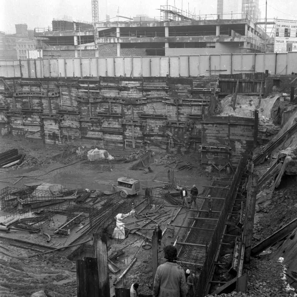
It was demolished in 1985 as part of a wider redevelopment of the town centre to make way for the Galleries Shopping Centre. A new bus station, built at a cost of £2.3 million, began construction in April 1986, and opened in November 1987.
Wikipedia
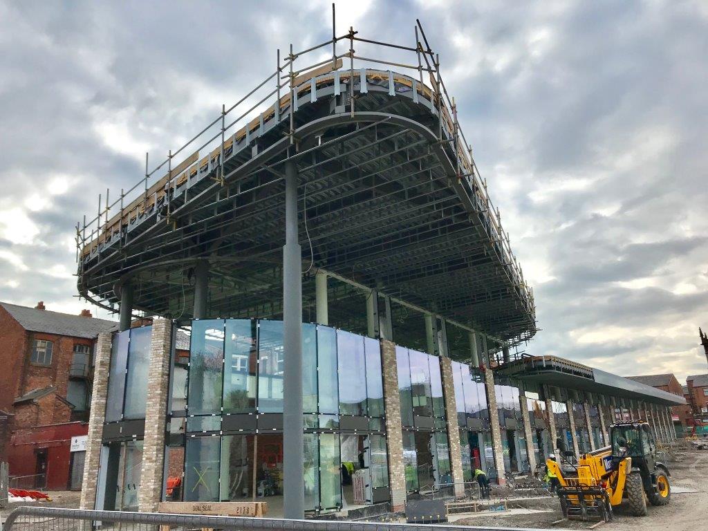
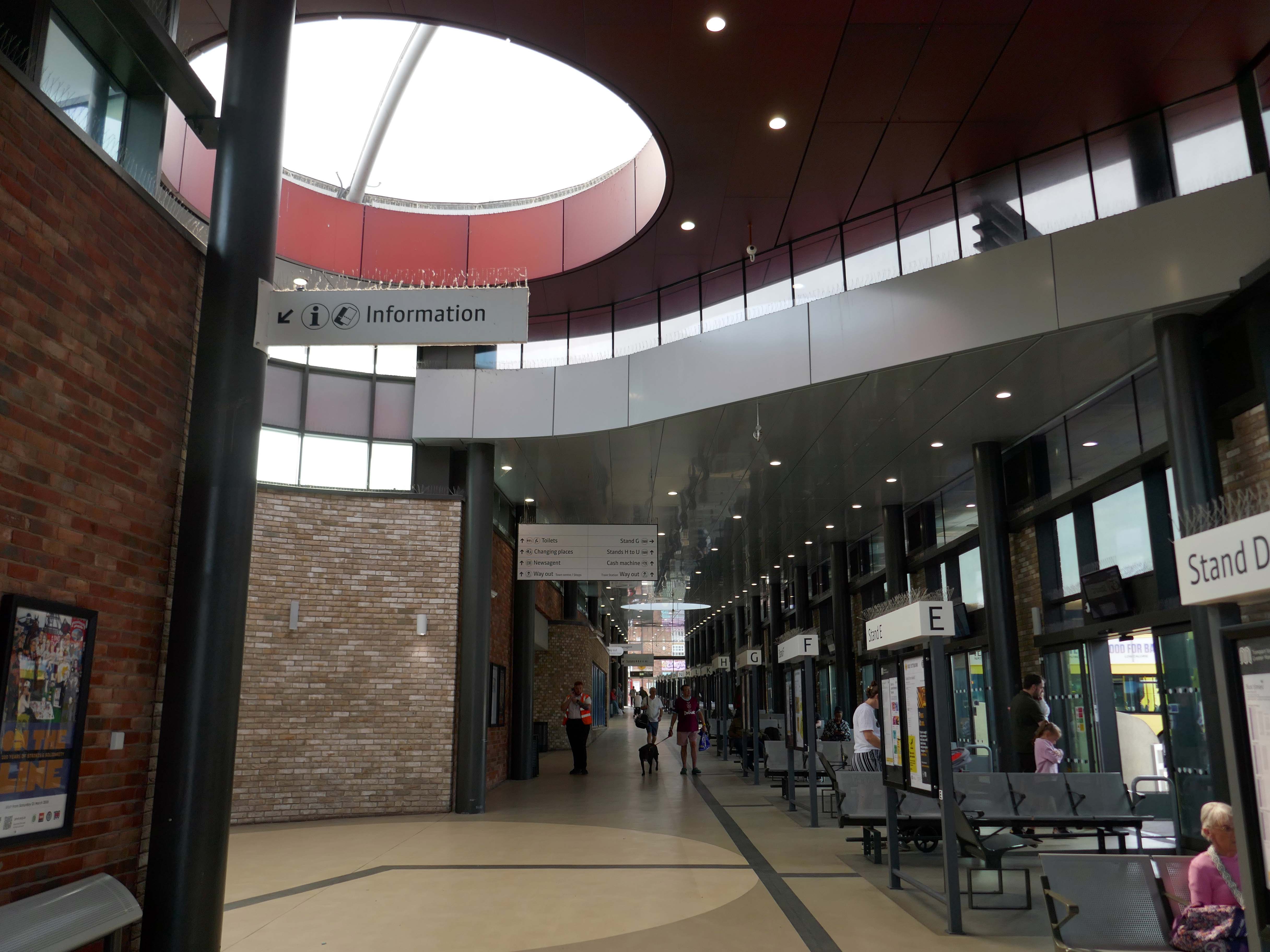
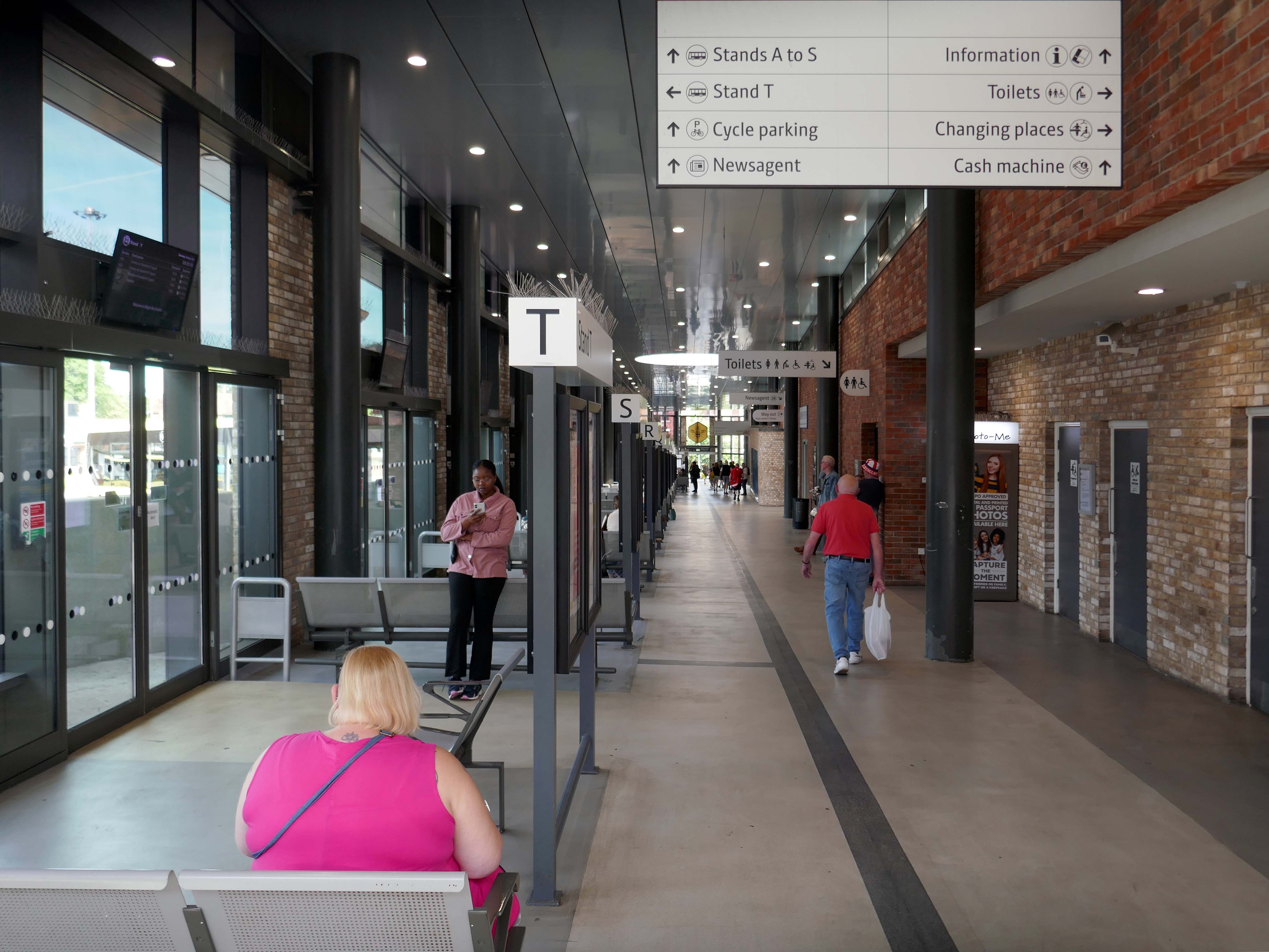
Transport for Greater Manchester commissioned Austin-Smith:Lordto design a replacement nineteen stand £15.7m bus station in Wigan Town Centre, the project was completed in October 2018.
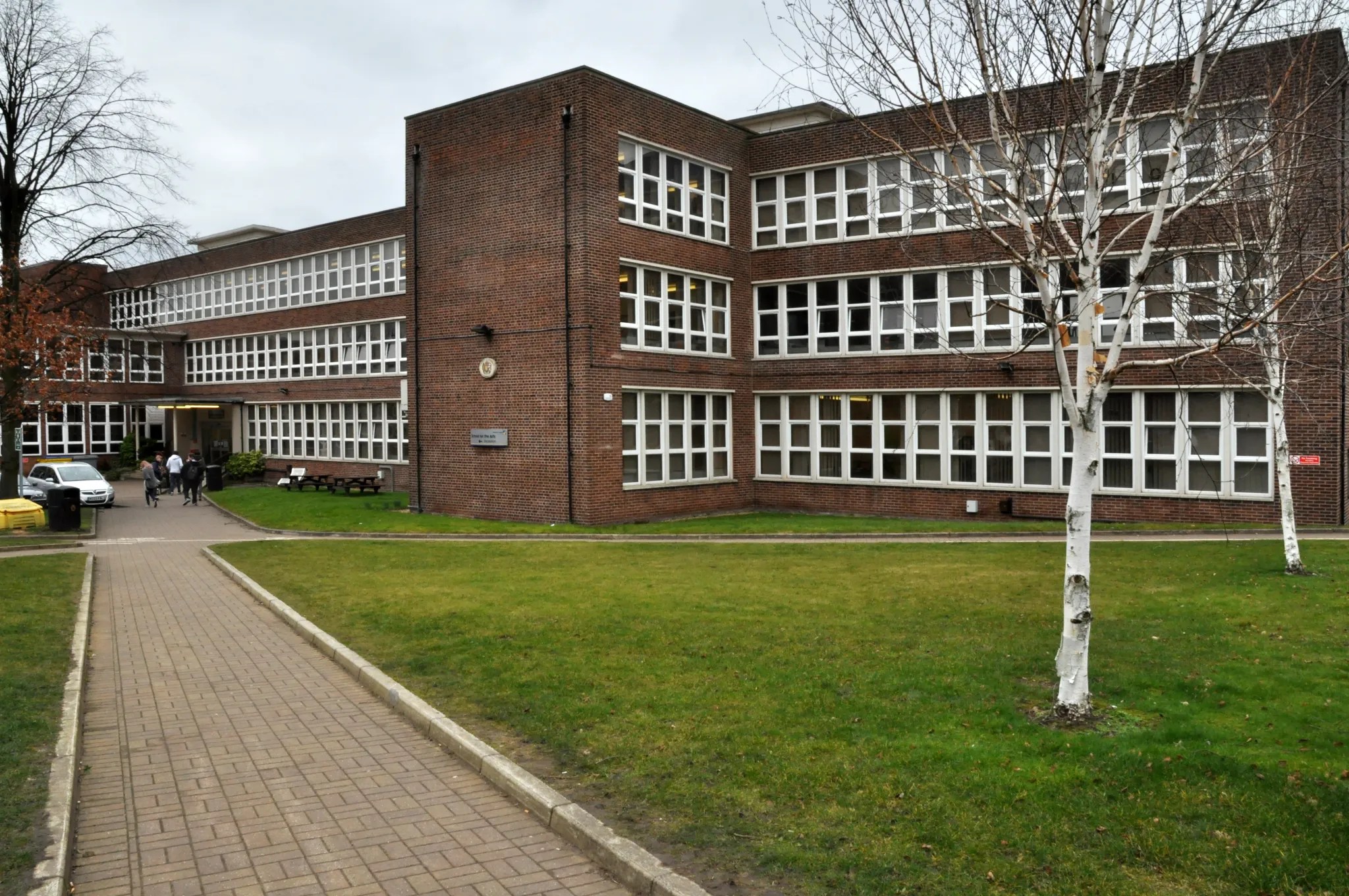
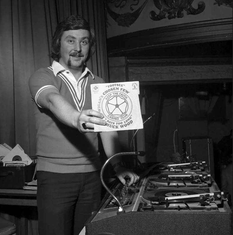
DJ Russ Winstanley was a former pupil, here he is in 1975 at the Wigan Casino holding up a copy of Footsee by Wigan’s Chosen Few b/w Seven Days Too Long by Chuck Wood.
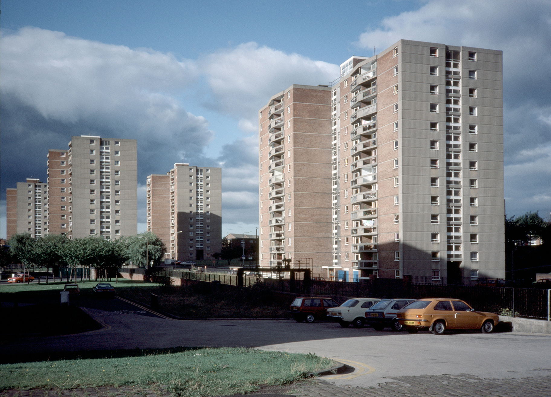
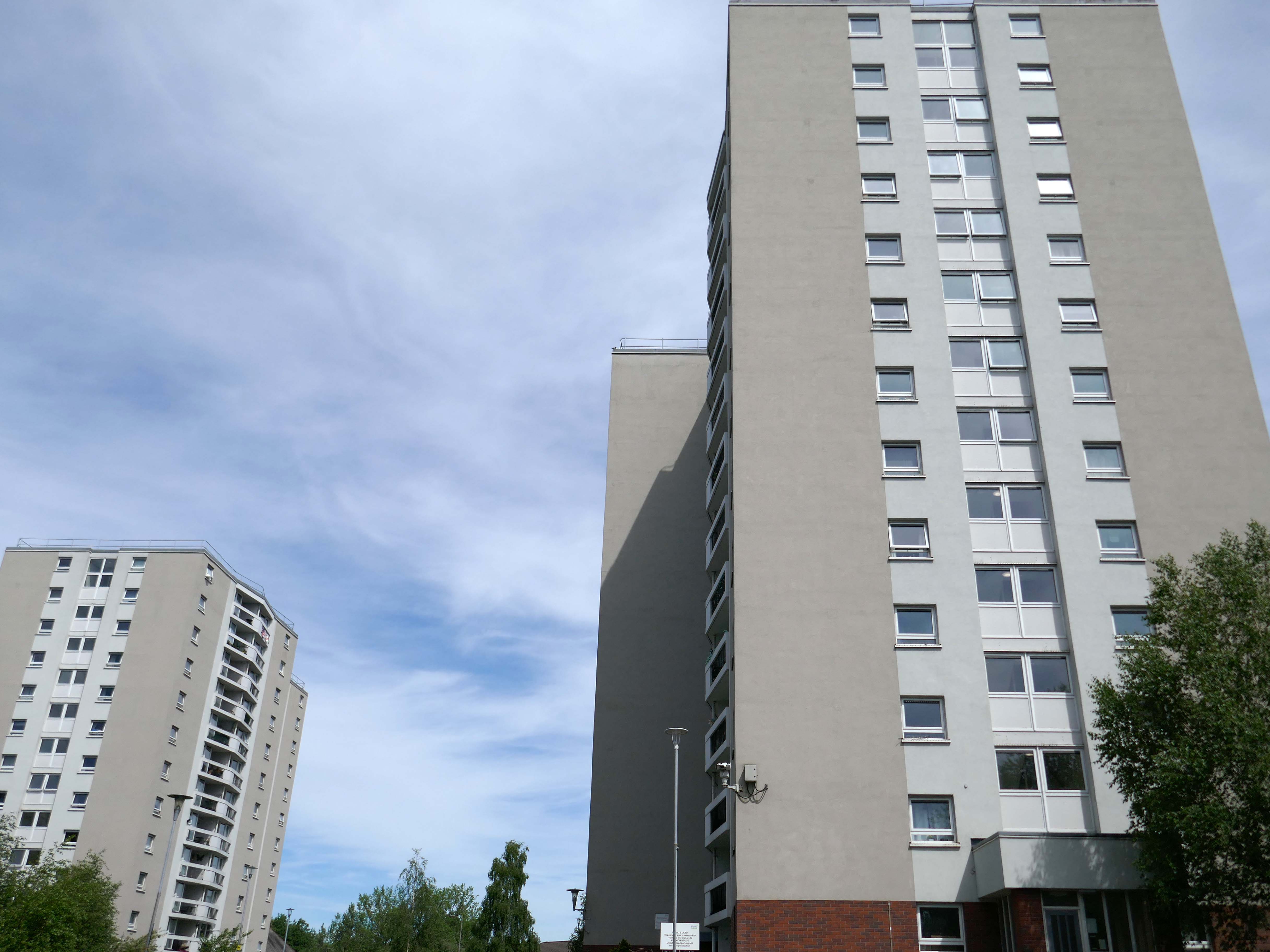
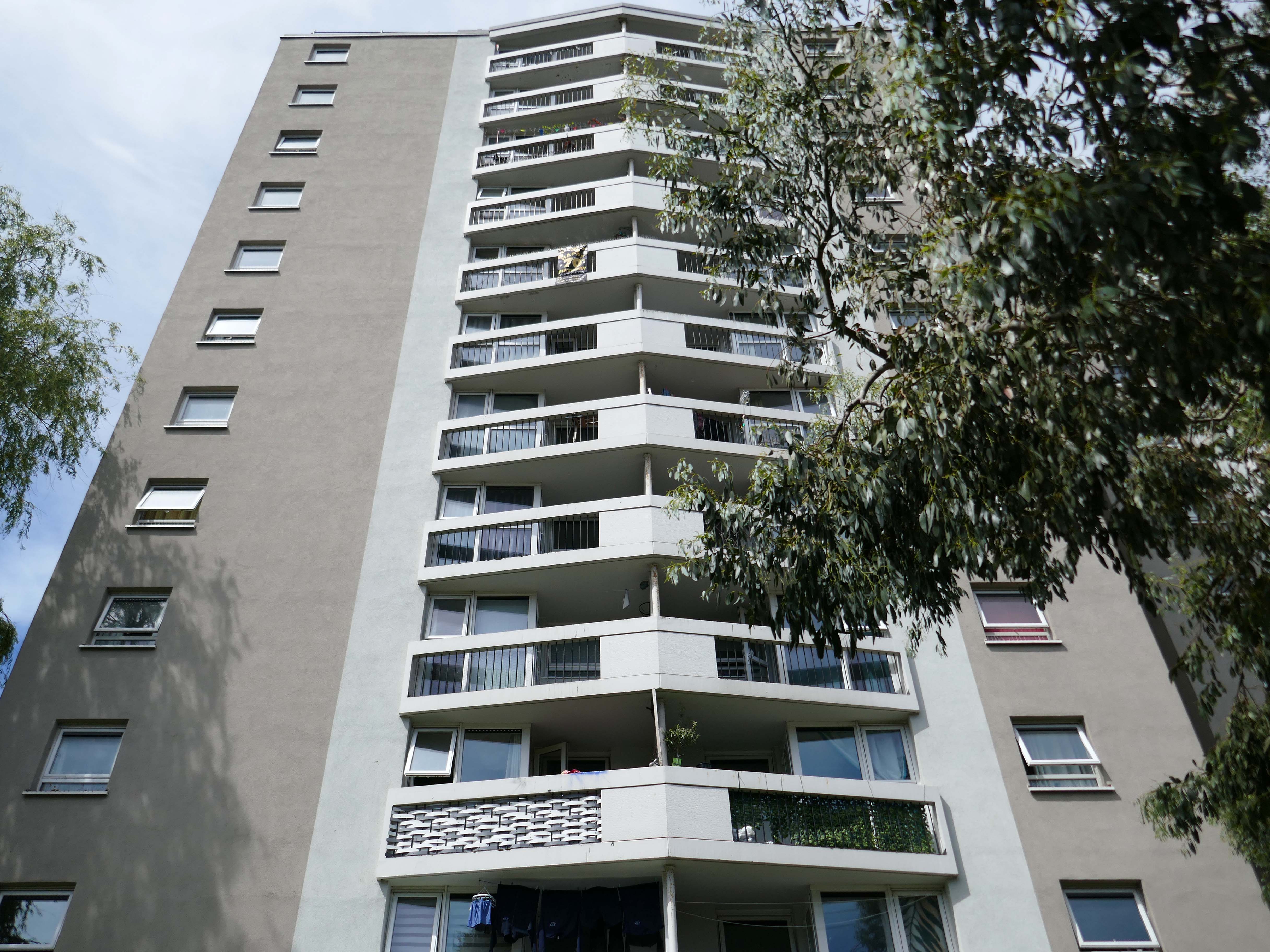
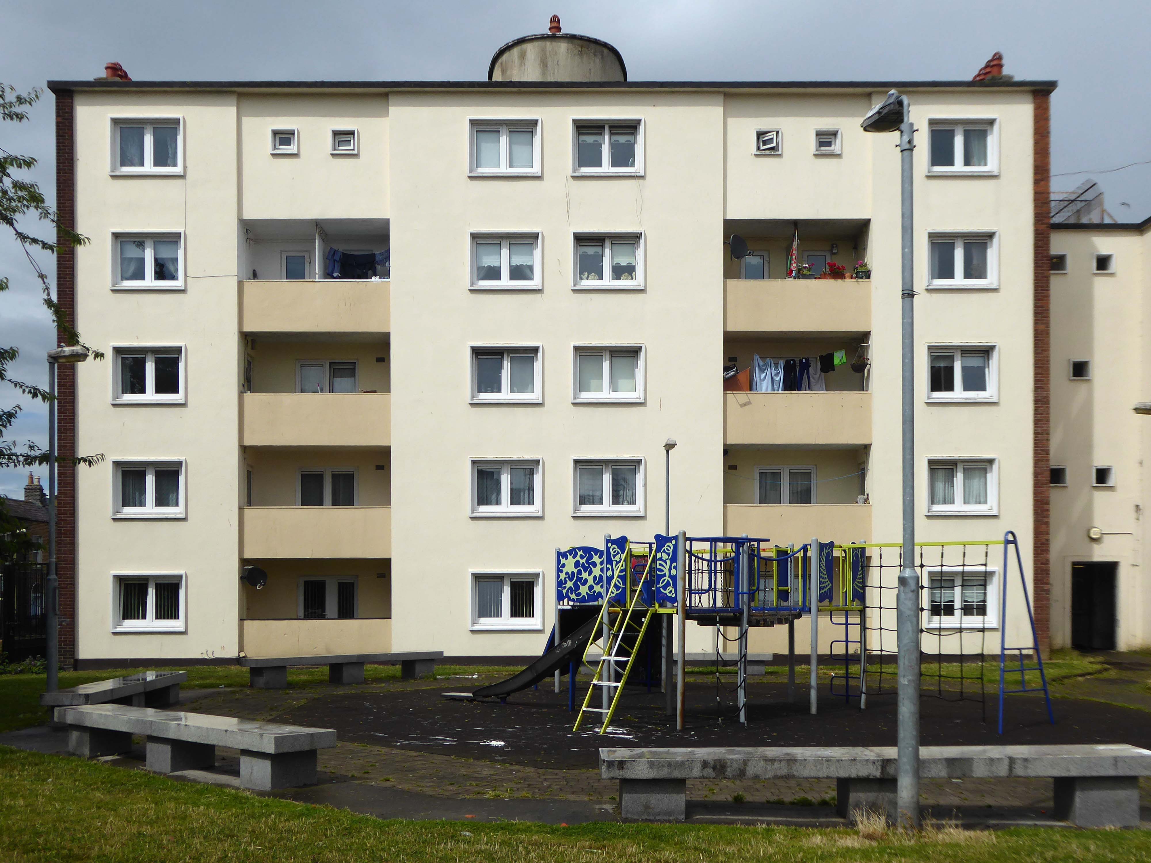
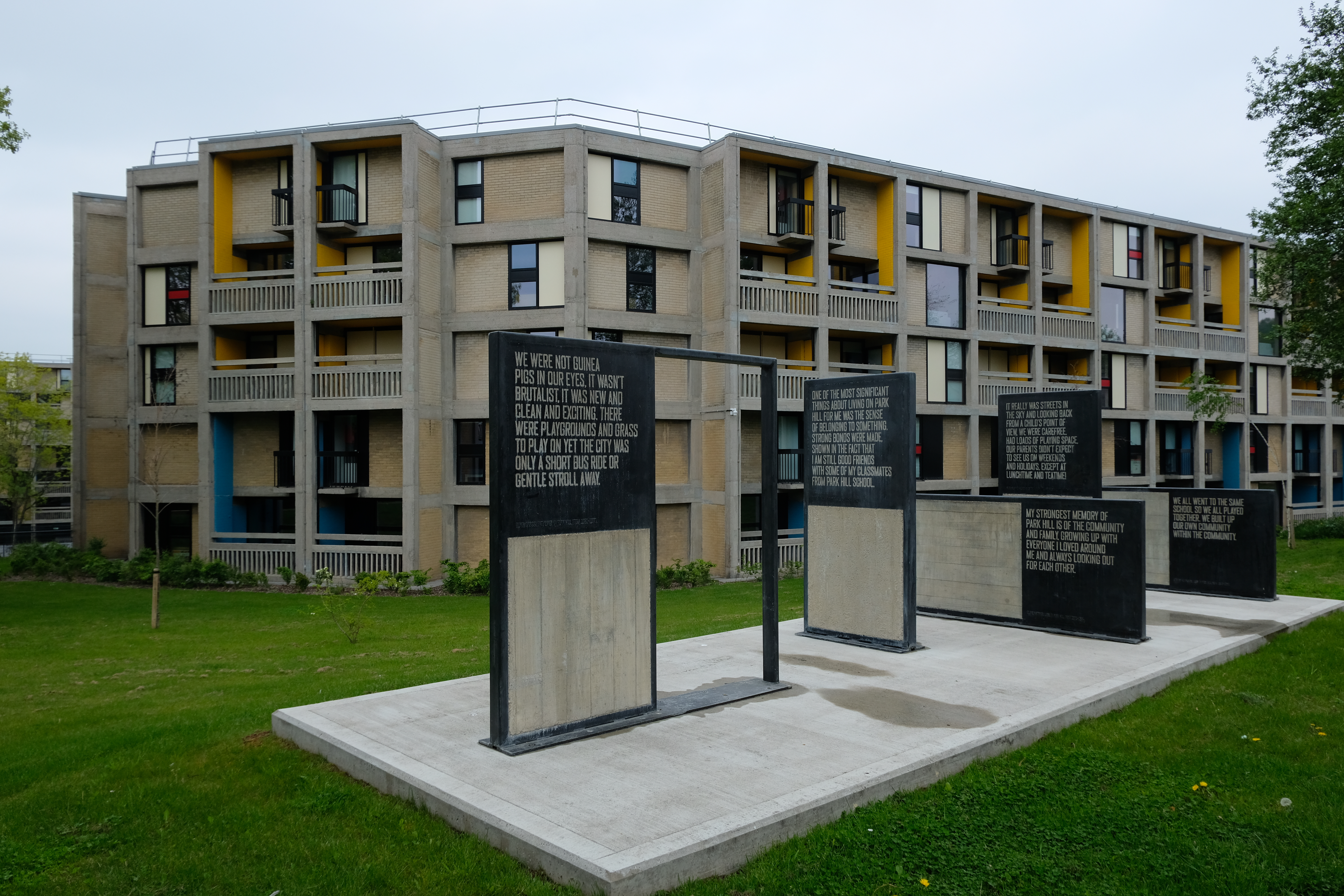
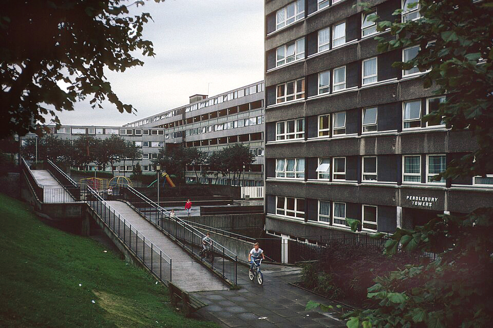
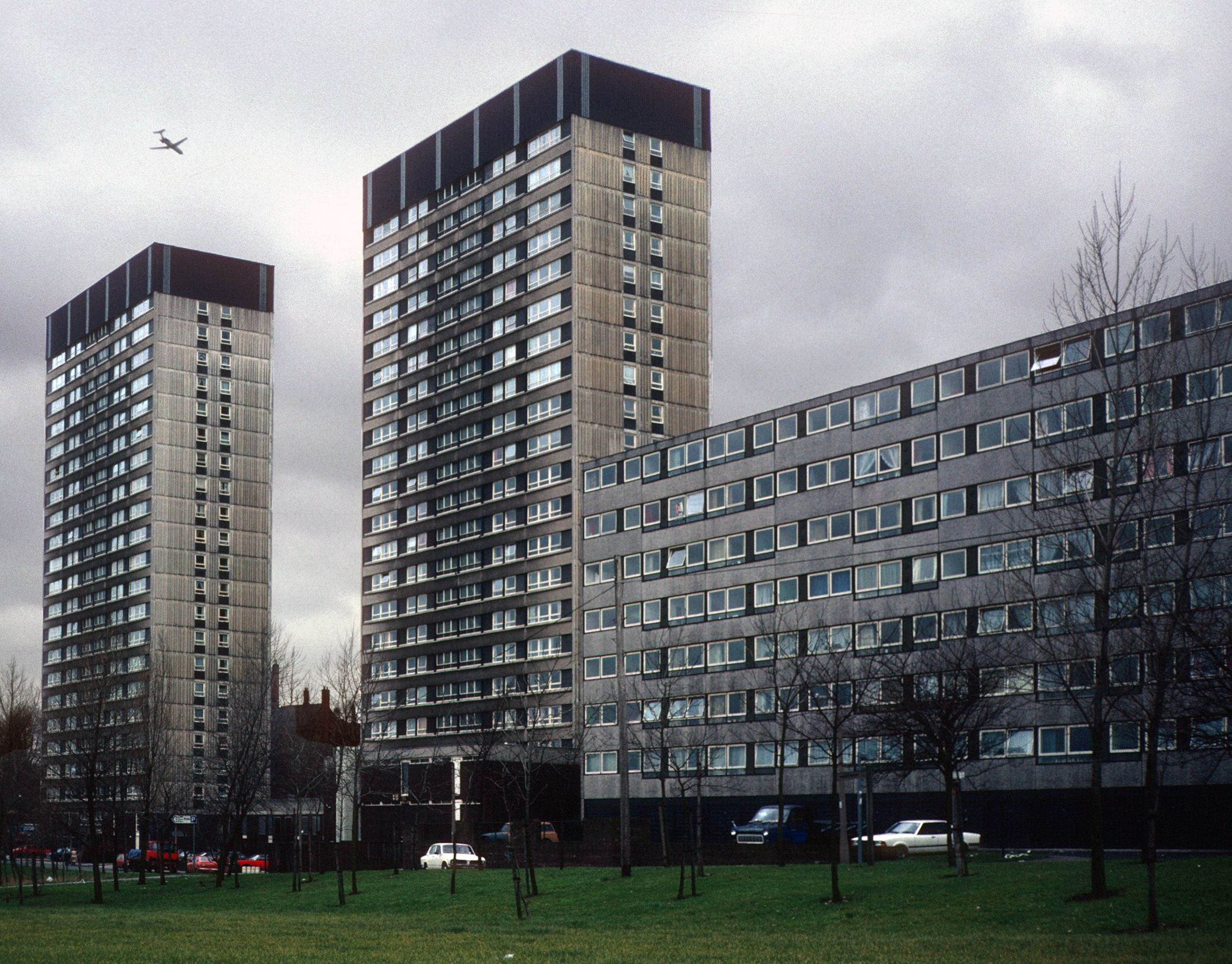
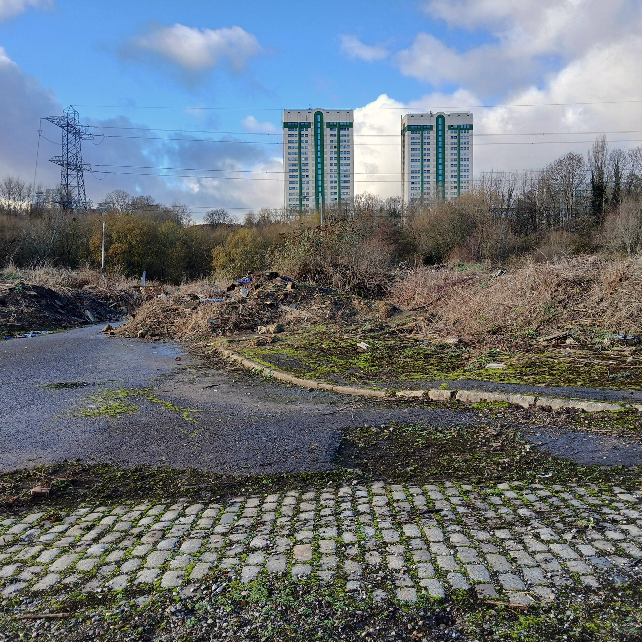
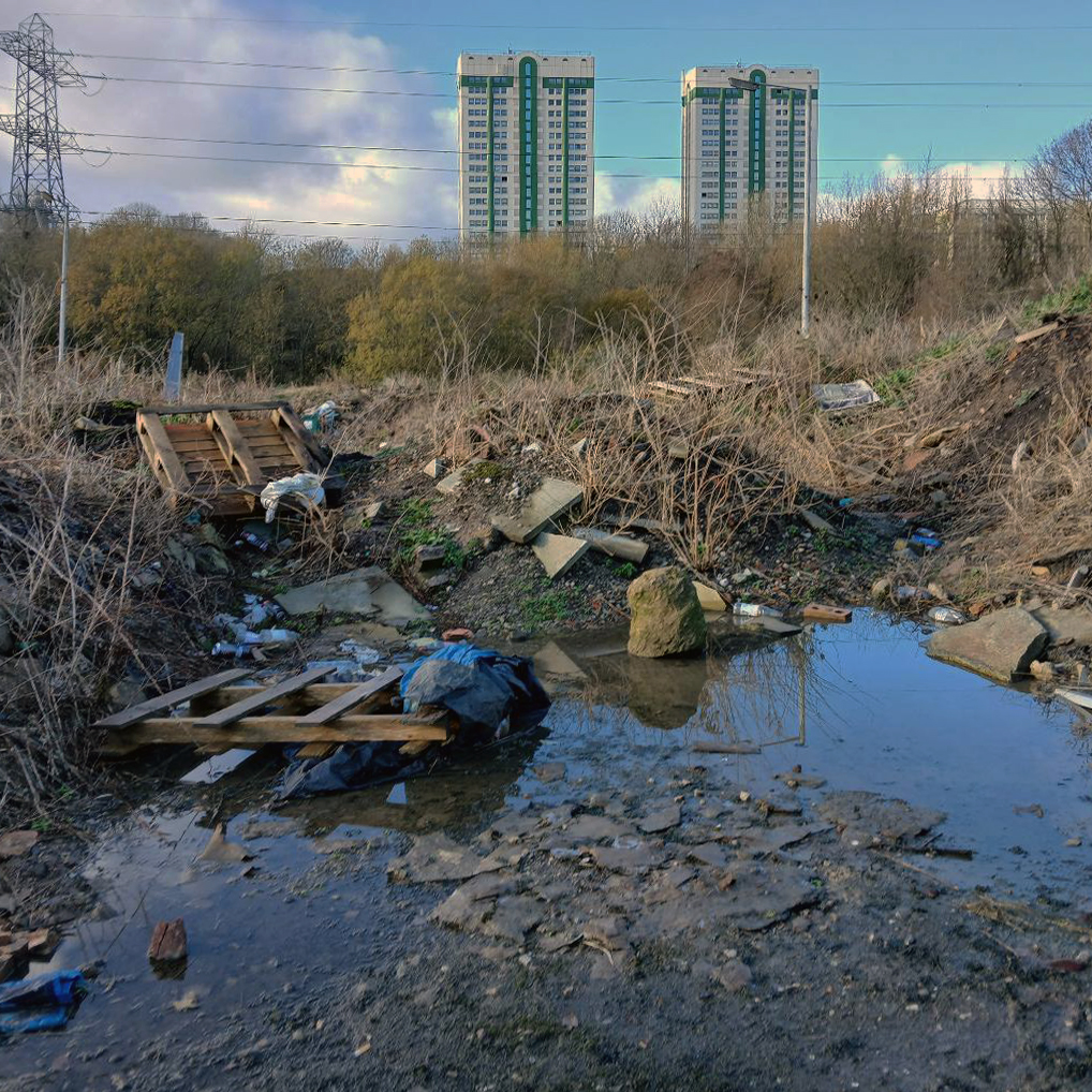
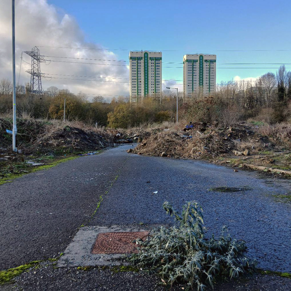
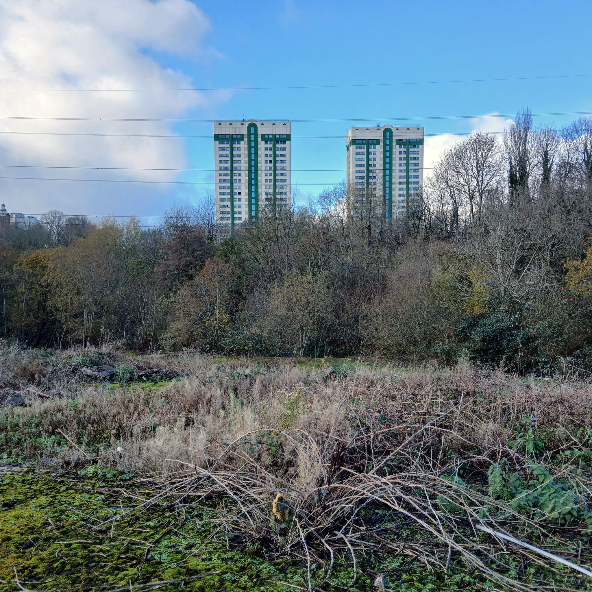
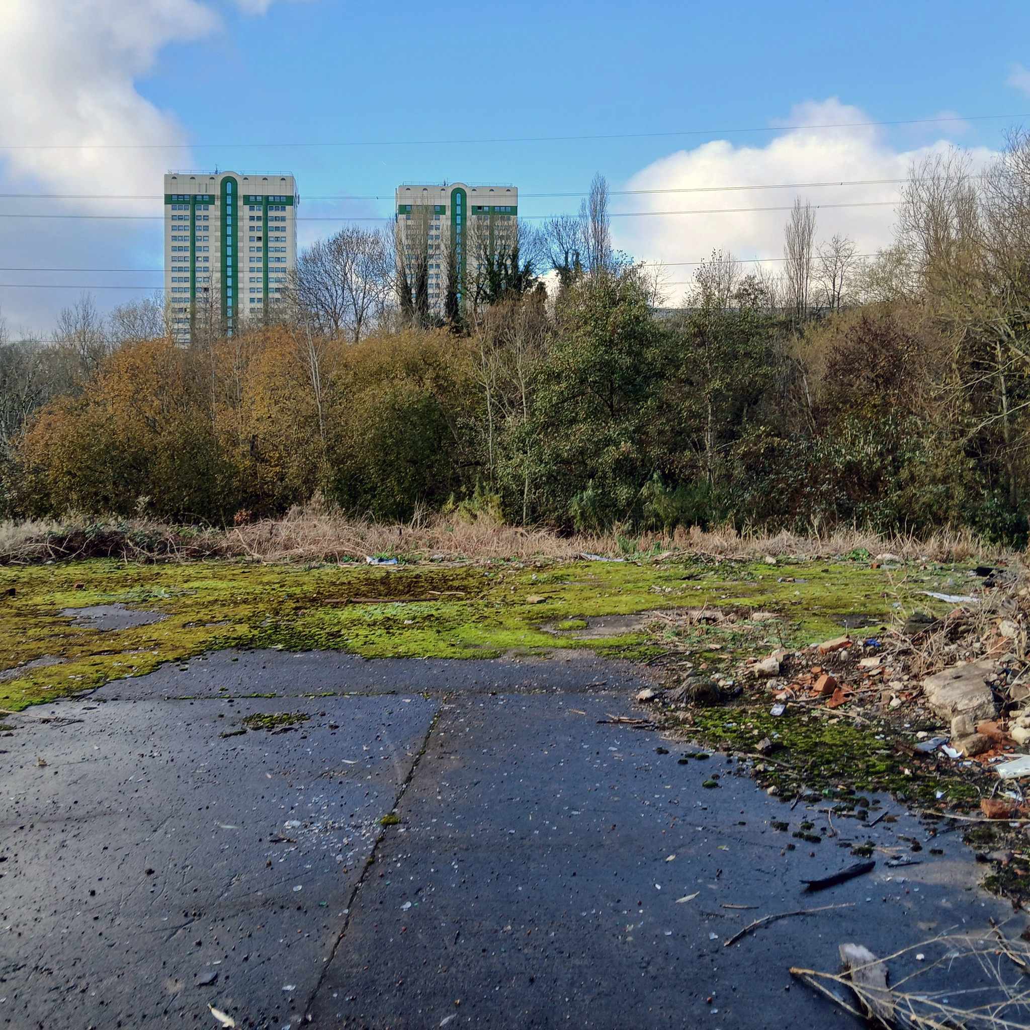
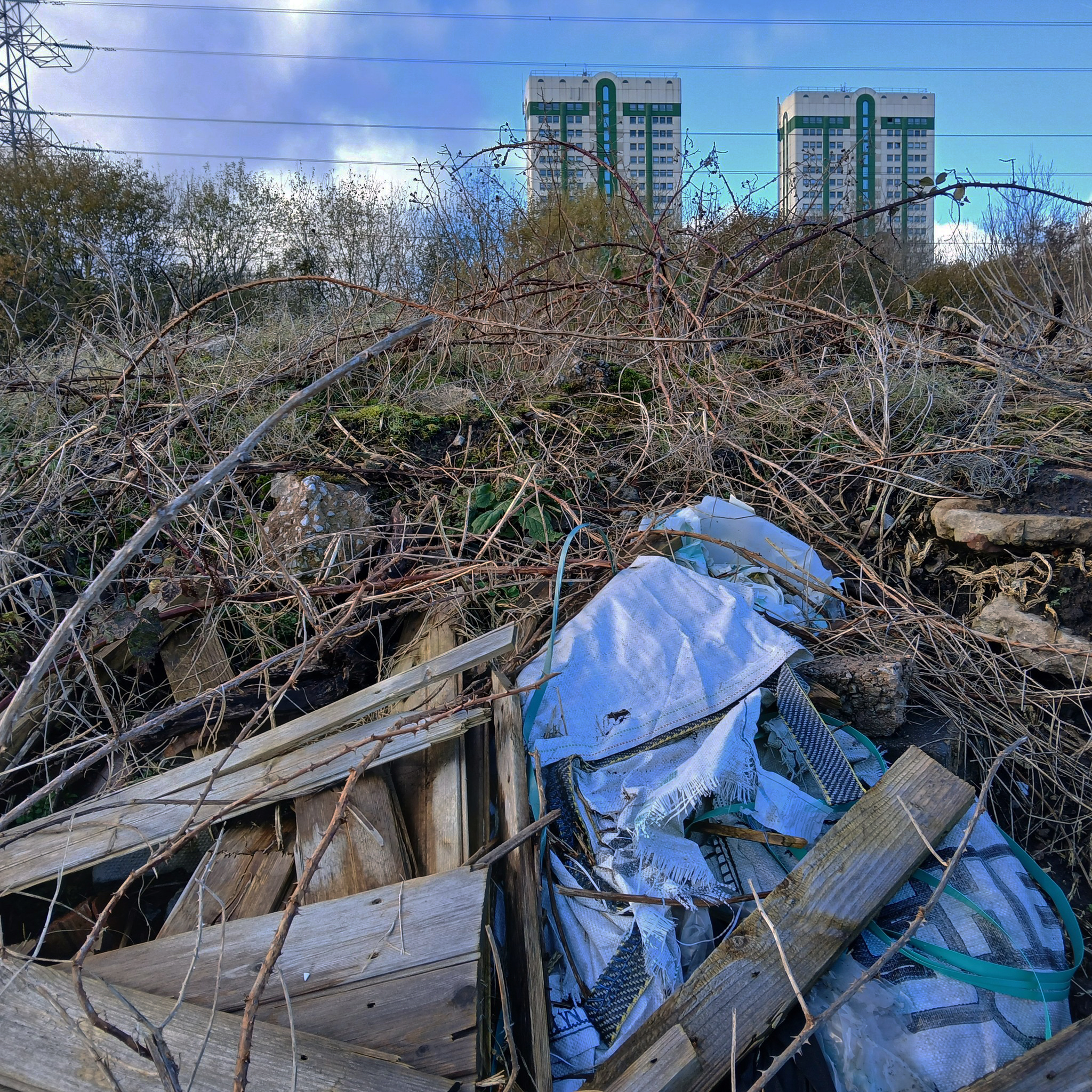
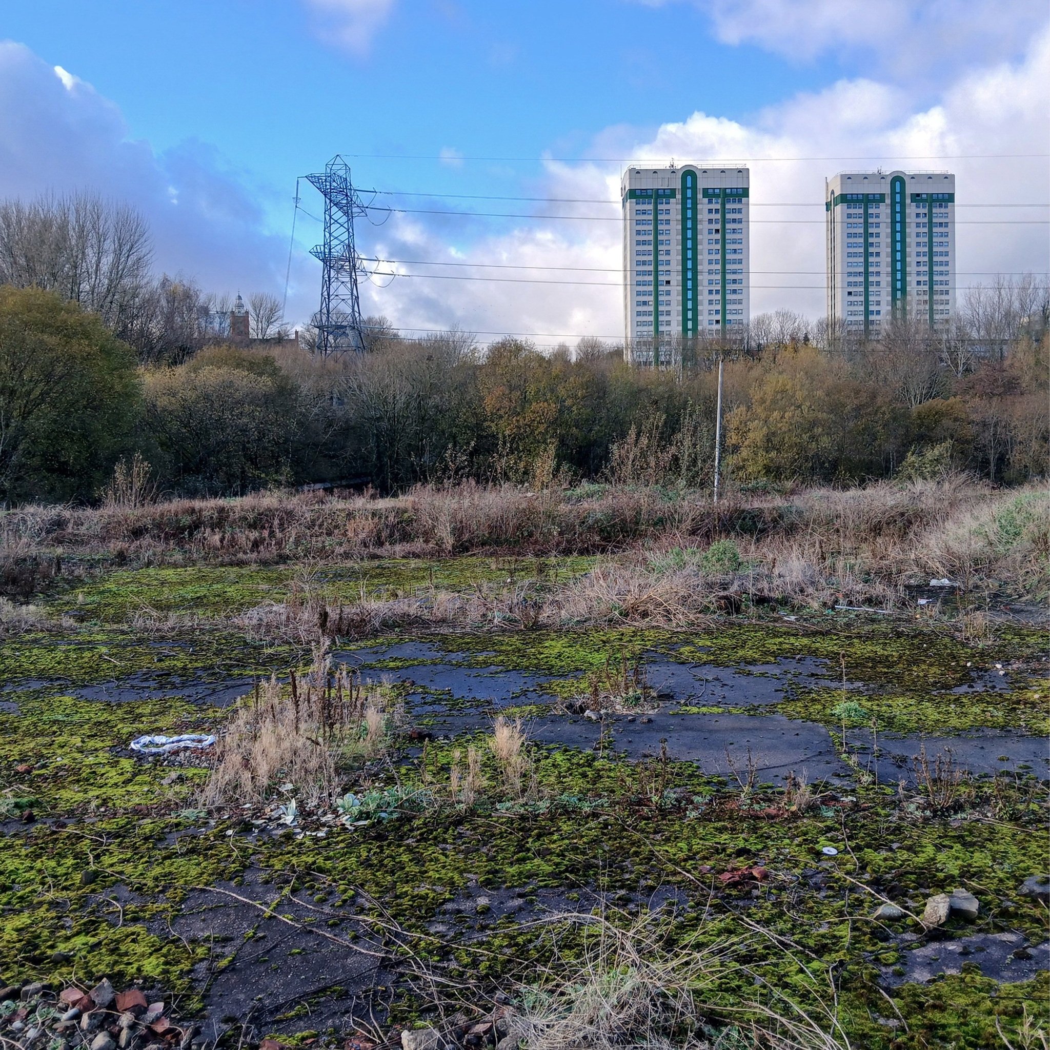
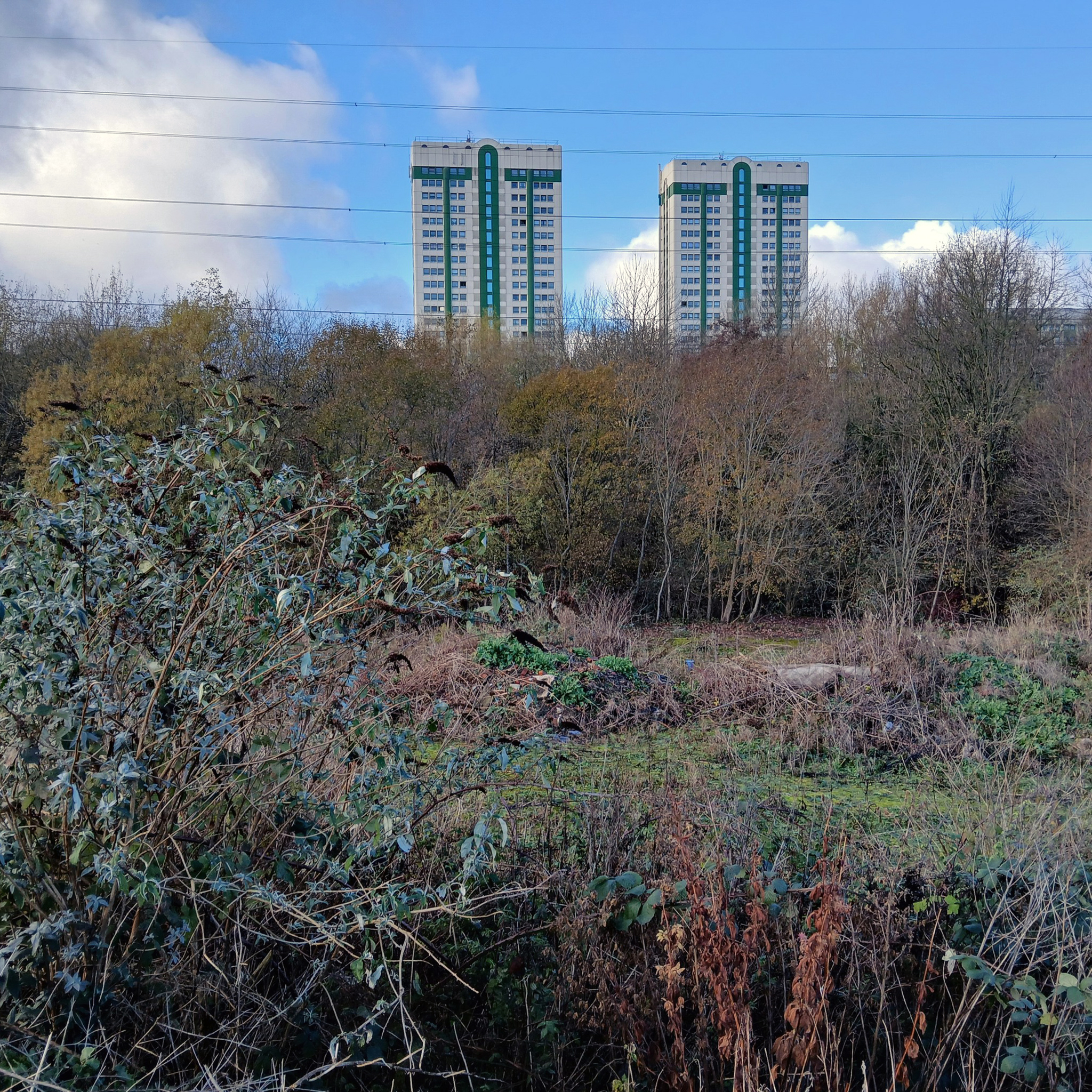
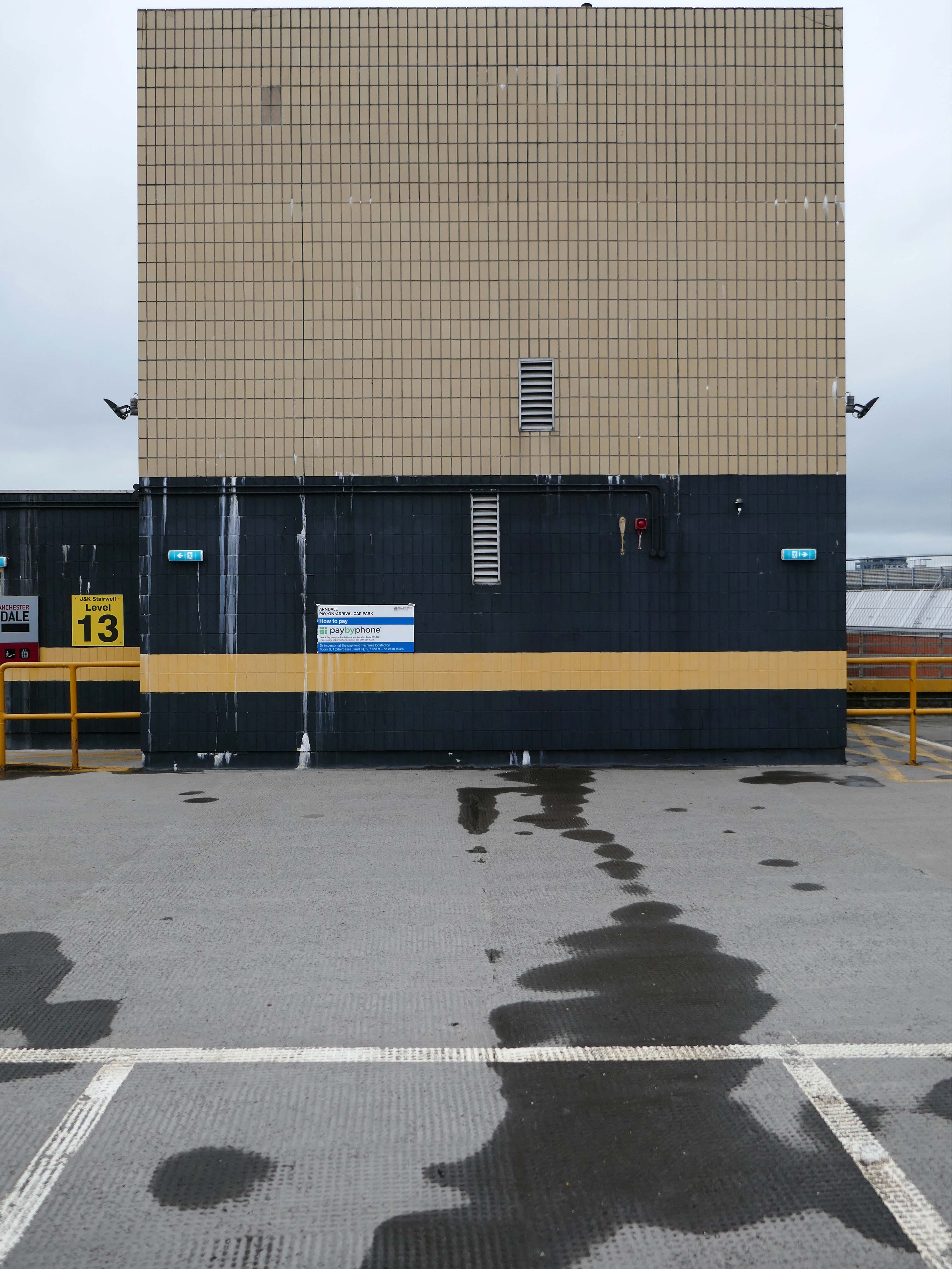
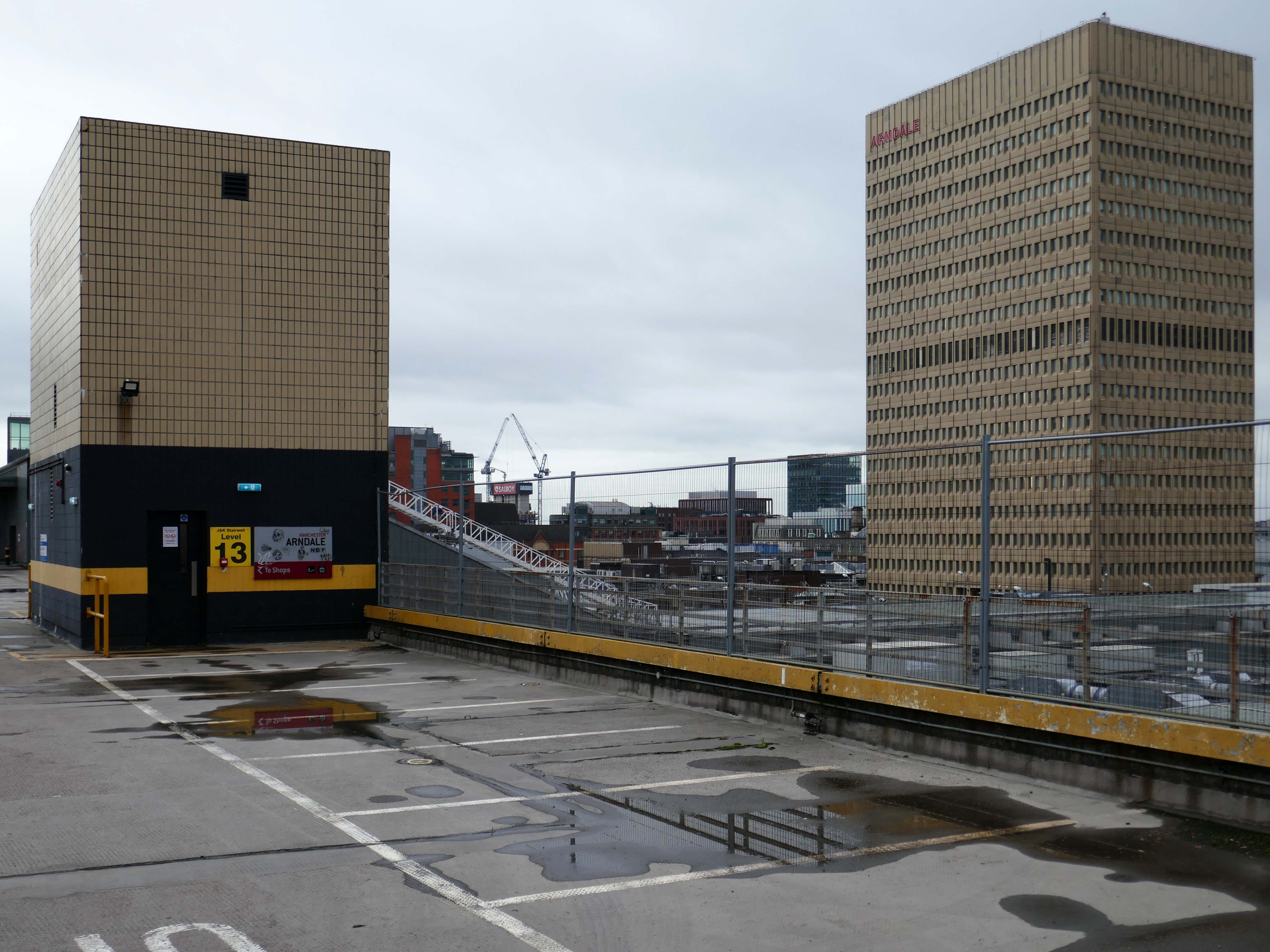
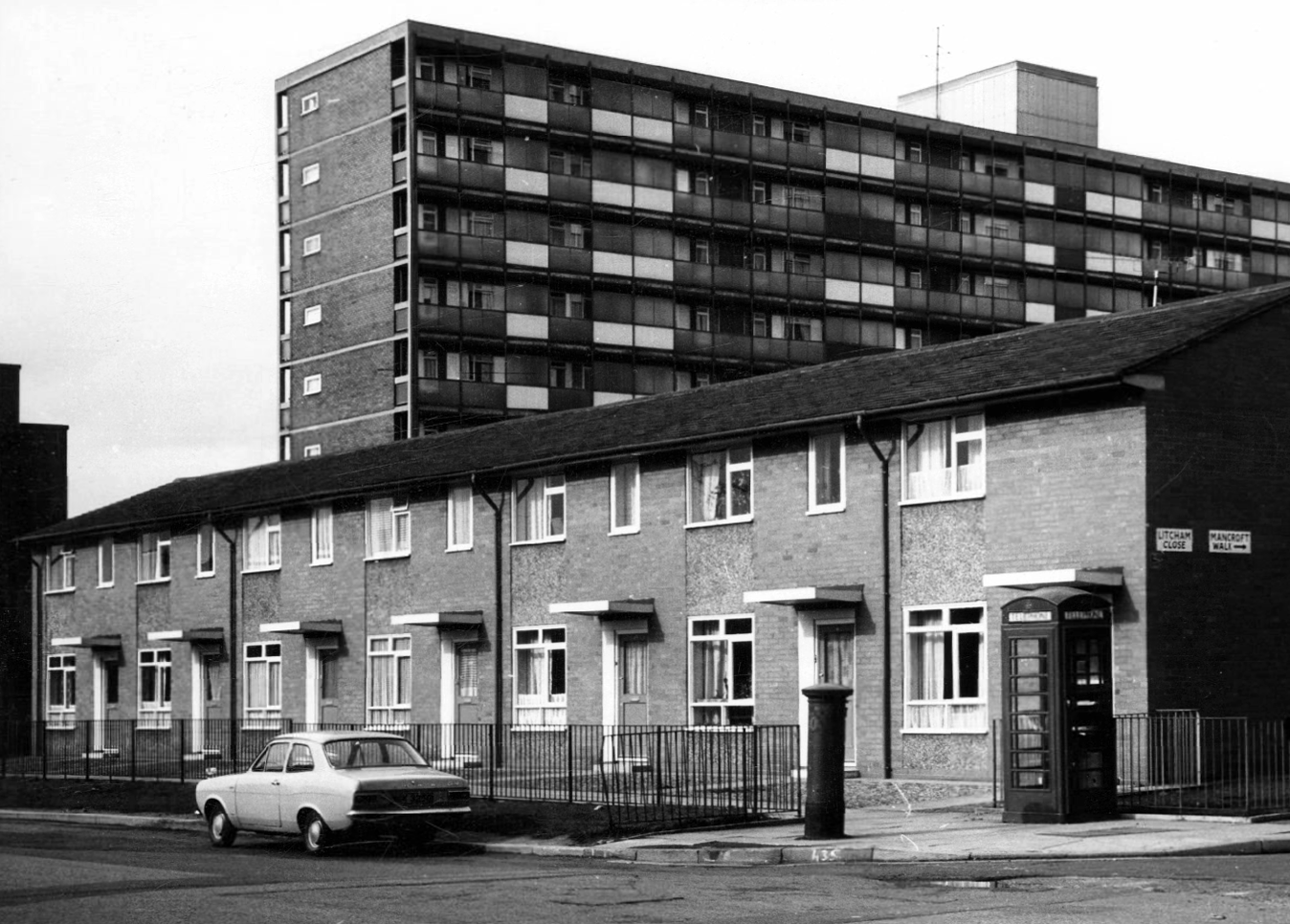
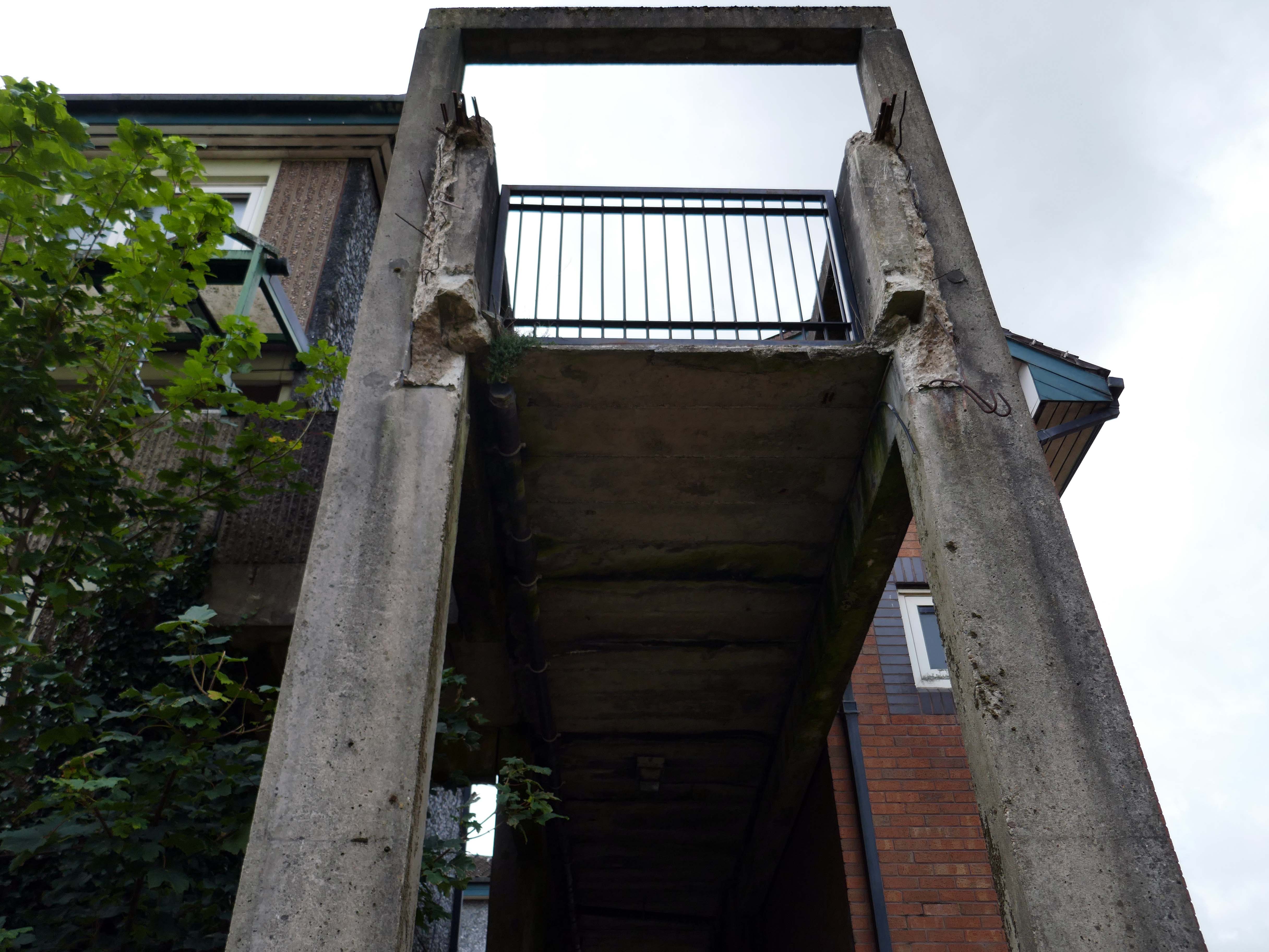
Across the way to Scholes Comprehensive Development 1964
Five thirteen-storey tower blocks adjacent to Douglas House in Scholes were approved in 1964. Lower-rise housing and flats spread to the east. In 1968, a further 13-storey block, Boyswell House, was built at this eastern end of the Scholes Comprehensive Development Area. Almost 500 slum houses, housing 566 families, were demolished that same year and 581 new council homes completed.
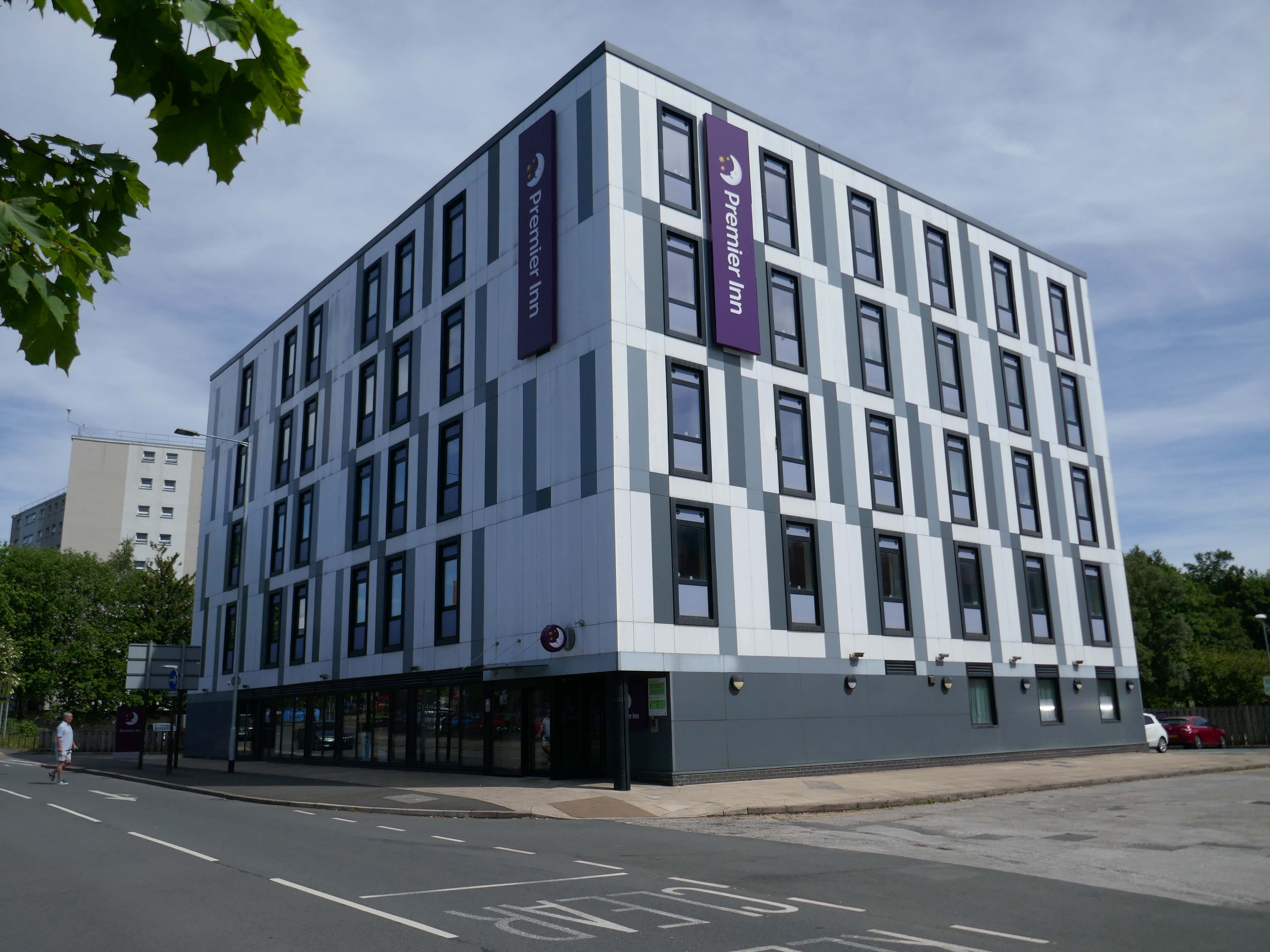
Next to the Roger Booth cop shop that became a Premier Inn.
A super-comfy bed, blackout curtains, a powerful shower and free Wi-Fi – our double rooms have everything you’ll need for a great night’s sleep.
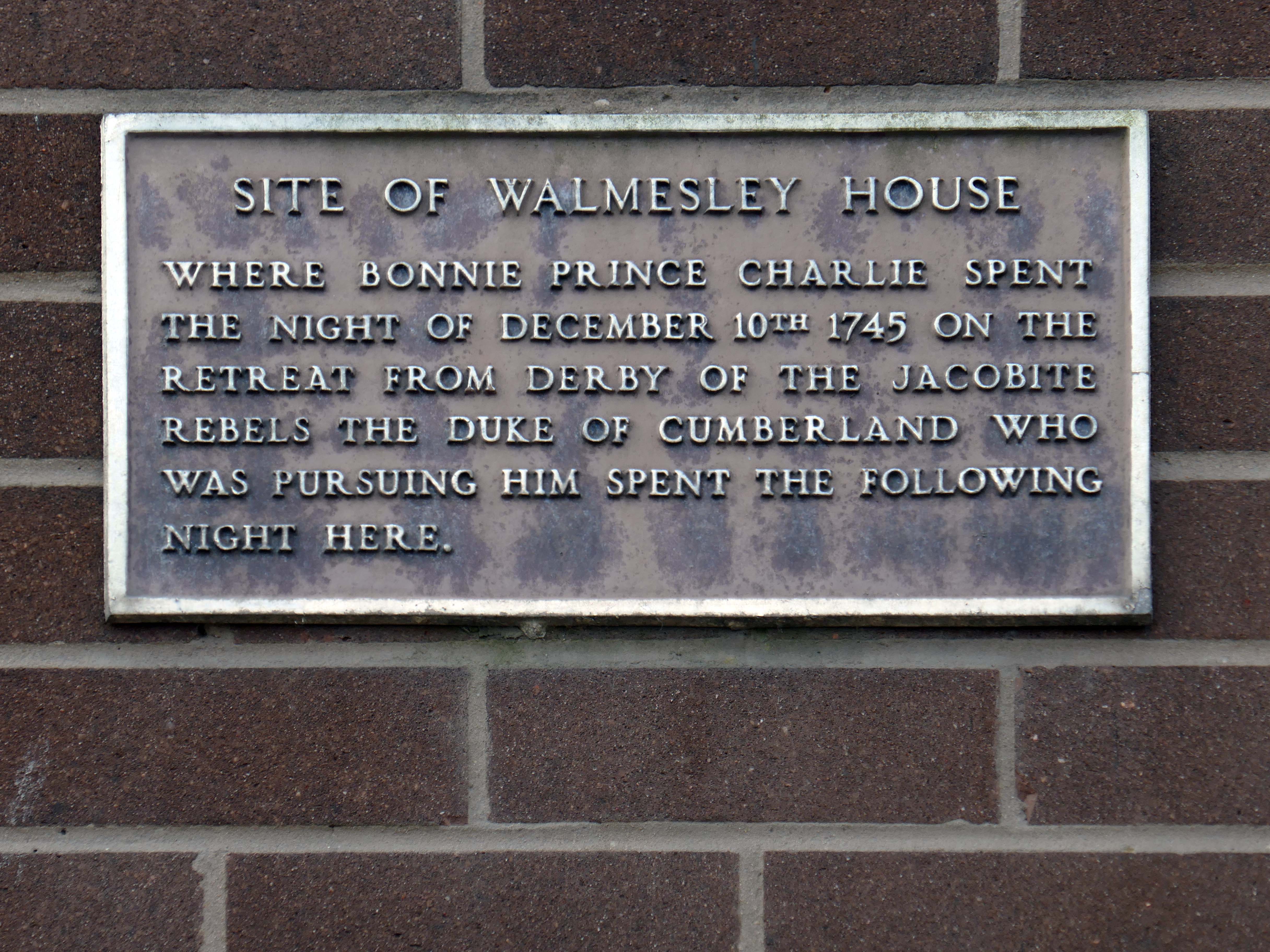
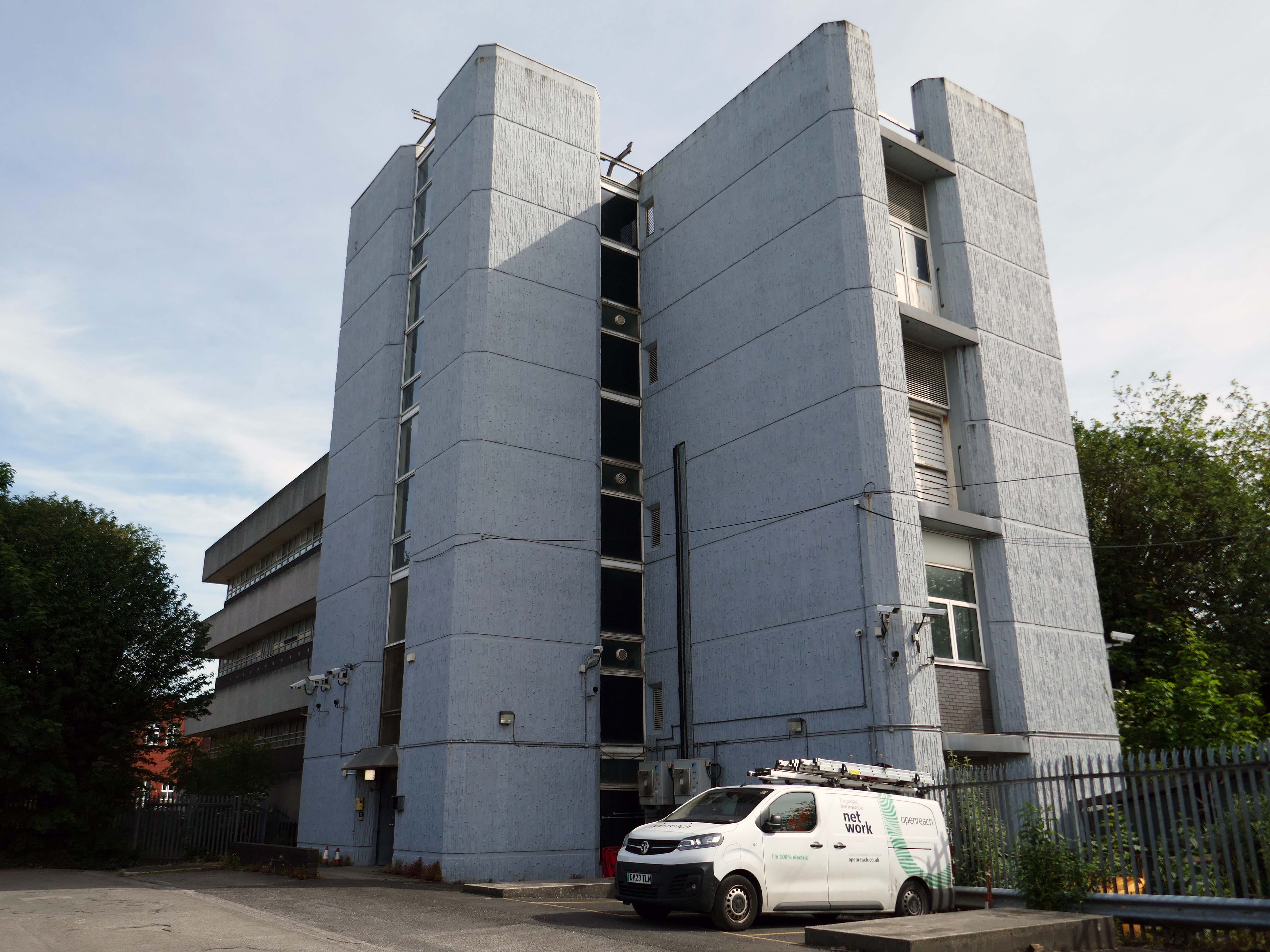
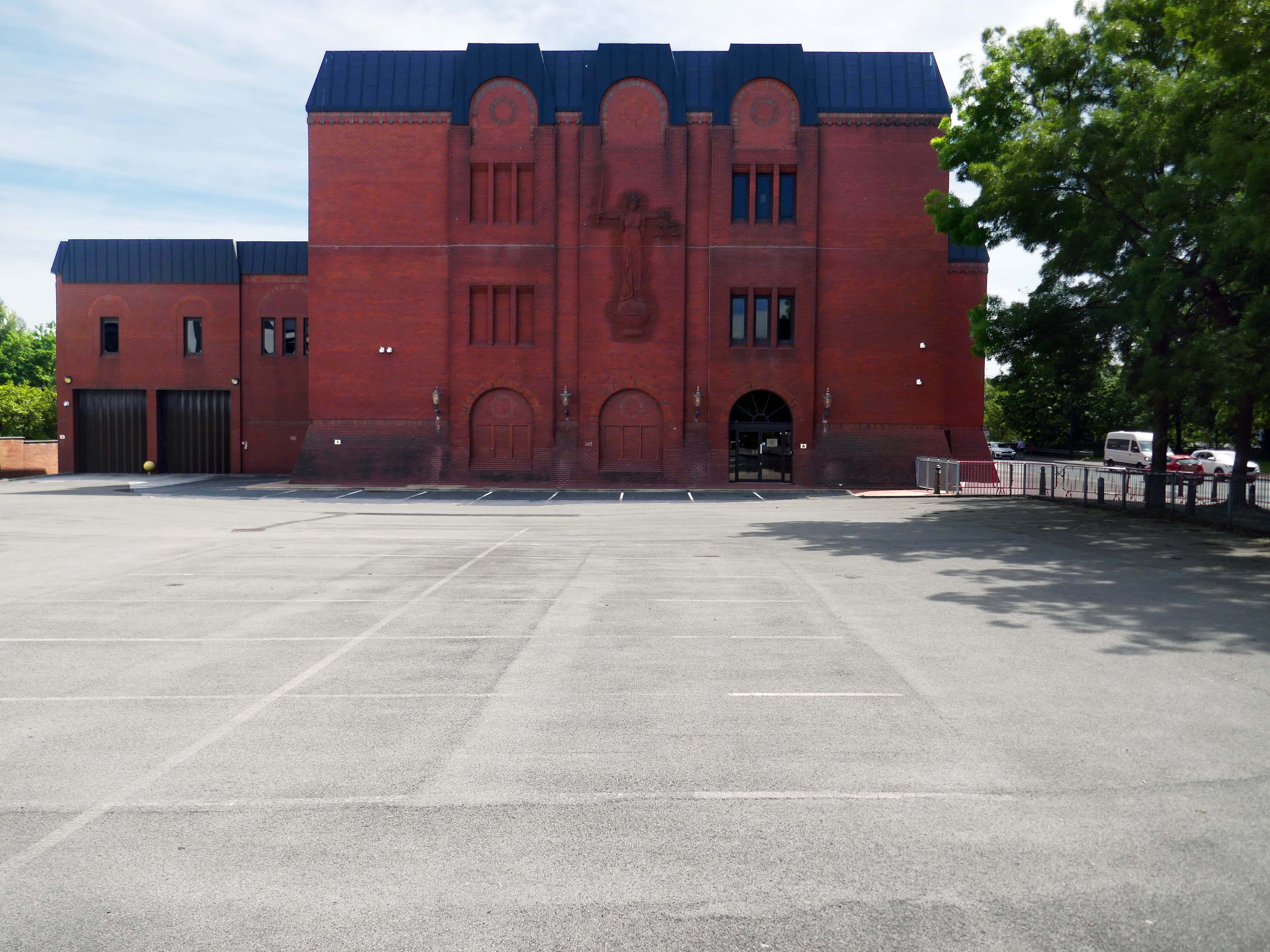
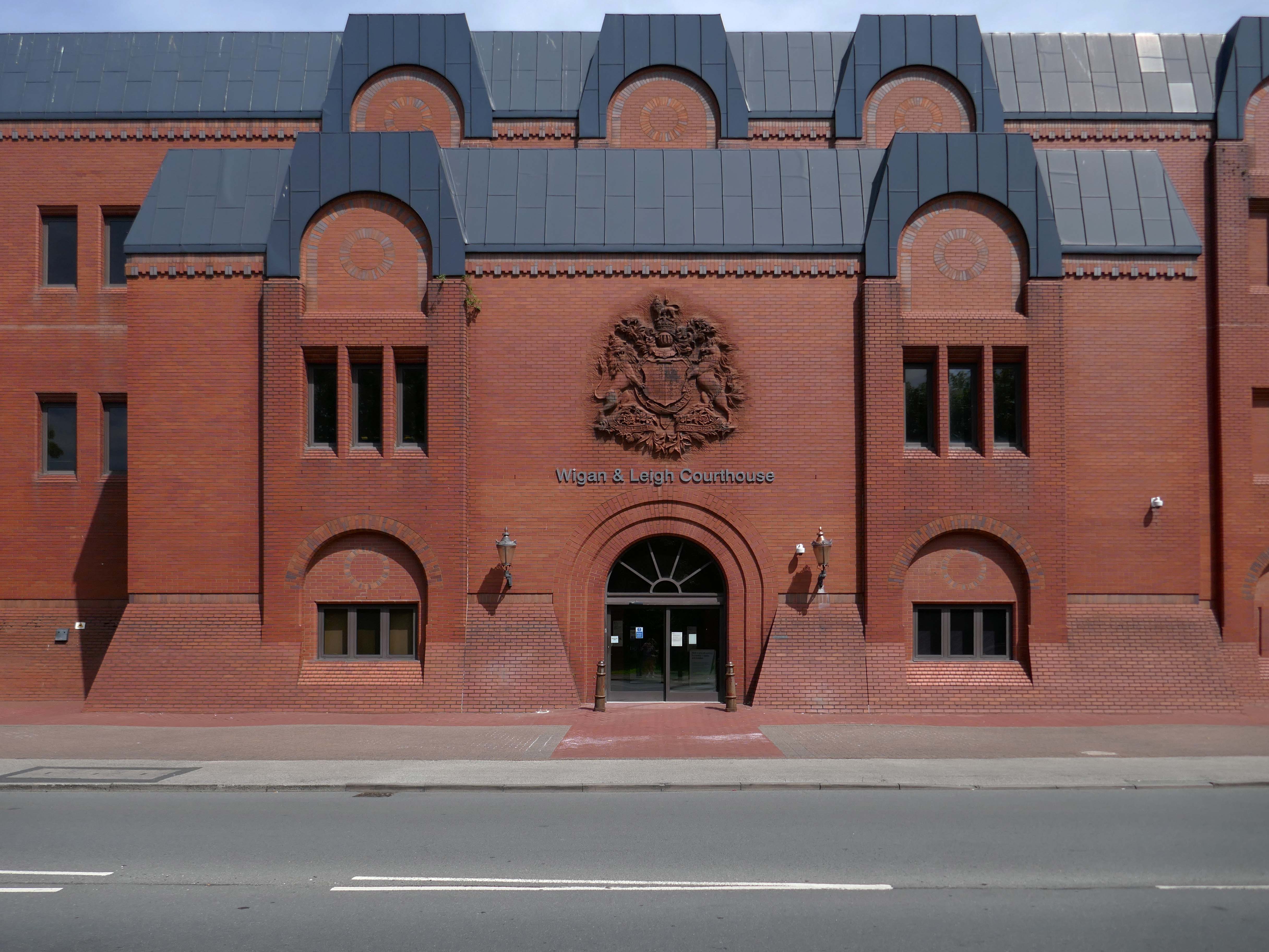
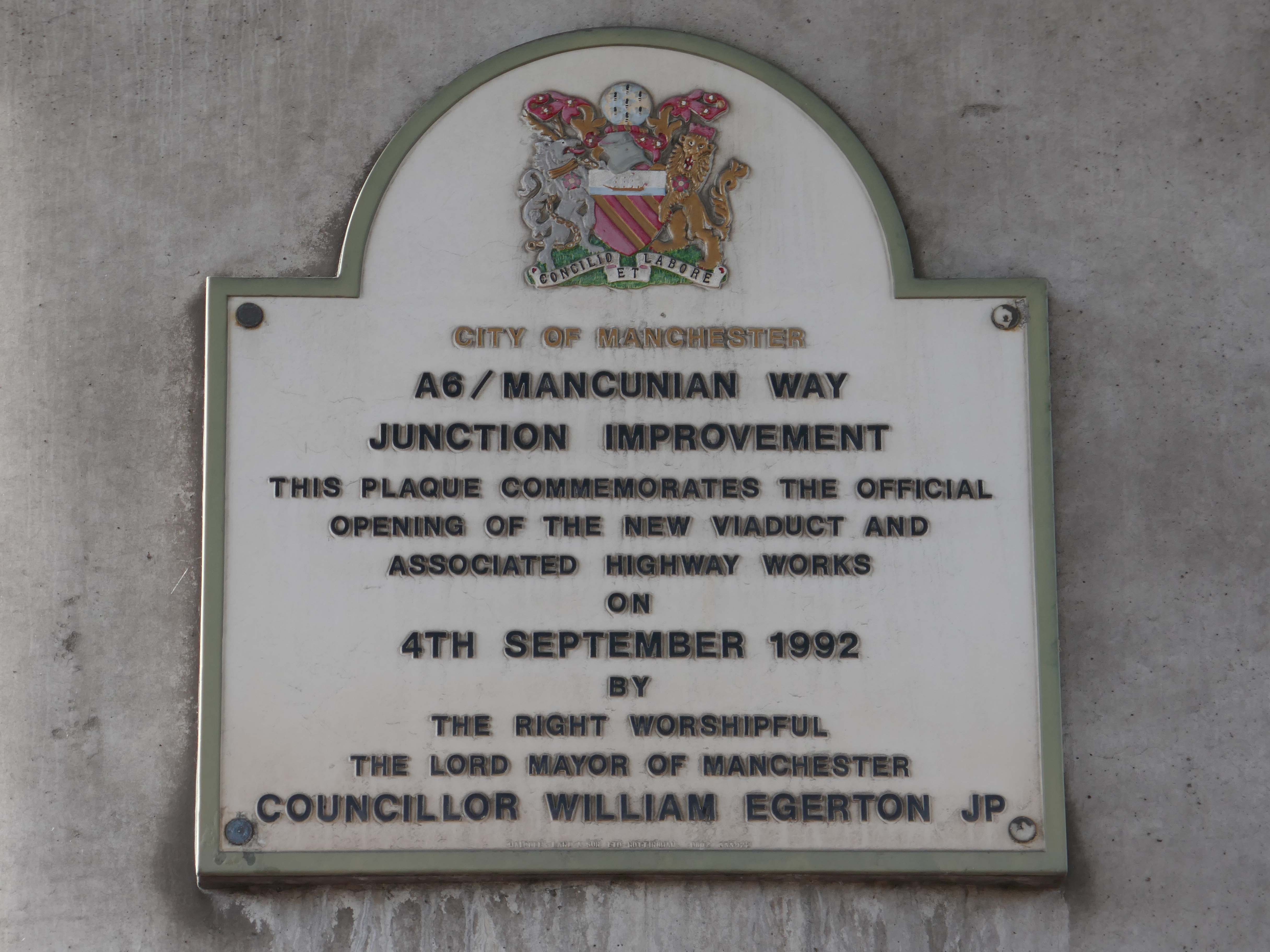
Next door the Wigan & Leigh Courthouse 1992 Wigan MBC Architect.
Relief figure of justice by Christine Ward.
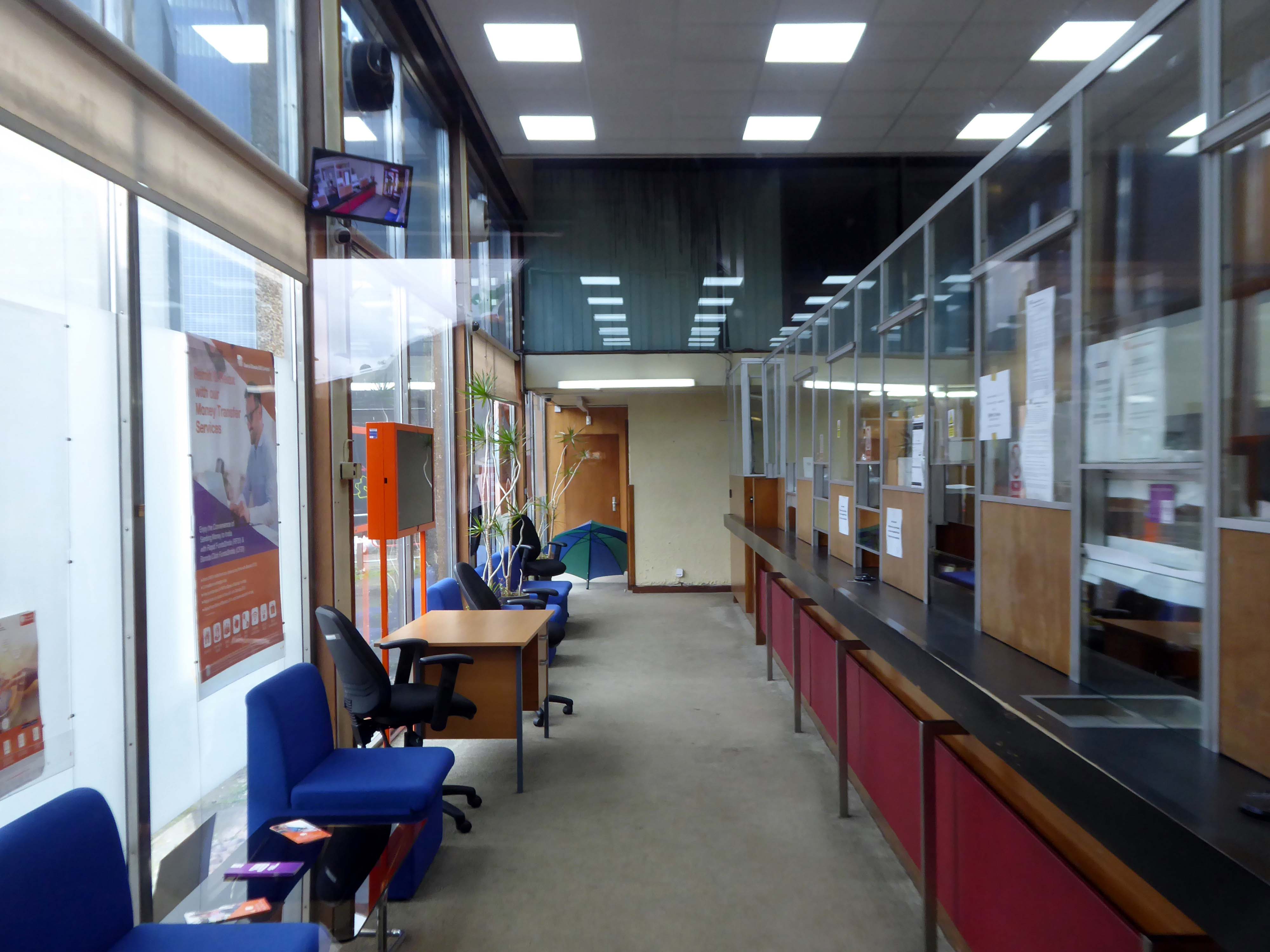
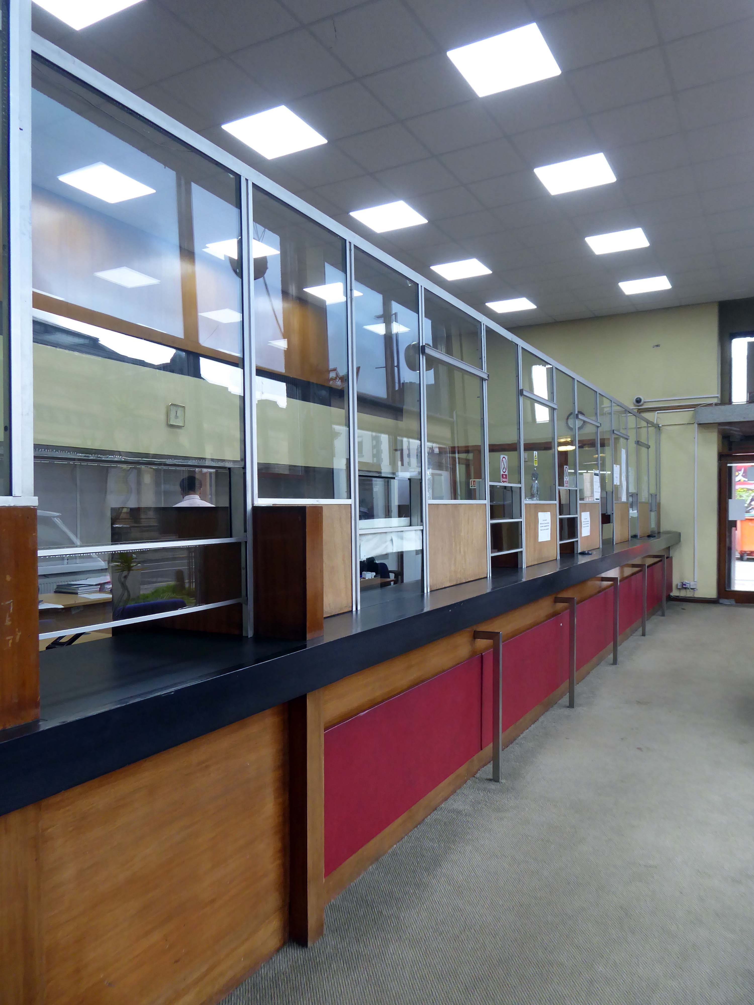
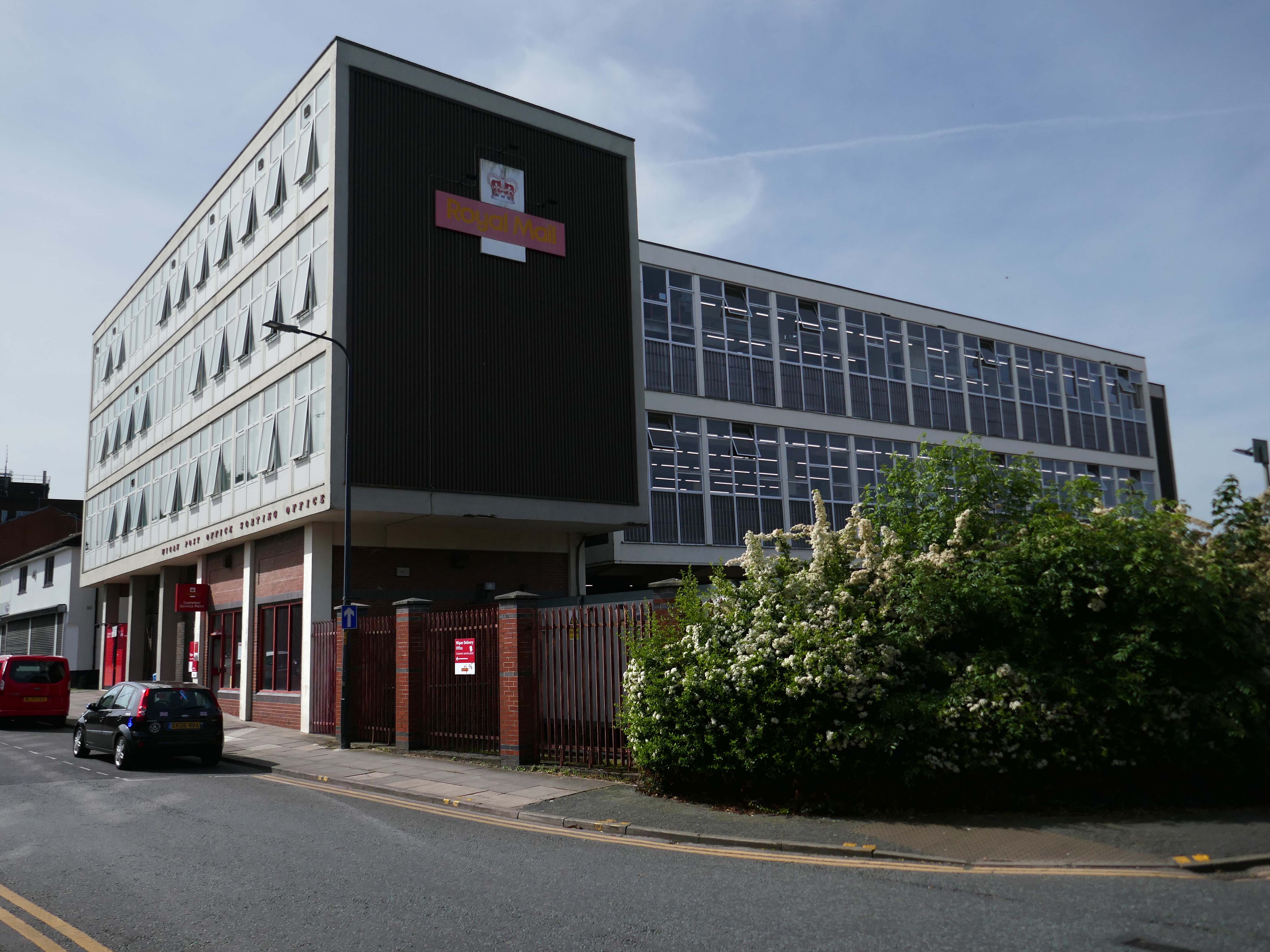
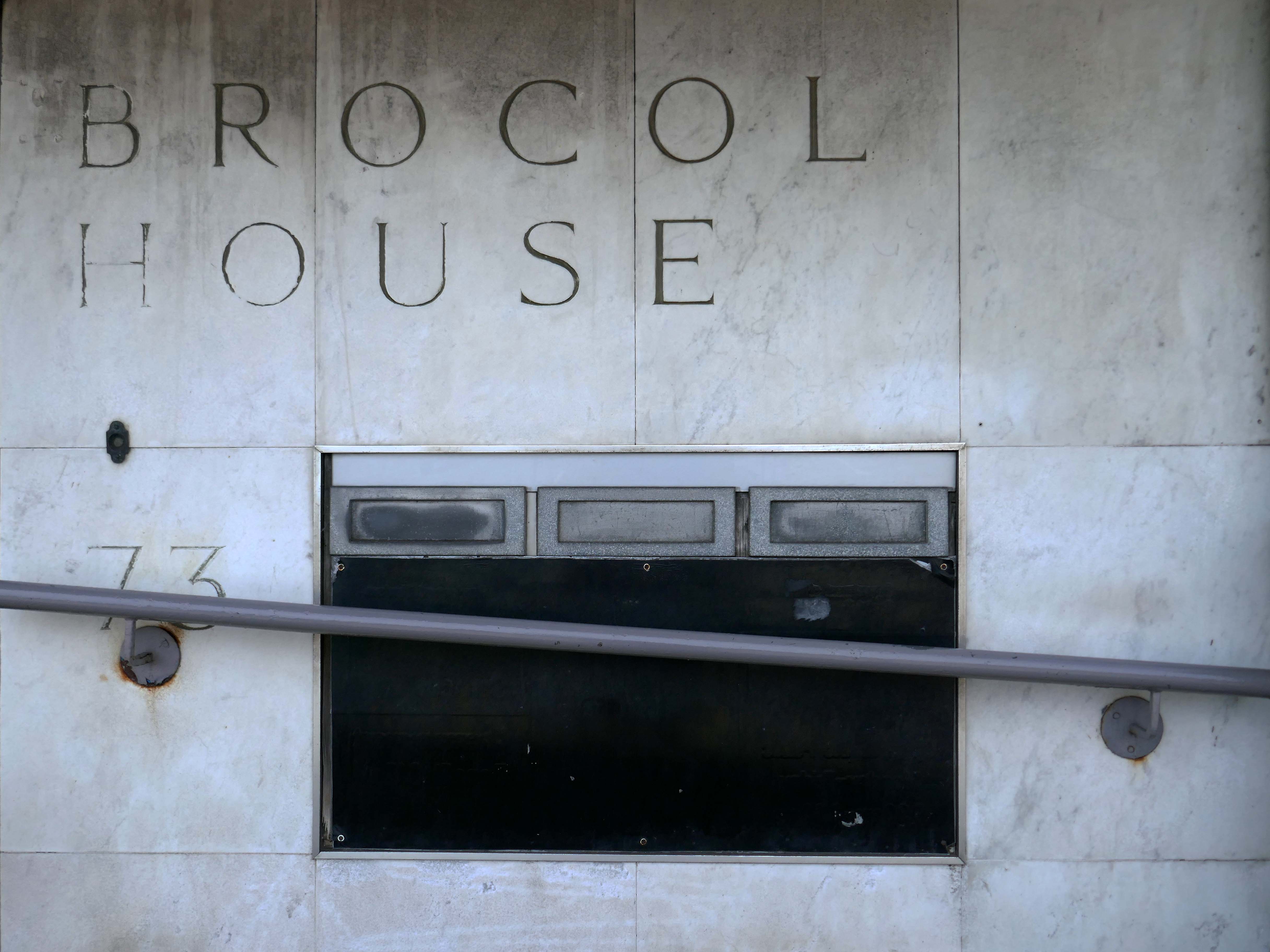
Onward to Brocol House – currently home to the Job Centre
Image – Wigan Peers
Originally built for the Inland Revenue one the site of the Brewers Arms – has the welcoming charm shared by the majority of Ministry of Works buildings of the period.
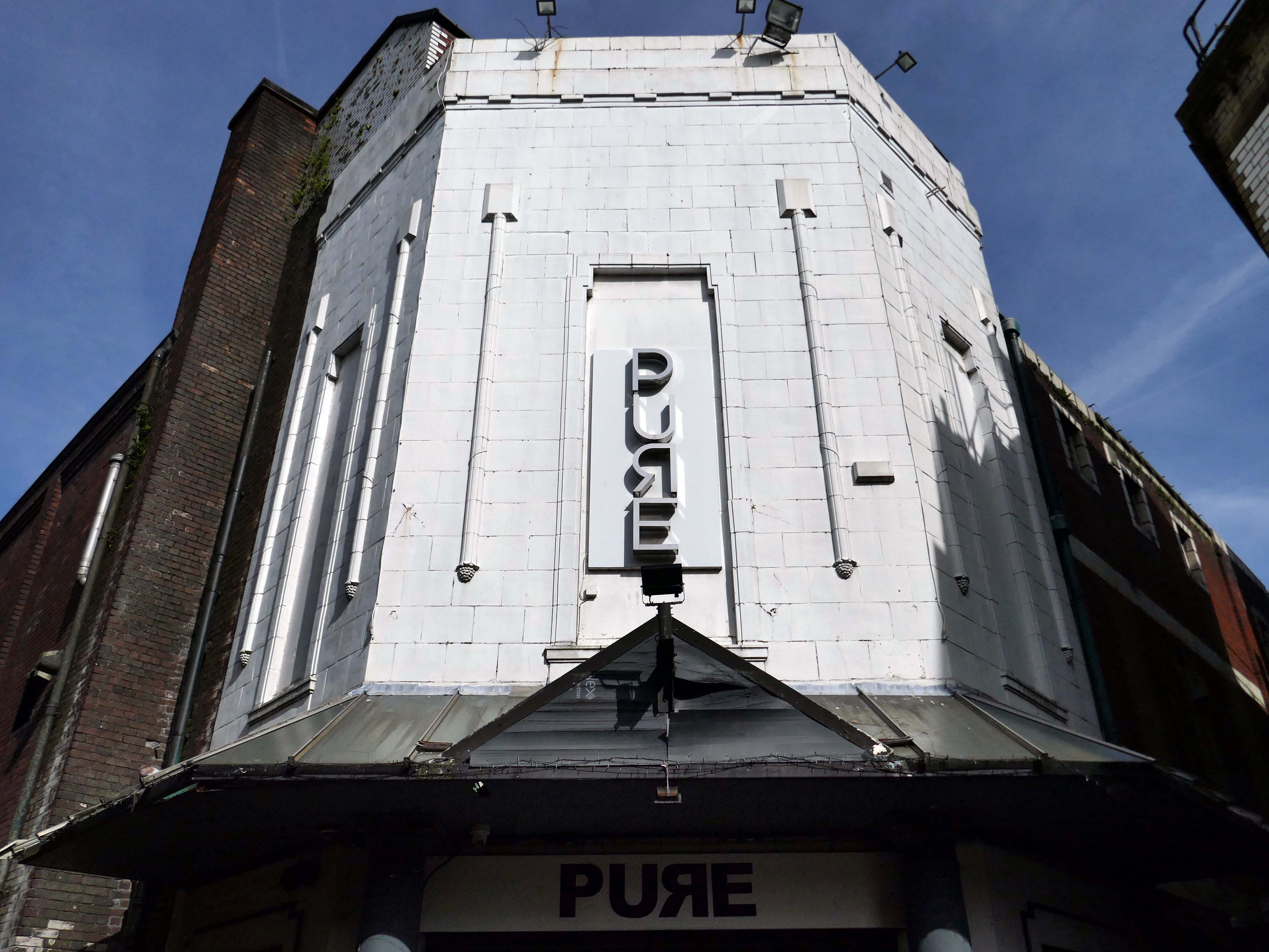
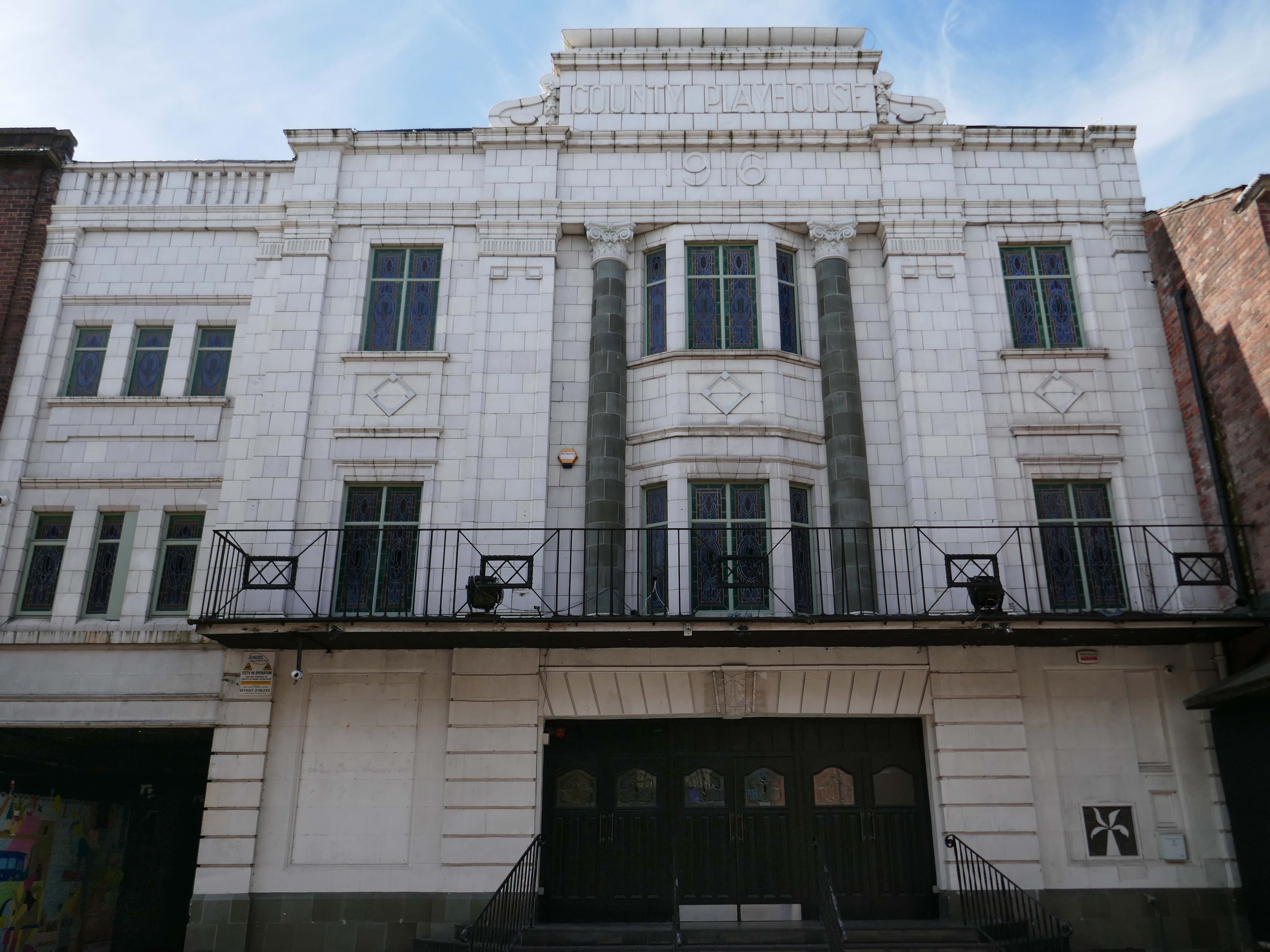
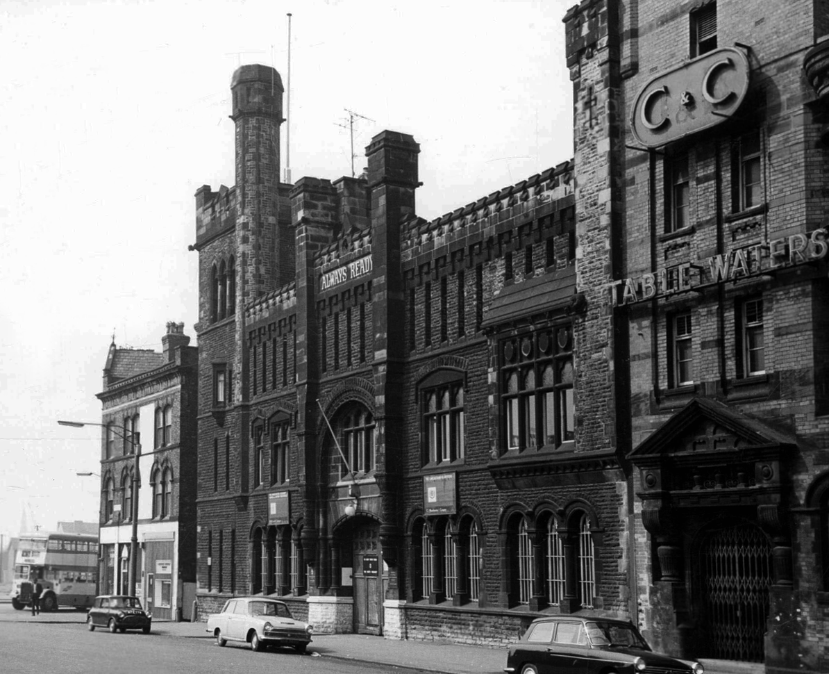
Nearly done – up the road to the County Playhouse.
The club’s atmosphere is defined by thumping musicand a vibrant crowd eager to dance and celebrate. Its modern interior design complements the lively ambience, creating an inviting space for locals and visitors alike.
Construction began on the County Playhouse in 1916. However, due to a shortage of materials and labour during World War I, it was not completed until 1919.
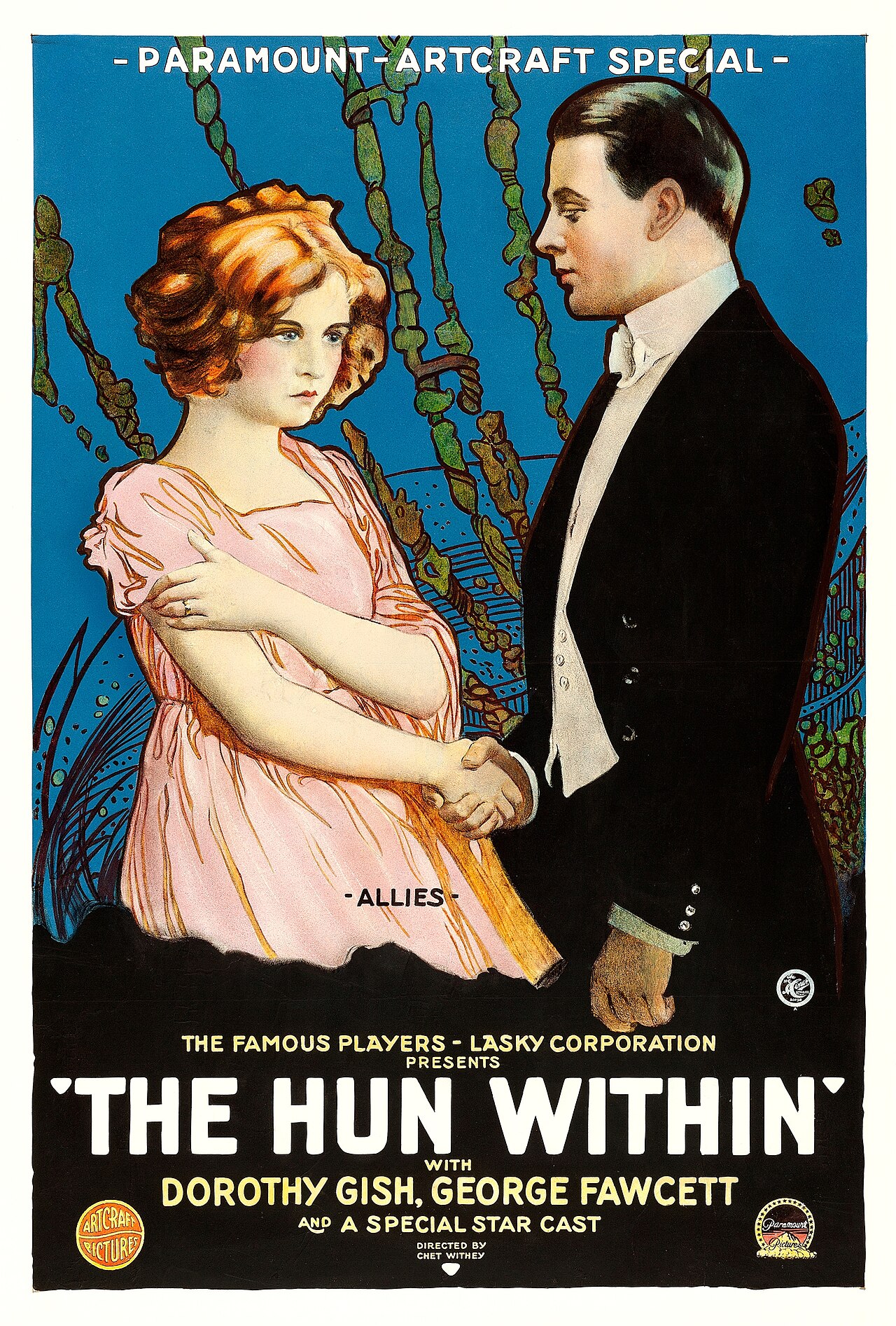
Finally opened on 22nd December 1919 with The Hun Within – starring Dorothy Gish.
The County Playhouse closed on Sunday 13th November 1966 with Disney’s “The Sword and the Stone”. It was taken over by the Leeds Based Star Cinemas chain and they converted it into Star Bingo and Social Club opened on 24th November 1966.
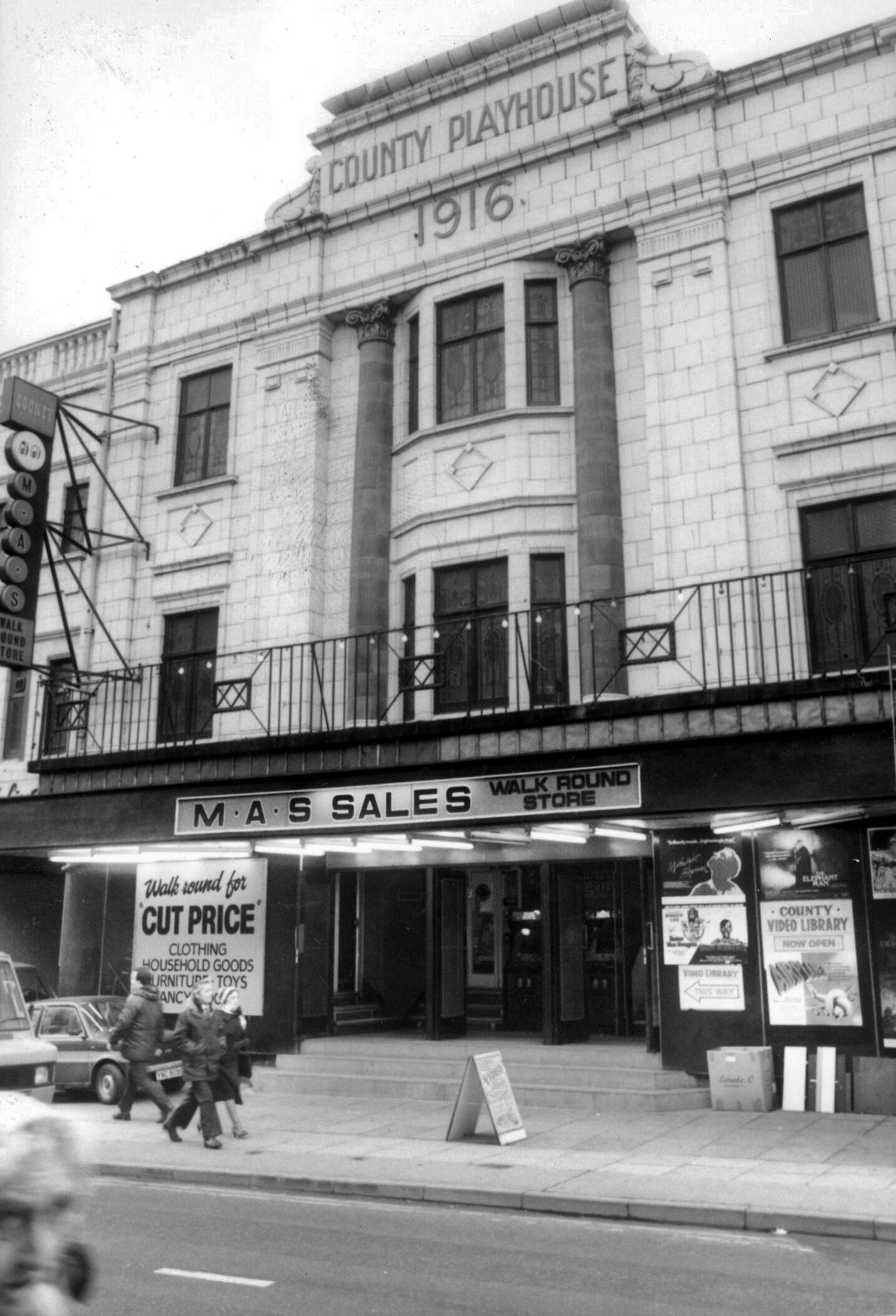
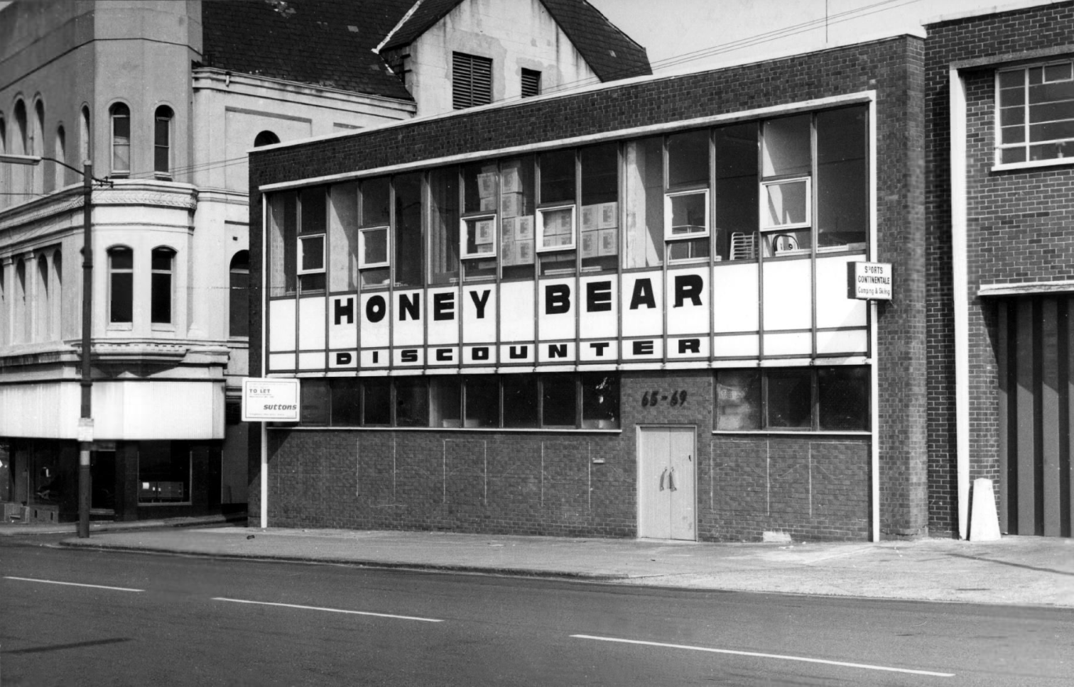
MAS sales store 1982 – Frank Orrell Photography
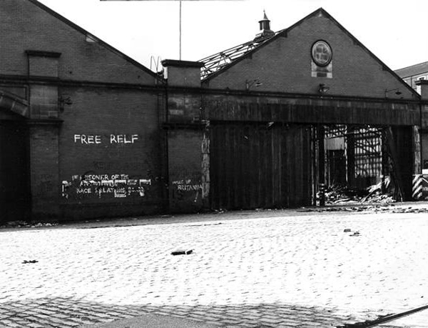
The building has since been used as a discount store and Playhouse Club Café. It then became home to the 1,200 capacity Pure Nightclub. In the early-2000’s it became the Ibiza nightclub. The Pure nightclub move into the former Princes Cinema
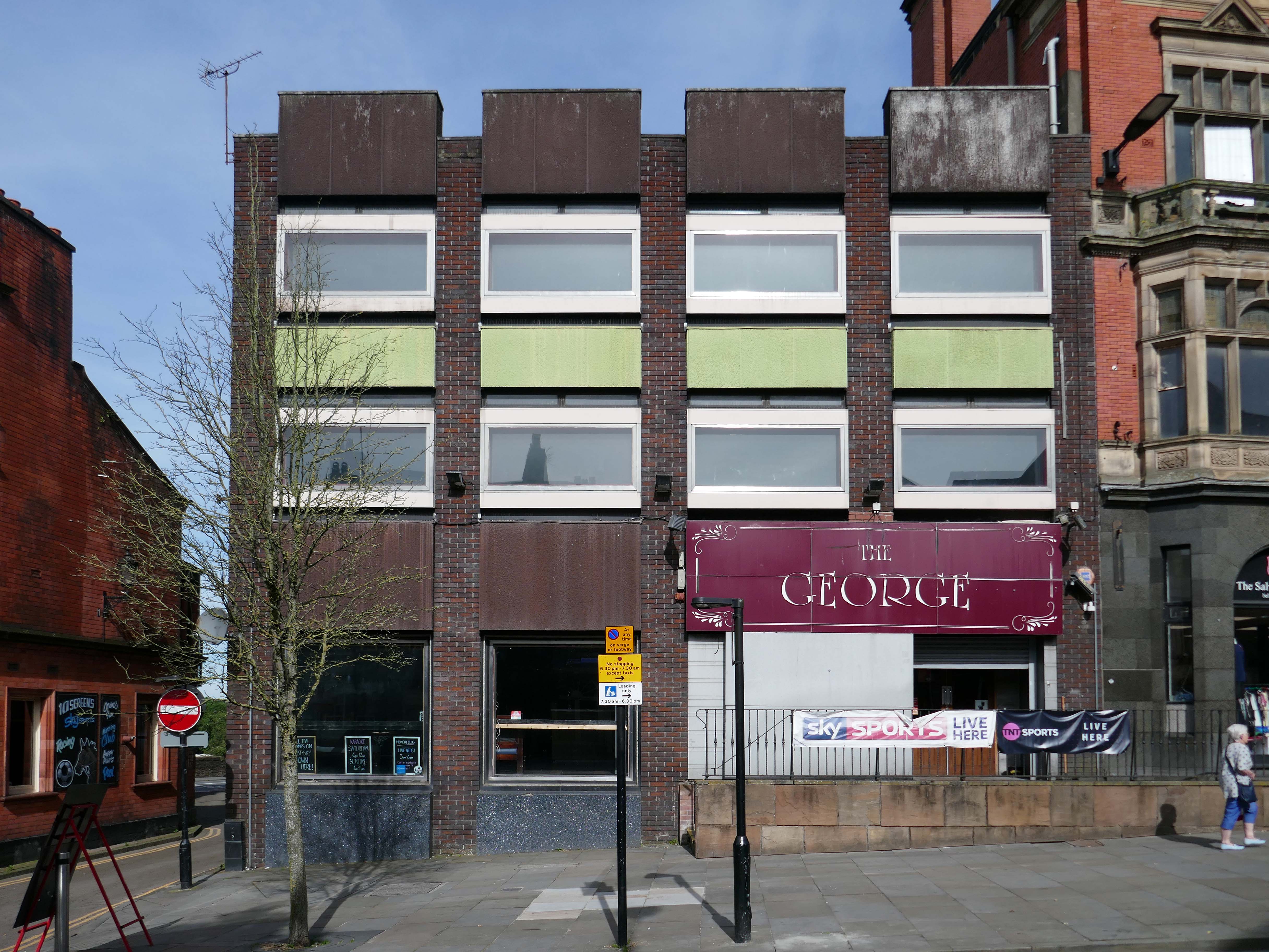
Time for a swift half in The George to end your tour?
Great for a local pint one of the cheapest in Wigan I believe, slightly rough at times but no fights just real local people who are generally friendly. Proper drinking gaff, and karaoke on certain nights.
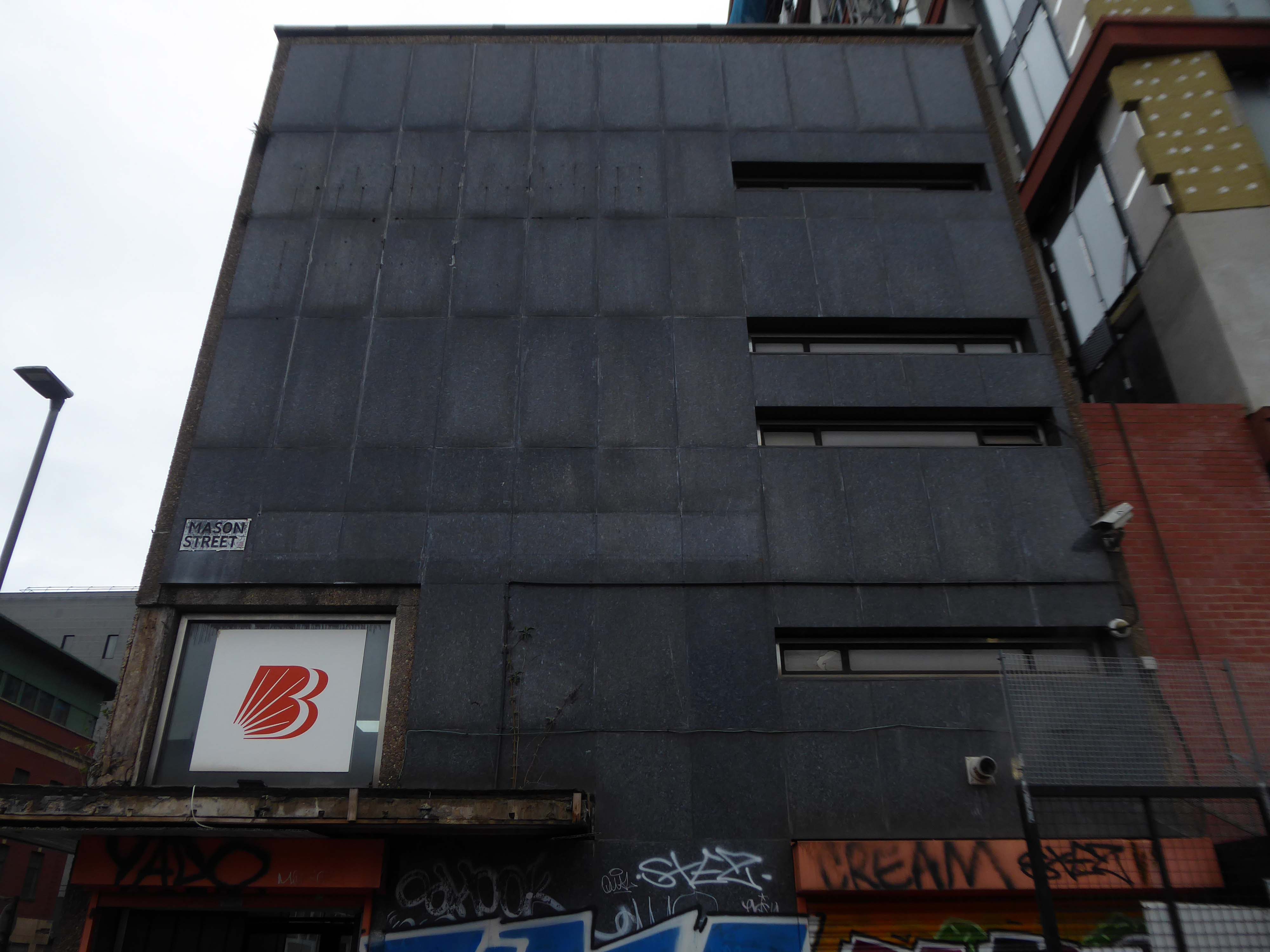
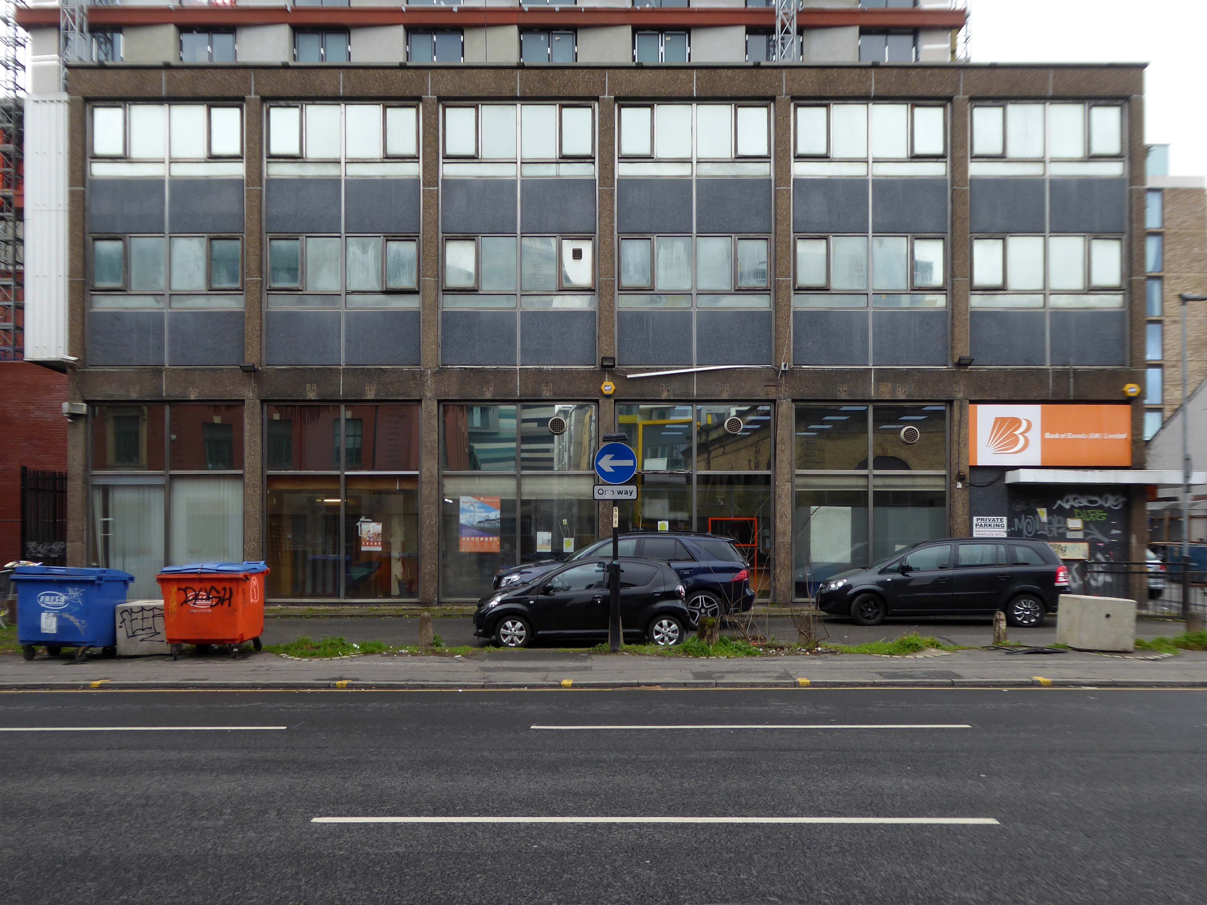
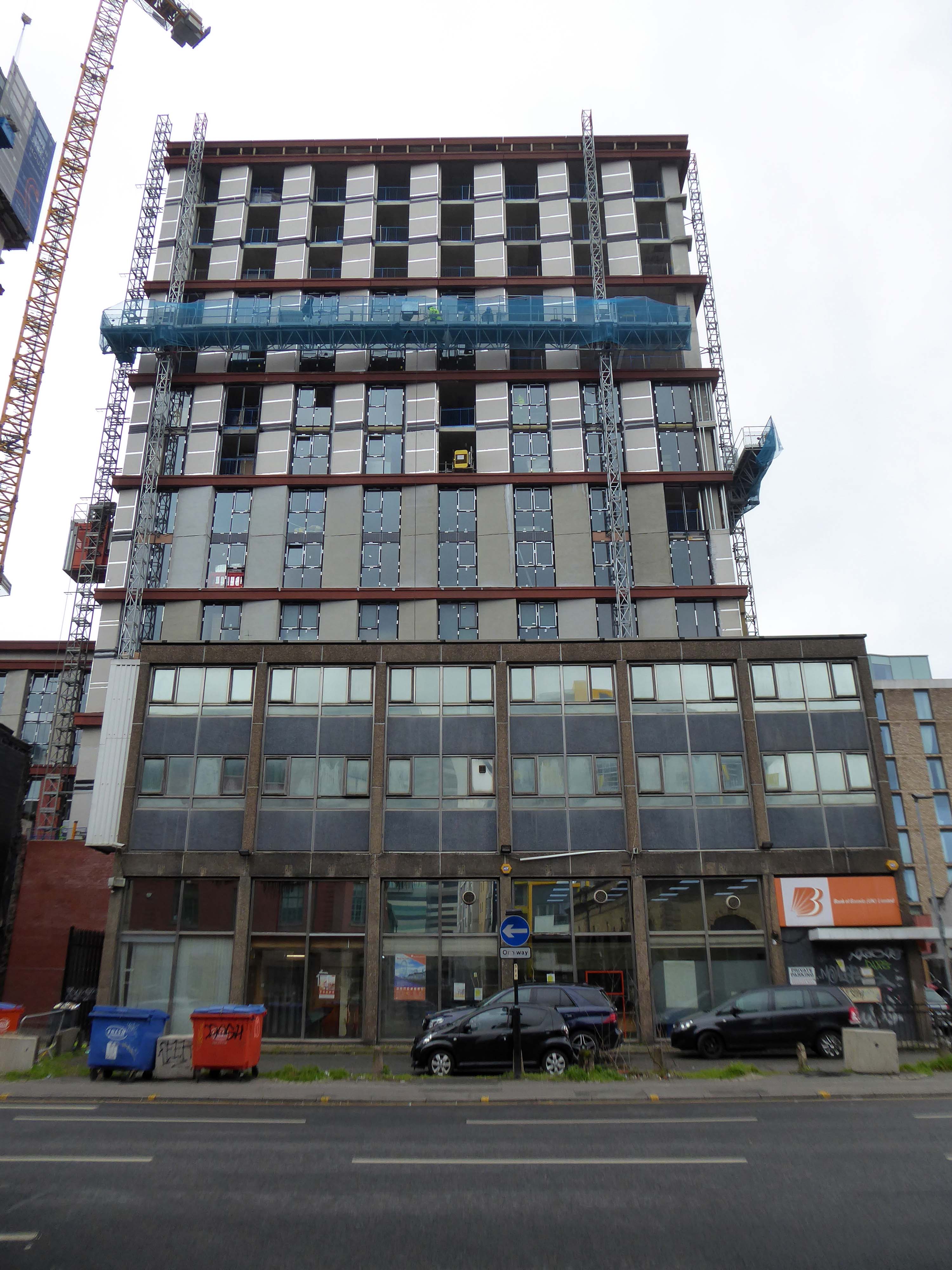
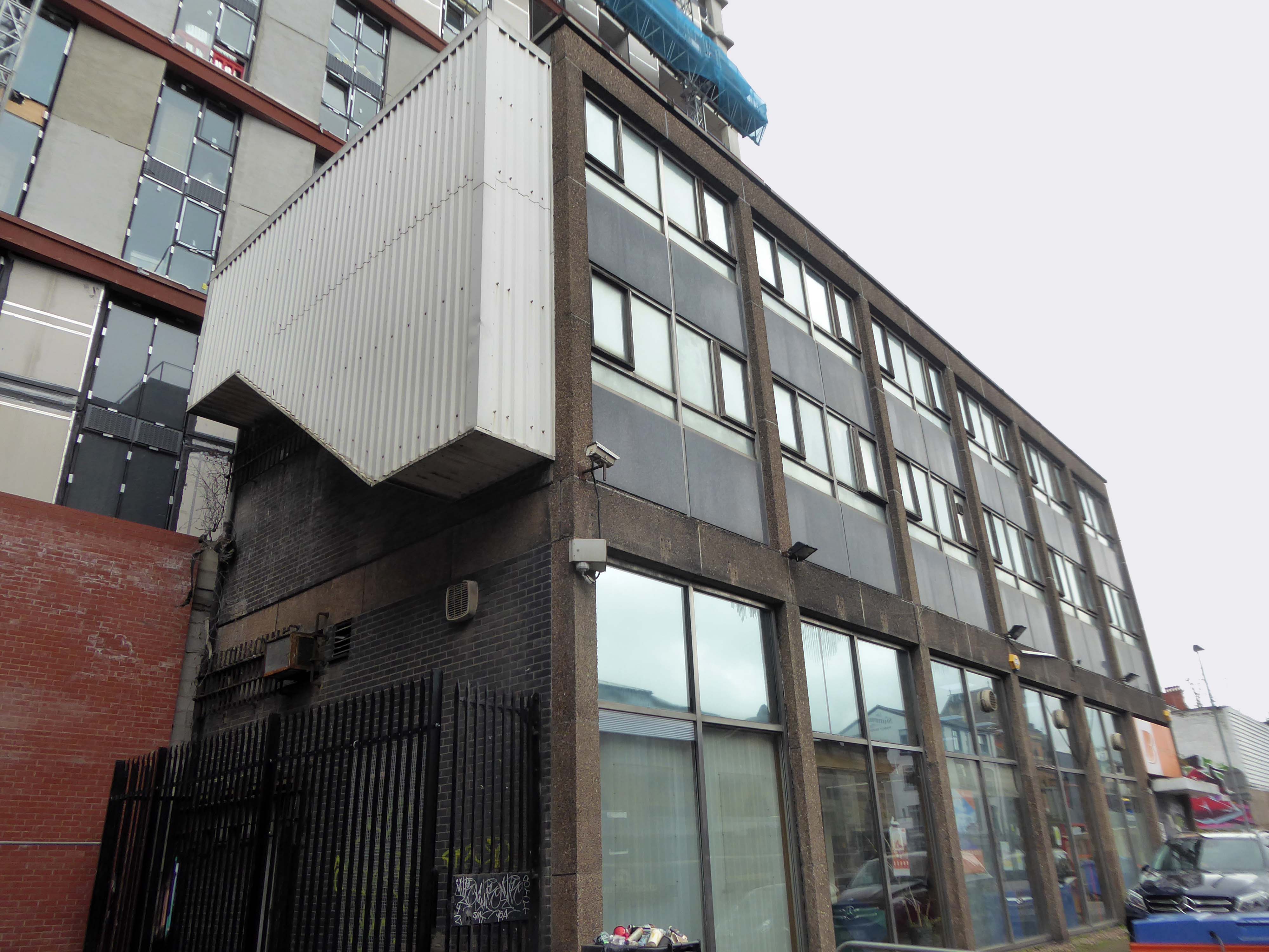
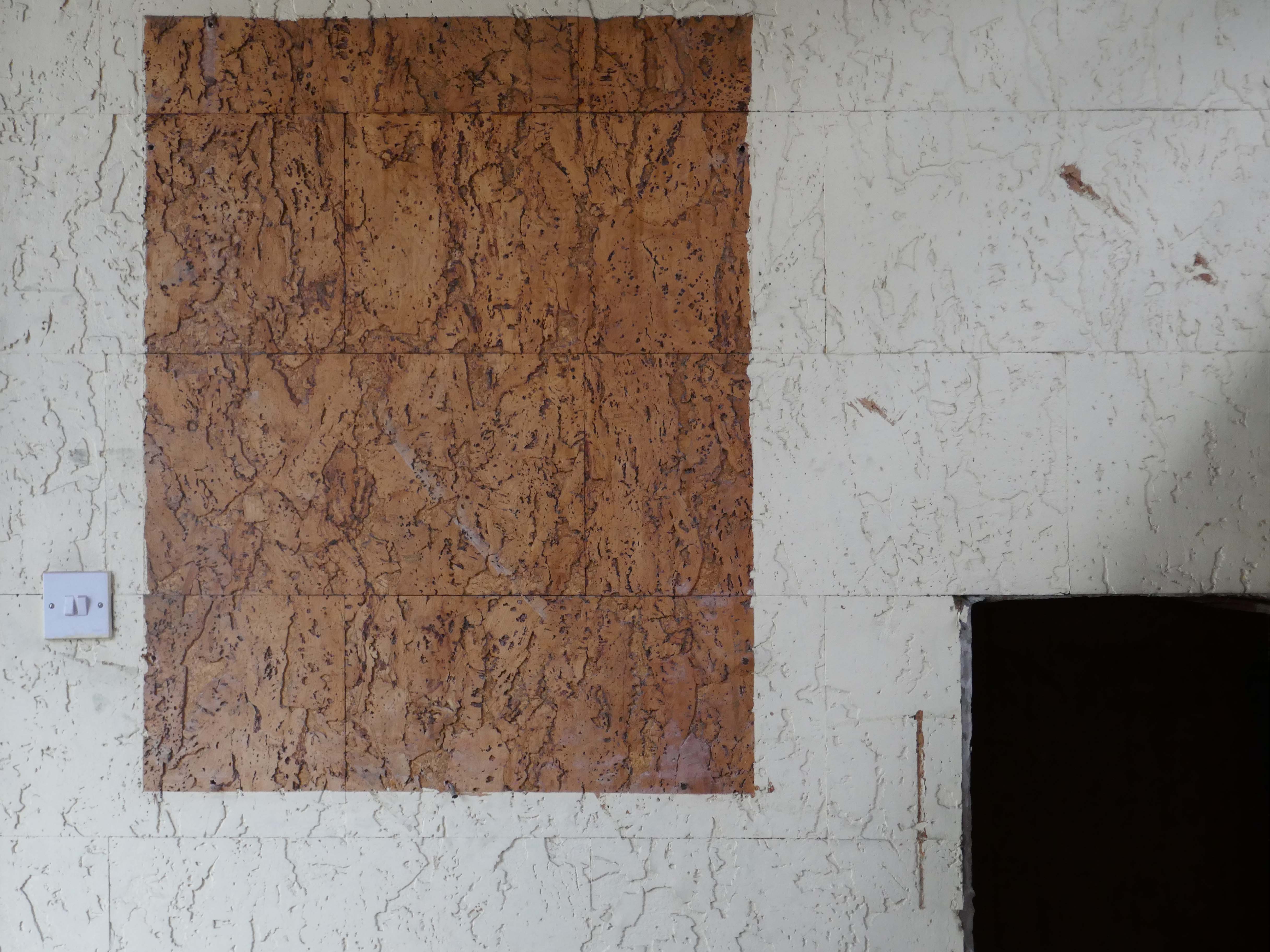
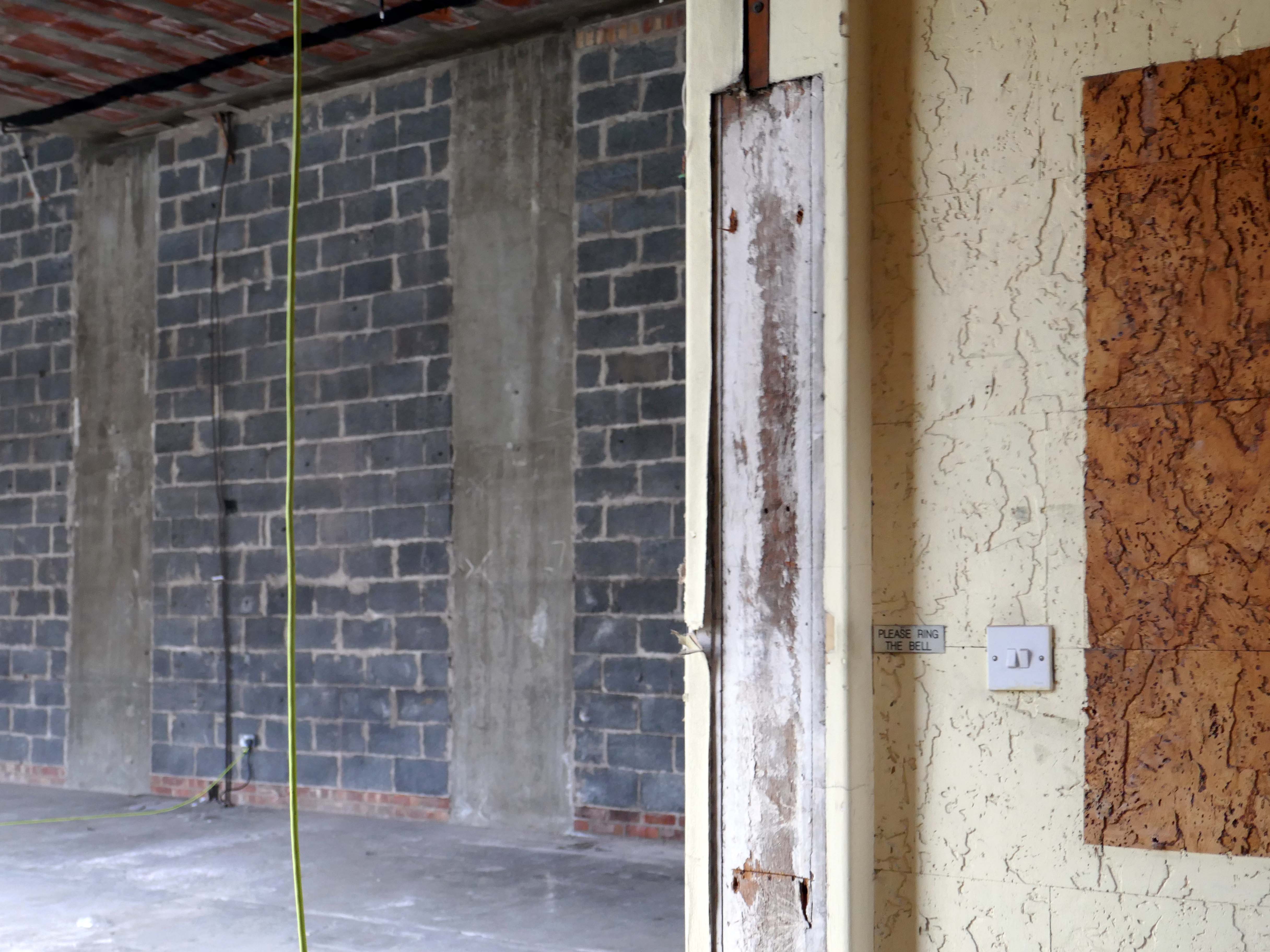
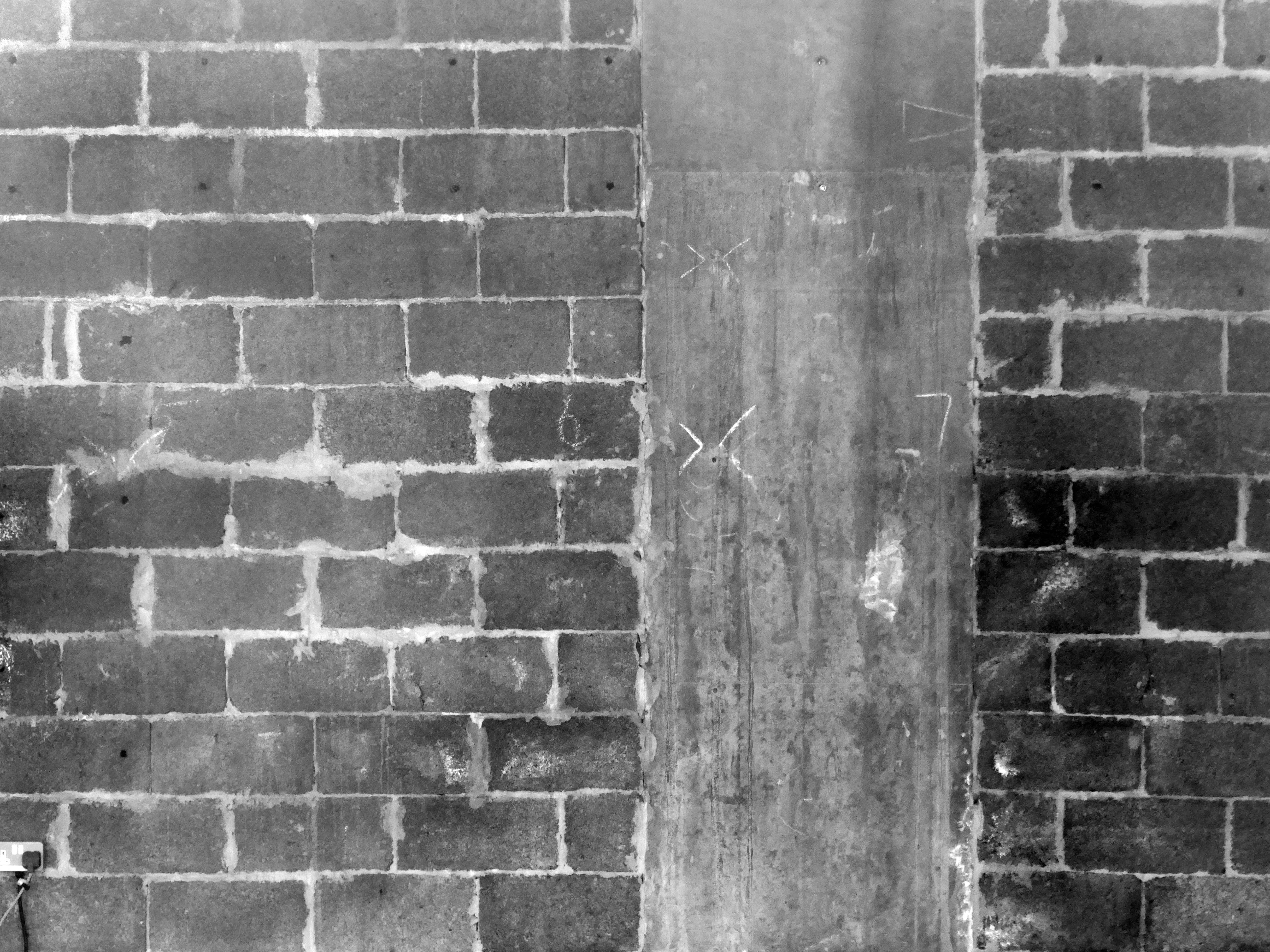
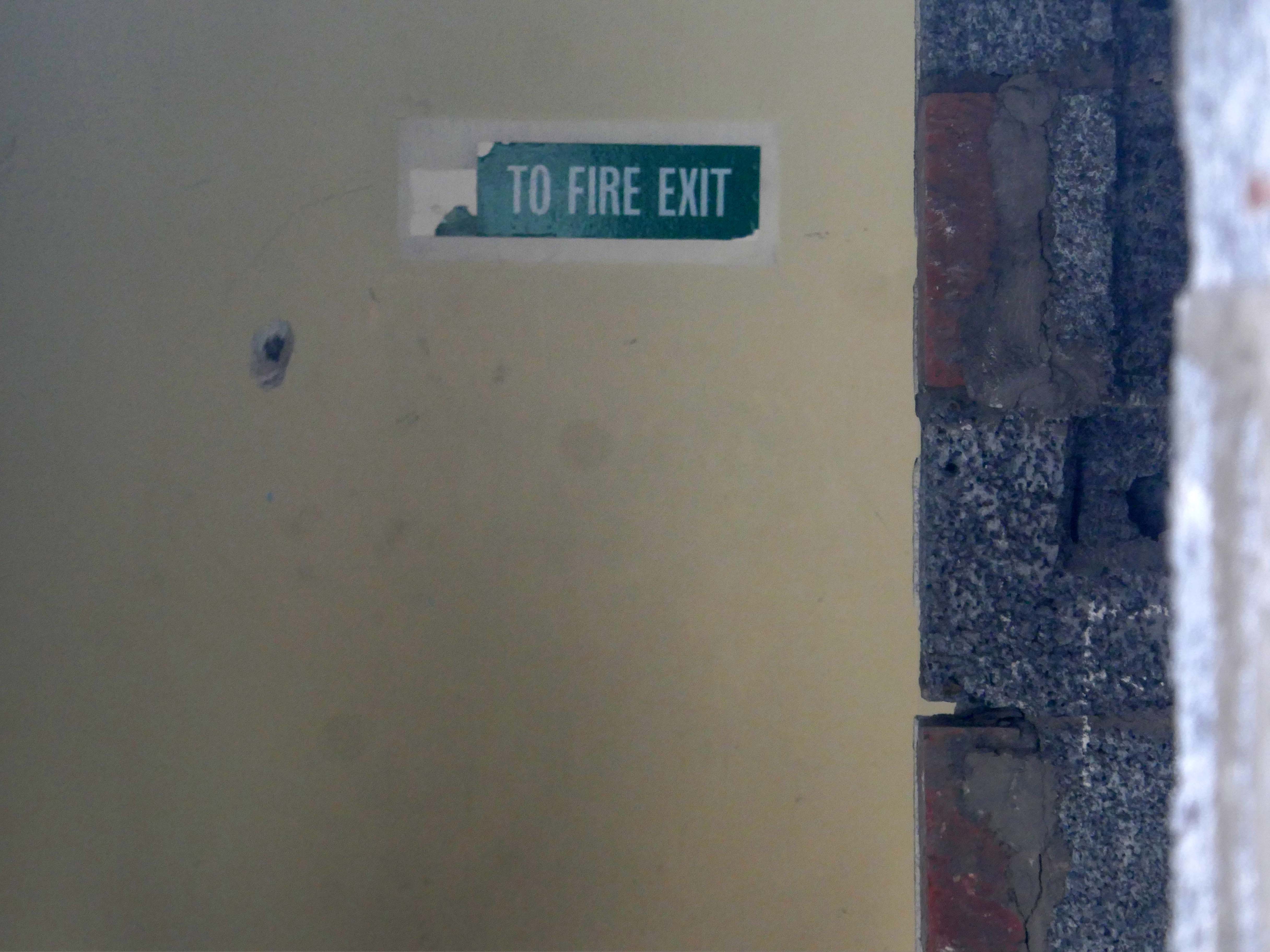
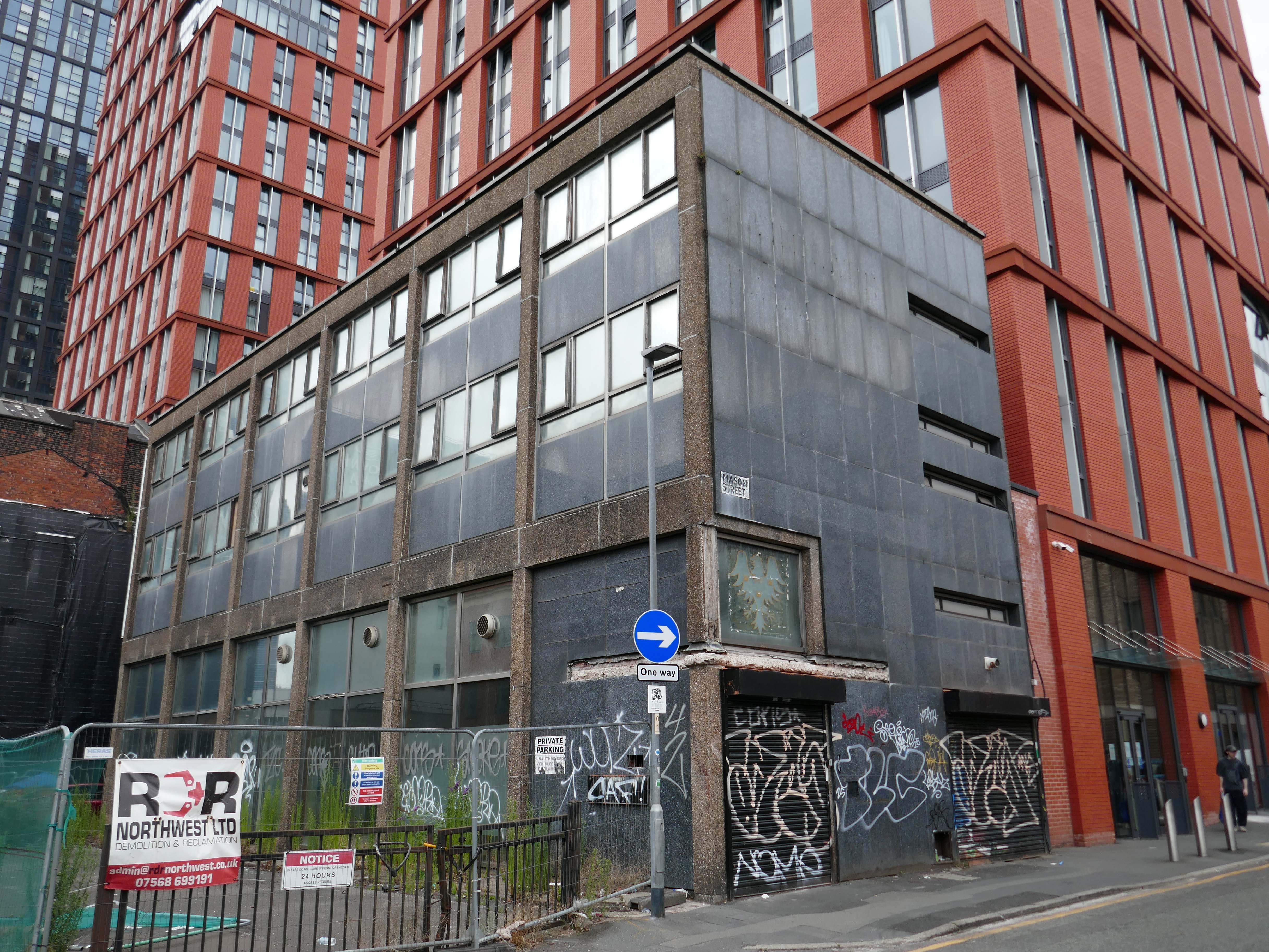
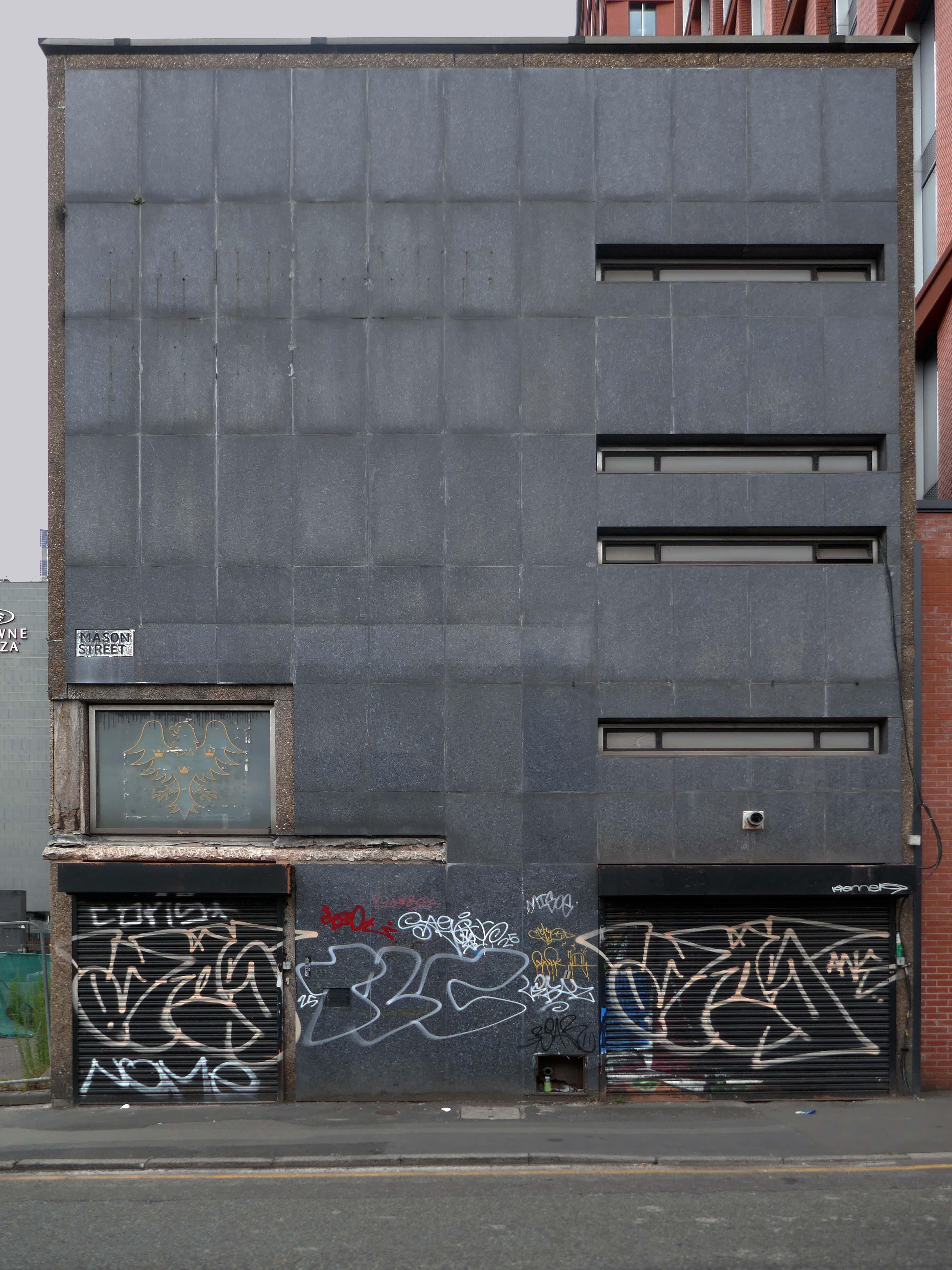
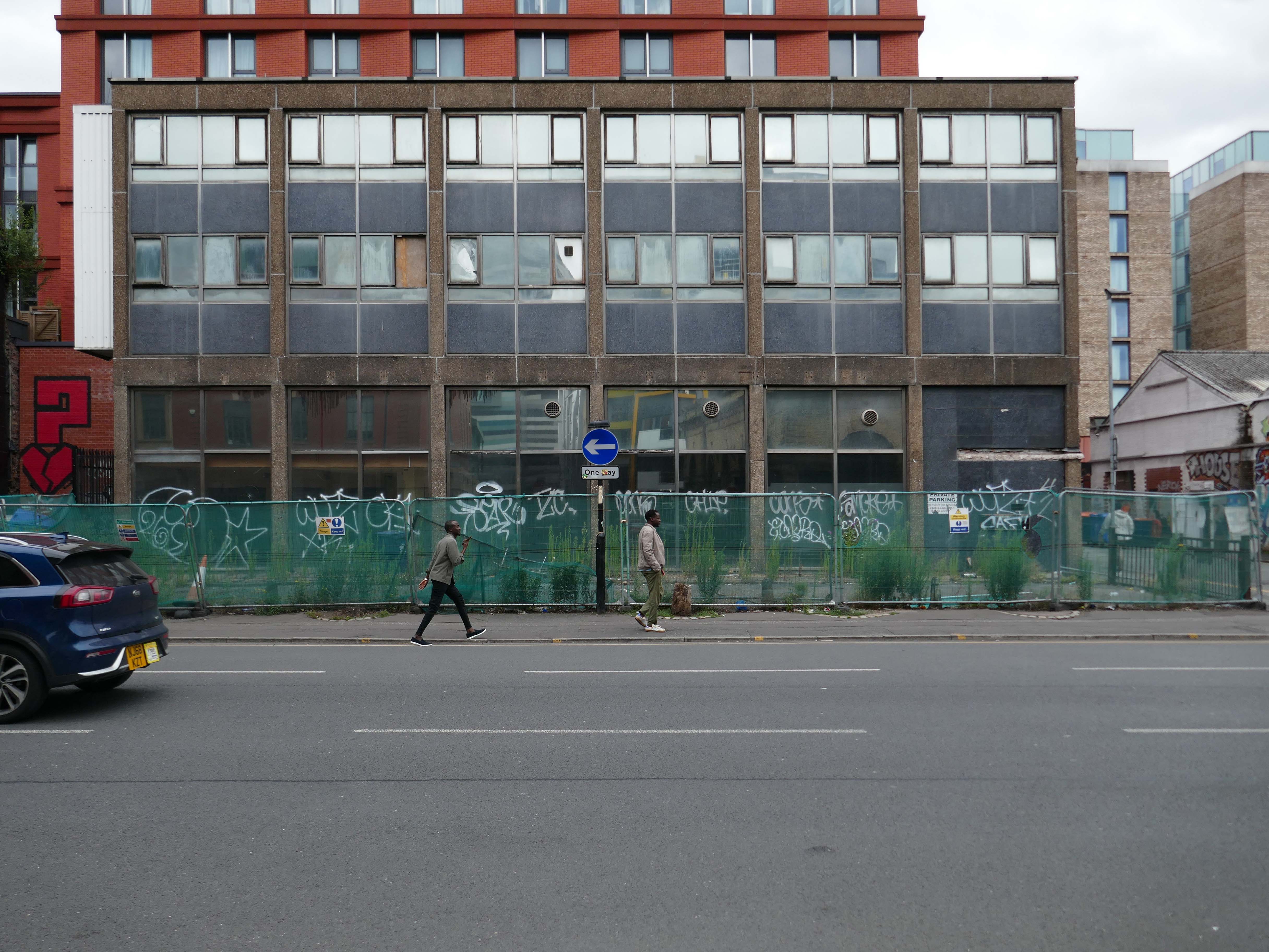
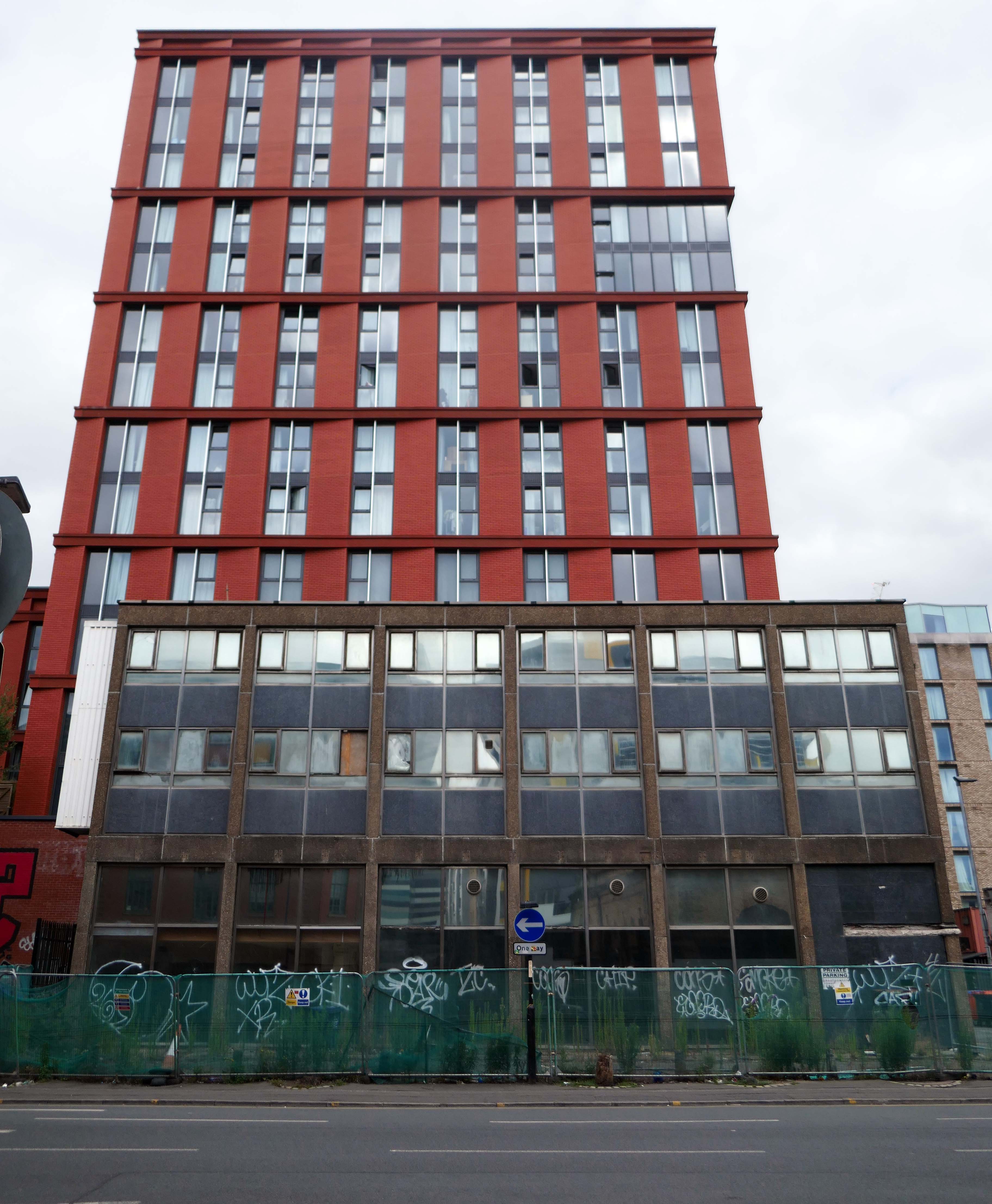
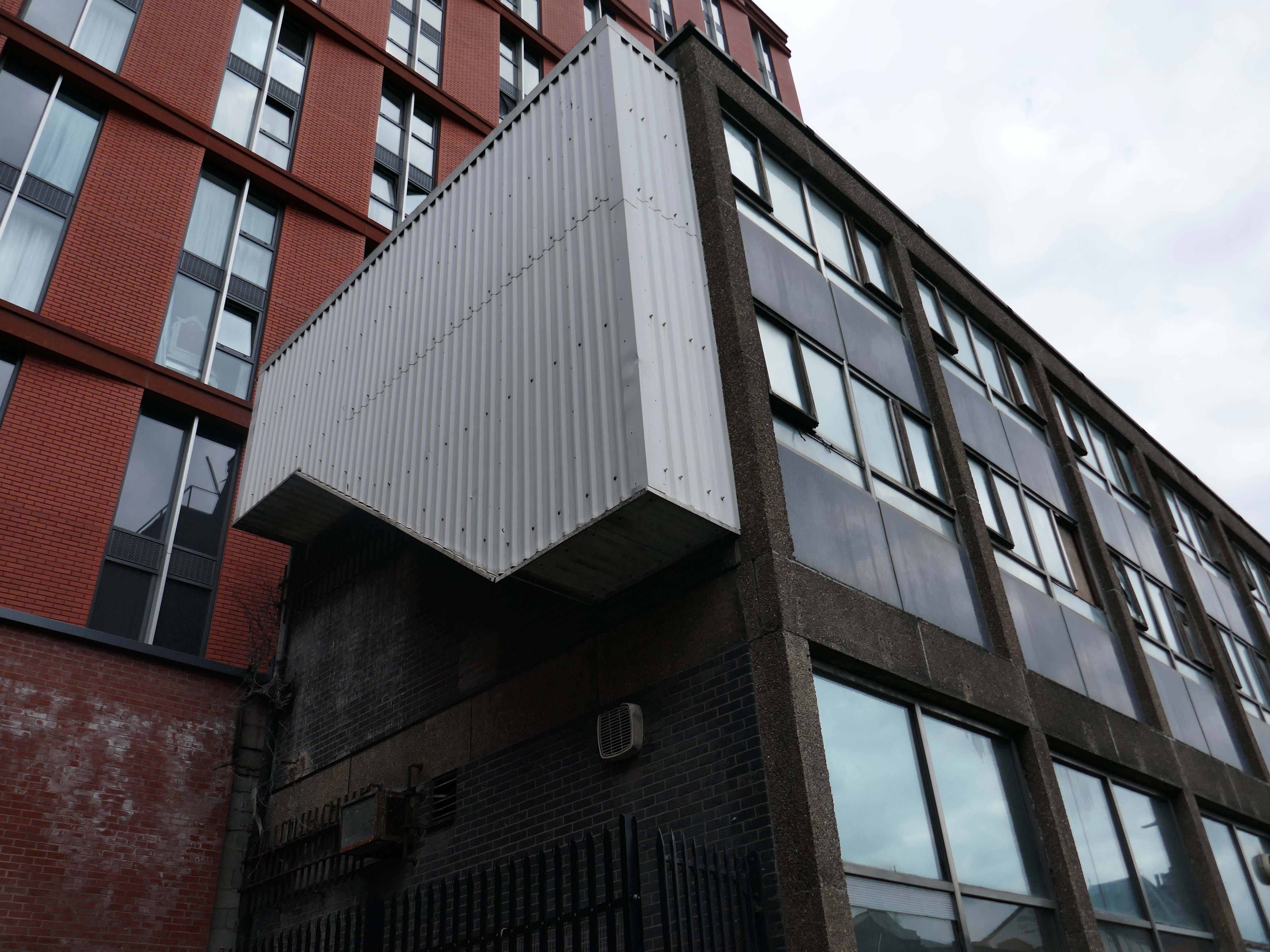
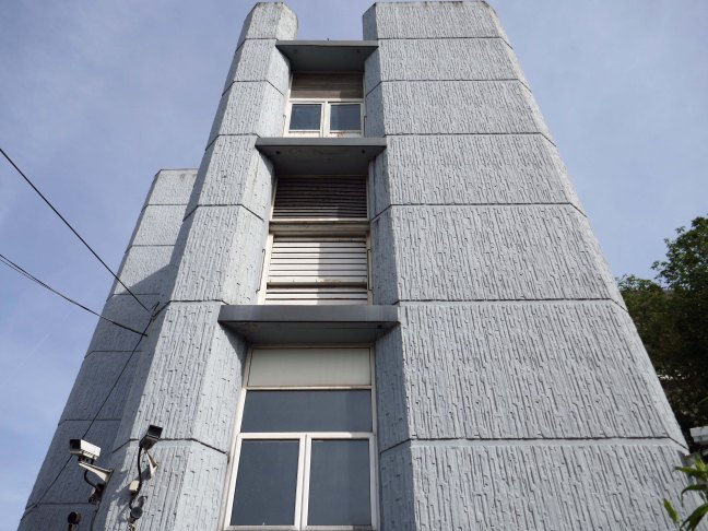
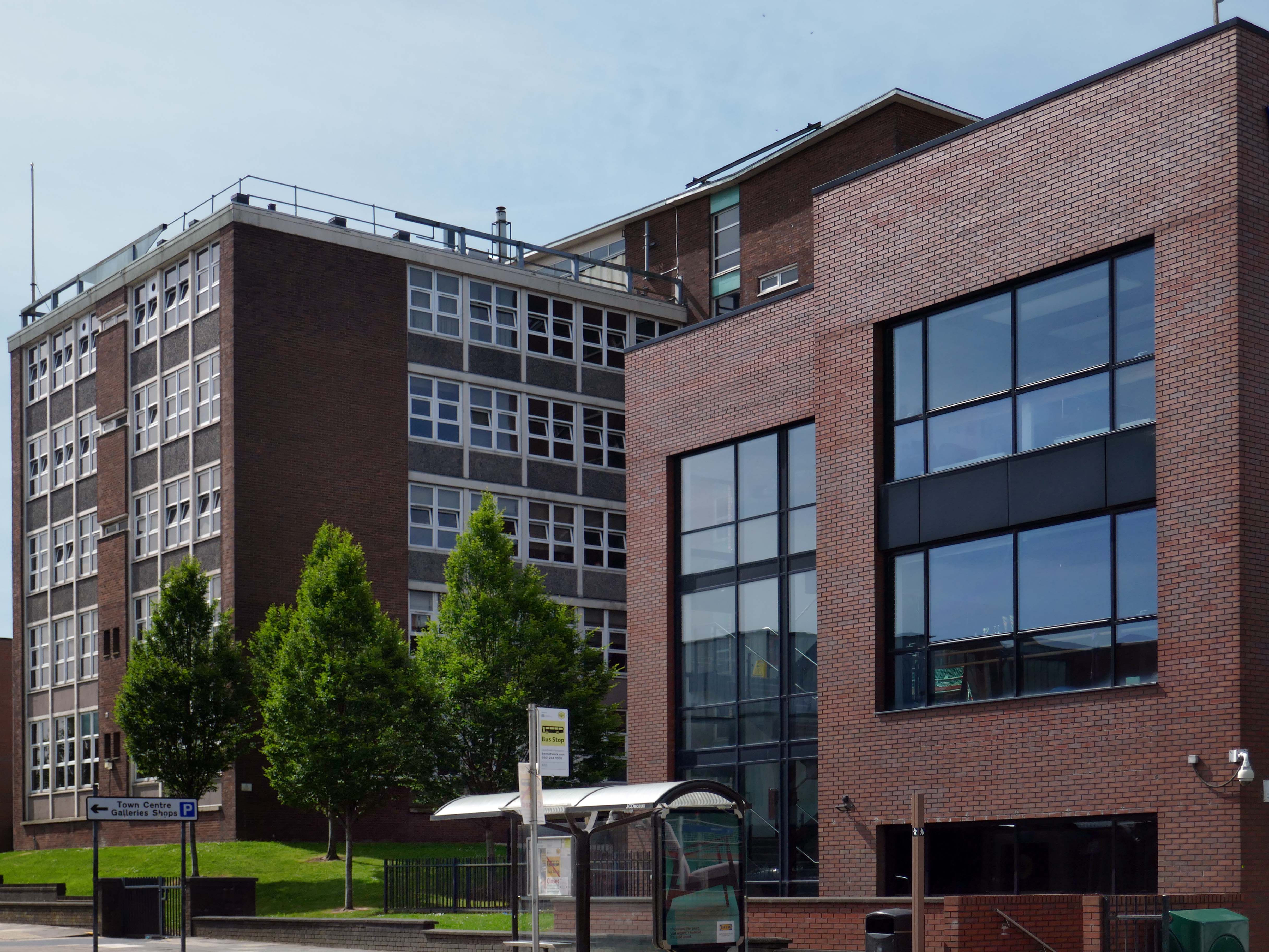
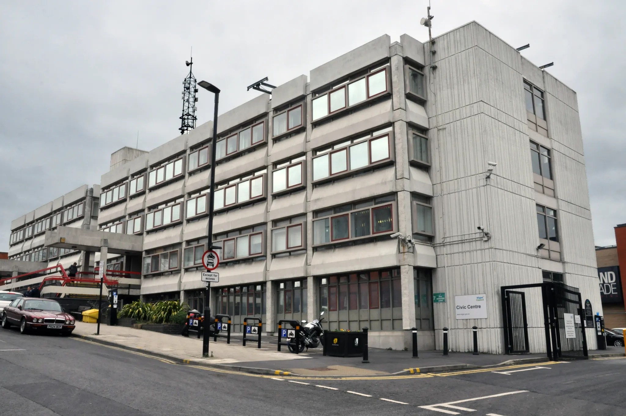
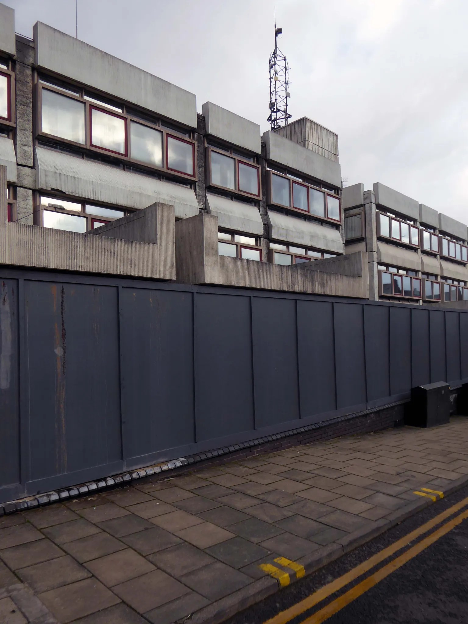
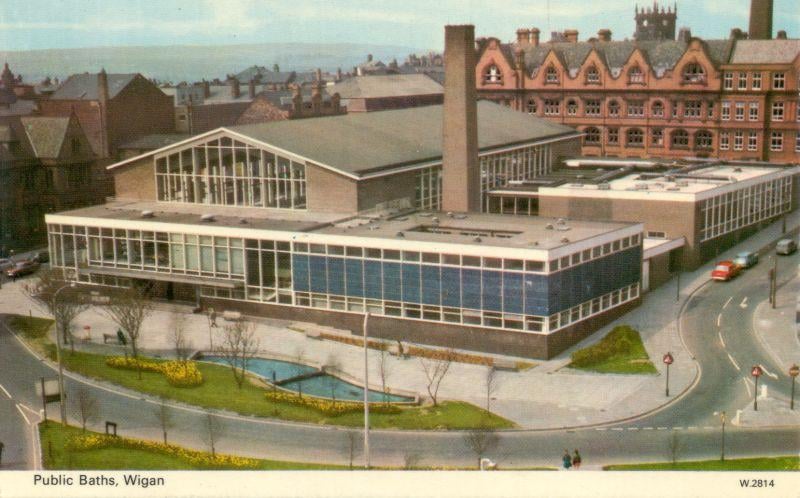
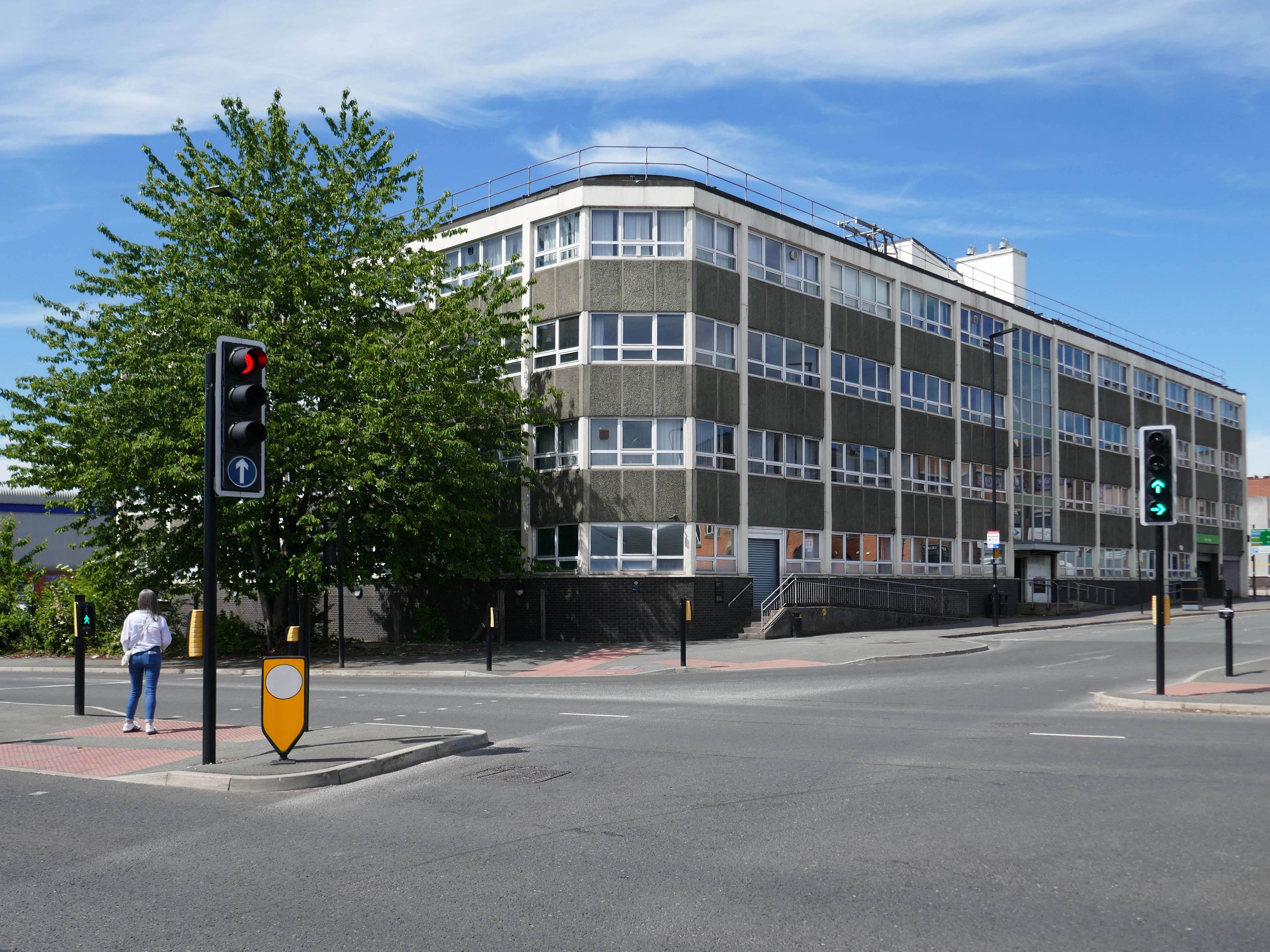
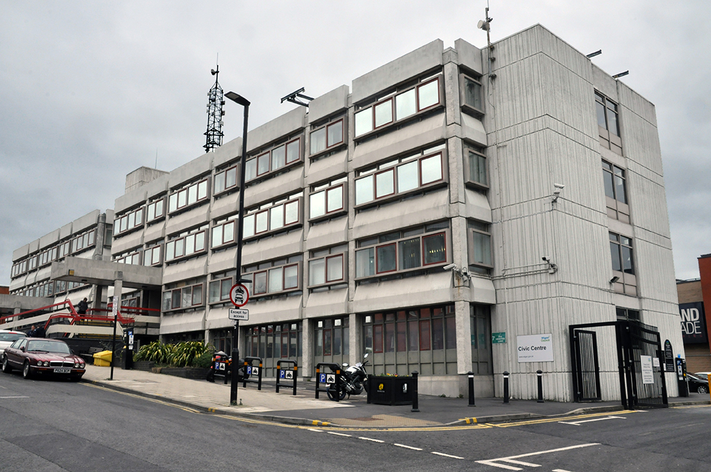
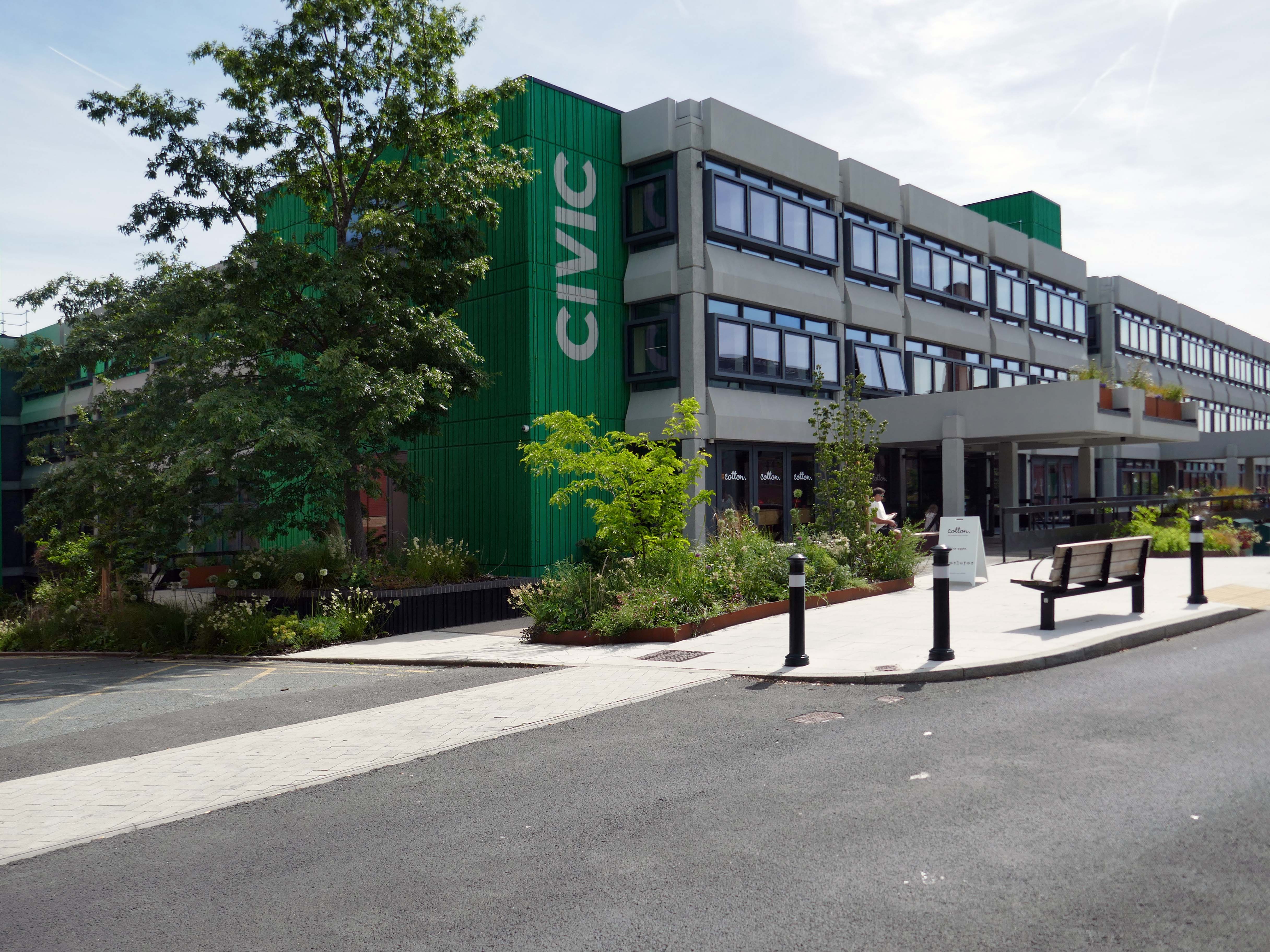
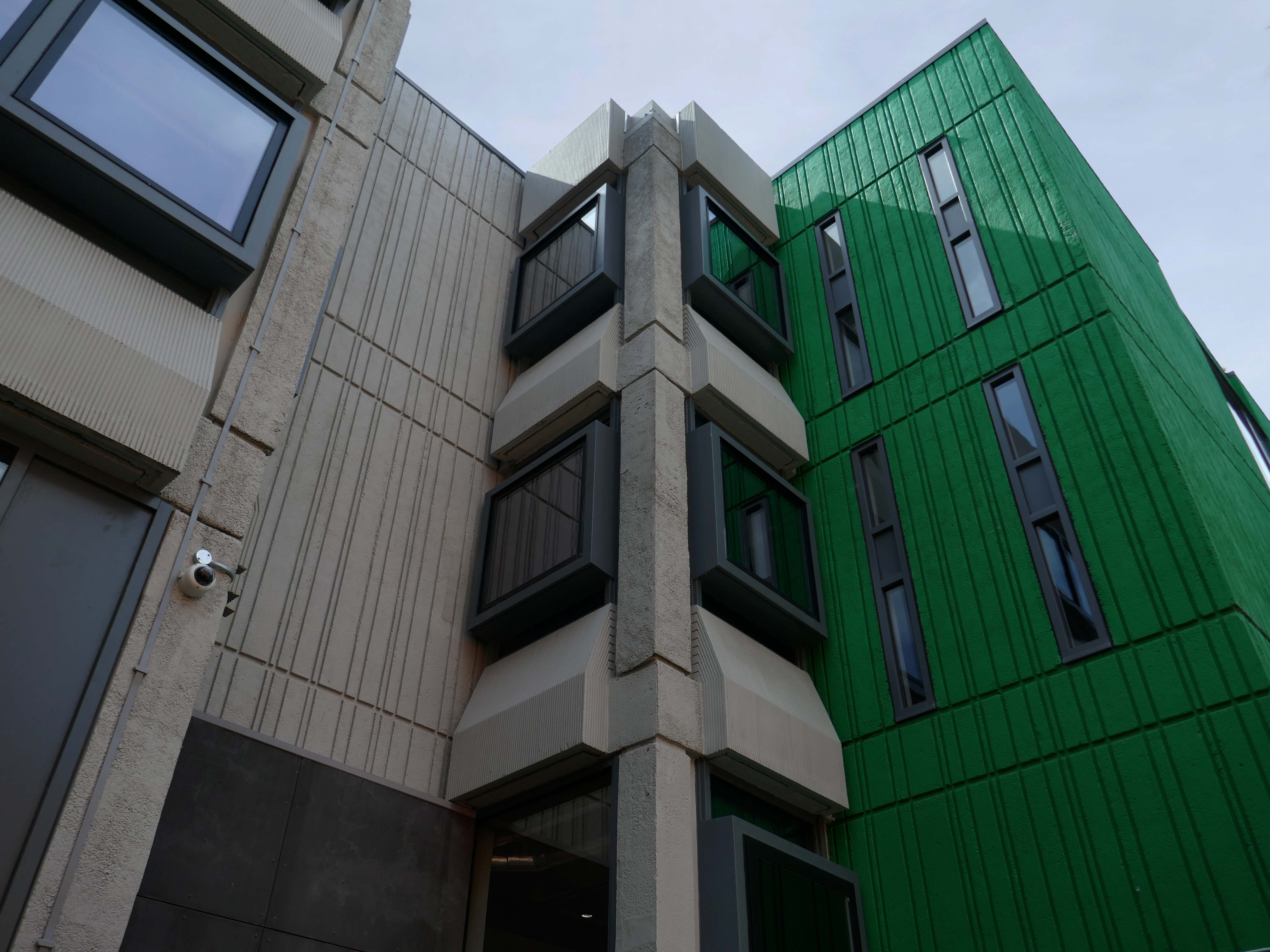
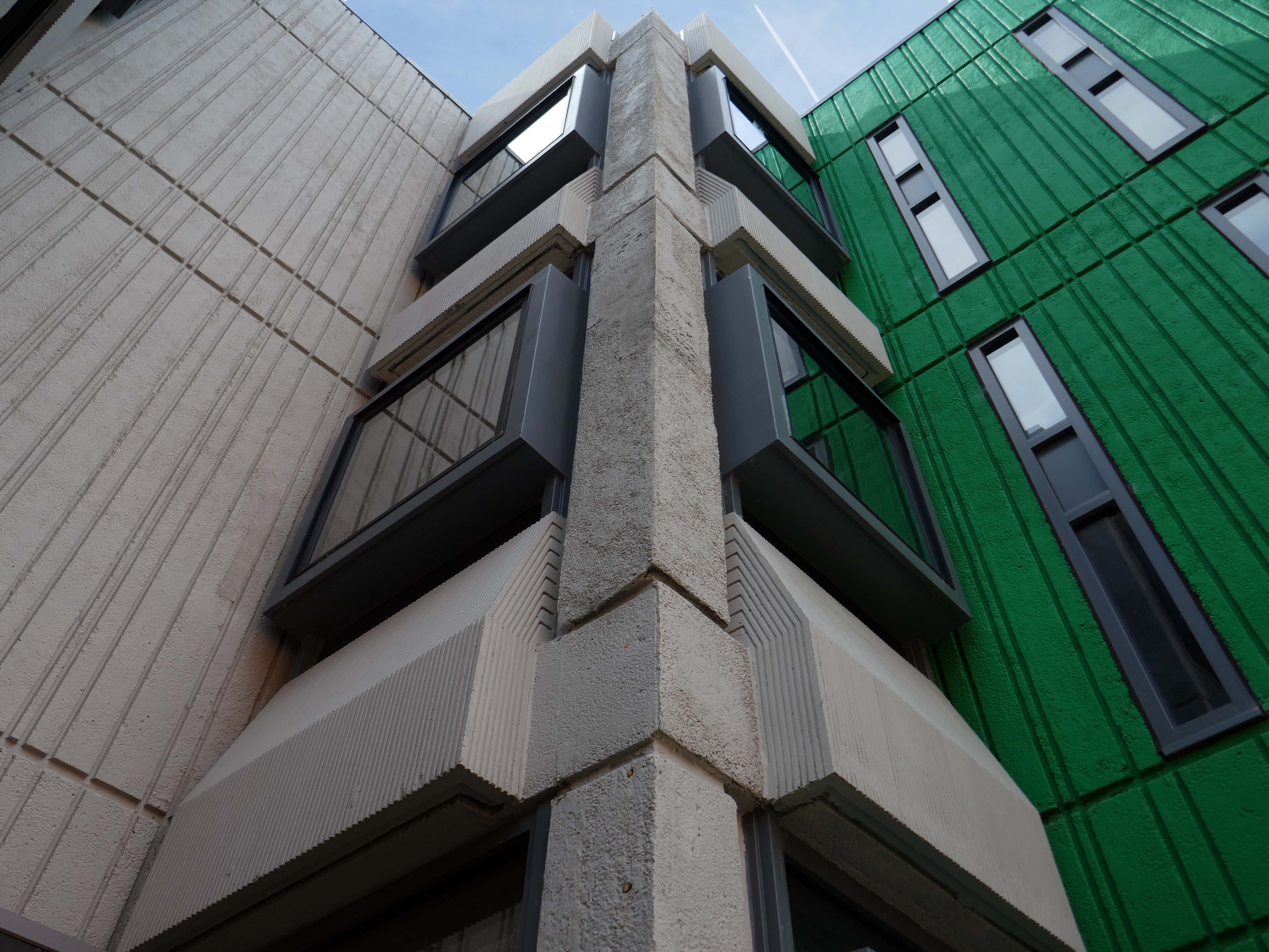
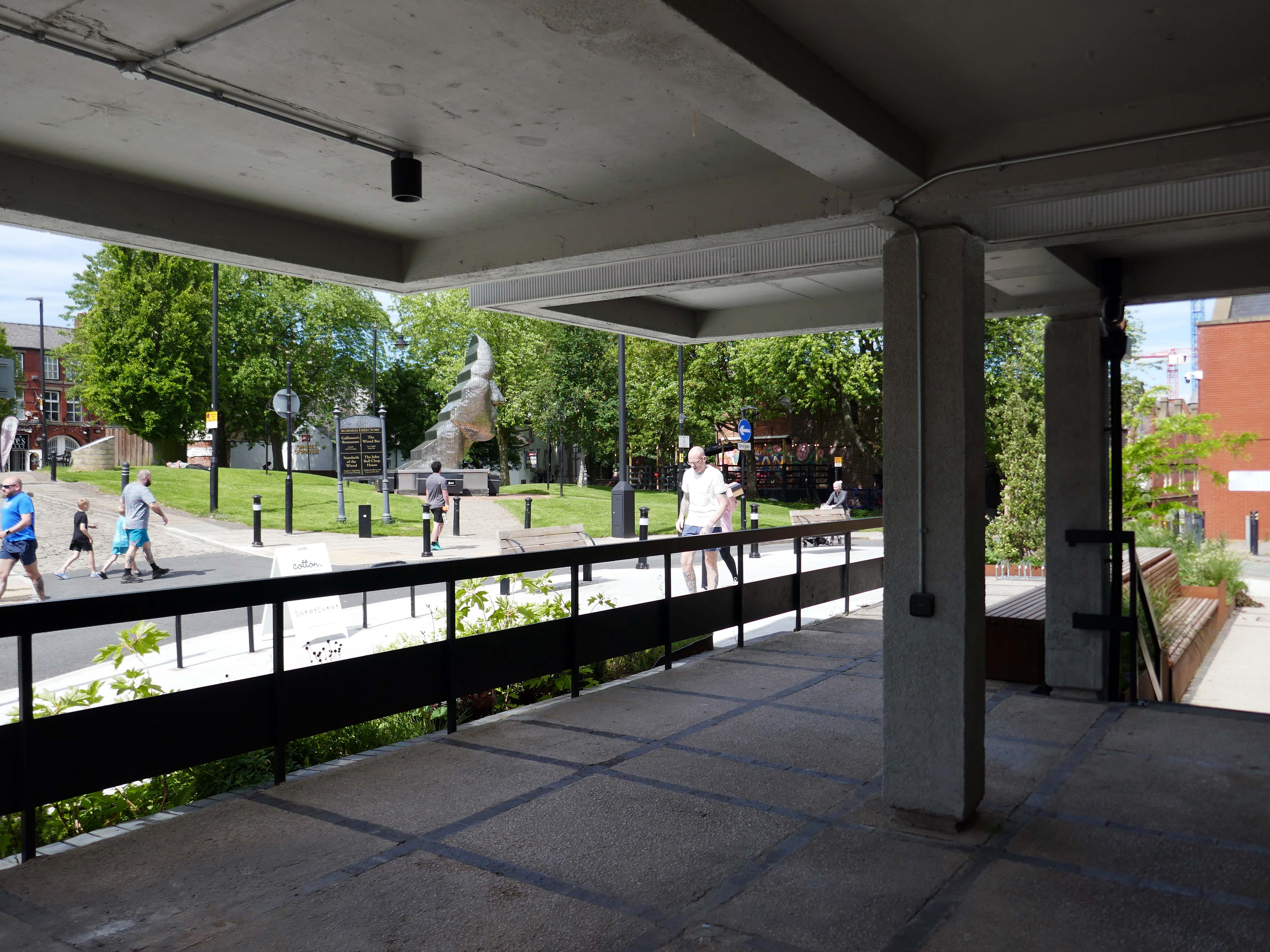
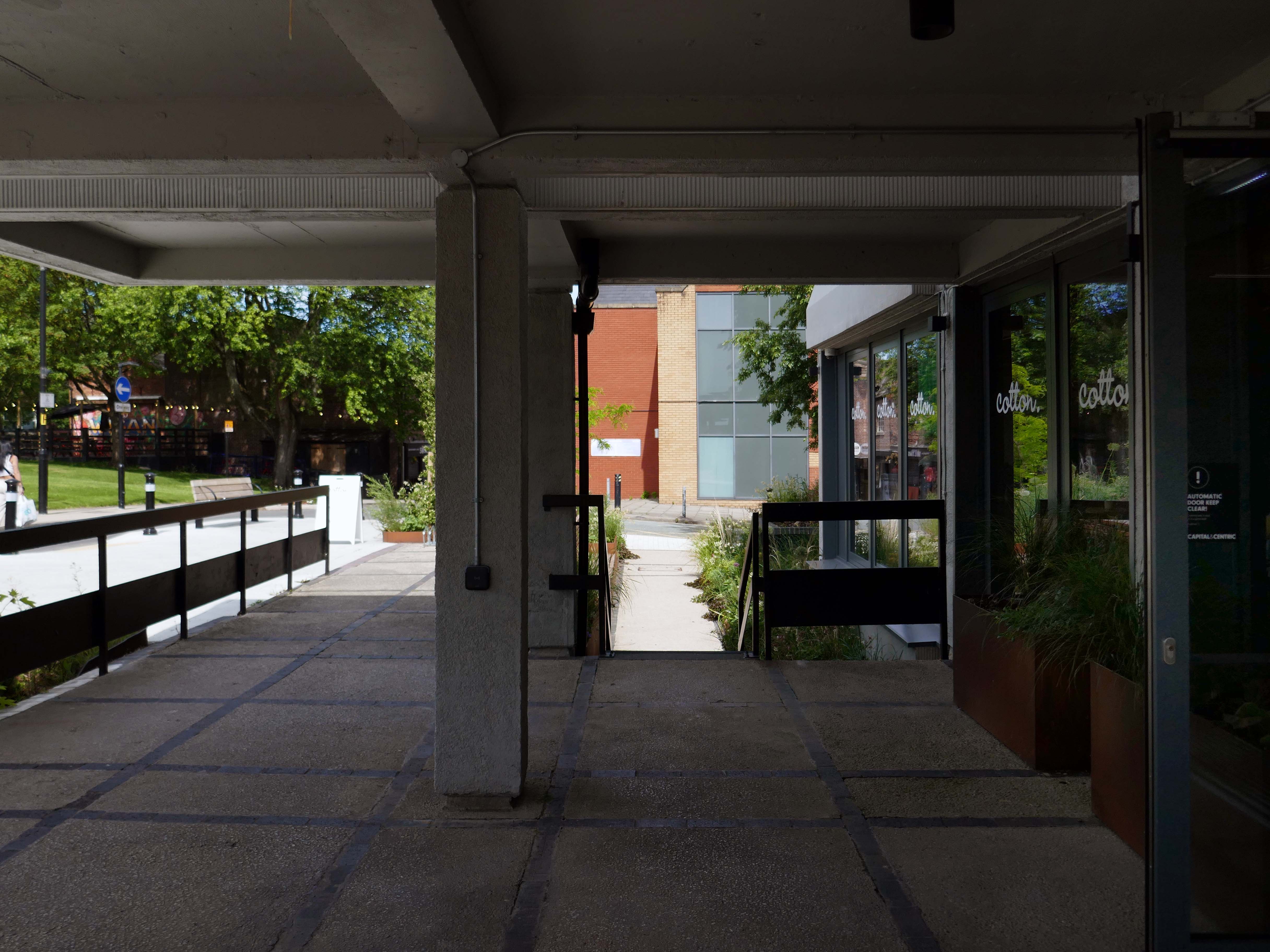
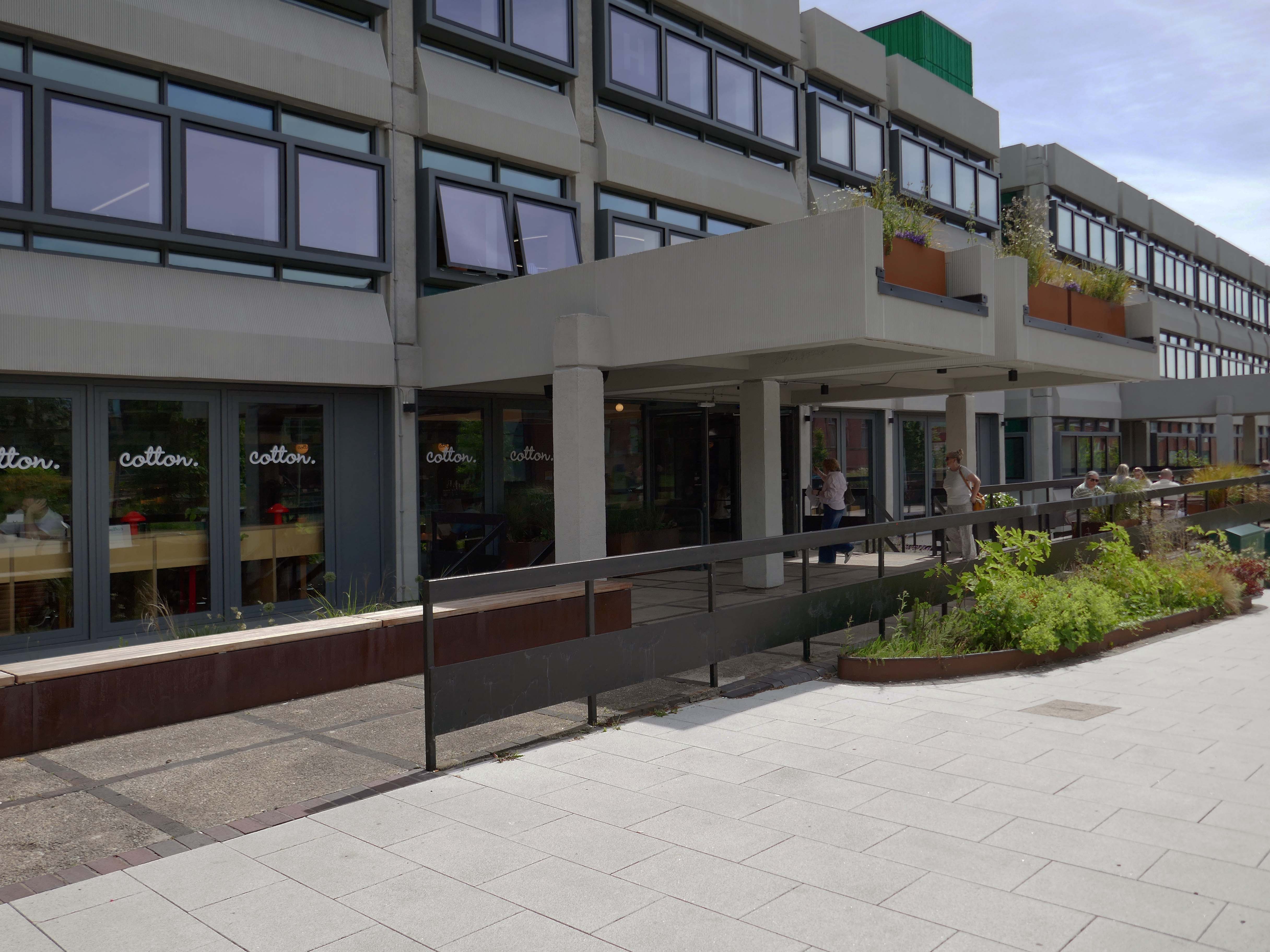
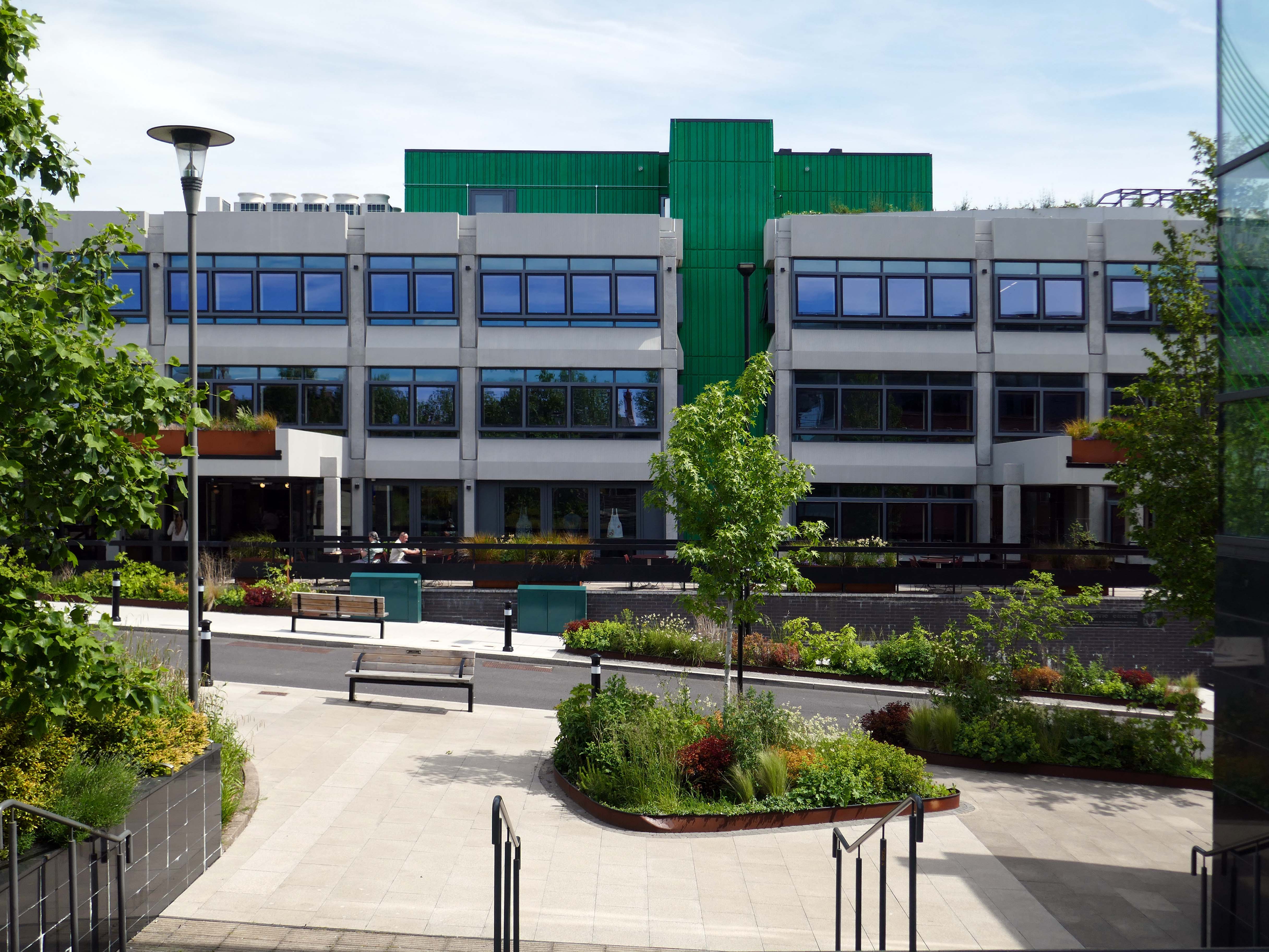
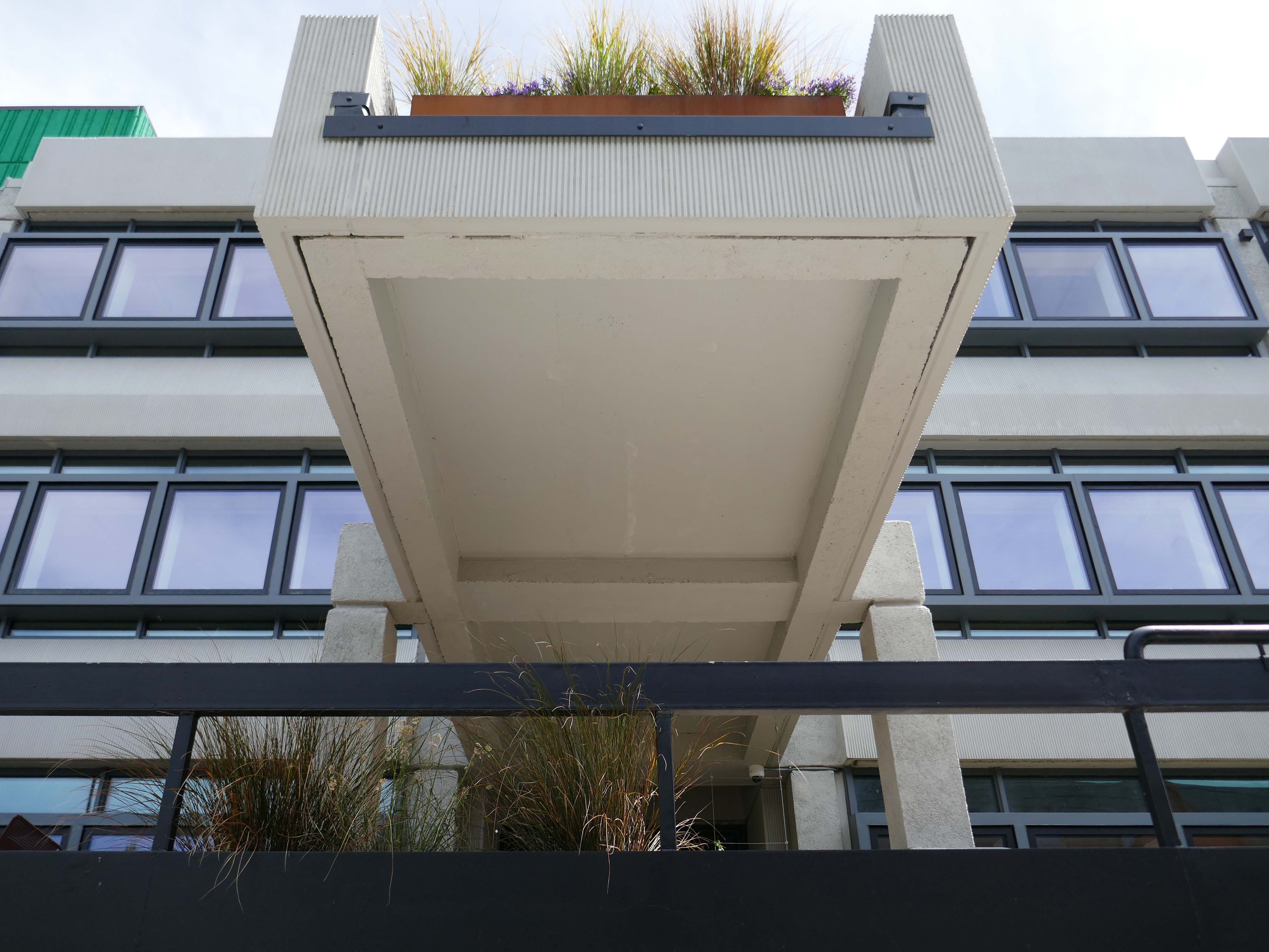
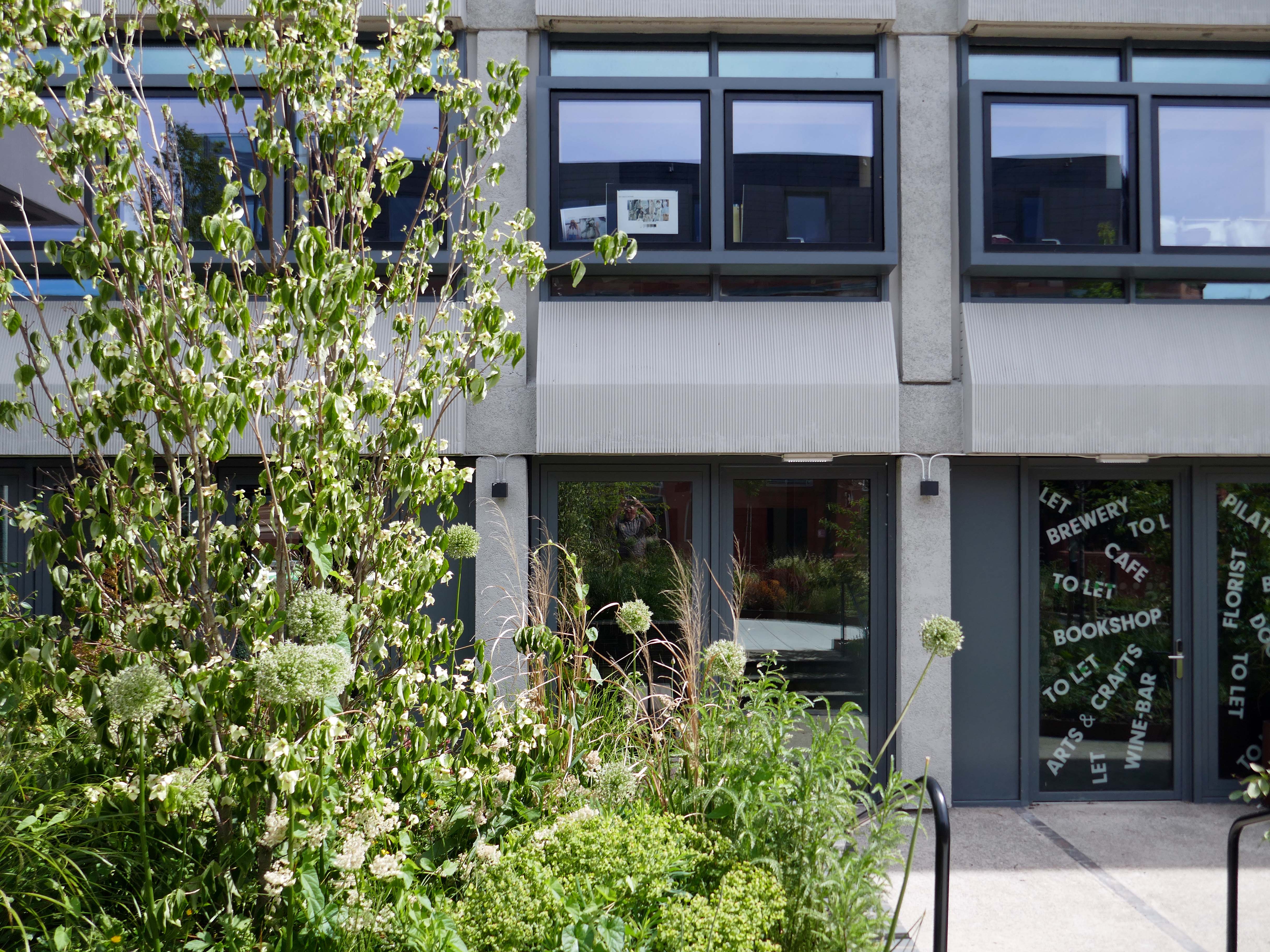
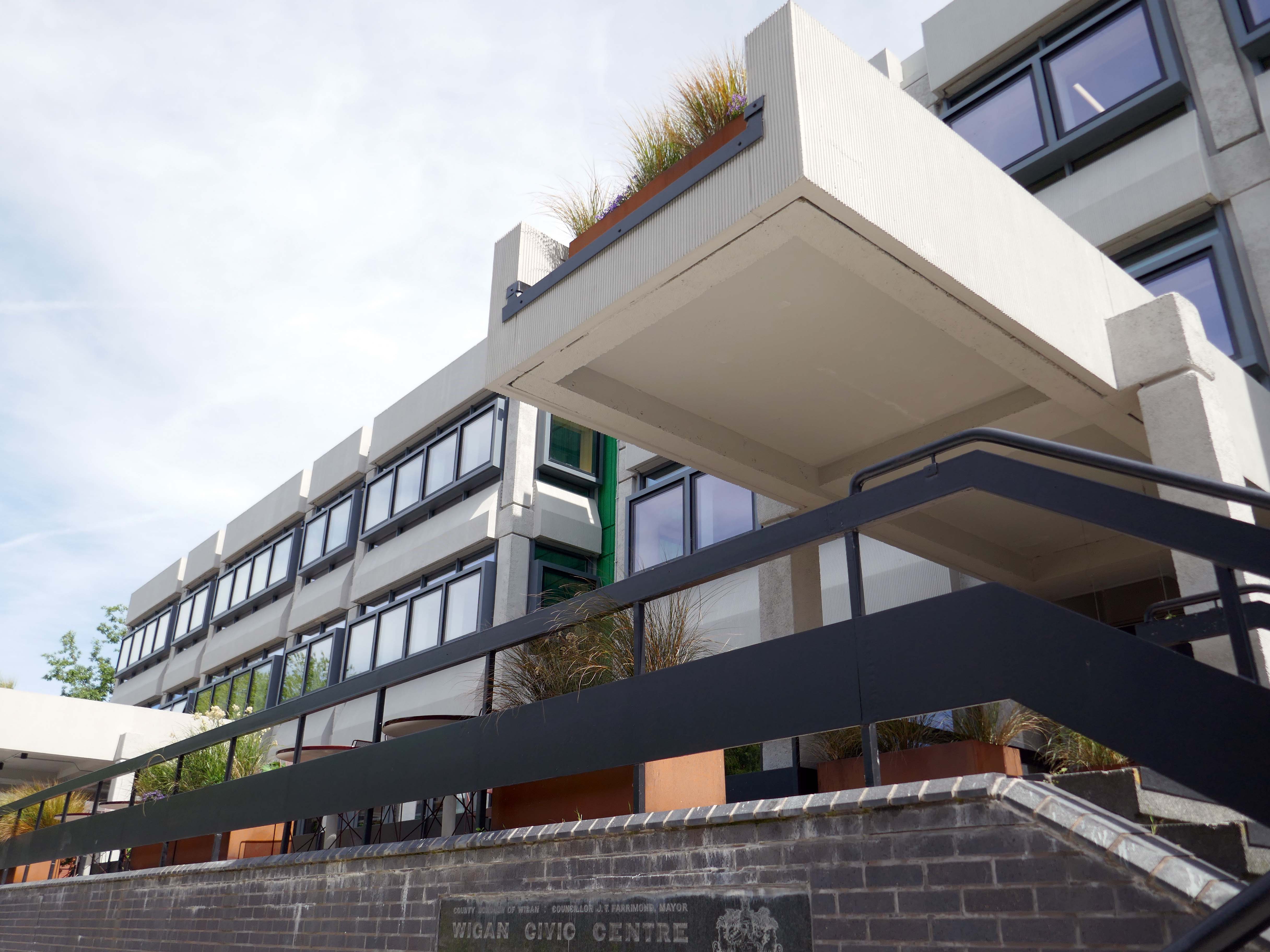
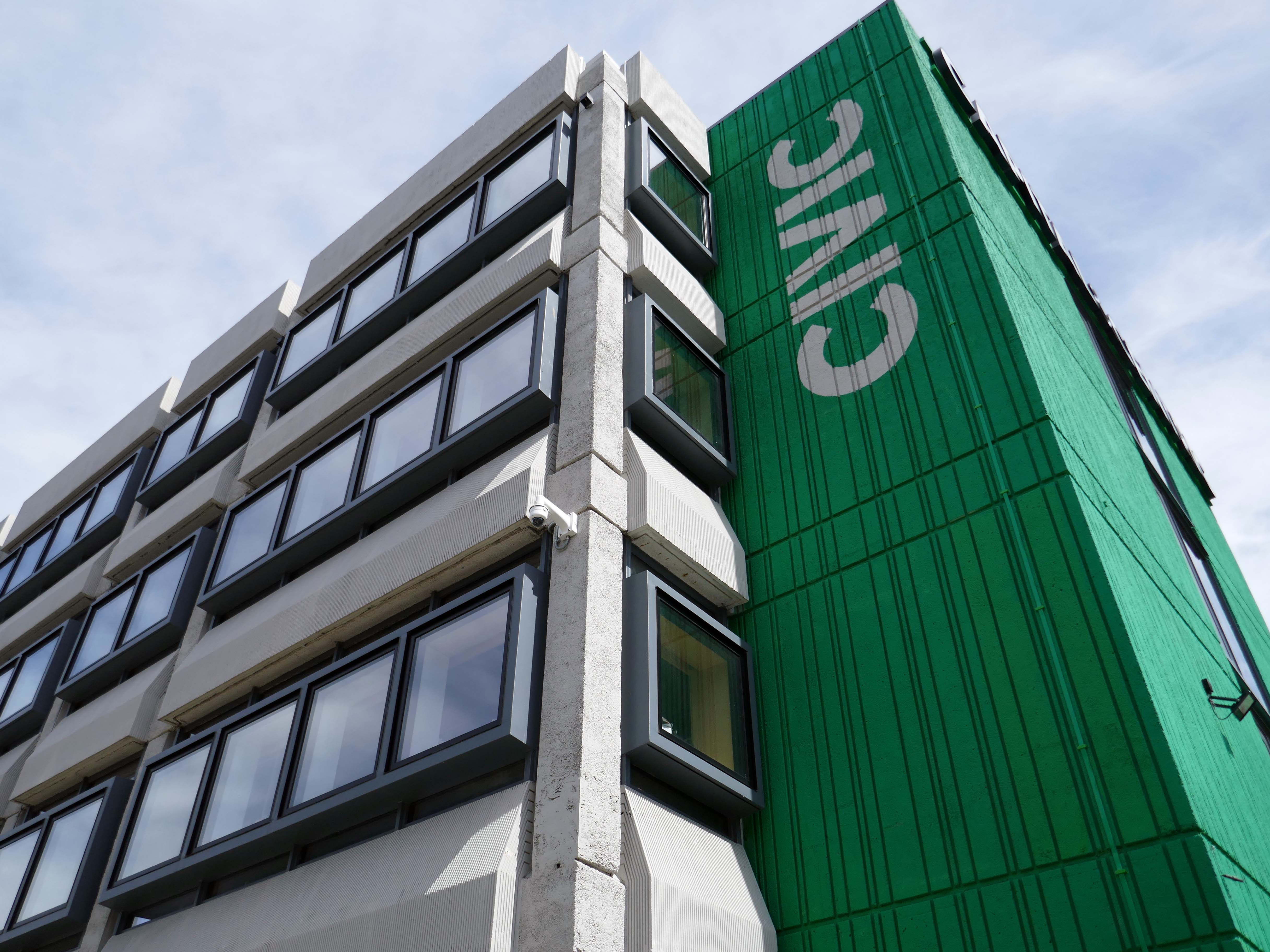
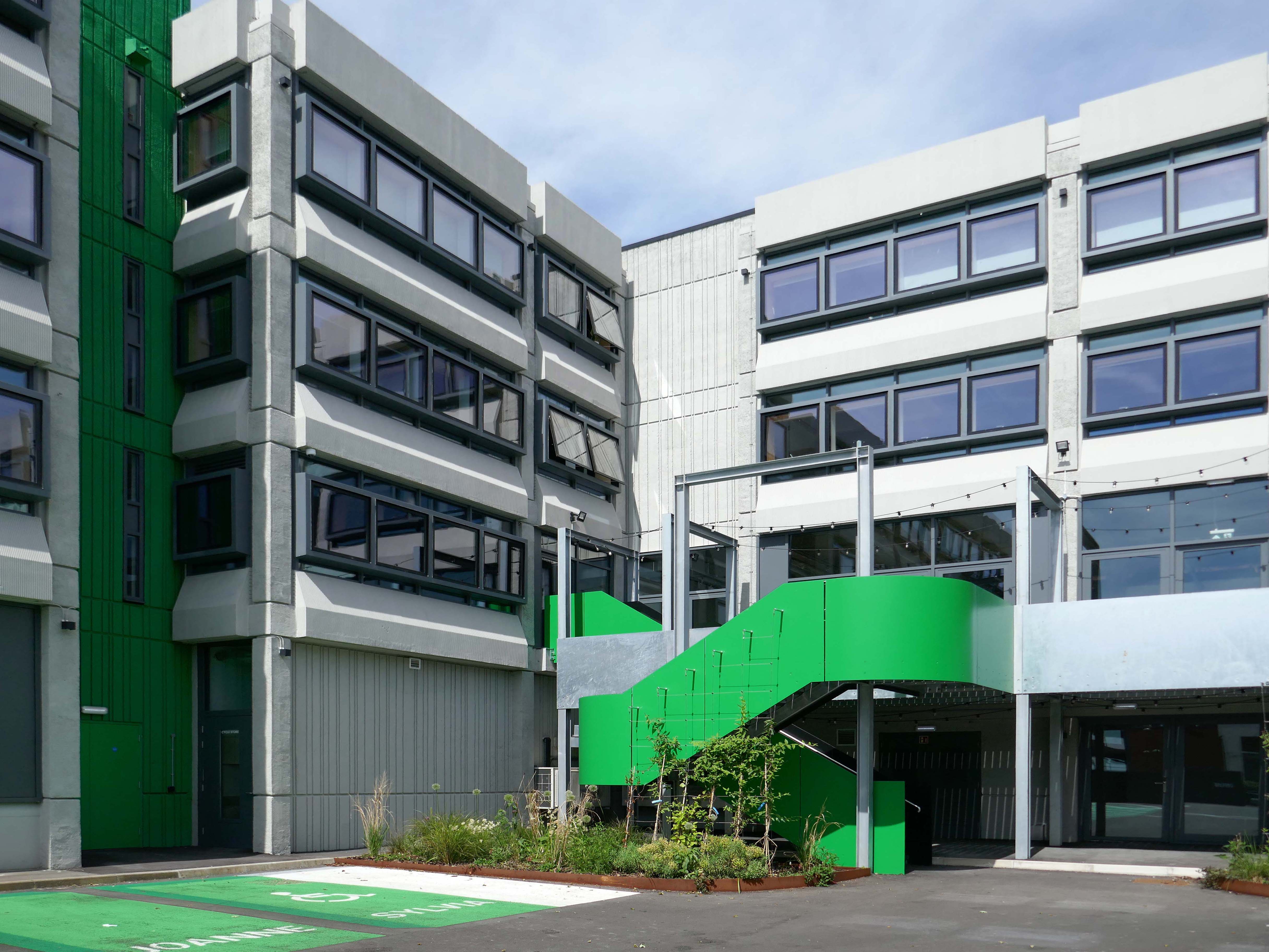
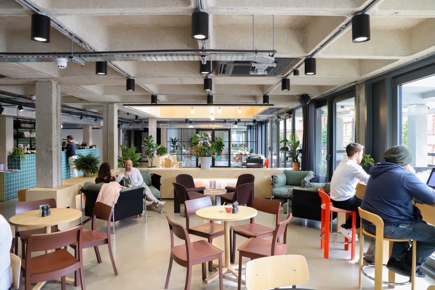
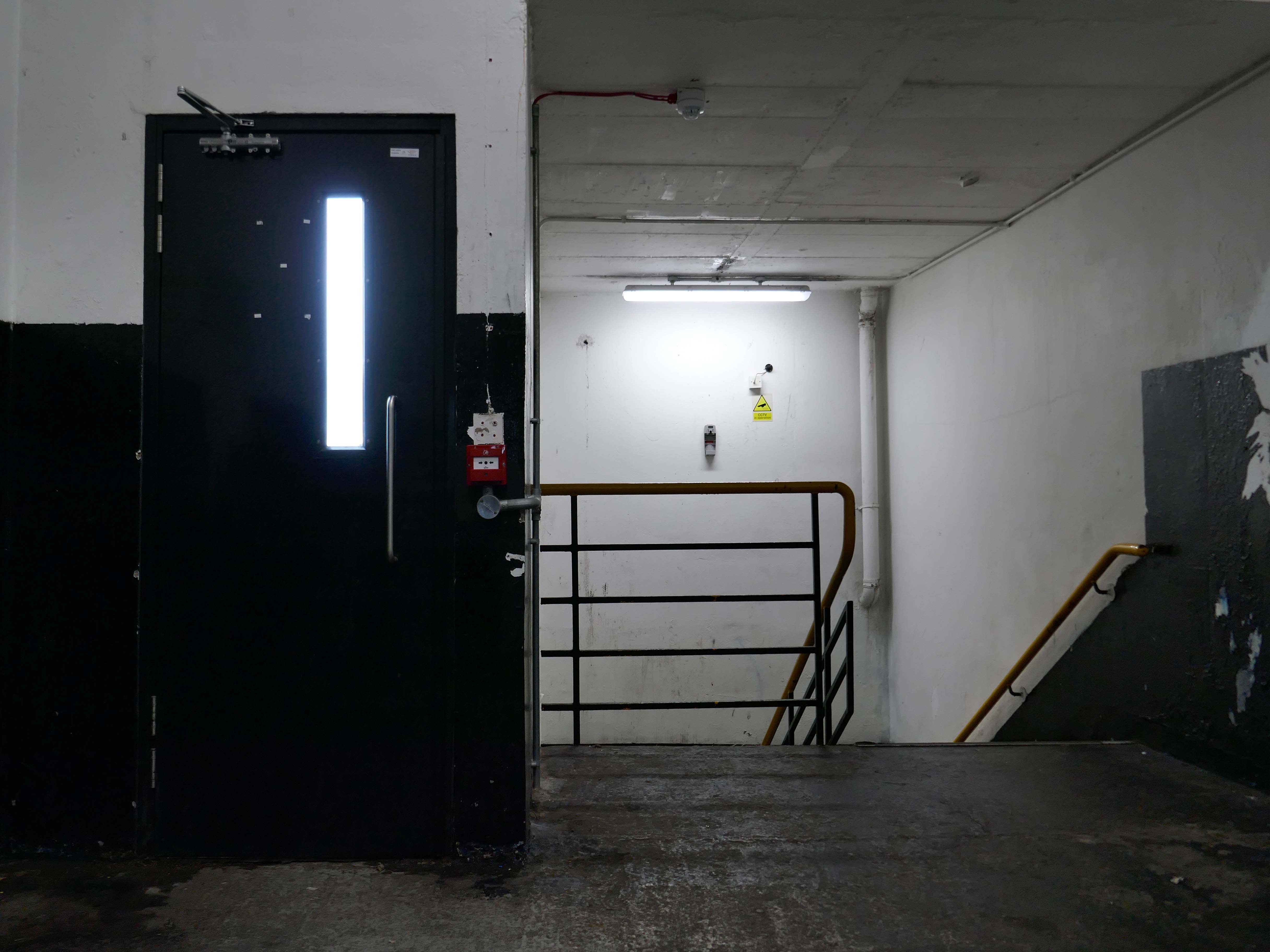
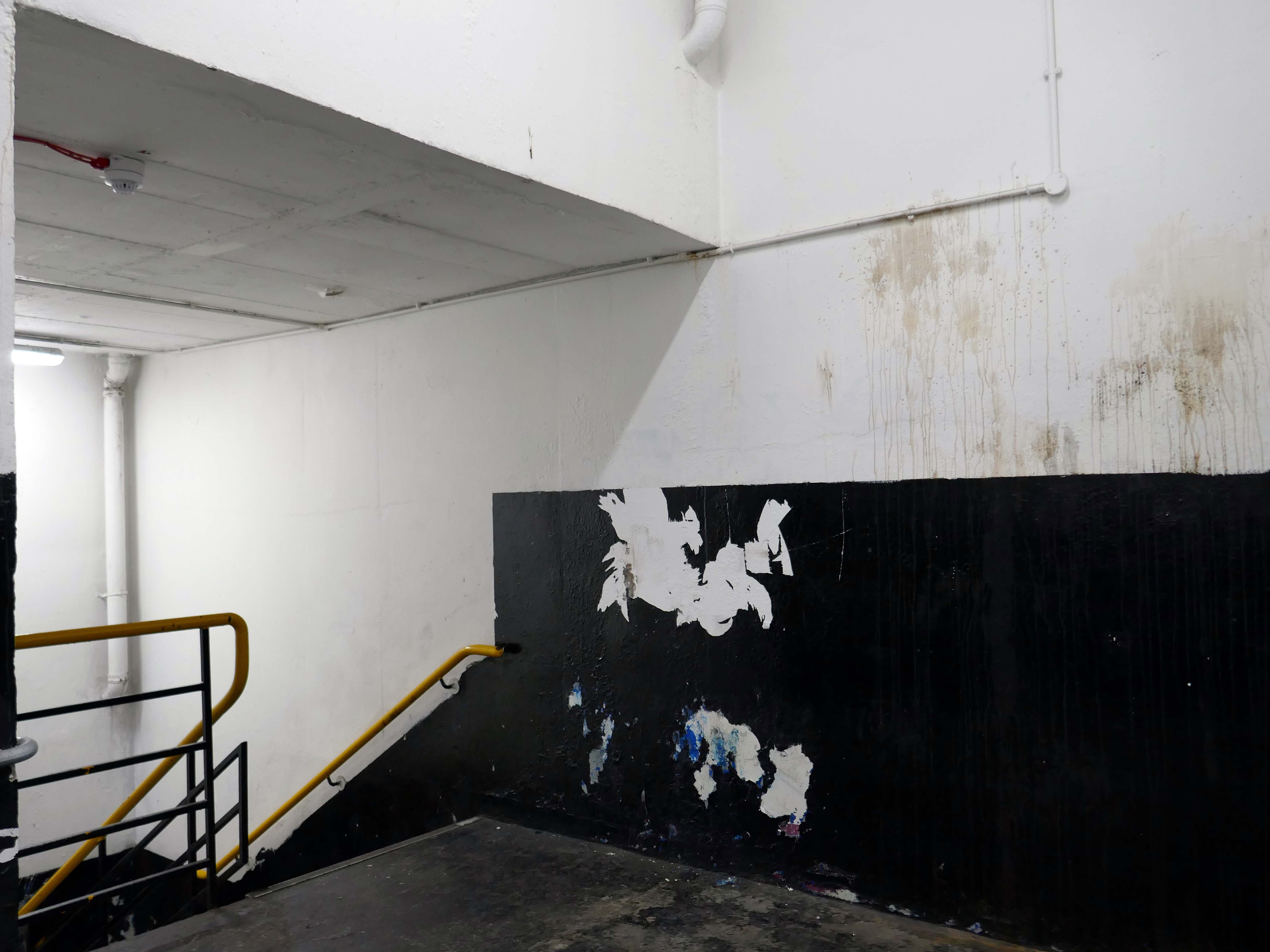
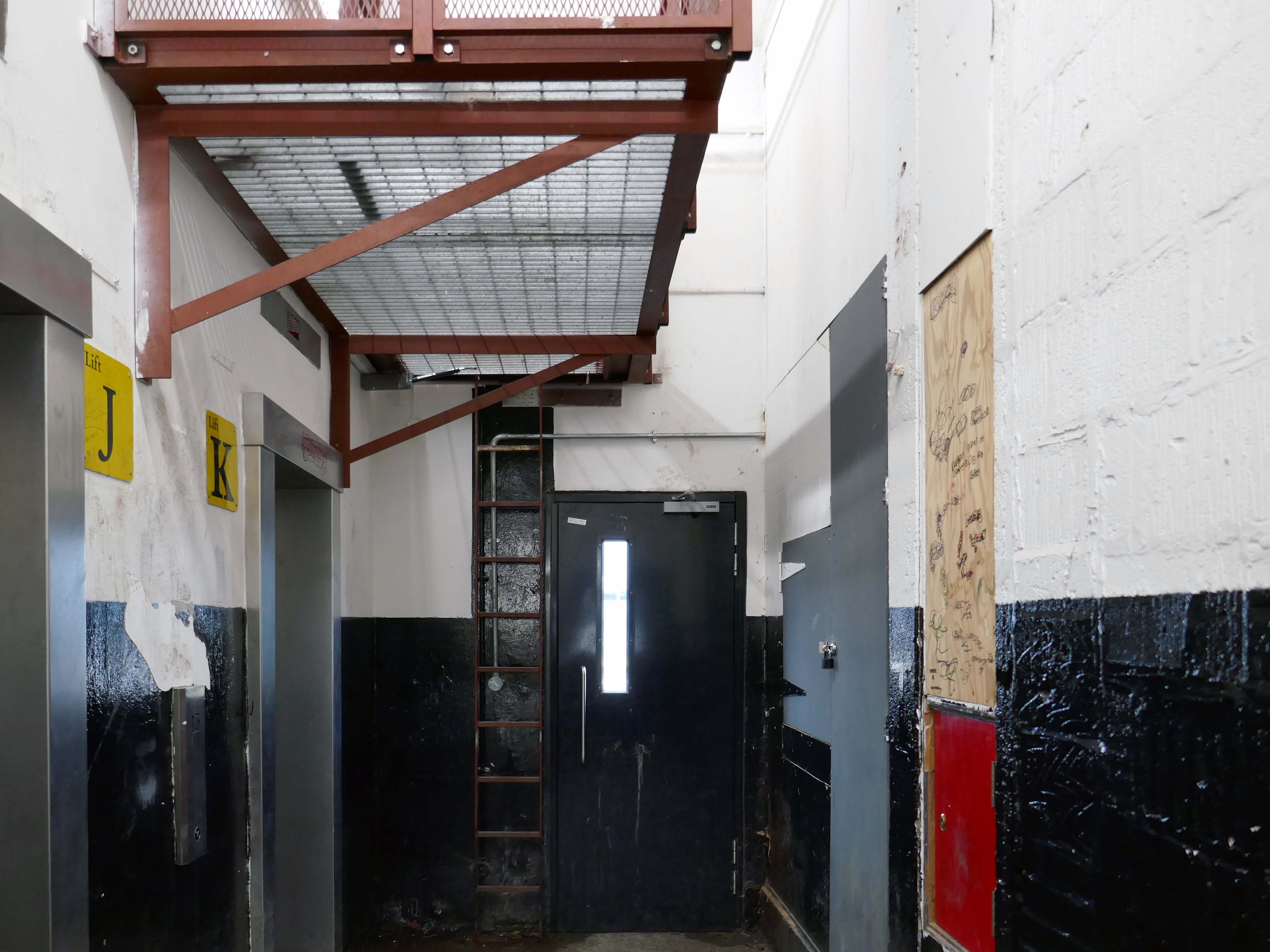
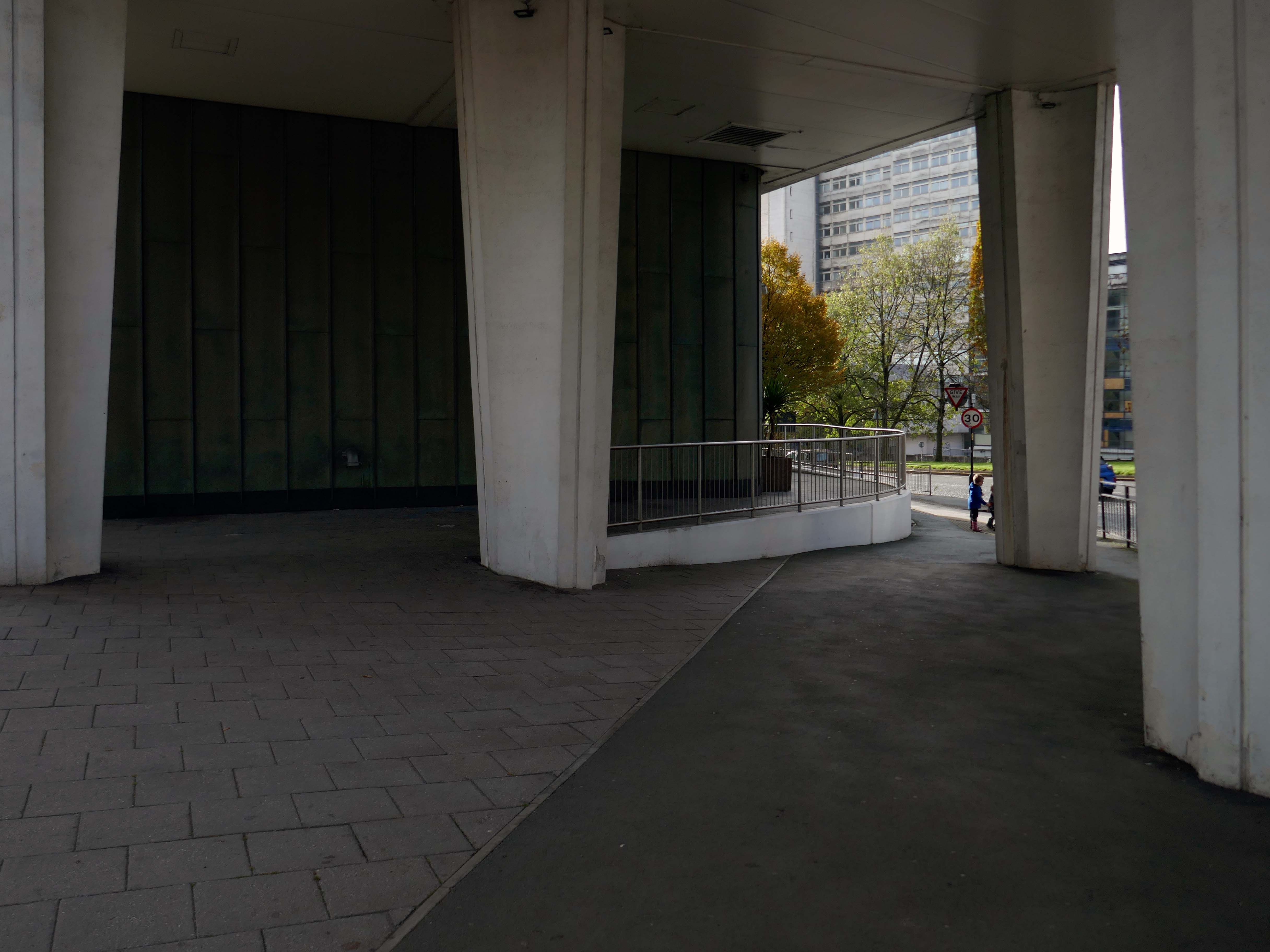
1971 built of a pre-cast concrete panel system, dour, on an awkwardly sloping site.
I beg to differ – what’s the opposite of dour?
So says the online Thesaurus – and I heartily concur, for the whole building has had a makeover and a half.
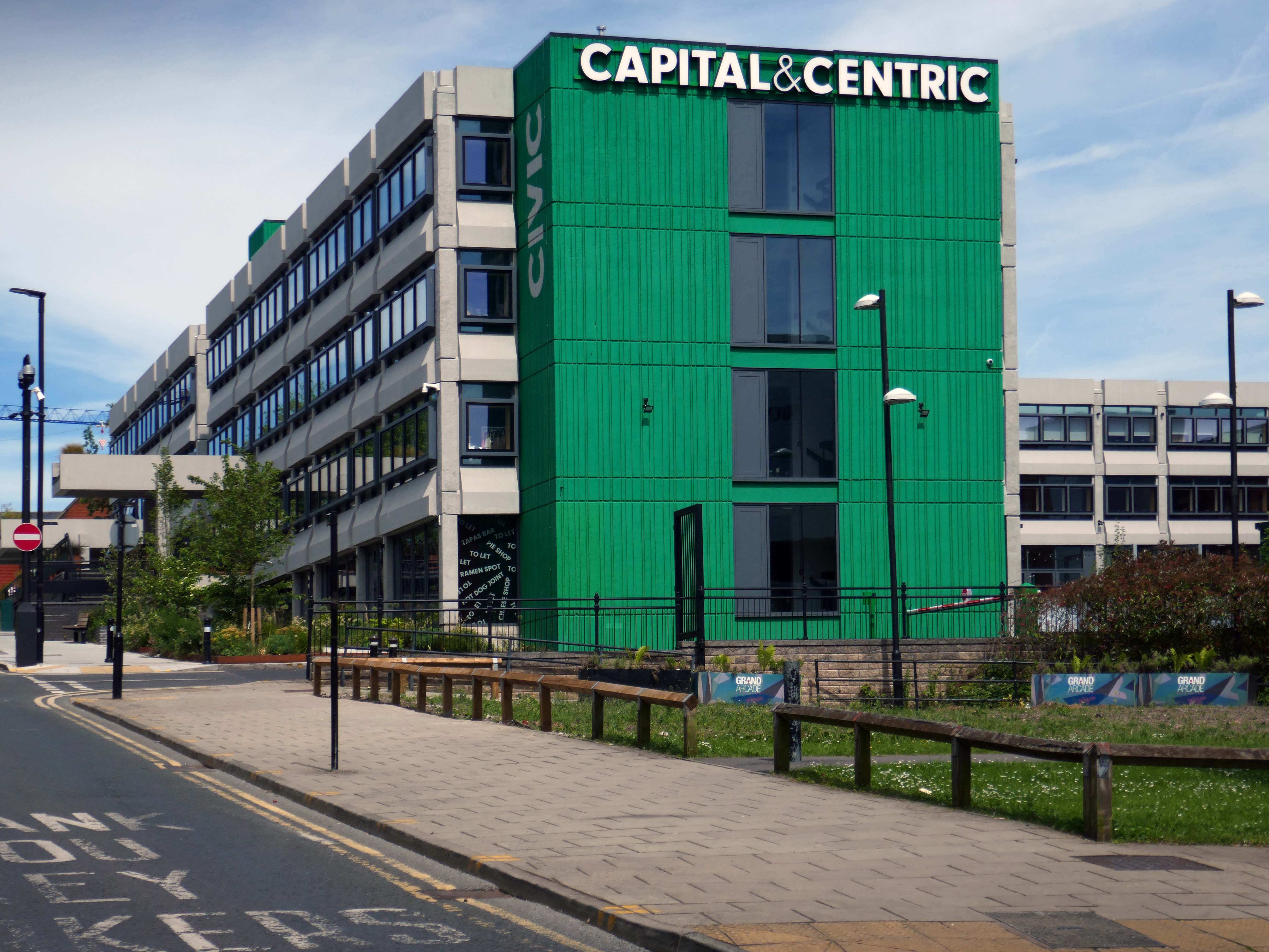
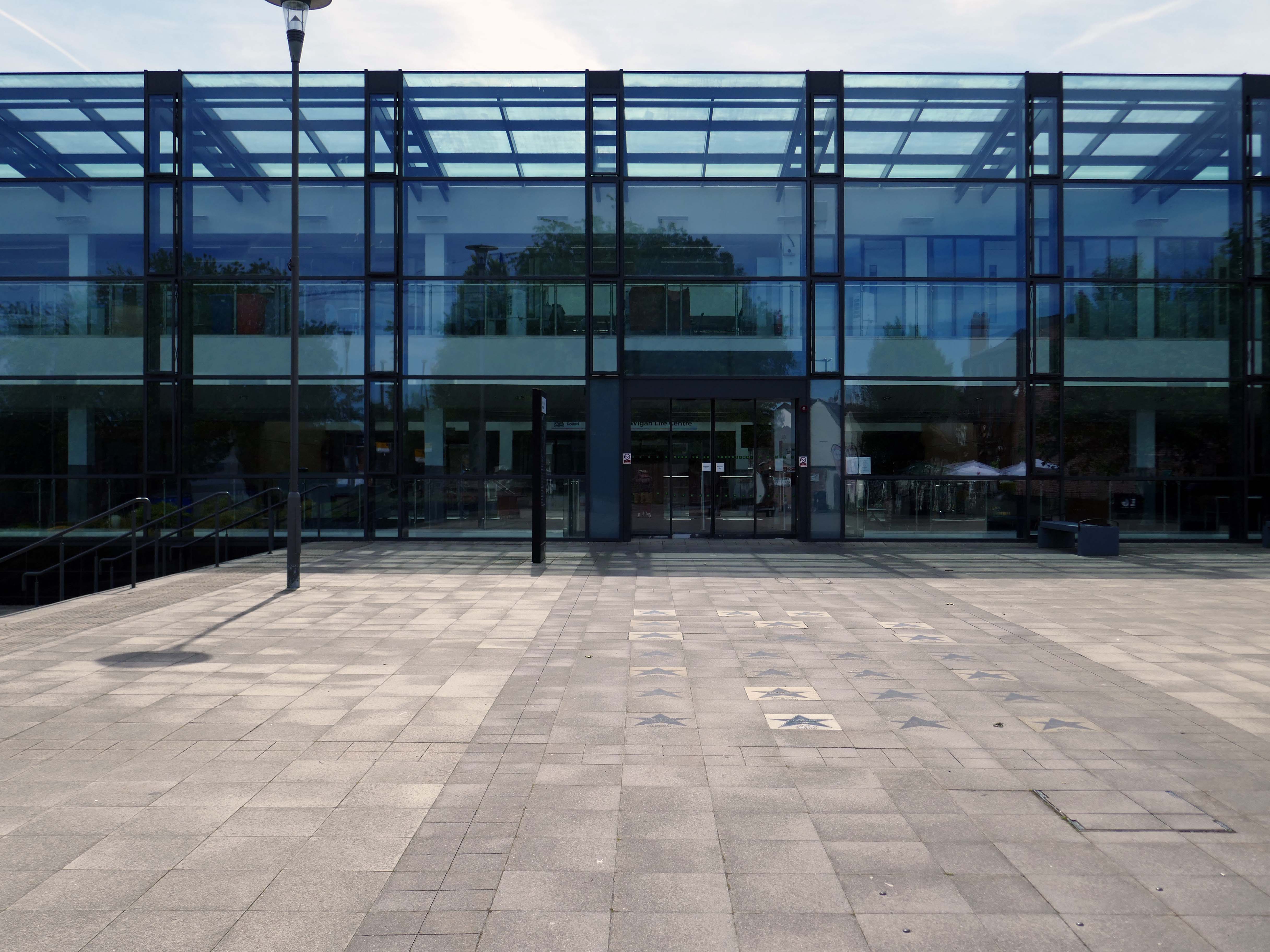
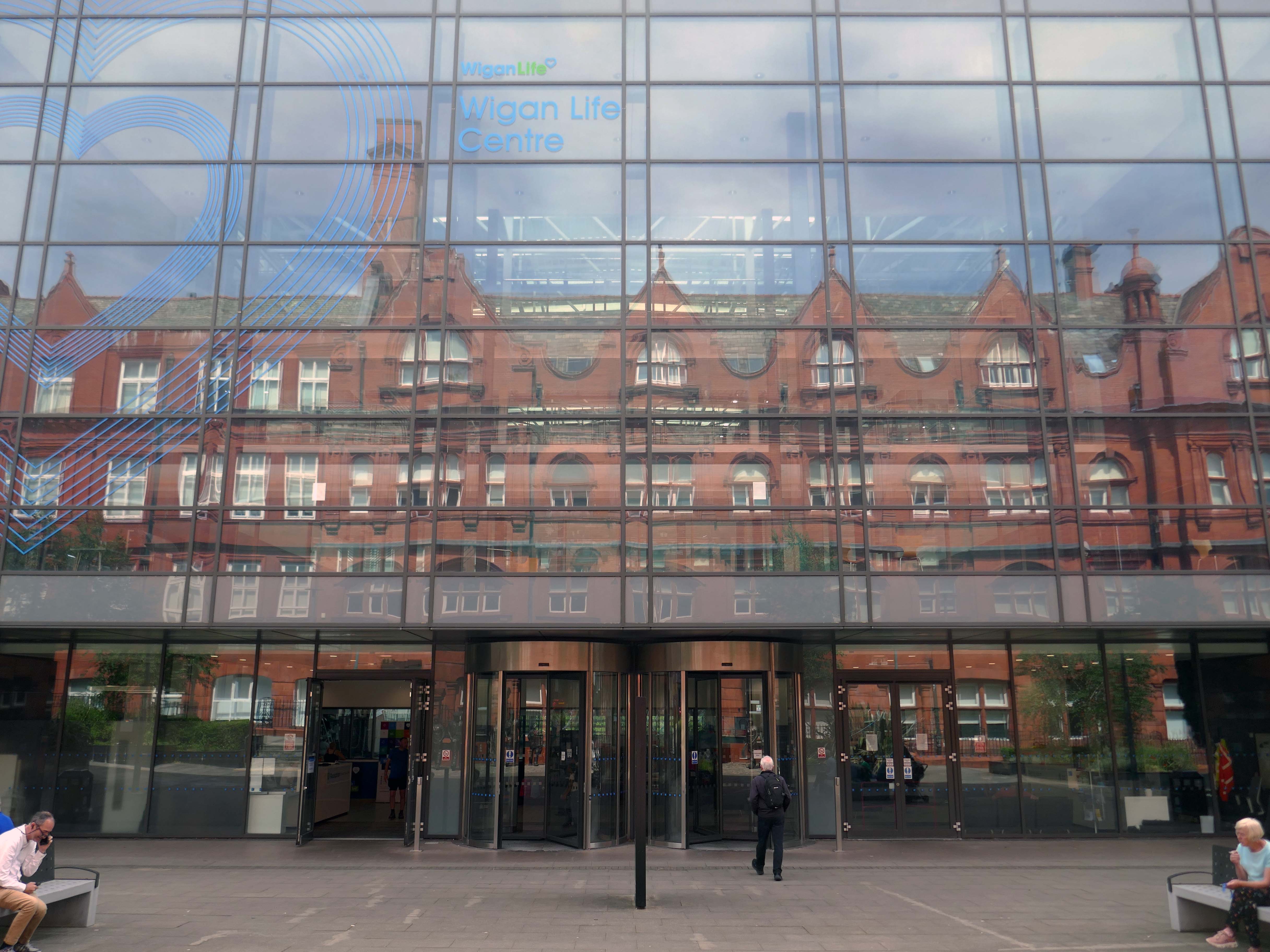
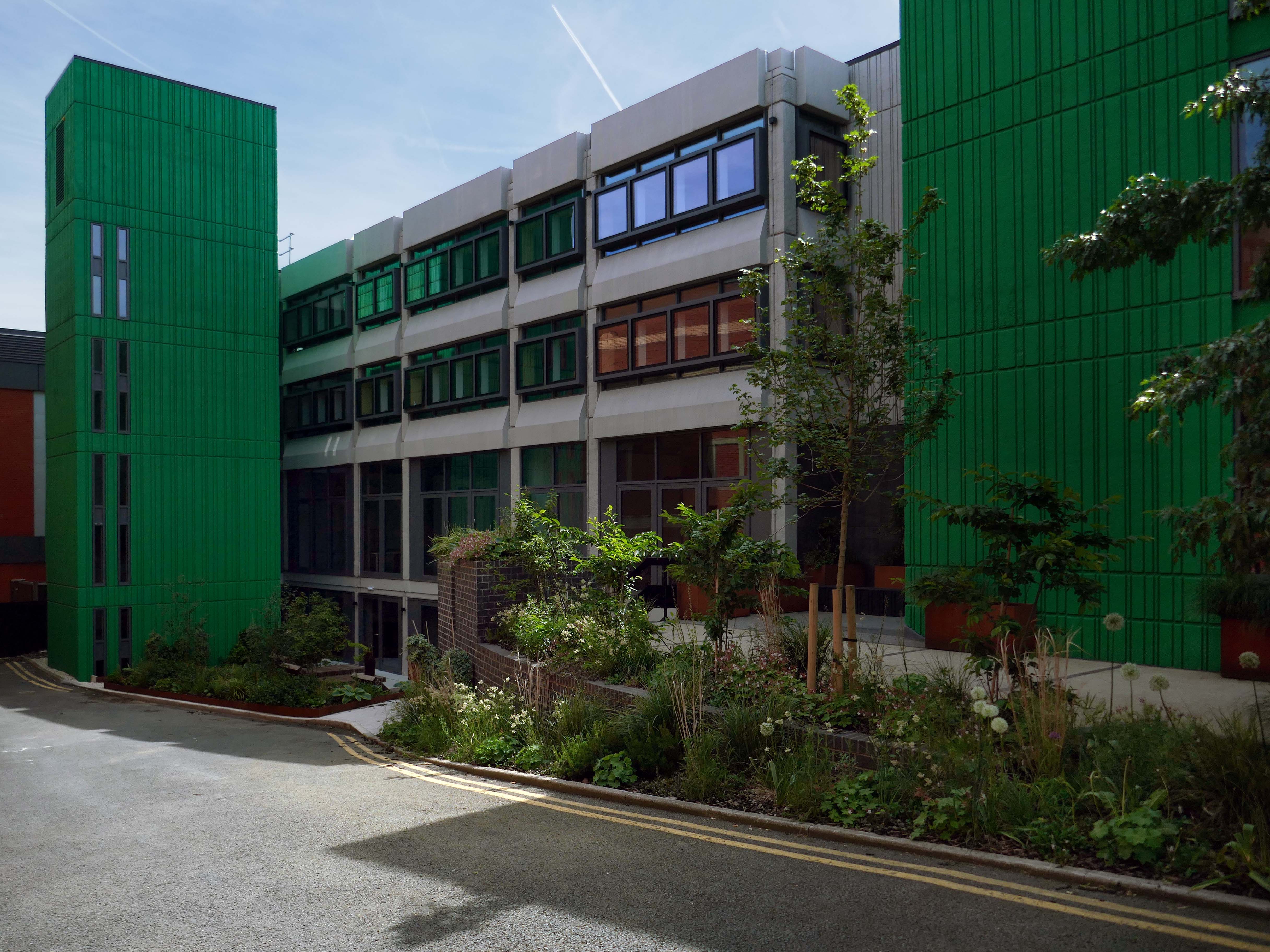
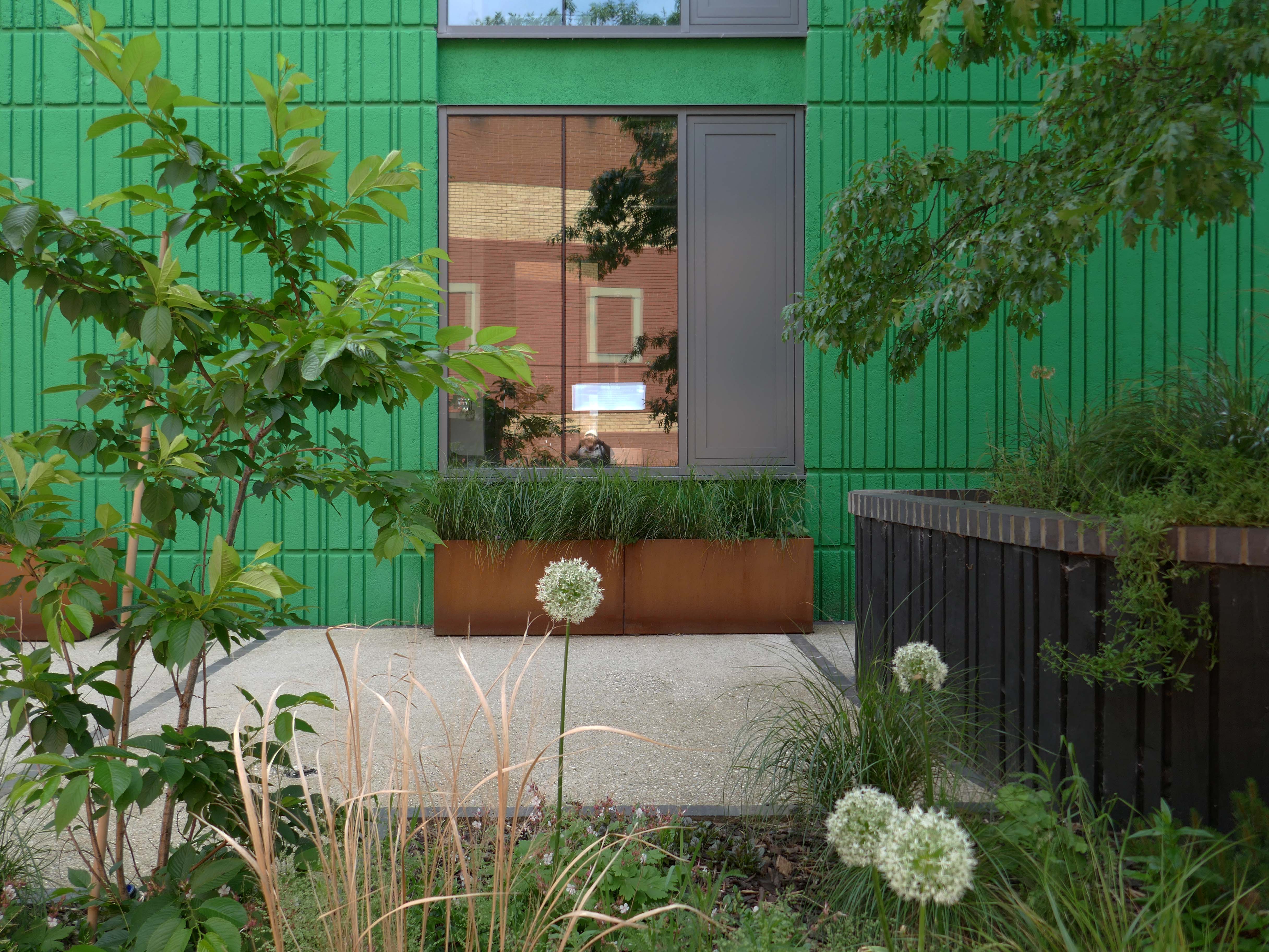
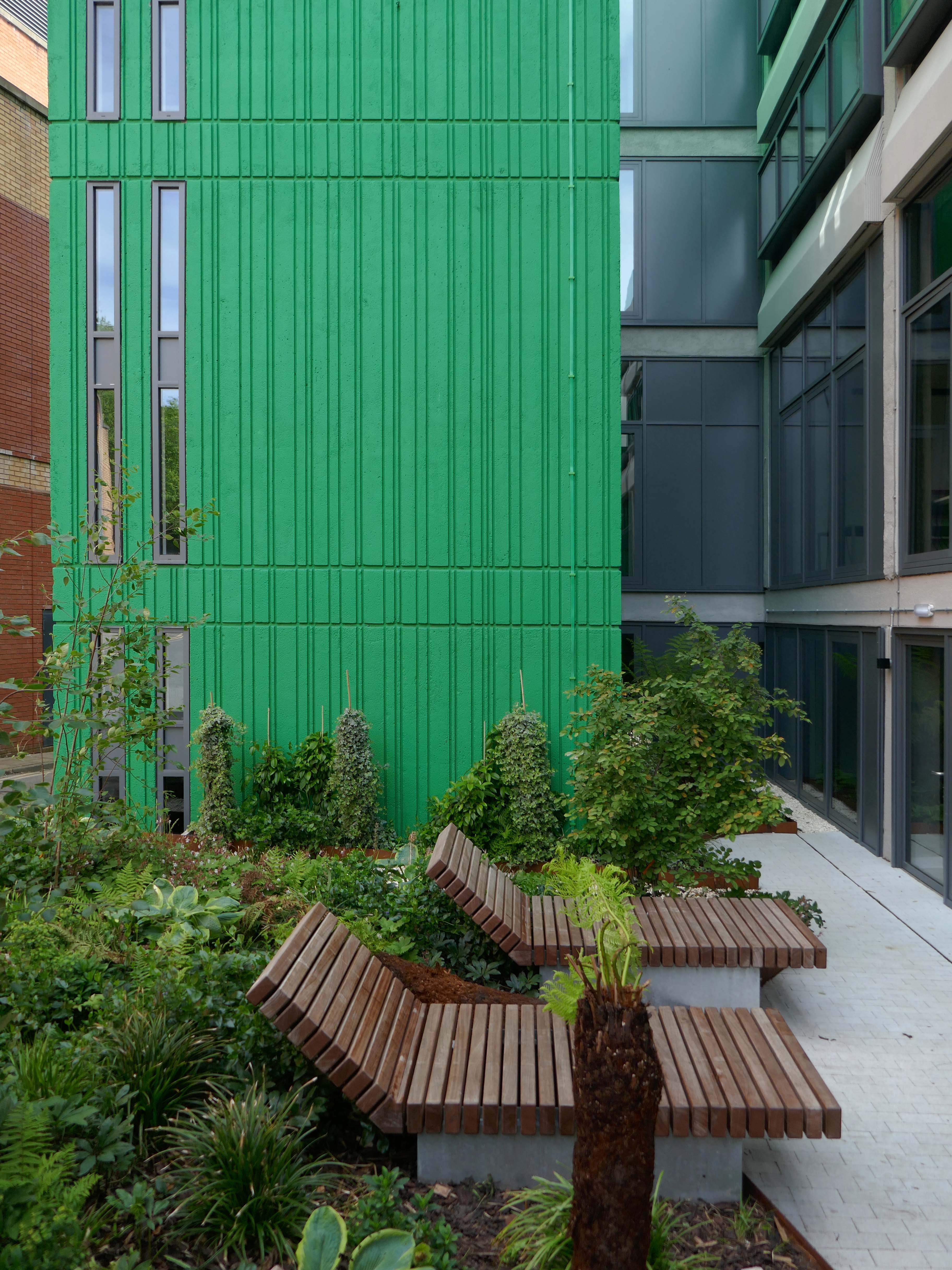
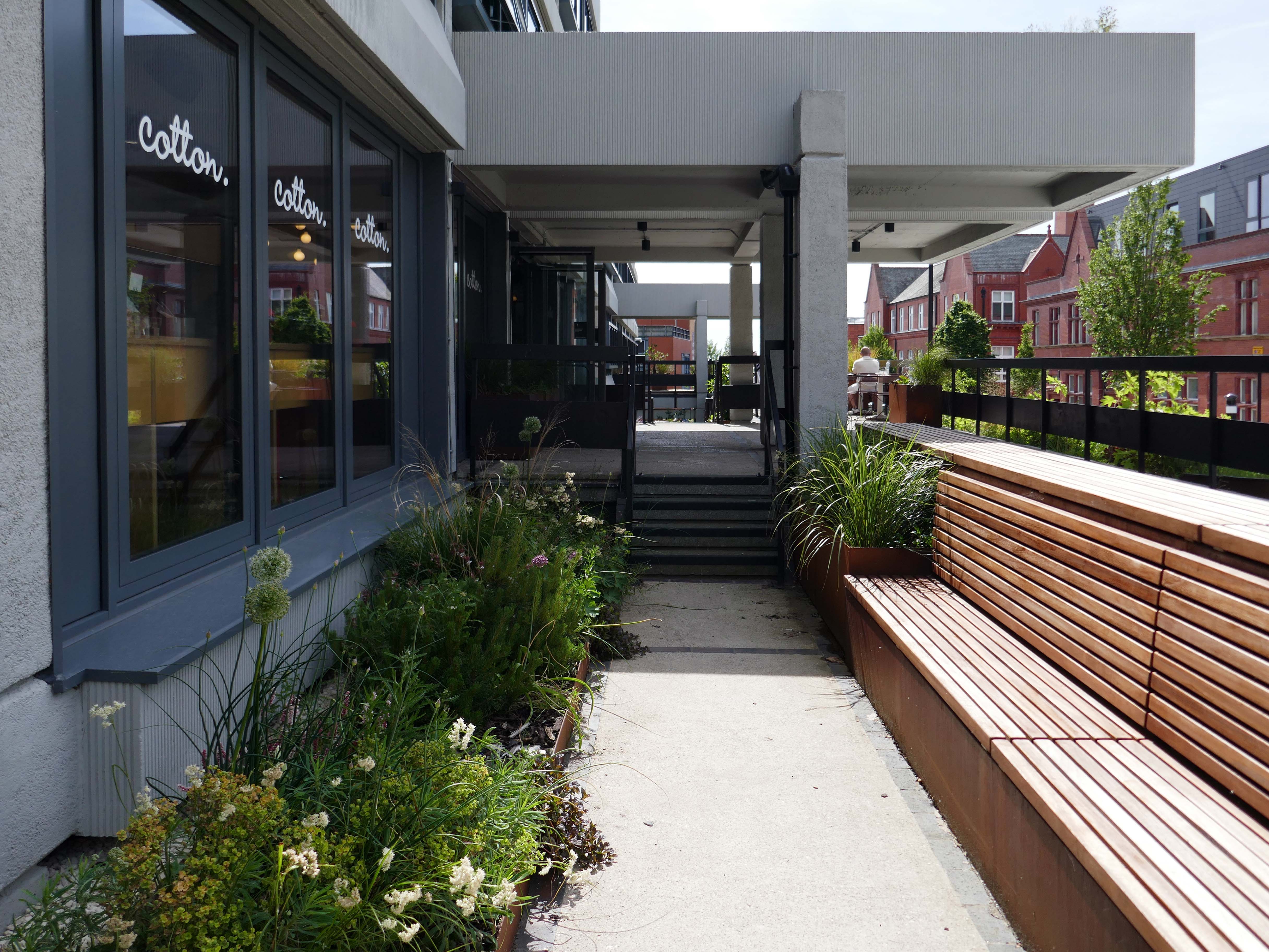
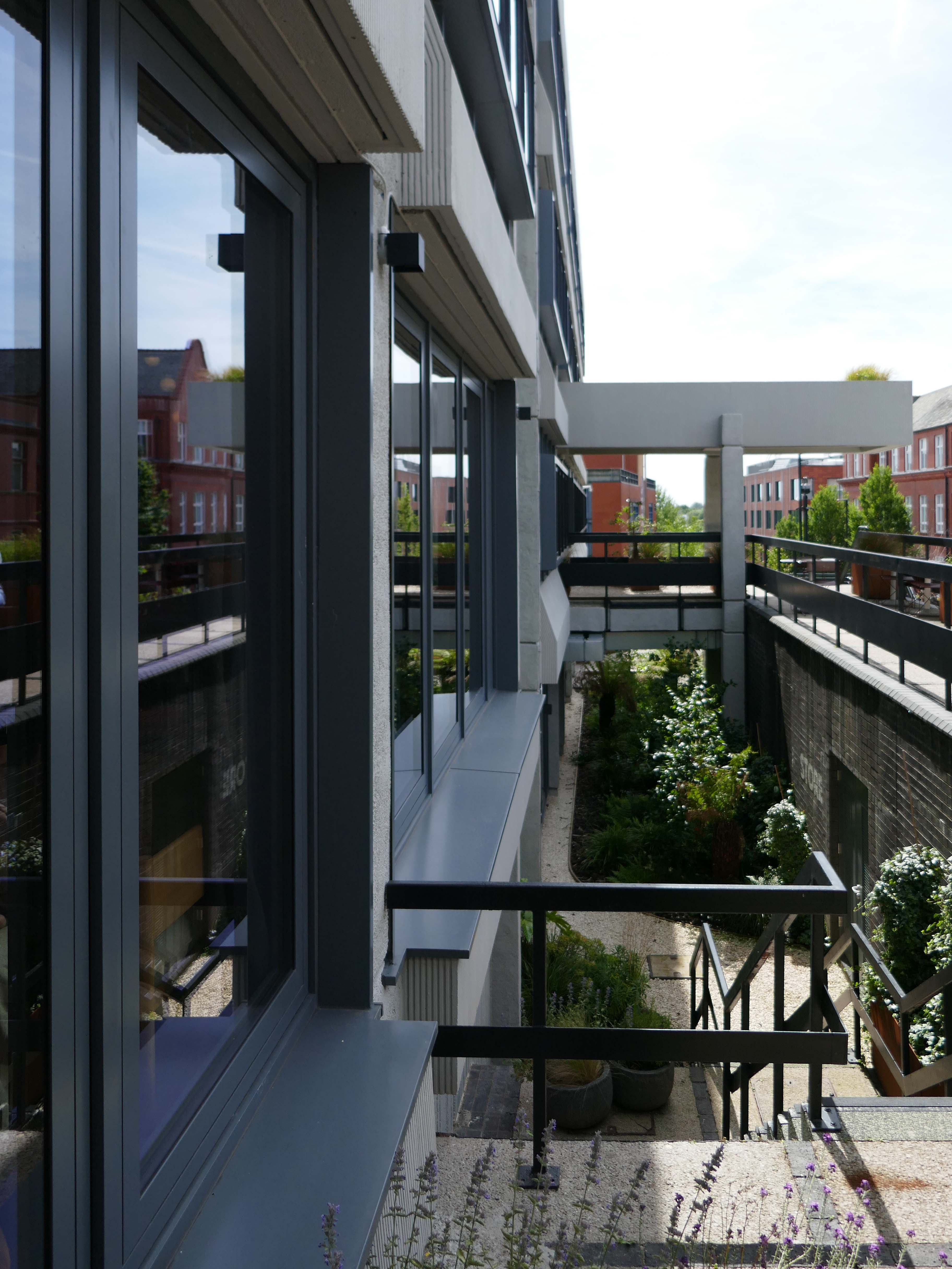
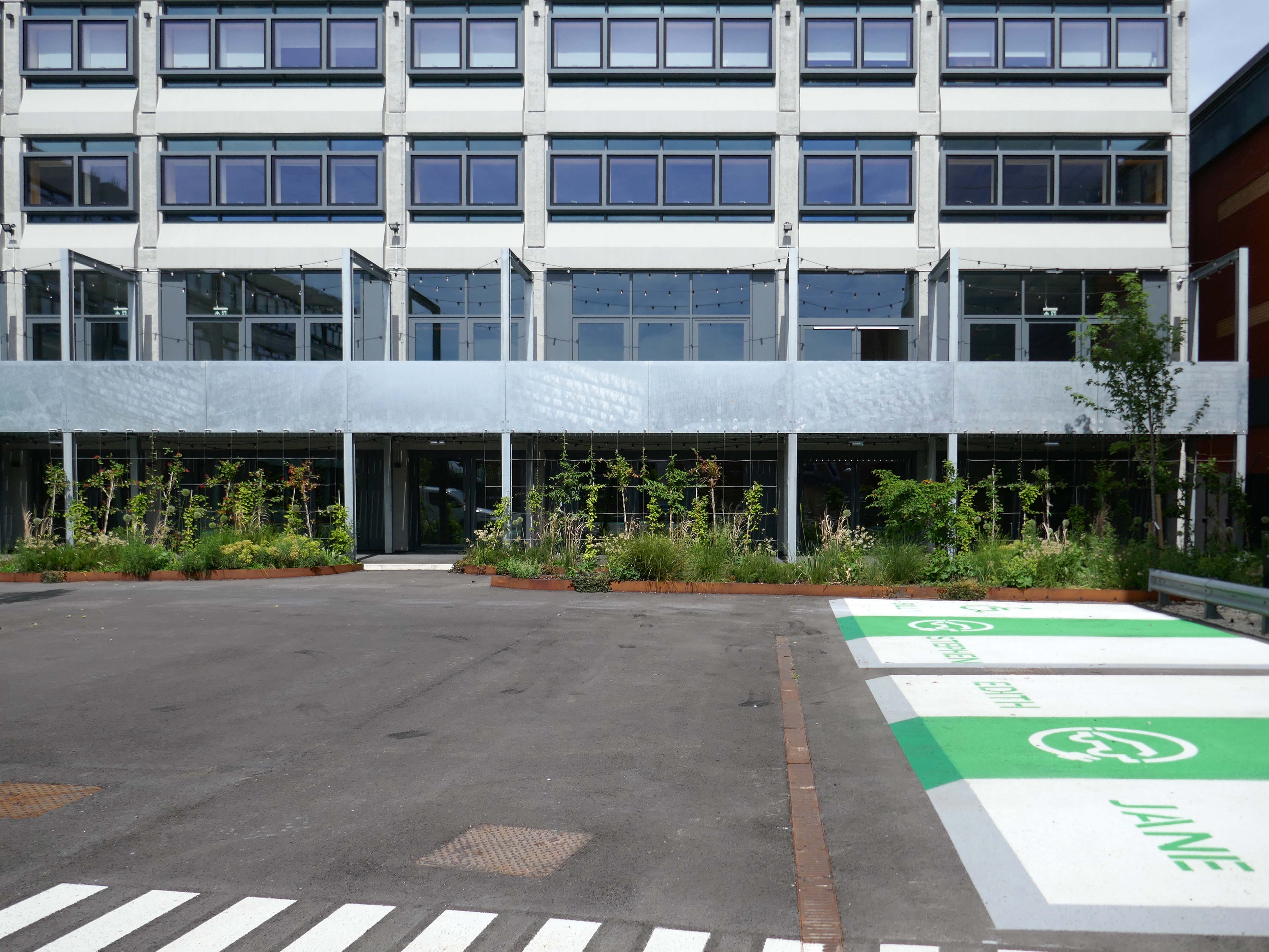
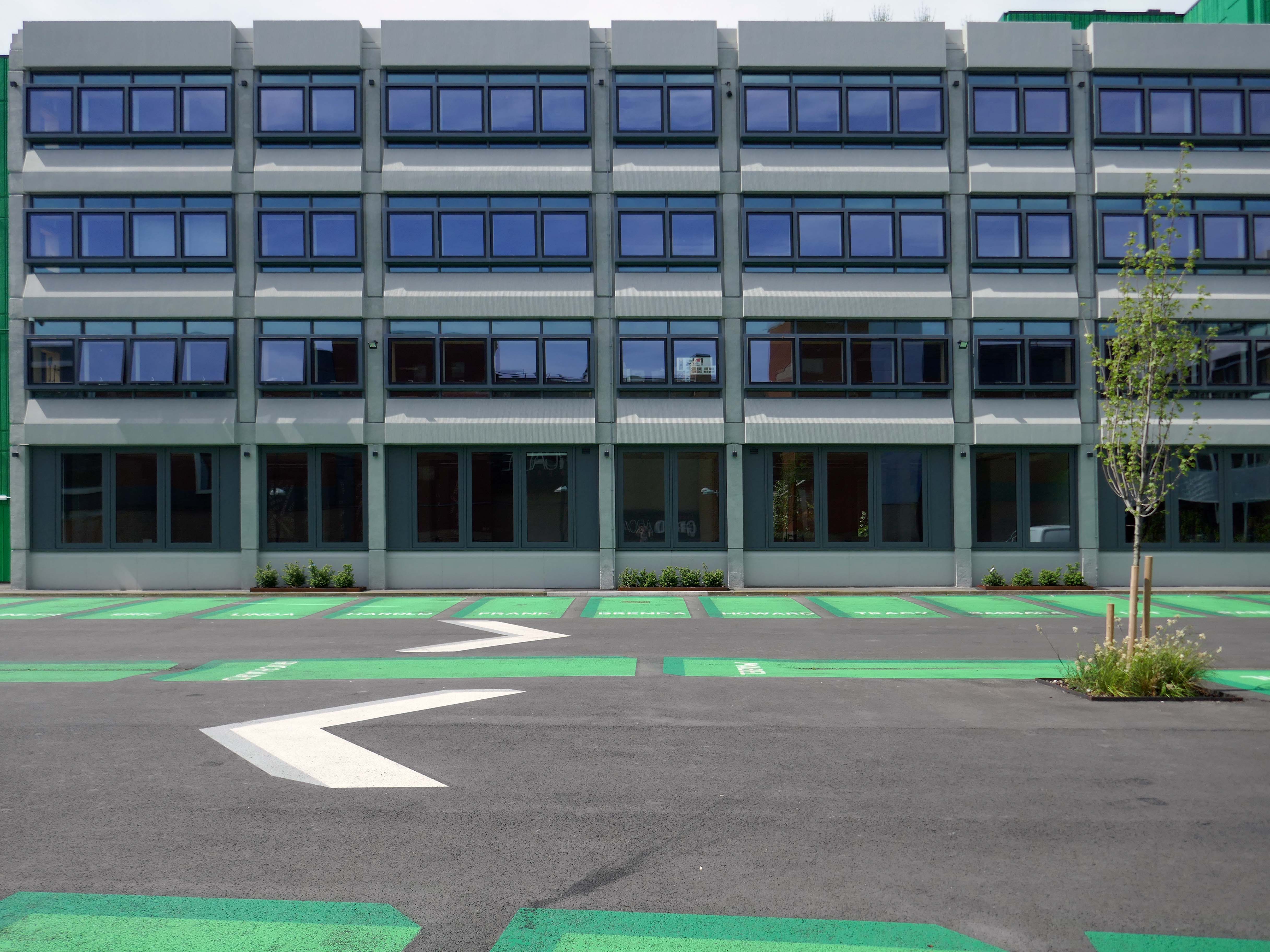
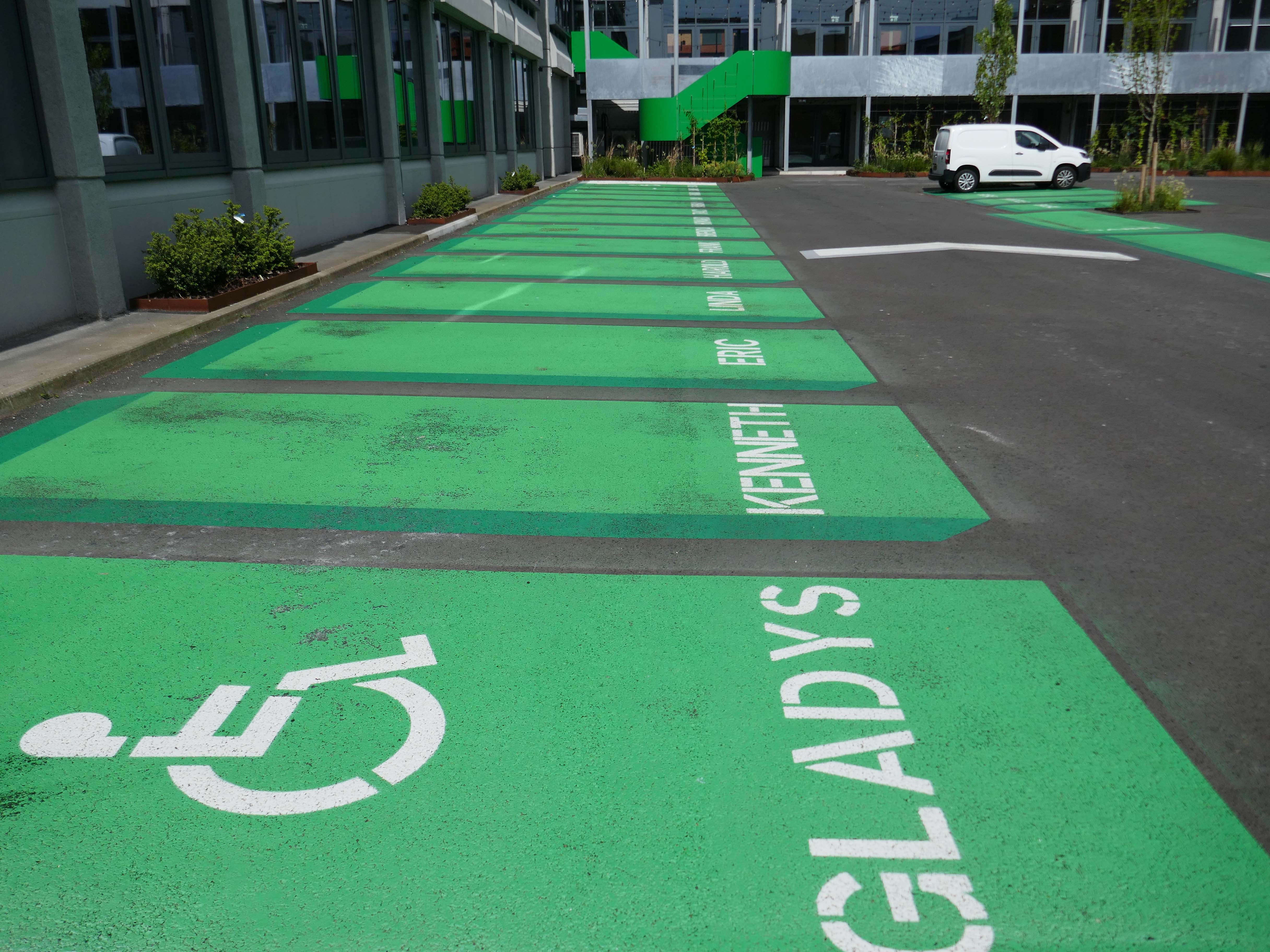
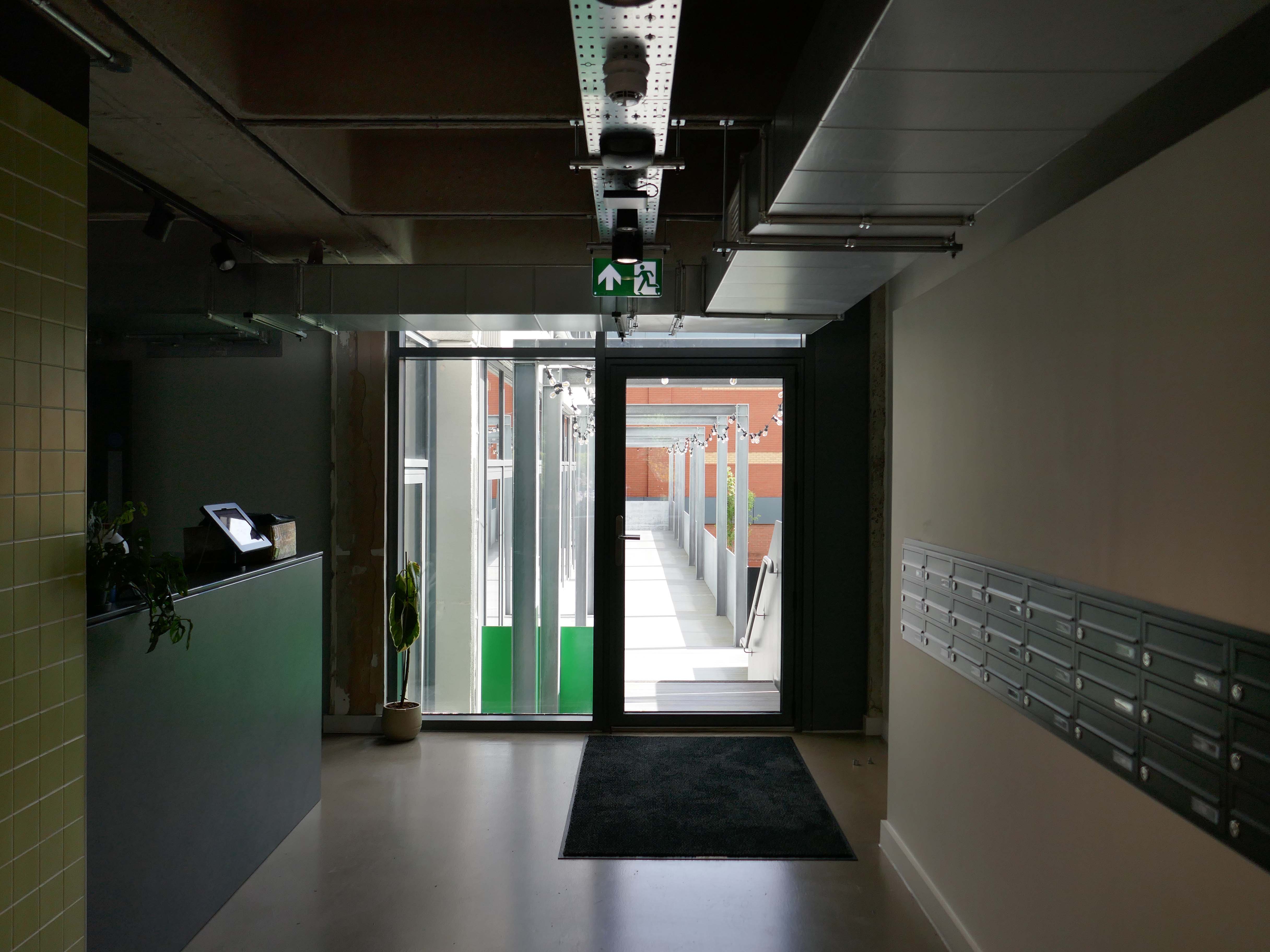
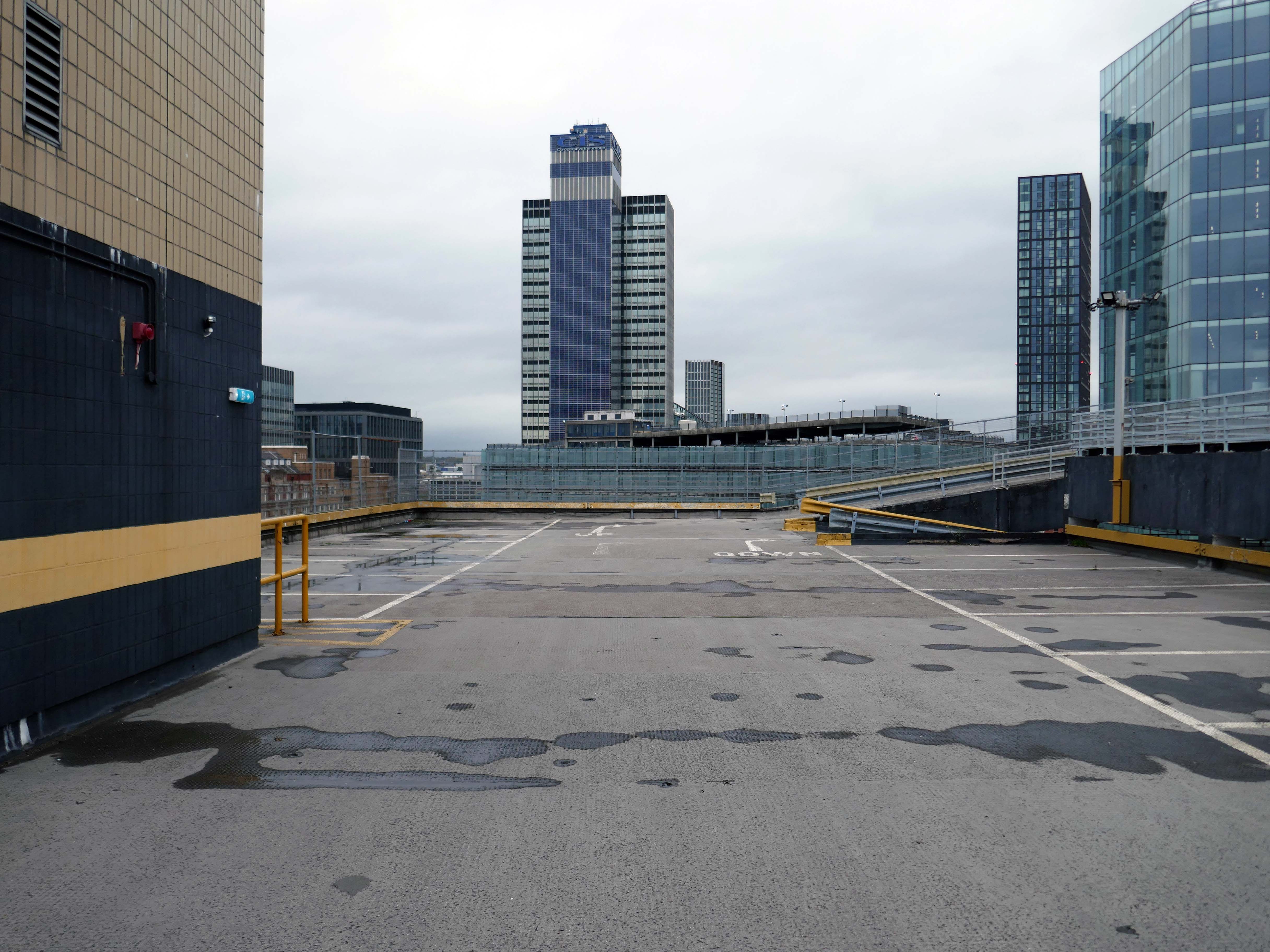
Civic is a super energy-efficient workspace in the centre of Wigan town centre. The BREEAM Excellent building has space for business of all sizes, from desks for solo start-ups, all the way to big open plan offices with their own front door.
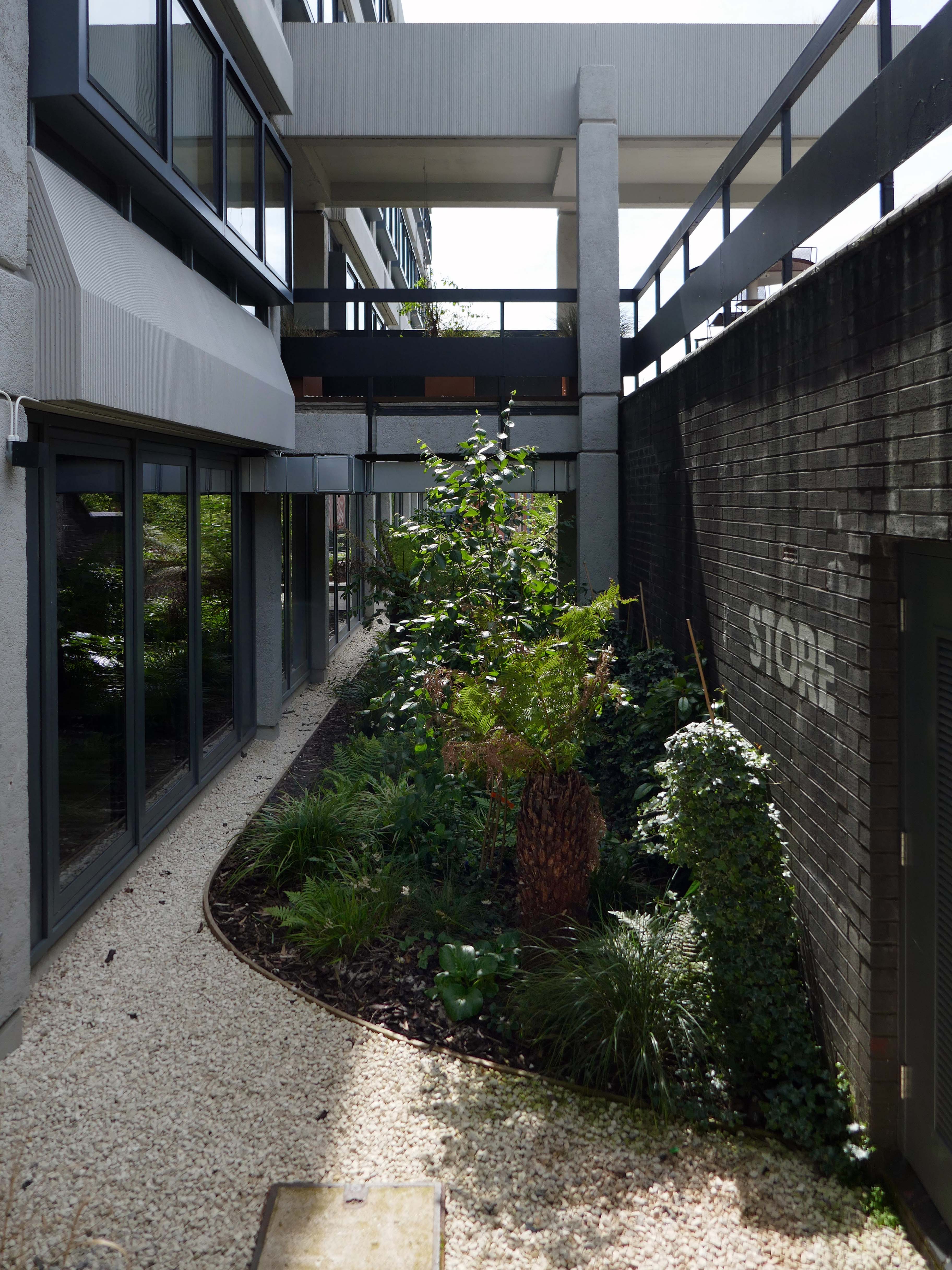
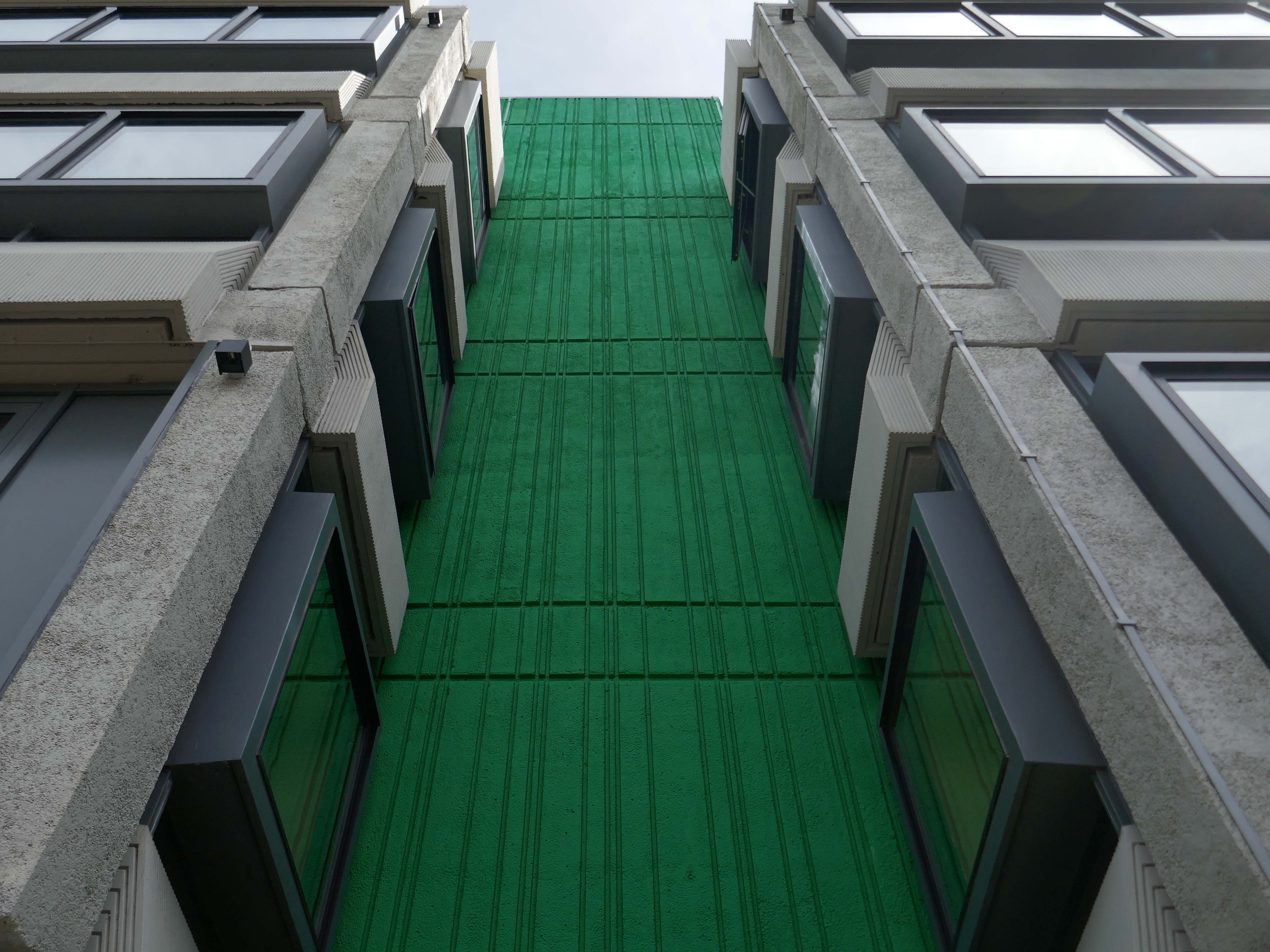
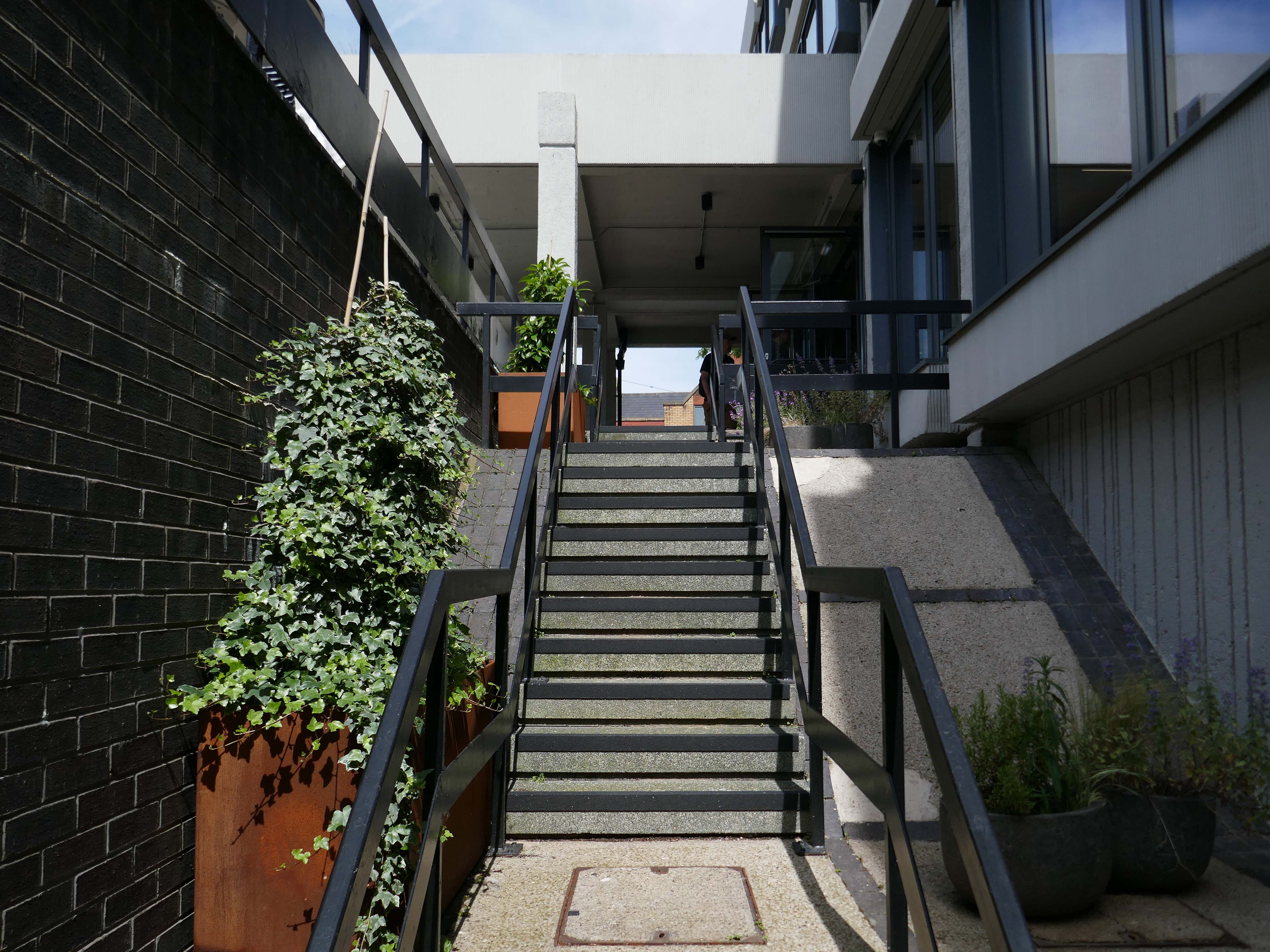
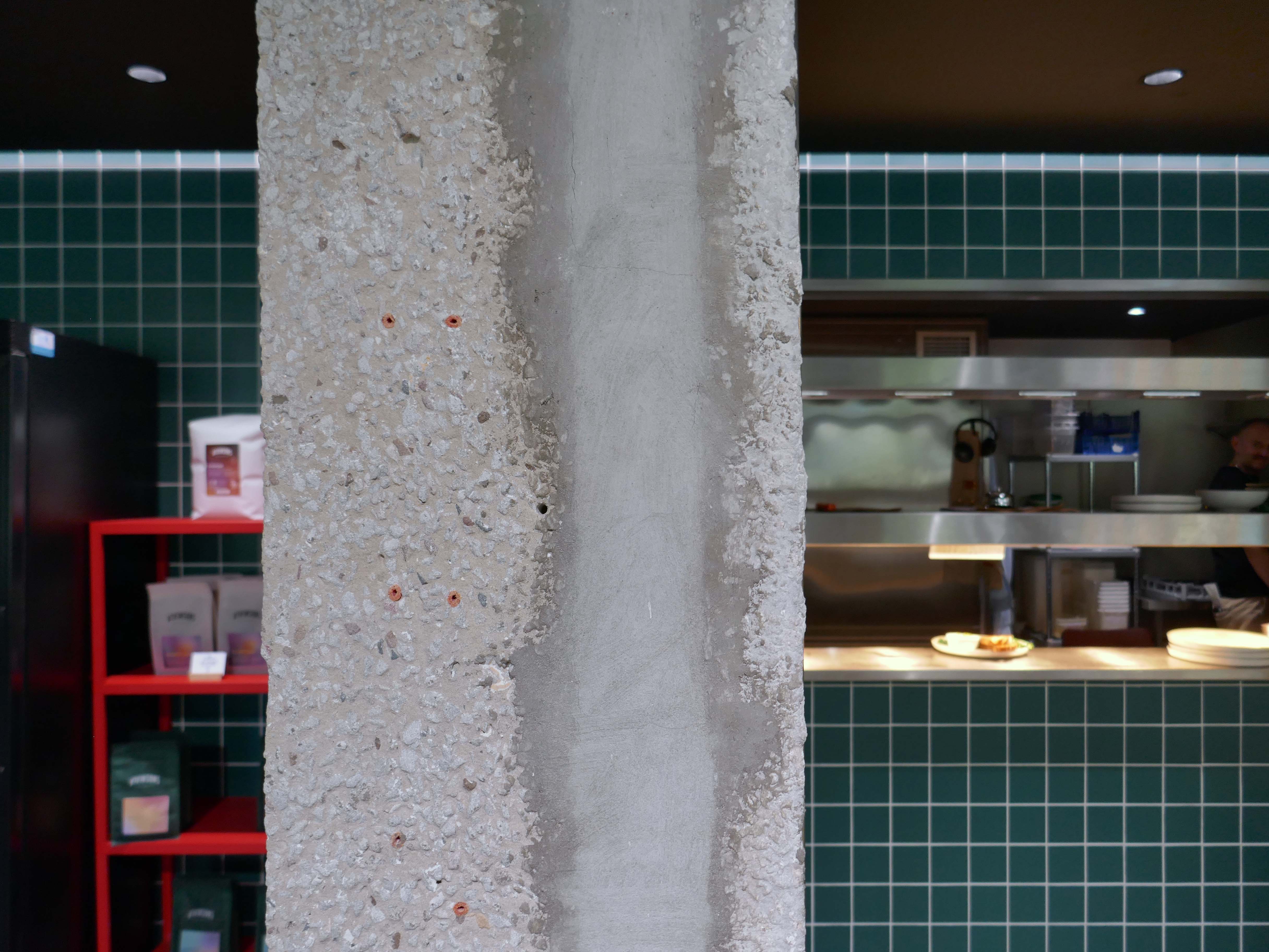
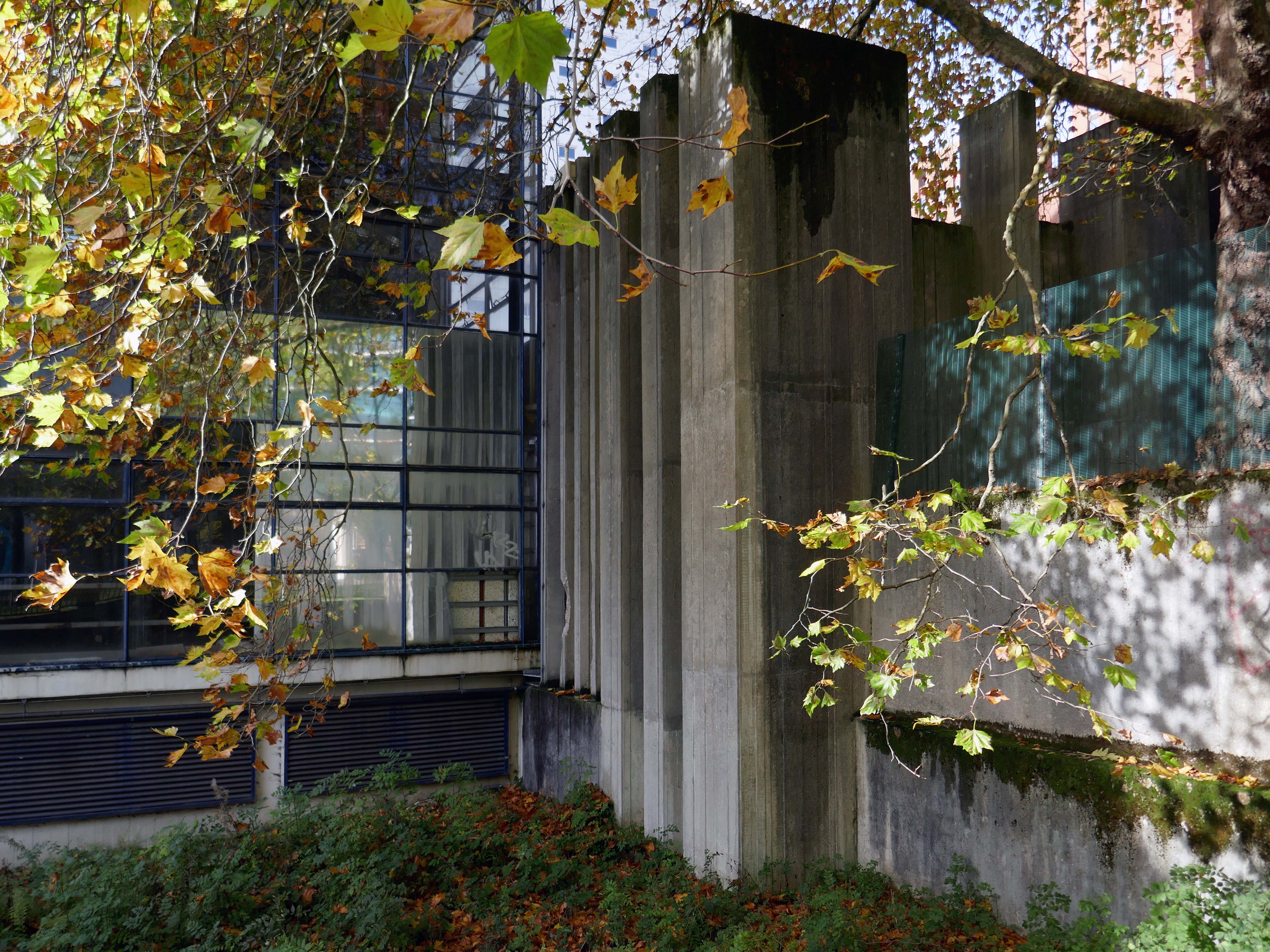
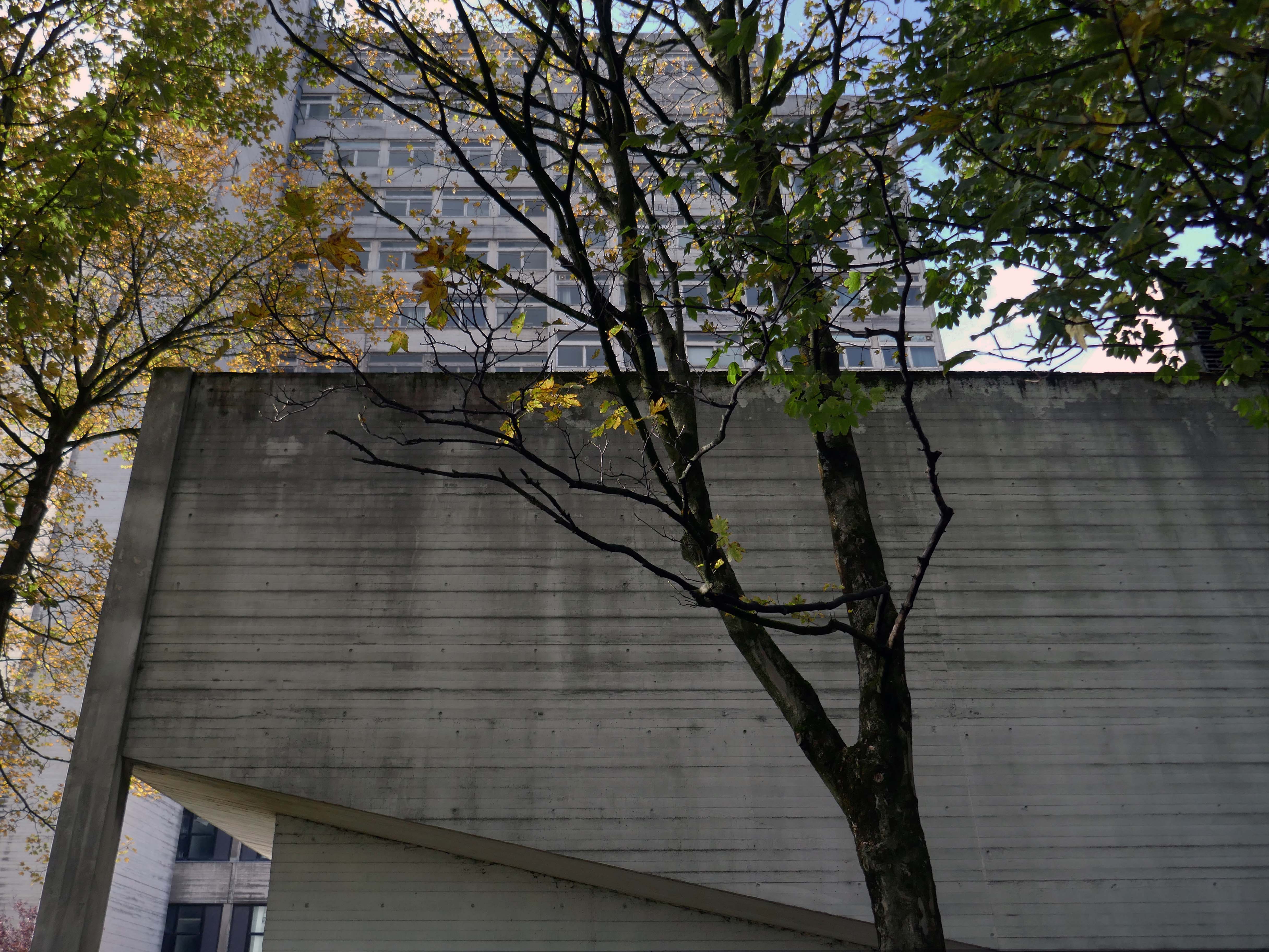
The brutalist beast has been lovingly restored by Capital&Centric to celebrate its architecture, with original waffle ceilings, corduroy concrete and stunning feature windows that flood the space with light.
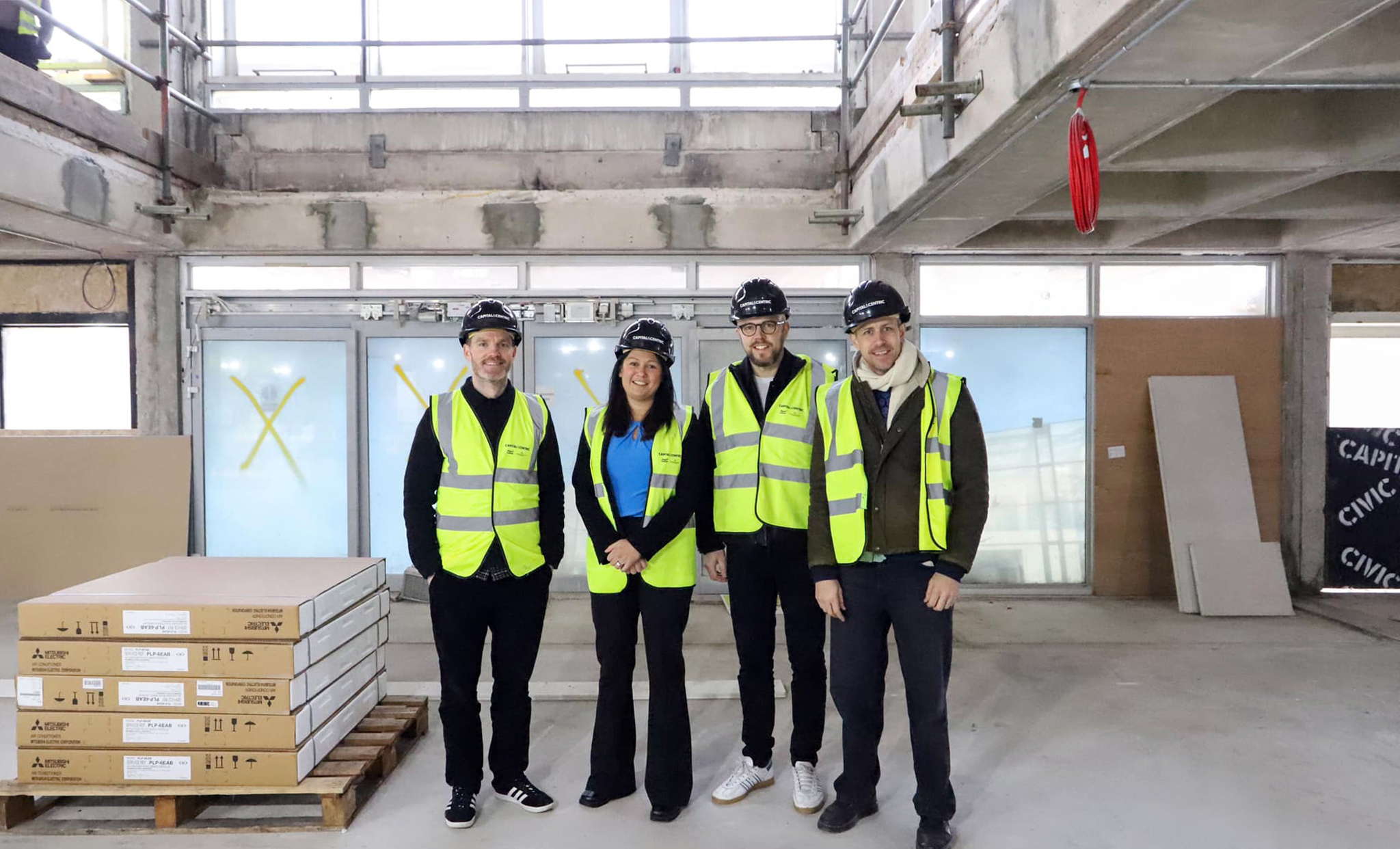
It was great to visit and tour Wigan Civic Centre on Millgate, to see the inspiring work being done to create sustainable workspaces and amenities in the centre of our town. This development, alongside others taking place and planned across the North West, will help to revitalise our public spaces
With students, start-ups and professionals situating themselves elsewhere in Greater Manchester, Wigan town had been missing out on the economic and cultural vitality that high quality workspace brings. Civic’s transformation represents not just the overhaul of a tired concrete building, but a wider renewal of place and opportunity for Wigan.
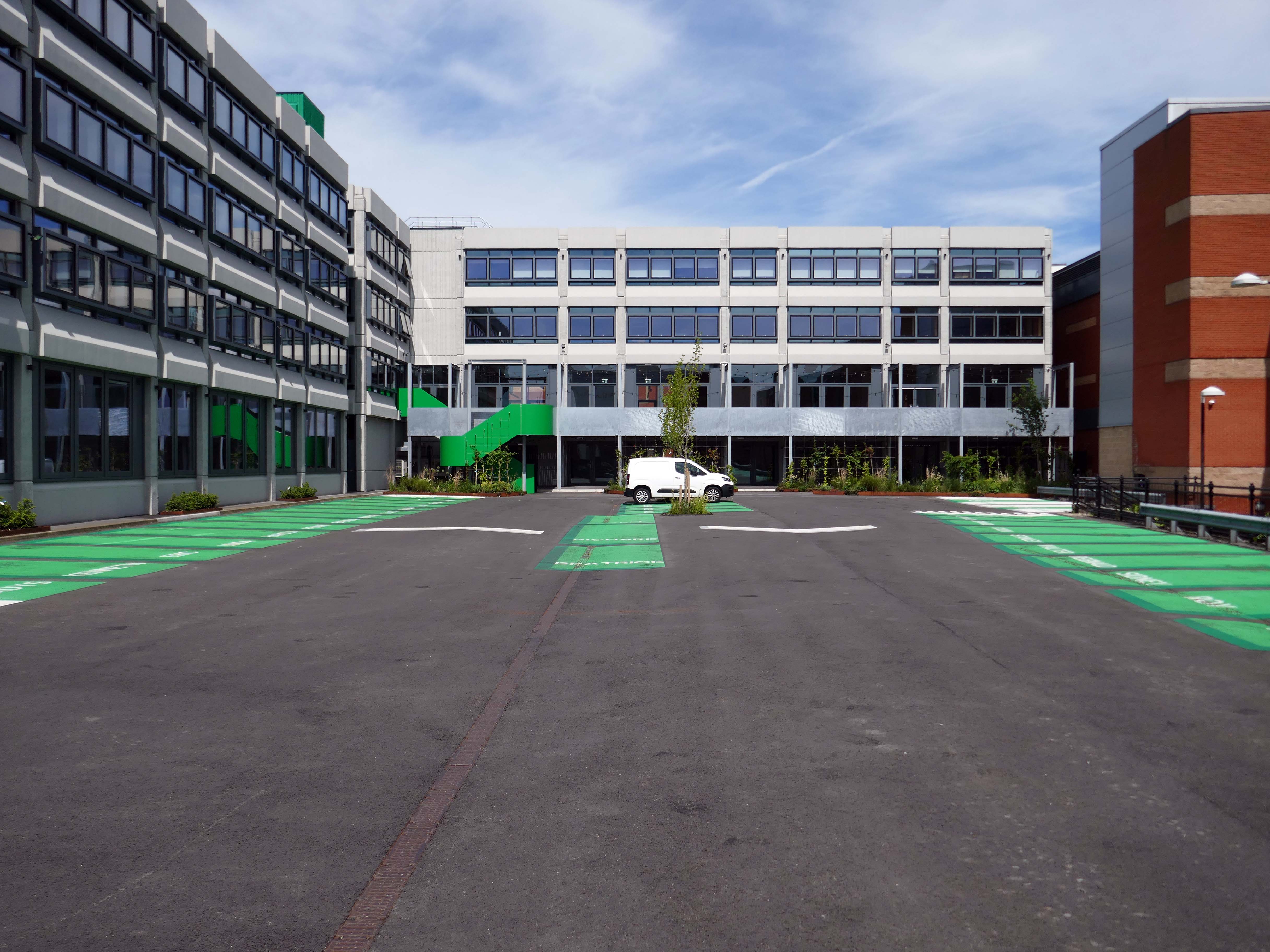
Working with Wigan Council and Capital & Centric, we completed the refurbishment of the 50,000 sq ft building that is Wigan Civic Centre. Delivering aspirational office accommodation to stimulate economic growth with the goal to create a lasting social impact in Wigan. In addition to exemplar market-leading workspace, amenities include a rooftop terrace, mini cinema, gym studio and co-working/coffee shop space.
Here’s the exterior.
Many thanks to the Cotton CaféBar for kindly allowing us in after hours.
Ultimately, civic stands as a symbol of optimism for Wigan, proving that intelligent commercial design can catalyse economic renewal, secure a sustainable future, and truly lift a town’s spirits, without erasing its history. It is a gold standard for the adaptive reuse of 20th-century landmarks.
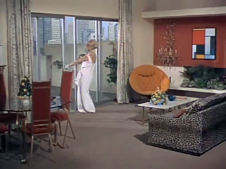
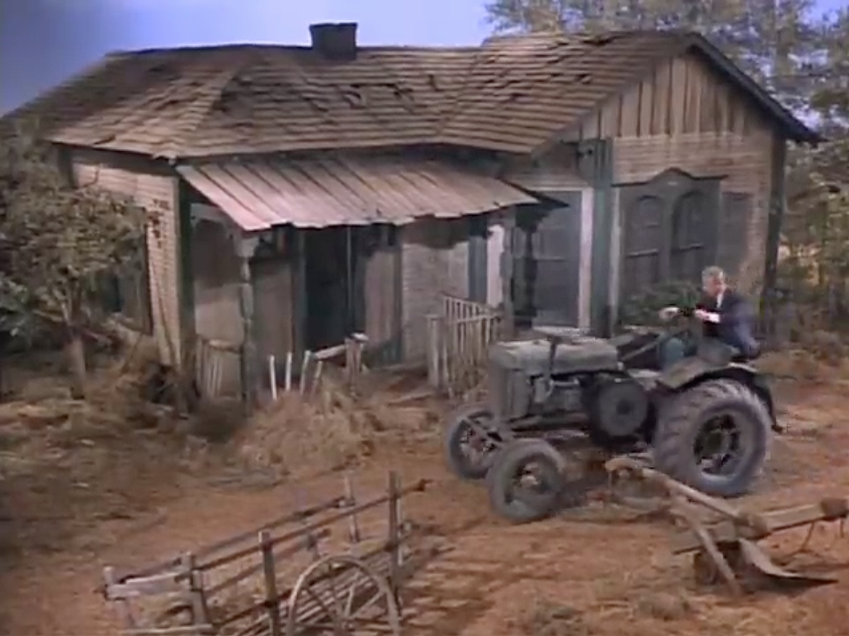
For my part I cannot help bur recall the TV show Green Acres whenever I pass by Green Pastures.
Eva Gabor preferring the glamour of Manhattan.
To the rural life.
Culturally and stylistically, Green Pastures sits somewhere betwixt and between.
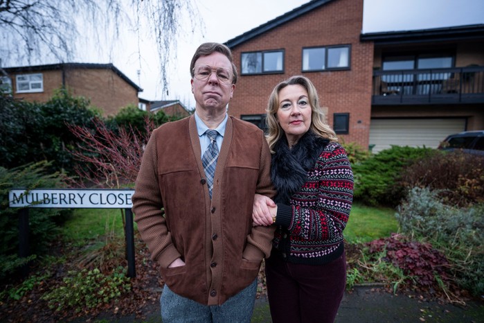
In reality the fictional life of Green Pastures became Mulberry Close, in the hit TV show Inside No. Nine
Vinette Robinson, Reece Shearsmith, Adrian Scarborough, Steve Pemberton and Dorothy Atkinson.
So much for the scriptwriters wild imaginings, what does the road look like?
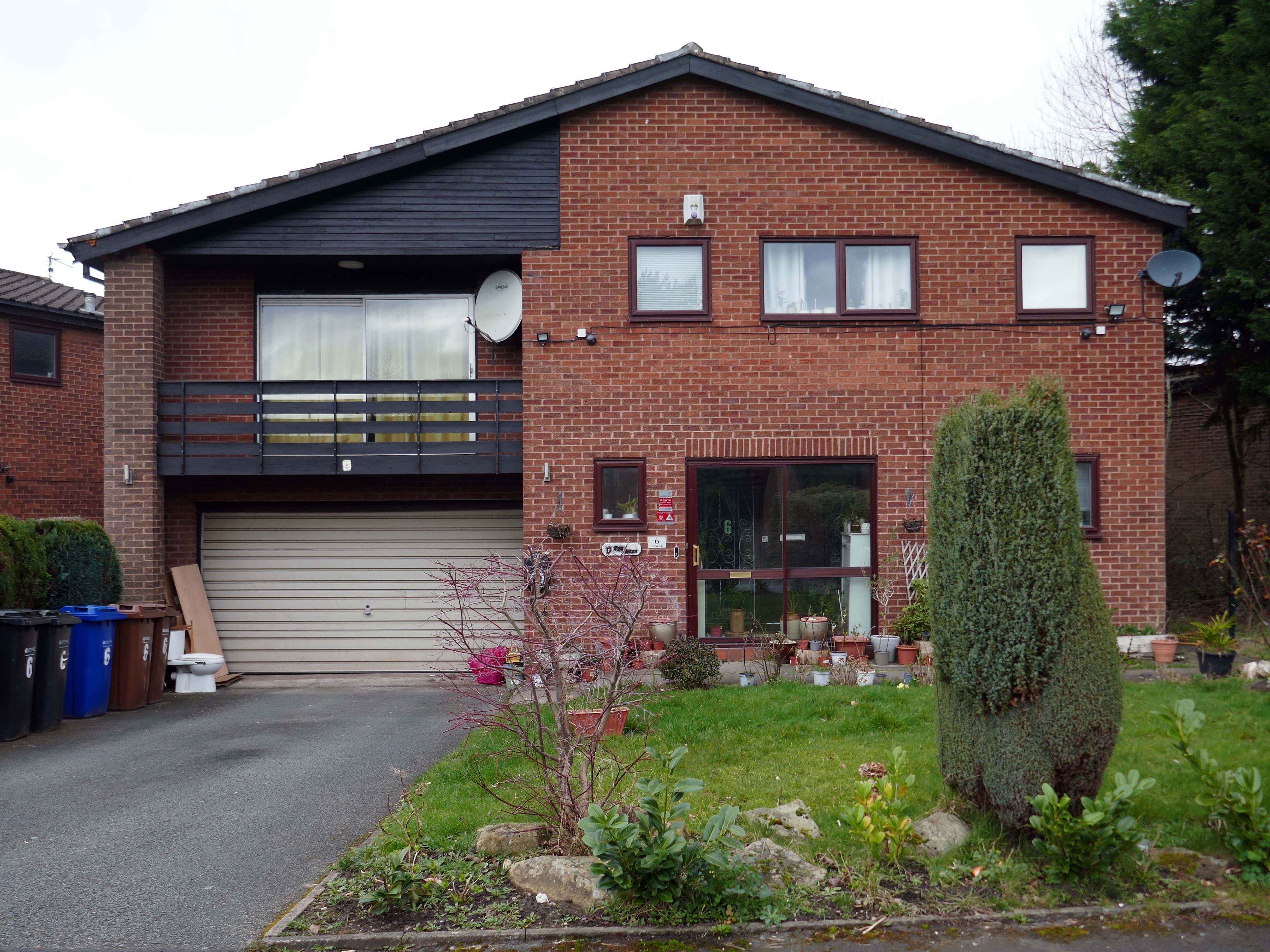
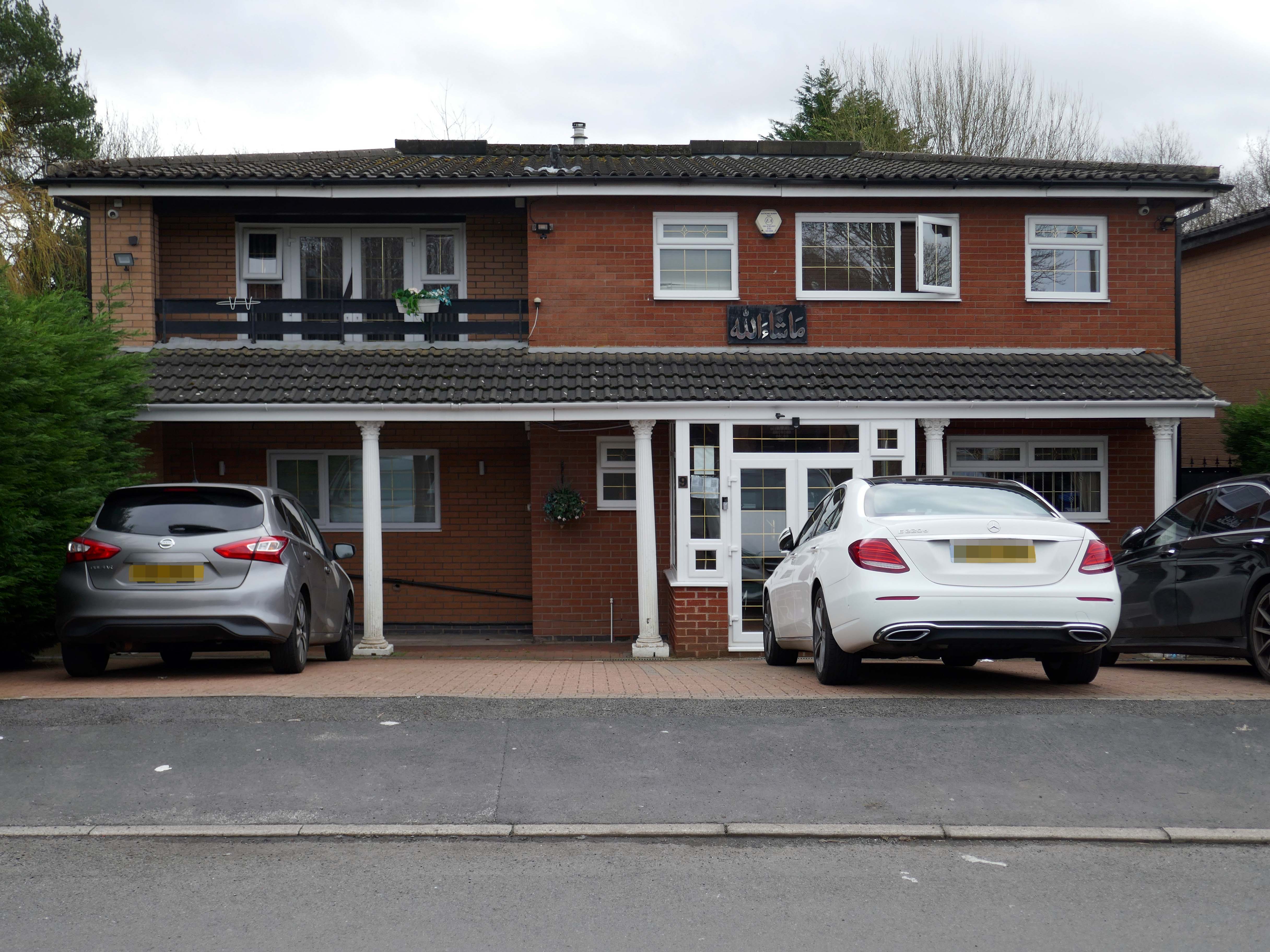
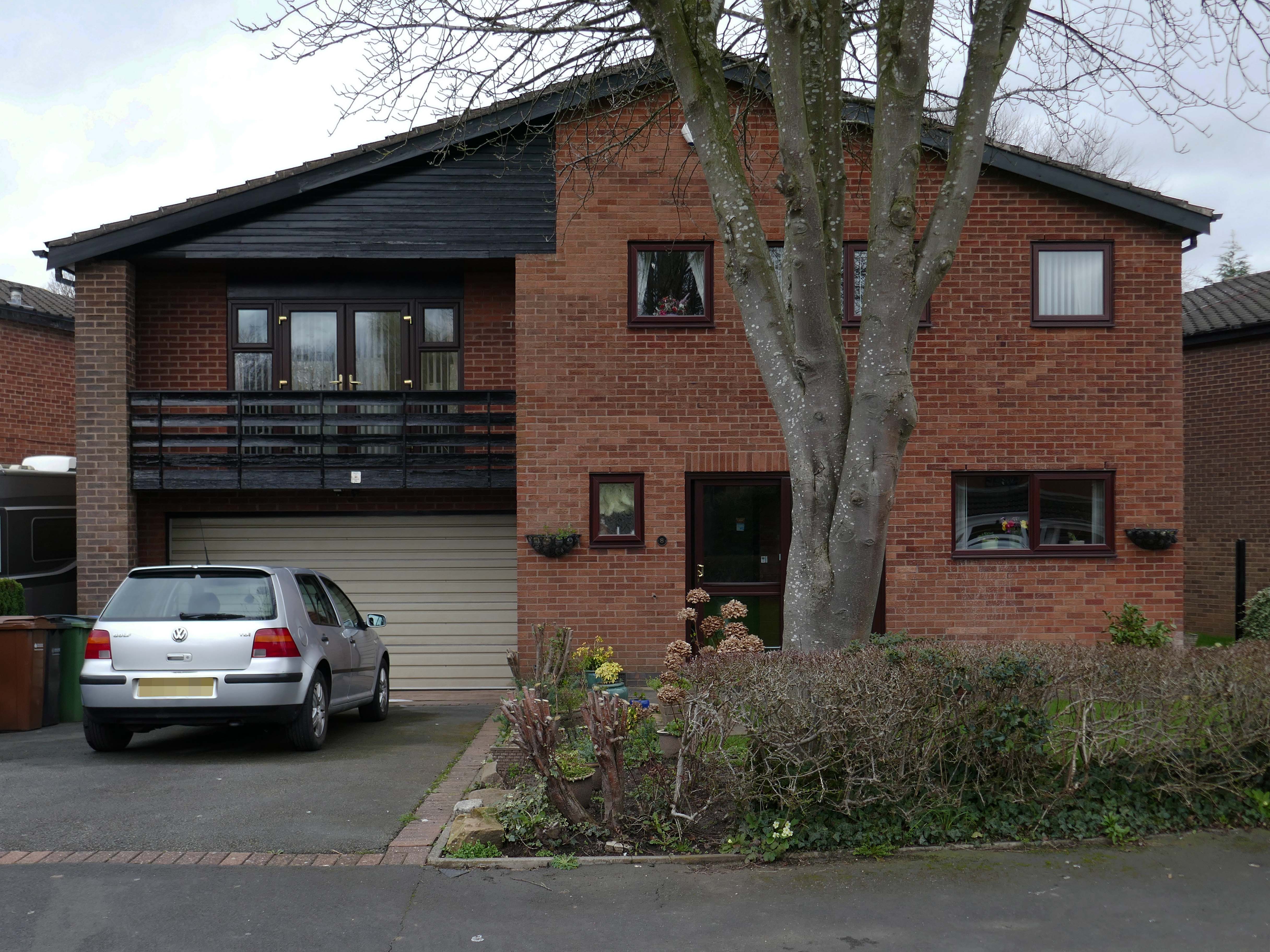
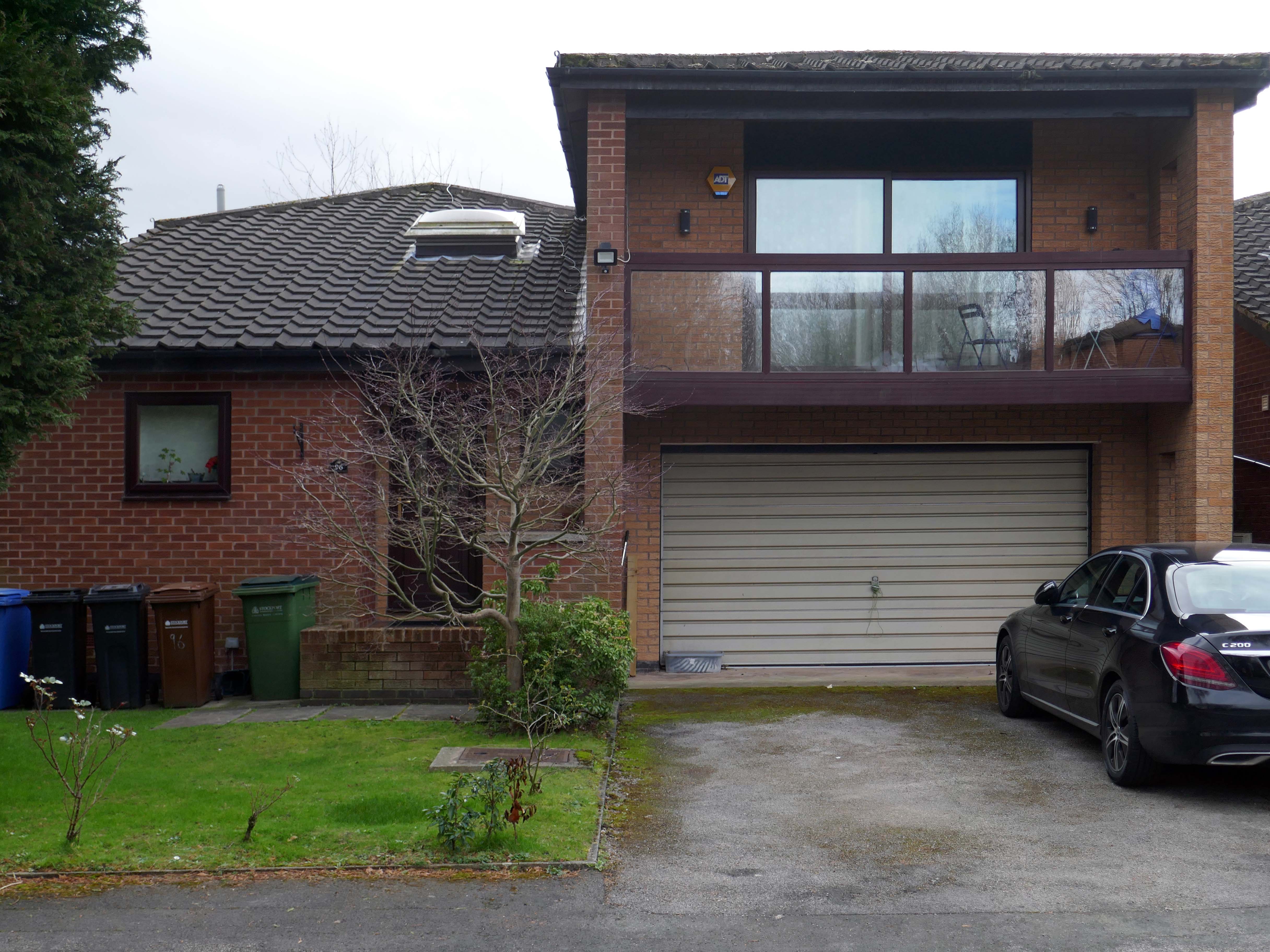
A broad sweeping swathe of tarmac, with a range of 70s housing typologies – wall less gardens, where grass becomes easily impressed concrete, gravel and artfully paved car parks.
Asymmetric roof, bedroom balcony with optional infill, ever more pointless integrated garage, as the inflated automobile refuses to fit in.
The ubiquitous carriage lamp, B&Q Georgian front door and hanging basket, all head up the relentless quest to defy period integrity, in favour of a free market, free for all of undiluted historicism.
The future and the past and the houses are infinitely all extendable.
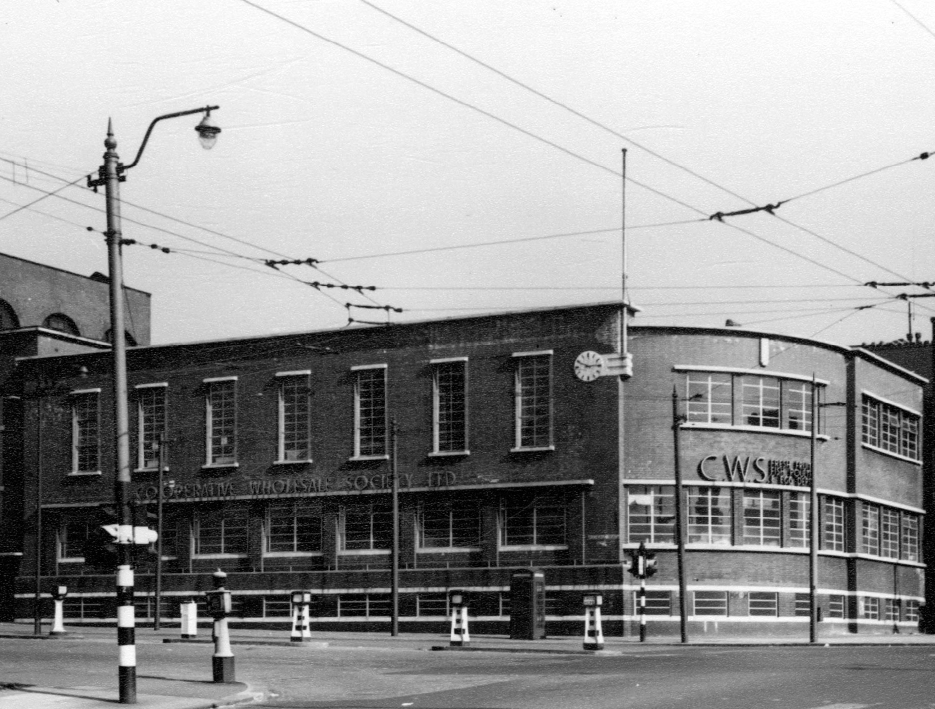
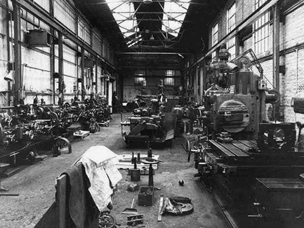
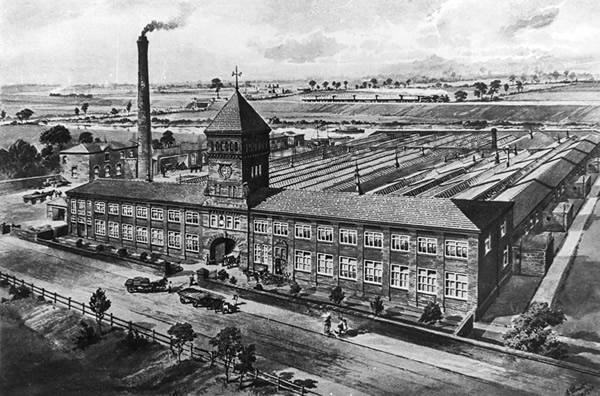
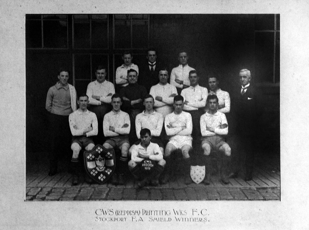
Manchester Guardian Printing Works owned by Taylor Garnett & Evans & Co. Ltd- a view of factory dated 1902.
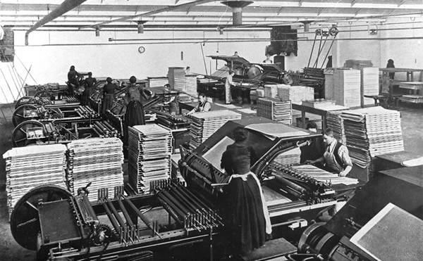
Lithographic Printing Dept 1902.
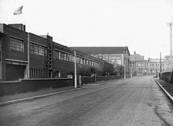
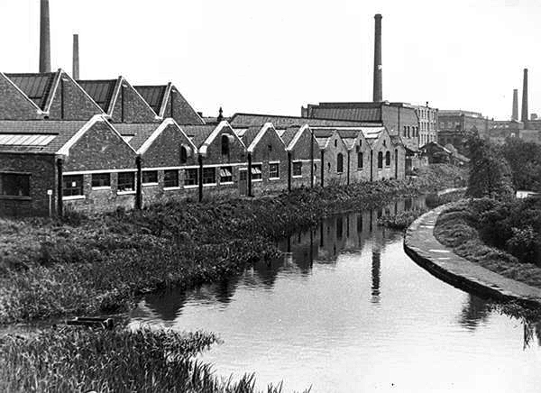
CWS Printing Works – formerly the Guardian Print Works showing a view from the road dated 1972.
CWS Printing Works showing a rear view with canal in the foreground.
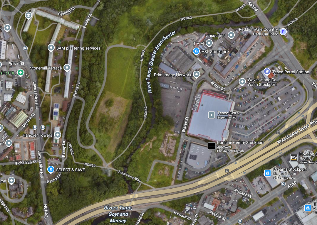
The Stockport Branch Canal was a five mile branch of the Ashton Canal from Clayton to Stockport.
An important cargo was the supply of grain to William Nelstrop & Company’s Albion Corn Mill at Stockport Basin.
In its early days there was passenger carrying on the Ashton Canal and one of the routes was between Manchester and Stockport.
Commercial carrying ceased in the 1930s but it lingered on into the 1950s’ as a barely navigable waterway. At one stage in the 1950s it was dredged but this improvement did not attract any traffic. Stockport Basin was the first section to be filled in but it was not until 1962 that the canal was officially abandoned by the British Transport Commission, who had been responsible for it since 1948.
It took many years to fill in and this was a disagreeable procedure for people living along its length.
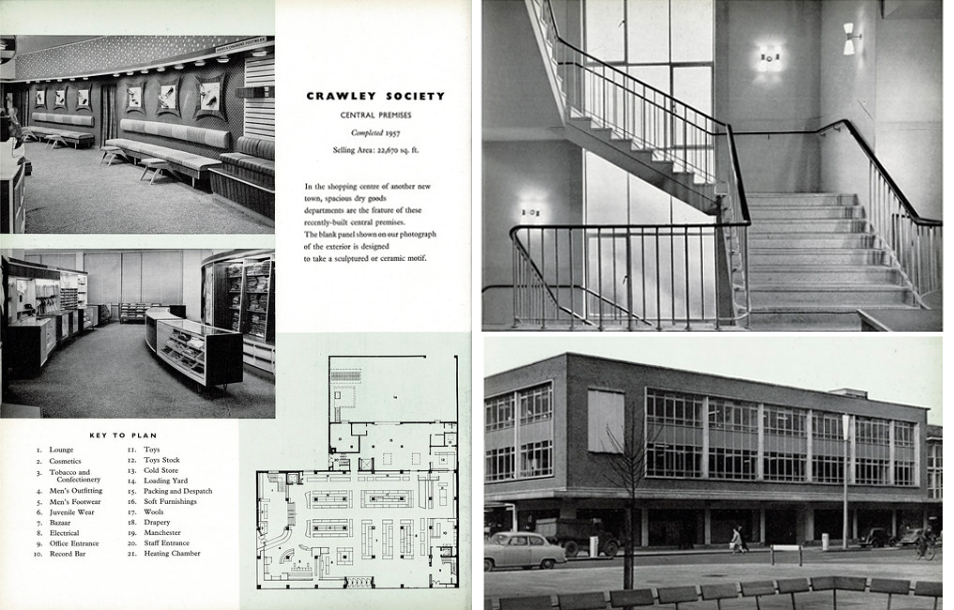
From a very lavish production, printed of course by the CWS’s own Printing Works at Reddish, is a description of the new flagship department store for the Crawley Co-operative Society that was opened in 1959. The elevations and facade are very much of their day, quite ‘Festival of Britain in style, and the store was a prominent feature of the planned New Town’s centre.
The wide variety of printed material which the CWS required, created a need that could not be met locally by a single source, another large print works was required in Longsight.
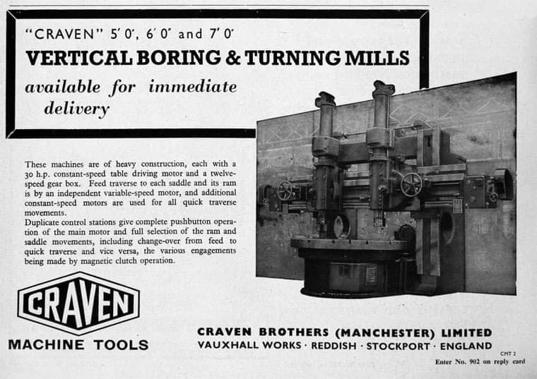
Craven Brothers Works 2008
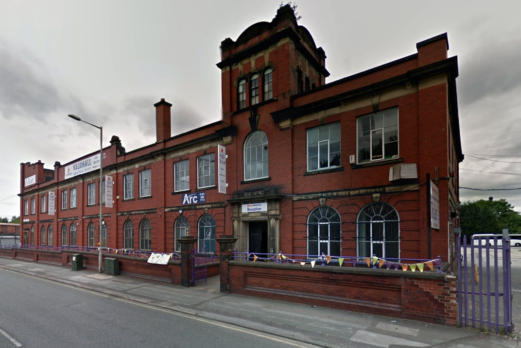
1900 – Further growth prompted the construction of the Vauxhall Works at Reddish, near Stockport. The company kept the works at Osborne Street, Rochdale Road, with about 500 employees, open until 1920. The 1915 O.S. map shows Vauxhall Engineering Works with its south-east corner on Osborne Street, Collyhurst, and bounded on the north by streets of terraced houses and to the south by the L&YR Manchester-Normanton line.
The Developement of Reddish – quite a number of Manchester firms are prospecting the neighbourhood of Reddish, writes a correspondent, while Messrs. Heywood are about to erect electrical engineering works in Sandfold-lane, and Messrs. Rowley and Co, boiler-makers, are fitting works in the neighbourhood. Messrs. Craven Brothers, engineers, of Salford, have purchased 14-acres of land near the Reddish Station, on the estate of Mr. H. P. Greg, on which they intend to erect large engineering works.
The first sod was cut on Thursday afternoon by Mr. William Craven, in the presence of his brother directors in 1900.
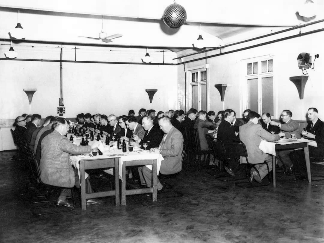
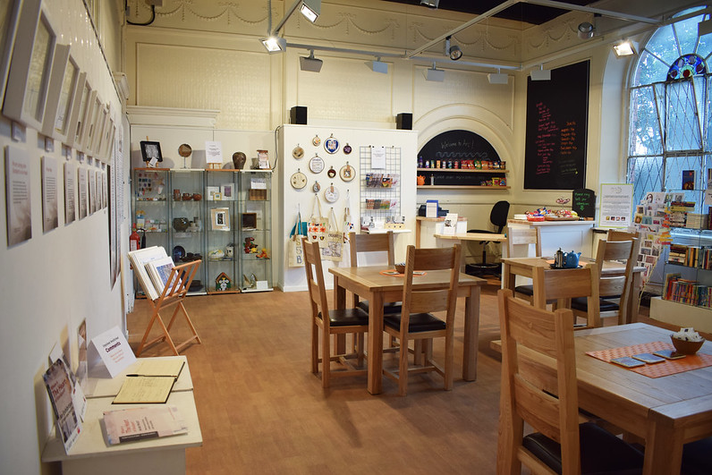
ARC began in 1995 at Greek Street, Stockport under the name of MAPS and moved to the Vauxhall Industrial Estate Craven Works building in early 1997. Arts for Recovery in the Community or ‘Arc’ was then launched in 2005. The Arc Centre in its current form, including gallery servung refreshments and public programme has been running since 2016.
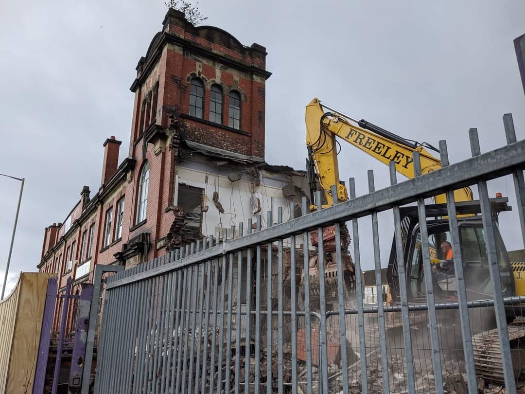
Of course, we are sad to say goodbye to the old Craven Brothers factory and the Reddish community as our base. We are so grateful to the local residents and businesses who have supported us for so long. Please, don’t be strangers! We made the building our own over the years and take with us many, many great memories.
Looking to the future at Wellington Mill, we will have exclusive use of several rooms on the floor accessed via the A6 and Hat Works Museum shop. This will include a large art studio, ceramics studio, offices and storage spaces. We will also share the large cafe, events and retail space with the Hat Works museums team and work together to build a bigger audience for both organisations and hopefully a Stockport town centre creative arts hub.
And lo, it came to pass, from the onset of the Industrial Revolution to today, a whole world of work is dismantled. A transport infrastructure is literally filled in, and the former homes of industry demolished.
The CWS is no longer the global behemoth it once was, and print technology has changed beyond recognition.
With it goes a whole series of social relationships and identities bound up in shared occupations.
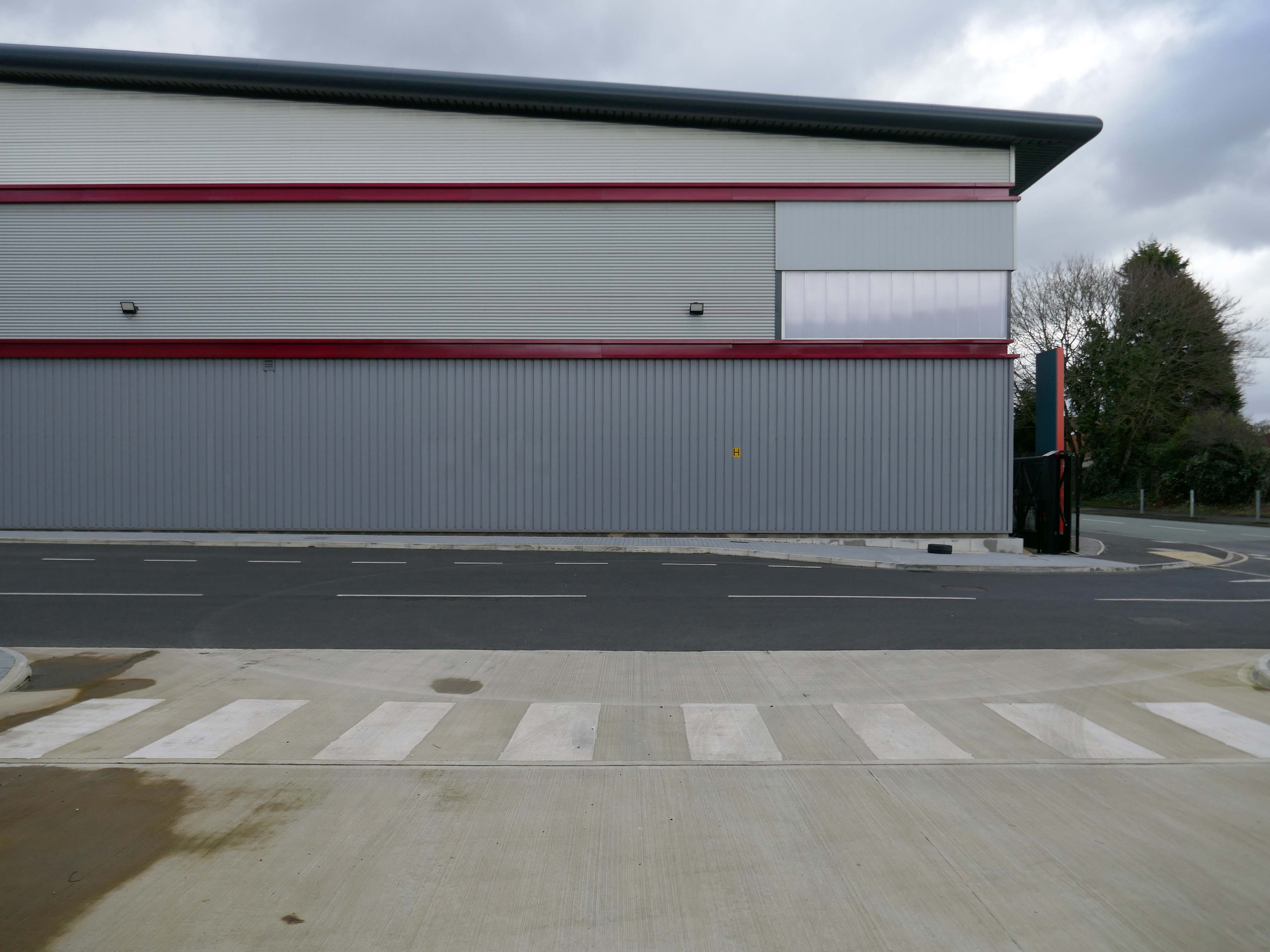
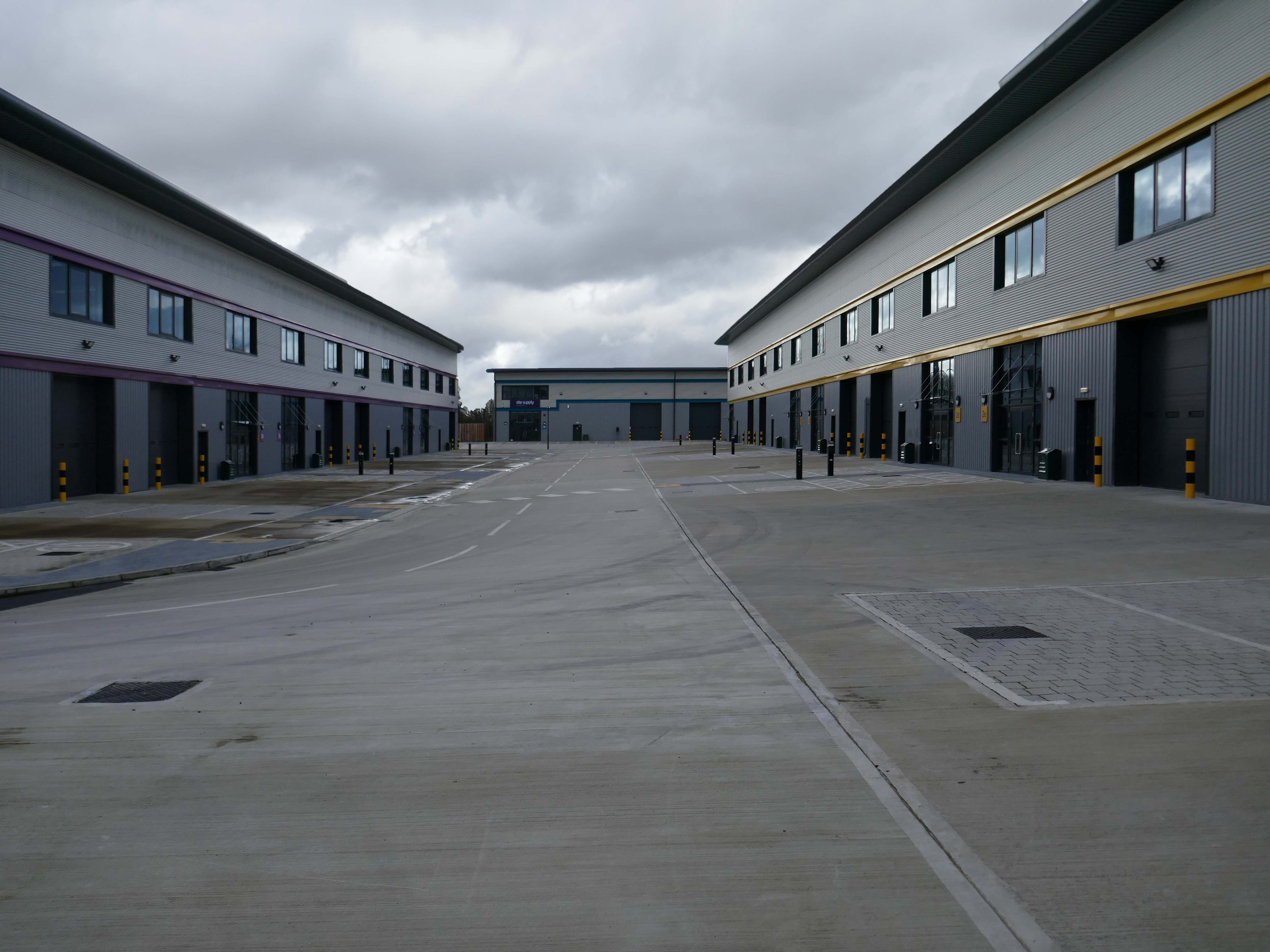
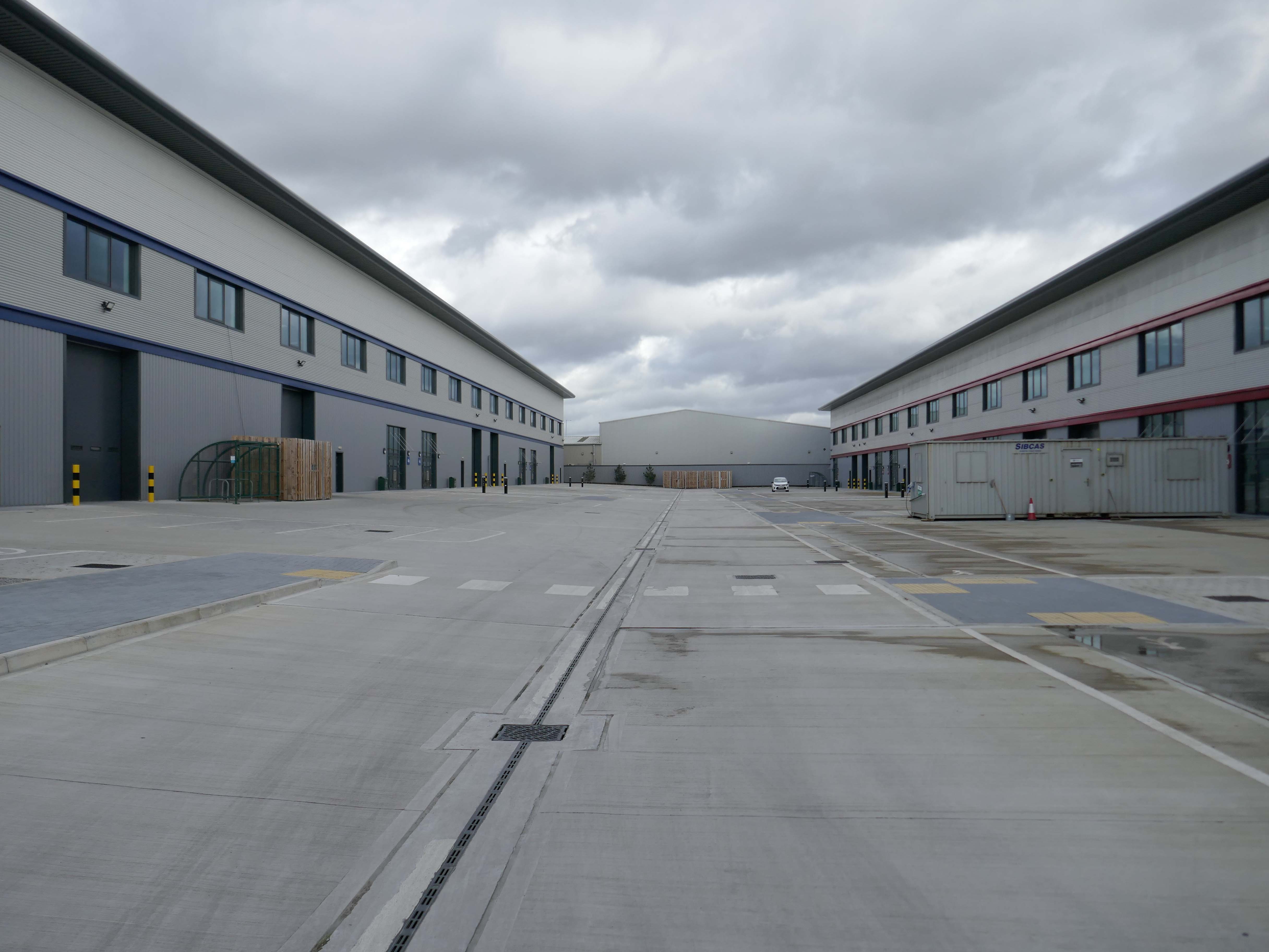
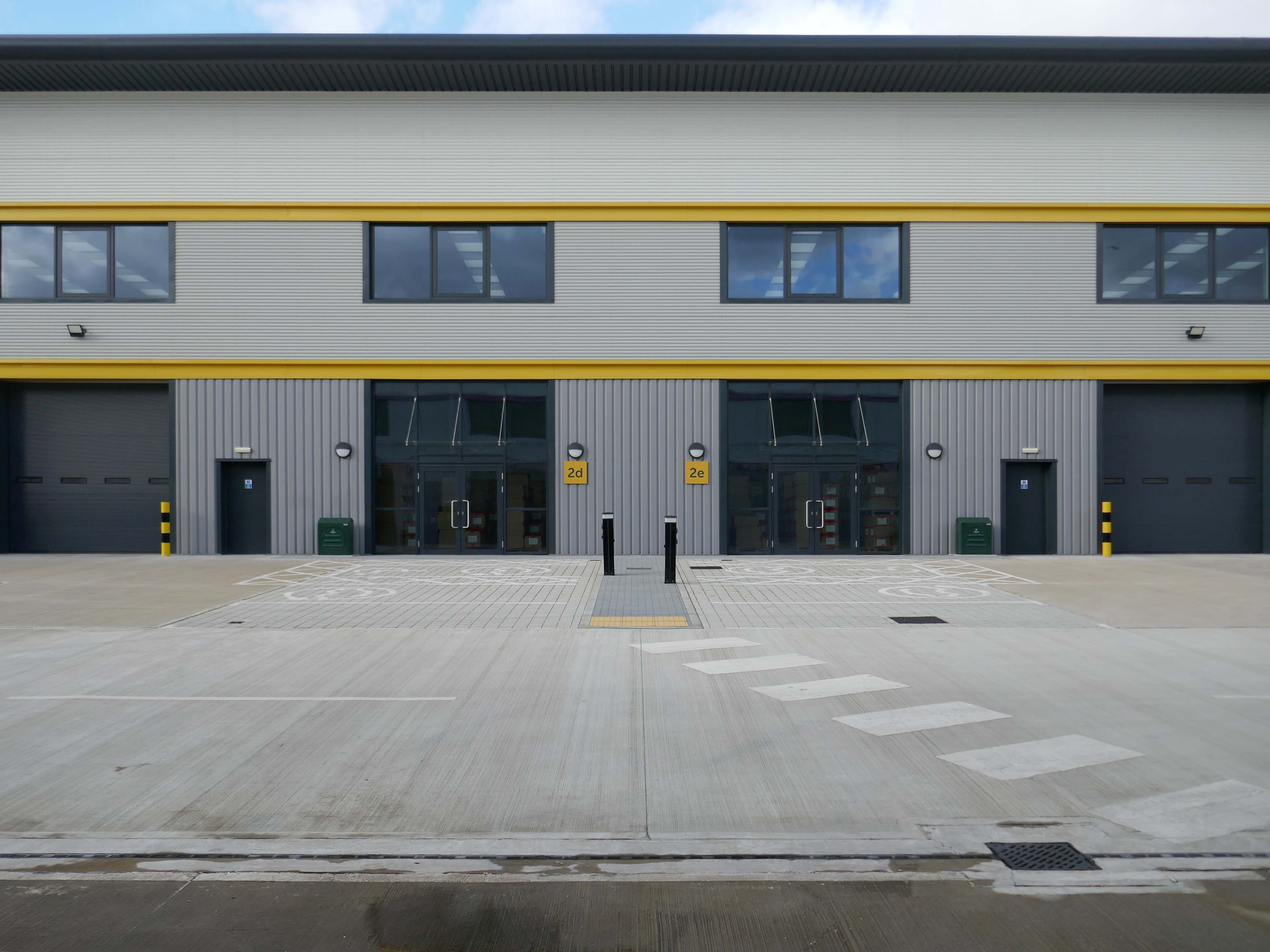
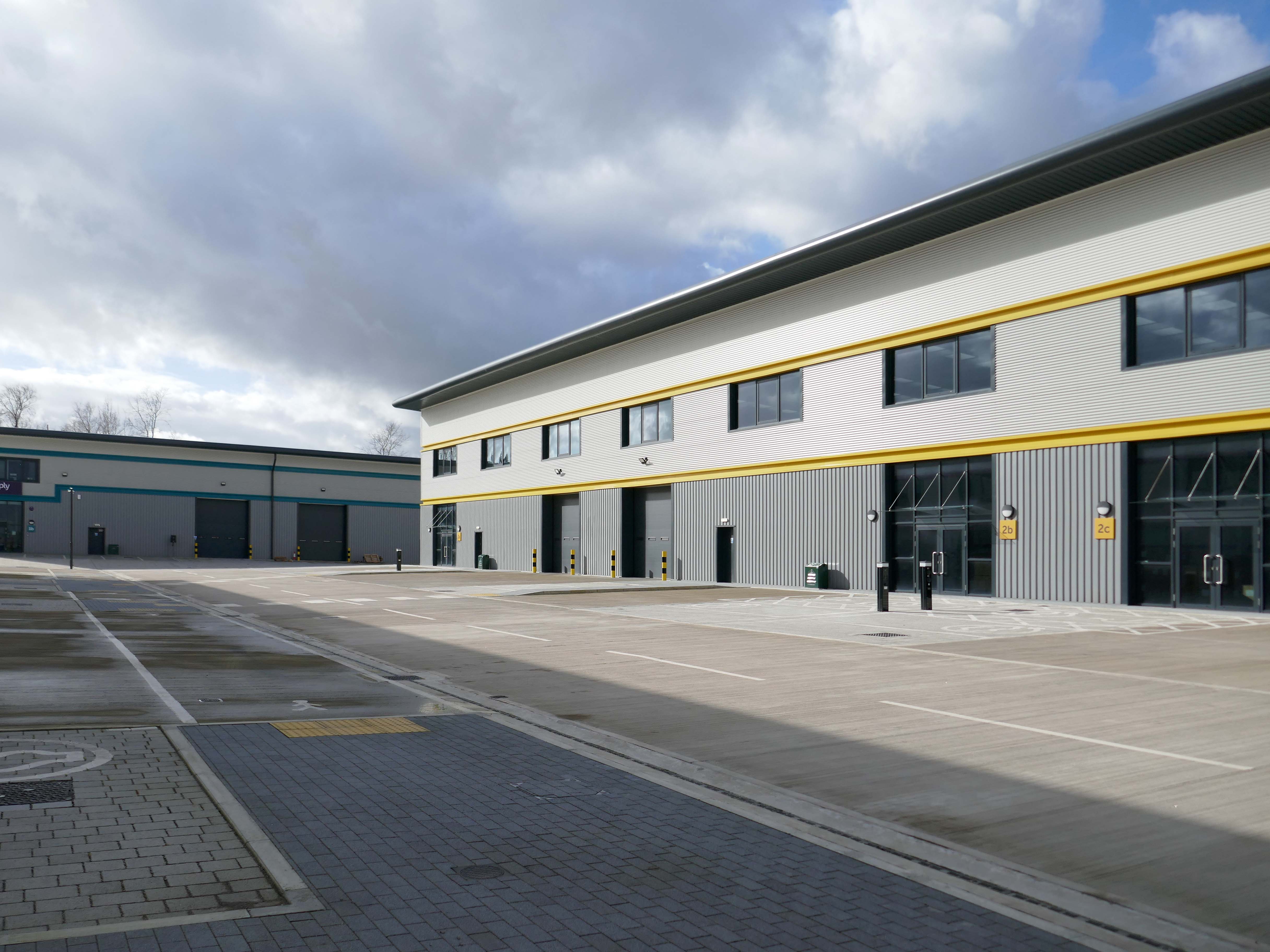
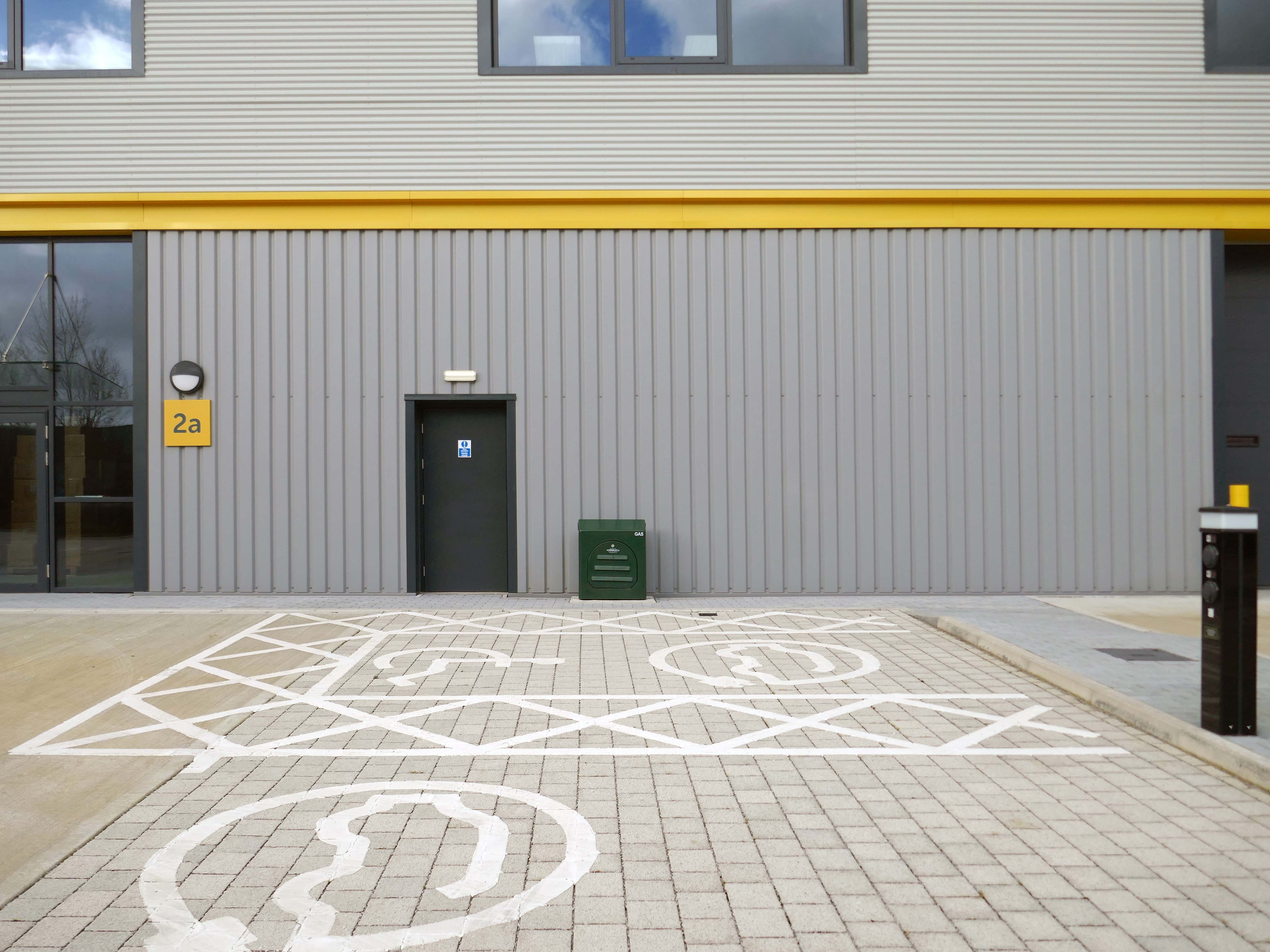
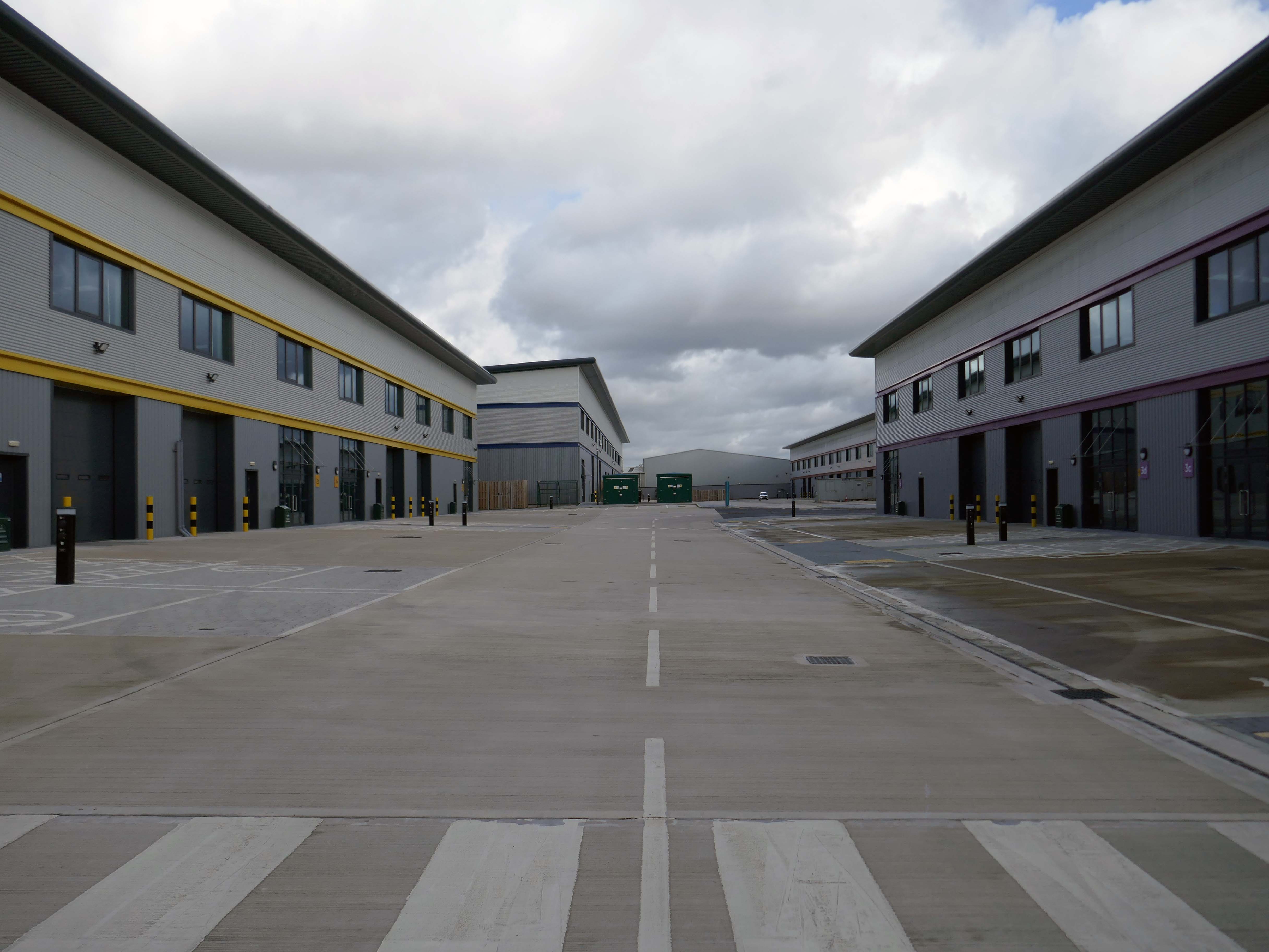
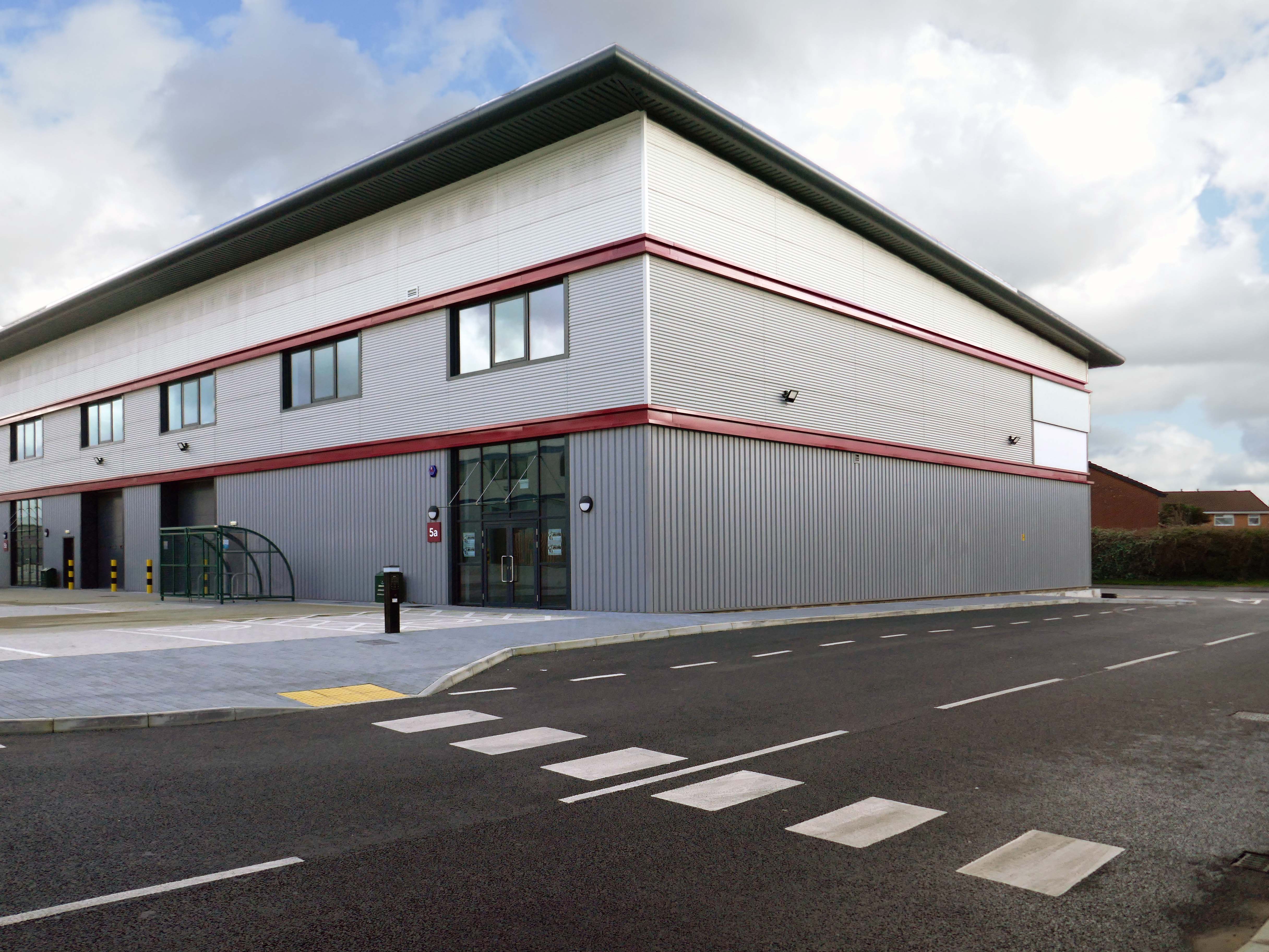
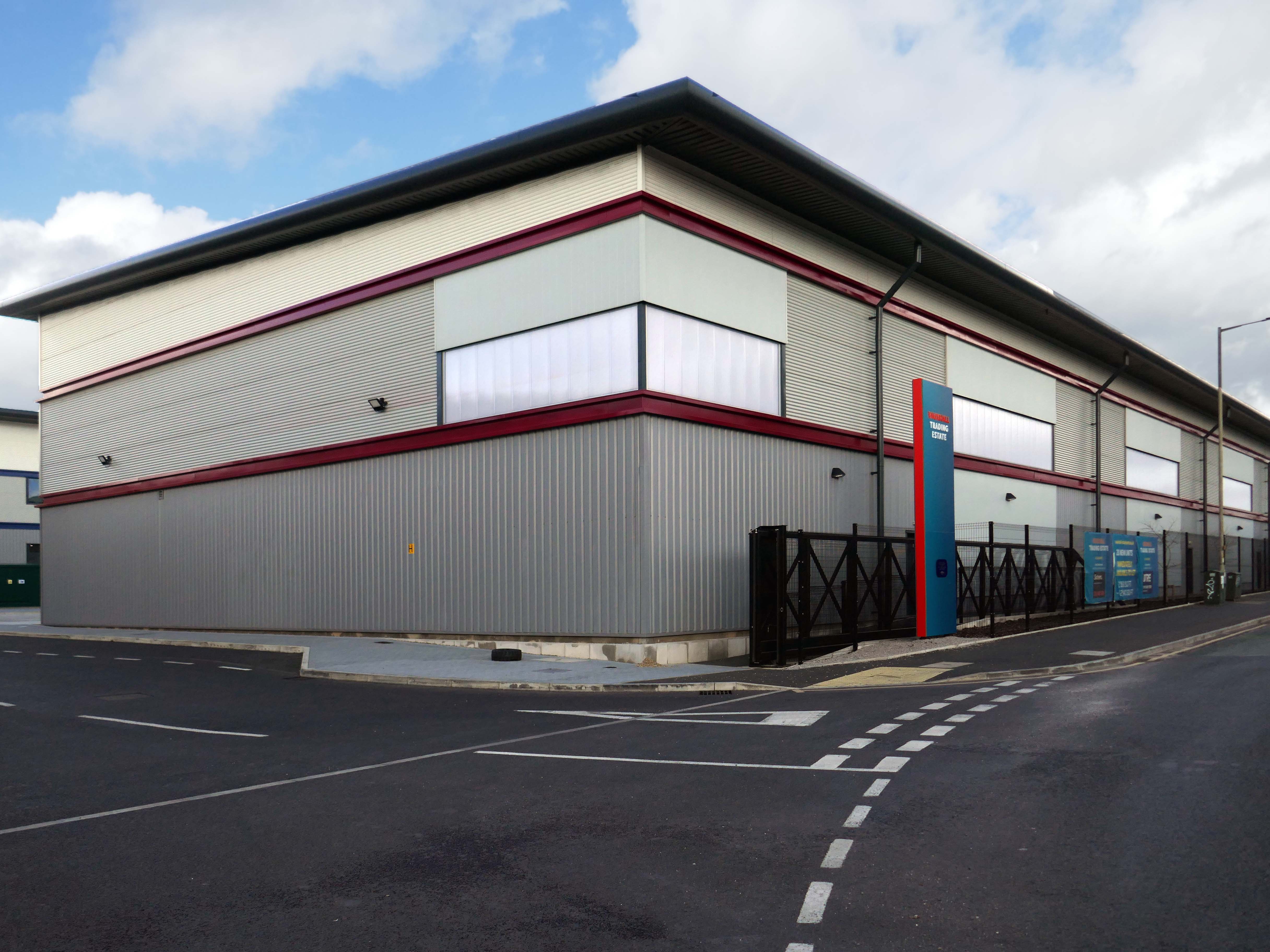
Our excavations at Vauxhall Industrial Estate, undertaken in advance of the redevelopment of the site by RECOM Solutions and Vauxhall Industrial Estate Ltd, revealed a number of features associated with the Craven Brothers’ Works. Two excavation areas were opened, targeted on features shown on historic mapping but no longer surviving: Area 1 in the north, targeting a small chimney and outbuildings adjacent to the machine shops; and Area 2 in the south targeting a chimney and part of the footprint of Building 3. In Area 1, the archaeological remains had been heavily truncated by the installation of chemical vats in the late 20th century after Craven Brothers closed; however, the foundations of the targeted outbuildings and the chimney were uncovered, as well as the remains of a railway track running alongside the machine shops, represented by in situ sleepers.
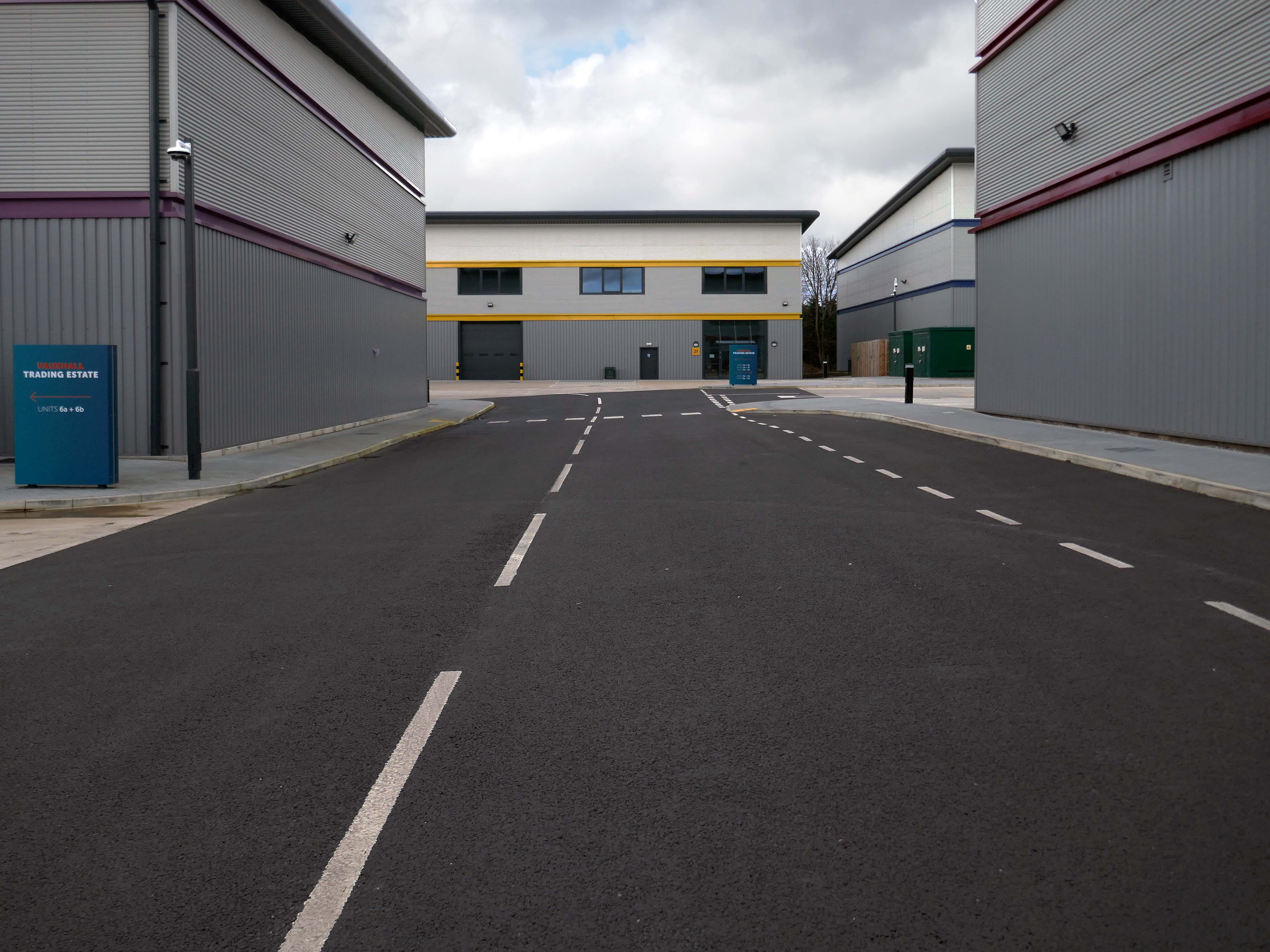
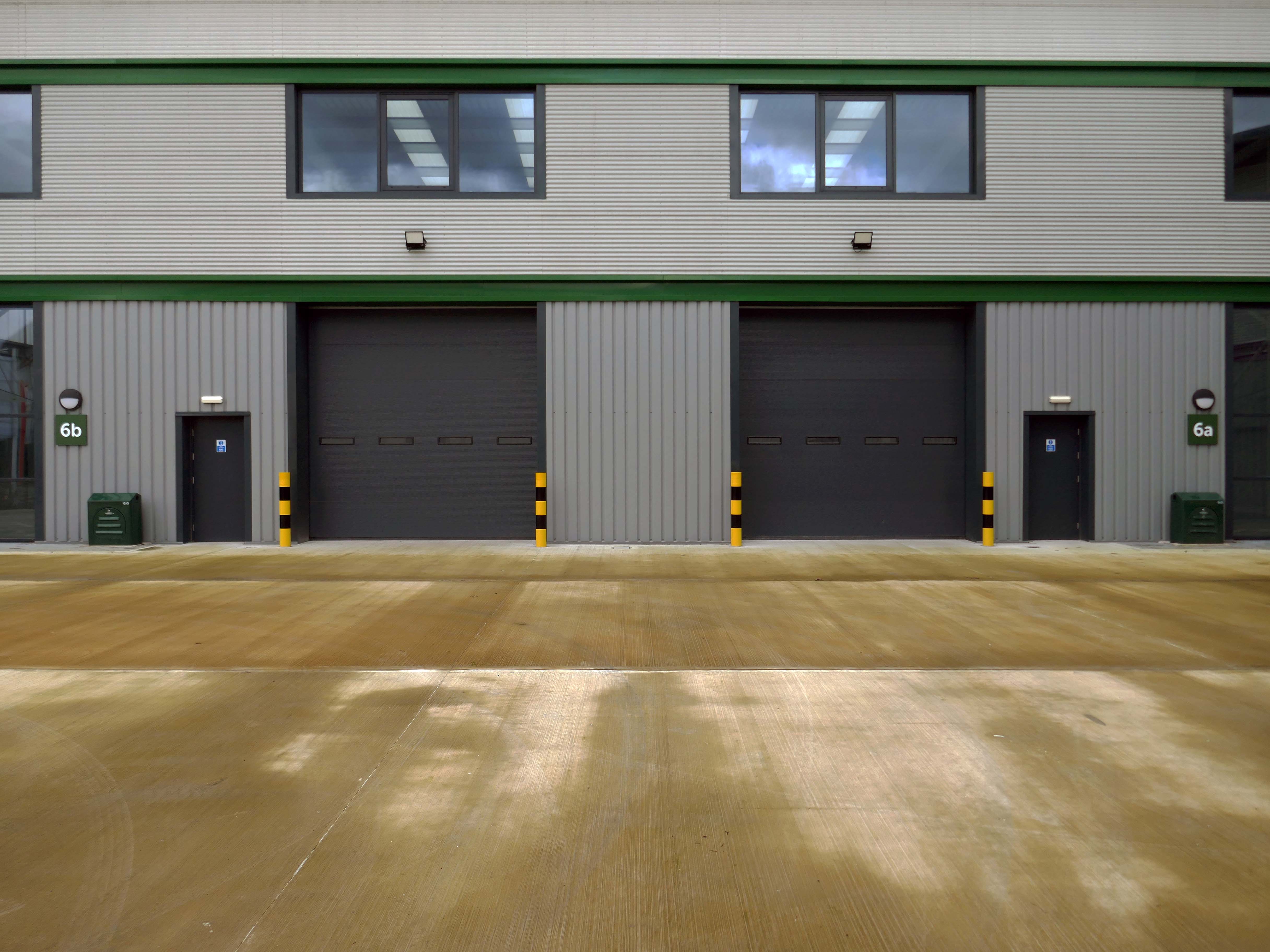
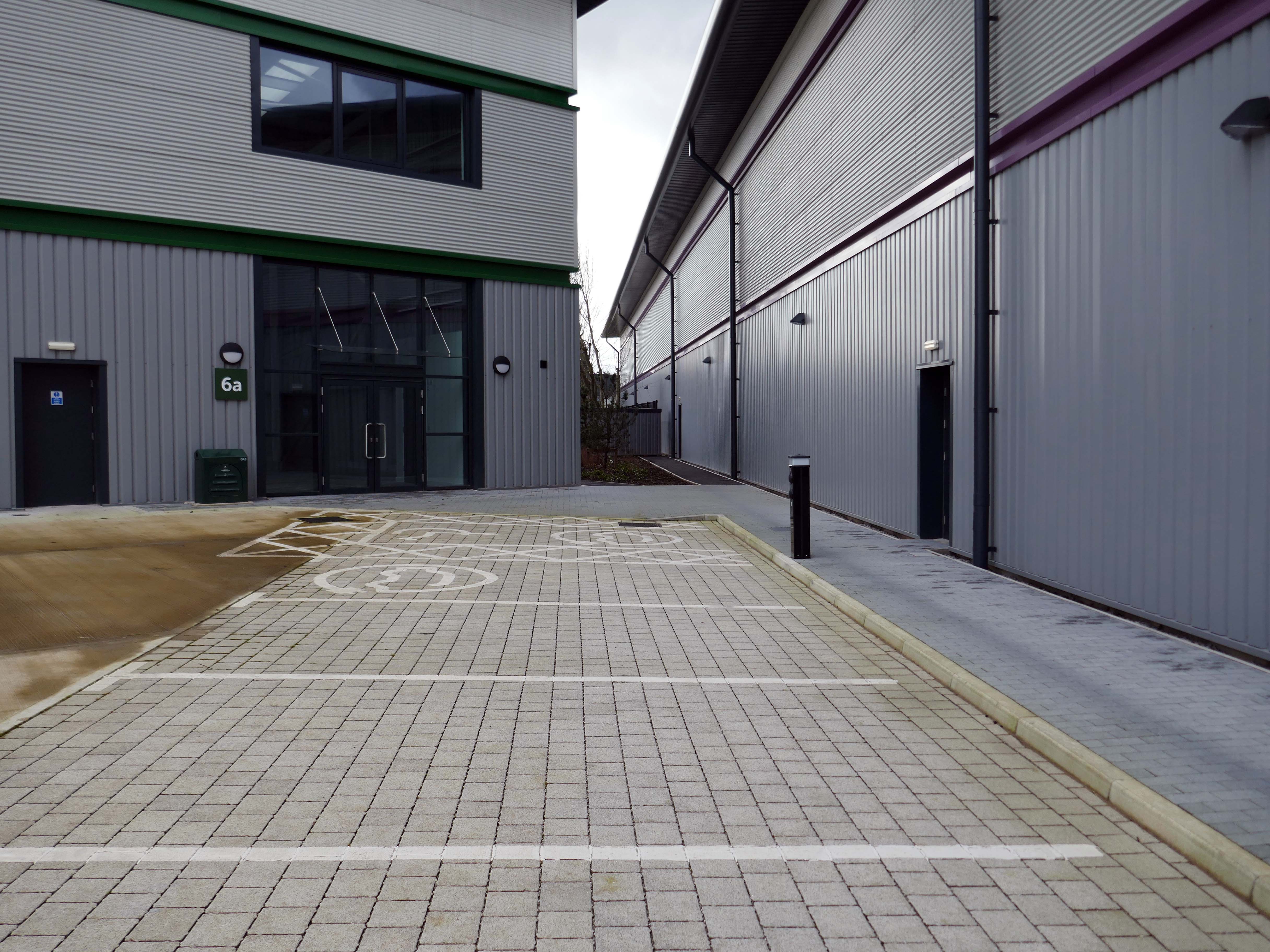
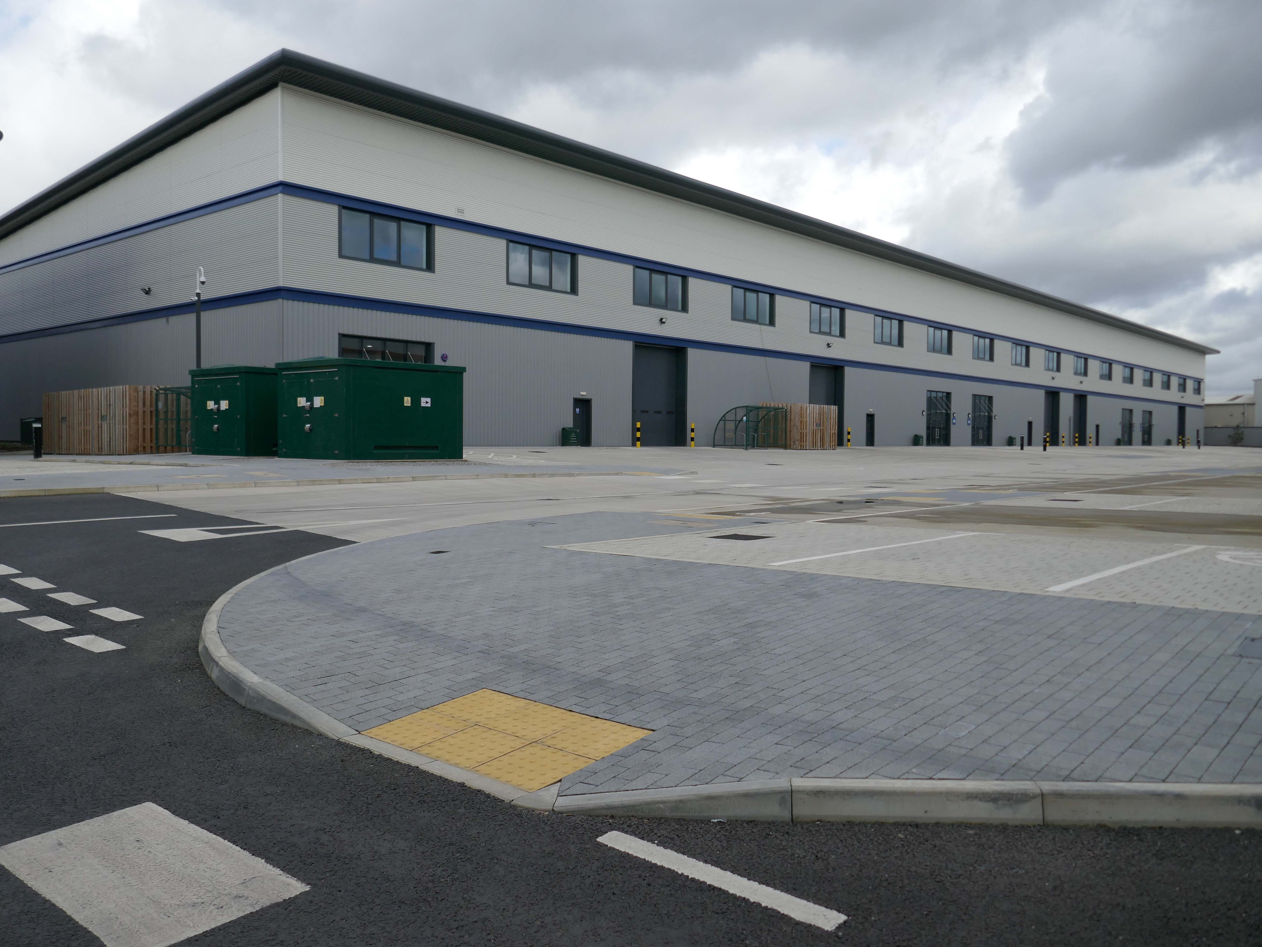
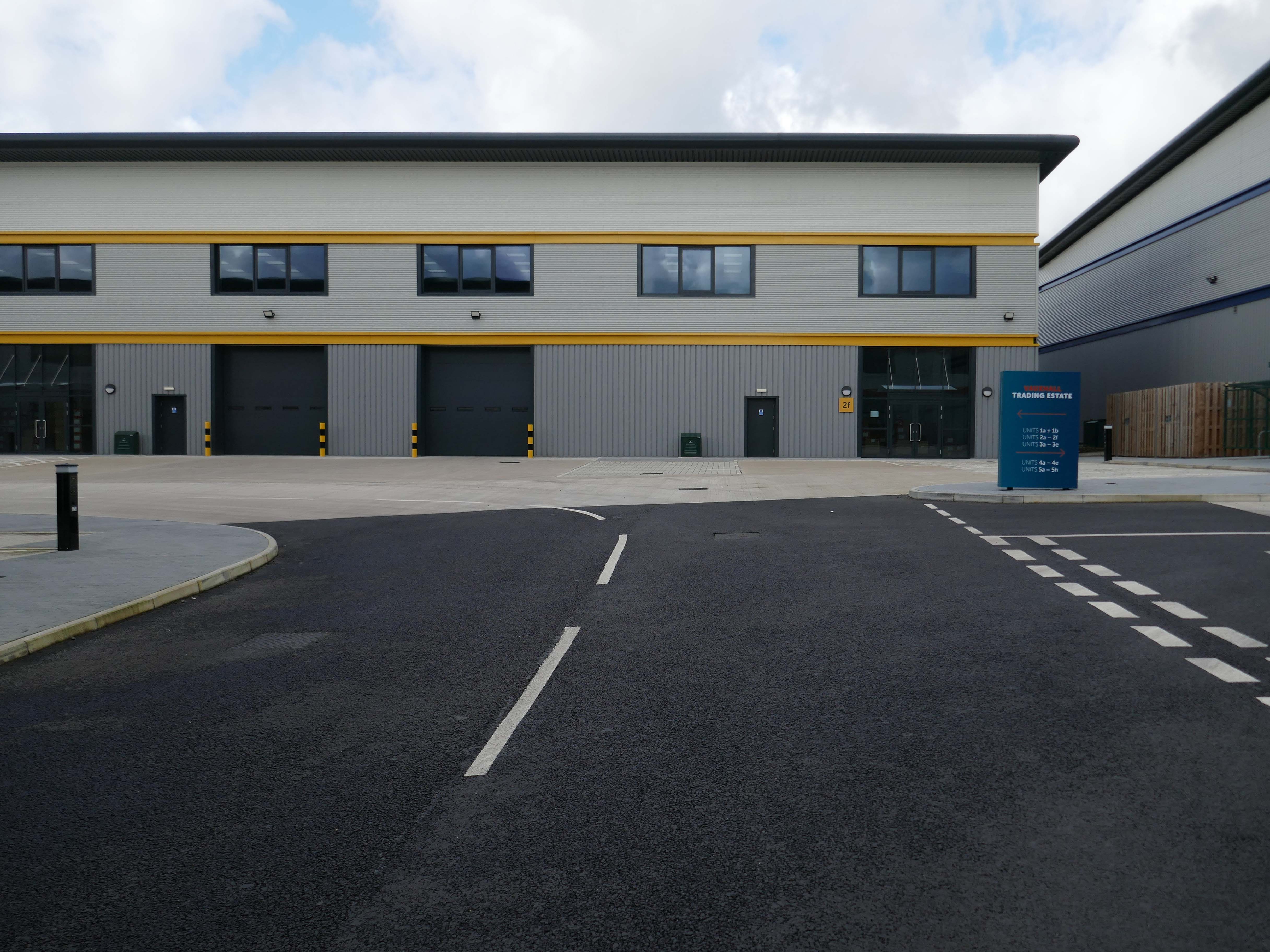
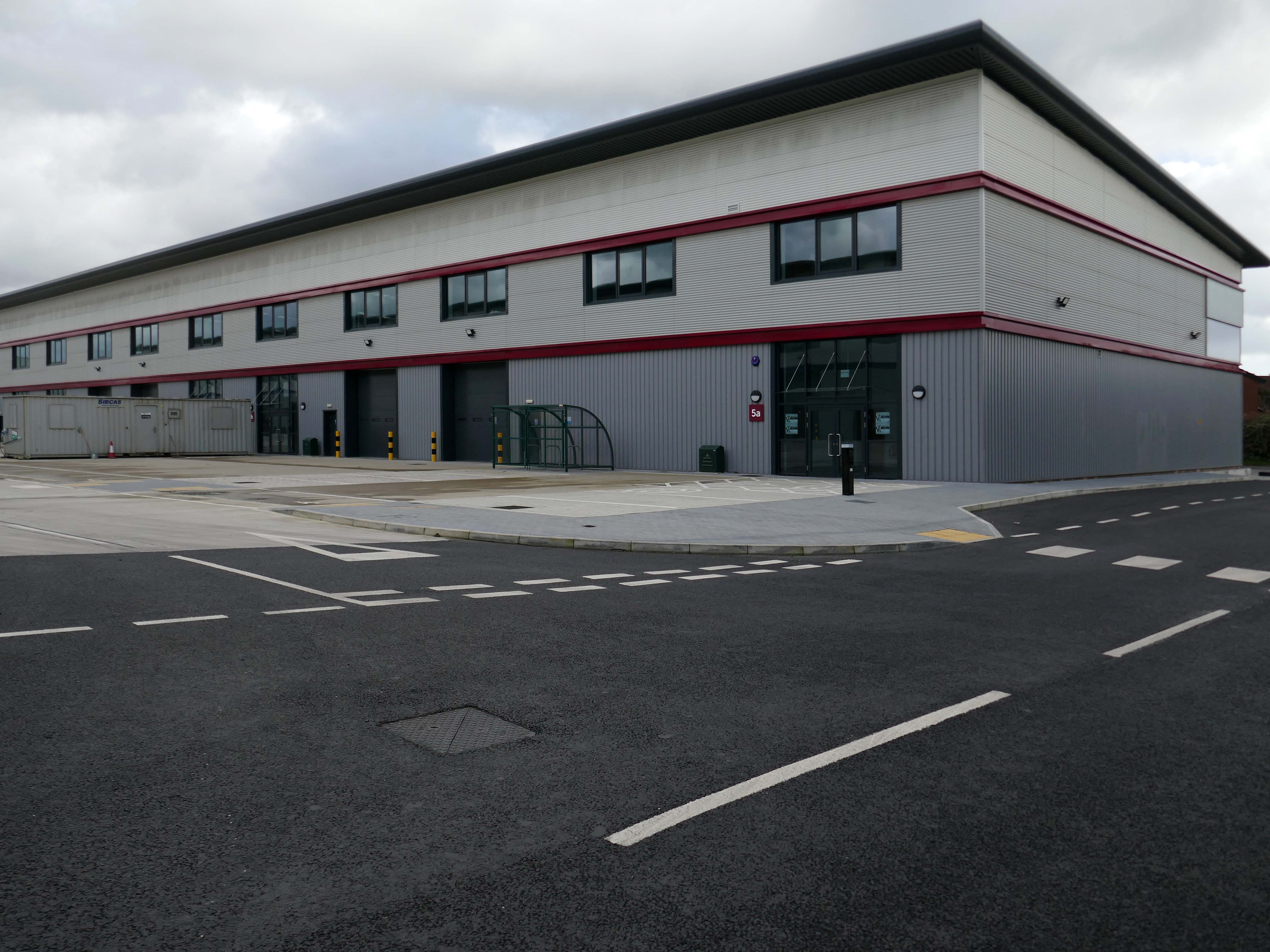
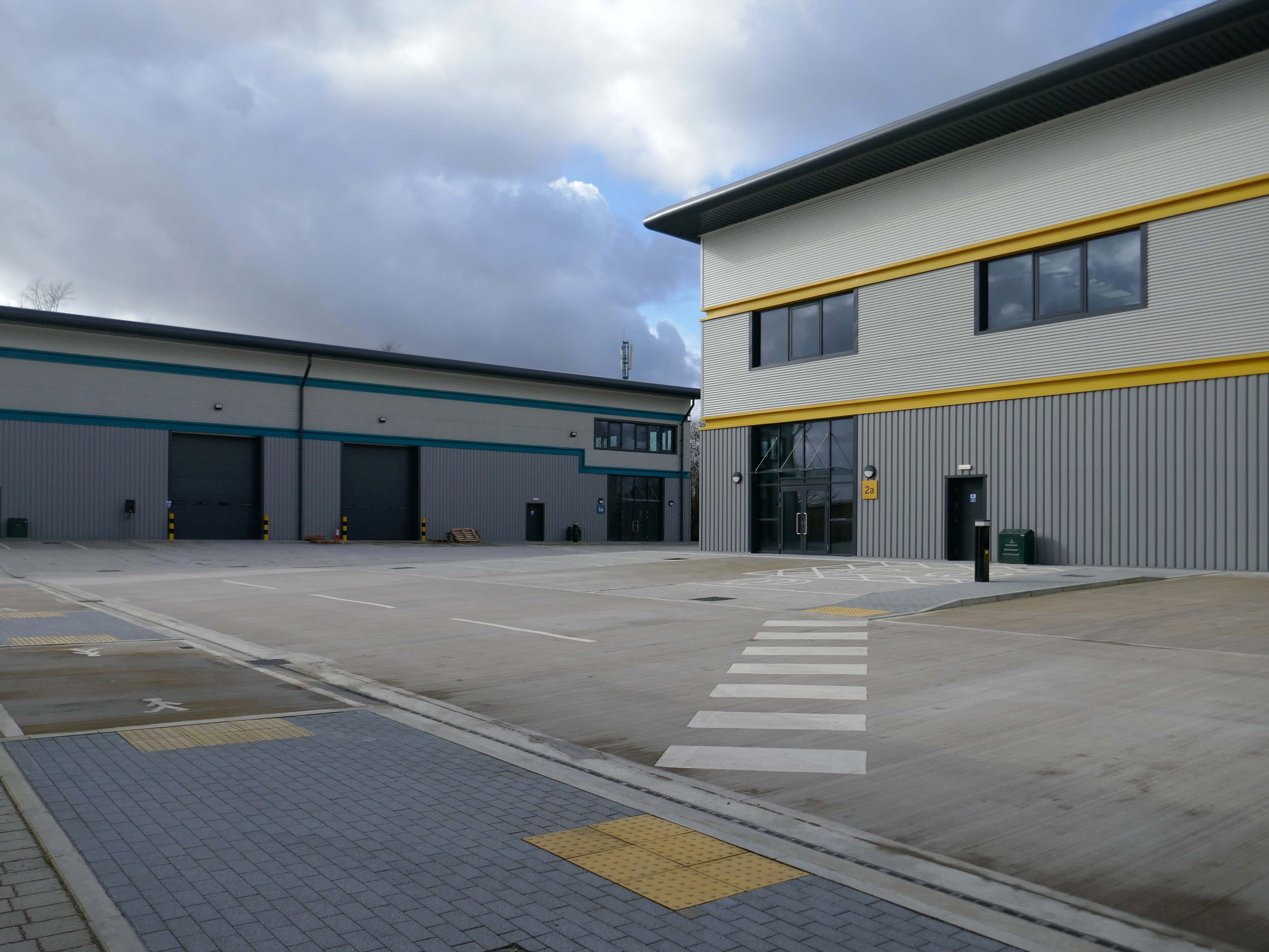
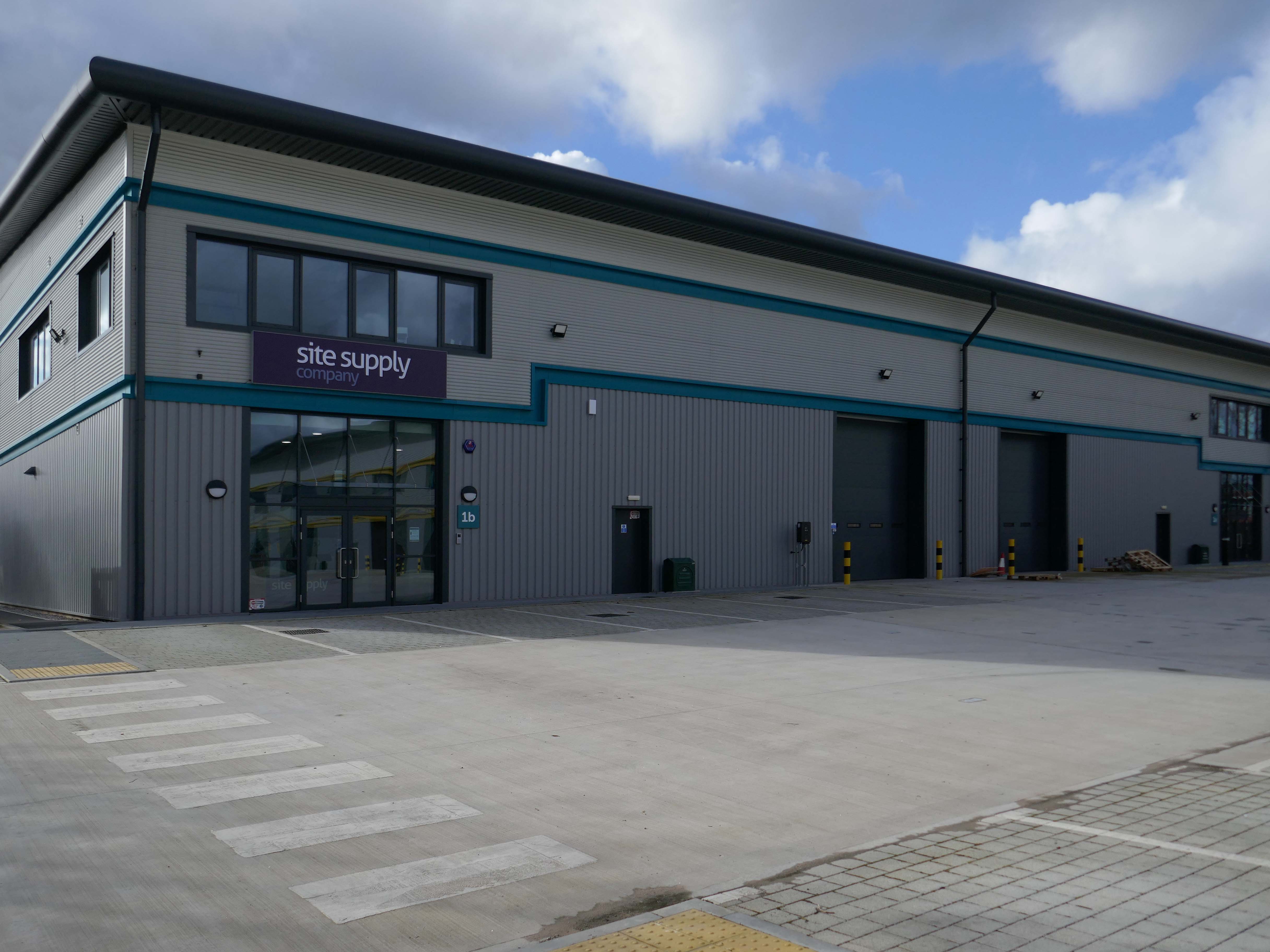
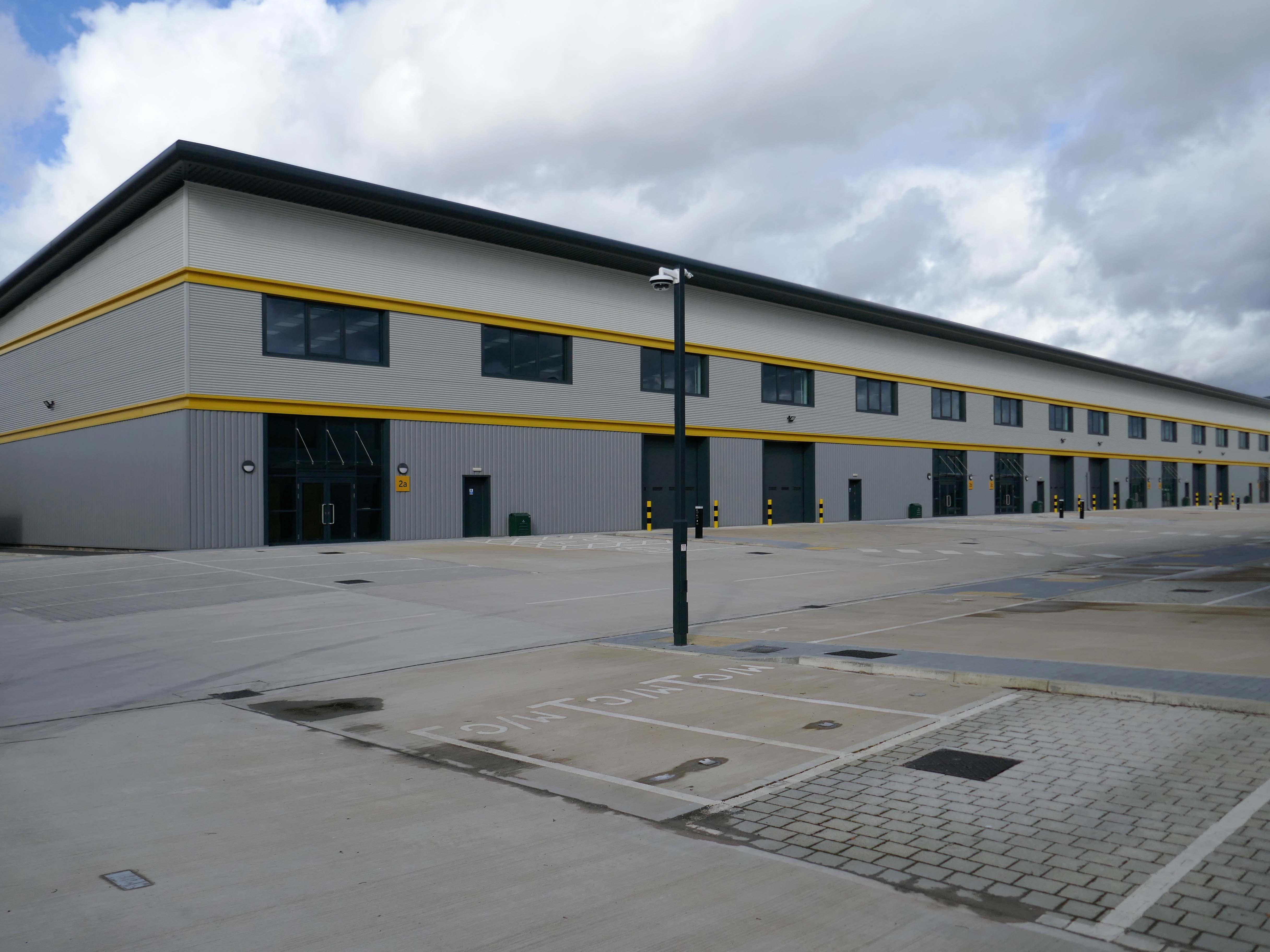
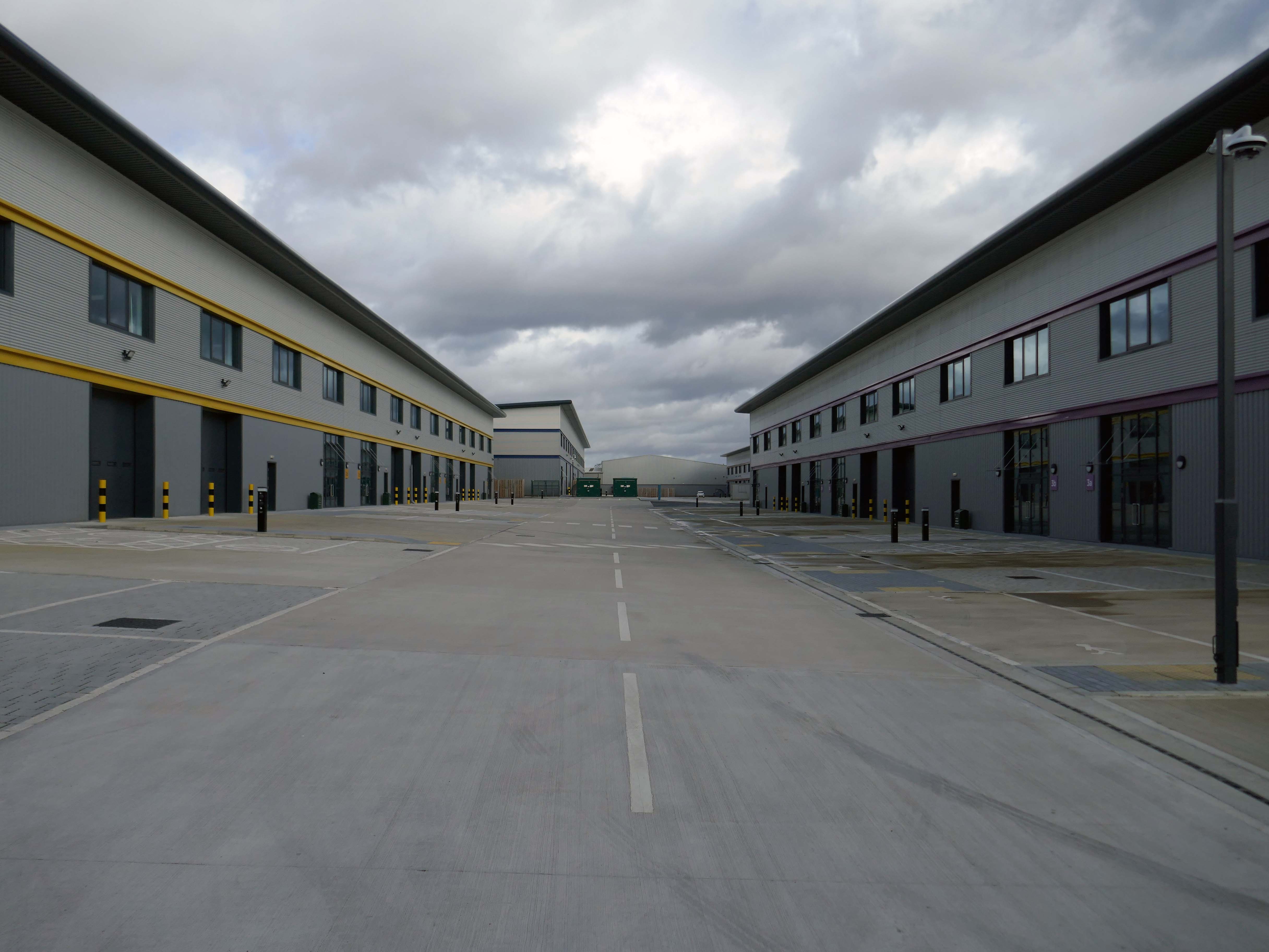
Vauxhall Trading Estate, formerly Vauxhall Industrial Estate, was a collection of dilapidated old industrial buildings, which have been demolished and new modern industrial units provided. RECOM provided project management services to demolish all previous buildings and prepare the site for the main contractor, achieve planning consent, enter a BAPA with Network Rail, tender and appoint the successful main contractor and then provide the Employer’s Agent service throughout the construction phase.
We worked with the design team to produce project specific Employer’s Requirements, ensuring that the client’s brief to provide high quality industrial units was delivered. We ensured the client’s interests were maintained throughout the project, making objective decisions that aligned with the client’s goals. In order to de-risk the project prior to entering into the main contract, we advised the client on what site investigations, enabling works and surveys needed to be undertaken. As the Employer’s Agent, we ensured that the conditions of the contract were adhered to, managing claims from the contractor,ensuring that the client’s position was protected.
Demolition works and embodied carbon created through construction works, is being offset against the sustainable energy created post occupation including: mix of air-source heat pumps and gas-fired radiant tube heating for heating and cooling, and photovoltaic solar panels installed on rooftops to generate green electricity for occupiers.
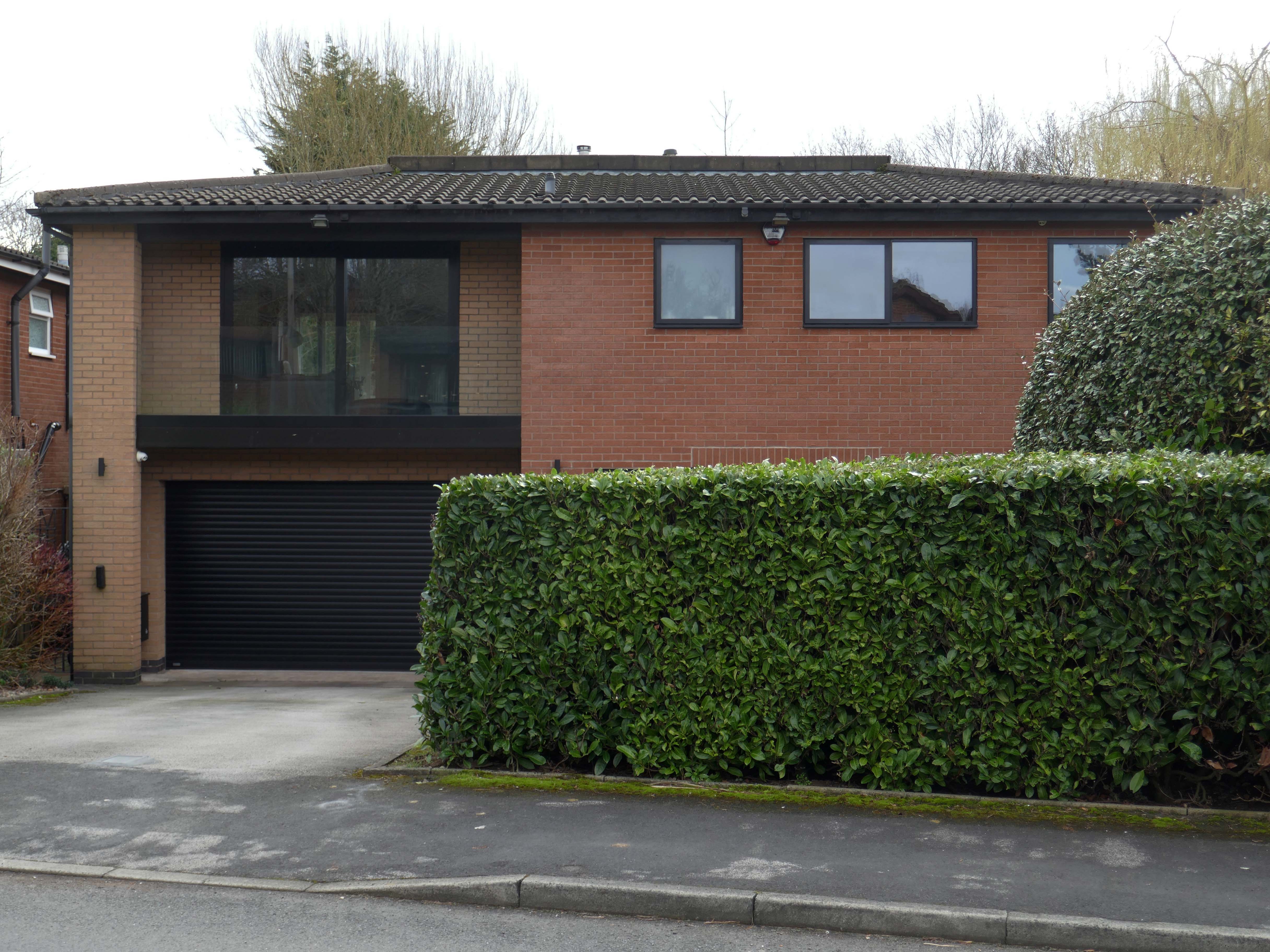
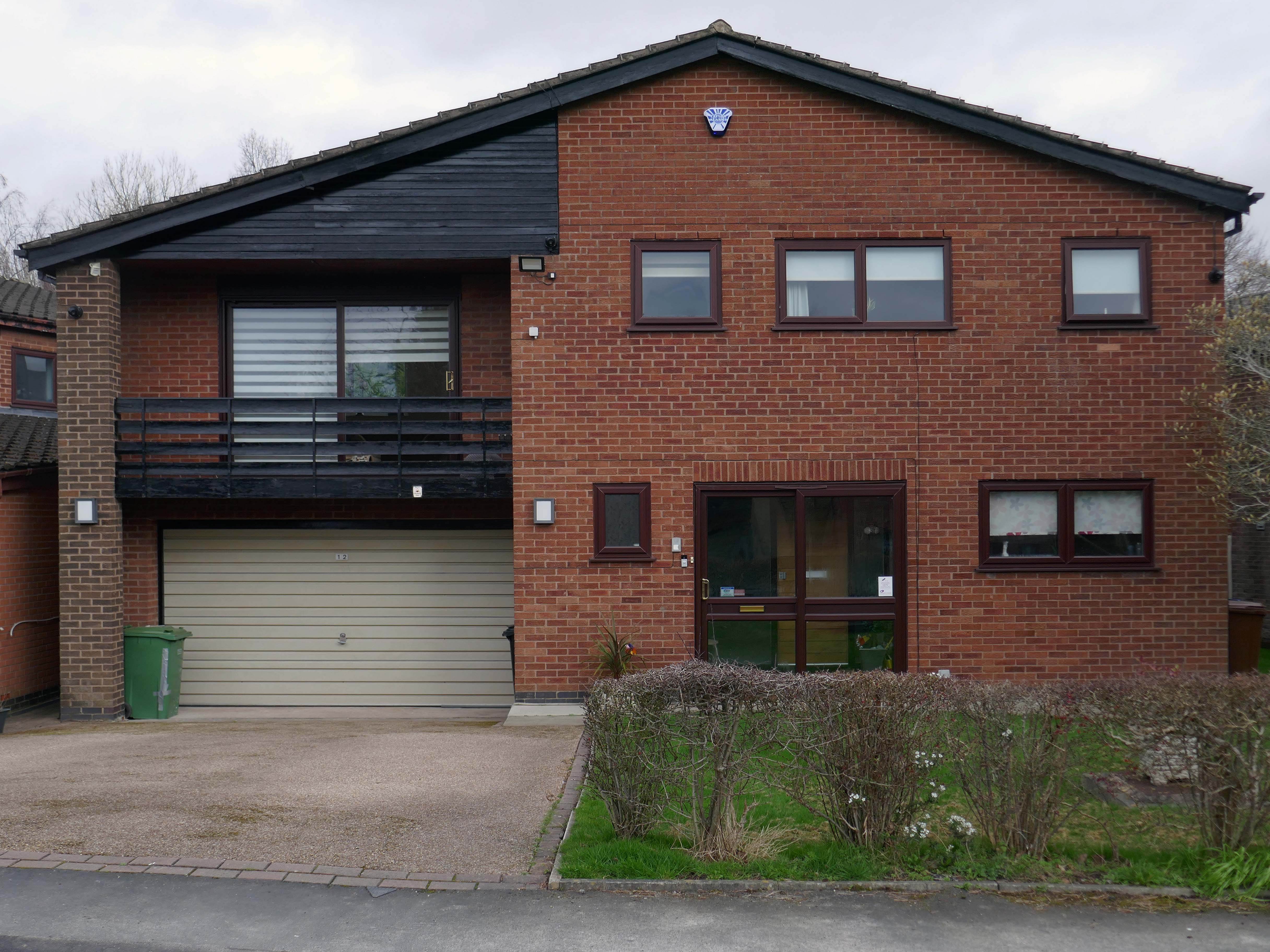
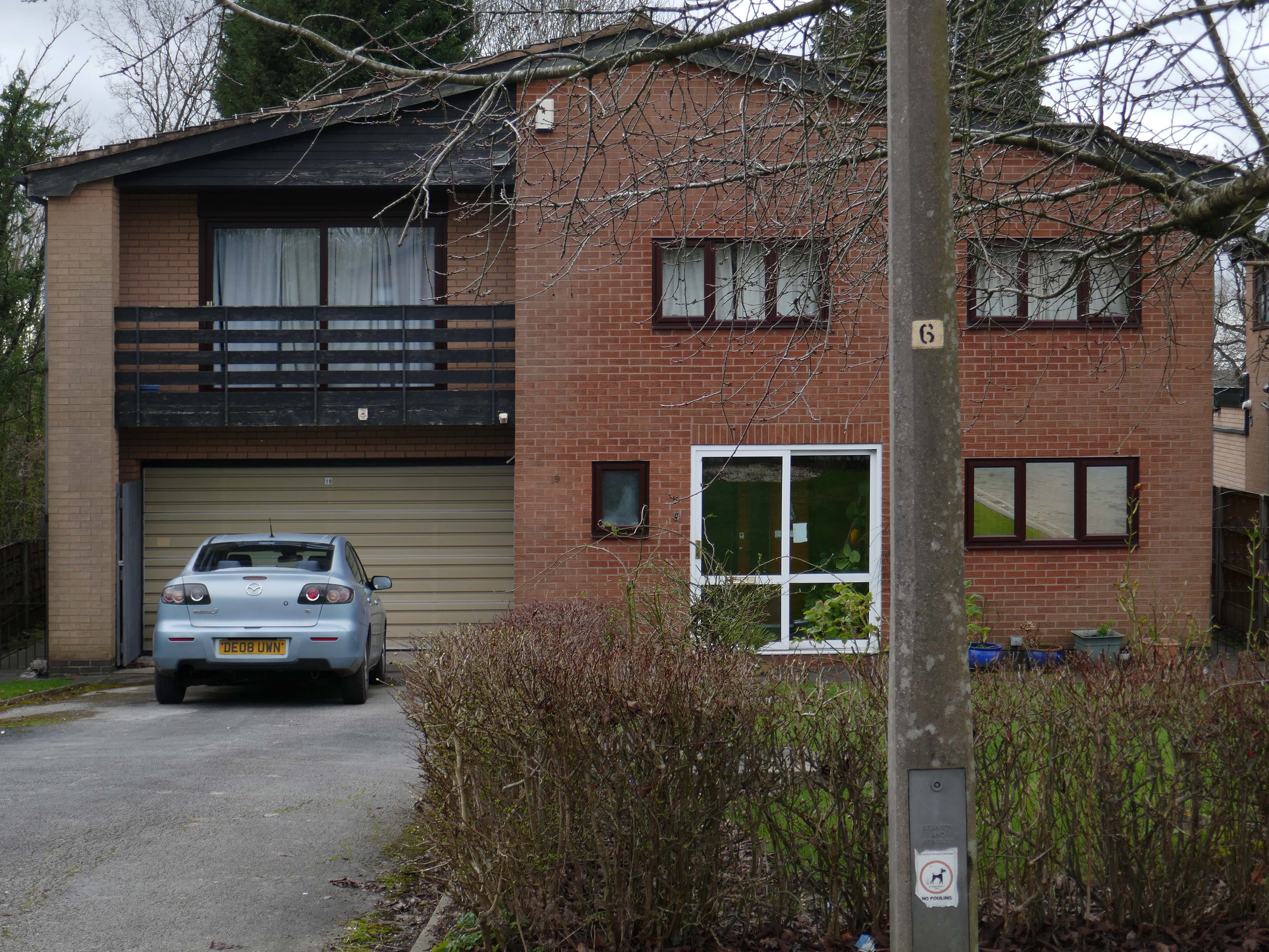
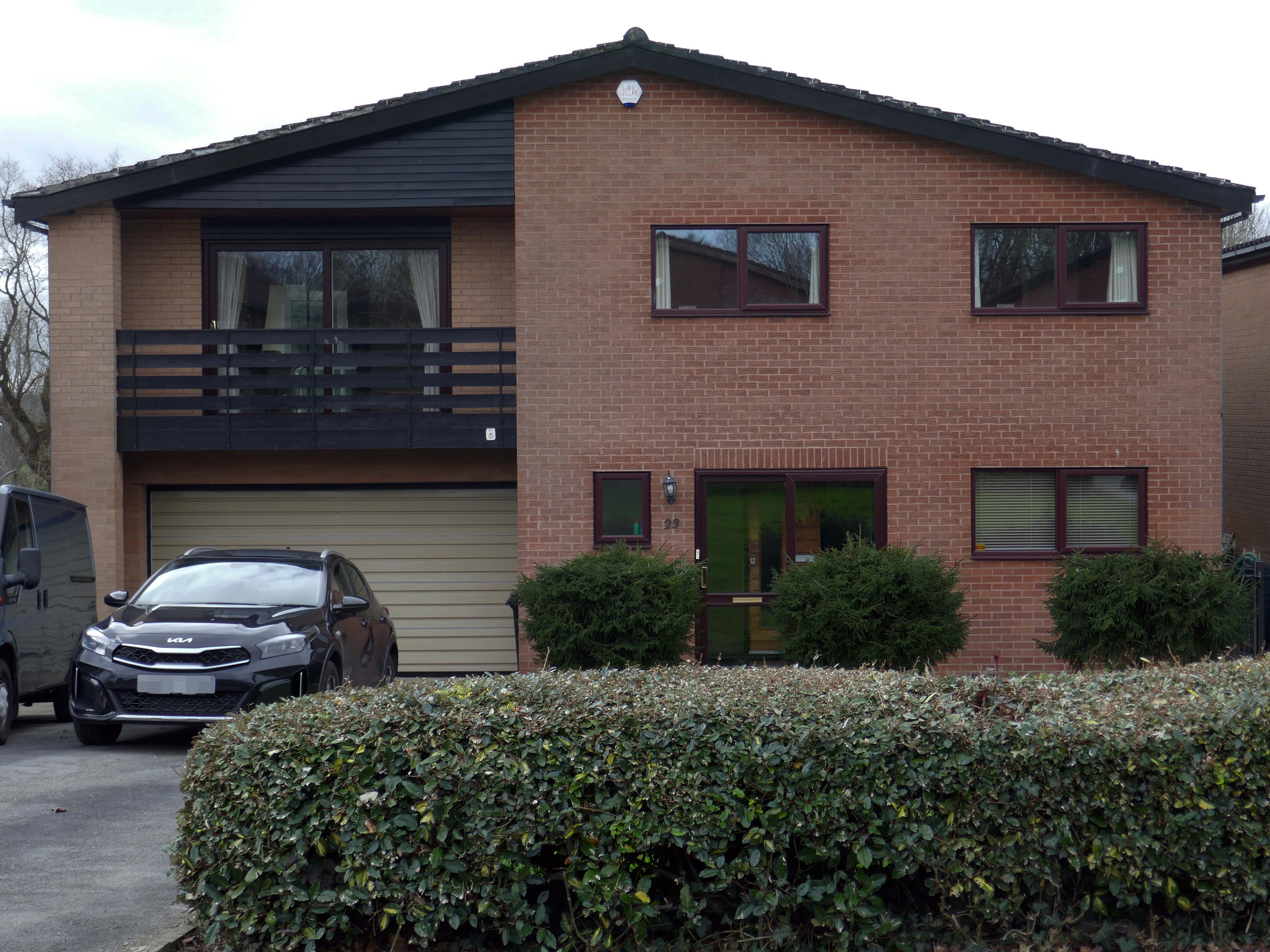
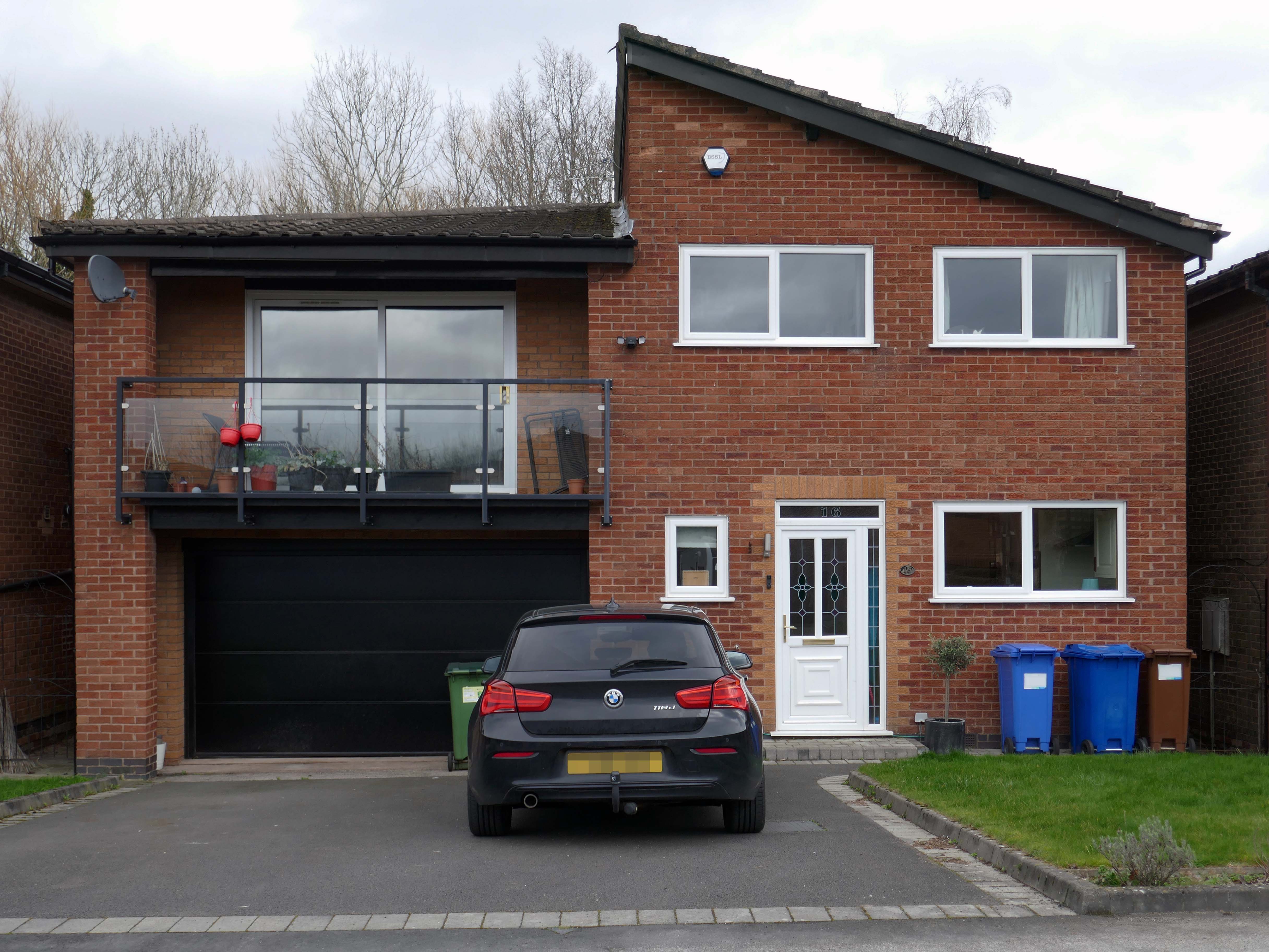
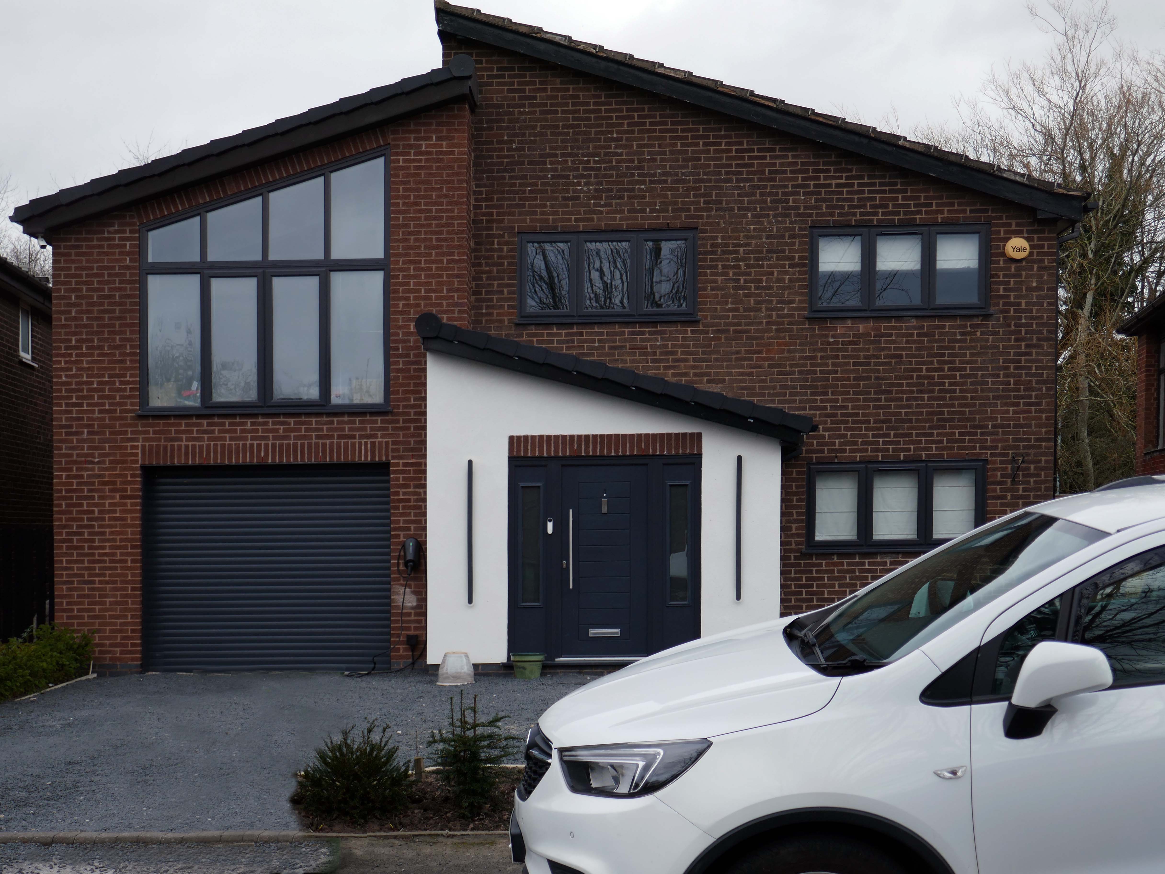
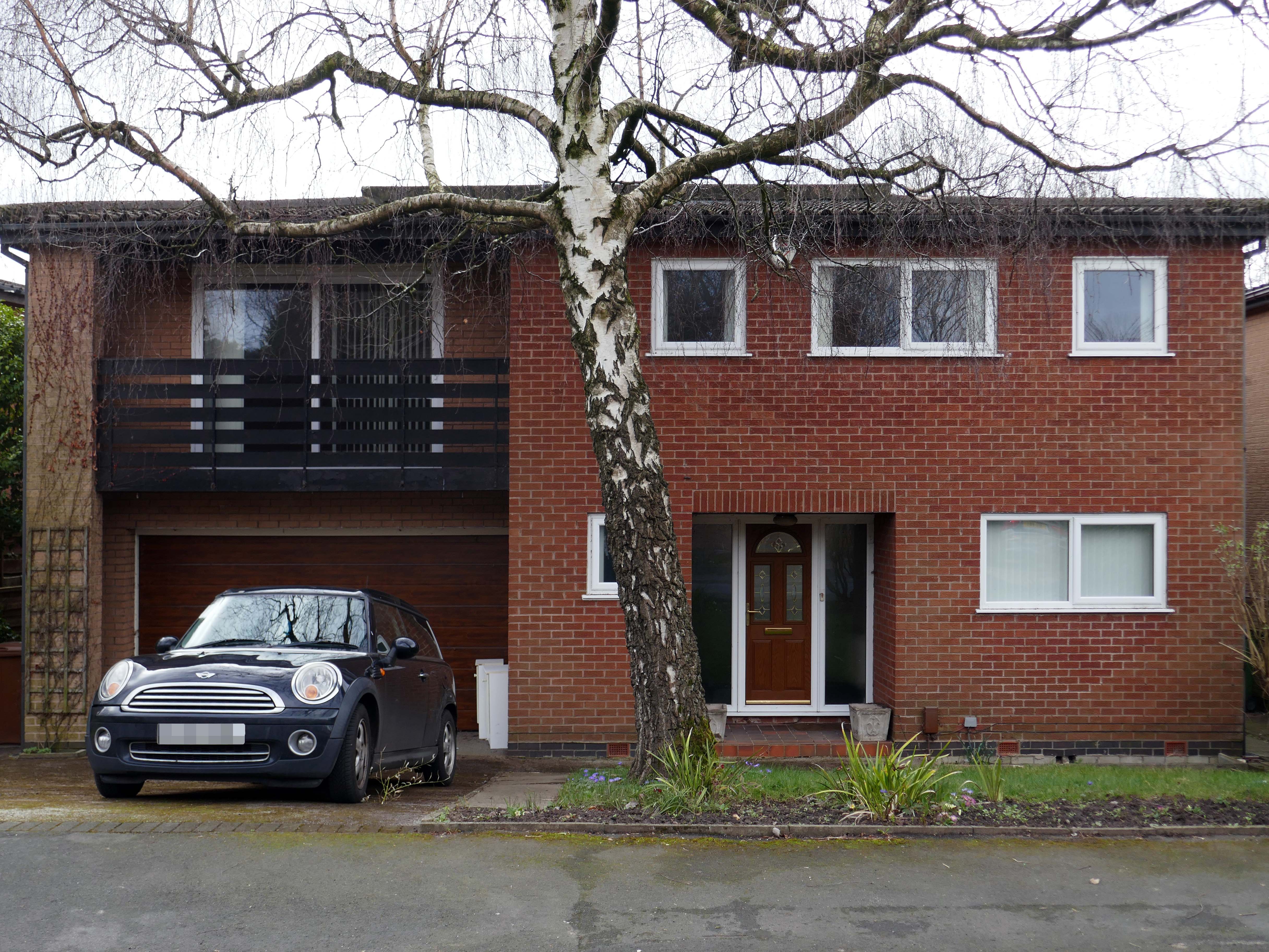
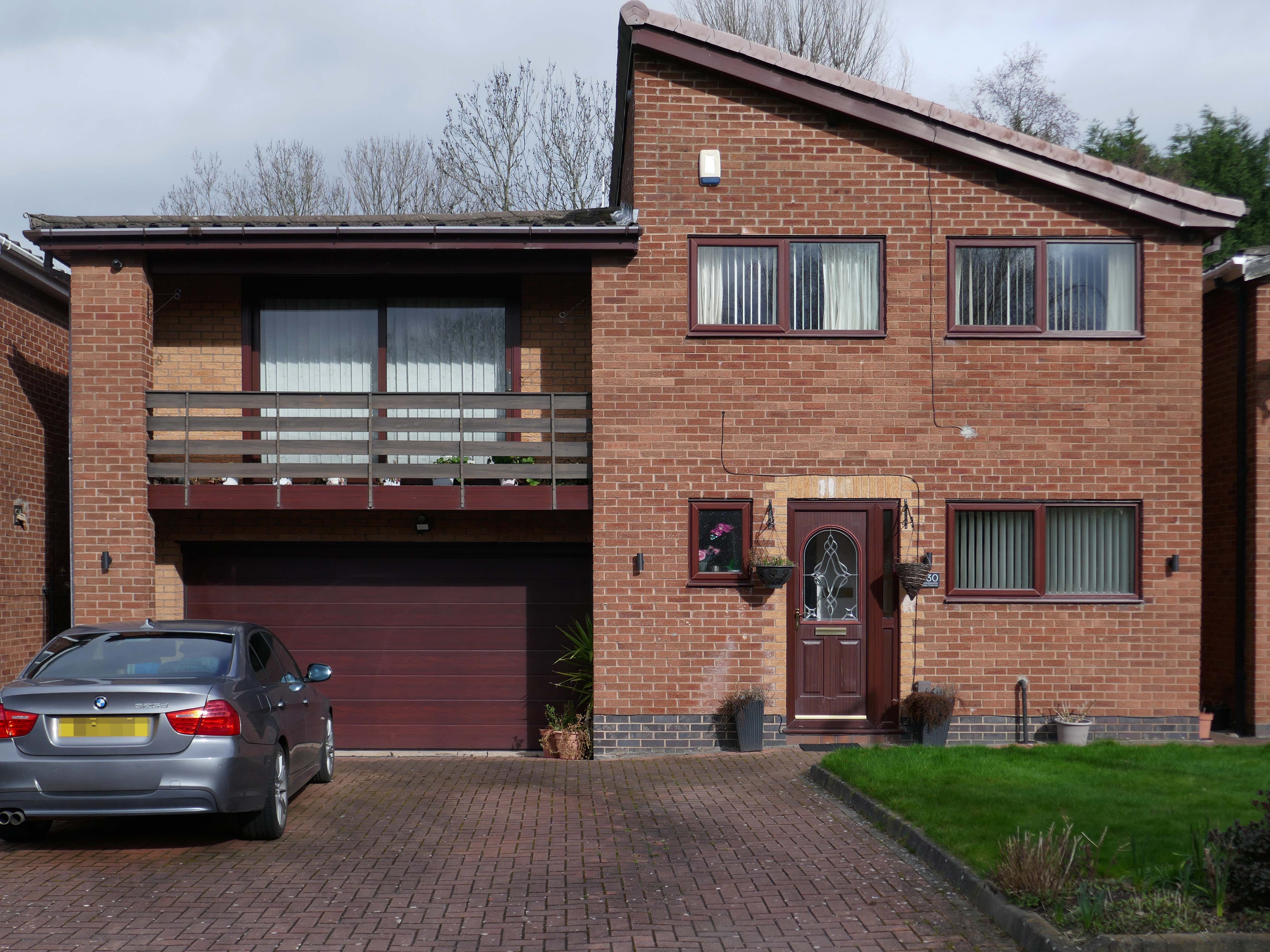
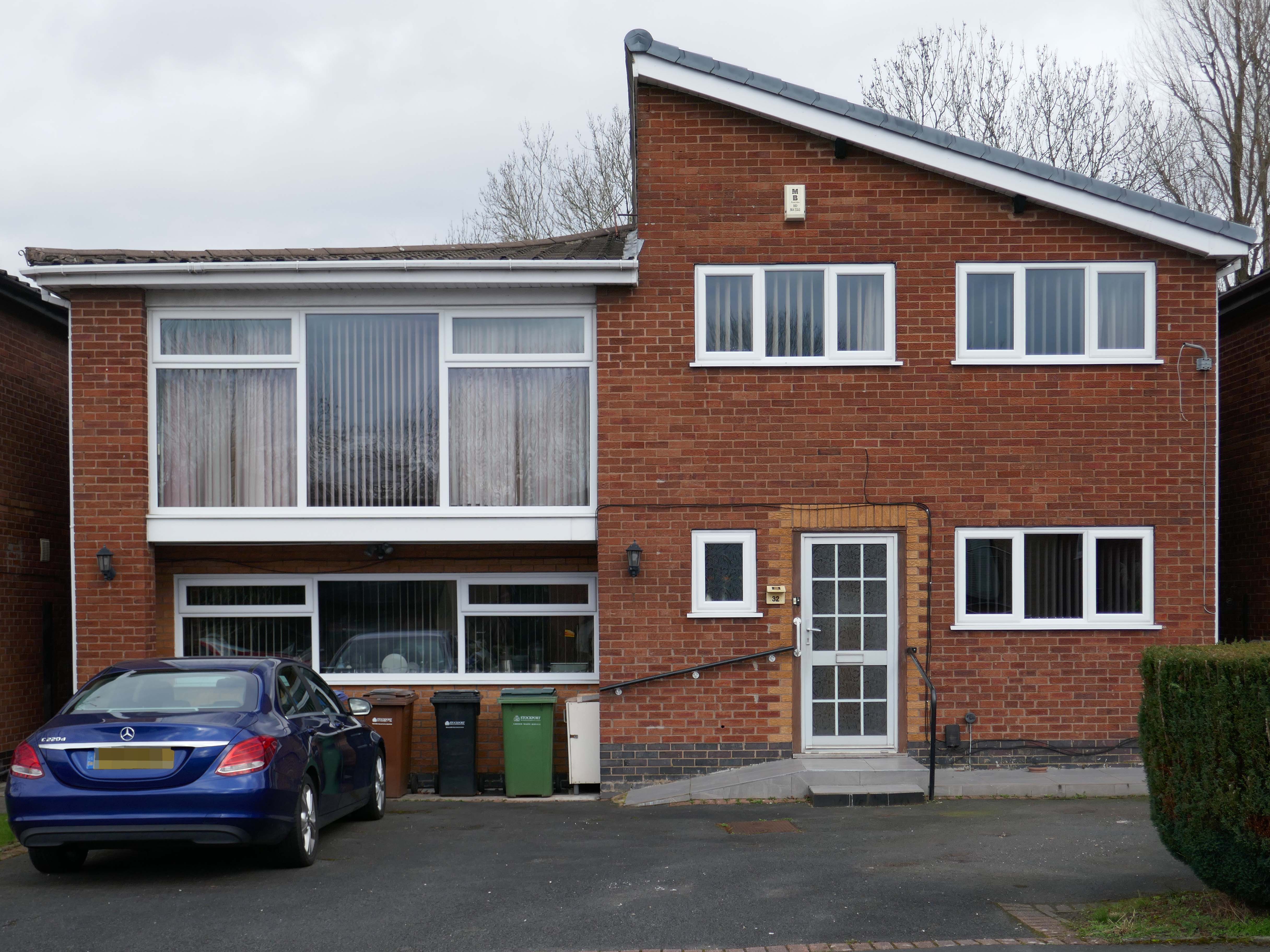
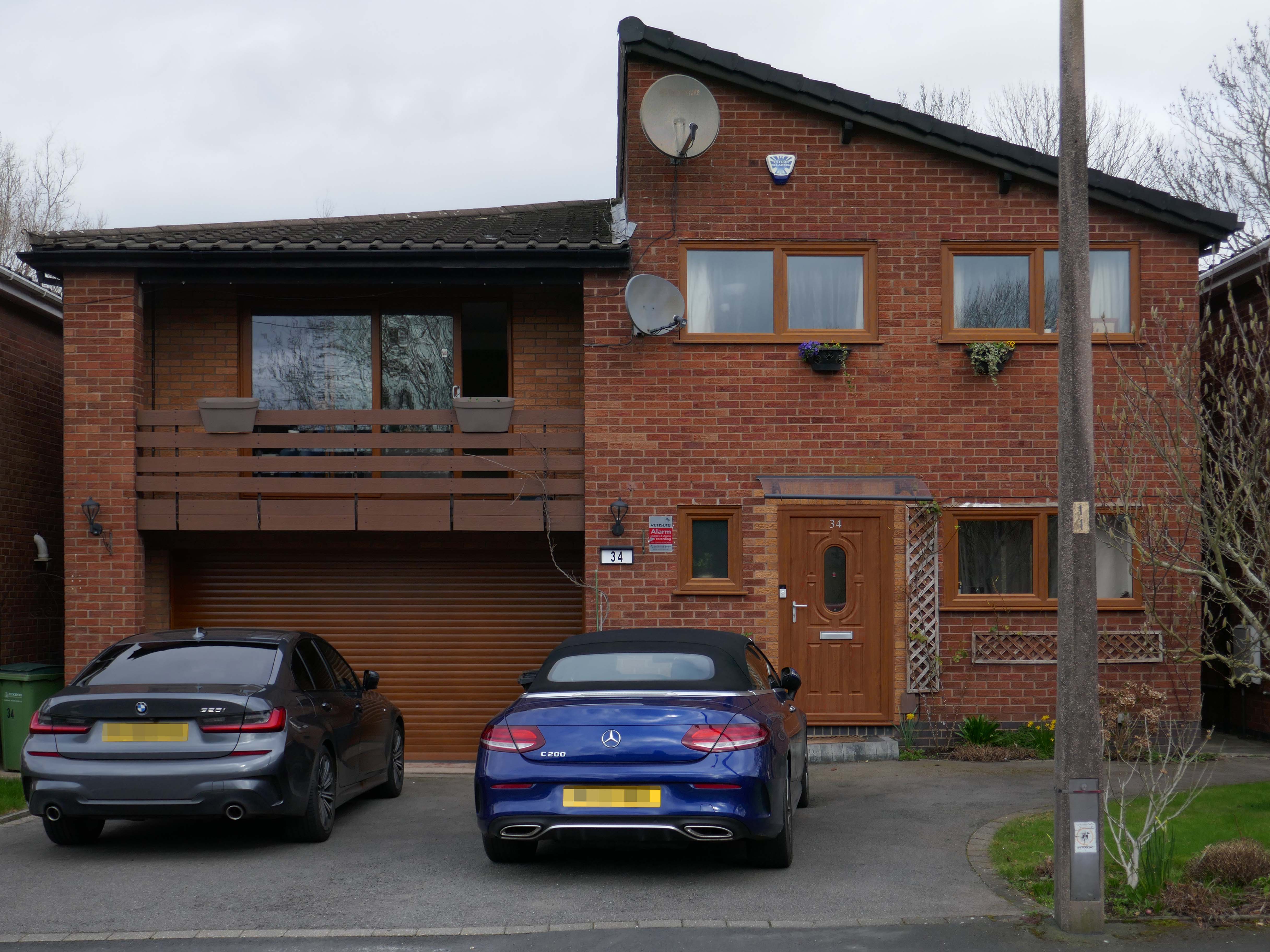
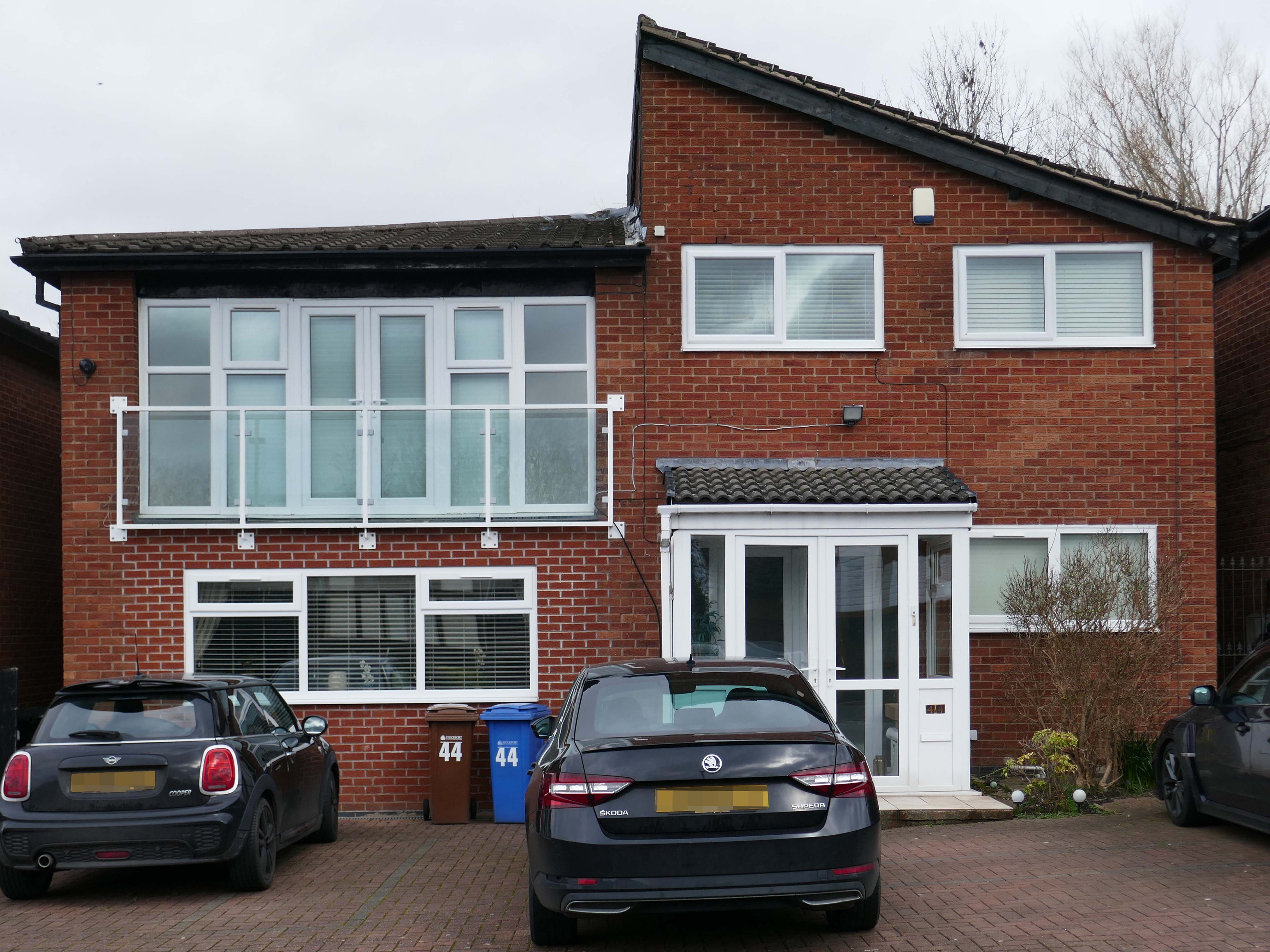
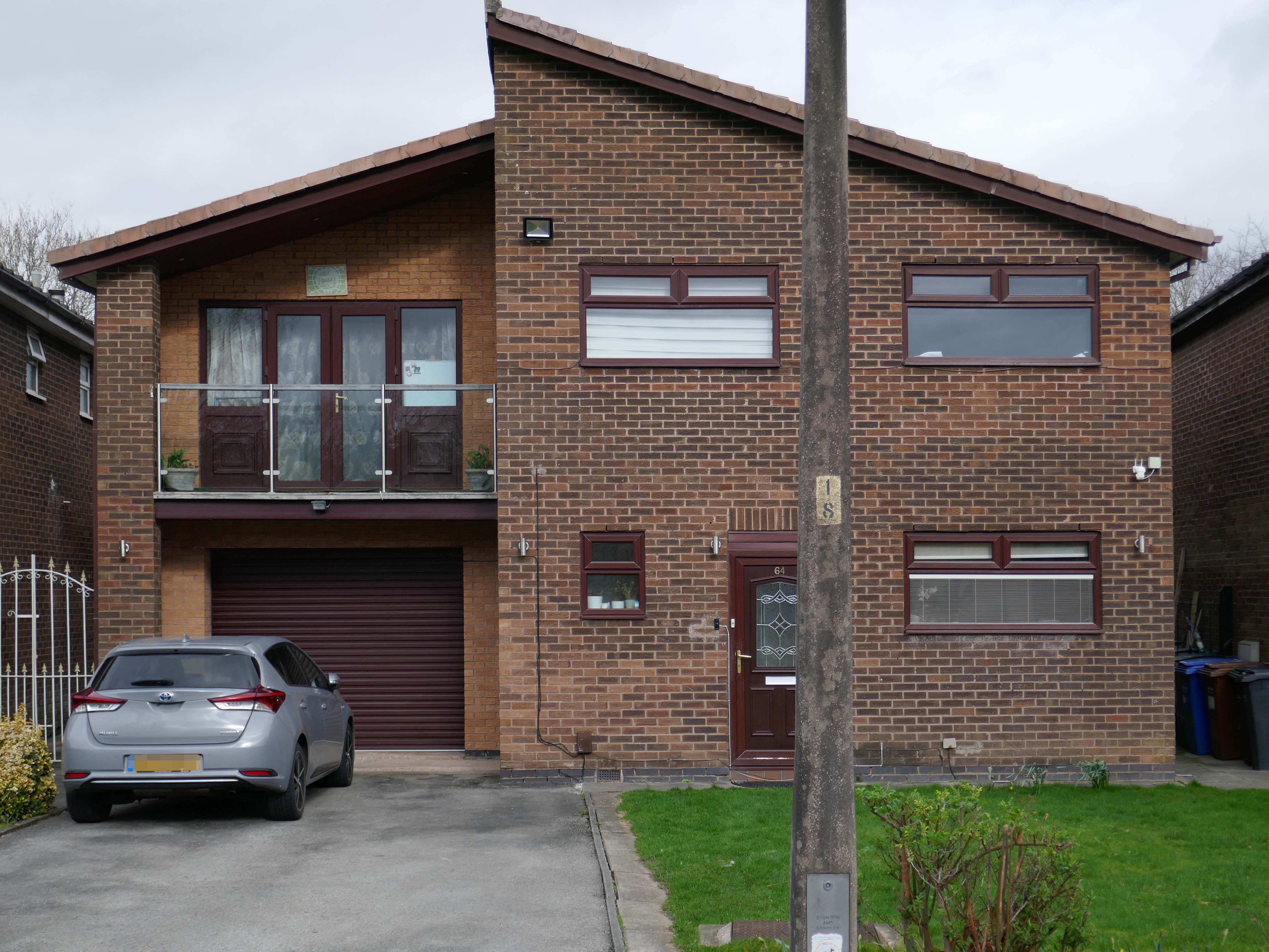
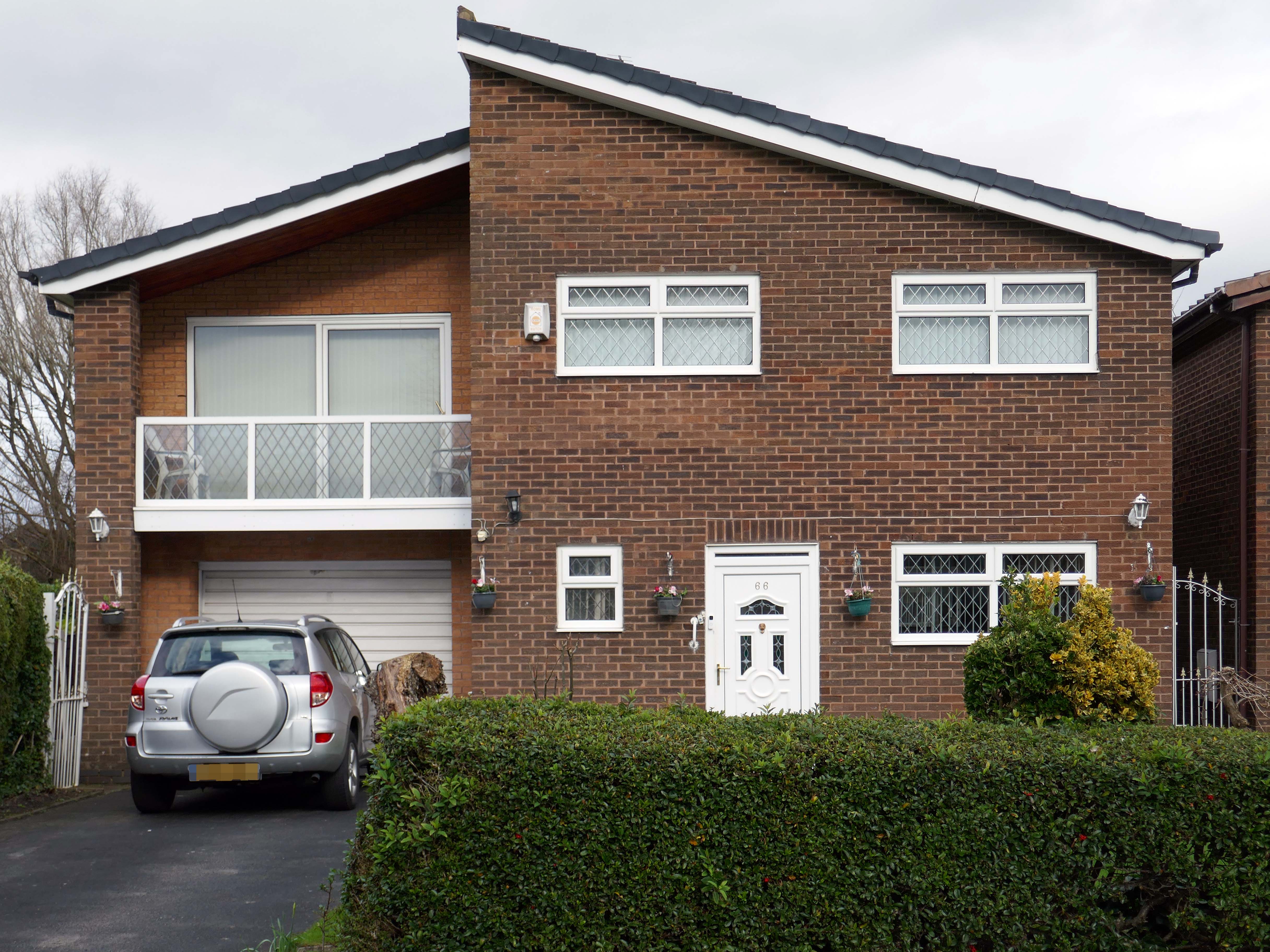
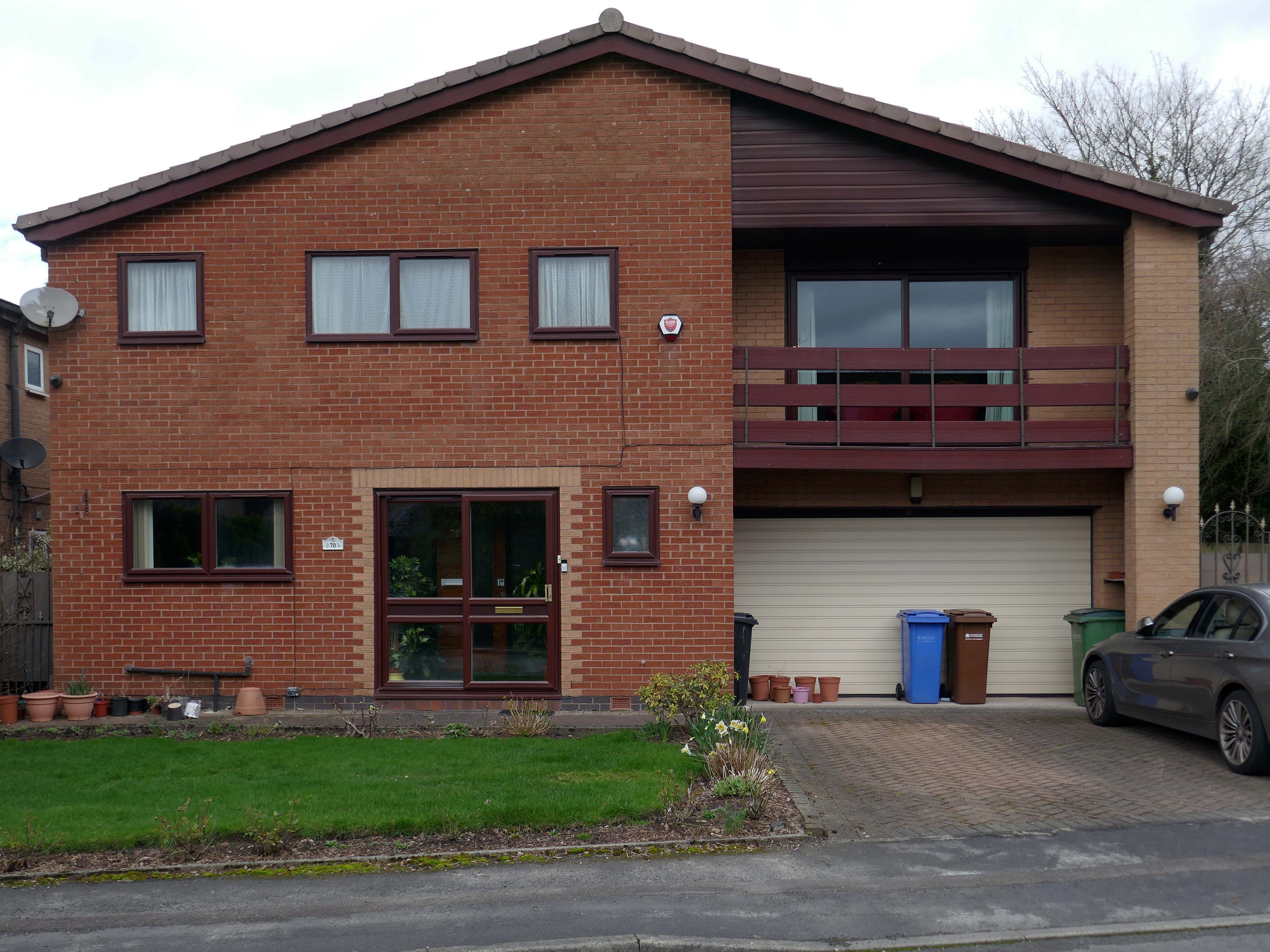
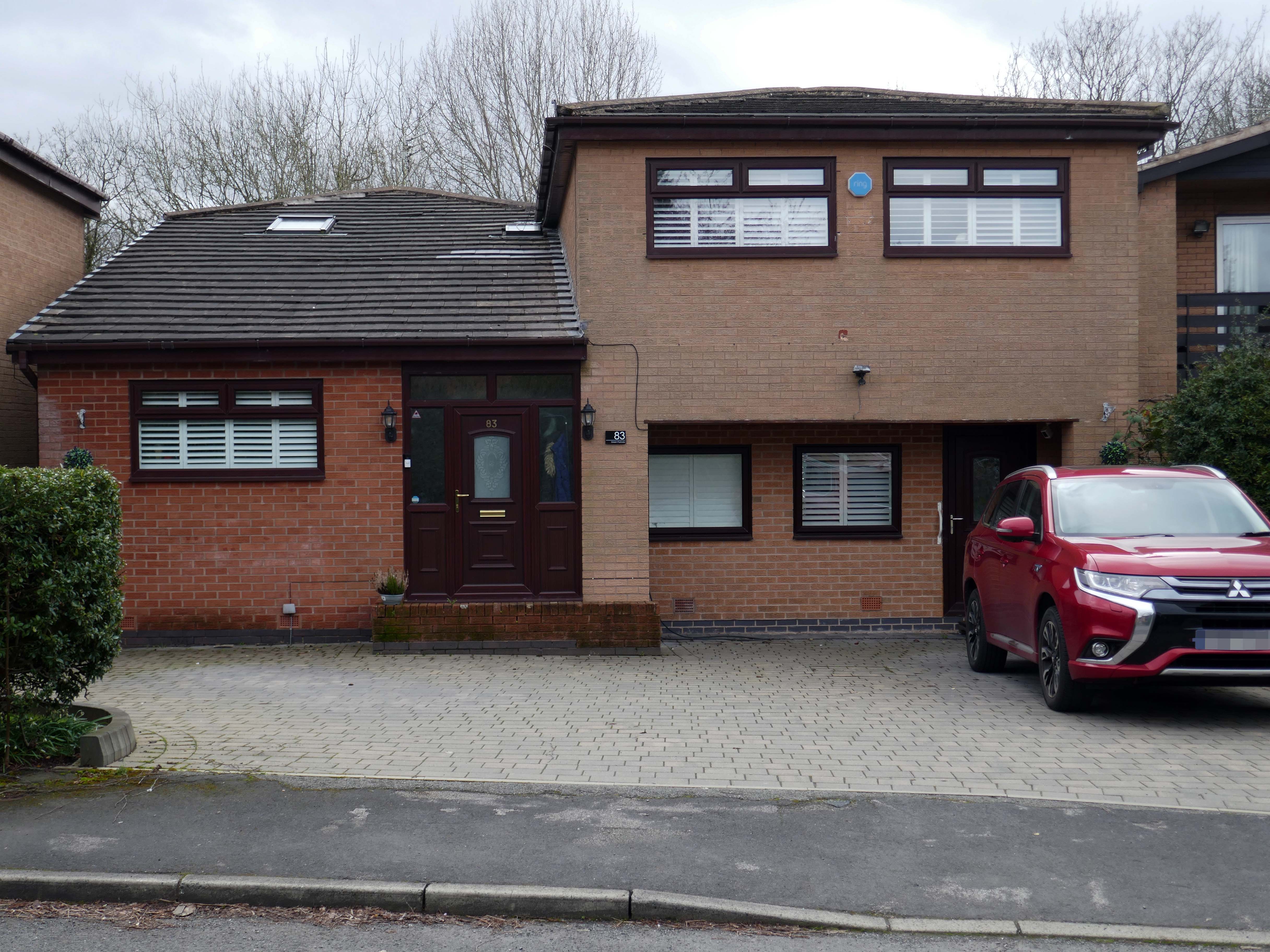
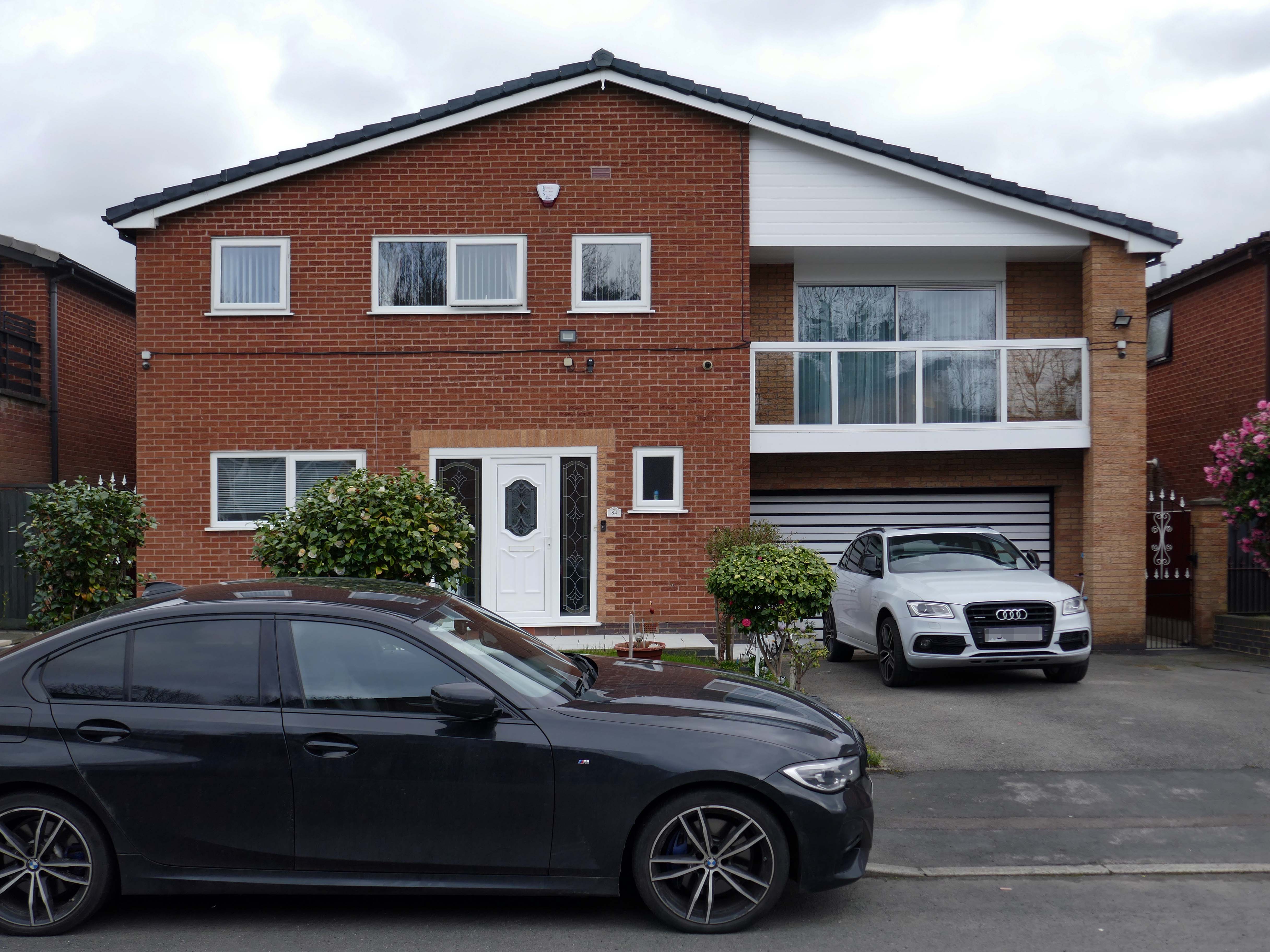
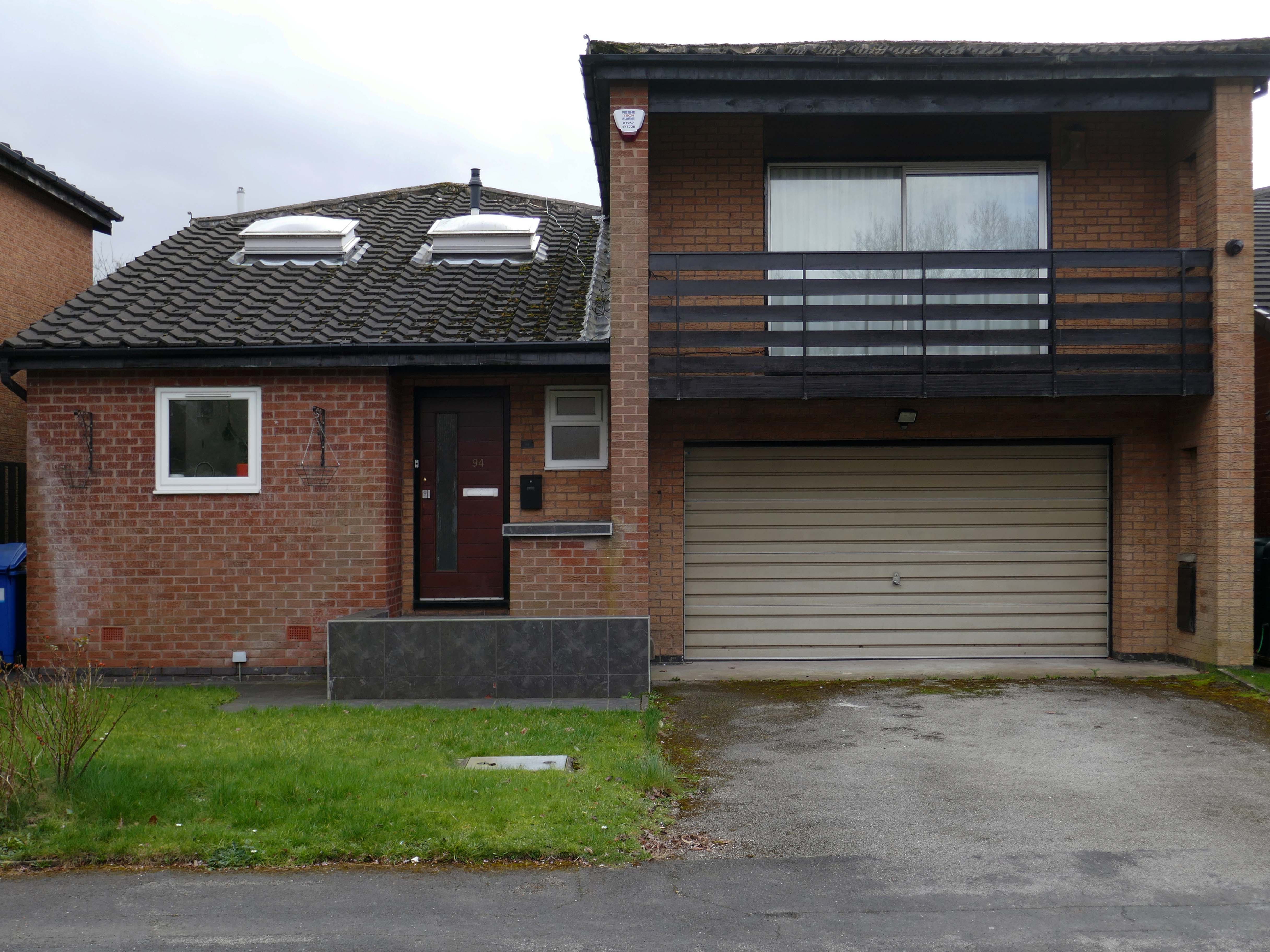
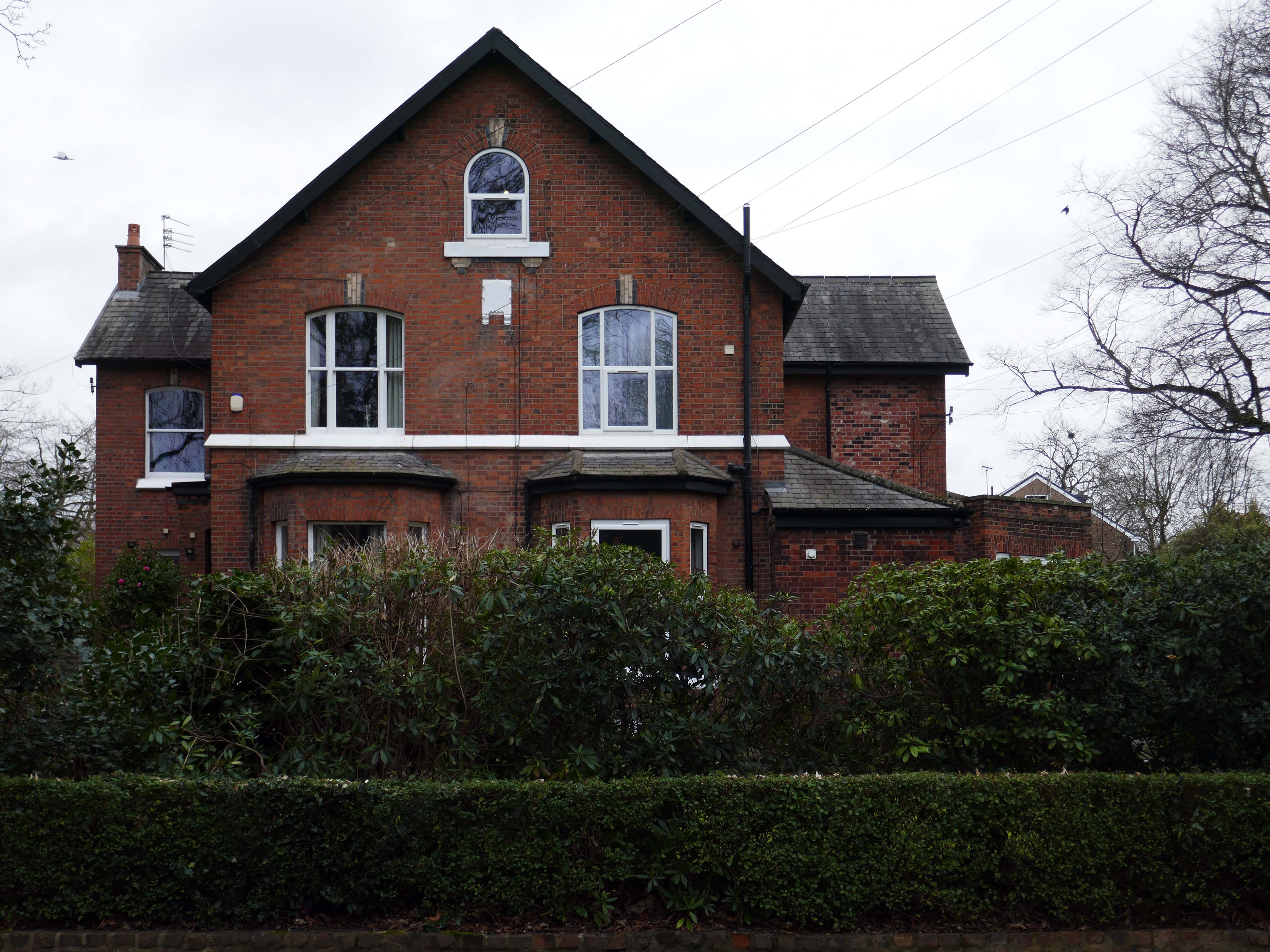
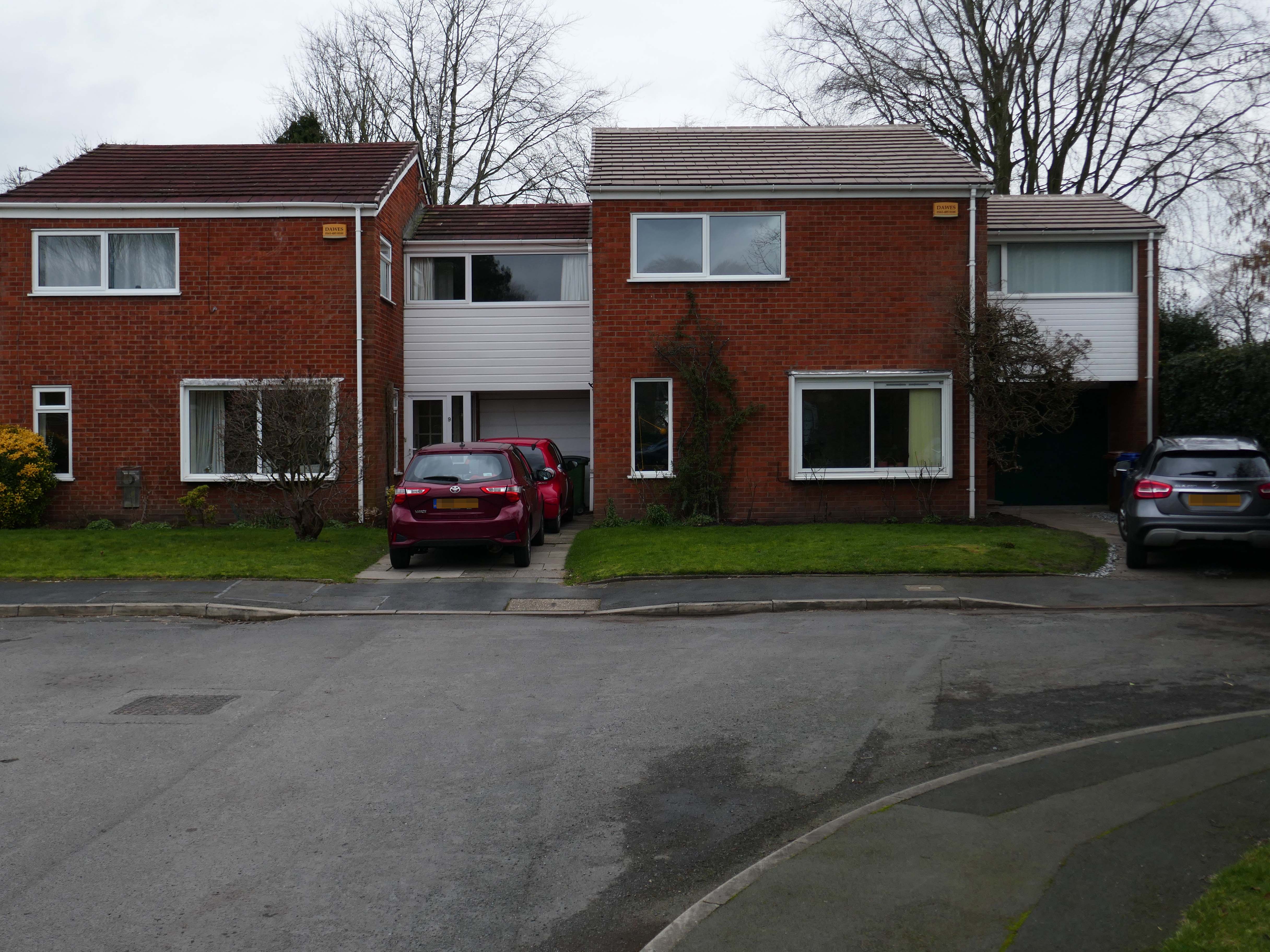
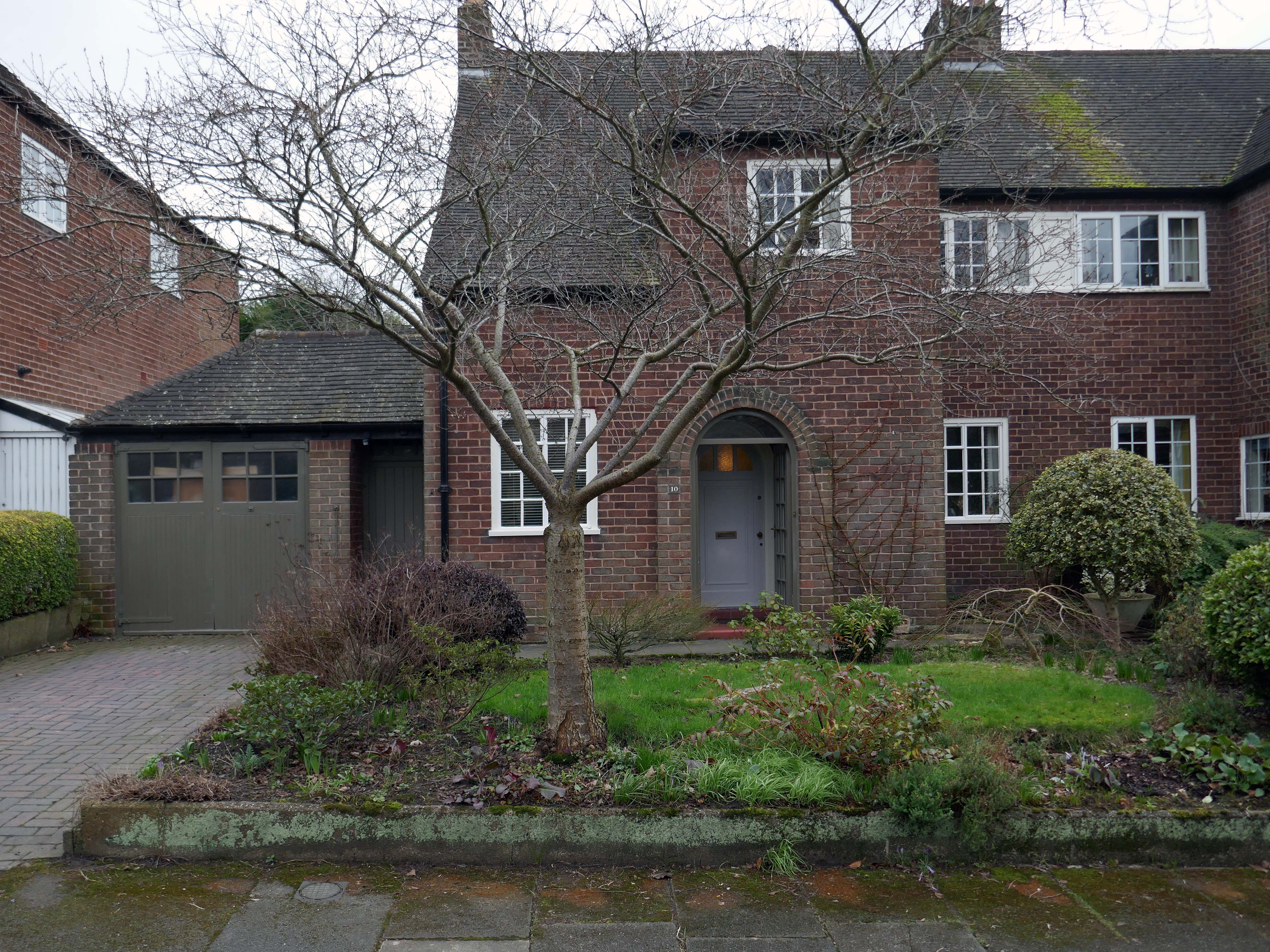
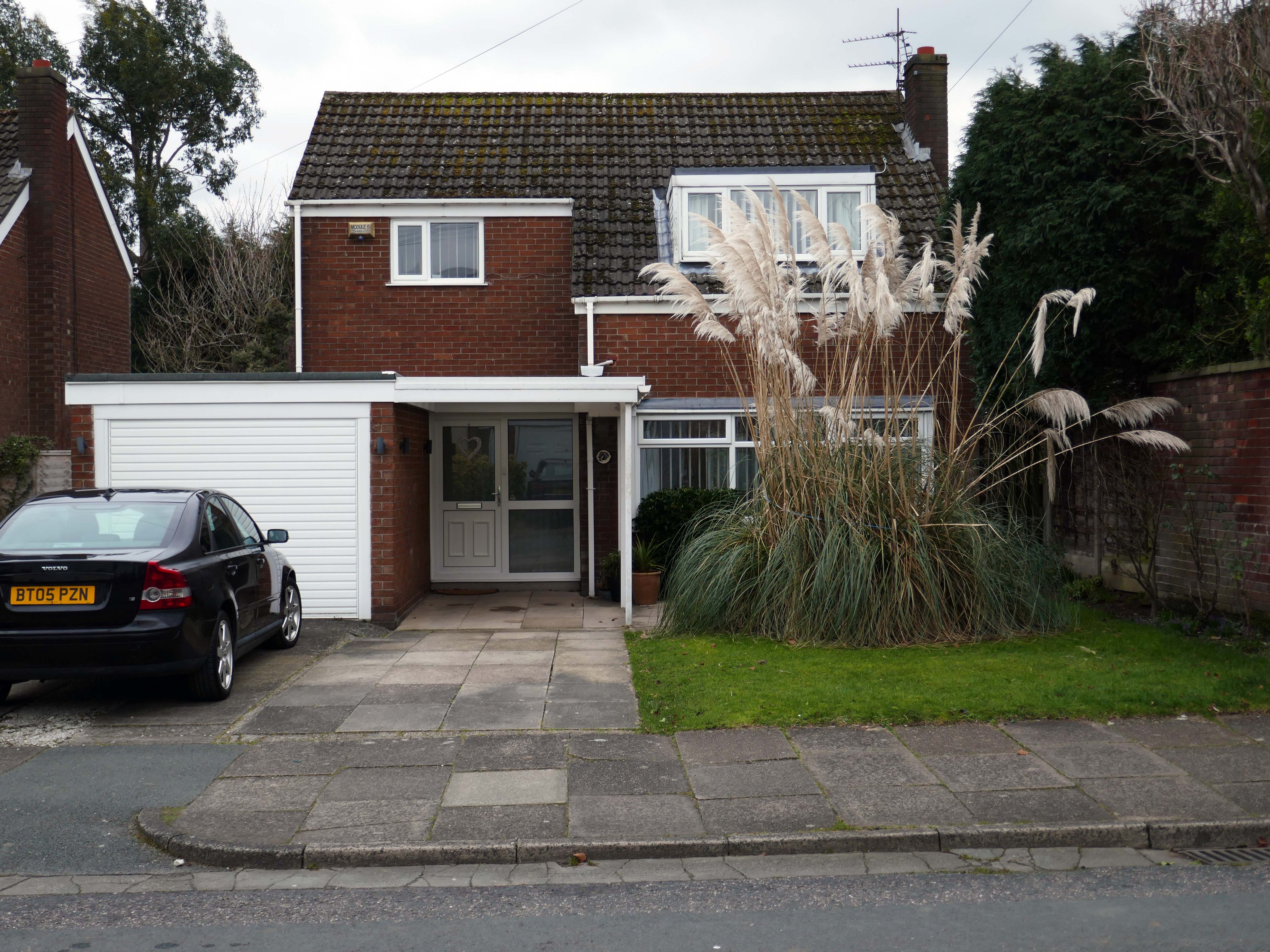
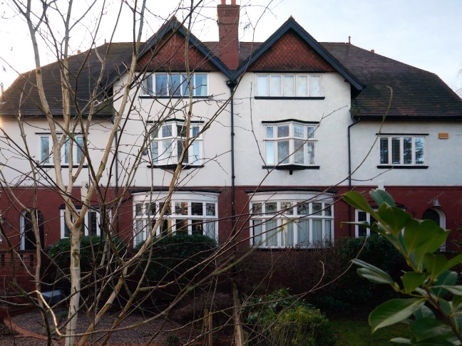
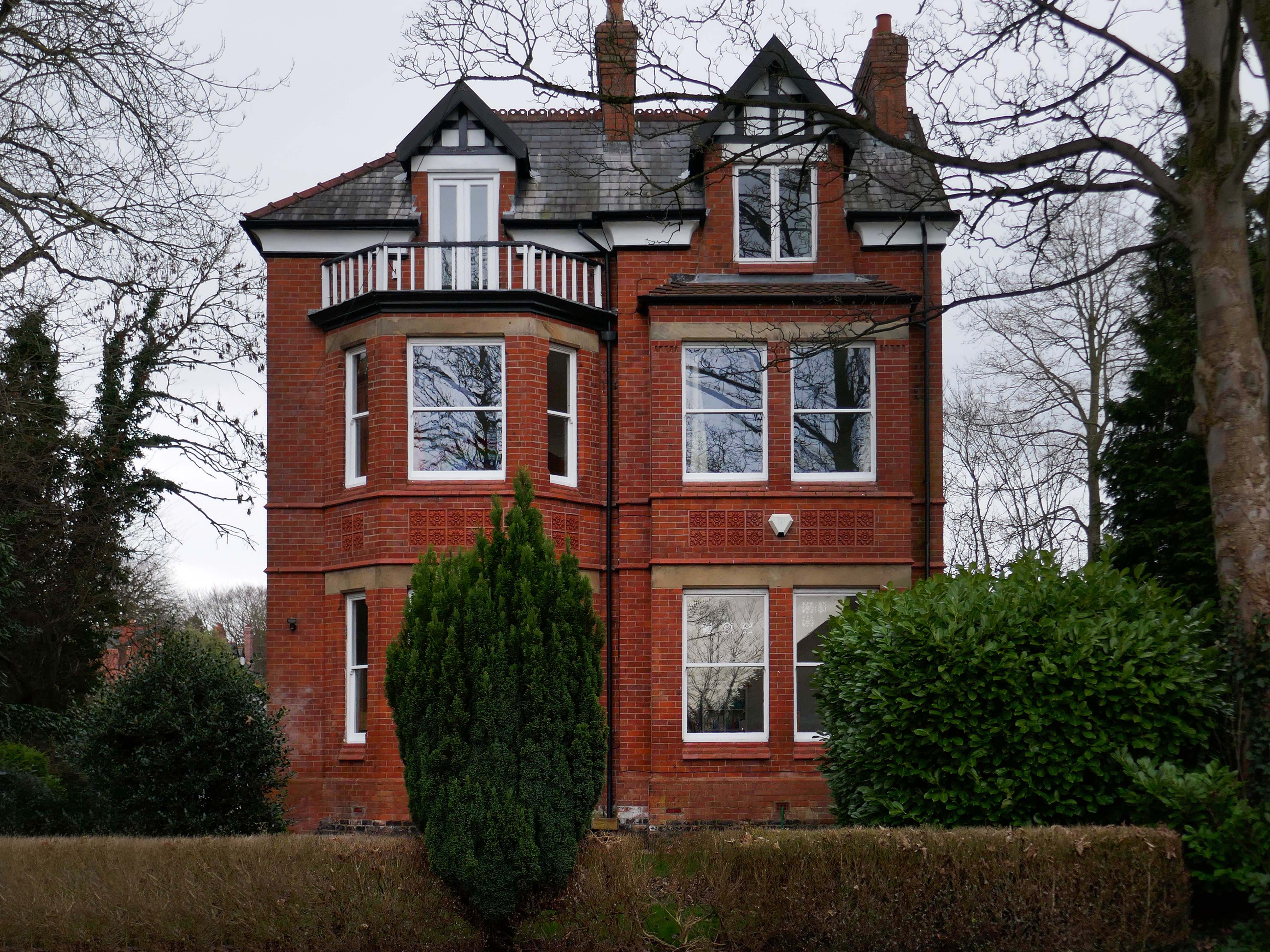
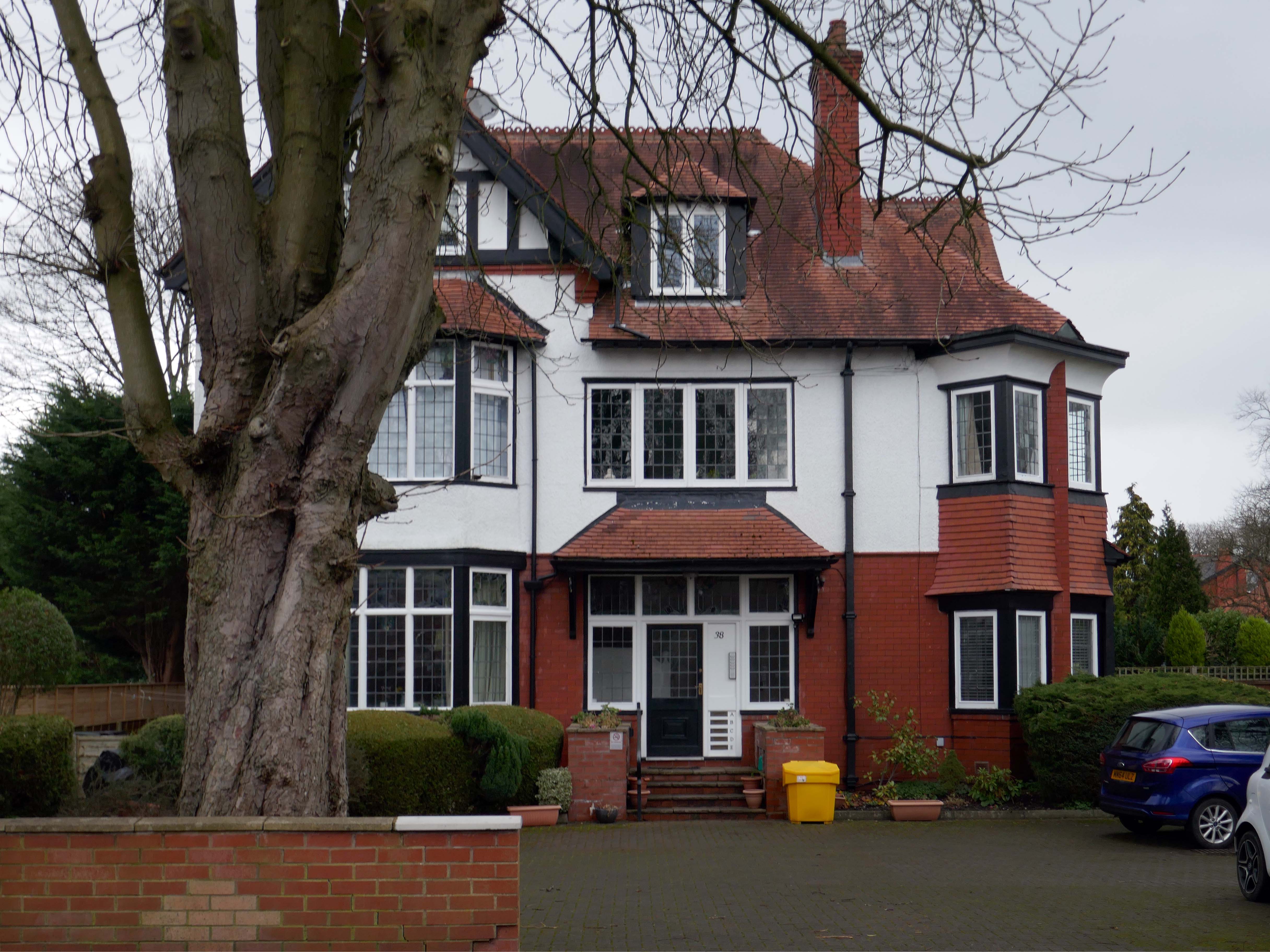
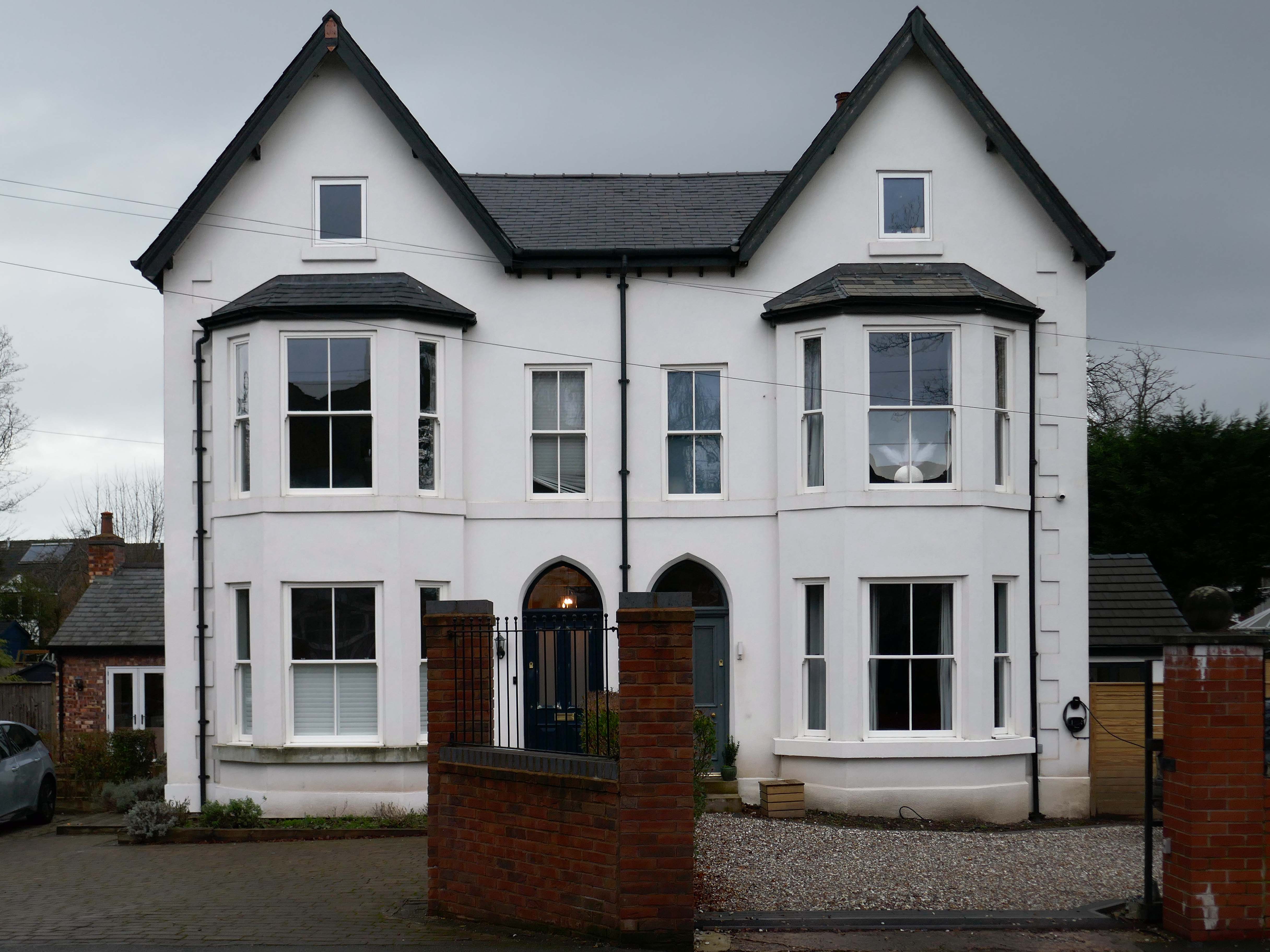
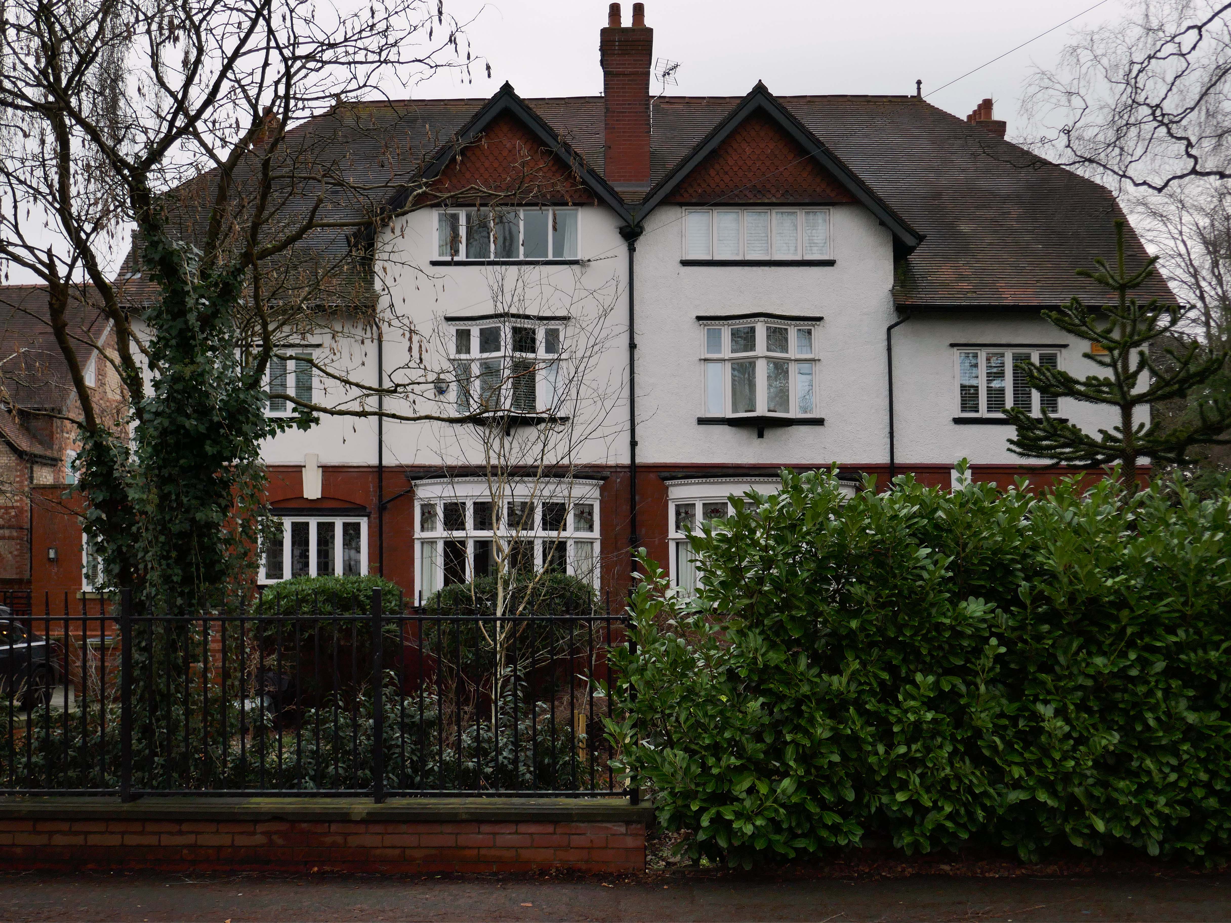
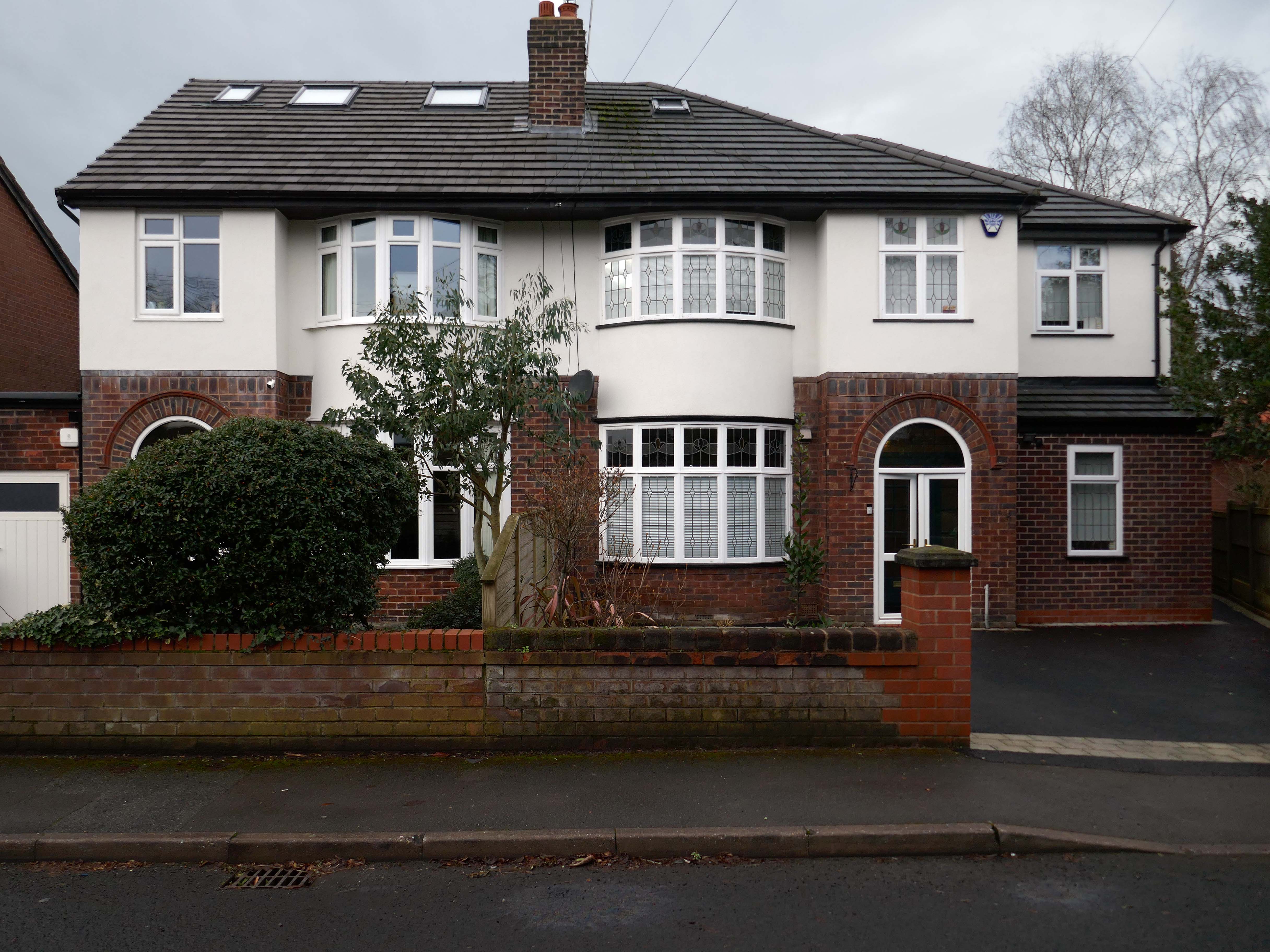
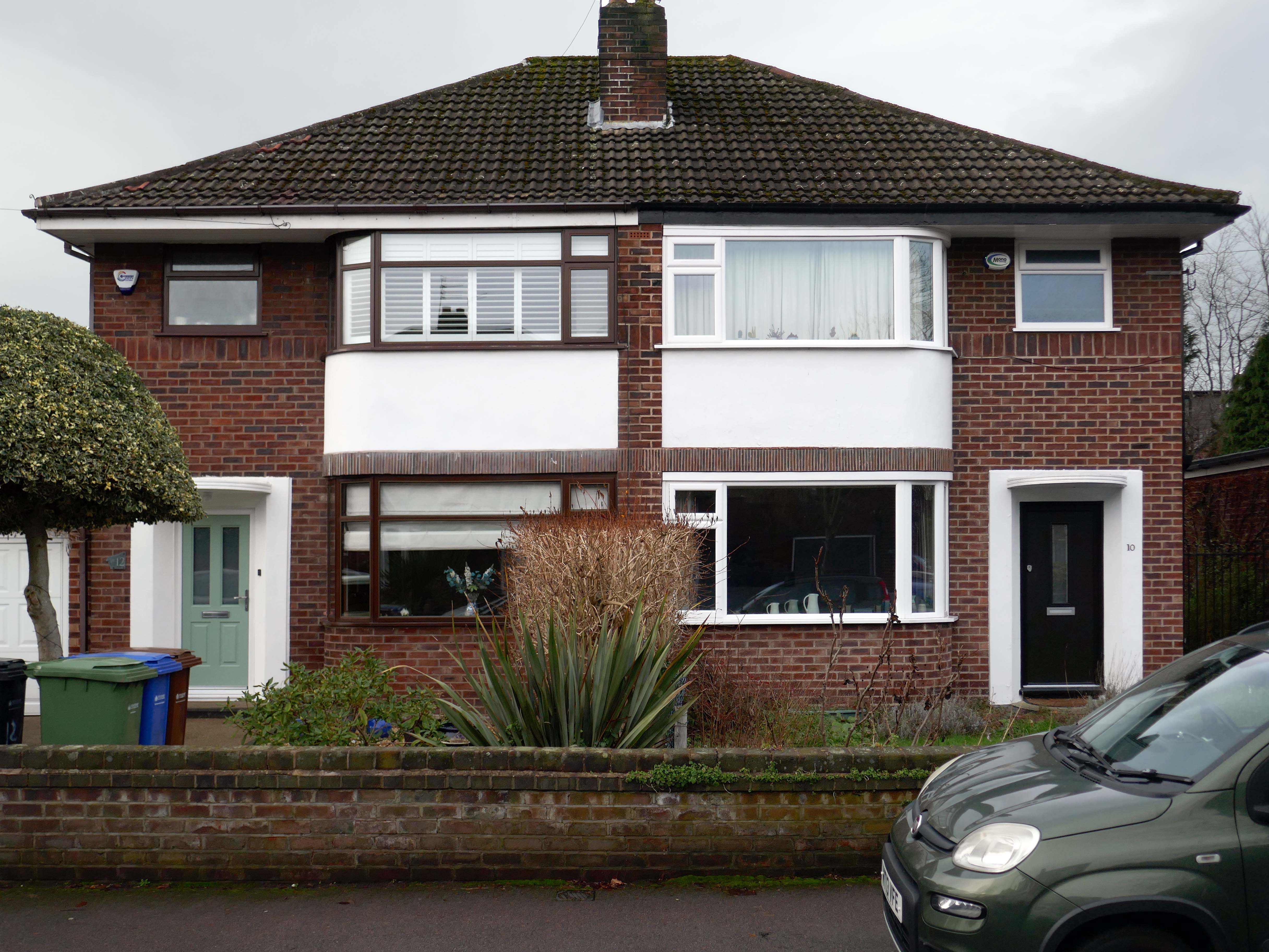
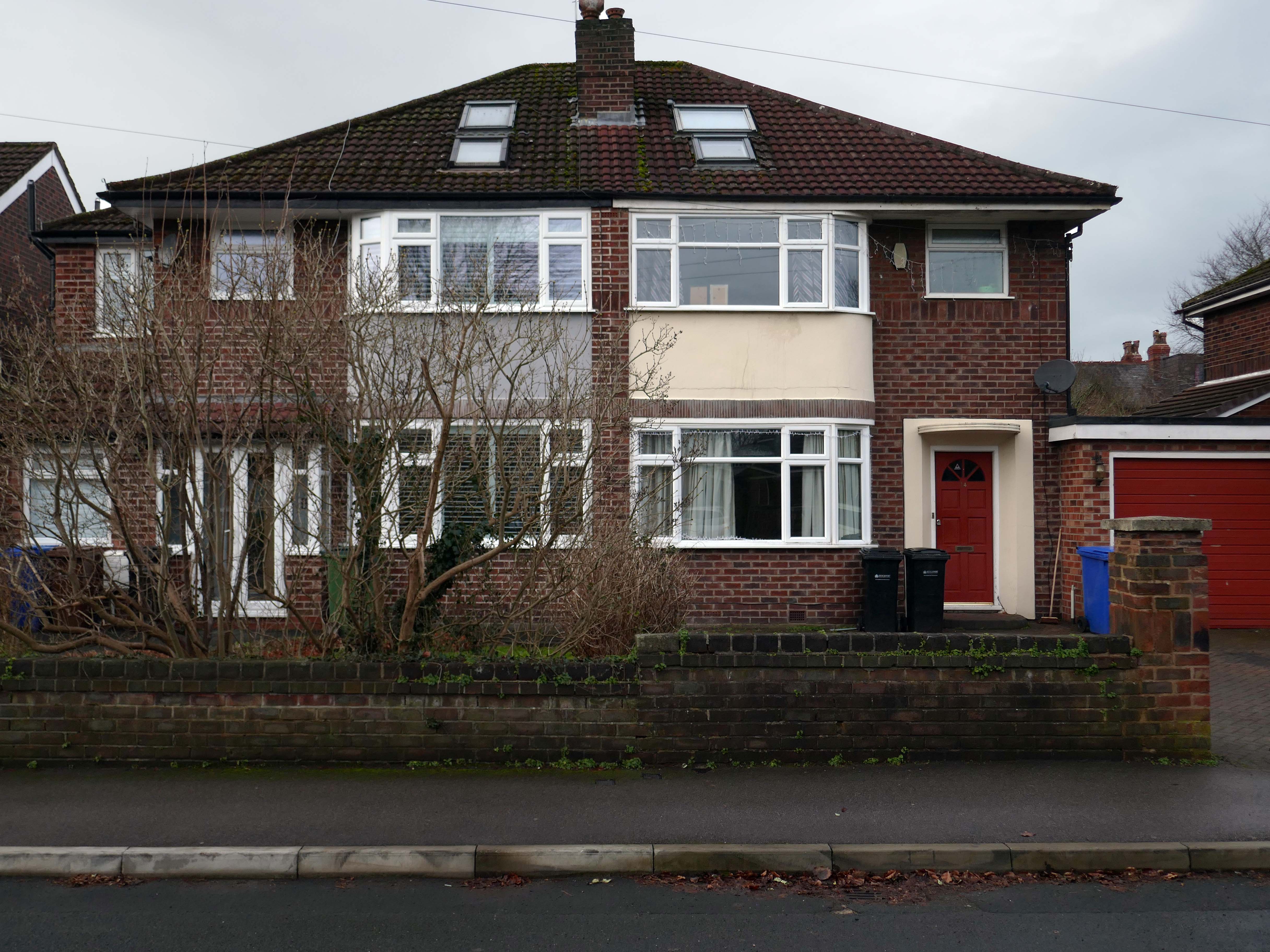
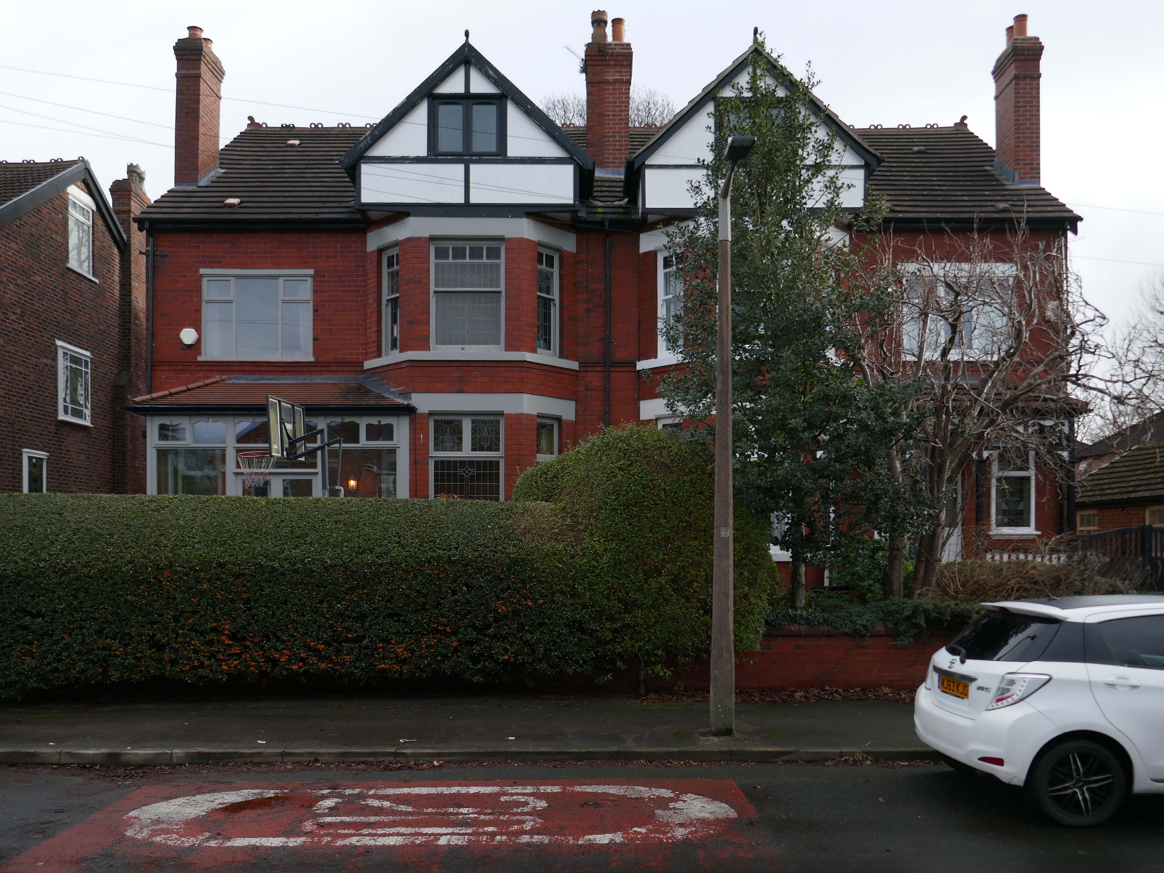
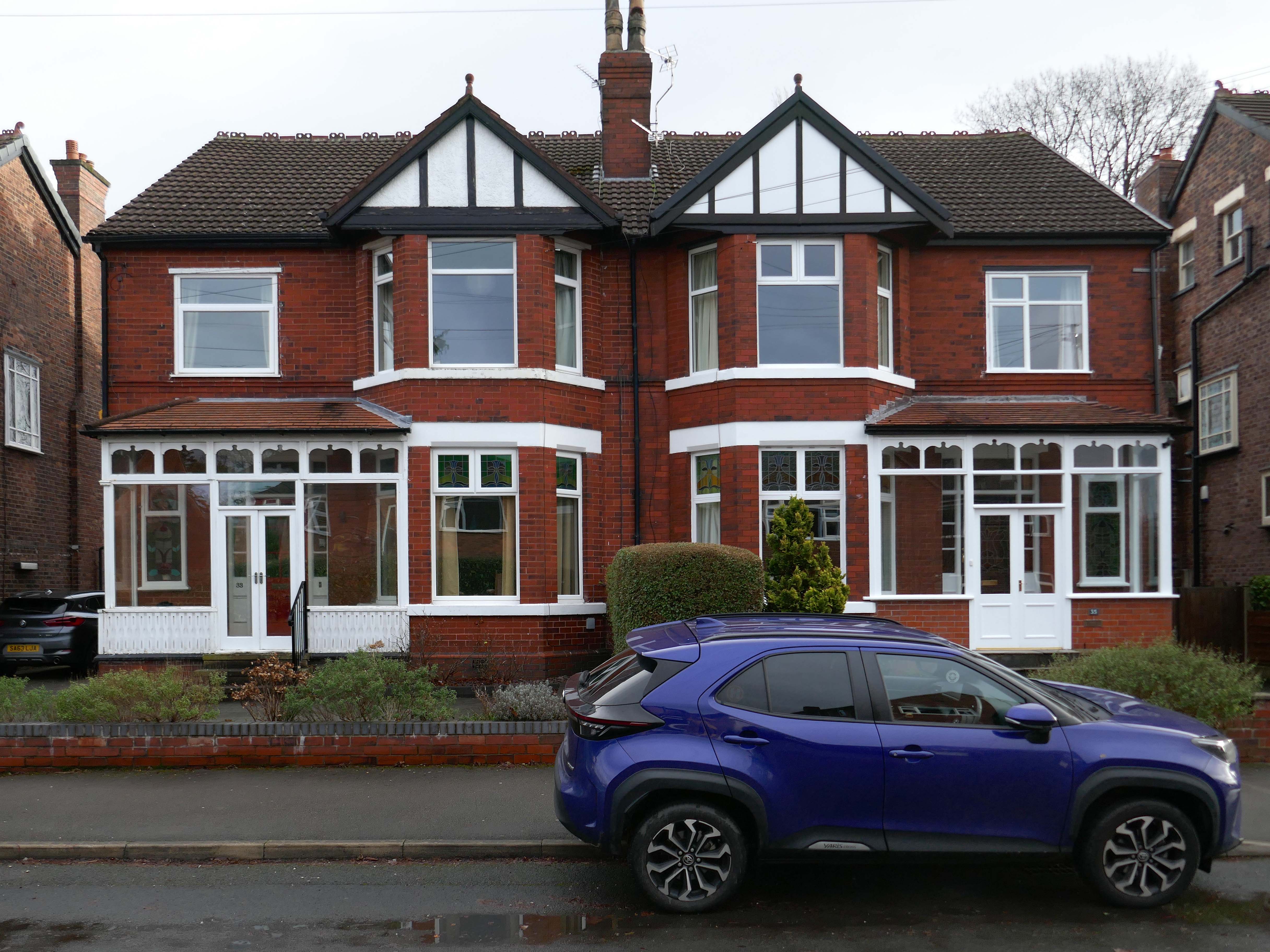
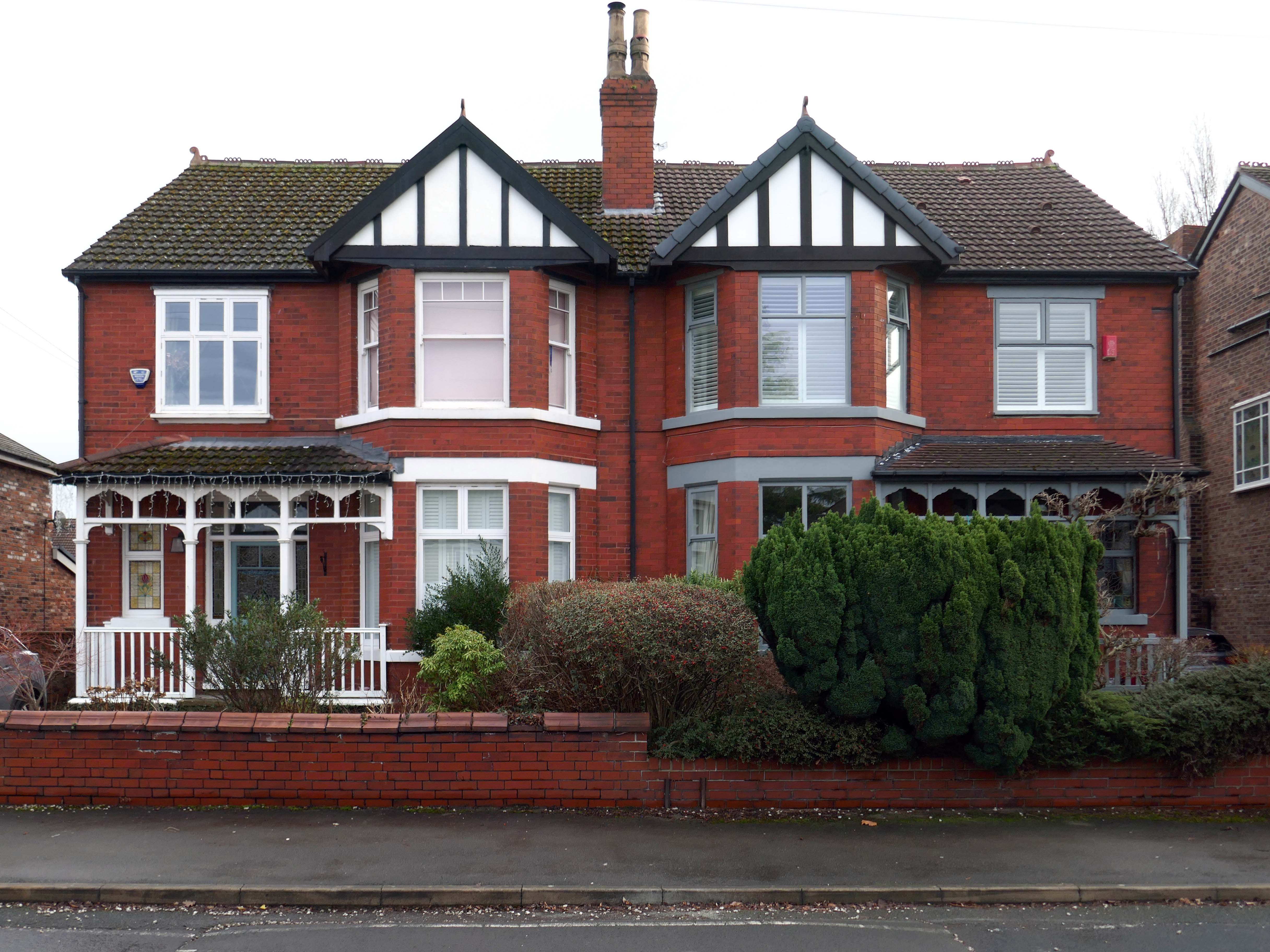
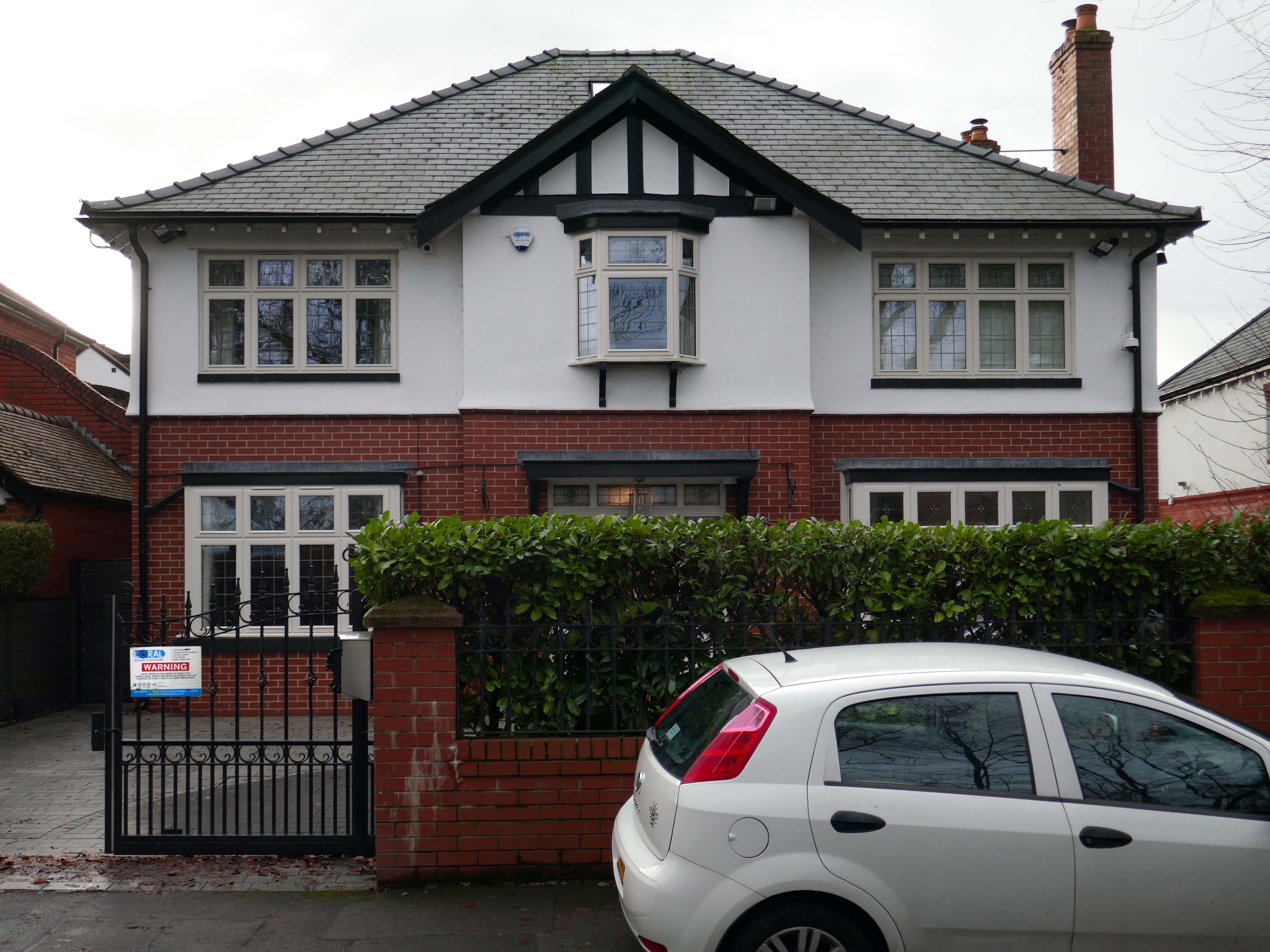
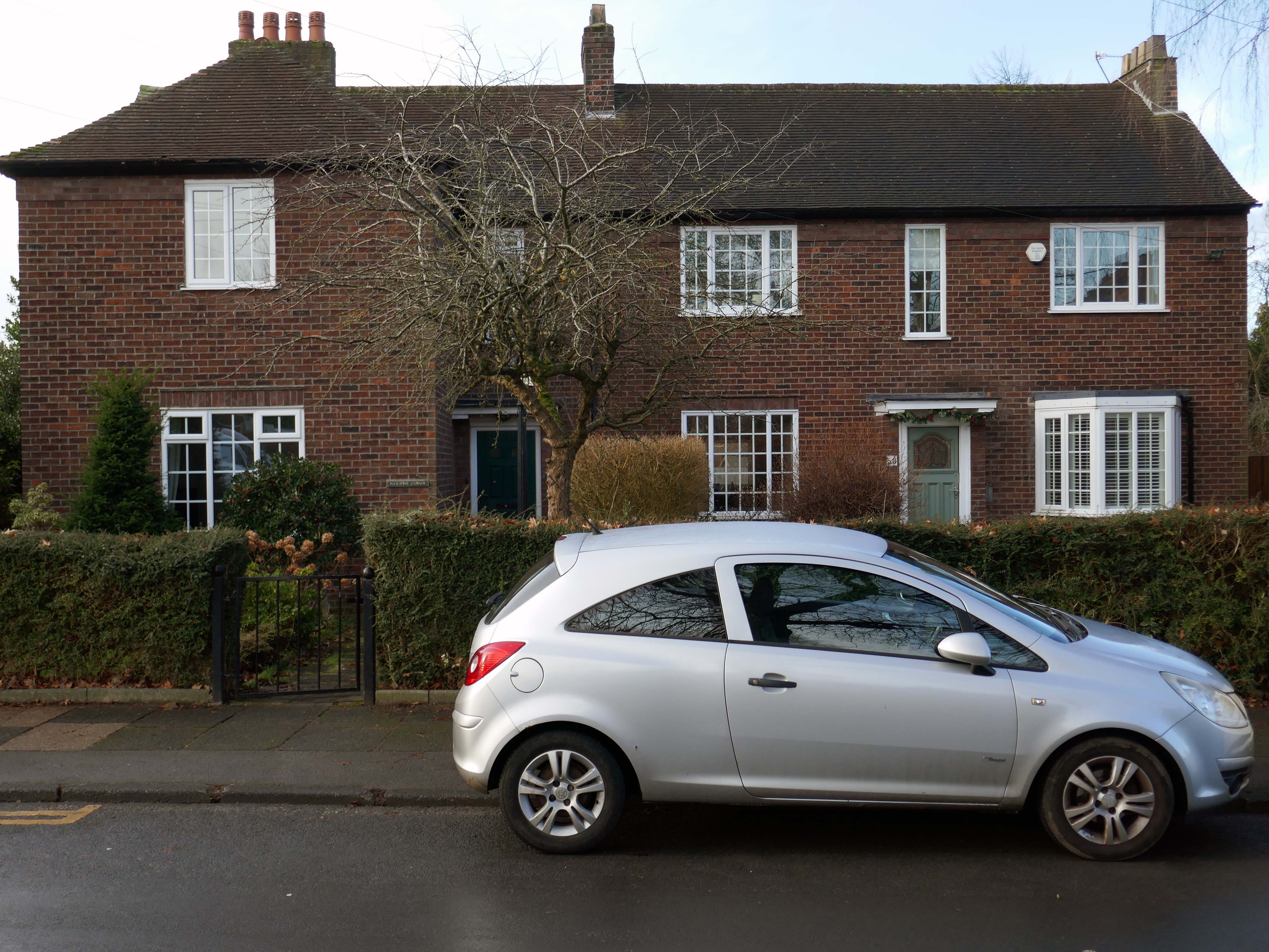
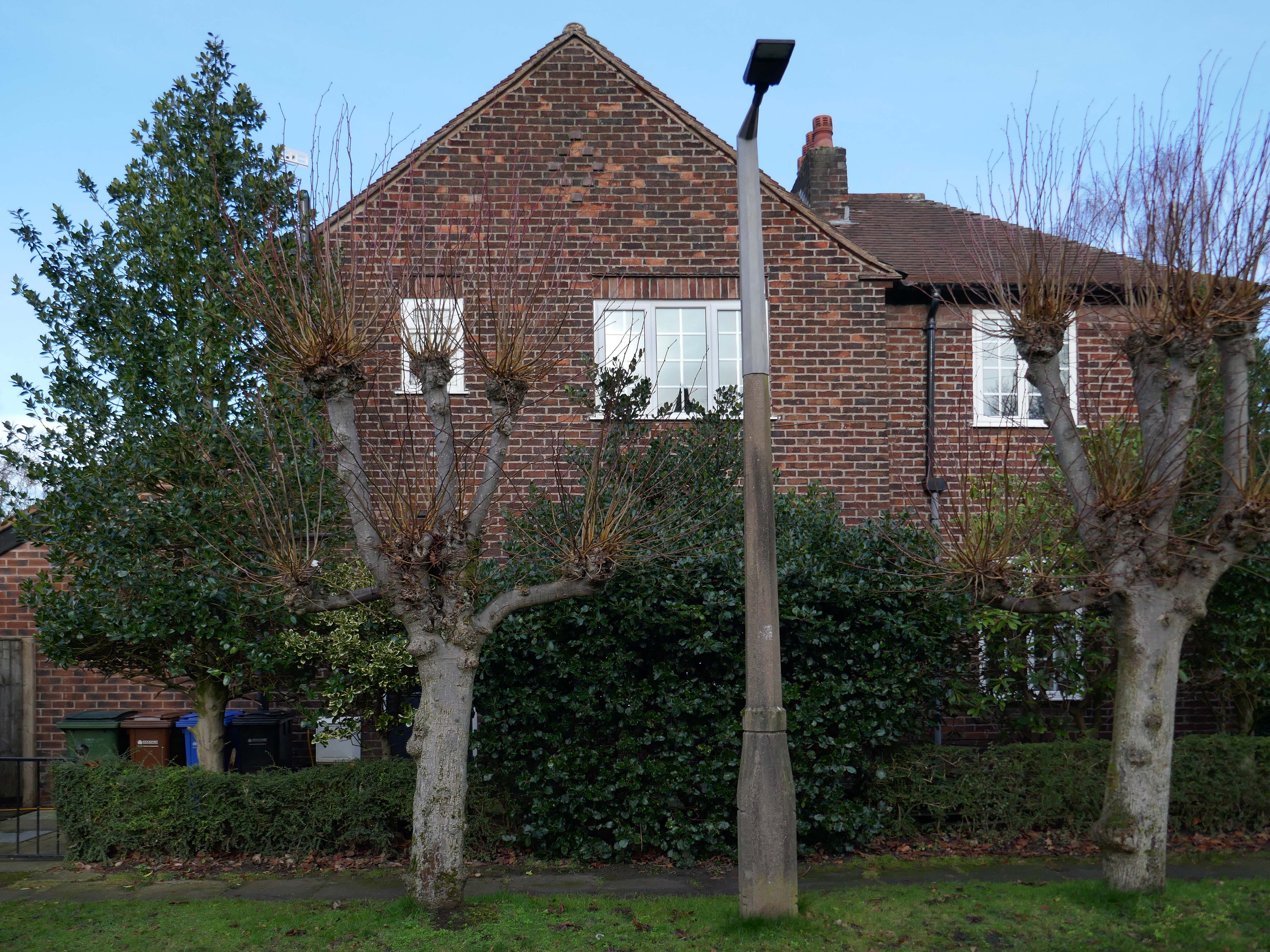
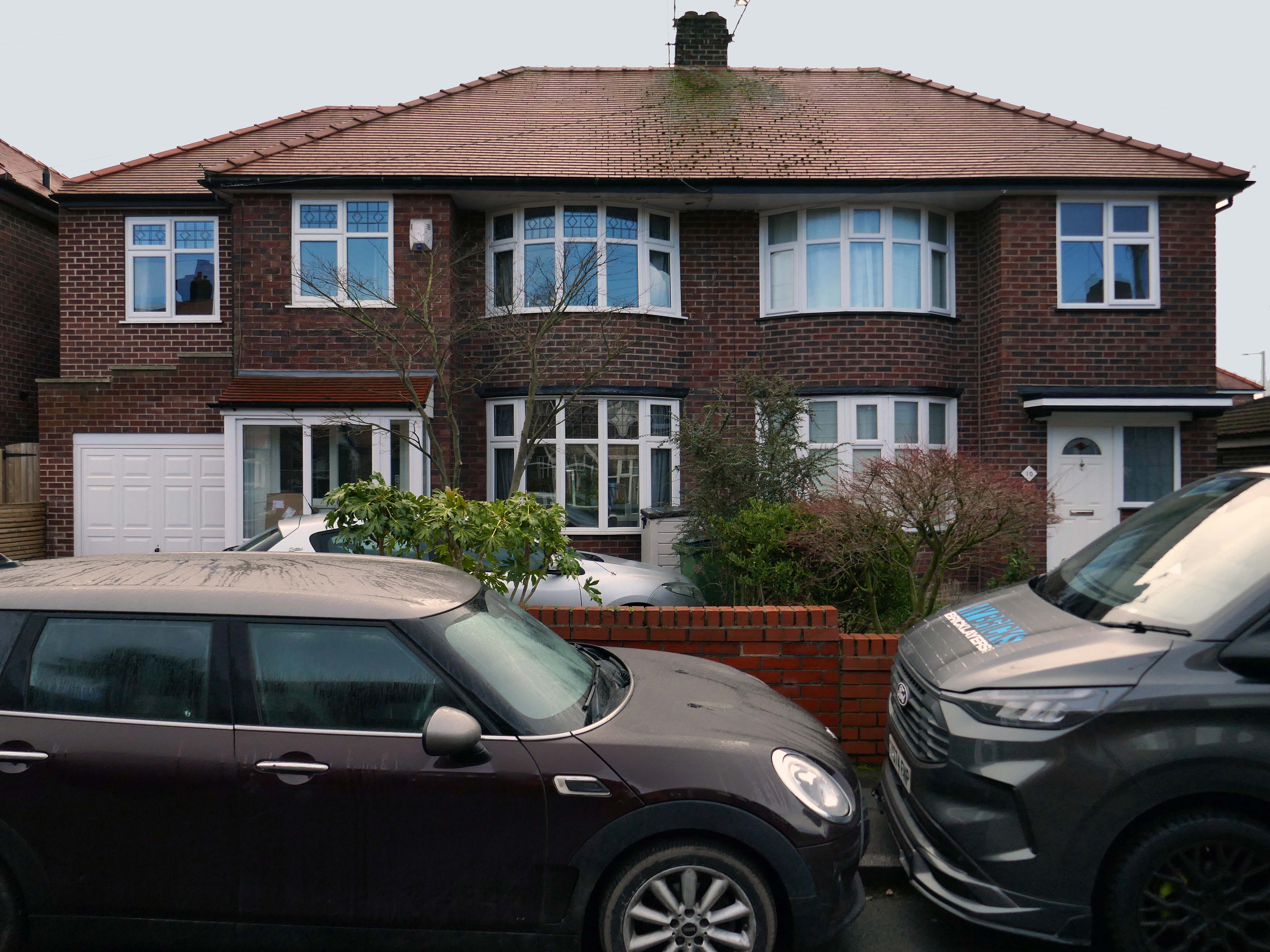
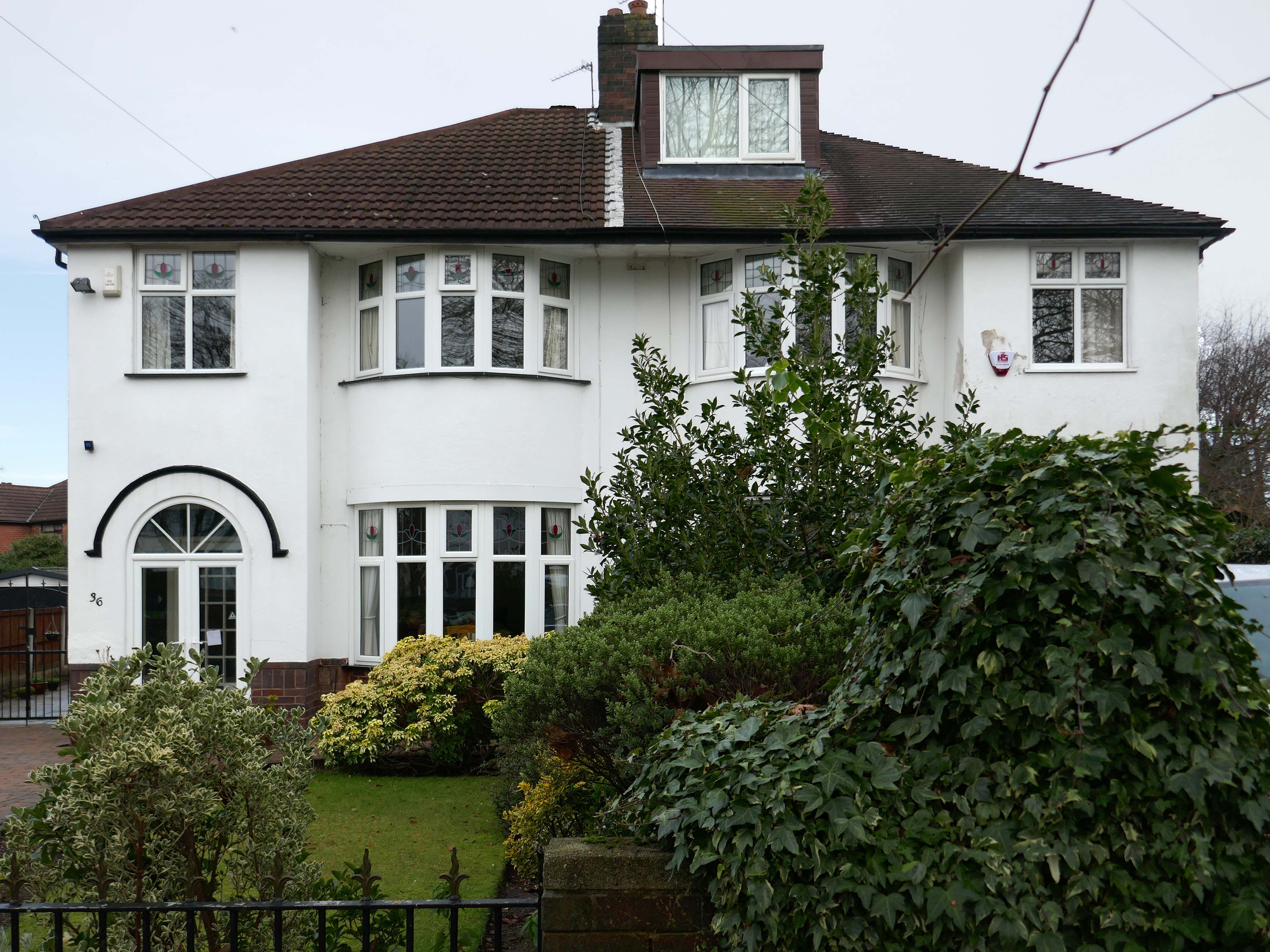
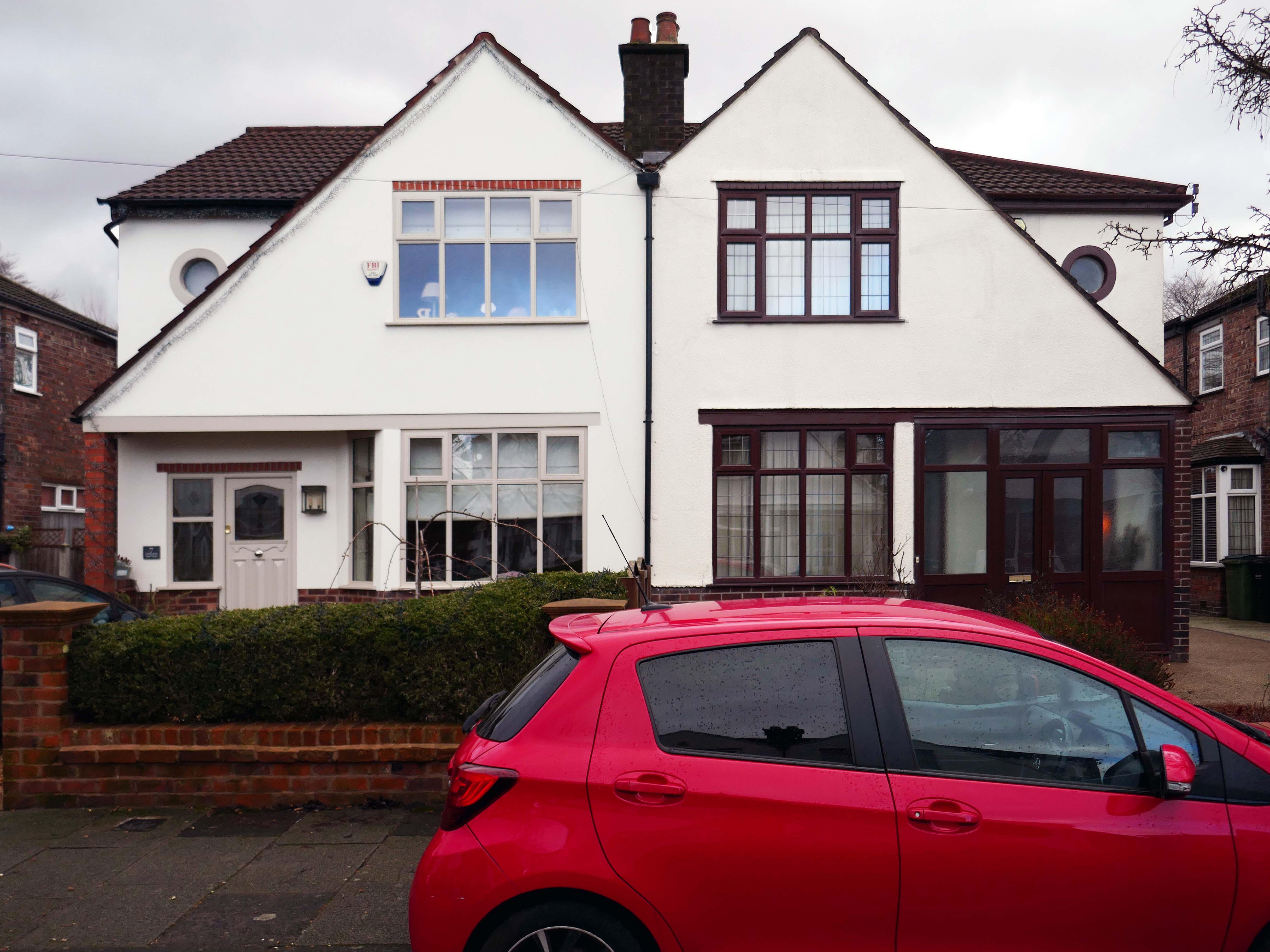
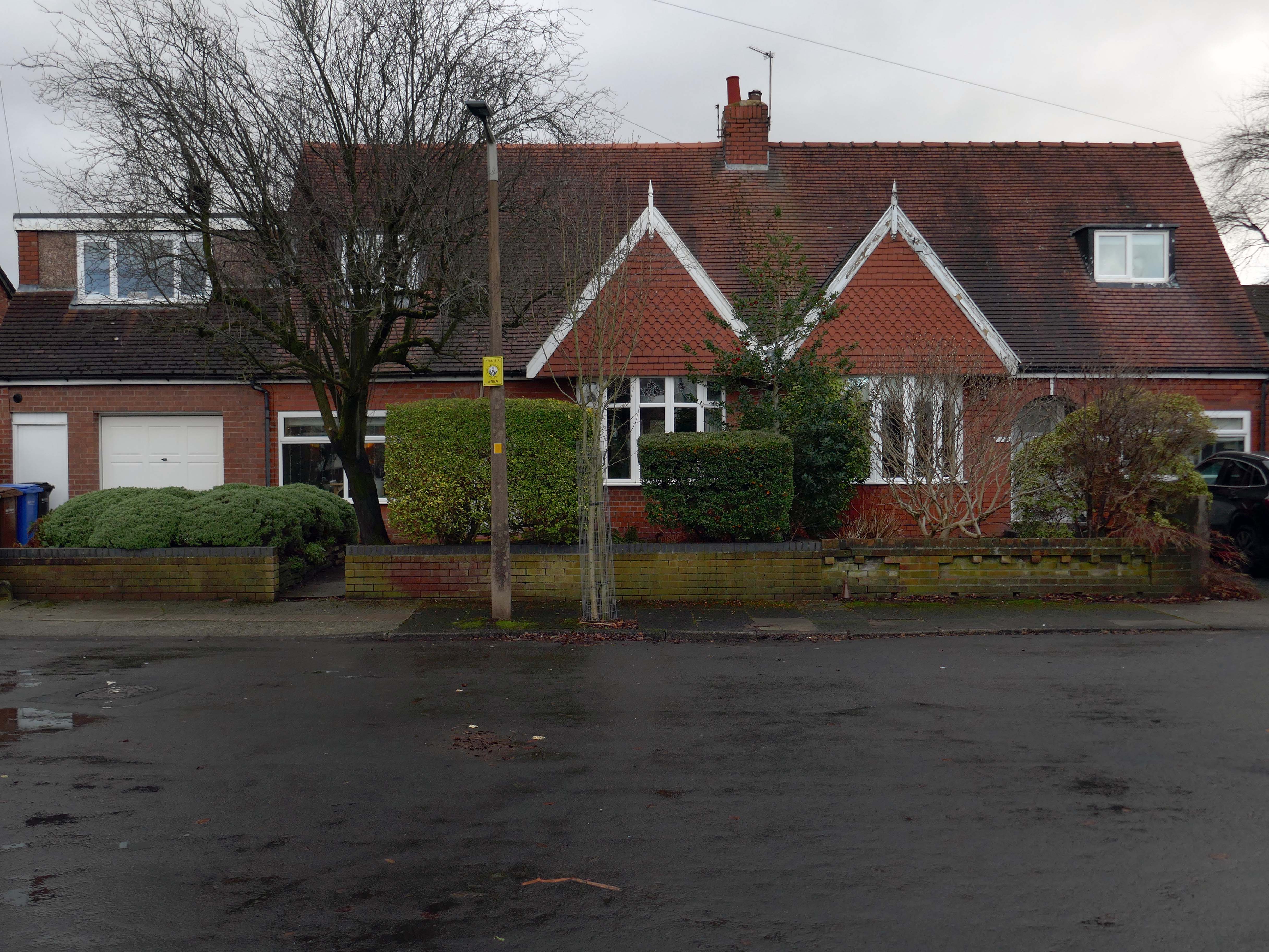
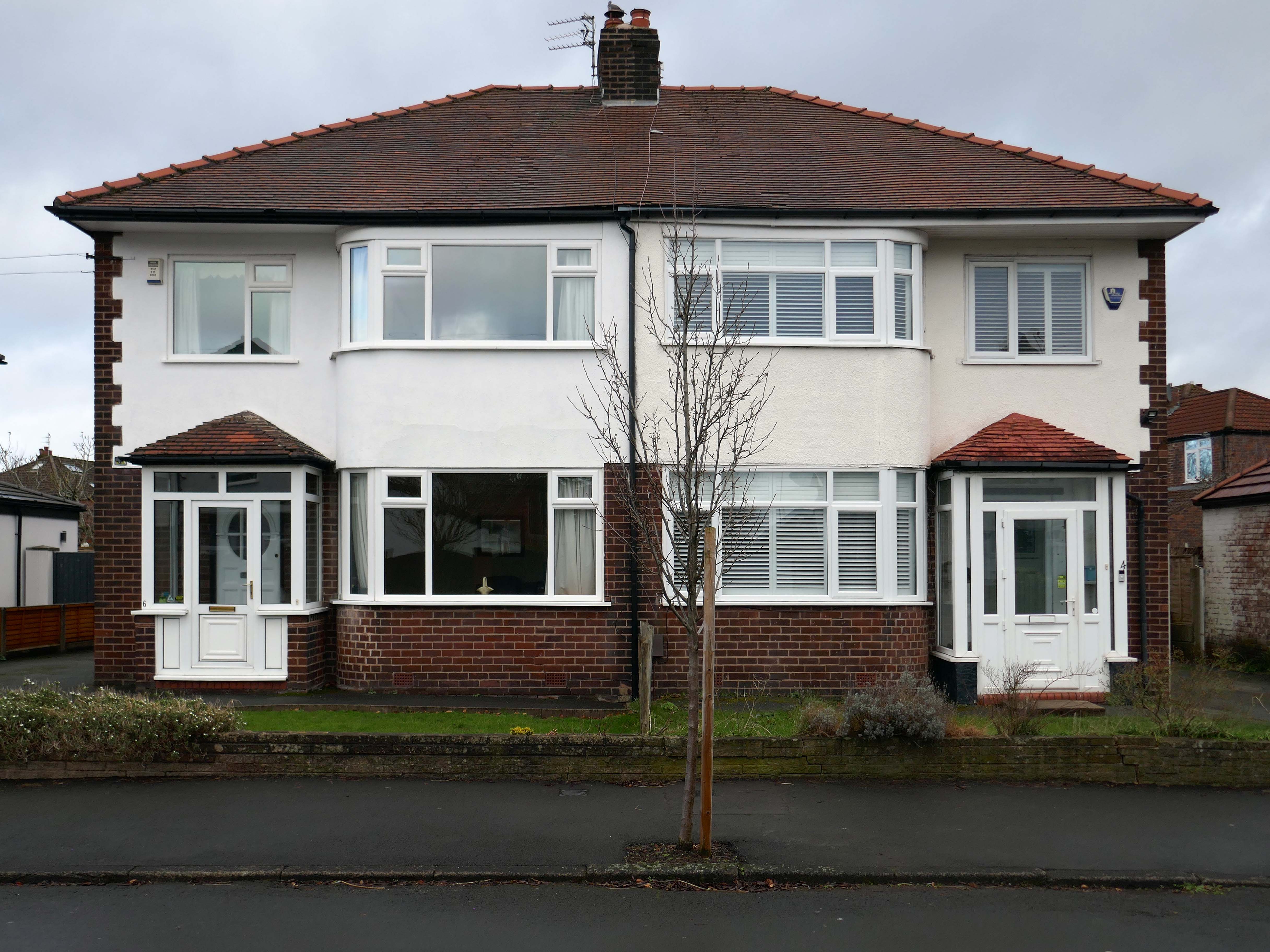
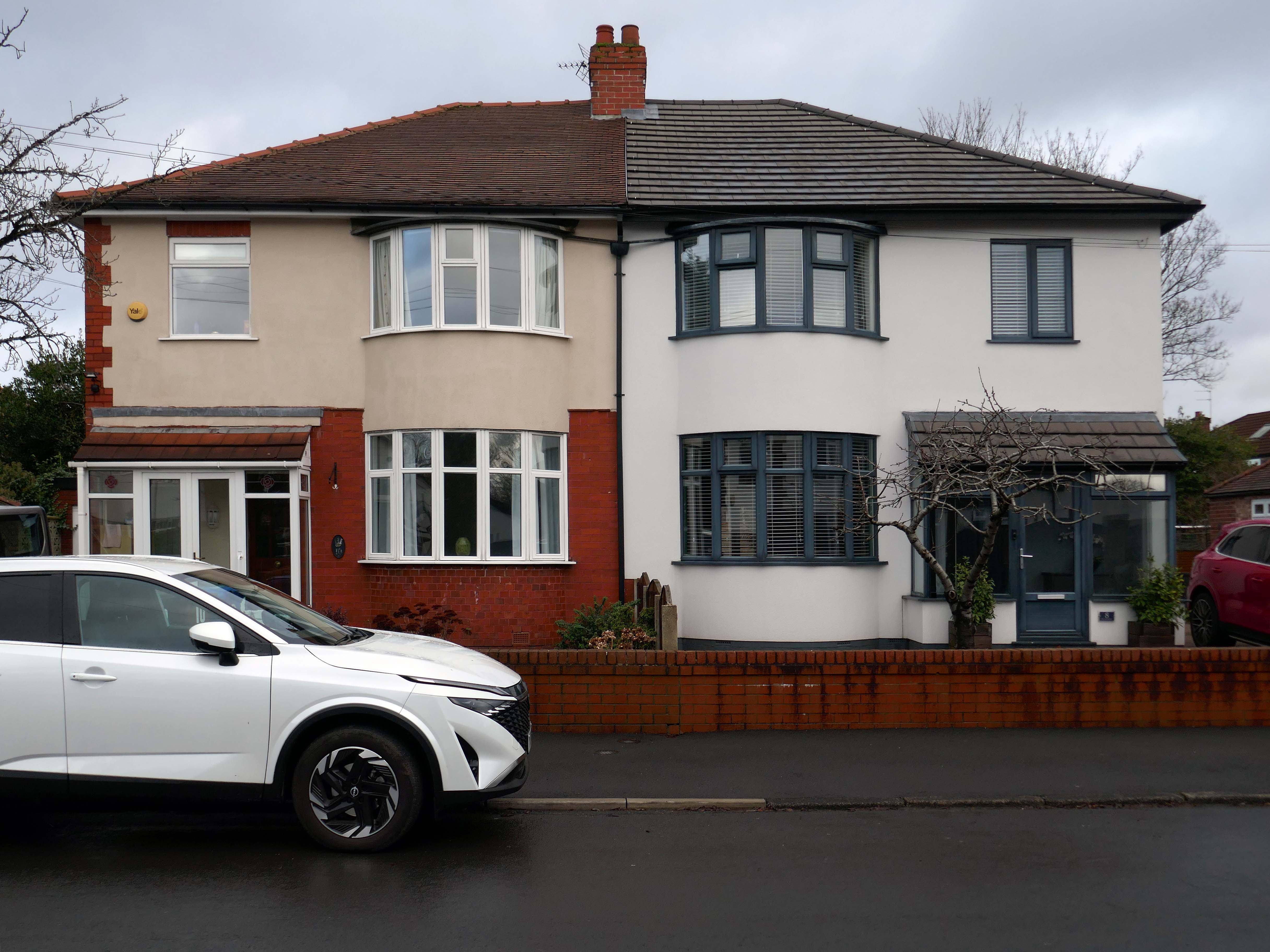
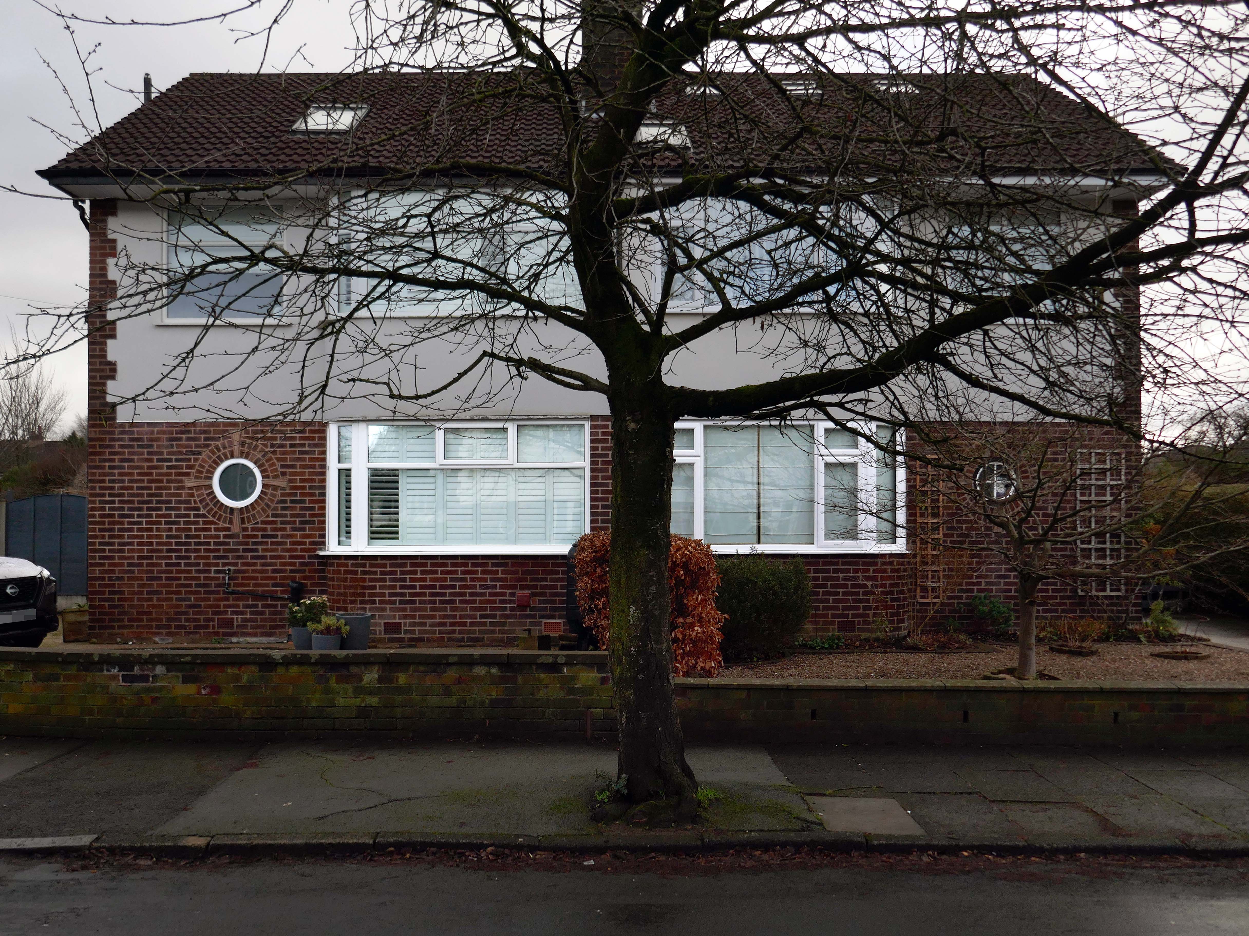
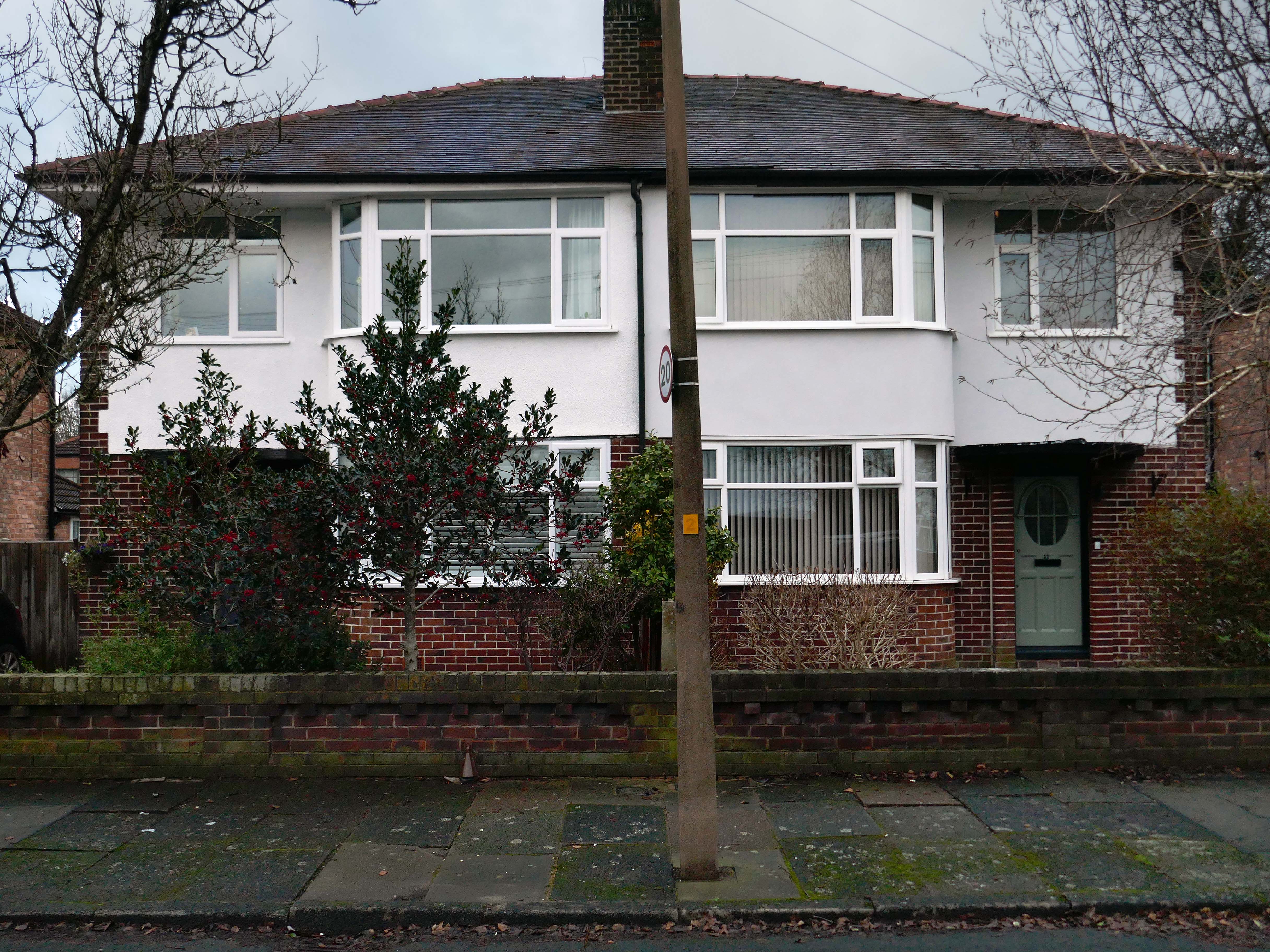
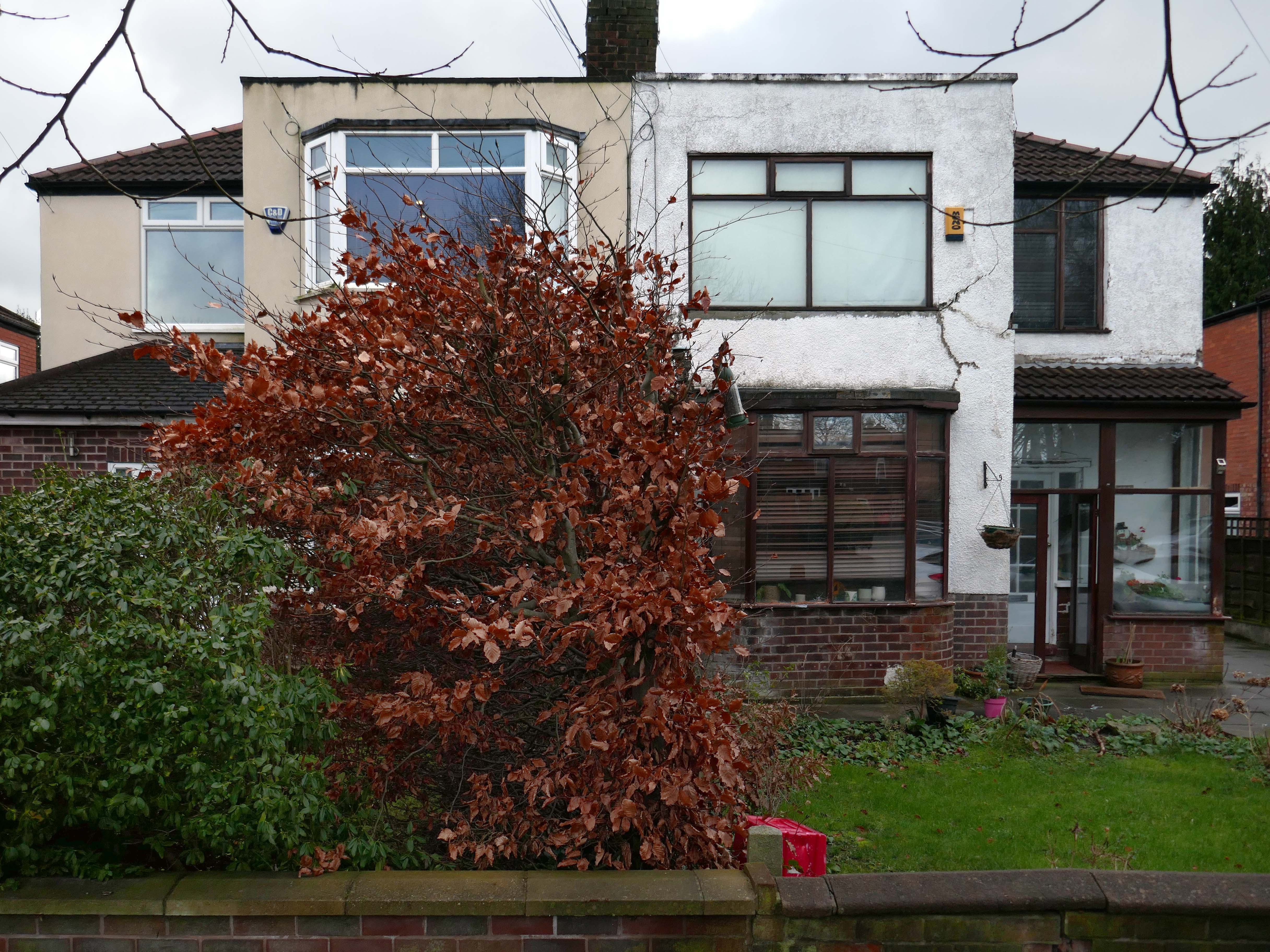
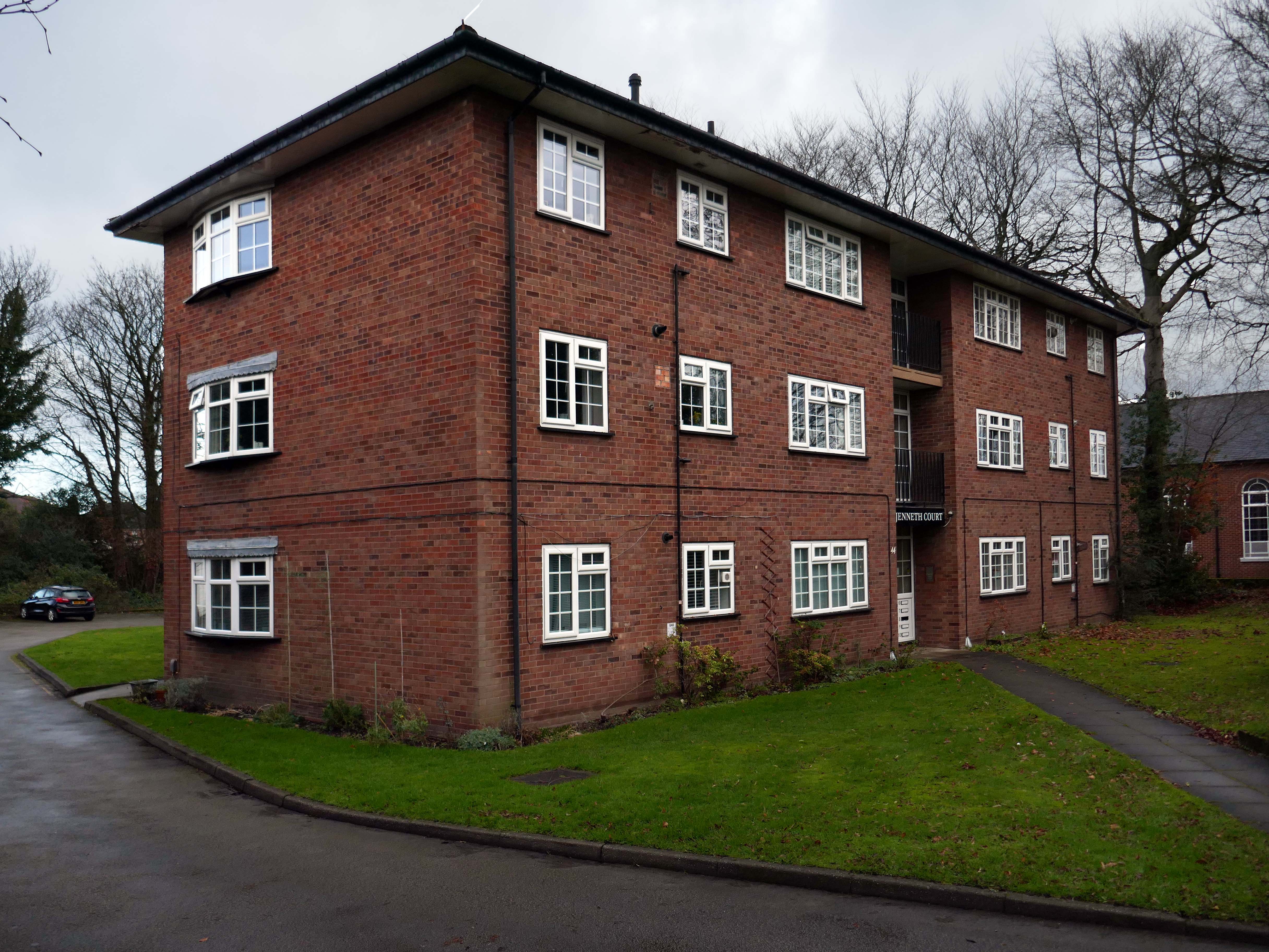
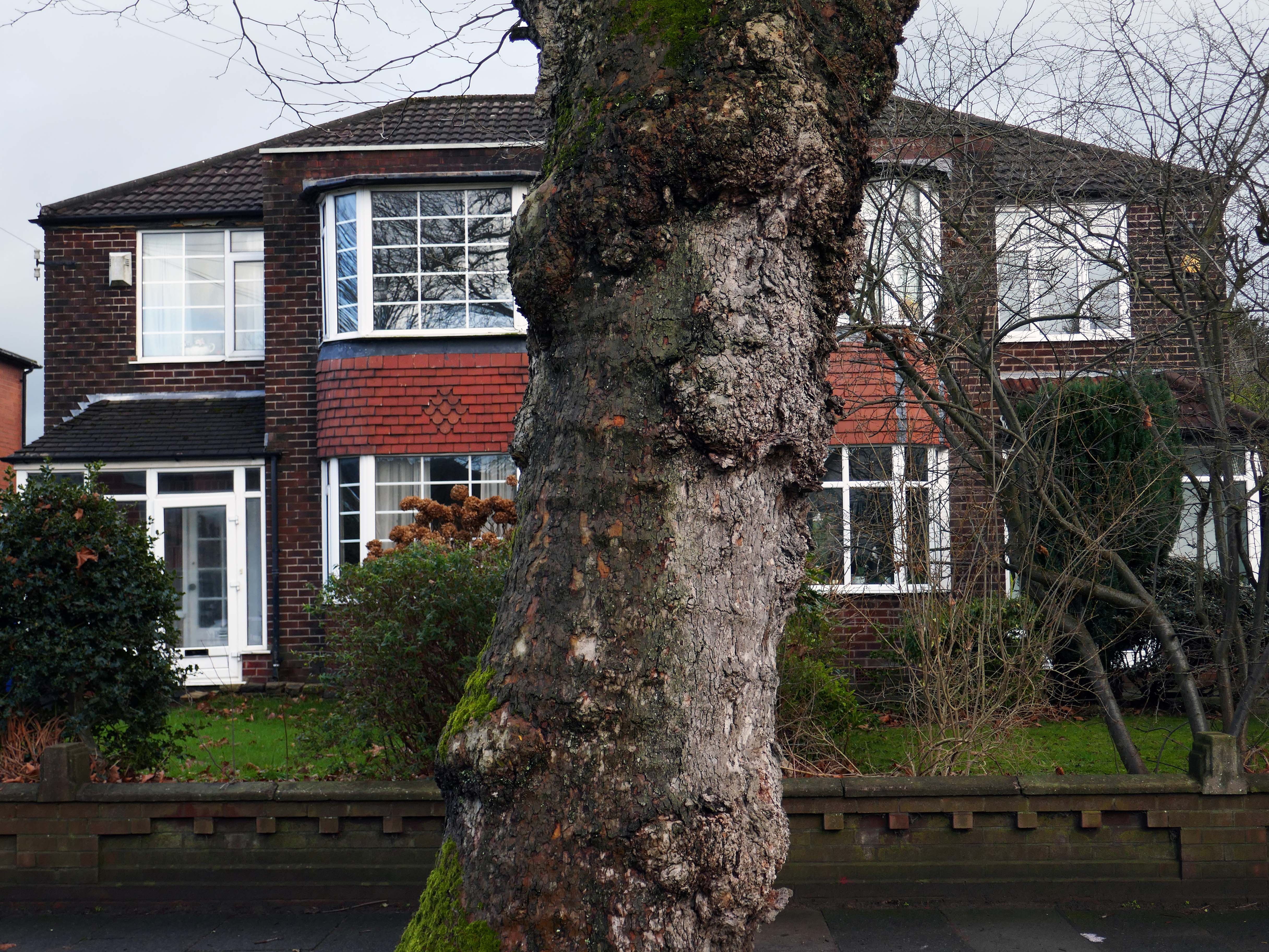
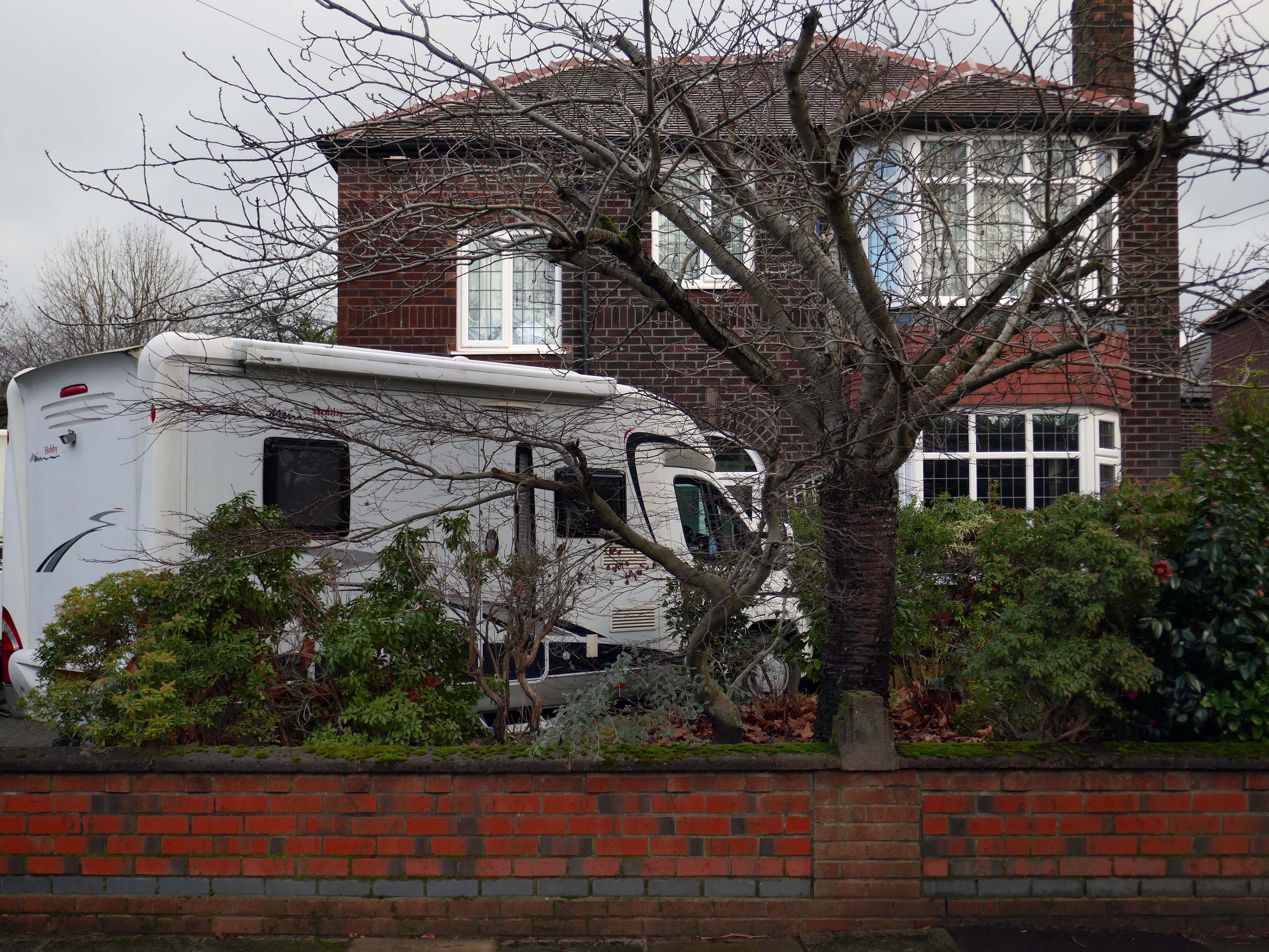
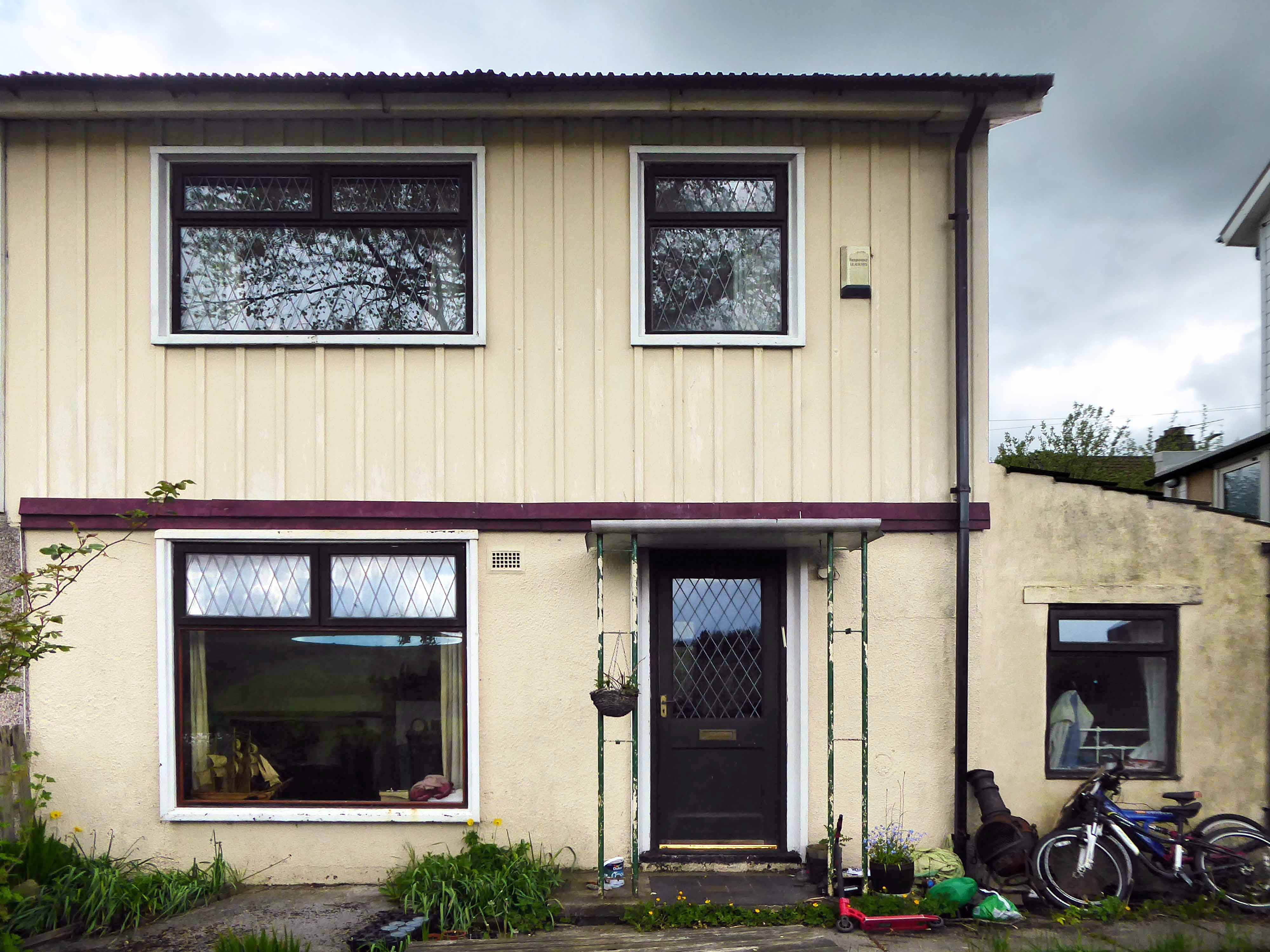
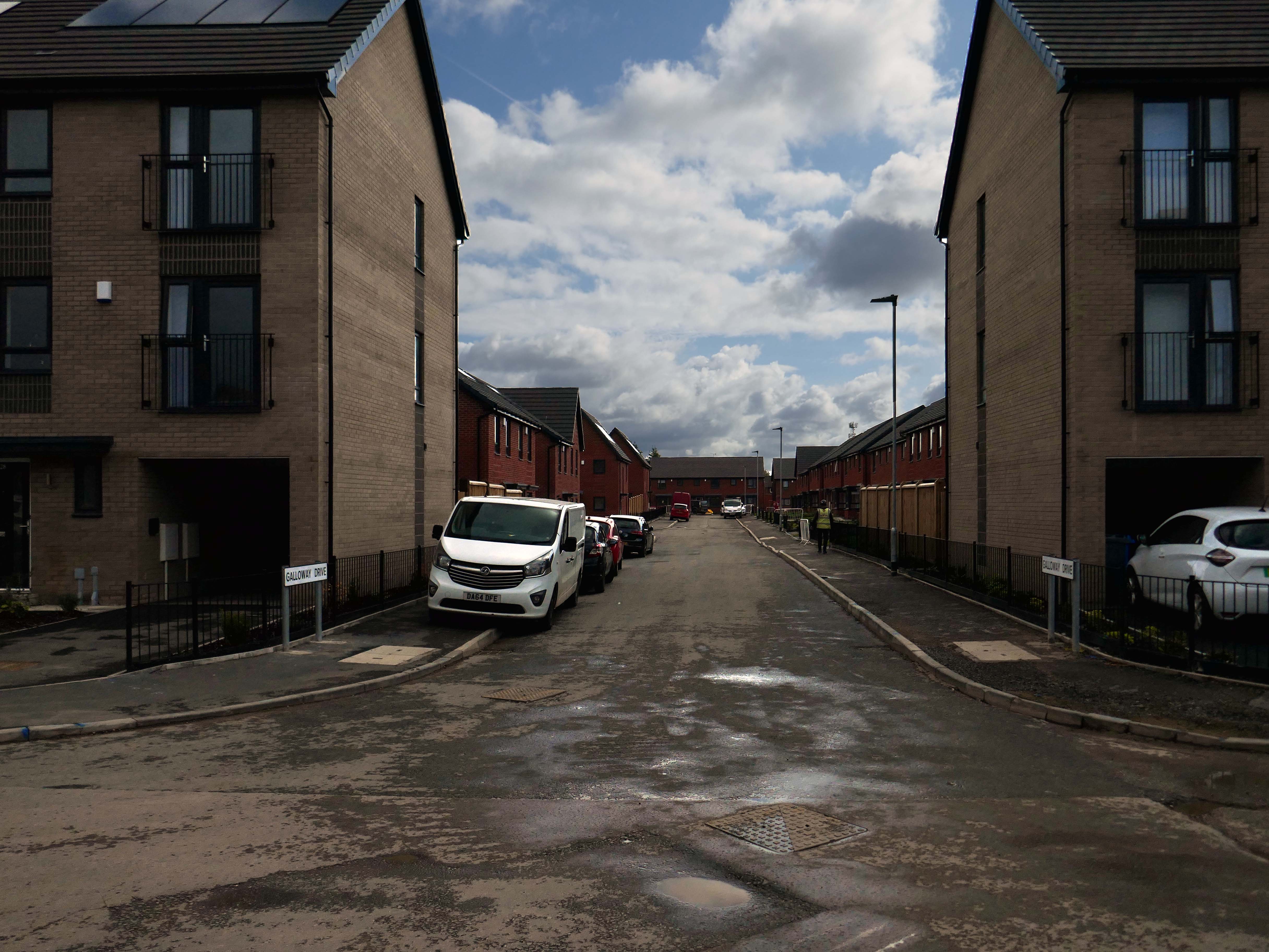
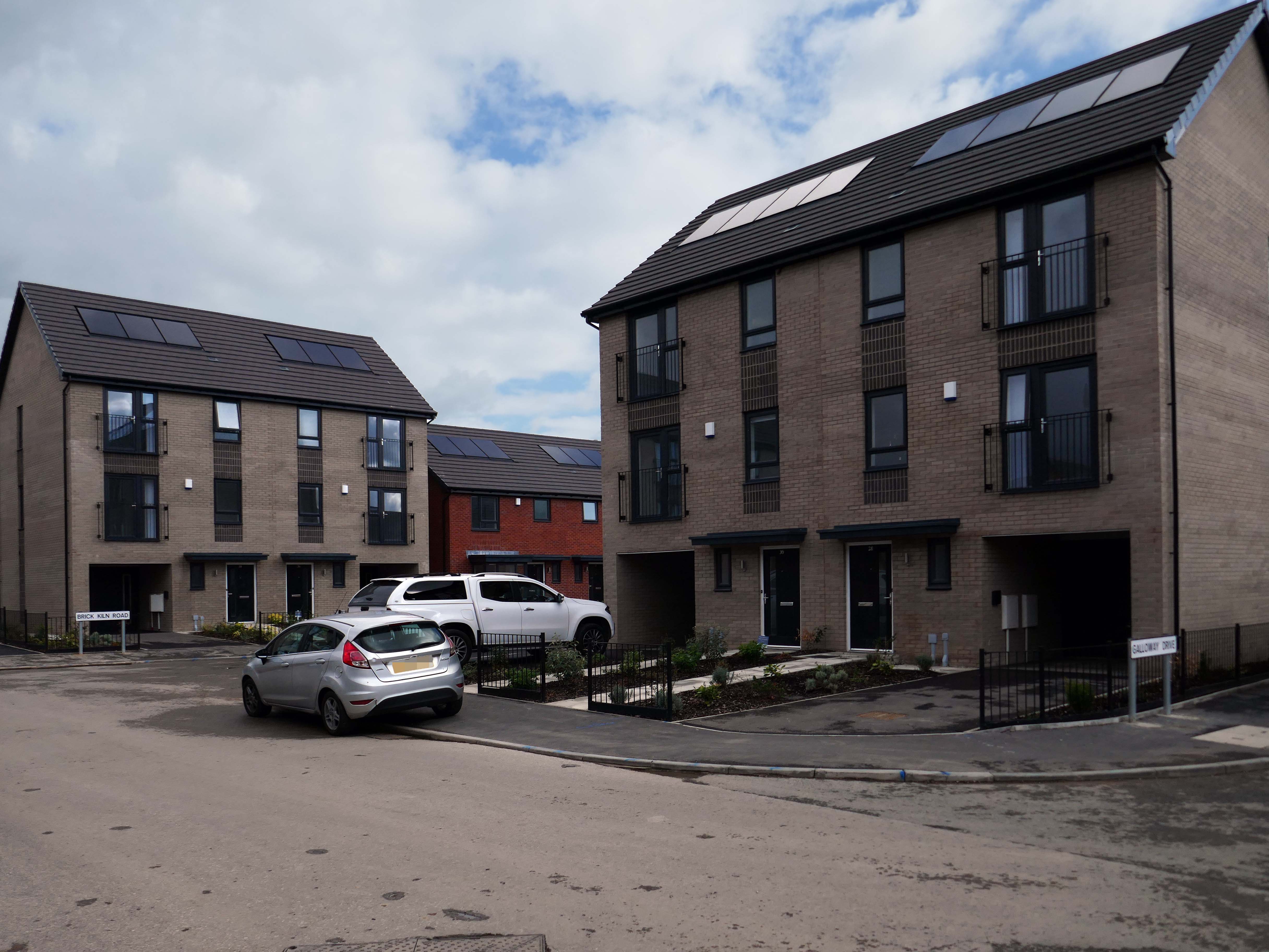
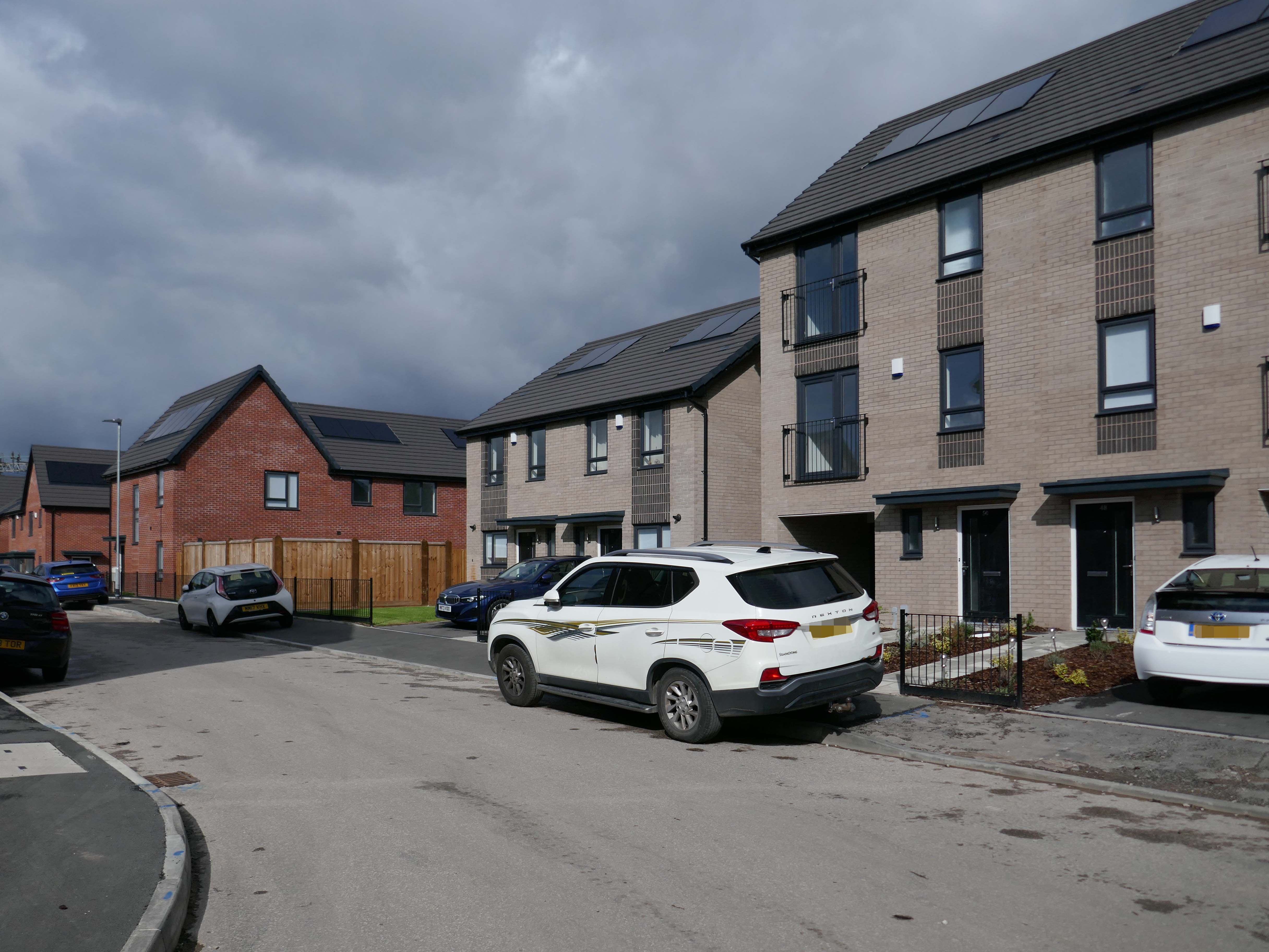
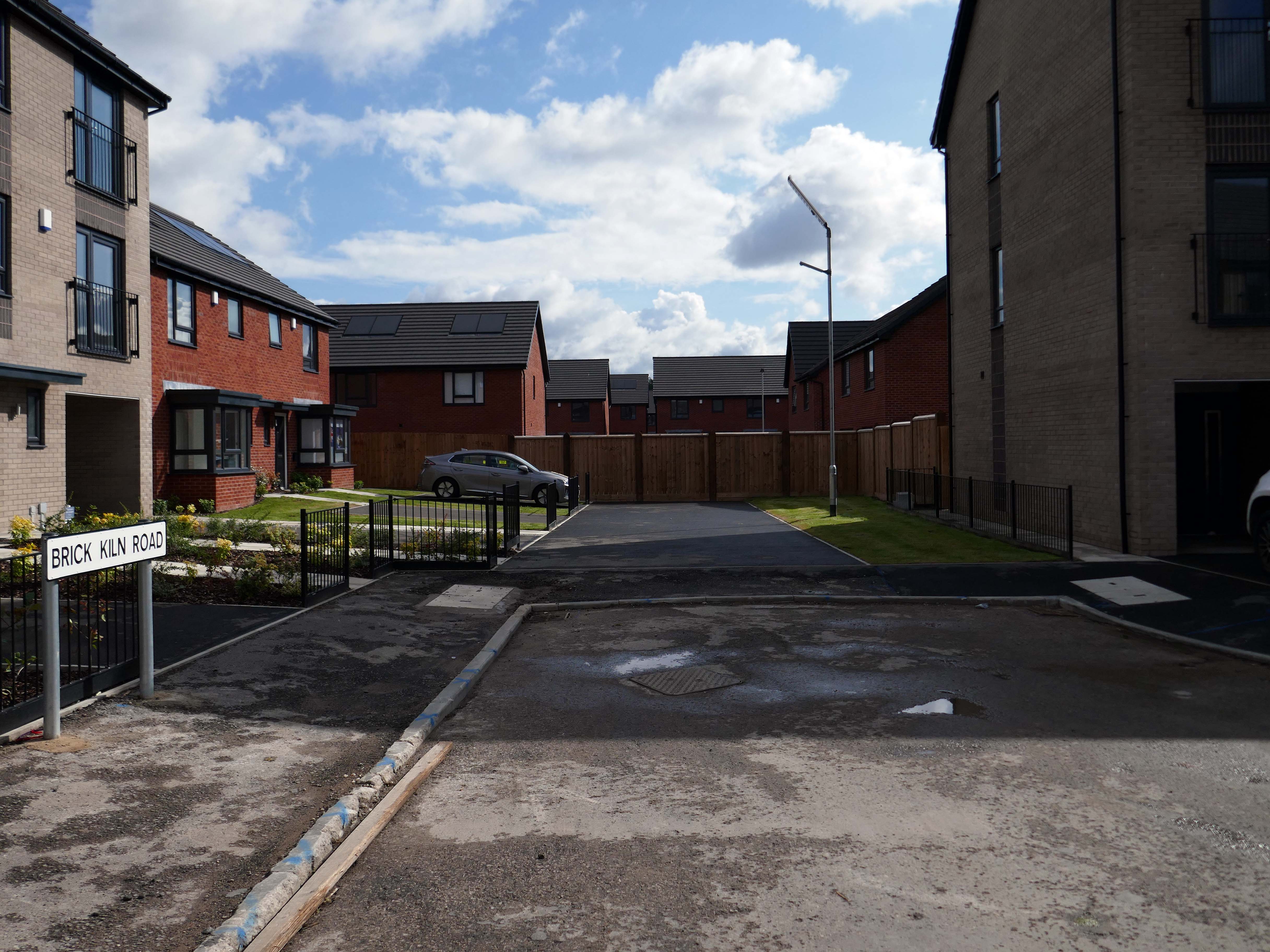
Taking in Mauldeth Road, Pinewood Close and Leegate Gardens
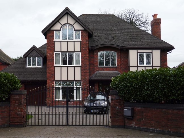
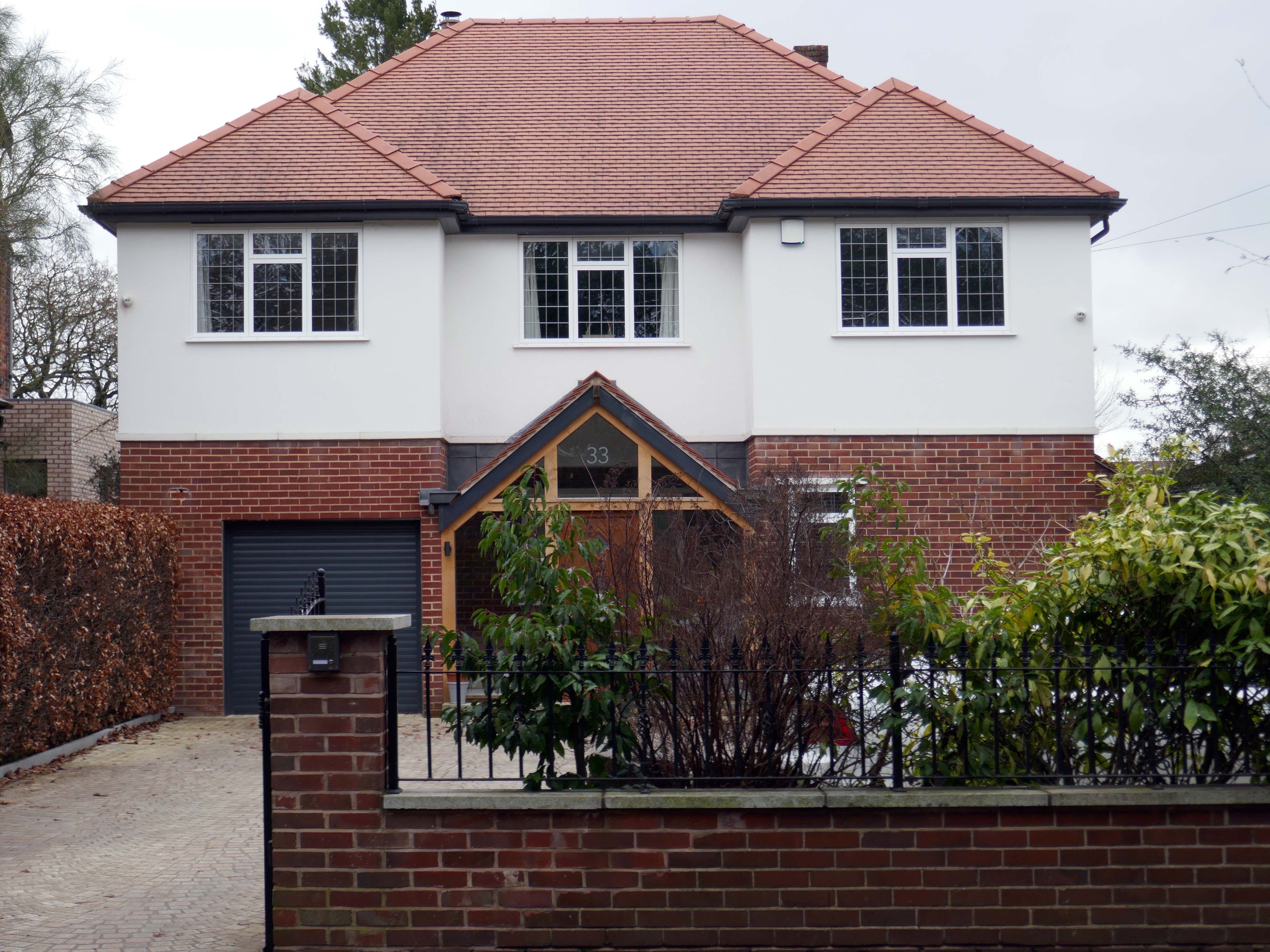
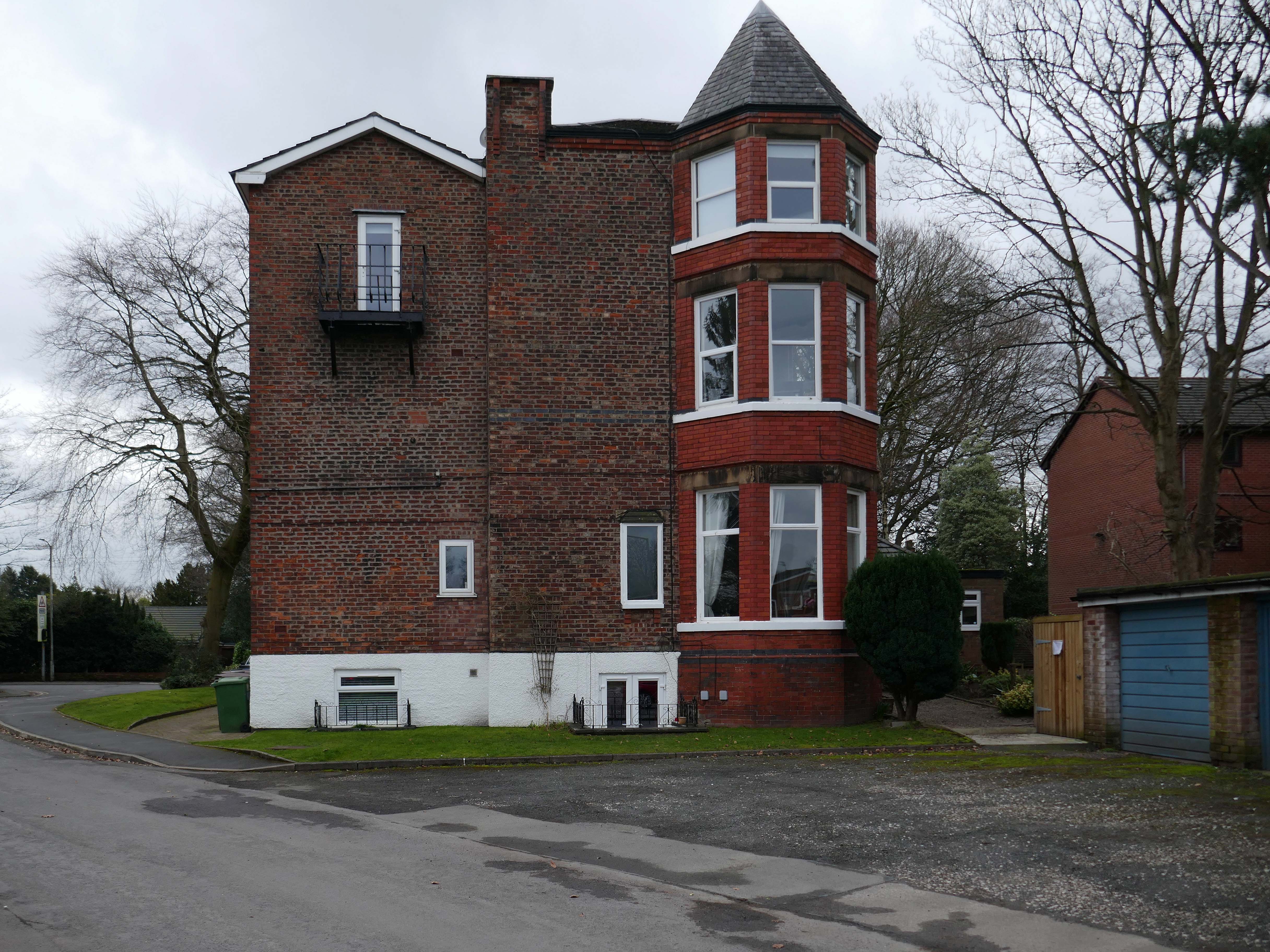
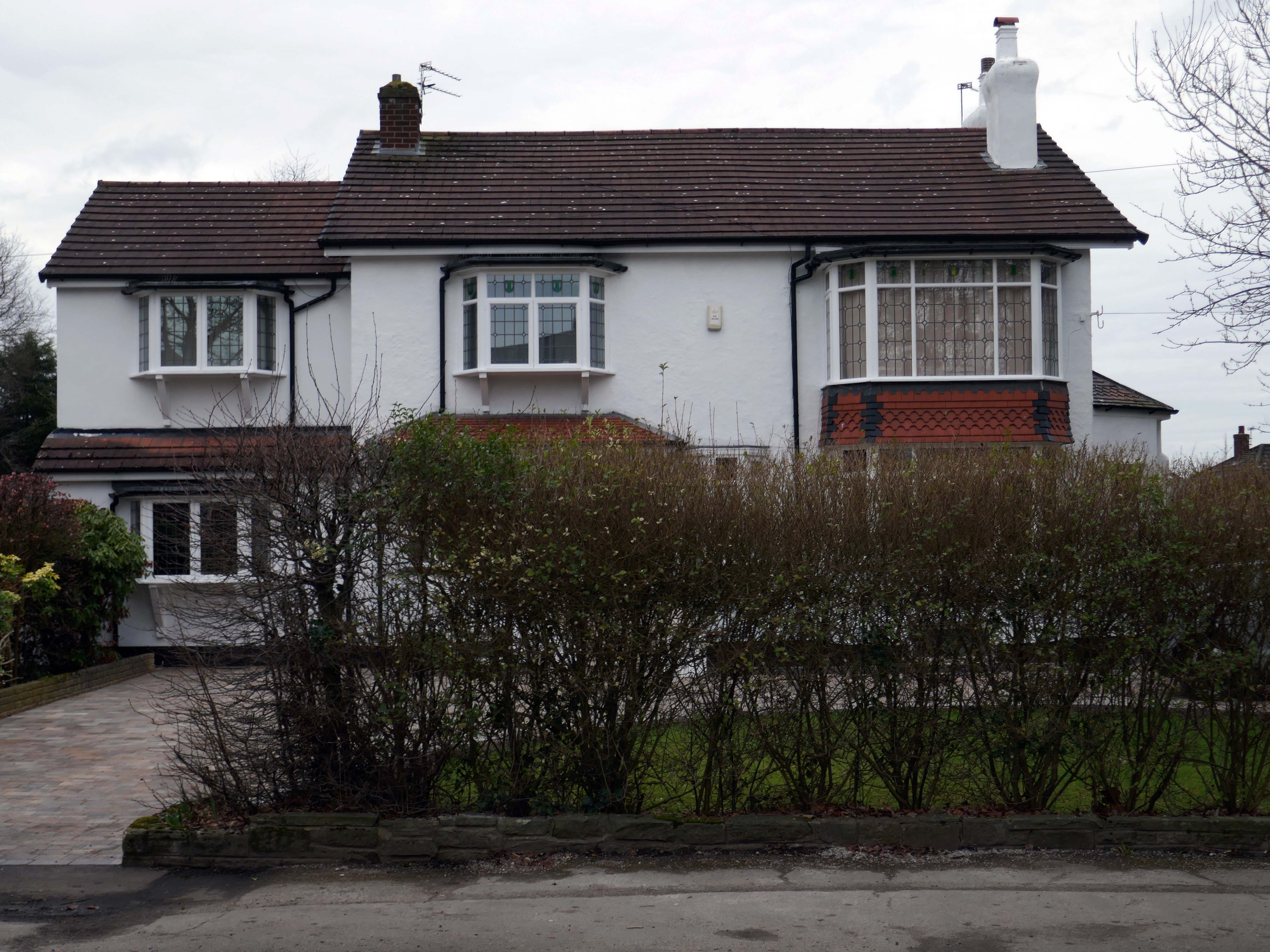
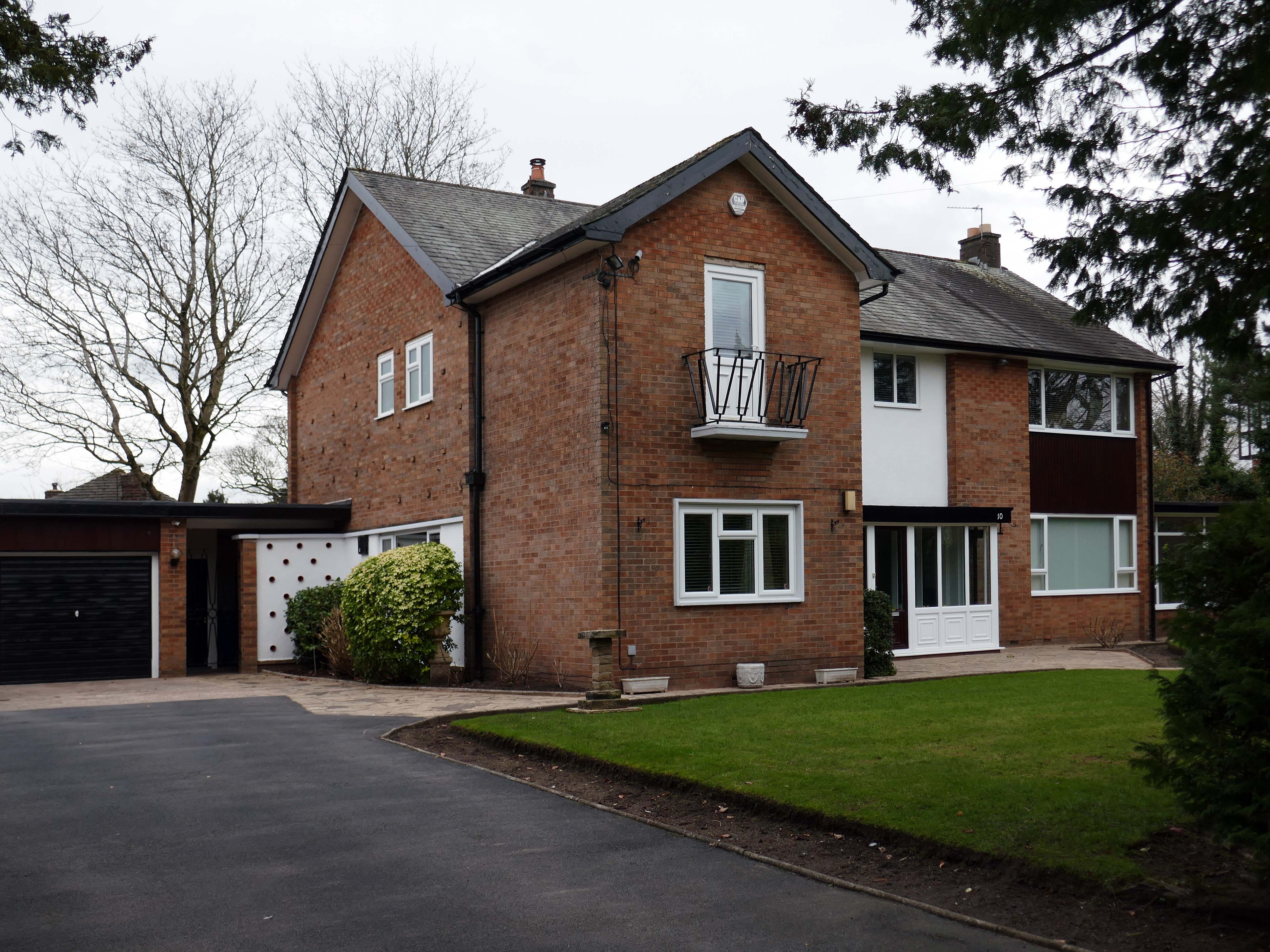
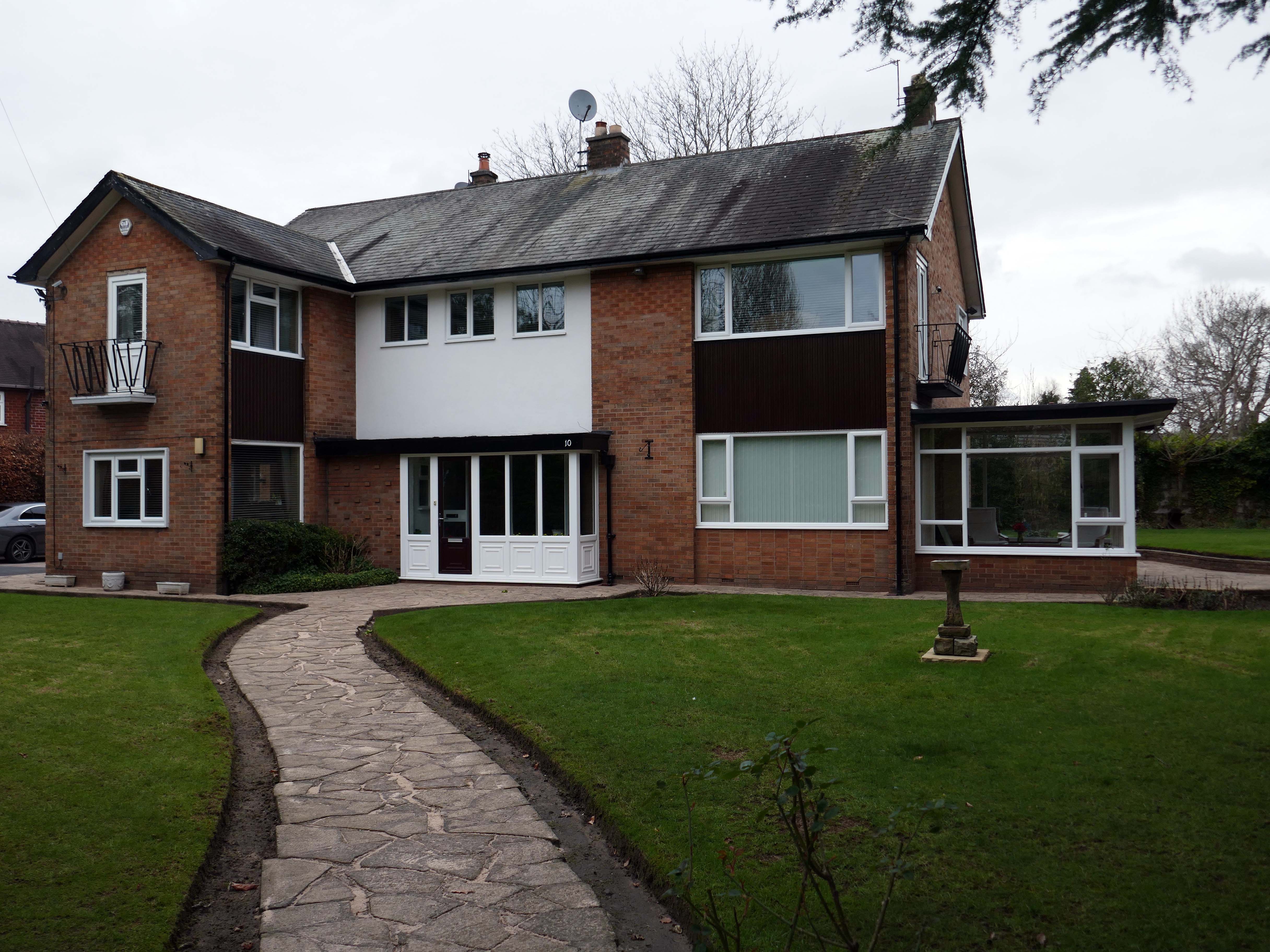
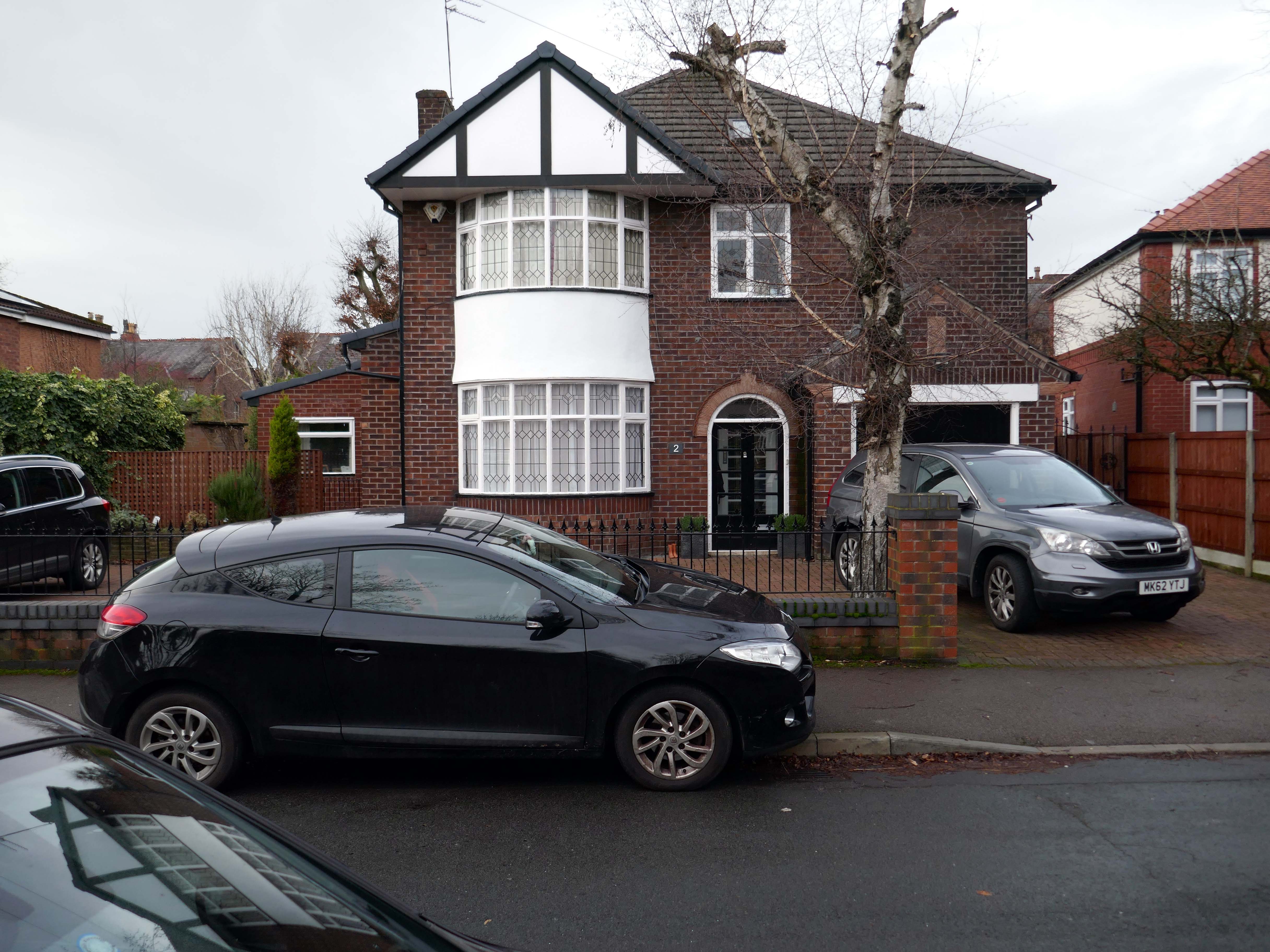
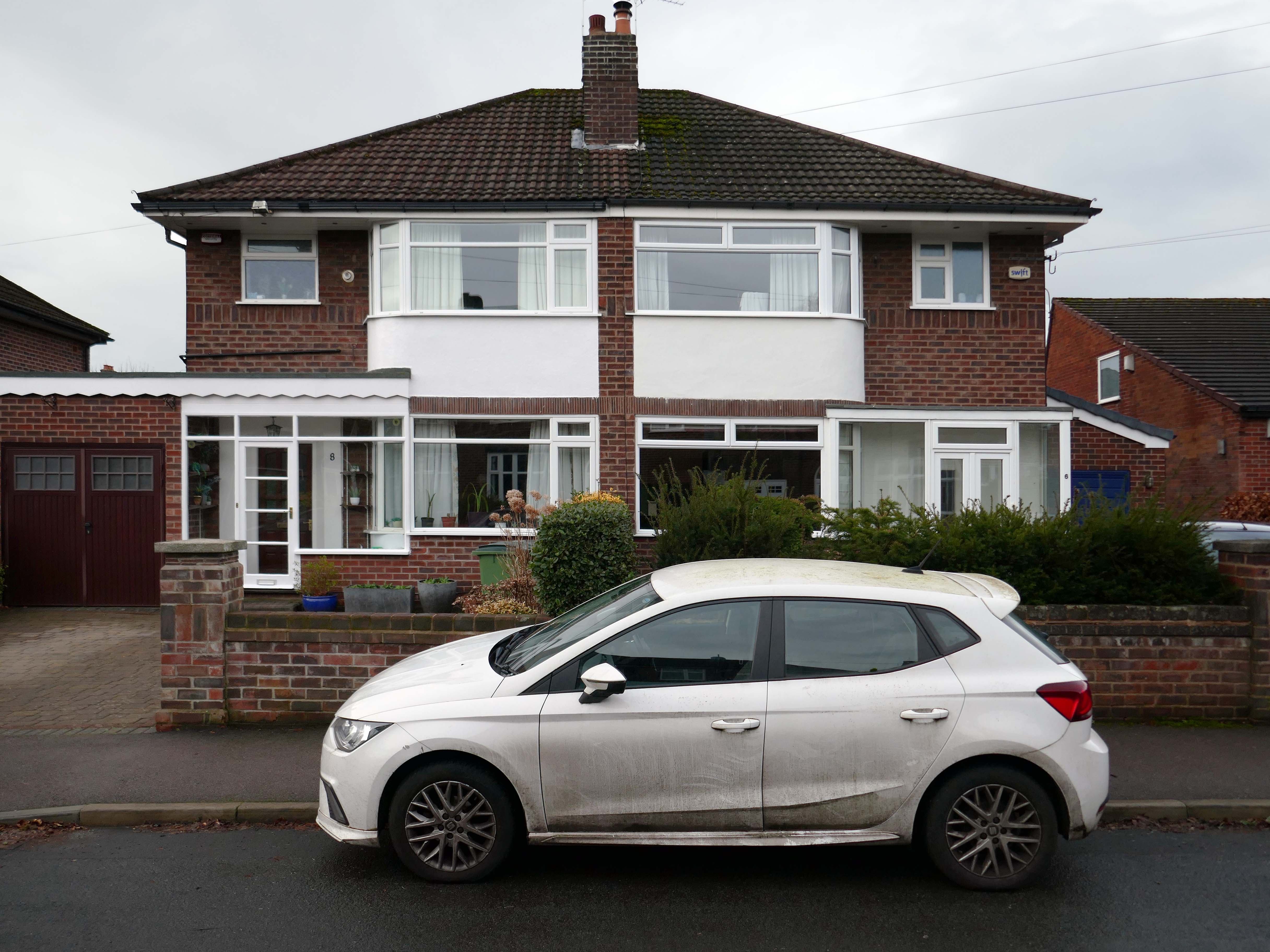
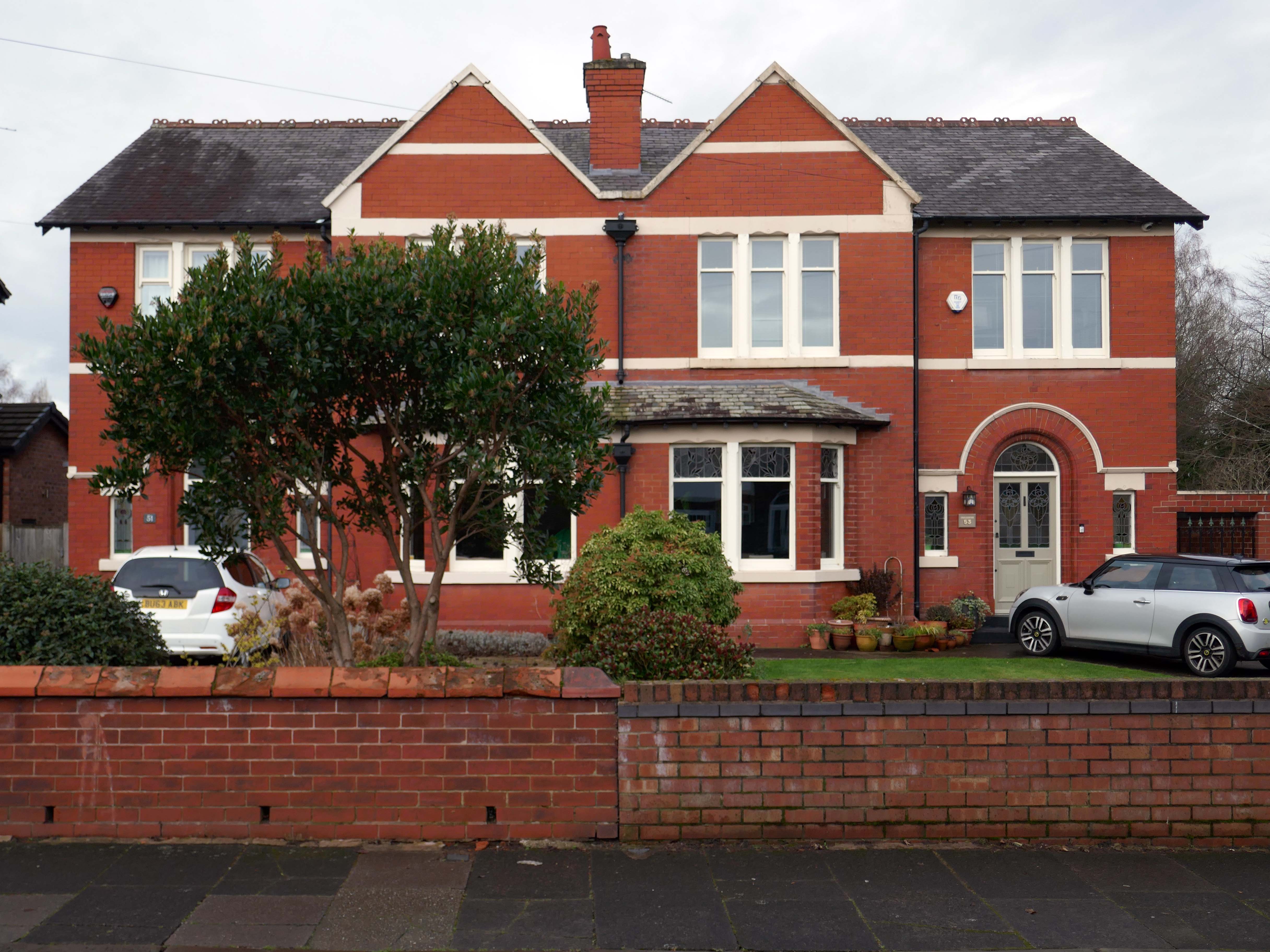
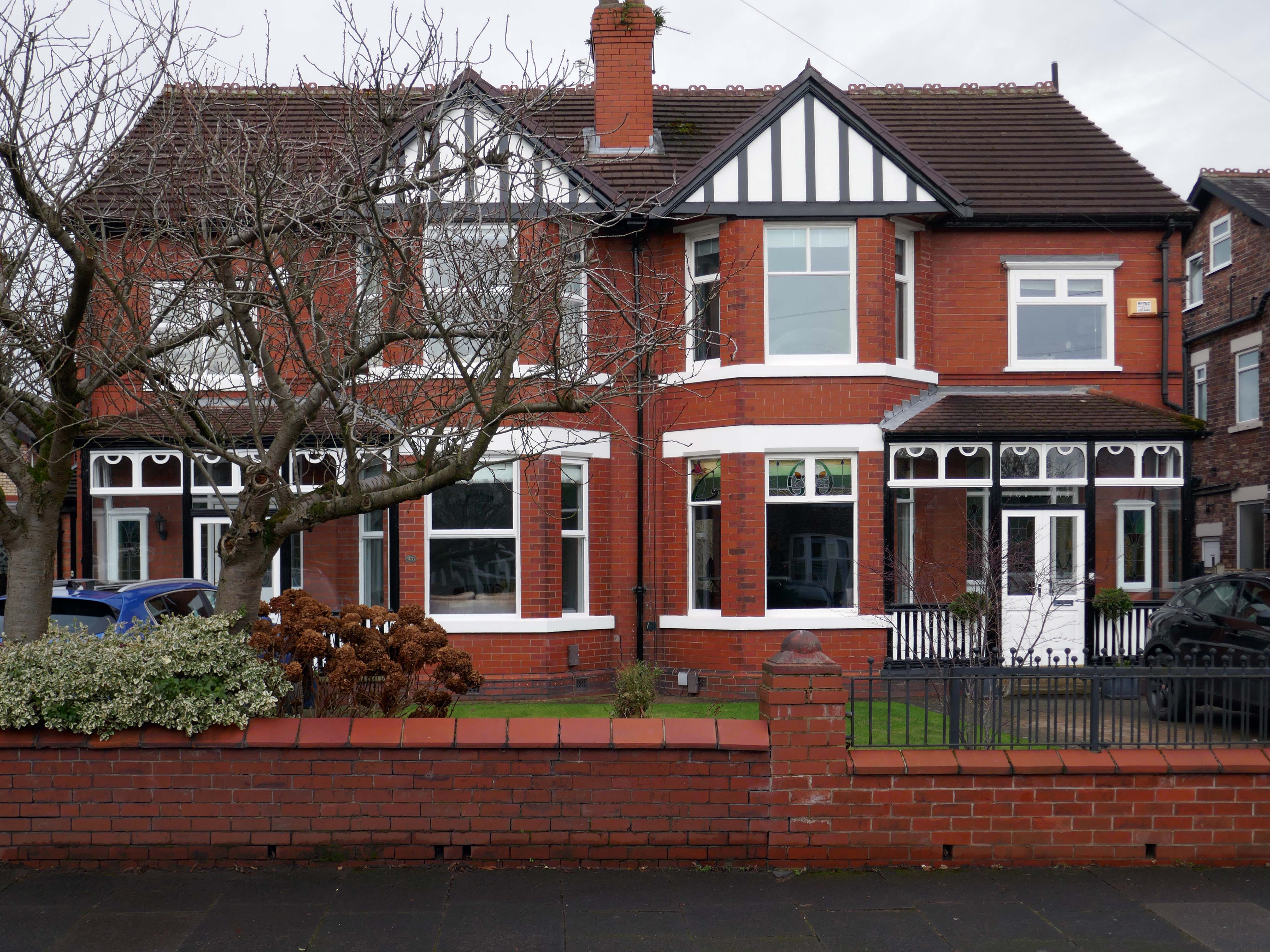
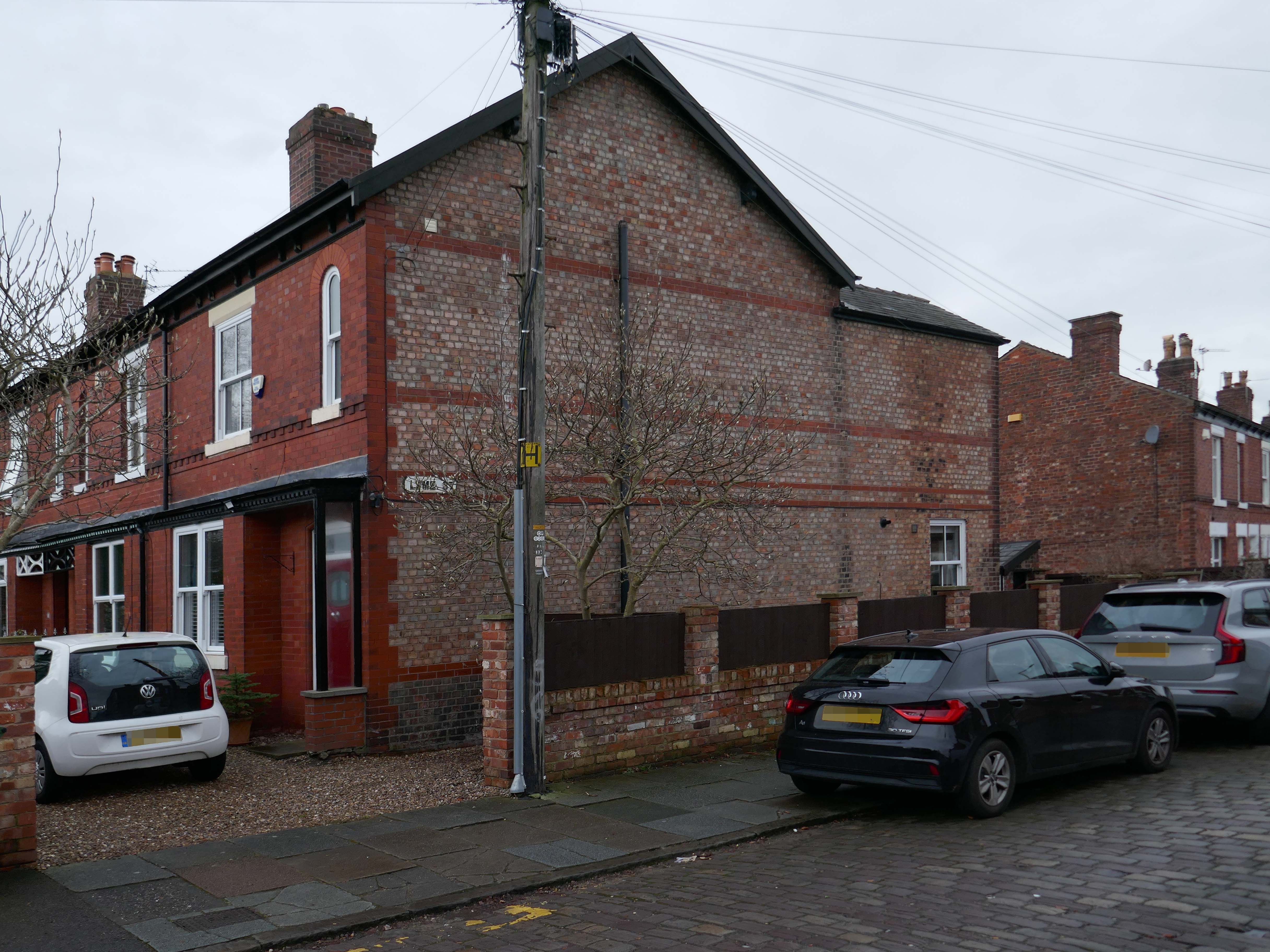
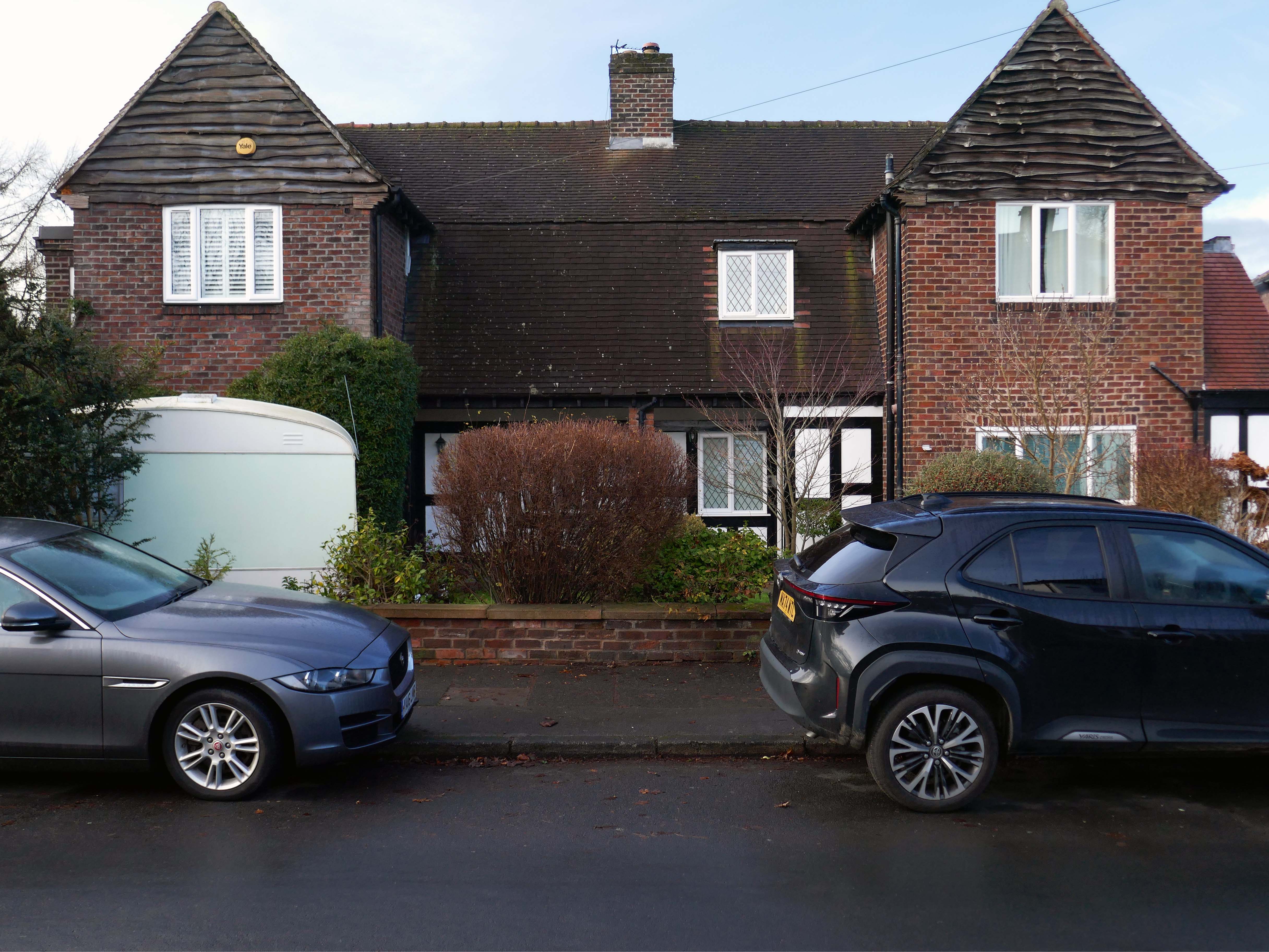
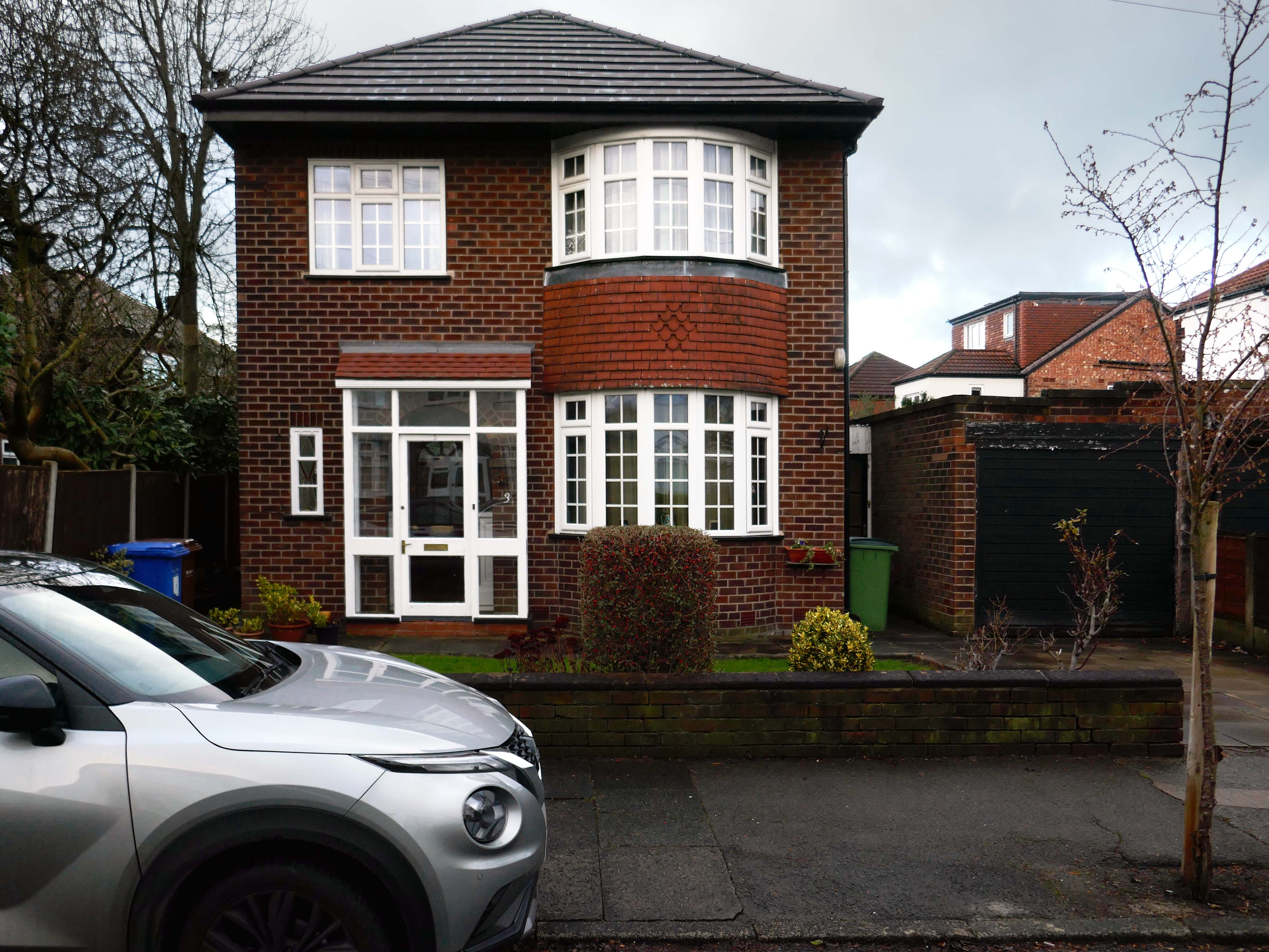
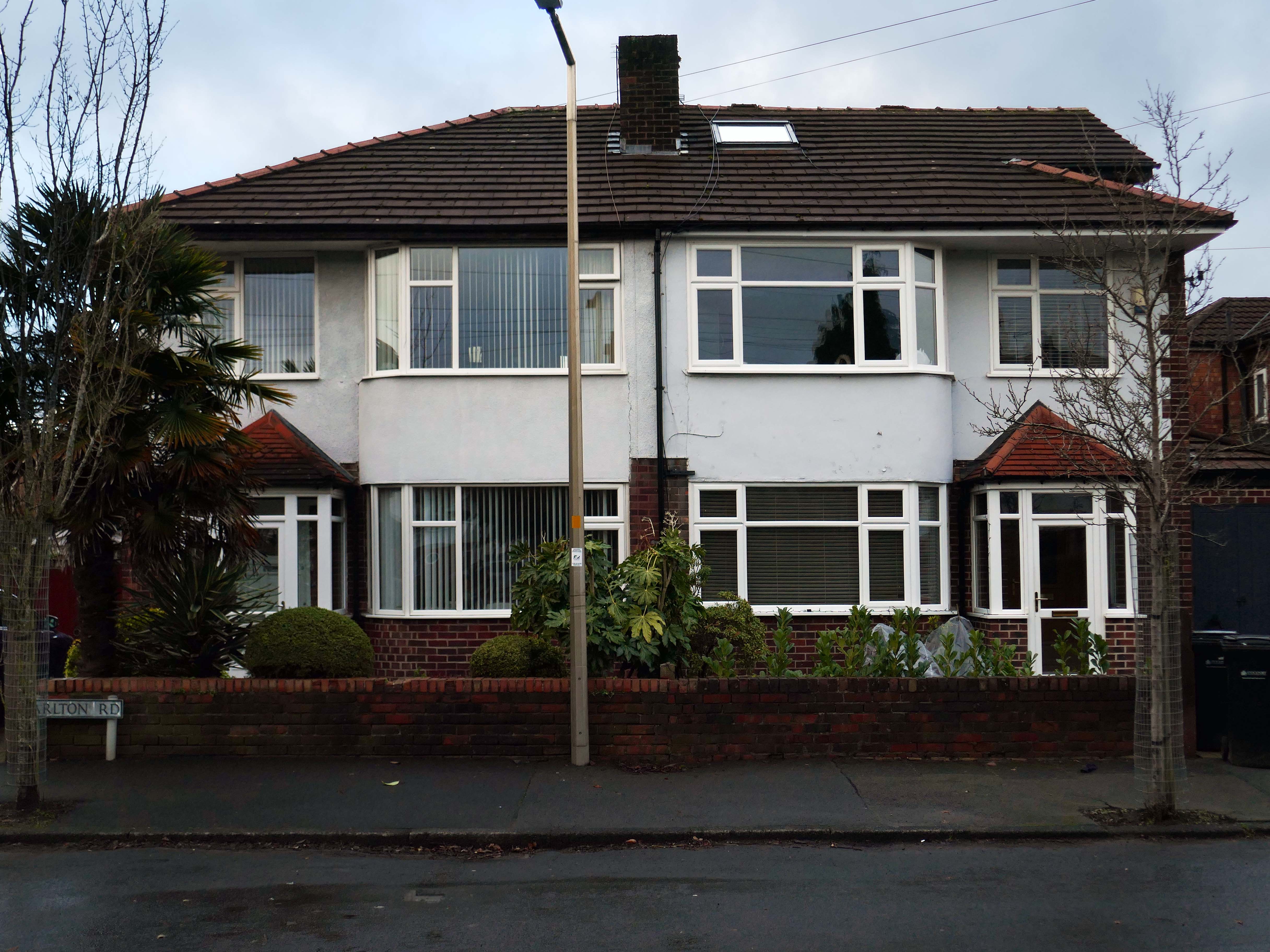
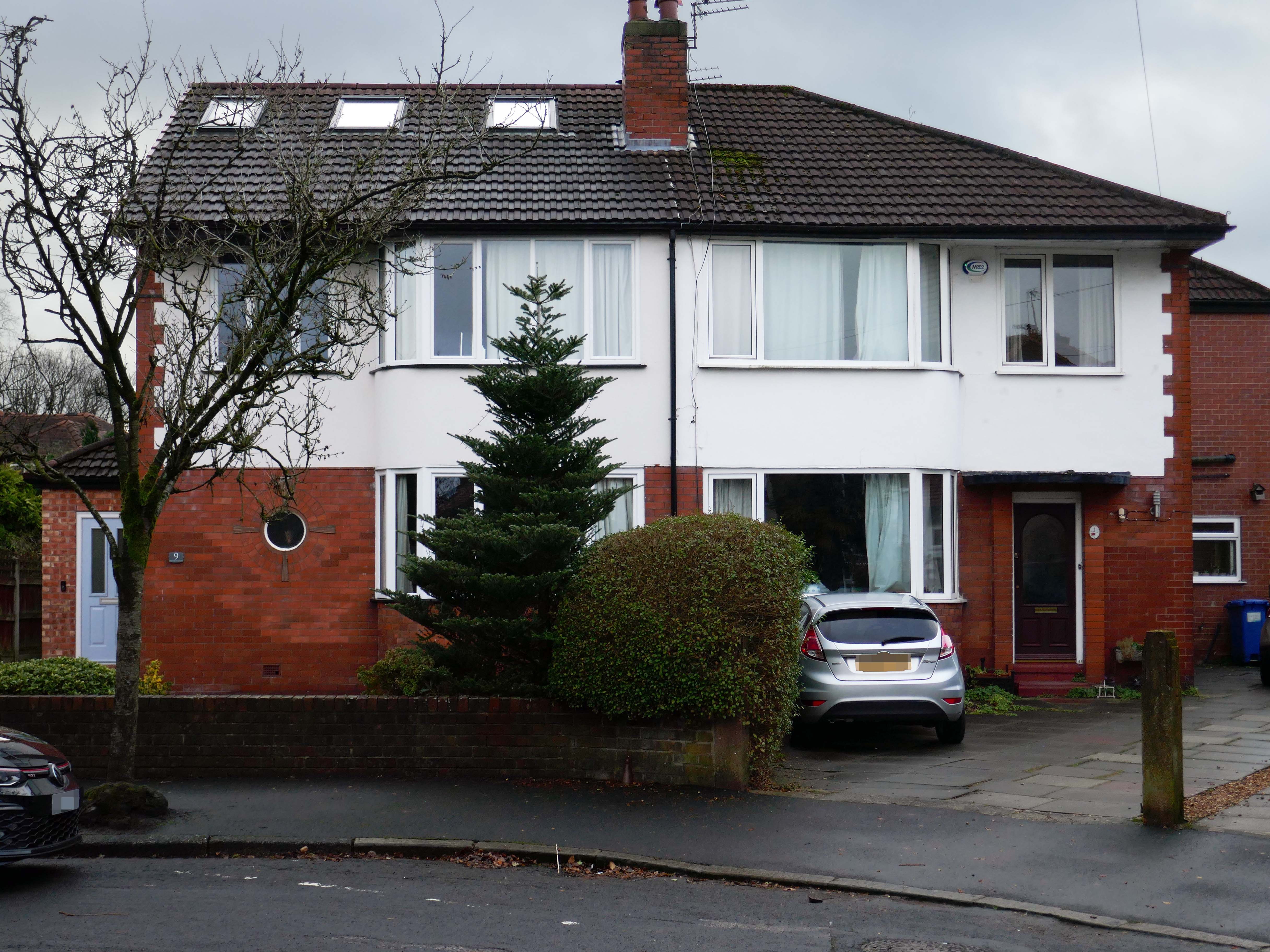
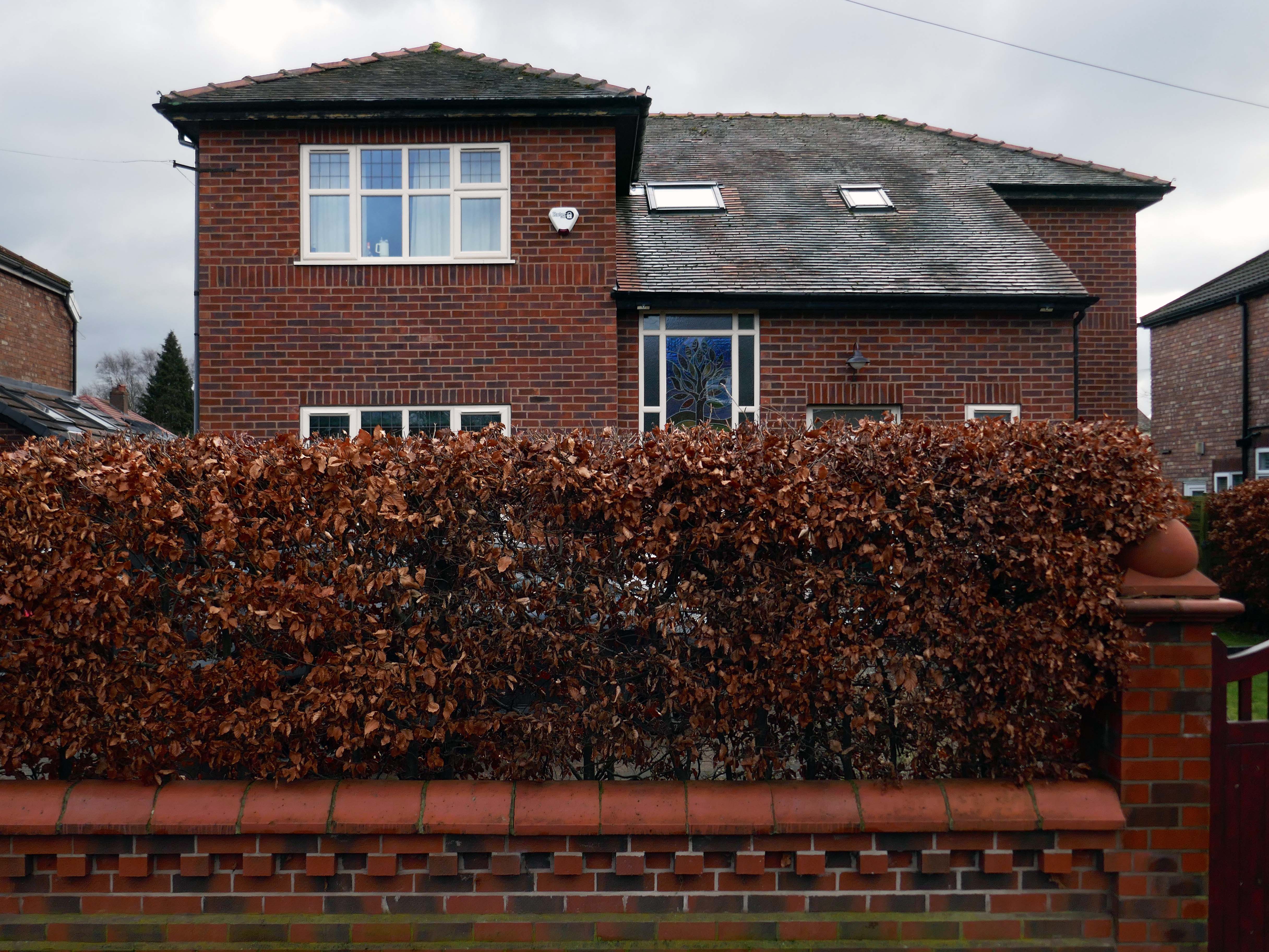
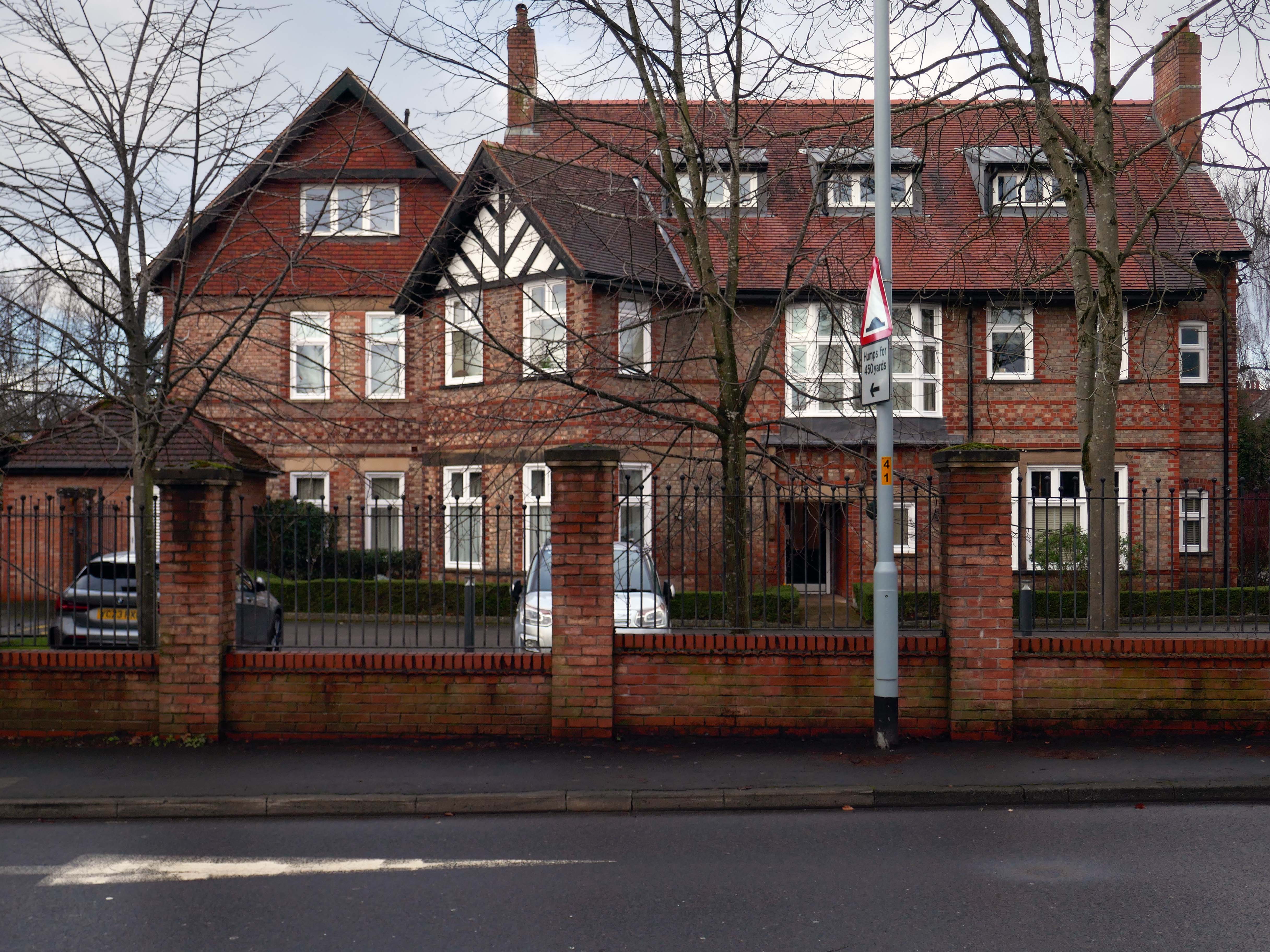
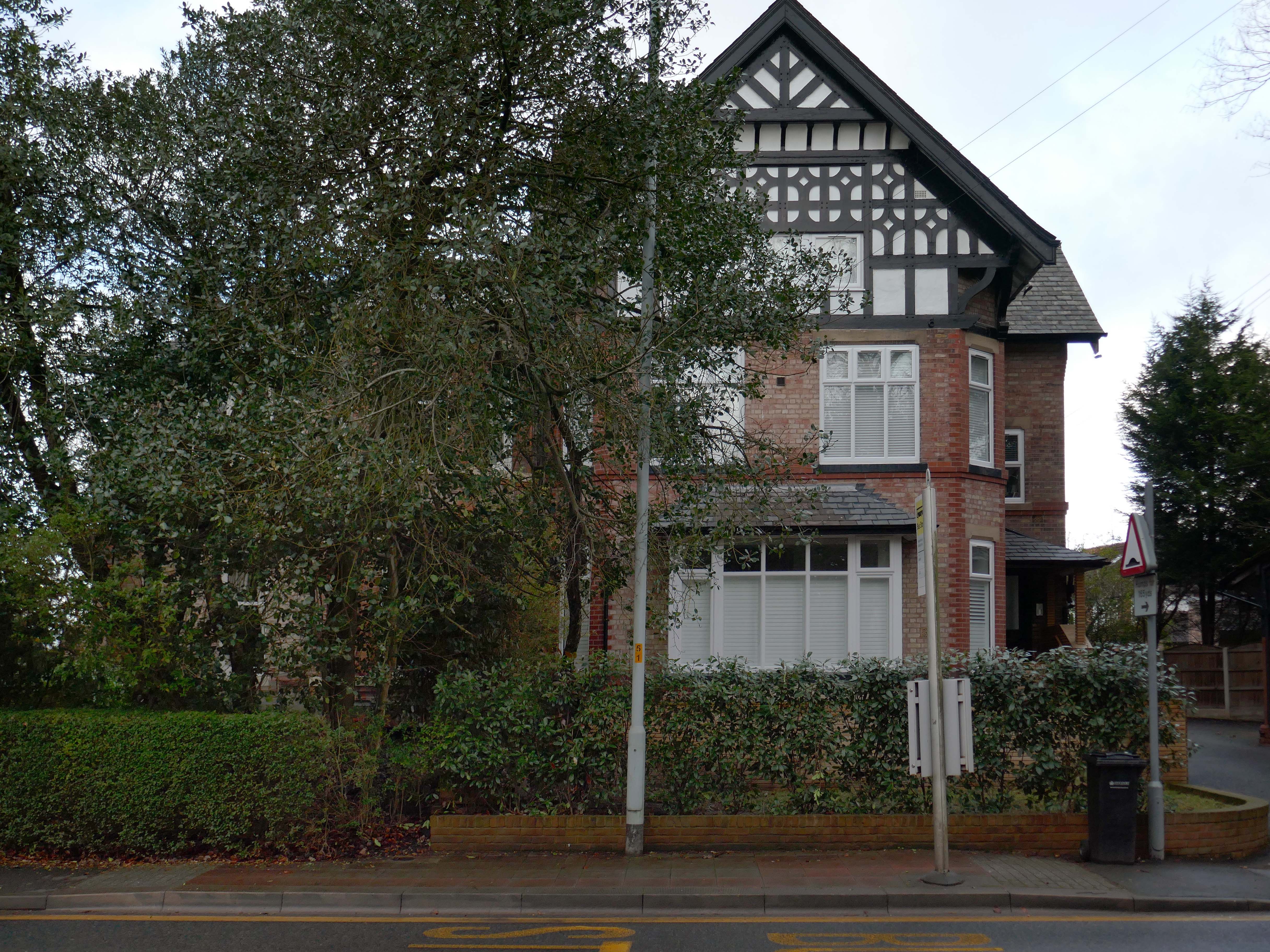
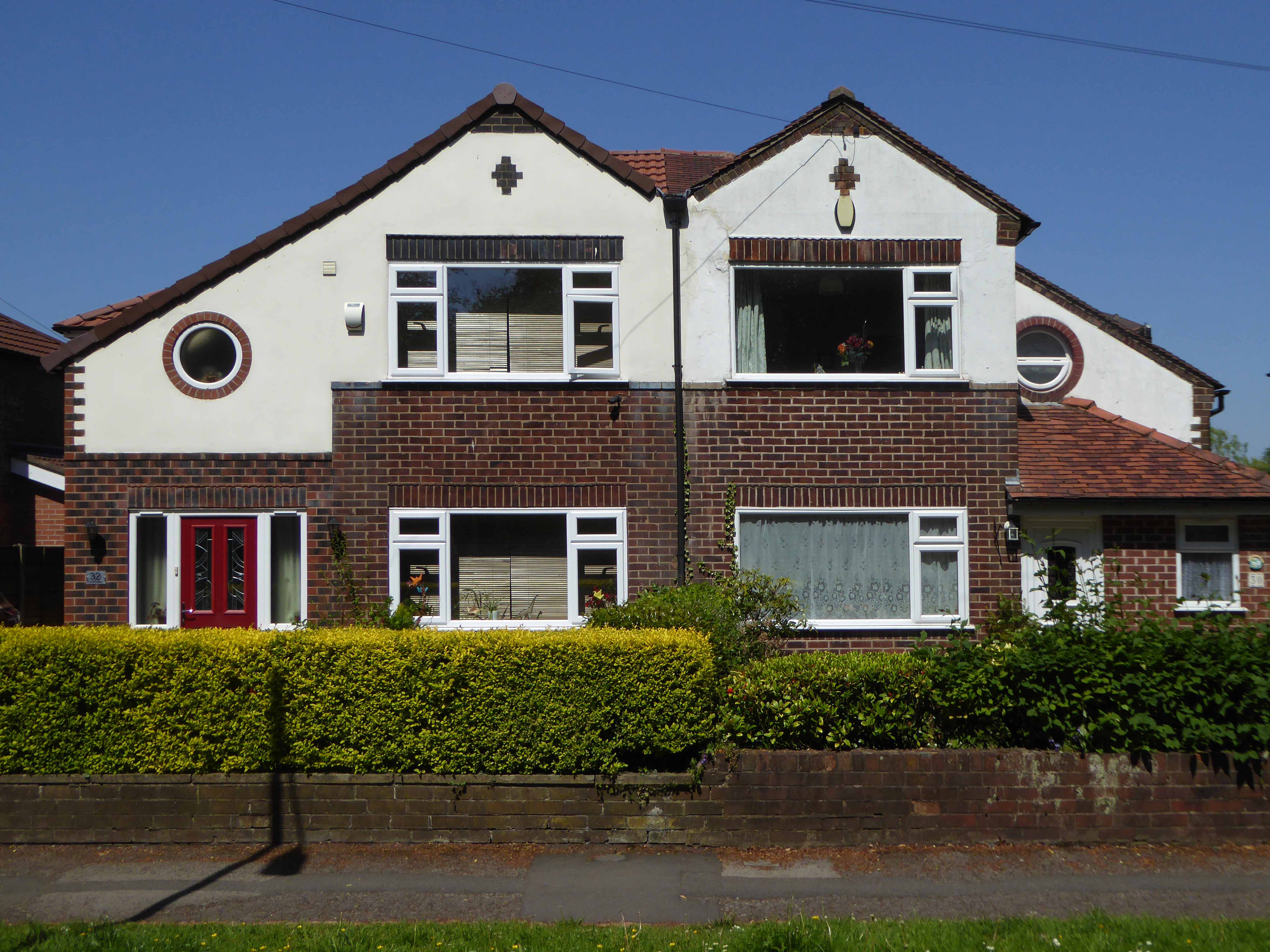
Mauldeth Road is lined with larger houses, Victorian and interwar villas, bijou apartments and the odd Modernist interloper.
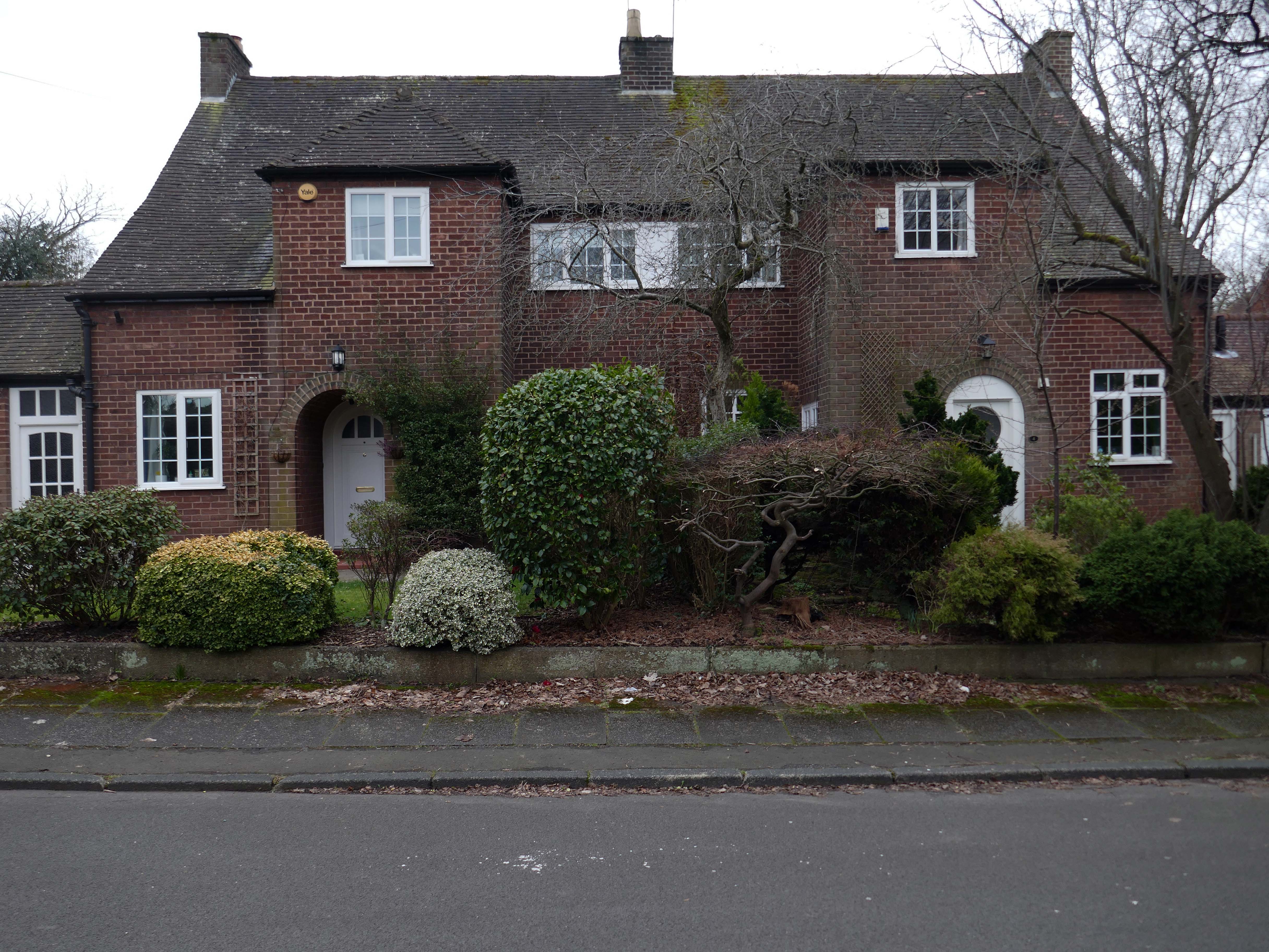
Through the avenues and alleyways, home to those ever so tidy inter and postwar enclaves.
Where a mans gotta work out which side he’s on Any way he chooses Chances are he loses No one gets to live too long
Though in my experience the converse is true, this is a mature community gently maturing, on the inside of everything.
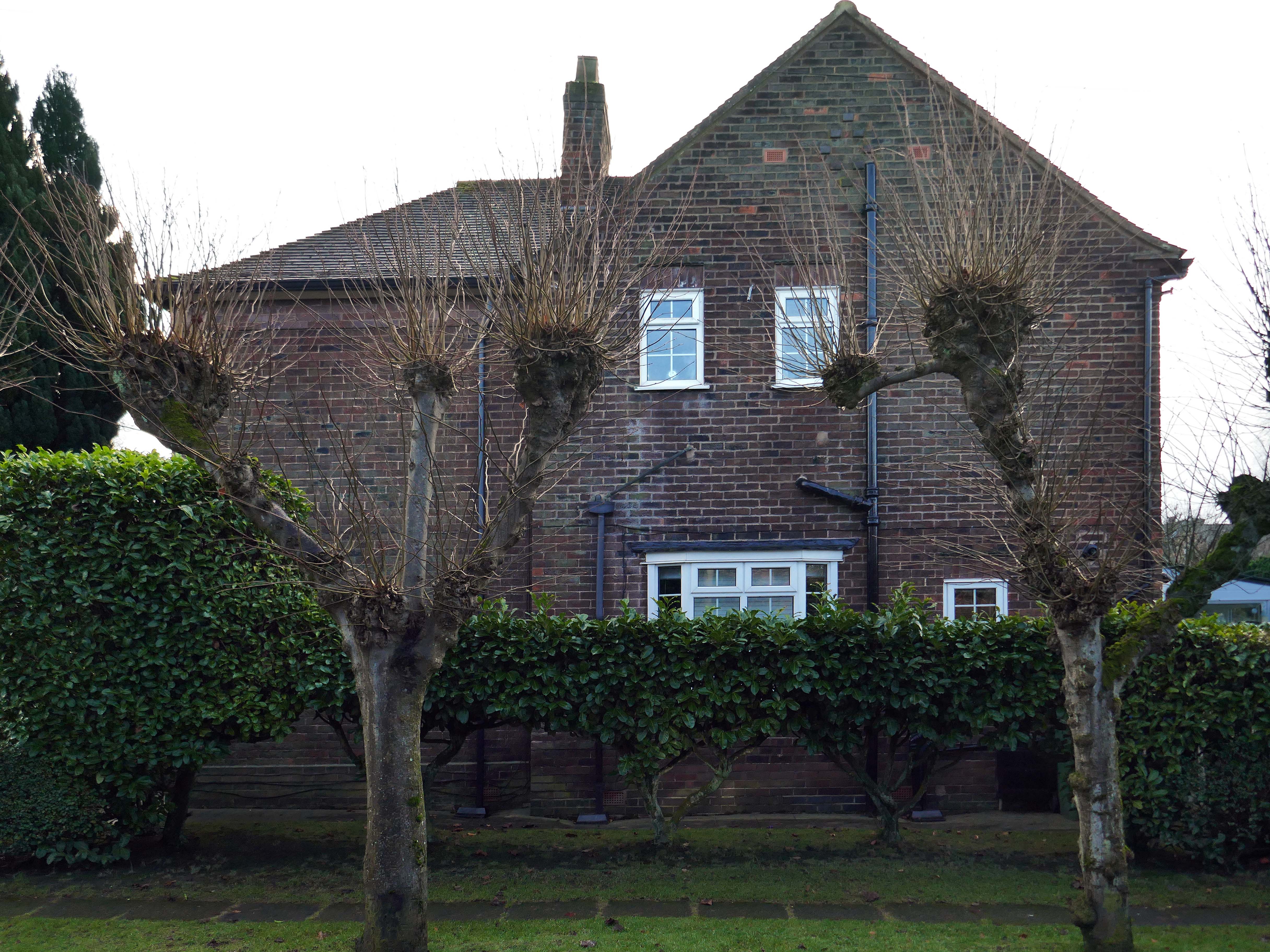
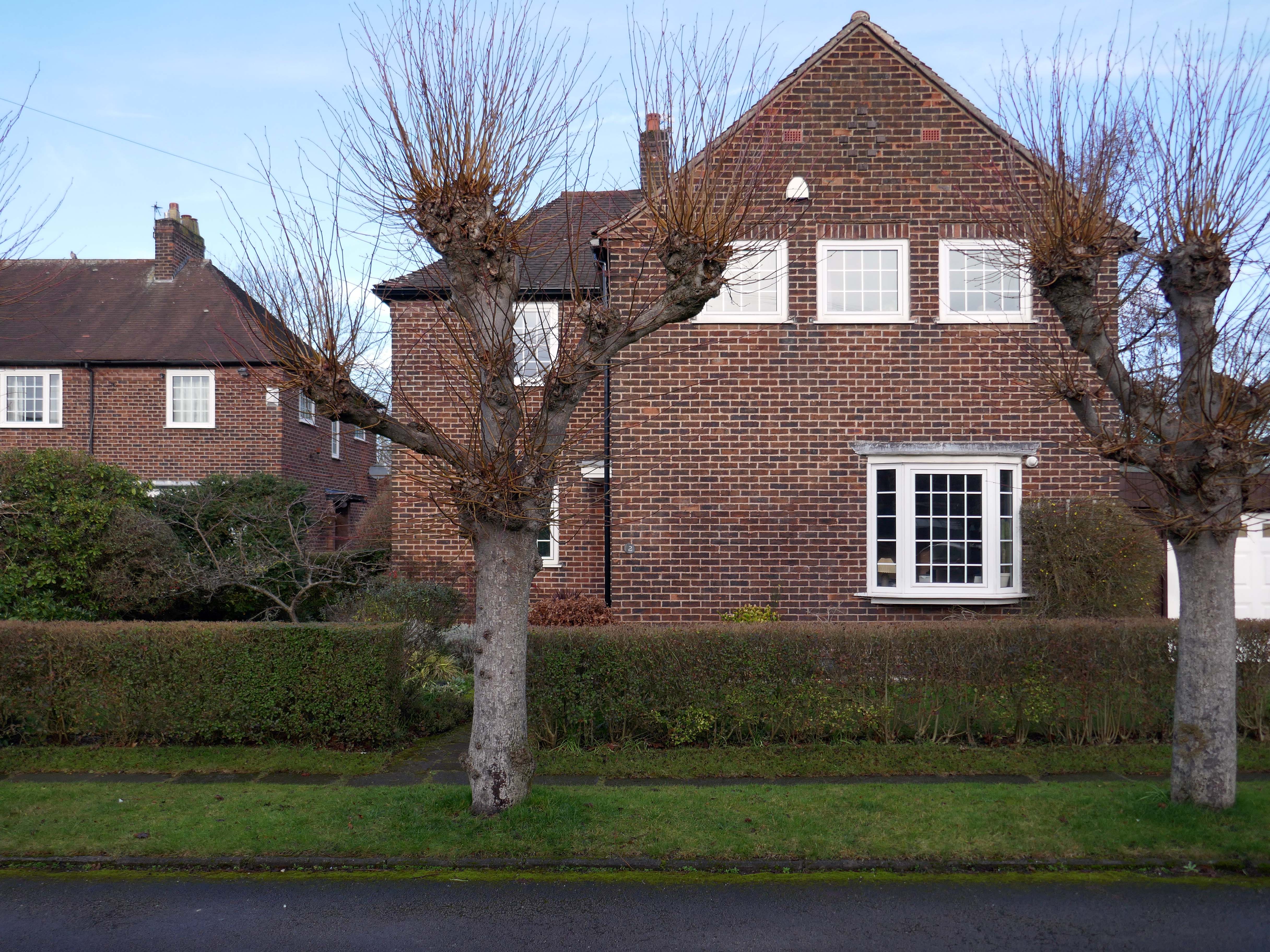
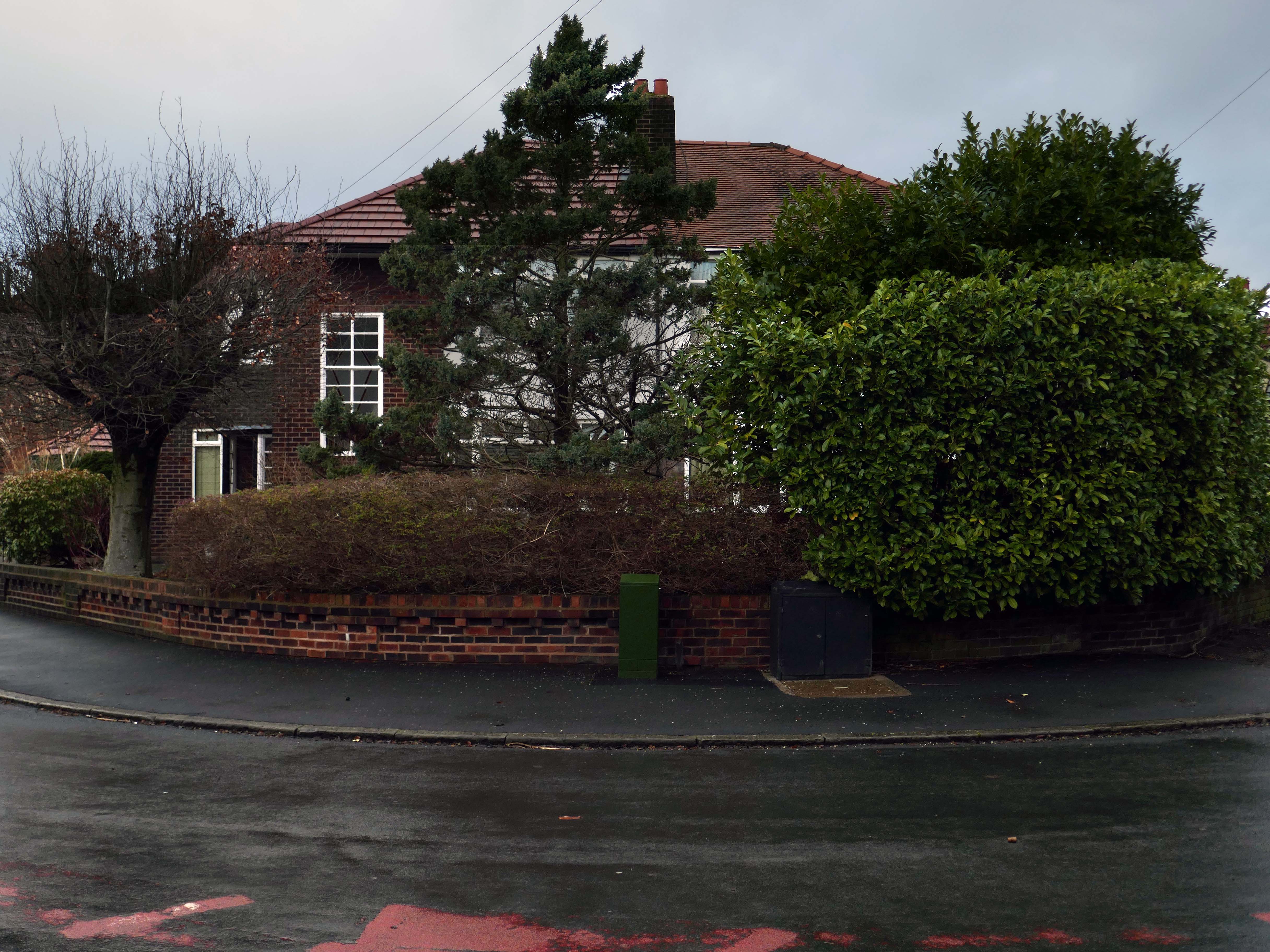
Hiding what may possibly be hidden behind the hedge, though the privacy of privet is in retreat, replaced by bay, birch, holly and the extremely hardy laurel.
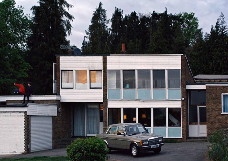
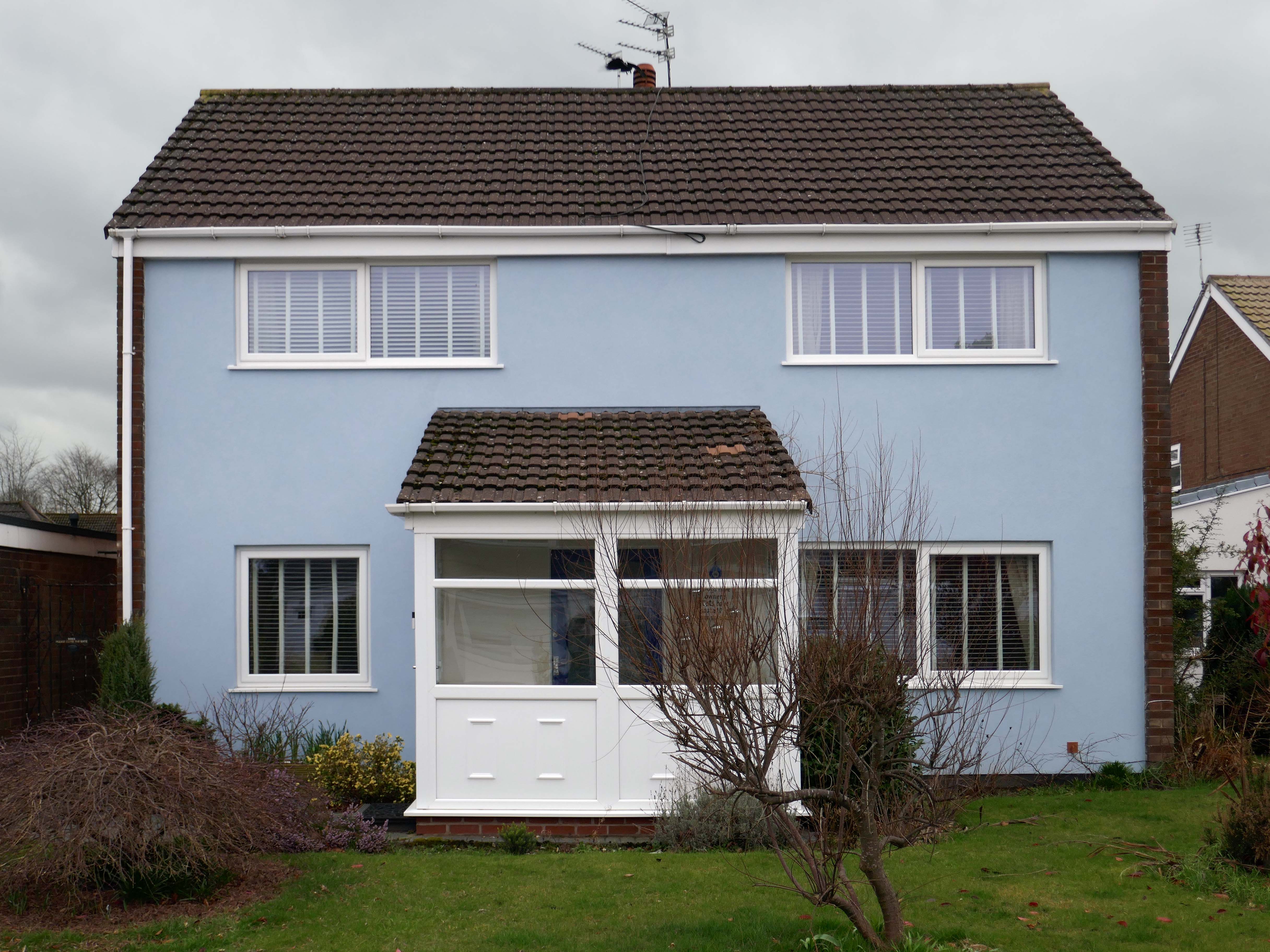
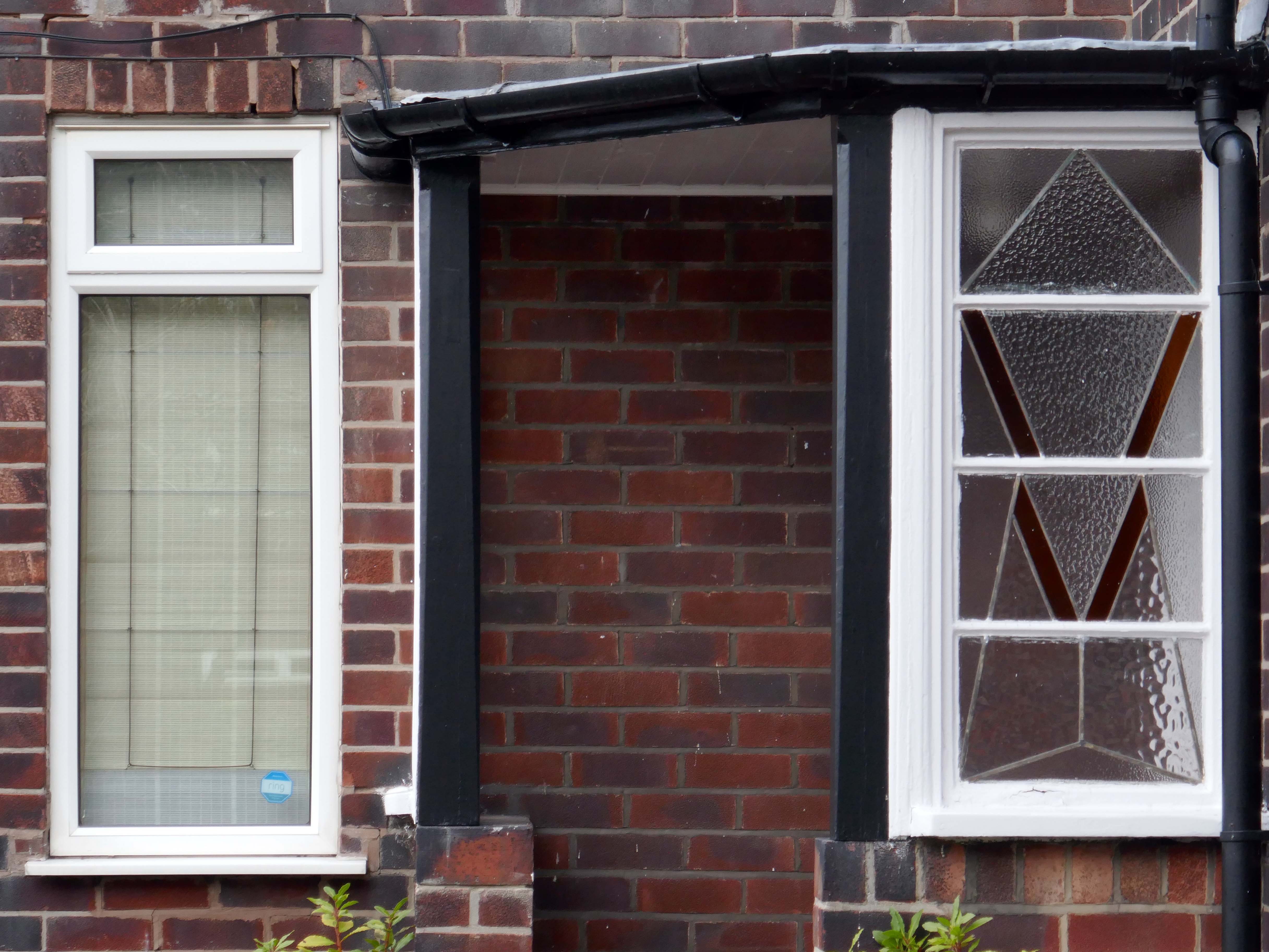
The left hand house has purposefully retained the original Crittall Windows.
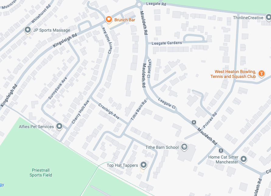
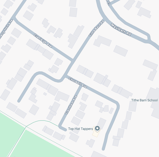
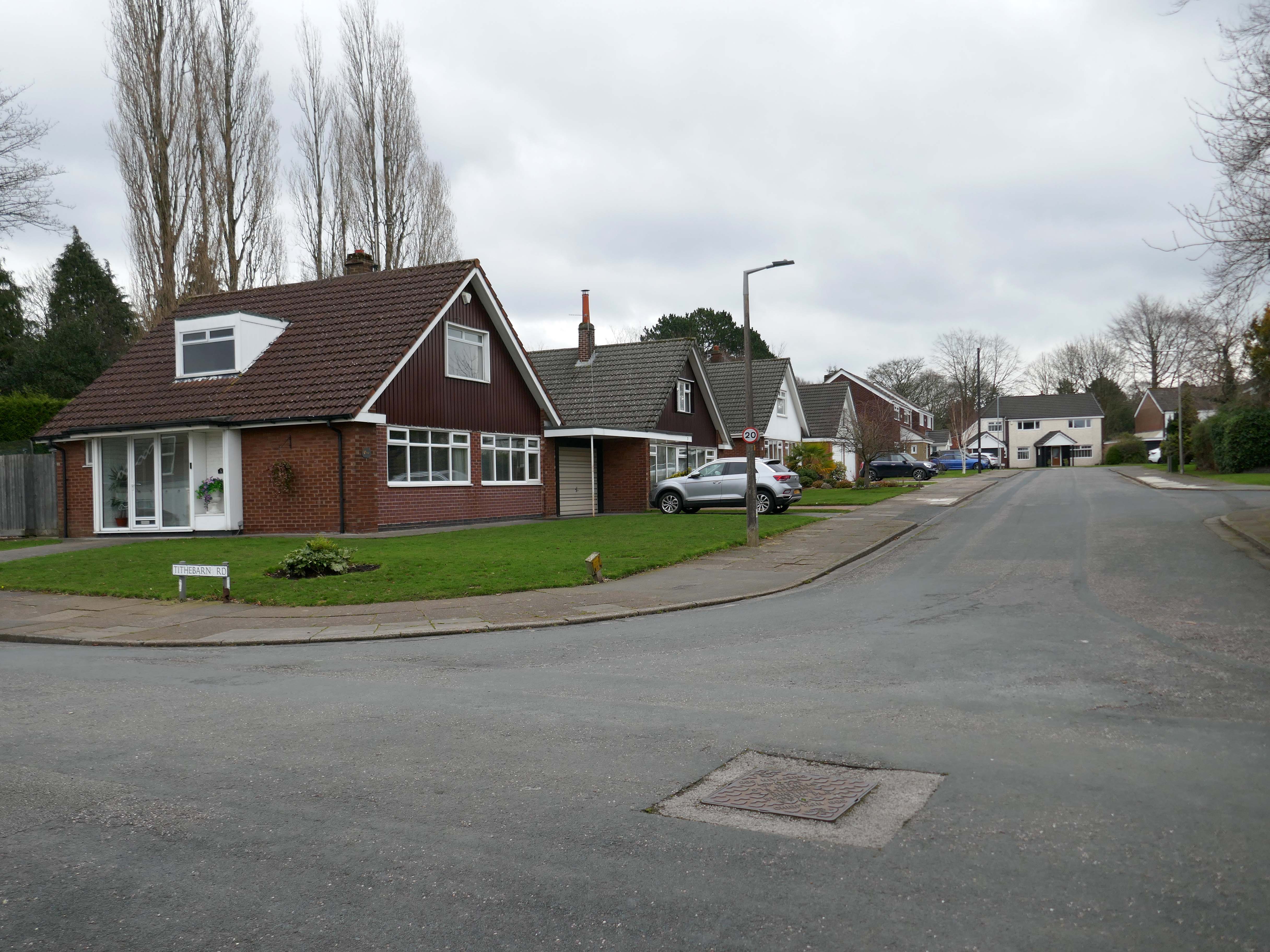
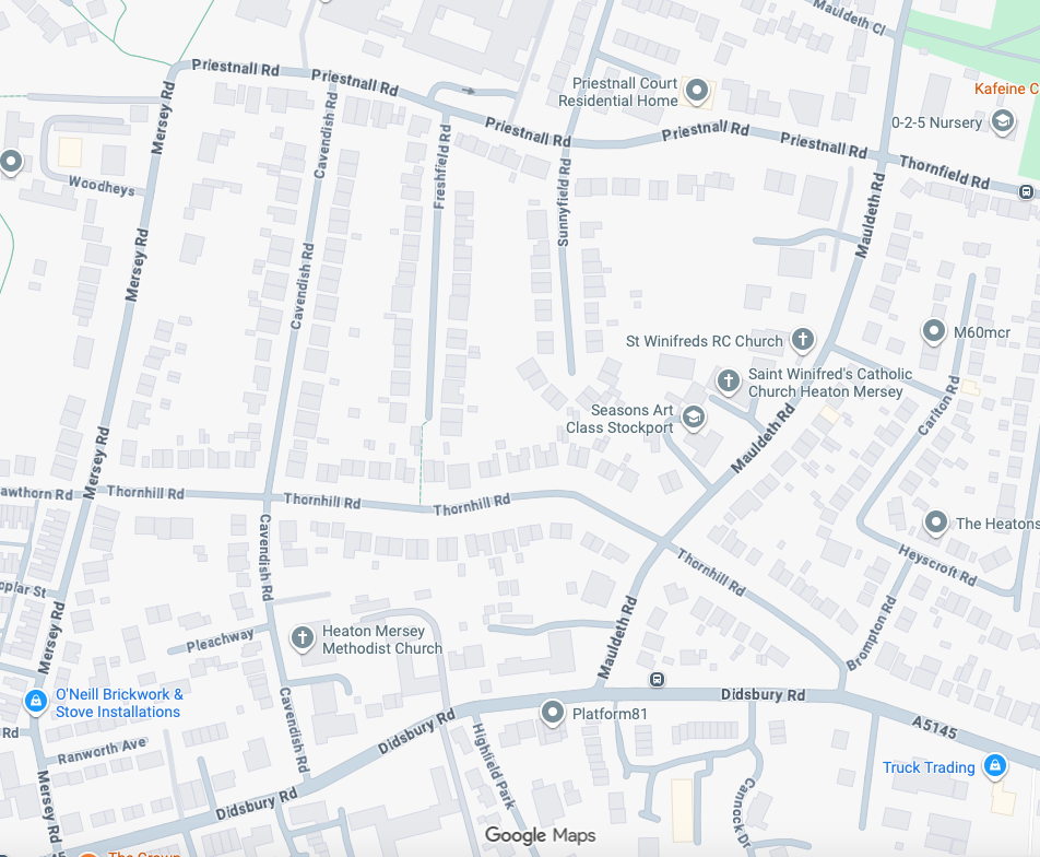
High above the streets of Stockport – zooming in to a cluster of cul de sacs branching out from Tithe Barn Road.
Cul de sac translates as bottom of the bag, the French do not use the term, preferring voie sans issue, literally a dead end.
In the slums of New York City, on the East River just below the Queensboro Bridge, wealthy people live in opulent and luxurious apartments because of the picturesque views of the river, while the destitute and poor live nearby in crowded, cockroach-infested tenements.
I assume that countless civic meetings and Estate Agents’ offices eschew the terminal term – dead end, in favour of the assumed elegance of the cu de sac.
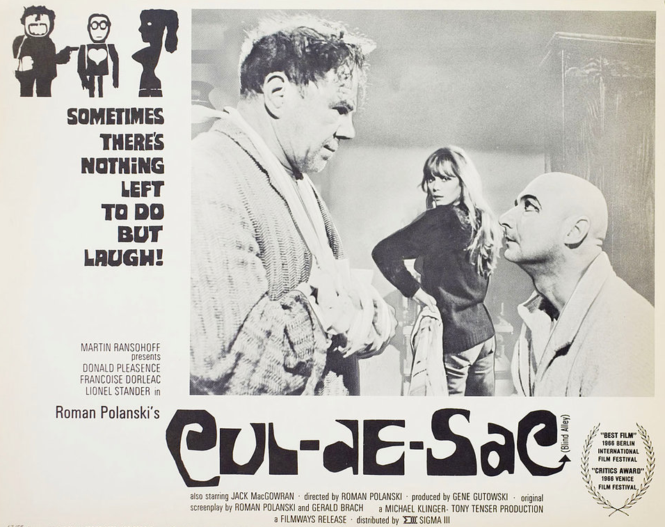
Polanski’s second English-language feature, it follows two injured gangsters who take refuge in the remote island castle of a young British couple in the North of England, spurring a series of mind games and violent altercations.
I was informed by a local resident that the streets and houses had been used by film crews, firstly for ease of access, the location being closed off, and secondly as the period architecture aligns perfectly with the current penchant for mid-century styling.
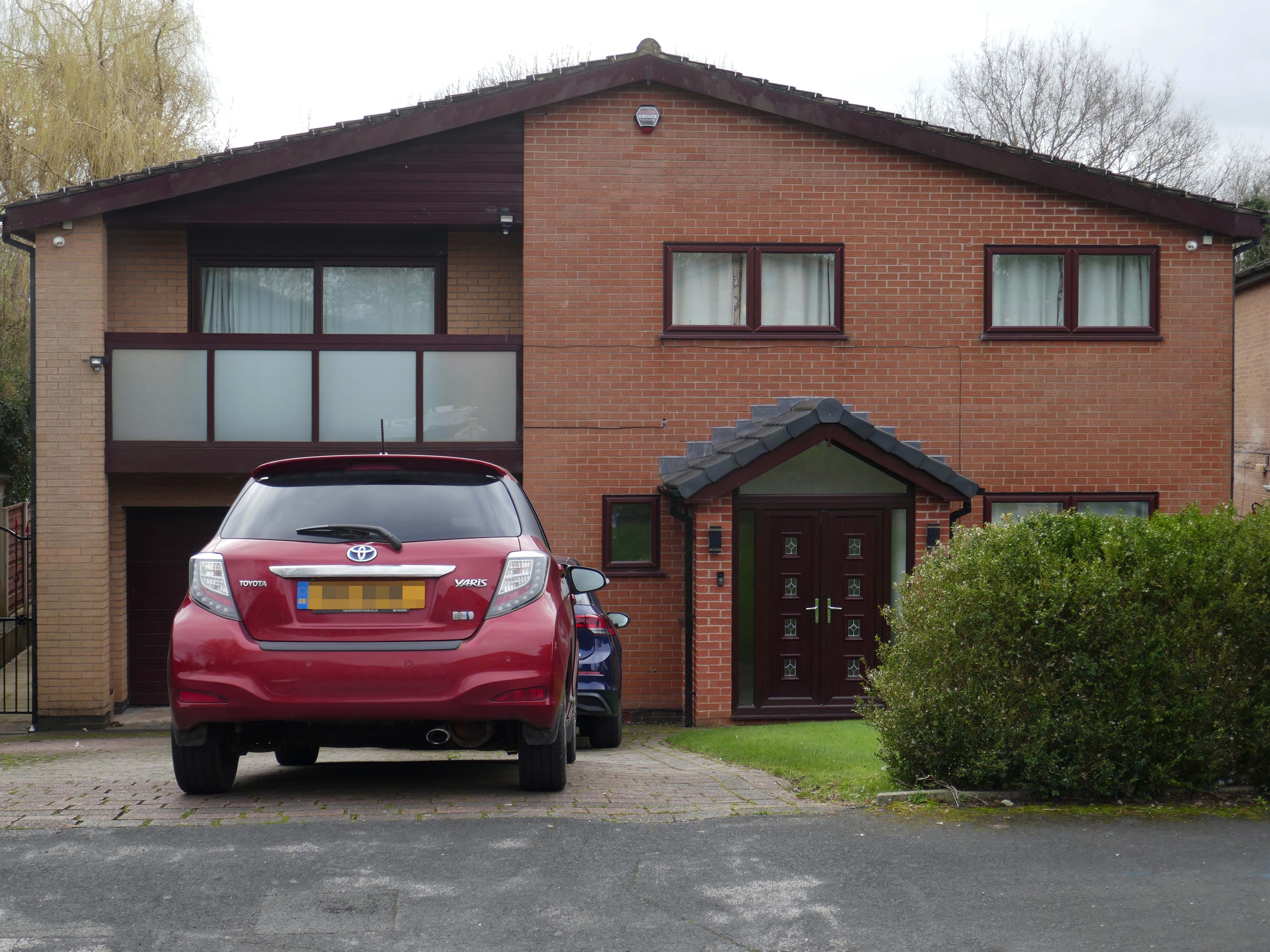
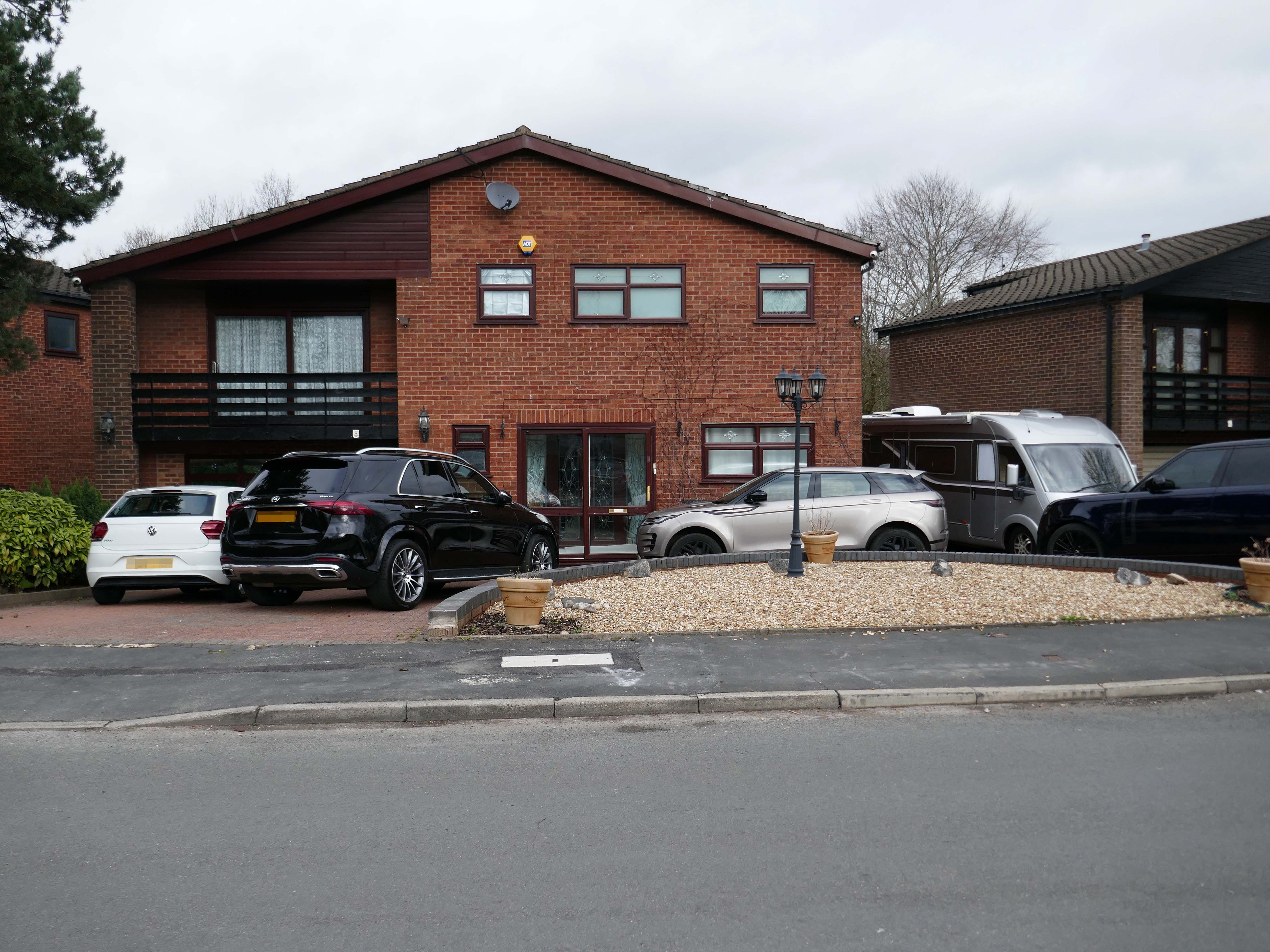
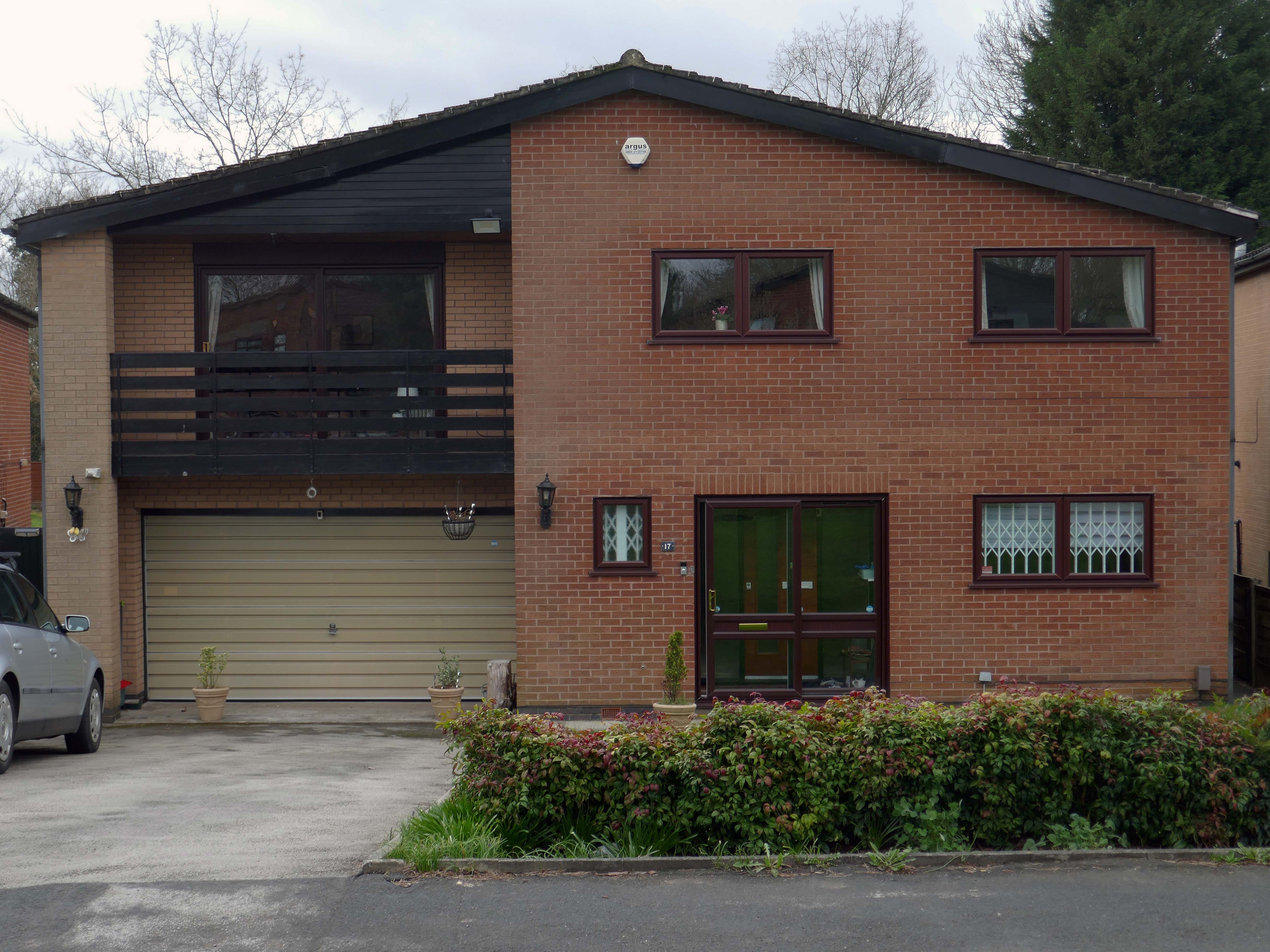
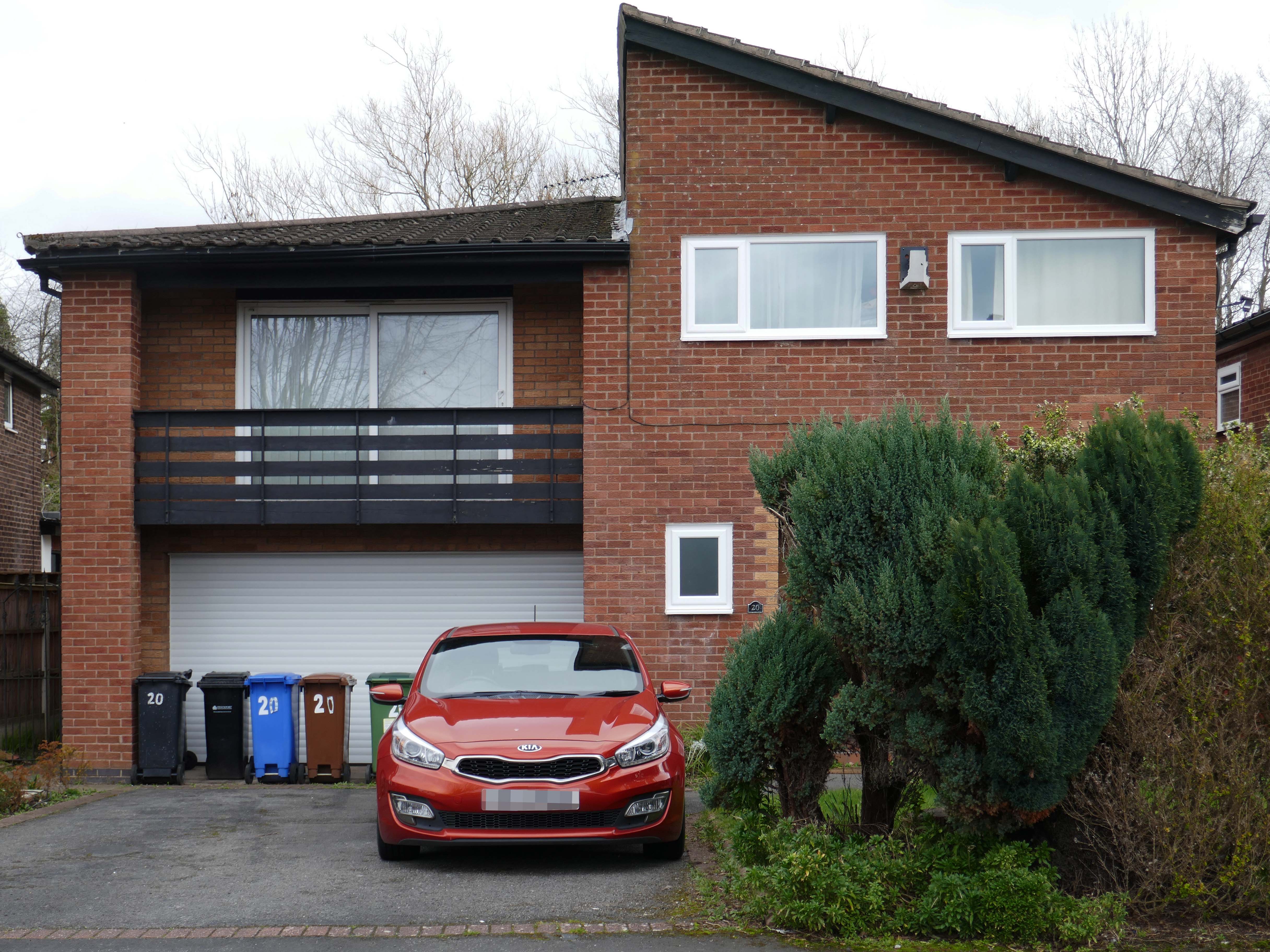
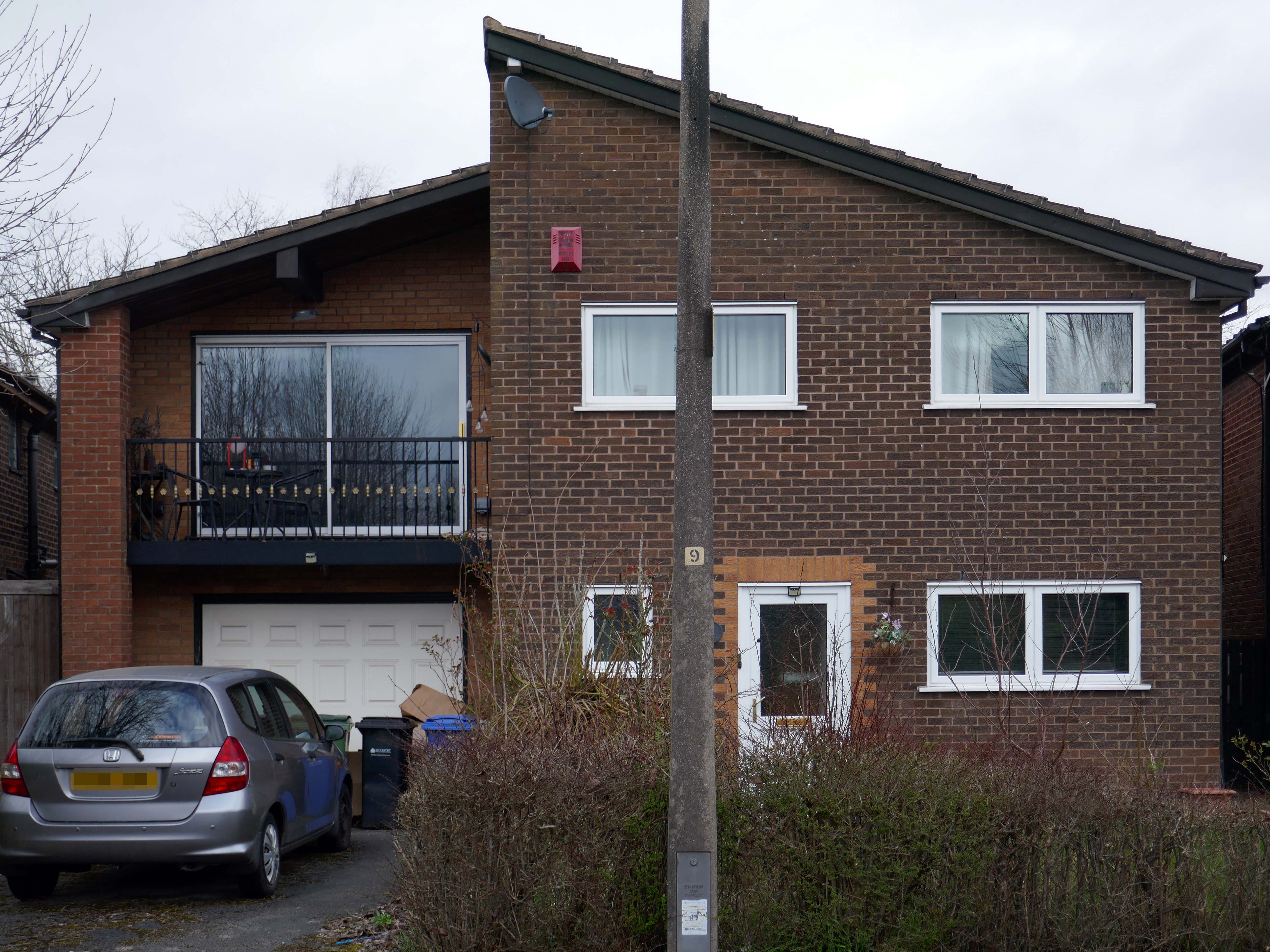
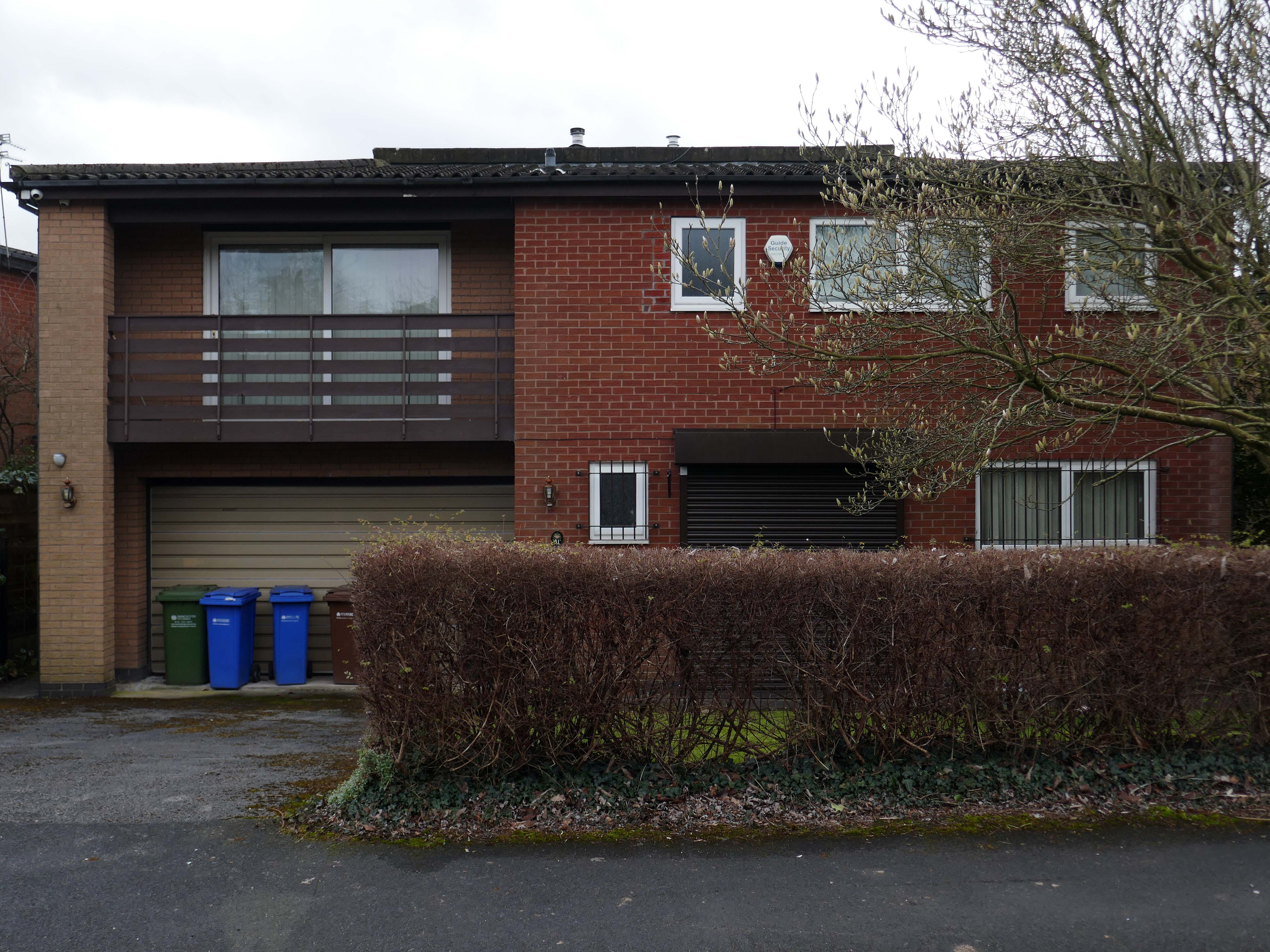
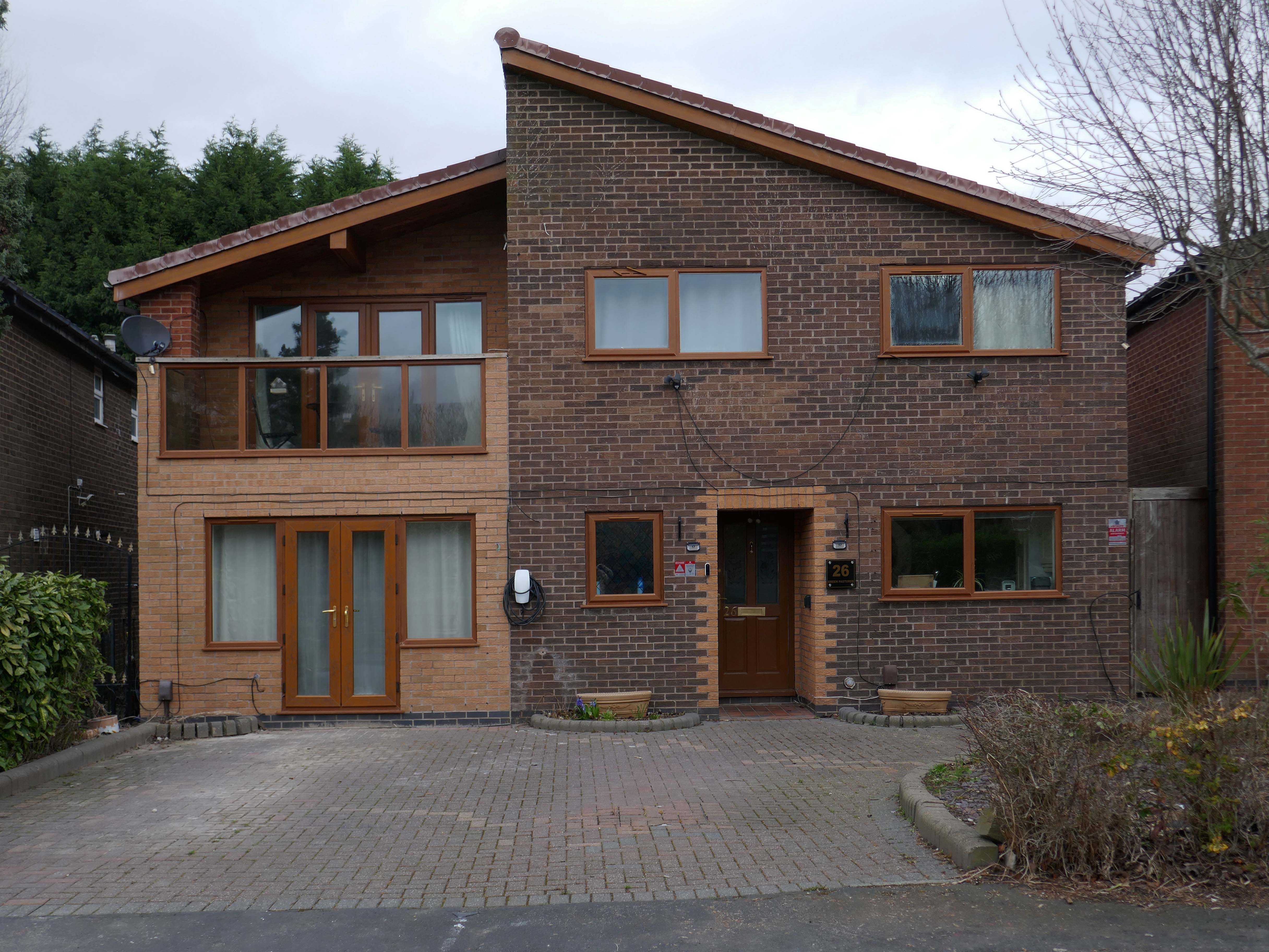
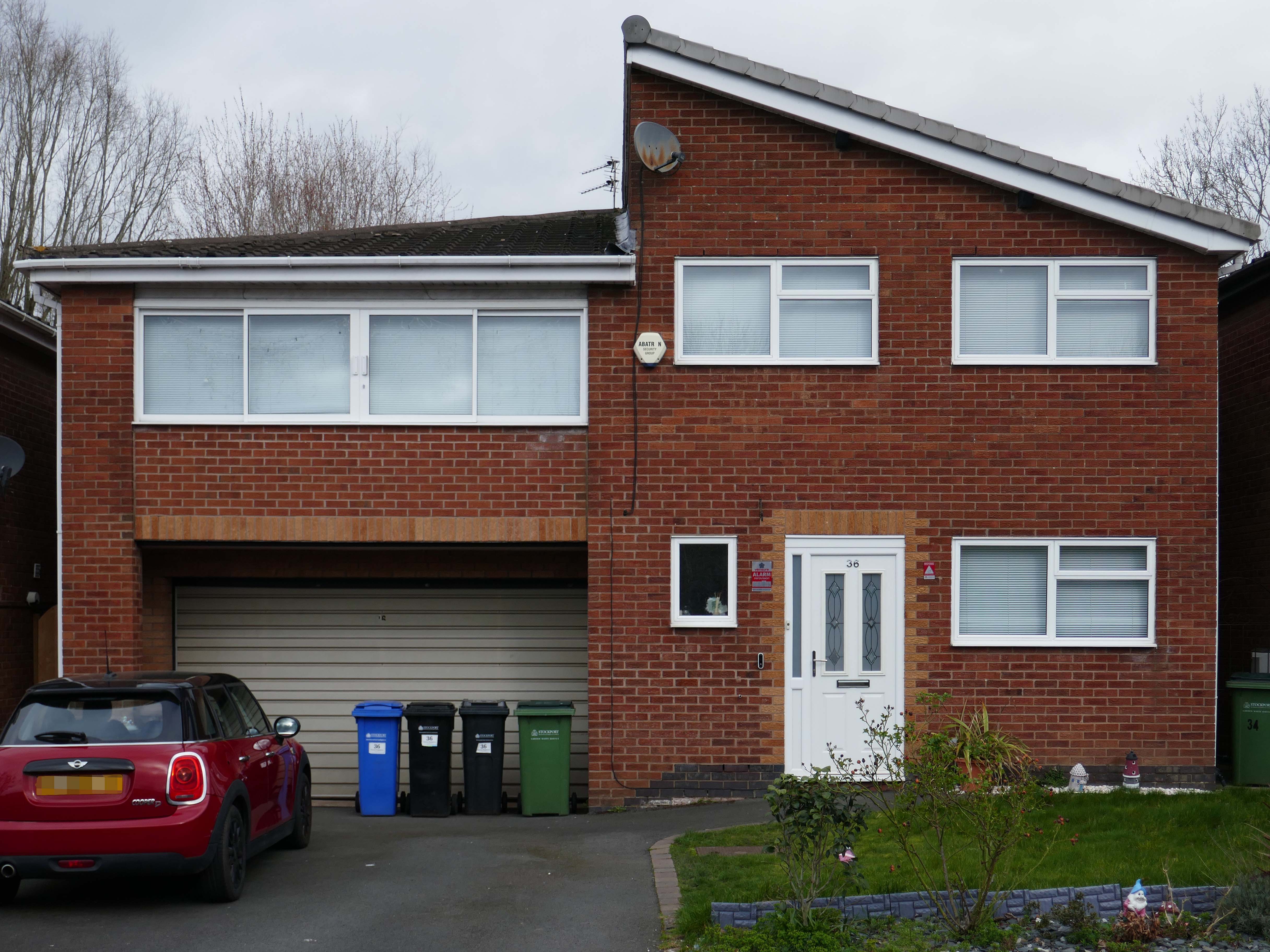
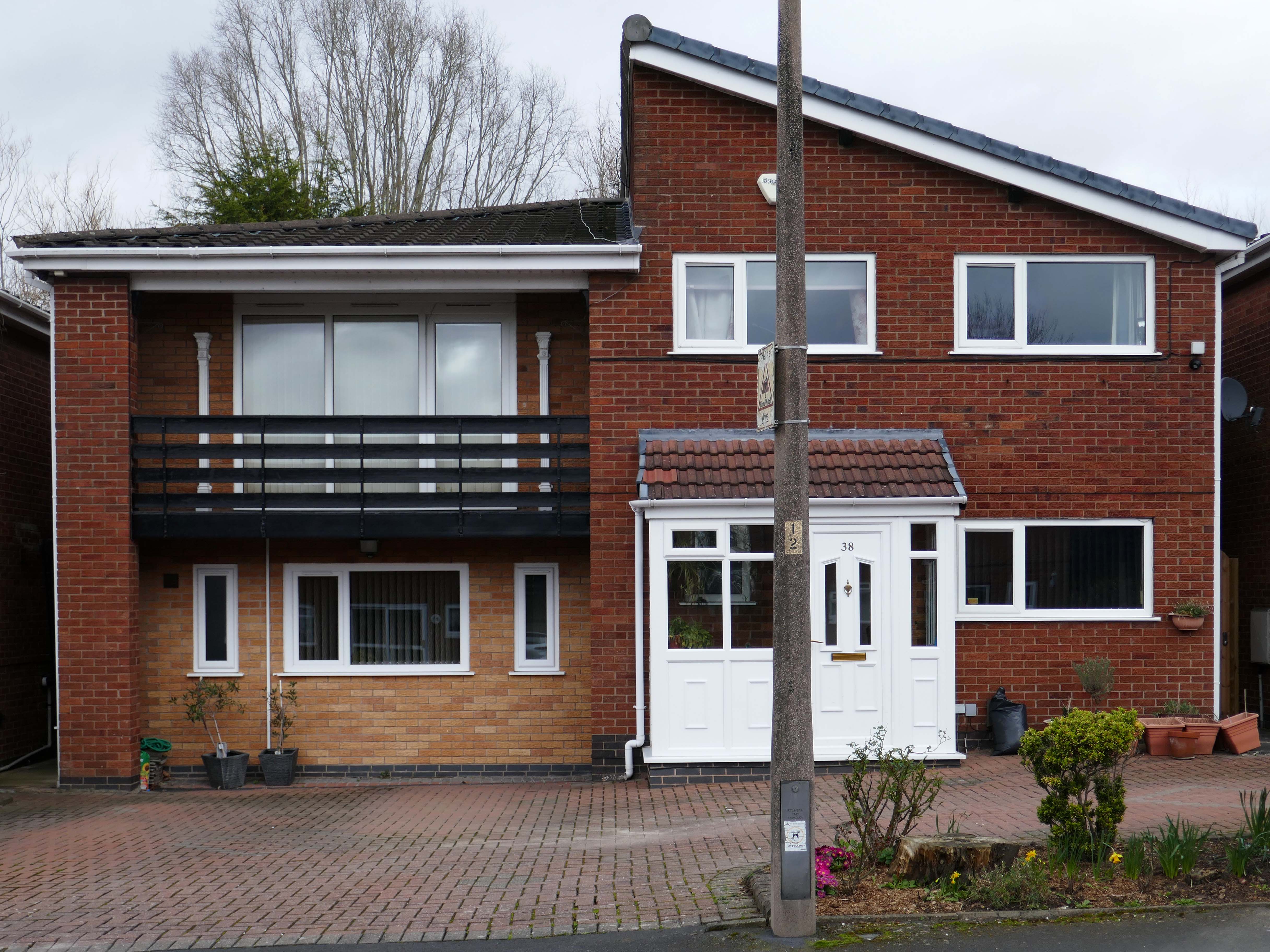
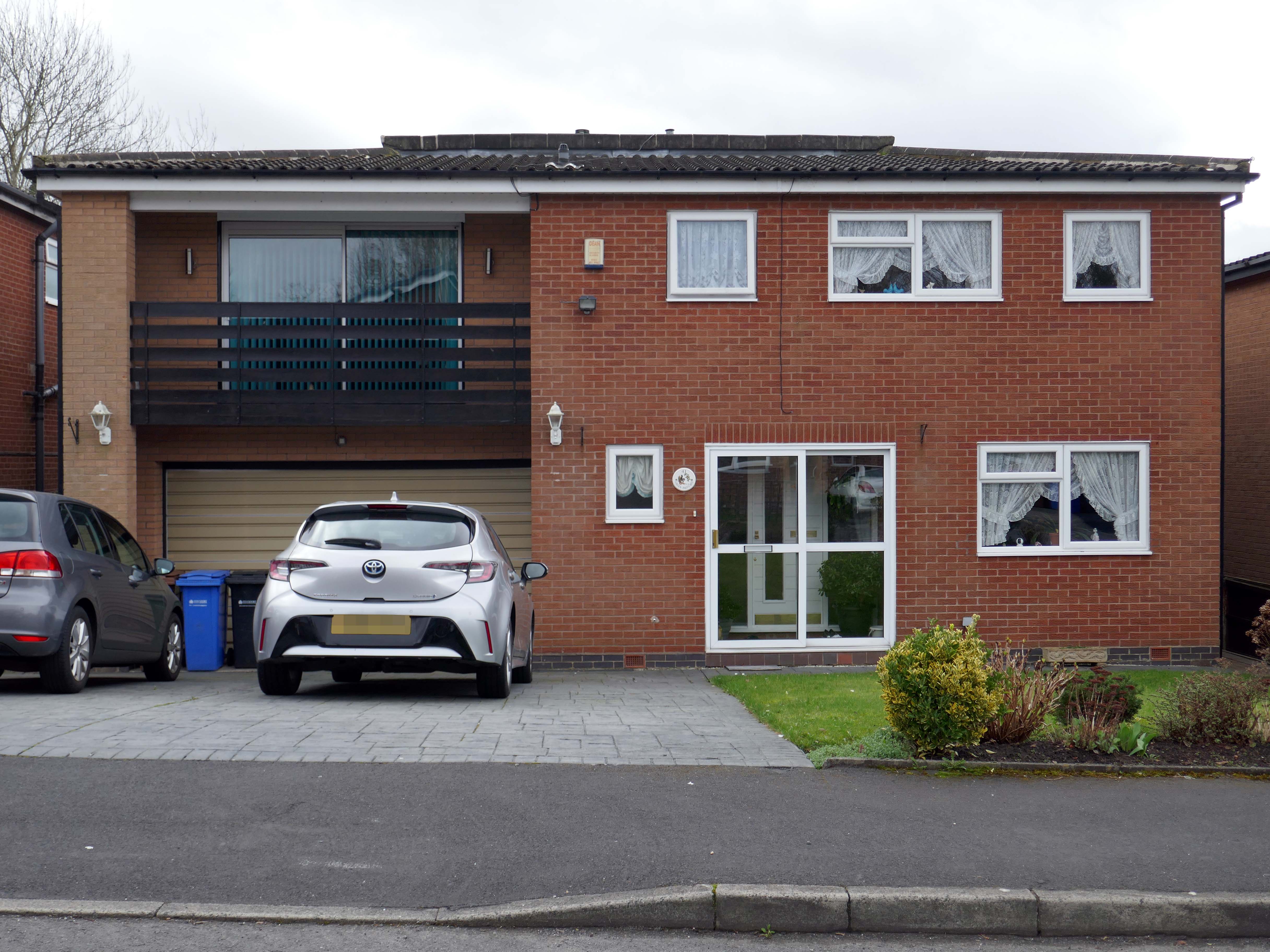
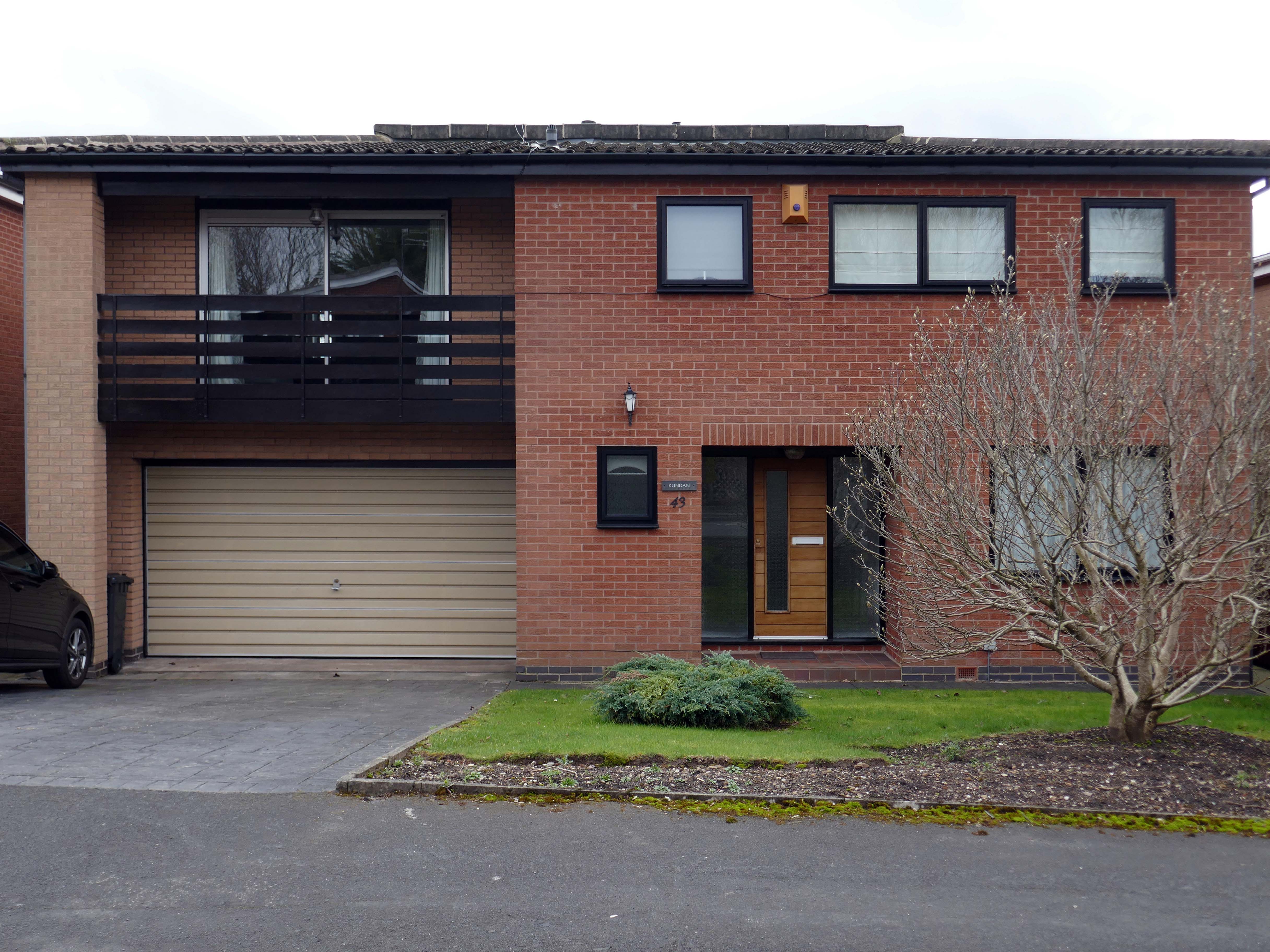
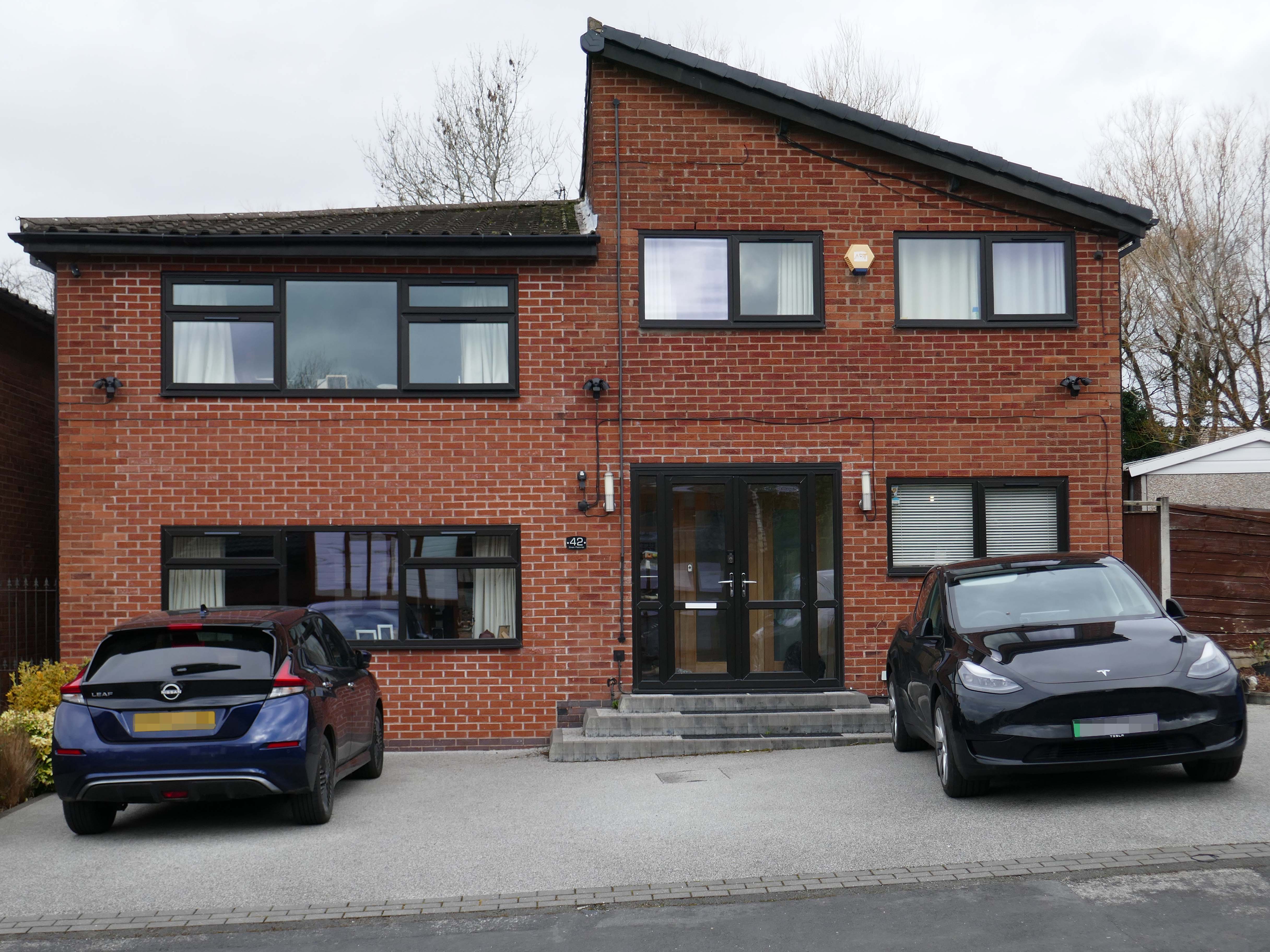
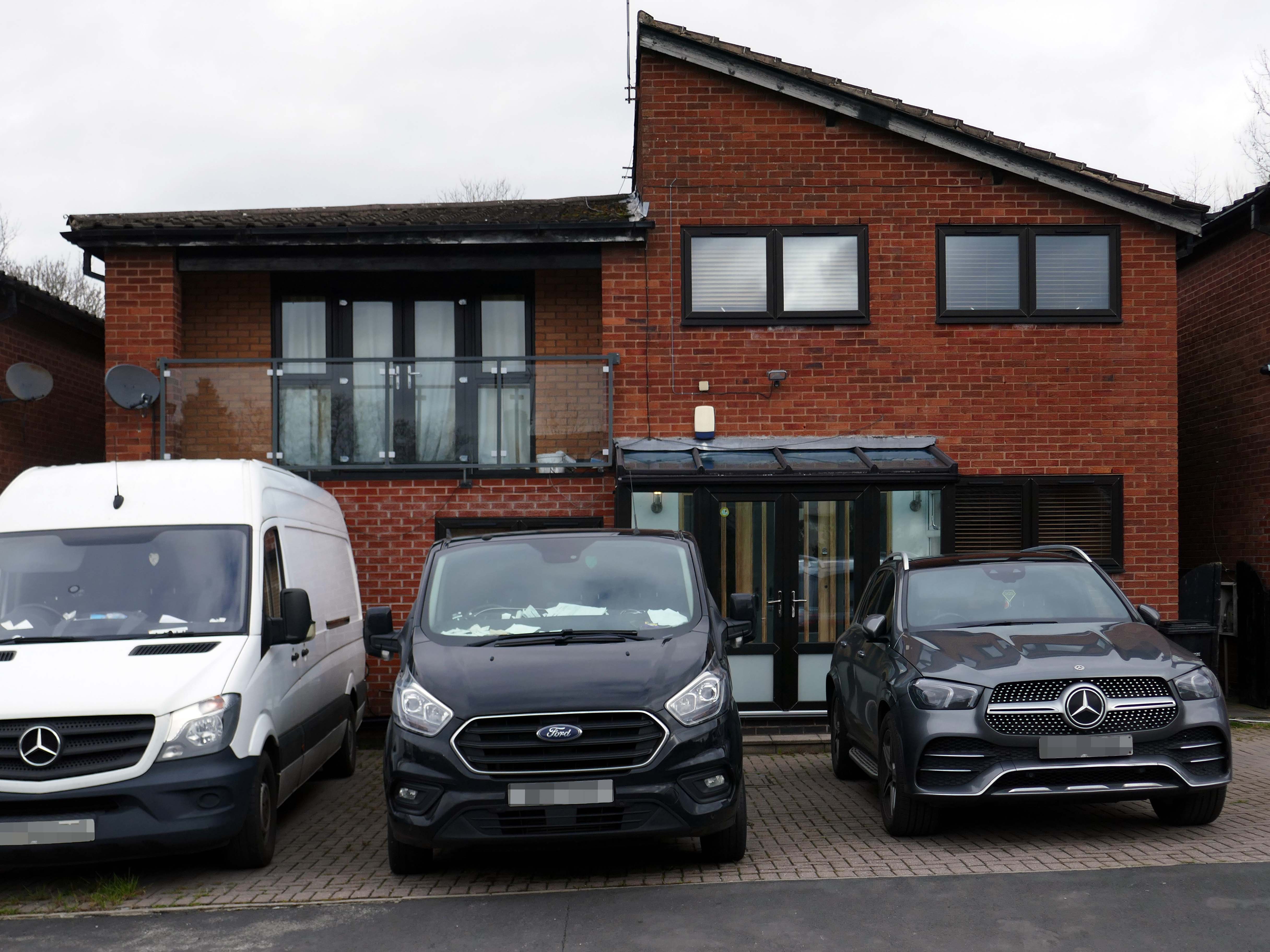
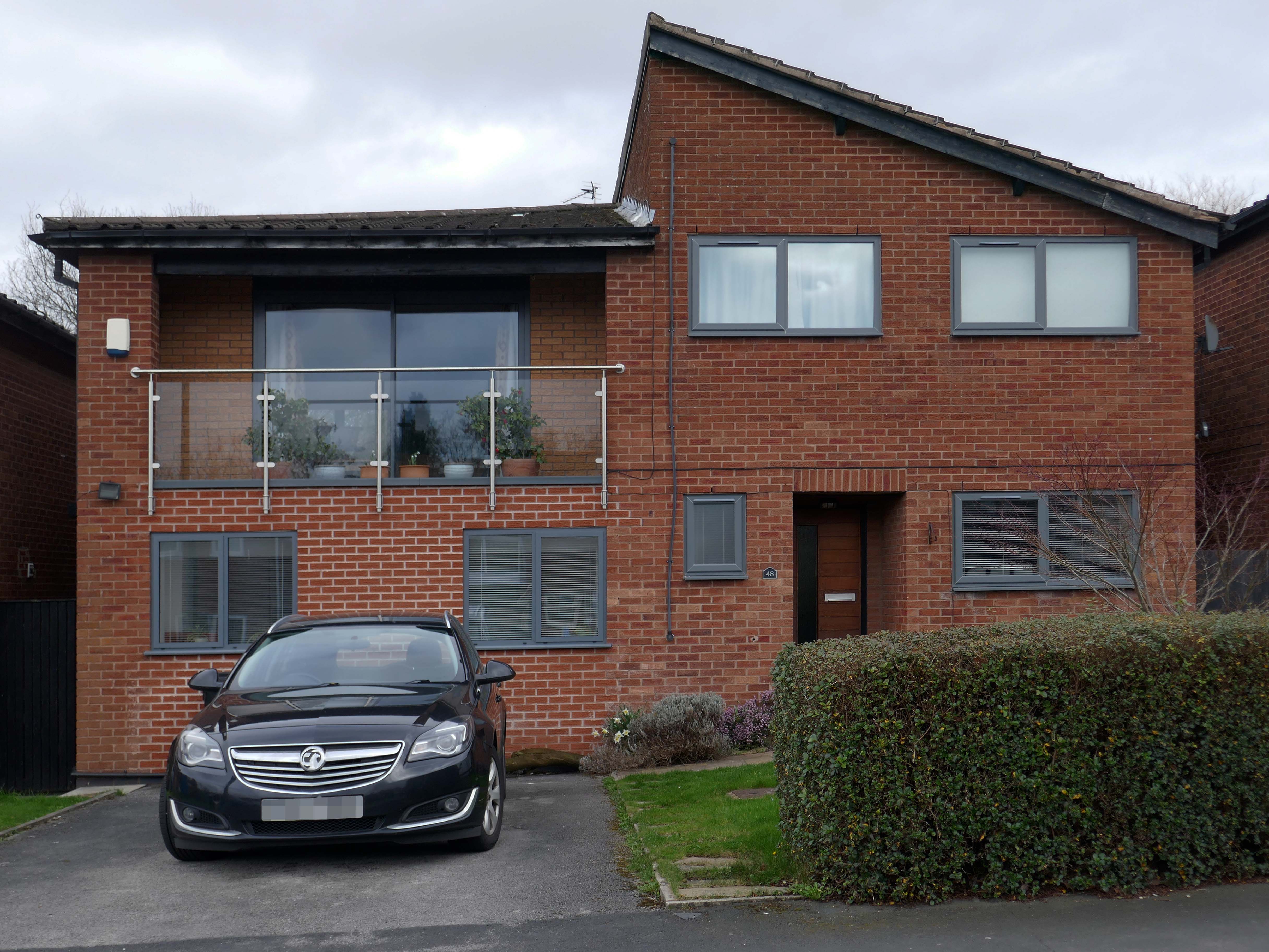
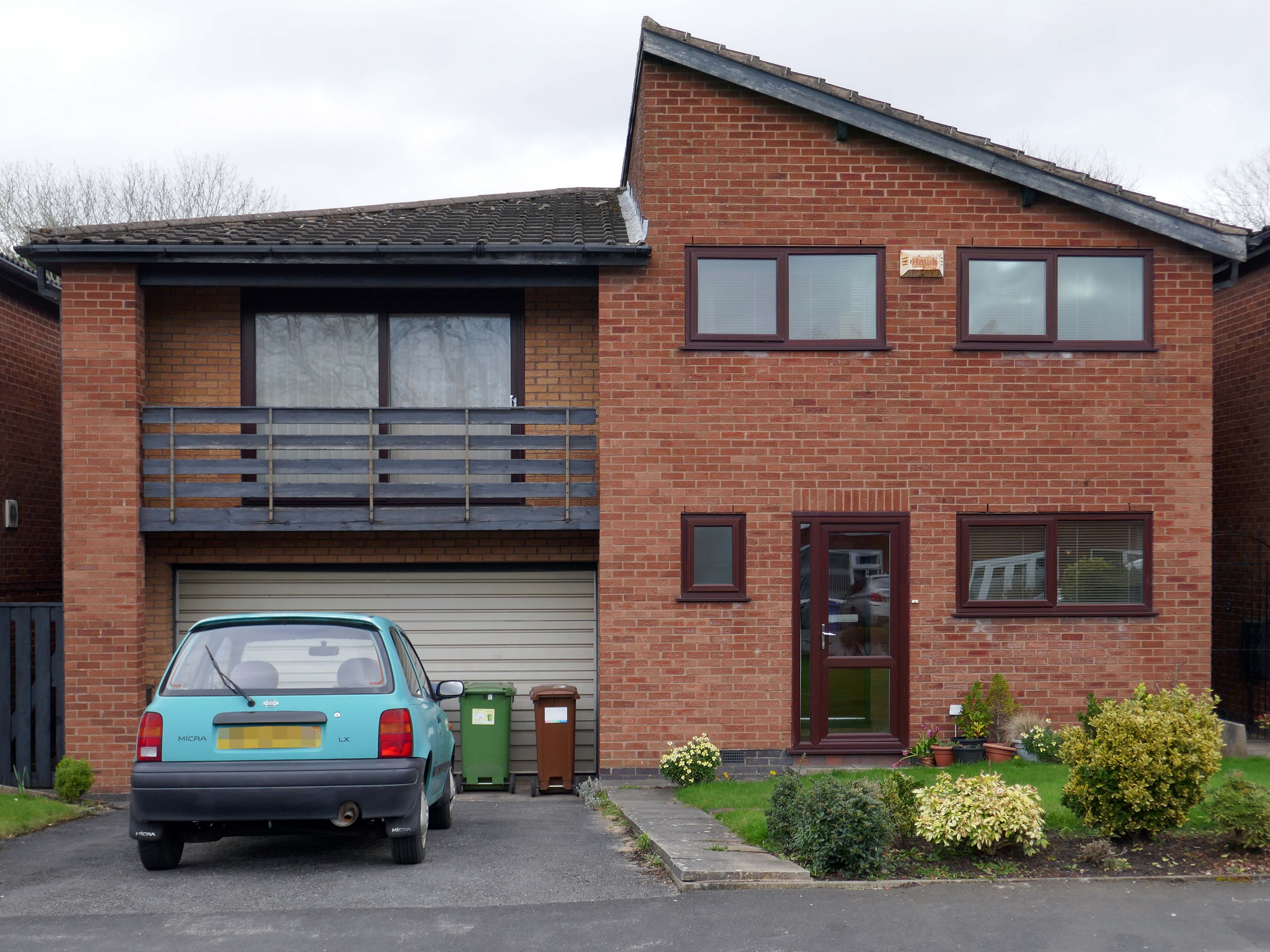
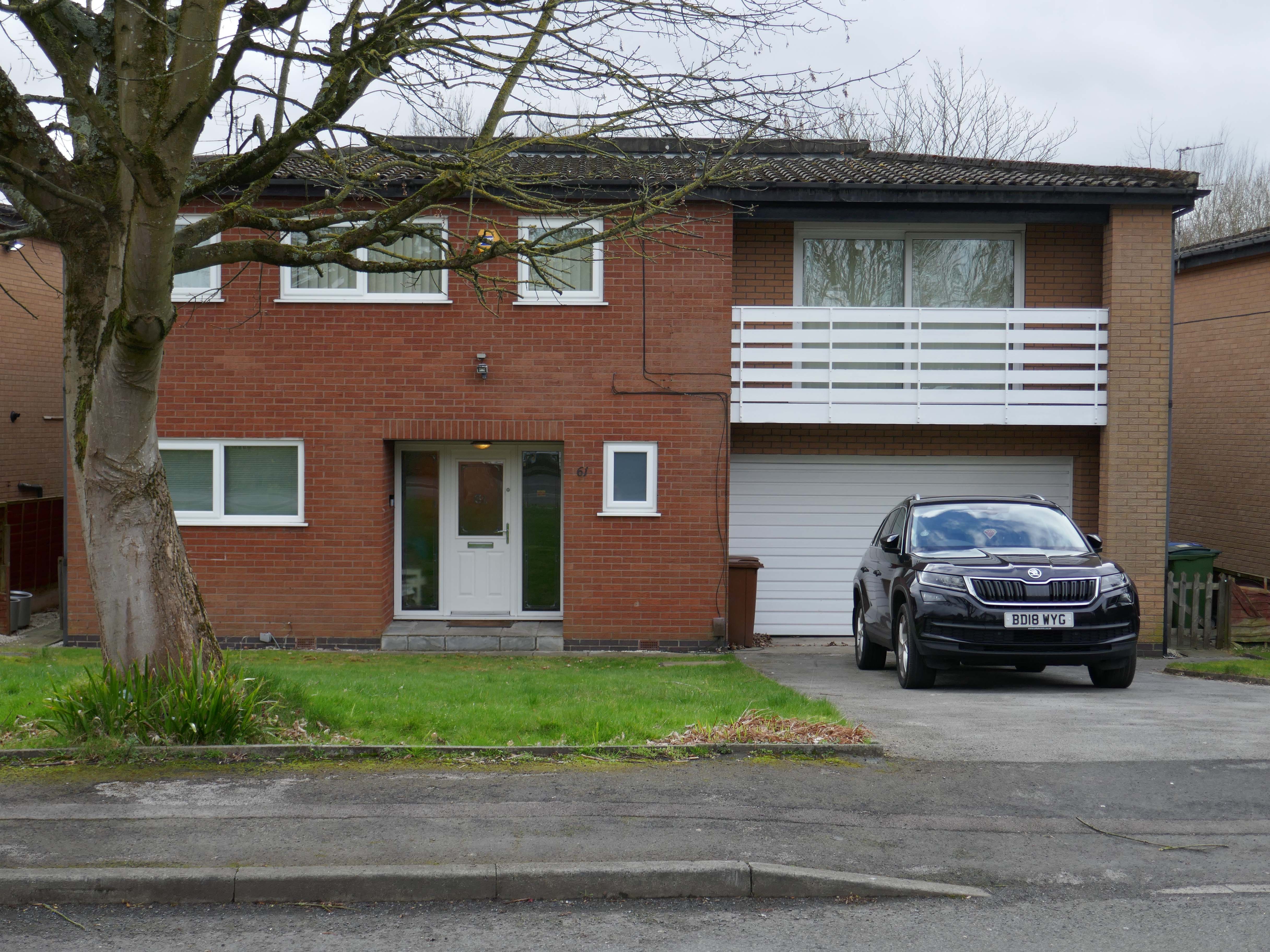
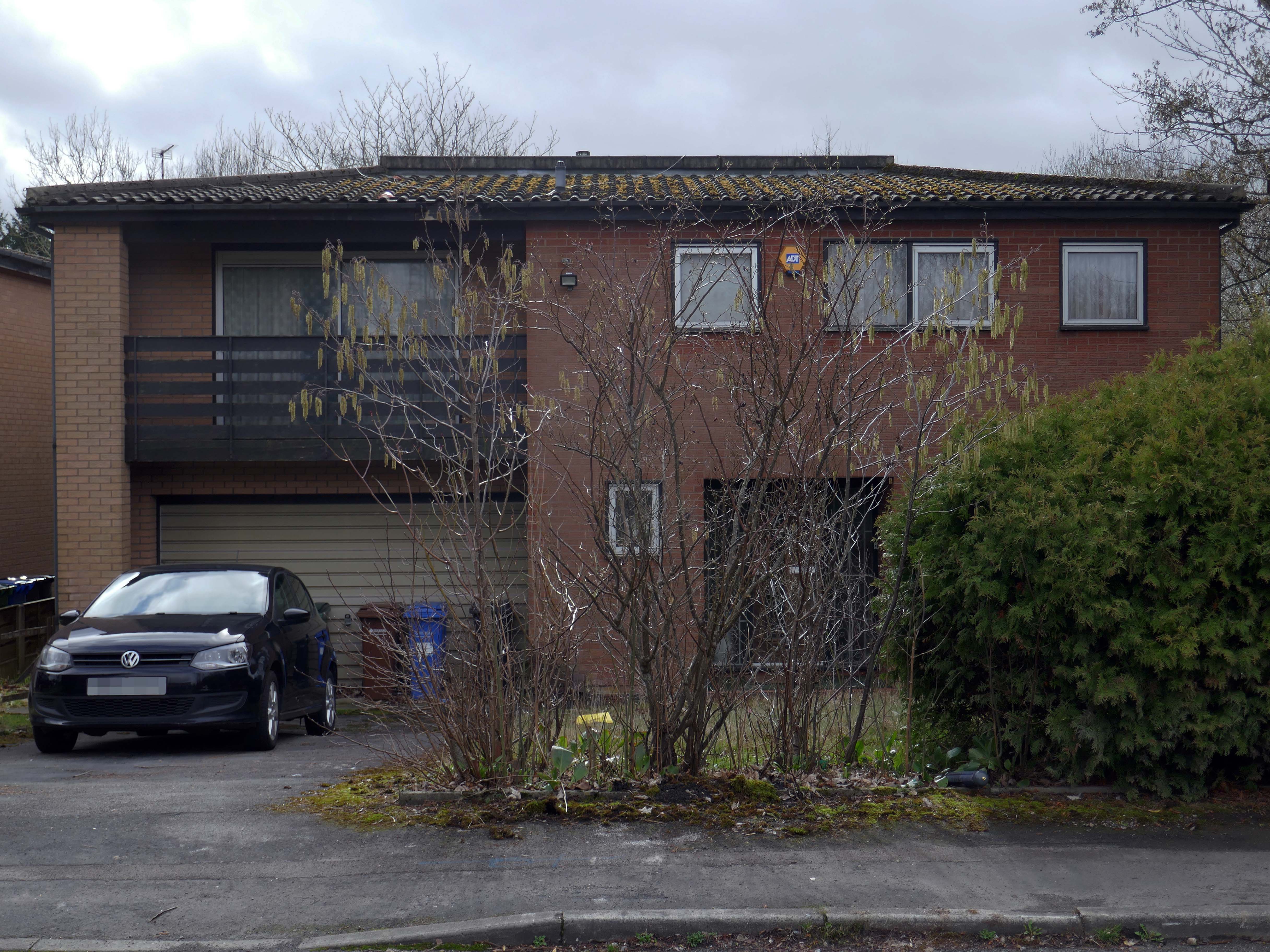
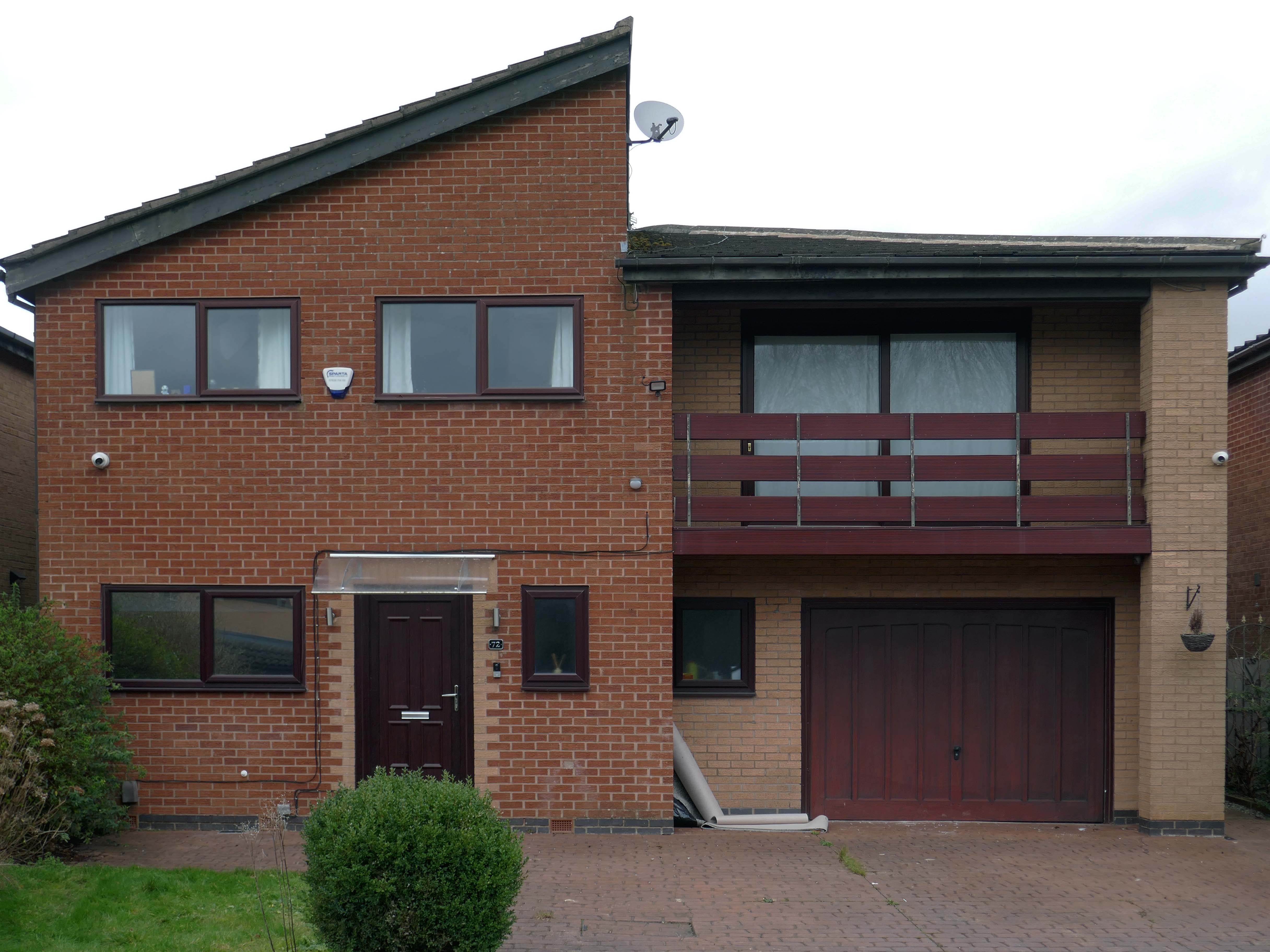
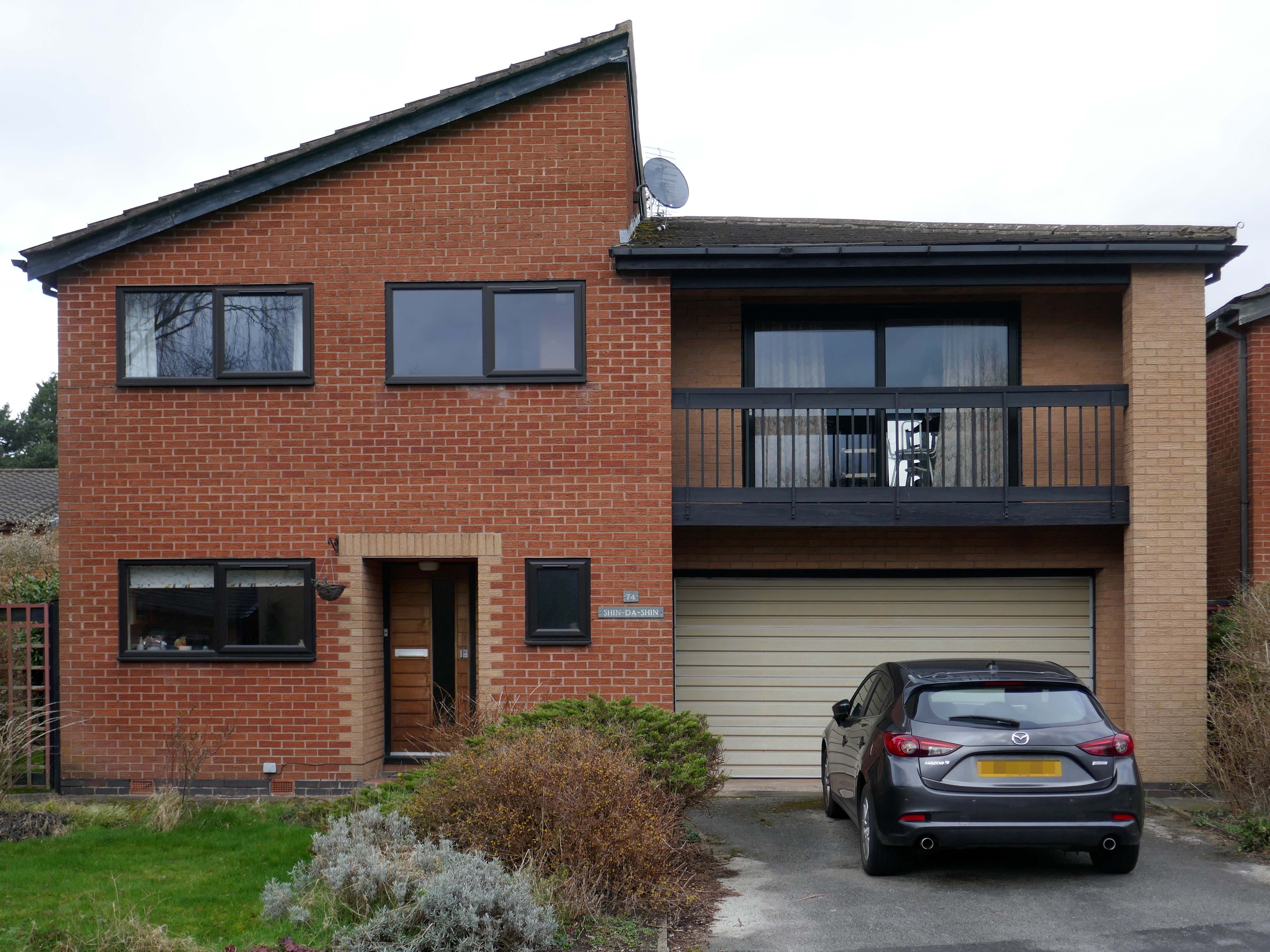
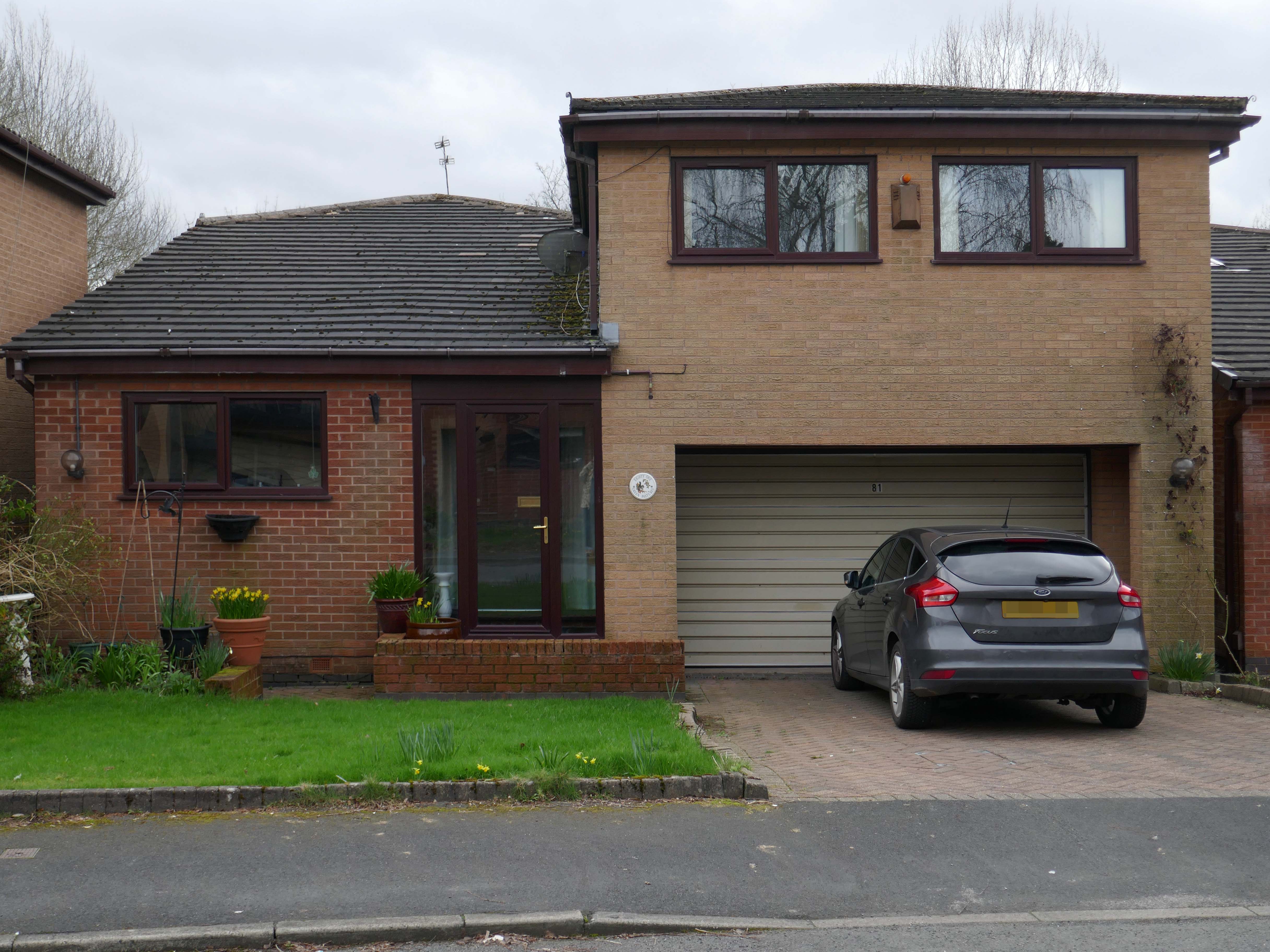
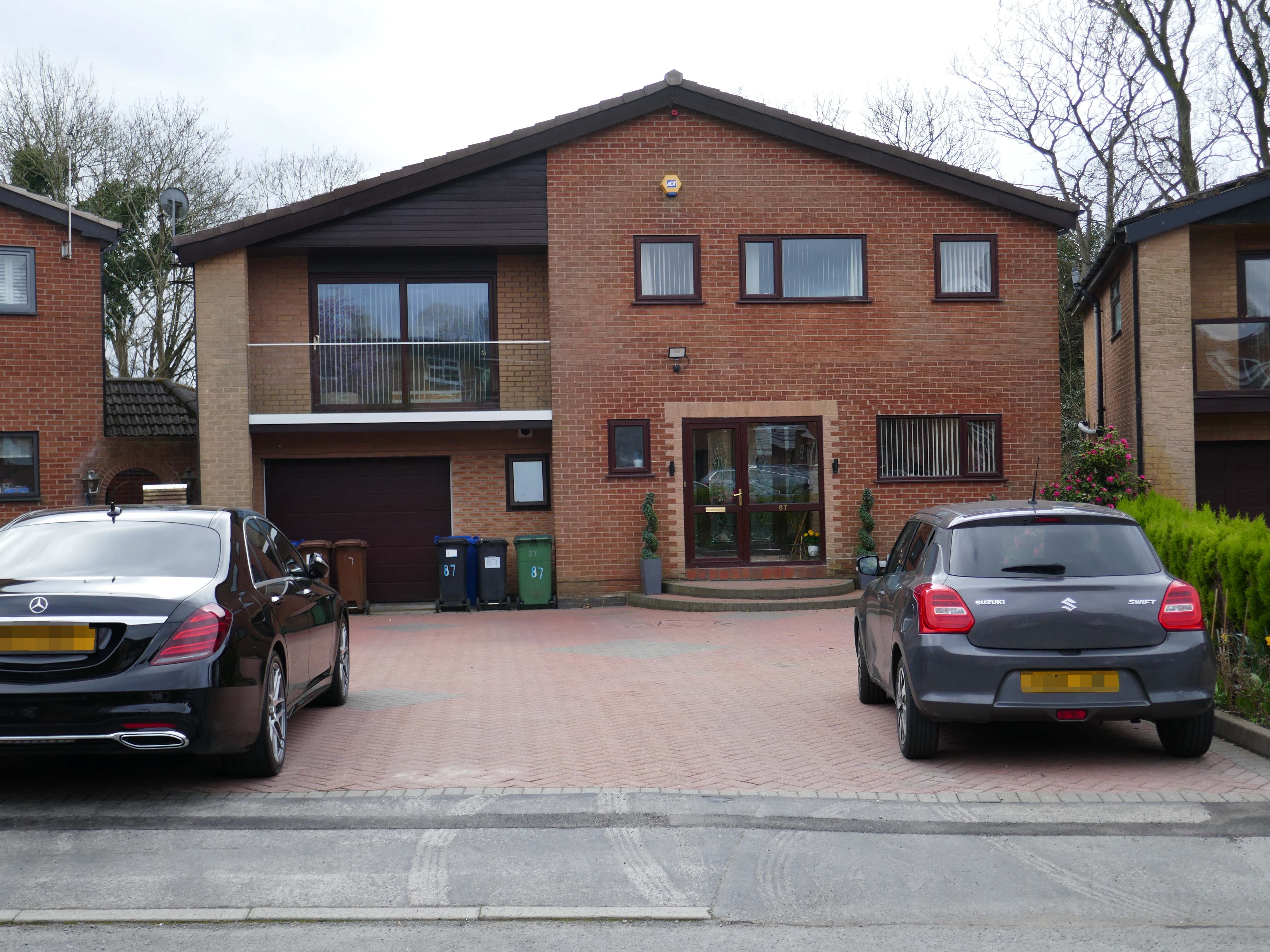
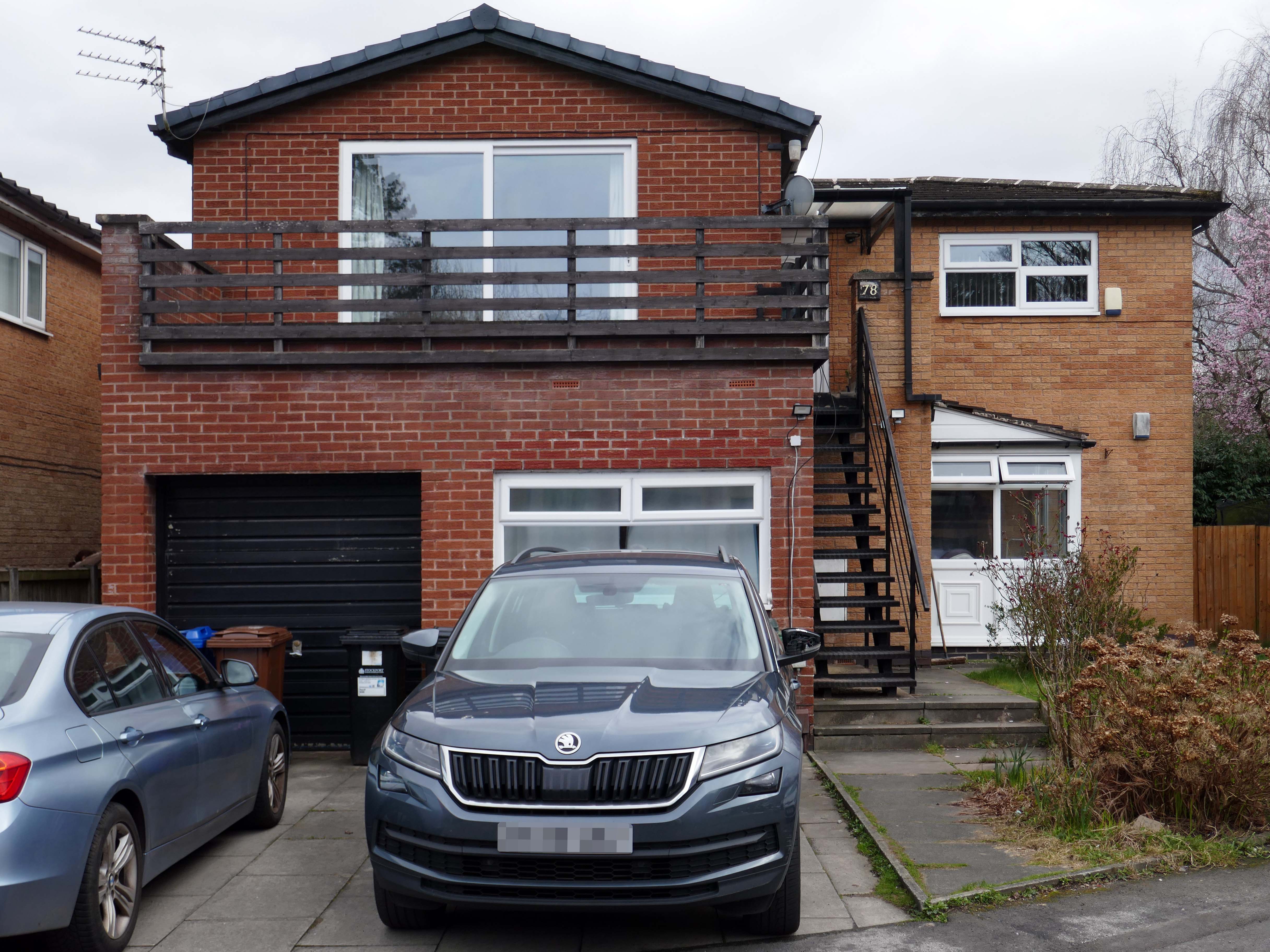
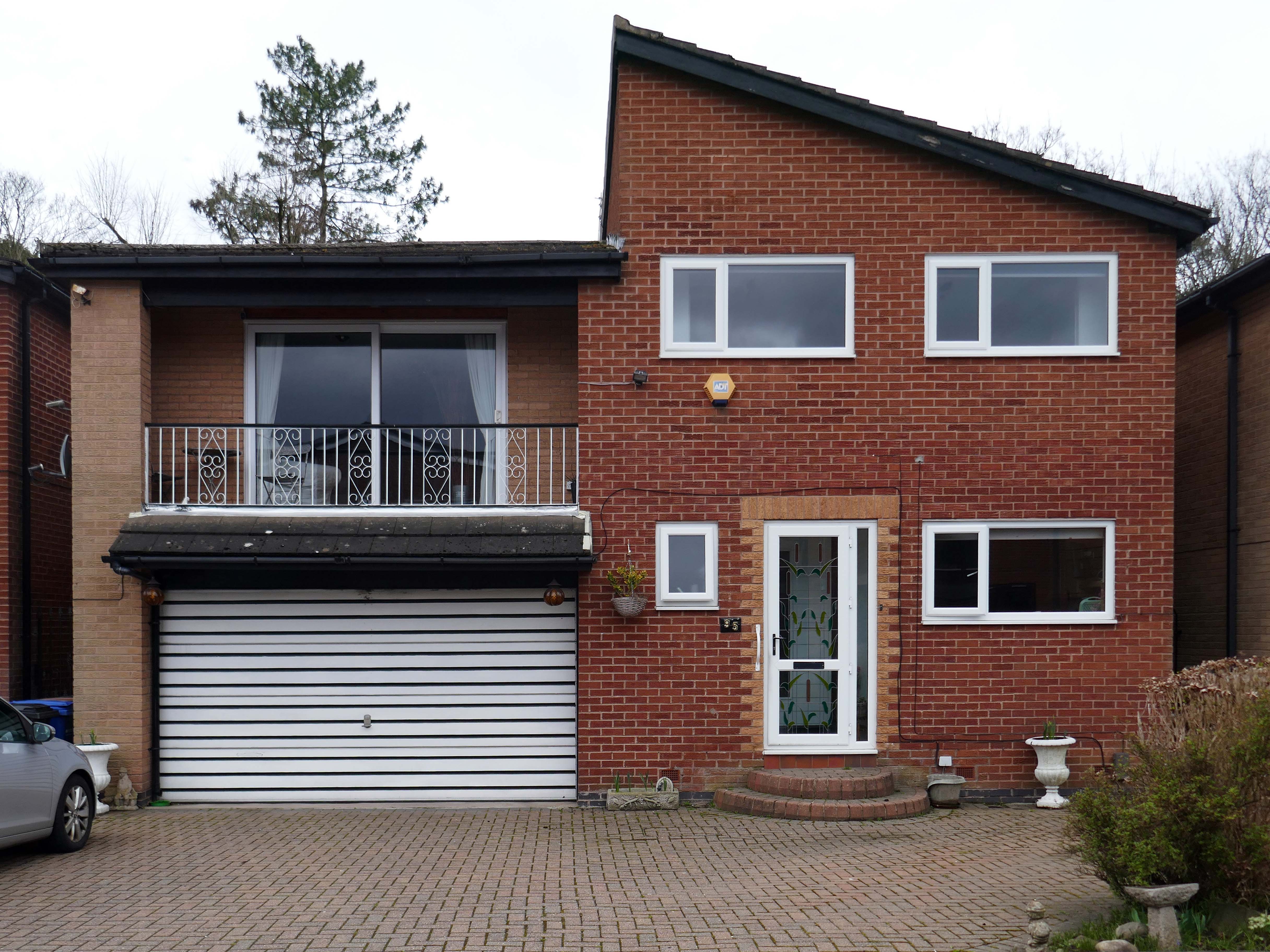
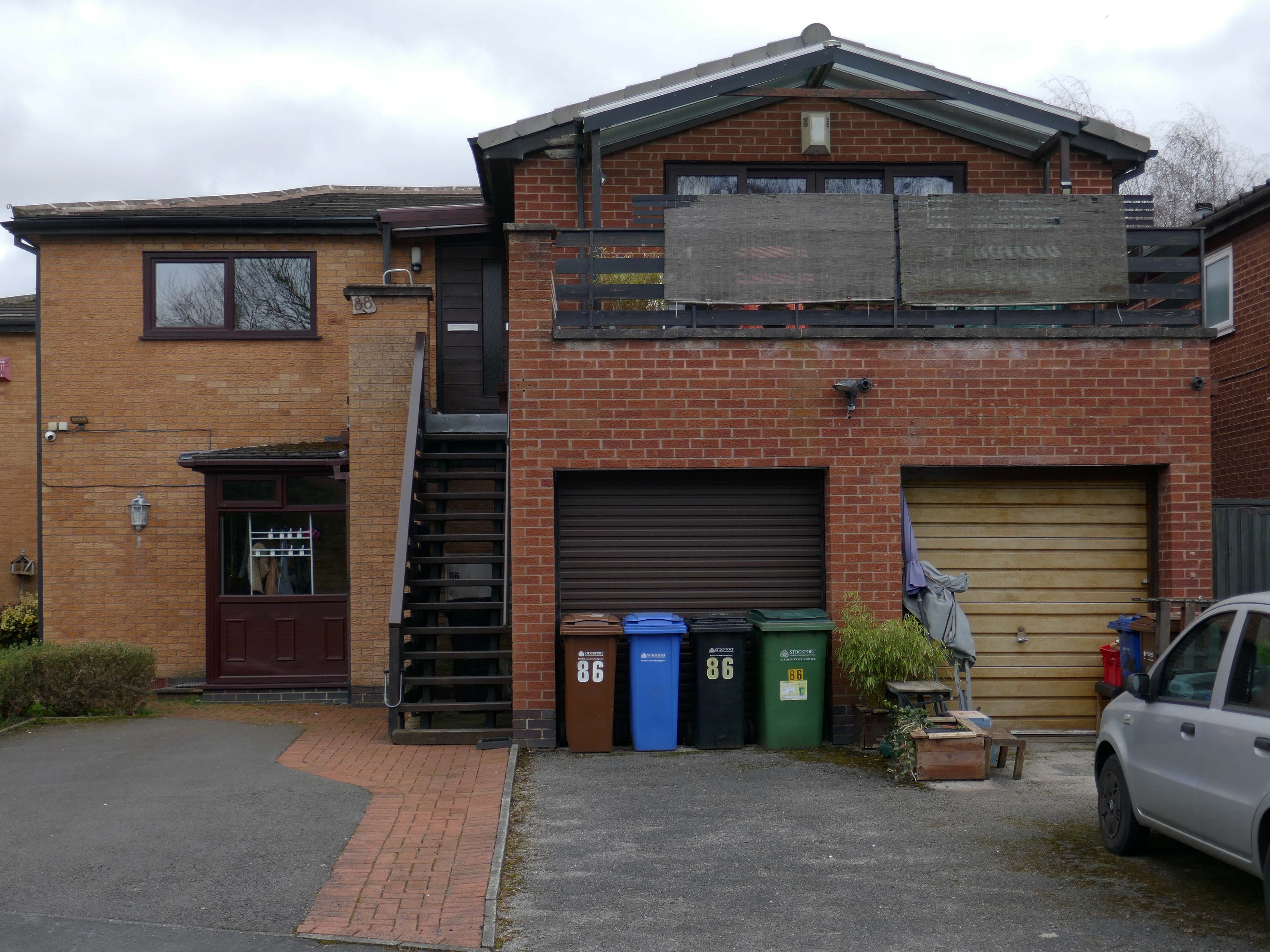
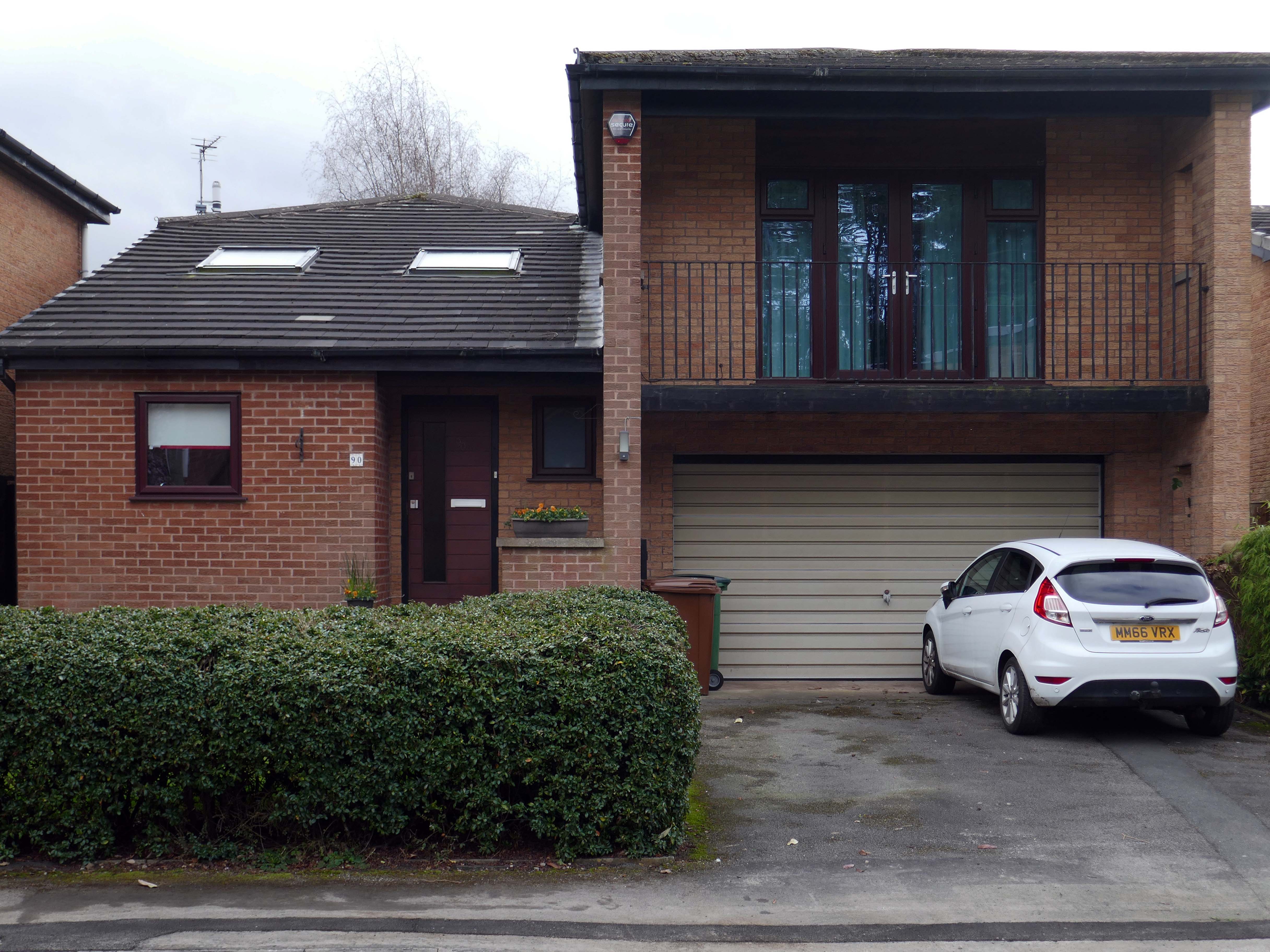
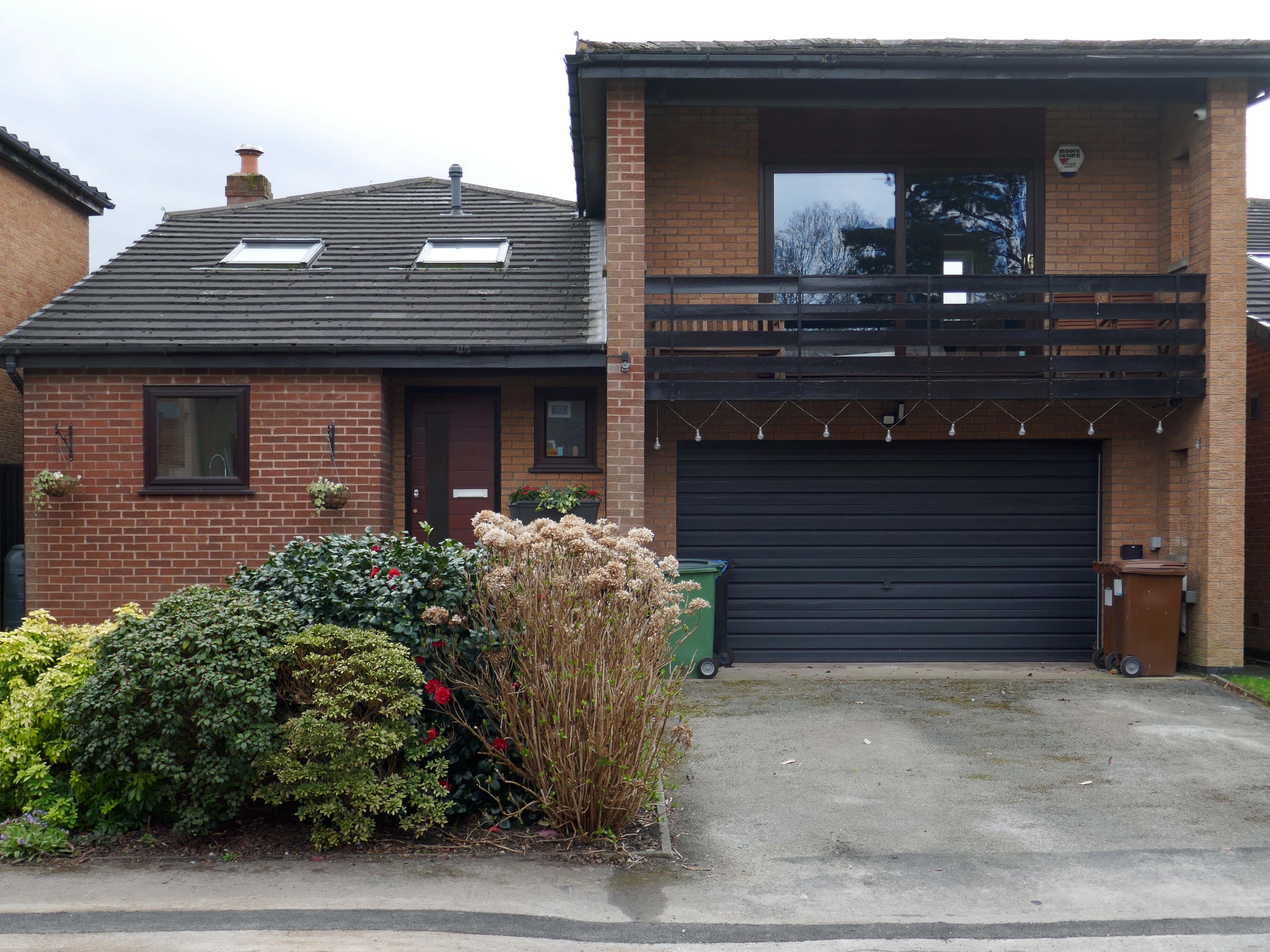
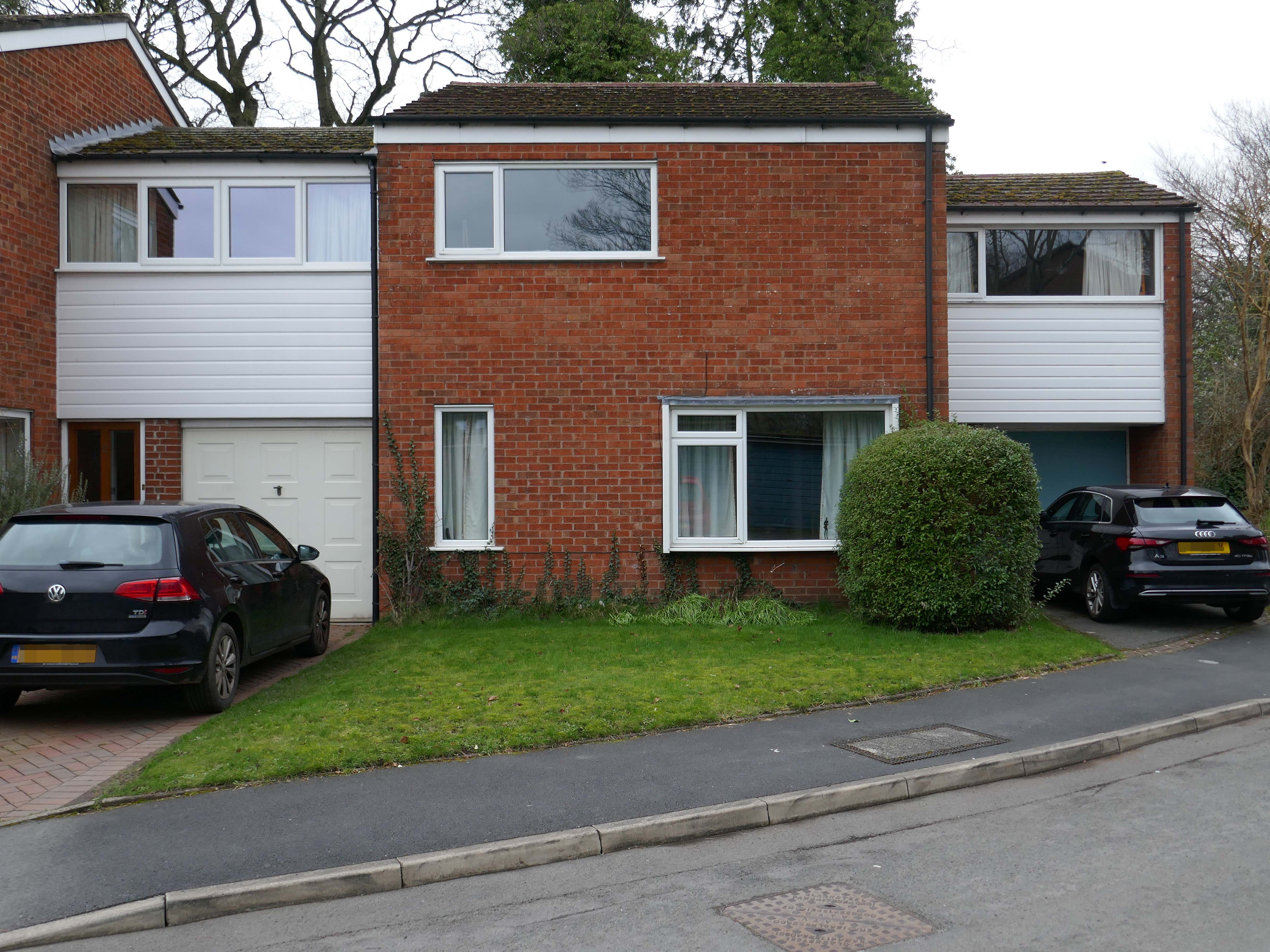
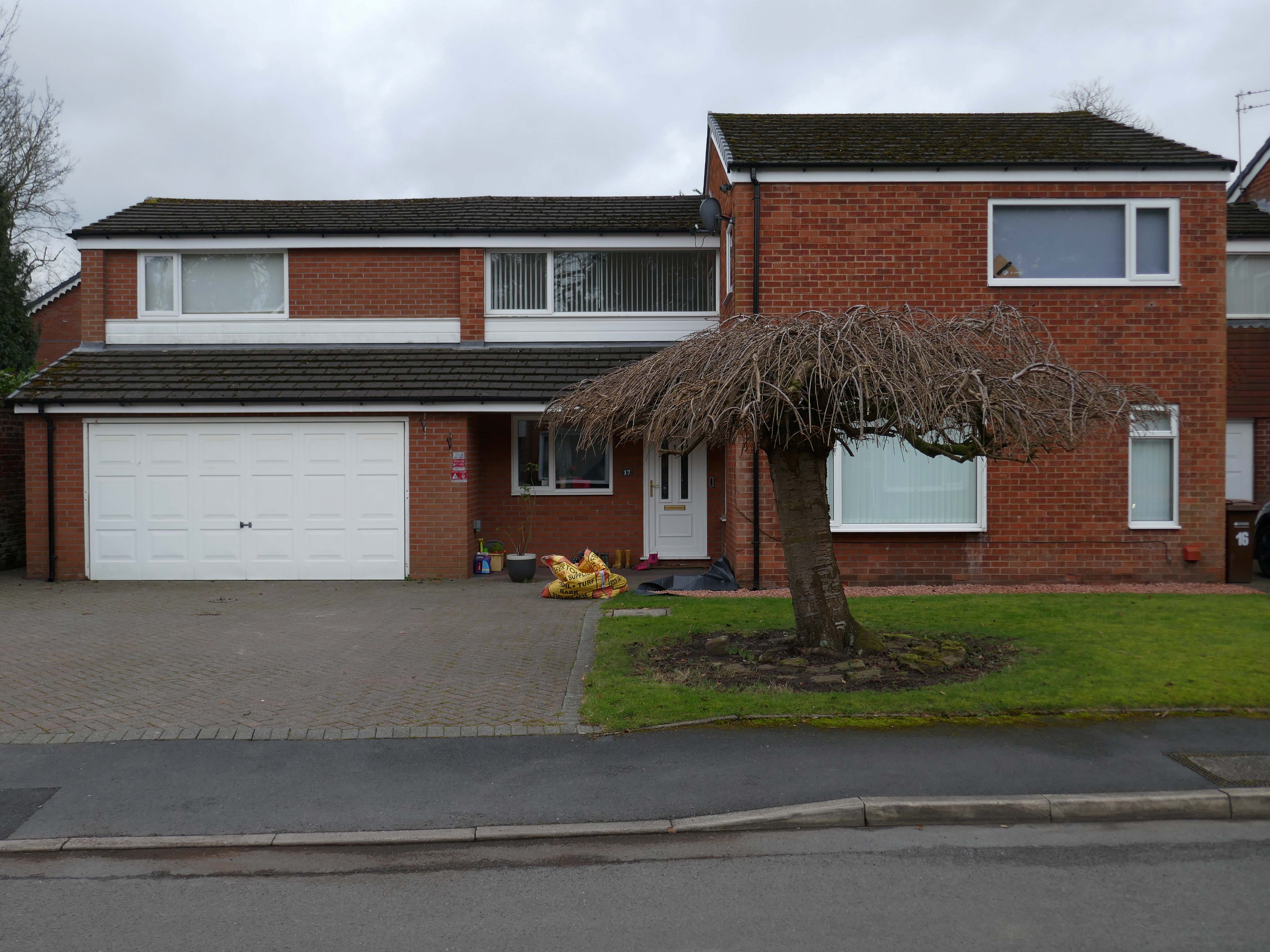
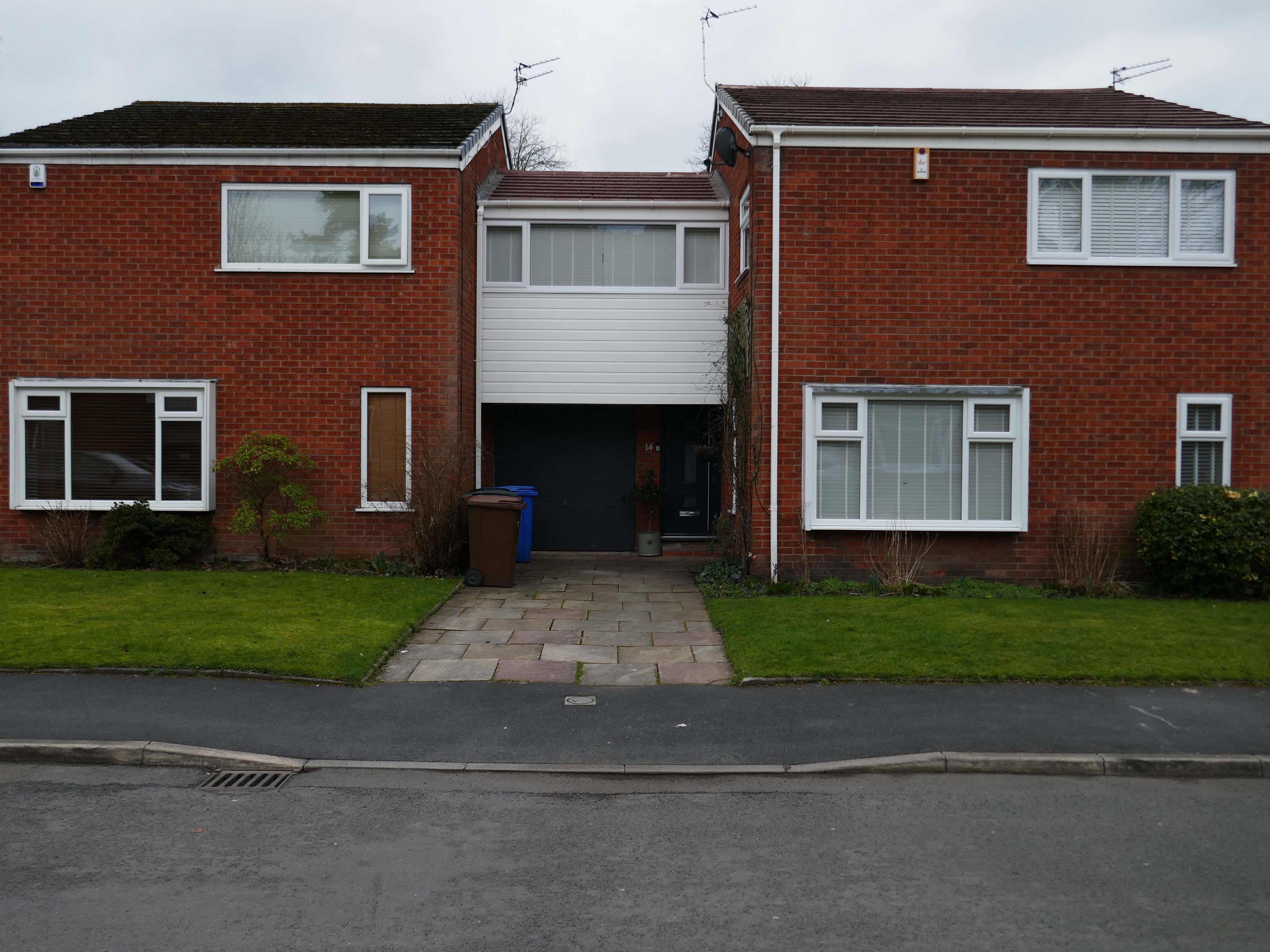
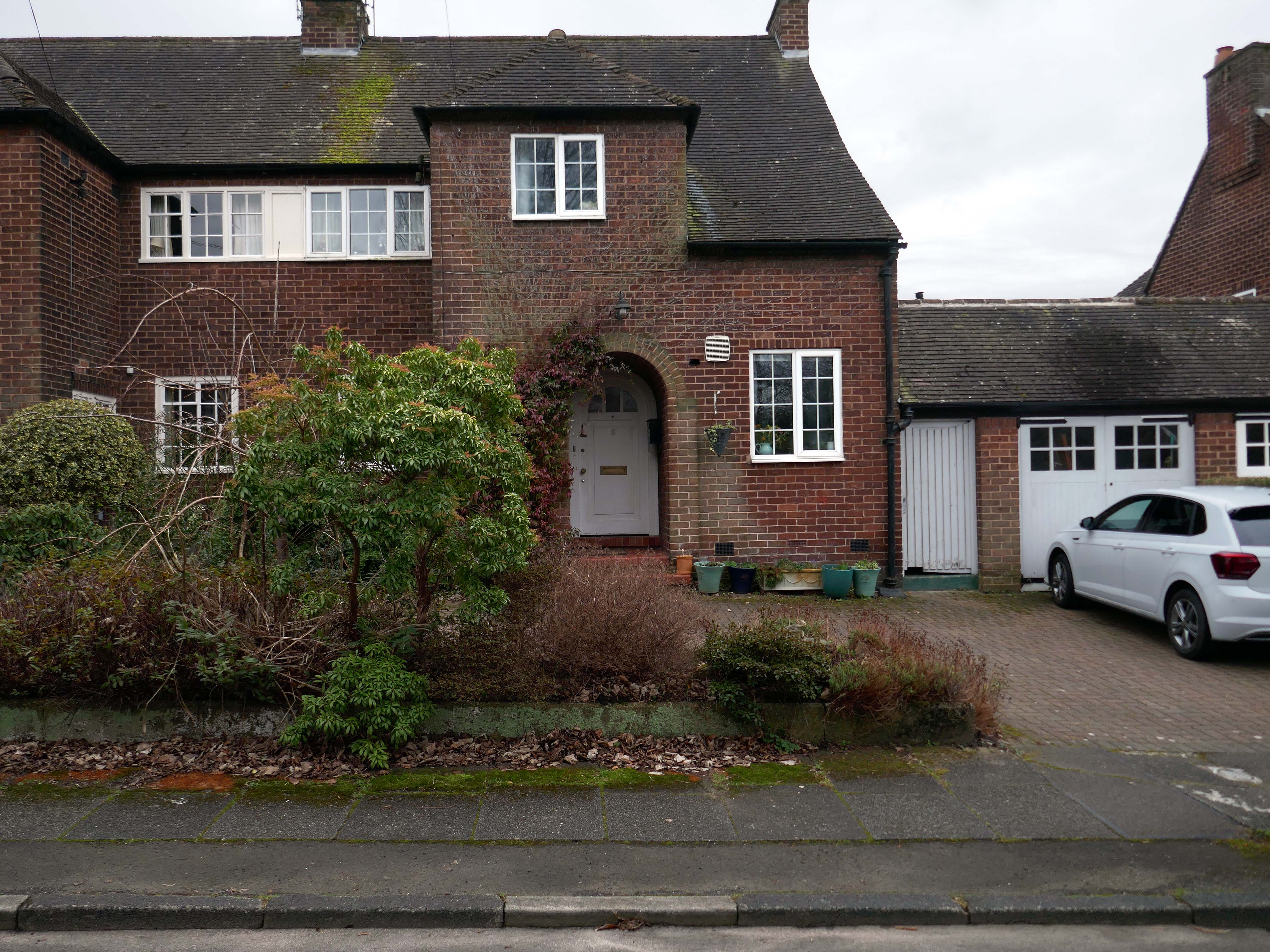
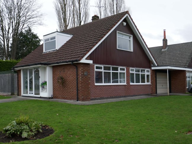
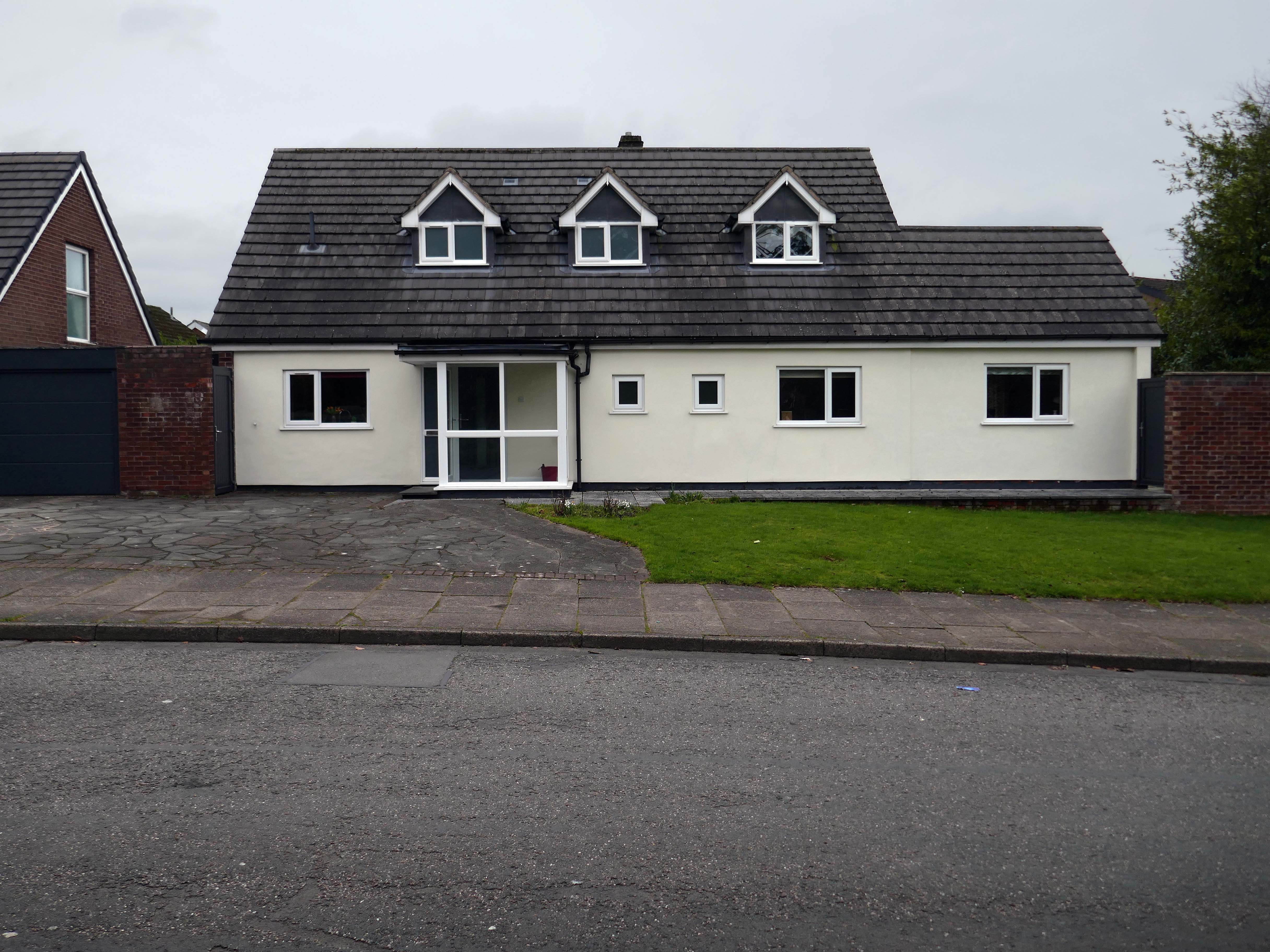
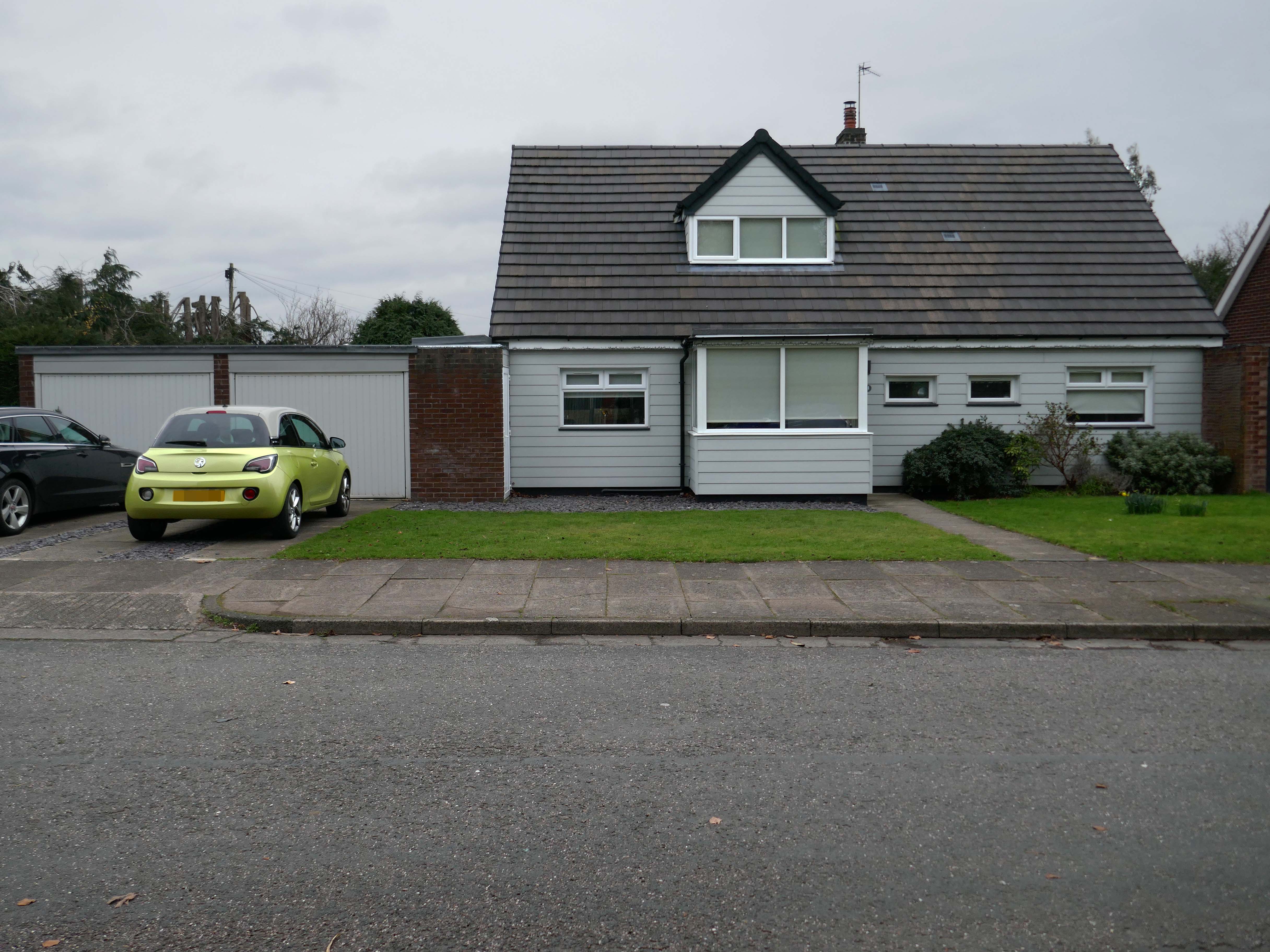
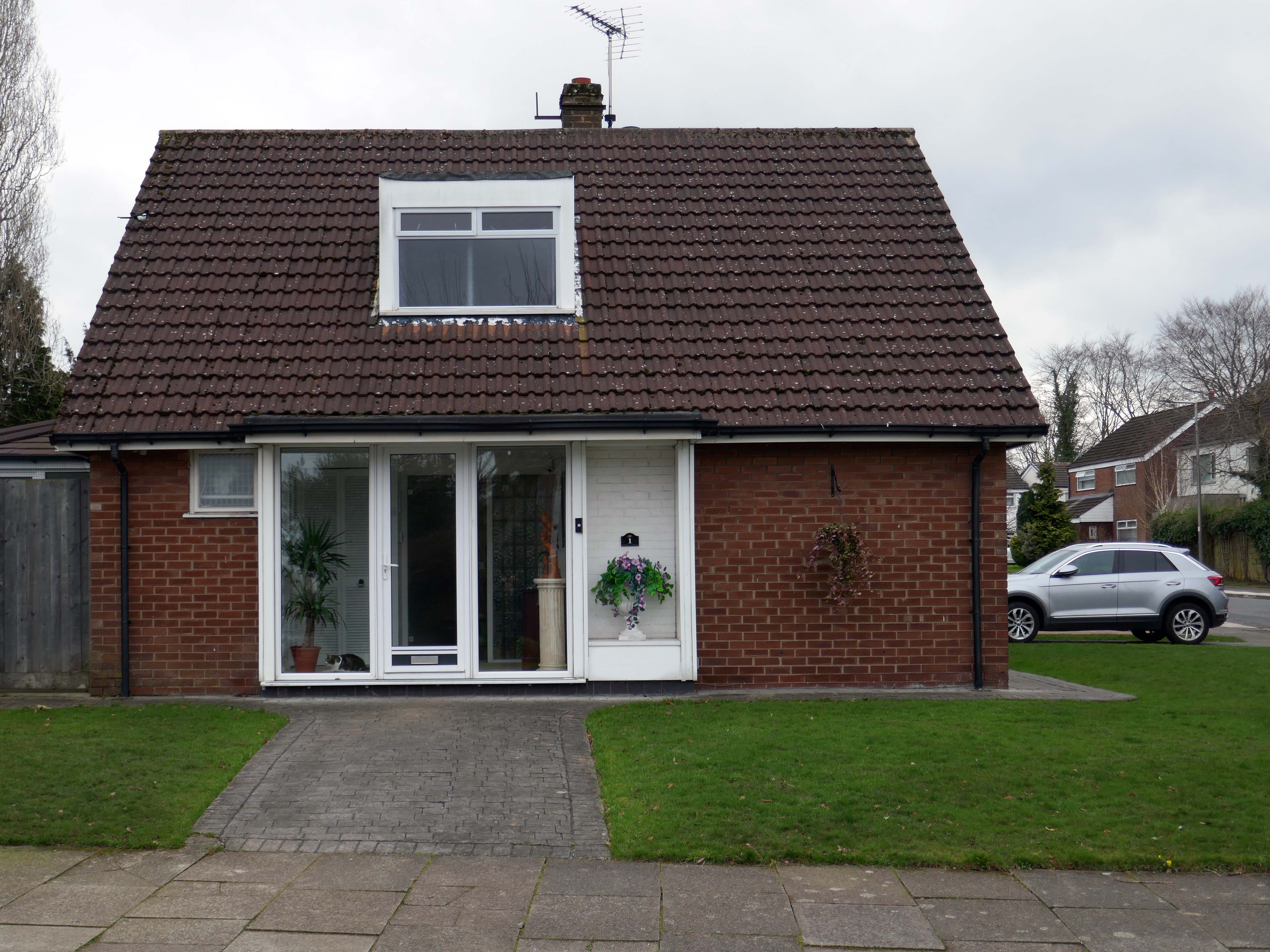
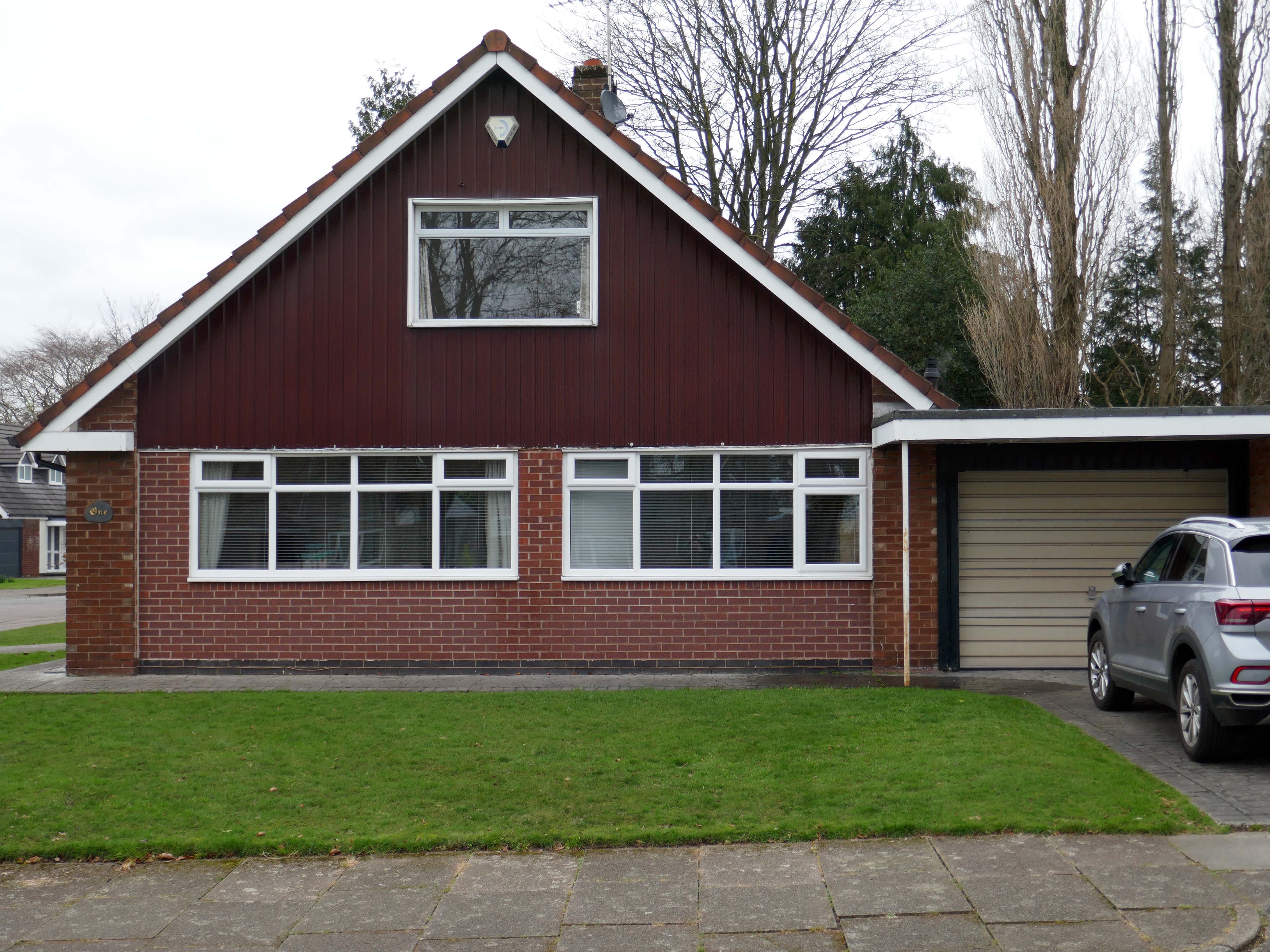
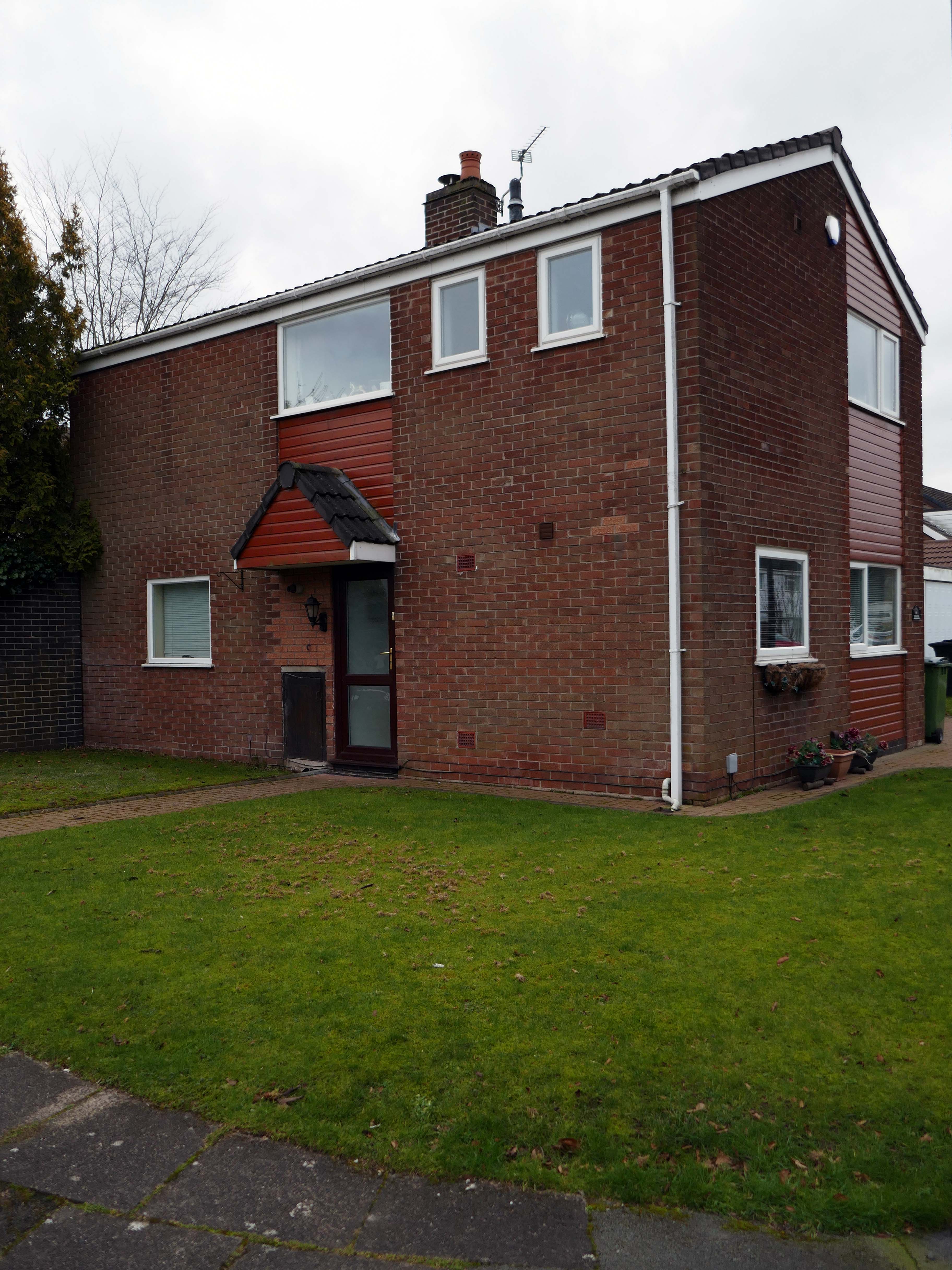
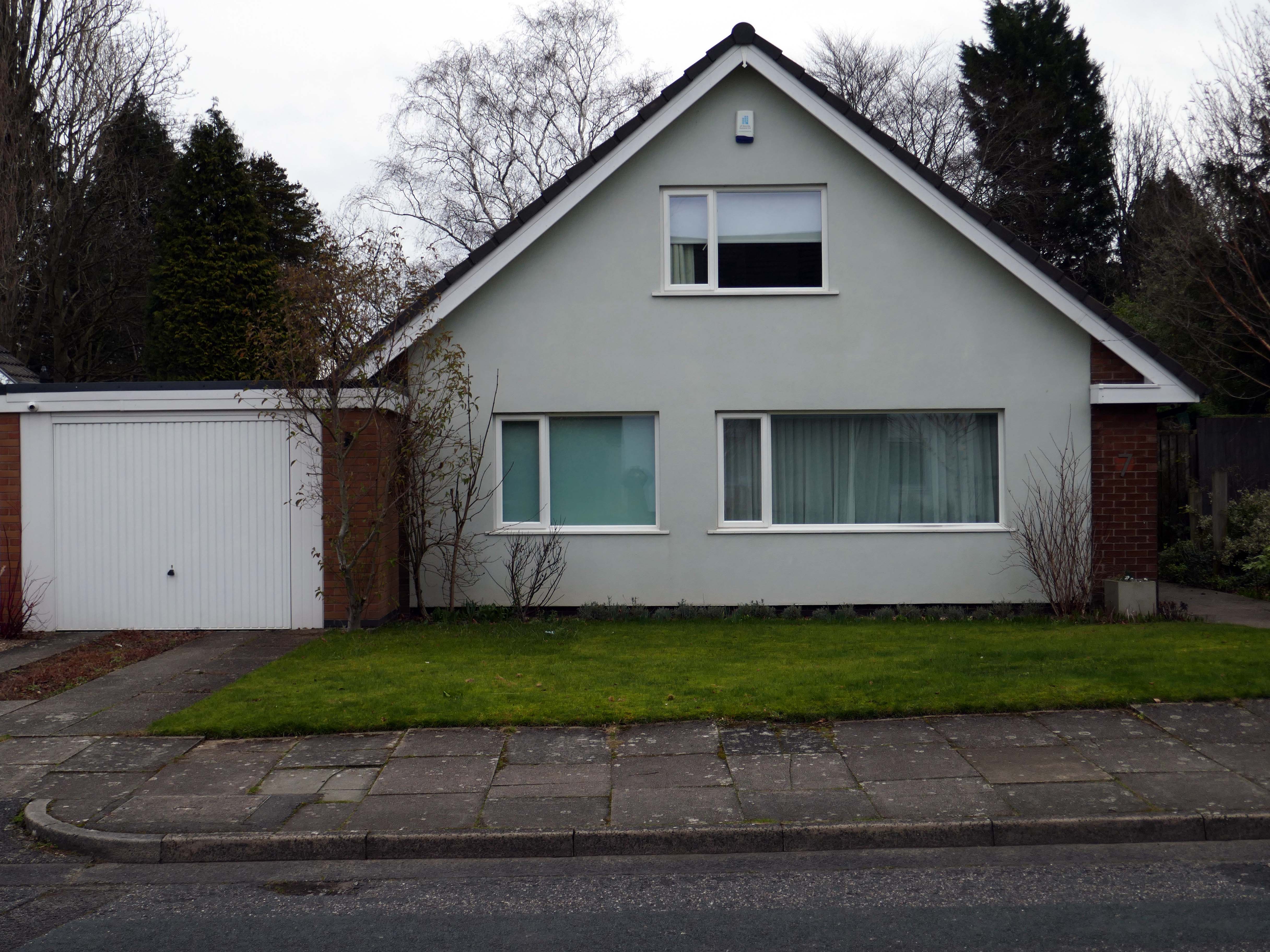
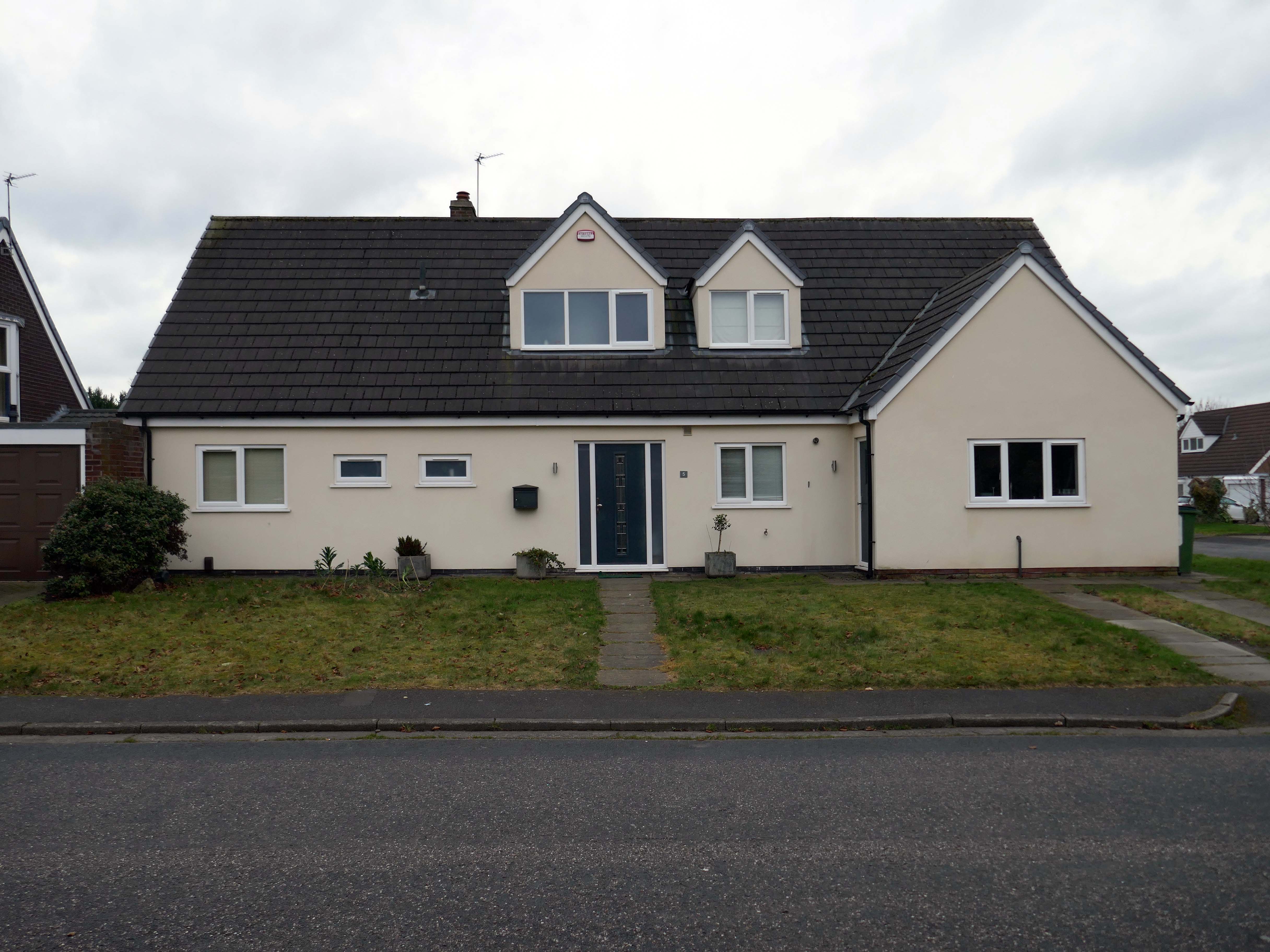
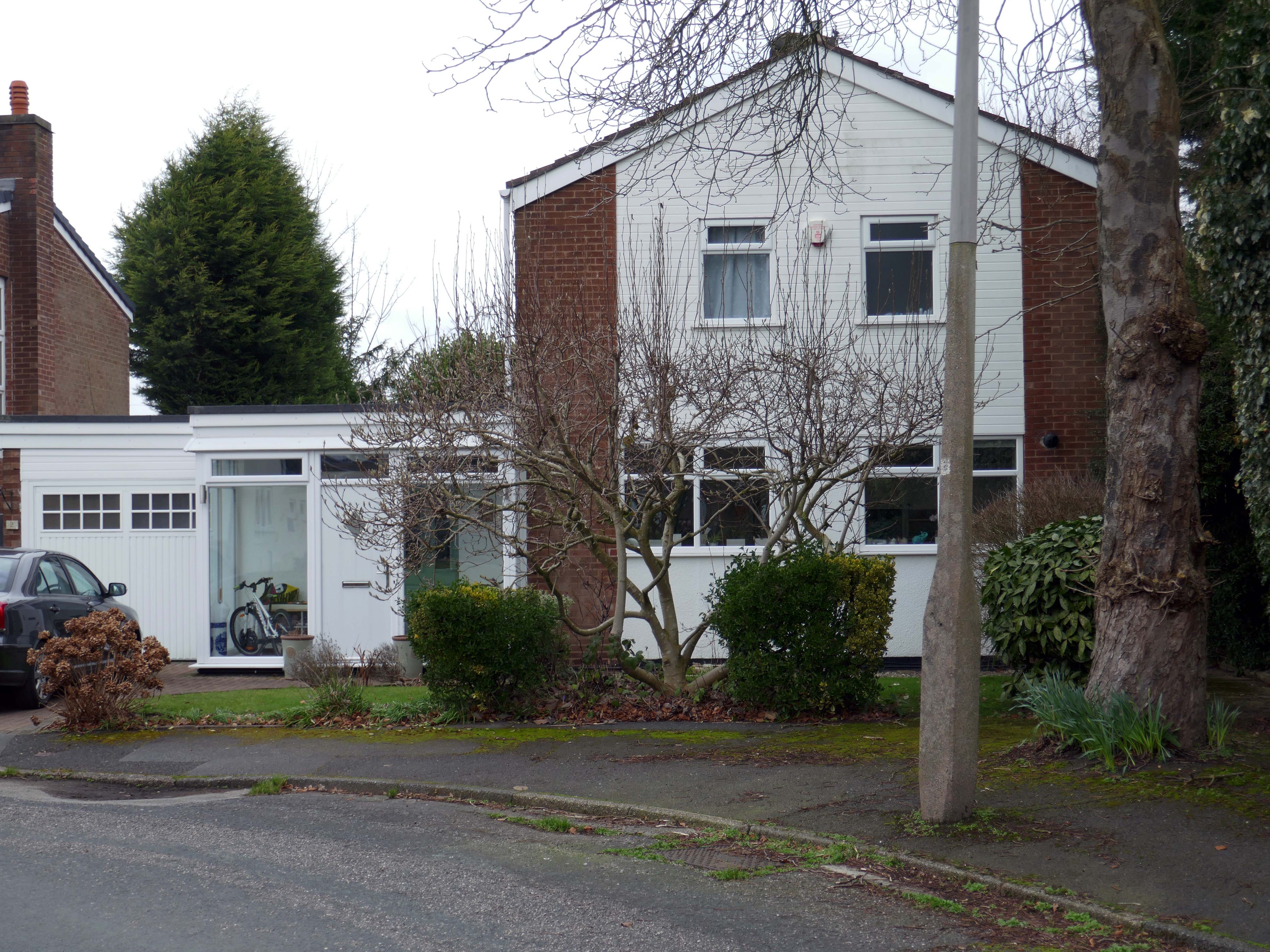
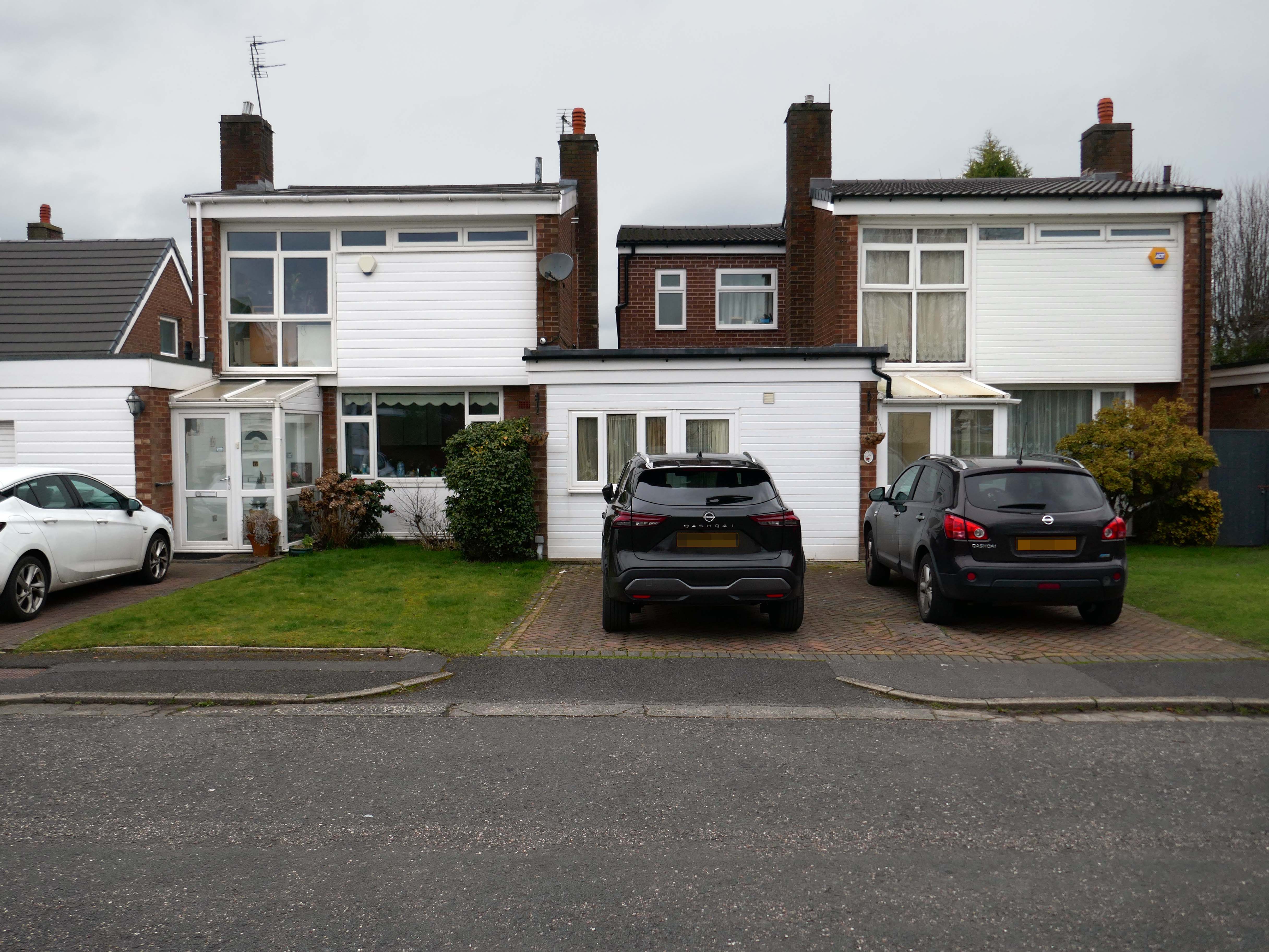
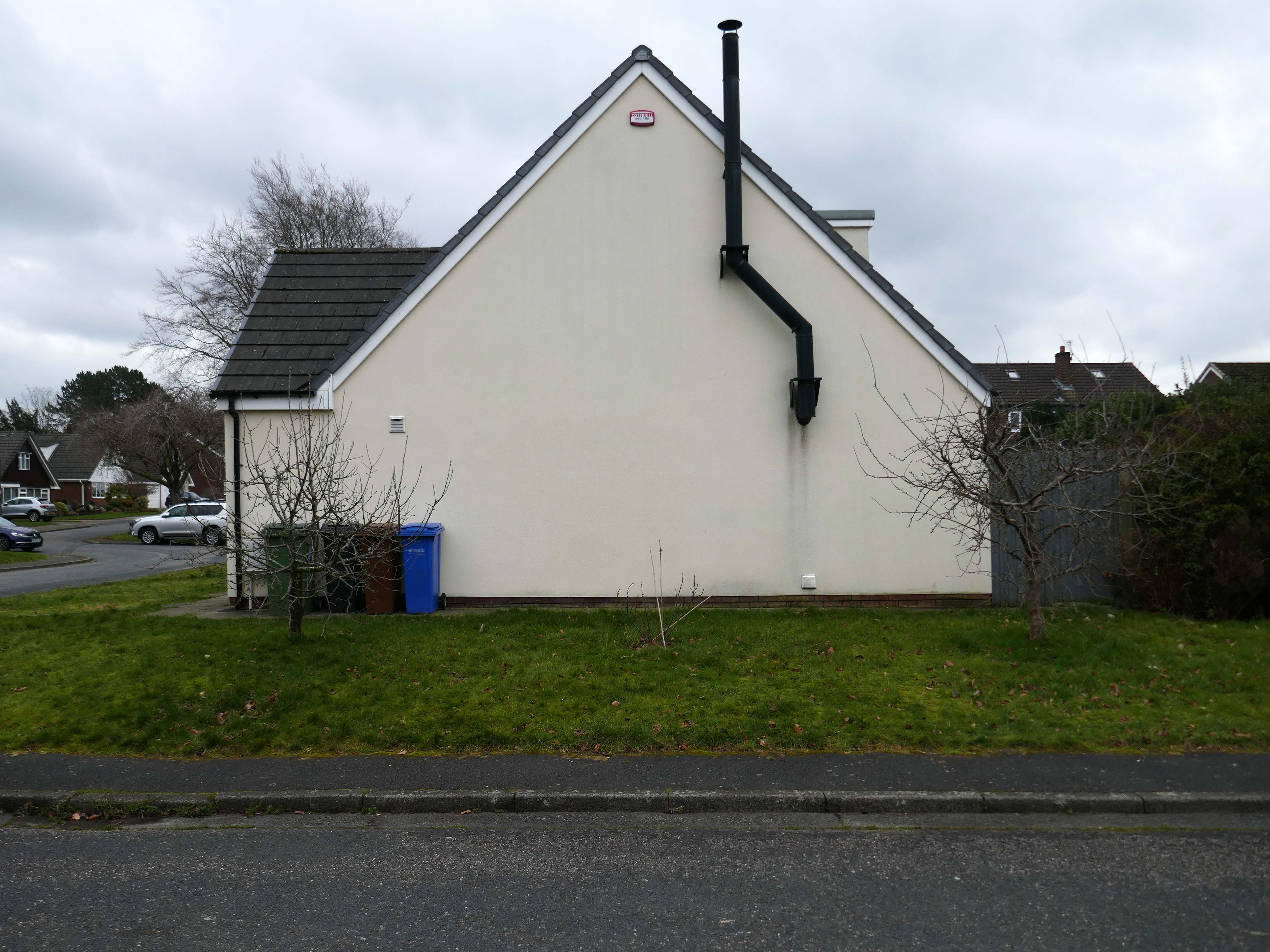
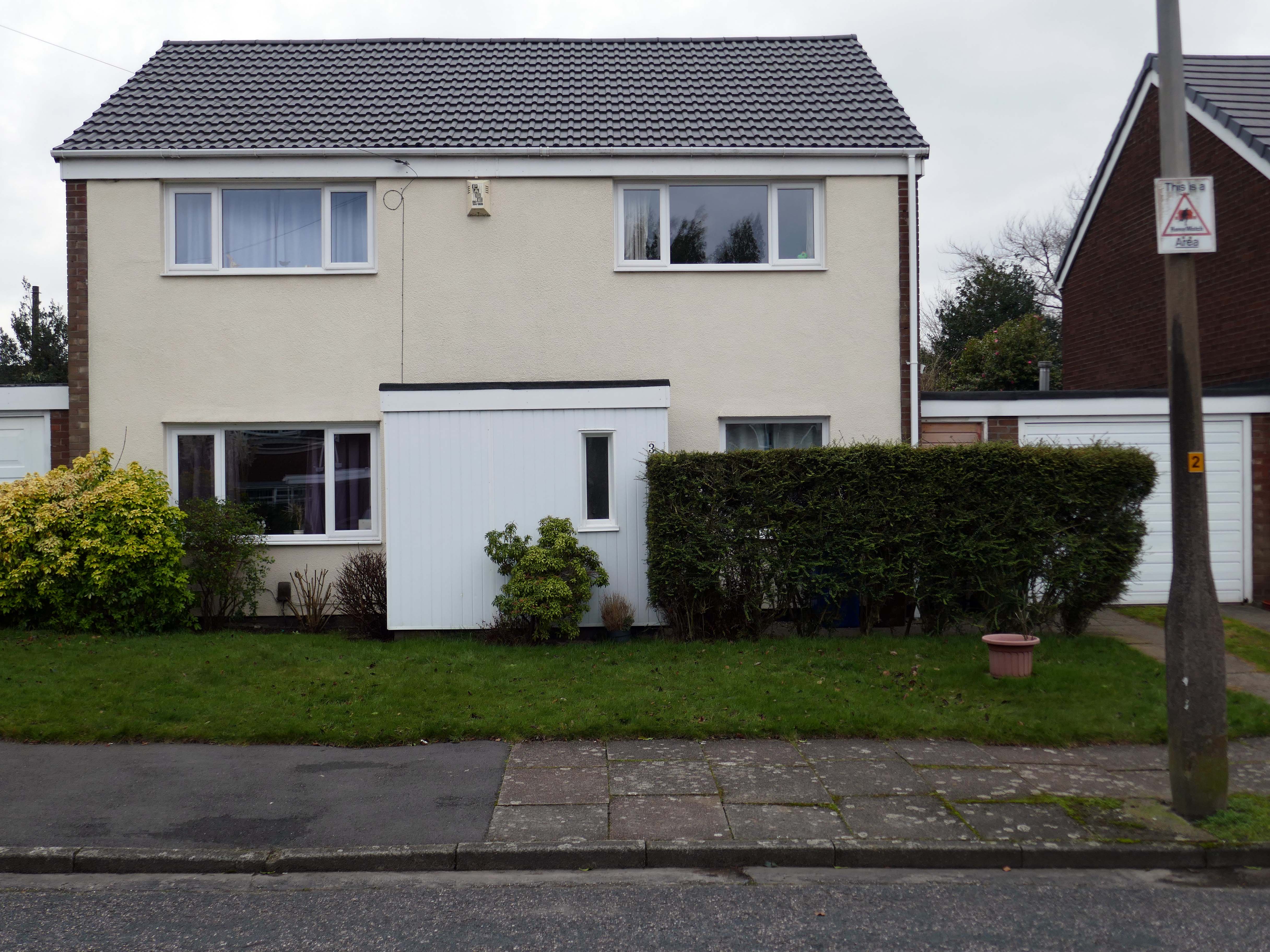
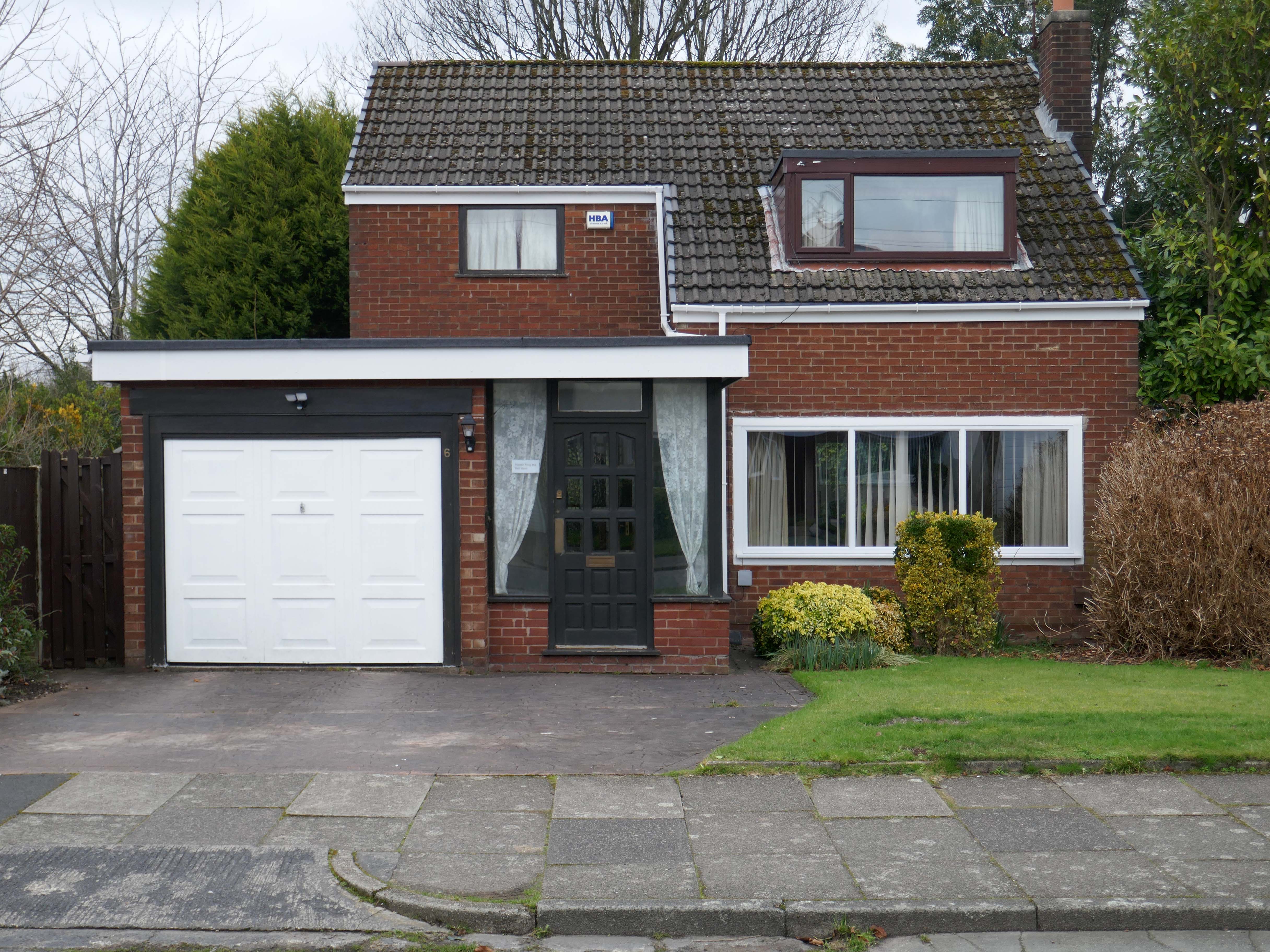
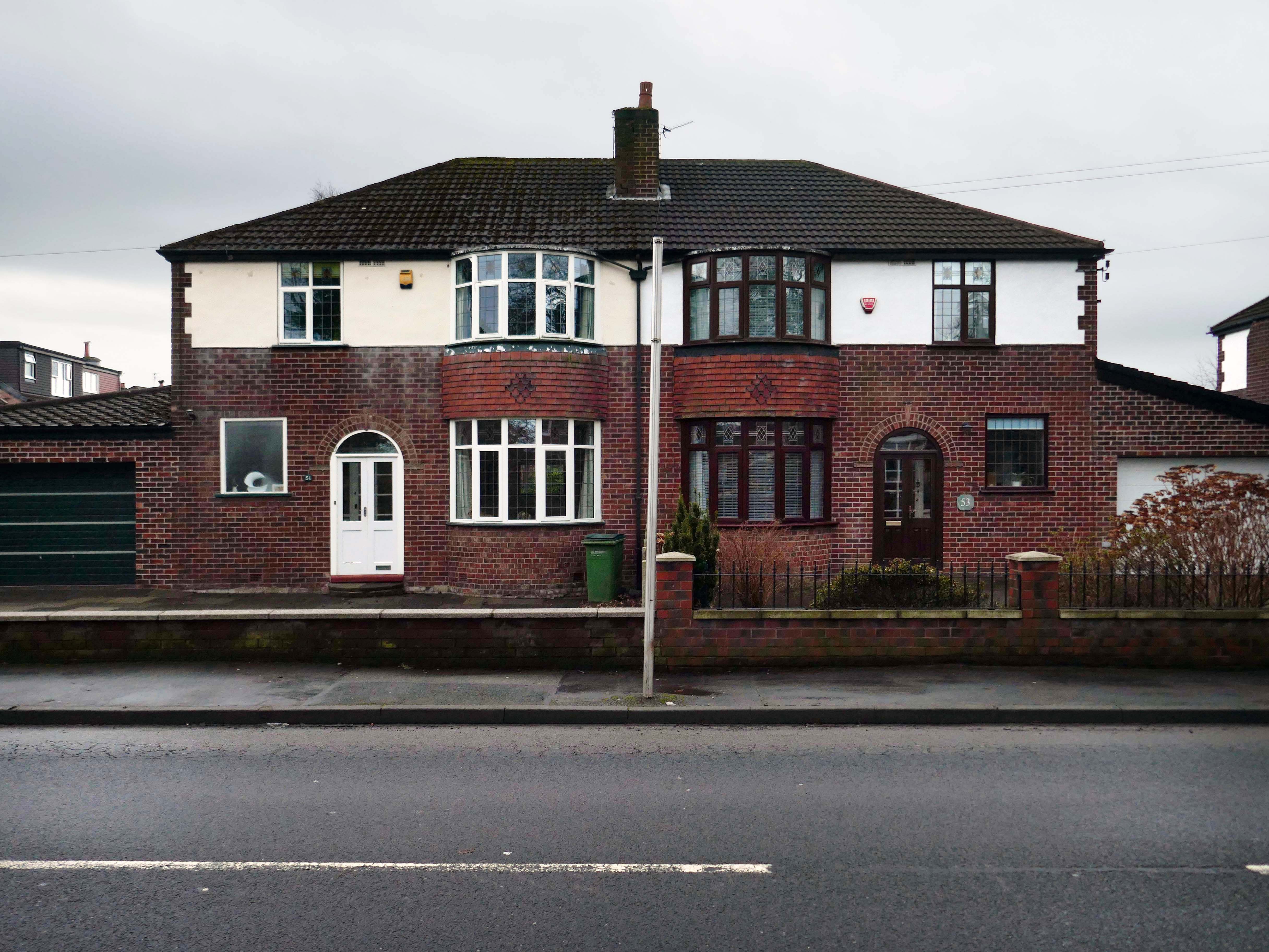
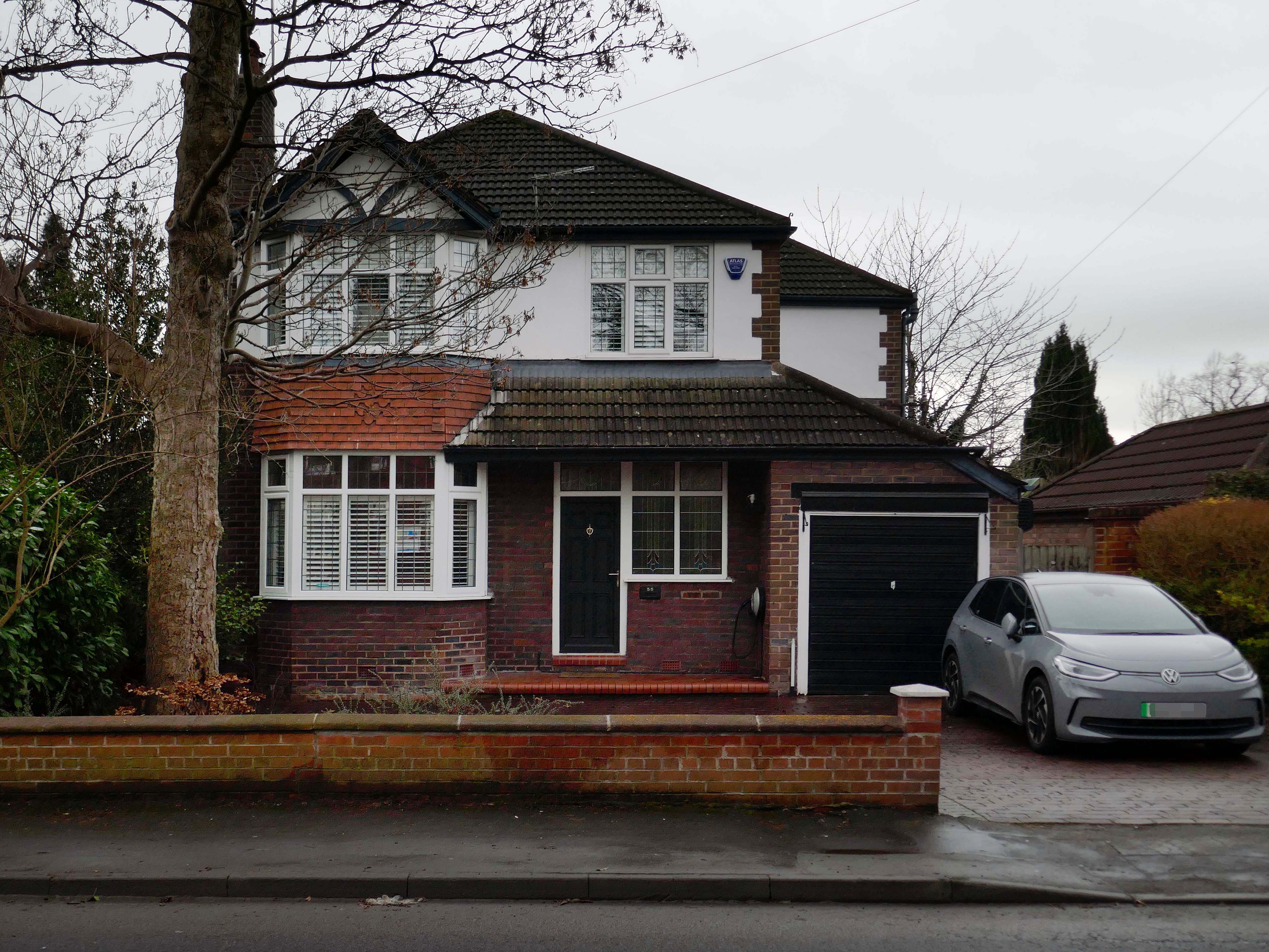
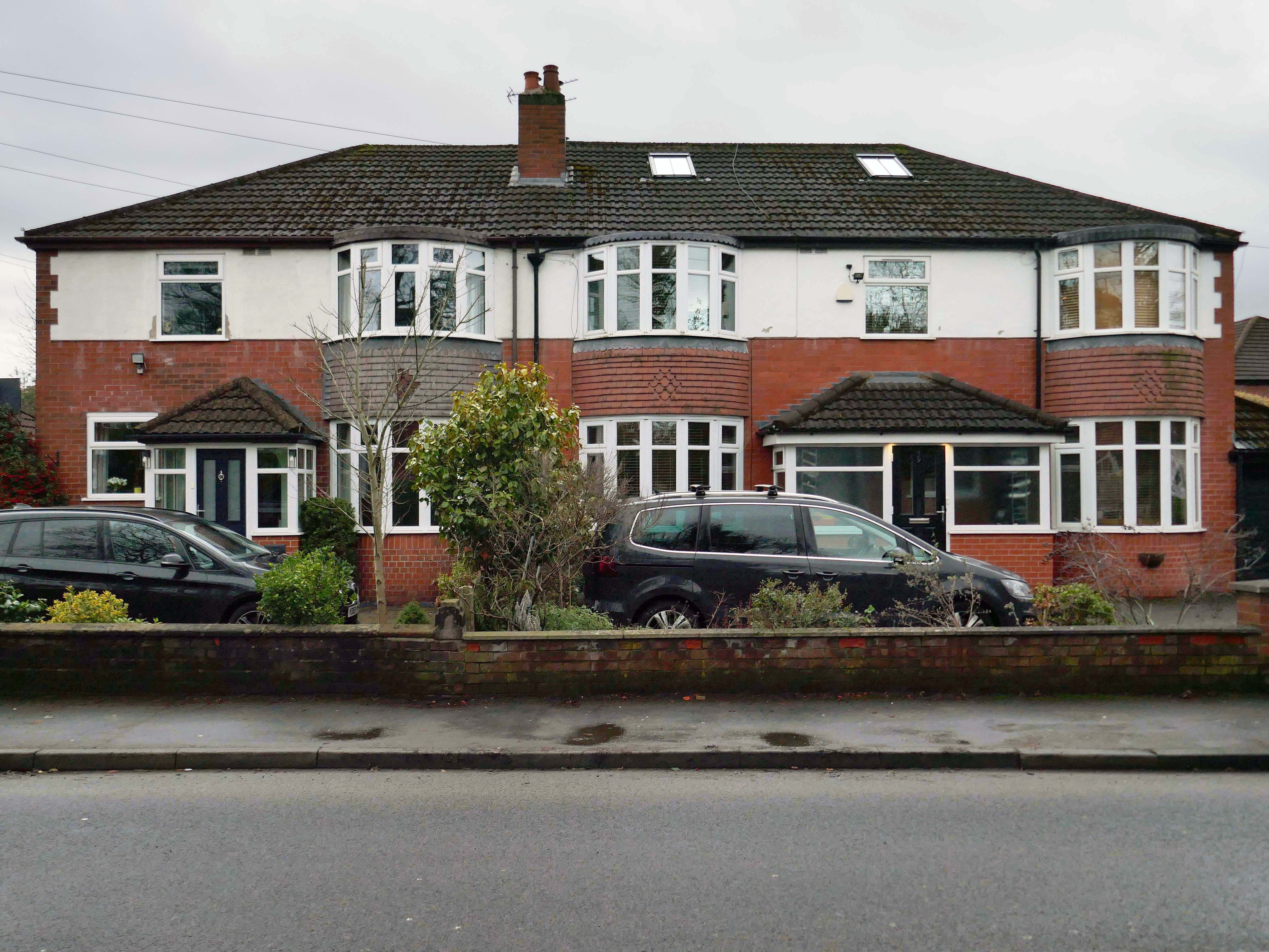
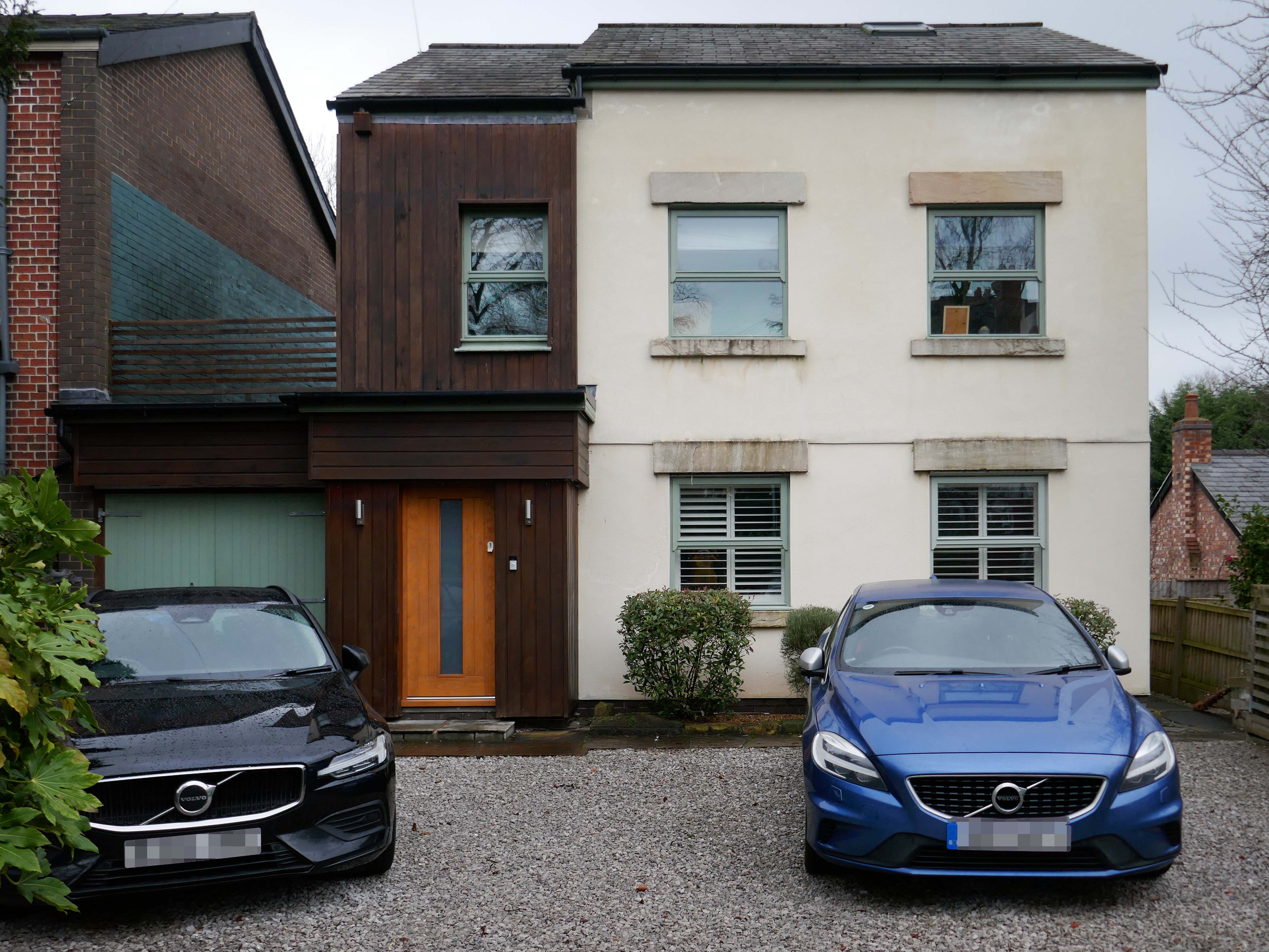
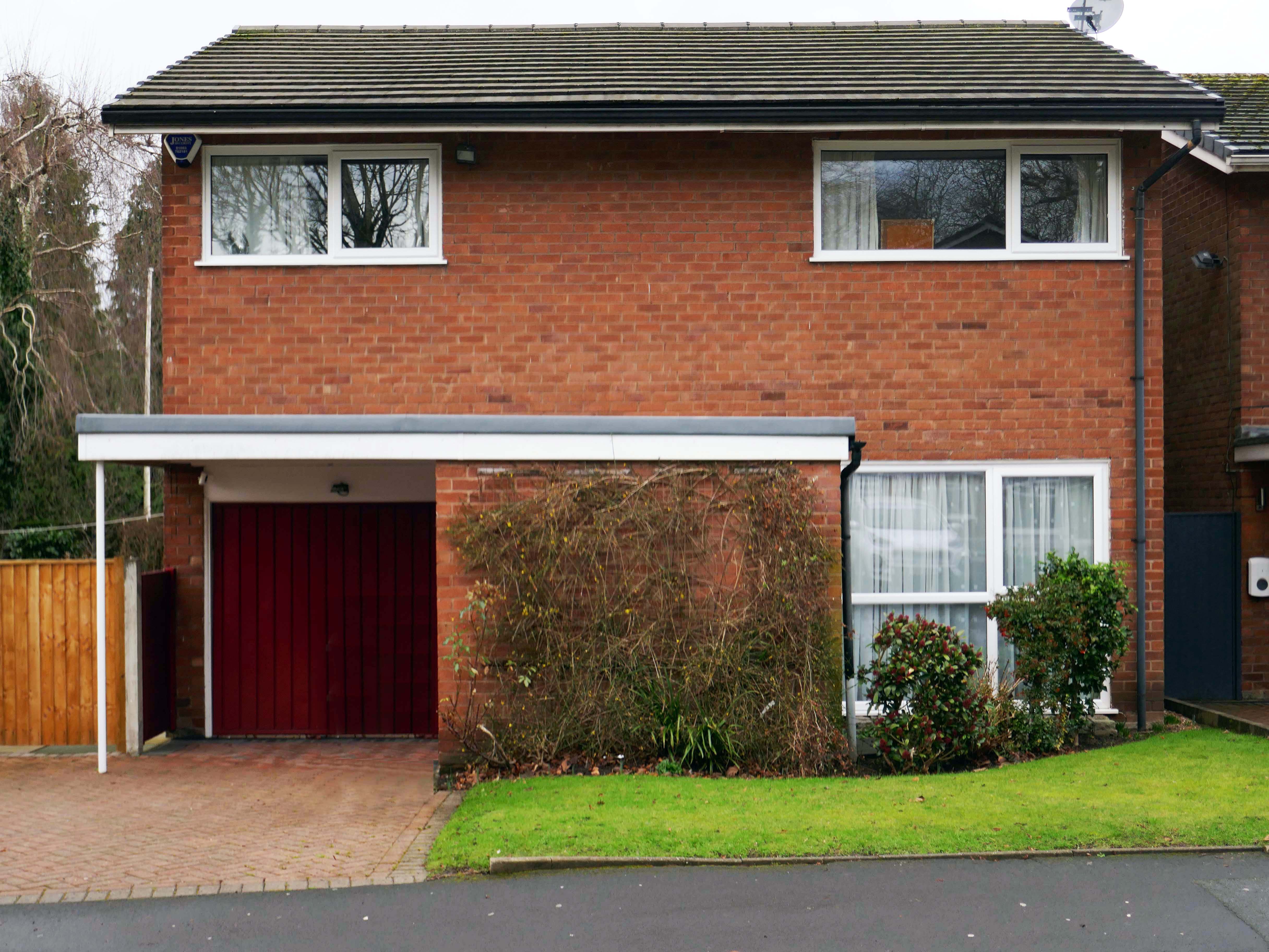
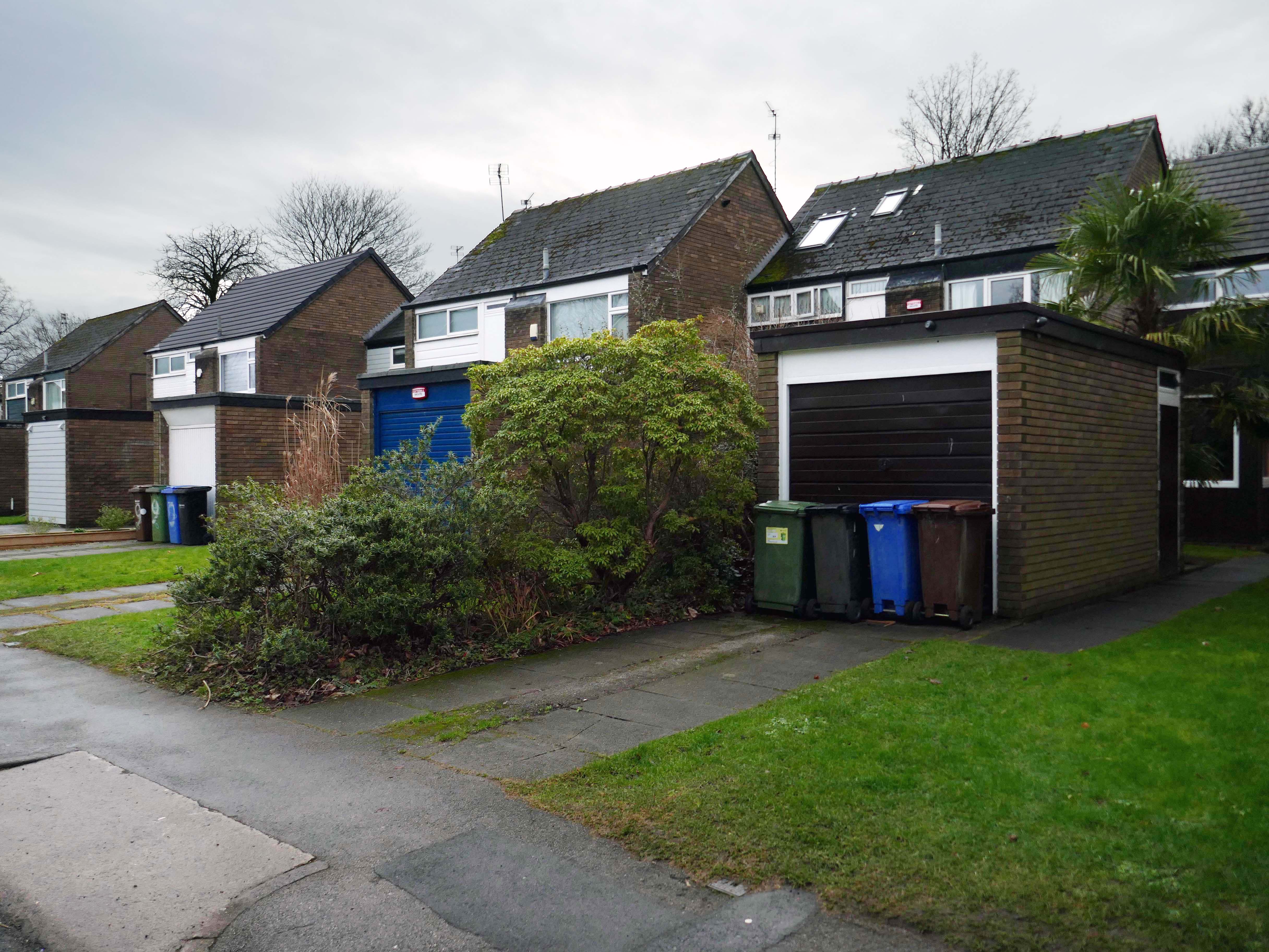
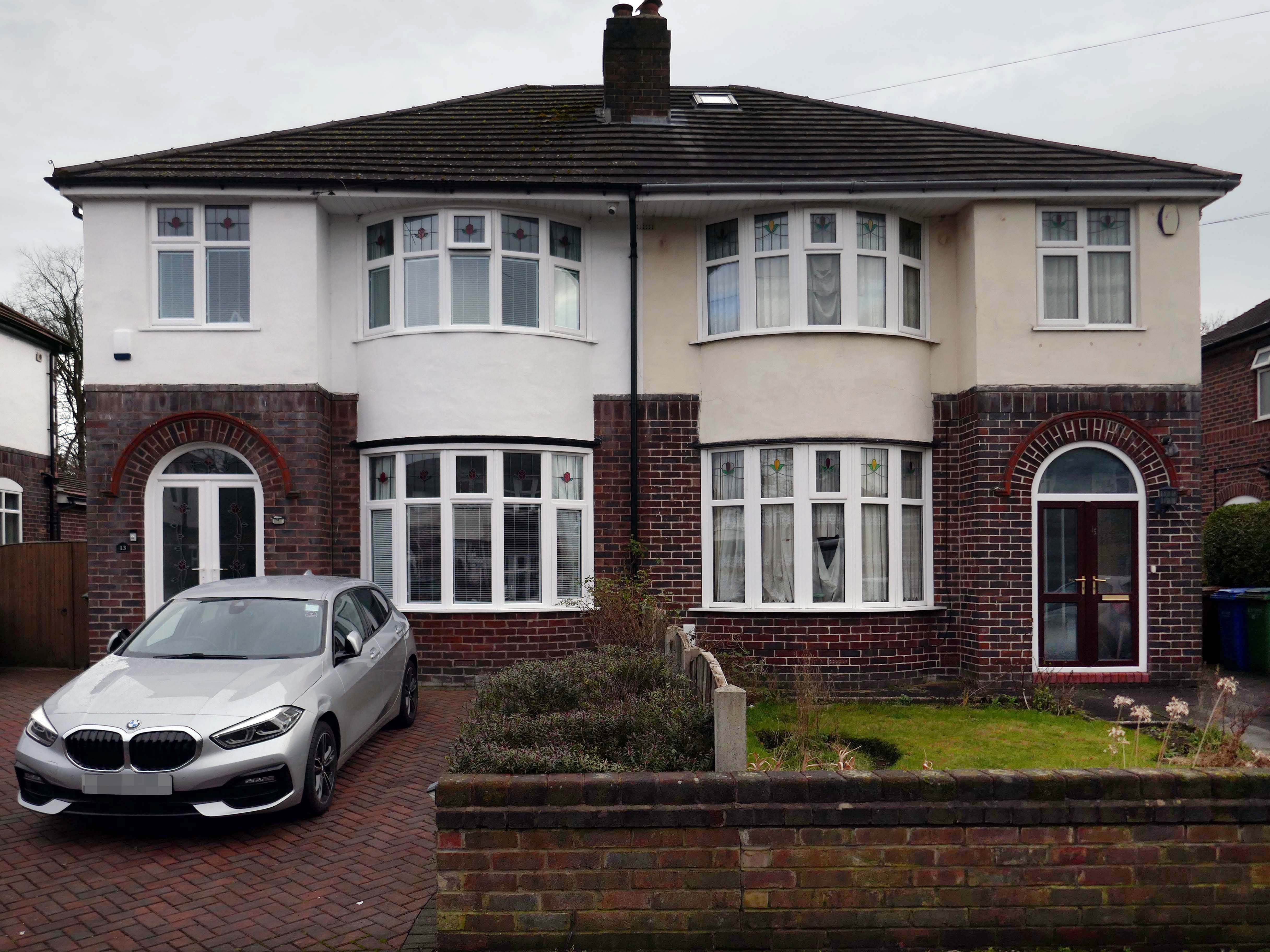
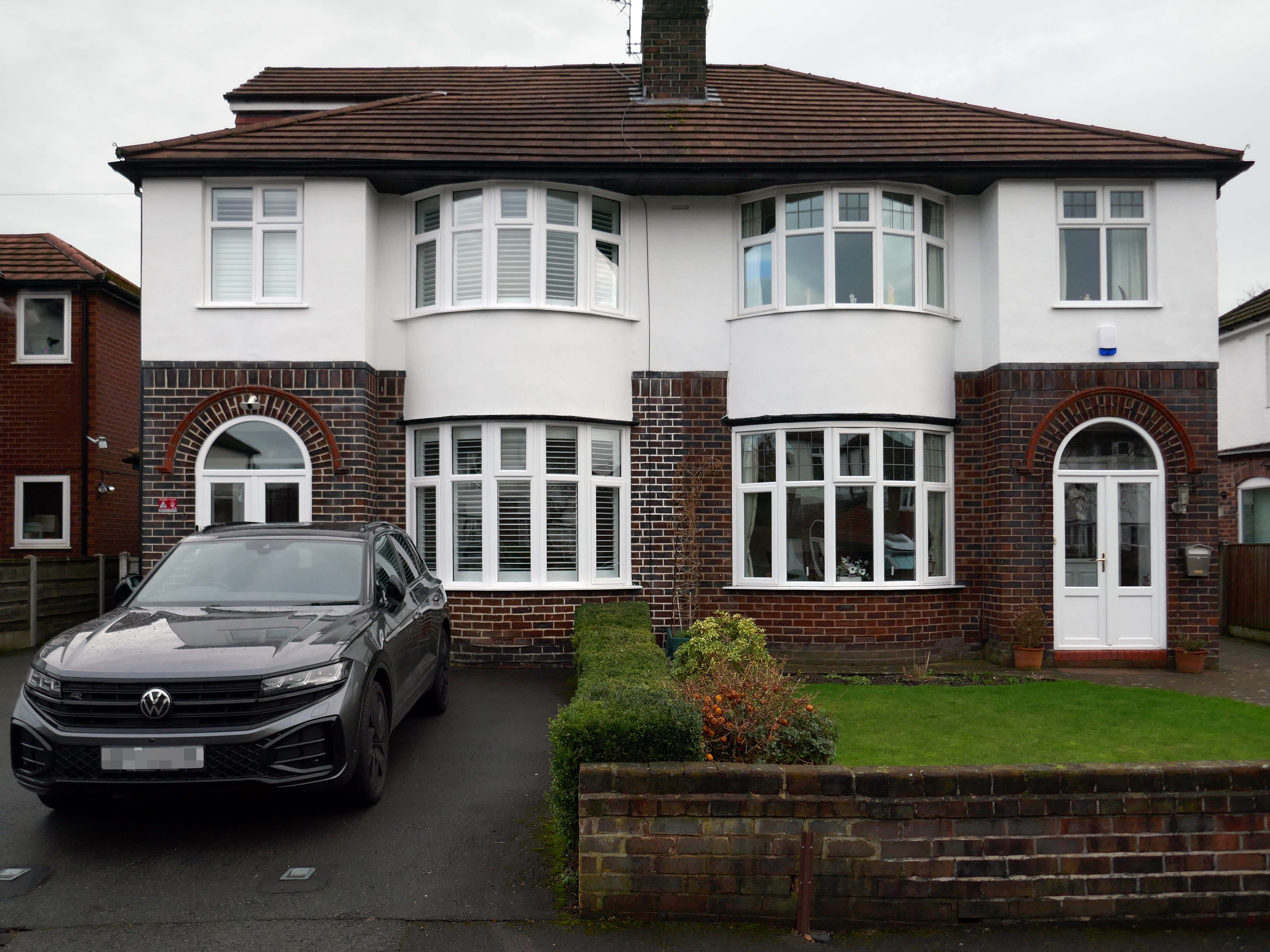
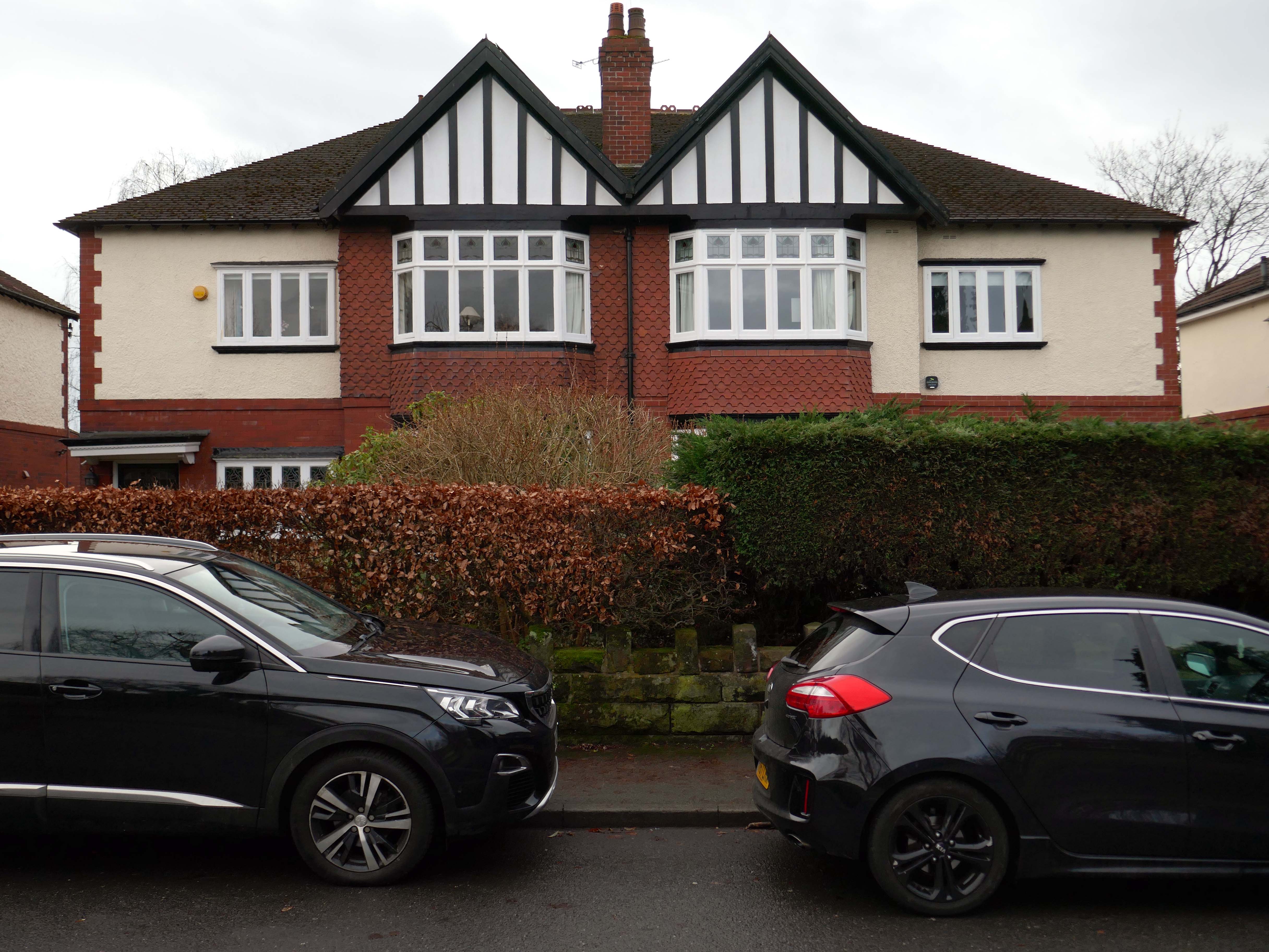
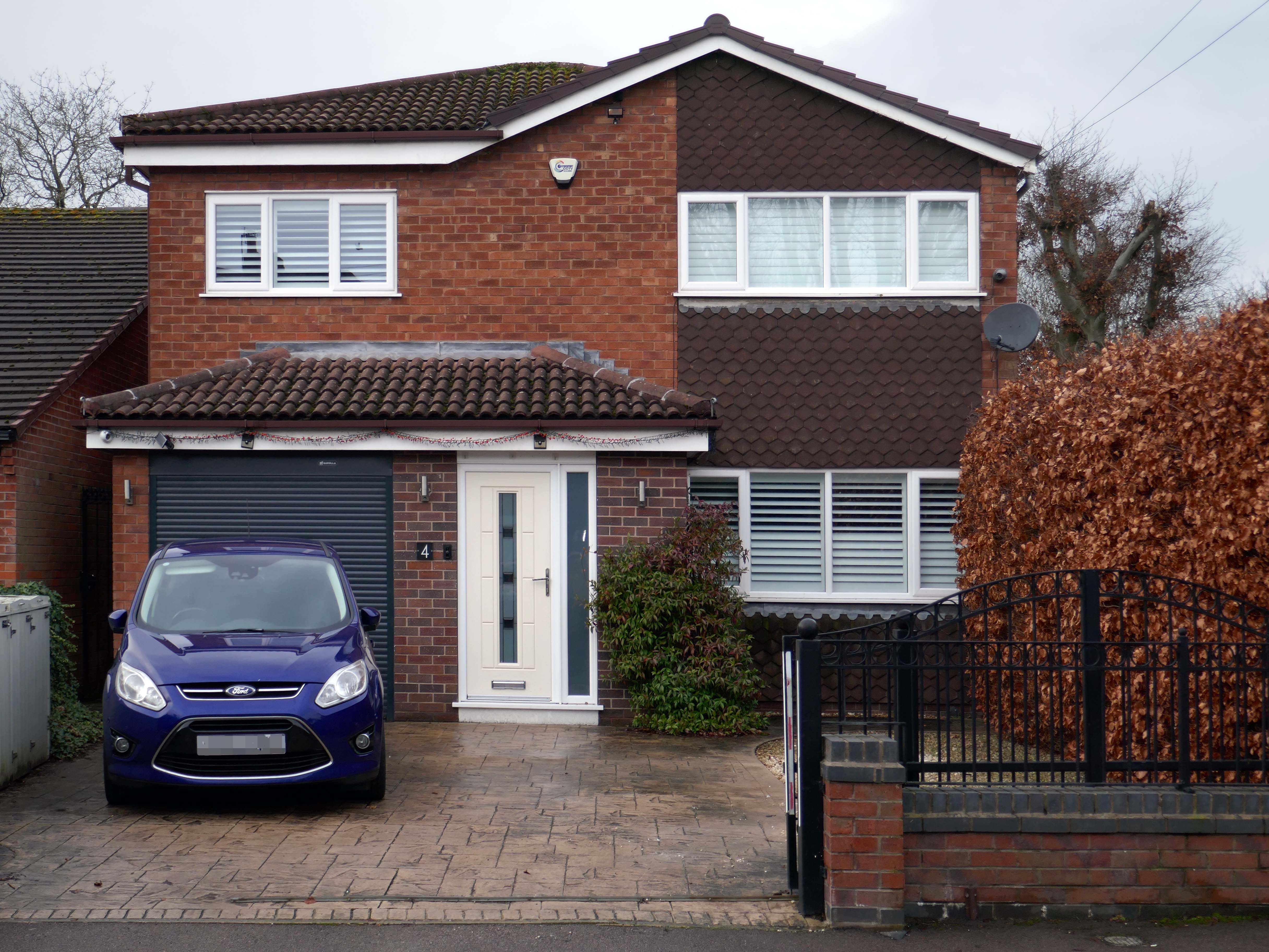
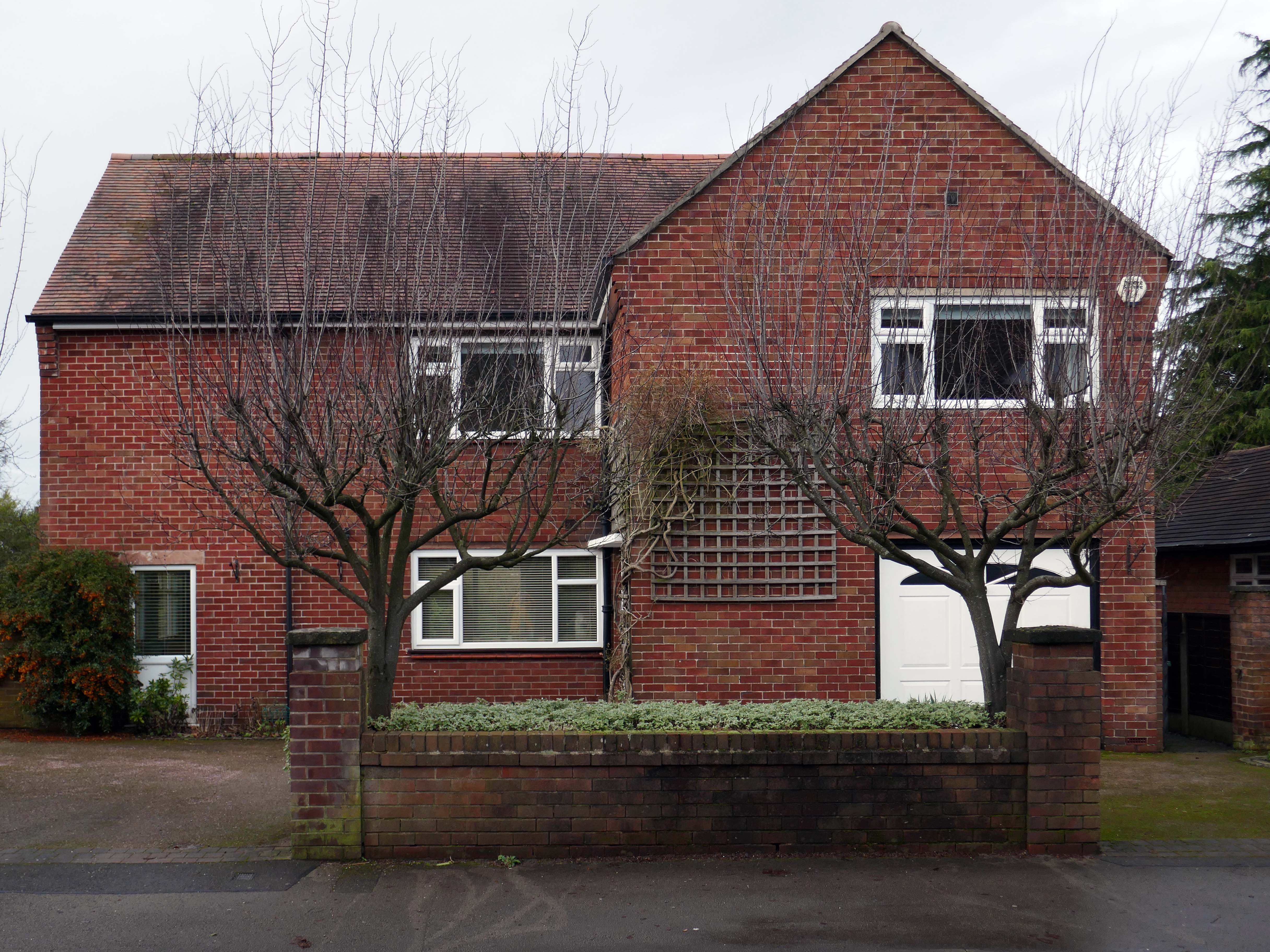
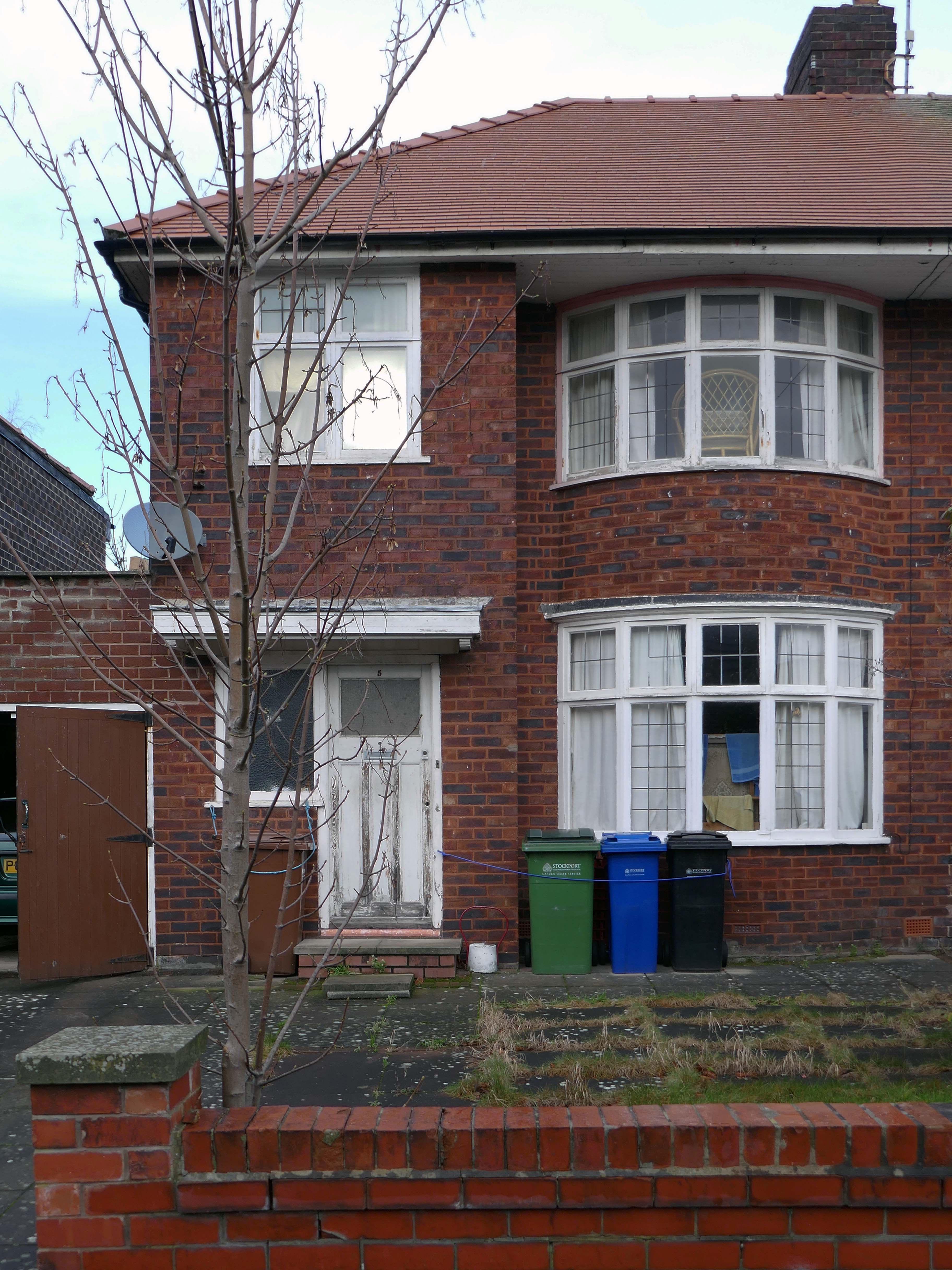
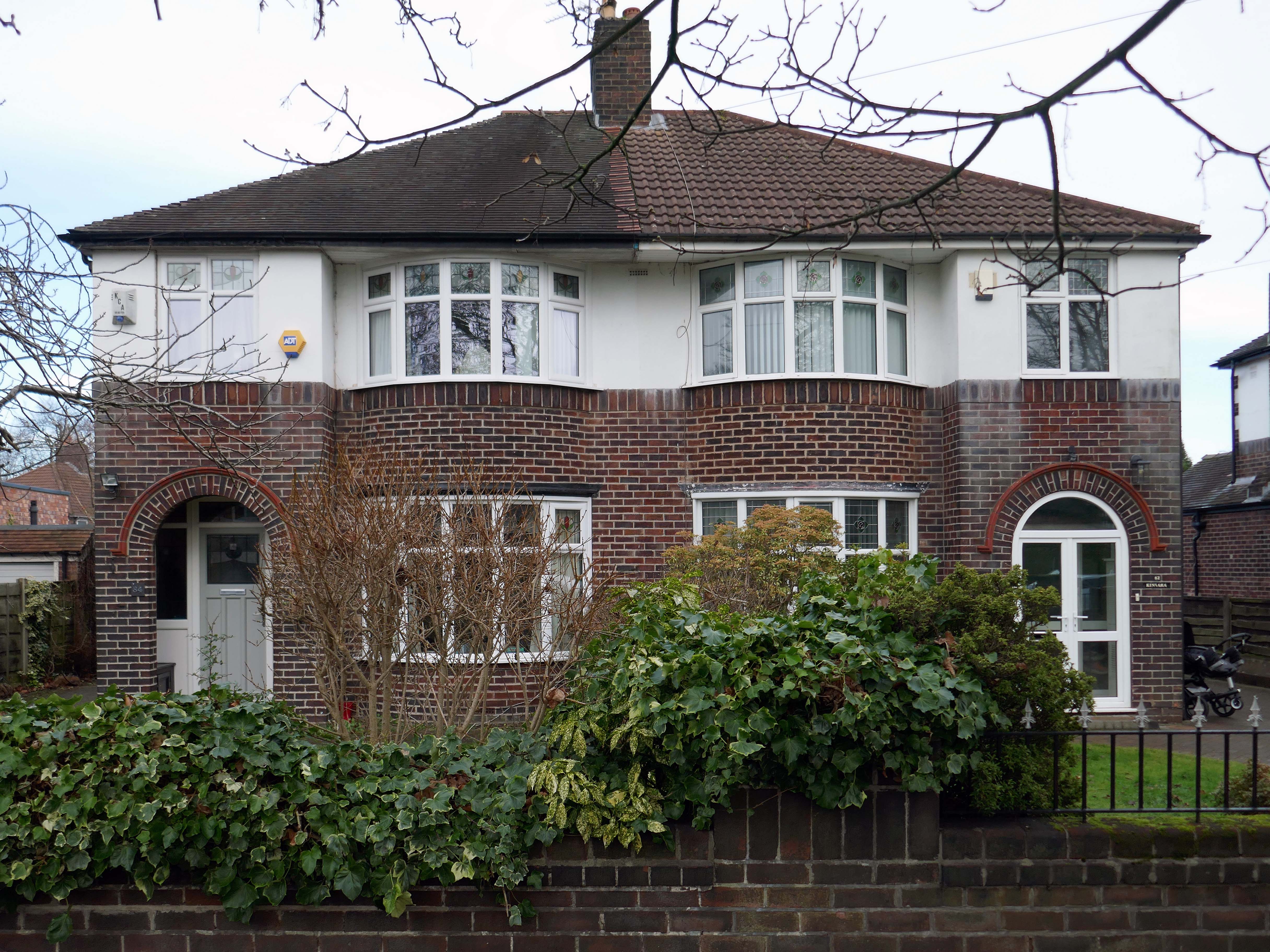
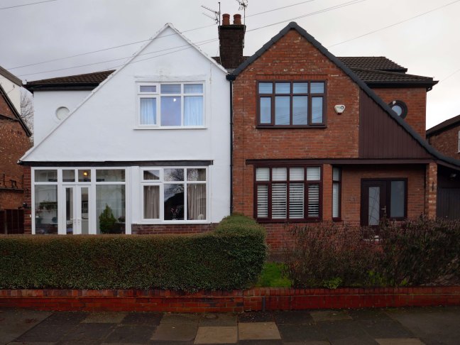
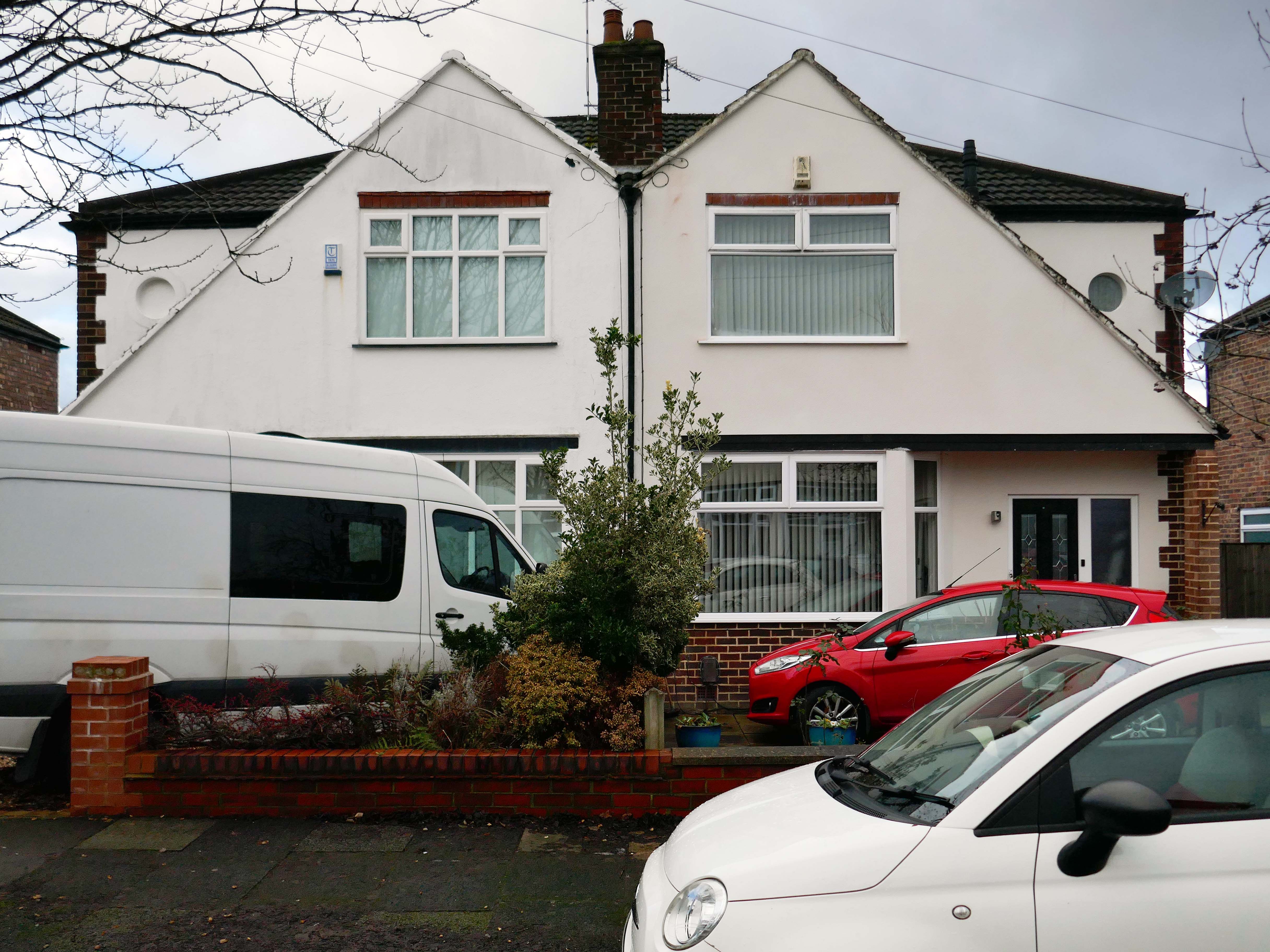
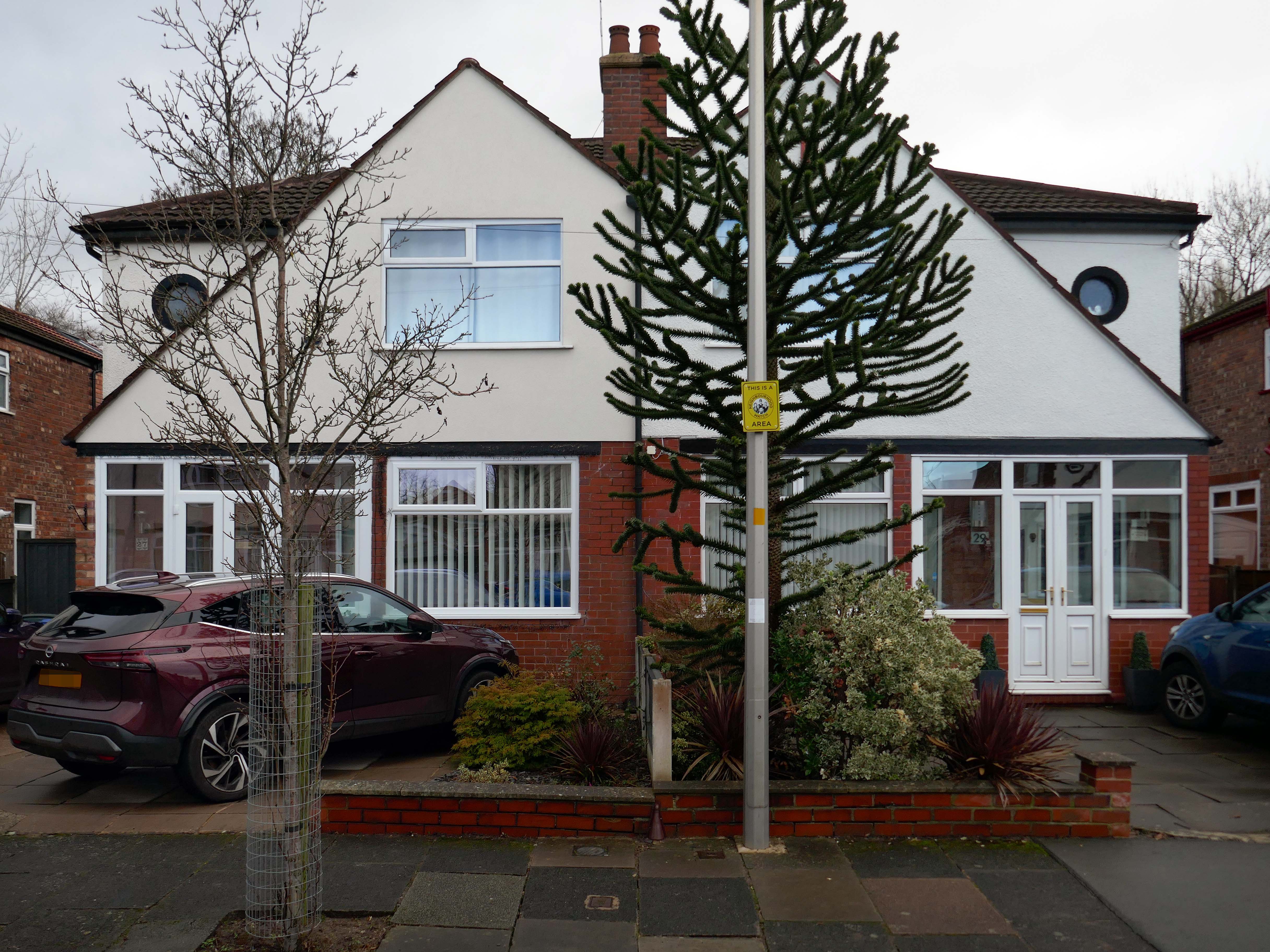
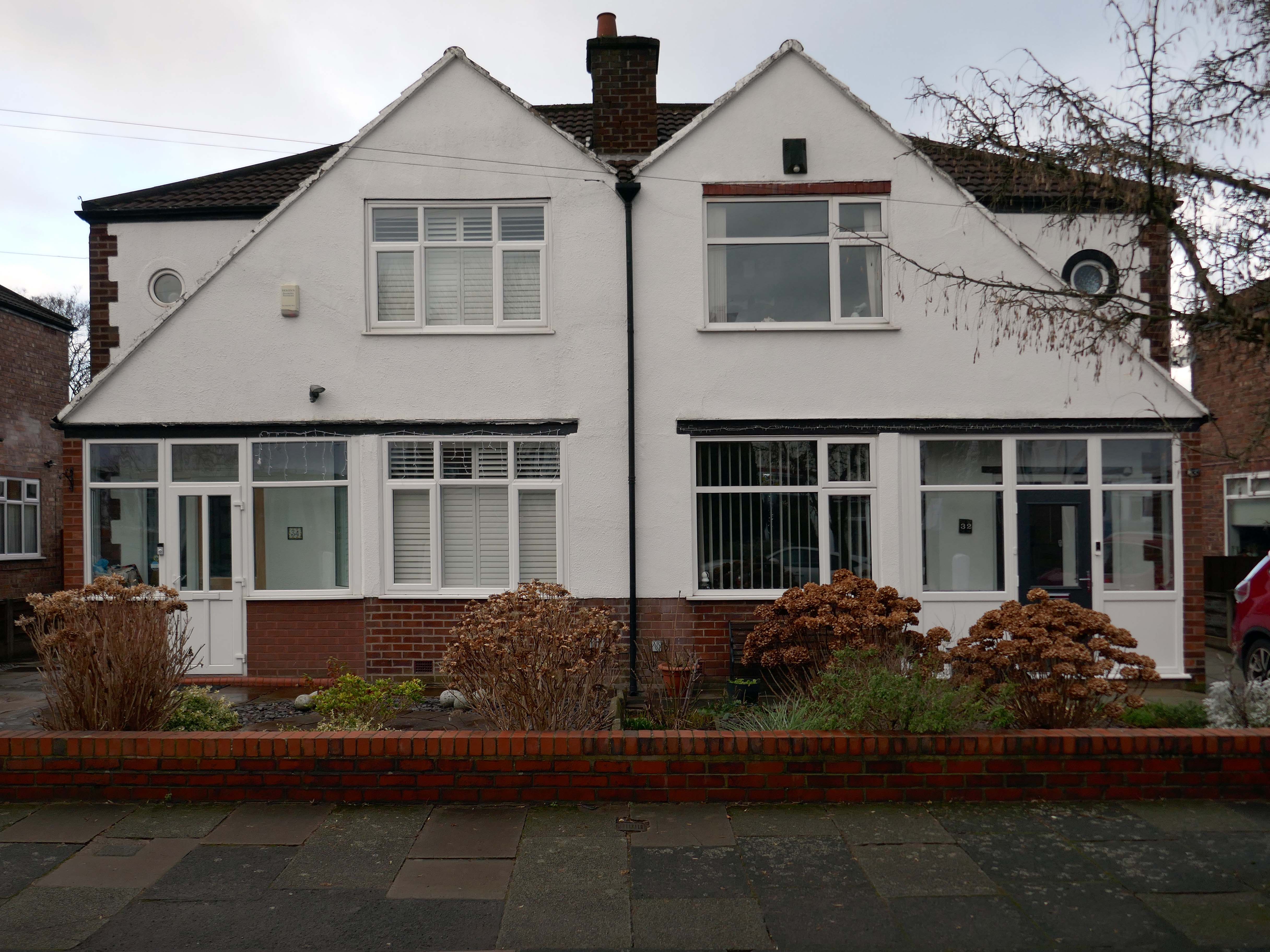
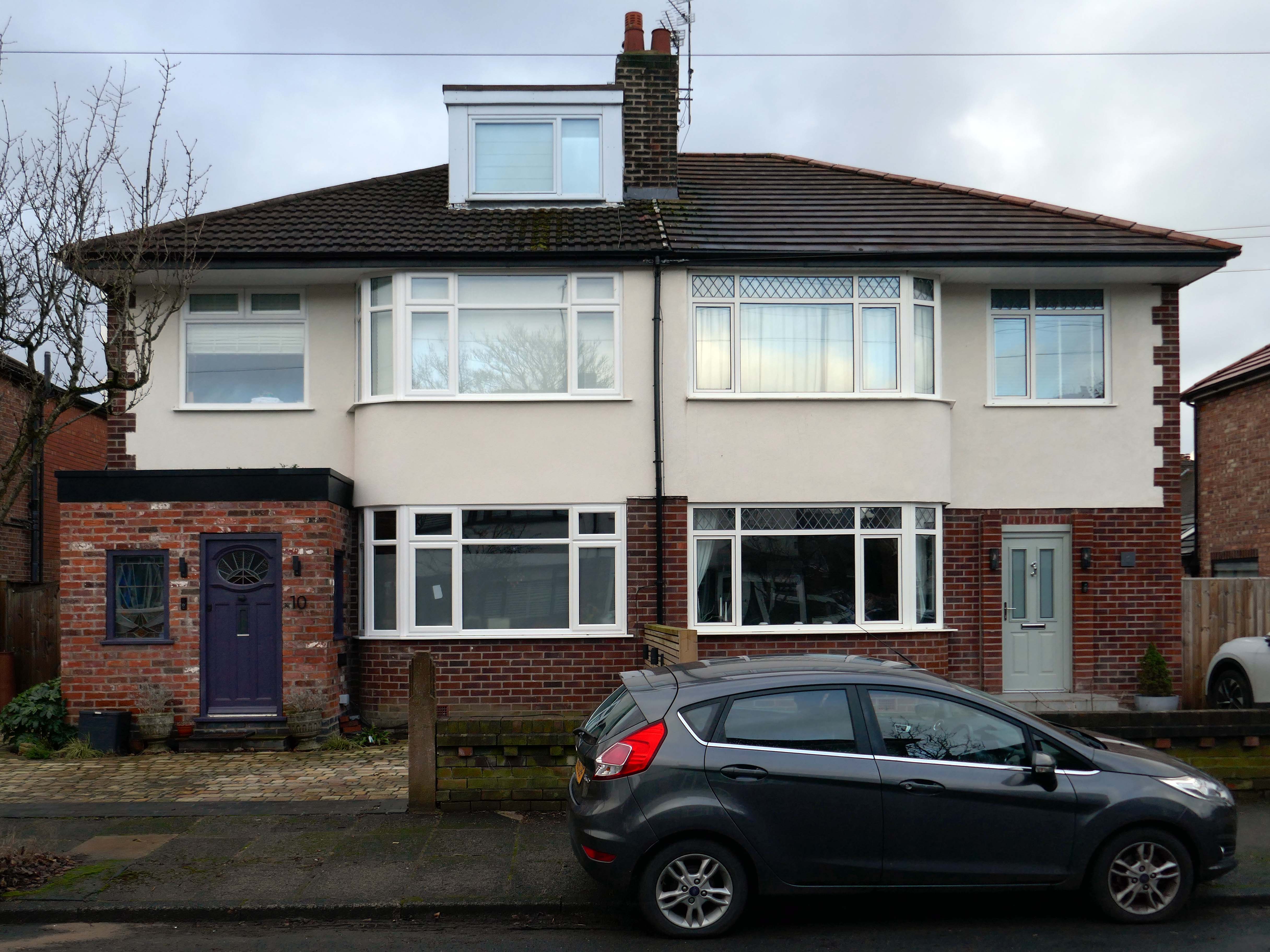
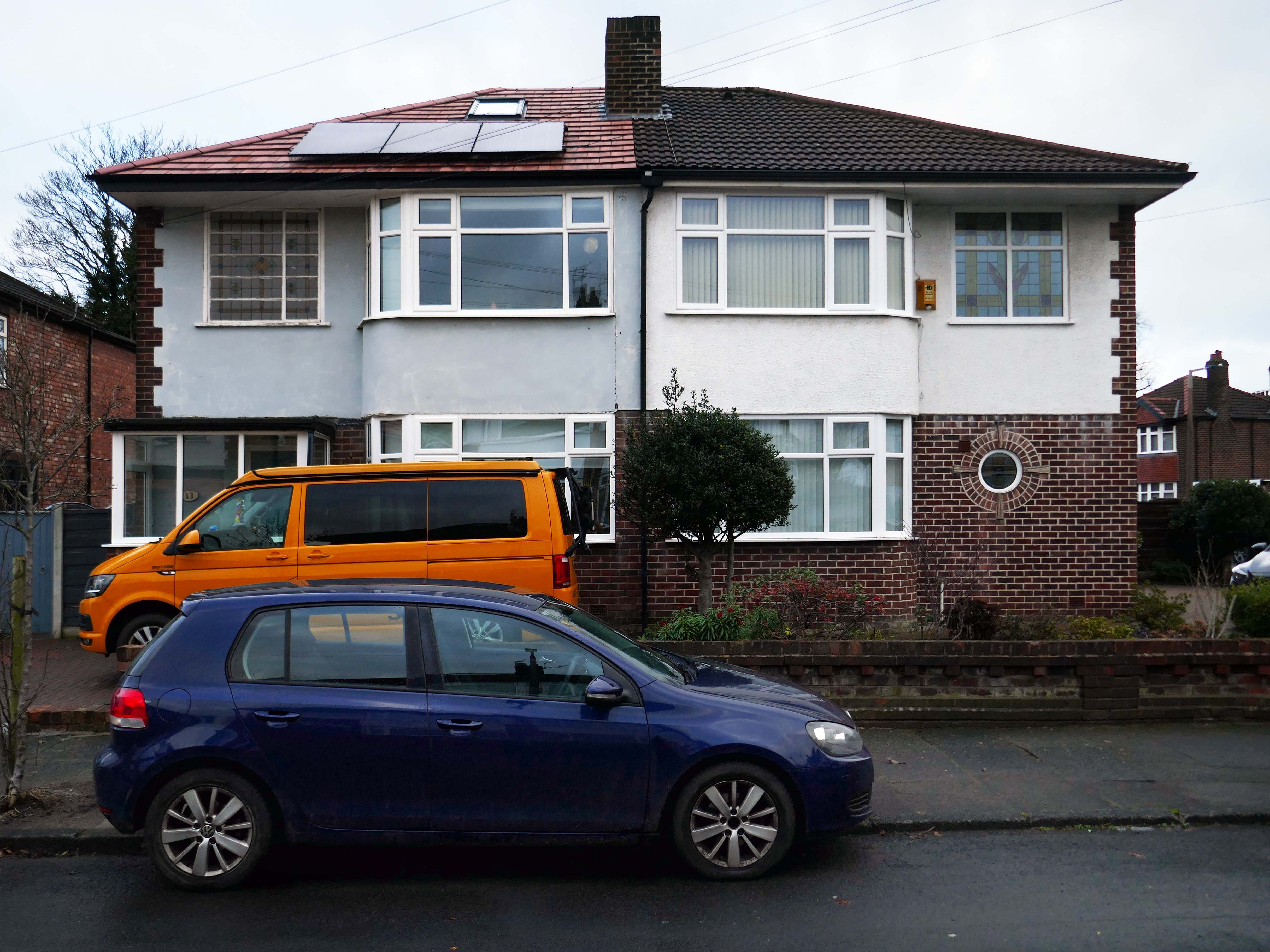
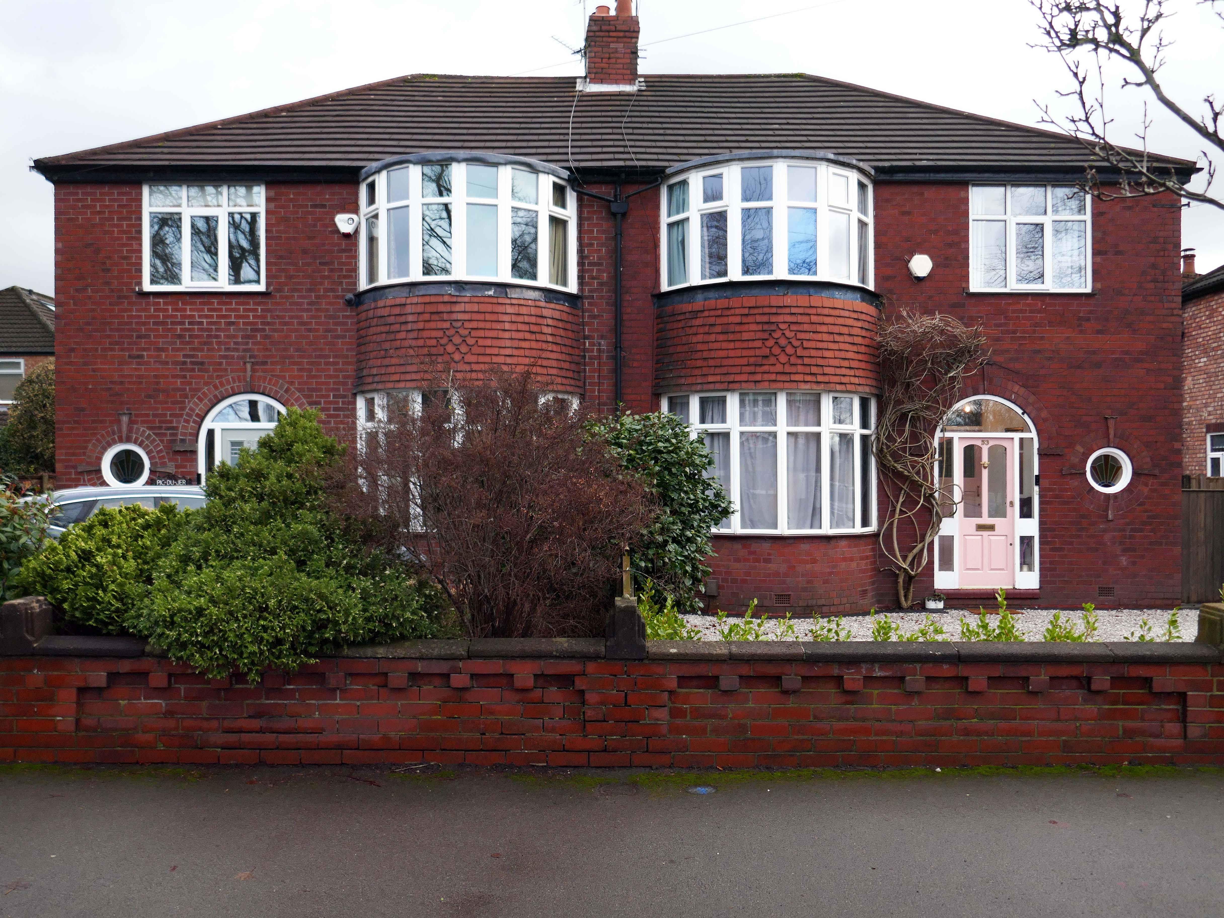
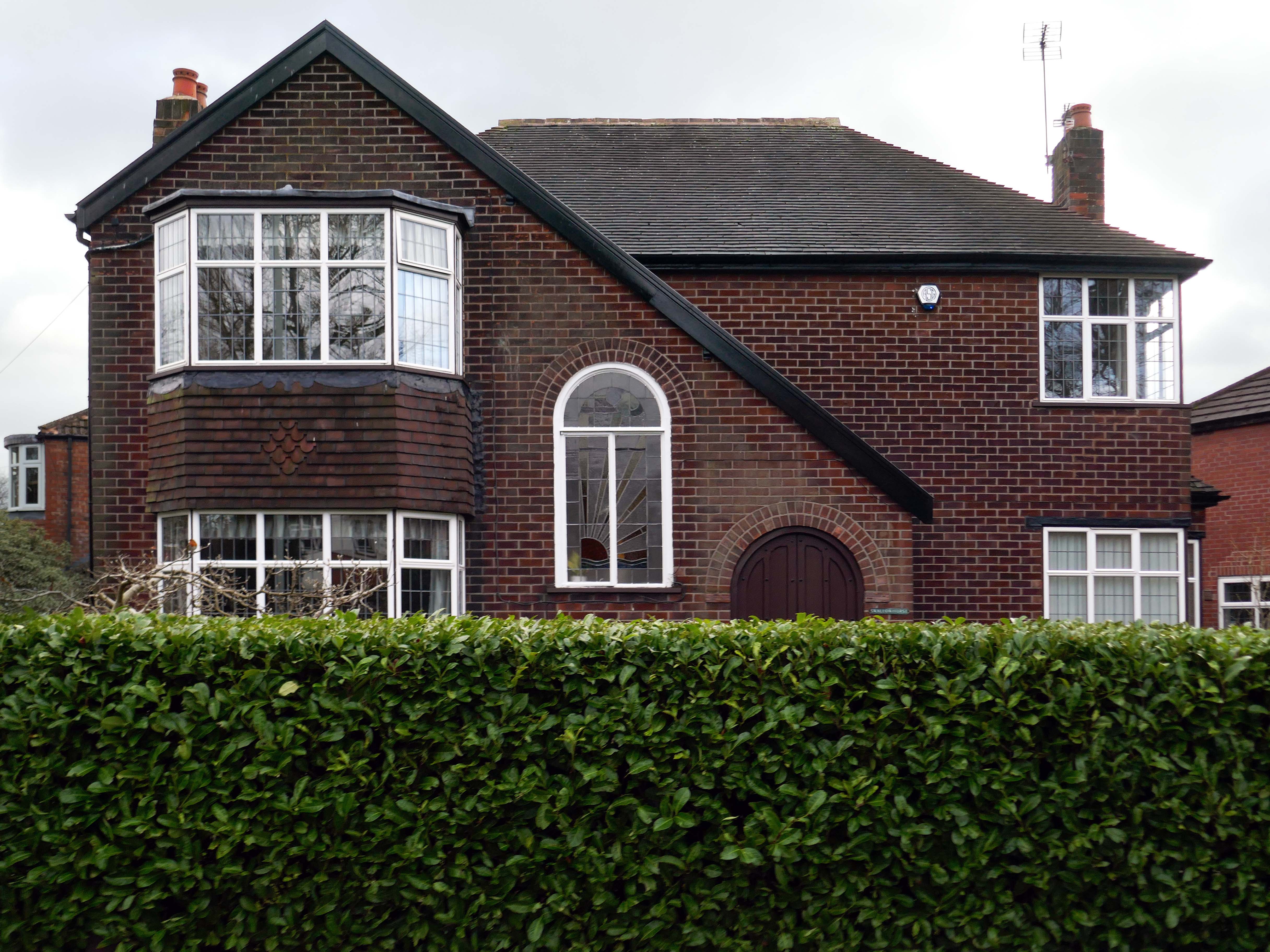
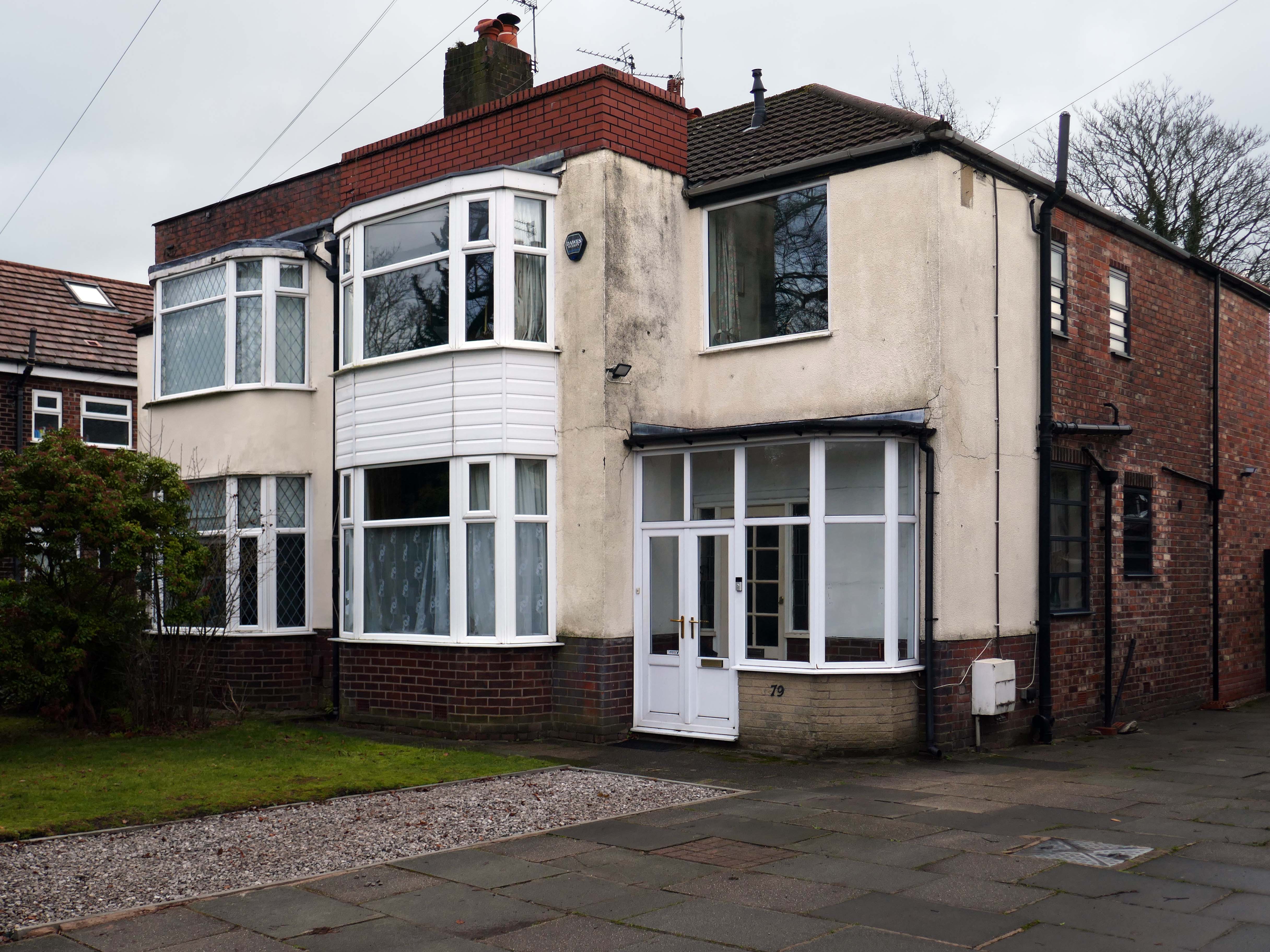
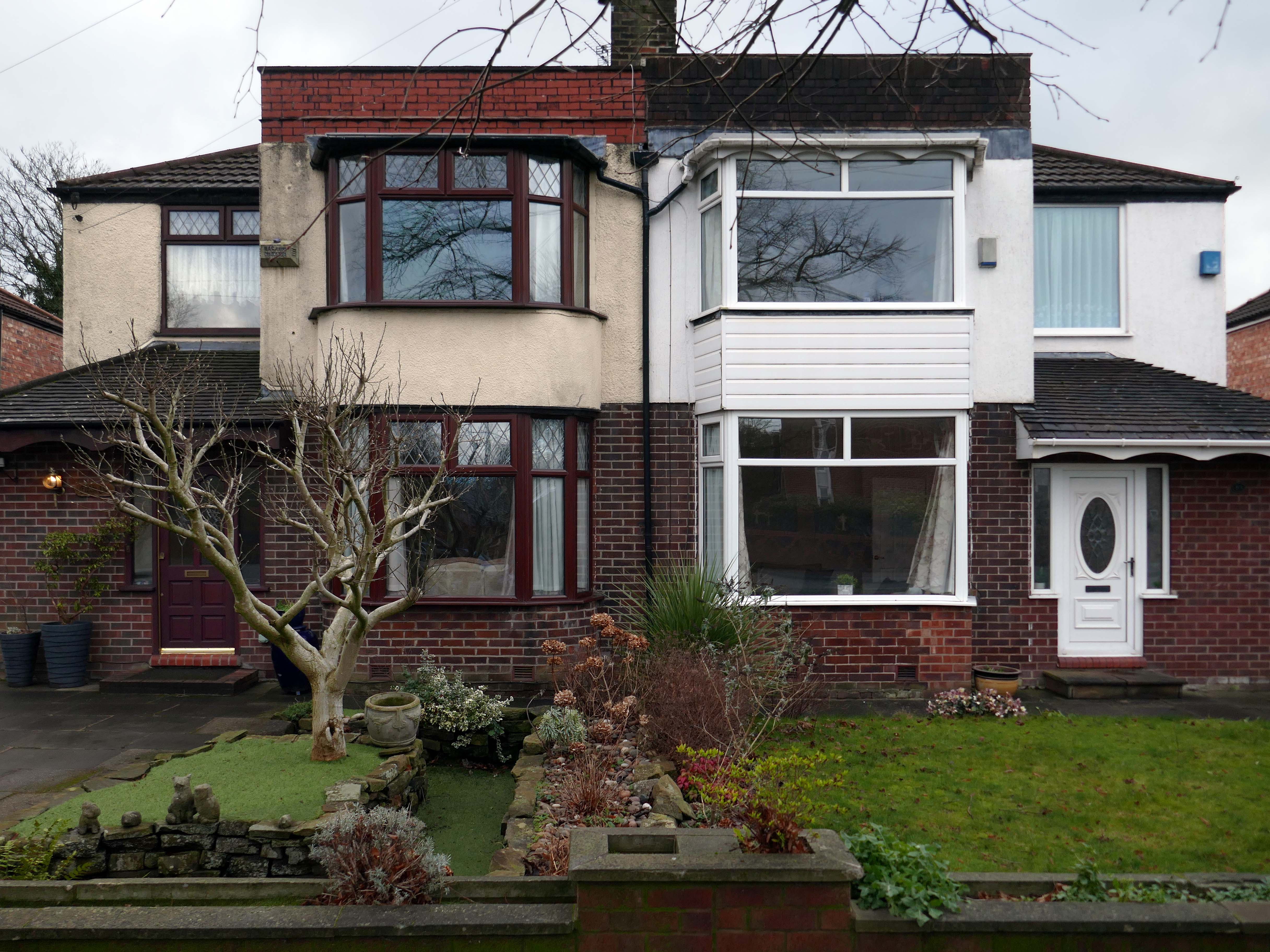
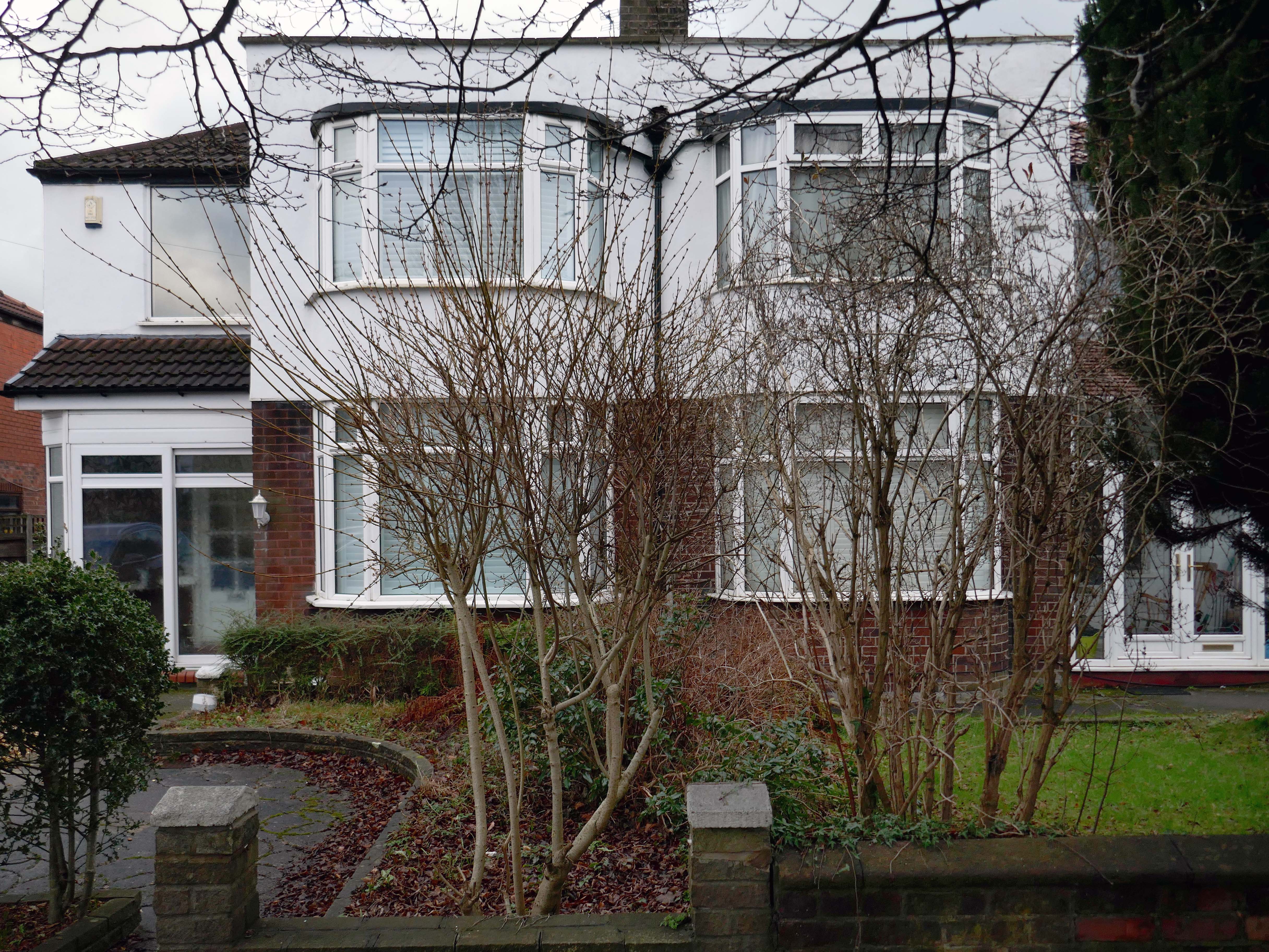
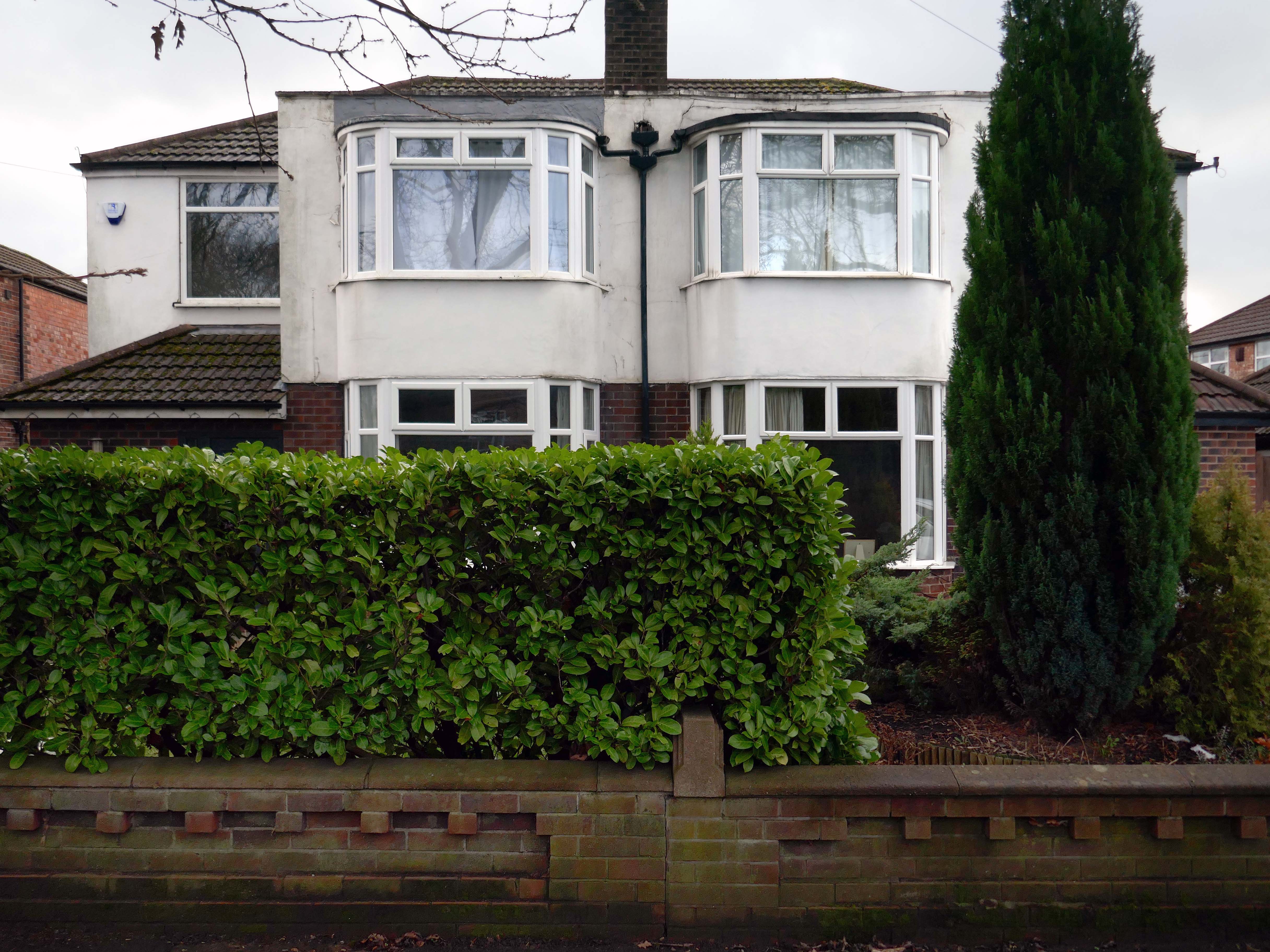
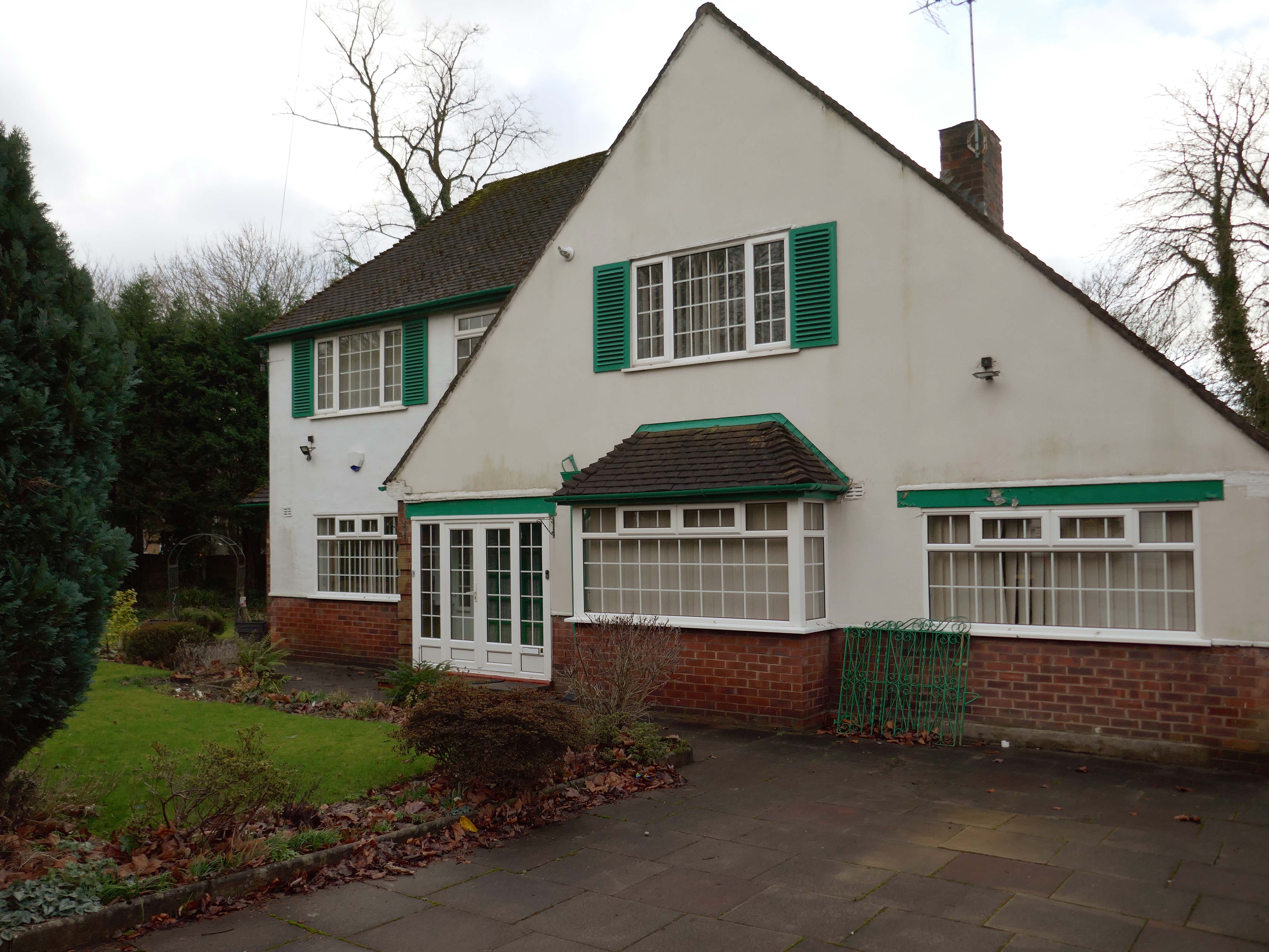
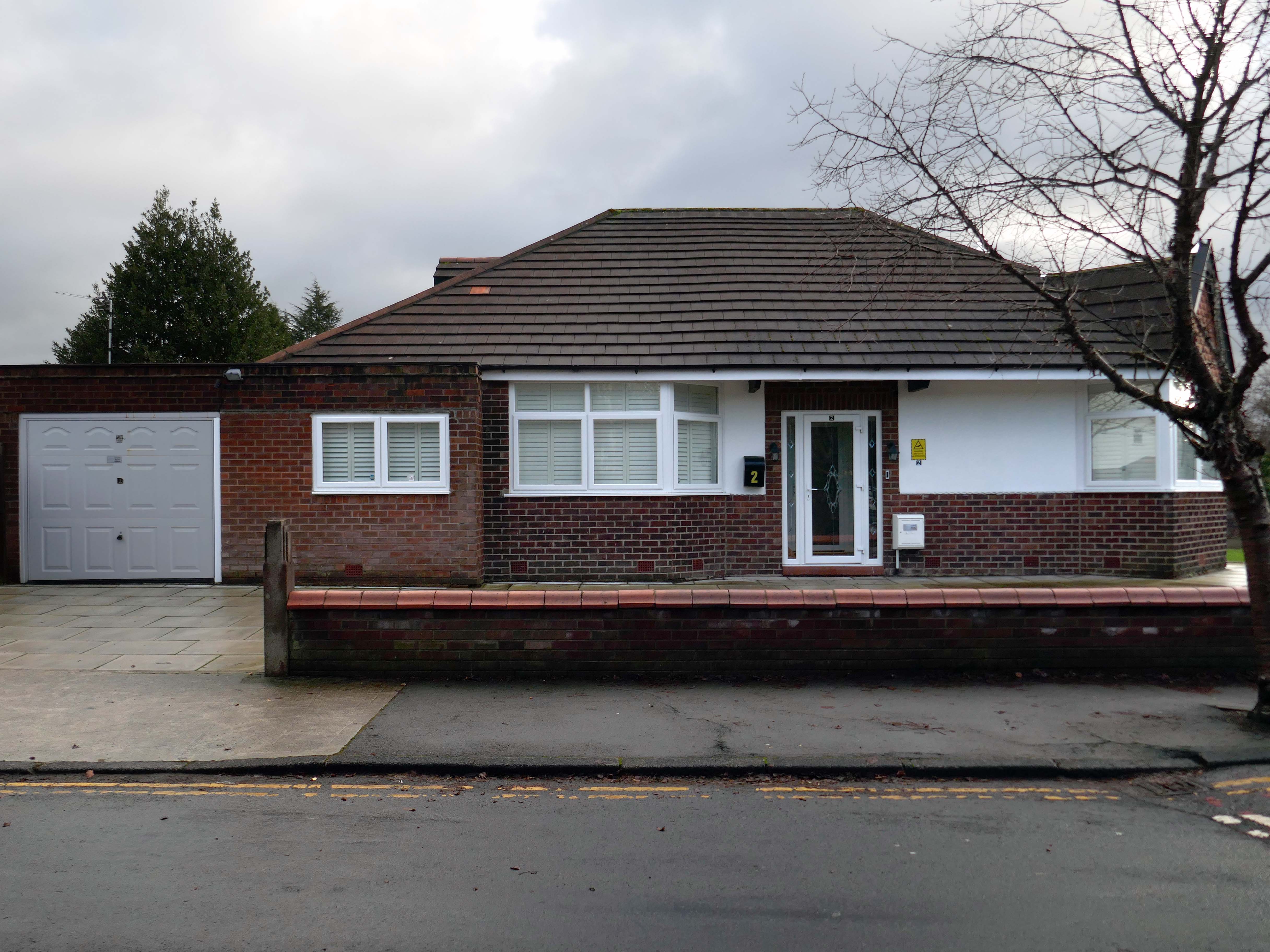
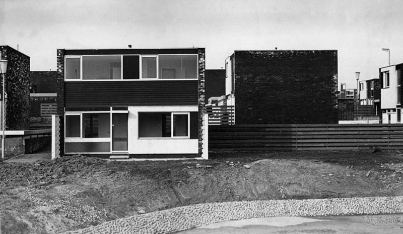
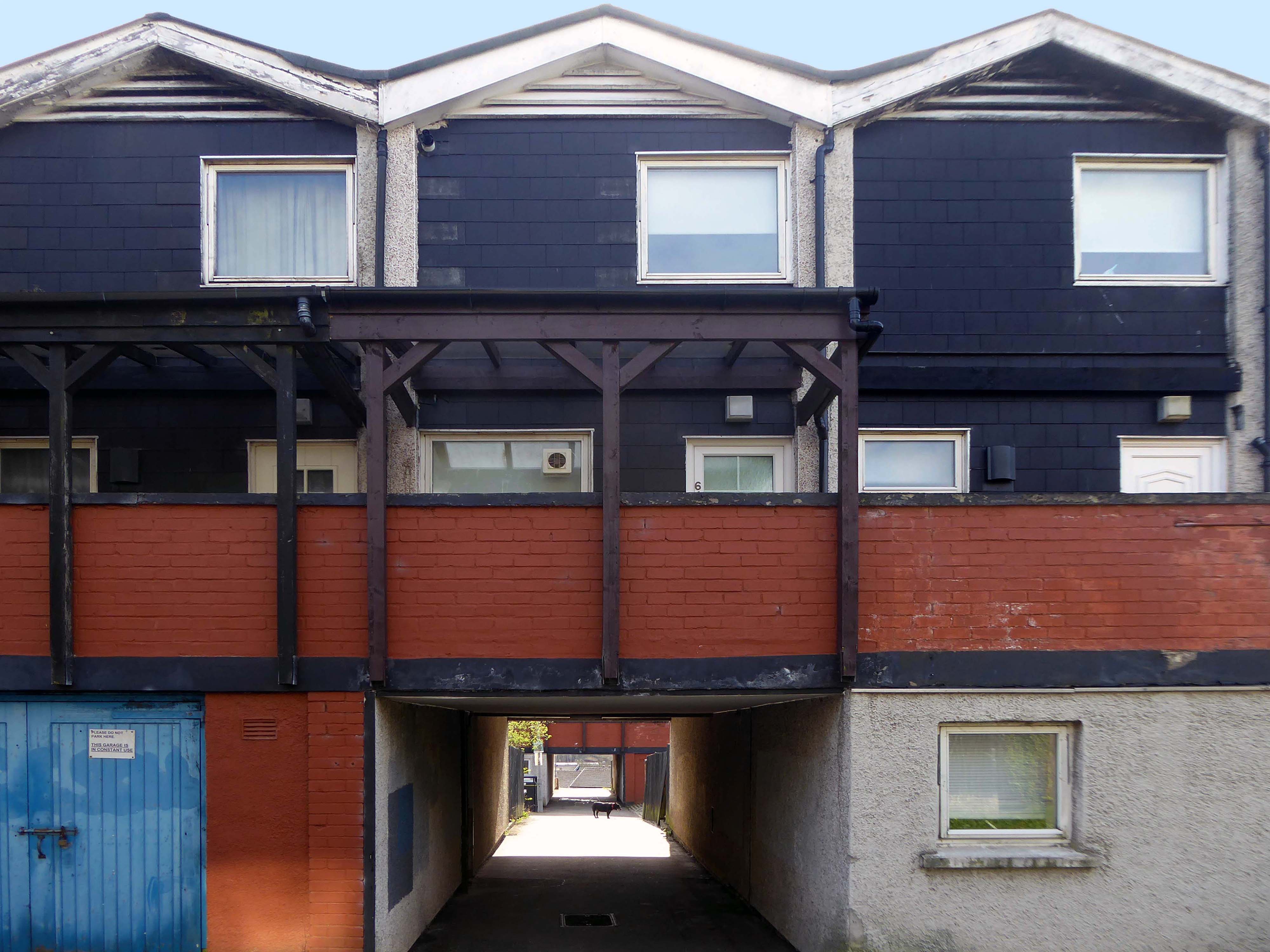
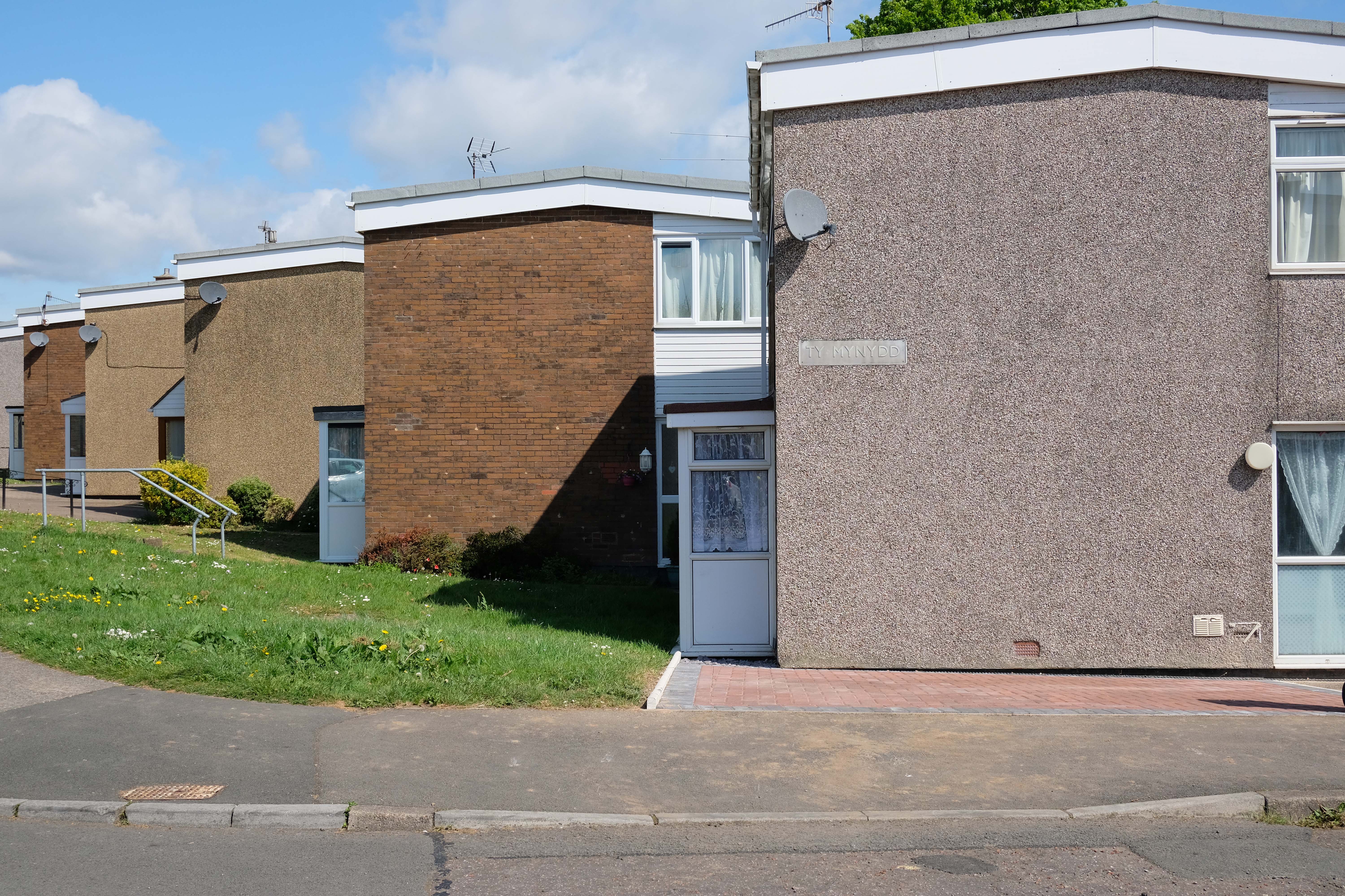
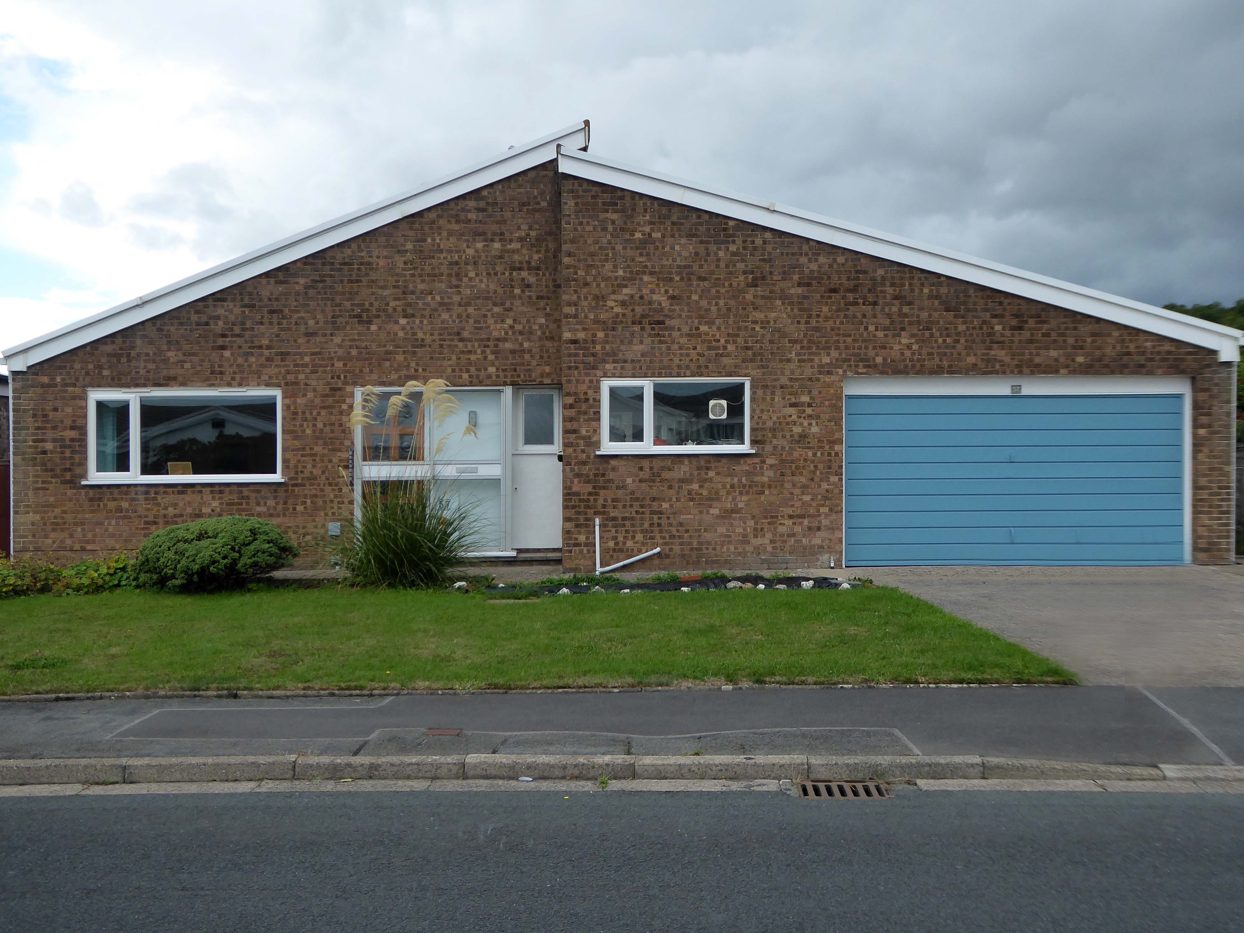
Within the typology there area number of variants, bungalow, dormer bungalow, link detached, semi-detached and detached.
Very very few of the homes have retained their original features, the imperative of our age is to extend and improve.
There is a covenant in the deeds which prevents the building of border fencing – therefore the development retains its small-scale suburban American ambience.
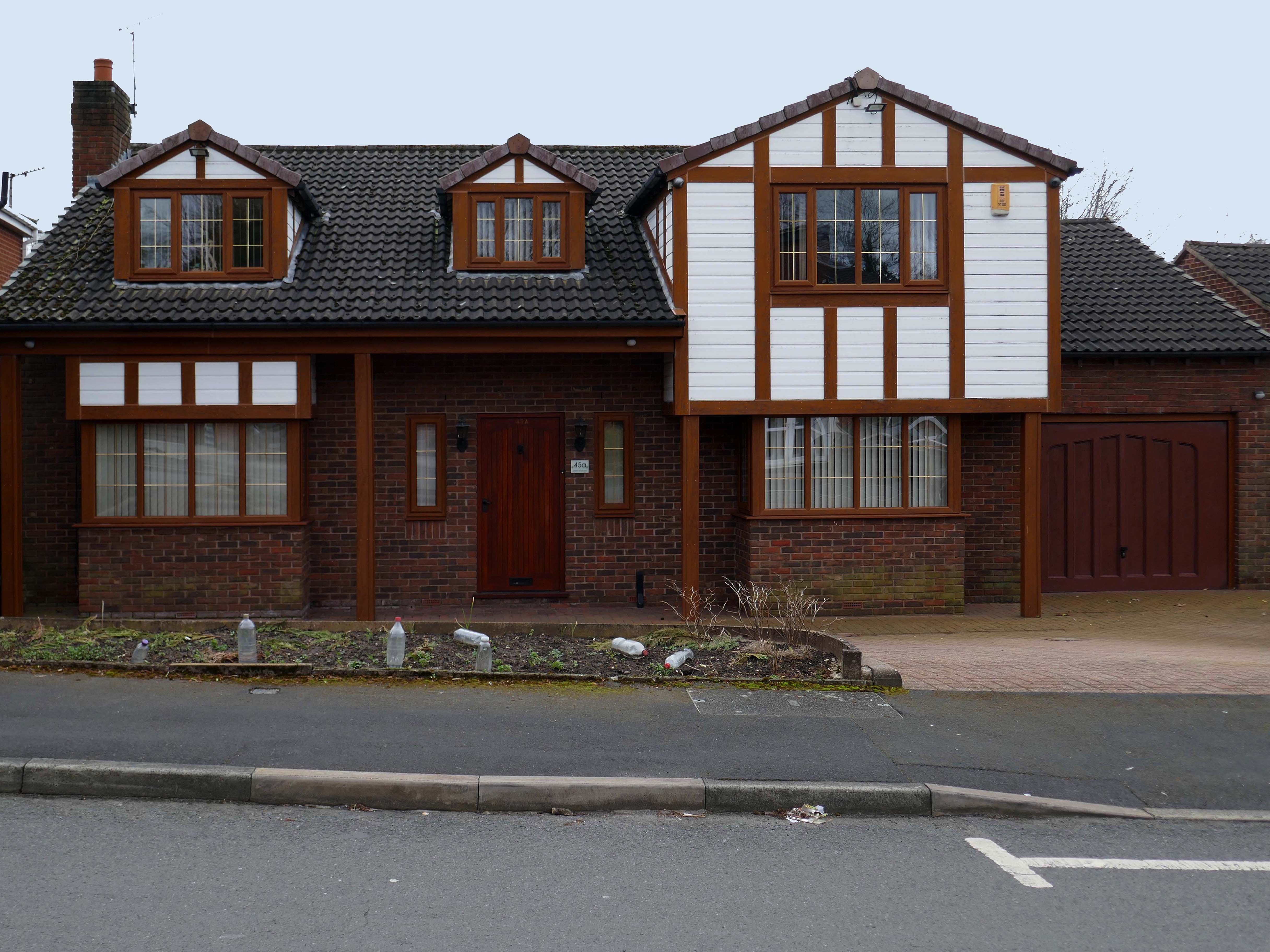
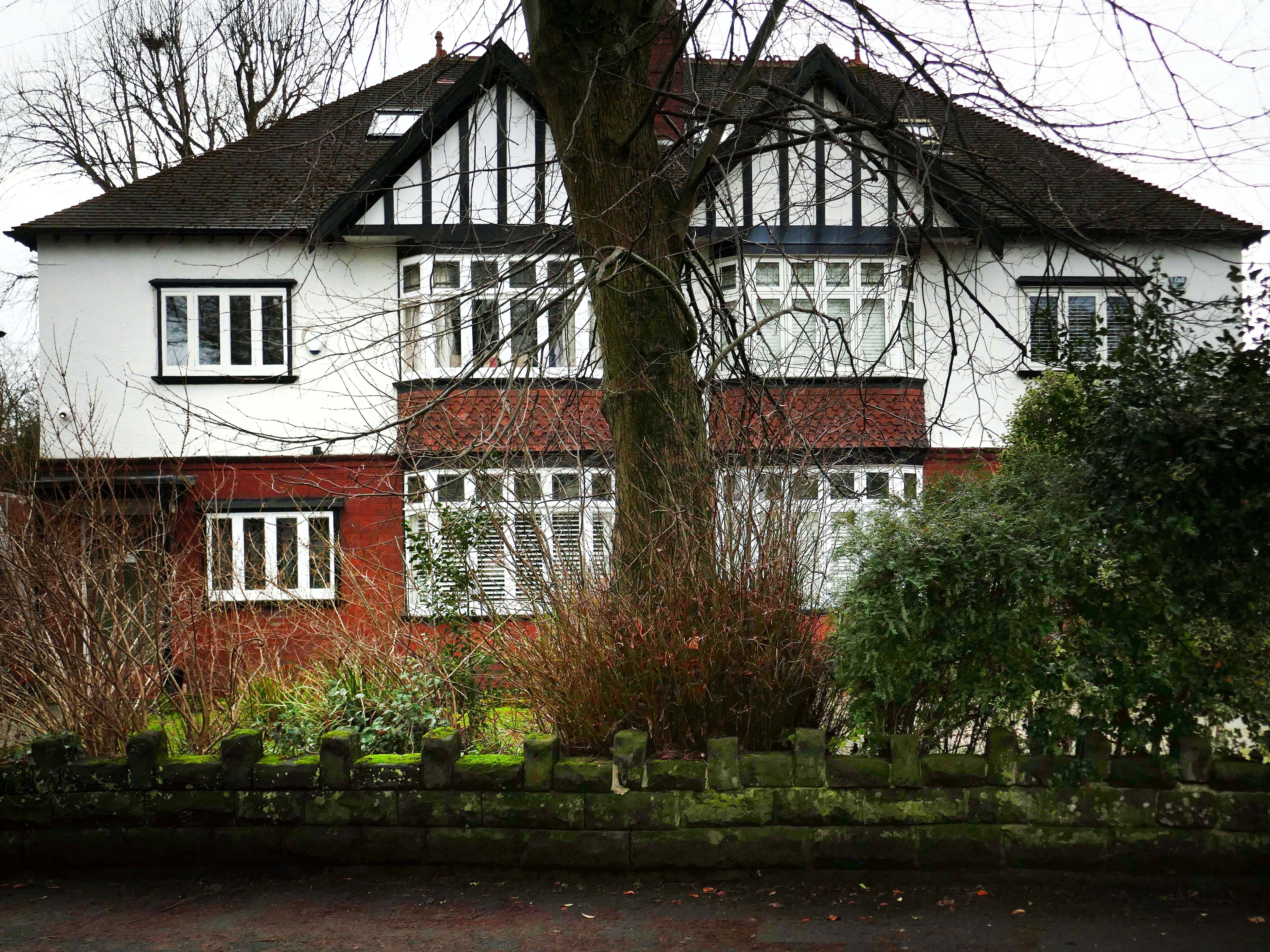
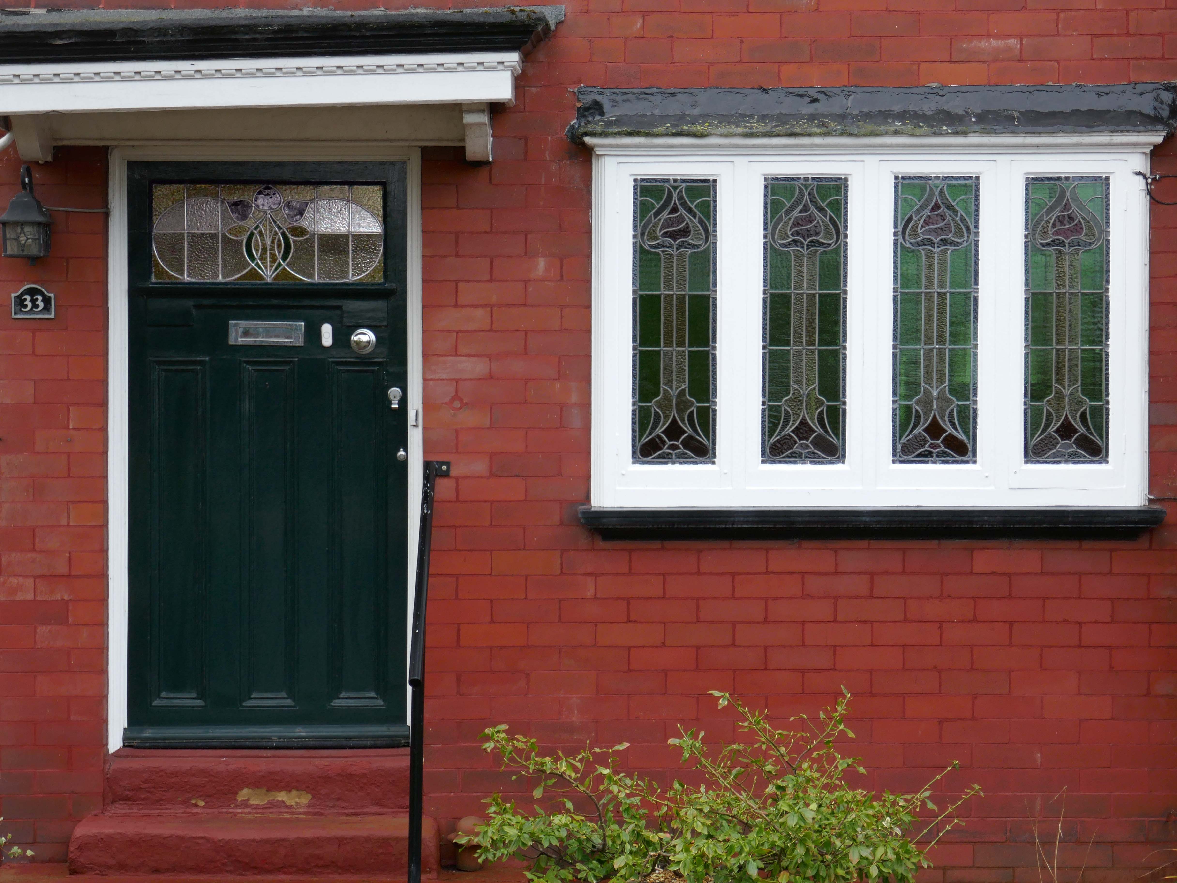
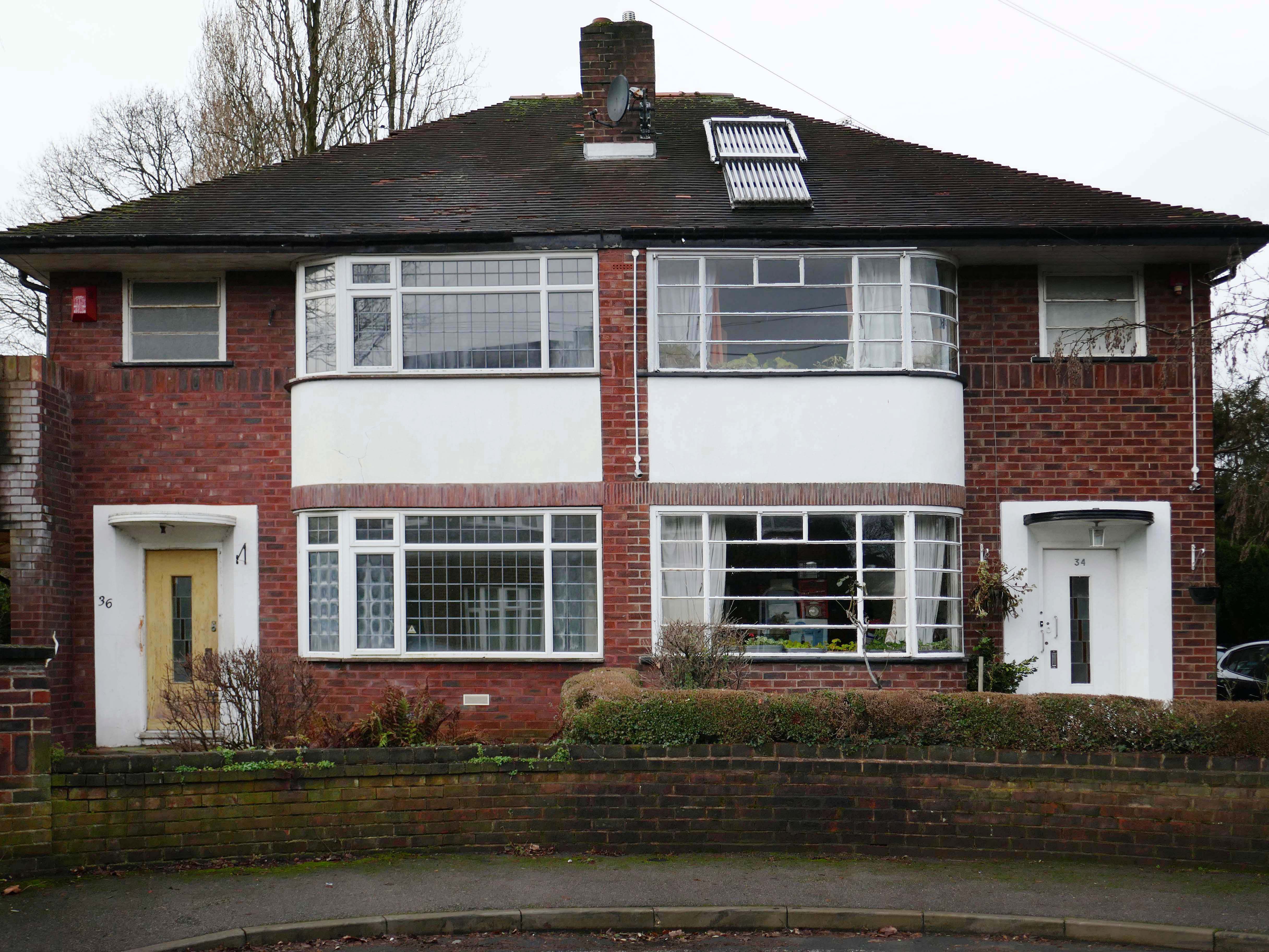
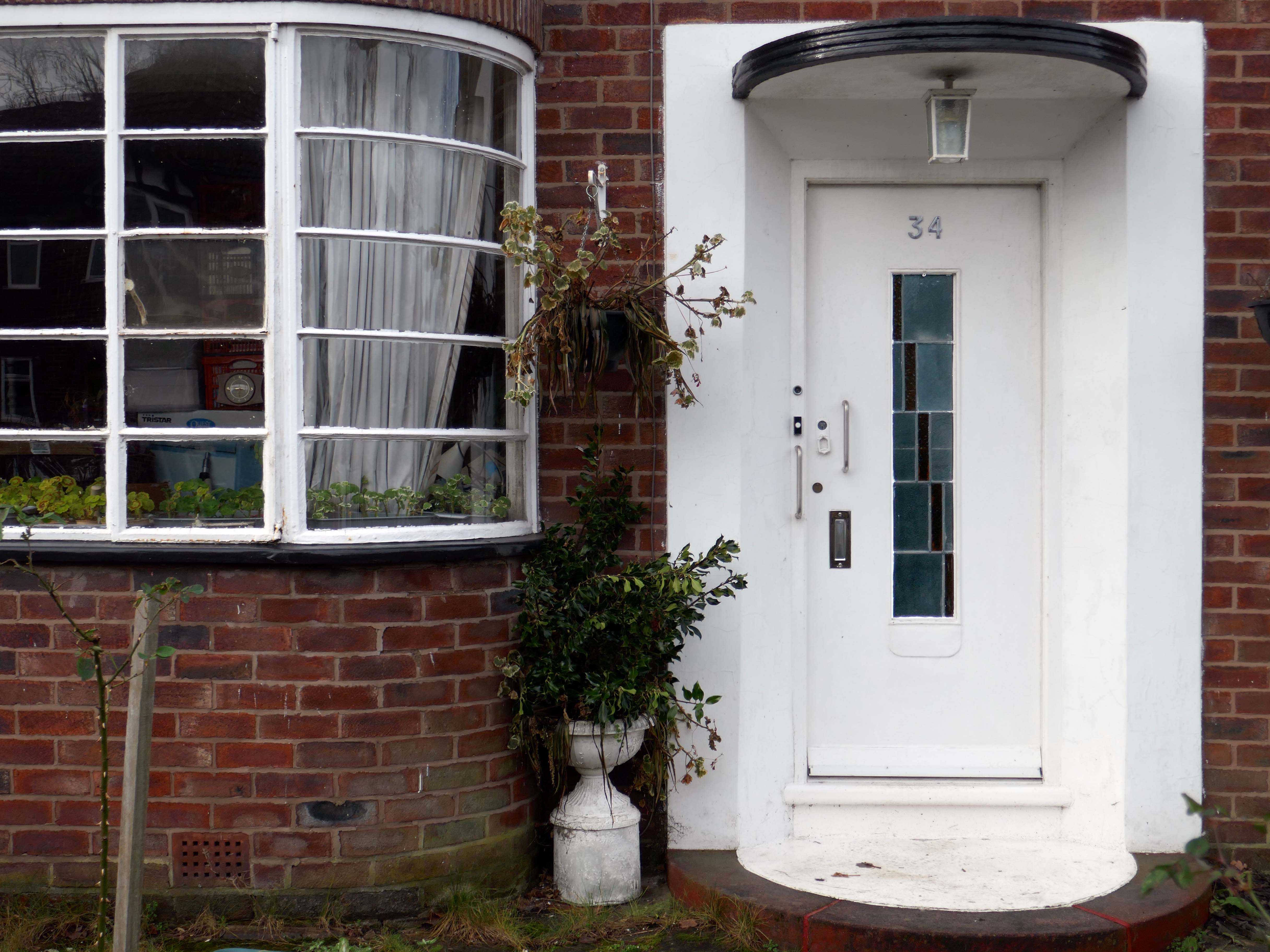
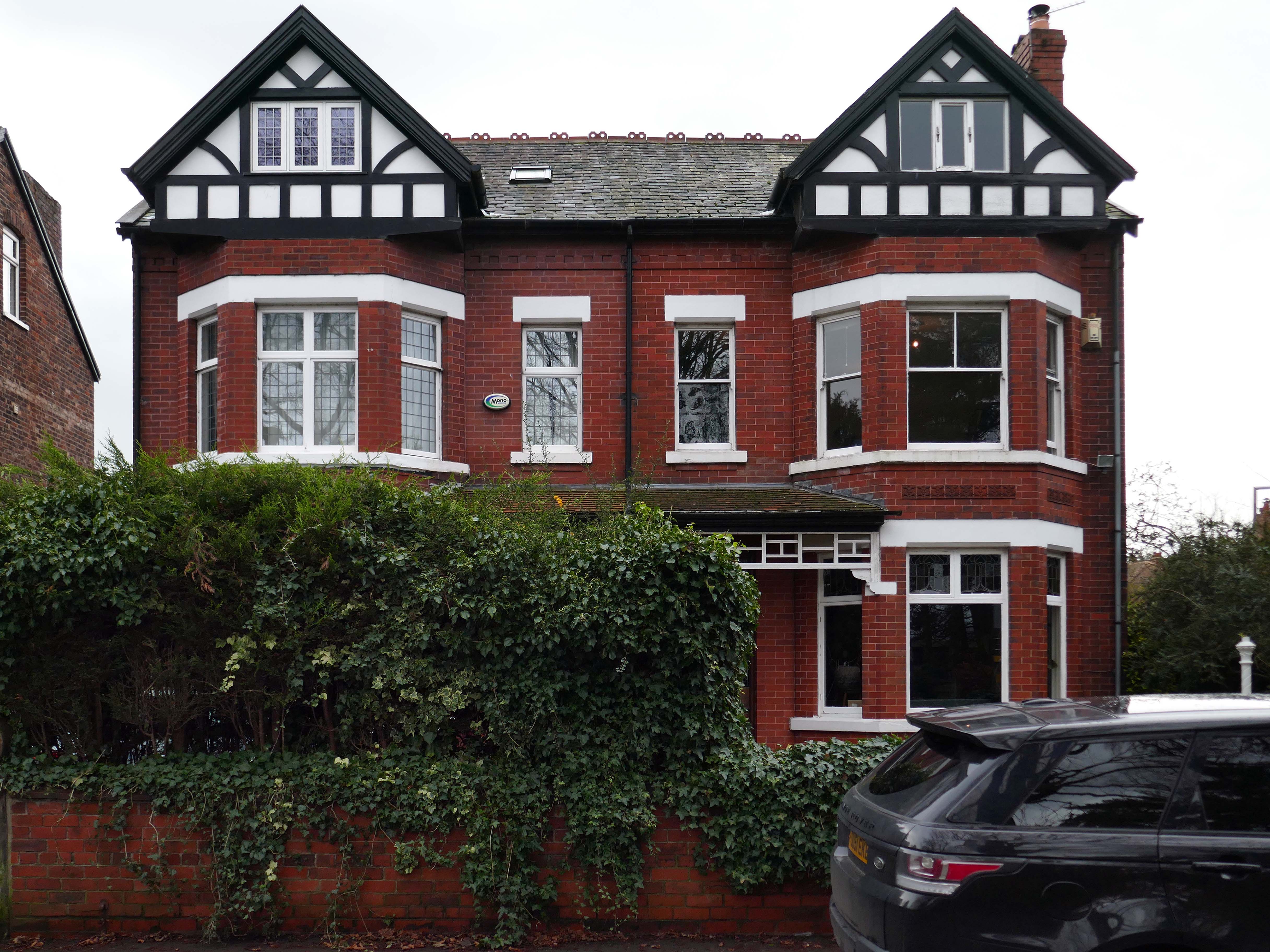
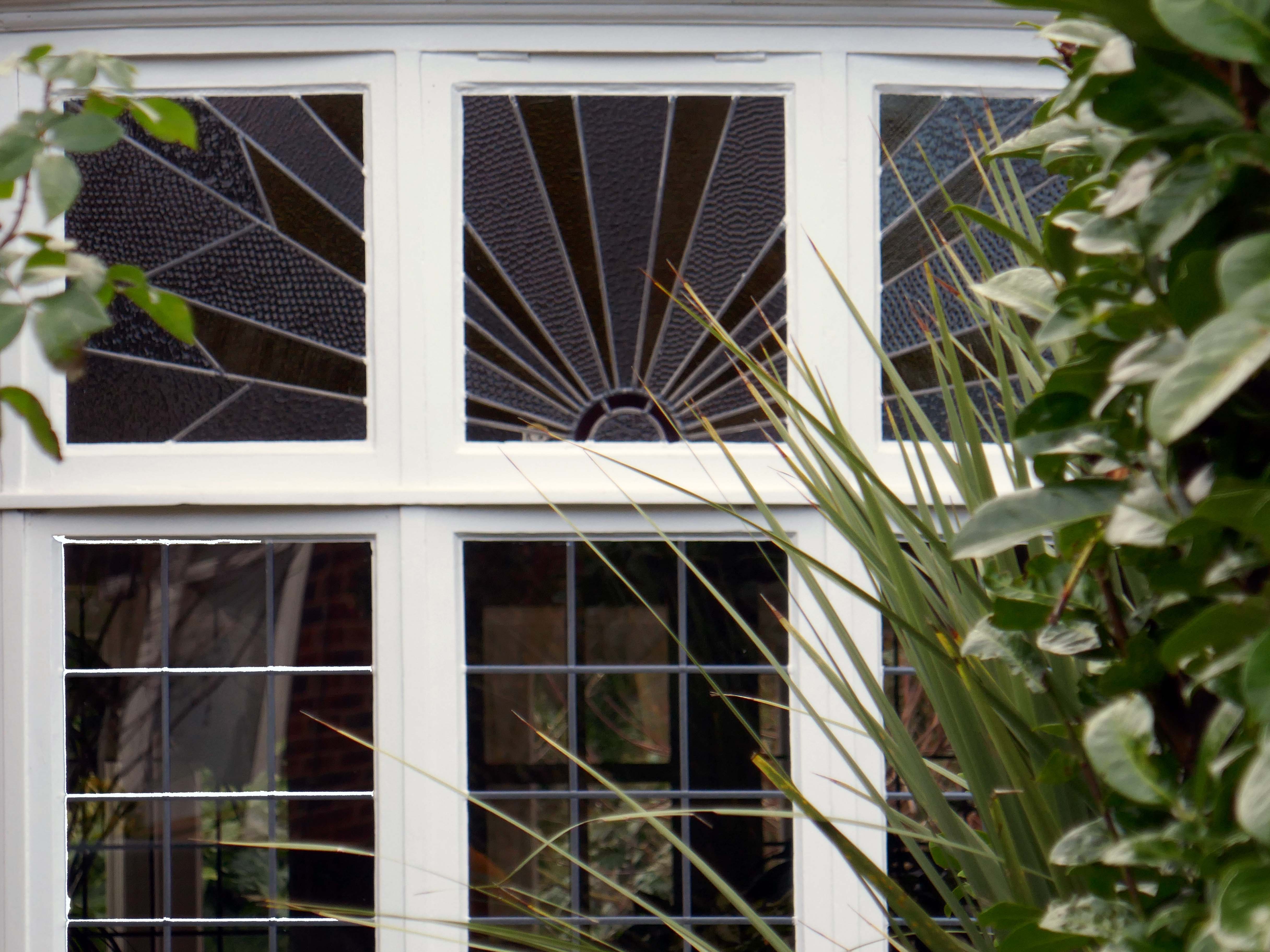
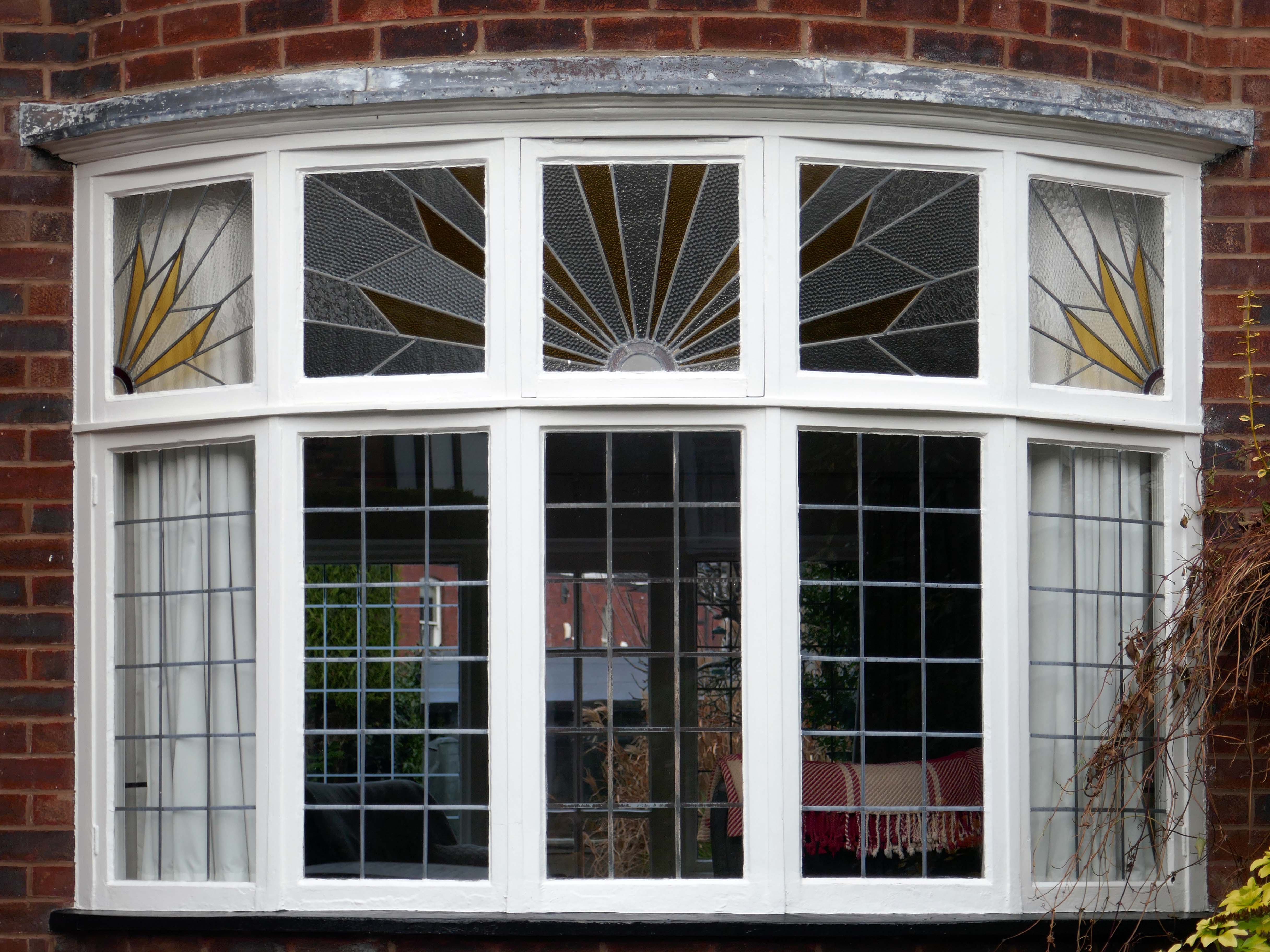
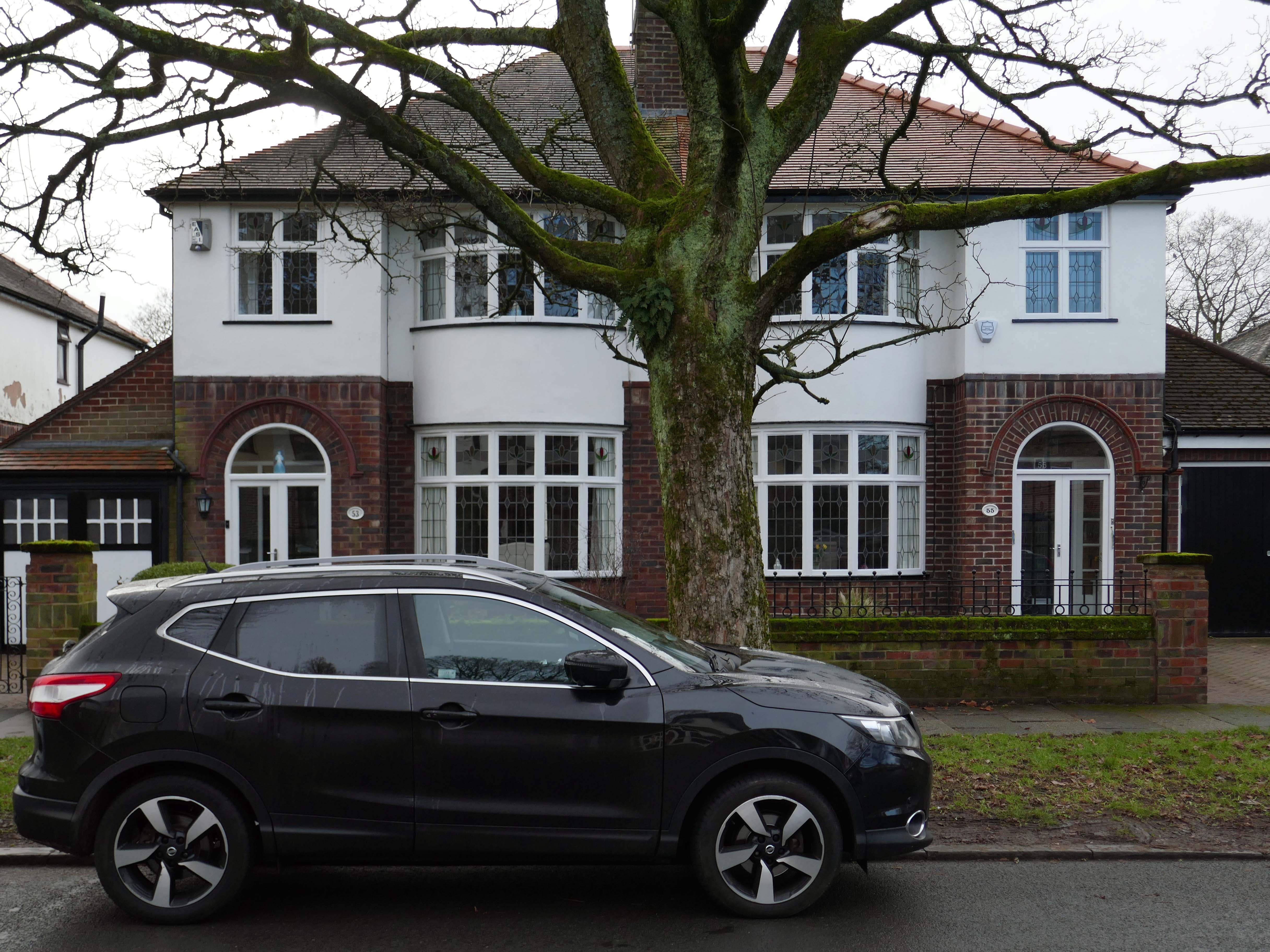
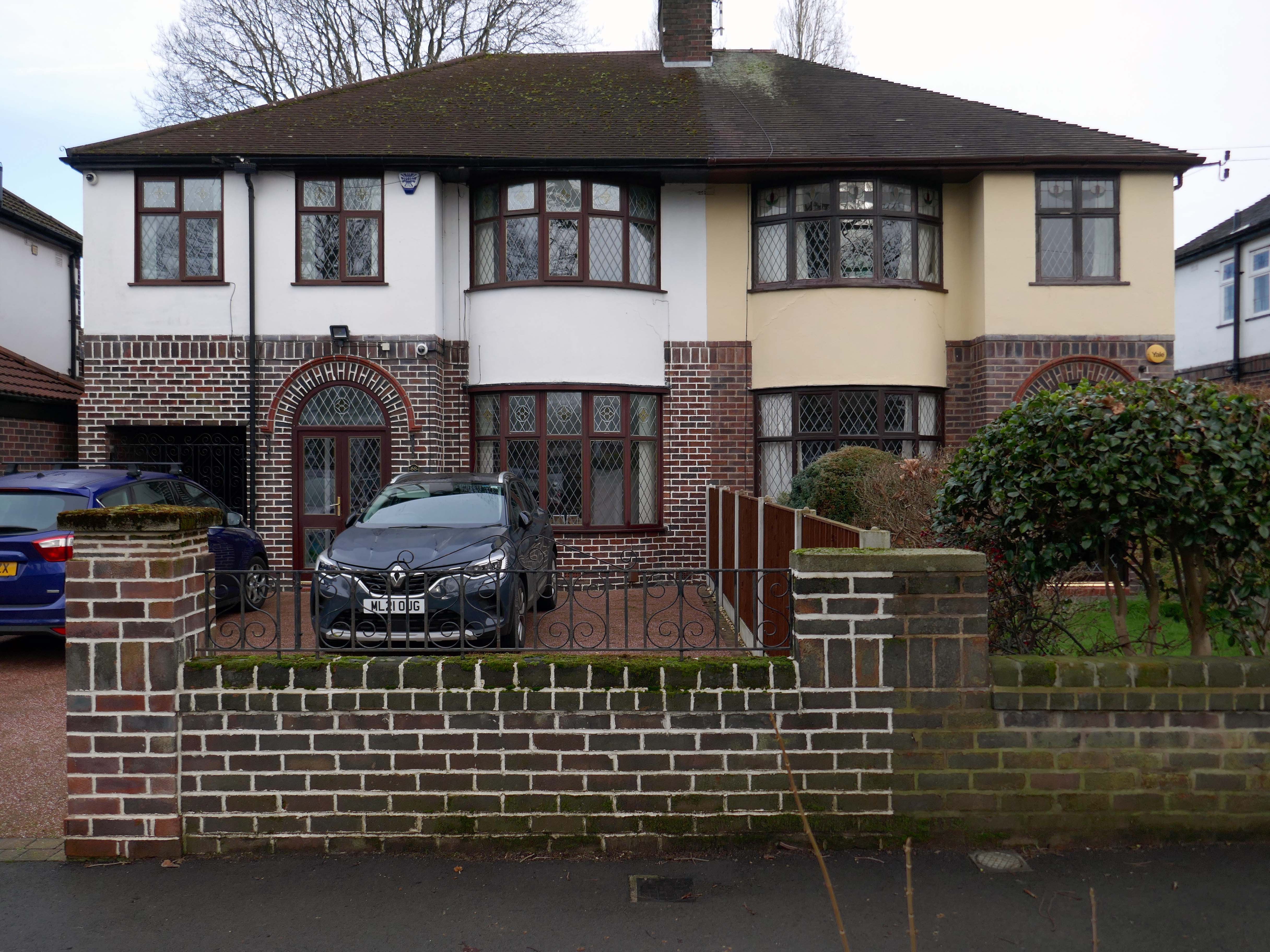
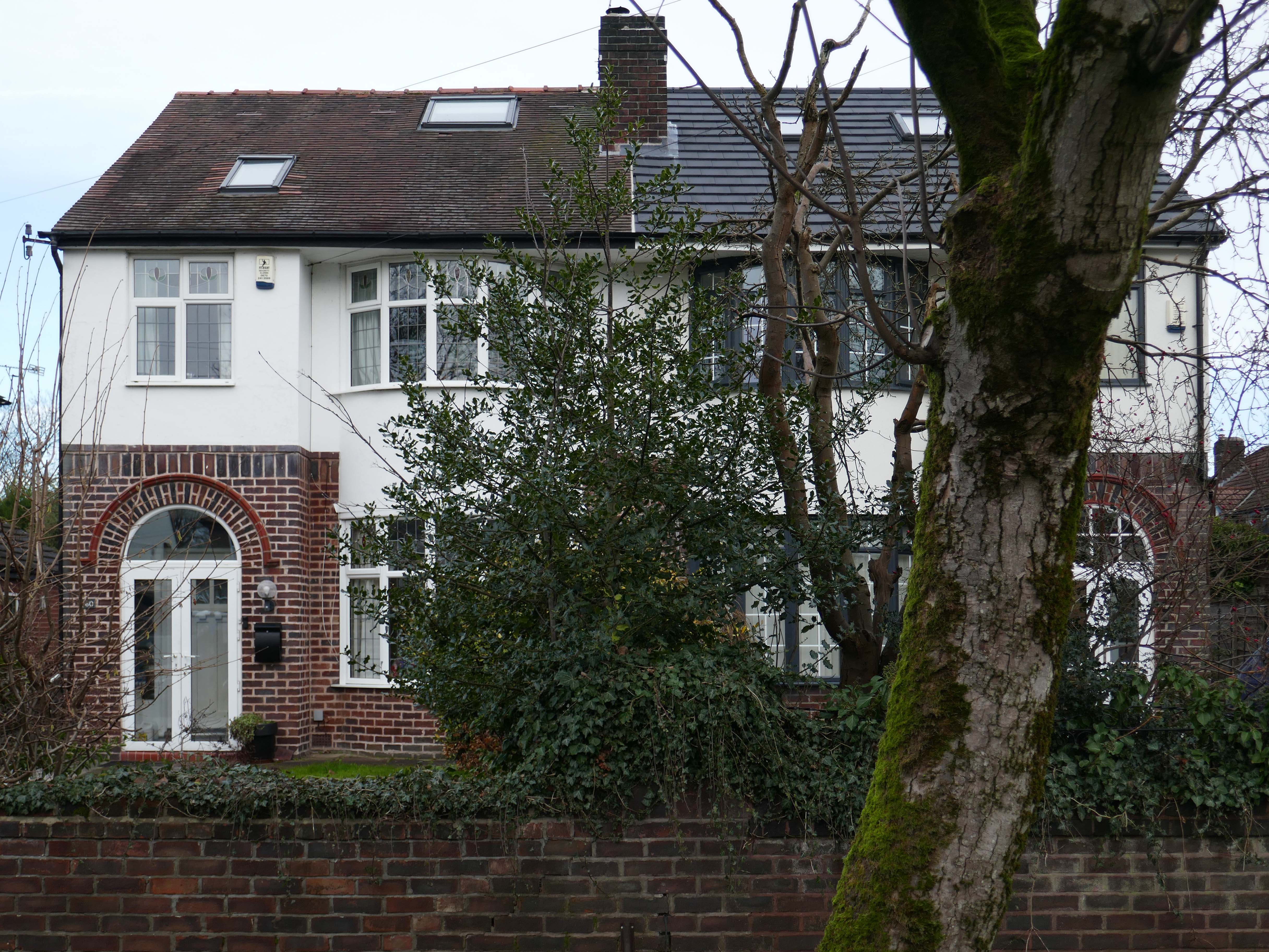
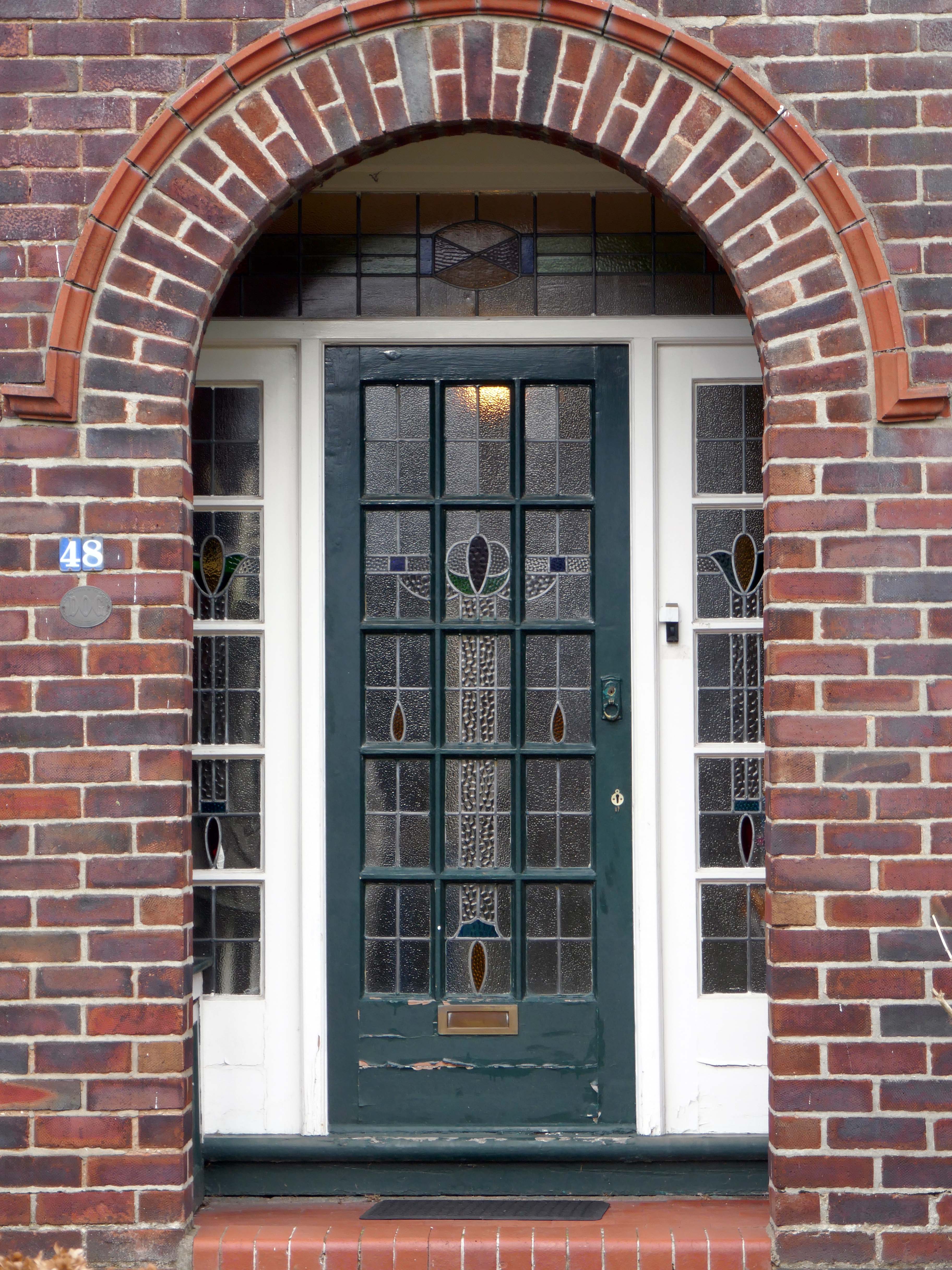
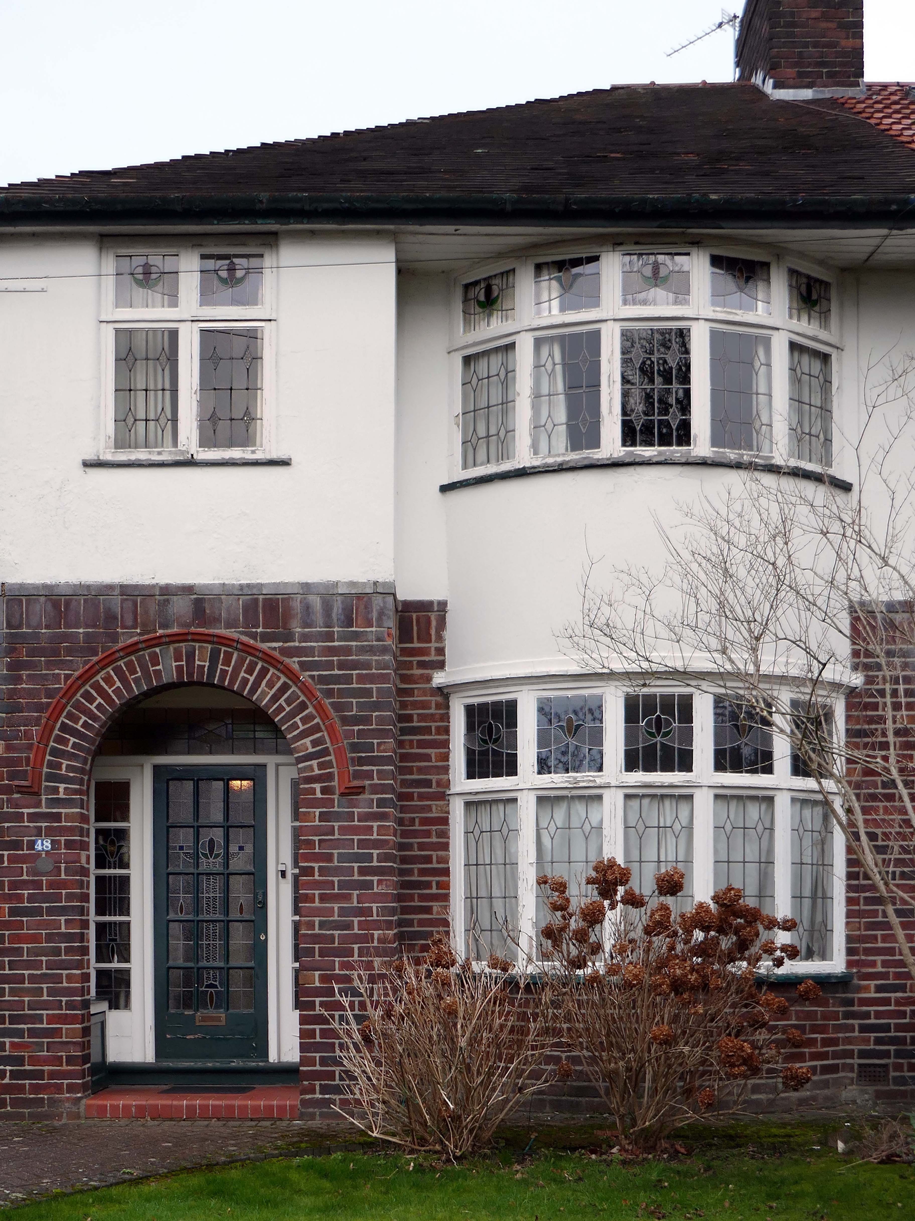
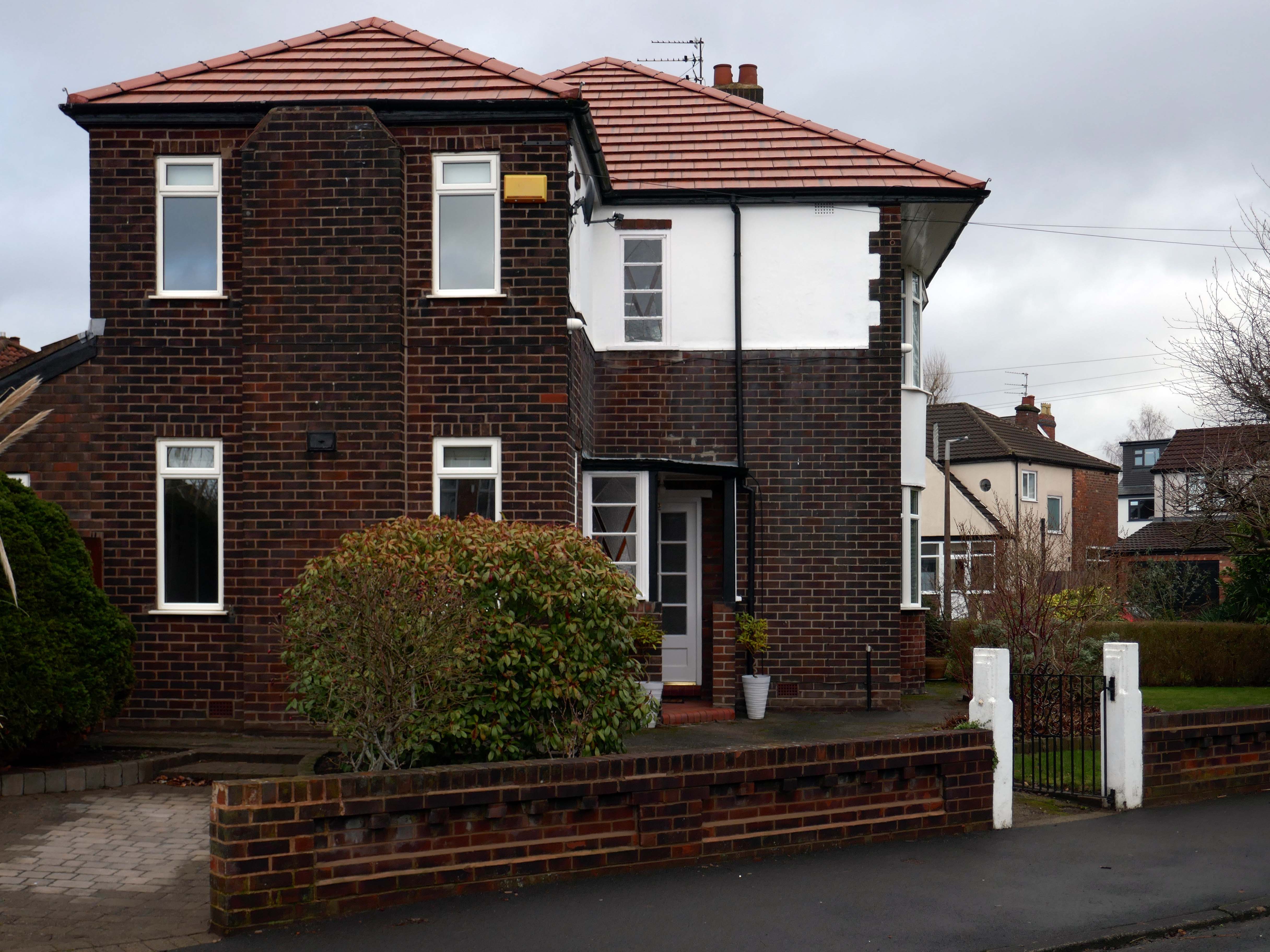
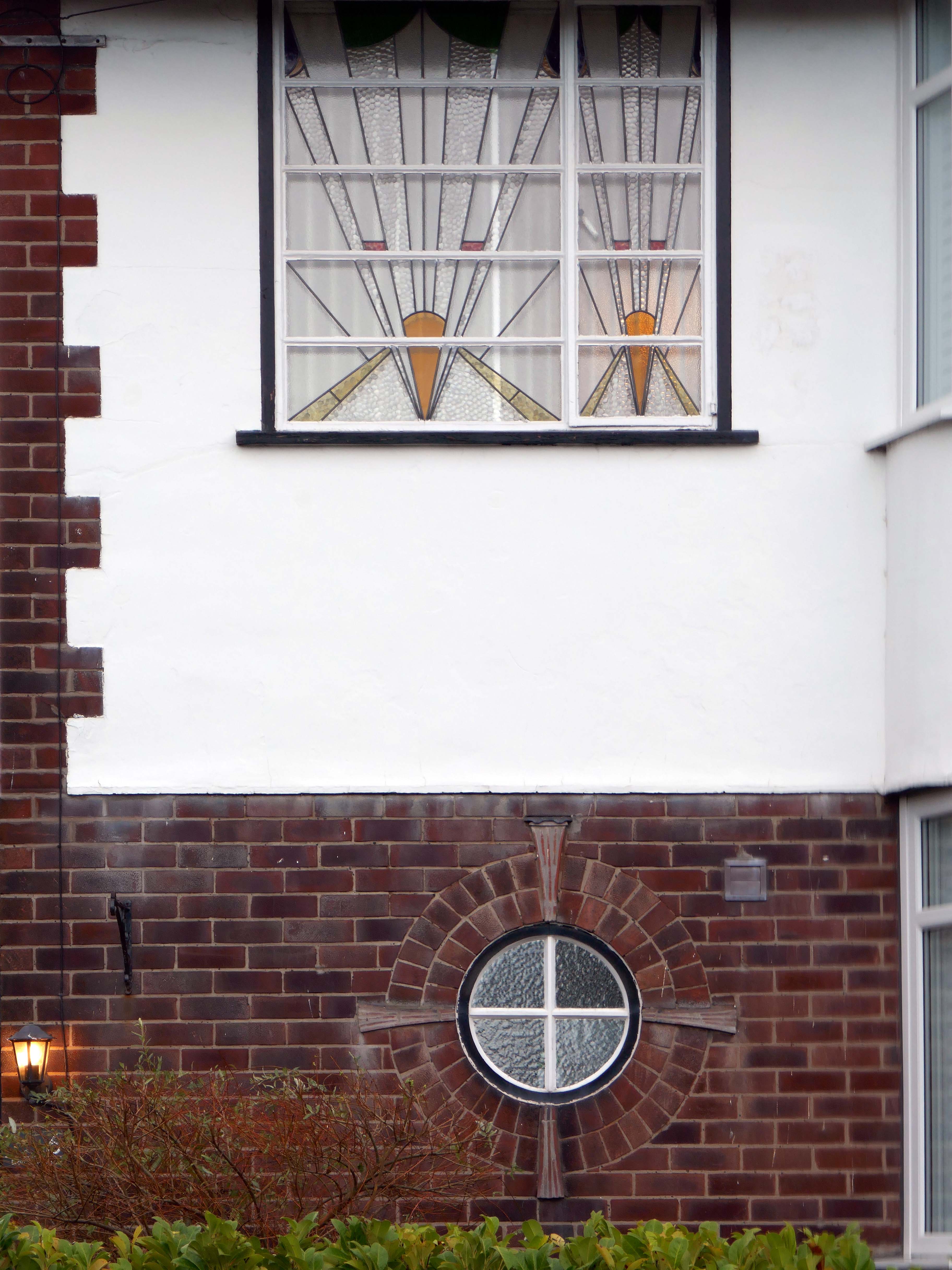
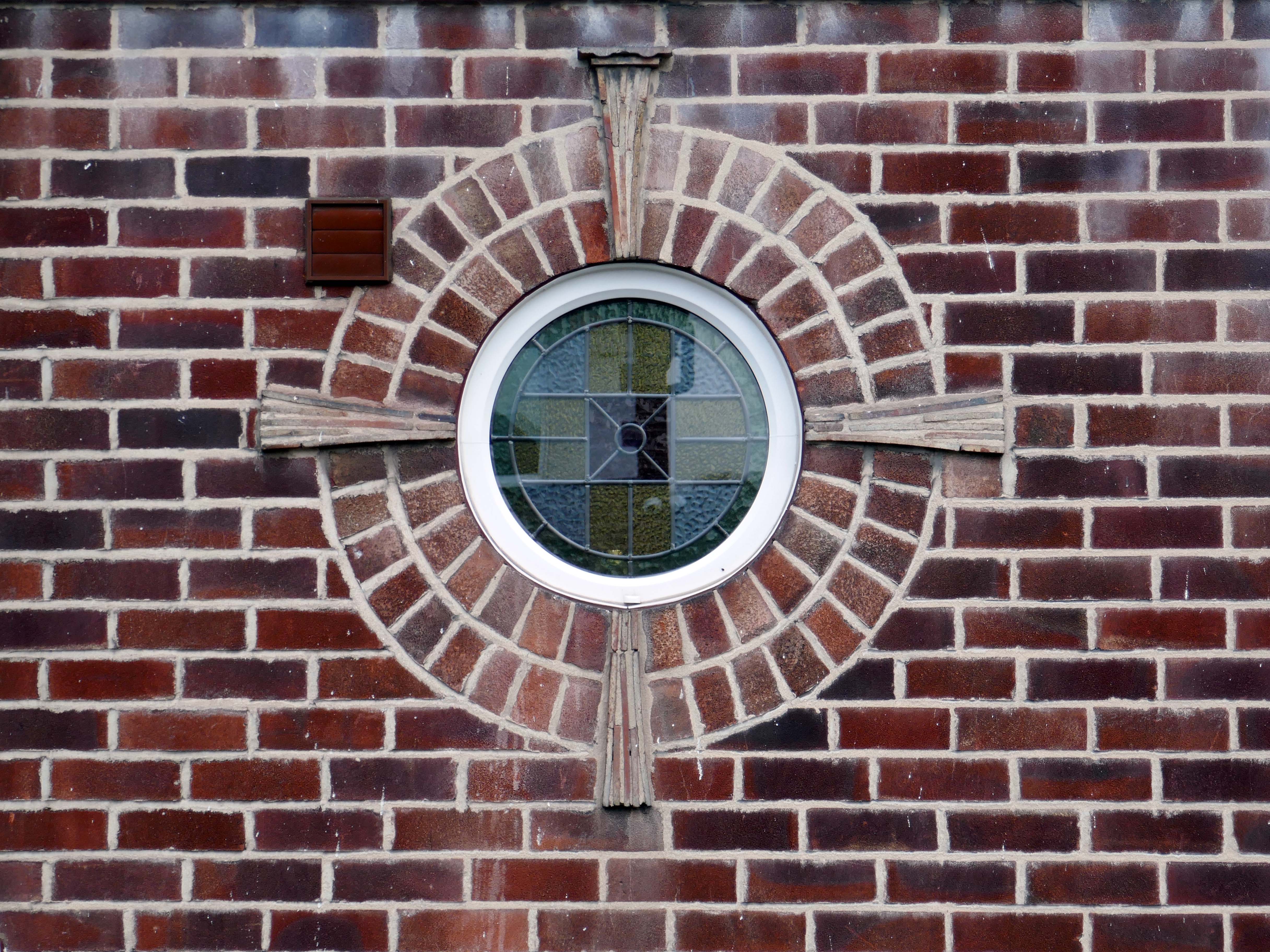
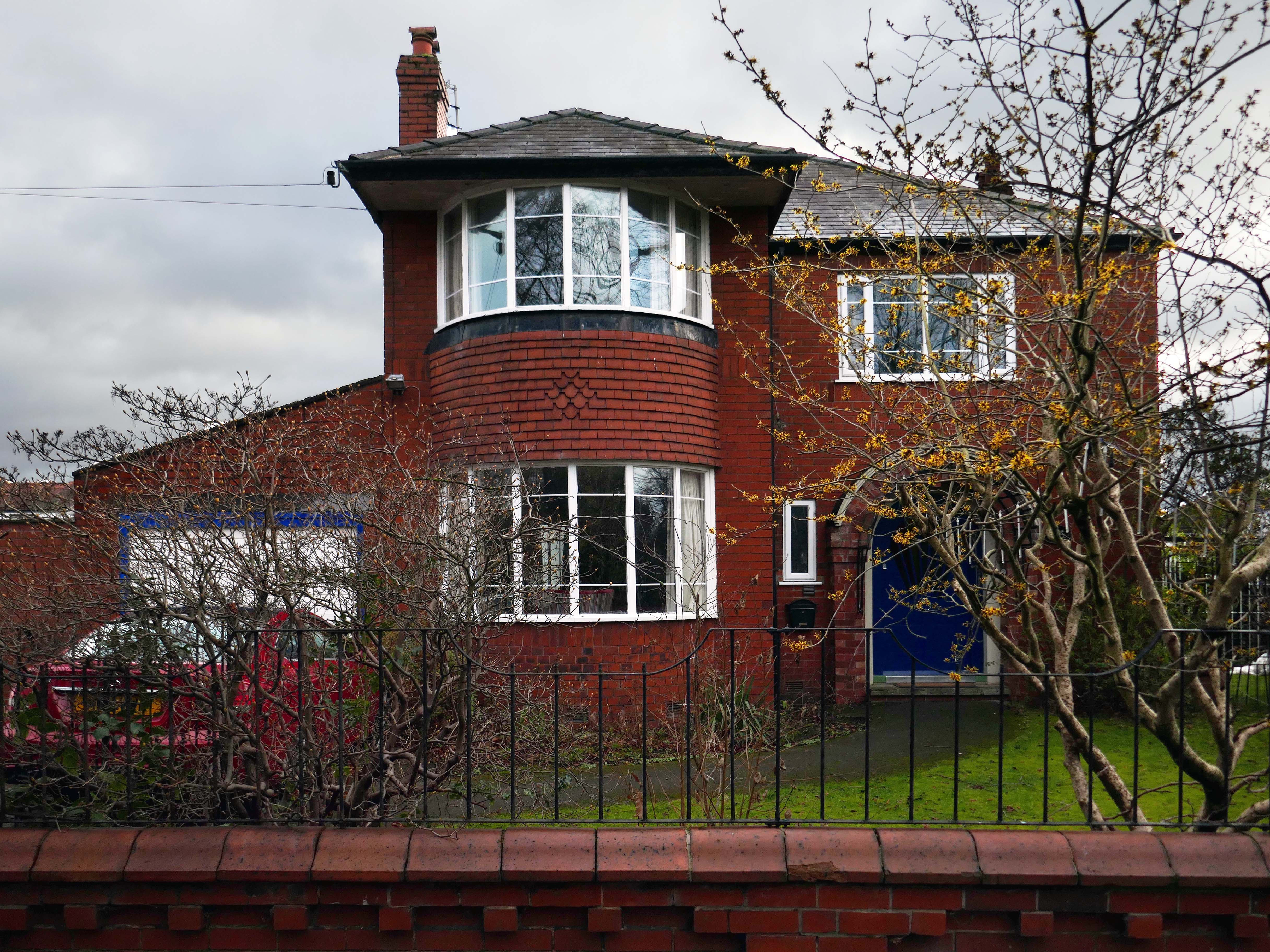
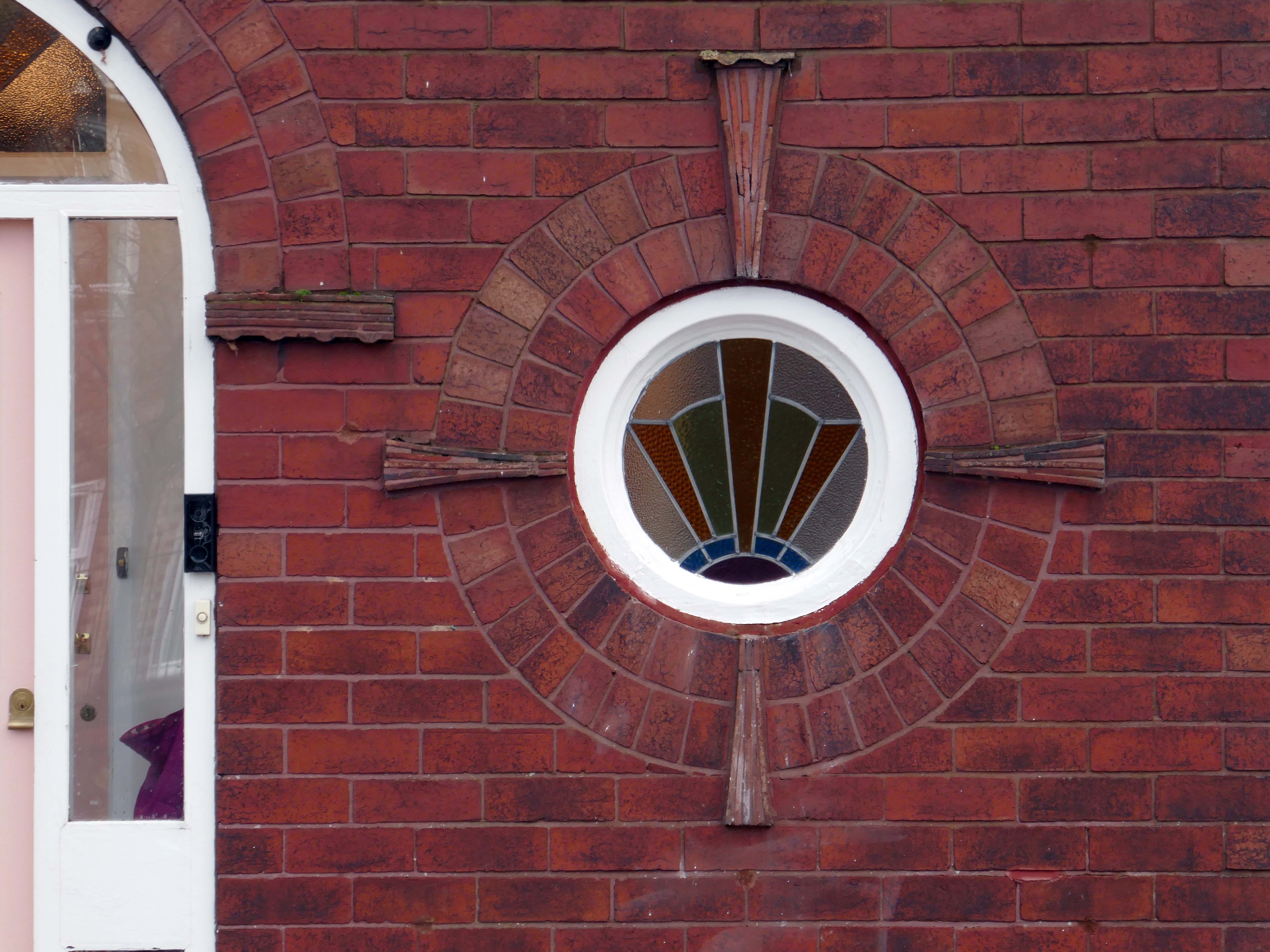
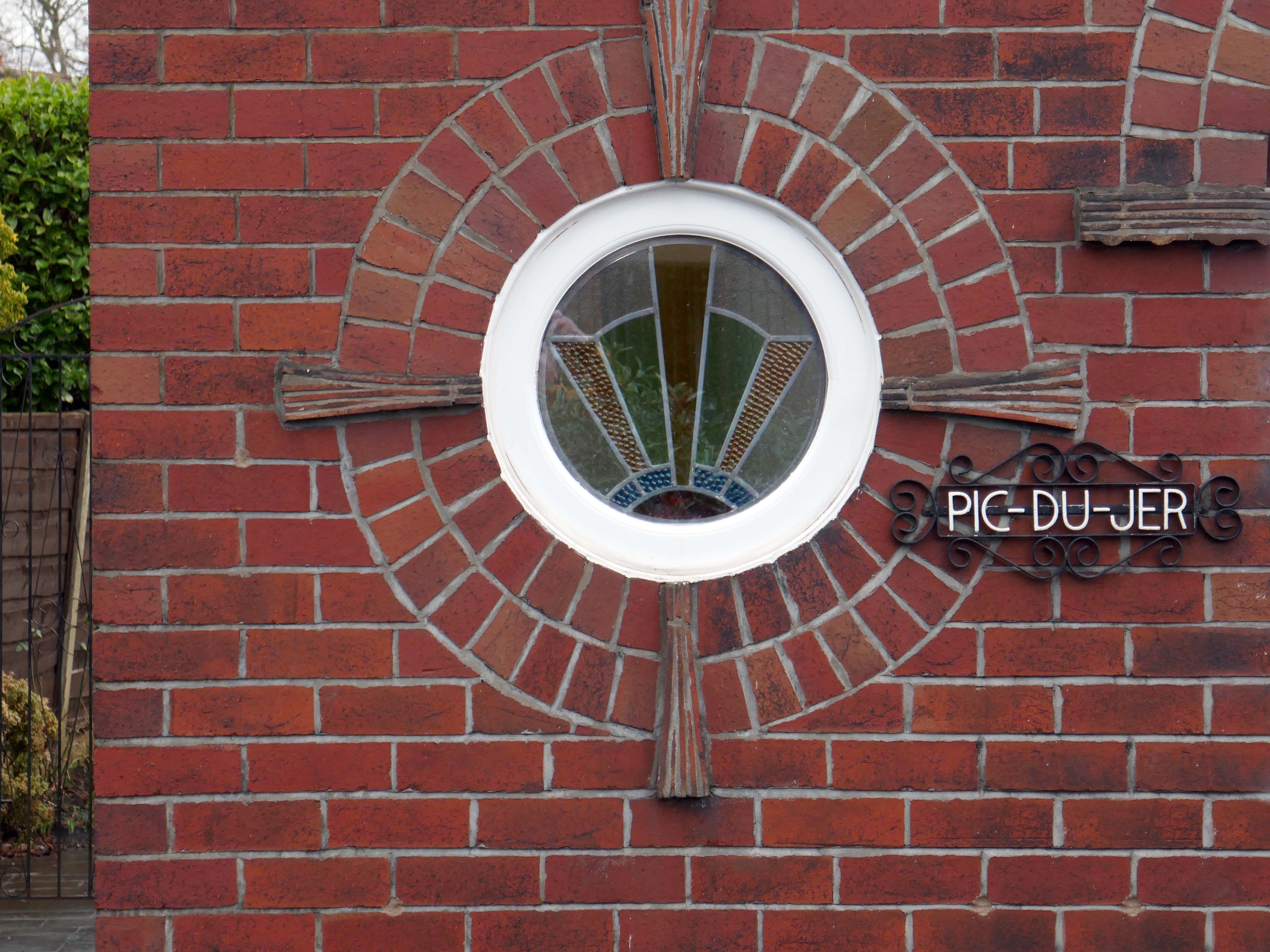
Within such a tight network of suburban streets, restrained Modernism sits alongside the traditional semi, the grand villa and humble abode. A smattering of stained glass and an original door here and there.
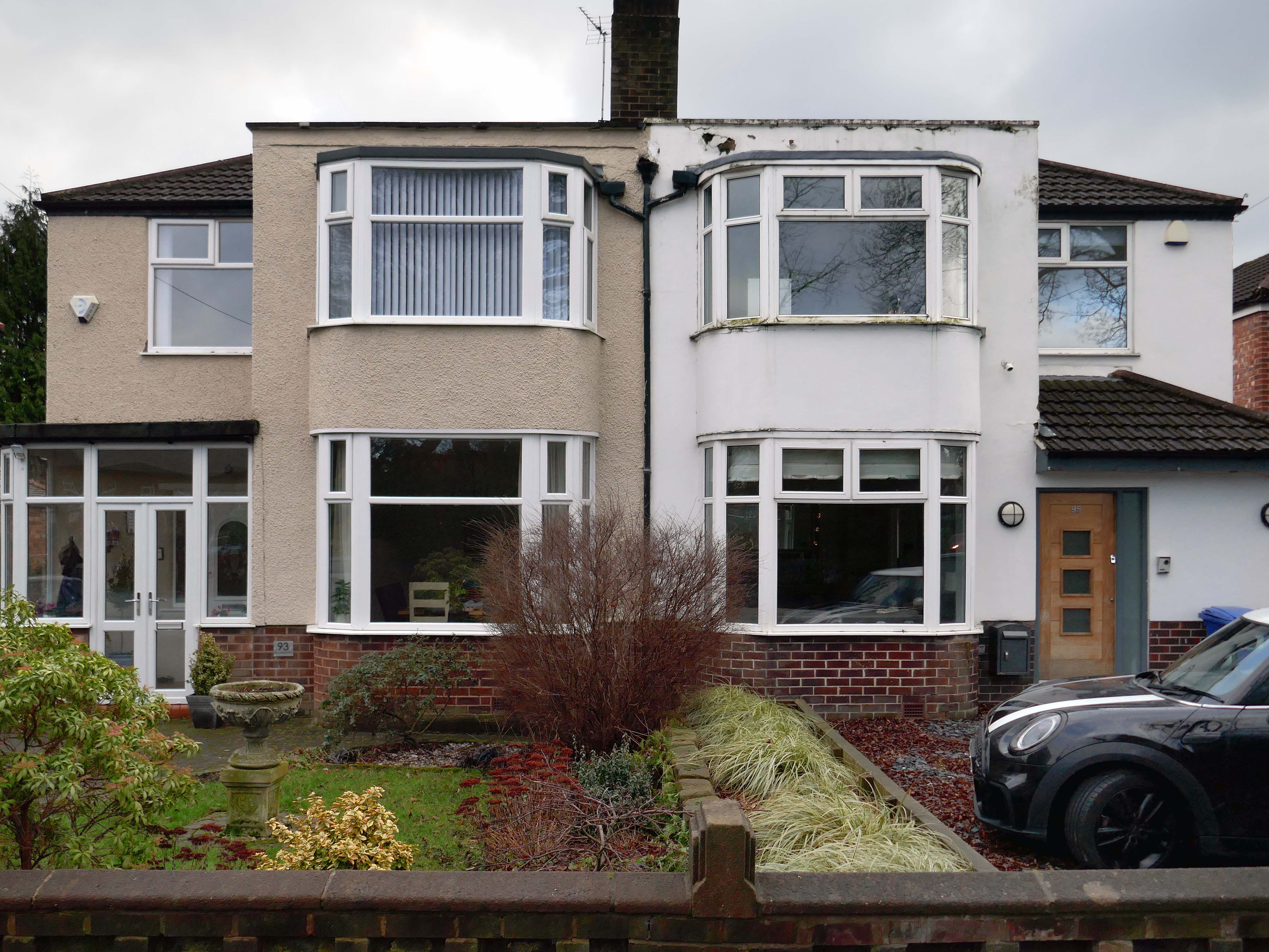
One example of a curved Crittall bay, sitting next door to a distant uPVC cousin.
Hesitant examples of Arts and Crafts and hints of Tudorbethan, subtle shades of sub Lutyens, the odd Art Deco detail.
We never keep to the present. We recall the past; we anticipate the future as if we found it too slow in coming and were trying to hurry it up, or we recall the past as if to stay its too rapid flight. We are so unwise that we wander about in times that do not belong to us, and do not think of the only one that does; so vain that we dream of times that are not and blindly flee the only one that is. The fact is that the present usually hurts. We thrust it out of sight because it distresses us, and if we find it enjoyable, we are sorry to see it slip away. We try to give it the support of the future, and think how we are going to arrange things over which we have no control for a time we can never be sure of reaching.
Blaise Pascal
Let each of us examine his thoughts; he will find them wholly concerned with the past or the future. We almost never think of the present, and if we do think of it, it is only to see what light it throws on our plans for the future. The present is never our end. The past and the present are our means, the future alone our end. Thus we never actually live, but hope to live, and since we are always planning how to be happy, it is inevitable that we should never be so.
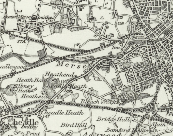
In 1896 the area to the east of central Stockport is a potpourri of emergent industry, railways, a river and agriculture – a product of the second Ice Age, the subsequent formation of the Mersey Valley and the Industrial Revolution.
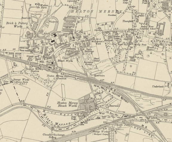
By 1911 there is an expansion in the housing stock.
A comprehensive history of the area cane be found here.
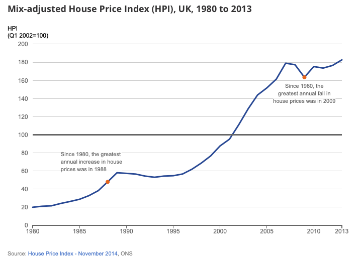
In 1918, the UK property landscape was dominated by private renters, who made up 75% of all households. At the time, only 25% of the population owned their own homes.Over the next few decades, home ownership gradually increased, reaching about 38% by 1958. This shift was accompanied by a decrease in private renting, which fell to 41% during the same period.
The most significant growth in home ownership occurred between 1958 and 2003. The percentage of owner-occupiers surged from 38% to 70%. This period saw a corresponding decline in both private renting, which fell to just 8% in 2003, and social renting, which peaked at 29% in 1978 before declining to 22% by 2003.
The pattern of home ownership has been determined by a number of factors –
The Property Owning Democracy – Coined by British MP Noel Skelton in 1920, the concept emphasised the terms ‘property-owning’ and ‘democracy’ as a conservative response to left-leaning ideas of liberalism and socialism.
Right to Buy scheme, introduced by Margaret Thatcher’s Housing Act 1980, allowed long-term council social tenants in England and Wales to buy their homes at a significant discount, fostering homeownership but drastically reducing the stock of affordable social housing, leading to ongoing housing shortages and debates over its legacy.
The Property Ladder which commodifies housing. Where once house and home were largely for life, the upwardly mobile homeowner wishes to continually acquire value and status through trading ever onwards and upwards.
Socially the role of the home has also changed over time, once a place to be outside of – working or playing, the home is now possibly a place of both work and play. A larger percentage of weekly earnings is now absorbed by housing costs, and the lure of the multi-channel Smart TV, gaming systems, take away food and supermarket lager, nails the residents’ slippers firmly to the laminate flooring.
This has gone hand in hand with the trend home improvements and extensions – fed by glossy magazines, design led property TV shows advocating a New England, Shabby Chic, Maxi/Minimalist Vibe.
Welcome to the new England.
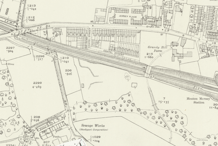
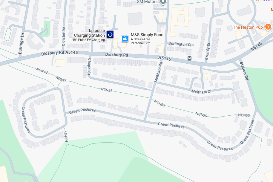
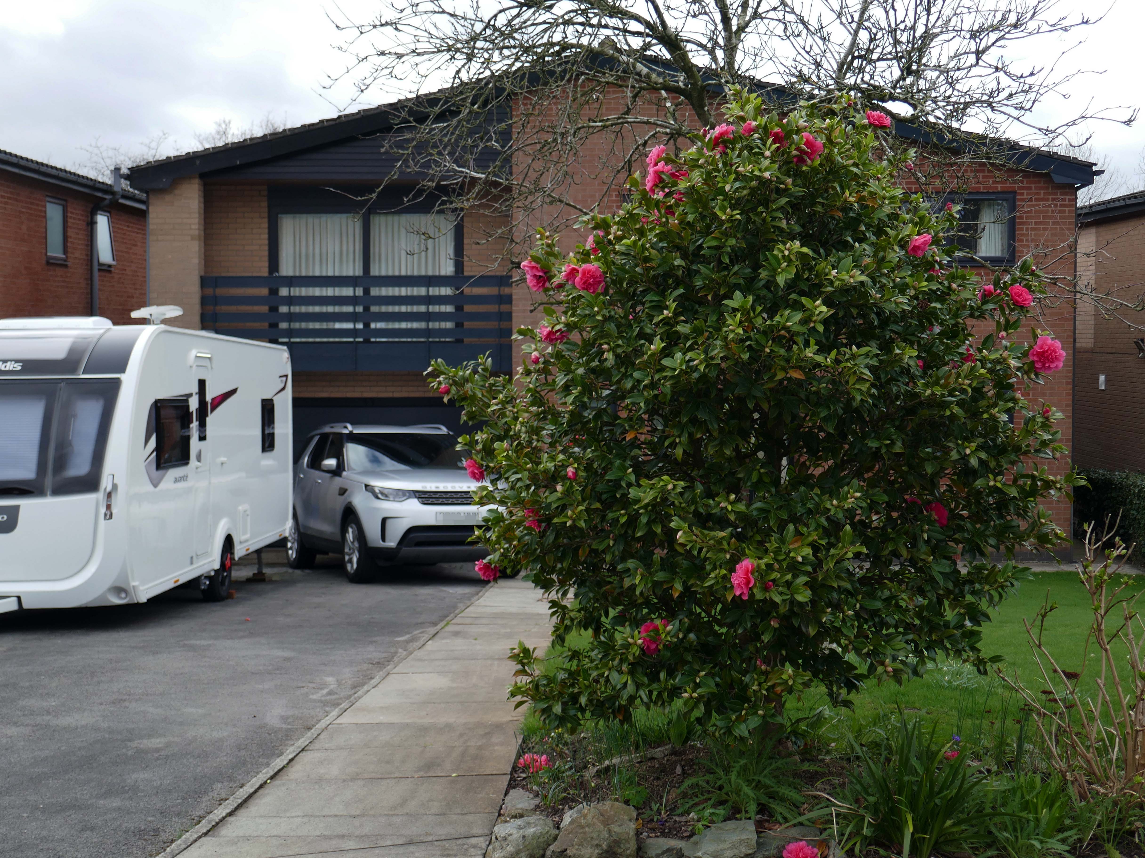
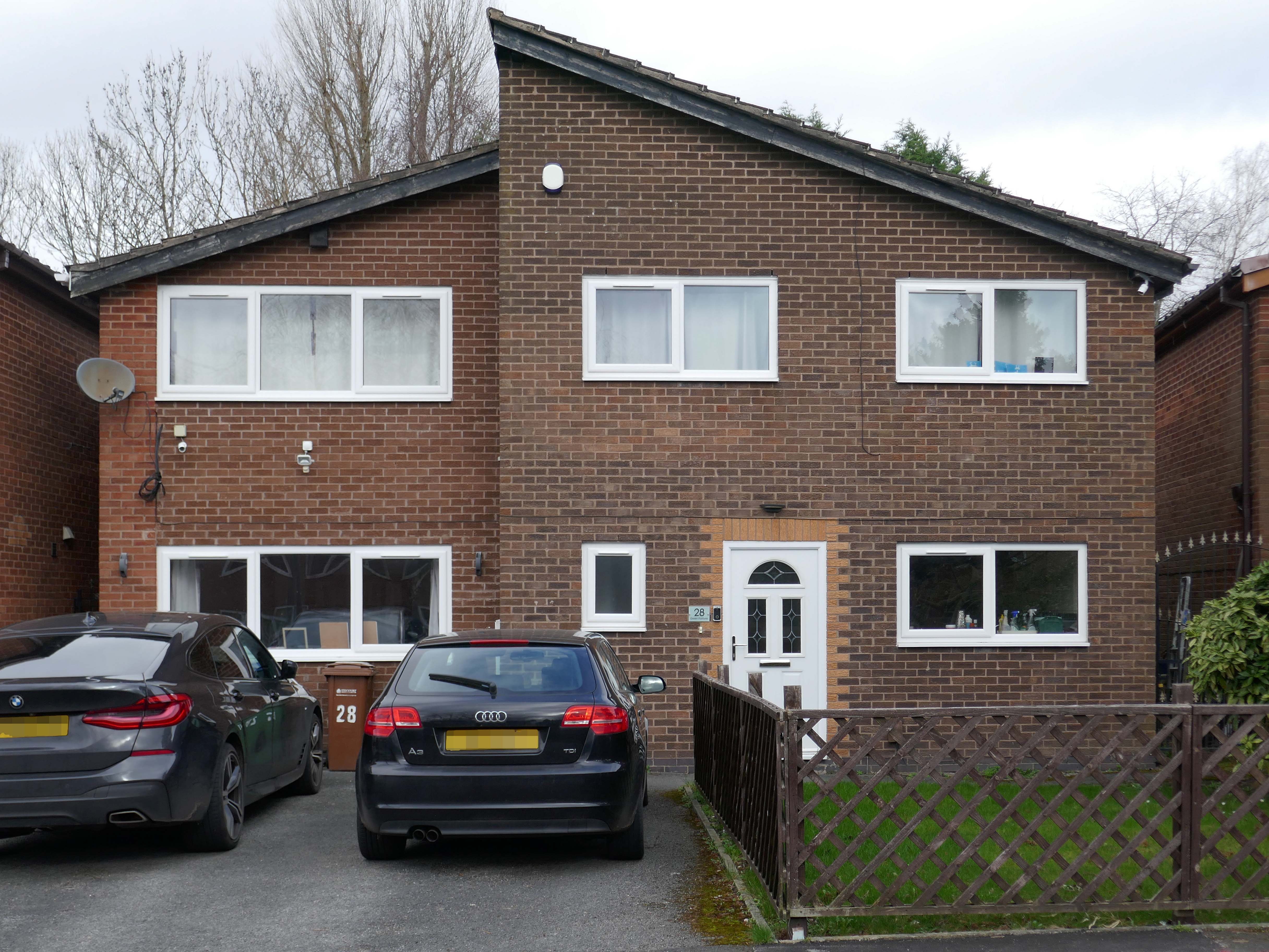
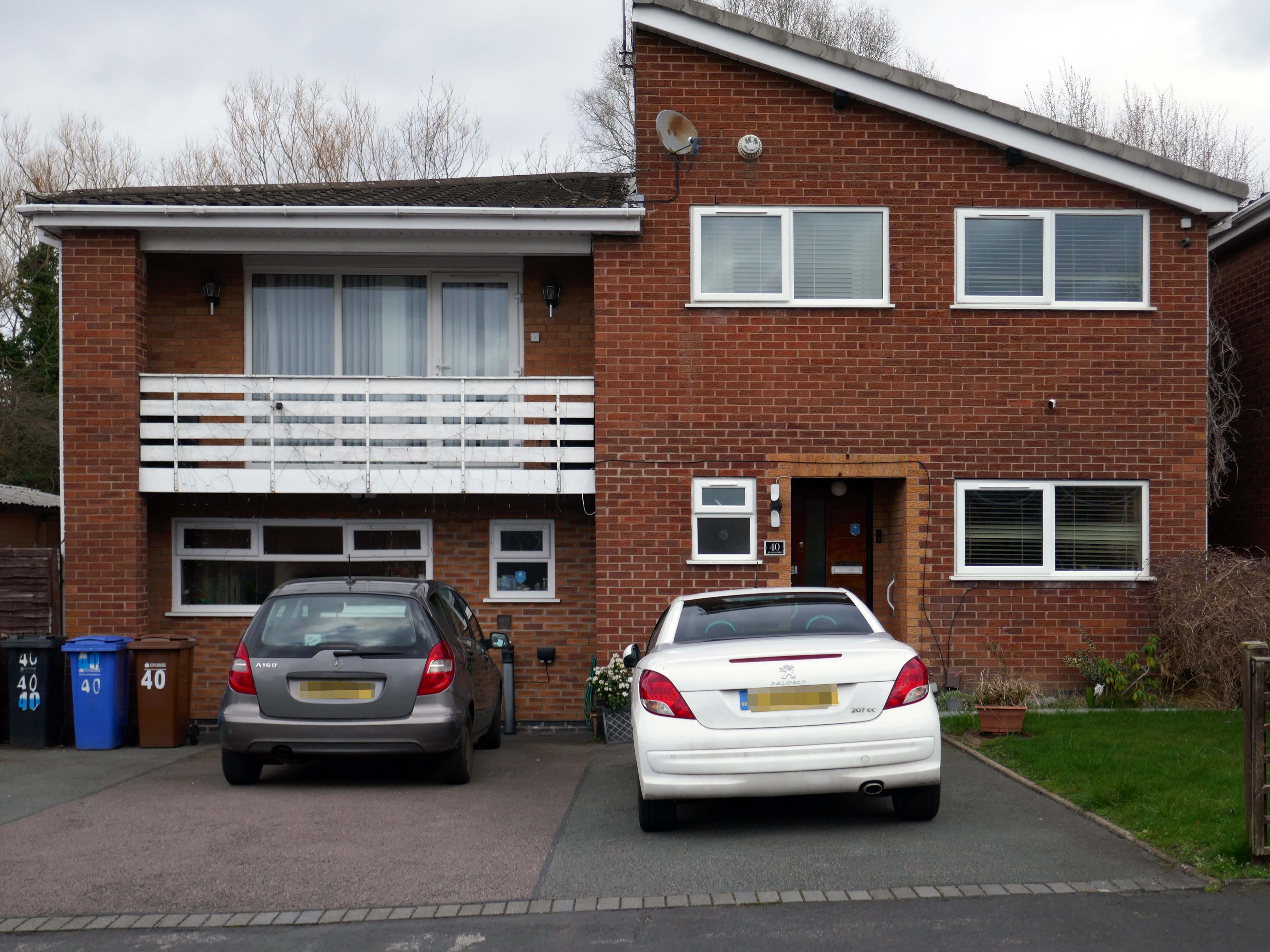
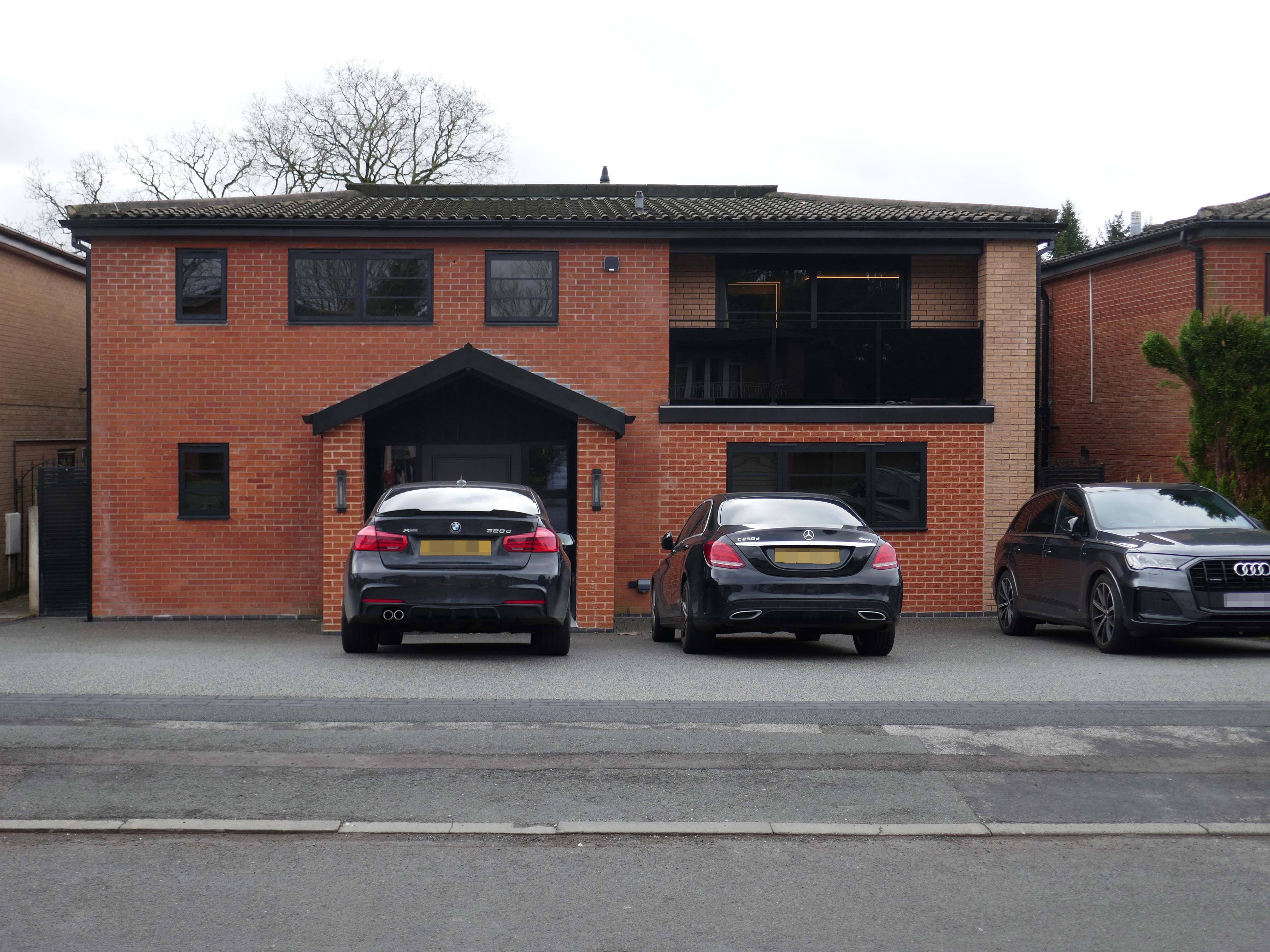
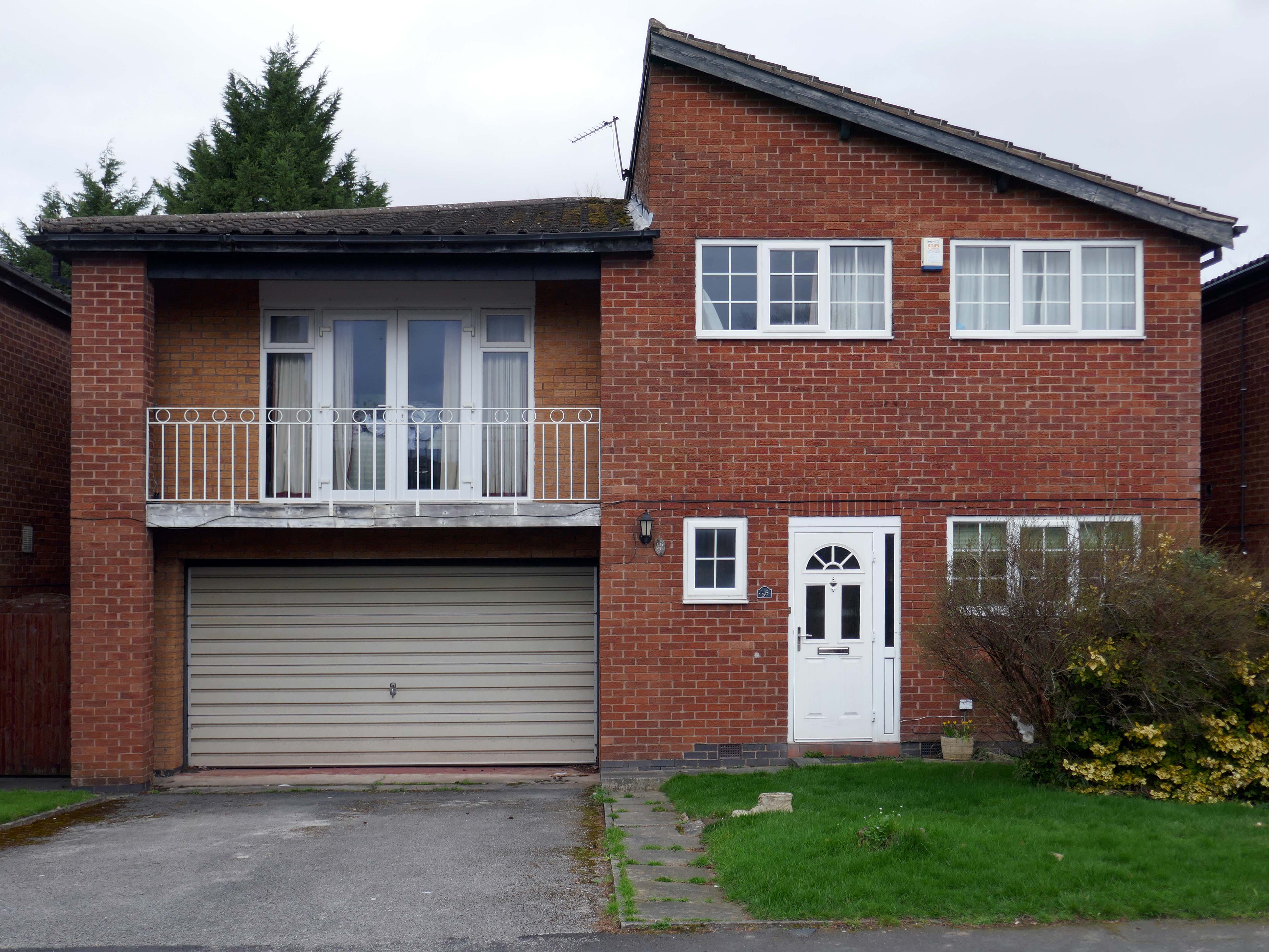
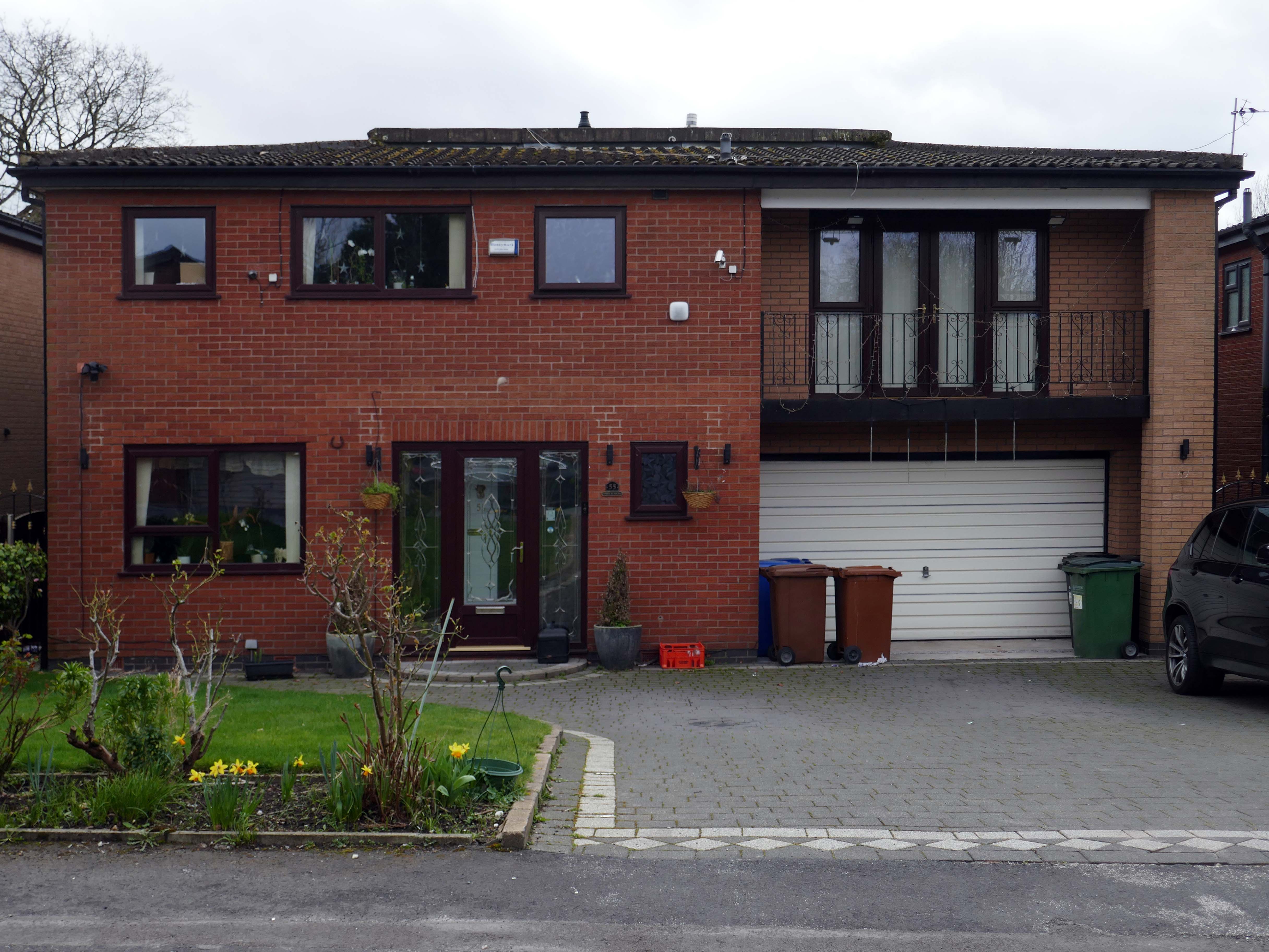
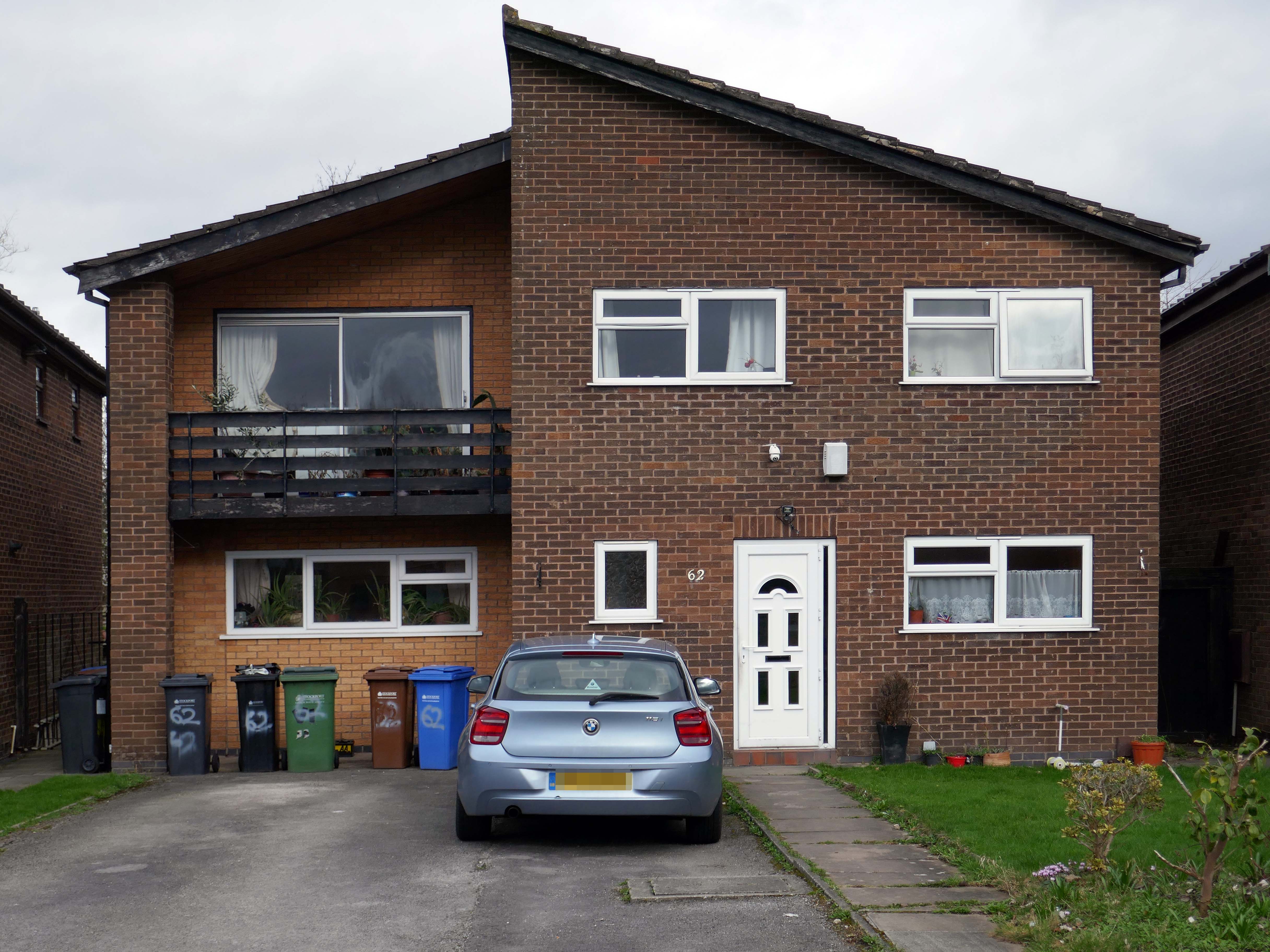
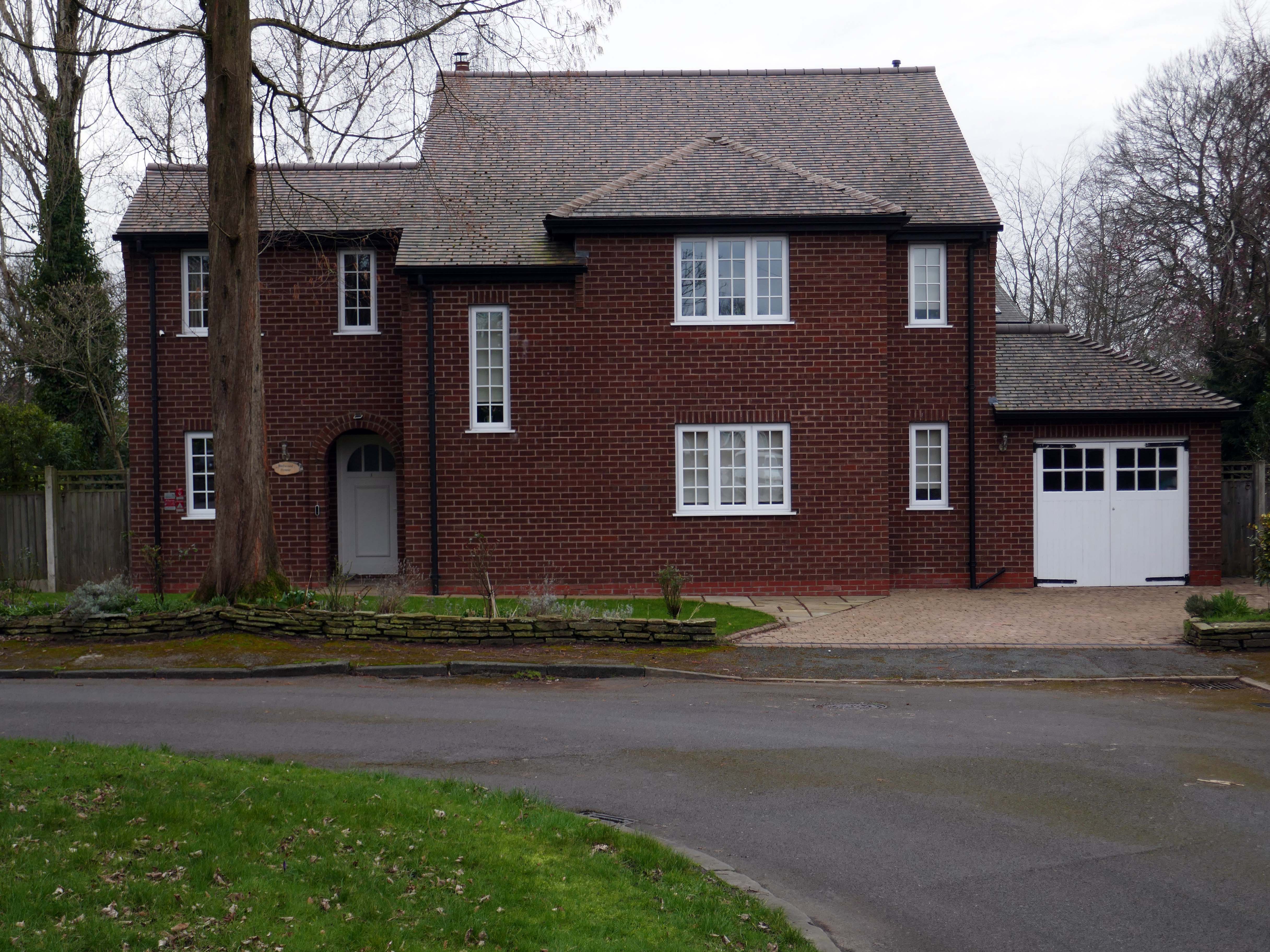
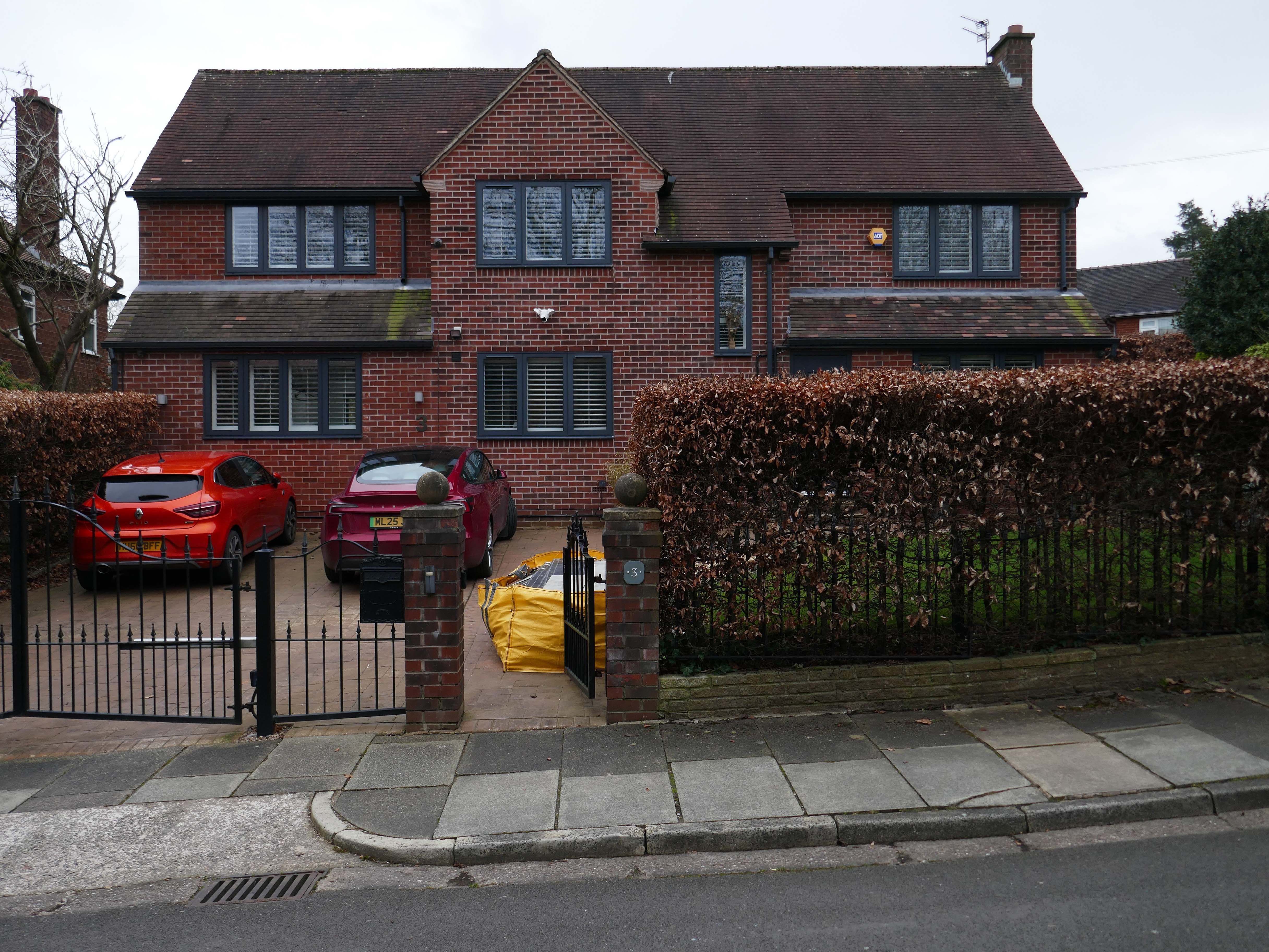
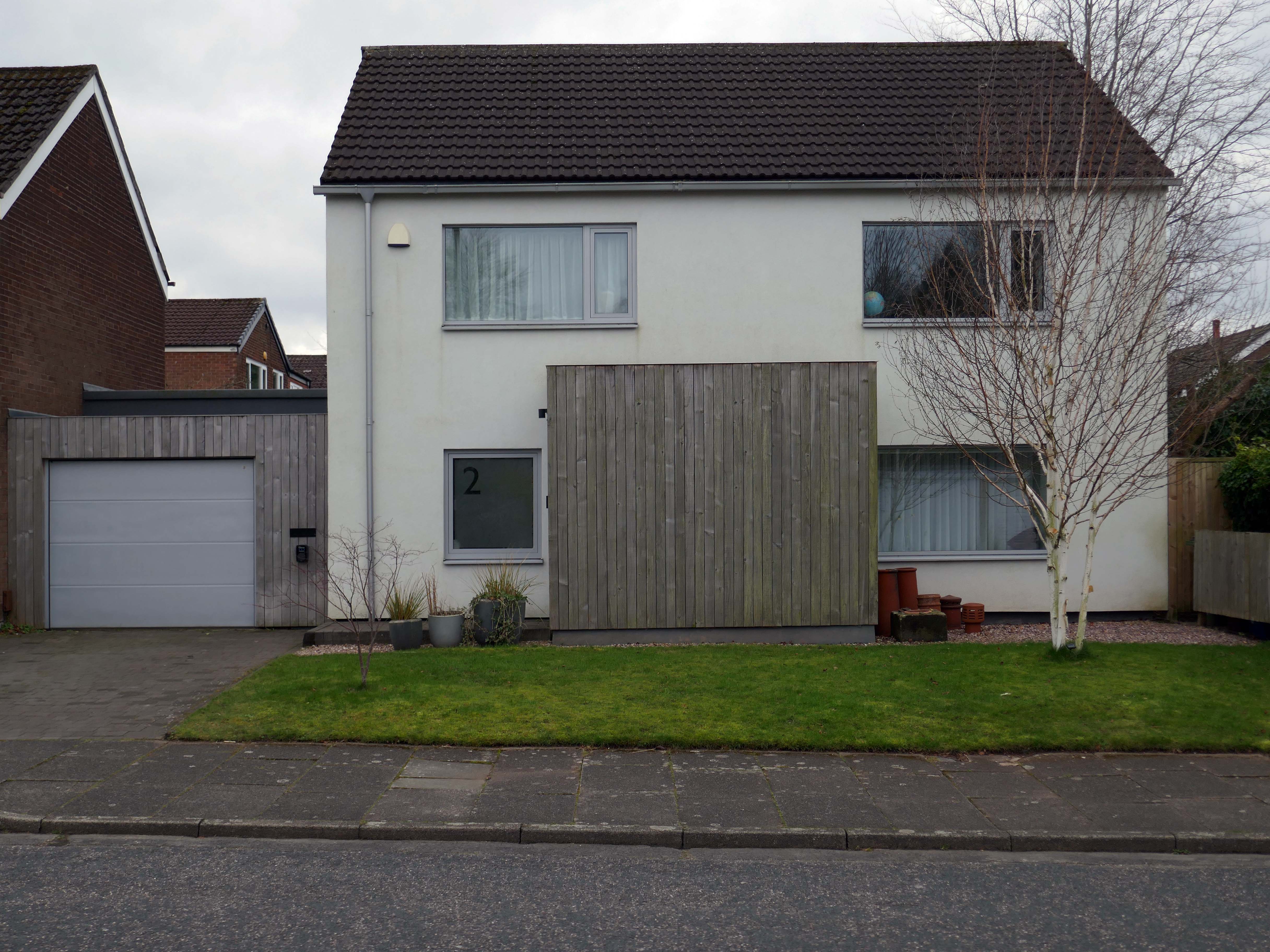
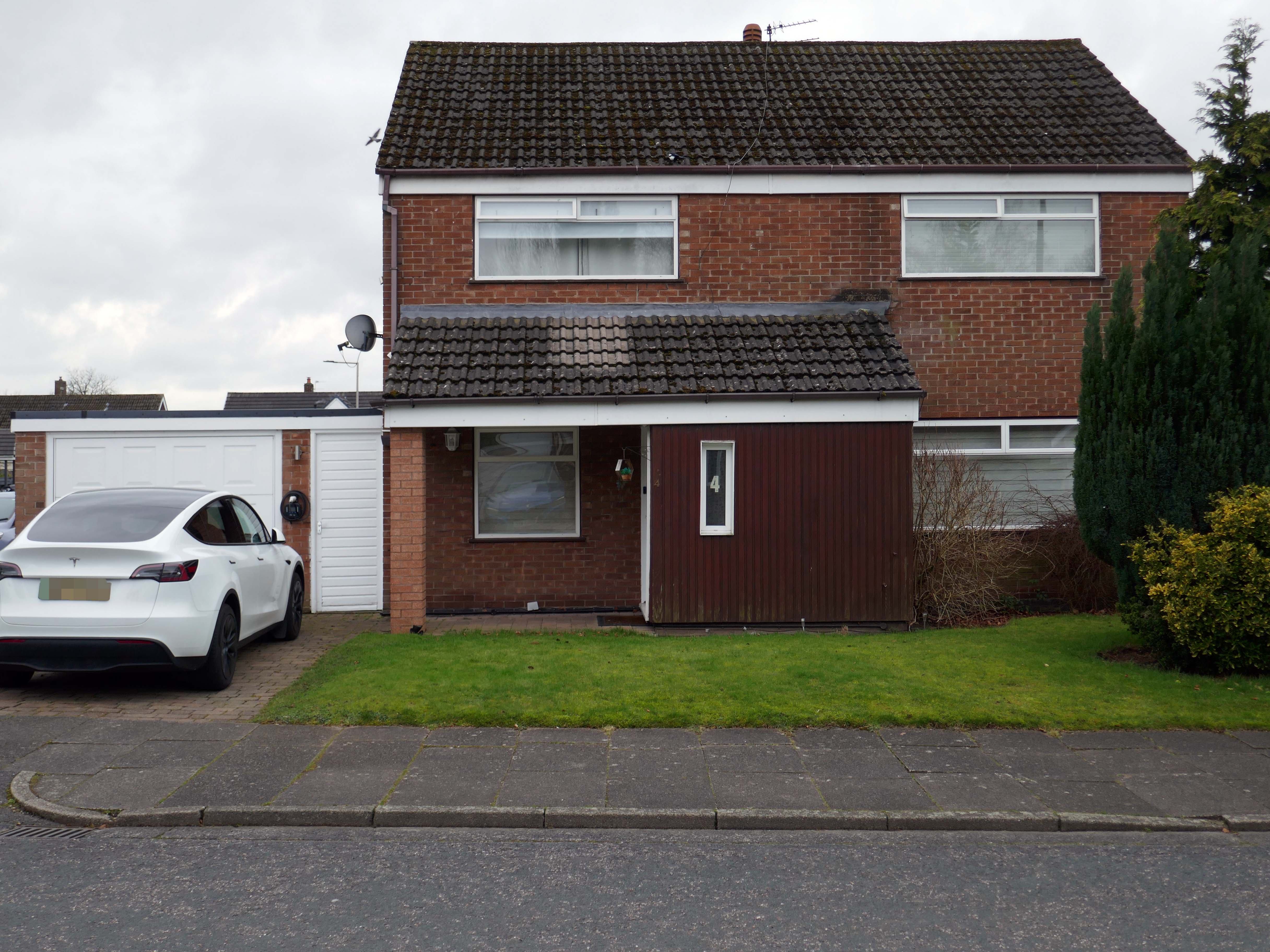
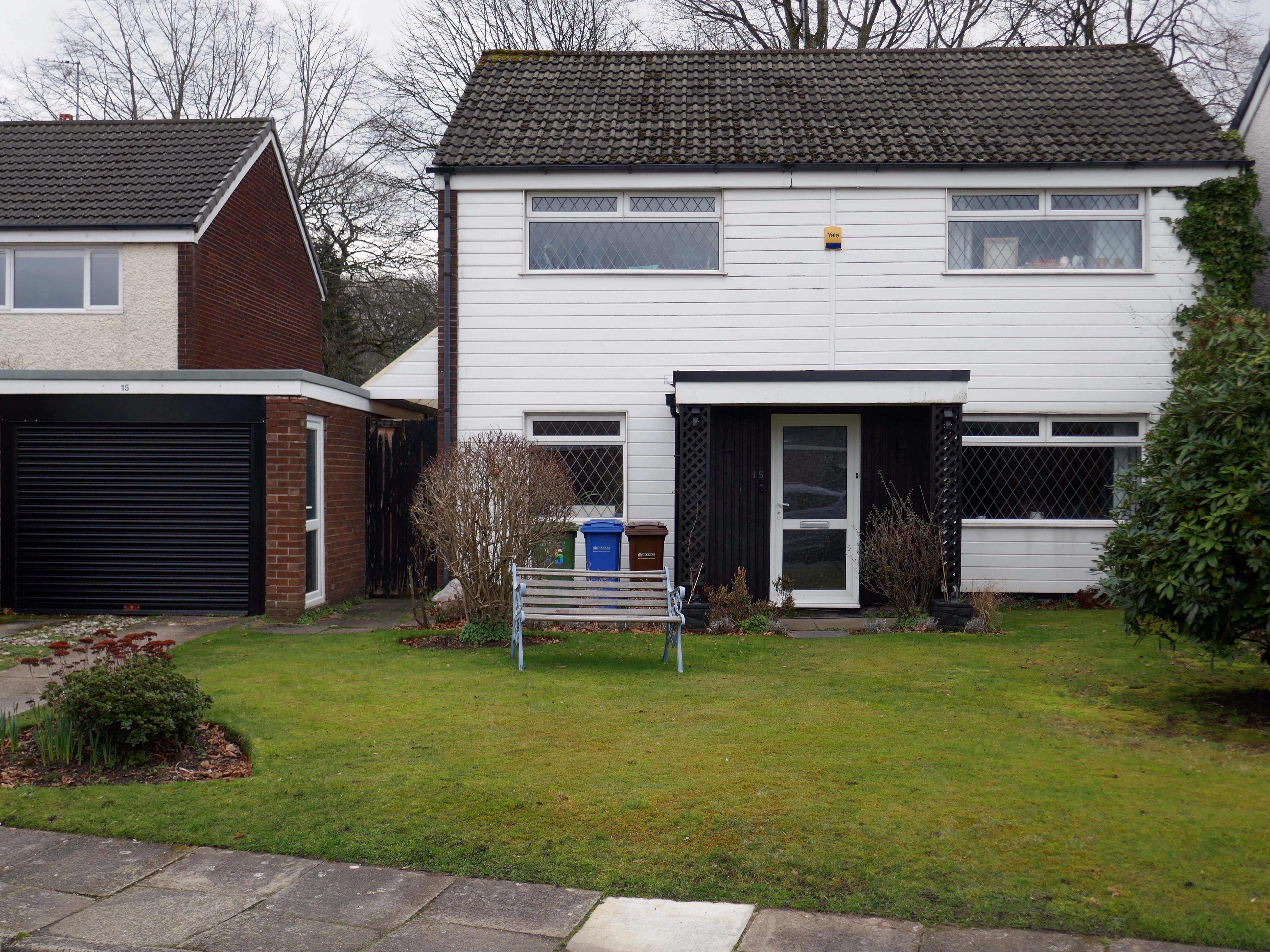
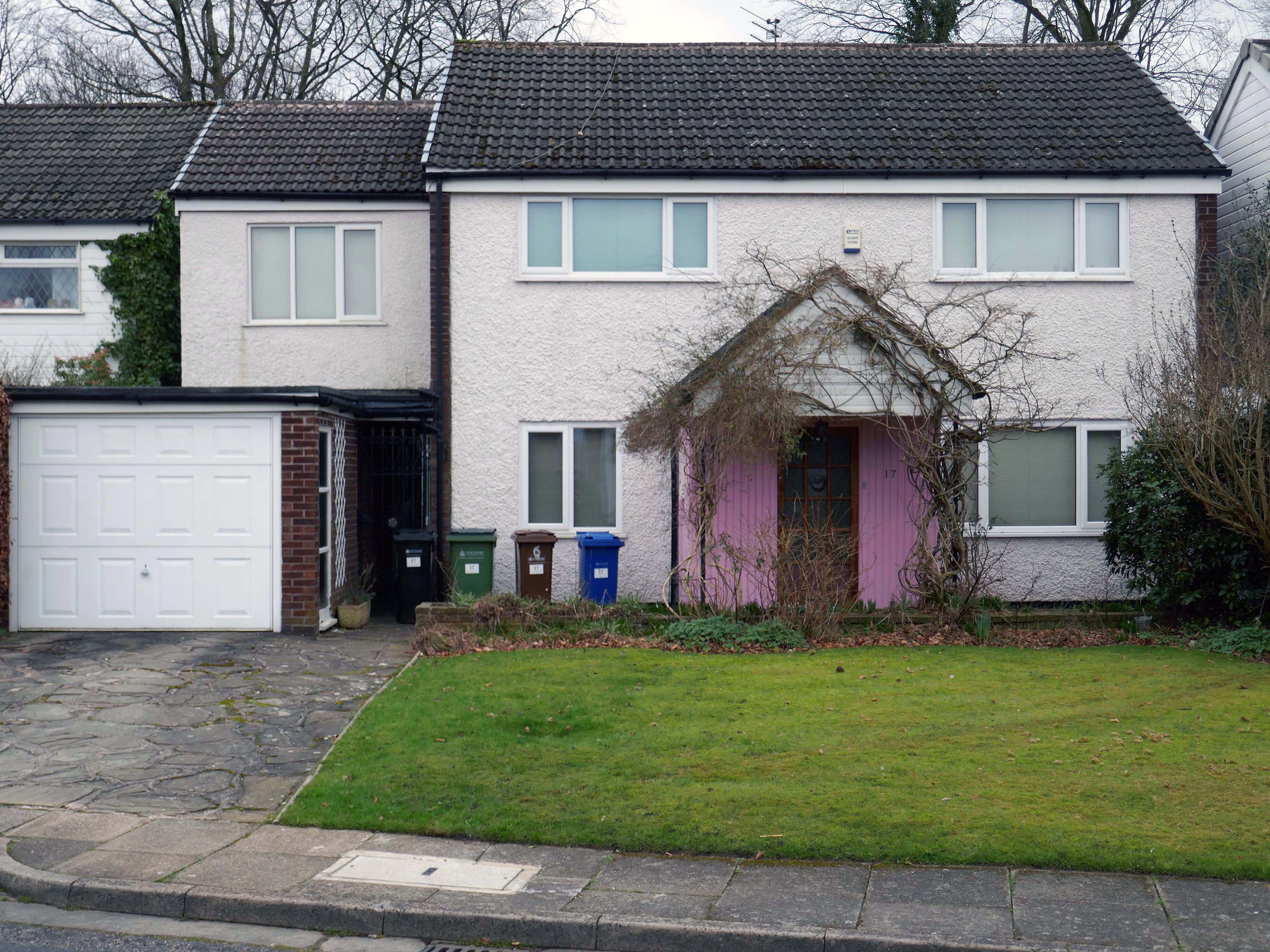
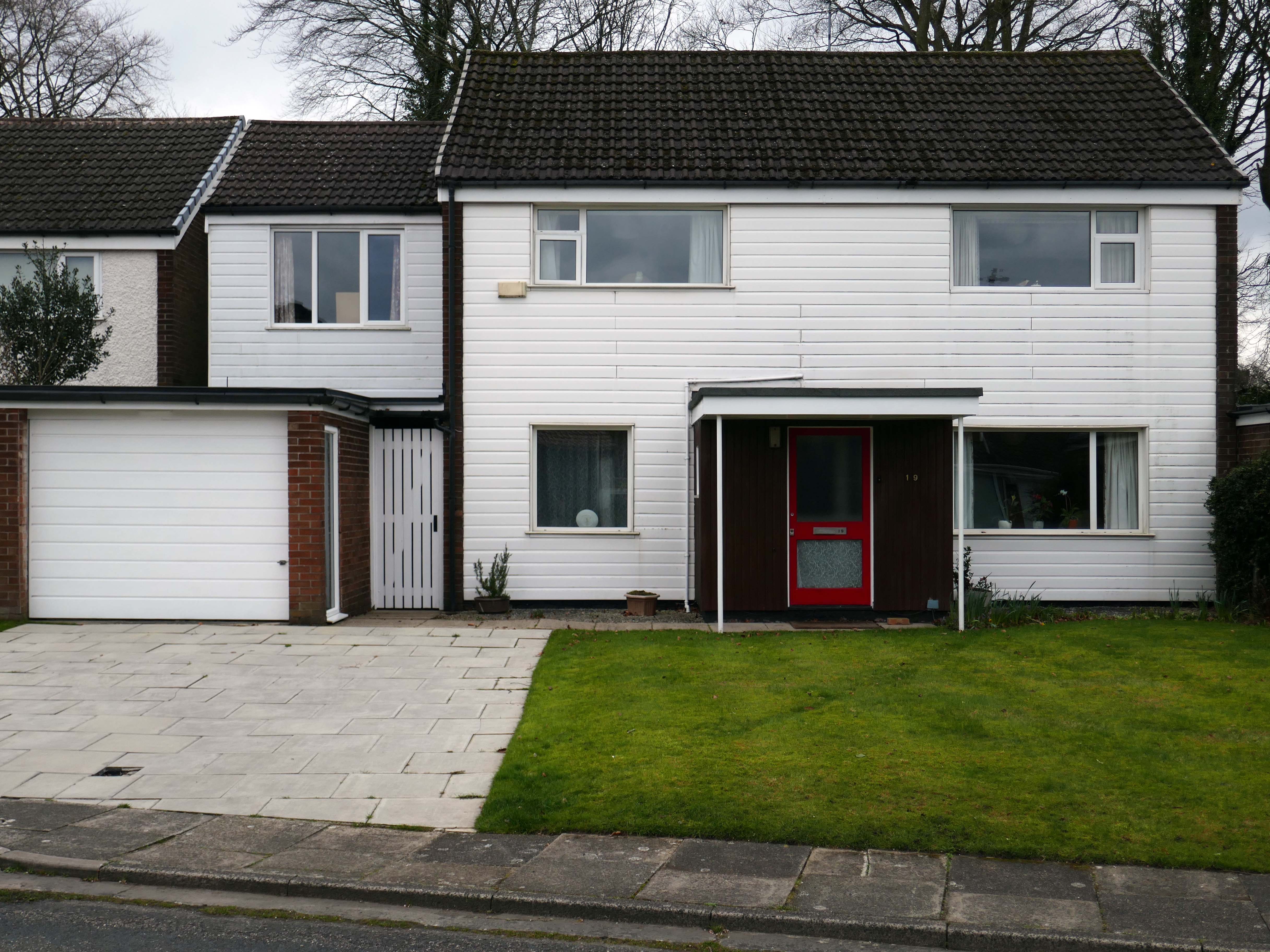
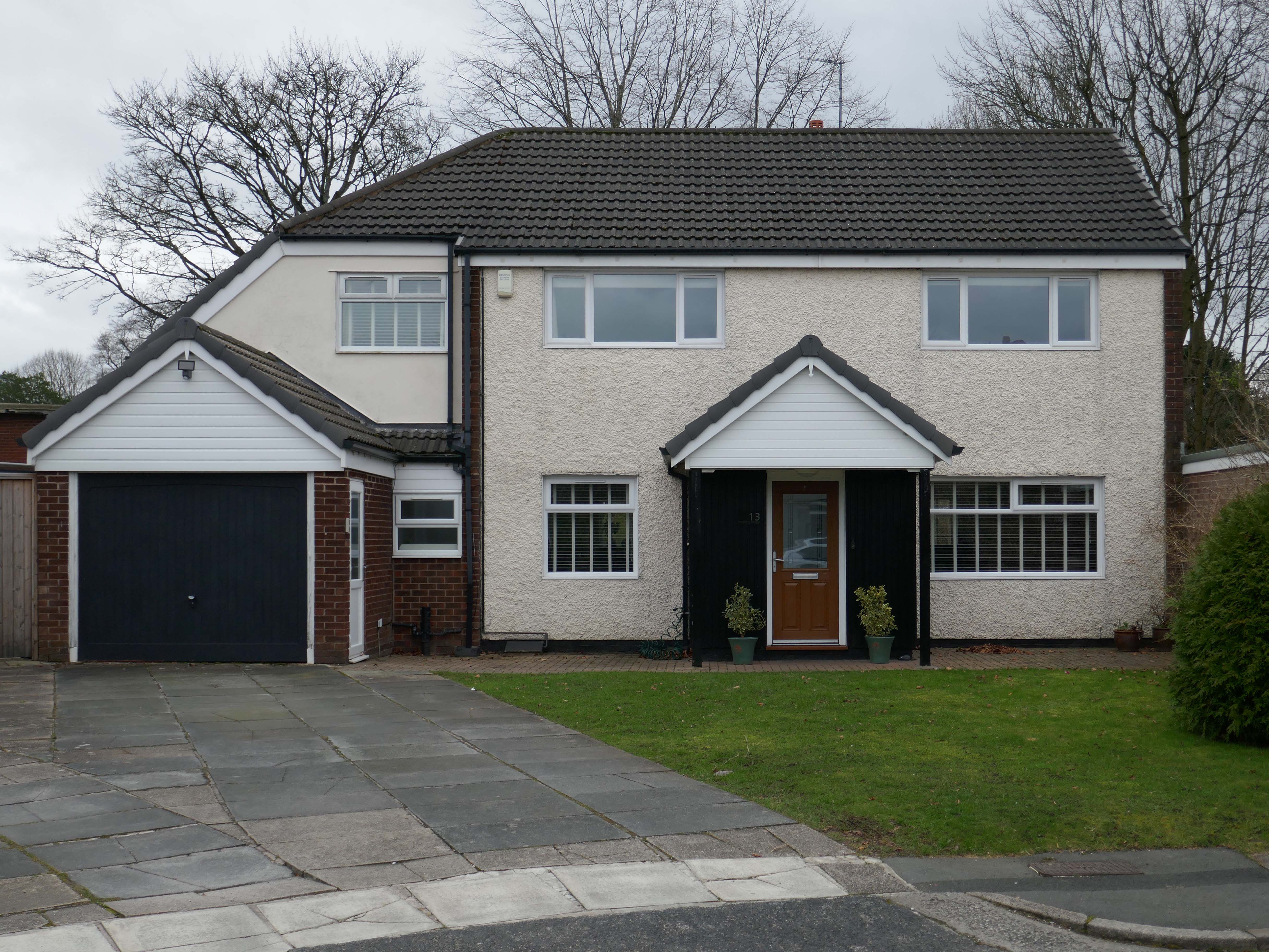
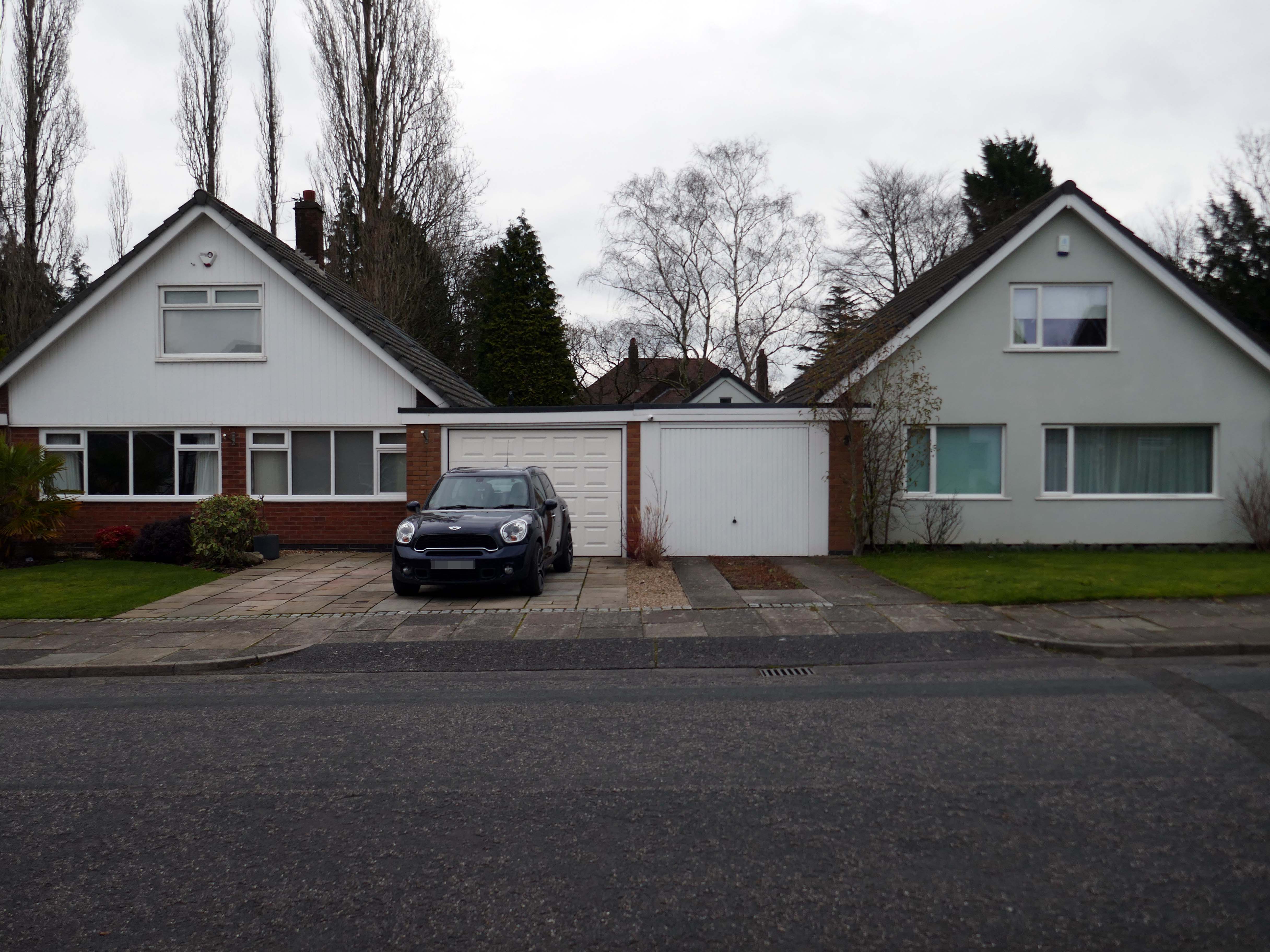
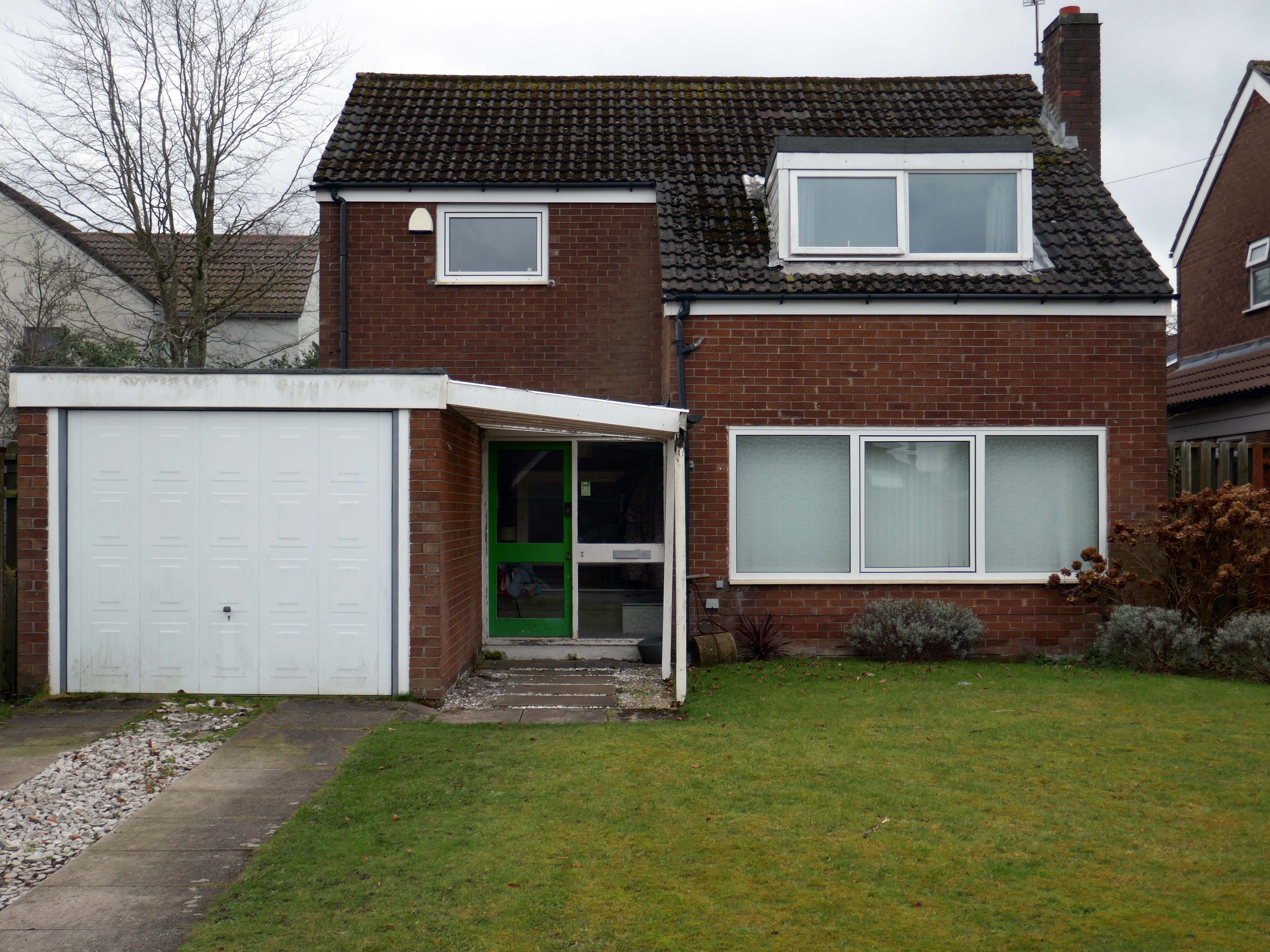
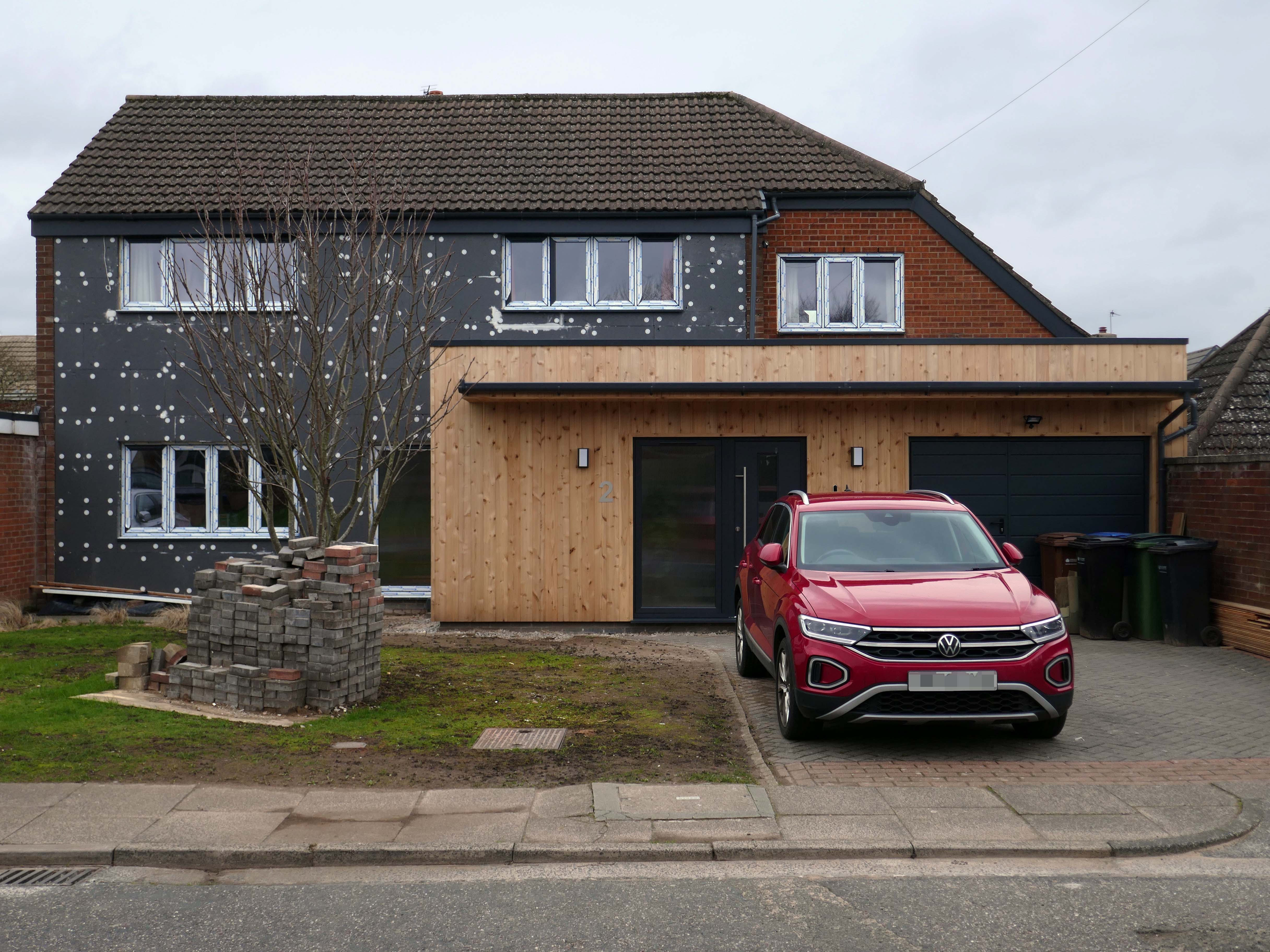
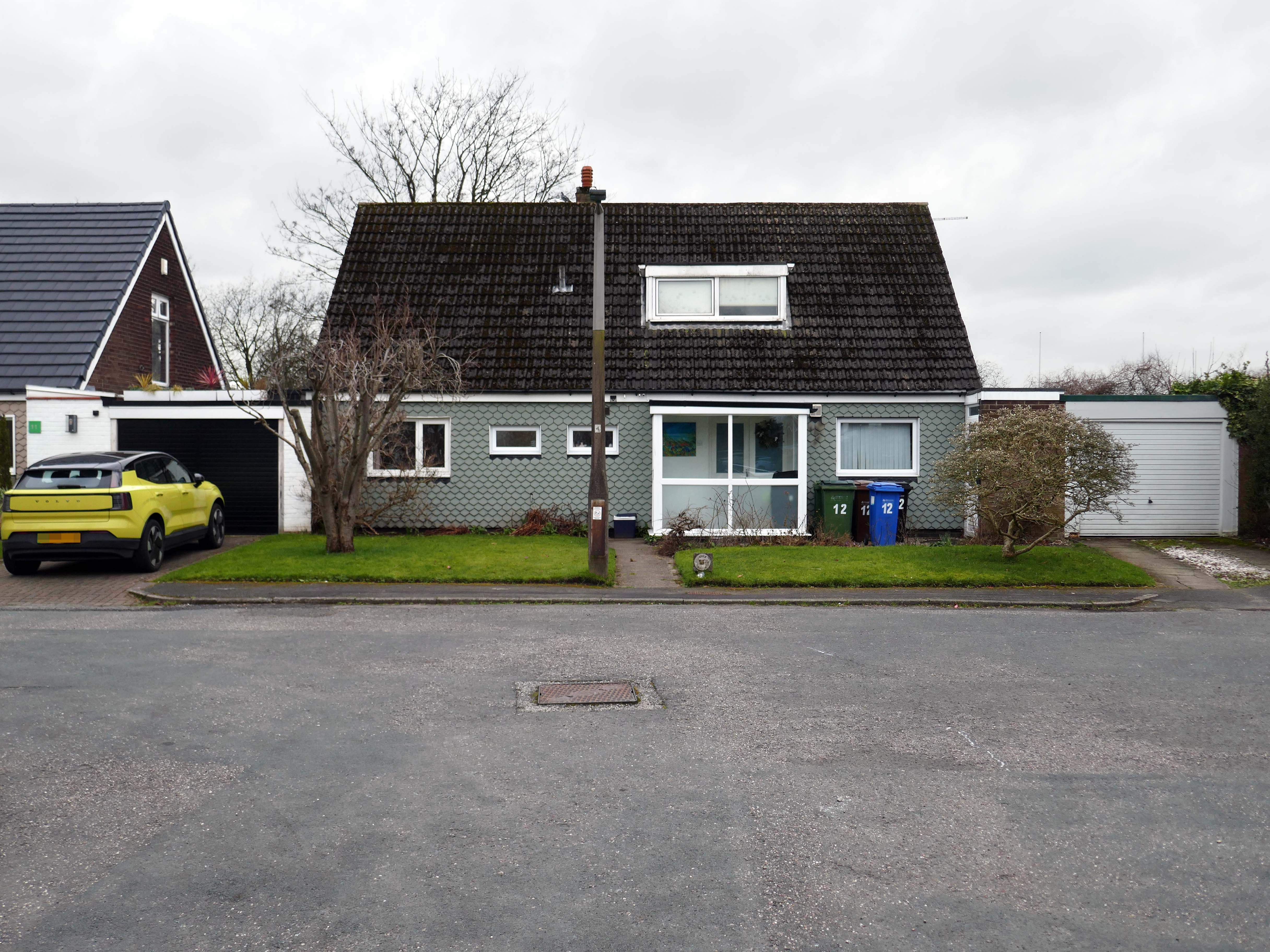
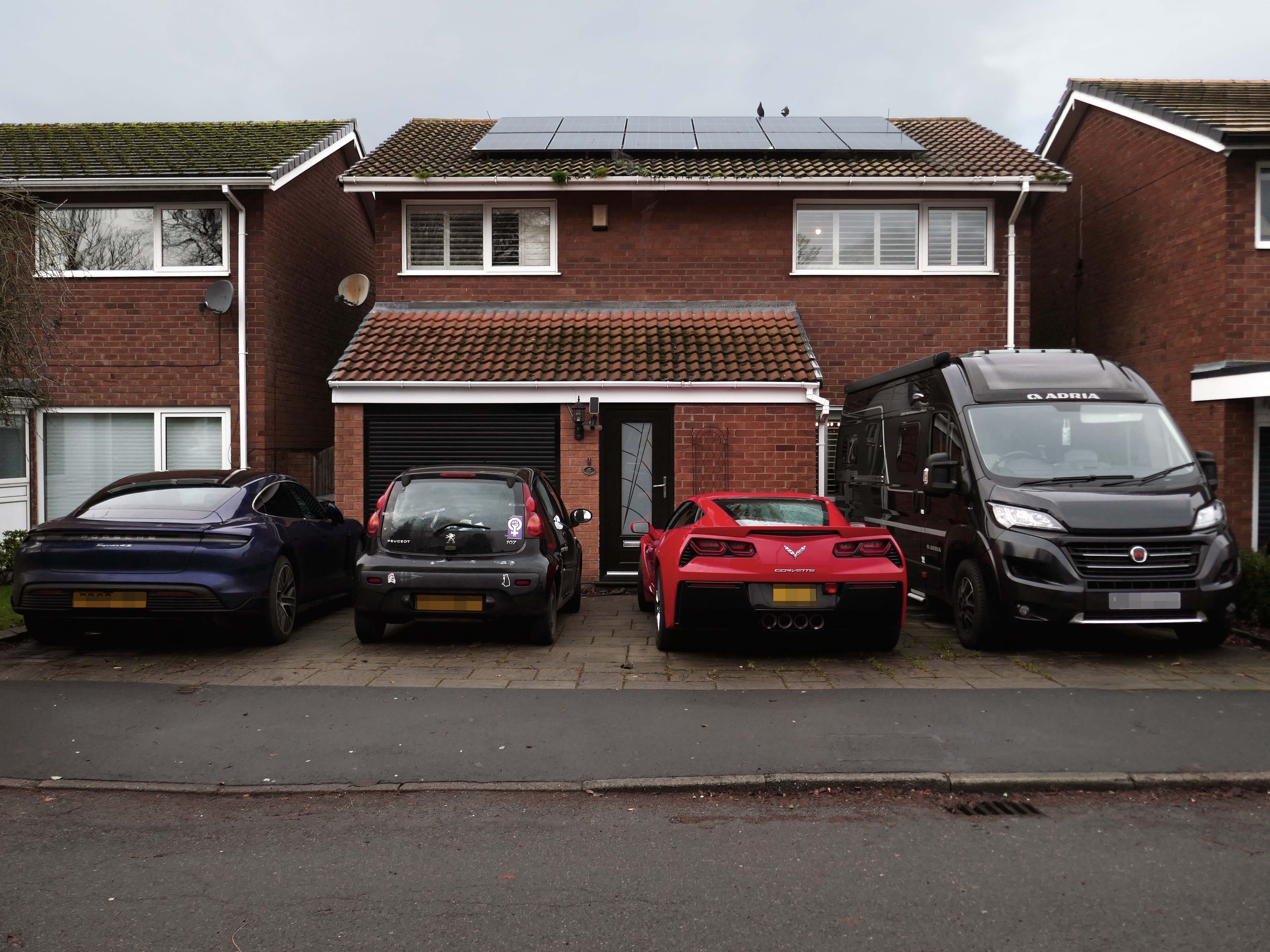
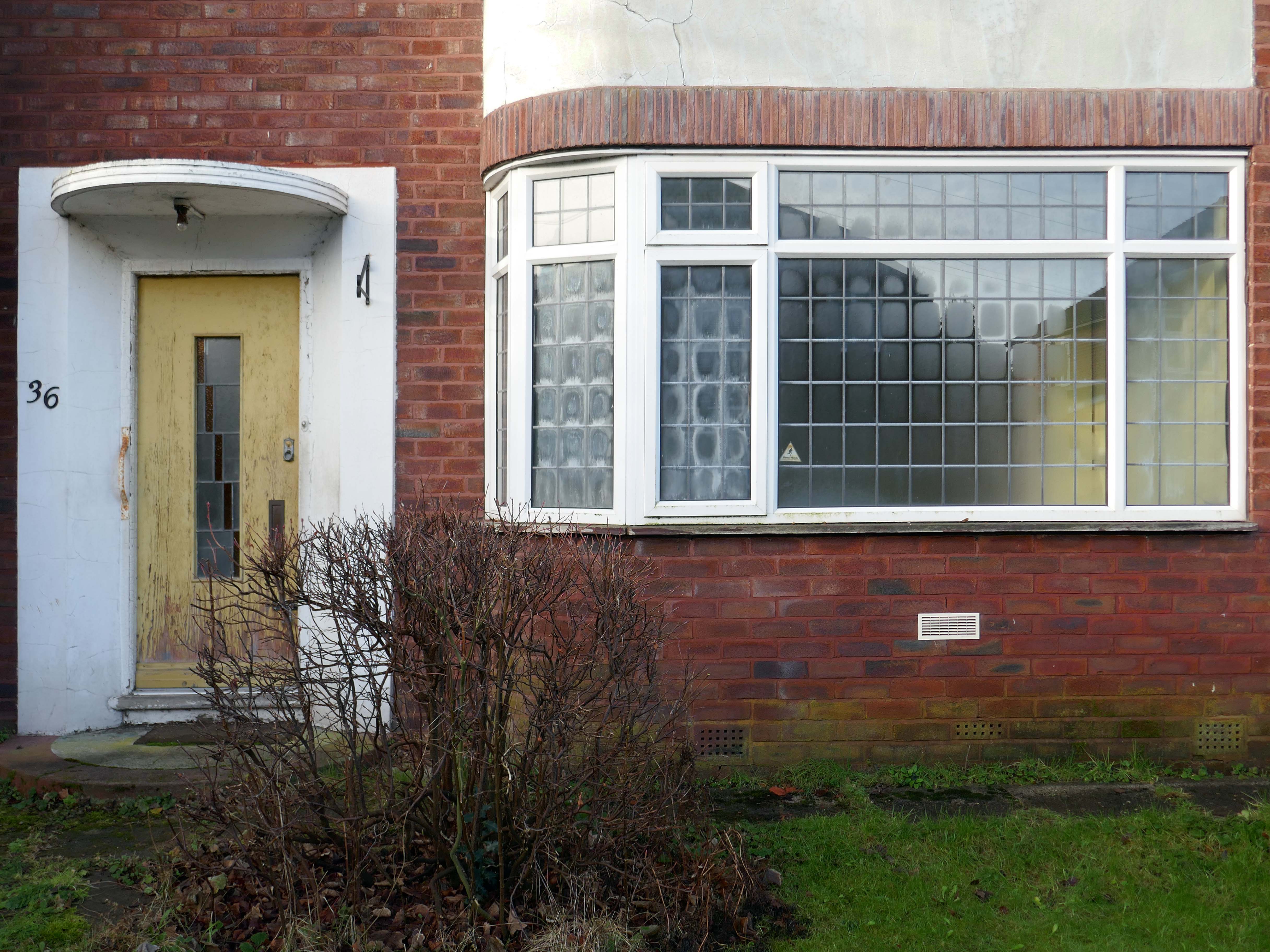
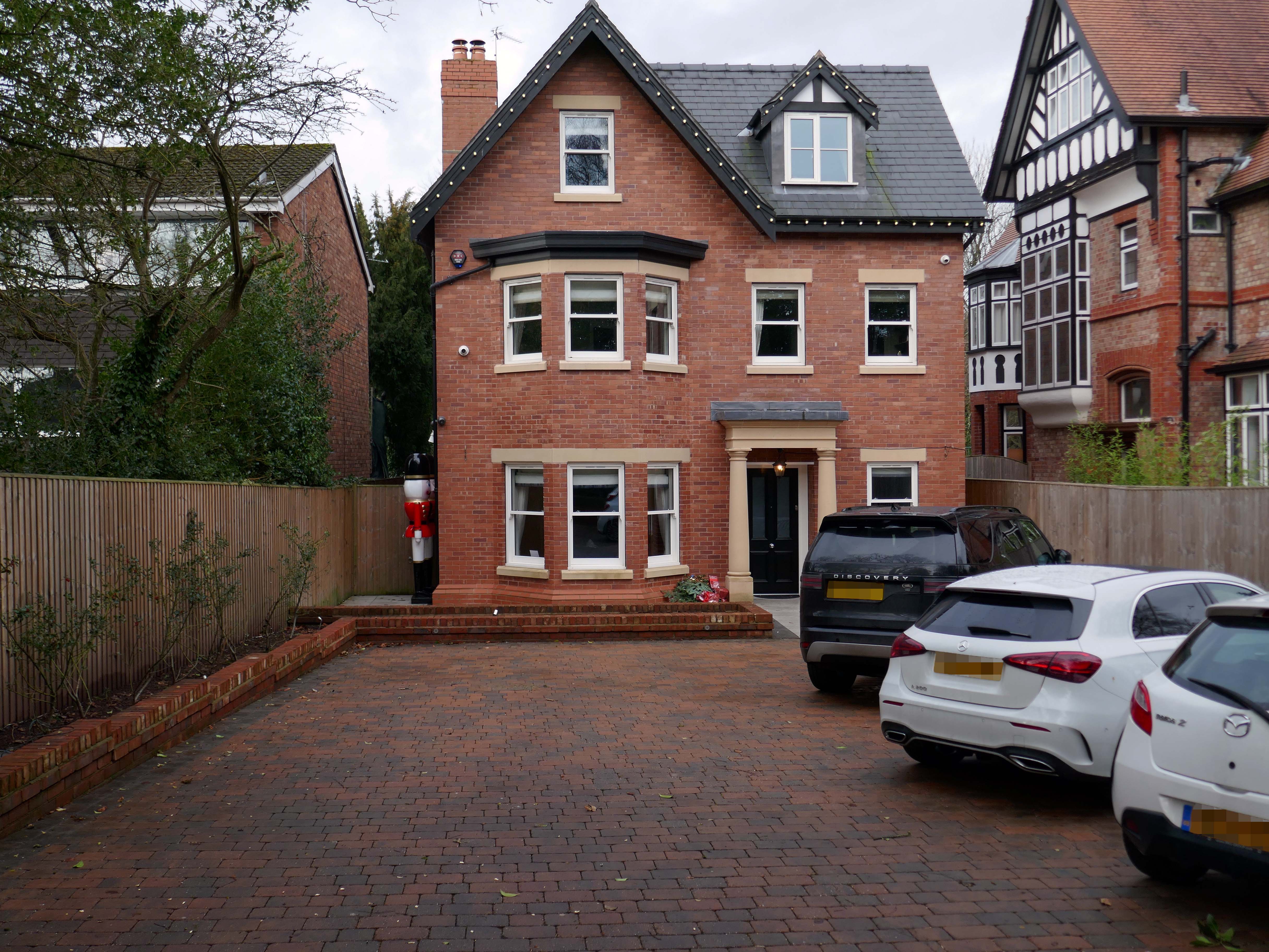
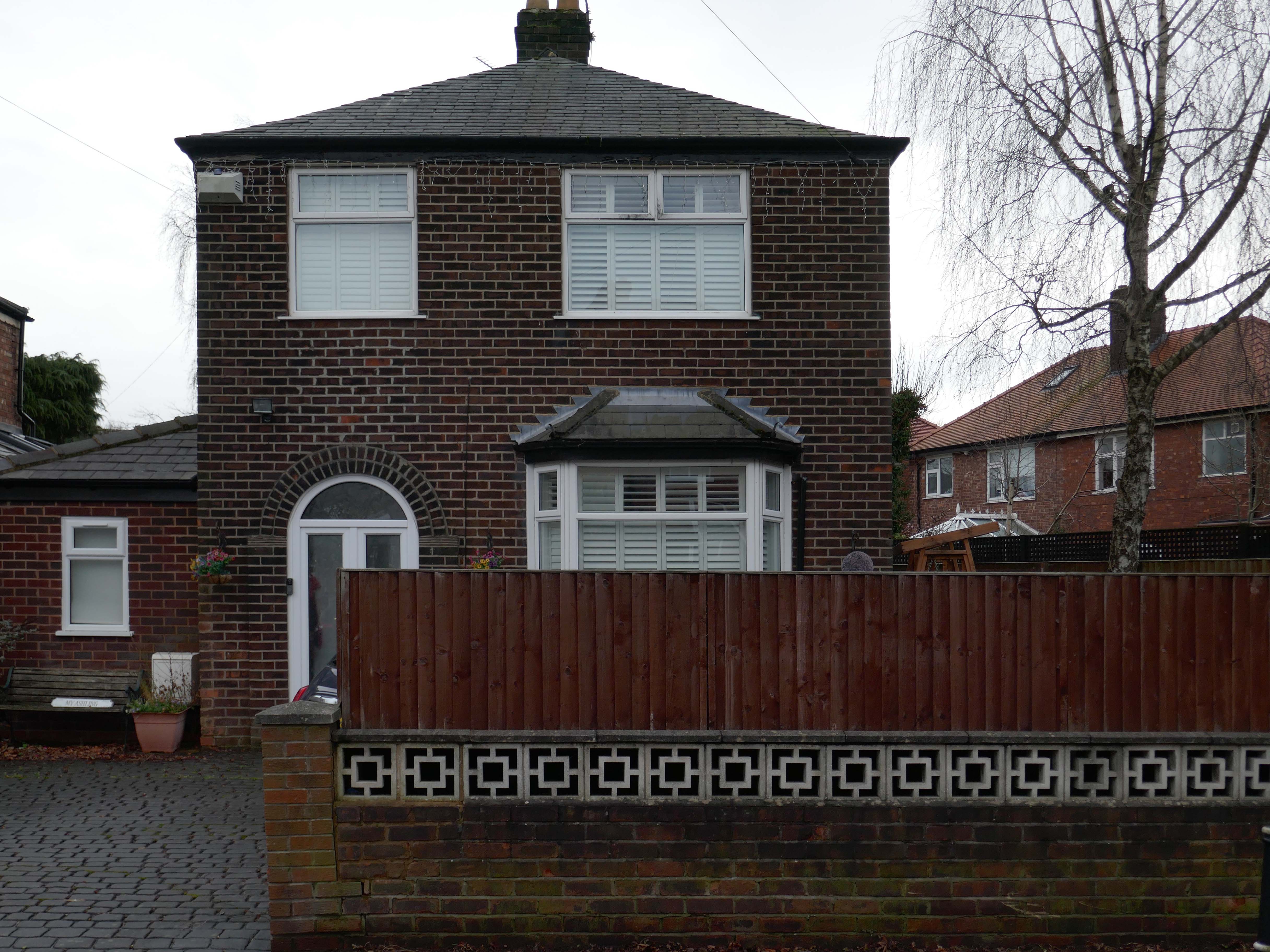
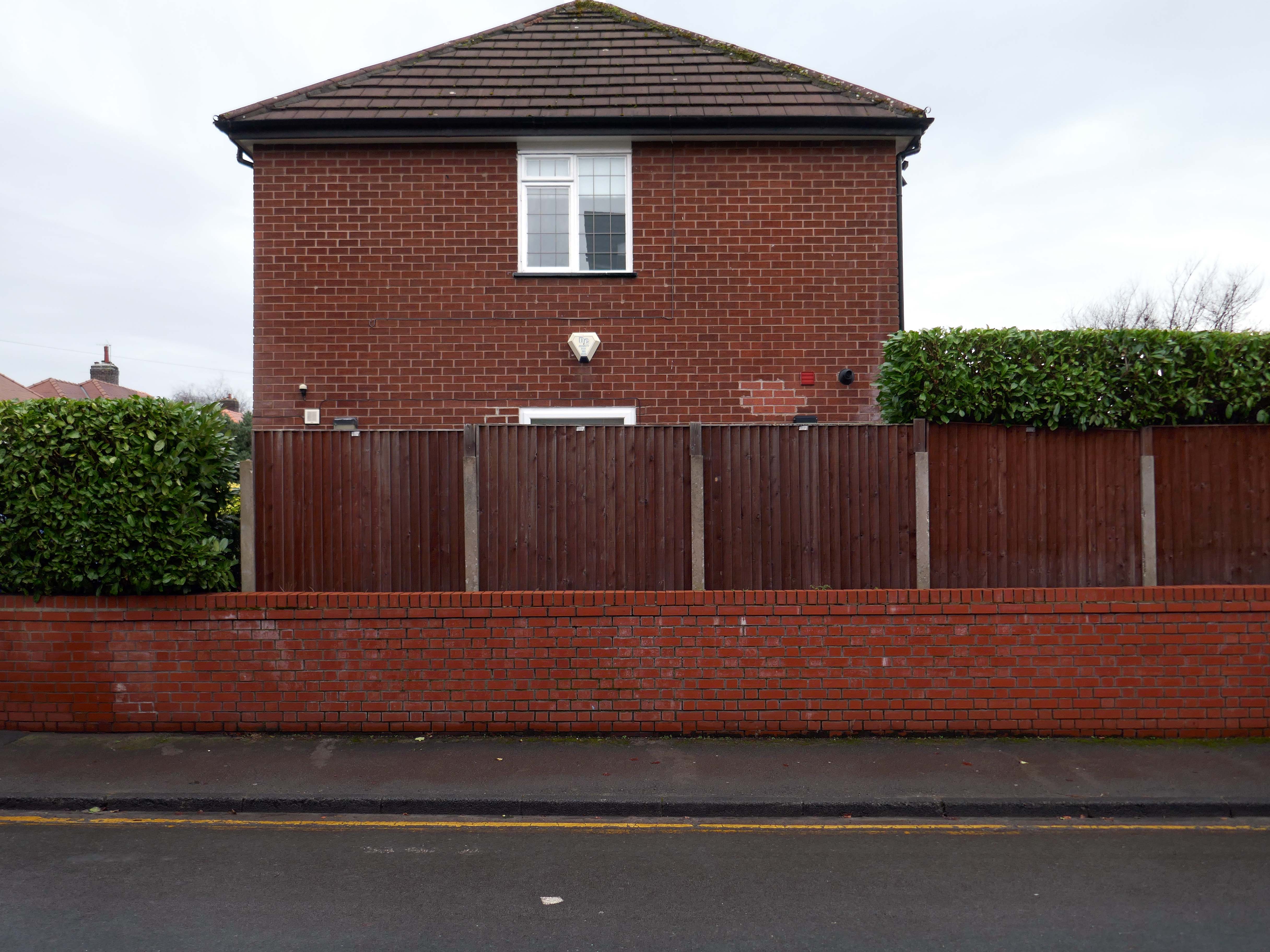
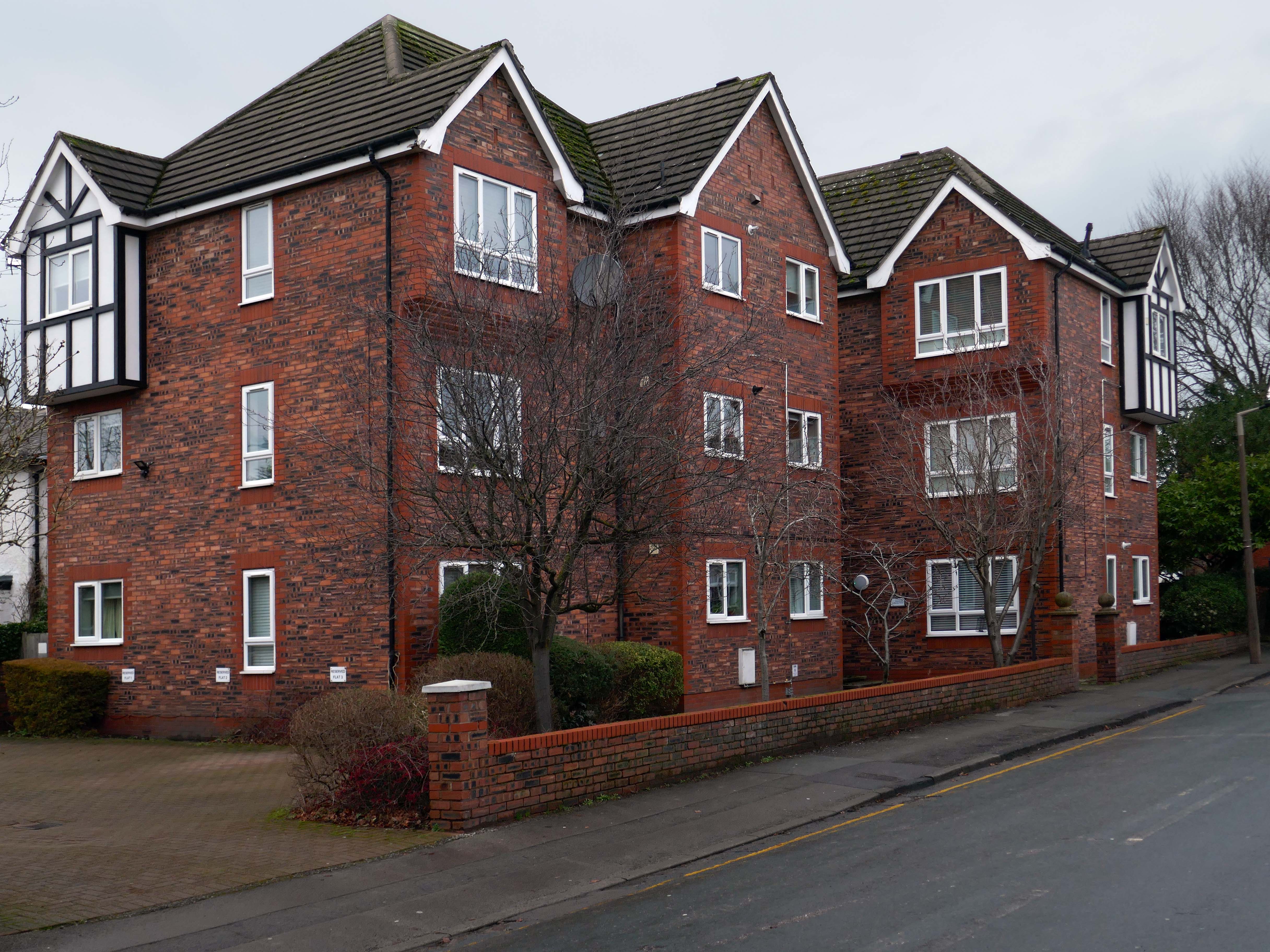
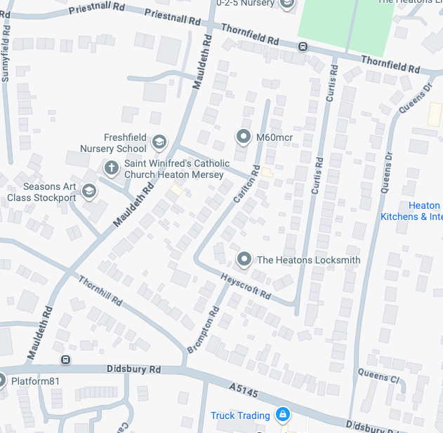
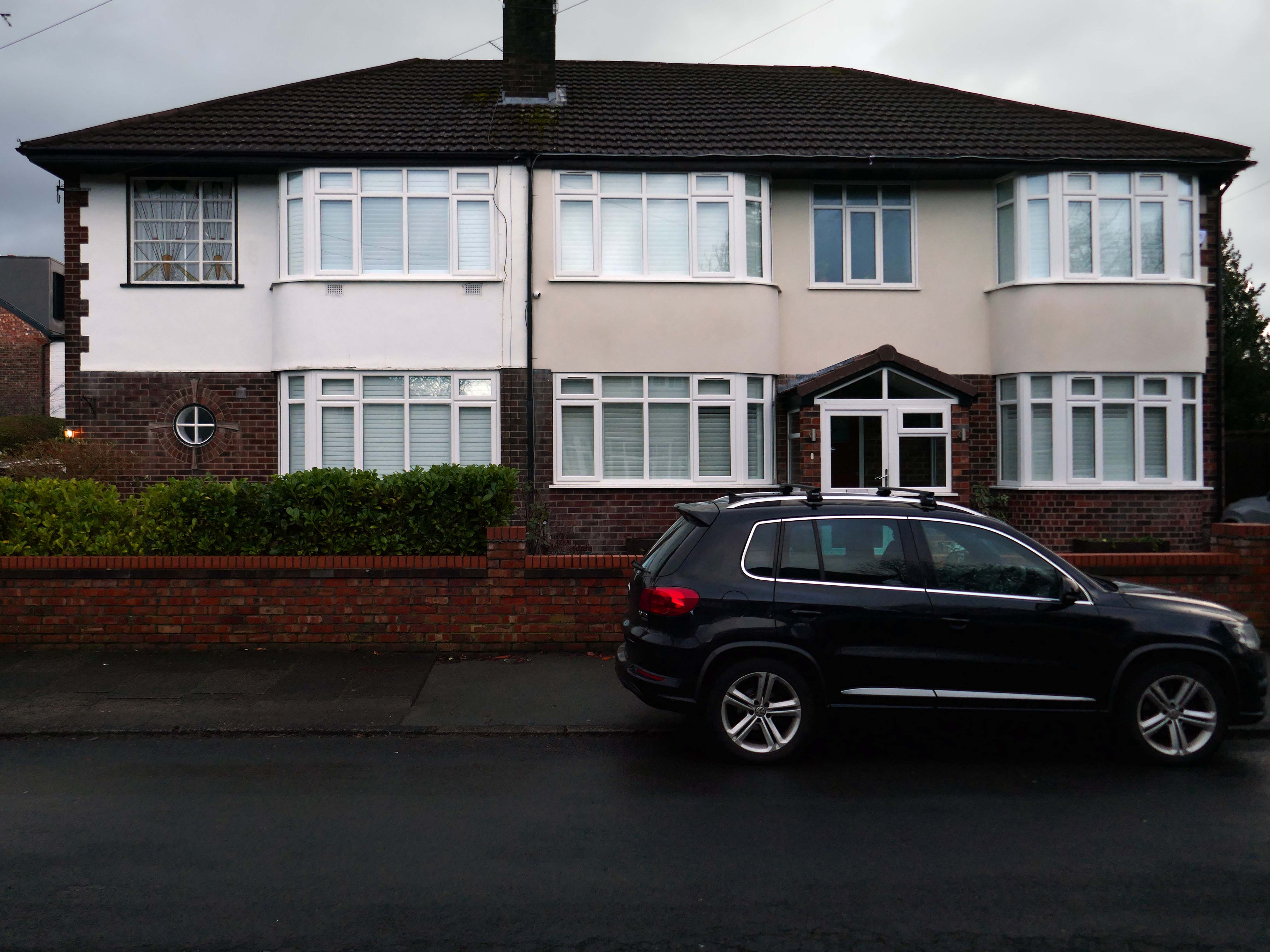
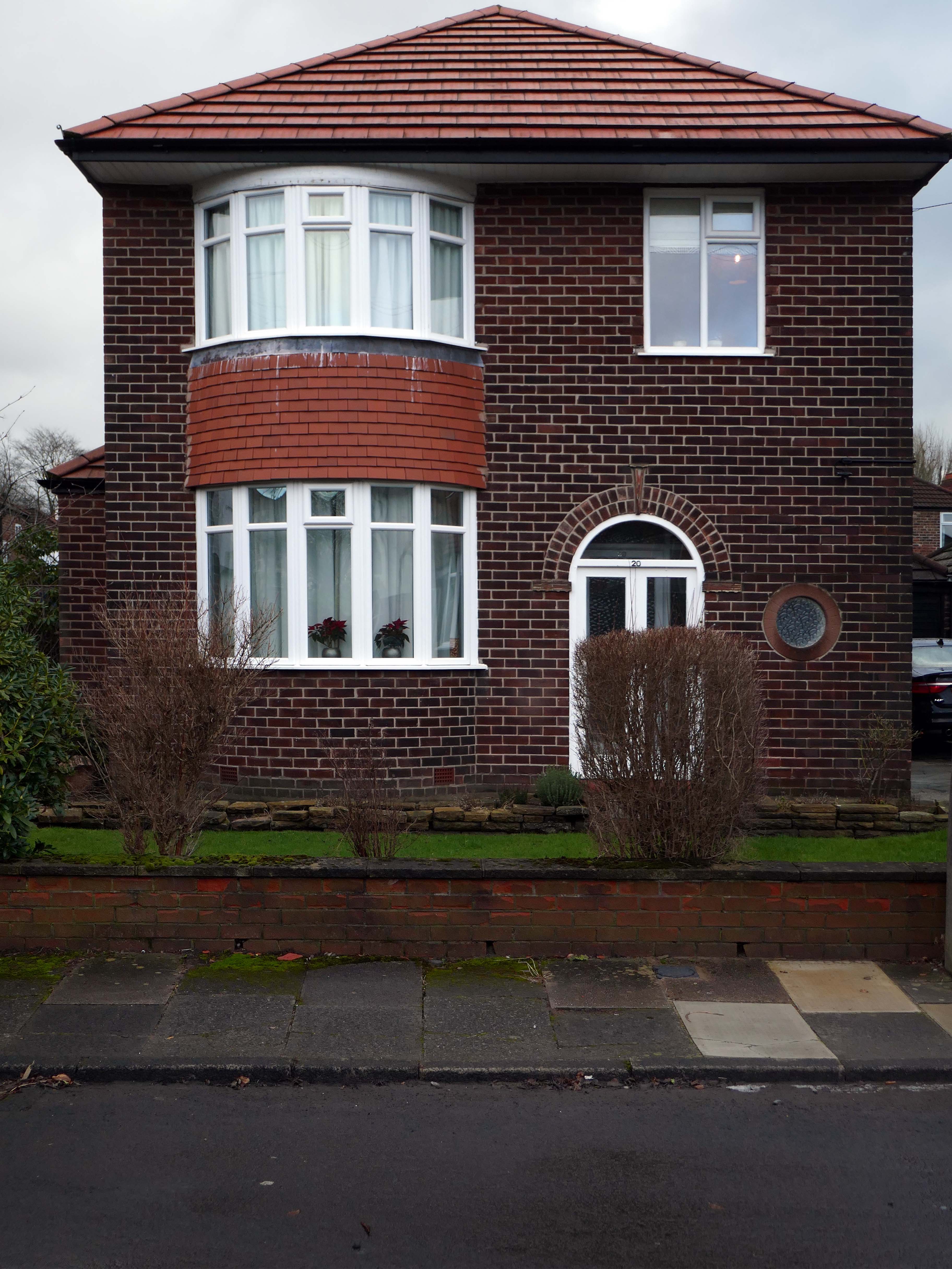
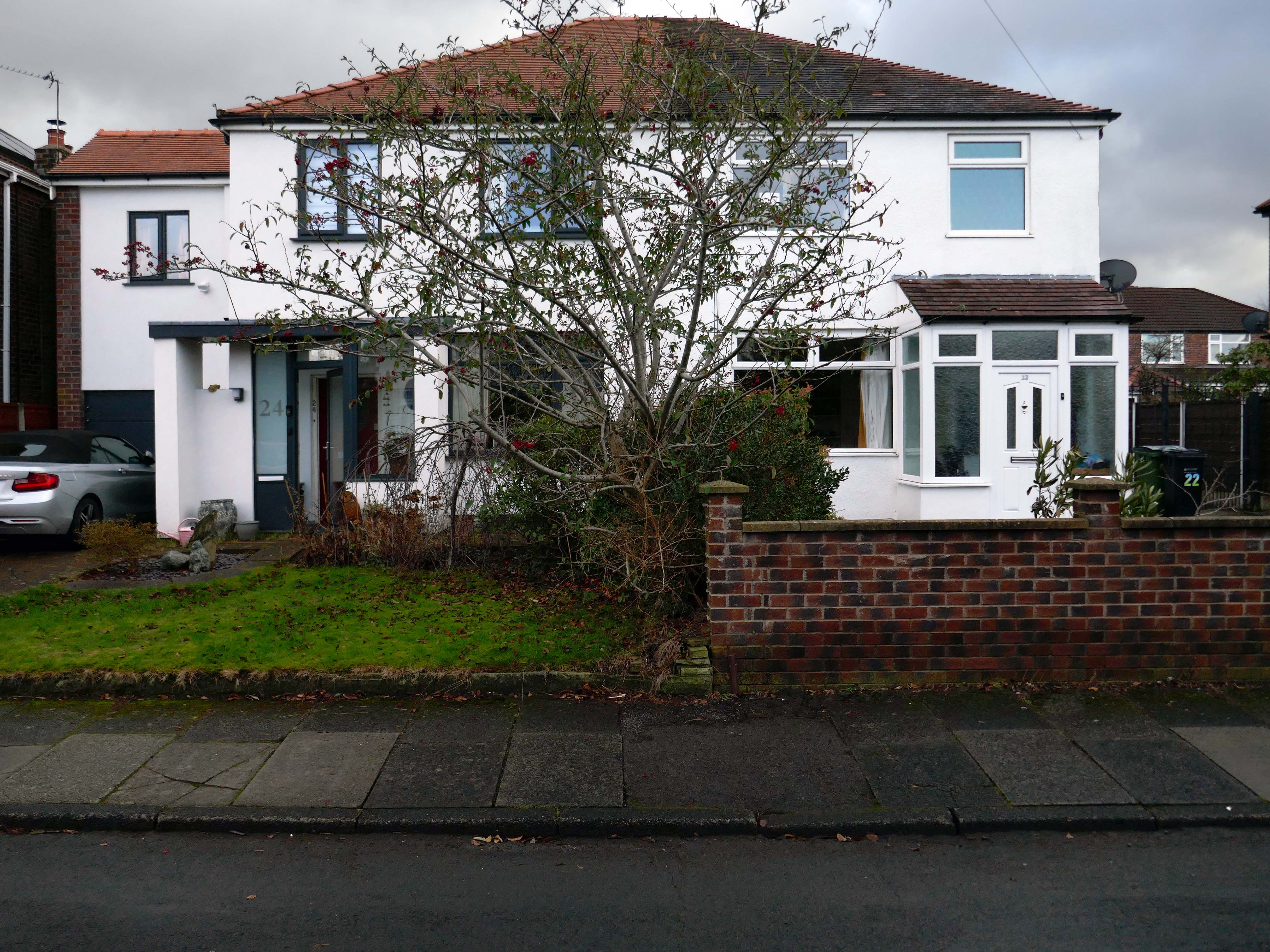
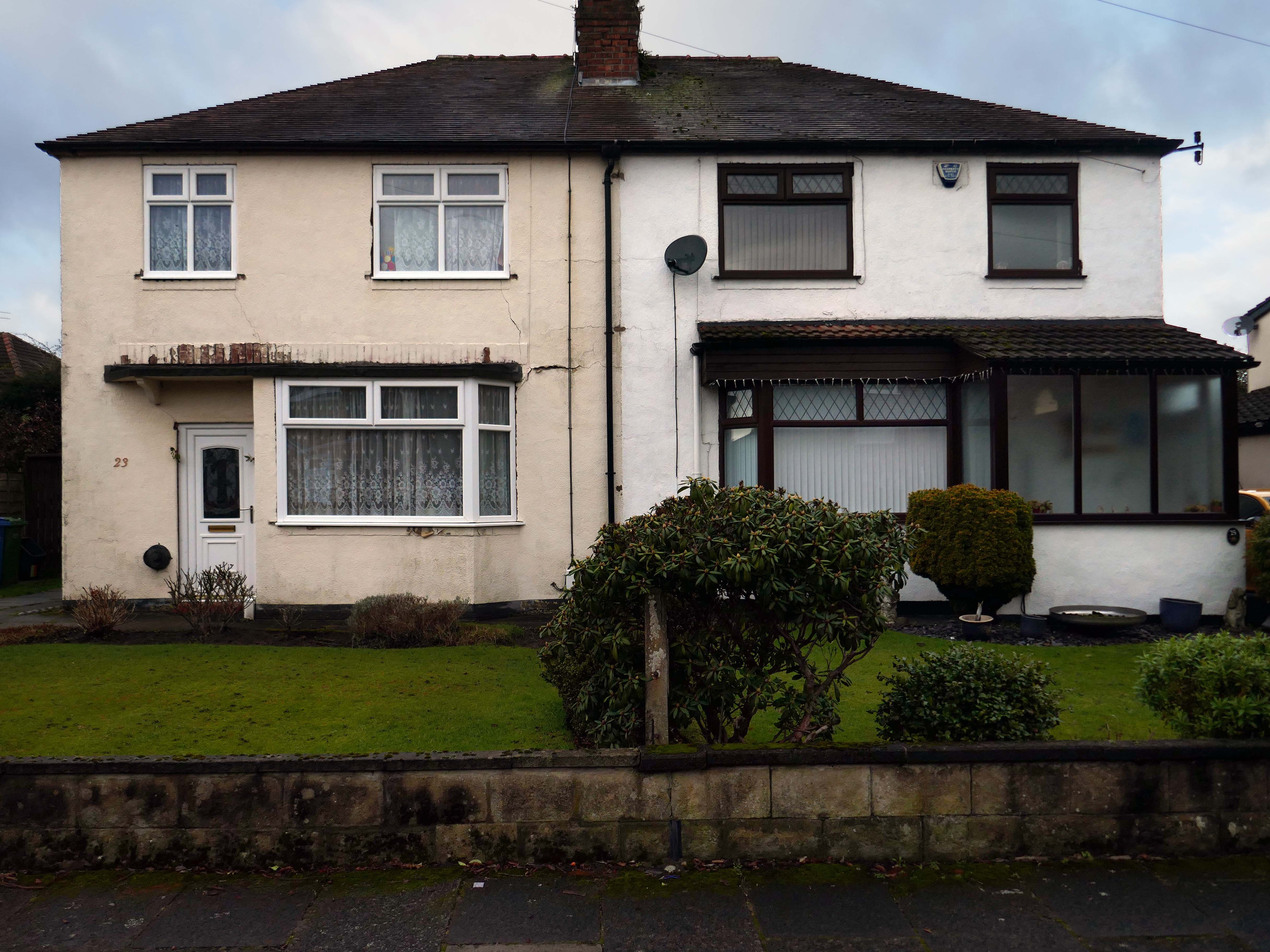
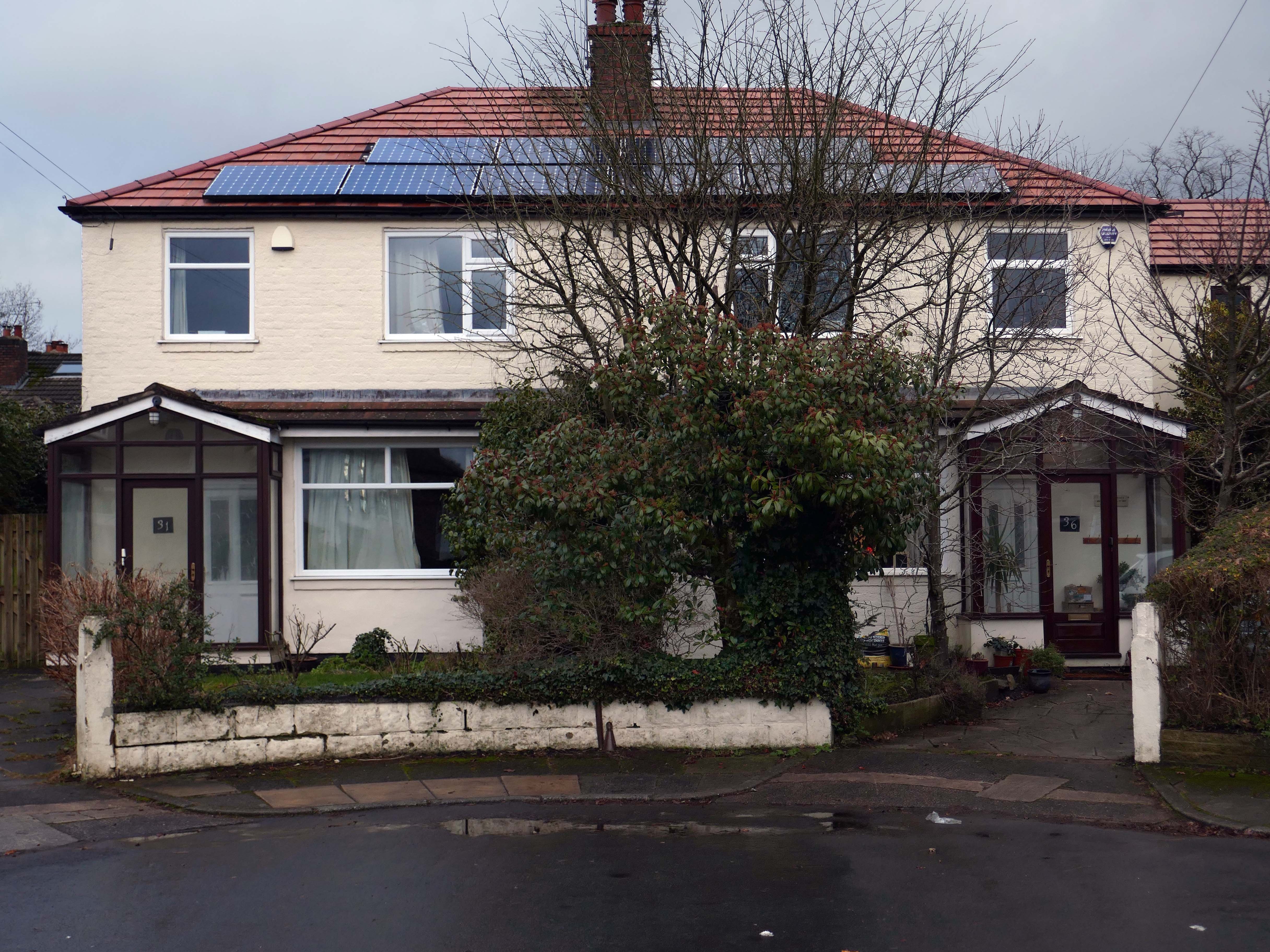
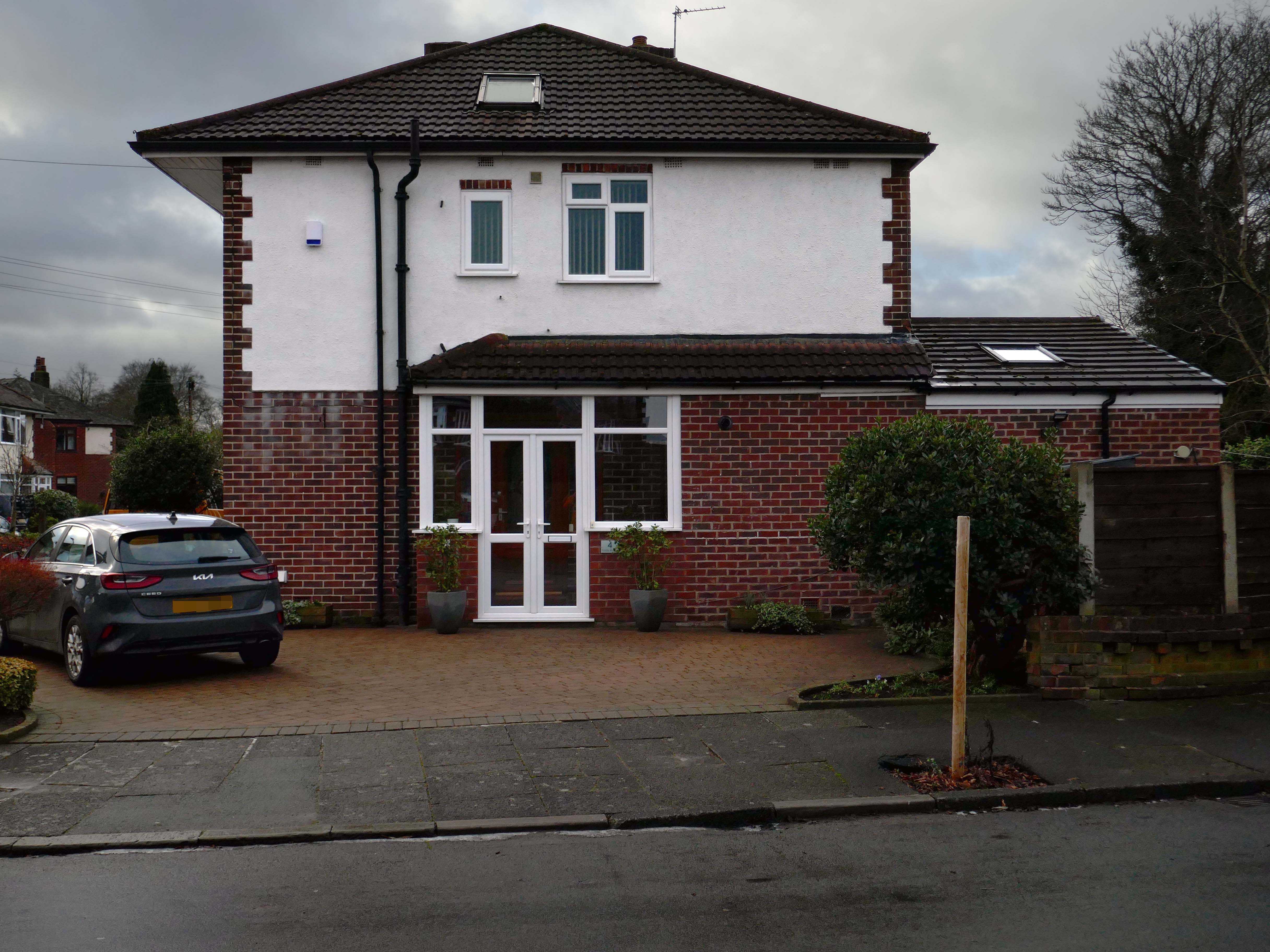
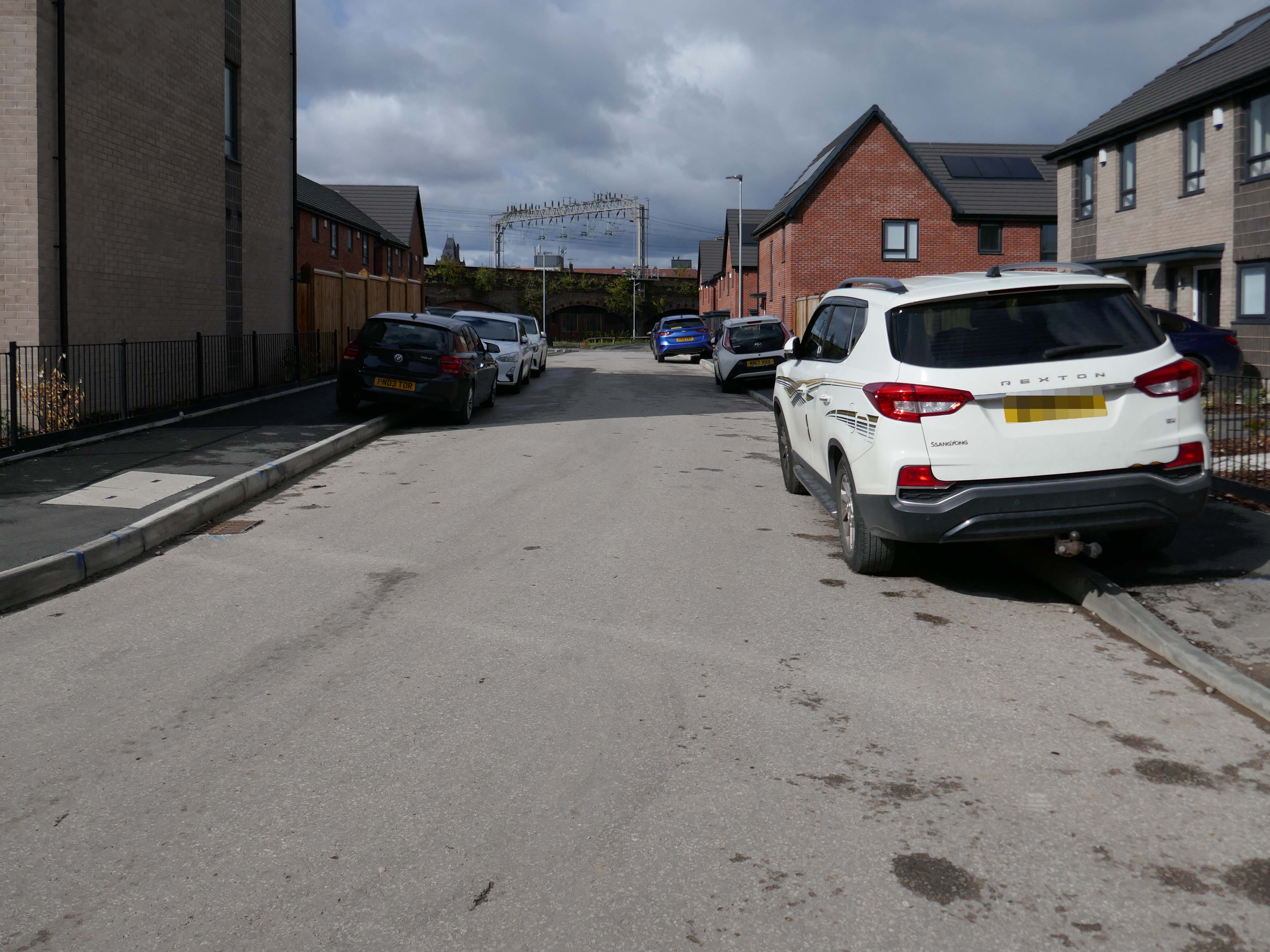
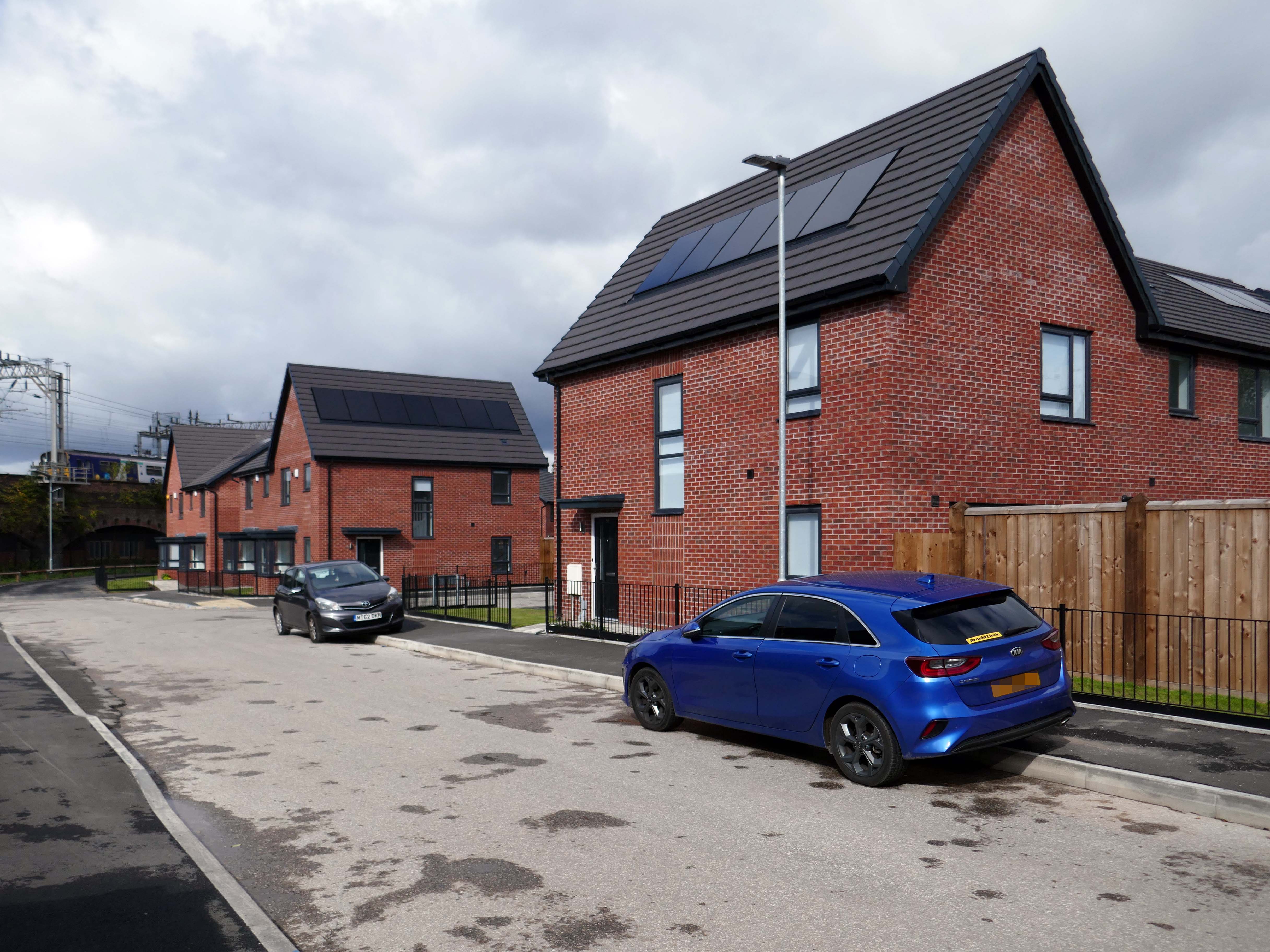
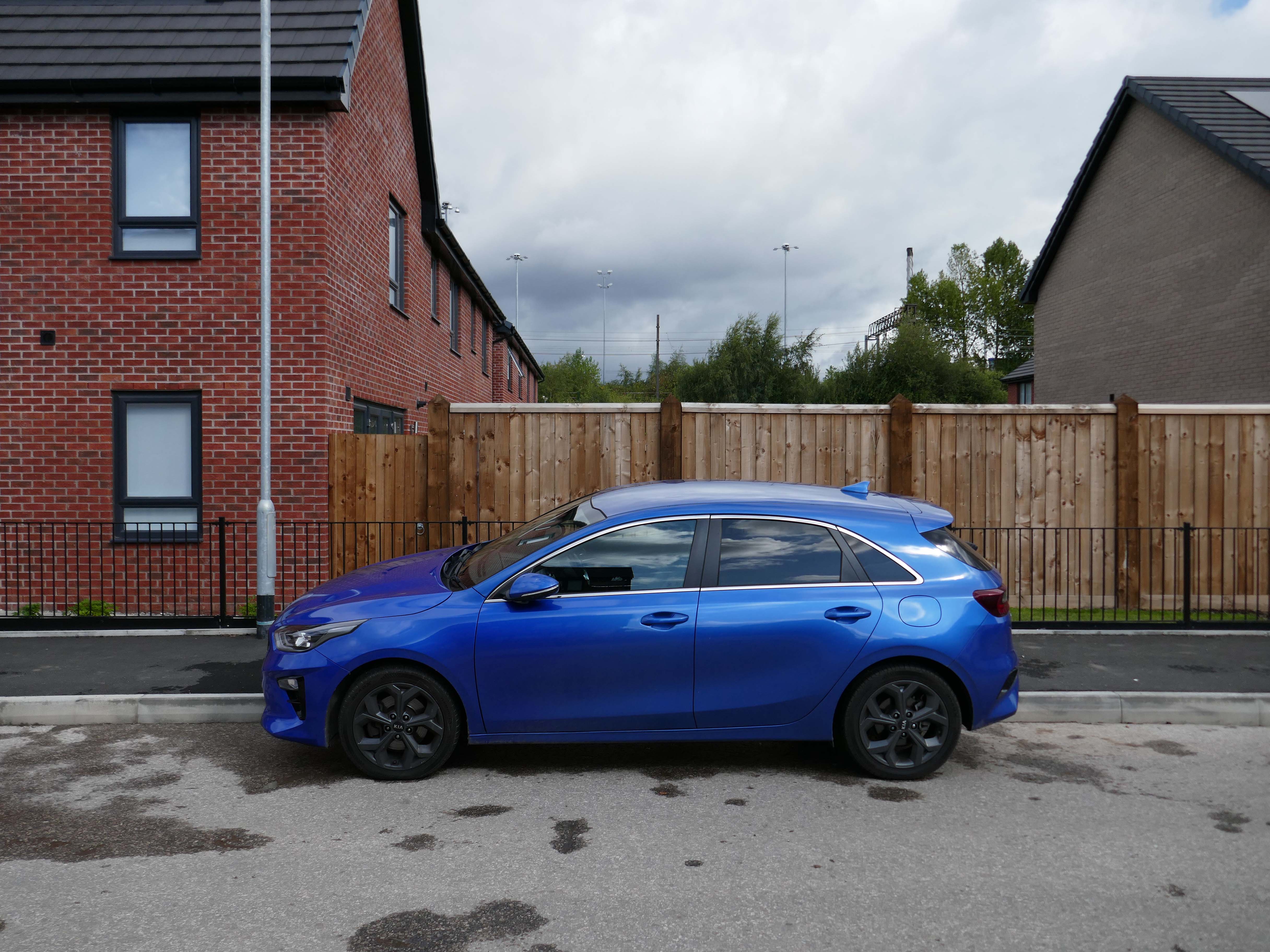
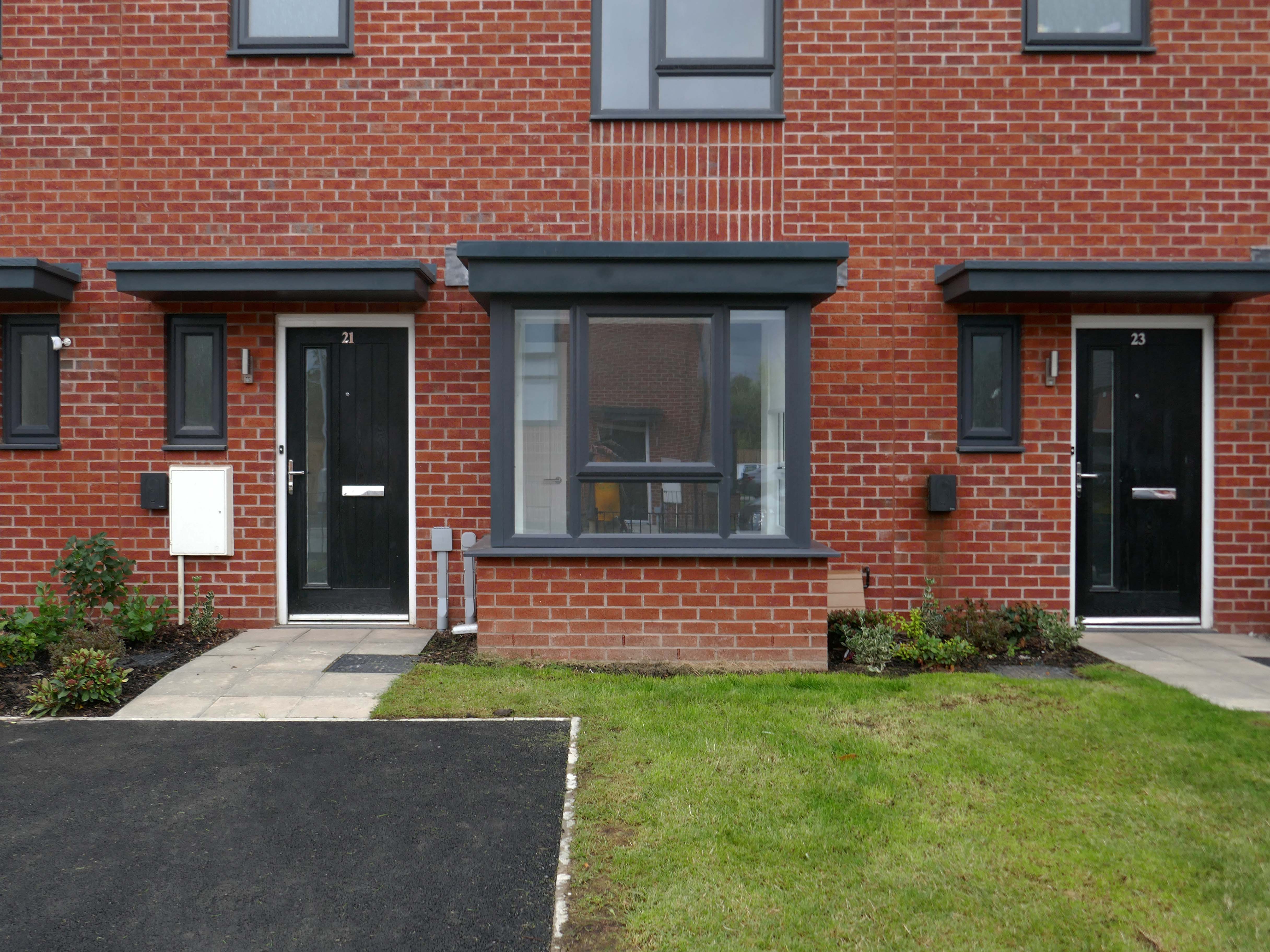
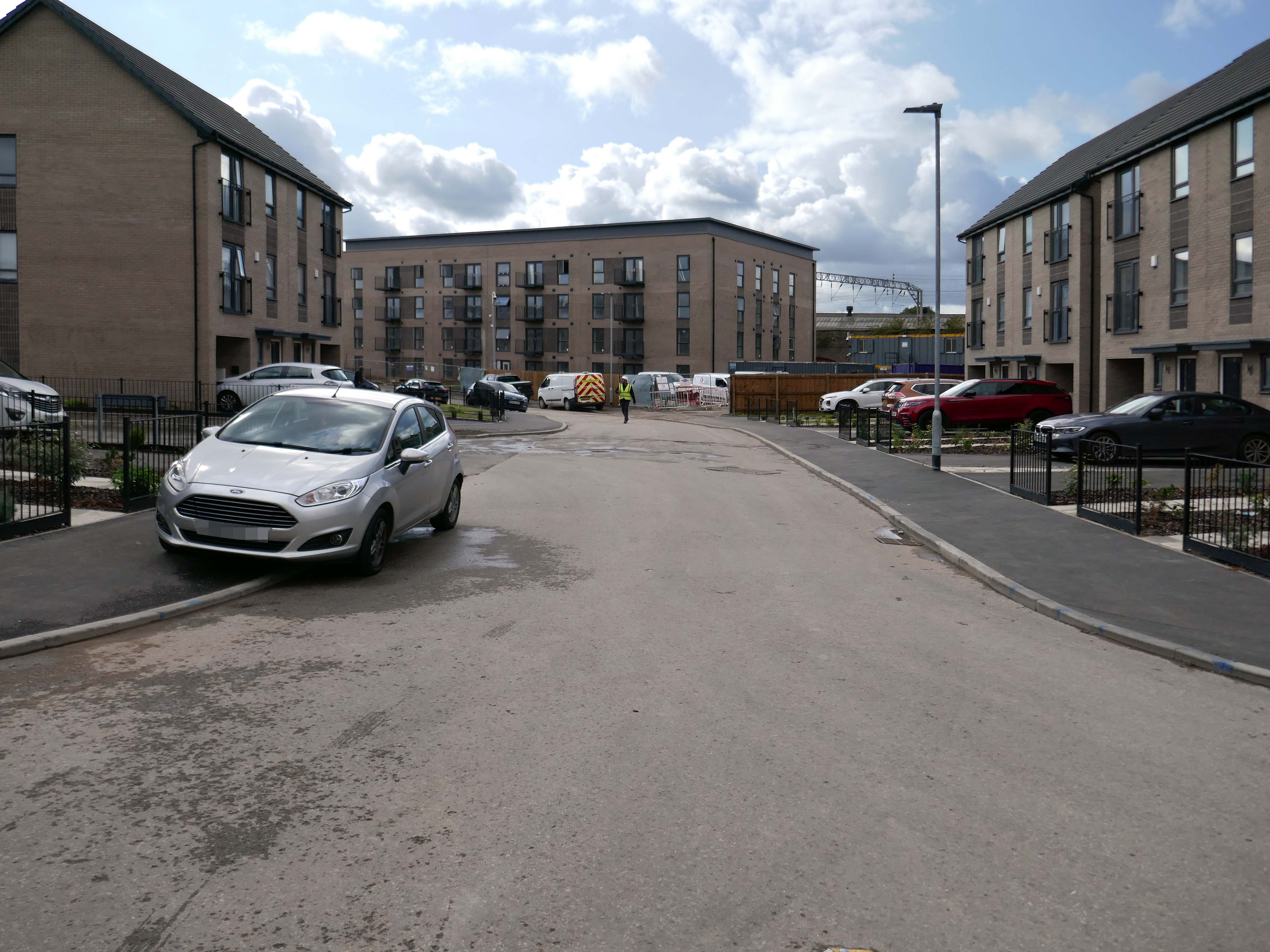
It’s January 2026 and I have taken to the area between Mauldeth Road, Thornfield Road, Queens Drive and Didsbury Road.
What is actually going on in my locale? – The only way to find out is to go and take a good look around.
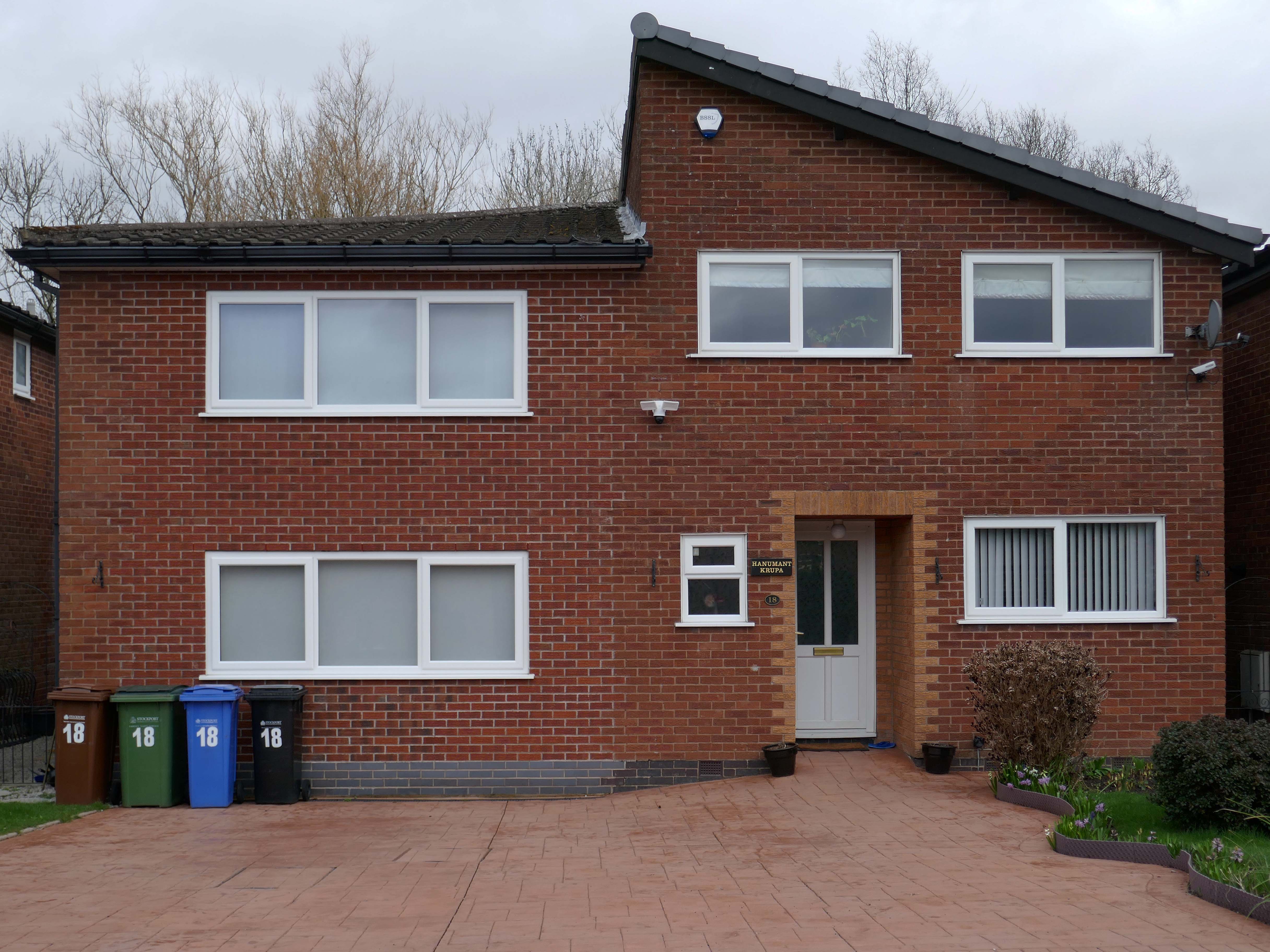
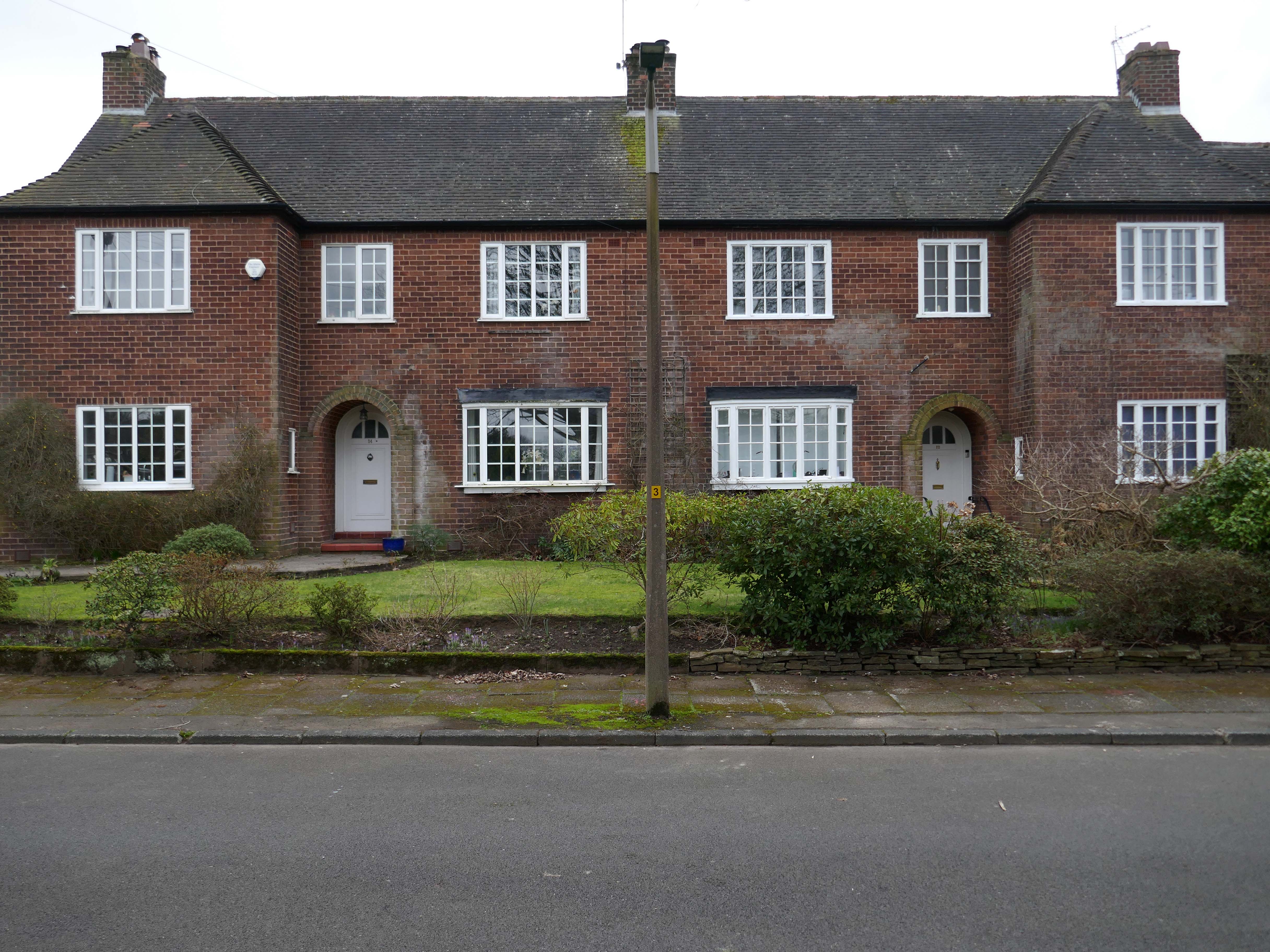
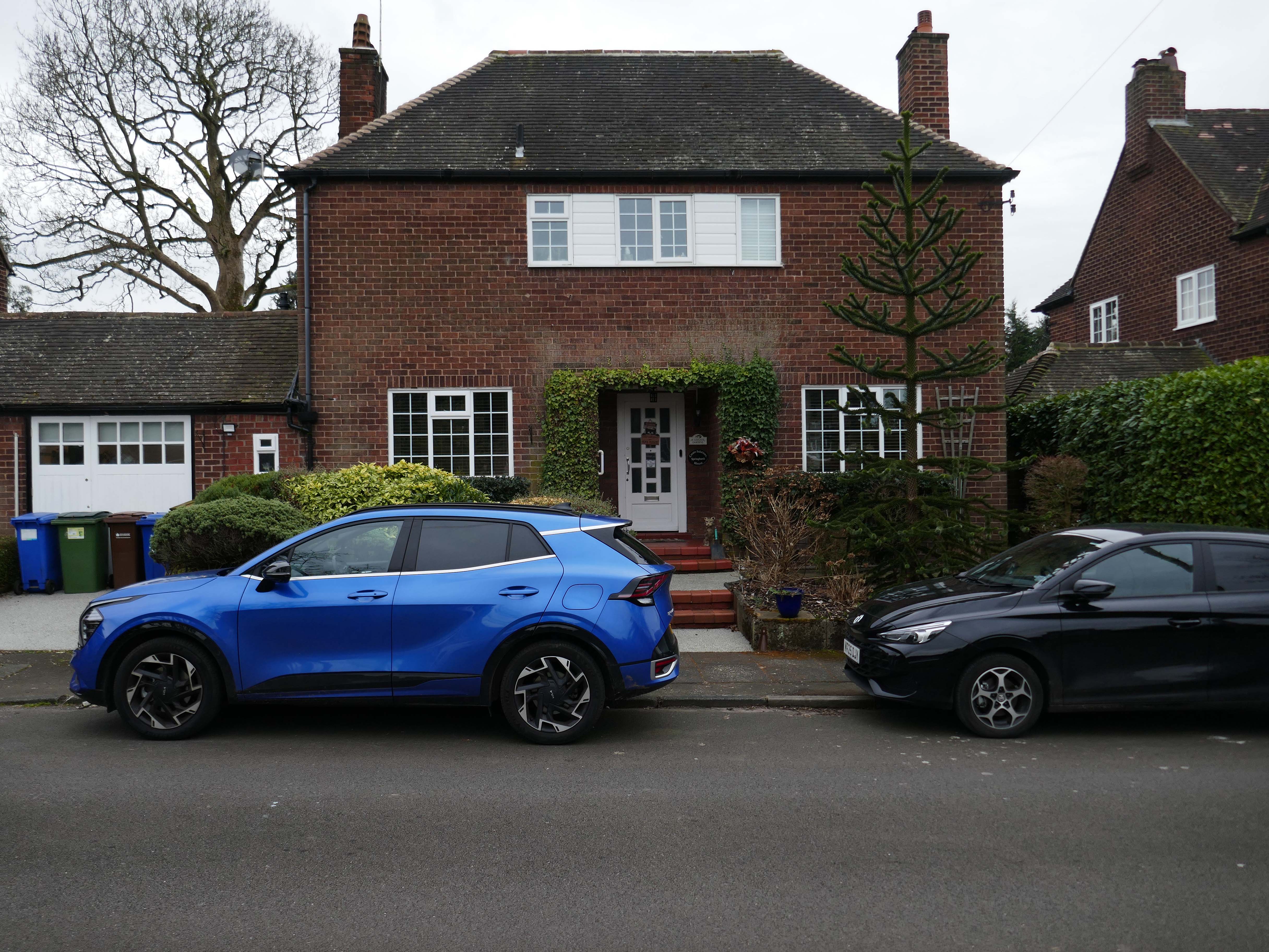
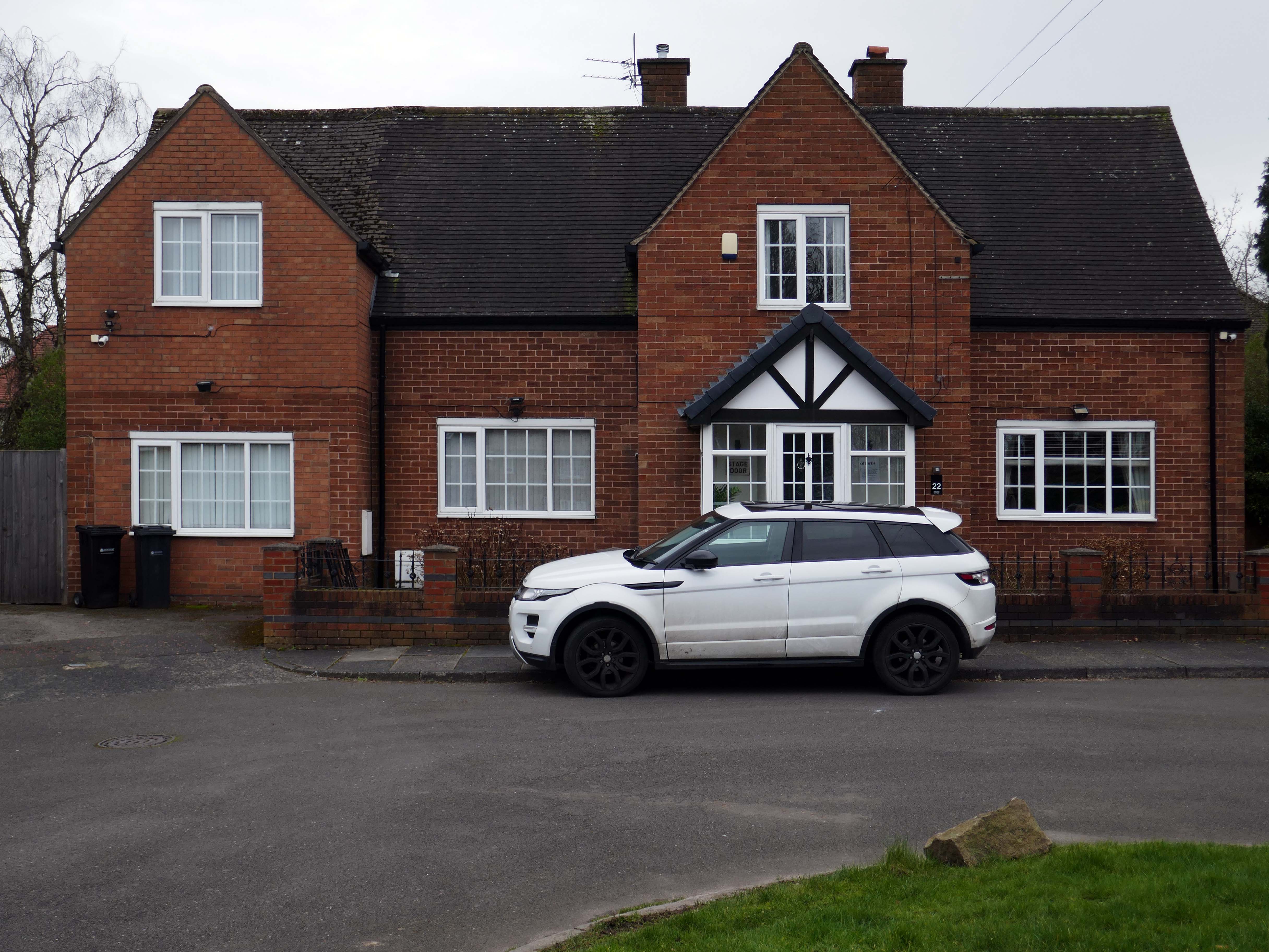
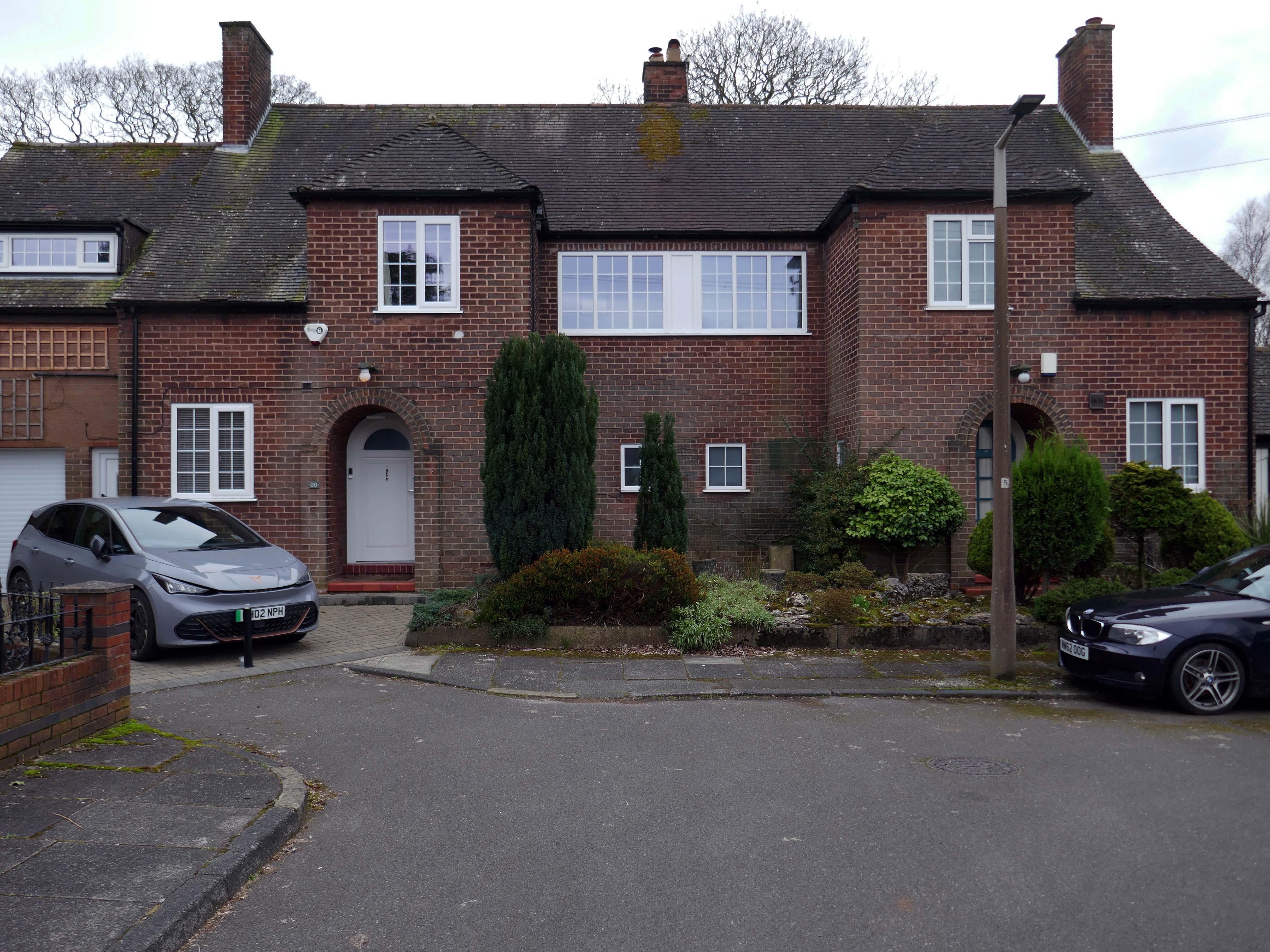
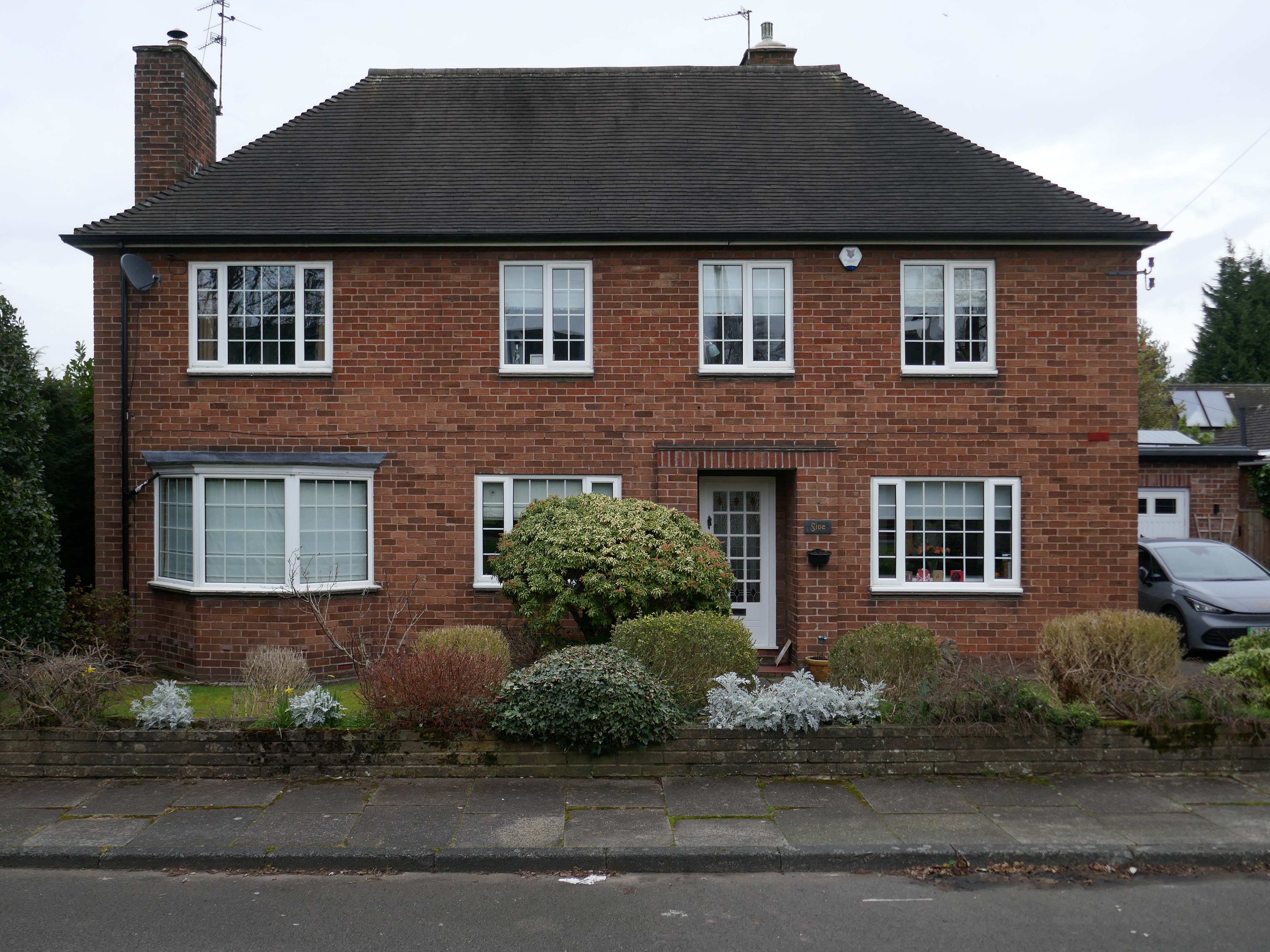
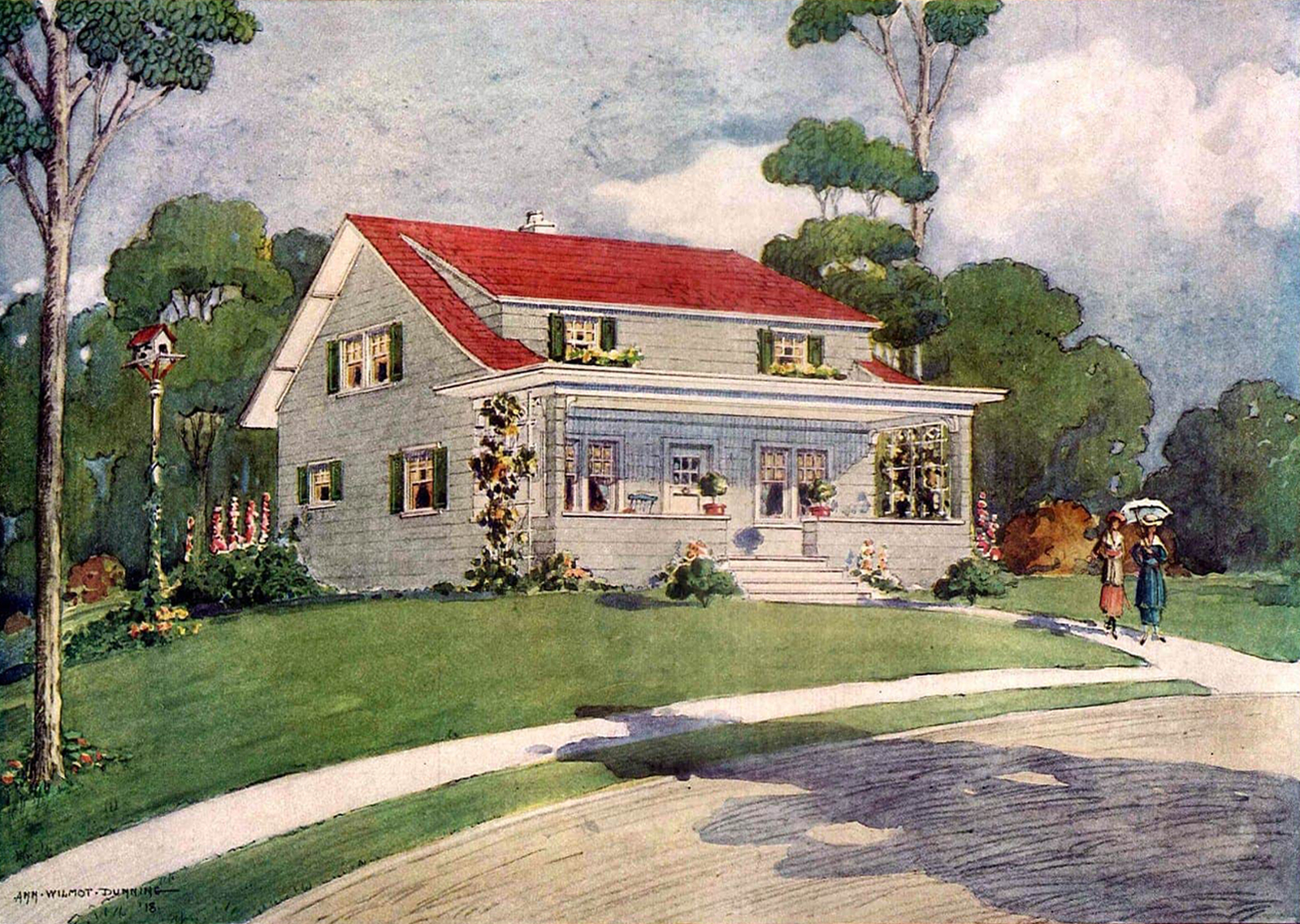
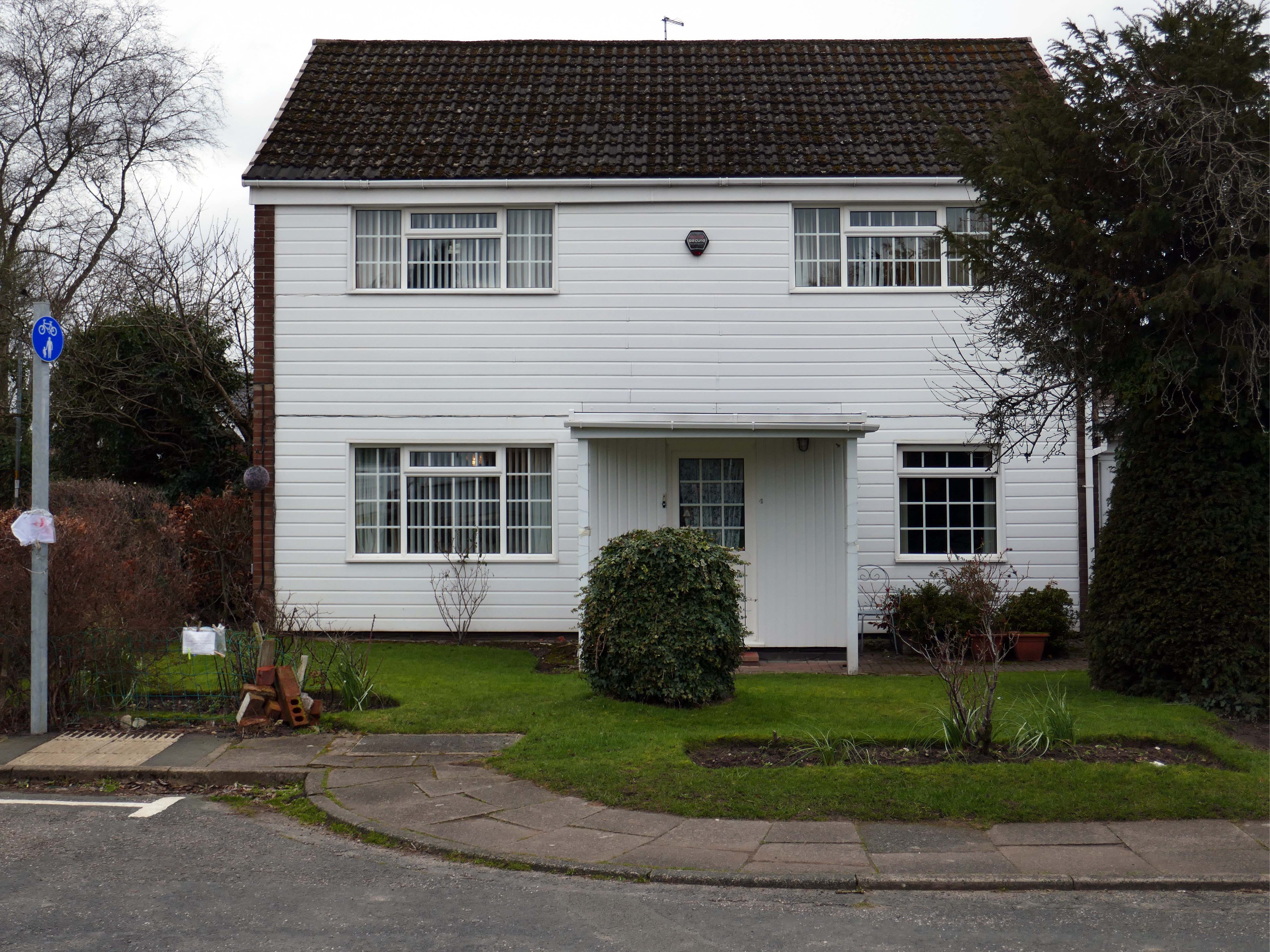
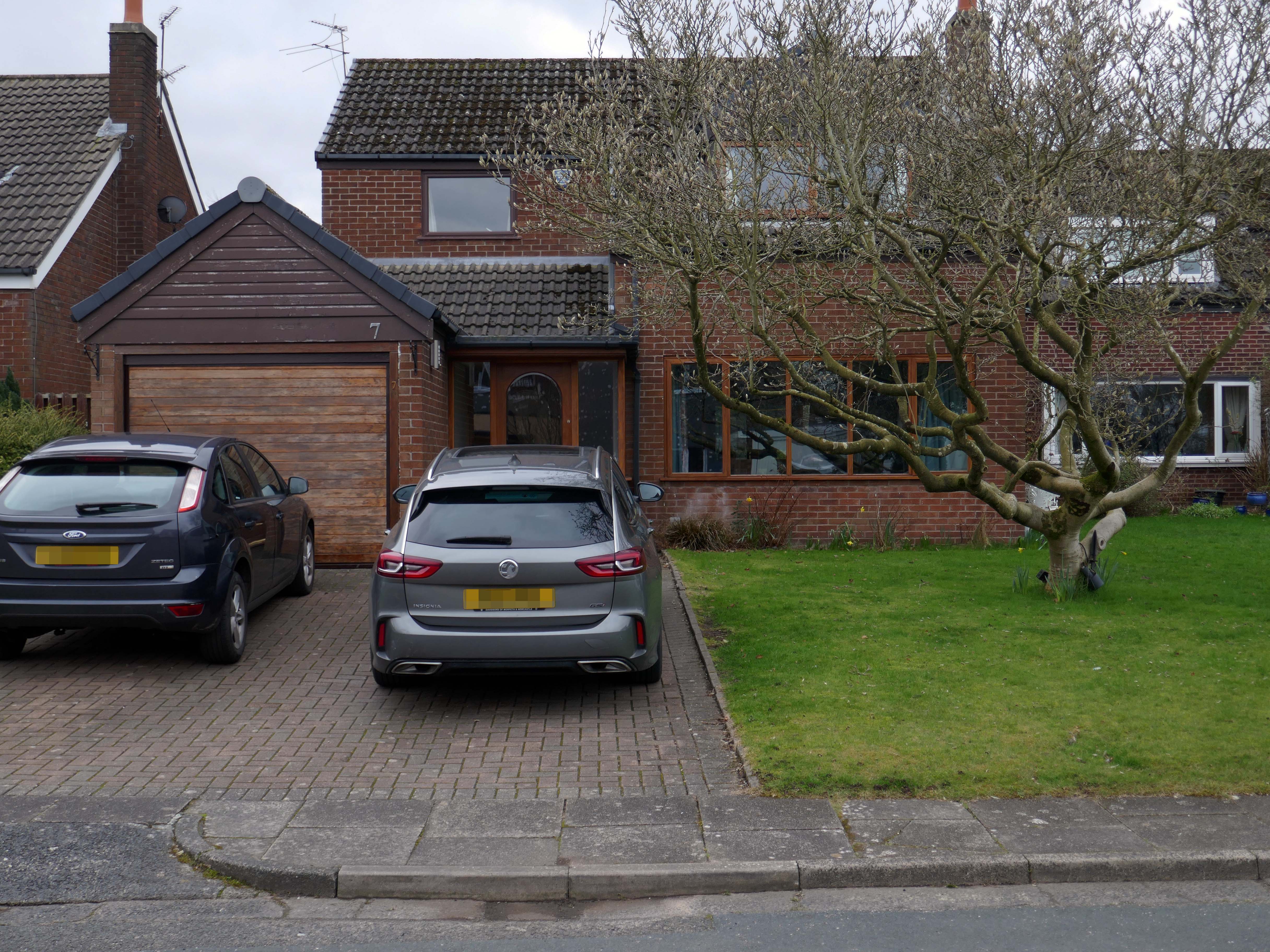
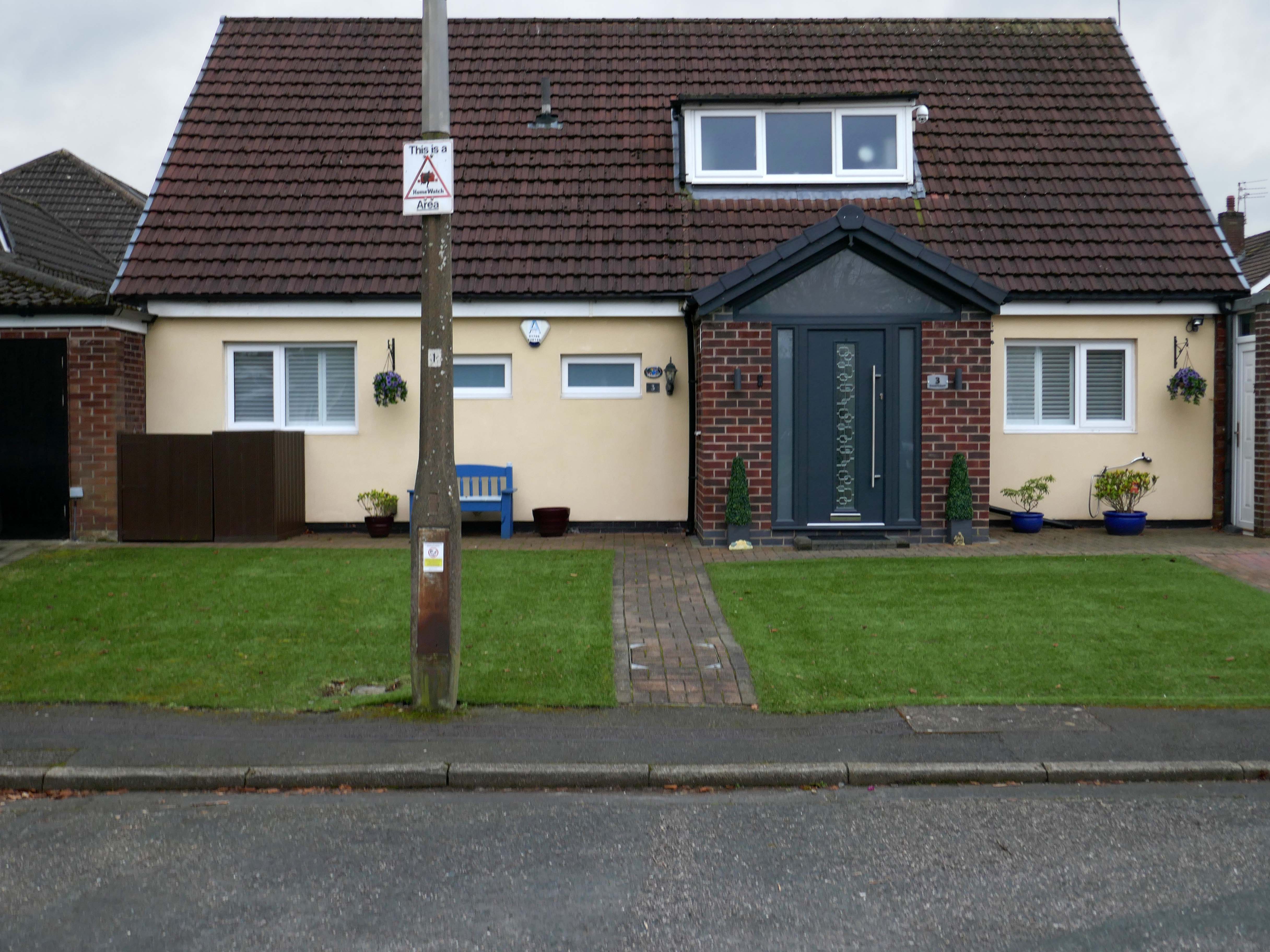
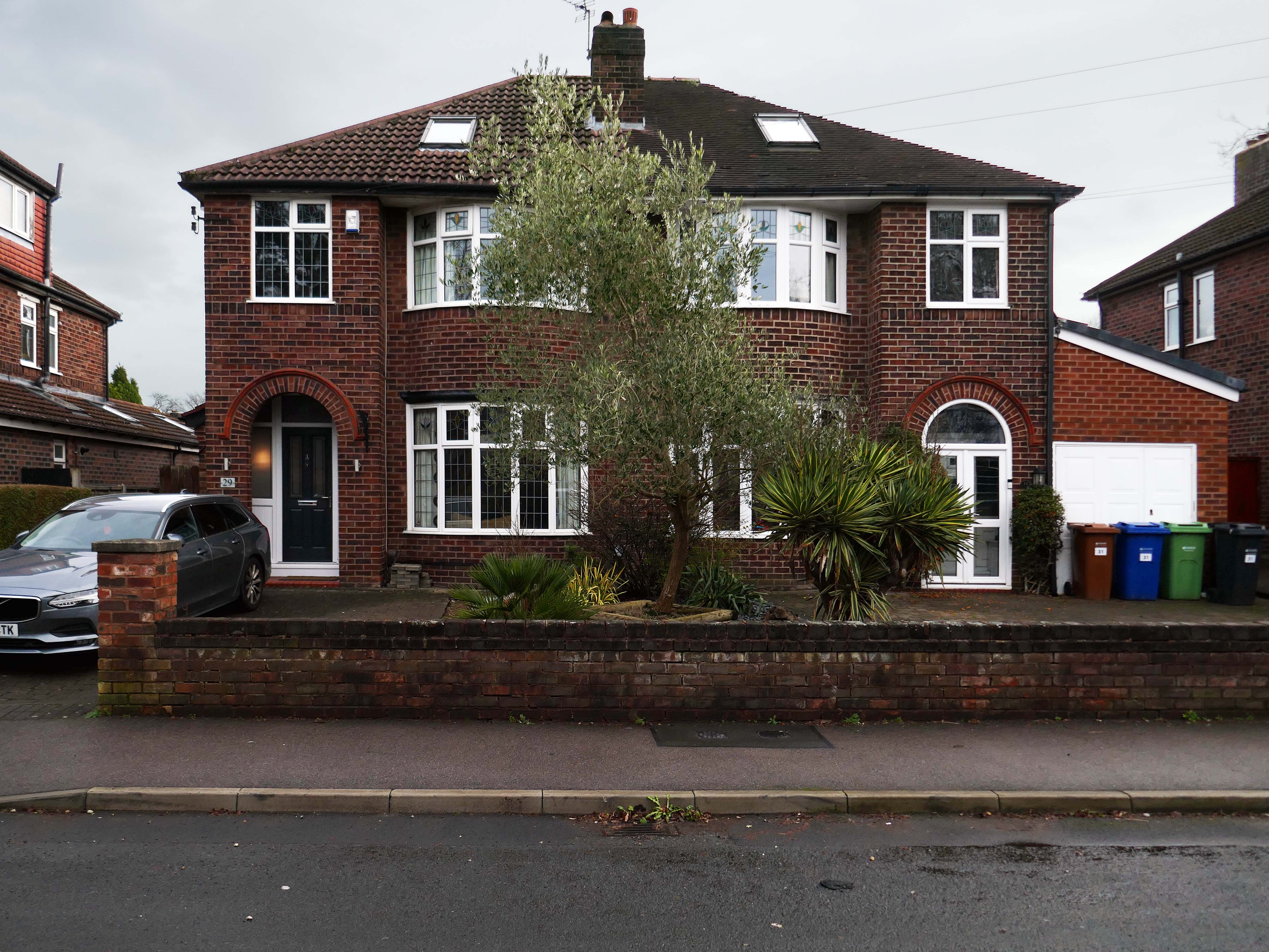
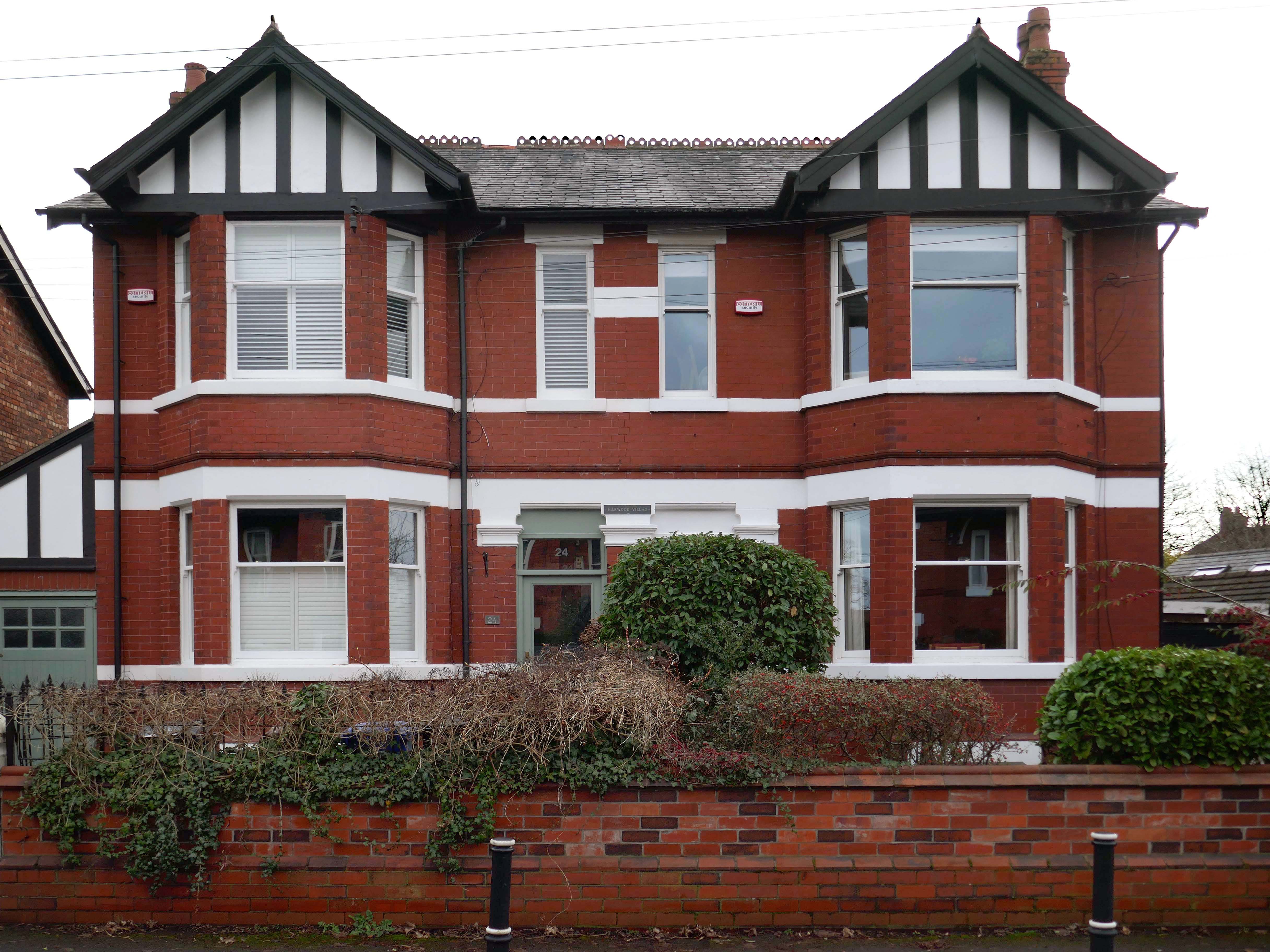
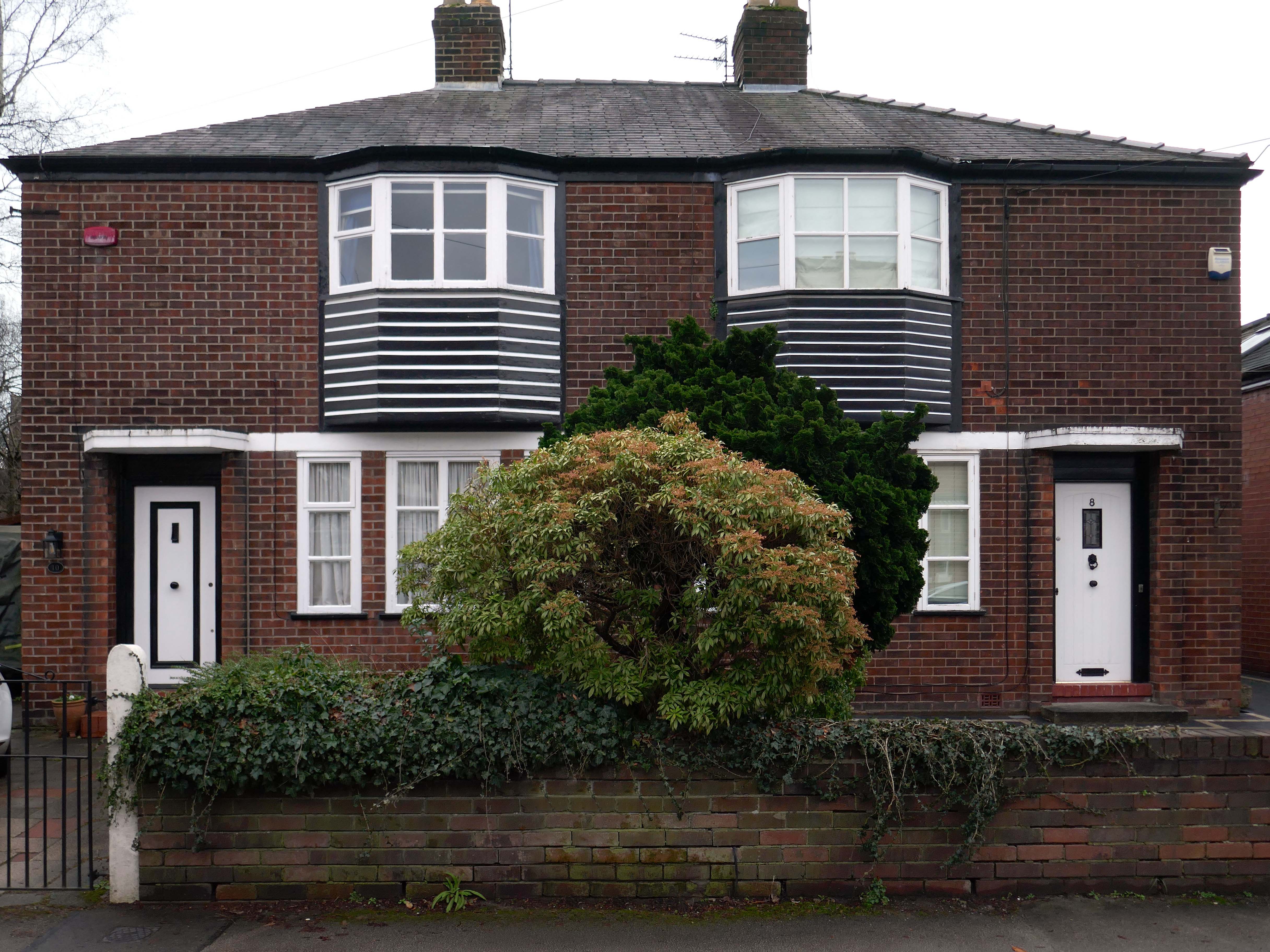
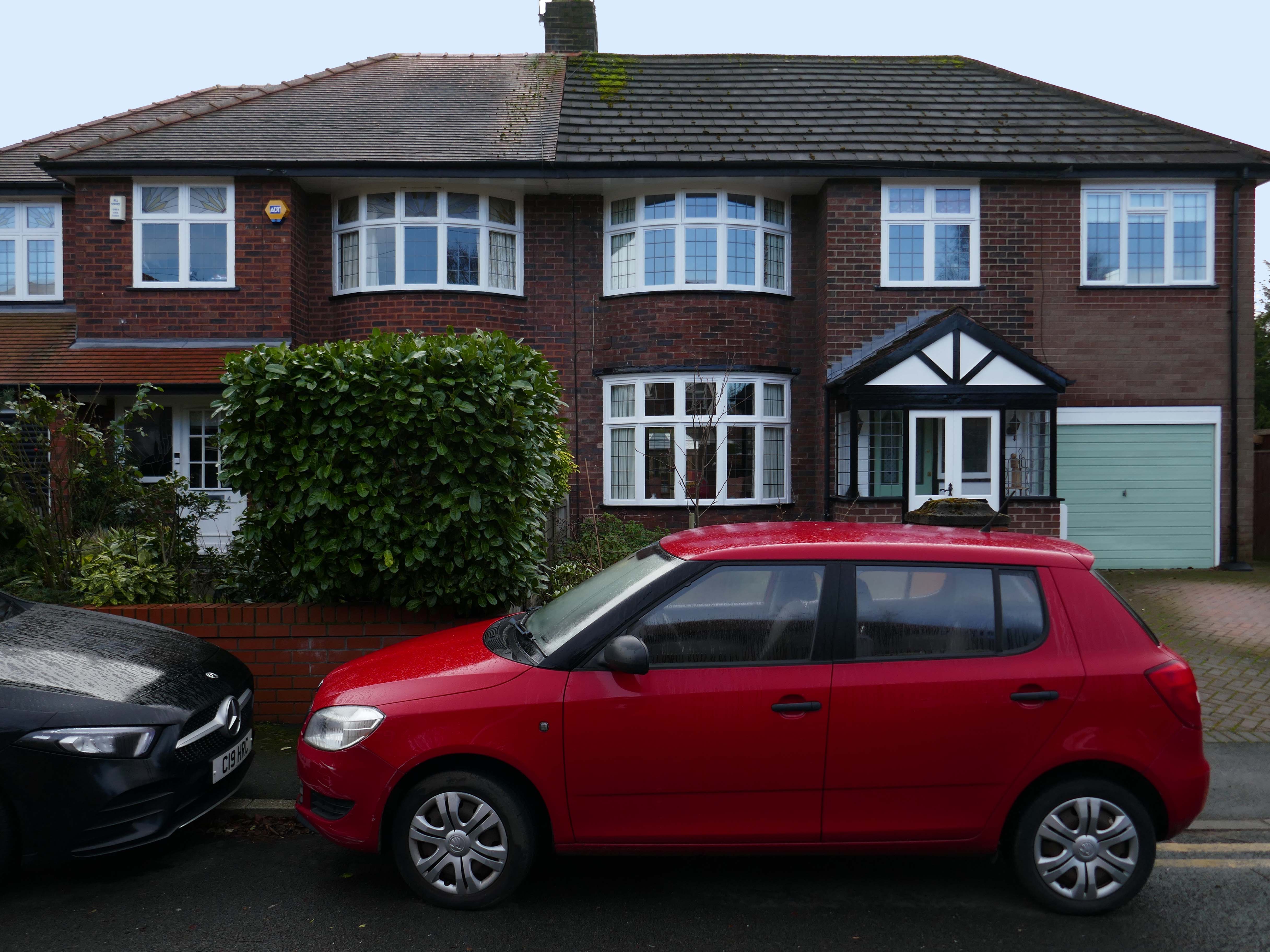
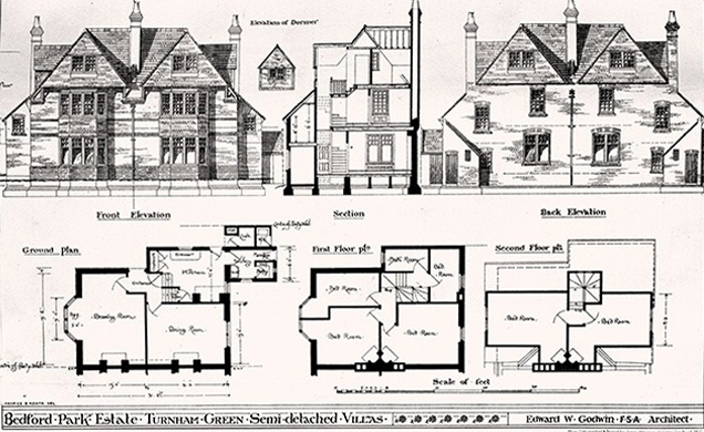
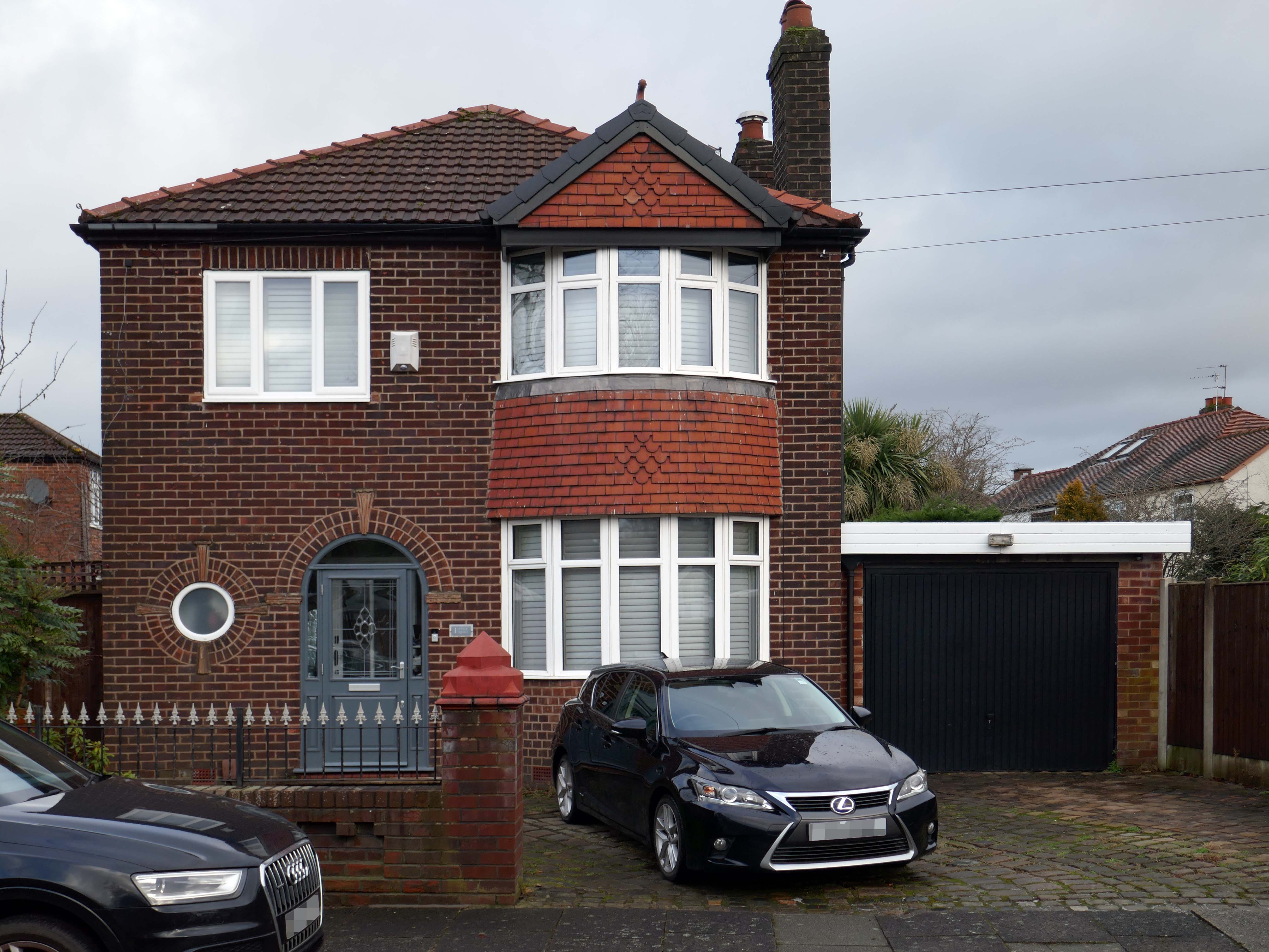
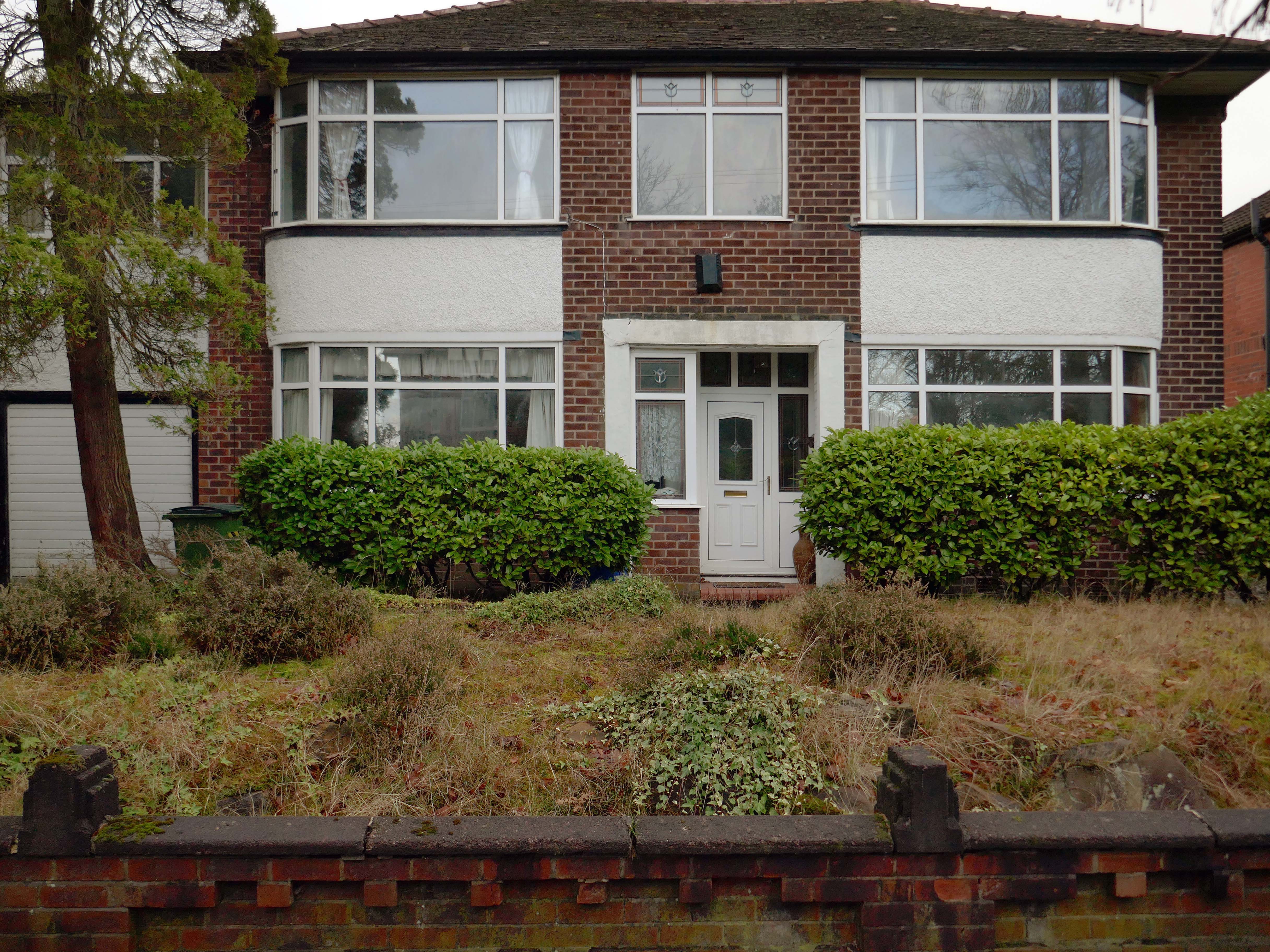
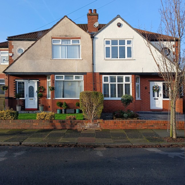
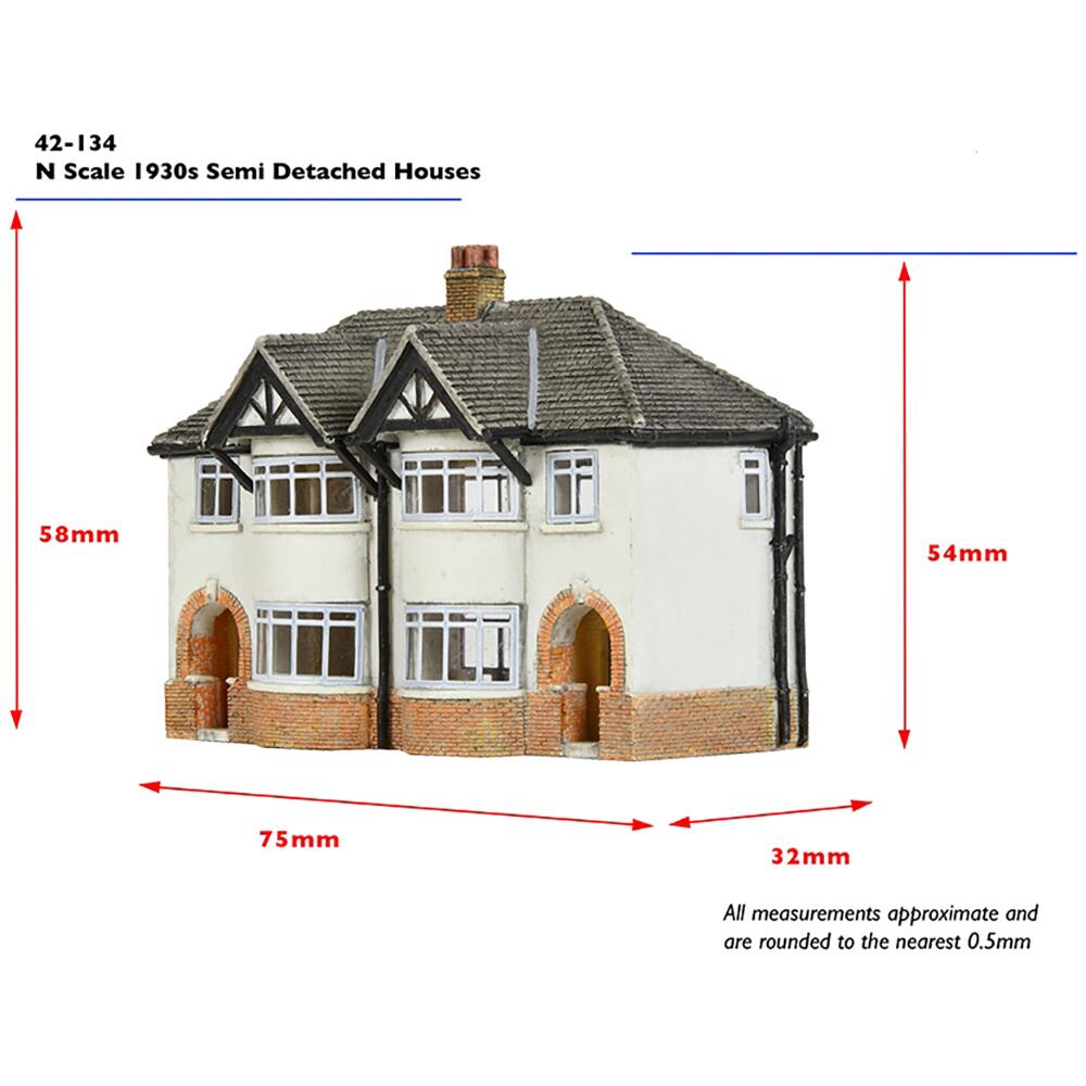
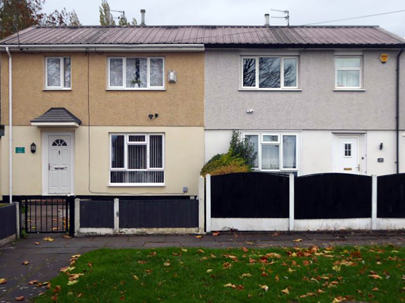
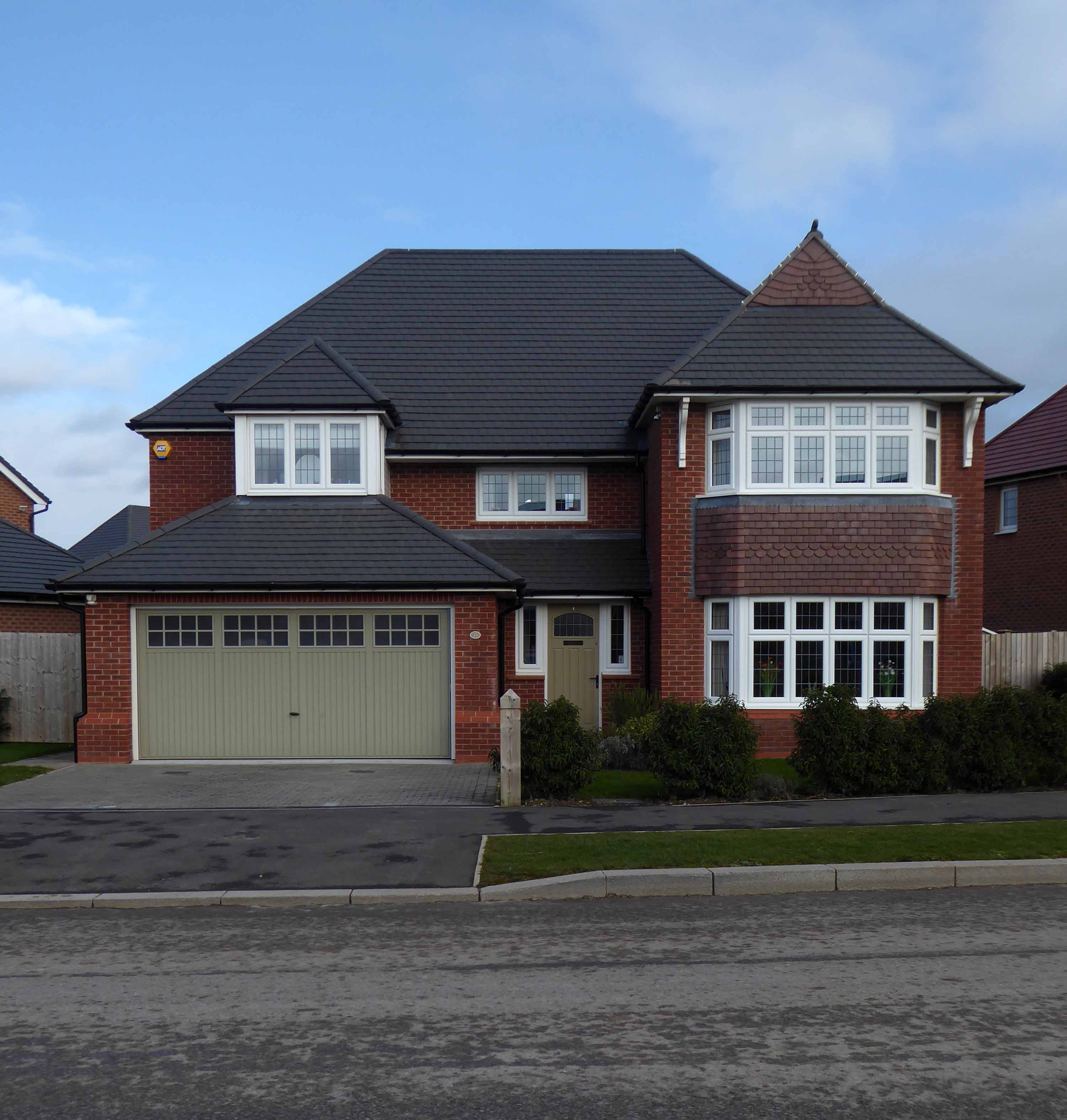
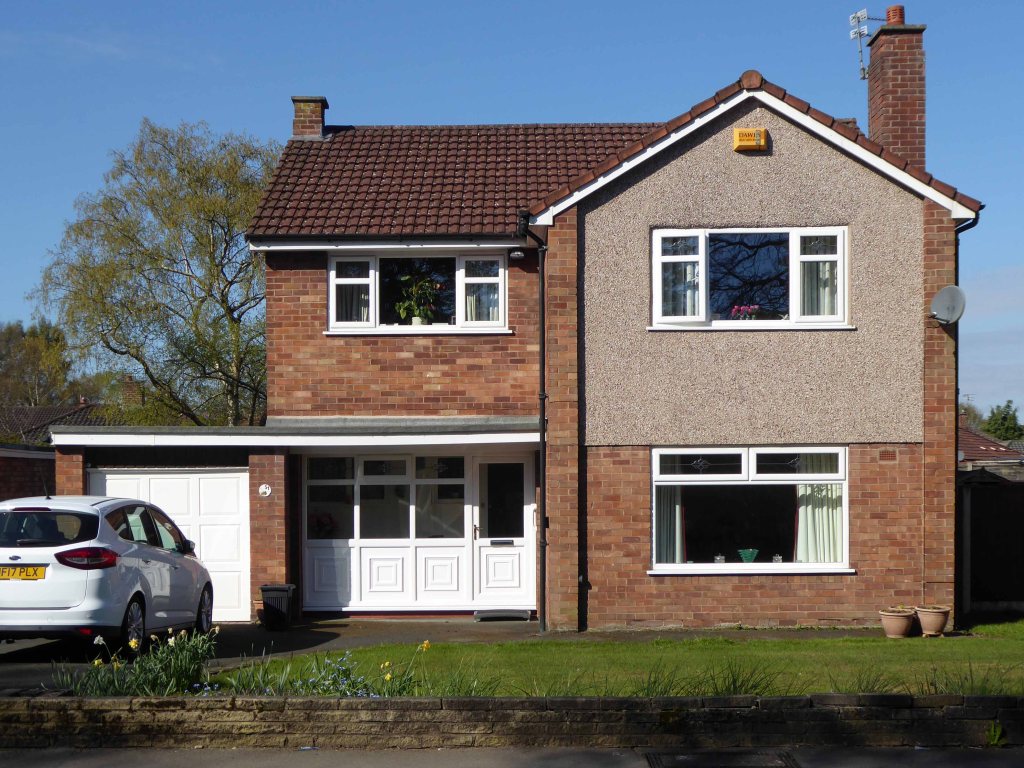
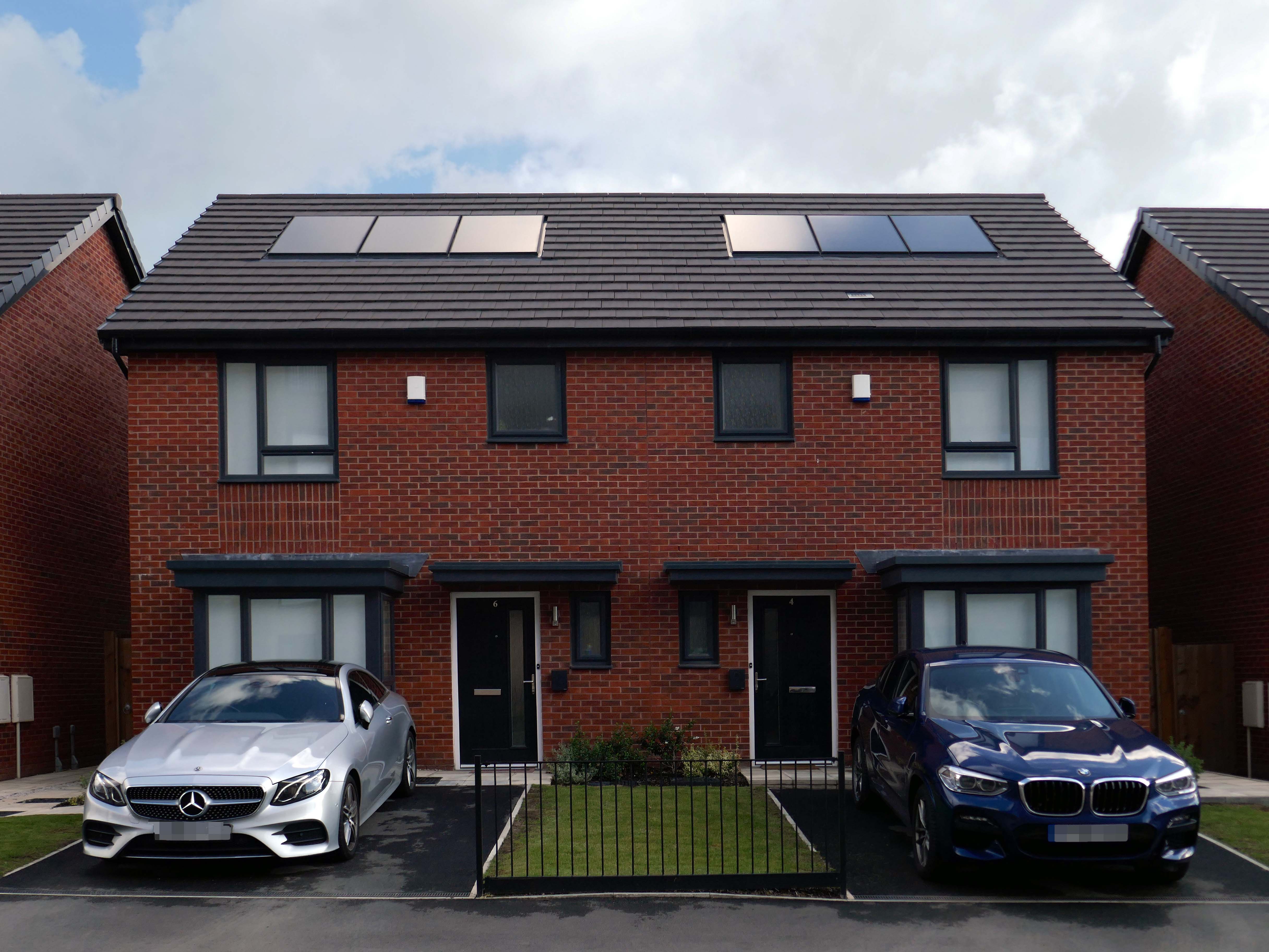
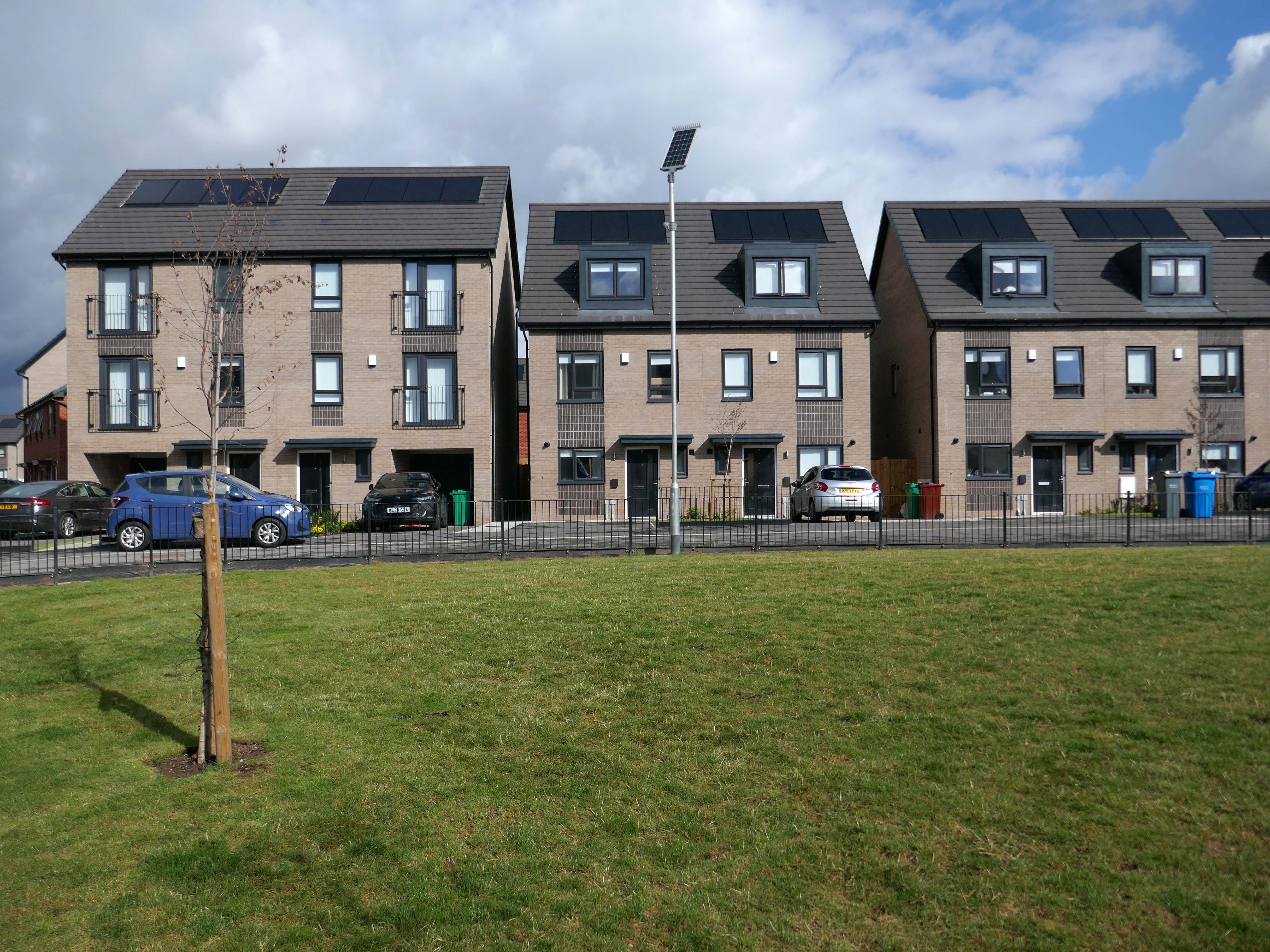
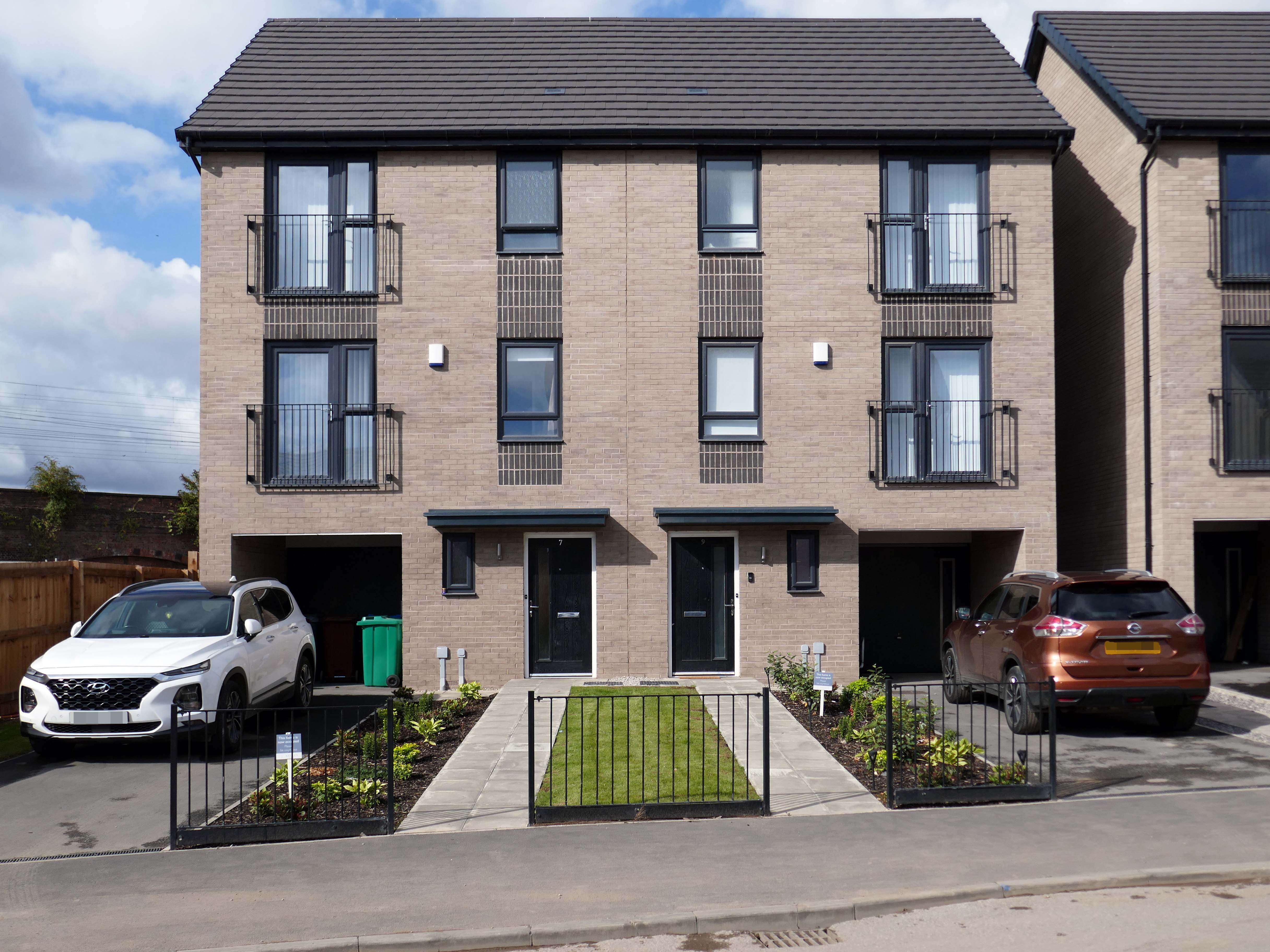
Symbol of middle-class aspiration, conservatism and compromised individualism, the semi-detached house is England’s modern domestic type par excellence.
Semi-detached houses are the most common property type in the United Kingdom. They accounted for 32% of UK housing transactions and 32% of the English housing stock in 2008. Between 1945 and 1964, 41% of all properties built were semis.
Semi-detached houses for the middle class began to be planned systematically in late 18th-century Georgian architecture, as a suburban compromise between the terraced houses close to the city centre, and the detached villas further out, where land was cheaper.
Although semi-detached housing is built throughout the world, it is generally seen as particularly symbolic of the suburbanisation of the United Kingdom and Ireland.
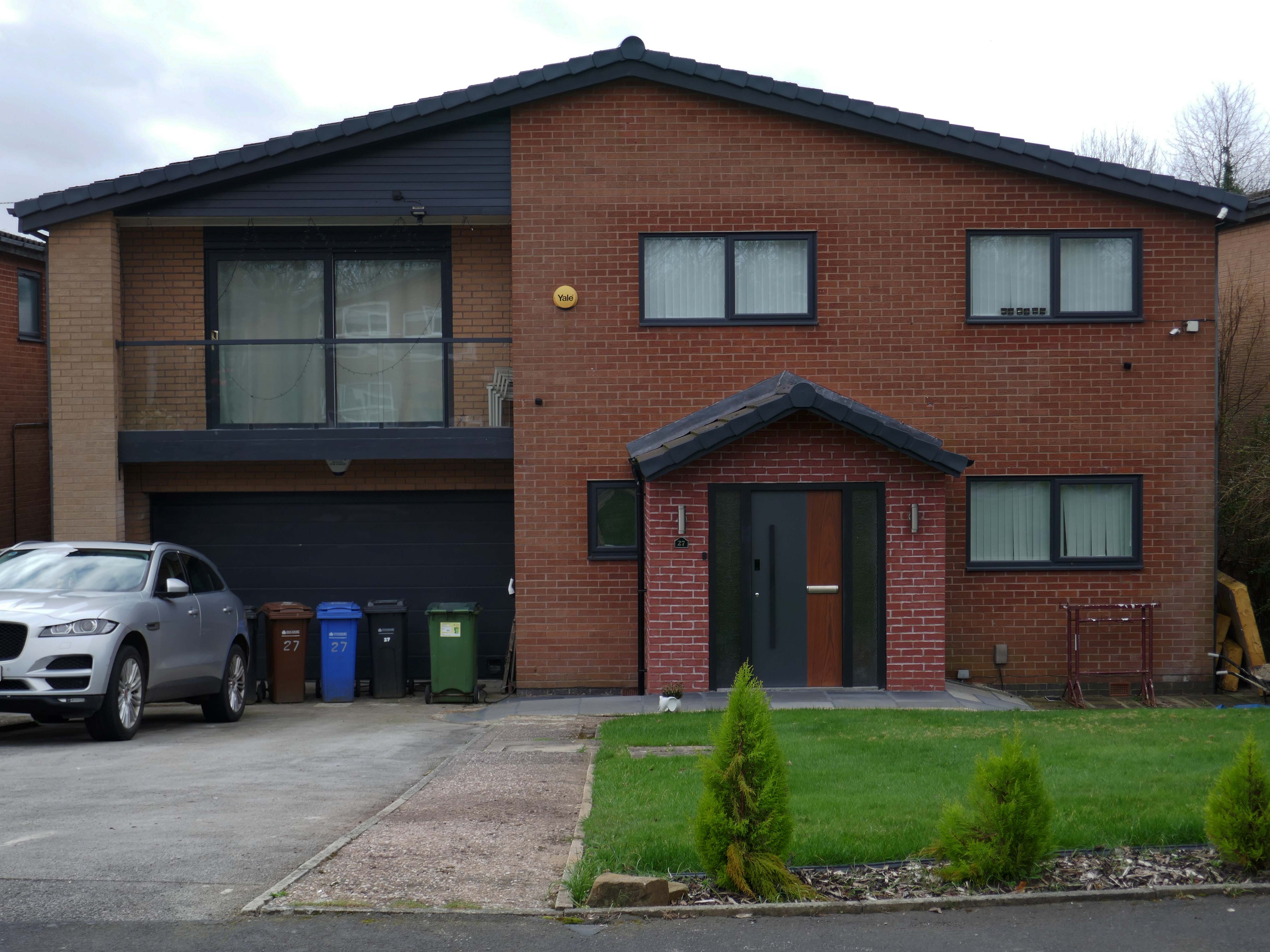
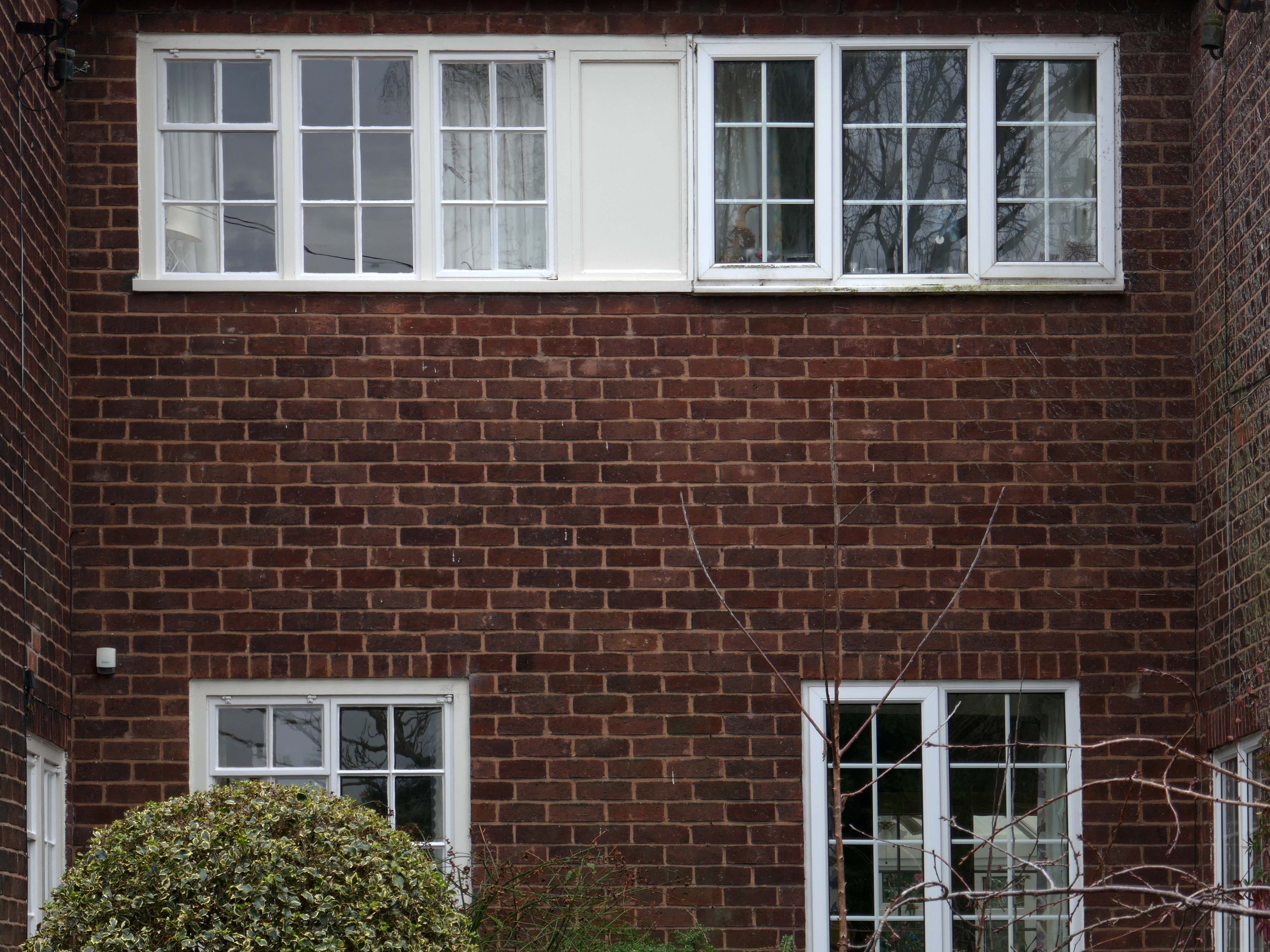
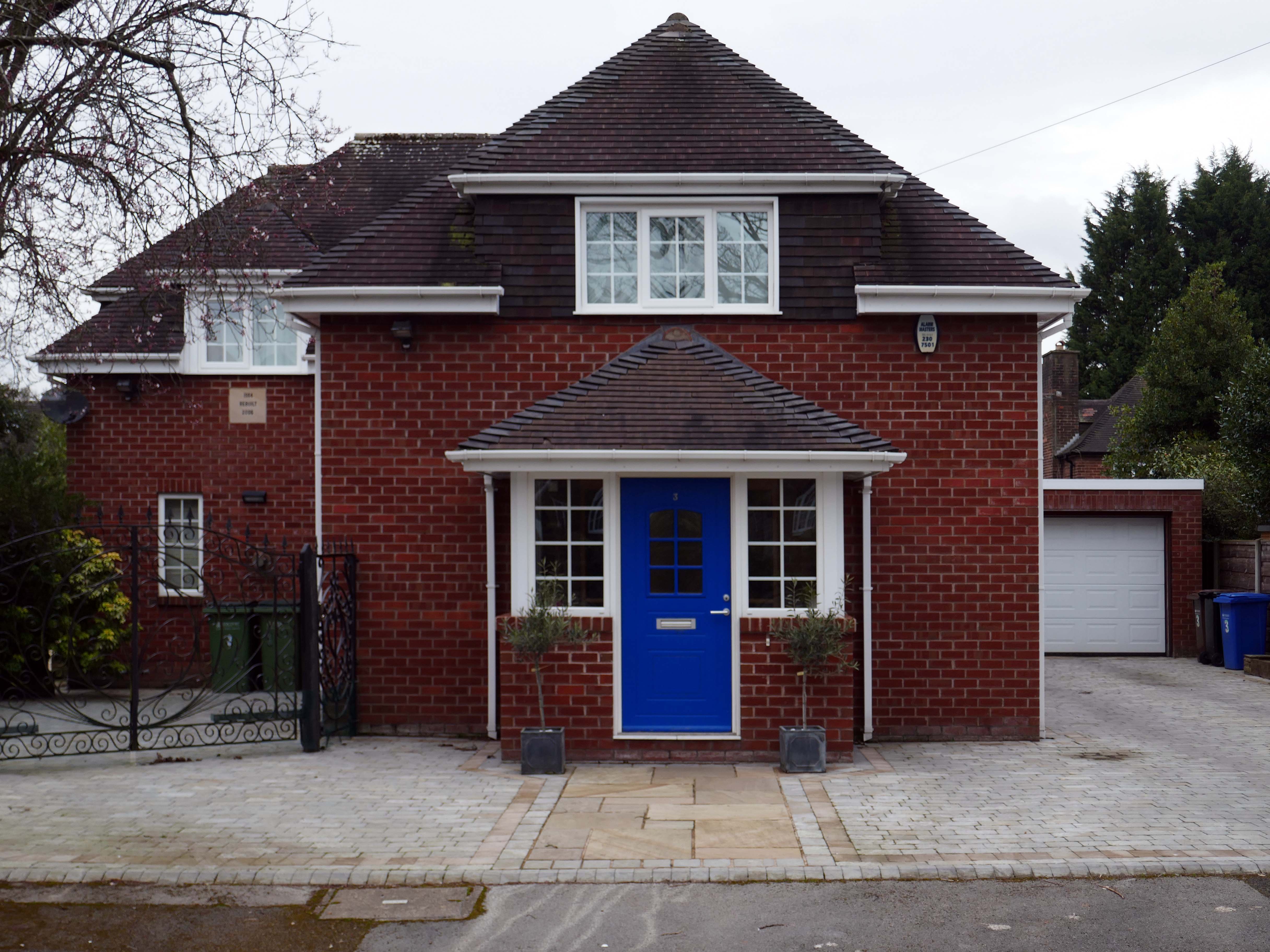
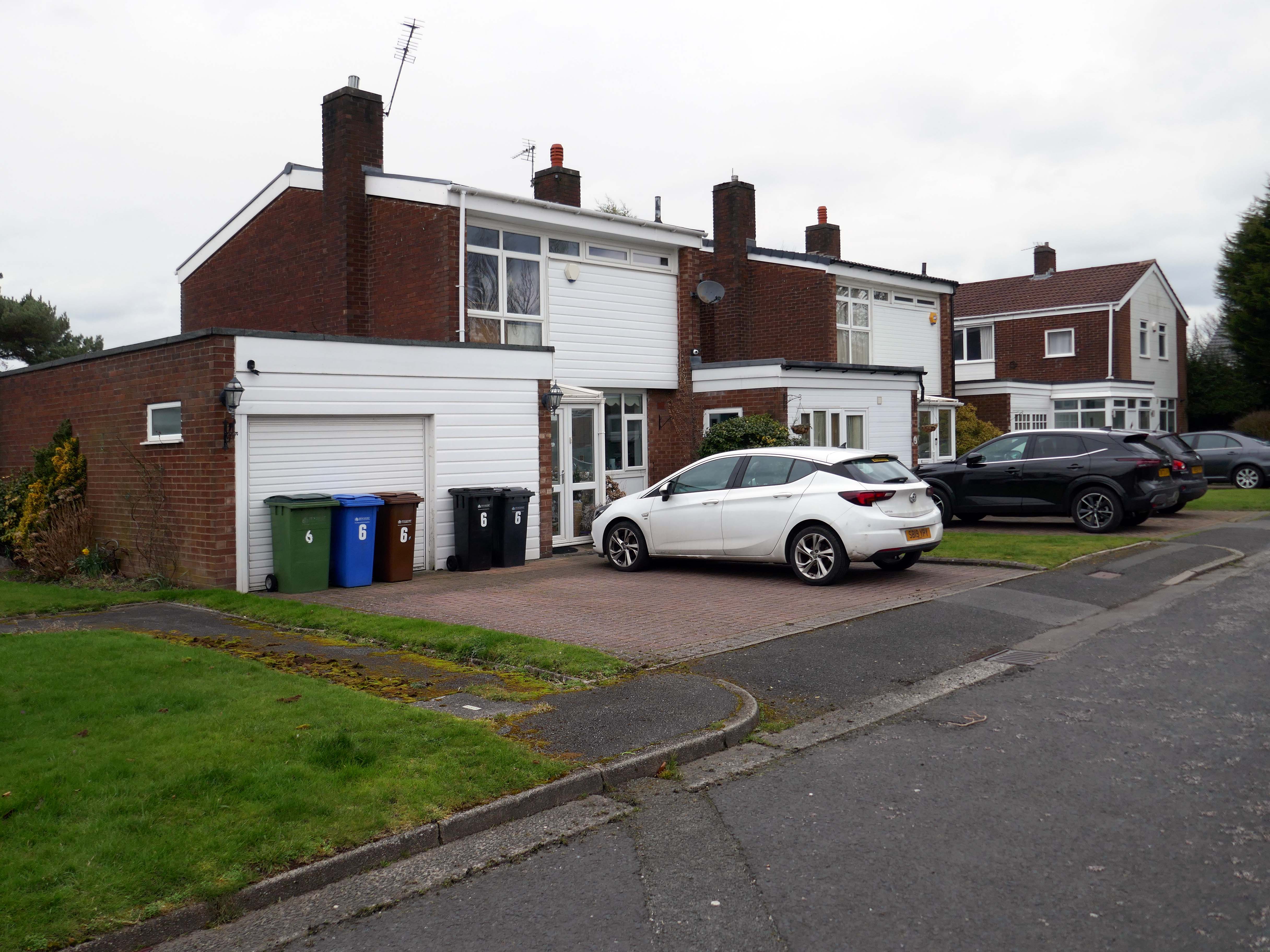
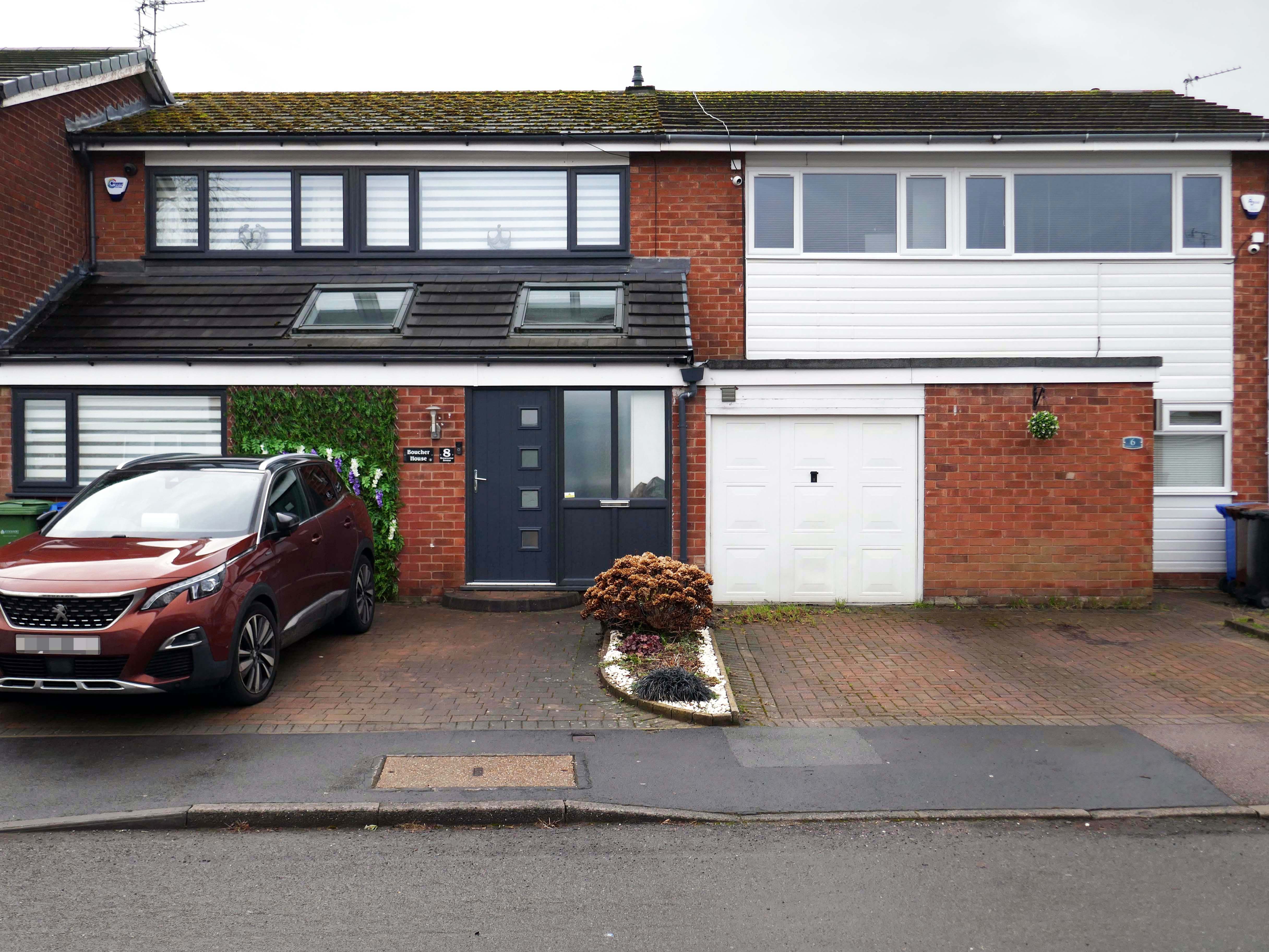
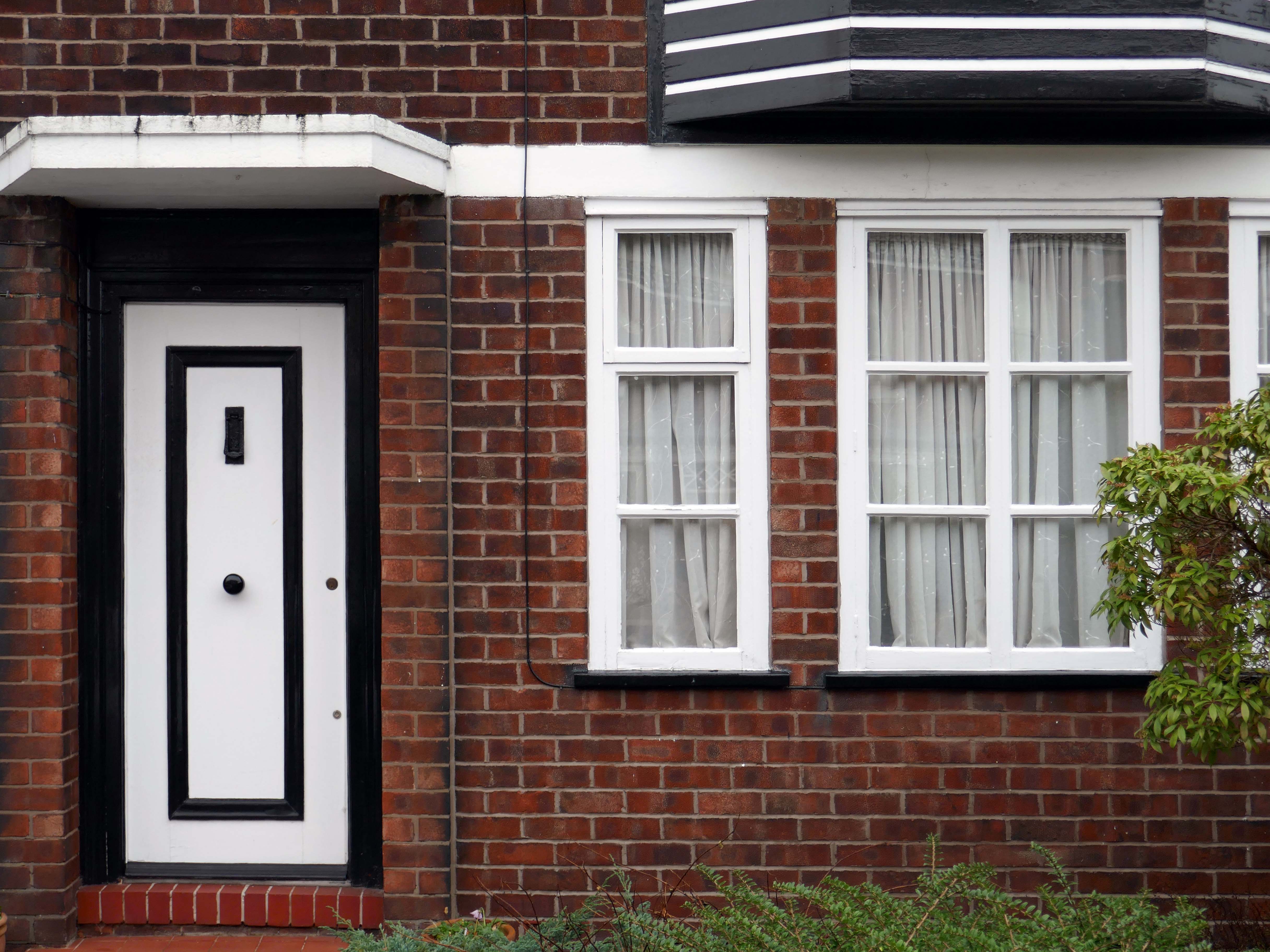
The homeowners quest for the individual within a typology, no two doors the same, render re-rendered, period details largely erased, occasionally preserved, windows awash with white uPVC, along with the more recent incursion of one shade of grey, front gardens replaced by unimpressive pressed concrete car parking, cars and more cars, bay windows held at bay by red brick walls and well-trimmed beech hedges.
My pink half of the drainpipe Separates next door from me My pink half of the drainpipe Oh, Mama – belongs to me
My baby takes the morning train He works from nine till five and then He takes another home again To find me waitin’ for him
Sheena Easton
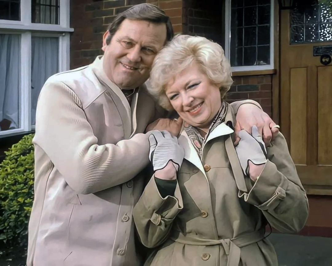
Welcome to the land of Terry and June – the seemingly complacent home to the newly aspirational classes, anathema to those thrill seeking Modernists, embracing the dynamism of the city, or those Ruralists protecting the integrity of the countryside.
Tradition has broken down. Taste is utterly debased, the town, long since degraded, is now being annihilated by a flabby, shoddy, romantic nature worship. That romantic nature worship is destroying also the object of its adoration, the countryside.
The growth of British towns and cities, from the onset of the Industrial Revolution, created a demand for new homes, the earliest developments were close to the centres of production and administration. Followed by the creation of outlying estates for the fleeing middle classes, as the smoke began to billow and the trains and buses began to run.
Originally the work of speculative private enterprise, followed by homes built by the local authority along with charitable institutions.
My own experience has taught me that Suburbia is architecturally diverse, socially less so, as various areas are segregated by class, and perhaps less so by ethnicity and/or culture.
The majority of the population live in Suburbia it seems, there now follows a selection of the suburban sites which I have visited in the last ten years or so.
In search of Suburbia.
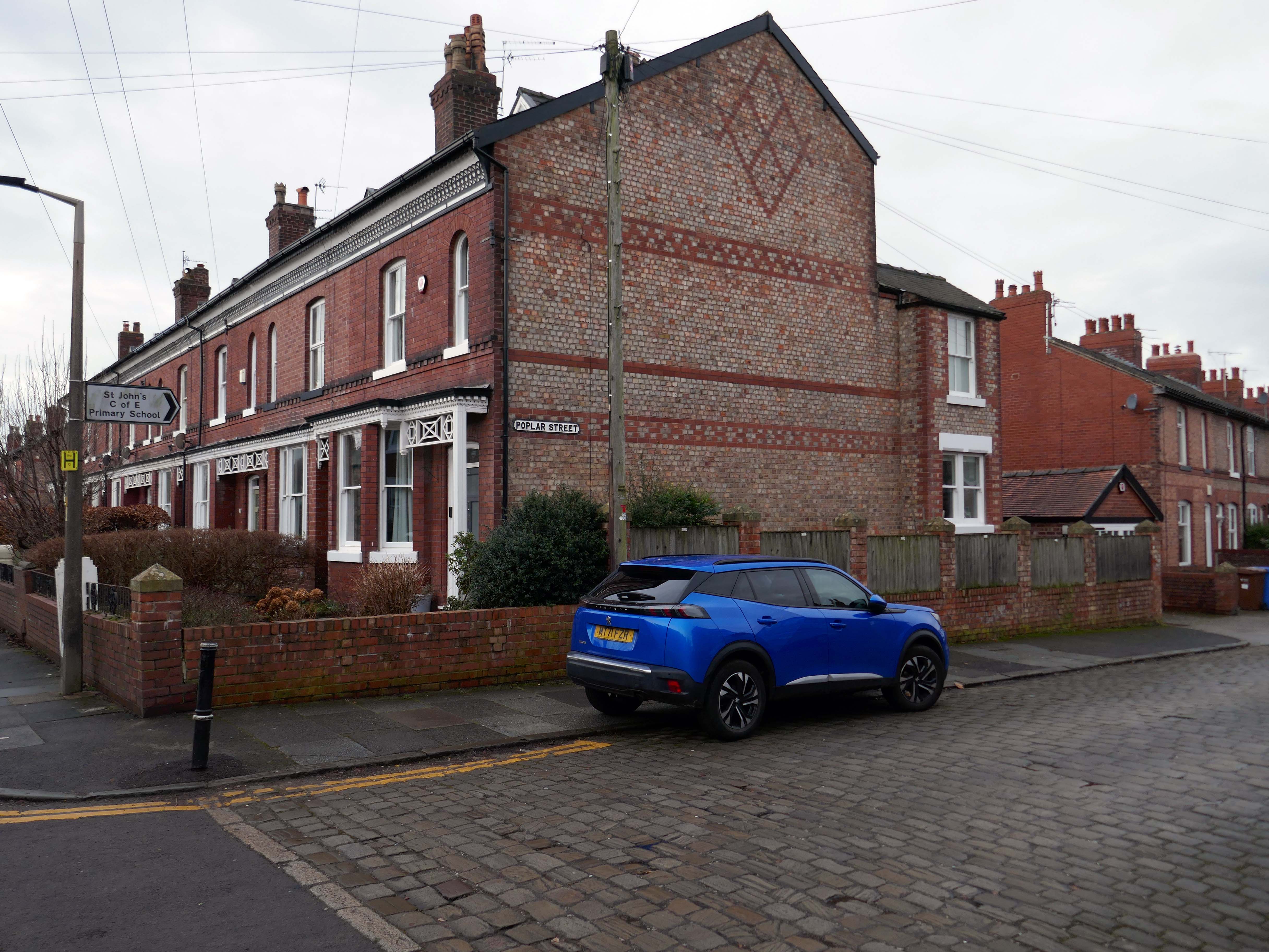
There are areas of Victorian terraced housing Manchester which survived clearance – such as Jetson Street in Abbey Hey.
By 1931 1.1 million council houses were built and 2.8 million privately owned homes.
Post WW2 the emphasis was on an expansion of social housing, along with a growth in privately owned property – detailed information and analysis of social housing can be found here at Municipal Dreams.
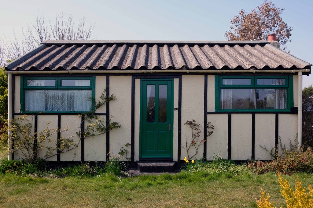
These homes were at times both temporary and of non-standard construction.
This prefabricated house was originally built for the good folk of Doncaster, later finding itself in Humberston Fitties
These Wythenshawe BISFHomes designed by Frederick Gibberd, the so-called Tin Town are still very much habitable homes.
Post war development was inextricably linked to the New Towns.
The new towns in the United Kingdom were planned under the powers of the New Towns Act 1946 and later acts to relocate people from poor or bombed-out housing following World War II. Designated new towns were placed under the supervision of a development corporation, and were developed in three waves. Later developments included the “expanded towns”: existing towns which were substantially expanded to accommodate what was called the “overspill” population from densely populated areas of deprivation.
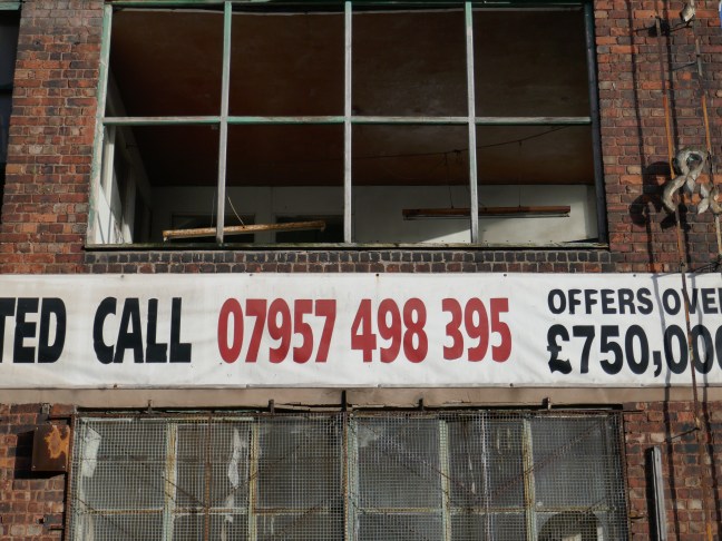
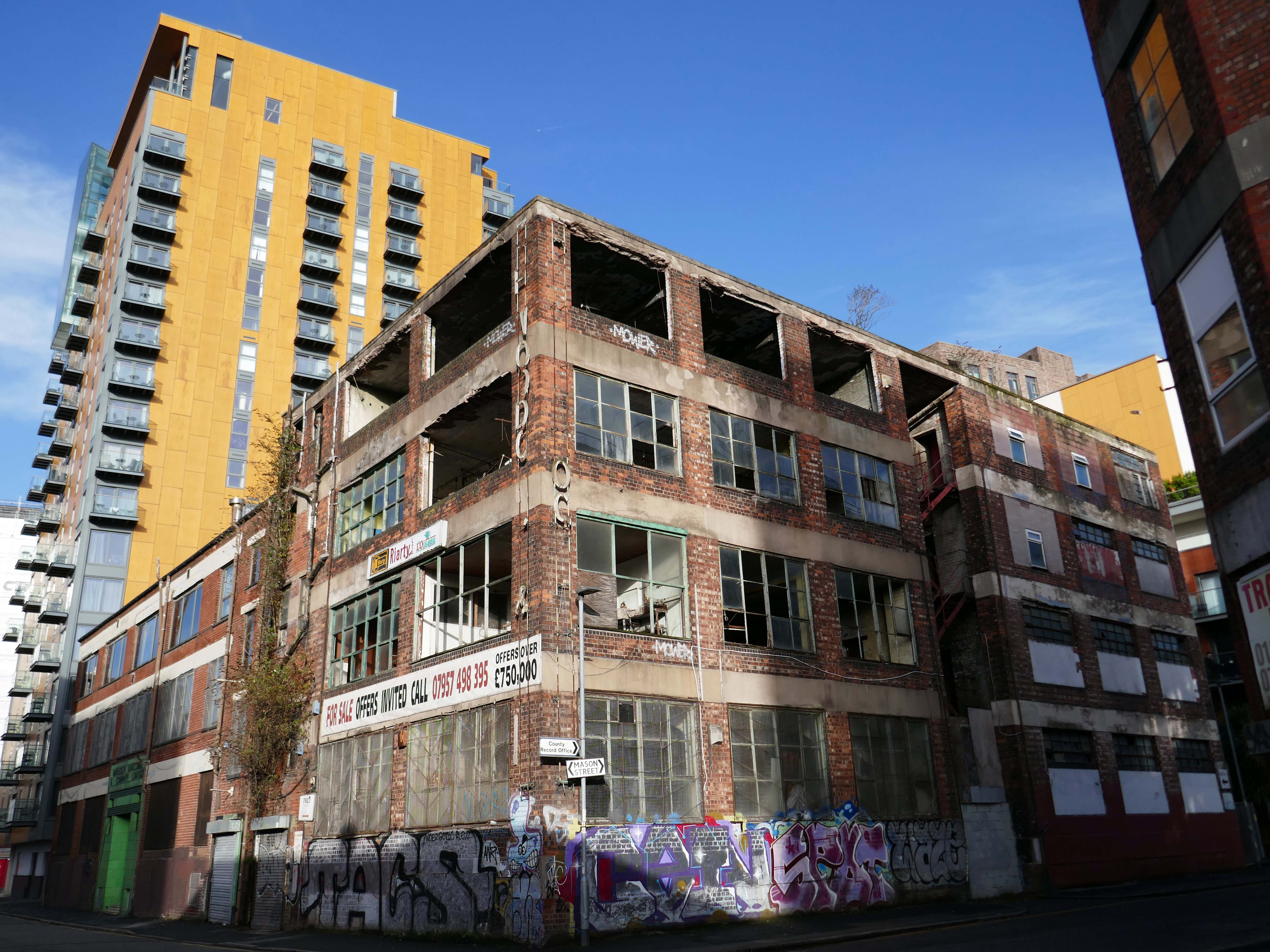
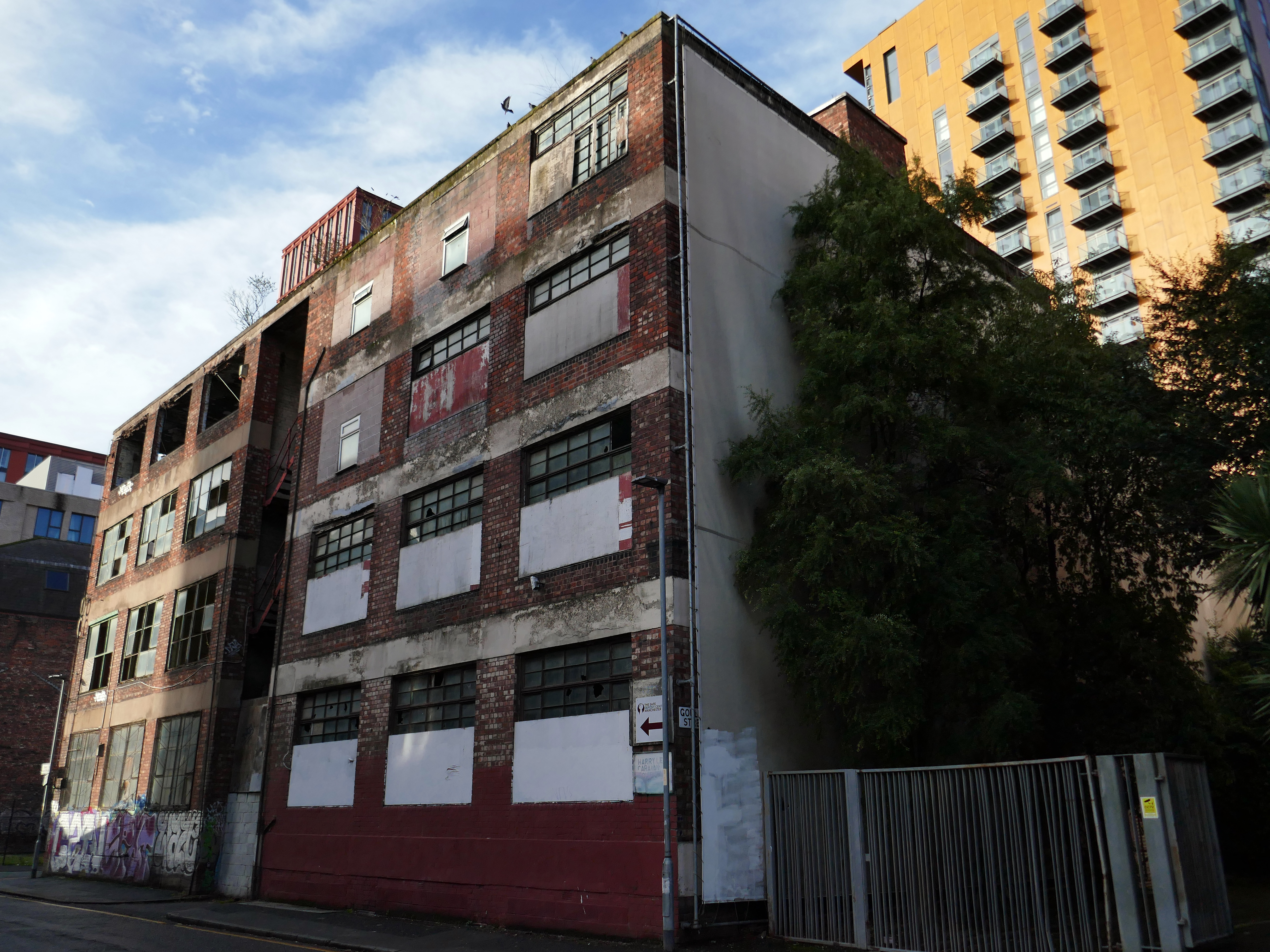
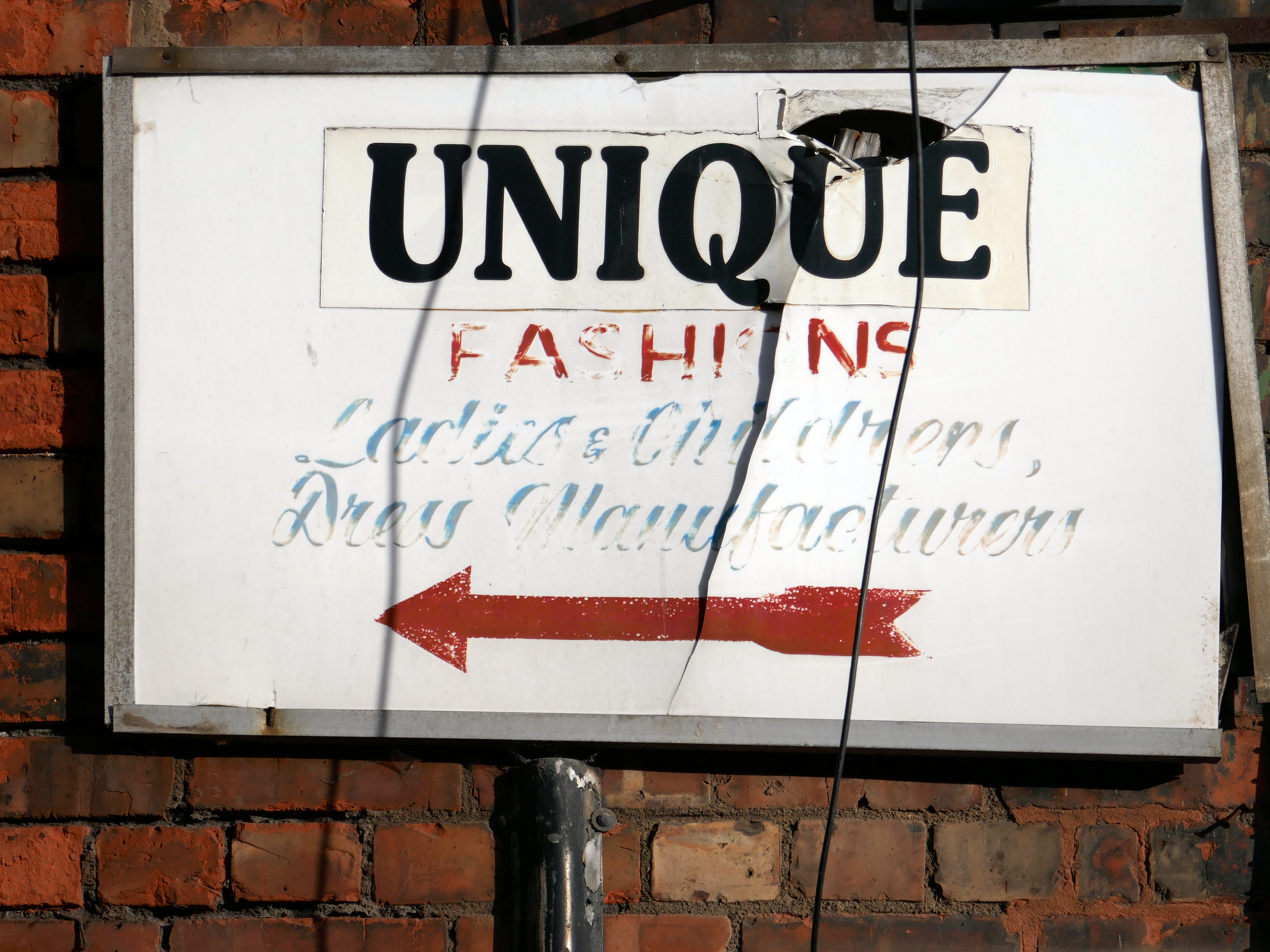
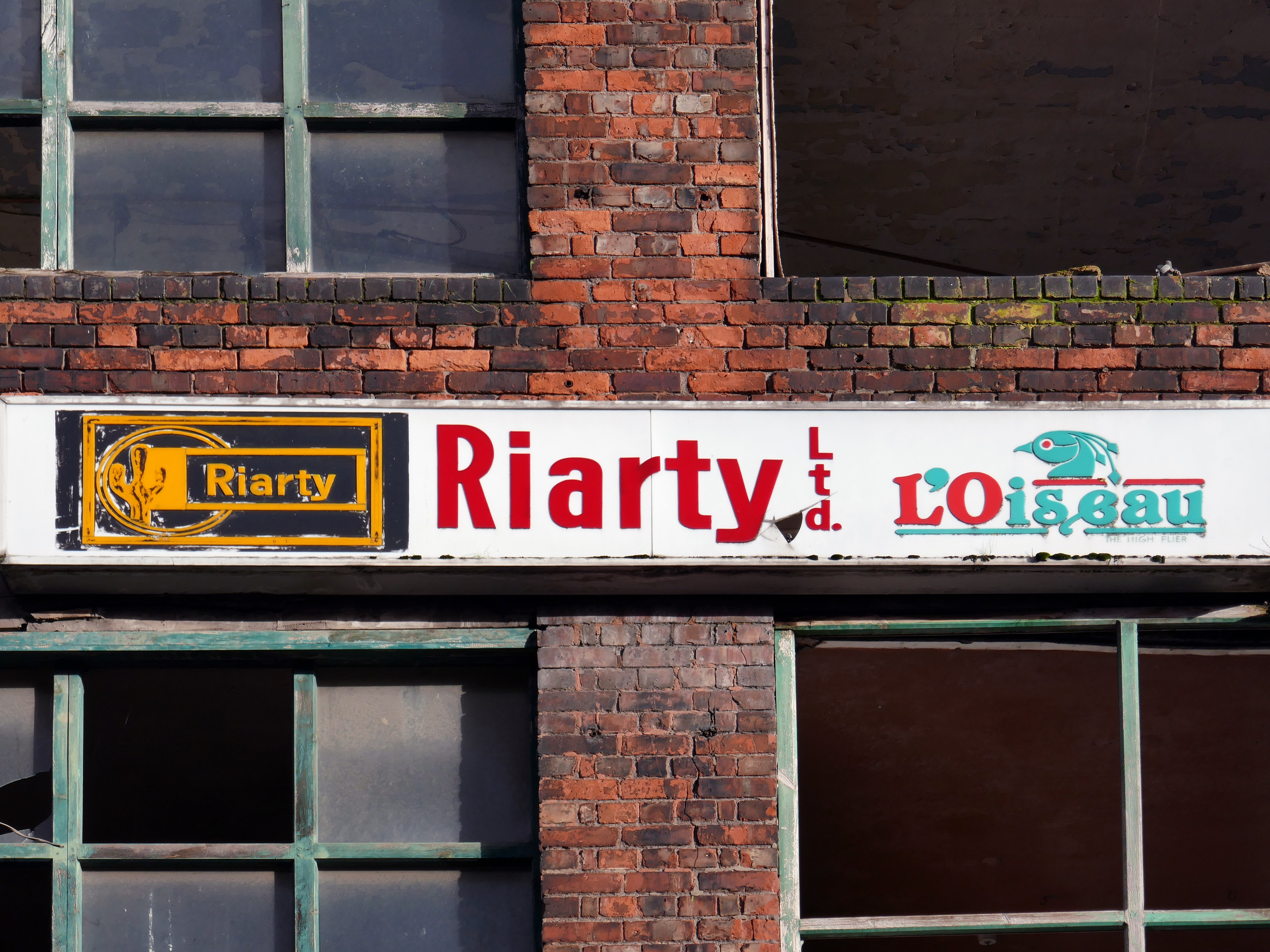
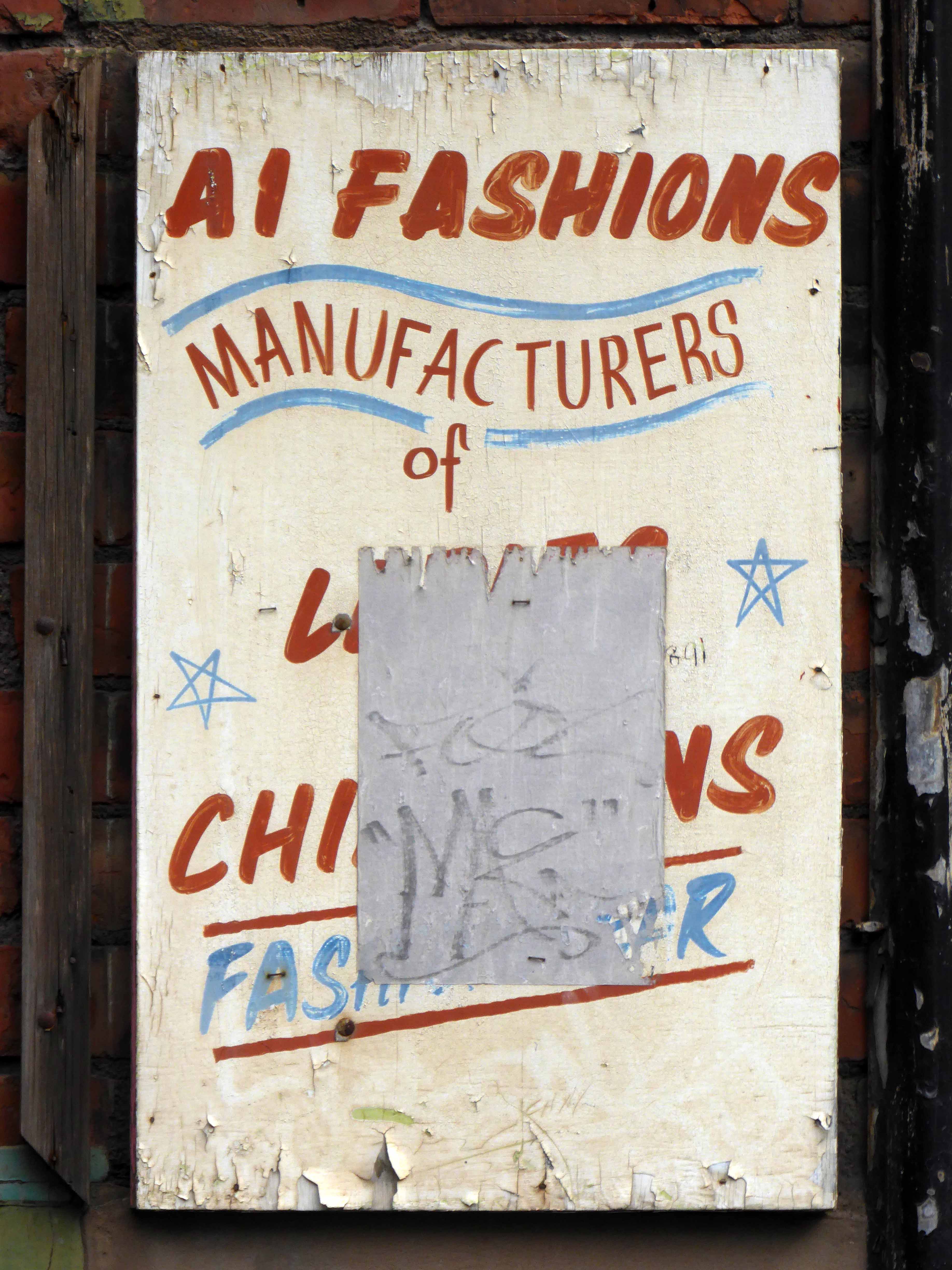
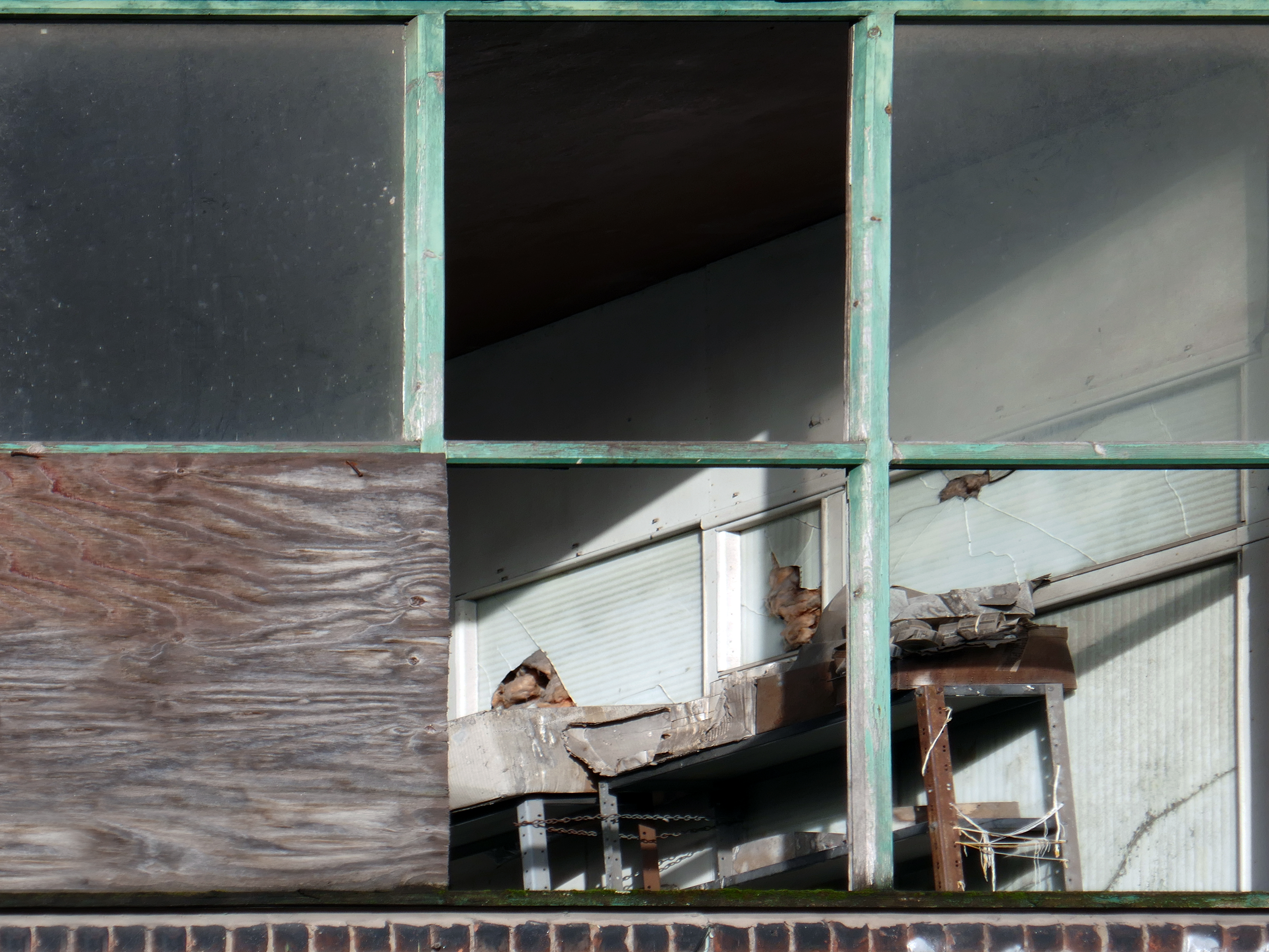
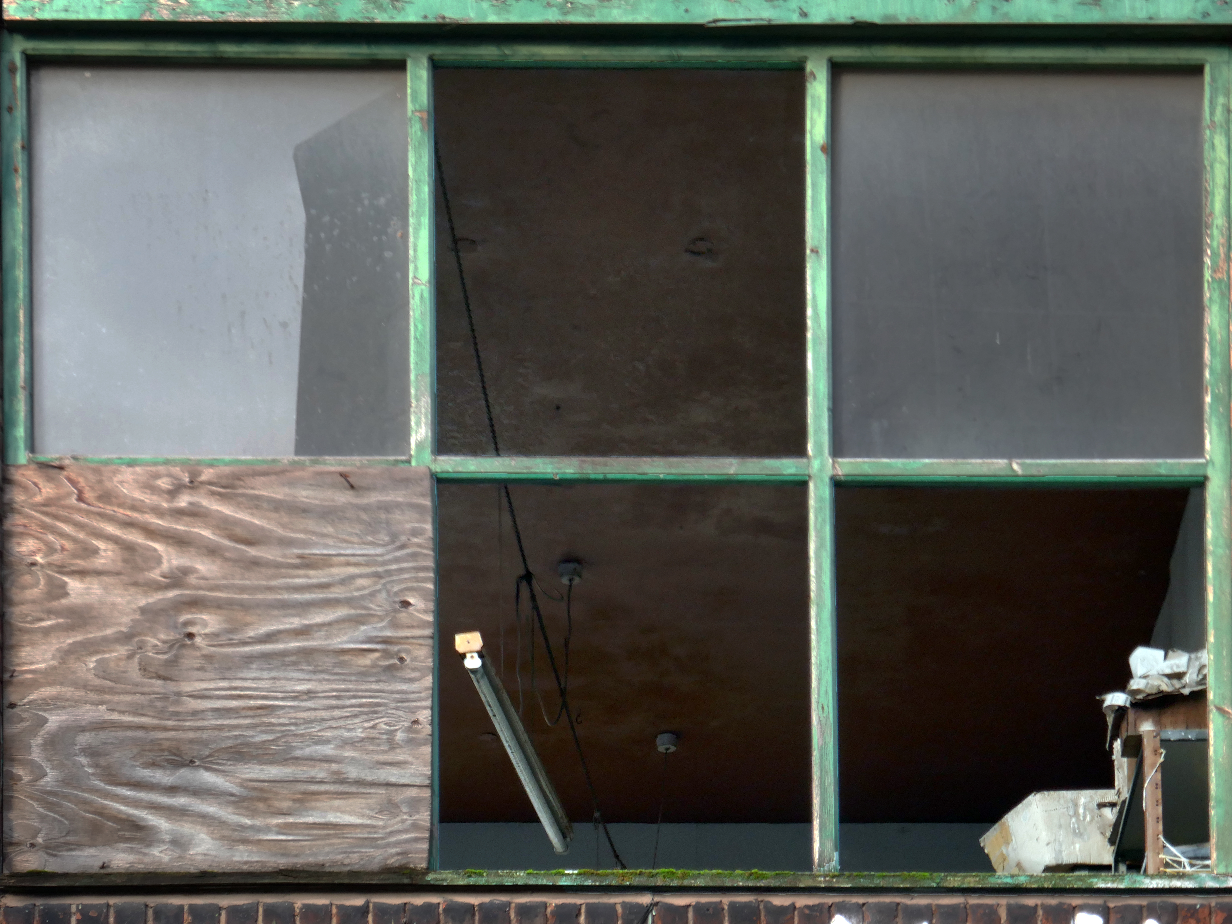
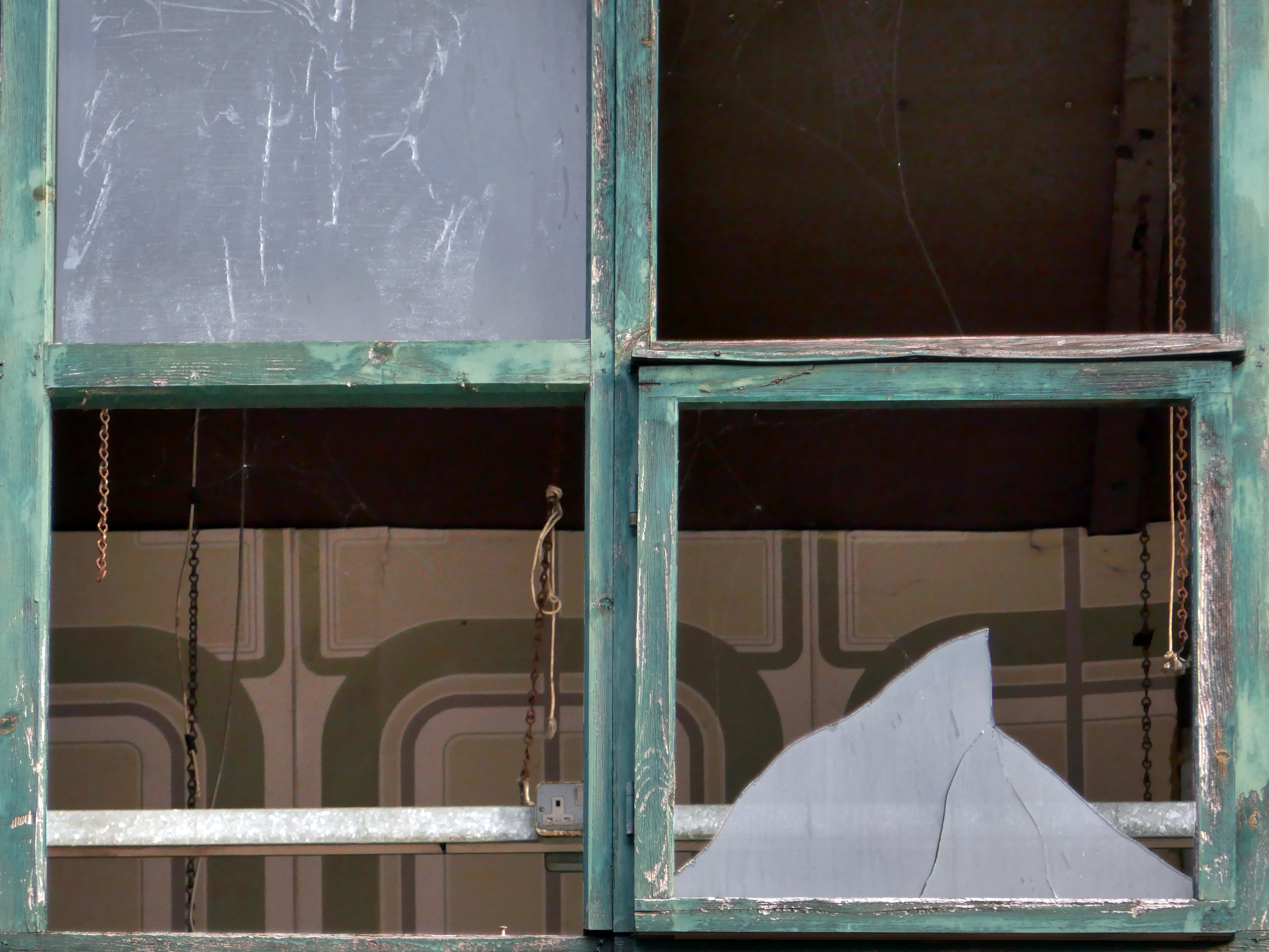
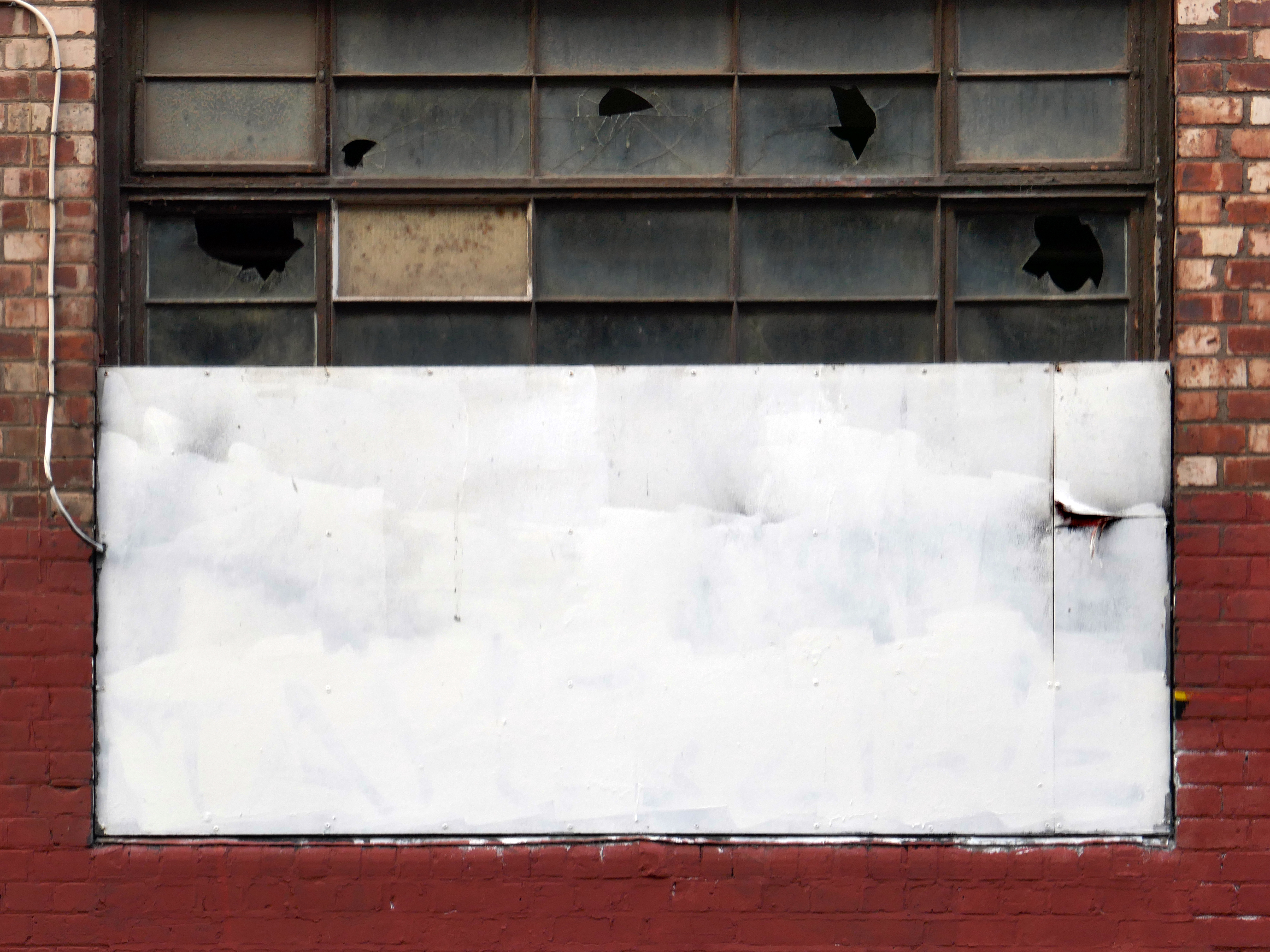
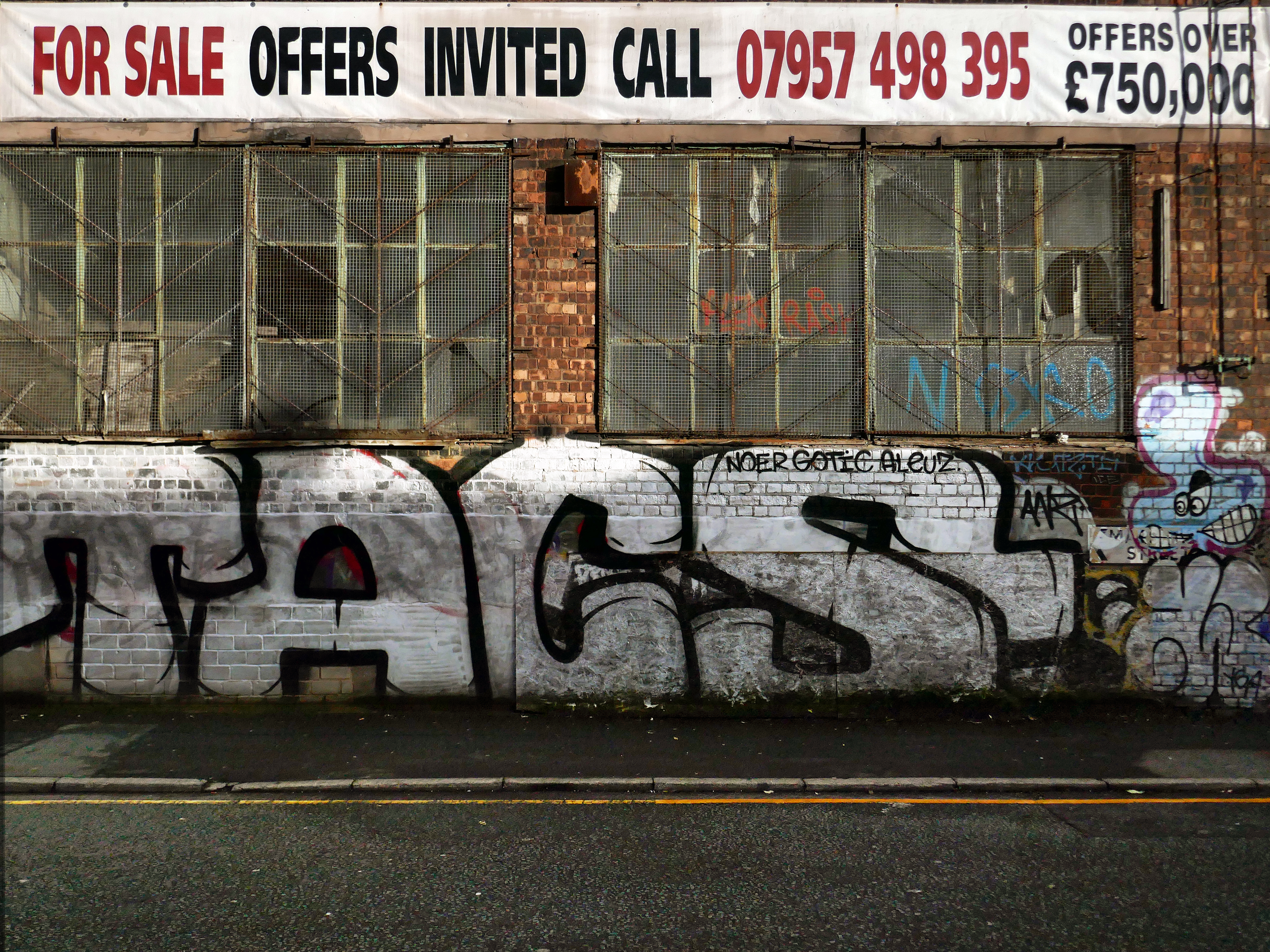
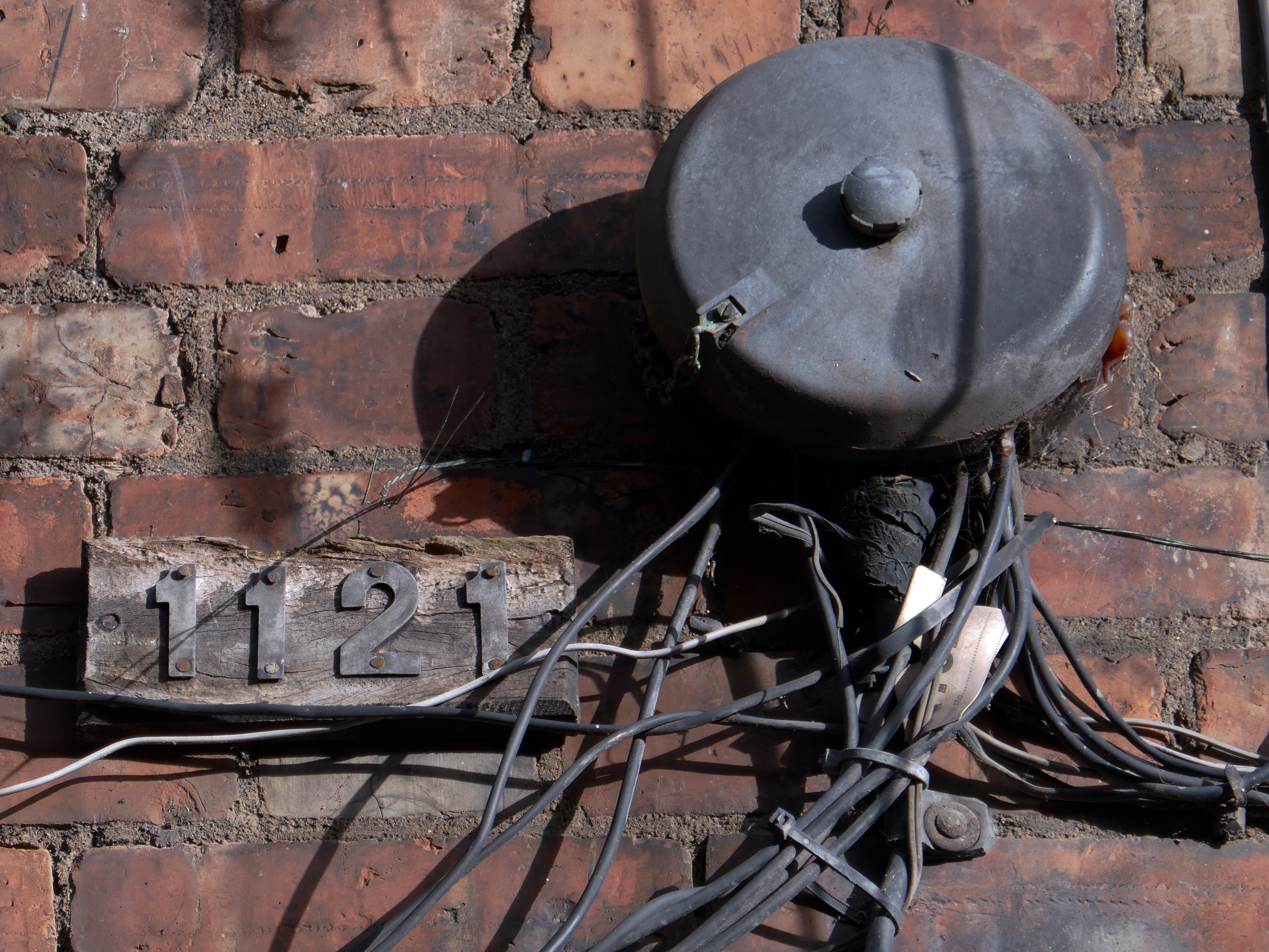
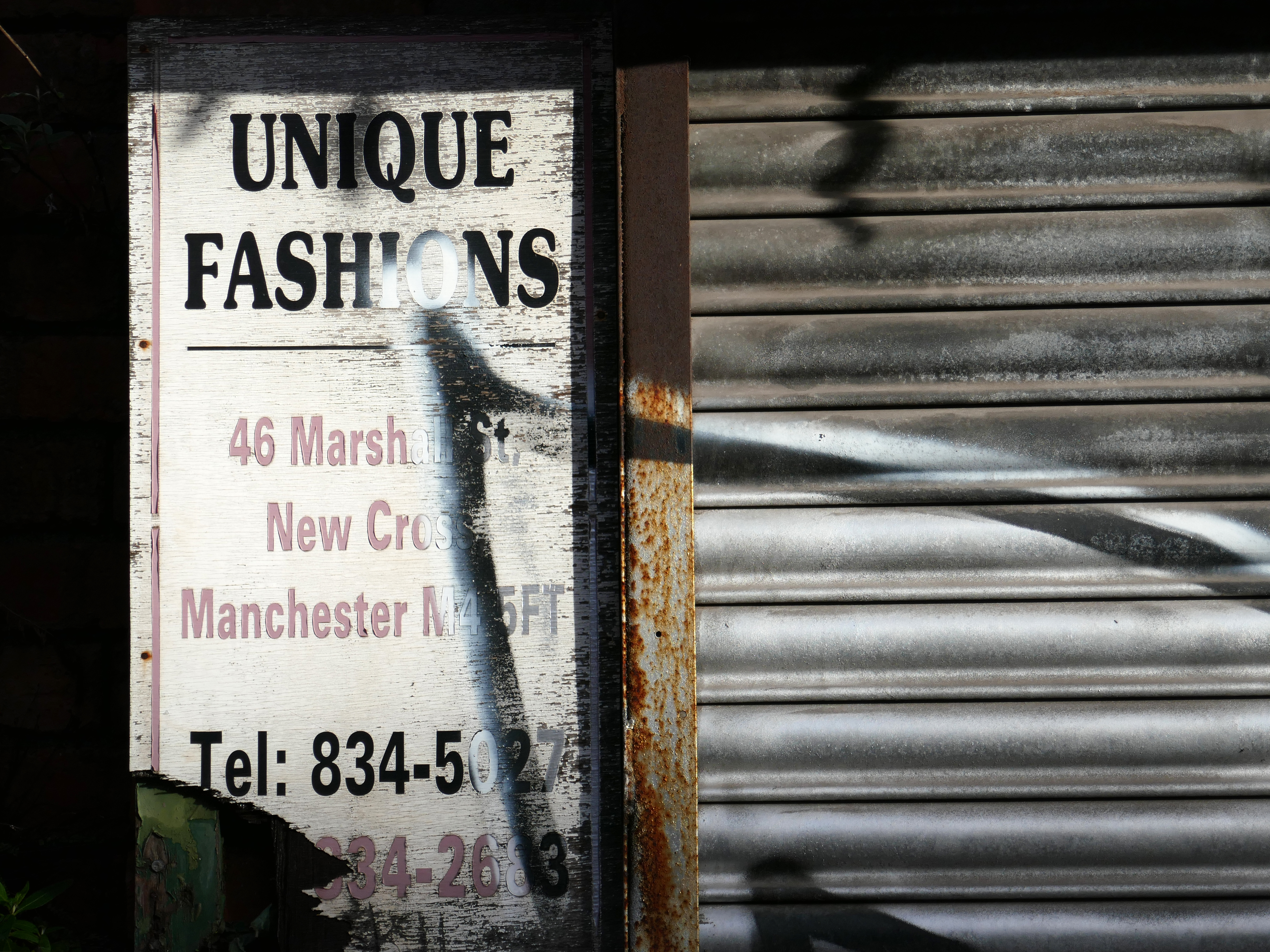
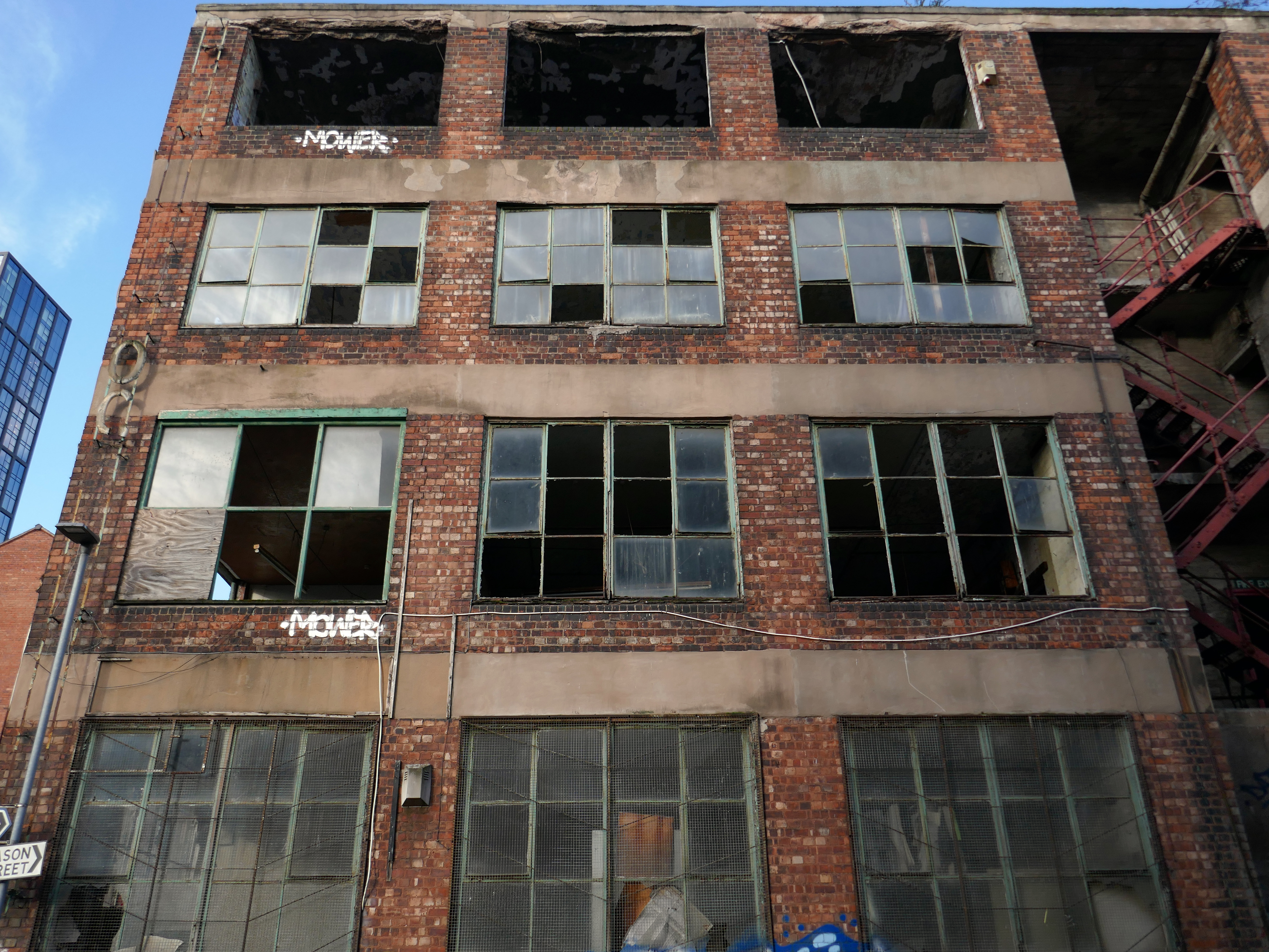
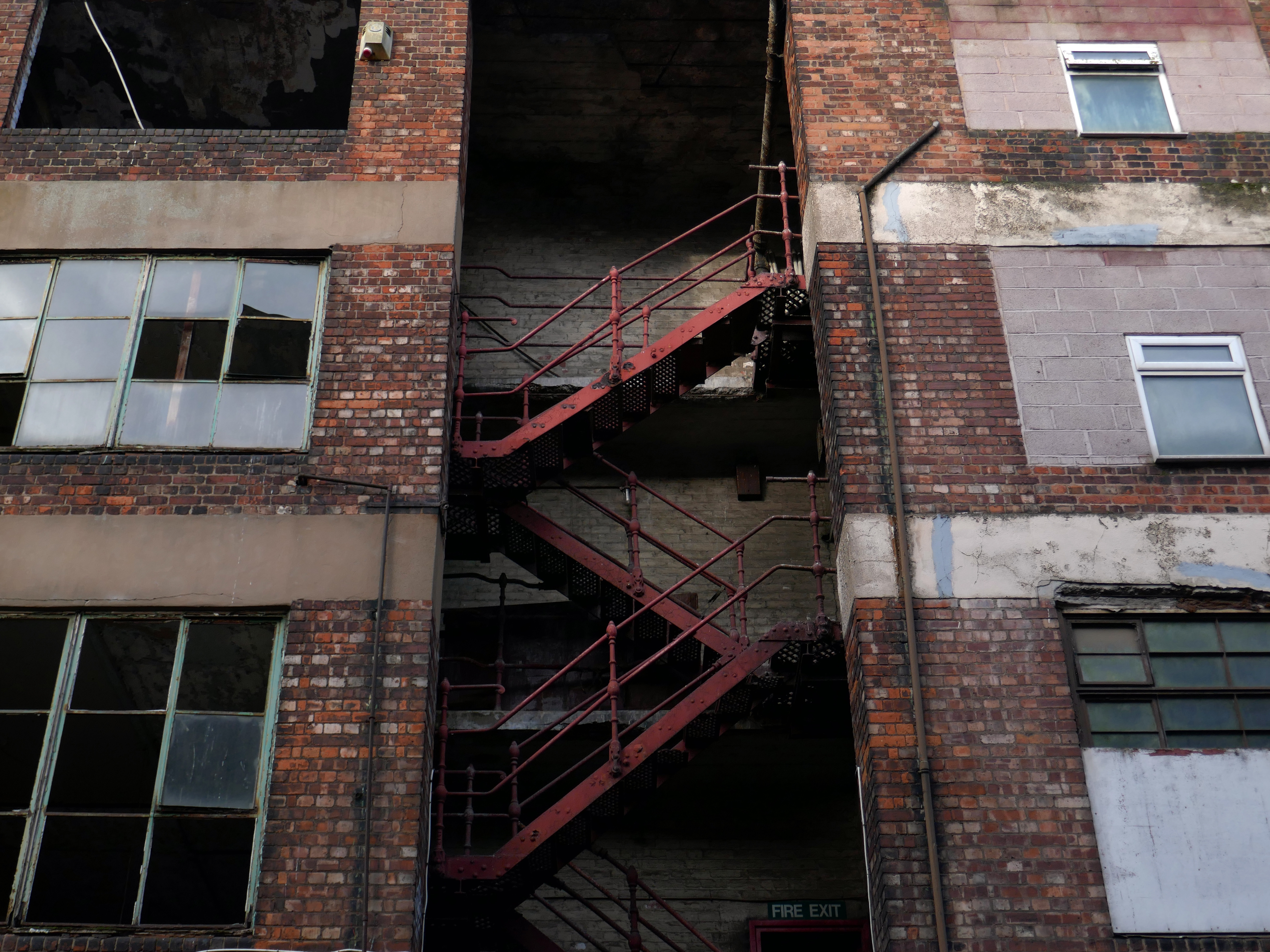
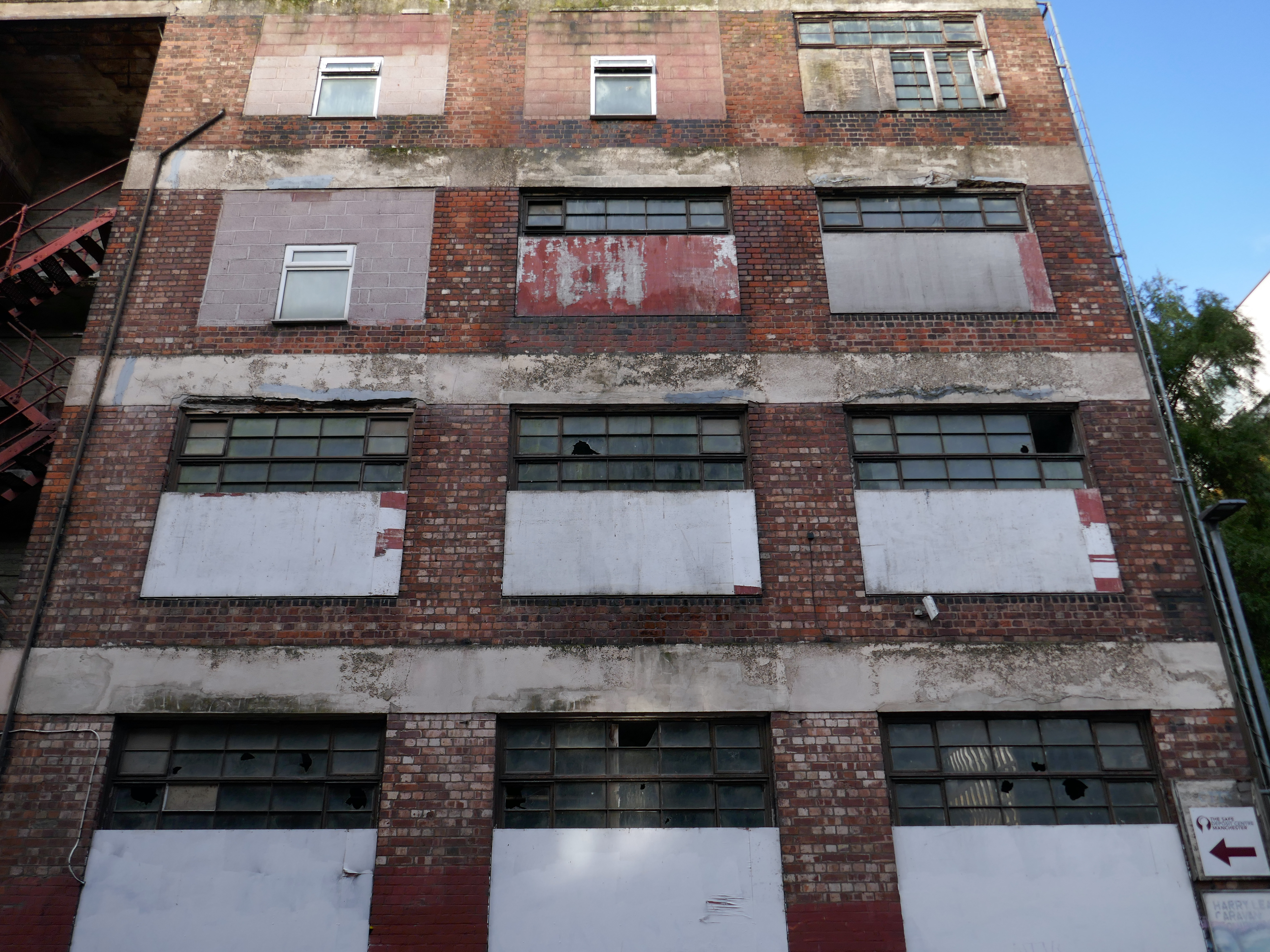
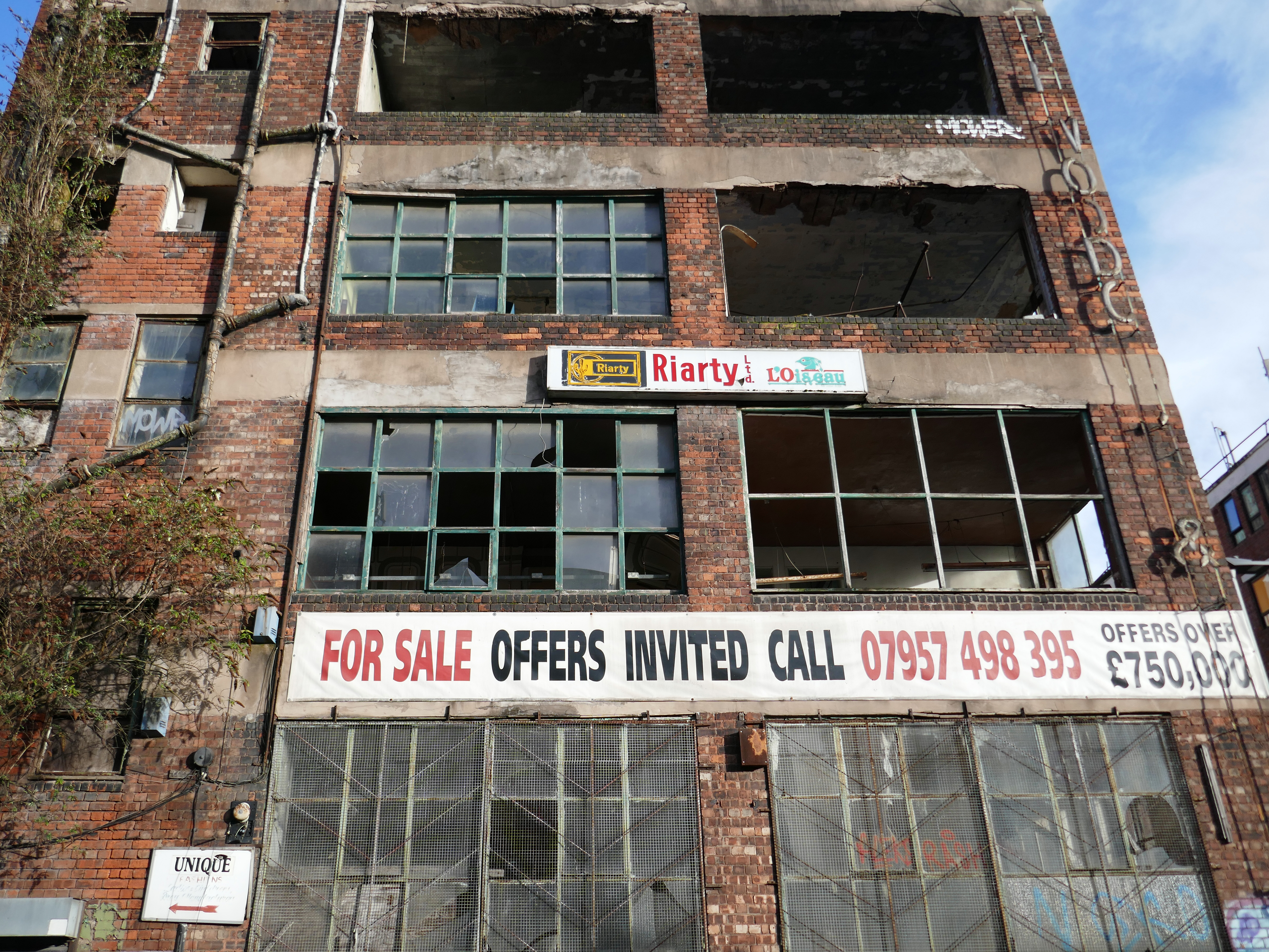
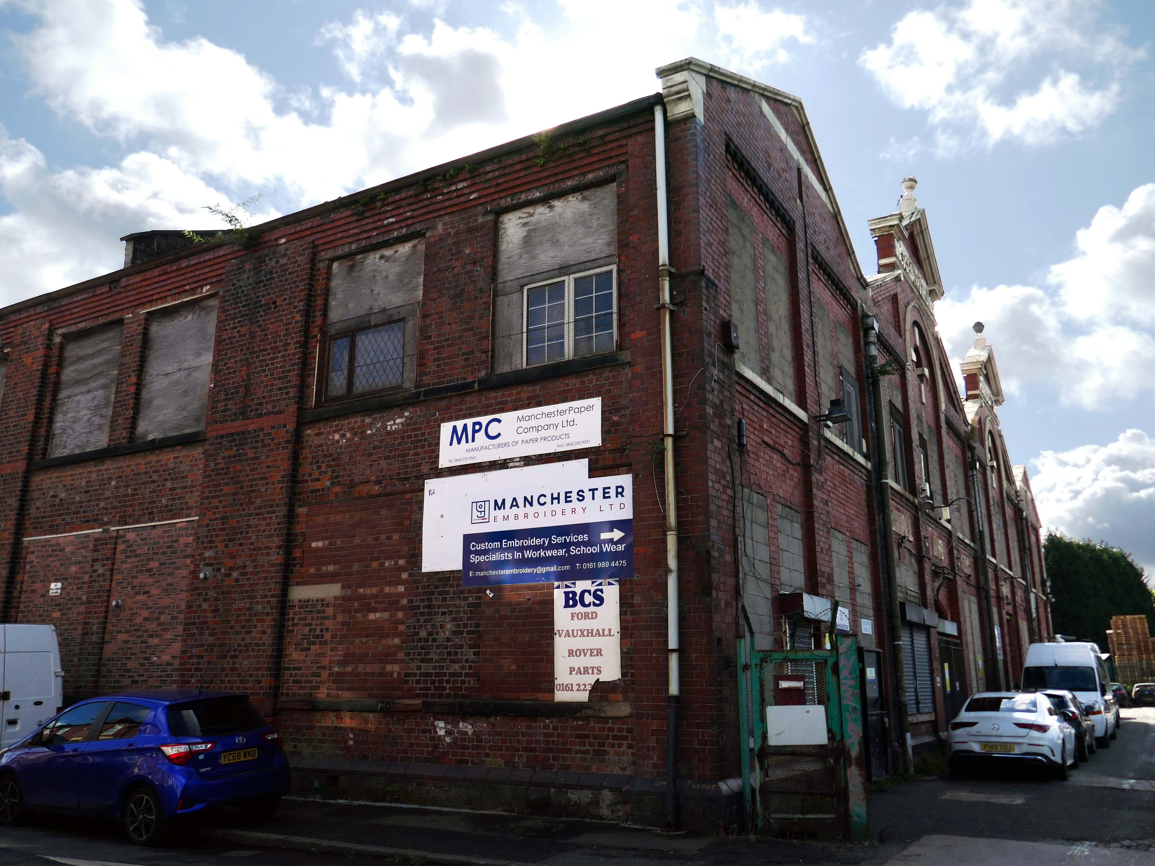
This building has always intrigued me, its sits amongst what was formerly the heart of Manchester’s Rag Trade. It is an area of signs and lost industry, the comings and goings having been and gone.
The surrounding buildings are gradually being refurbished or replaced, but somehow 46 Marshall Street is bucking the trend, though at some point someone somewhere will find over £750,000.
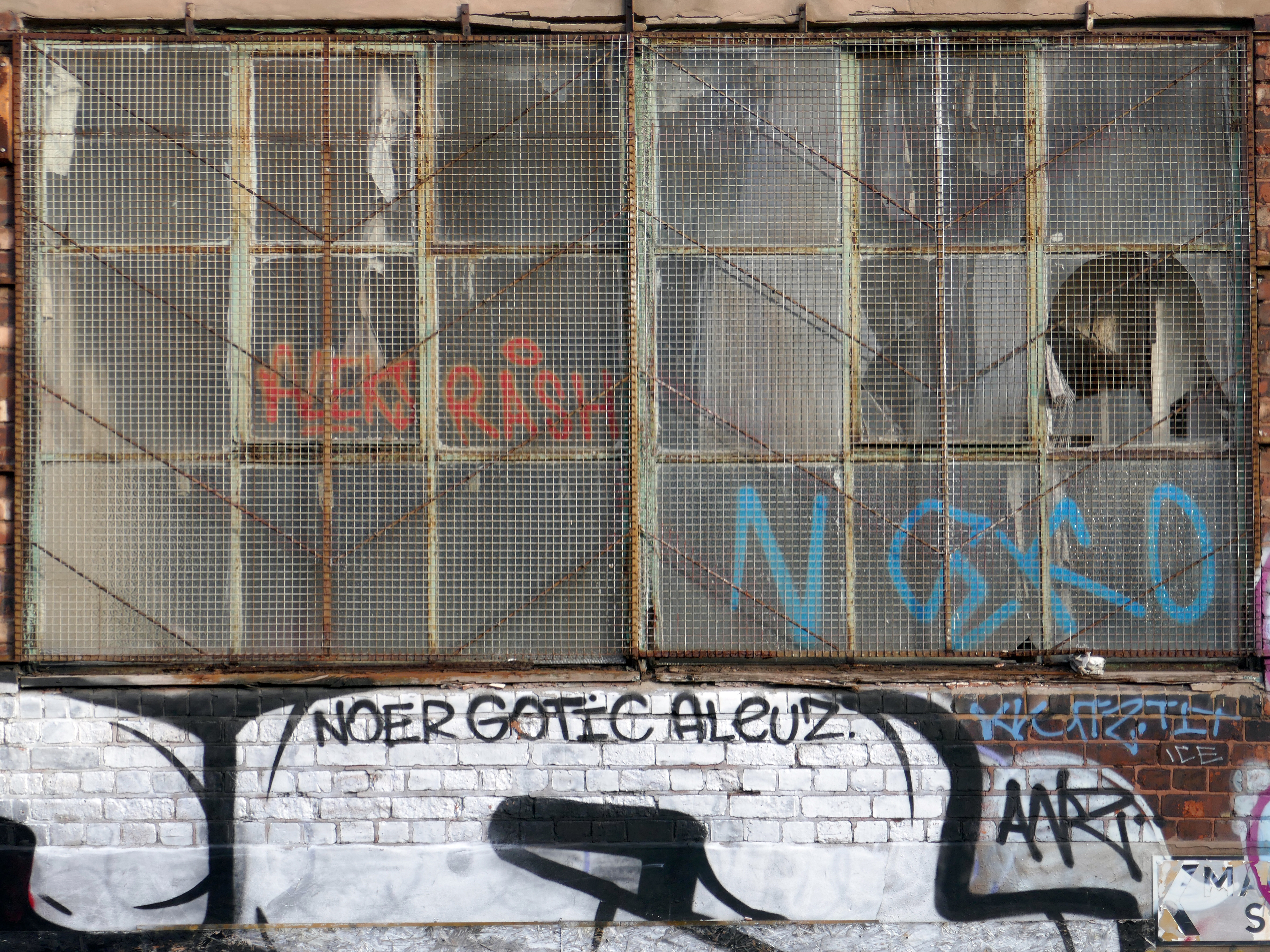
Gradually its wooden framed windows become the poked out eyes of its soul.
Light fittings hang limp and unlit, as the interior decor deteriorates.
The restless rust inhabits the lower metallic fenestration.
Block work blocks the blocked up entrances.
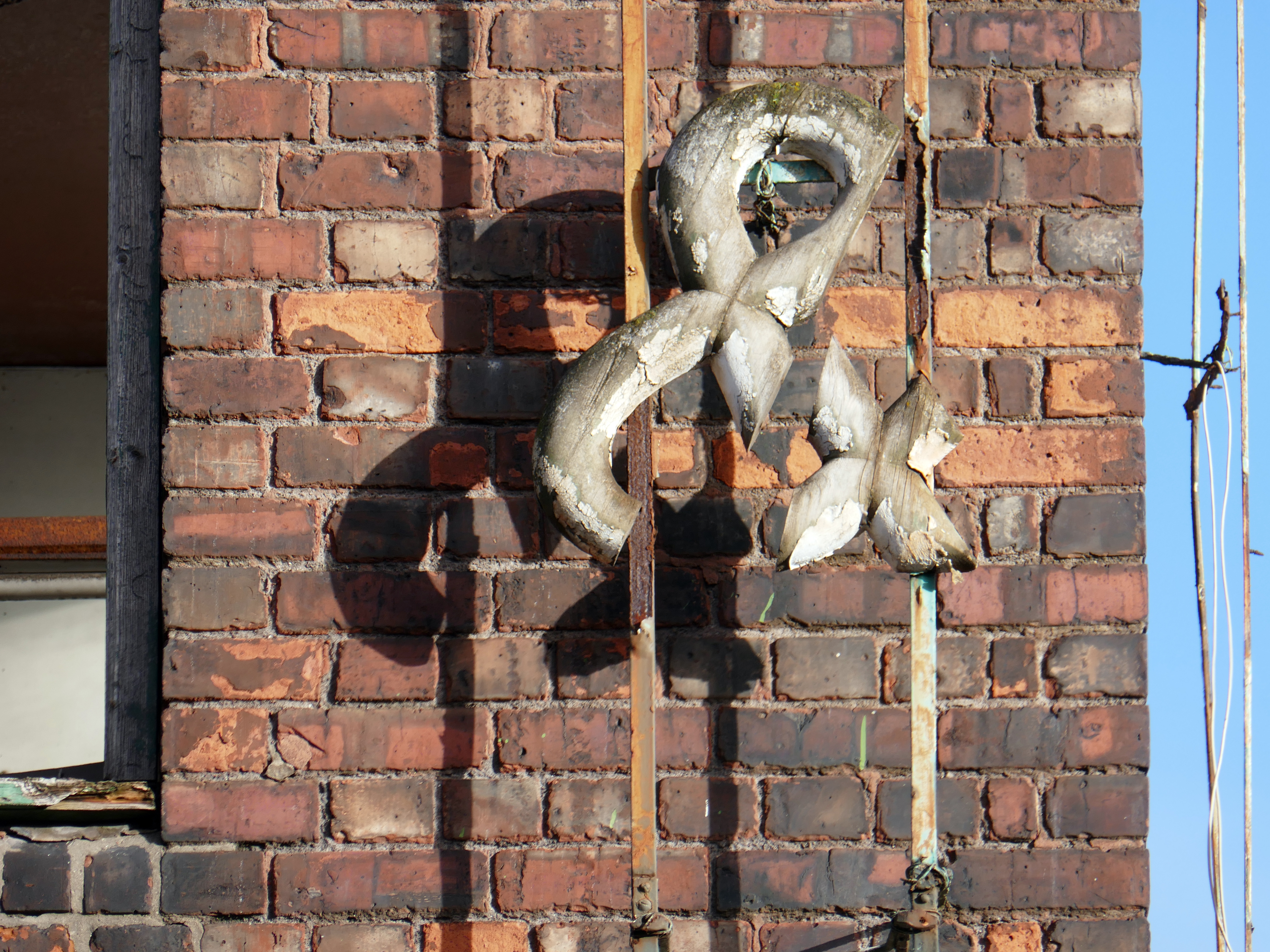
The ampersand can be traced back to the 1st century AD and the old Roman cursive, in which the letters E and T occasionally were written together to form a ligature.
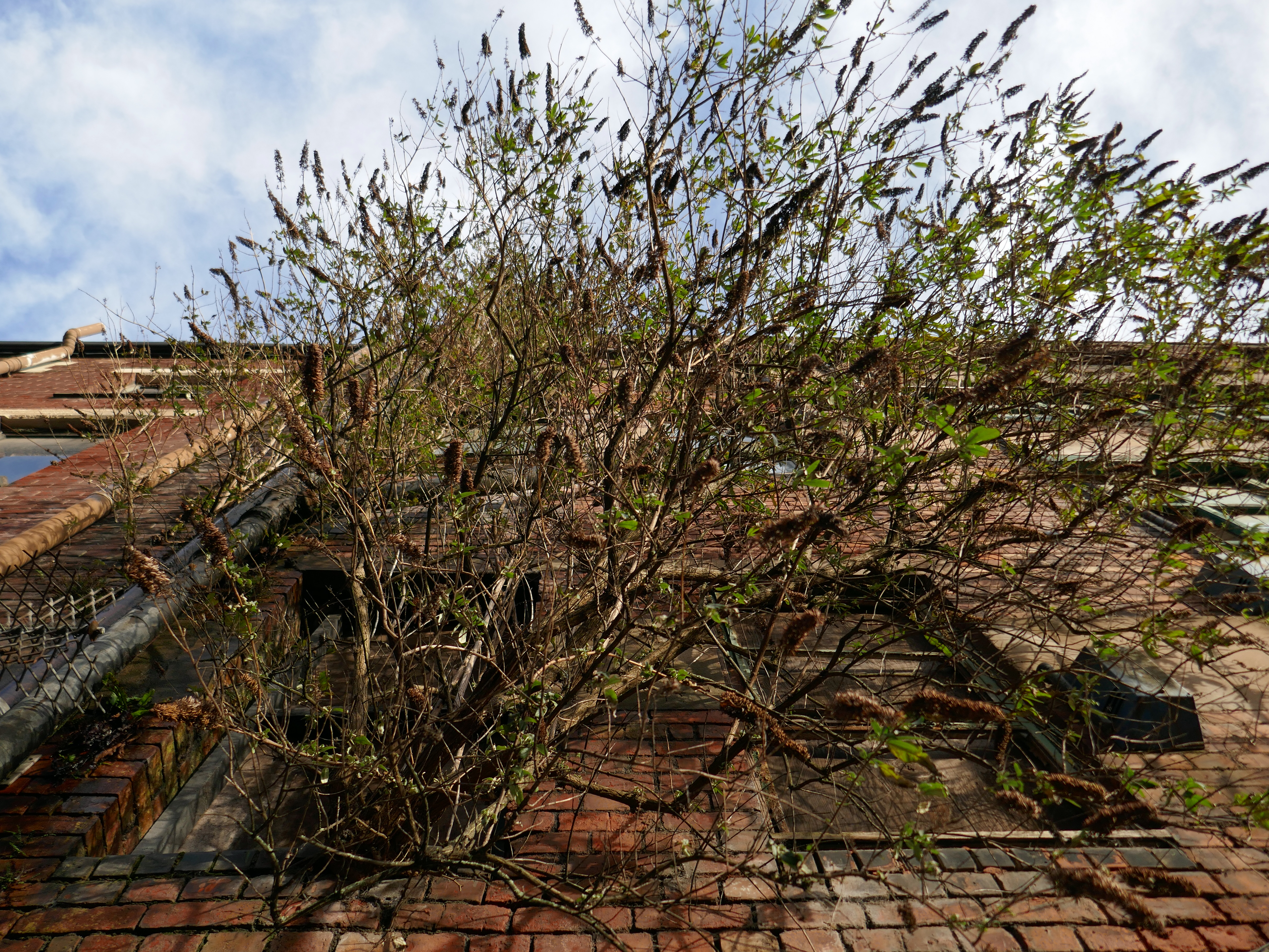
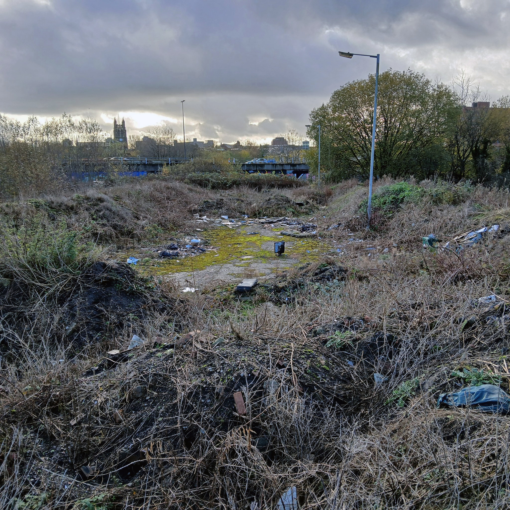
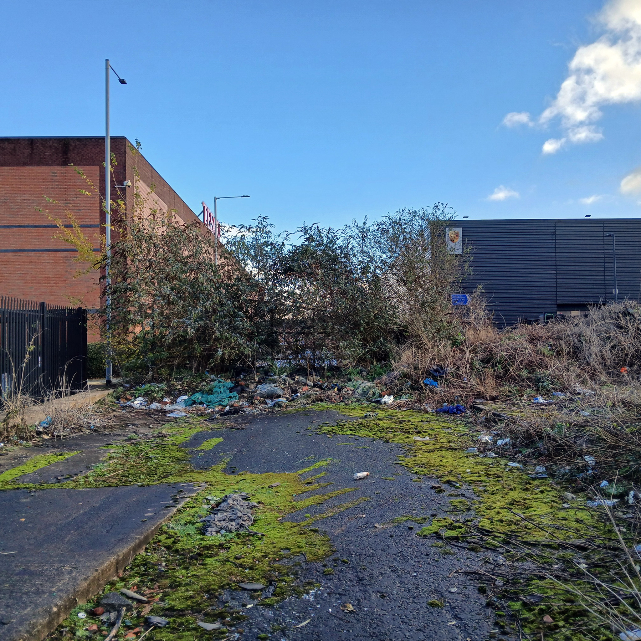
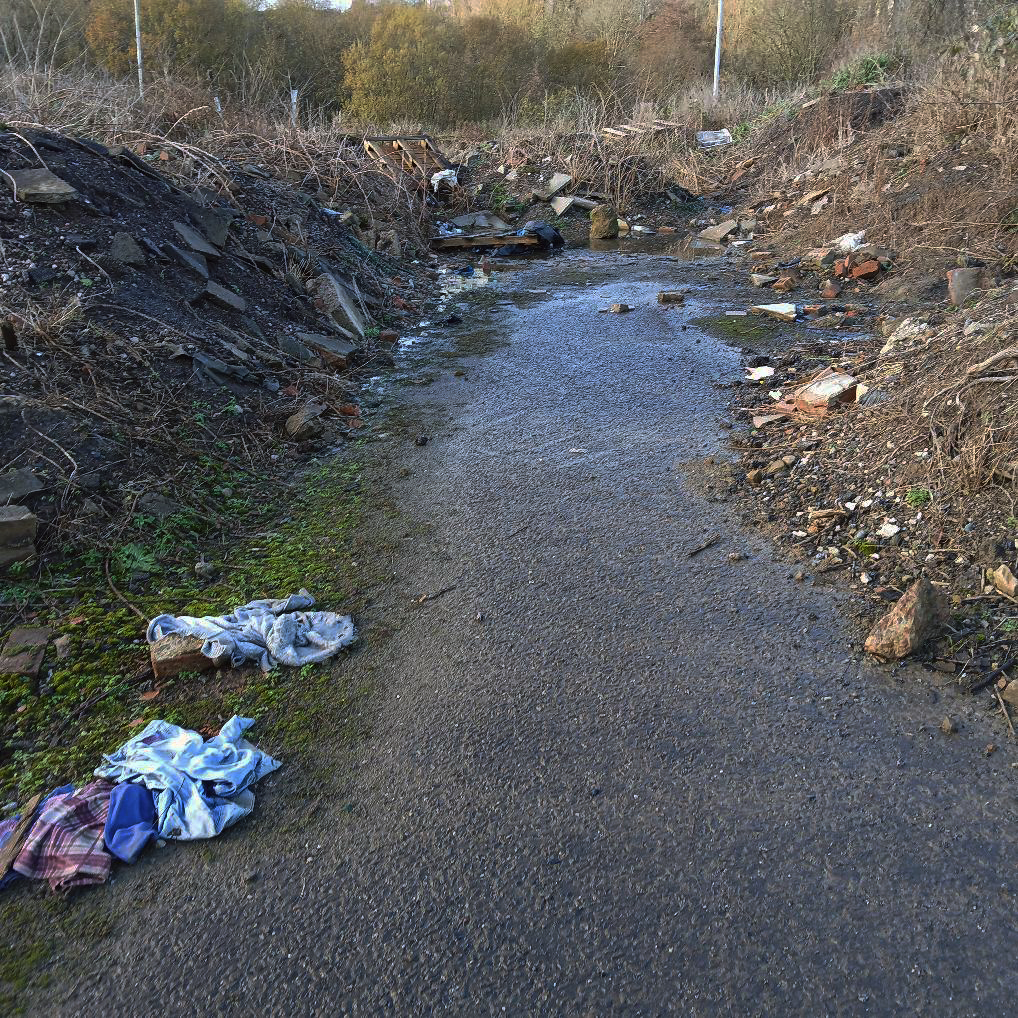
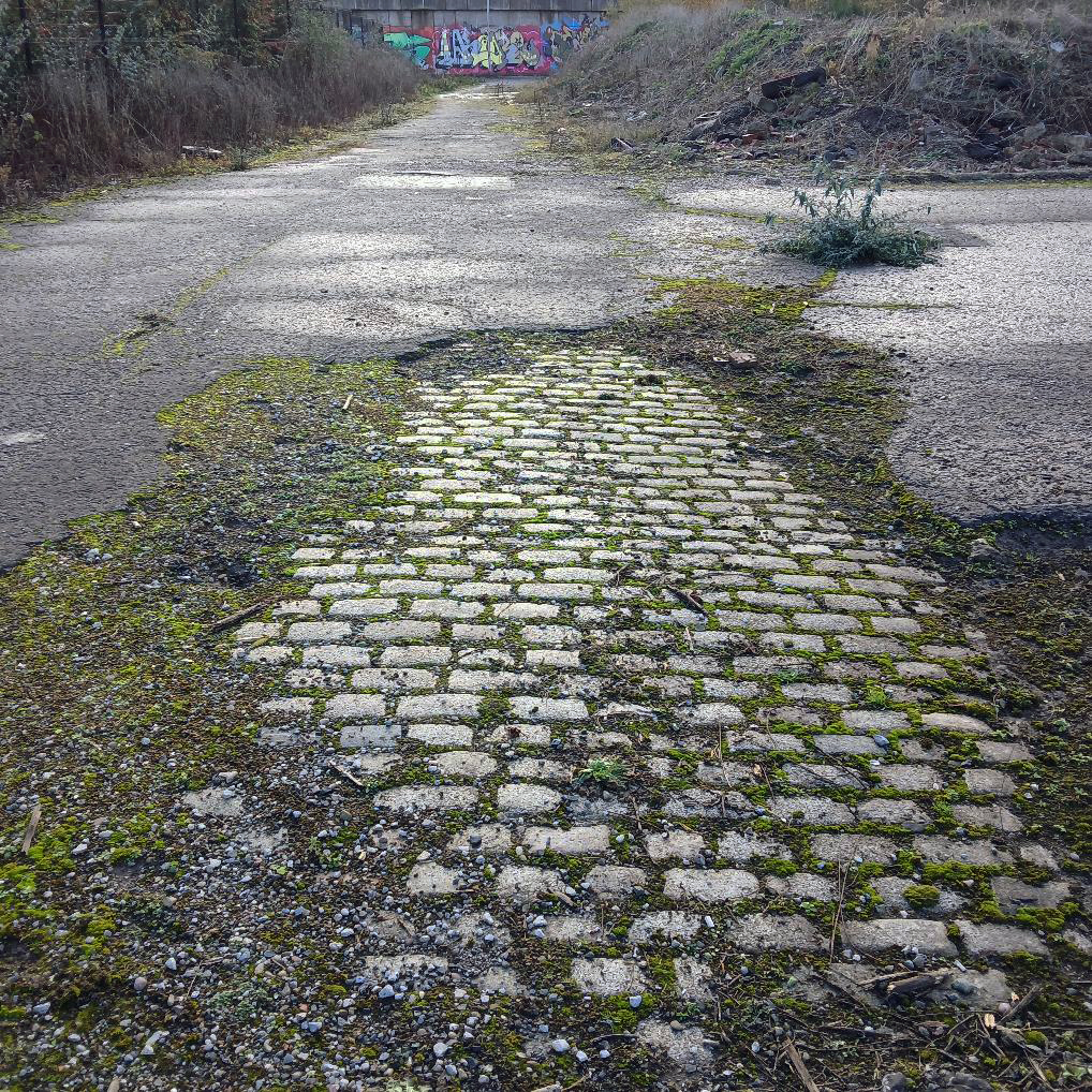
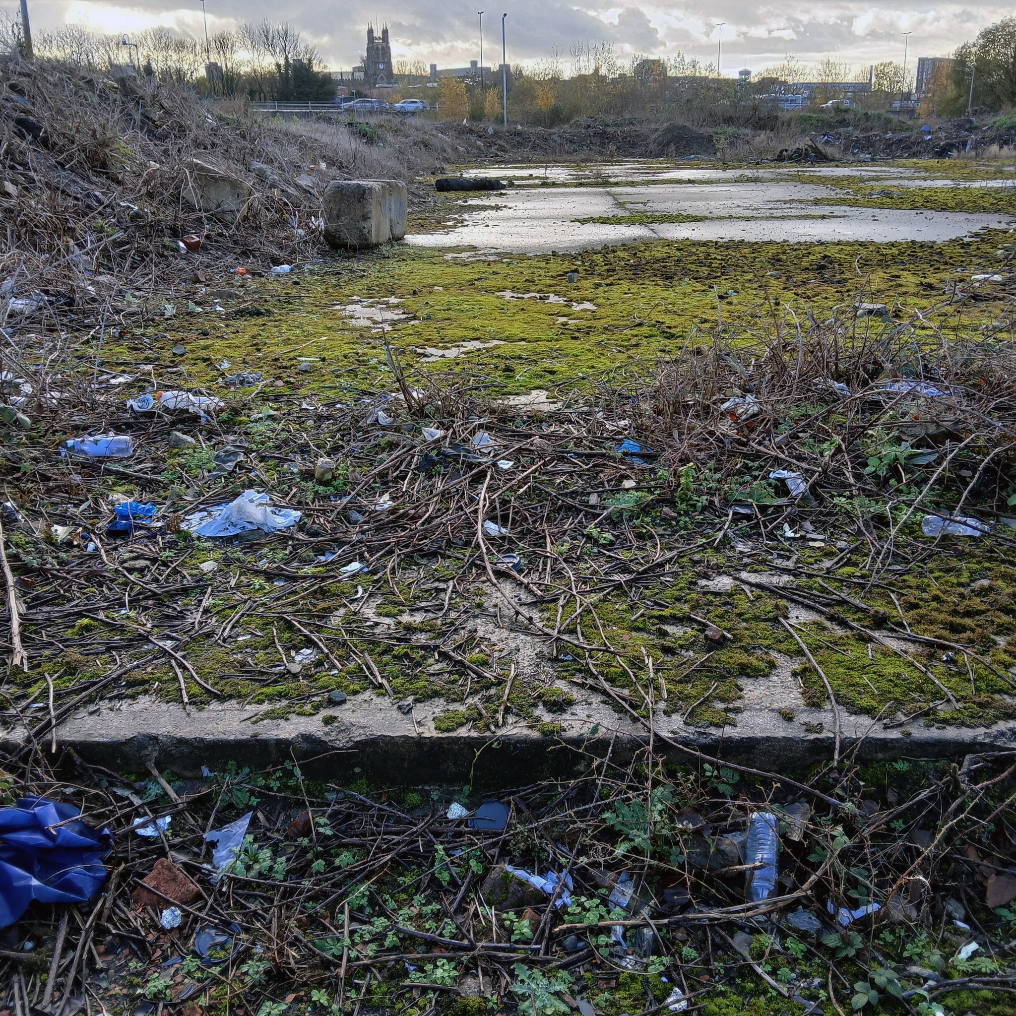
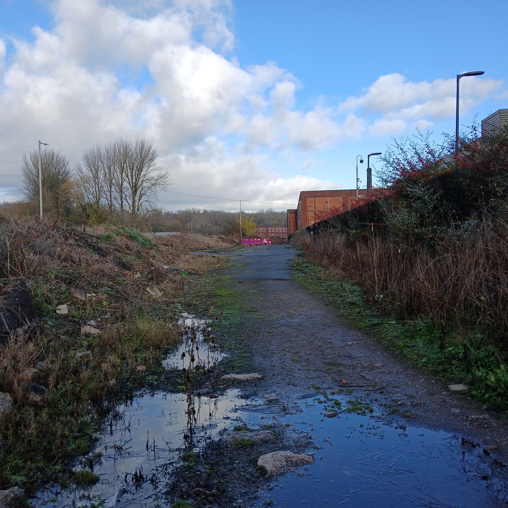
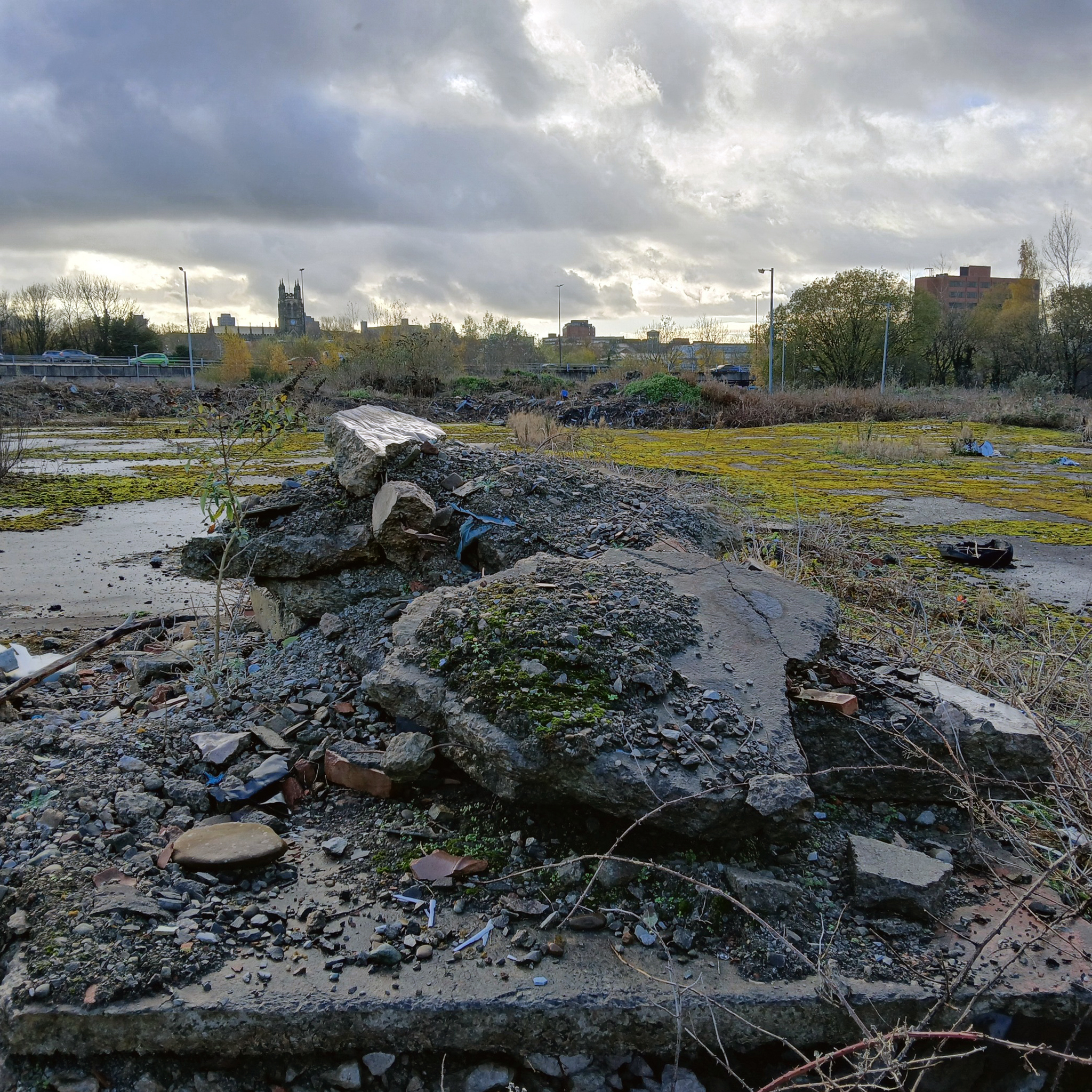
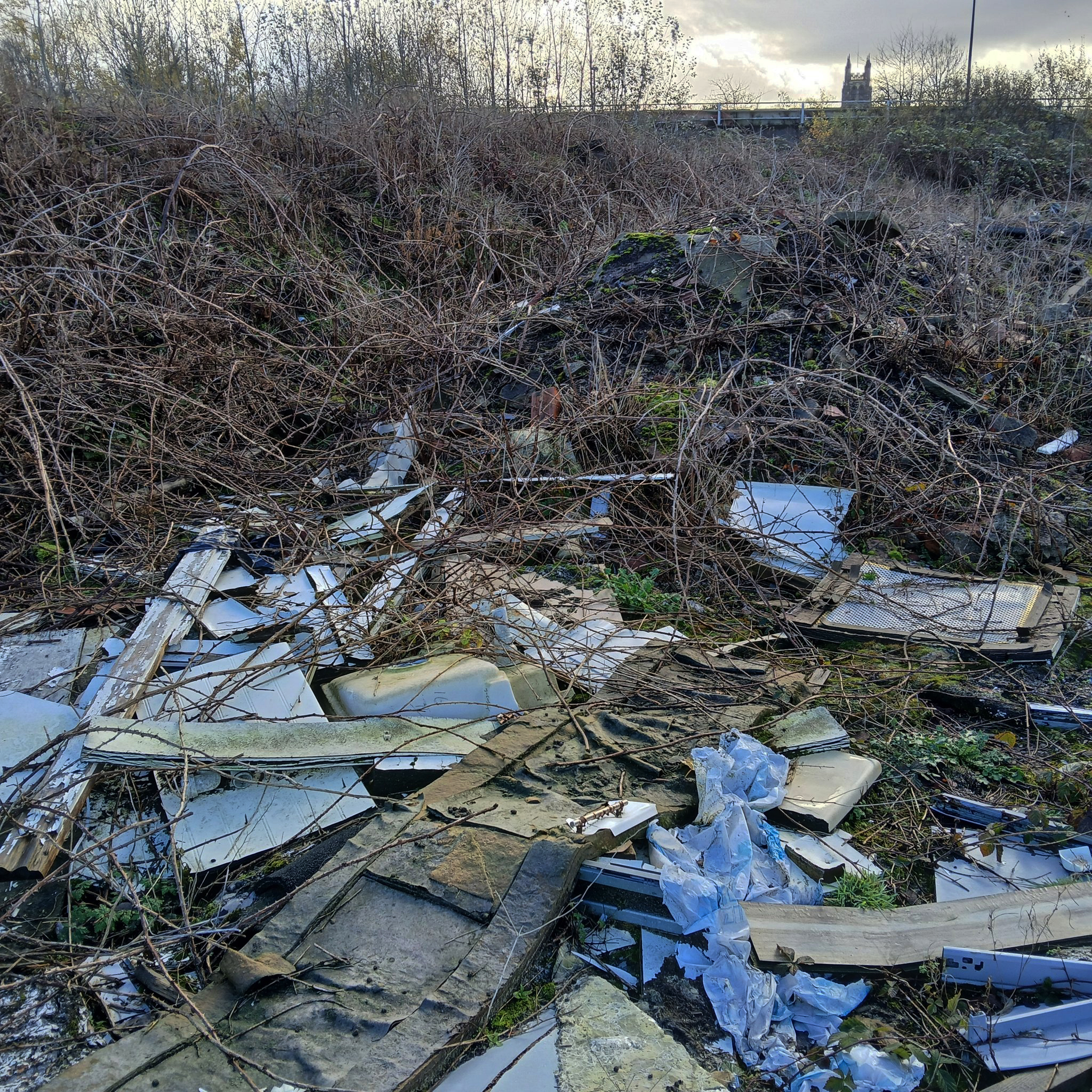
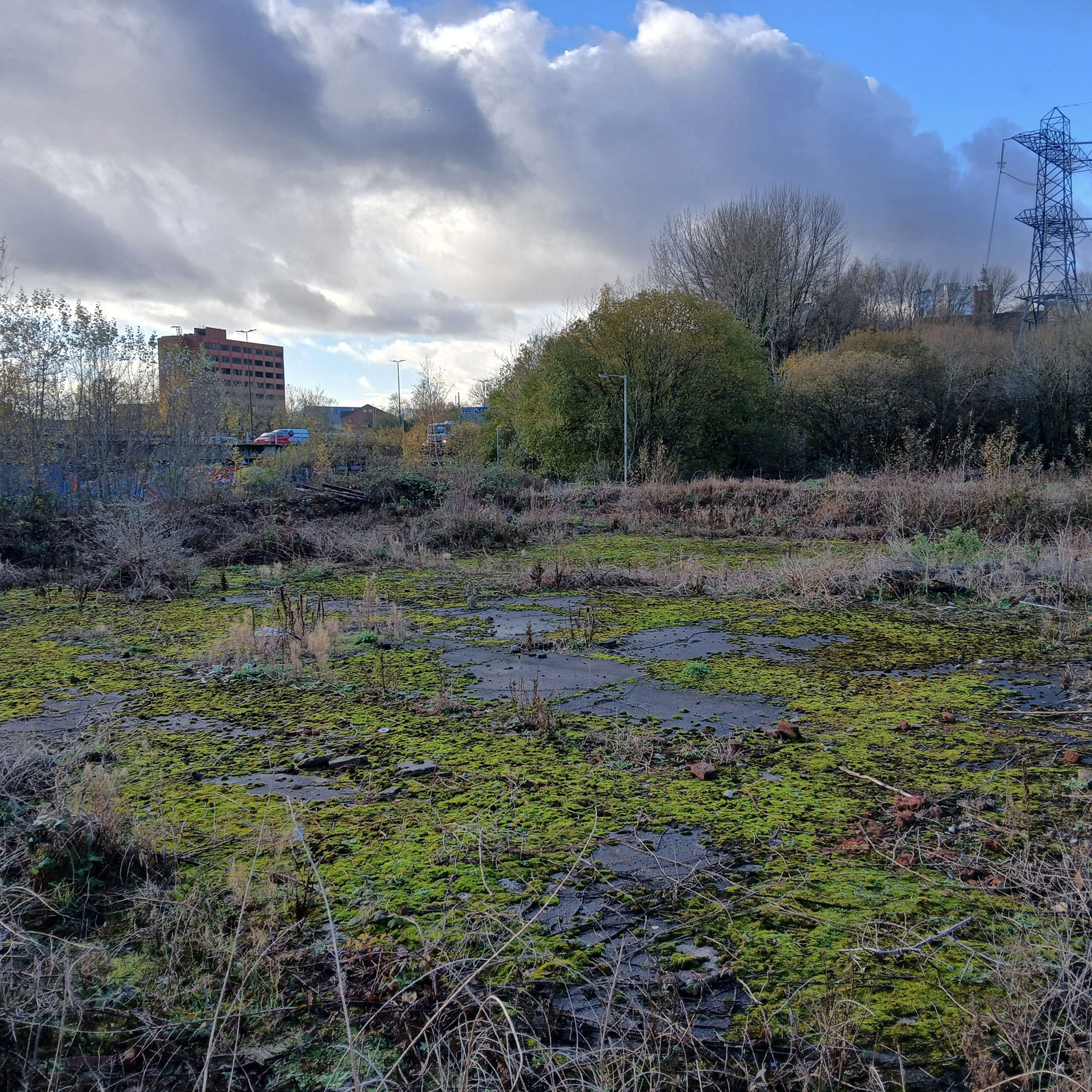
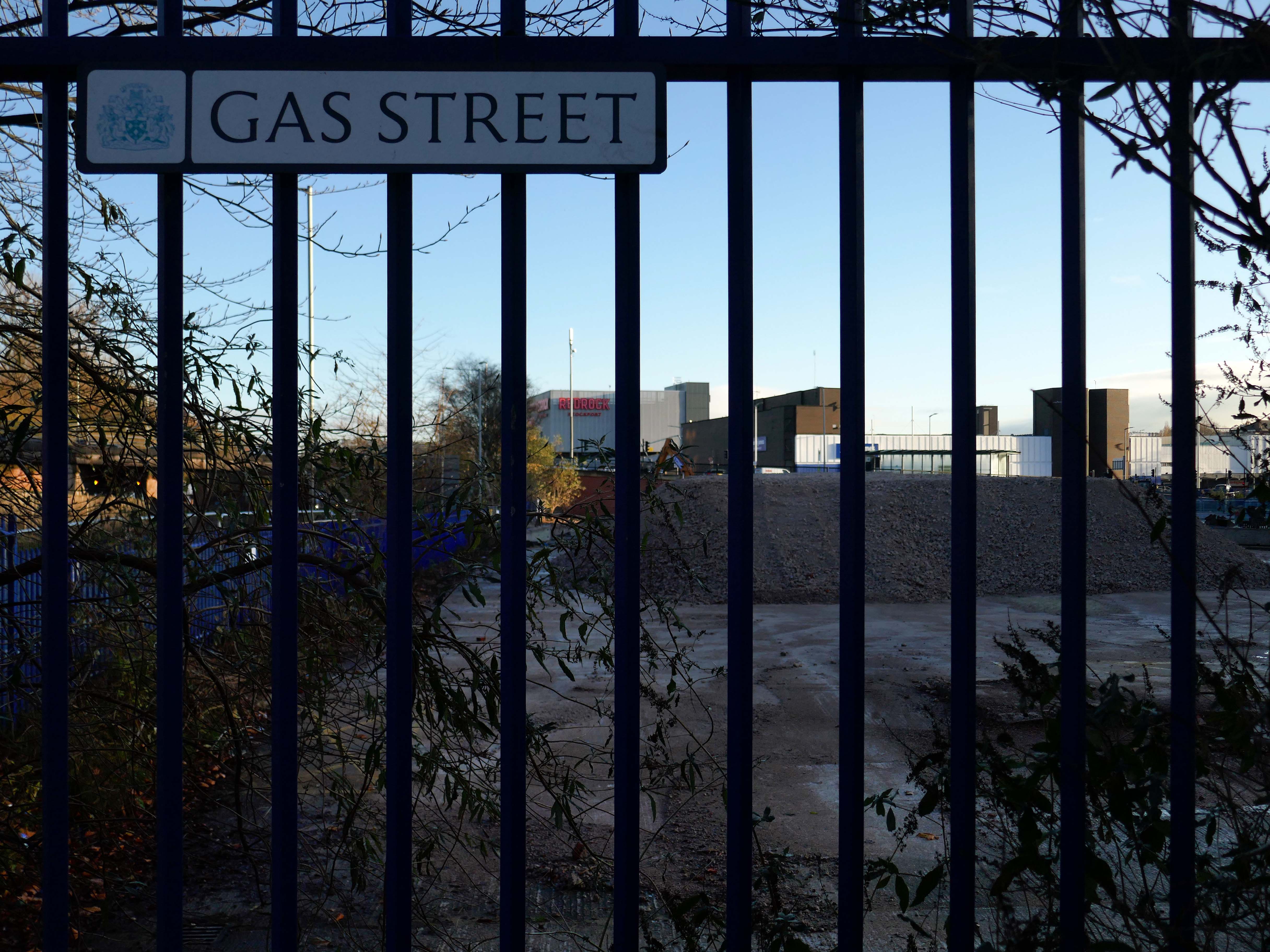
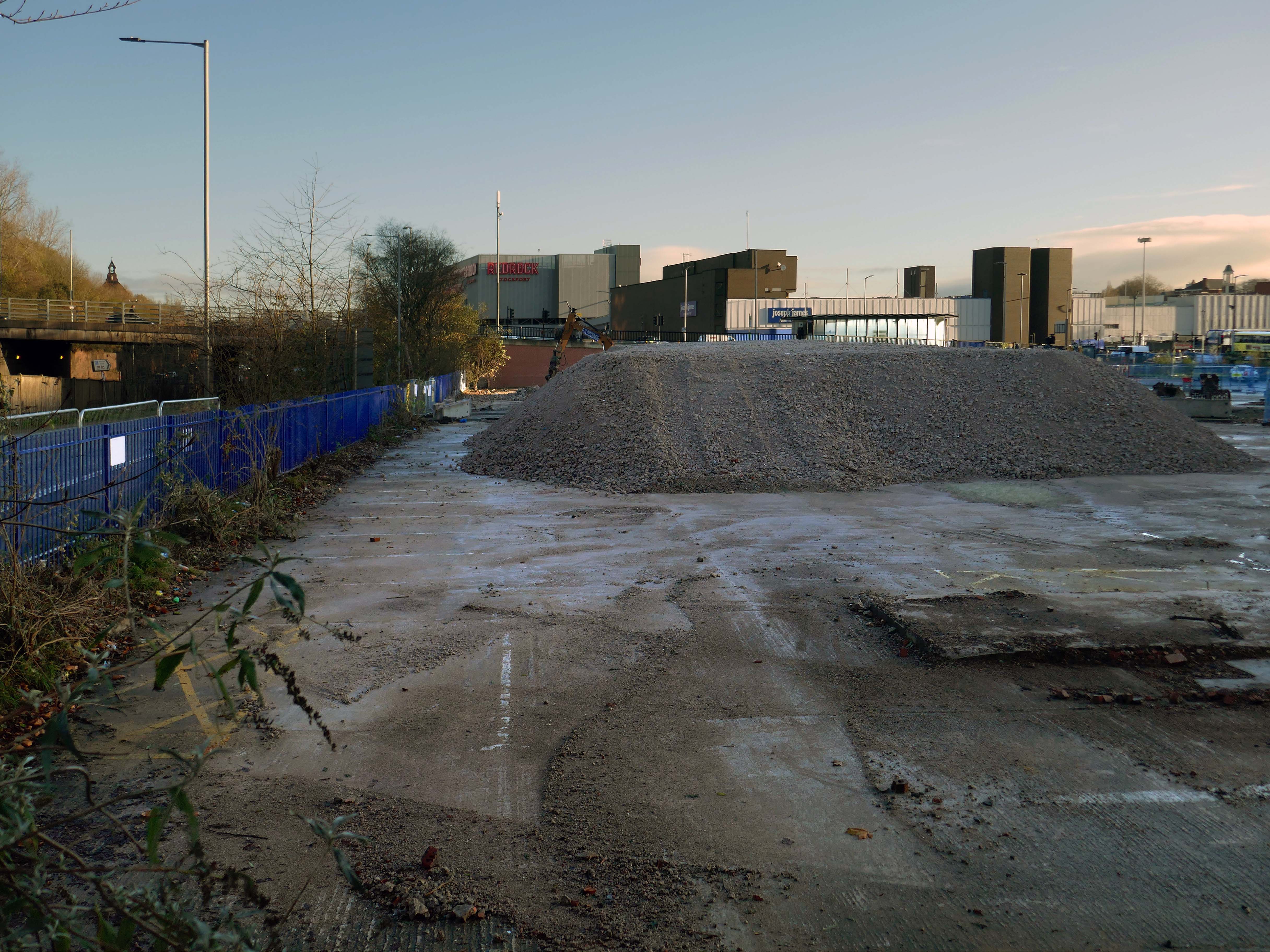
We can see the remains of the road system of this former industrial site, now colonised by brambles and greenery, the imposition of earth mounds and fly tipping.
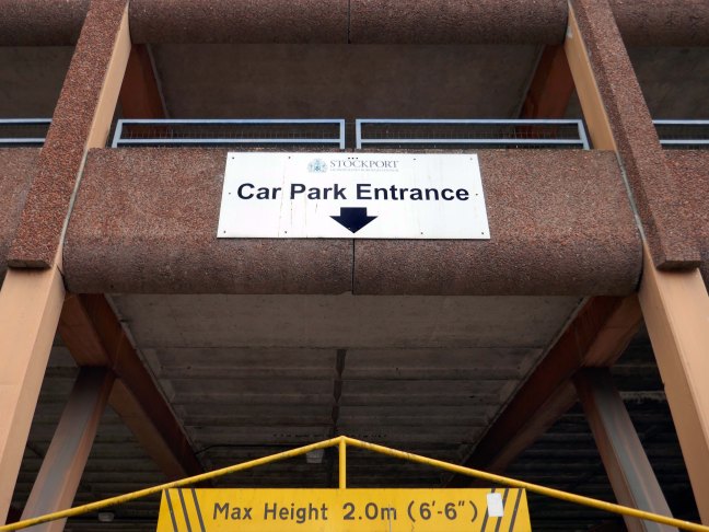
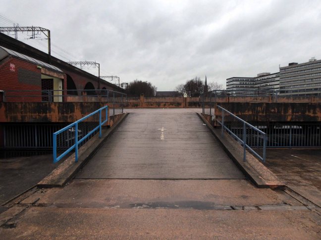
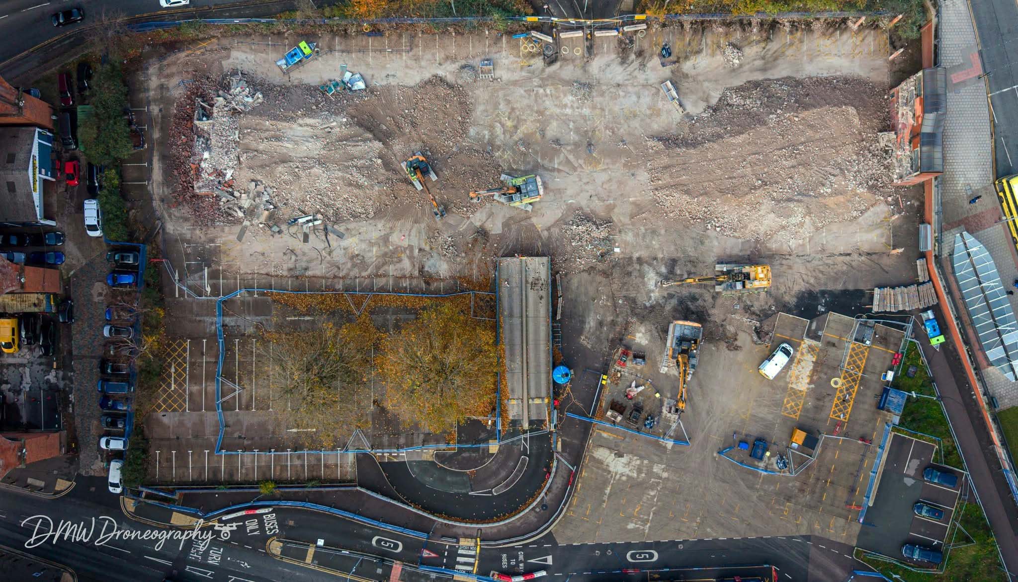
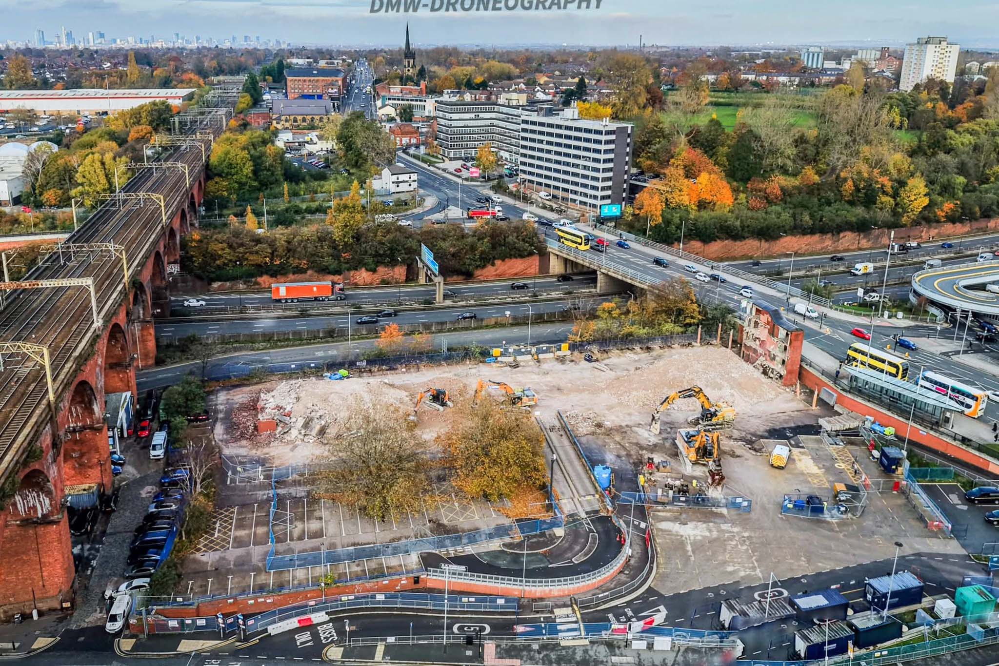
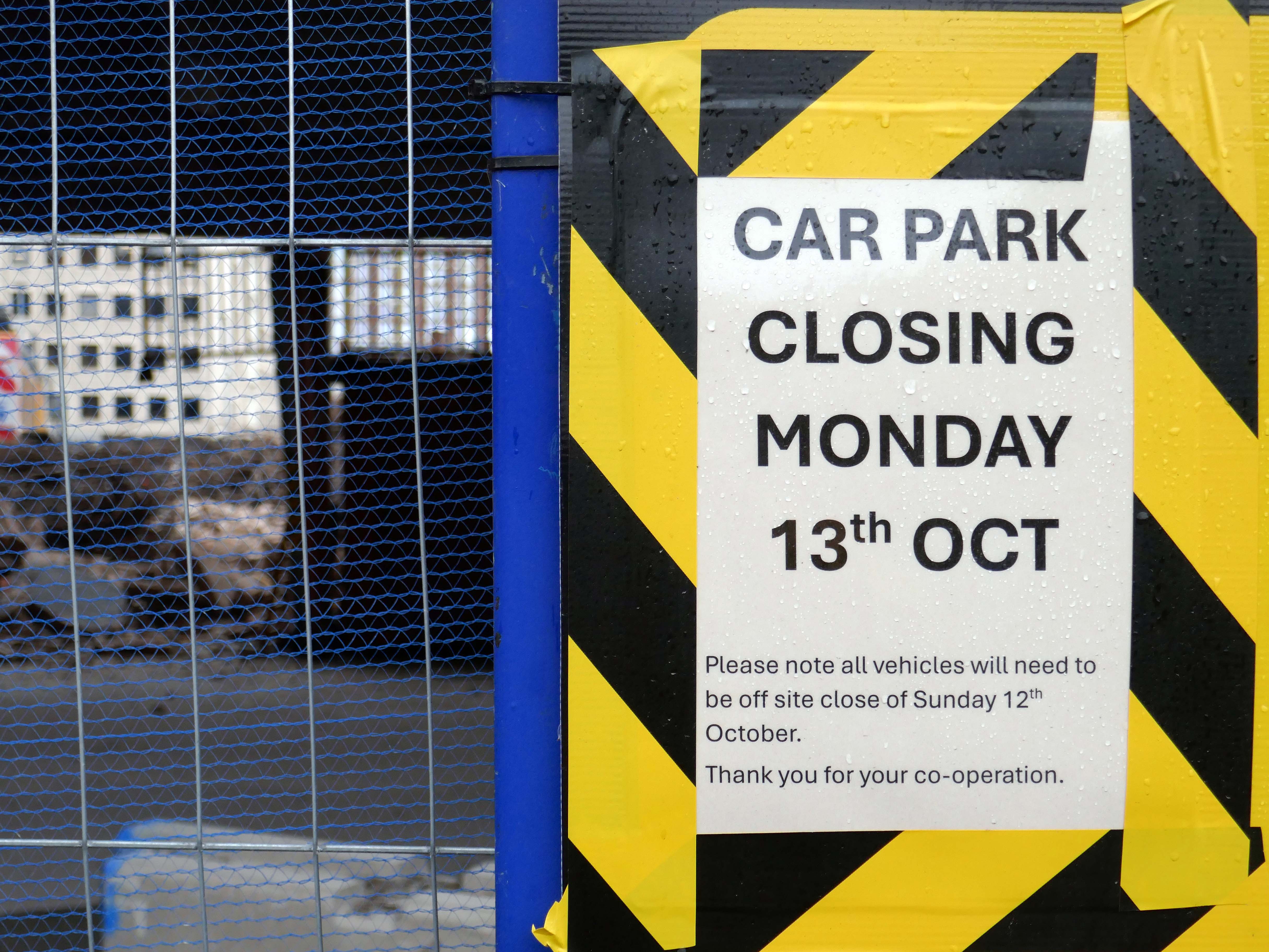
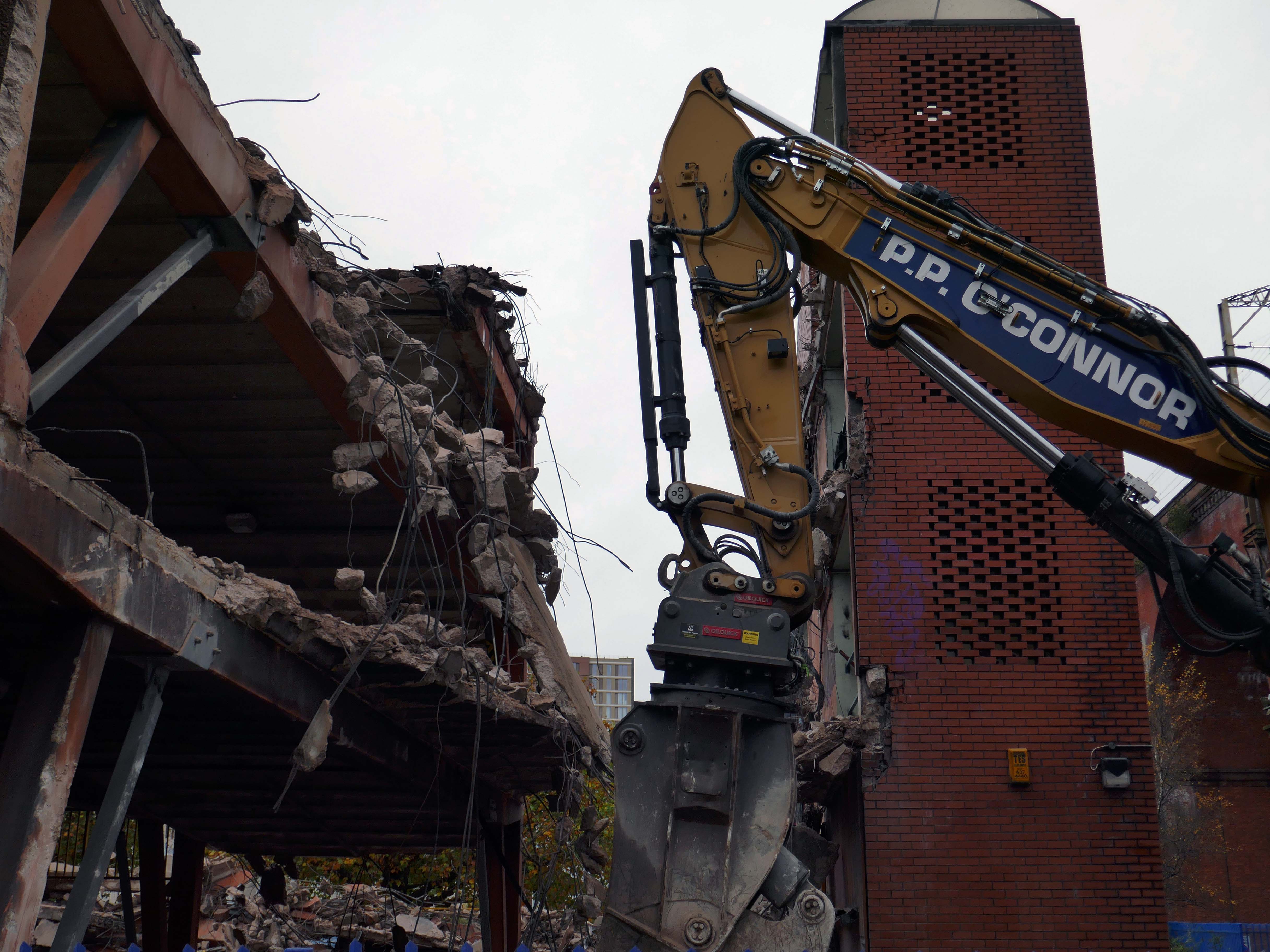
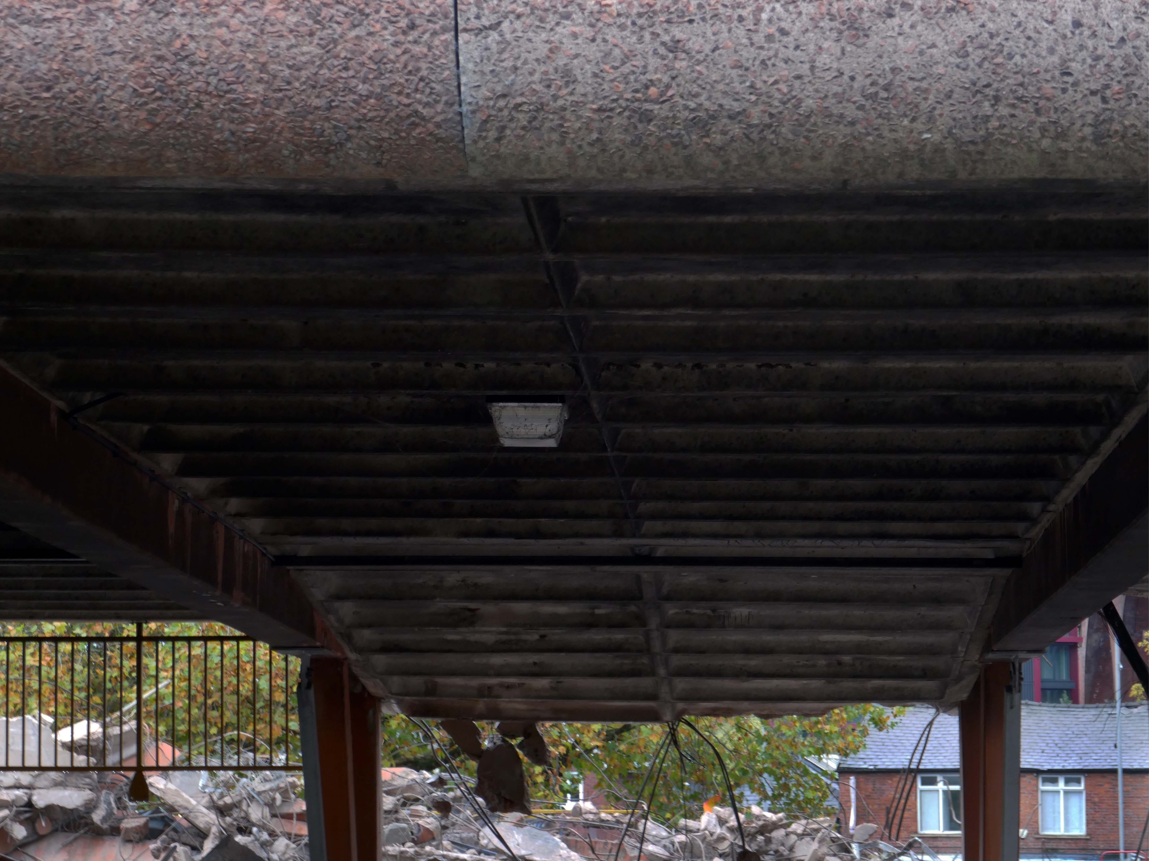
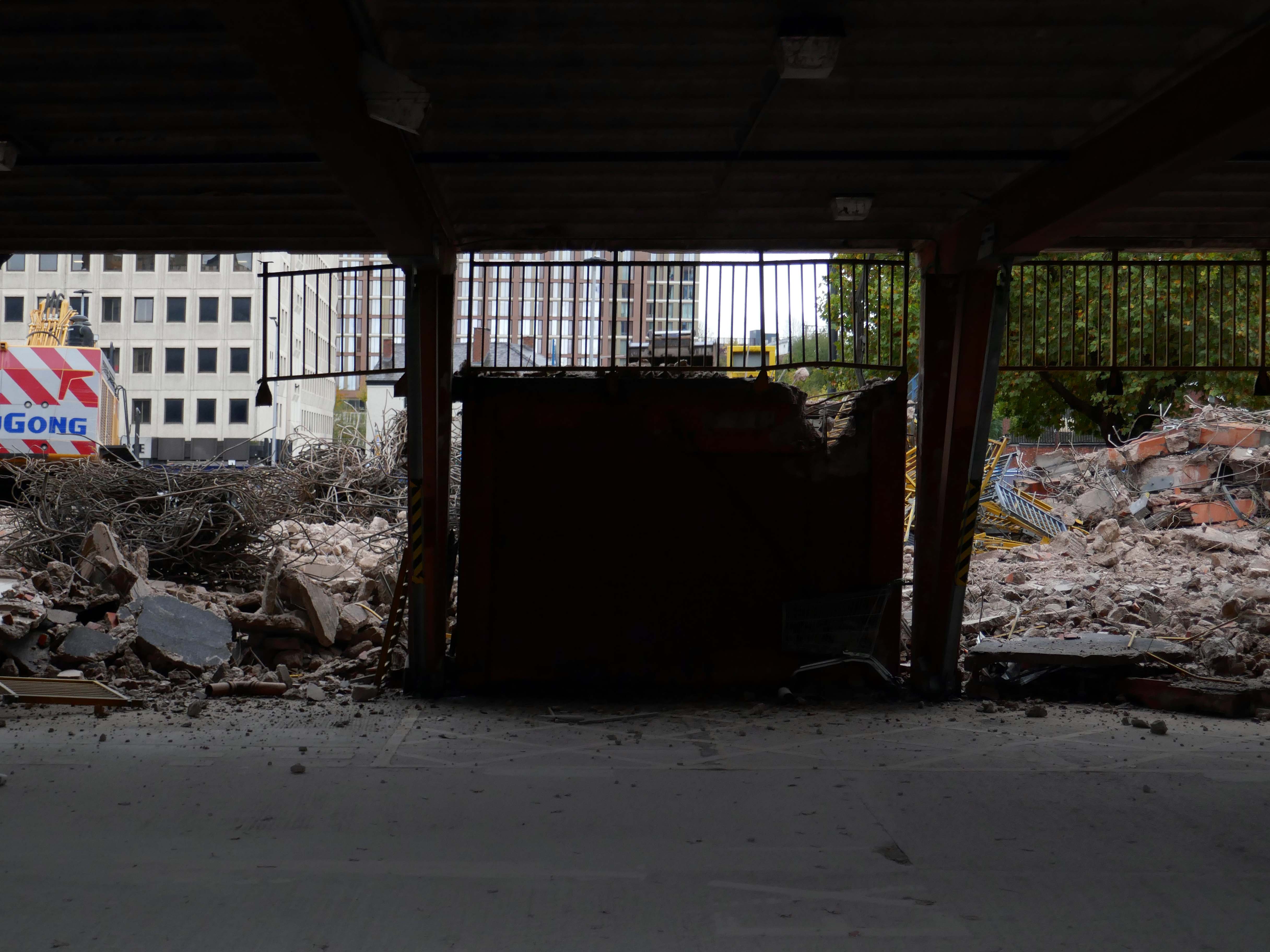
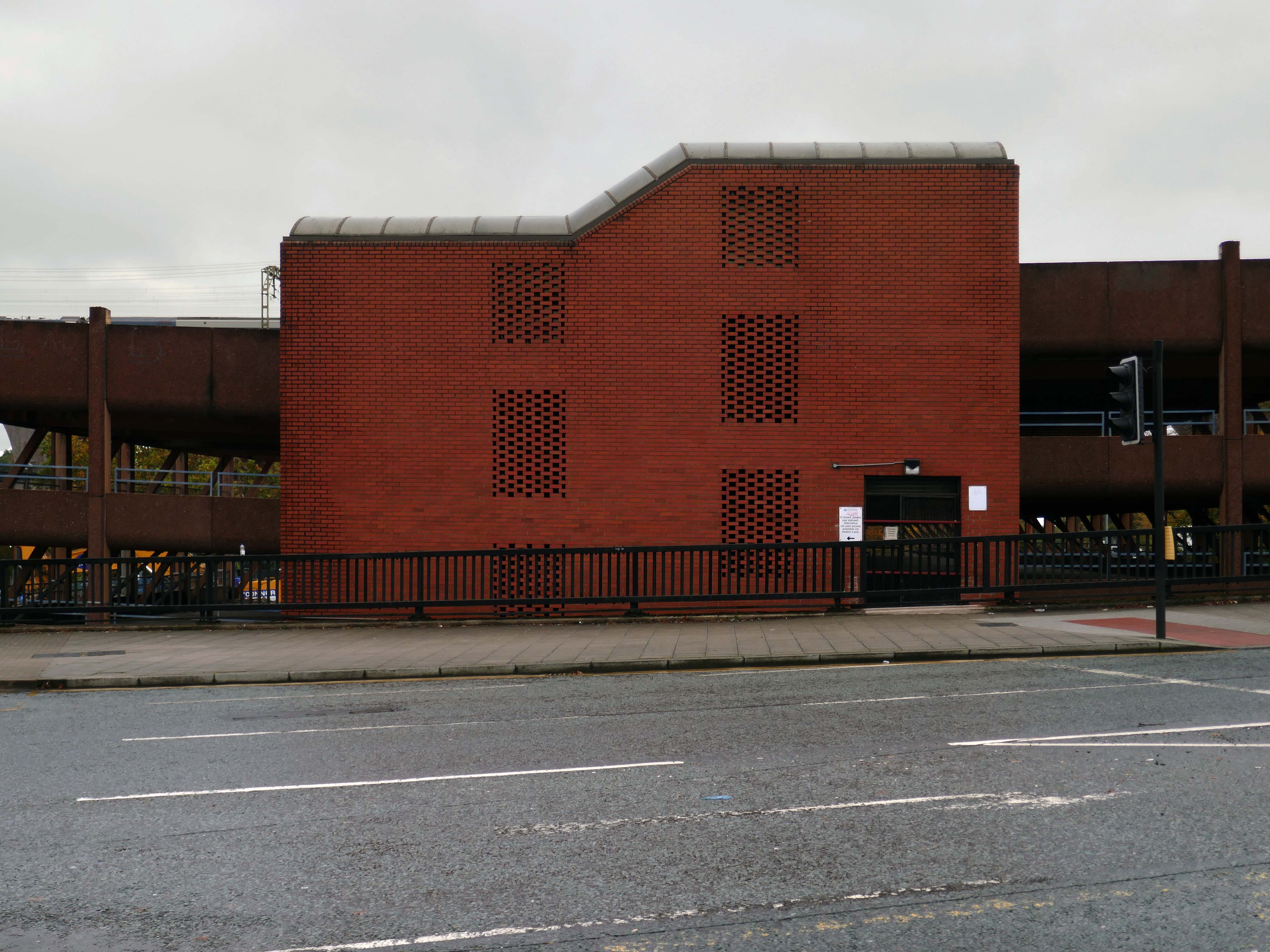
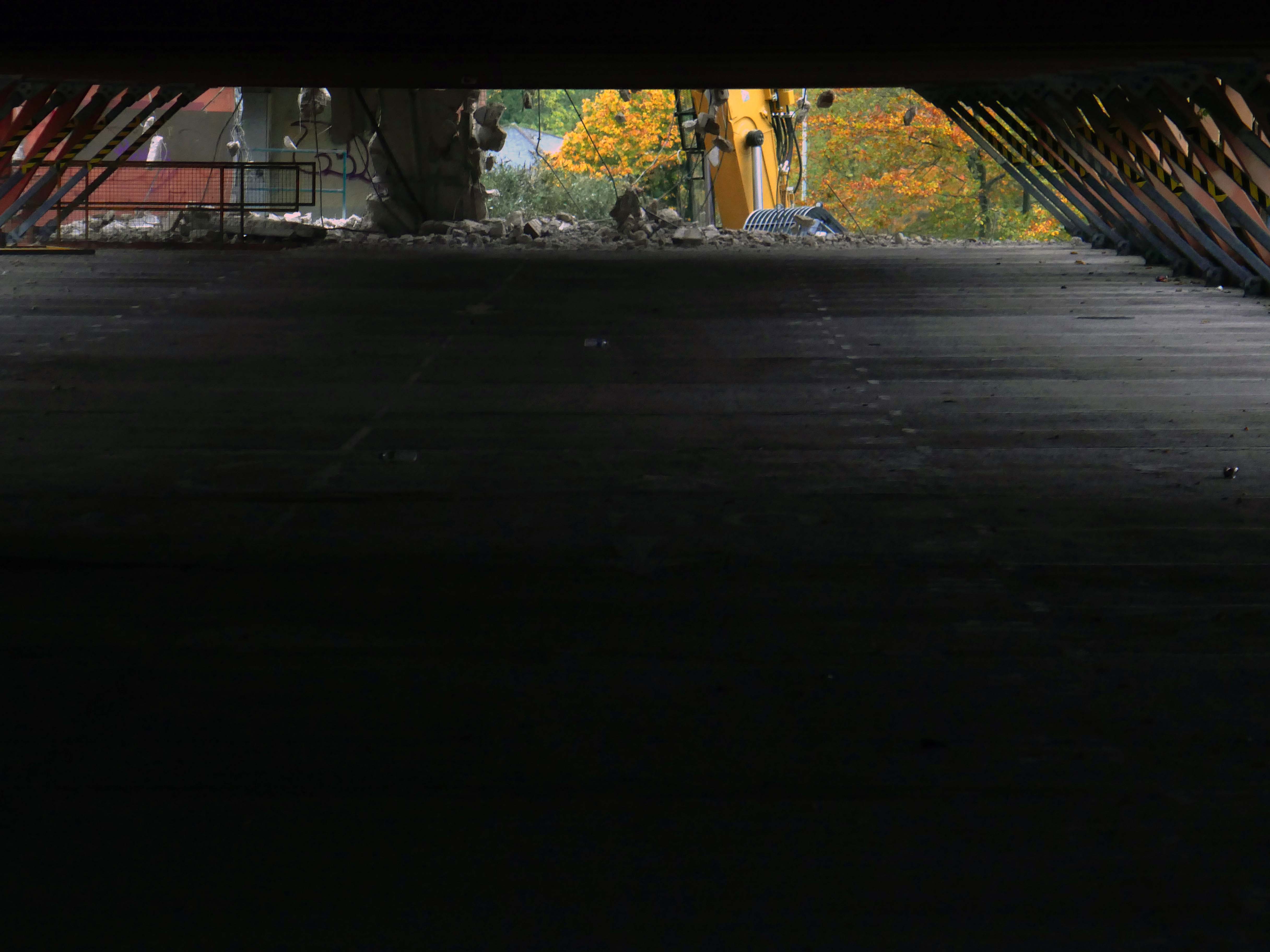
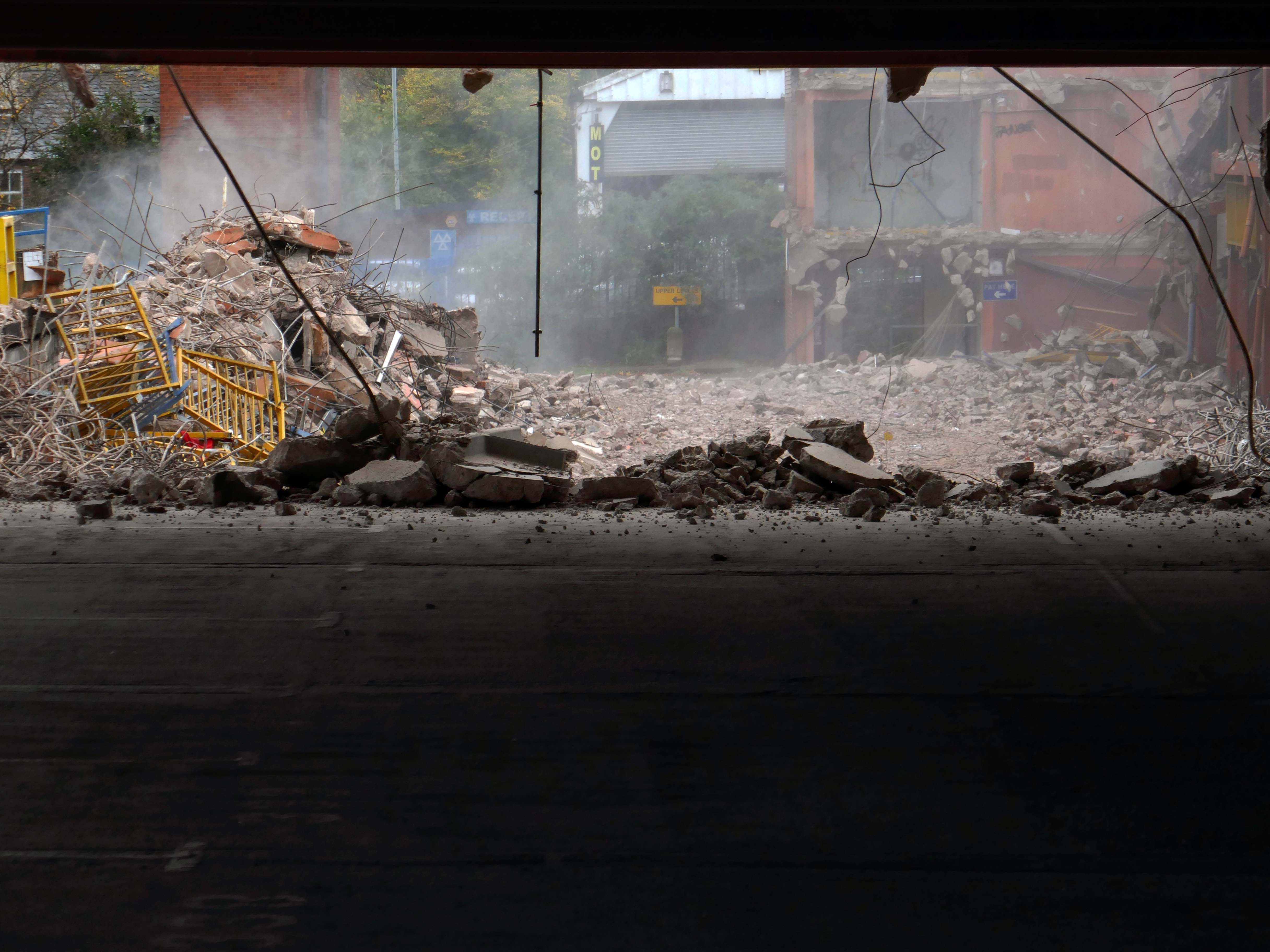
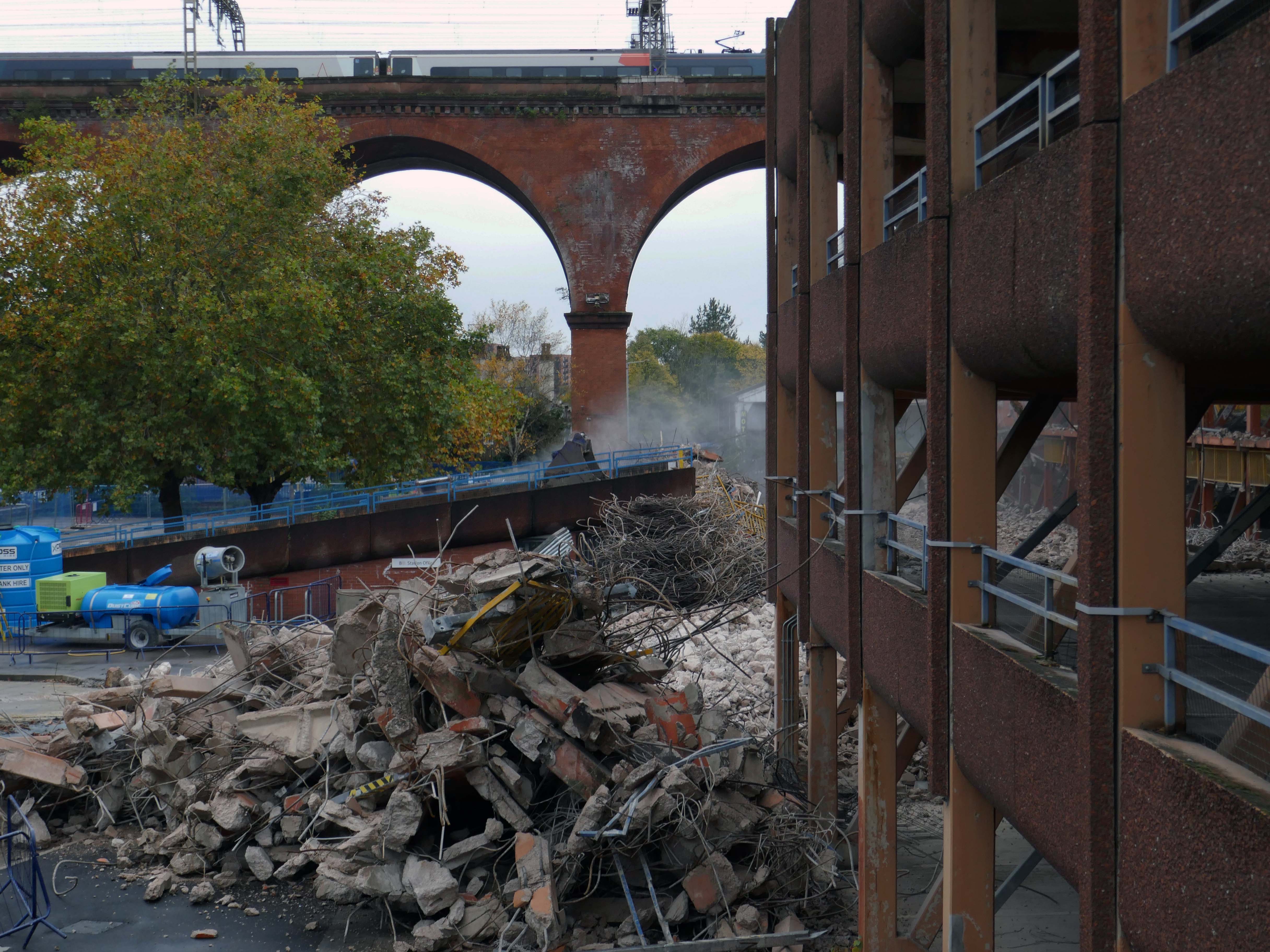
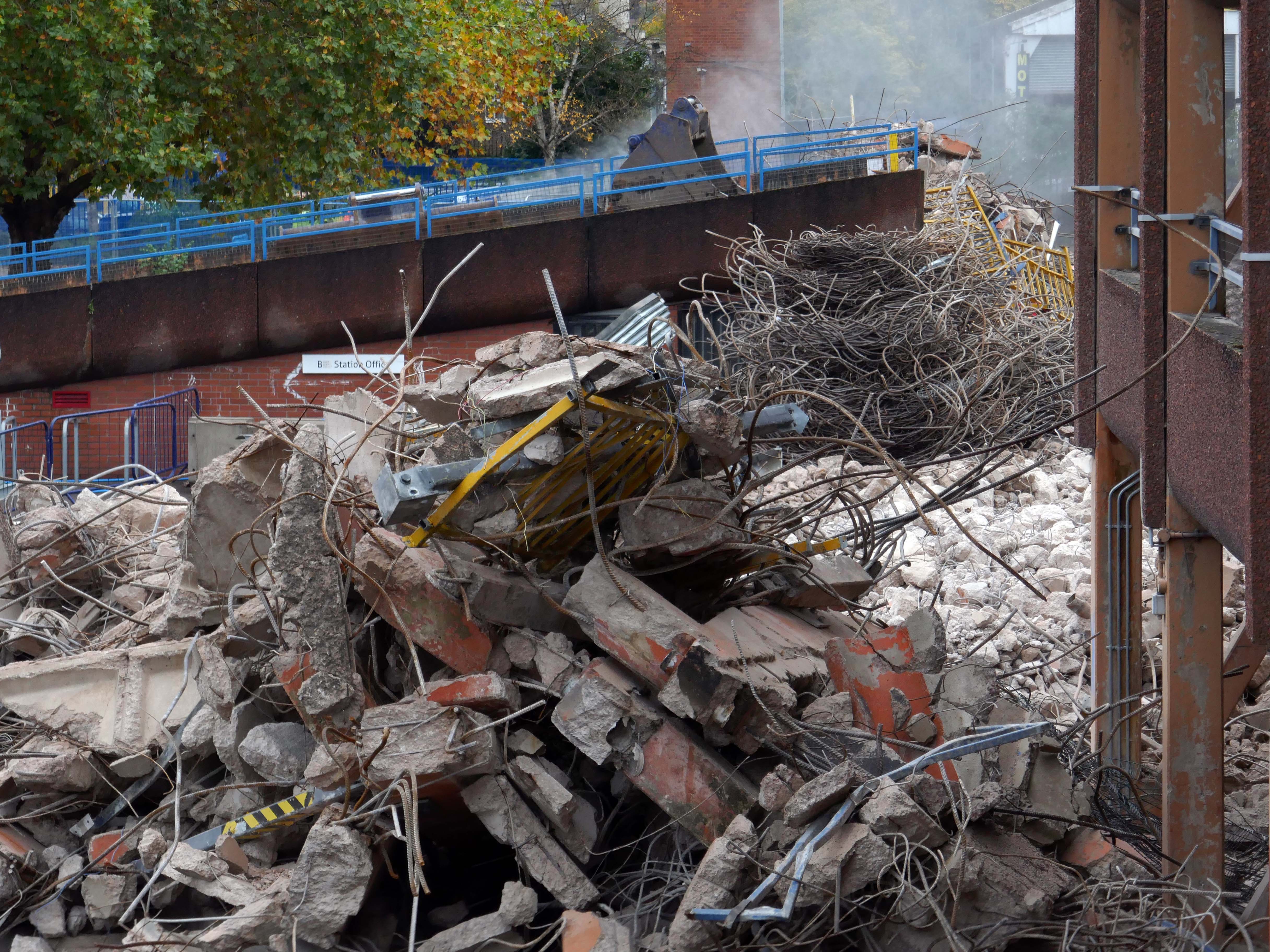
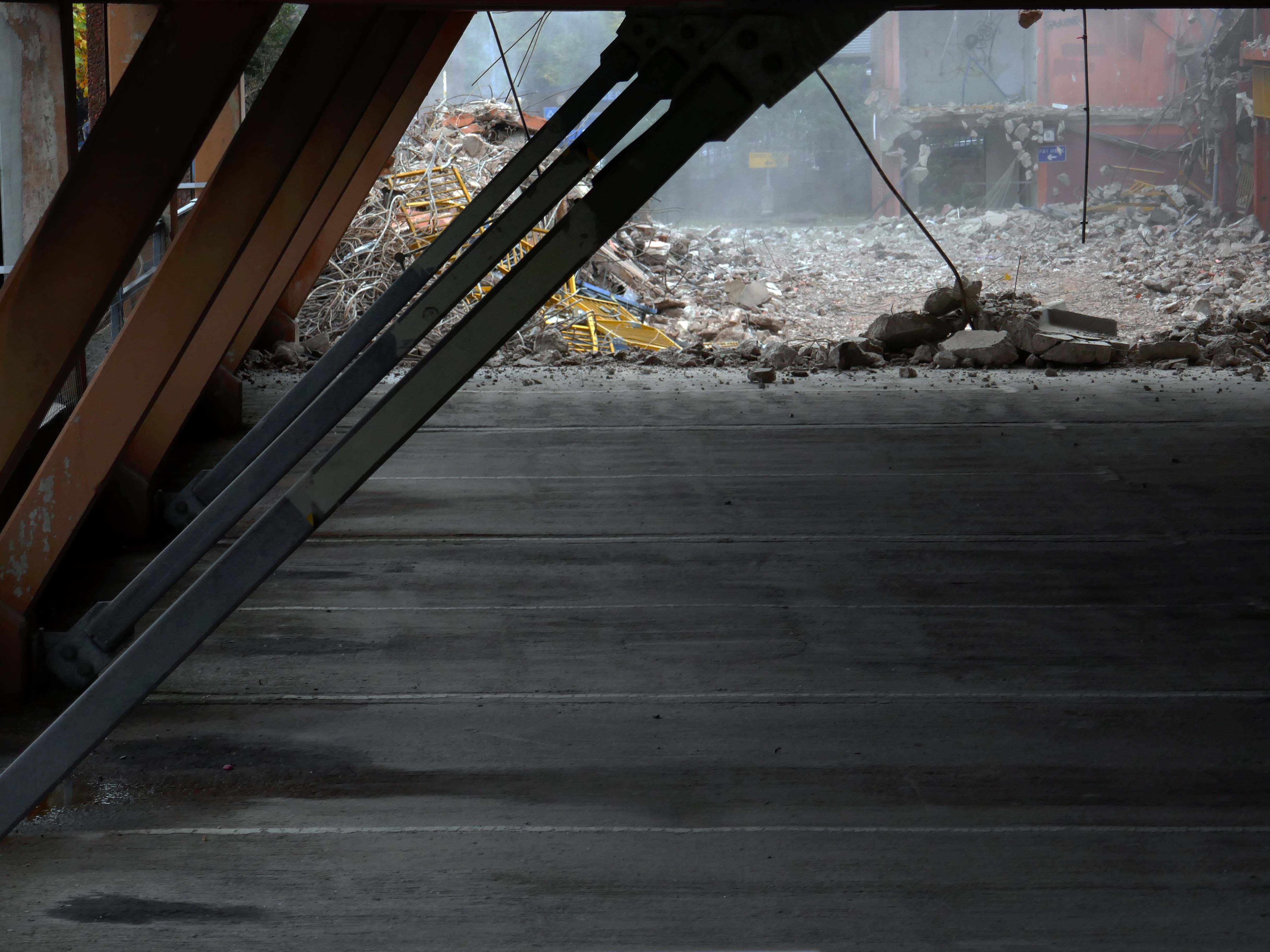
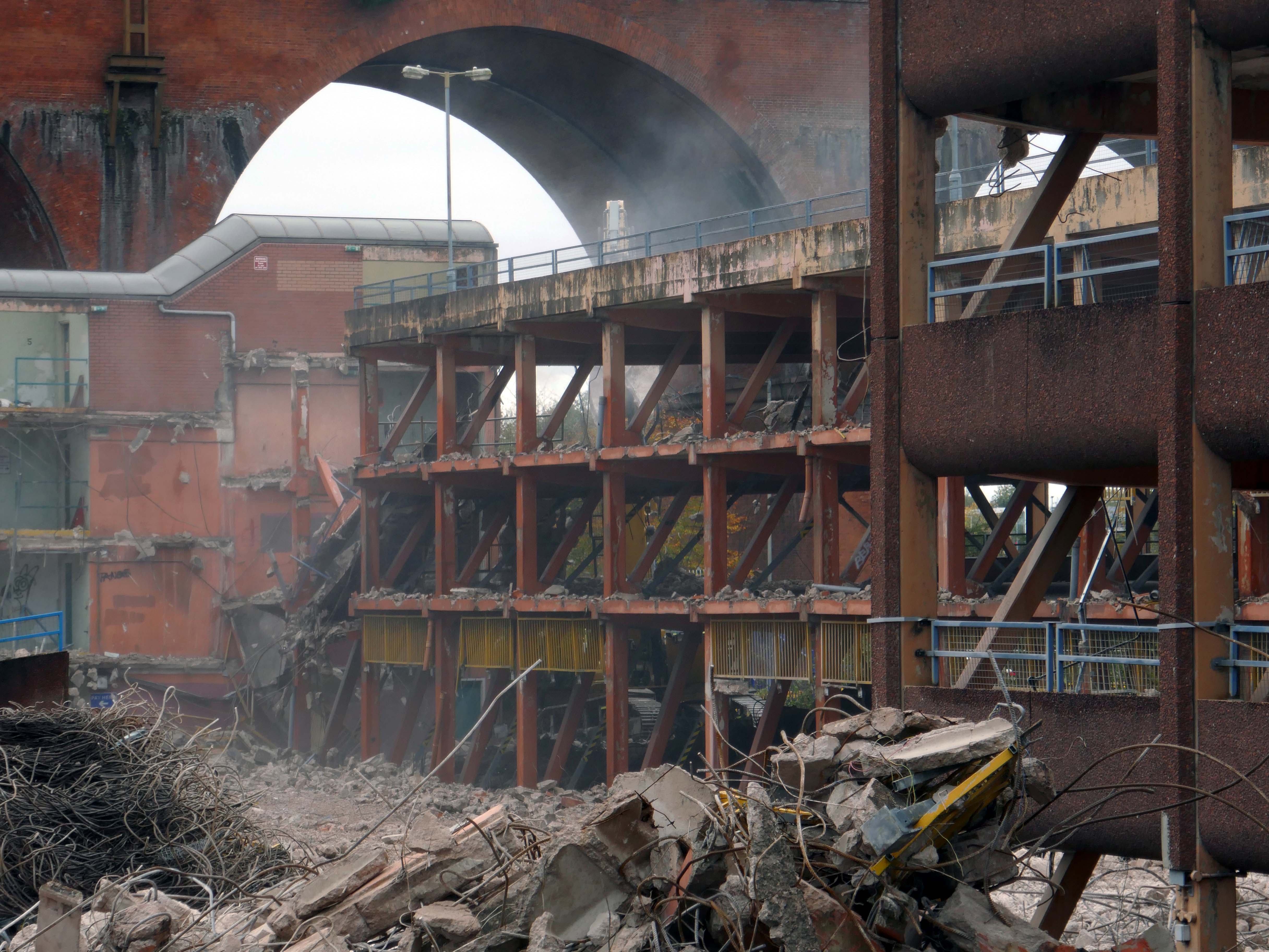
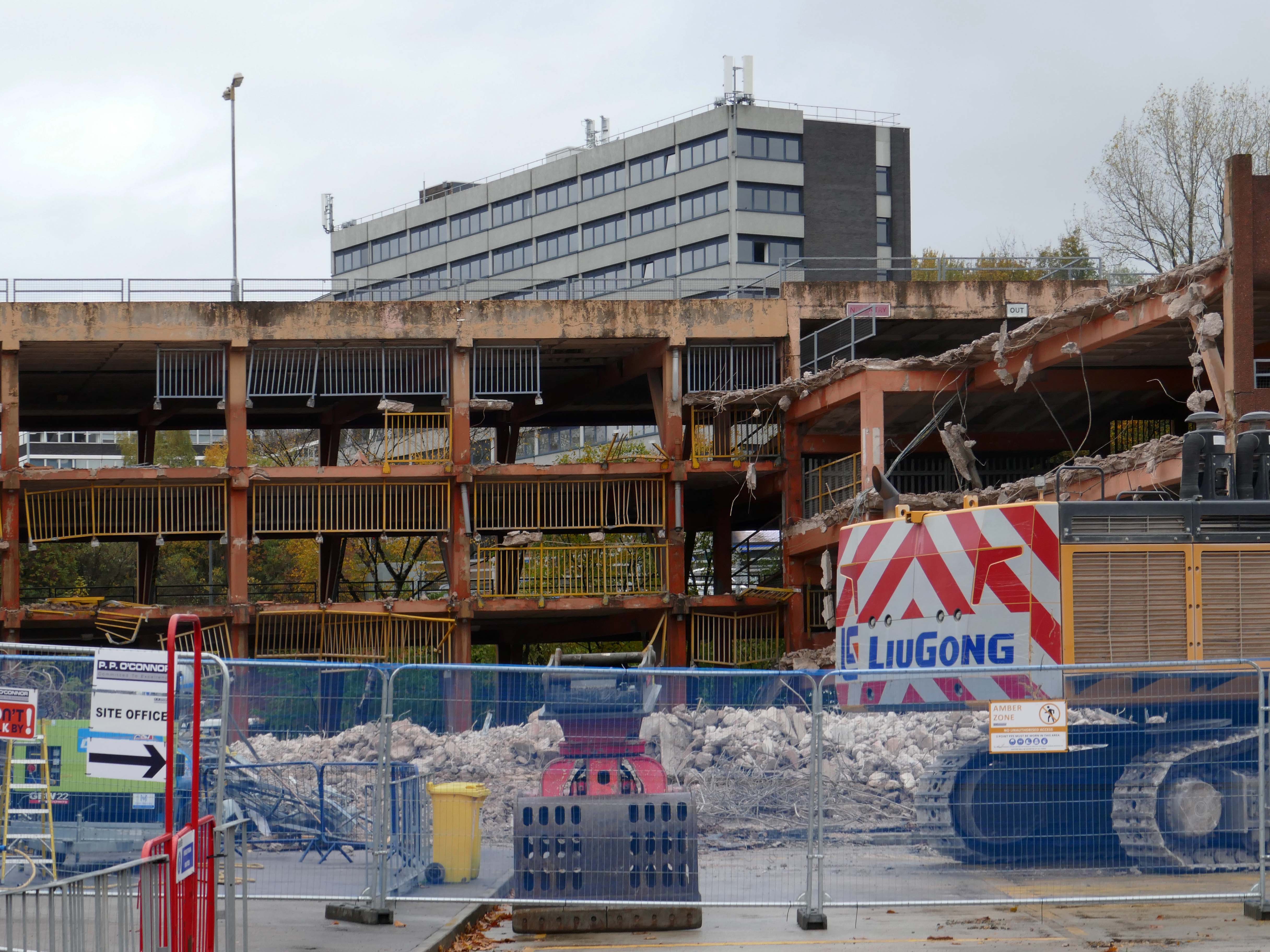
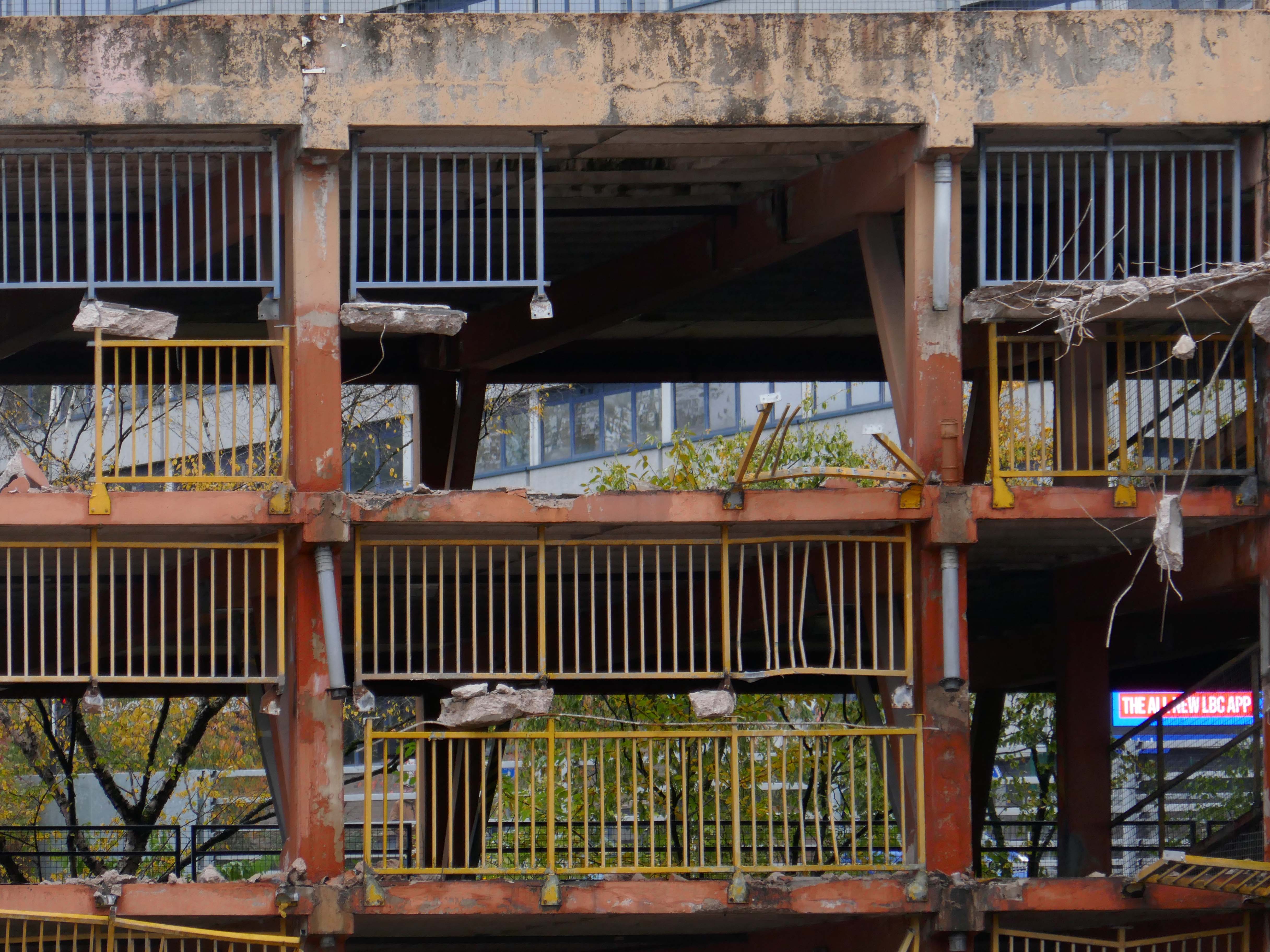
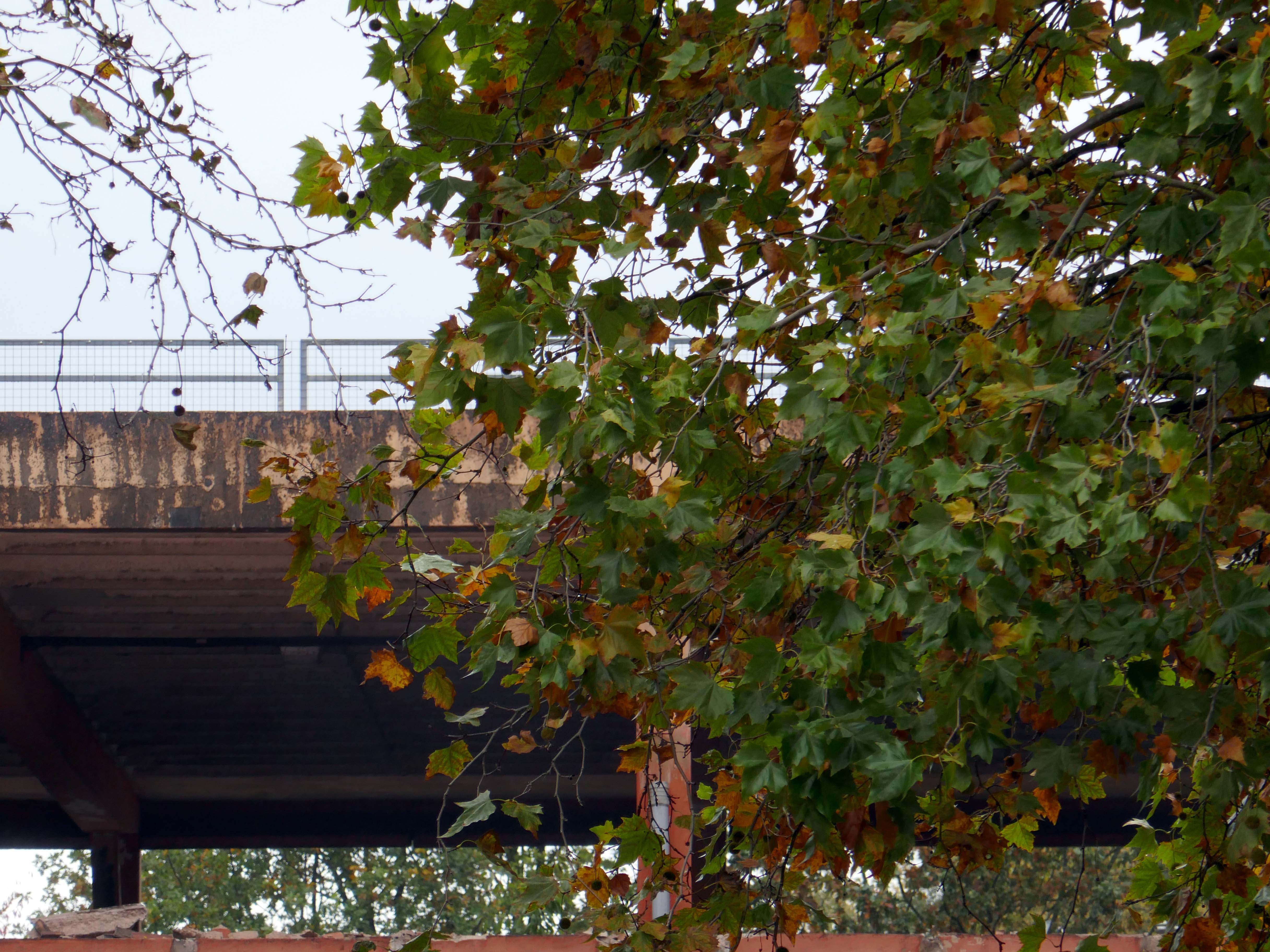
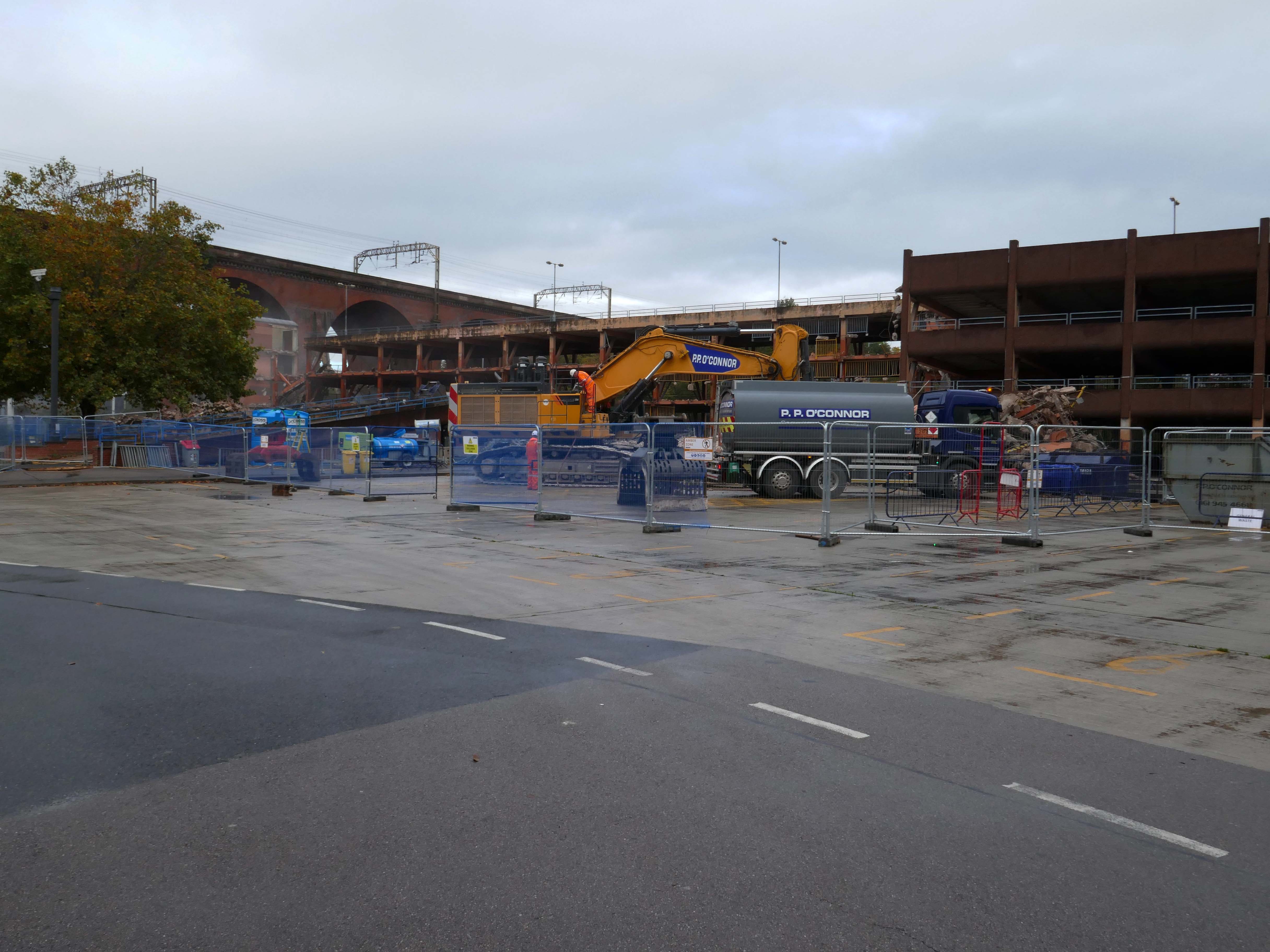
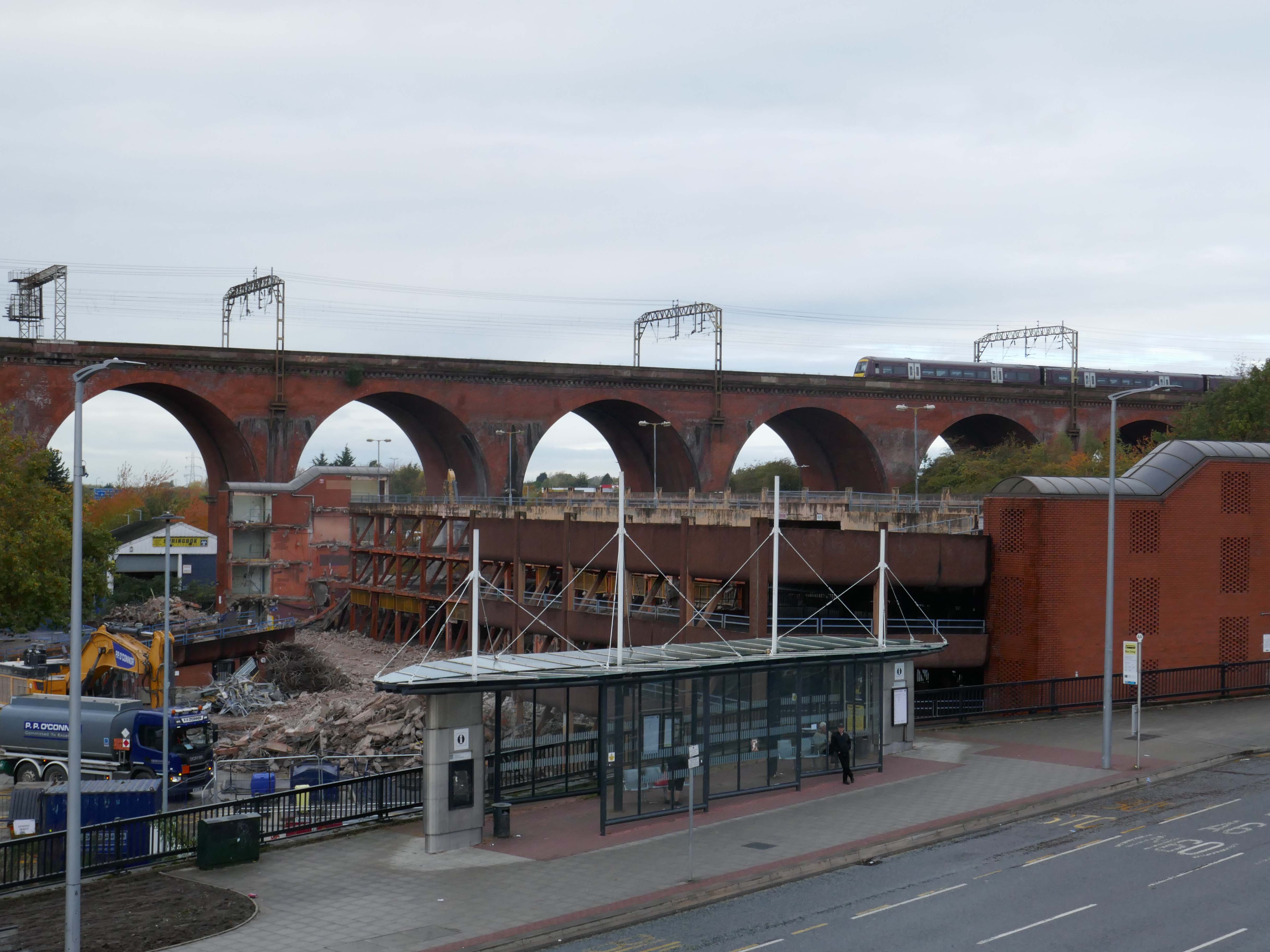
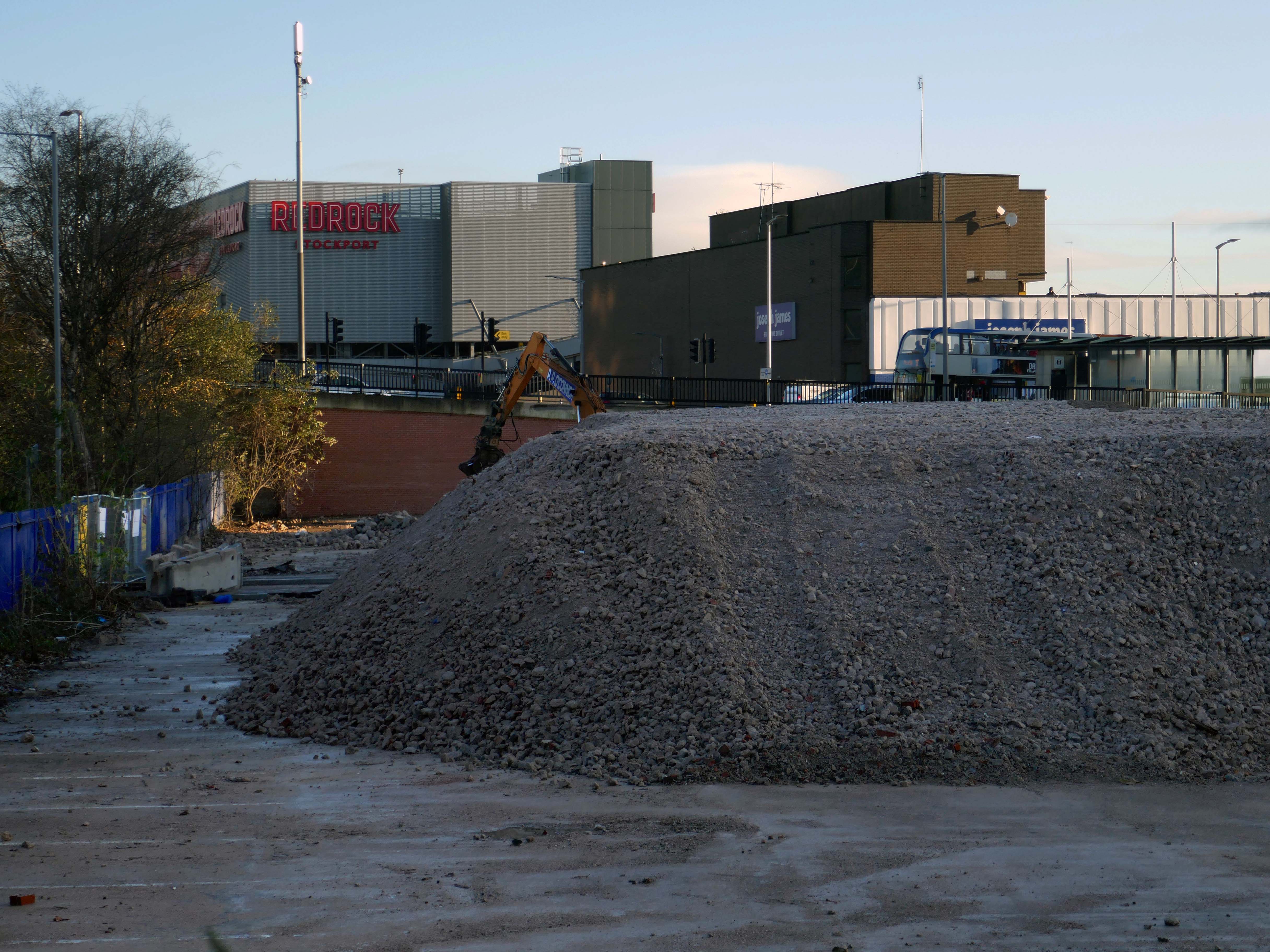
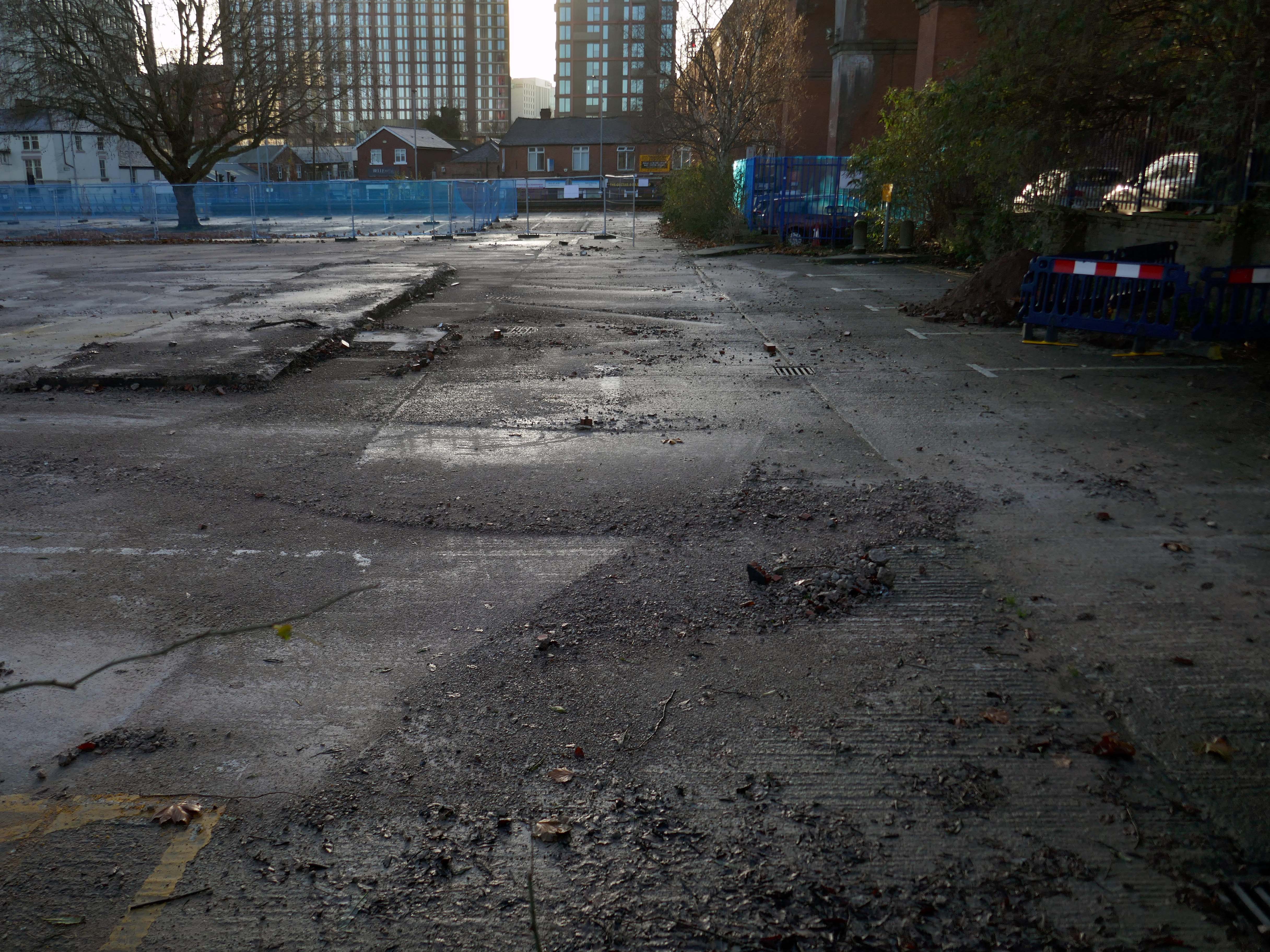
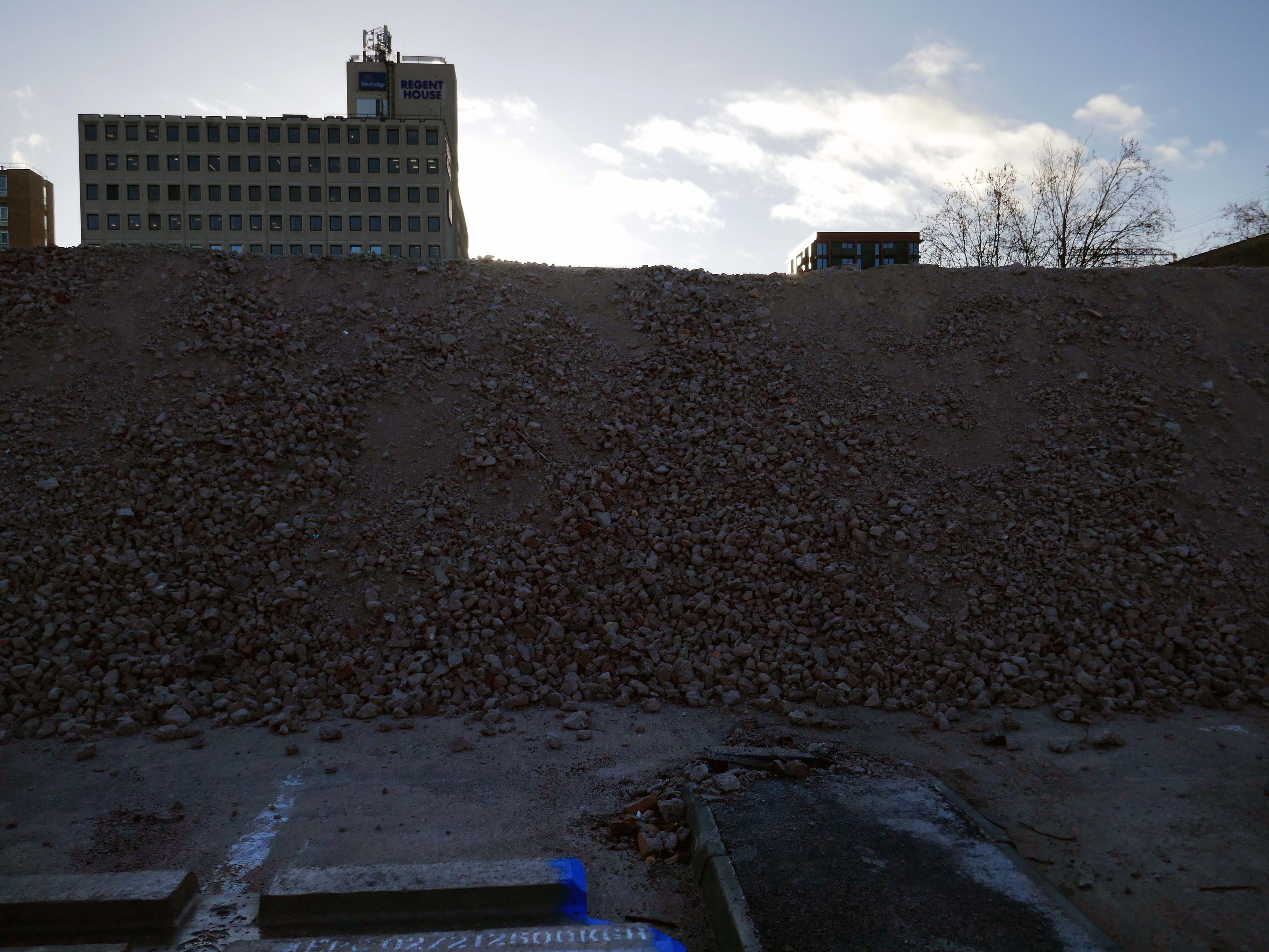
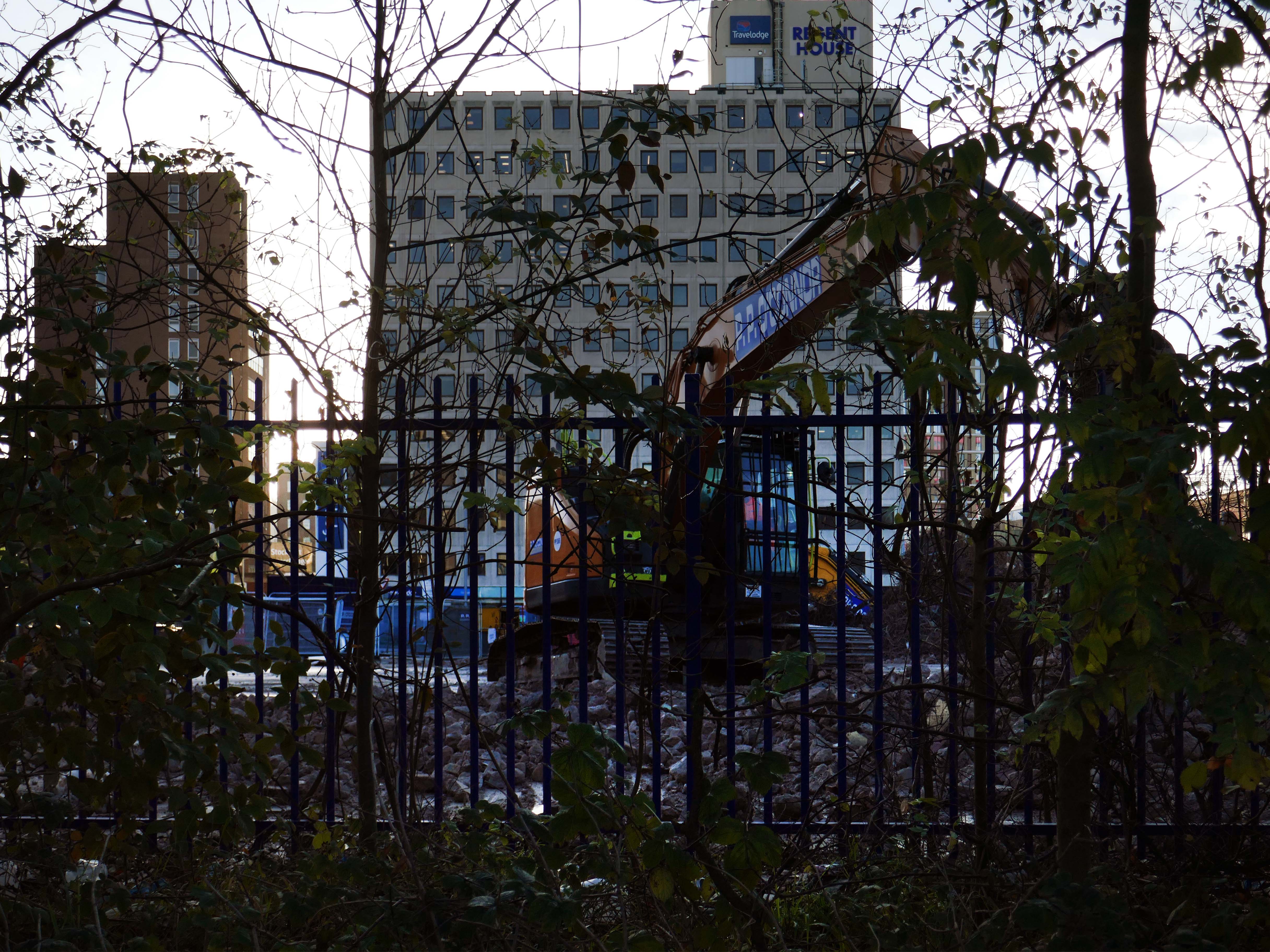
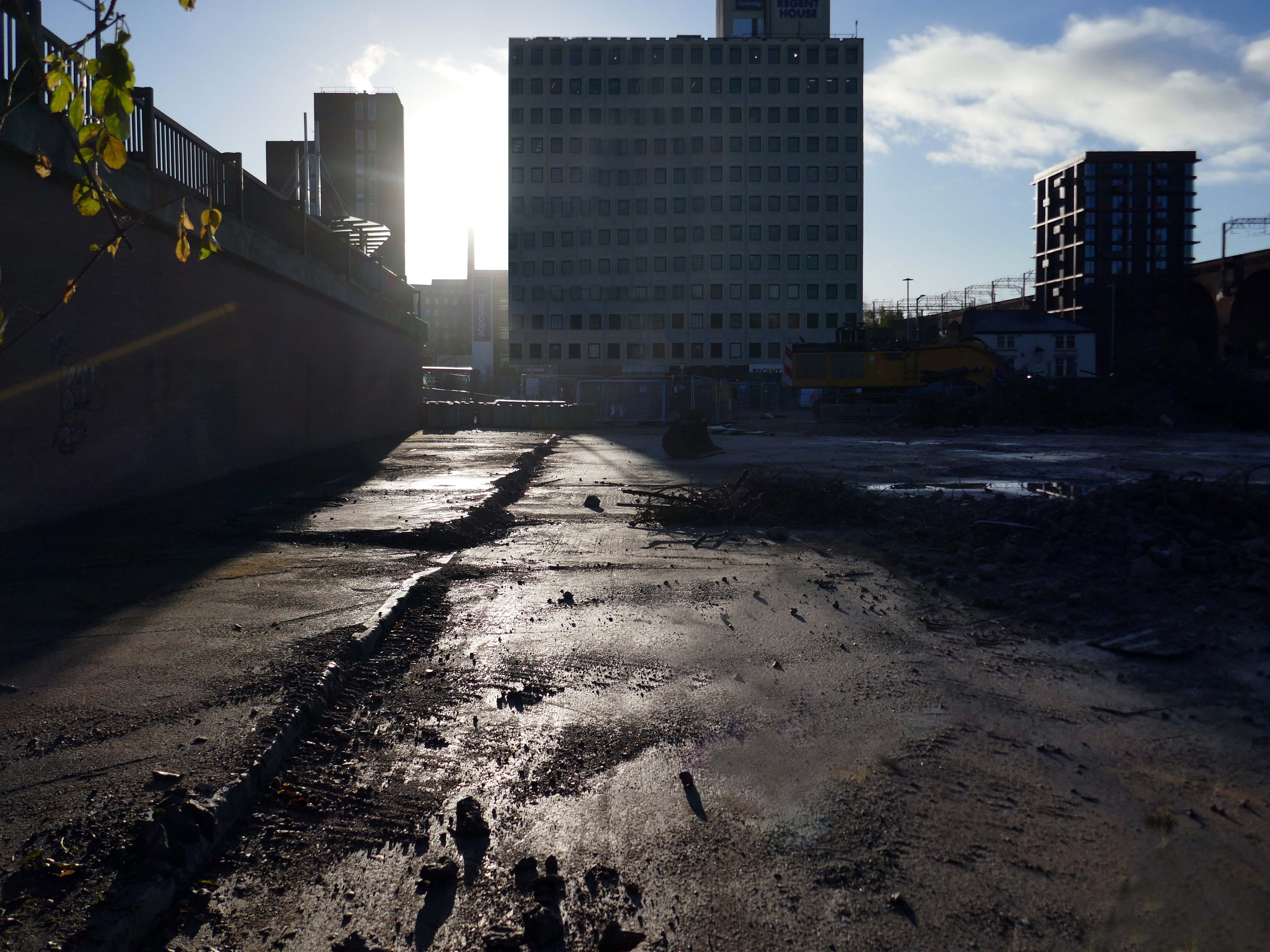
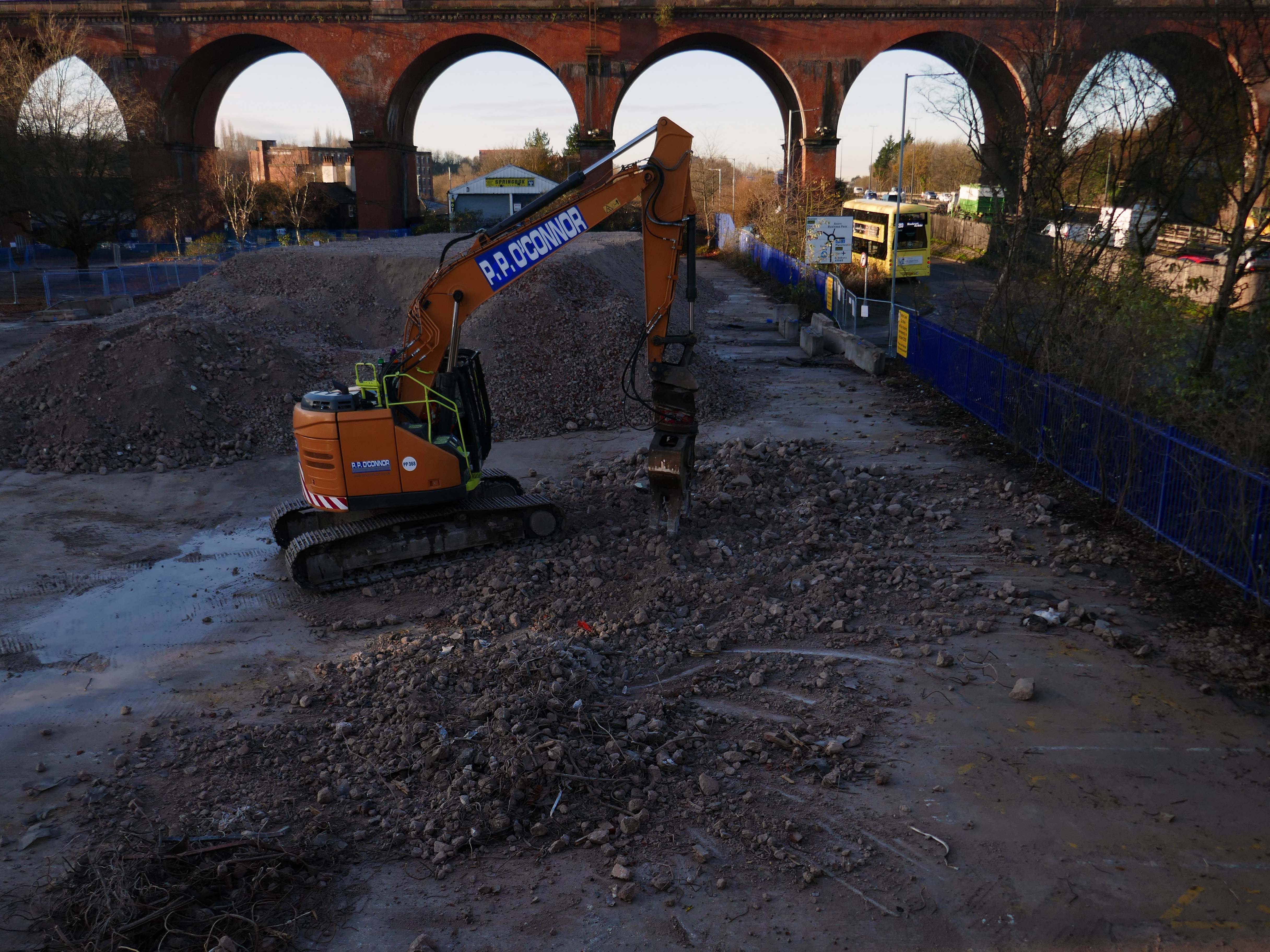
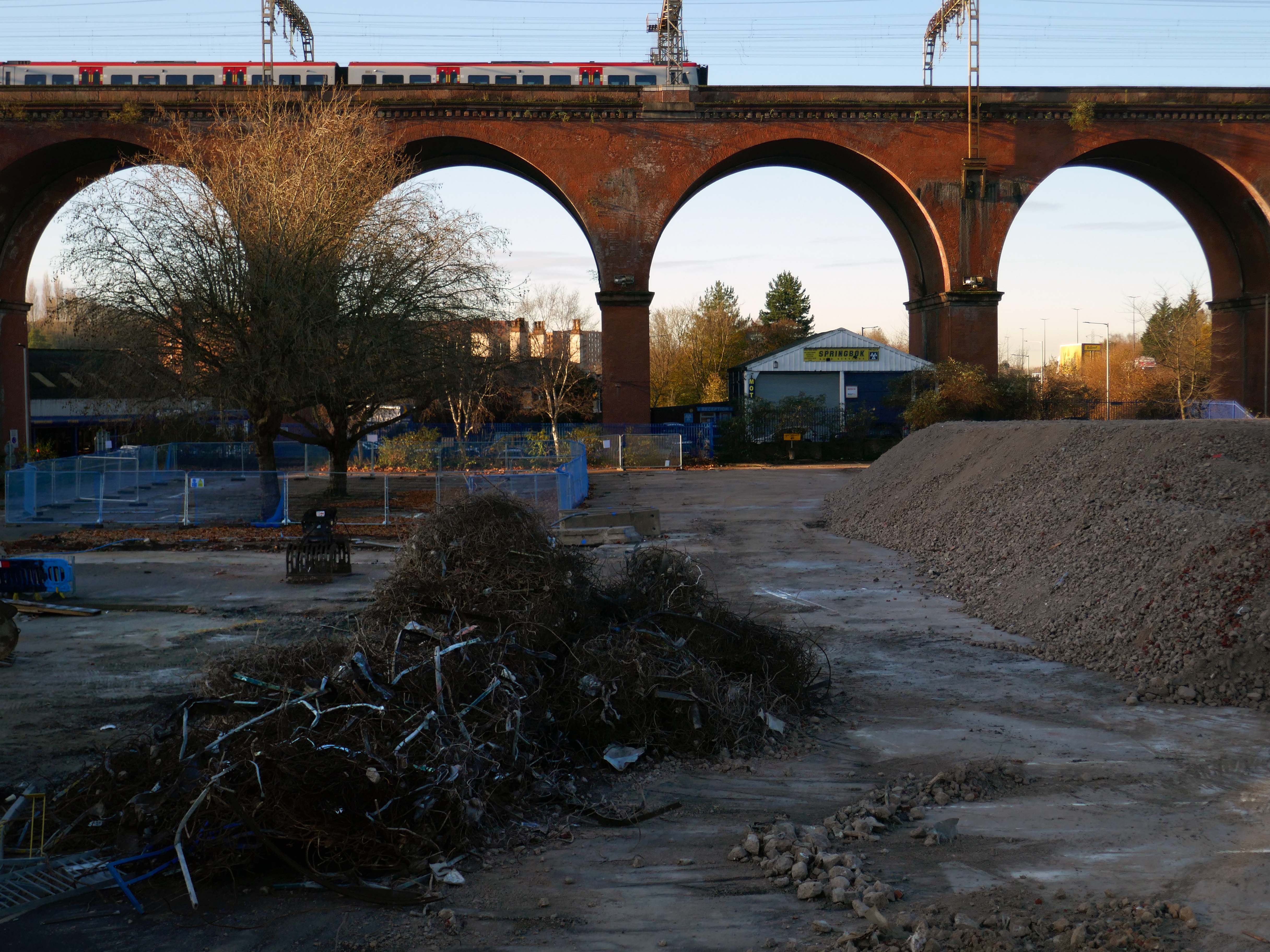
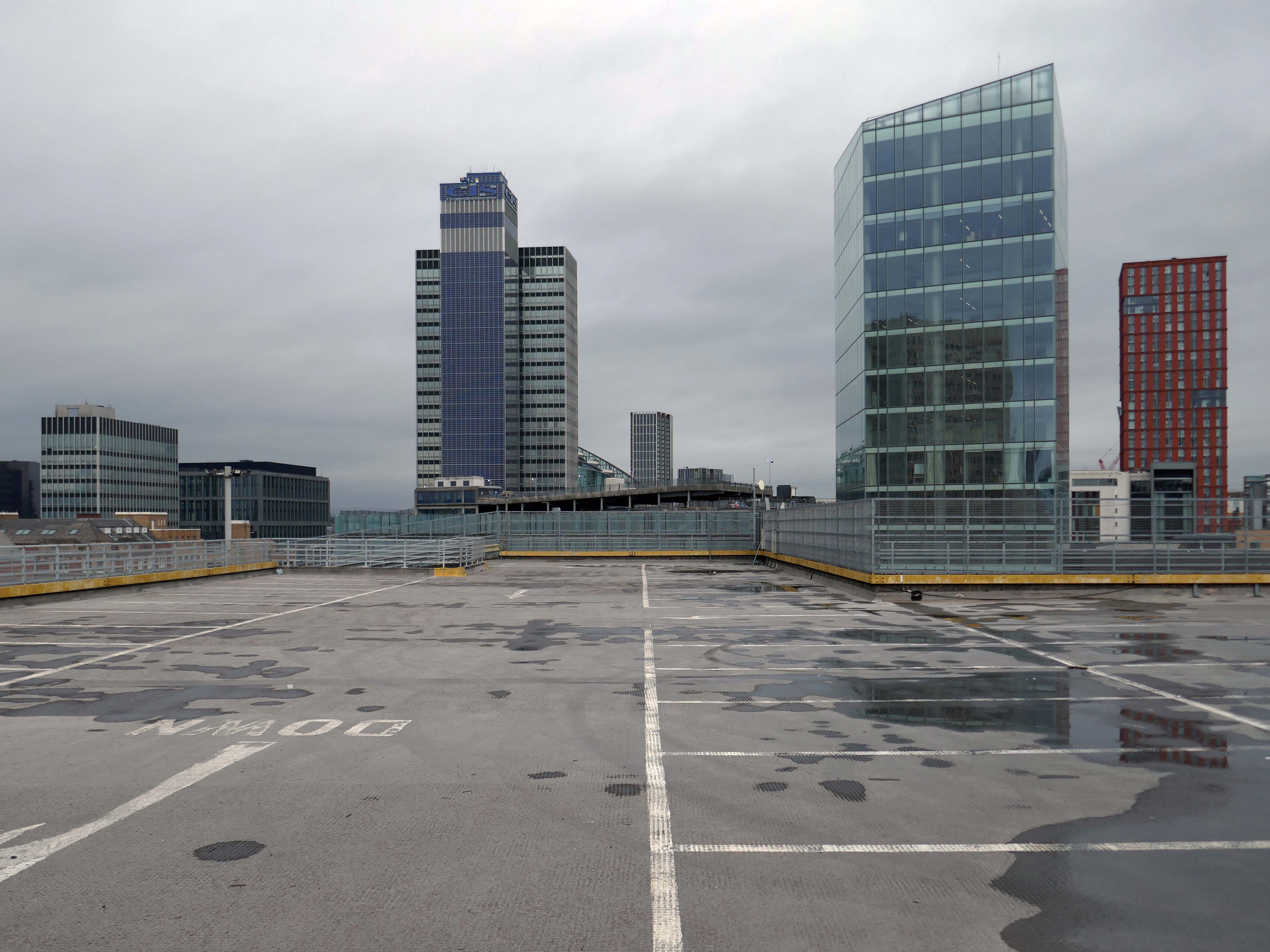
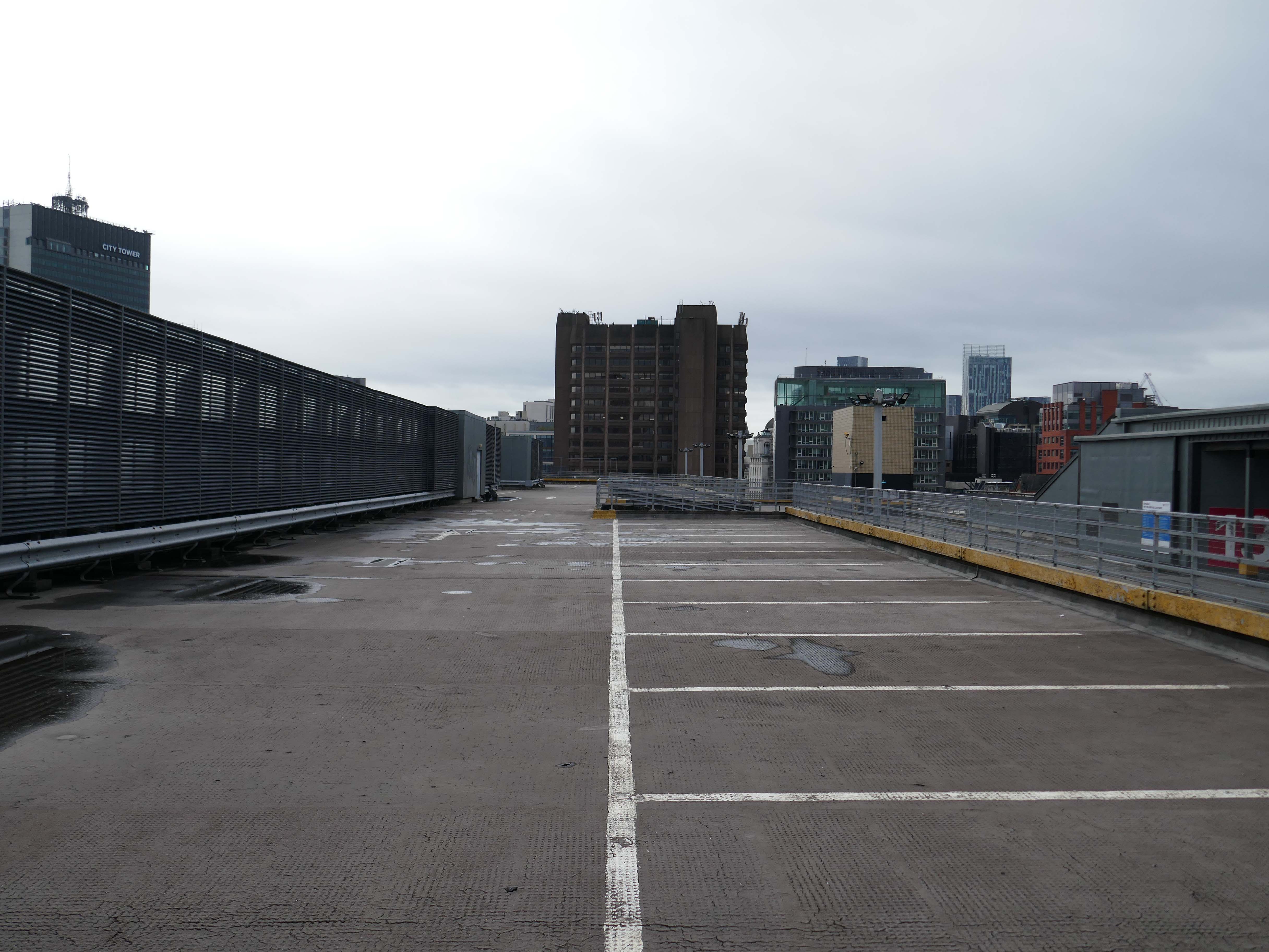
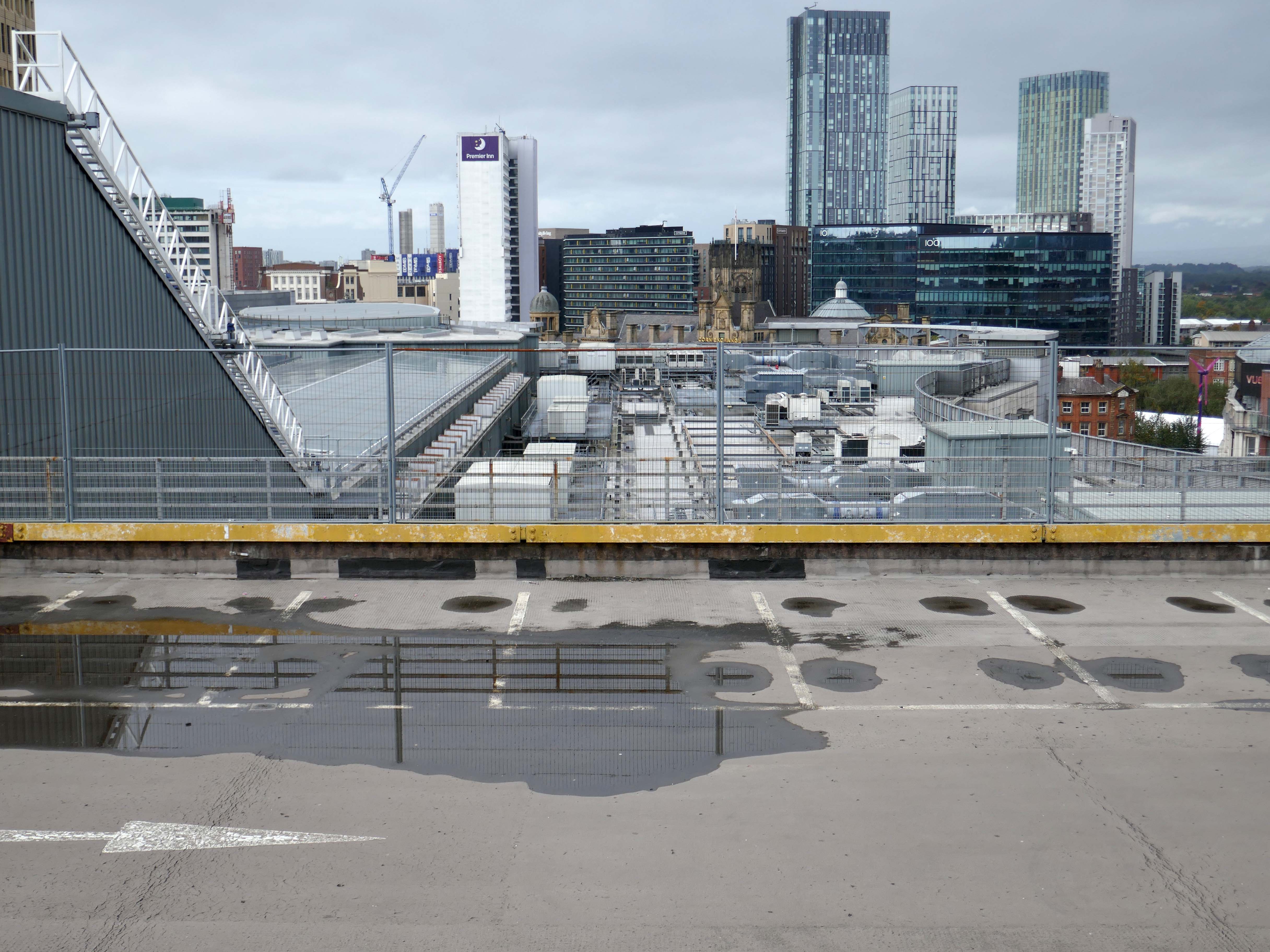
Heaton Lane car park is closed while demolition works take place.
Plans to demolish the car park were submitted by Stockport Council in September this year.
The plans propose removing the multi-storey car park down to ‘slab level’
The work itself will be carried out by removing floor slabs one by one from the parking bays, from the ground upwards. Contractor PP O’Connor has said it will take noise and dust into consideration when completing the works.
Dust suppression systems will be in place to minimise pollution.
Noise levels are not considered likely to be a nuisance, however the site manager will be able to review the demolition process if it’s deemed too high.
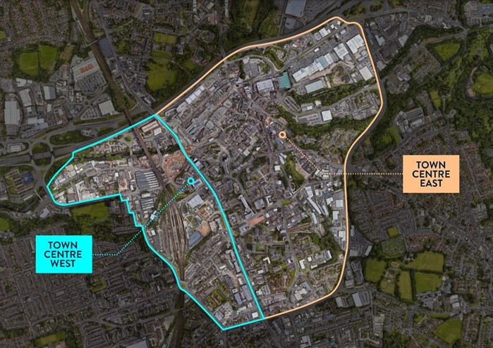
There car park is almost at the heart – on the edge of plans to regenerate the town centre.
The Strategic Regeneration Framework for Stockport Town Centre West set out how up to 4,000 new homes and 1m sq. ft of new employment floorspace and 5,300 new jobs could be delivered across Town Centre West by 2035.
In order to assess the overall economic benefit of an expanded Mayoral development area Stockport Council have developed an SRF for Stockport Town Centre East. This SRF sets out an illustrative masterplan to guide the creation of Stockport’s new neighbourhoods and achieve comprehensive urban regeneration by 2040. Together the SRFs for Town Centre West and Town Centre East will guide the development of a total of 8,000 new homes alongside services and amenities. The development set out in the SRFs will drive a transformational impact on the Stockport economy.
The Corporation is expected to be established in early 2026. It will provide a single, focused body for local decision-making; engagement with stakeholders including government departments, public agencies; private sector landowners, and developers; and to drive investment across the public and private sectors to realise the shared vision for the regeneration of the Area.
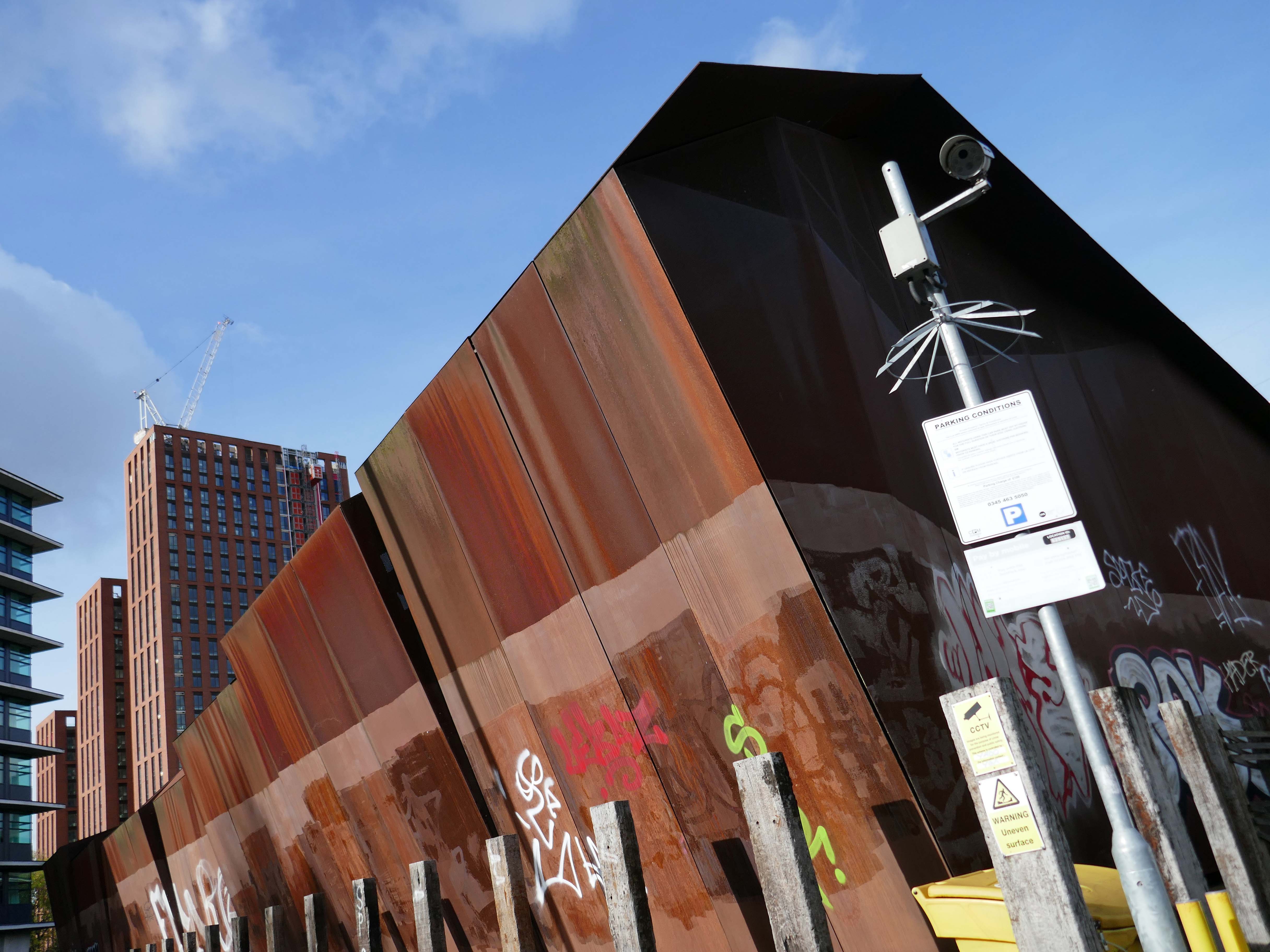
The building was cladded with a COR-TEN® steel envelope, the nature of which was relatively complex.
Corten steel sets itself apart due to the inclusion of unique alloying elements: chromium, nickel, copper and added phosphorous which gives the steel its self-protecting properties.
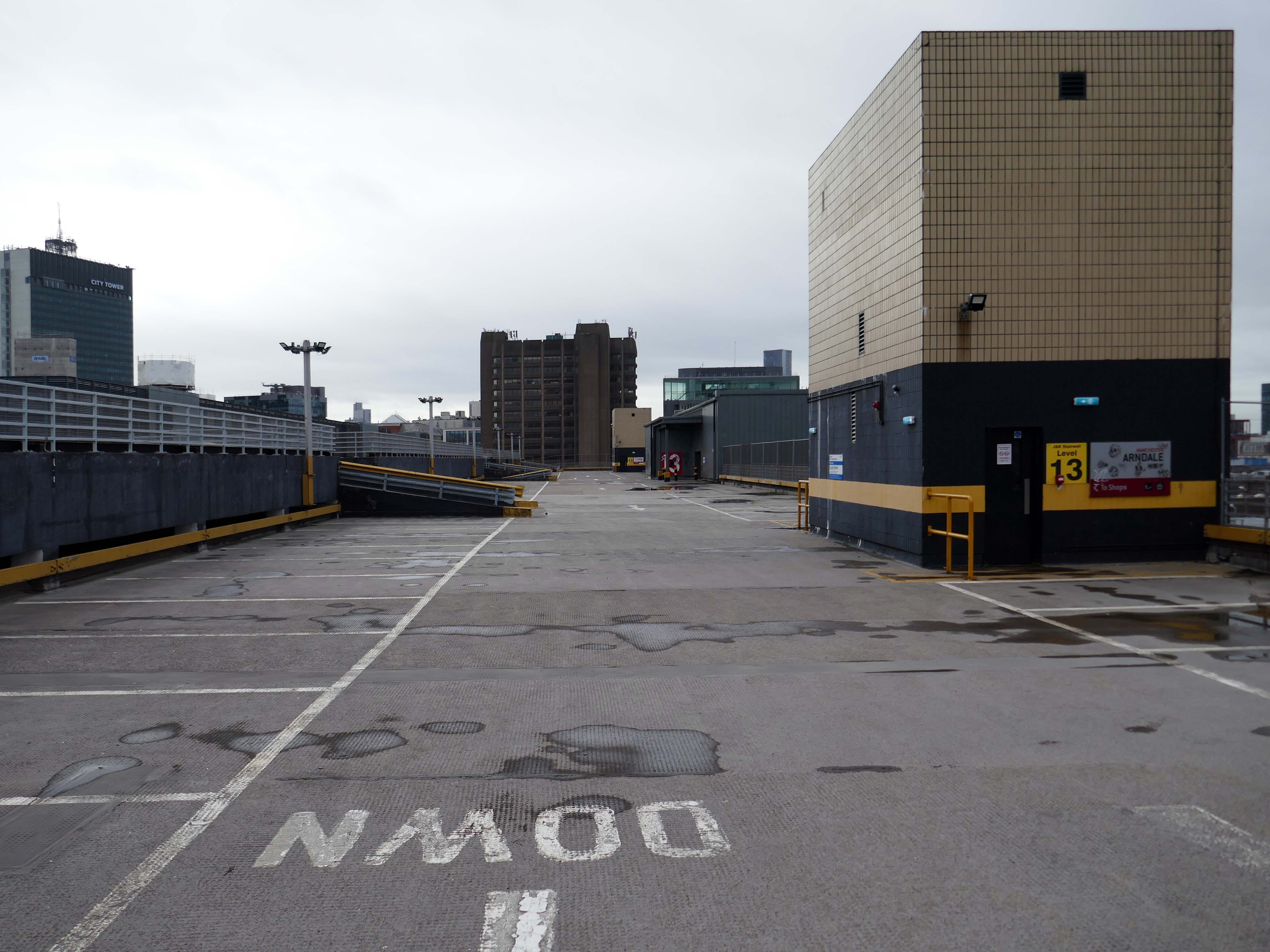
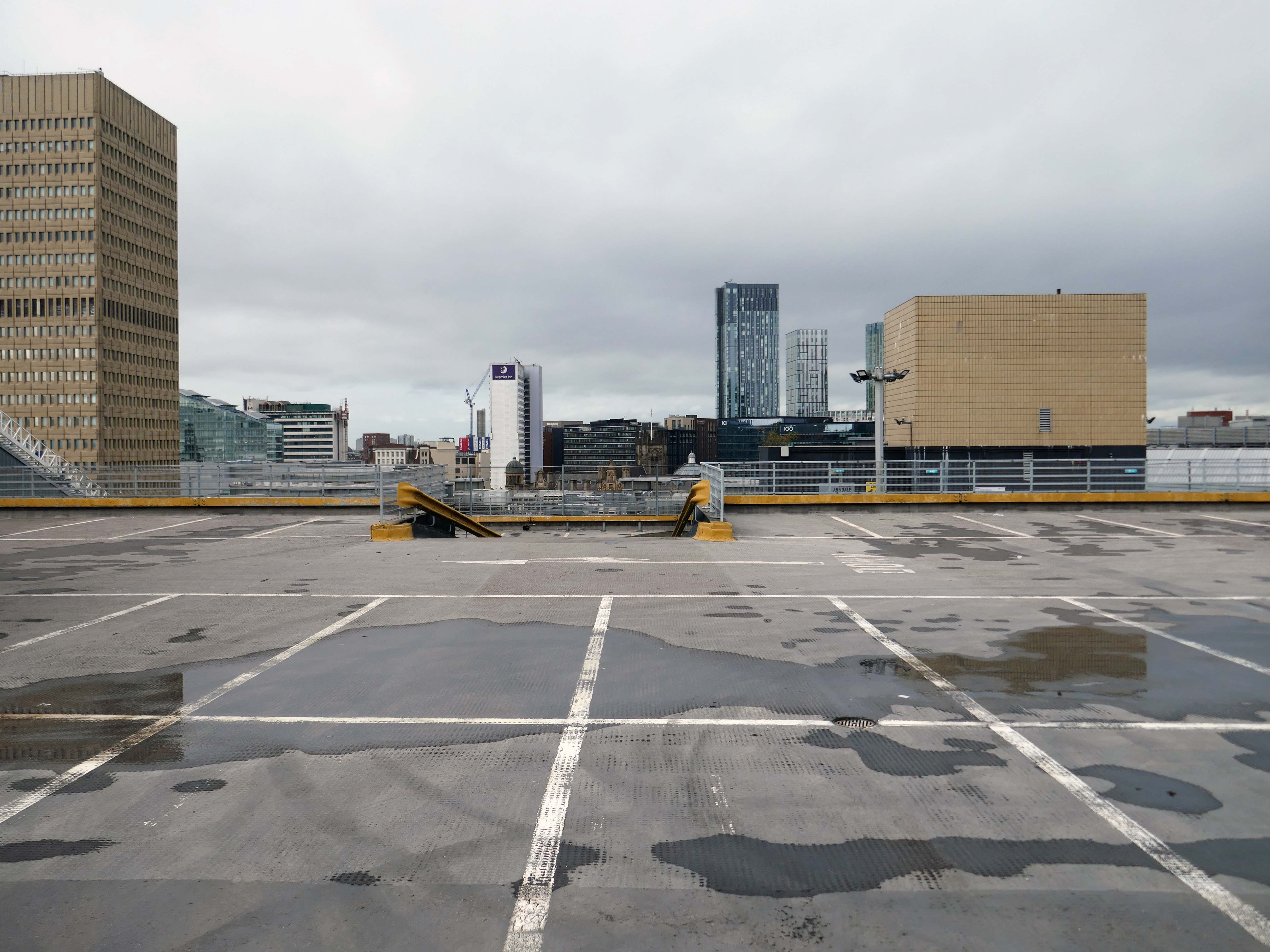
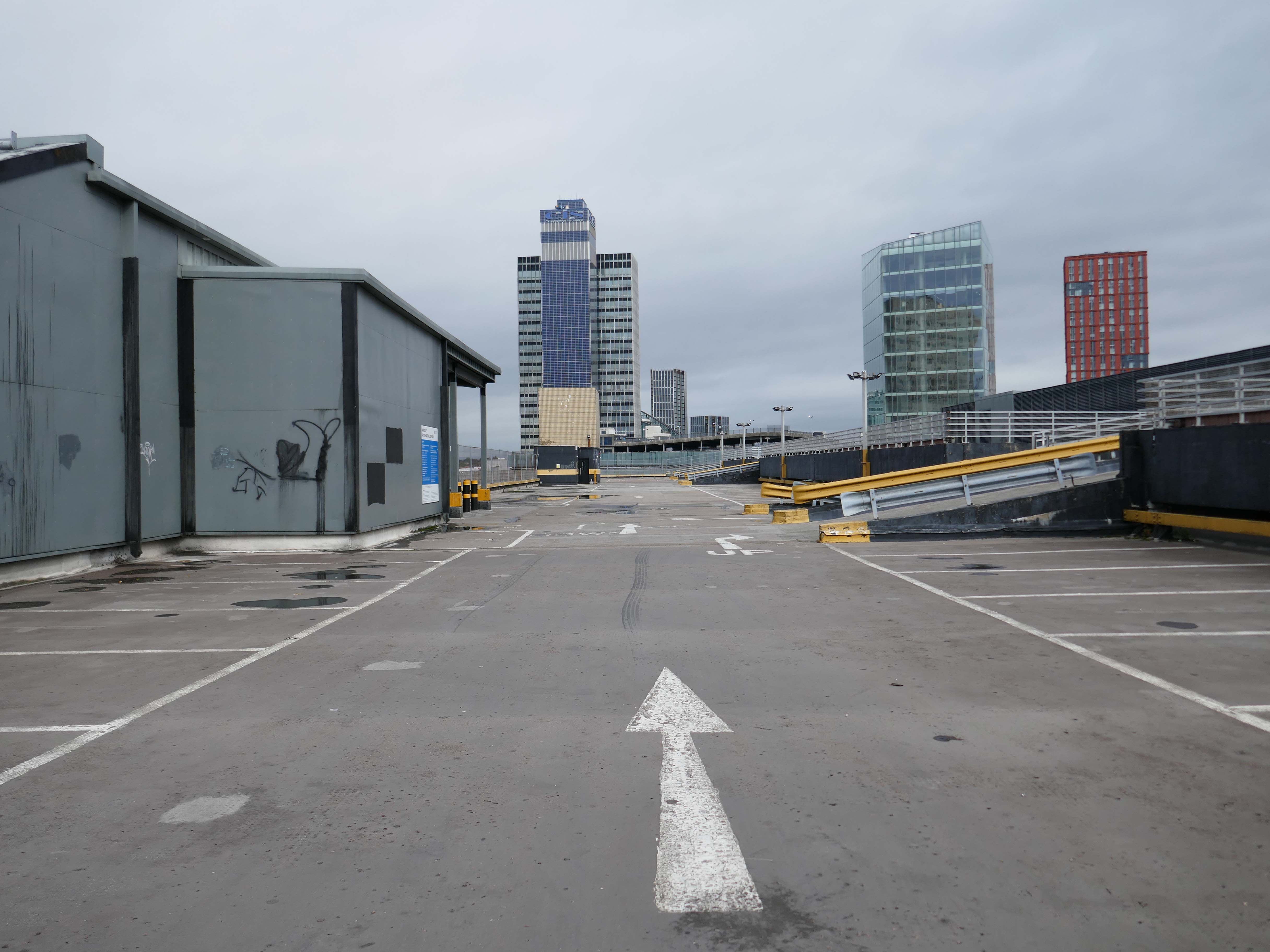
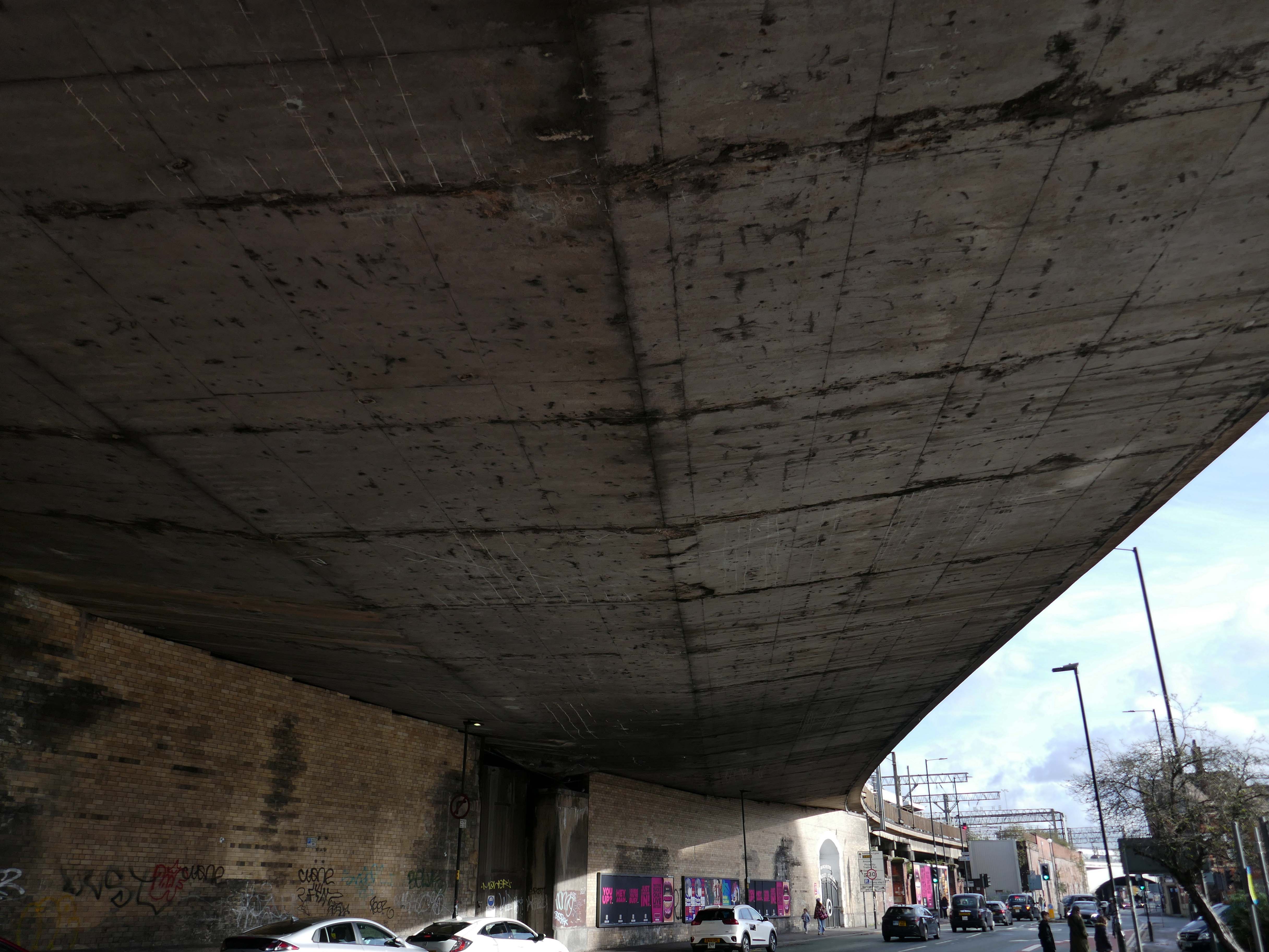
Platform 14 is primitive, I understand totally from an infrastructure standpoint because it’s on a bypass line on a bridge, but it gets too overcrowded and is windswept. The rest of the station is ok. Platforms 13/14 have not changed in 40 years, grim.
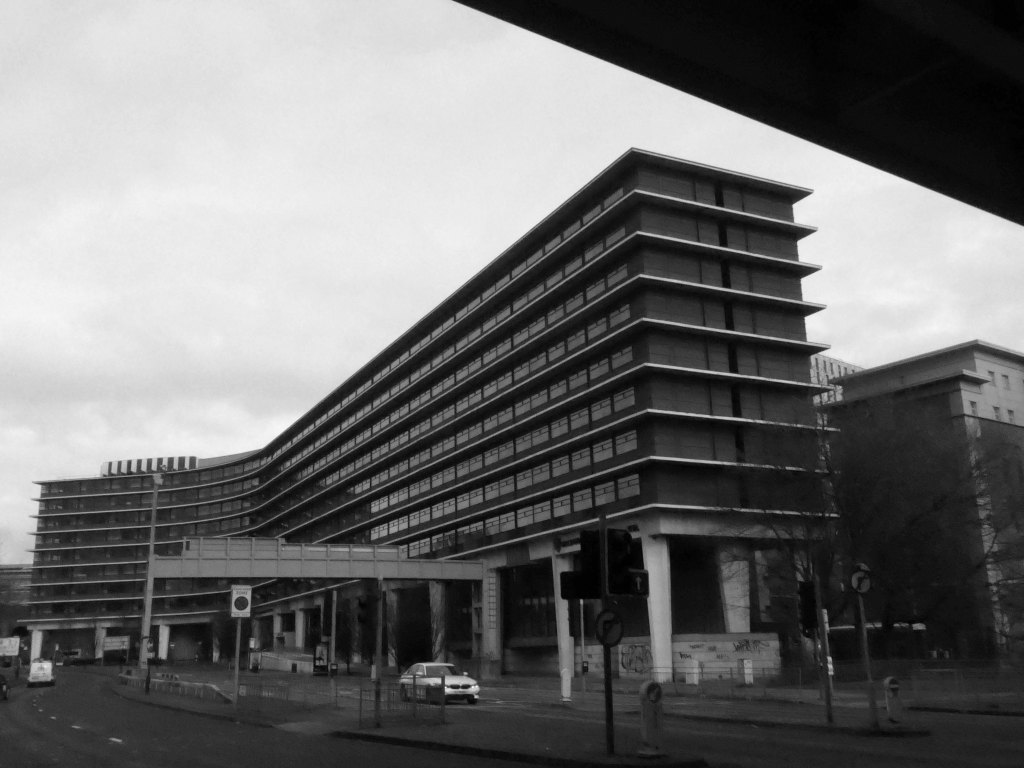
We the pass to the former BT Building – architects JW Hammond 1973.
Originally conceived as a hotel, there were no takers at the time, so it became the BT HQ.
Comprising 338 rooms, Manchester Marriott Hotel Piccadilly is near a shopping district, a 10-minute ride from Etihad Stadium. Offering a location right in the centre of a beautiful neighbourhood, this comfortable hotel boasts a lounge bar along with city views.
The developer’s architects now propose to ‘reimagine’ the artwork and incorporate it into the foyer of the new office building. However, this ‘reimagining’ requires large sections of the artwork to be removed by cutting away and ‘folding’ around 30% of the sculpture.
From beneath the roadway we can see the Ferranti Building.
Crossing over to see the Brunswick Estate, built in the Sixties and Seventies and recently refurbished.
S4B is a partnership leading the £106m regeneration of Brunswick, Manchester. The Brunswick Regeneration PFI is a combination of government funding, private investment and expertise that will revitalise Brunswick. Improvements will include council home refurbishments, new homes for sale and to rent and an improved neighbourhood design.
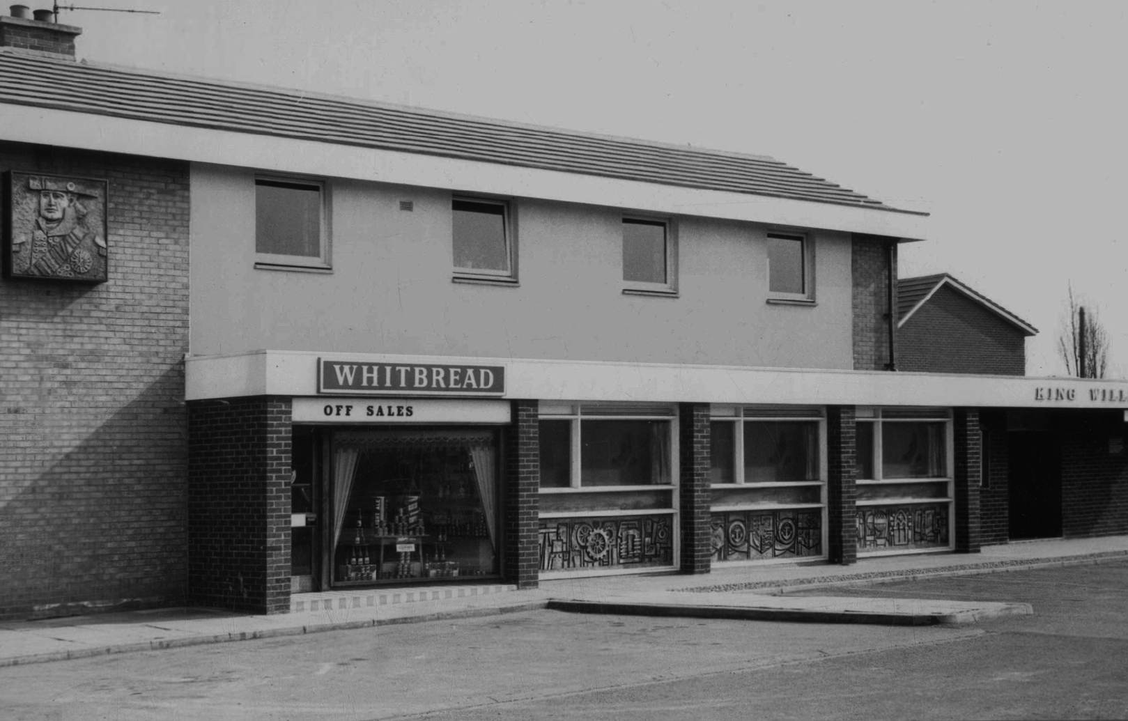
Long gone lost estate pub from the estate – King William IV a former Chesters then Whitbread estate pub was built in 1967. Closed in 1996 when it was converted to residential property. It had a brief spell 1991 to 1995 as brewery premises for the Dobbin’s West Coast Brewery, during this period the interior was stripped out to accommodate the brewery paraphernalia.
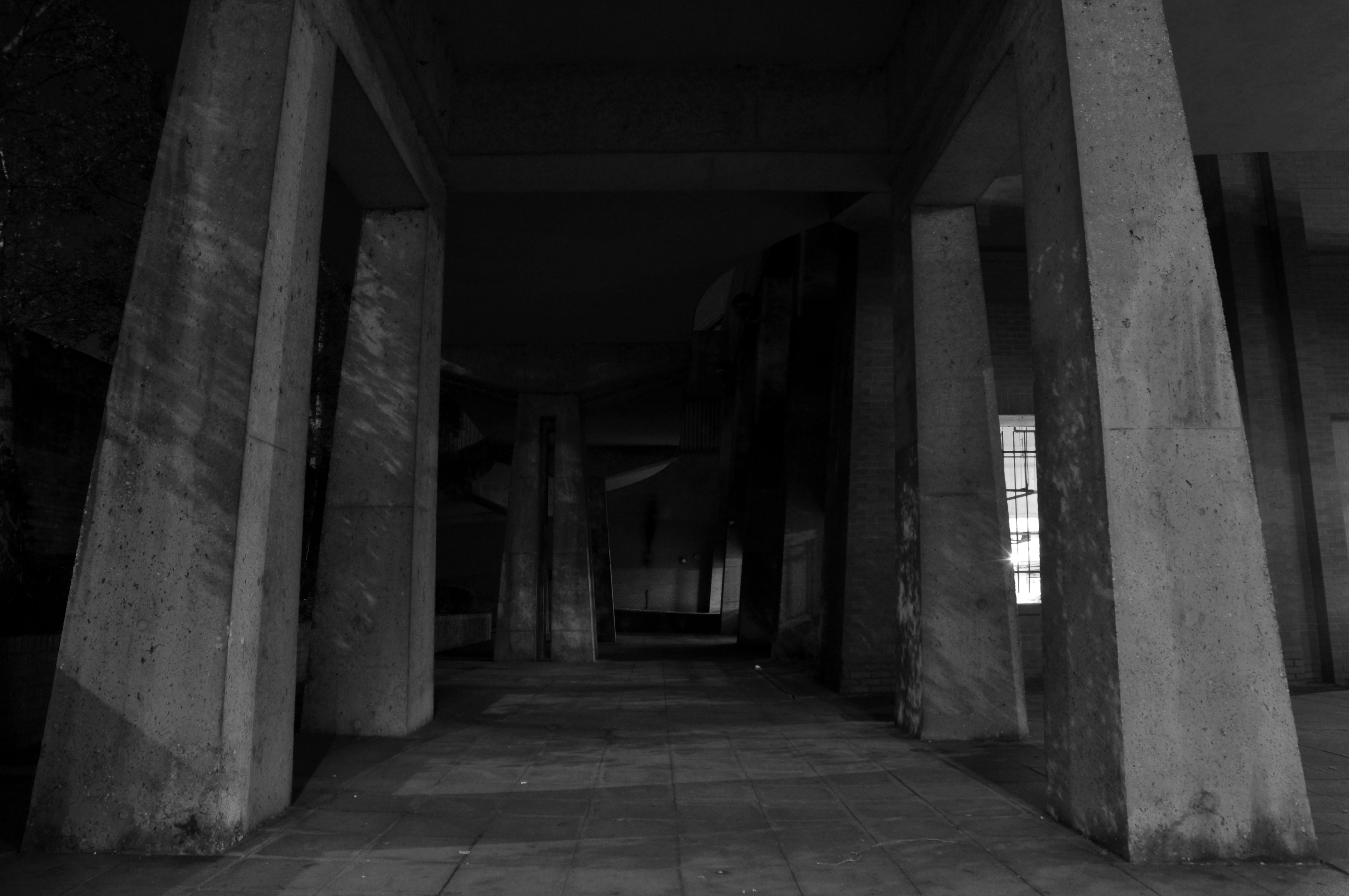
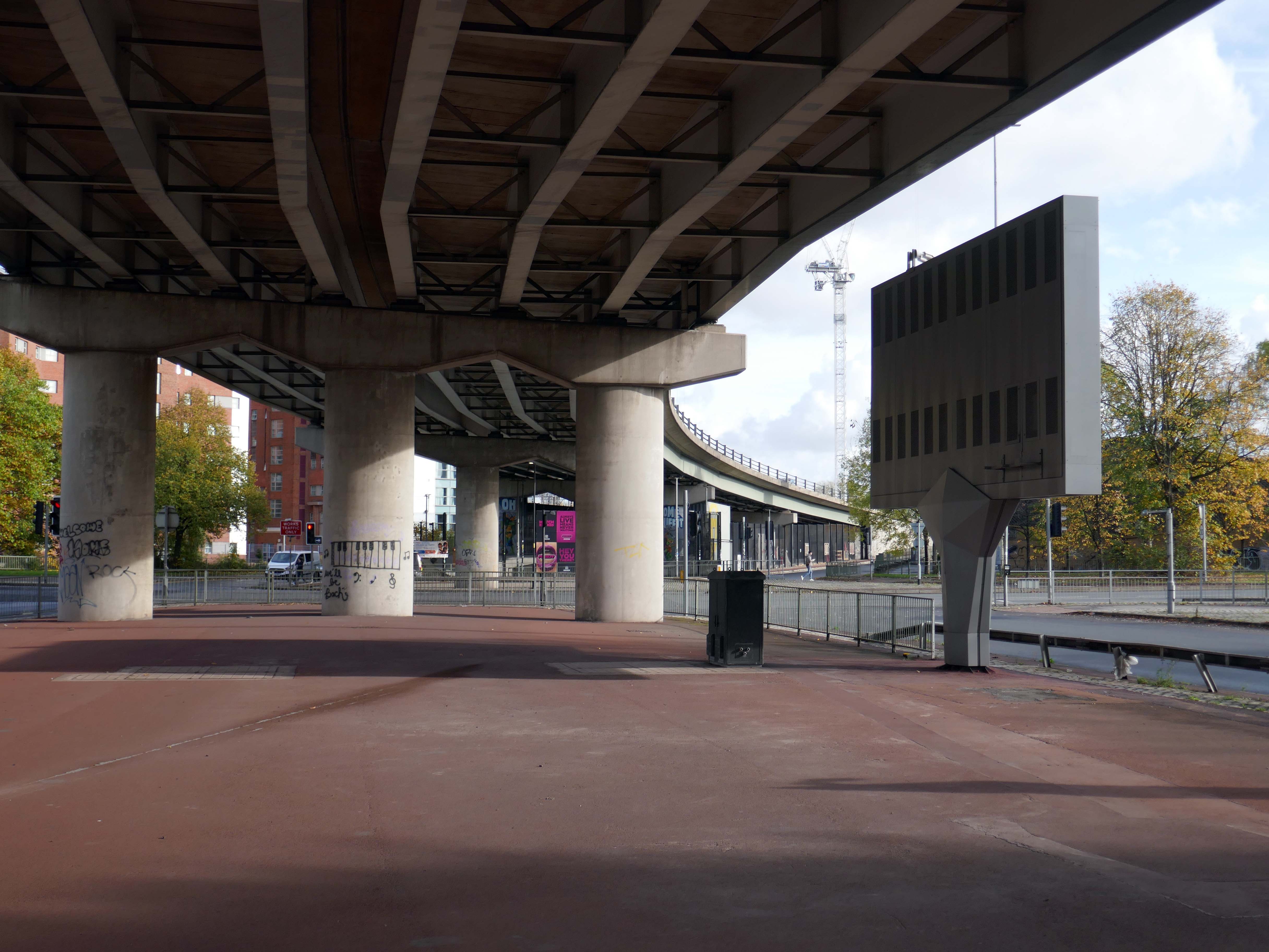
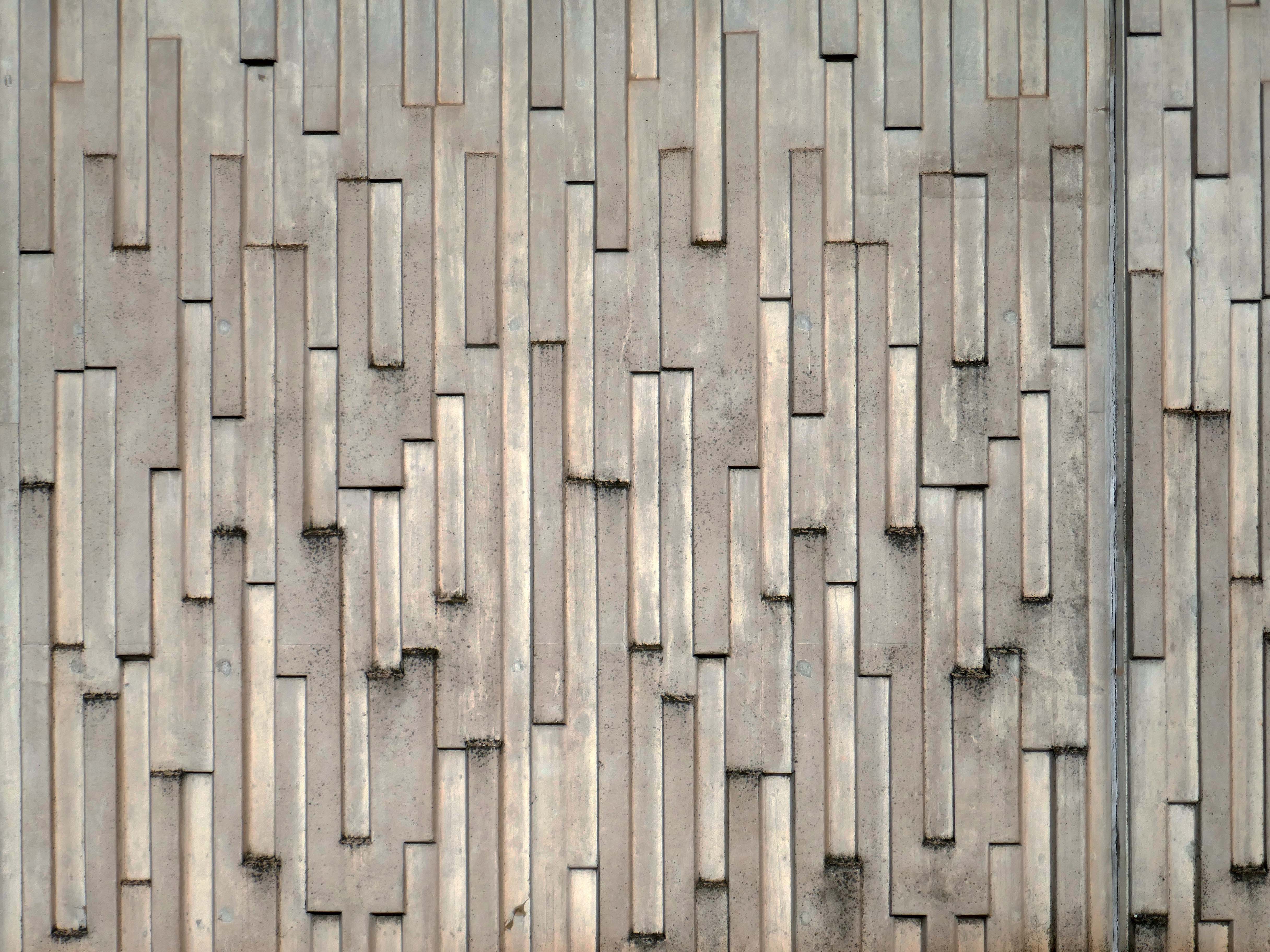
We take a jog around the block to see the concrete relief that clads the road ramp.
Where there was once a giant Cooperative Store there is now a light industrial and retail estate.
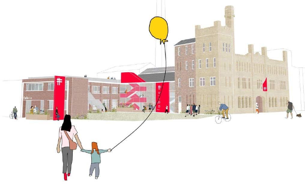
The Diocese of Manchester has been working in partnership with the Church Revitalisation Trust to open Fabric Church and refurbish the building, following a successful bid to the Church of England’s Strategic Mission and Ministry Investment Board.
We’re excited to be working alongside Fabric Church on the transformation of the Grade II listed former Ardwick Barracks in Manchester. This ambitious refurbishment project will see the historic site reimagined as a vibrant community hub, featuring a new worship hall, community café, offices, meeting spaces, and more.
Alongside Ardwick Green Park there are new housing developments nearing completion.
Ardwick Green combines contemporary design with great light infused spaces, offering stylish homes with a modern twist, private parking, outdoor spaces and a welcoming community atmosphere an urban retreat that truly feels like home.
With the city just moments away, living at Ardwick Green will give homeowners easy access to Manchester City Centre and beyond with its vibrant social scene, bustling business landscape and extensive transport network on your doorstep.
Without which much of what we understand as the modern age would possibly not now exist.
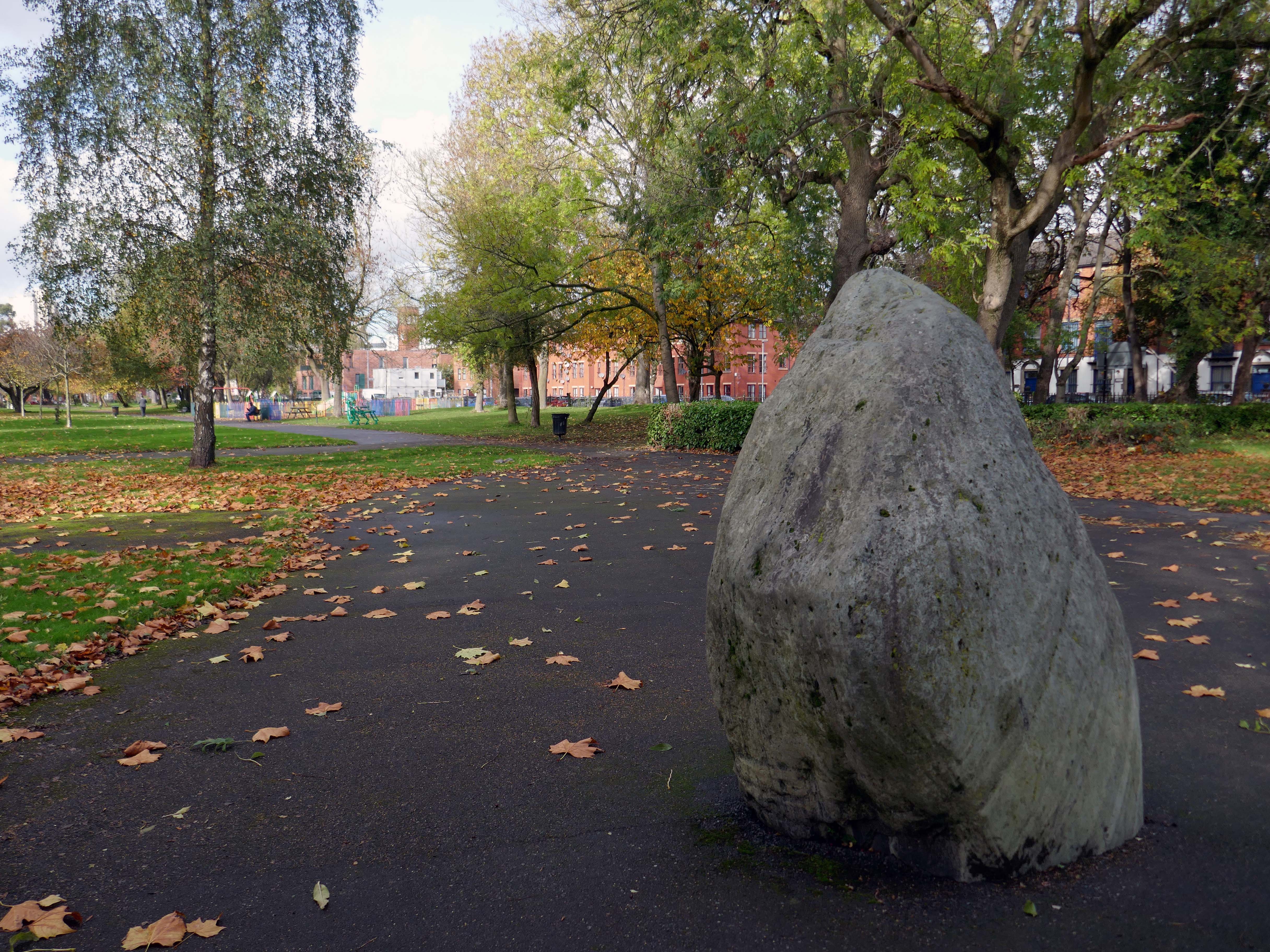
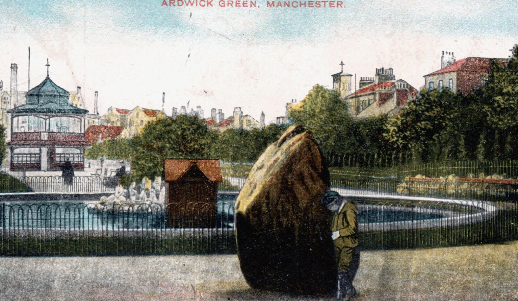
It appears to be green slate from the Lake District, the native underlying rock in this part of Manchester is a red sandstone.
Postcard of 1906
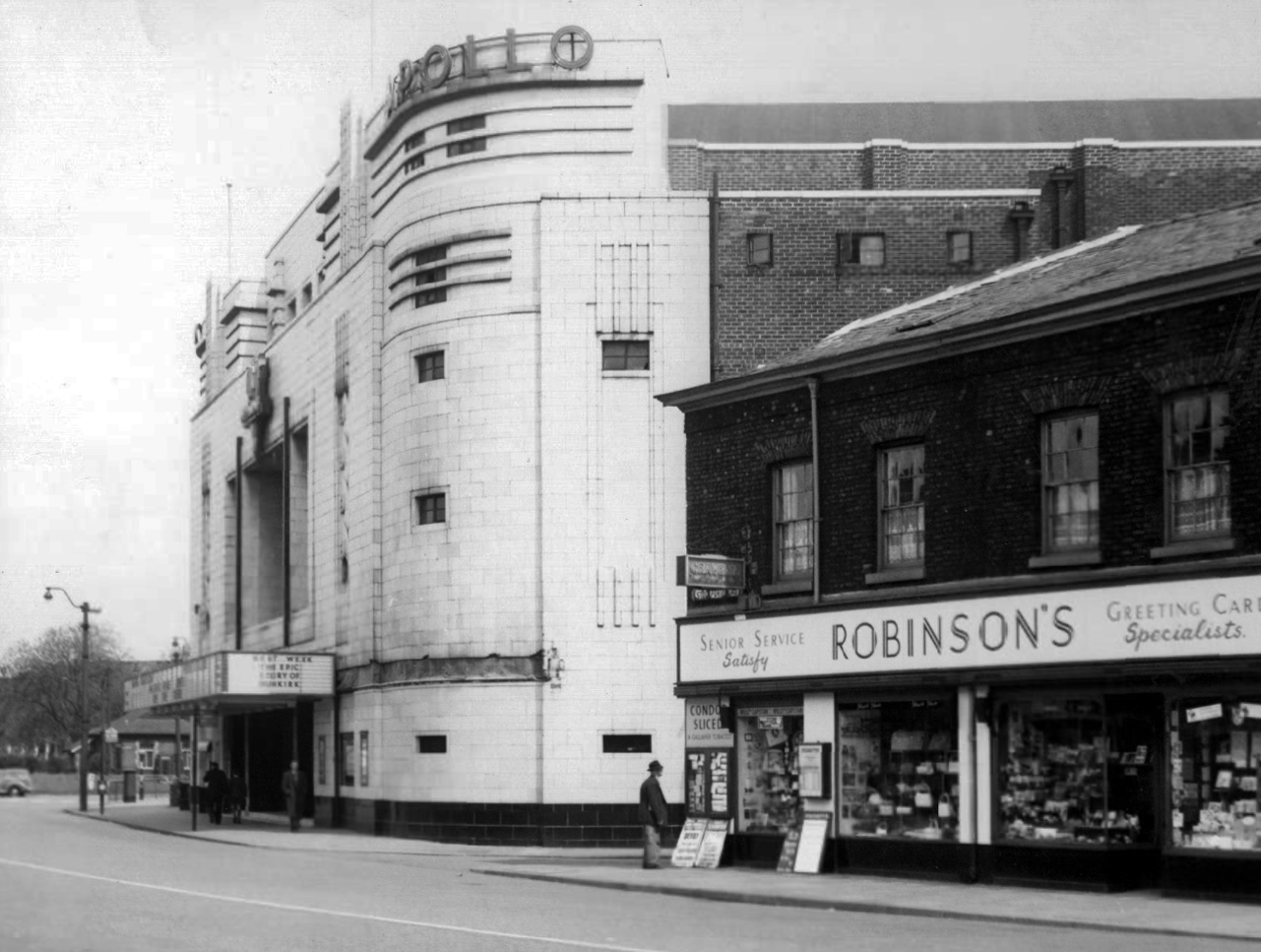
The Apollo of course prevails. – seen here in 1958
Architects: Peter Cummings Alex M Irvine
Opened on 29th August 1938 the interior decorations were carried out by noted interior designers Mollo & Egan with the Holophane lighting designed by R Gillespie Williams.
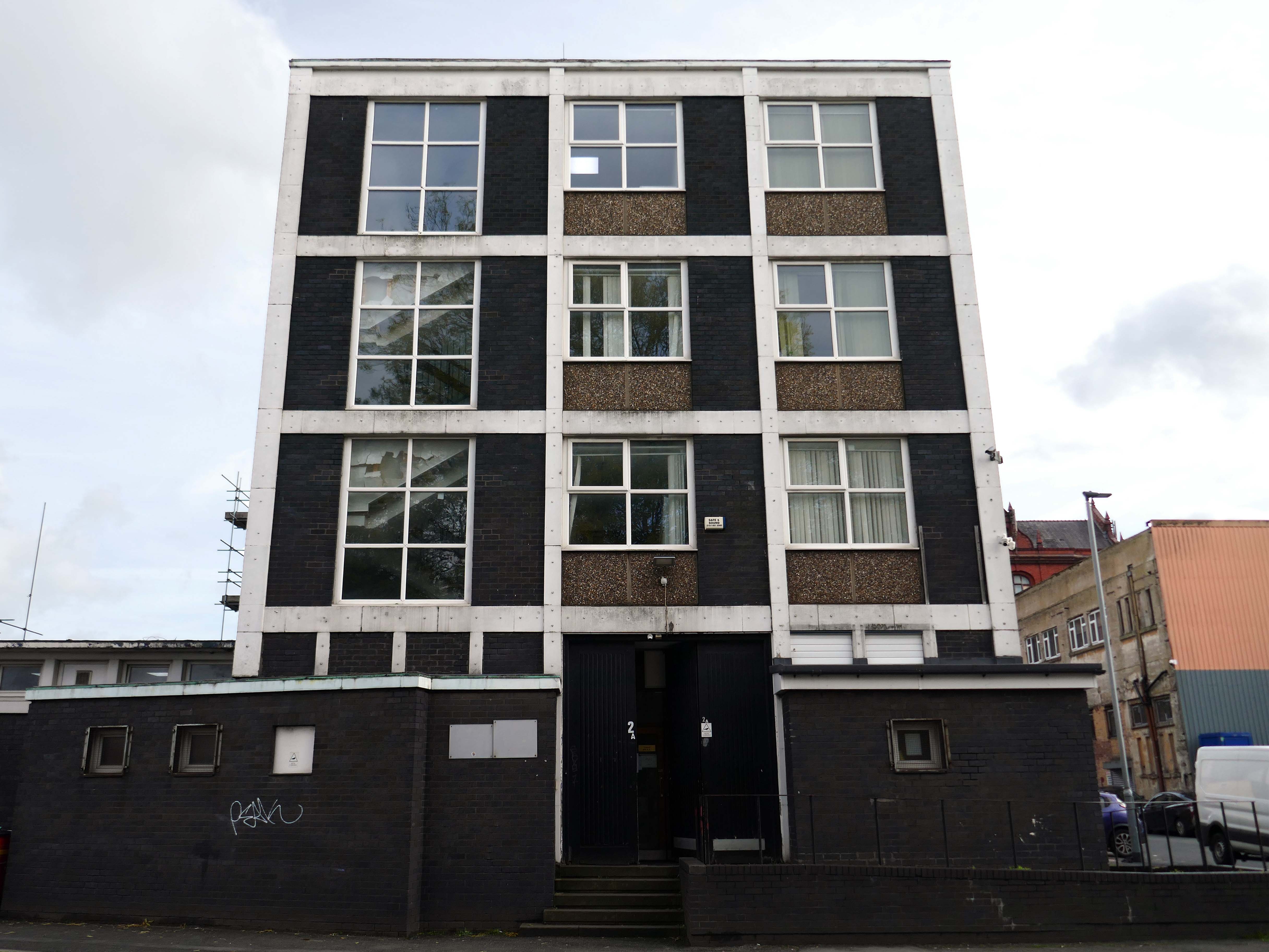
This Sixties municipal building remains a mystery.
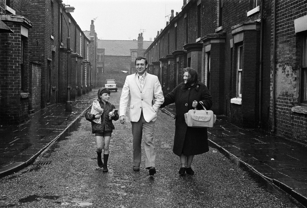
Actor Harry H Corbett visiting his childhood area in 1969, he lived on Earl Street and later in Wythenshawe.
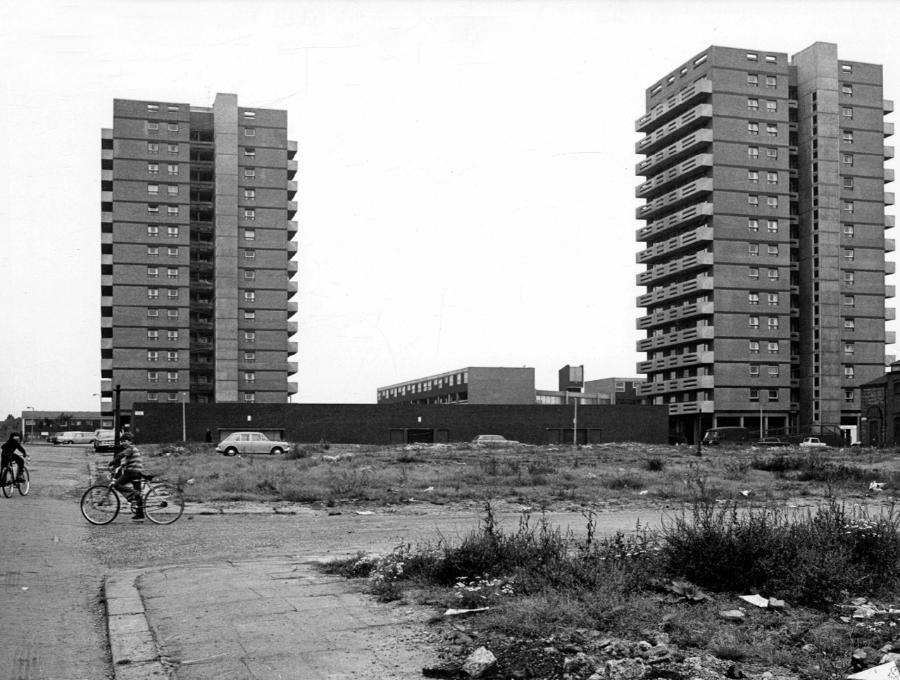
I have been here before recording the history ofManchester City FC on this site.
A football stadium surrounded by railways, roads, homes and industry.
The area is now much changed, though the railways and roads remain, the homes are in a state of flux.
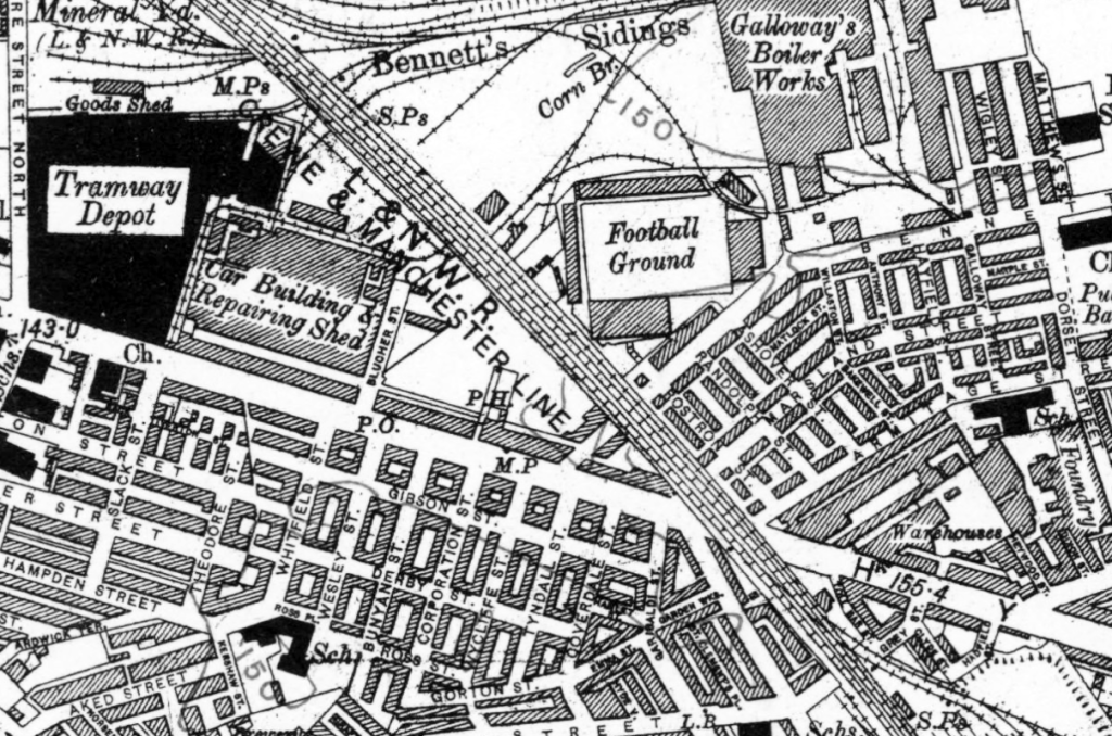
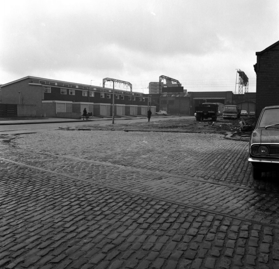
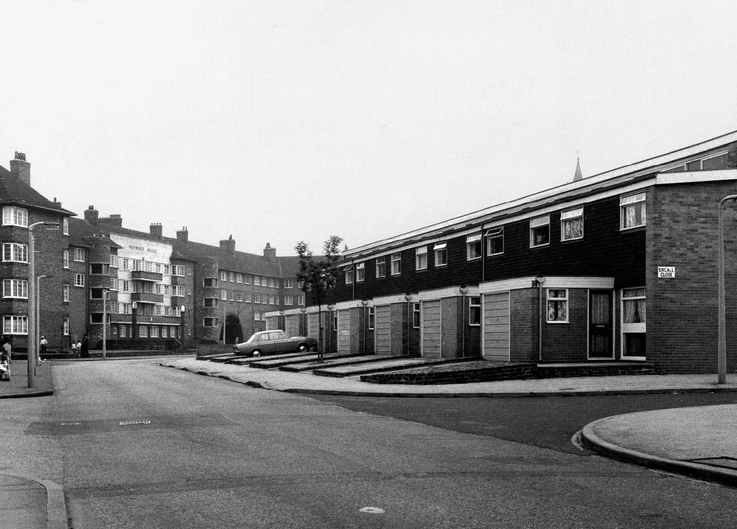
Local Image Collection: Bennett Street with Heywood House 1972 – photo Anne Jackson.
Local Image Collection: Wenlock Way flats taken from Bennett Street – Photo Ben Garth 1972
Local Image Collection: Matthews Street from Bennett Street 1964 – Photo Thomas Brooks
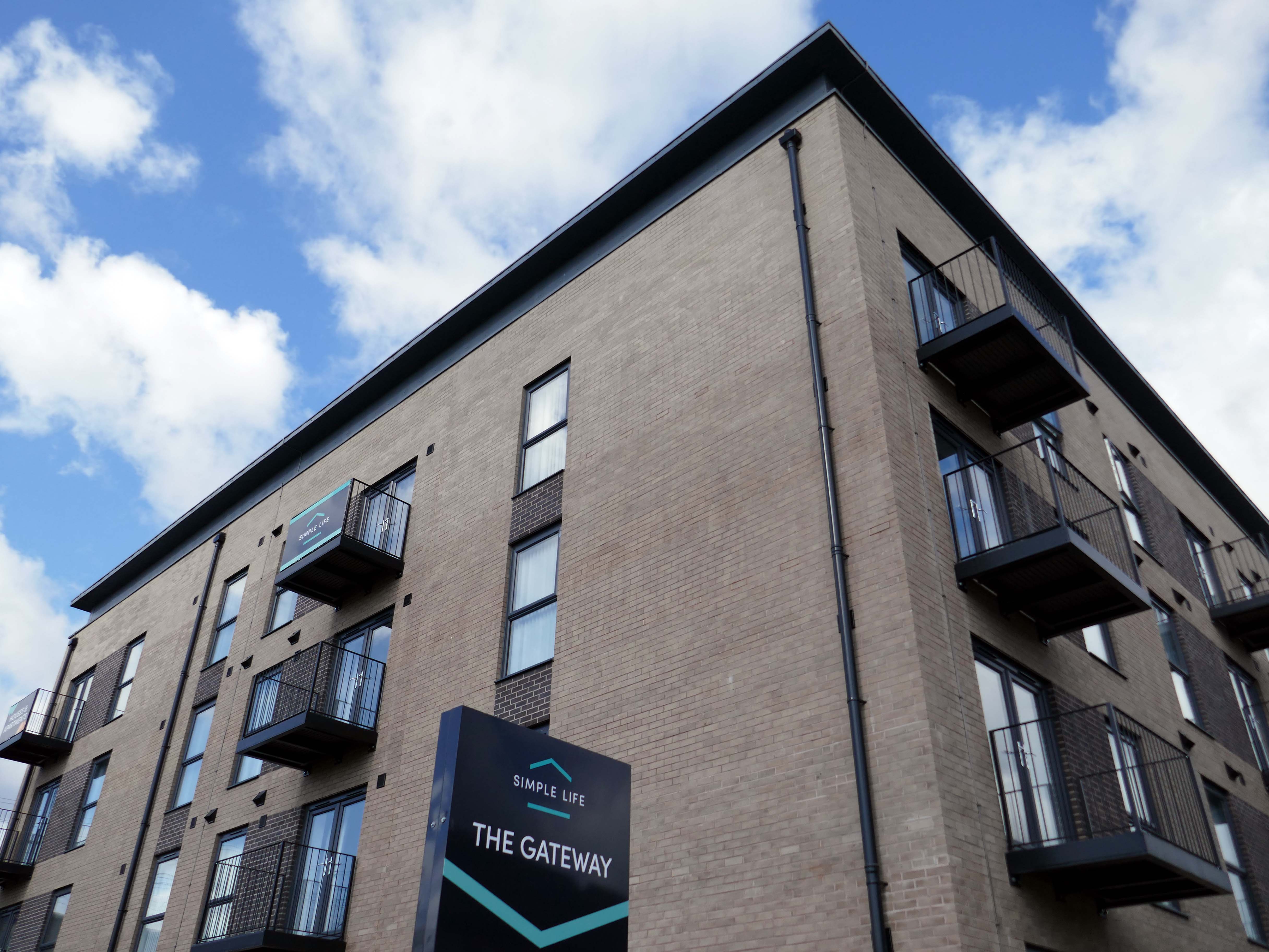
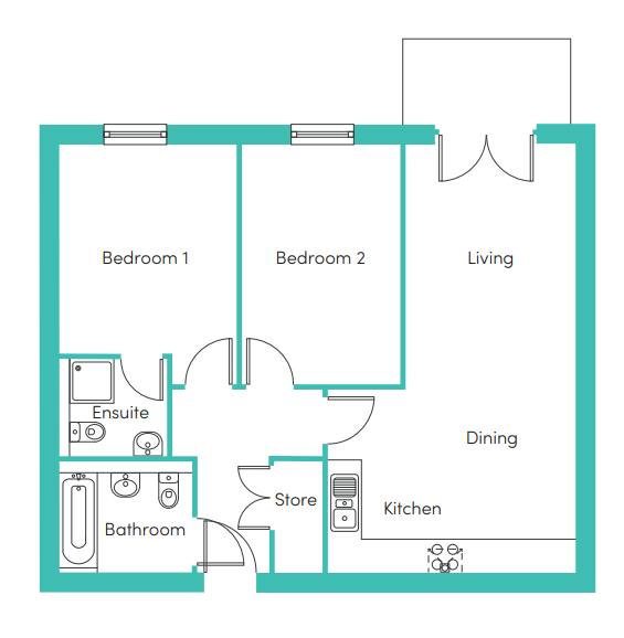
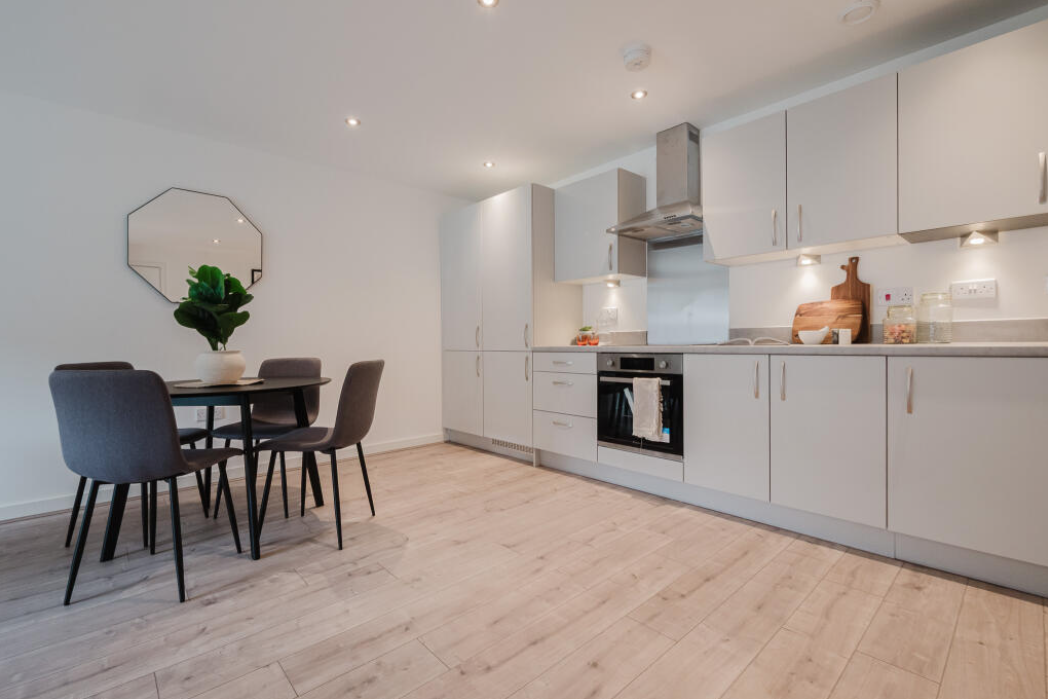
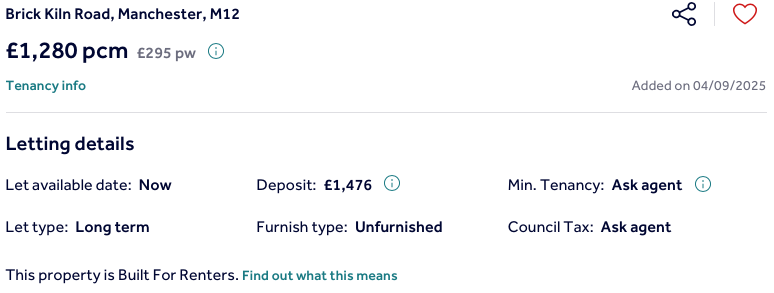
The Gateway to the Simple Life is here.
Situated in Ardwick, one mile outside of Manchester’s vibrant city centre, The Gateway is a distinctive development offering a collection of homes and apartments to rent.
Enjoy living in the prime location of Manchester’s bustling city centre, where there is a vast range of employment opportunities, cafes, bars and restaurants. All year round, you can benefit from various fun days out with events and activities available on your doorstep.
In addition to the apartments there is a mixed development of terraced, detached and semi-detached homes.
We pride ourselves on building places you can call your forever home, knowing it won’t be sold from beneath your feet. We offer renters a whole new experience which brings together the best of both worlds – all the perks of a private rental with the added excitement for customers at the start of a development to choose their own plot and watch it being built.
With home ownership becoming unaffordable for some and an unappealing lifestyle choice for others, we meet the need for a high quality home which still feels secure in the long term.
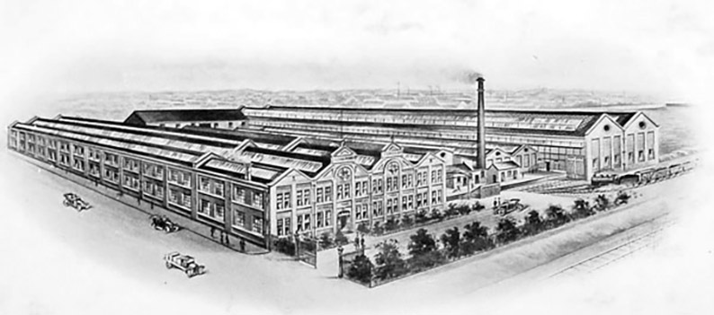
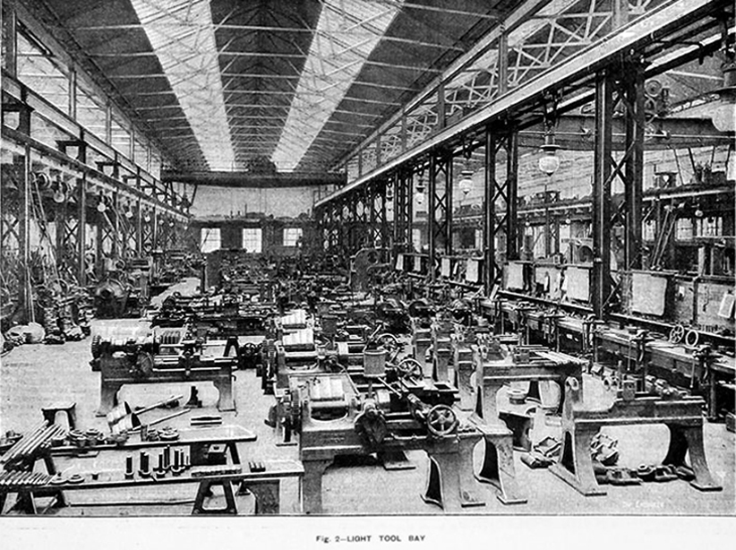
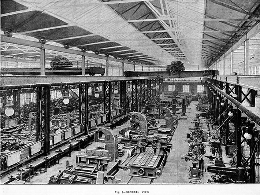
This was a world of heavy and light engineering, which reached in a broad swathe across Greater Manchester, from Stockport to Cheetham Hill and beyond.
This is the Gorton Works – illustrations taken from Graces Guide.
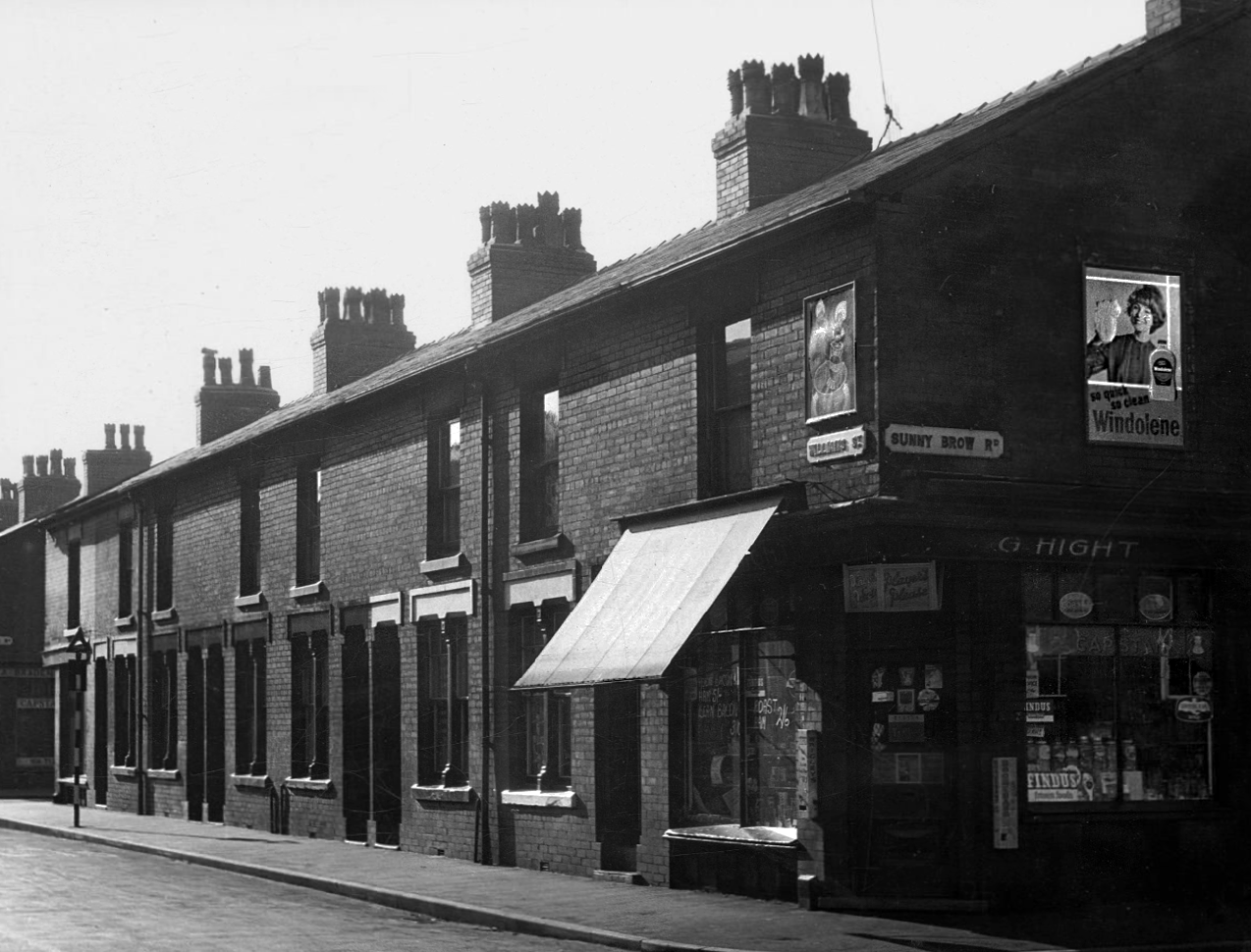
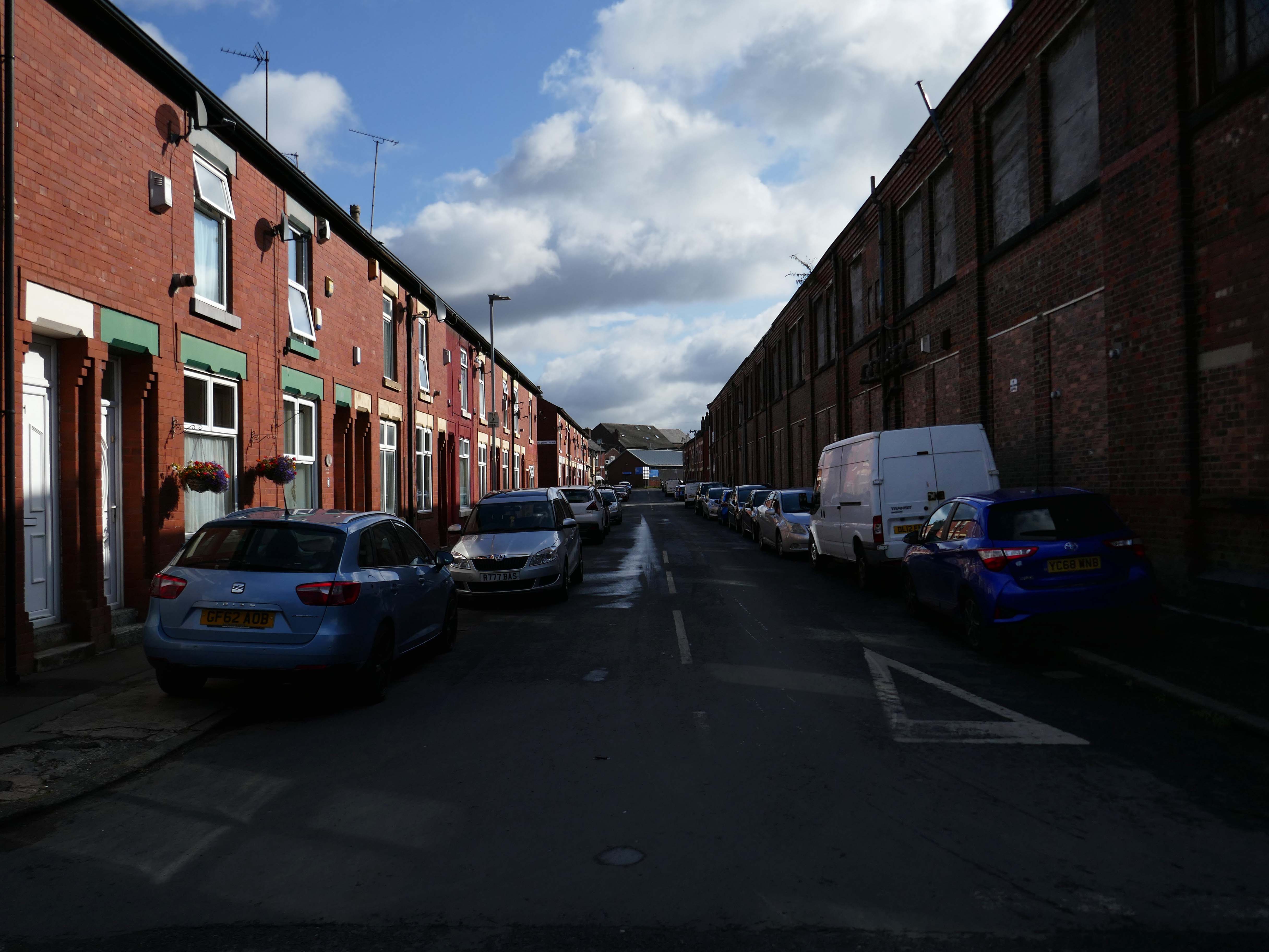
This was a world of terraced houses and corner shops, side by side with the local works.
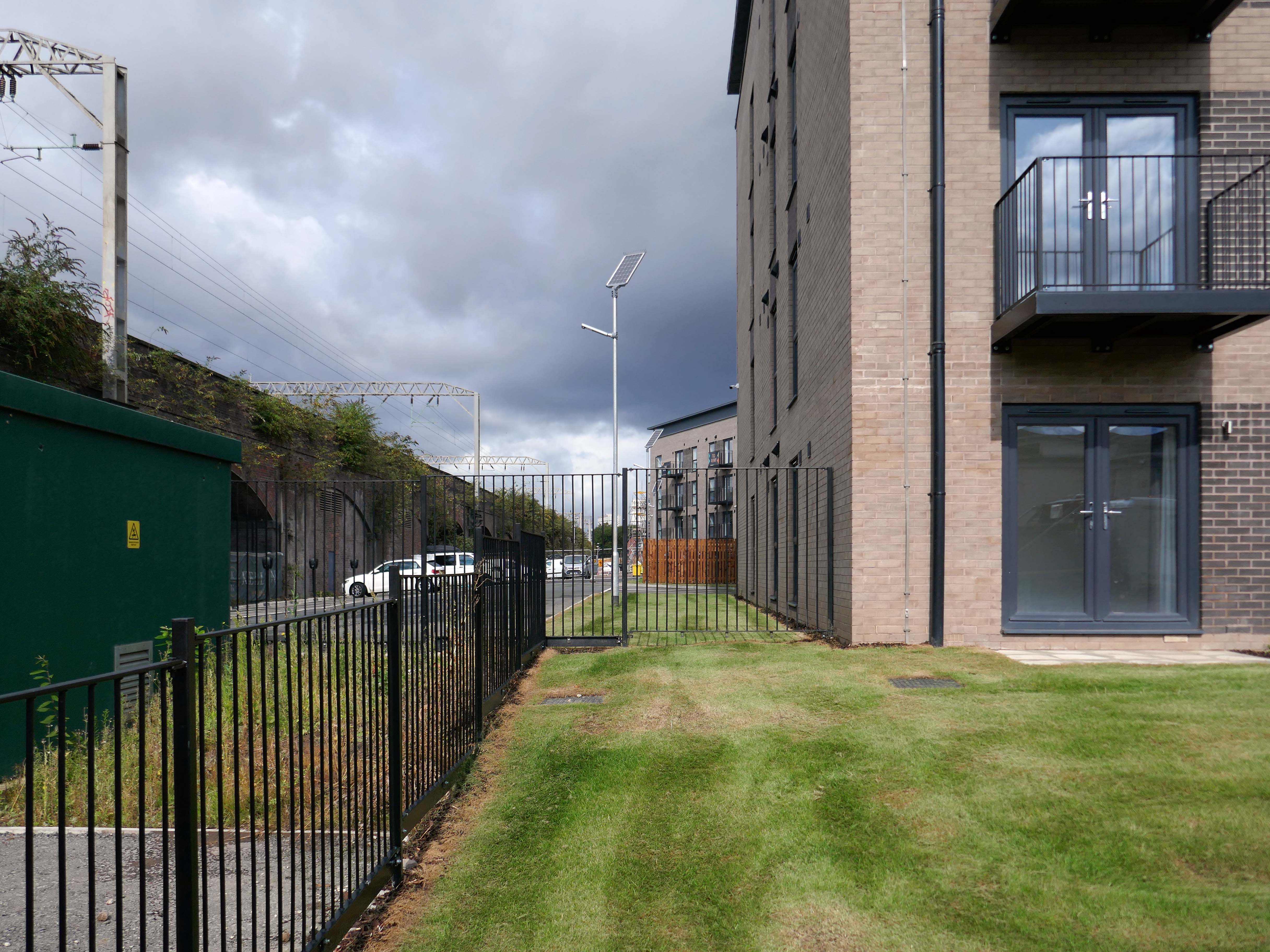
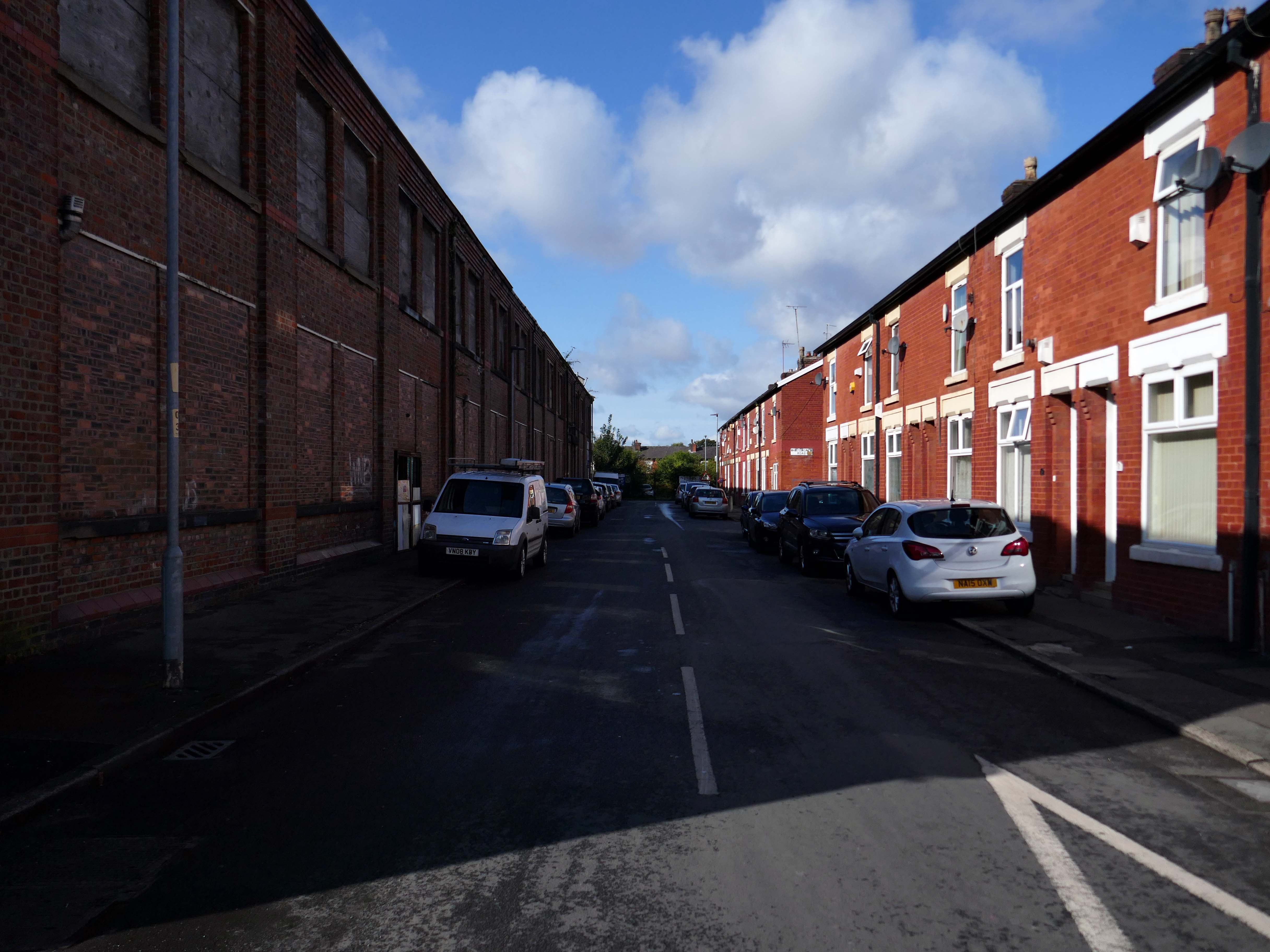
This is that corner of Williams Street and Sunny Brow Road today.
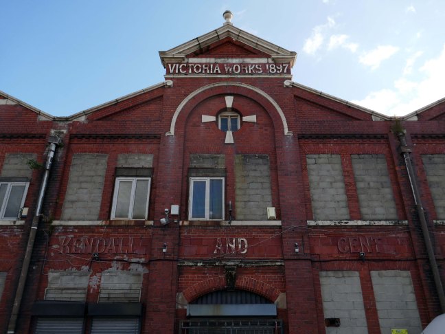
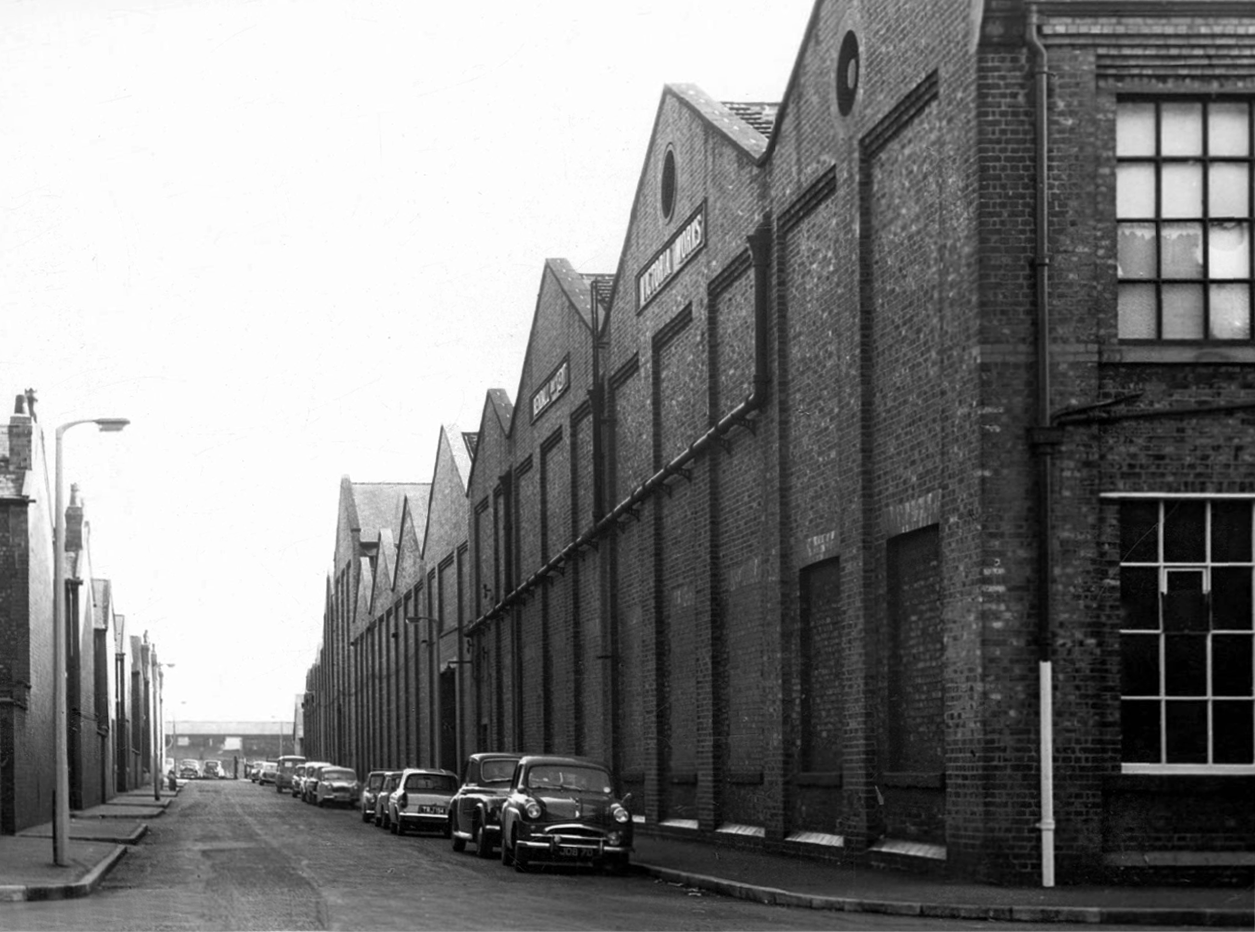
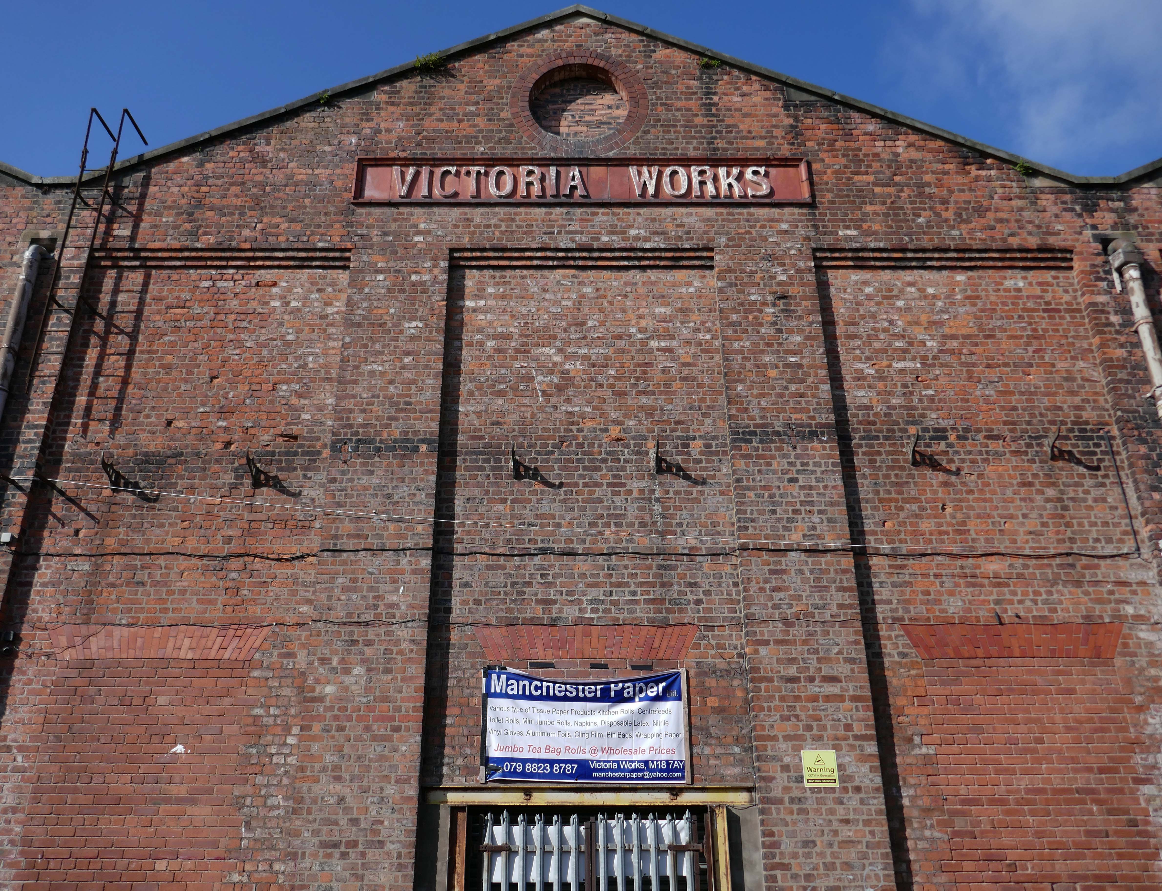
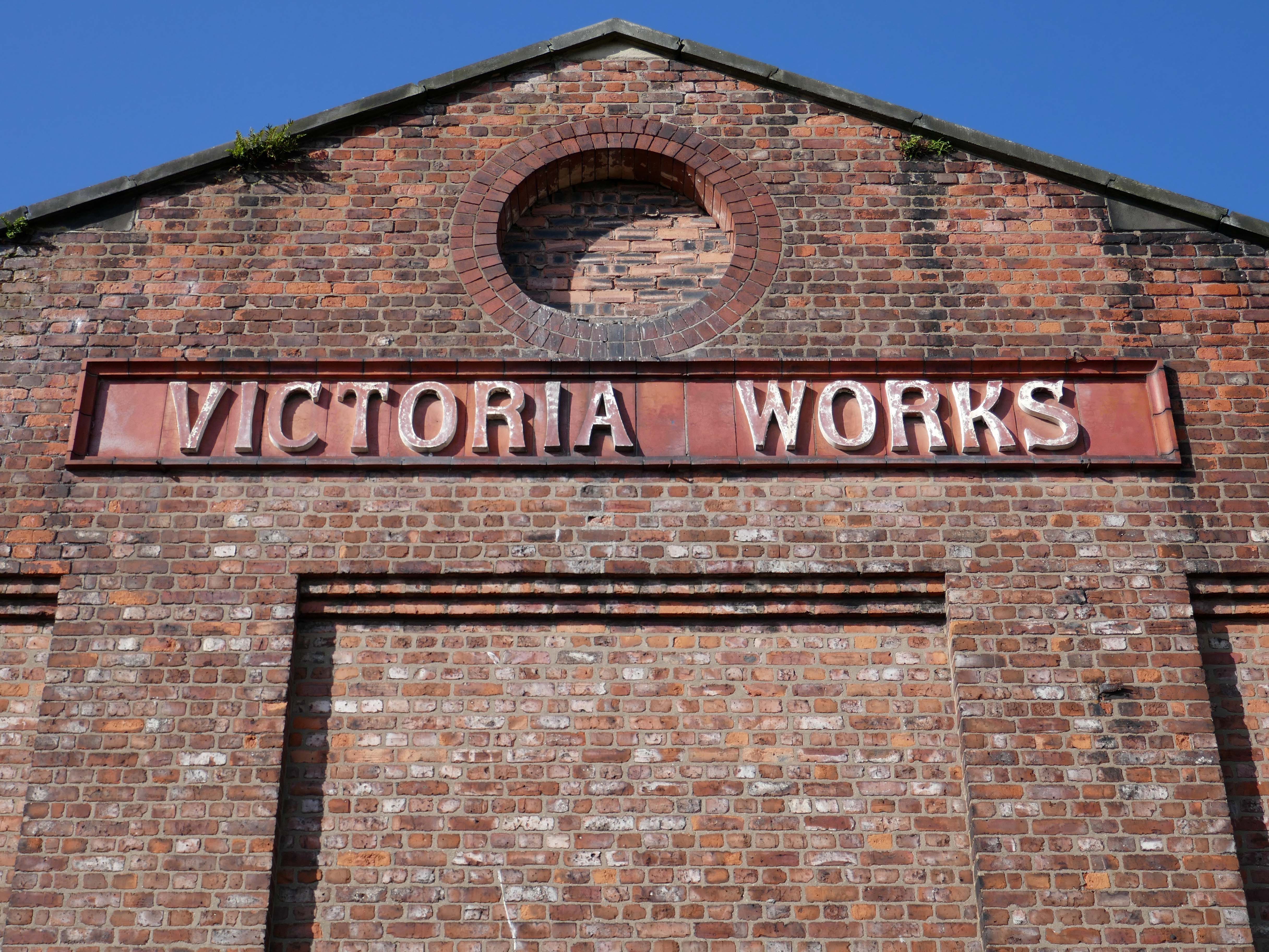
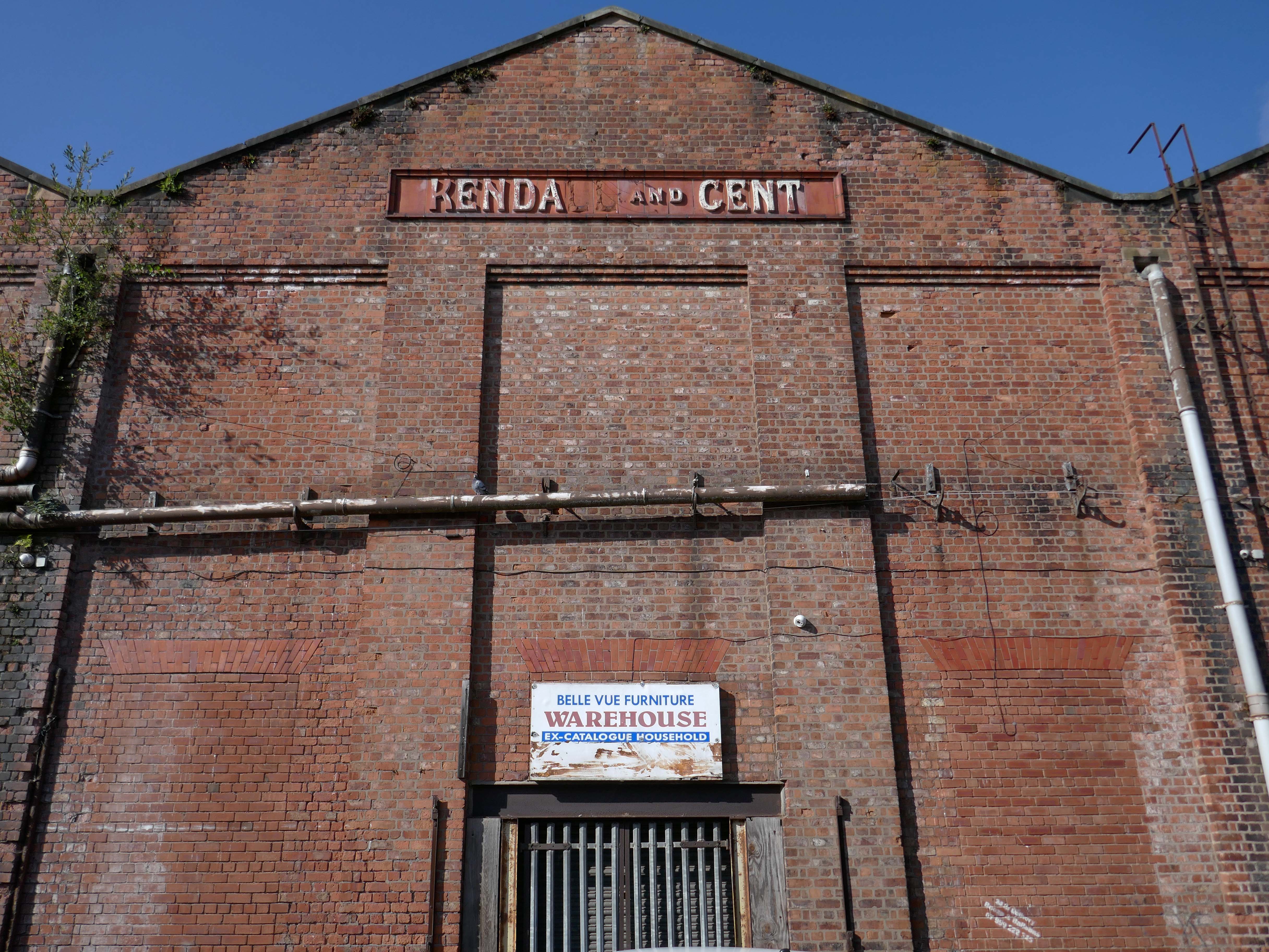
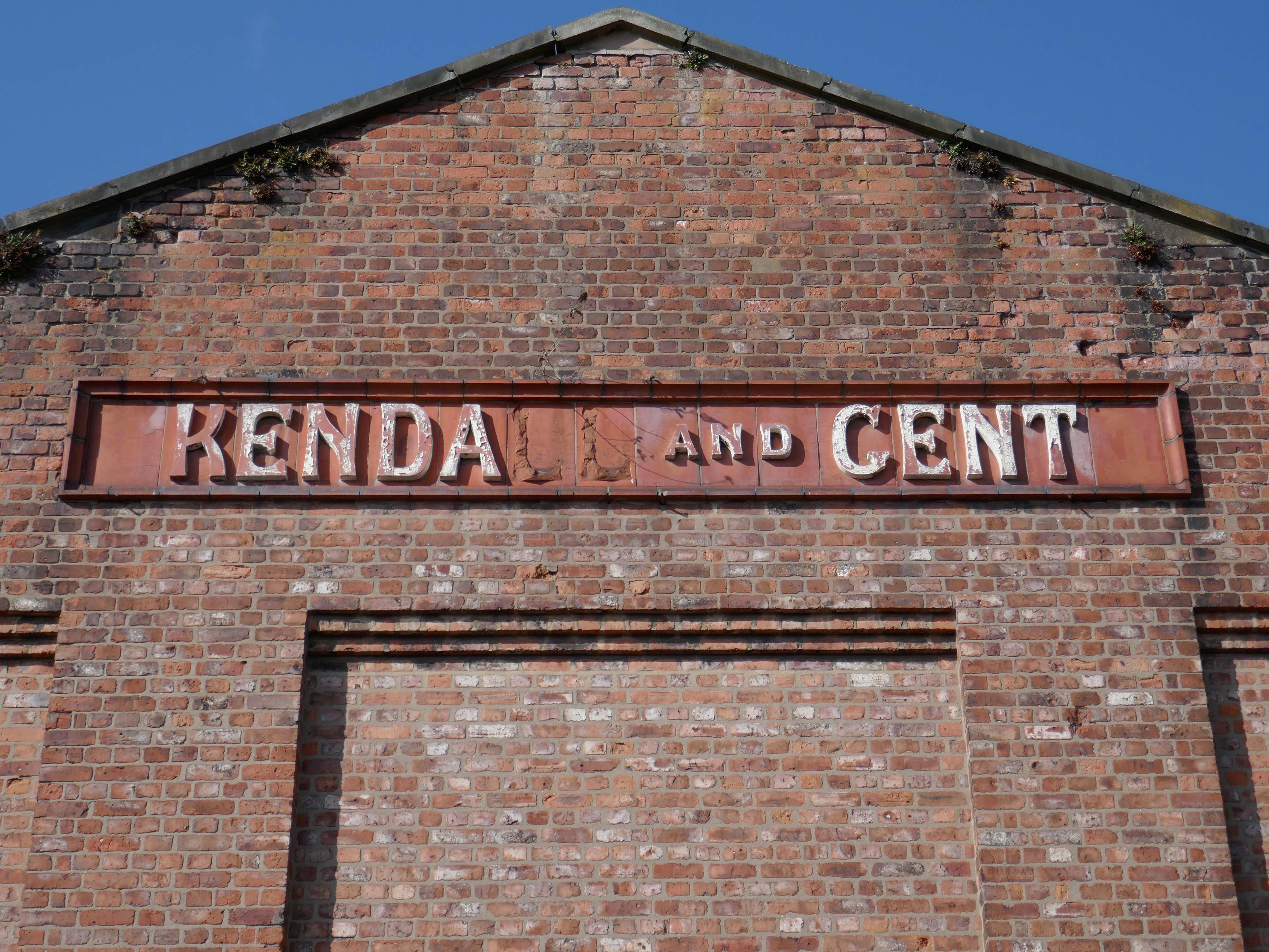
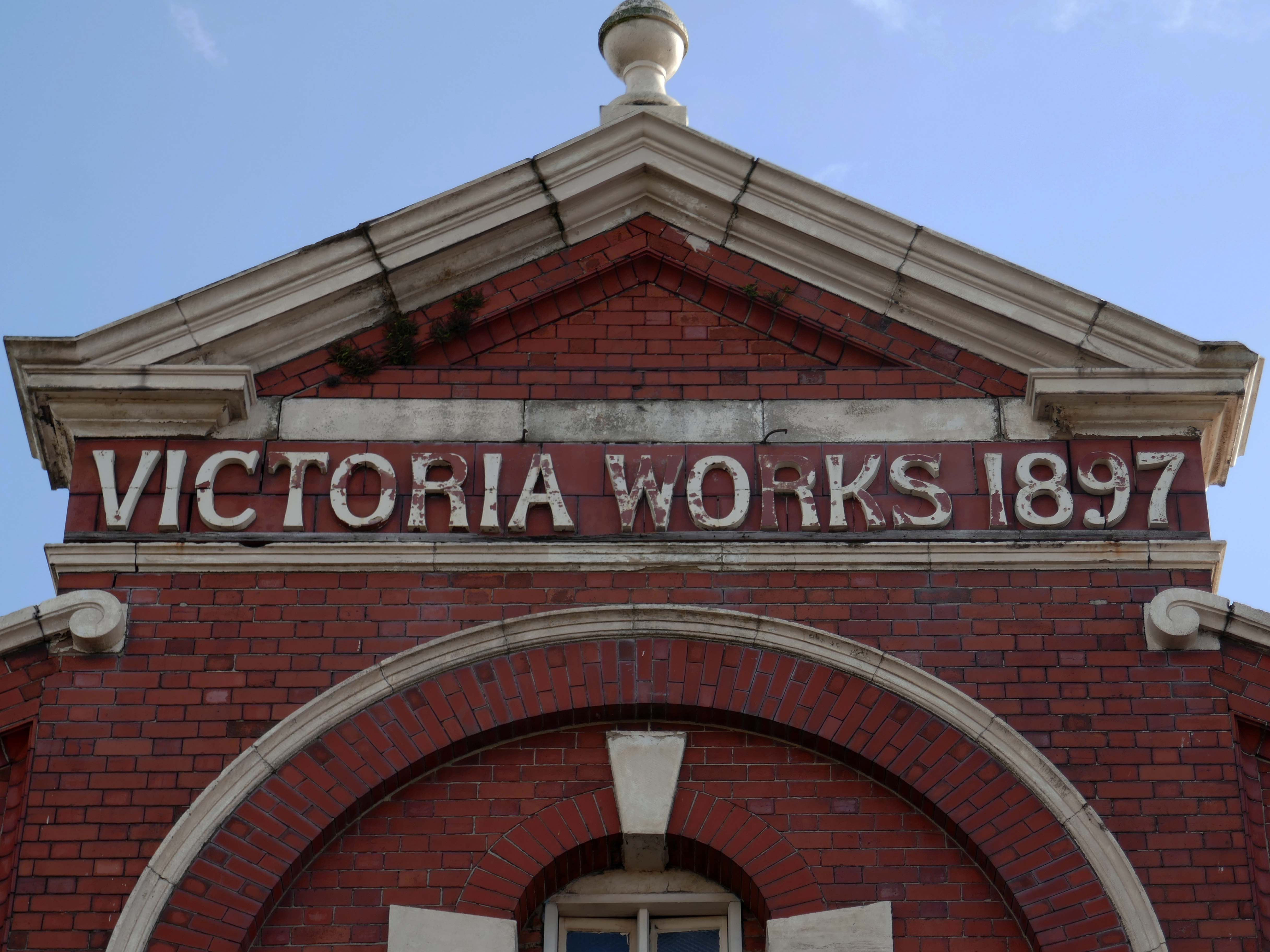
Victoria Works Sunny Brow Road.
Victoria Works Williams Street
Victoria Works Williams Road
Manchester’s engineering industry has subsequently been seriously diminished.
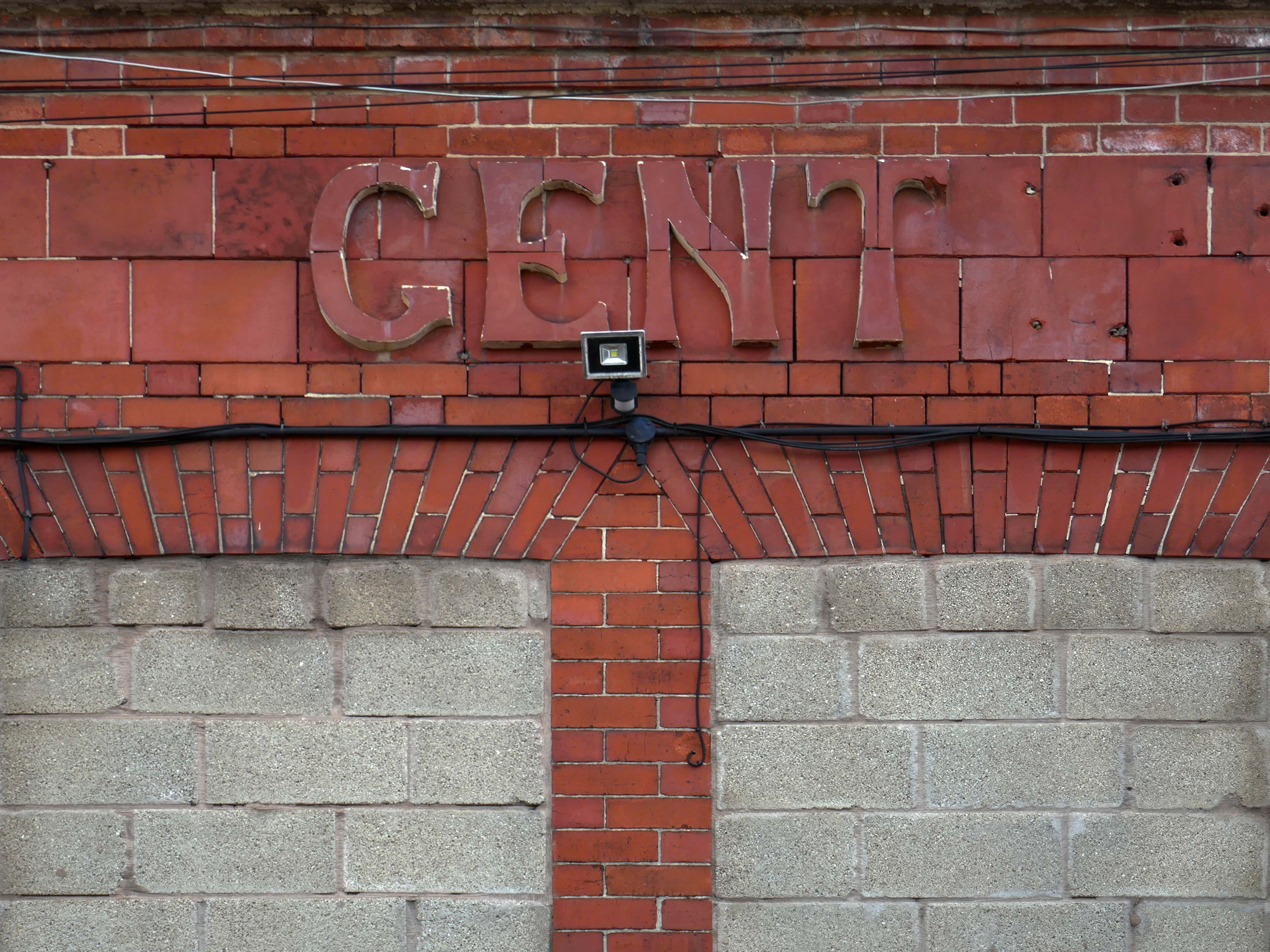
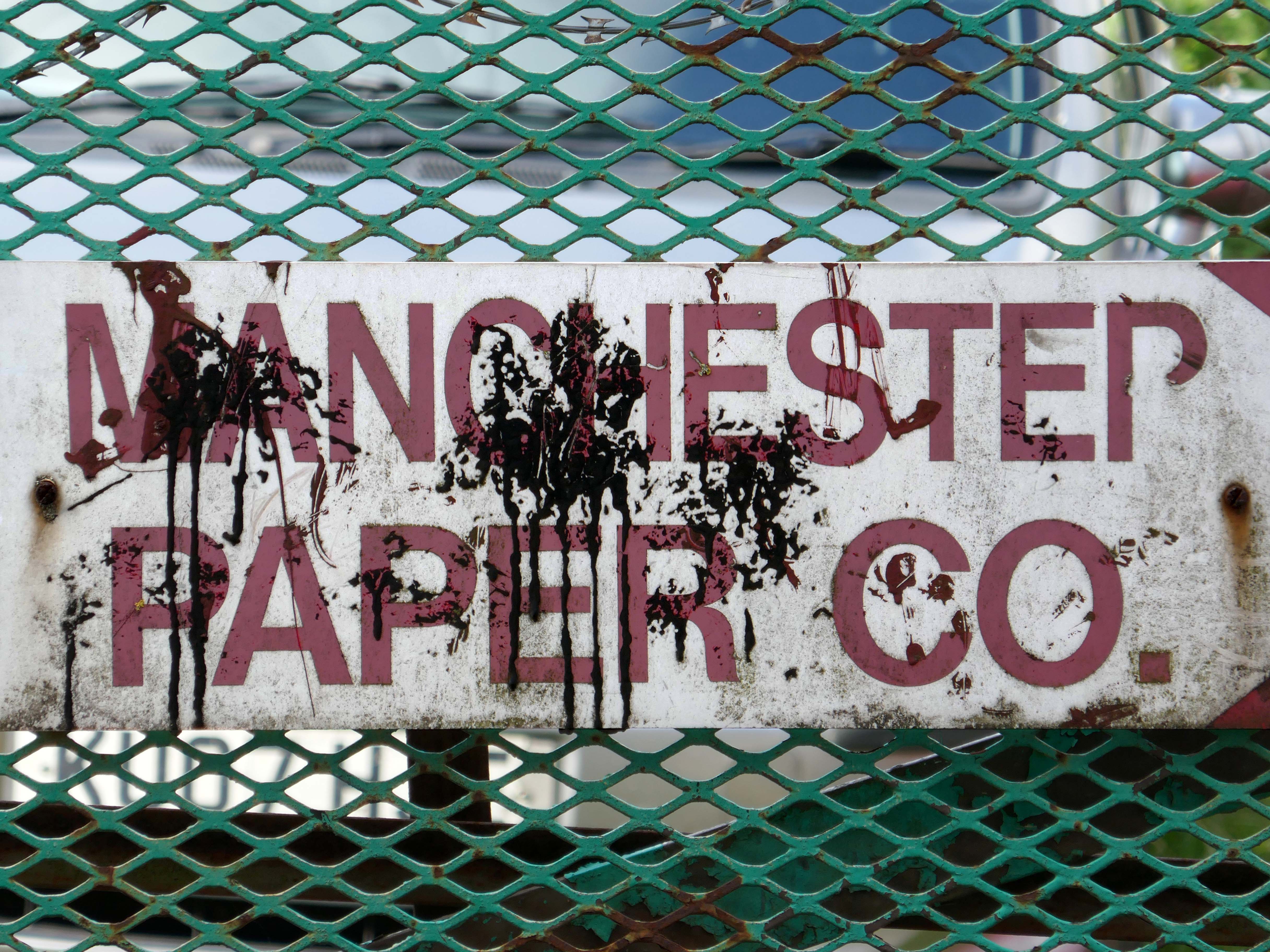
The building became a base for toilet paper manufacturing and distribution.
But the metal beat goes on in both Wolverhampton and Florida.
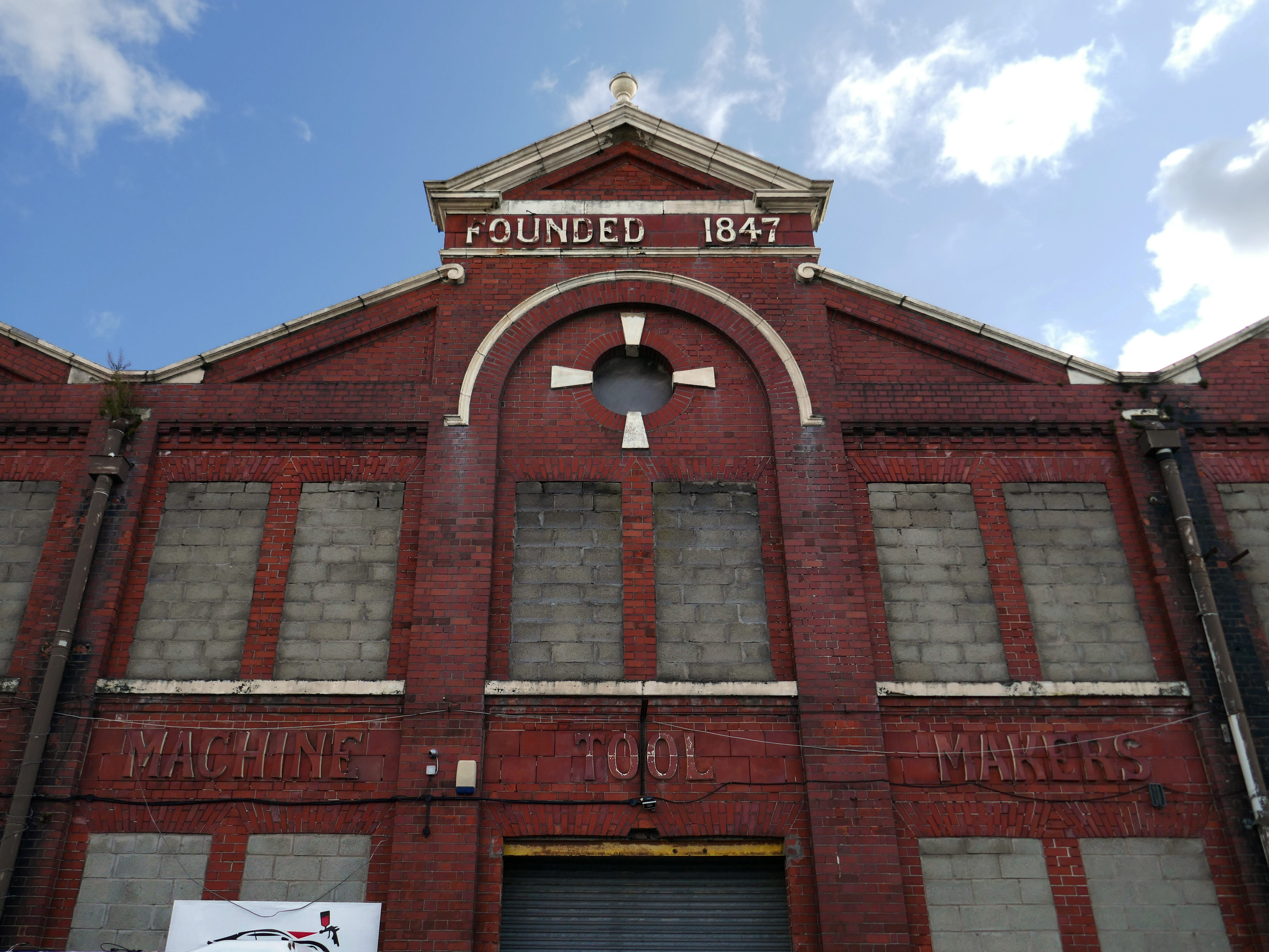
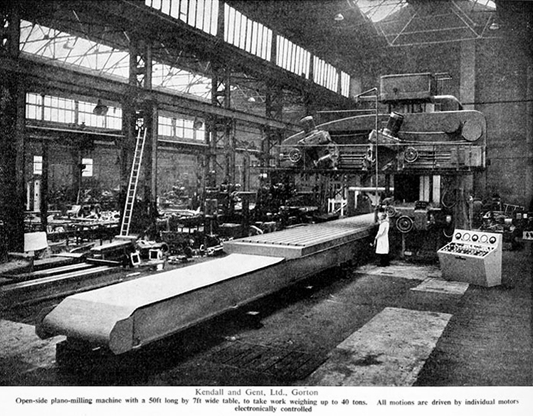
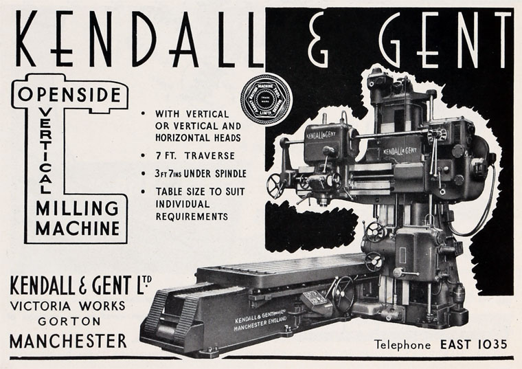
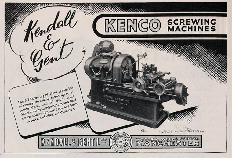
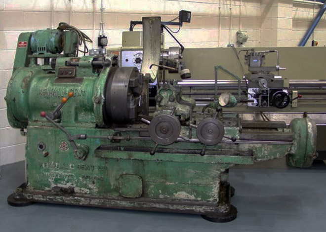
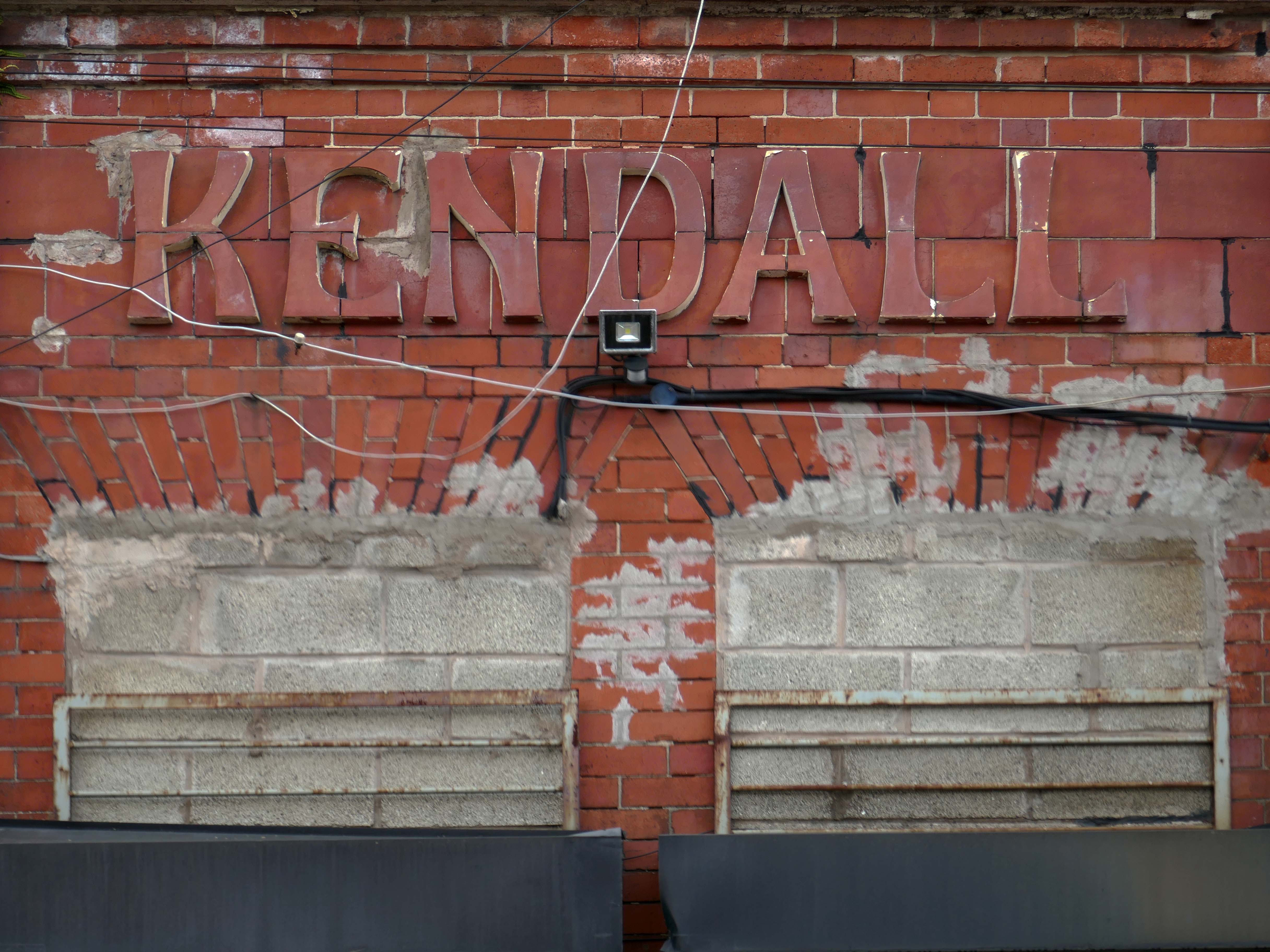
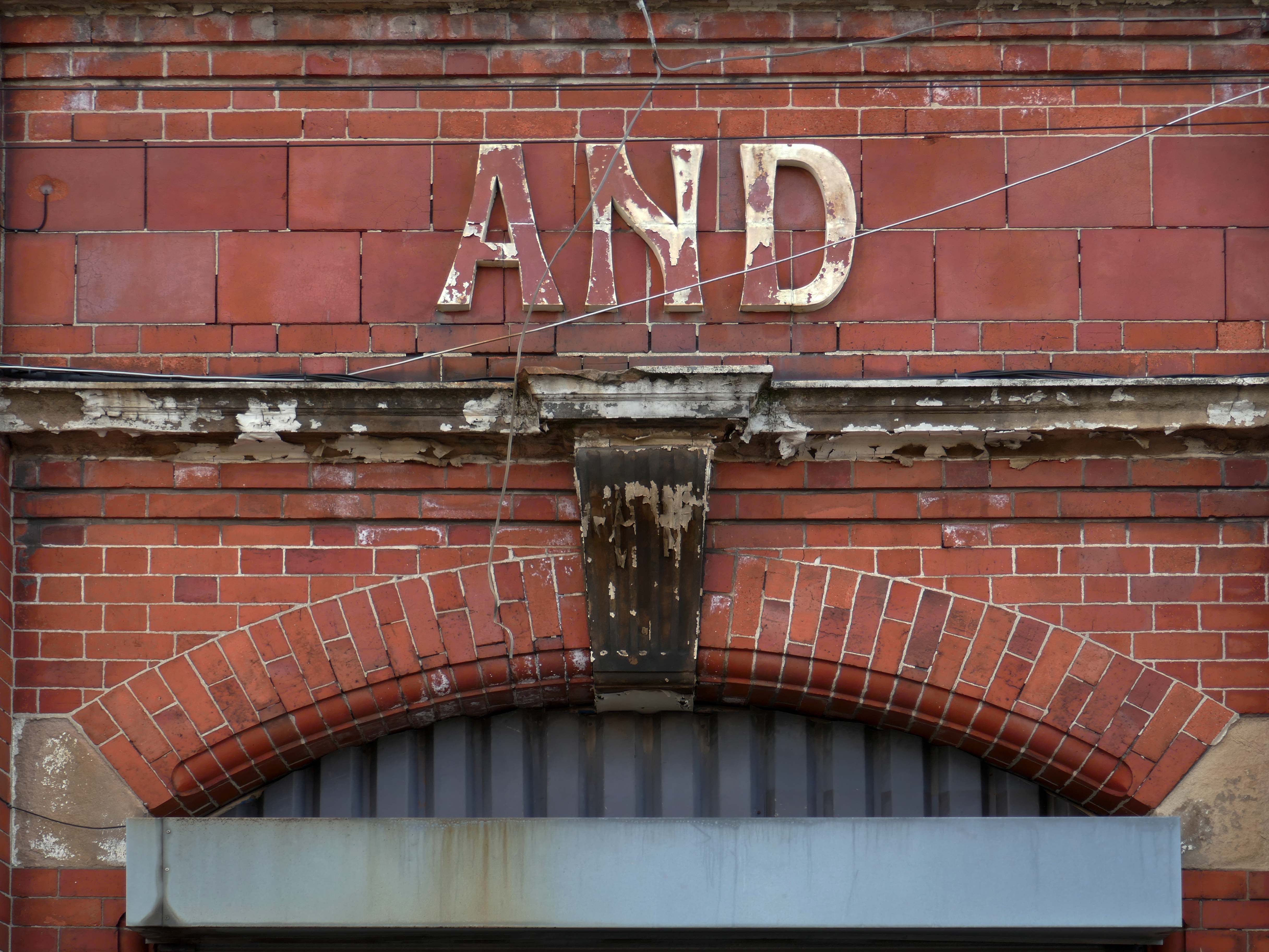
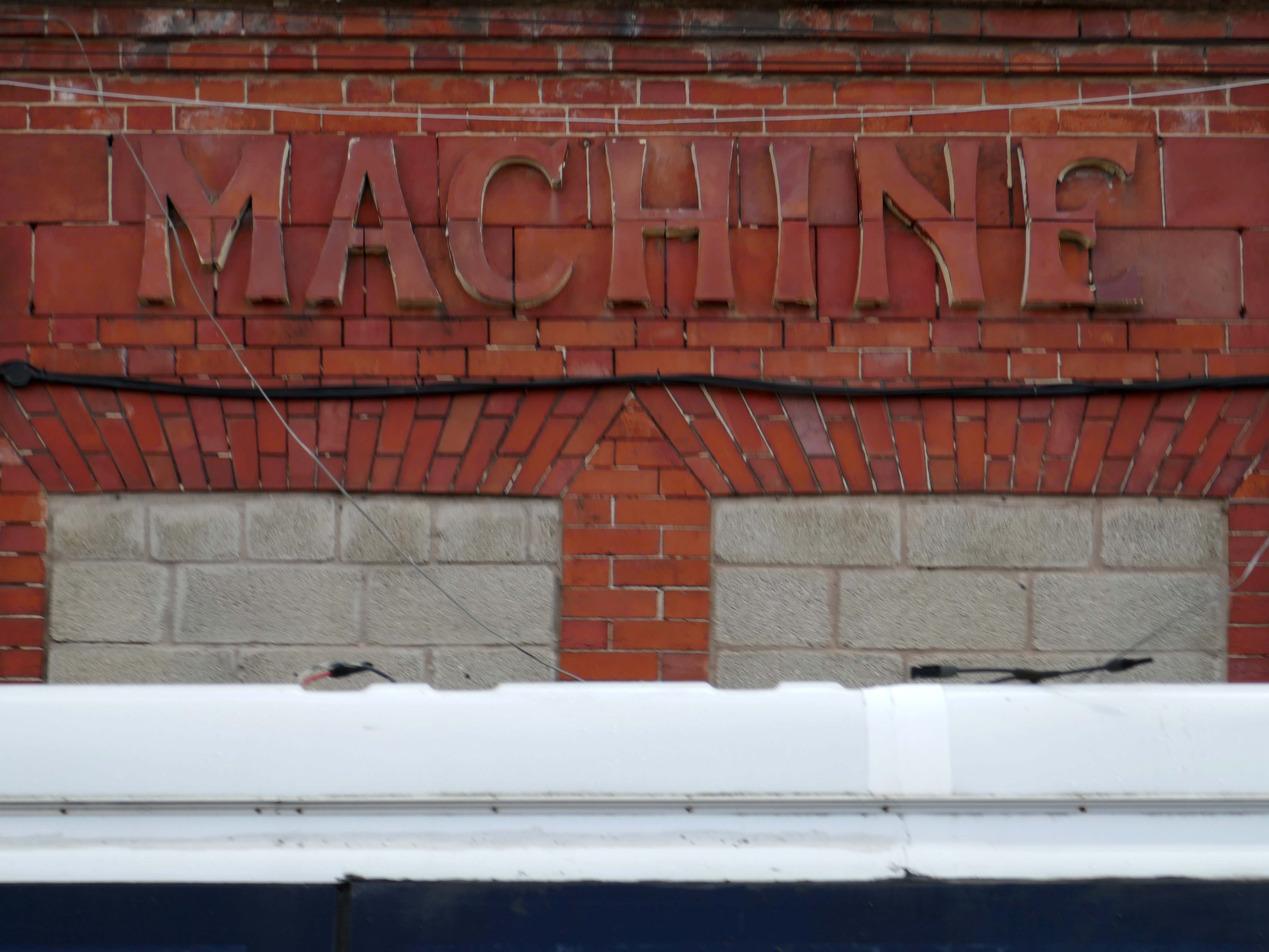
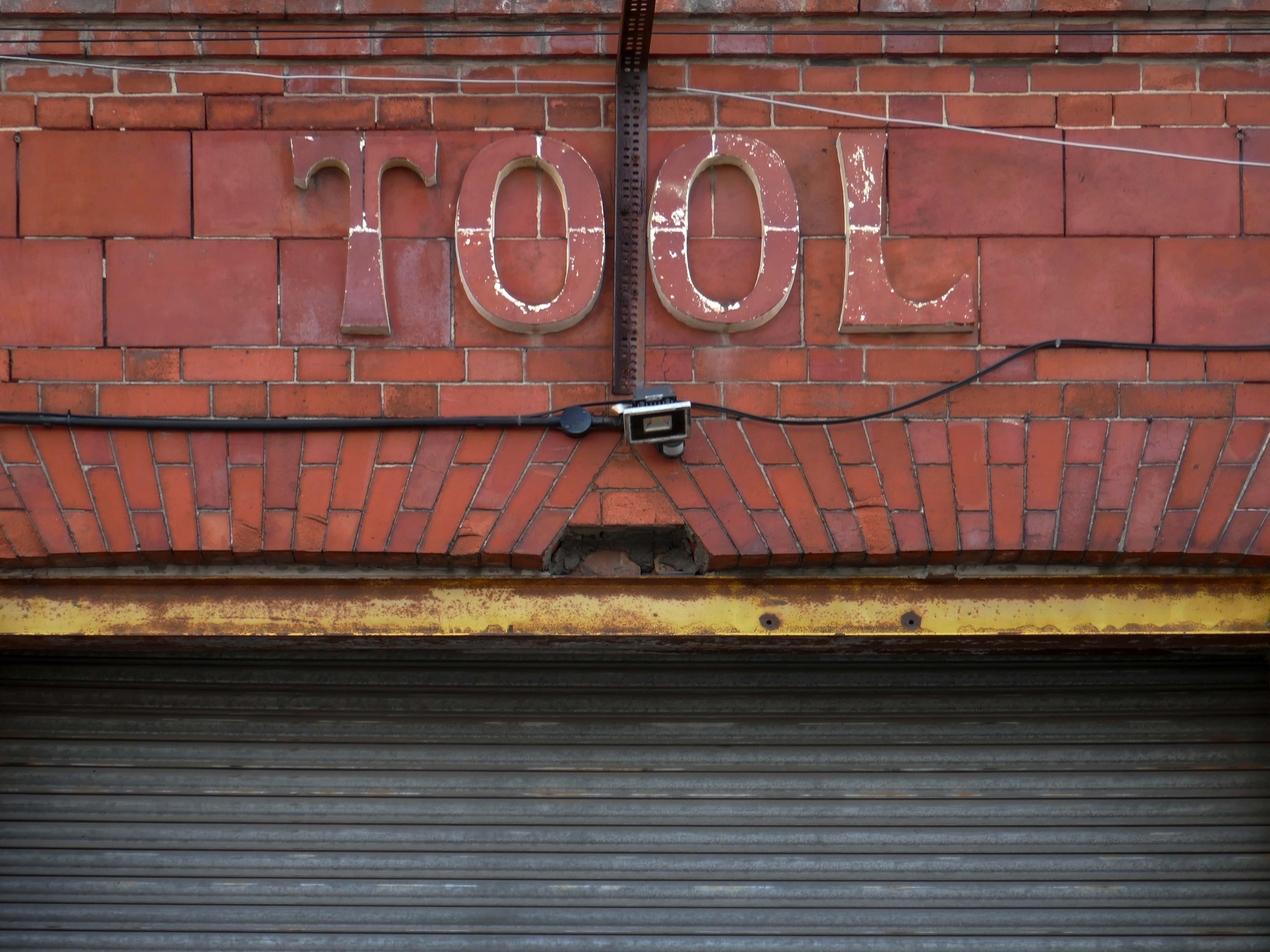
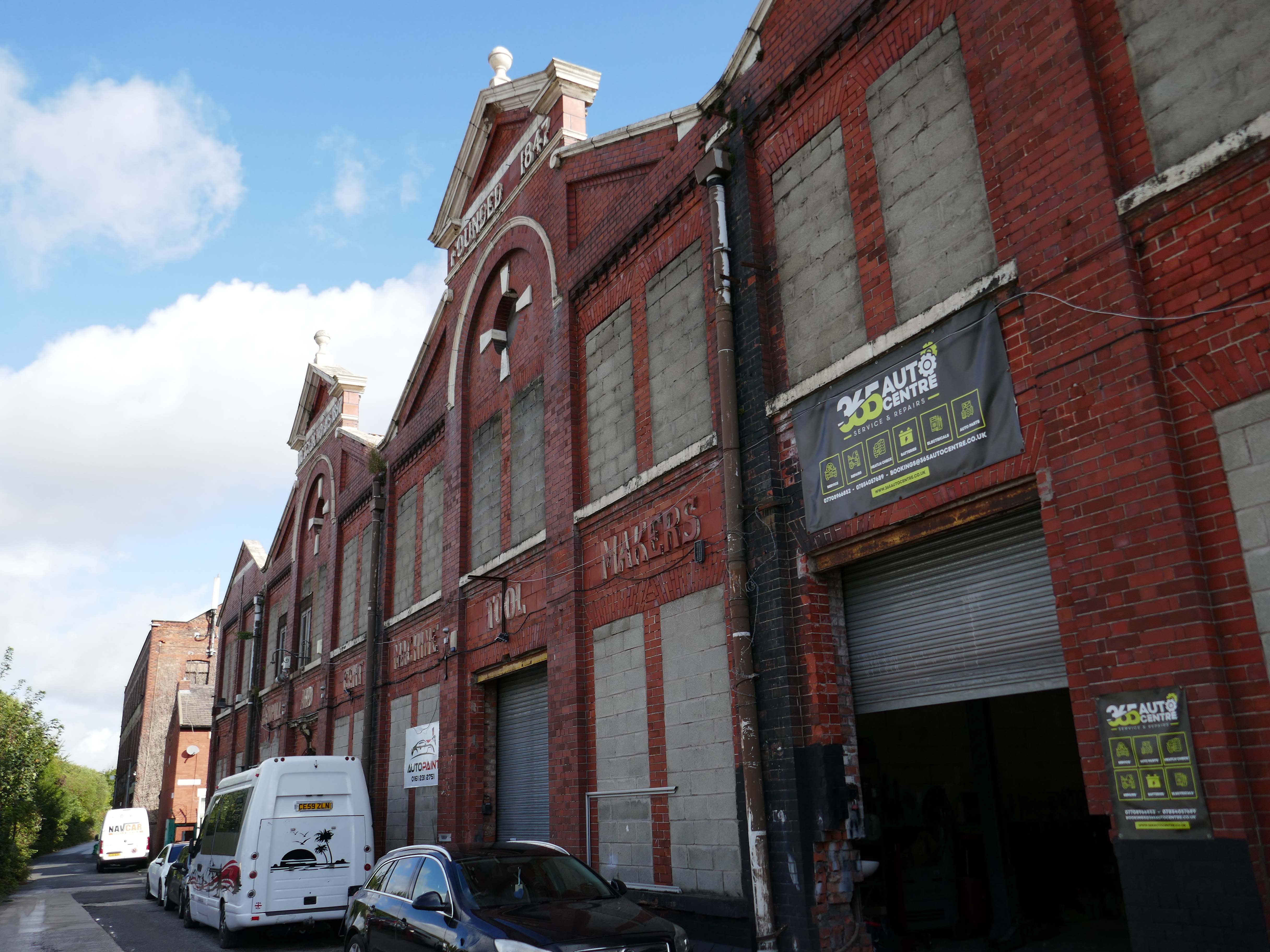
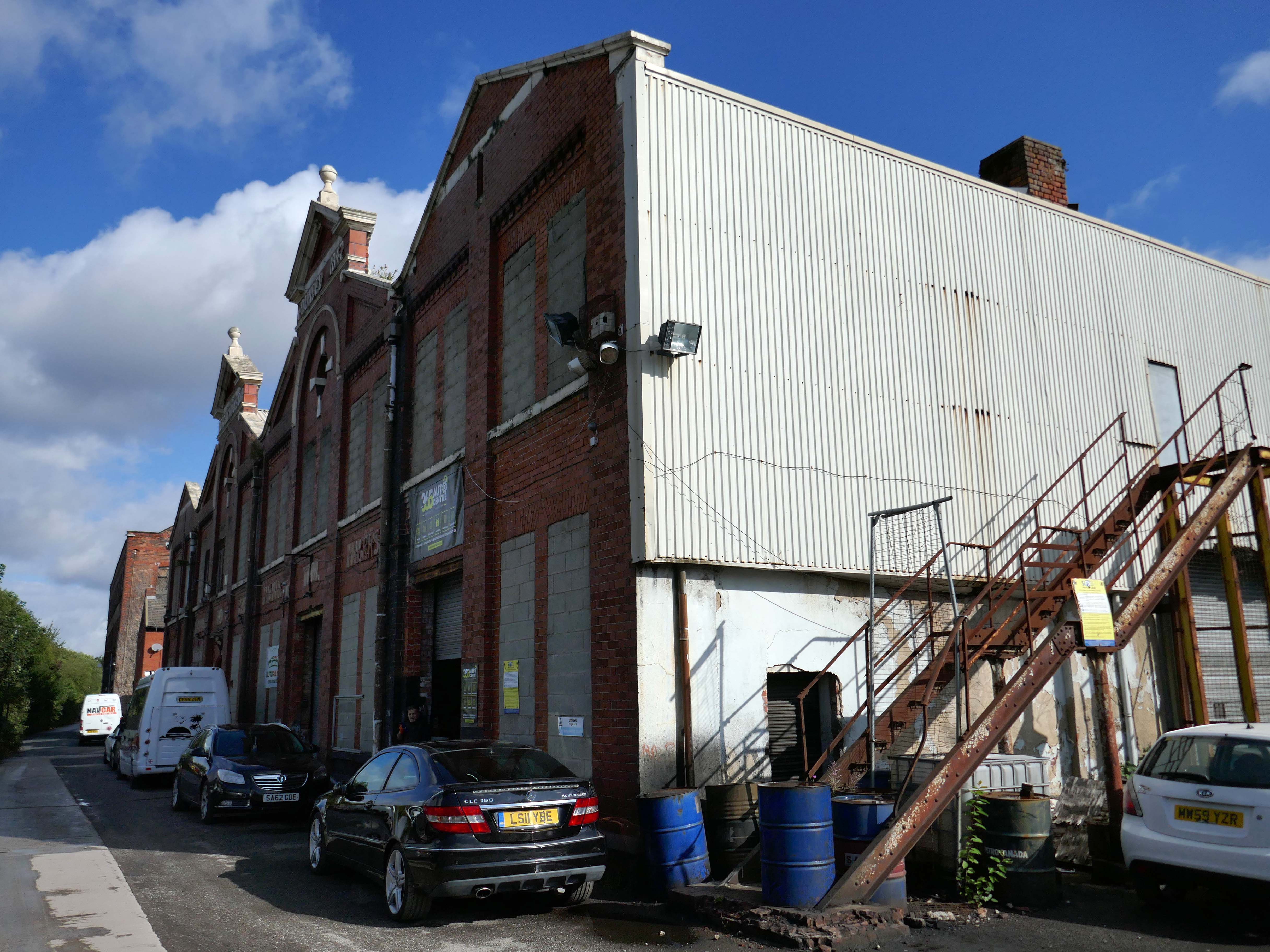
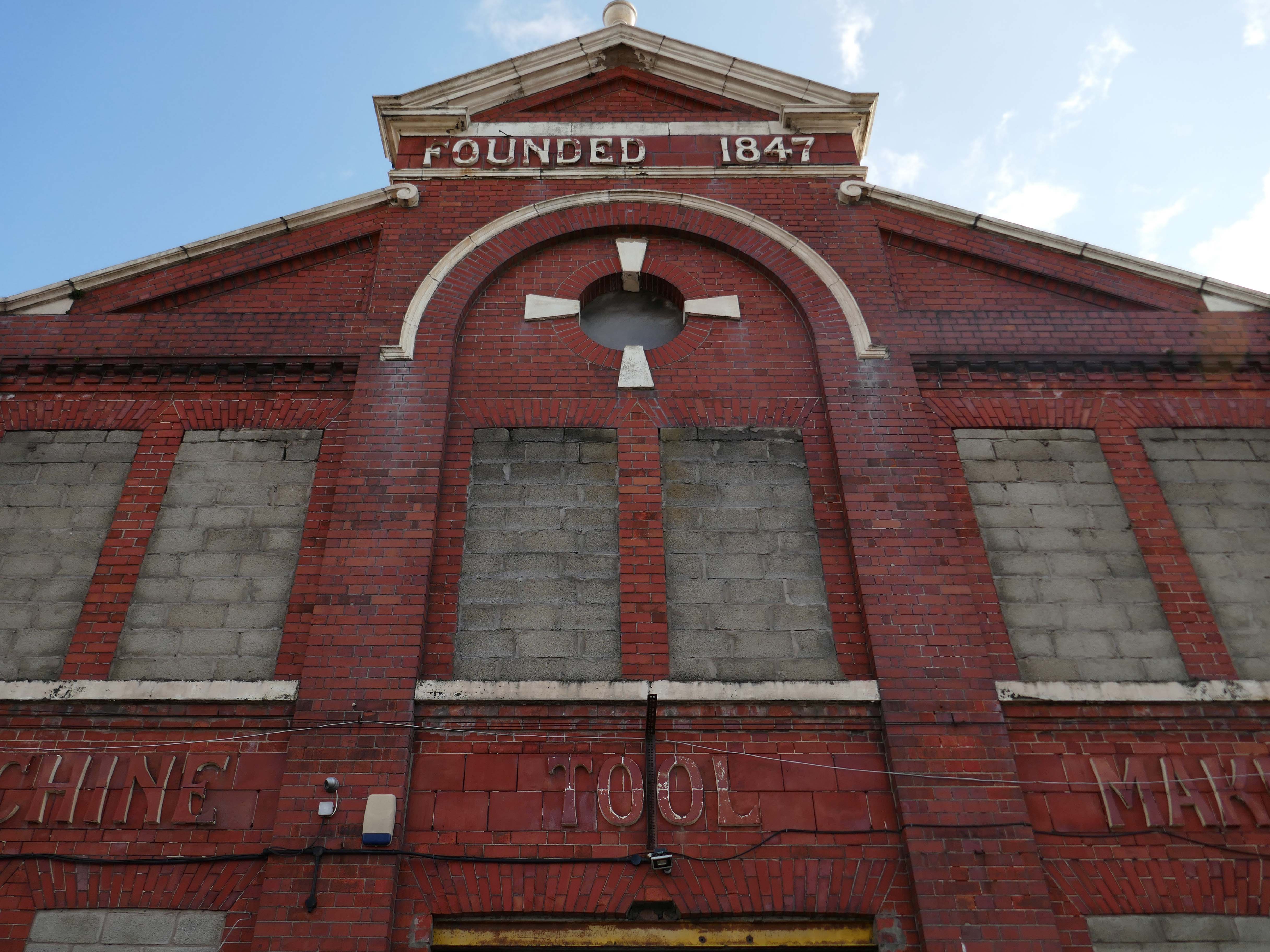
Originally formed in 1847, Kendall and Gent enjoyed many years as one of the biggest machine tool manufacturers in the UK, producing many large machines which are still in production today. Many of the tangential threading machines are still used in pipe, bolt and stud threading.
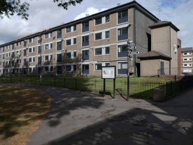
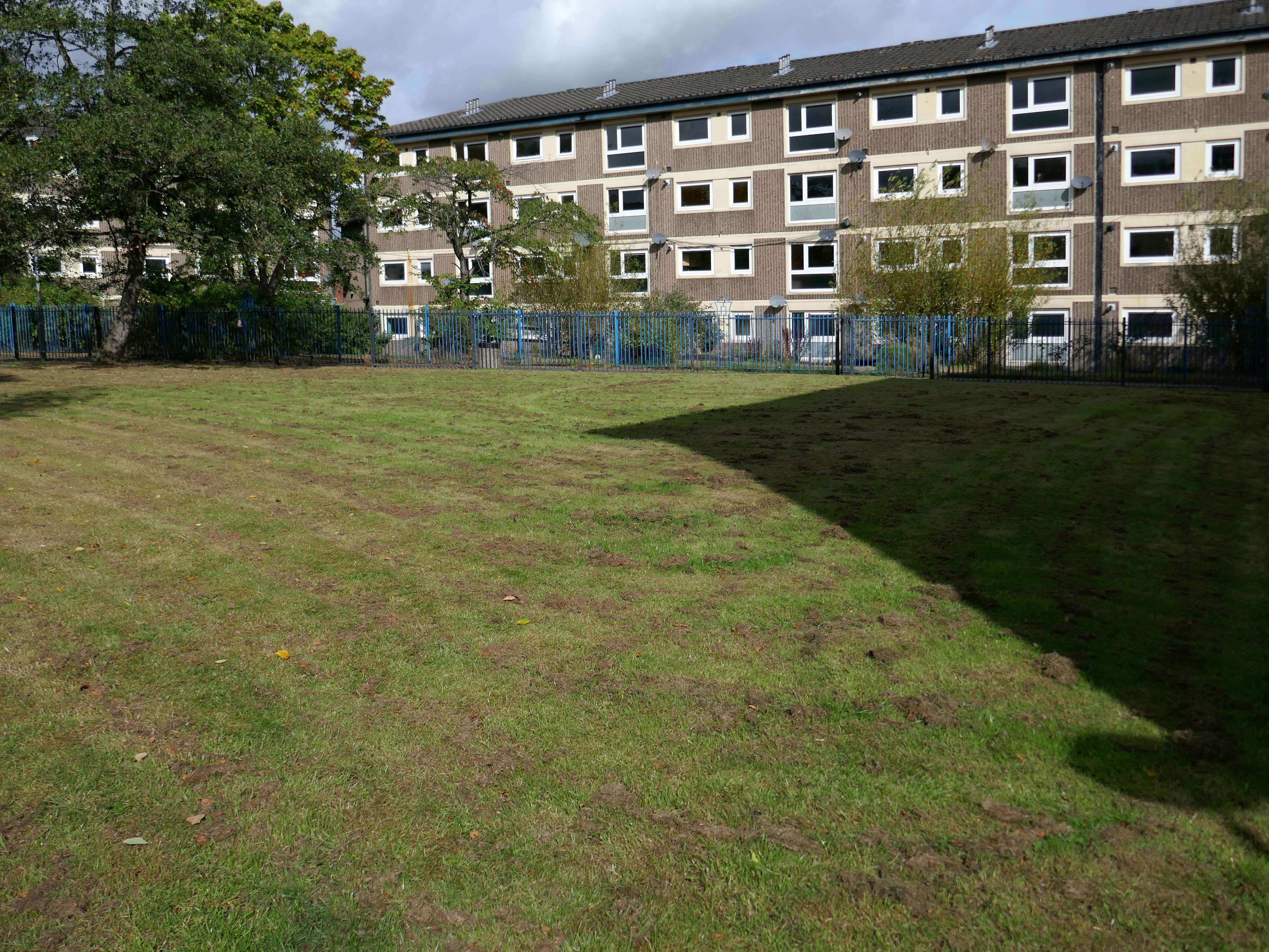
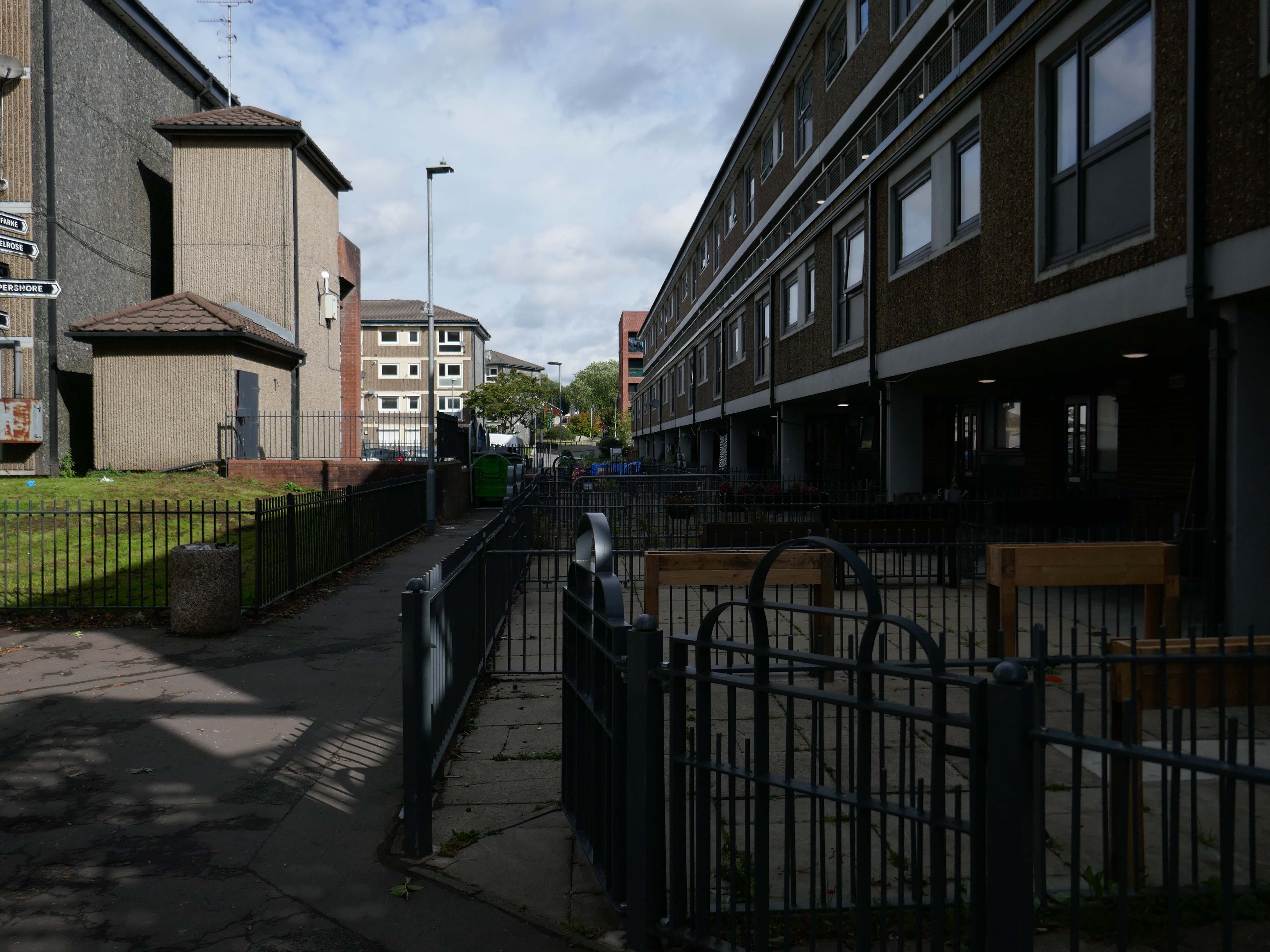
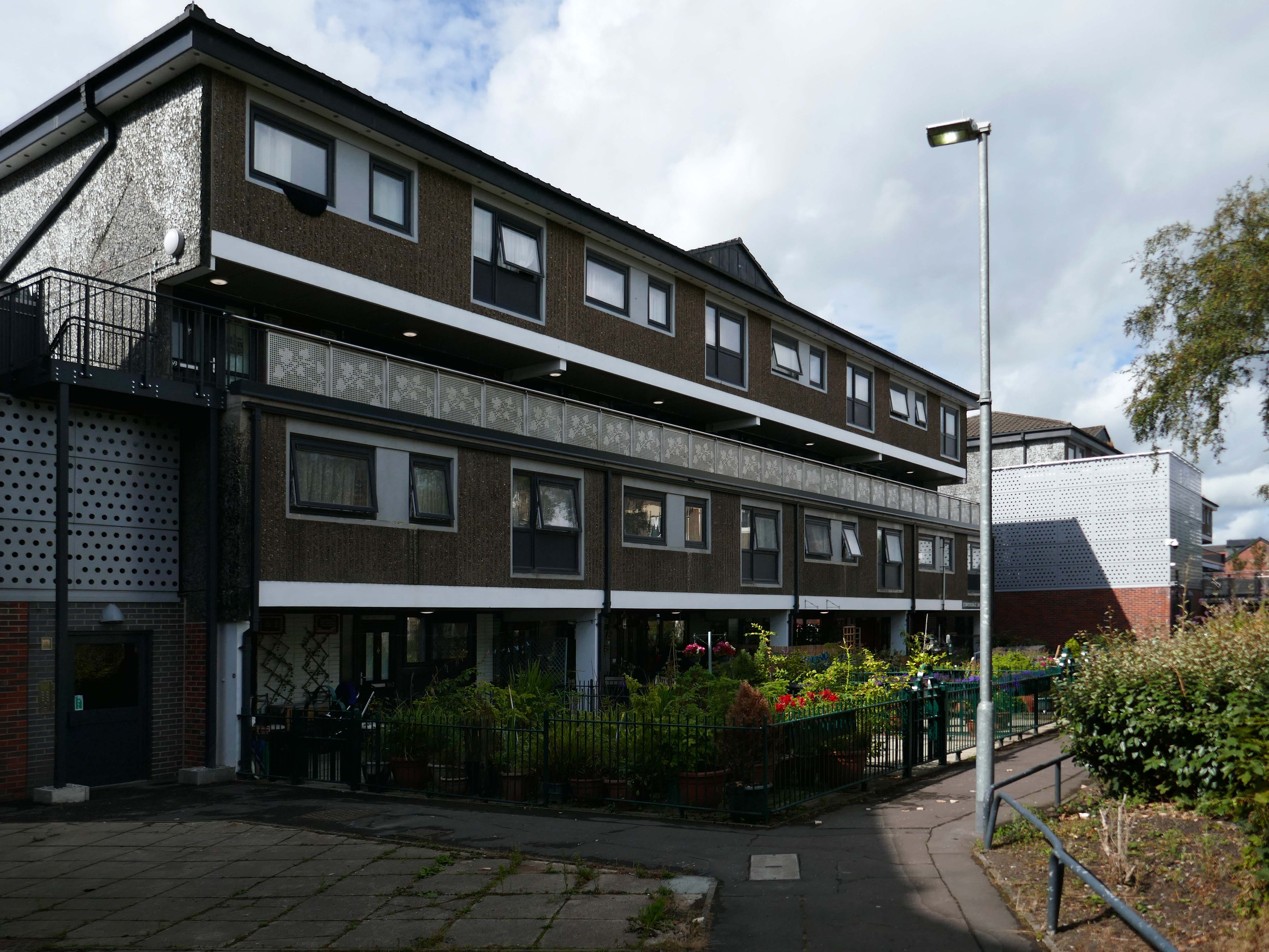
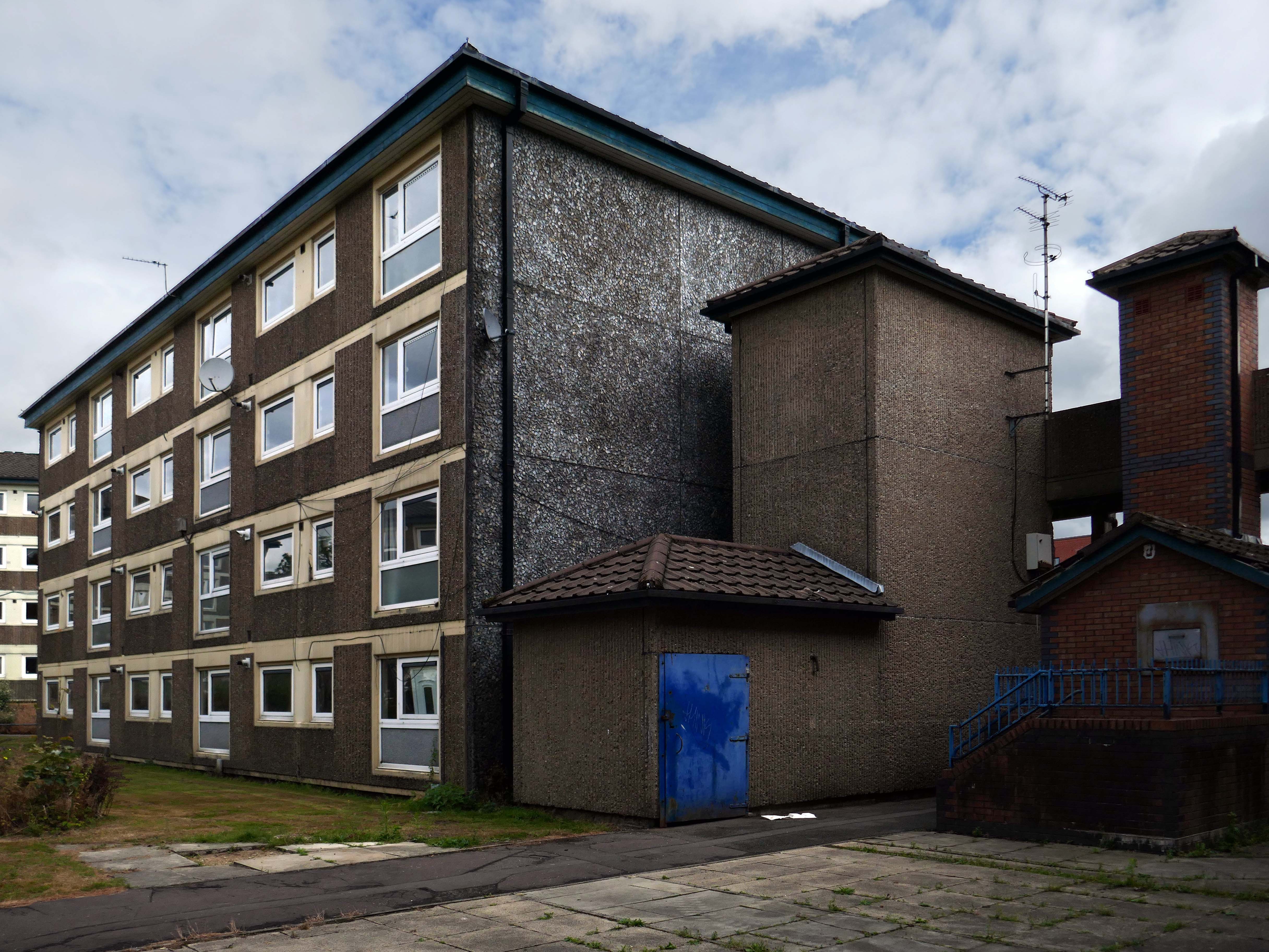
I came along to take a look aroundin 2017 – at this point all of the homes are occupied.
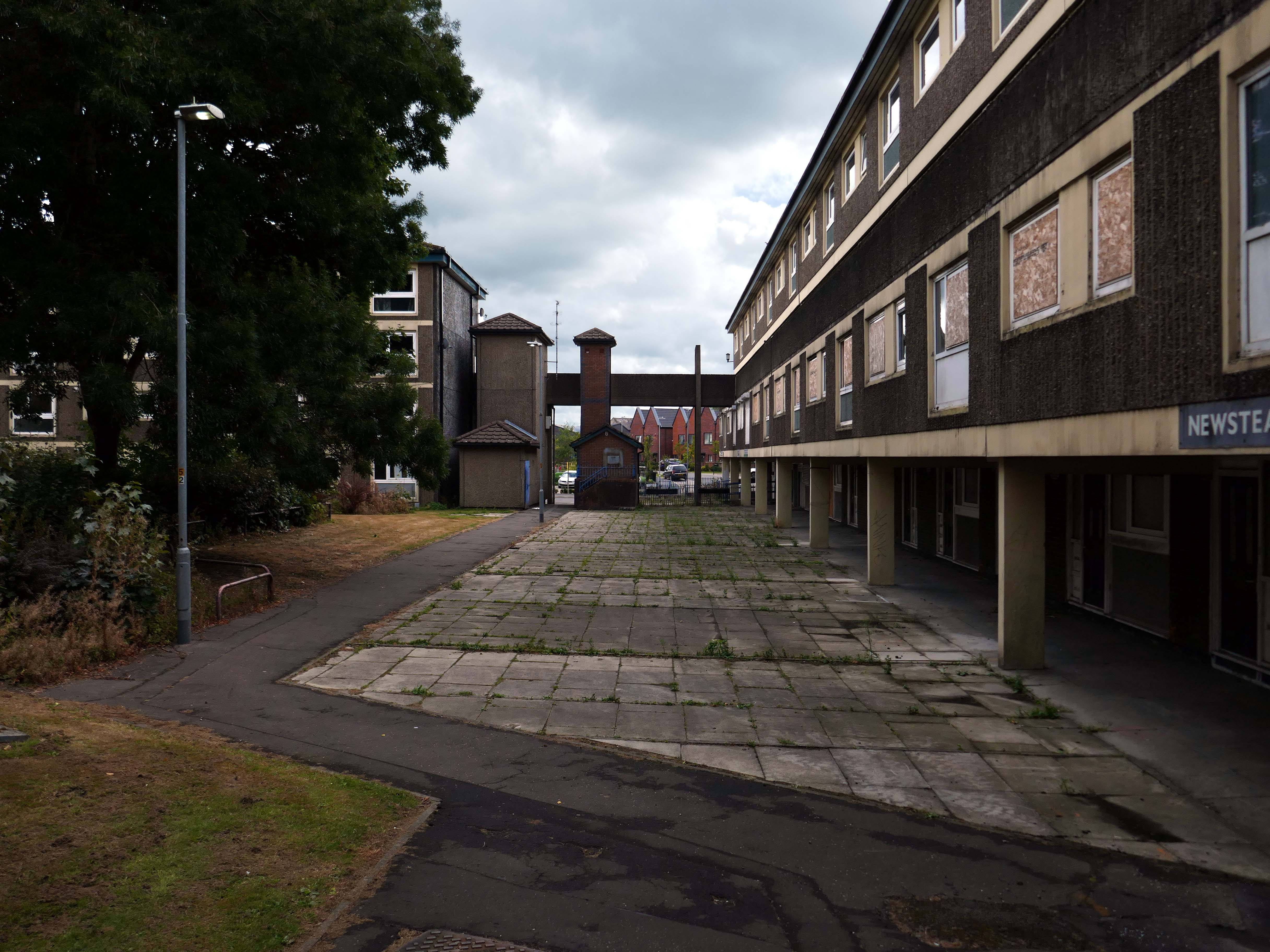
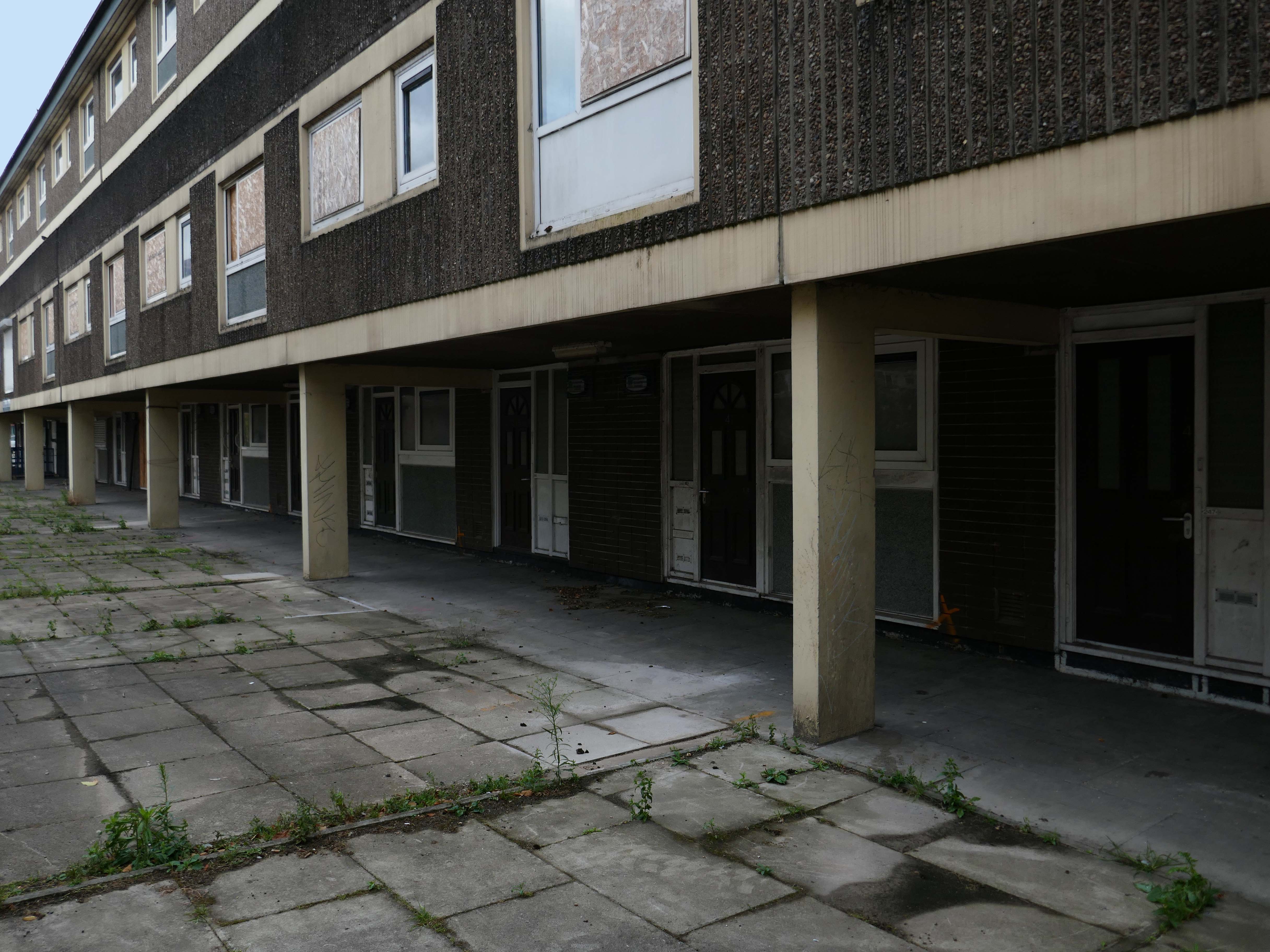
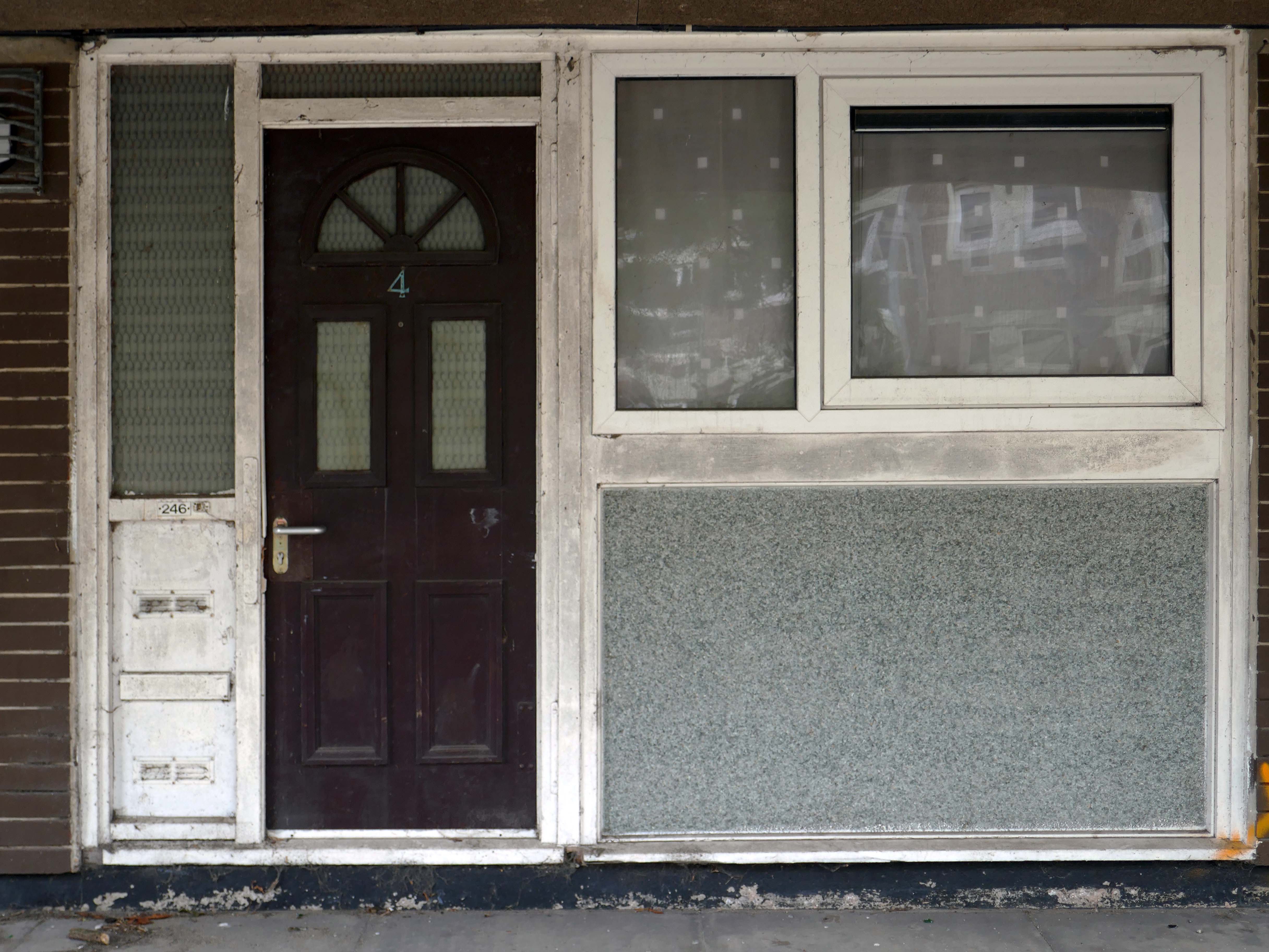
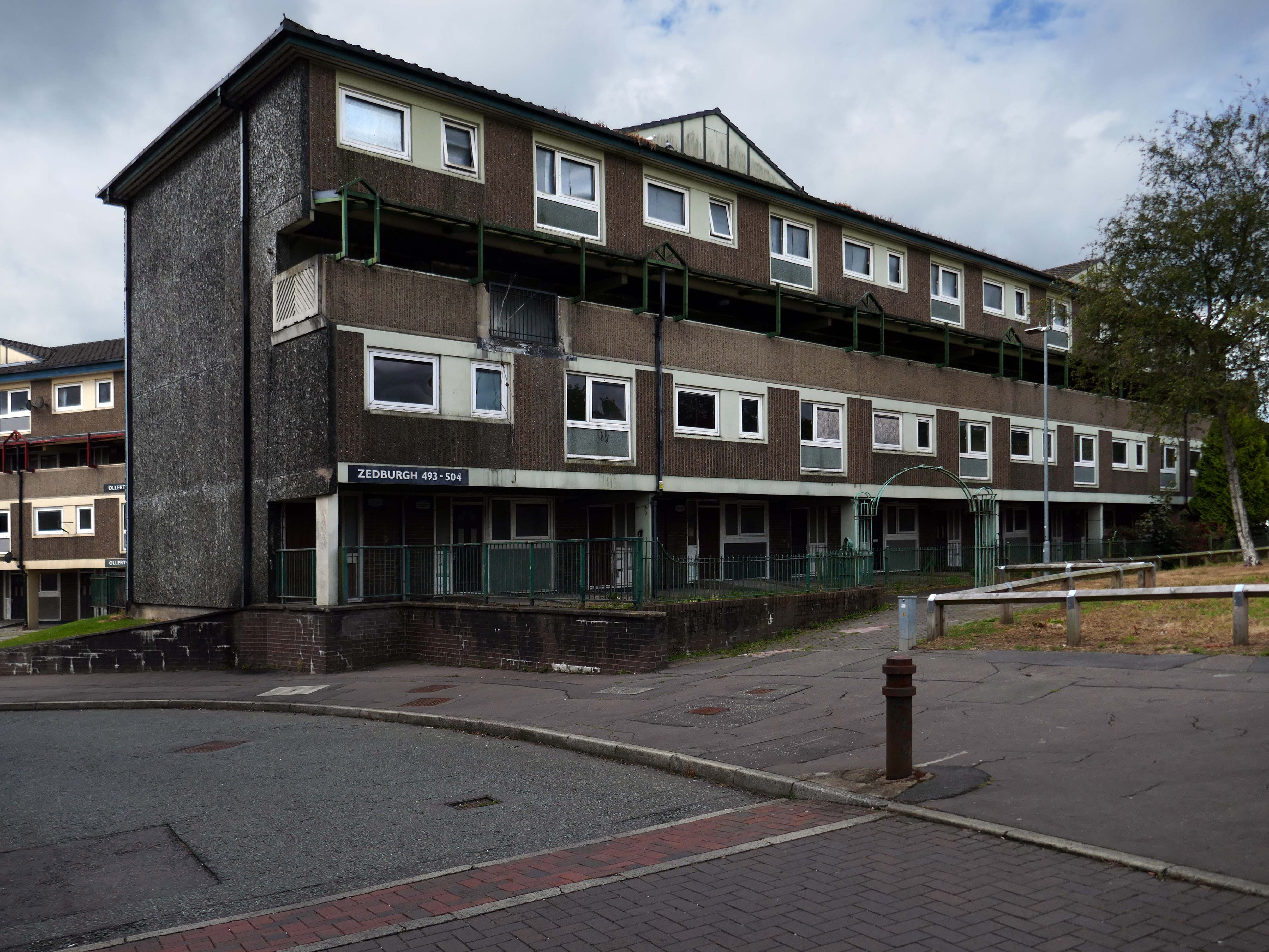
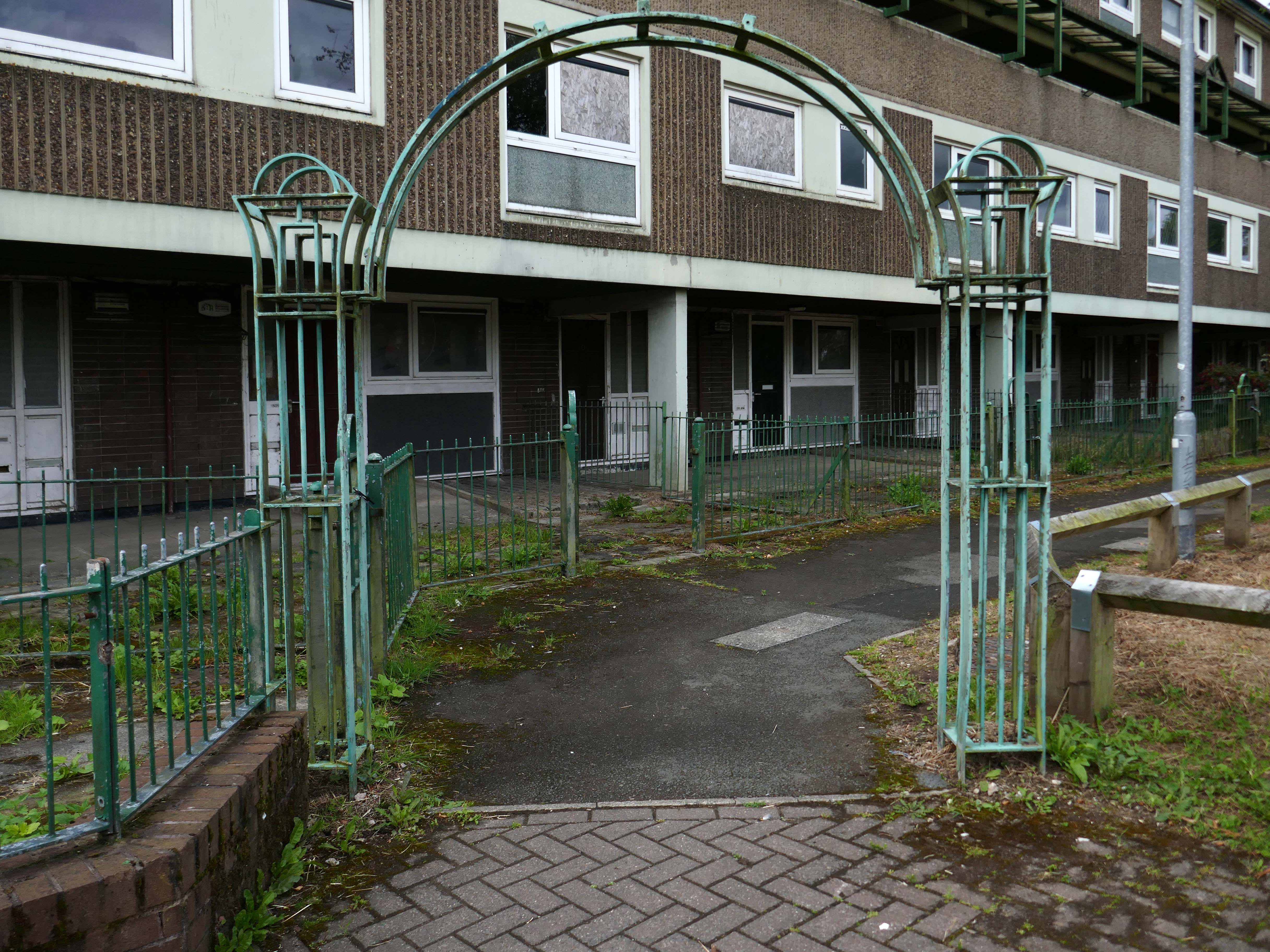
Fast forward to 2025 and the estate looks very different, a minority of the blocks have been refurbished.
The remainder have been, or are to be demolished.
Rochdale’s 2021 planning statement for Lower Falinge is beguiling in its talk of ‘a better quality and mix’ of housing, better public space and better links with surrounding areas. It goes on to say that the ‘the delivery of market housing within this area is required to deliver this diversification and to ensure the sustainability of retained affordable housing in the area’ – a sentence containing the claim that a tenure mix of public and owner-occupied housing is a good in itself, whilst also acknowledging contradictorily that affordable housing (how affordable?) is only possible by cross-subsidy from market sales’
Some 560 new homes were proposed in Lower Falinge. The plans as a whole proposed the loss of 720 primarily social rent homes and their replacement by 560 new homes of indeterminate tenure.
The tenants in the refurbished blocks with whom I chatted were convinced that demolition was not the answer, further renewal could take place, Rochdale Boroughwide Housing, despite a well prepared save our homes campaign thought not.
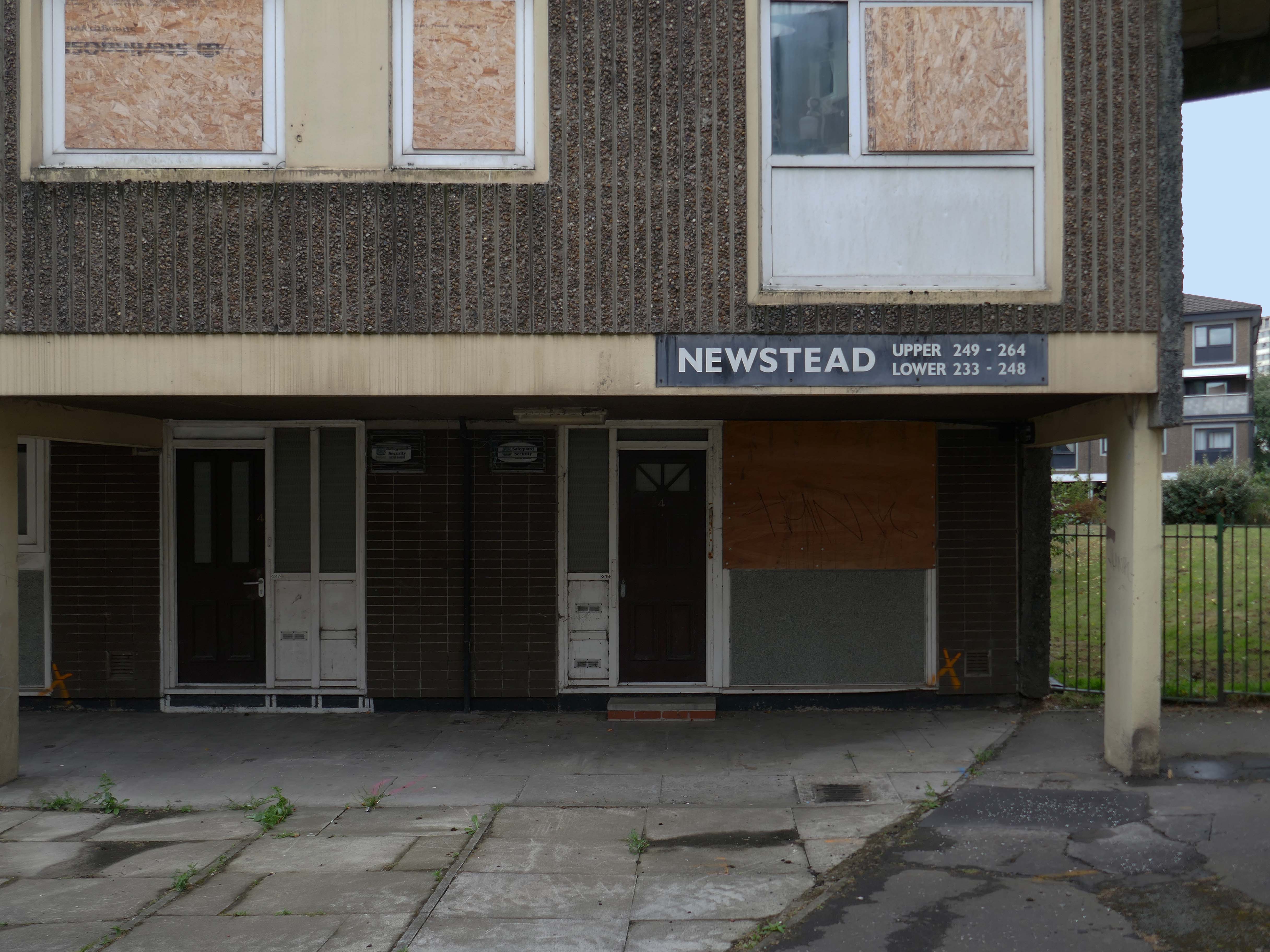
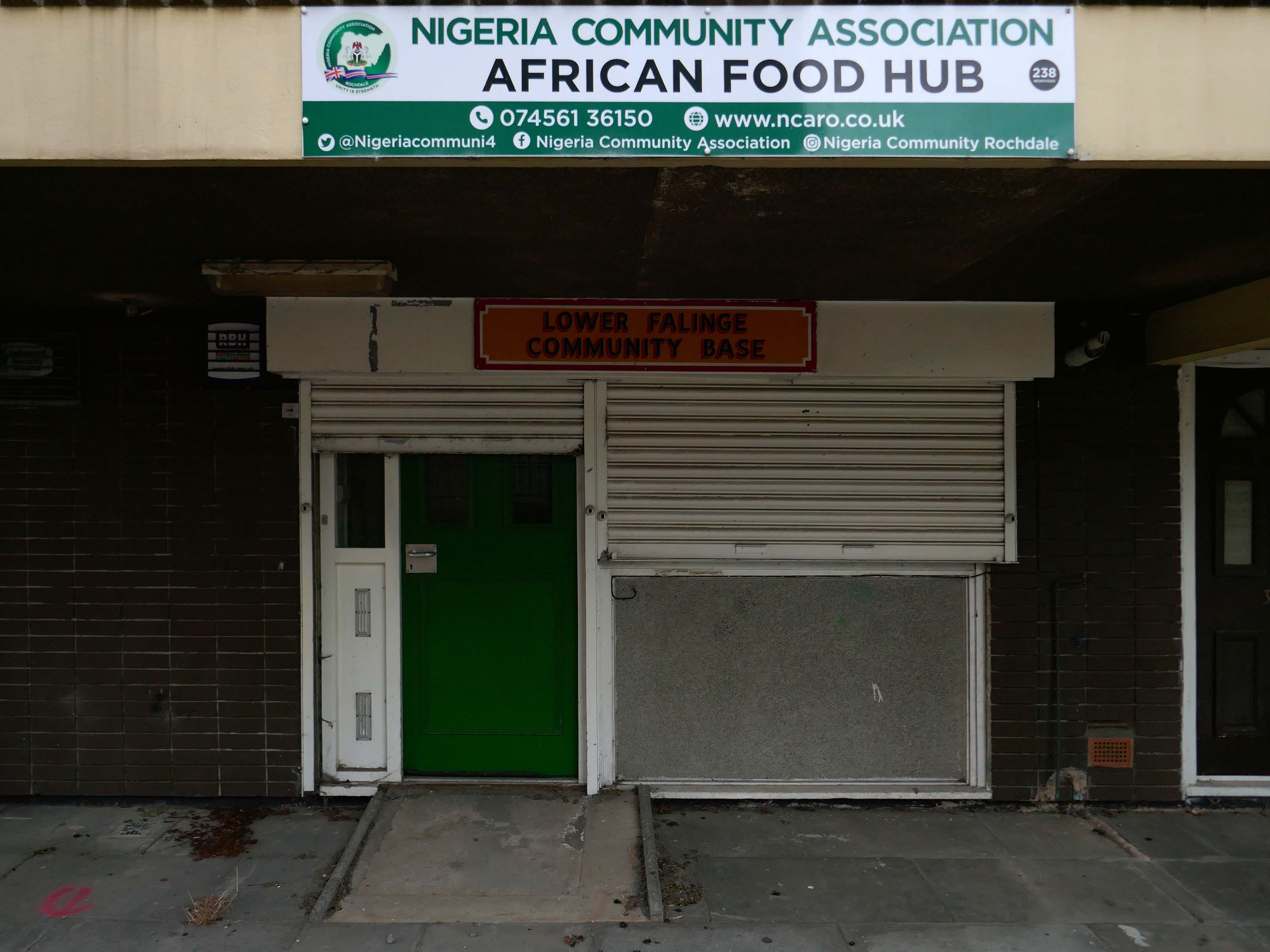
In March, we told you that we planned to demolish the six empty maisonette blocks – Ollerton, Newstead, Romsey, Quinton, Ullesthorpe, and Vaynor, in Lower Falinge, as well as the former RSPCA buildings and the former car wash on High Street, within the next 12 months. This will make way for the development of new family homes across a larger site that we will work with the community on designing.
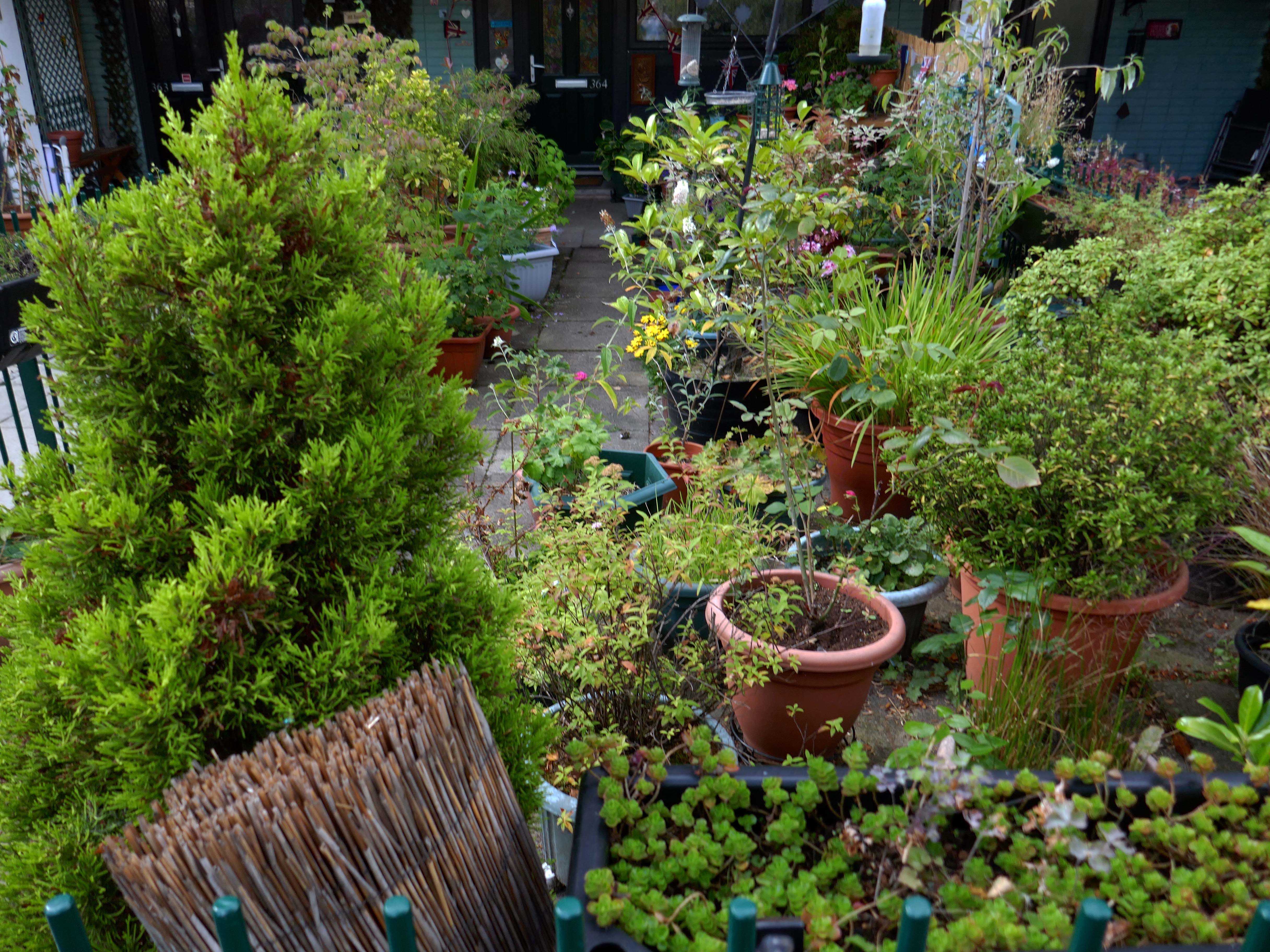
Our beautiful mature greenery here on Lower Falinge is showcased in this wonderful video. We are proud of living here surrounded by all this nature – it really is like living in a park.
Unfortunately our urban oasis of calm is at risk of being destroyed if RBH demolish 128 homes and eventually build on the land.
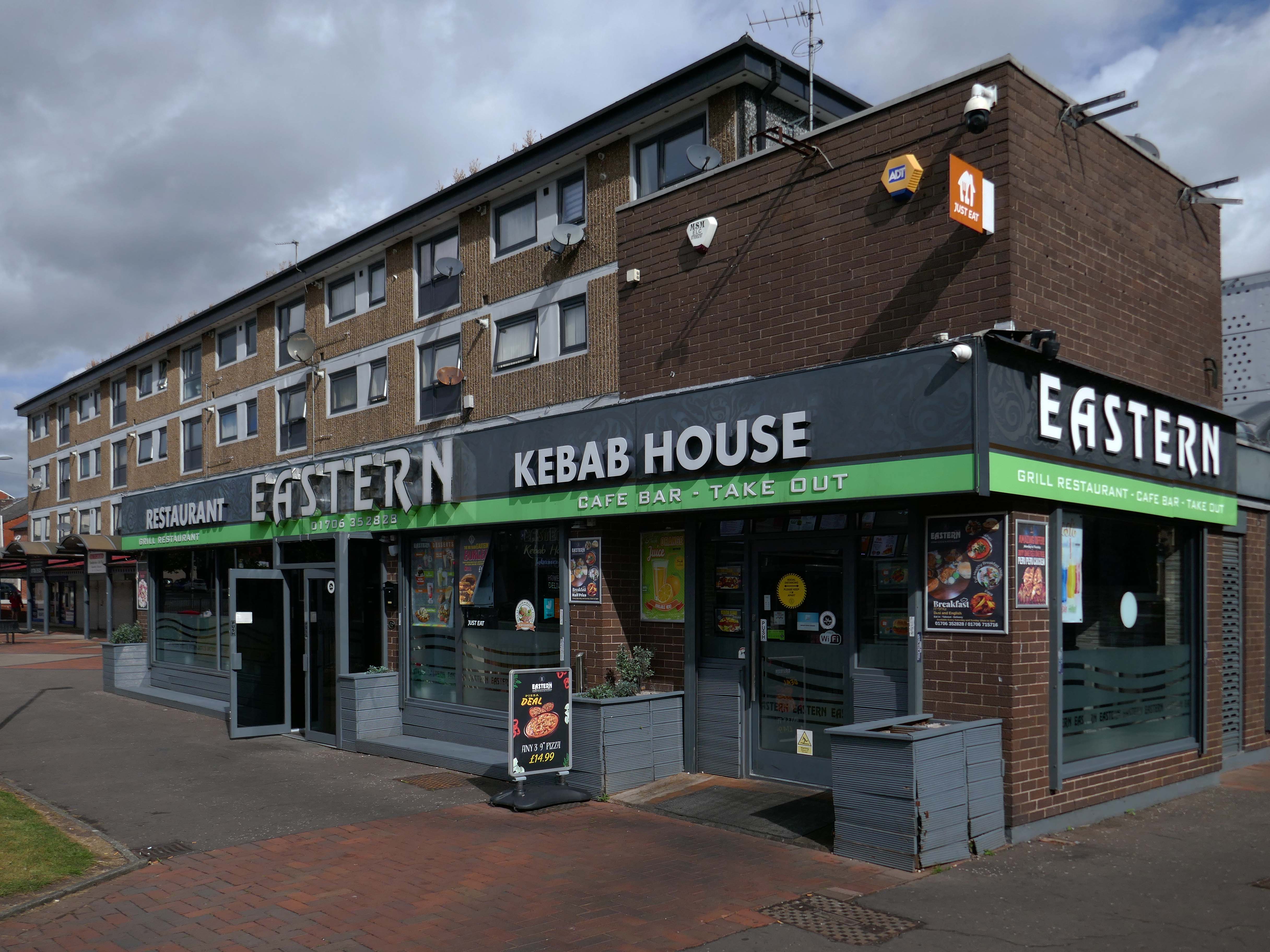
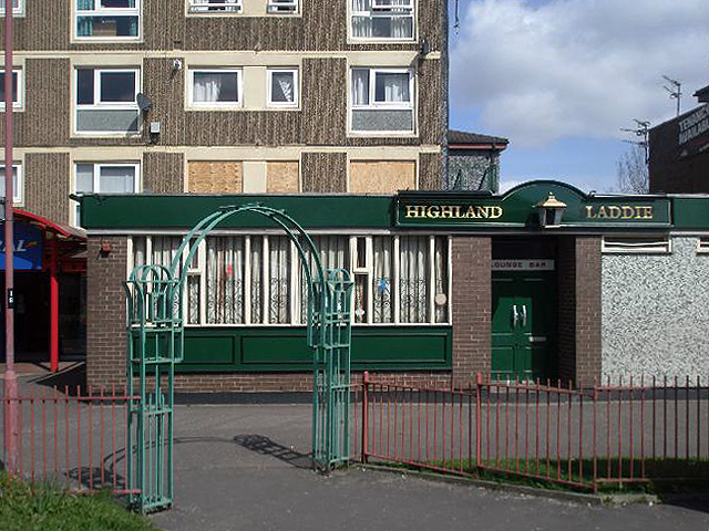
Once home to the Highland Laddie pub which closed in 2010.
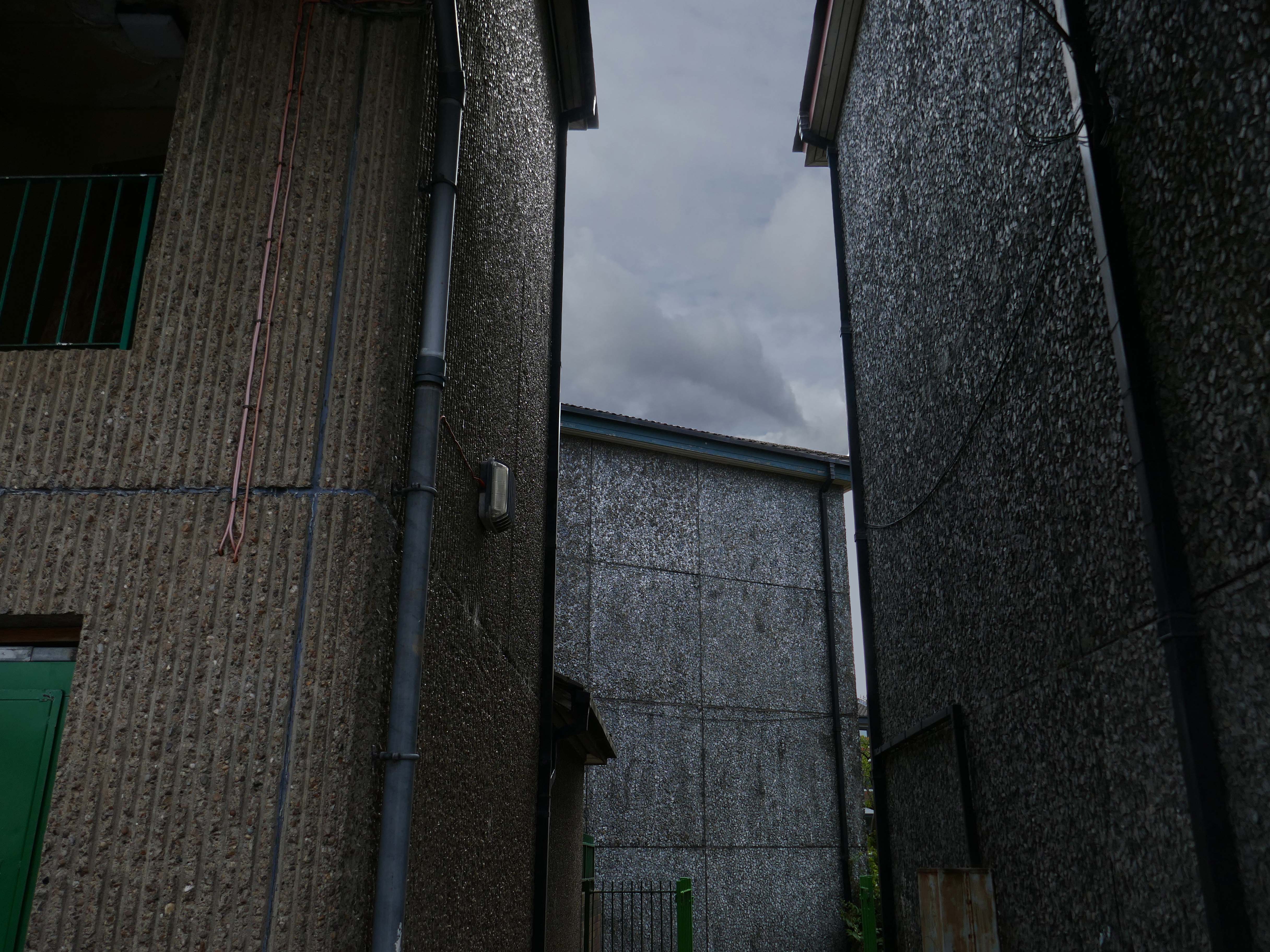
The remainder of the estate remains in limbo.
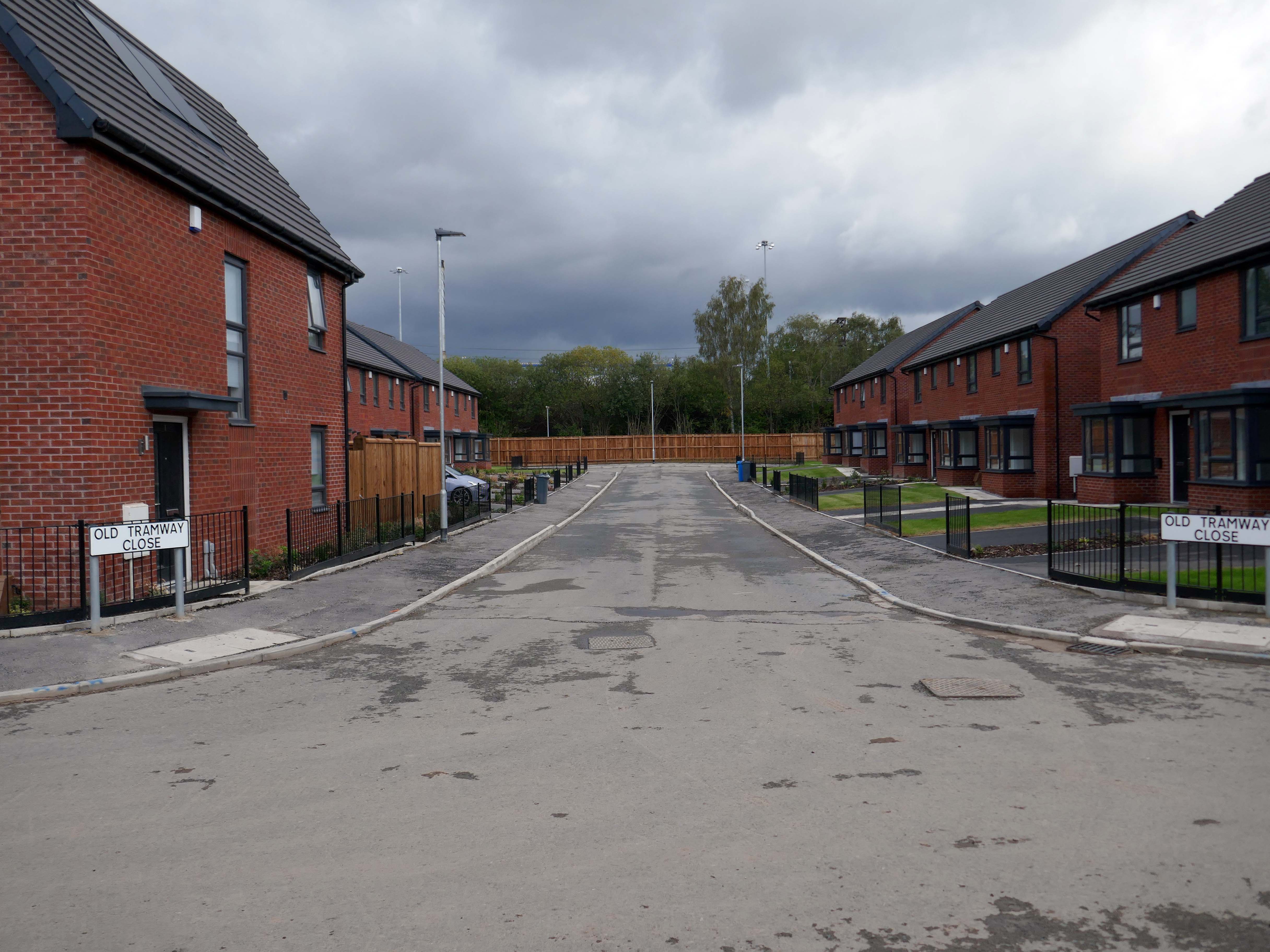
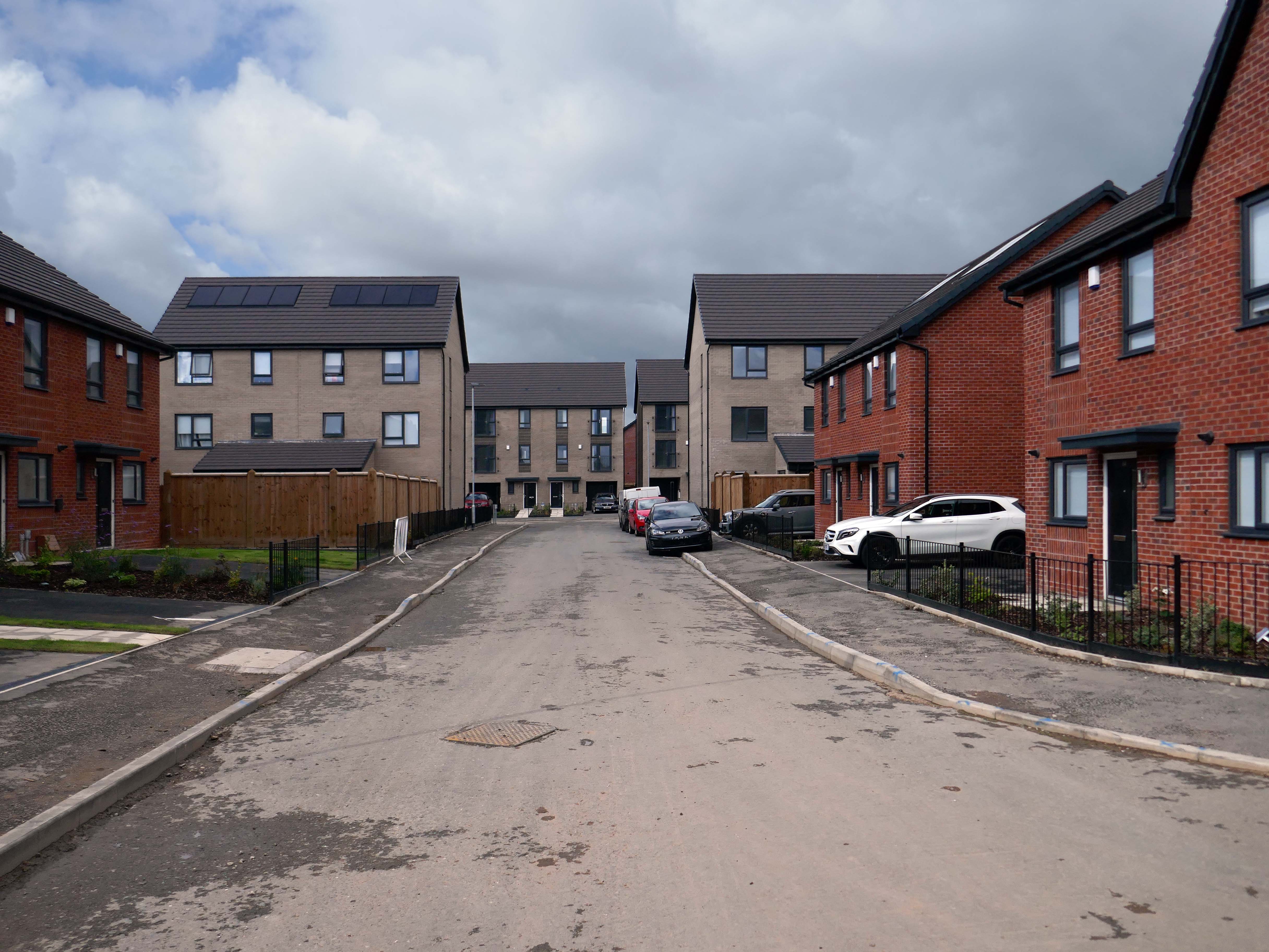
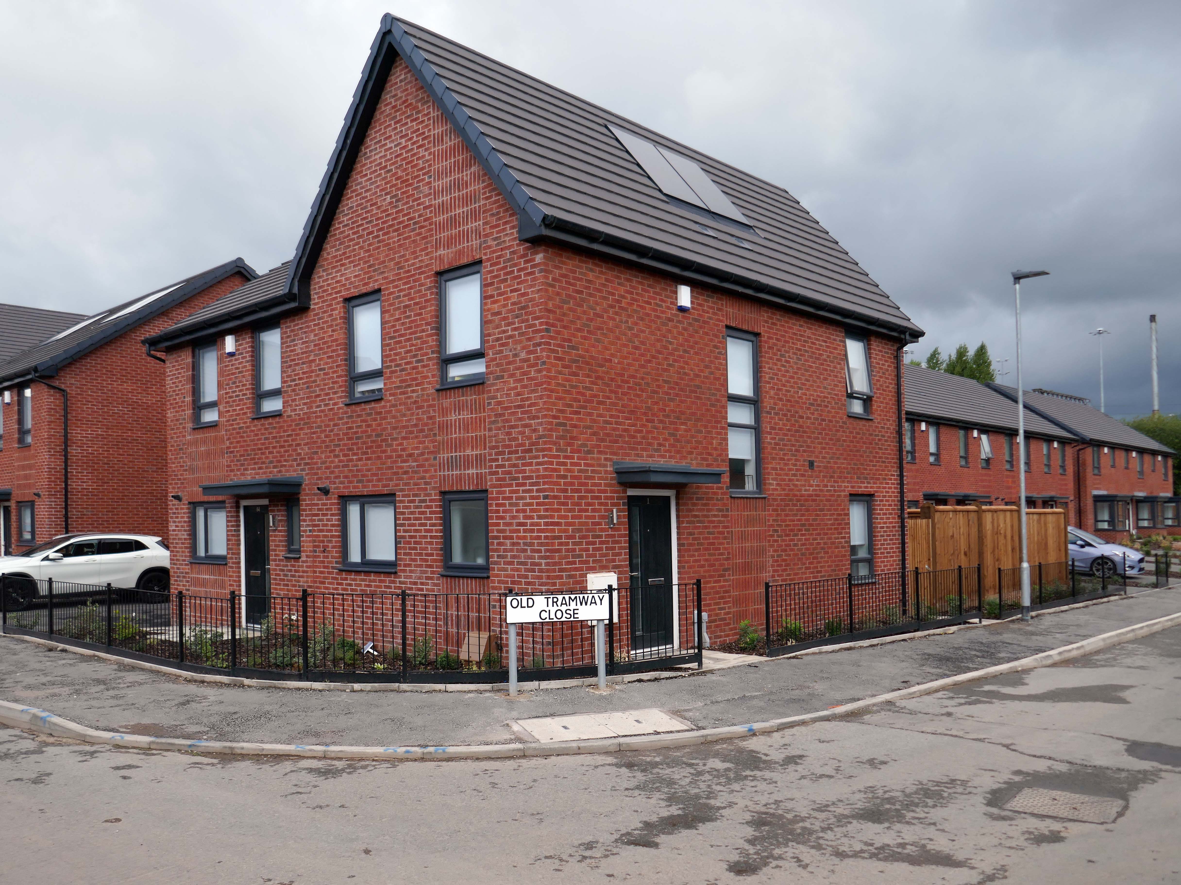
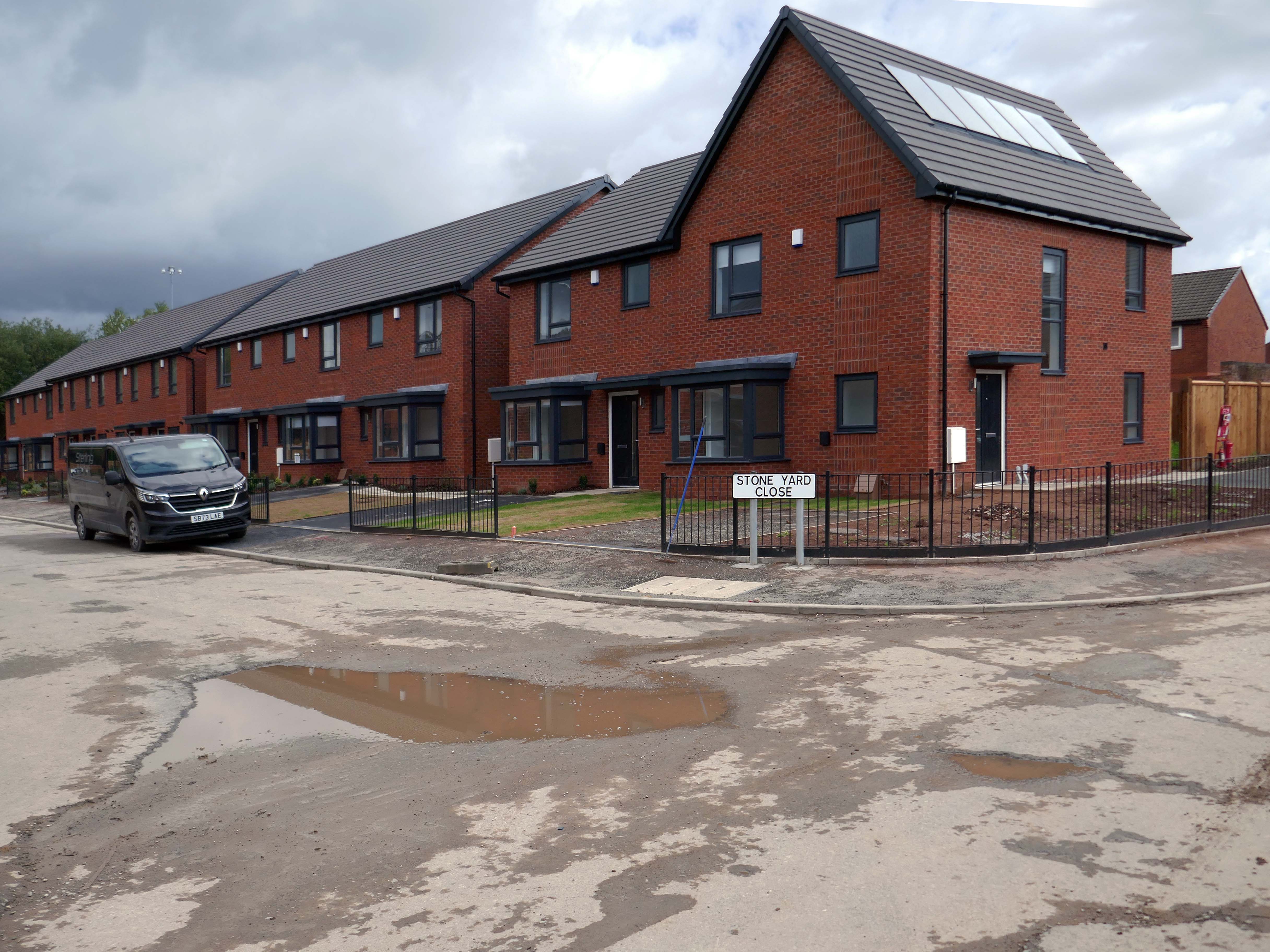
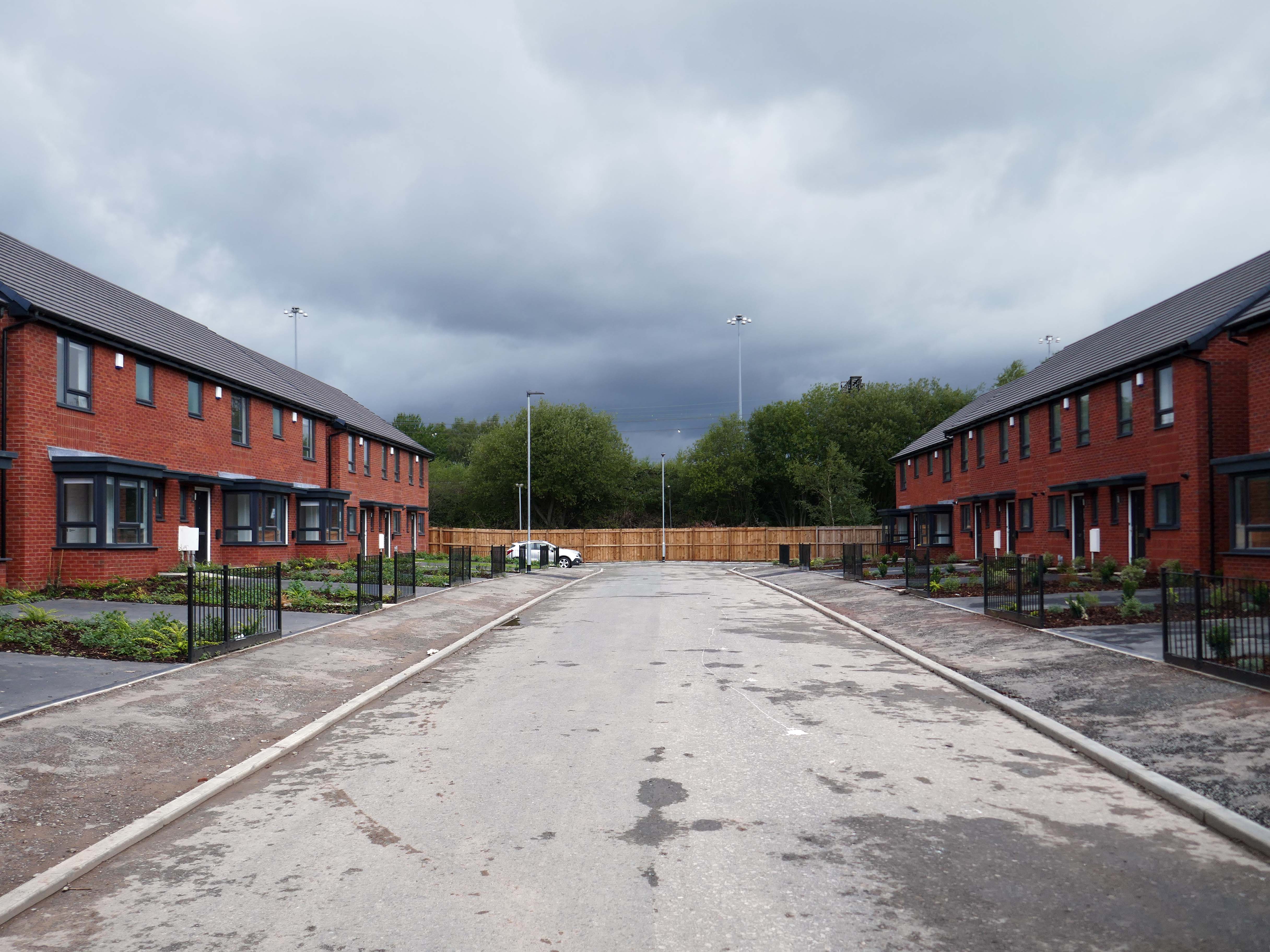
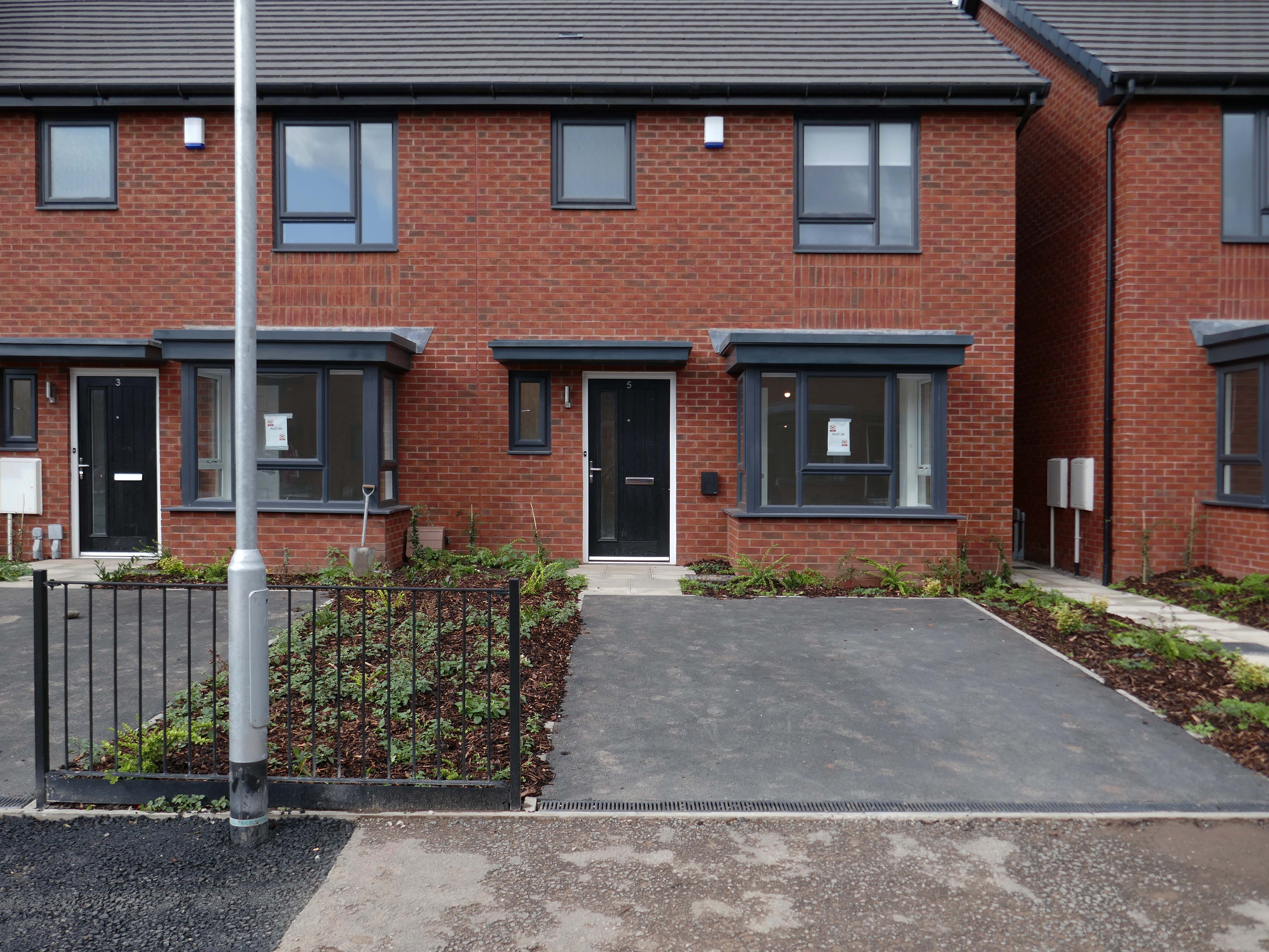
Next door the new homes have been built.
A major housing regeneration scheme which includes the construction of 30 energy efficient, affordable homes is breathing new life into the Lower Falinge neighbourhood in Rochdale.
The project is being carried out for Rochdale Boroughwide Housing by Rochdale-based main contractor The Casey Group with OMI Architects. This is the largest of 3 schemes that Casey has carried out for RBH.