Carrington Moss

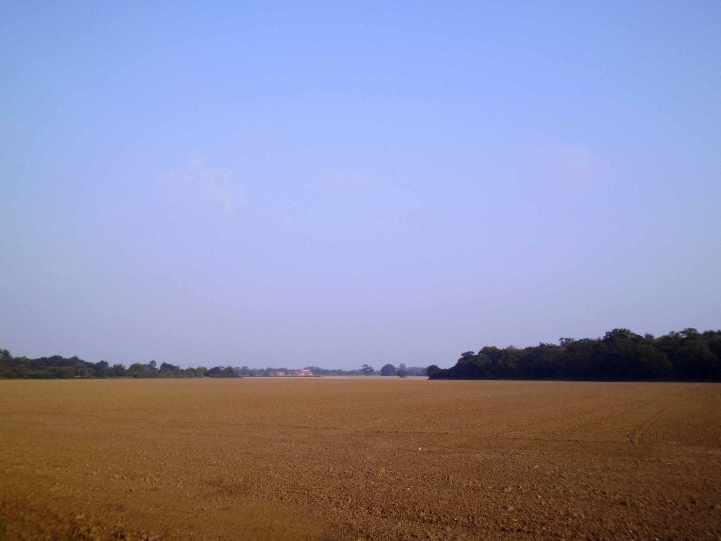
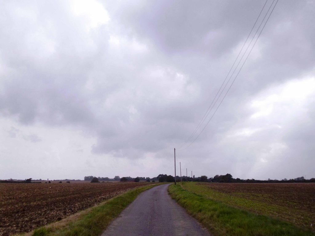
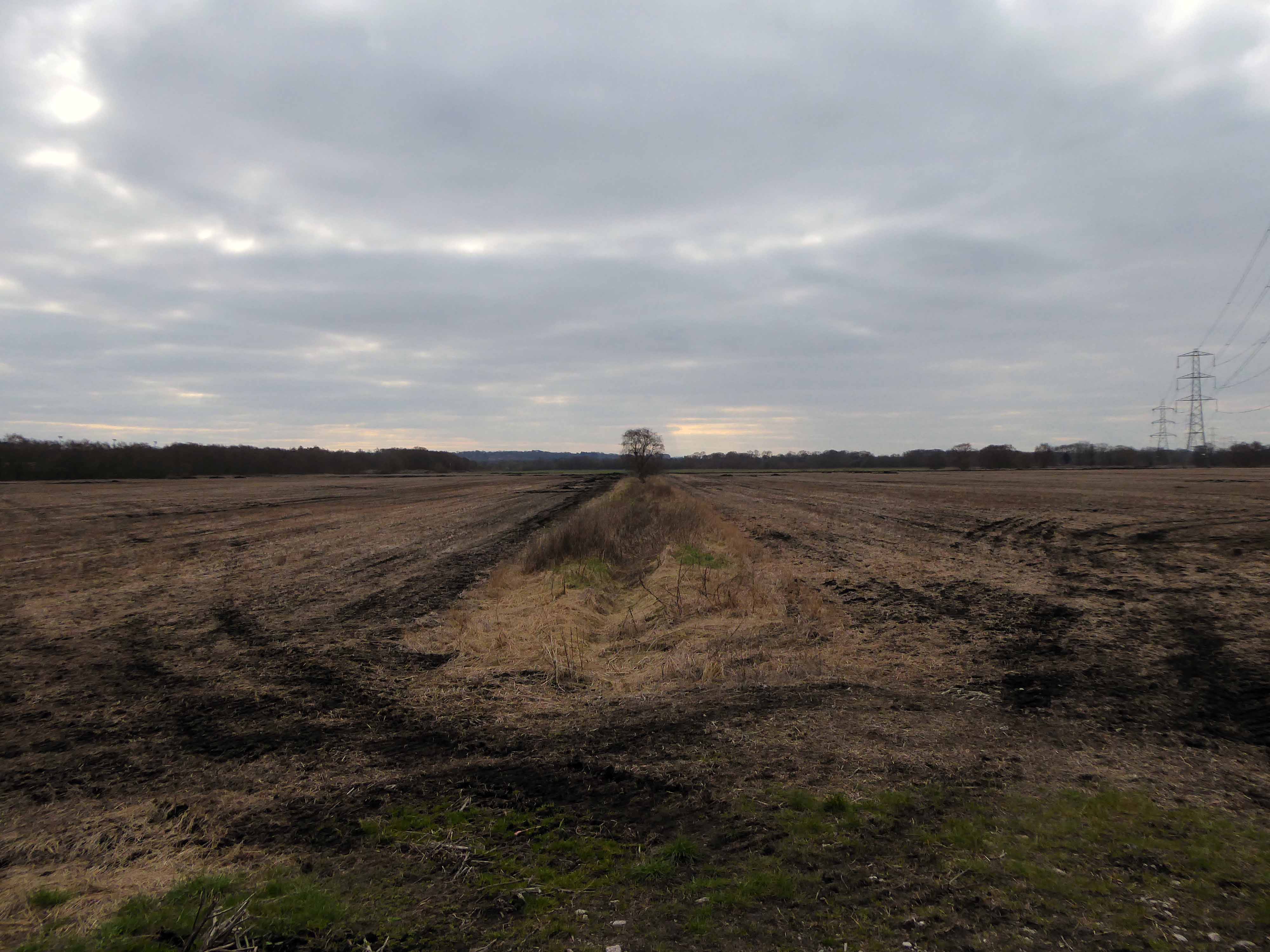
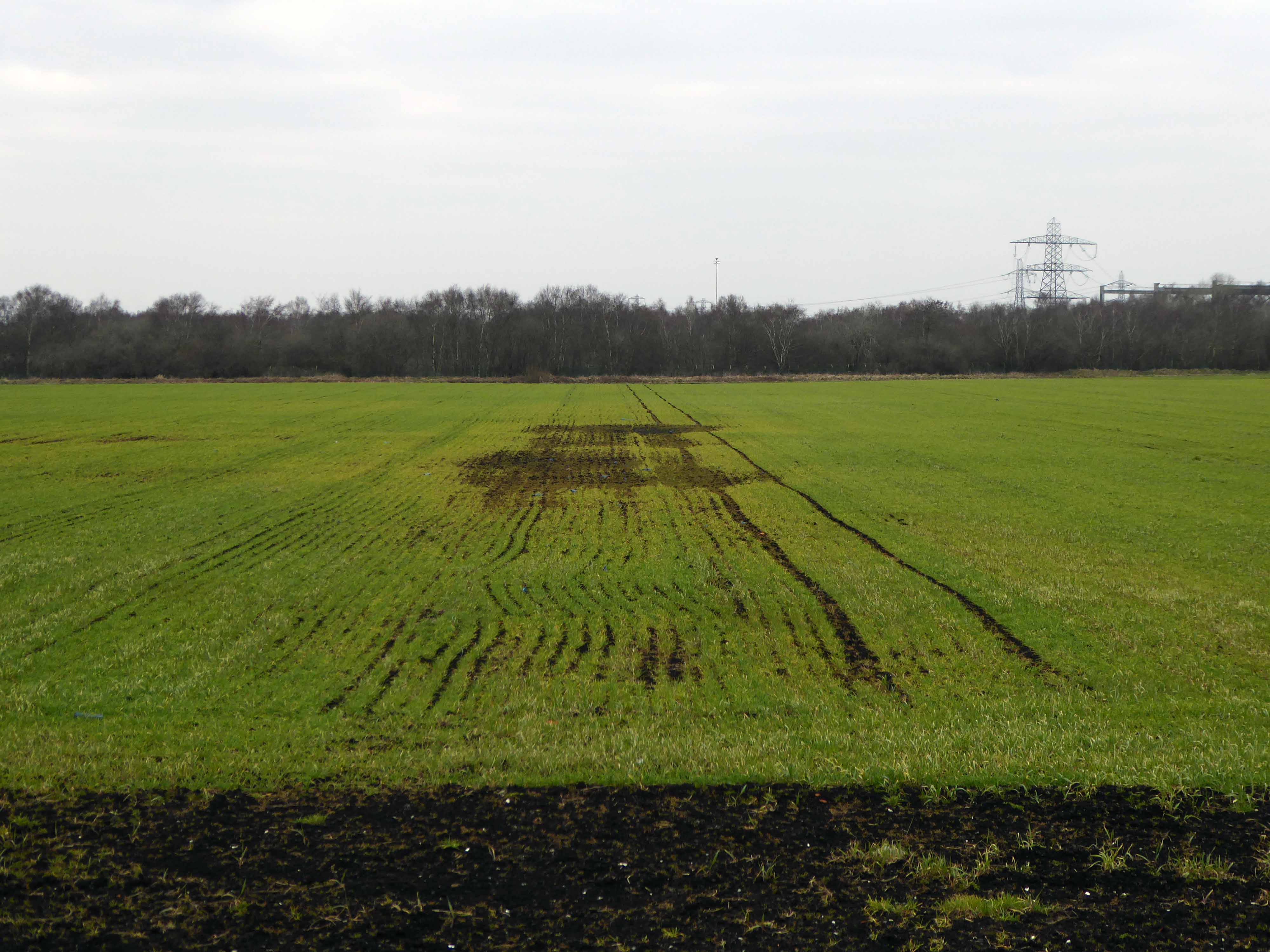
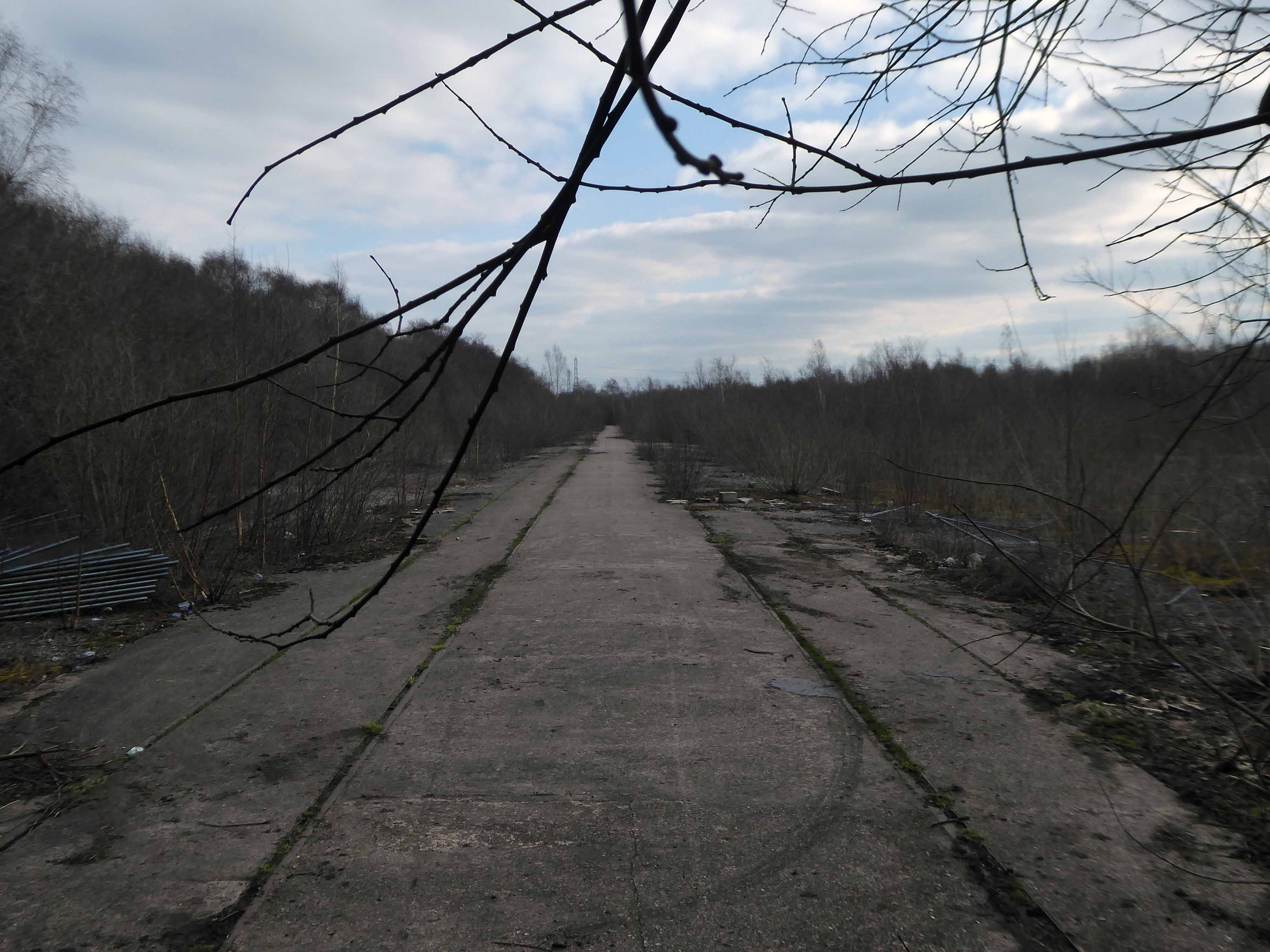
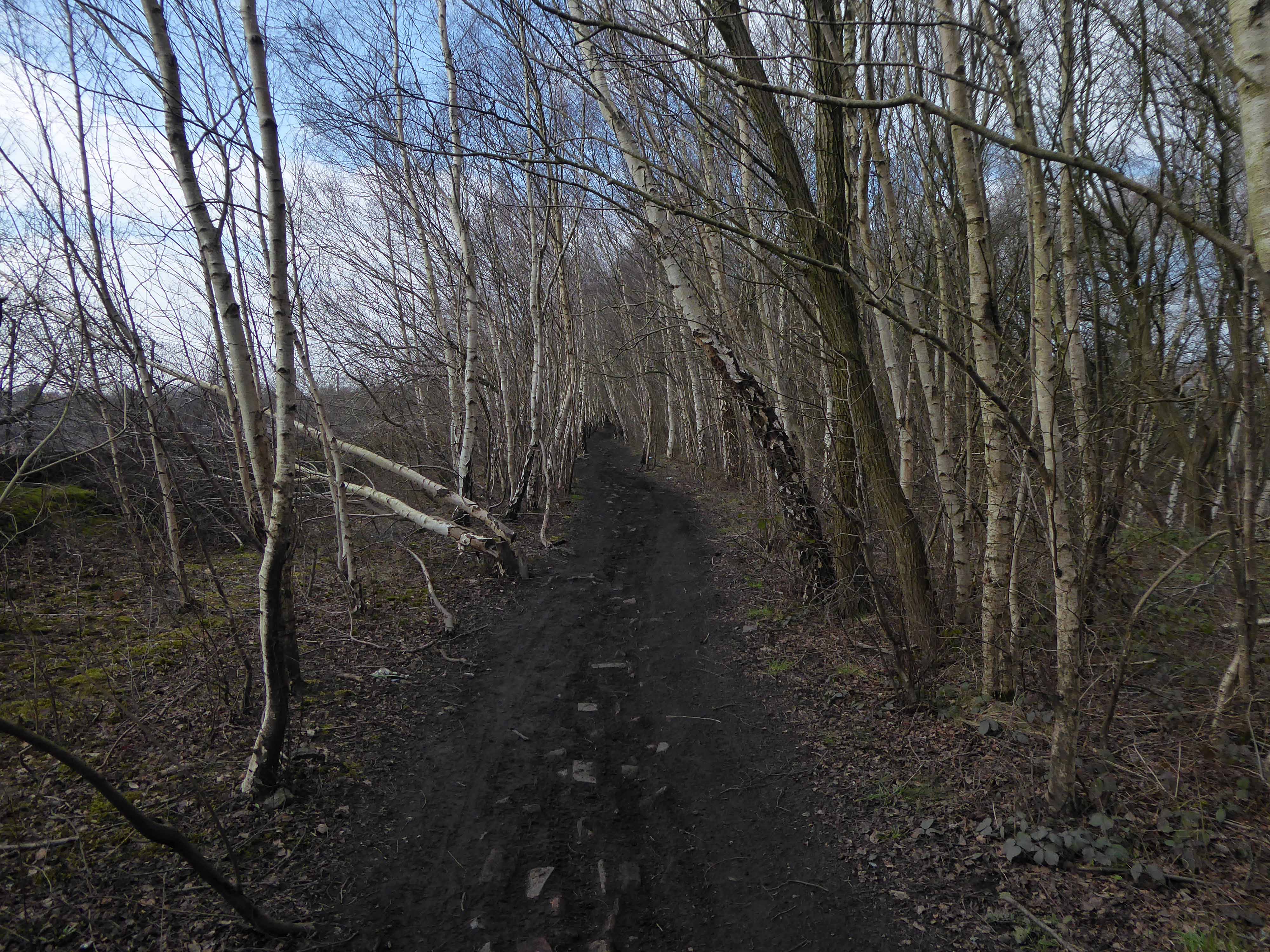
Flat as can be, between rail and river, flat.

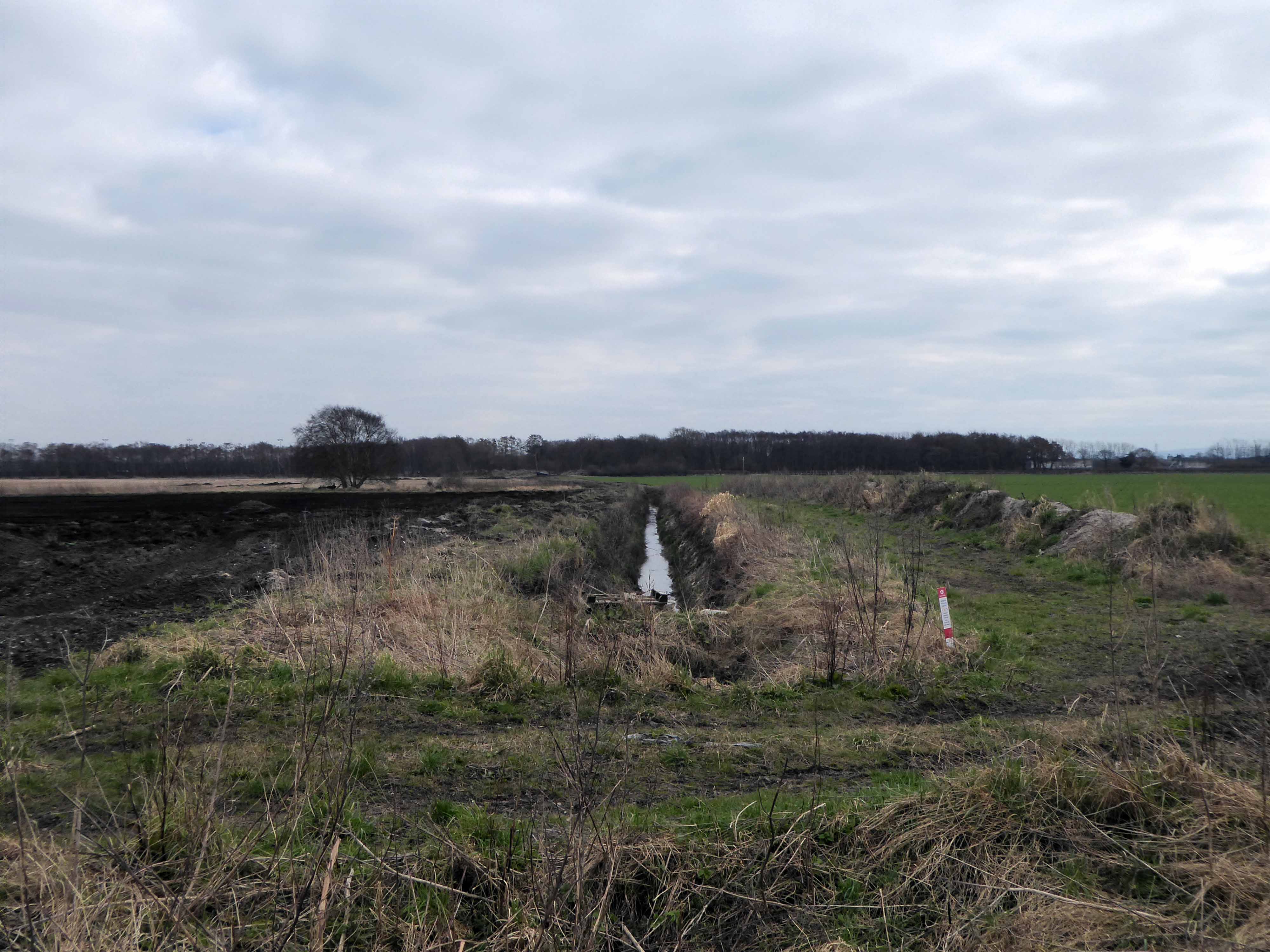
Crisscrossed by tramways and drainage ditches.

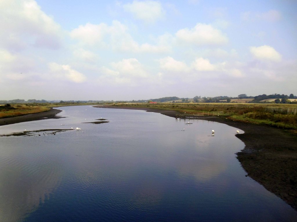
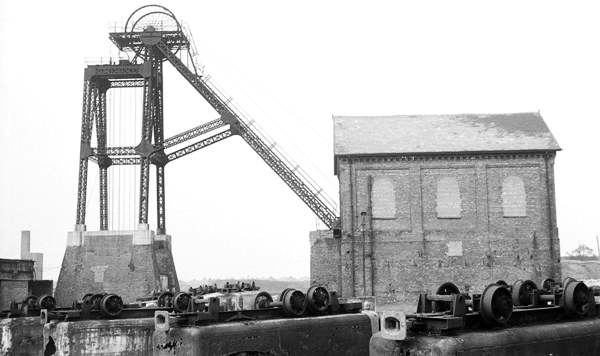
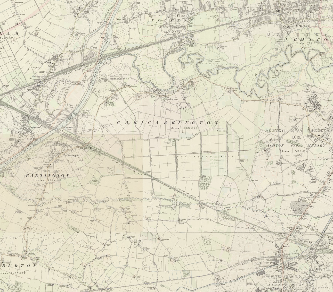
Carrington Moss is a large area of peat bog near Carrington in Greater Manchester, England. It lies south of the River Mersey, approximately ten miles south-west of Manchester, and occupies an area of about 1,100 acres..Originally an unused area of grouse moorland, the moss was reclaimed in the latter half of the 19th century for farming and the disposal of Manchester’s waste. A system of tramways was built to connect it with the Manchester Ship Canal and a nearby railway line. During the Second World War the land was used as a Starfish site and in the latter half of the 20th century, a large industrial complex was built along its northern edge. More recently, several sporting facilities have been built on Carrington Moss. Today, the land is still used for farming and several nature reserves have been established within its bounds.

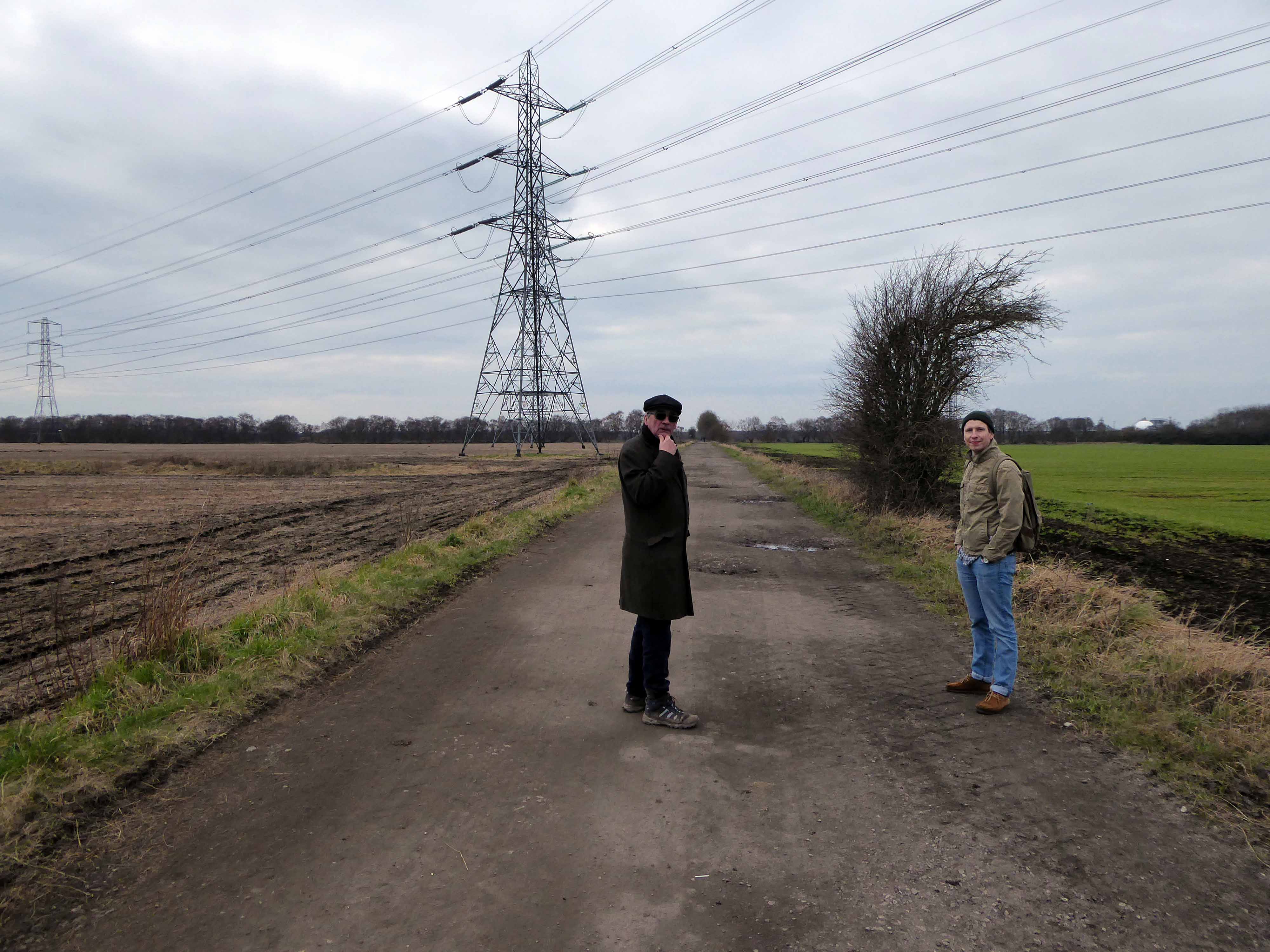
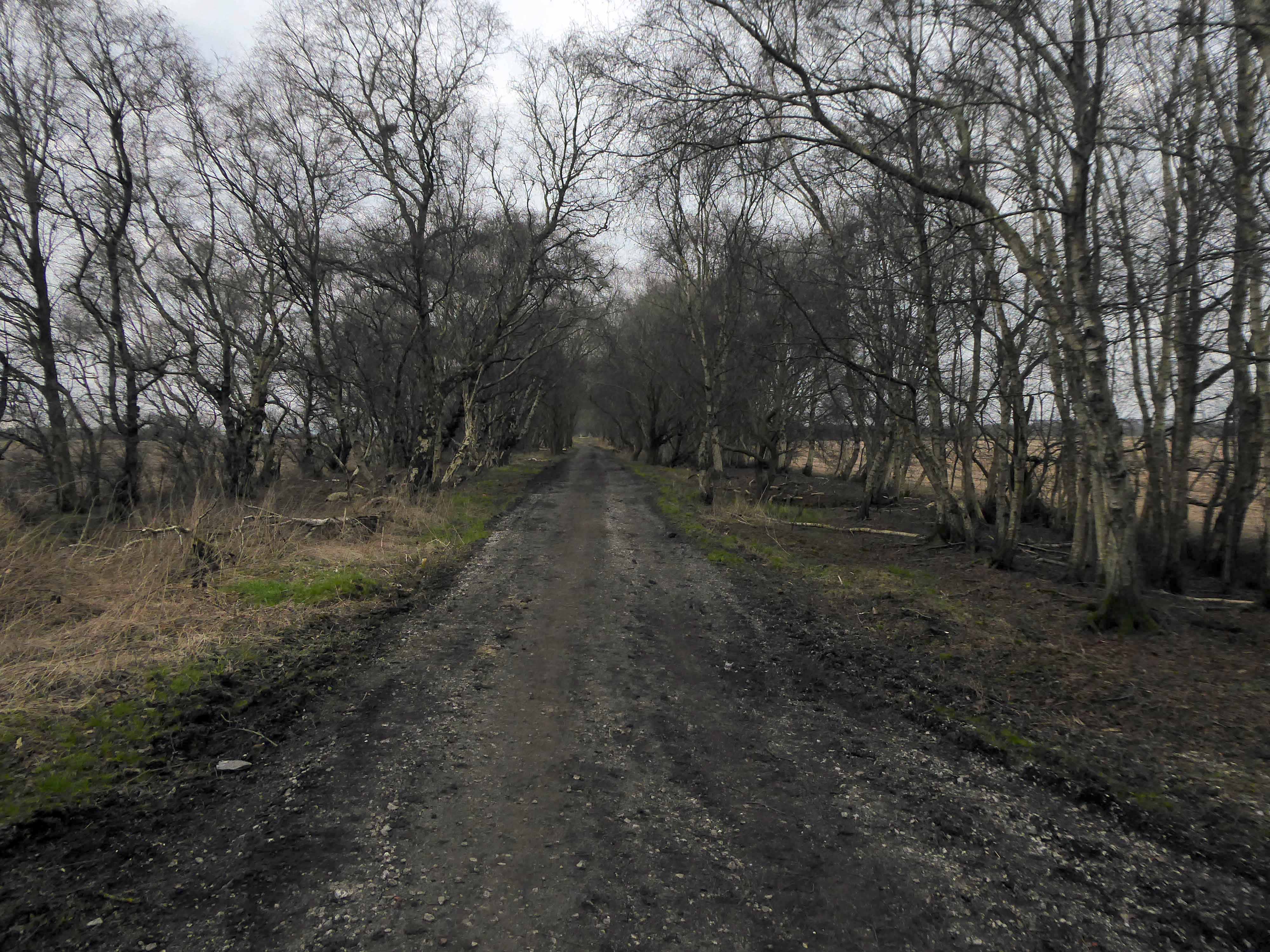
Parts of Carrington Moss are accessible to the public over several rights of way.

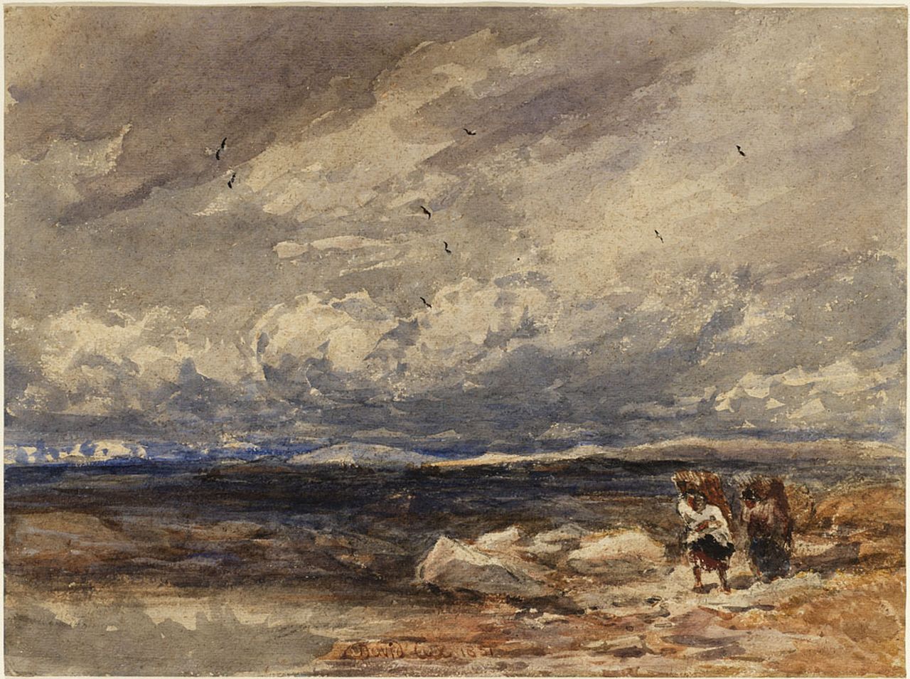
On Carrington Moss 1851 David Cox

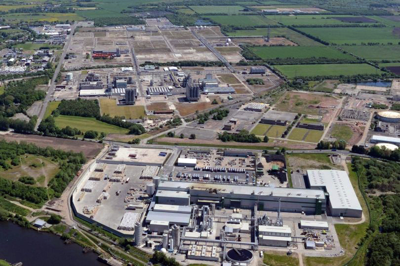
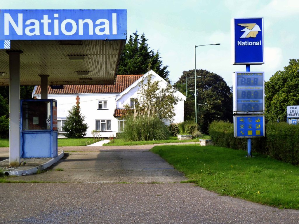
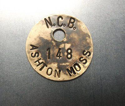
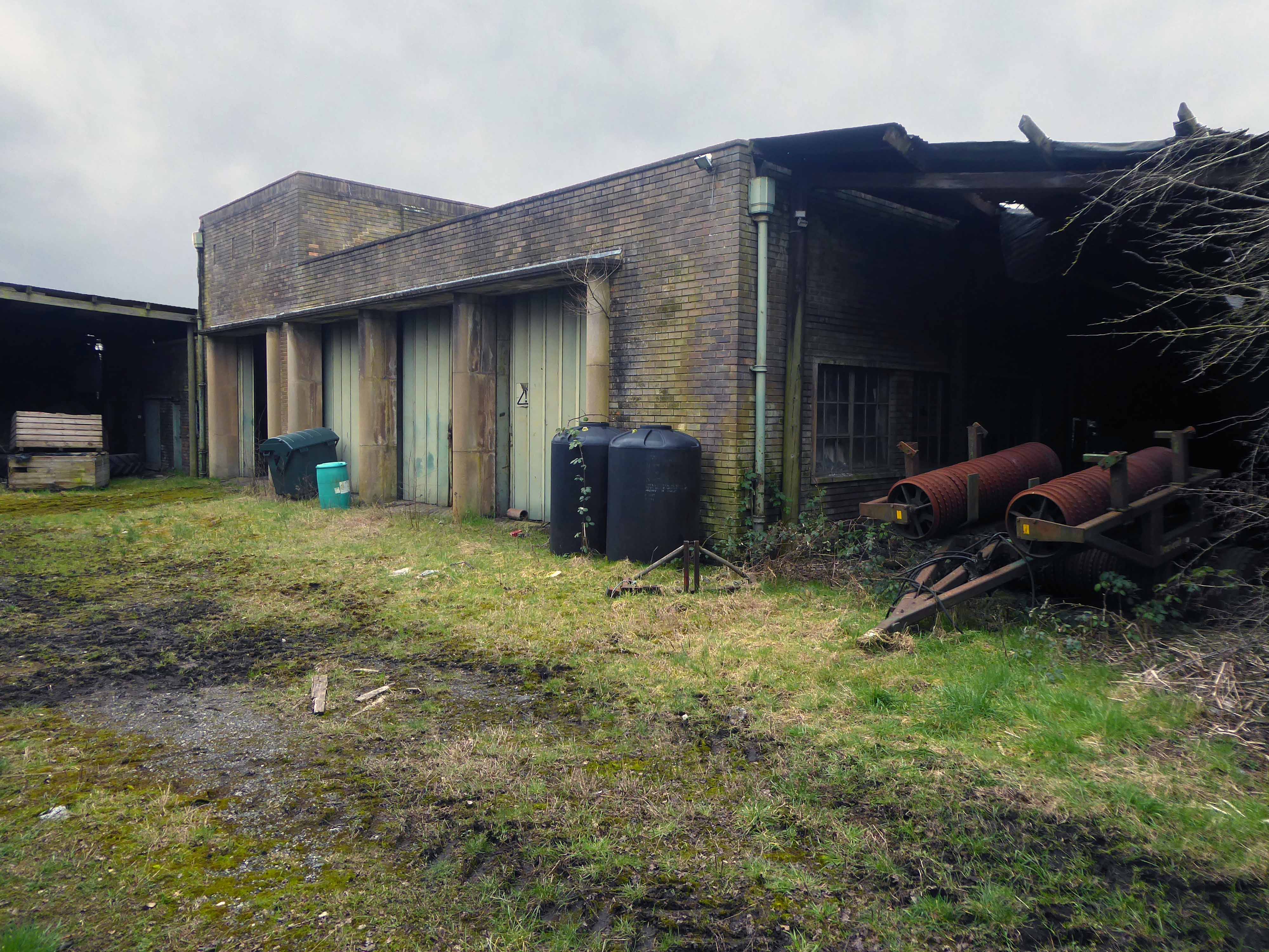
Industrialisation of the moss took place from 1947–1952 when Petro-Carbon ltd began to build what would later become known as the Shell Site. The estate was leased on 1 October 1968 to Shell Chemicals, who in 1957 had purchased a propylene oxide plant along the moss’s northern edge. Shell had built an ethylene oxide plant in 1958 and began to produce polyether polyols the following year. Council housing was built nearby, at Carrington and Partington, for workers and their families. By 1985 the Shell plant had a turnover of about £200M and employed 1,150 people, but a major restructuring of the business reduced the workforce to less than 500 by 1986. By 1994, four distinct plants operated on the 3,500-acre (14 km2) site, producing a range of chemicals, and materials including polystyrene, polyethylene and polypropylene. In 2005 it was reported that Shell would close their polyols and ethoxylates units, a decision which came into effect in 2007. The estate is currently managed by chartered surveyors Bell Ingram. Lyondell Basell operate the last remaining chemical plant on site.

Wikipedia

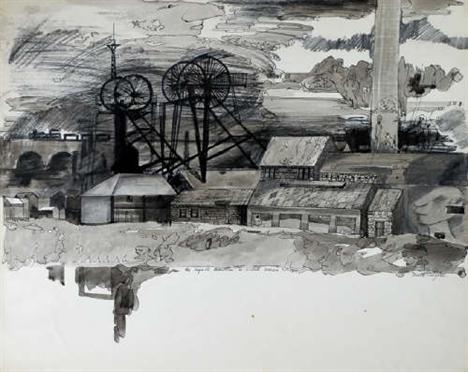
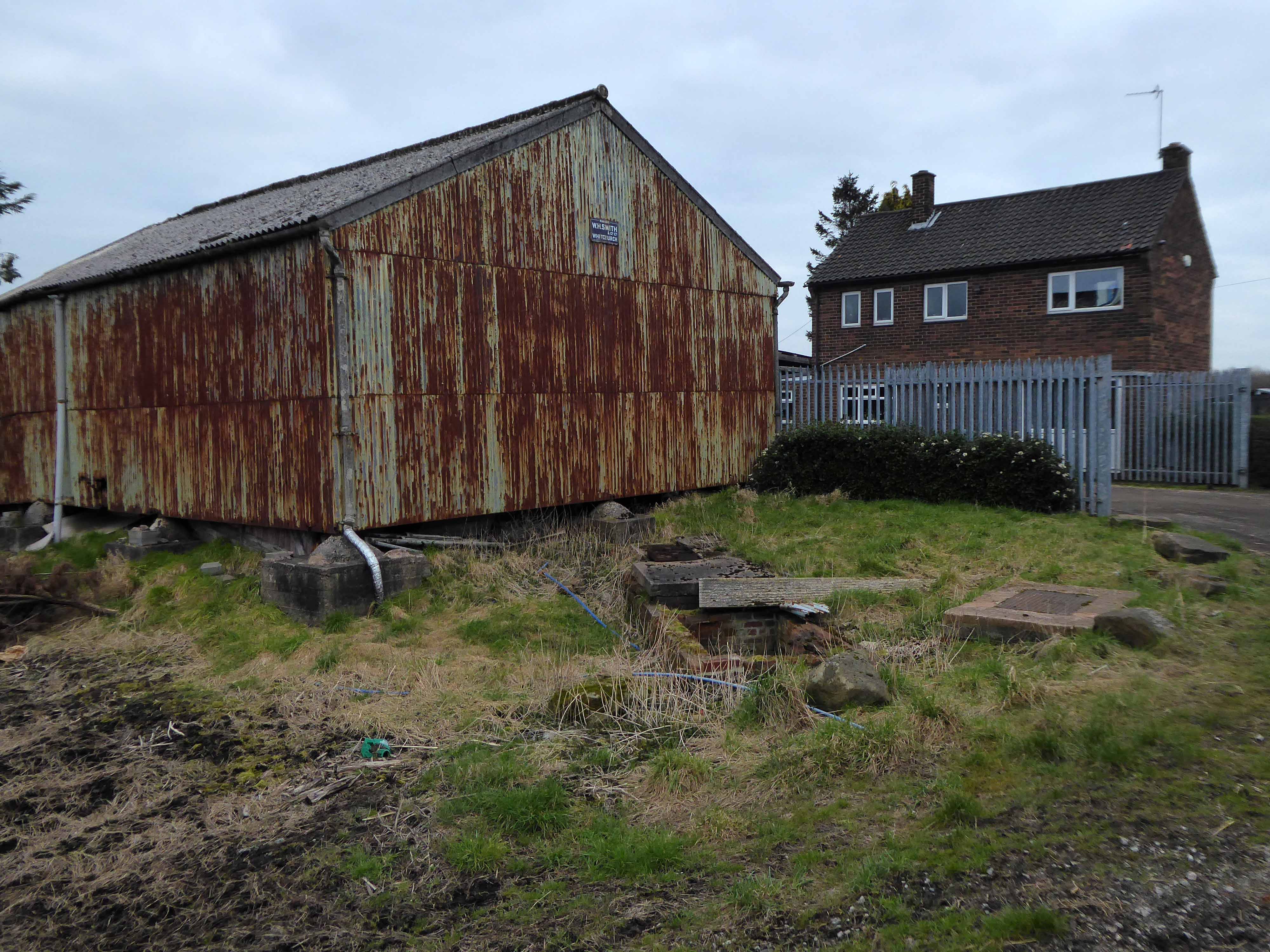
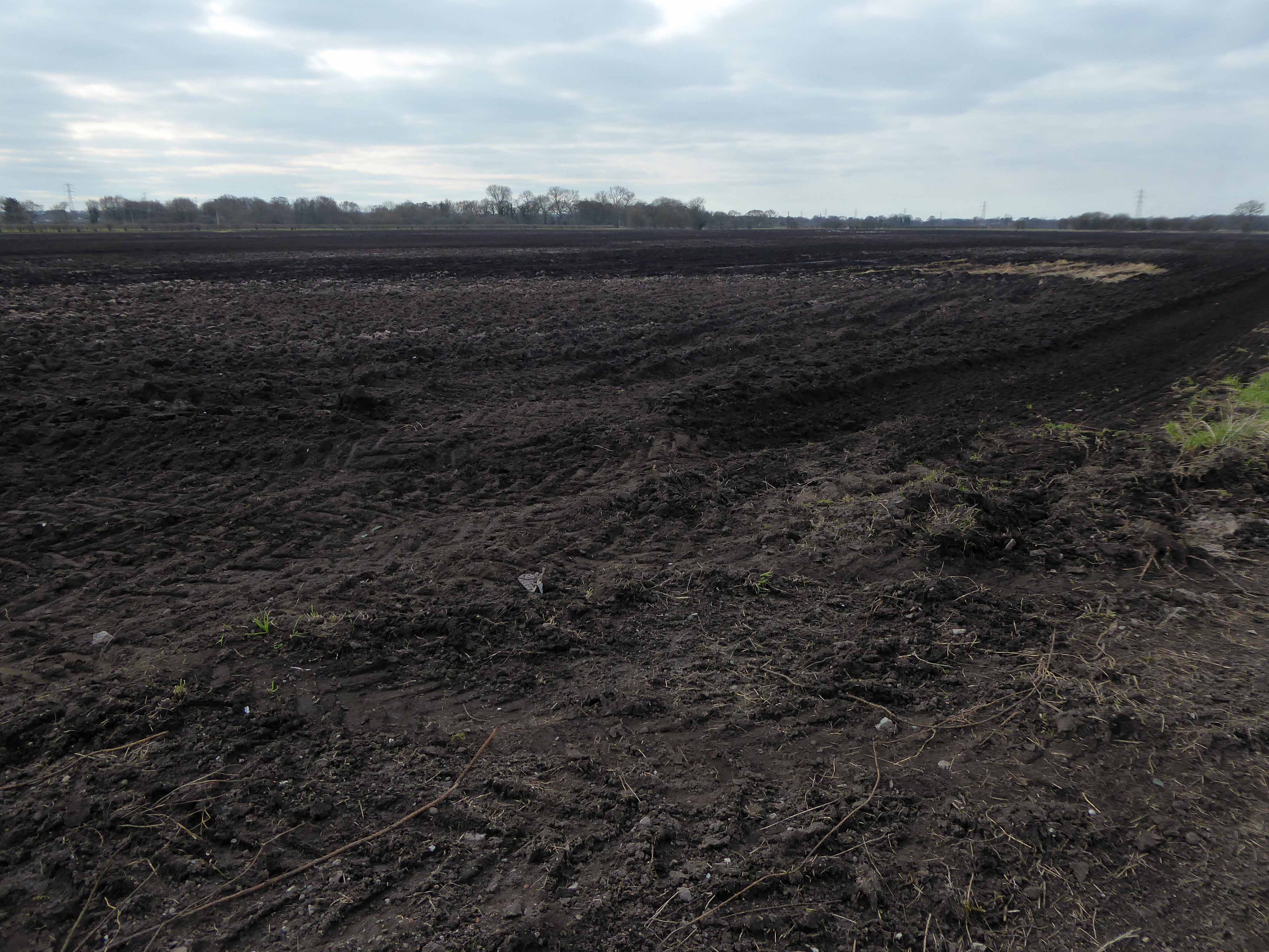
This is the beleaguered site, still farming, remnants of rail, traces of tipping and vestiges of industry.

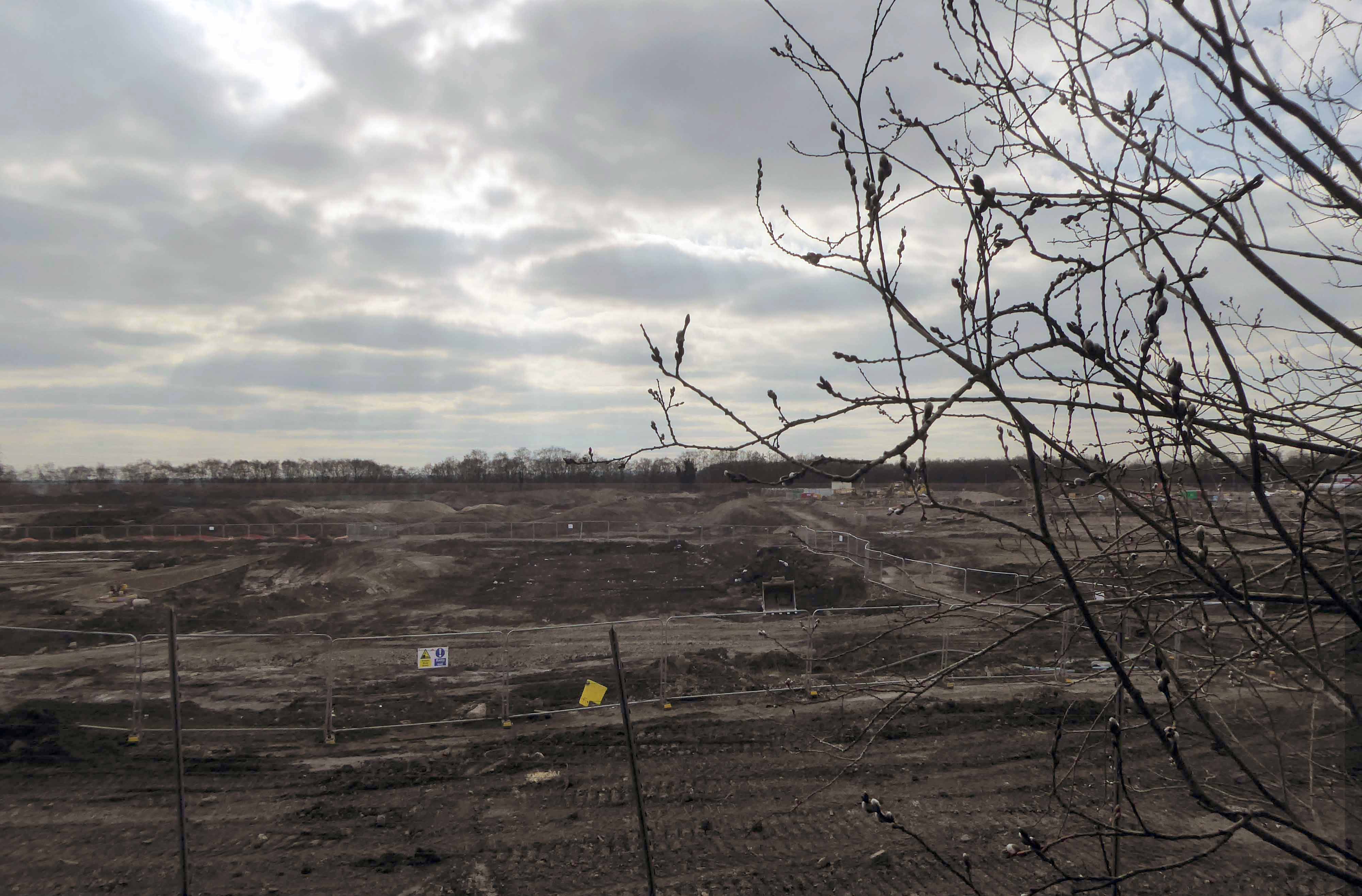
Plans are afoot – including of course indicative multi-modal routes.

Trafford Gov UK

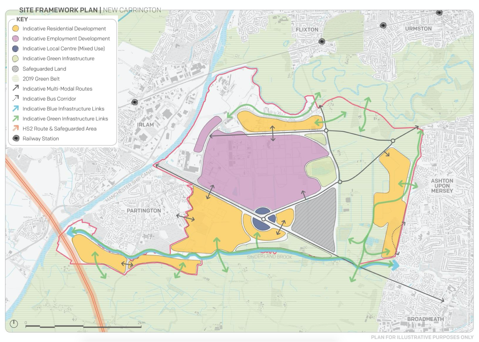
Hundreds of campaigners fear endangered wildlife at Carrington Moss will be ‘decimated’ if plans to build a new town on green belt land go ahead.

They also argue the development would be ‘catastrophic’ in terms of how it would impact the environment.

Manchester Evening News

Storm Christoph showed that Manchester is susceptible to the adverse effects of extreme weather events, which are forecast to become more regular occurrences.

Greater Manchester Labour for a Green New Deal argue that we must abandon the idea of developing on greenbelt, and instead embrace bold alternatives which reflects the urgency of the climate crisis﹣starting with sites like Carrington Moss.

The Meteor

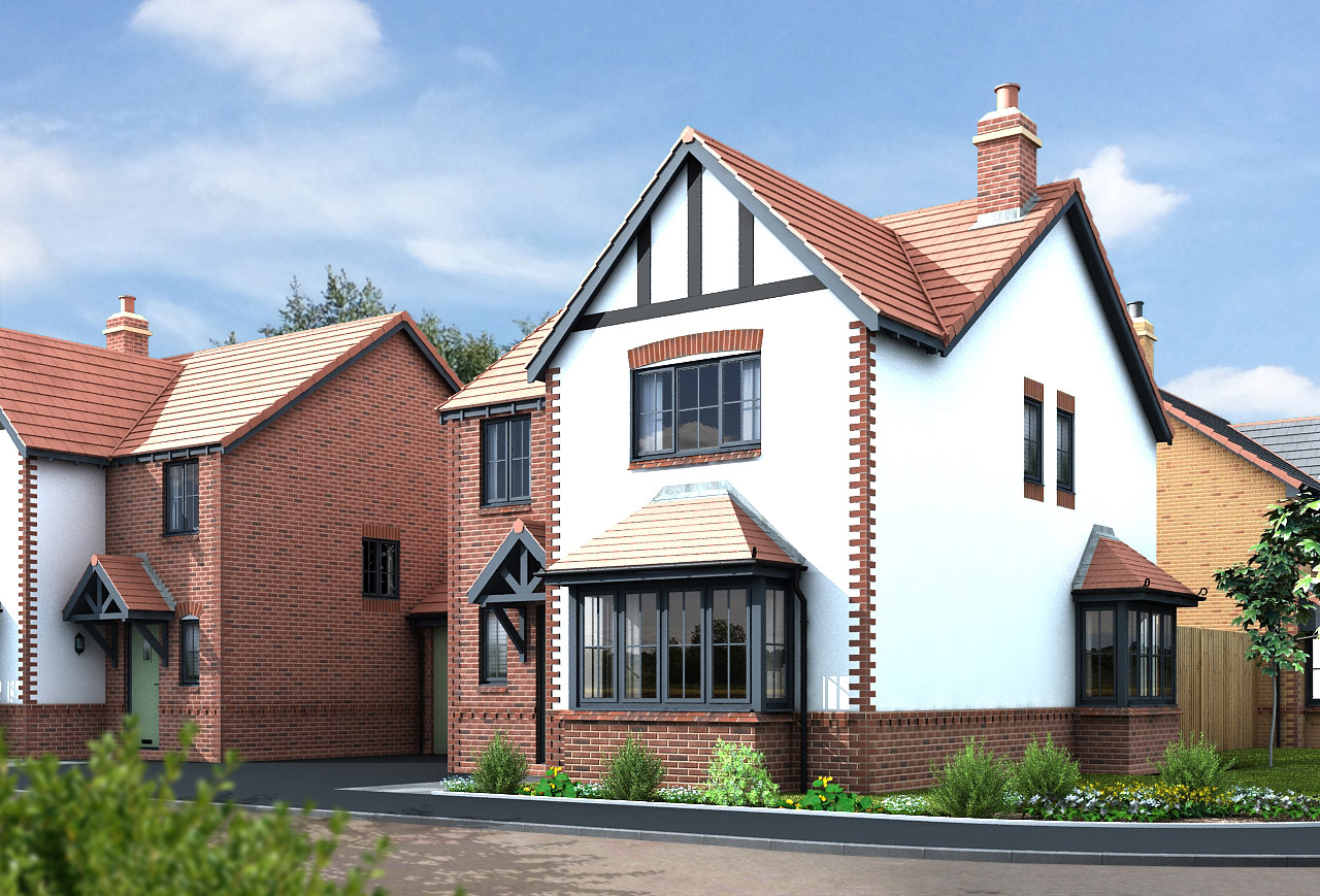
This is an area in liminal limbo, the pressures of the modern world leaning on its very being, as ash, alder, badger, field mouse, and kestrel give way to Wainhomes.

Where then will the wanderer wander, in search of solace?

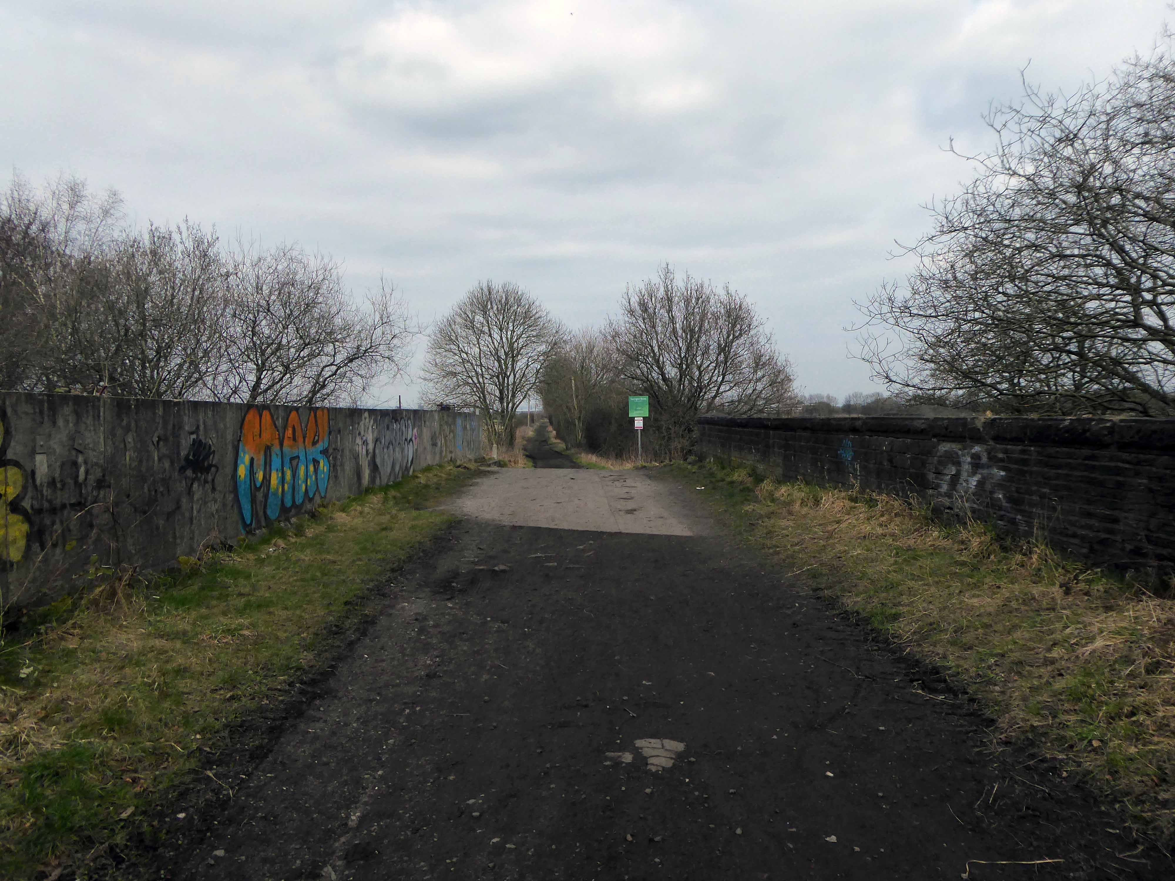
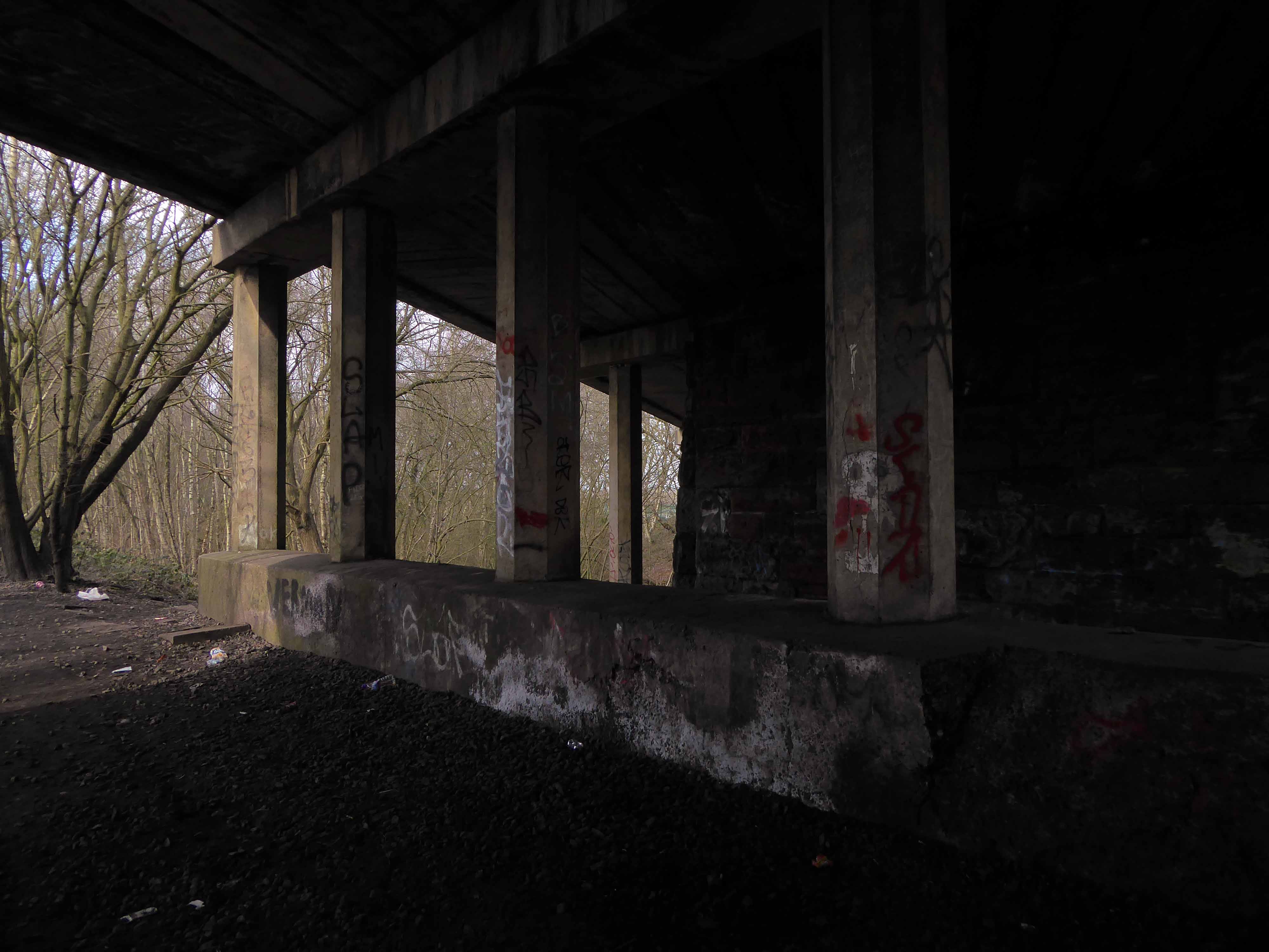
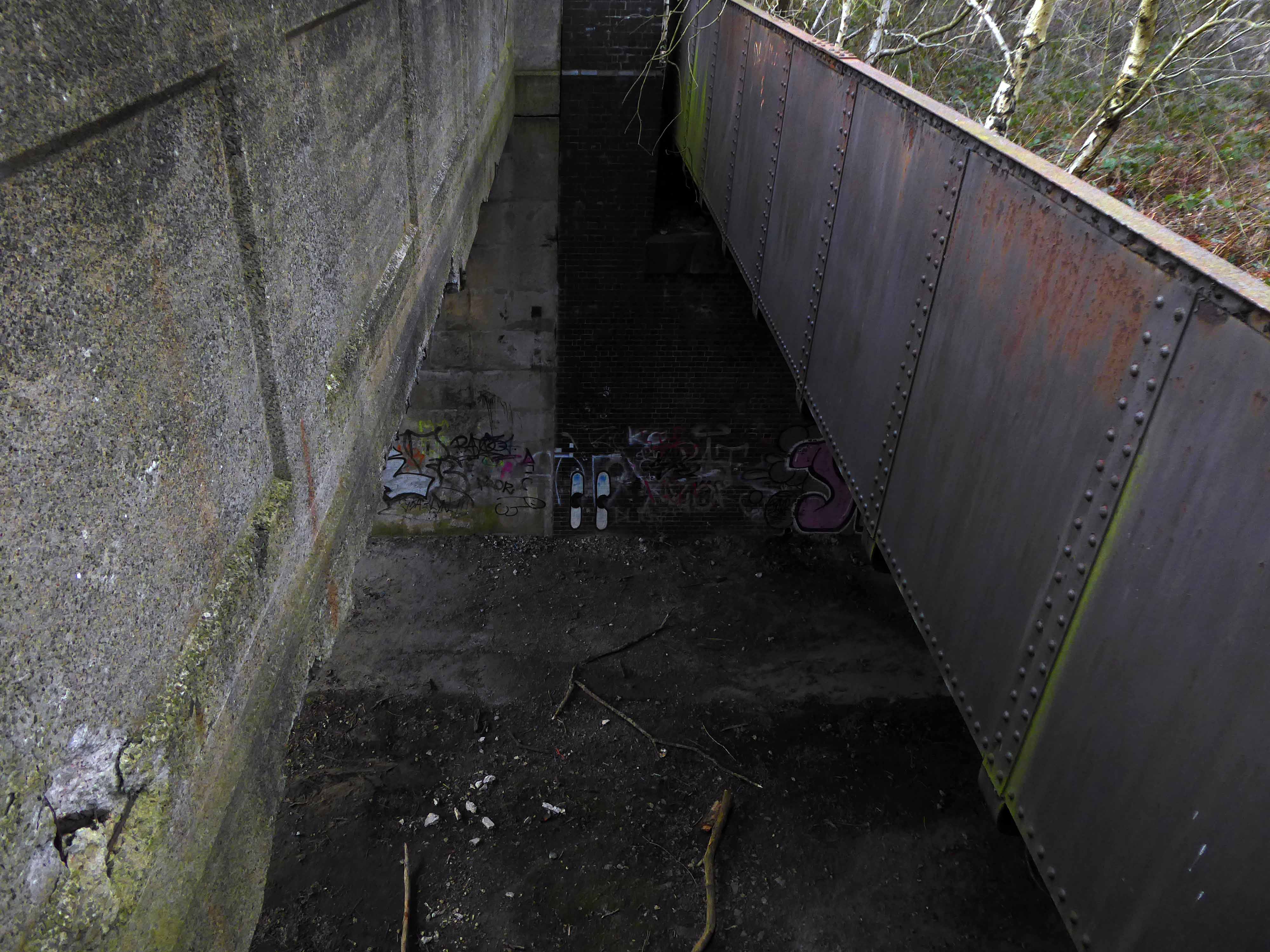
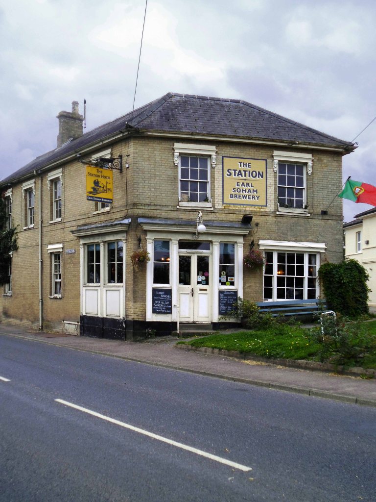
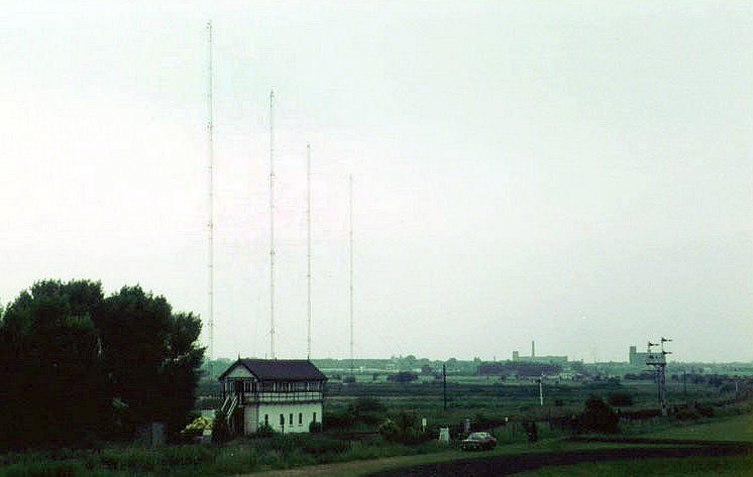
Ending our journey at the long gone Partington Station

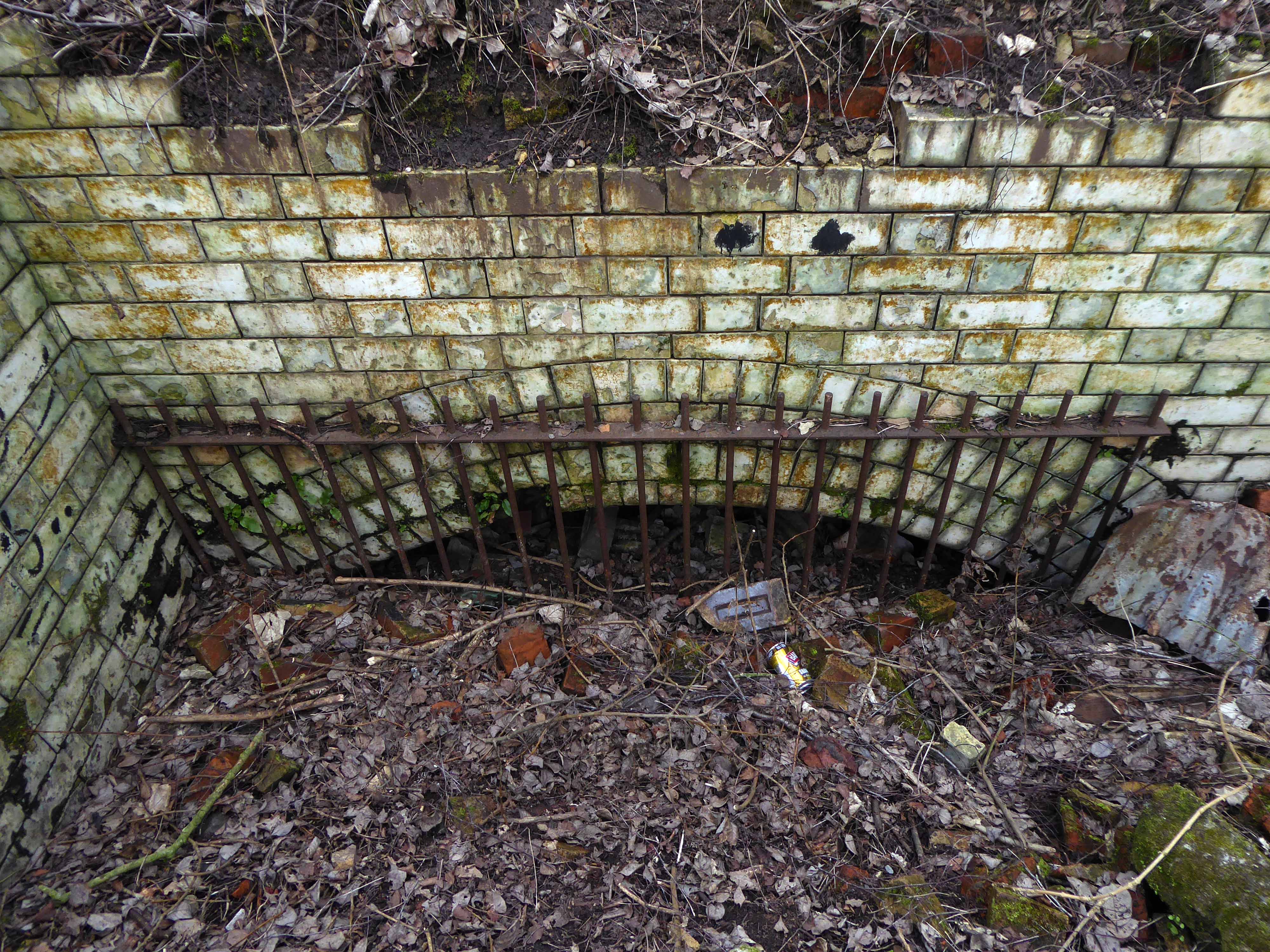
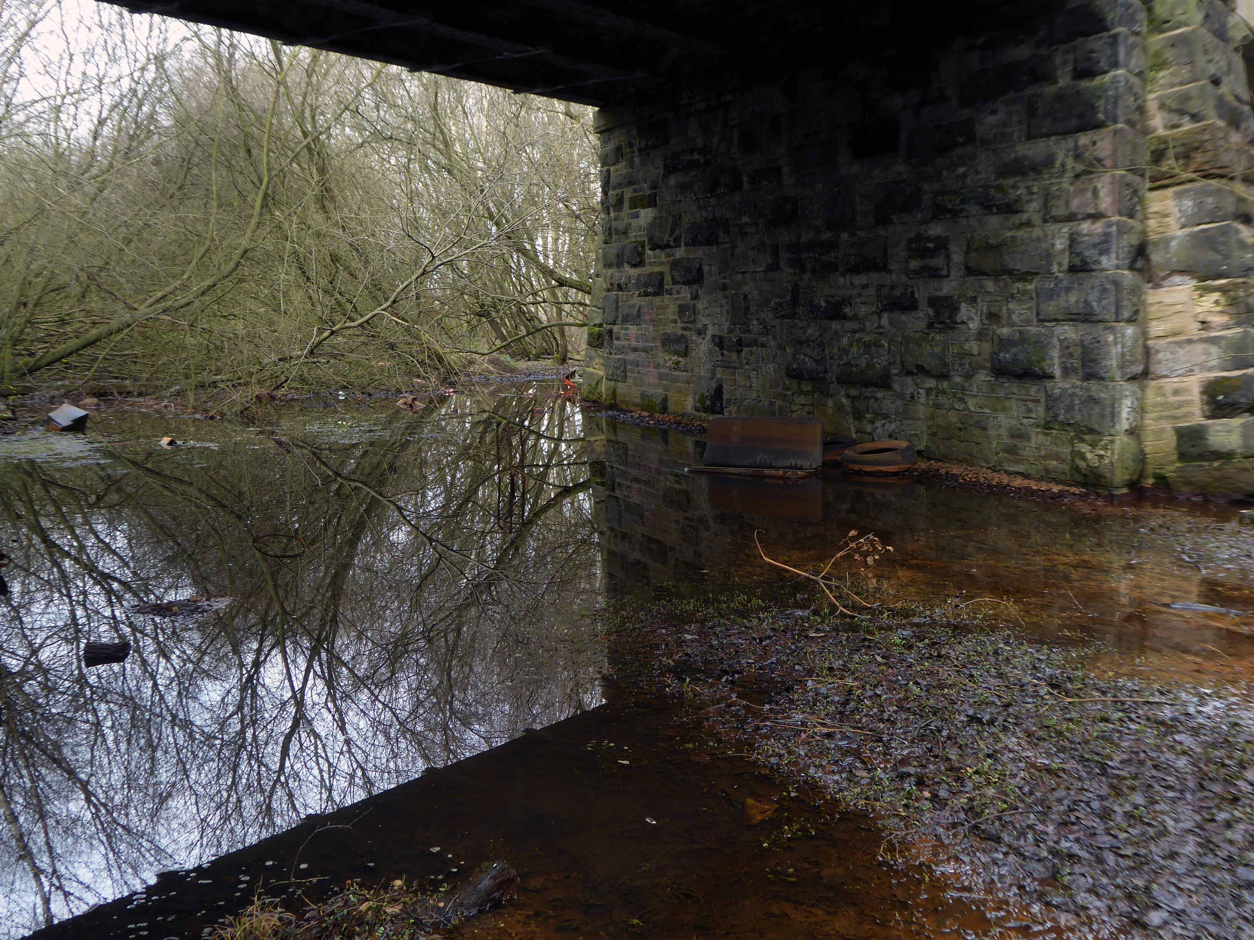
The remains of the subway.

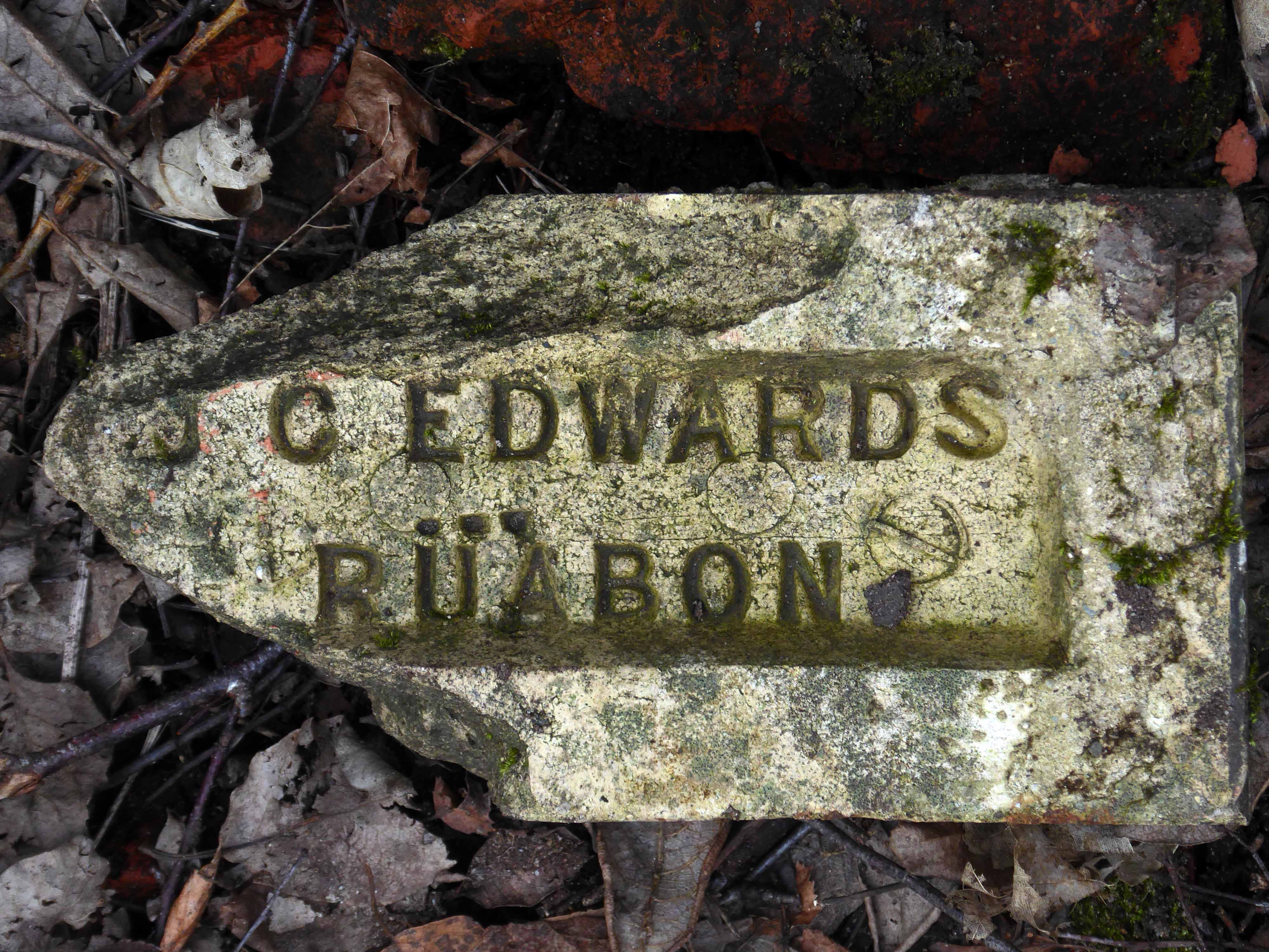
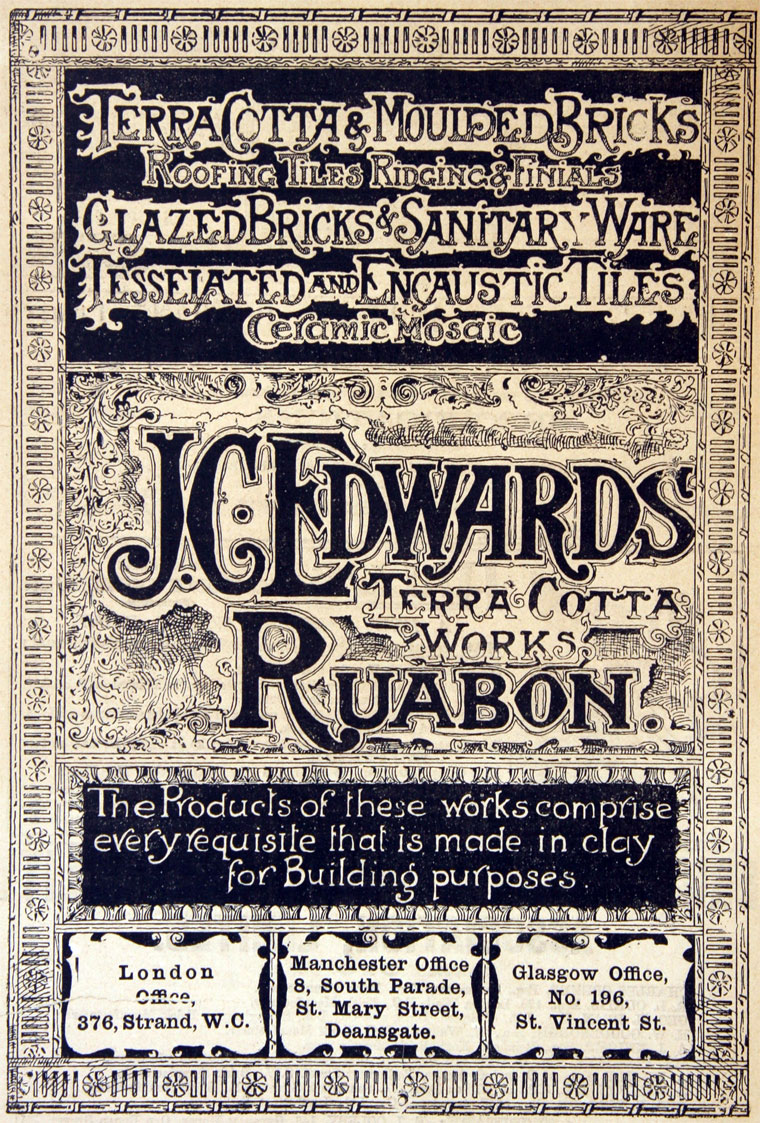
The company of J. C. Edwards Ruabon Ltd, was based in Ruabon, Denbighshire, and was active from 1903 to 1956 as a brick, tile and terracotta manufacturer from its works at Tref-y-Nant, Acrefair, Albert Works, Rhosllannerchrugog, and Pen-y-bont, Newbridge, Denbighshire.

James Coster Edwards (1828-1896) founded the company; it was sold in 1956.

Clacton to Great Yarmouth

Day four Thursday 4th September 2014 – leaving Clacton on Sea for Frinton on Sea is the equivalent of crossing continents, time zones, aesthetic and social sensibilities.

Leaving the razzle-dazzle, frantic fish and chip frazzle, for the sedate repose of germ free Frinton.

Green sward and restrained modernist shelters adorn the foreshore.

I love the bold optimism of Maritime Moderne – the bright eyed, forward looking window grid of these fine flats.

I have a cautious admiration for the faux Deco newcomers.

The modernist estate was attempted many times in the interwar years; visions of rows of fashionable white walled, flat roofed houses filled developers eyes. In practice the idea was less popular with potential house buyers. In the Metro-Land suburbs of London, estates were attempted in Ruislip and Stanmore, with a dozen houses at most being built. One estate that produced more modernist houses than most, albeit less than planned, was the Frinton Park estate at Frinton-on-Sea on the Essex coast.

Oliver Hill was known for his house designs, which spanned styles from Arts and Crafts to Modernist. Hill was to draw up a plan for 1100 homes, as well as a shopping centre, luxury hotel and offices. The plan was for prospective buyers to buy a plot and then engage architects to design their new house from a list of designers drawn up by Hill. The list featured some of the best modernist architects working in Britain at the time; Maxwell FryWells Coates, F.R.S. Yorke and Connell, Ward & Lucas.

As wonderful as this sounds today, the buying public of 1935 did not quite agree. The majority of potential buyers were apparently put off by the Estates insistence on flat roofs and modernist designs. Plan B was to build a number of show homes to seduce the public into buying the modernist dream. Of 50 planned show homes, around 25 were built, with about 15 more houses built to order. The majority of these were designed by J.T. Shelton, the estates resident architect, with a number designed by other architects like Hill, Frederick Etchells, RA Duncan and Marshall Sisson.

Modernism in Metroland

One million four hundred thousand pounds later

Nine hundred and fifty thousand pounds

These survivors are now much sought after residences.

The Modern House

The town is also home to this traditional confectioners – Lilley’s Bakery.

Leaving the coast for pastures new – well, a ploughed field actually.

Crossing the River Orwell over the Orwell Bridge on my way to Ipswich.

The main span is 190 metres which, at the time of its construction, was the longest pre-stressed concrete span in use in the UK. The two spans adjacent to the main span are 106m, known as anchor spans. Most of the other spans are 59m. The total length is 1,287 metres from Wherstead to the site of the former Ipswich Airport. The width is 24 metres with an air draft of 43 metres; the bridge had to be at least 41 metres high. The approach roads were designed by CH Dobbie & Partners of Cardiff. 

The bridge is constructed of a pair of continuous concrete box girders with expansion joints that allow for expansion and contraction. The girders are hollow, allowing for easier inspection, as well as providing access for services, including telecom, power, and a 711mm water main from the nearby Alton Water reservoir.

The bridge appears in the 1987 Cold War drama The Fourth Protocol, in which two RAF helicopters are shown flying under it, and at the end of the 2013 film The Numbers Station.

Wikipedia

Time for a Stymie Bold Italic stop – much to the obvious consternation of an over cautious customer.

It seems to still be extant – but with a tasteful coat of subdued grey paint according to its Facebook page.

Having completed this journey in 2016, then reacquainting myself in 2020, I have little recollection of visiting Ipswich, but I did, yet there are no snaps.

I photographed this and several other water towers, precisely where, I could not honestly say.

Suffice to say that it is somewhere – as is everything else.

An admiring nod to Bernd and Hilla Becher.

This the only time that I chose to have a glass of beer whilst awheel, normally waiting until the evening – I couldn’t resist this charming looking brew pub in Framlingham.

Earl Soham is a village close by, on the A1120. The Earl Soham Brewery beers started out in  life being brewed in local man Maurice’s old chicken shed. You may be pleased to hear they have a slightly more sophisticated set-up now, without forgetting their humble roots.

If you haven’t tasted them before, we think you’ll be as delighted with them as our regulars, and you can be guaranteed of a warm welcome if you come to try them out.

The Station

The sort of wayside boozer where I could have easily idled away an hour or two – hopefully I’ll pass by again some time and linger longer.

Another water tower – somewhere.

The most enchanting of shop fascias.

Something of a curiosity – David Frost’s father’s ironmongers in Halesworth – and the Ancient House with its ancient carving.

The bressumer beam at the front of the is linked with Margaret de Argentein in the late 14th and 15th century, it is believed t it could have been a manor or toll house. 

Currently trading as a Bistro with paranormal problems;

Things in the window were swaying the other day and when we went to stop them they almost fought back.

I’ve seen two ghosts in the kitchen. One was clearly a man, the other was when I thought my daughter was over my shoulder but when I looked around she wasn’t there, and we were the only two in the building.

Eastern Daily Press

The long and ever so slightly winding road of the lowlands, sad eyed.

Service station highlight of the tour – with its National graphic identity intact.

A no longer a bakers bakery.

Ghost sign.

All at sea again – caravans to the left of us, sea to the right of us, onwards onwards.

The eternal puzzle of the paddling pool.

Terracotta tiling on the Lifeboat House.

Crossing the estuary of the River Yare – yeah, yeah!

Finally arriving in Joyland.

Rides include the world famous Snails and Tyrolean Tub Twist.

A huge toy town mountain incorporates the Spook Express kiddie coaster, Jet Cars and Neptune’s Kingdom undersea fantasy ride, Pirate Ship, Major Orbit, Balloon Wheel and Skydiver complete the rest of the rides.

Hungry – why not grab a bite at the American Diner.

I actually went to the Wetherspoons.

Though the town is full of tiny pubs.

And a chippy.

I wandered the highway byways and promenade of Great Yarmouth, all alone in a neon nightmare!

Finally settling down for a pint or two – again.

Lastly encountering the late night skaters.

Night night.

Ashton Moss – The Past

oldmap03

To the east of Manchester and the west of Ashton sits The Moss.

This area of low lying, deep peaty bog, just outside Ashton-under Lyne, was drained in the mid 1800’s to grow some of the best crops – It was world famous for its celery but also grew good cabbage, cauliflowers and lettuce, with cucumbers and tomatoes grown in glasshouses.

This map of 1861 shows an area criss-crossed with lanes, ditches and field boundaries.

A world that survived into the 1980s, captured here so beautifully by Brian Lomas, prior to the building of the M60.

Photographs from – Tameside Image Archive

Then came the railways:

Map Cobb Guide Bridge area

2768061_a6170a1f

With an attendant ghost:

Screen Shot 2016-09-02 at 10.44.34

And telecommunications installation

ashton_moss-mp-04

Its location on the south east corner of the Lancashire Coalfield, and the burgeoning demands of the Industrial Revolution saw the further development of mining in the area.

As the demand for coal outstripped the output, a deeper mine was opened in 1875, at Ashton Moss. This new pit had its own railway branch and canal arm for efficient transportation of the coal. In 1882 a second shaft was sunk – at 2,850 feet, the deepest in the world at that time.

The New Rocher pit closed in 1887 and Broadoak pit closed in 1904, after which time Ashton Moss pit was the only coal mine still in operation in Ashton. Although it produced 150,000 tons of coal a year in the early 1950s and employed over 500 men, Ashton Moss colliery closed in 1959 and part of its site is now the Snipe Retail Park on the boundary with Audenshaw.

Seen here in this painting by local artist David Vaughan.

92-17-10055_468x382

Colliery lamp token.

Lancashire-ASHTON-MOSS-Snipe-Colliery-Lamp-Pit

ashton

Northern Mining

This tight little island of land was a contrasting mix of the agricultural and industrial, home also to the urgent demands of a leisured and growing working class.

The area boasted two motorcycle speedway tracks.

One located on the Audenshaw side, just behind The Snipe pub.

4ad86de0f4341895f428a5536c6d5855-1

And one in Droylsden at the Moorside Stadium – home to local legend Riskit Riley:

riskit

Screen Shot 2016-09-02 at 12.19.30

The stadium later to become a horse trotting track, known locally as Doddy’s Trot

The Moss has also provided a home for Curzon Ashton football club

46077

And Ashton Cricket and Bowling Club.

1918_Prisoner_of_War_Fund

The cricket and the football have both survived the building of the Orbital Ring Road, and the development of the site as a light industrial, retail and leisure park.

The roar of Riskit Riley is heard no more.