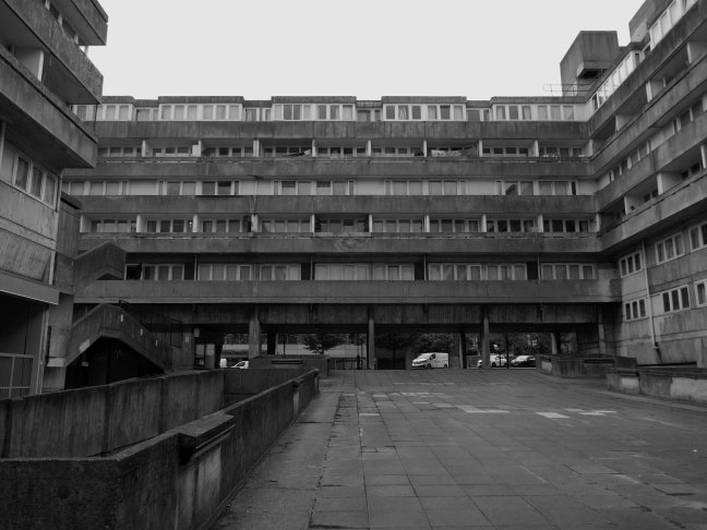
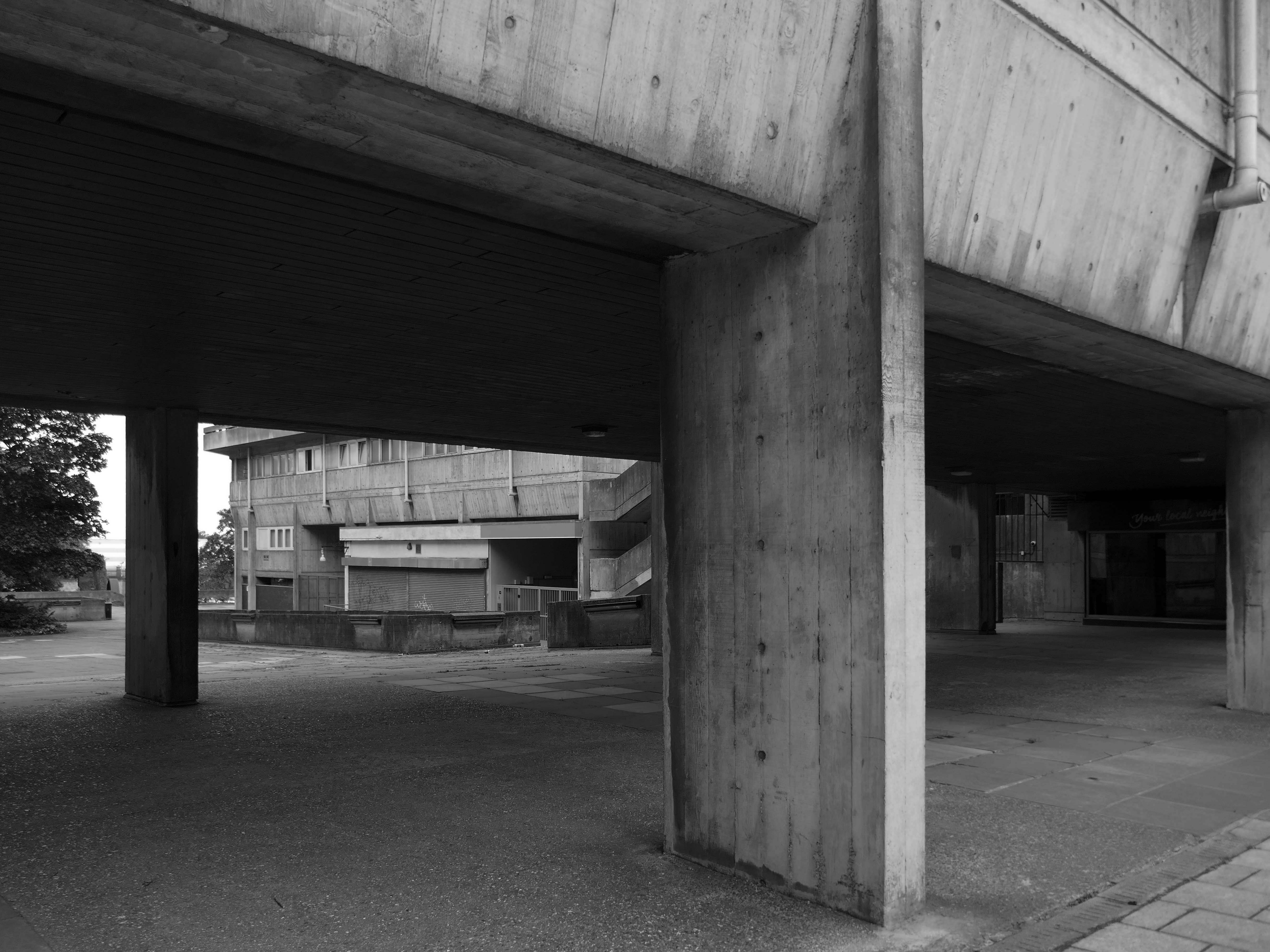
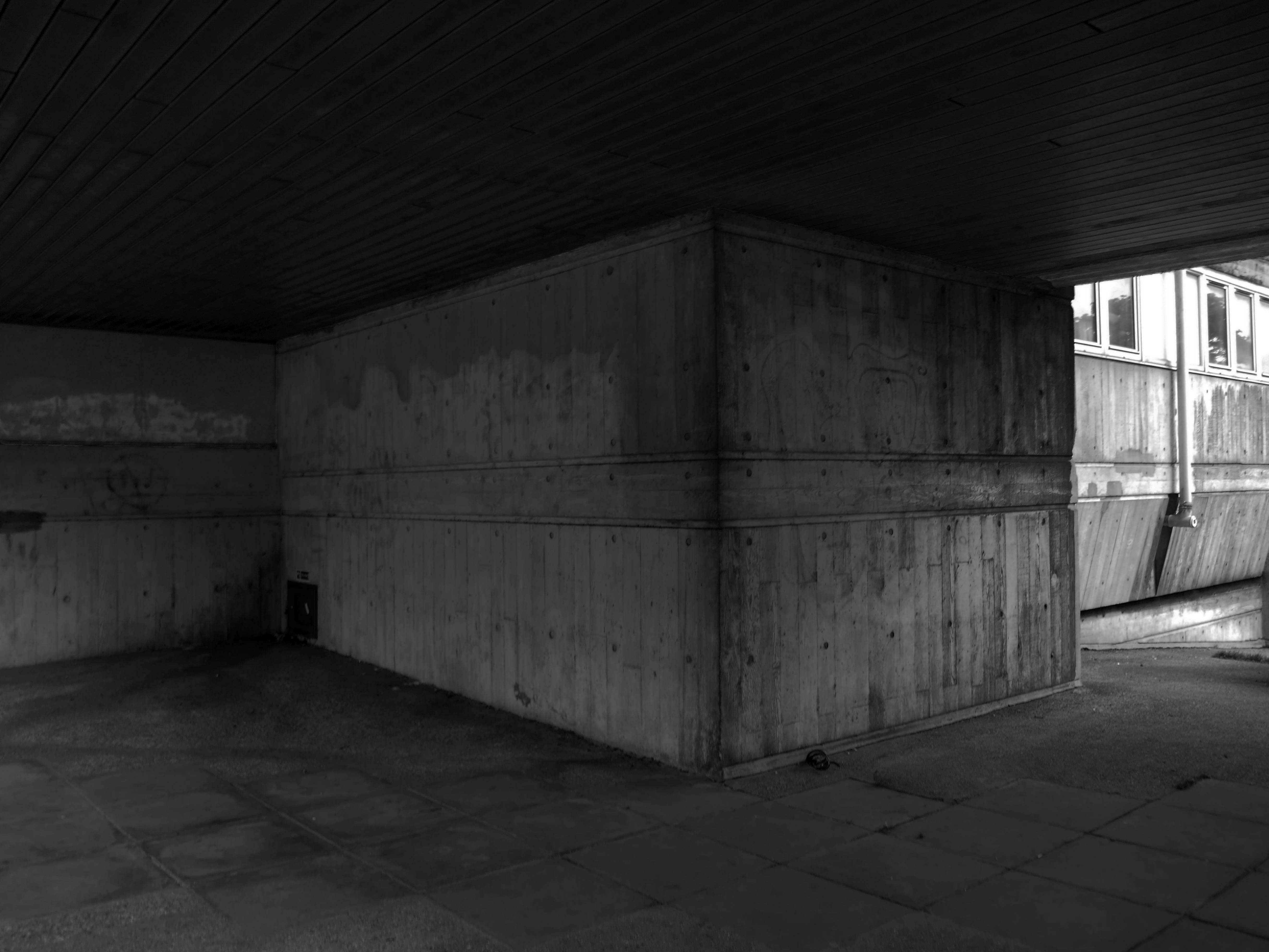
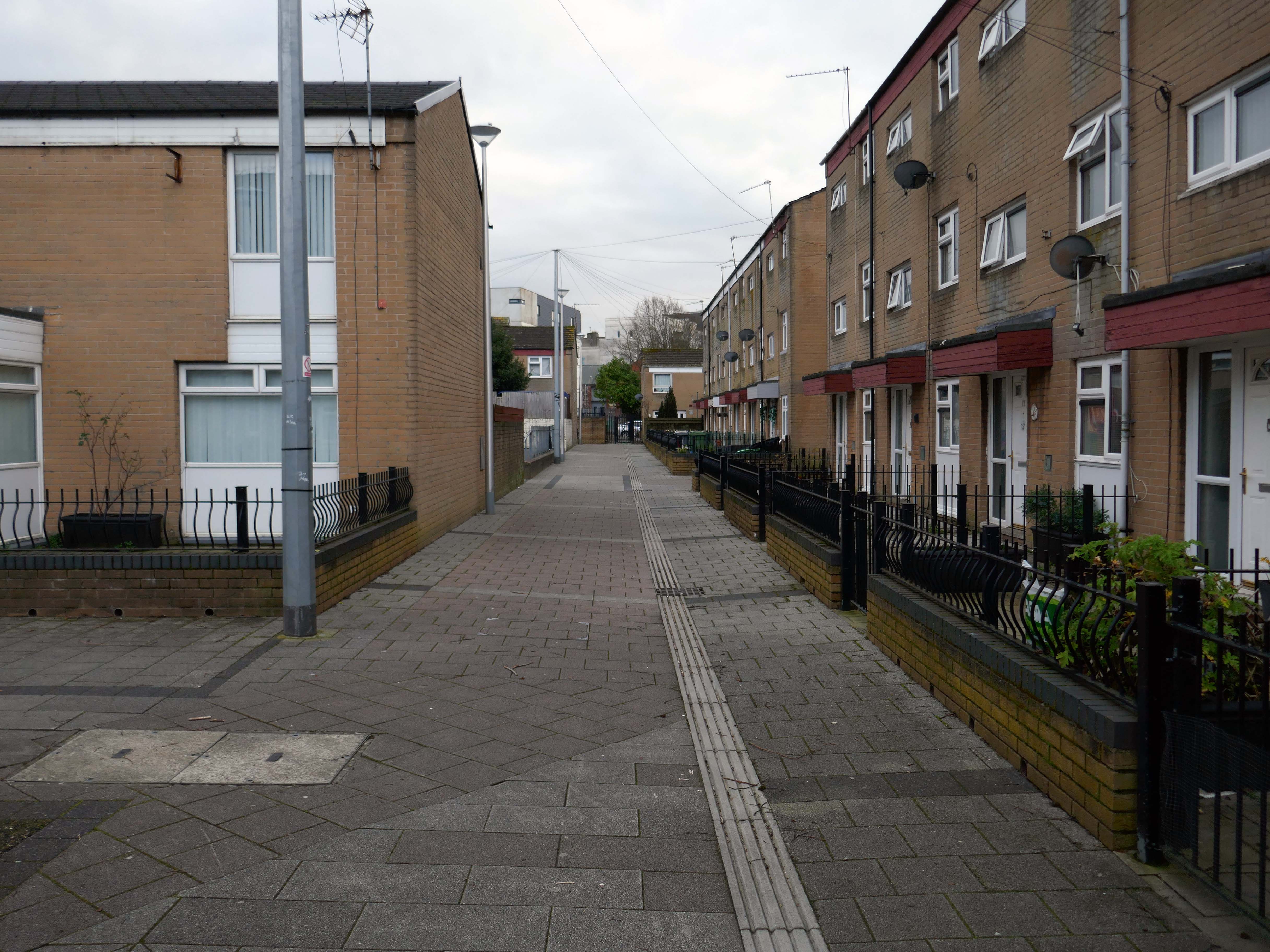
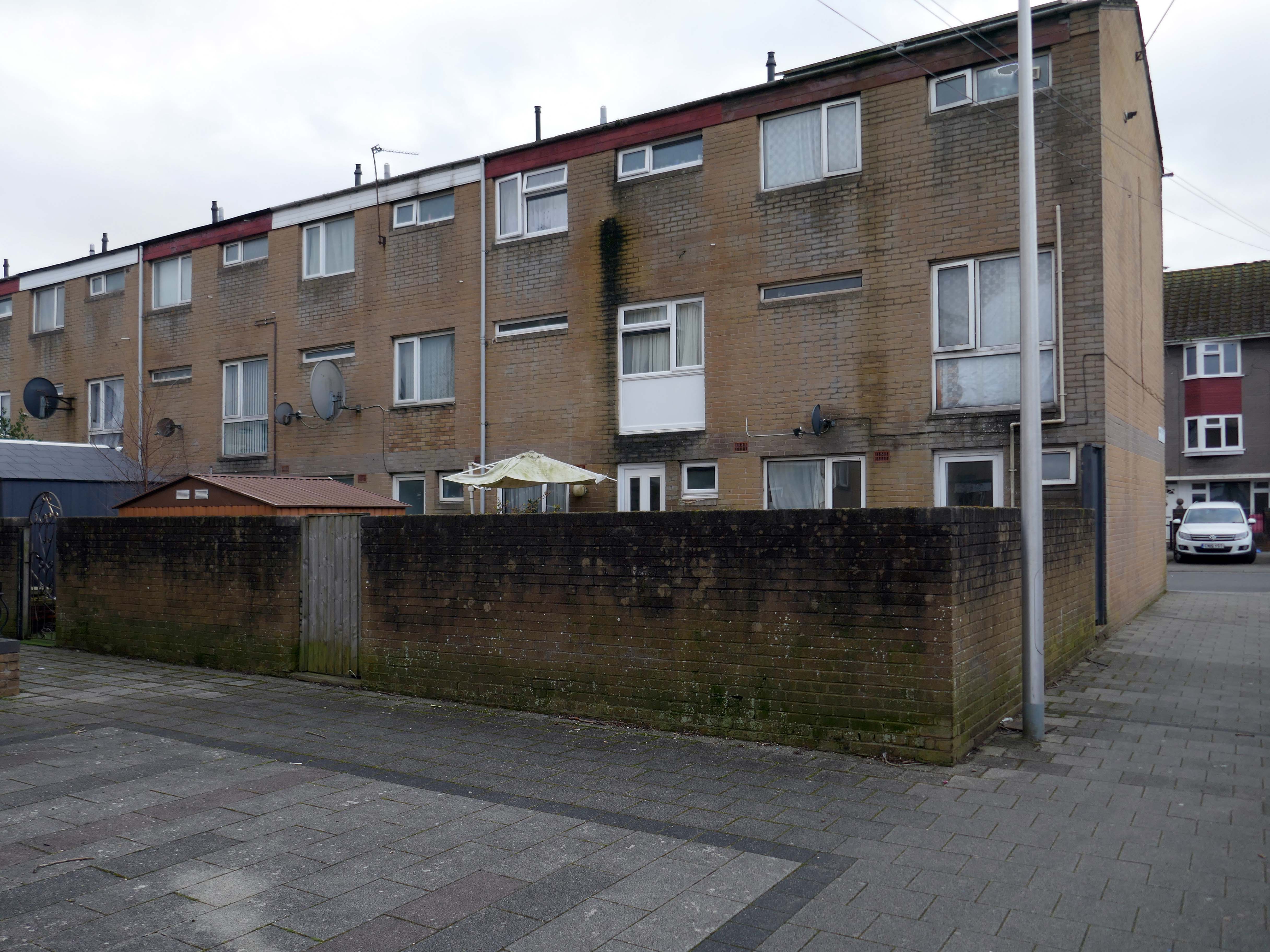
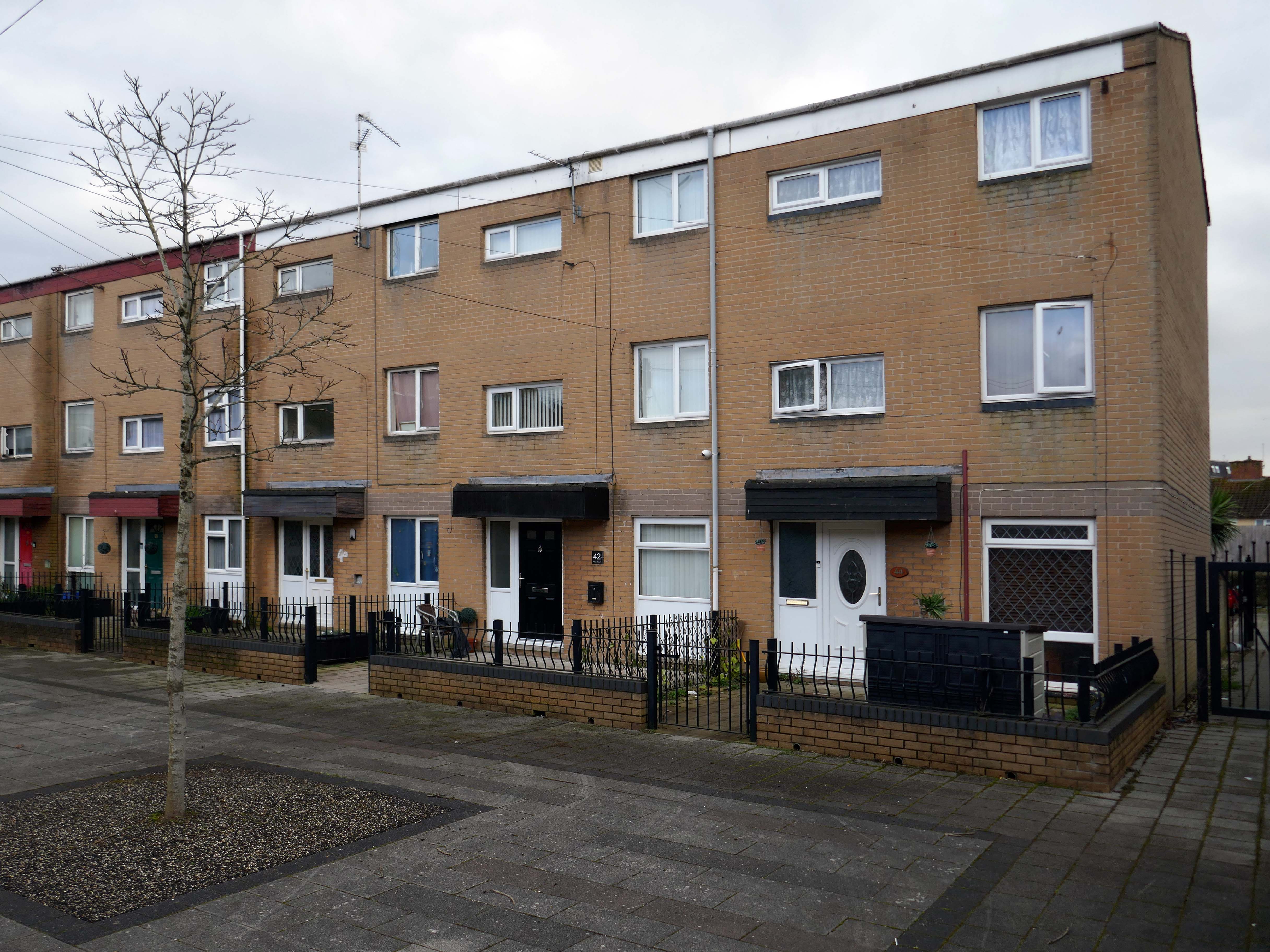
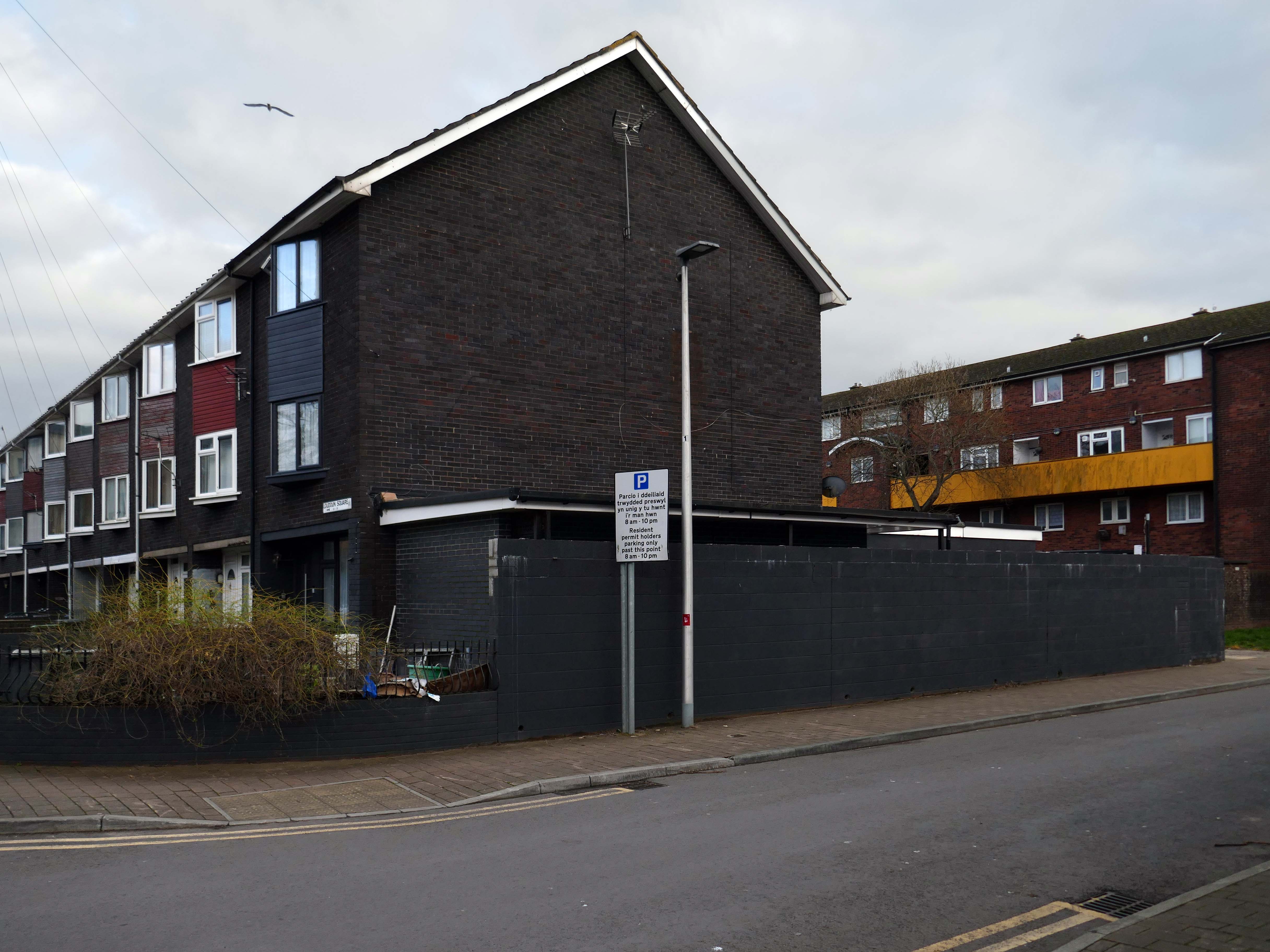
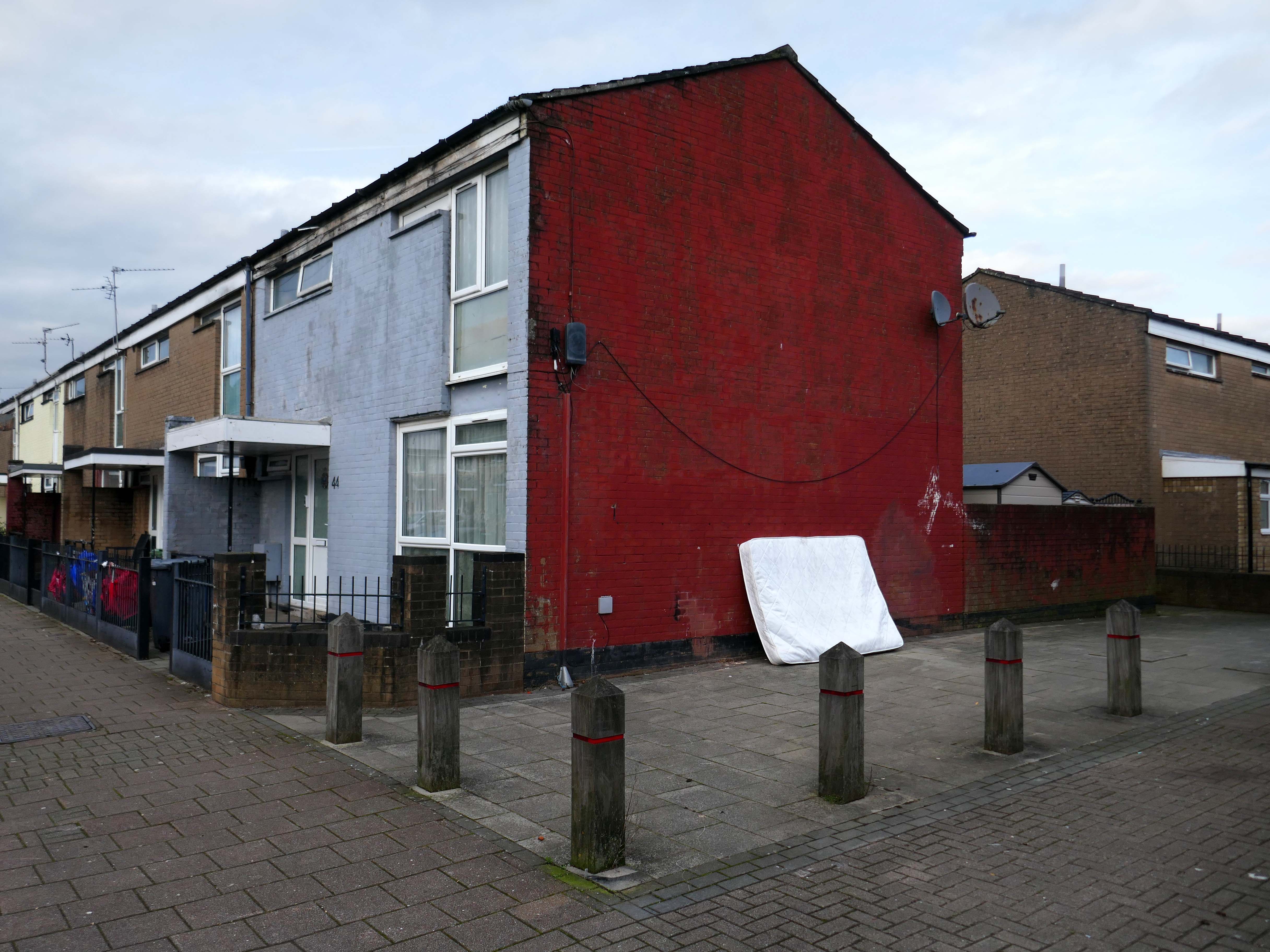
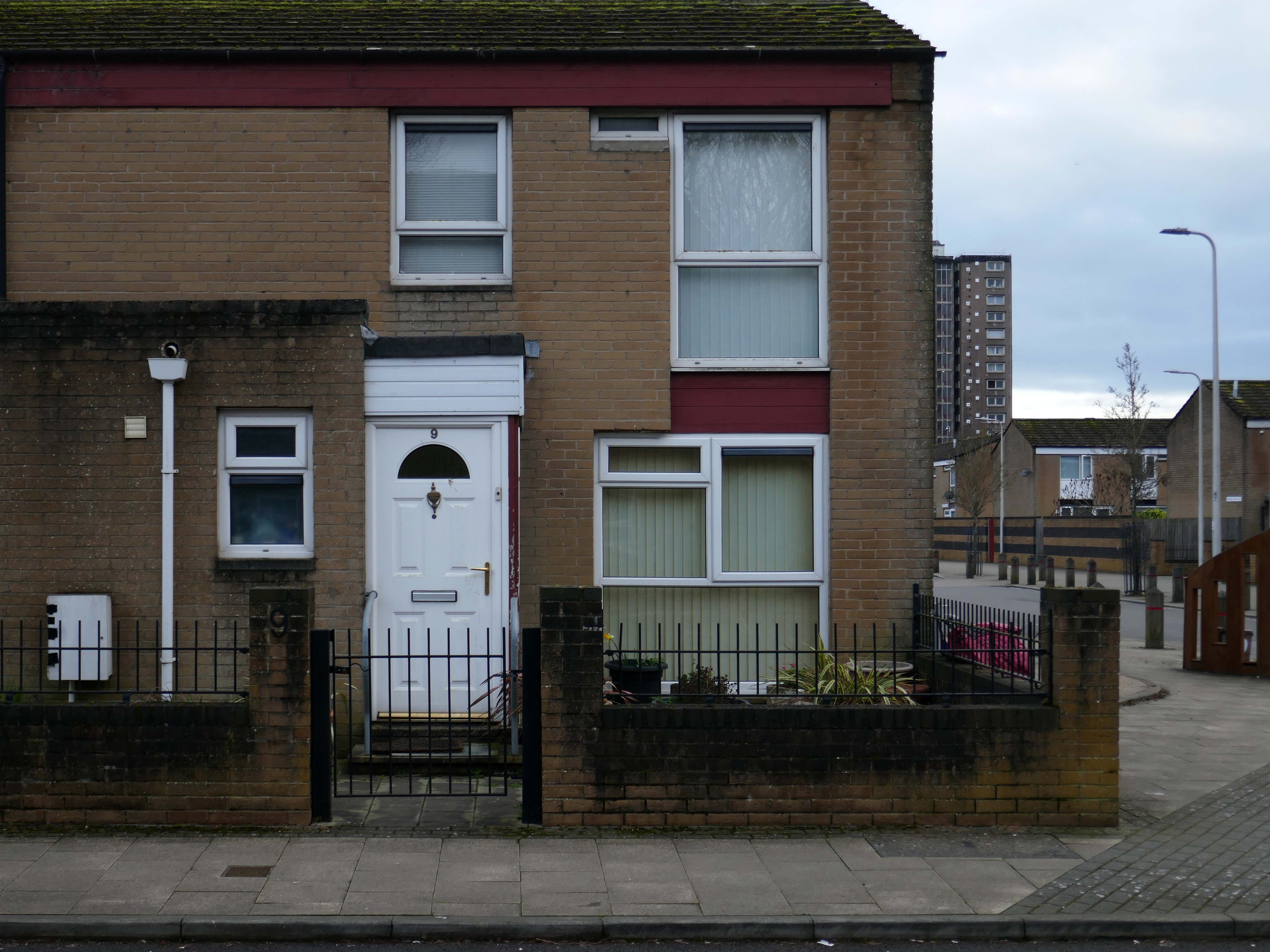
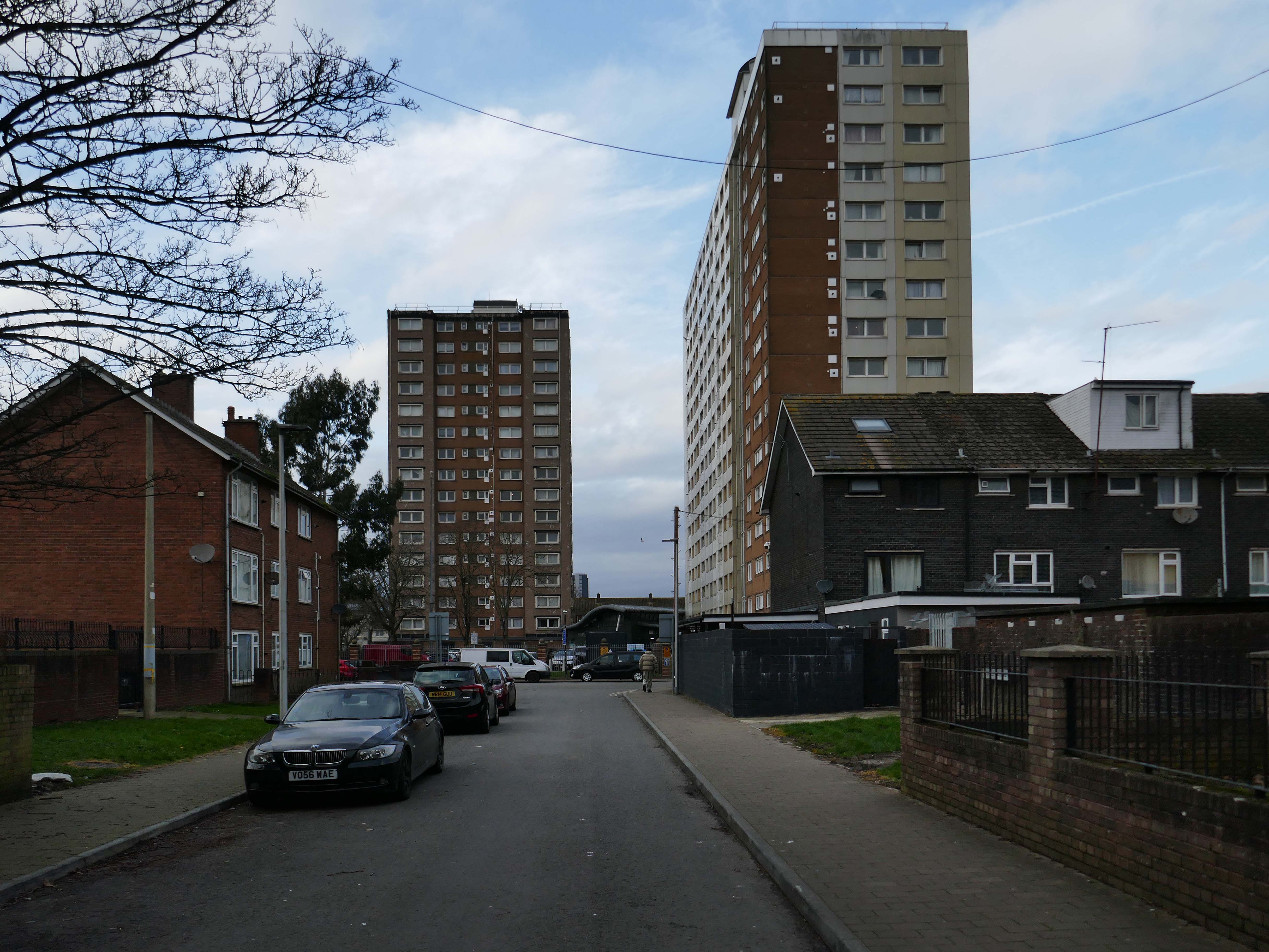
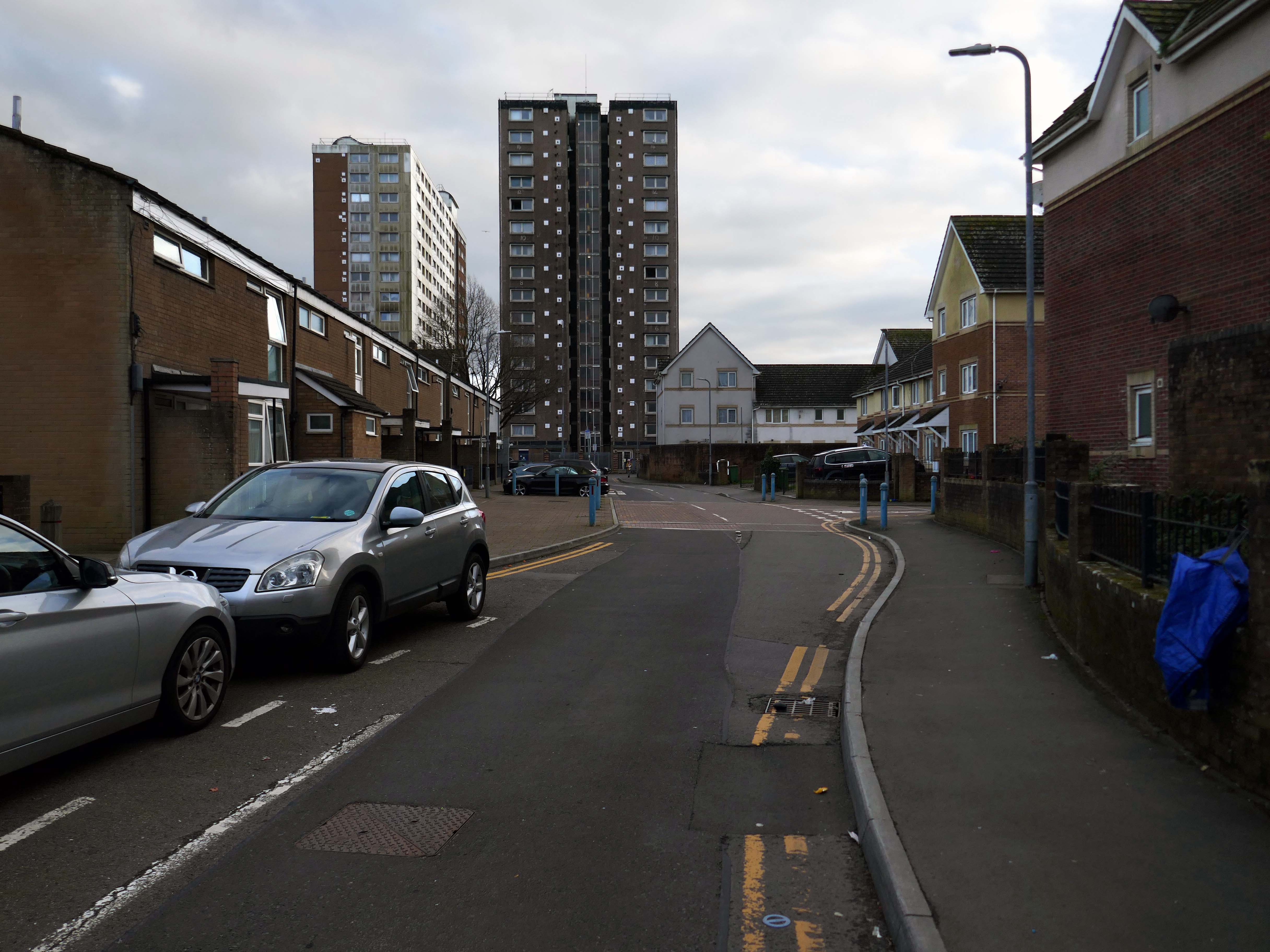
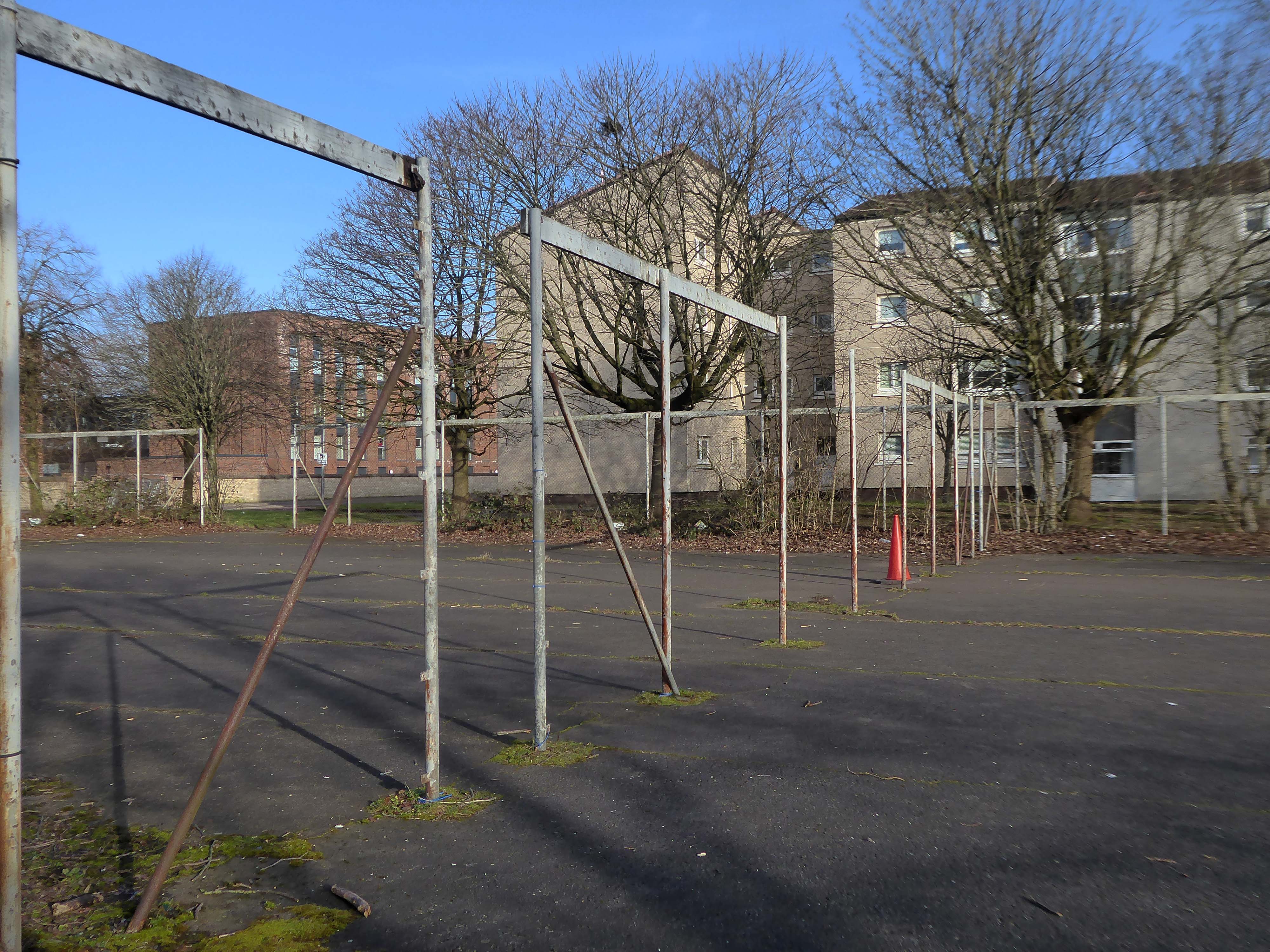
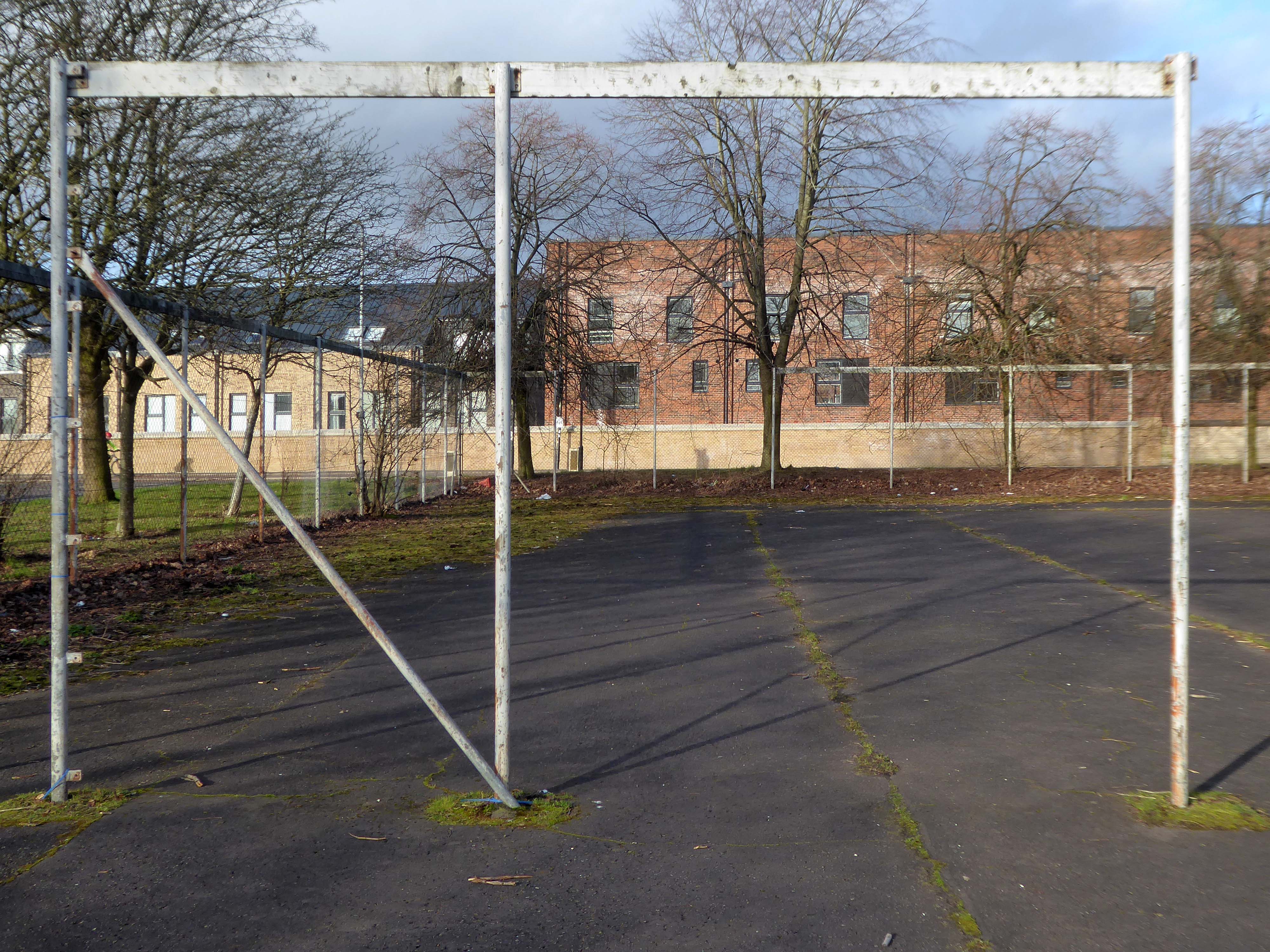
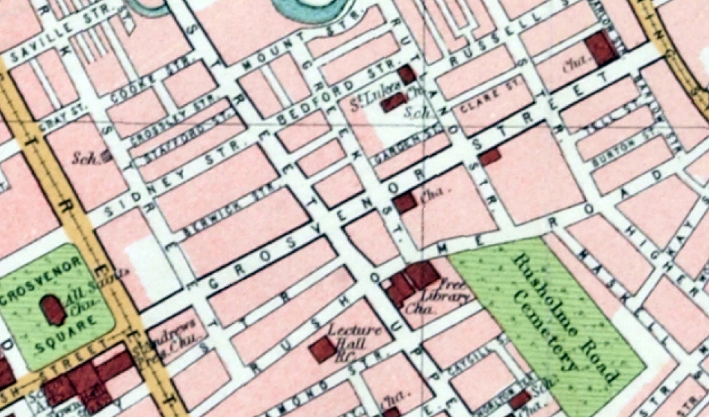
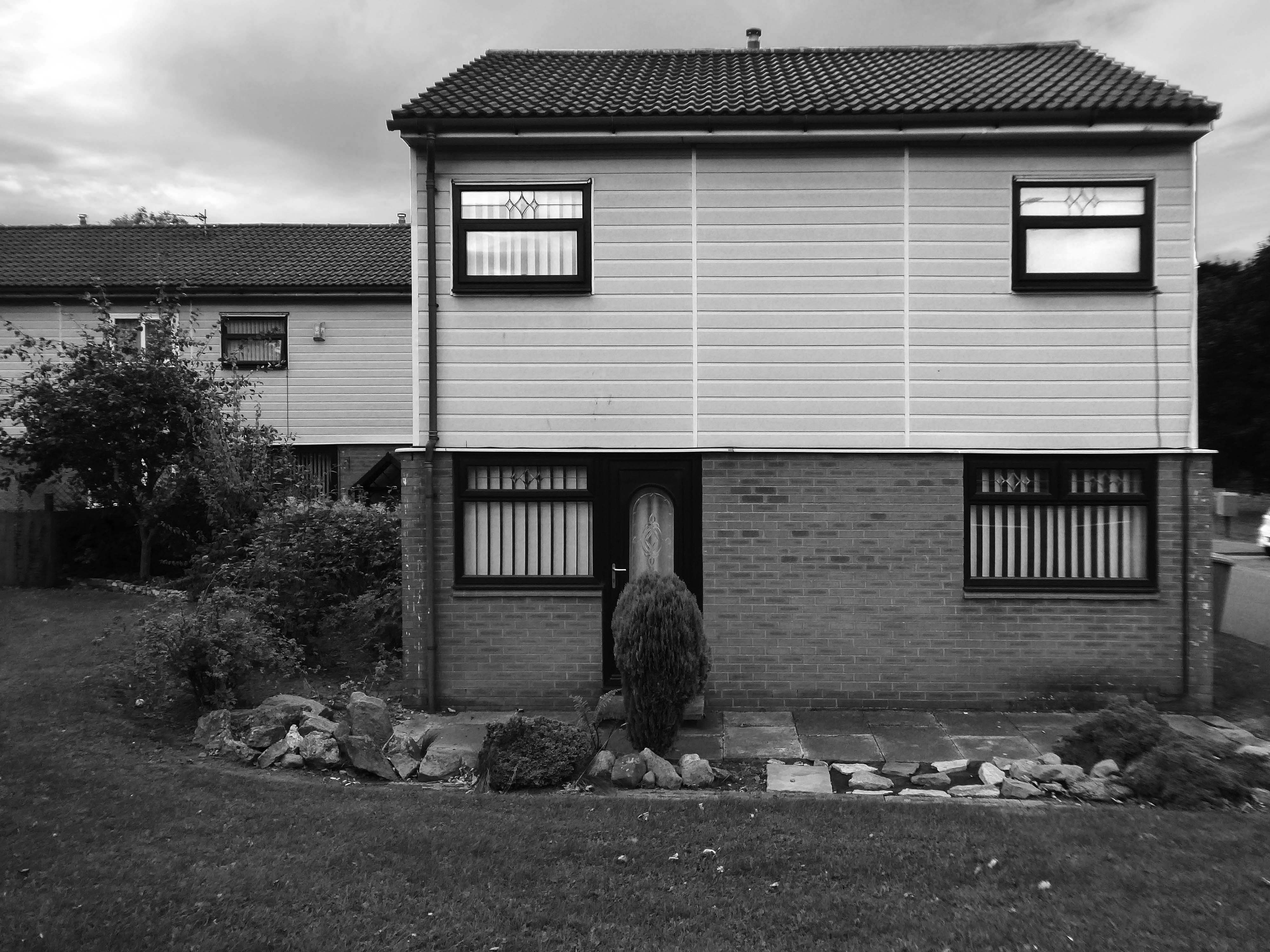
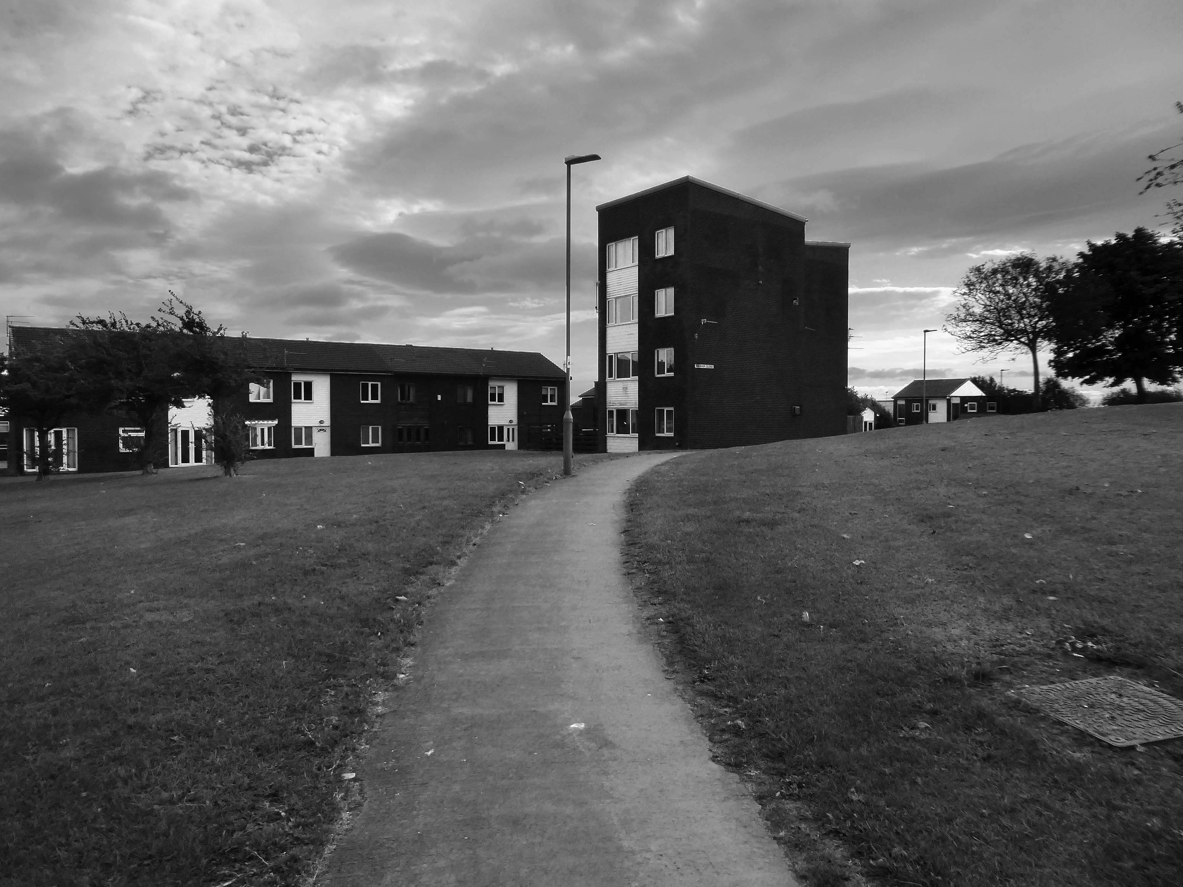
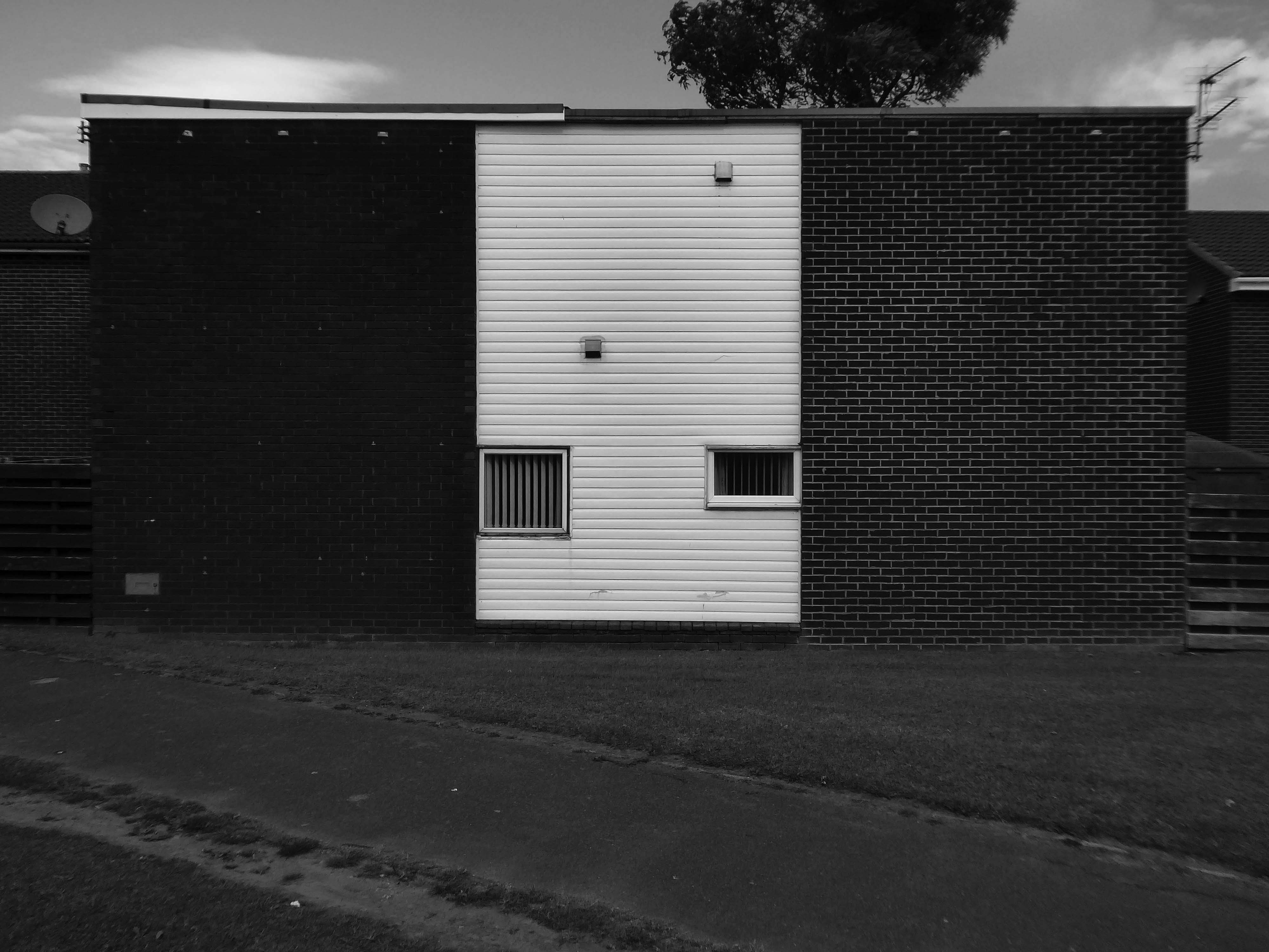
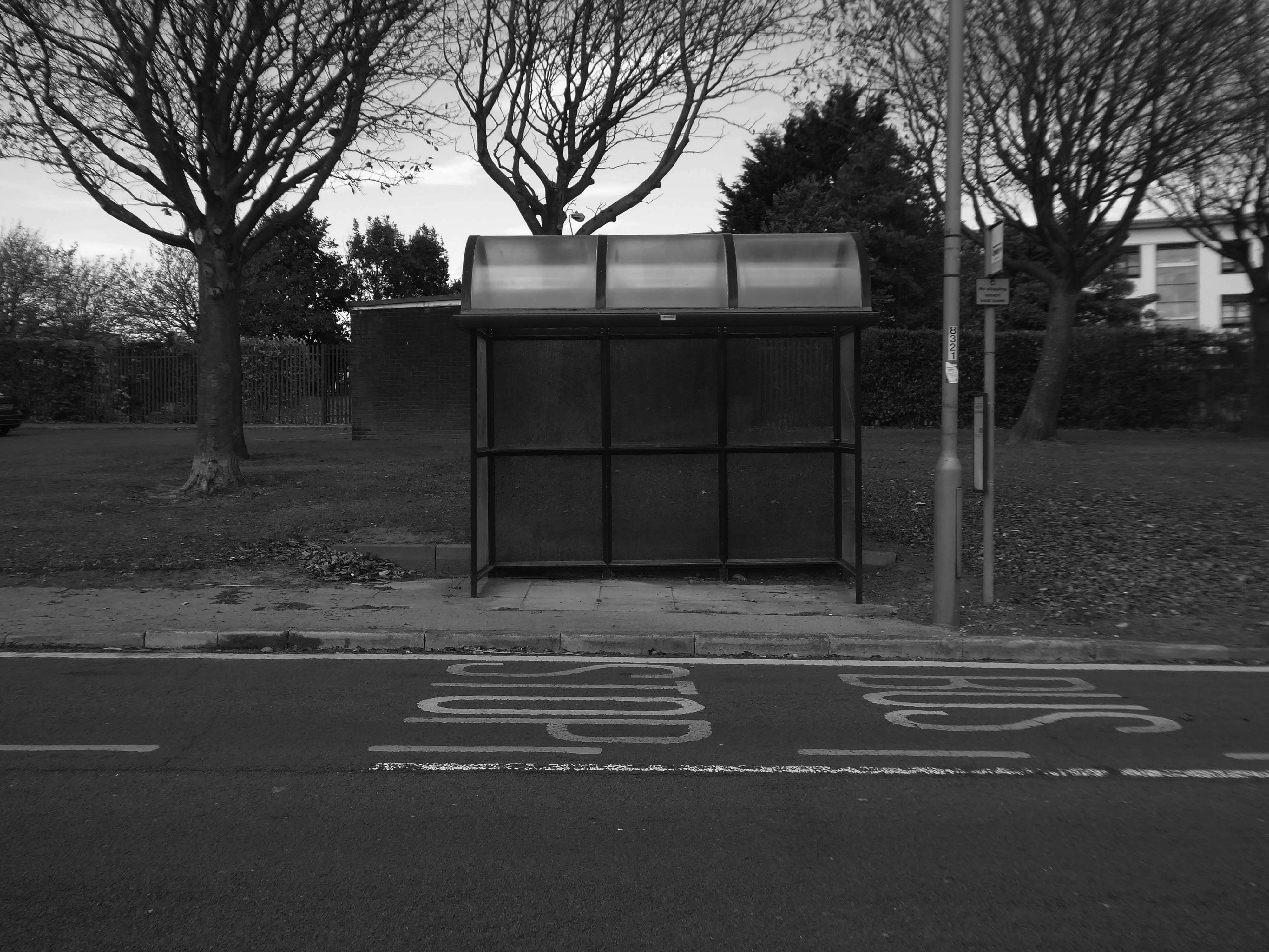
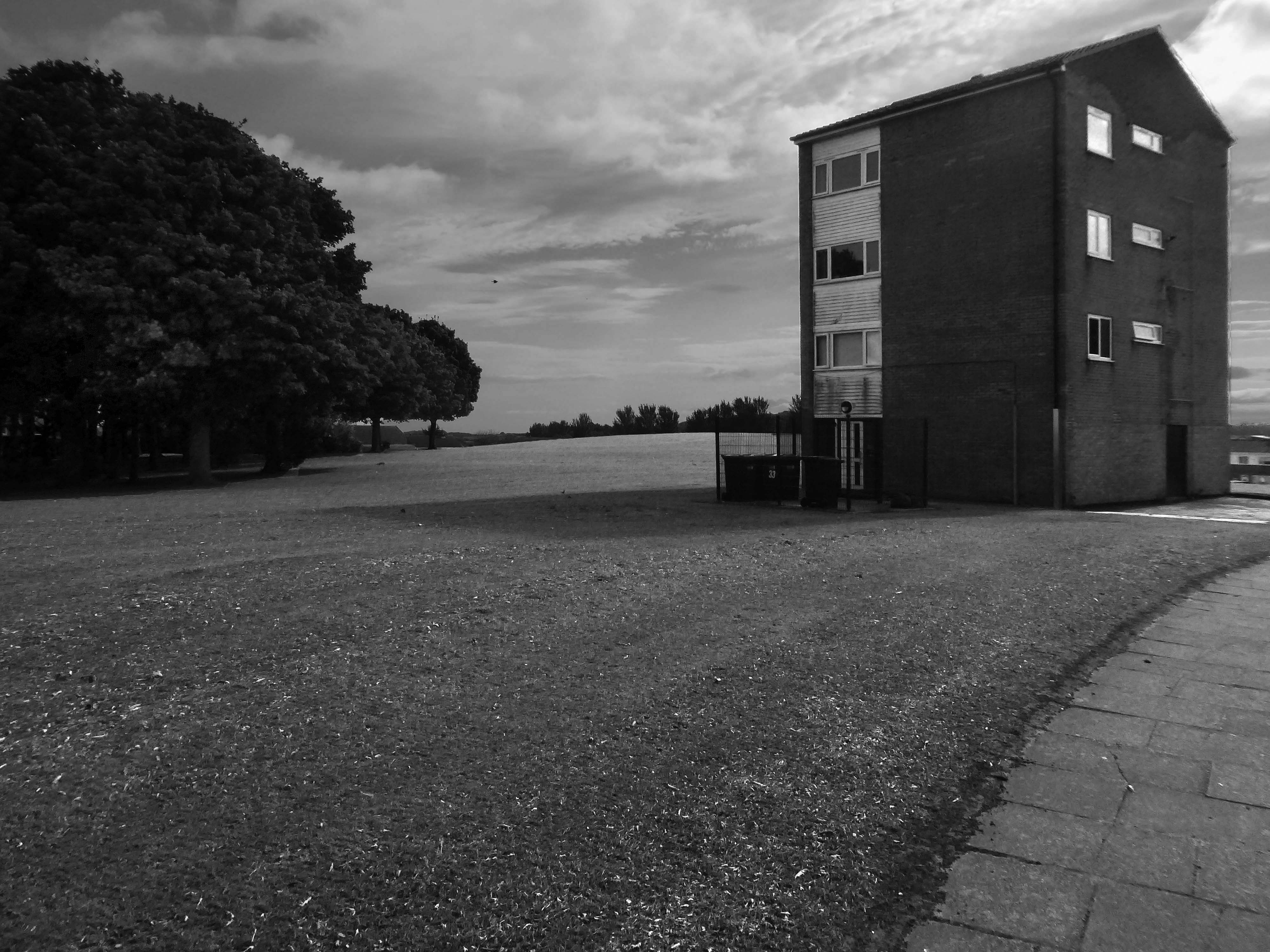
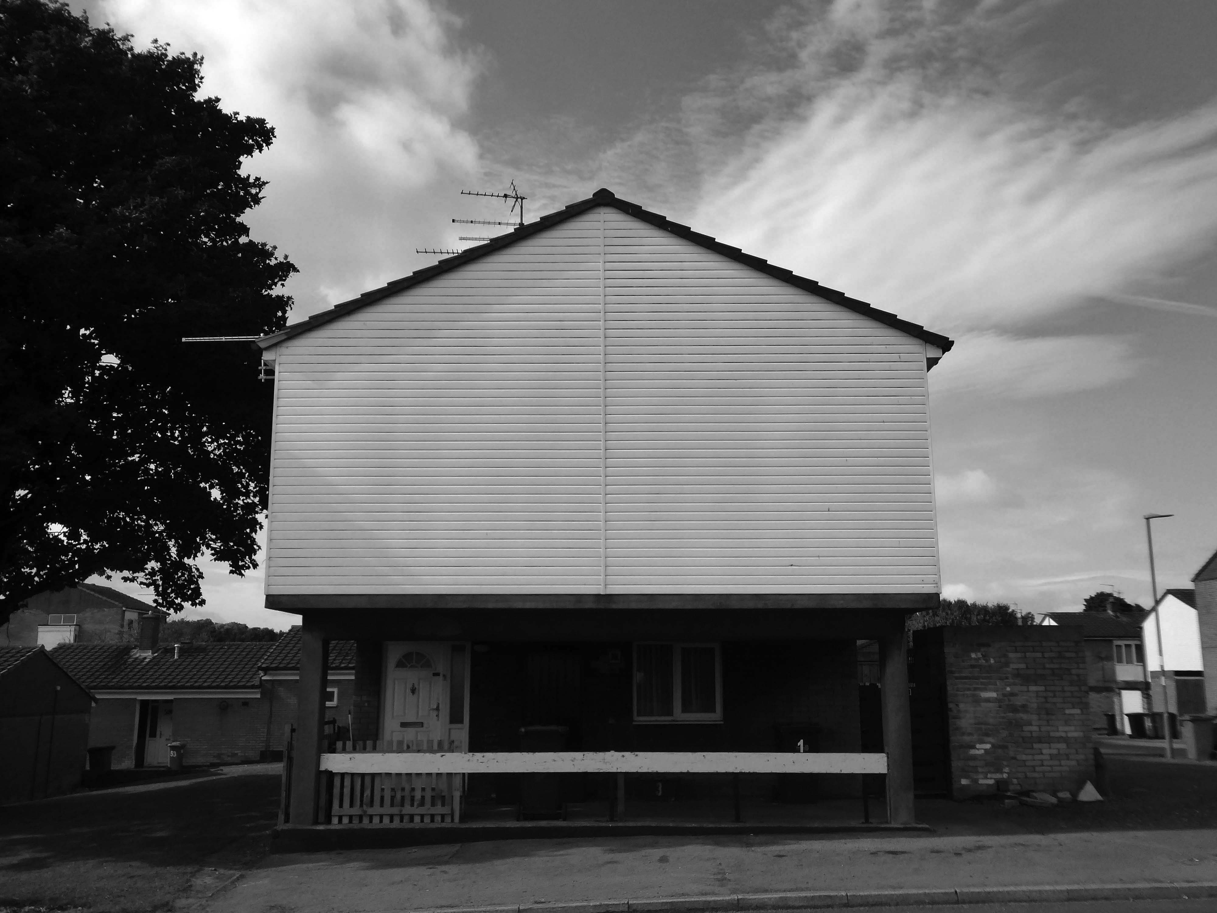
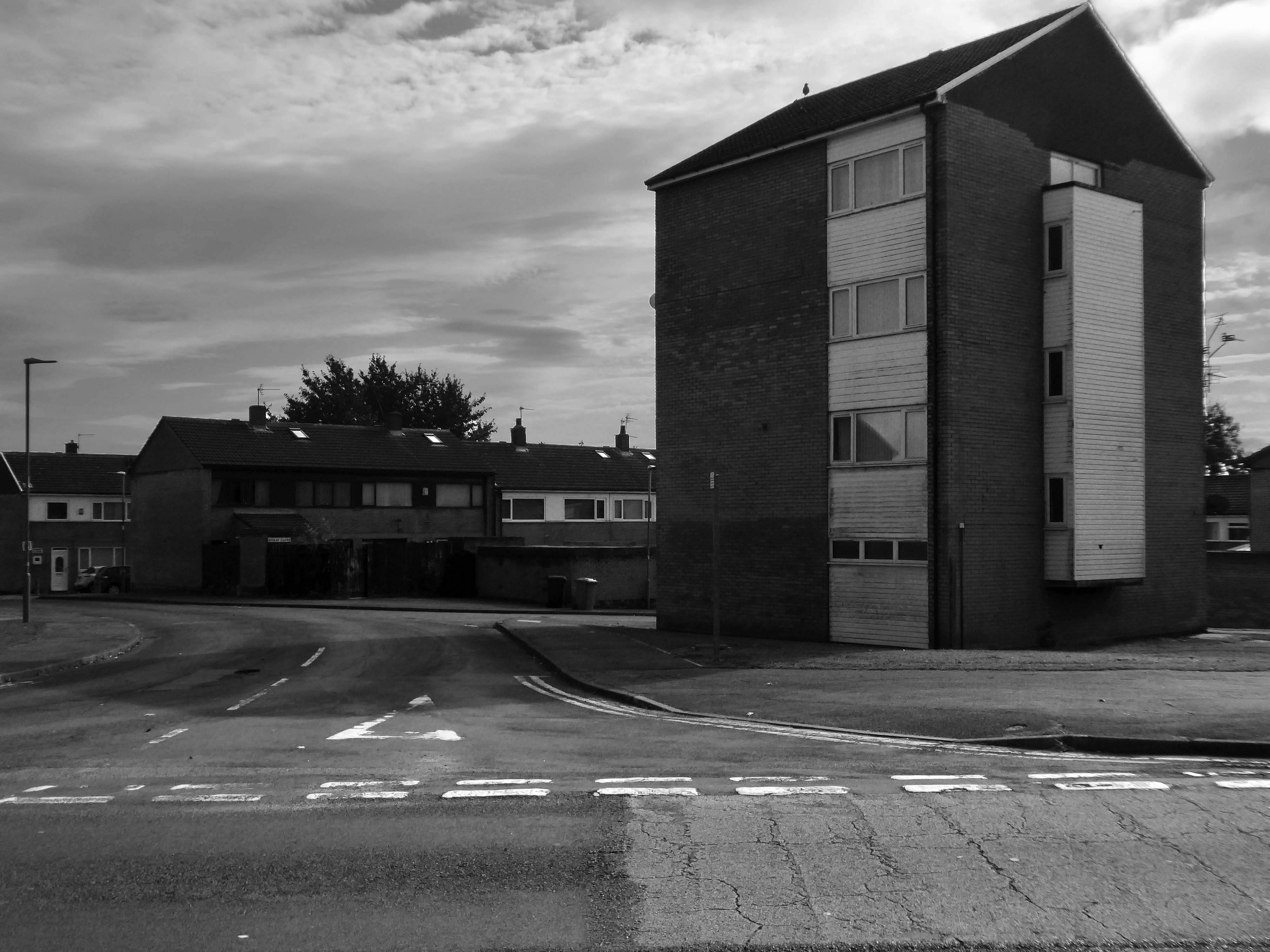
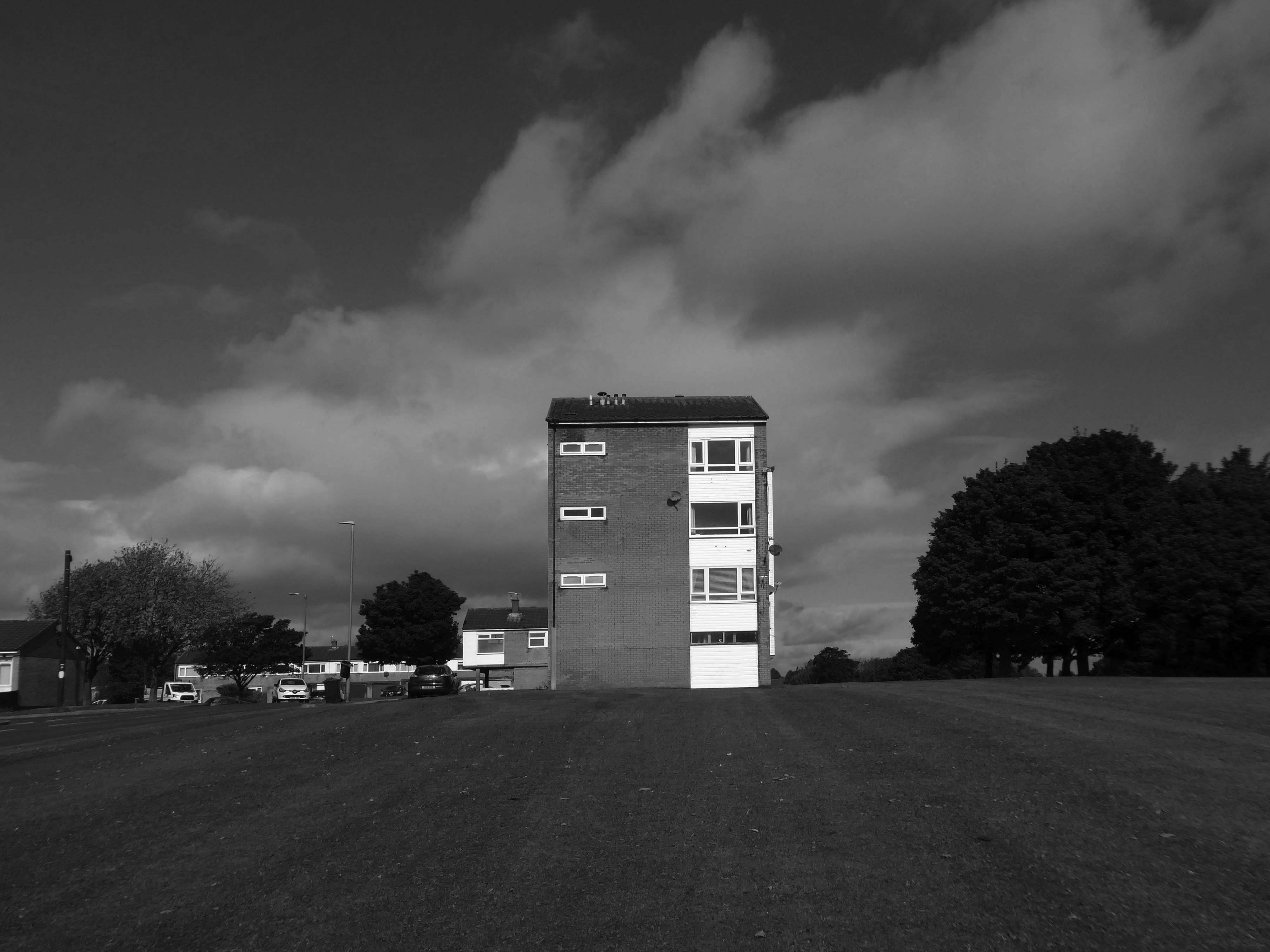
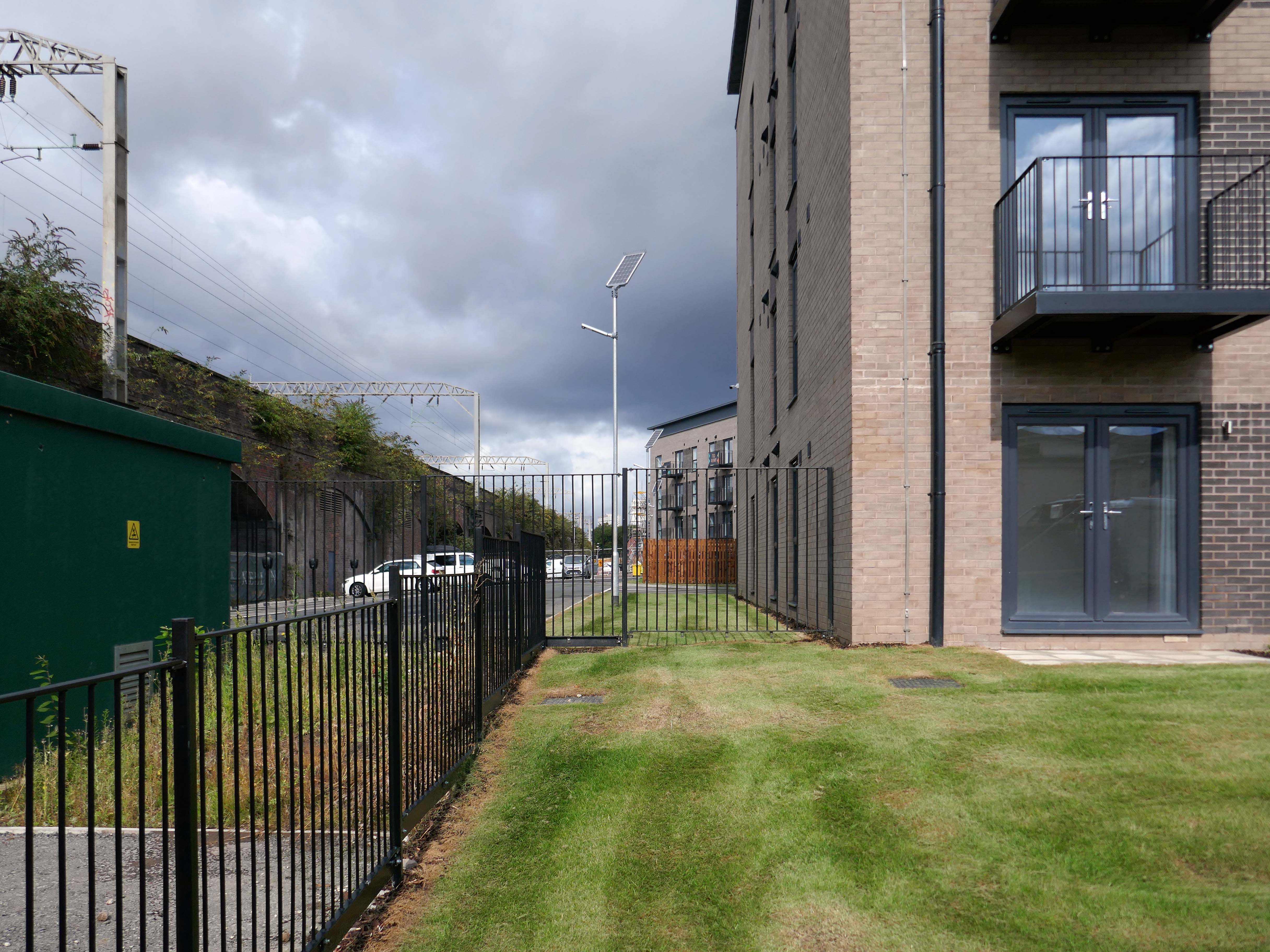
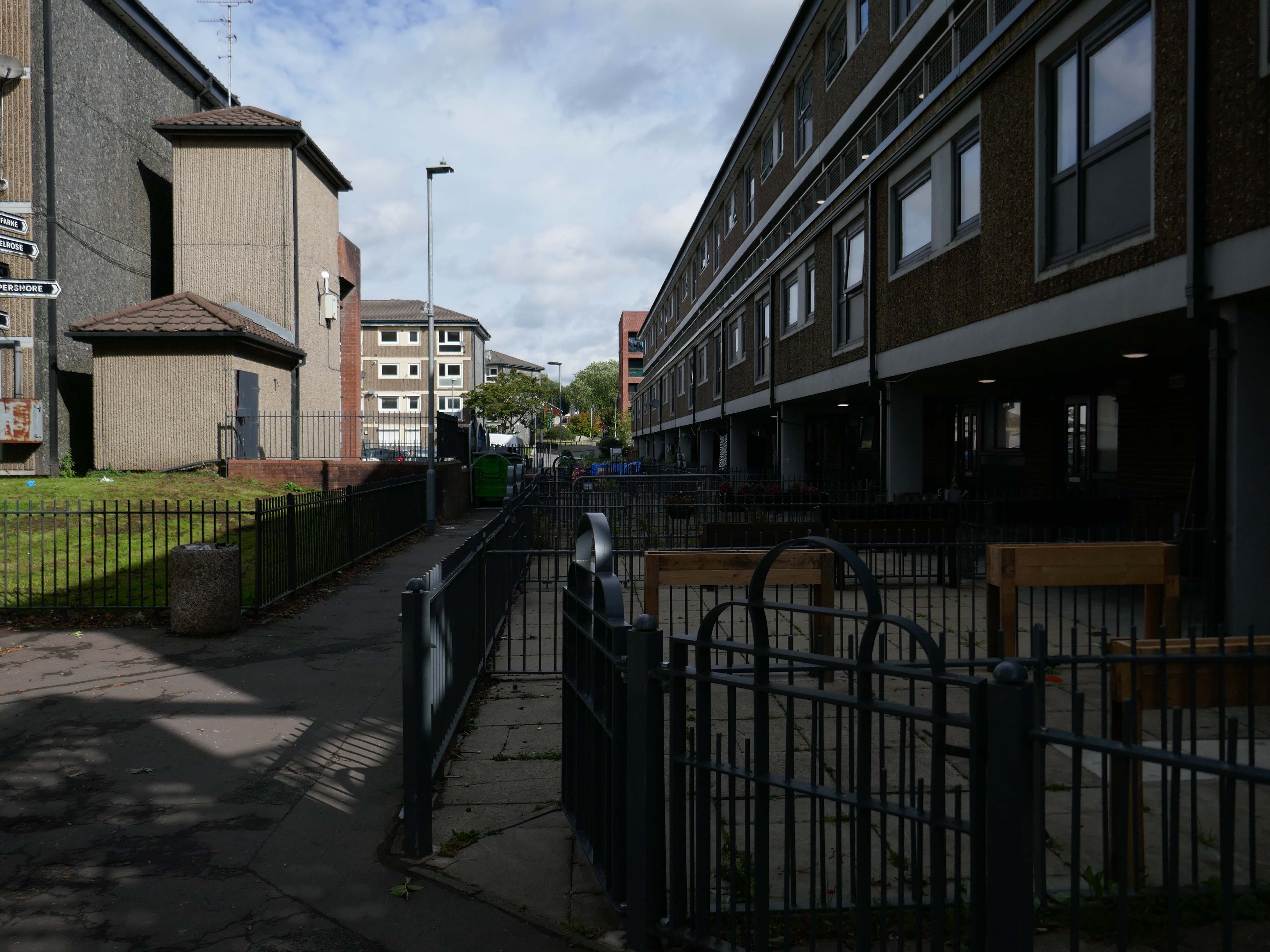
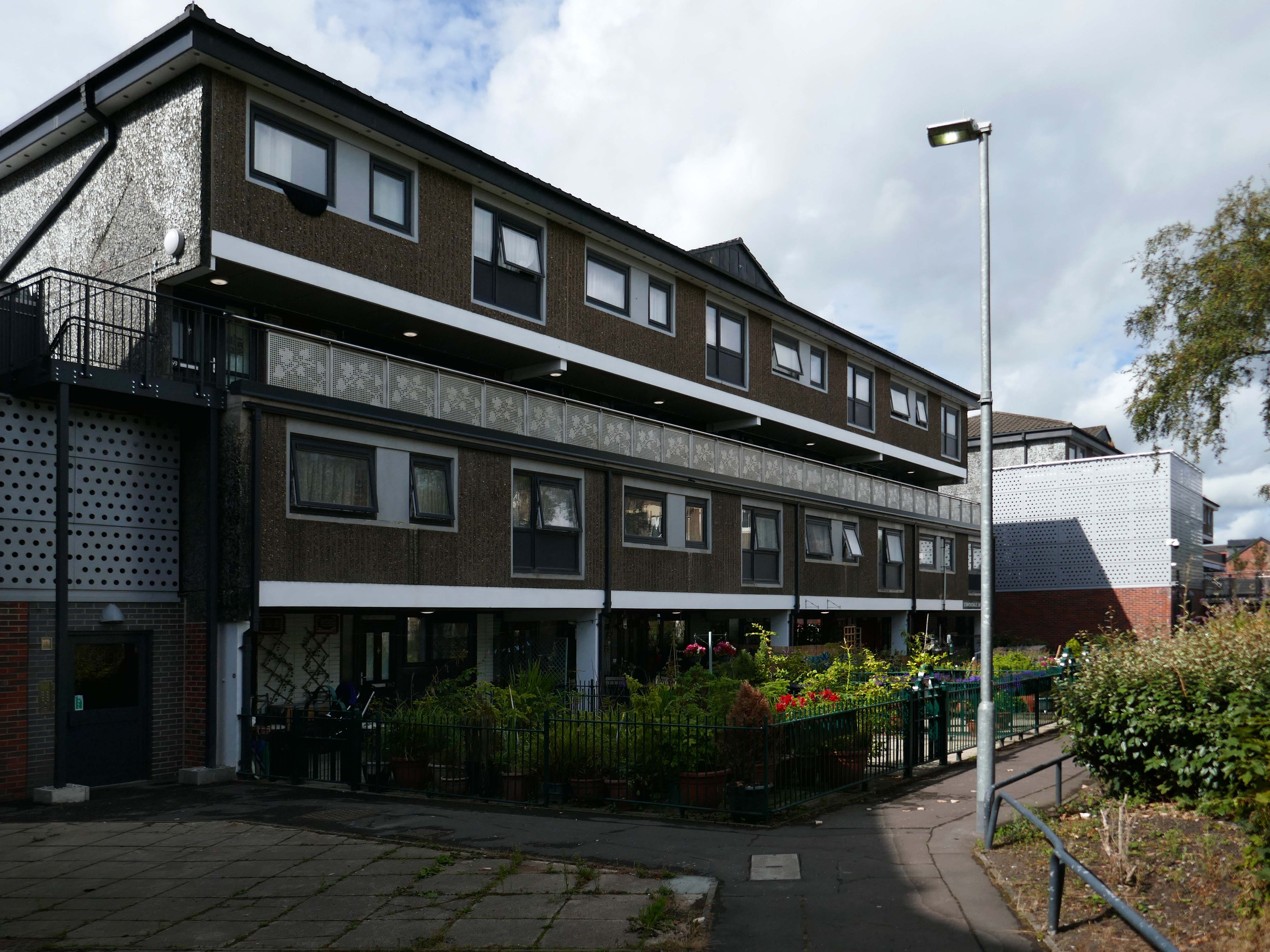
I had spent the day in Southampton in May, the first area I explored was Wyndham Court.
At the end of a long day I found myself there again, with an hour to spare before my train back to Bournemouth.
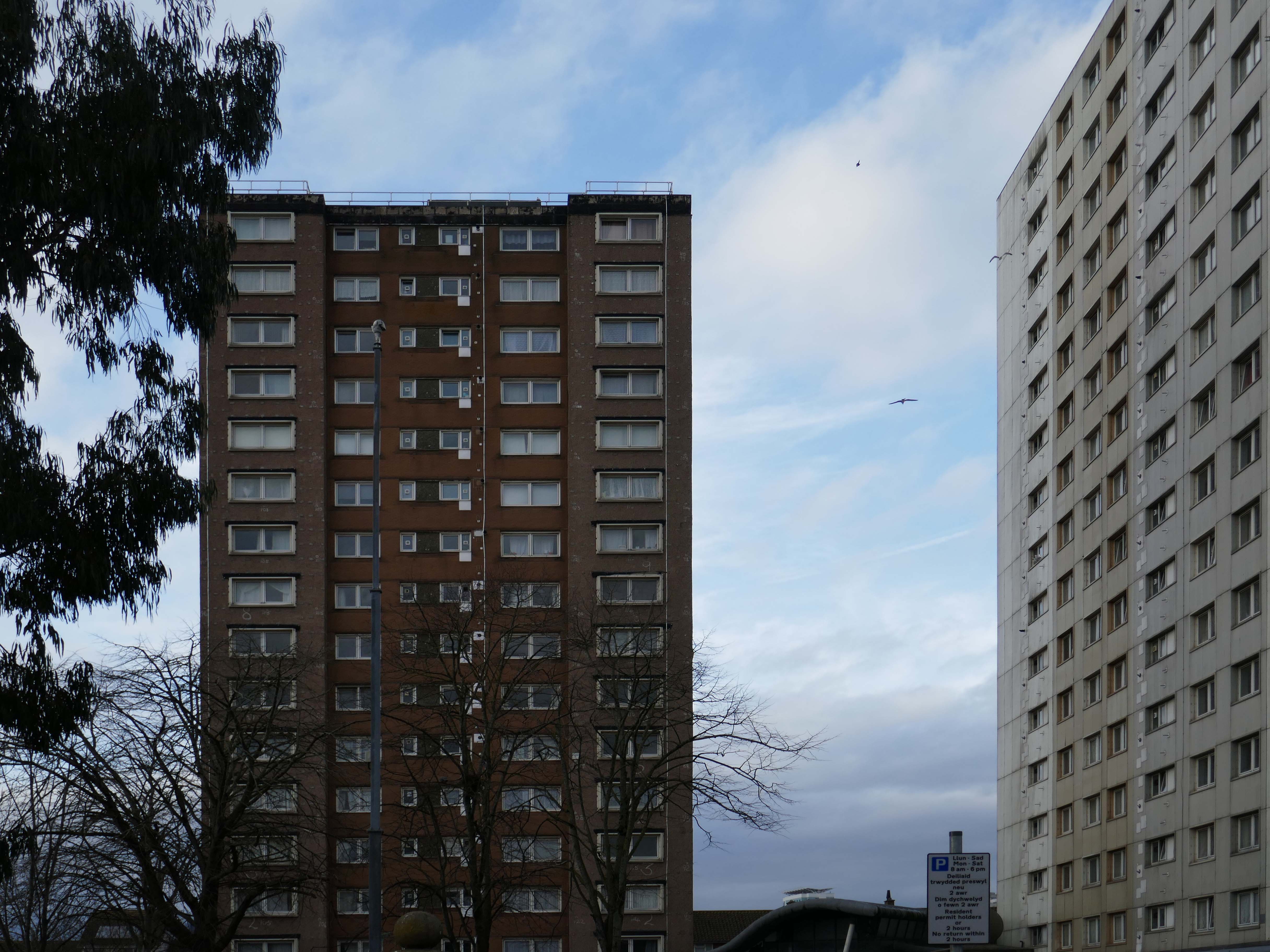
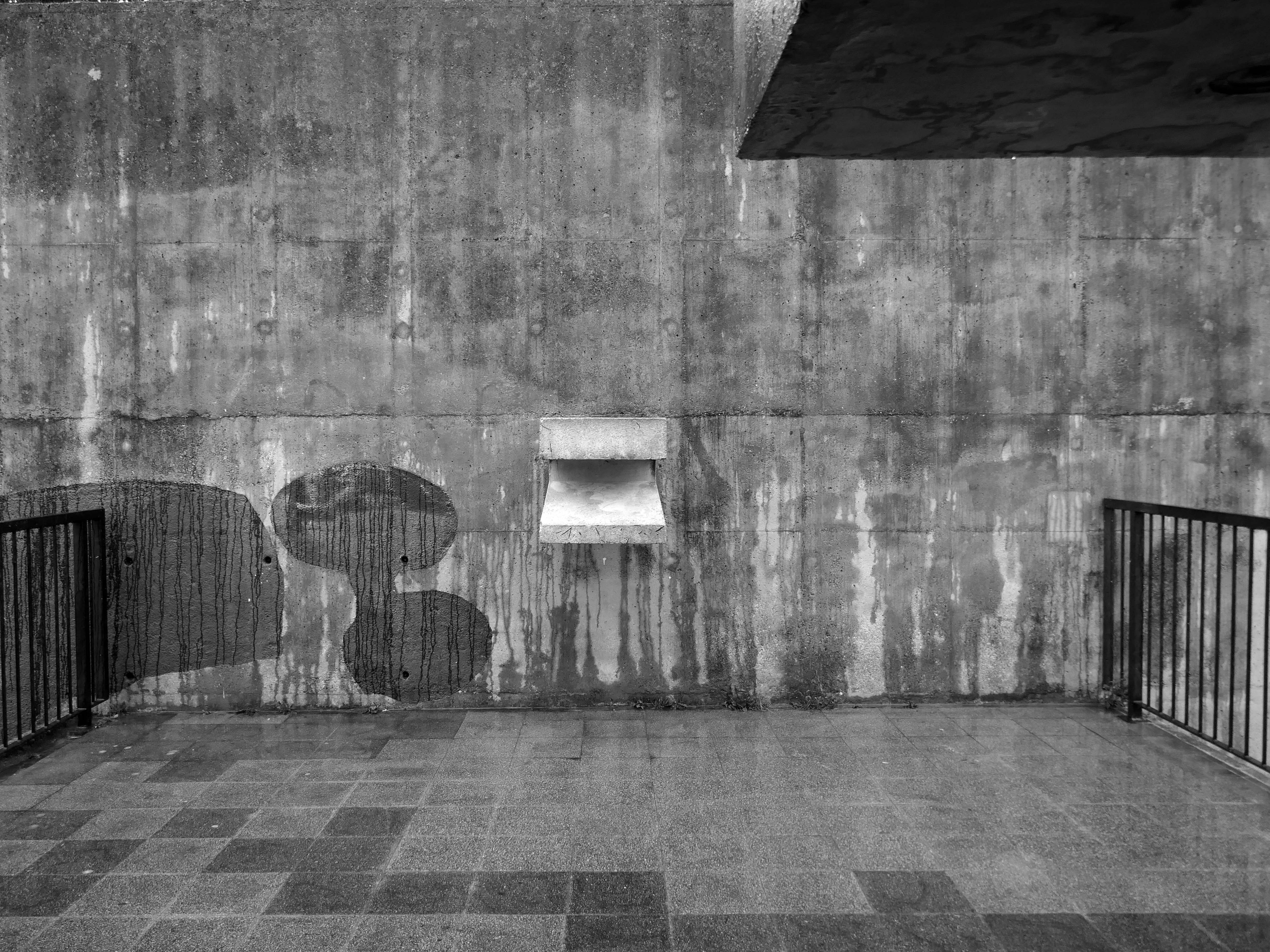
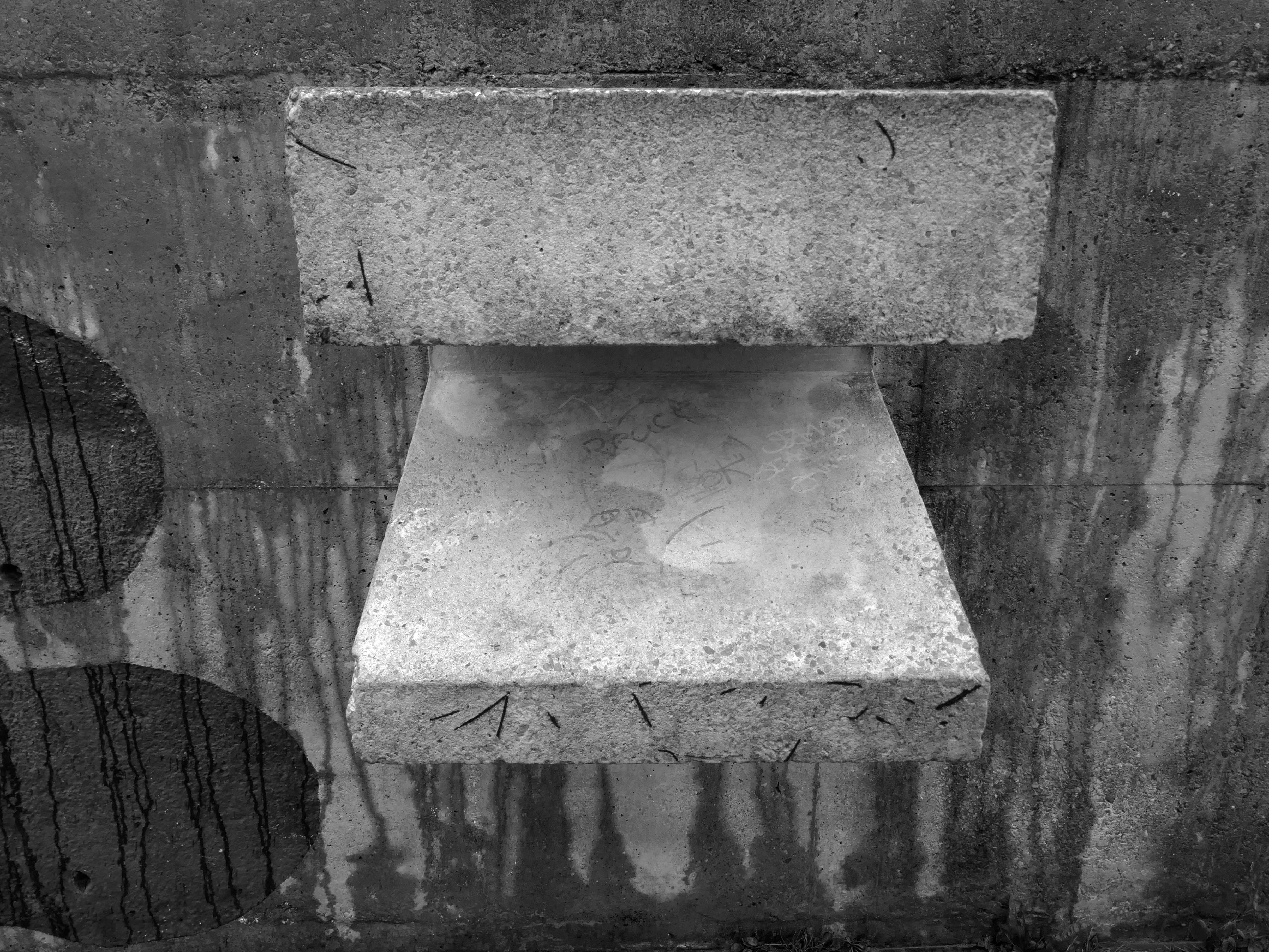
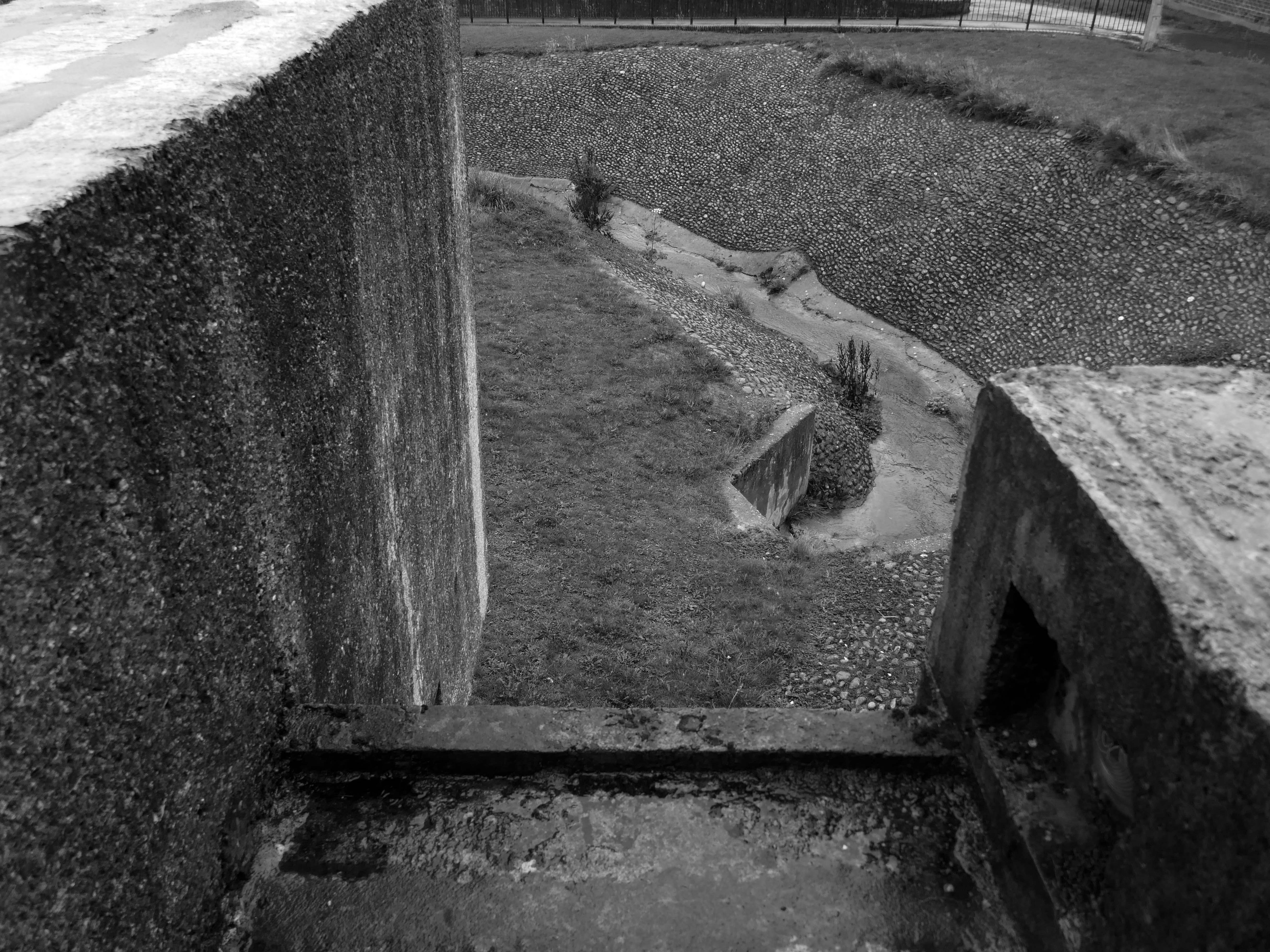
The sky was no longer blue, the sun was now occluded.
The photographs were almost monotone, so with a small tweak I made them monochrome.
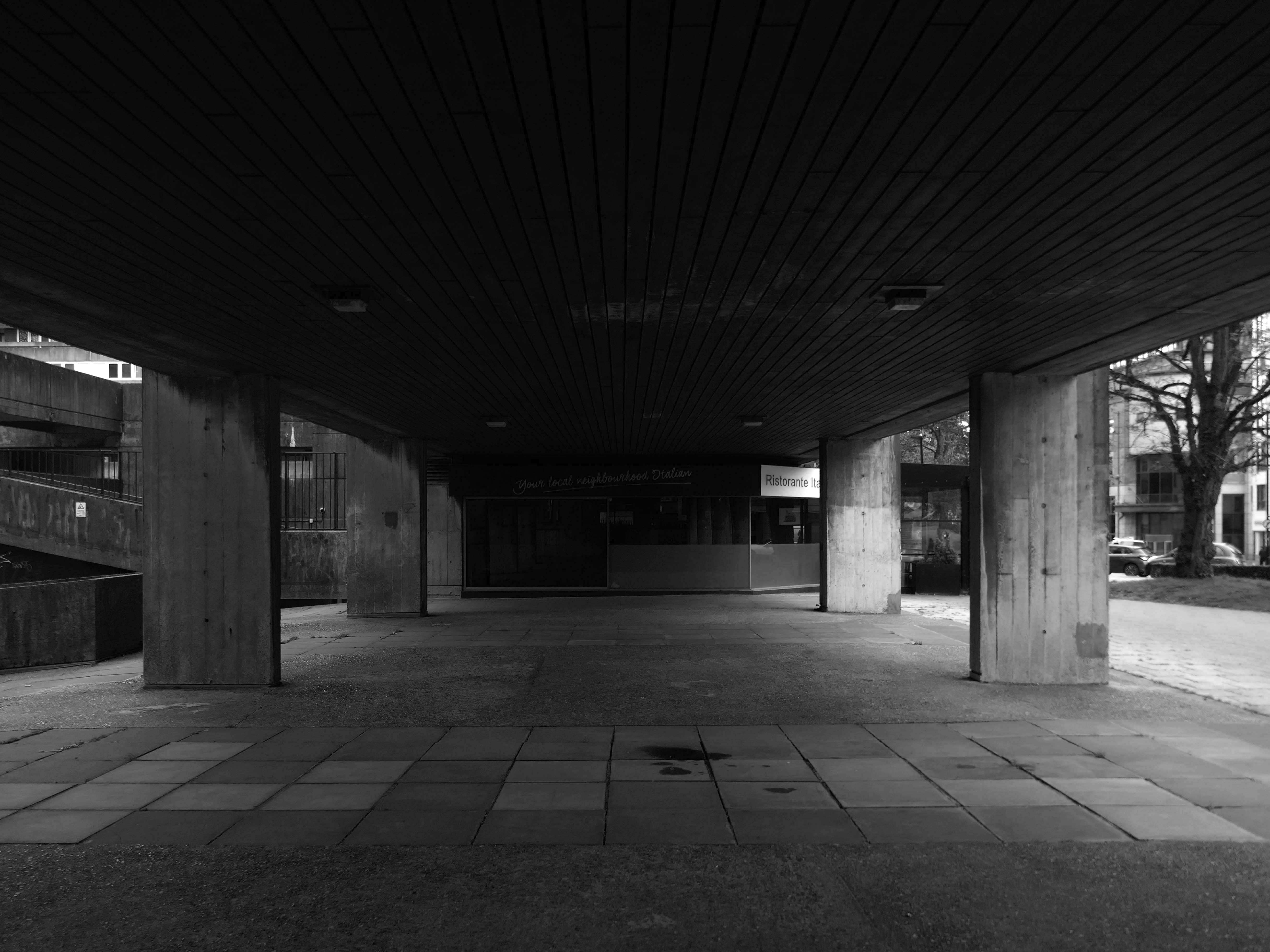
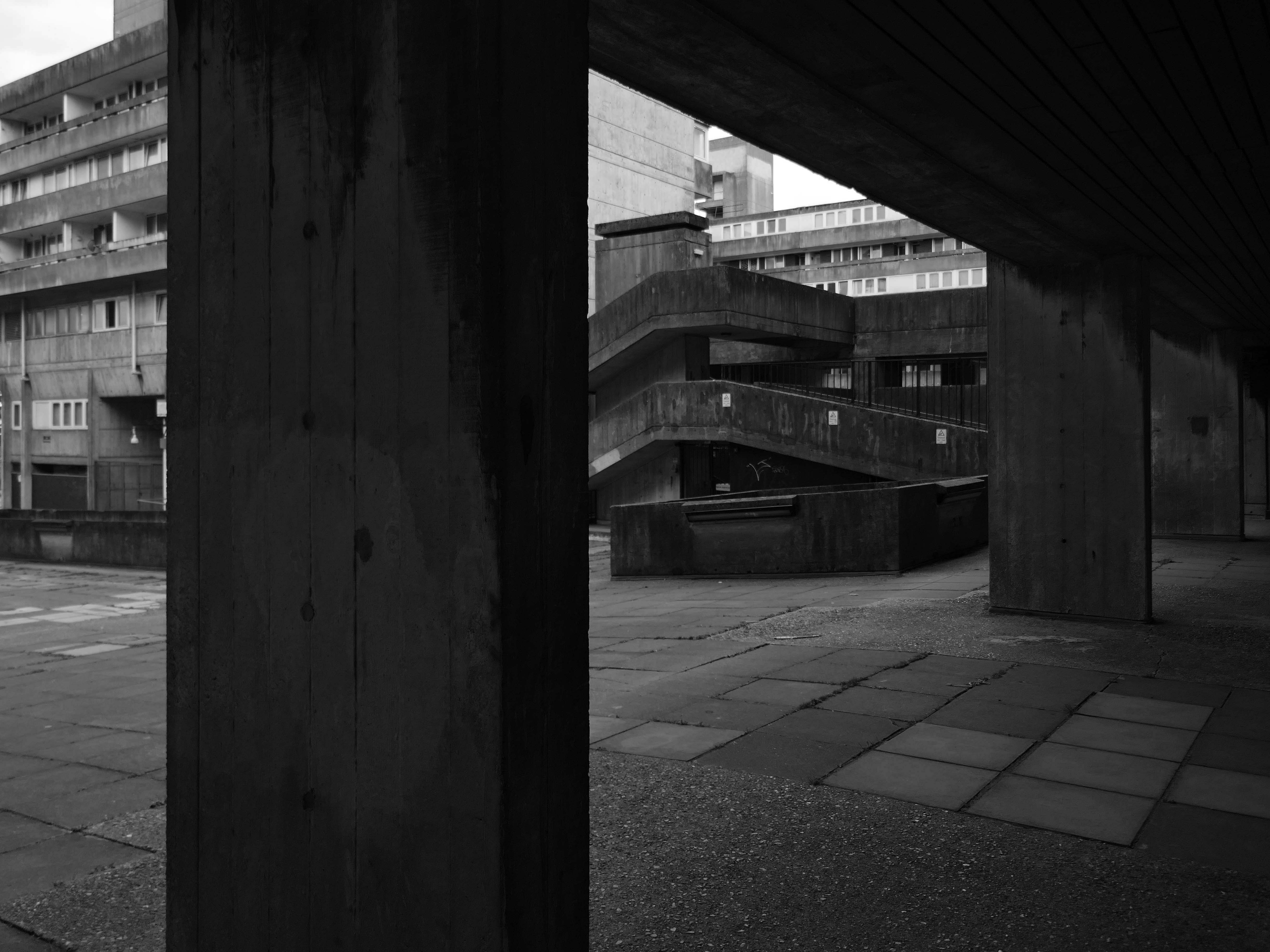
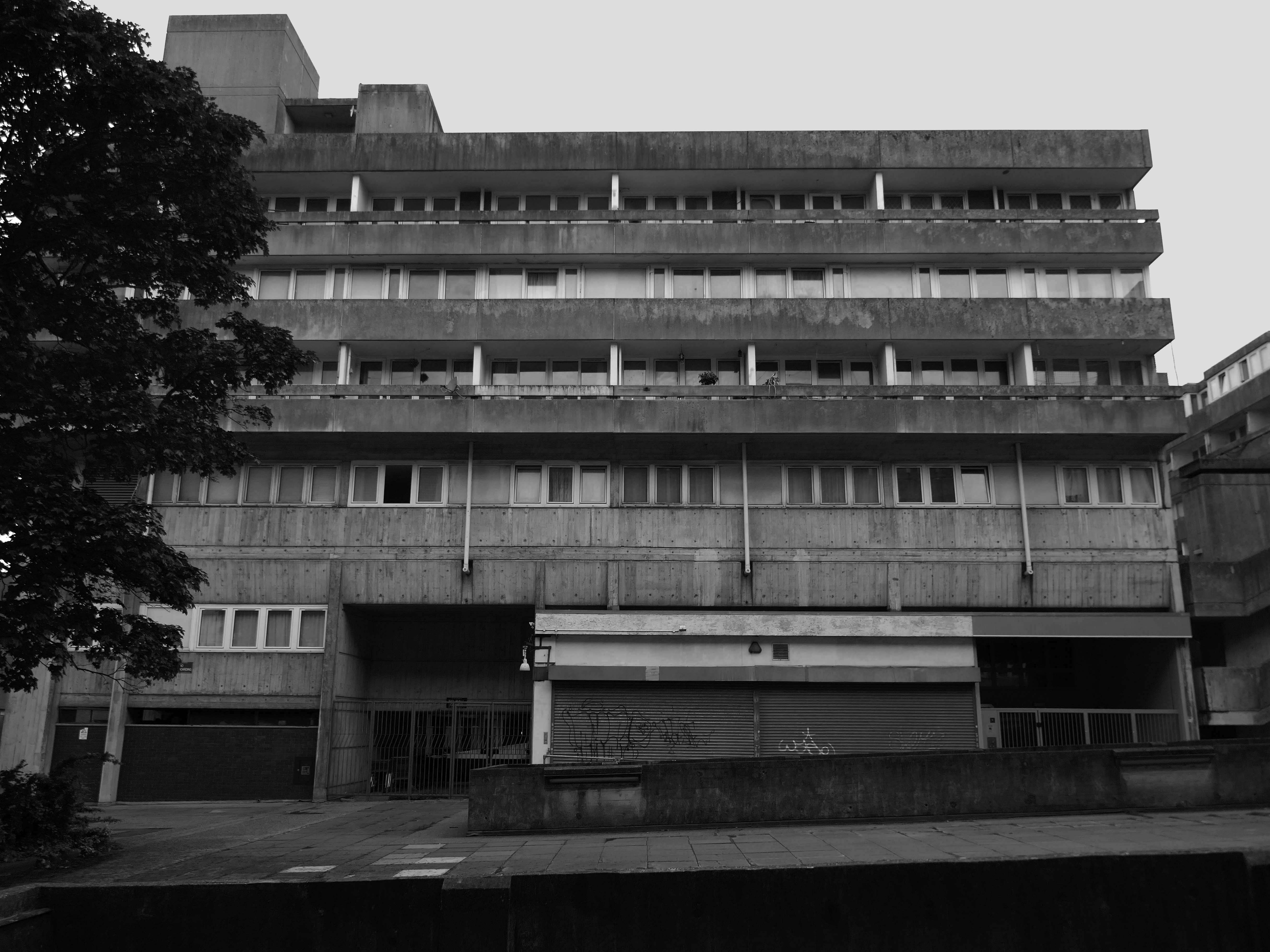
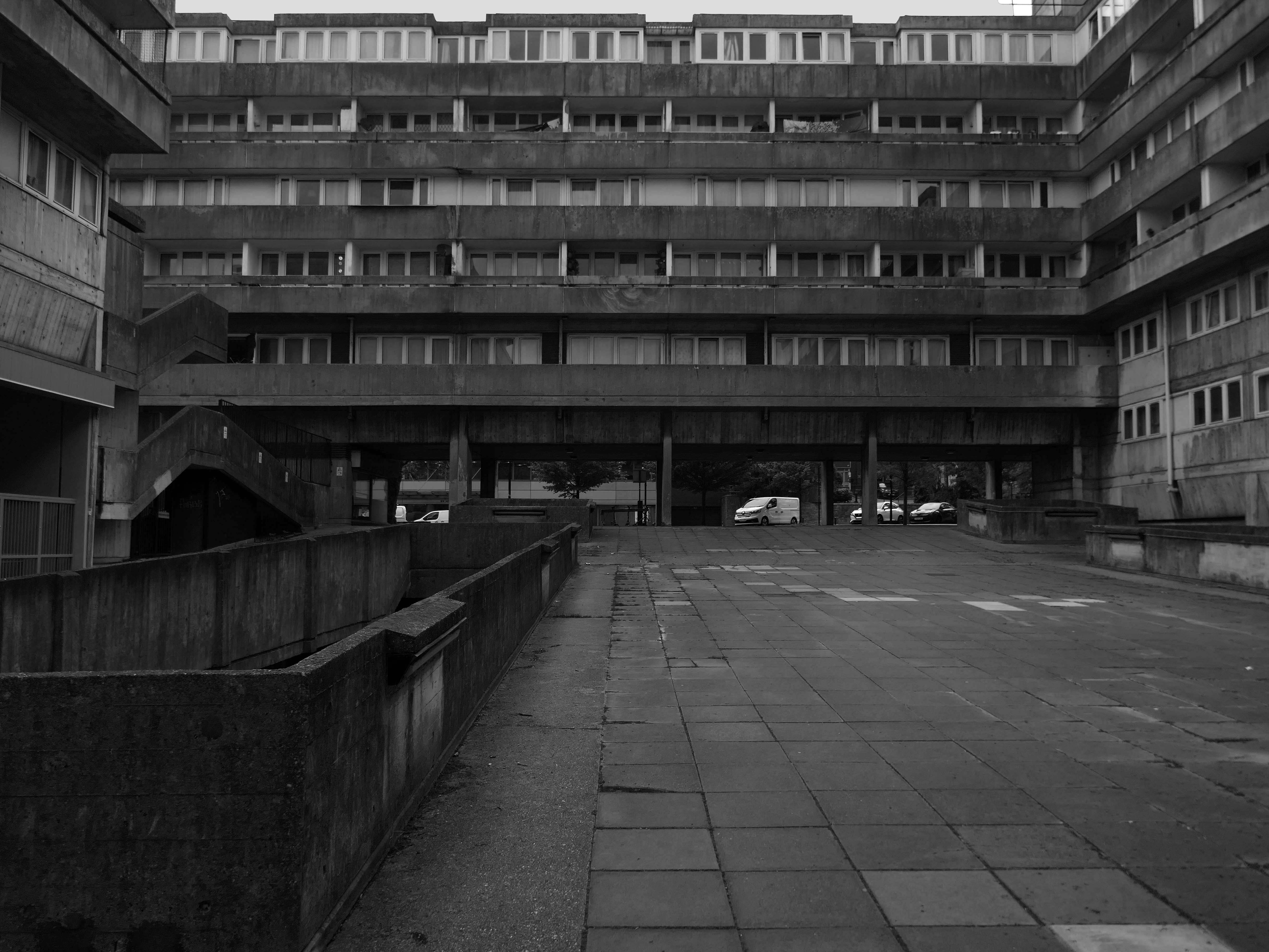
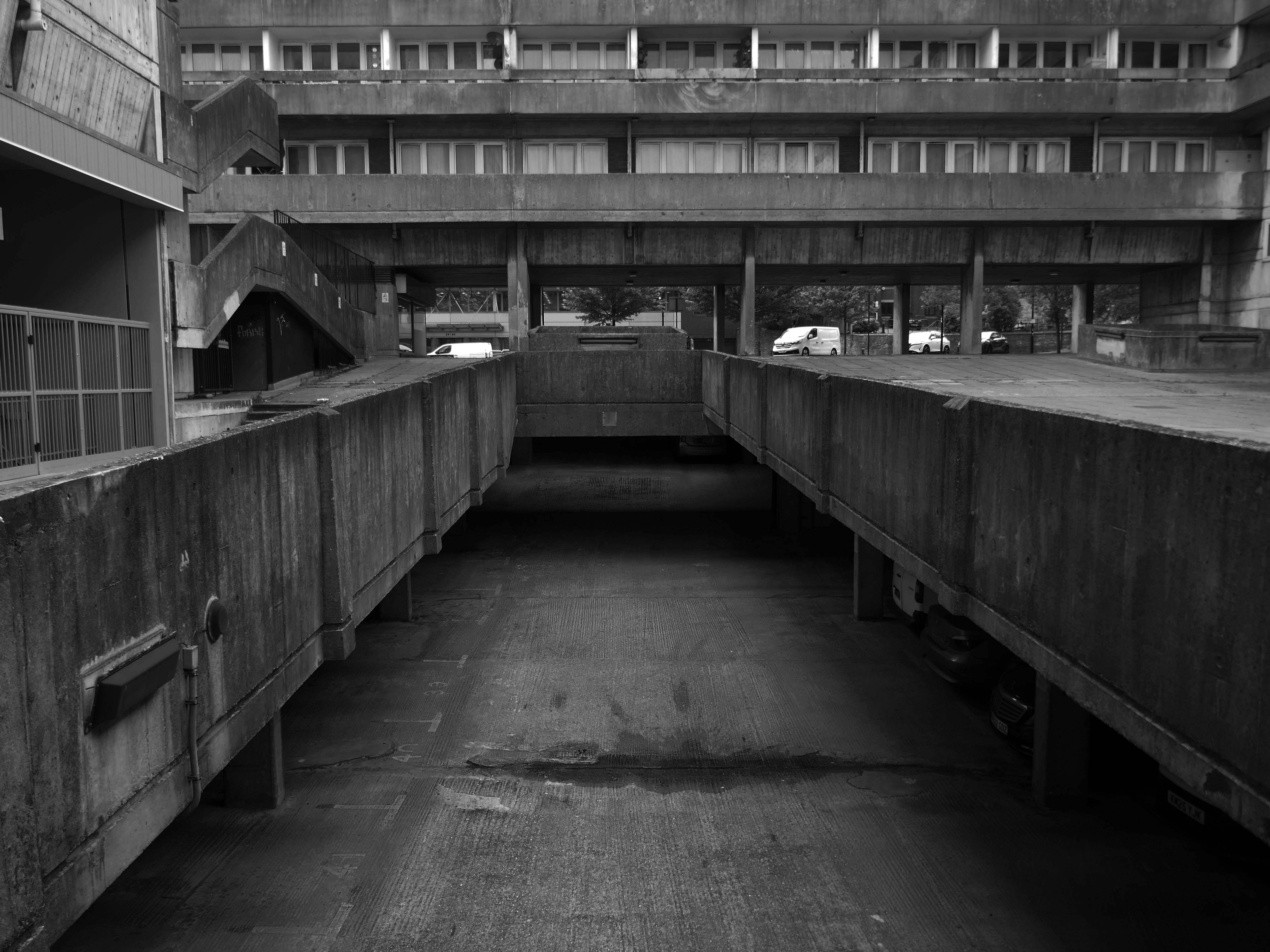
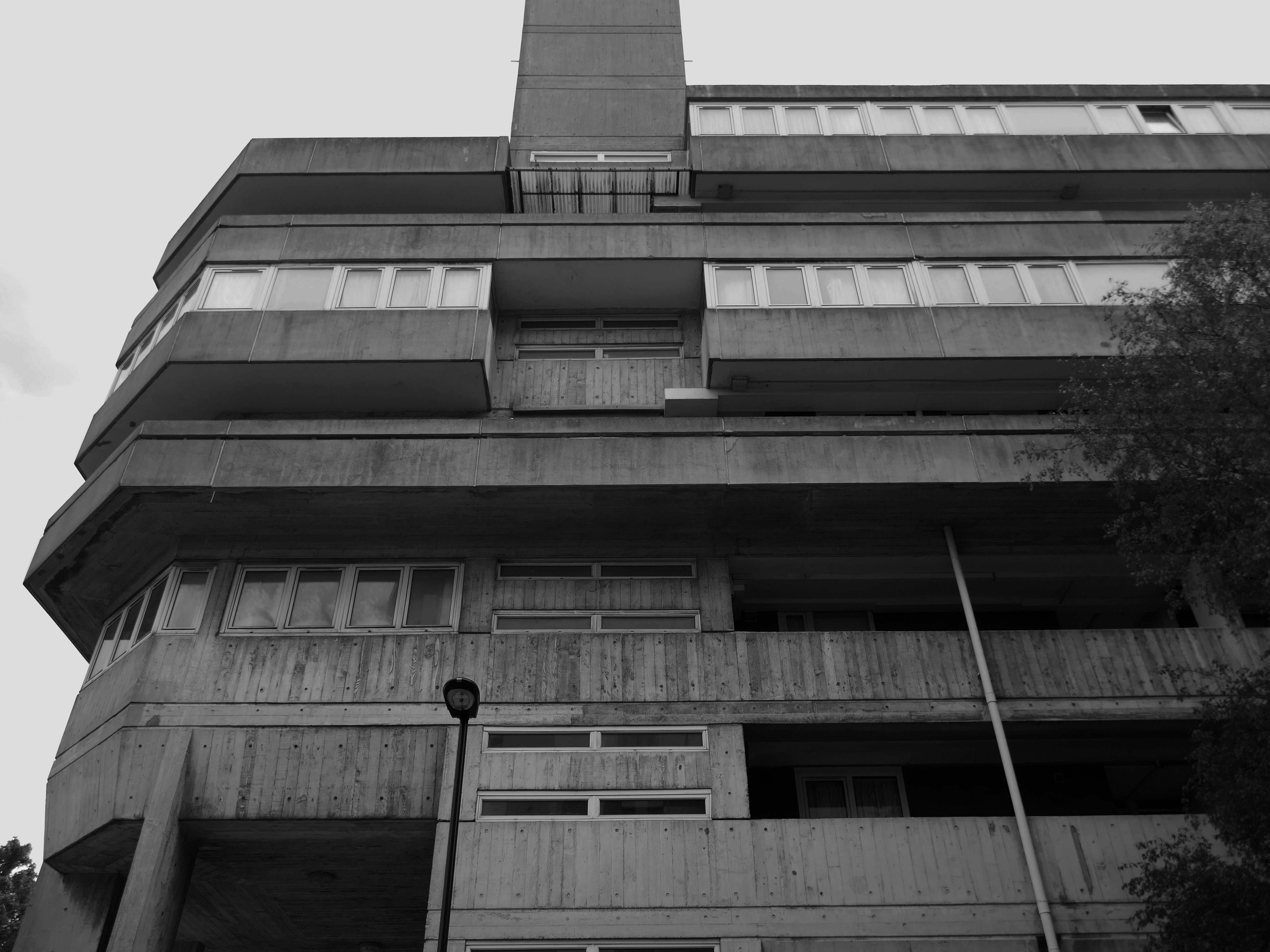
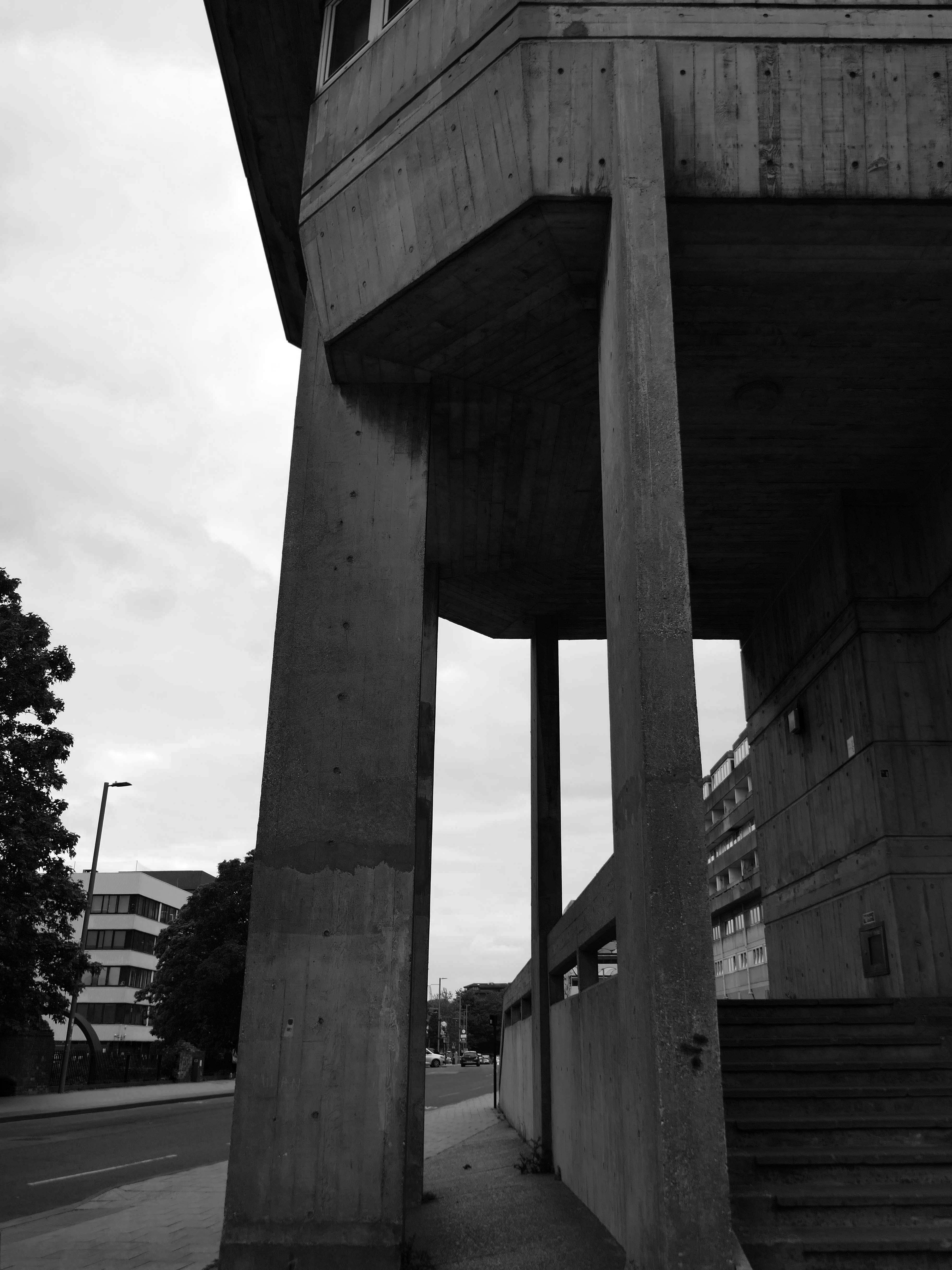
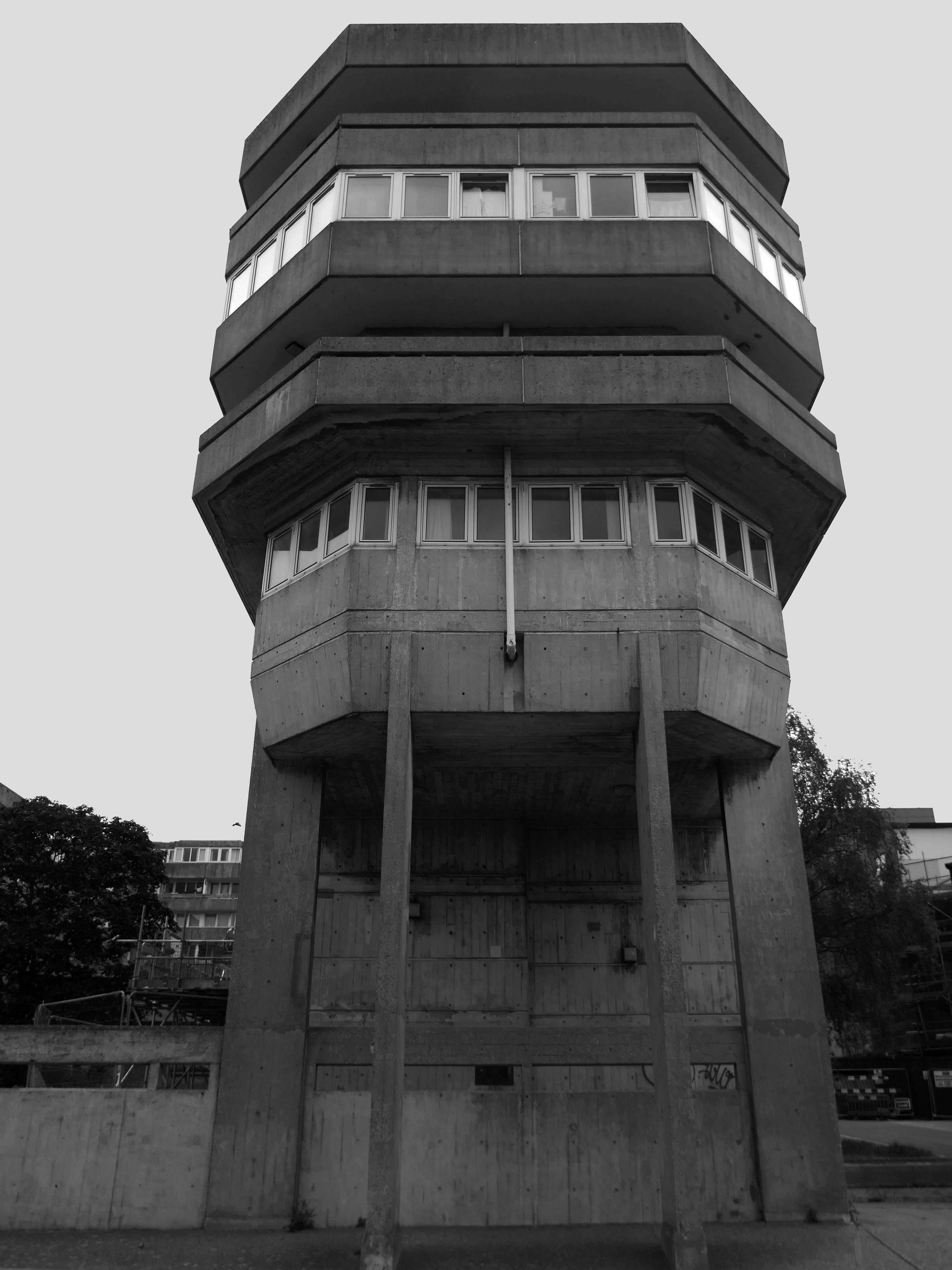
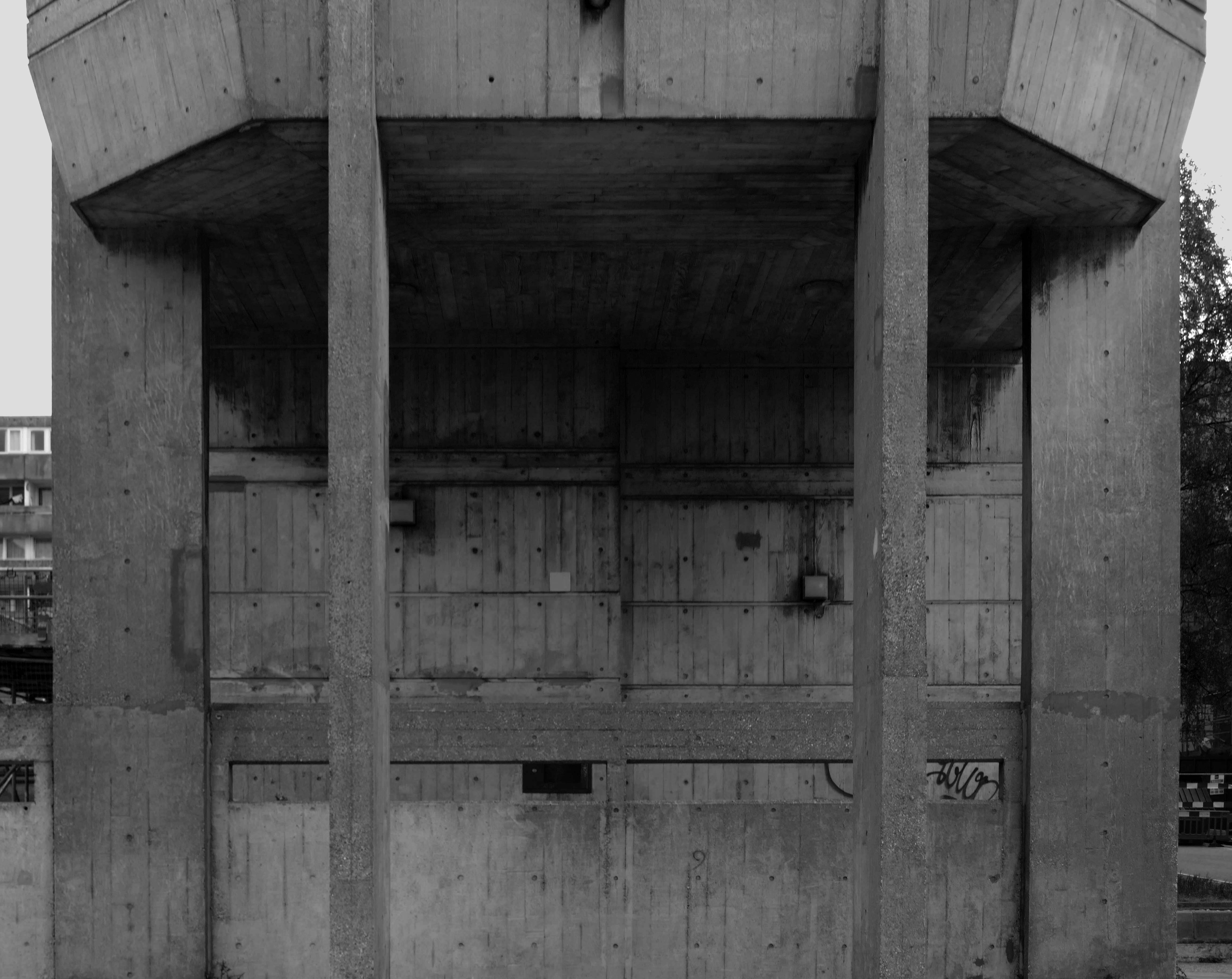
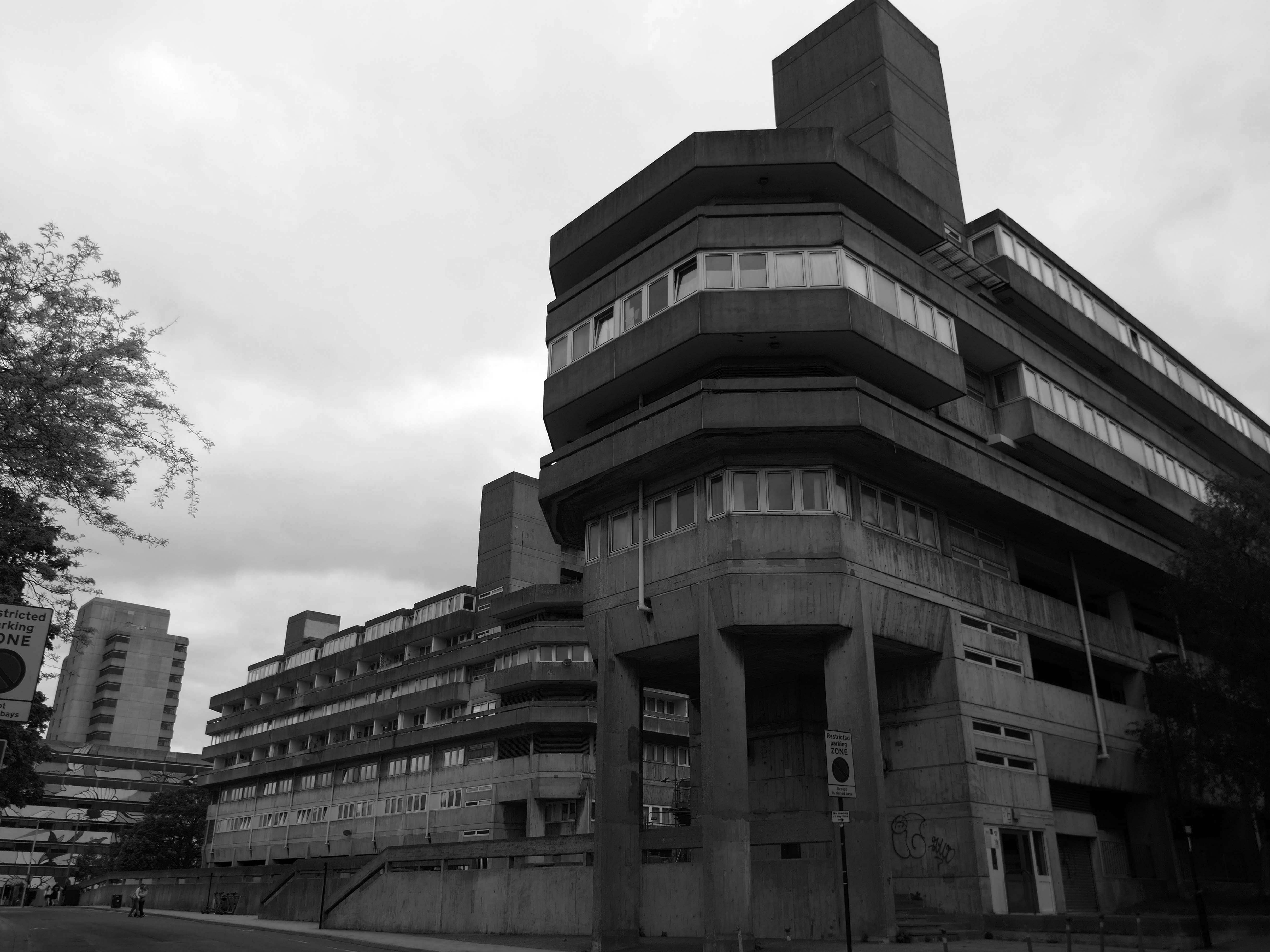
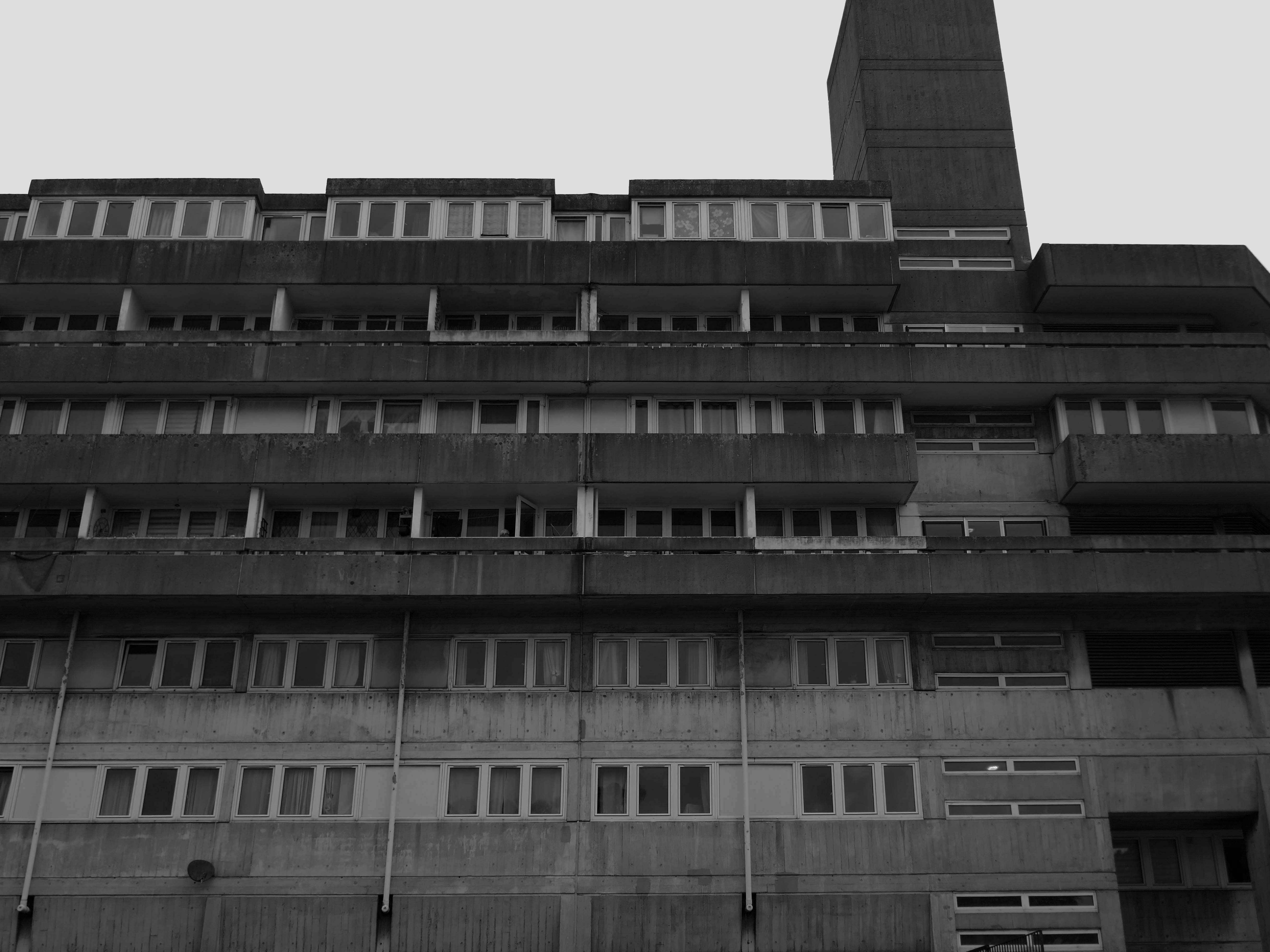
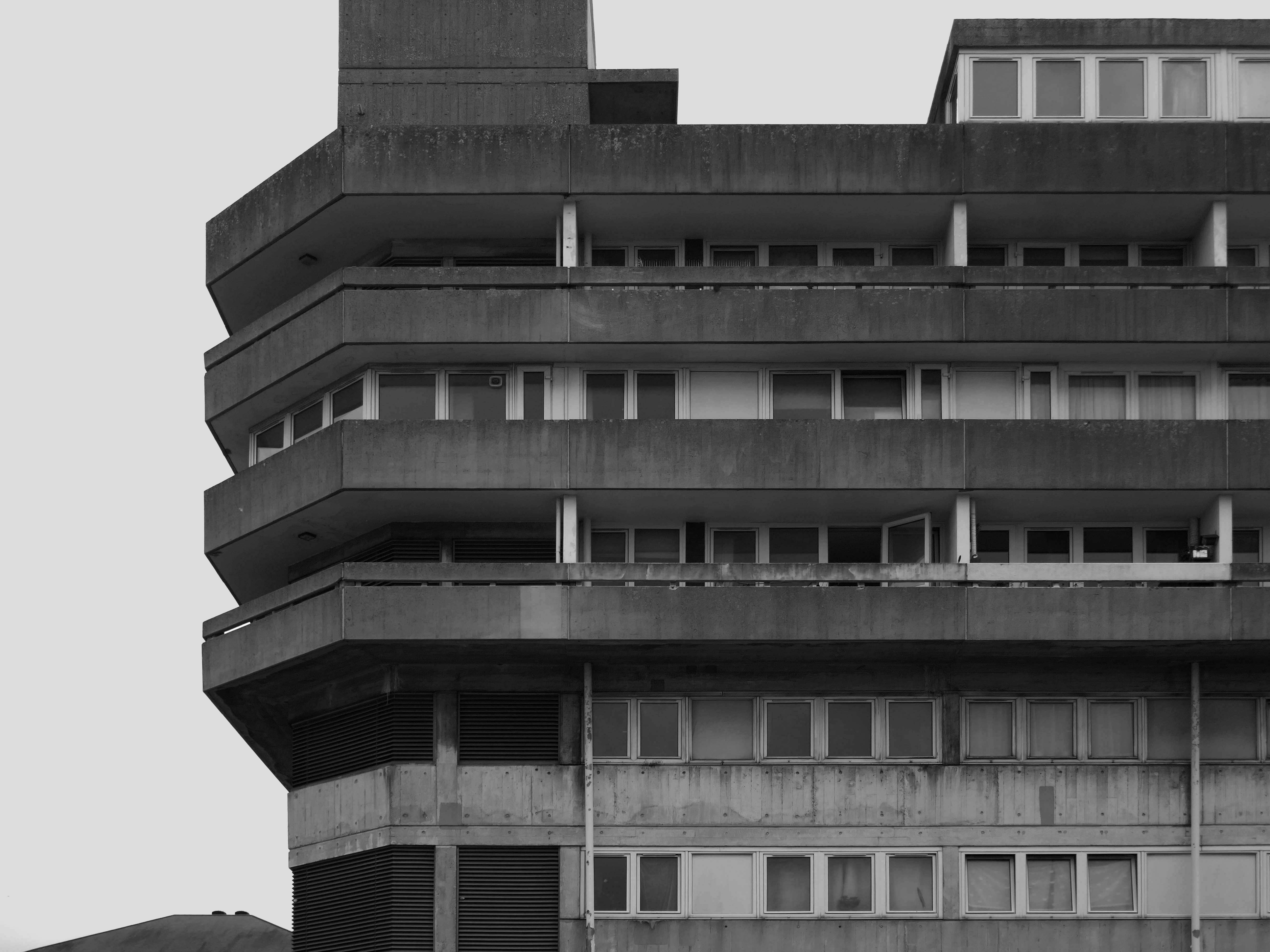
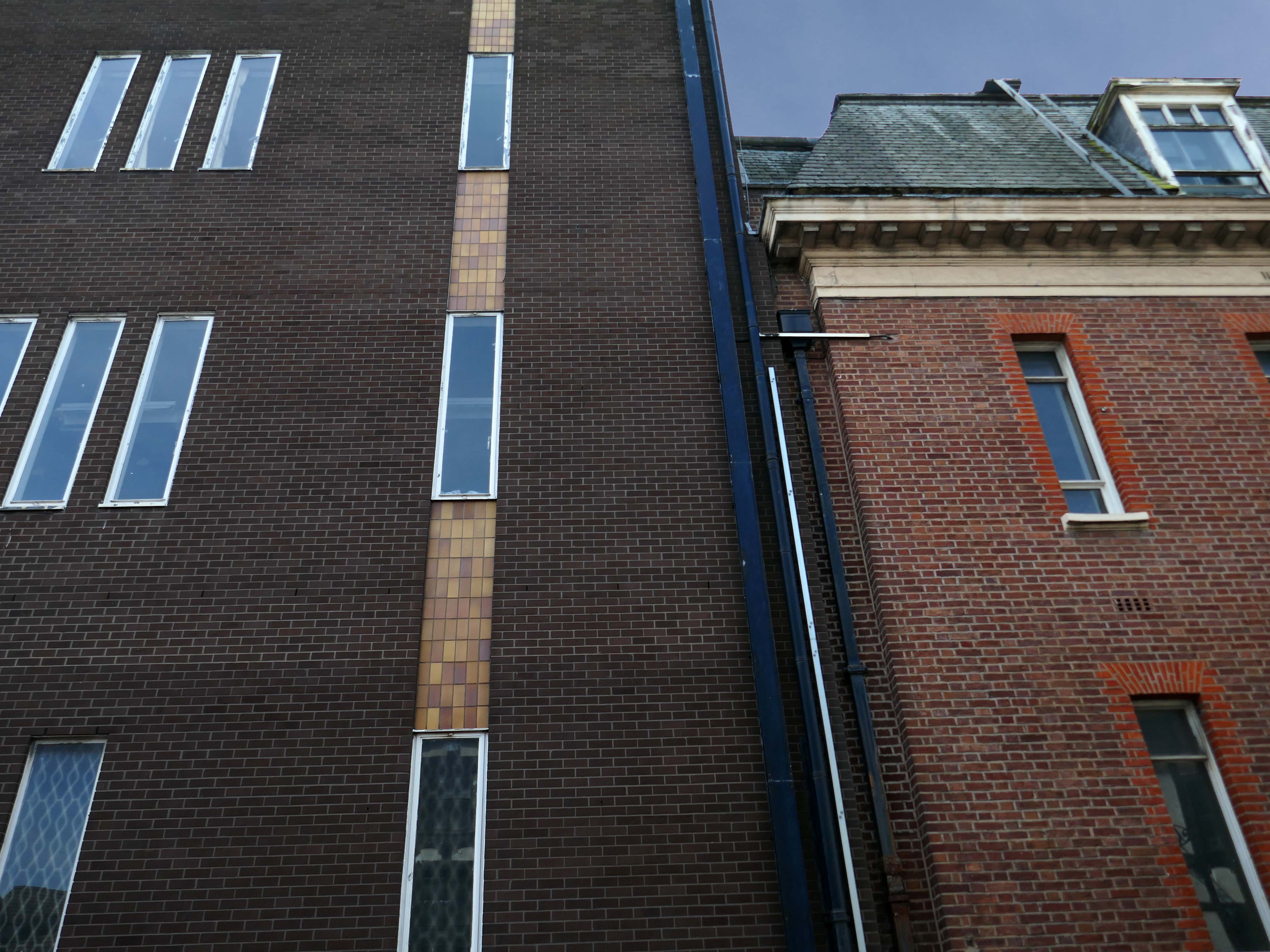
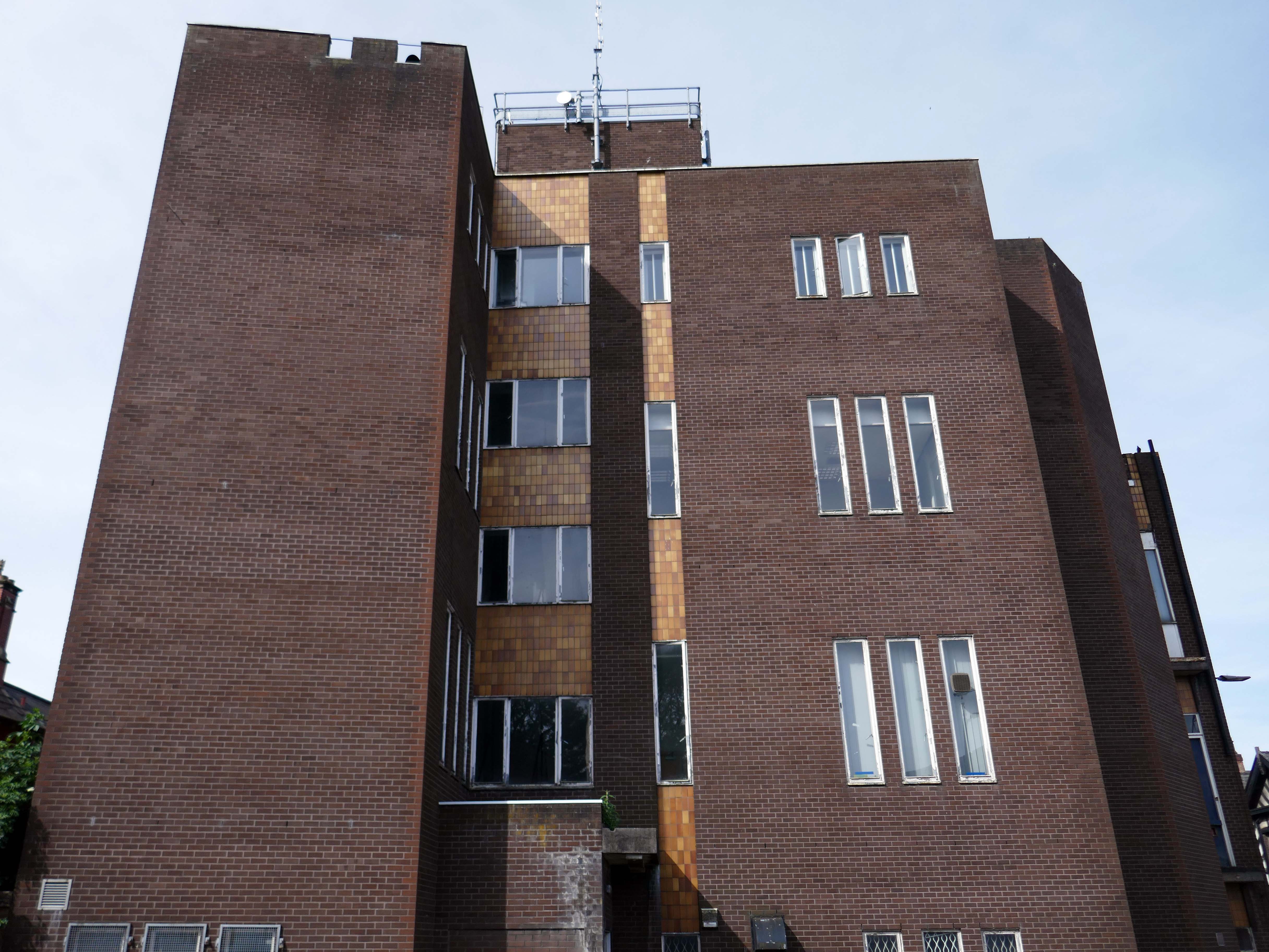
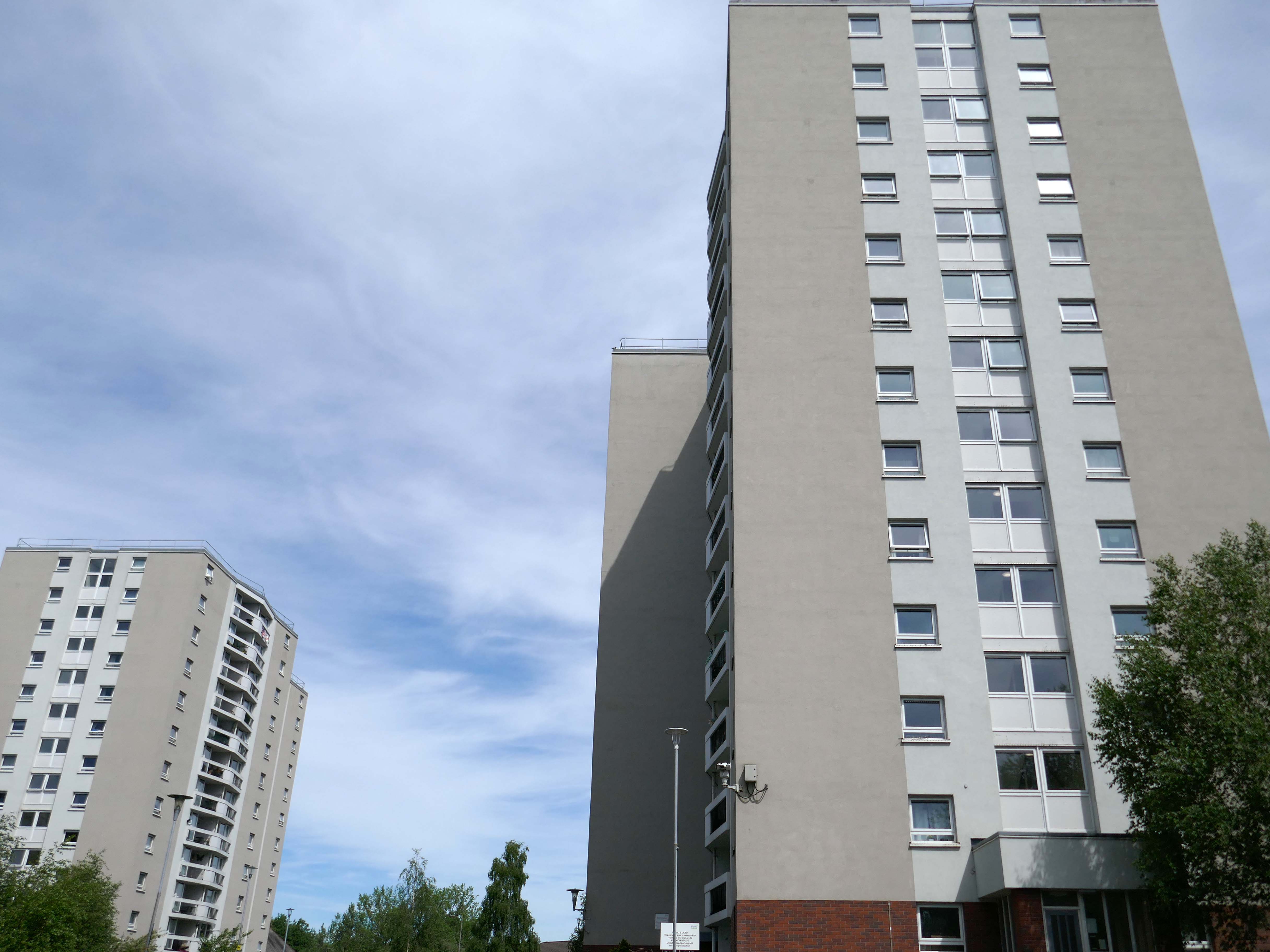
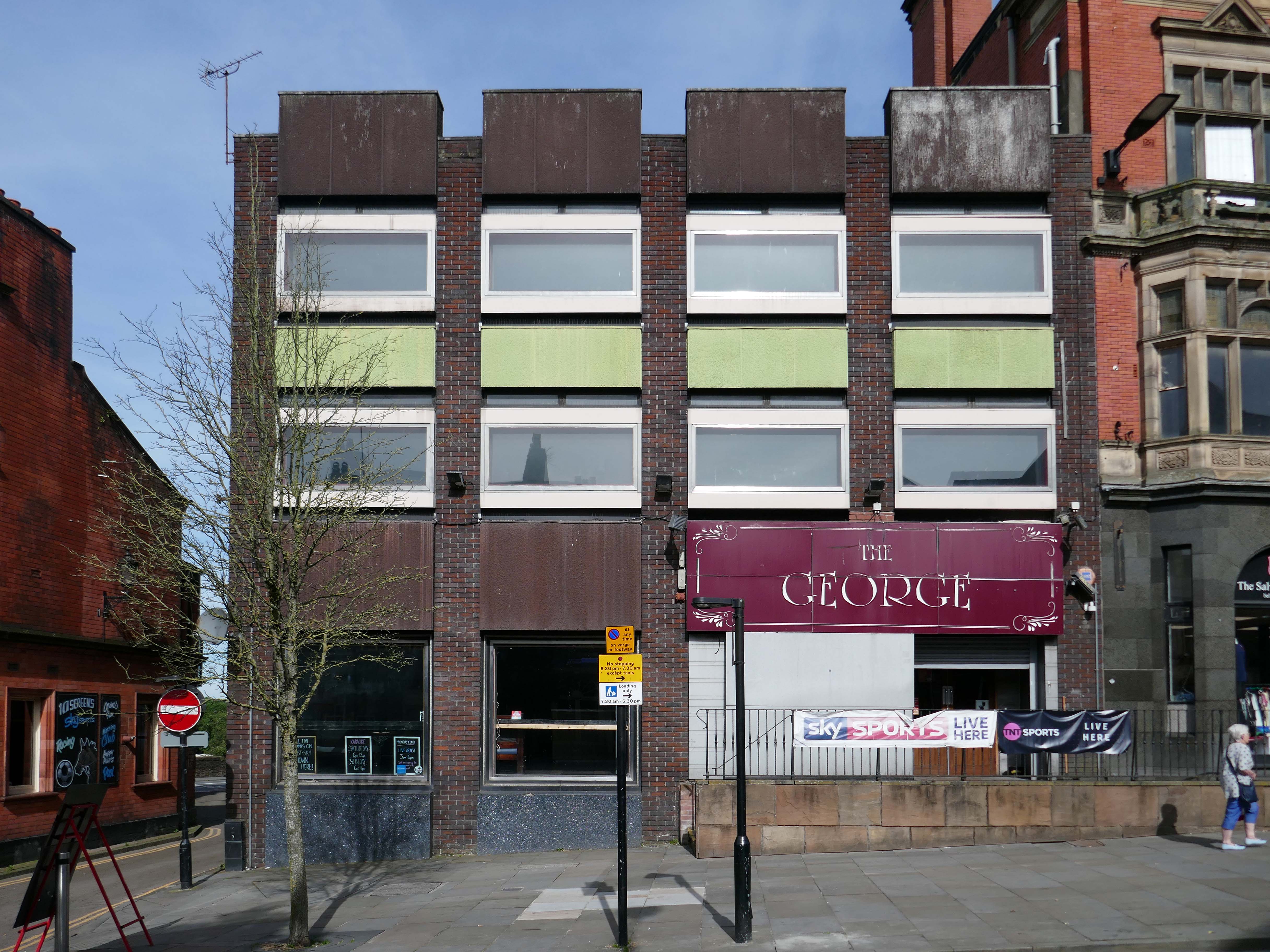
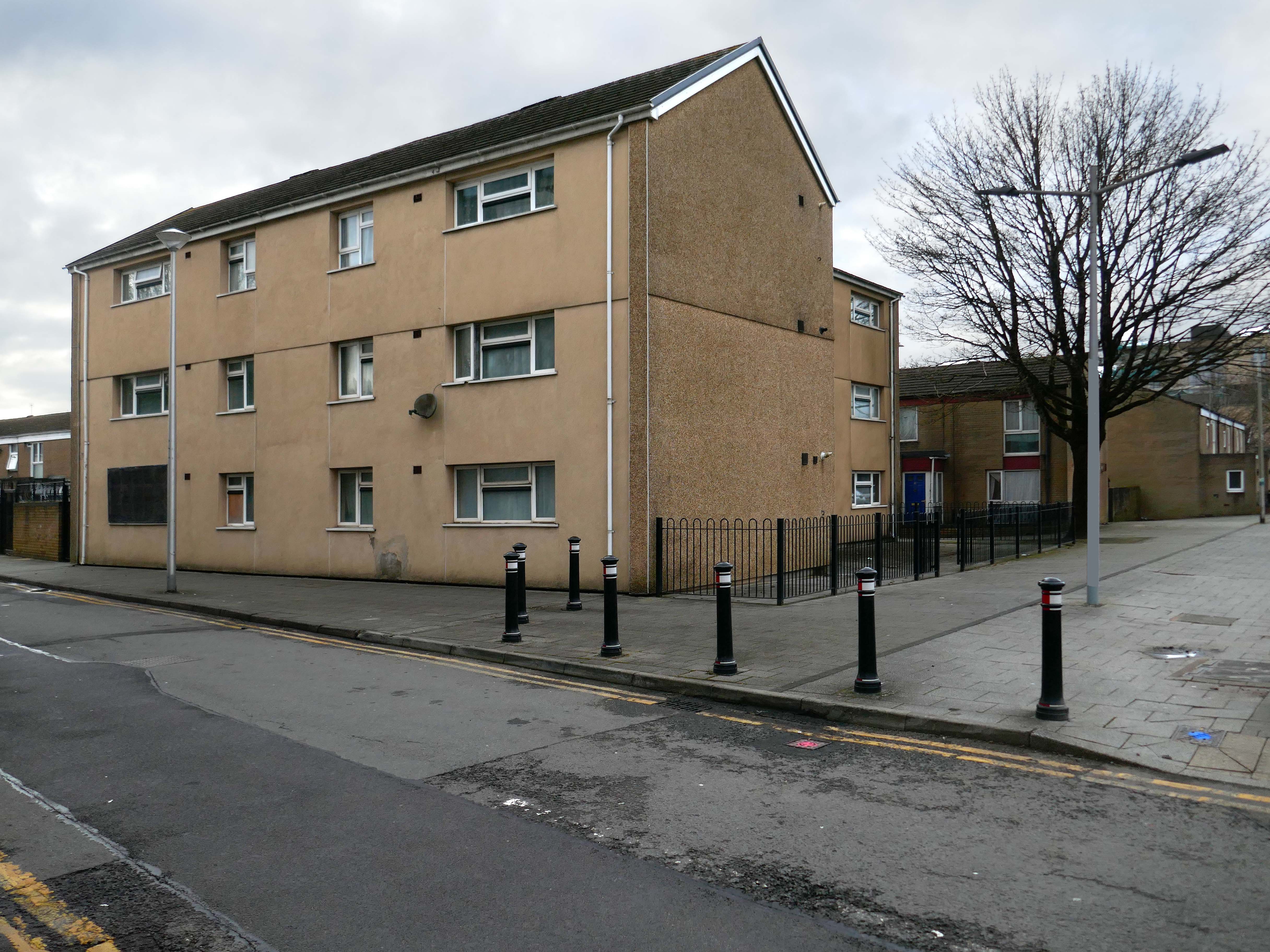
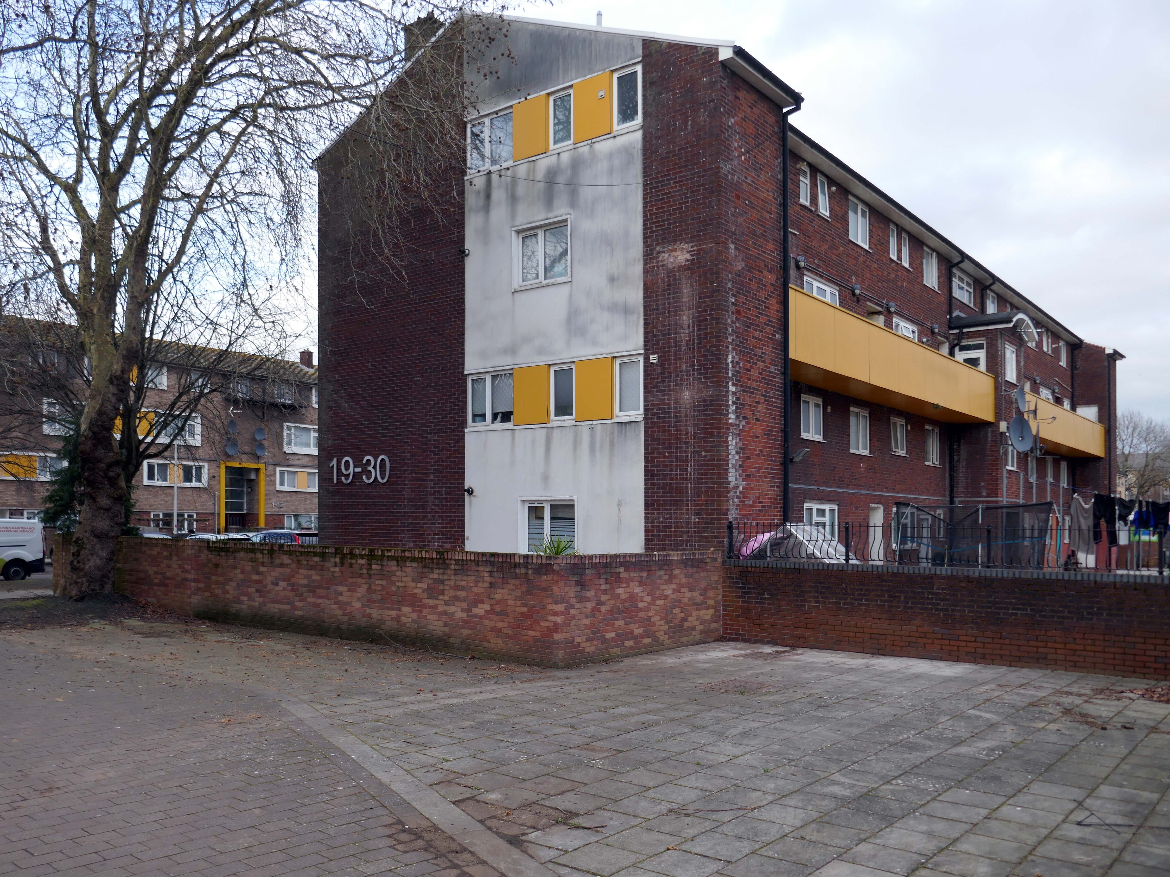
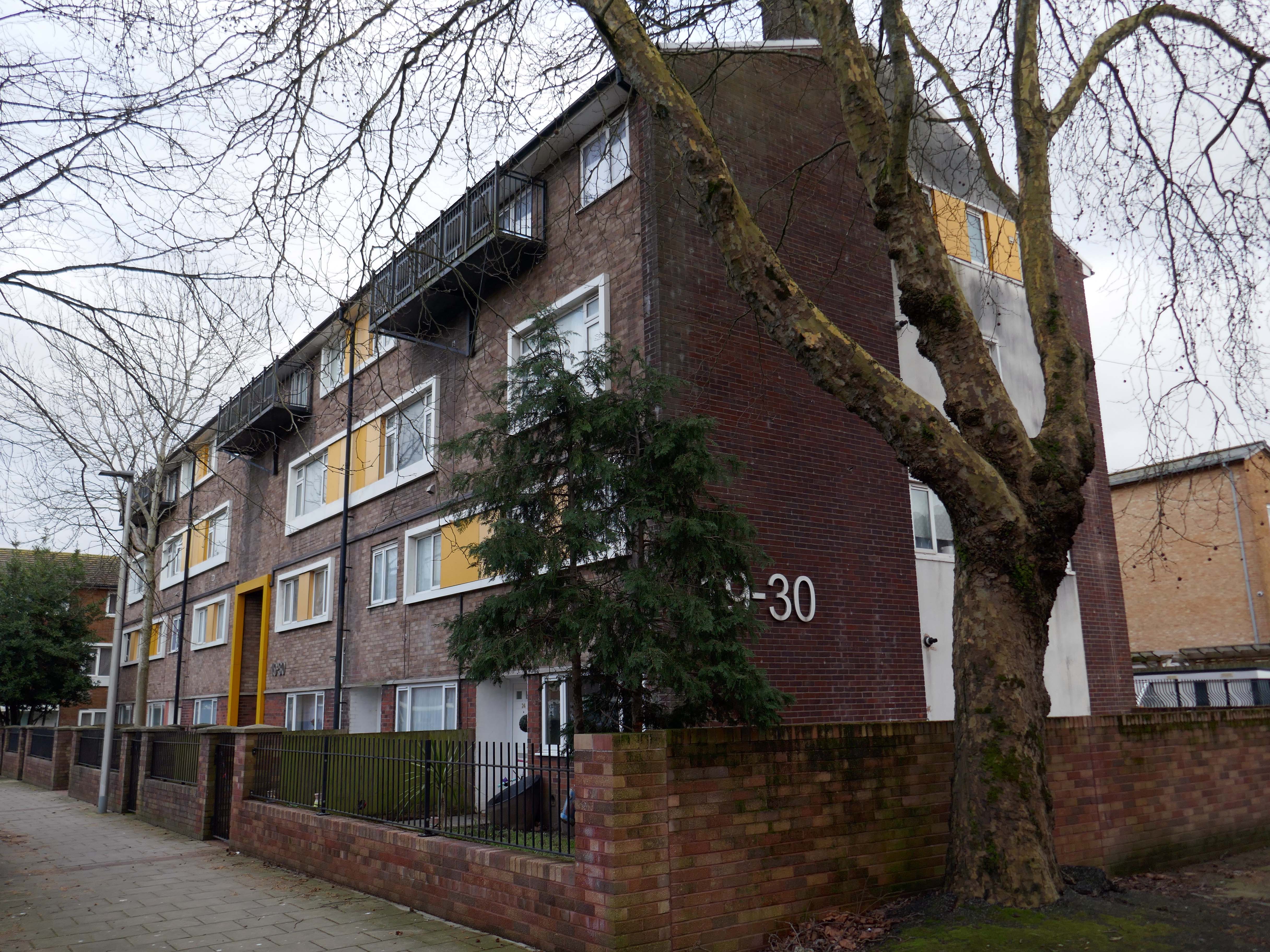
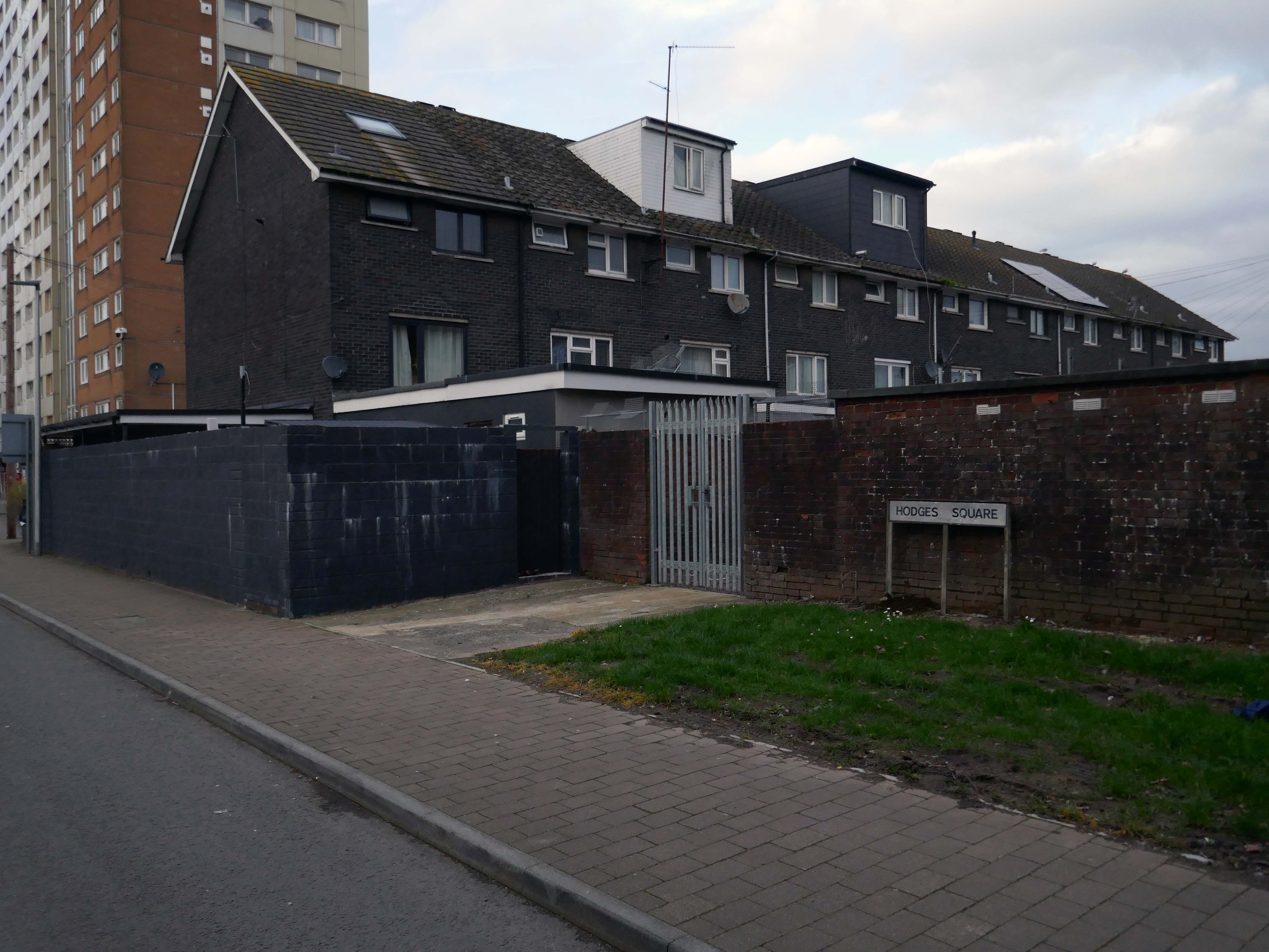
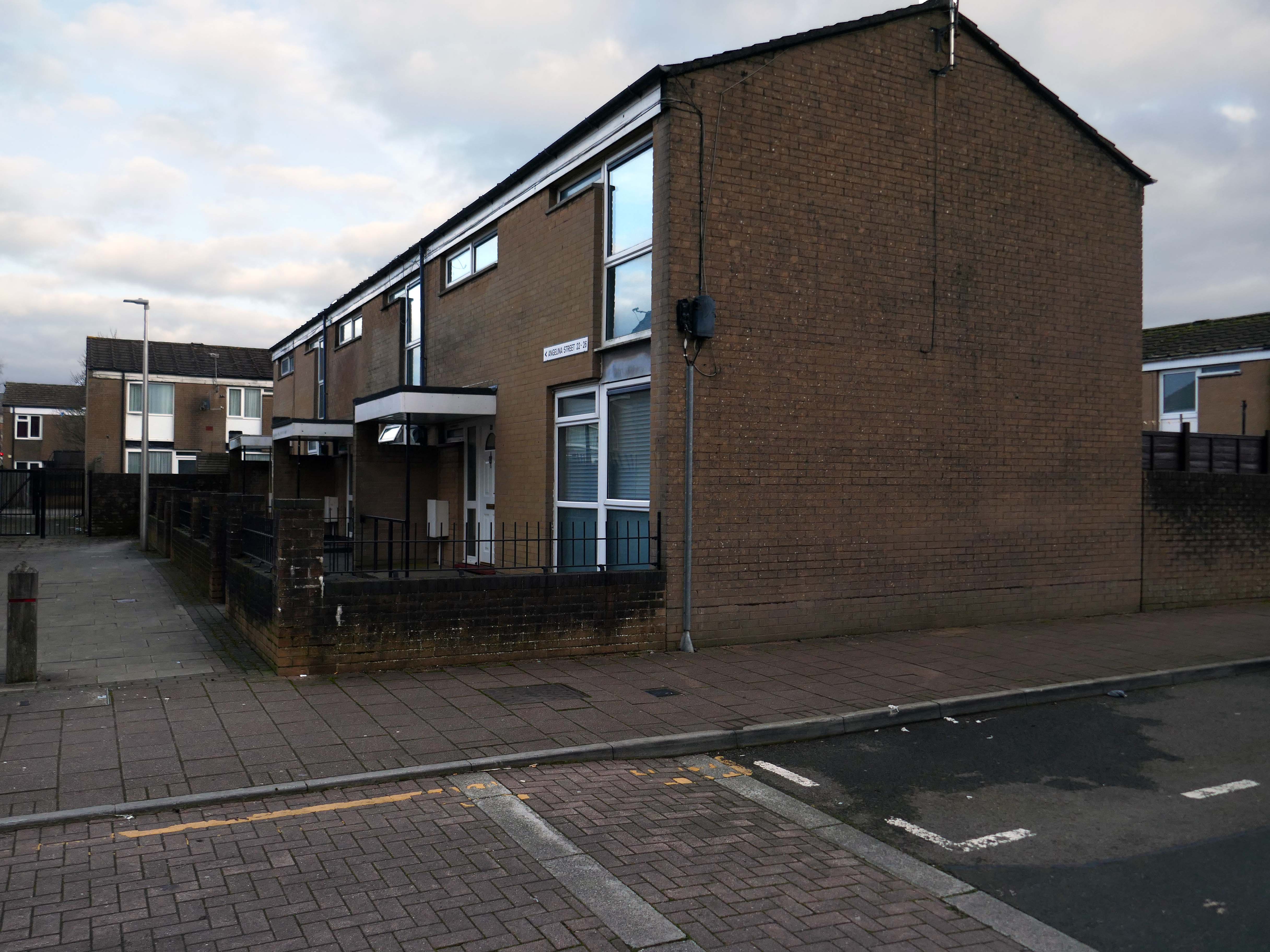
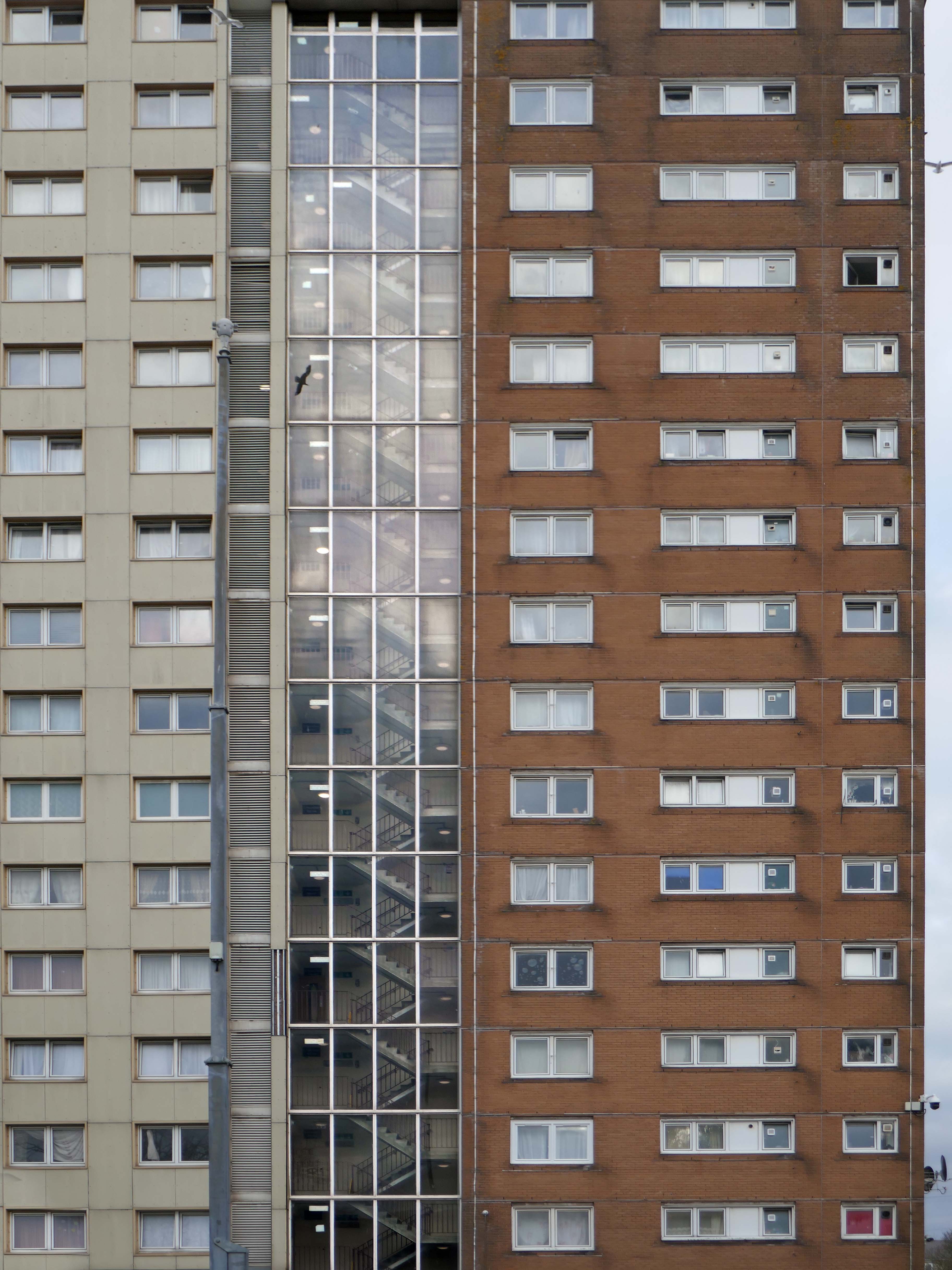
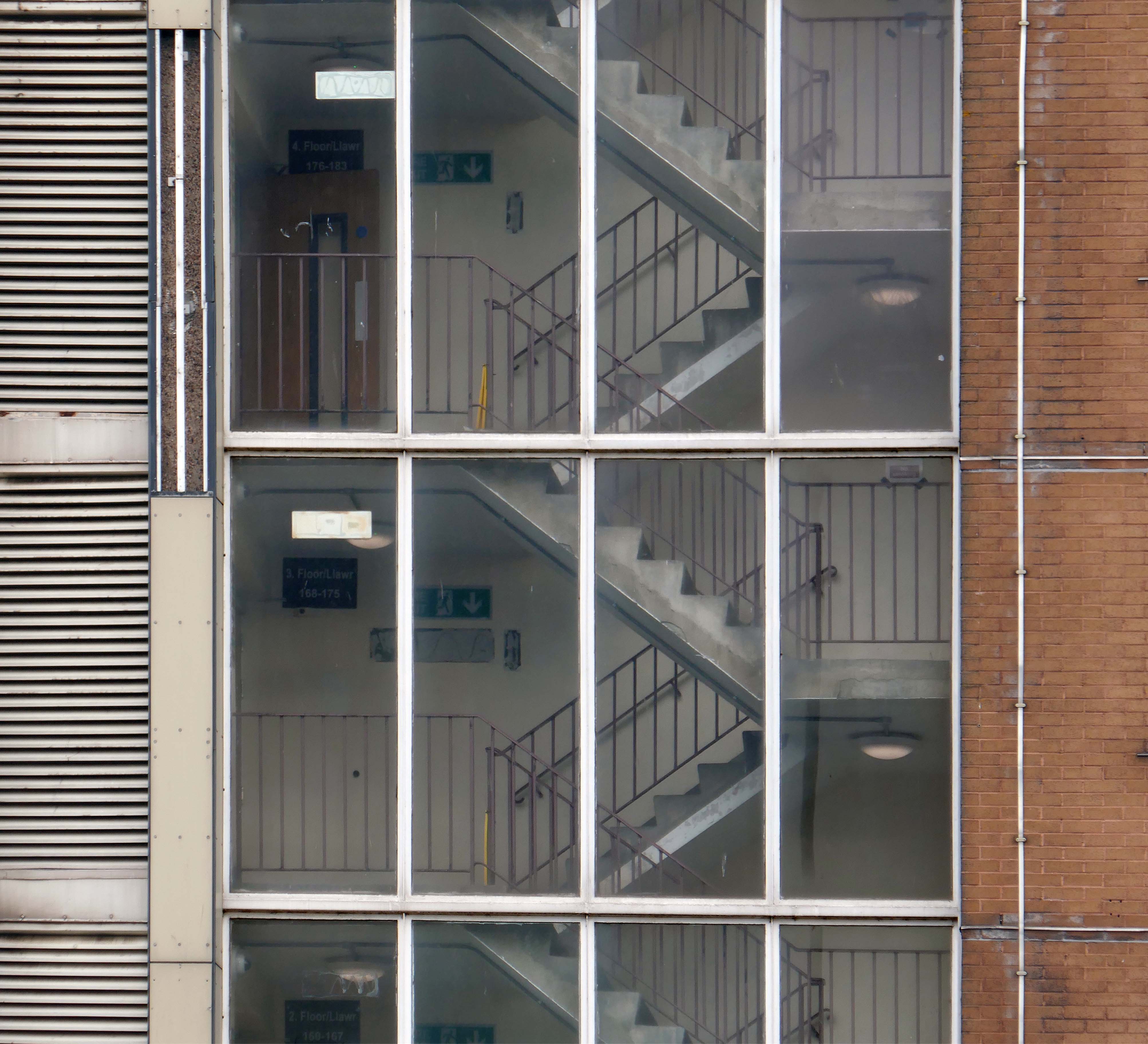
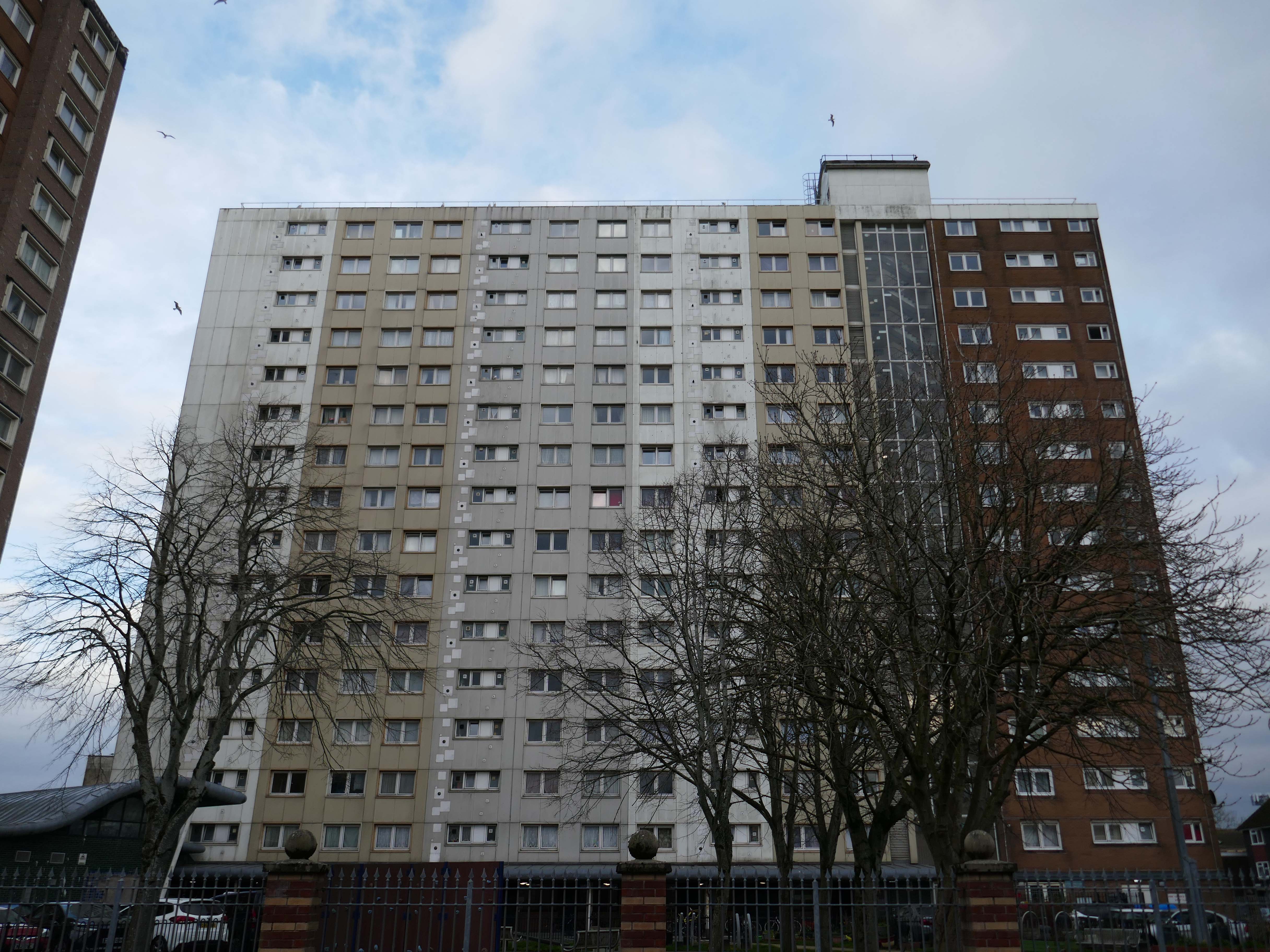
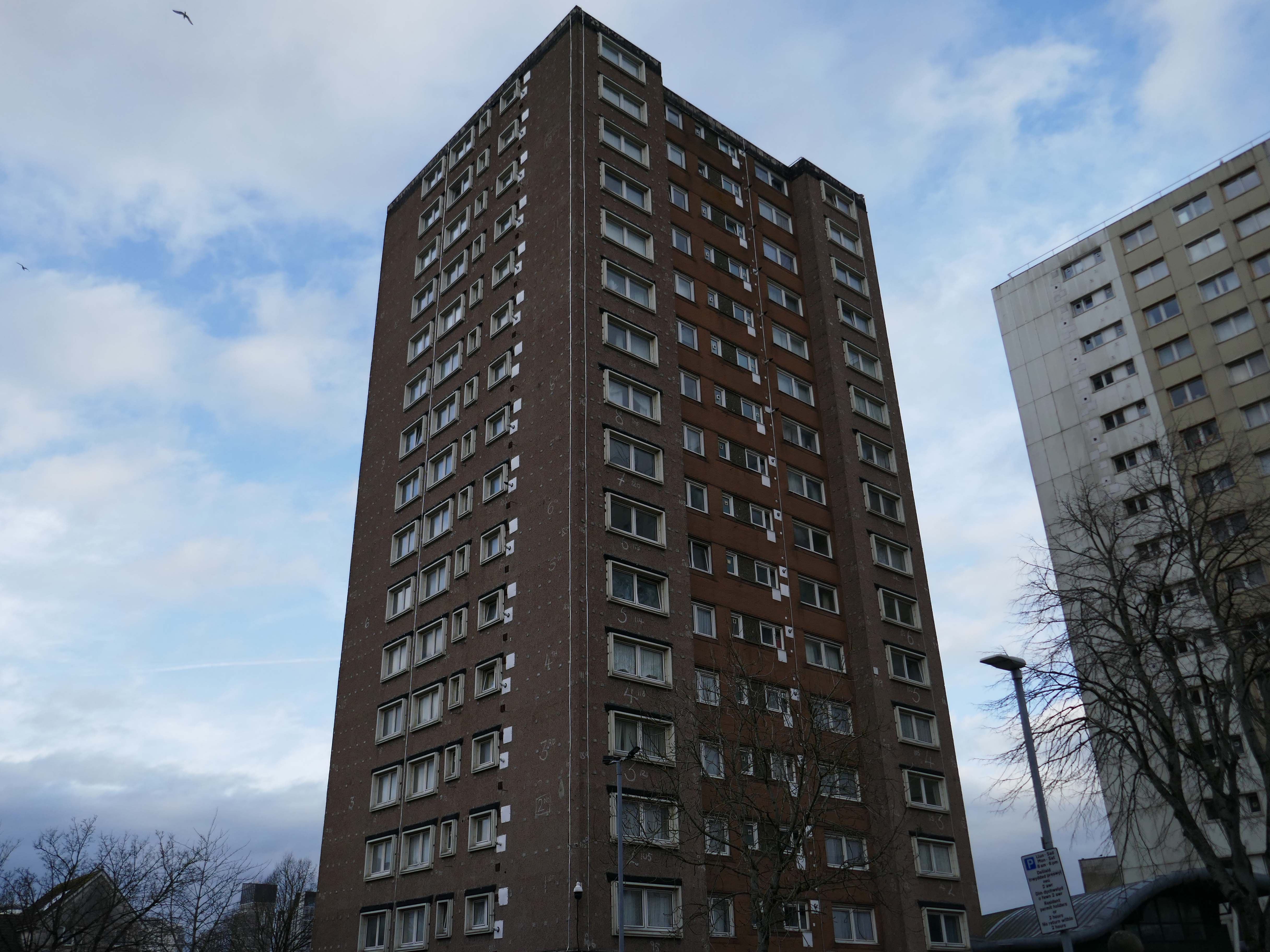
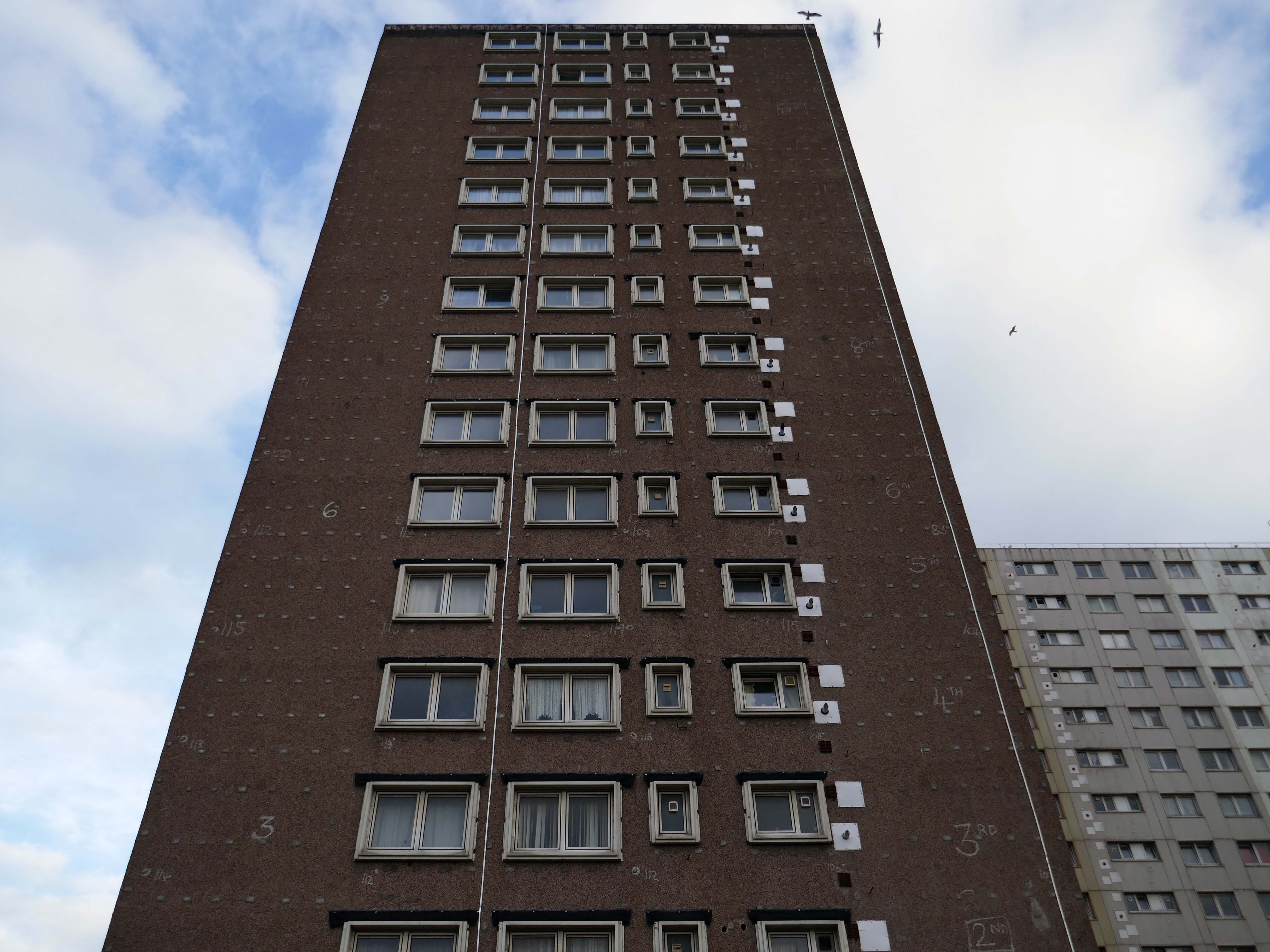
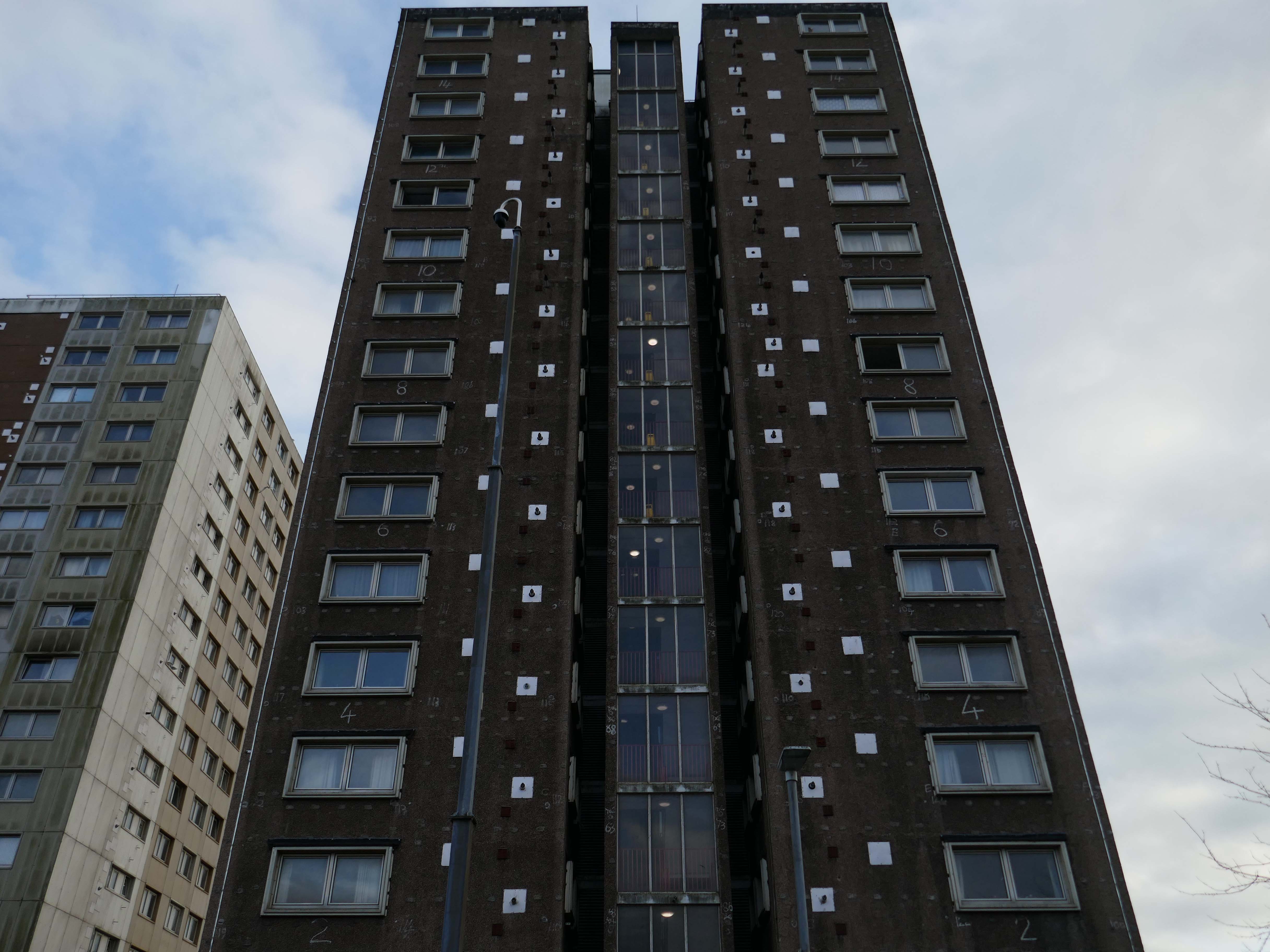
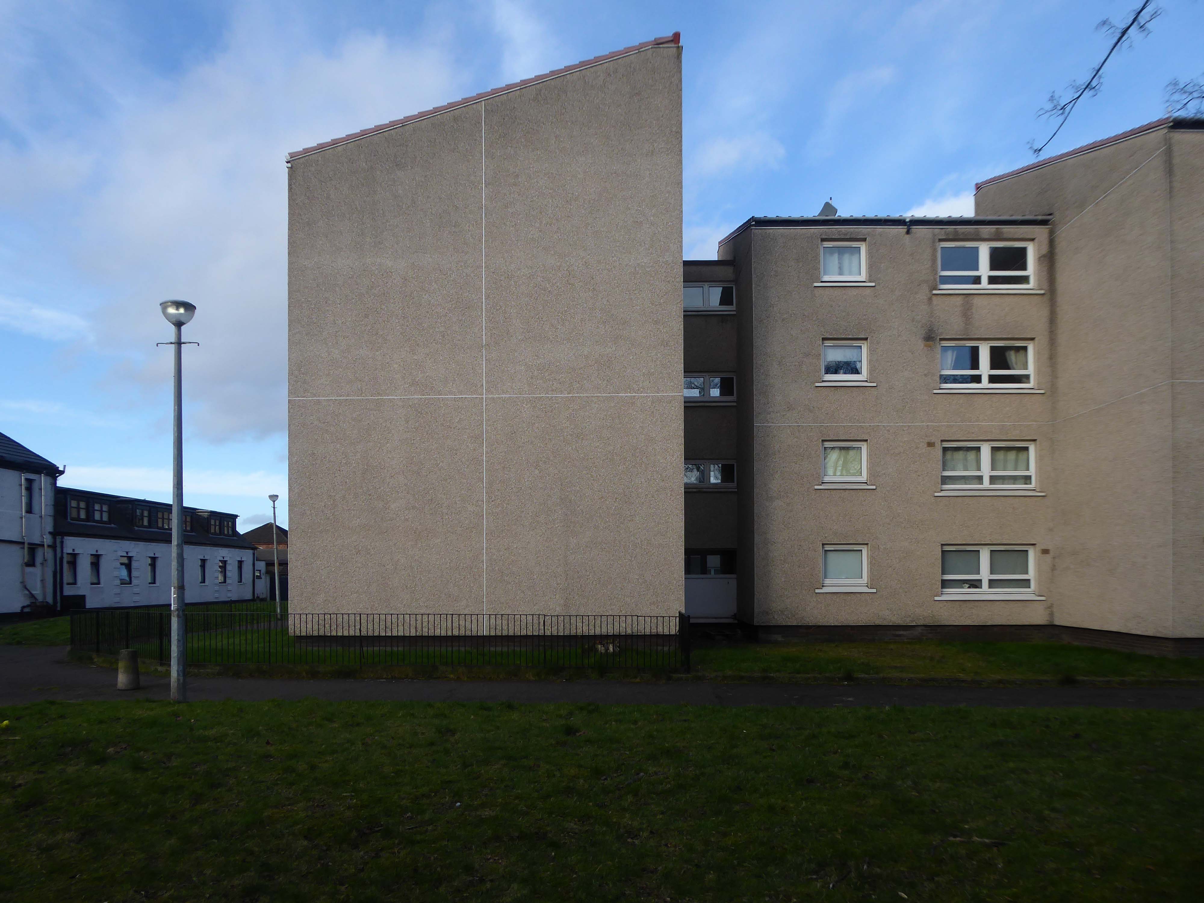
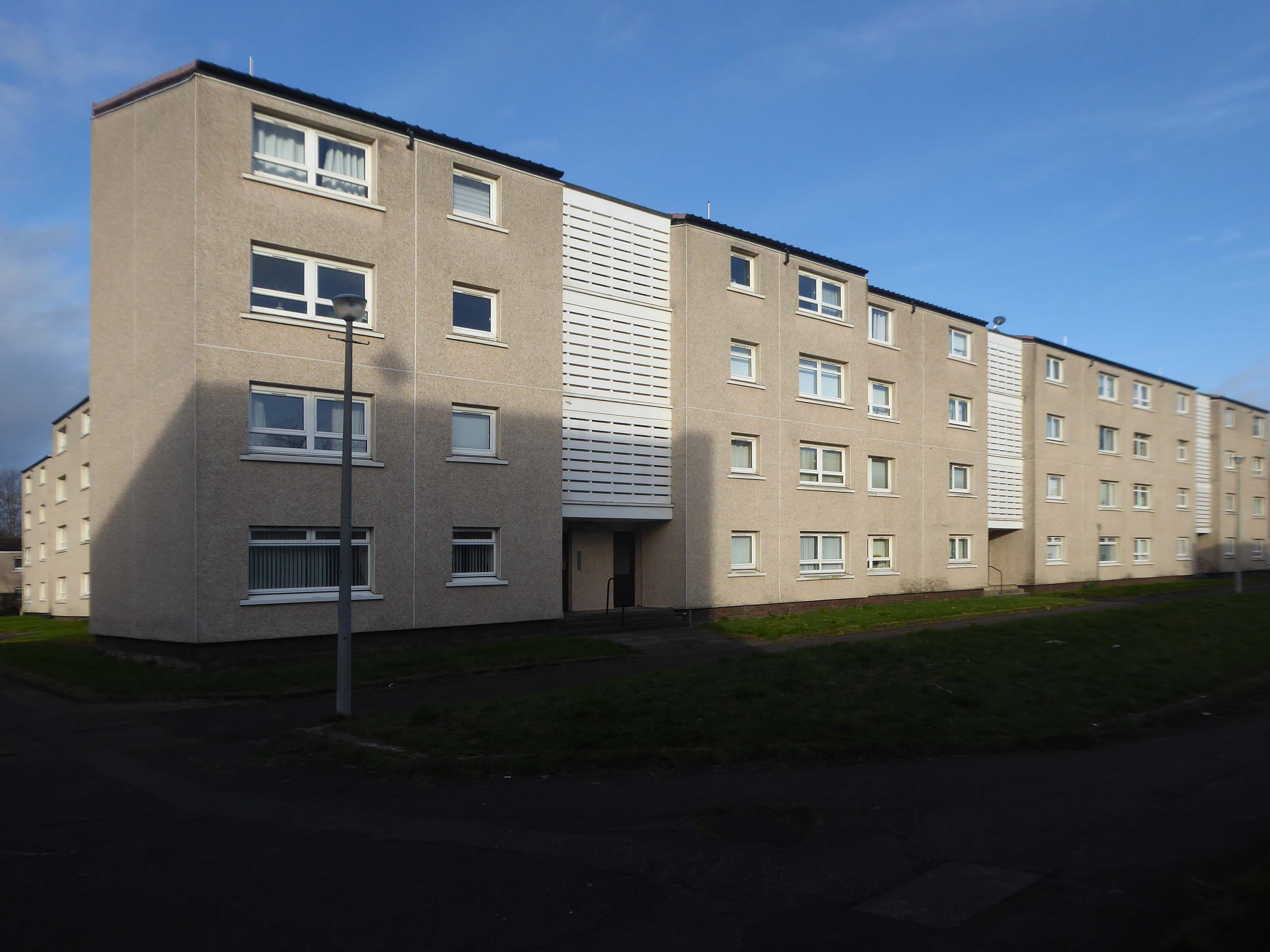
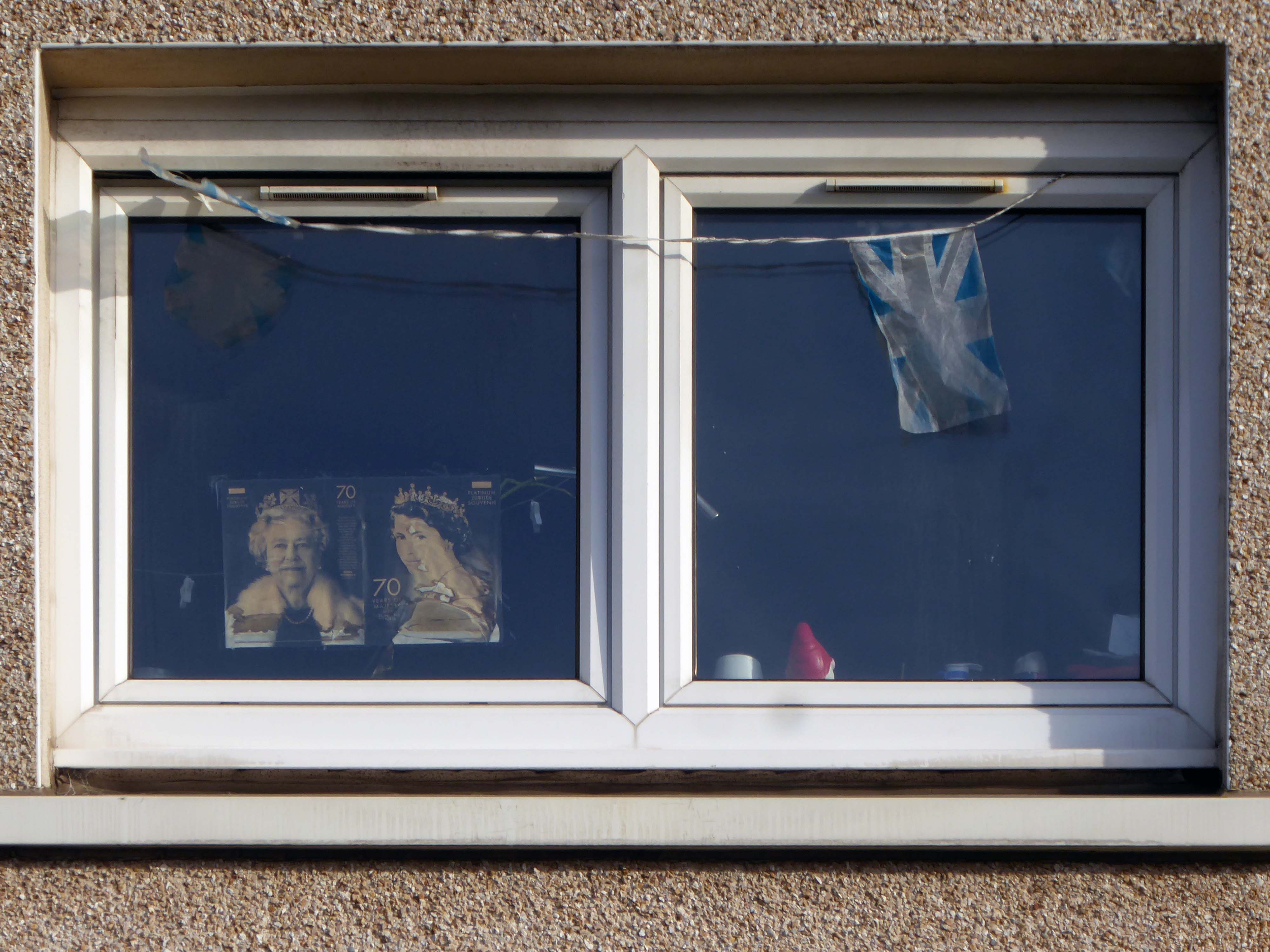
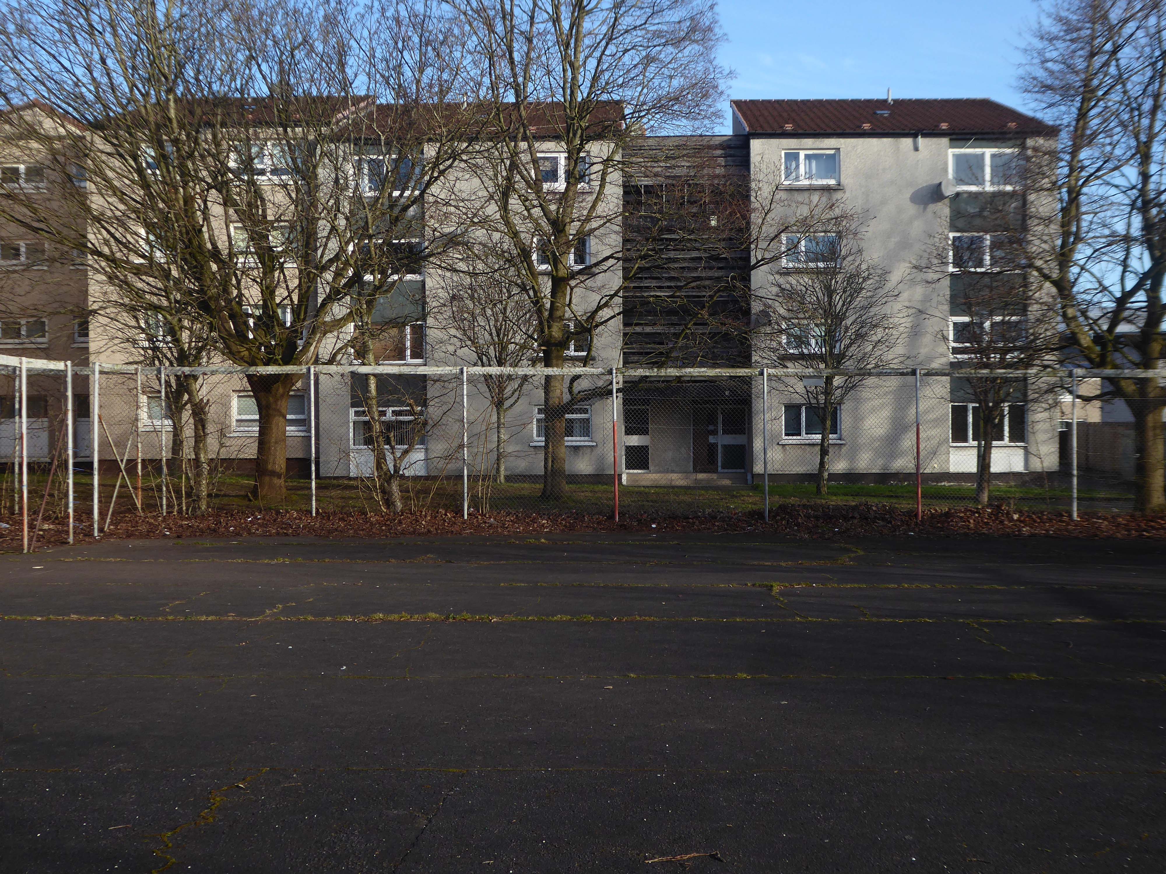
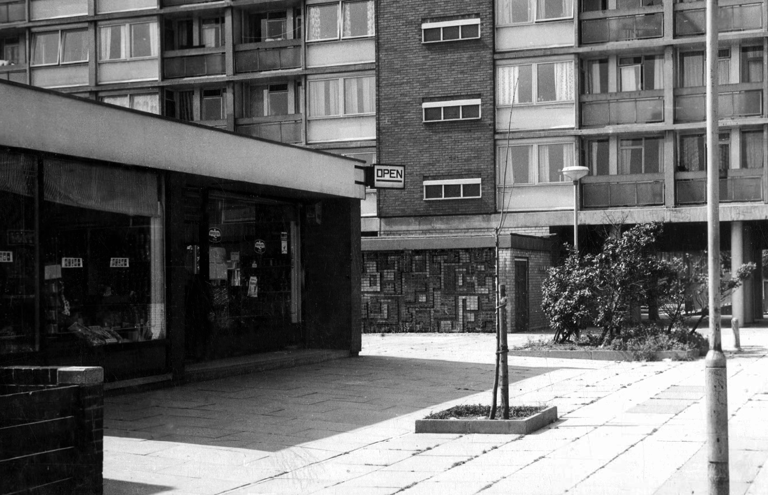
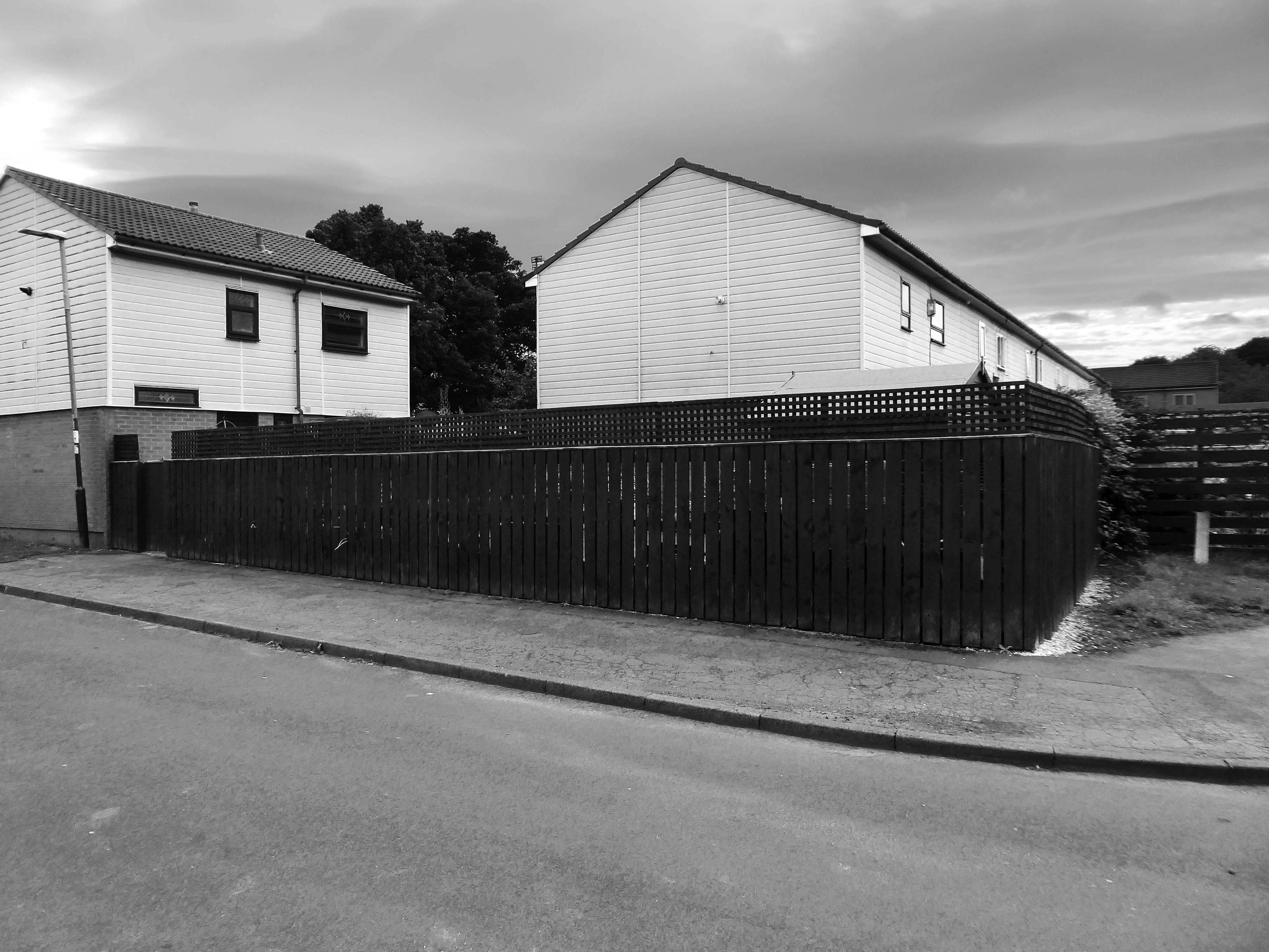
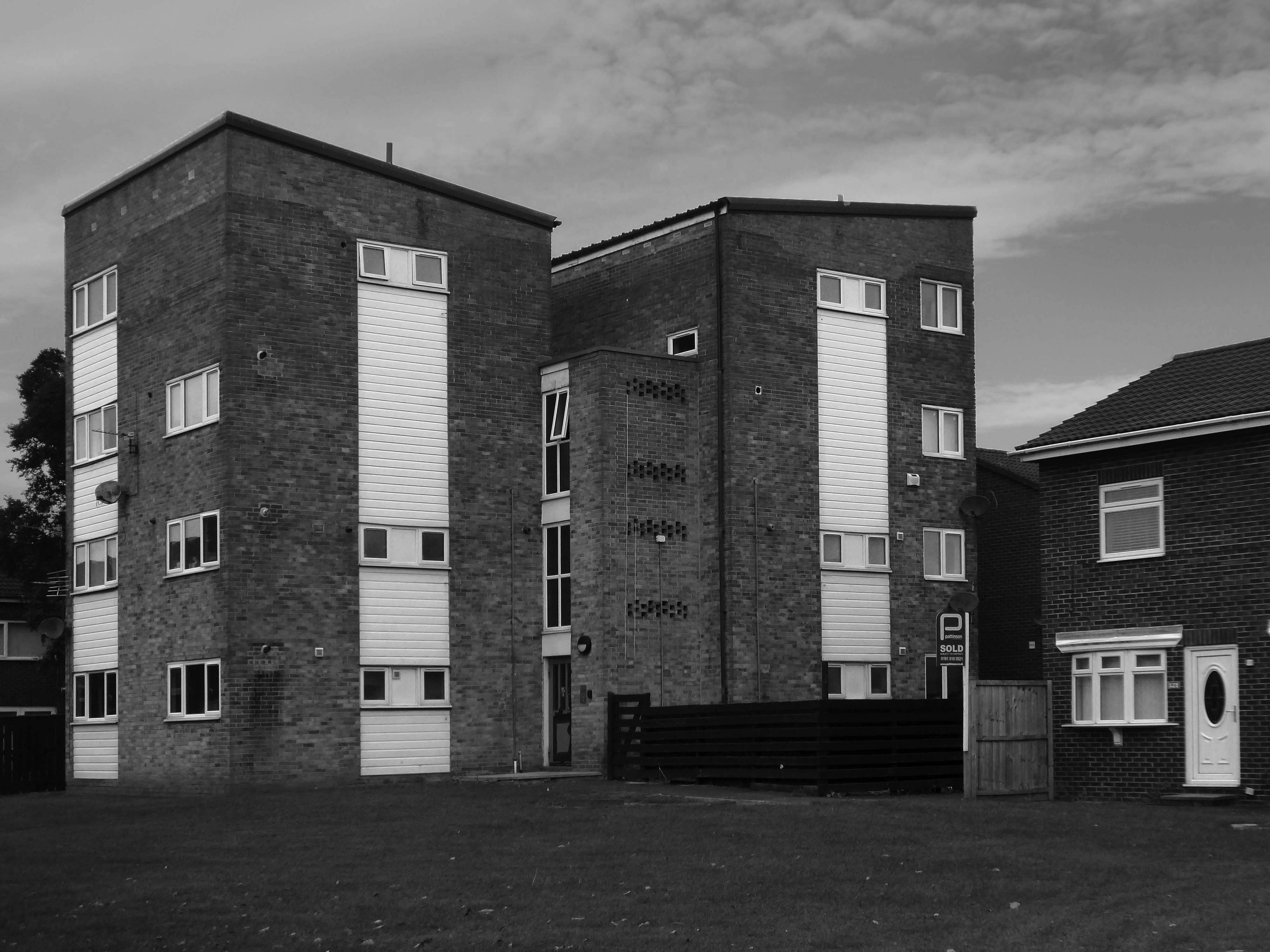
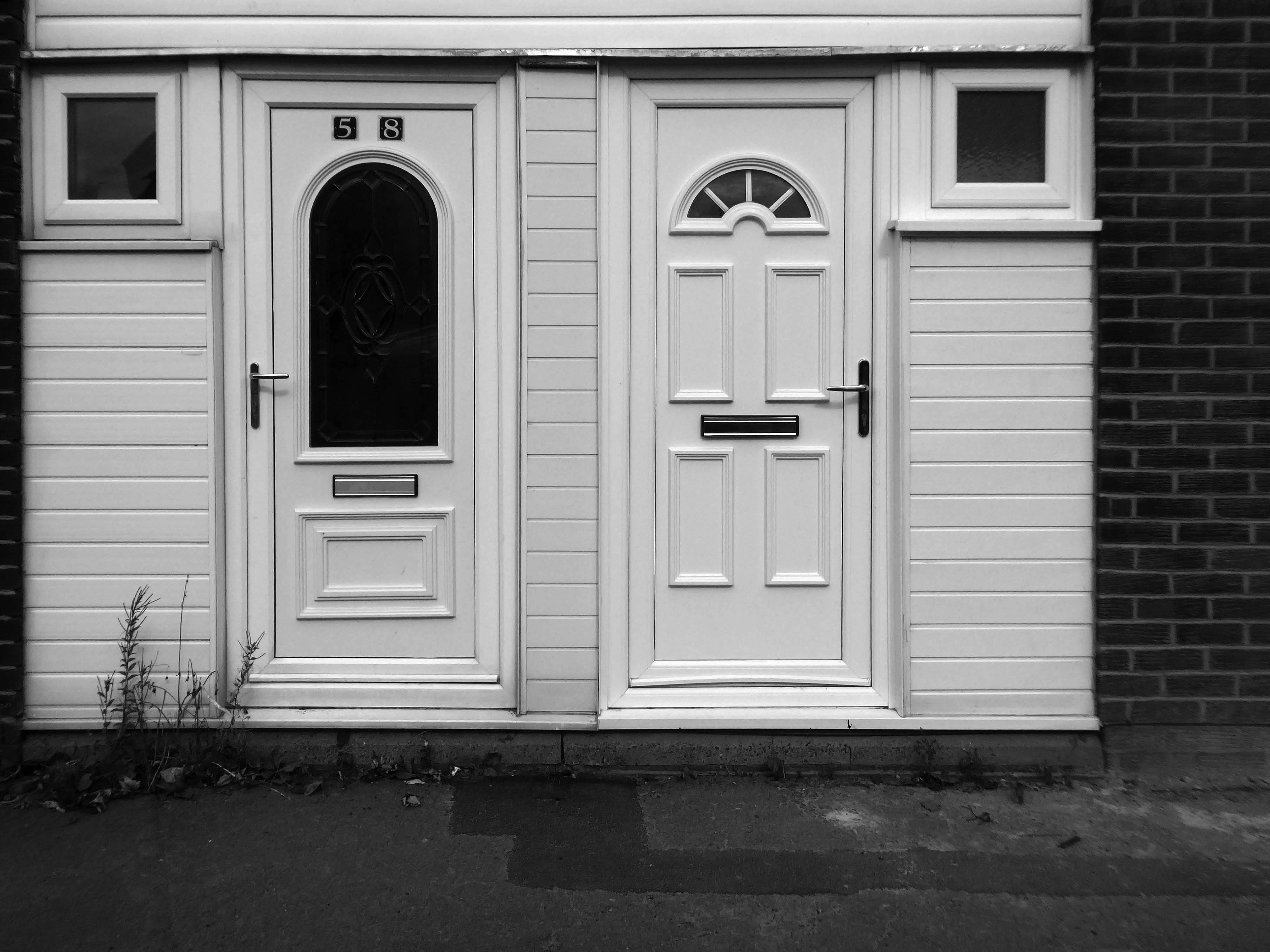
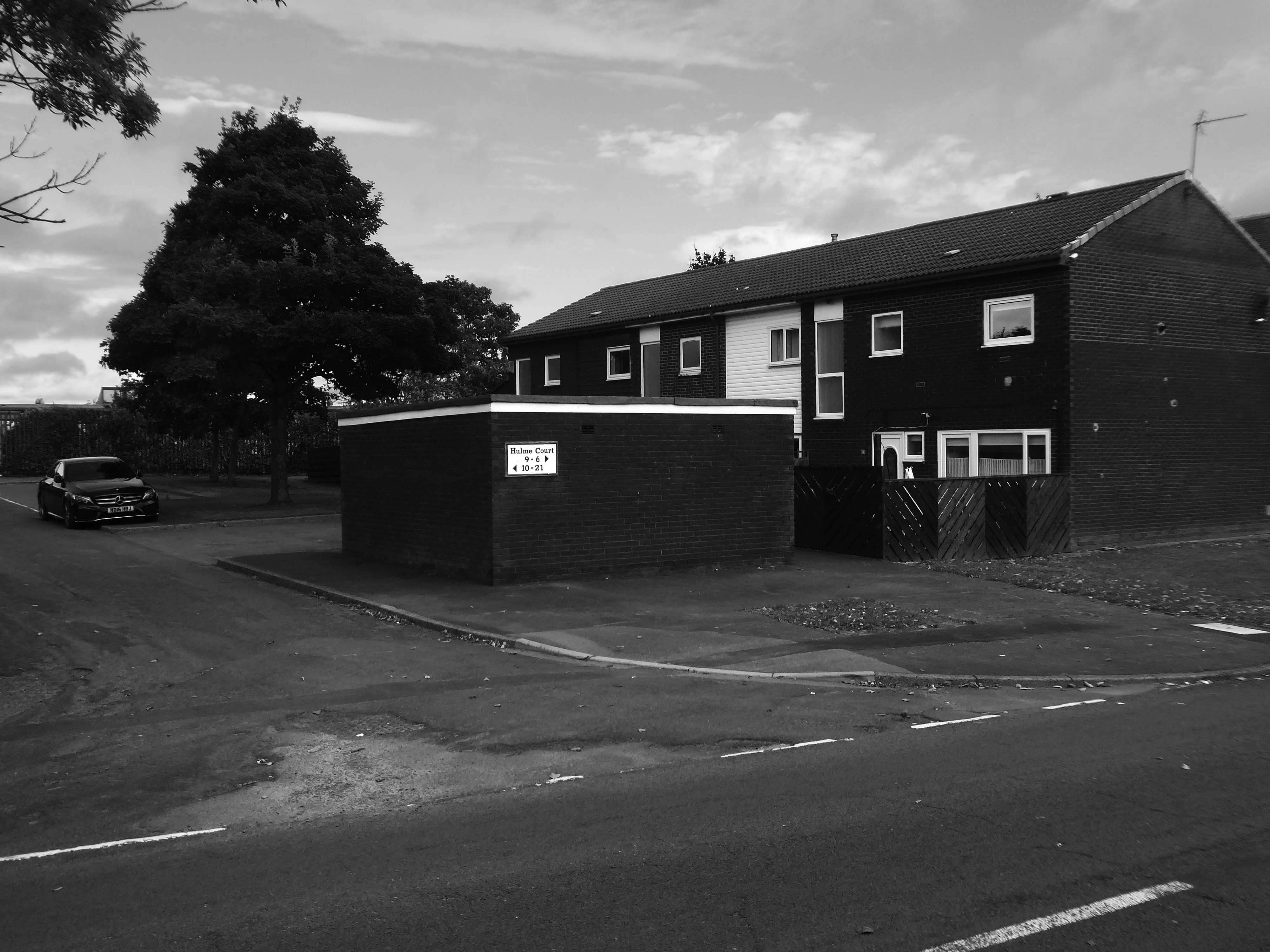
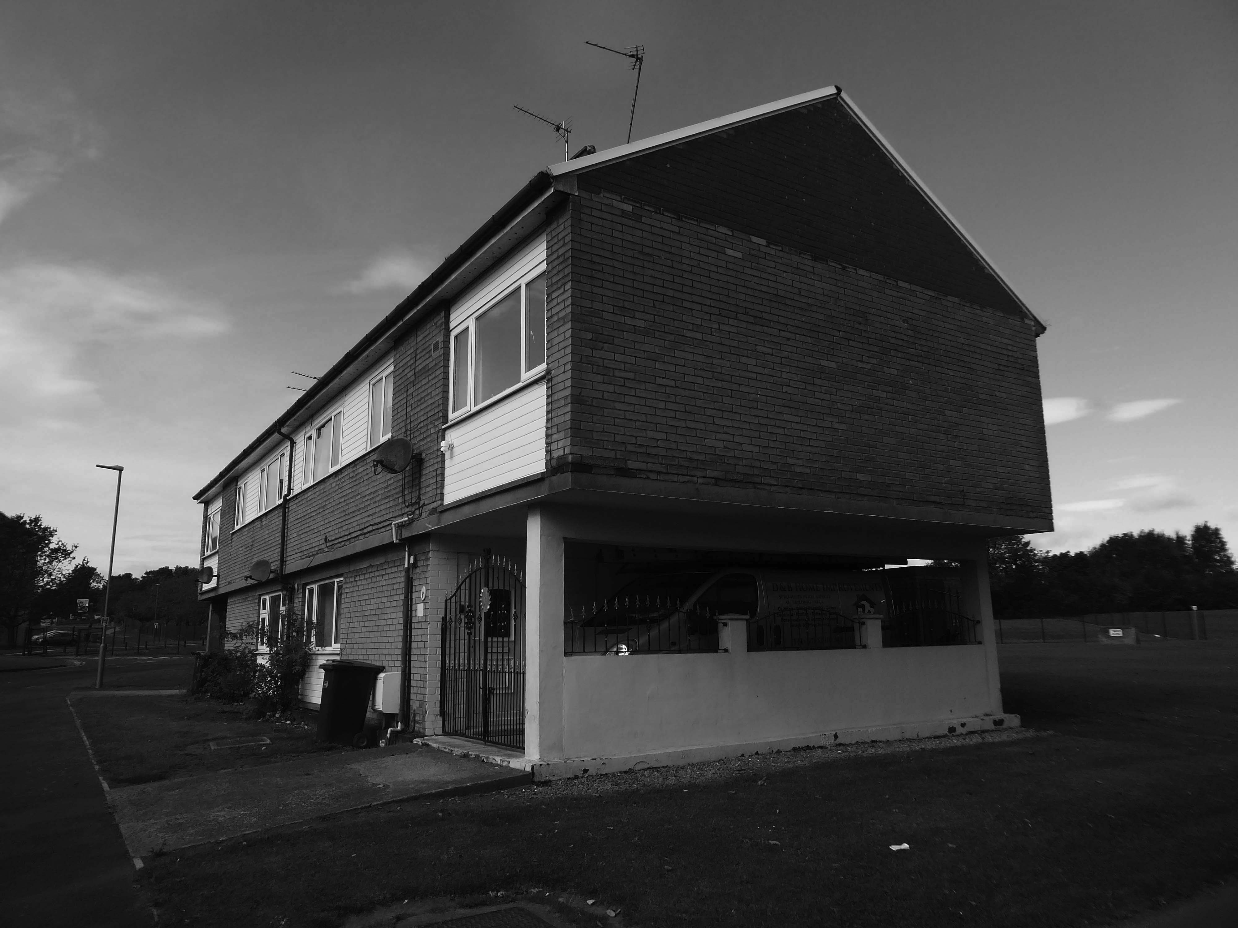
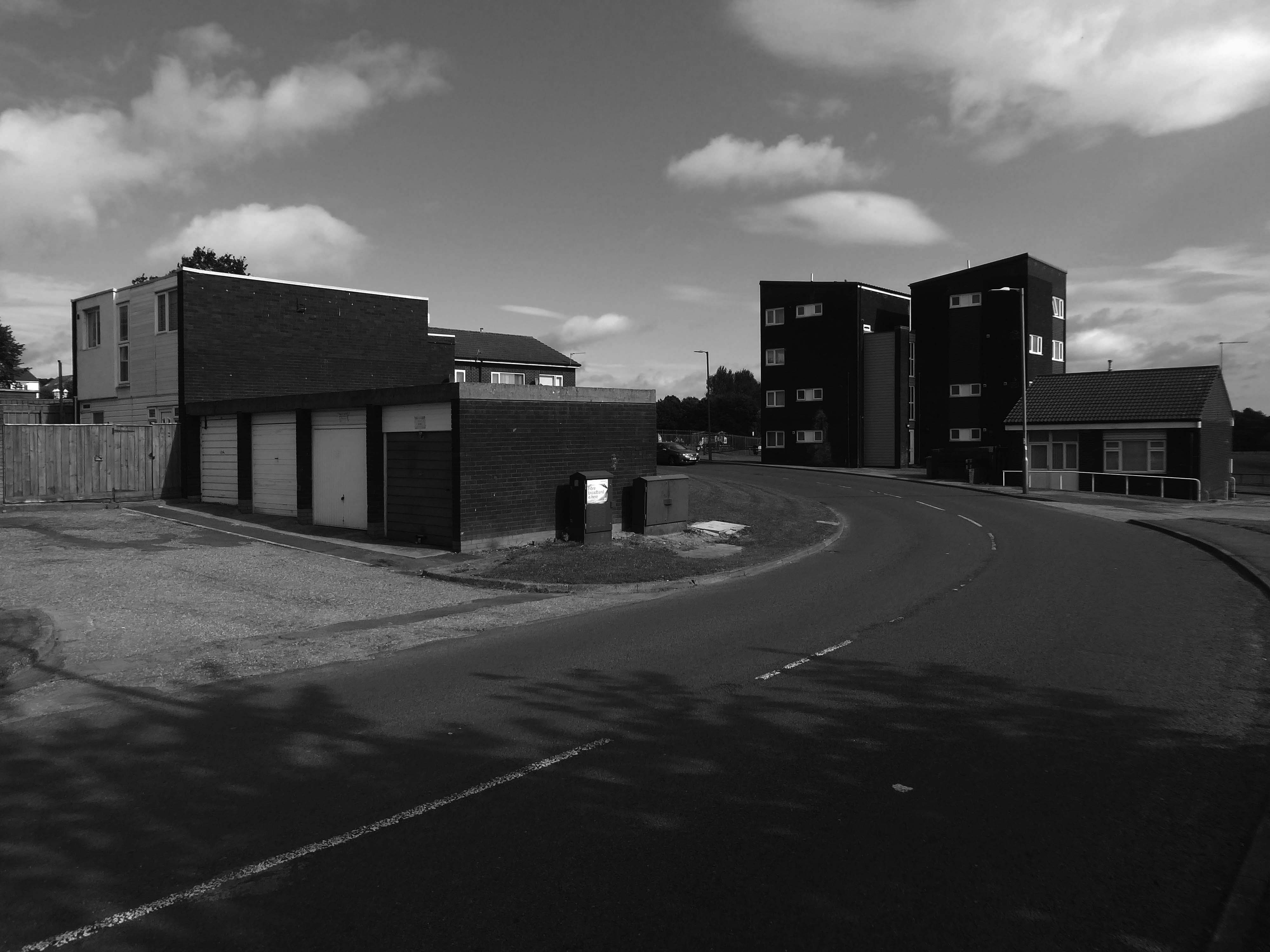
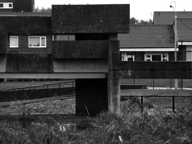
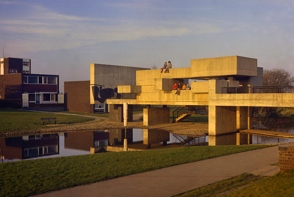
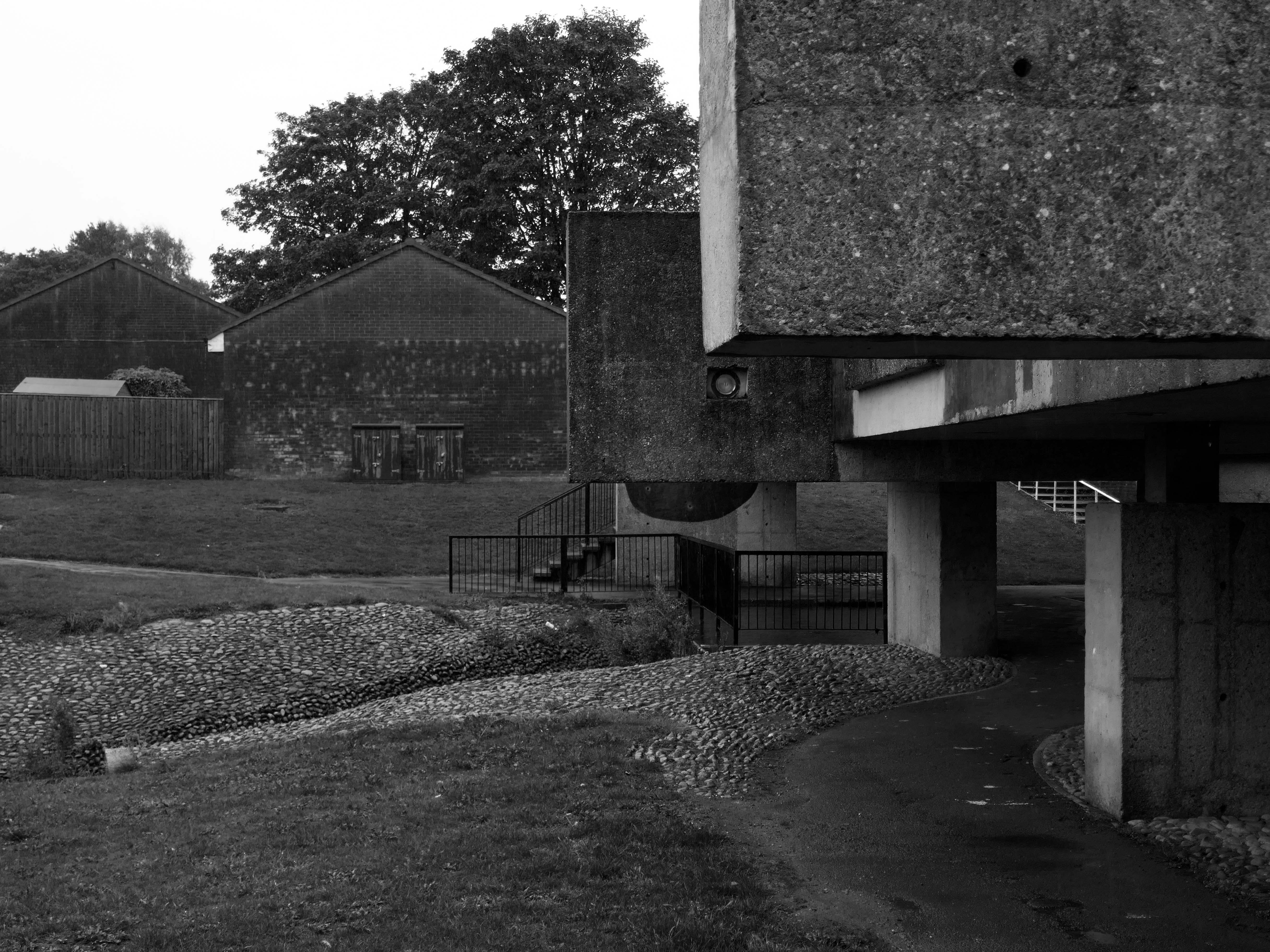
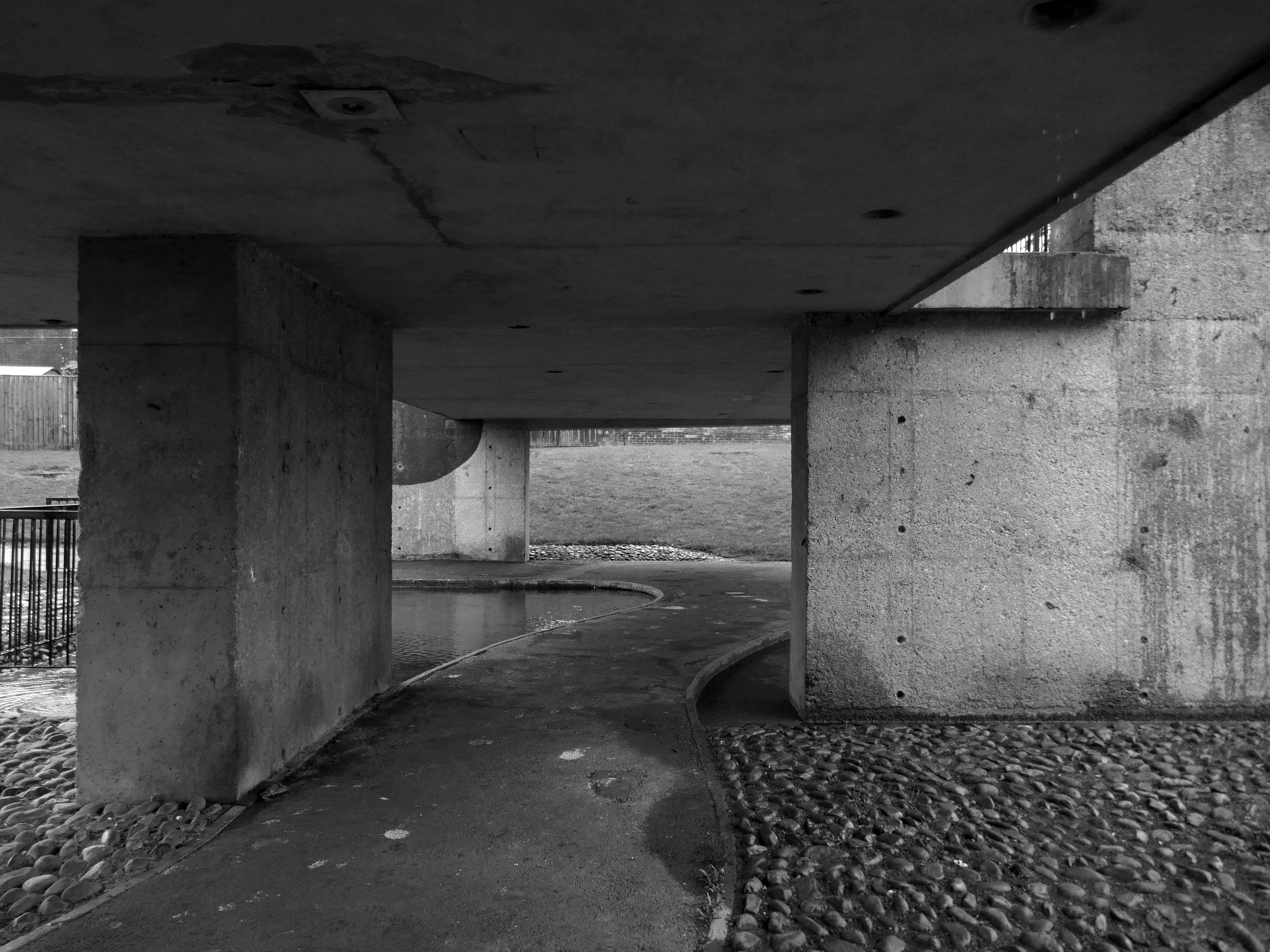
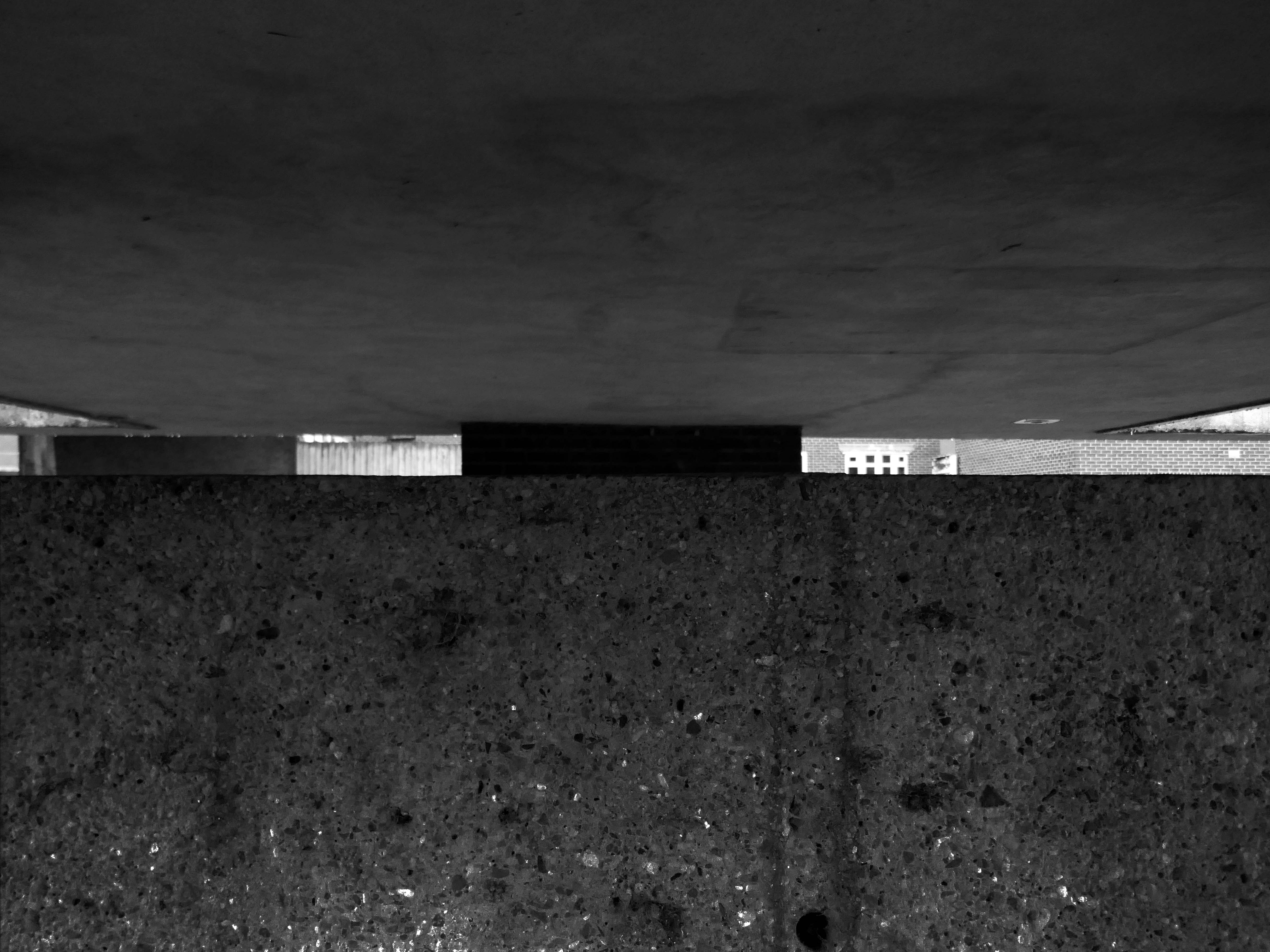
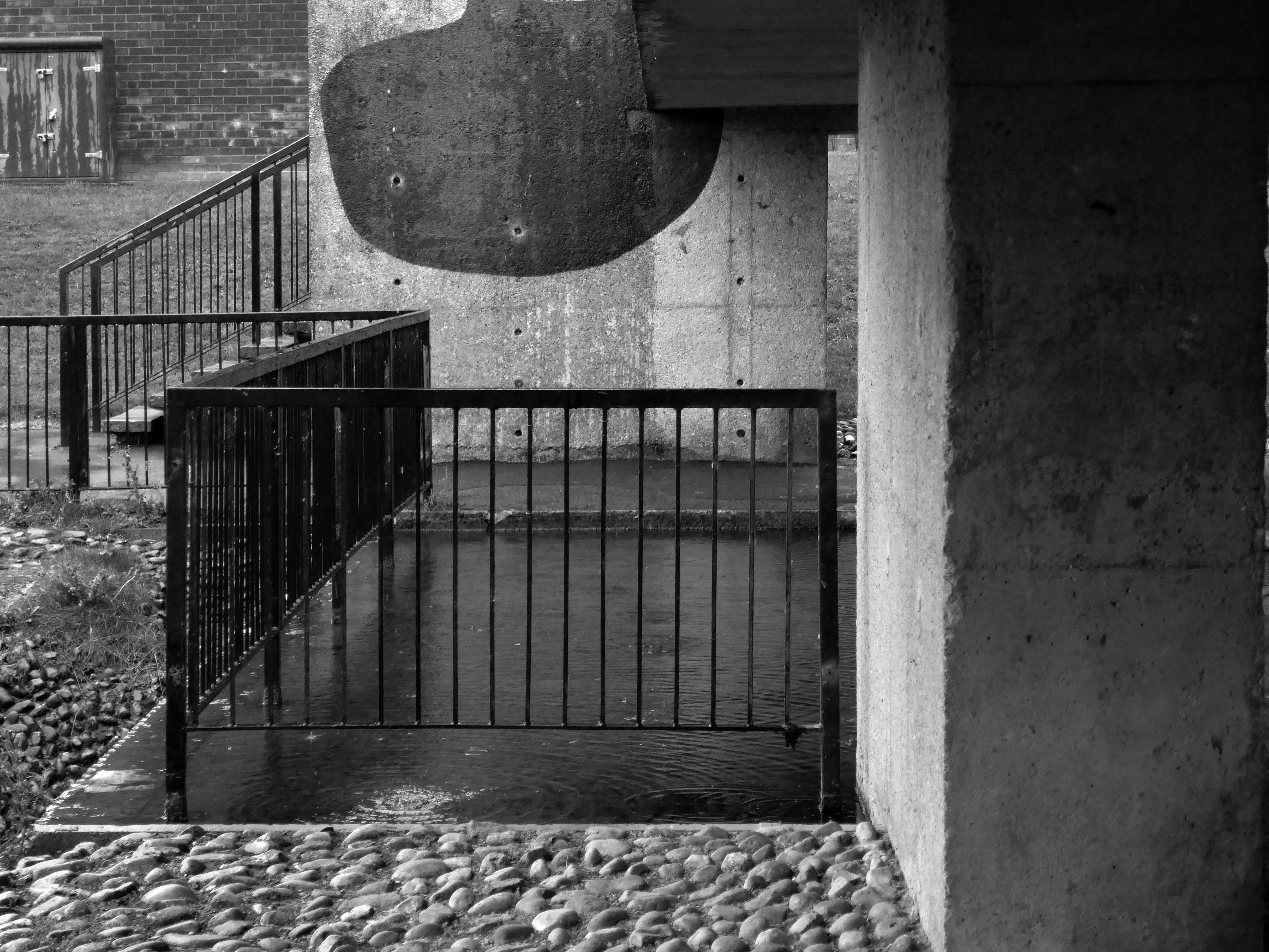
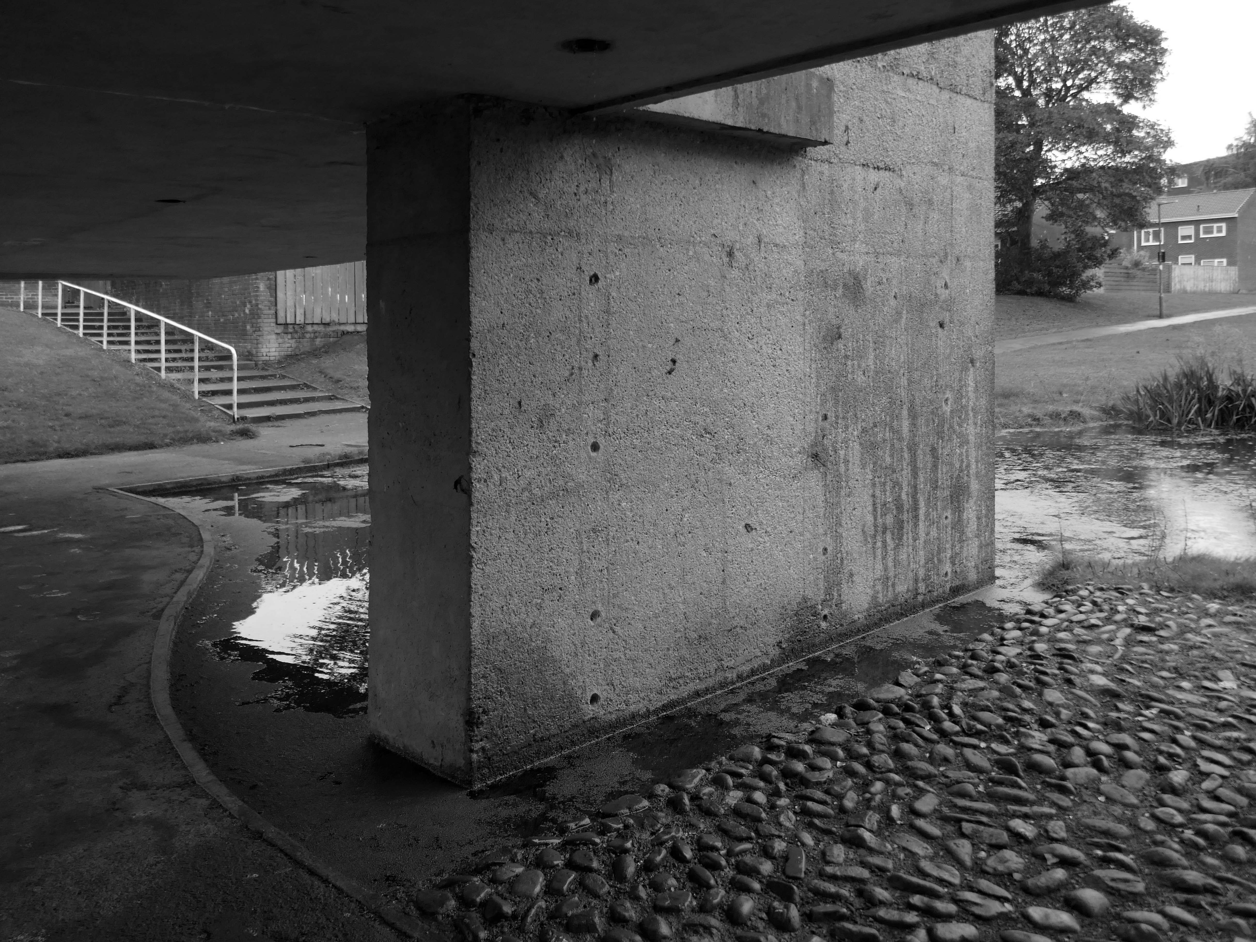
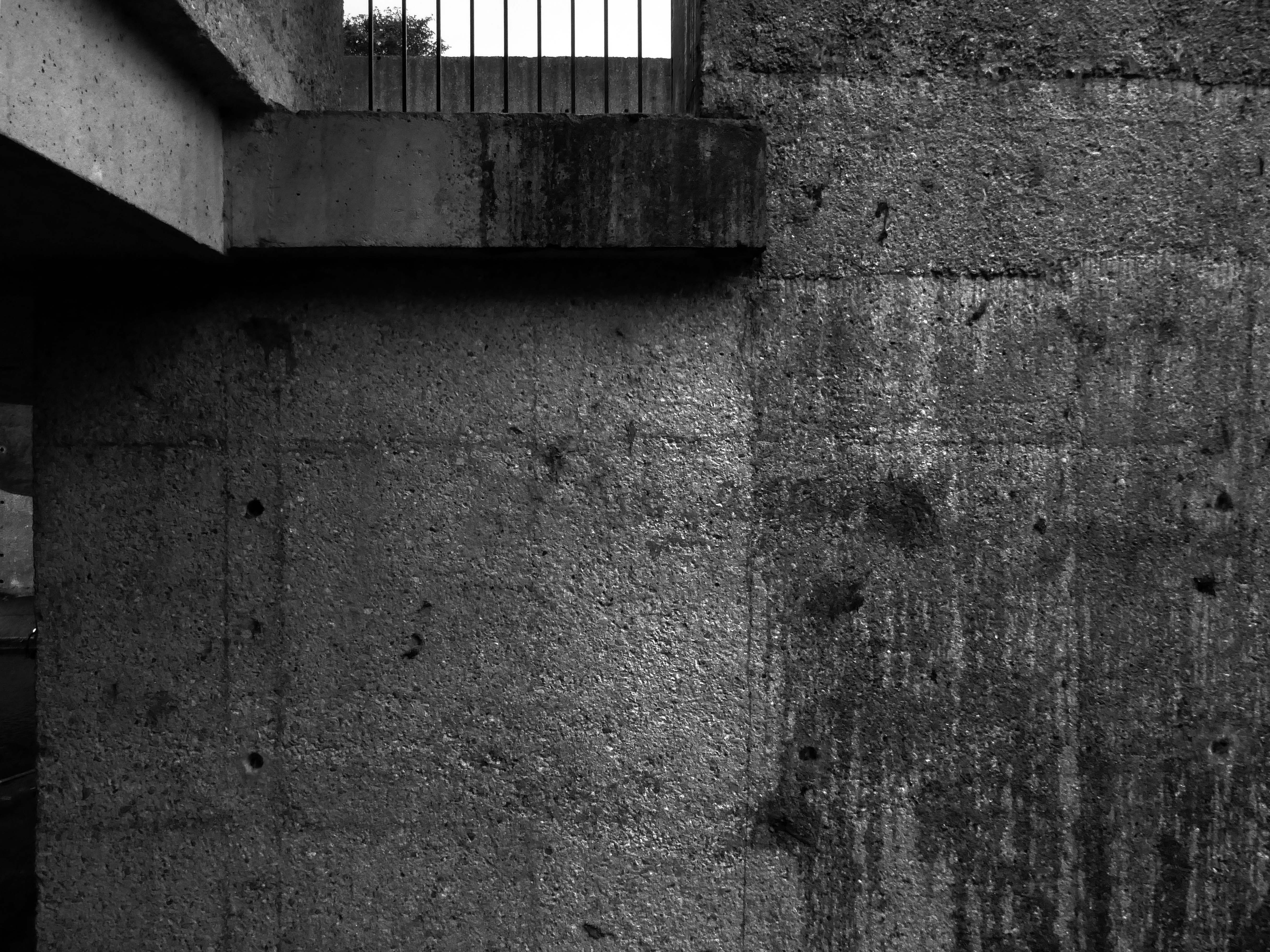
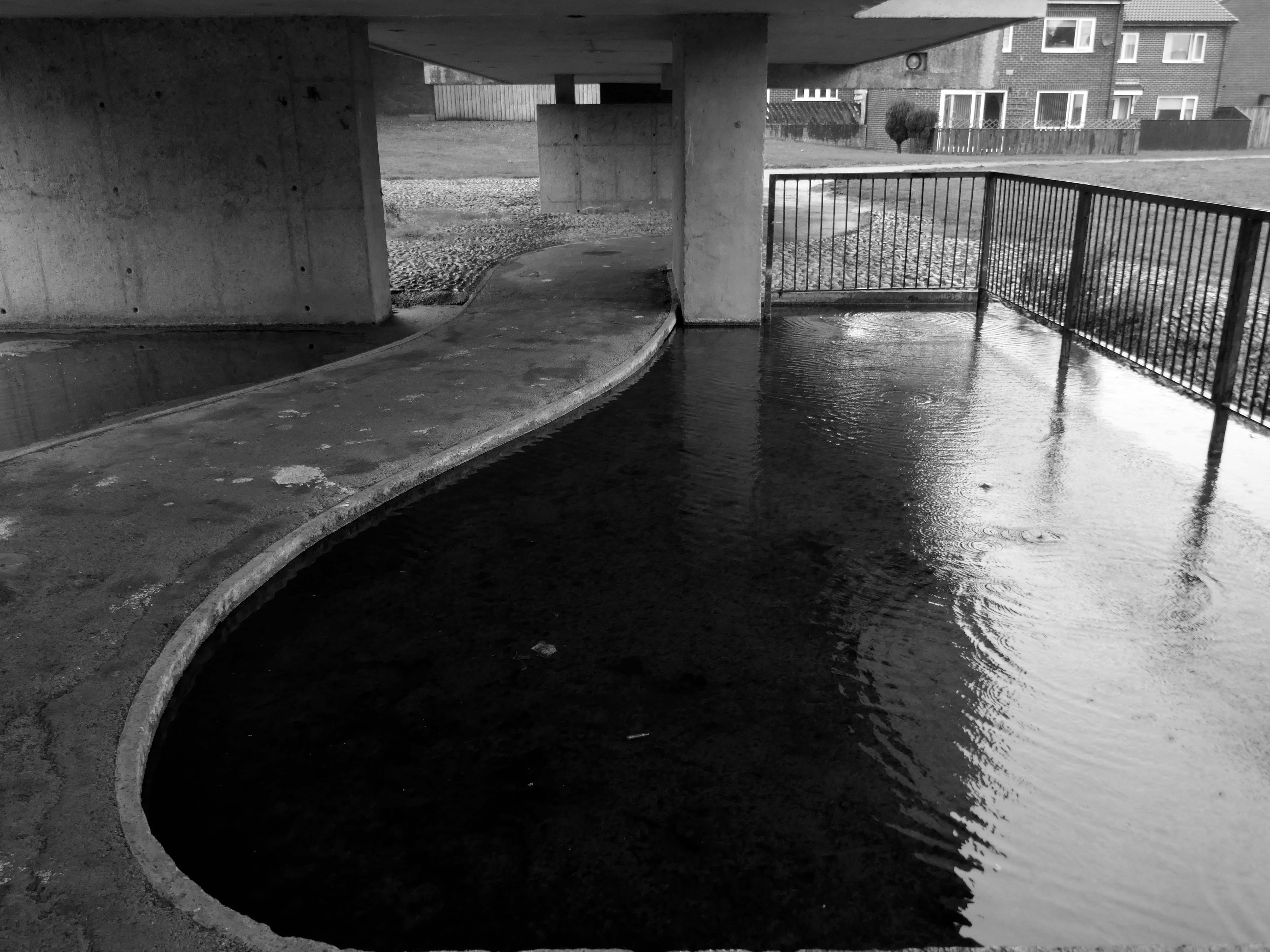
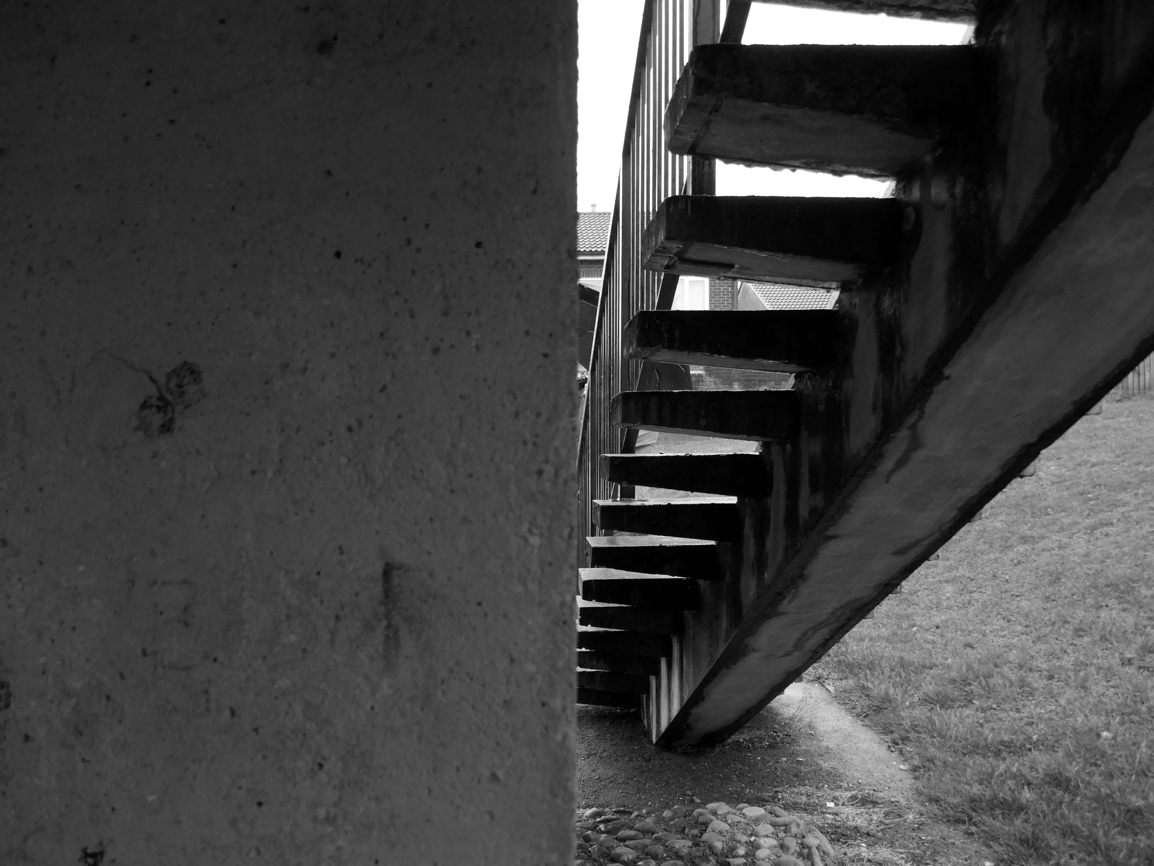
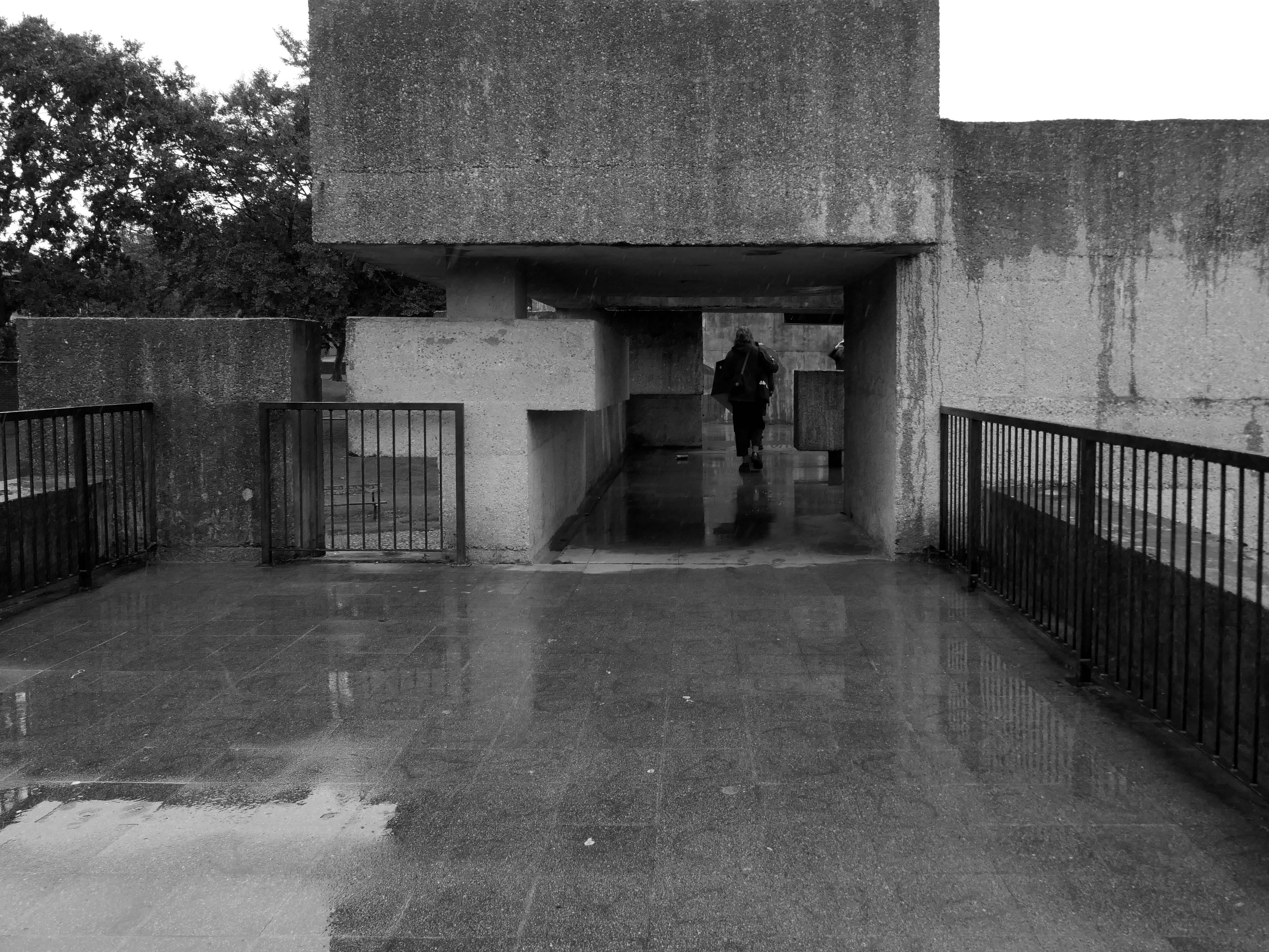
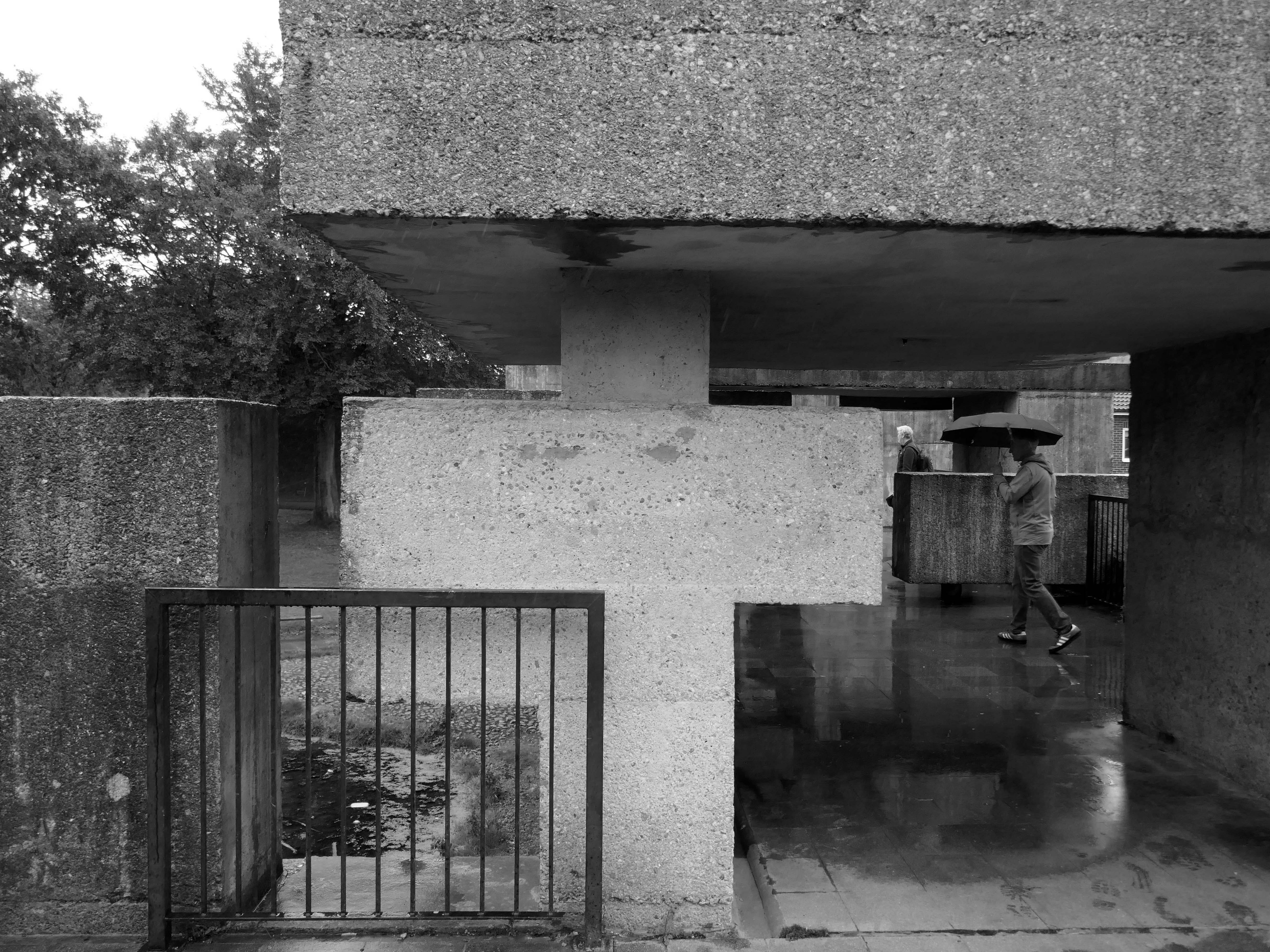
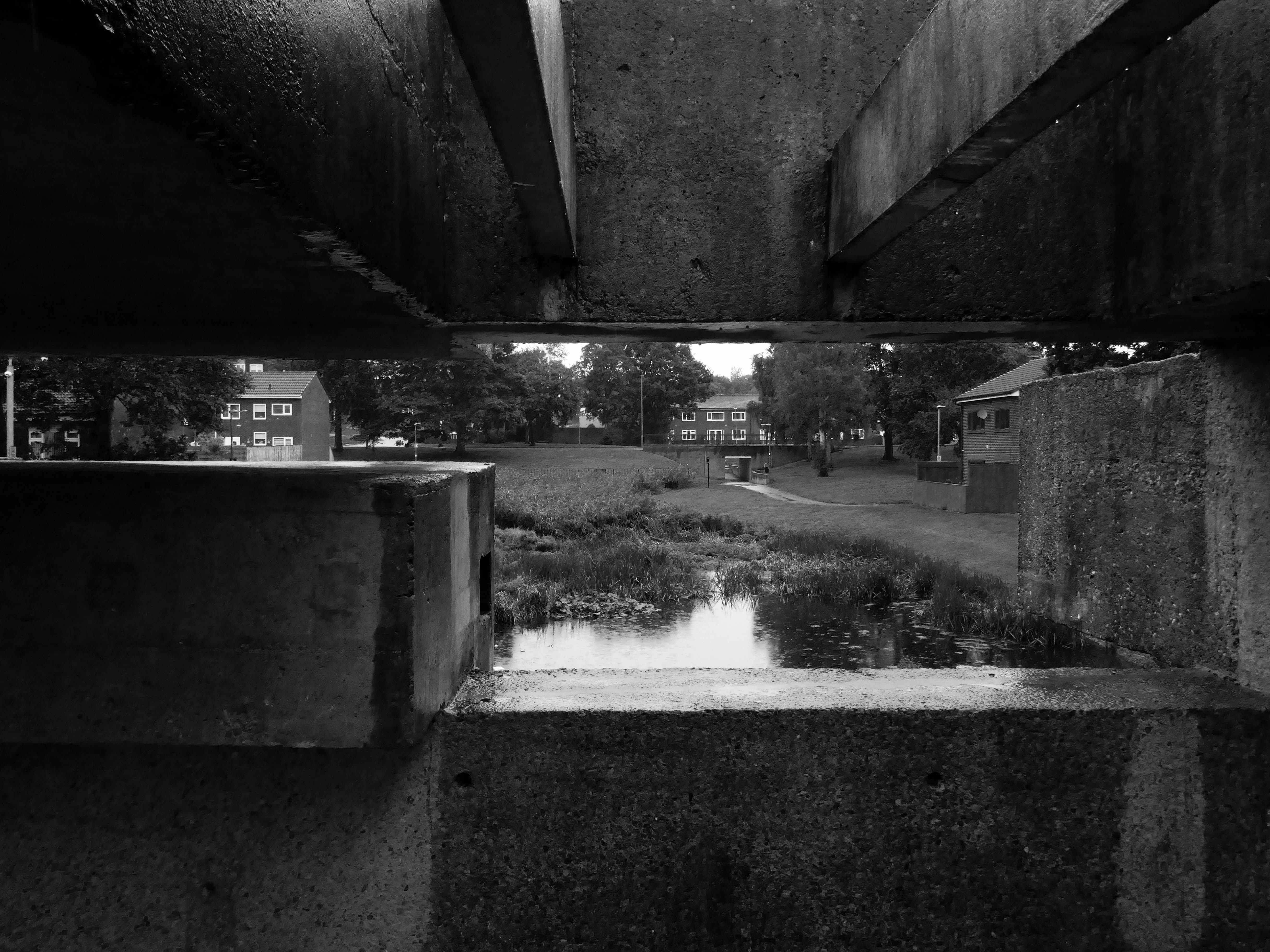
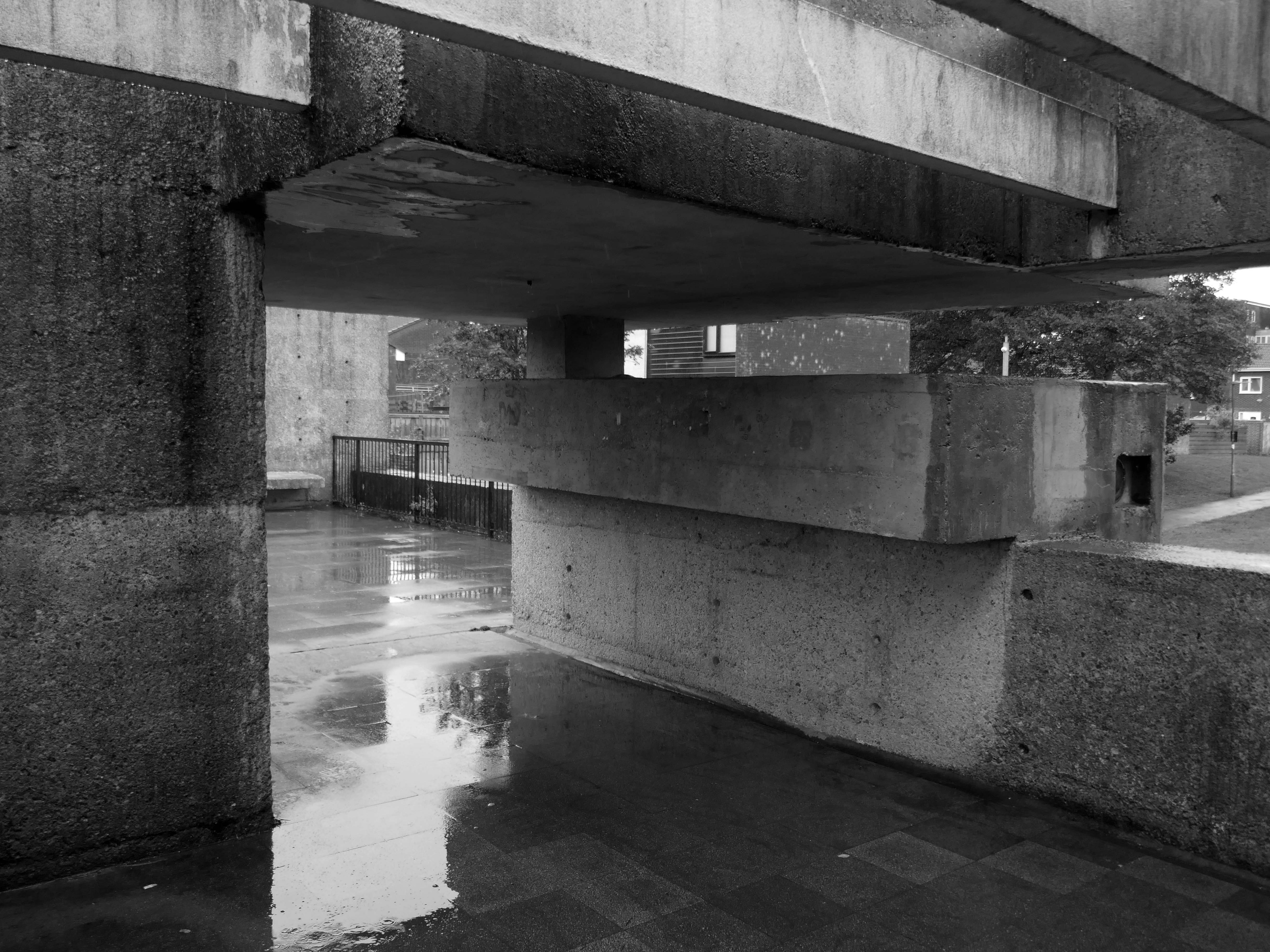
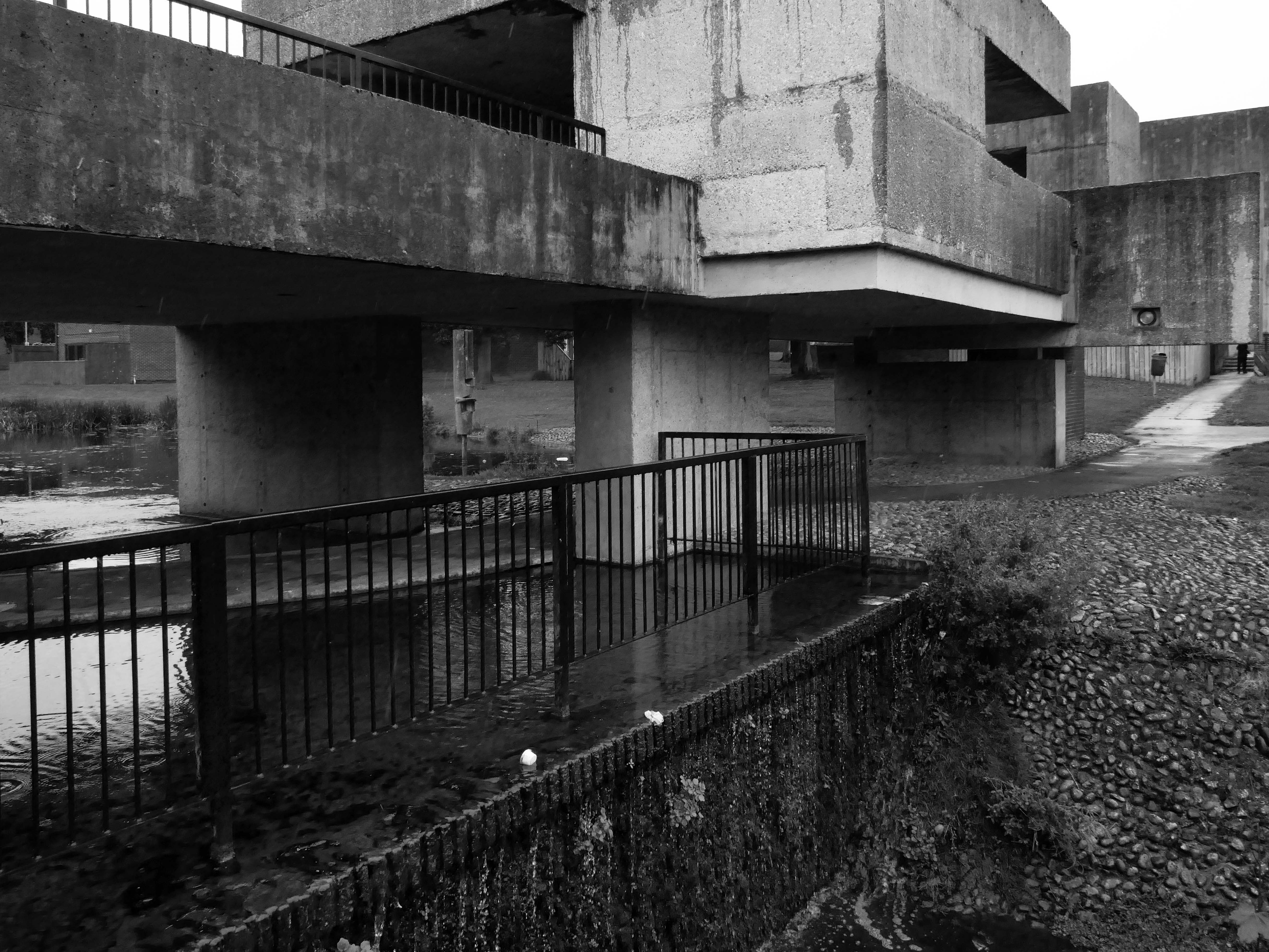
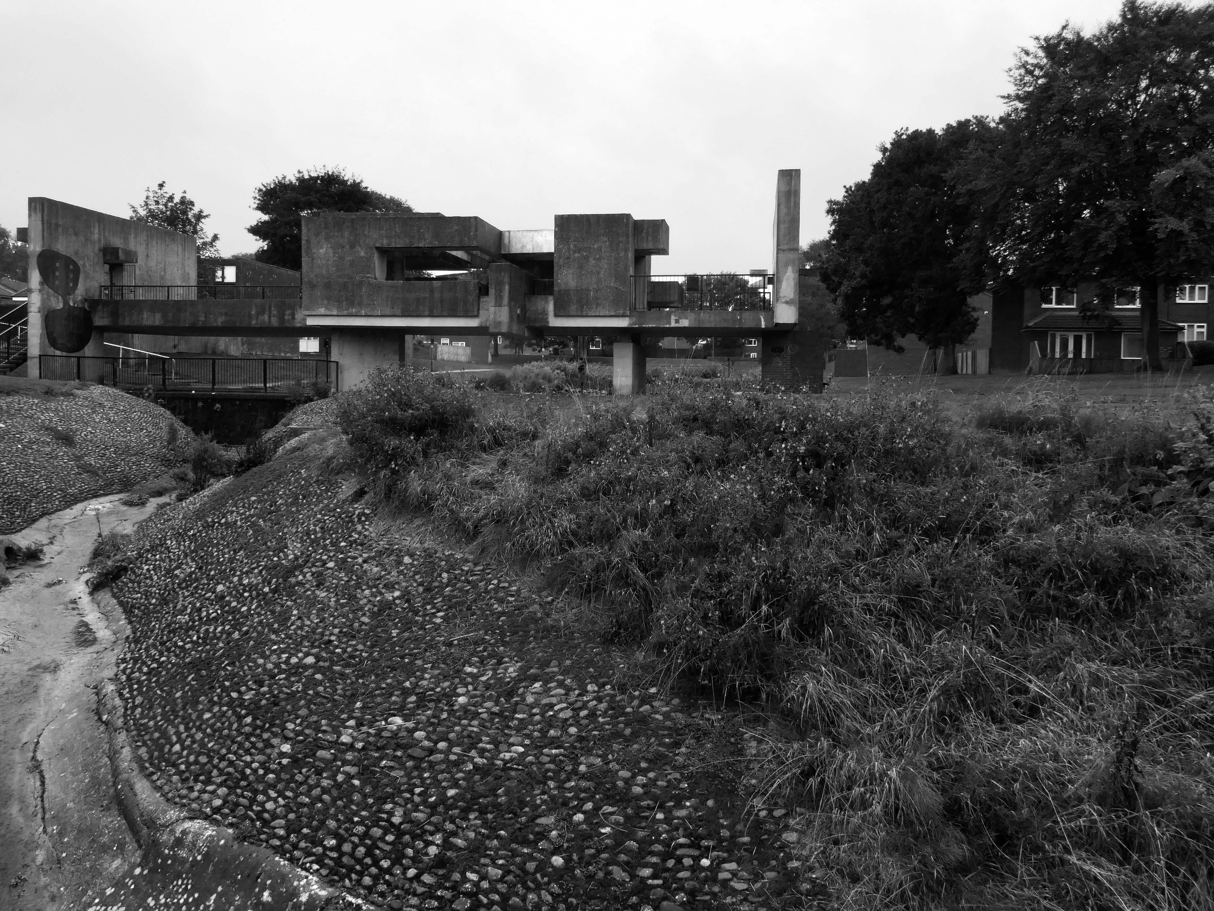
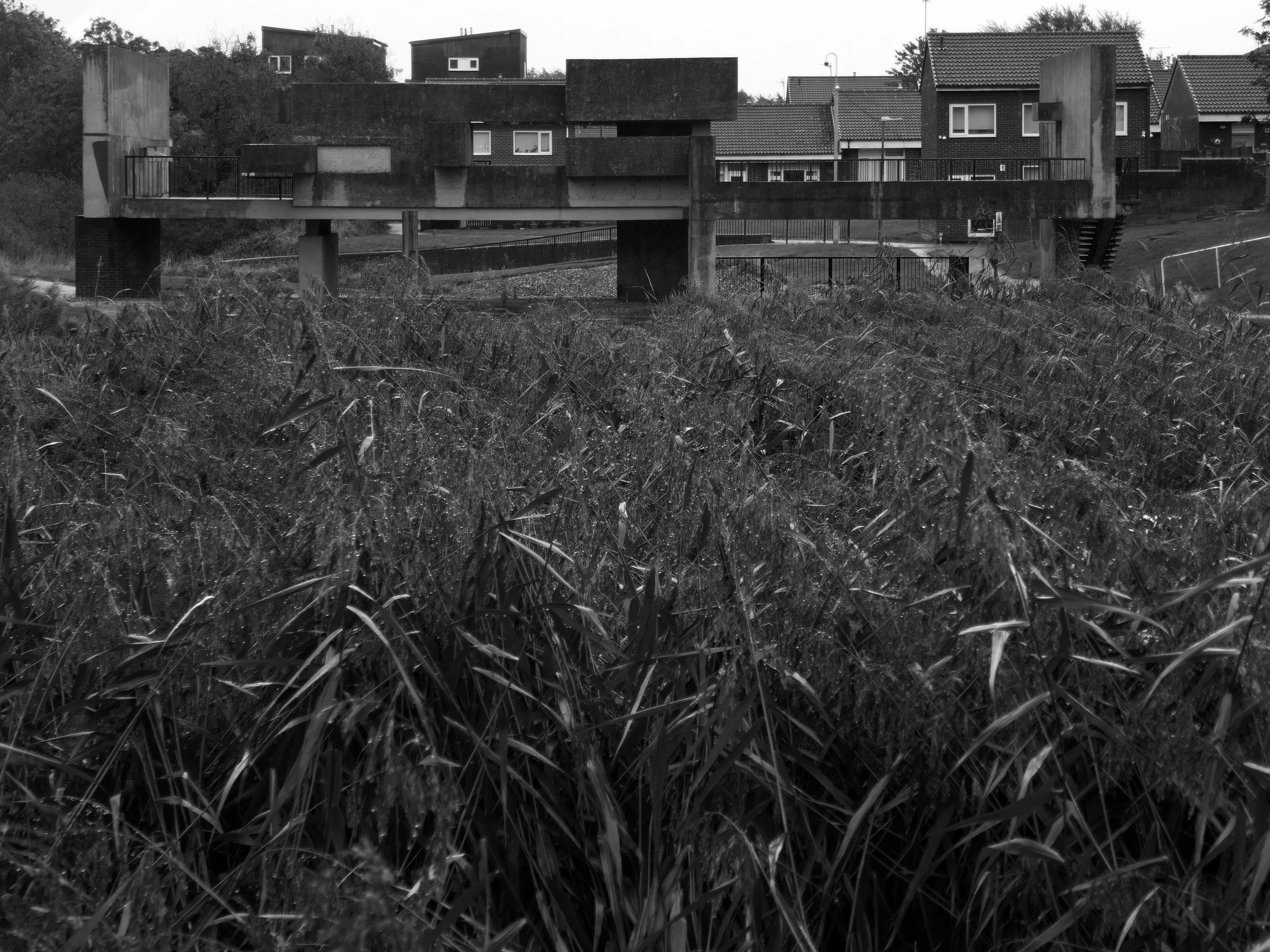
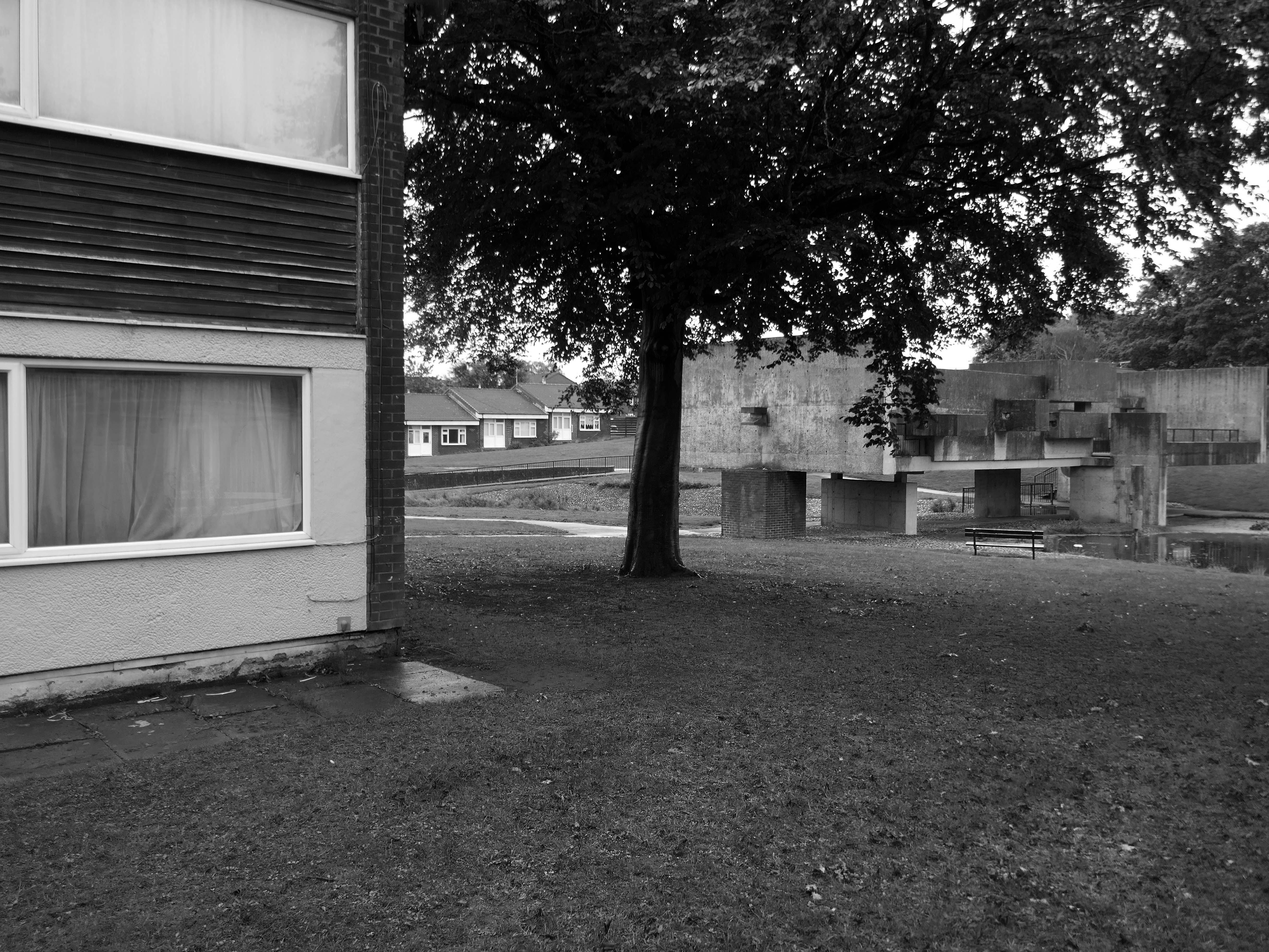
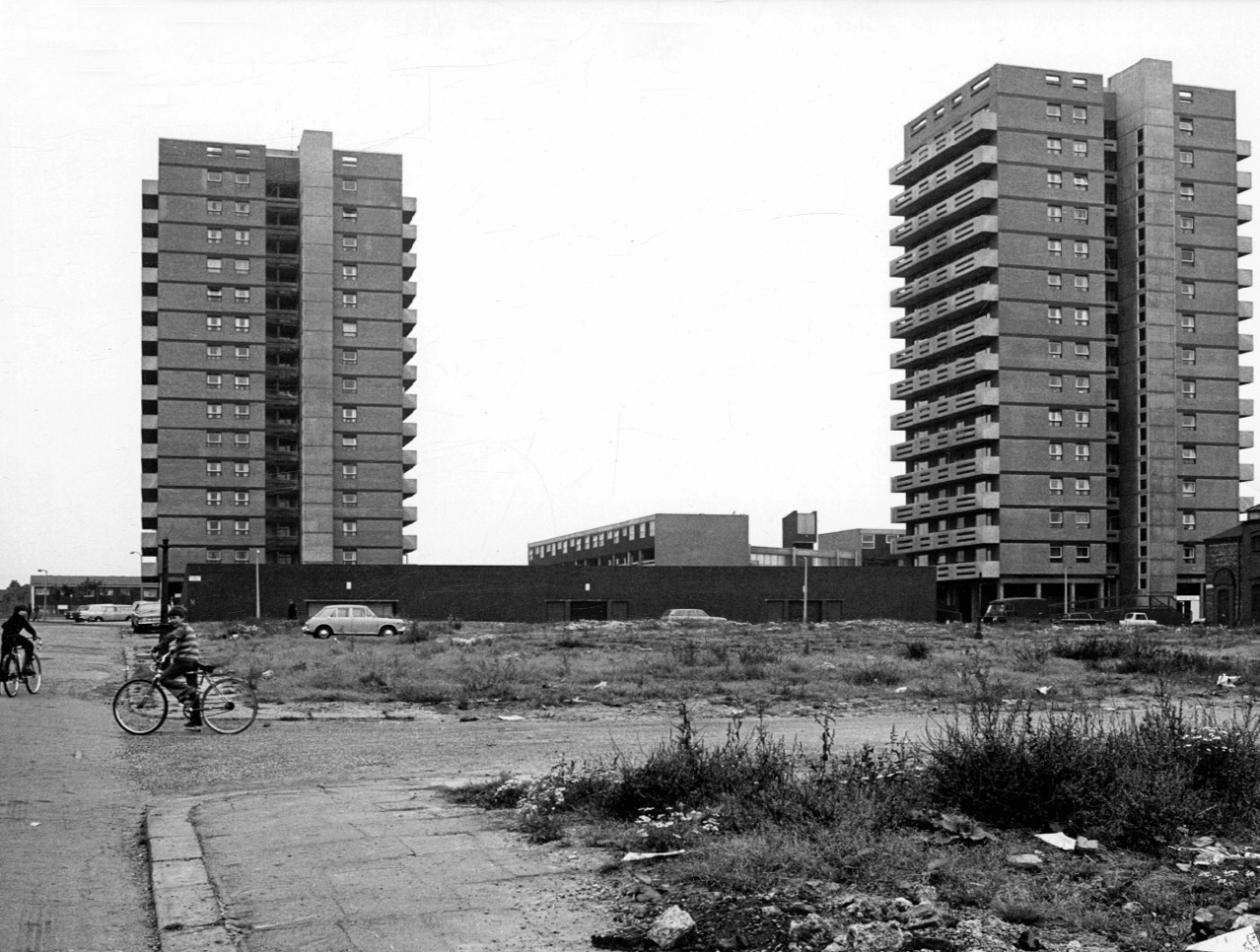
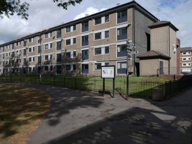
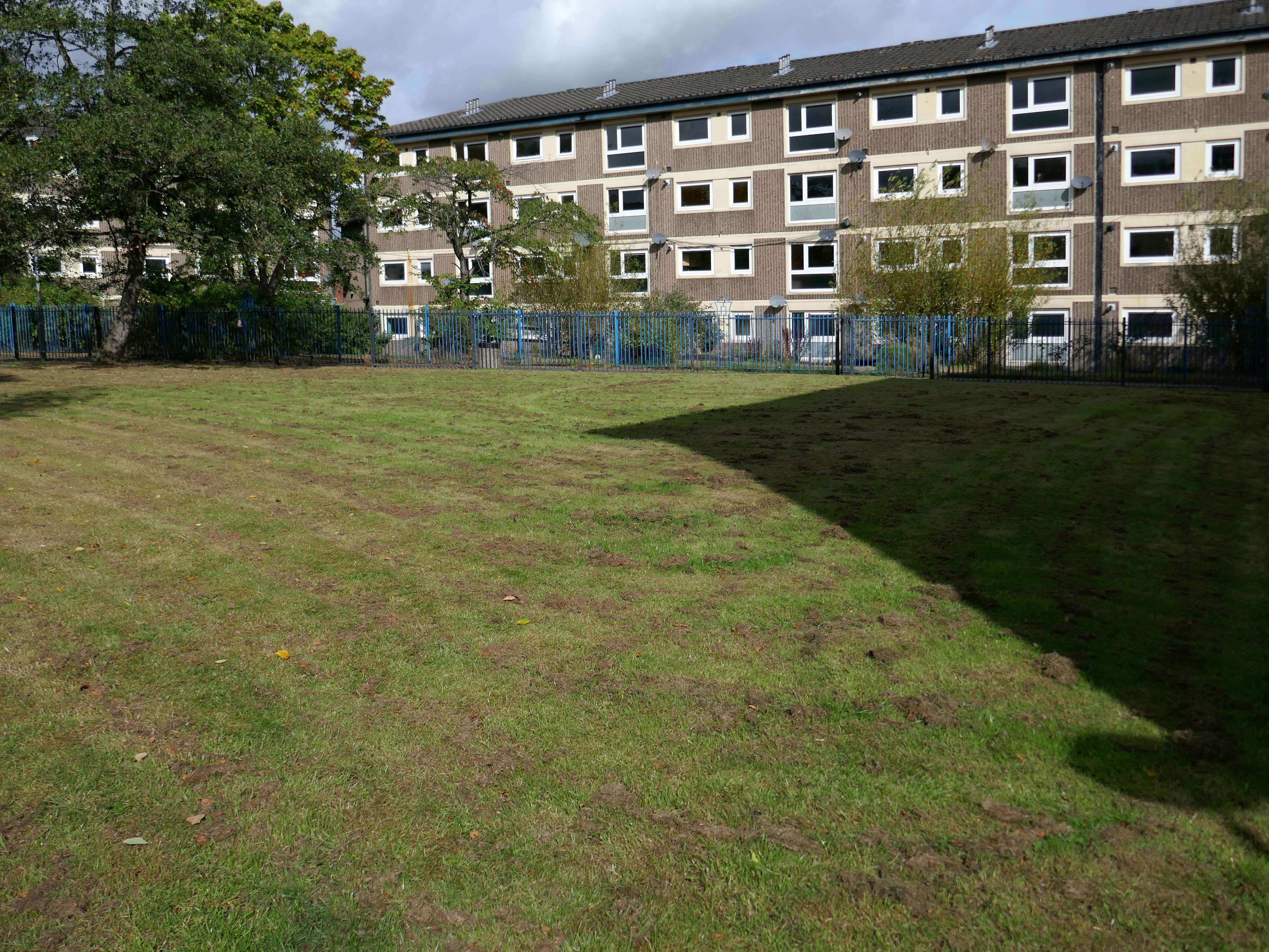
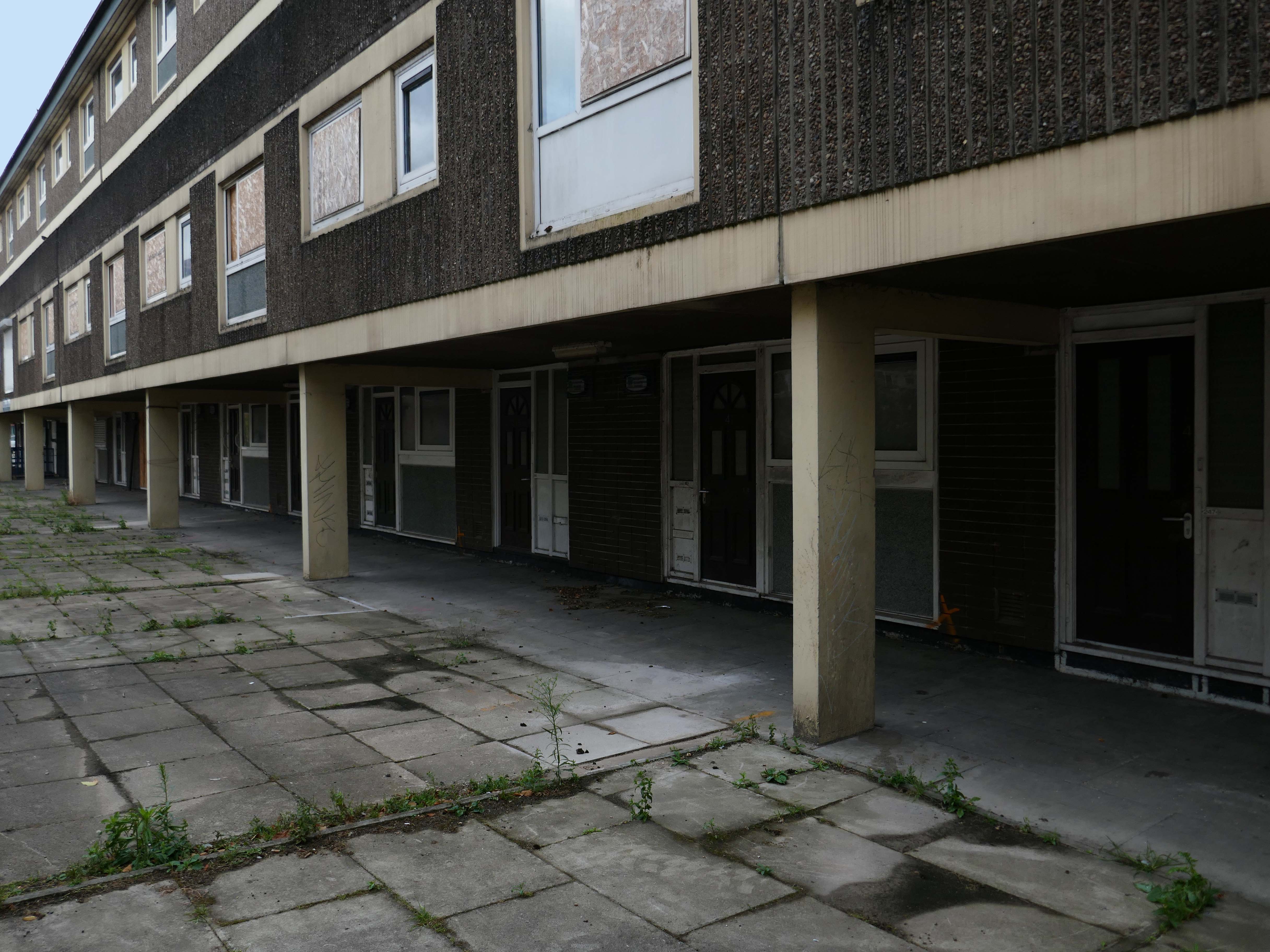
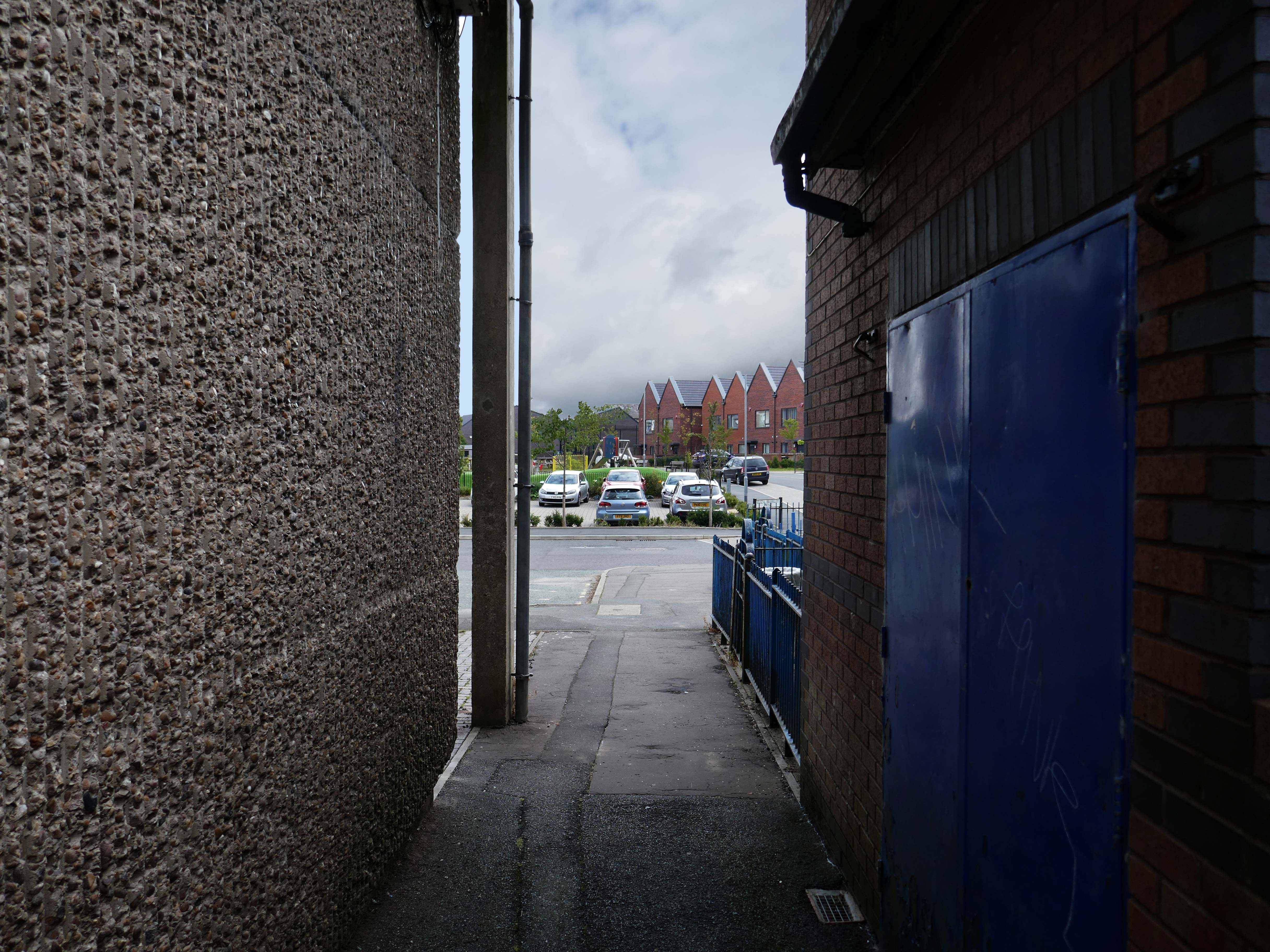
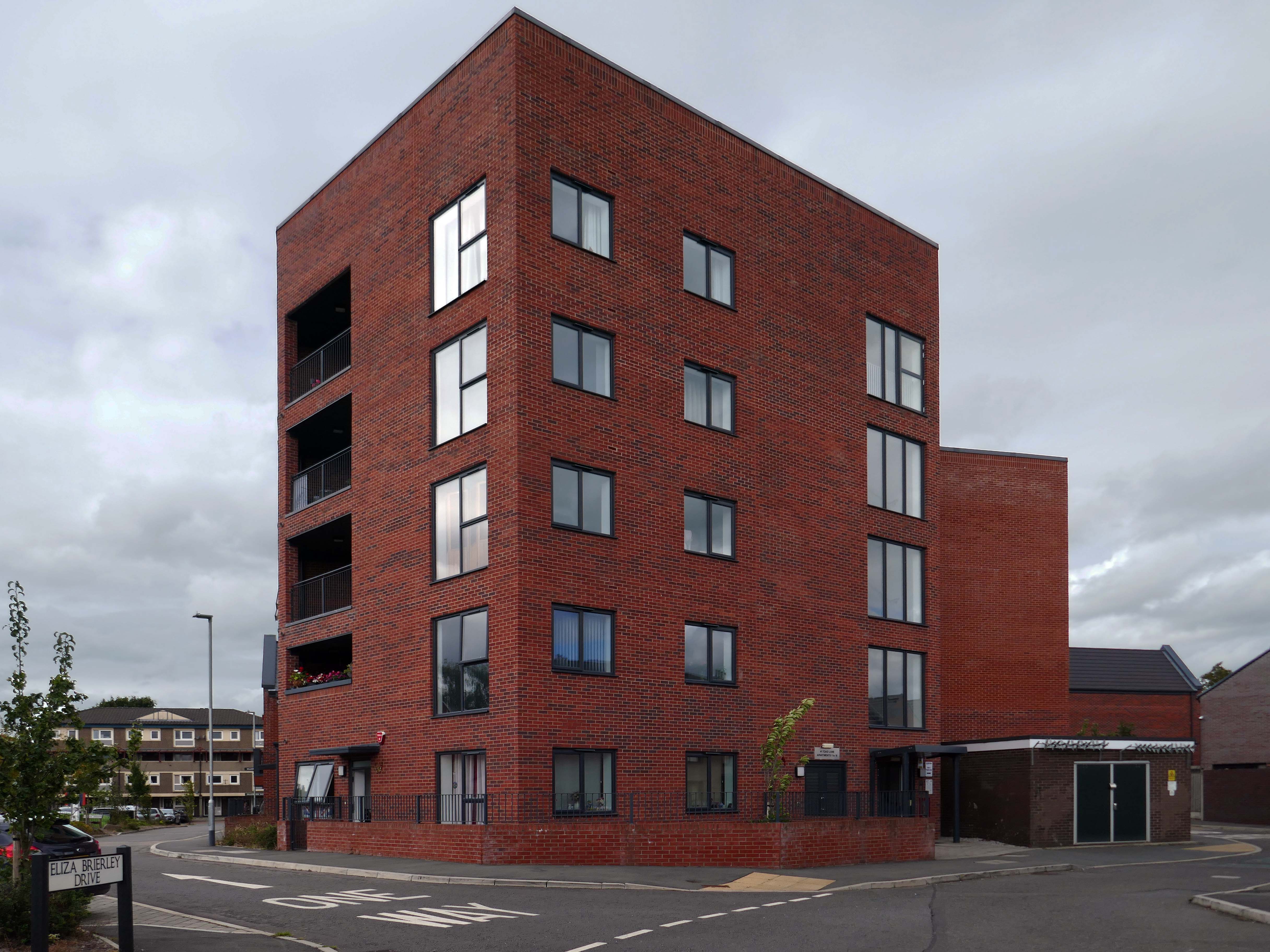
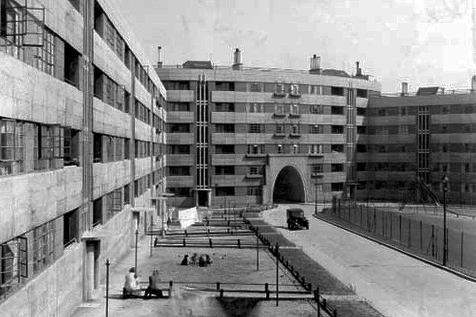
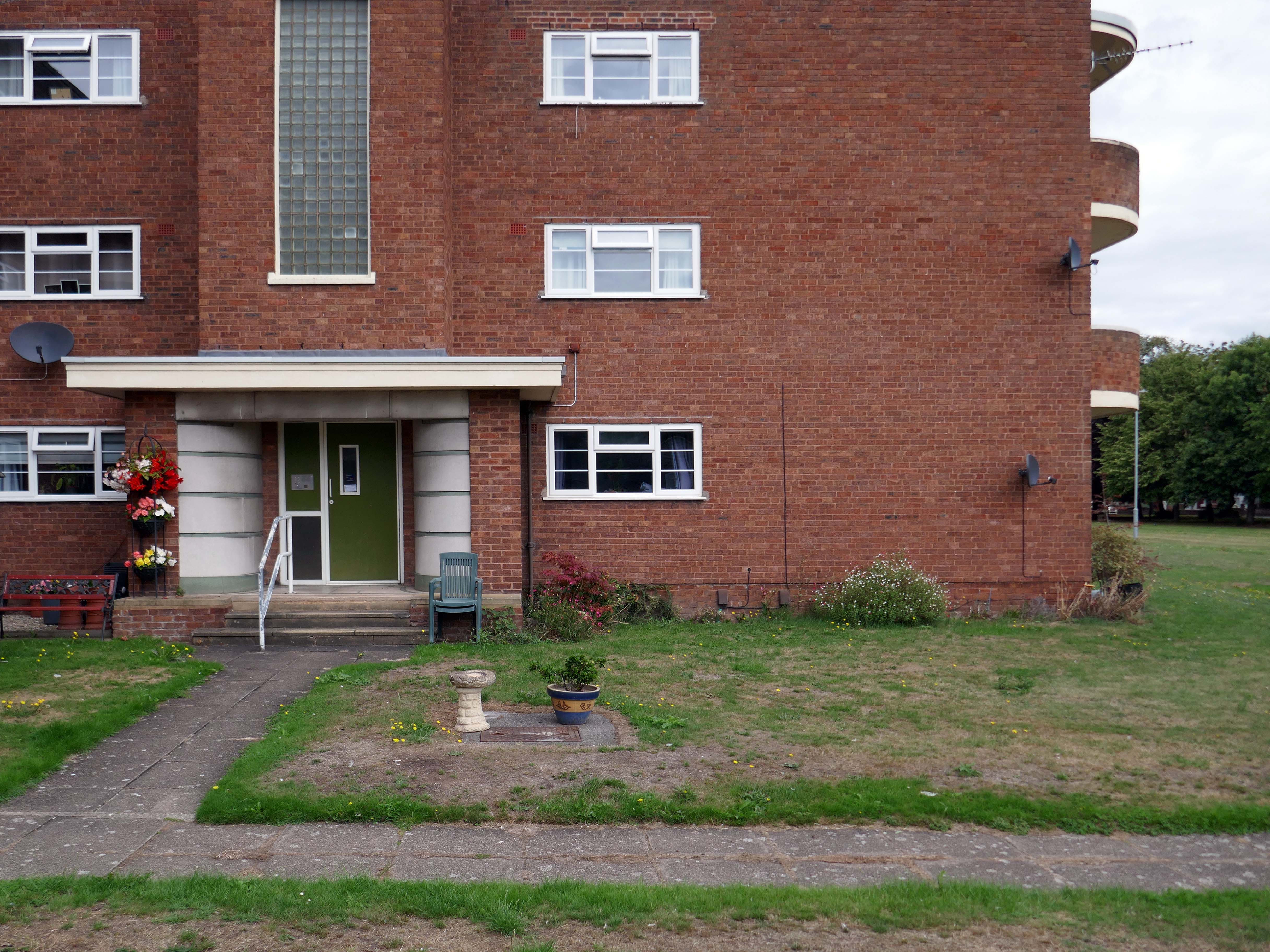
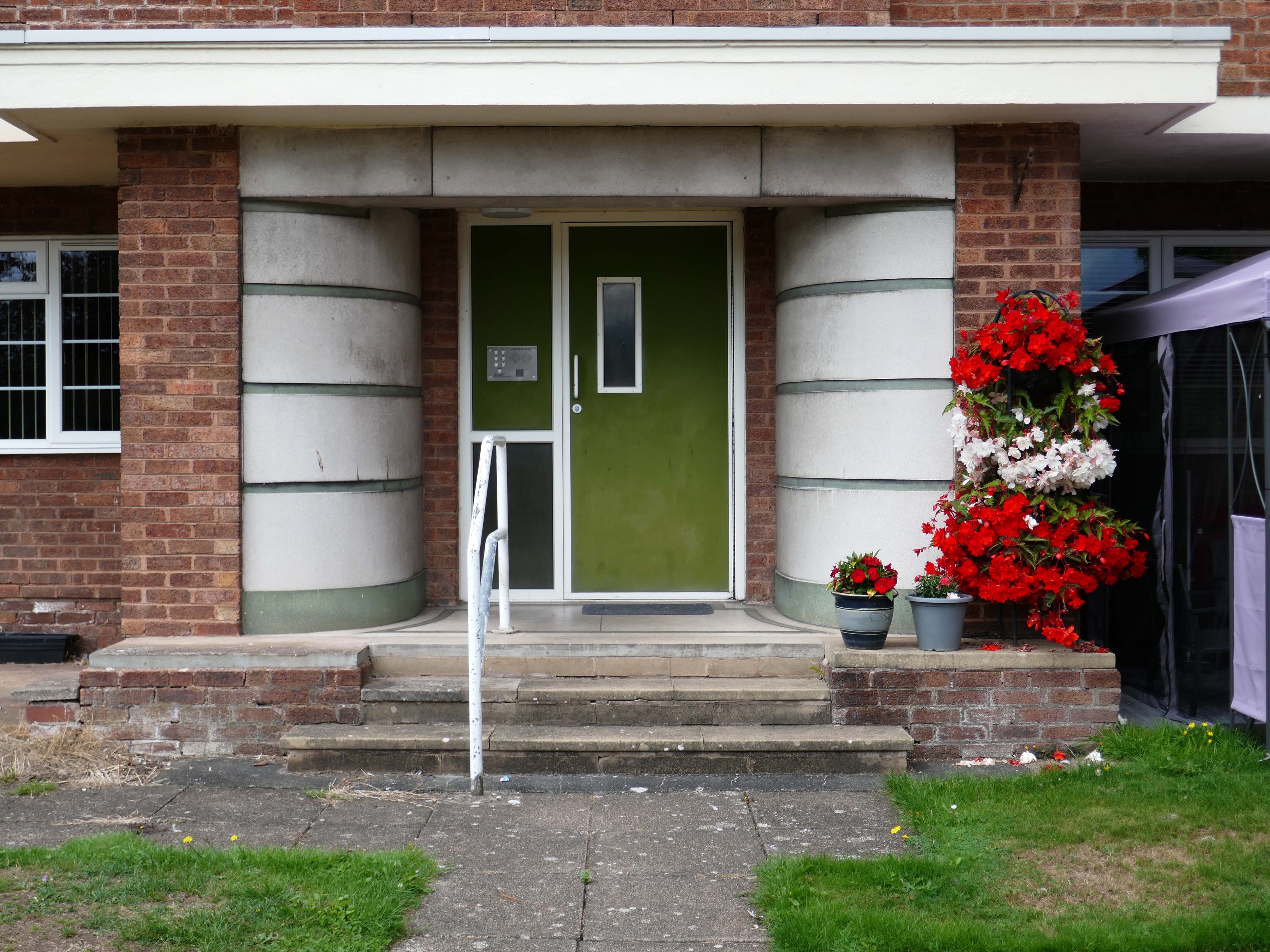
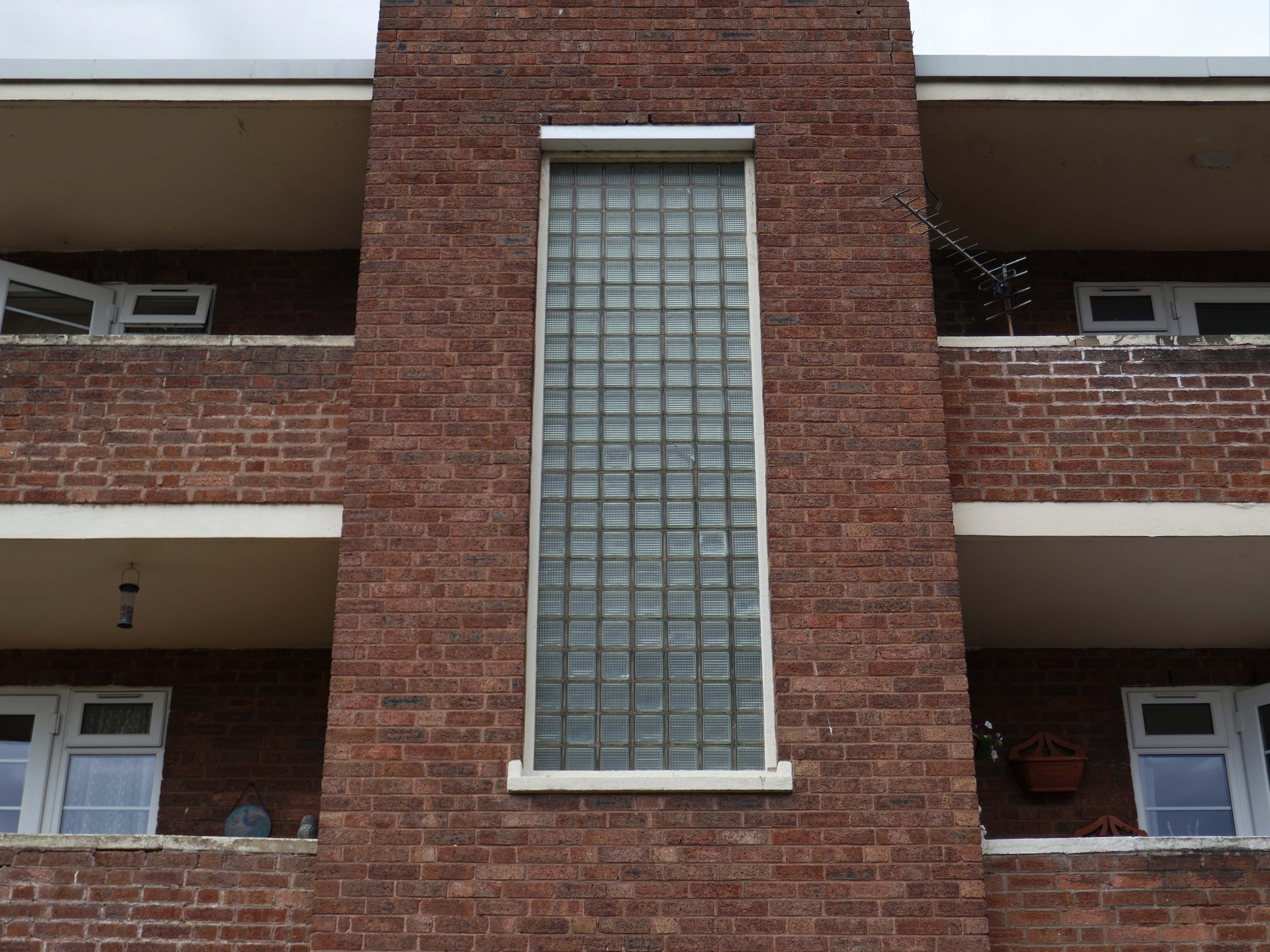
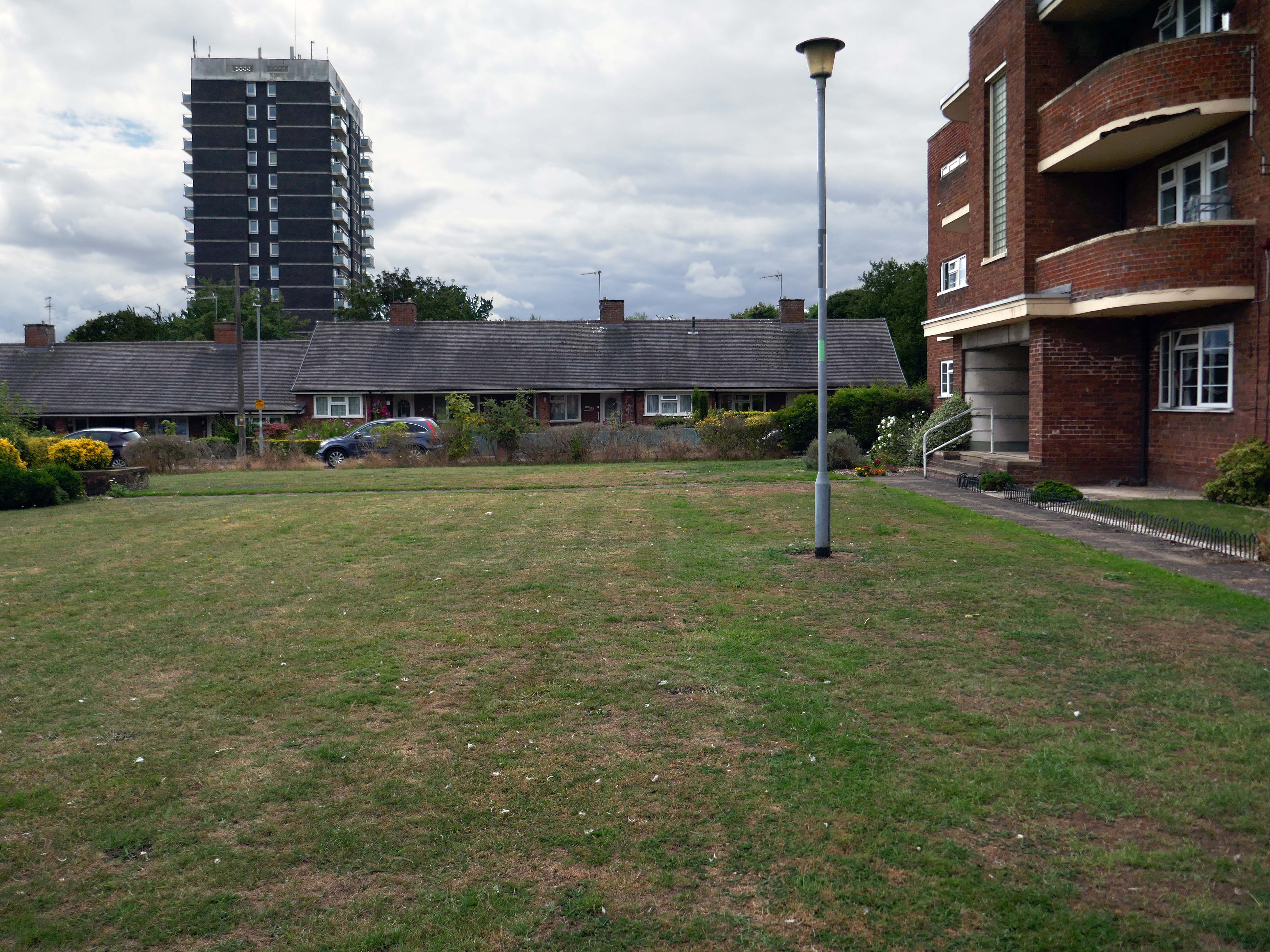
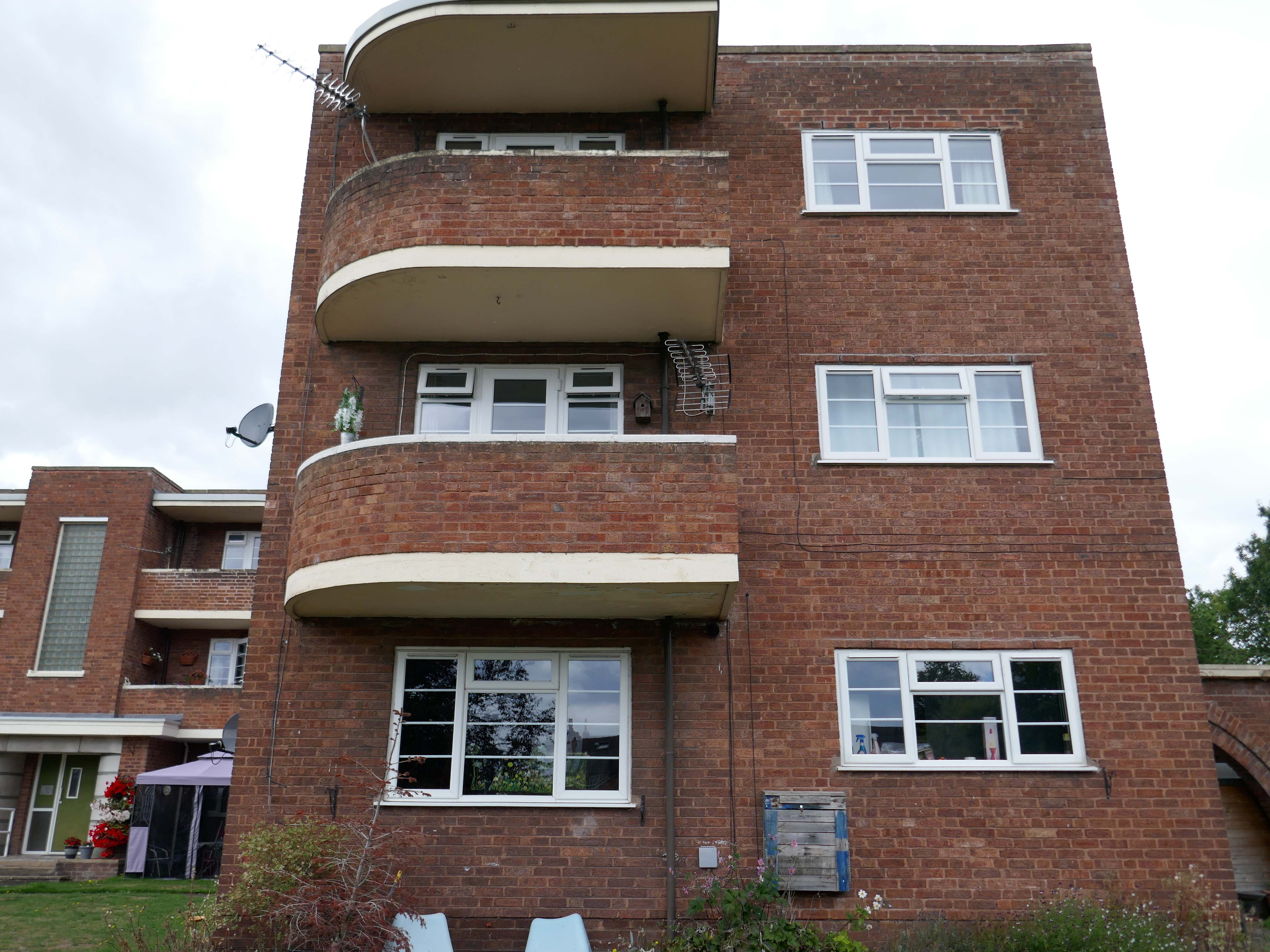
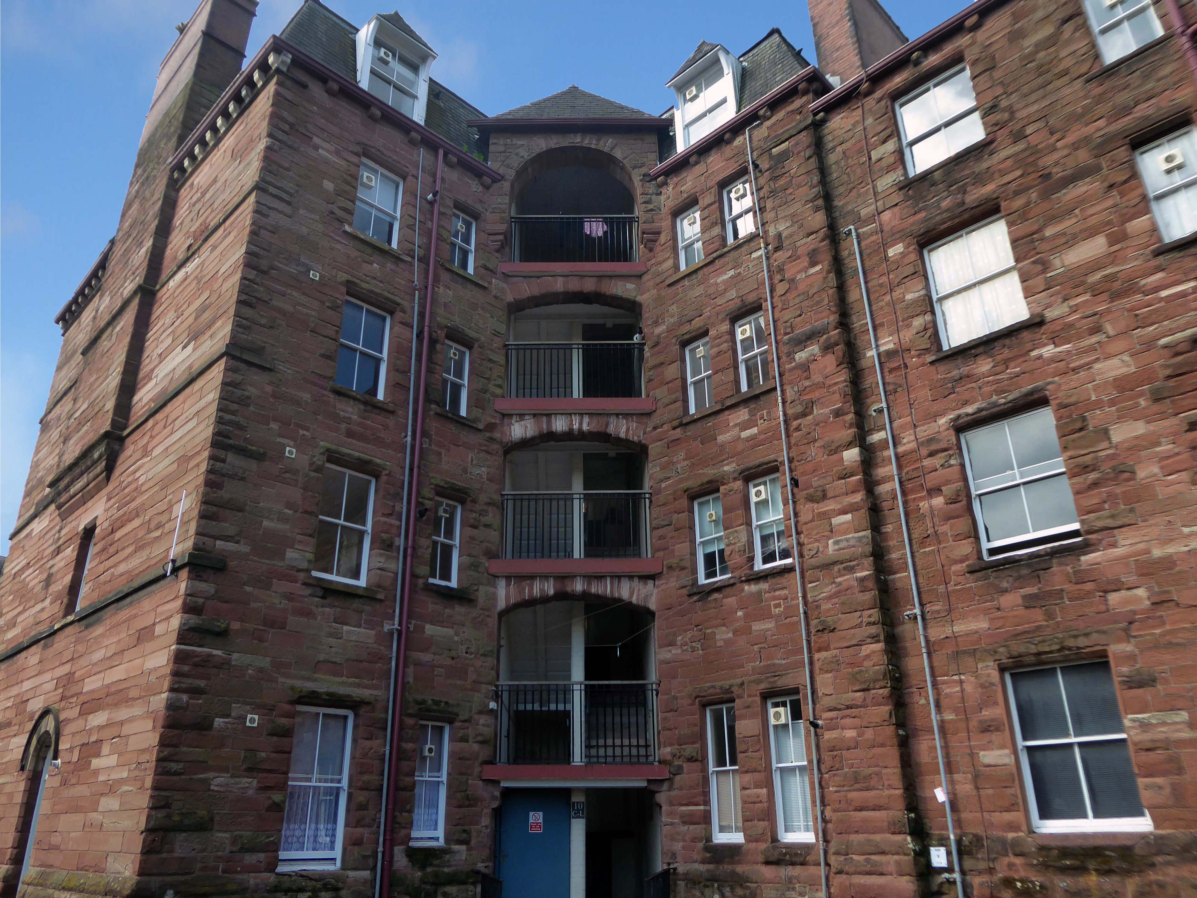
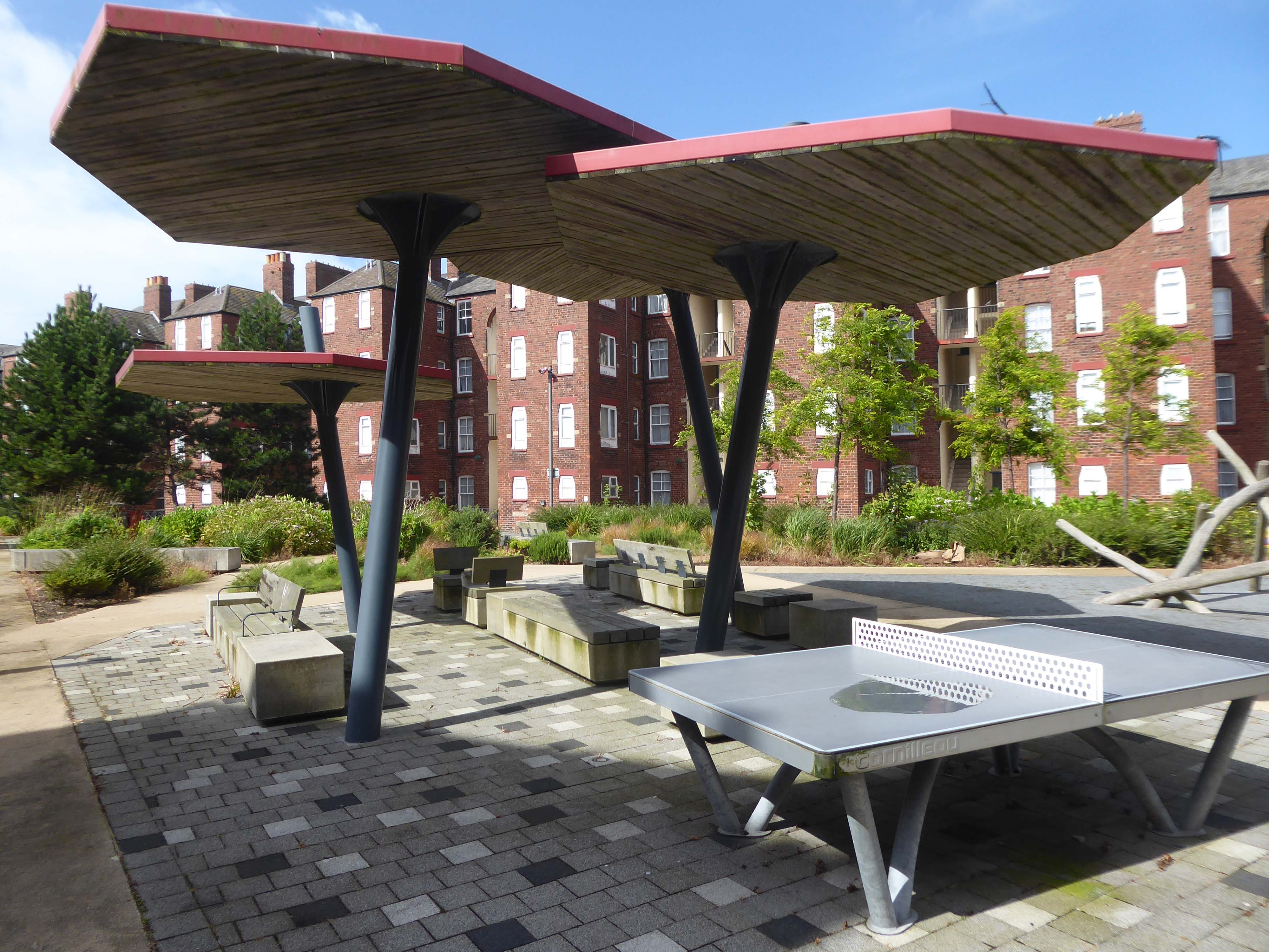
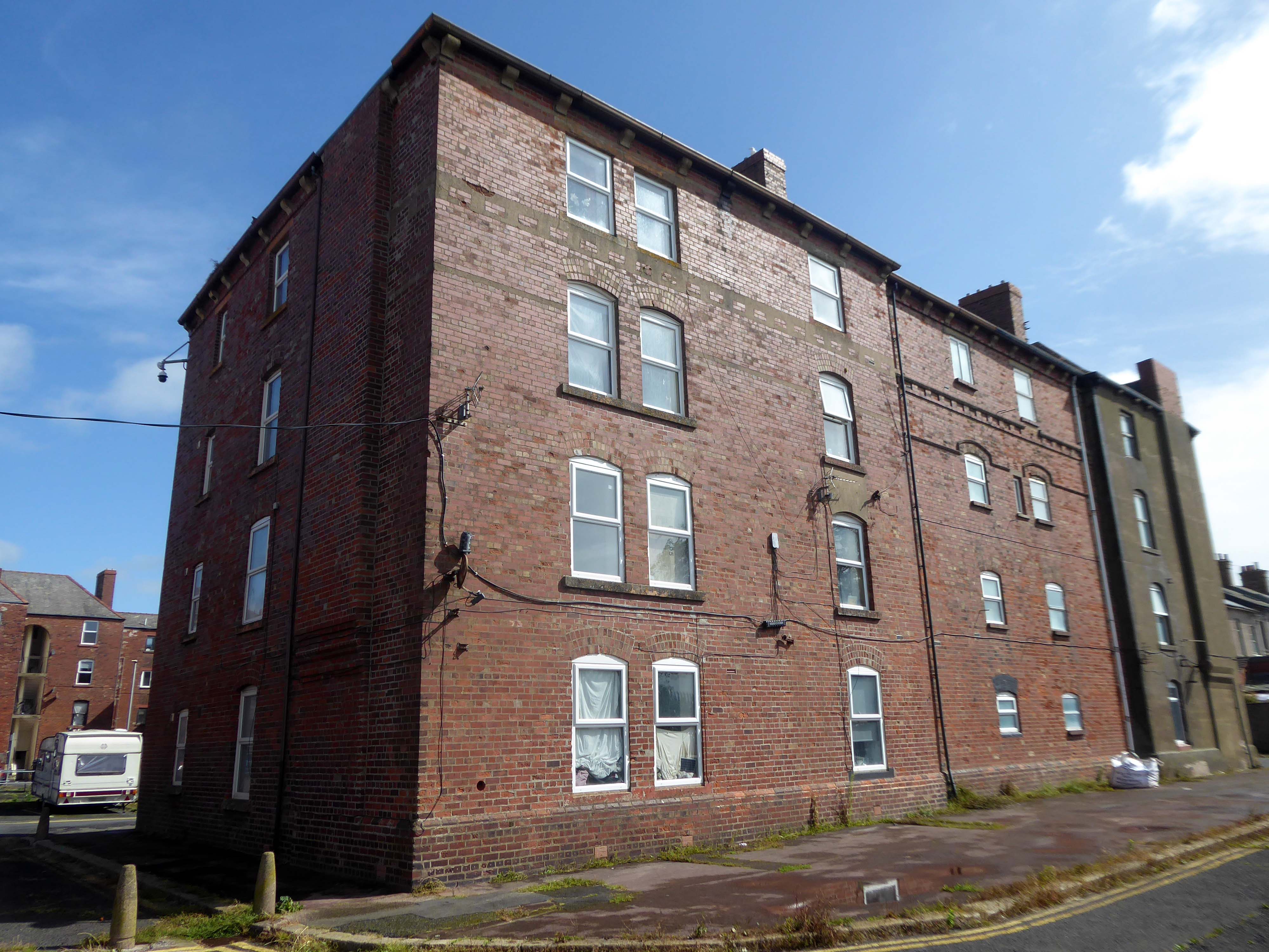
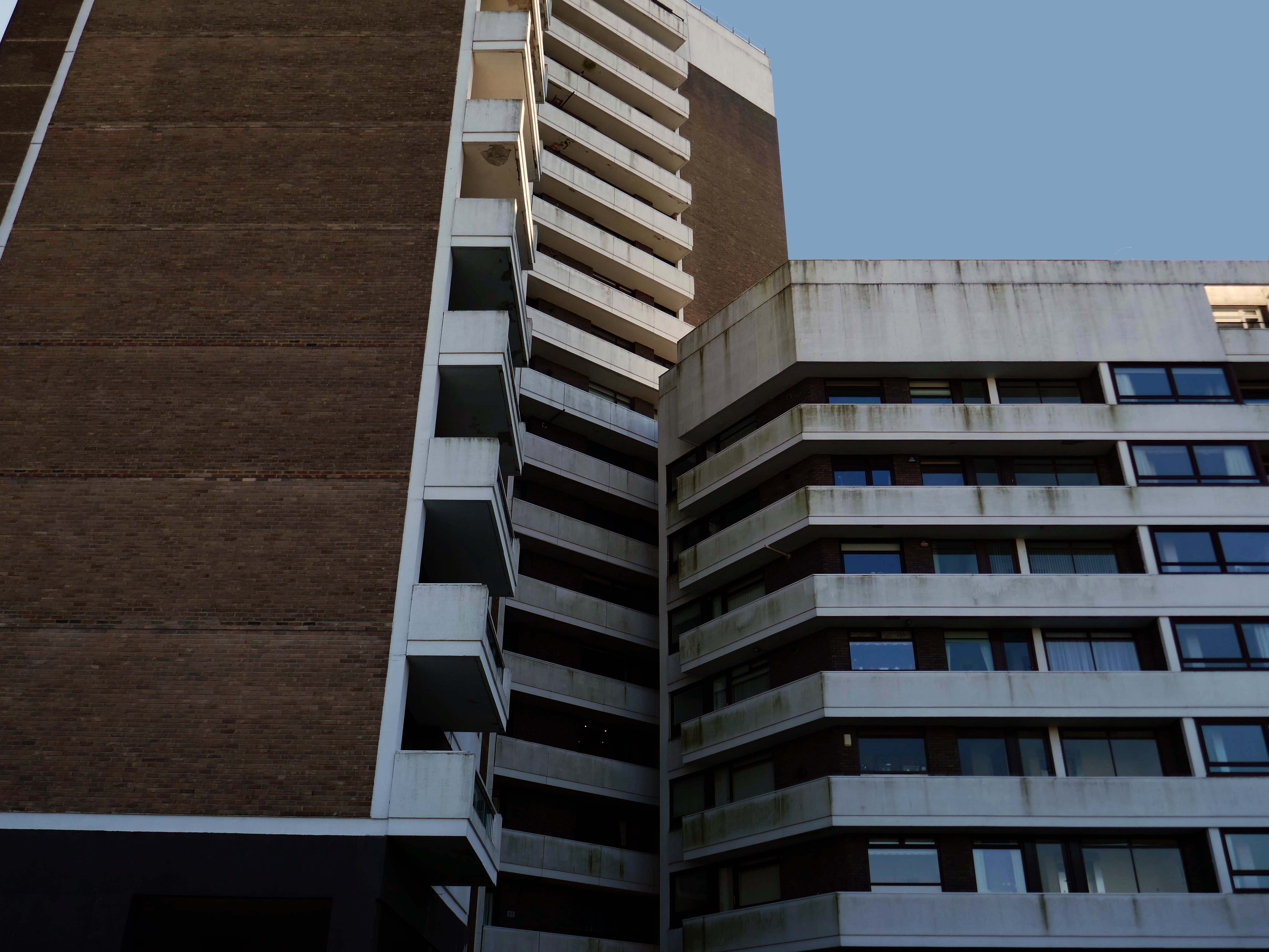
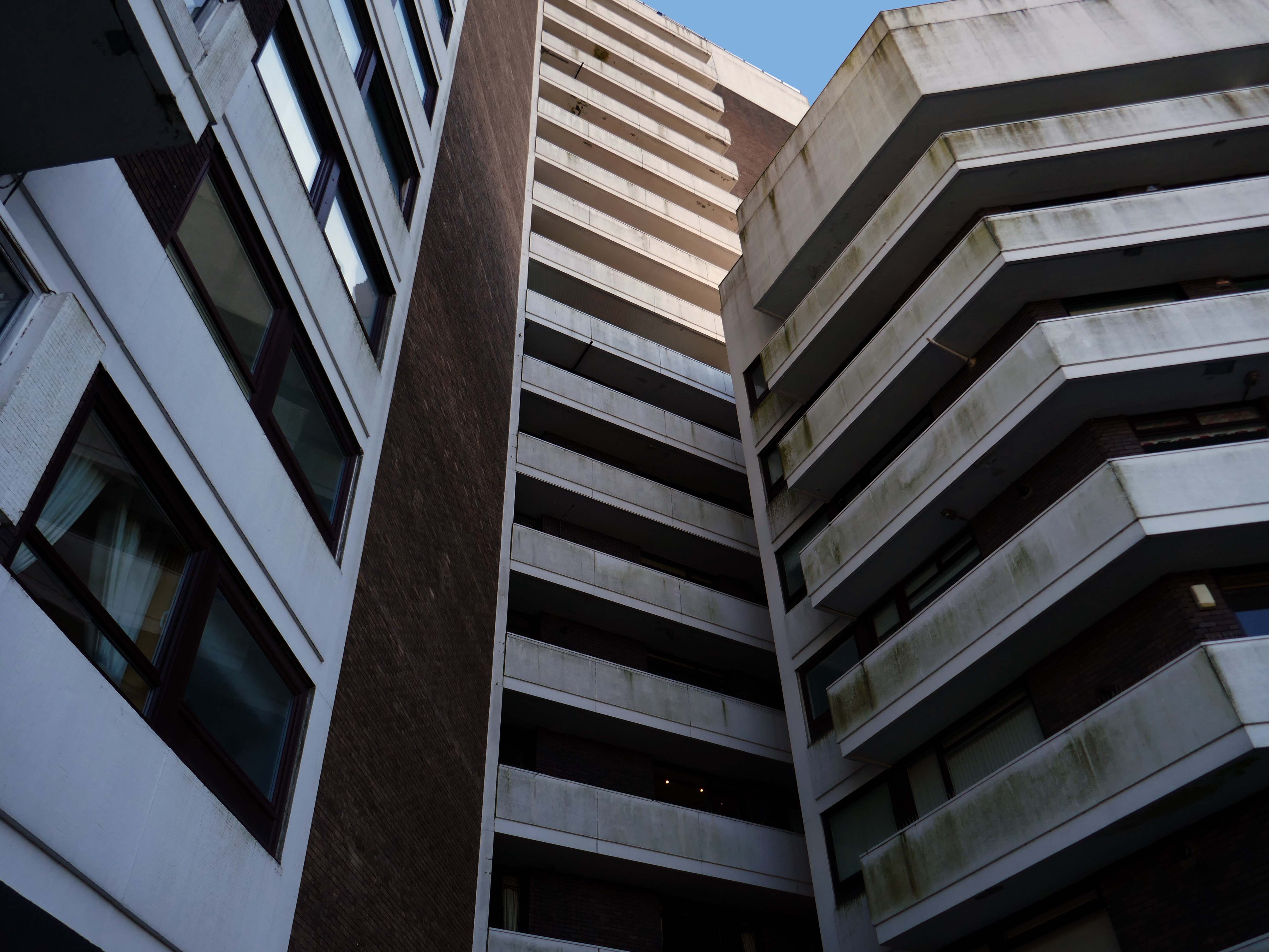
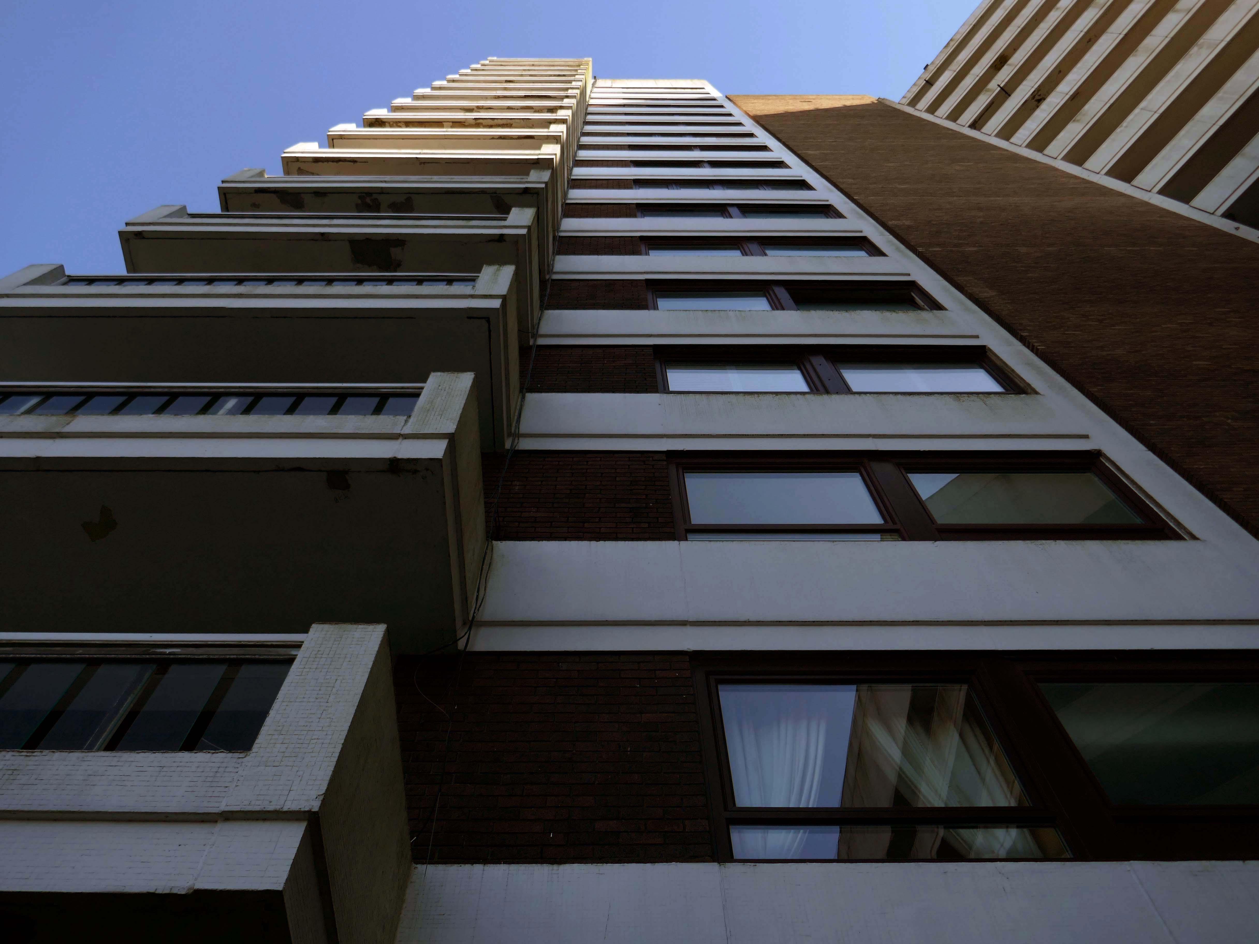
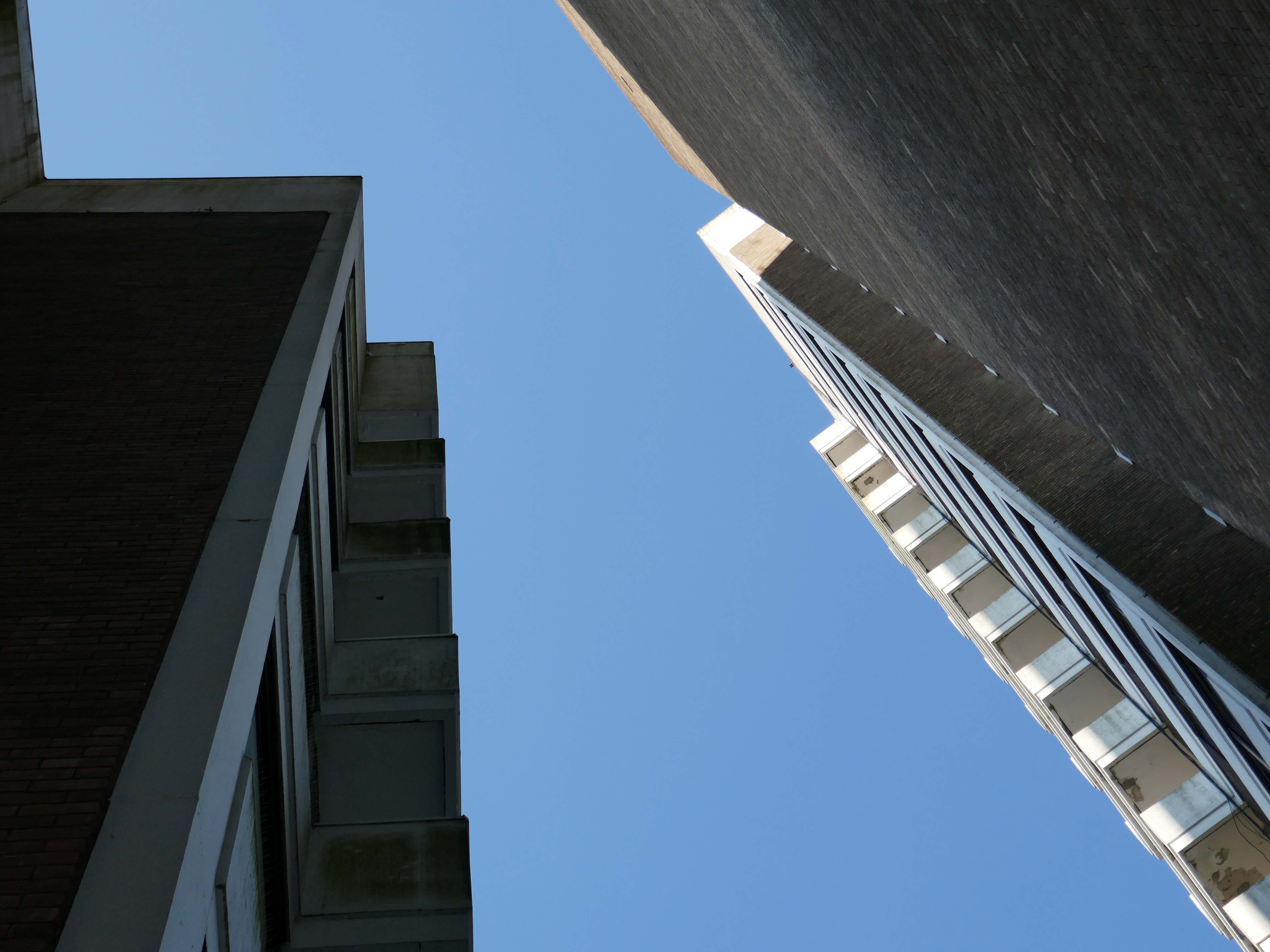
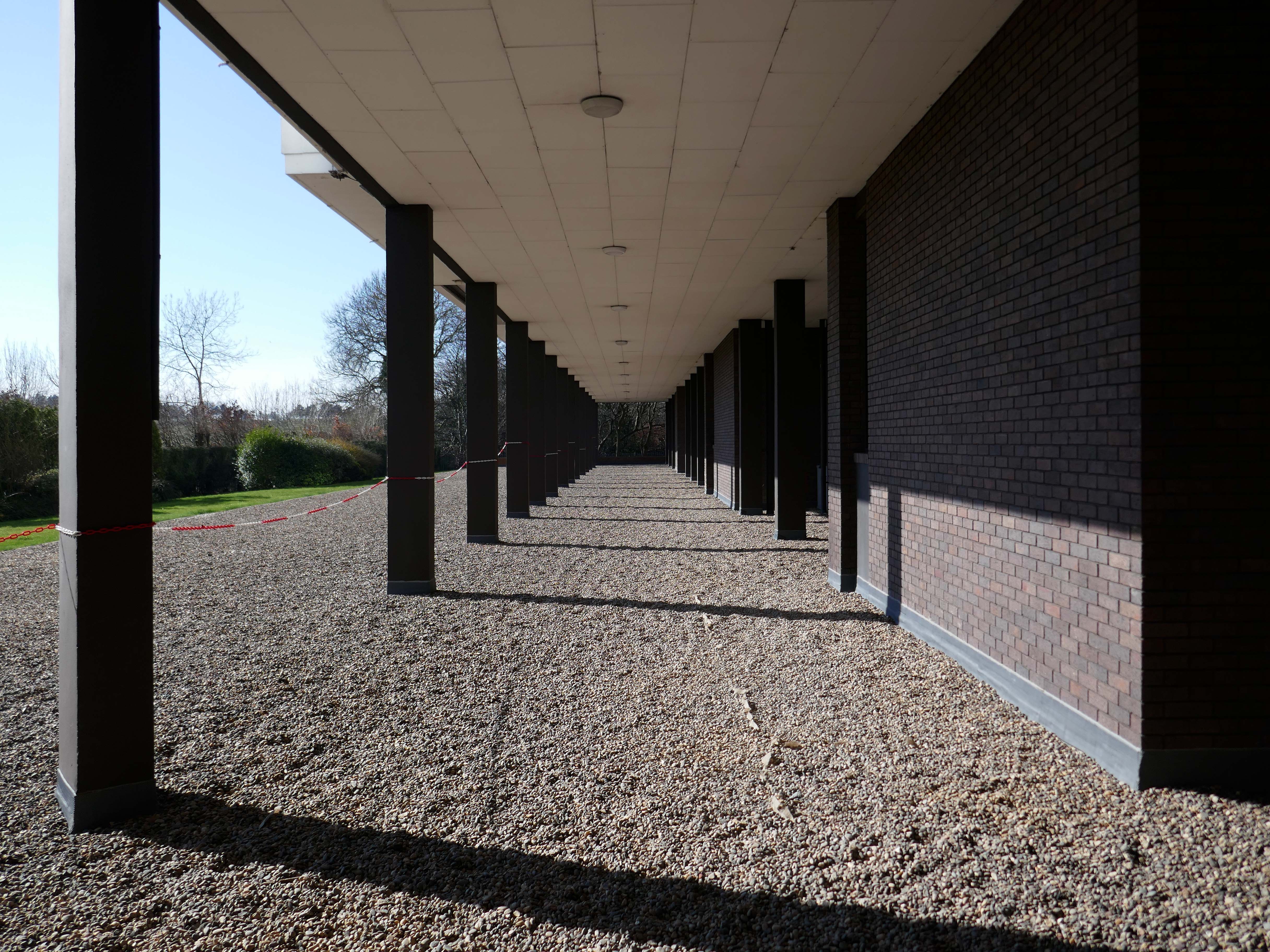
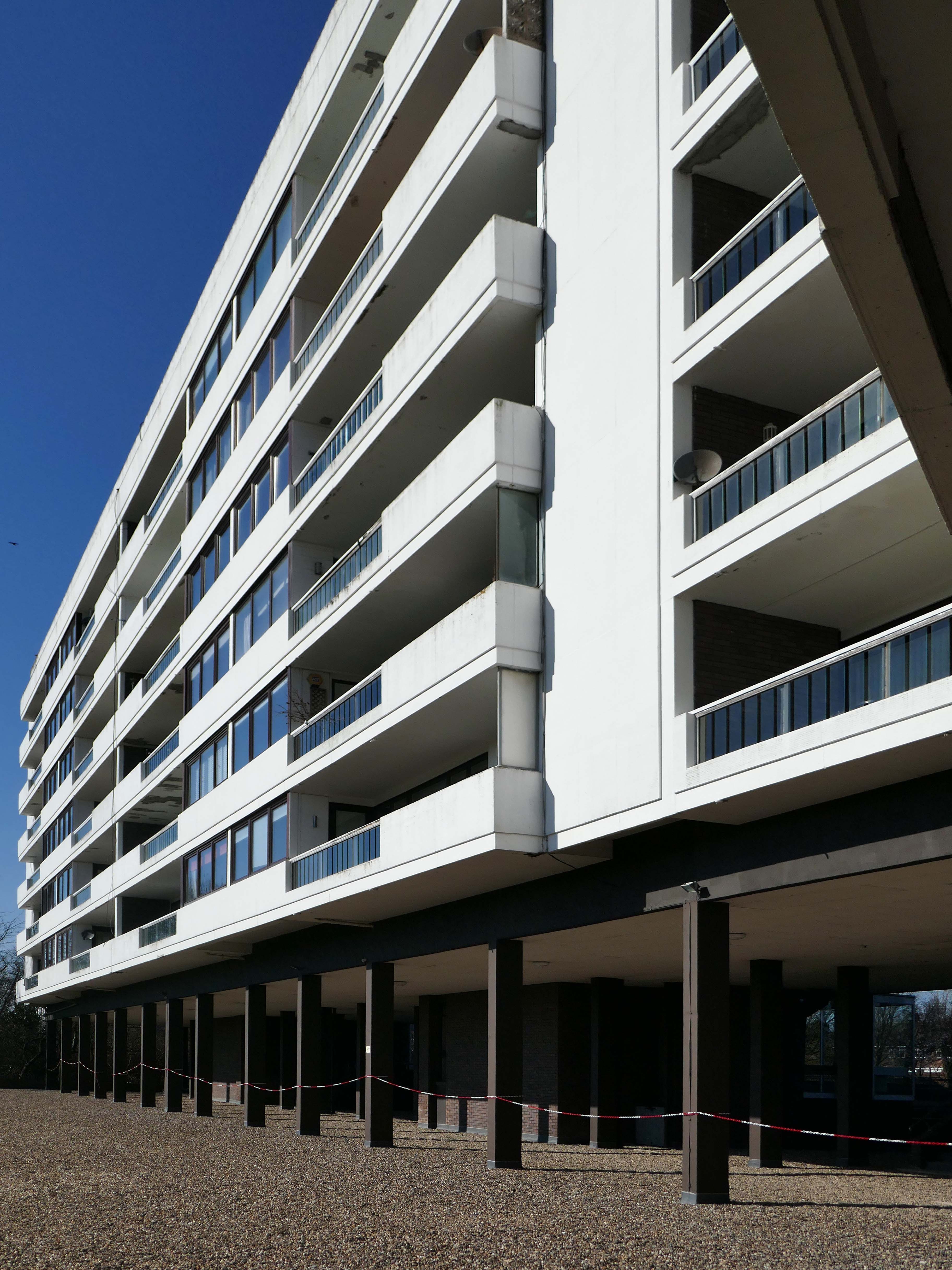
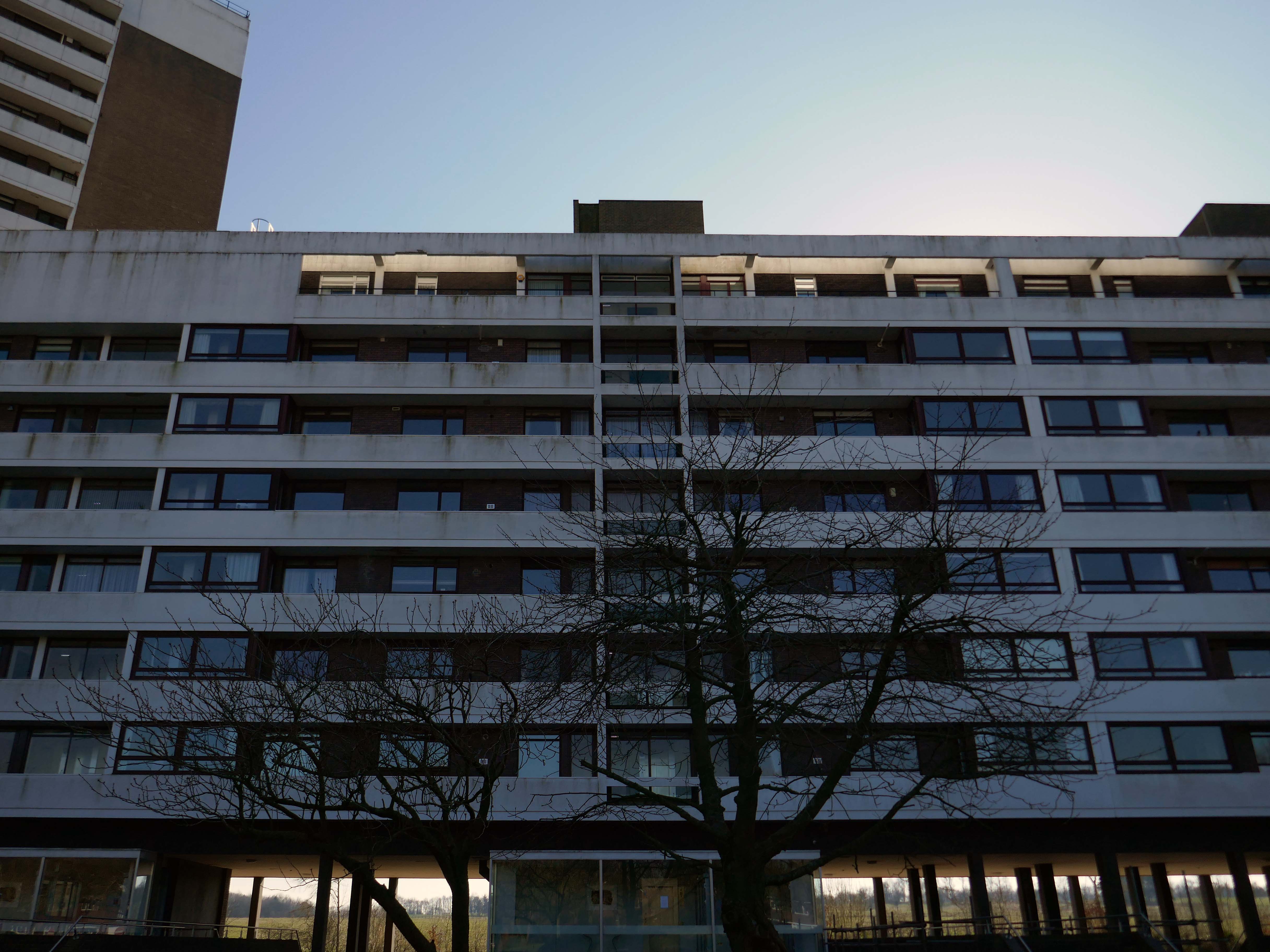
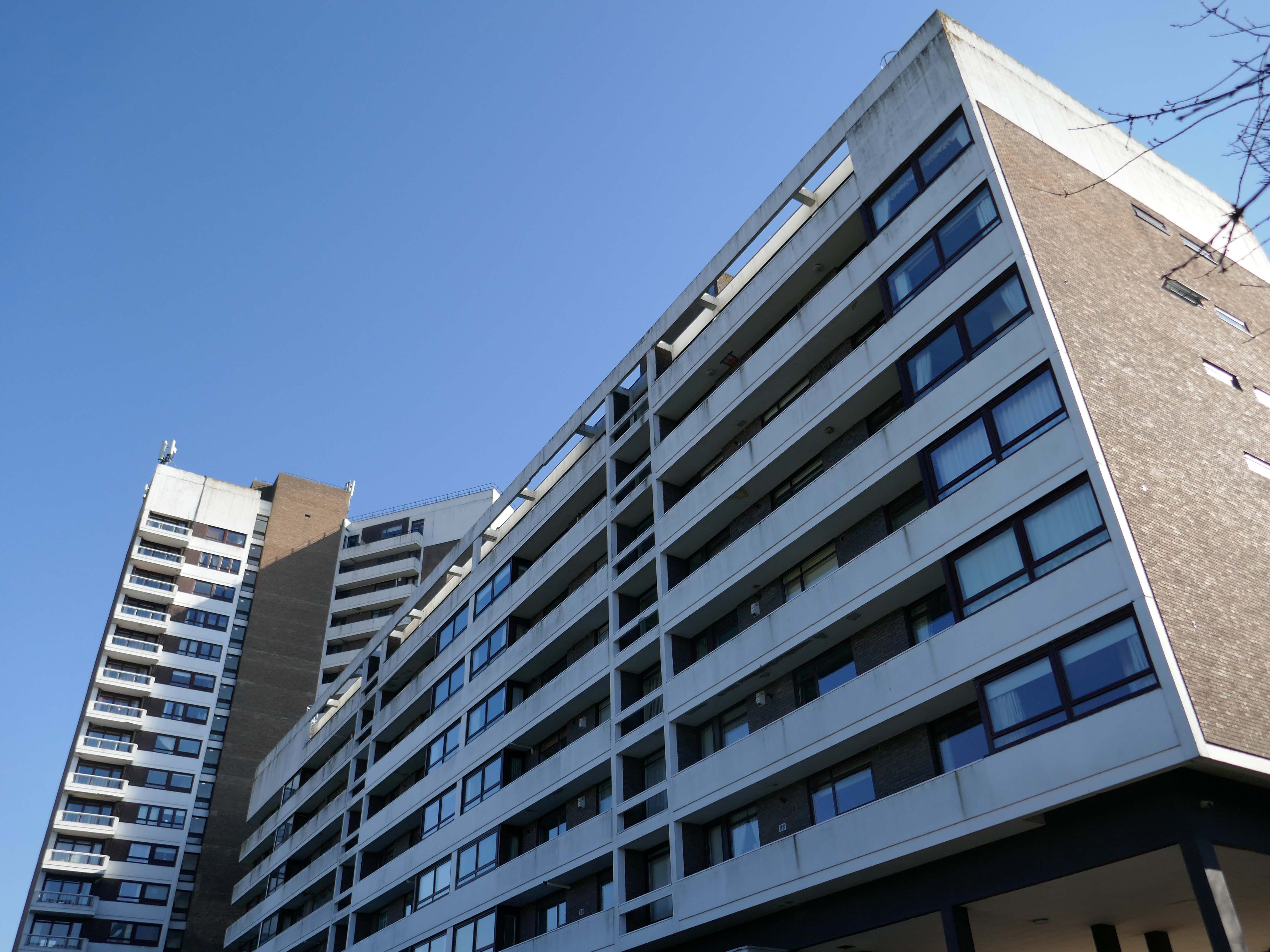
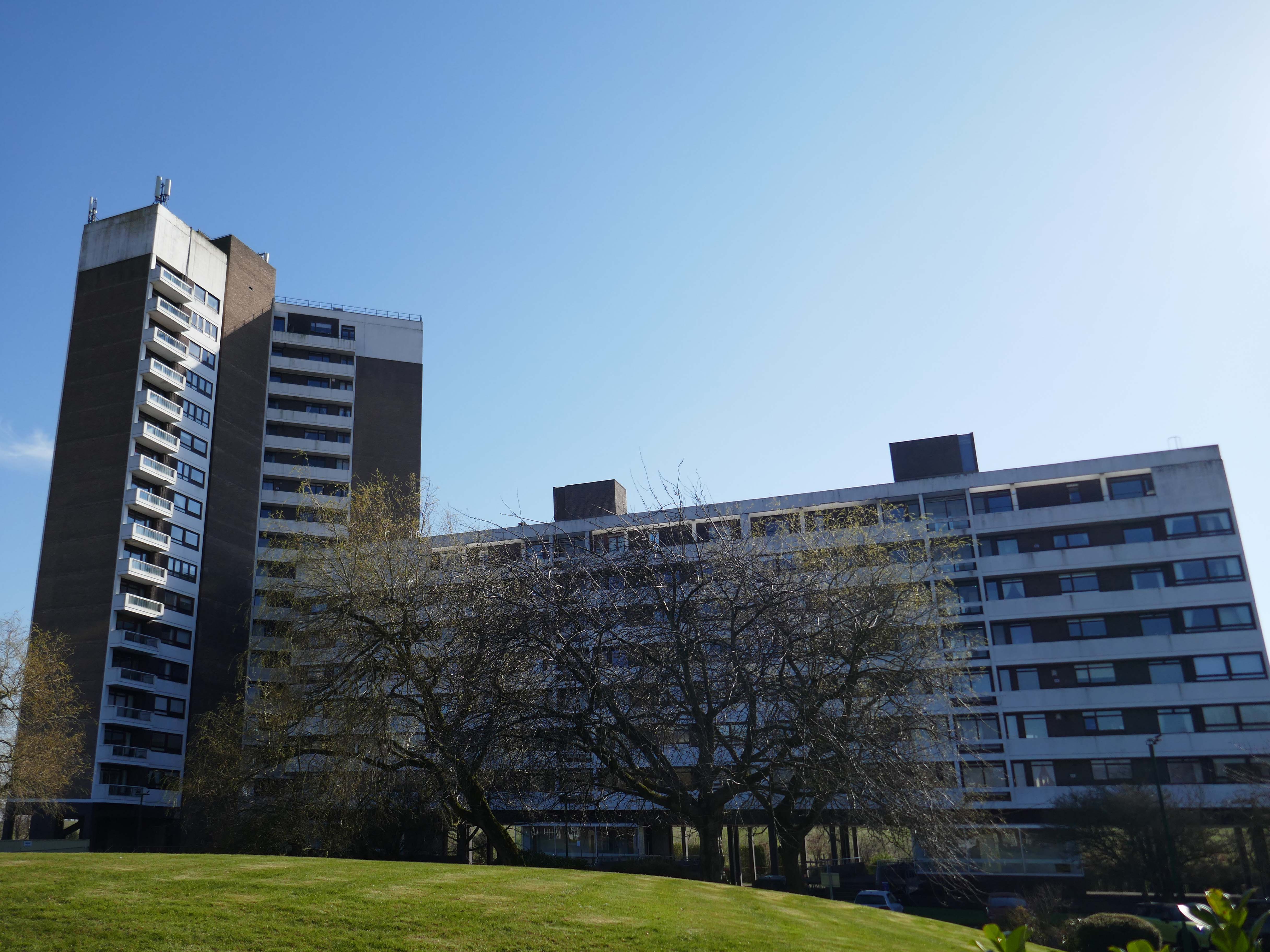
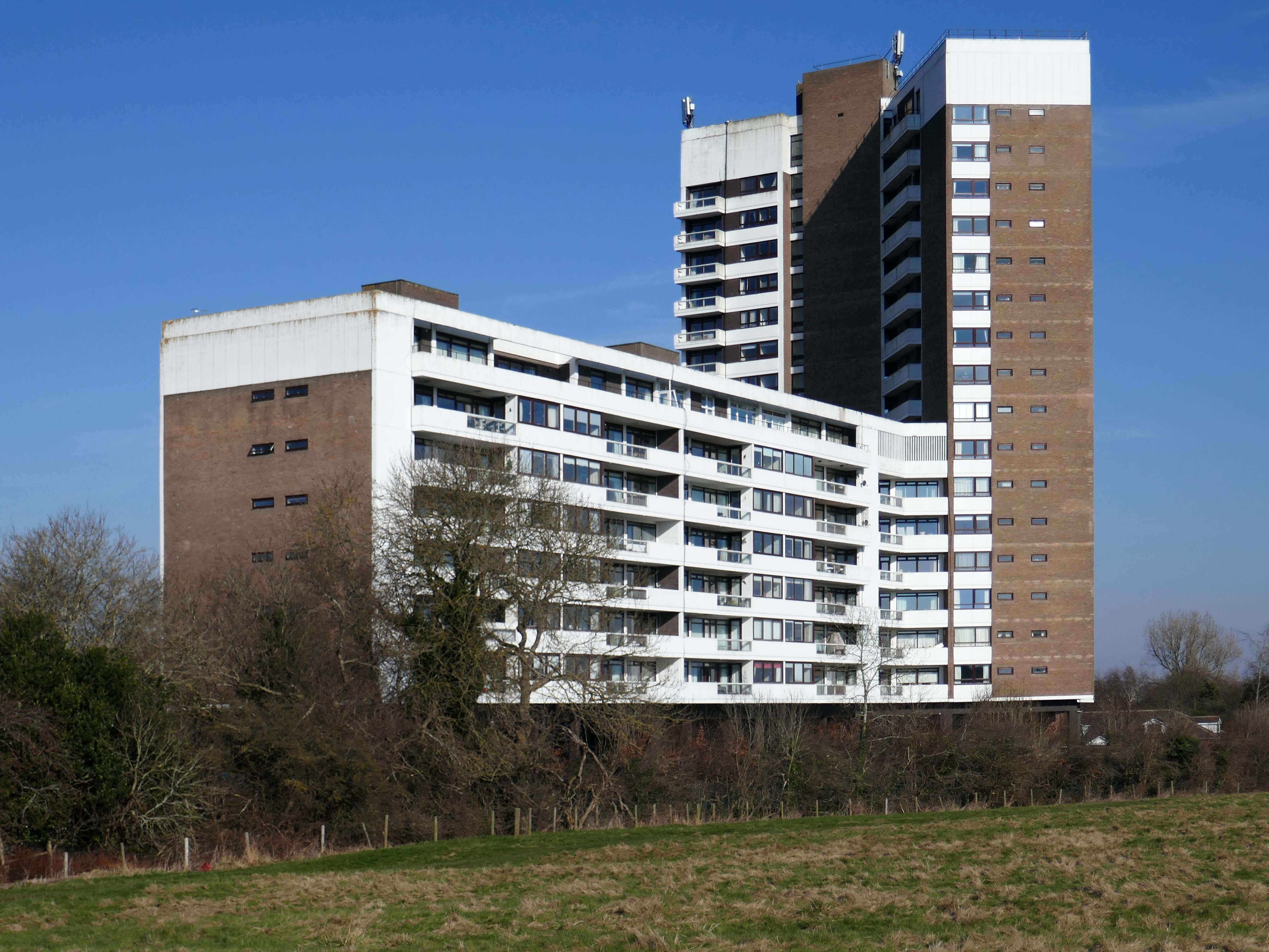
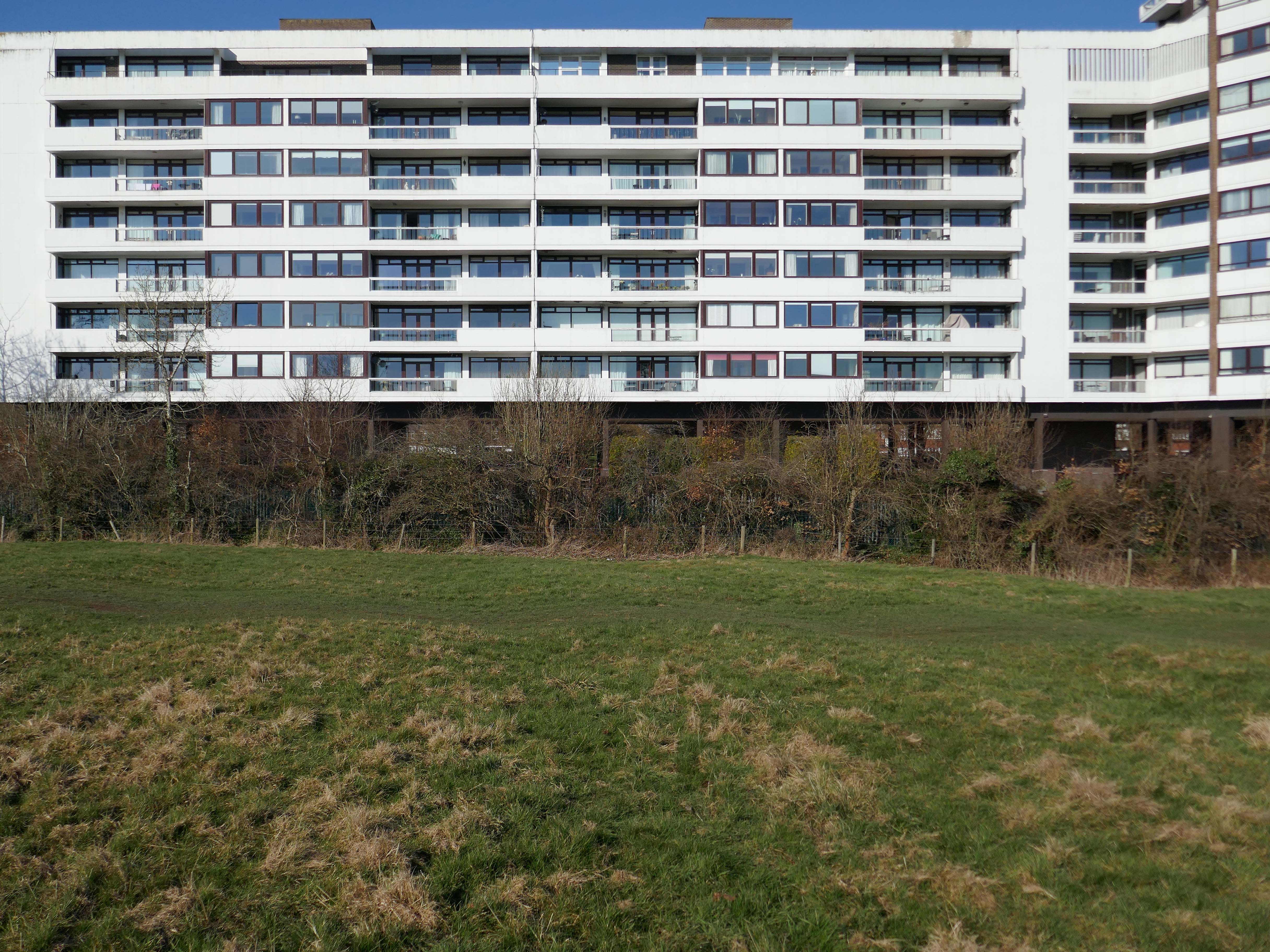
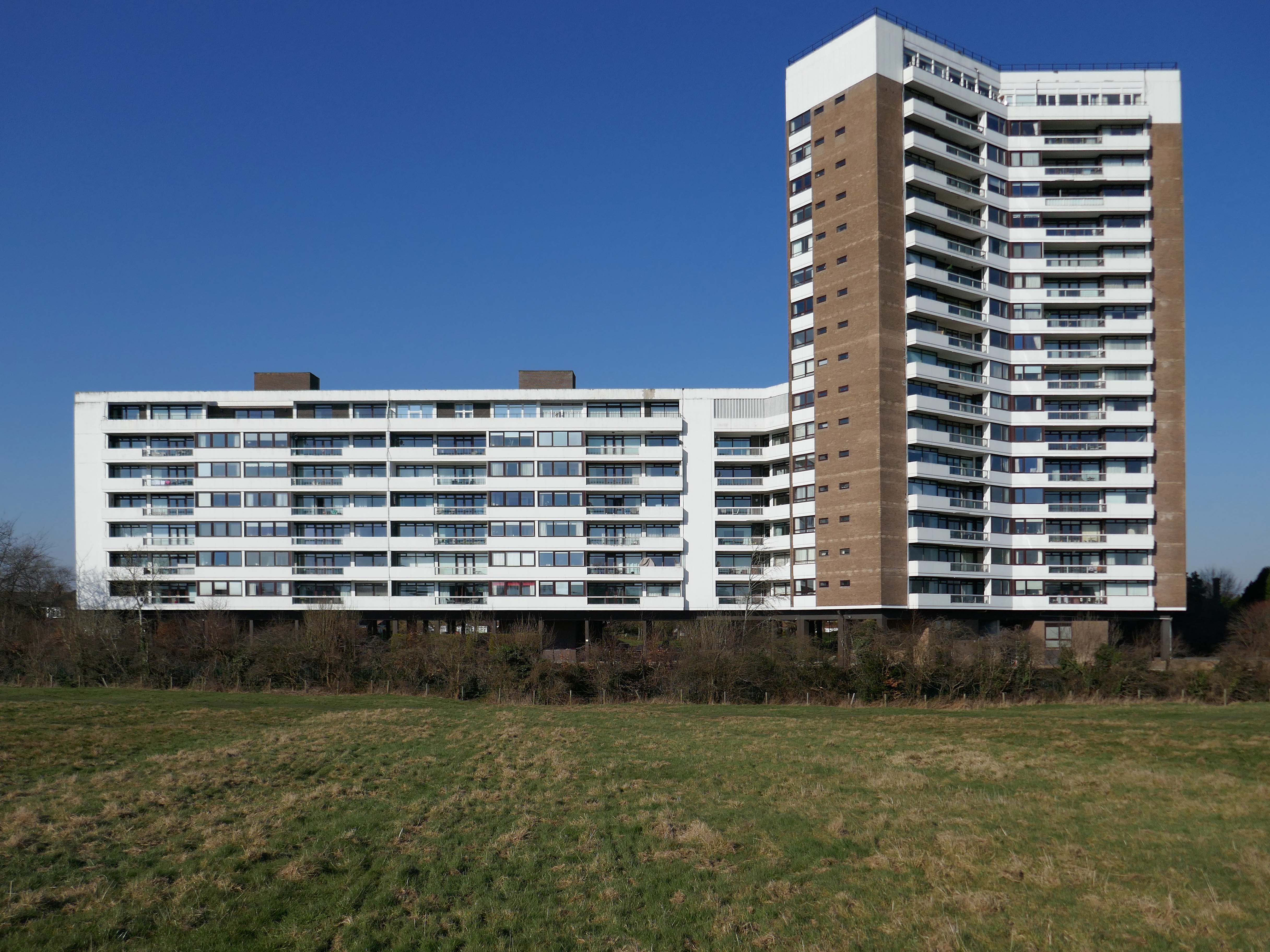
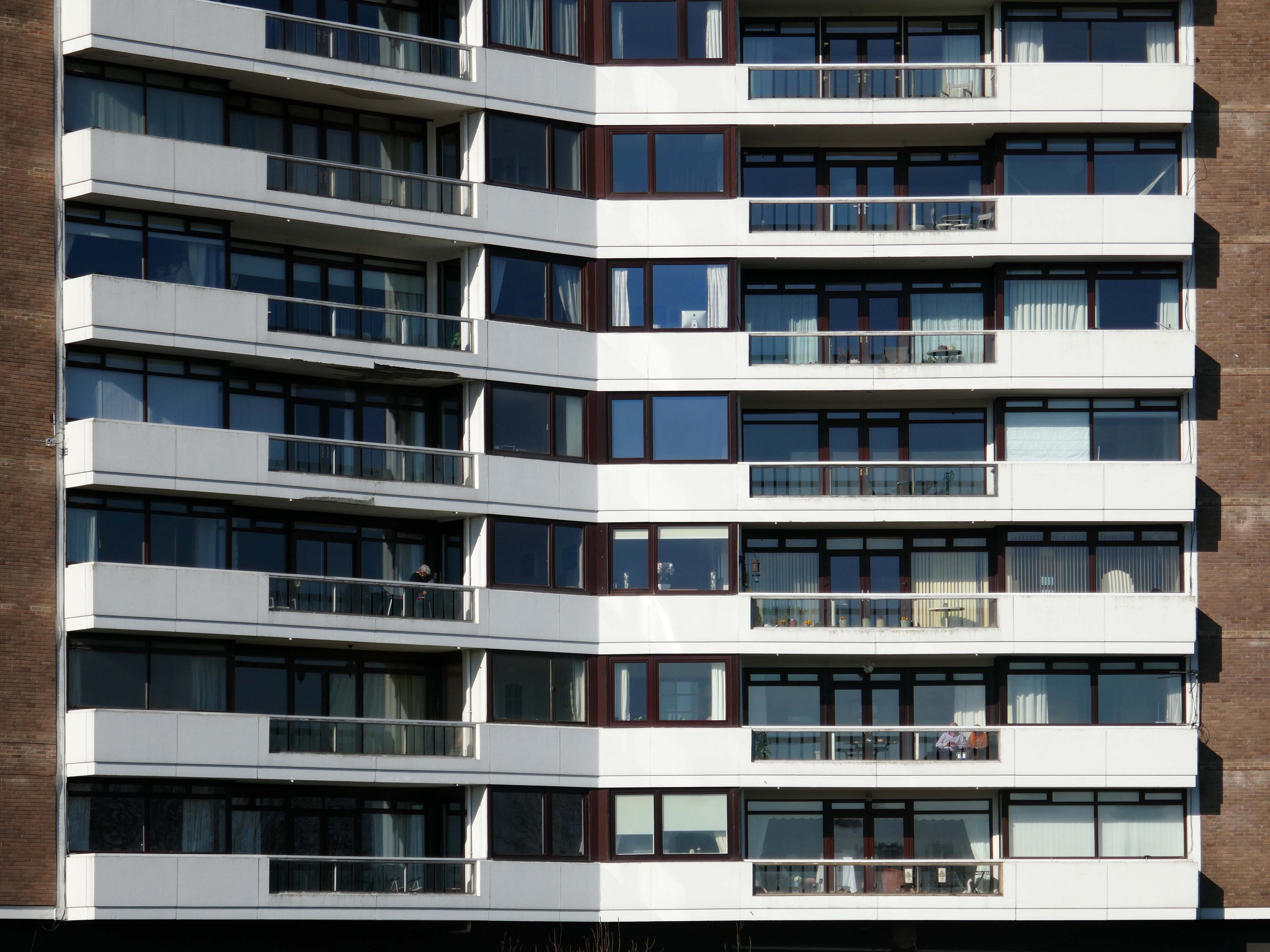
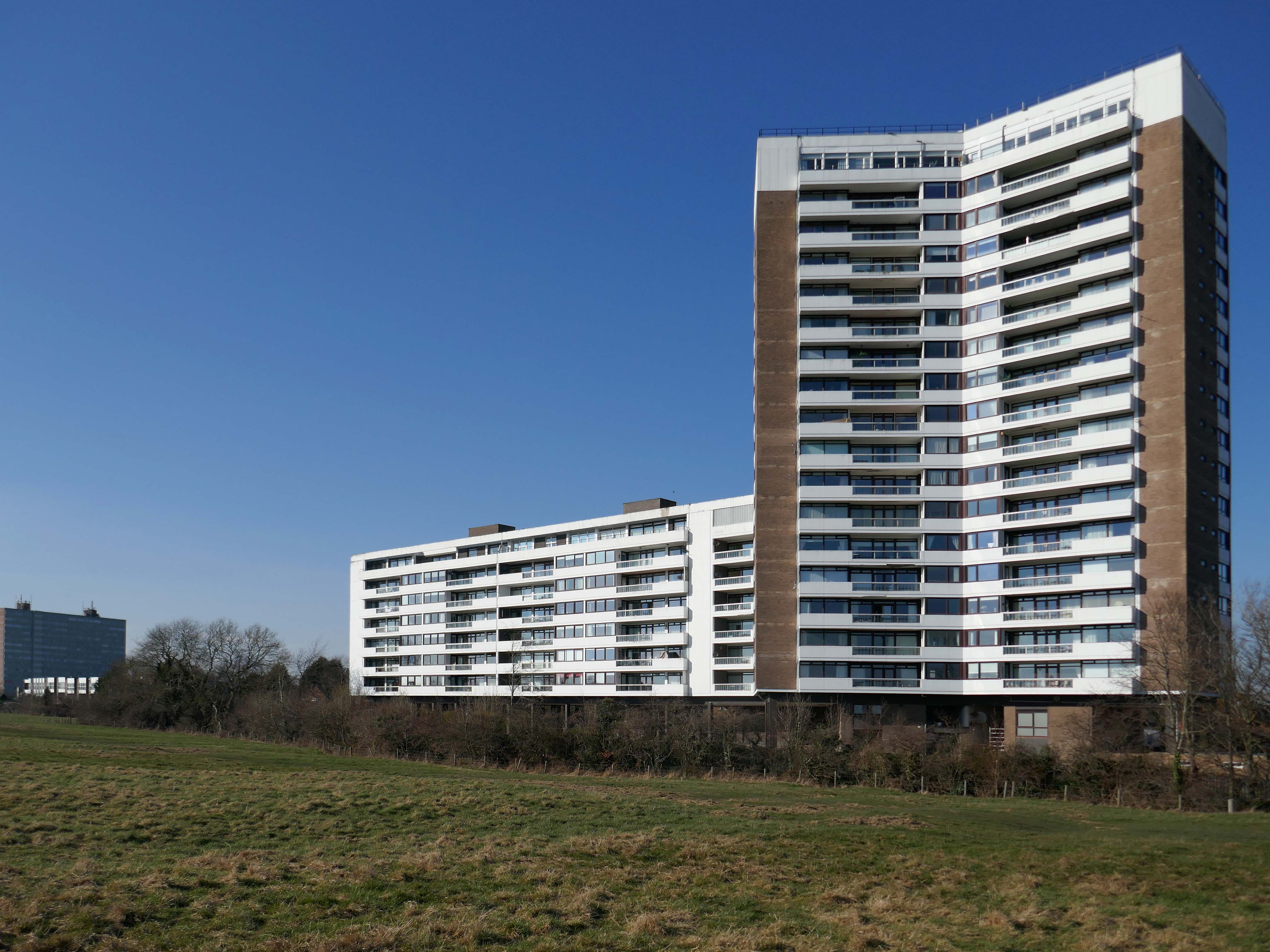
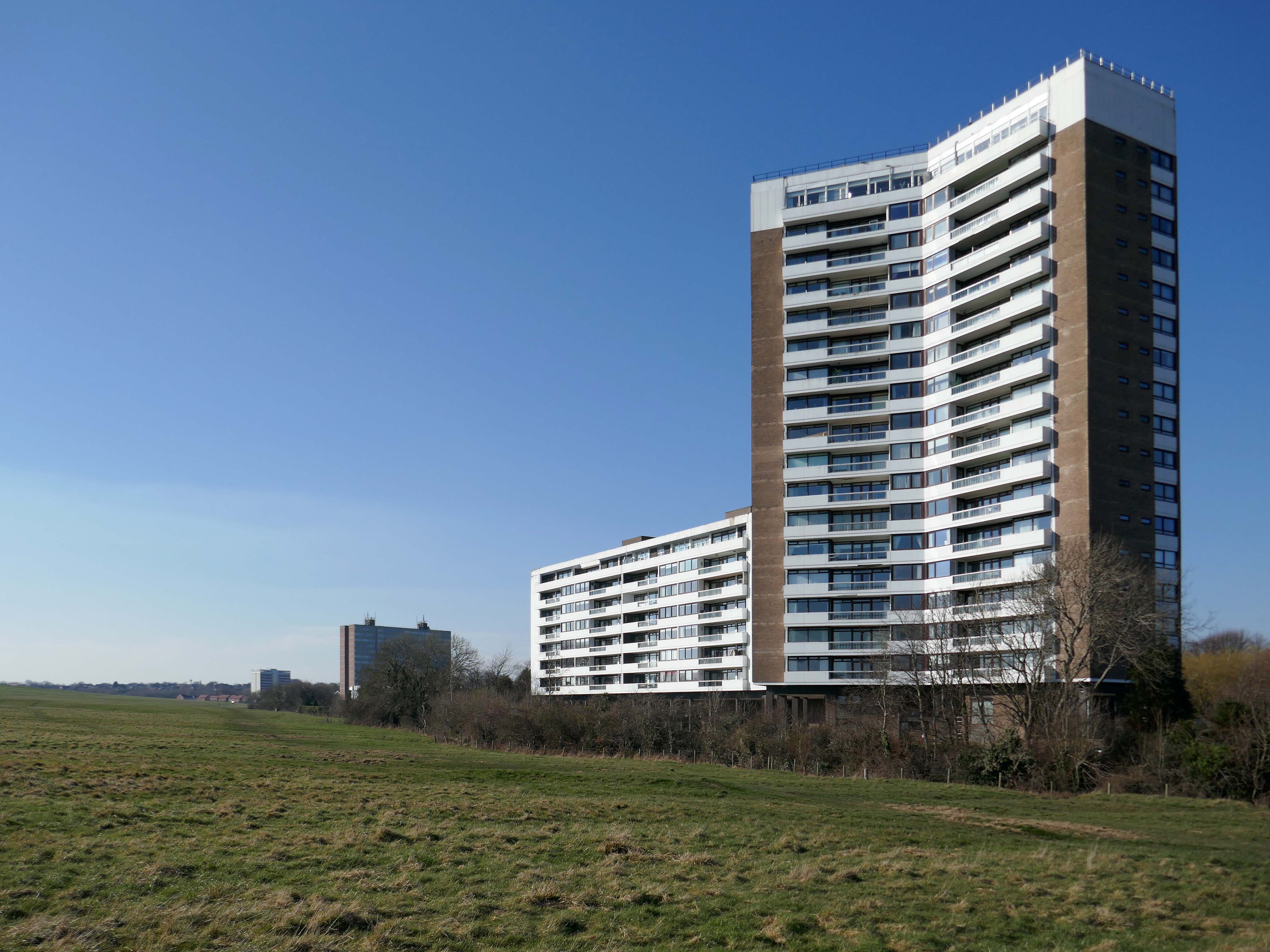
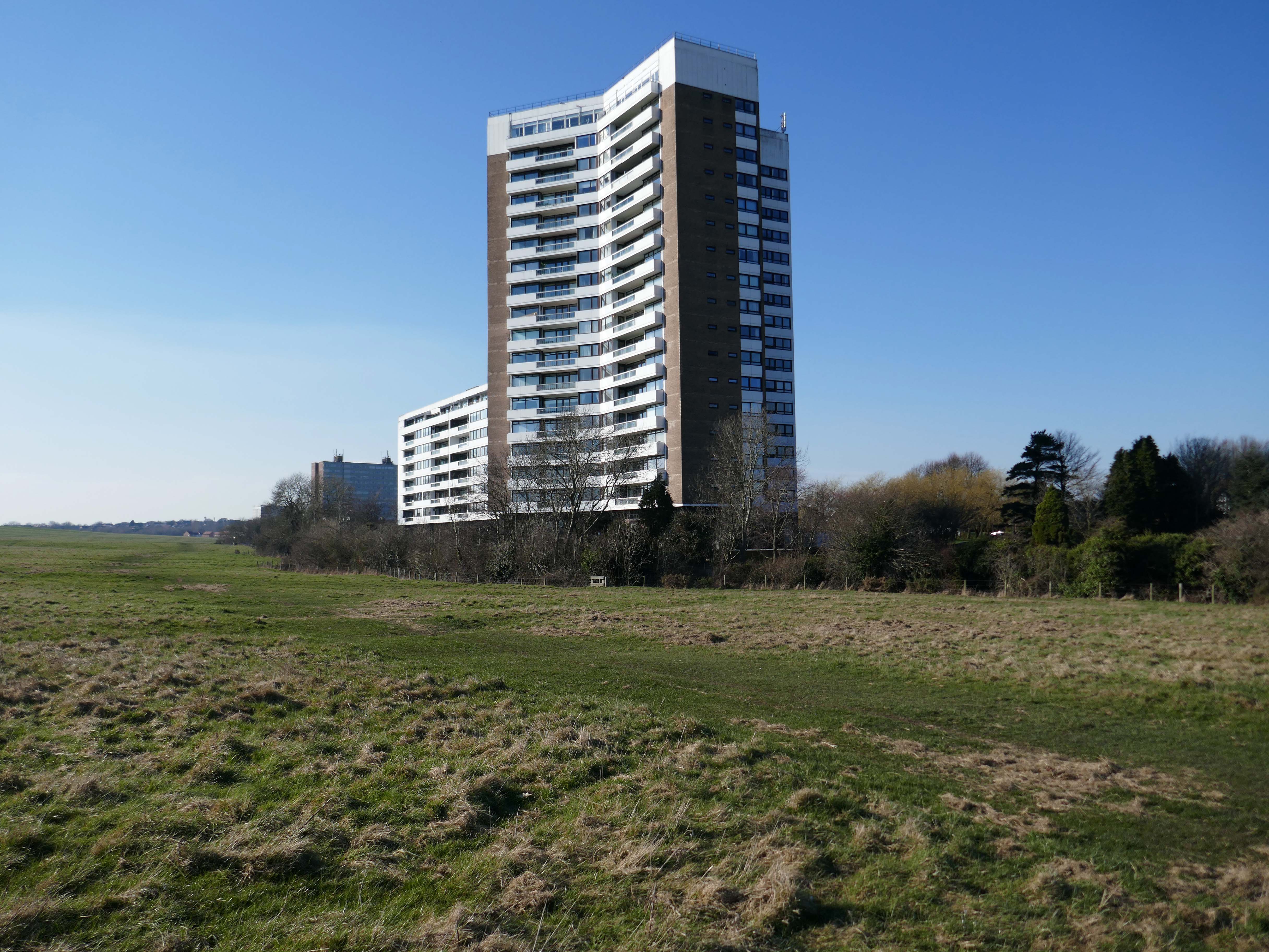
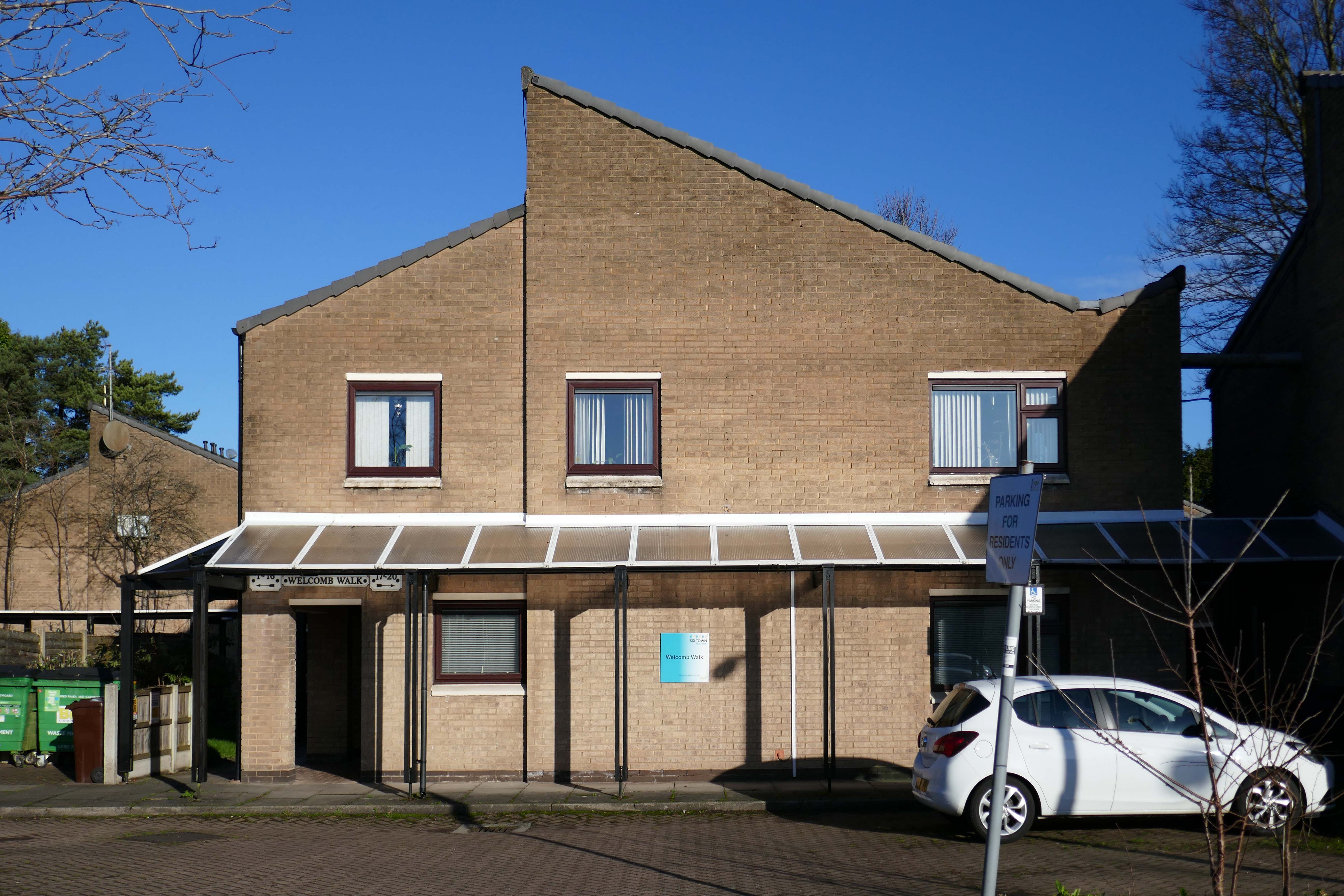
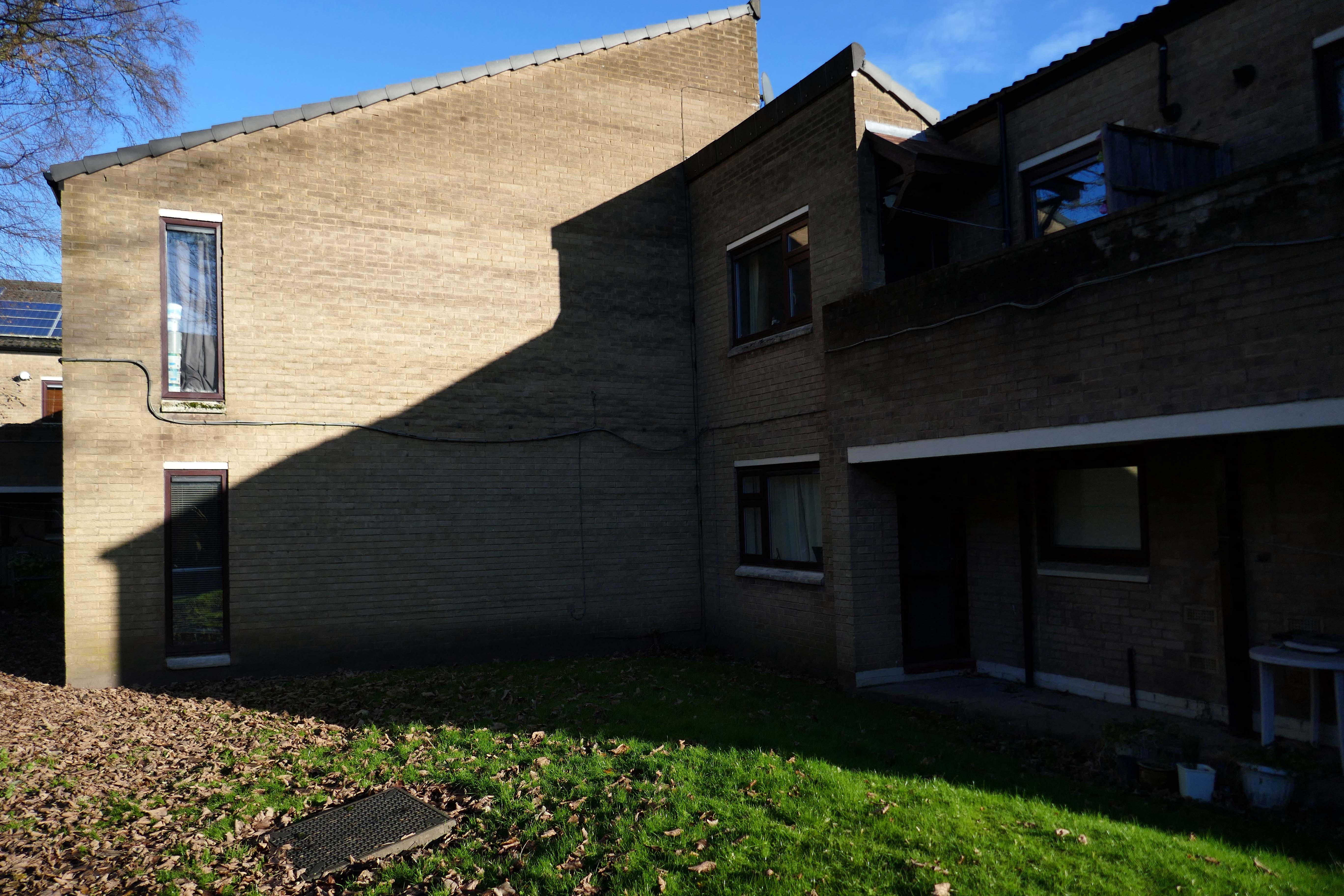
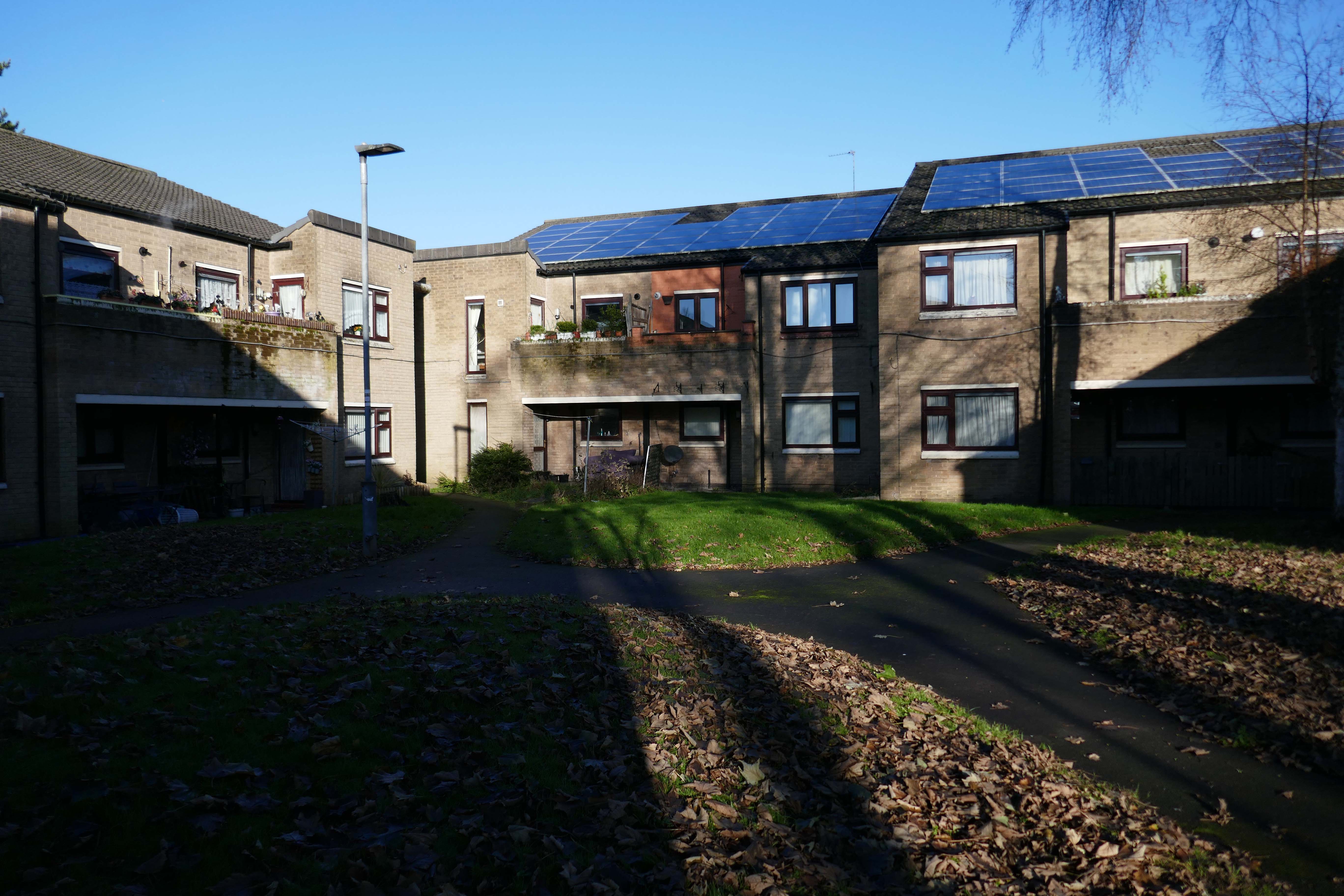
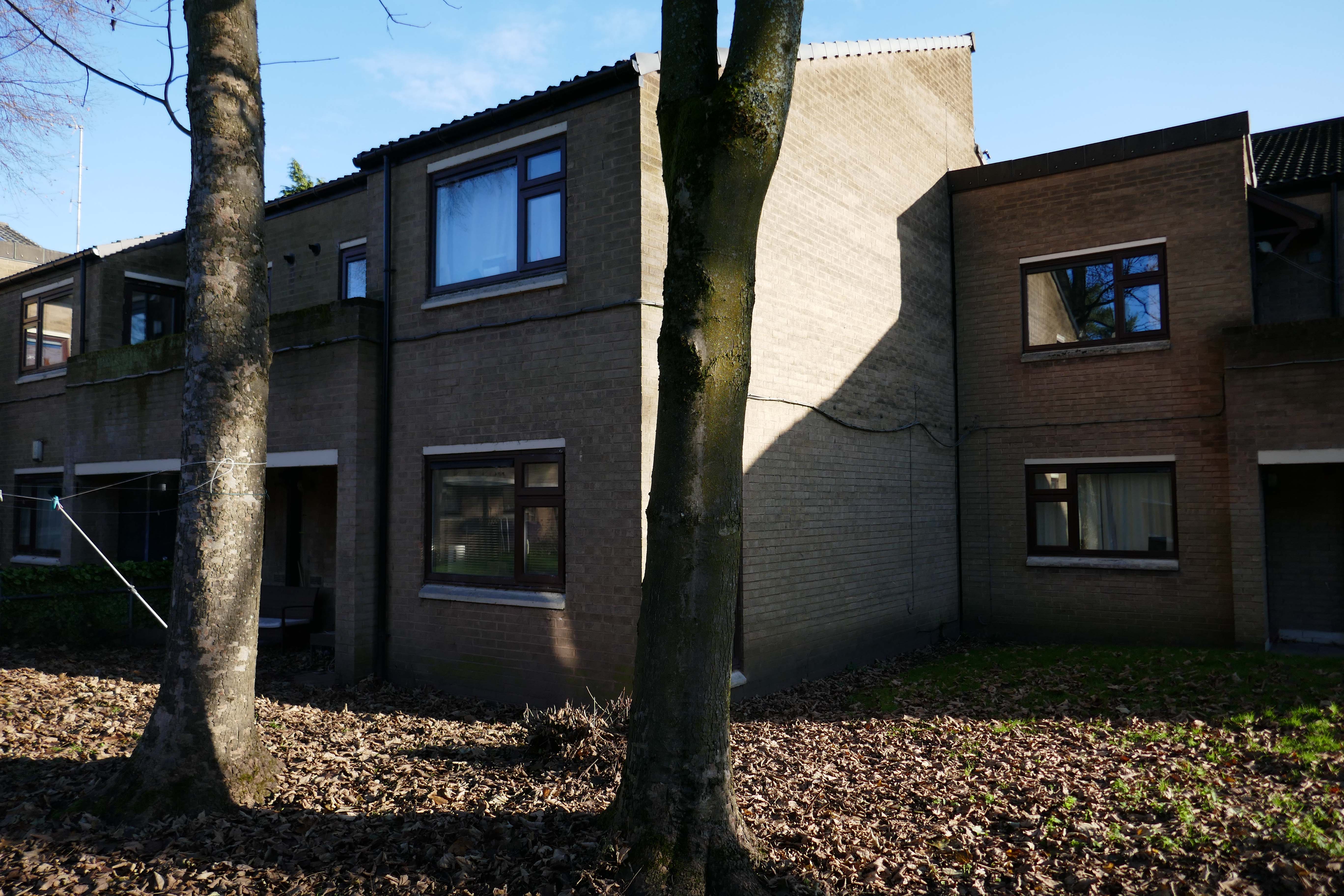
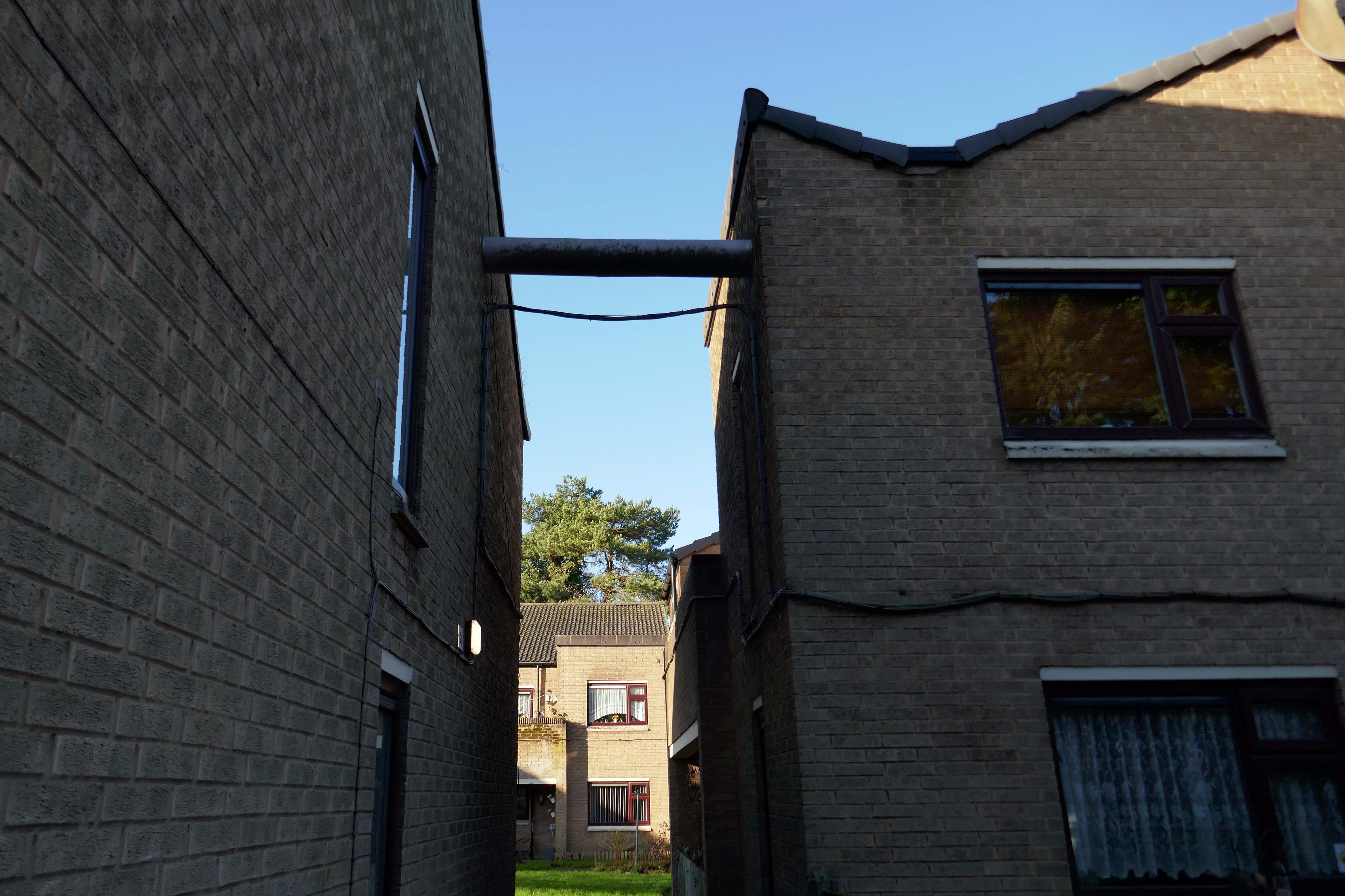
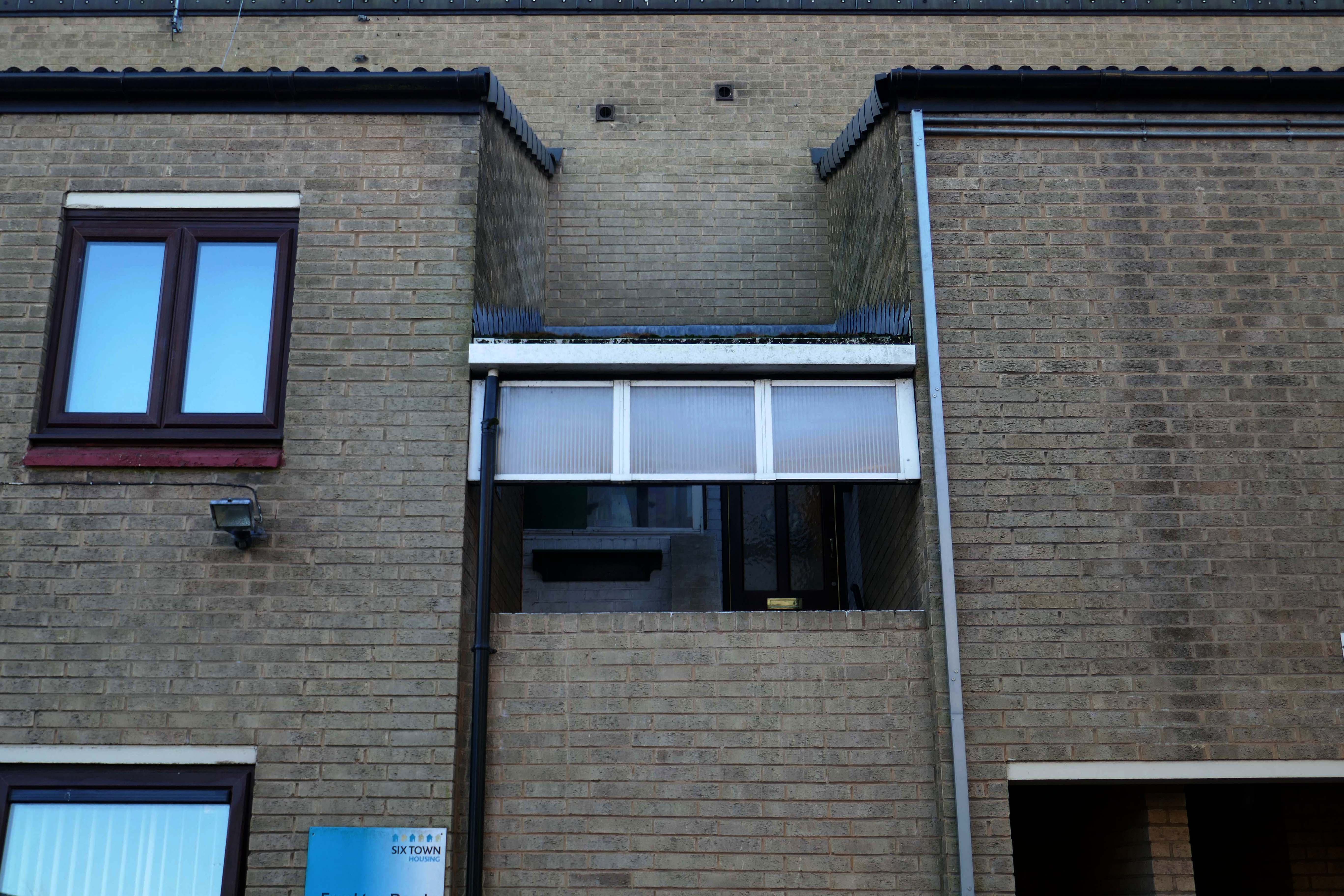
Designed by Lyons Israel Ellis for Southampton City Council in 1966, ED Lyons being the partner in charge and architects Frank Linden and Aubrey Hume also assigned to the job.
The structural engineers were Hajnal-Konyi and Myers and the firm of builders was G Minter.
Lyons Israel Ellis, though well known as a finishing school for the famed likes of Stirling, Gowan, Colquhoun et al, were the sort of Brutalists that didn’t get Yale scholarships, shiny monographs or late careers in pomo. They are found more often designing local authority housing, comprehensive schools and other unsexy things – most of them robust enough to be extant and in good nick. From their Old Vic extension through to the London School of Engineering, they were giants of big, chunky, angular neo-constructivist architecture rife with skylines, cantilevers and complex geometries, all in satisfyingly raw, tactile concrete. As Colquhoun later put it, this was architecture for those who had nothing but contempt for ‘the Englishness of English art’ and other consolatory narratives.
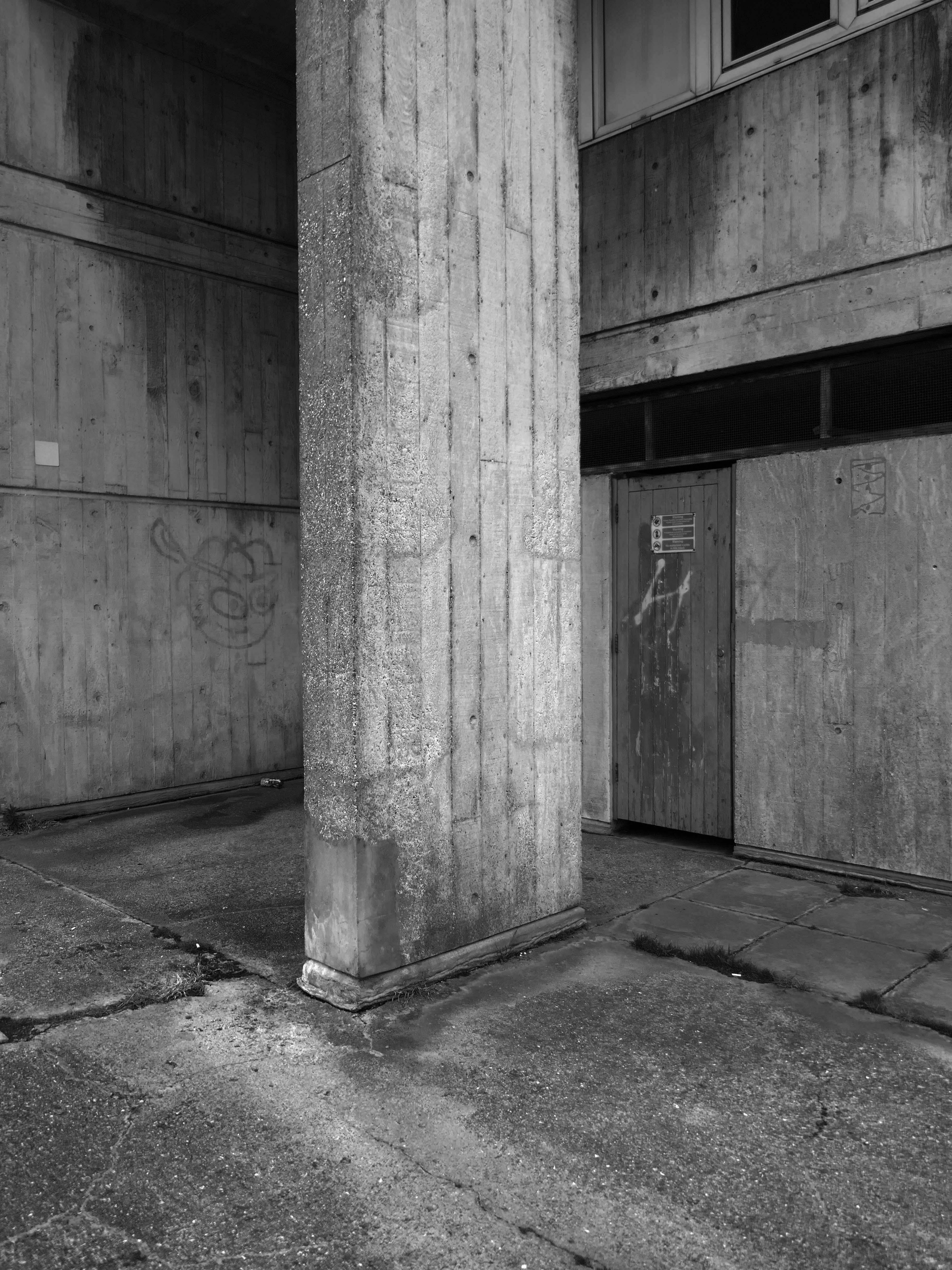
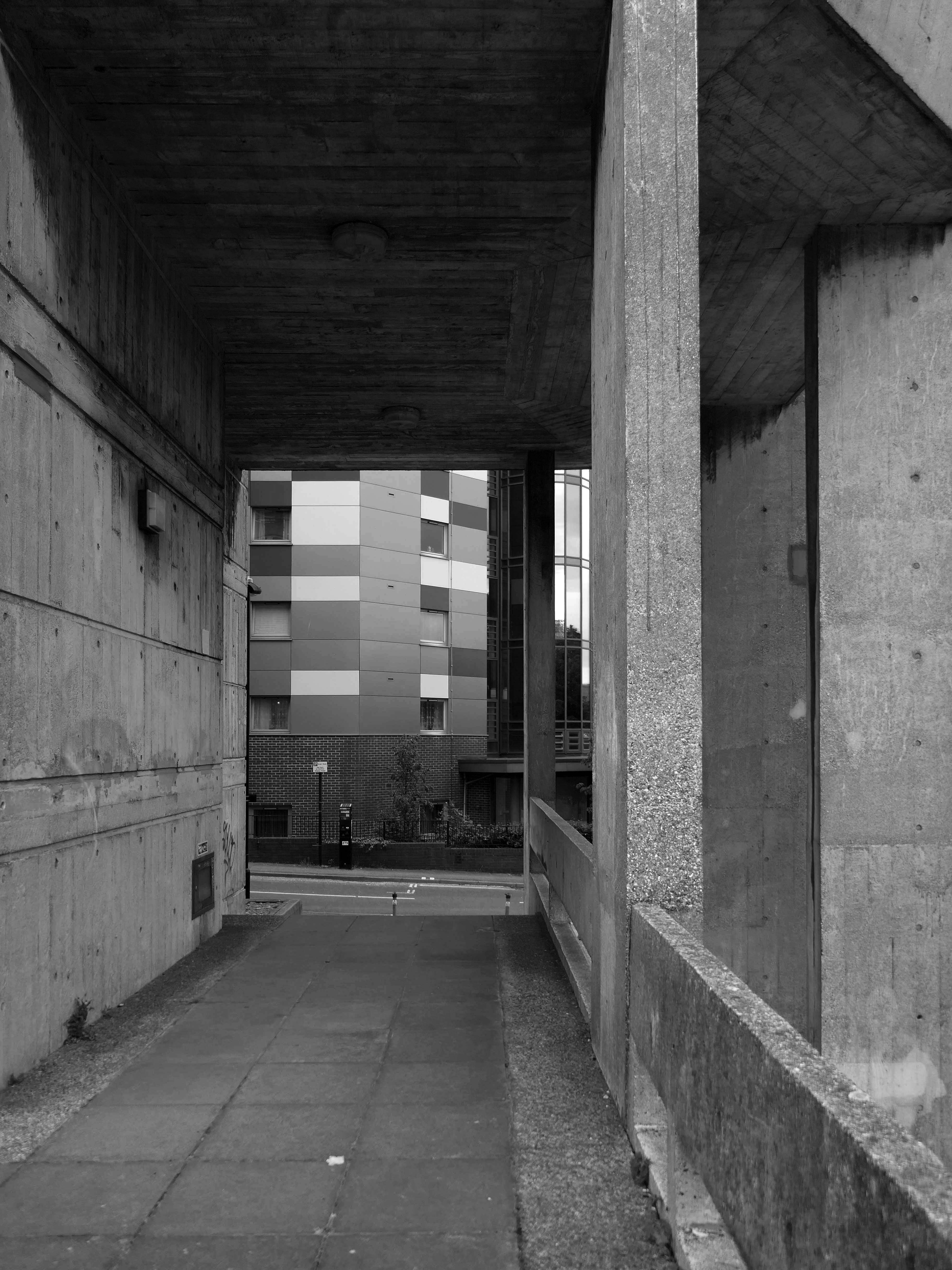
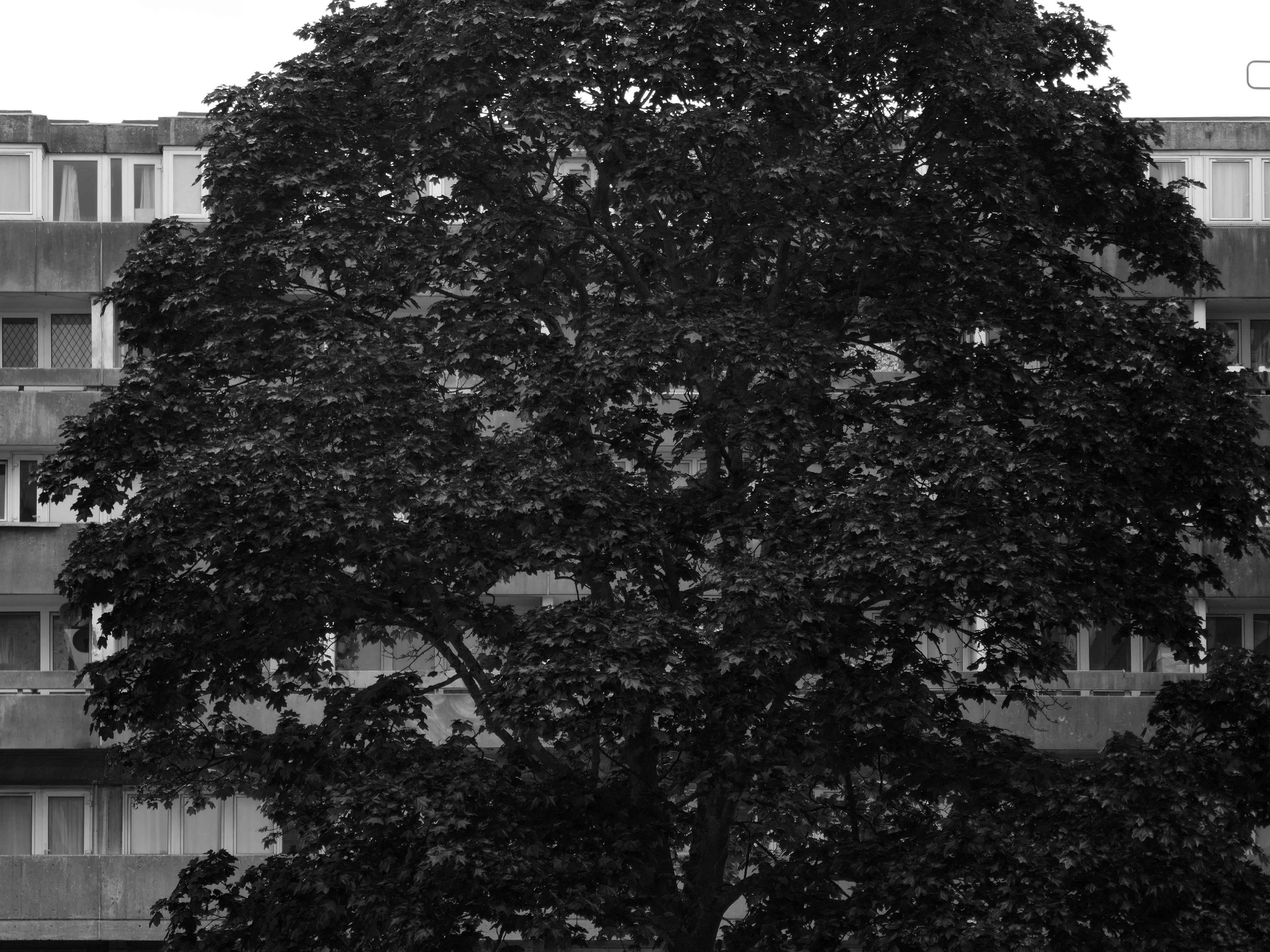
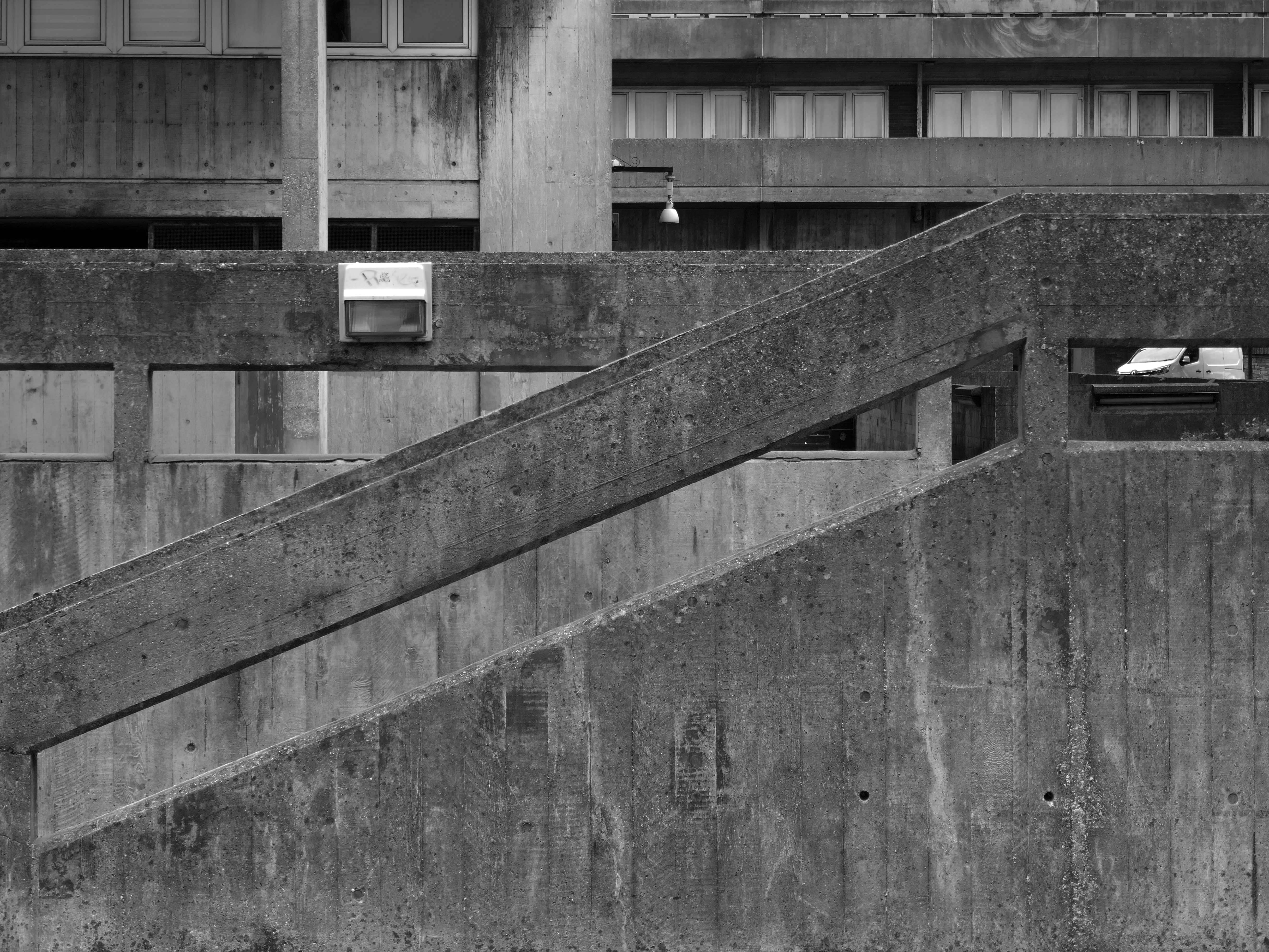
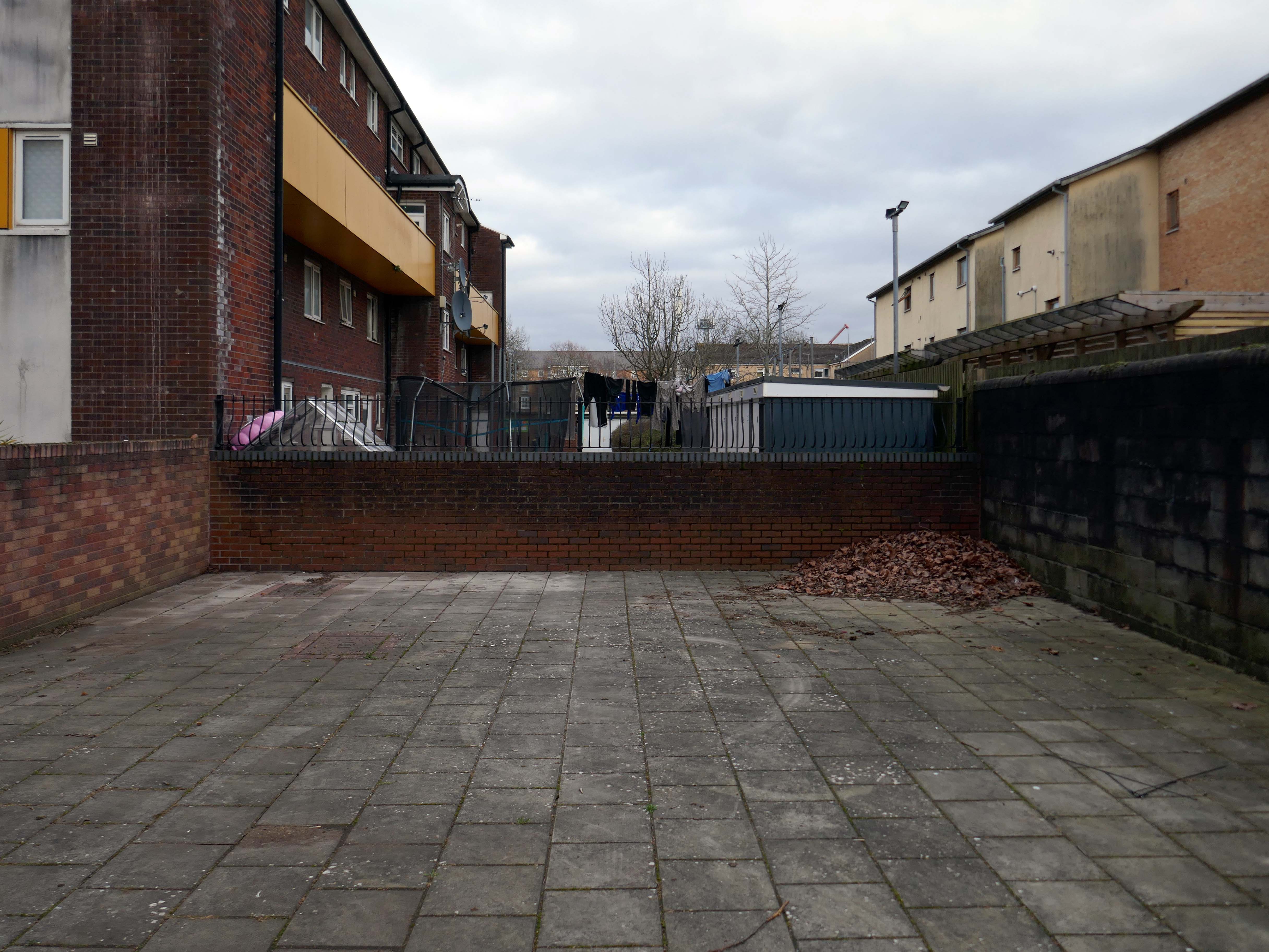
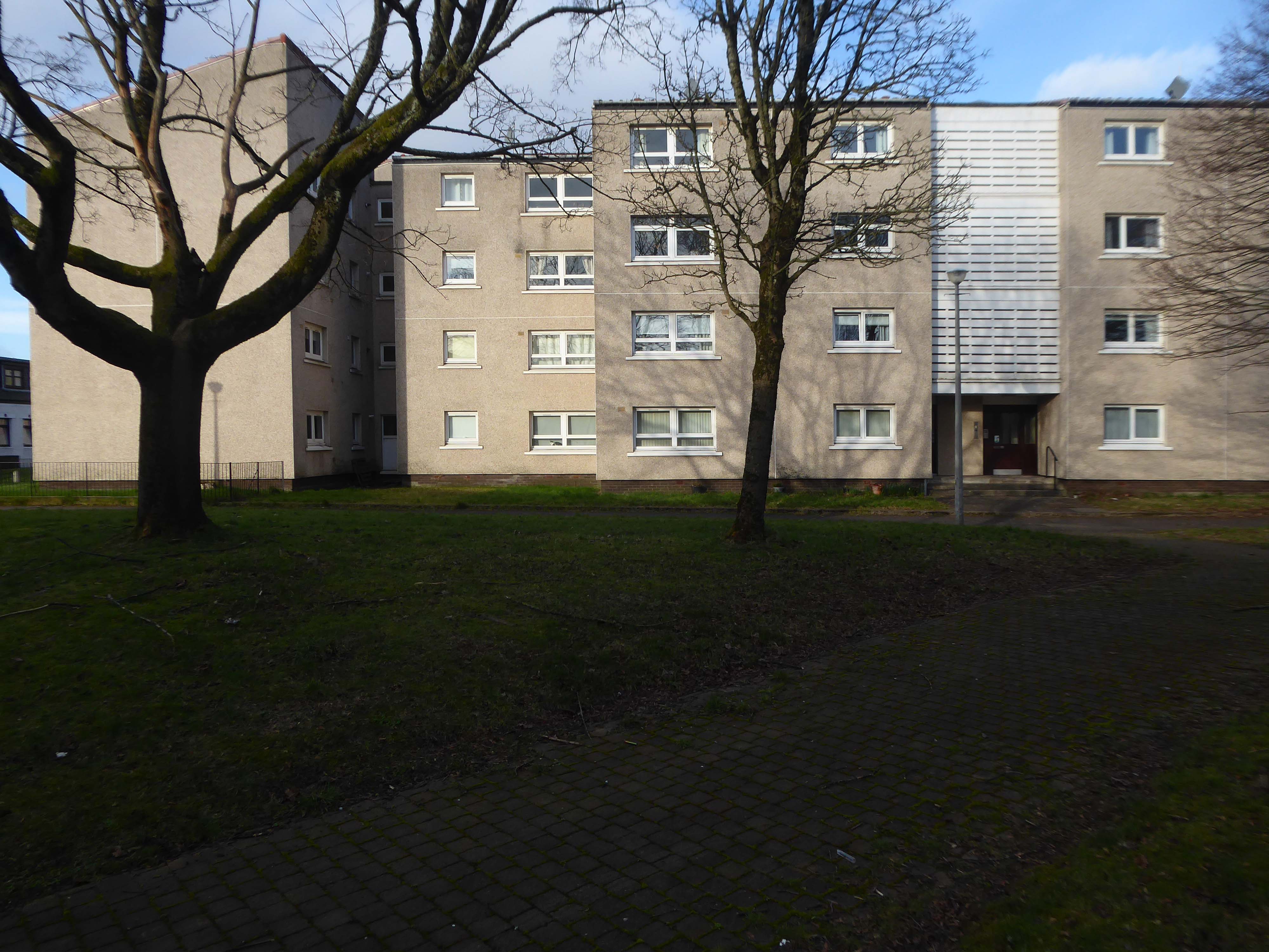
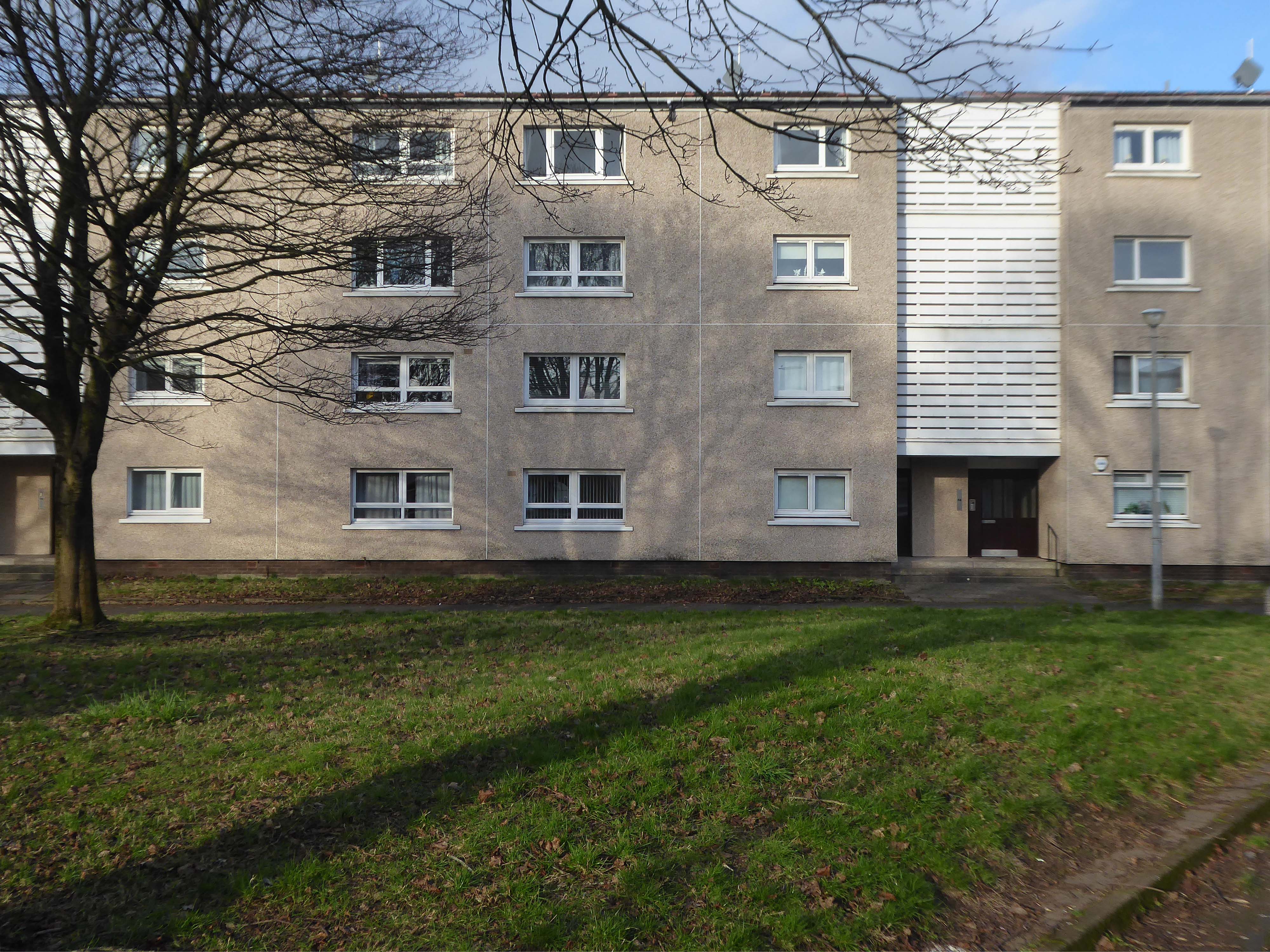
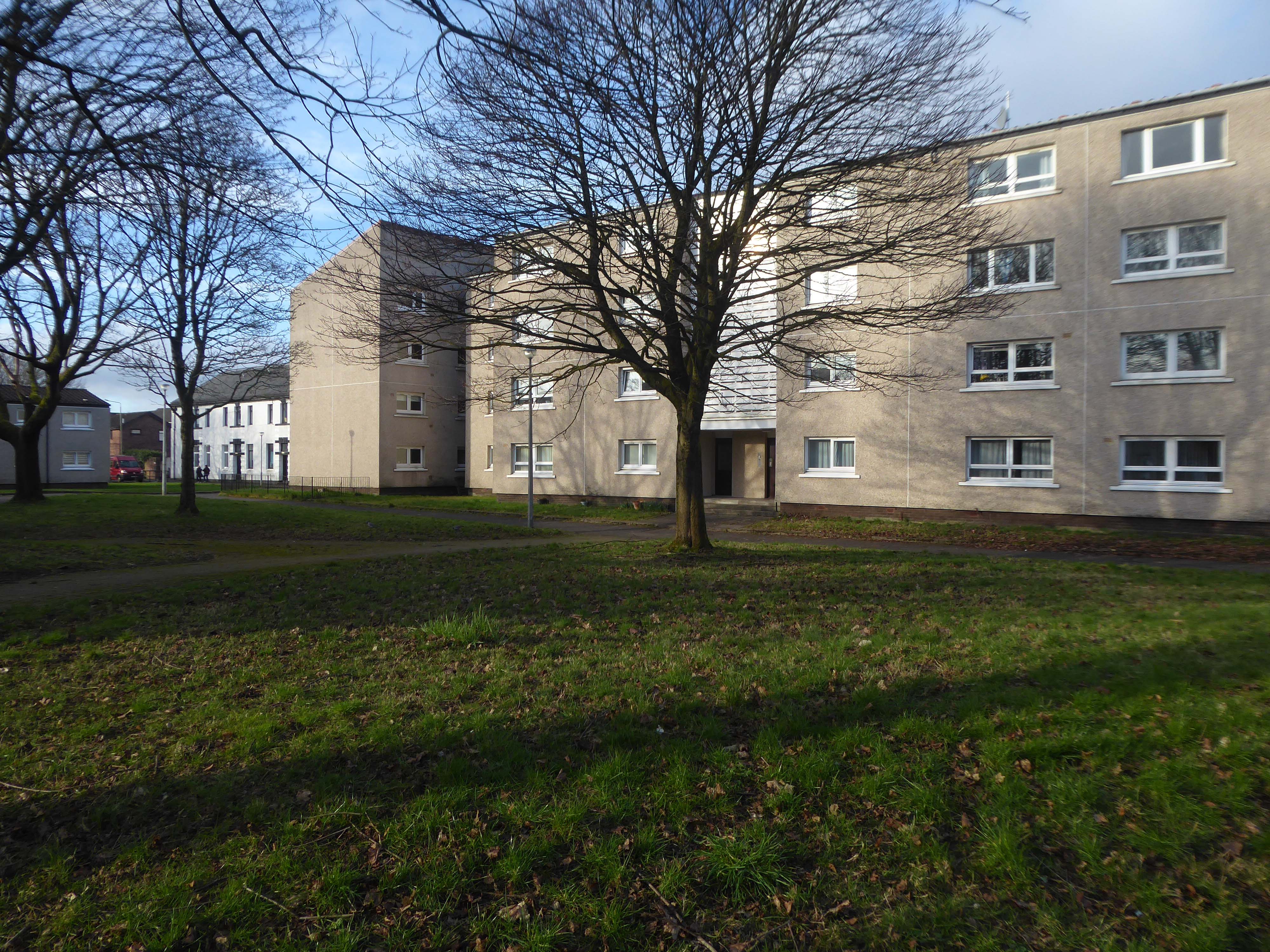
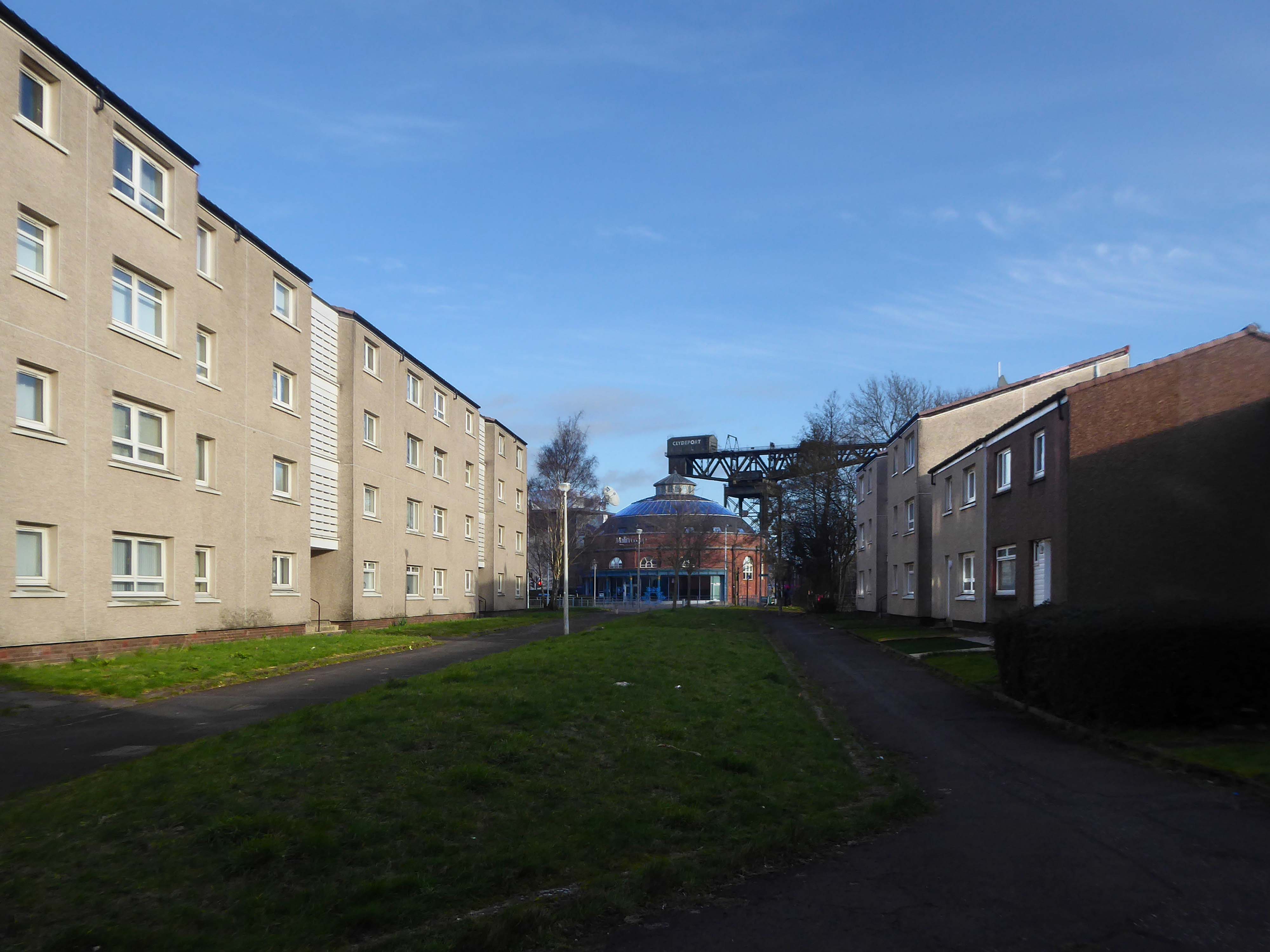
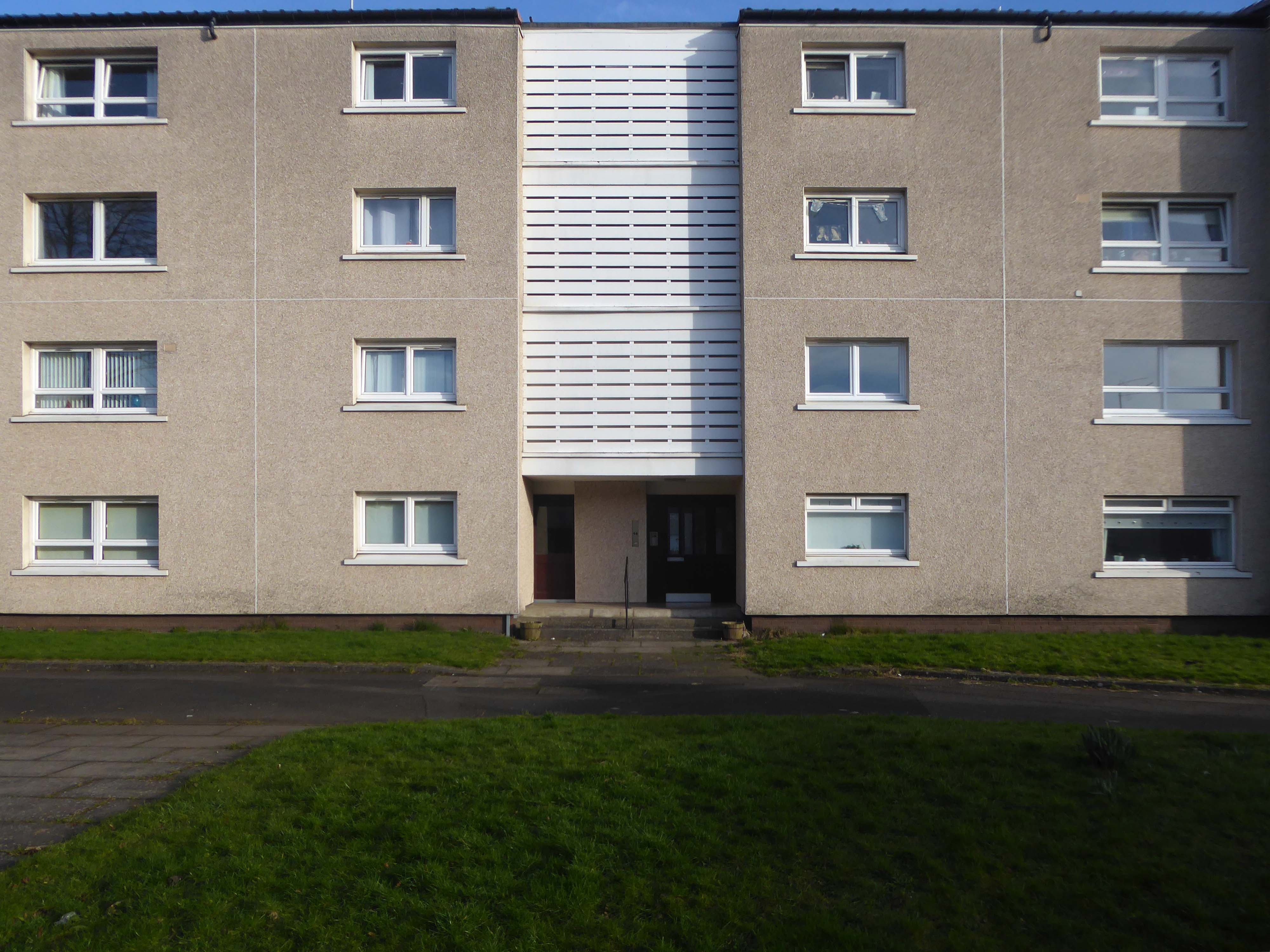
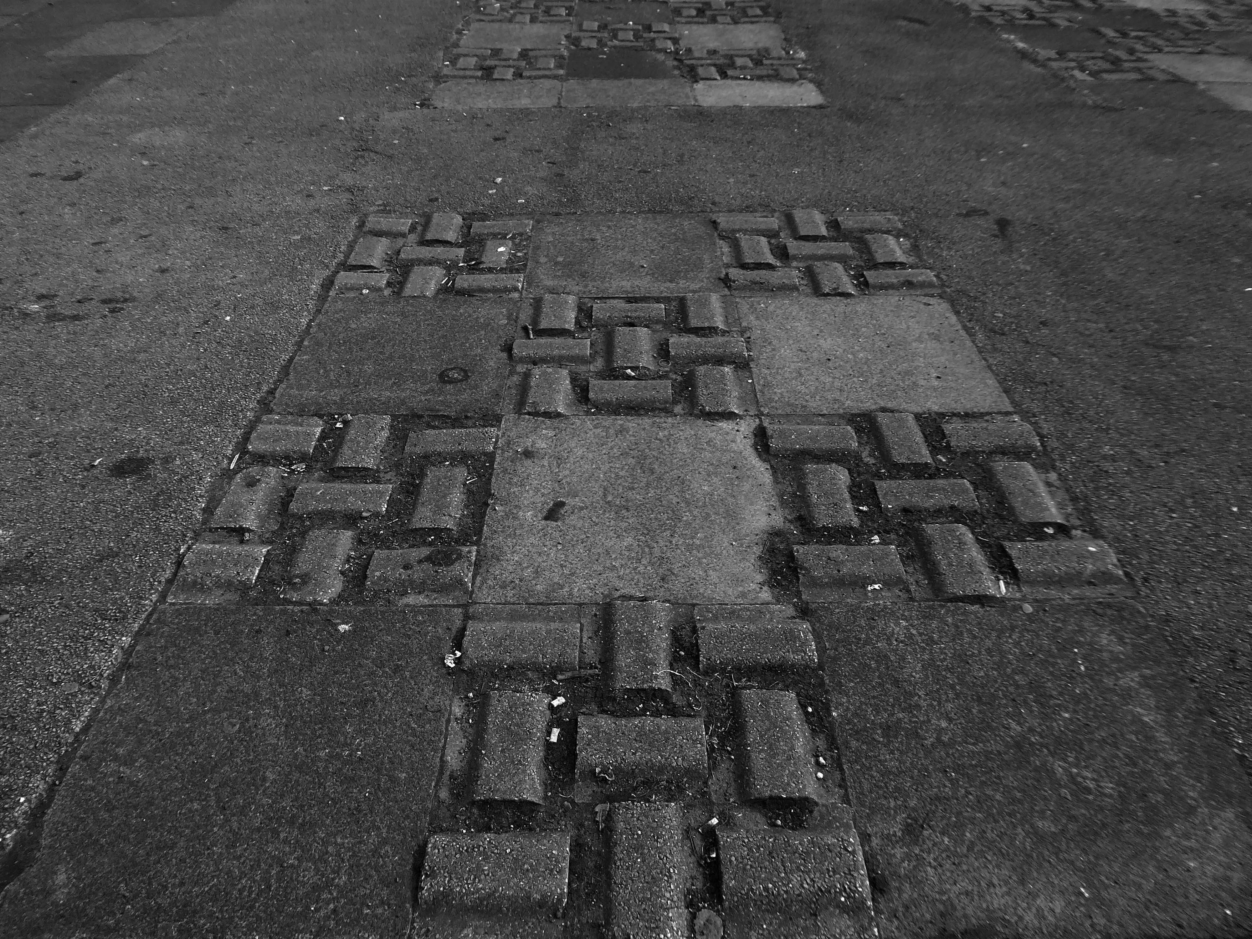
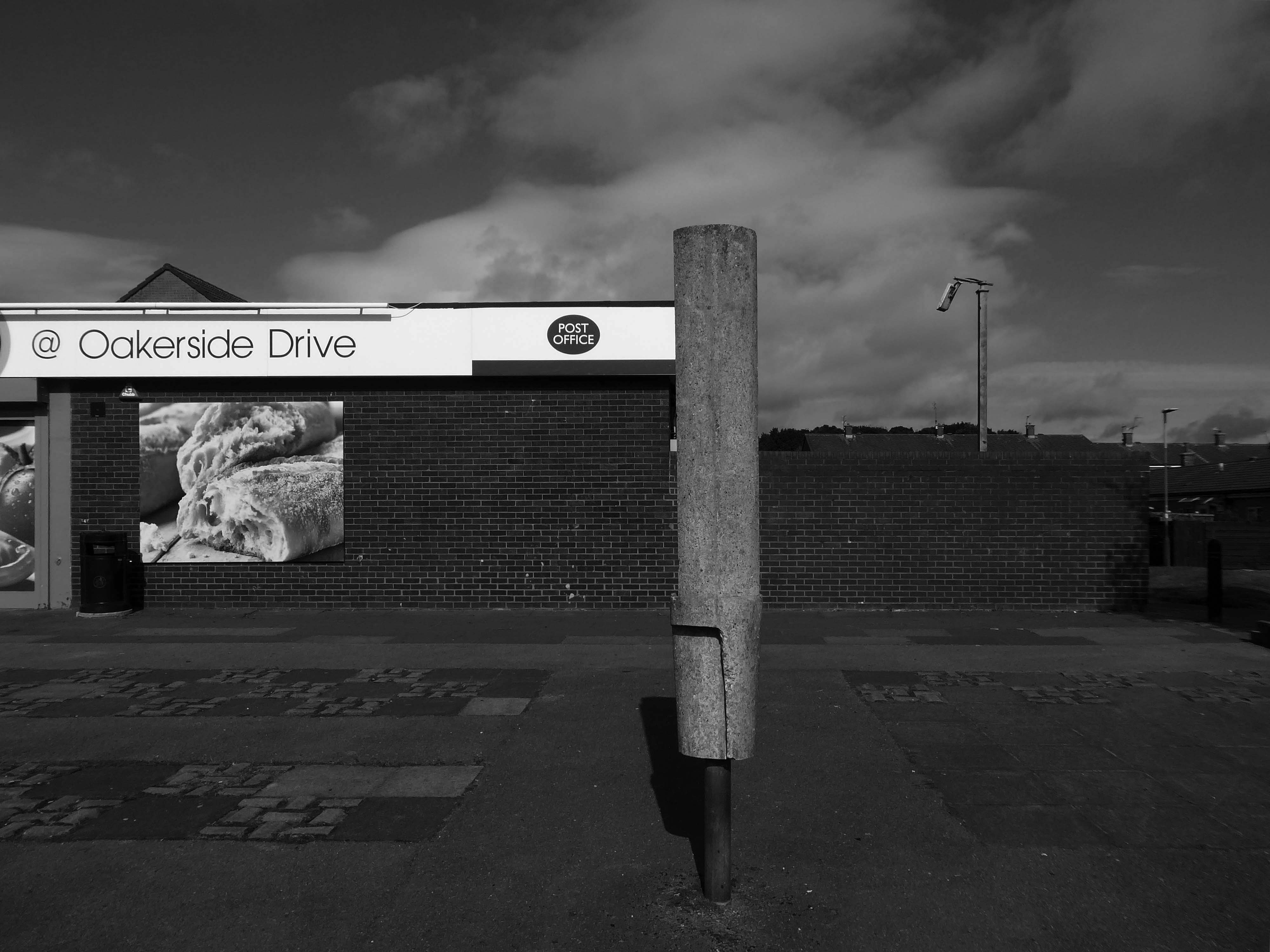
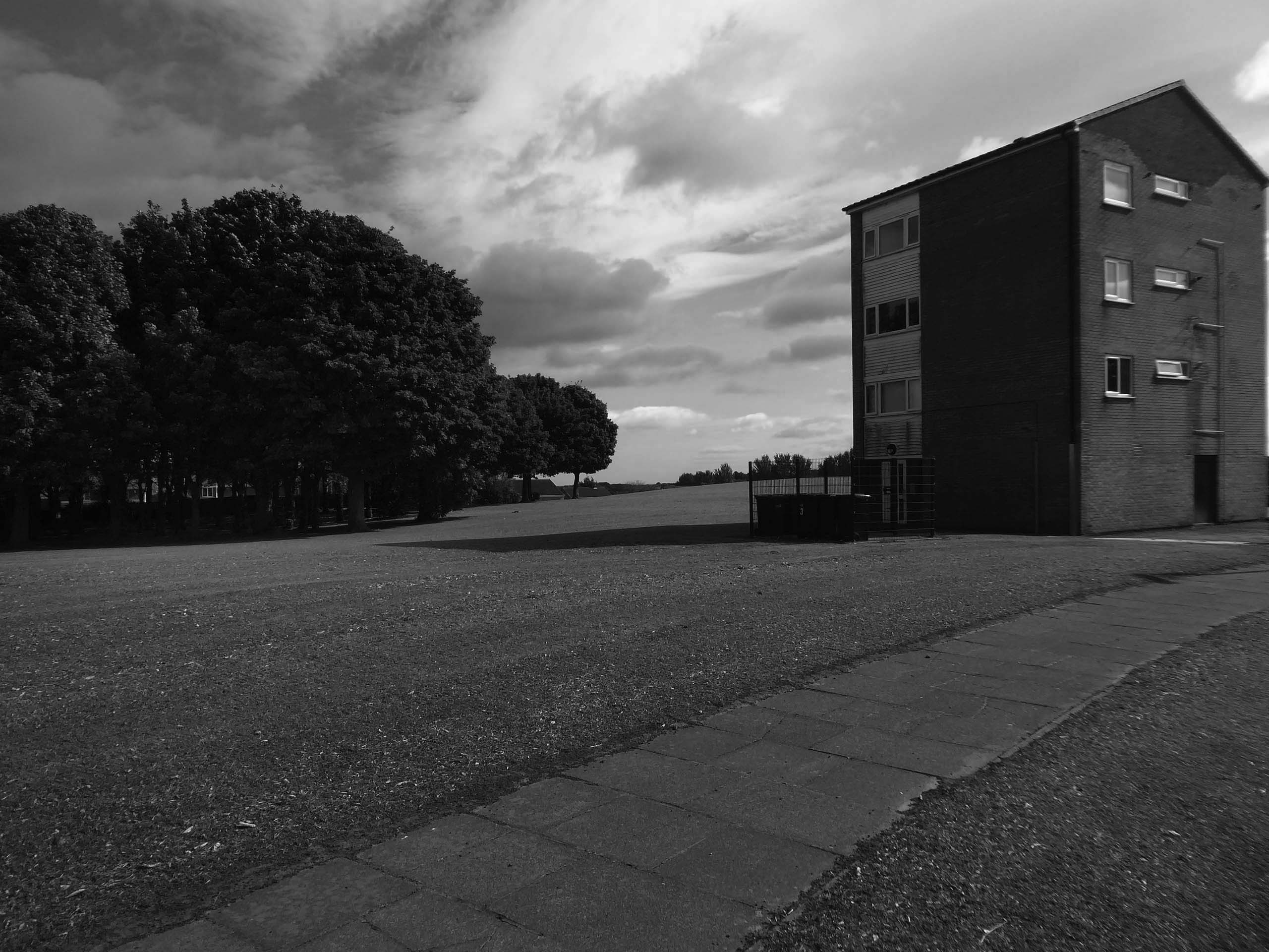
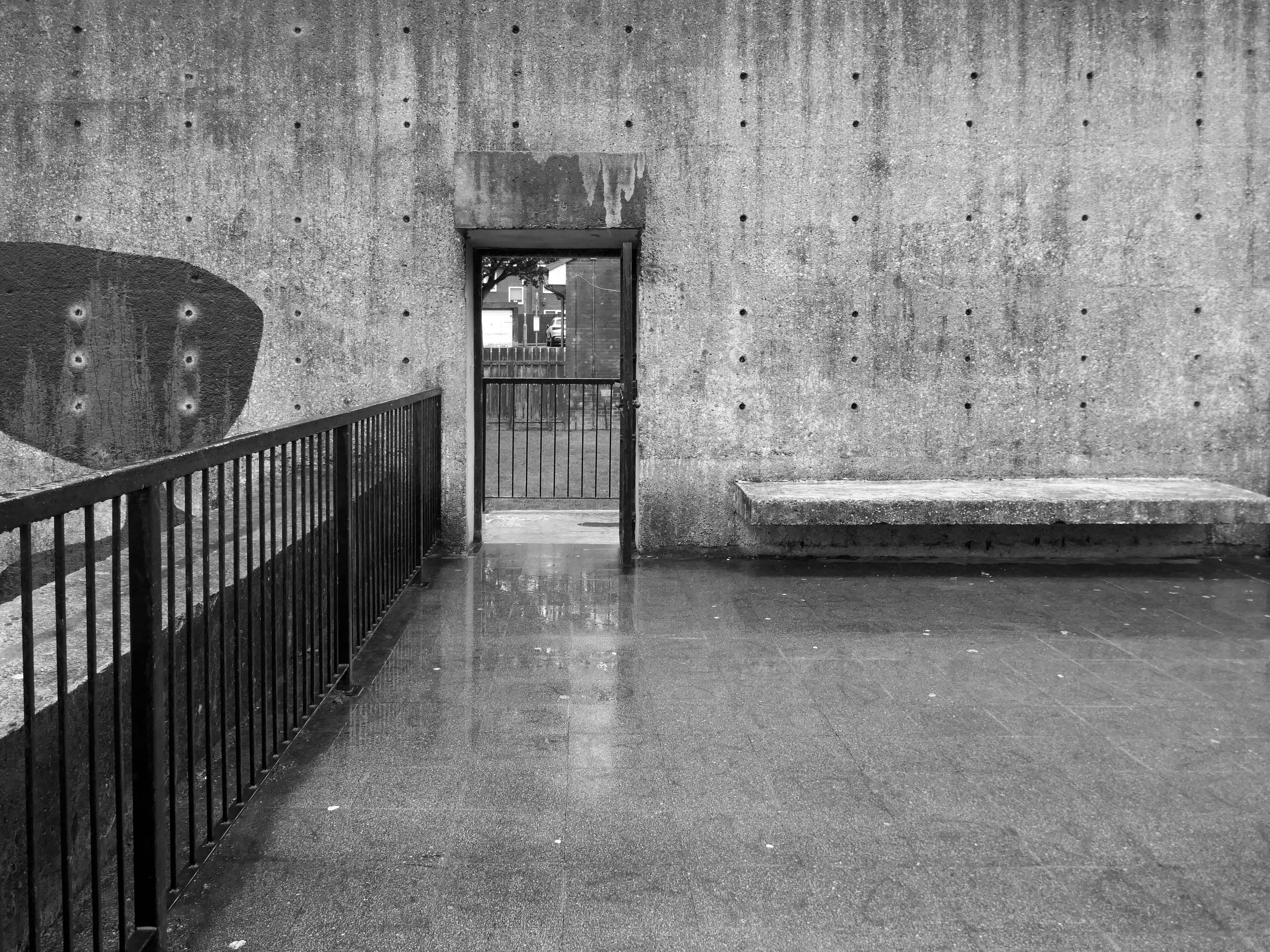
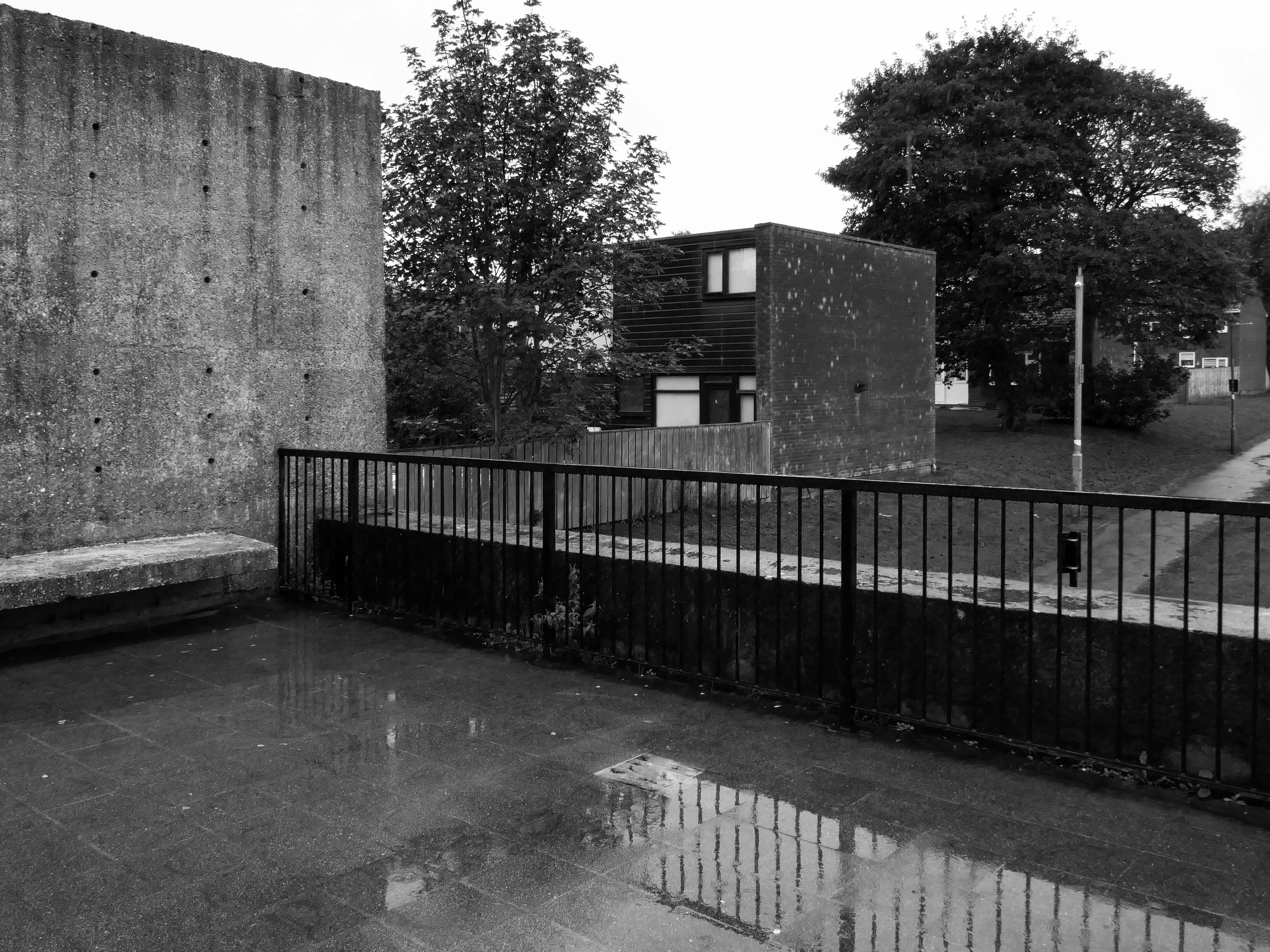
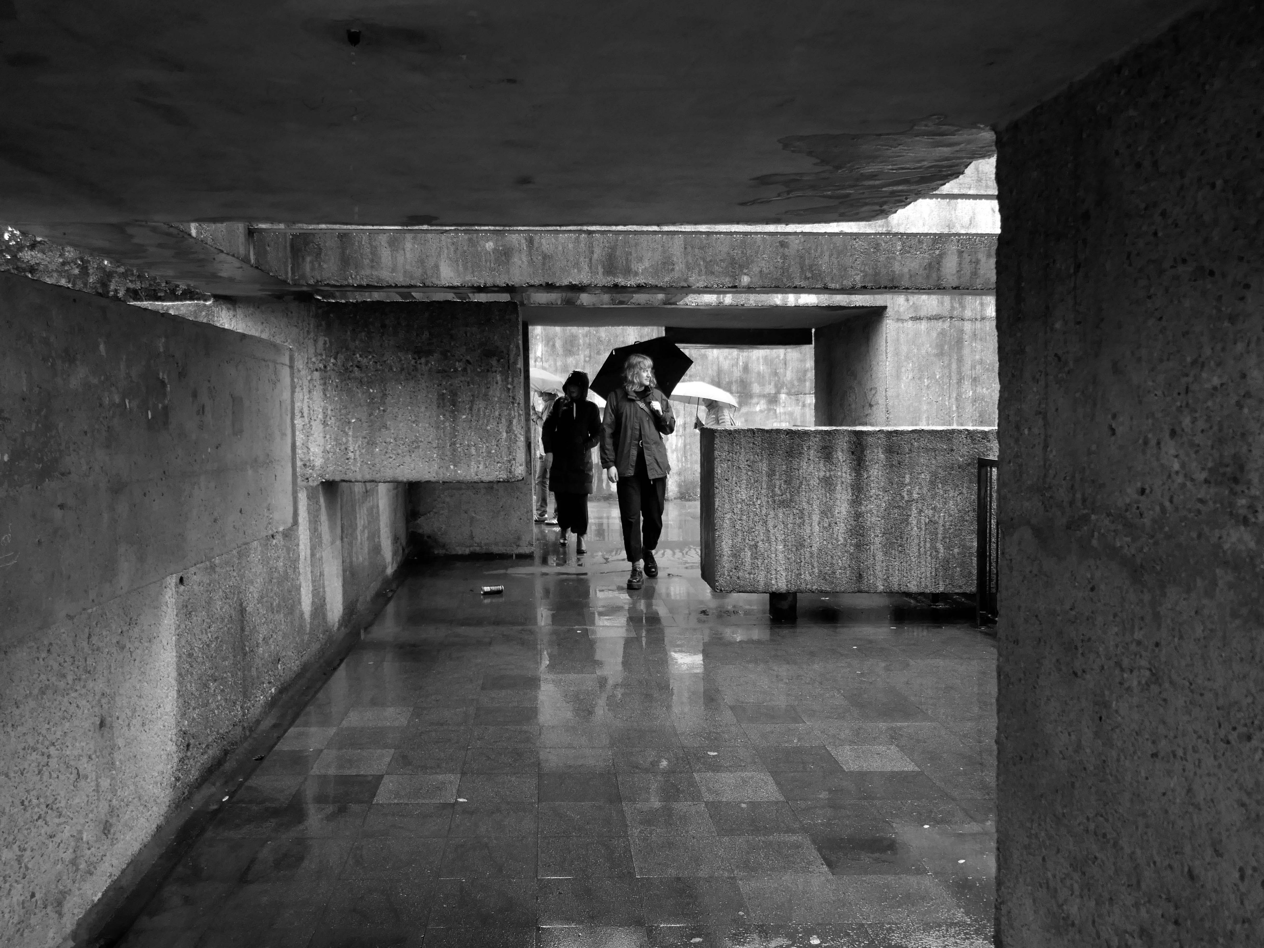
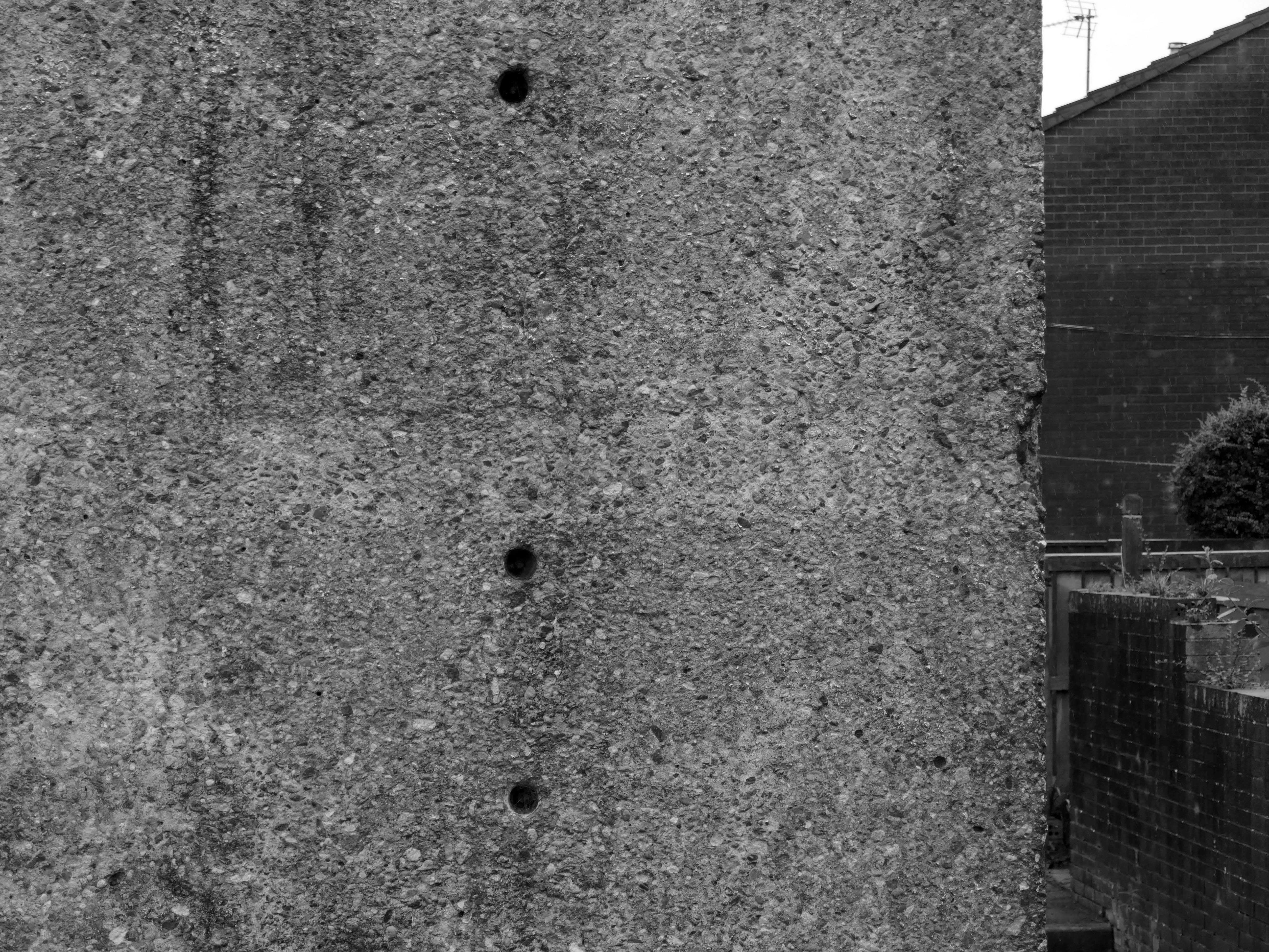
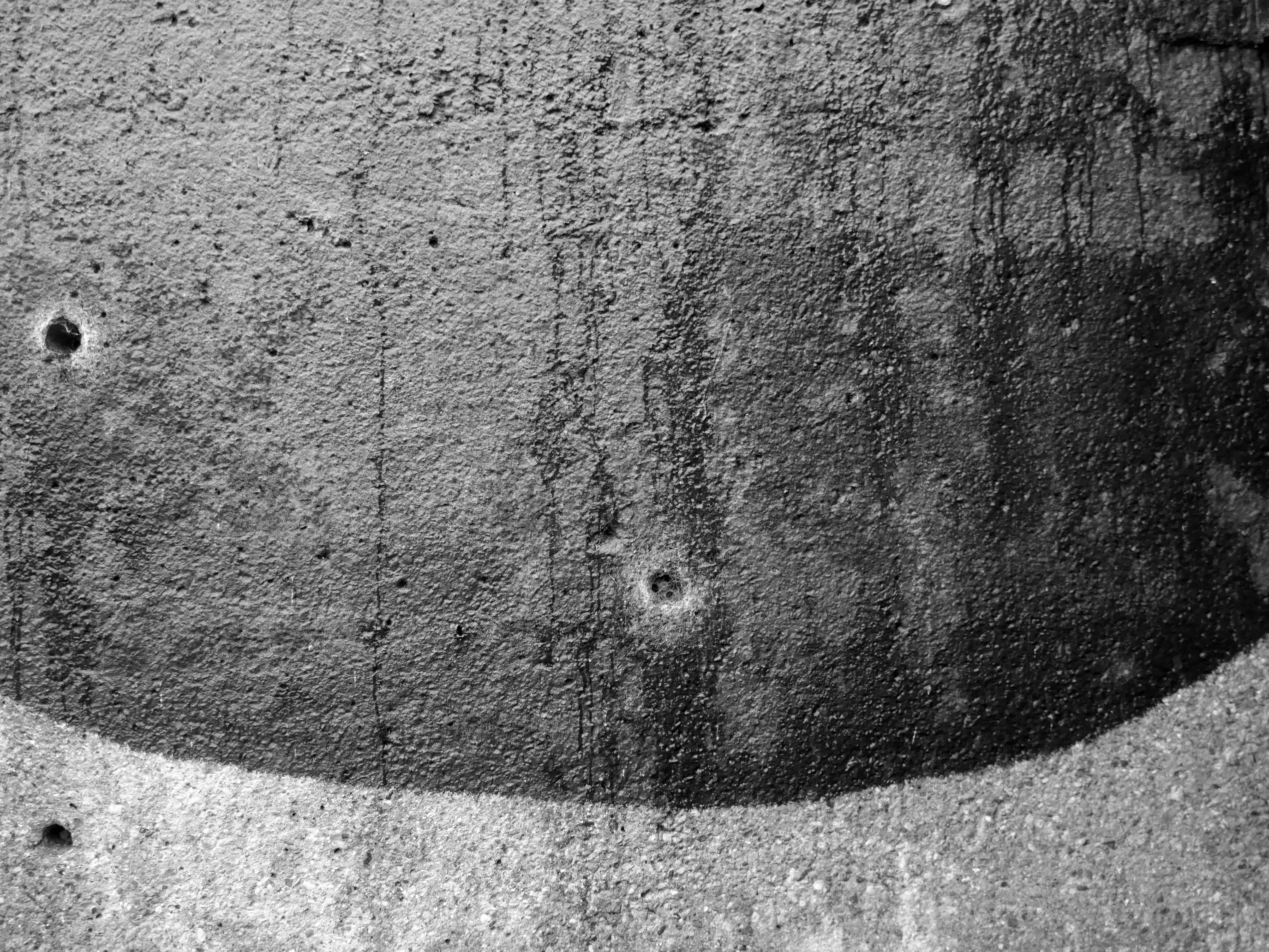
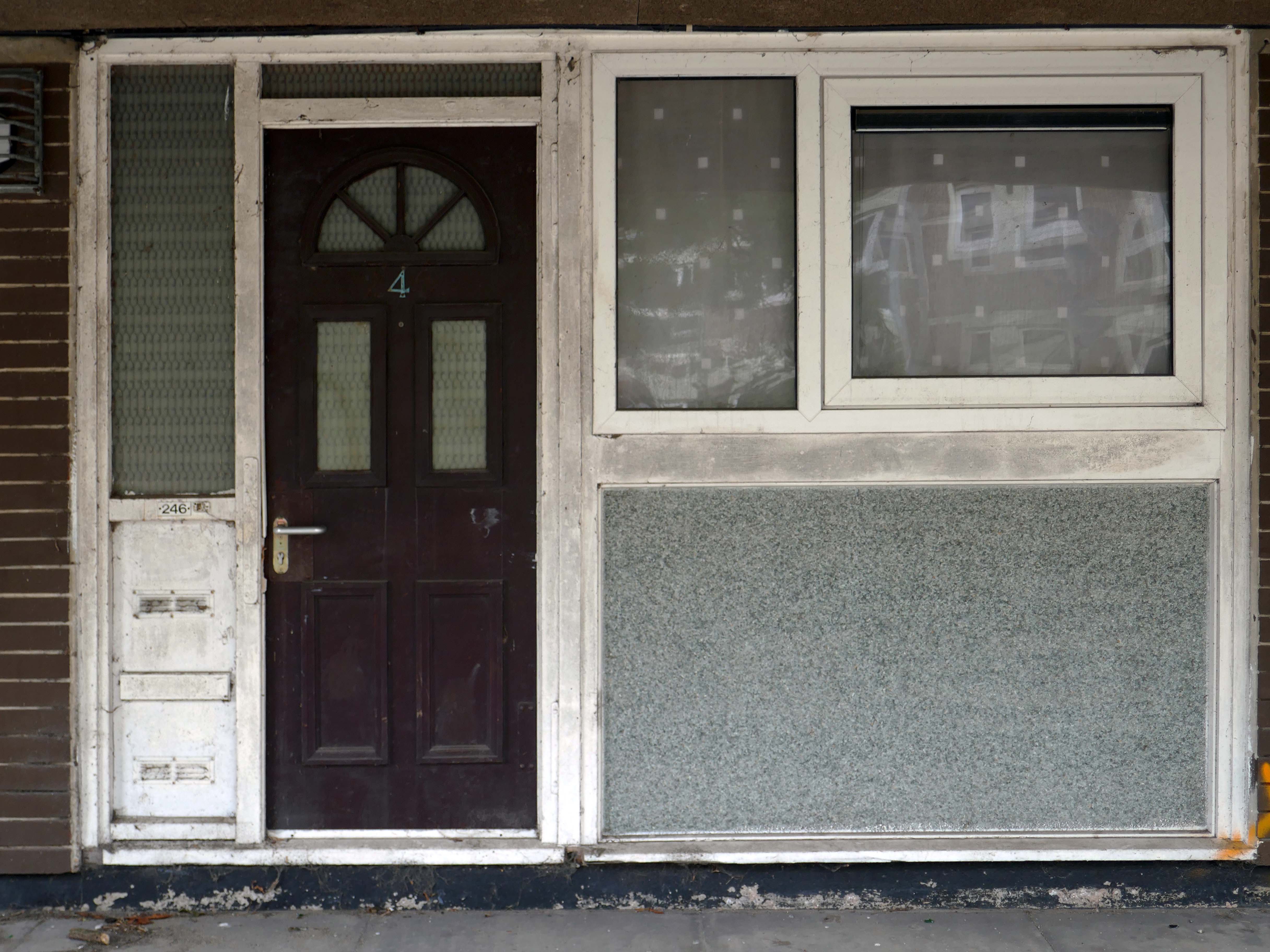
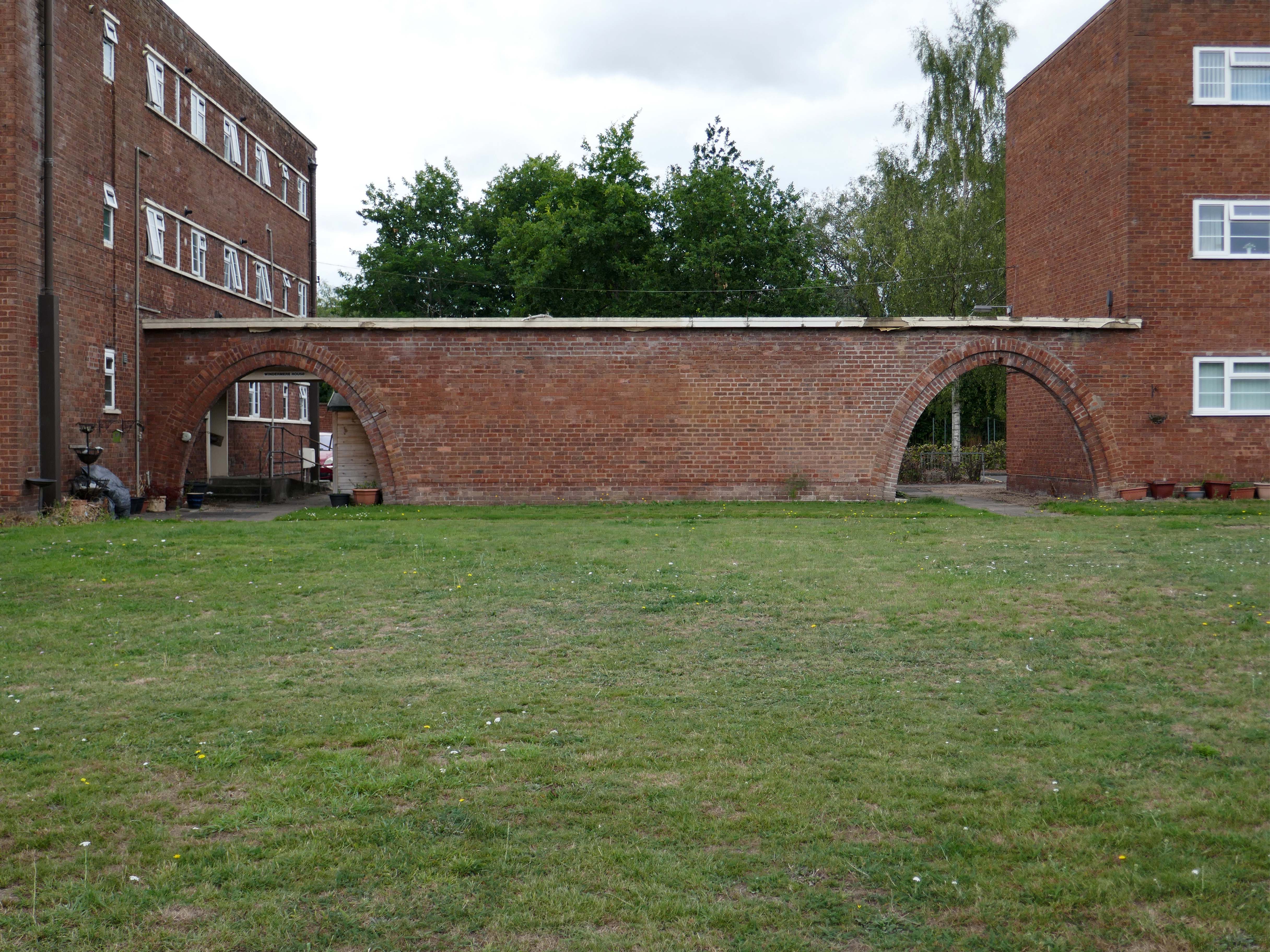
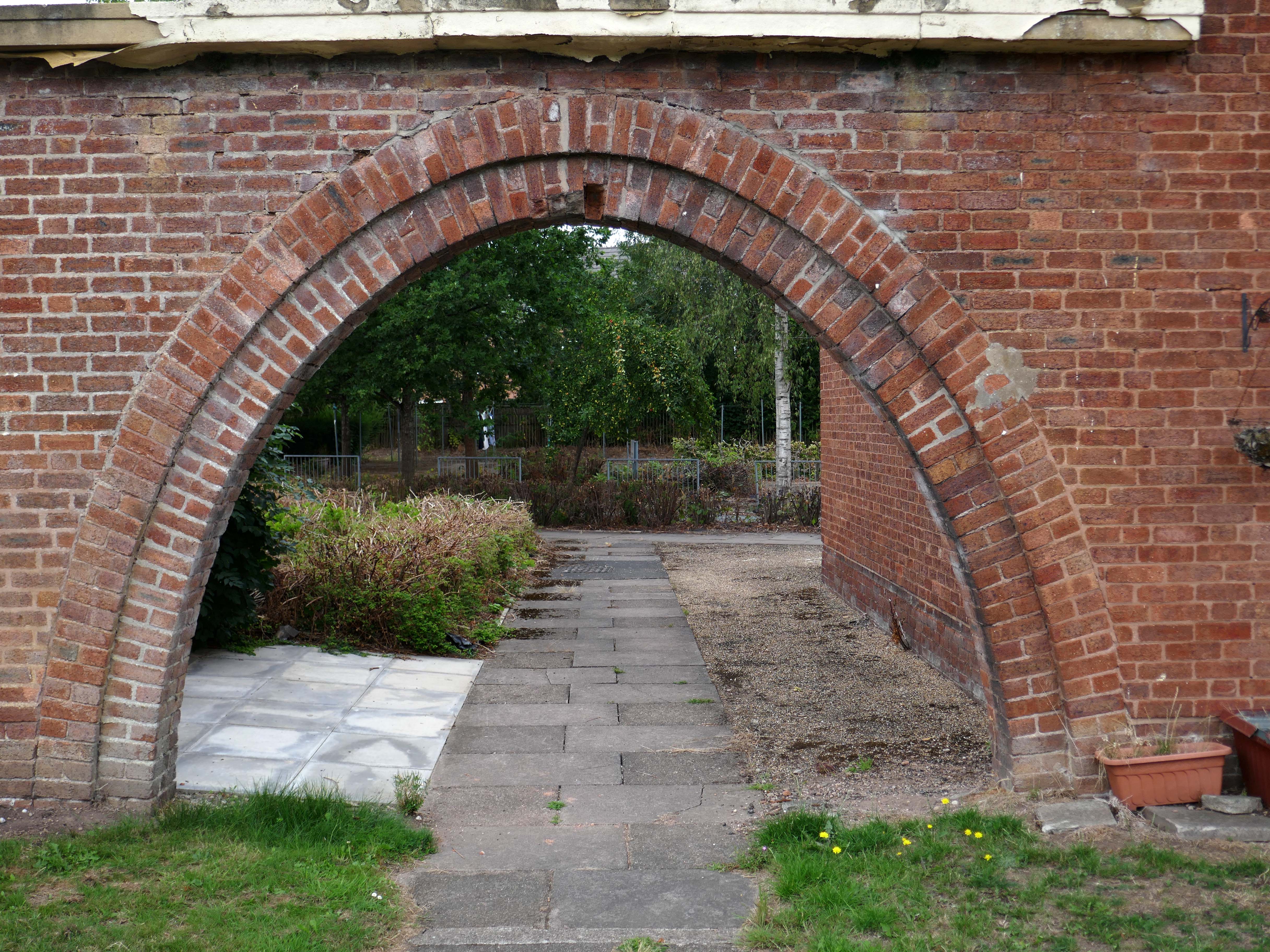
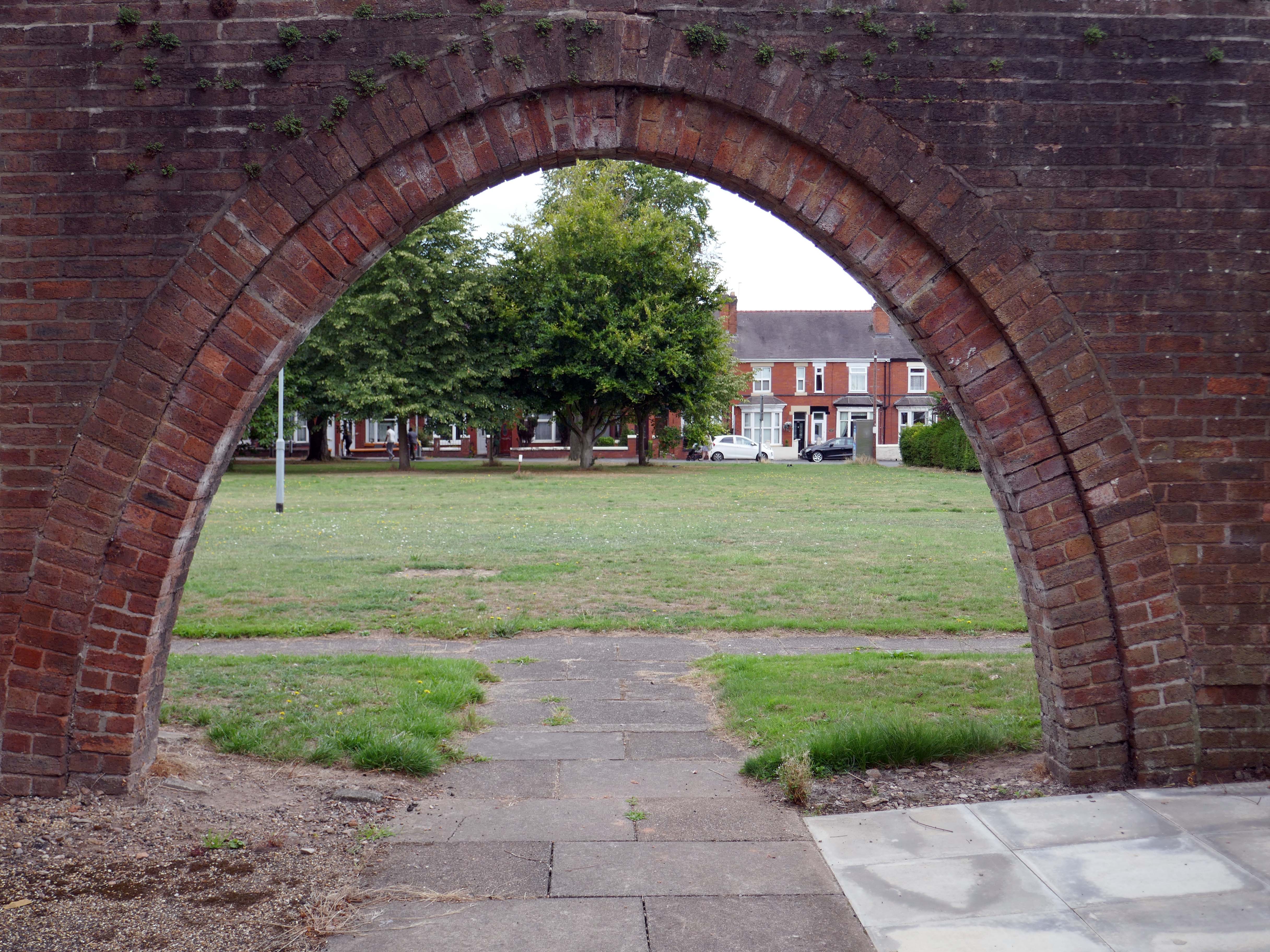
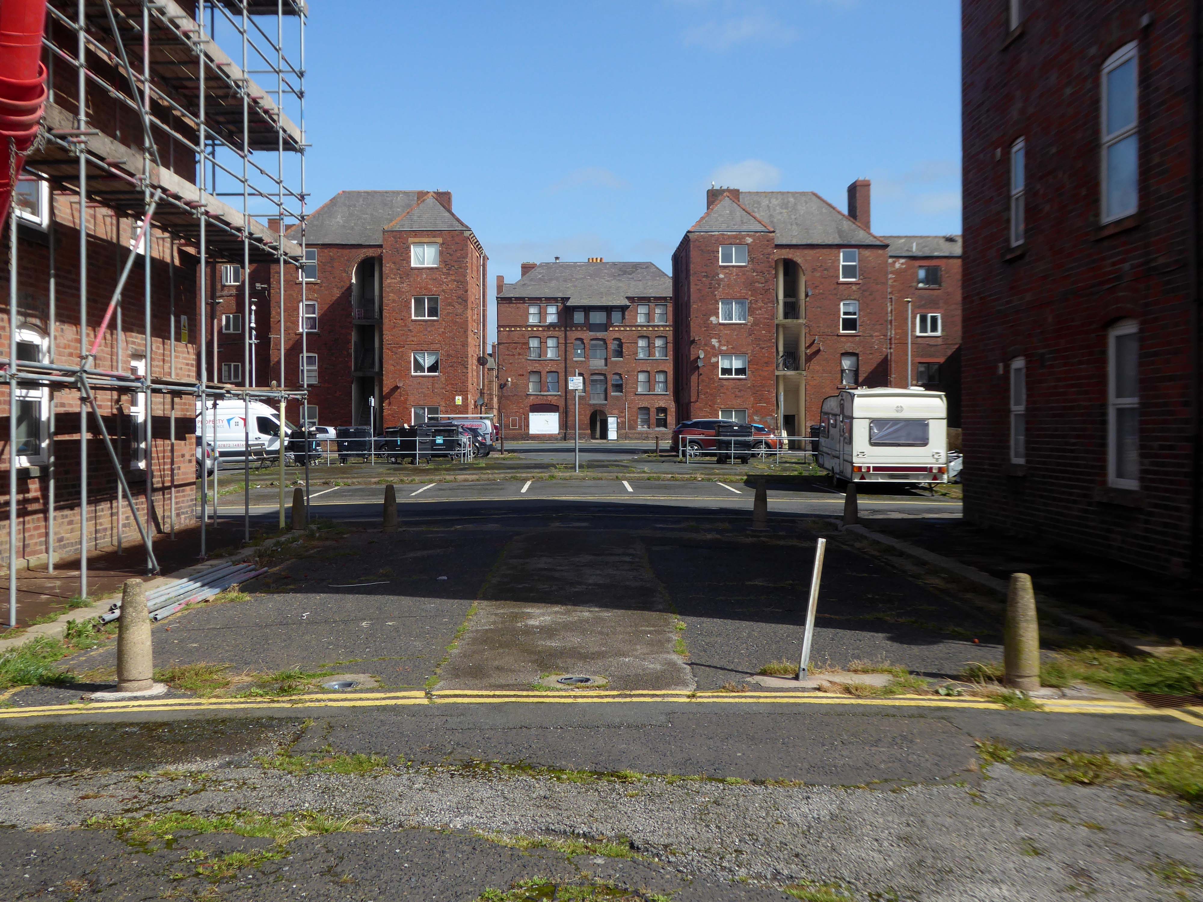
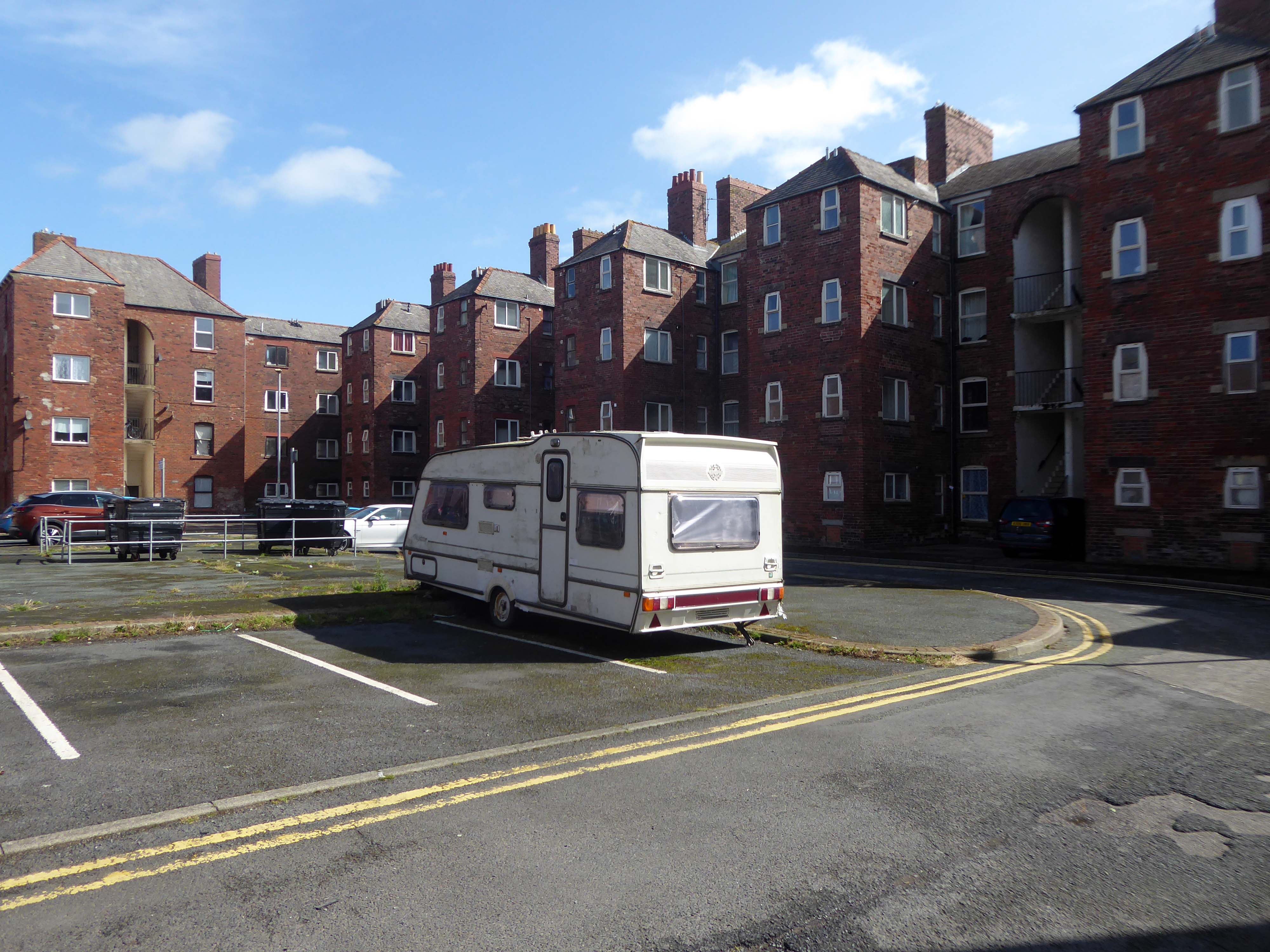
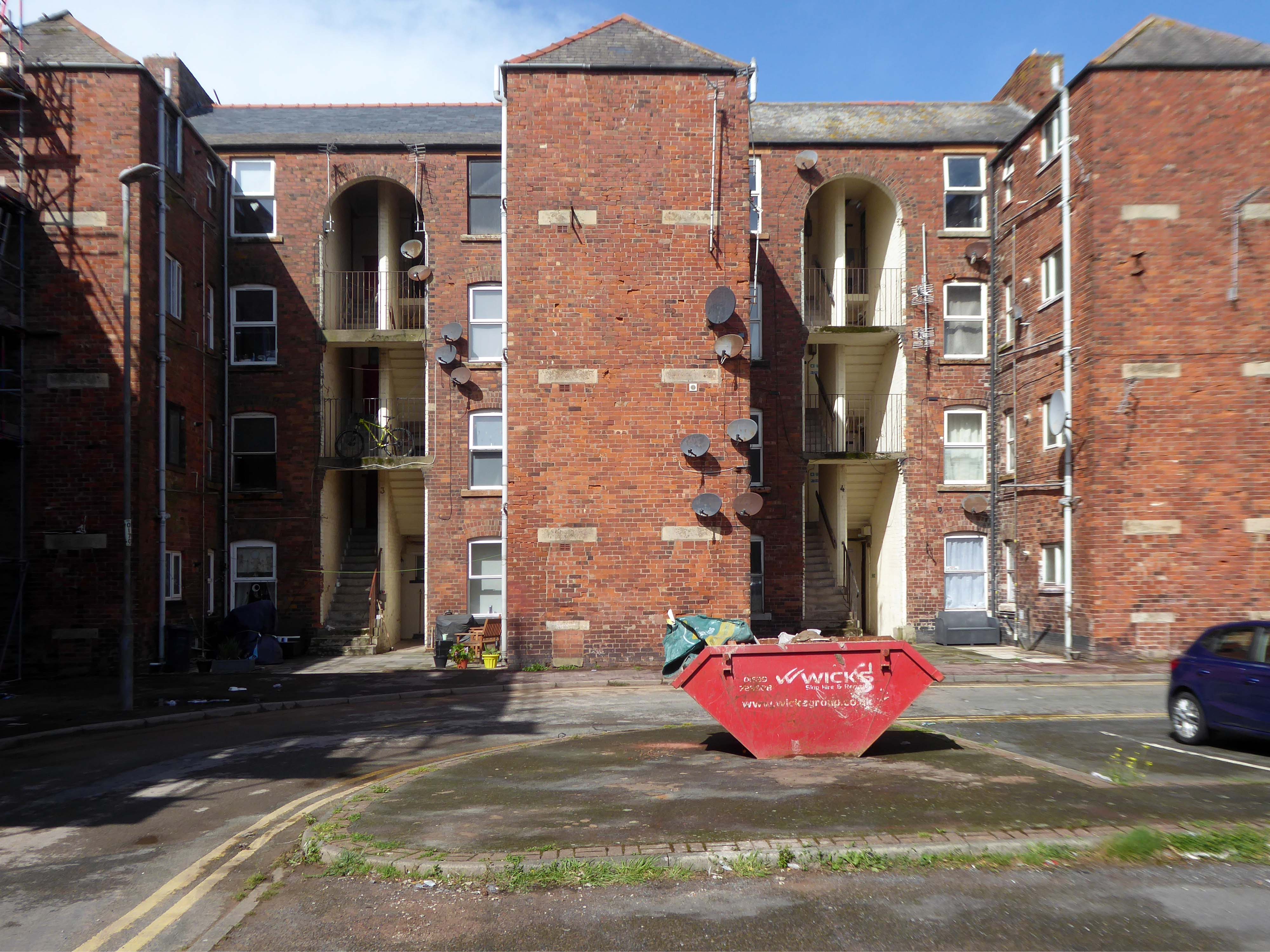
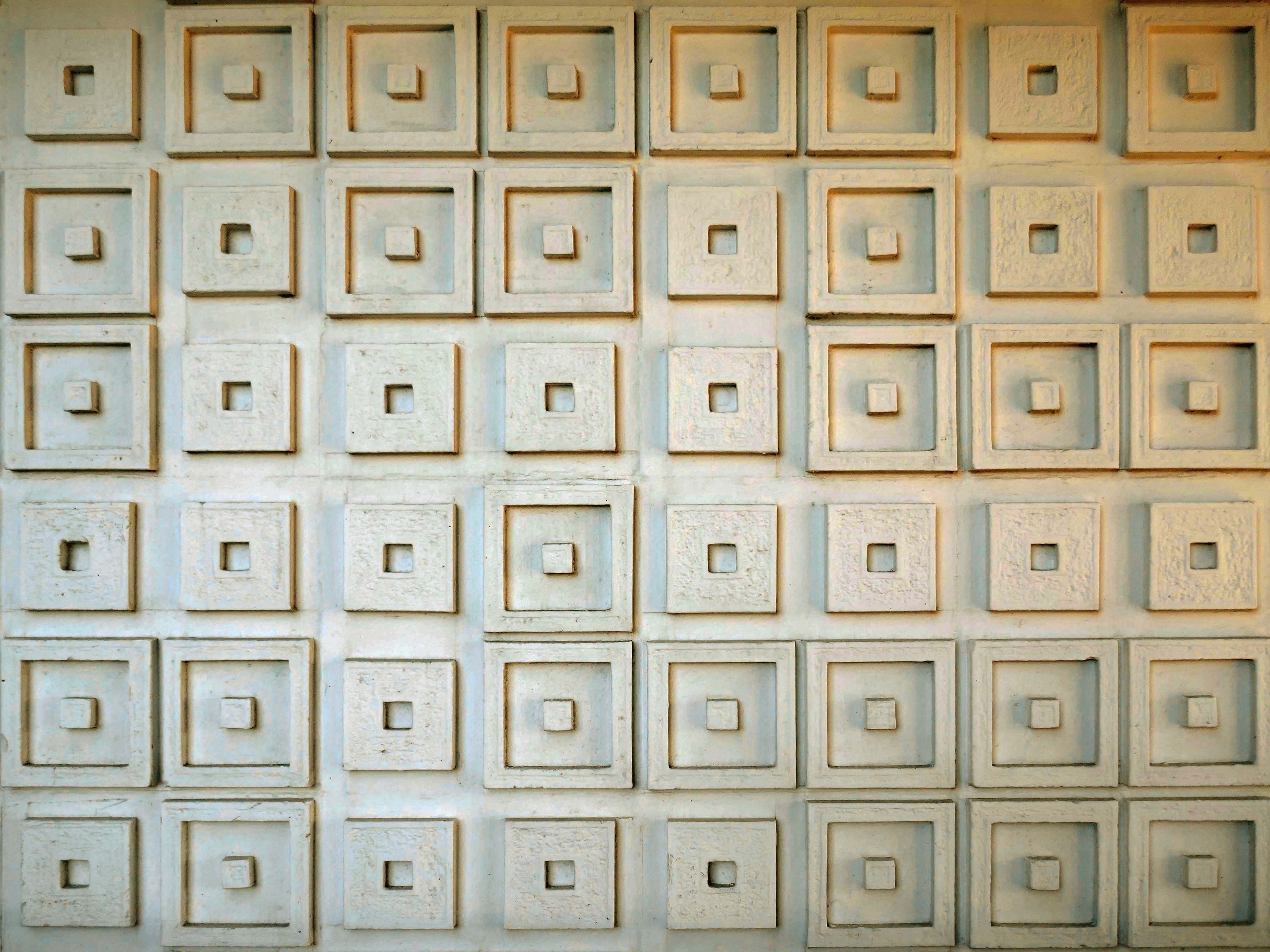
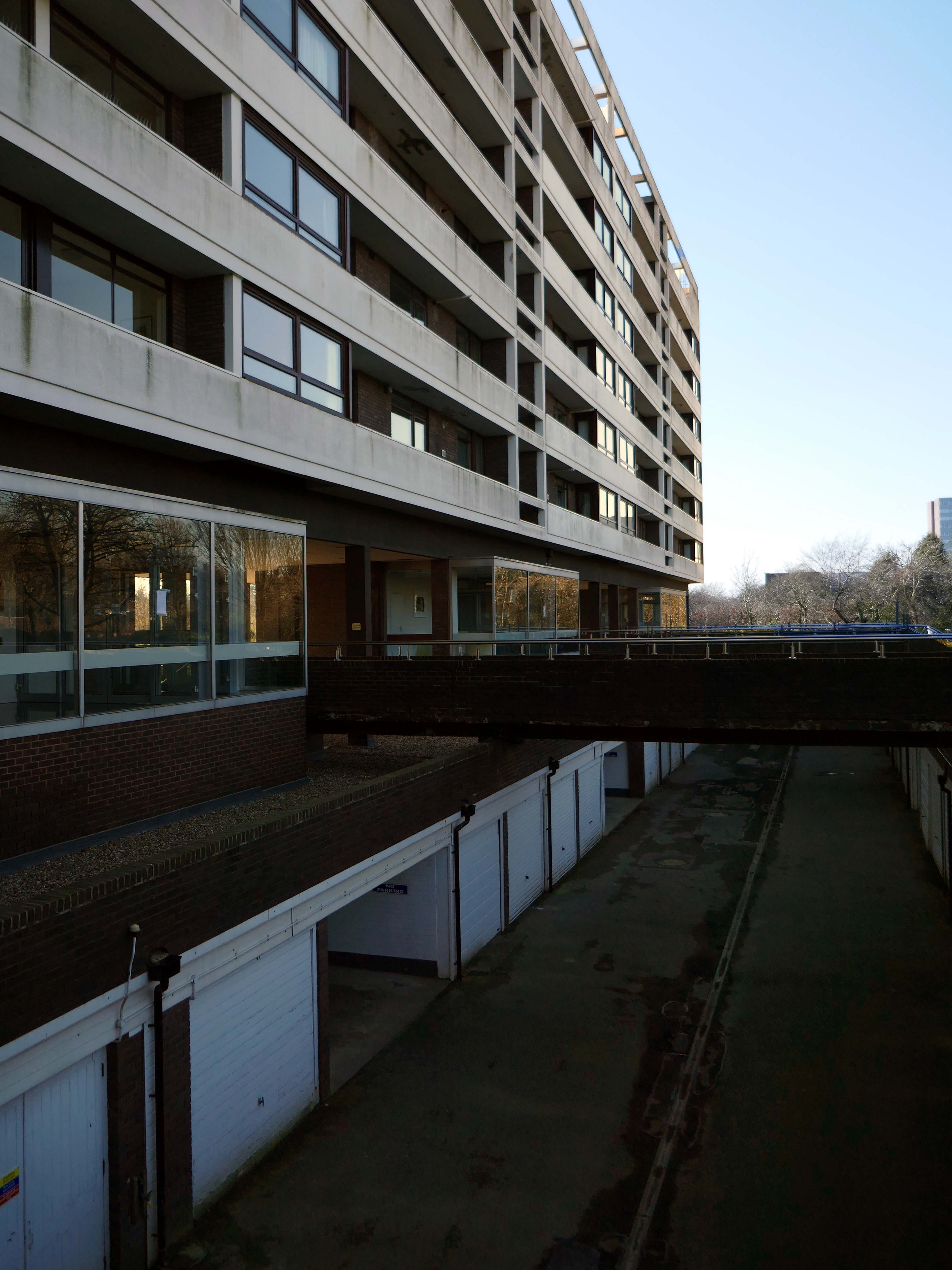
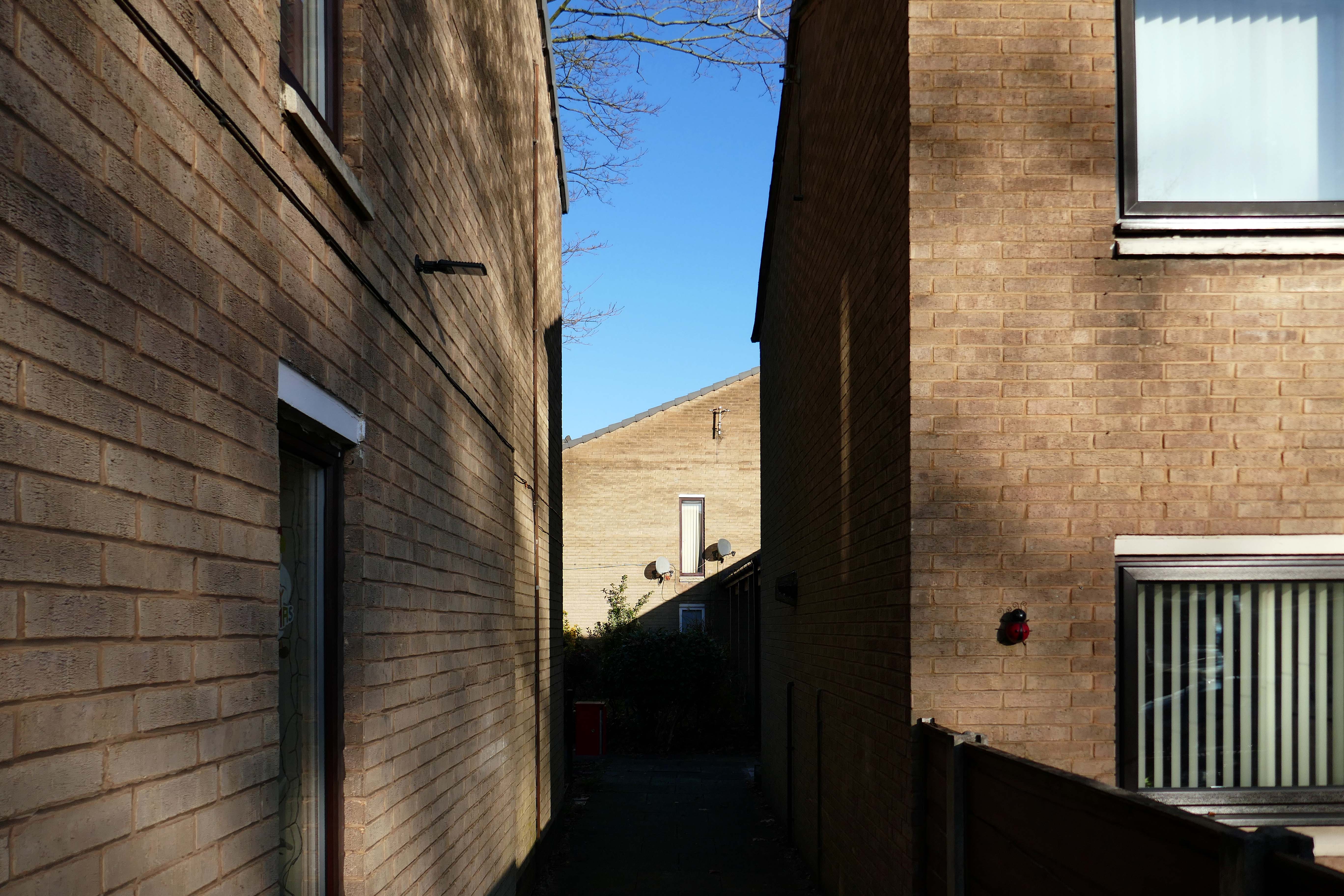
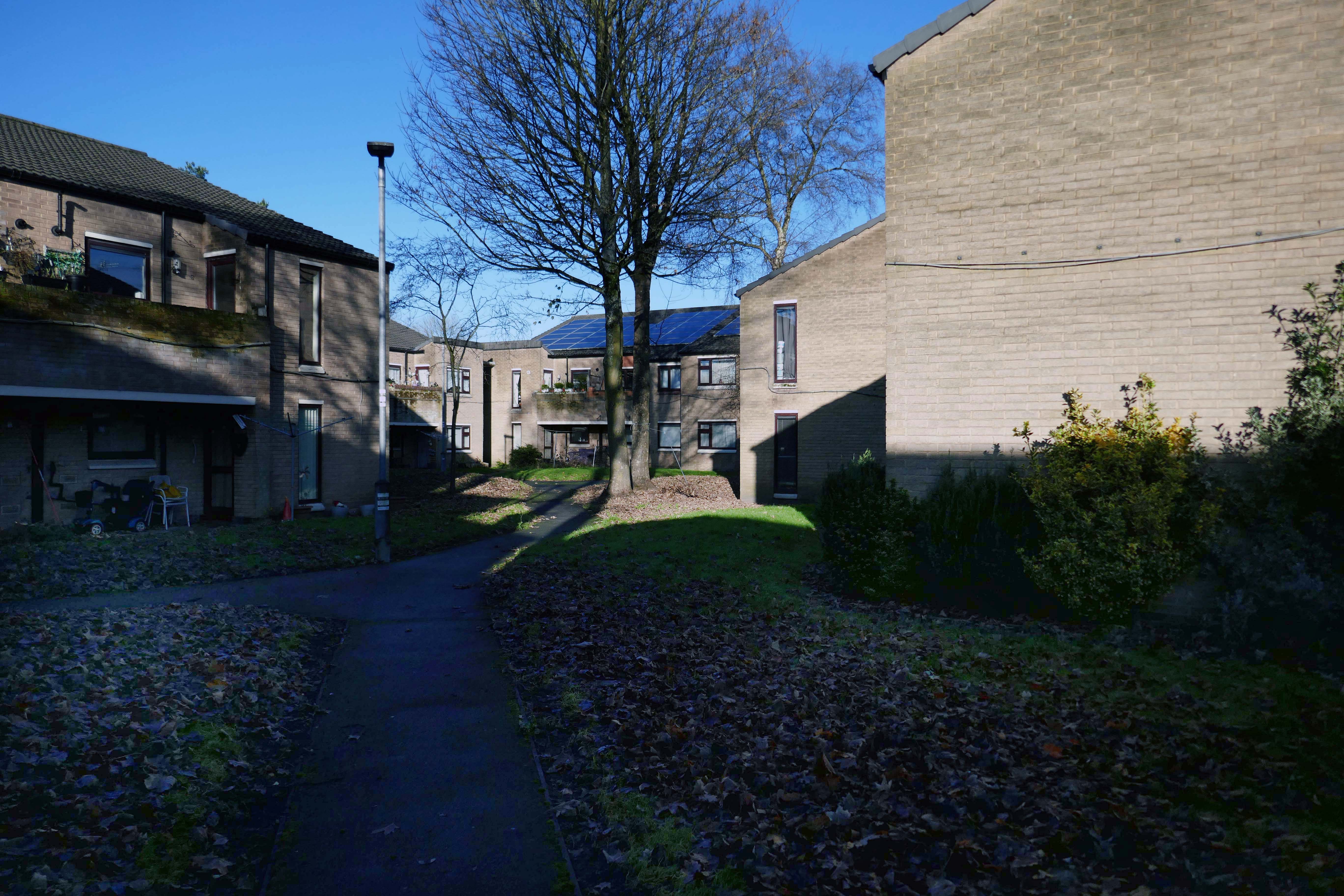
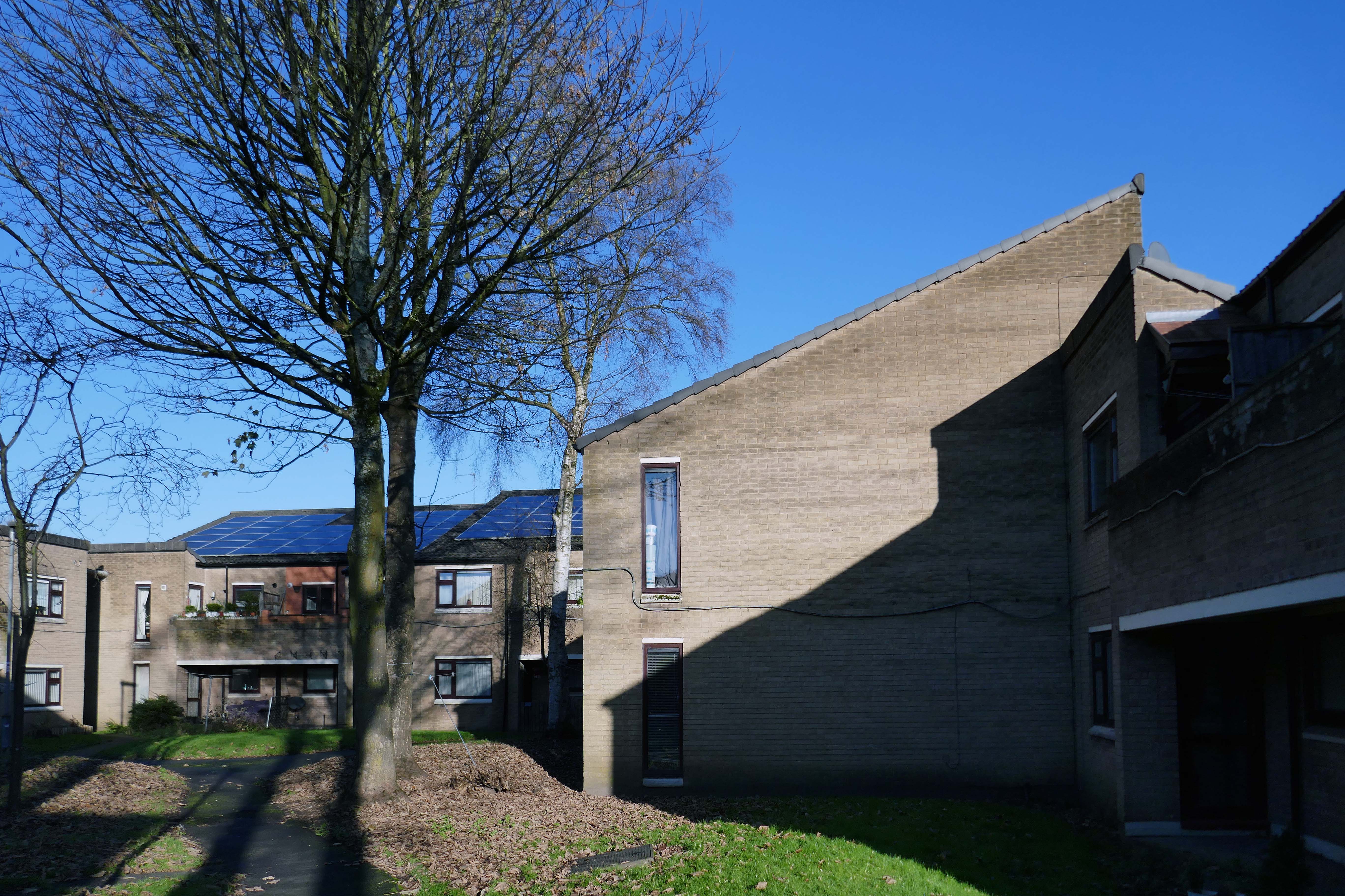
Their masterpiece, Wyndham Court, ought to be as well-known as the Brunswick Centre or the Barbican, and isn’t largely because of where it is. It is a monumental, civic housing project on the grandest scale. As a building, it shows more than a hint of rhetoric creeping into LIE’s usually astringent aesthetic. Placed just outside Southampton Central Station with a fine view of the docks, its service tower skyline and long, streamlined volumes have more than a hint of the ocean liner about them. Here they arc around a square, with shops on the ground floor, high-density-city centre living for council tenants rather than as an aspirational loft-living lifestyle. A magnificent vote of confidence in a city which has built little of note since, it’s also, for me, the building that announces that I’m ‘home’ far less depressingly than BDP’s repugnant West Quay shopping centre on the other side of the railway line – a massive concrete statement that another city was and still is possible.
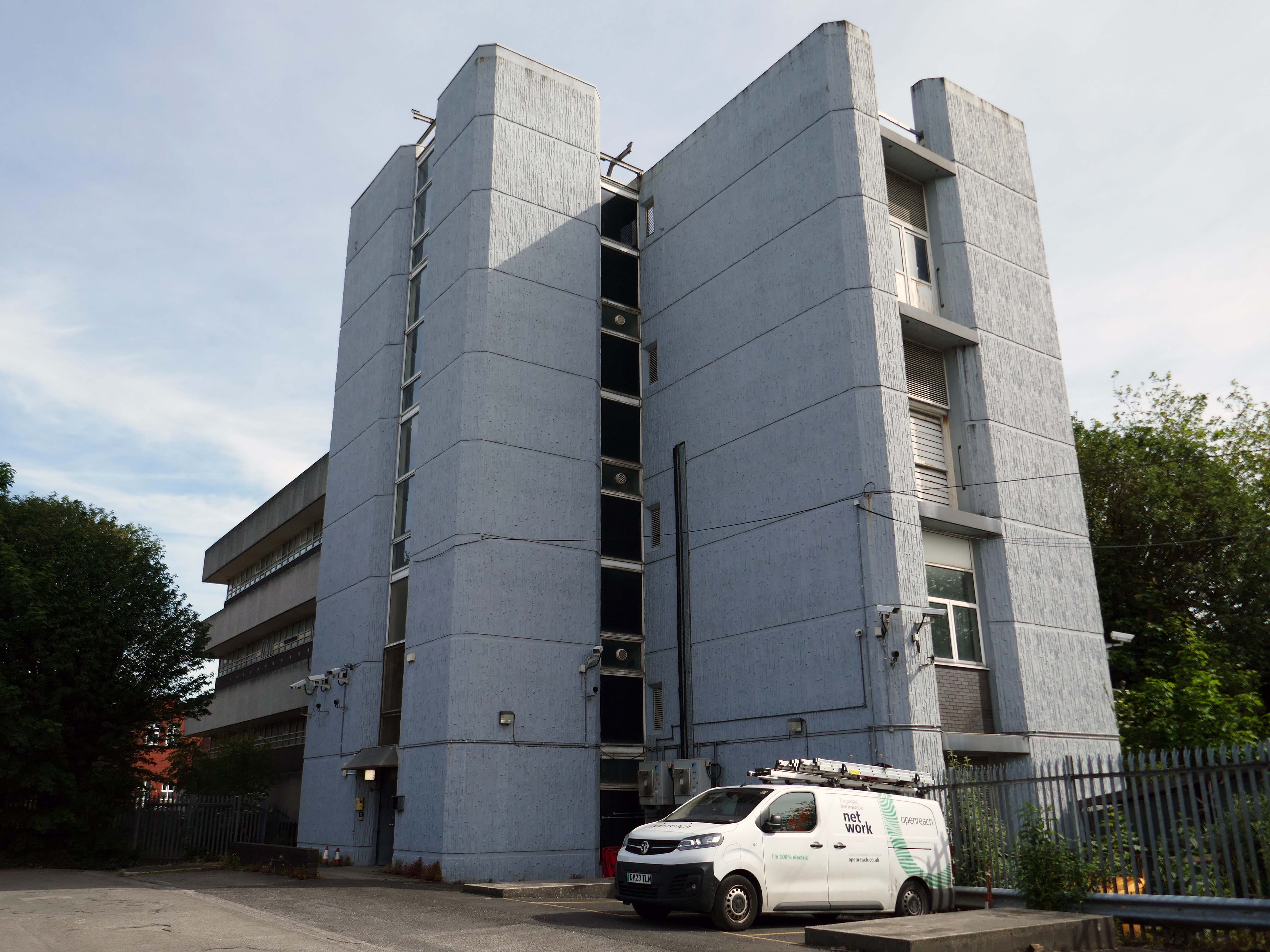
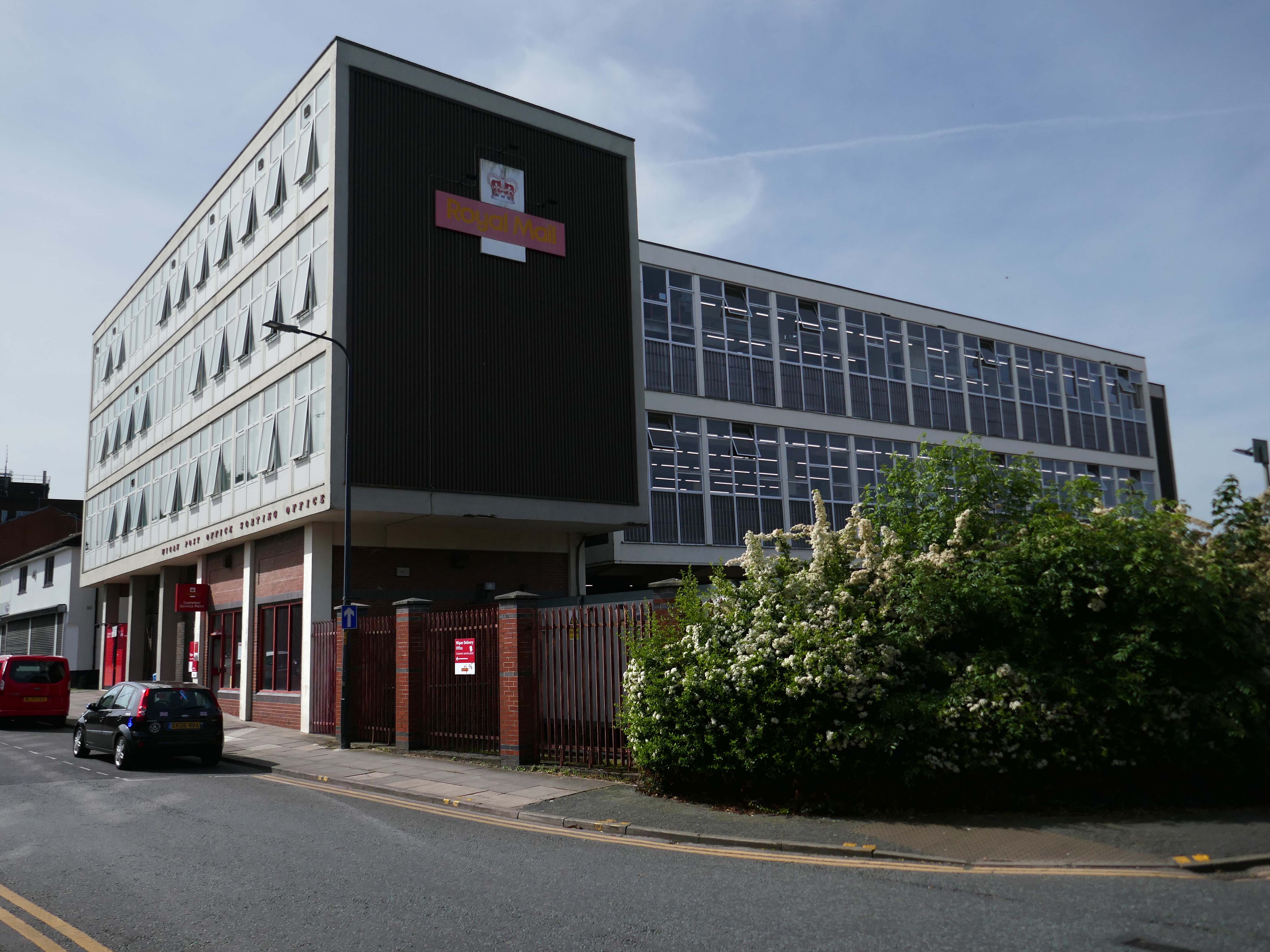
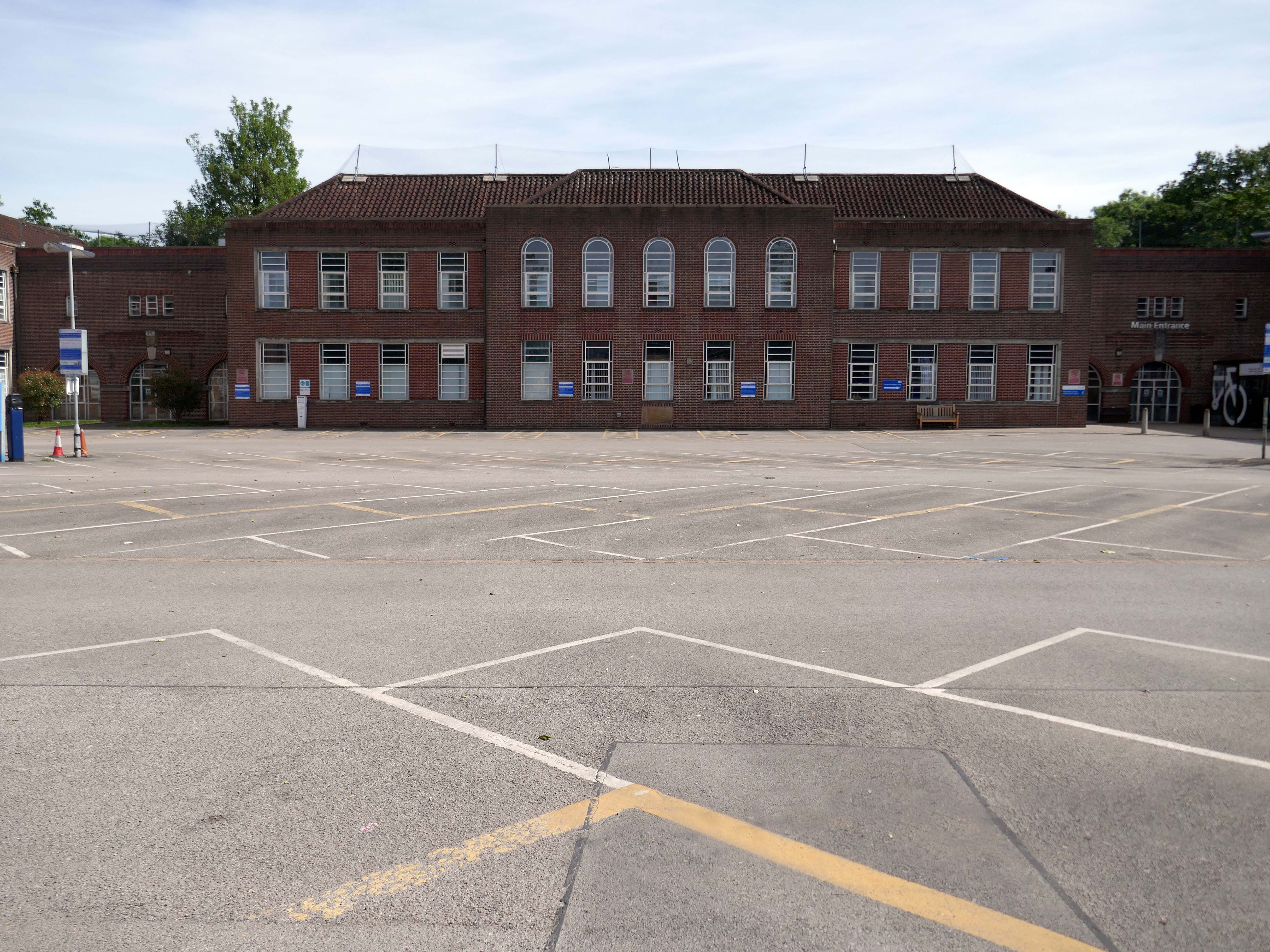
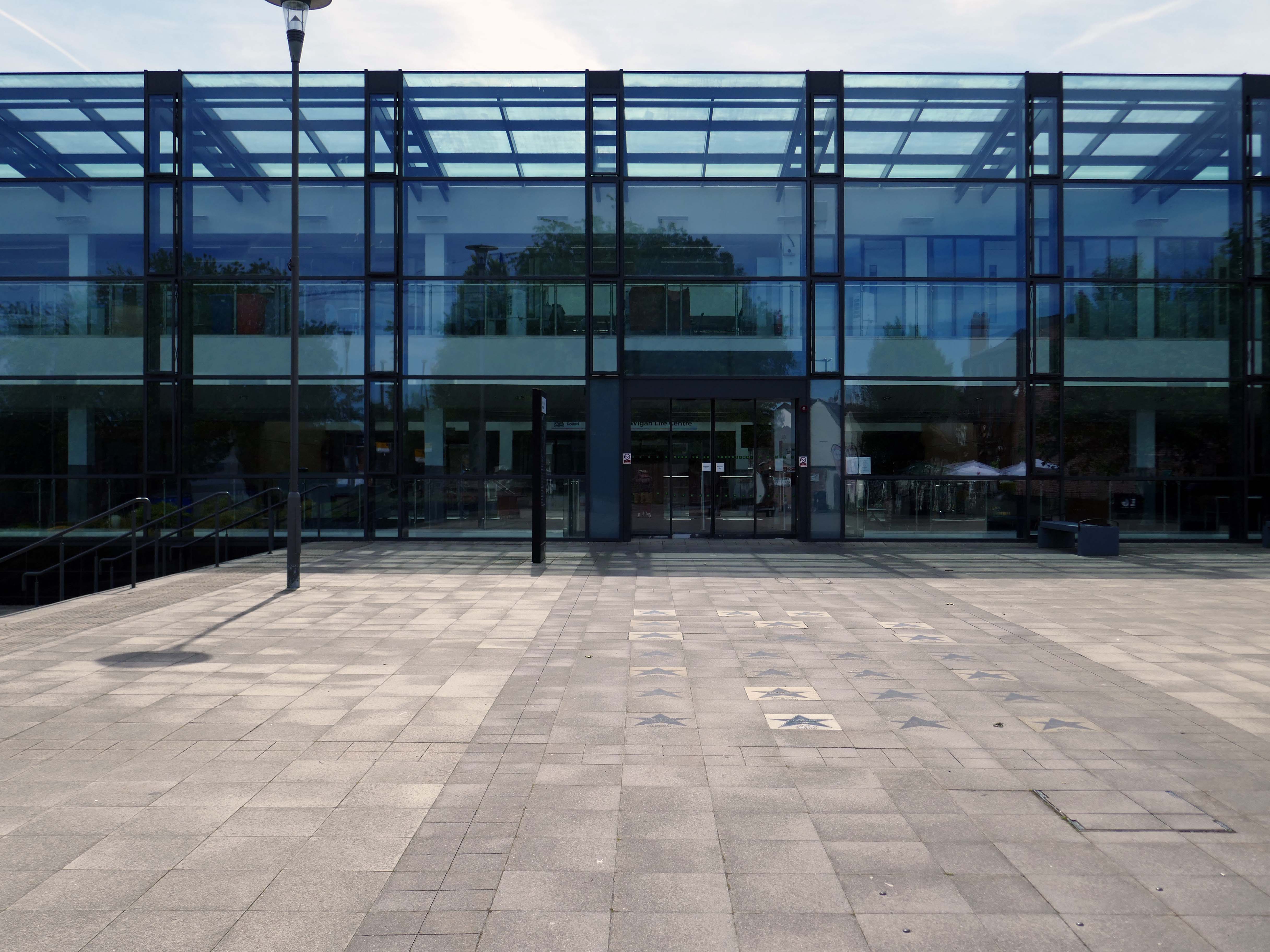
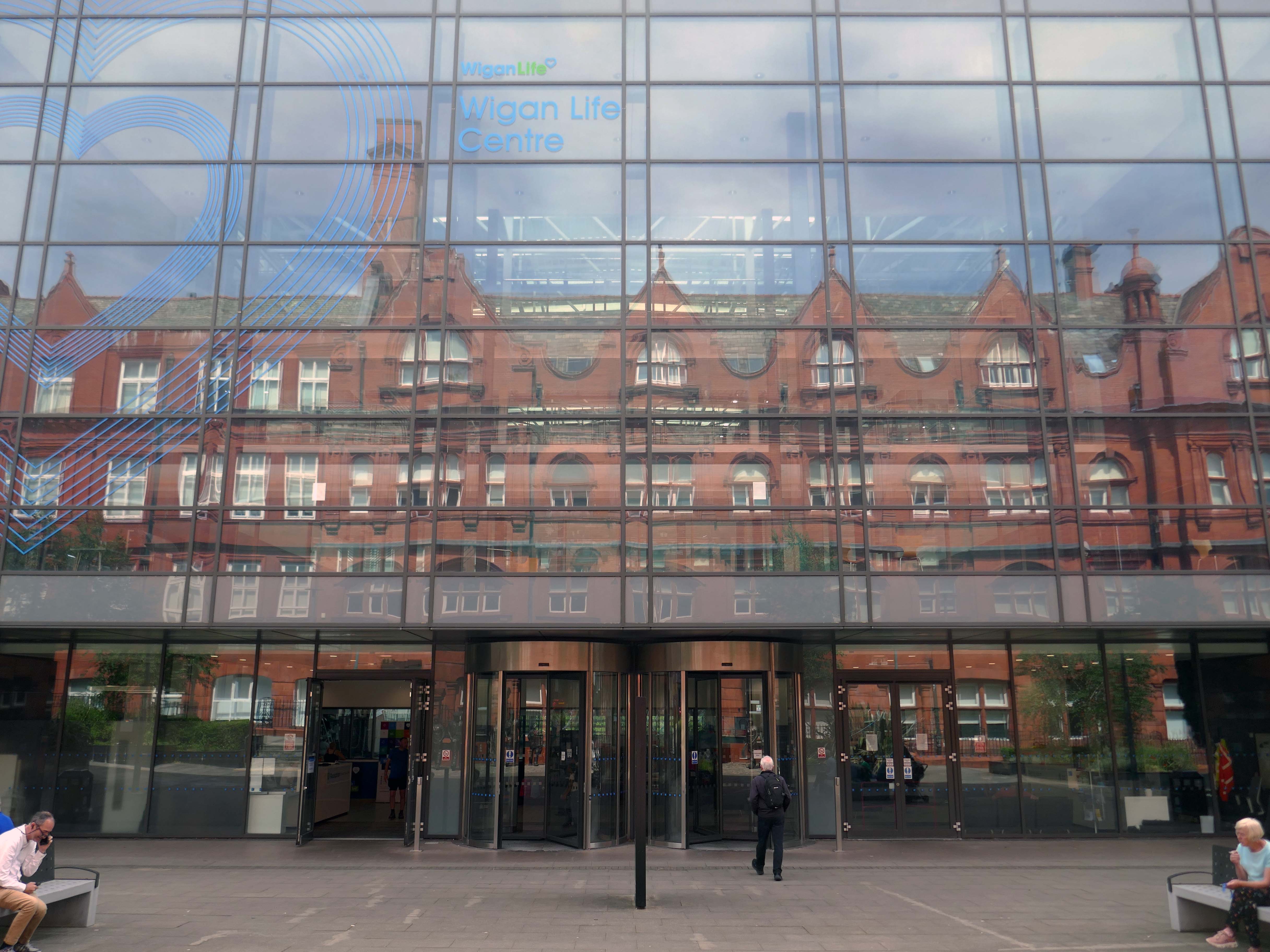
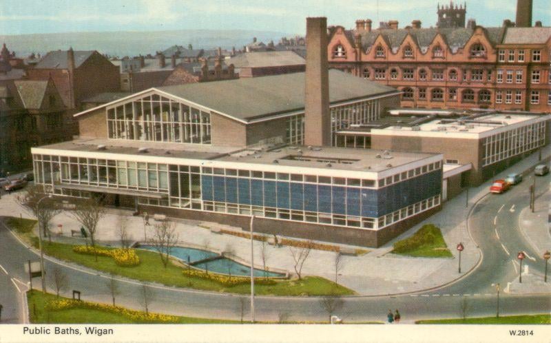
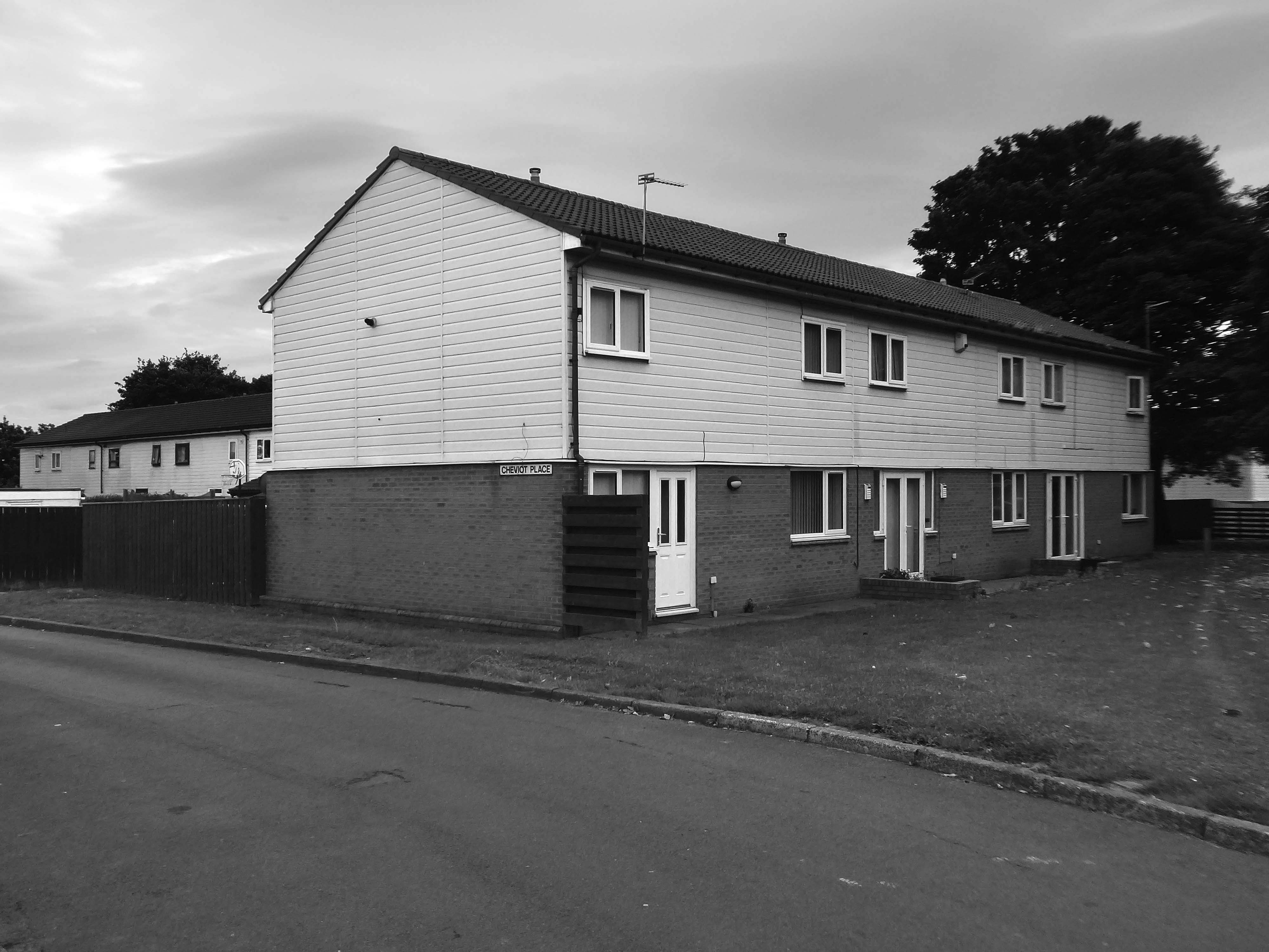
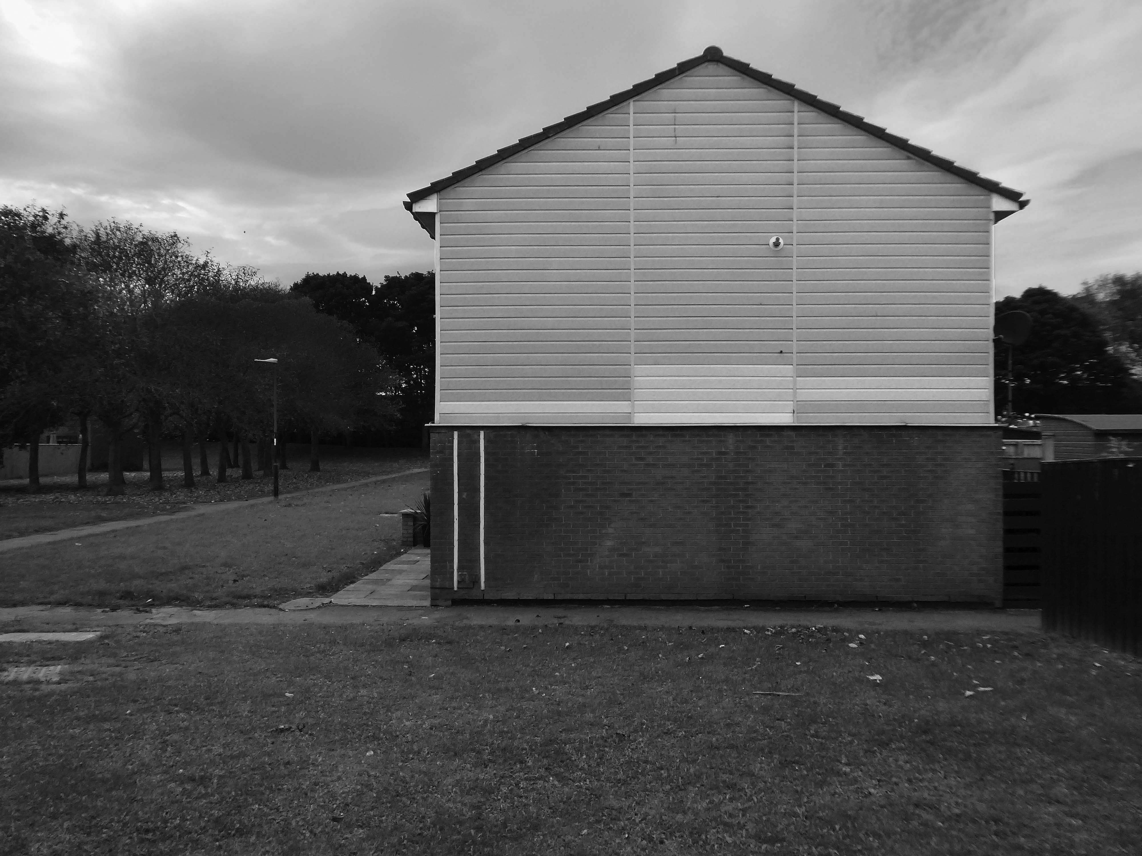
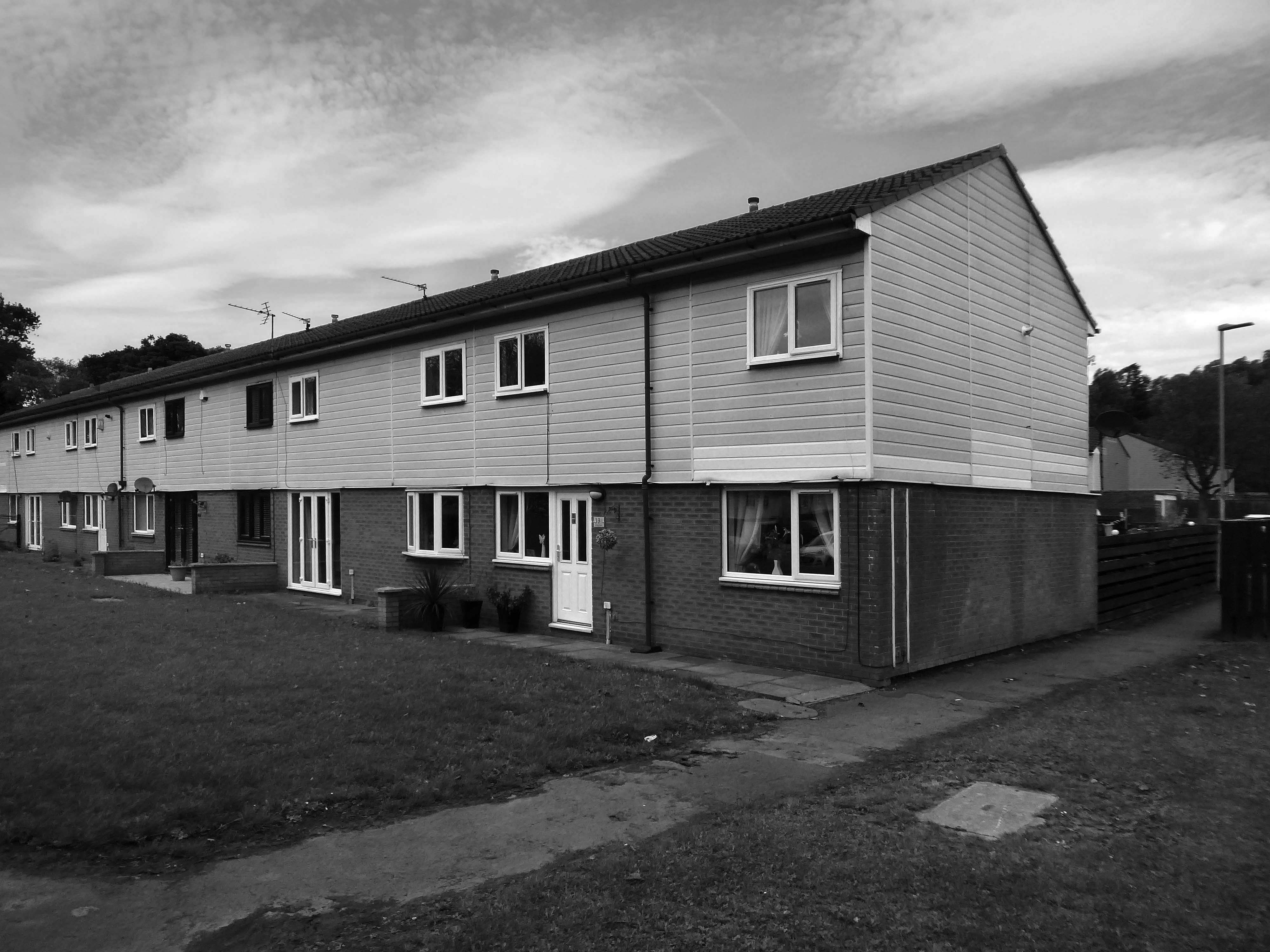
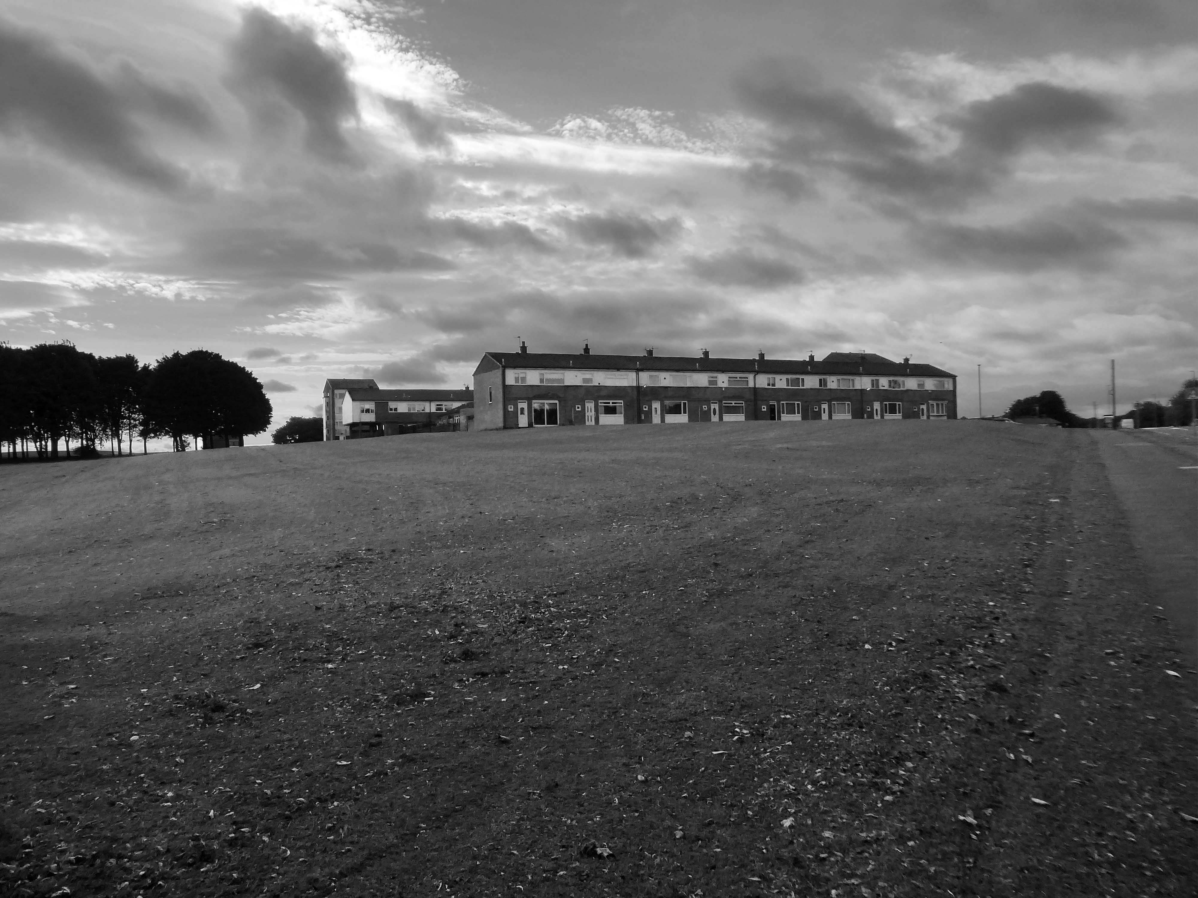
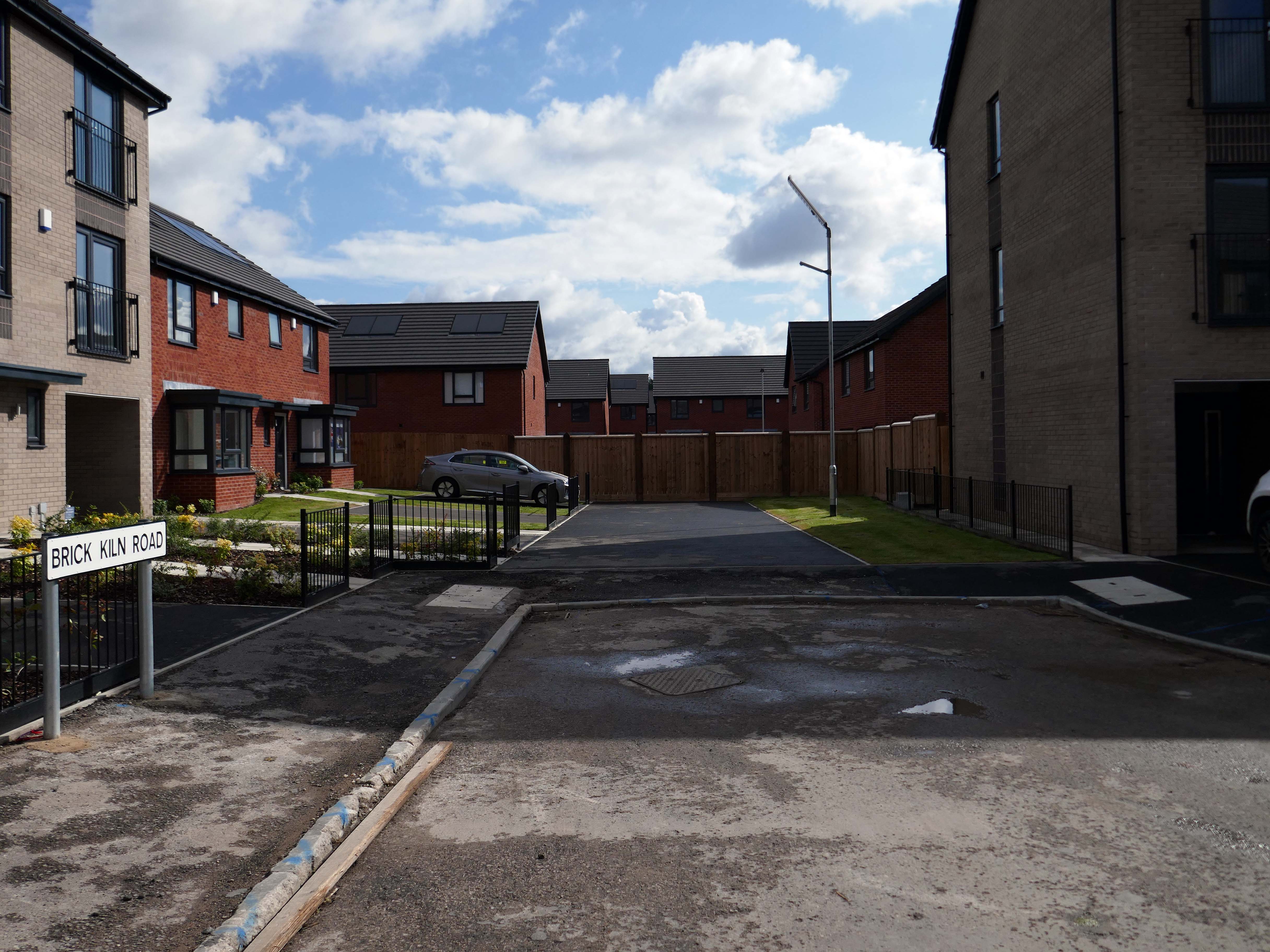
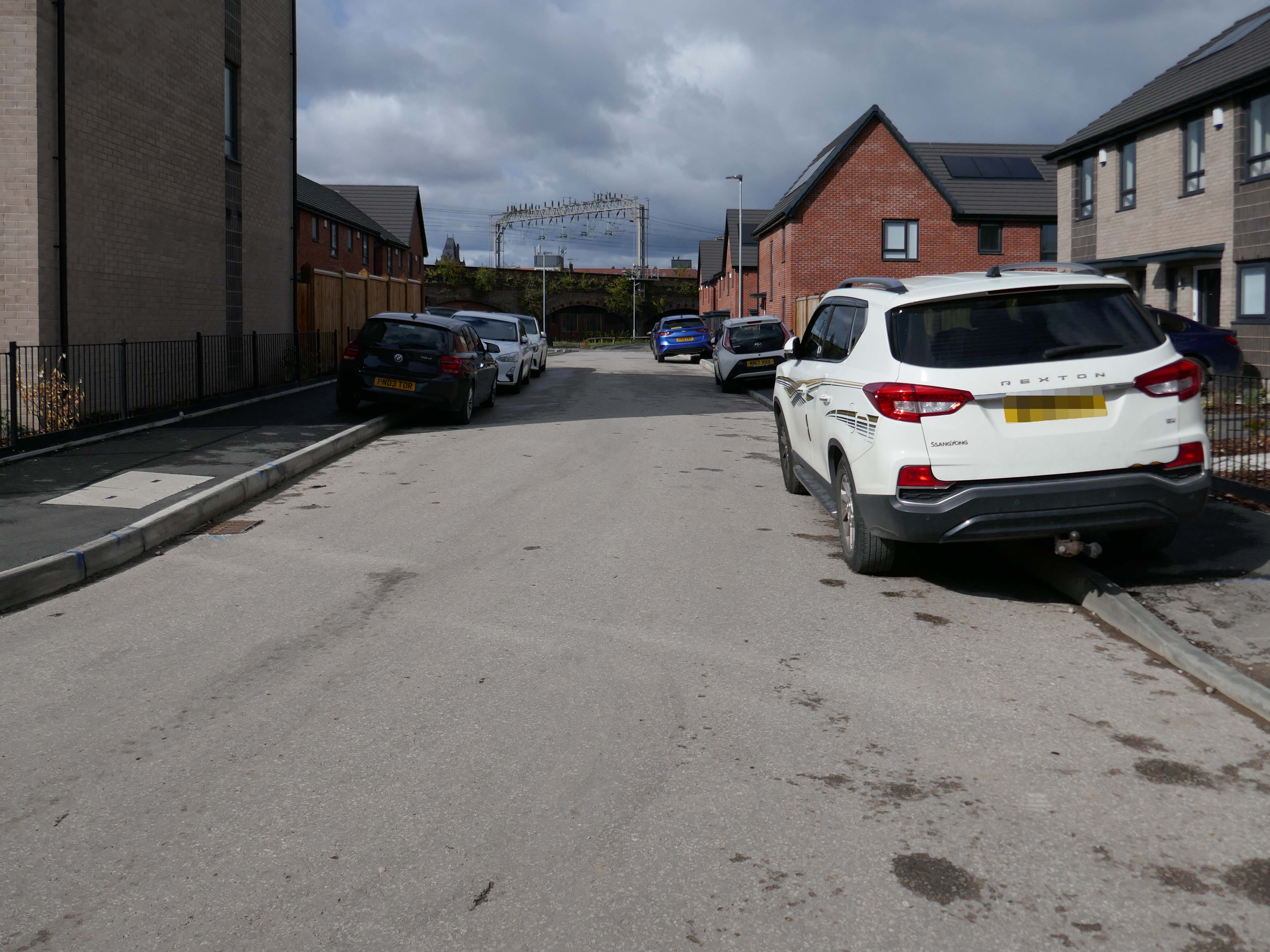
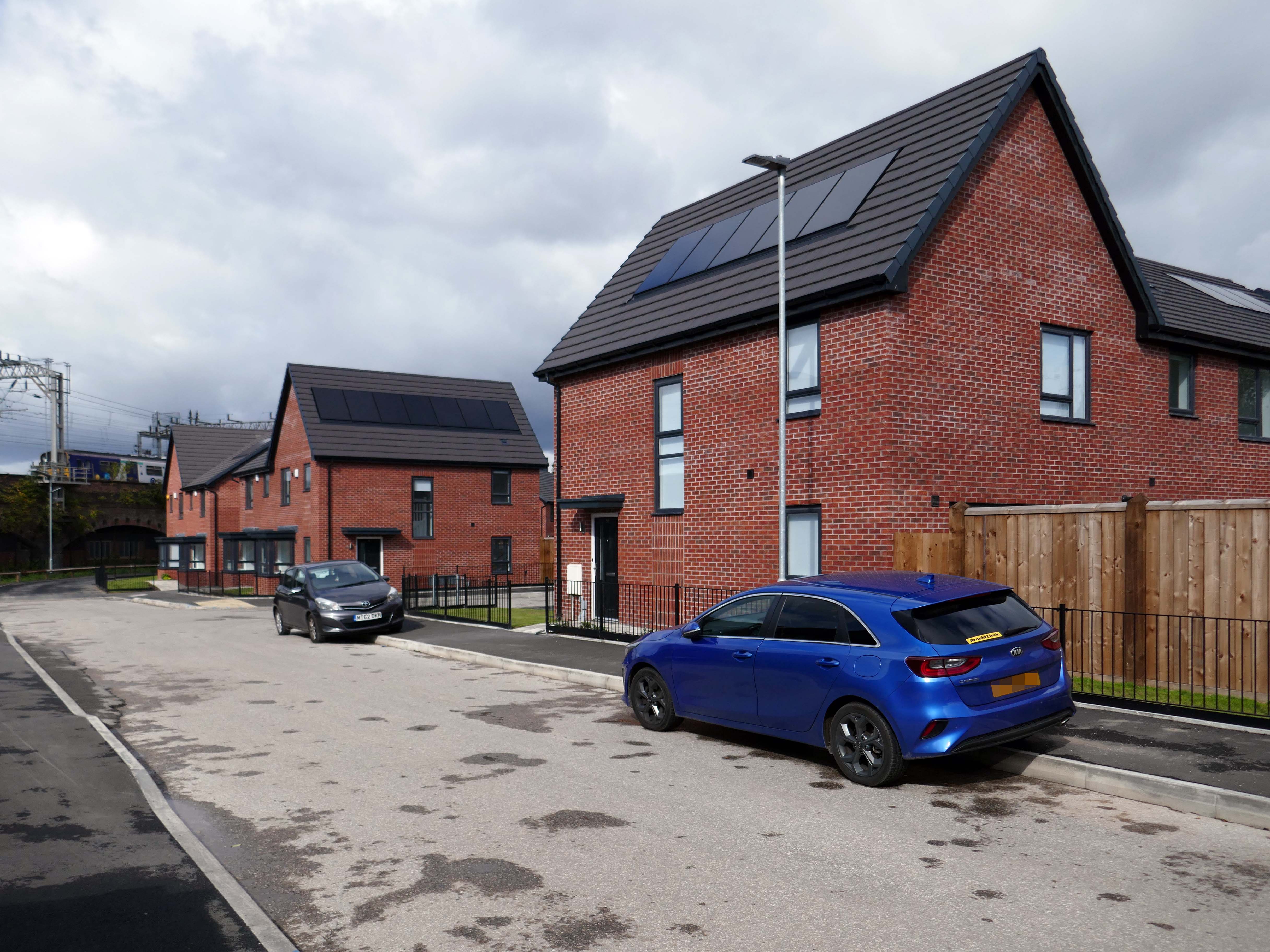
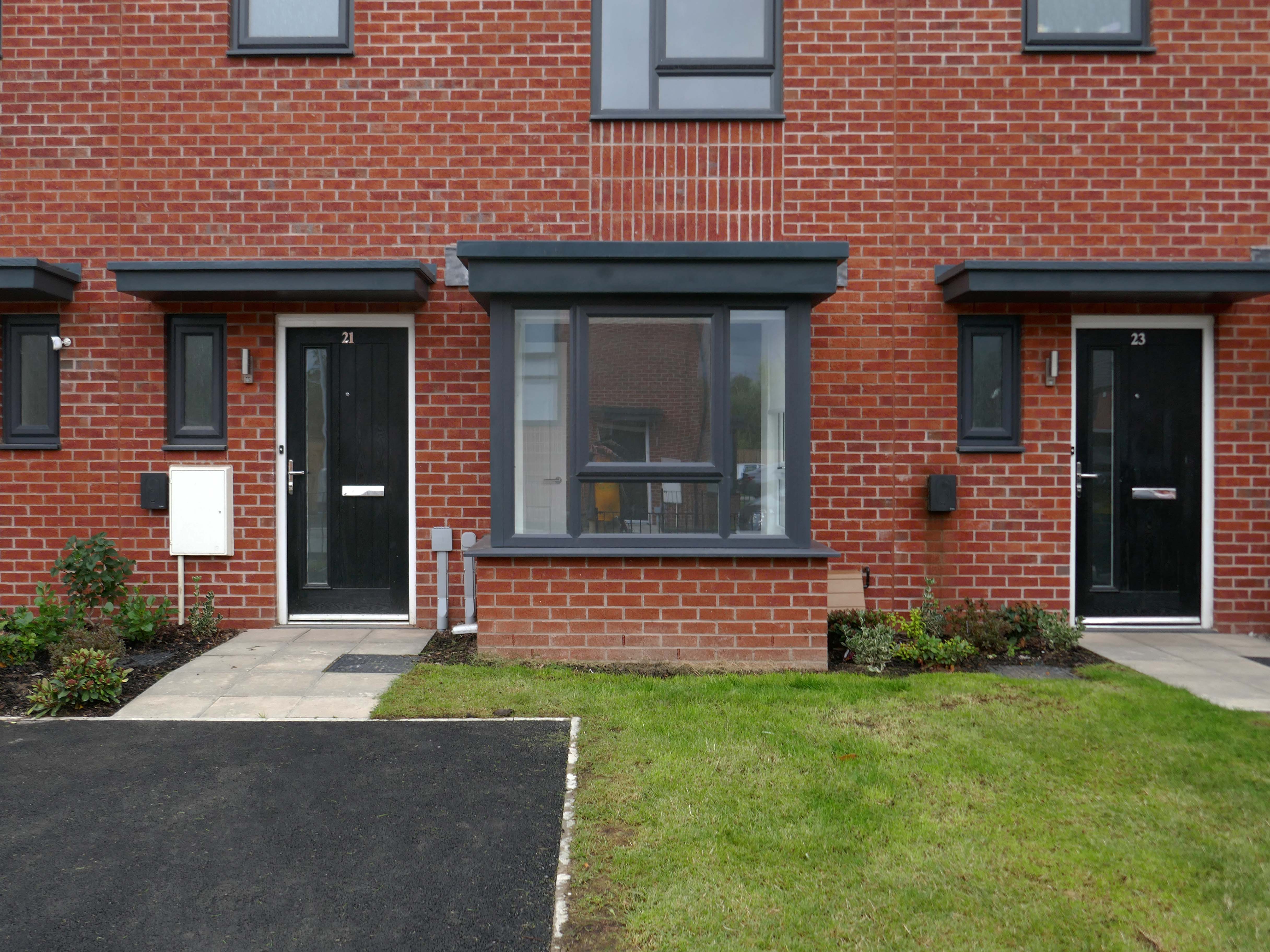
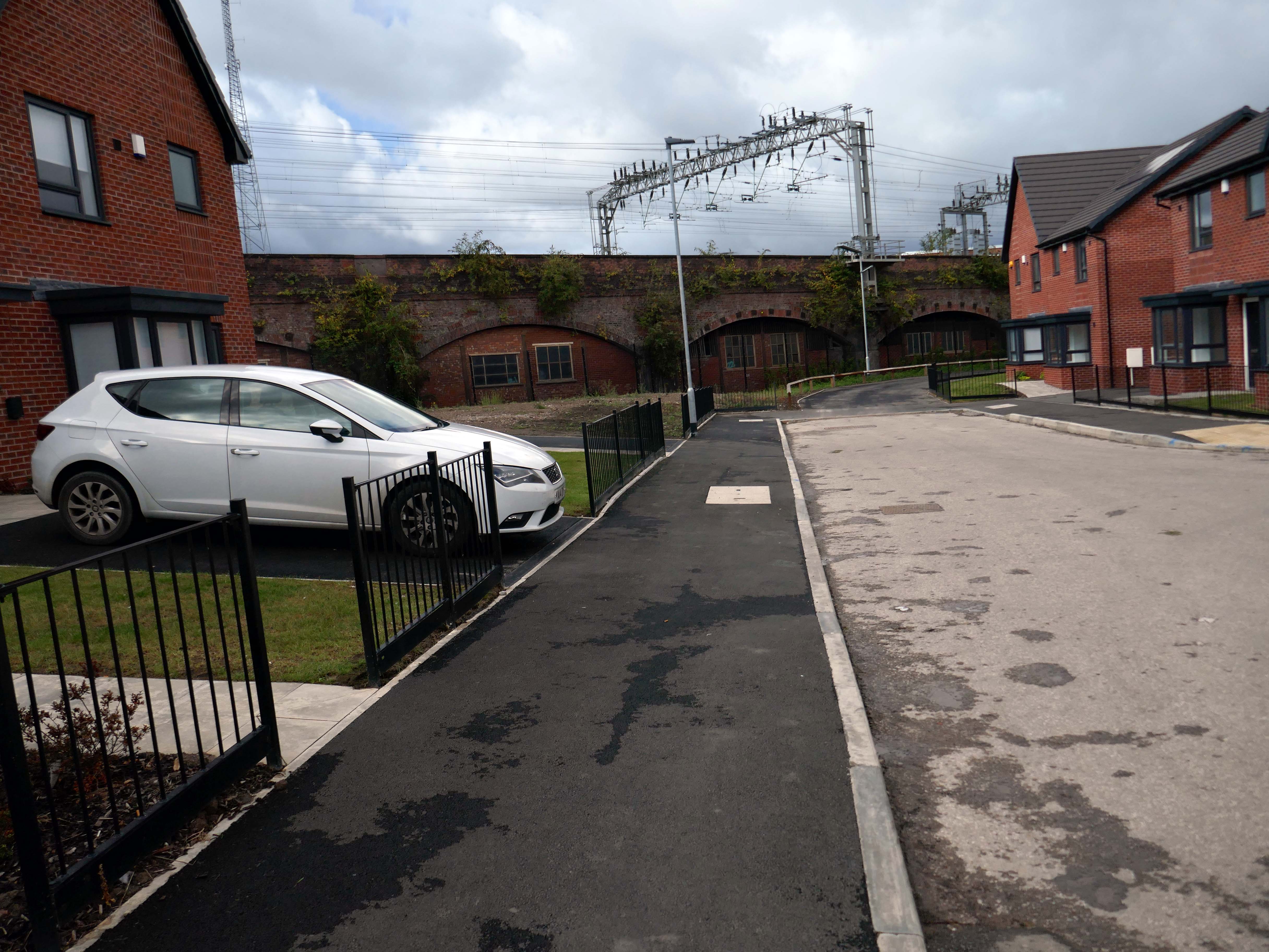
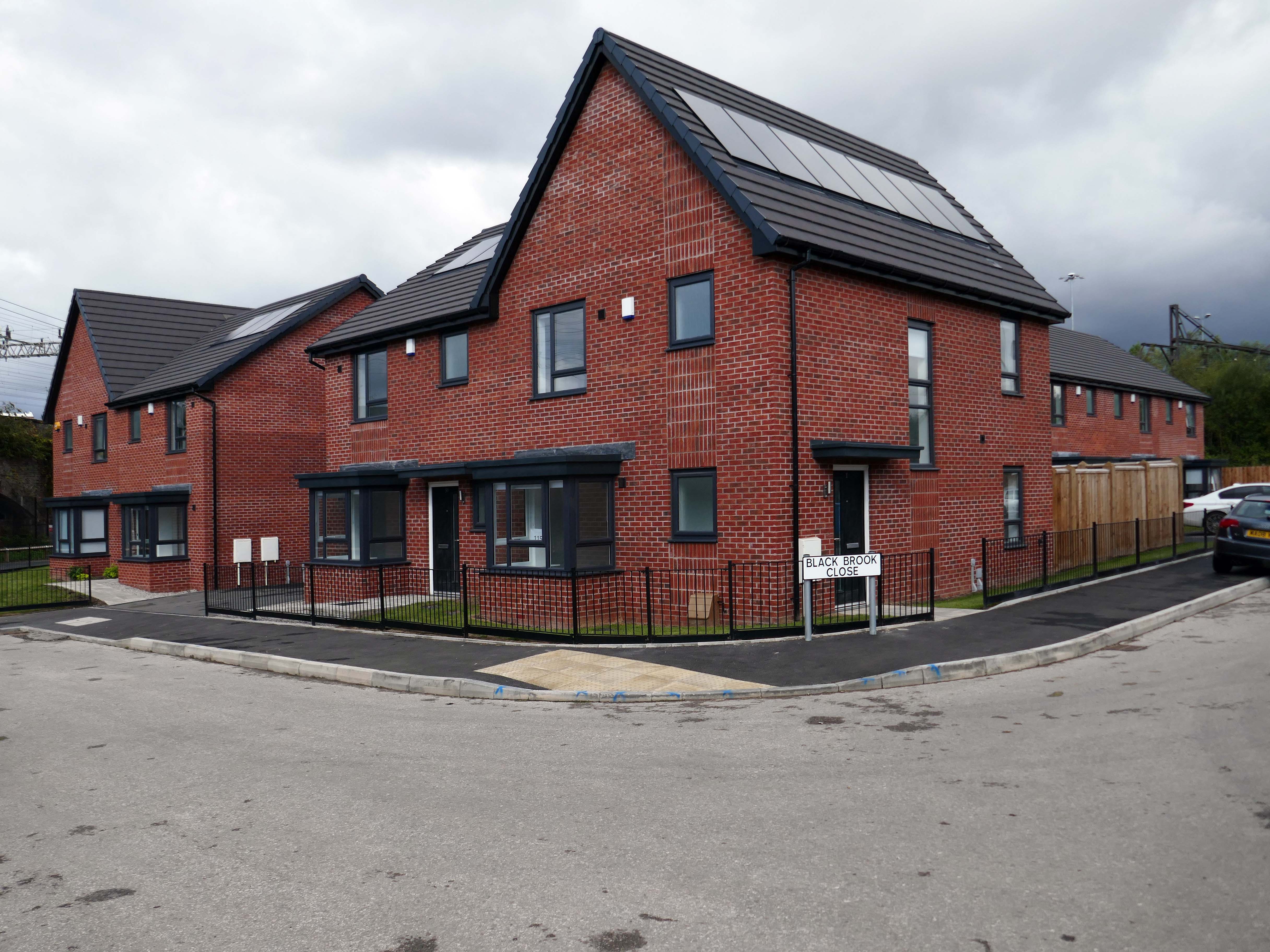
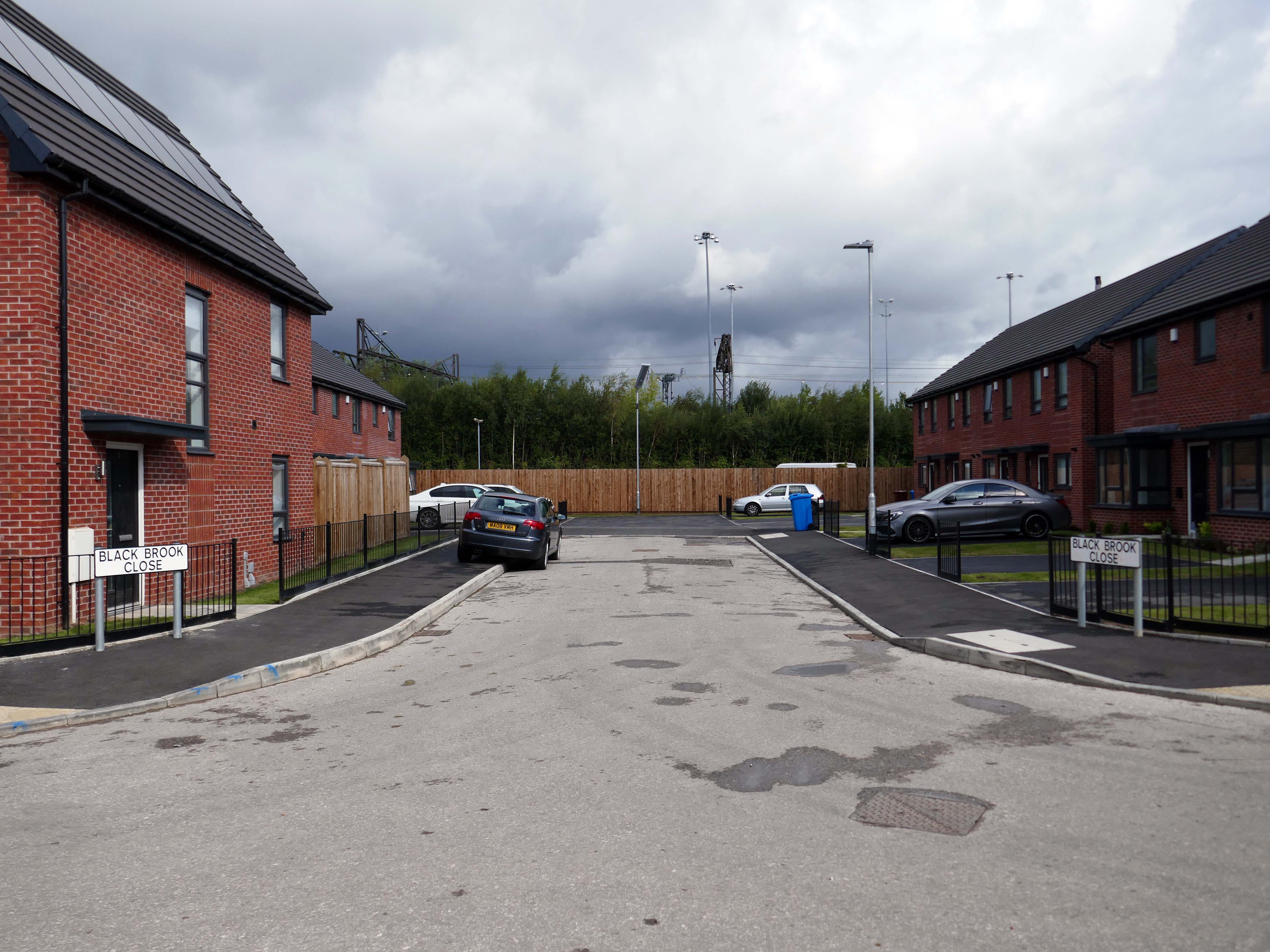
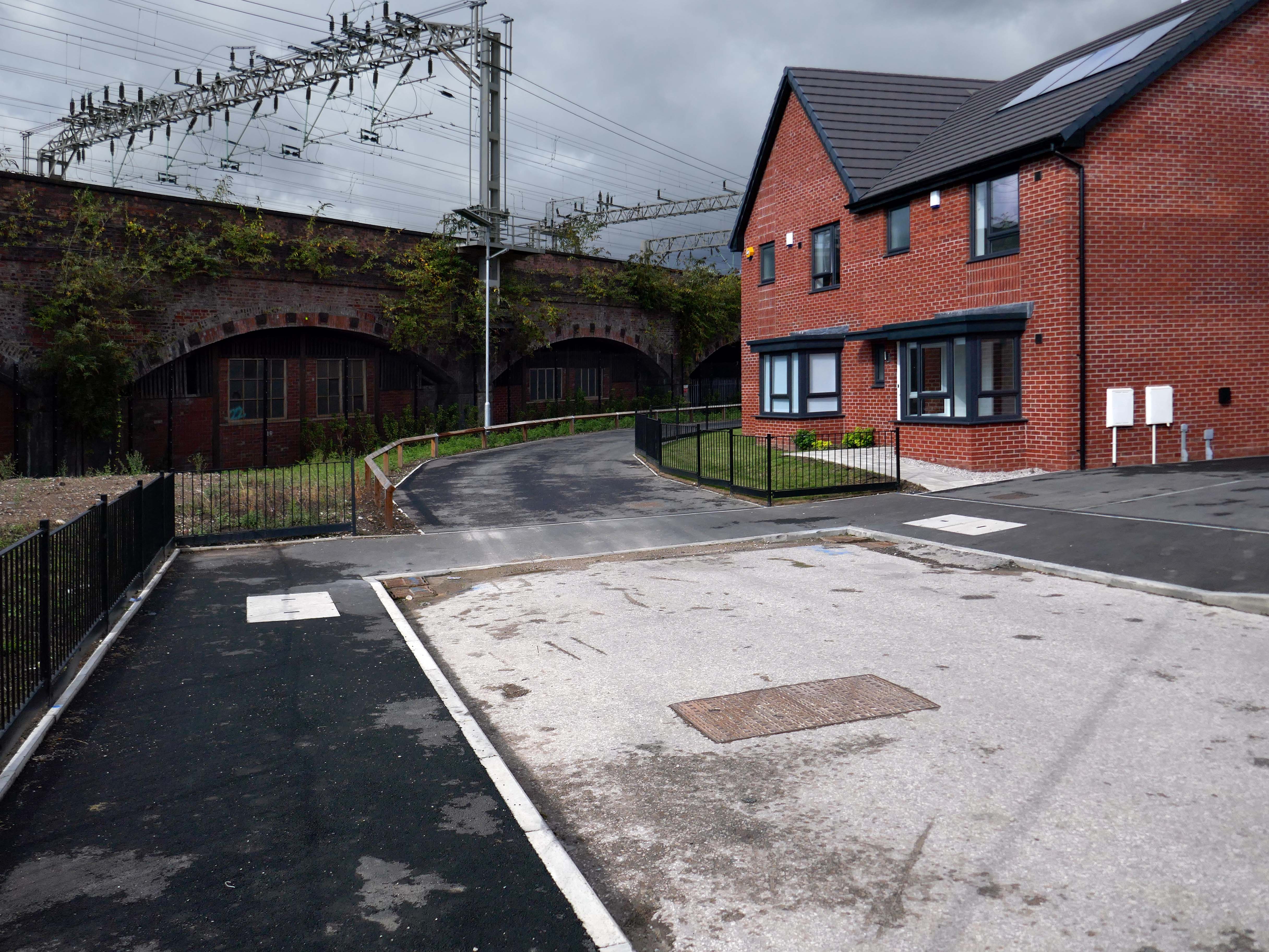
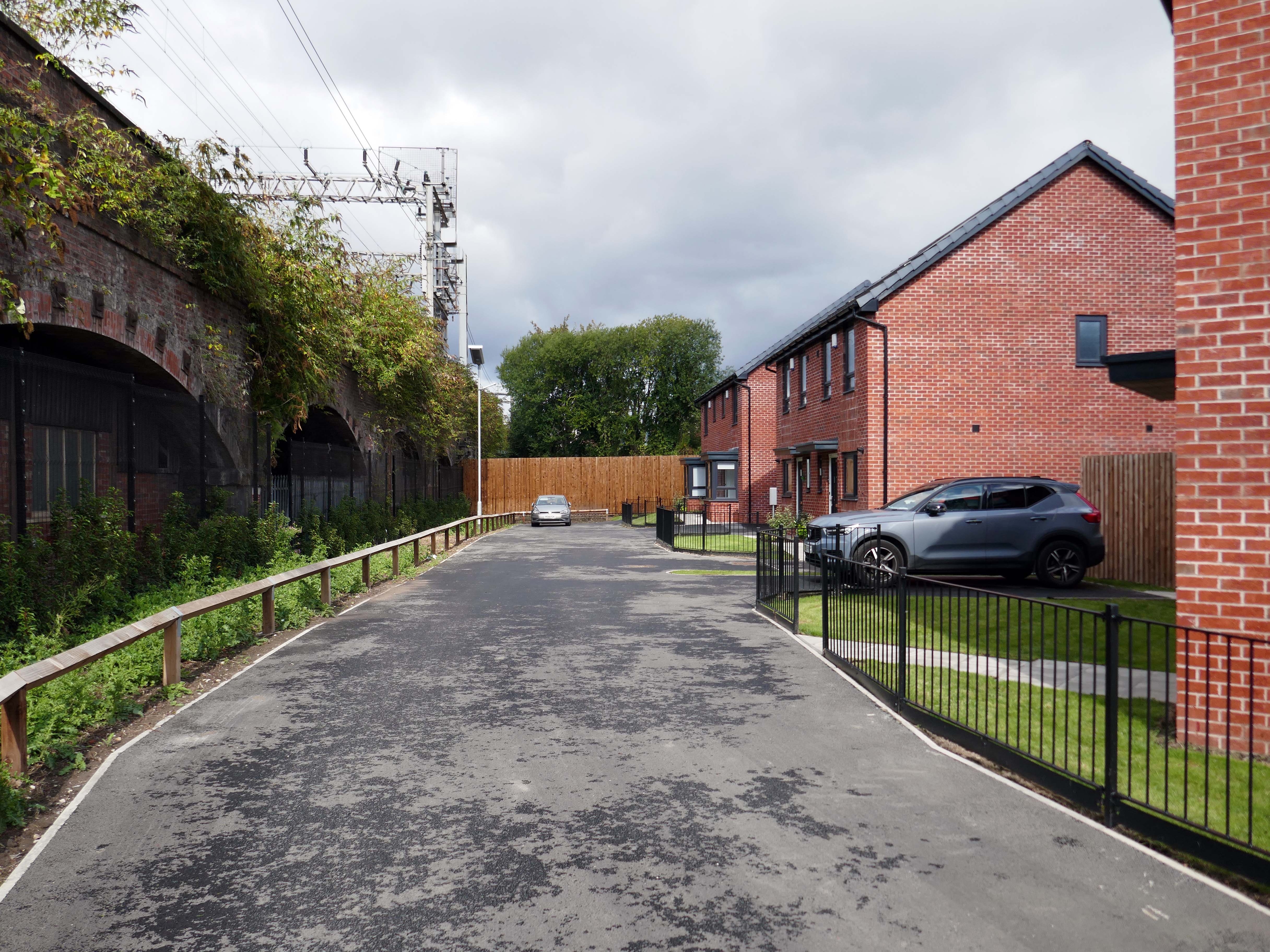
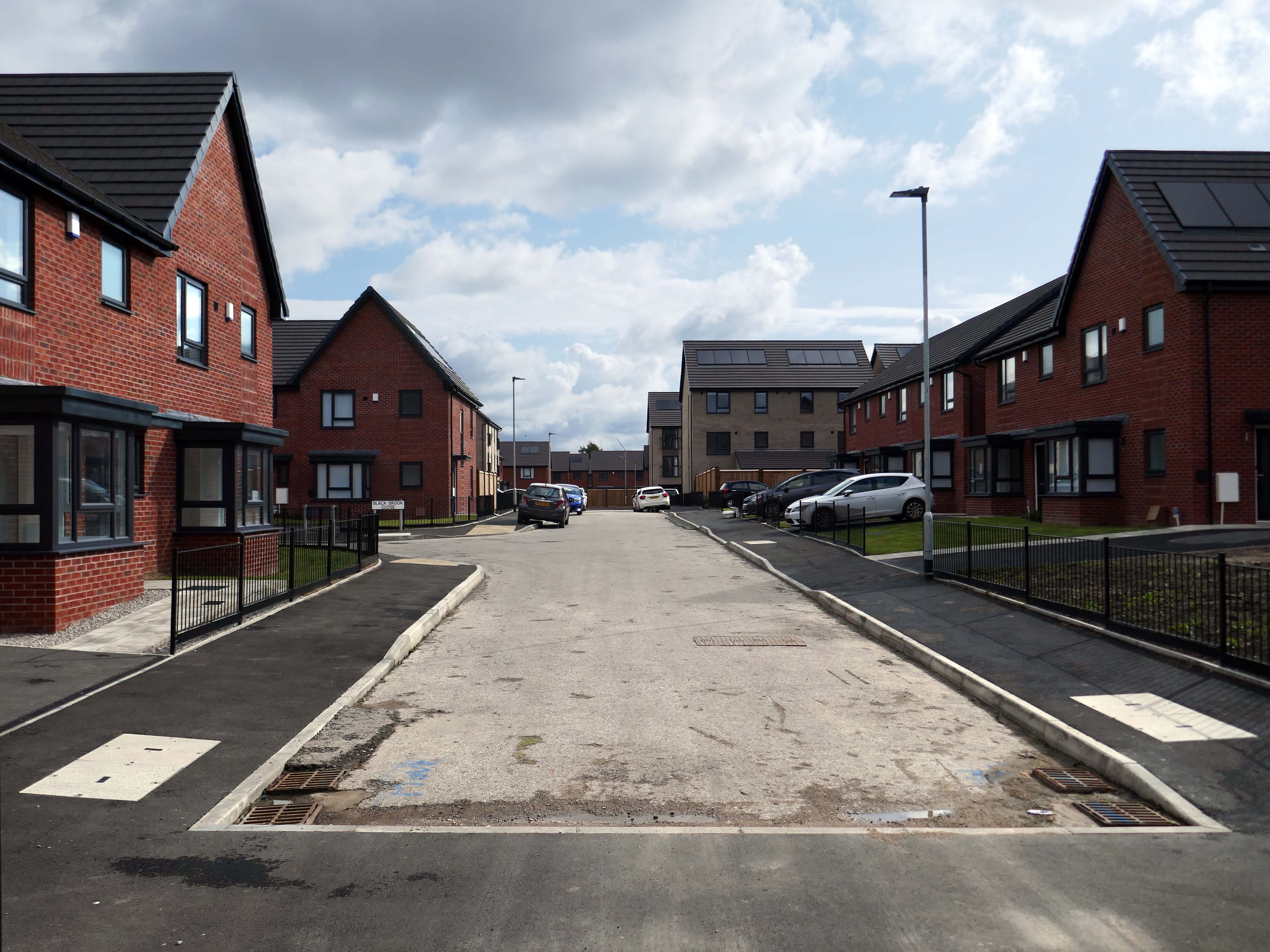
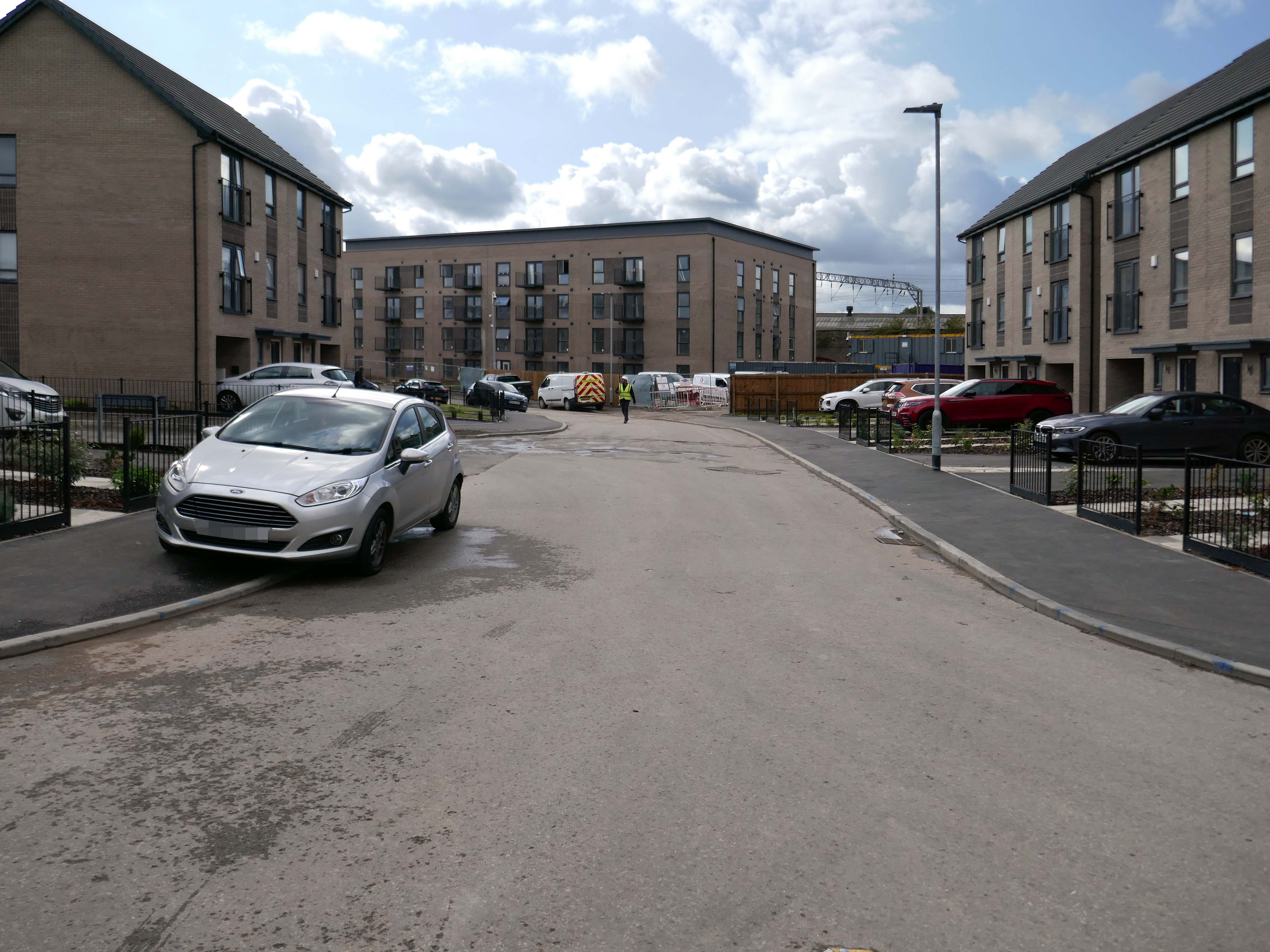
It’s been four years since our 2022 Wigan Walk – so time to see if there has been a refreshing change.
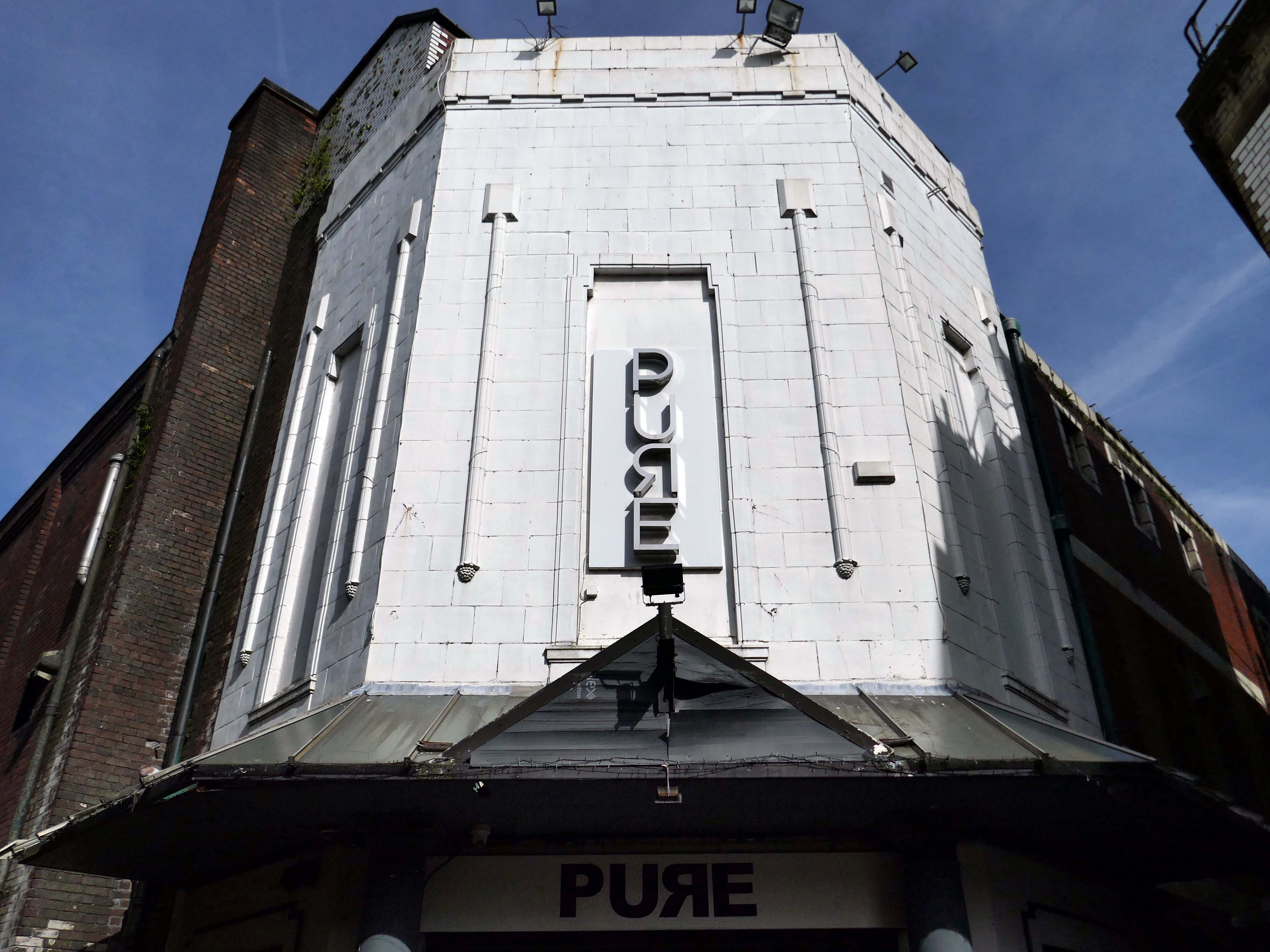
Beginning with a trip to the former flicks, the Princes Cinema now trading as Pure nightclub, sometimes home to Singo Bingo.
Originally the site of New Princes Theatre, opened on the 1st May 1911, the cinema was demolished and replaced, on an adjacent plot, by Princes Cinema in 1933.
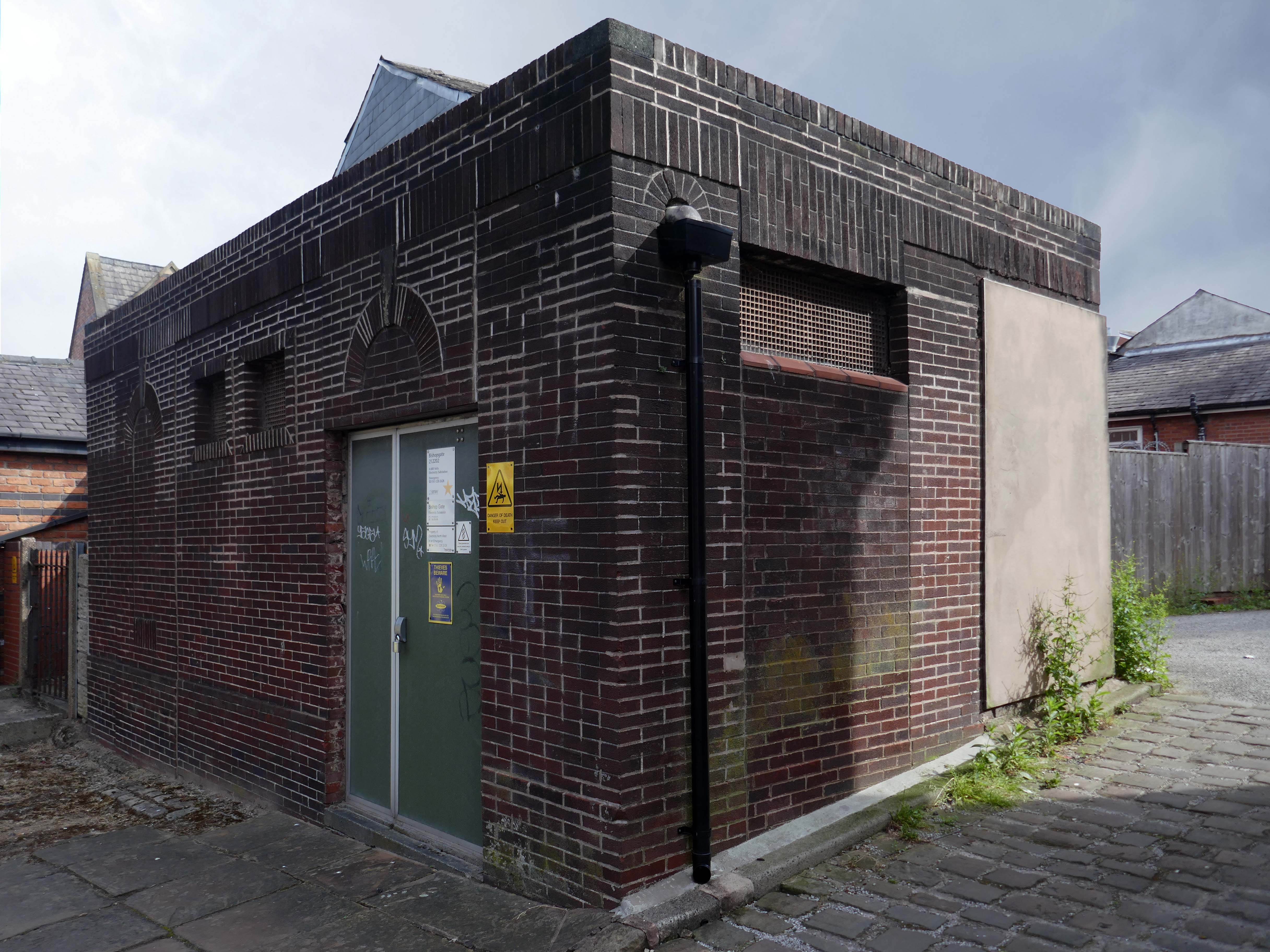
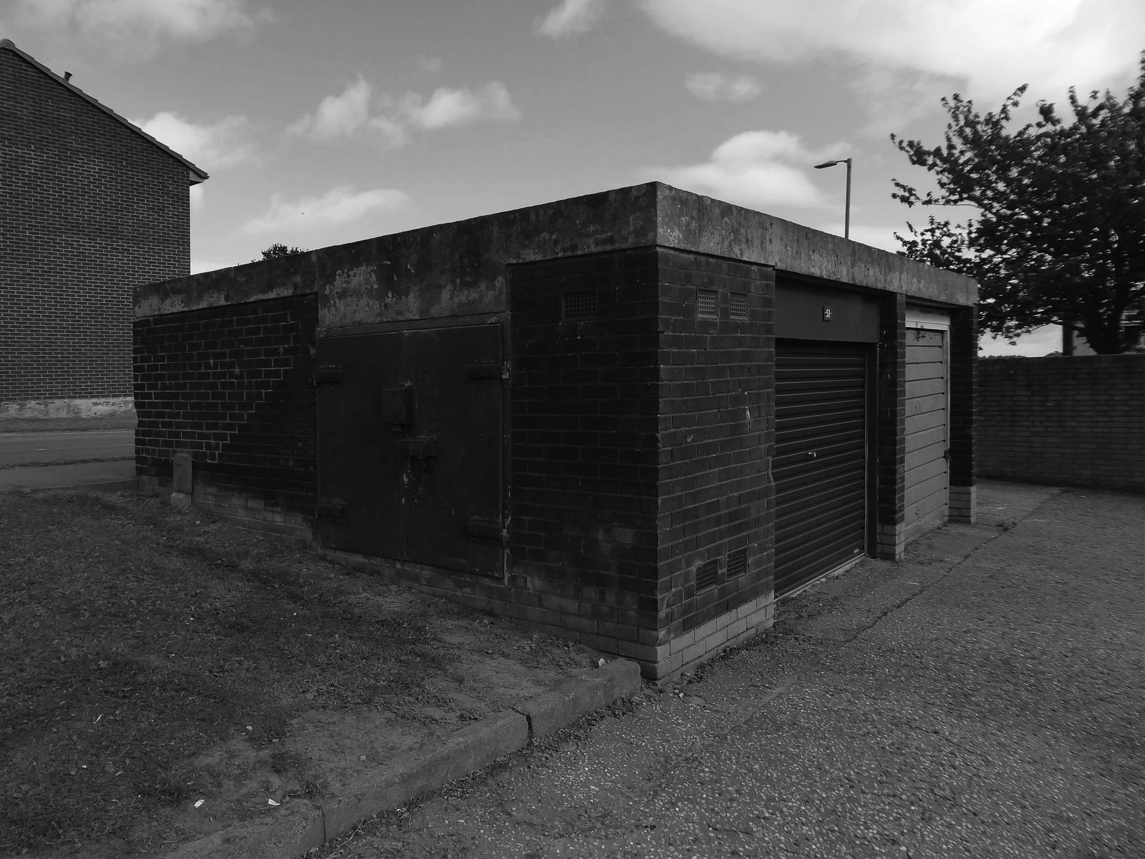
Ofd special note the adjacent Electrical Substation of the day.
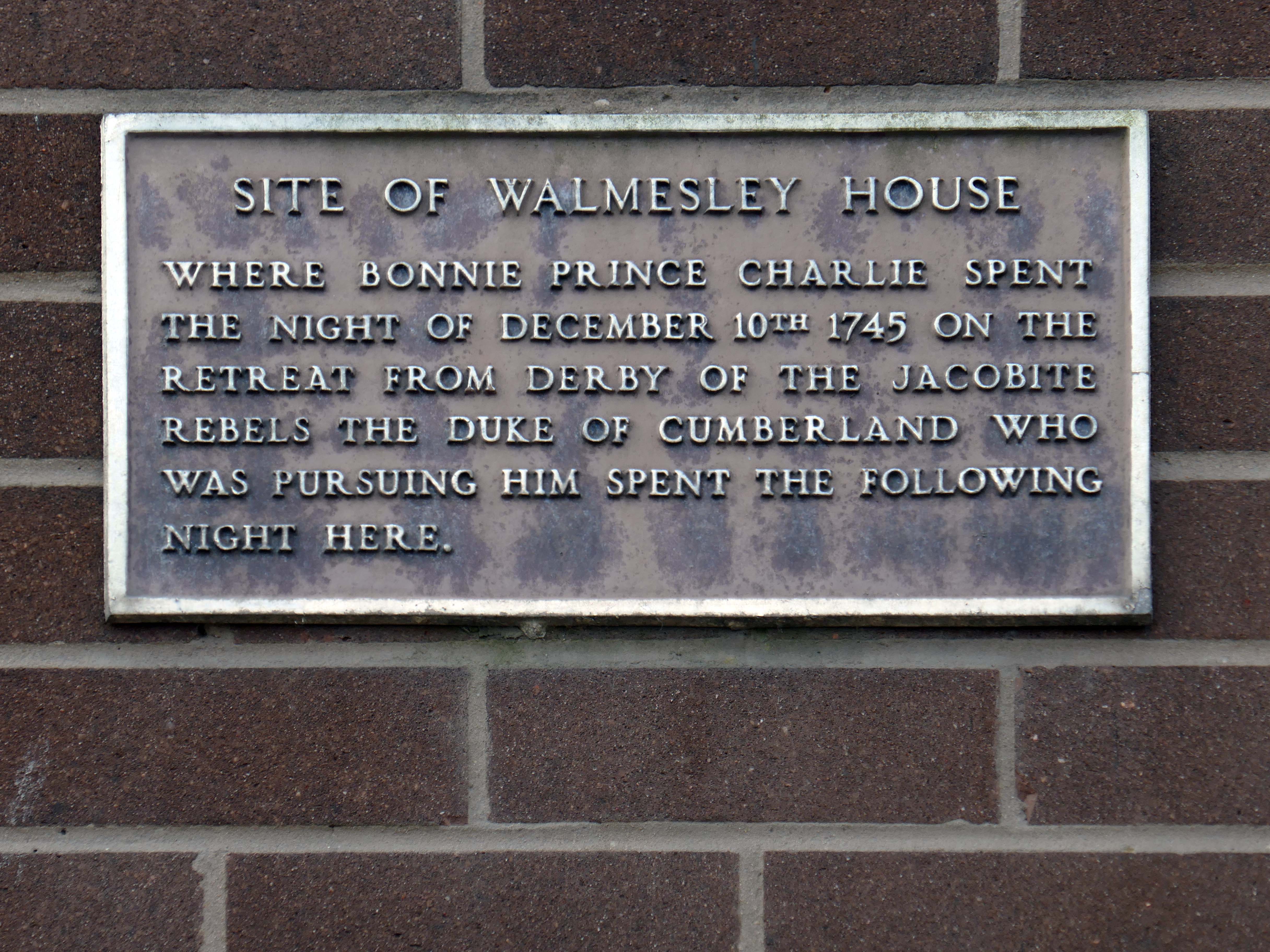
Plus extra added military history.
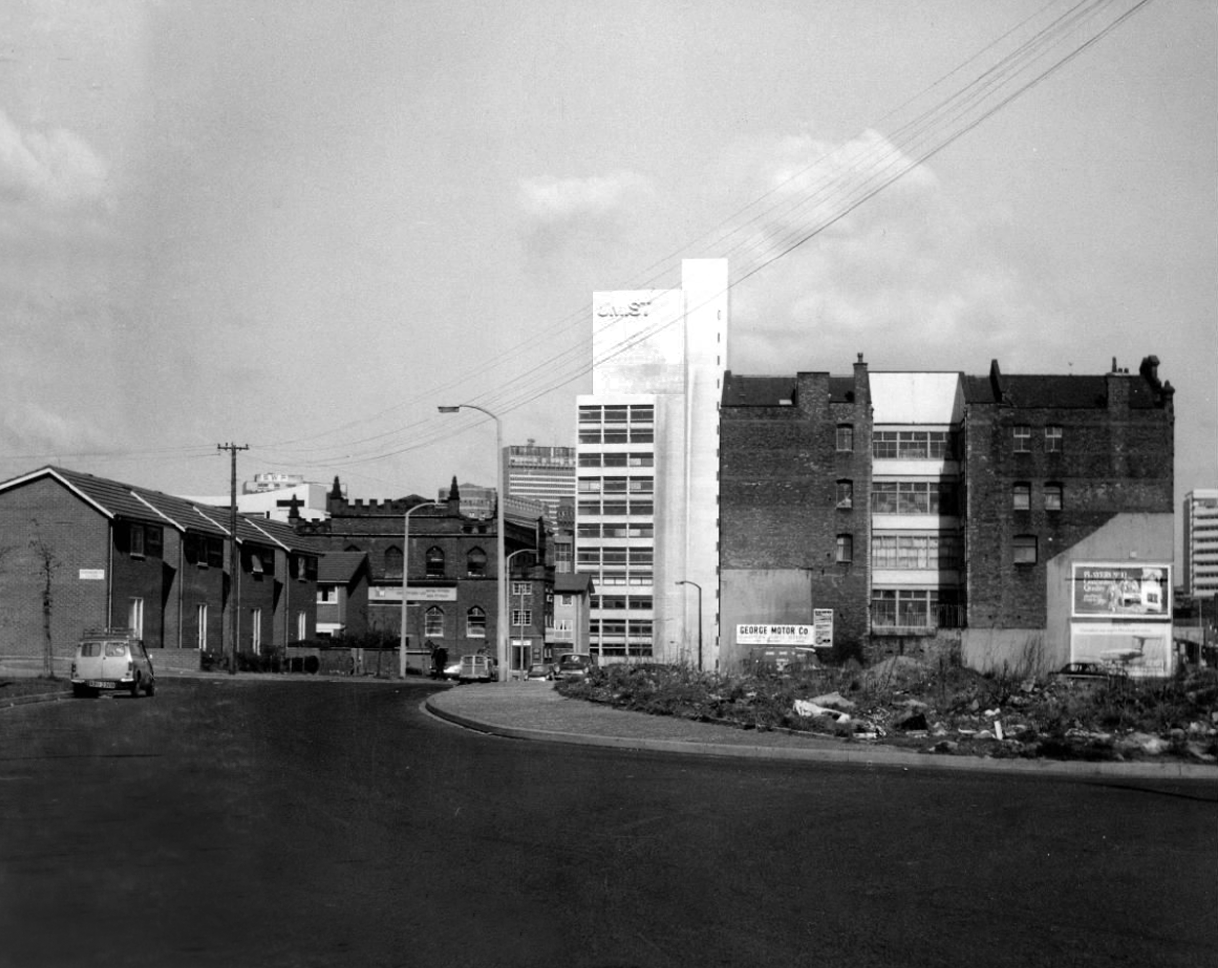
Seventies
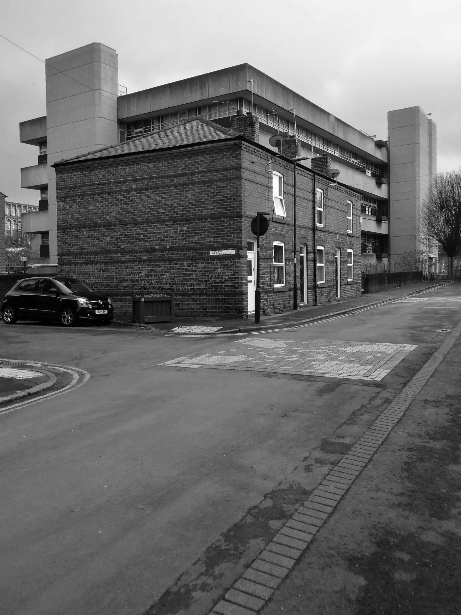
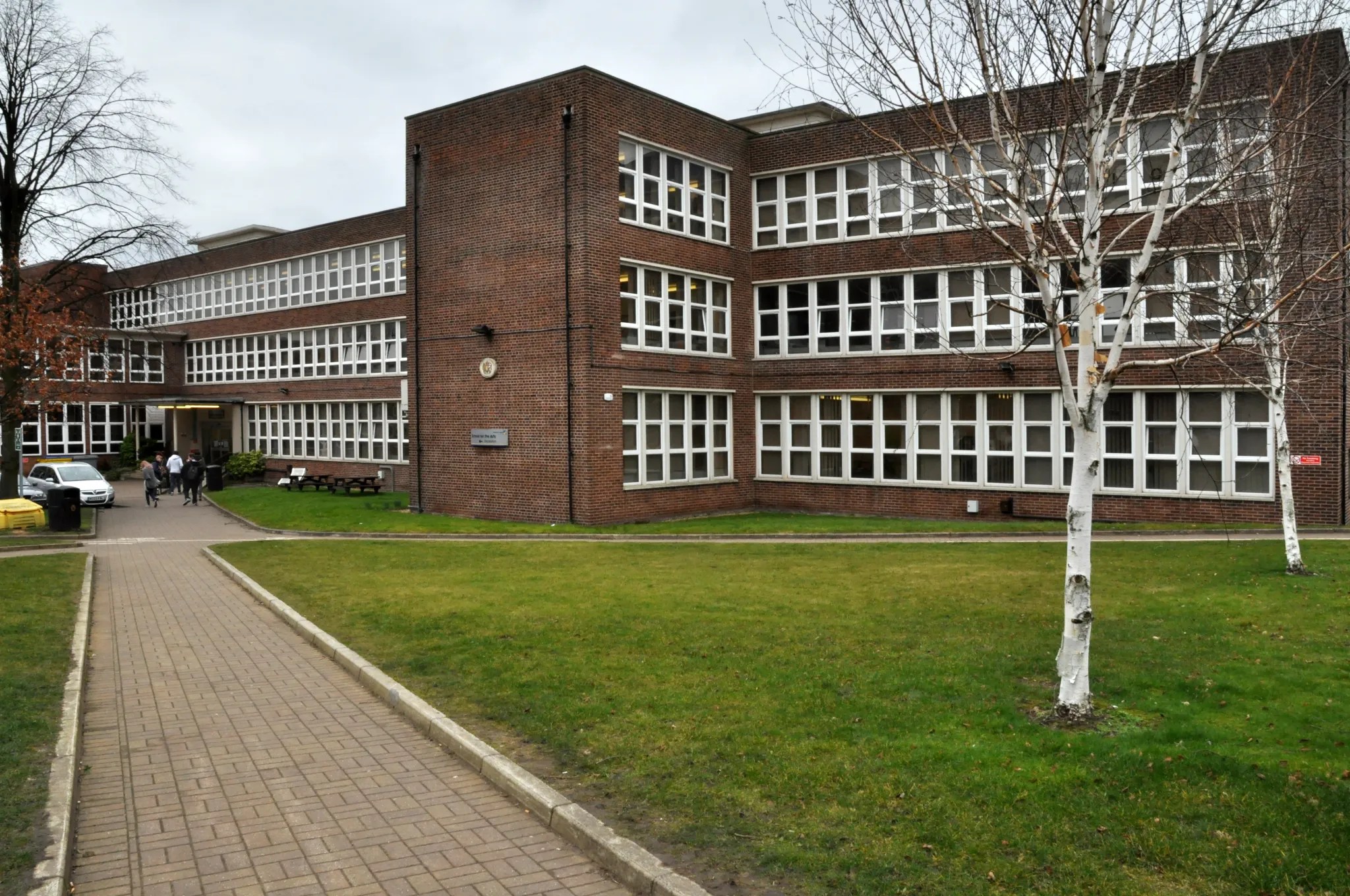
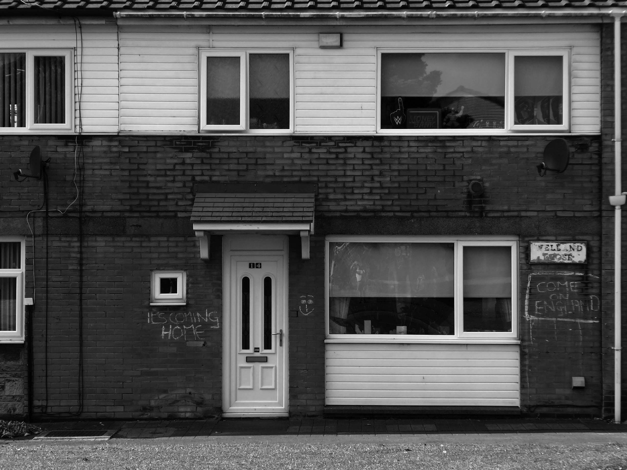
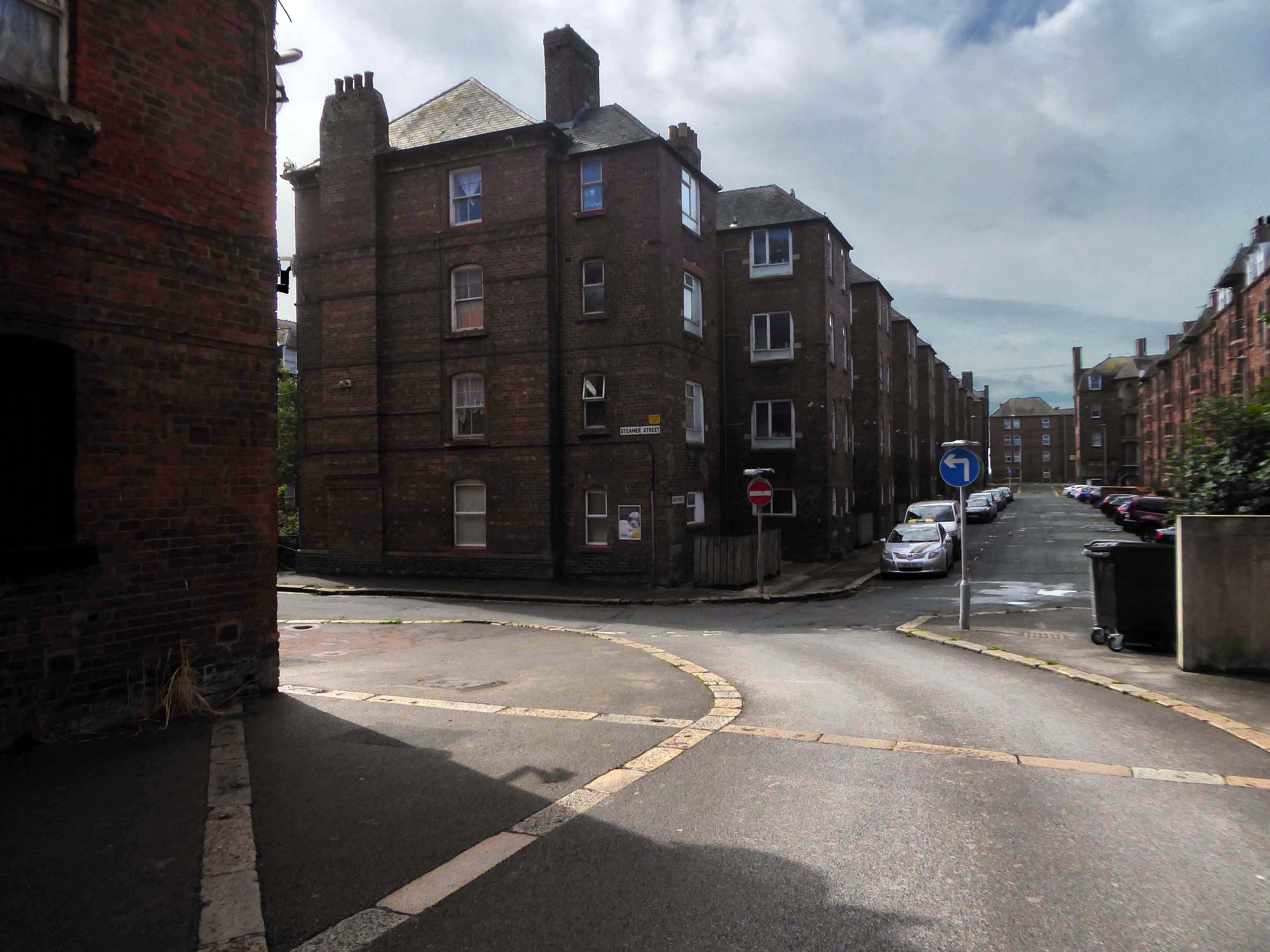
Tucked in behind the Telephone Exchange are several streets of Edwardian social housing – the Spring Gardens Scheme of 1905.
The property is practically paying its way, and all the present generation has to find is a small sum of ninety odd pounds for sinking funds. For this we get fifty-nine families decently housed, the rateable value of the town increased, a slum abolished, an eyesore removed, the health of the inhabitants remarkably improved, their environment made clean, refined, and elevating, whilst our successors in 1959 will inherit an unencumbered estate.
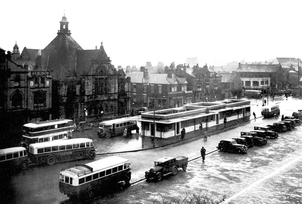
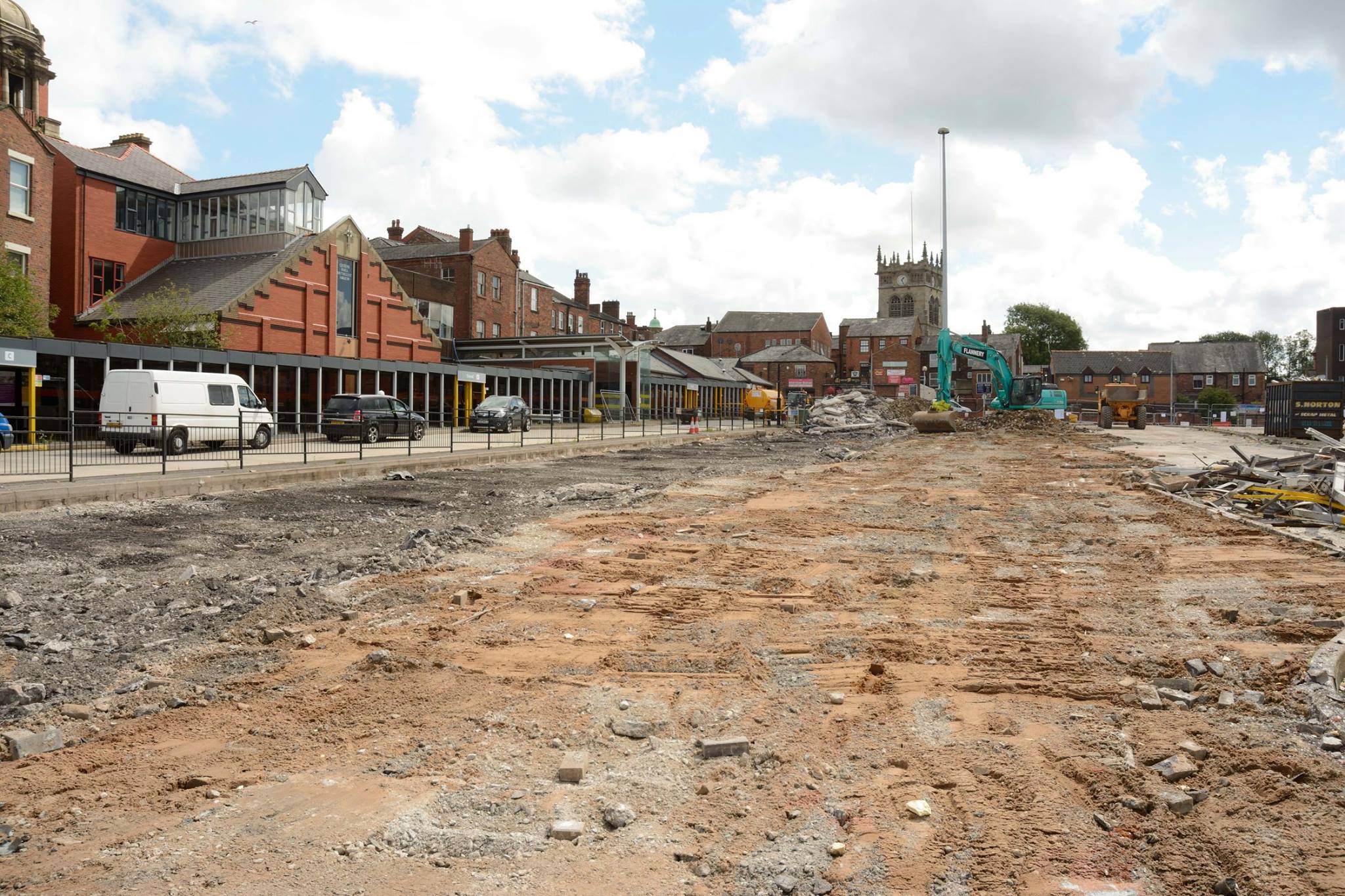
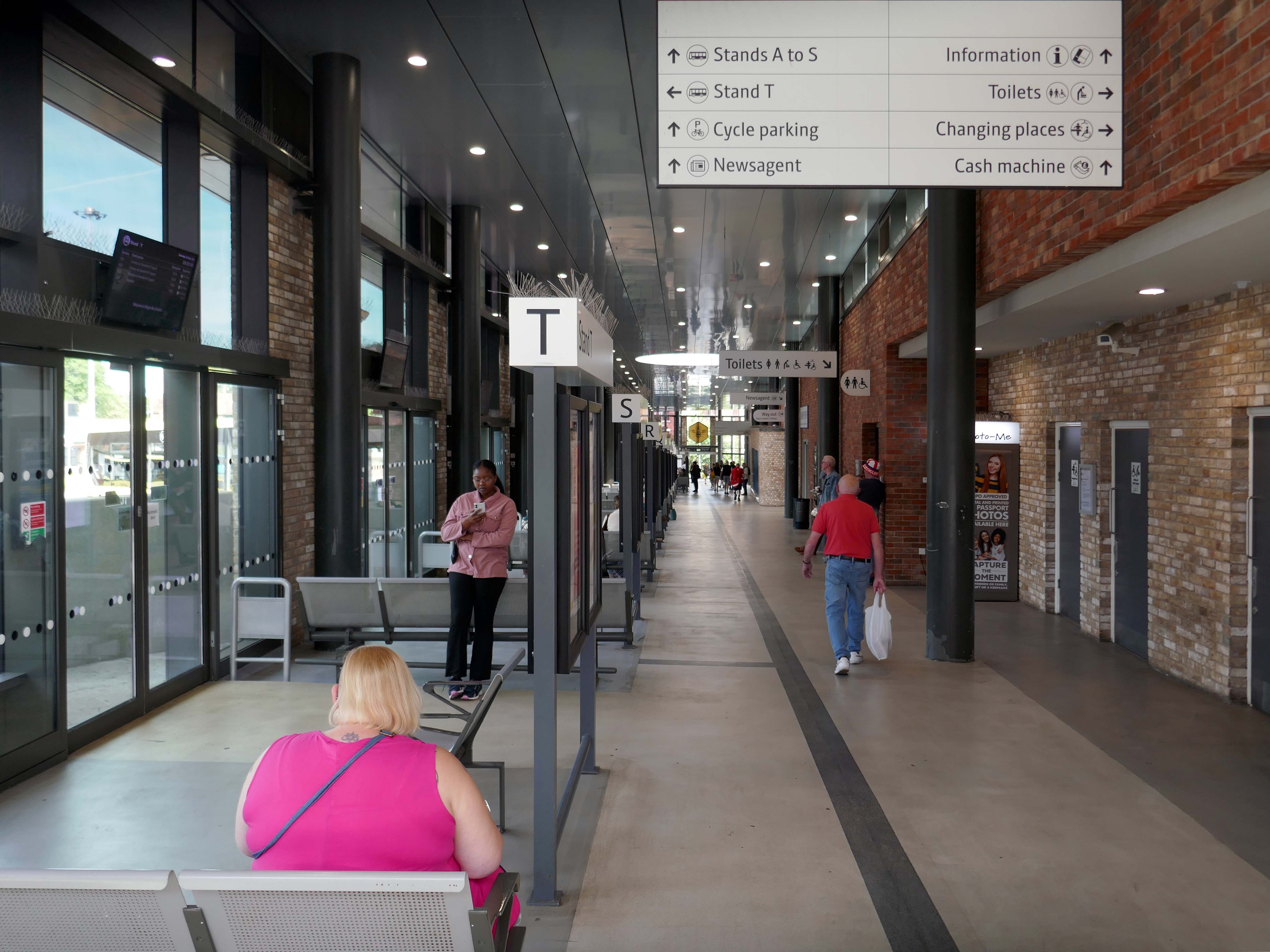
It was demolished in 1985 as part of a wider redevelopment of the town centre to make way for the Galleries Shopping Centre. A new bus station, built at a cost of £2.3 million, began construction in April 1986, and opened in November 1987.
Wikipedia
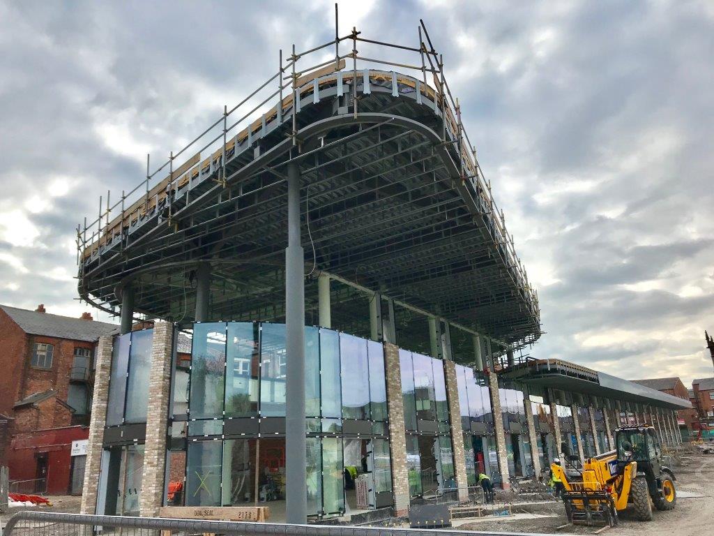
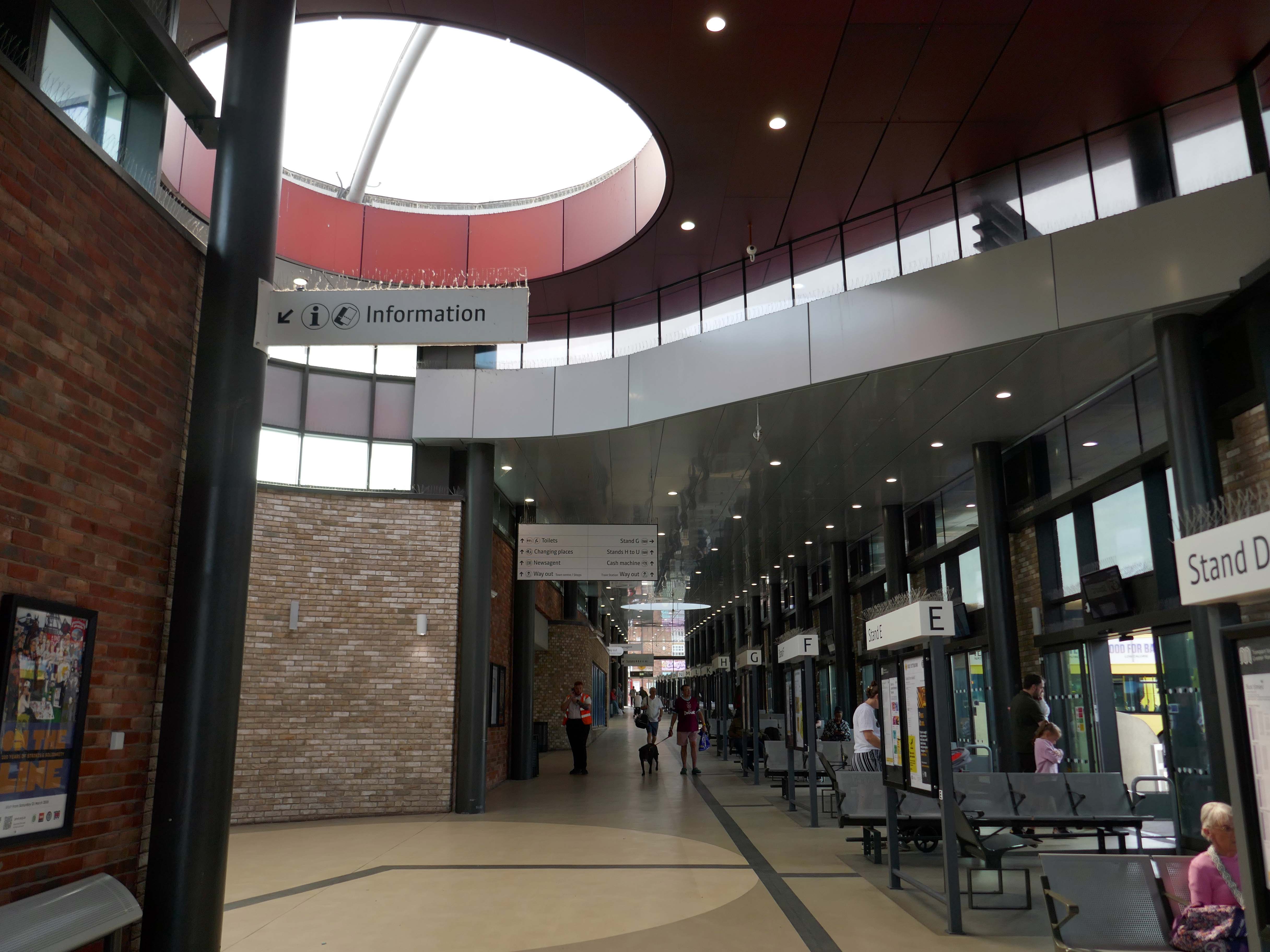
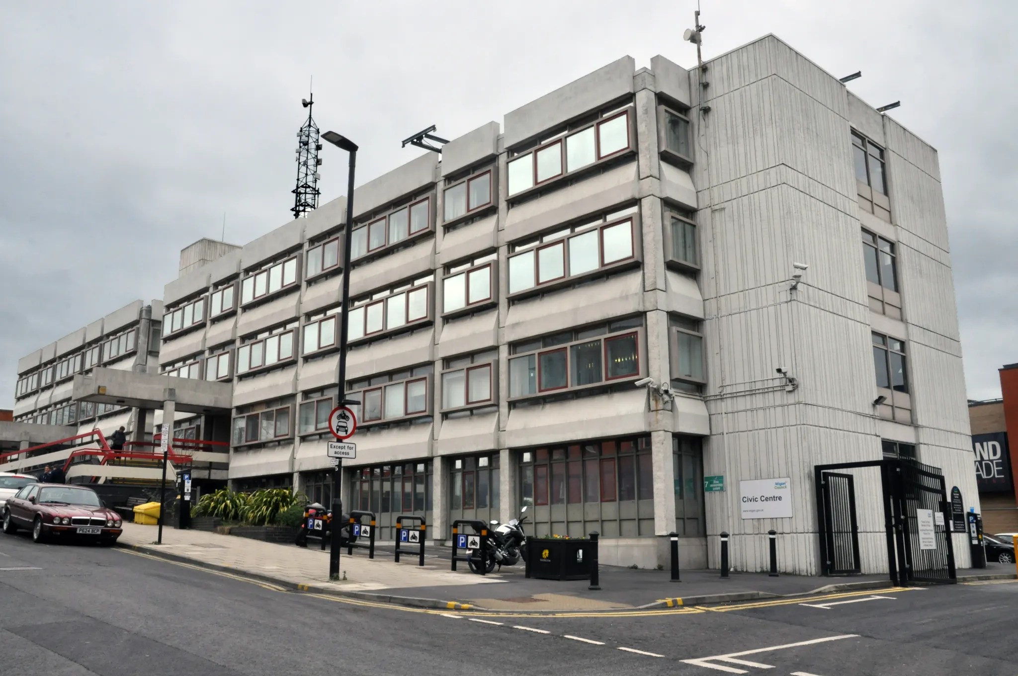
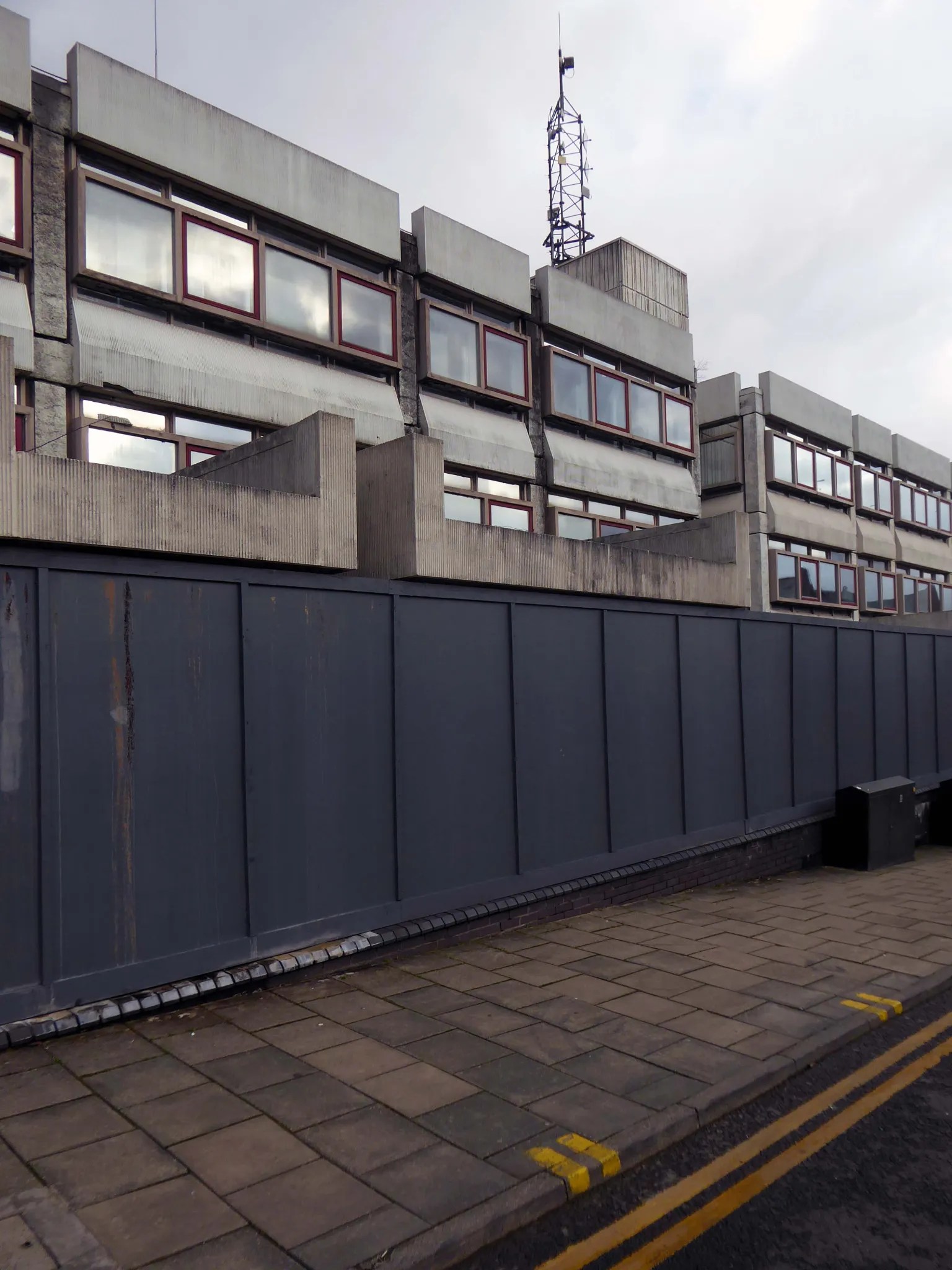
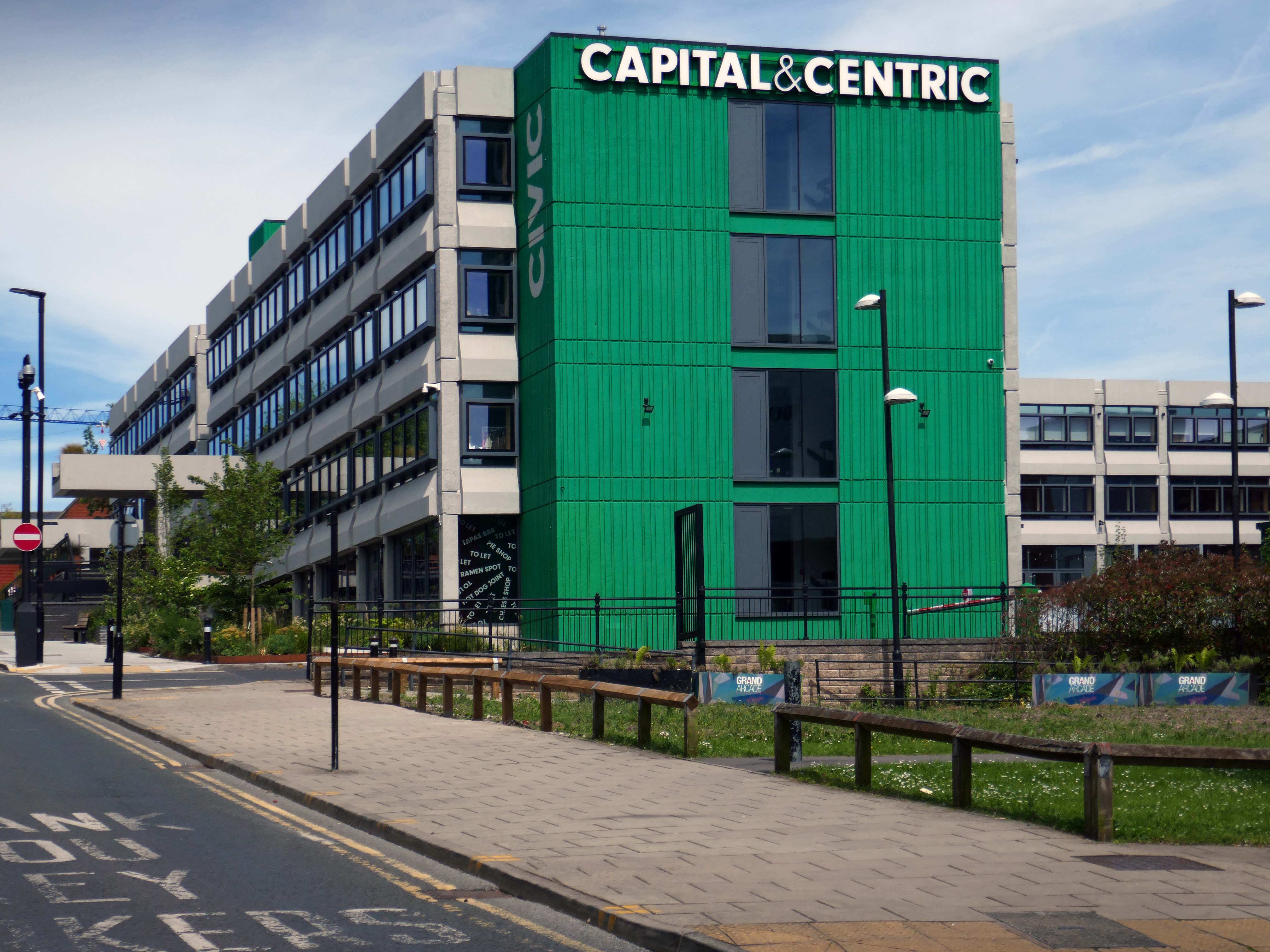
Transport for Greater Manchester commissioned Austin-Smith:Lordto design a replacement nineteen stand £15.7m bus station in Wigan Town Centre, the project was completed in October 2018.
DJ Russ Winstanley was a former pupil, here he is in 1975 at the Wigan Casino holding up a copy of Footsee by Wigan’s Chosen Few b/w Seven Days Too Long by Chuck Wood.
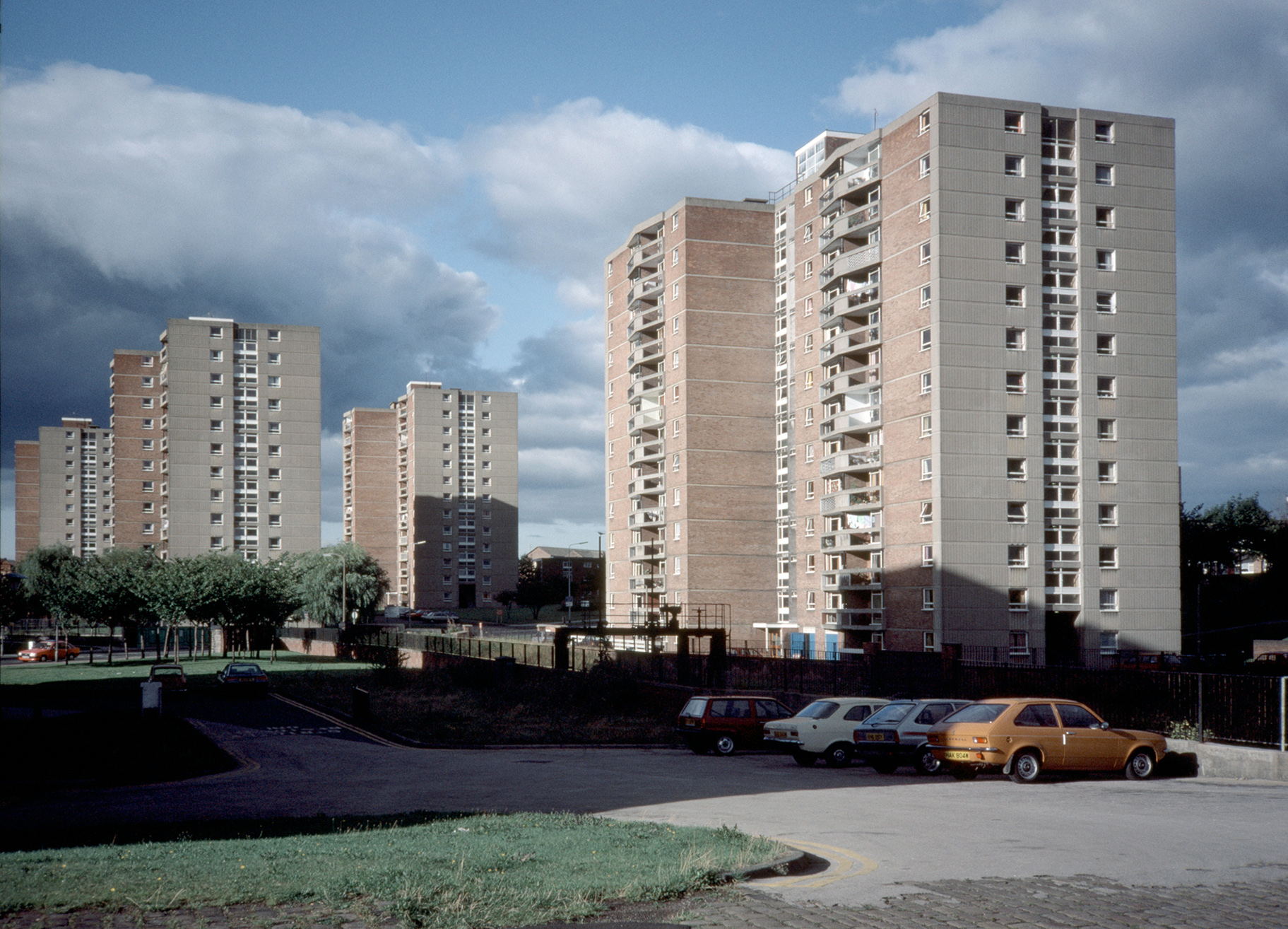
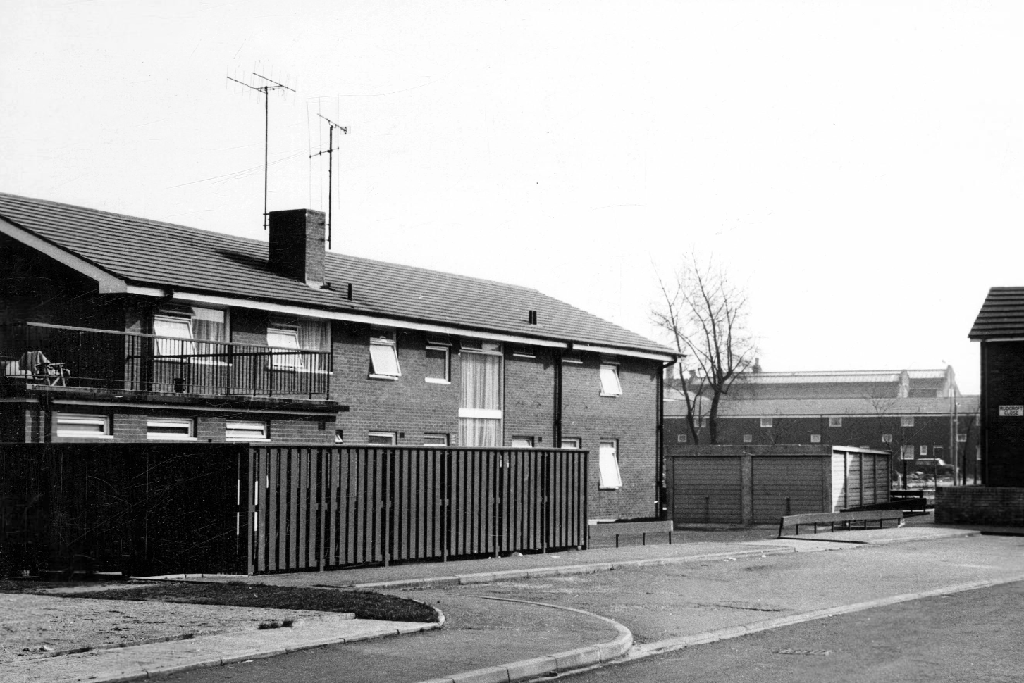
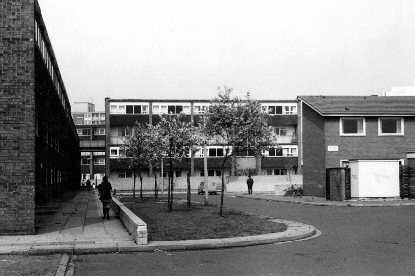
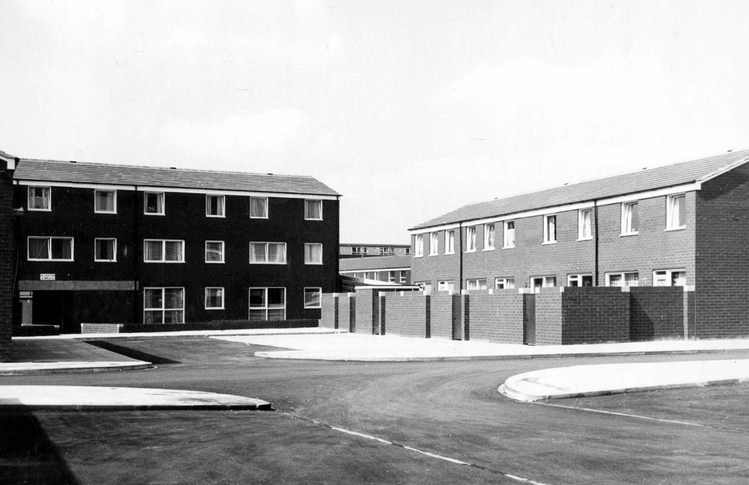
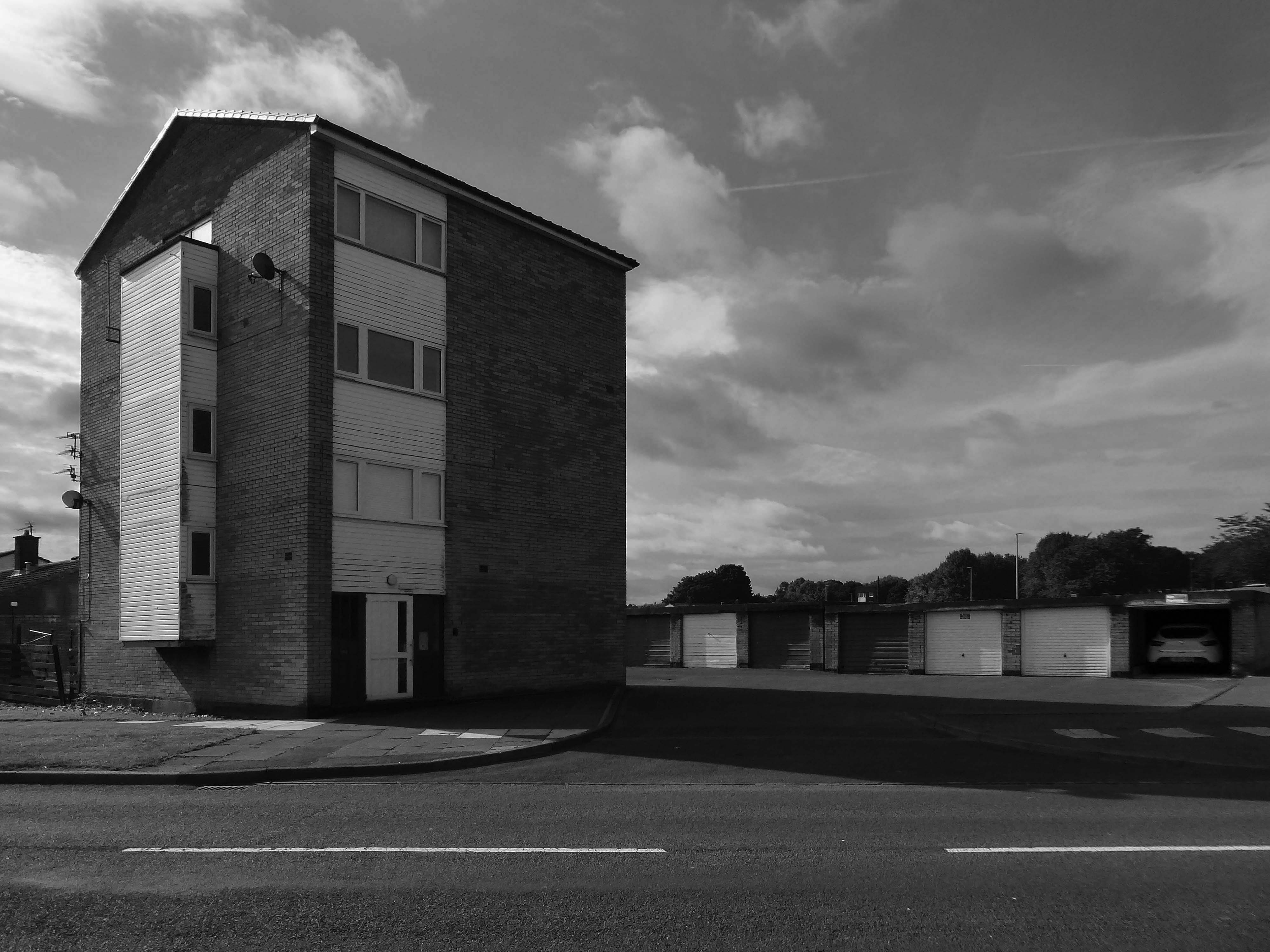
Across the way to Scholes Comprehensive Development 1964
Five thirteen-storey tower blocks adjacent to Douglas House in Scholes were approved in 1964. Lower-rise housing and flats spread to the east. In 1968, a further 13-storey block, Boyswell House, was built at this eastern end of the Scholes Comprehensive Development Area. Almost 500 slum houses, housing 566 families, were demolished that same year and 581 new council homes completed.
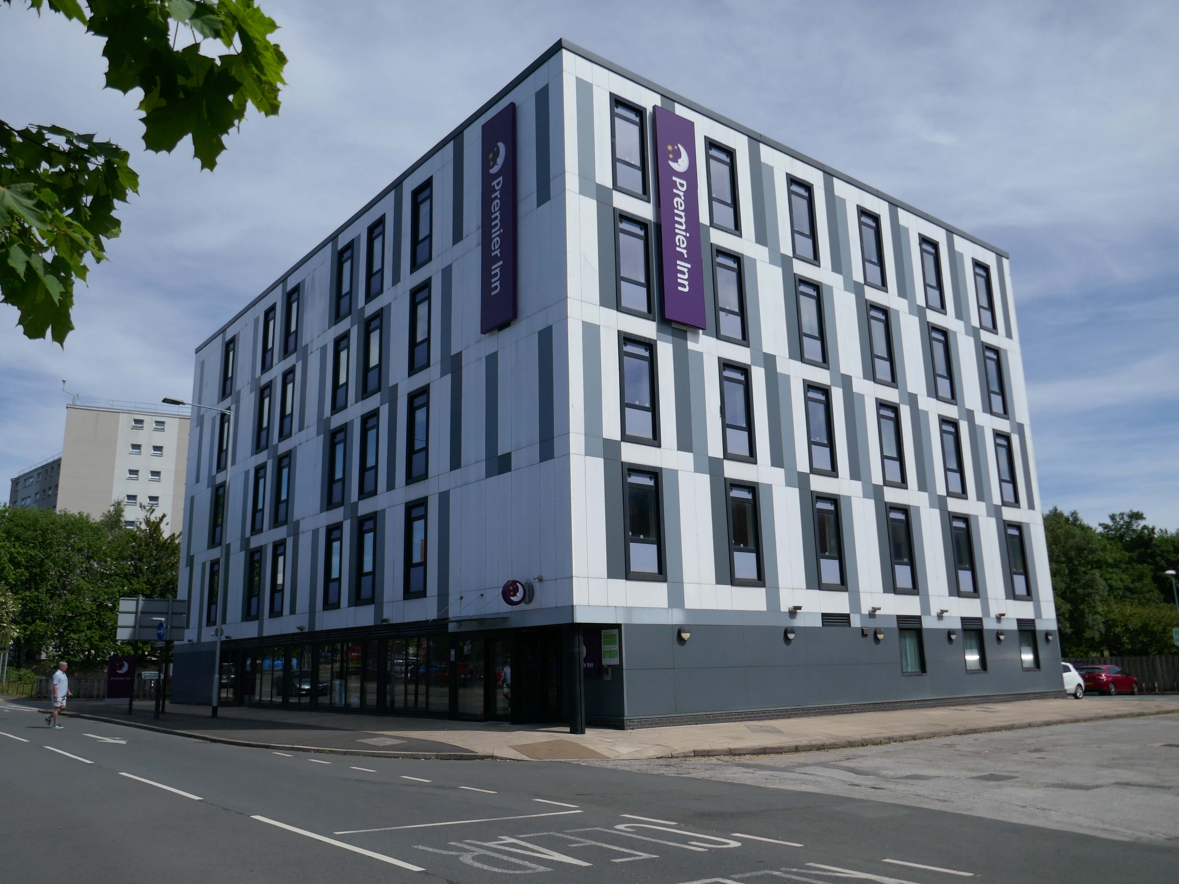
Next to the Roger Booth cop shop that became a Premier Inn.
A super-comfy bed, blackout curtains, a powerful shower and free Wi-Fi – our double rooms have everything you’ll need for a great night’s sleep.
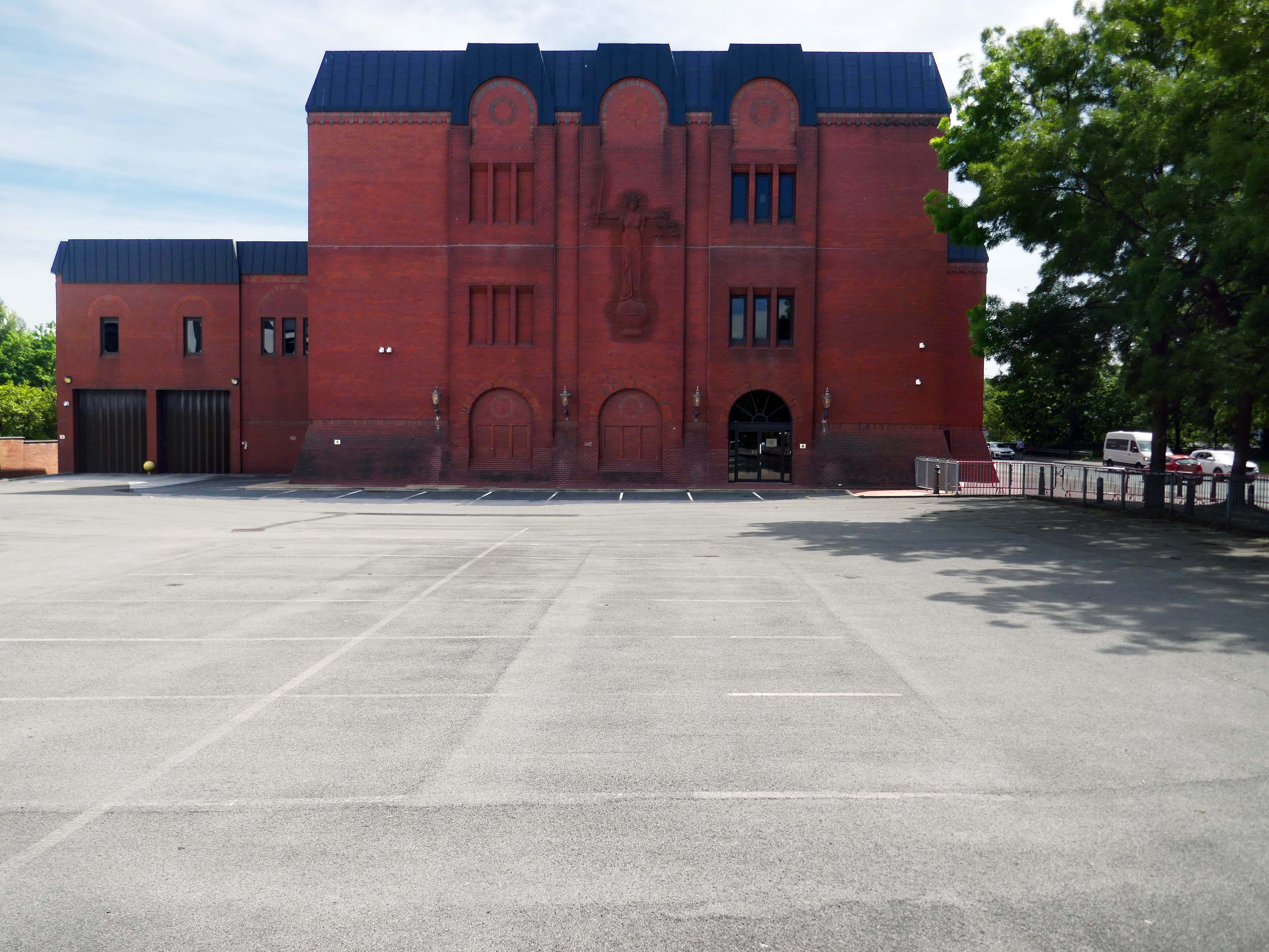
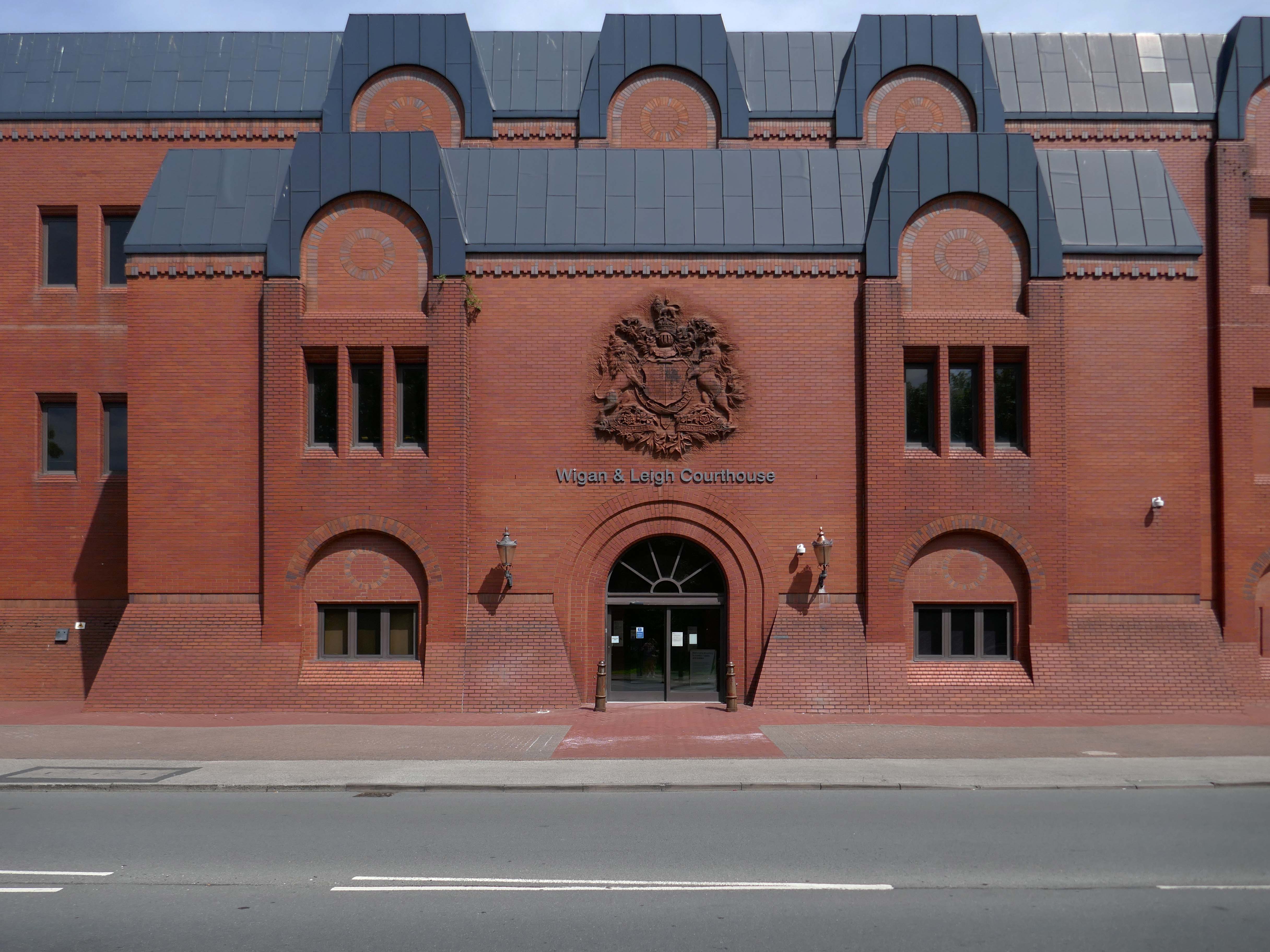
Next door the Wigan & Leigh Courthouse 1992 Wigan MBC Architect.
Relief figure of justice by Christine Ward.
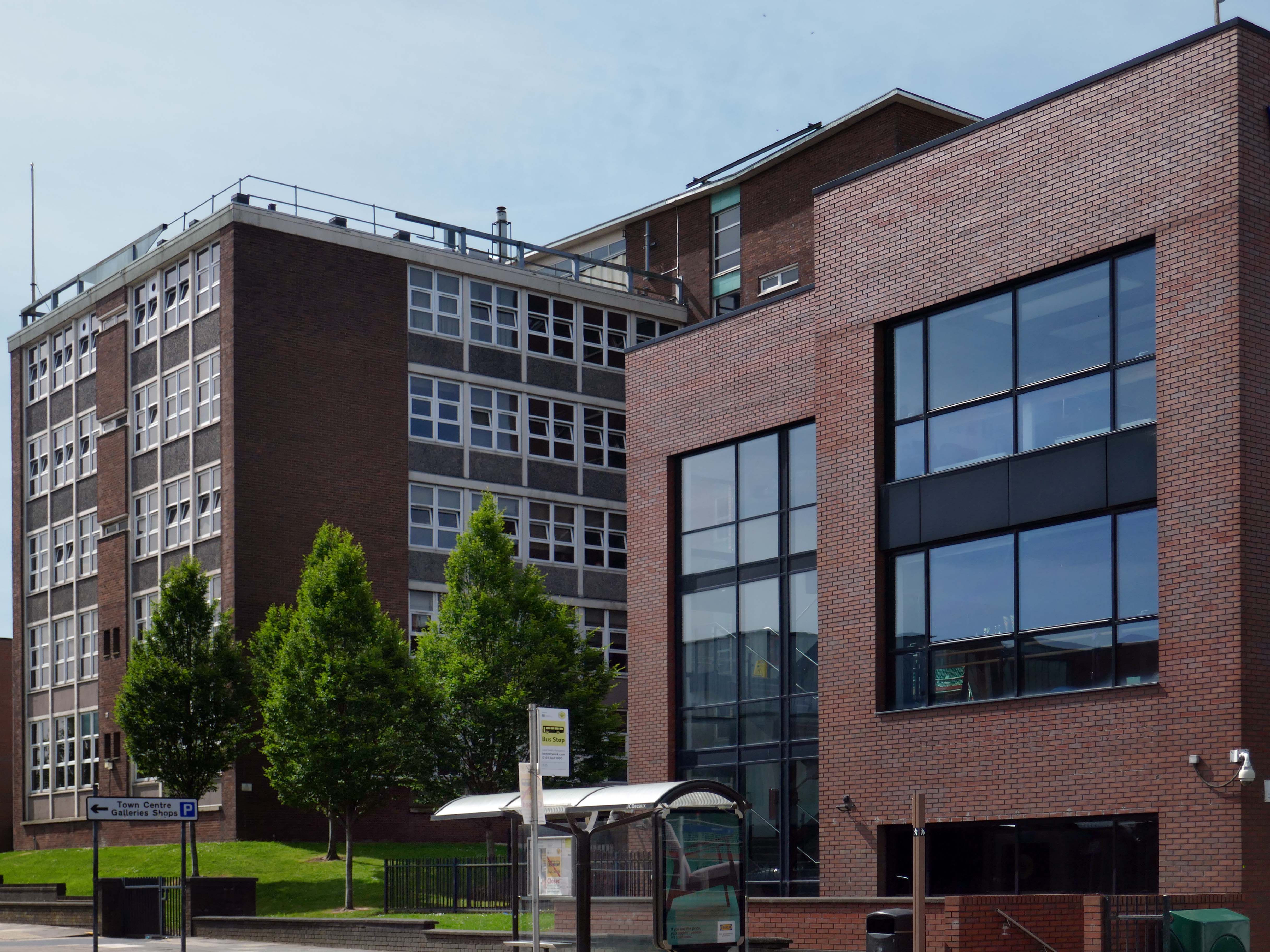
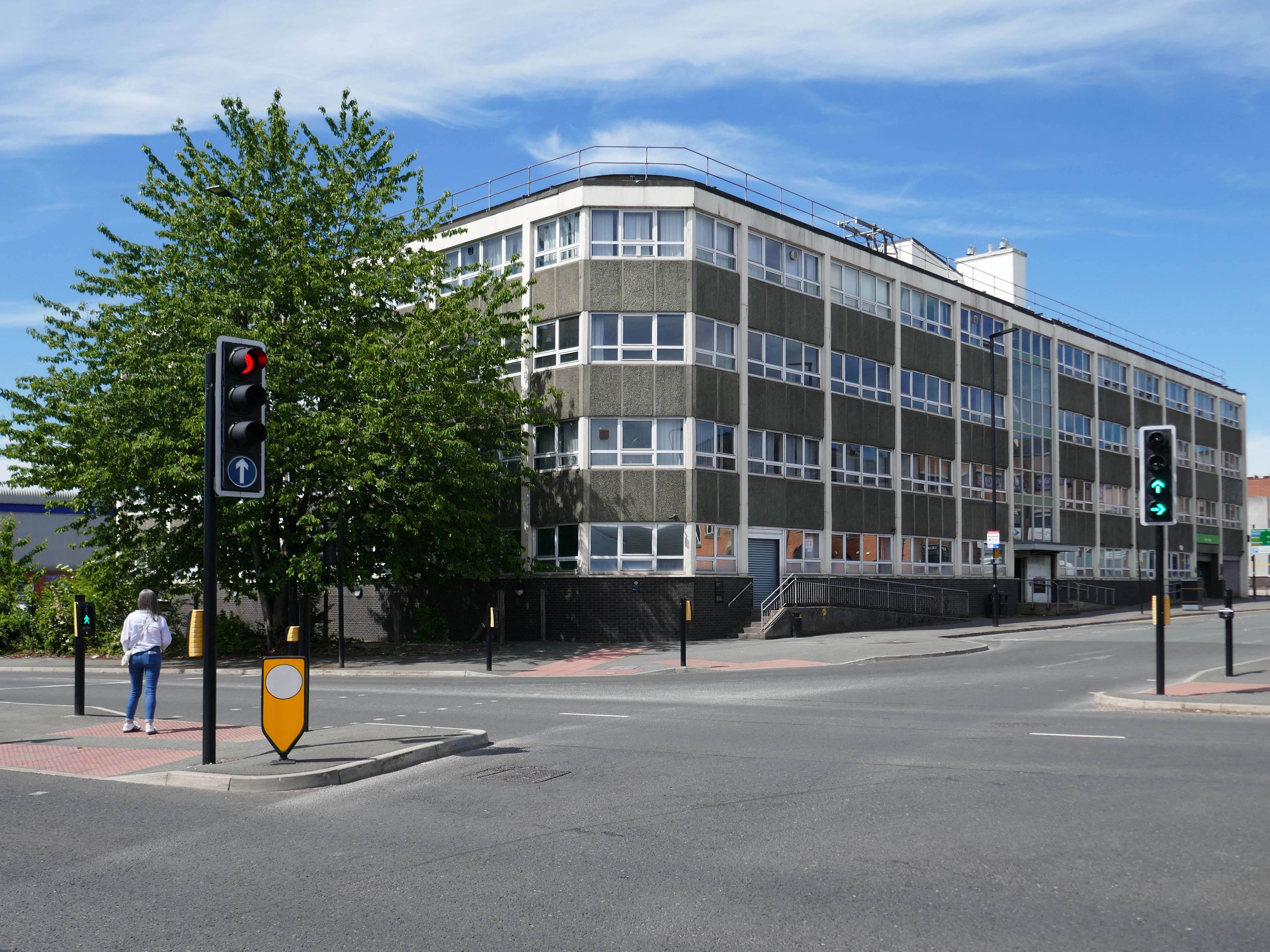
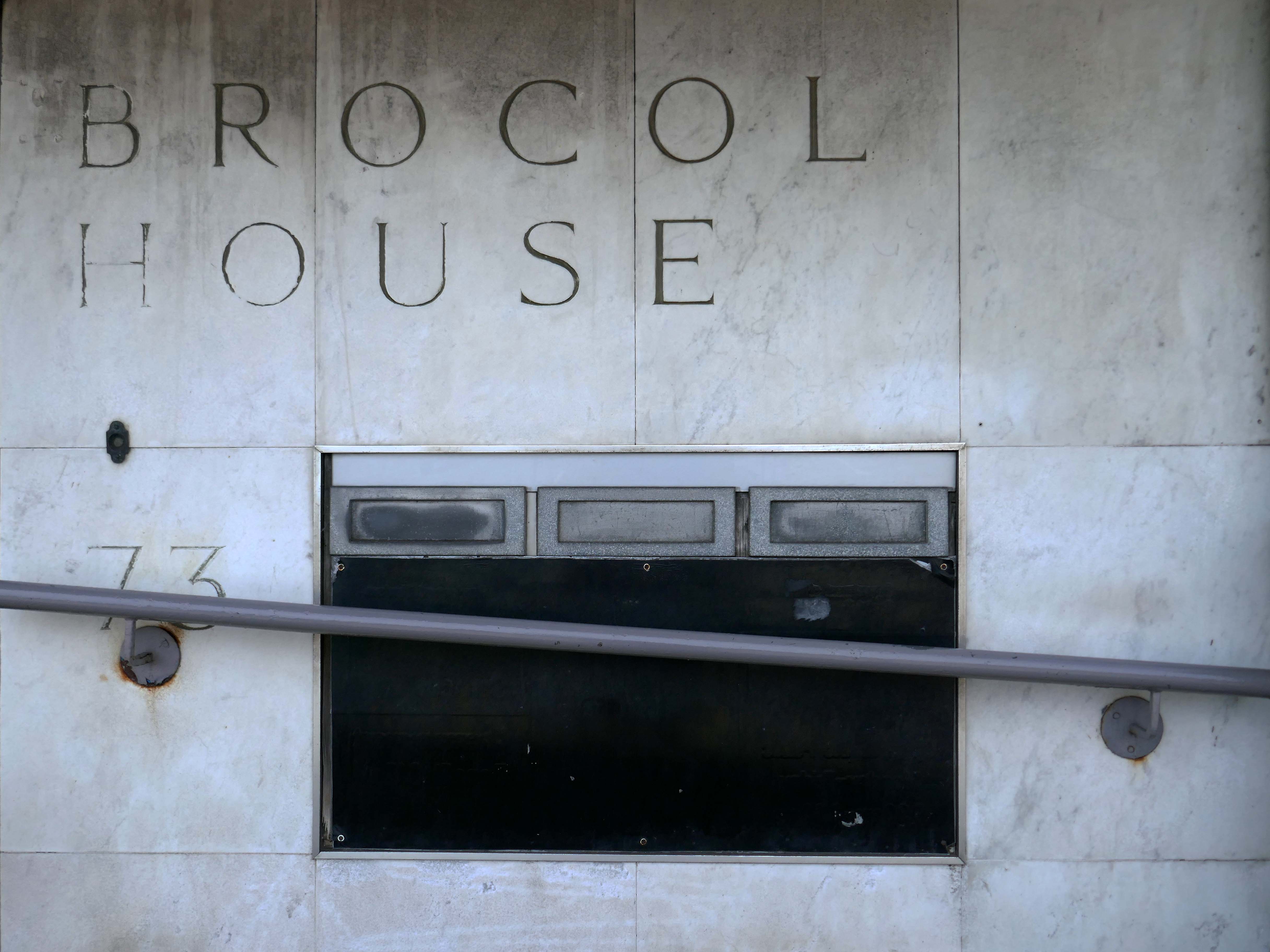
Onward to Brocol House – currently home to the Job Centre
Image – Wigan Peers
Originally built for the Inland Revenue one the site of the Brewers Arms – has the welcoming charm shared by the majority of Ministry of Works buildings of the period.
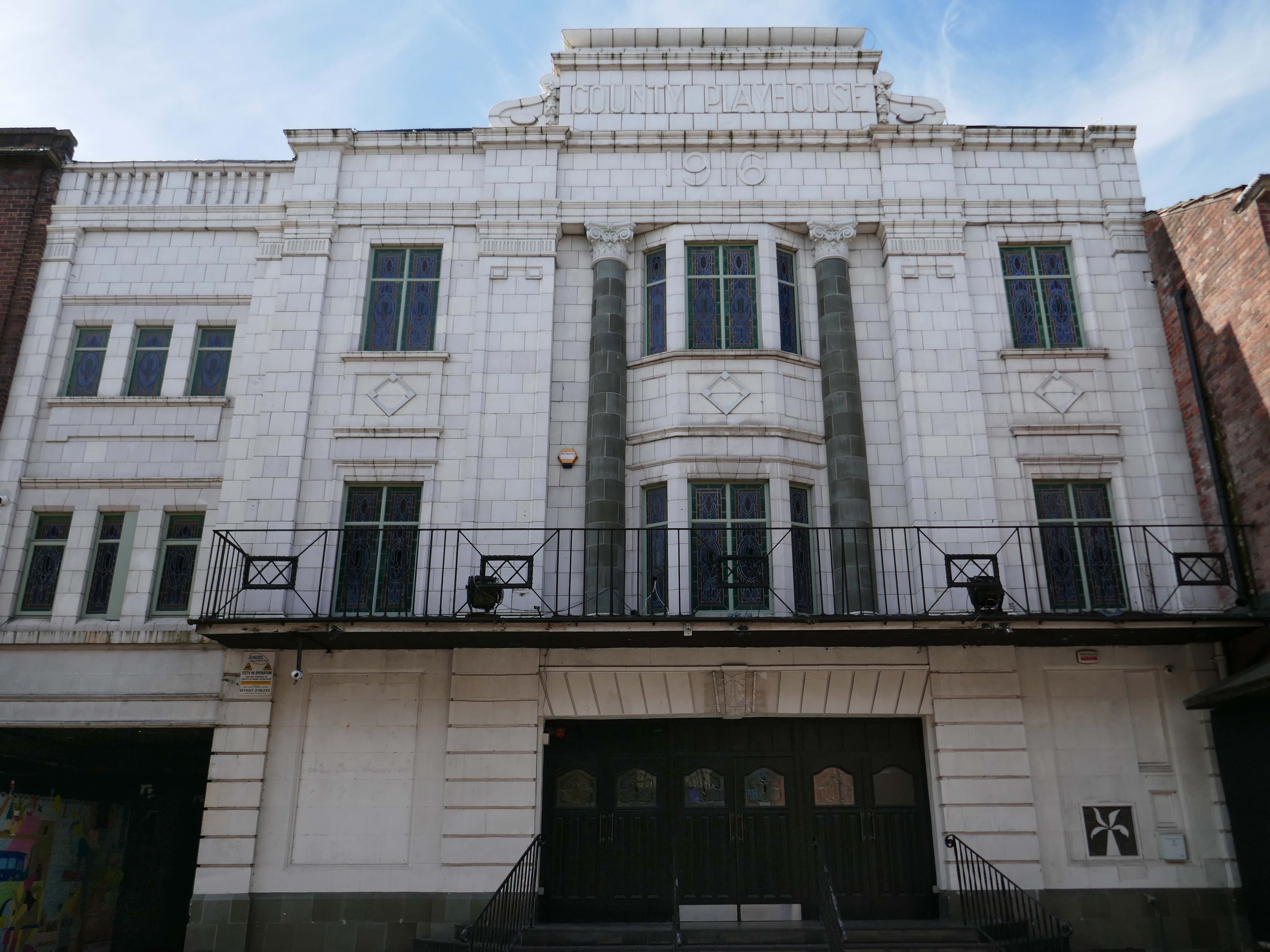
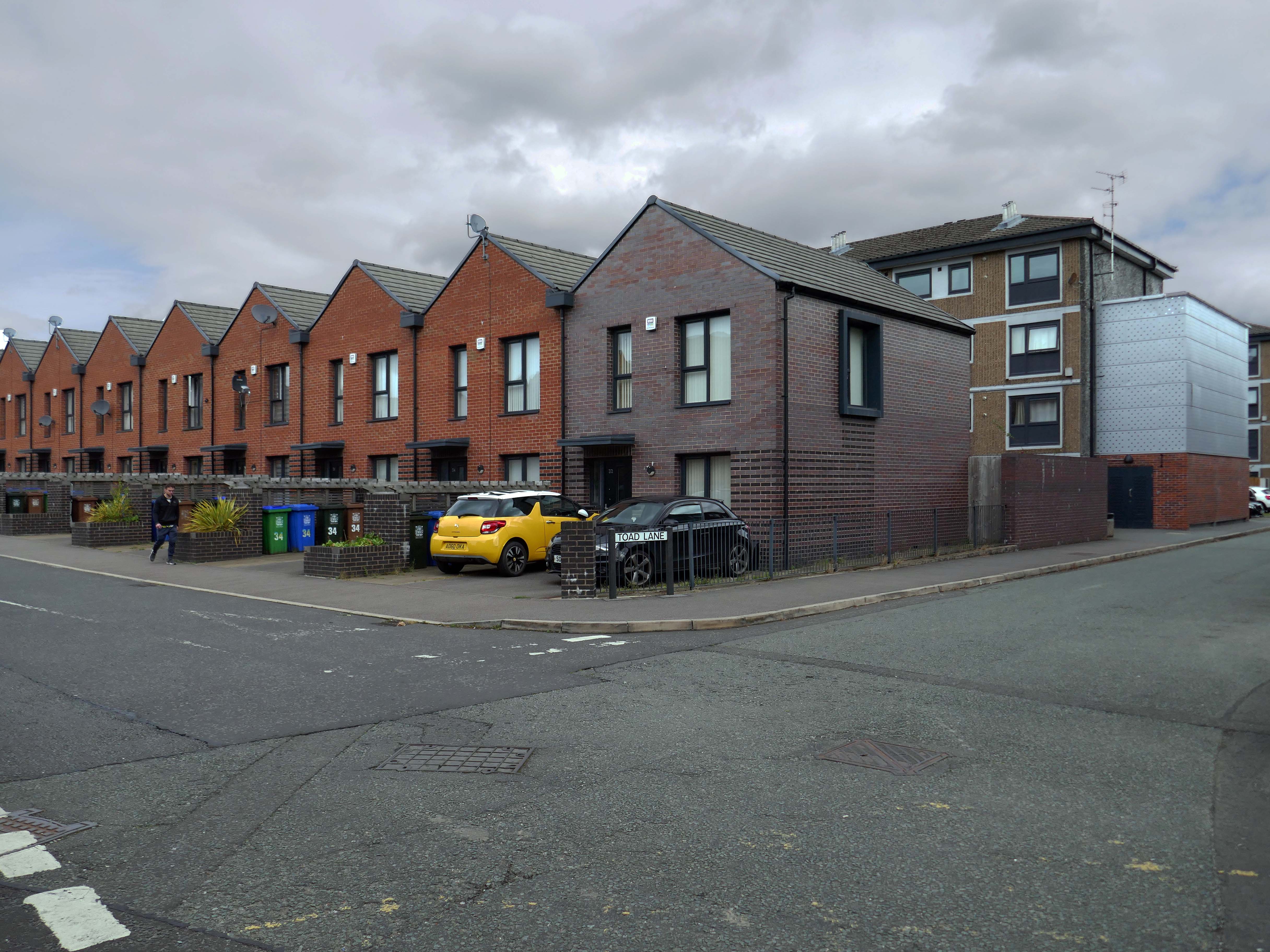
Nearly done – up the road to the County Playhouse.
The club’s atmosphere is defined by thumping musicand a vibrant crowd eager to dance and celebrate. Its modern interior design complements the lively ambience, creating an inviting space for locals and visitors alike.
Construction began on the County Playhouse in 1916. However, due to a shortage of materials and labour during World War I, it was not completed until 1919.
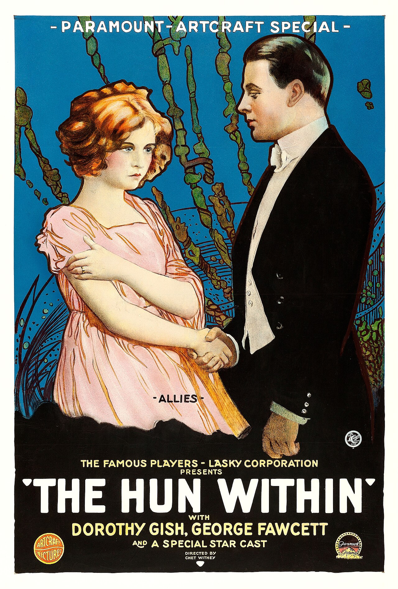
Finally opened on 22nd December 1919 with The Hun Within – starring Dorothy Gish.
The County Playhouse closed on Sunday 13th November 1966 with Disney’s “The Sword and the Stone”. It was taken over by the Leeds Based Star Cinemas chain and they converted it into Star Bingo and Social Club opened on 24th November 1966.
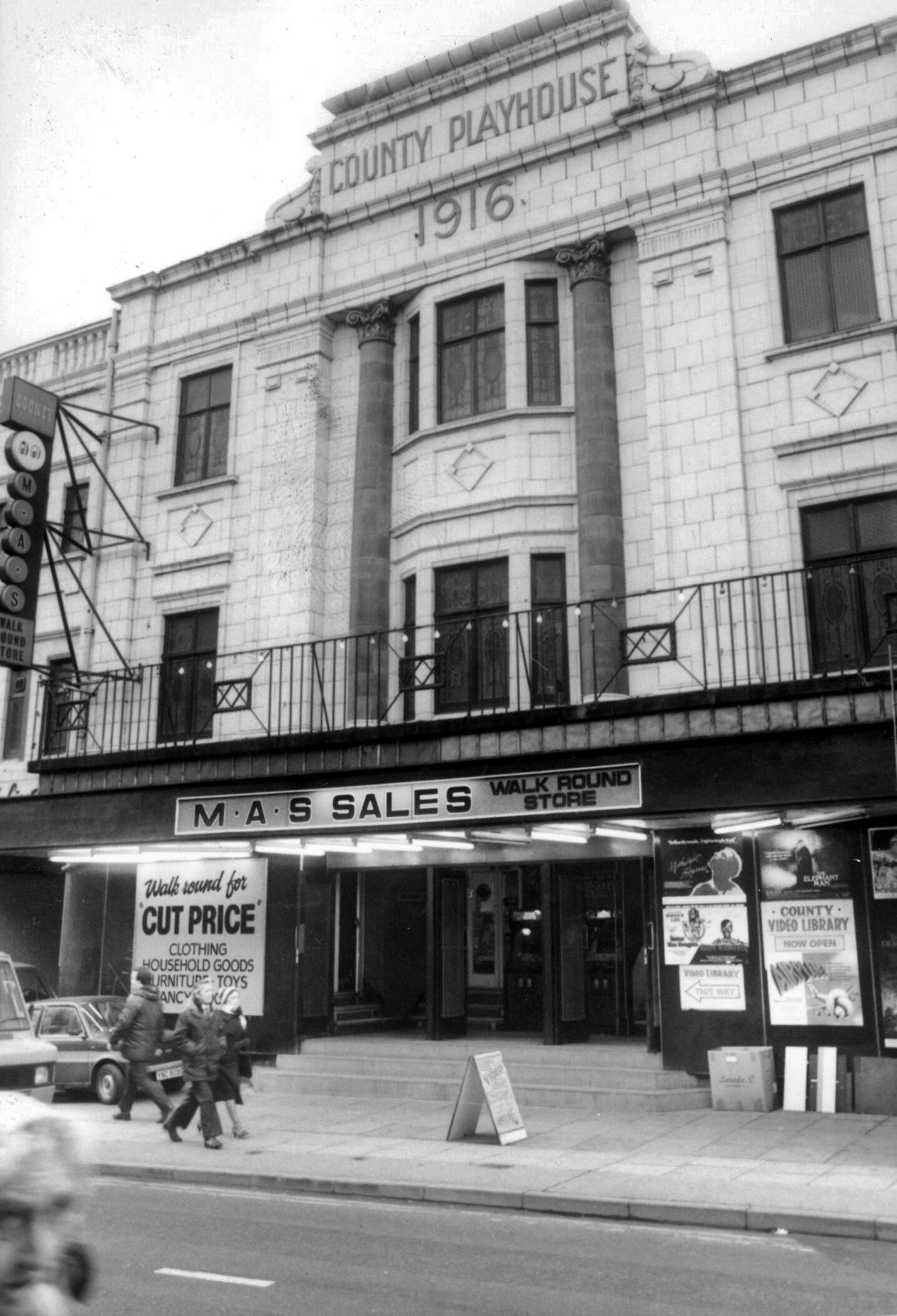
MAS sales store 1982 – Frank Orrell Photography
The building has since been used as a discount store and Playhouse Club Café. It then became home to the 1,200 capacity Pure Nightclub. In the early-2000’s it became the Ibiza nightclub. The Pure nightclub move into the former Princes Cinema
Time for a swift half in The George to end your tour?
Great for a local pint one of the cheapest in Wigan I believe, slightly rough at times but no fights just real local people who are generally friendly. Proper drinking gaff, and karaoke on certain nights.
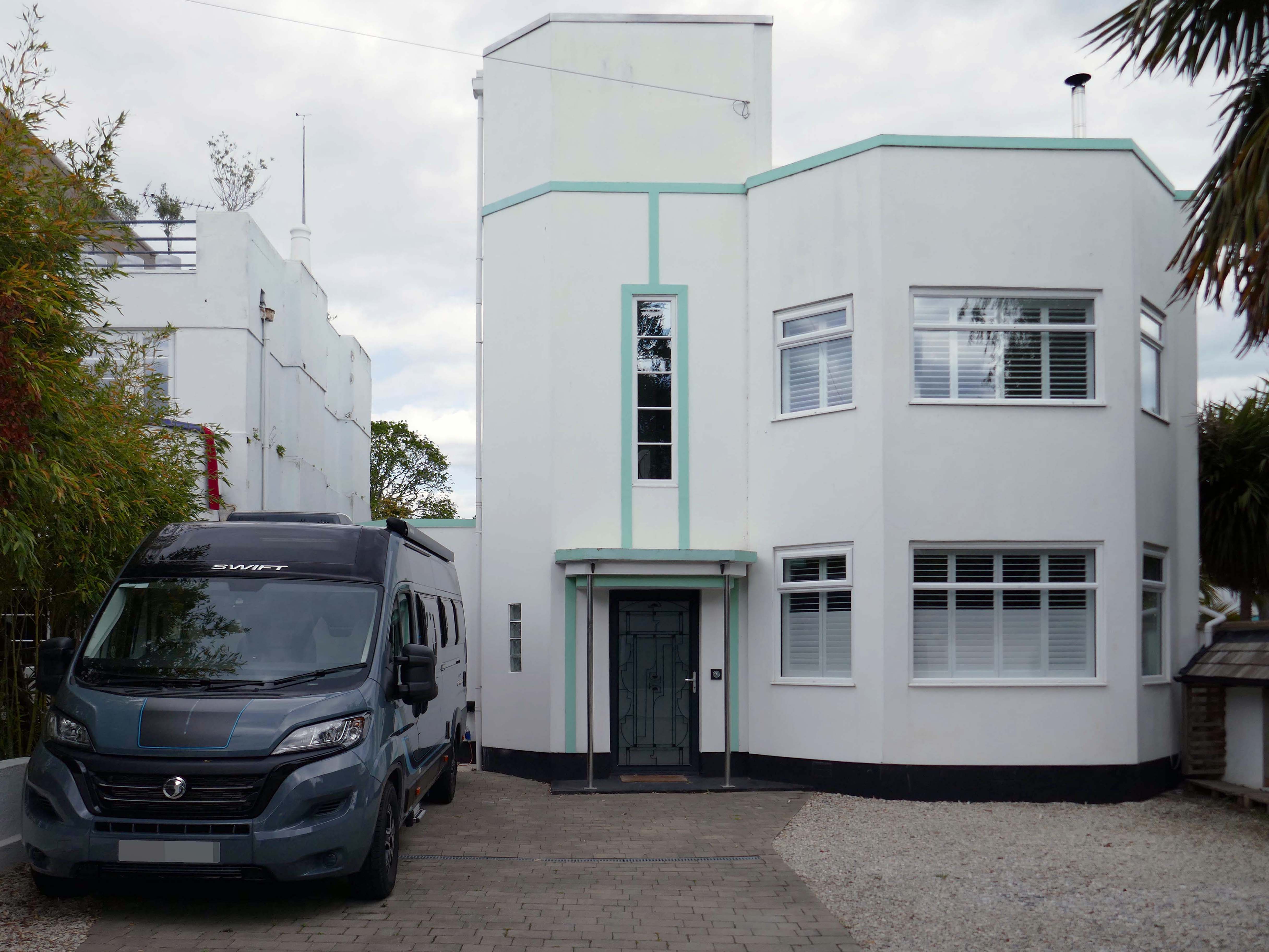
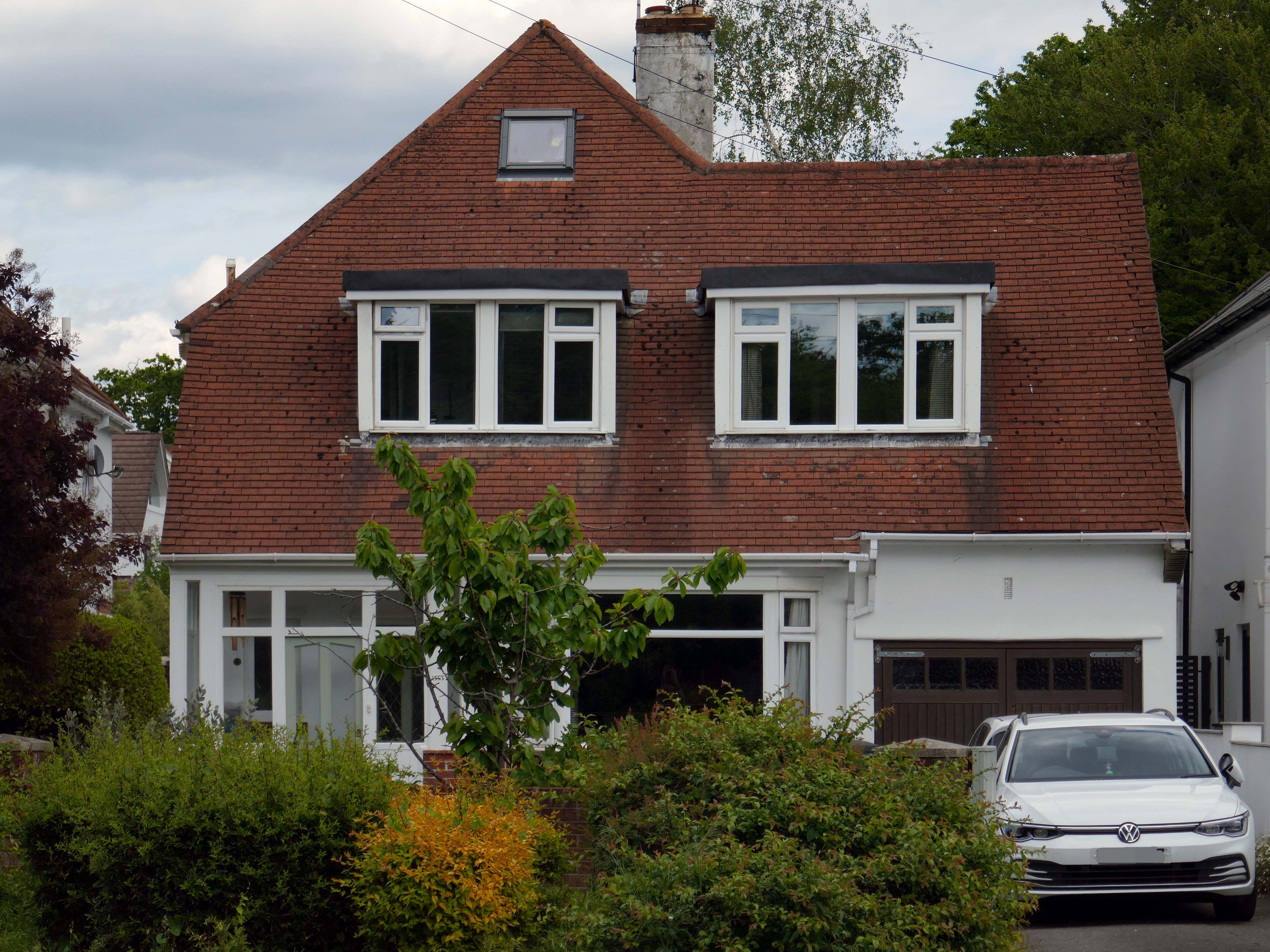
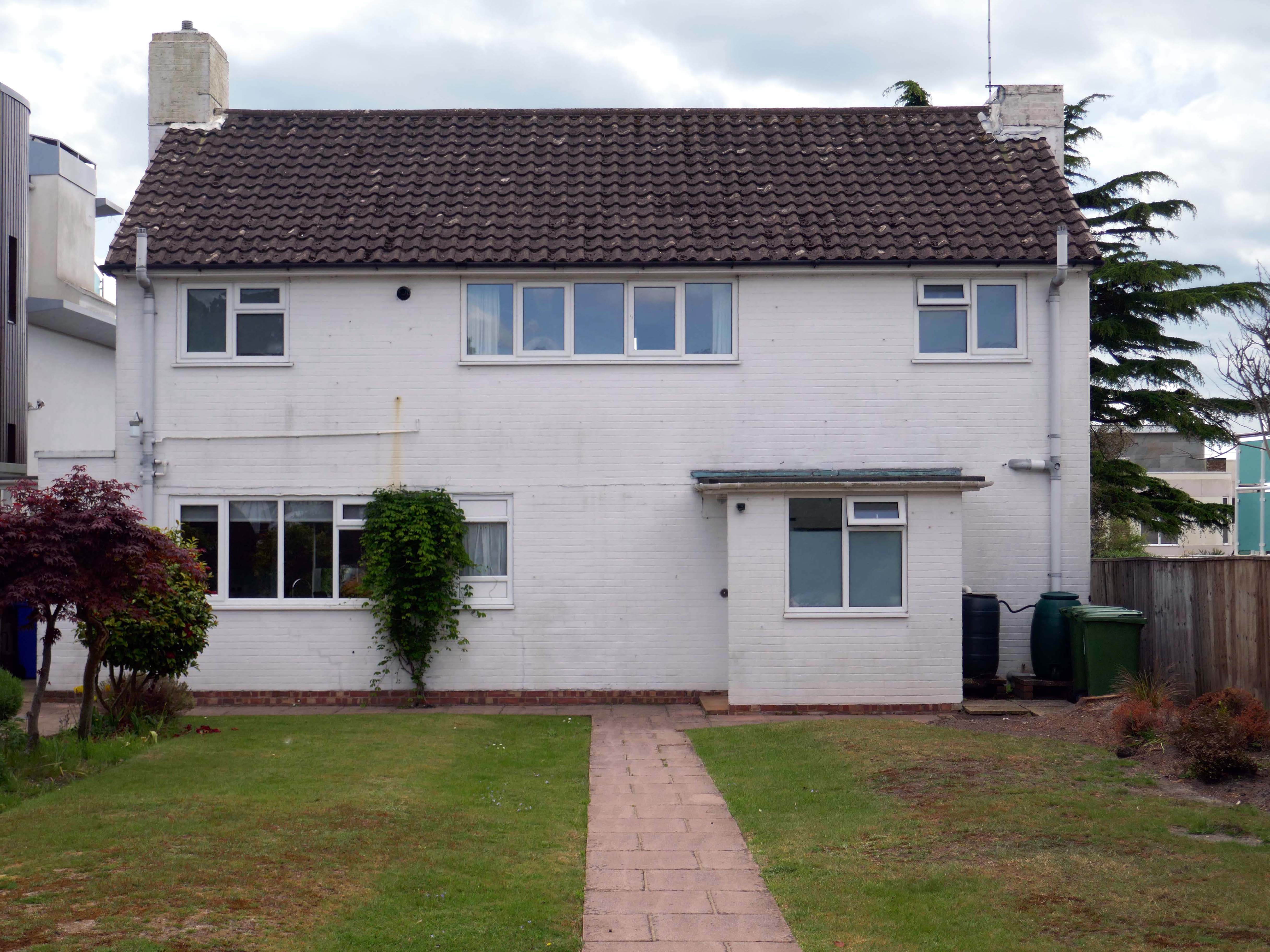
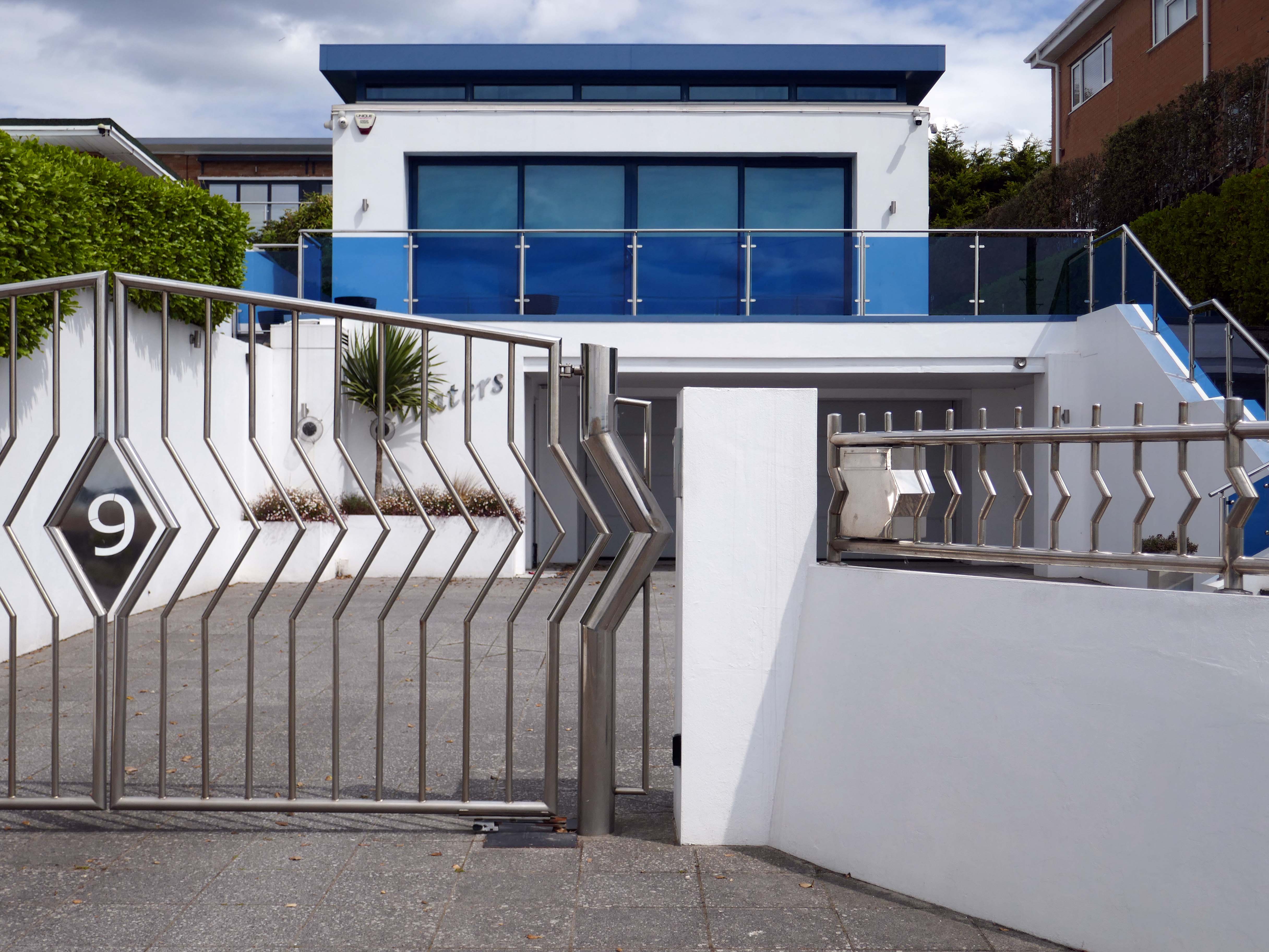
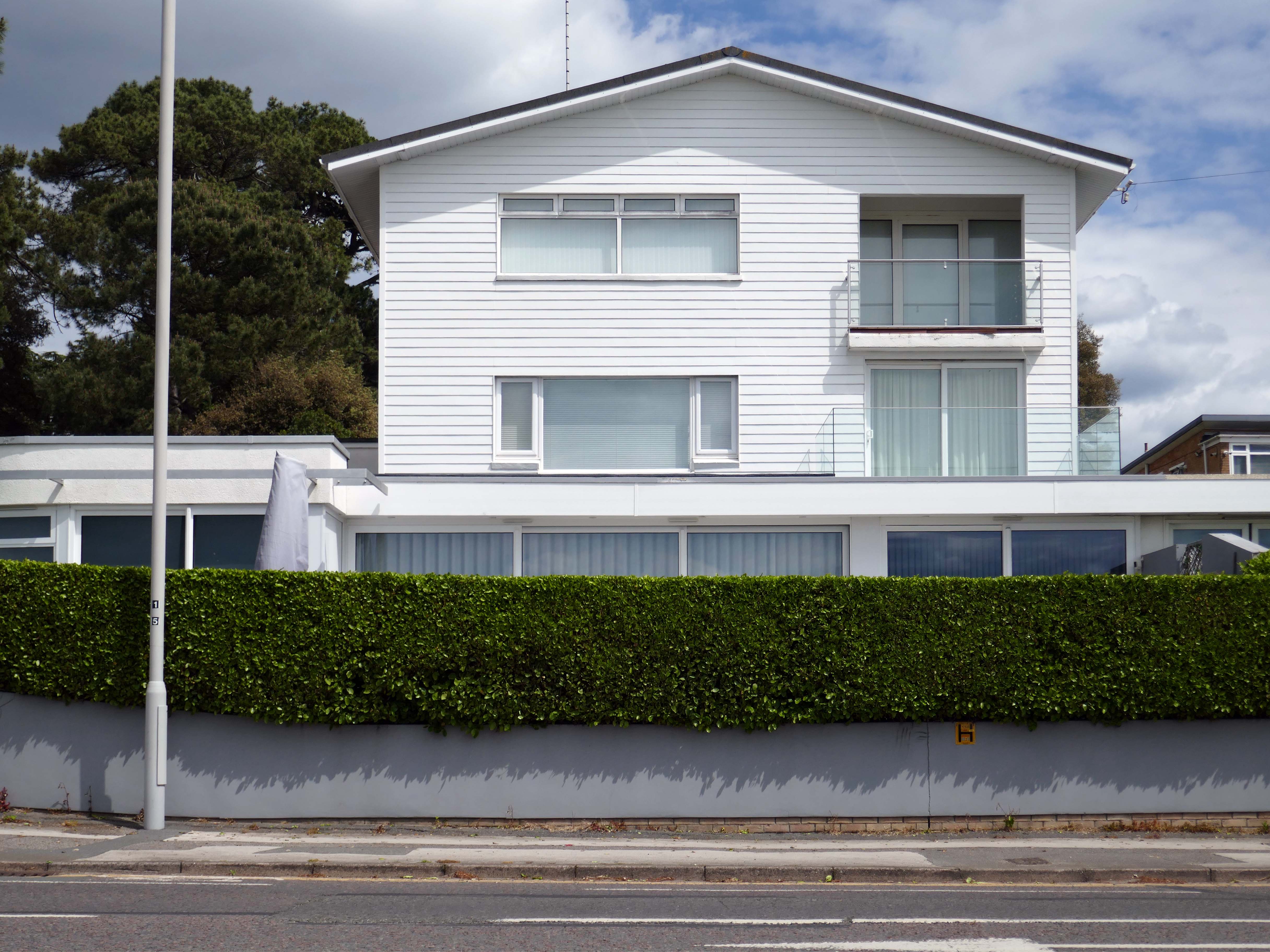
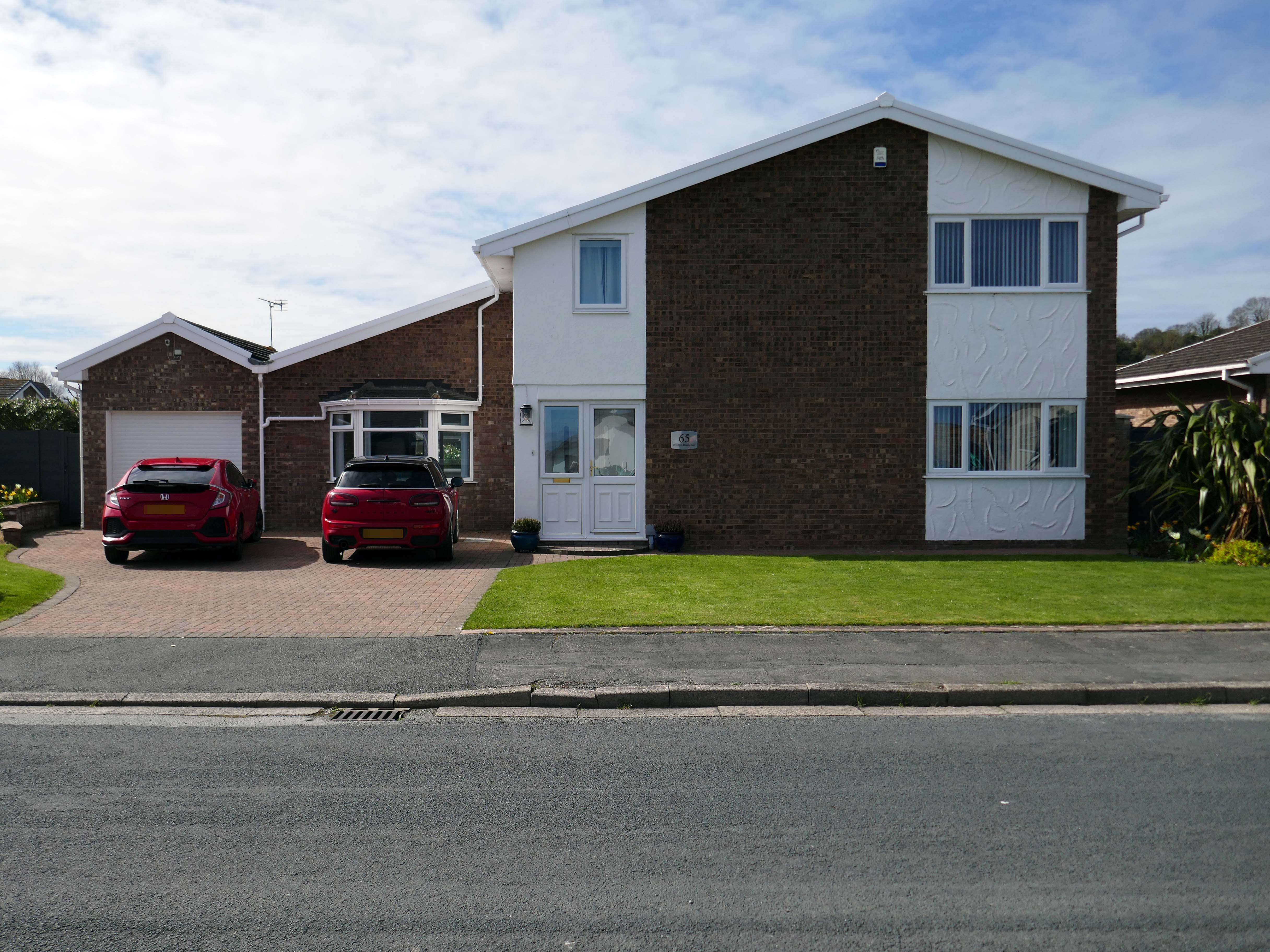
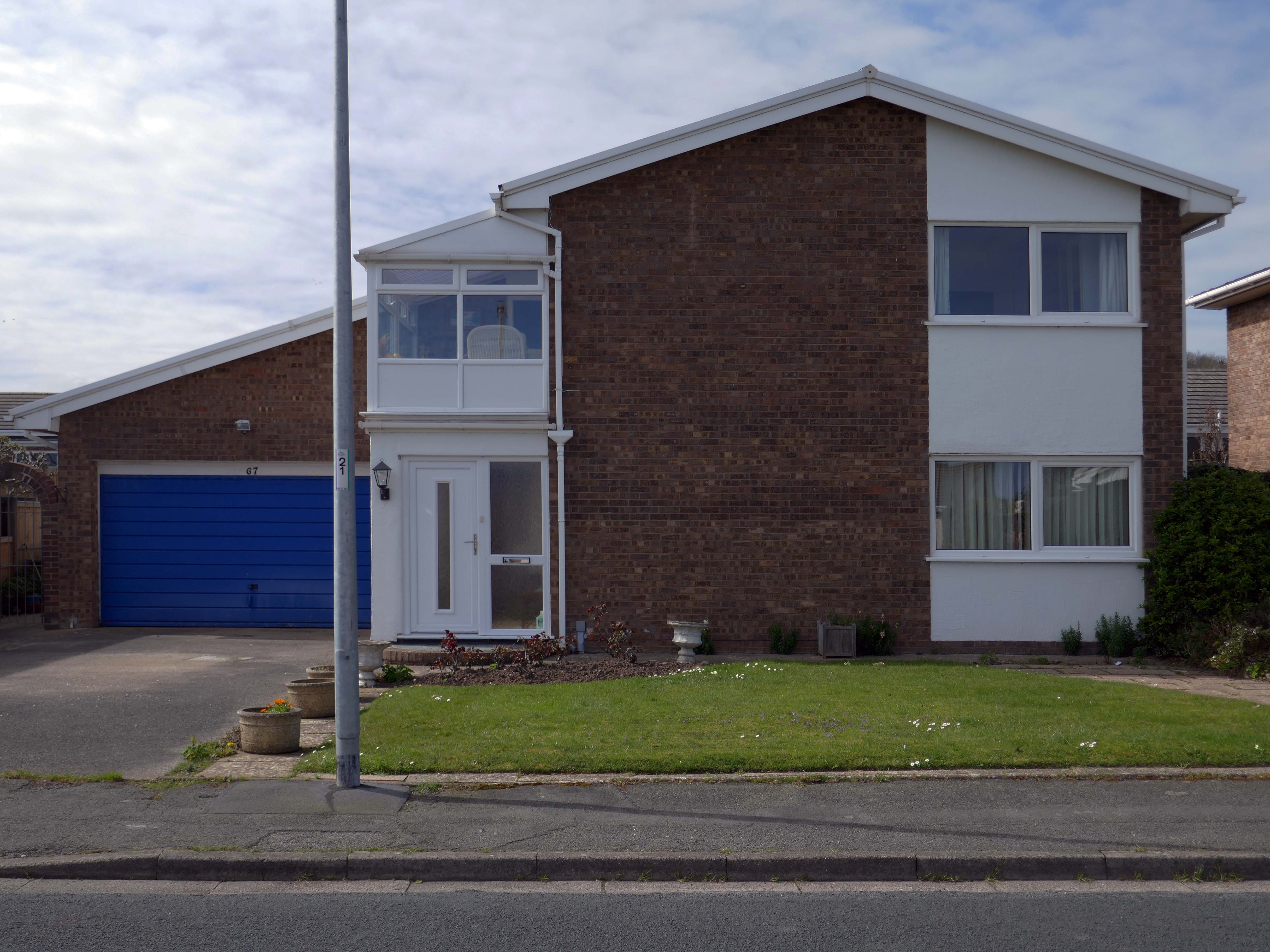
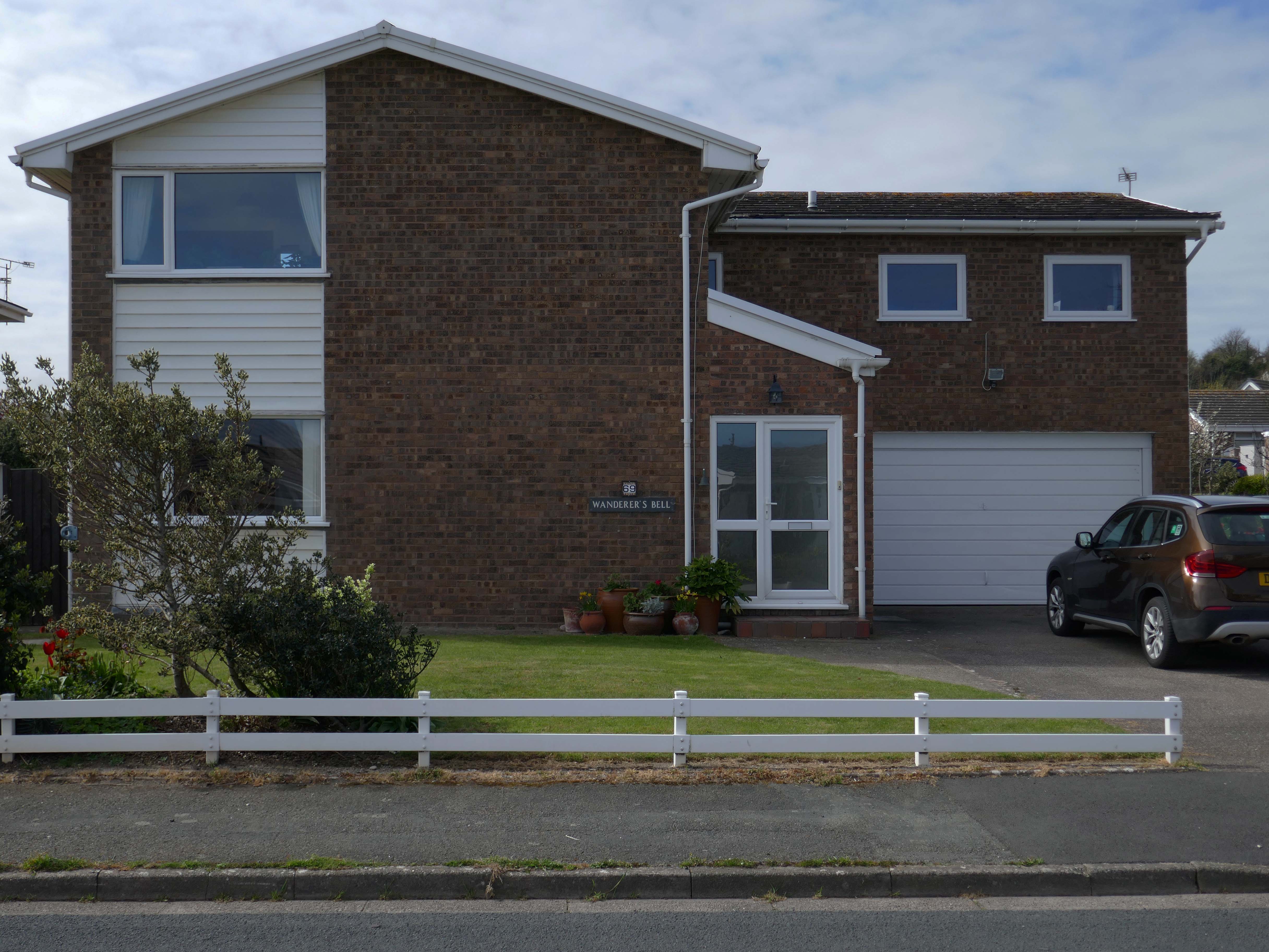
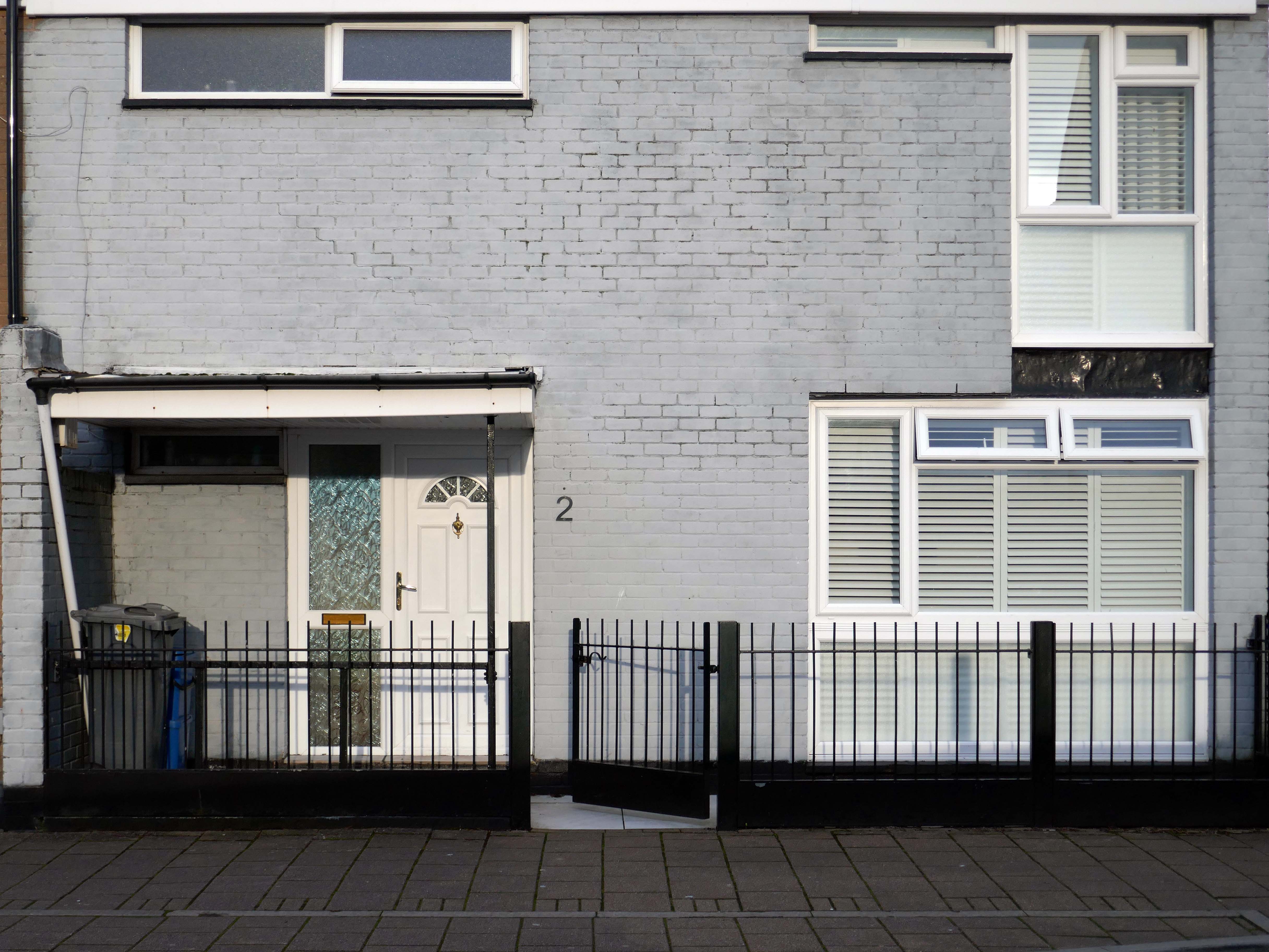
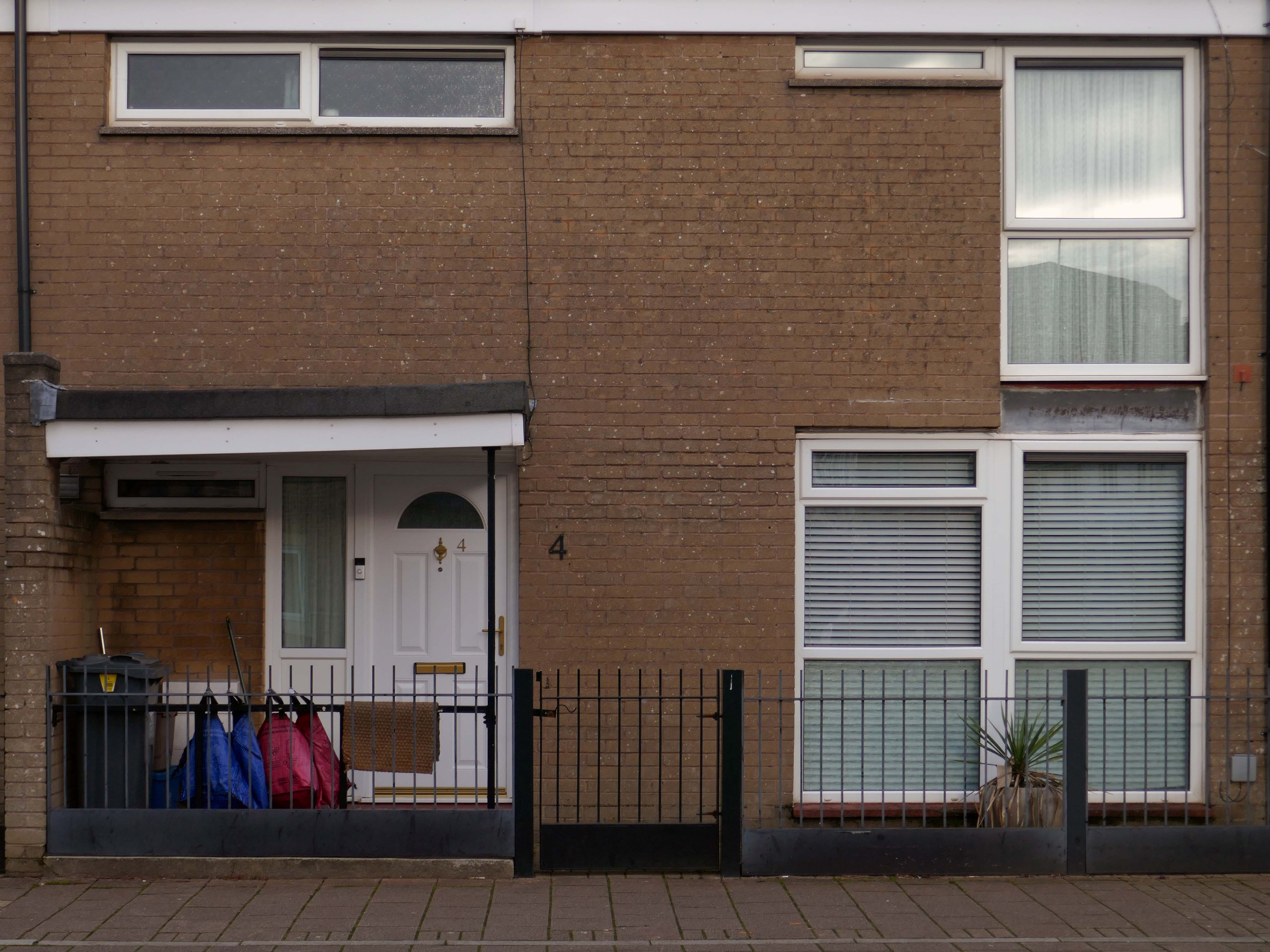
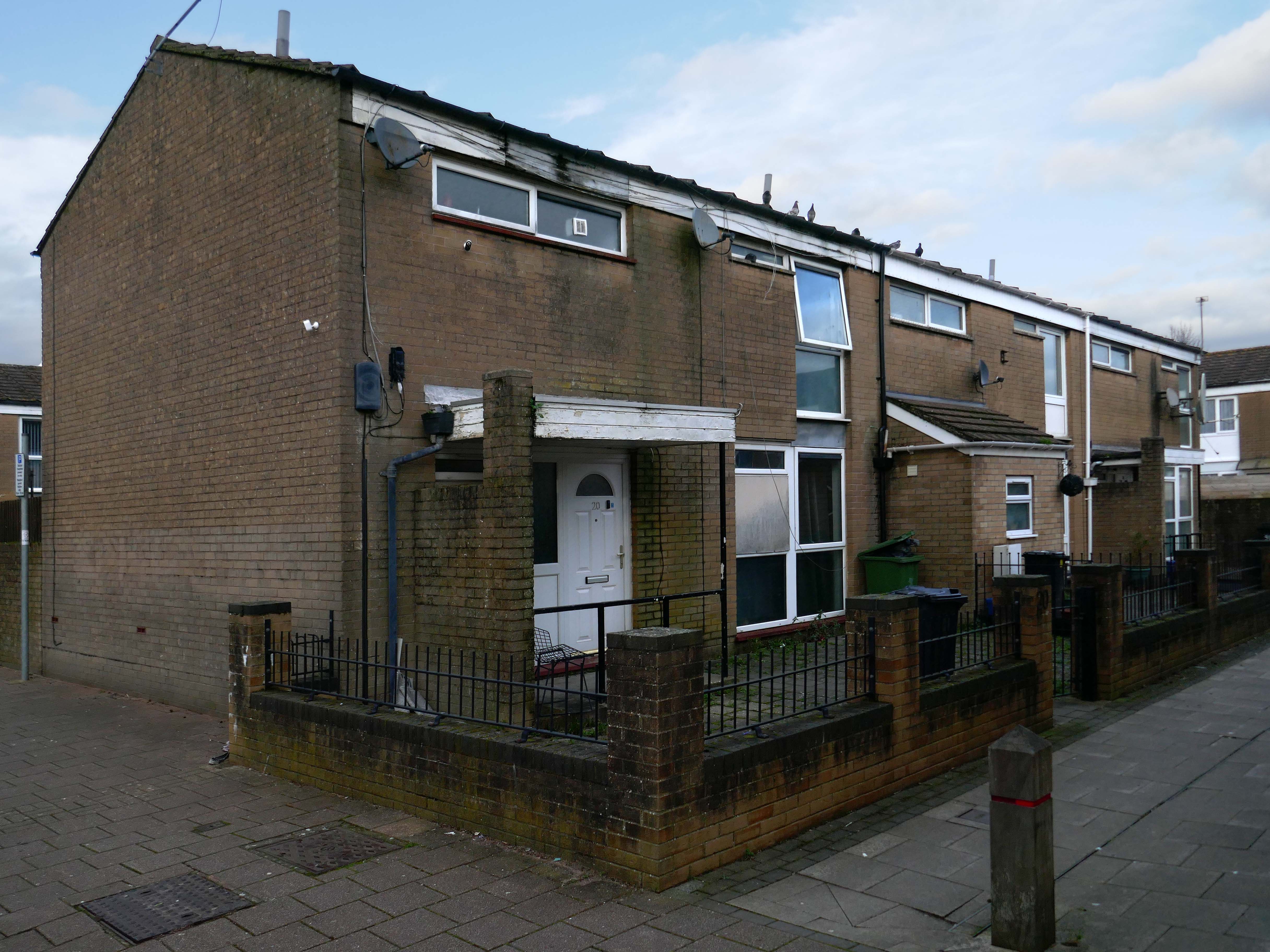
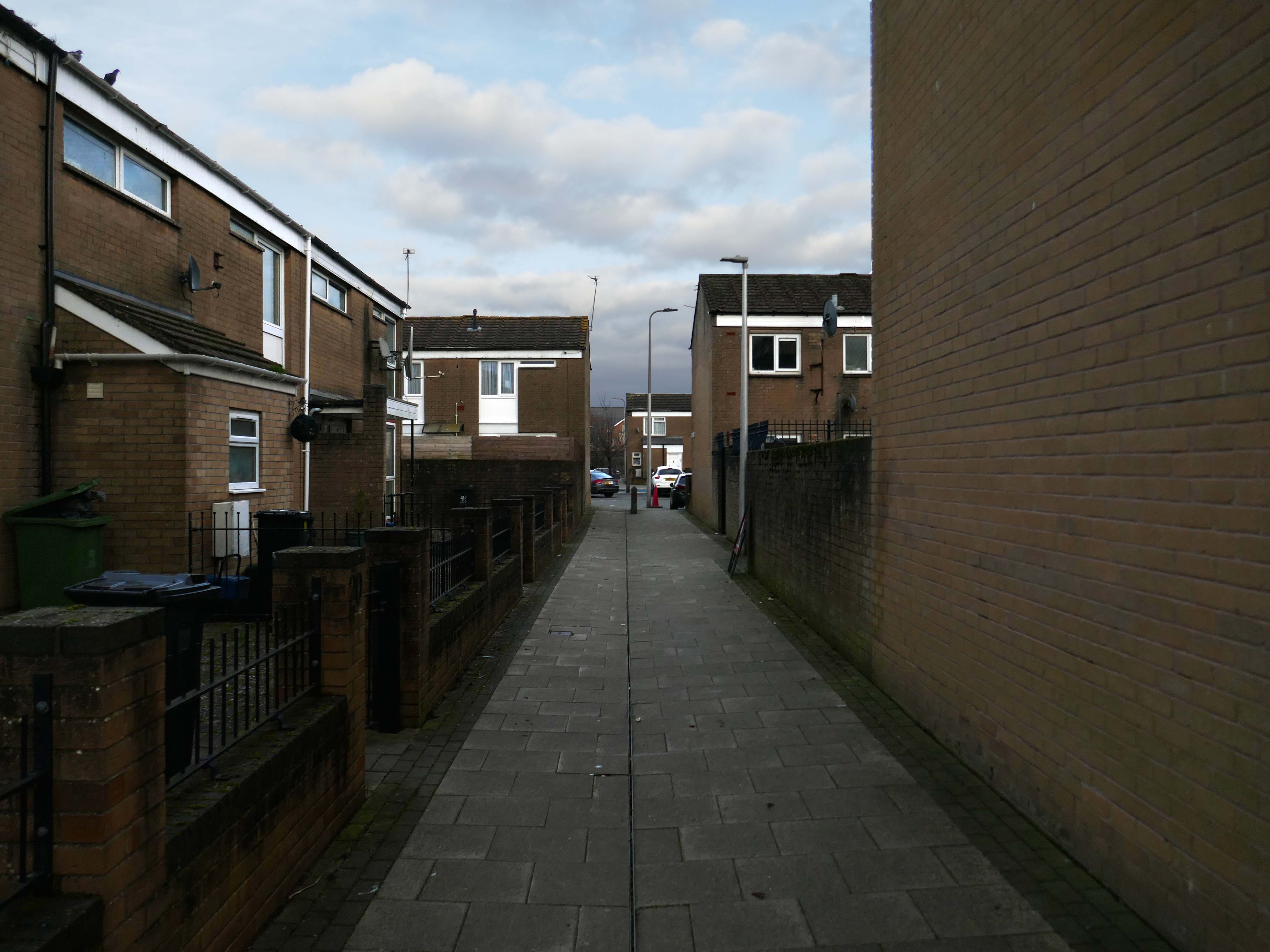
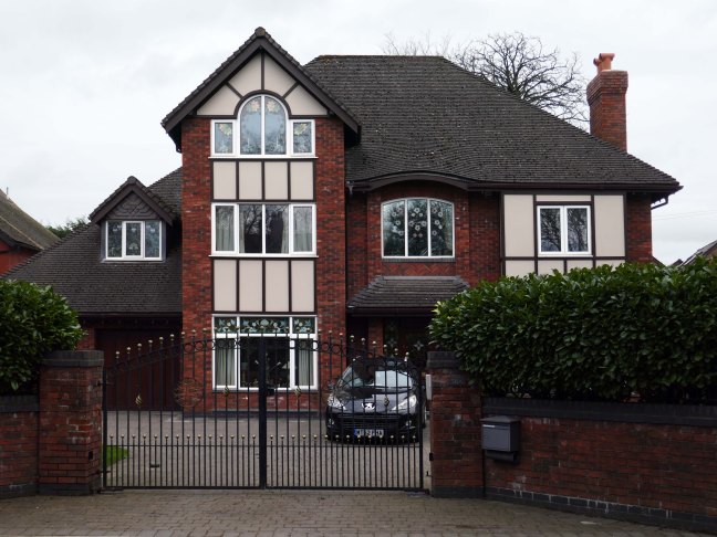
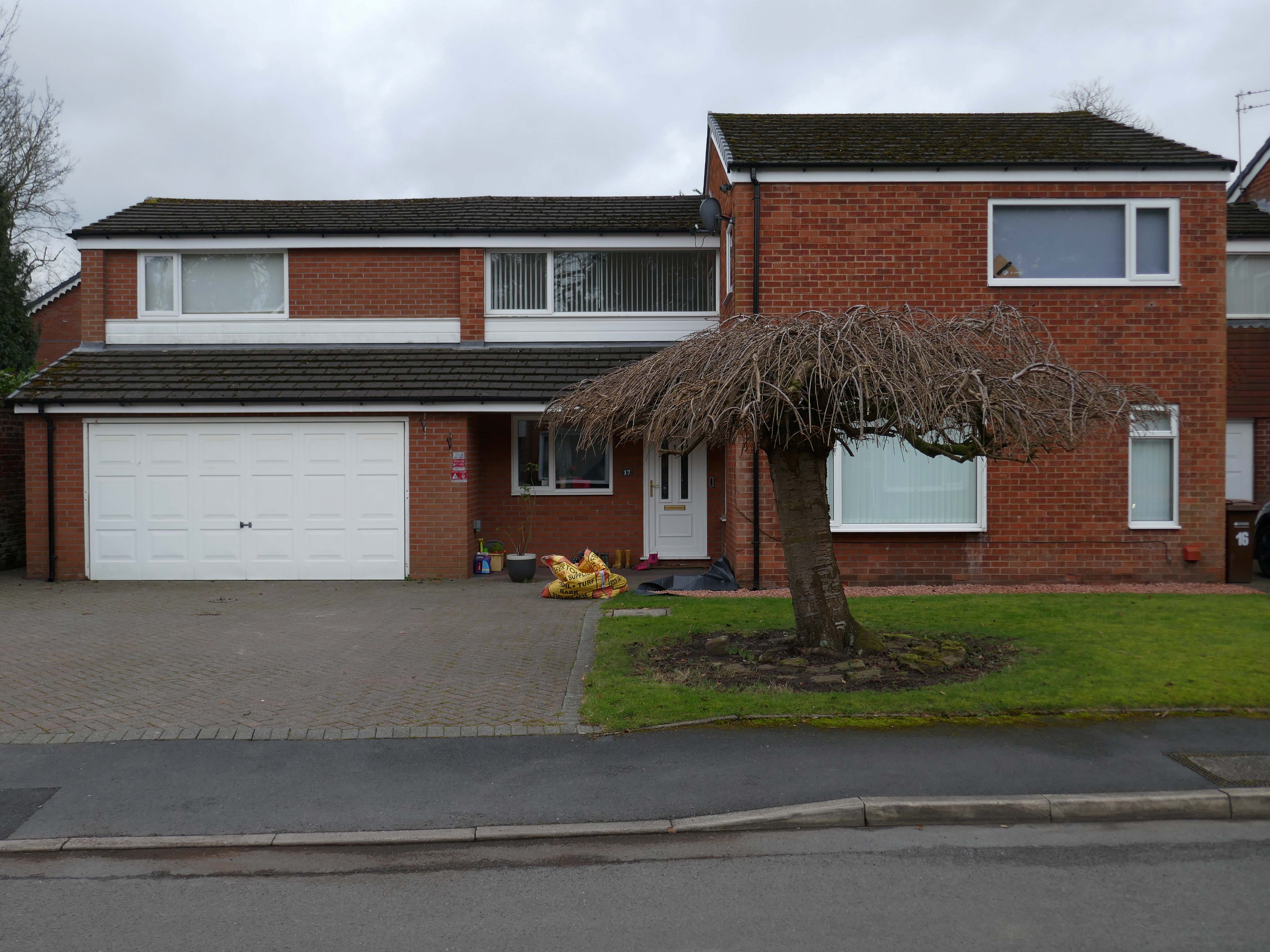
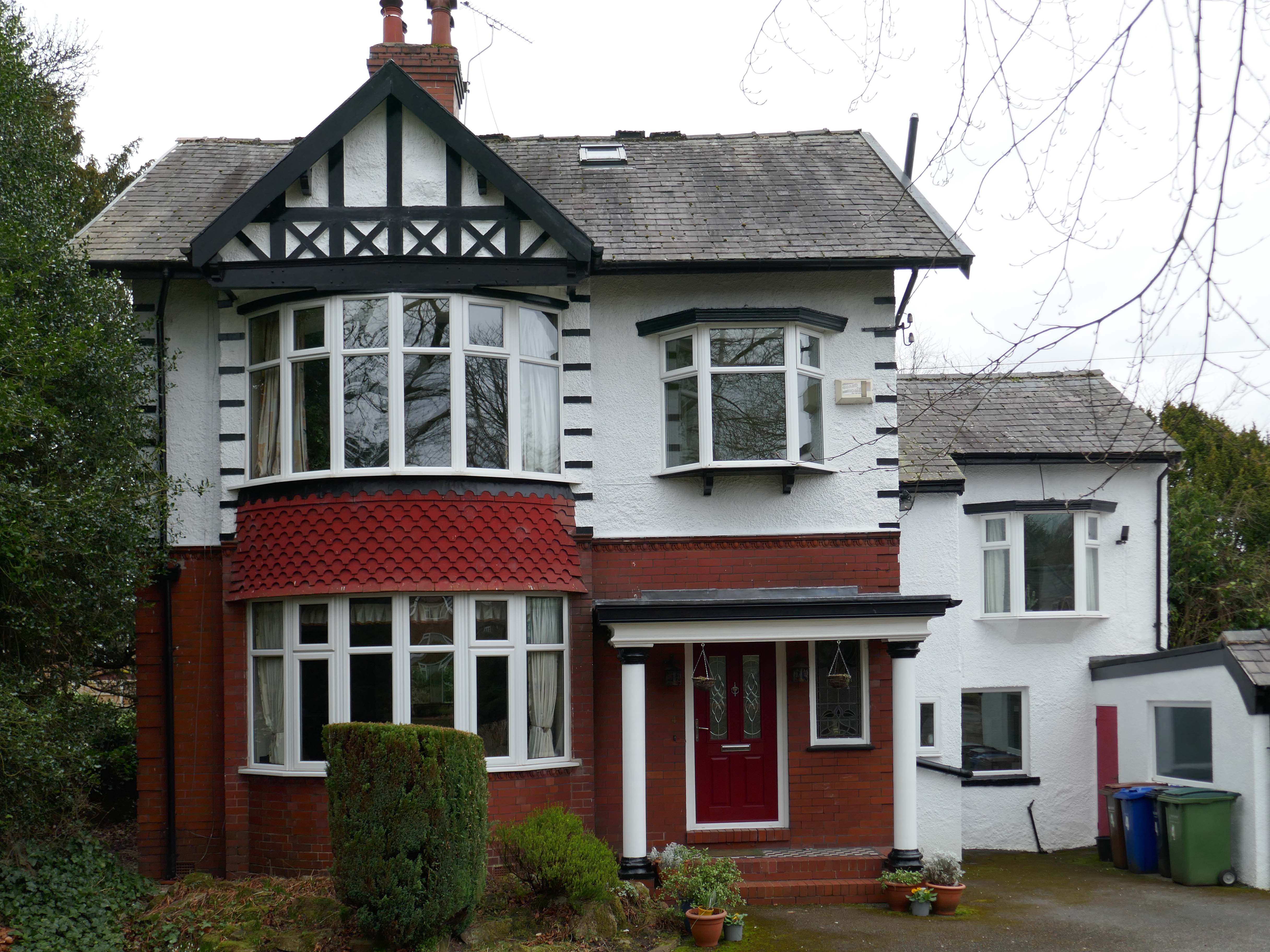
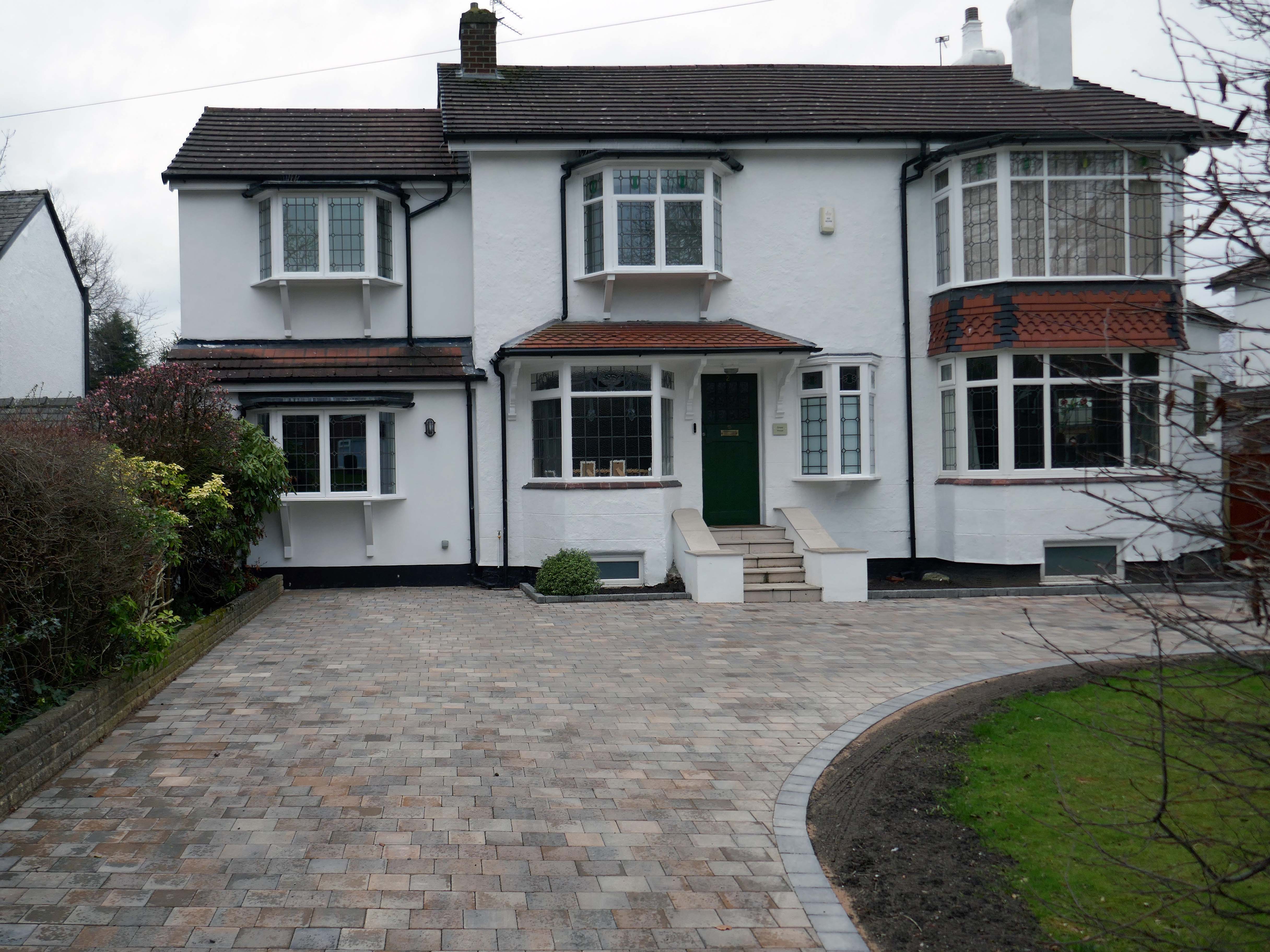
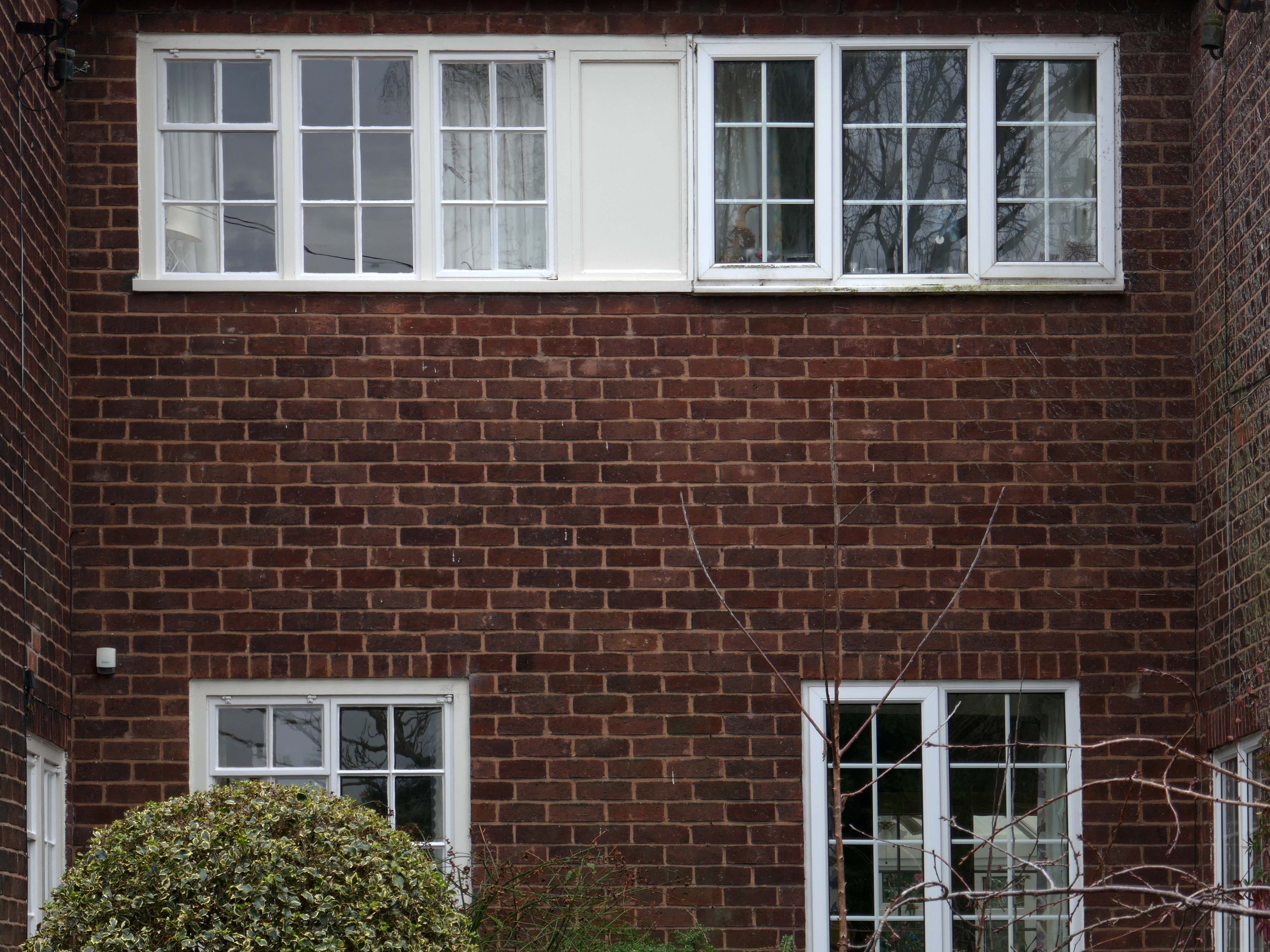
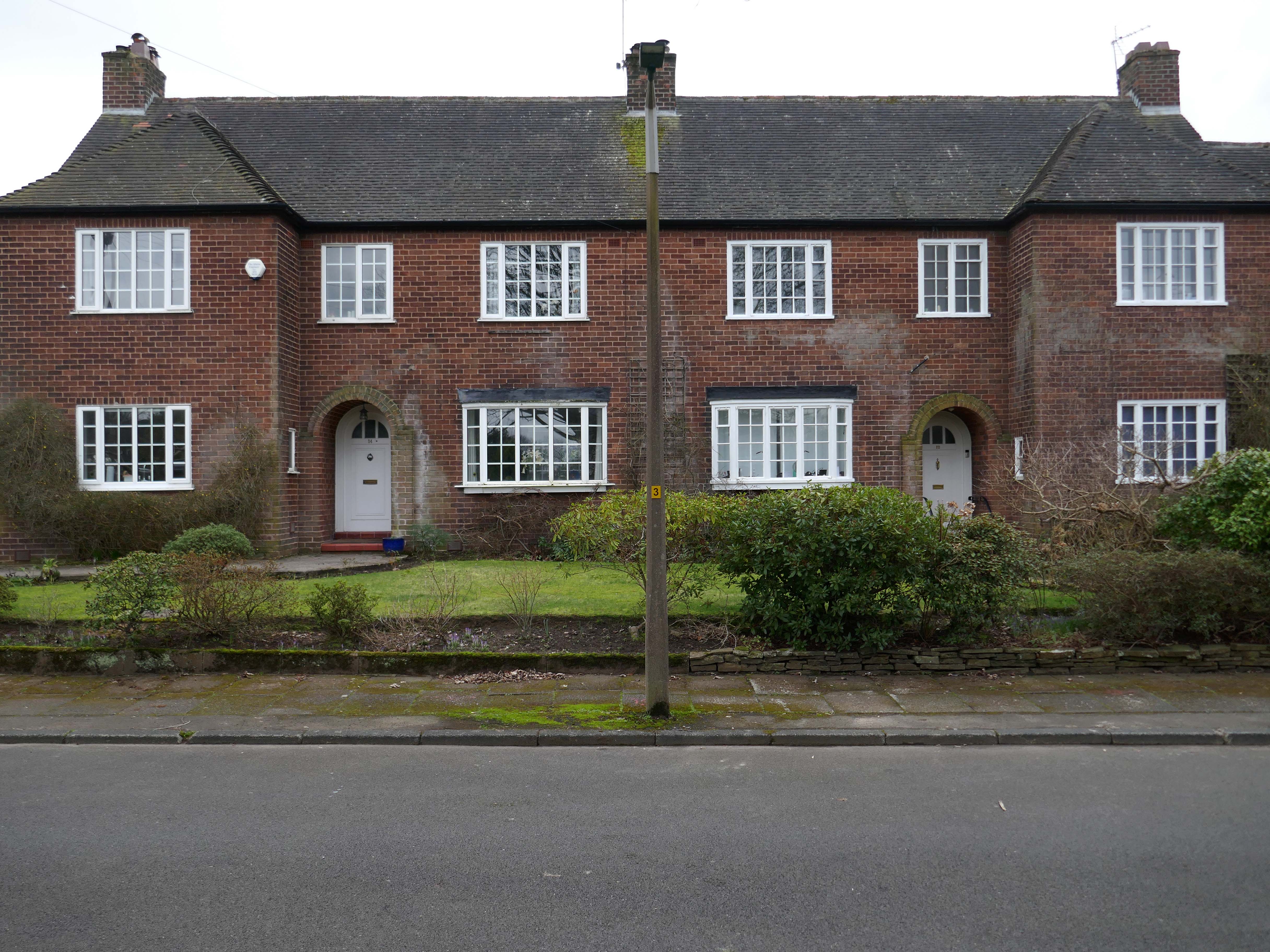
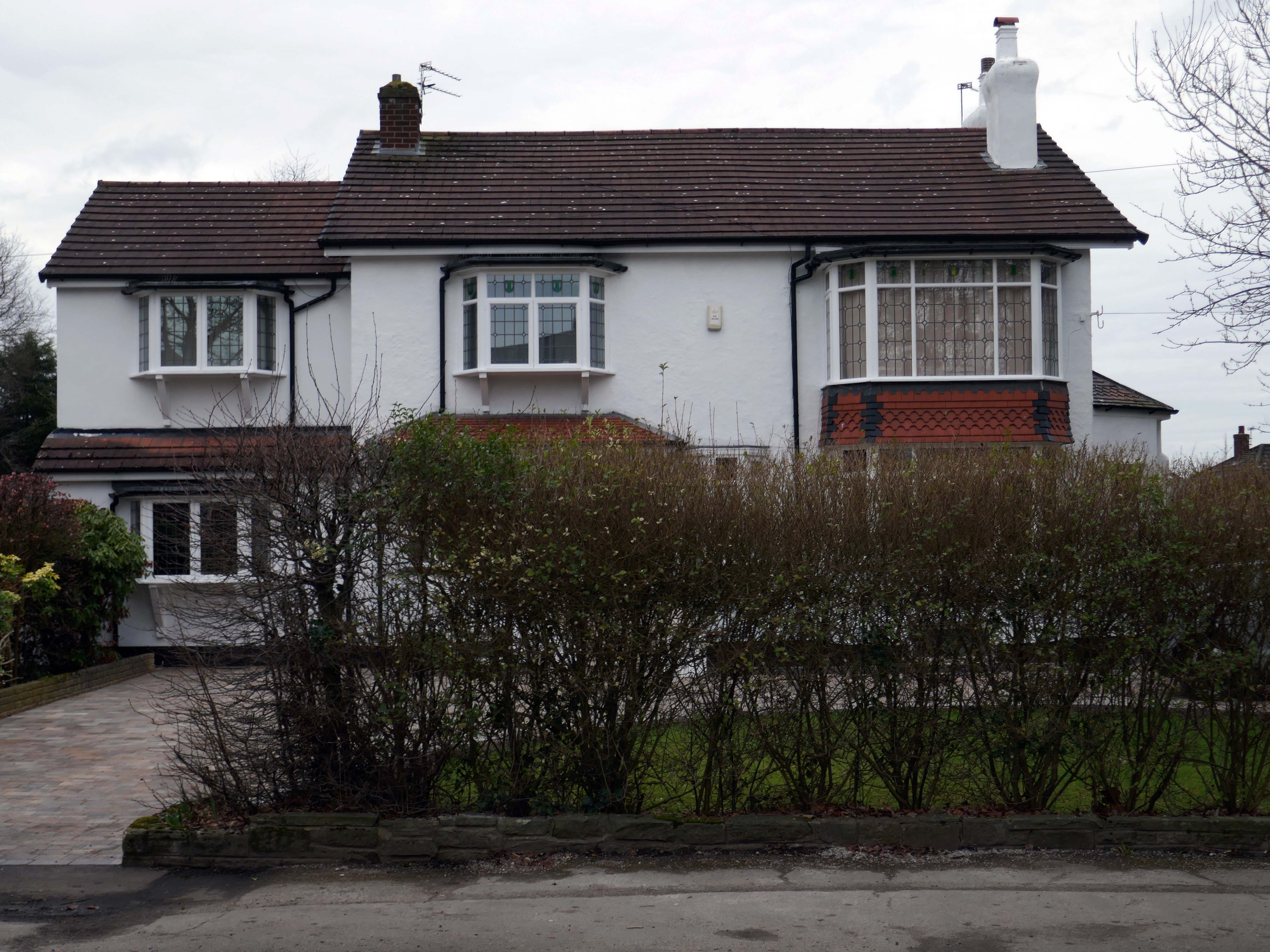
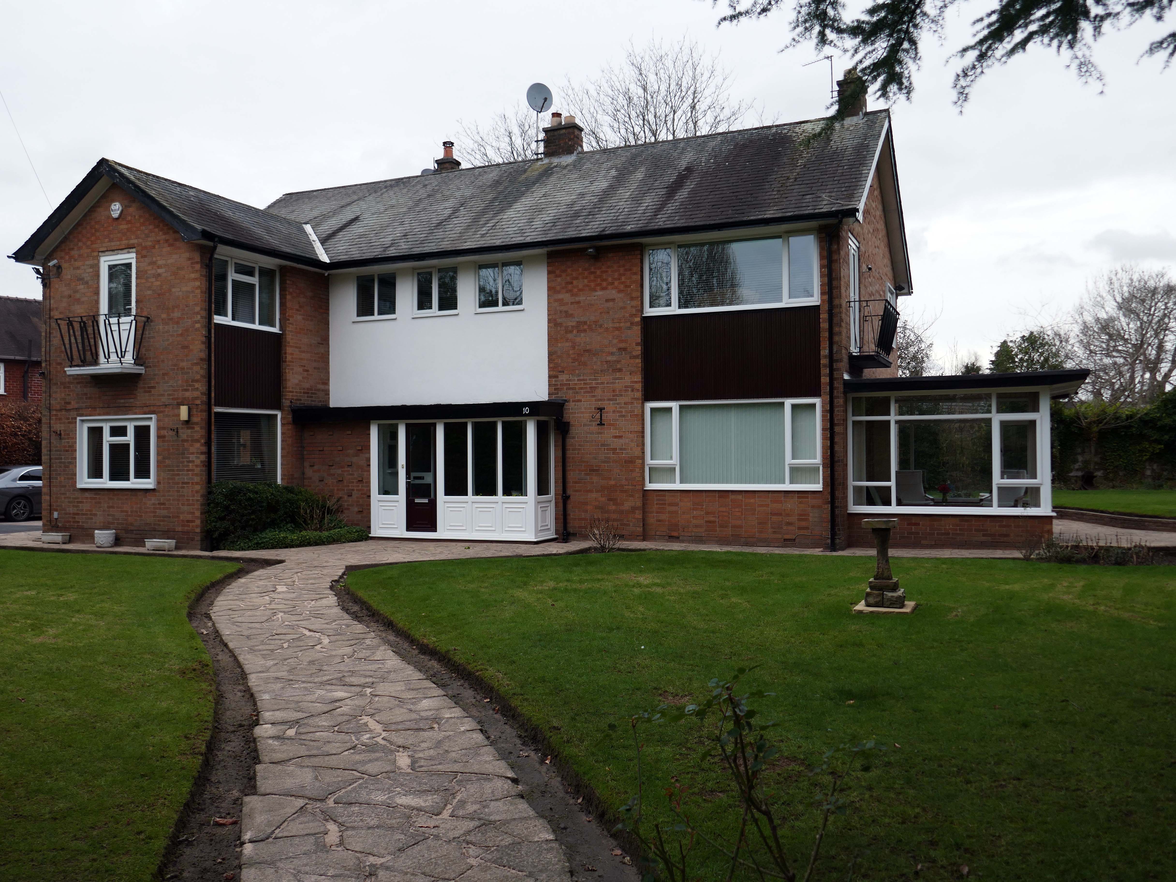
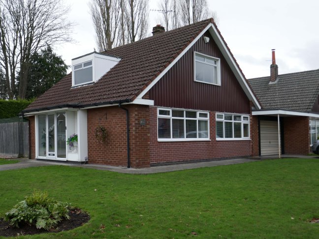
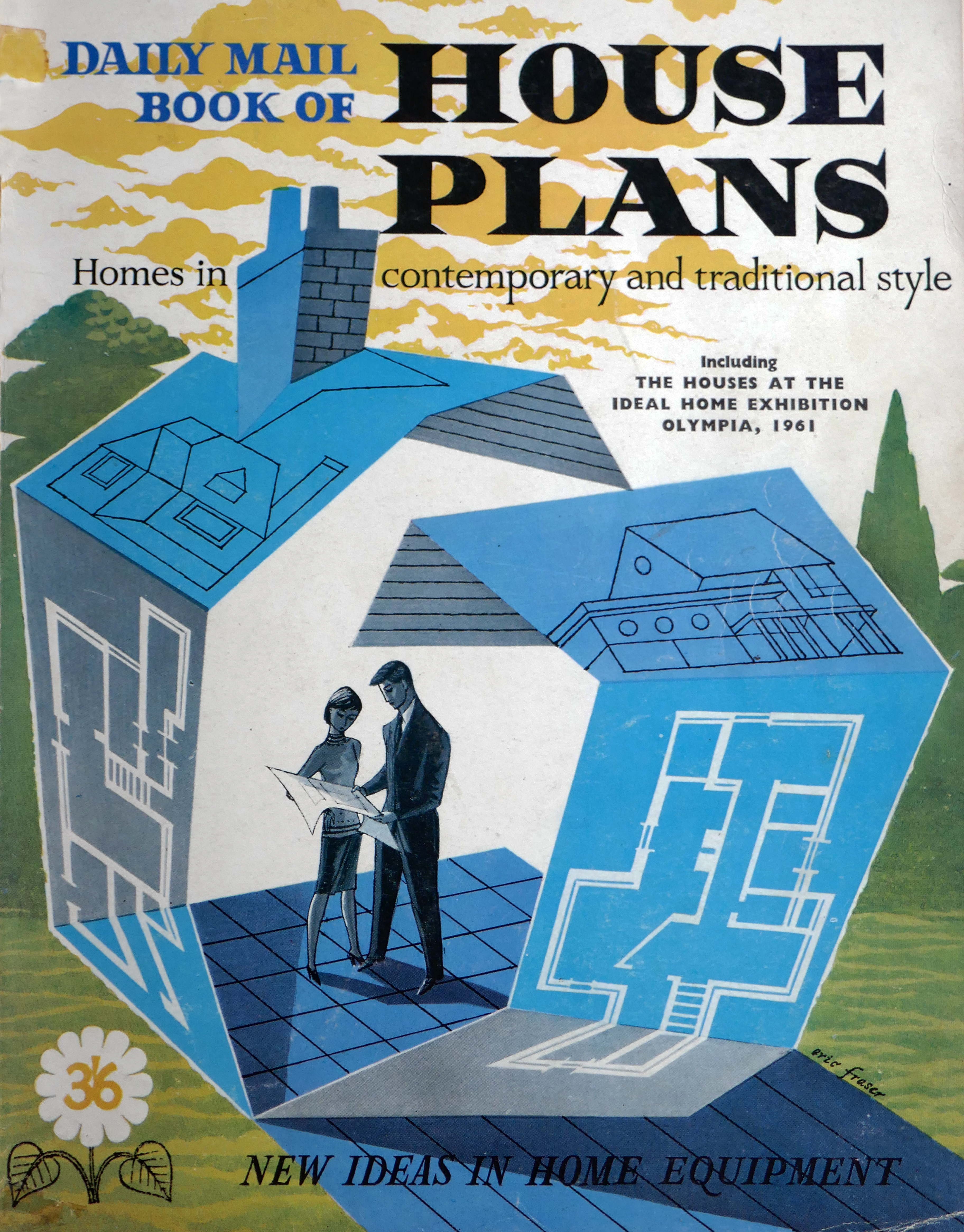
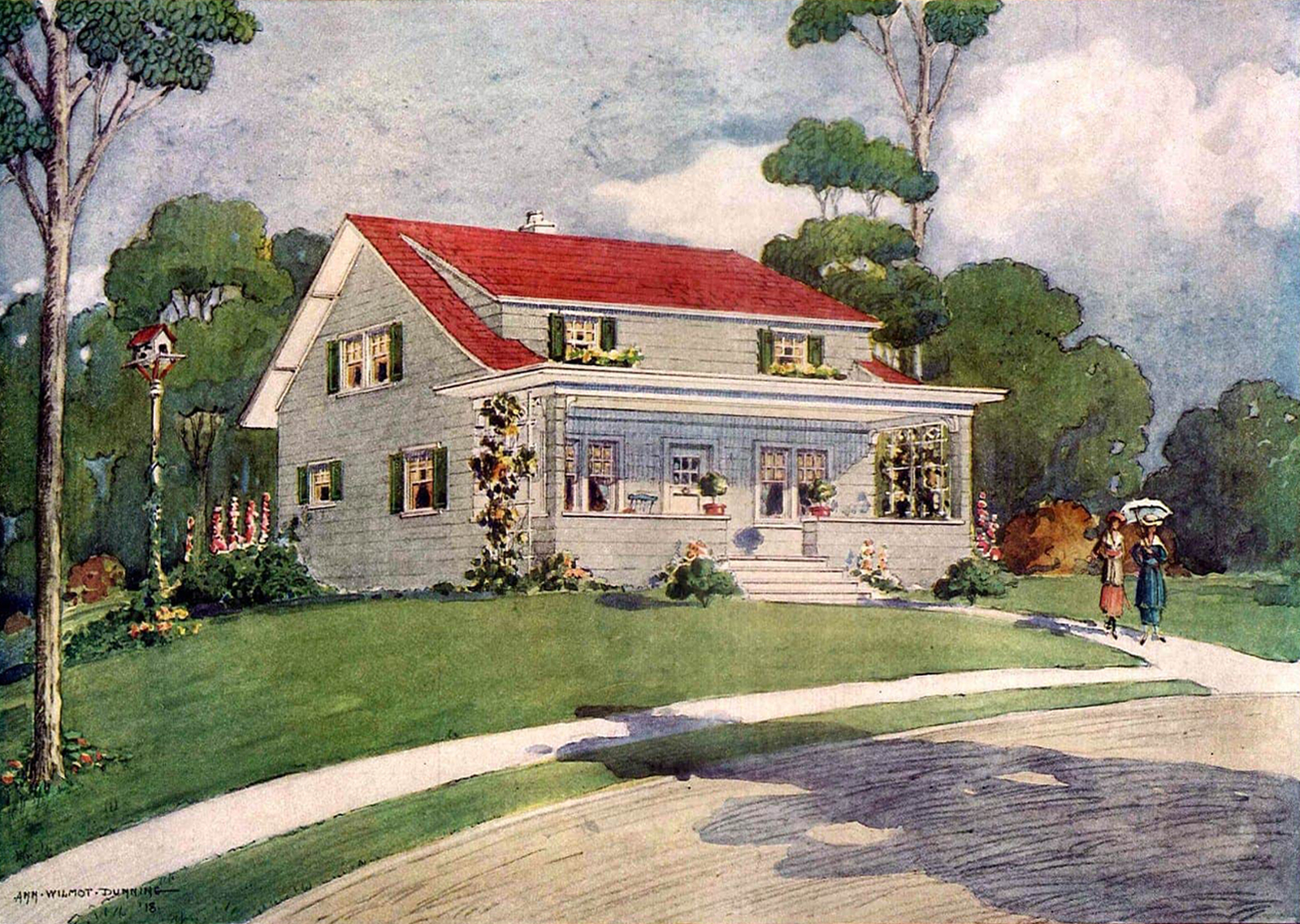
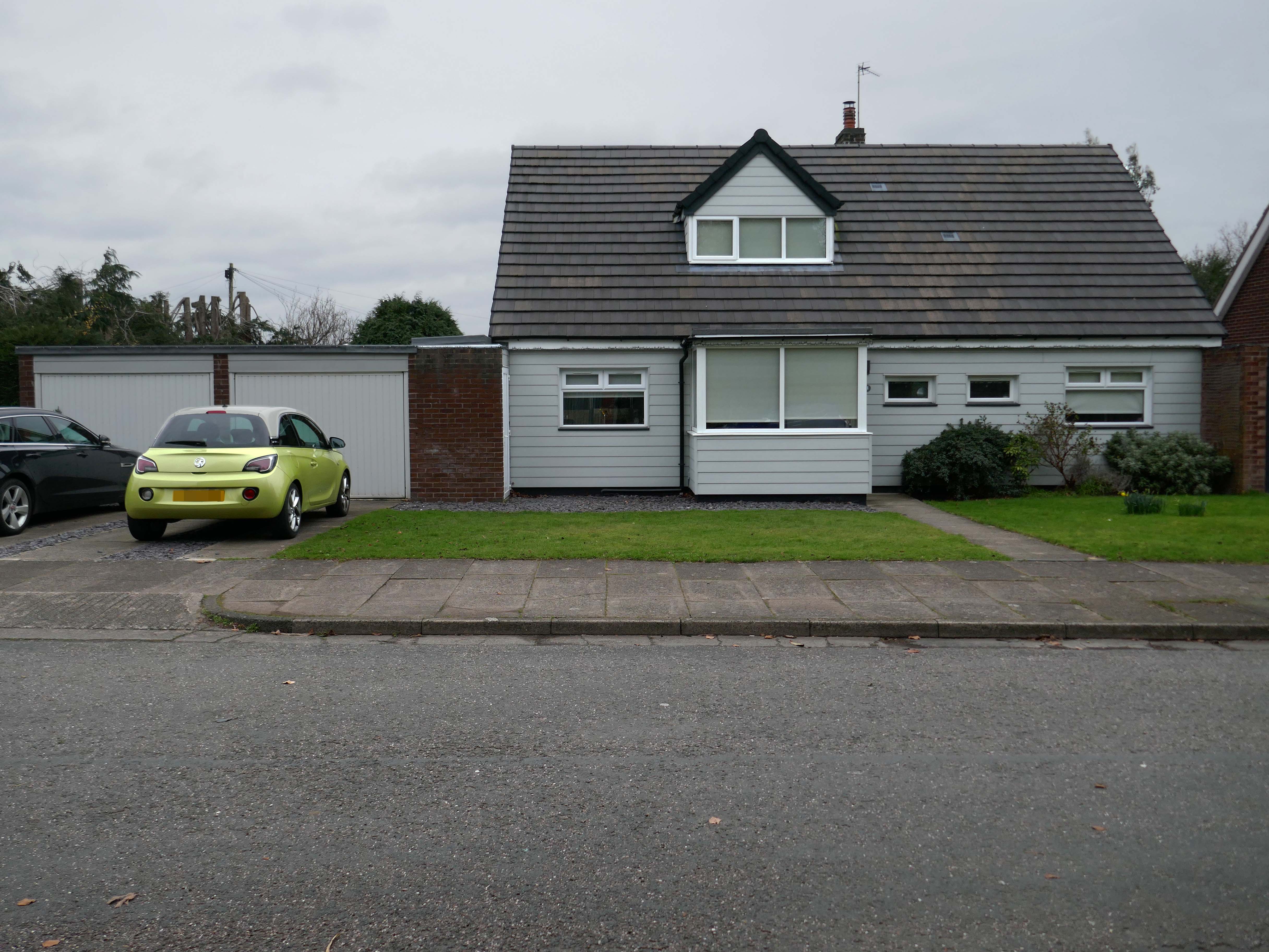
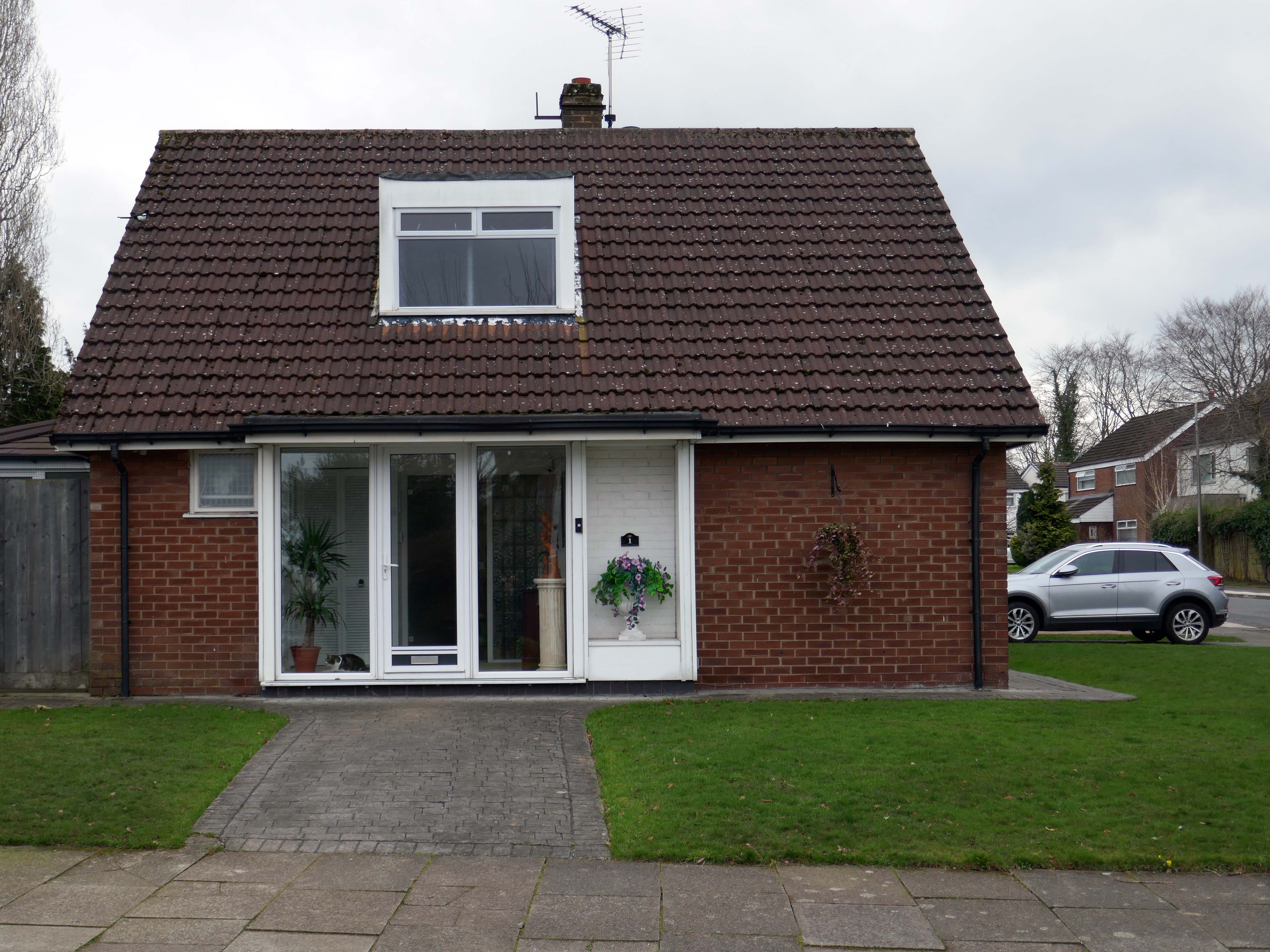
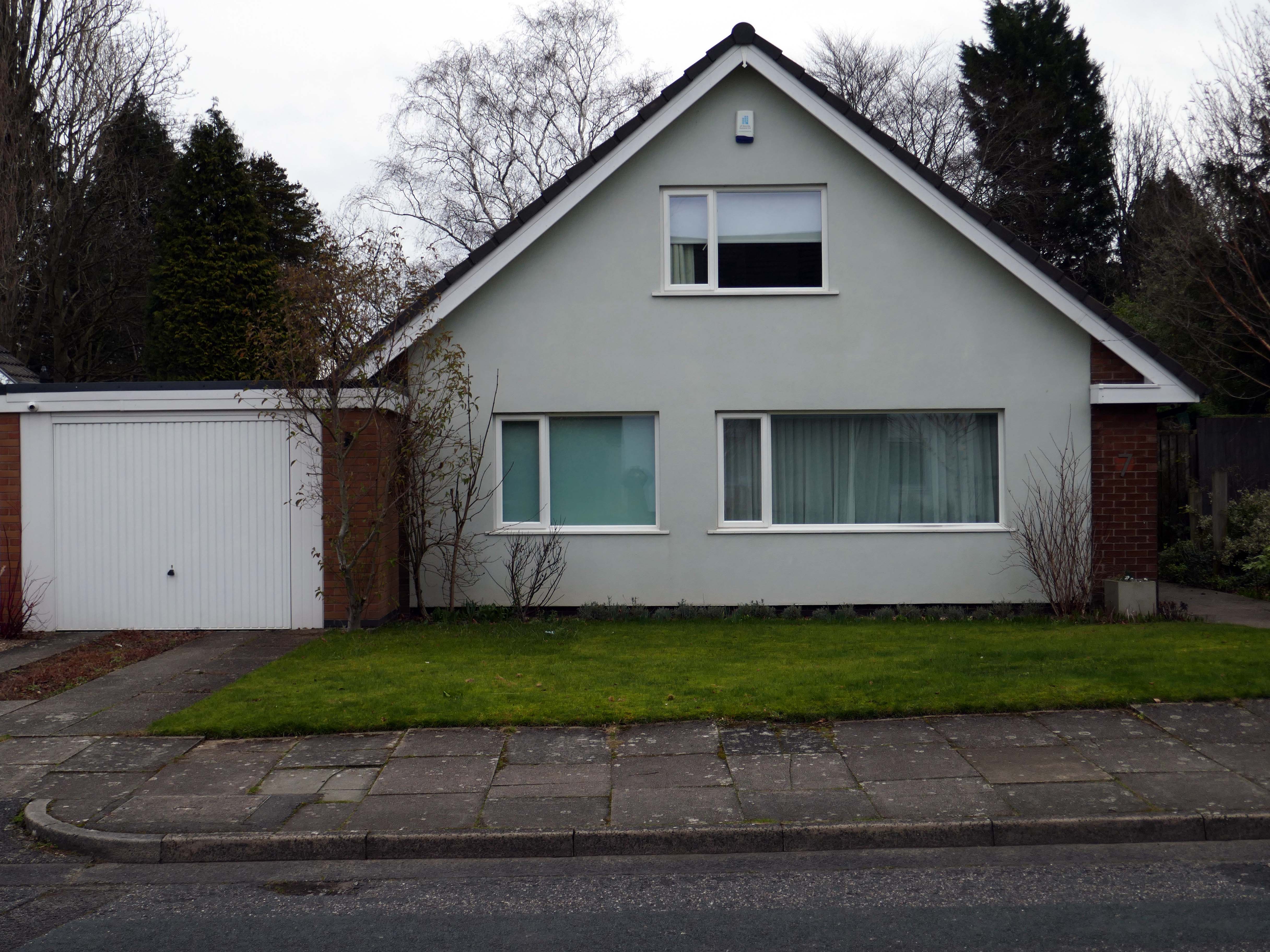
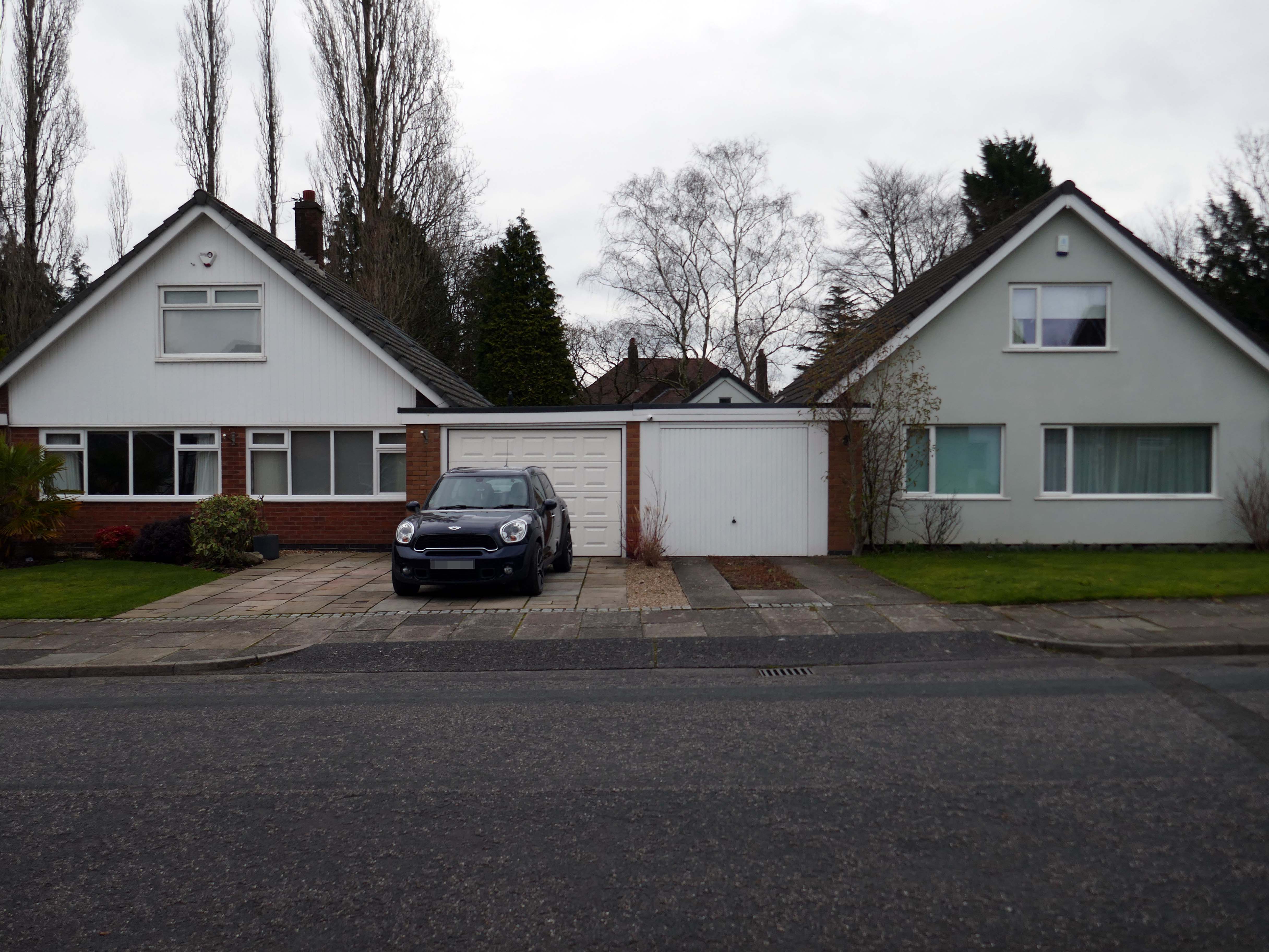
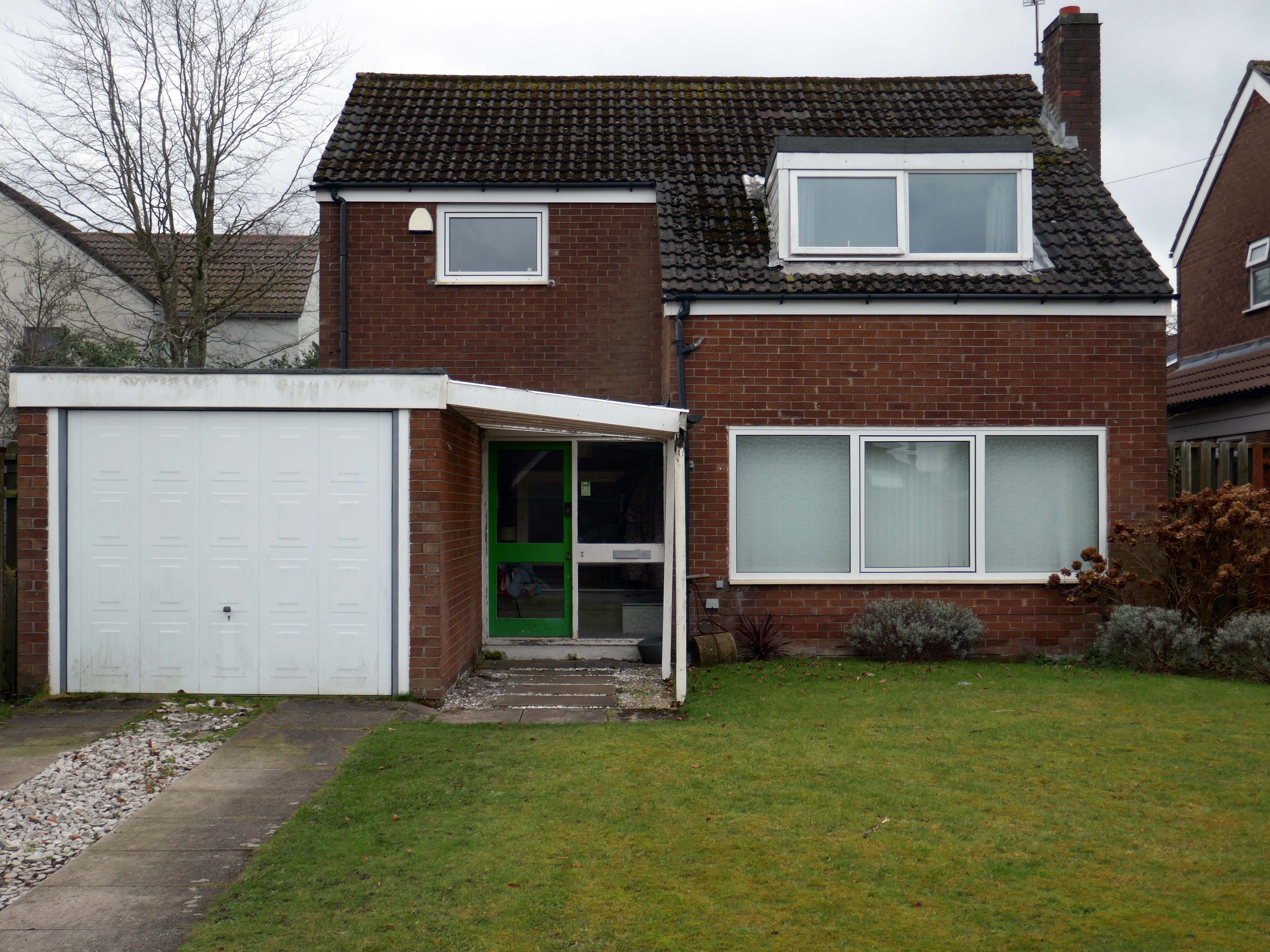
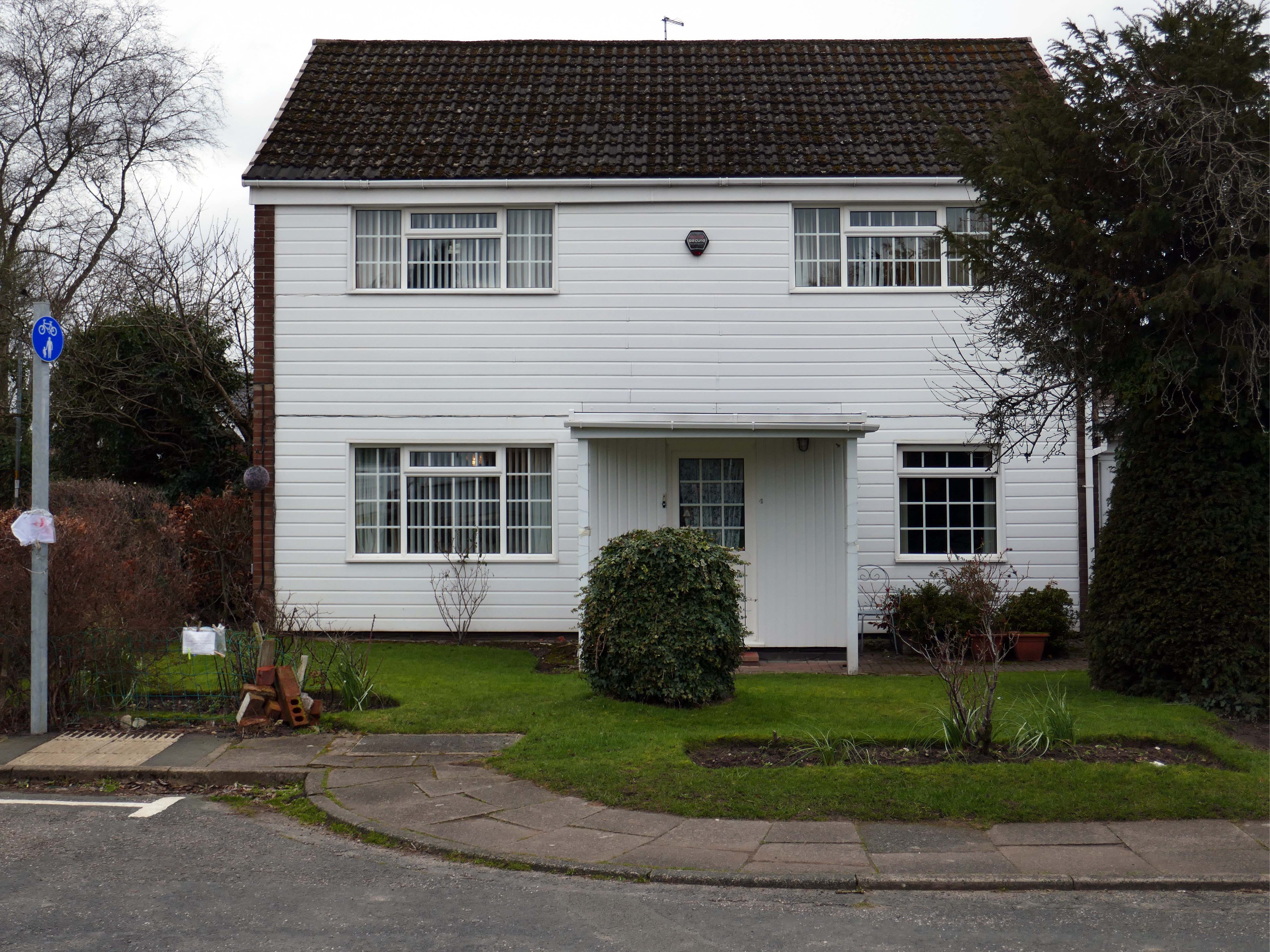
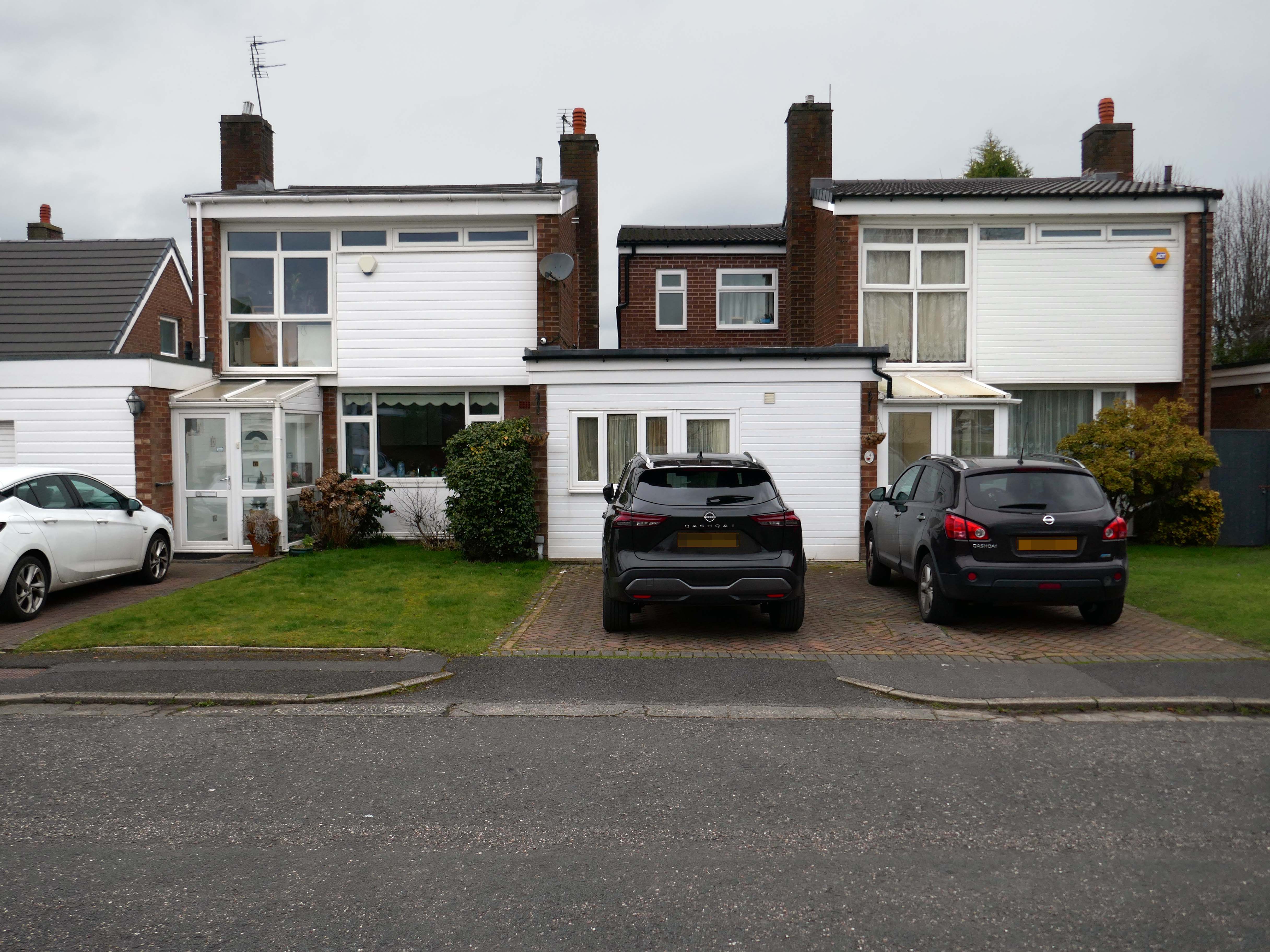
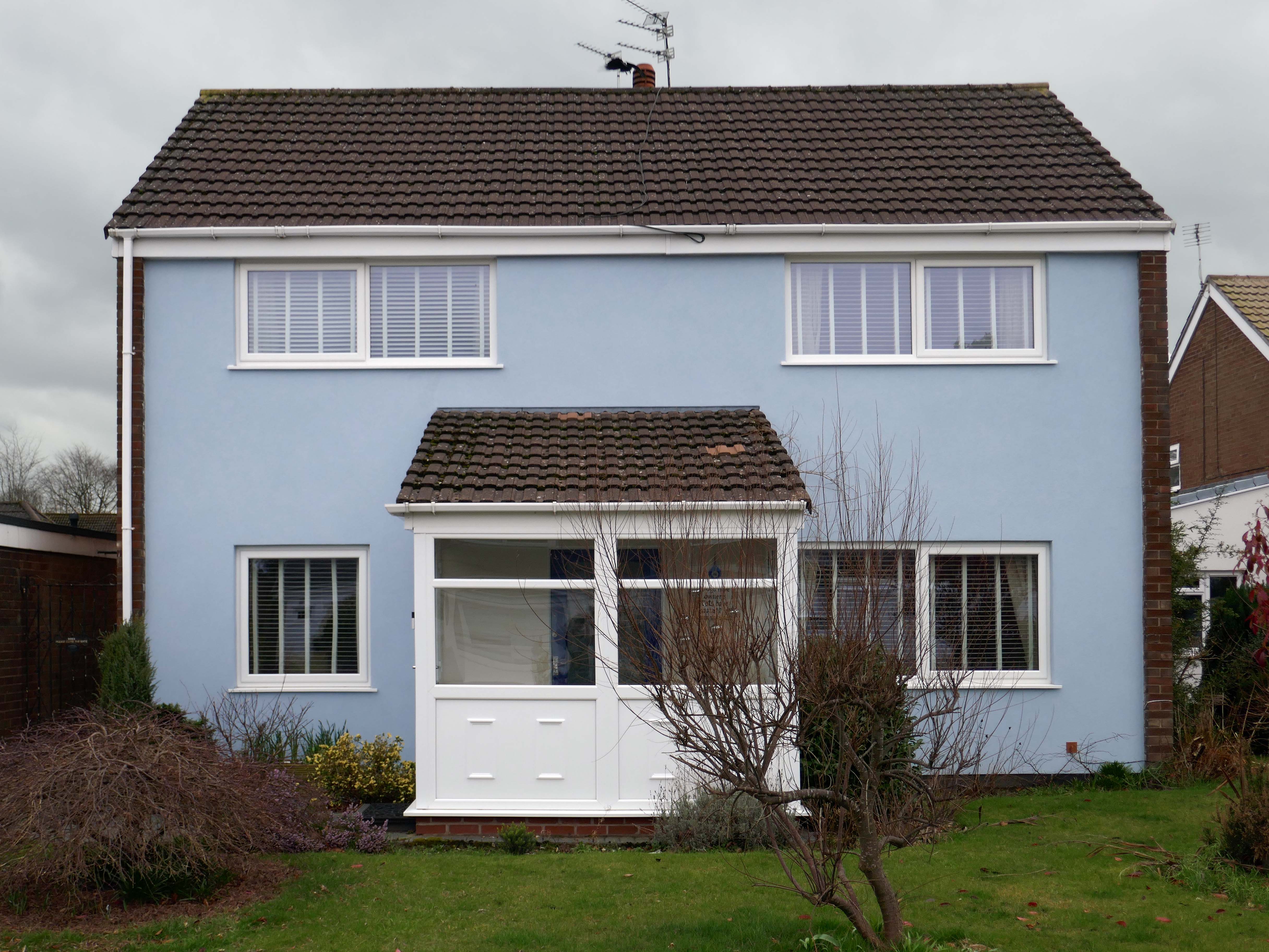
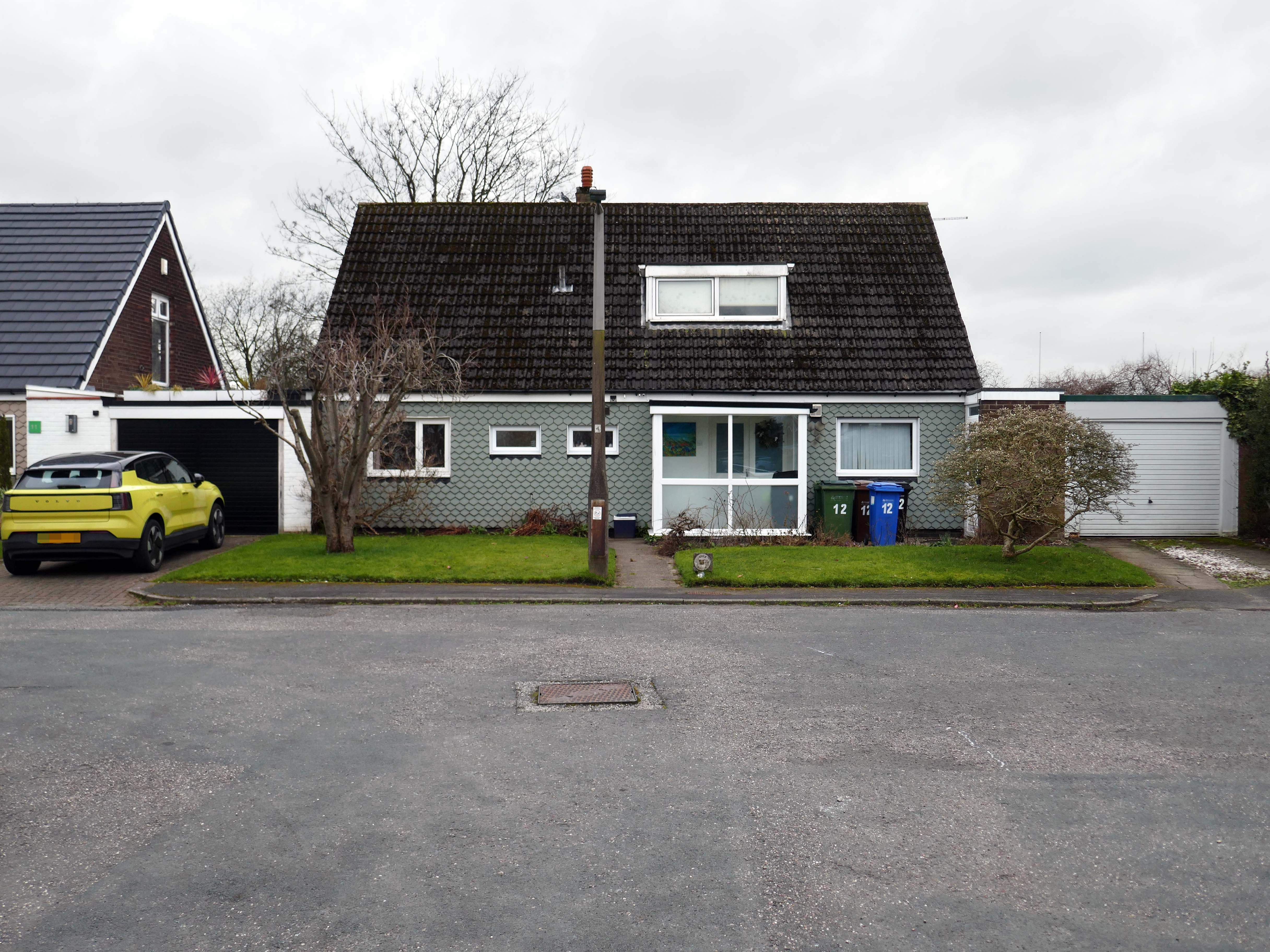
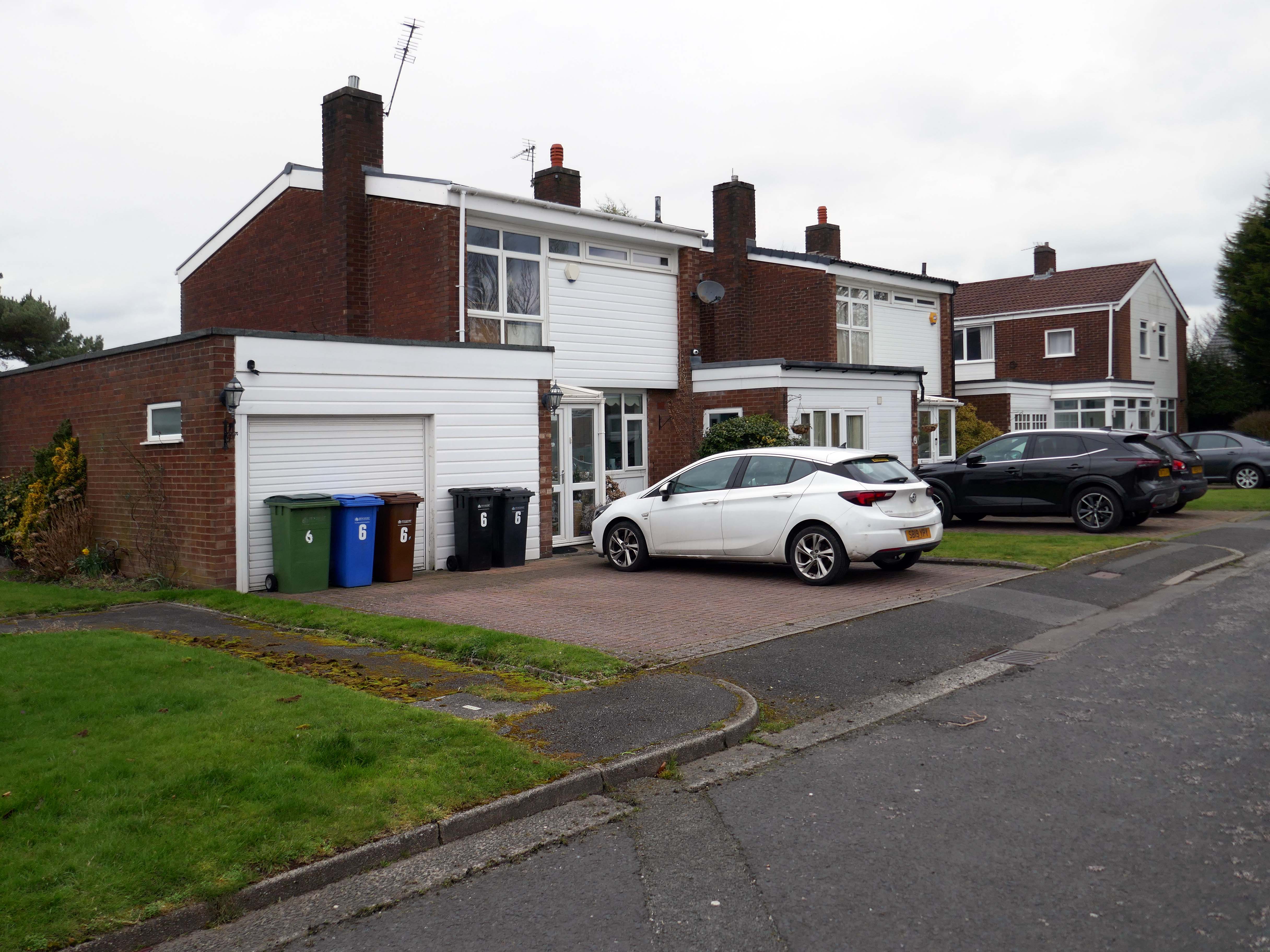
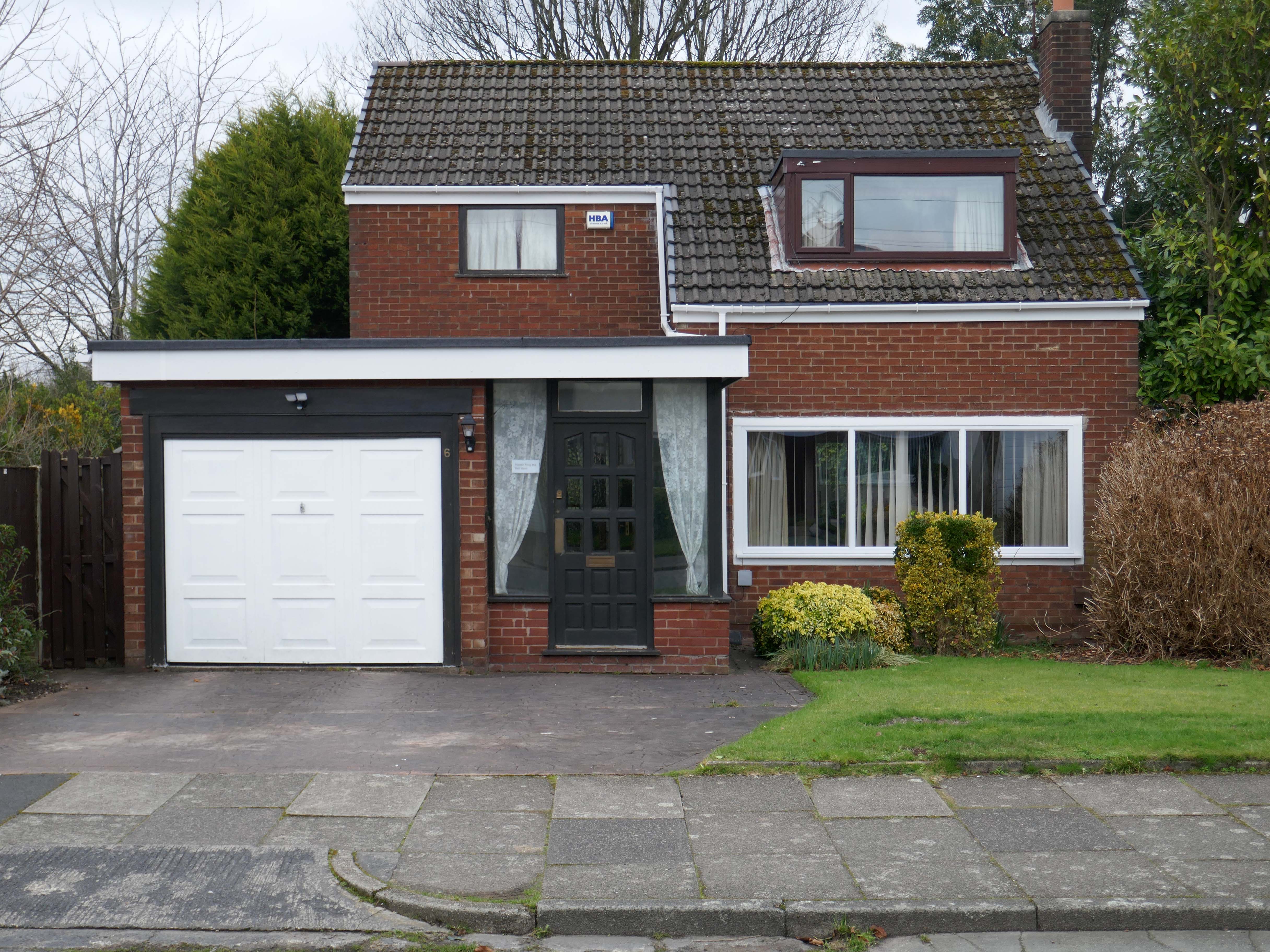
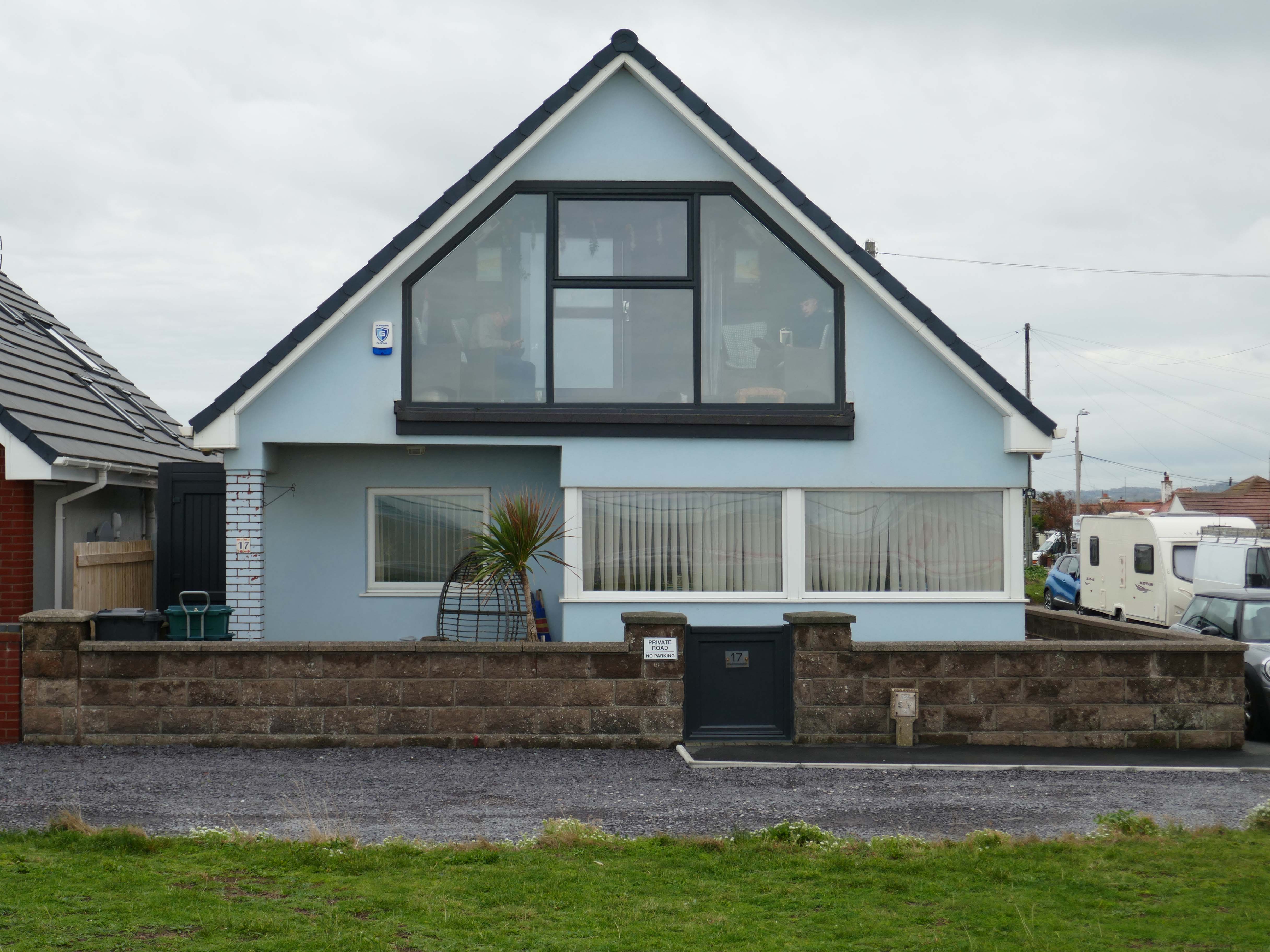
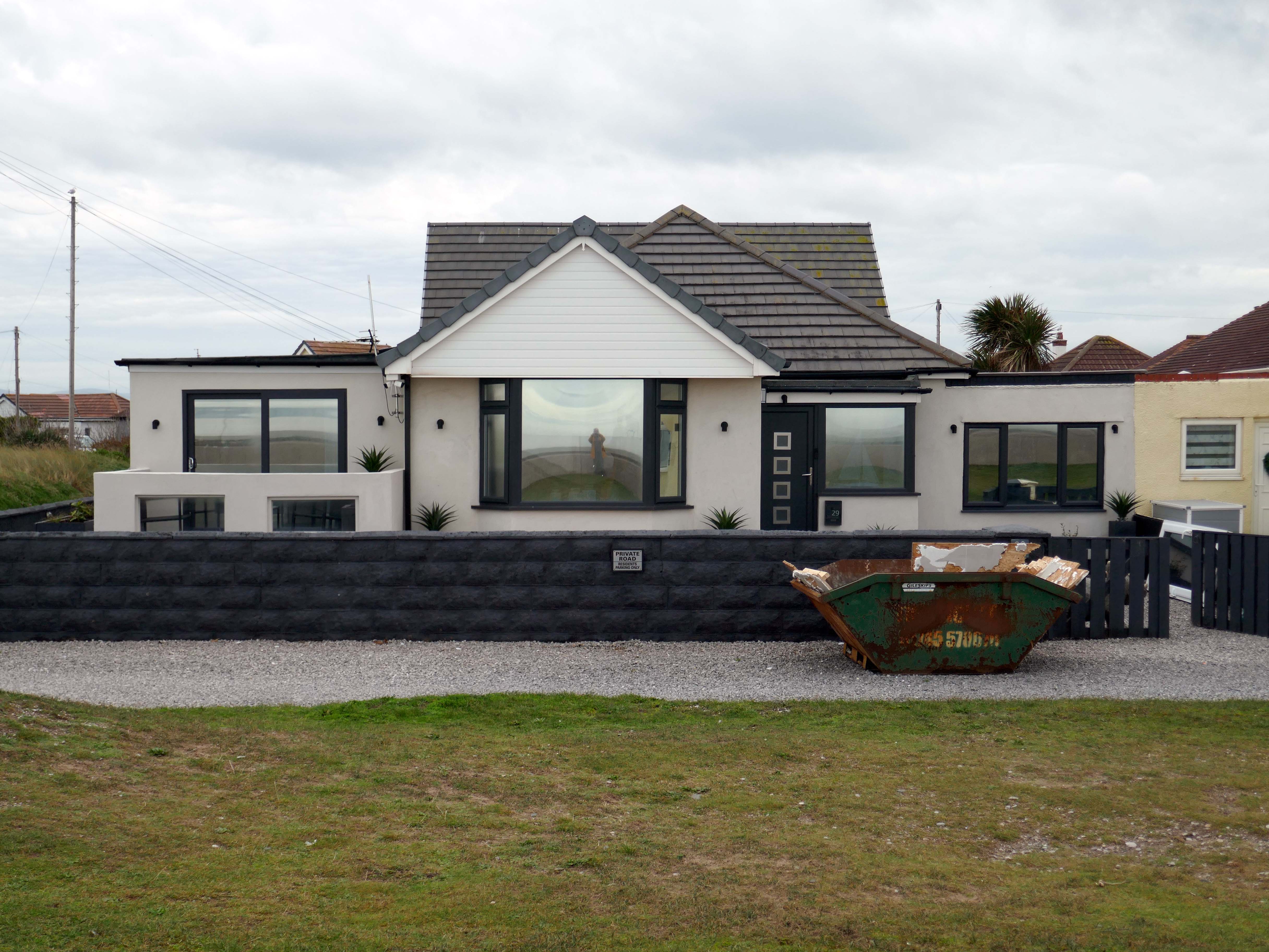
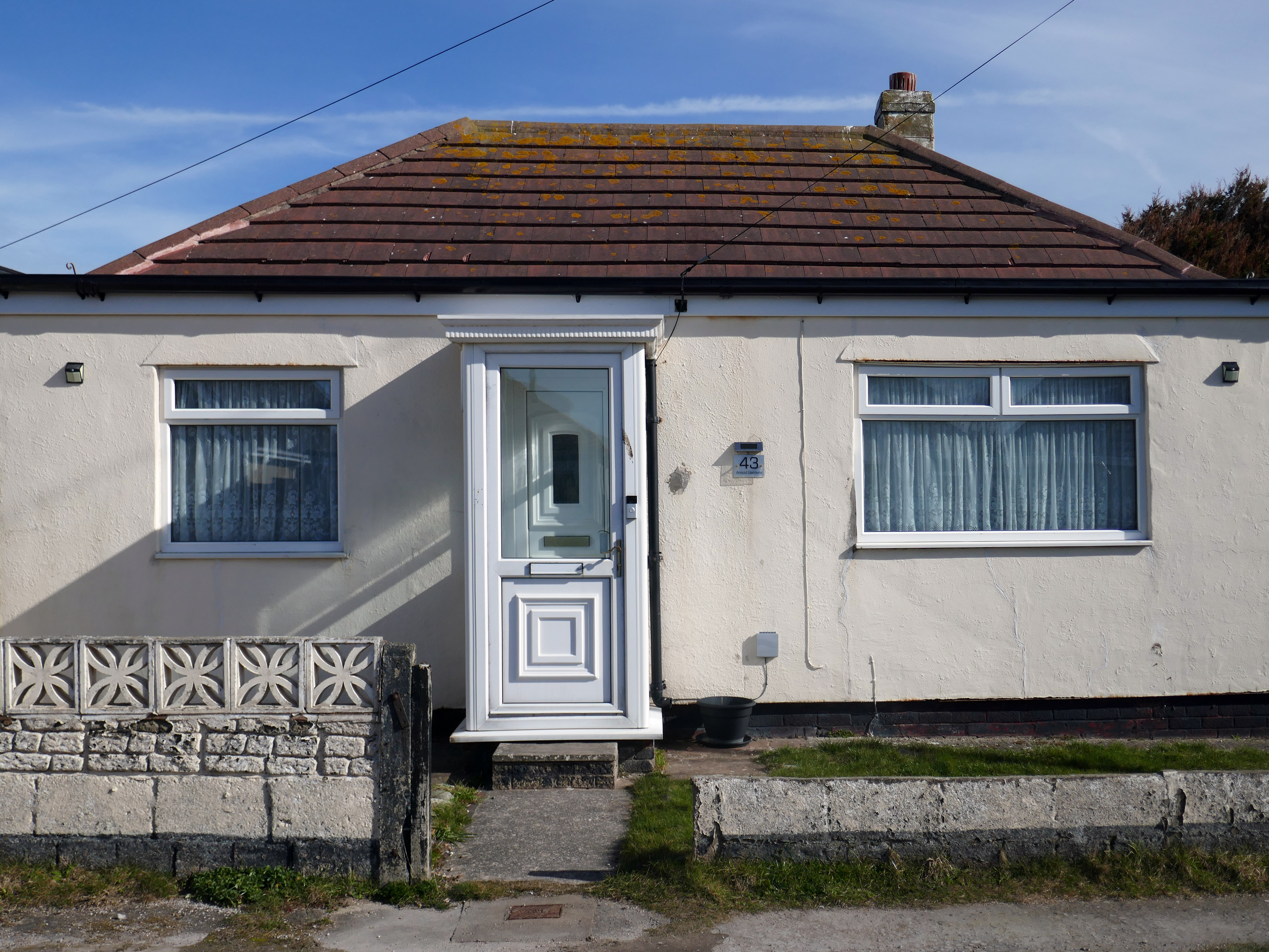
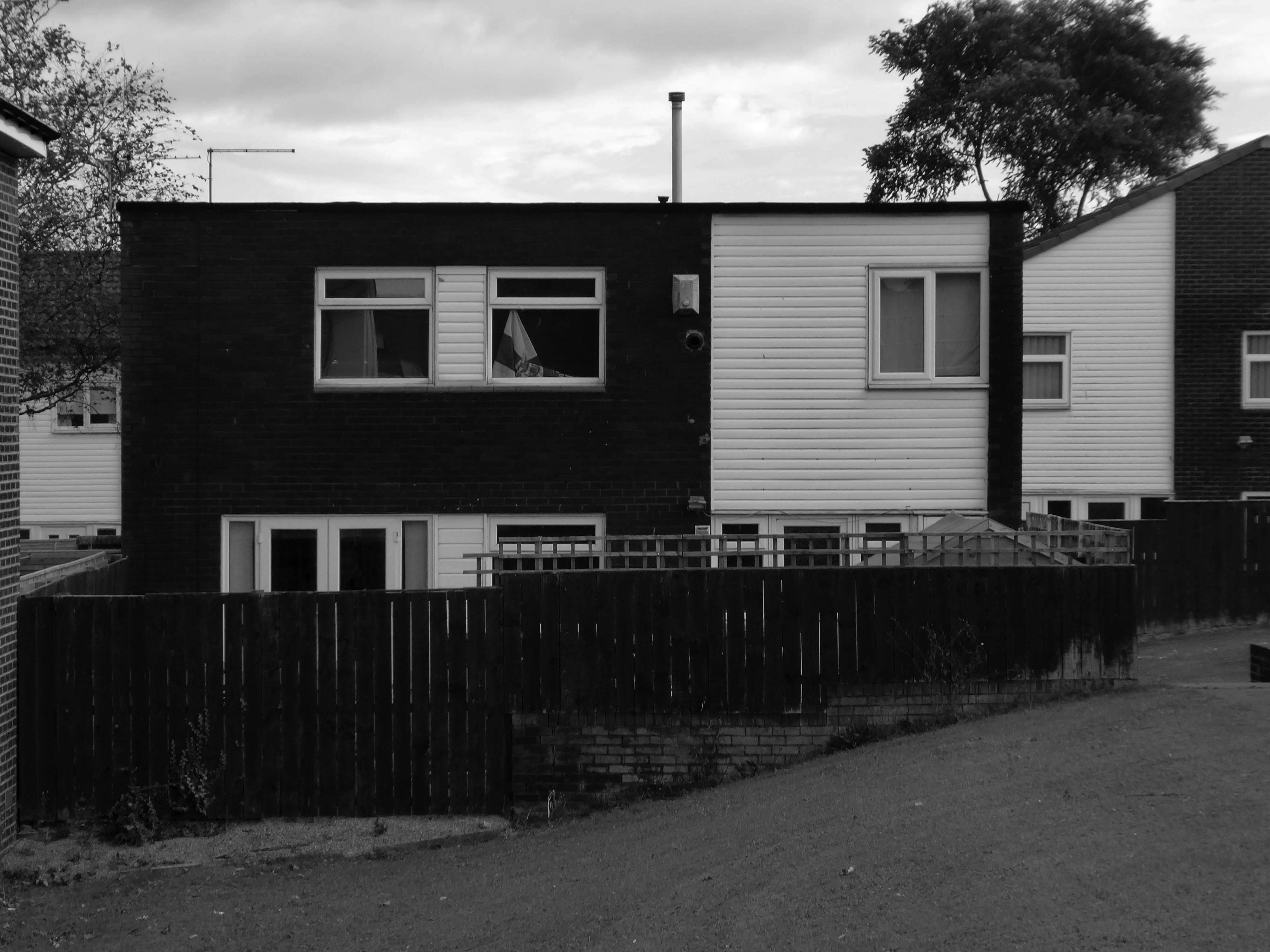
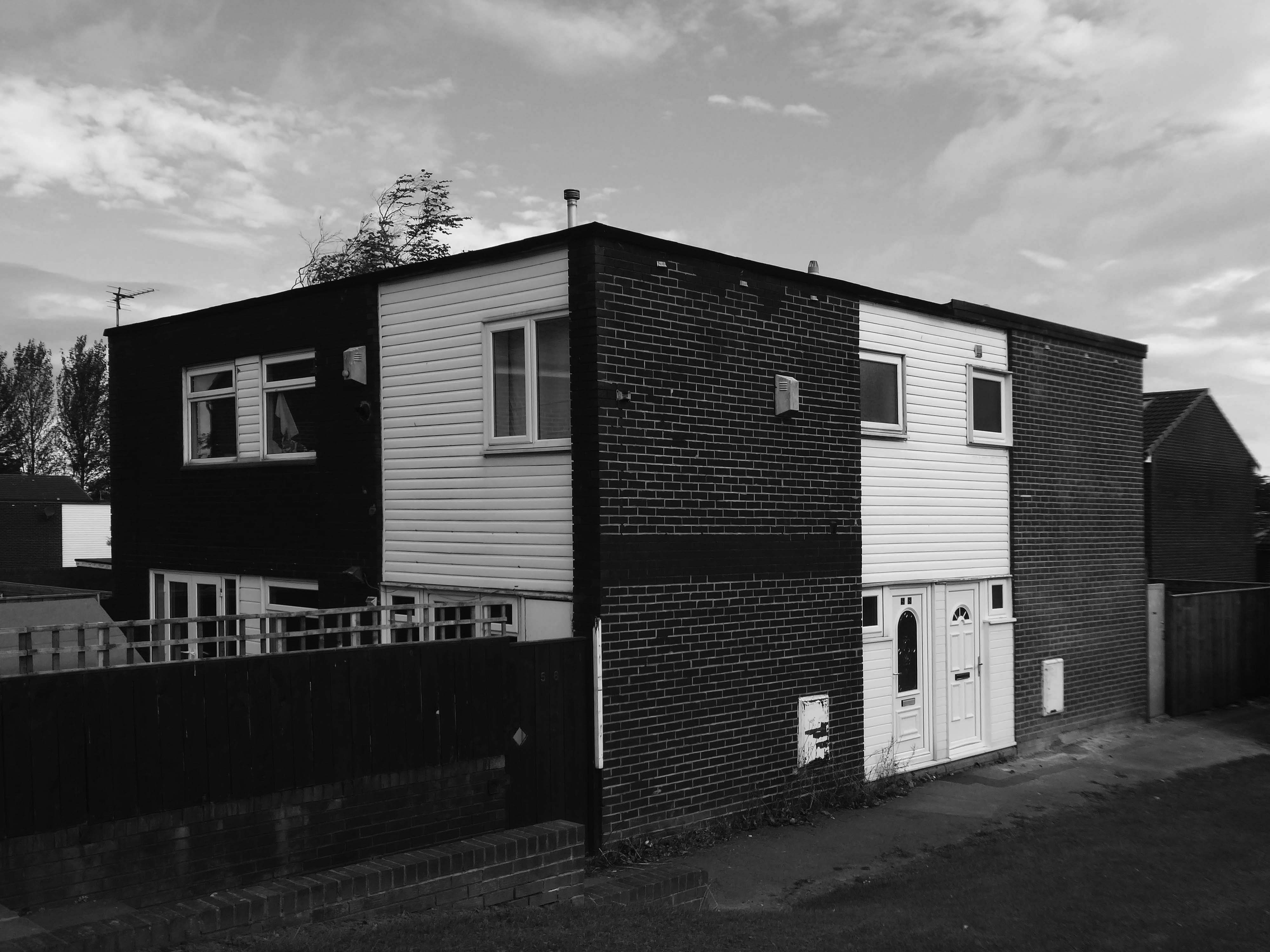
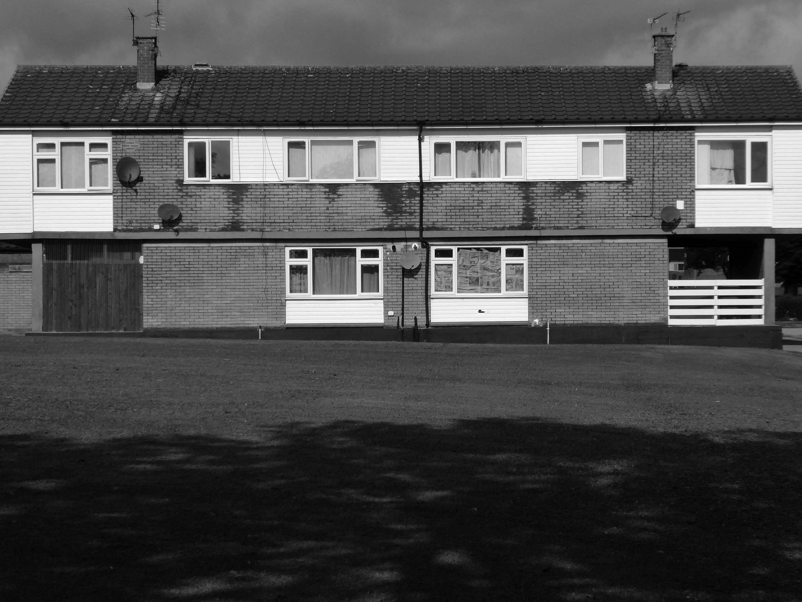
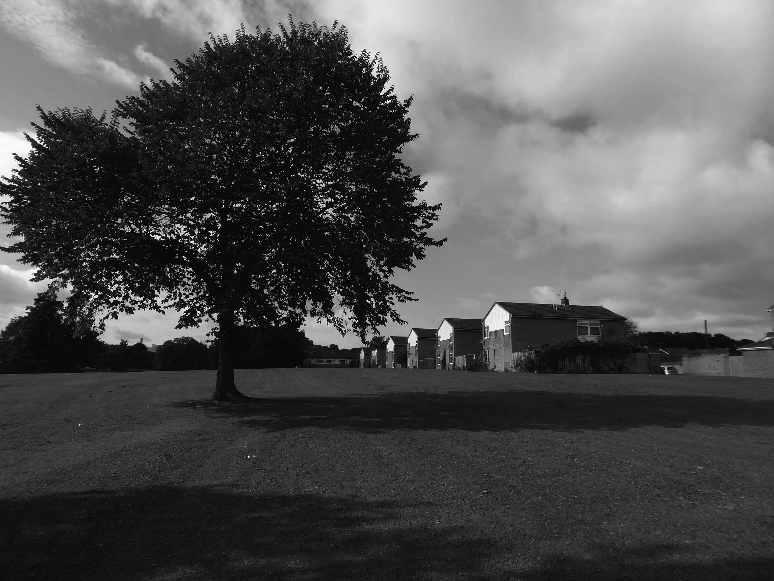
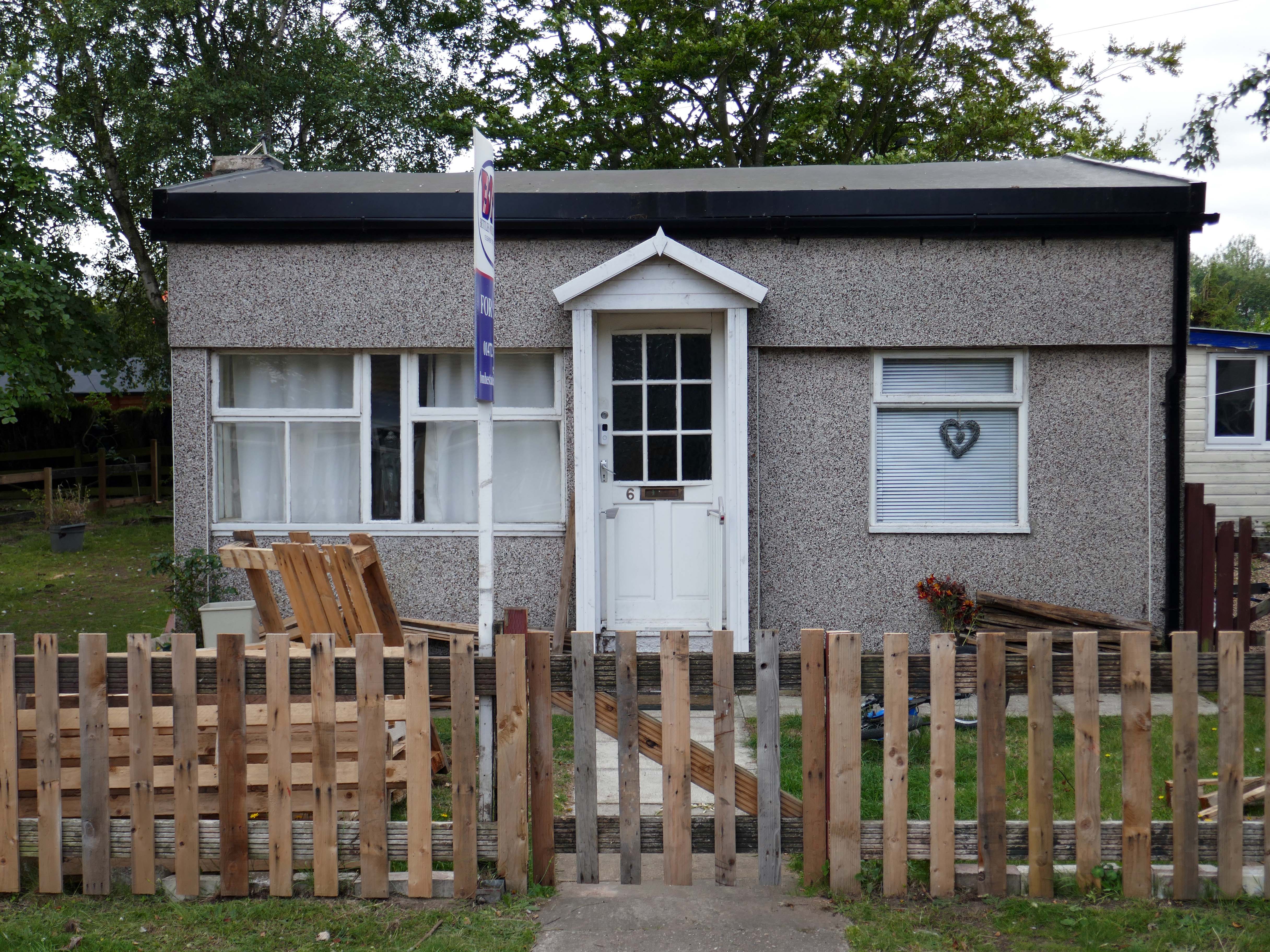
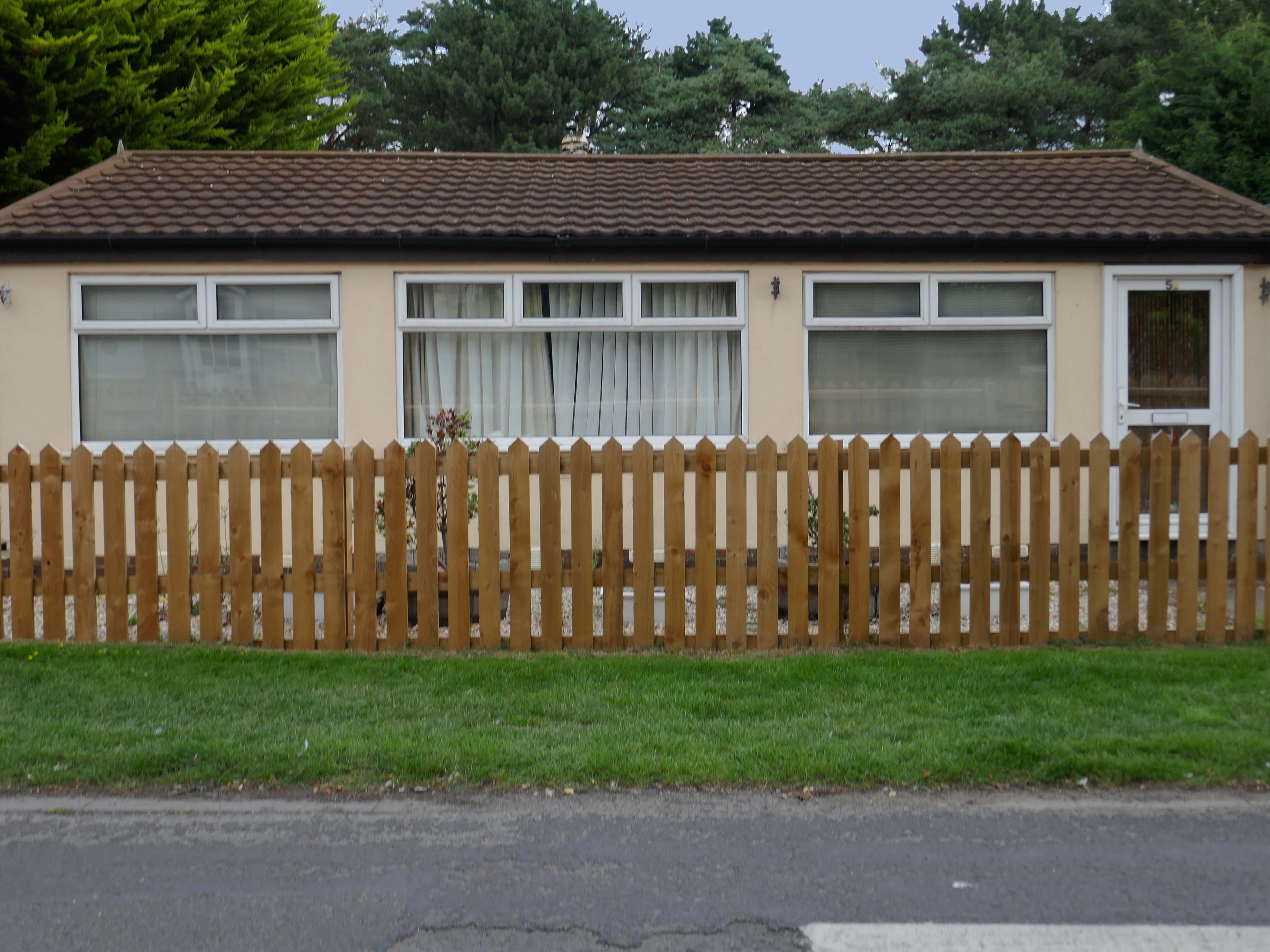
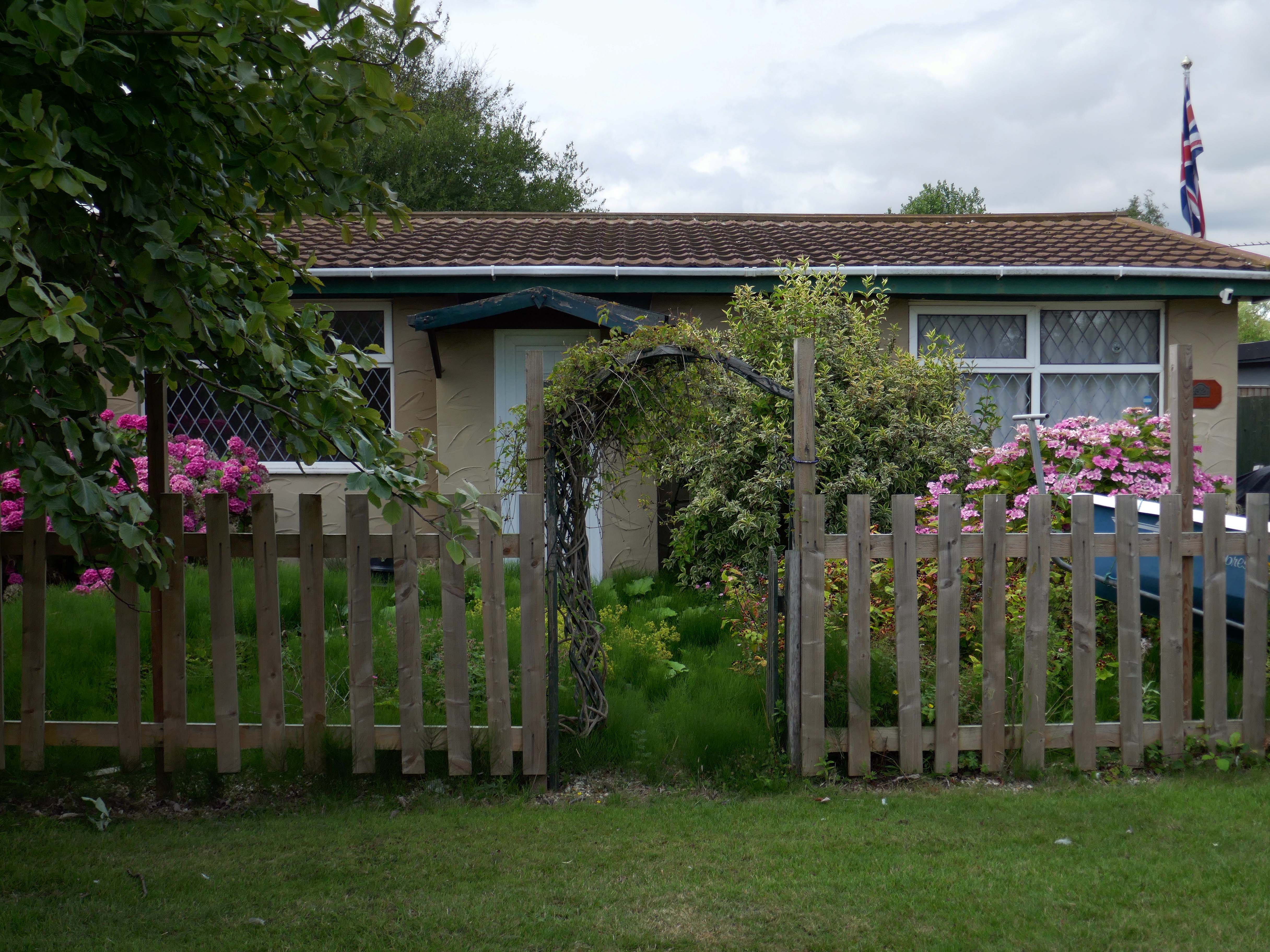
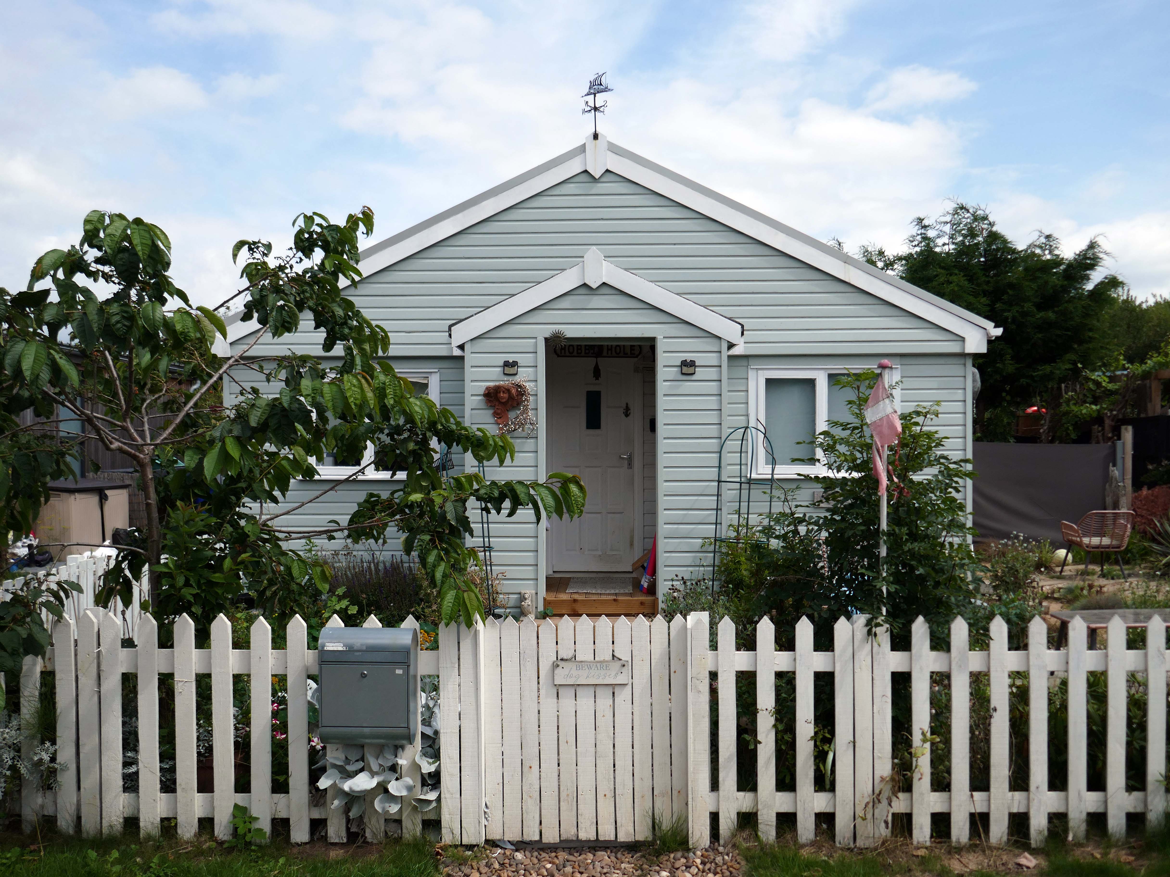
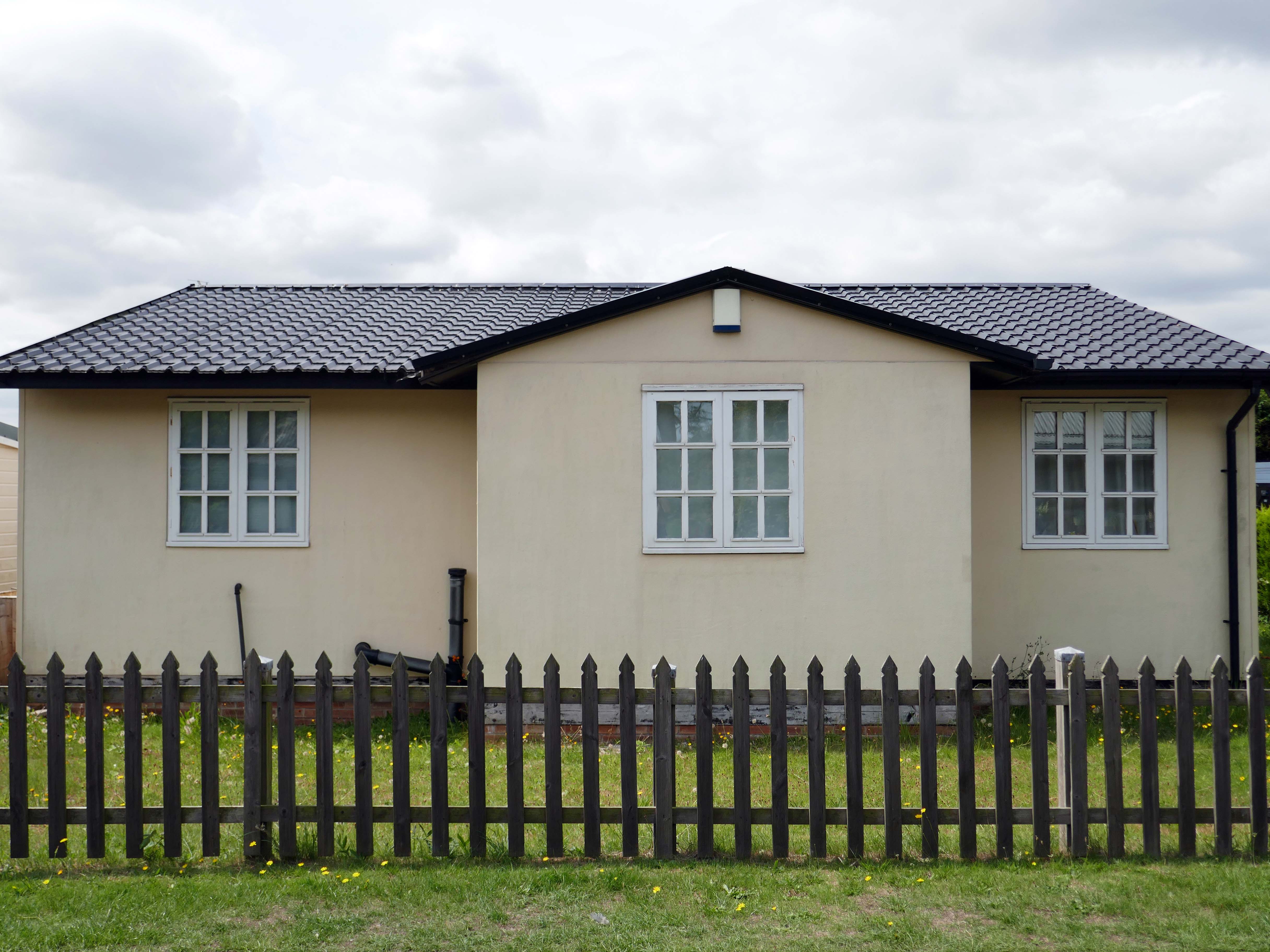
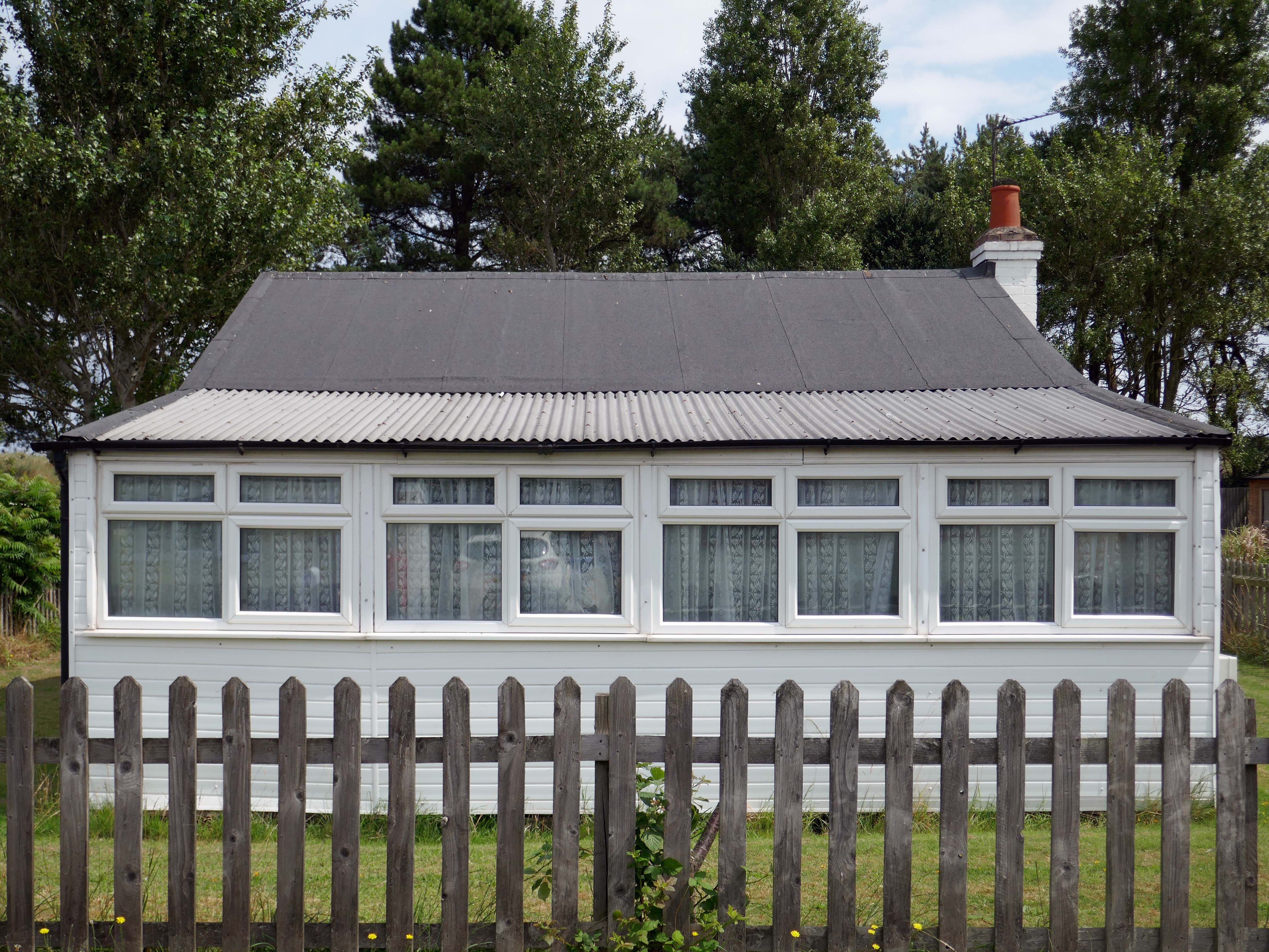
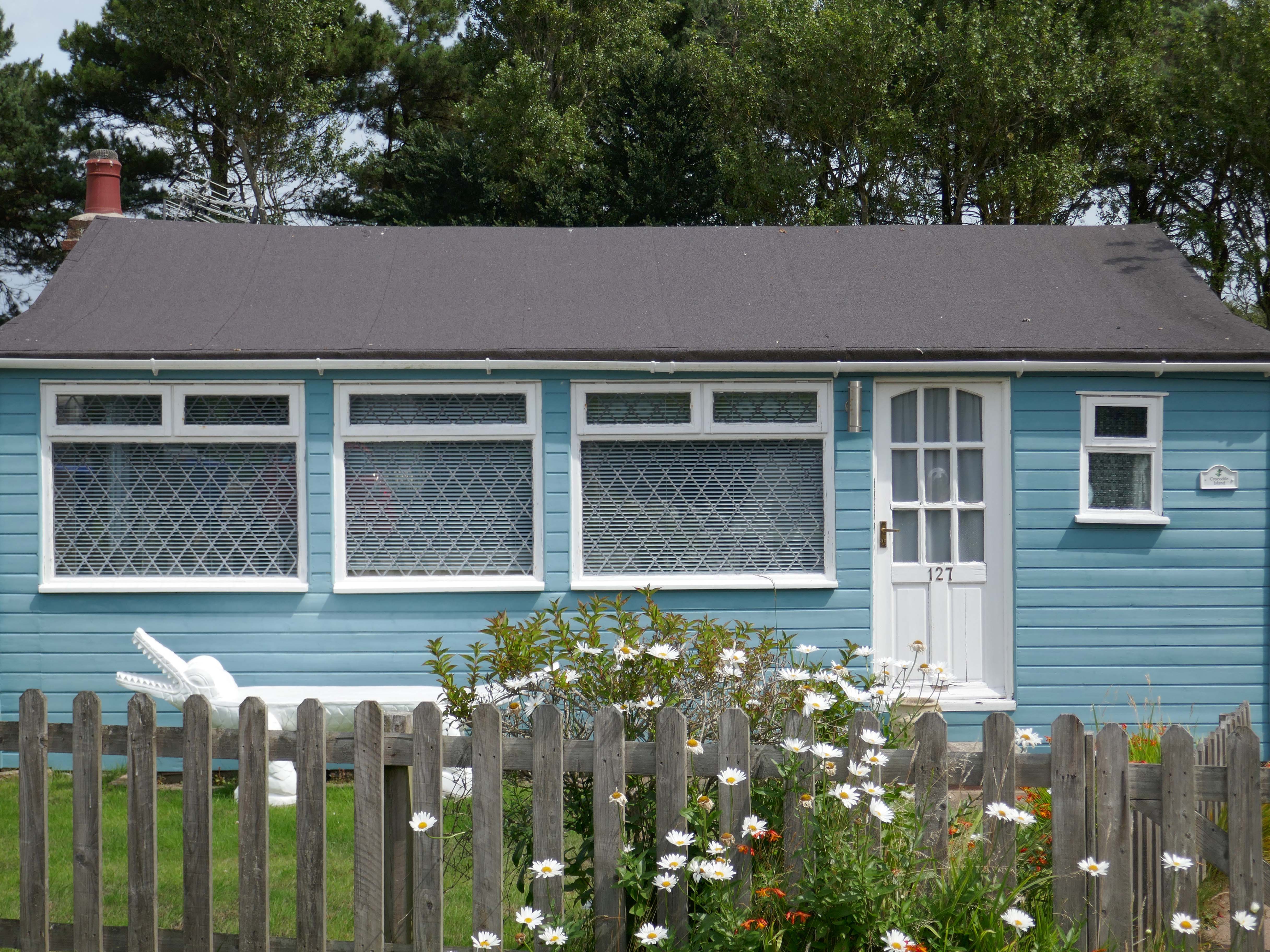
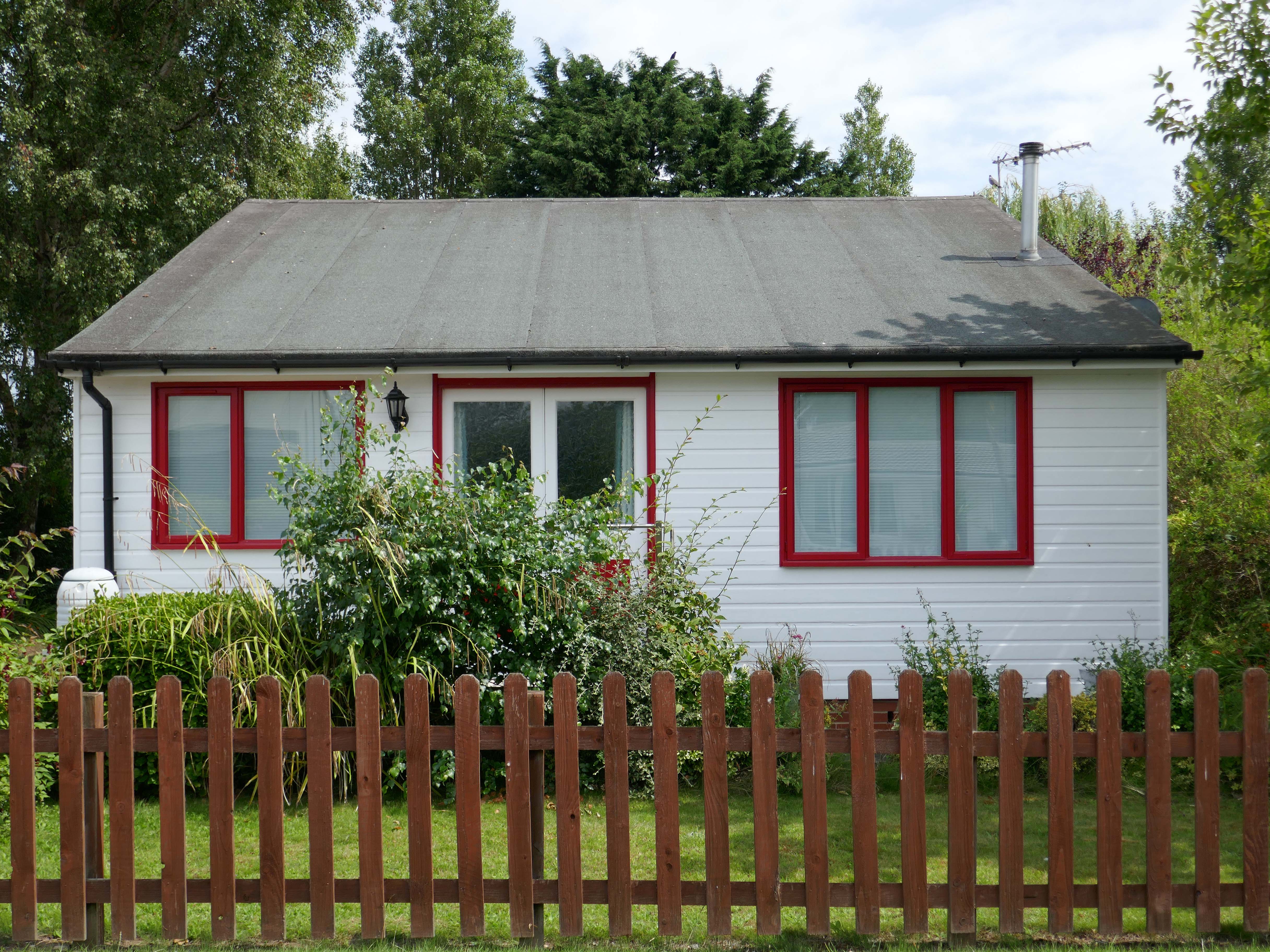
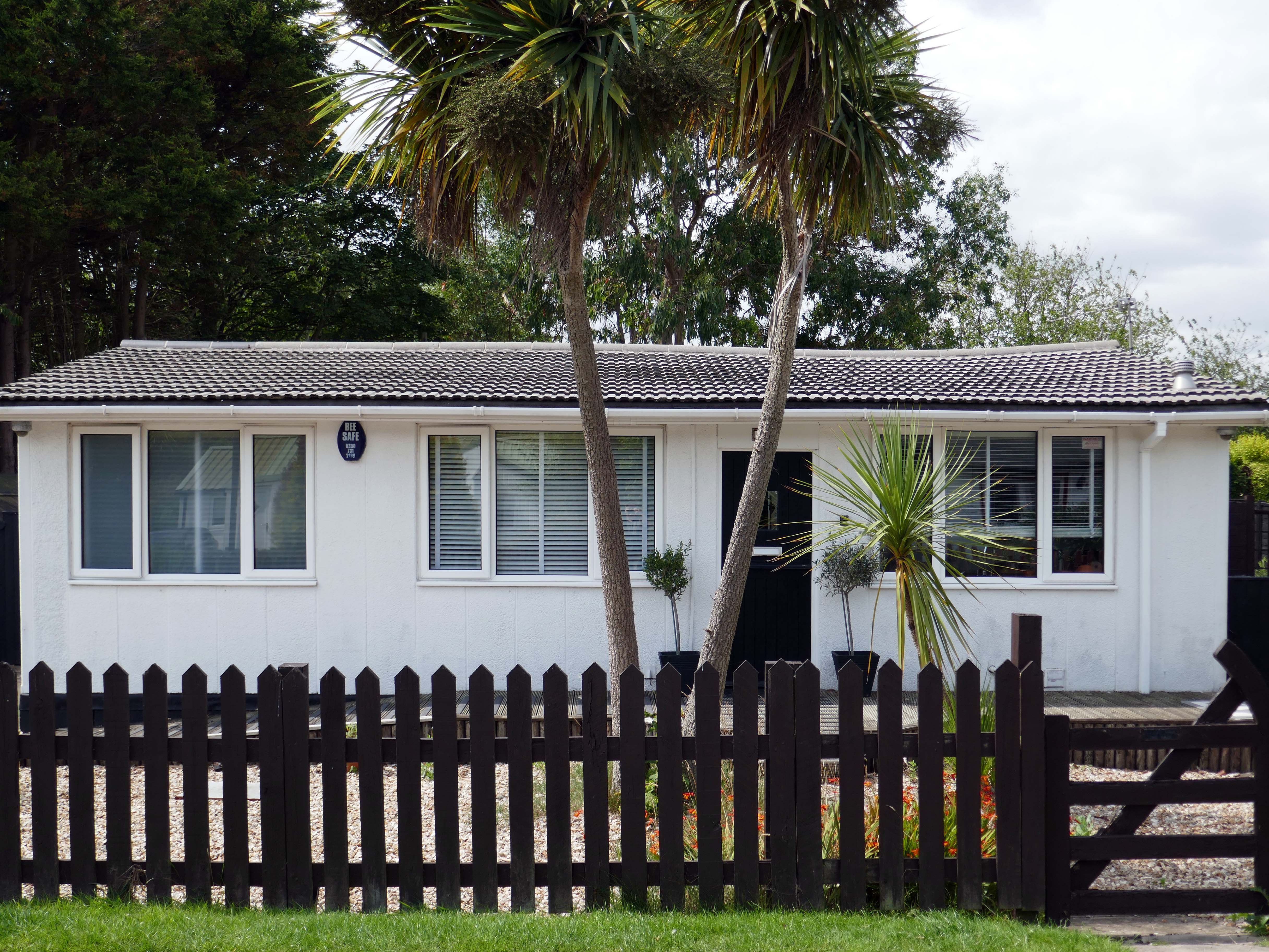
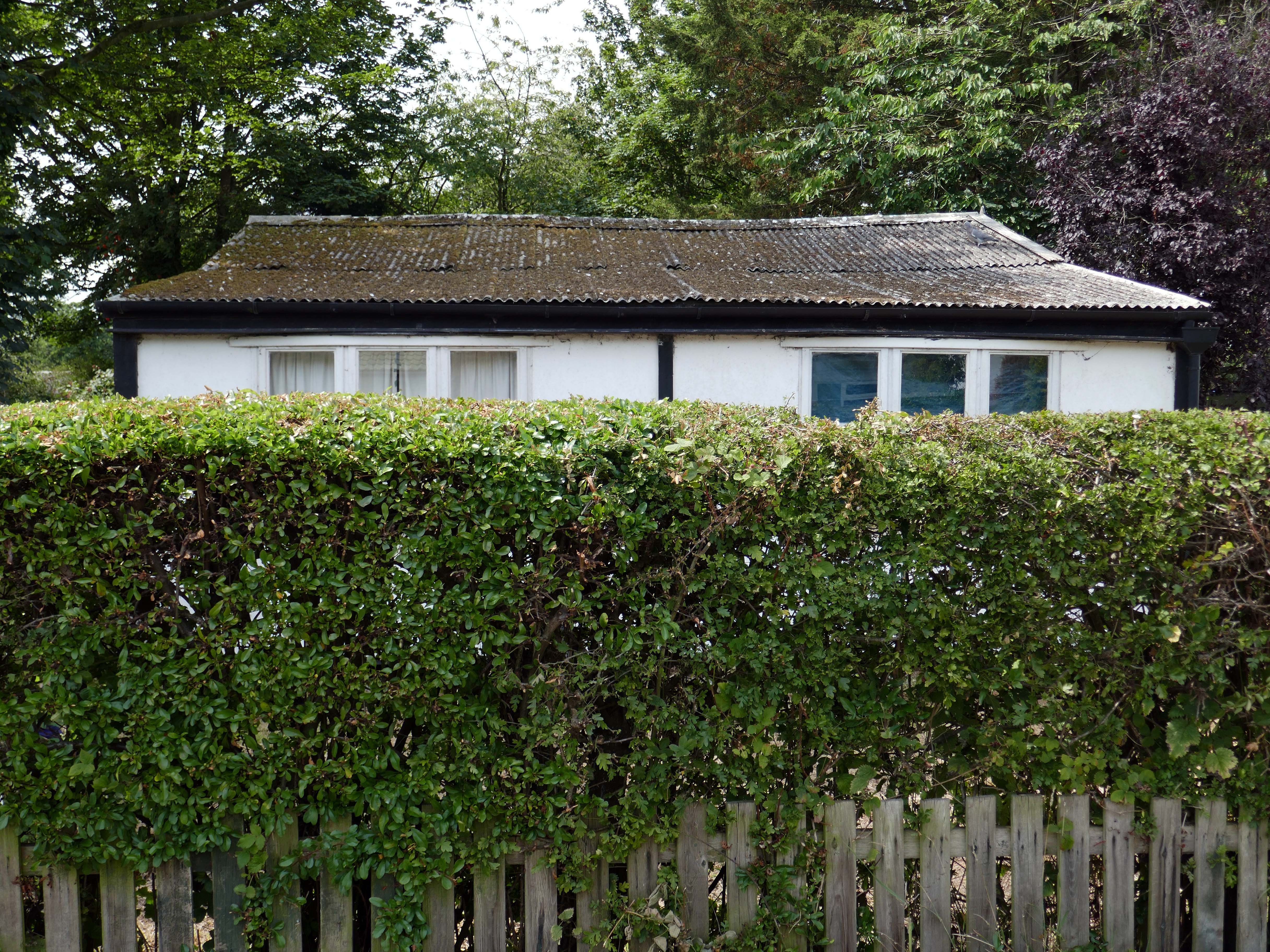
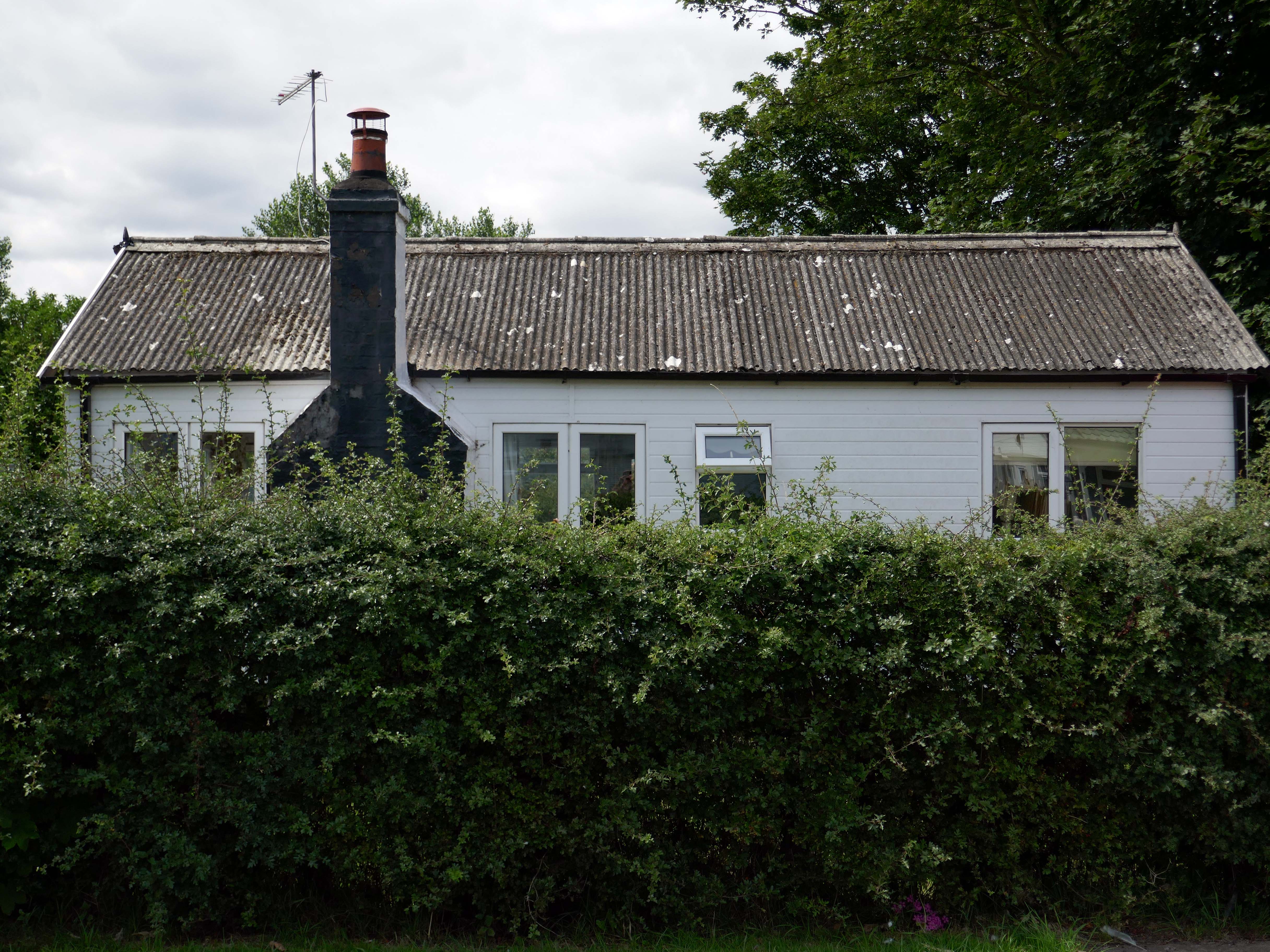
To begin at the middle, the middle of the Twentieth Century, houses may have looked like this:
Or possibly these:
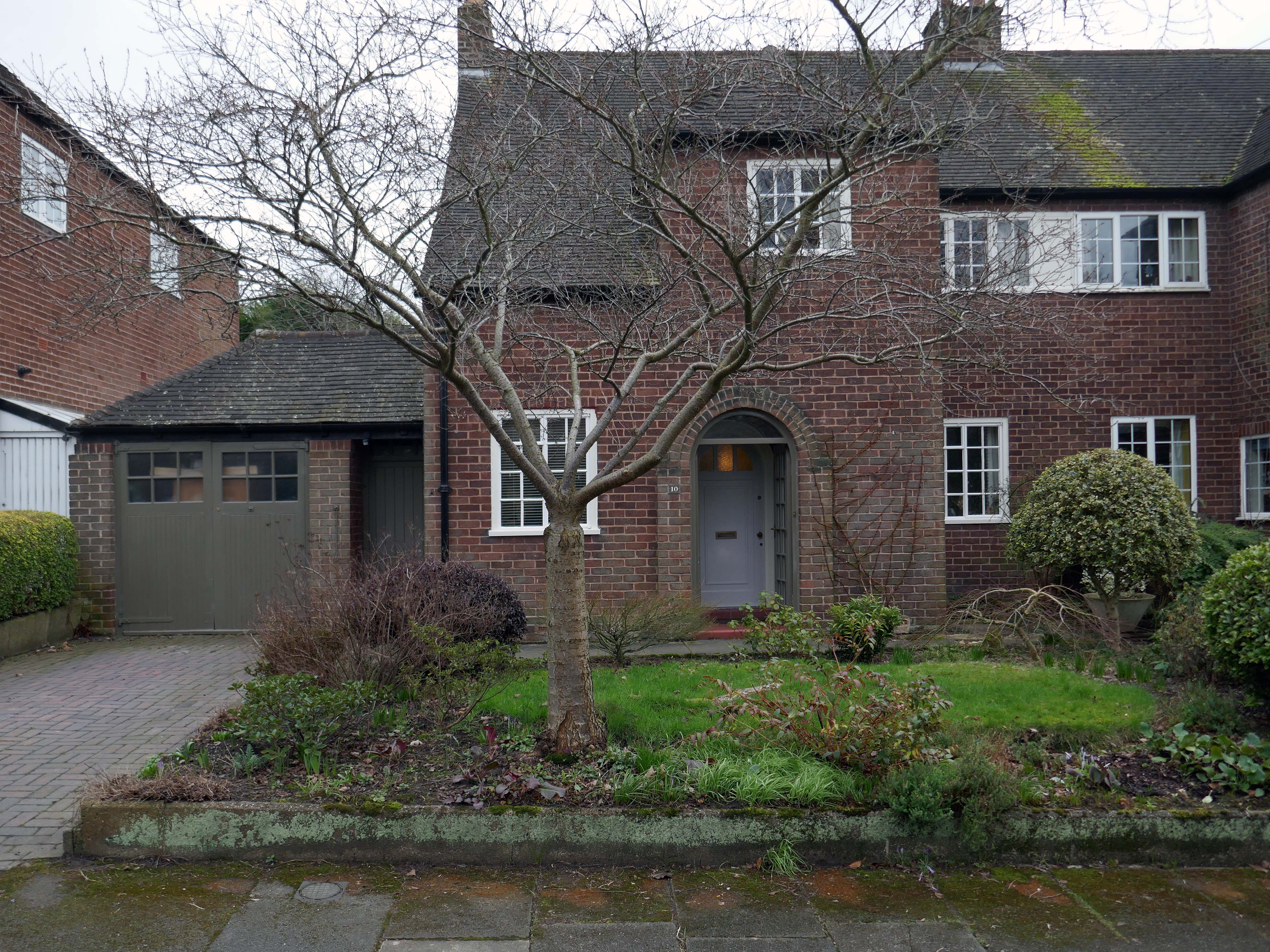
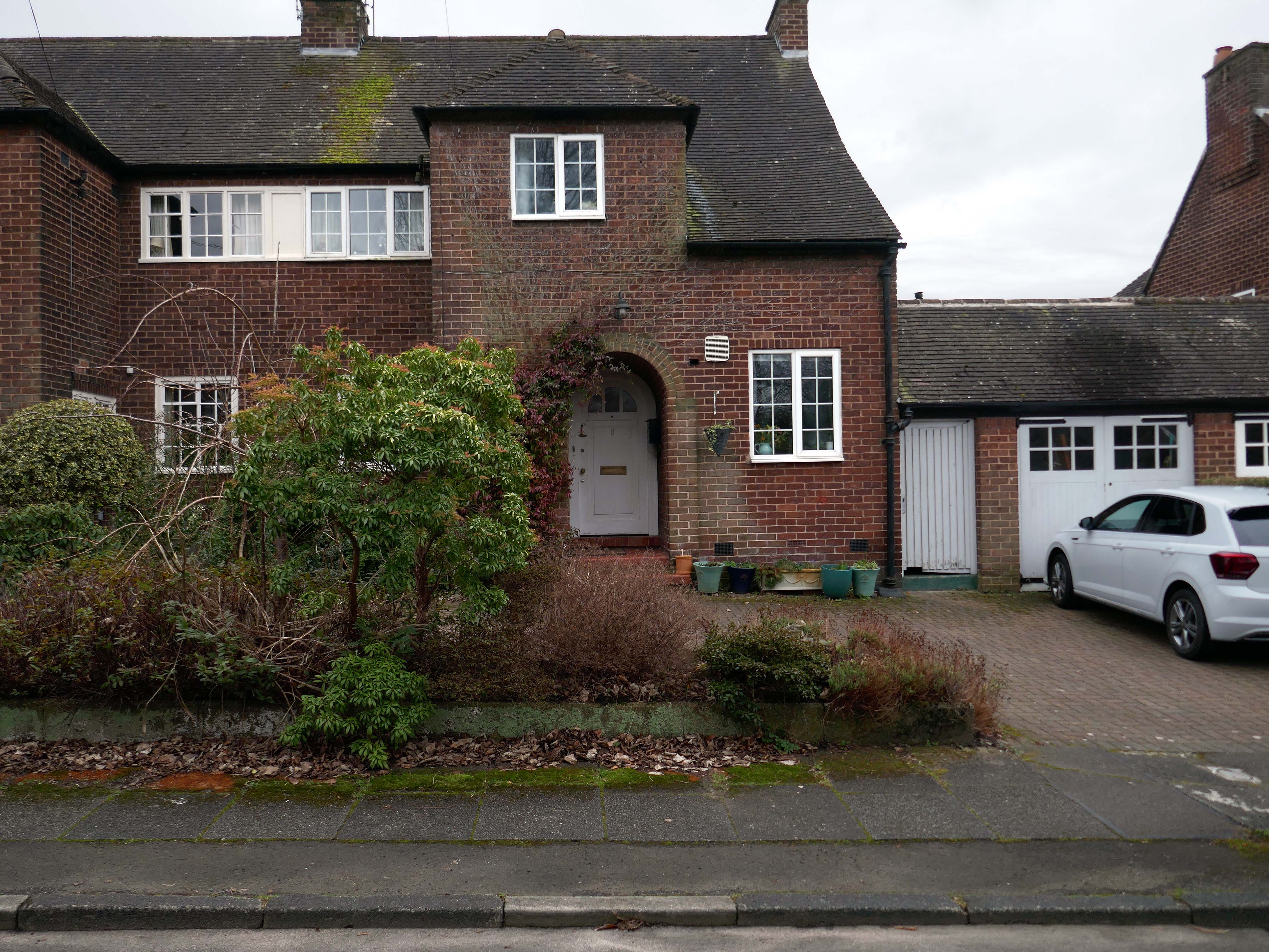
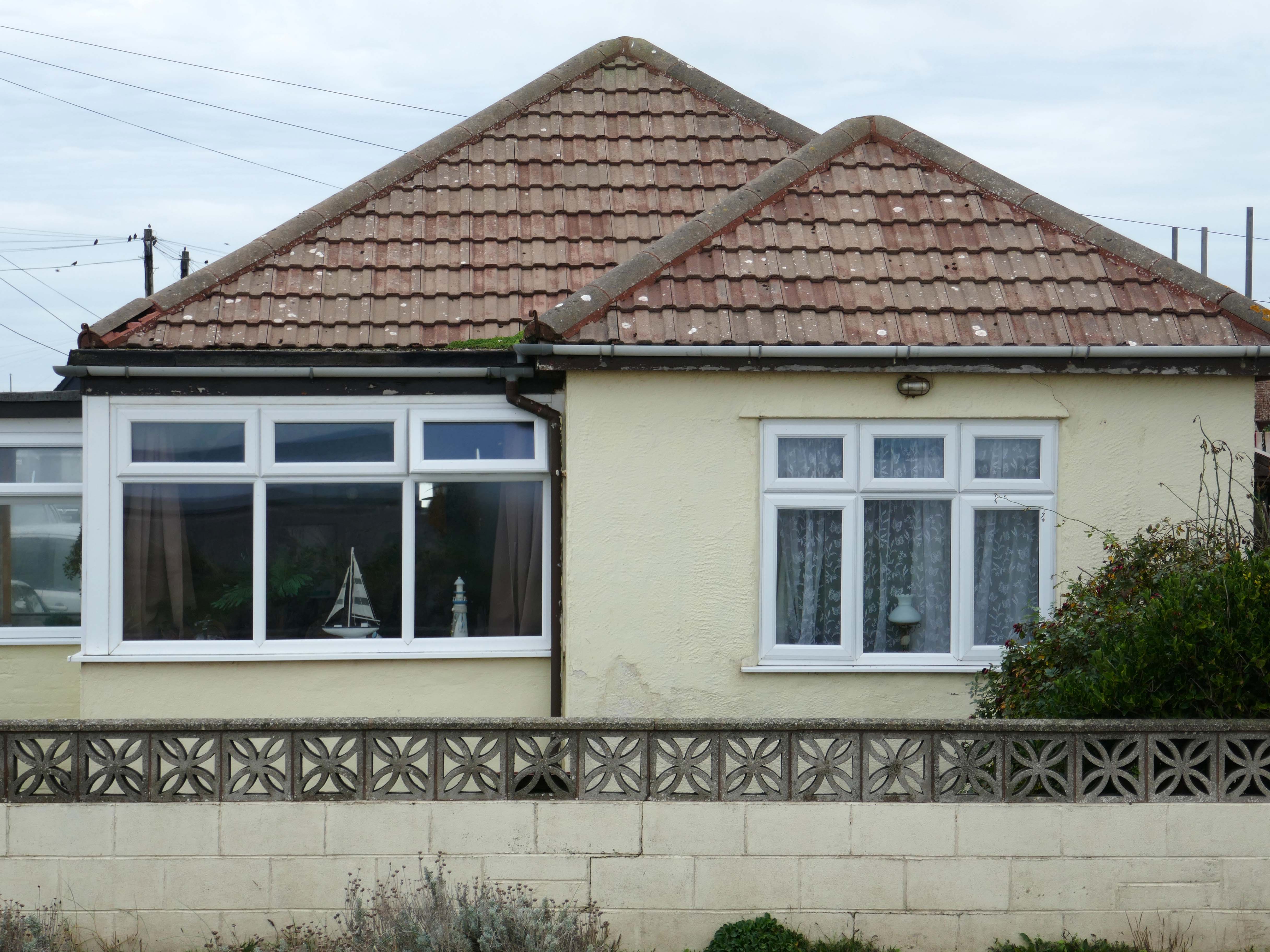
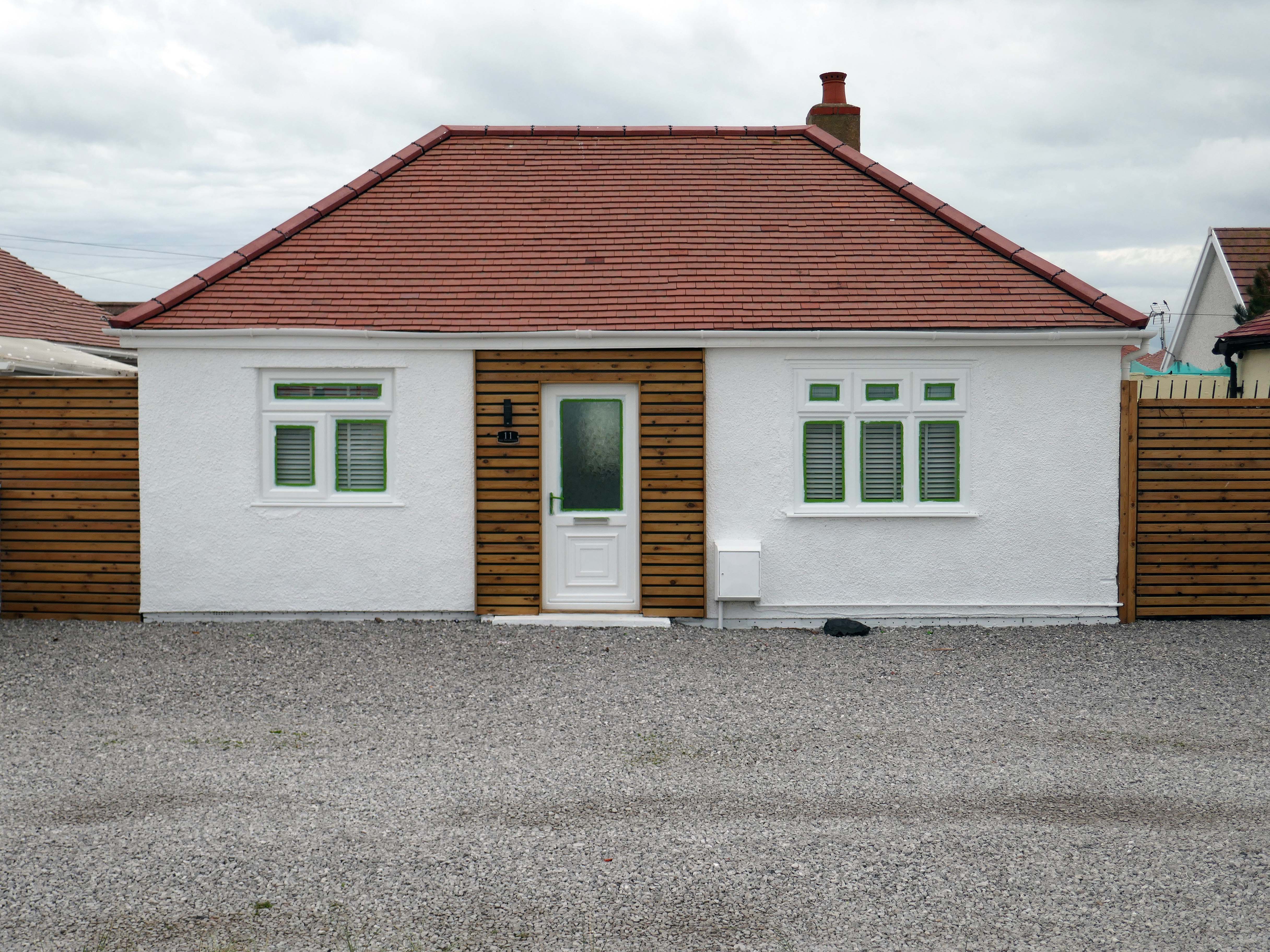
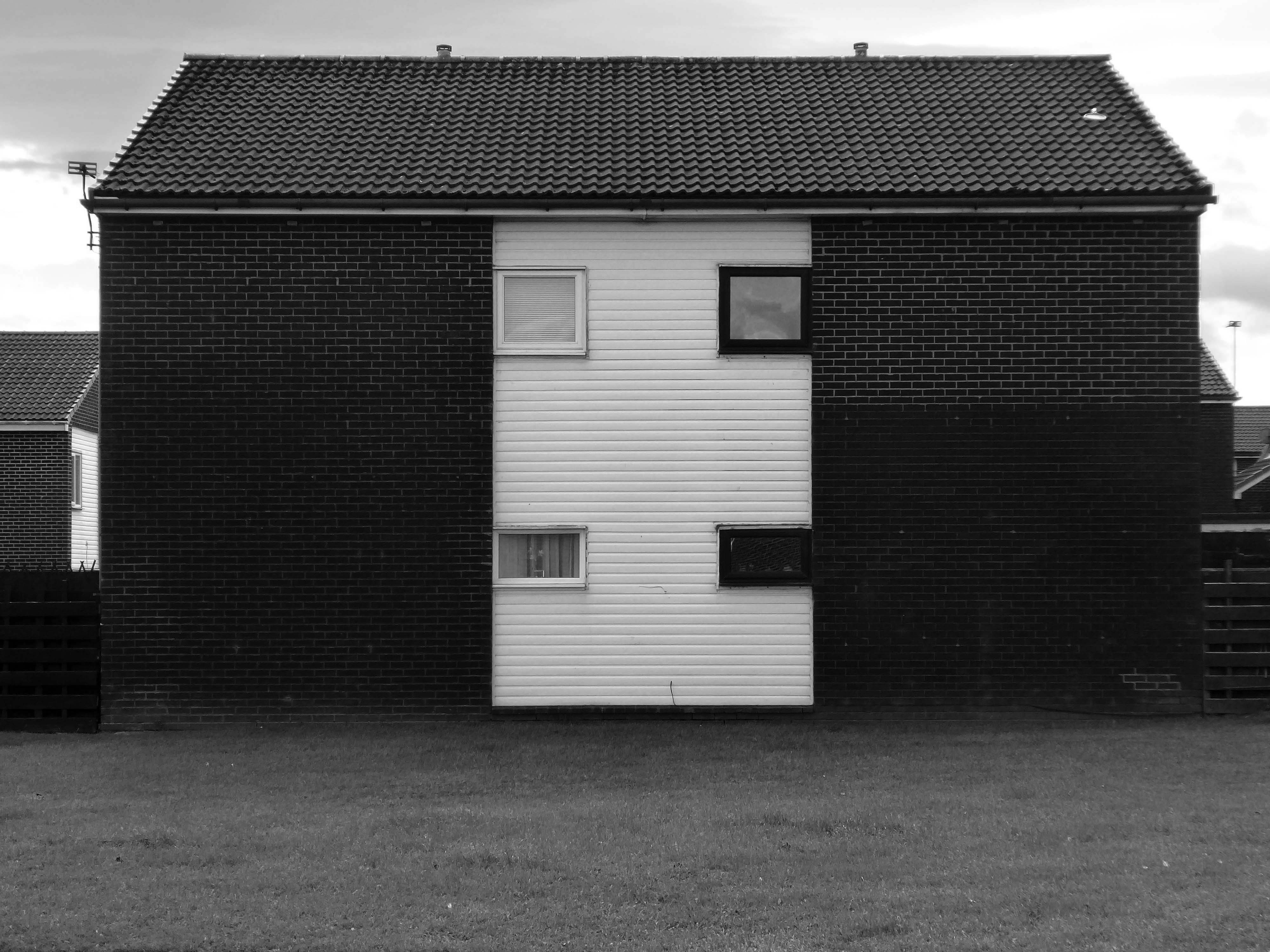
These Shore Road survivors have resisted the charm of redevelopment, the demolition and new build, or the uPVC over cladding, relentless render or reglaze.
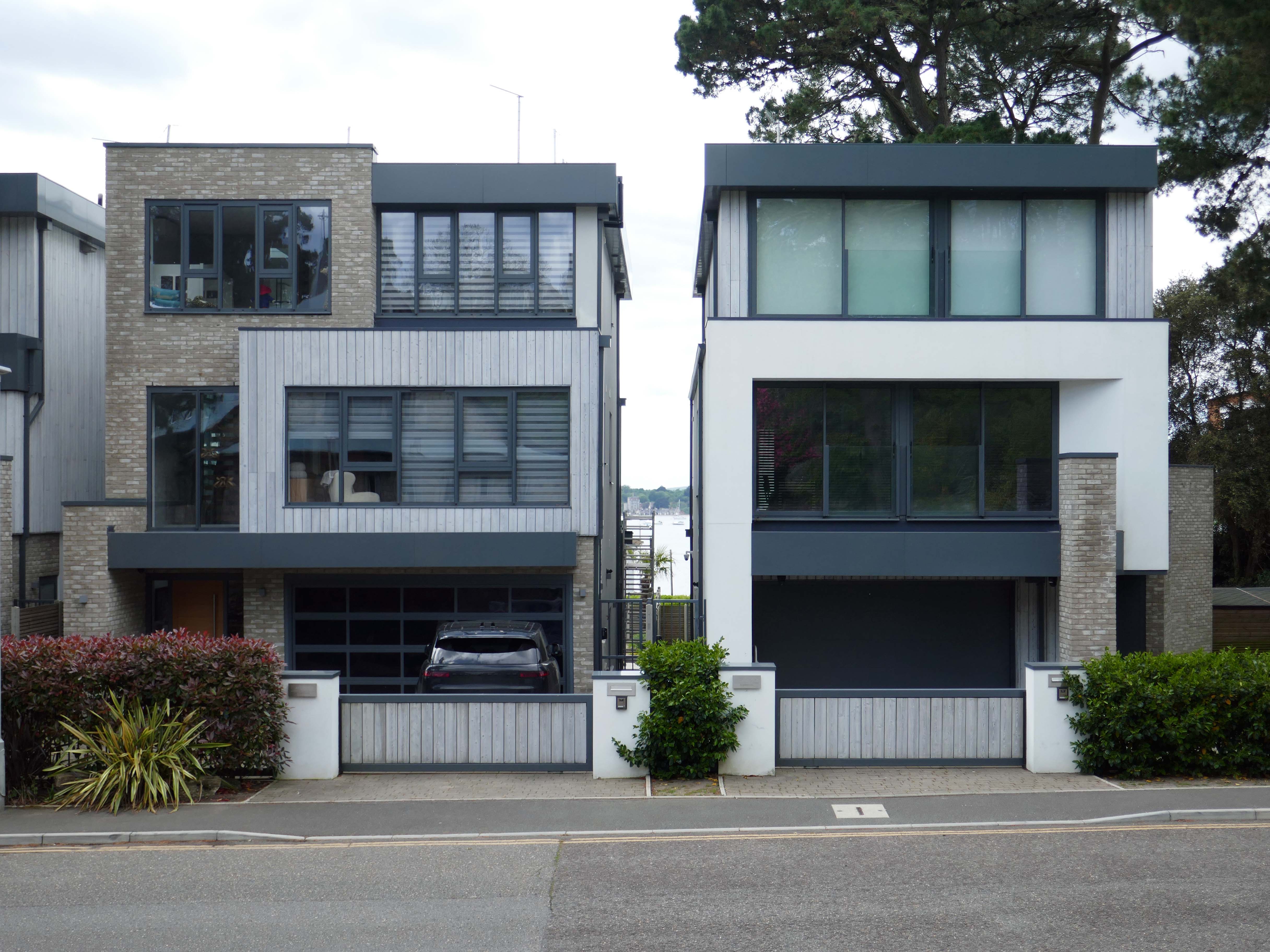
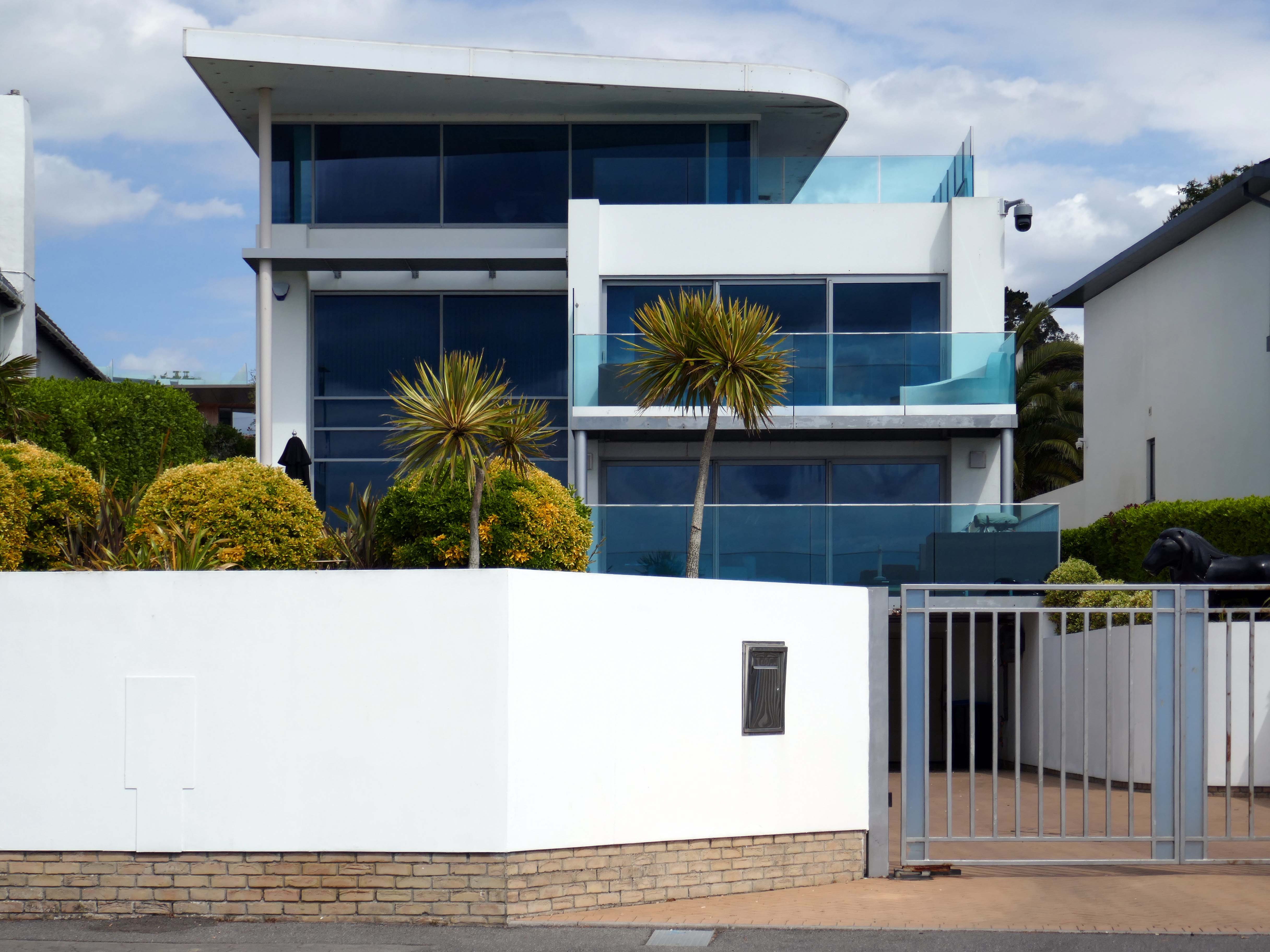
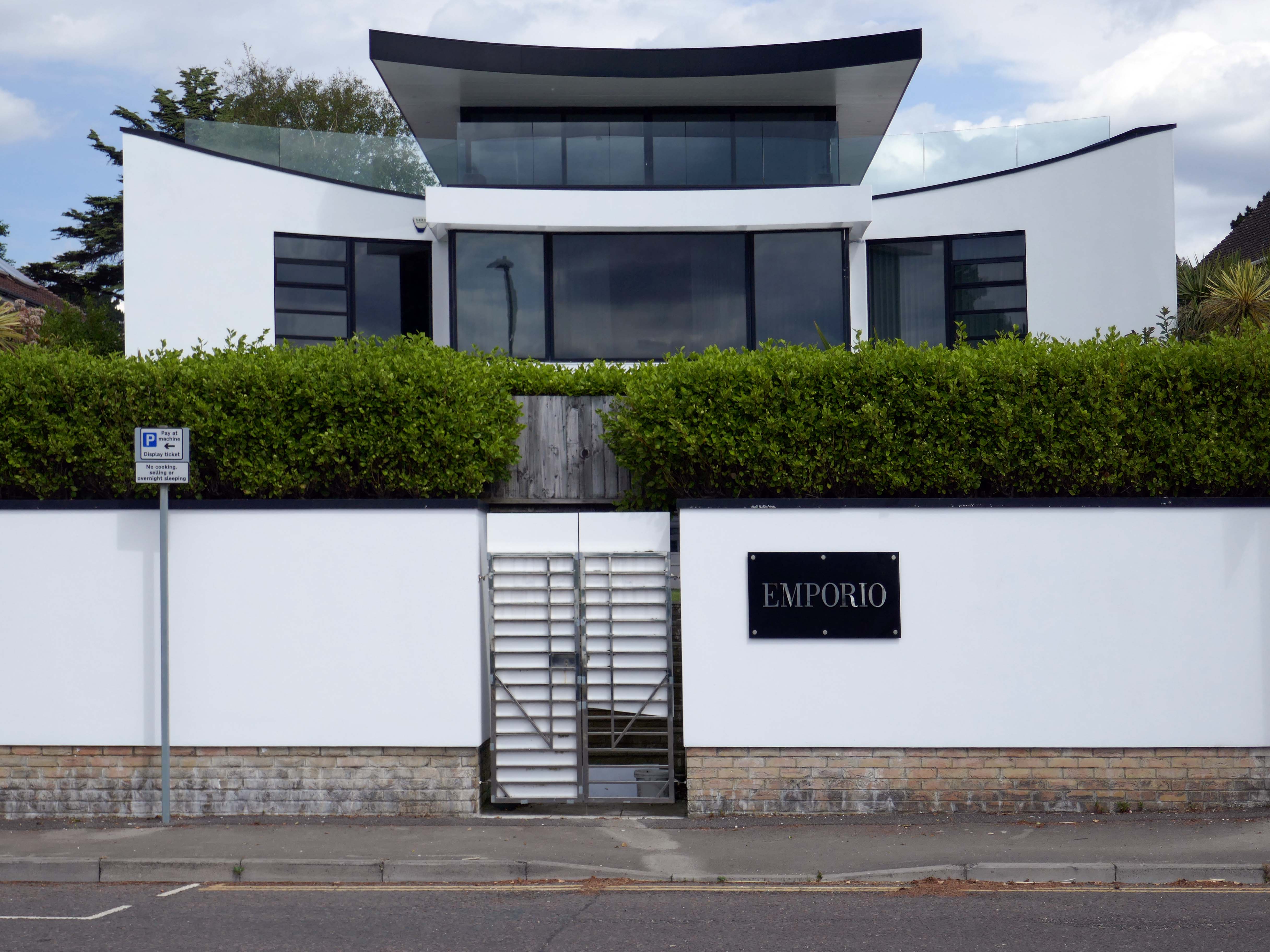
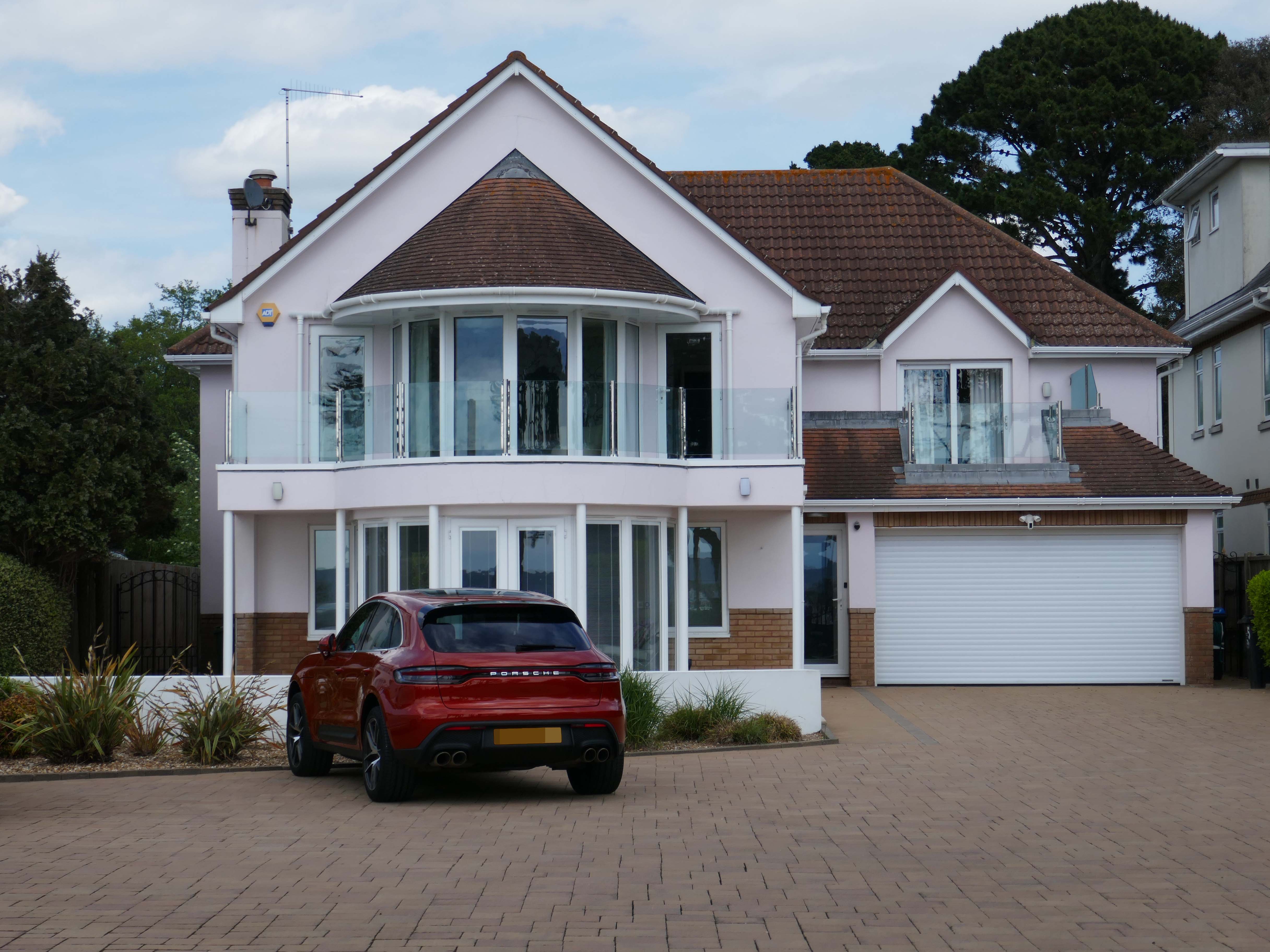
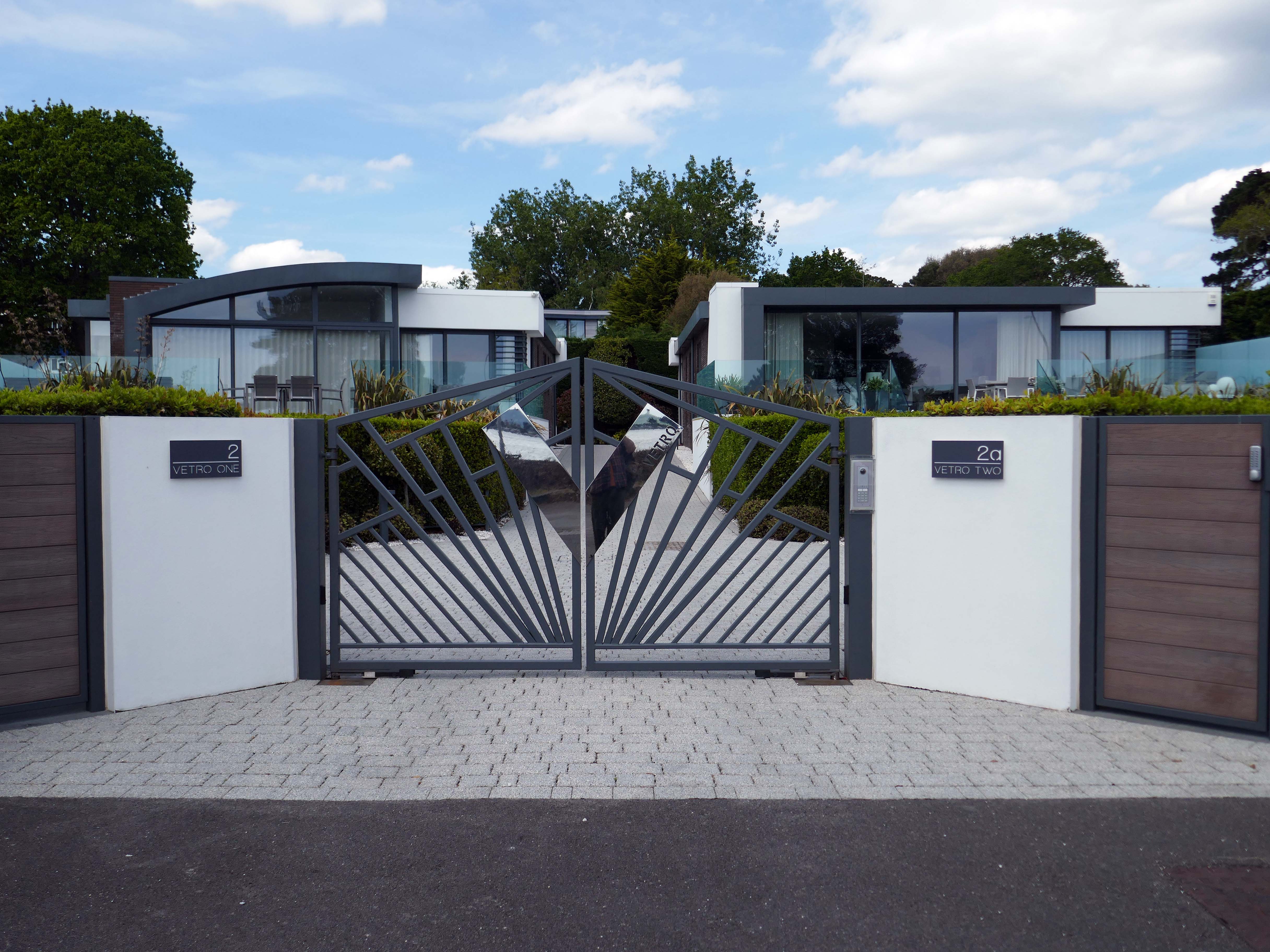
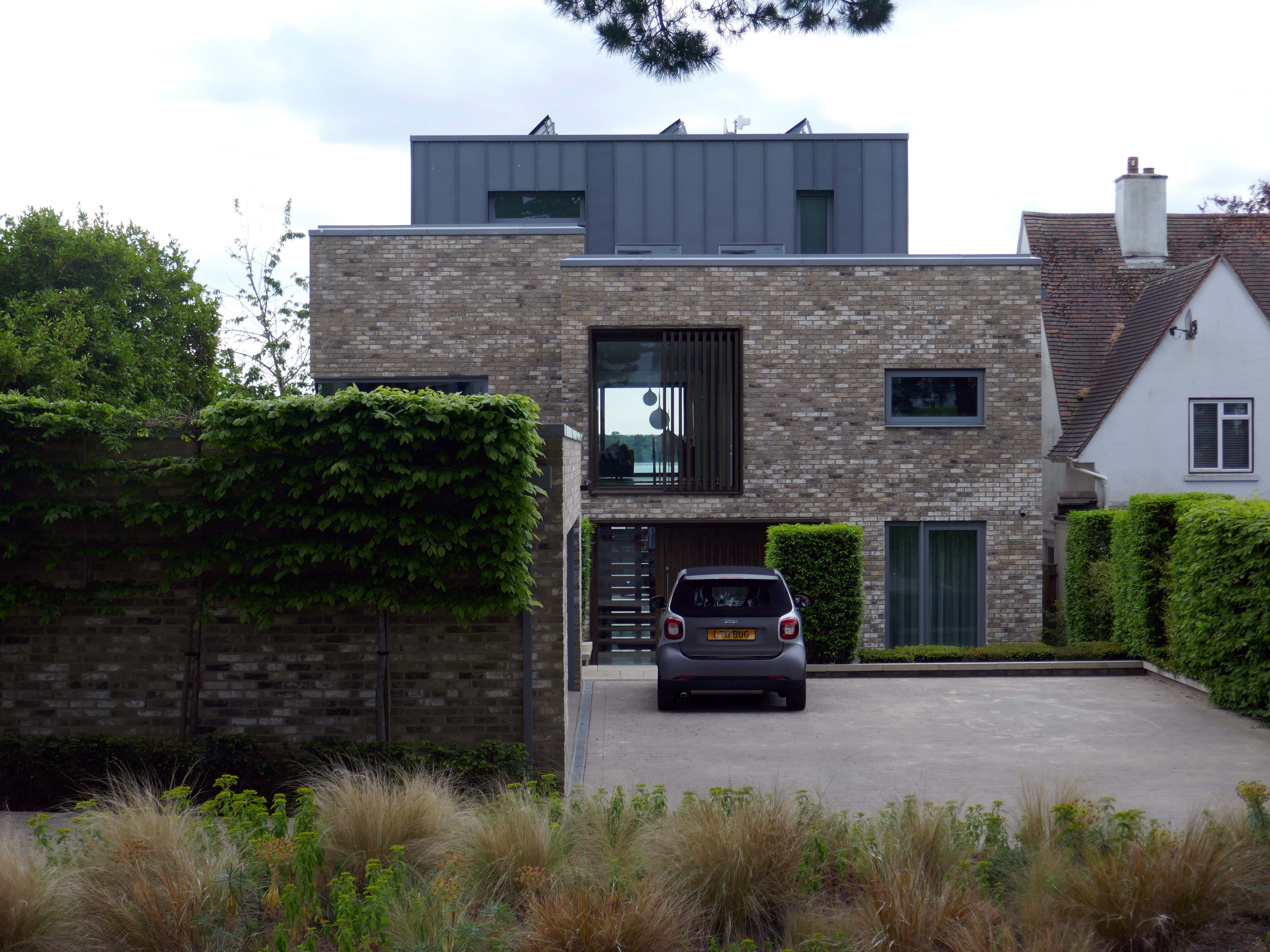
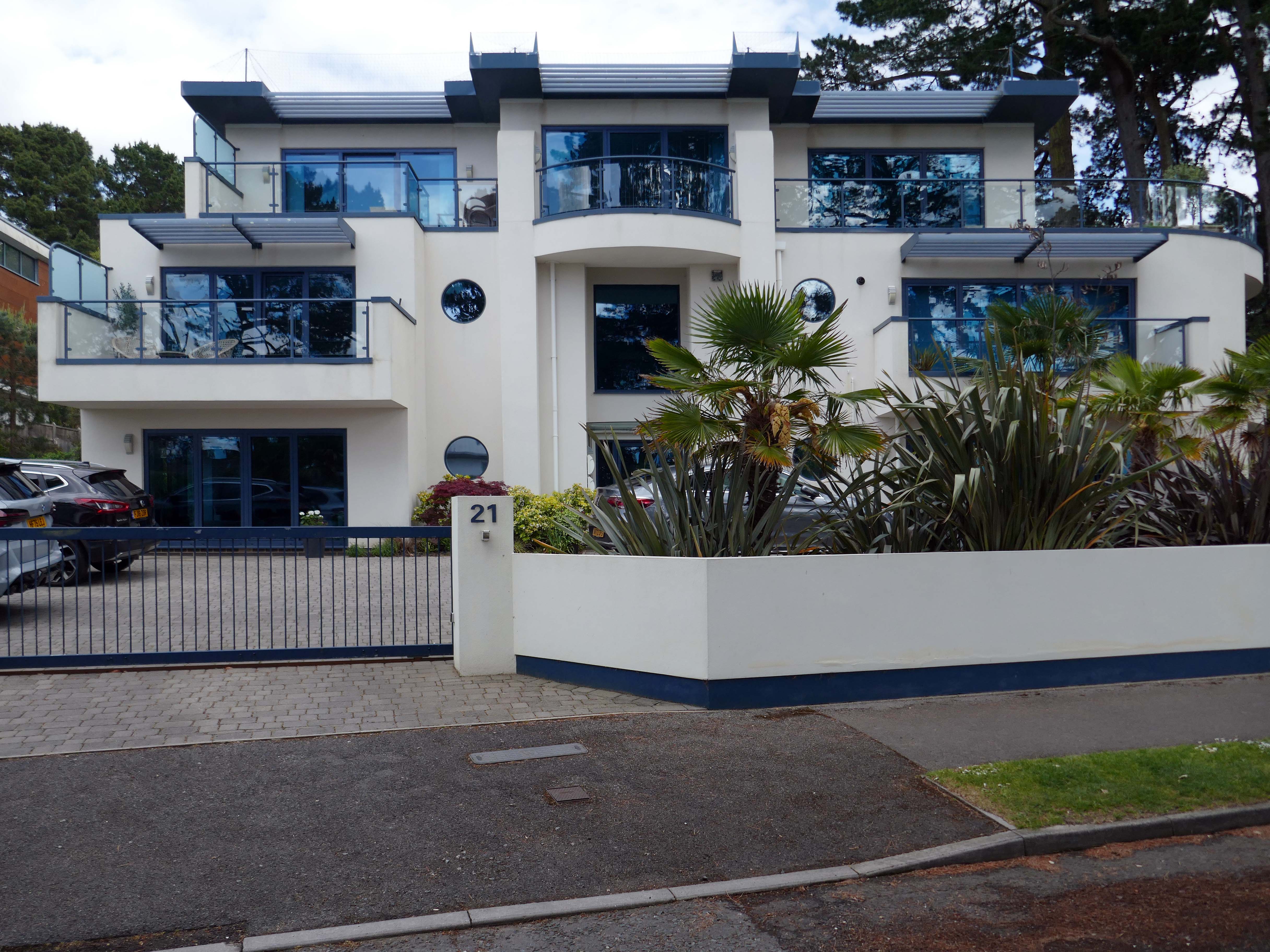
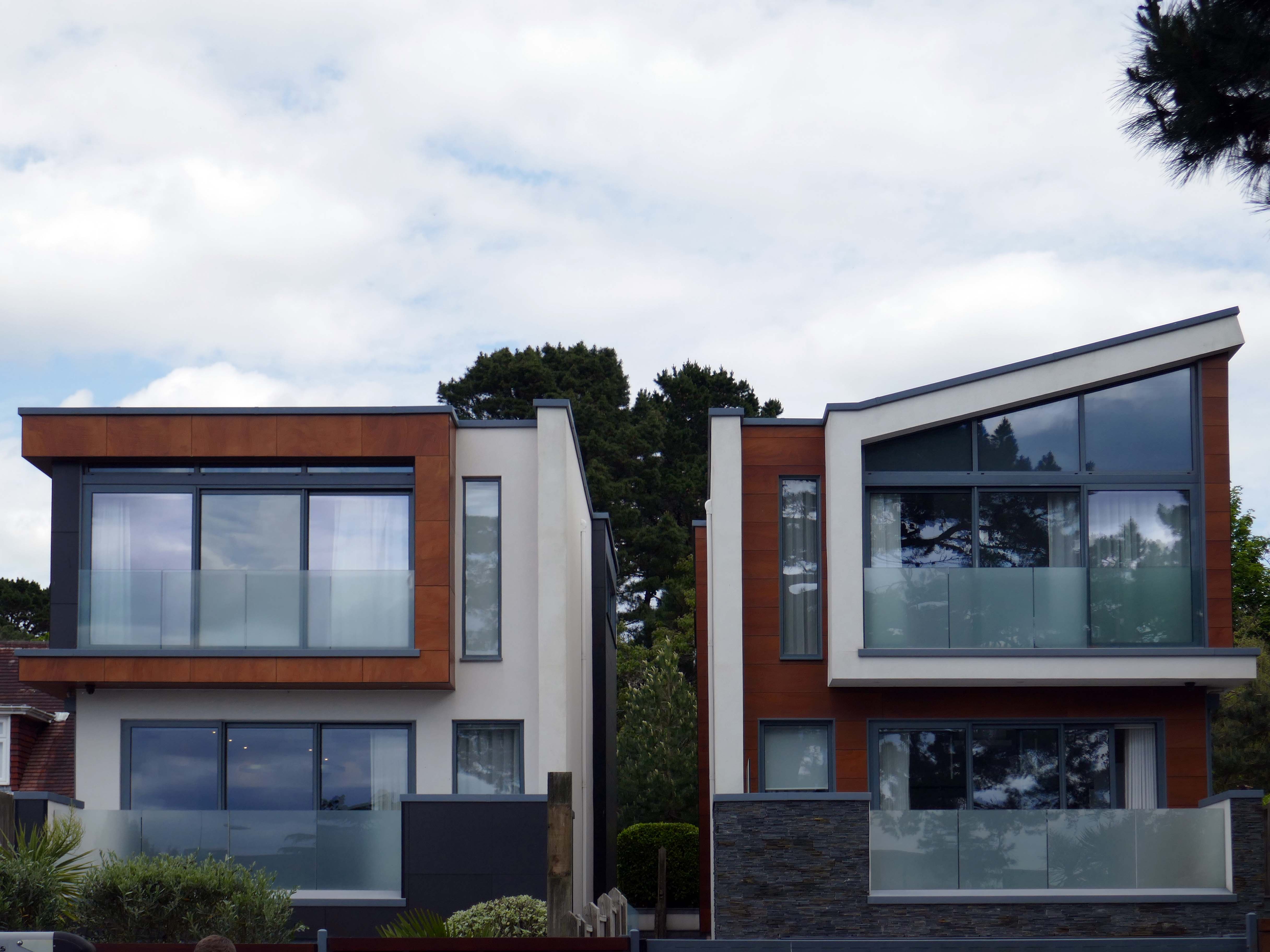
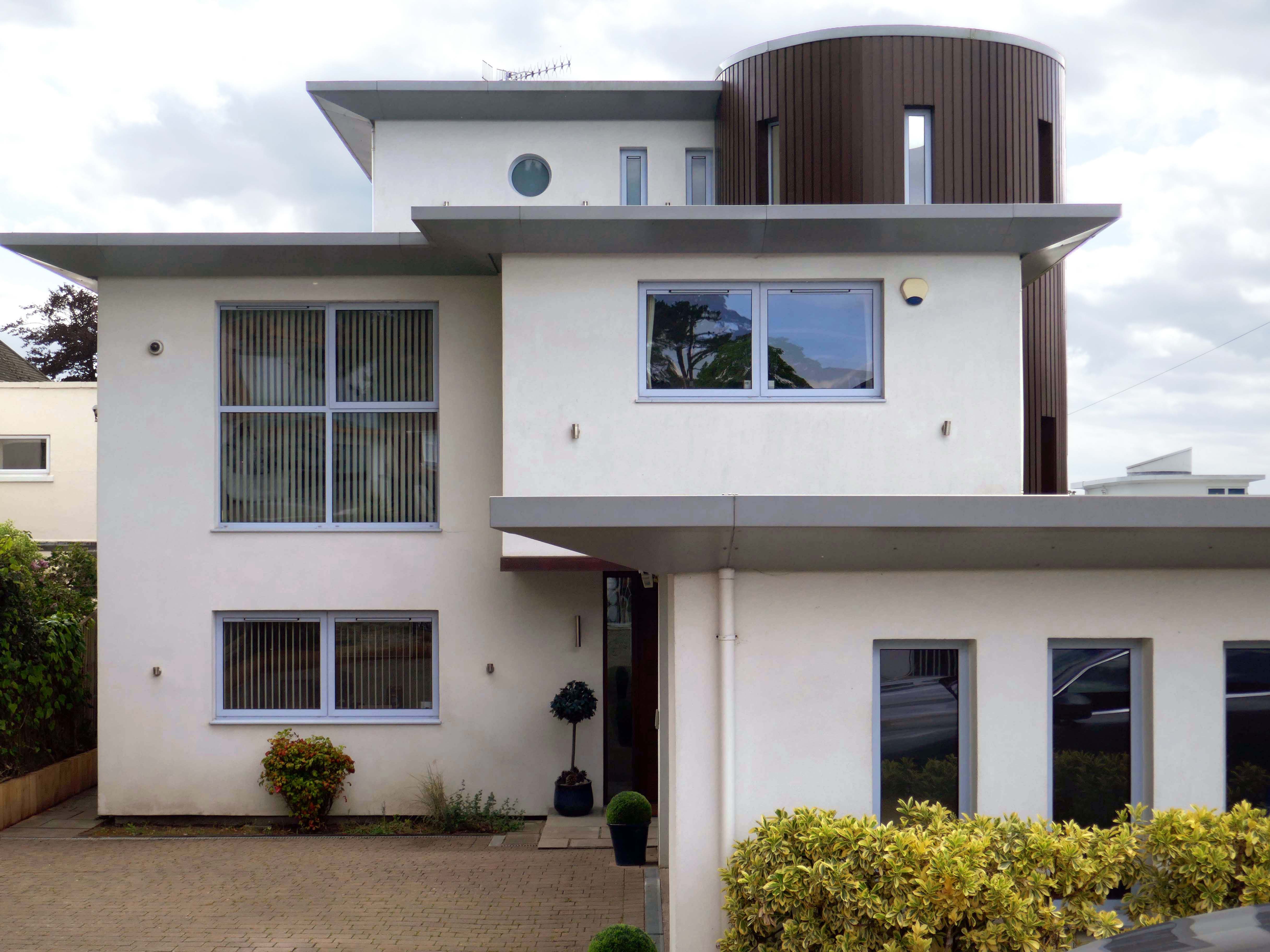
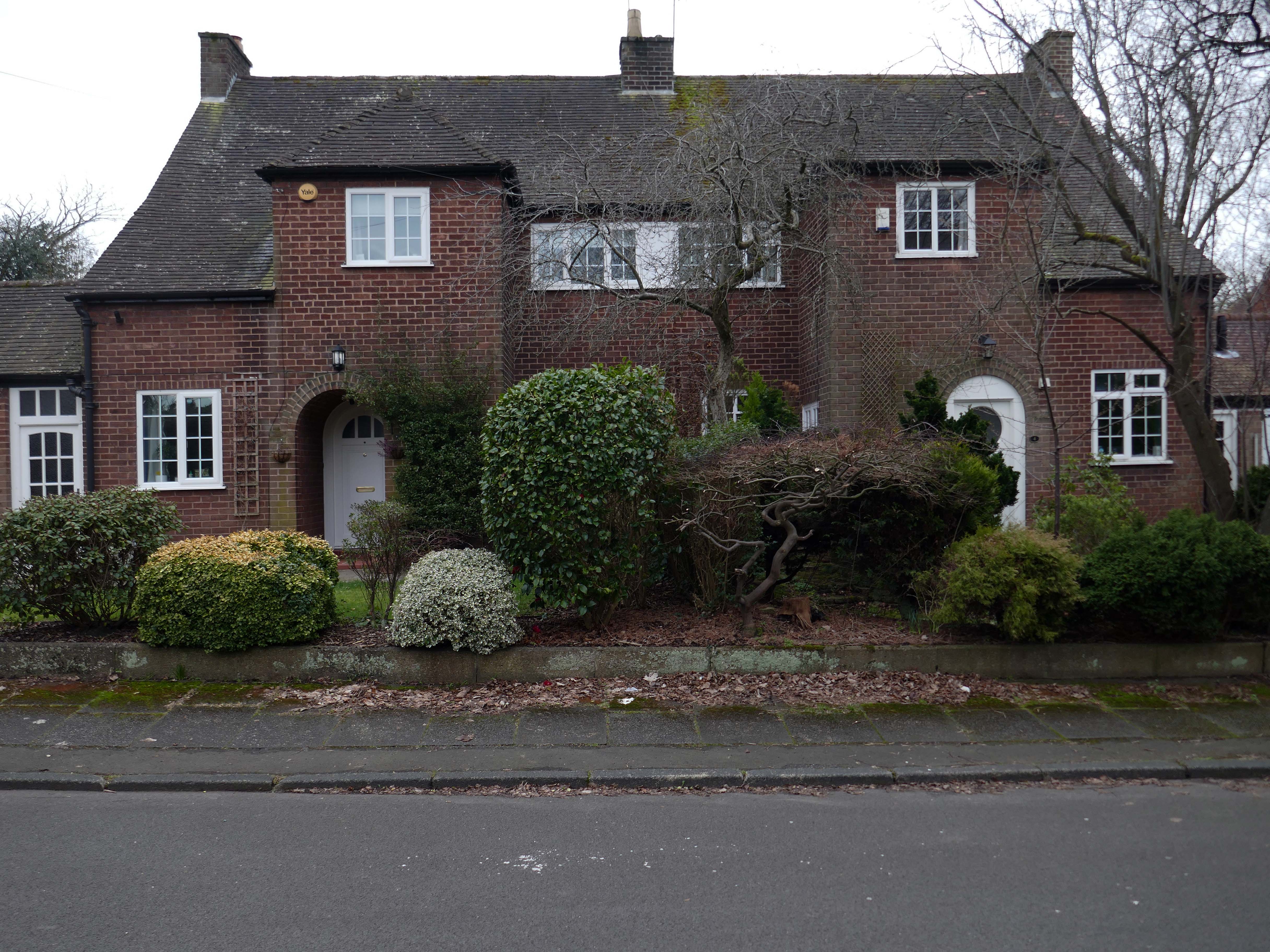
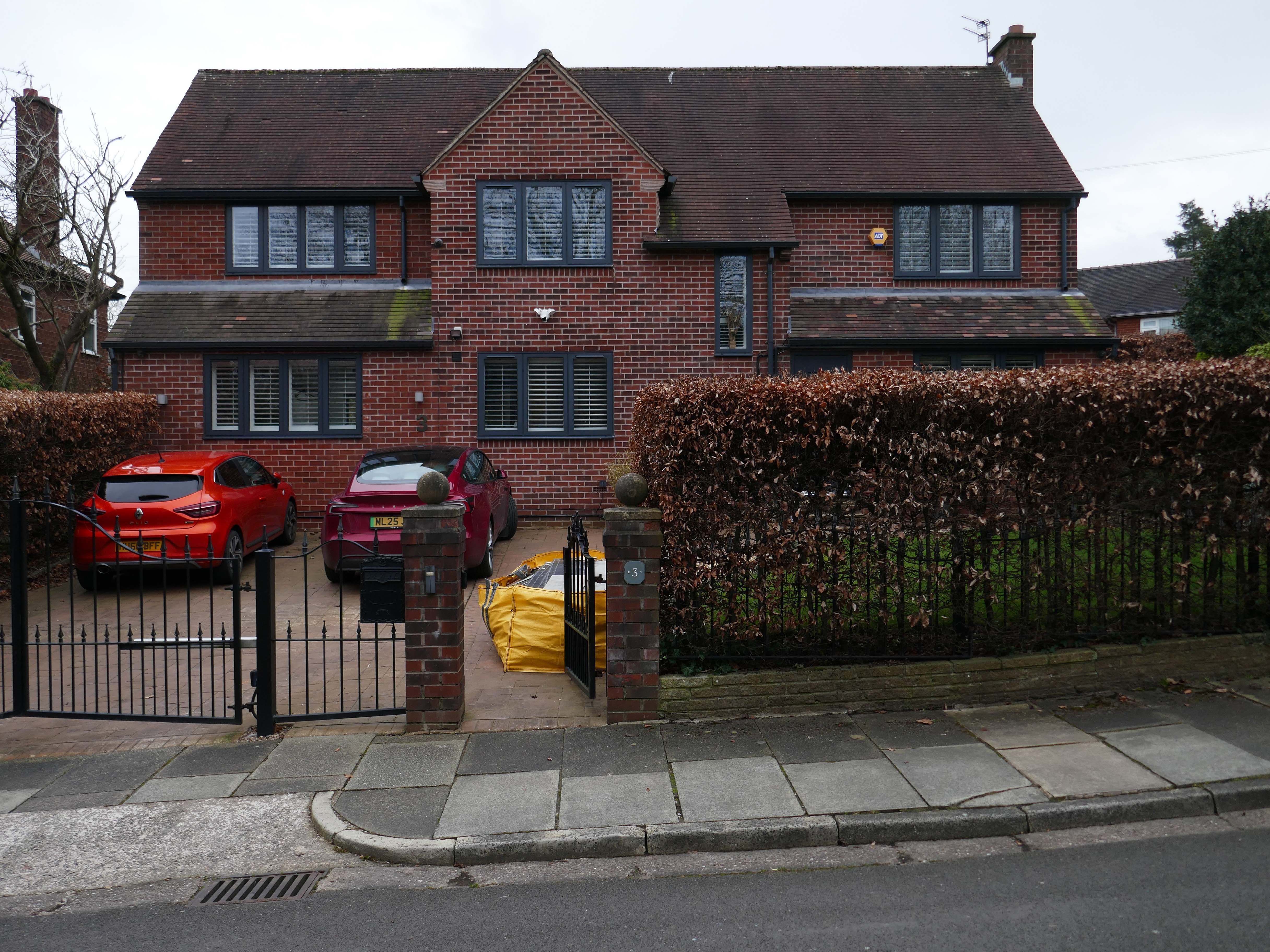
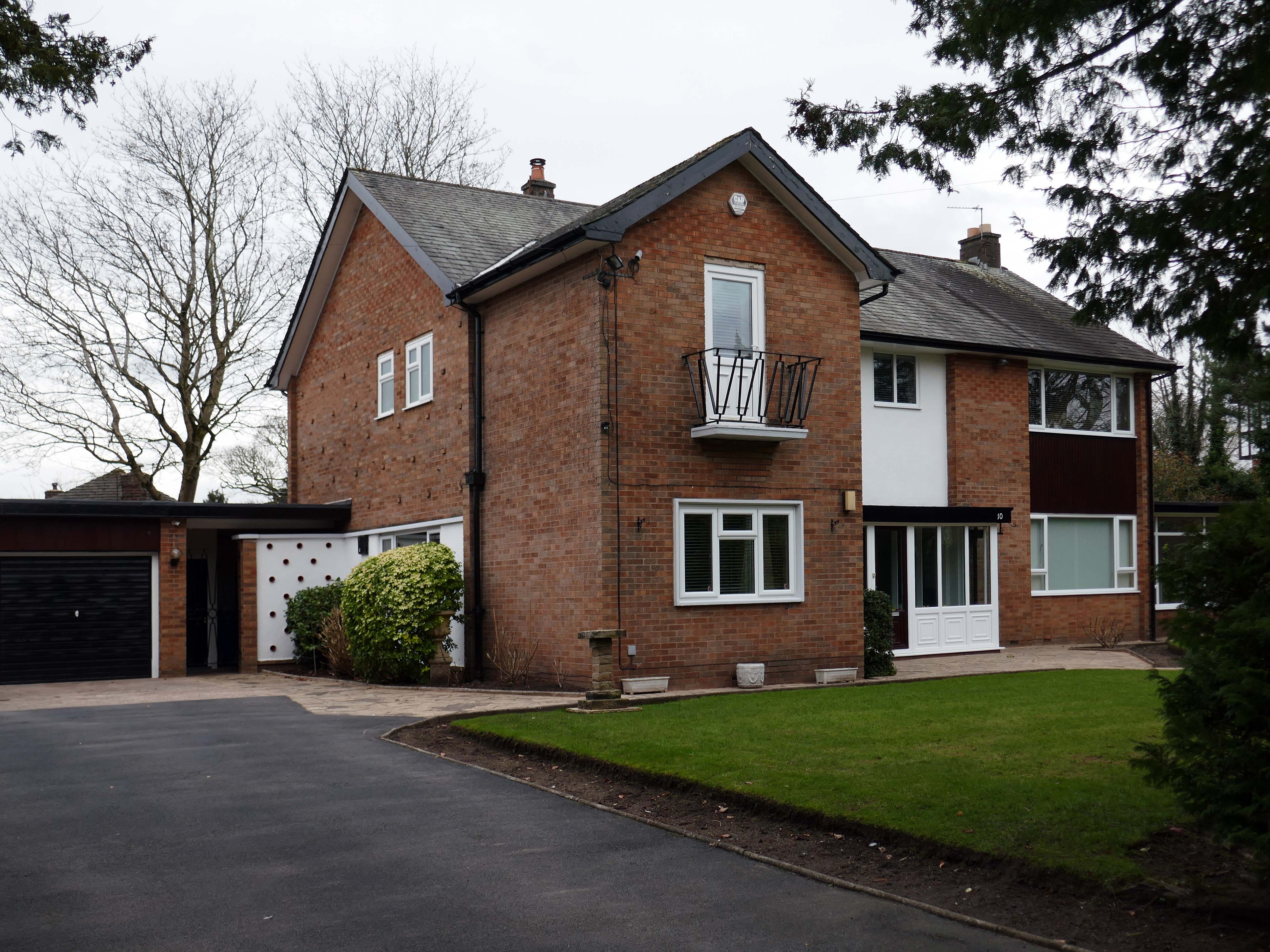
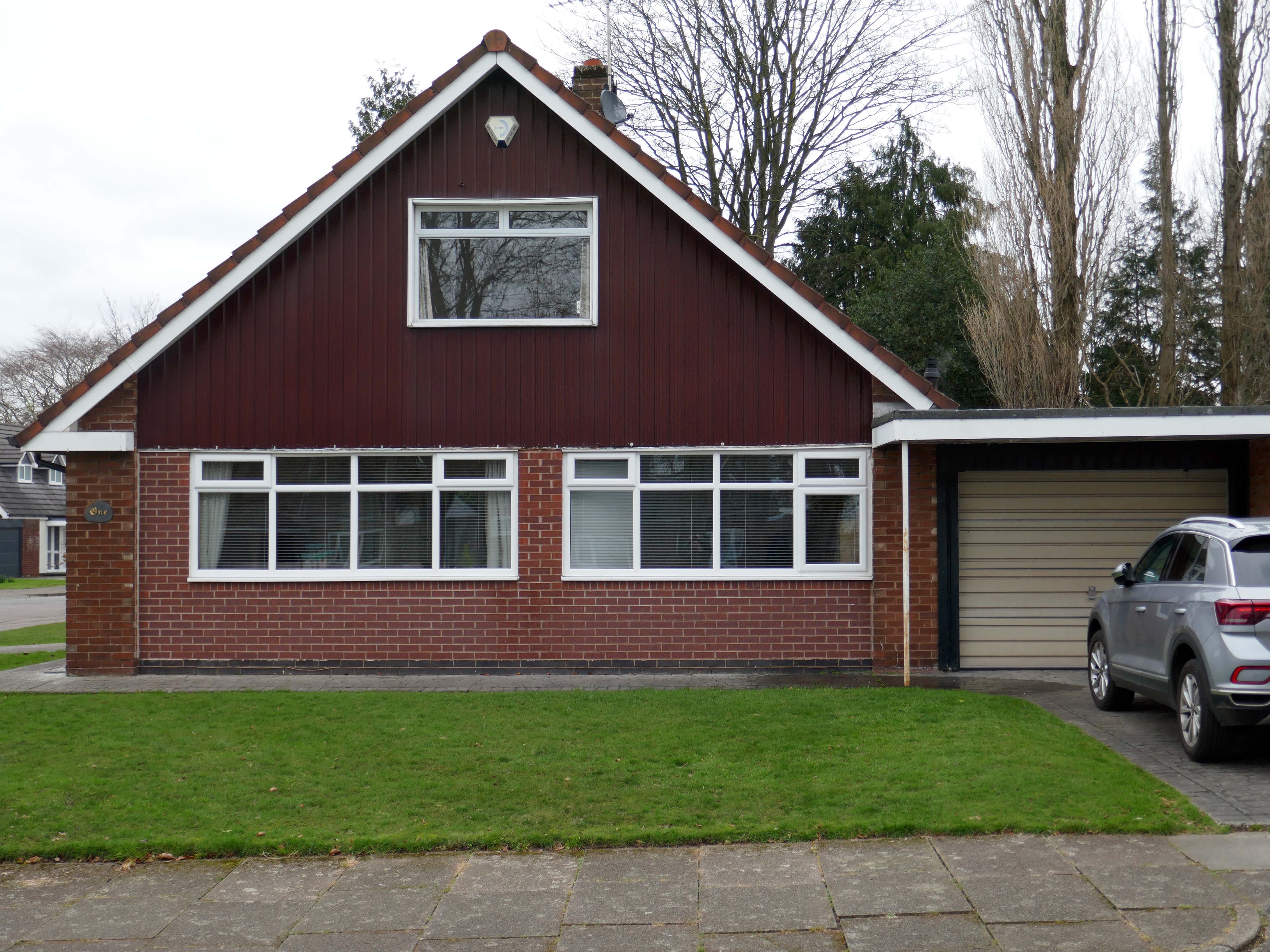
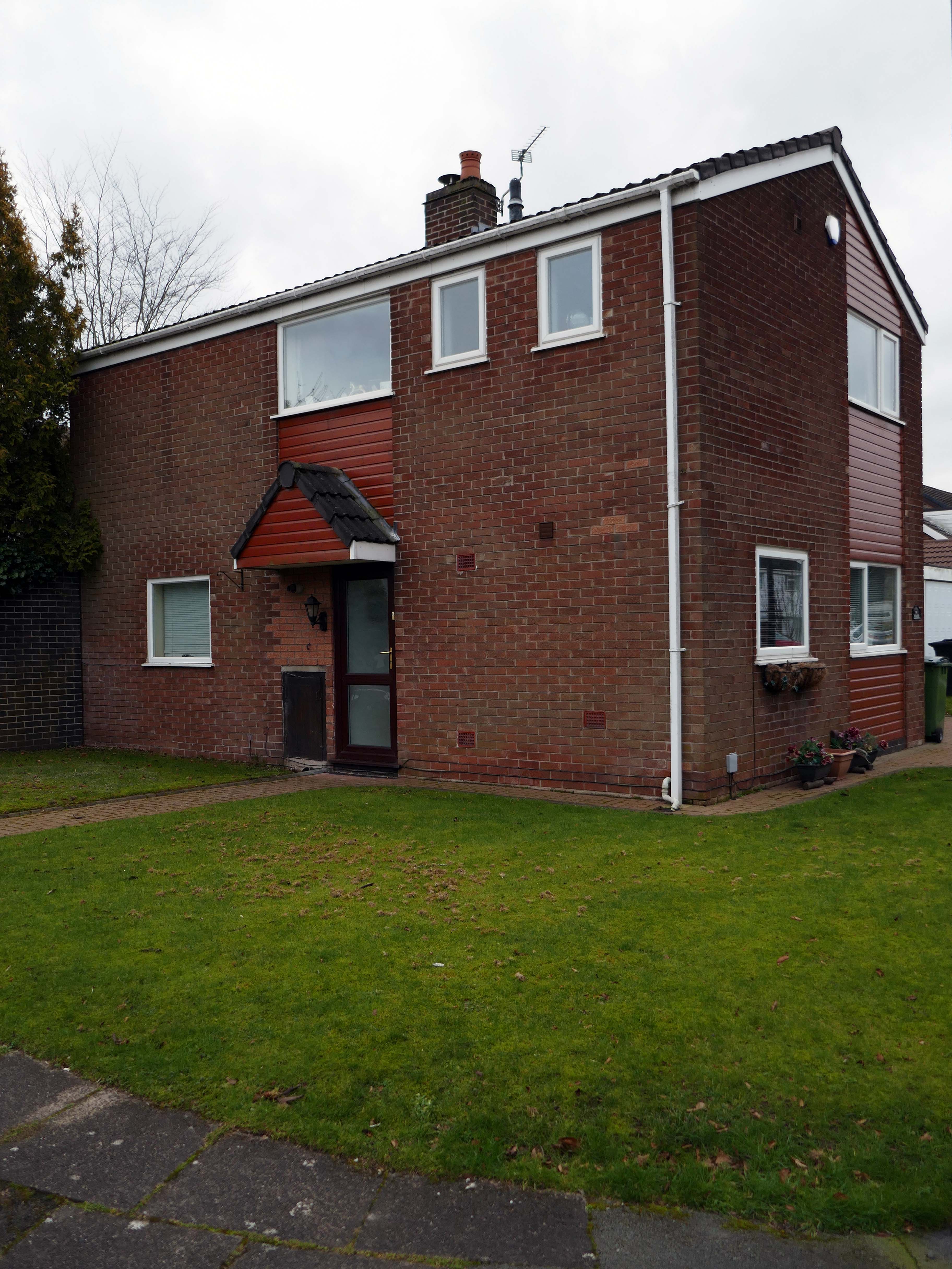
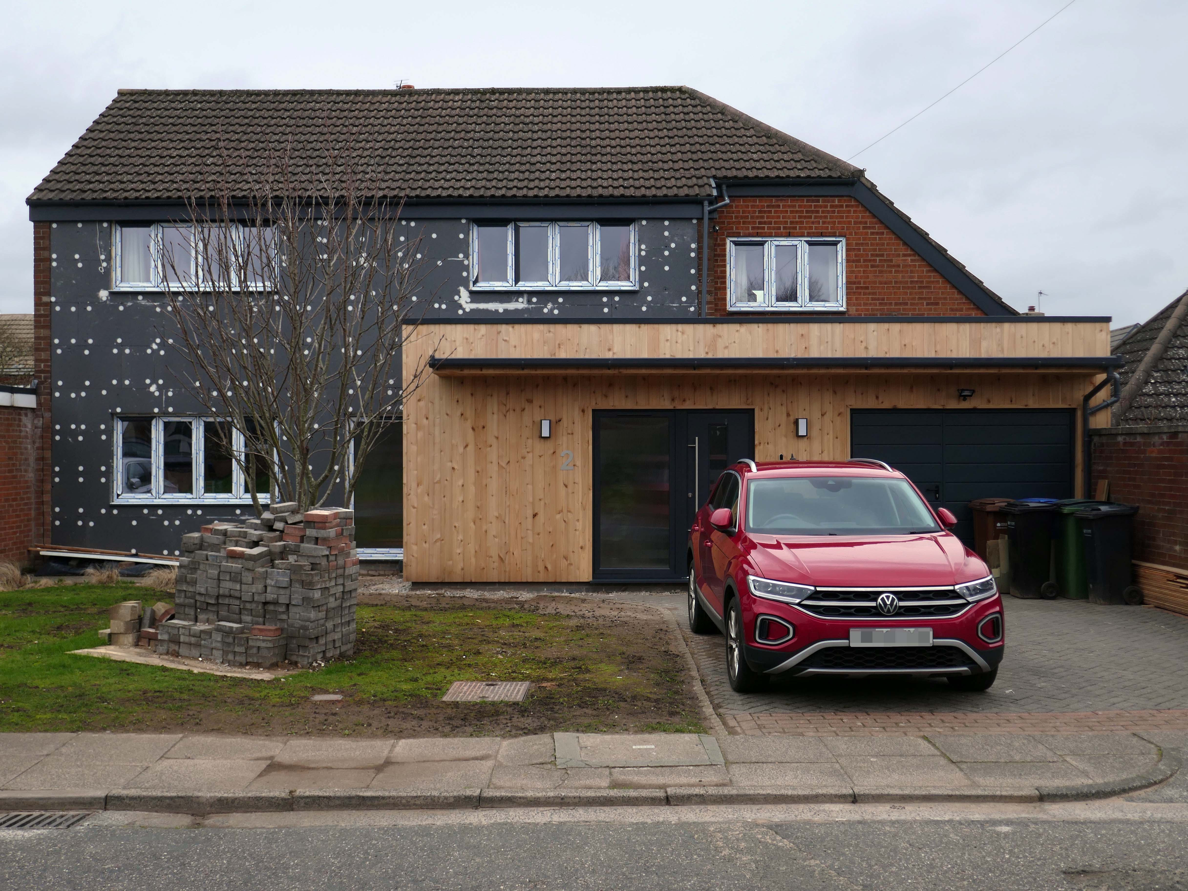
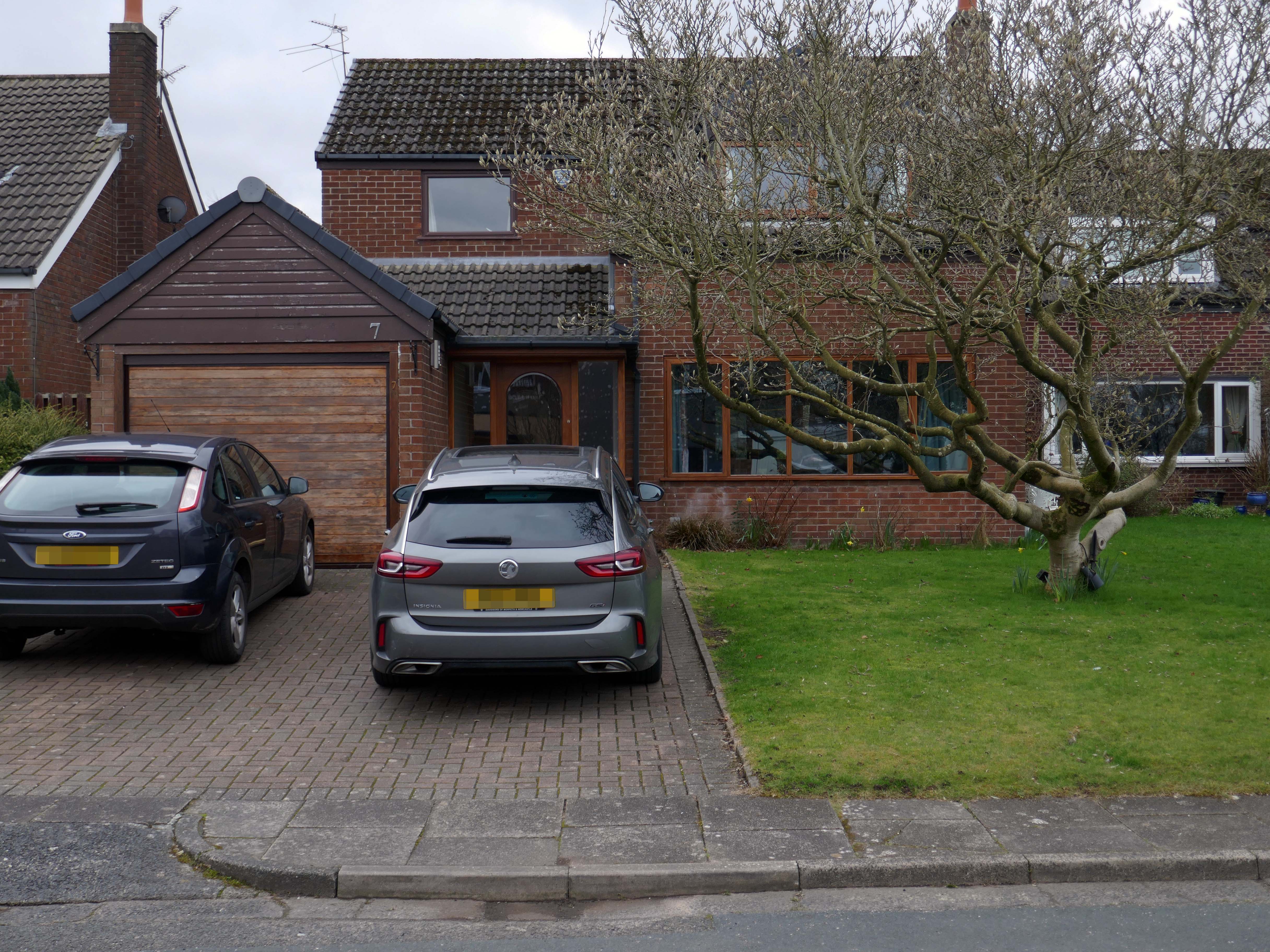
So what happened to houses that look like houses?
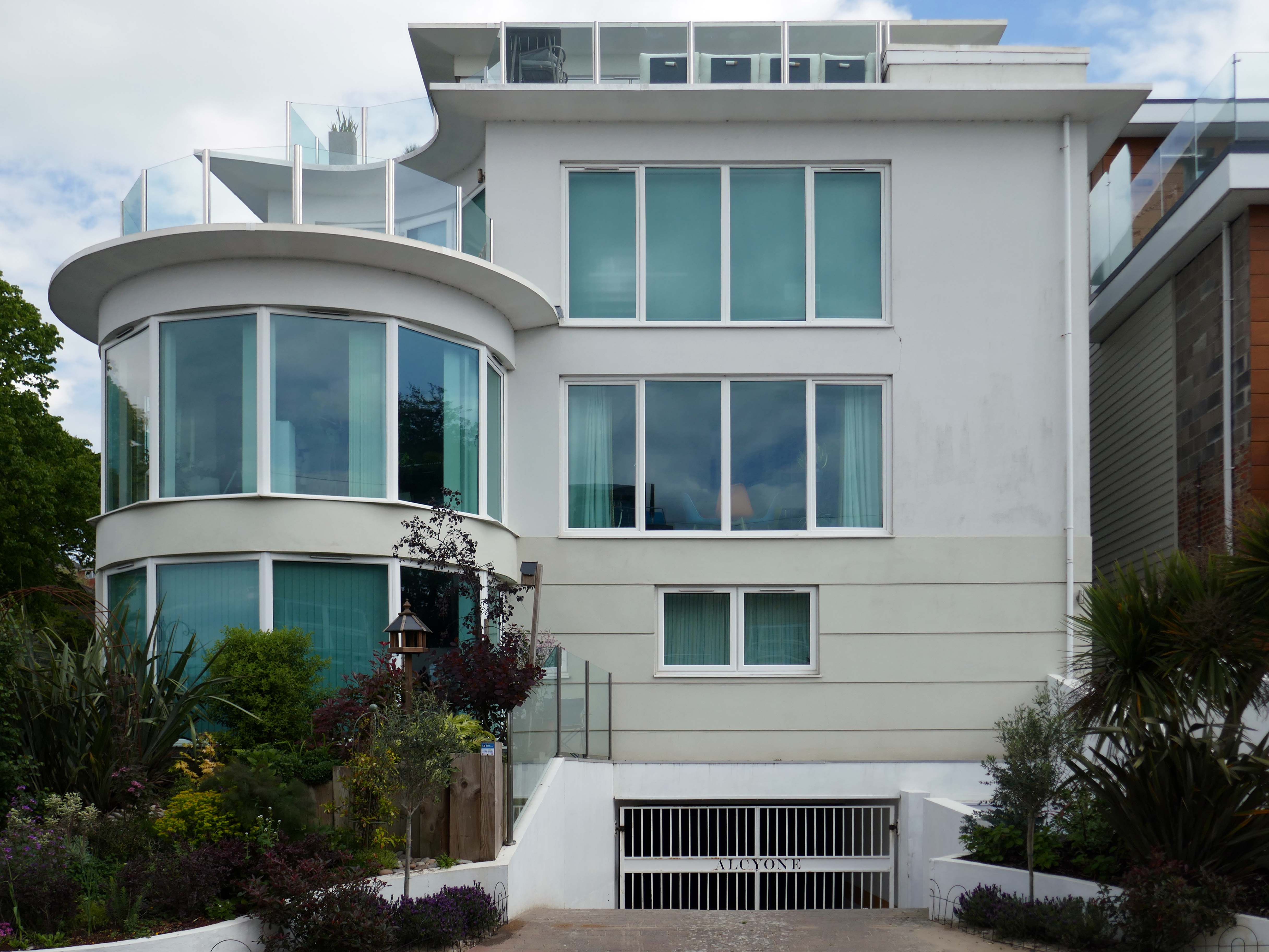
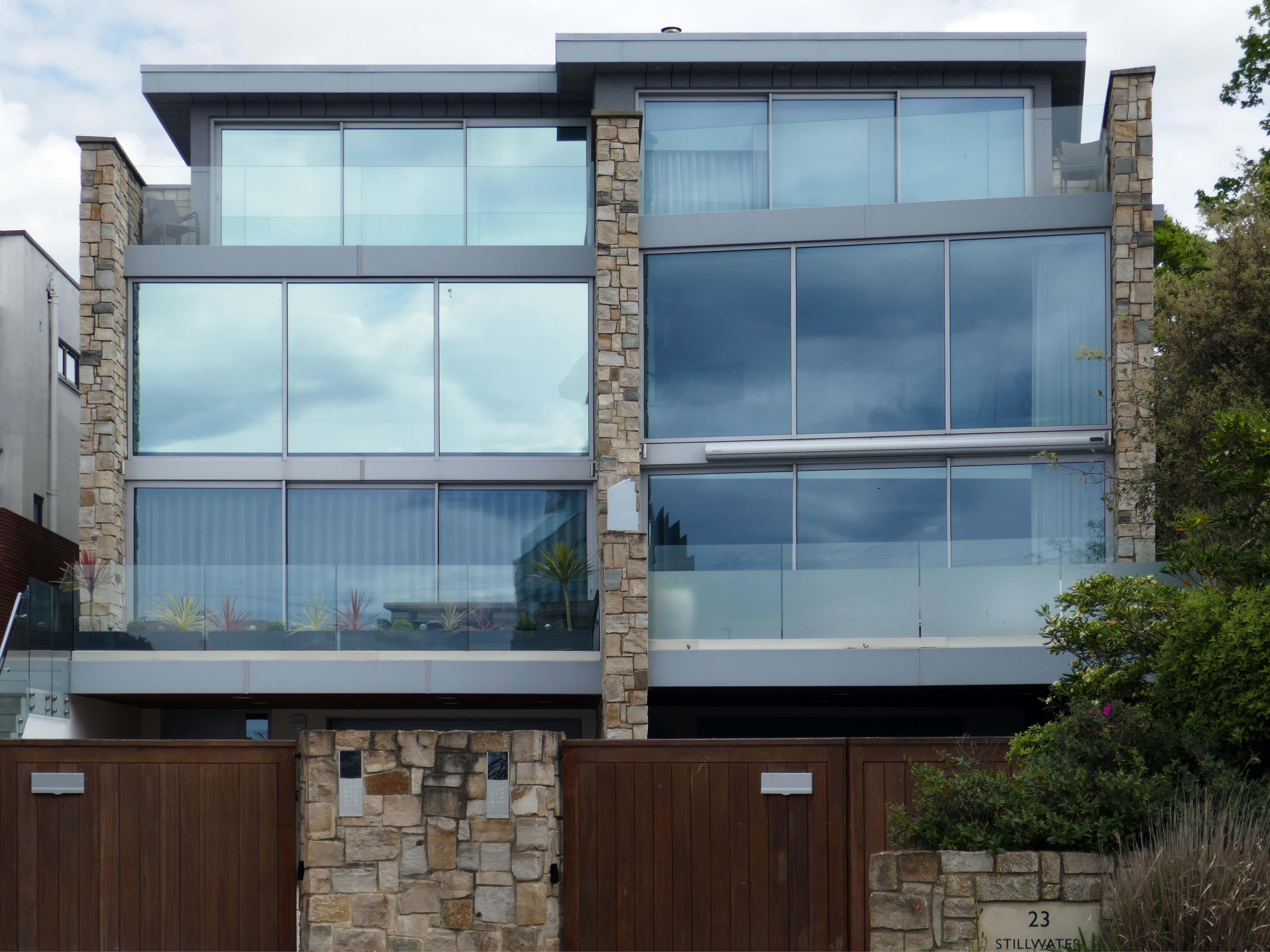
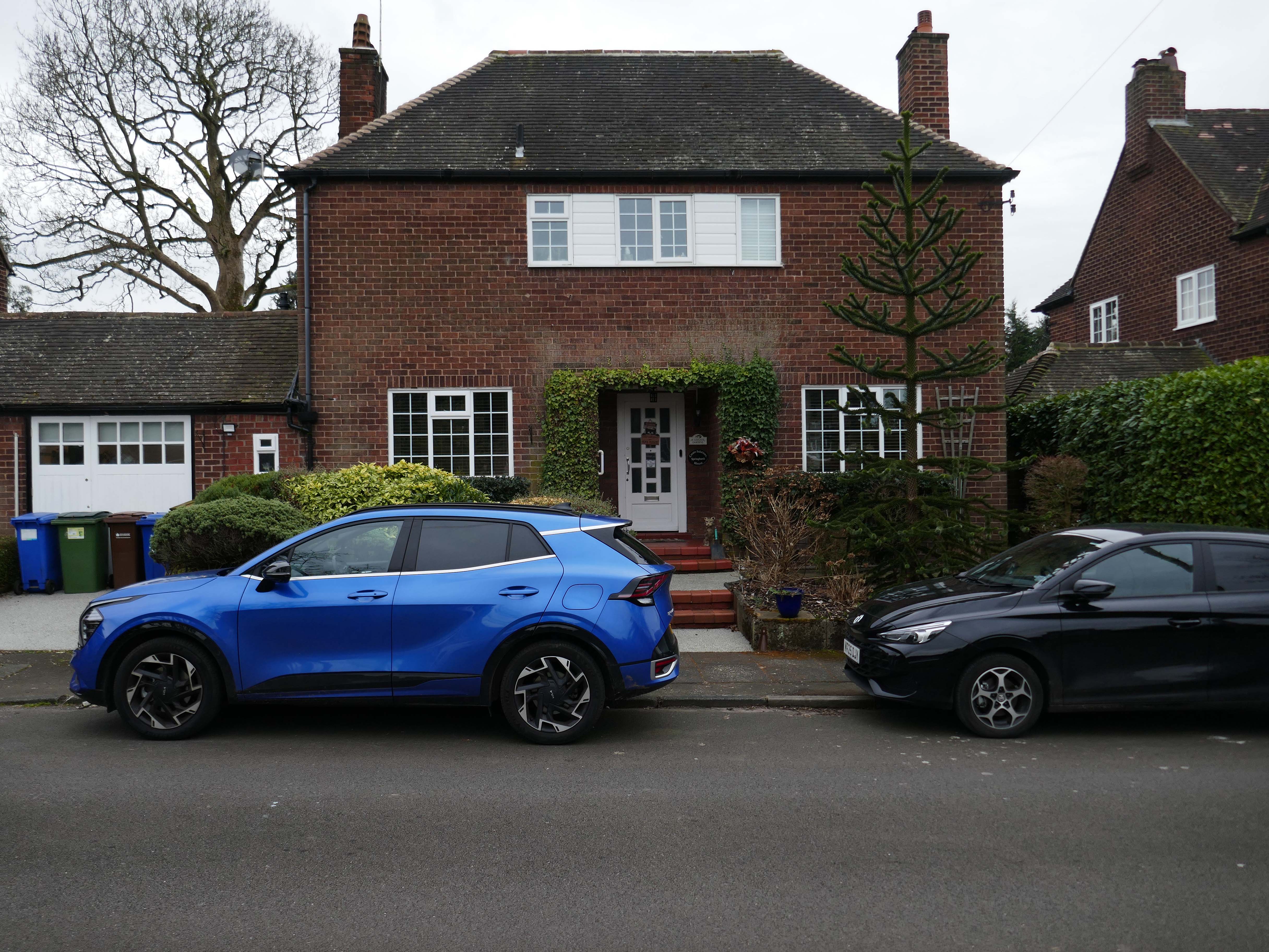
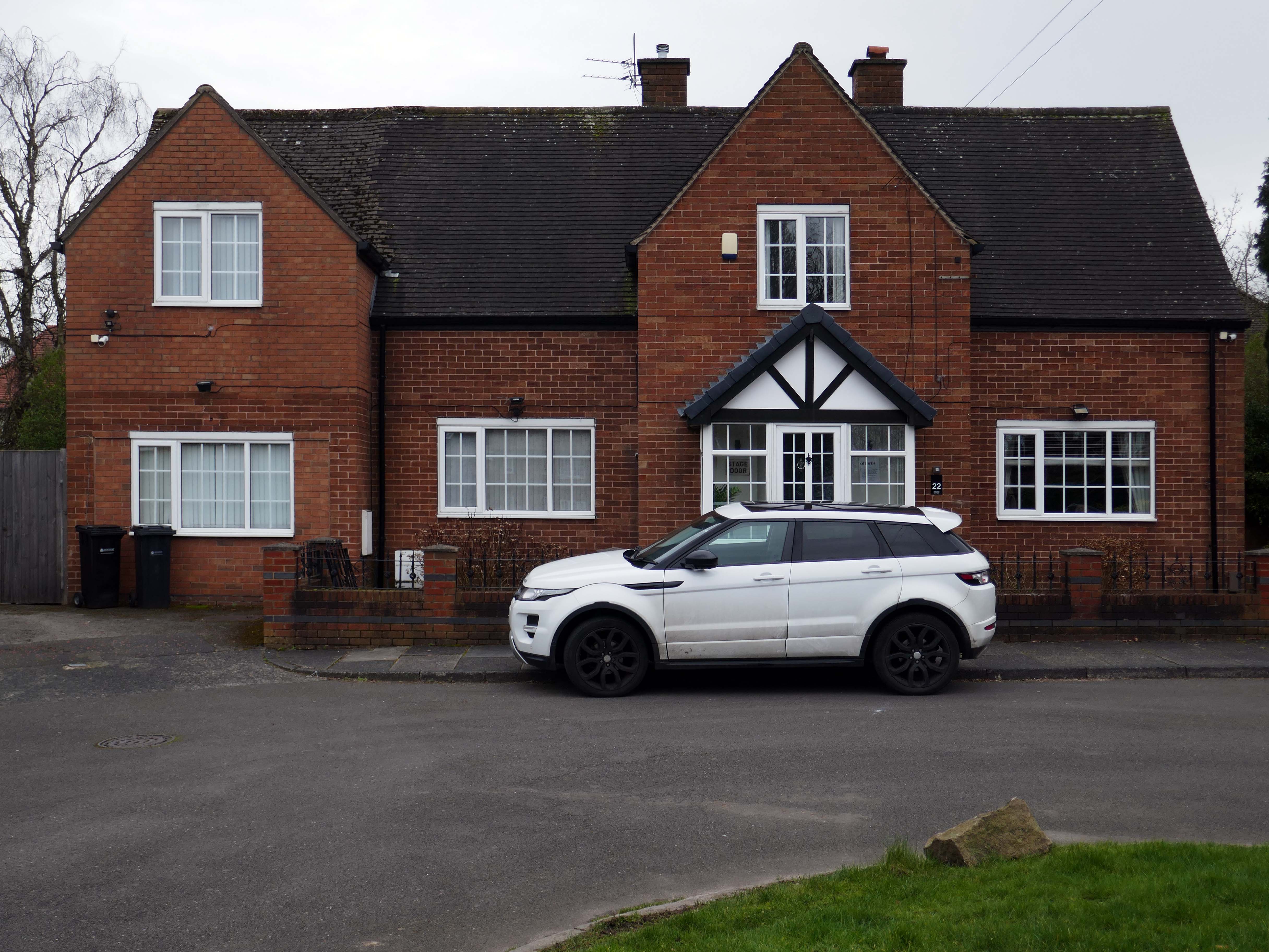
This upwardly mobile trend, fuelled by the rakish progress on the so called property ladder, fanned by 80’s Thatcherite tax cuts, and the ever so irresistible allure of conspicuous consumption.
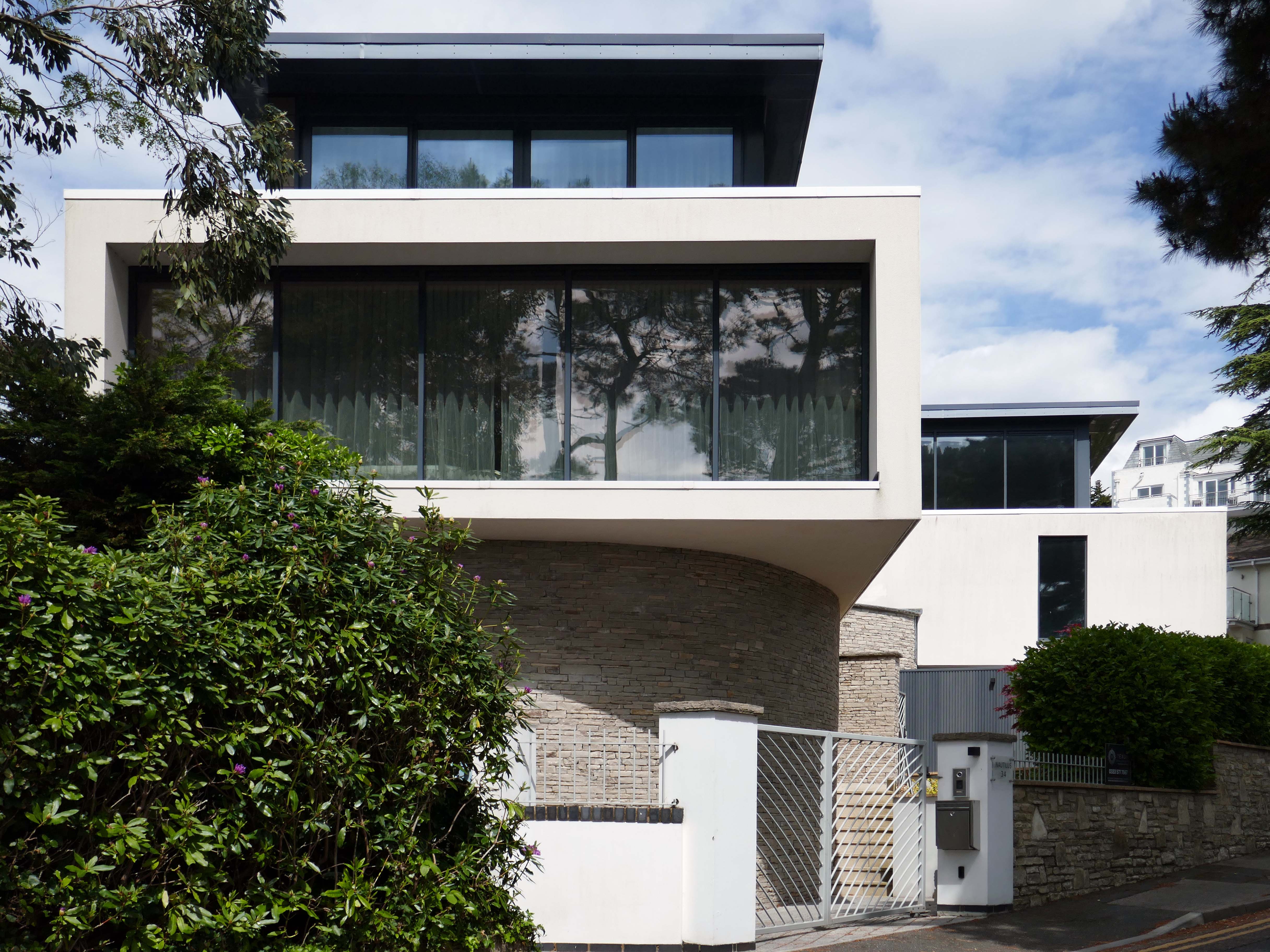
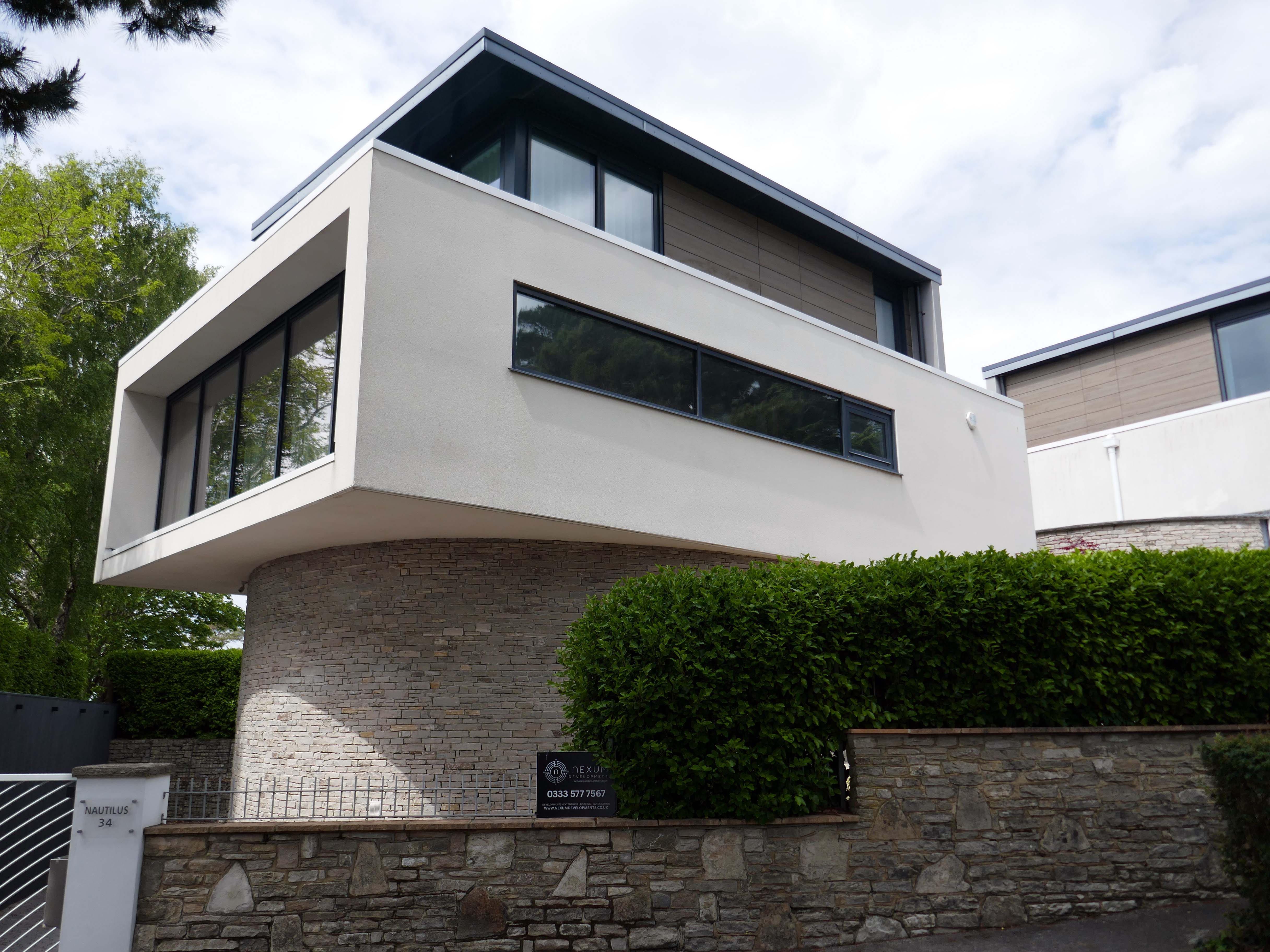
Architectural historian Virginia Savage McAlester, coined the term Millennium Mansion, though these houses are also referred to as a McMansion, Persian Palace, Garage Mahal, Starter Castle, and Hummer House.
Marketing parlance often uses the term tract mansions or executive homes.
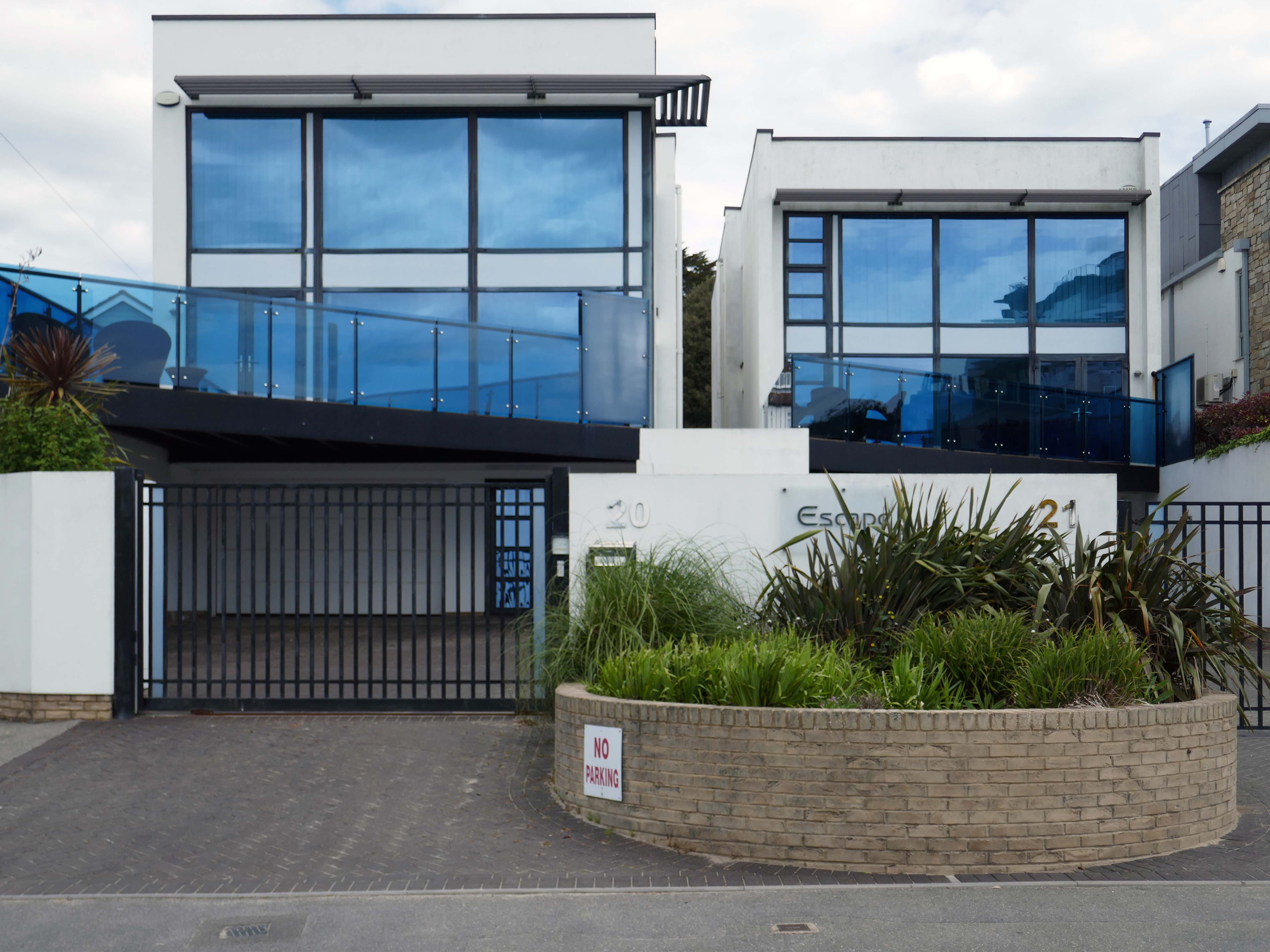
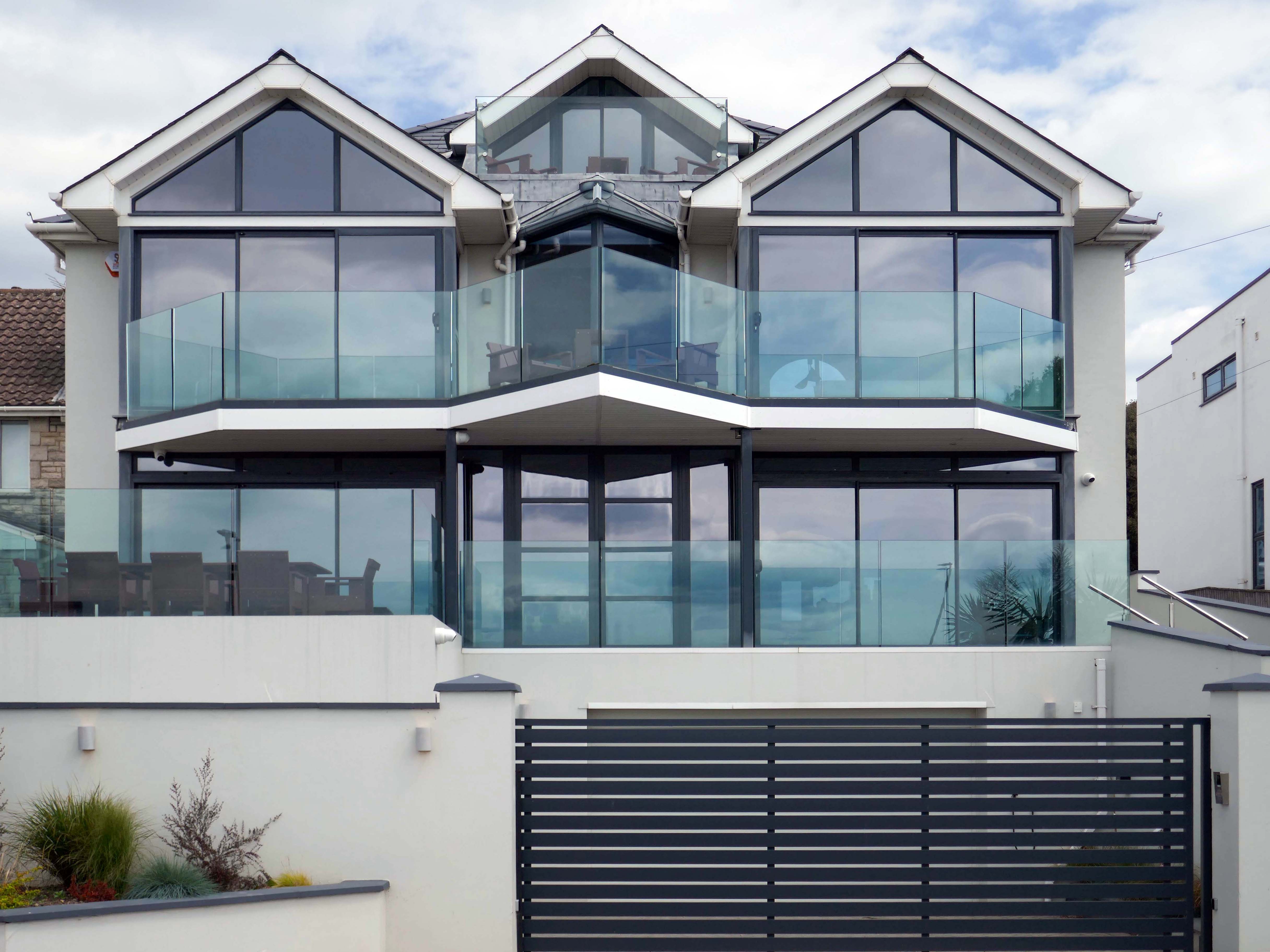
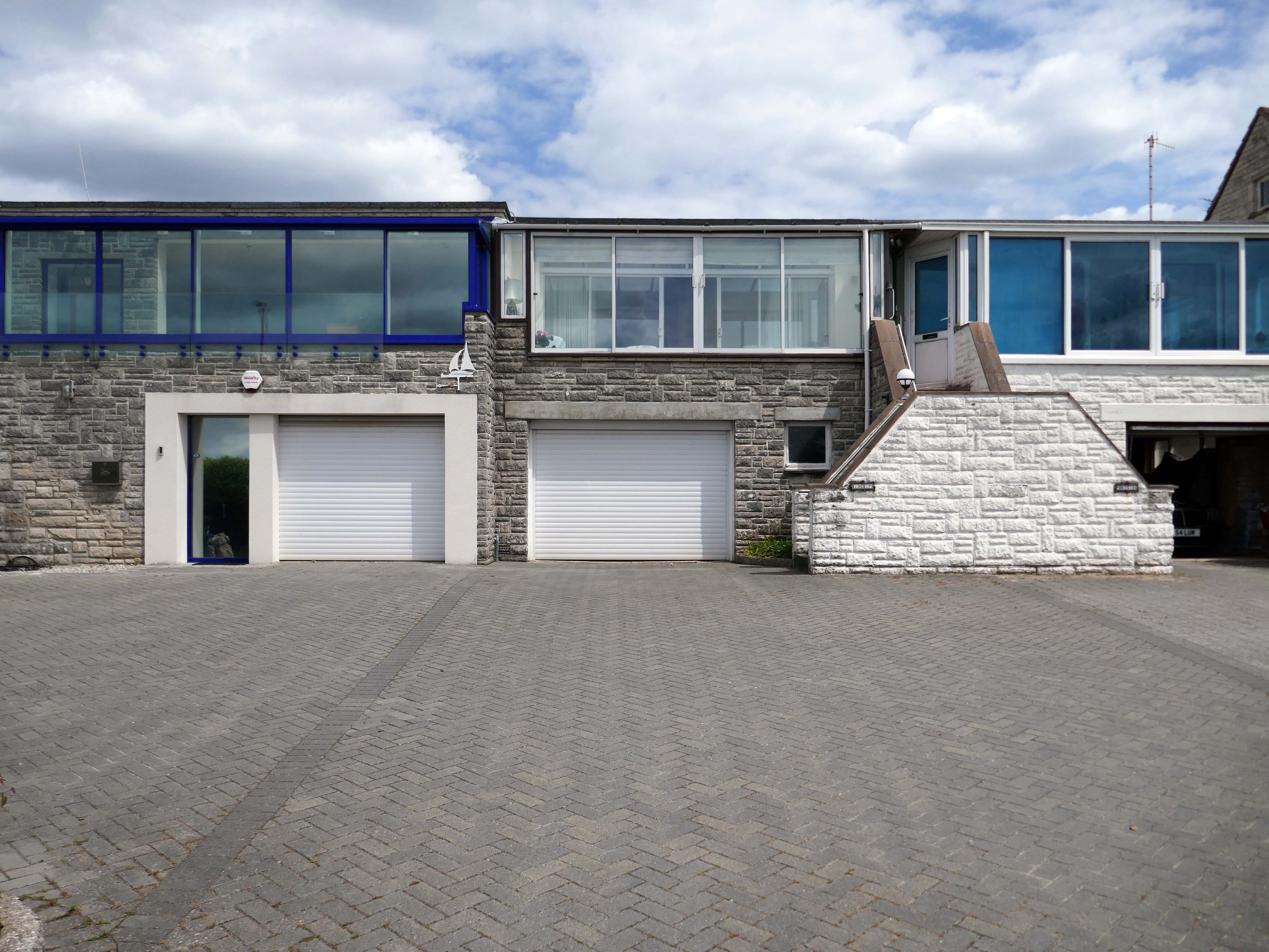
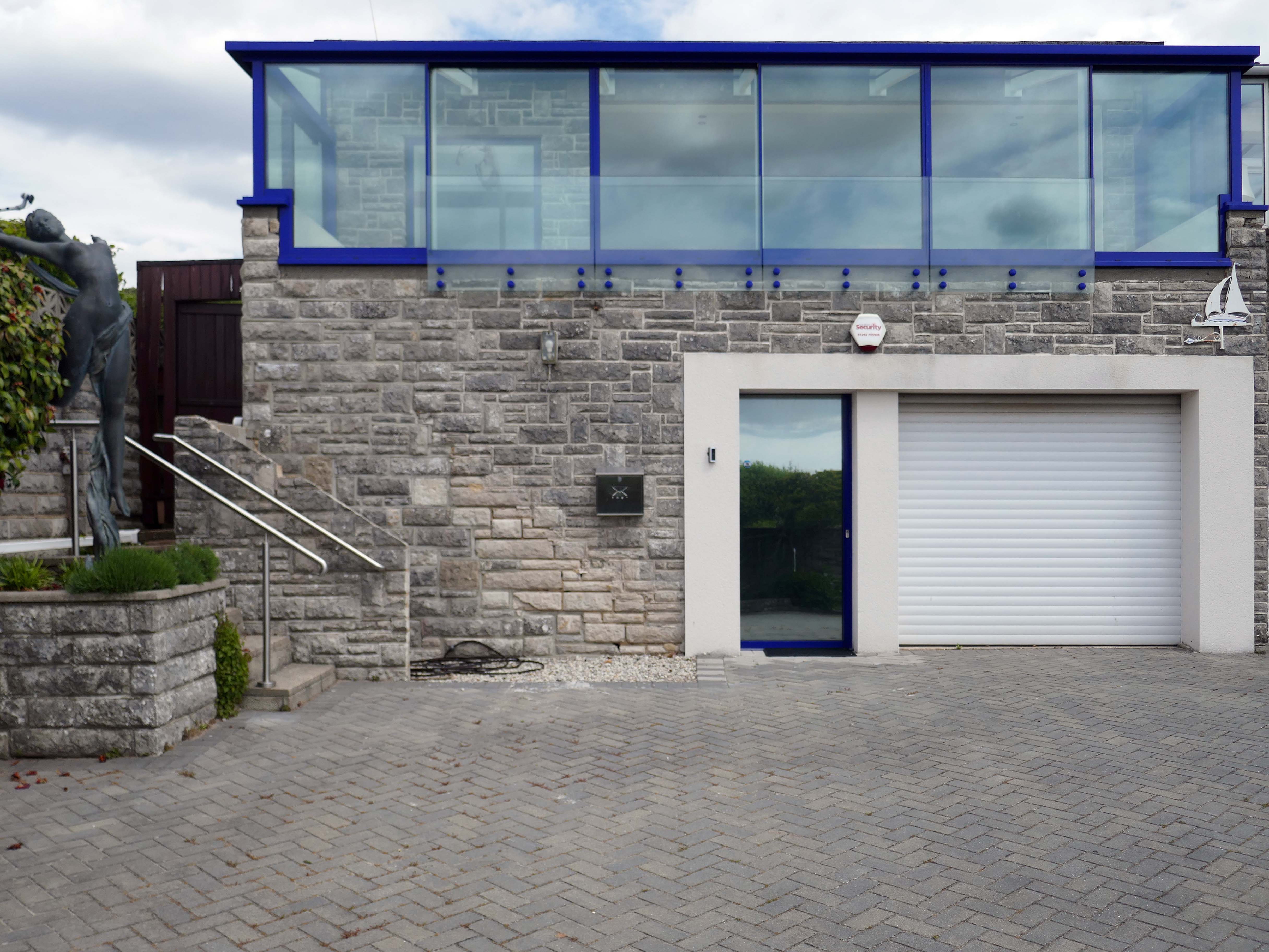
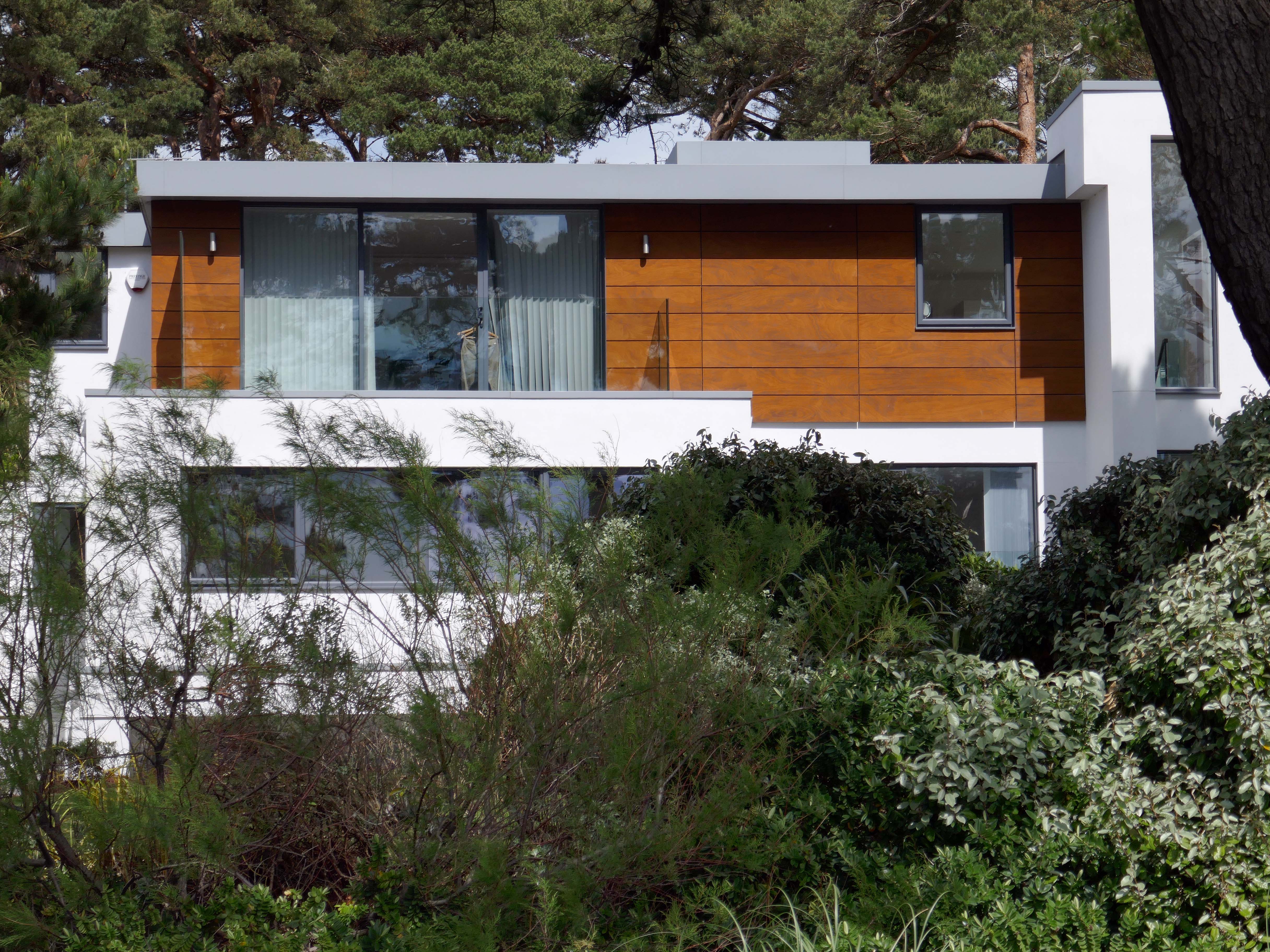
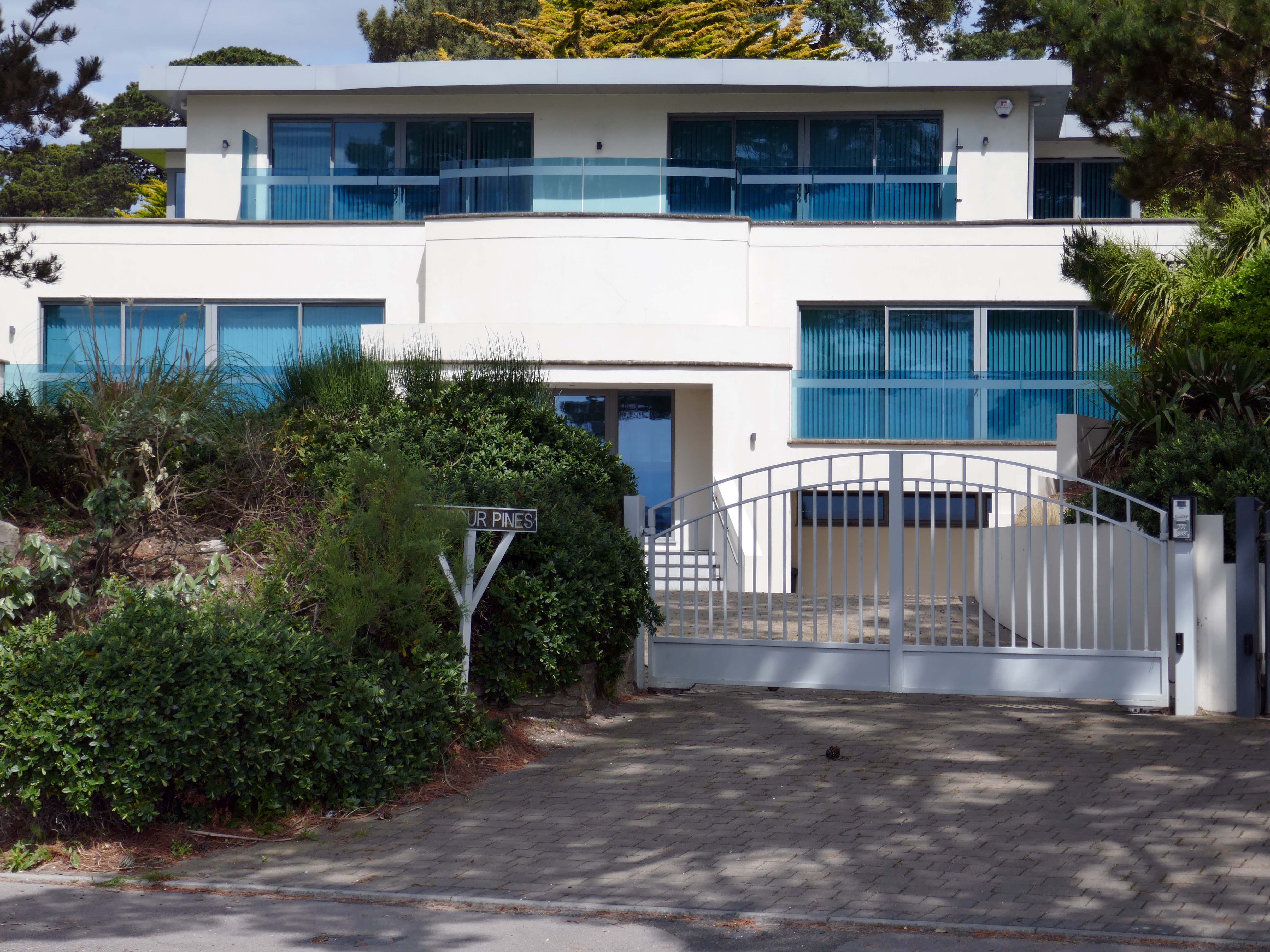
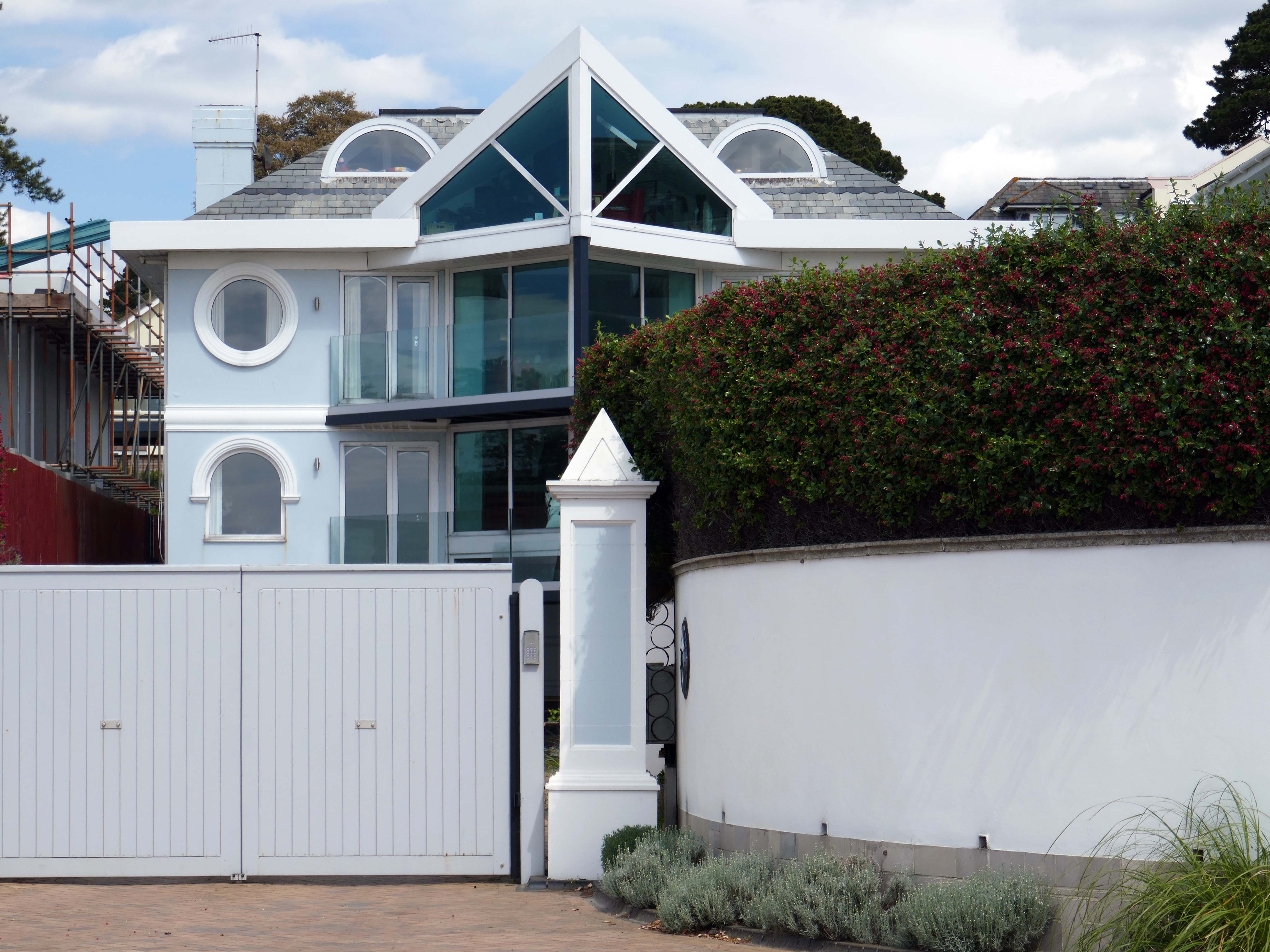
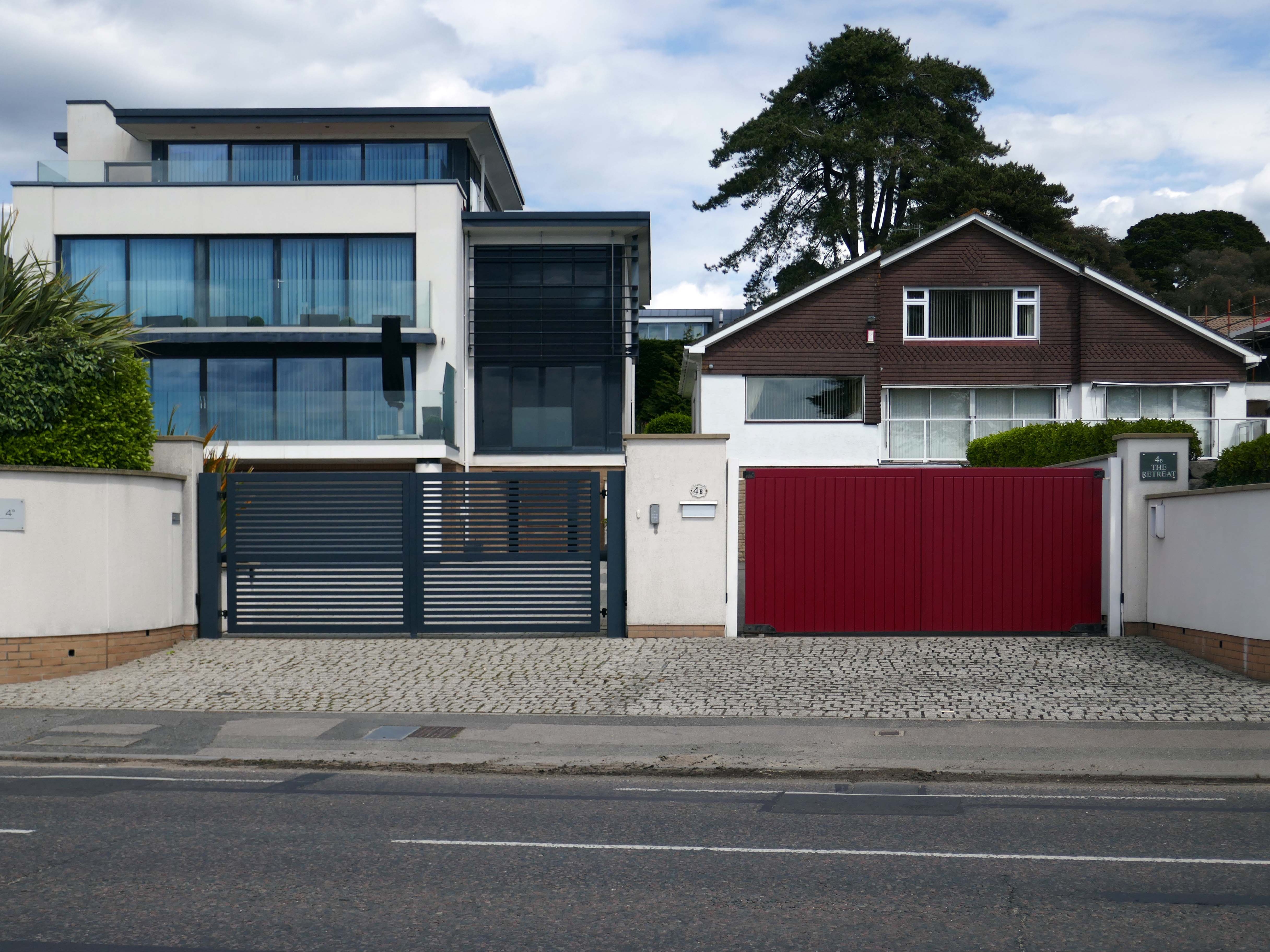
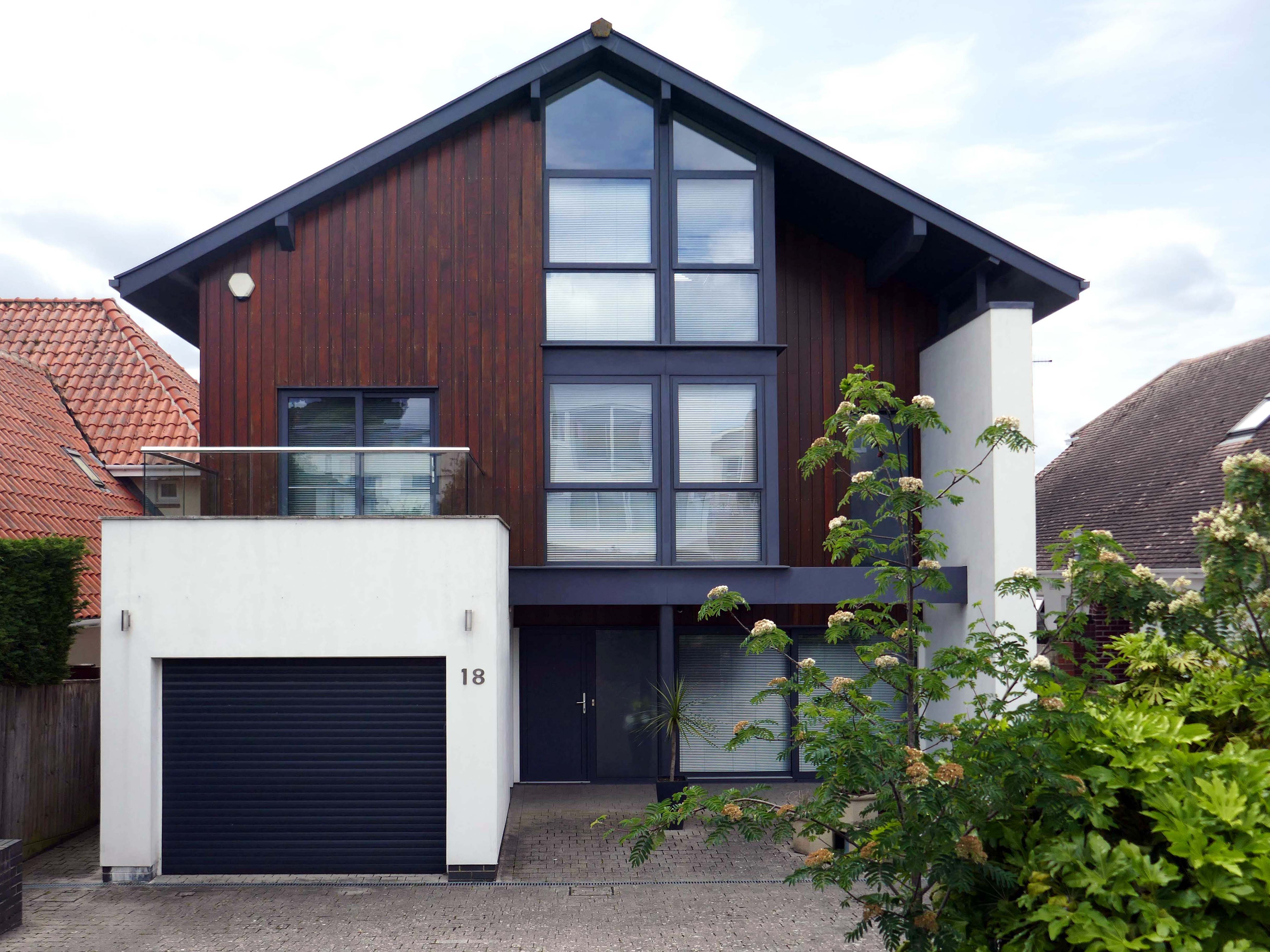
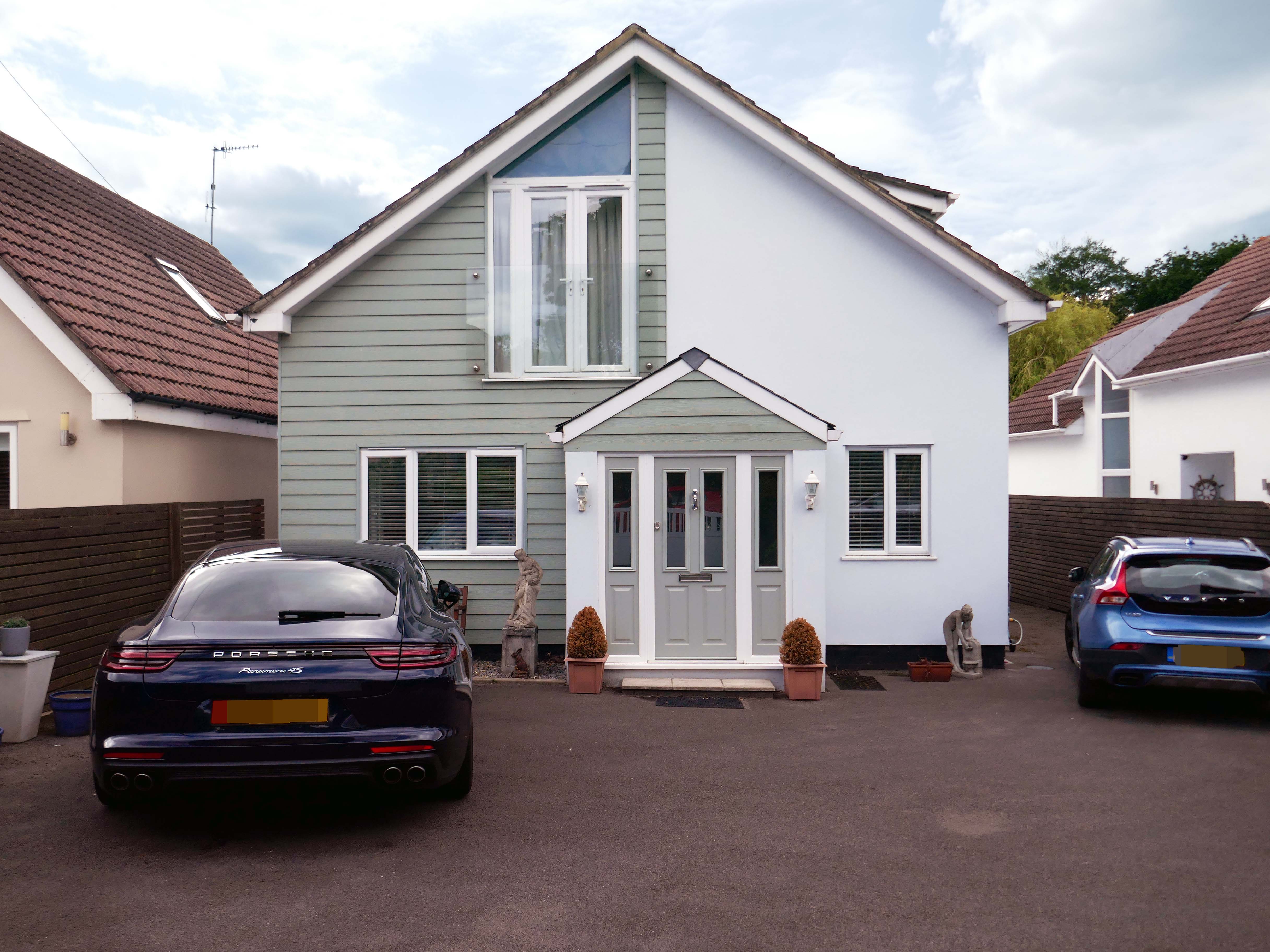
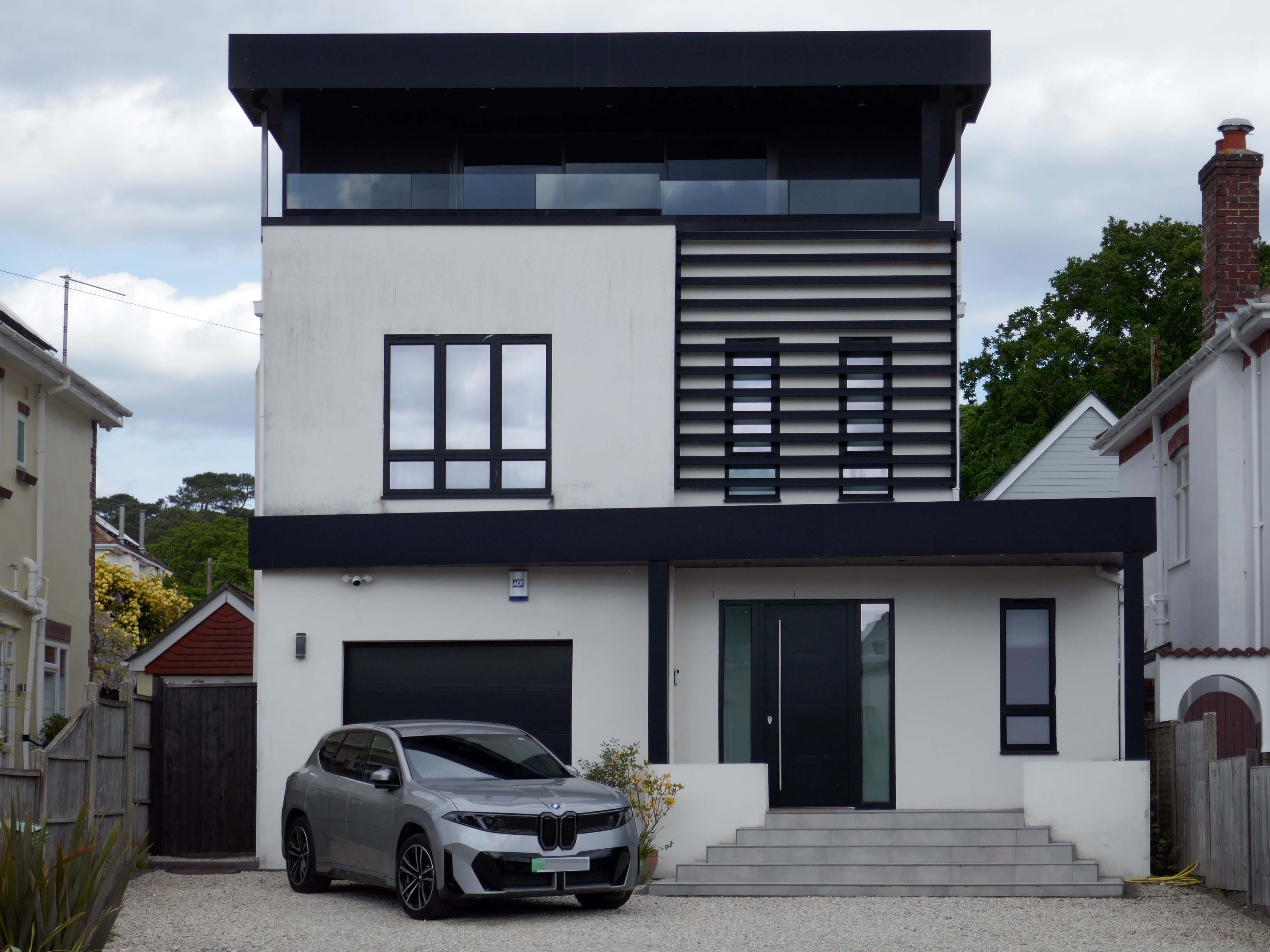
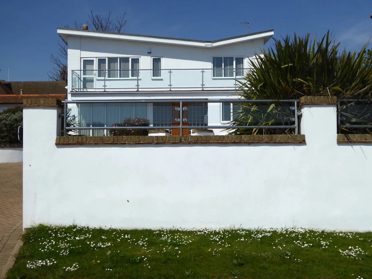
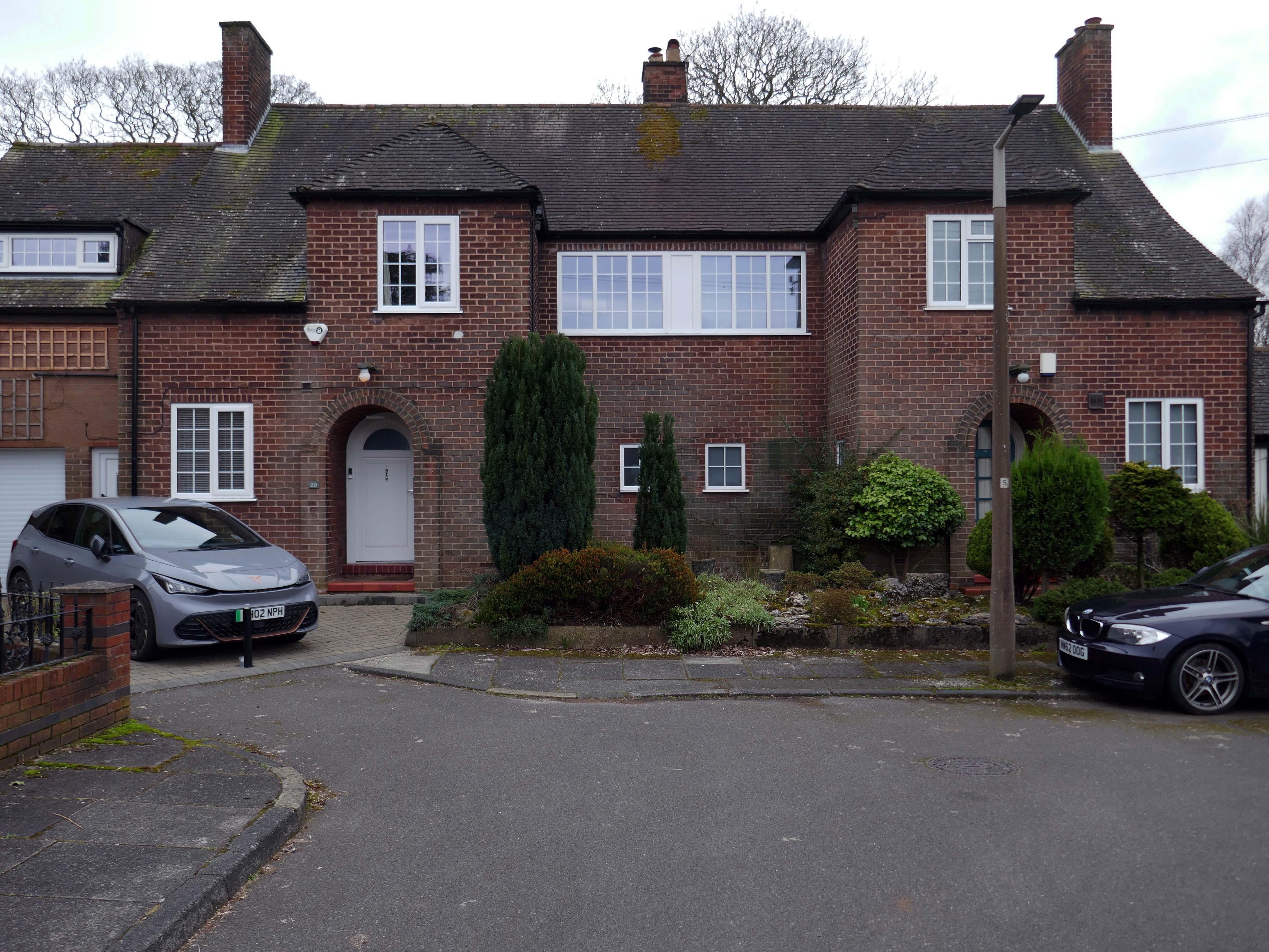
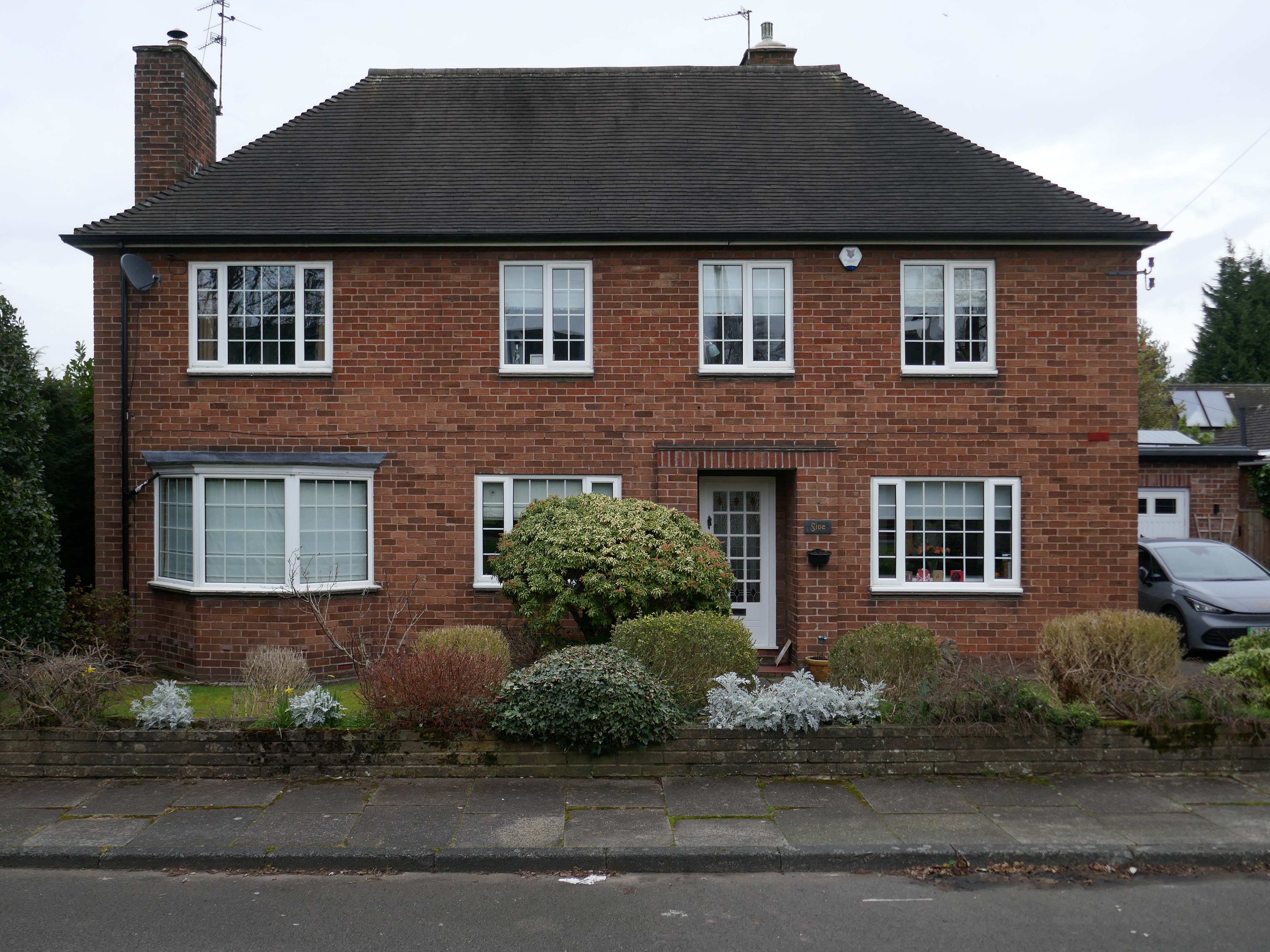
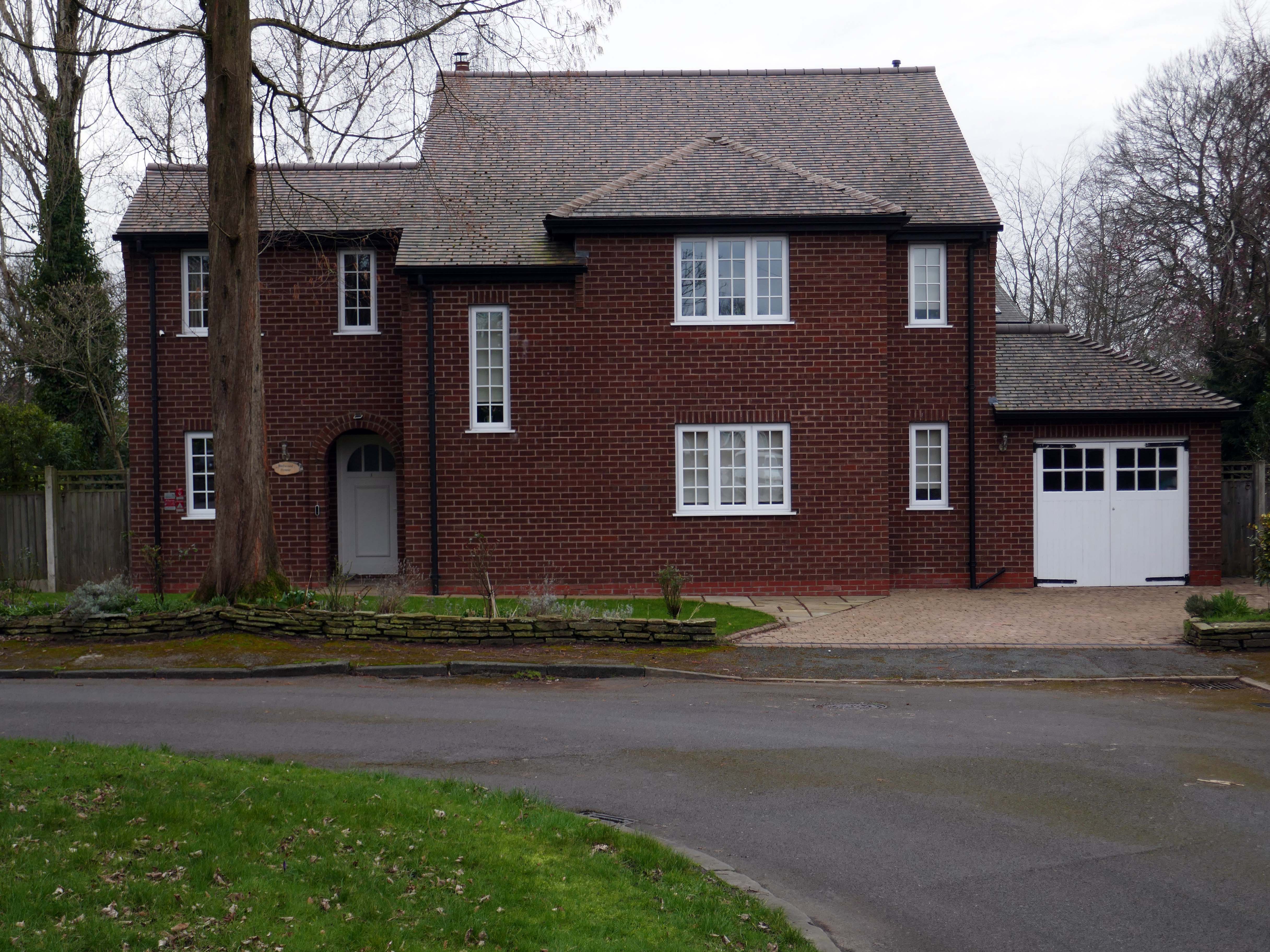
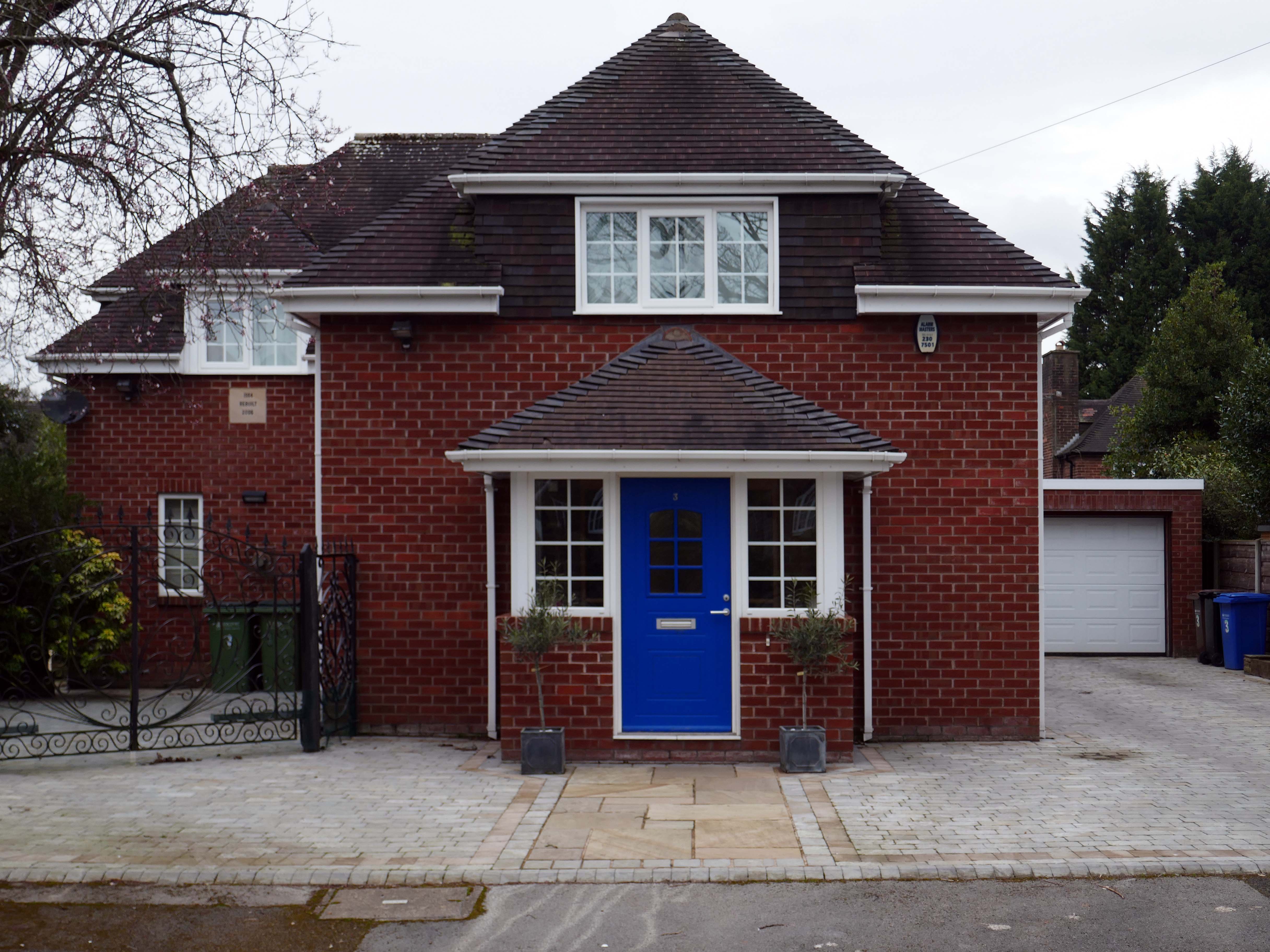
Let’s take a closer look at the look of luxury, is it playful and witty pastiche or Post Modern mumbo jumbo – un repas de chien.
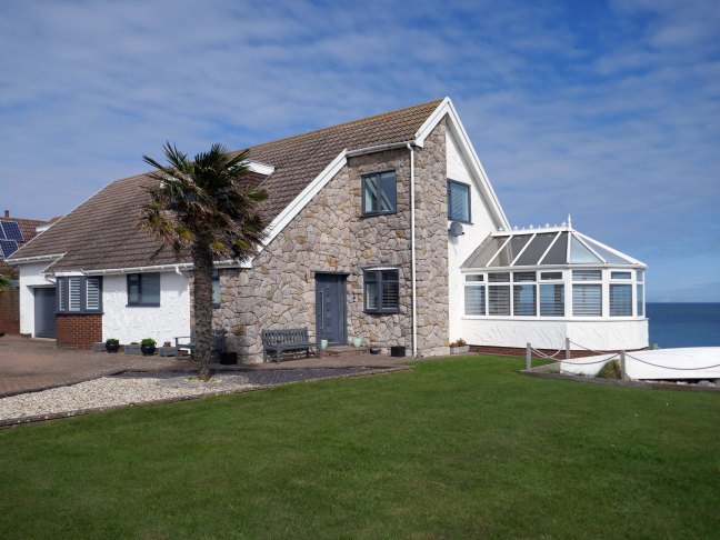
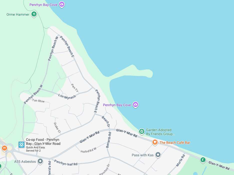
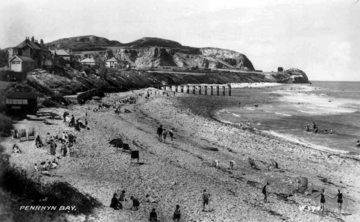
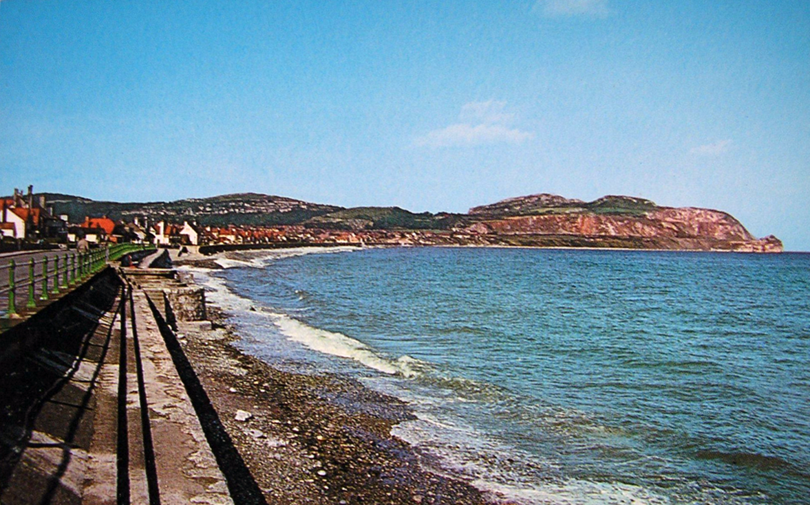
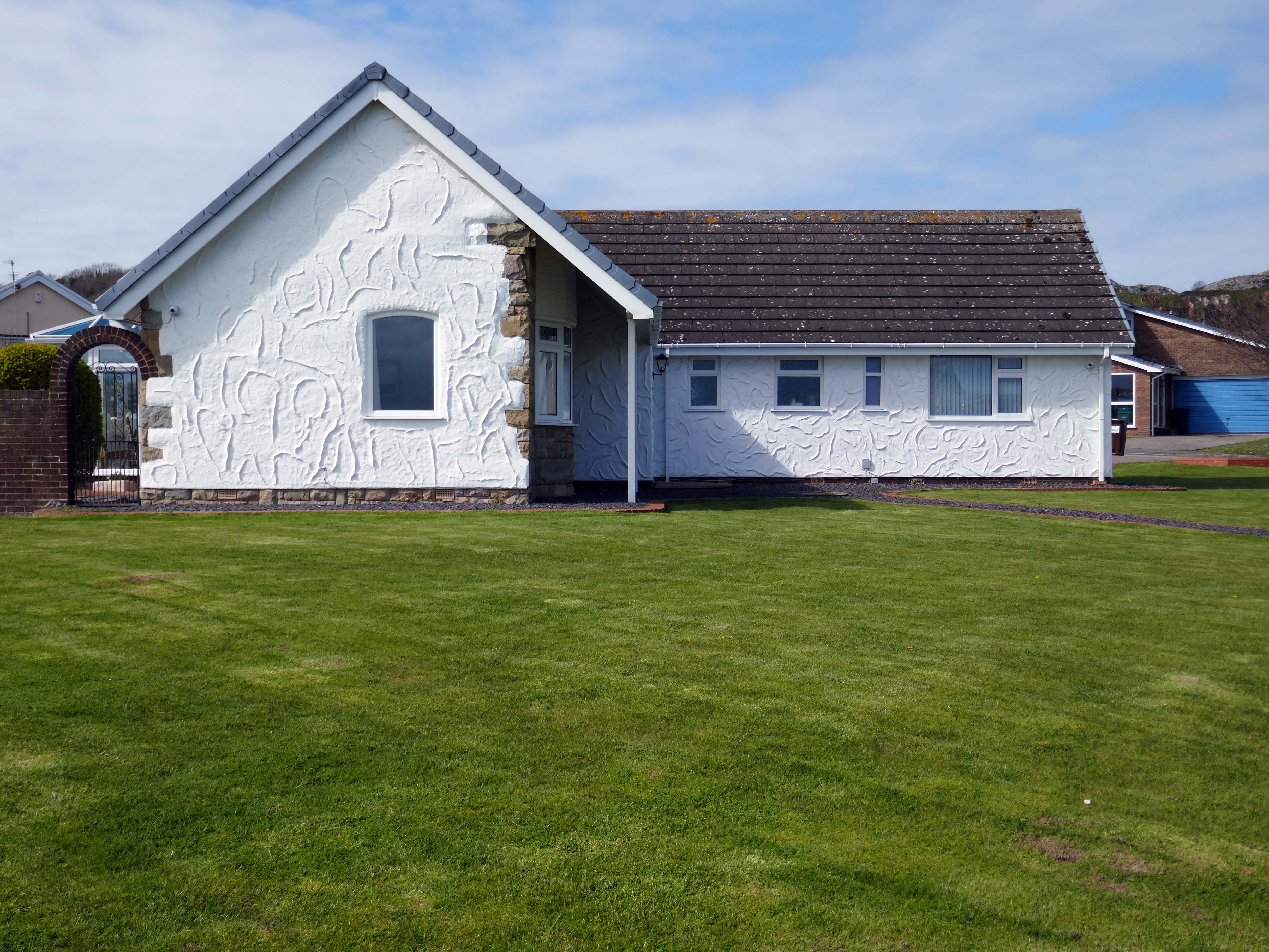
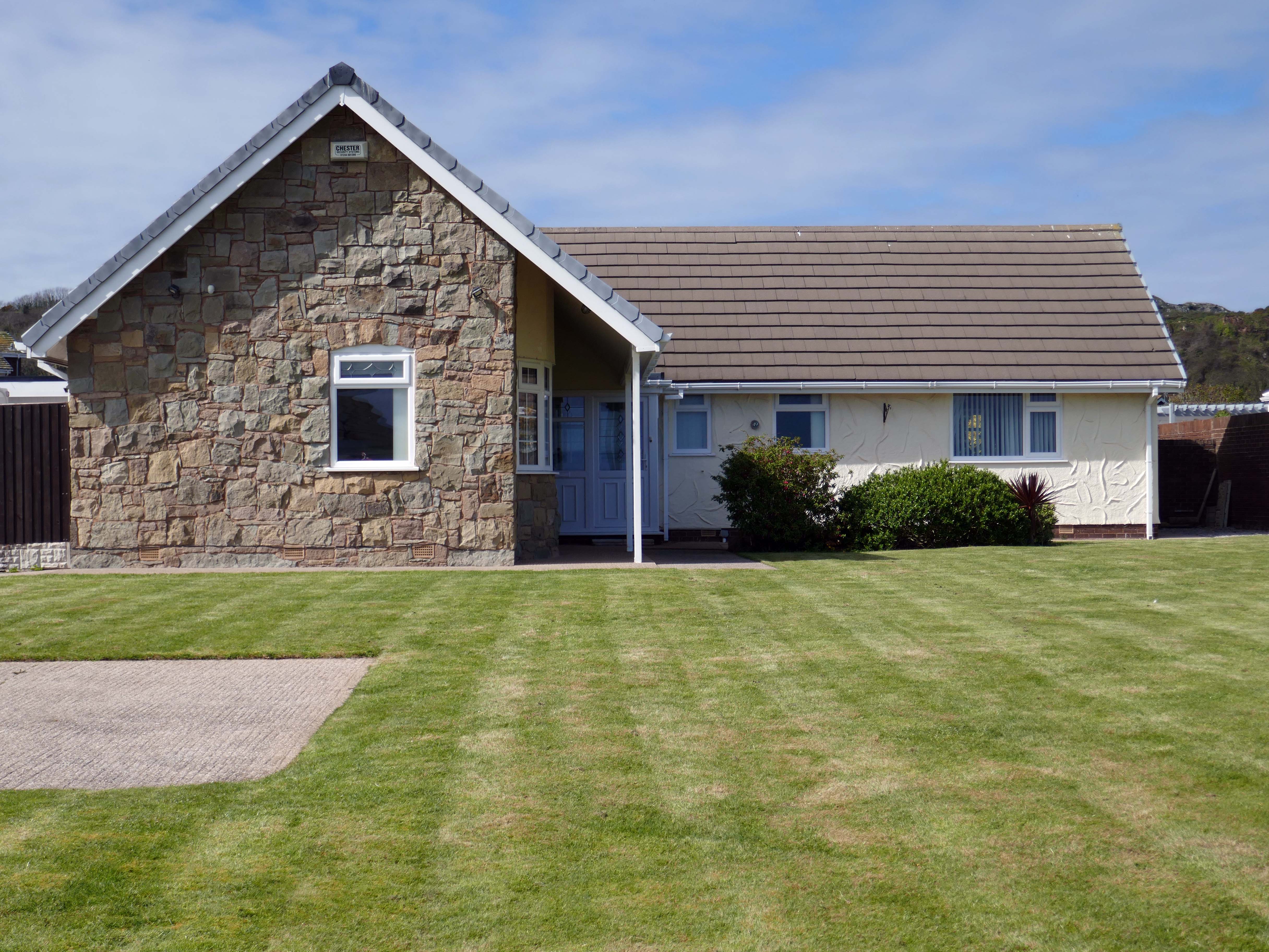
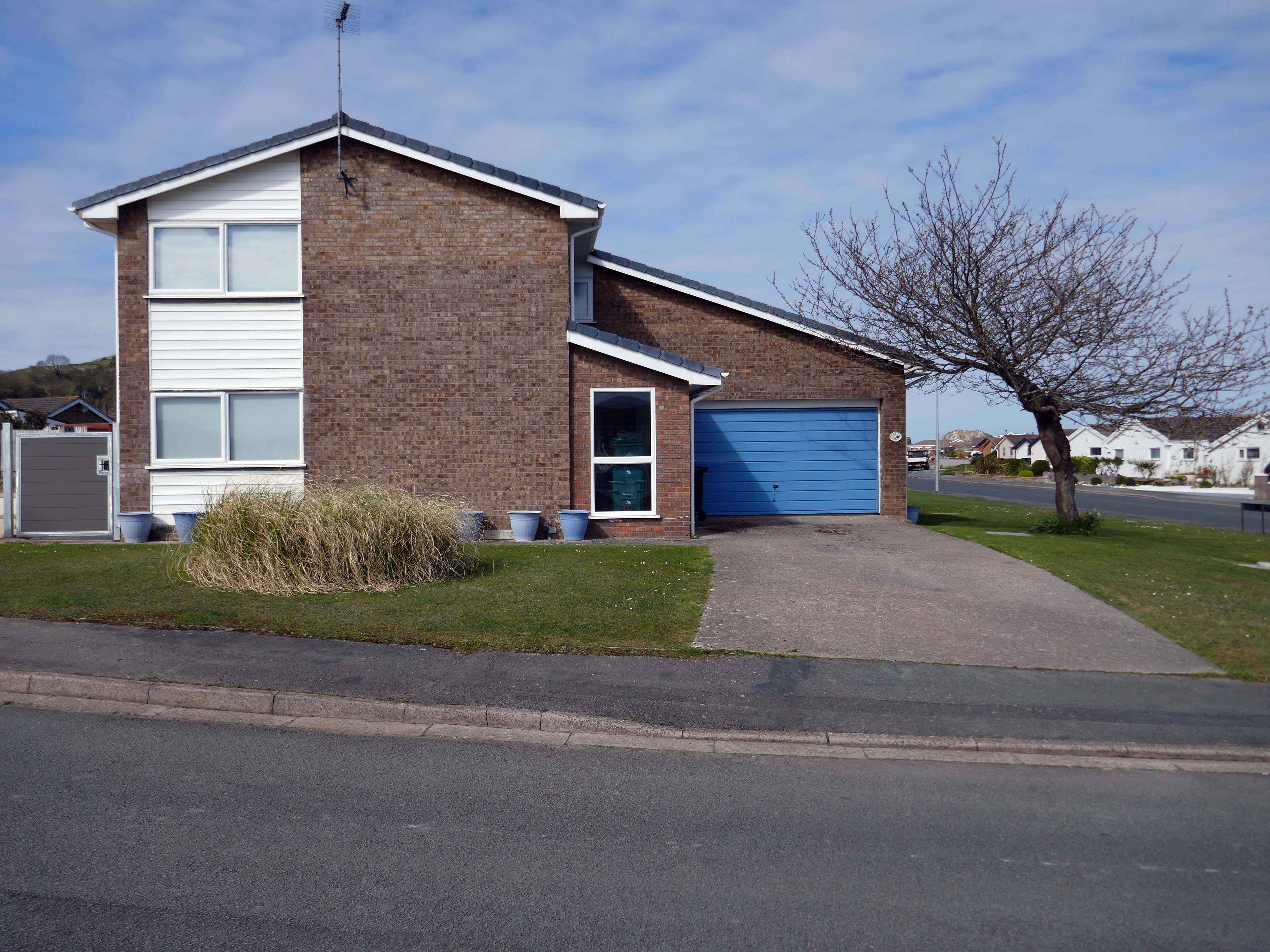
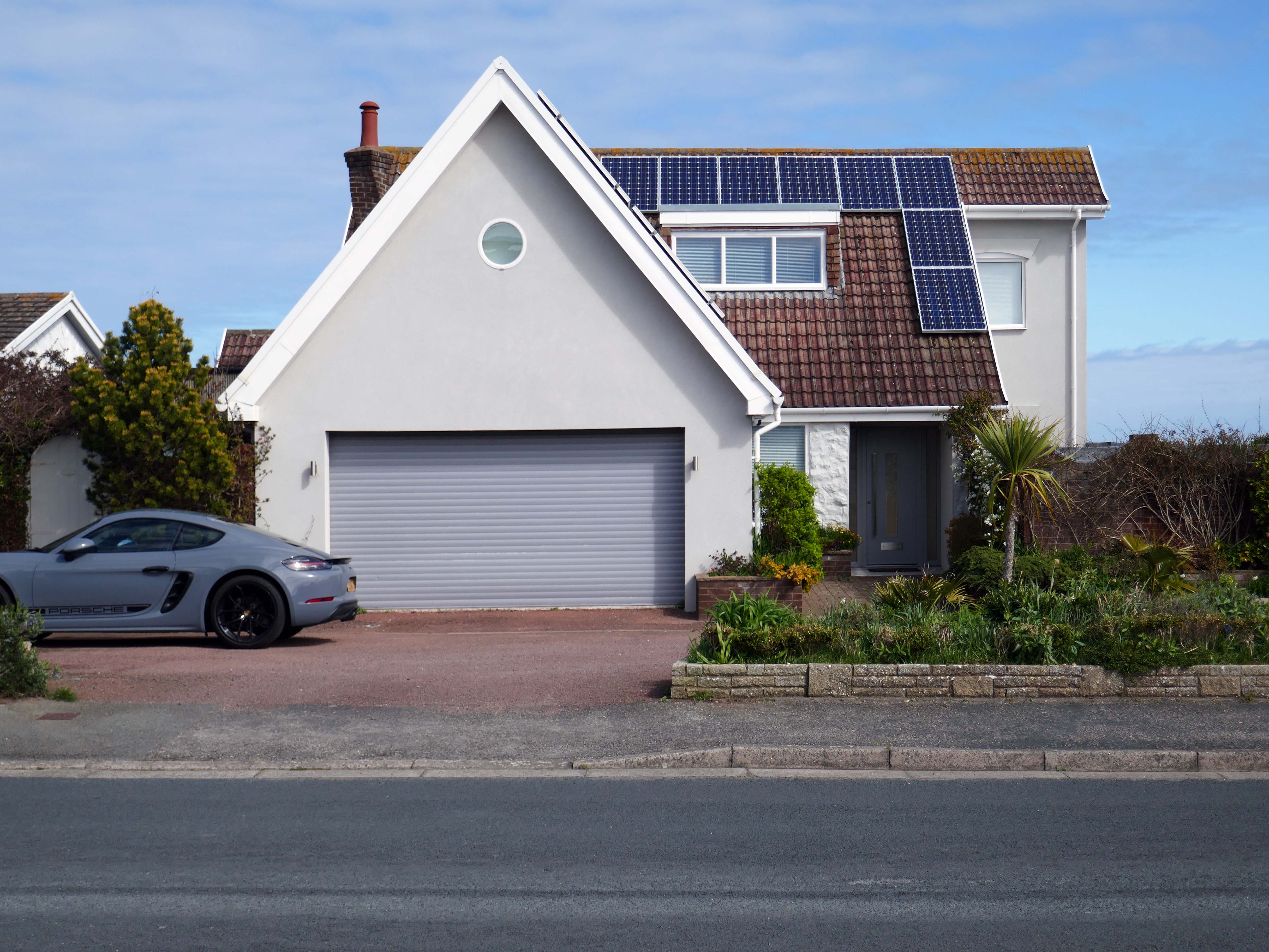
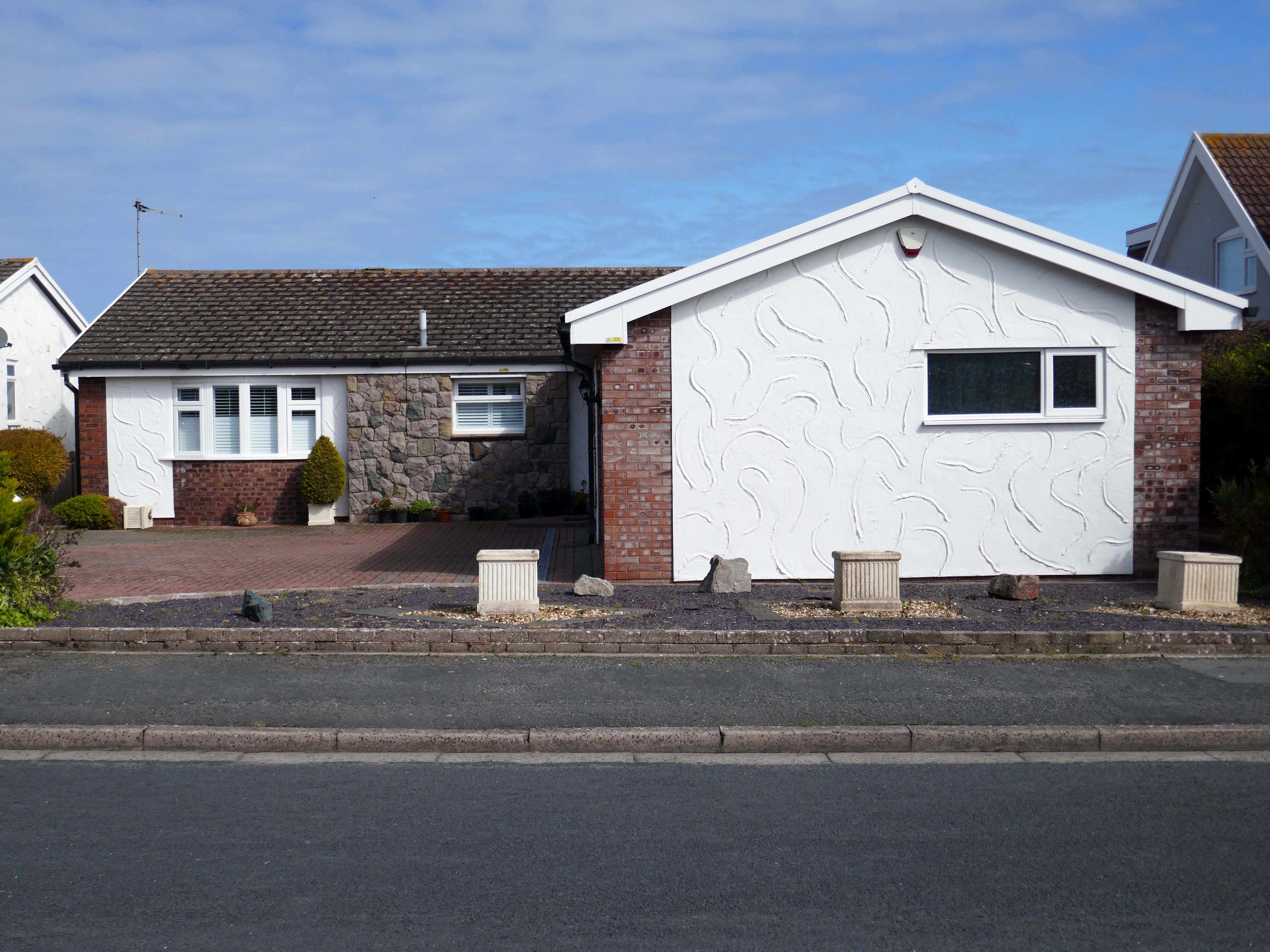
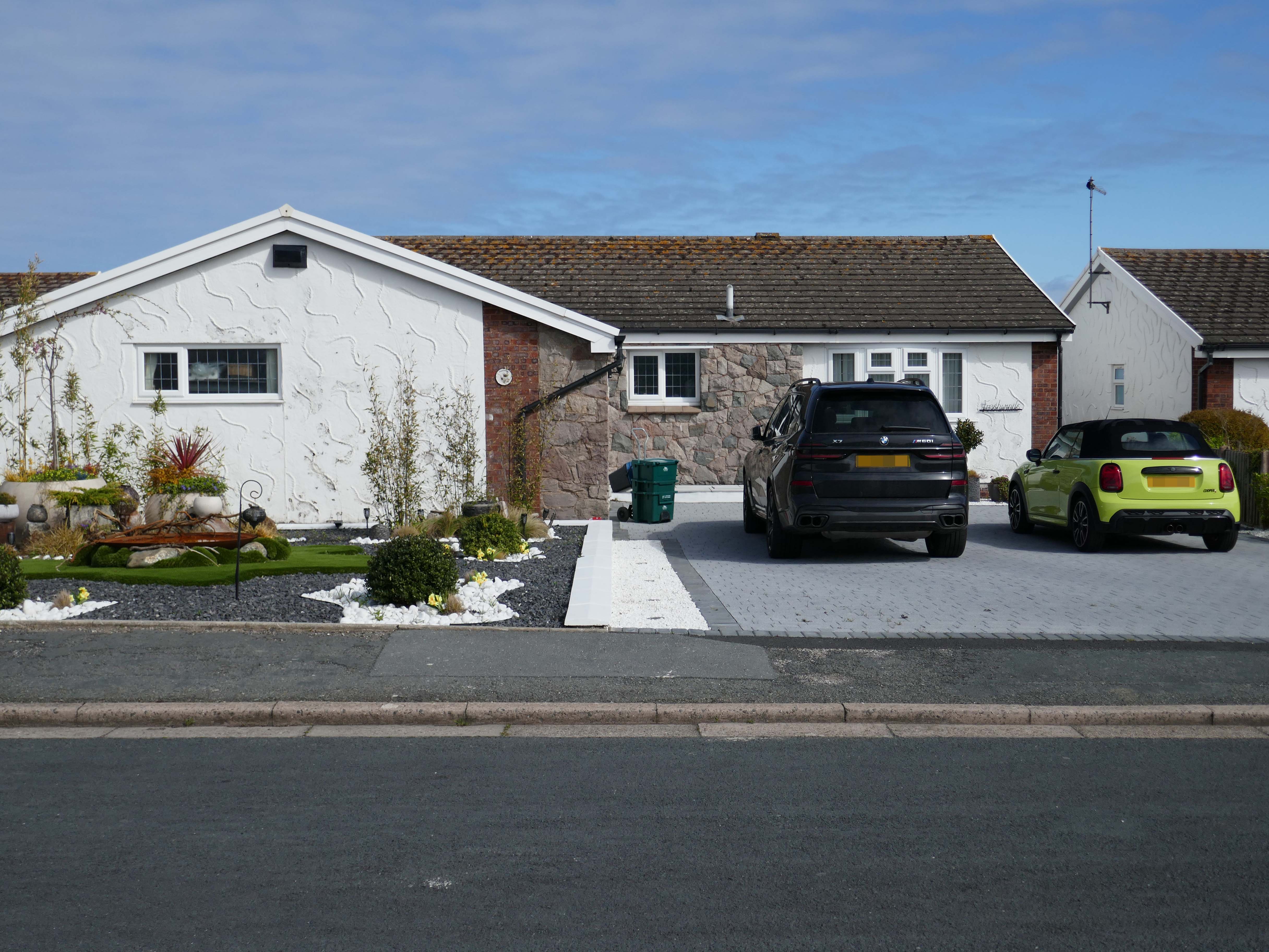
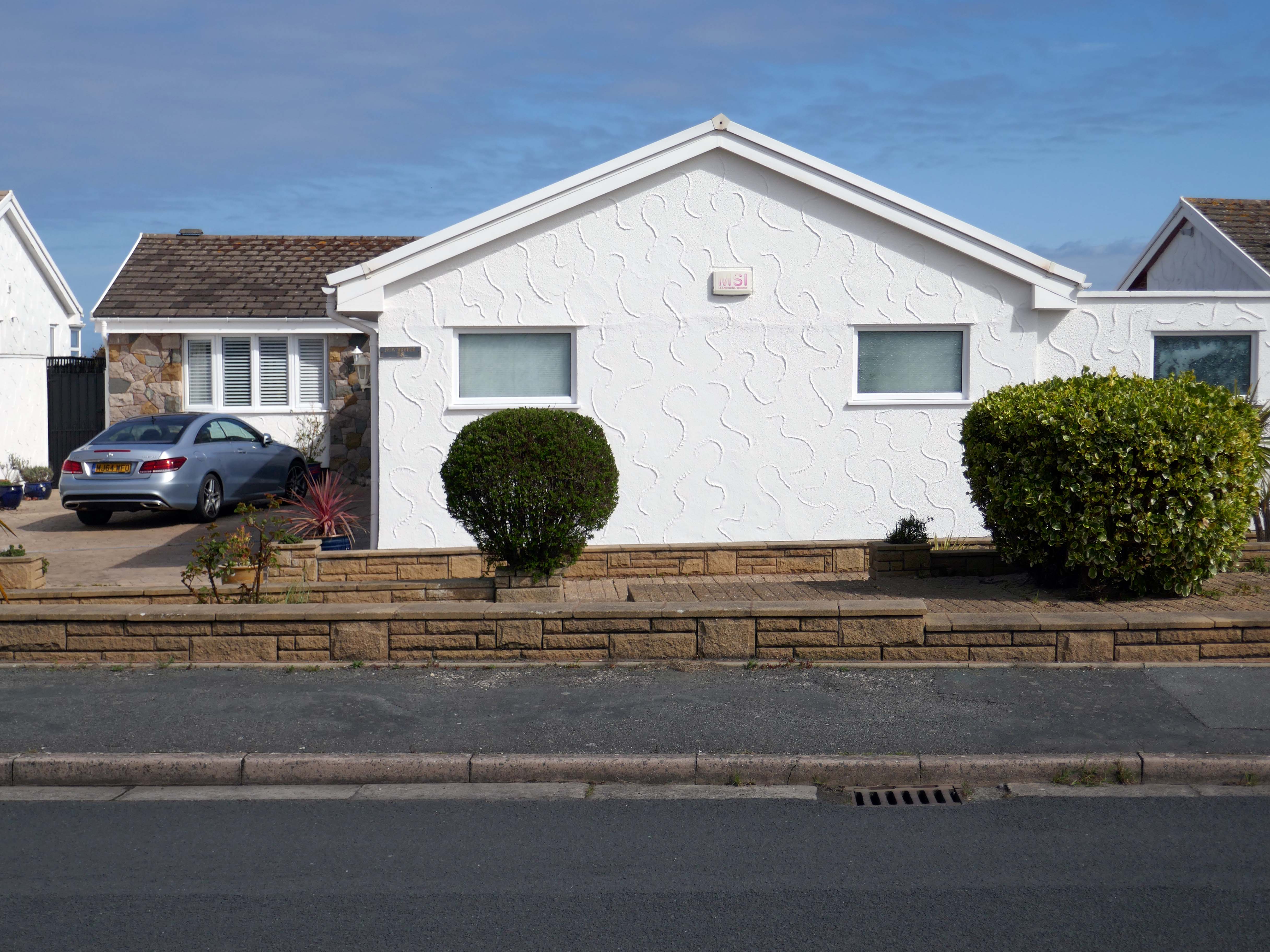
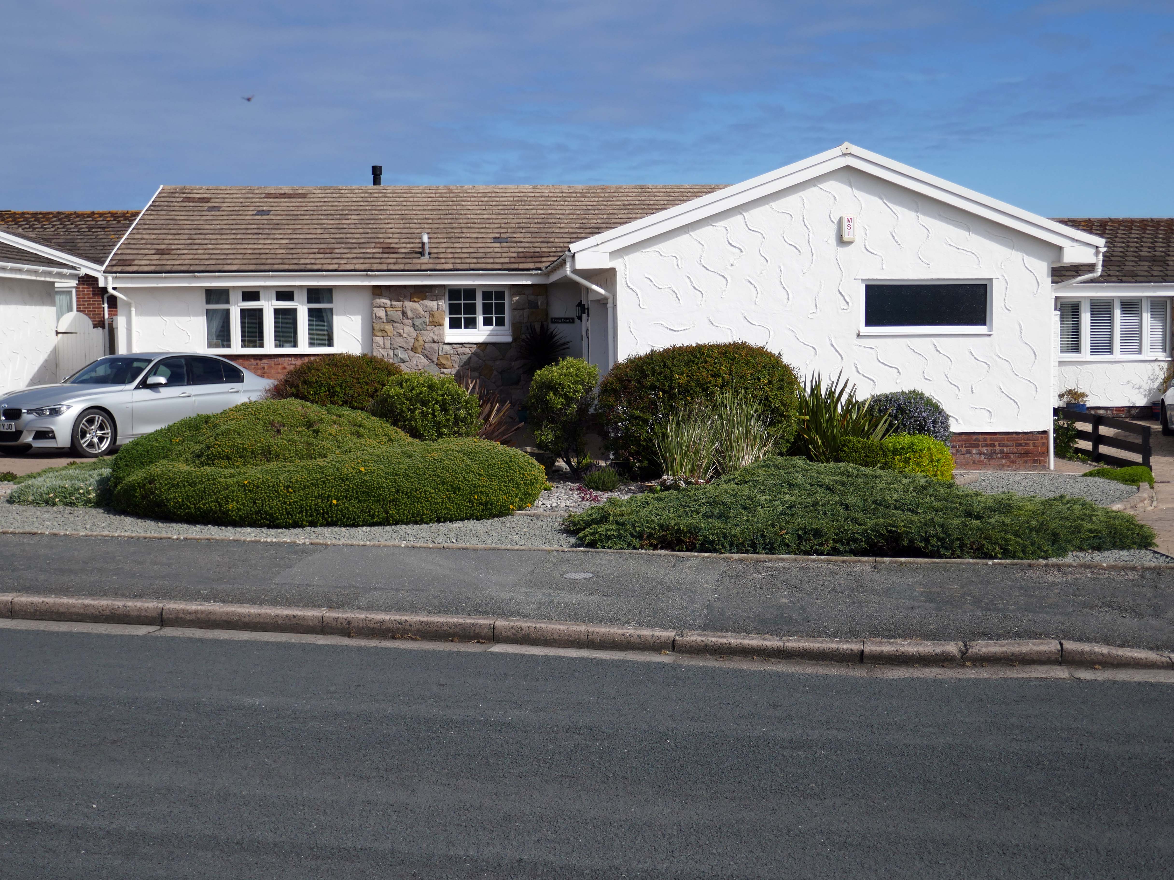
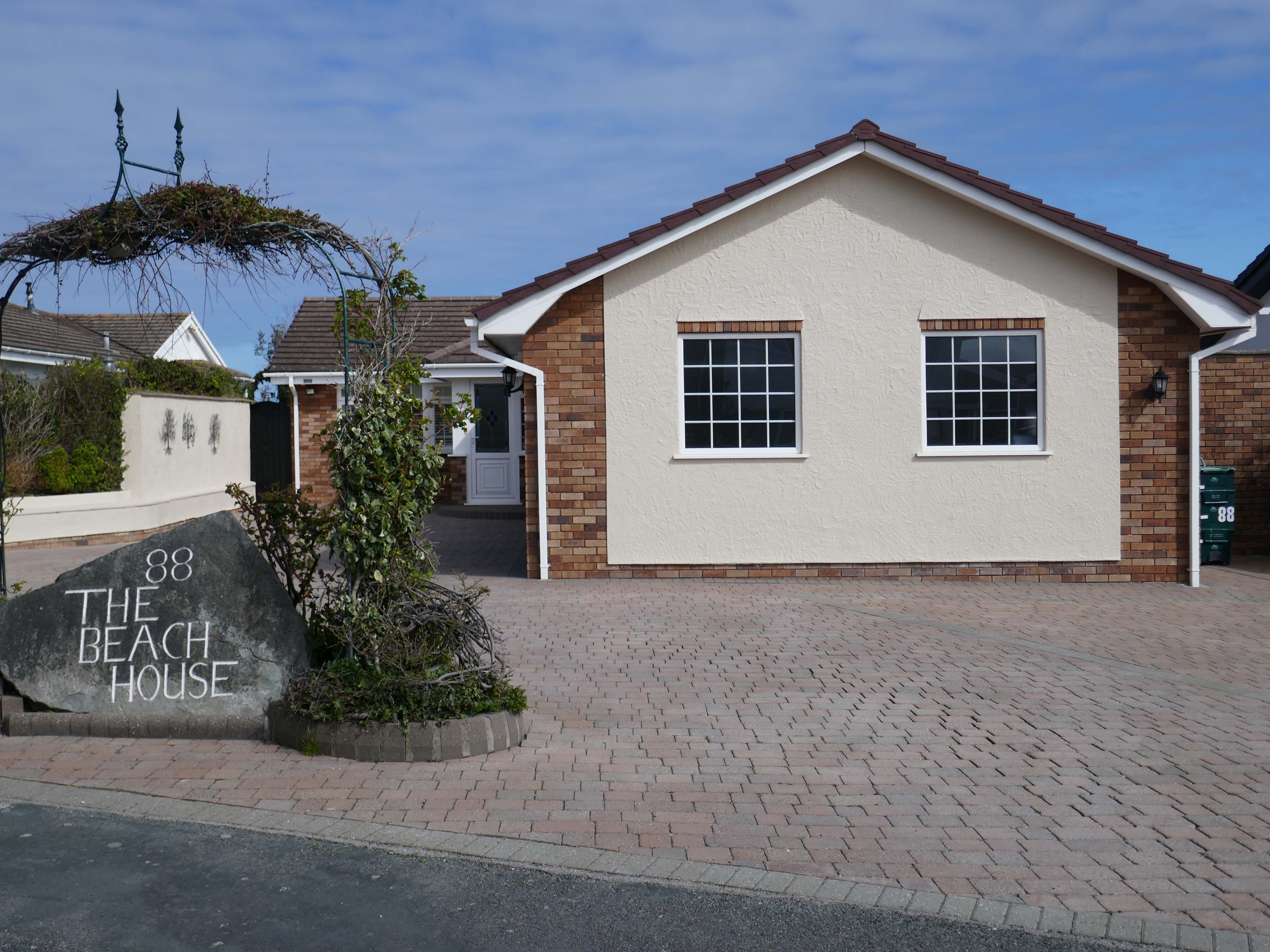
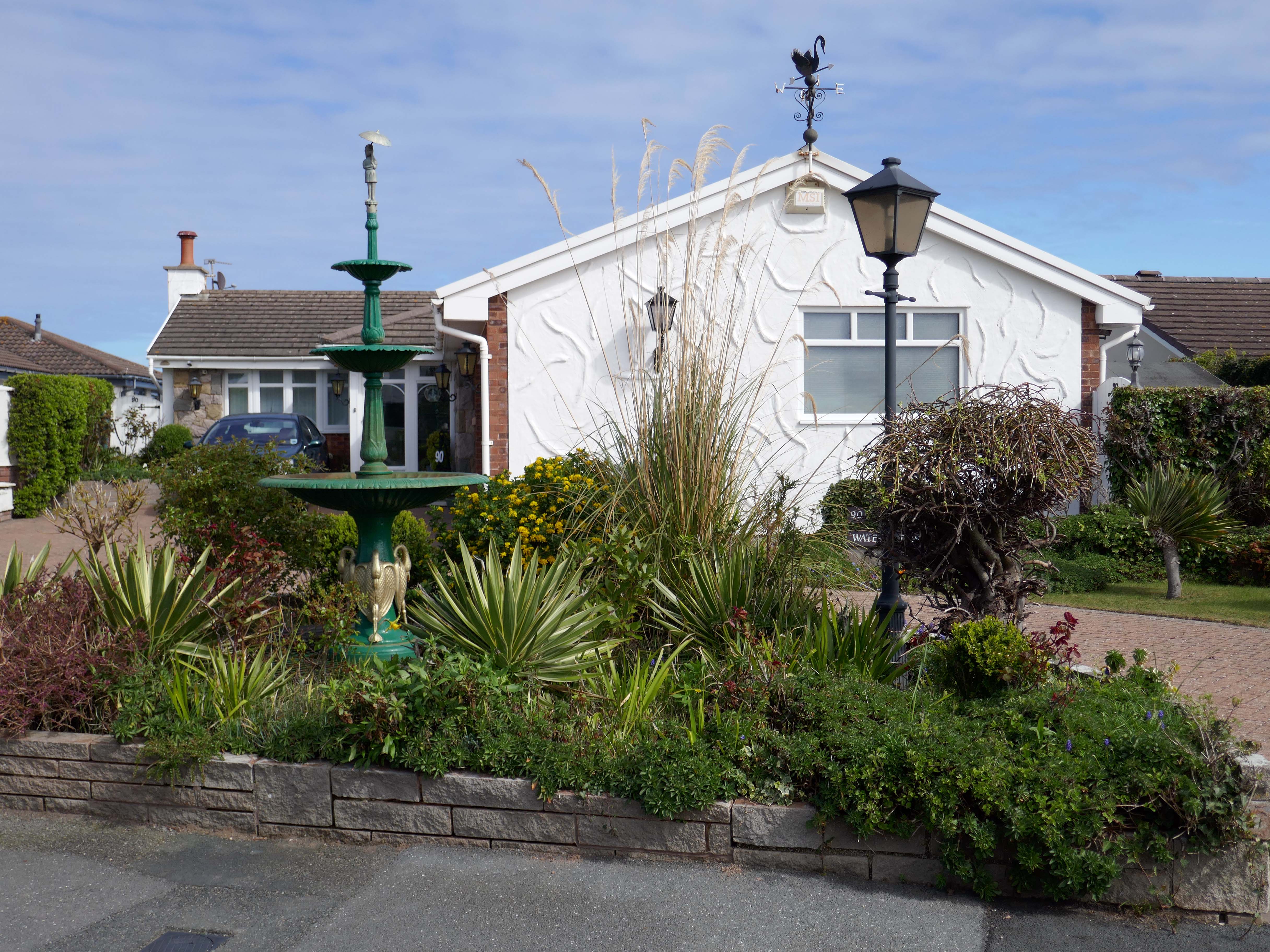
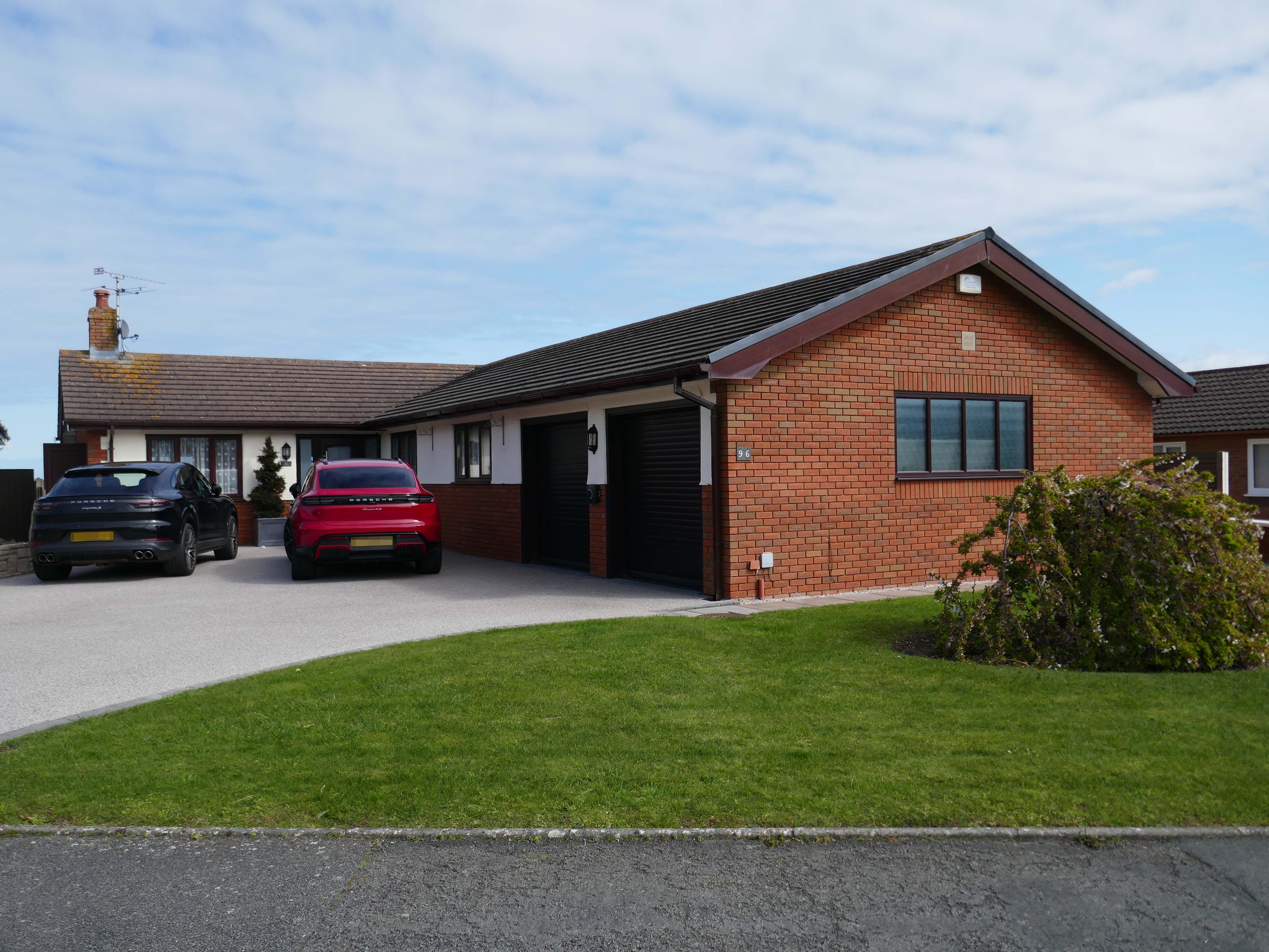
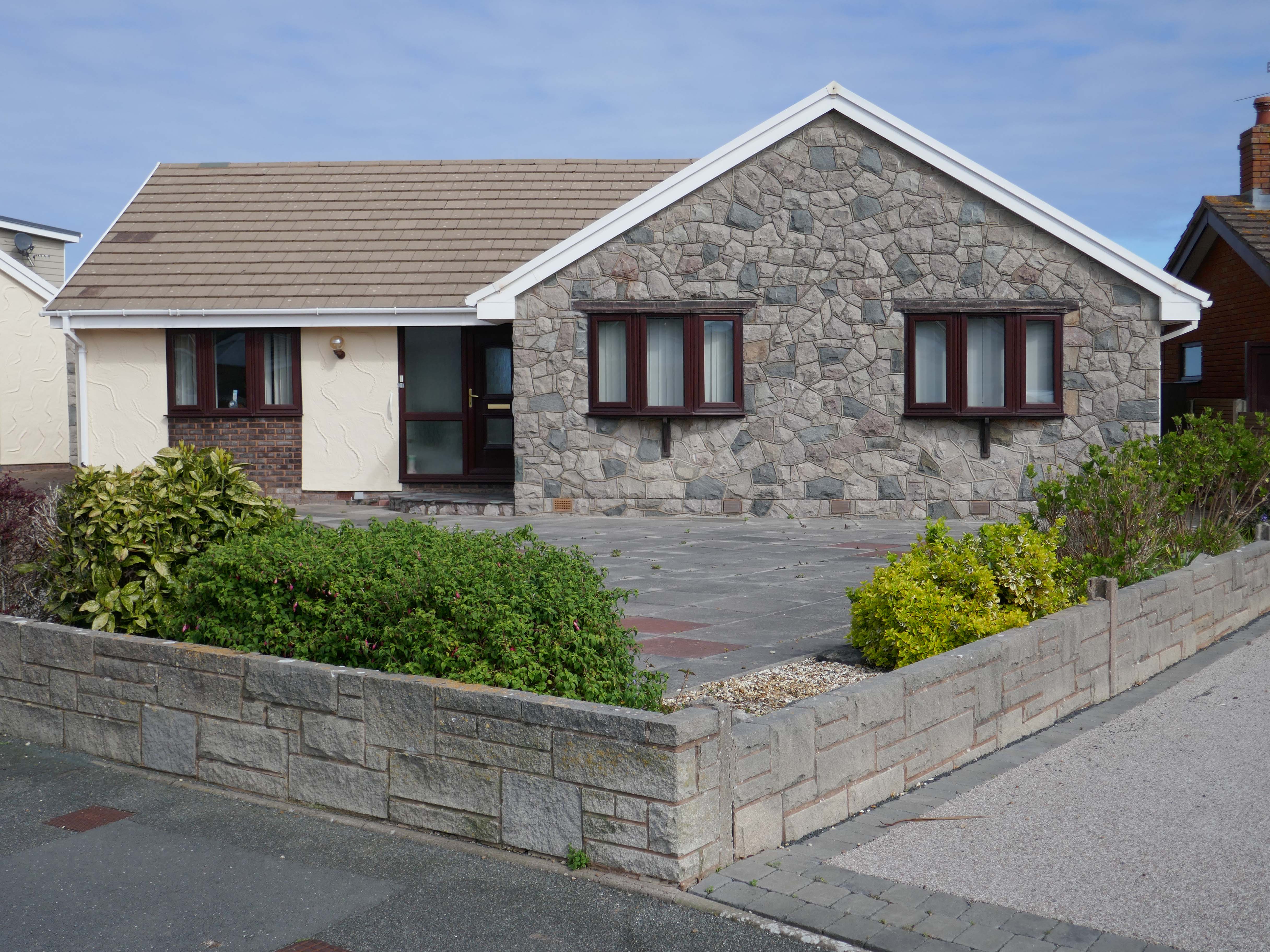
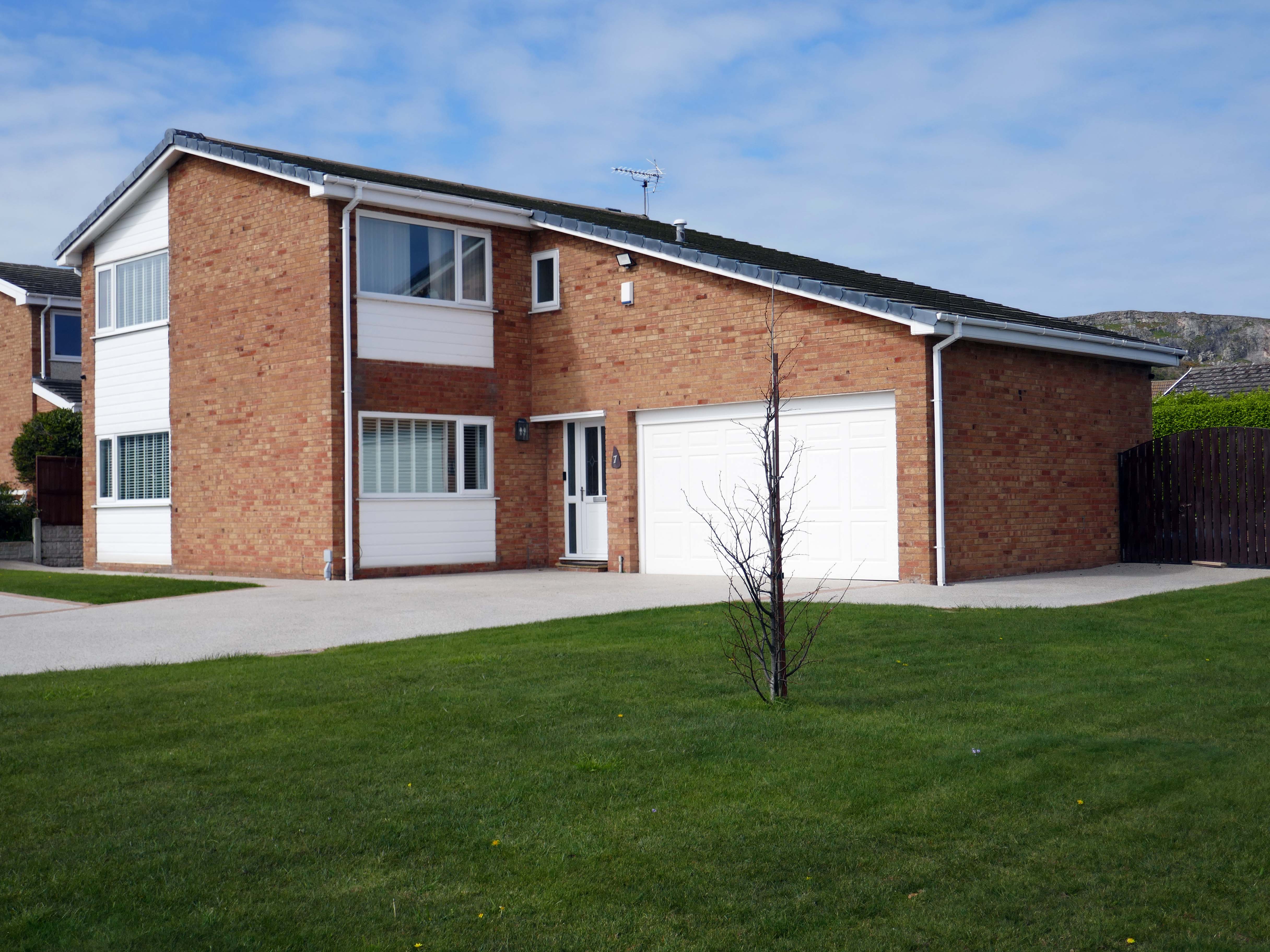
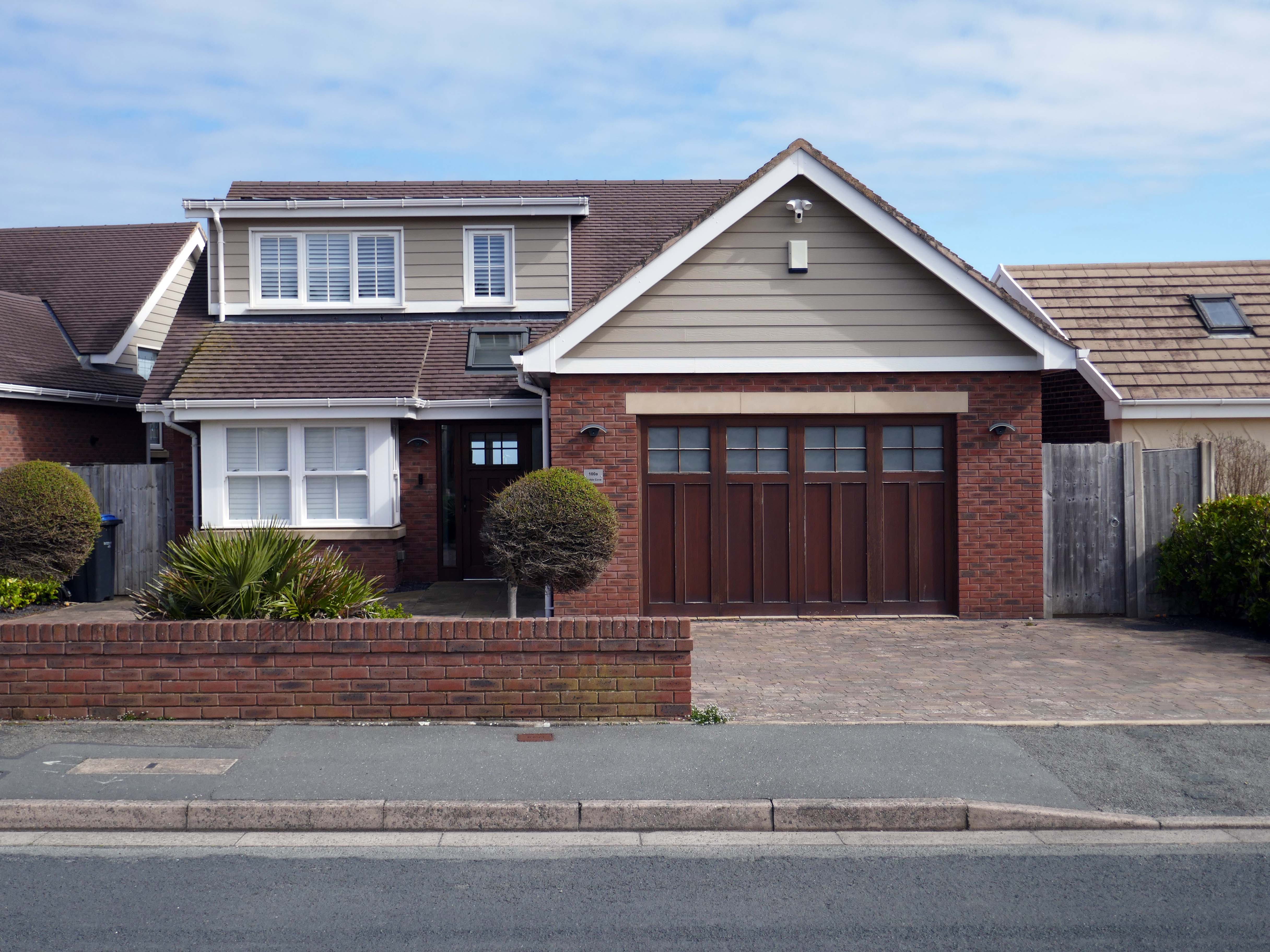
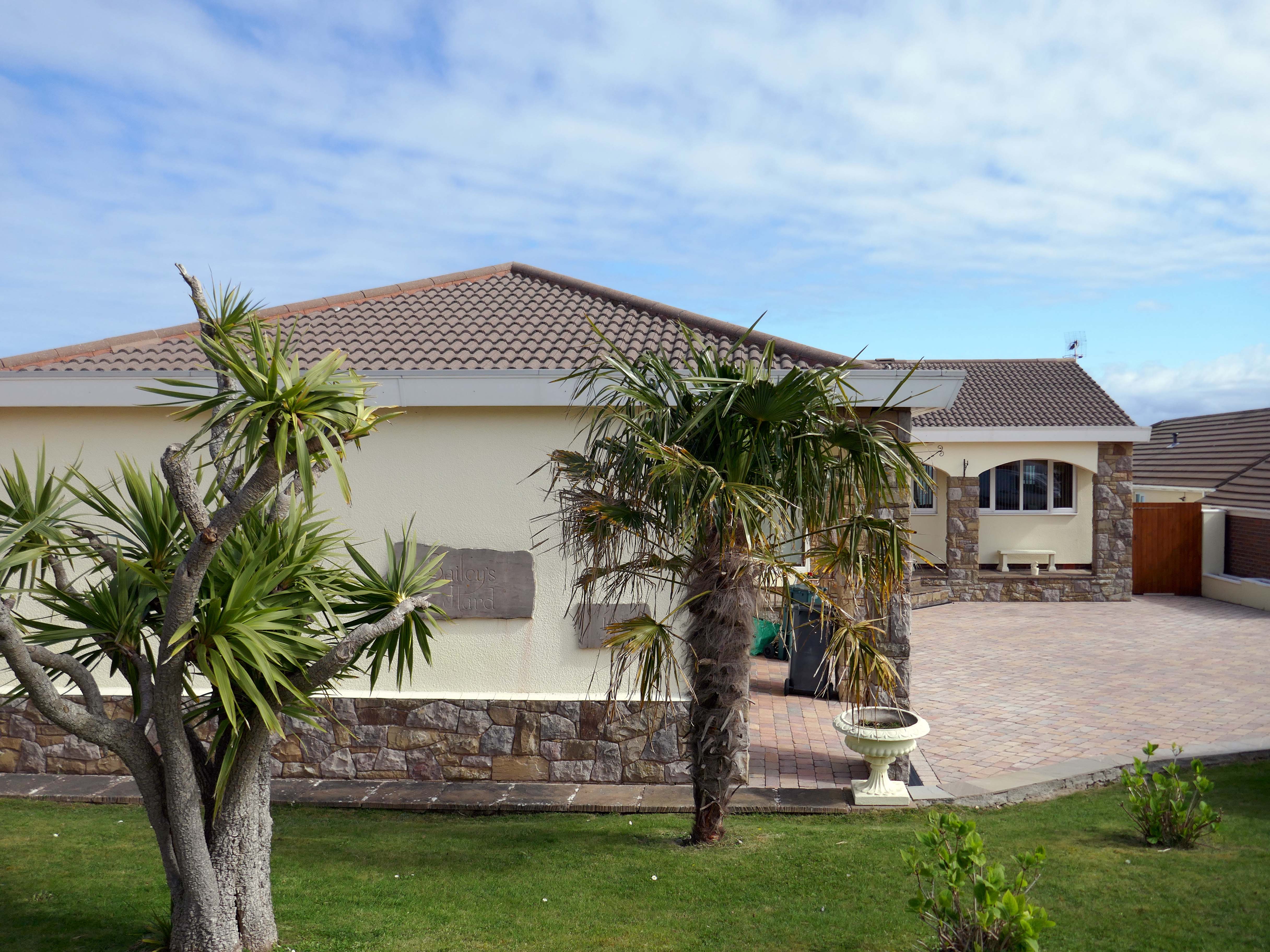
Penrhyn Bay is a peaceful seaside town and residential suburb of Llandudno in Conwy County, North Wales, known for its scenic sand-and-shingle beach. Located east of the Little Orme, it offers coastal walks, rock pooling, and a quiet alternative to nearby bustling resorts. The area is popular for its local community feel, nearby seal spotting, and easy access to North Wales attractions.
Following several recent suburban posts in my local area, I decided to take a train to Colwyn Bay, in order to revisit an old friend, last seen in 2023.
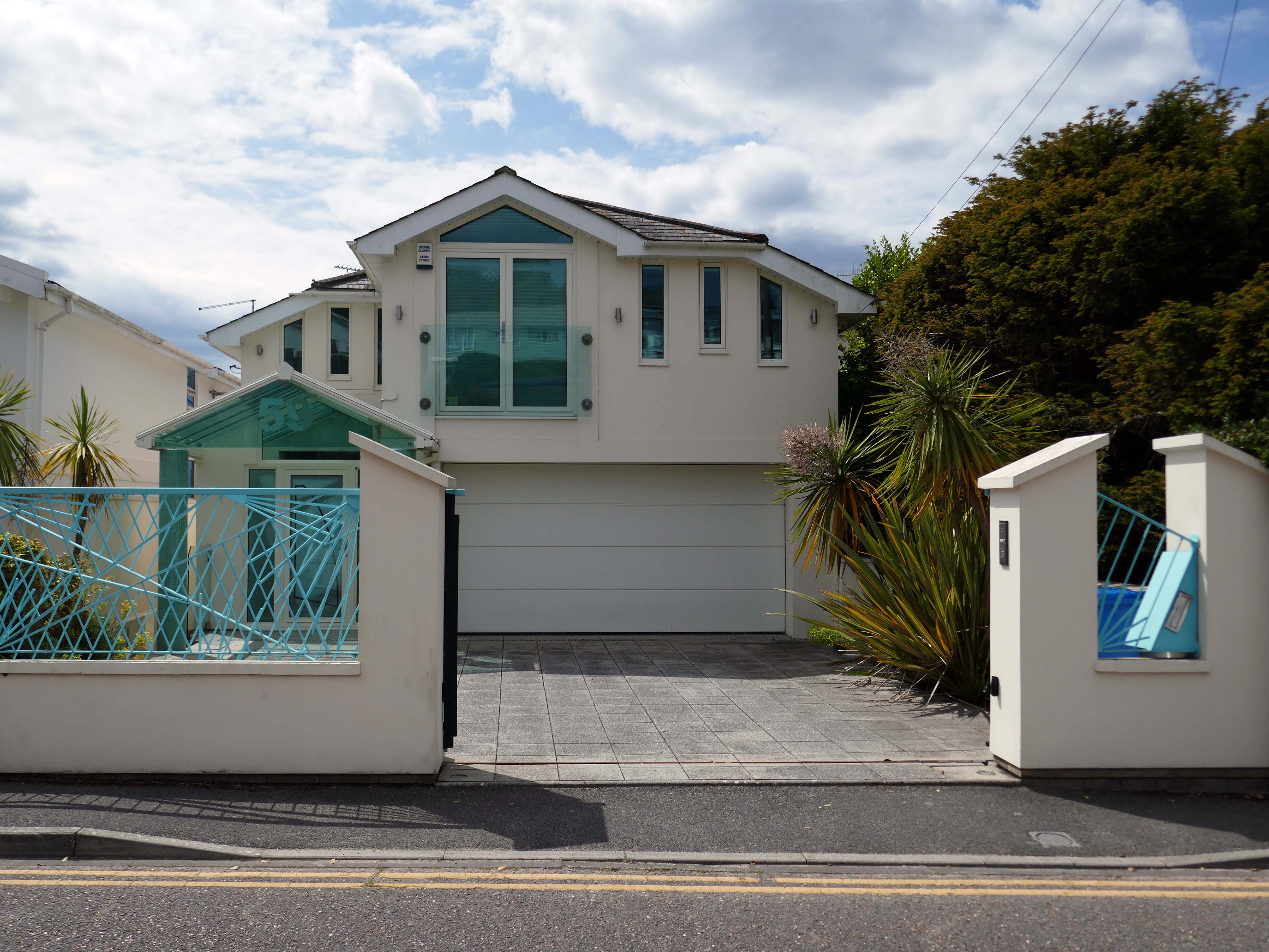
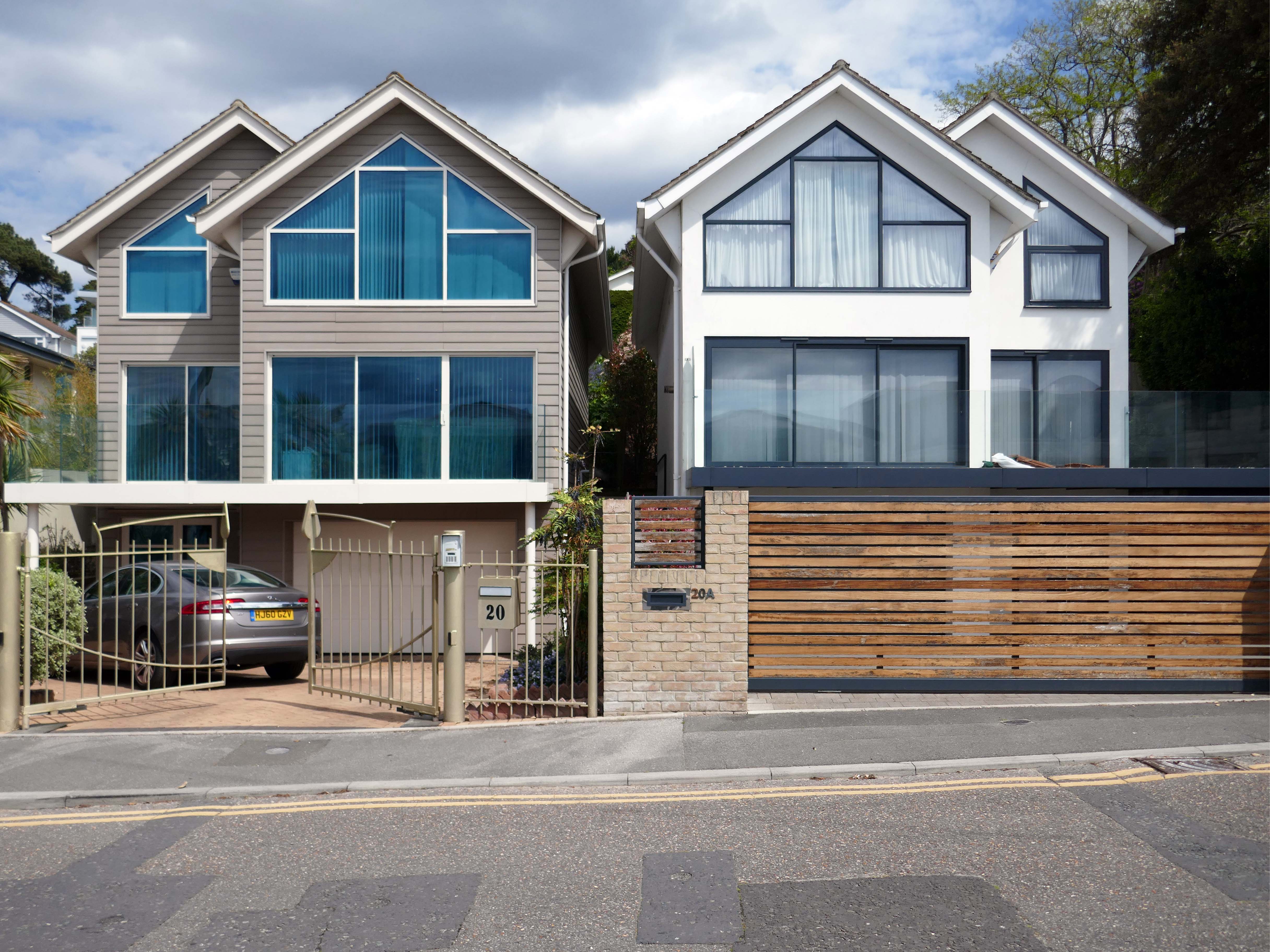
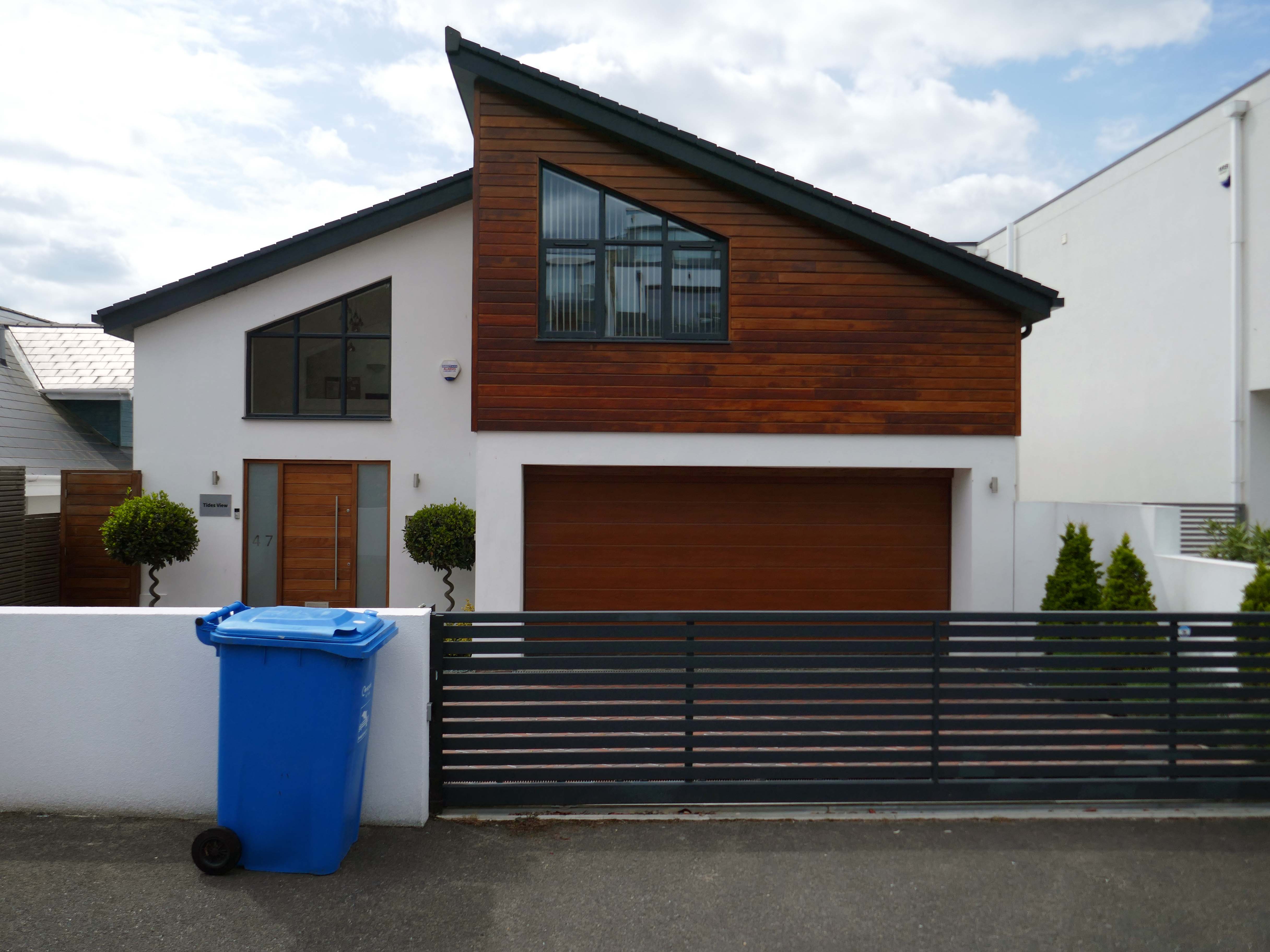
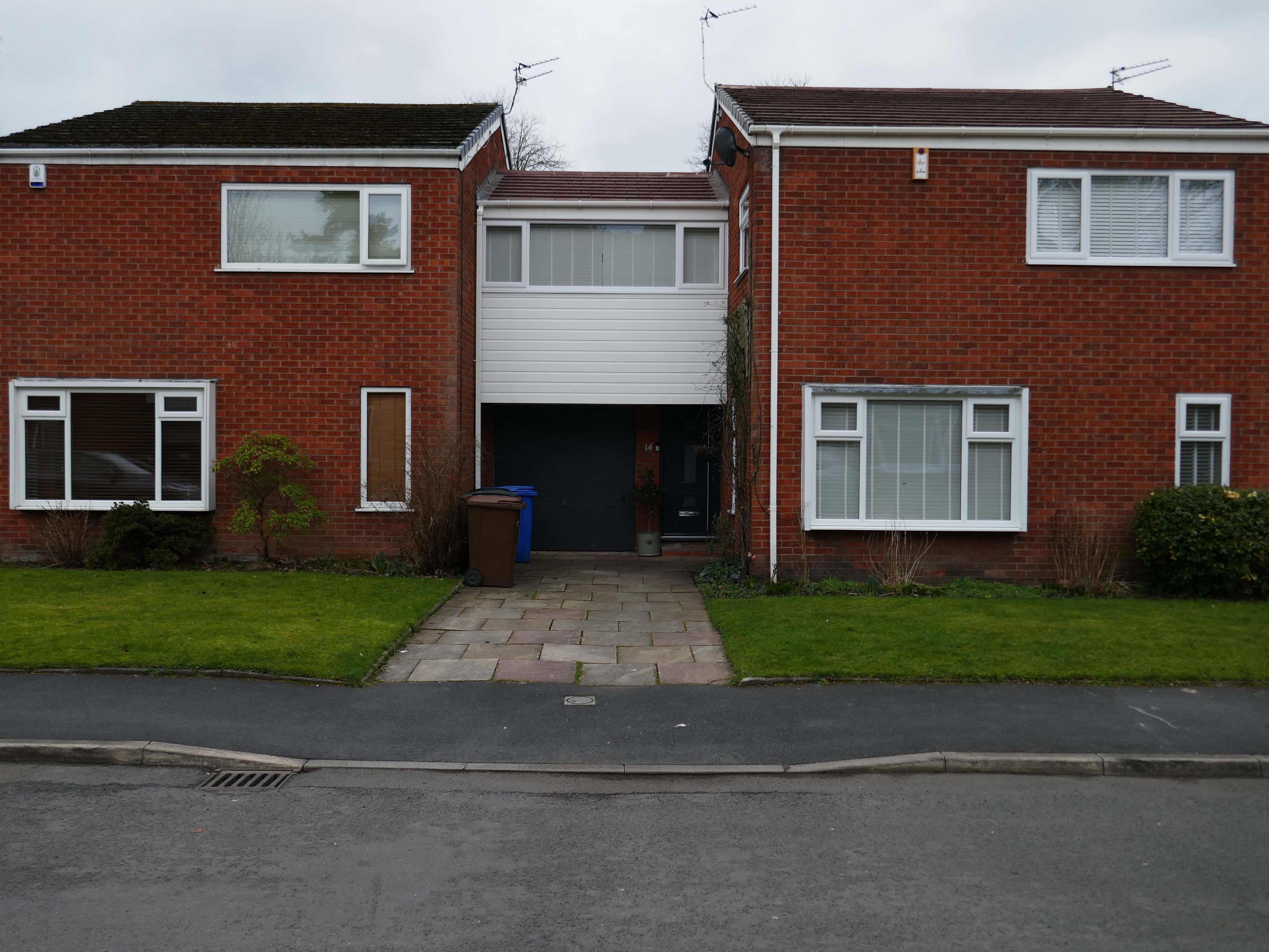
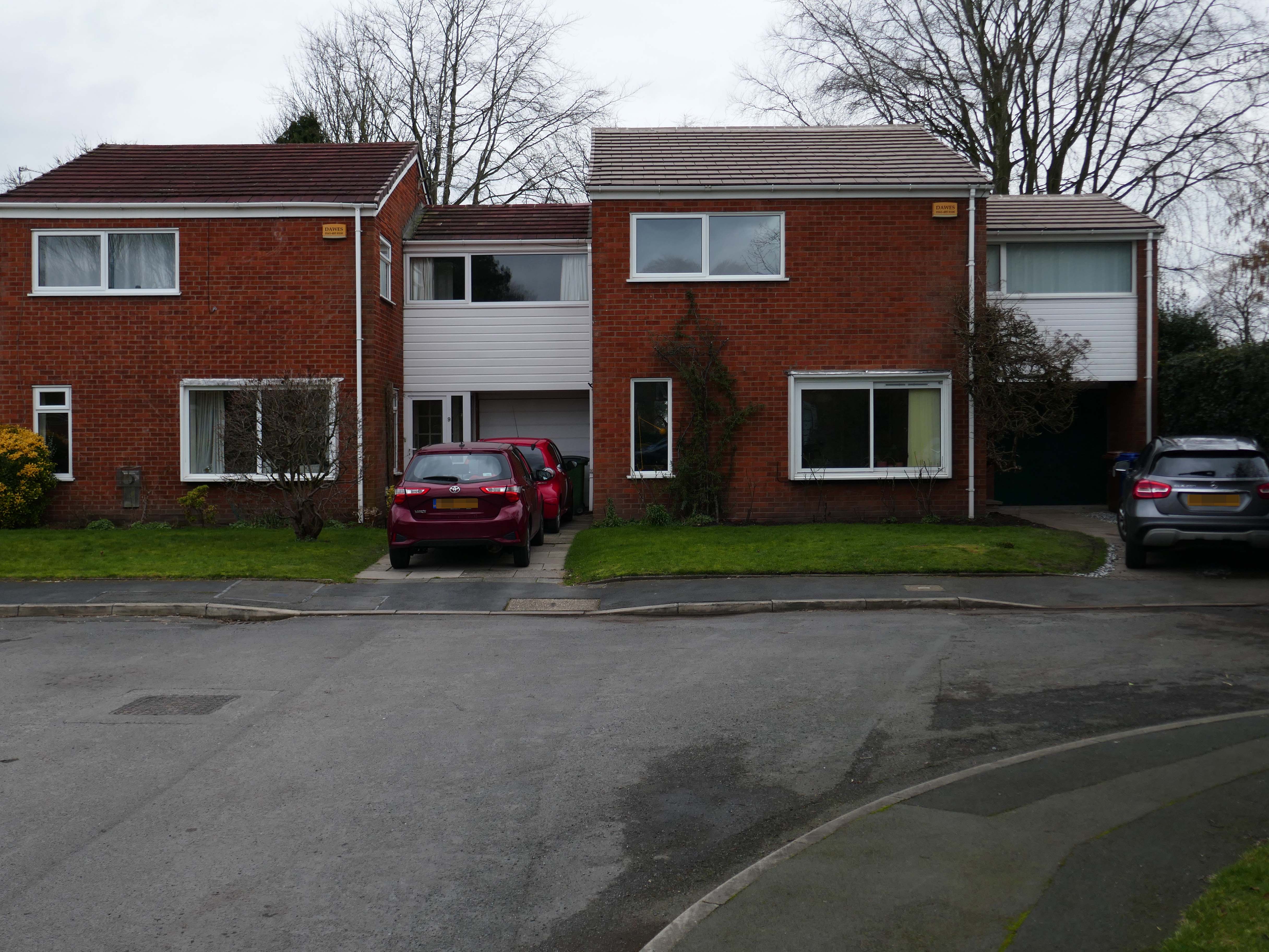
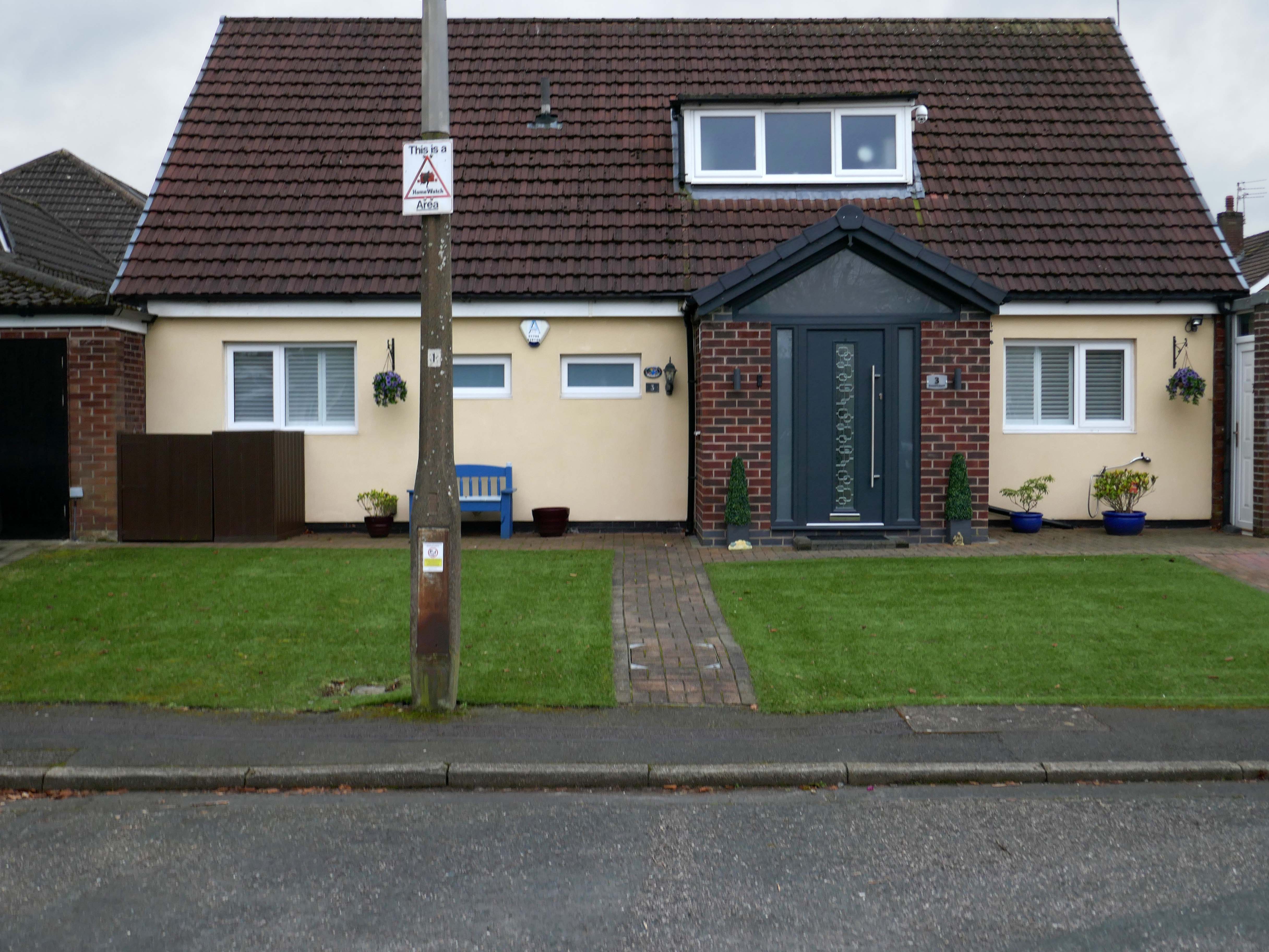
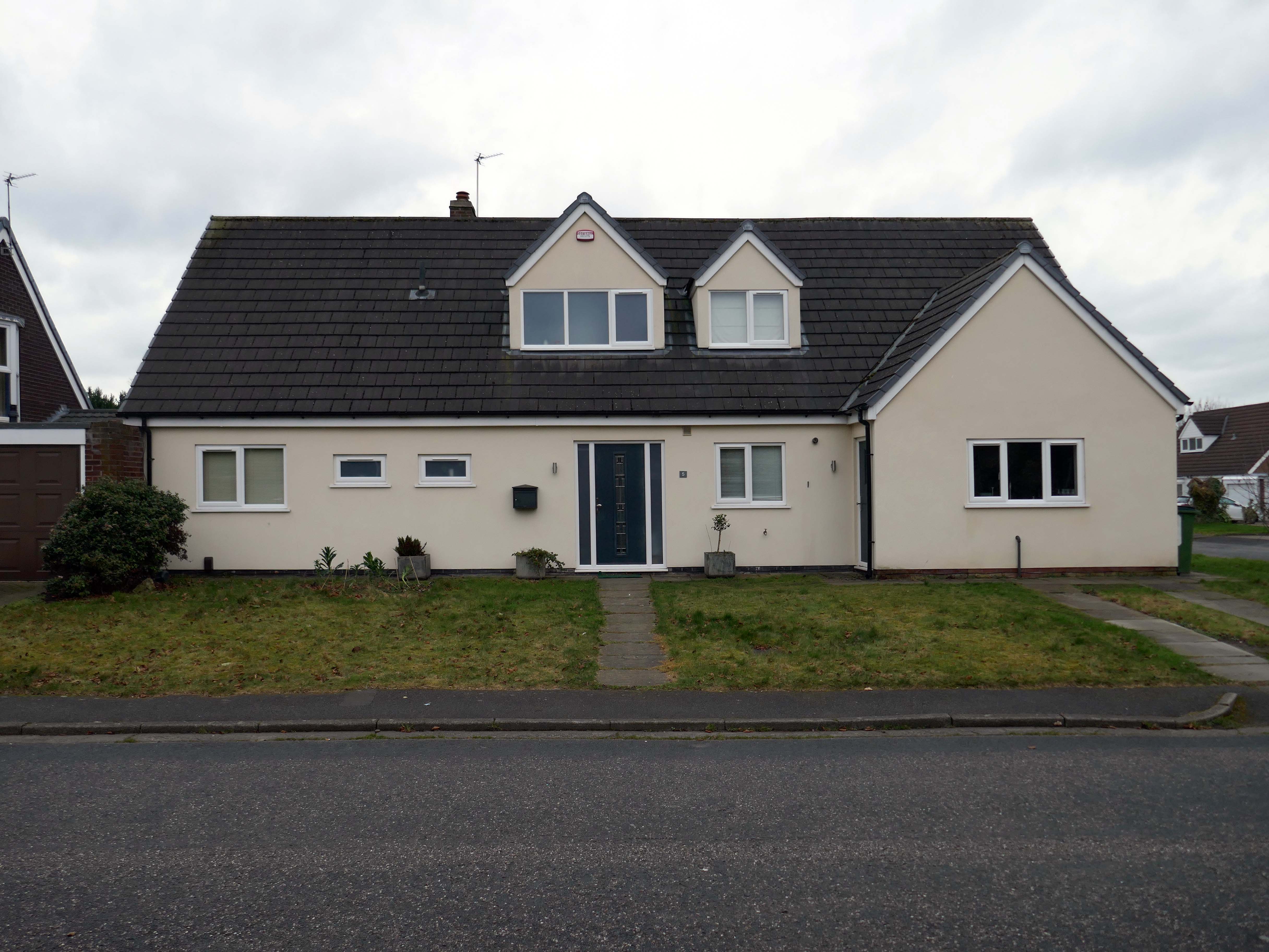
The quality of light and the well behaved deportment of the houses and owners, exuded the demeanour of a model village.
There are new model cars, extensions, impressed drives, garden ornamentation, quirkily rendered reliefs and cladding.
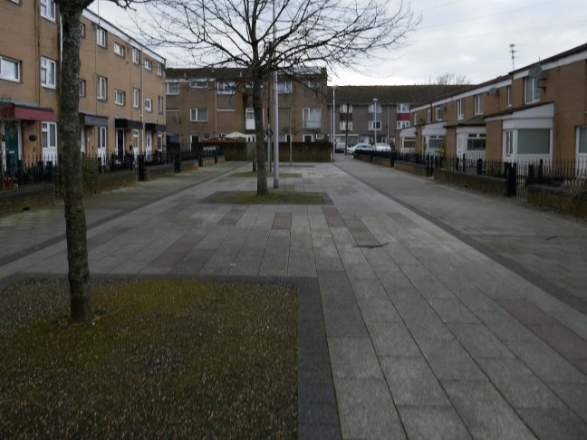
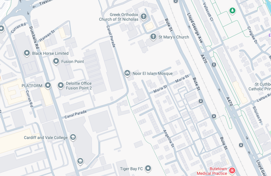
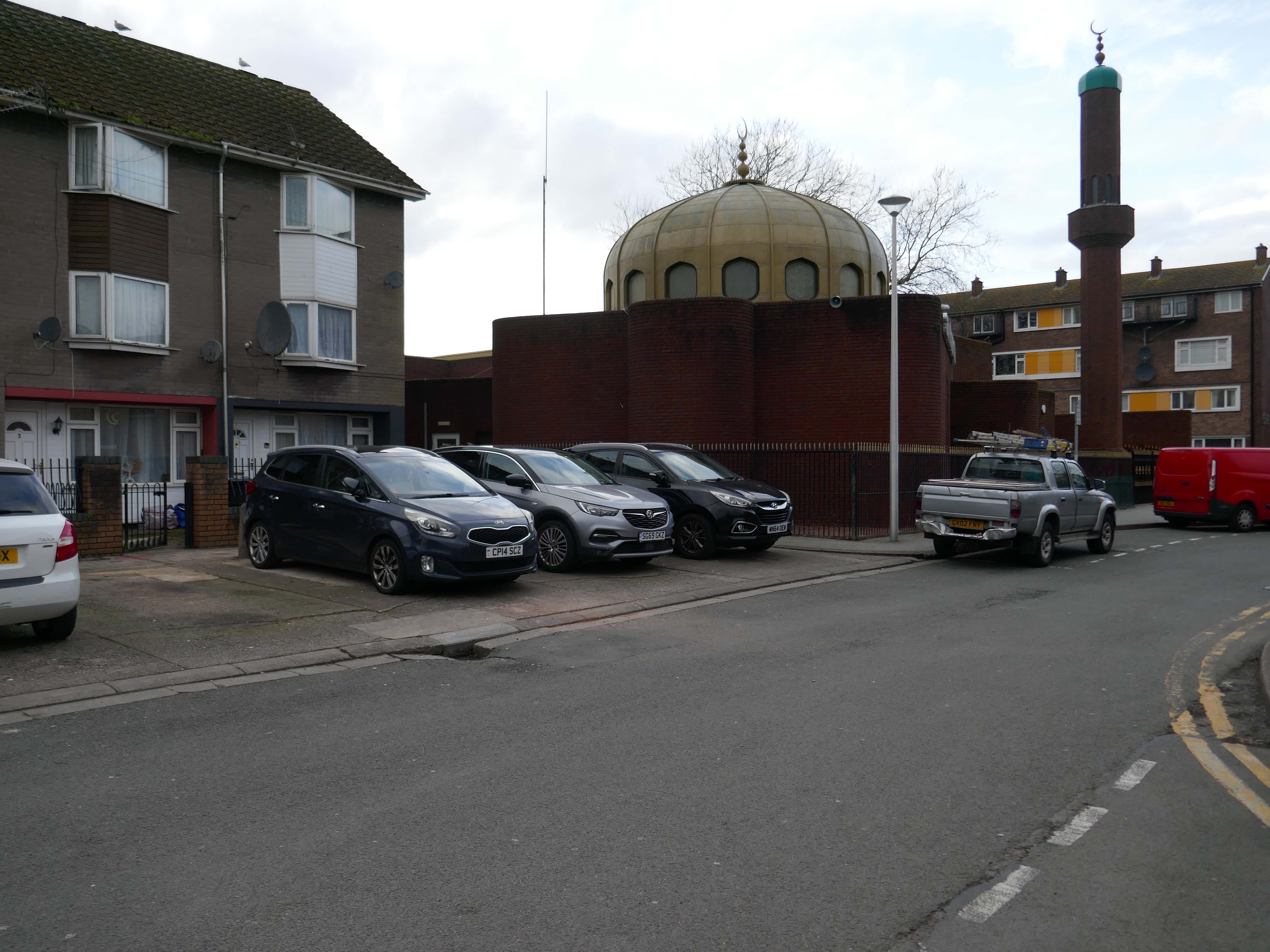
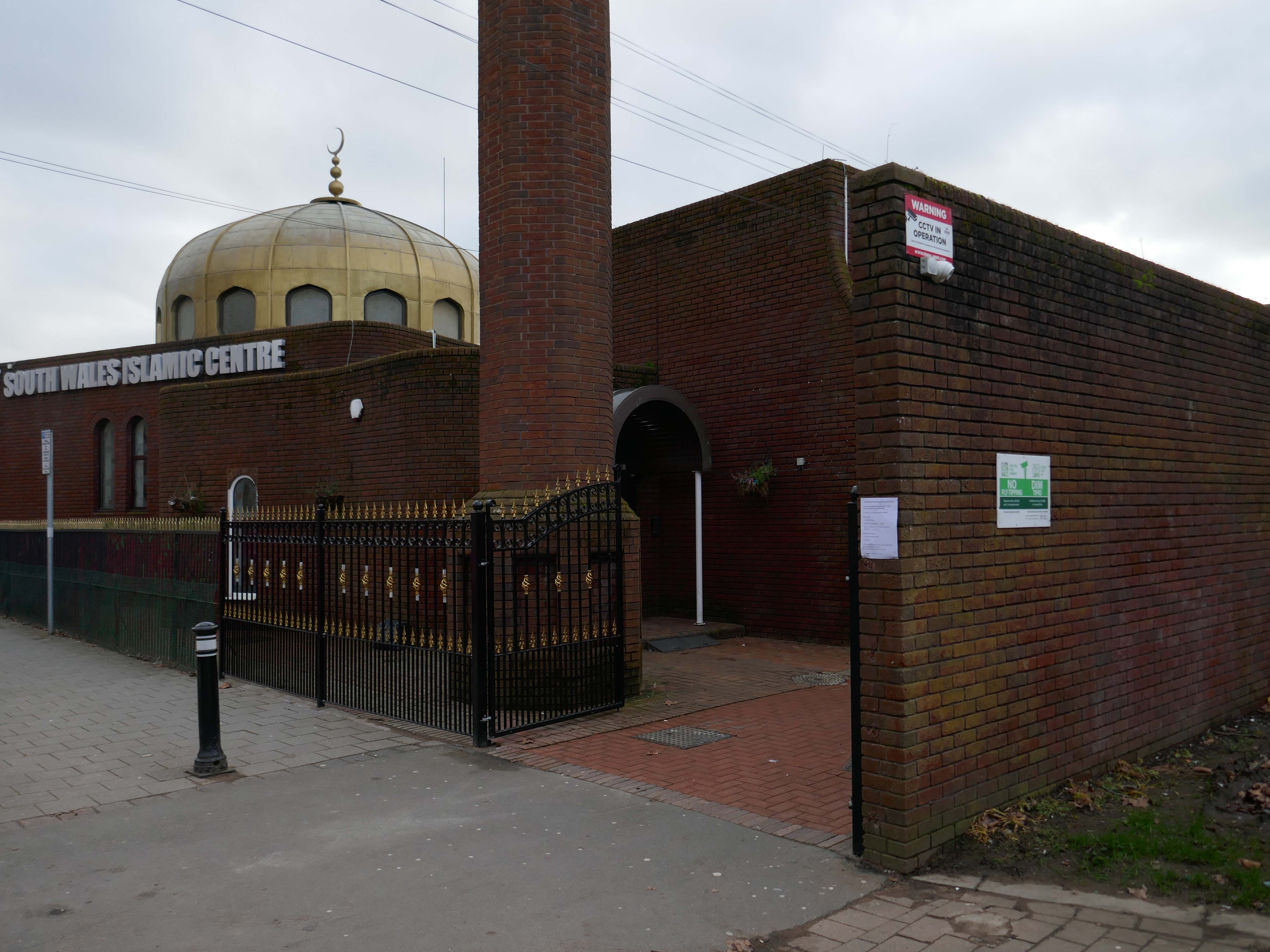
Butetown – or The Docks Tre-biwt is a district and community in the south of the city of Cardiff. It was originally a model housing estate built in the early 19th century by the 2nd Marquess of Bute, for whose title the area was named.
Commonly known as Tiger Bay, this area became one of the UK’s first multiculturalcommunities with people from over fifty countries settled here by the outbreak of the First World War, working in the docks and allied industries. Some of the largest communities included the Somalis, Yemenis and Greeks, whose influence still lives on today.
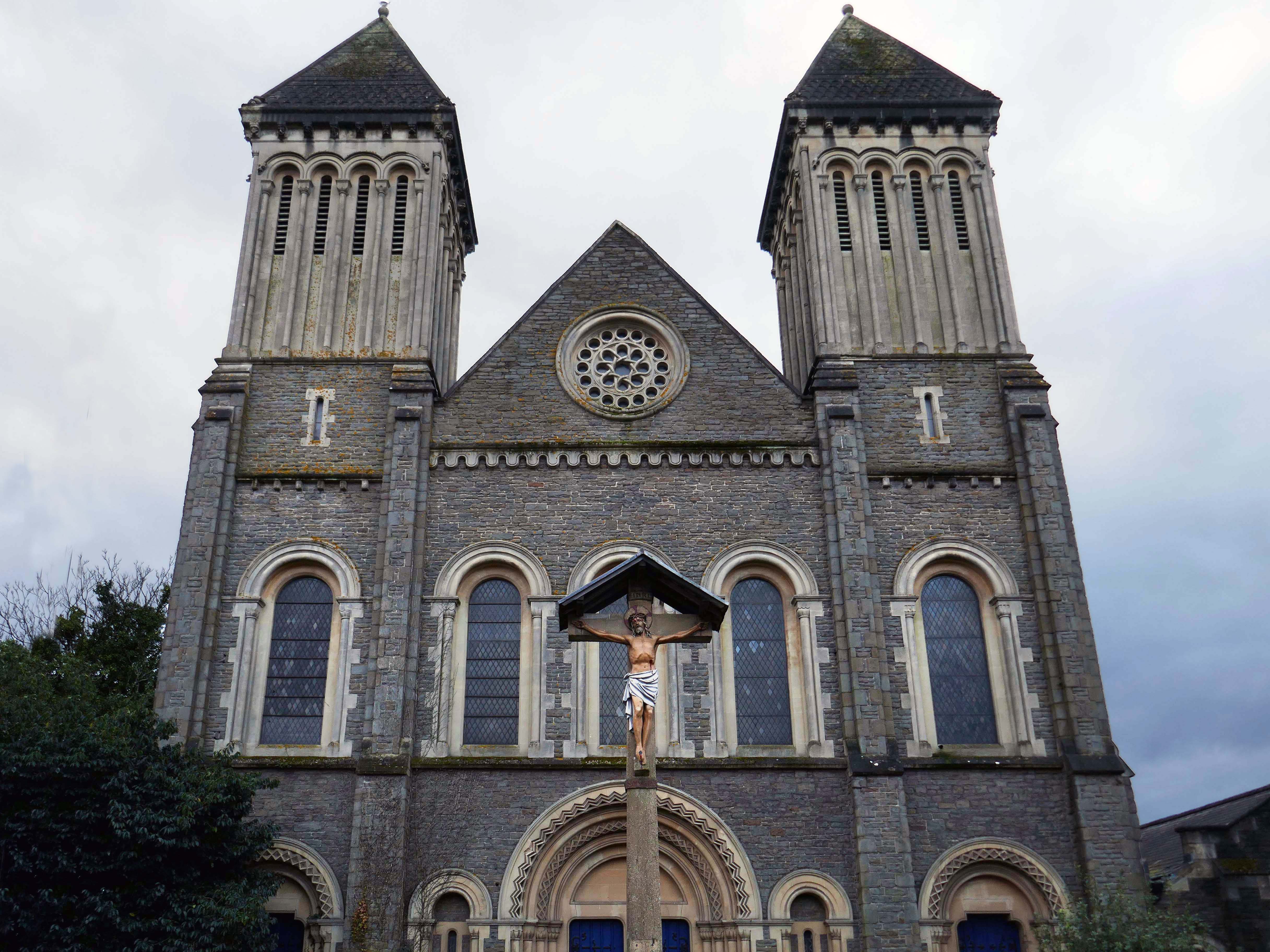
In 1906, work began on the present-day church, which also serves the Russian Orthodox community in south Wales. Designed by local architects, James and Morgan, it is located on a site provided by the 4th Marquess of Bute, to the west of Bute Street. The modestly-sized building is of Byzantine style with a domed nave and an apse at the east end. It retains the original dedication to StNicholas. The interior is very ornate, with a lot of carved woodwork. The dome and upper walls have painted Biblical scenes in vivid colours with gold decoration.
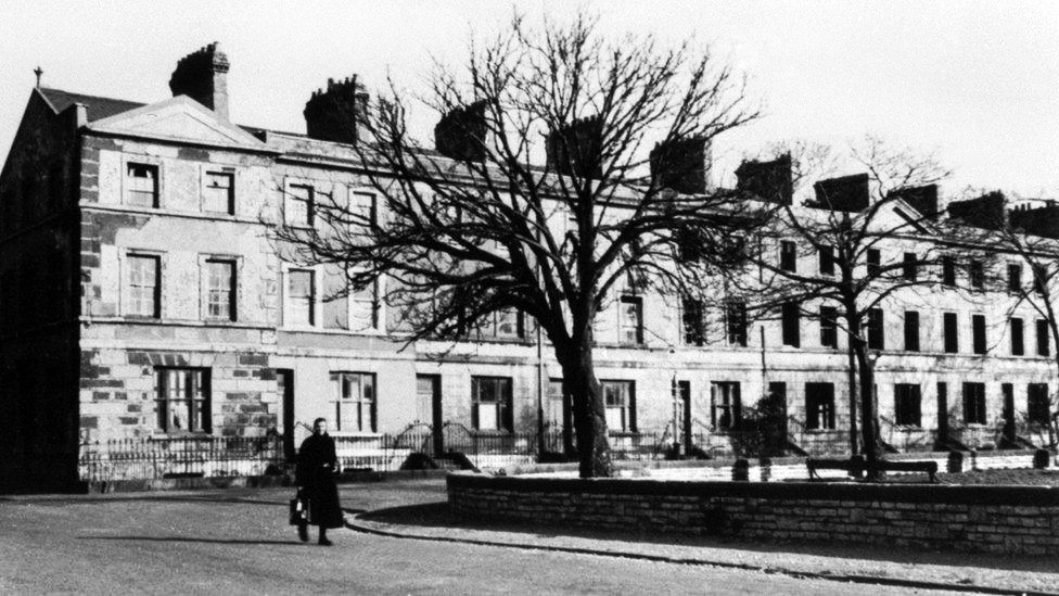
Loudoun Square was originally built in the mid-1850s as upmarket homes for merchants, mariners, ship brokers and the like around a central park.
Photo 1962
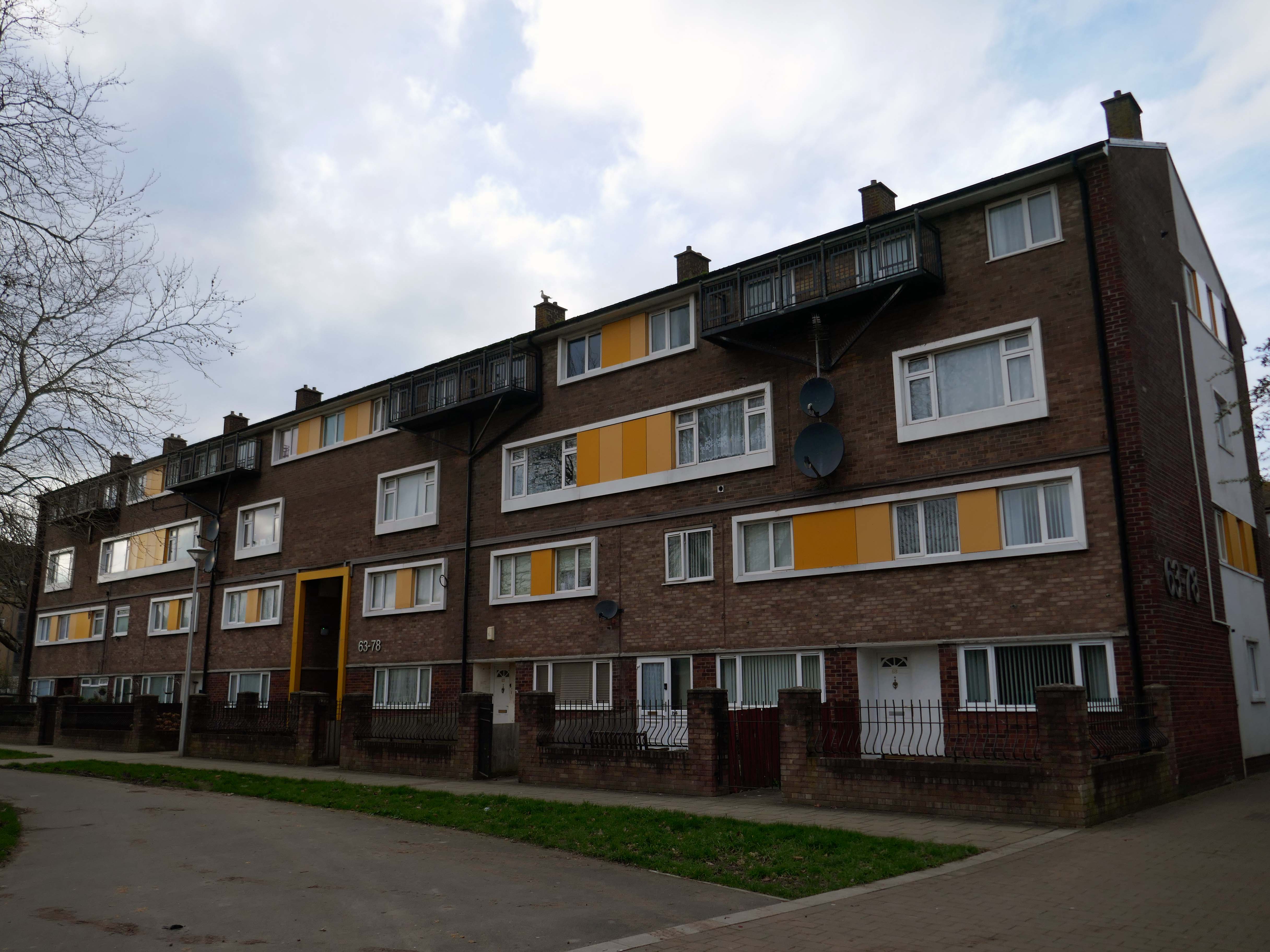
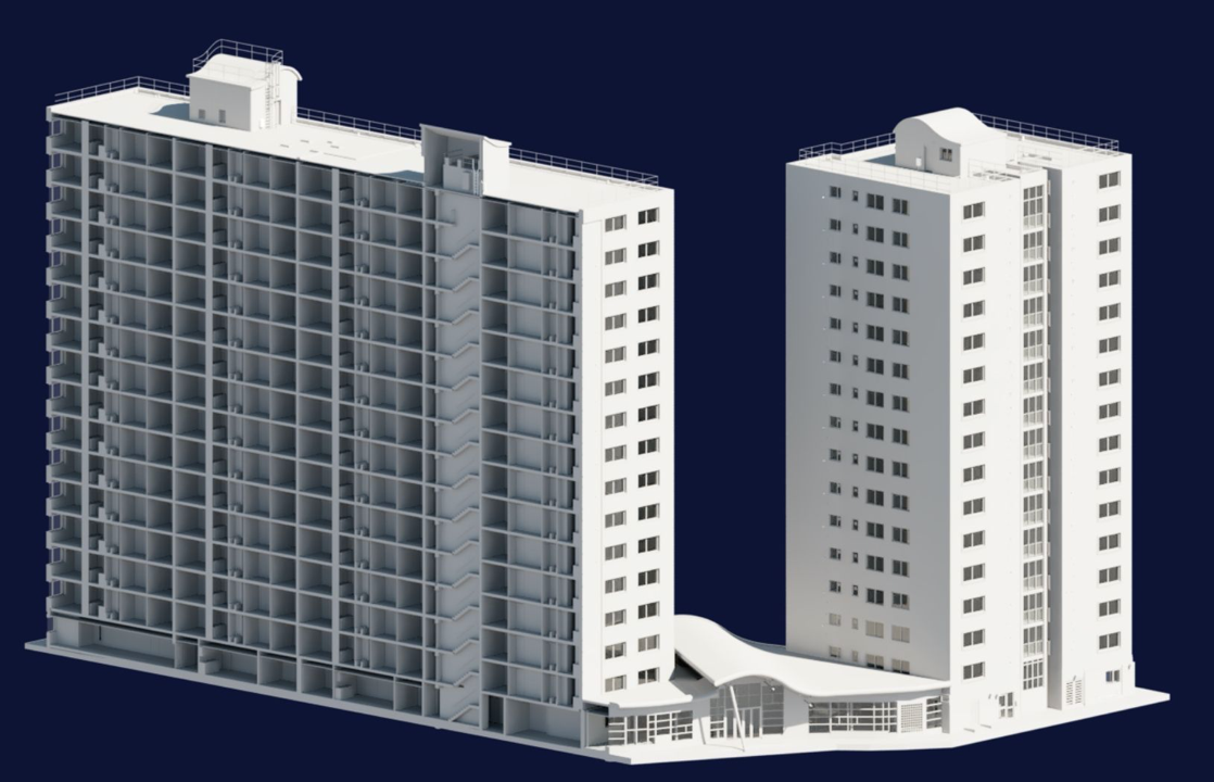
In the 1960s, most of the original housing was demolished including the historic Loudoun Square, the original heart of Butetown. In its place was a typical 1960s housing estate of low-rise courts and alleys, and two high-rise blocks of flats.
Between 1960 and 1966 two sixteen-storey tower blocks, Loudoun House and Nelson House, were built on the centre of Loudoun Square
The demolition of the old buildings in Bute Street gets under way in 1963.
Surveybase have undertaken detailed scanning and modelling prior to the planned post Grenfell re-cladding.
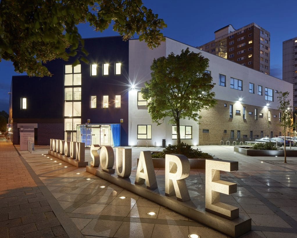
The Loudoun Square regeneration project is a collaboration between Cardiff City Council, Cardiff Community Housing Association, Cardiff Local Health Board and Cardiff and Vale NHS Trust. The site is located between Cardiff City Centre and Cardiff Bay, and was previously occupied by an existing health centre and local shops, together with a vacant area of land.
The area has been regenerated with the creation of new modern facilities to serve the local community and include a new health centre, shops, affordable homes and community facilities.
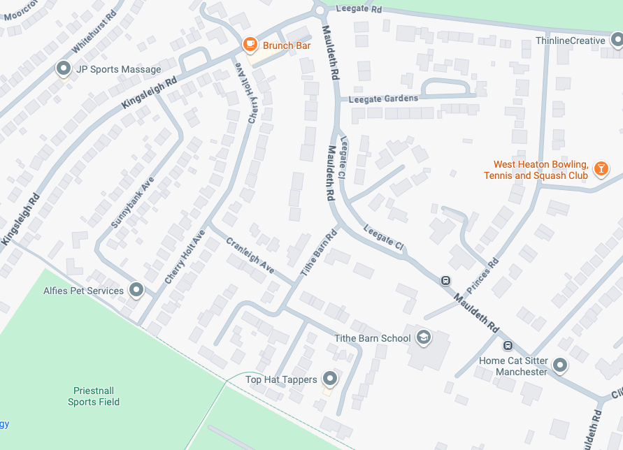
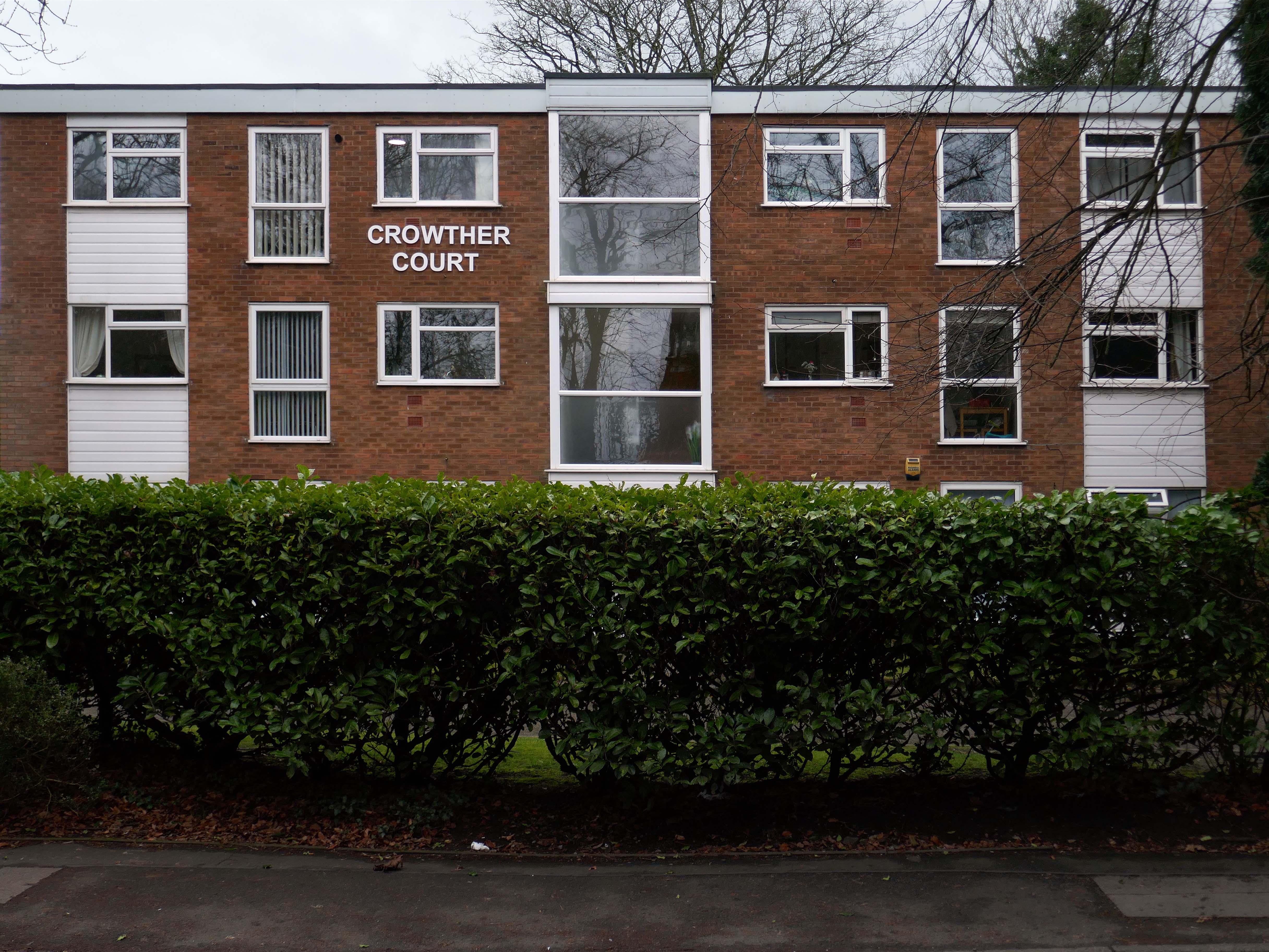
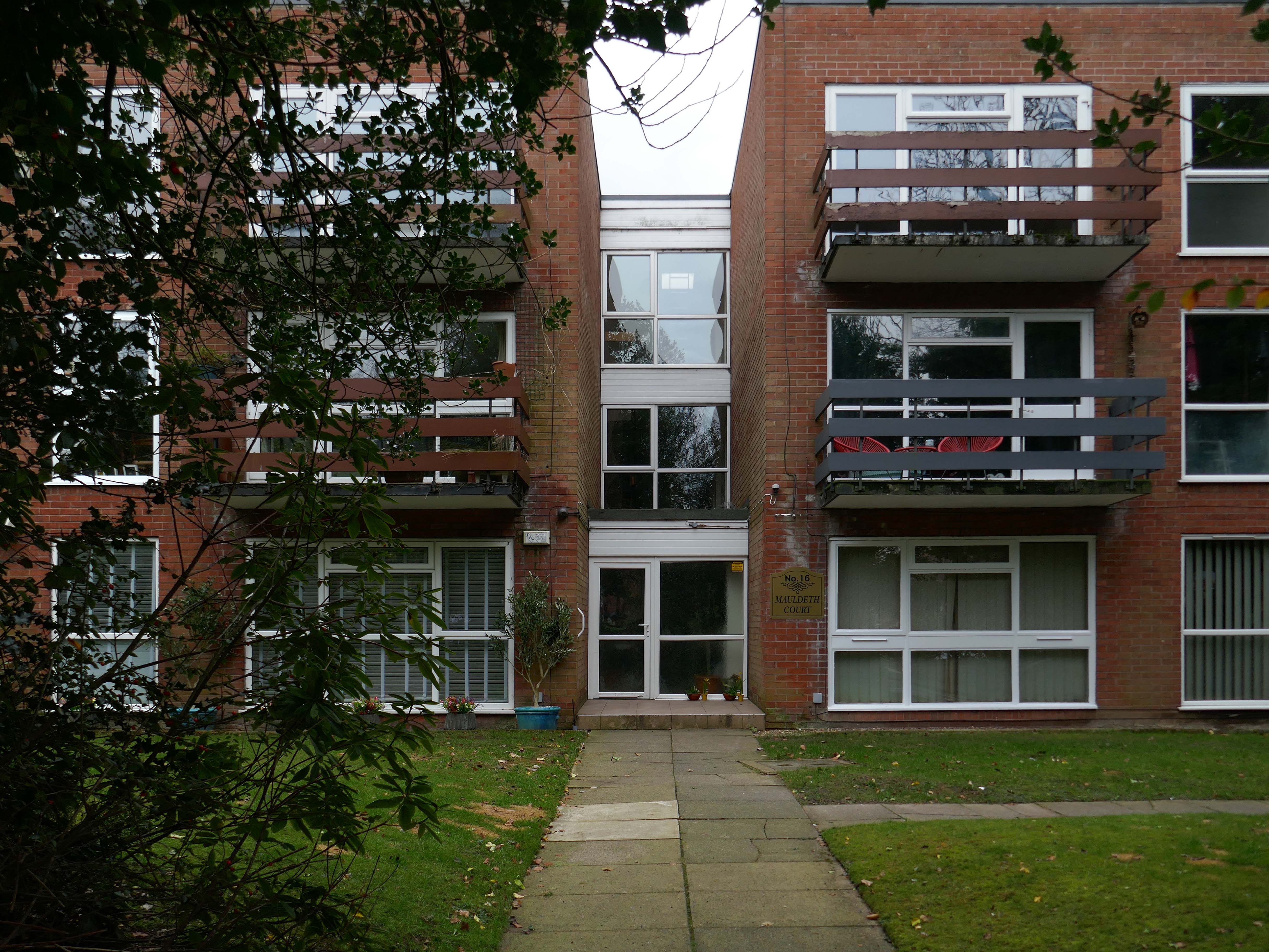
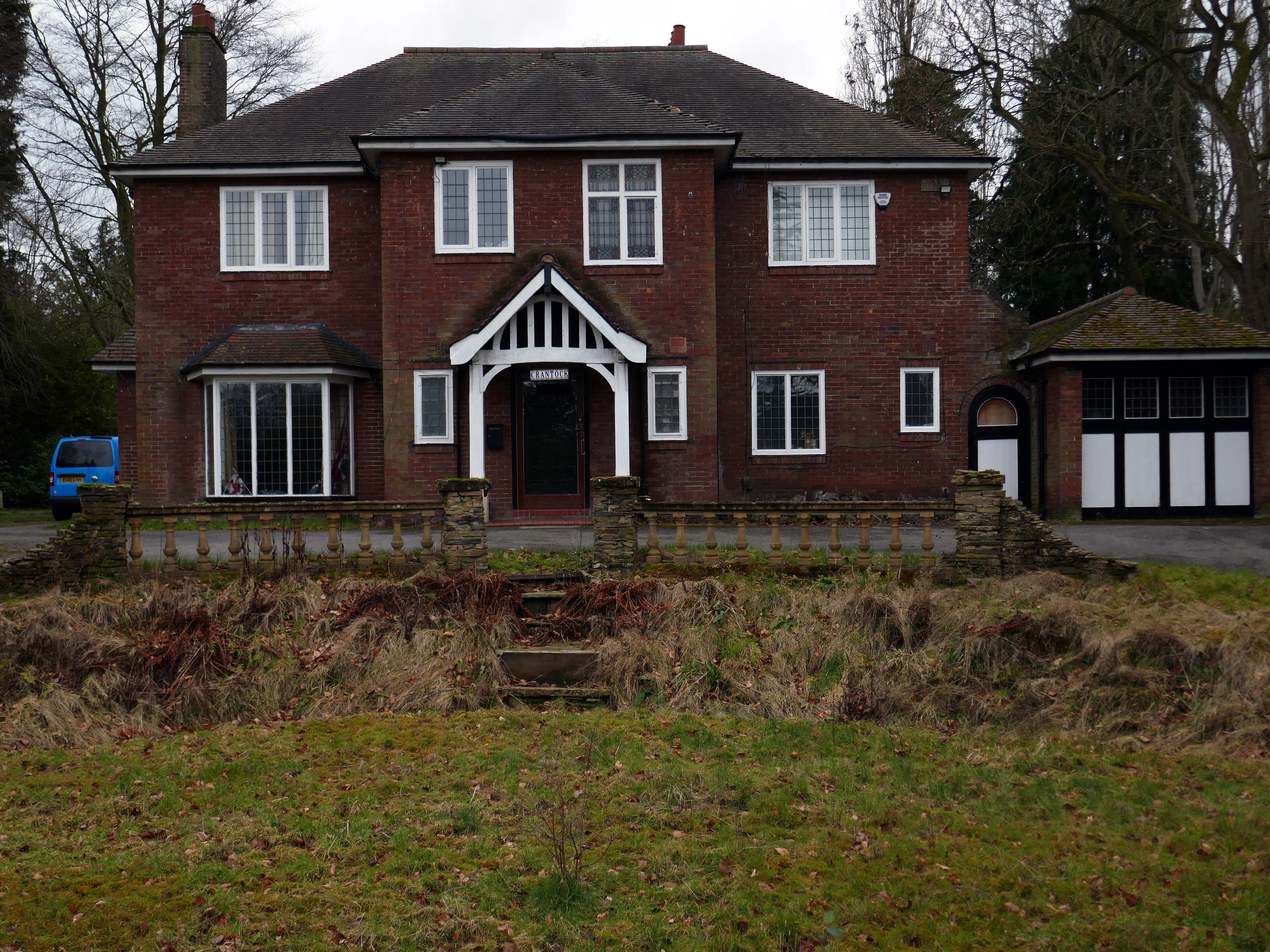
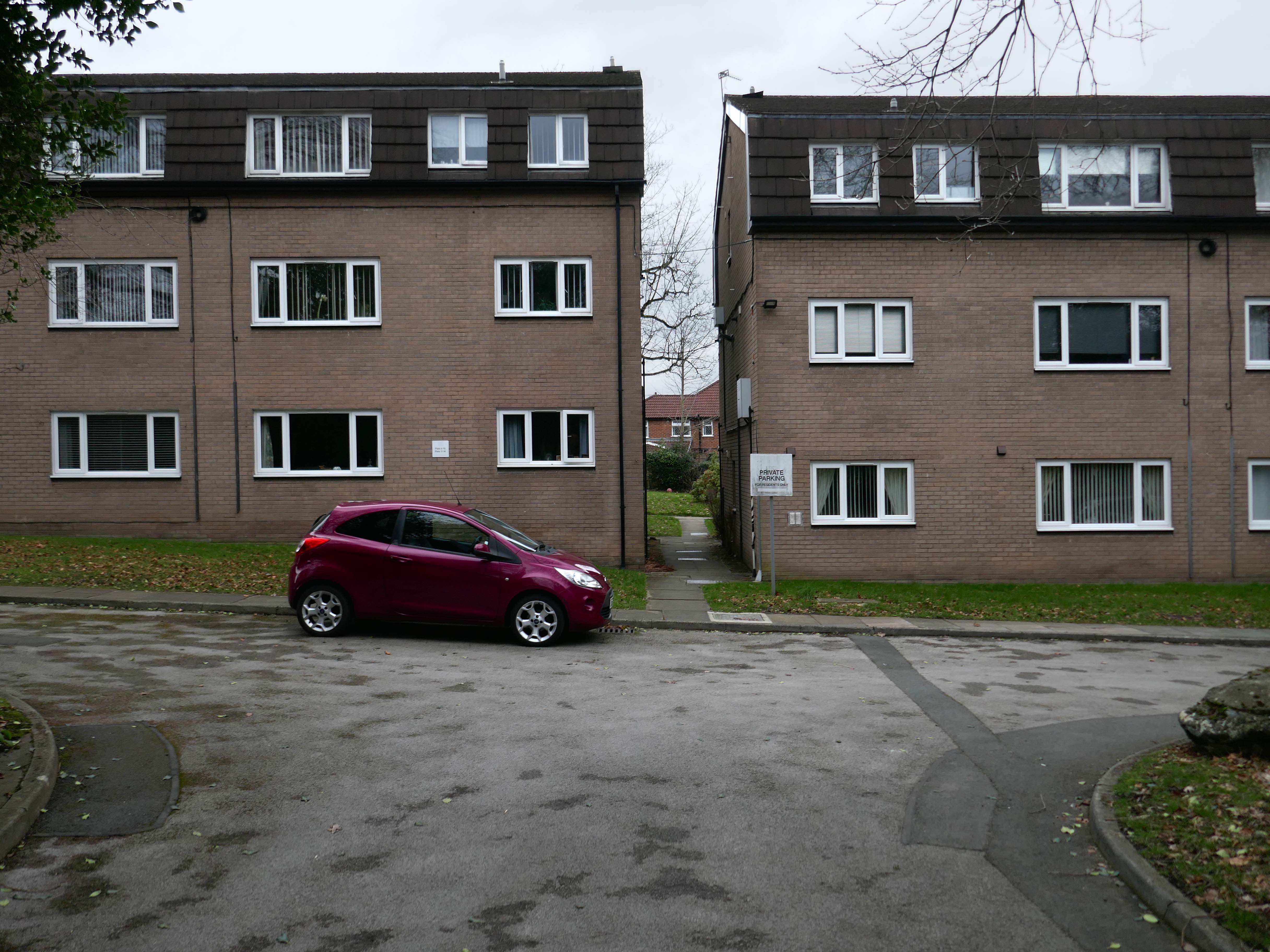
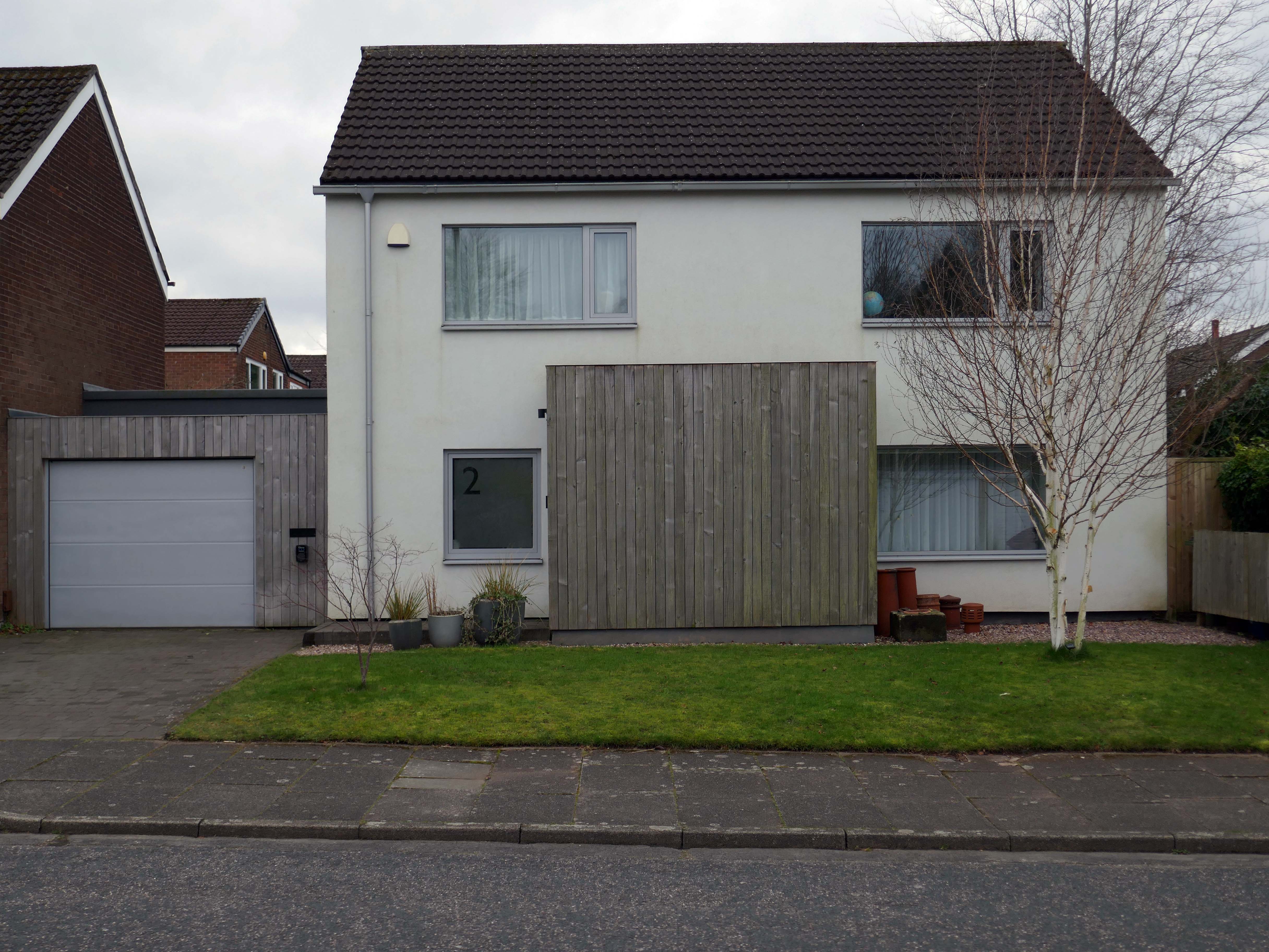
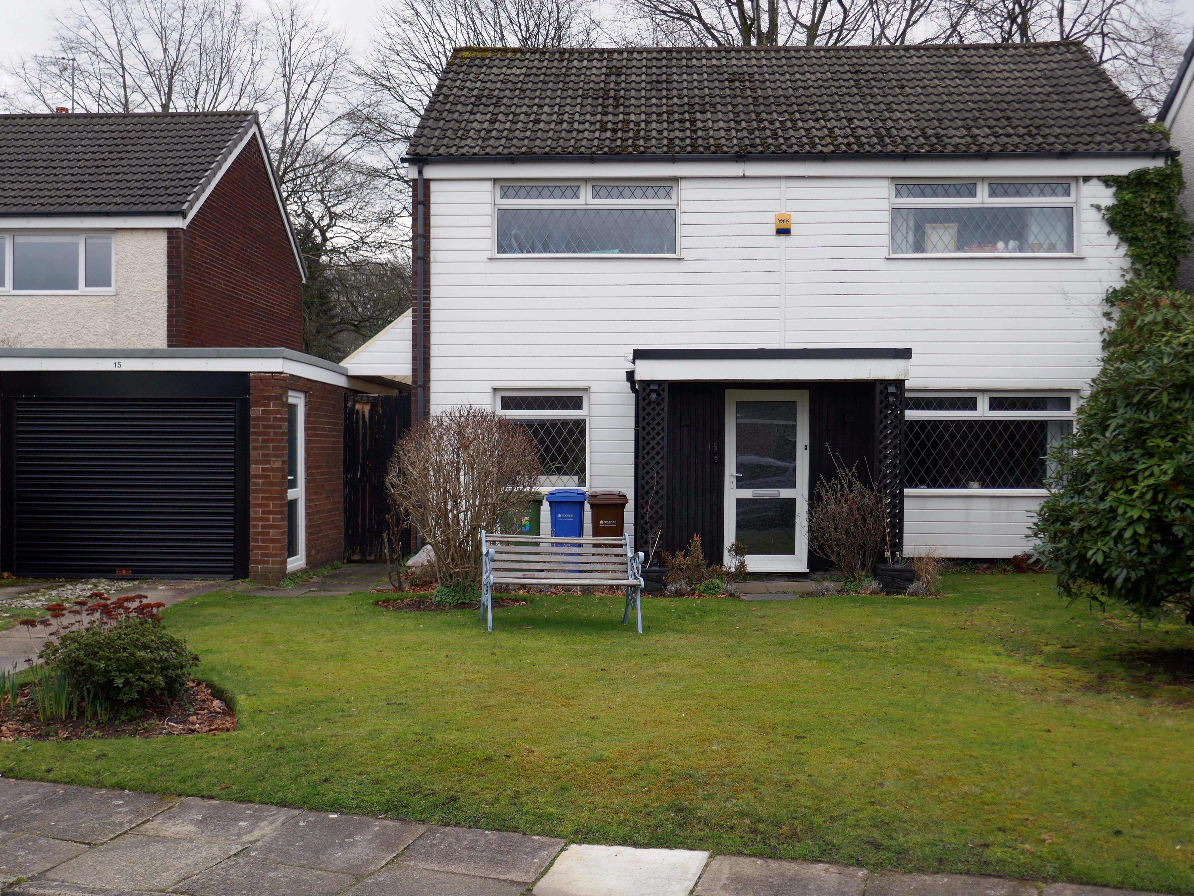
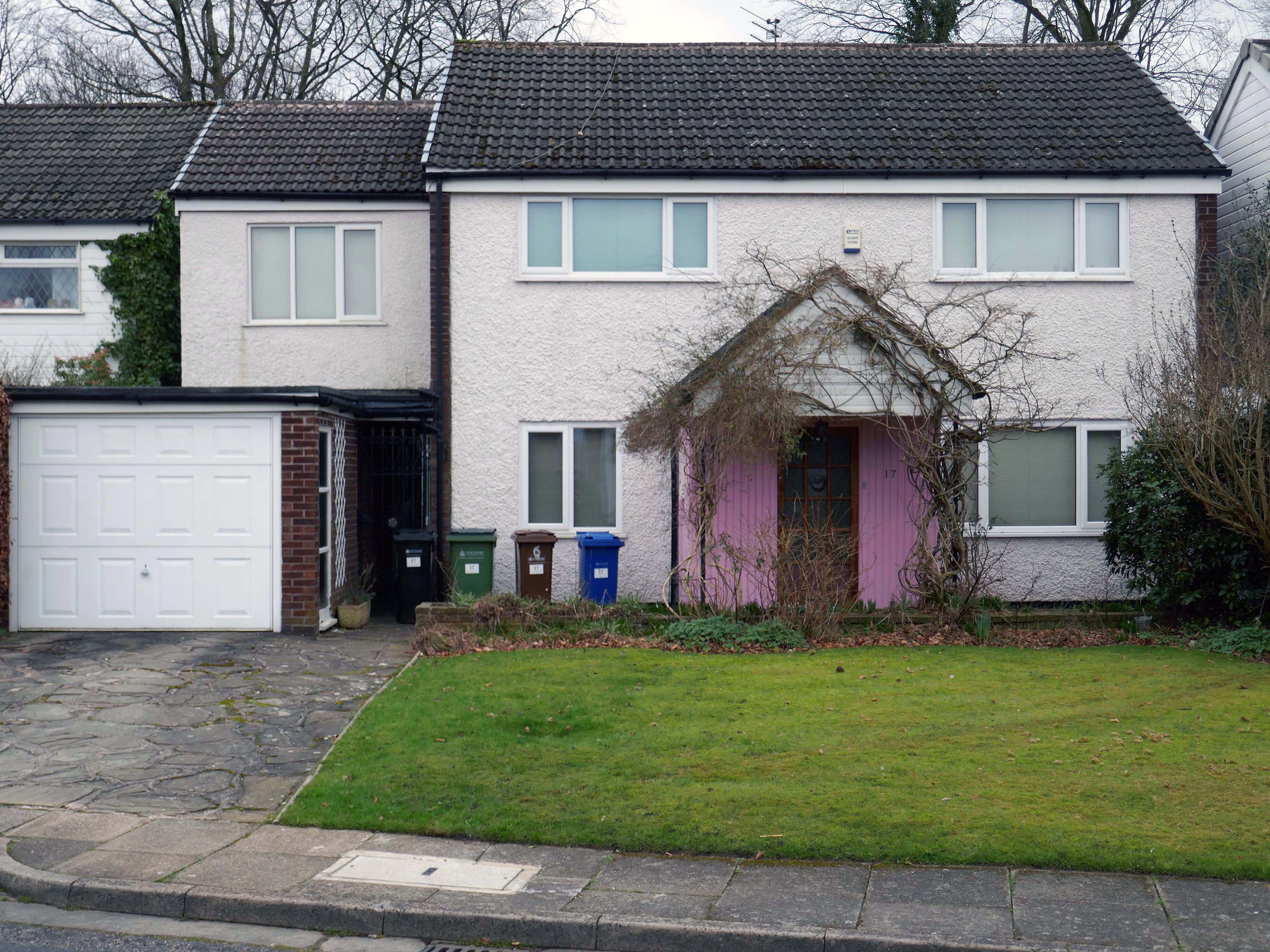
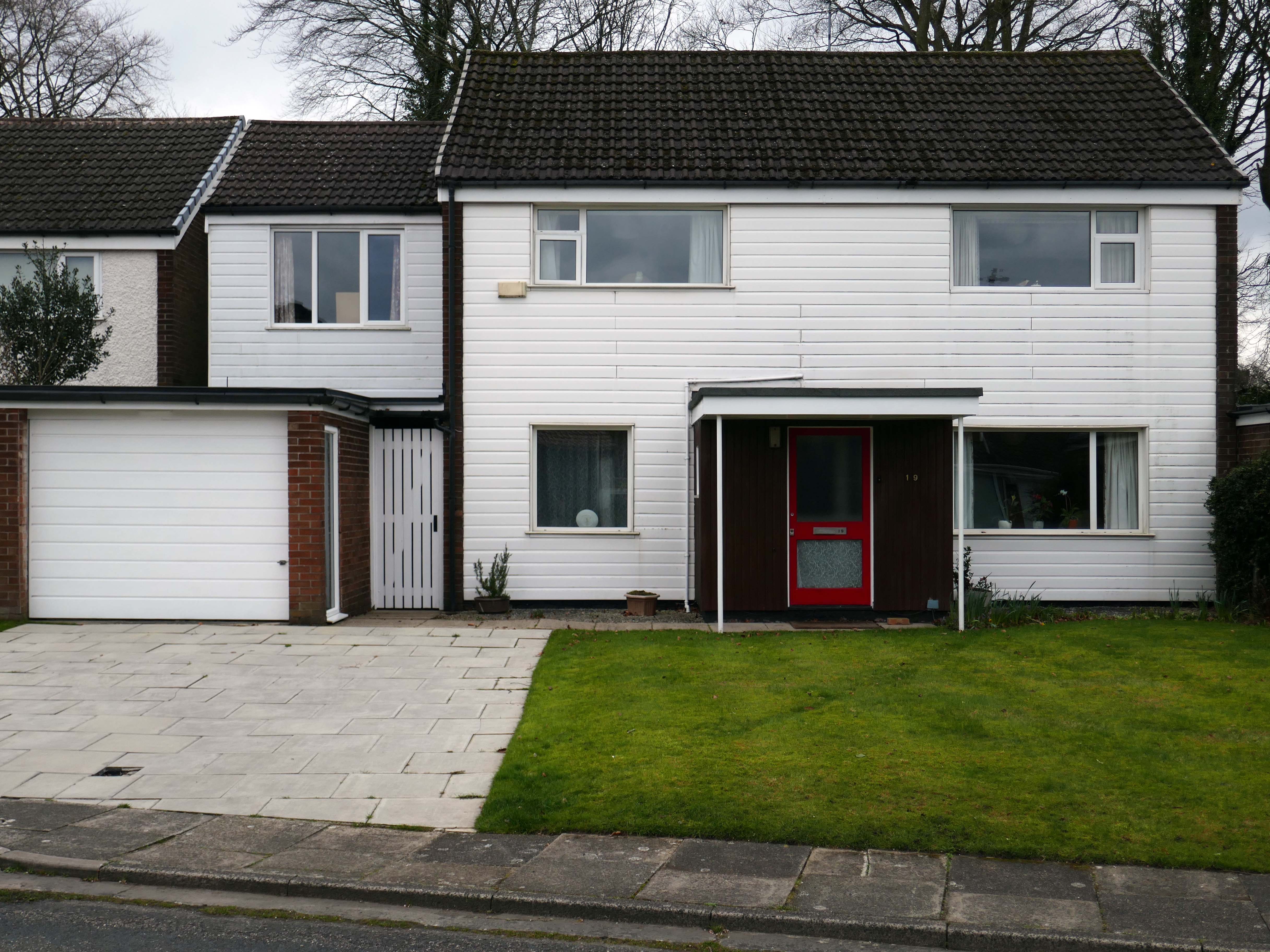
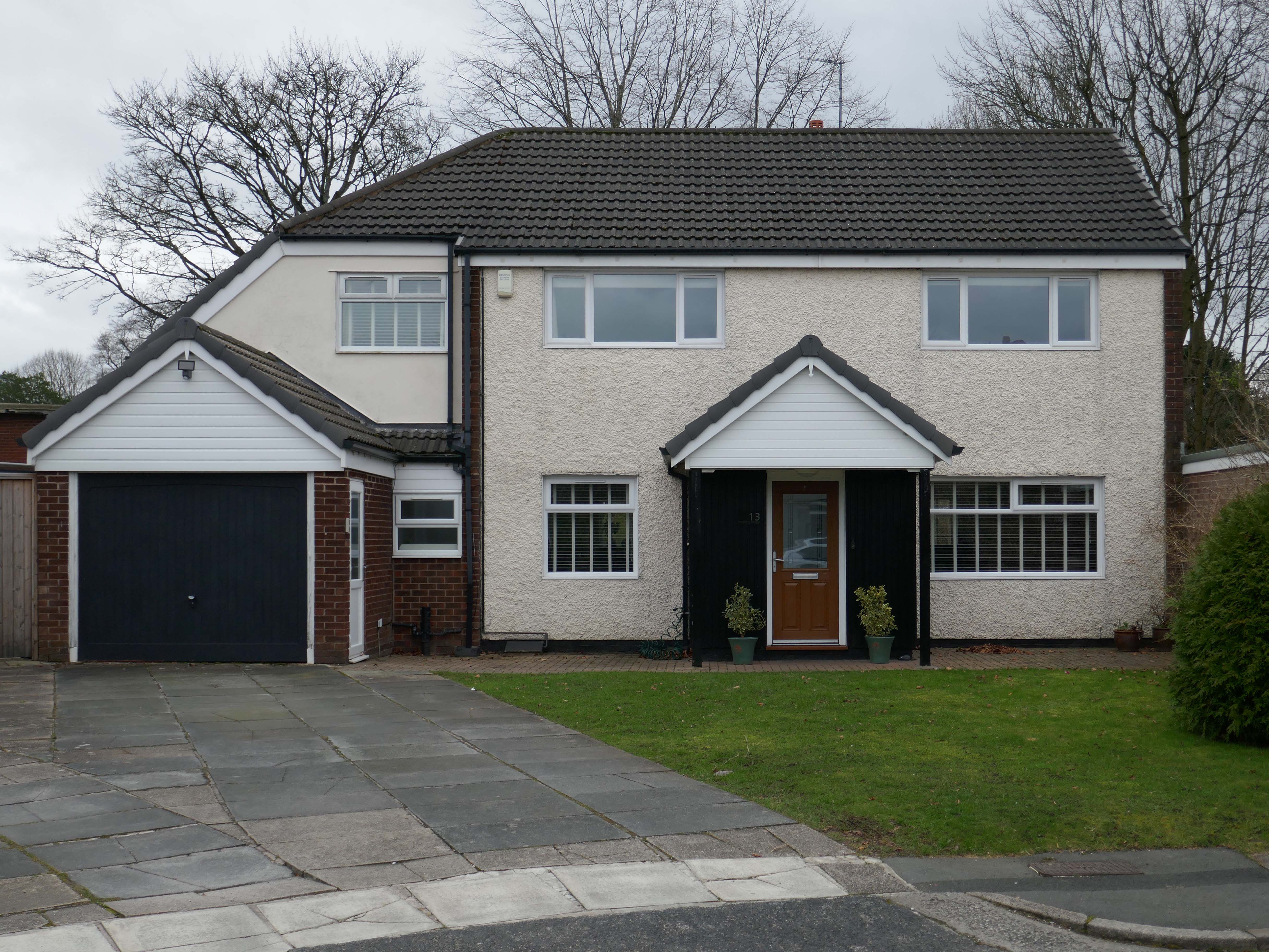
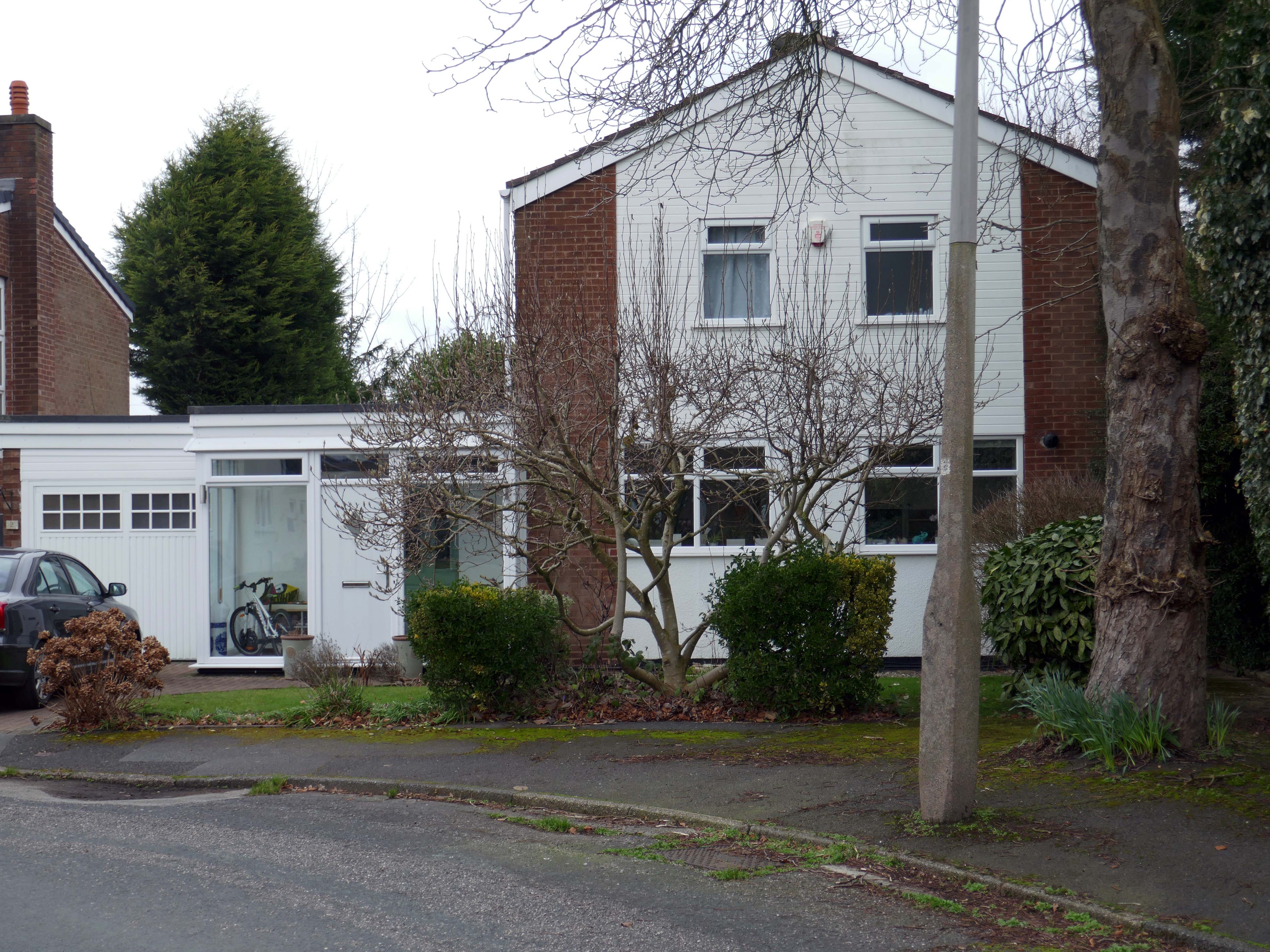
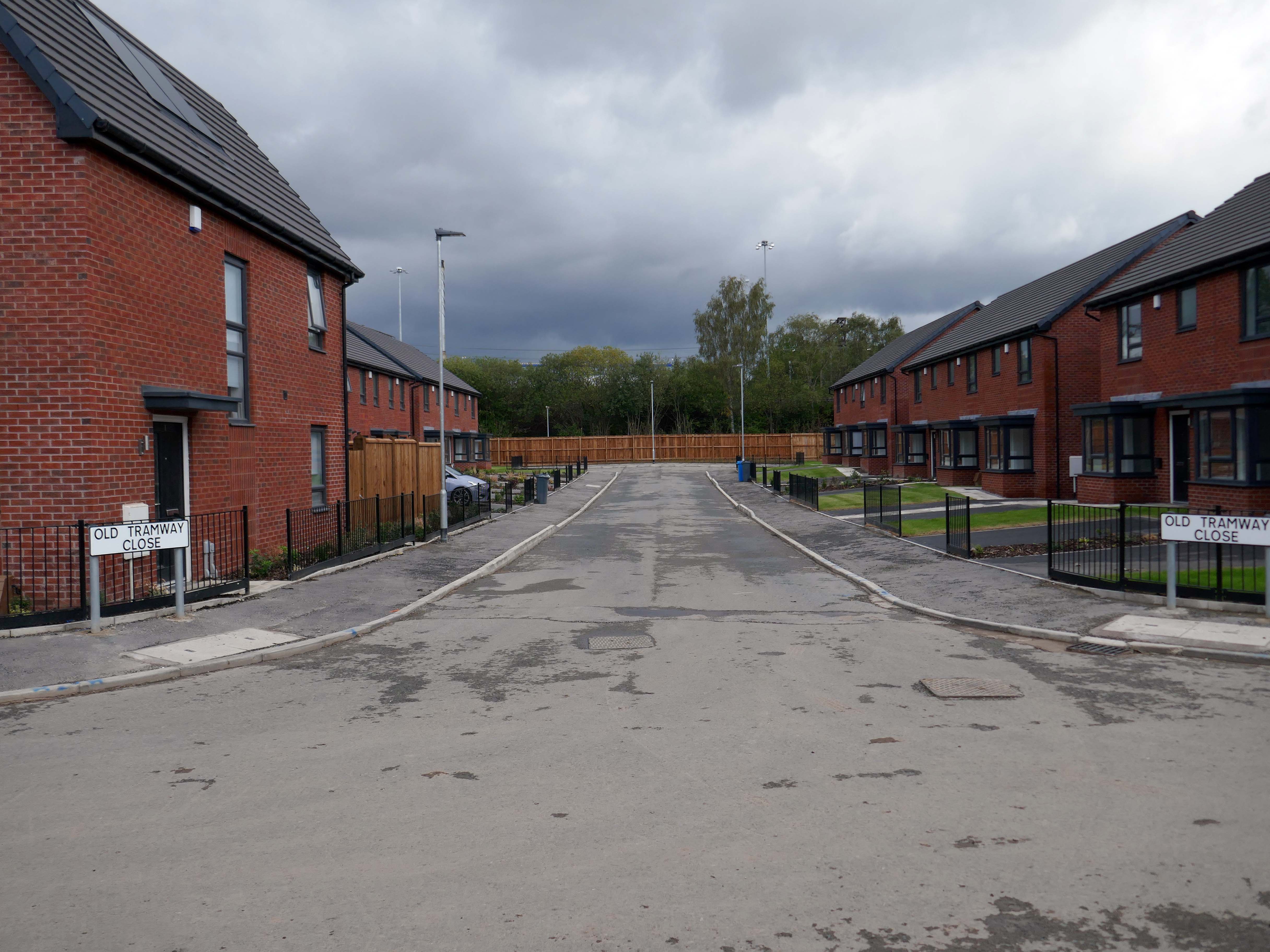
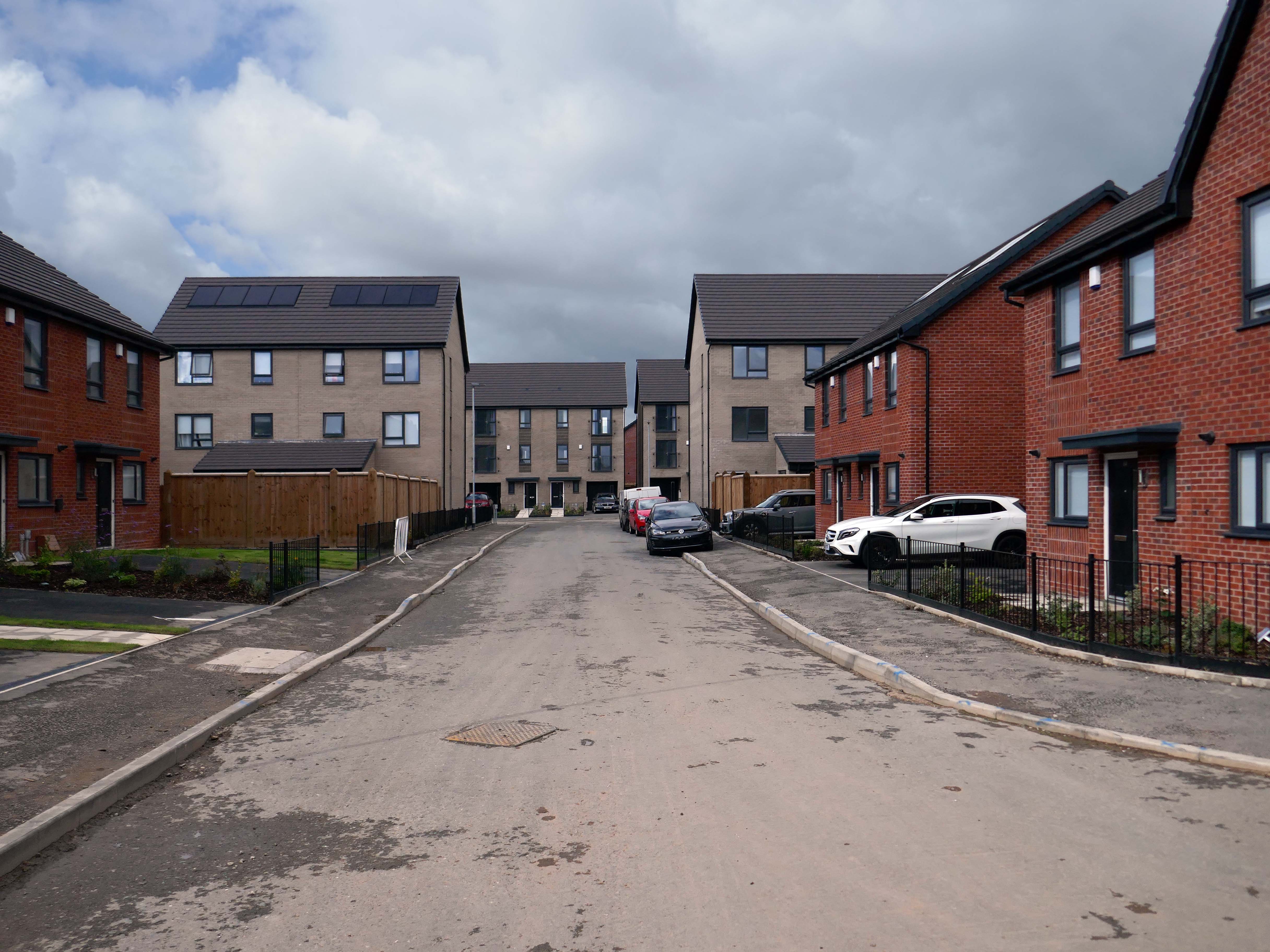
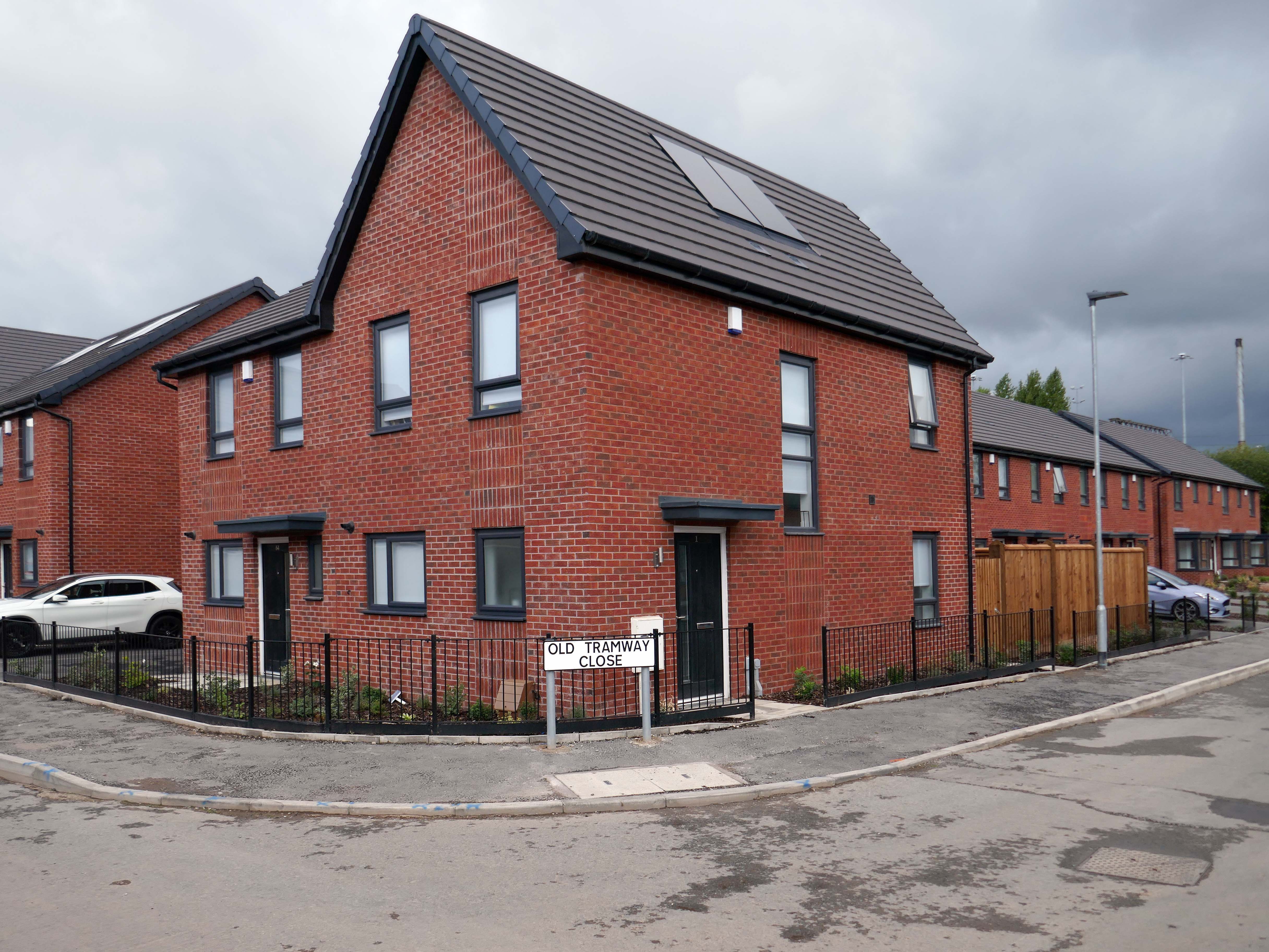
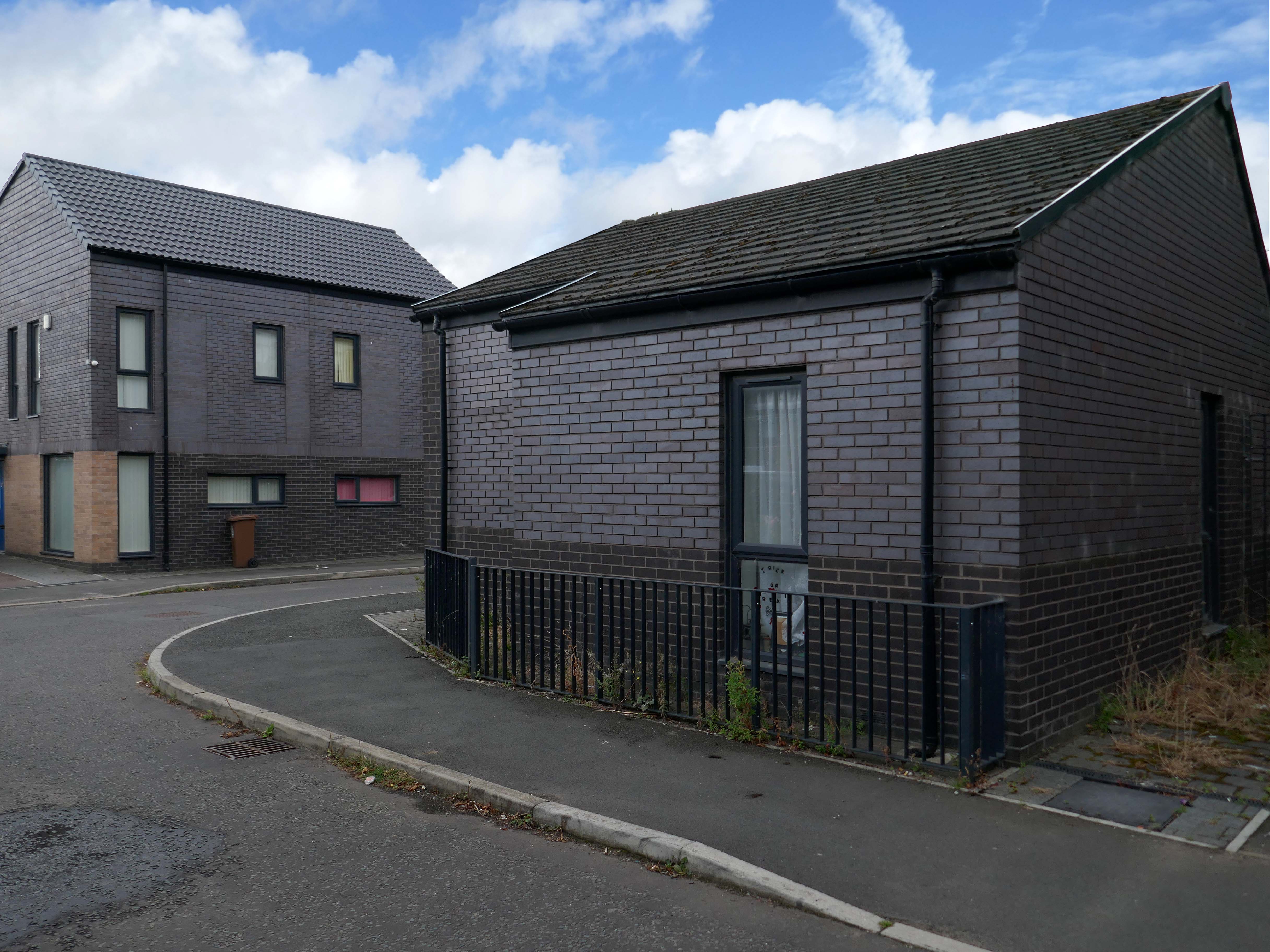
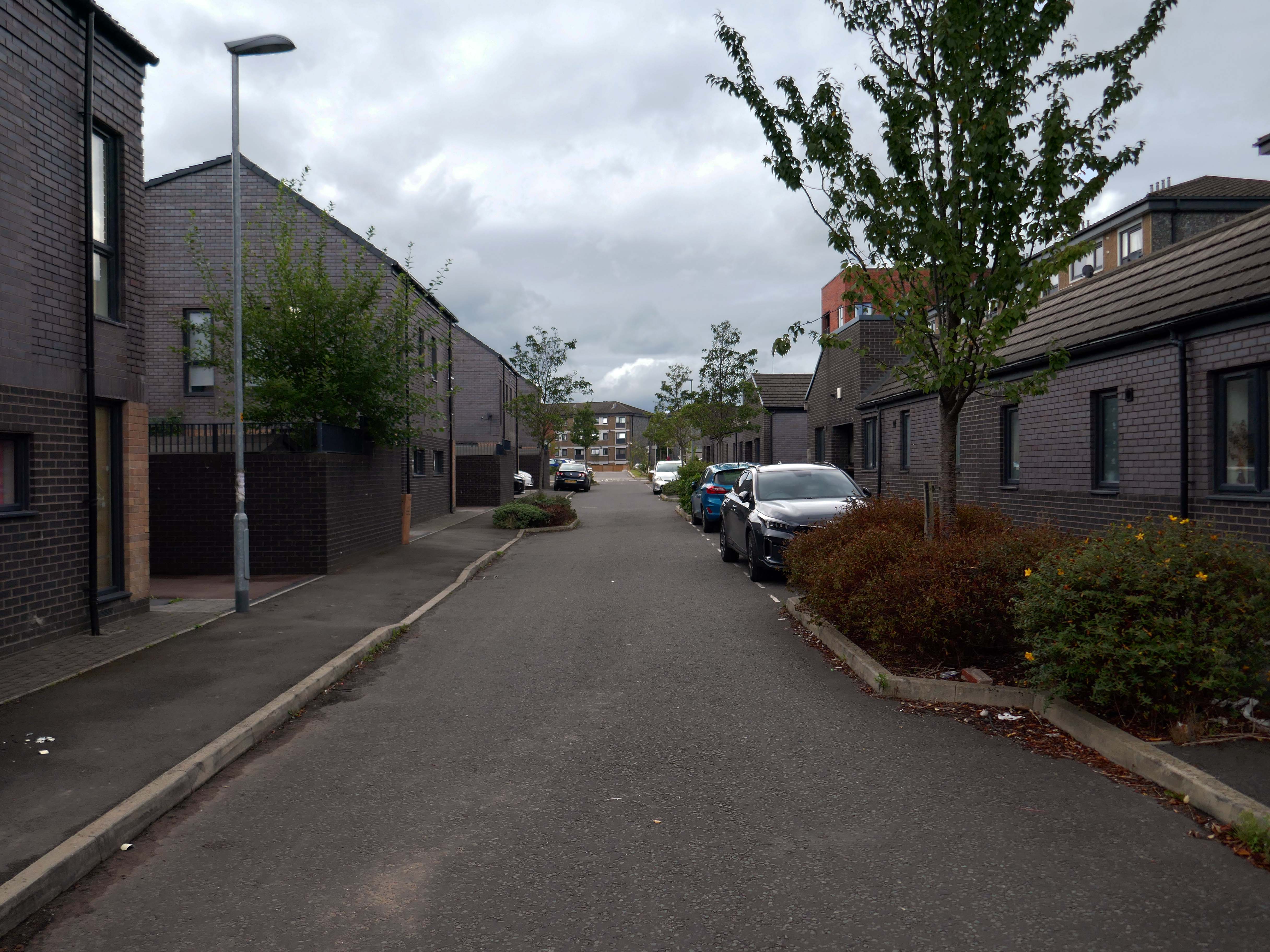
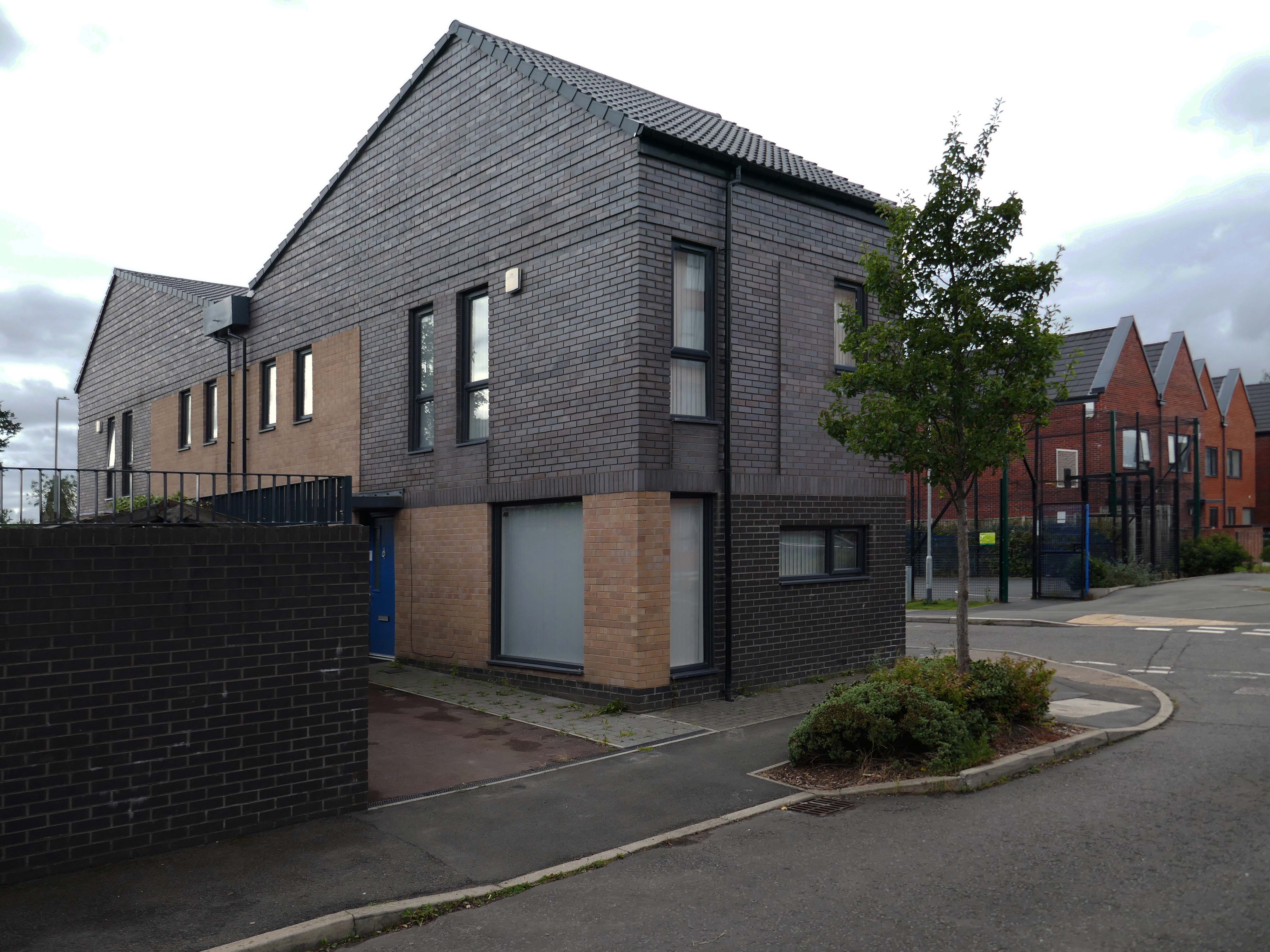
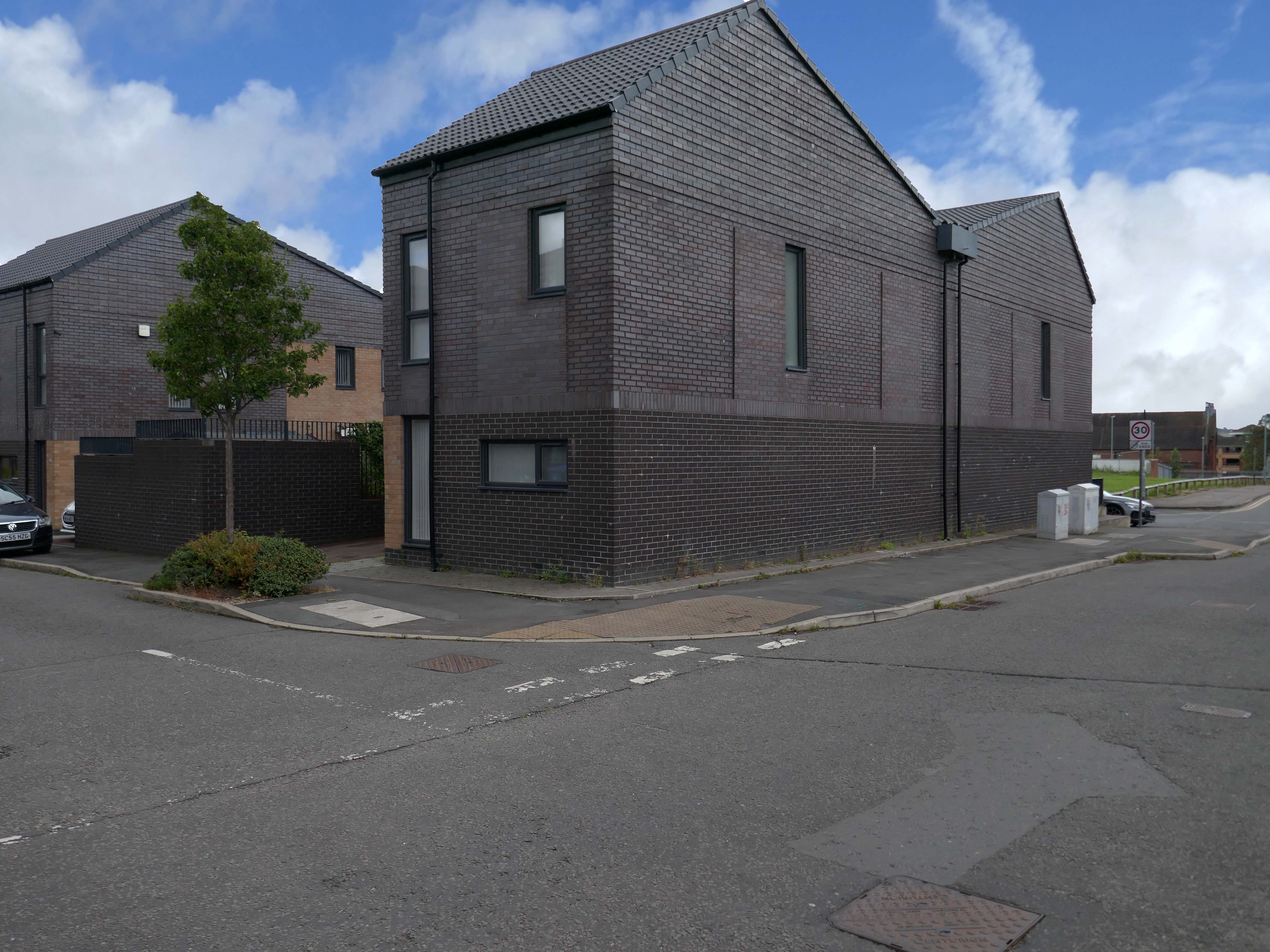
Taking in Mauldeth Road, Pinewood Close and Leegate Gardens
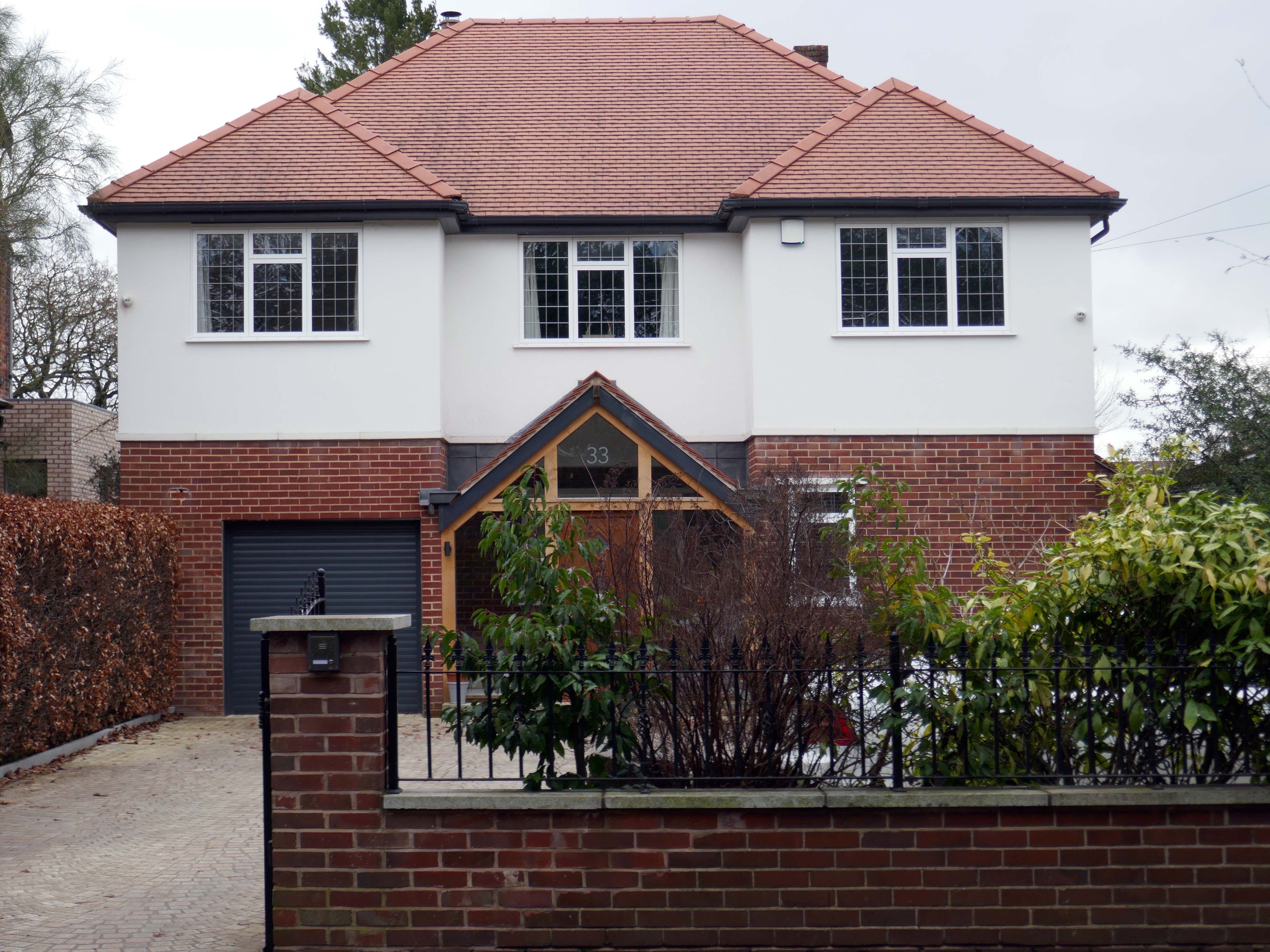
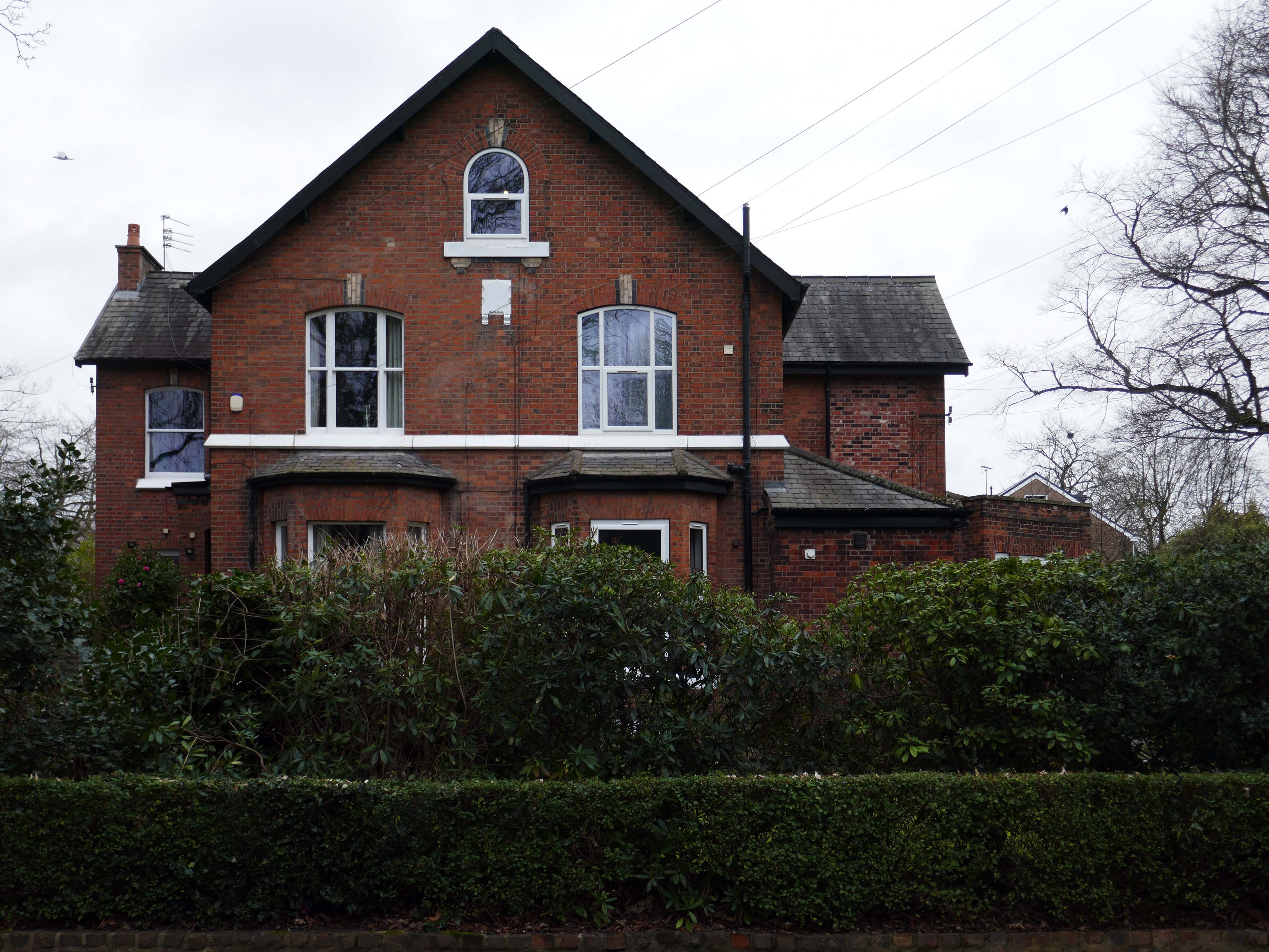
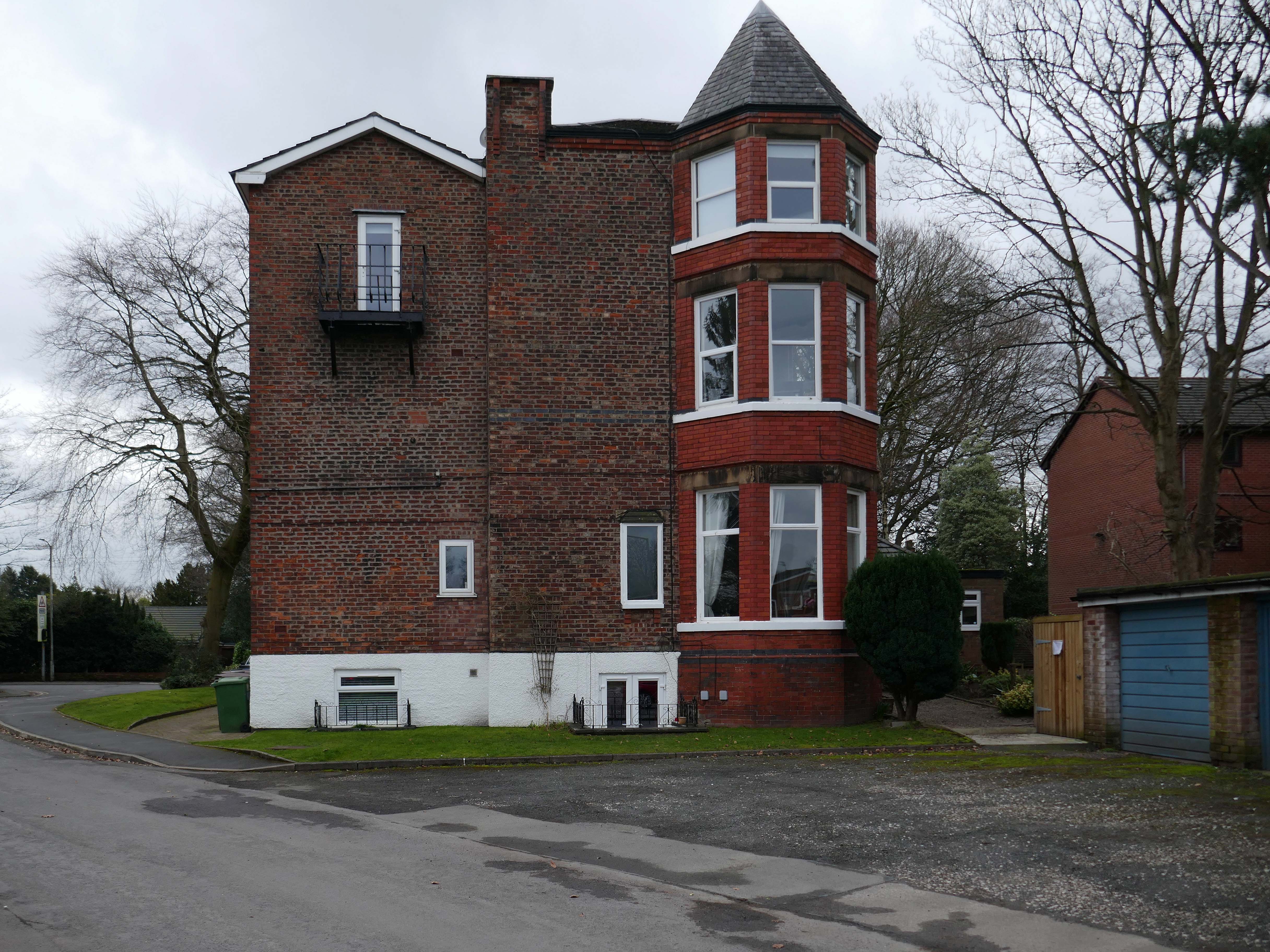
Mauldeth Road is lined with larger houses, Victorian and interwar villas, bijou apartments and the odd Modernist interloper.
Through the avenues and alleyways, home to those ever so tidy inter and postwar enclaves.
Where a mans gotta work out which side he’s on Any way he chooses Chances are he loses No one gets to live too long
Though in my experience the converse is true, this is a mature community gently maturing, on the inside of everything.
Hiding what may possibly be hidden behind the hedge, though the privacy of privet is in retreat, replaced by bay, birch, holly and the extremely hardy laurel.
The left hand house has purposefully retained the original Crittall Windows.
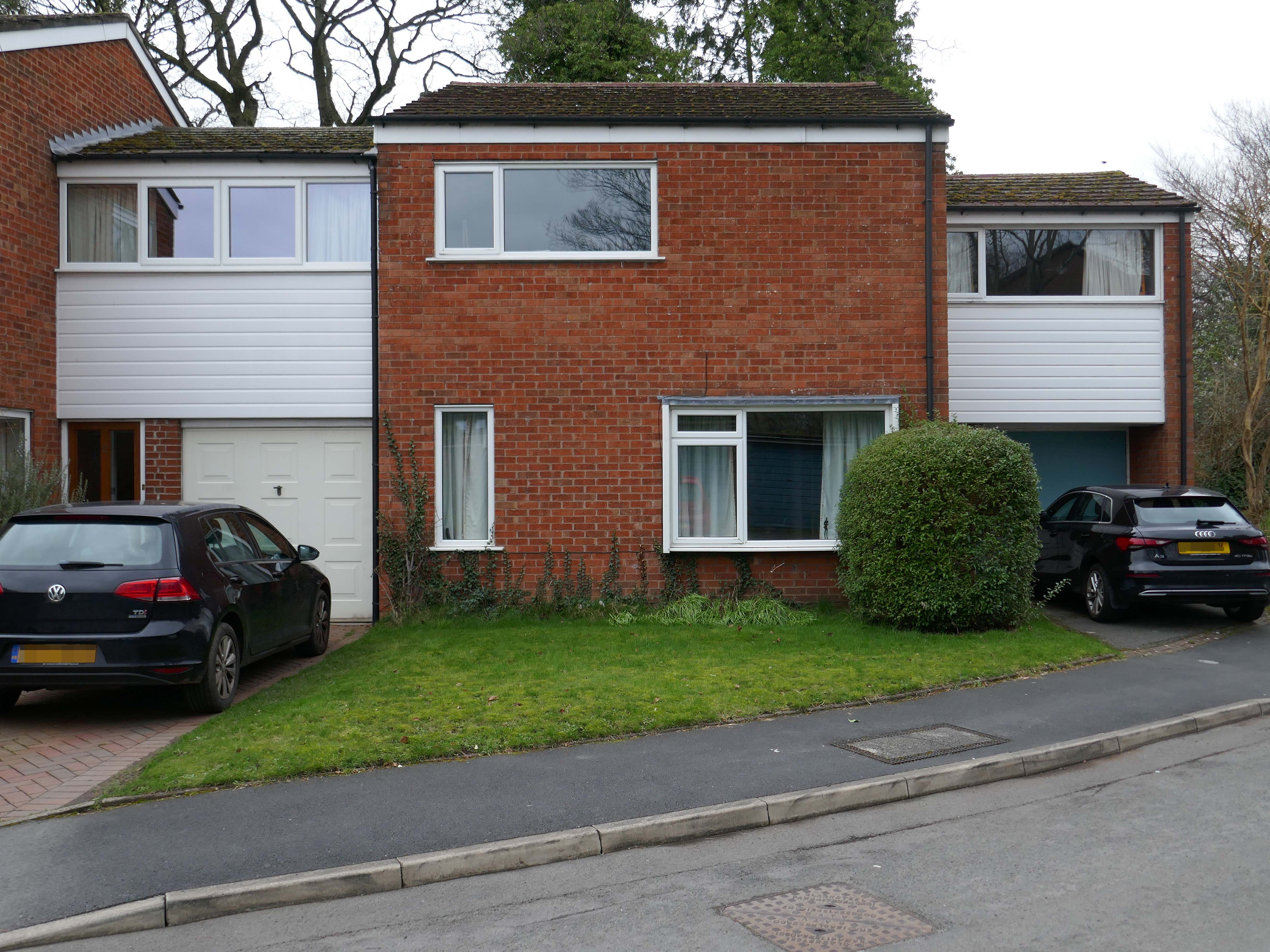
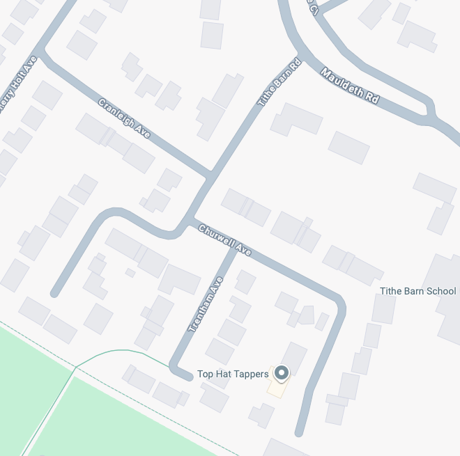
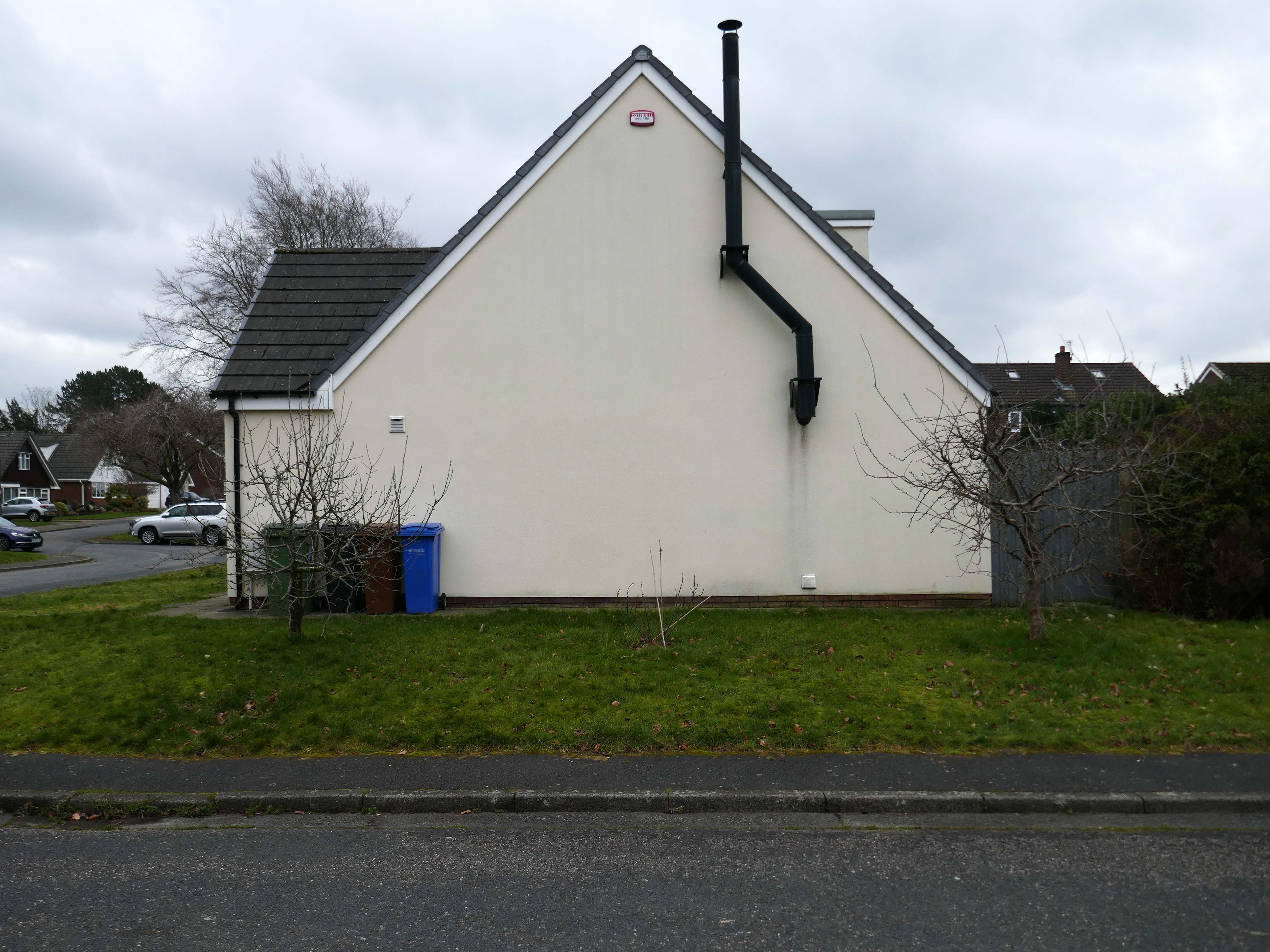
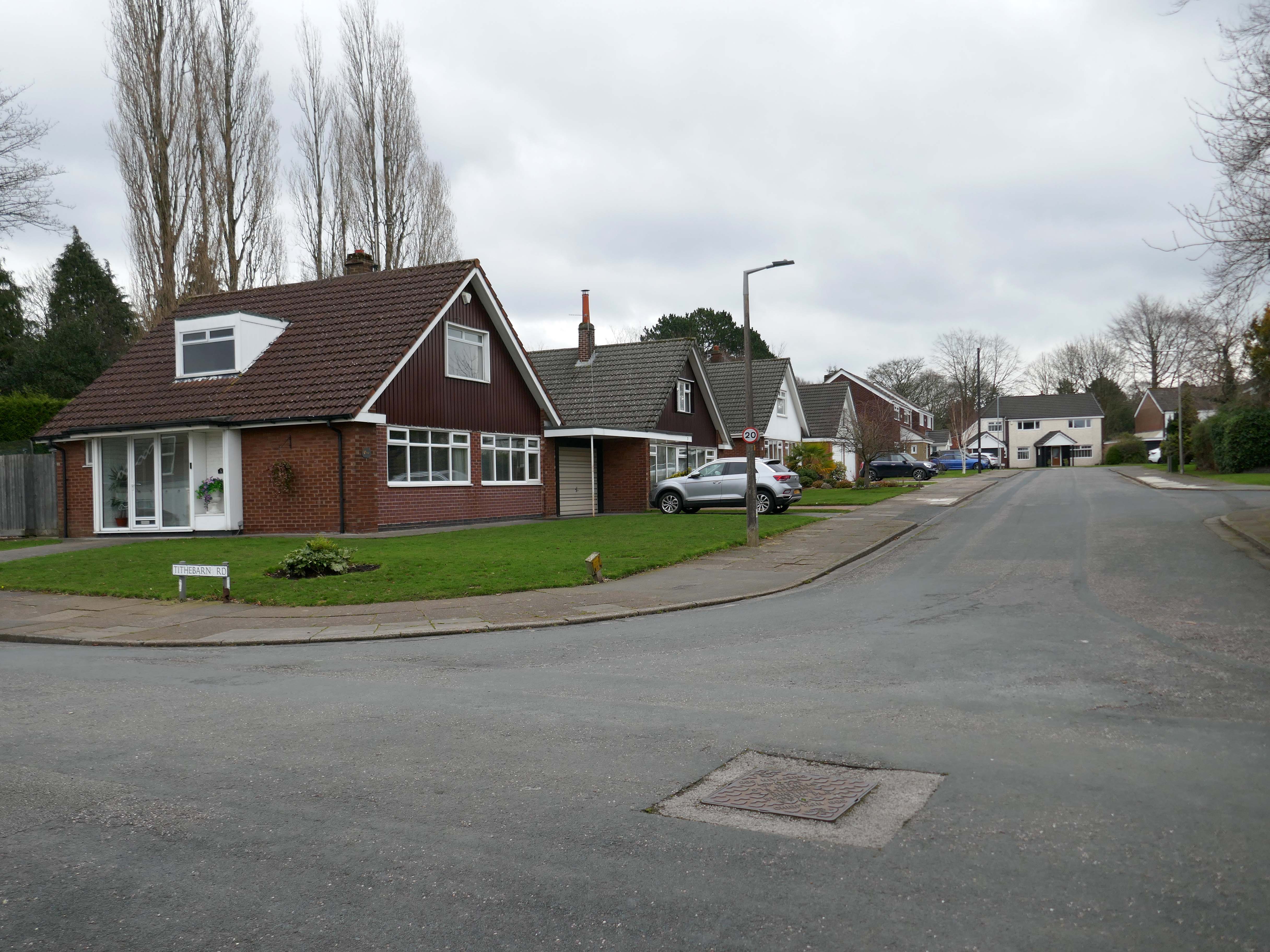
High above the streets of Stockport – zooming in to a cluster of cul de sacs branching out from Tithe Barn Road.
Cul de sac translates as bottom of the bag, the French do not use the term, preferring voie sans issue, literally a dead end.
In the slums of New York City, on the East River just below the Queensboro Bridge, wealthy people live in opulent and luxurious apartments because of the picturesque views of the river, while the destitute and poor live nearby in crowded, cockroach-infested tenements.
I assume that countless civic meetings and Estate Agents’ offices eschew the terminal term – dead end, in favour of the assumed elegance of the cu de sac.
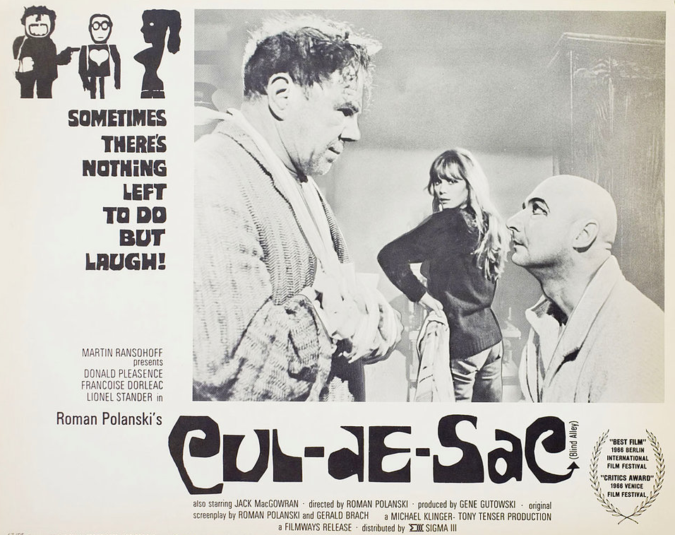
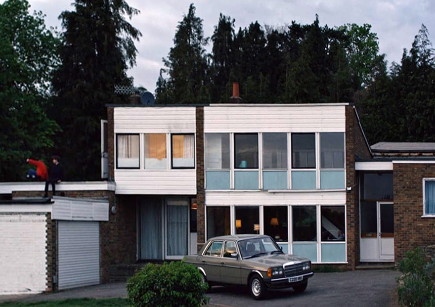
Polanski’s second English-language feature, it follows two injured gangsters who take refuge in the remote island castle of a young British couple in the North of England, spurring a series of mind games and violent altercations.
I was informed by a local resident that the streets and houses had been used by film crews, firstly for ease of access, the location being closed off, and secondly as the period architecture aligns perfectly with the current penchant for mid-century styling.
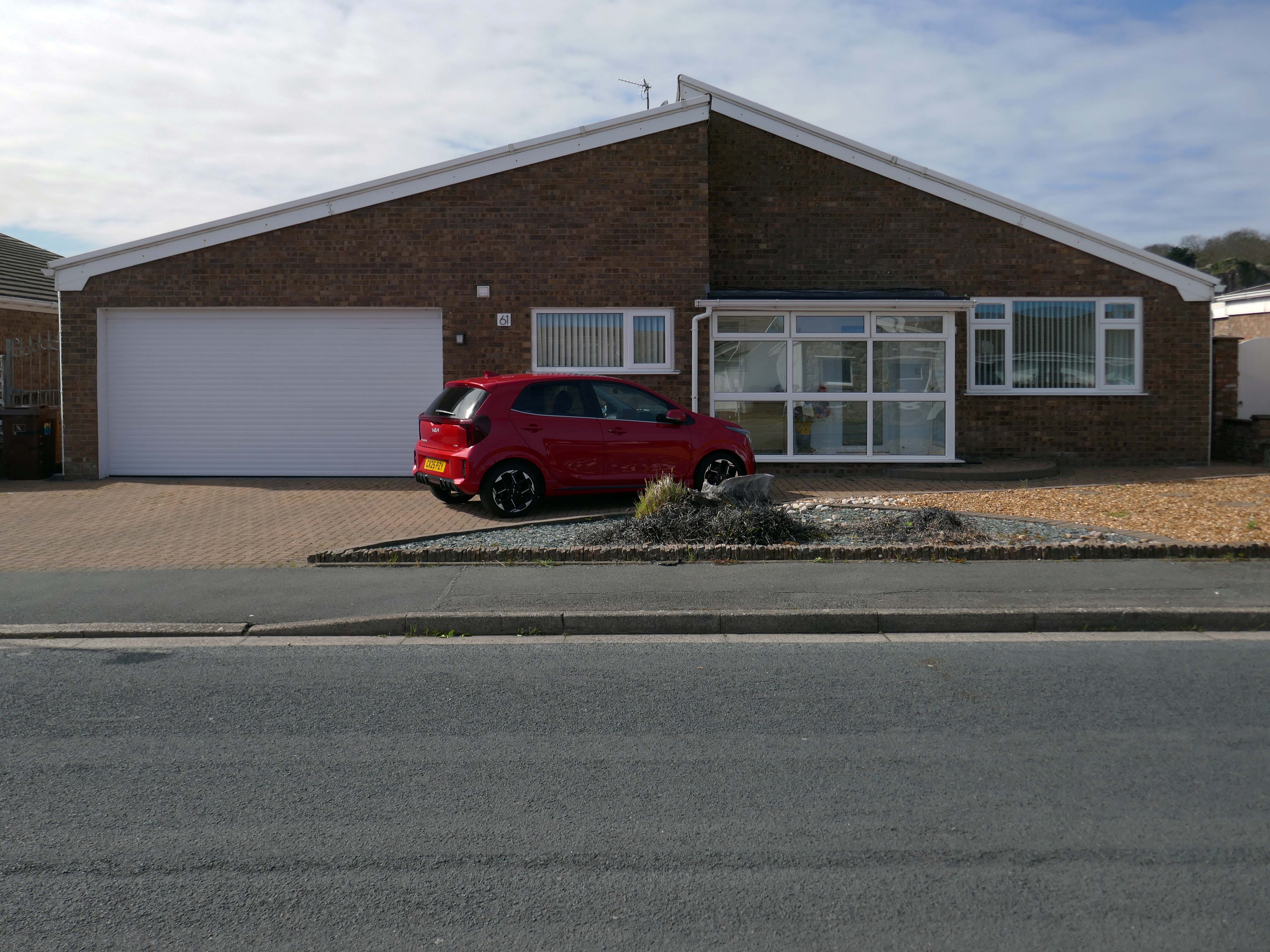
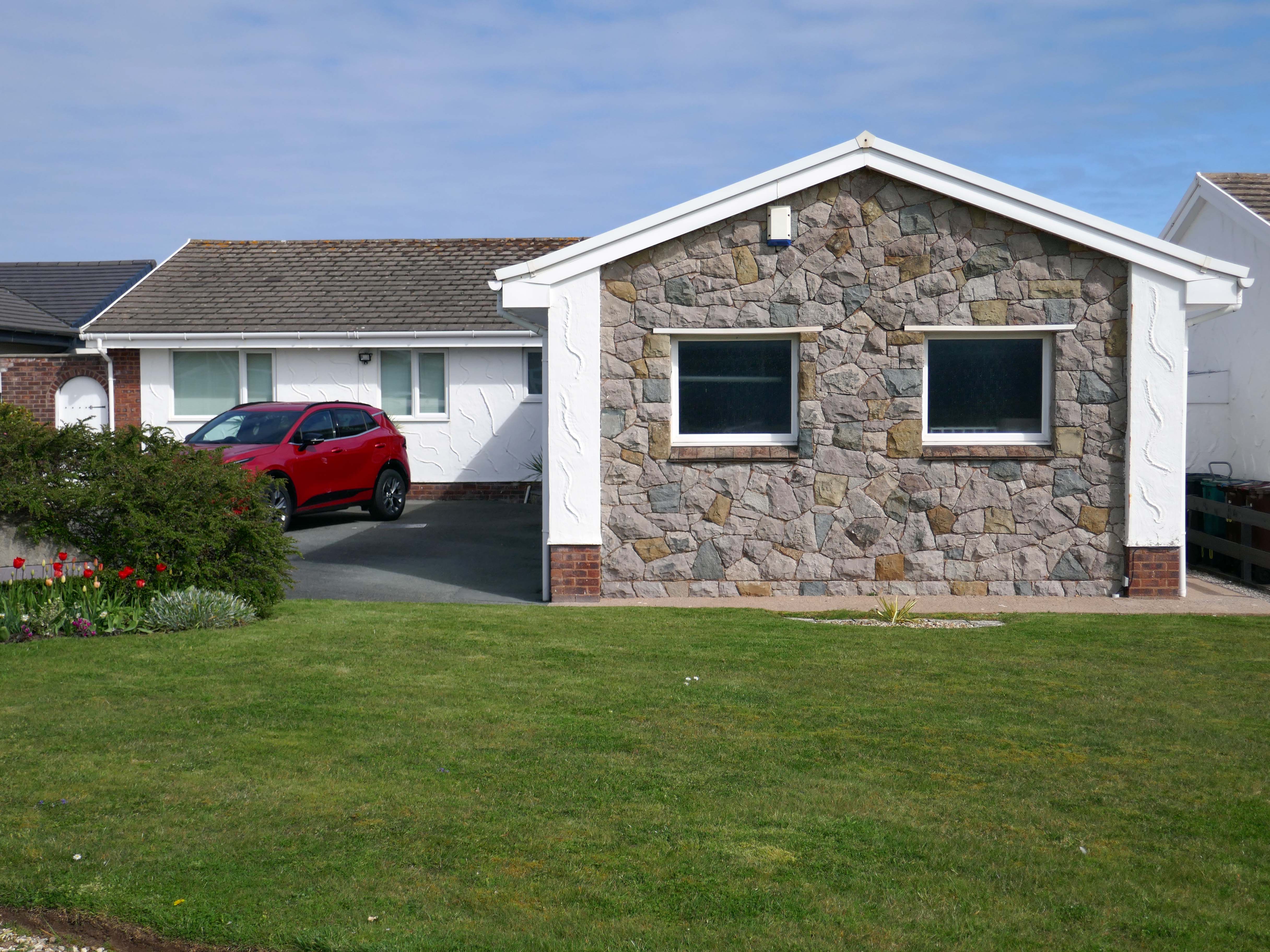
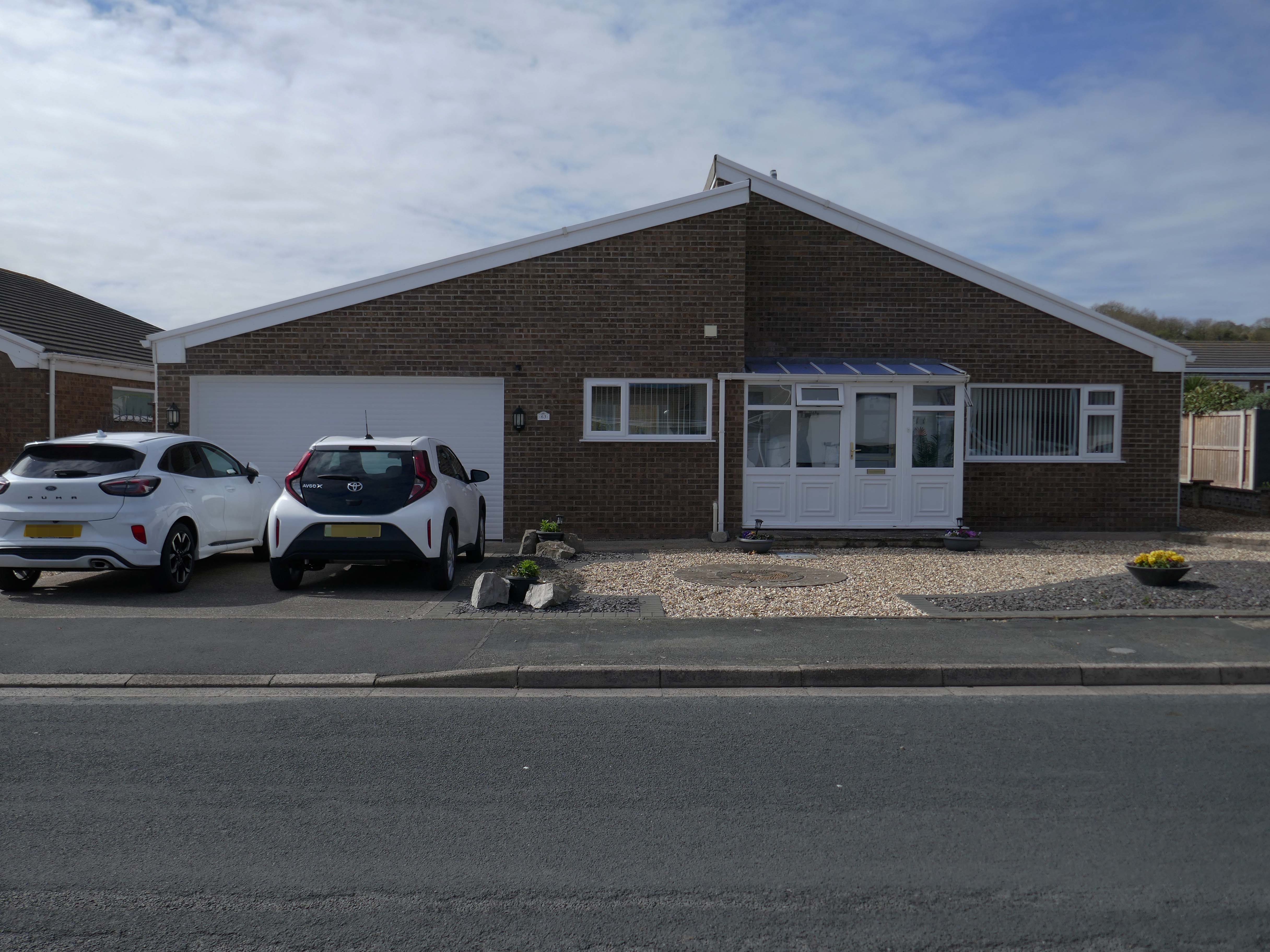
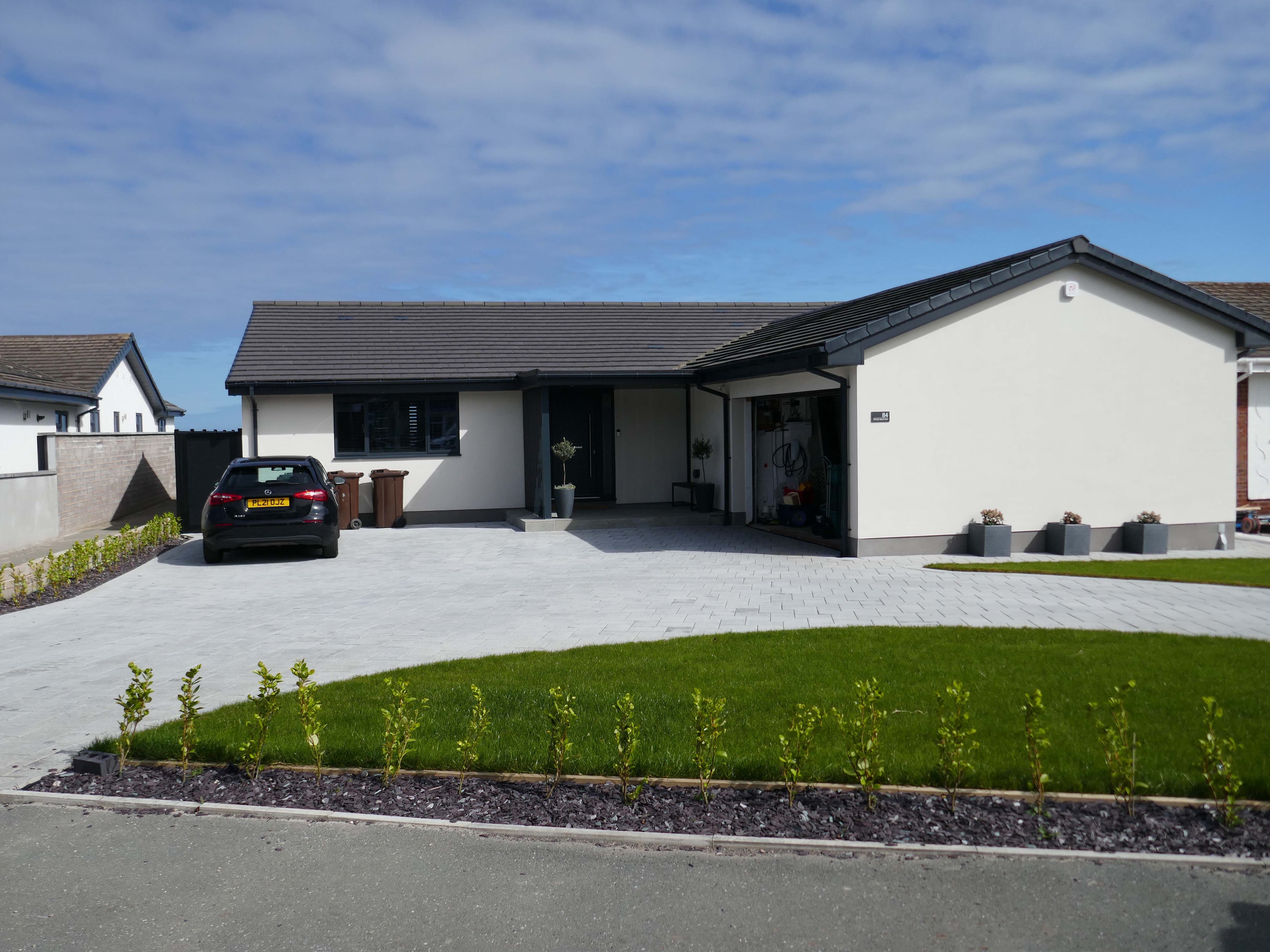
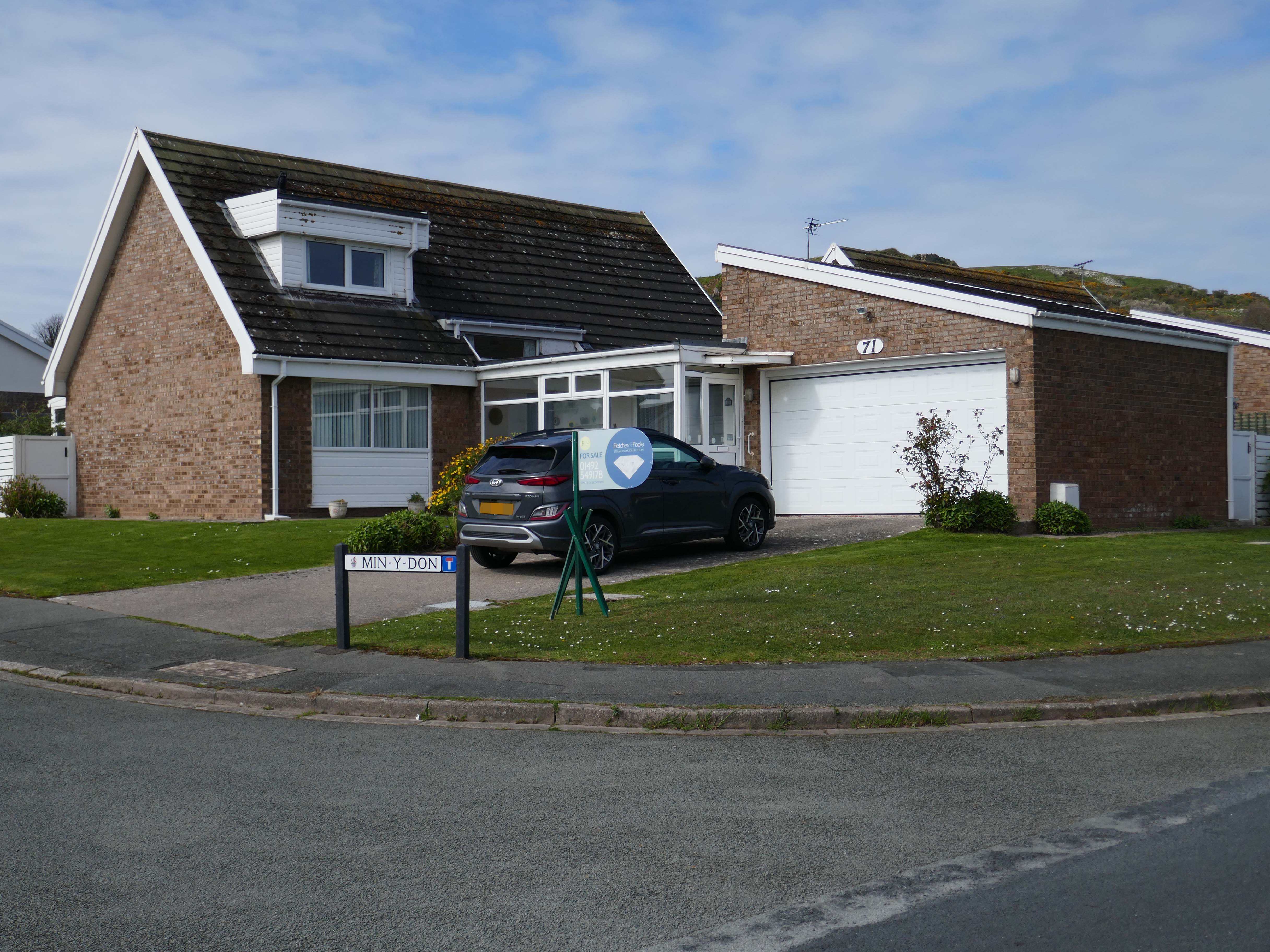
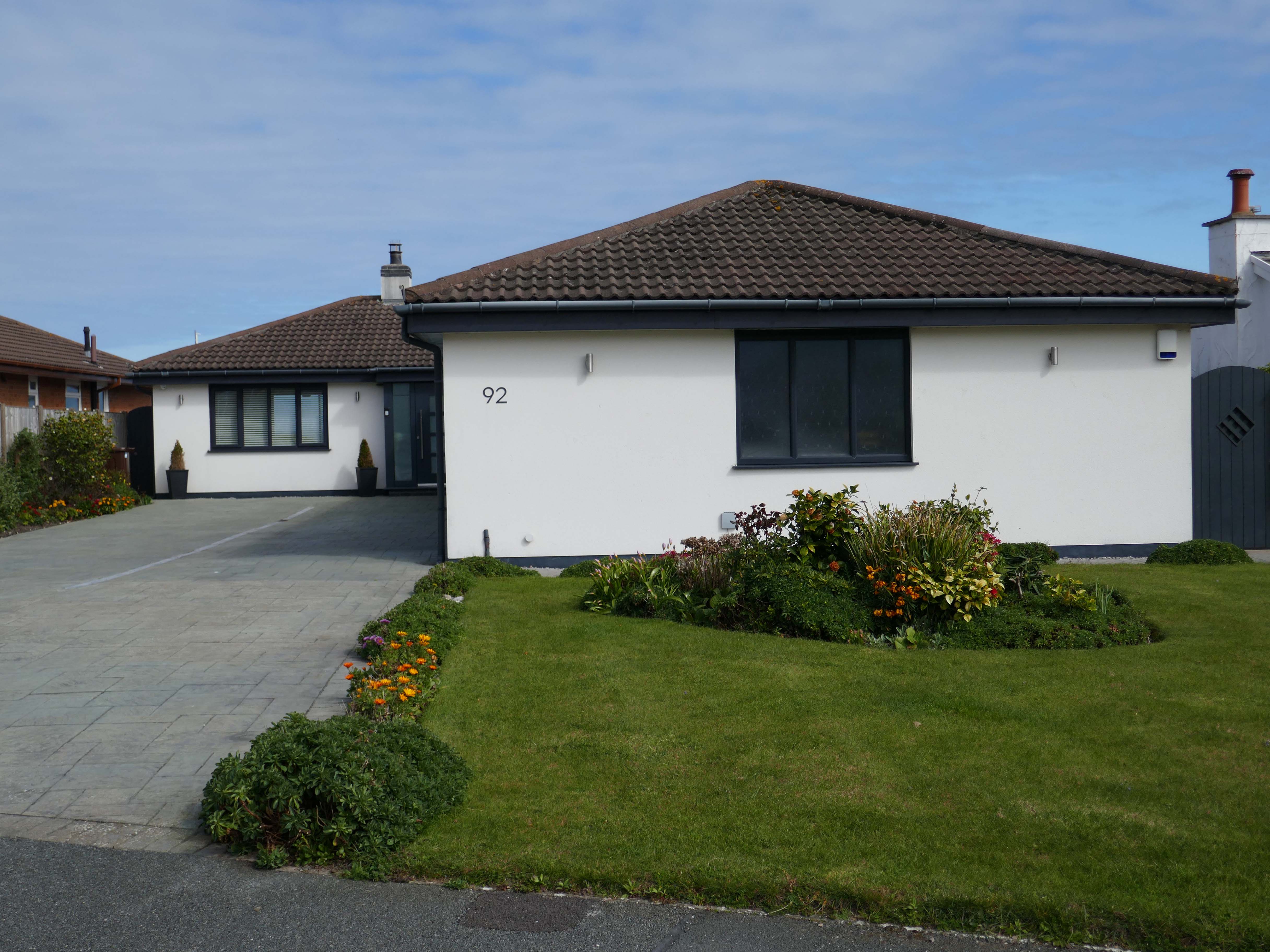
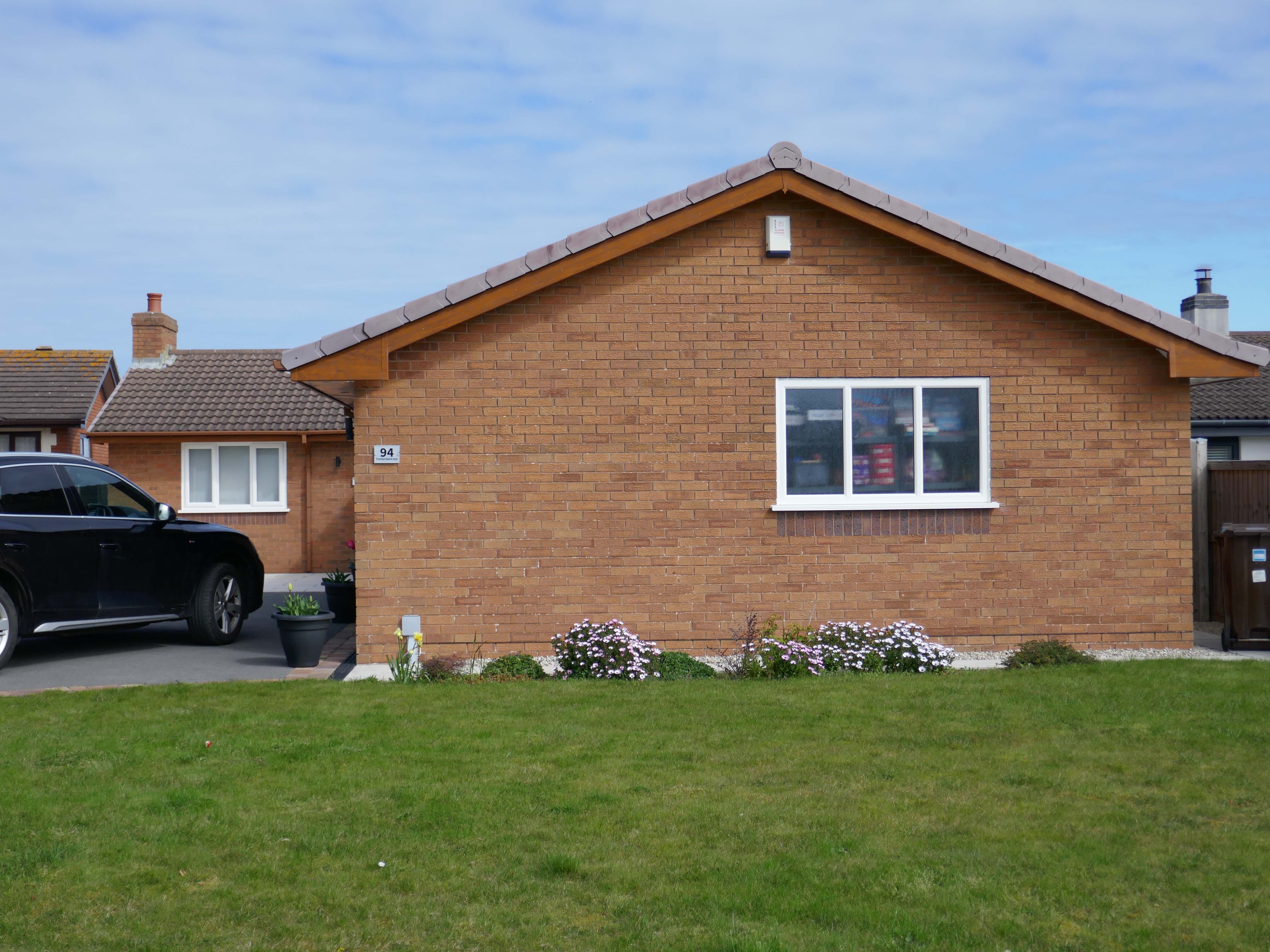
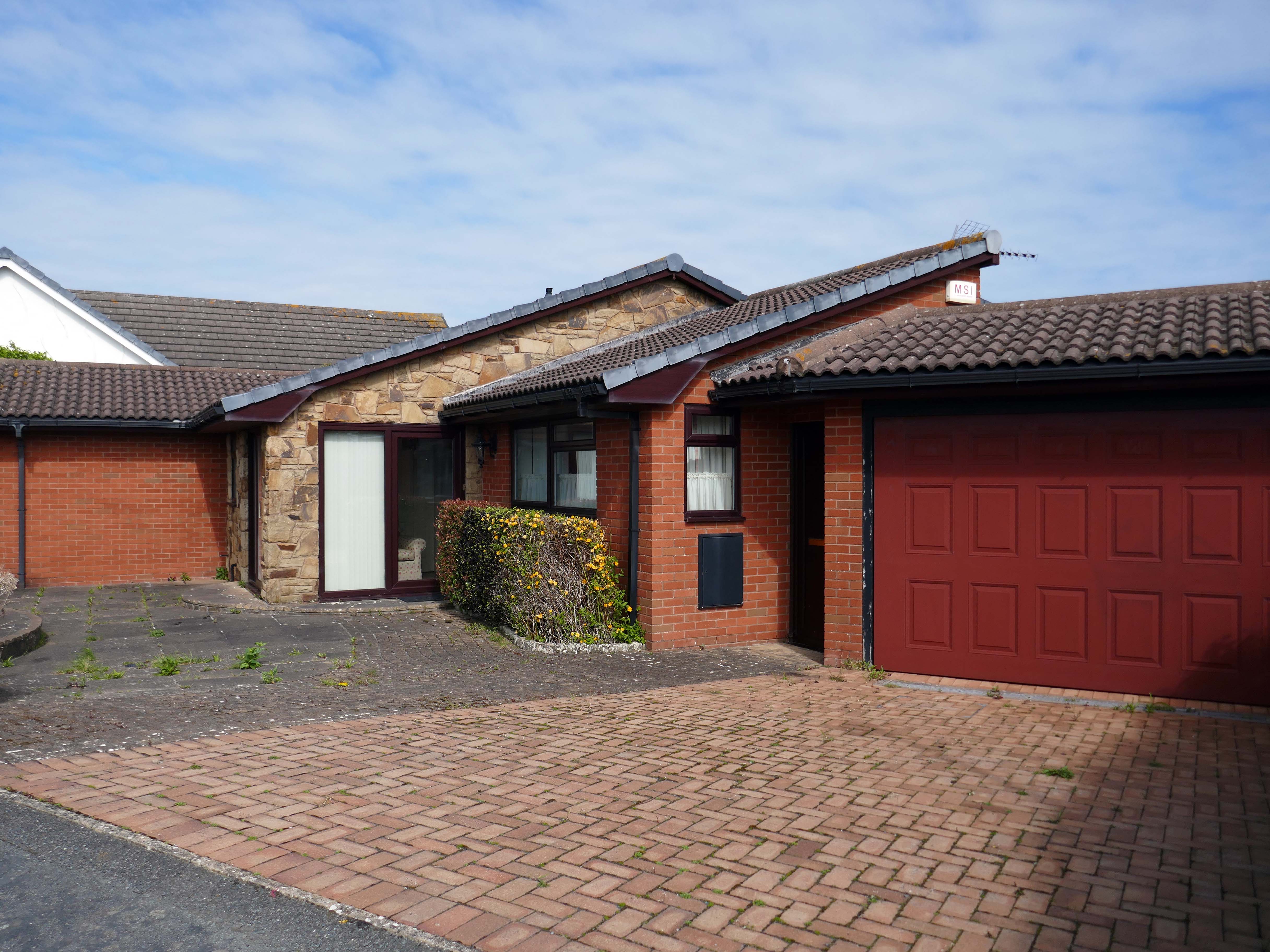
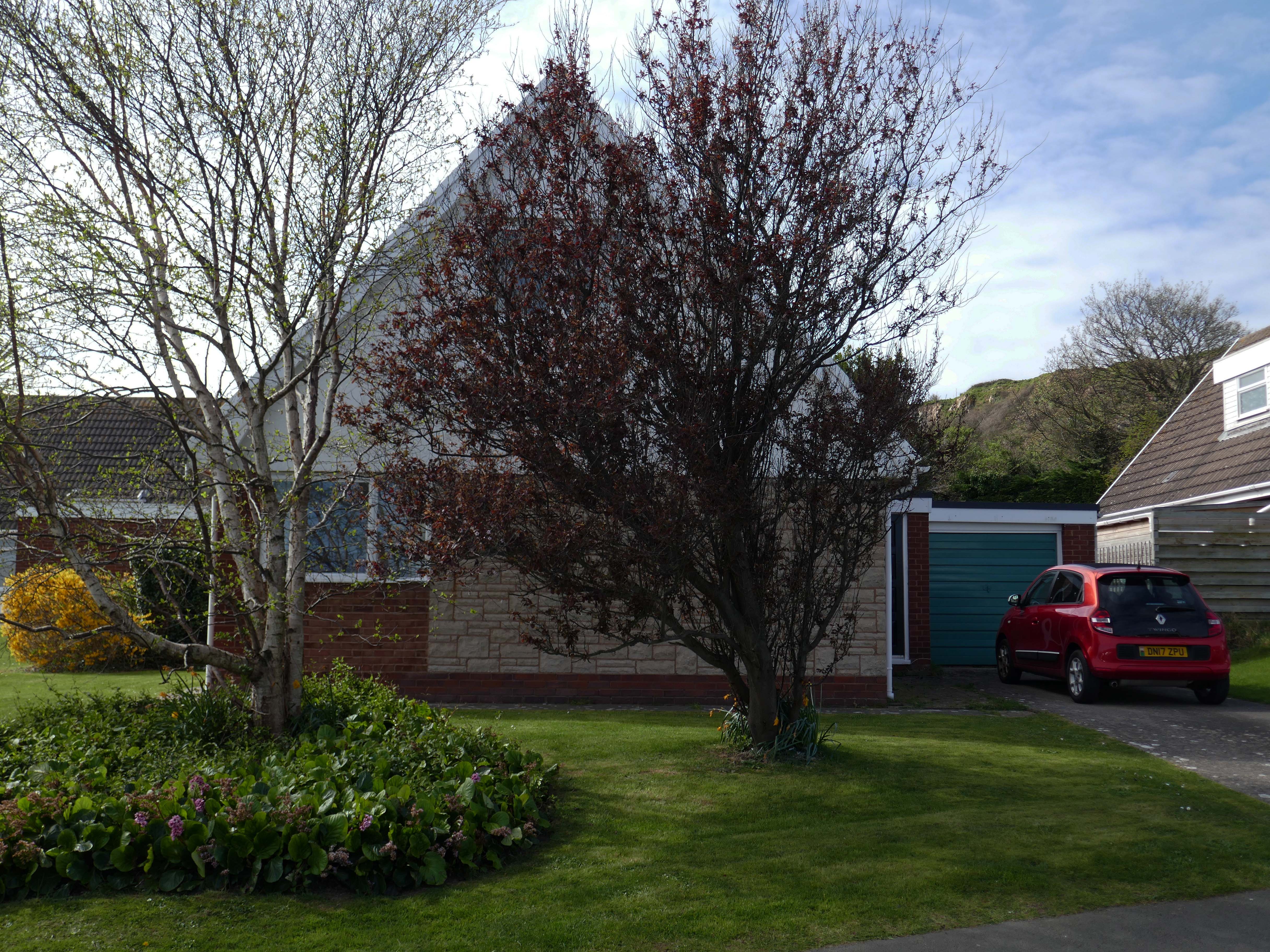
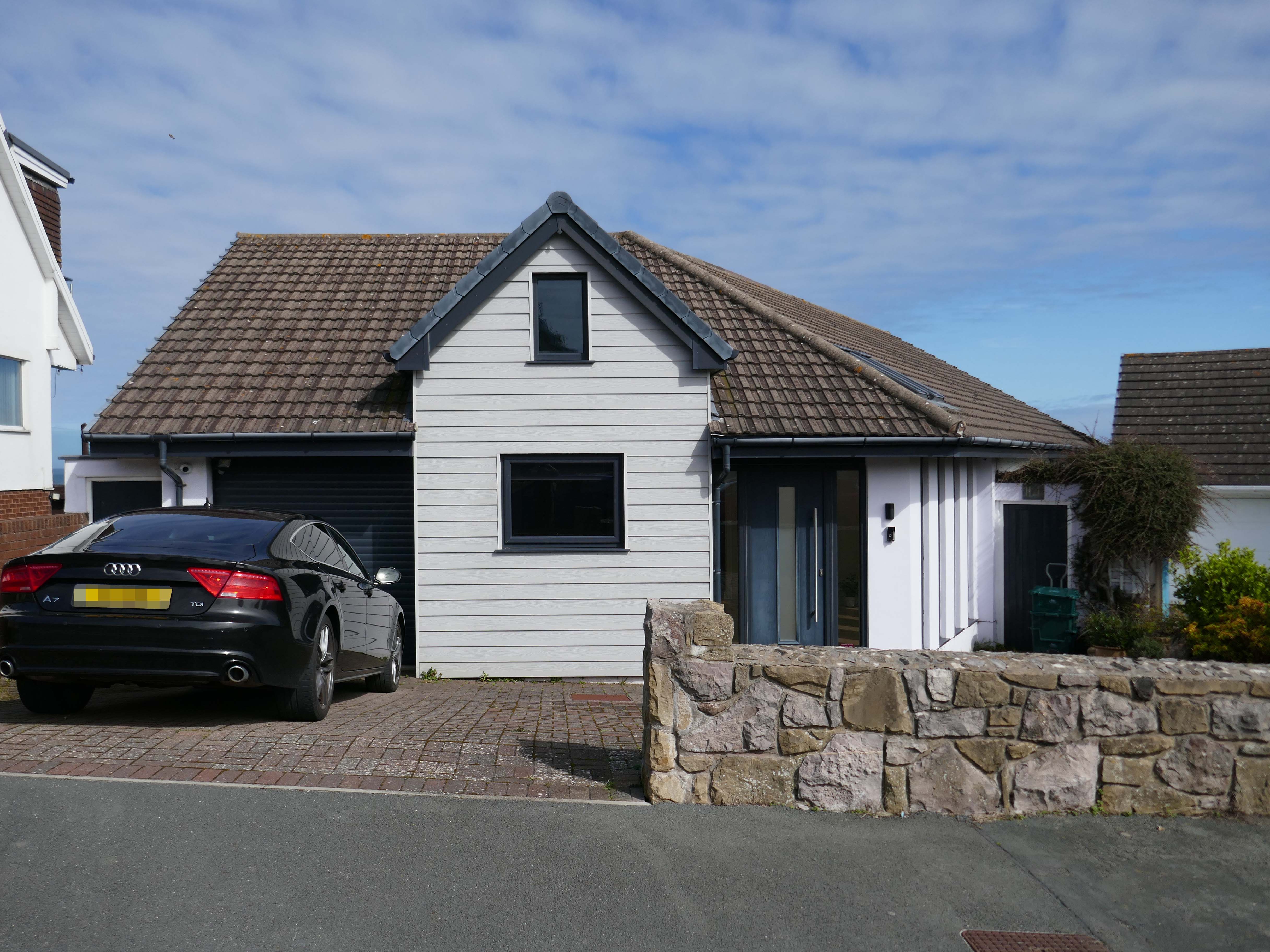
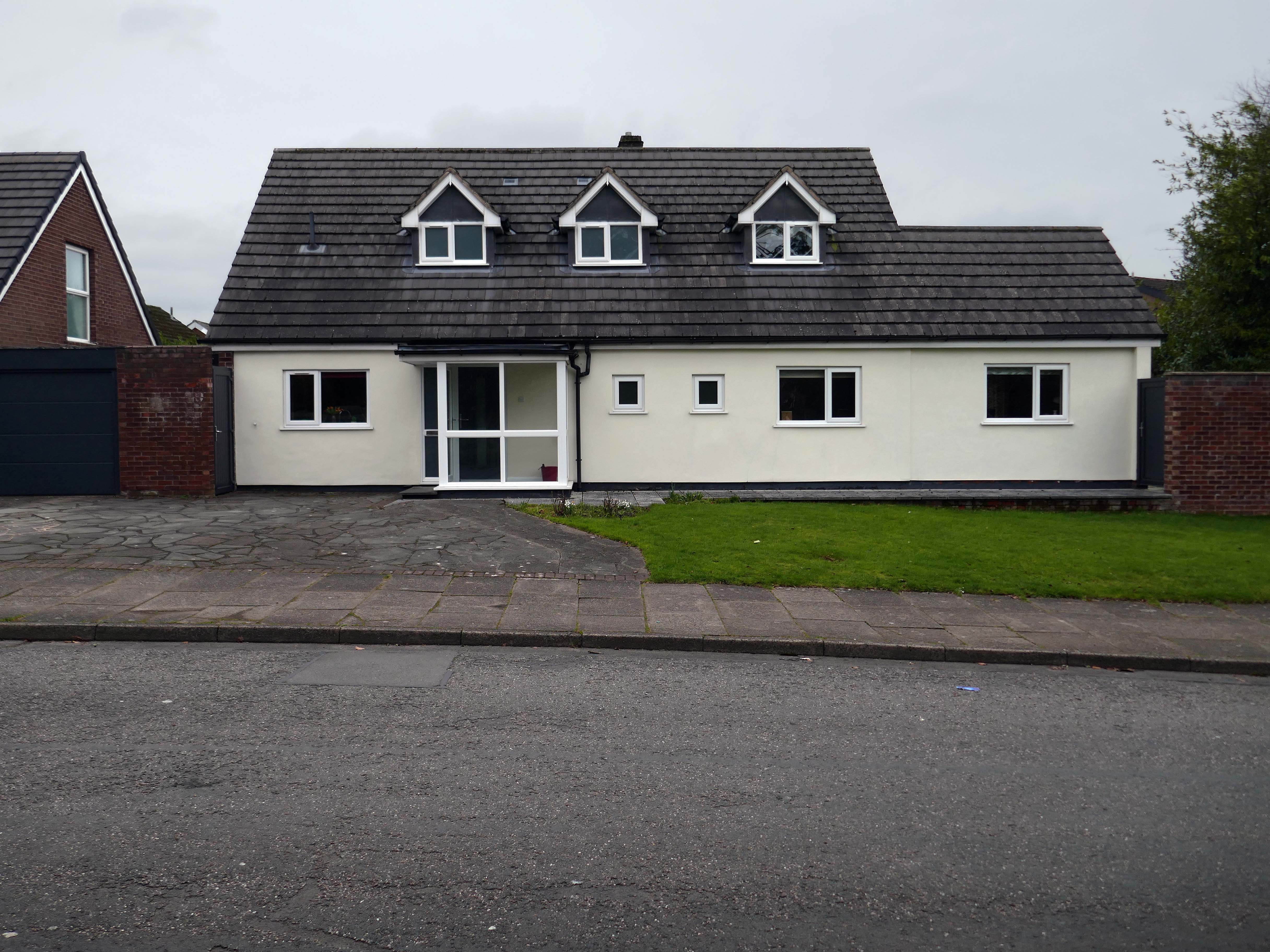
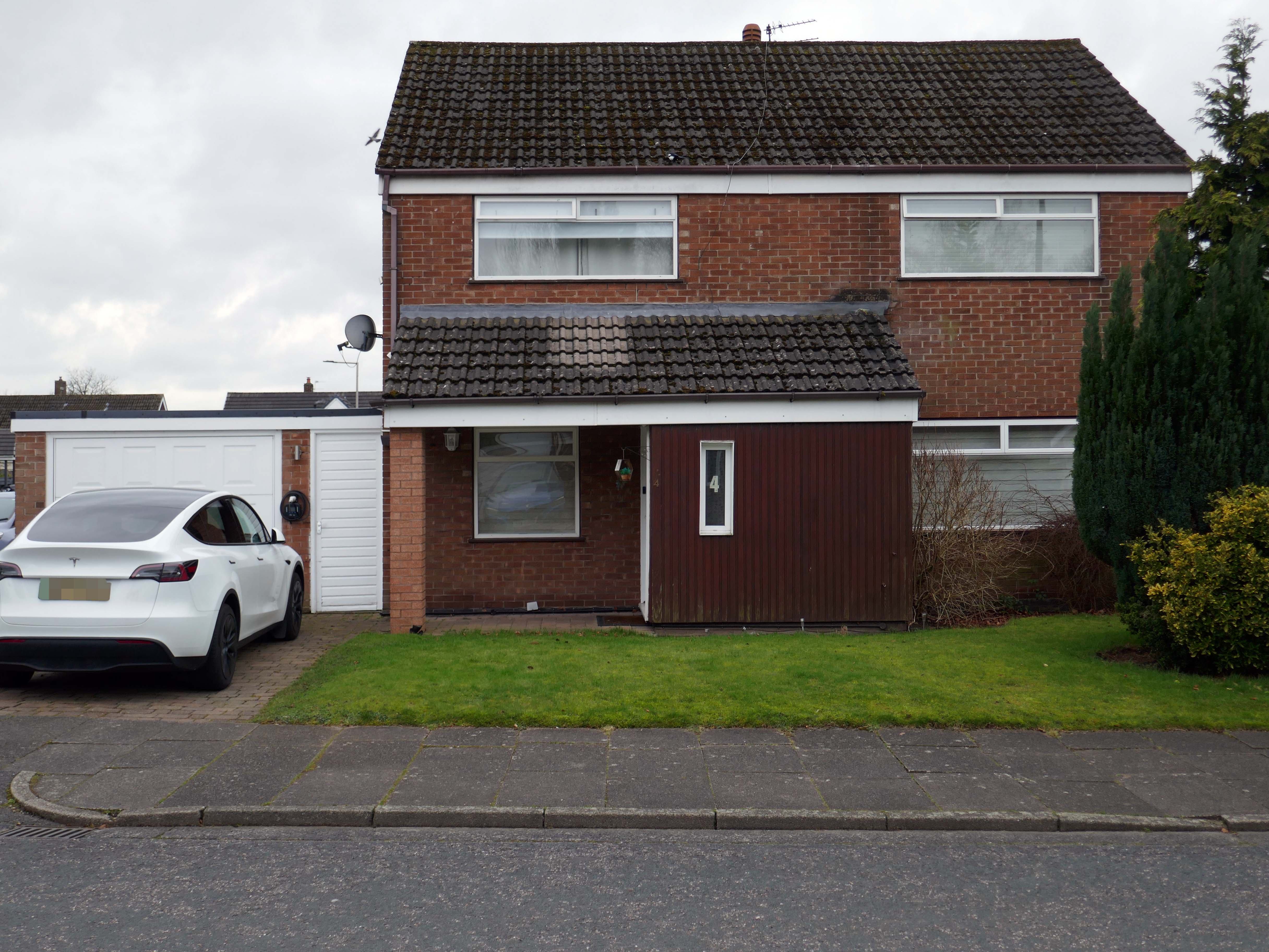
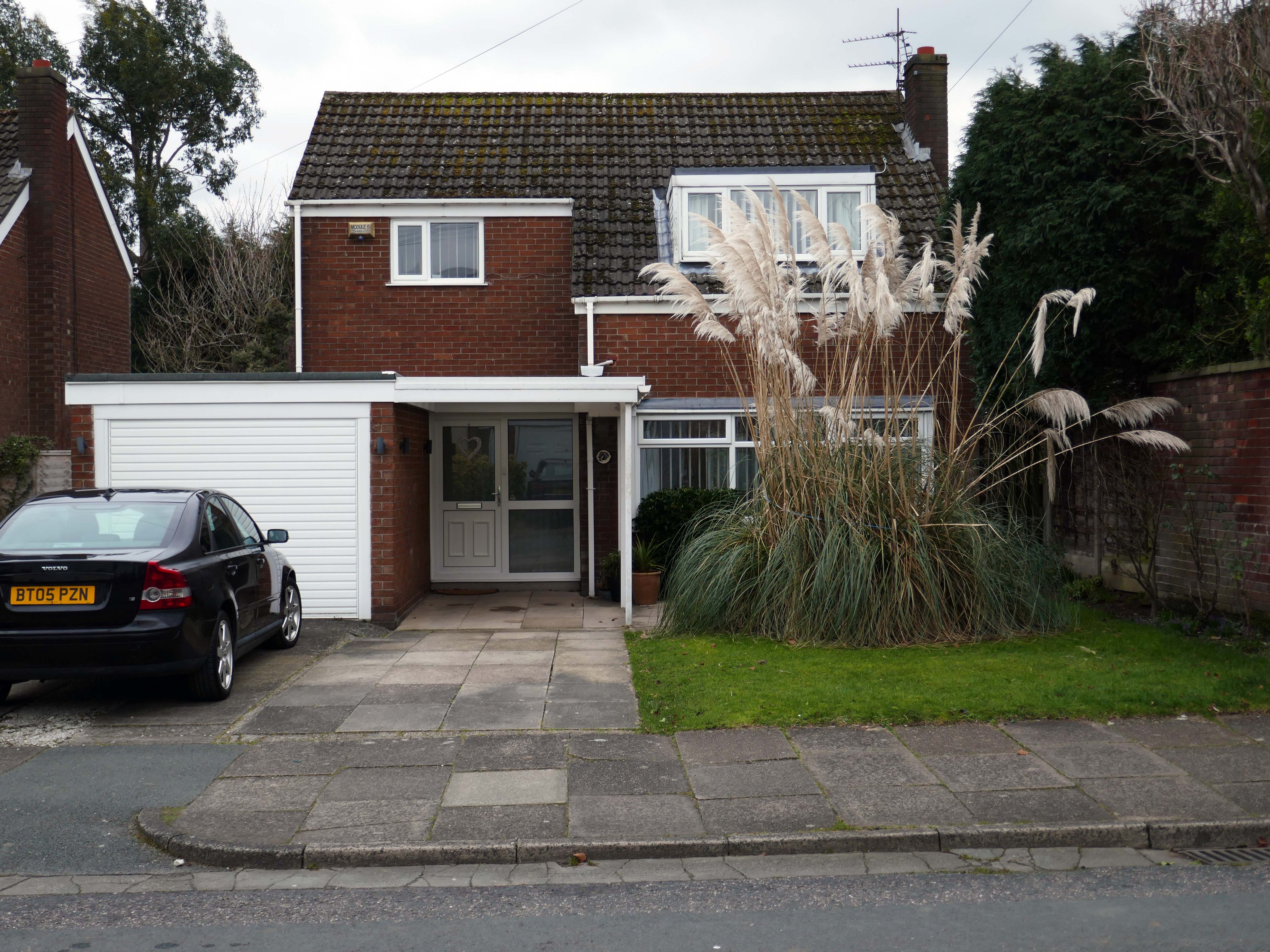
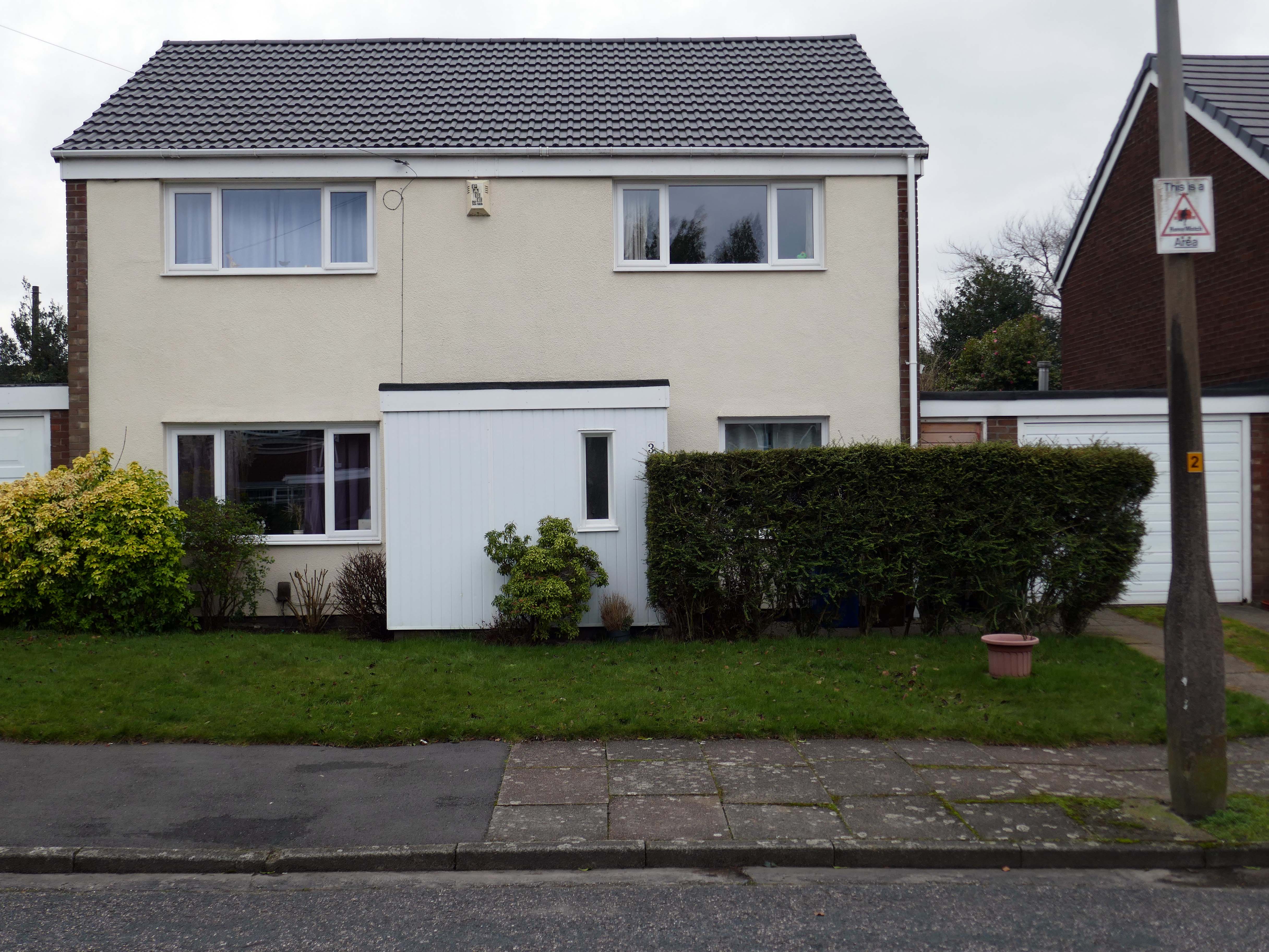
Within the typology there area number of variants, bungalow, dormer bungalow, link detached, semi-detached and detached.
Very very few of the homes have retained their original features, the imperative of our age is to extend and improve.
There is a covenant in the deeds which prevents the building of border fencing – therefore the development retains its small-scale suburban American ambience.
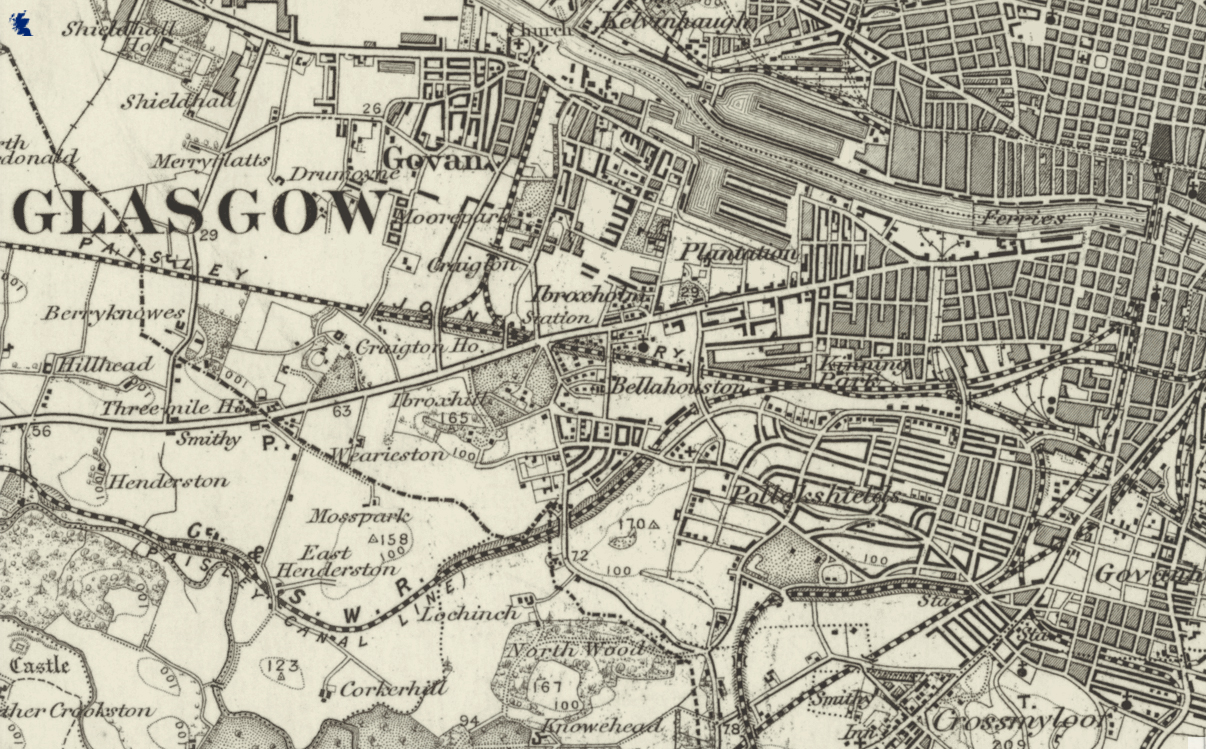
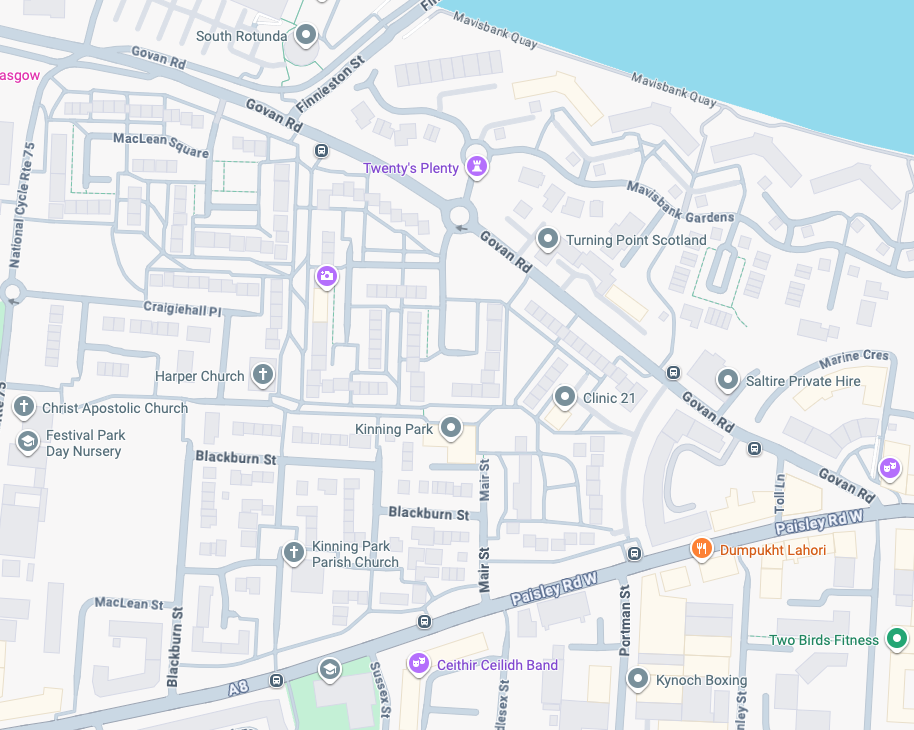
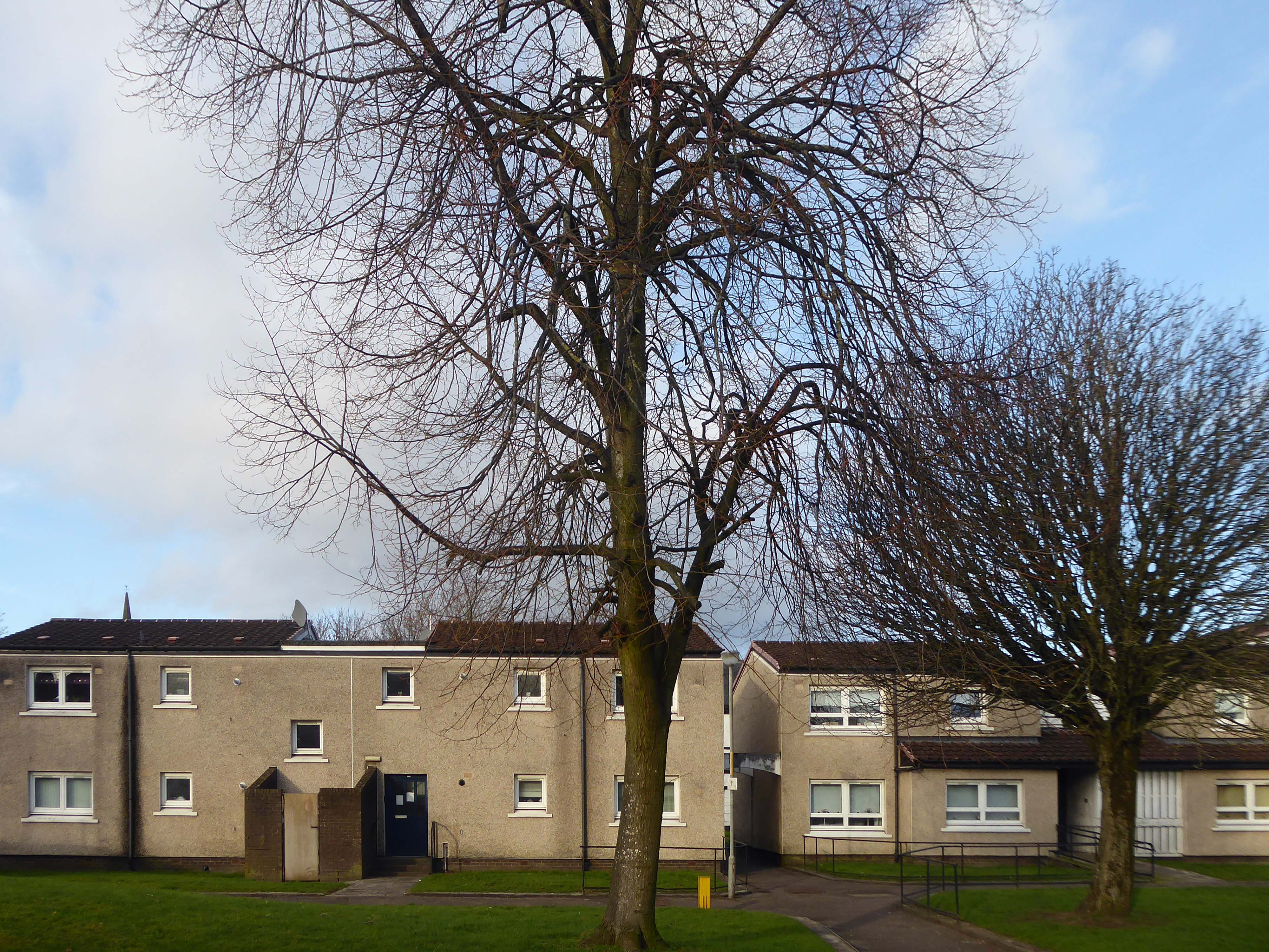
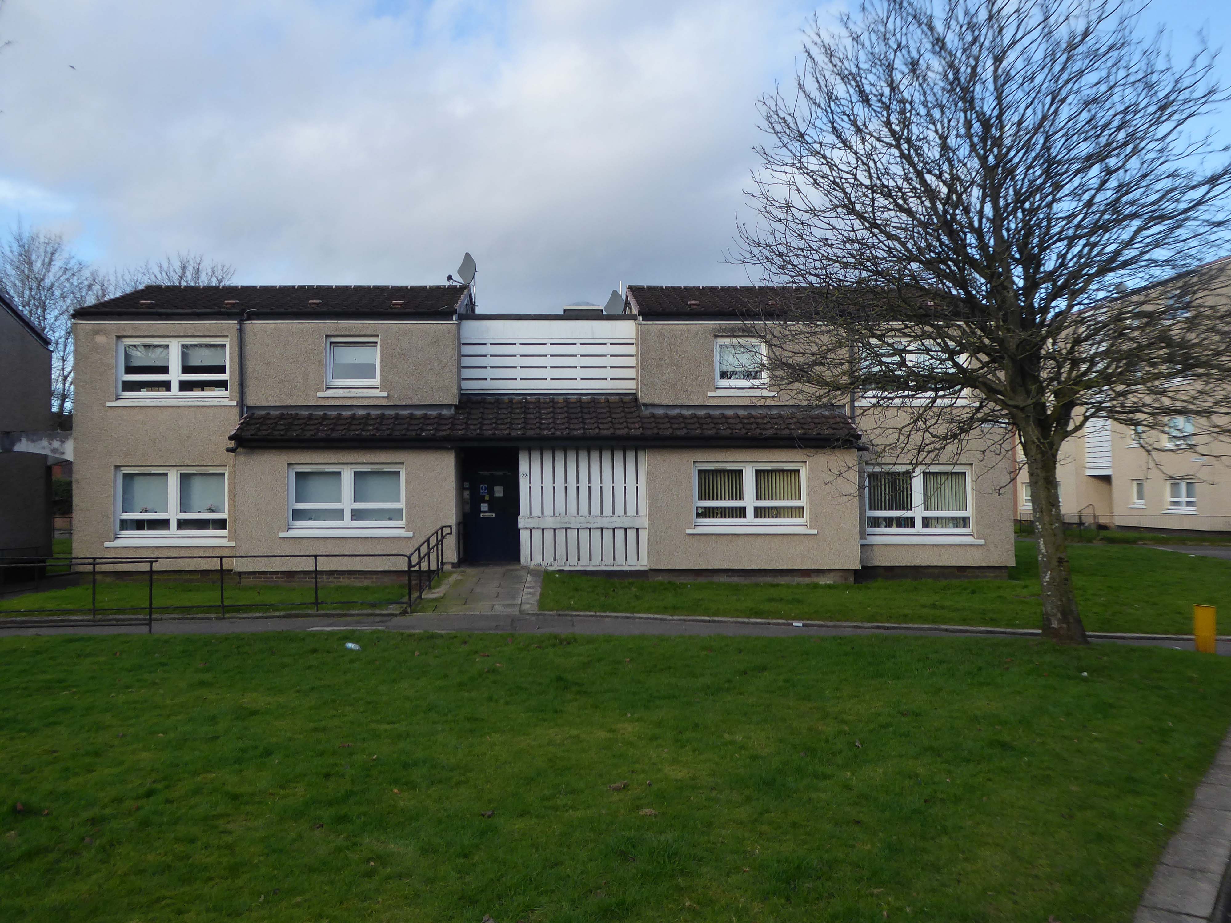
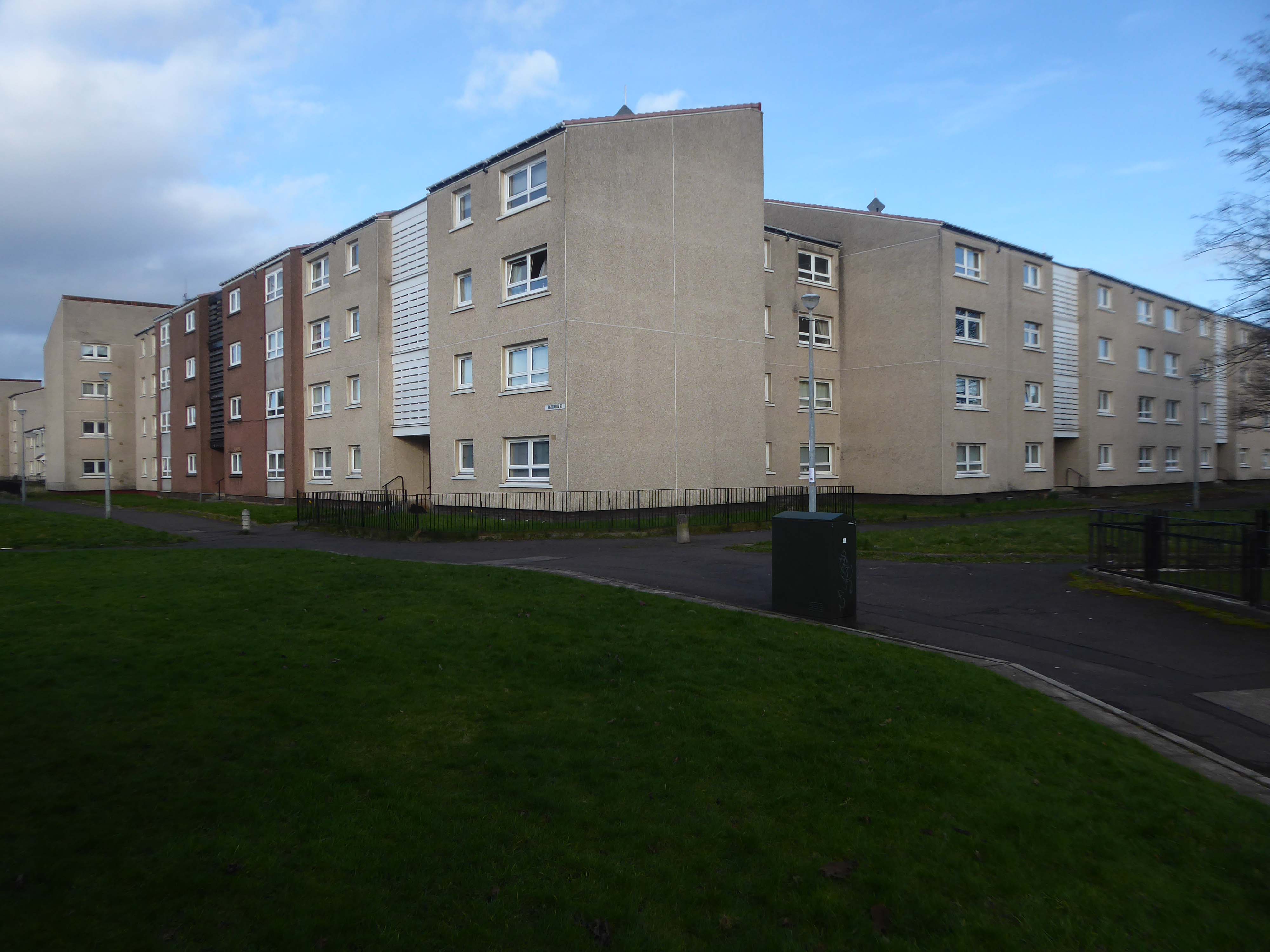
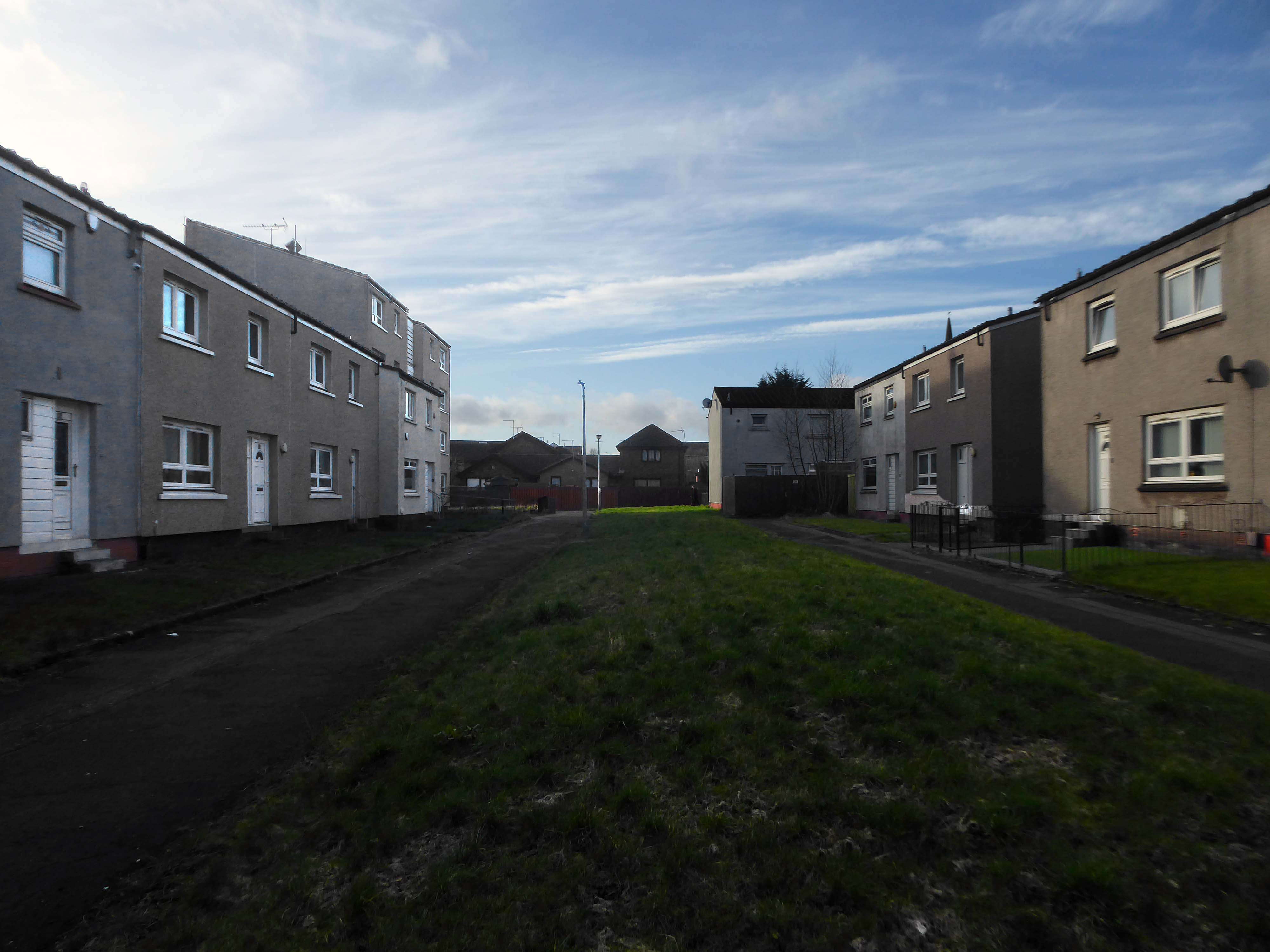
Plantation is an area in the city of Glasgow, Scotland. It is situated south of the River Clyde and is part of the former Burgh of Govan. It lies approximately between the areas of Cessnock and Ibrox to the west, Kingston to the east, and Kinning Park to the south.
The 80-acre Craigiehall estate, previously three smaller properties, was bought in 1783 by John Robertson, a cashier in the Glasgow Arms Bank, who with his brothers owned cotton and sugar plantations in the West Indies. He renamed it Plantation, possibly as a reminder of the West Indies plantations. It then, in 1793, passed to John Mair, a merchant who developed the building and gardens. Plantation passed to the Maclean family, in 1829, in the person of William Maclean, a Glasgow Baillie.
In the years that followed, the estate was bisected by the railway to the south, with the shipbuilding yards of The Clyde Trust cutting off the estate from the river. Plantation was laid out for tenement houses in the 1870s and Maclean, Plantation, Mair and Craigiehall Streets refer to the history of the old estate.
Plantation Quay formed part of the site for the Glasgow Garden Festival in 1988 and subsequent Glasgow Science Centre.
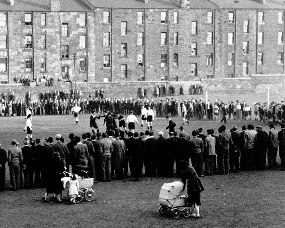
A crowd gathered to watch a football match at Plantation, 1955. The players in dark jerseys appear to be celebrating a goal.
The mostly male spectators are focused on the game, while in the foreground a couple of women pass by with prams. The tenements in the background provide their inhabitants with a bird’s-eye view of the match. Other spectators are perched on top of a high wall separating the tenement back courts from the football pitch.
In 1955 Partick Camera Club set out to create a photographic survey of Glasgow. As the project progressed, other camera clubs joined and each was allocated a district of the city to photograph. Glasgow Museums exhibited the photographs at Kelvingrove Art Gallery and Museum and at the People’s Place, and in 1956 the exhibition was shown at the Palace of Art in Bellahouston Park. The photographs are now part of Glasgow Museums’ collections.
So the folks, homes, industry and streets of the past have been and gone.
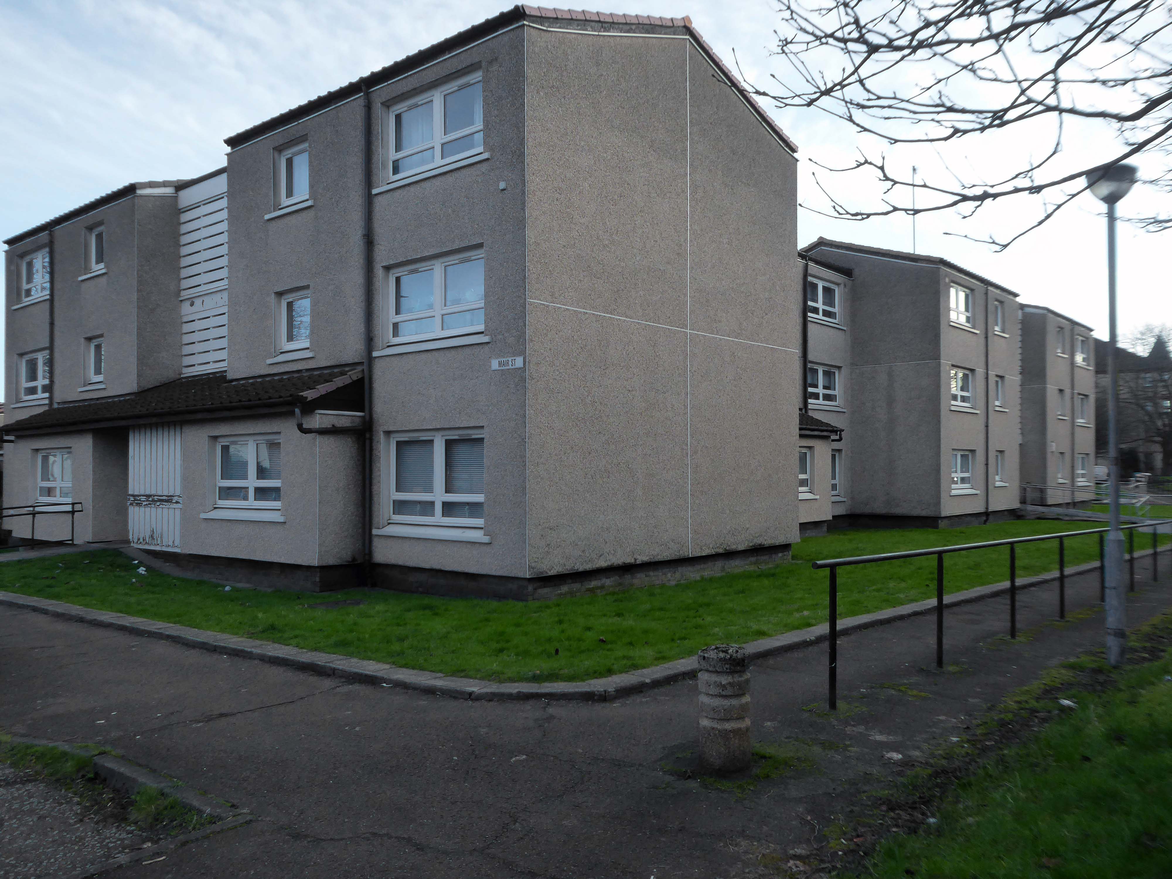
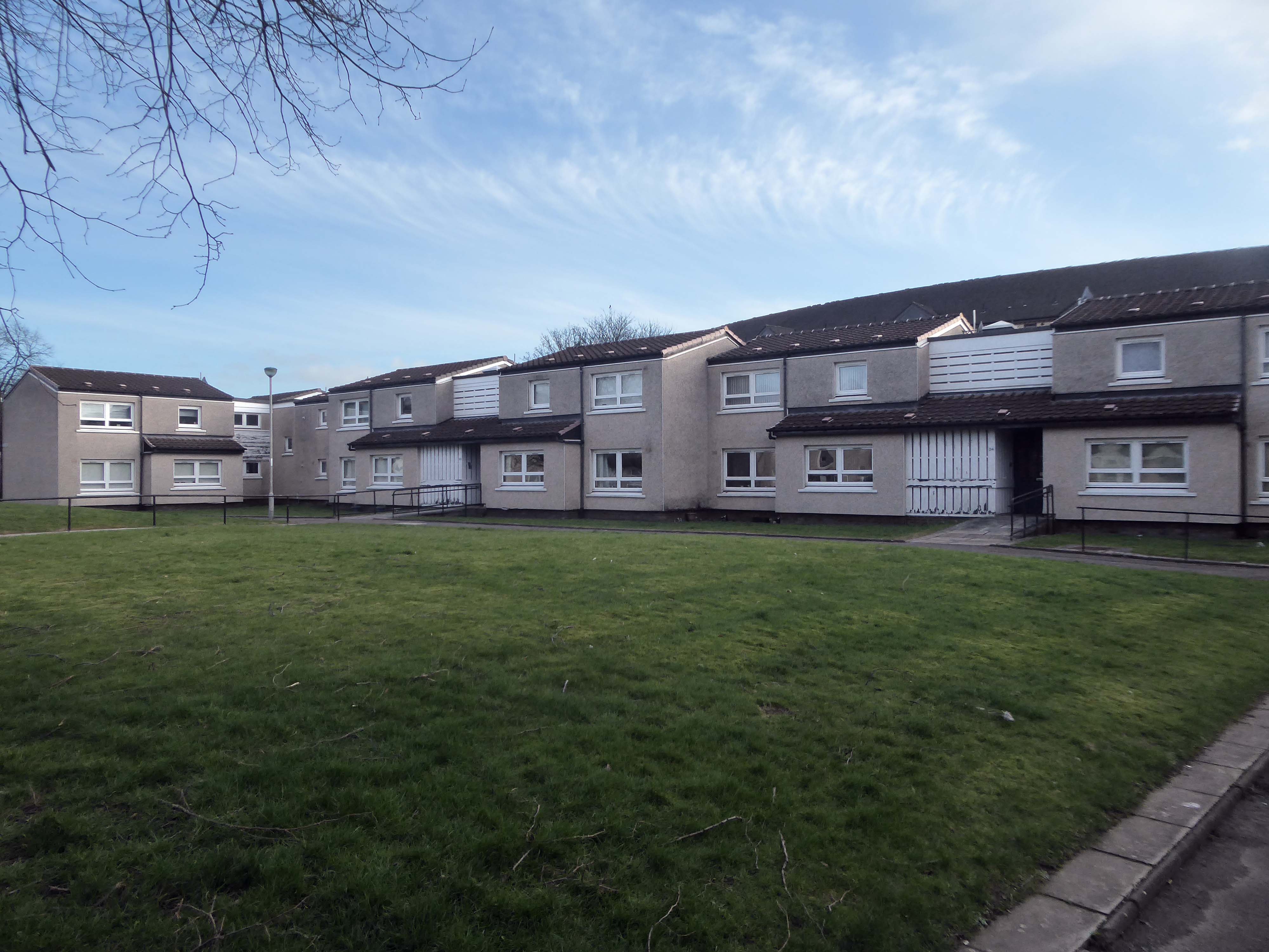
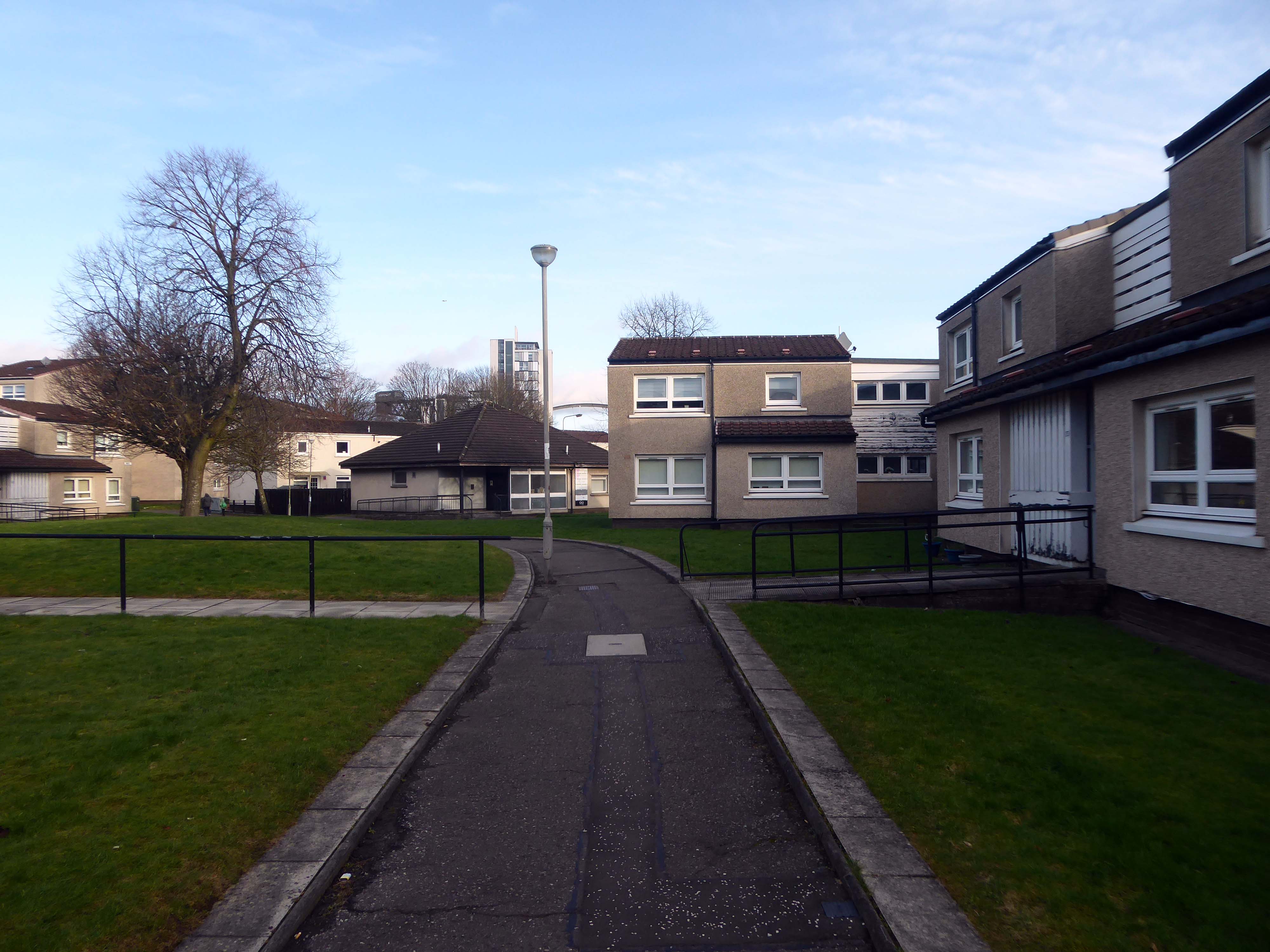
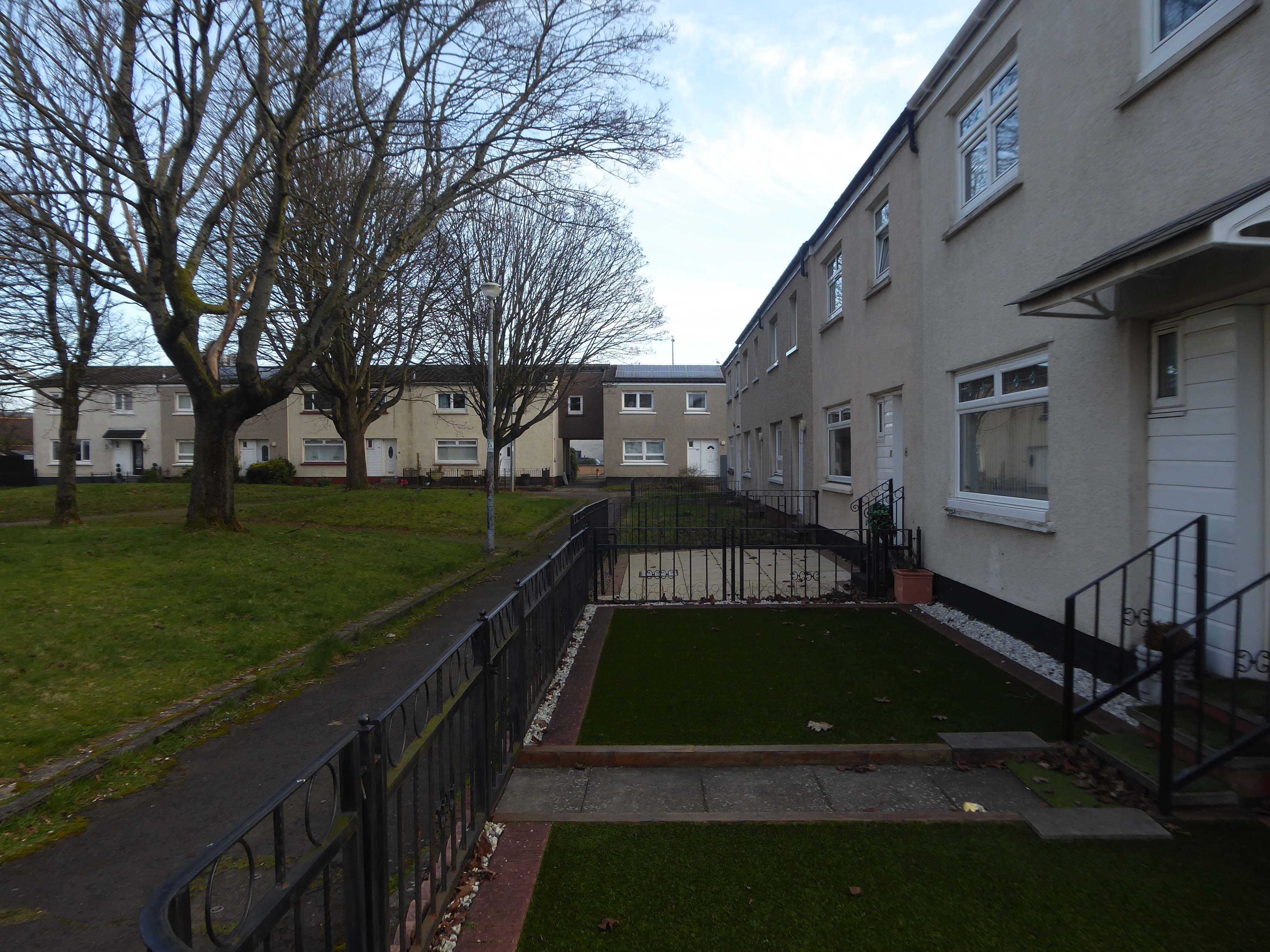
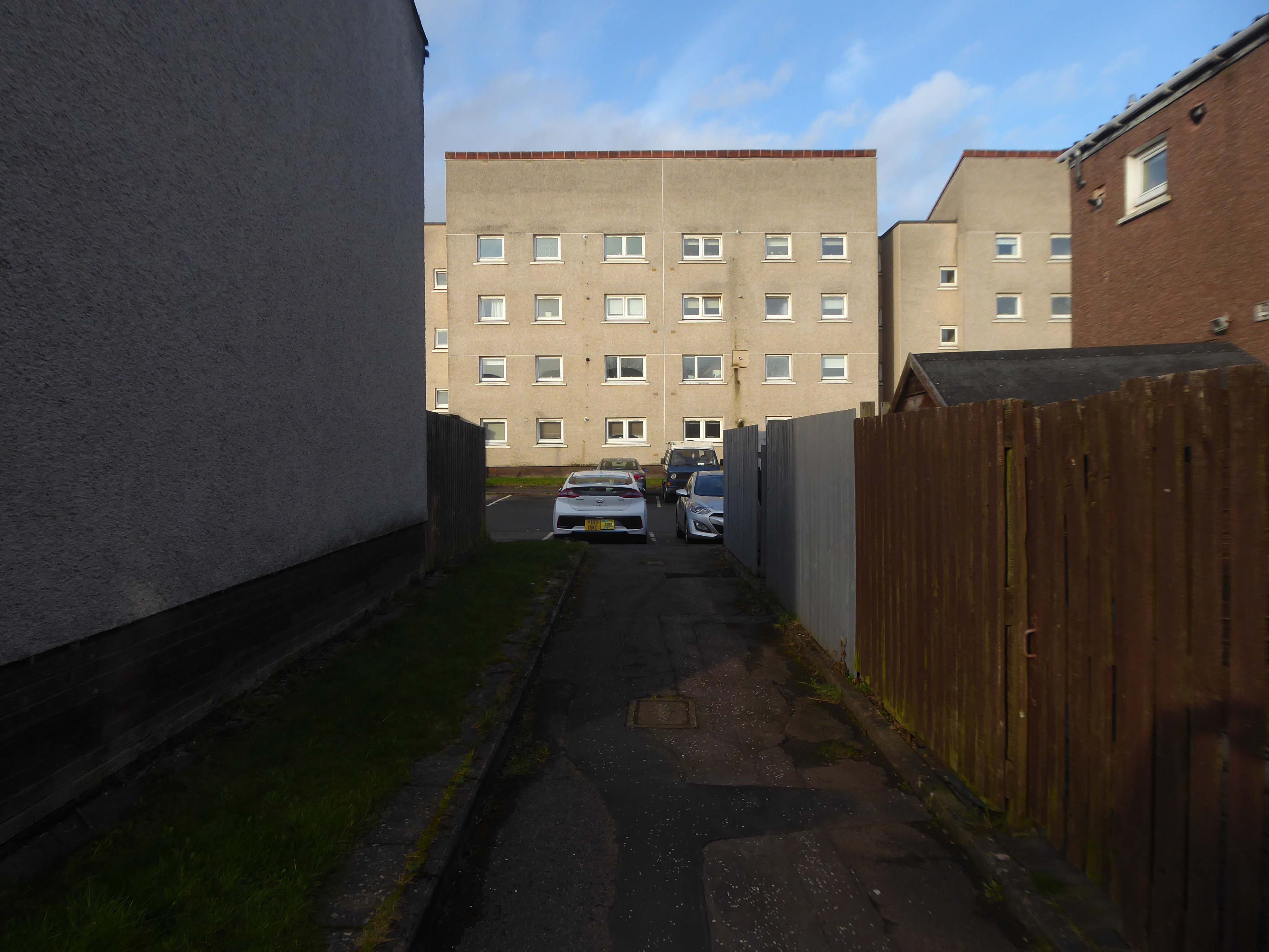
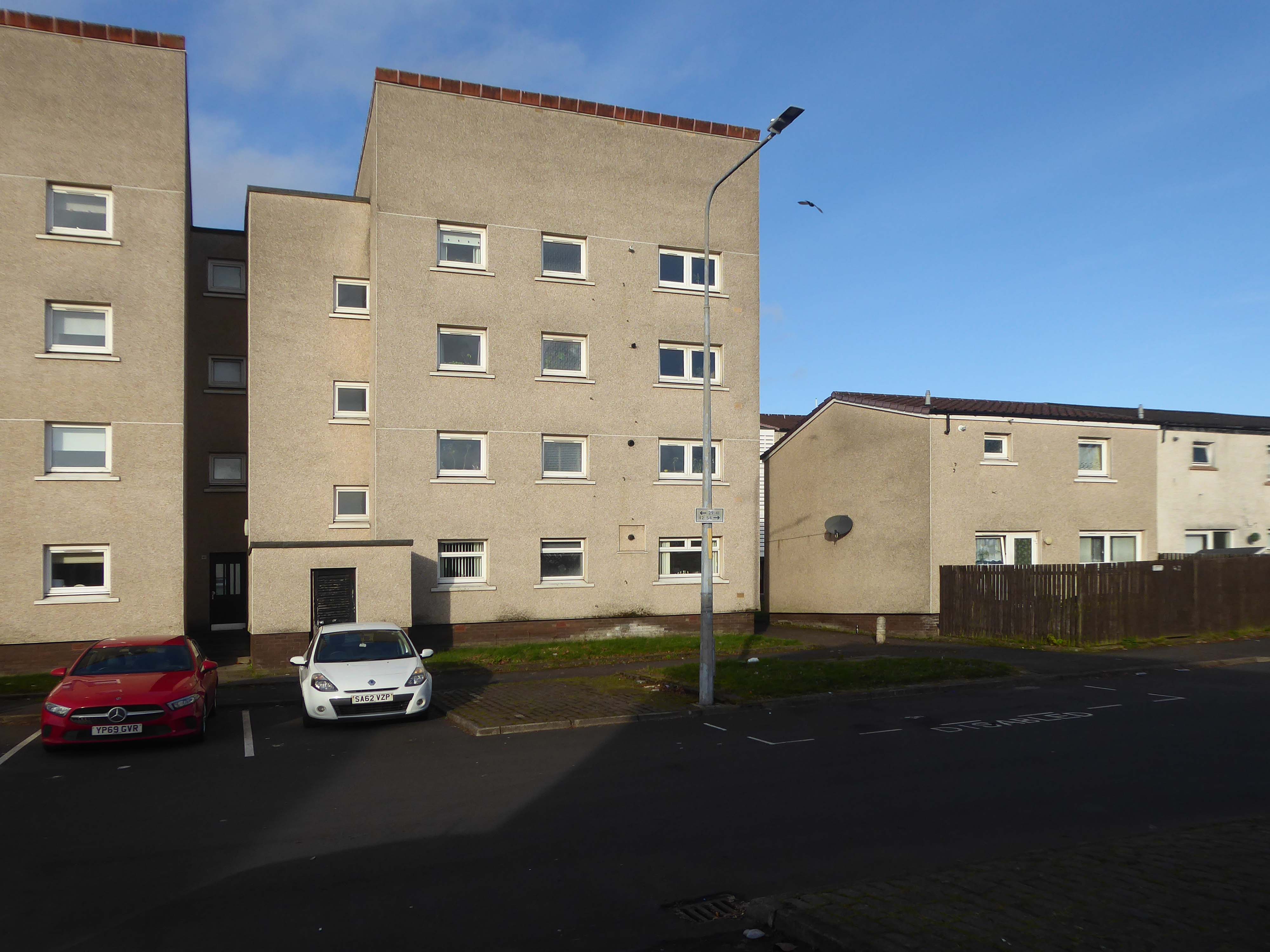
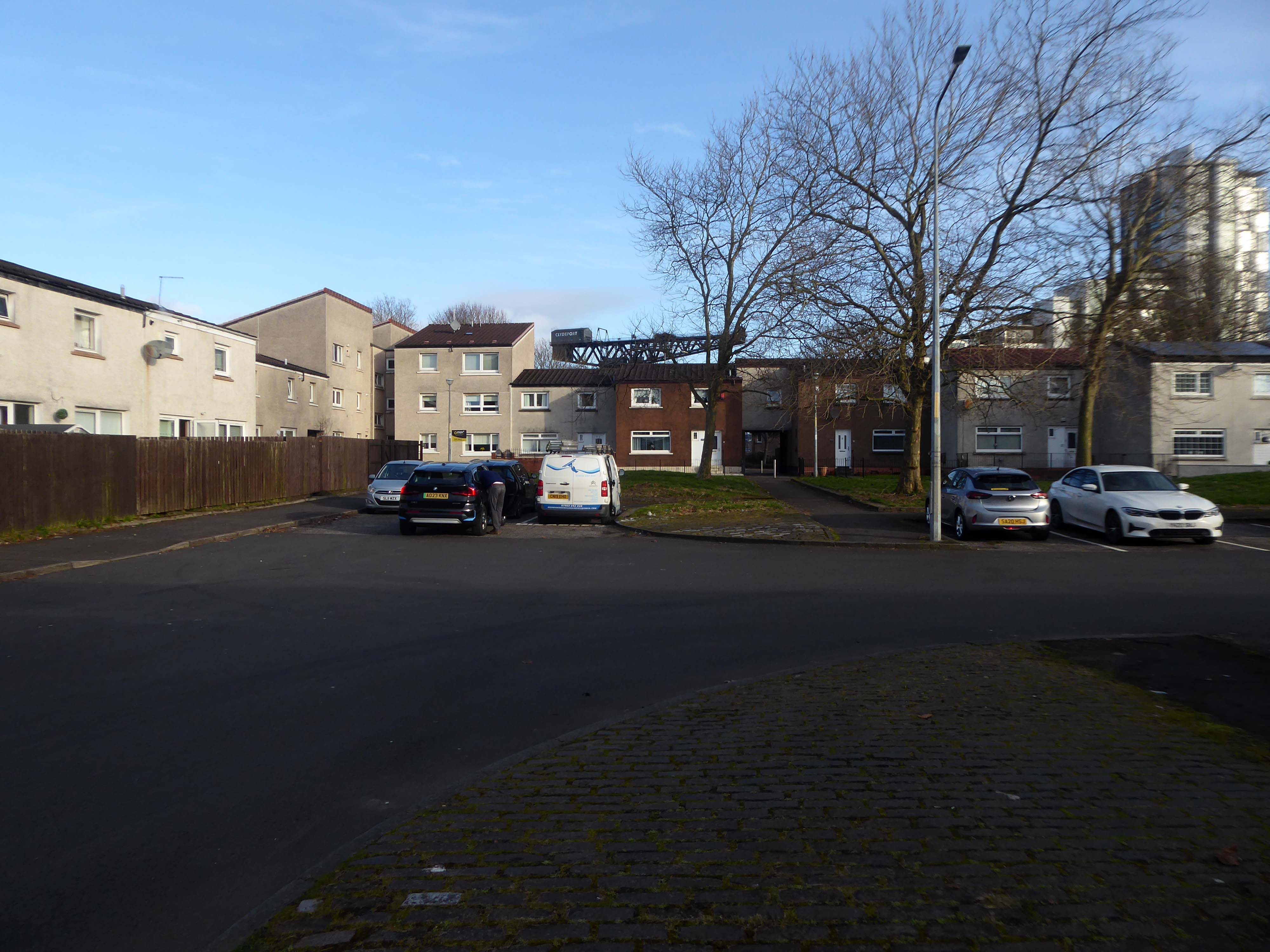
I was walking through the area in March 2023 one quite quiet morning, and attracted by the neat rows of austere grey terraces, low rise blocks and maisonettes, which have replaced the tenements.
The estate is clean and well maintained, open areas of grass criss crossed with pedestrian paths, surrounded by mature trees, motor cars have discrete parking areas.
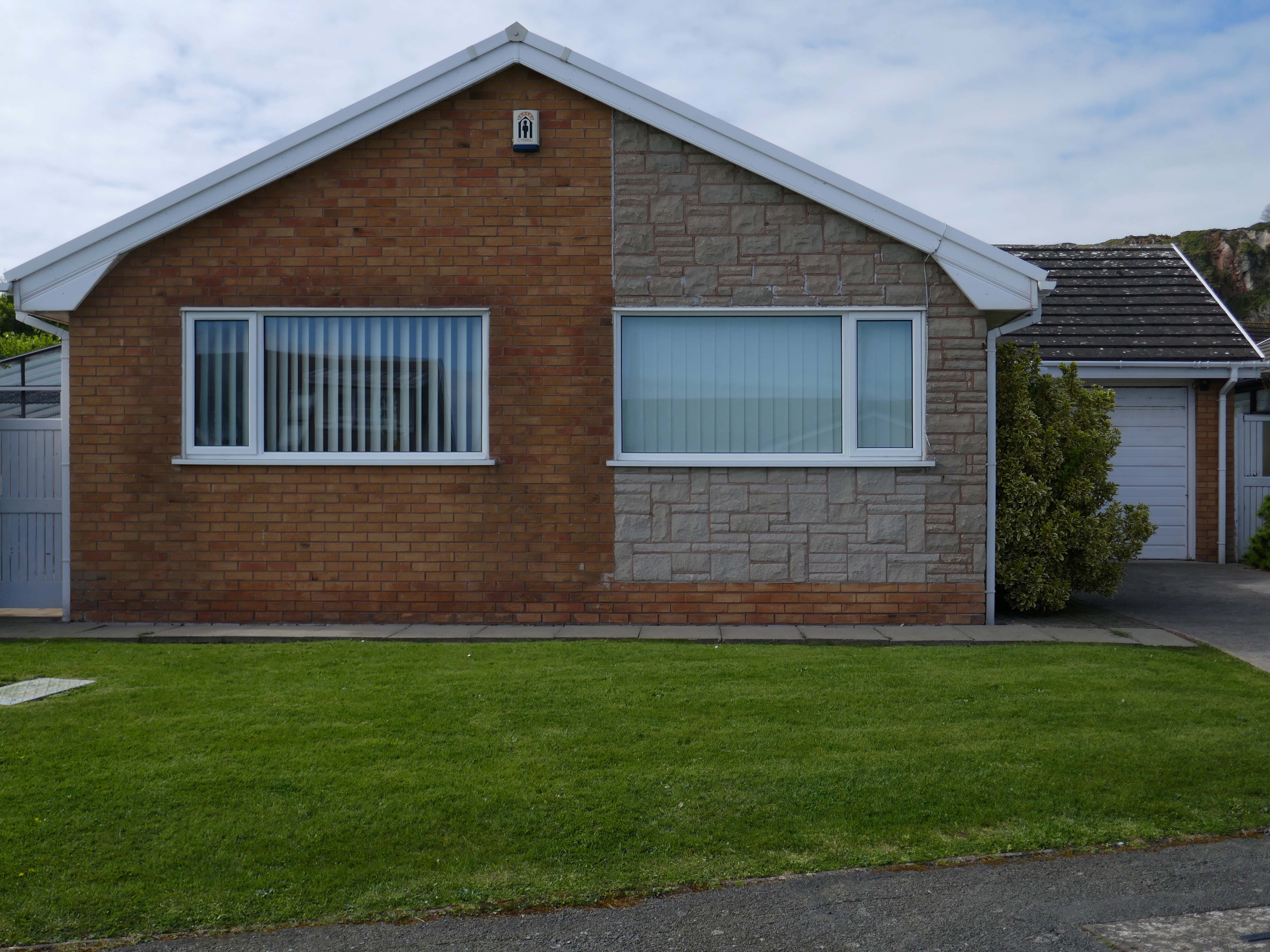
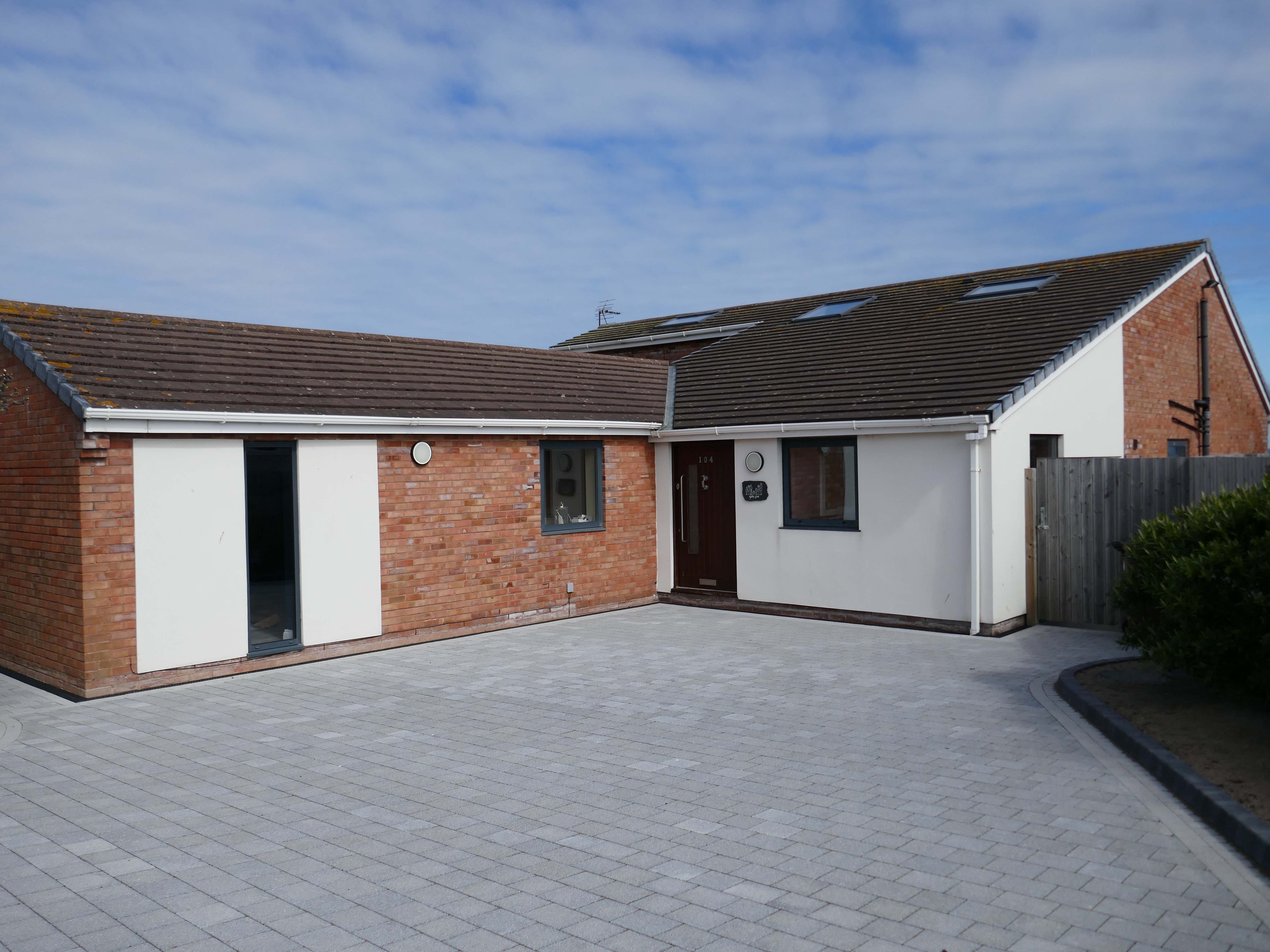
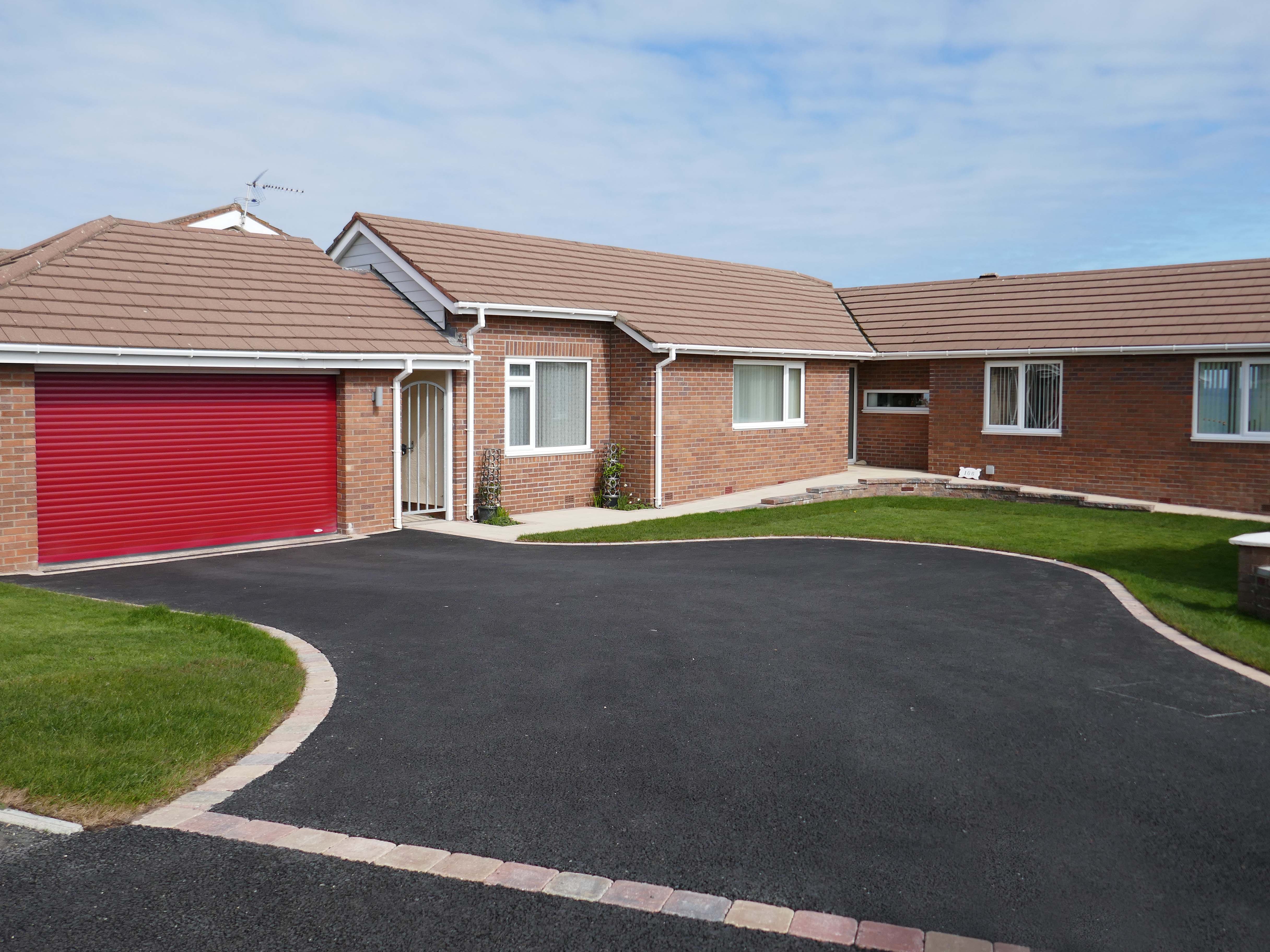
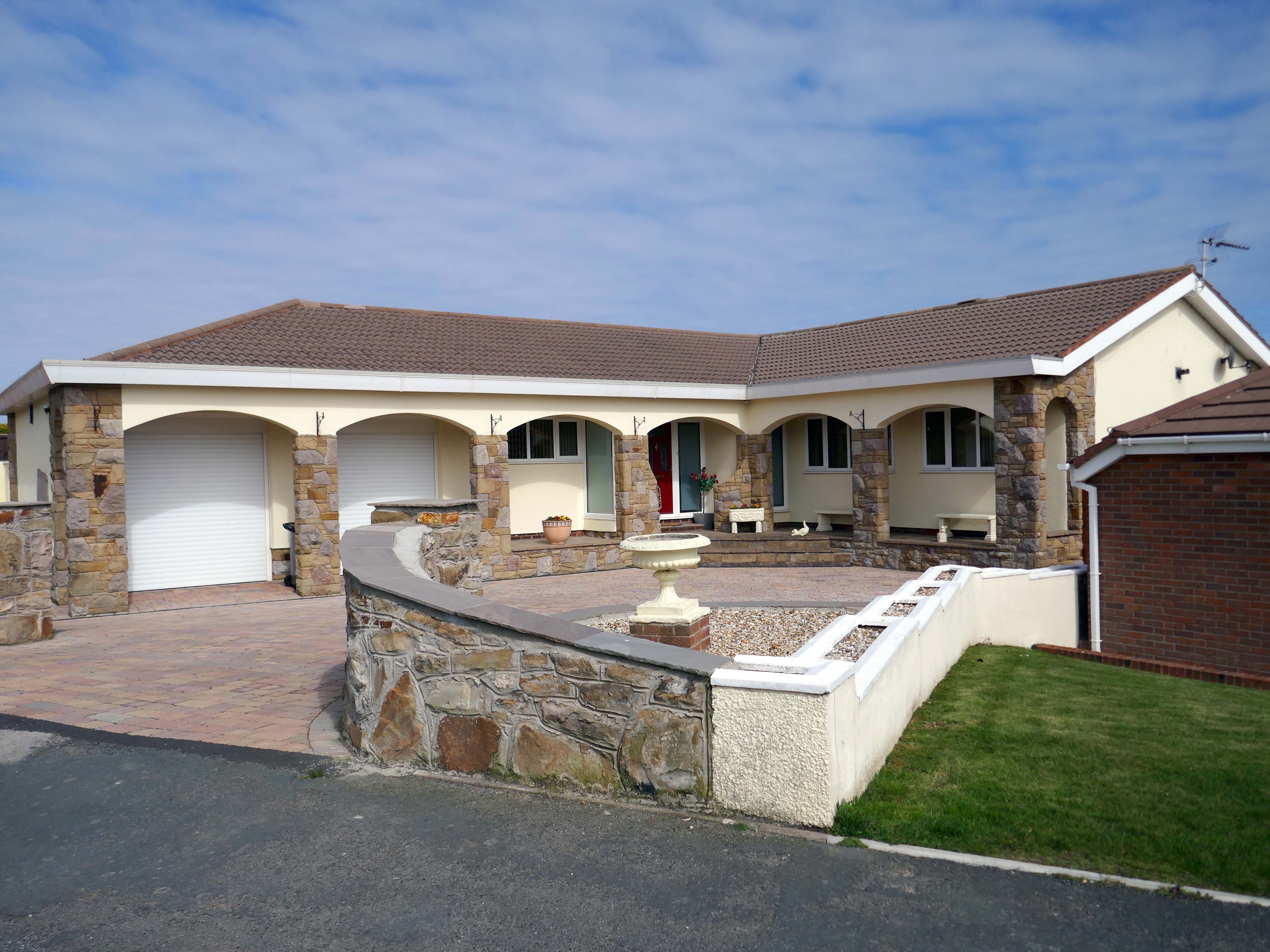
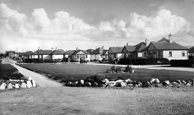
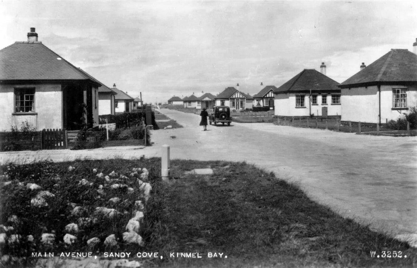
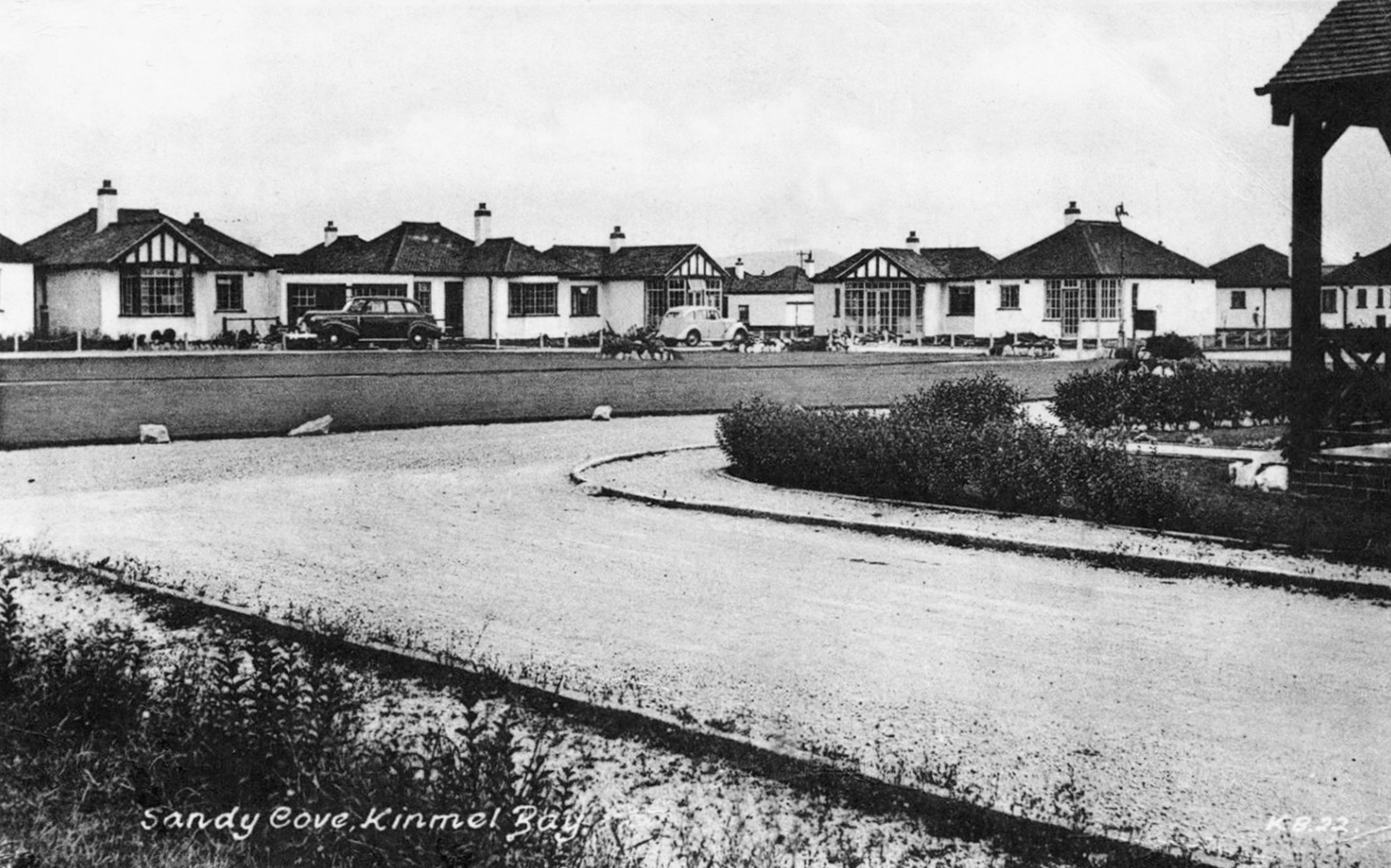
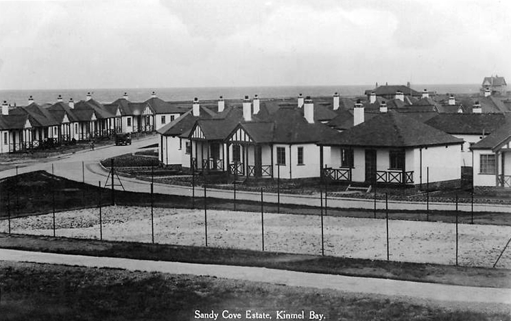
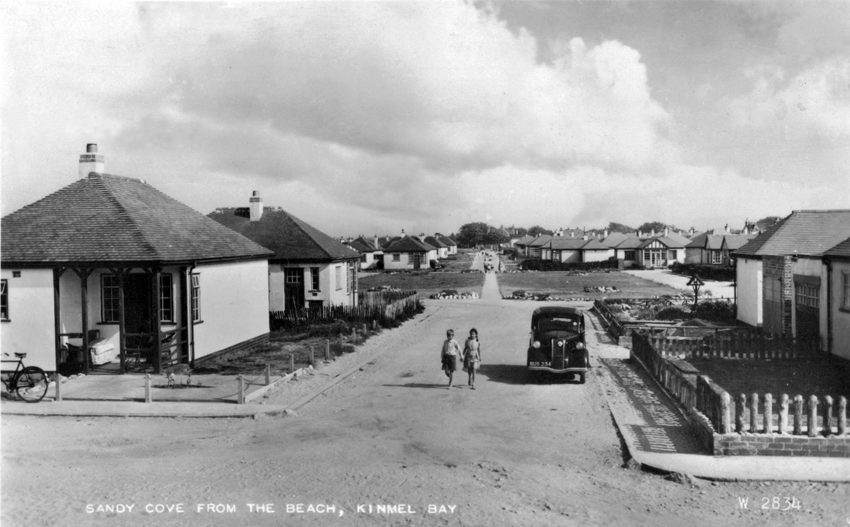
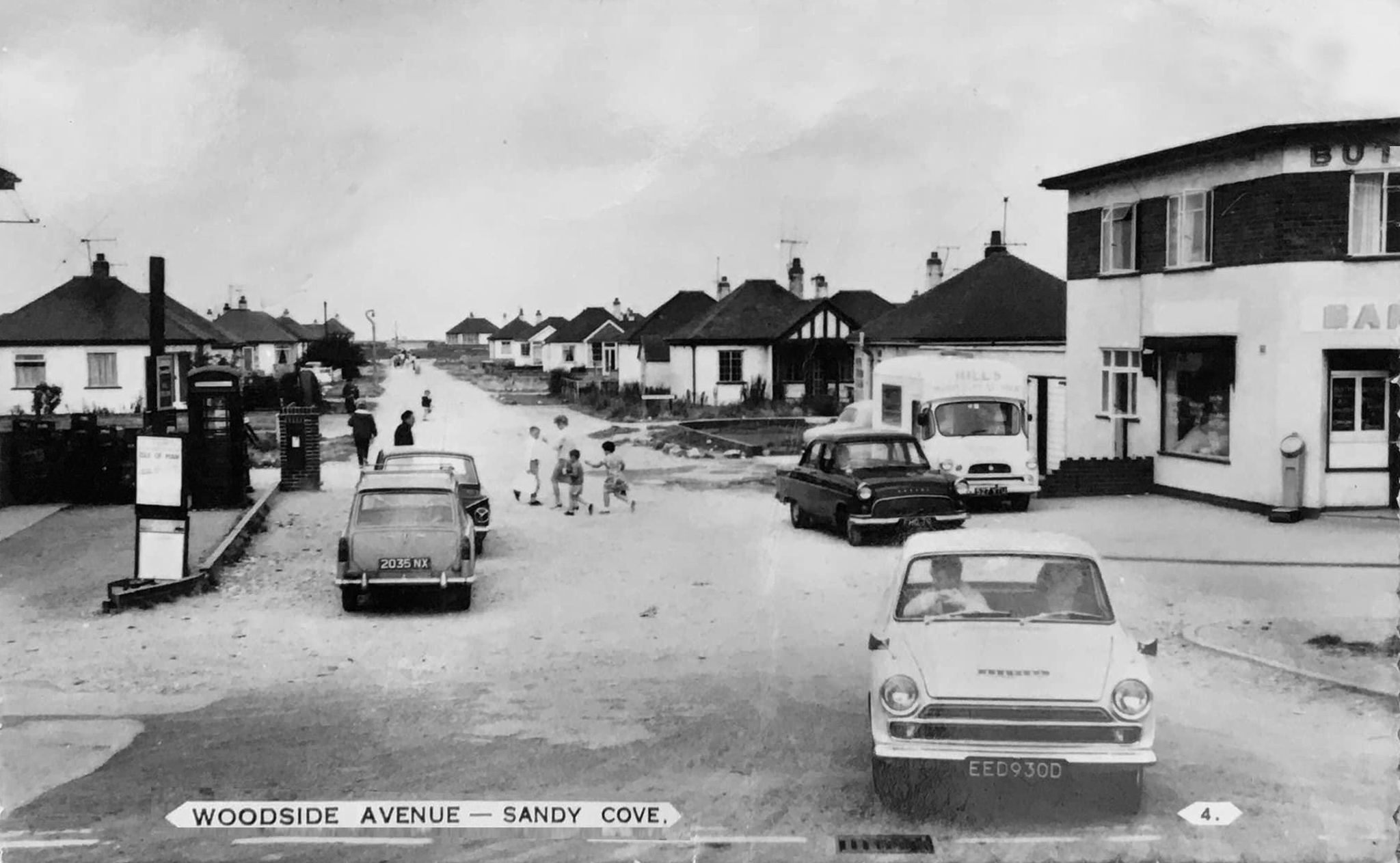
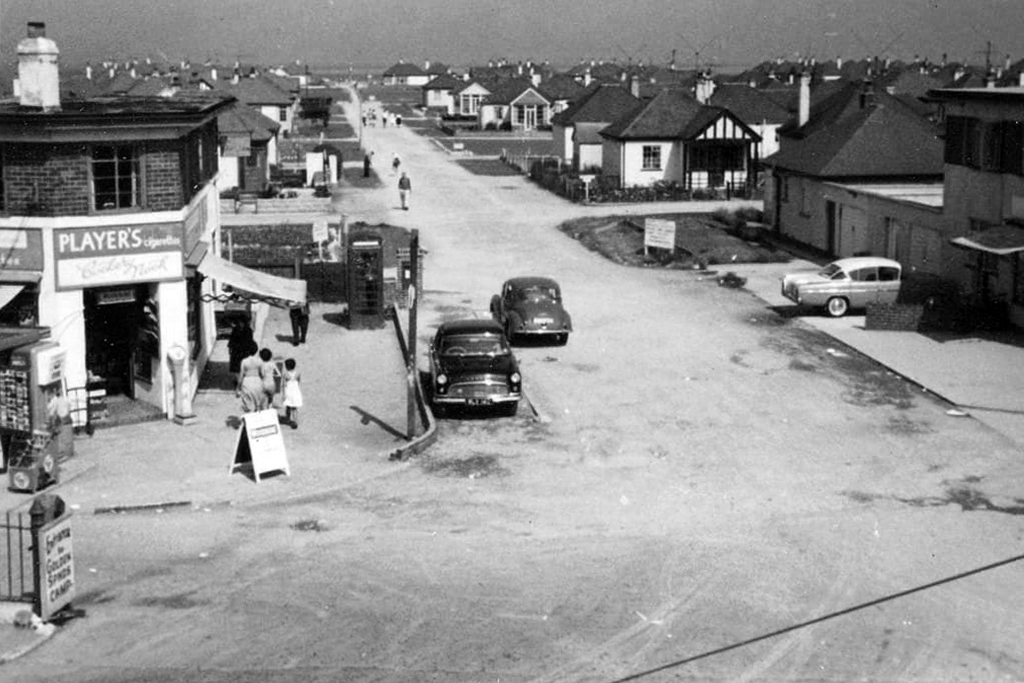
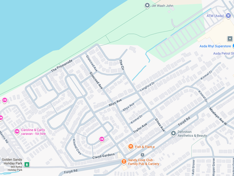
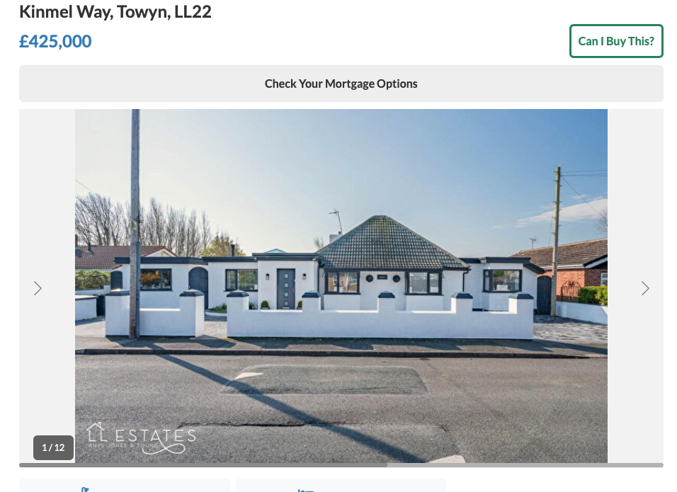
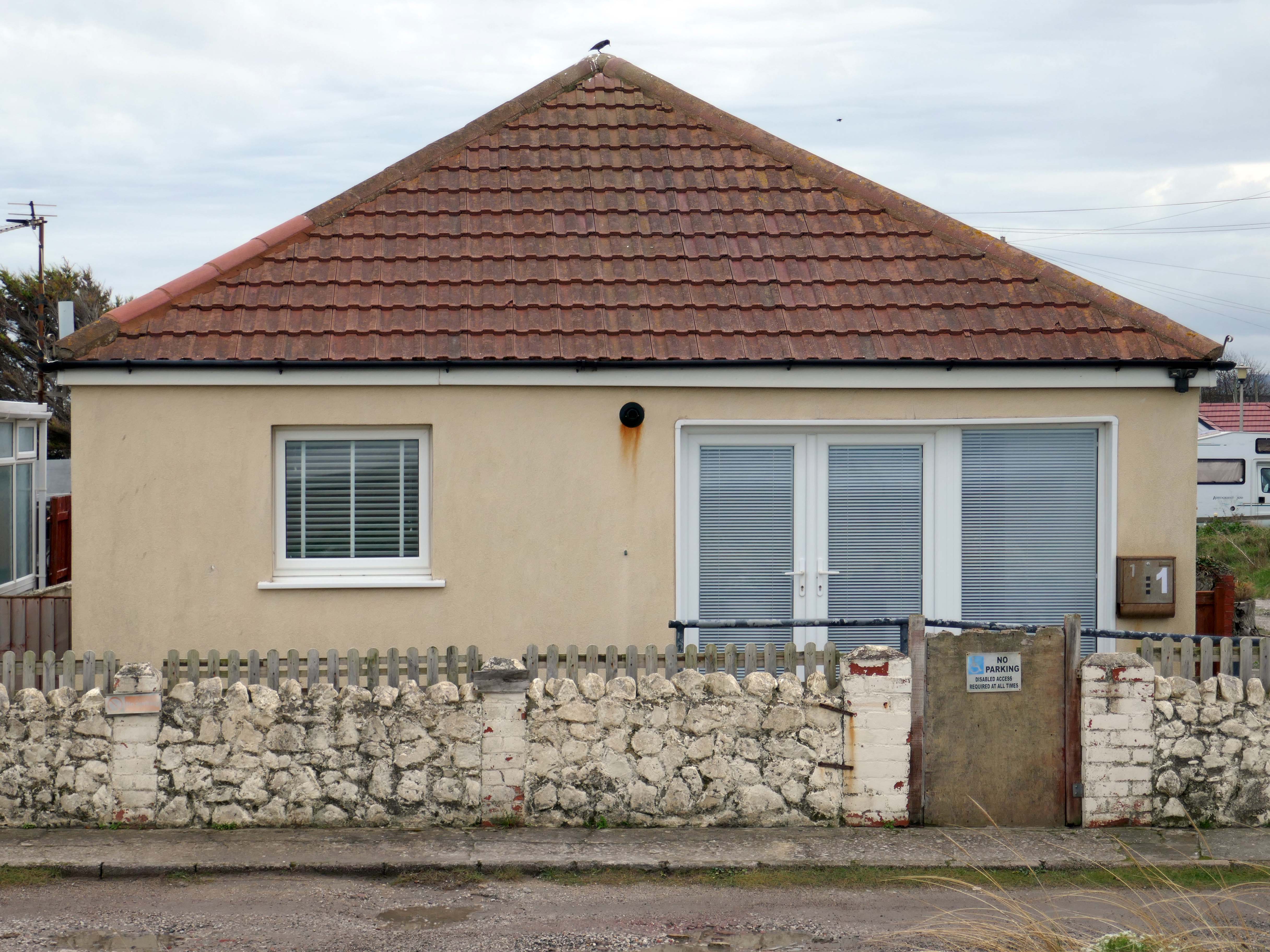
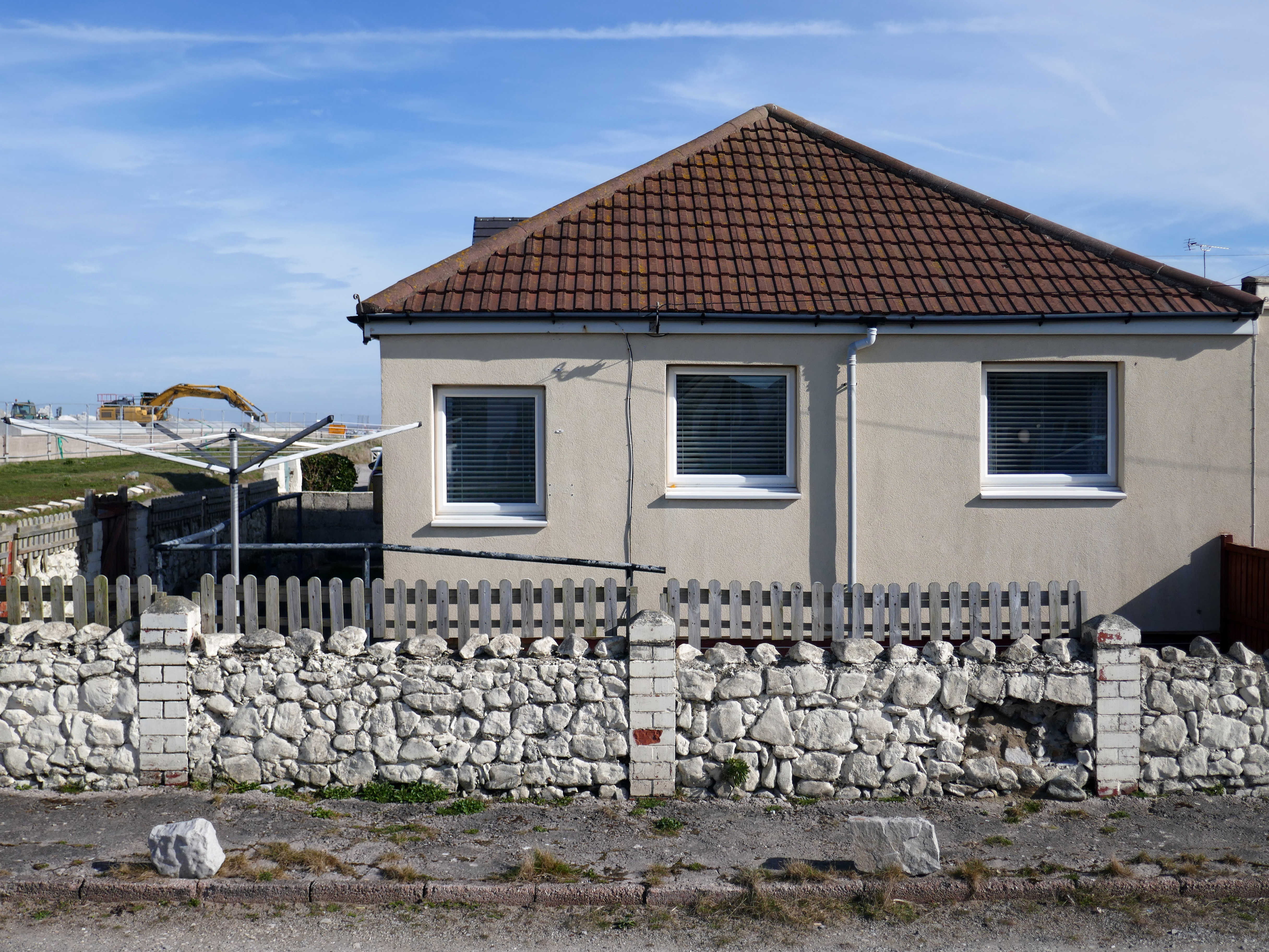
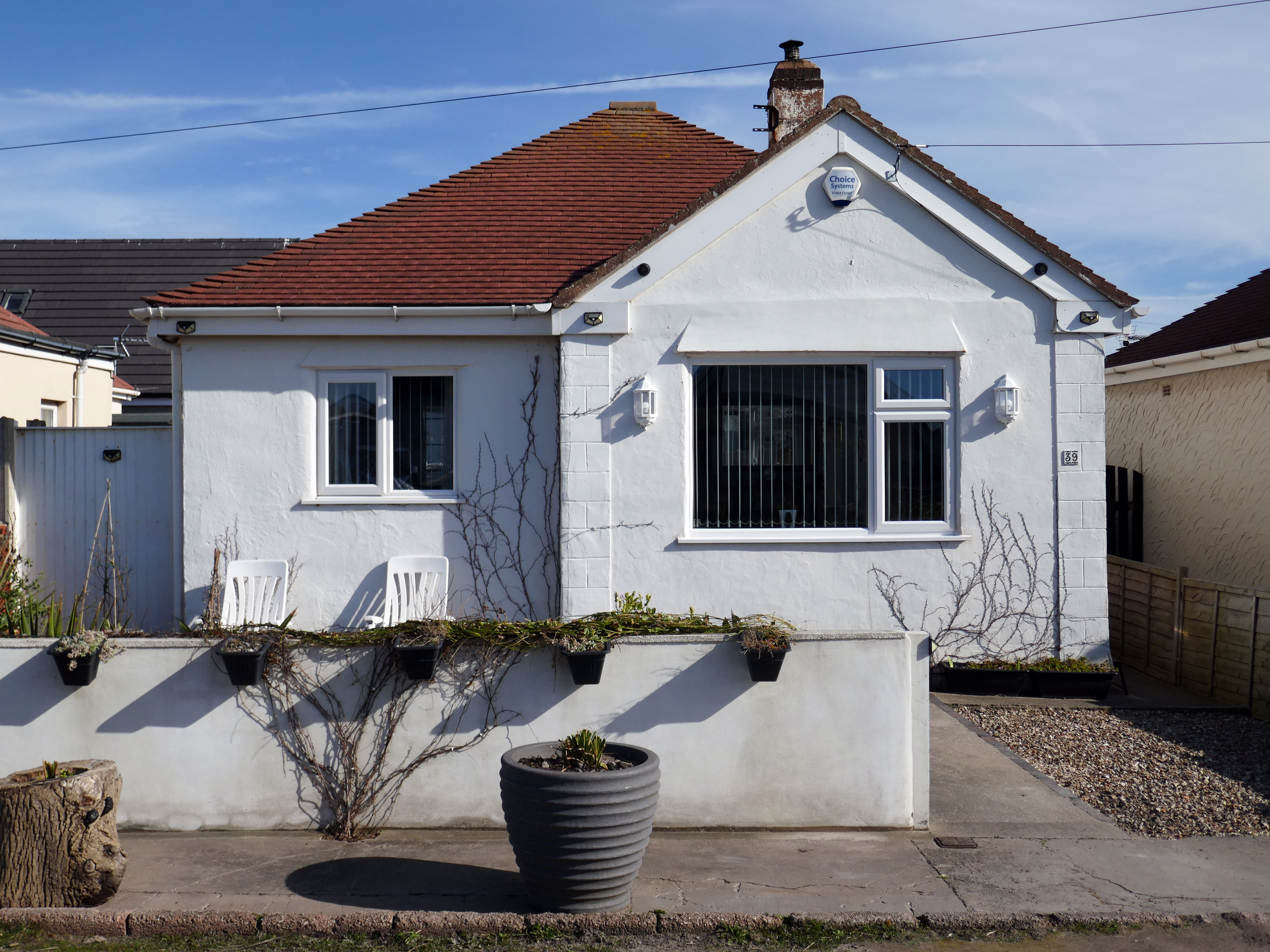
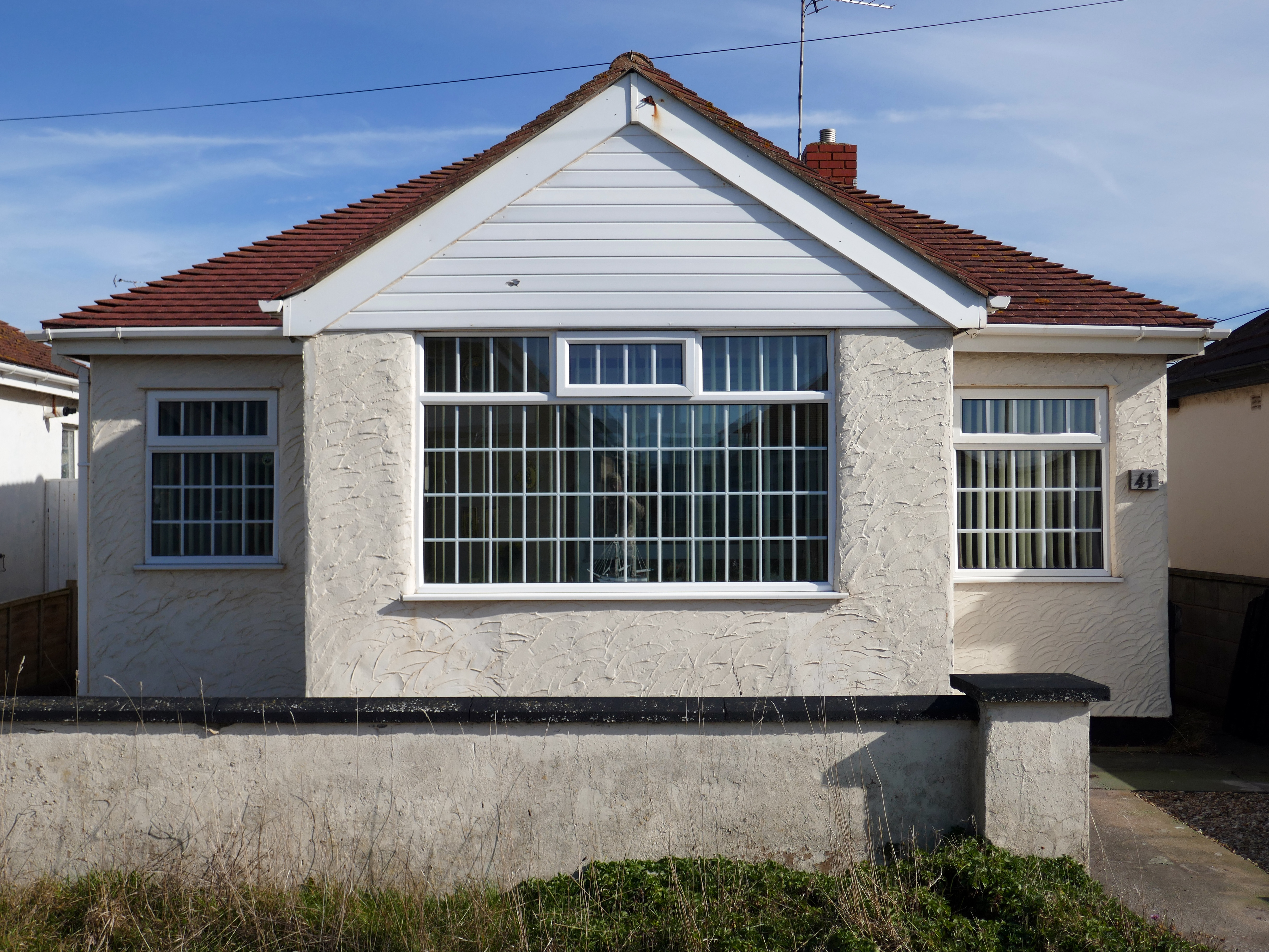
As I walked out one morning, as on other mornings I passed a group of bungalows along the North Wales Coast, as seen on many a trip twixt Rhyl and Colwyn Bay.
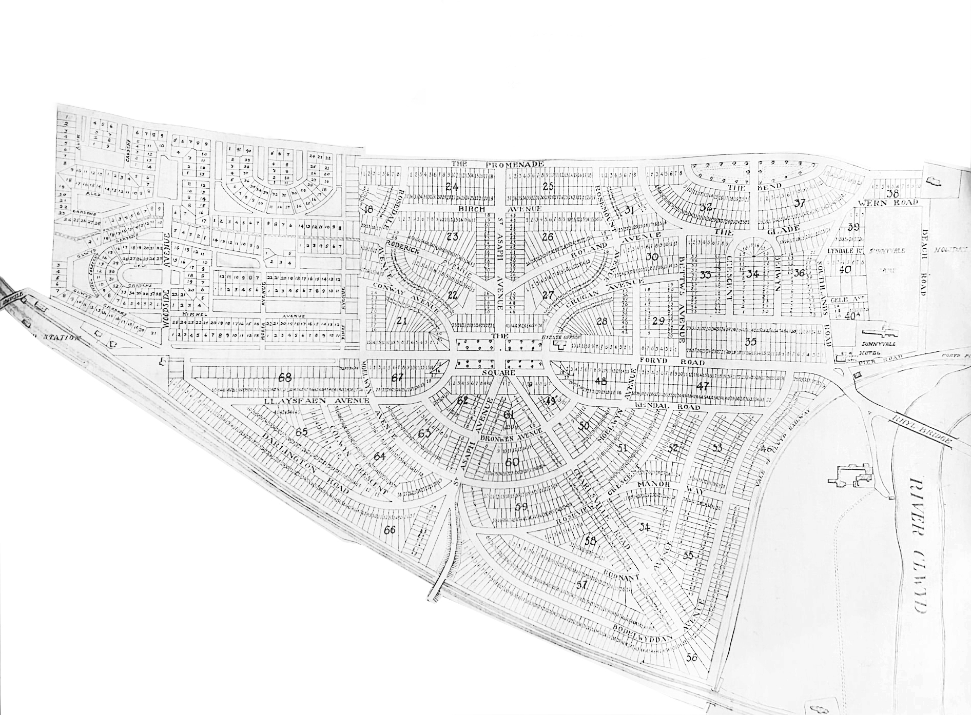
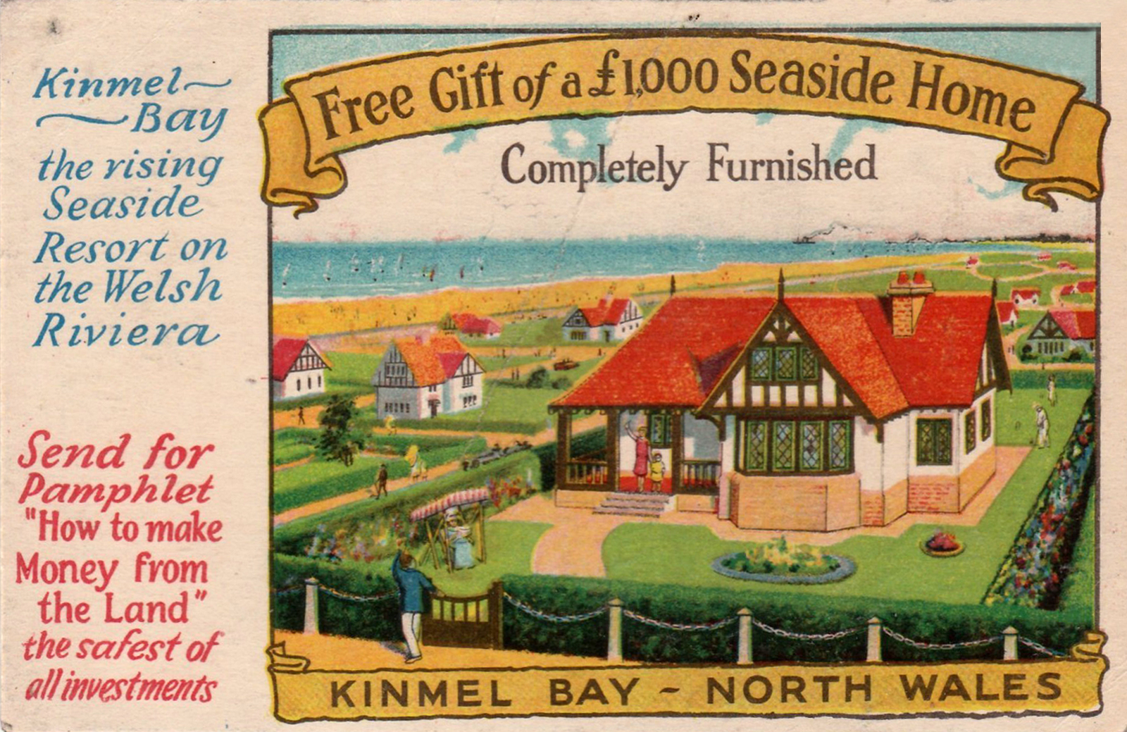
What is the history of this Kinmel Bay estate?
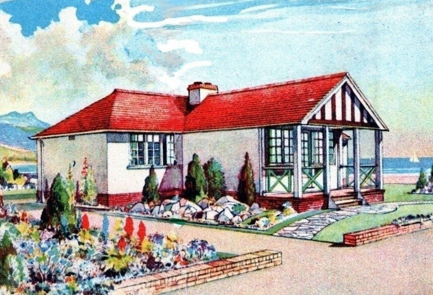
During the 1930s a company called Kinmel Estates Ltd came up with a idea of building a Holiday Village called Sandy Cove Estate. These Houses soon produced a lot of interest by many wishing to own their own holiday home and by the 1940s most were sold.
Due to unknown financial problems the Company went into liquidation in 1947 leaving further work on the infrastructure of the village undone. The Village was taken over by the Crown as the local Council showed no interest. It remained this way until 1997 when the land passed to The Kinmel Bay and Towyn Community Assocation Ltd.
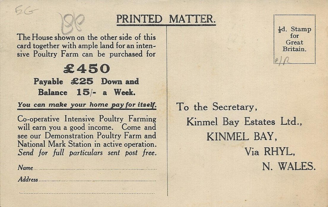
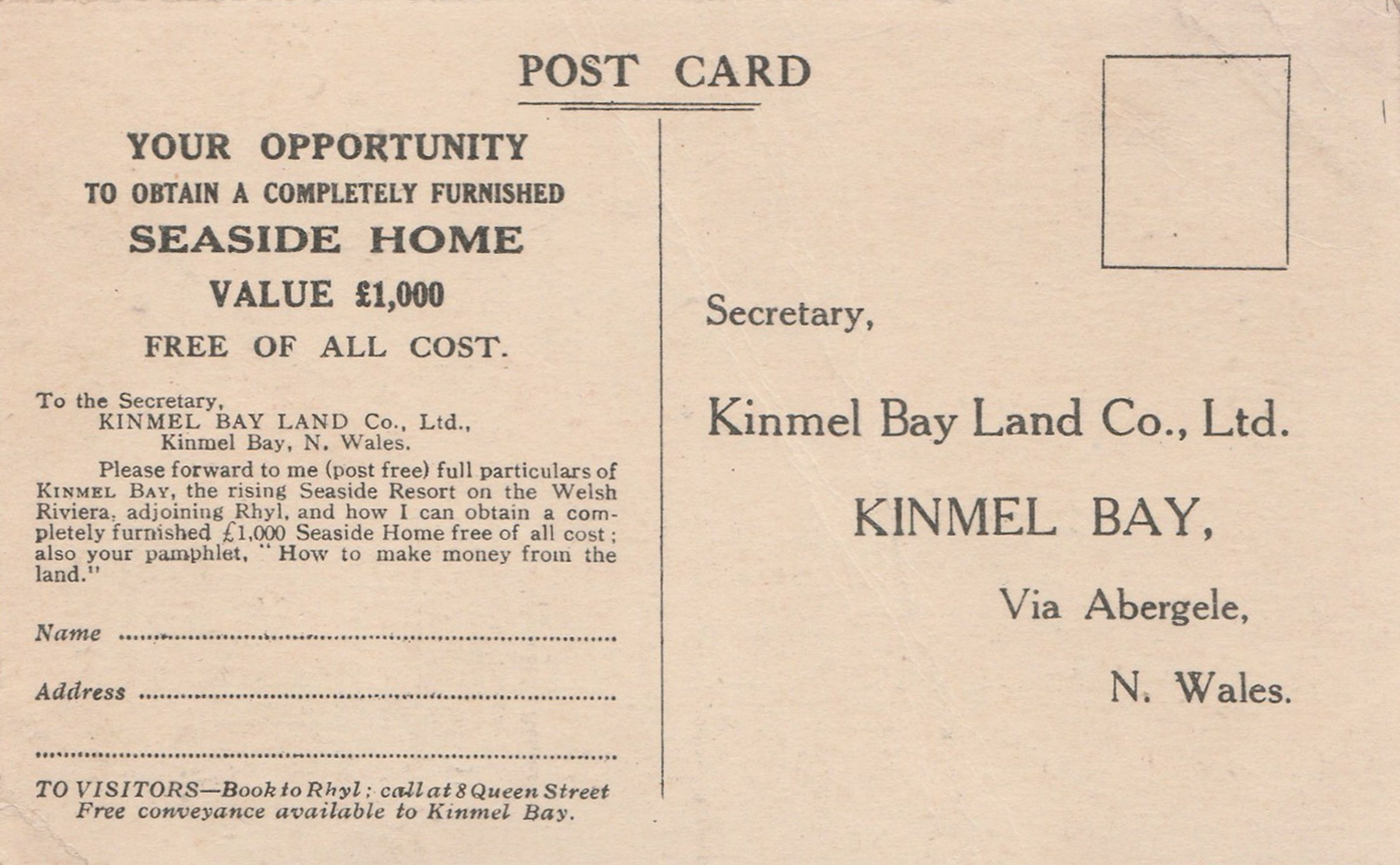
In 1925 a Mr Charles W Neville bought from 1,500 to 2,000 acres of land for the very small price of £30 an acre, and subsequently sold it at a handsome profit to himself, that is to say, to another company of which he is the moving spirit, a company known as the Kinmel Bay Land Company, of which he has been the dominating figure throughout.
By specious advertisements—which I have not now the time to show the House but they are contained in wonderful advertisements shown all over the Kingdom—and very cleverly devised contracts they have induced a large number of retired people, some with very small incomes, or small pensioners, to buy land which up to the year 1925 had cost £30 an acre at a price of from £100 a quarter of an acre up to £500 an acre with annual charges supposed to be for roadmaking, sewerage, and so on—a charge actually on the land which will last for all time, with the result that a beautiful site—a place of great possibilities to that part of the world—has been largely ruined and has brought a great deal of misery and discomfort to many people.
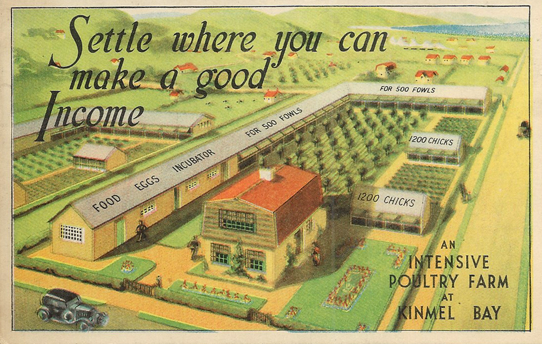
What is the present state of Kinmel Bay? In a few words I will give it. There is no proper system of sanitation or sewerage. Cesspools are a disgusting nuisance. In some cases they have to be emptied once a fortnight by the householder at an exorbitant cost, sometimes as much as £1 of poor people’s money. Ditches have become full. The sewerage in summer months is quite intolerable at times. Instances have been known of crude sewage floating on the surface and actually overflowing into a house in this area. There is no proper system of roads. Those that are made are mainly of twigs or branches of trees, old tin cans, and other rubbish, with a layer of stones on top. Even these roads, of course, are not maintained. Drinking water, at one time brown and muddy, has improved. A new company has been formed, a subsidiary of this very company, which is certainly selling rather purer water now, but at the exorbitant price of a minimum charge of 15s. a quarter to the householders. Of course, the hydrants are quite useless in the case of fire. Now we have here 1,380 acres built over in this scattered and haphazard manner with a population of over 2,000.
This seems to have been the oddest case of hucksterism – which also involved the sale of putative poultry farms. This image seems to be the only reference which I can find online.
Were they ever built?
Along with the aforementioned homes.
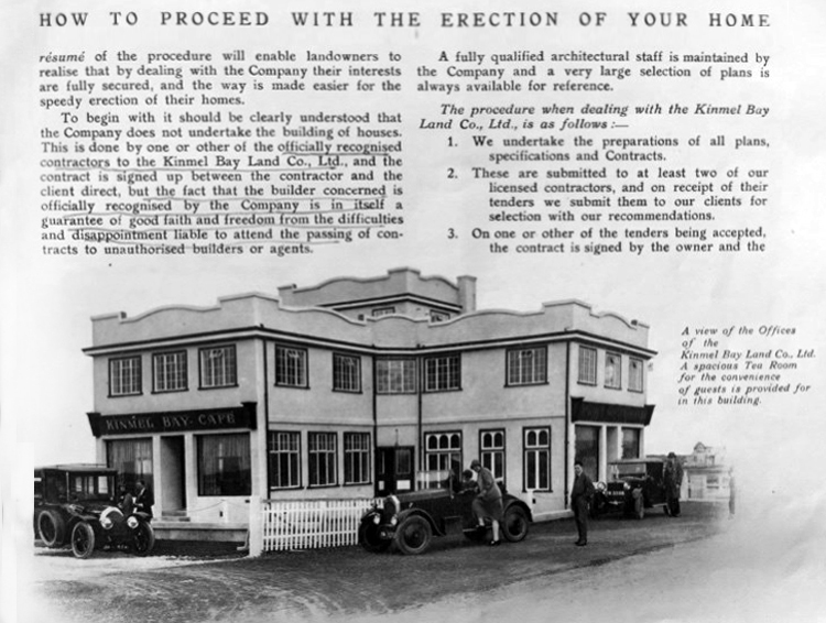
It would appear that they were perhaps self-assembly kits.
These are archival images from a variety of sources:
In the past Chester Avenue was nicknamed Dodge City thanks to its reputation for low-level crime and scruffiness.
It was like Beirut in the early days – said Mike Nolan, who has lived in the area since 1978.But now it is very pleasant, and since Cartrefi Conwy has taken over it has been even better. People want to come and live here now.
The issue of infrastructure management on the estate is still an issue it would seem:
Clwyd West MS Darren Millar yesterday raised in the Senedd the plight of residents living on Kinmel Bay’s Sandy Cove, who recently experienced flooding. Calling for a Welsh Government statement on the issue of unadopted roads during the Business Statement, Darren referred to the situation at Sandy Cove.Adverse weather on April 9th led to residents of the estate being evacuated from their homes. The estate has also been hit by flooding in the past.
Speaking in the Senedd Chamber, Darren said:
I’d like to receive an update from the Cabinet Secretary for Transport on the issue of unadopted roads. Sandy Cove in Kinmel Bay, which has around 250 properties on unadopted roads, experienced flooding during storm Pierrick just over 10 days ago.
That flooding was made worse because of the lack of drainage on that estate. It clearly needs an improvement to the drainage infrastructure. Those roads need to be up to an adoptable standard, and the poor condition of them is making life a misery for local residents.
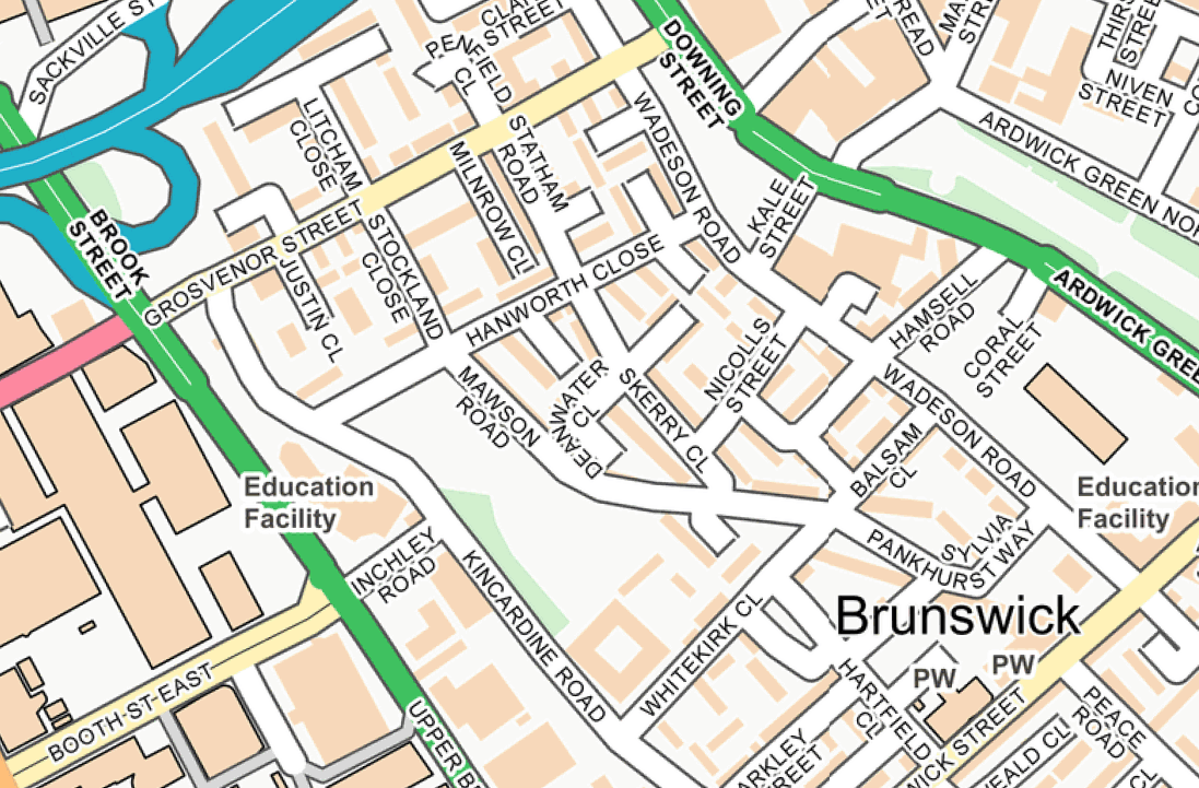
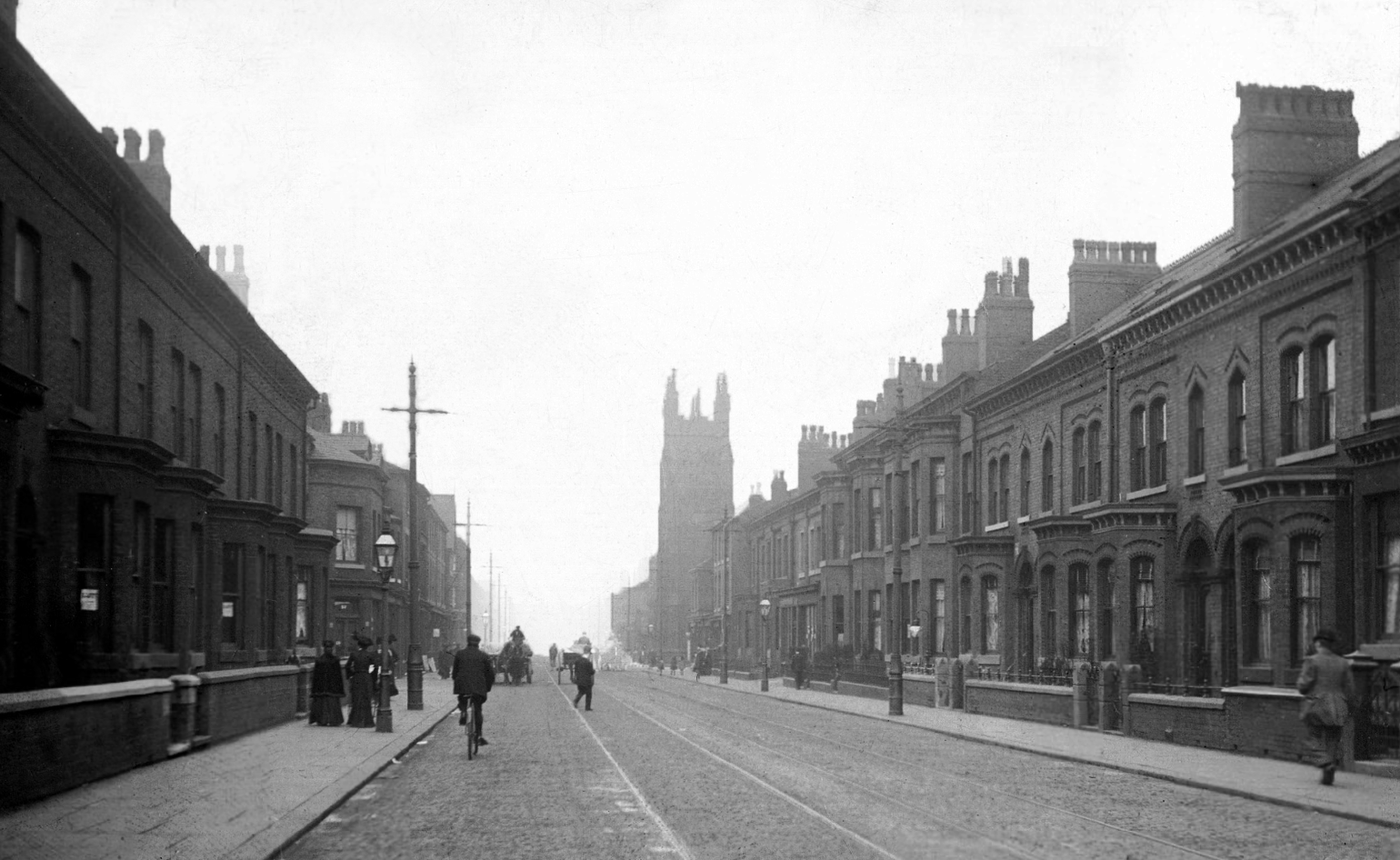
I was walking around town, with a view to updating my Ardwick Walk.
Idle curiosity took me toward the Brunswick Estate – that pocket of housing nestle twixt the Mancunian Way/River Medlock, Ardwick Green, Brunswick Street and Upper Brook Street.
Back in 1813, a web of streets and enclosed fields, and more fields, along with small groups of higher status housing, but by the early 20th century it was very much a working class district, within which industry began to grow.
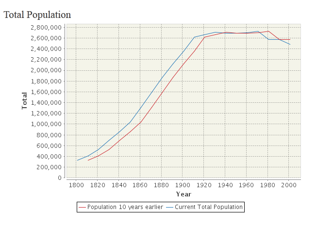
The population of Manchester expanded unstoppably throughout the nineteenth century.
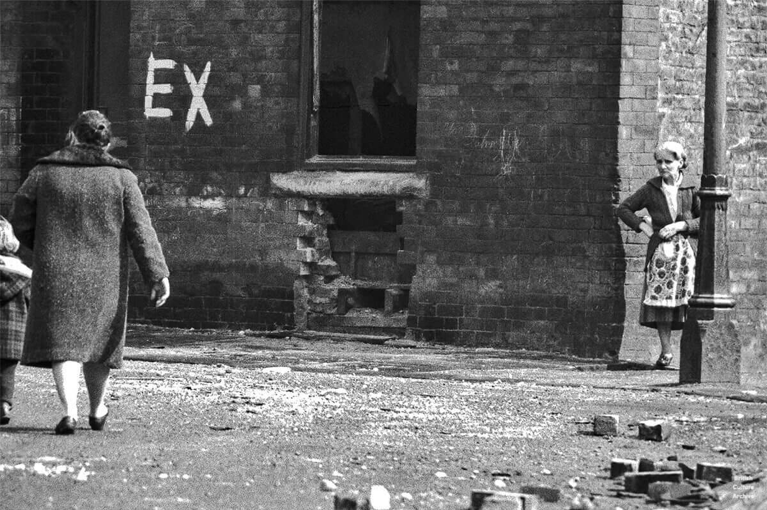
Extensive slum clearance in the nineteen sixties saw the area and its street names change, some erased forever in the new build.
In Manchester, in a vast belt immediately outside the central area of the city, there still exist all too many remnants of a planless, knotted chaos of dark, dismal and crumbling homes. Many of these crossed the verge of uninhabit-ableness long before their most elderly inhabitants were born.
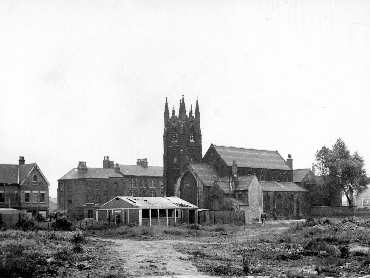
St Paul’s and St Luke’s Brunswick Street W Higham 1970
Lamport Court W Higham 1970
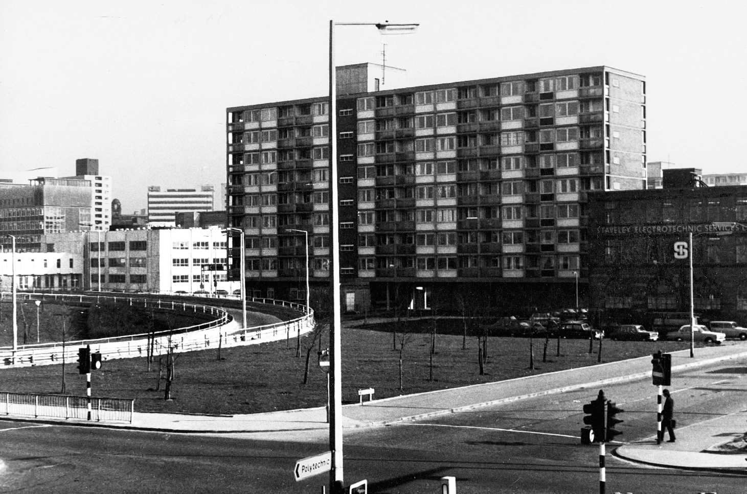
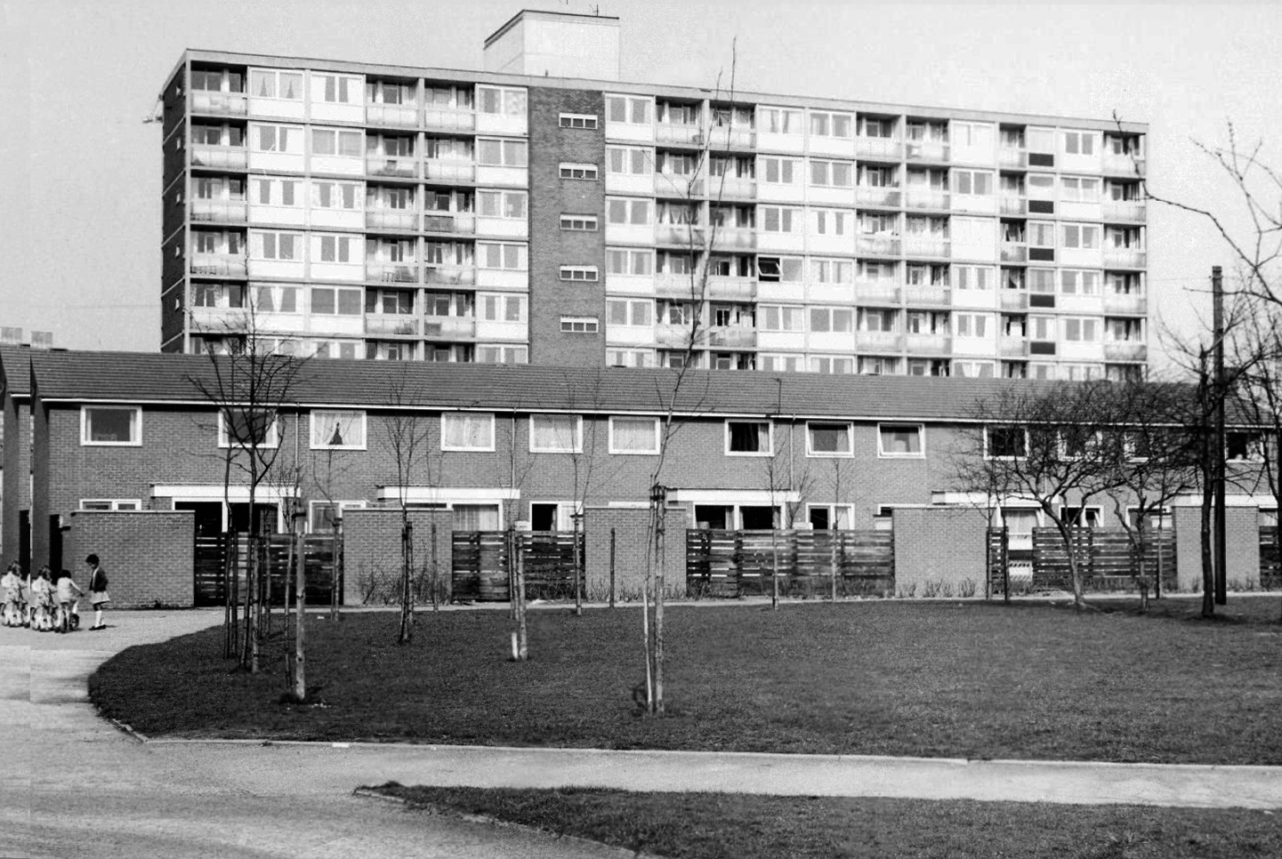
One of three nine-storey blocks, containing two hundred and nineteen dwellings; also including SilkinCourt and Lockton Court.
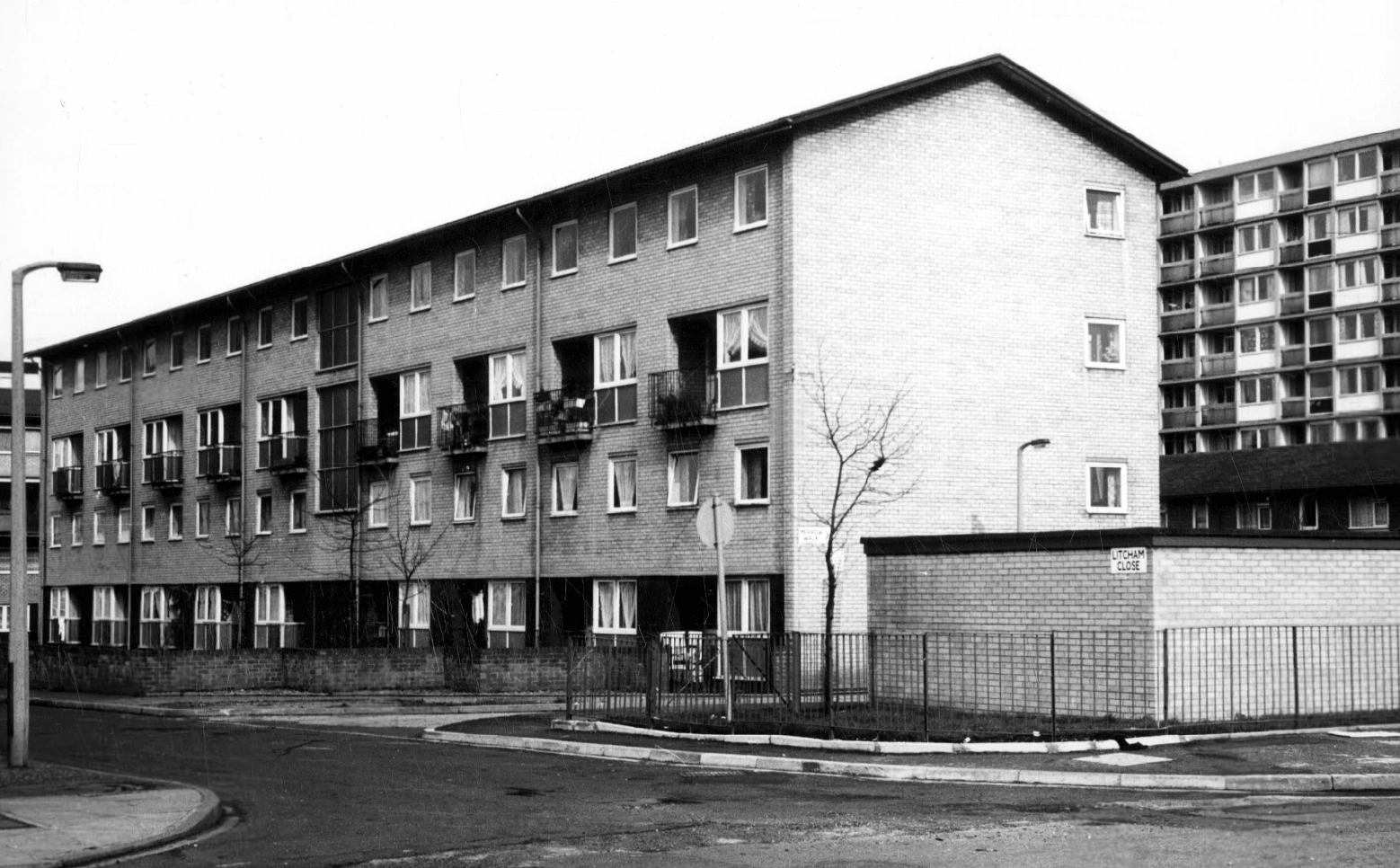
Litcham Close W Higham 1970
Harry Milligan 1903 – 1986 worked as the photographer at Manchester Central Library until his retirement in around 1968. He was instrumental in setting up the Manchester Region Industrial Archaeology Society in 1965. He volunteered at the North Western Museum of Science and Industry from 1968, assisting with reprographics requests. His knowledge of the history of photography in Manchester and the UK led to him taking on the role of Honorary Curator of Photography at the museum.
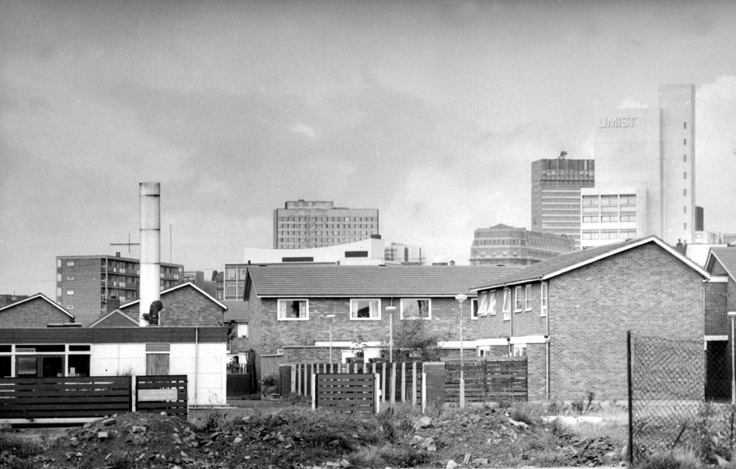
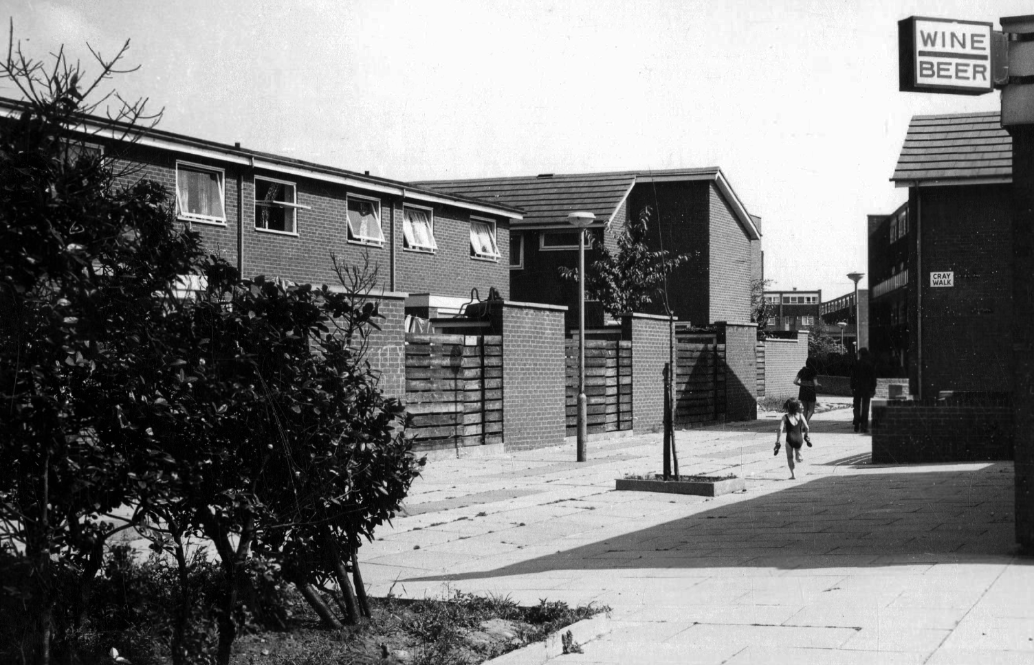
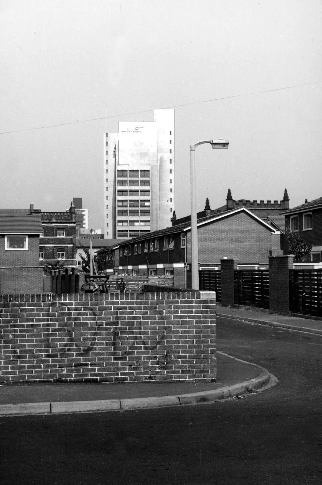
Panorama of Brunswick with UMIST in the background.
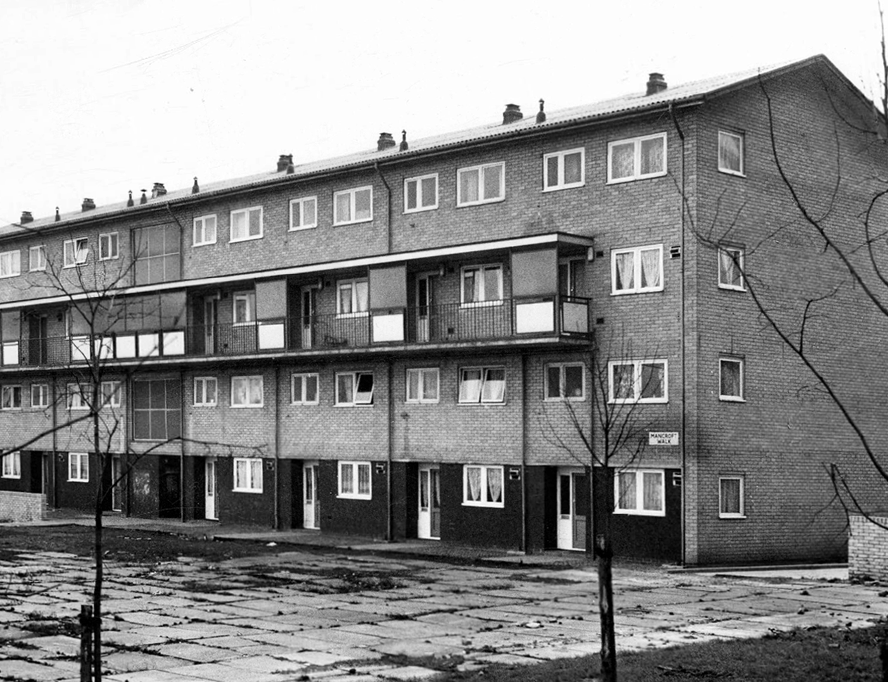
Hanworth Close area terraced housing and flats 1972.
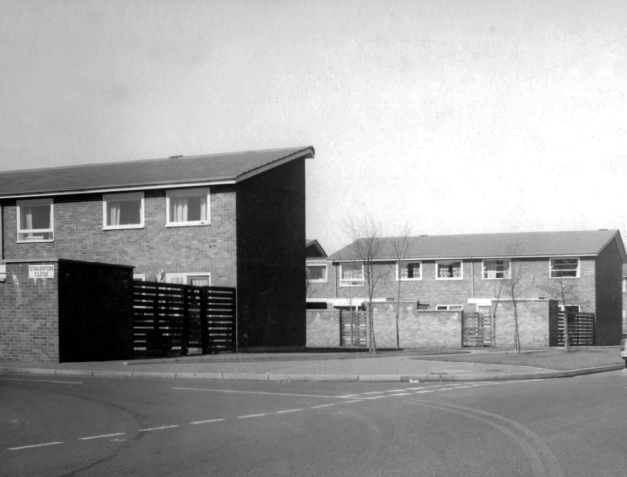
Staverton Close
Melcroft Close
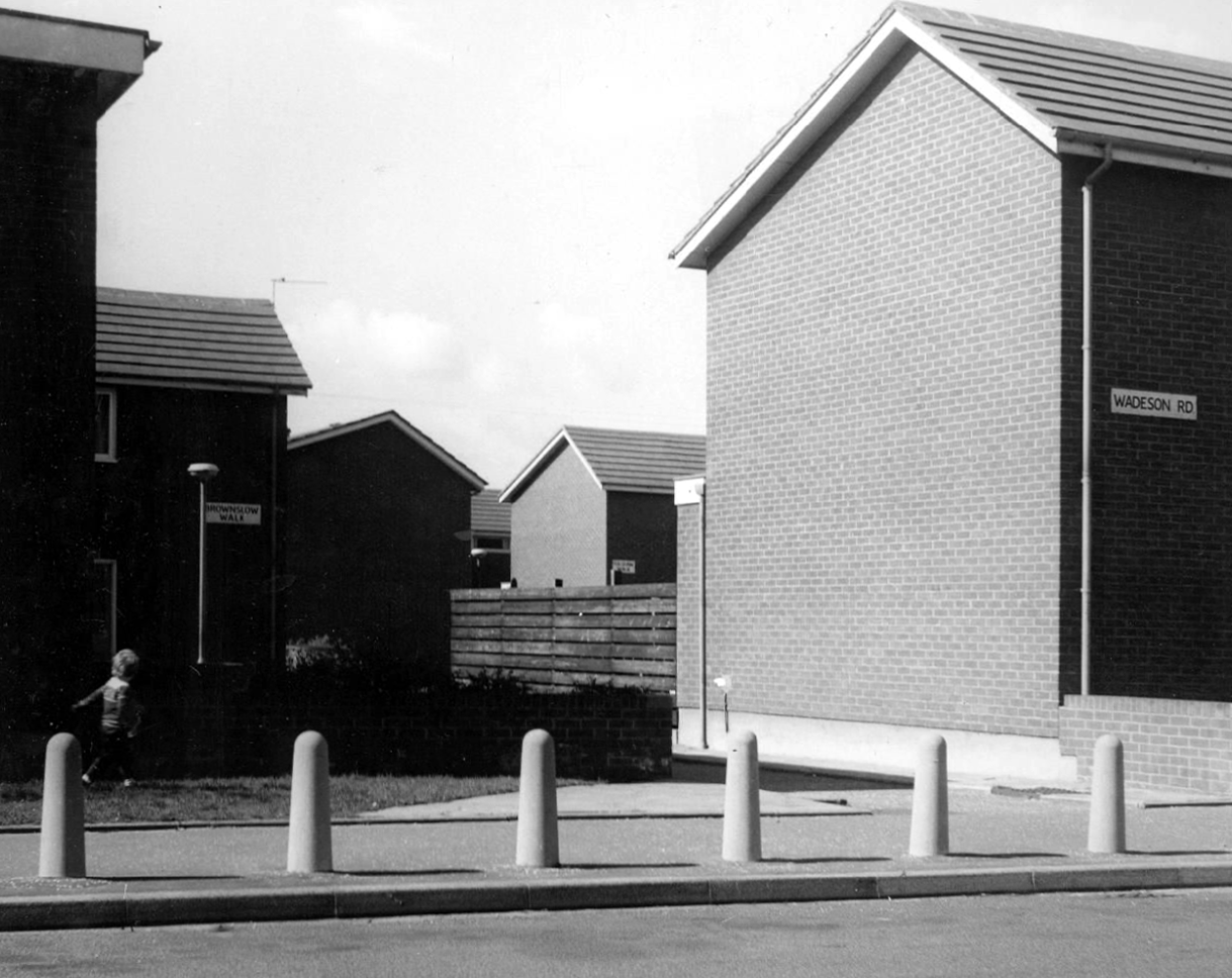
Wadeson Road
Helmshore Walk – Skerry Close
Cherryton Walk
Cray Walk
Wadeson Road
Hanworth Close
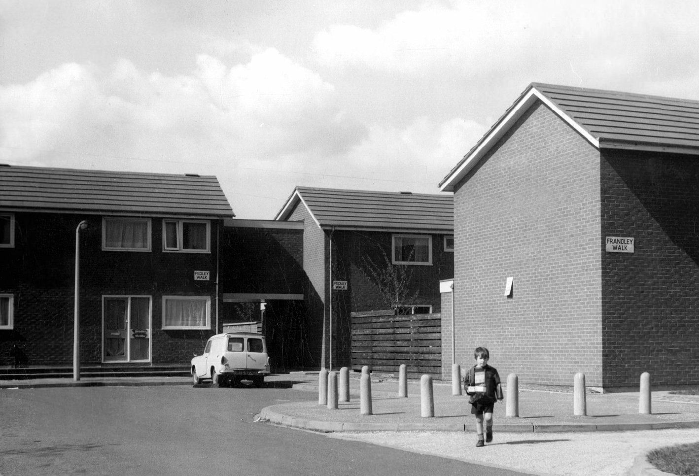
Pedley Walk
Cray Walk – note the decorative brick relief
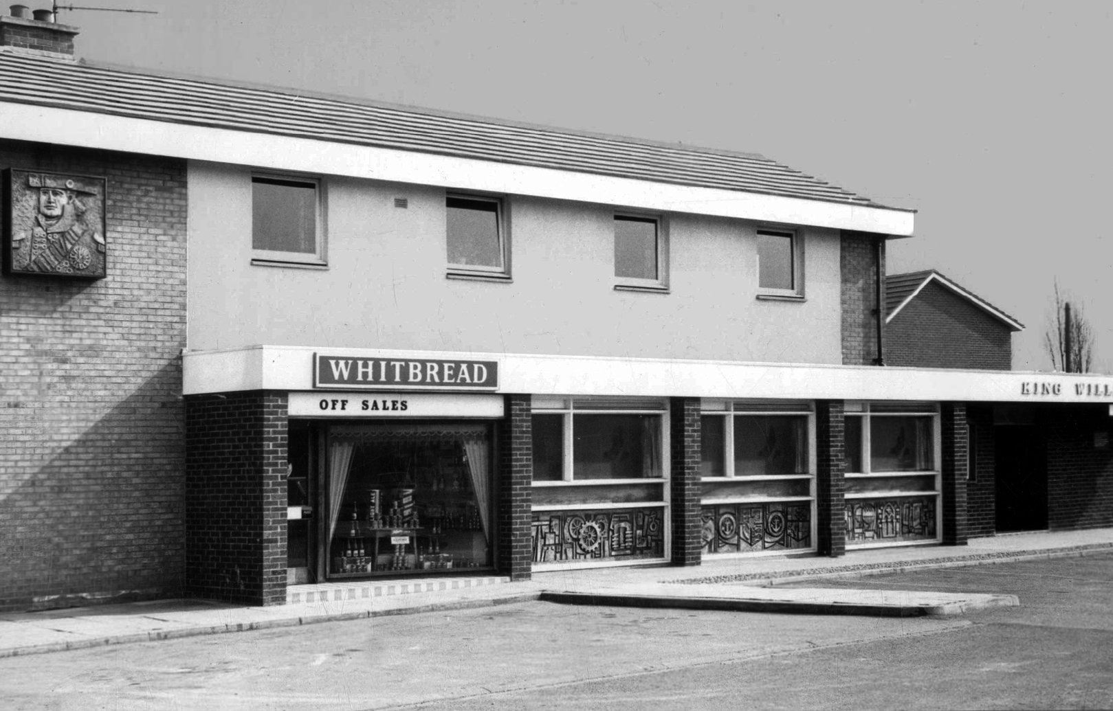
King William IV
Former Chesters then Whitbread estate pub was built in 1967. Closed in 1996 when it was converted to residential property. It had a brief spell 1991 to 1995 as brewery premises for the Dobbin’s West Coast Brewery, during this period the interior was stripped out to accommodate the brewery paraphernalia.
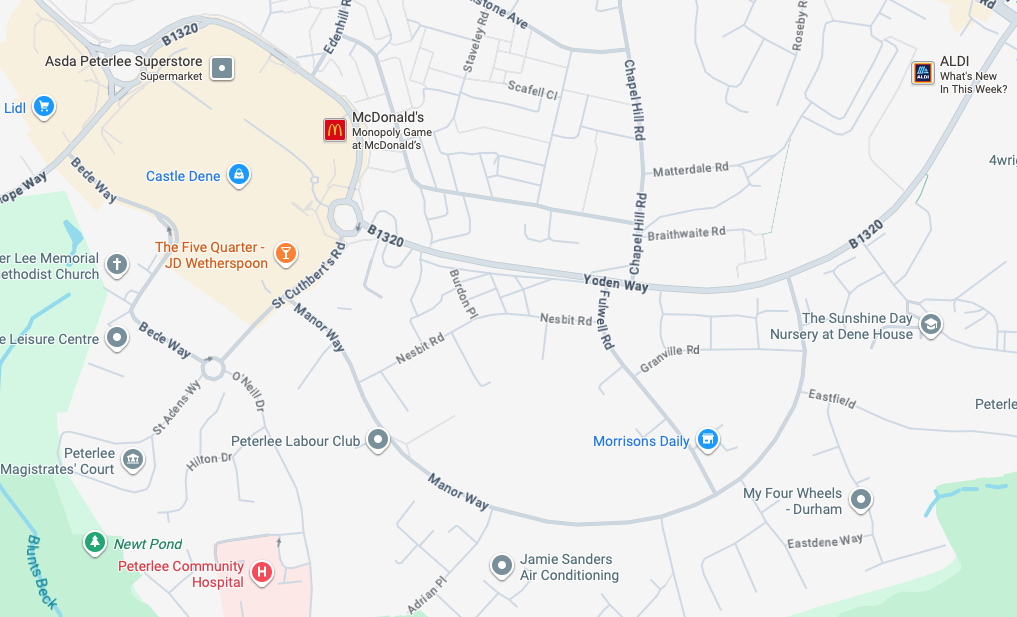
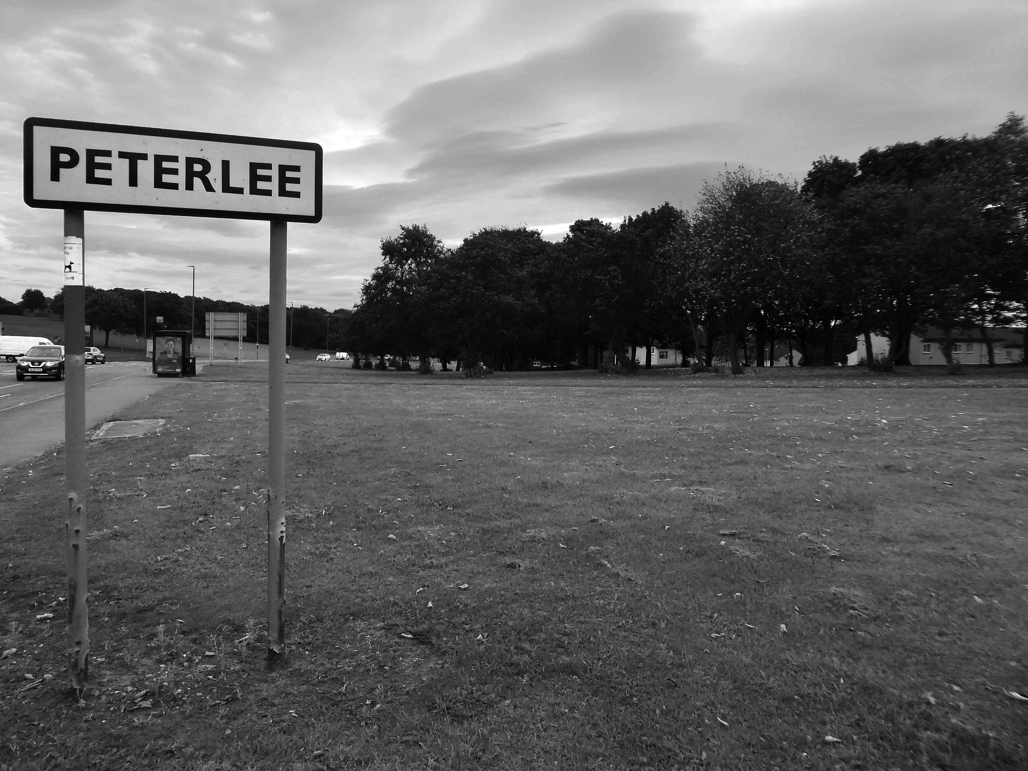
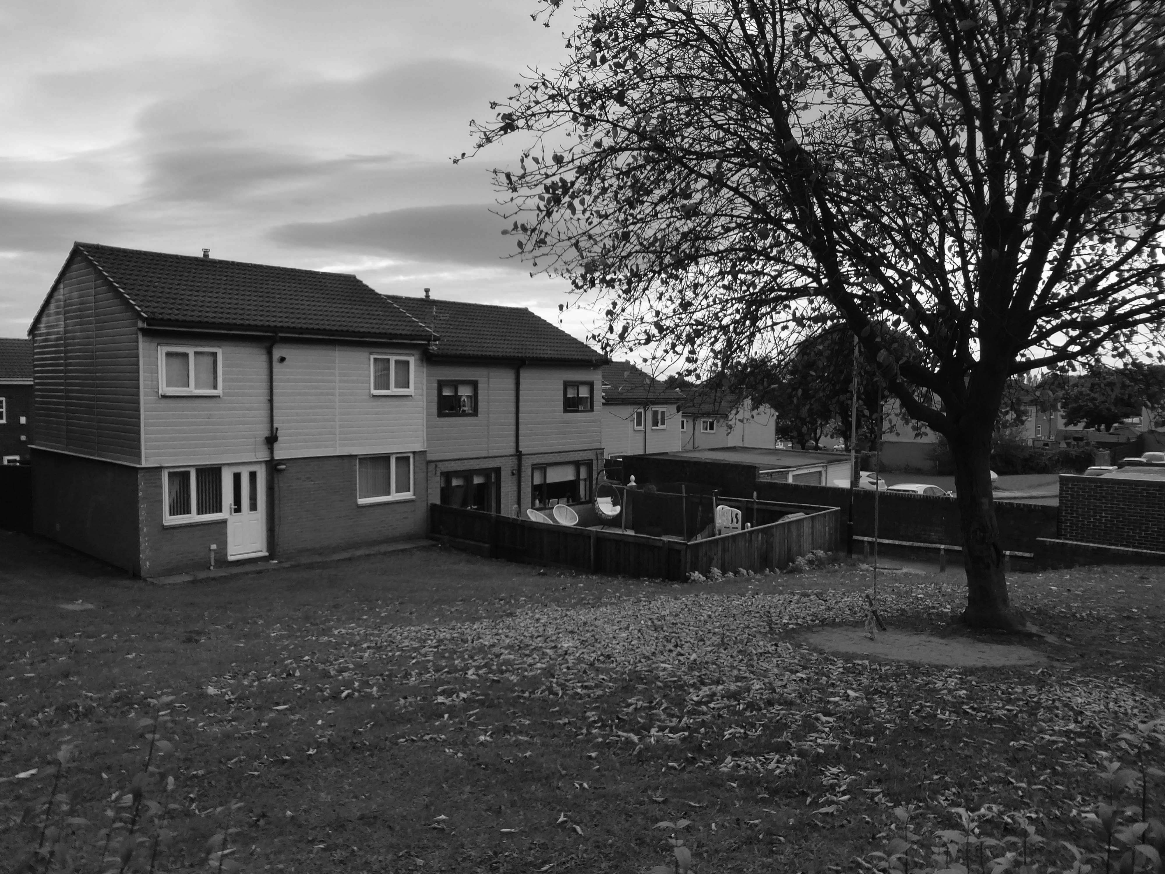
An express bus ride away from Newcastle City Centre – arriving in Peterlee, with a clear intent to wander around and look at housing.
There have been many alterations and amendments made, in the short time since the inception of the Masterplan. Flat roofs have largely been and gone, timber replaced by uPVC, what remains is an interesting array of building types set in an attractive rolling landscape.
The idea for the Apollo Pavilion was the culmination of Victor Pasmore’s involvement with the planning and design of the new town of Peterlee in County Durham which began in 1954 with his appointment by AV Williams, the General Manager, as a consultant architectural designer to the Corporation. The brief was to inject a new initiative into the new town’s design, which had been limited by practical and financial constraints. The early departure of Berthold Lubetkin from the original design team, and the limitations imposed by building on land subject to underground mining, had led to a deterioration in the quality of the architecture being produced at Peterlee.
The Apollo Pavilion, created by Victor Pasmore in 1969, is designated at Grade II* for the following principal reasons: Architectural interest: the structure is of very high architectural quality, forming the centrepiece of a registered landscape Artistic quality: the only truly three-dimensional work by the internationally known artist Victor Pasmore, the Pavilion is an abstract work of art, a demonstration of Constructivist ideas on a large scale and an expression of brutalist architecture Setting: the setting of the structure is the centrepiece of the registered Pavilion Landscape and as such survives intact.
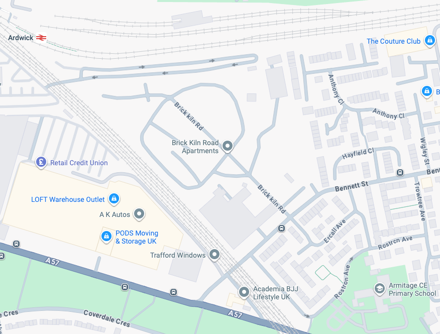
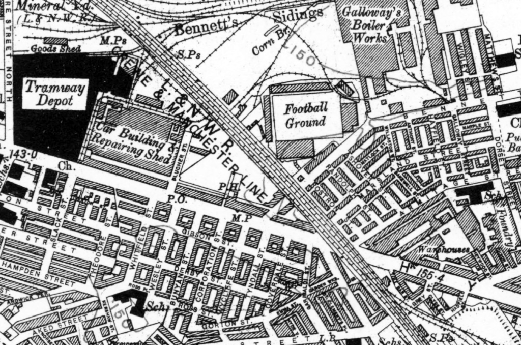
I have been here before recording the history ofManchester City FC on this site.
A football stadium surrounded by railways, roads, homes and industry.
The area is now much changed, though the railways and roads remain, the homes are in a state of flux.
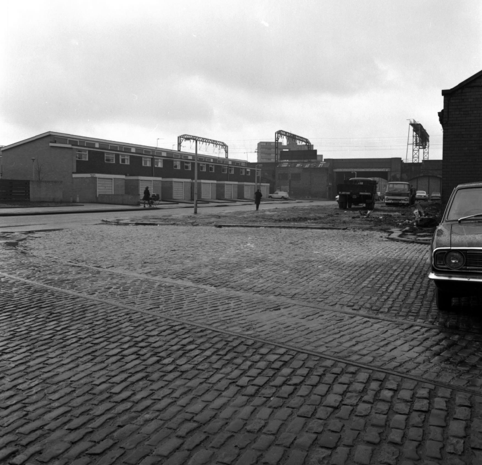
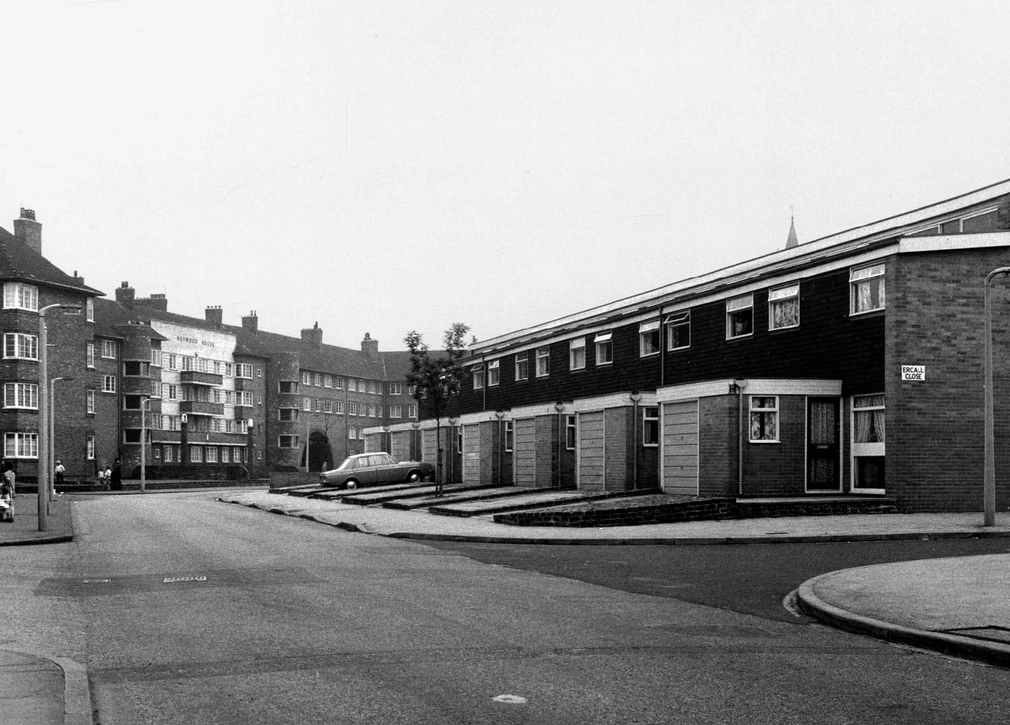
Local Image Collection: Bennett Street with Heywood House 1972 – photo Anne Jackson.
Local Image Collection: Wenlock Way flats taken from Bennett Street – Photo Ben Garth 1972
Local Image Collection: Matthews Street from Bennett Street 1964 – Photo Thomas Brooks
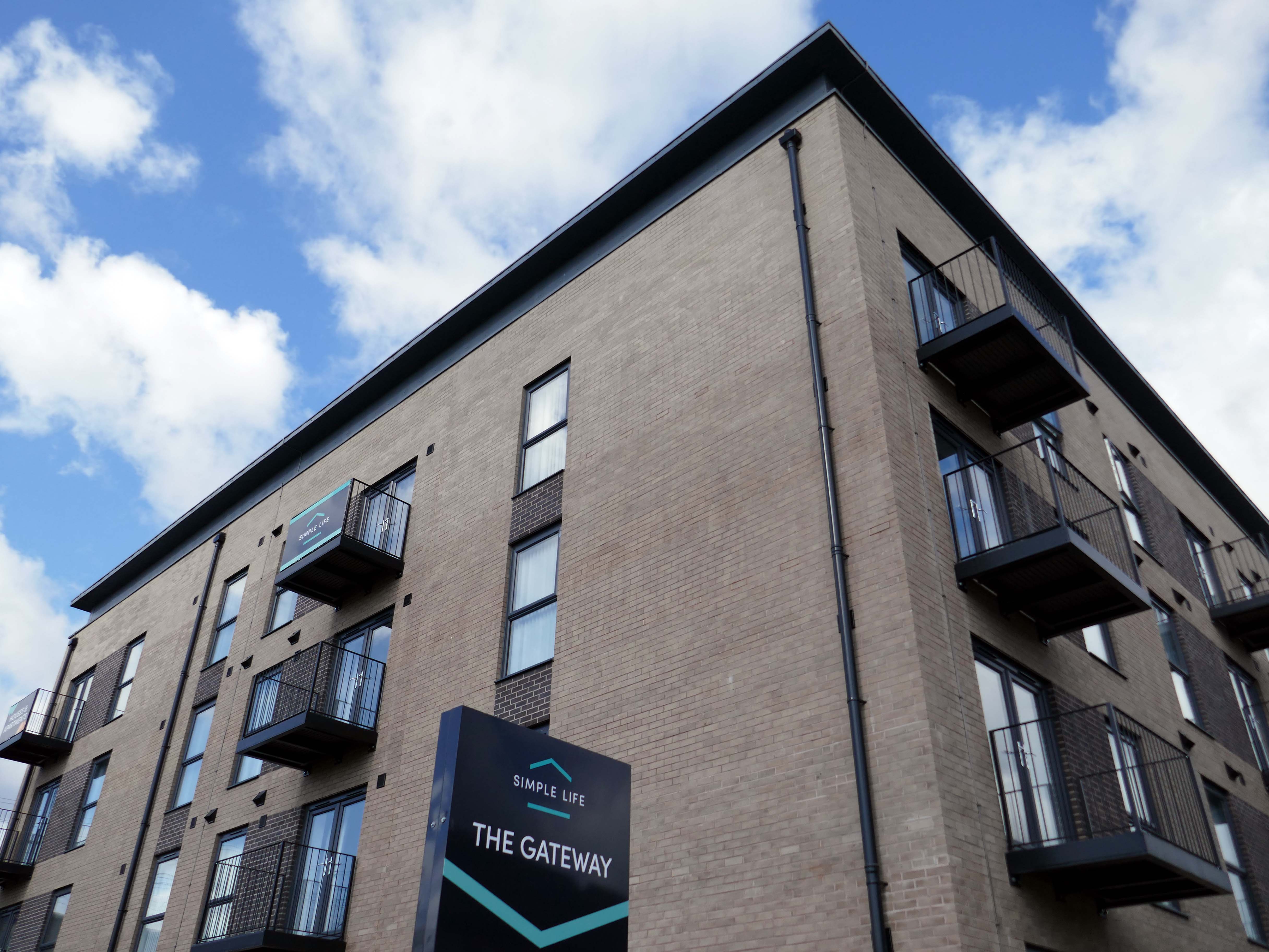
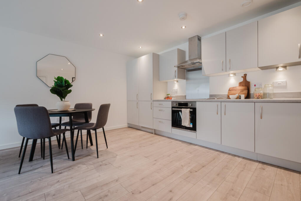
The Gateway to the Simple Life is here.
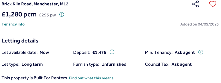
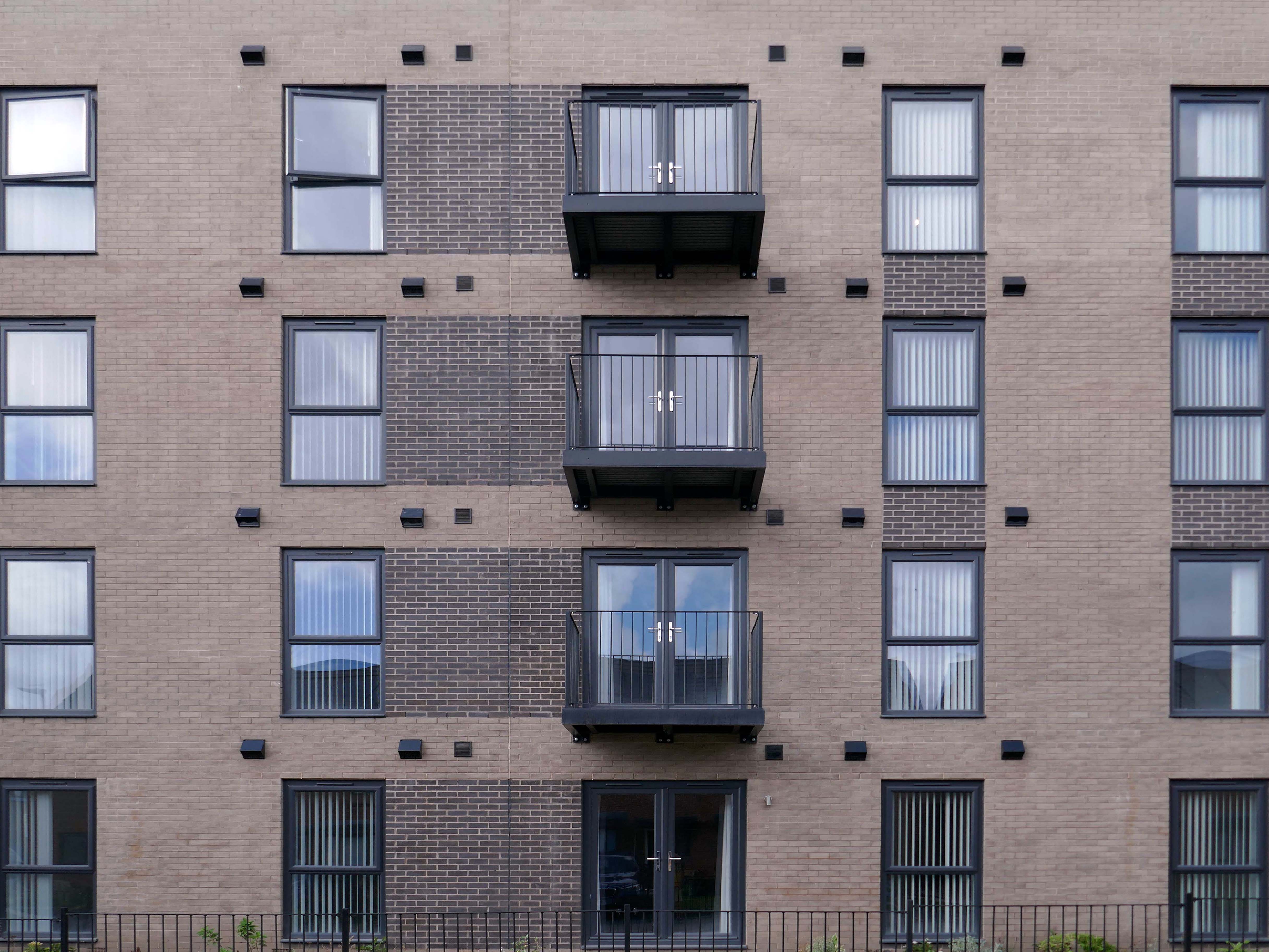
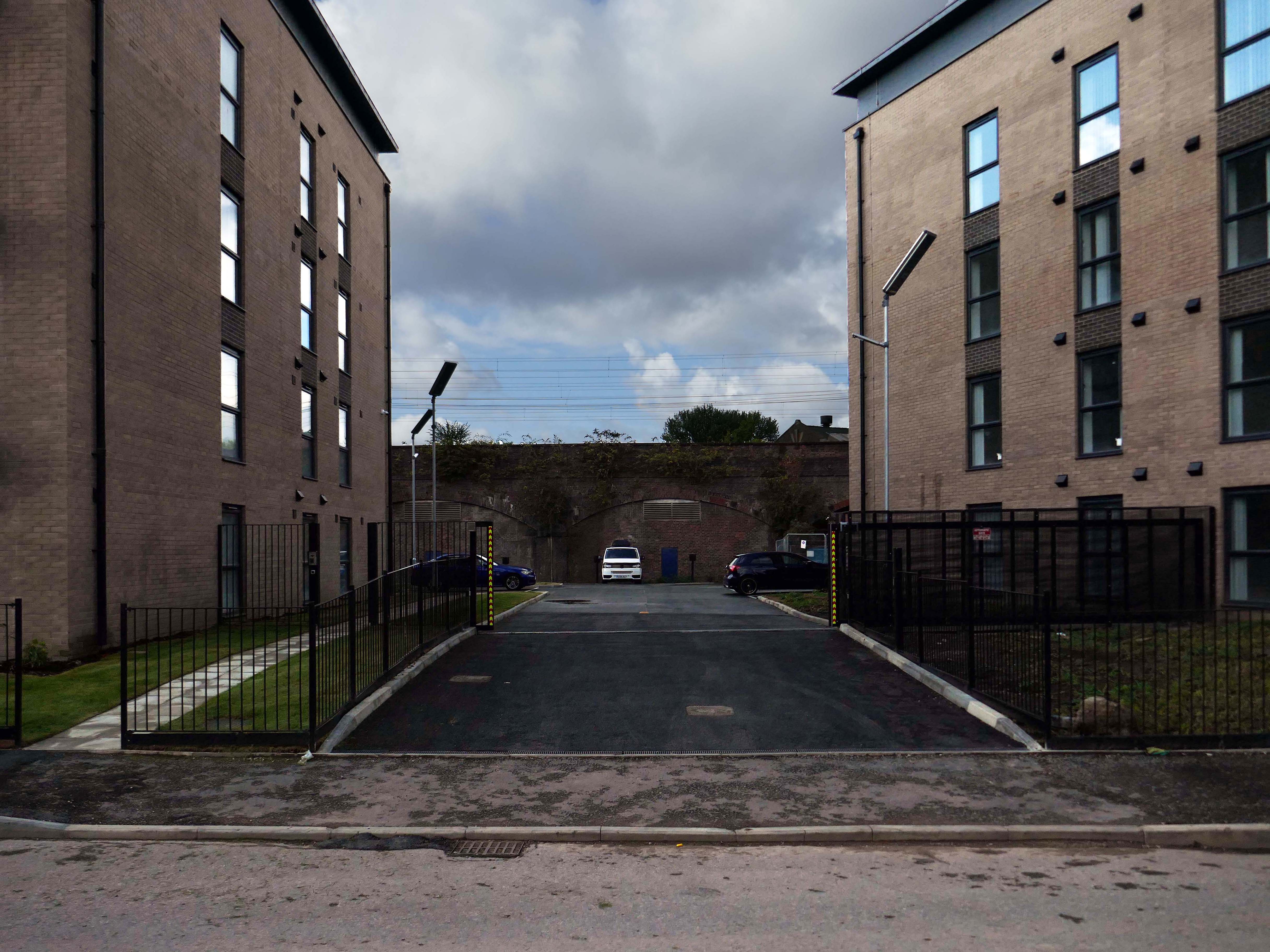
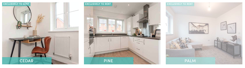
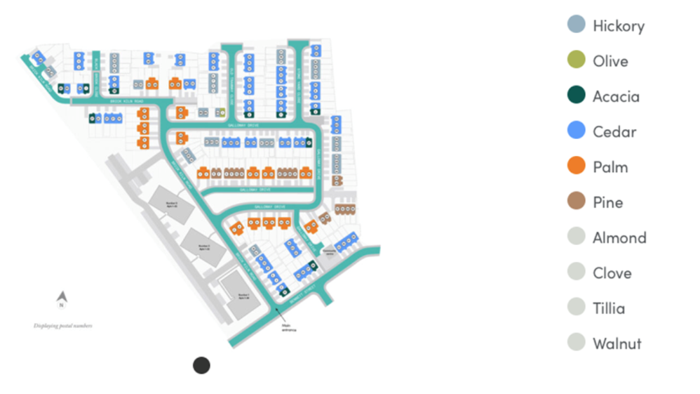
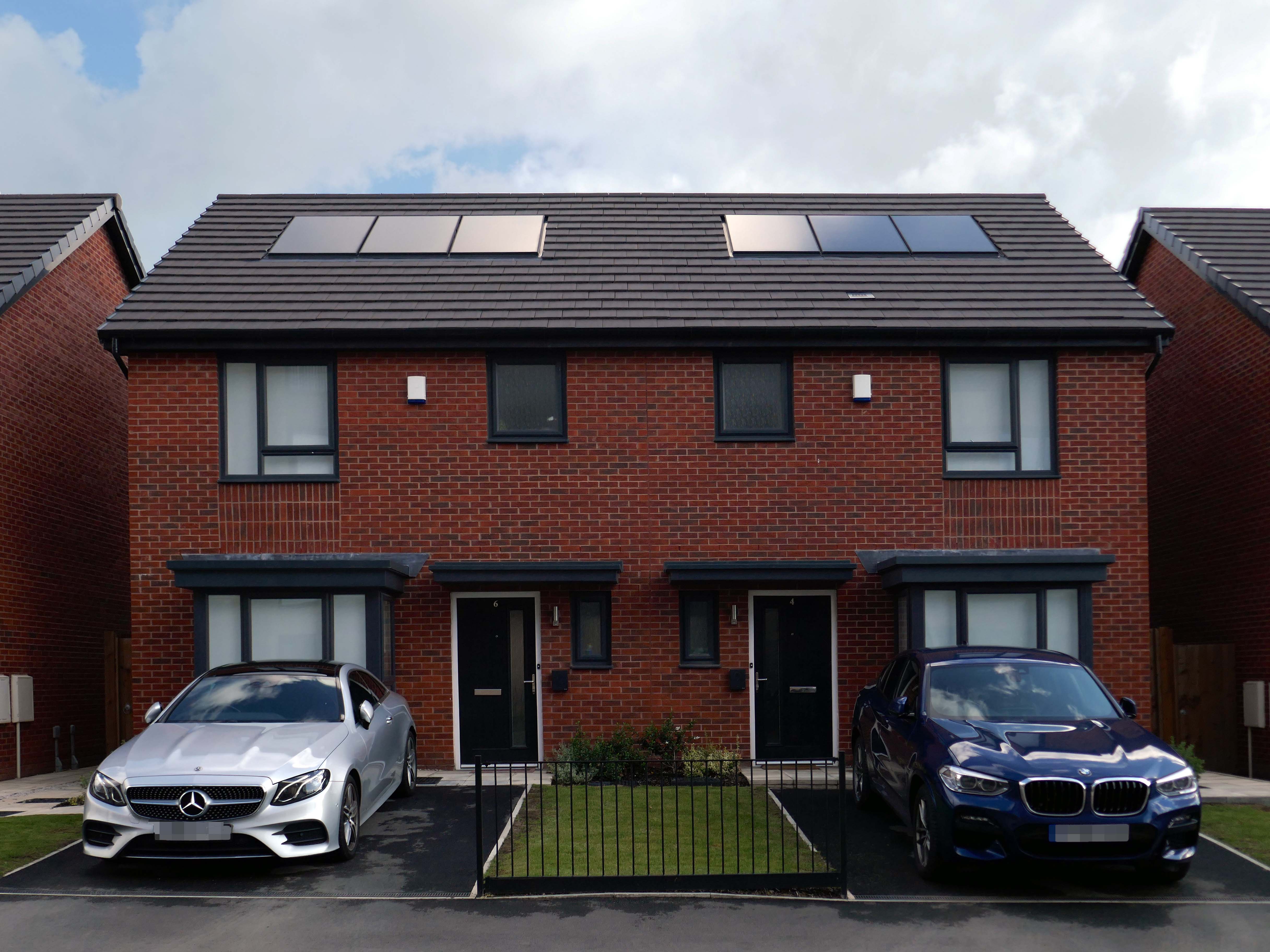
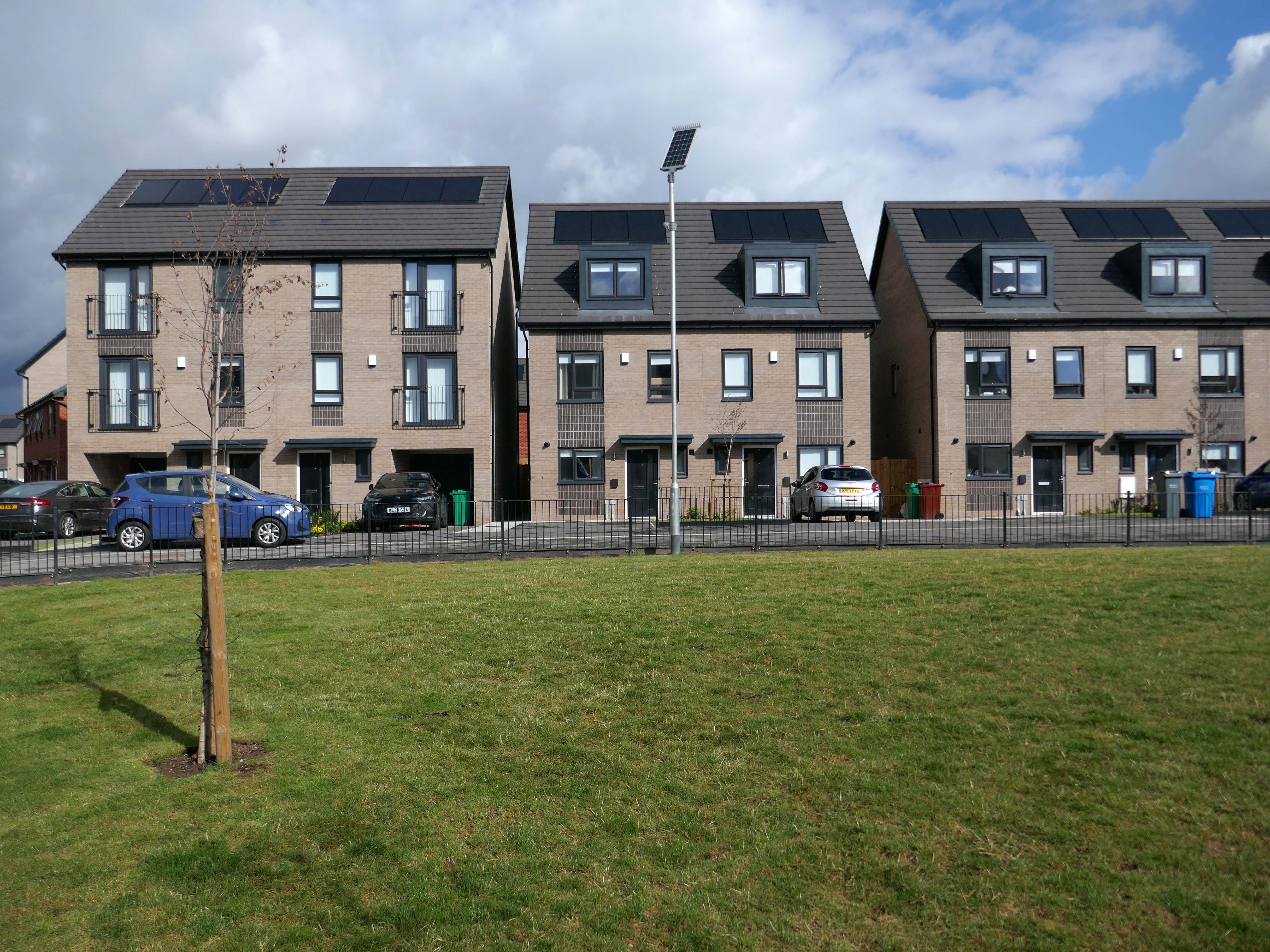
Situated in Ardwick, one mile outside of Manchester’s vibrant city centre, The Gateway is a distinctive development offering a collection of homes and apartments to rent.
Enjoy living in the prime location of Manchester’s bustling city centre, where there is a vast range of employment opportunities, cafes, bars and restaurants. All year round, you can benefit from various fun days out with events and activities available on your doorstep.
In addition to the apartments there is a mixed development of terraced, detached and semi-detached homes.
We pride ourselves on building places you can call your forever home, knowing it won’t be sold from beneath your feet. We offer renters a whole new experience which brings together the best of both worlds – all the perks of a private rental with the added excitement for customers at the start of a development to choose their own plot and watch it being built.
With home ownership becoming unaffordable for some and an unappealing lifestyle choice for others, we meet the need for a high quality home which still feels secure in the long term.
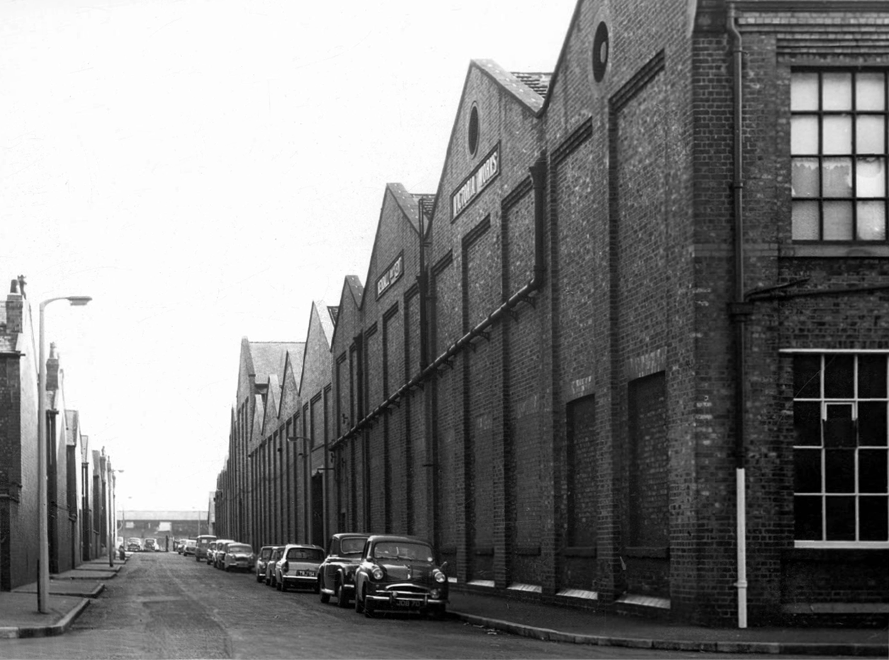
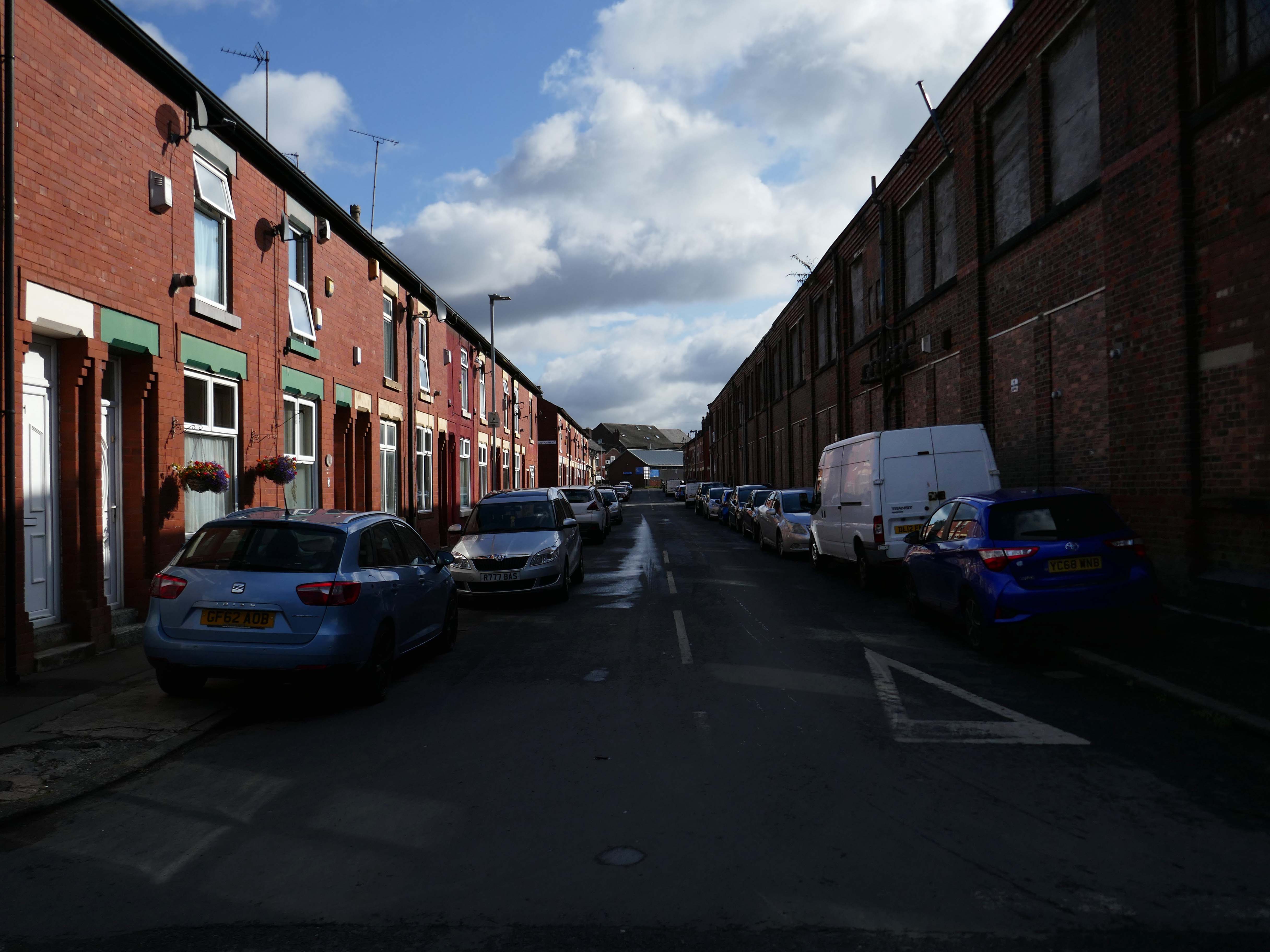
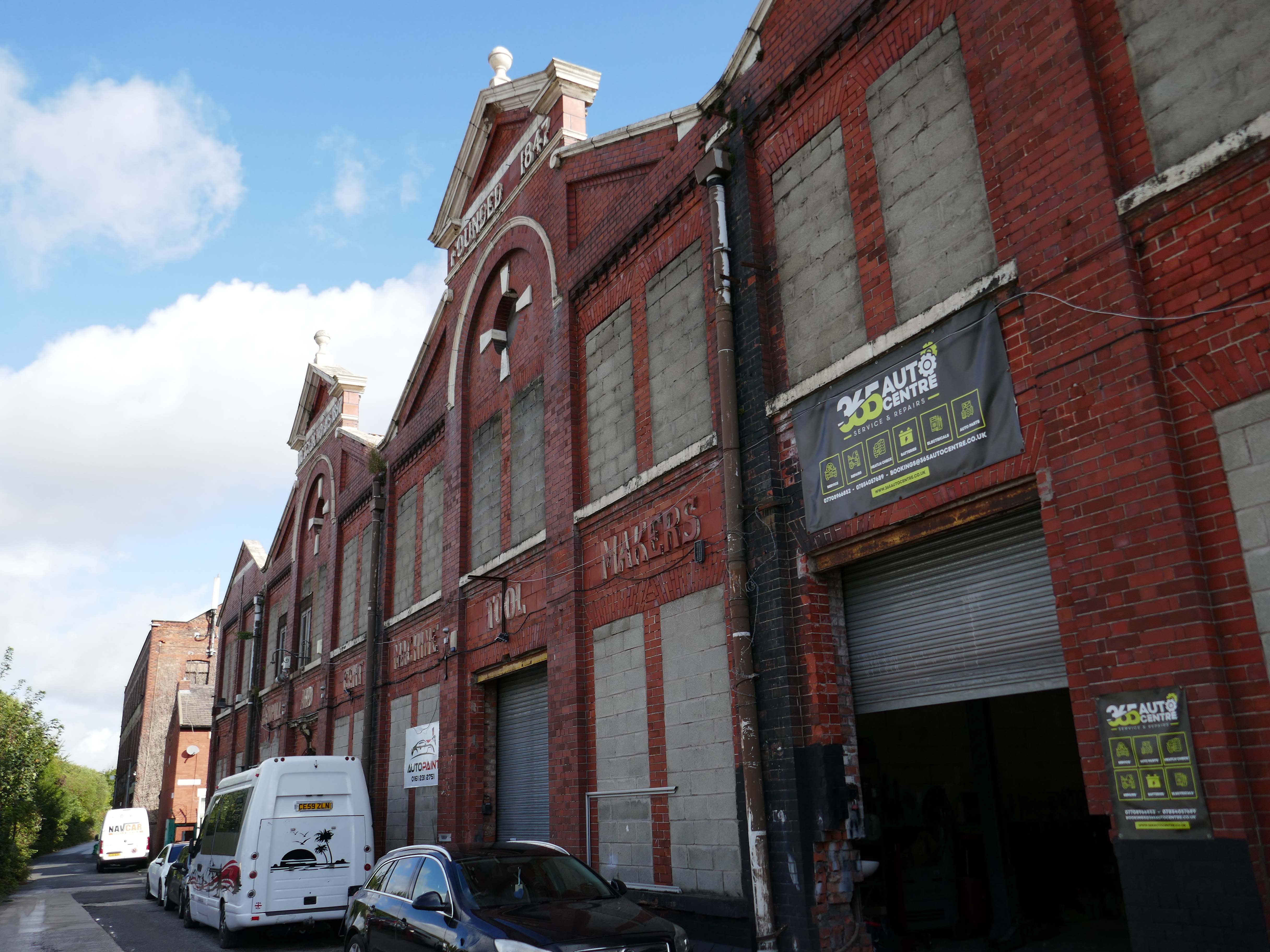
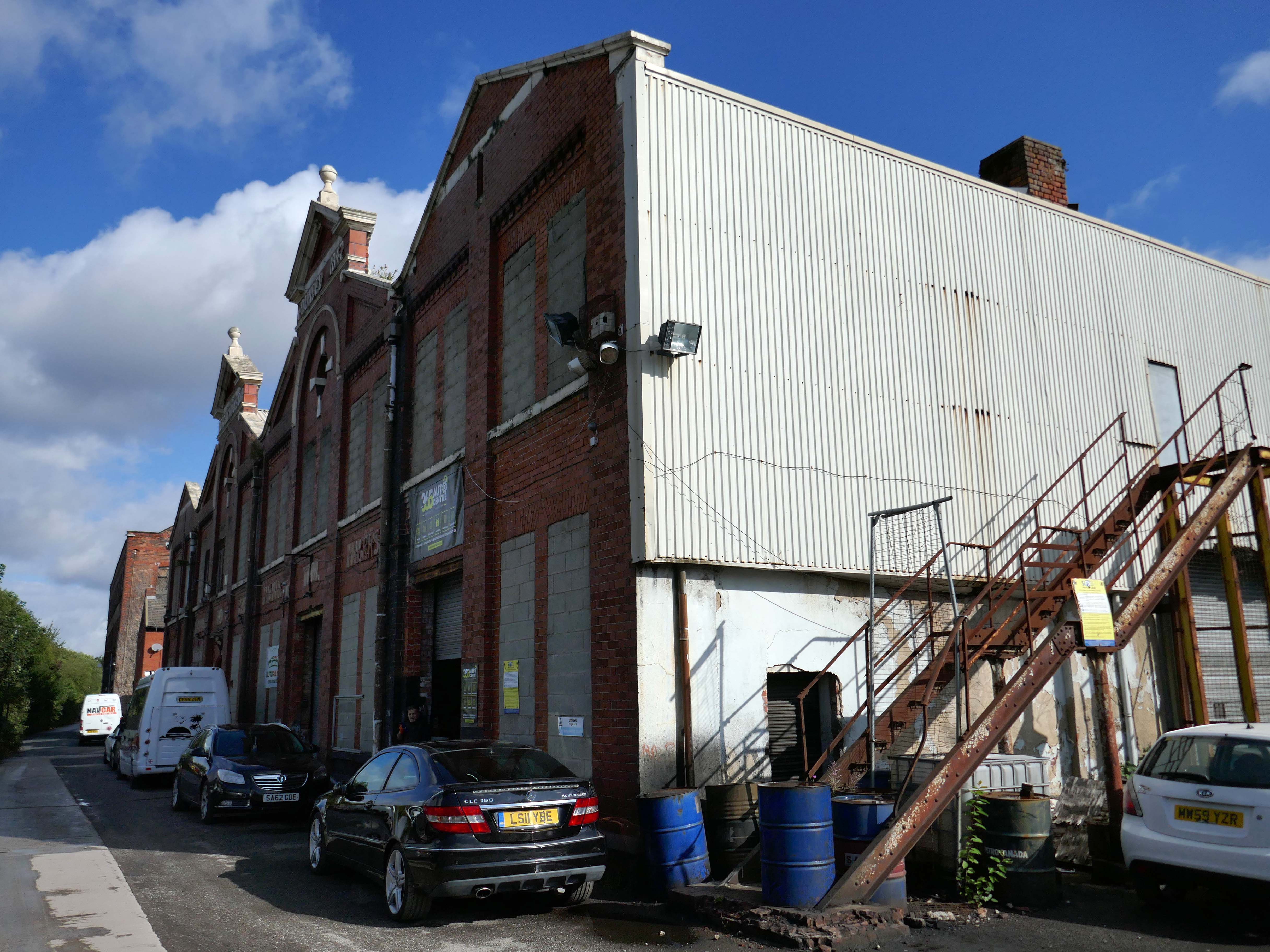
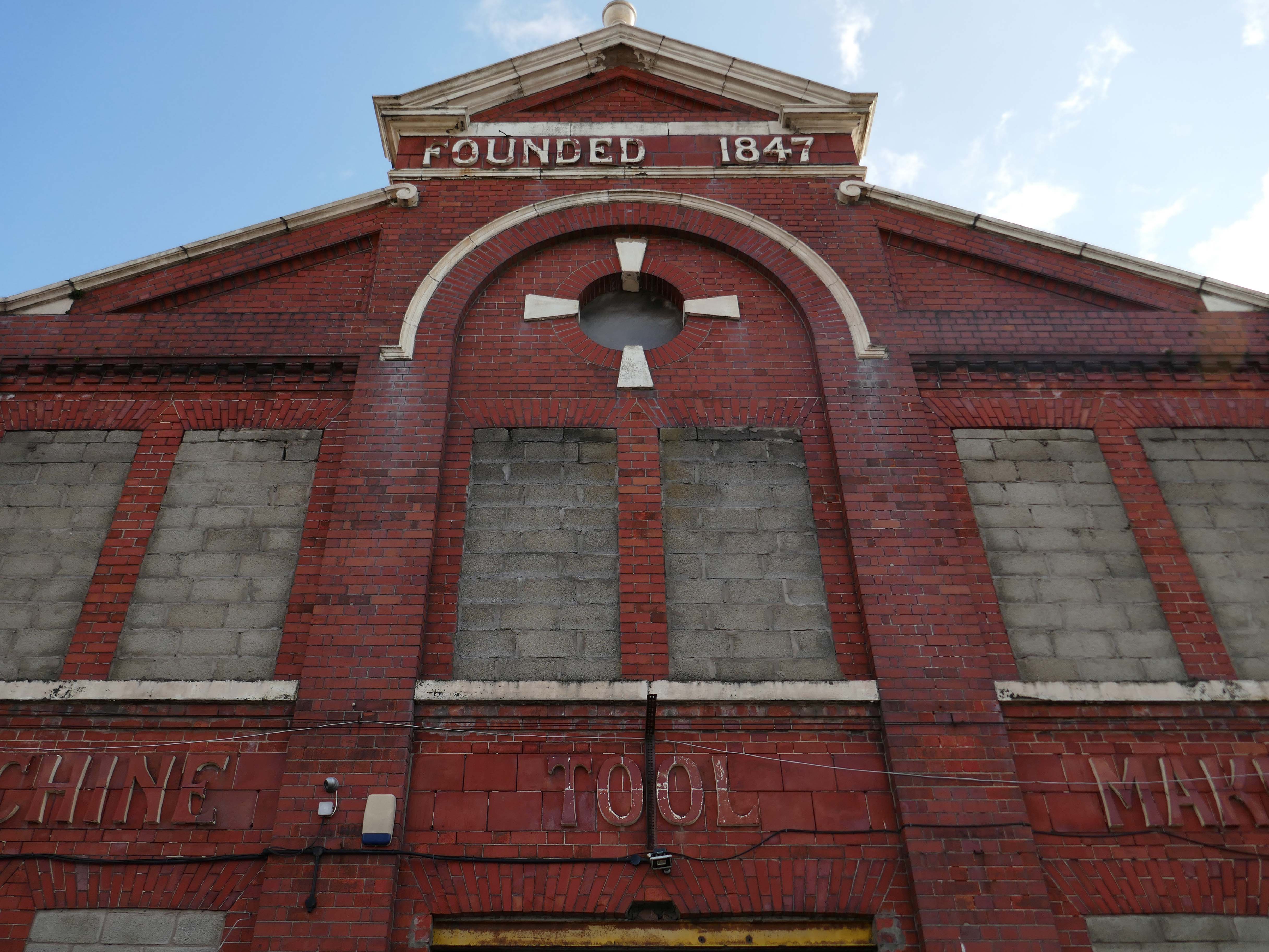
This was a world of heavy and light engineering, which reached in a broad swathe across Greater Manchester, from Stockport to Cheetham Hill and beyond.
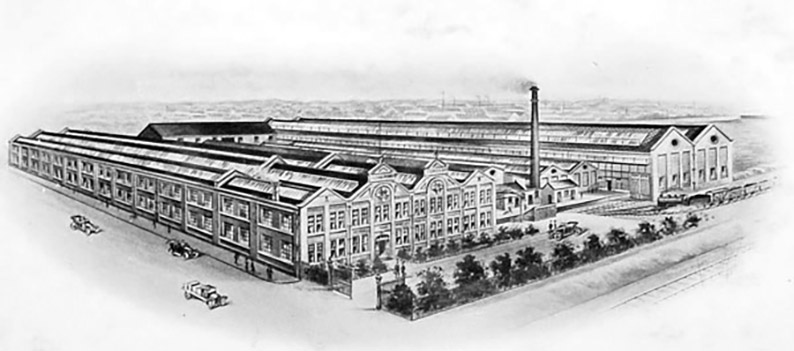
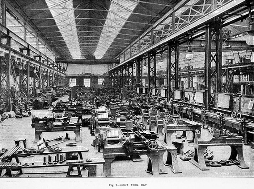
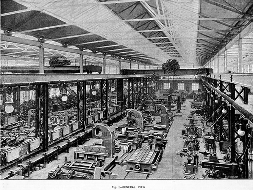
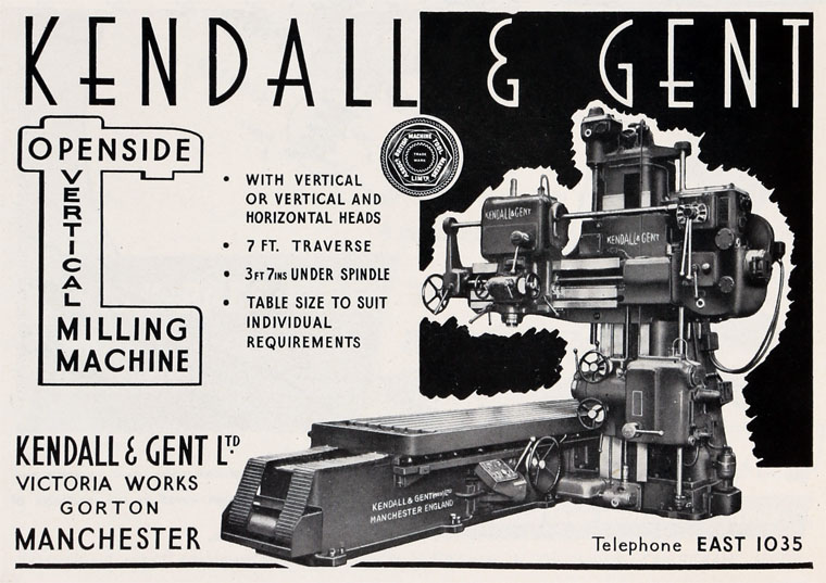
This is the Gorton Works – illustrations taken from Graces Guide.
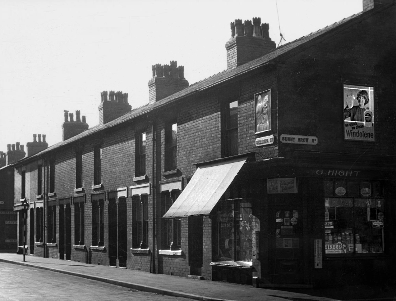
This was a world of terraced houses and corner shops, side by side with the local works.
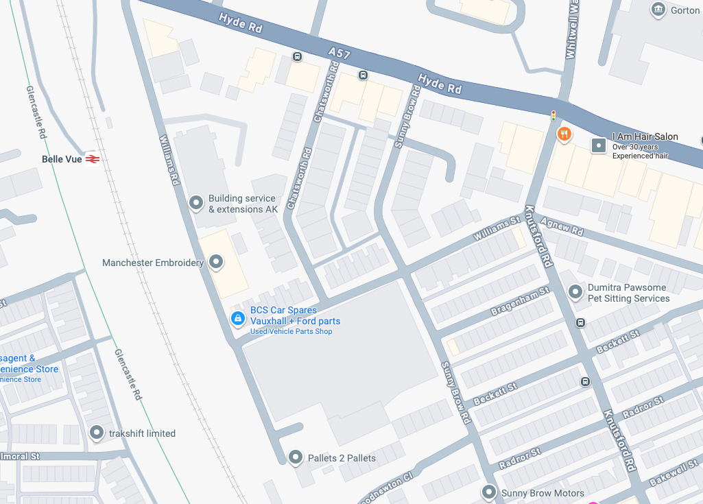
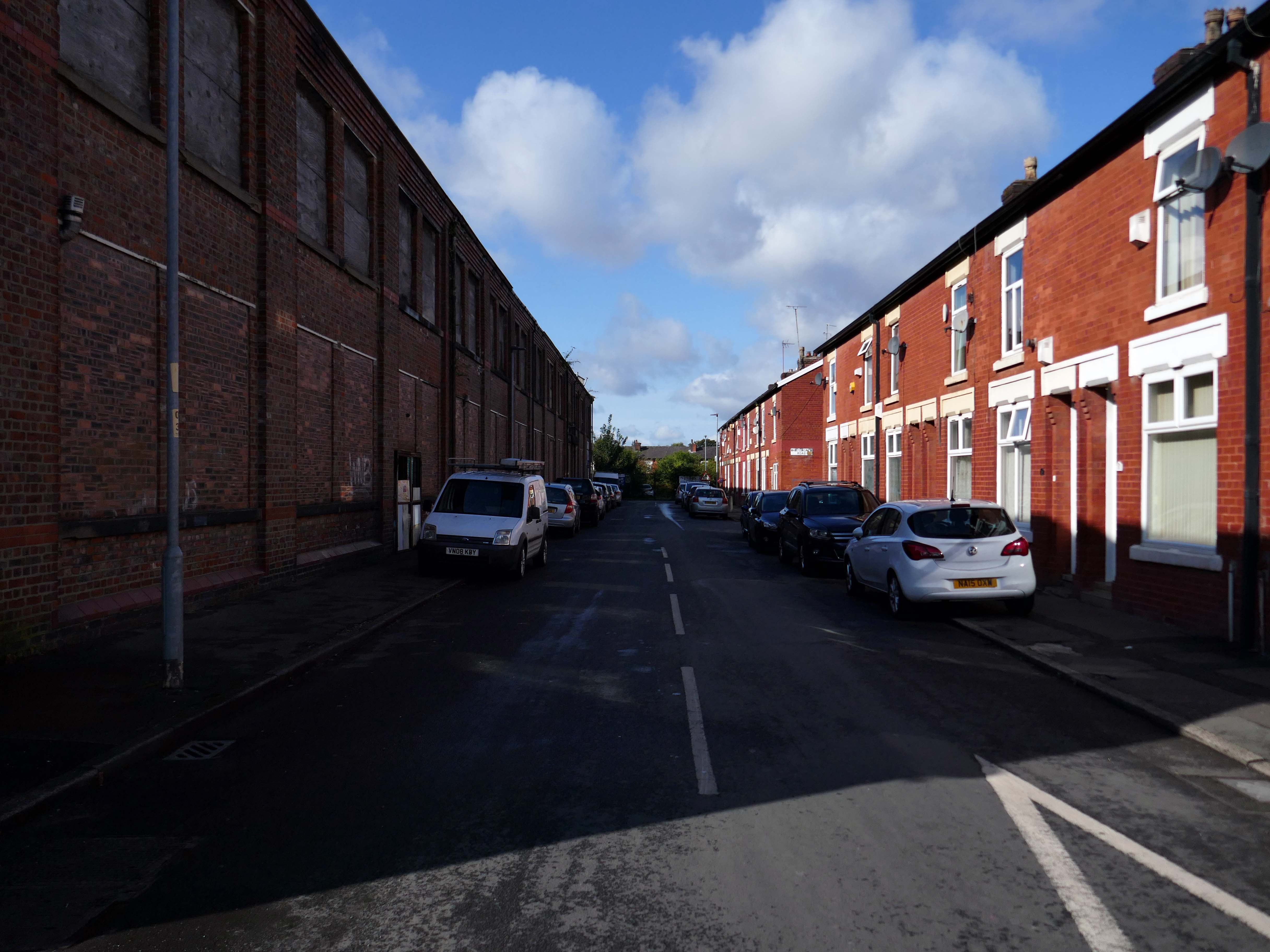
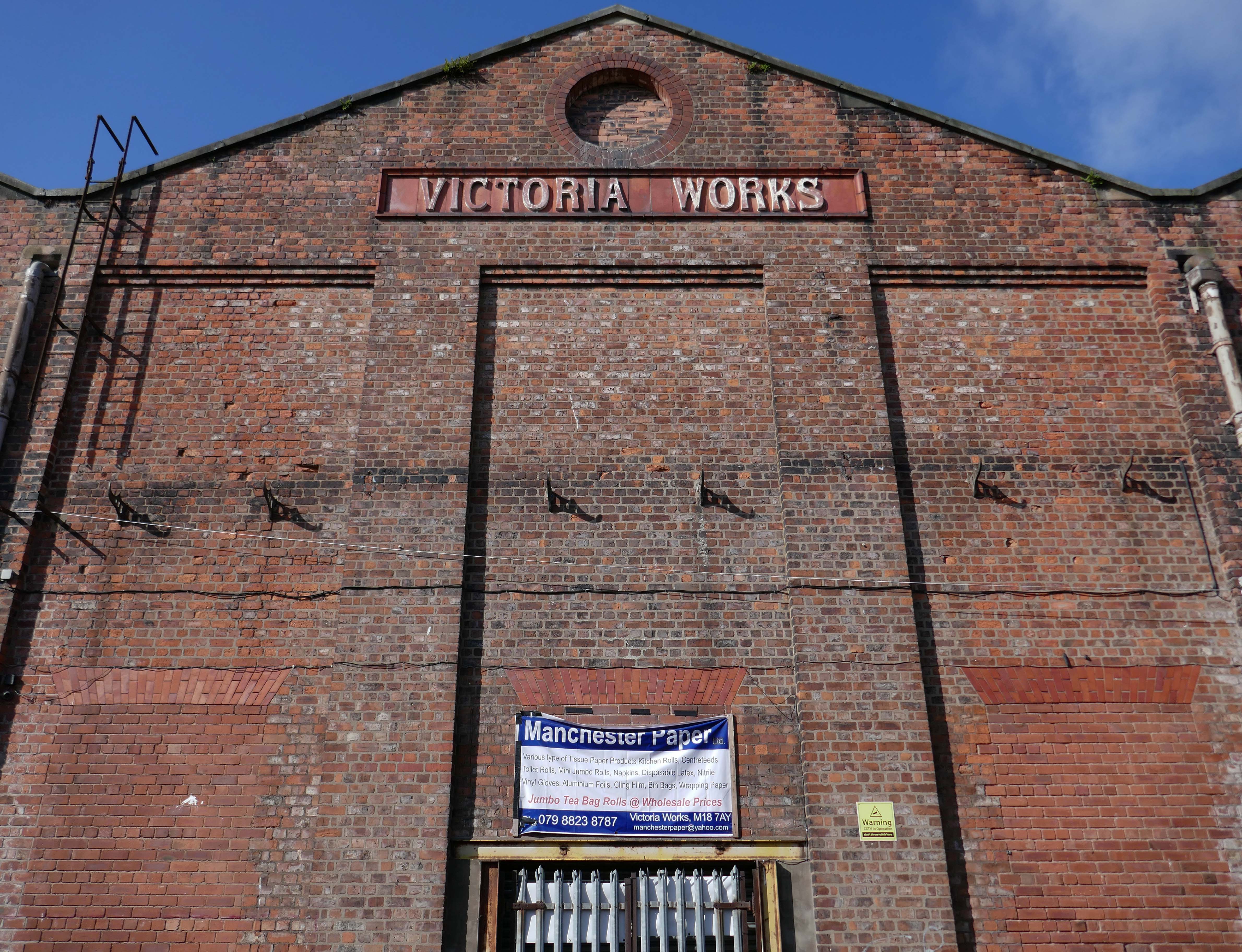
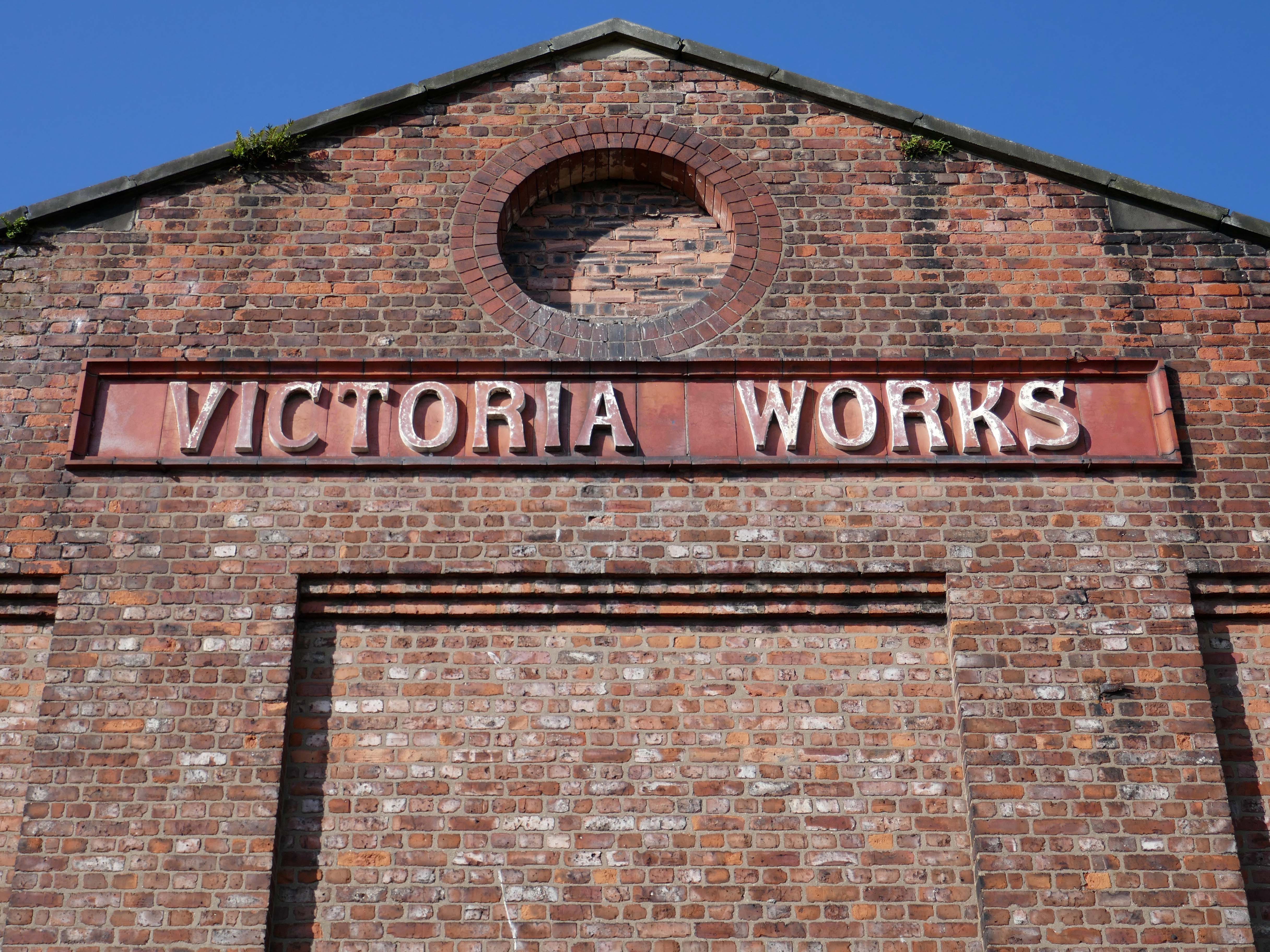
This is that corner of Williams Street and Sunny Brow Road today.
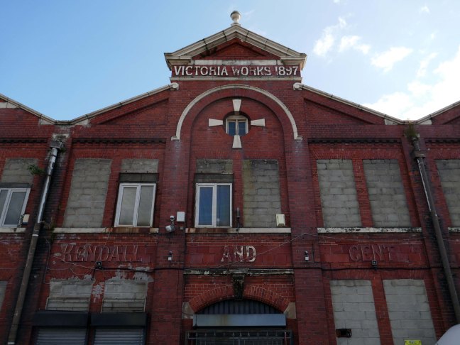
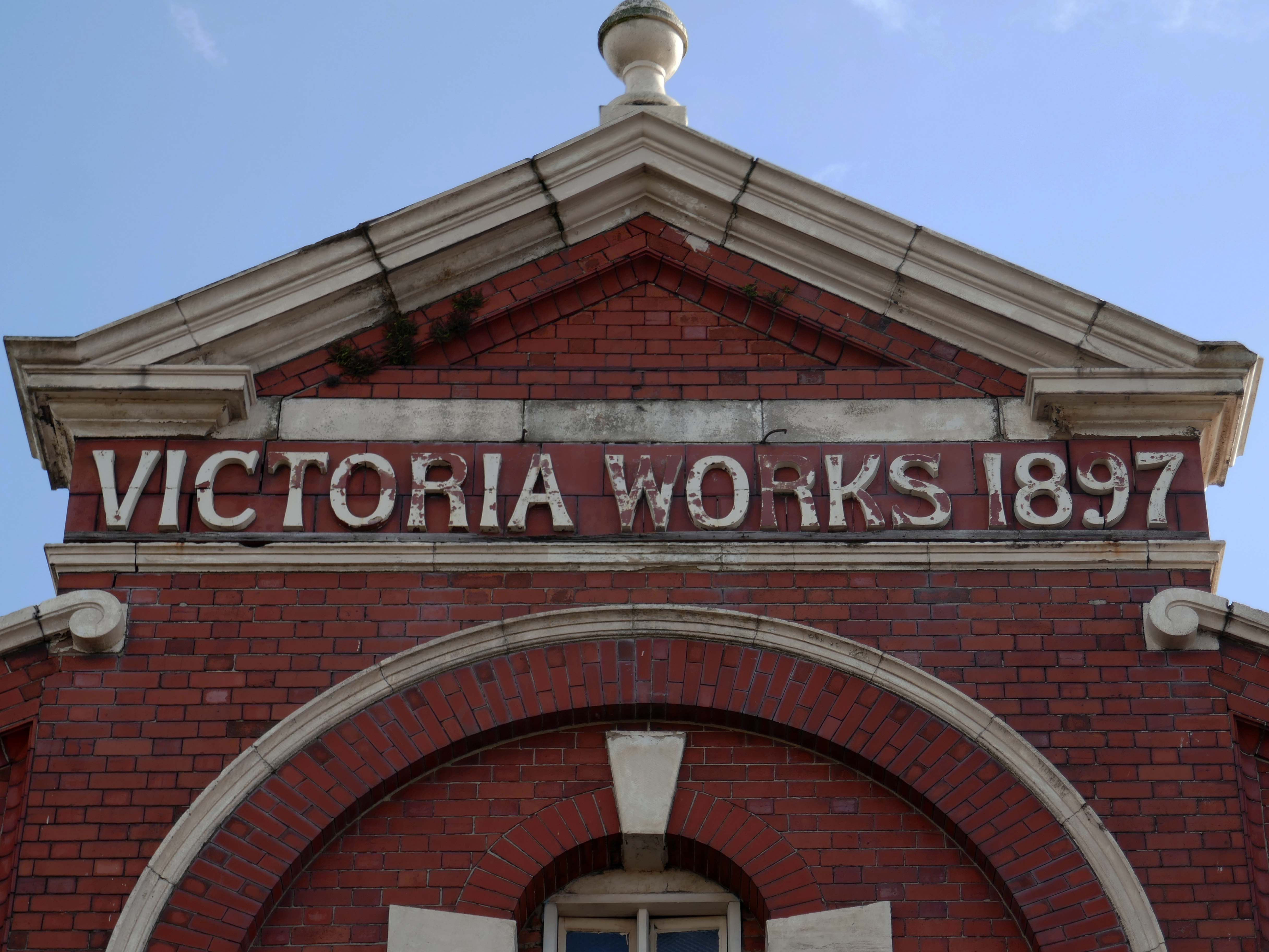
Victoria Works Sunny Brow Road.
Victoria Works Williams Street
Victoria Works Williams Road
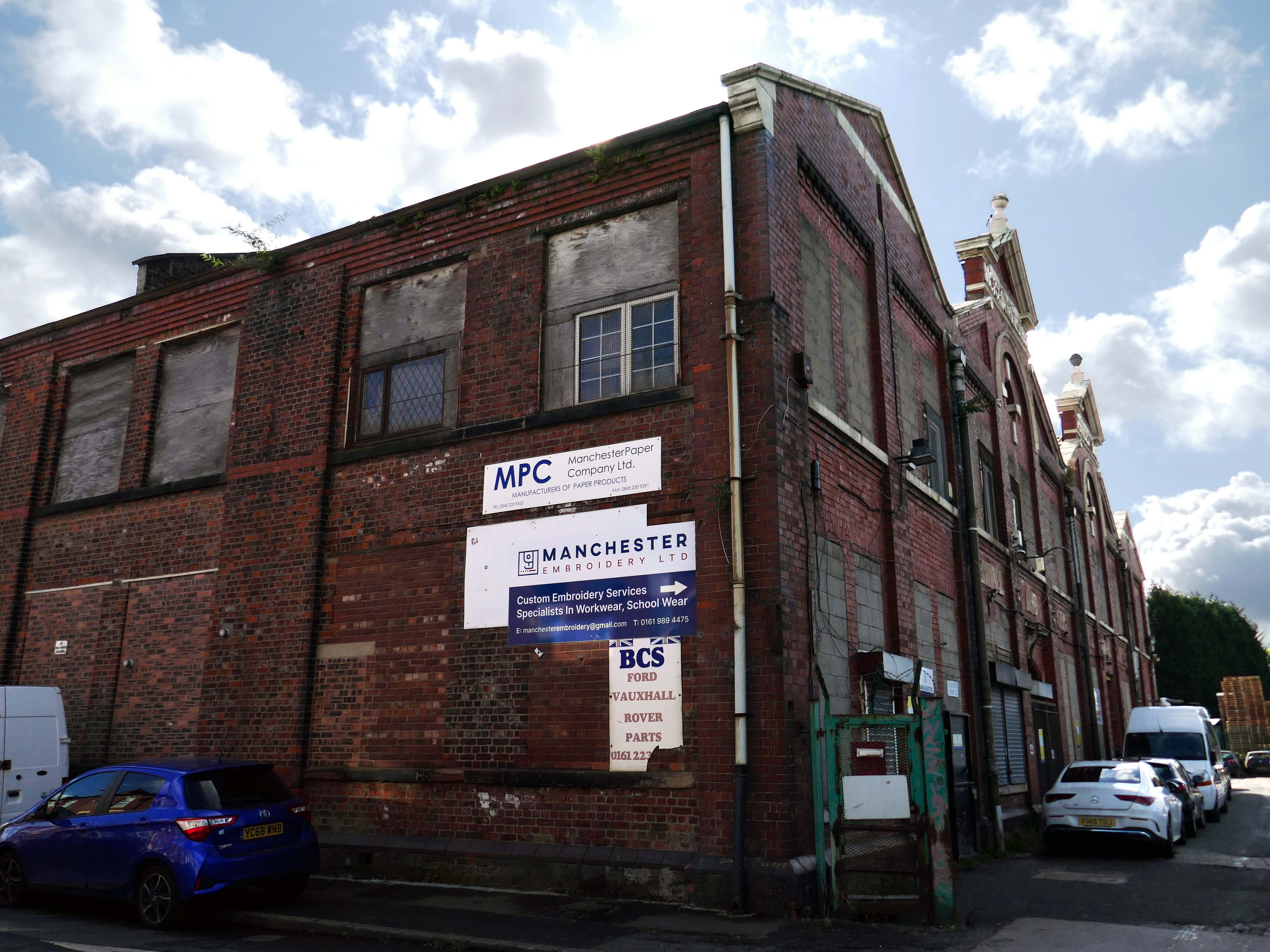
Manchester’s engineering industry has subsequently been seriously diminished.
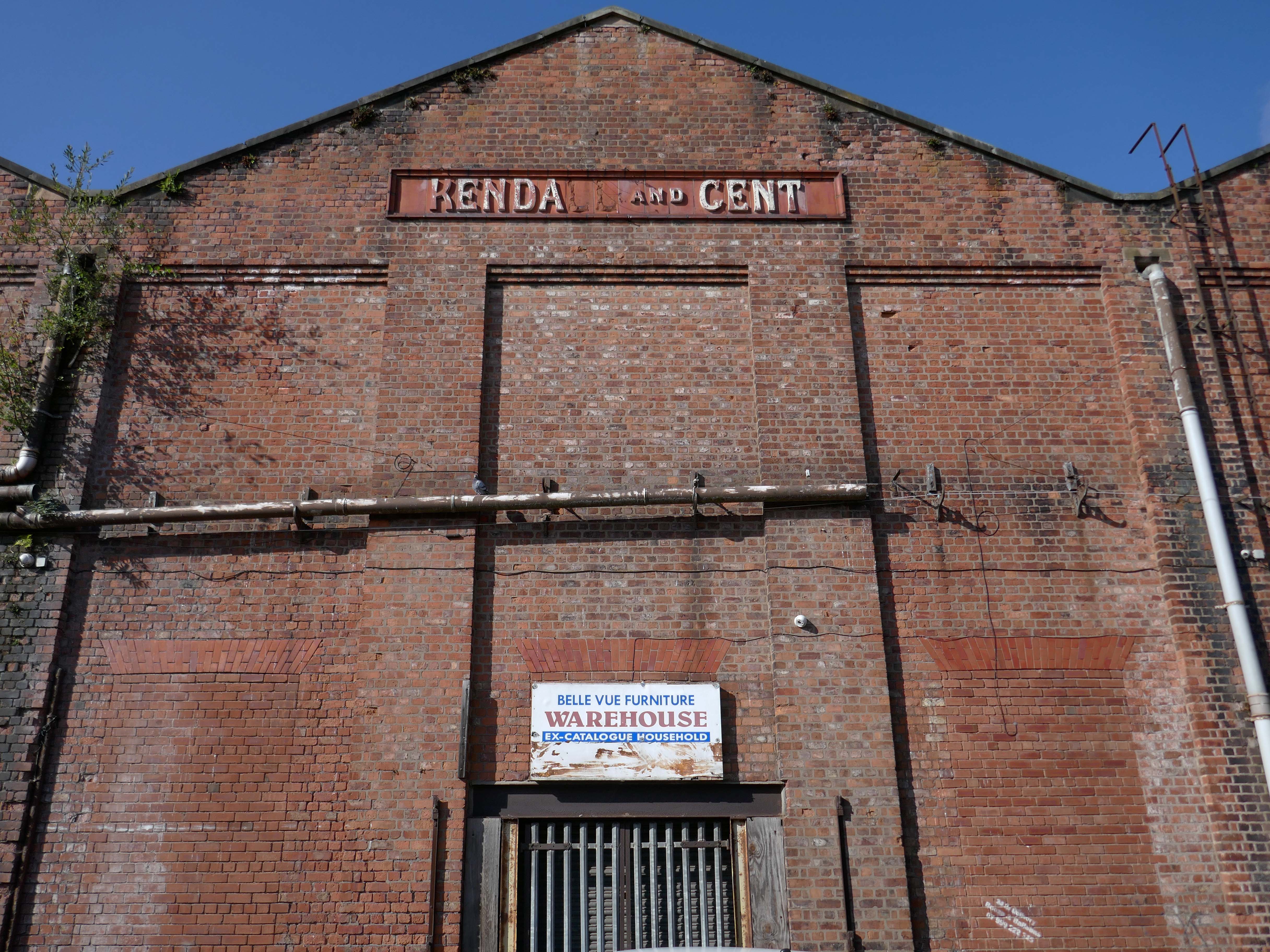
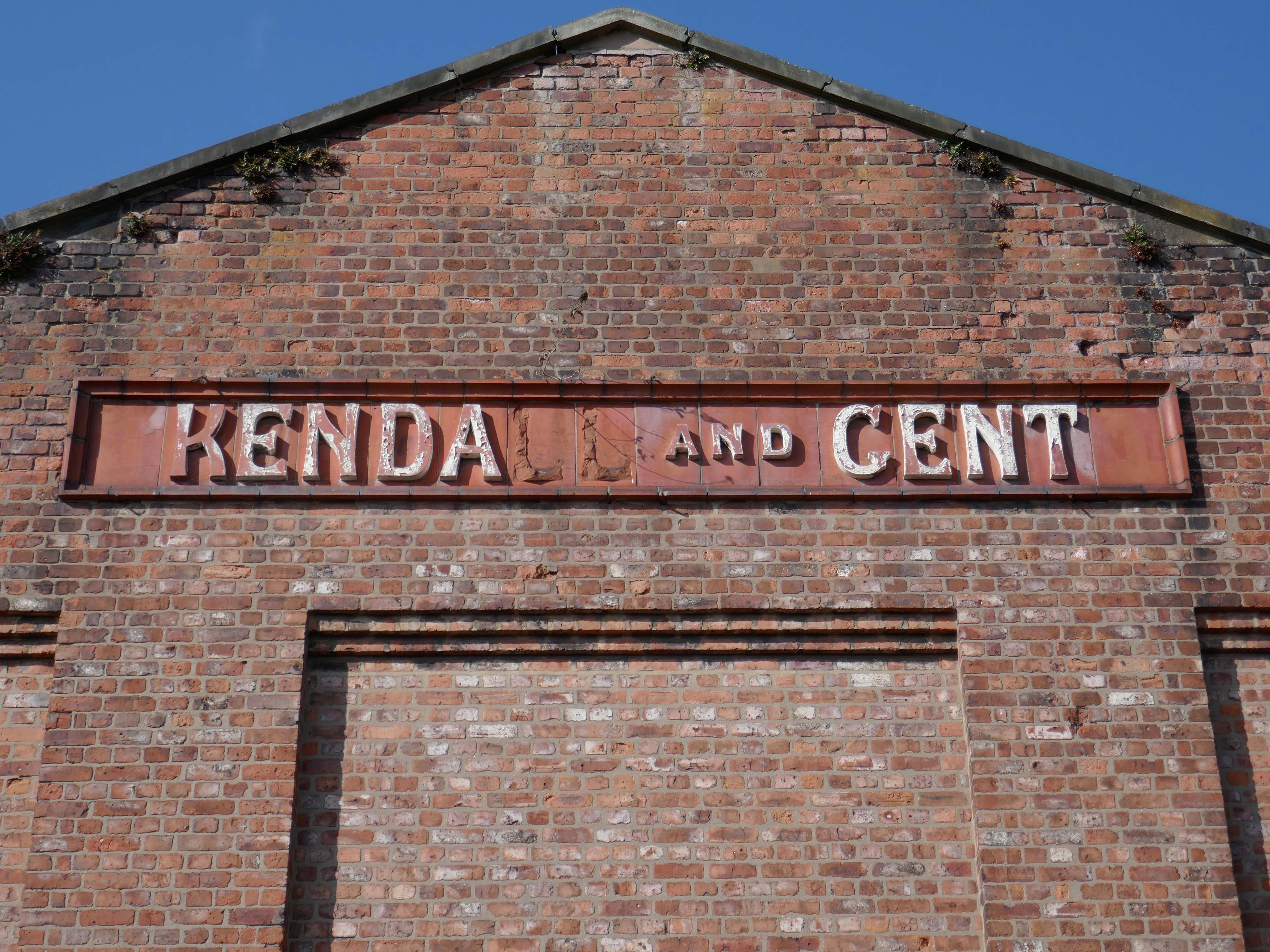
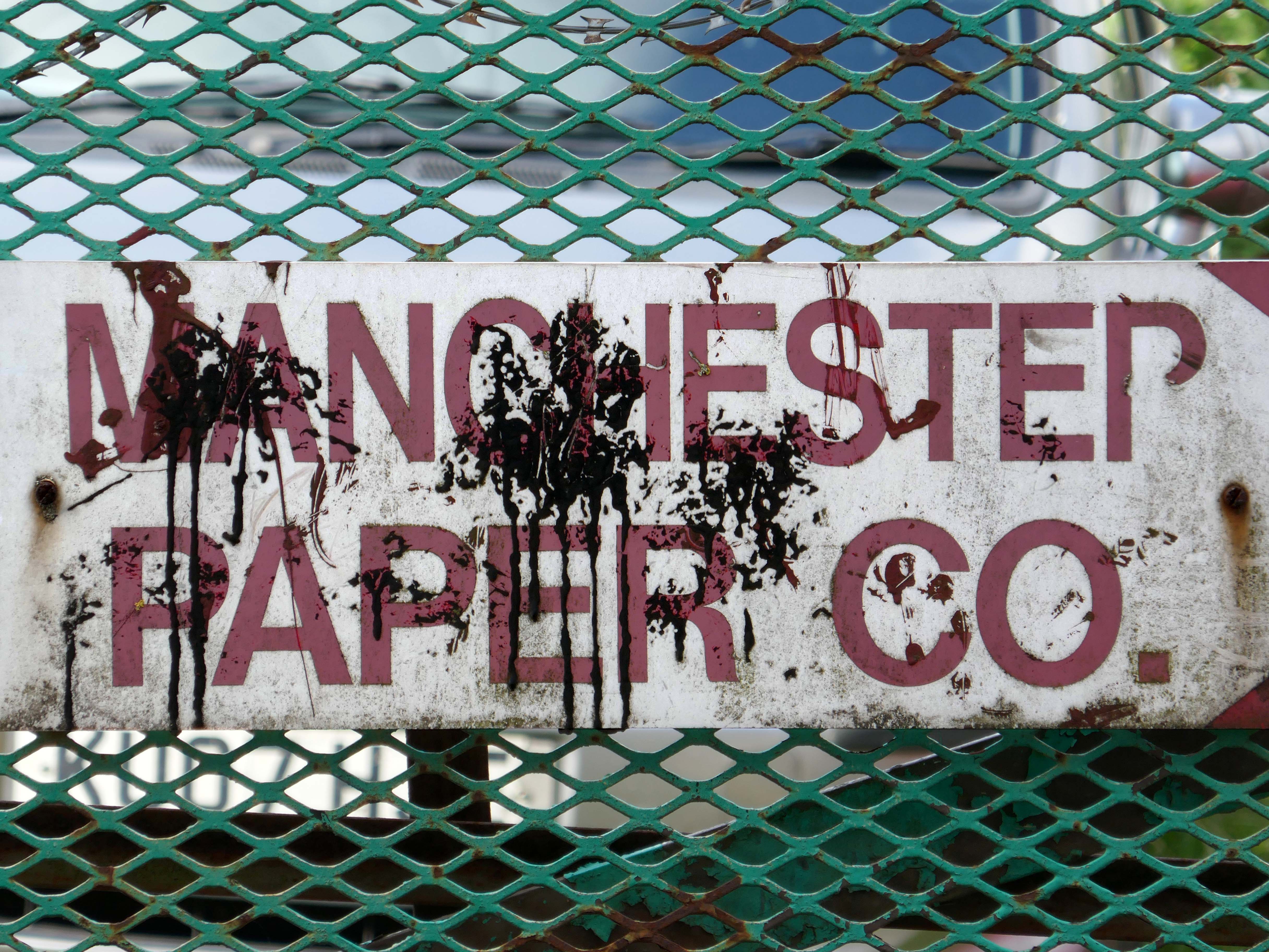
The building became a base for toilet paper manufacturing and distribution.
But the metal beat goes on in both Wolverhampton and Florida.
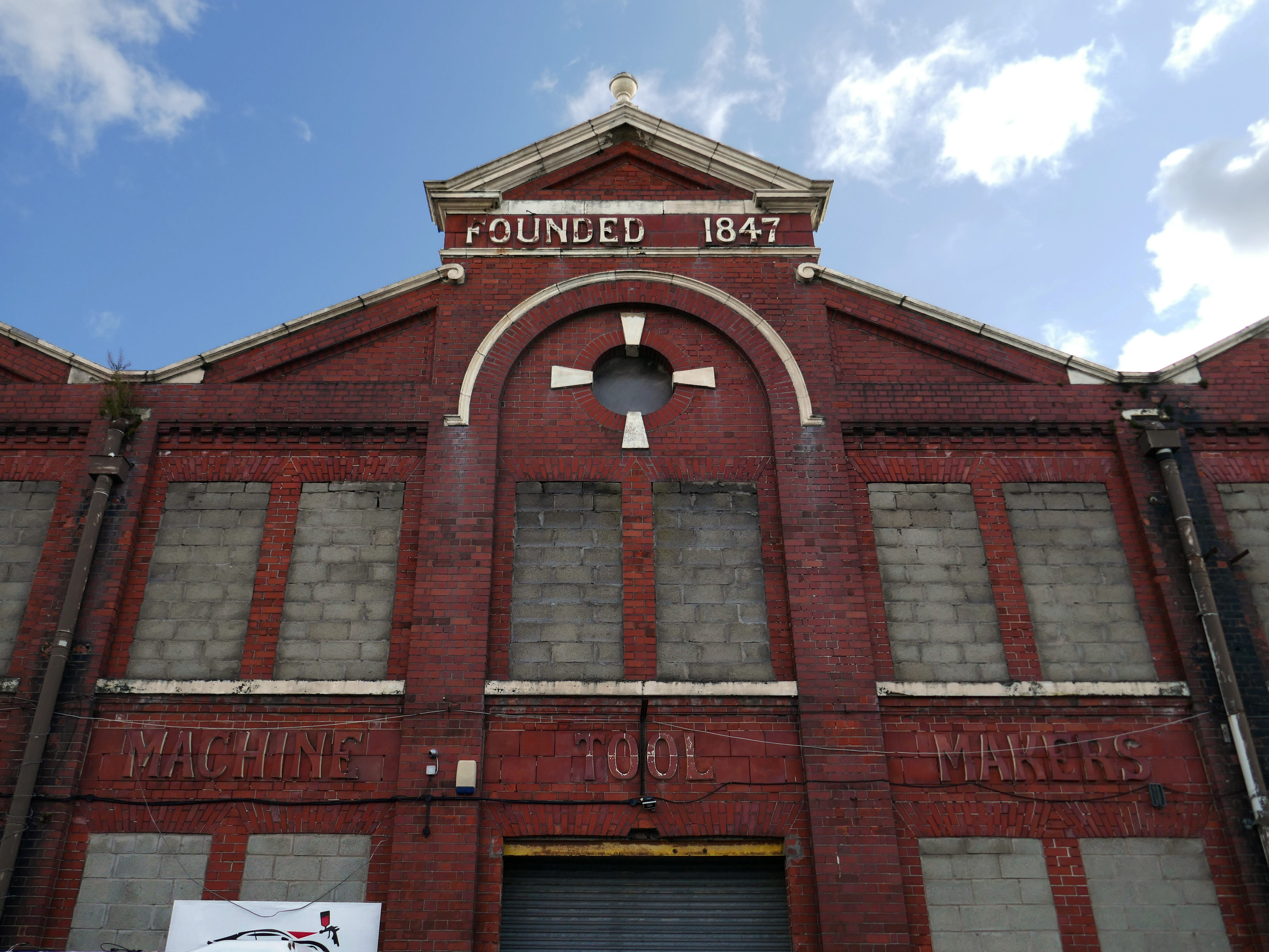
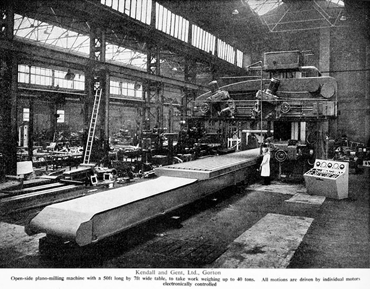
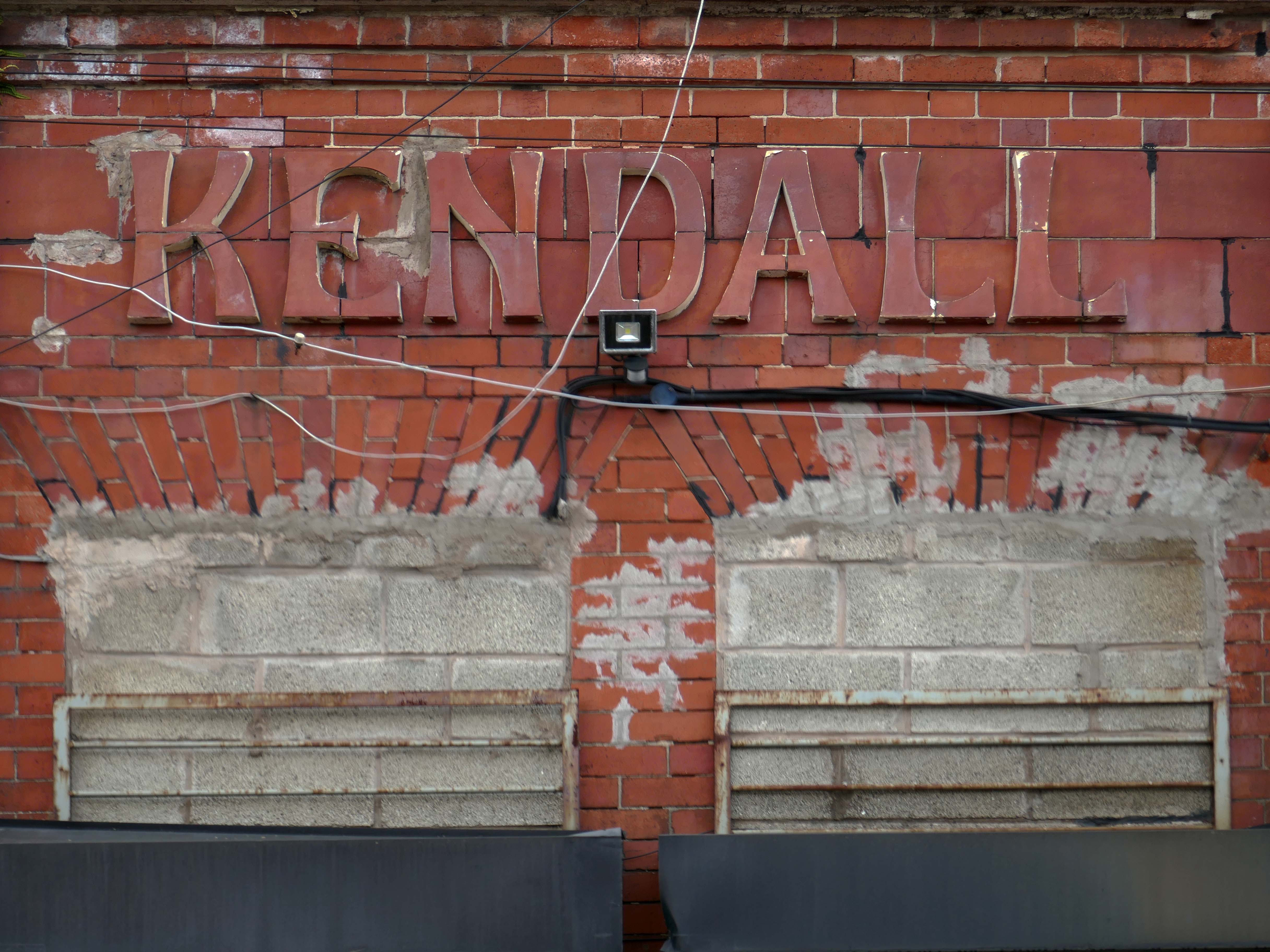
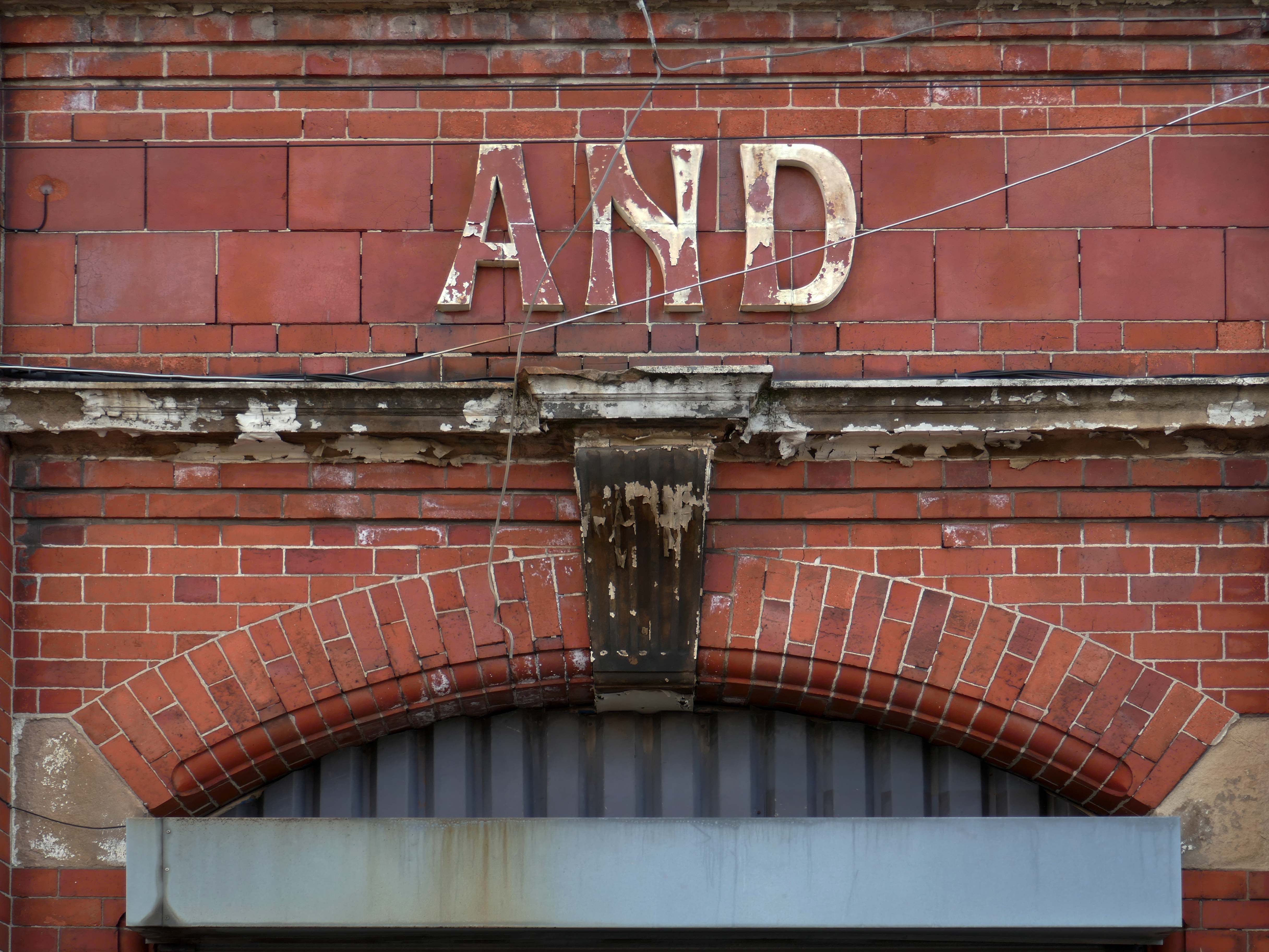
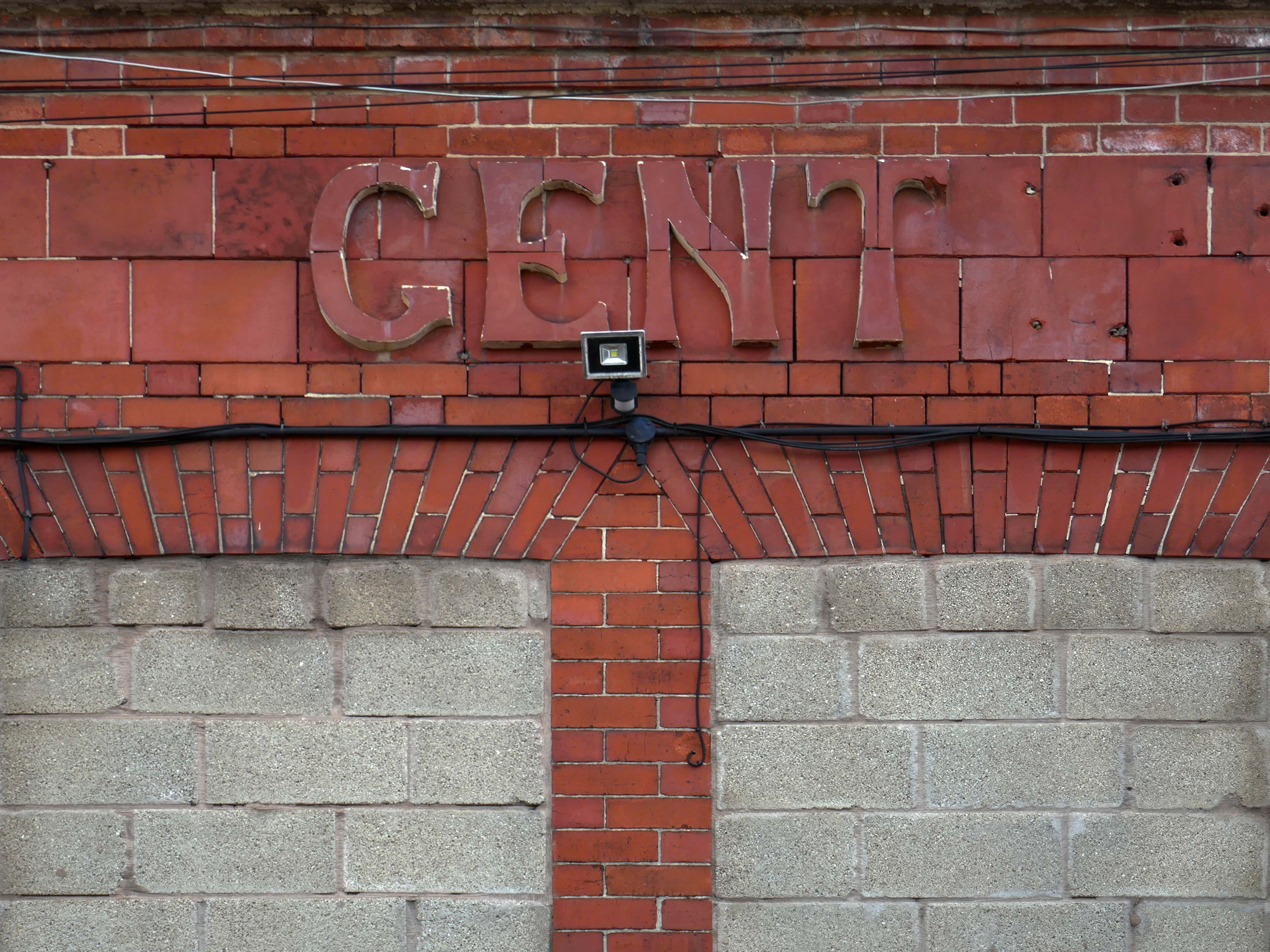
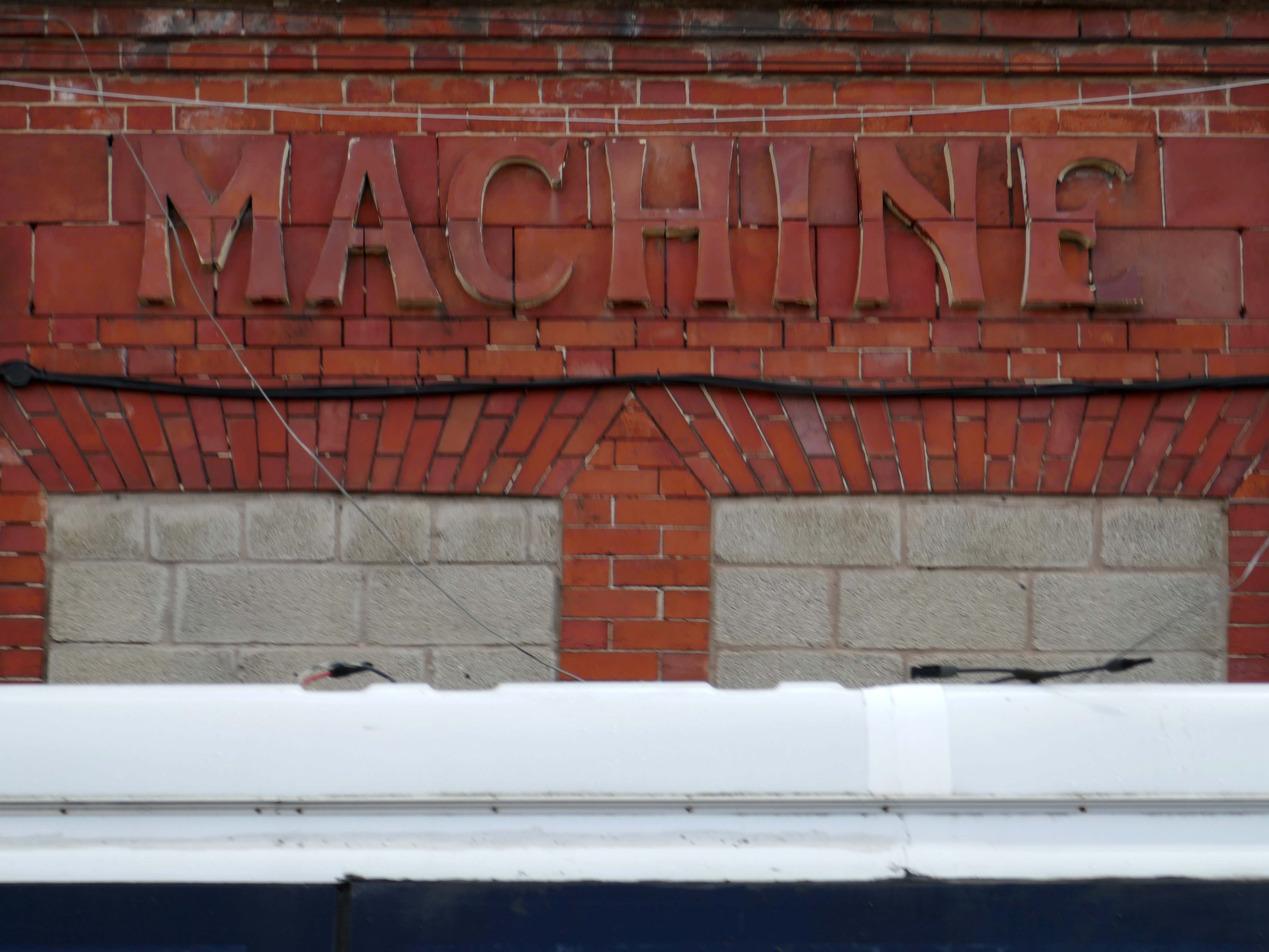
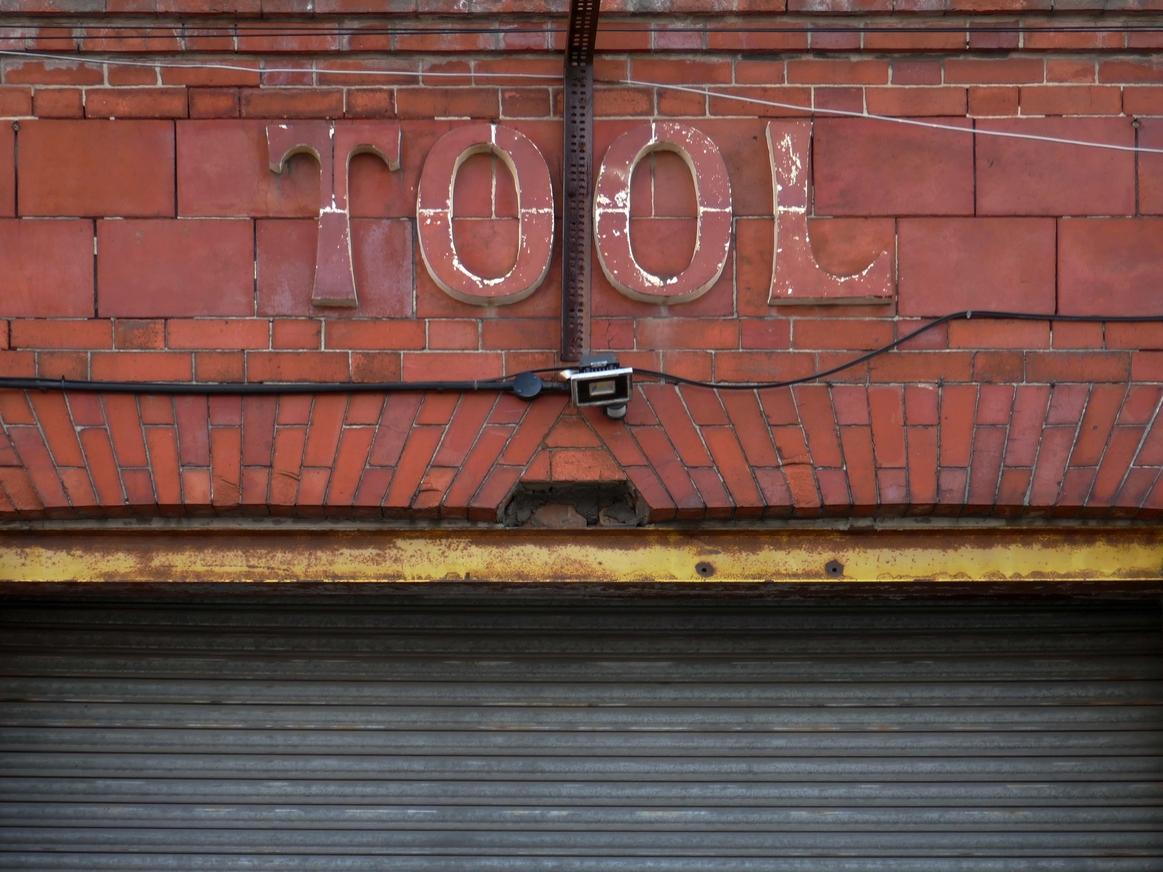
Originally formed in 1847, Kendall and Gent enjoyed many years as one of the biggest machine tool manufacturers in the UK, producing many large machines which are still in production today. Many of the tangential threading machines are still used in pipe, bolt and stud threading.
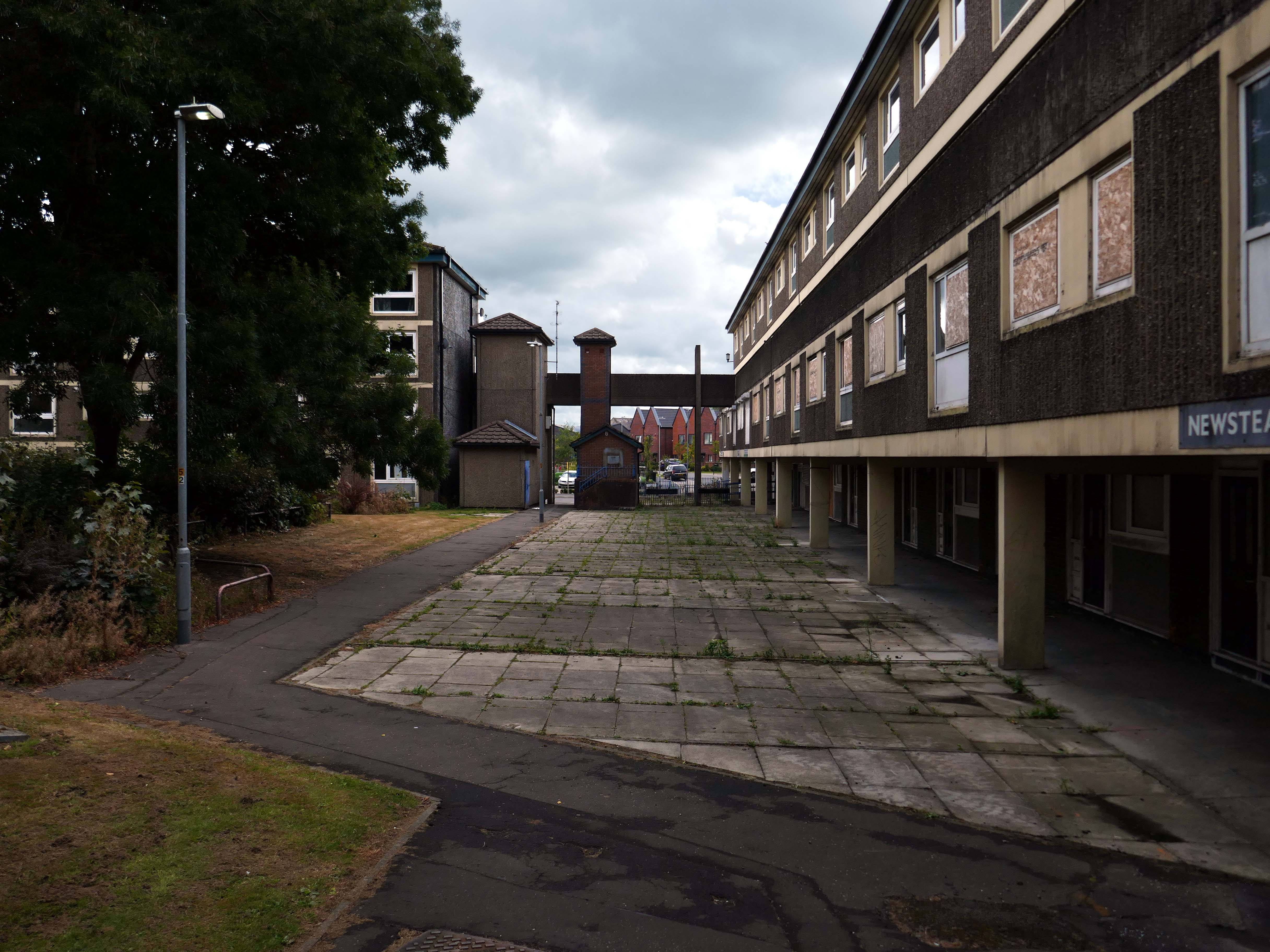
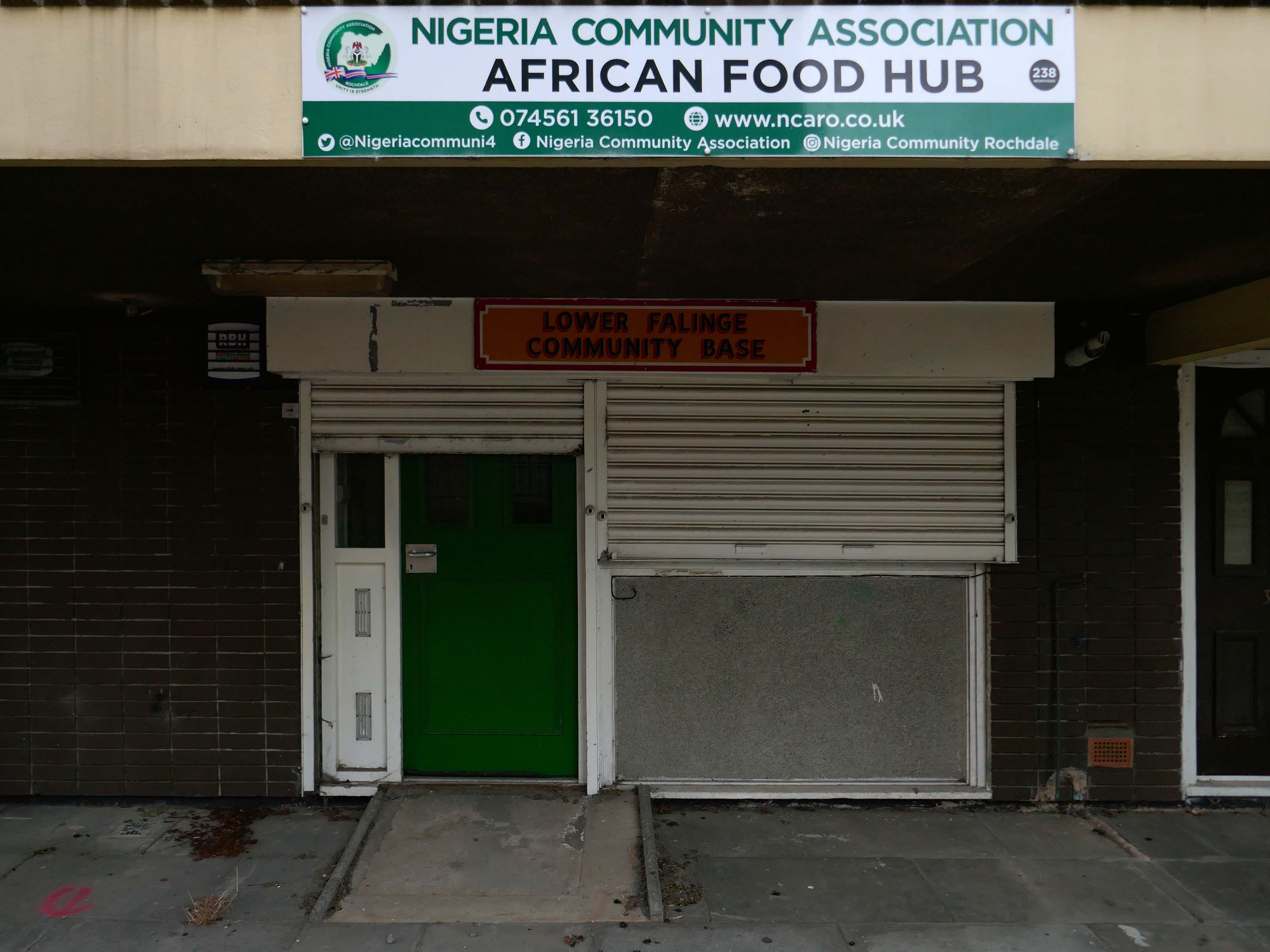
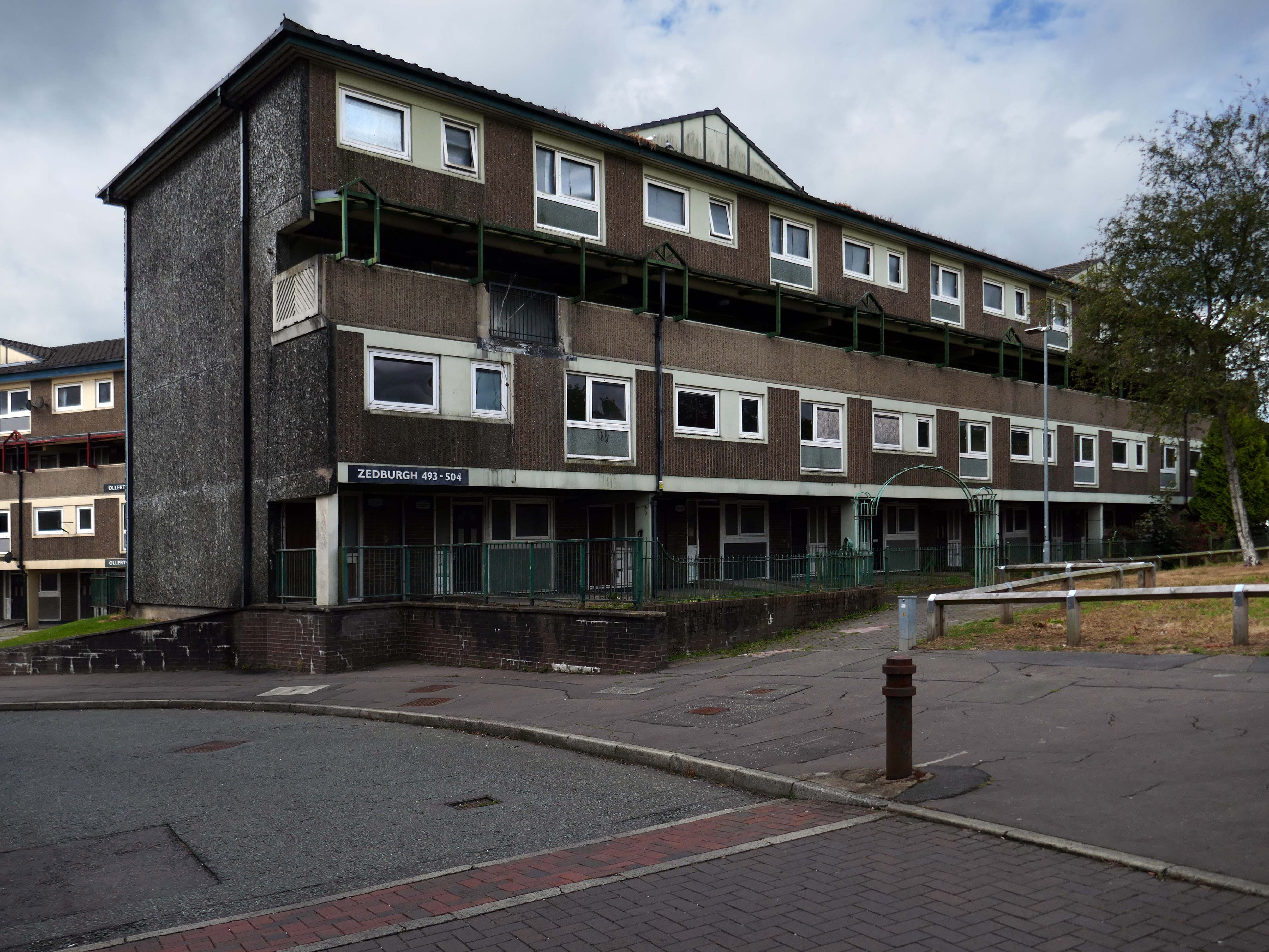
I came along to take a look aroundin 2017 – at this point all of the homes are occupied.
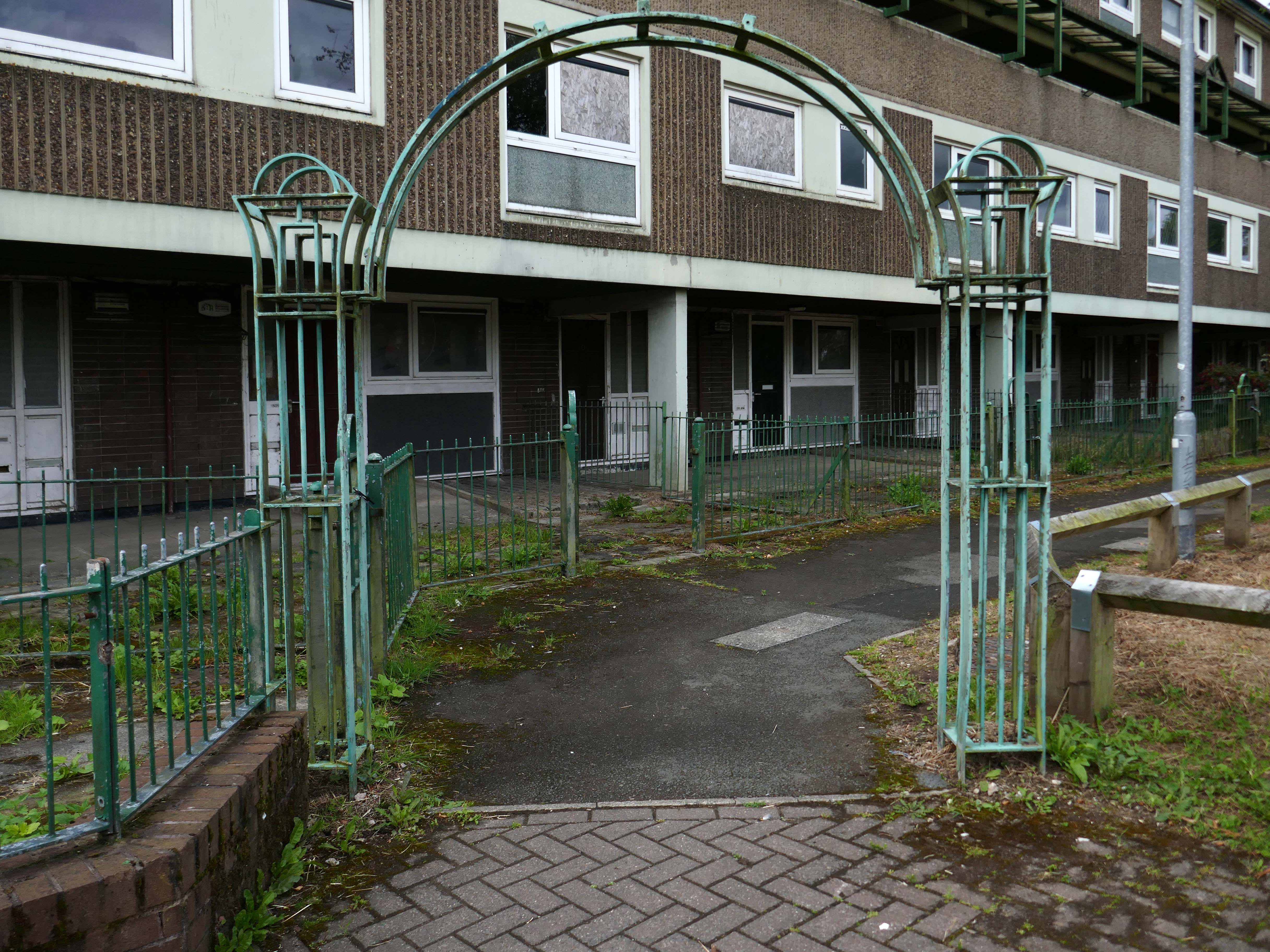
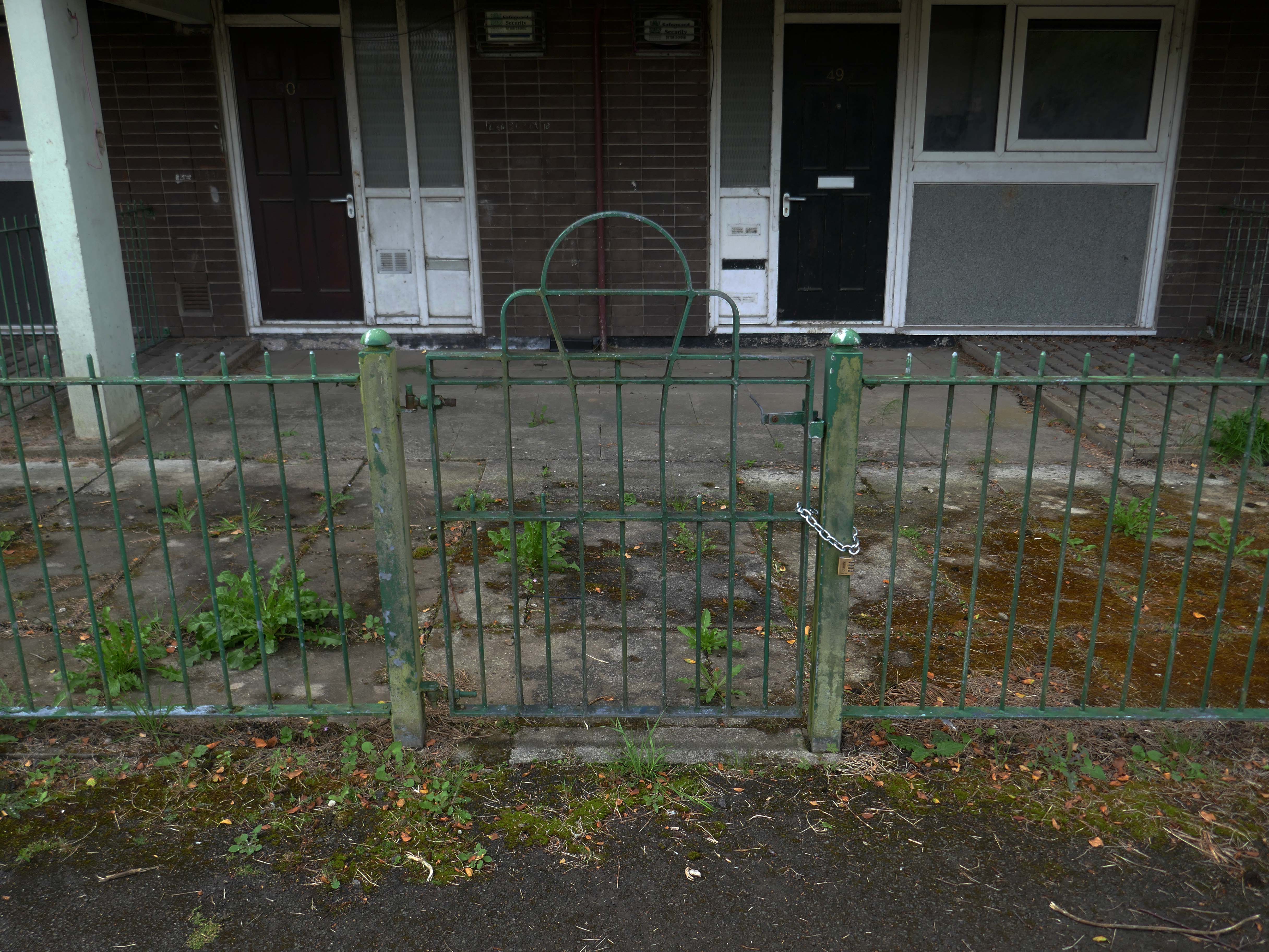
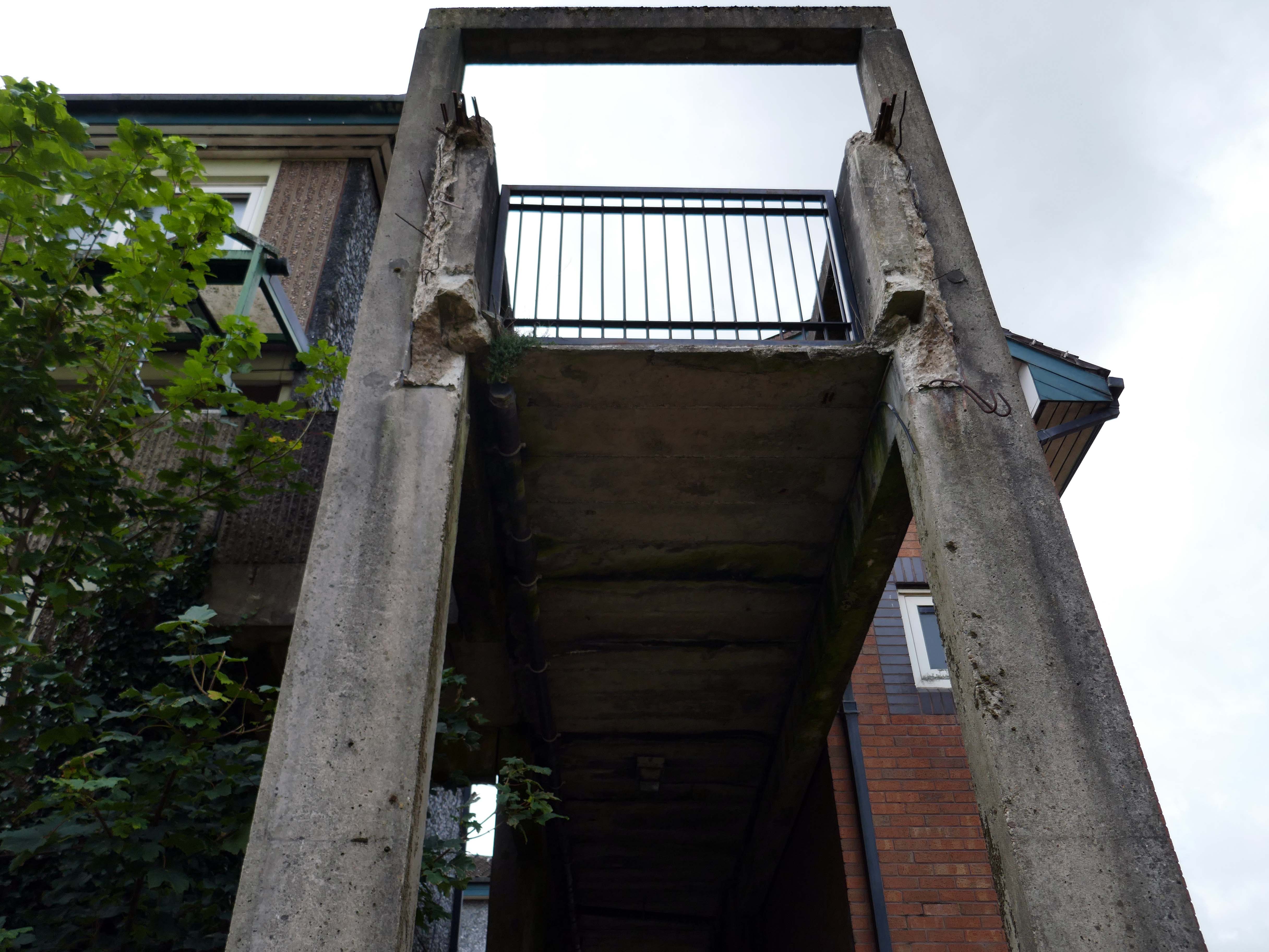
Fast forward to 2025 and the estate looks very different, a minority of the blocks have been refurbished.
The remainder have been, or are to be demolished.
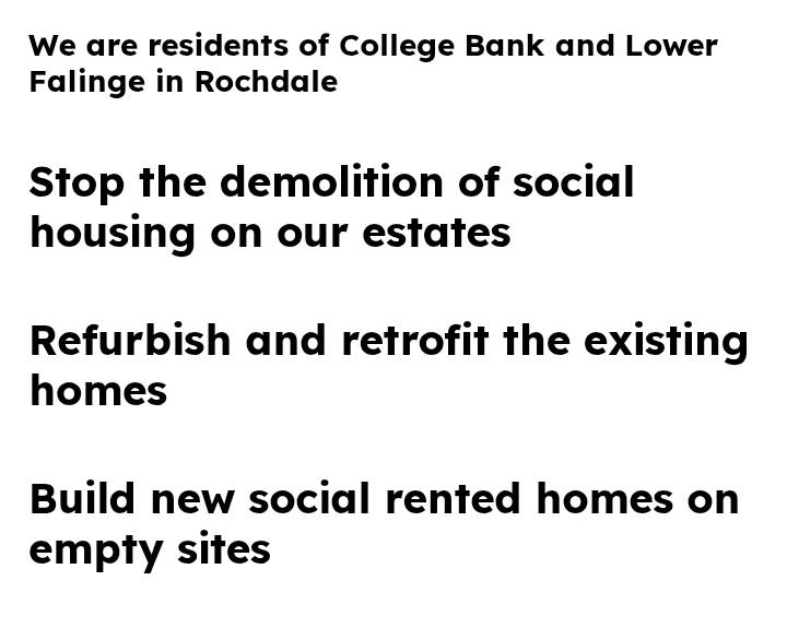
Rochdale’s 2021 planning statement for Lower Falinge is beguiling in its talk of ‘a better quality and mix’ of housing, better public space and better links with surrounding areas. It goes on to say that the ‘the delivery of market housing within this area is required to deliver this diversification and to ensure the sustainability of retained affordable housing in the area’ – a sentence containing the claim that a tenure mix of public and owner-occupied housing is a good in itself, whilst also acknowledging contradictorily that affordable housing (how affordable?) is only possible by cross-subsidy from market sales’
Some 560 new homes were proposed in Lower Falinge. The plans as a whole proposed the loss of 720 primarily social rent homes and their replacement by 560 new homes of indeterminate tenure.
The tenants in the refurbished blocks with whom I chatted were convinced that demolition was not the answer, further renewal could take place, Rochdale Boroughwide Housing, despite a well prepared save our homes campaign thought not.
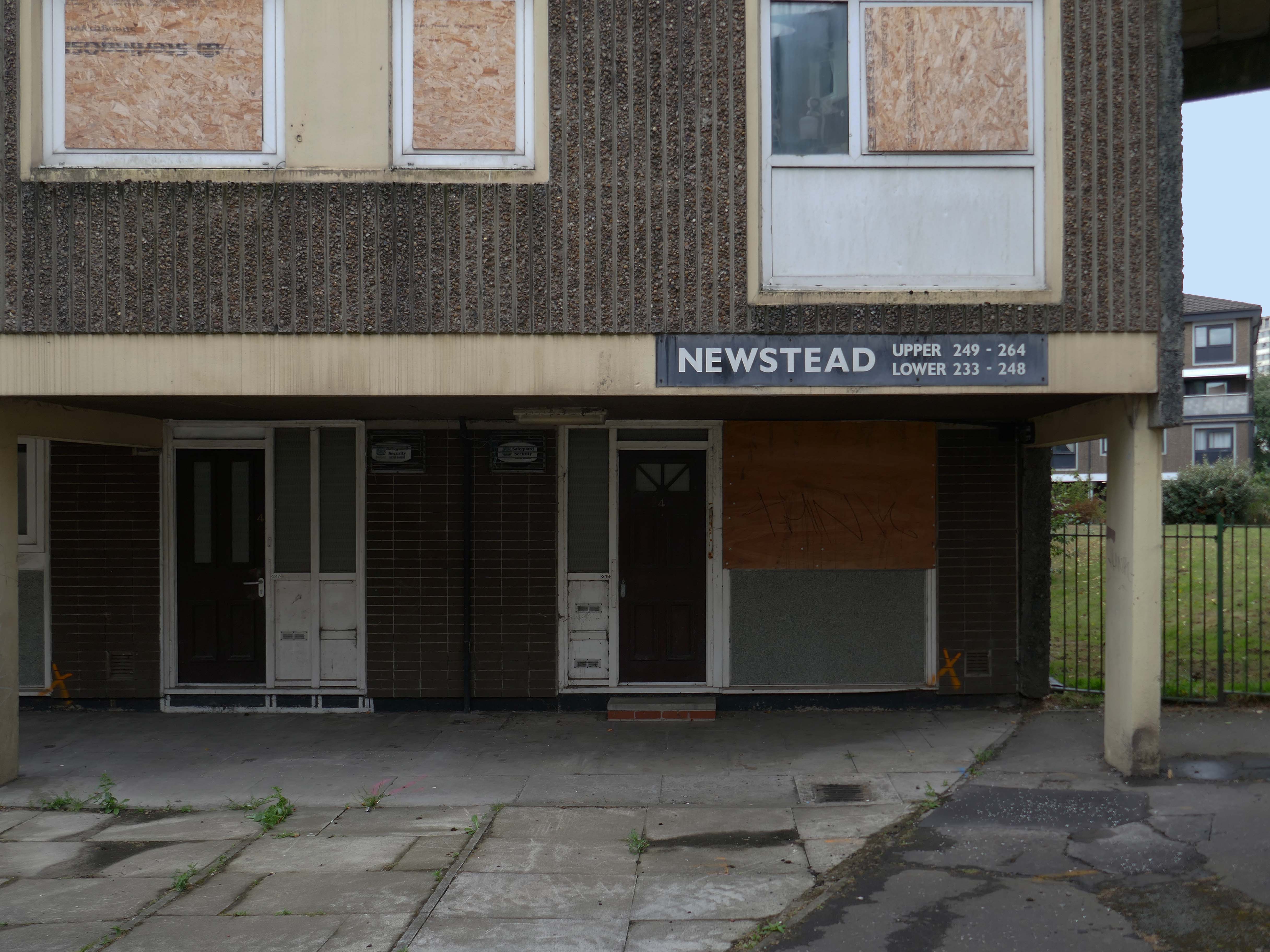
In March, we told you that we planned to demolish the six empty maisonette blocks – Ollerton, Newstead, Romsey, Quinton, Ullesthorpe, and Vaynor, in Lower Falinge, as well as the former RSPCA buildings and the former car wash on High Street, within the next 12 months. This will make way for the development of new family homes across a larger site that we will work with the community on designing.
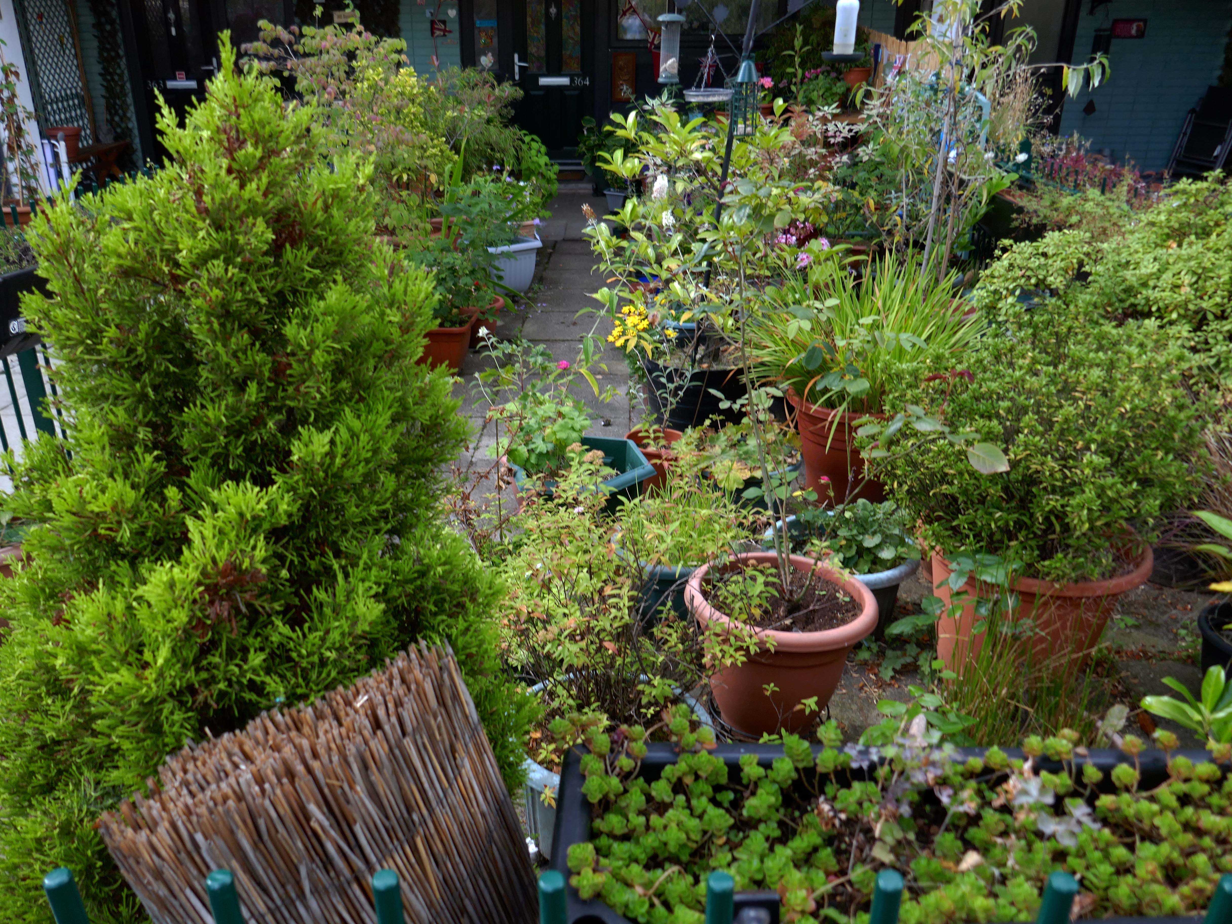
Our beautiful mature greenery here on Lower Falinge is showcased in this wonderful video. We are proud of living here surrounded by all this nature – it really is like living in a park.
Unfortunately our urban oasis of calm is at risk of being destroyed if RBH demolish 128 homes and eventually build on the land.
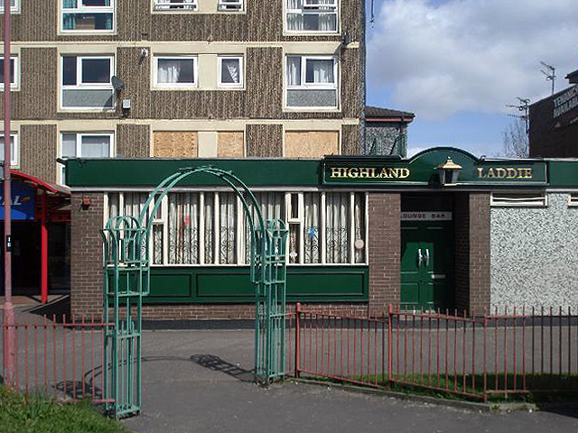
Once home to the Highland Laddie pub which closed in 2010.
The remainder of the estate remains in limbo.
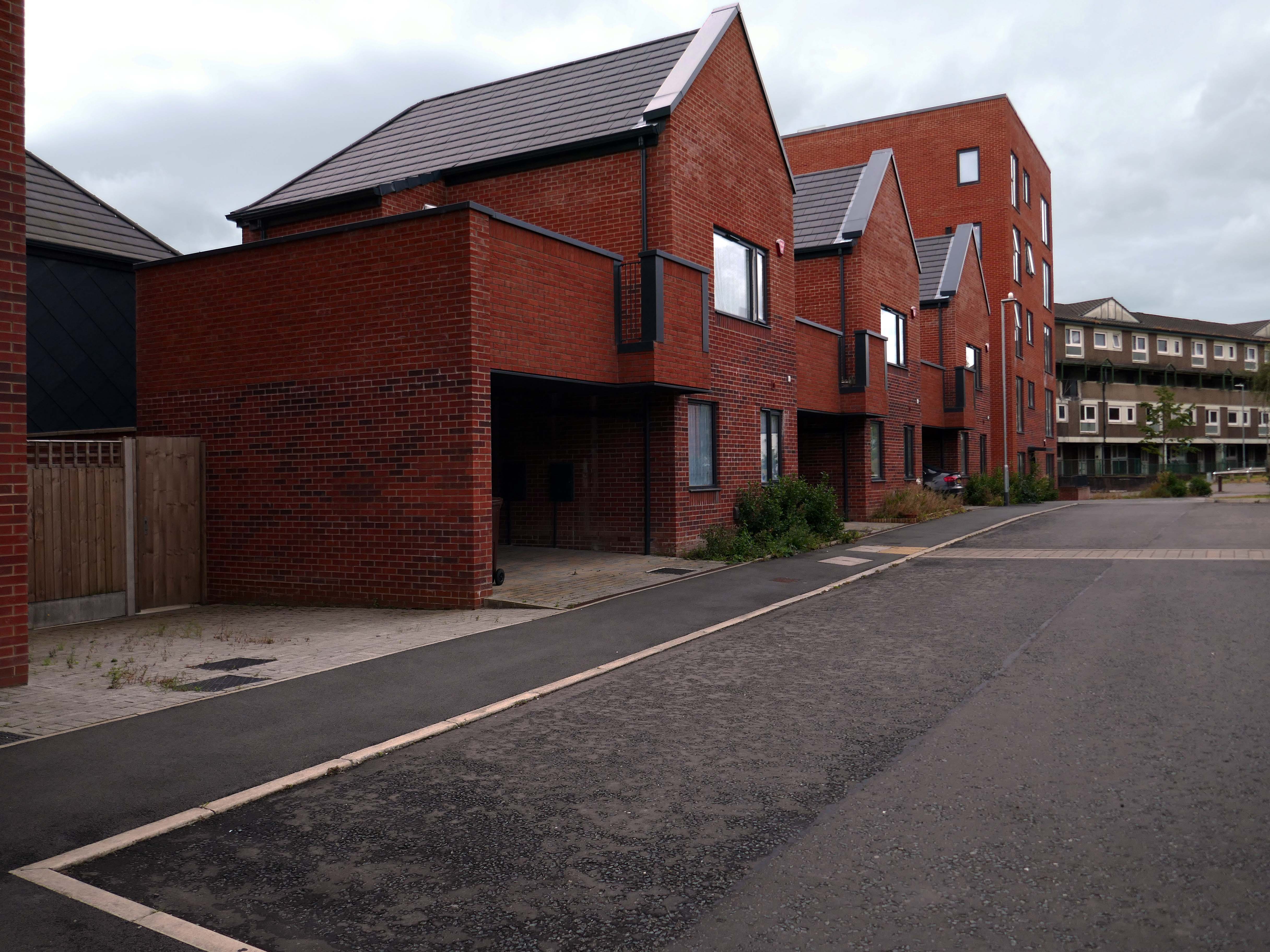
Next door the new homes have been built.
A major housing regeneration scheme which includes the construction of 30 energy efficient, affordable homes is breathing new life into the Lower Falinge neighbourhood in Rochdale.
The project is being carried out for Rochdale Boroughwide Housing by Rochdale-based main contractor The Casey Group with OMI Architects. This is the largest of 3 schemes that Casey has carried out for RBH.
Well well here we are again, third time around following a visit in 2018 and later in 2021.
Almost inevitably, changes have taken place.
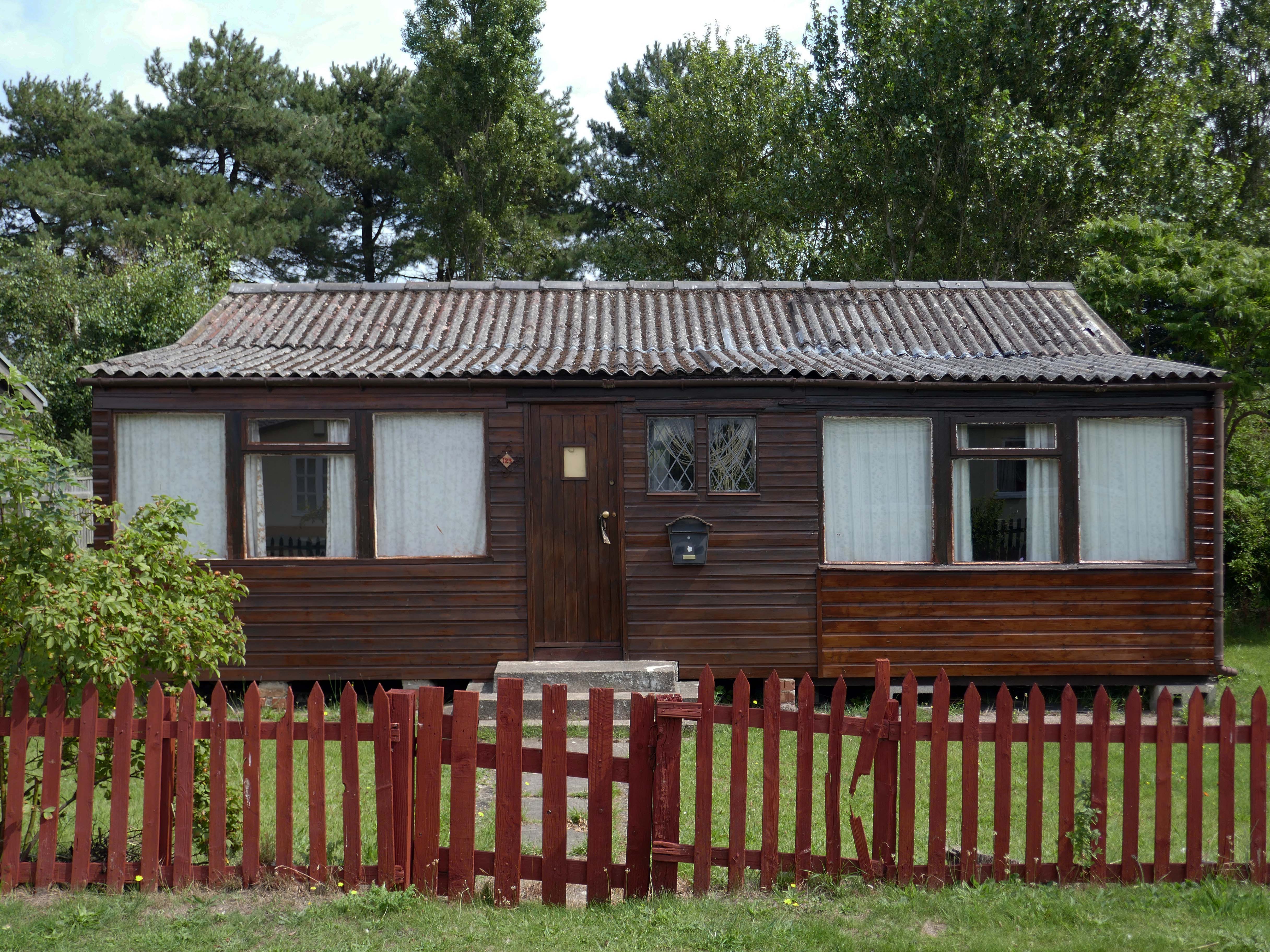
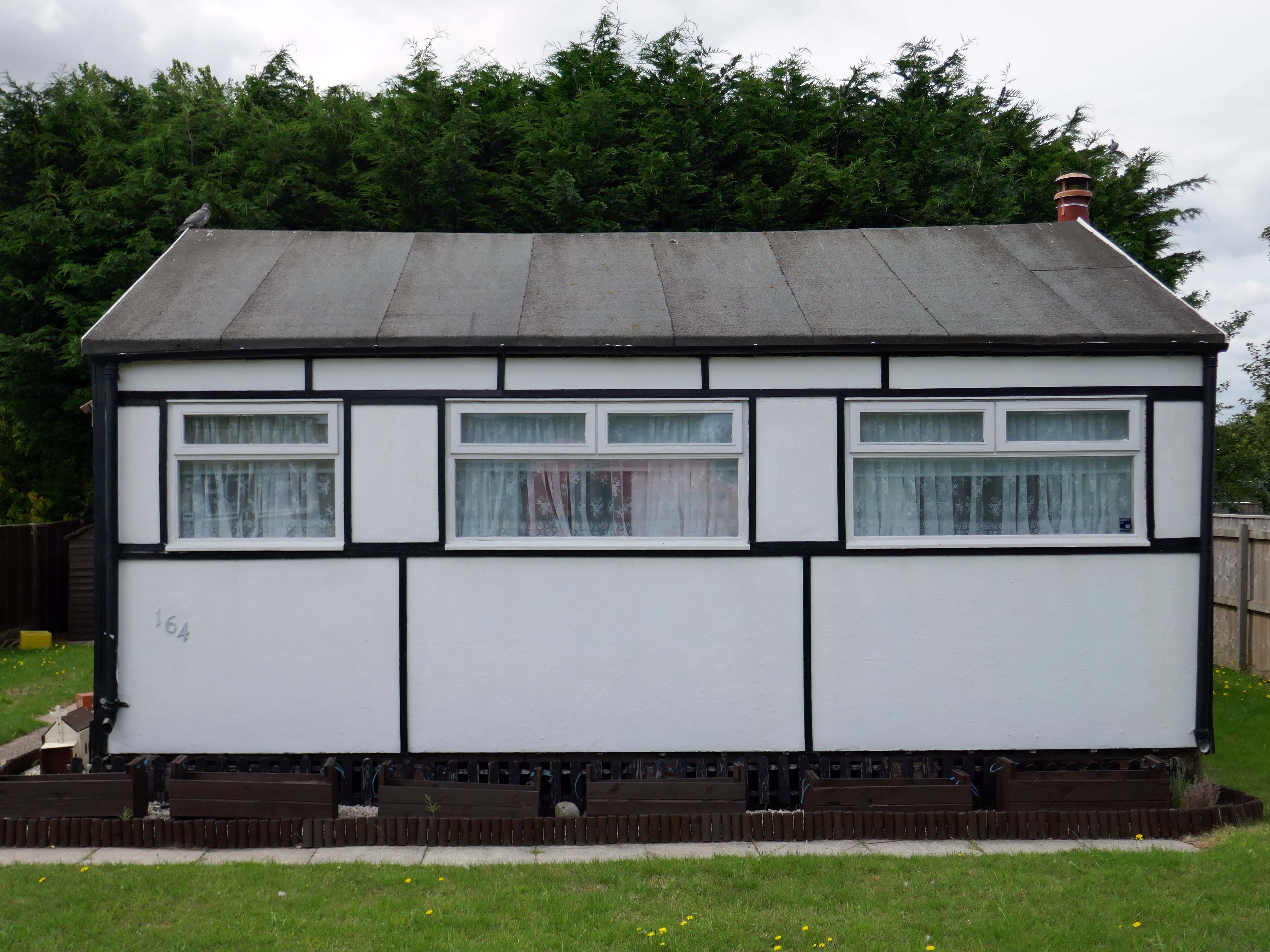
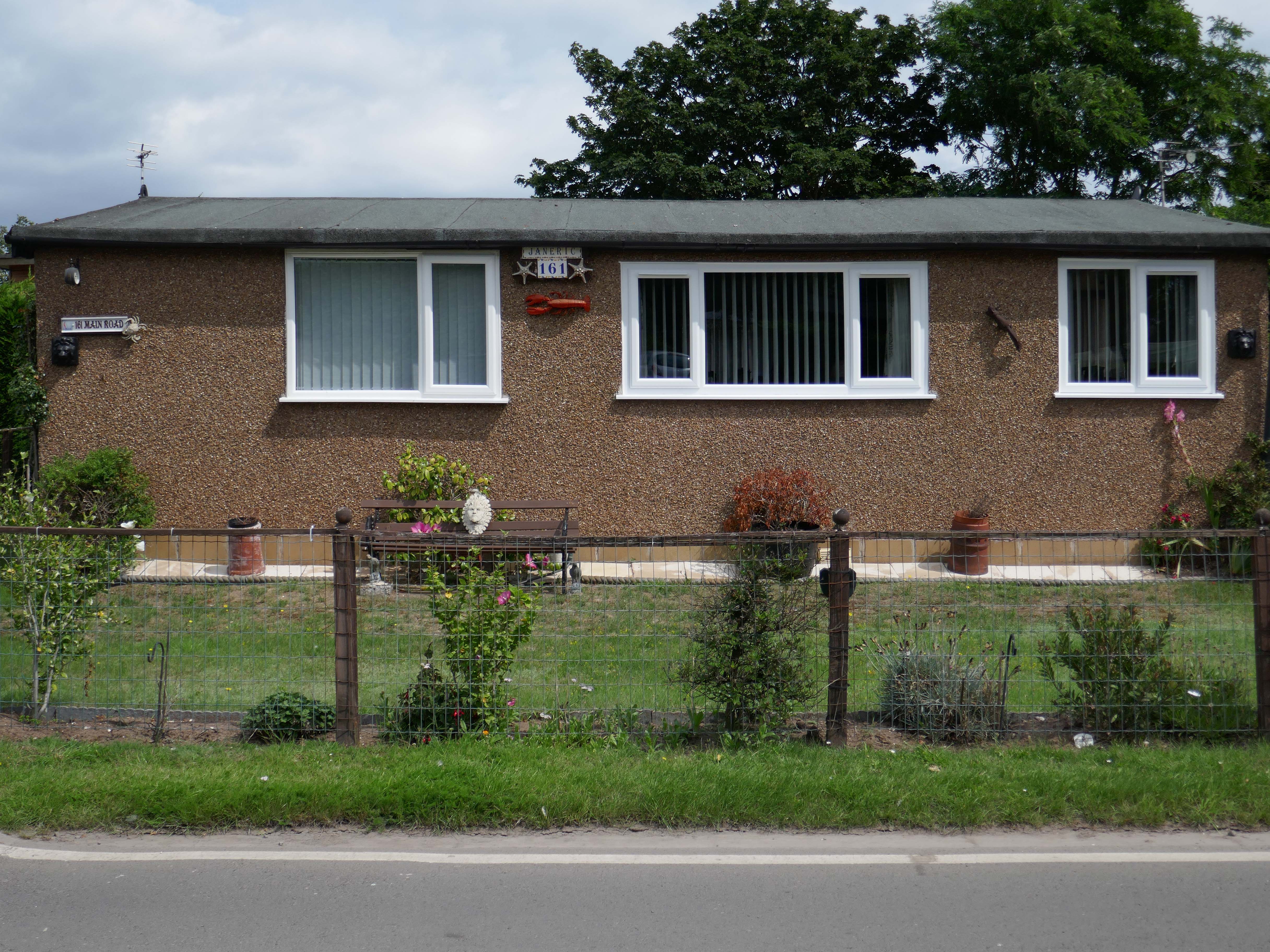
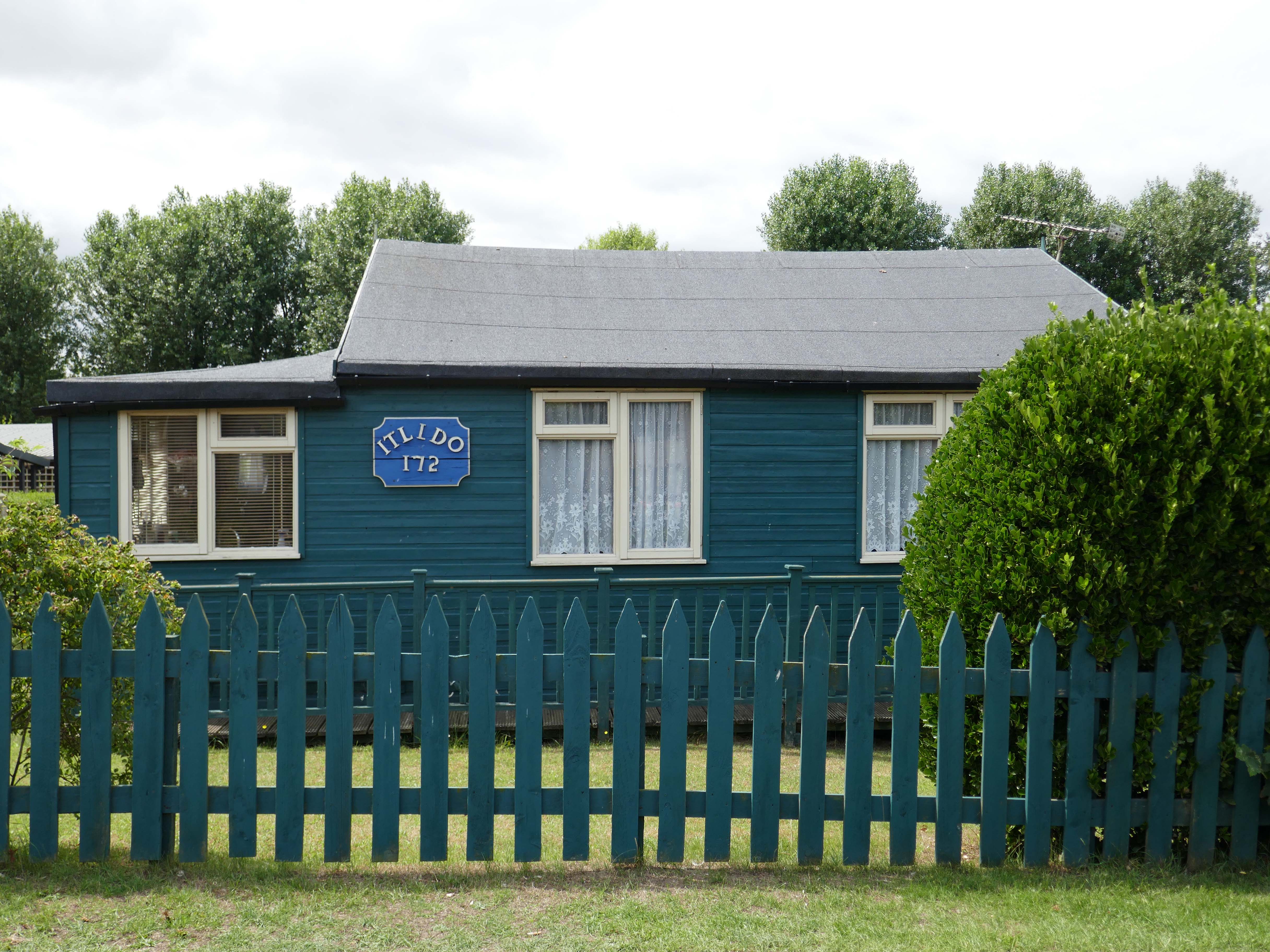
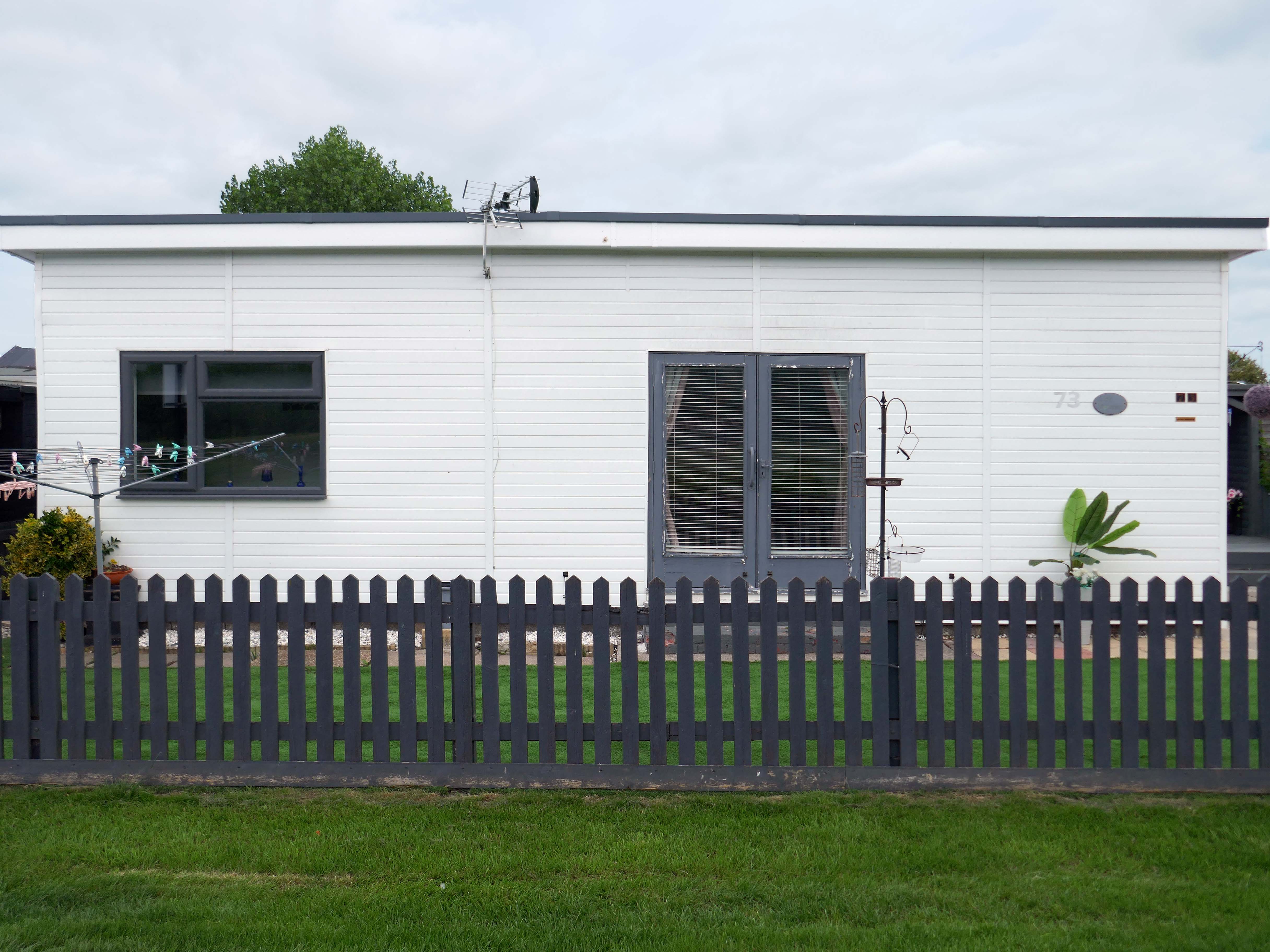
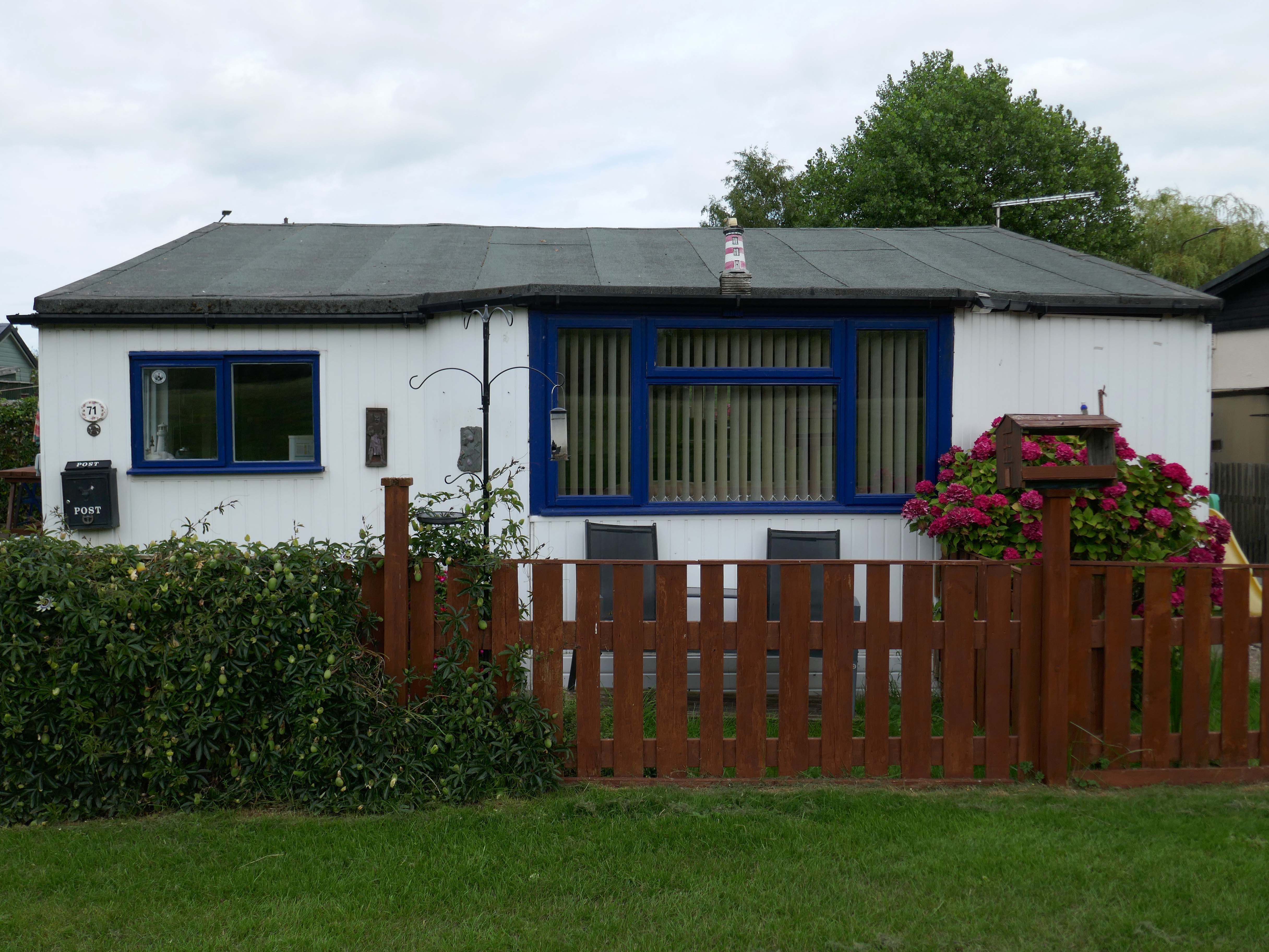
There is an almost constant tension between order and/or disorder.
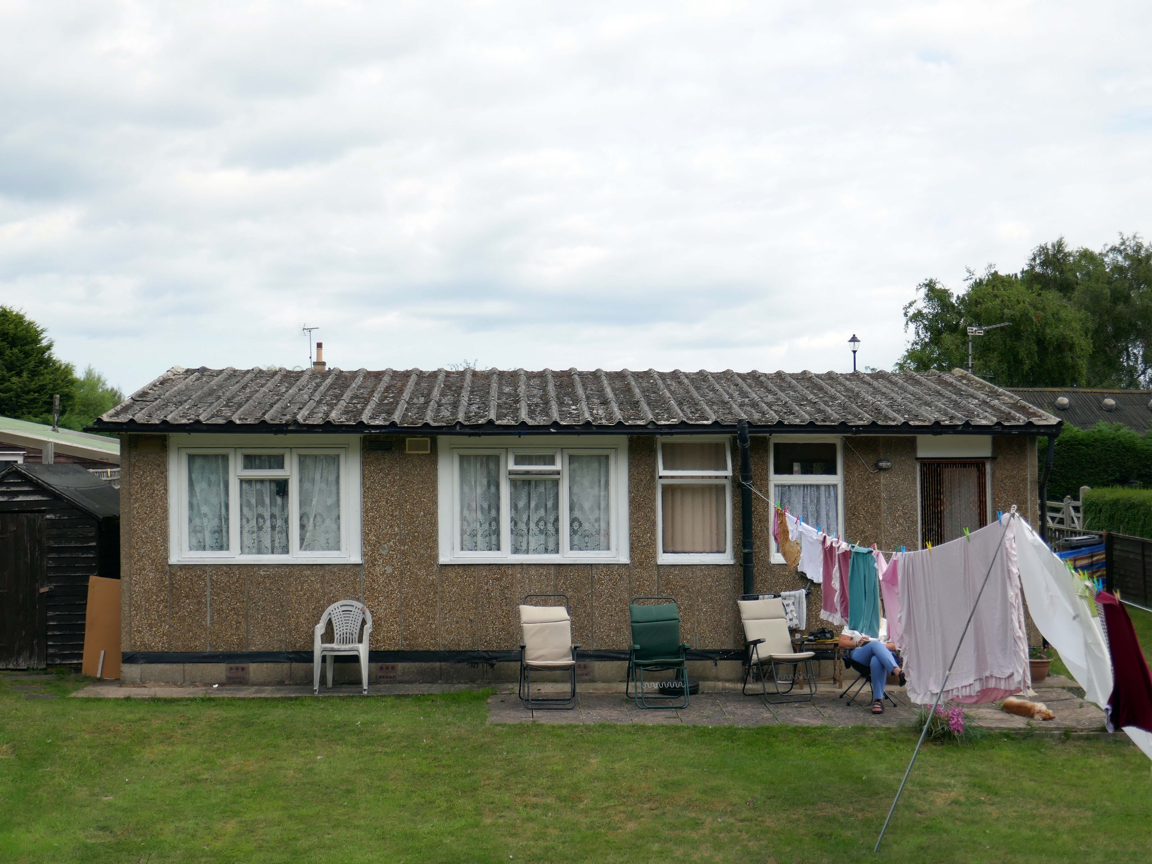
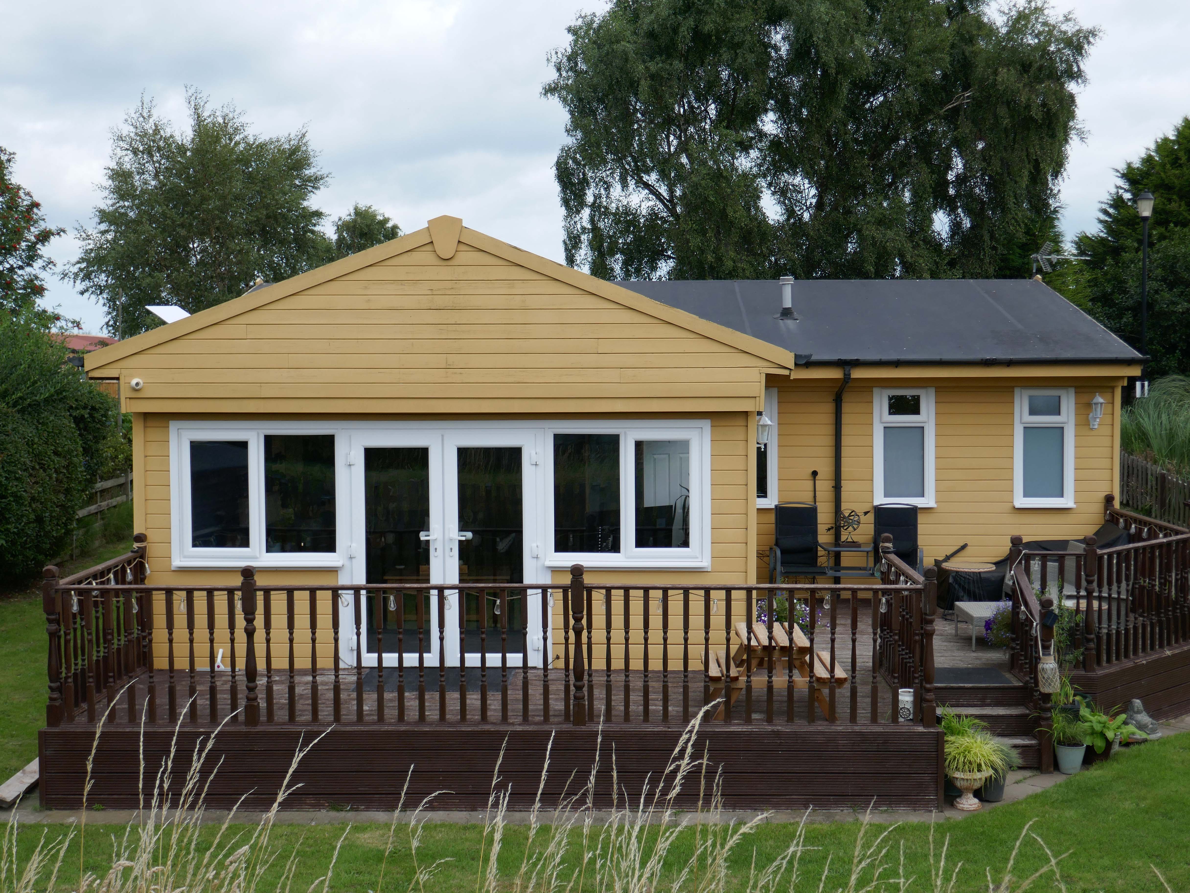
Between those who prefer the shambolic aesthetic of the shotgun shack, and those whose hearts and minds are in the double spread of Homes and Gardens.
It’s also a question of economics, there are those with capital who may wish to make investments in property. Buy to let, second homes that yield a return above the current savings’ rates. Thus raising the cost of housing, both ordered and disordered.
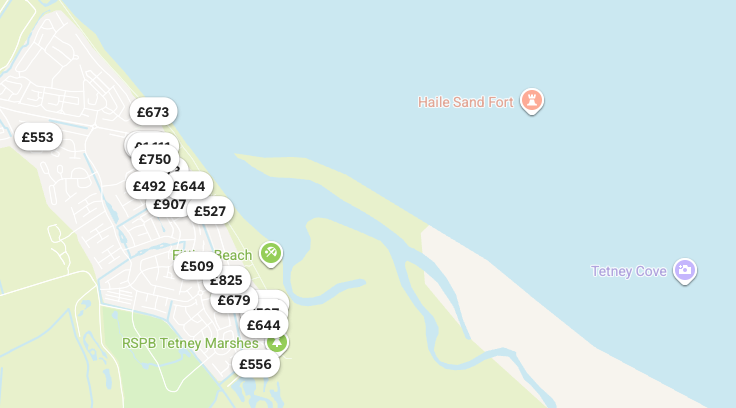
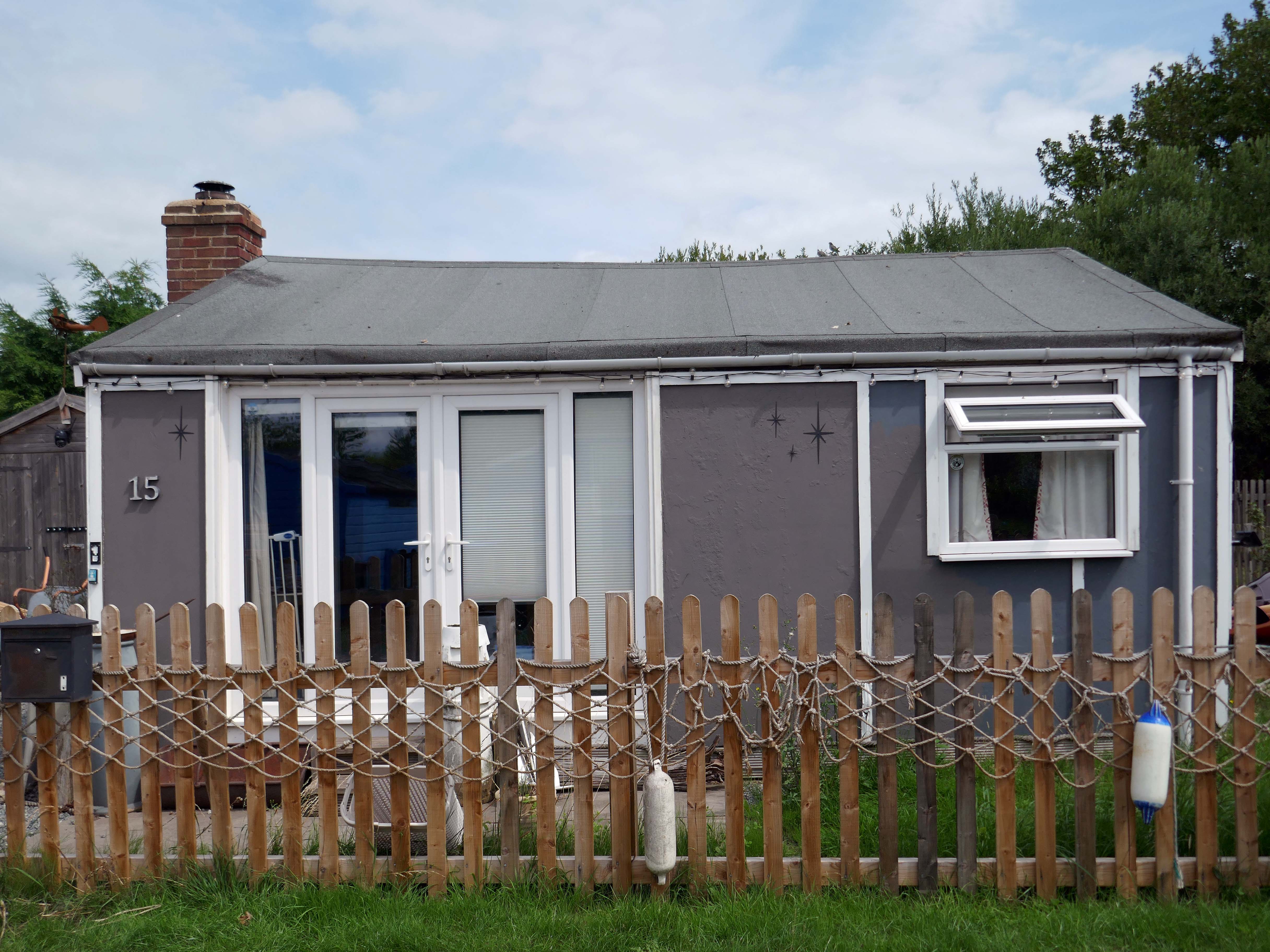
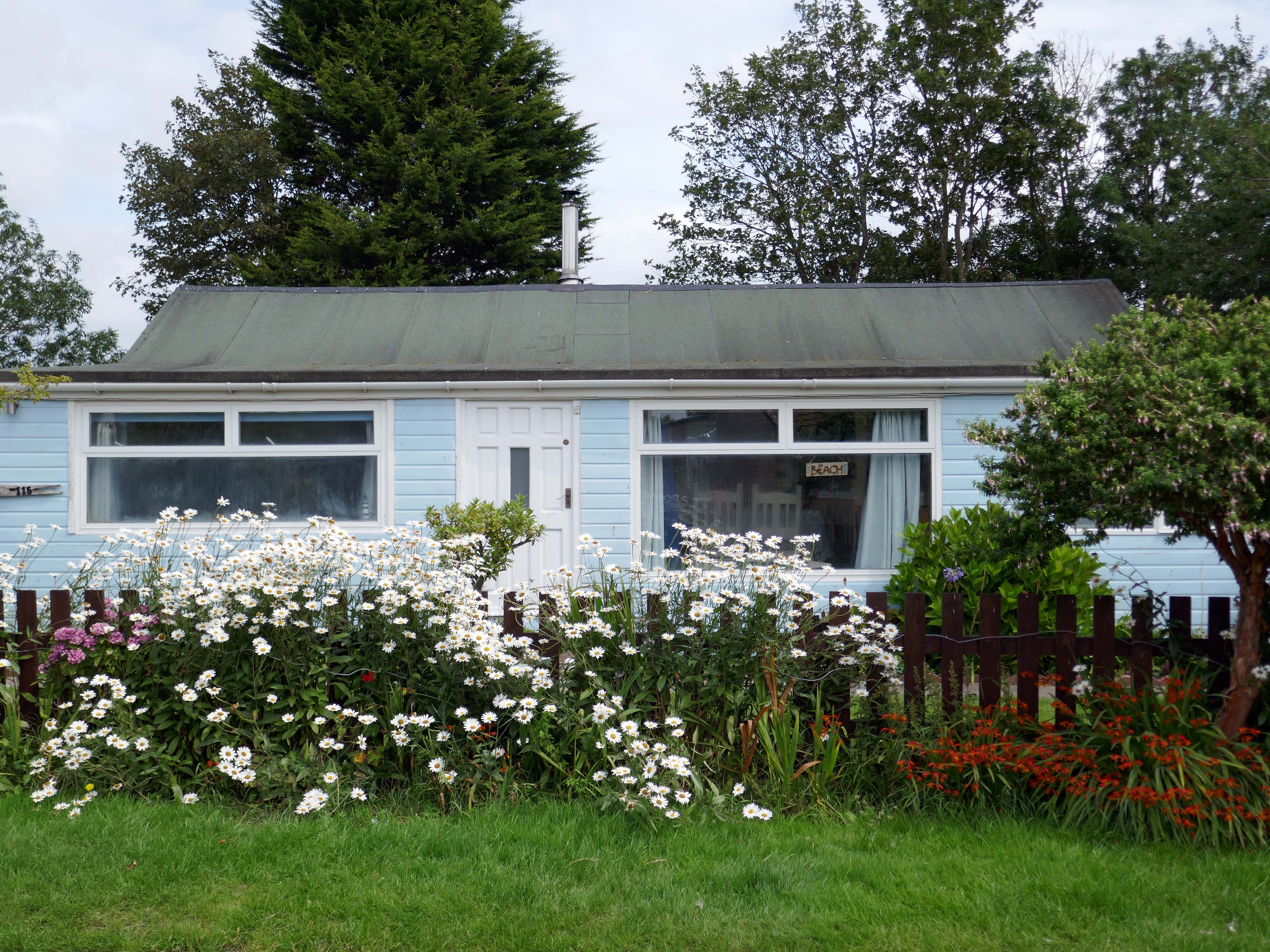
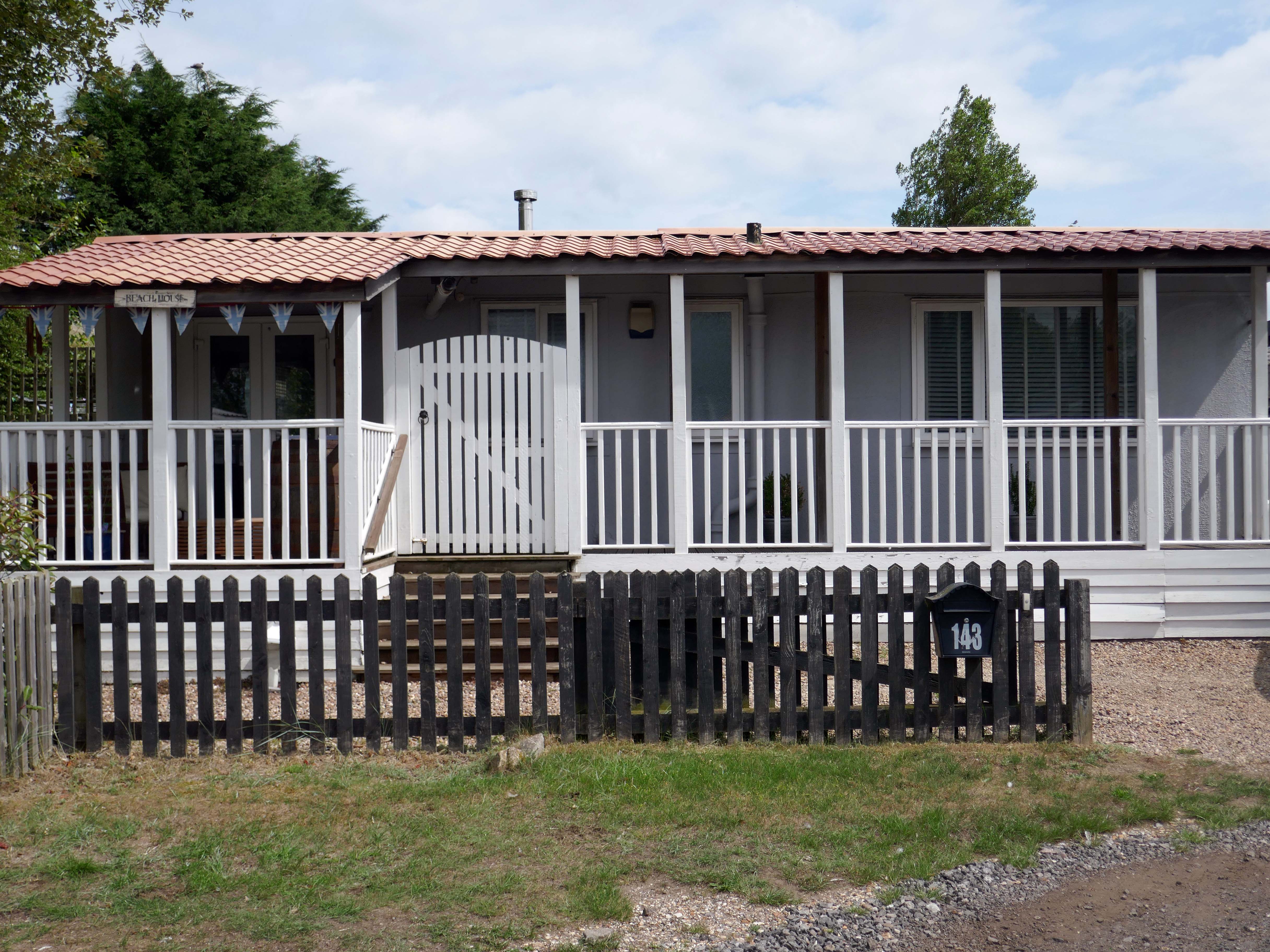
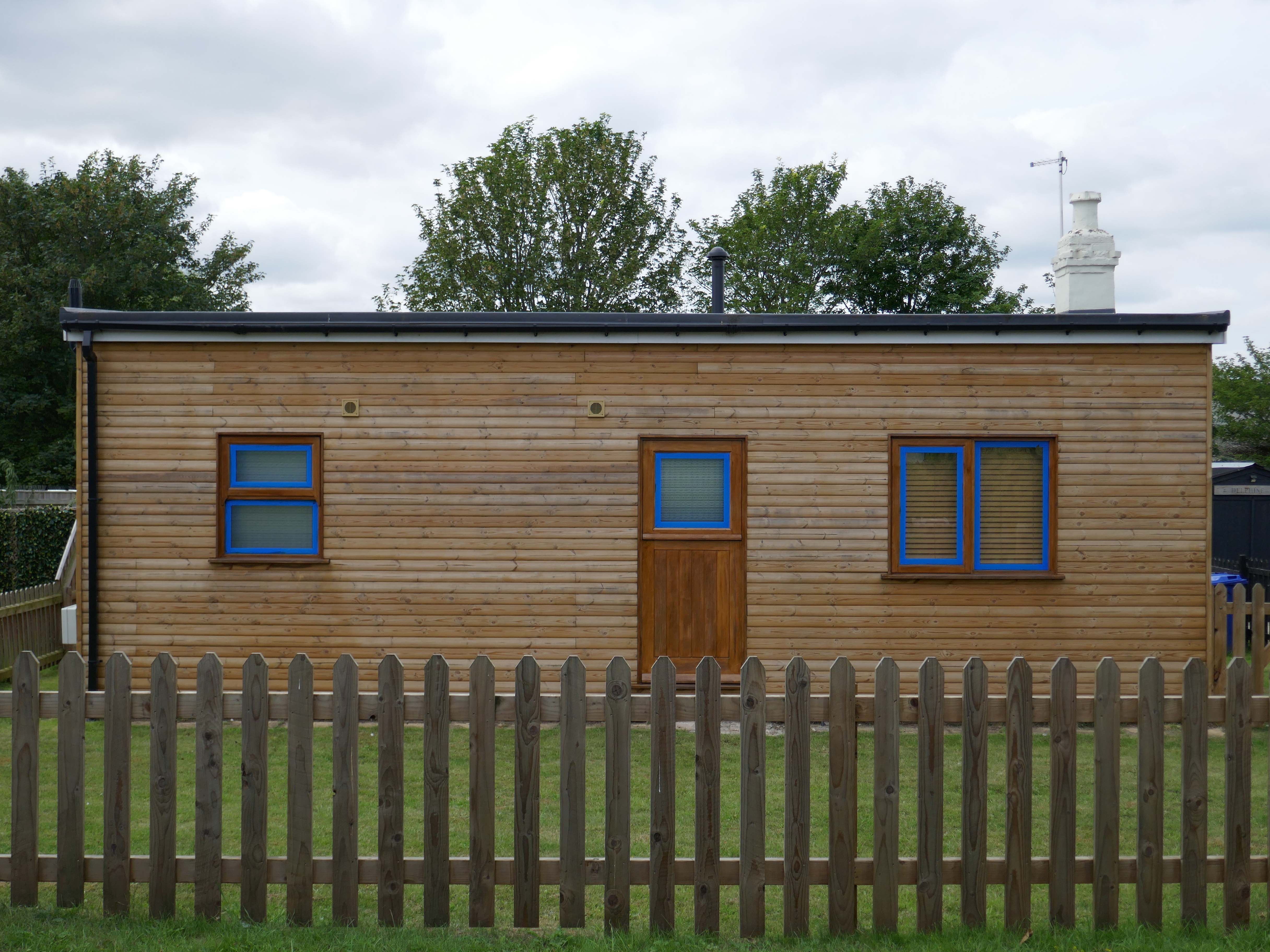
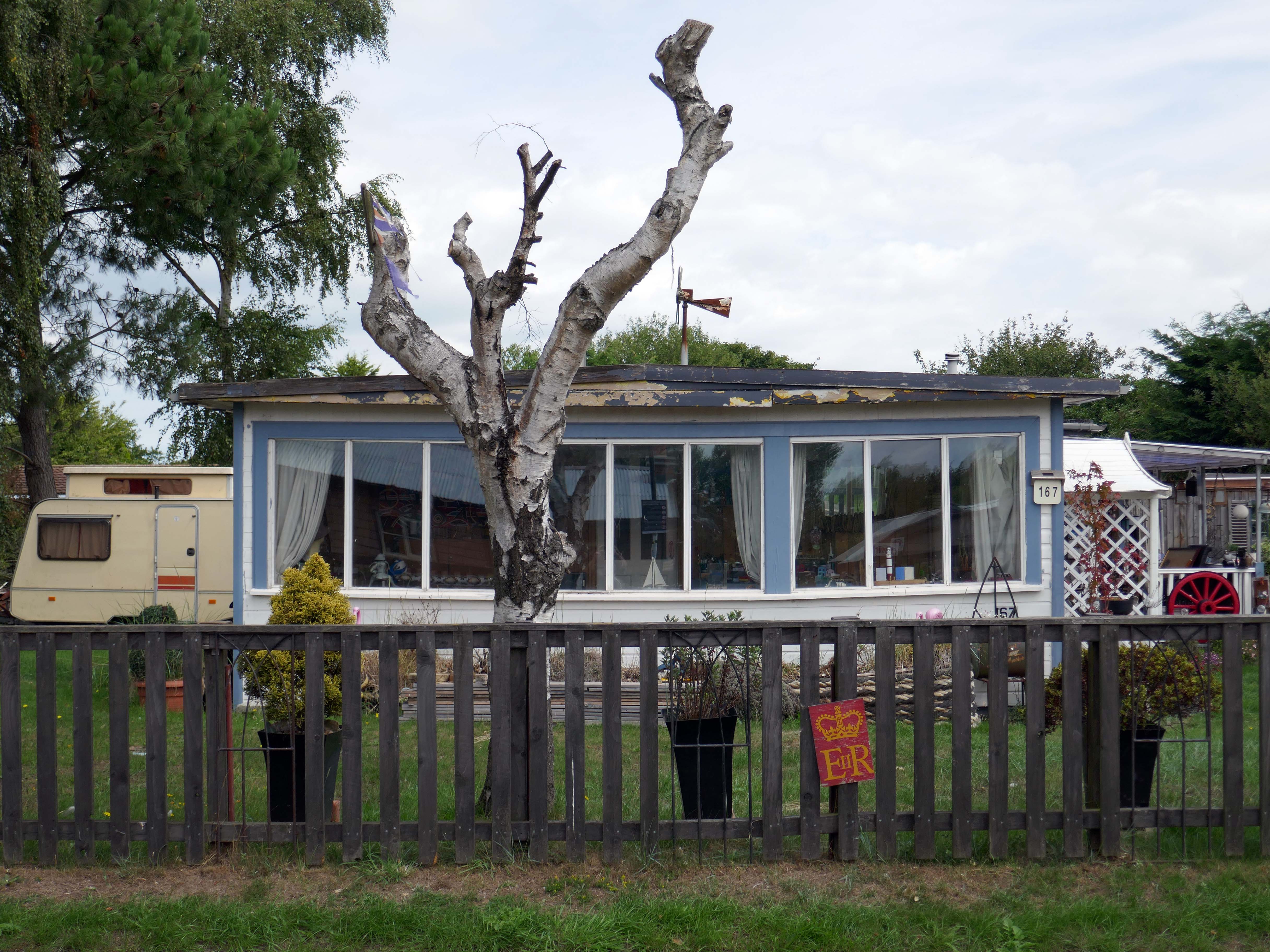
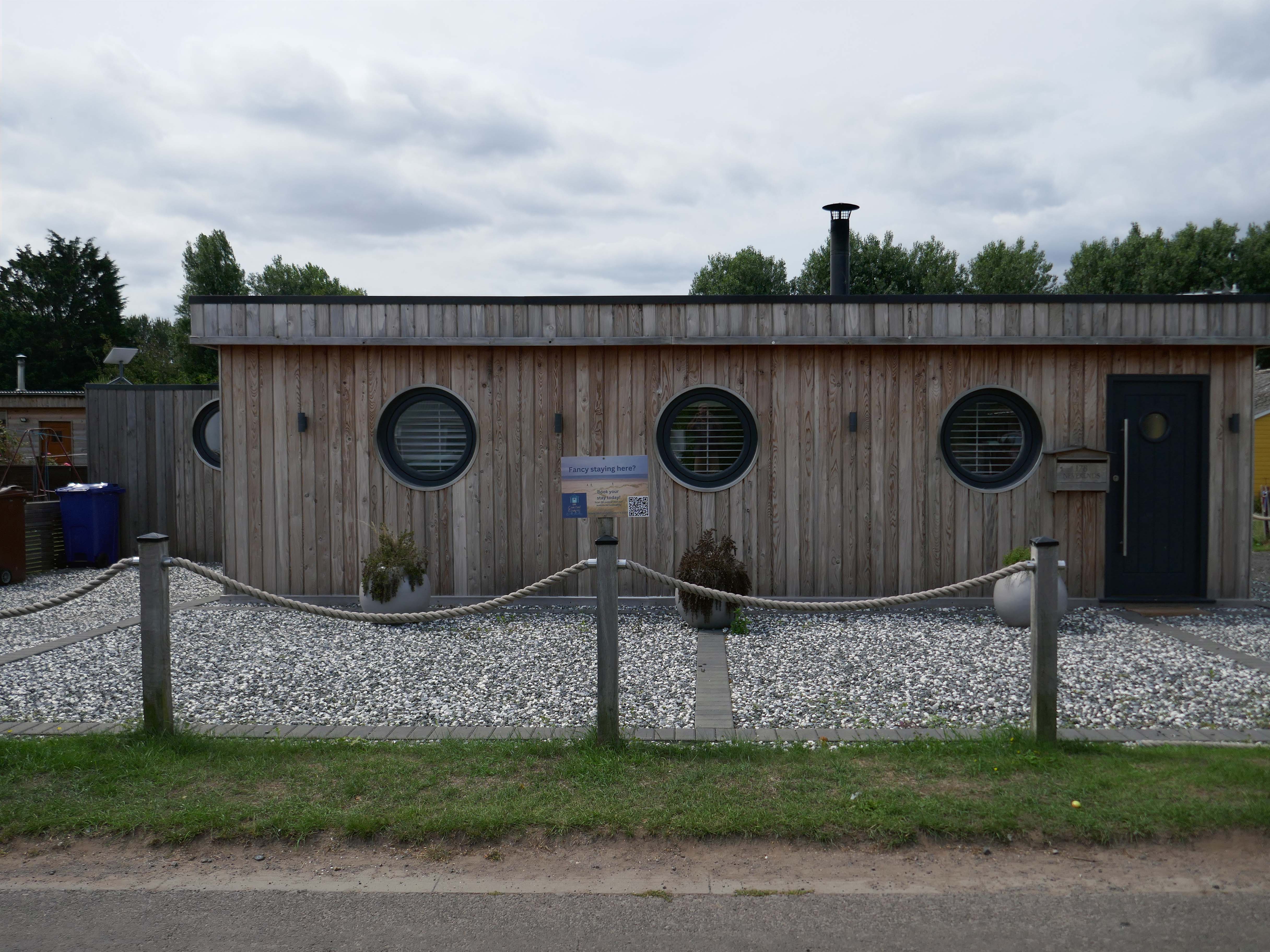
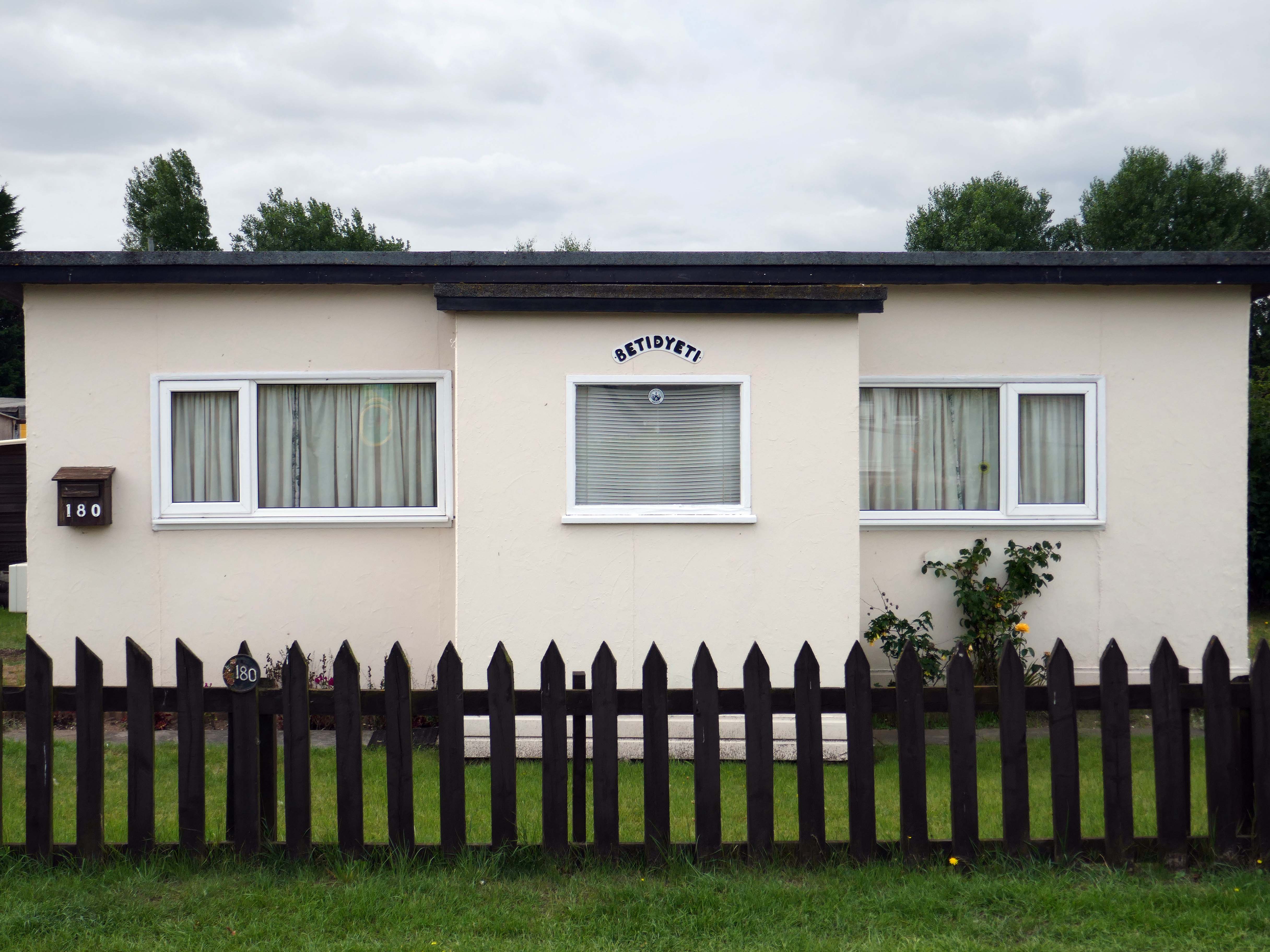
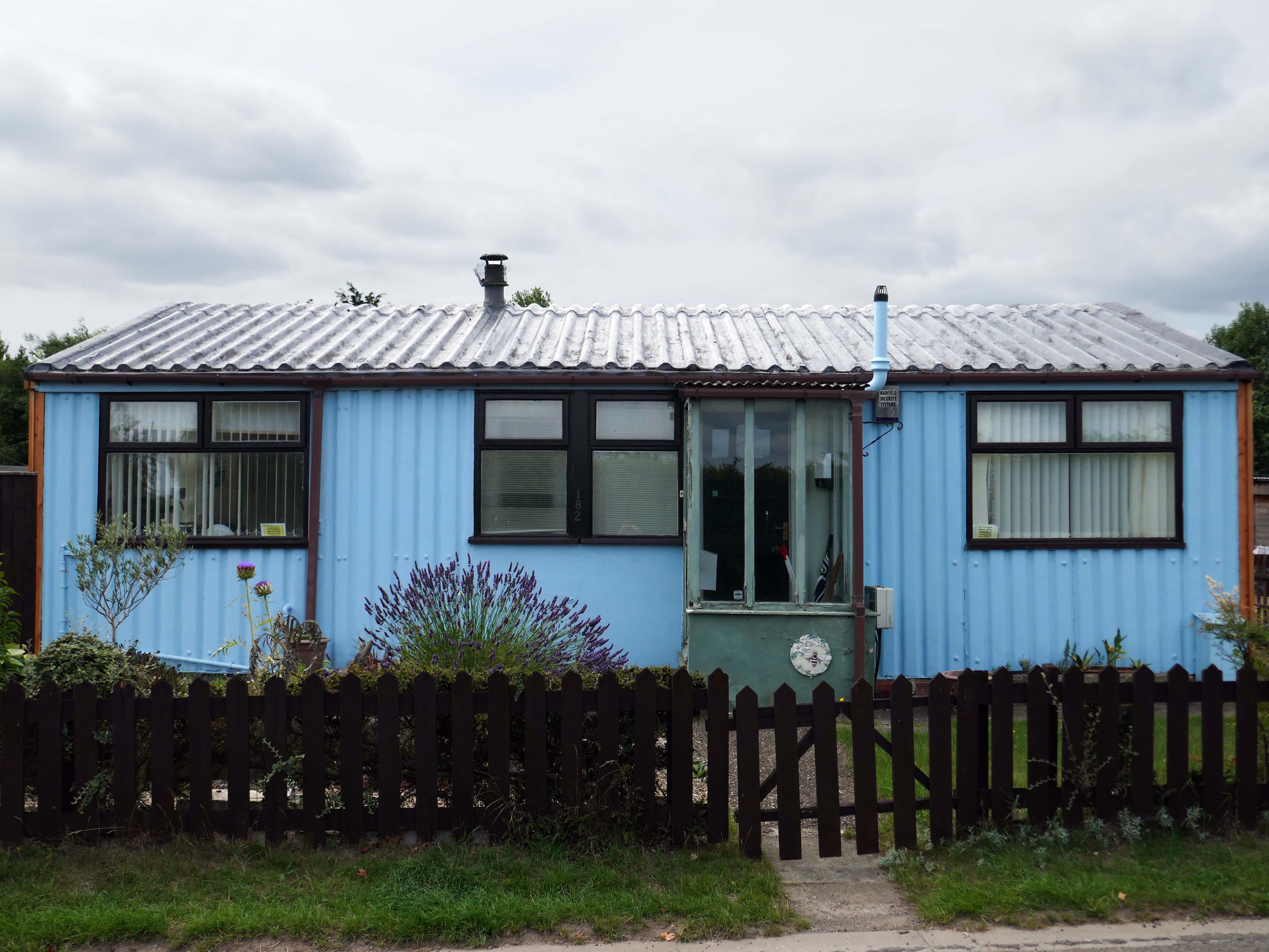
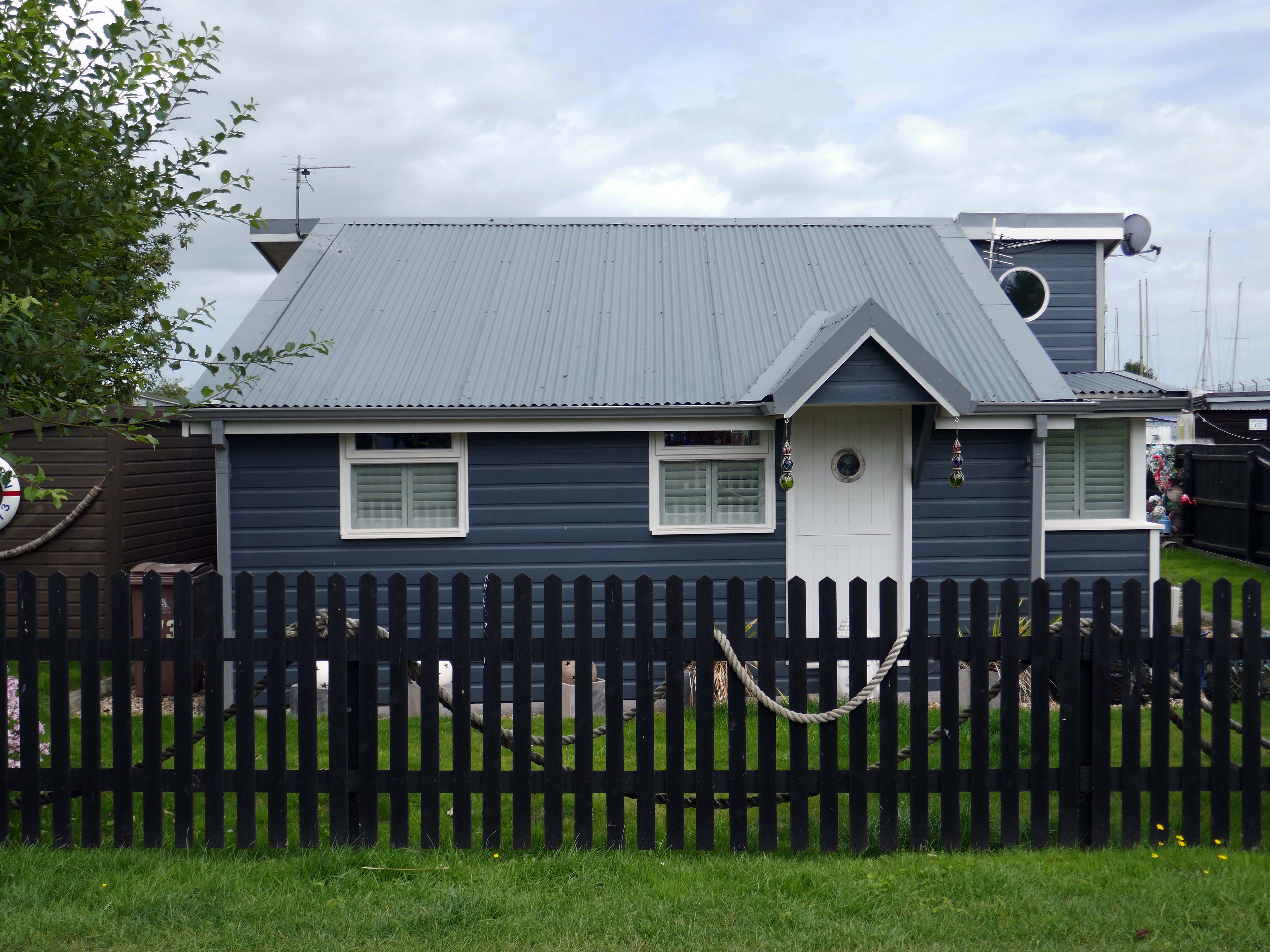
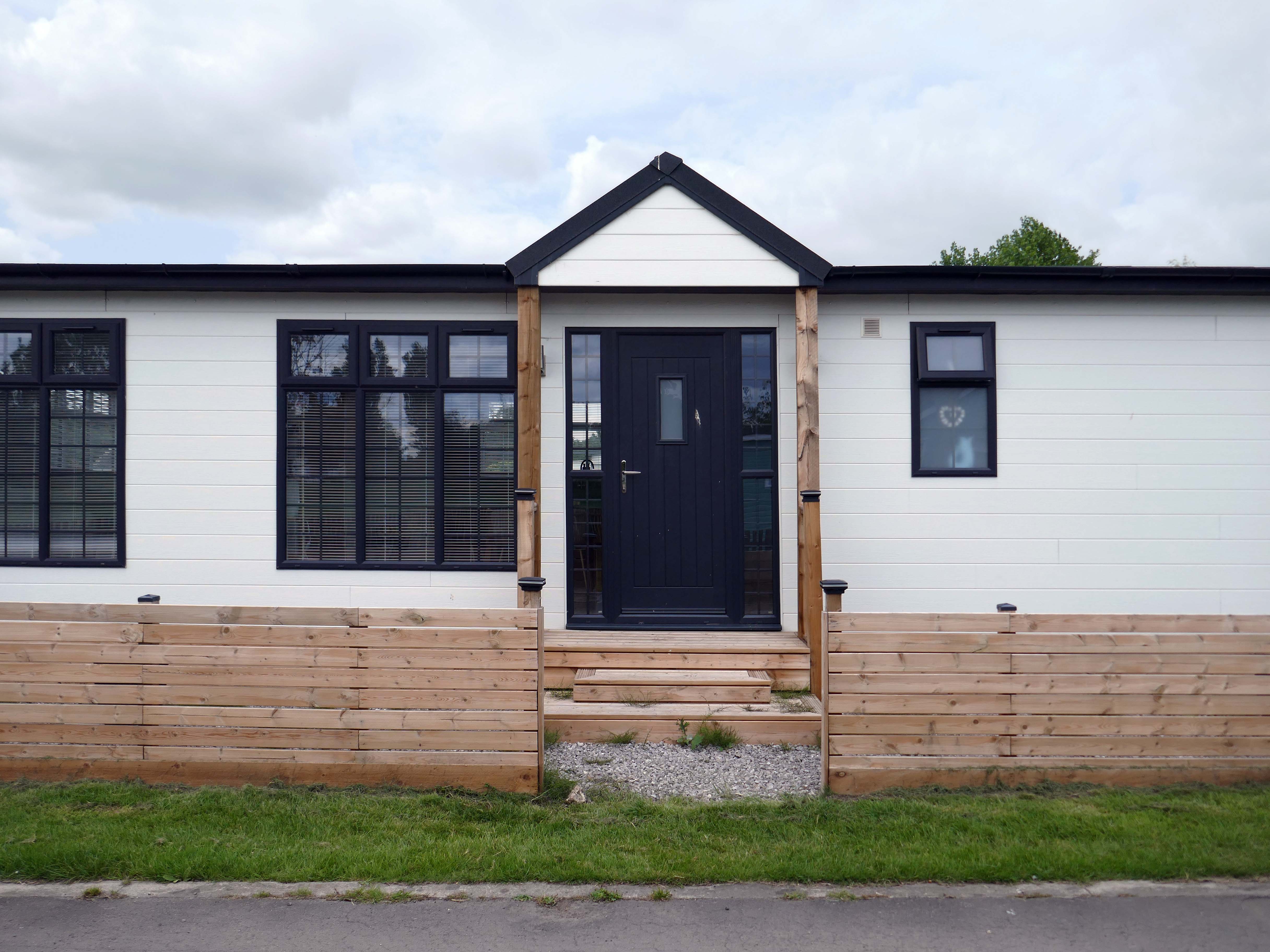
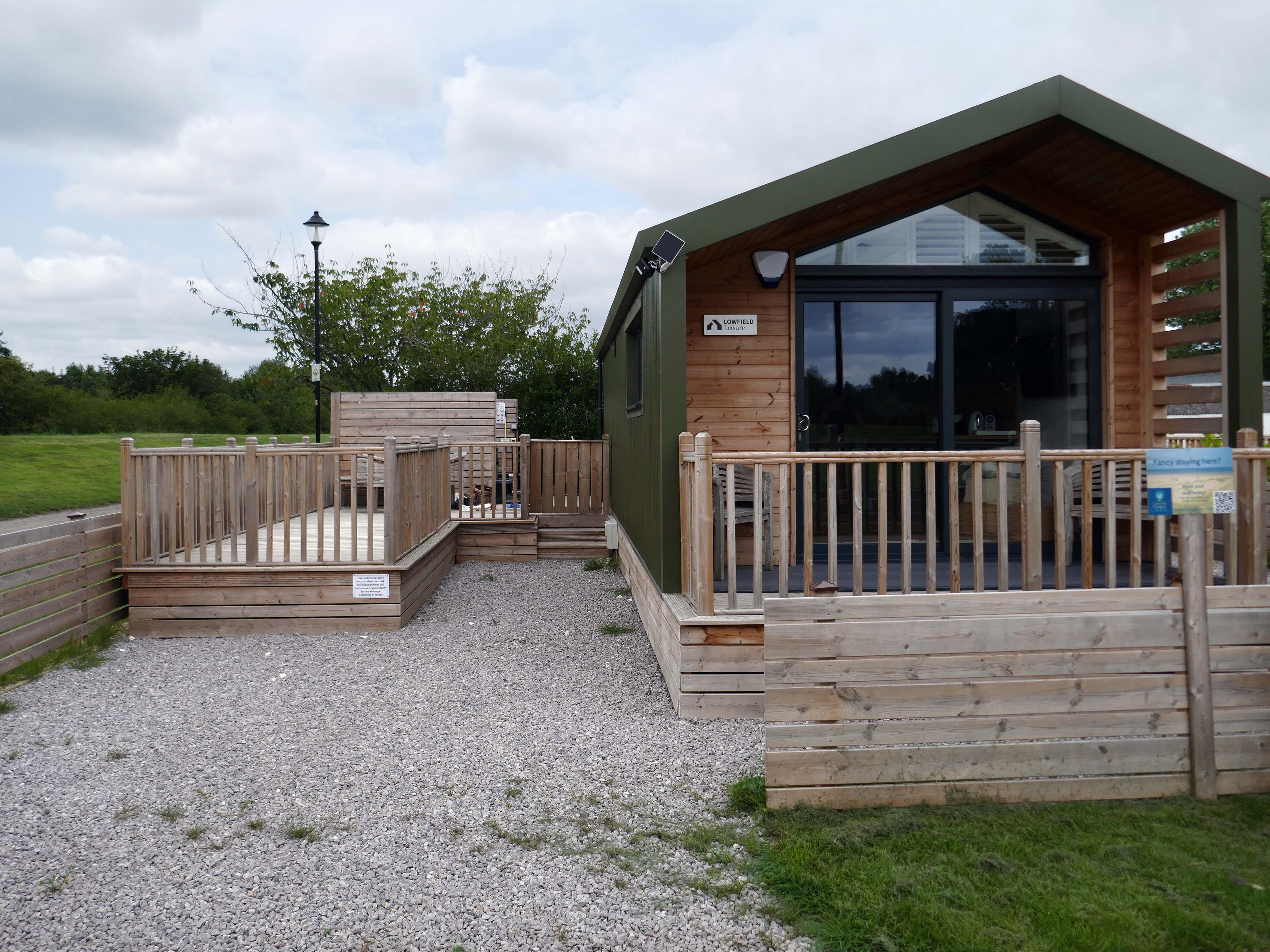
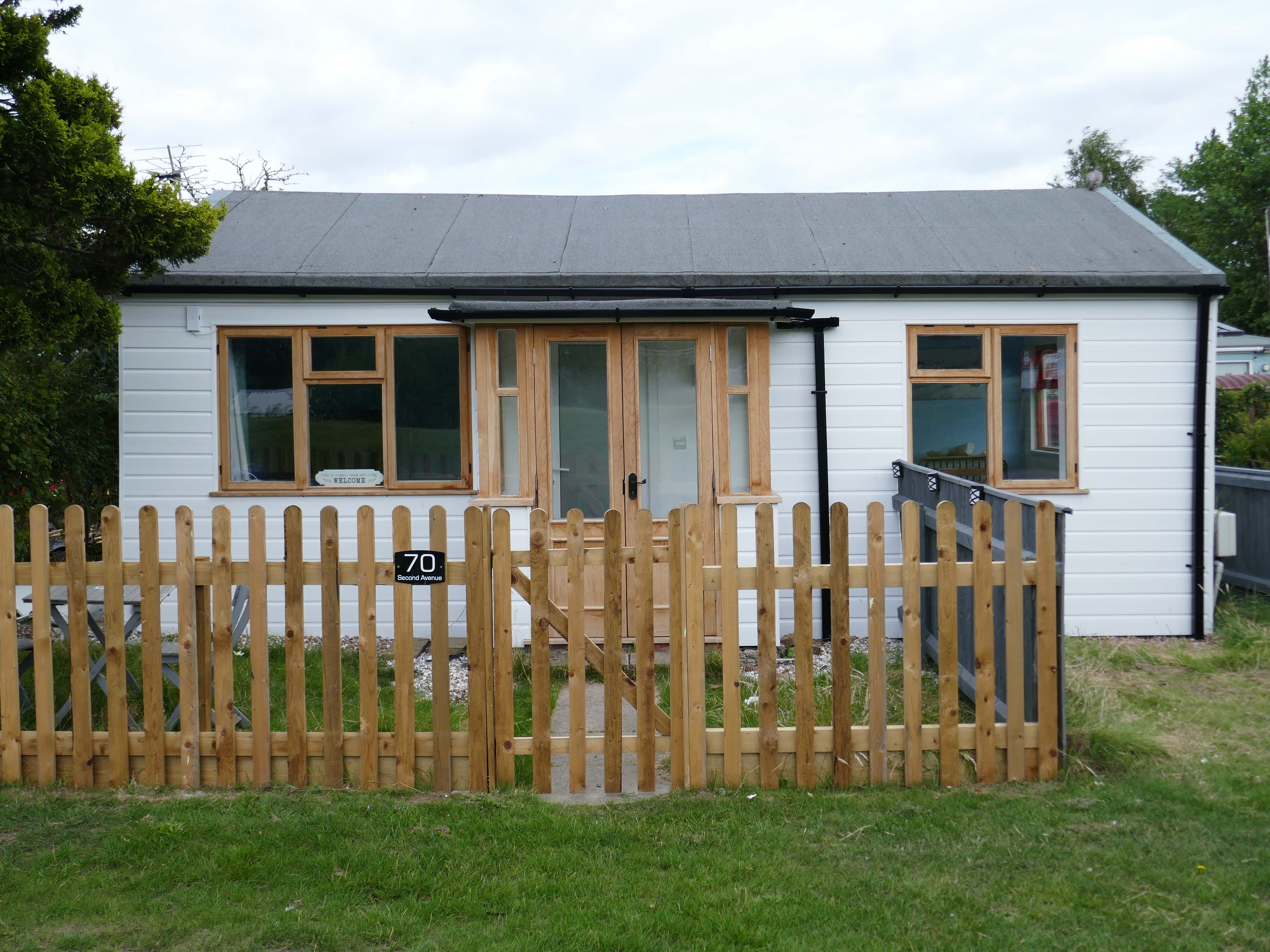
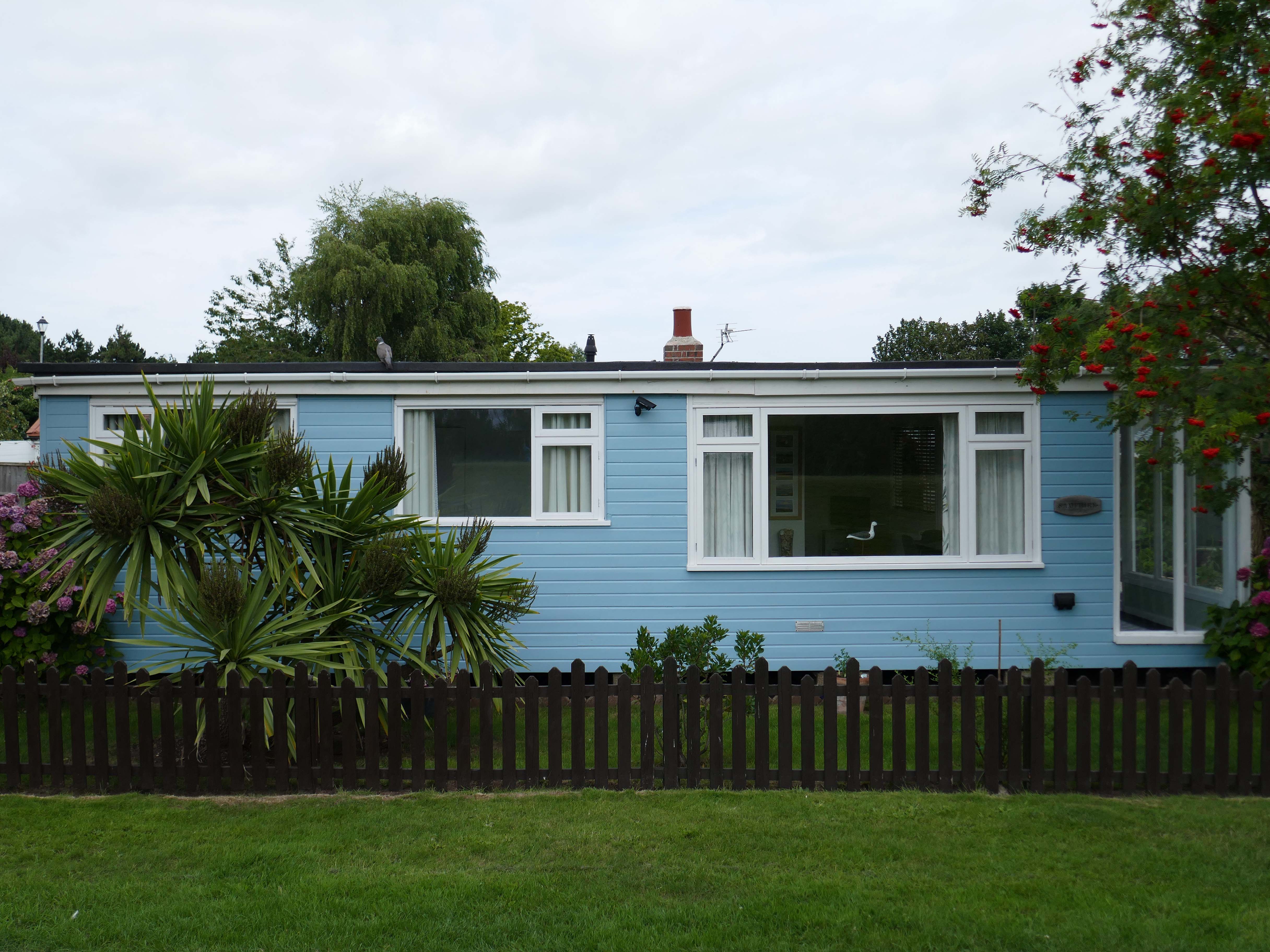
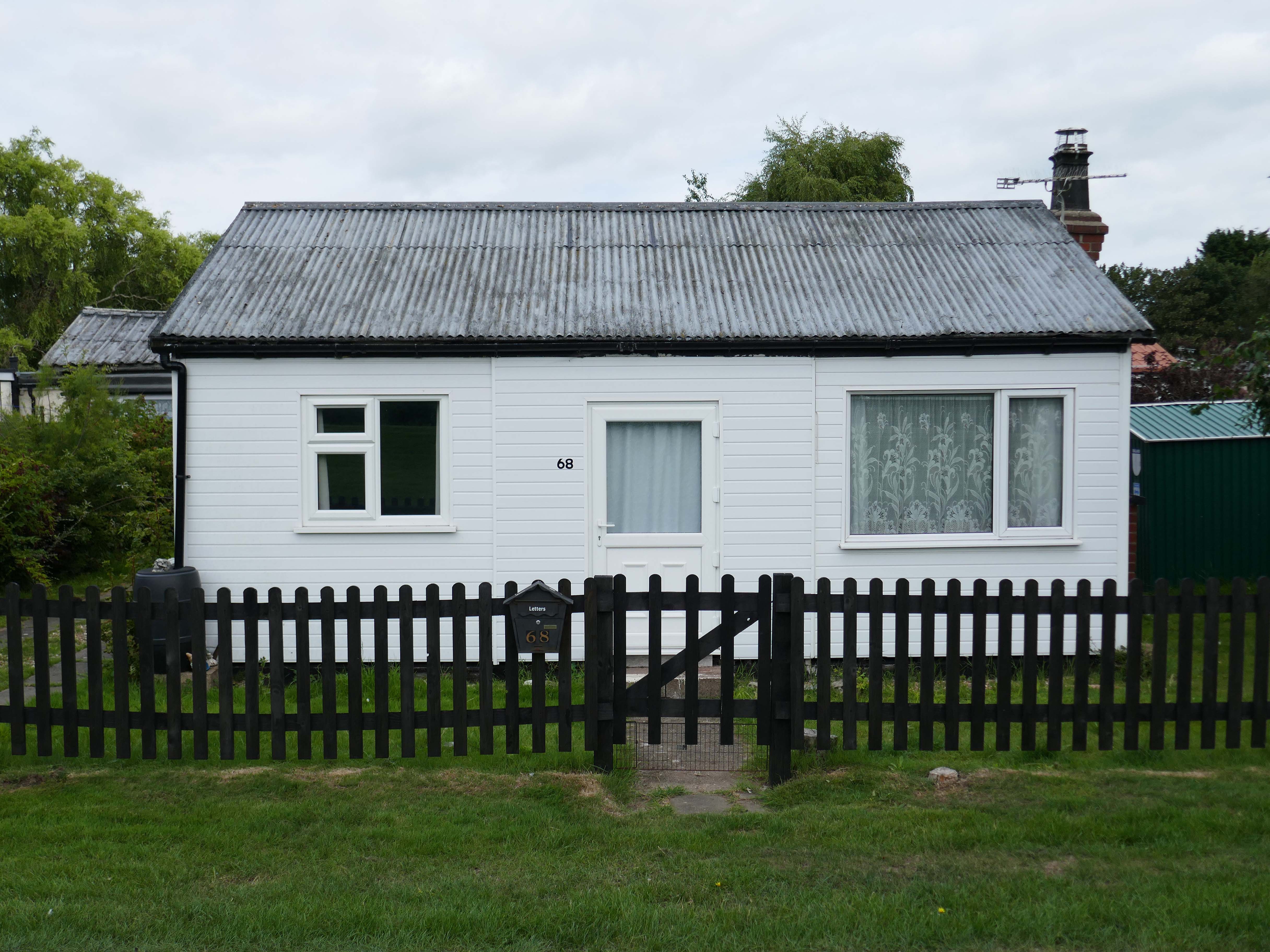
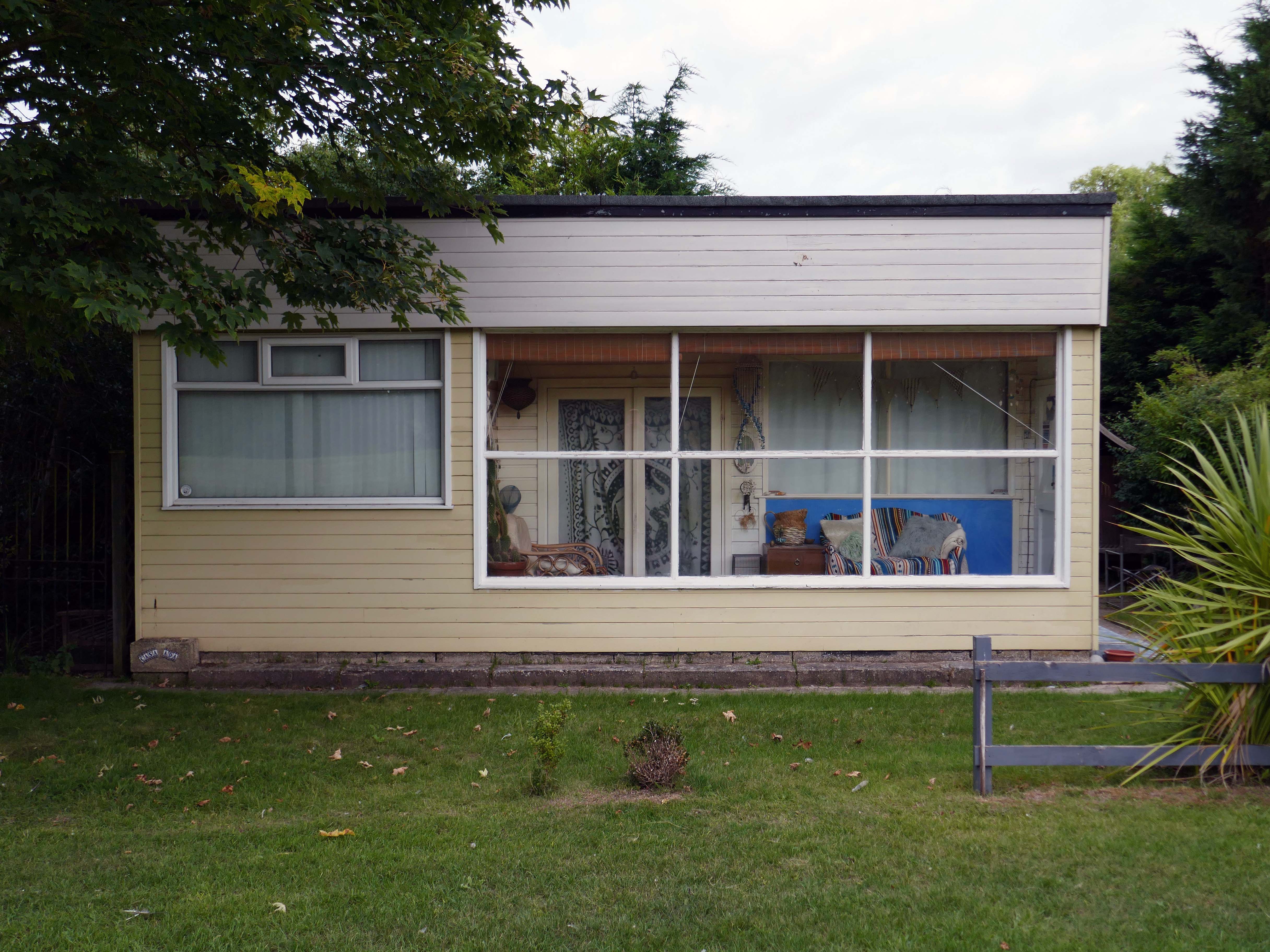
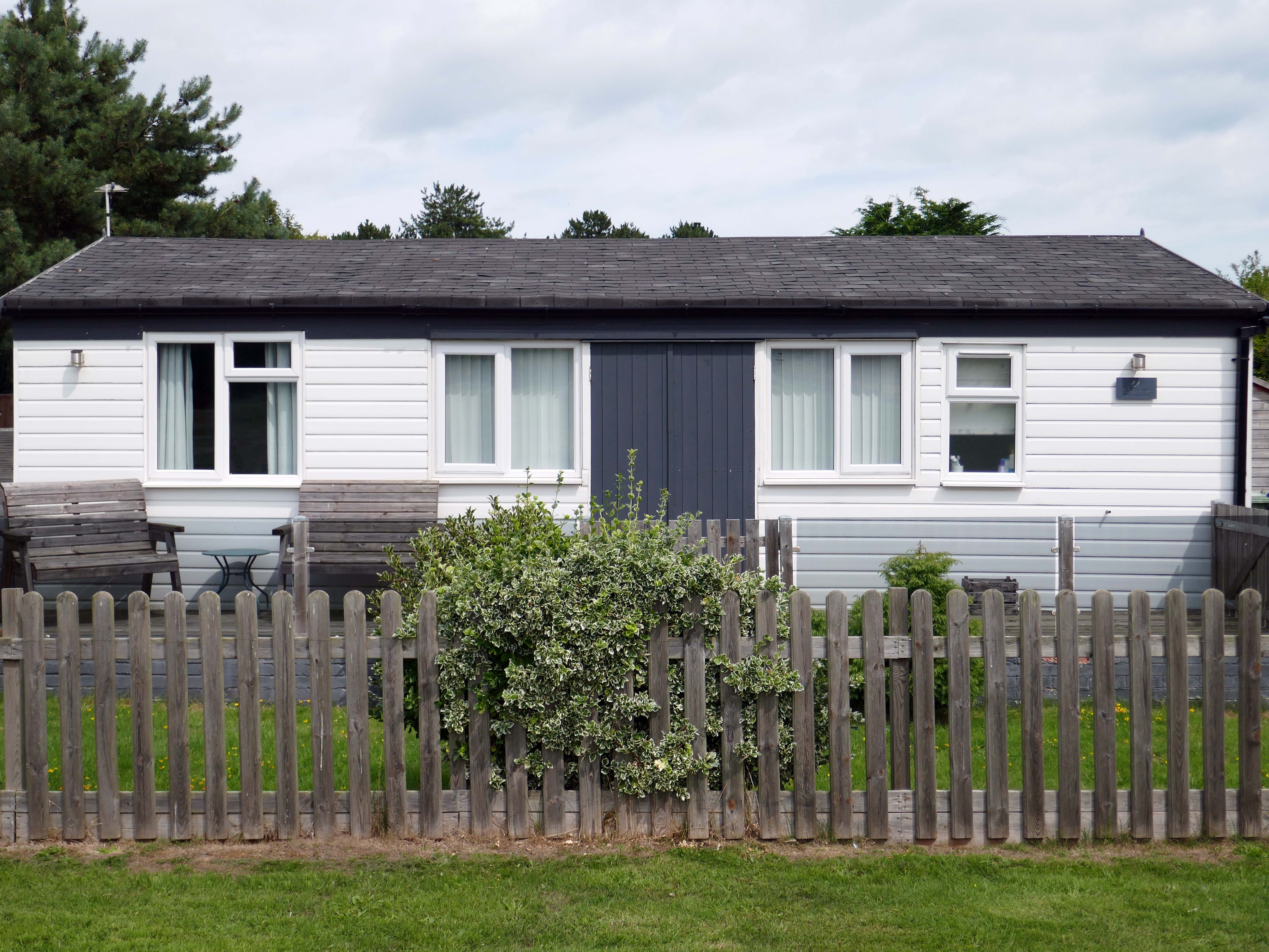
The chalet is a unique wooden clad cabin painted in lovely complimentary colours of Cream and Seaspray Green. A porthole window peers into a generous open plan living room and adjoined kitchen with subtle seaside touches of stripes, driftwood, shells, all quality wooden furniture and large comfy corner sofa plus two relaxing reading chairs with plenty of blankets to snuggle up in.
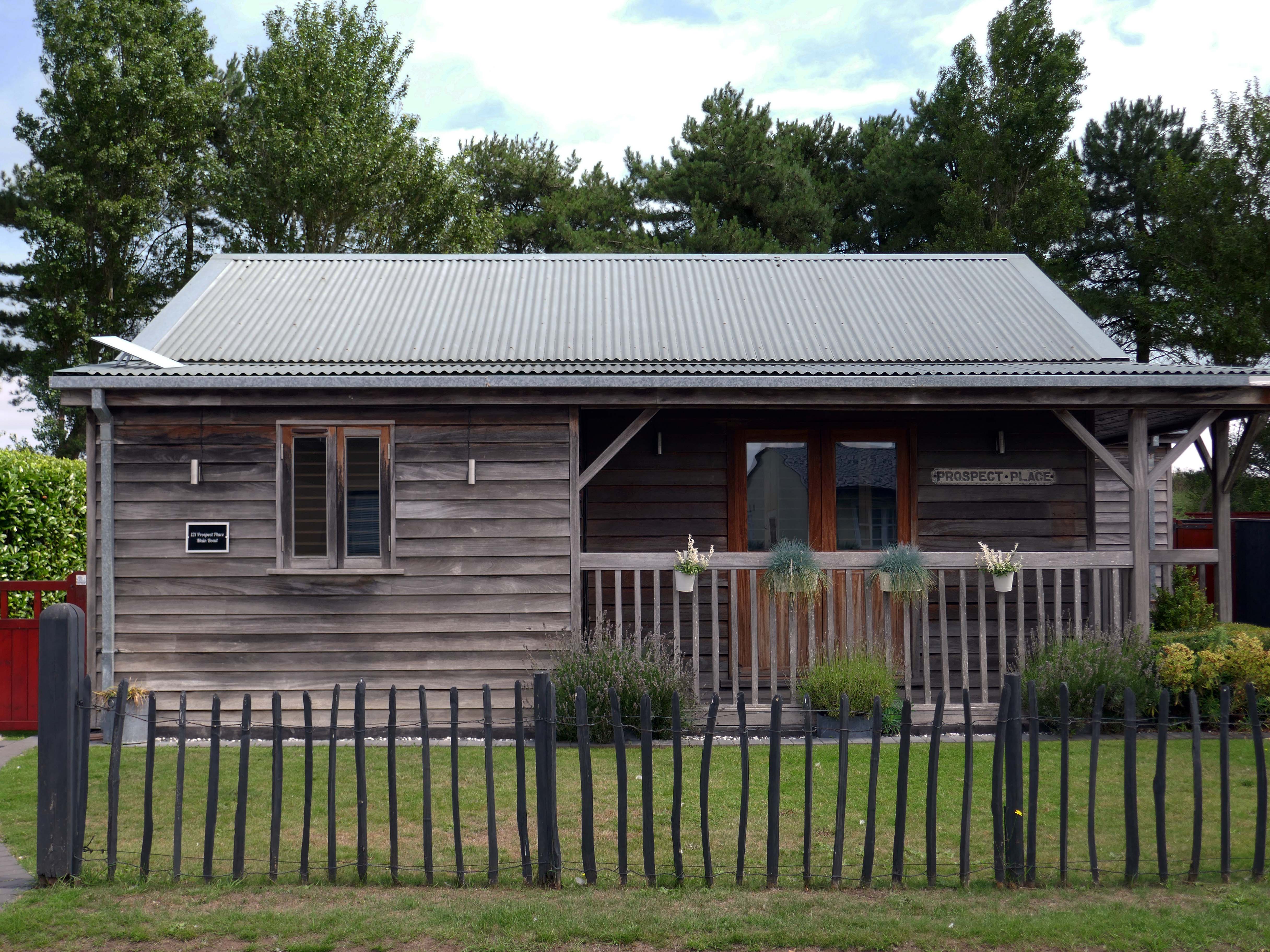
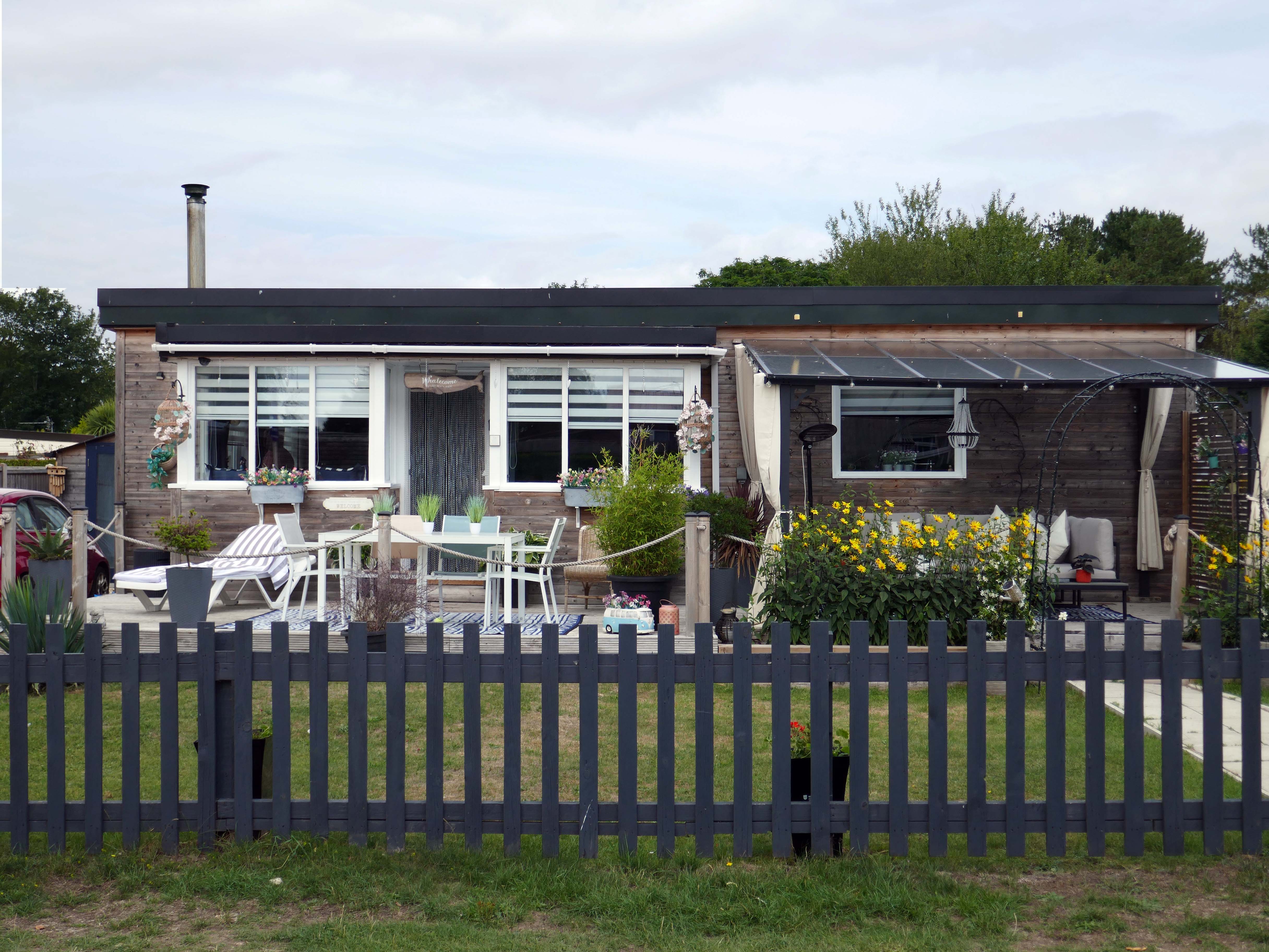
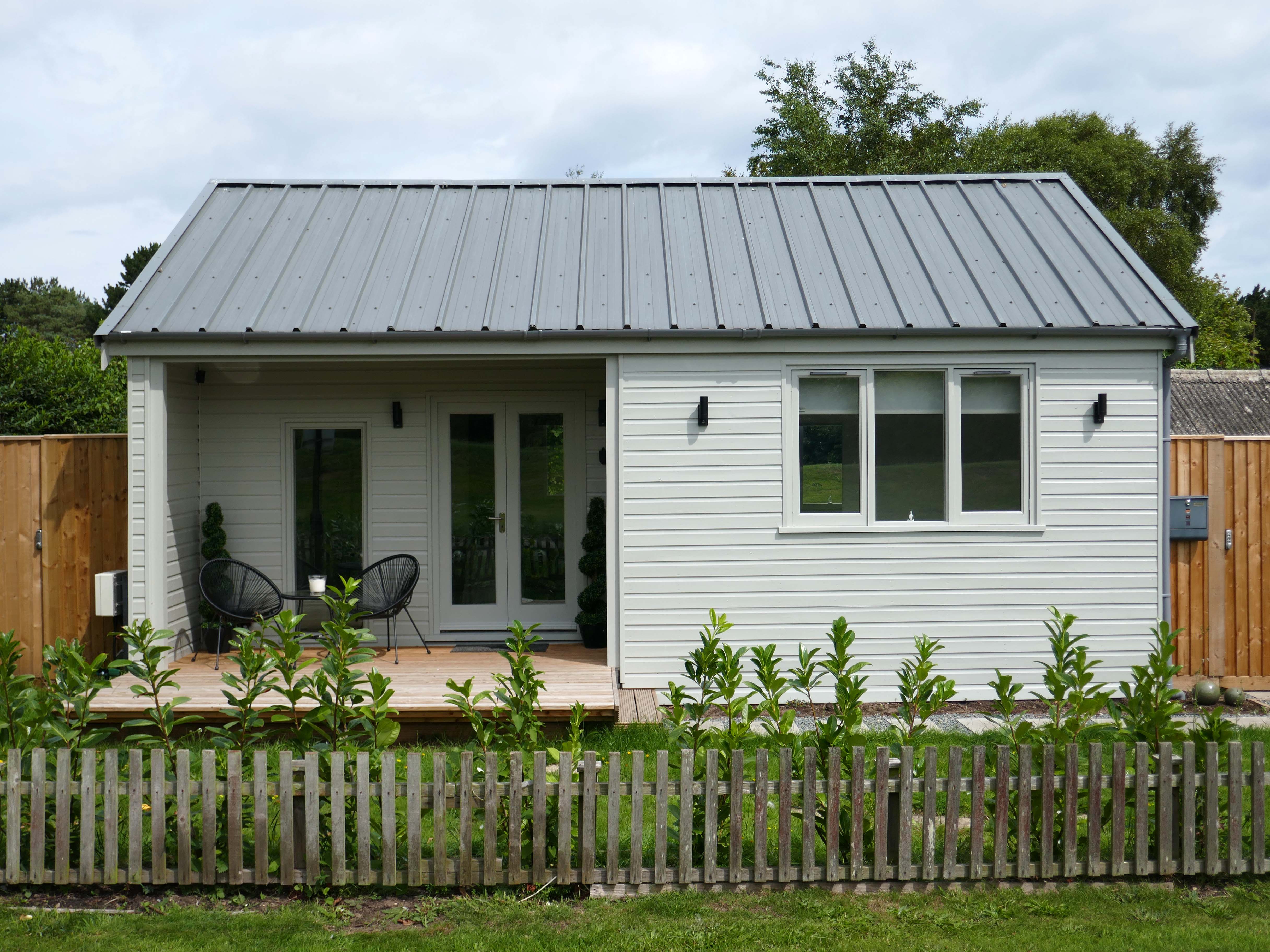
So the march of big money heralds the arrival of complementary after dinner mints, uPVC cladding, tasteful nautical bric a brac, prohibitive signs, off road parking and a Hampton’s aesthetic – a little bit of New England inna little bit of England.
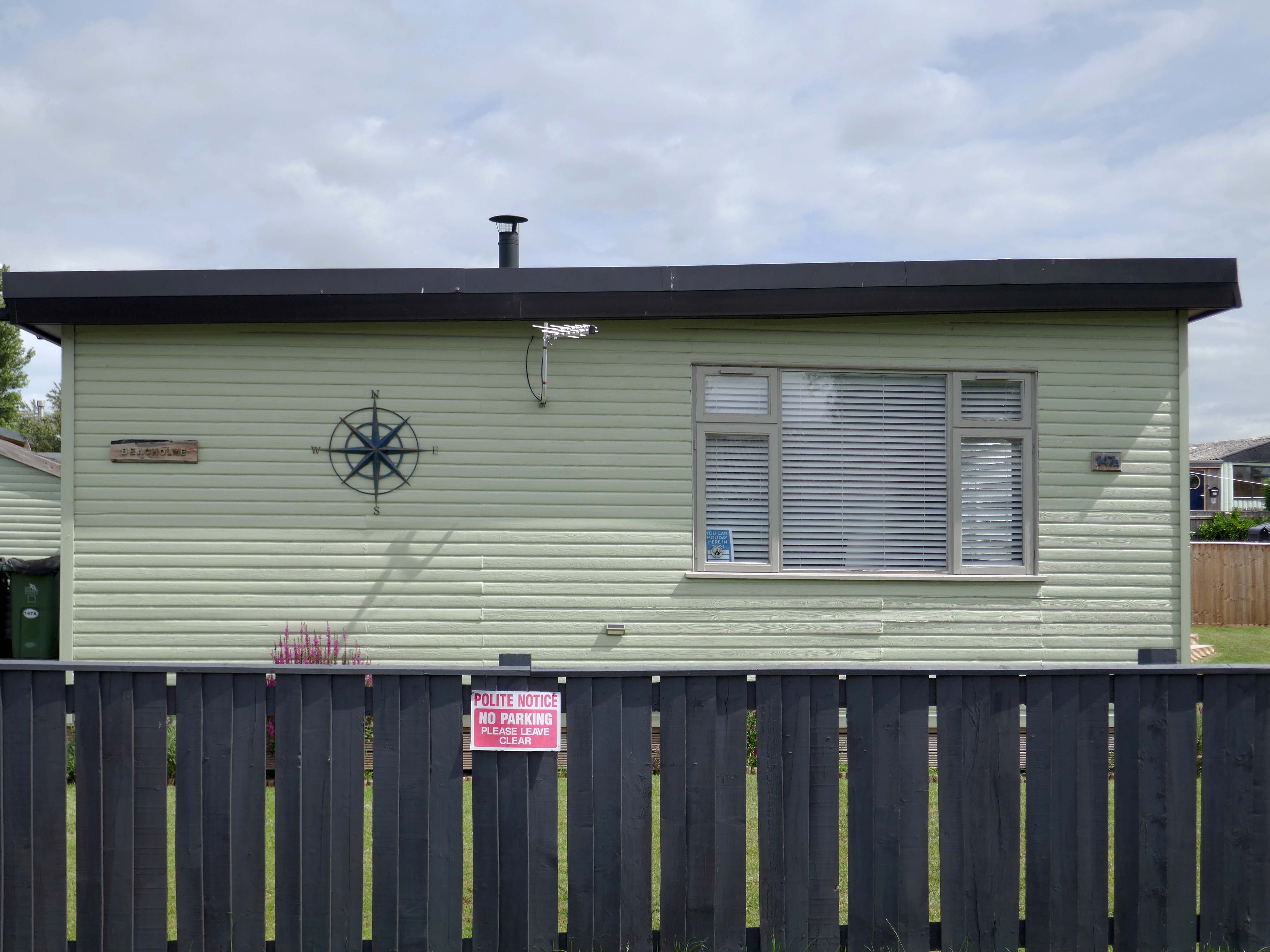
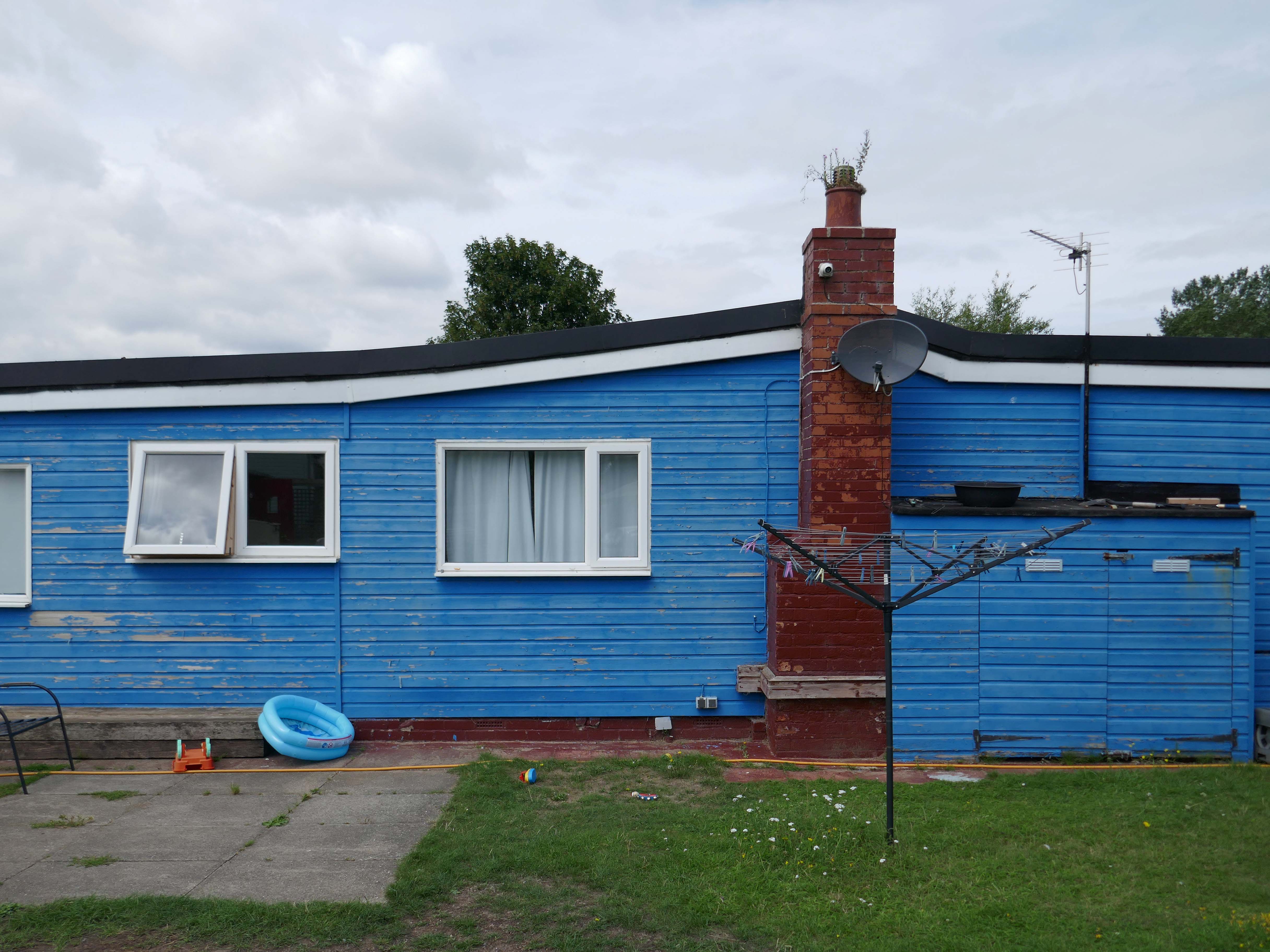
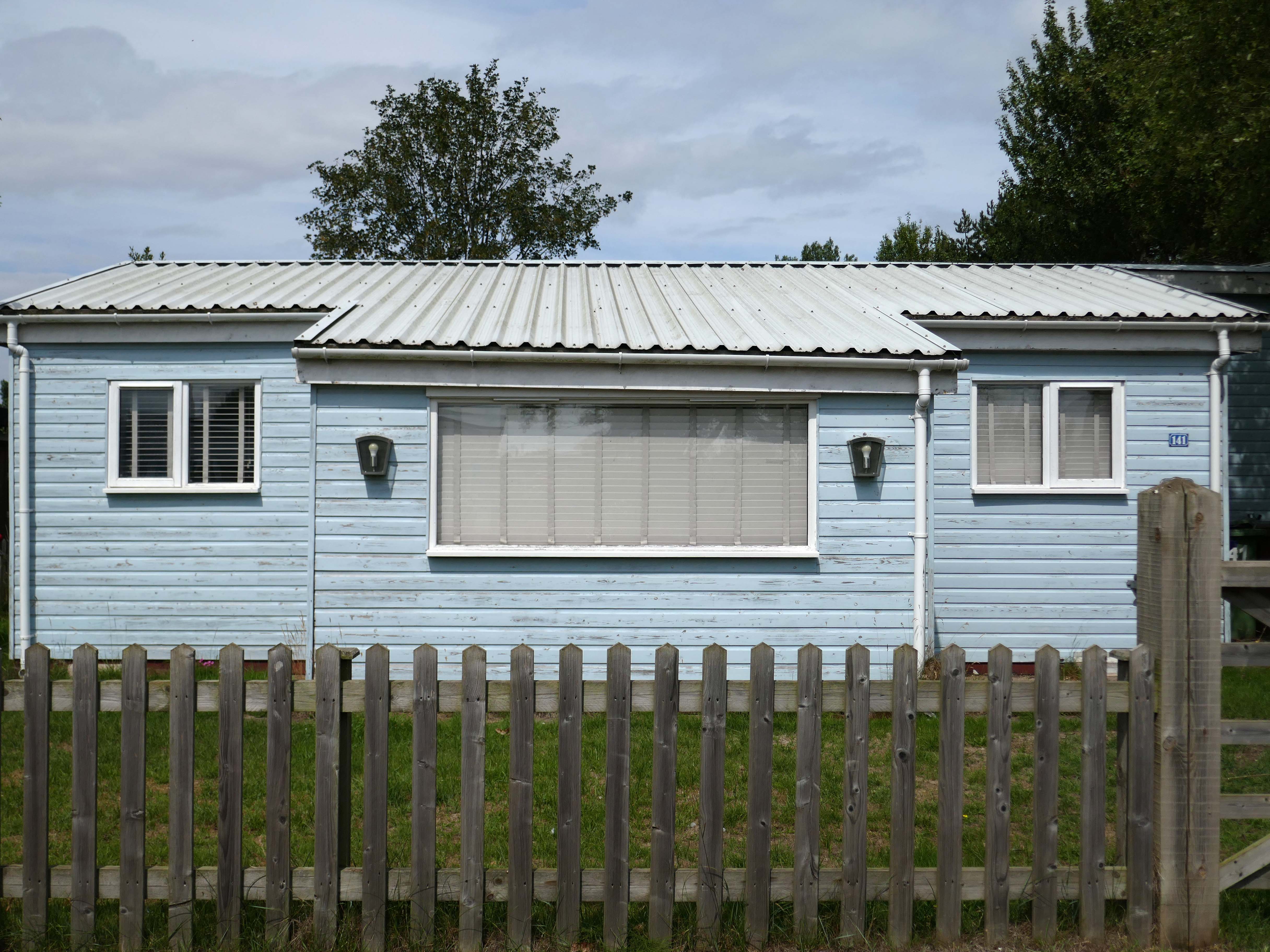
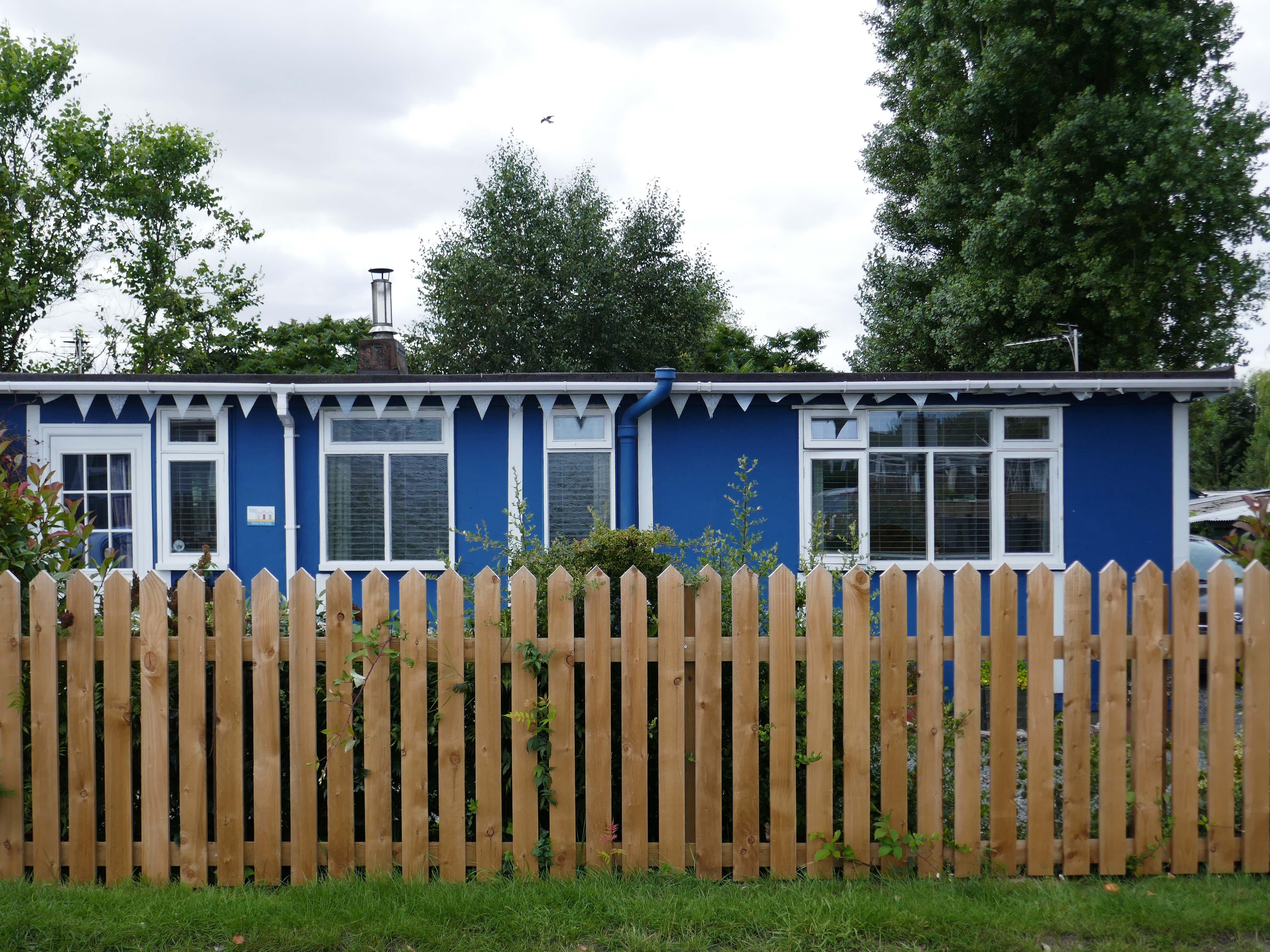
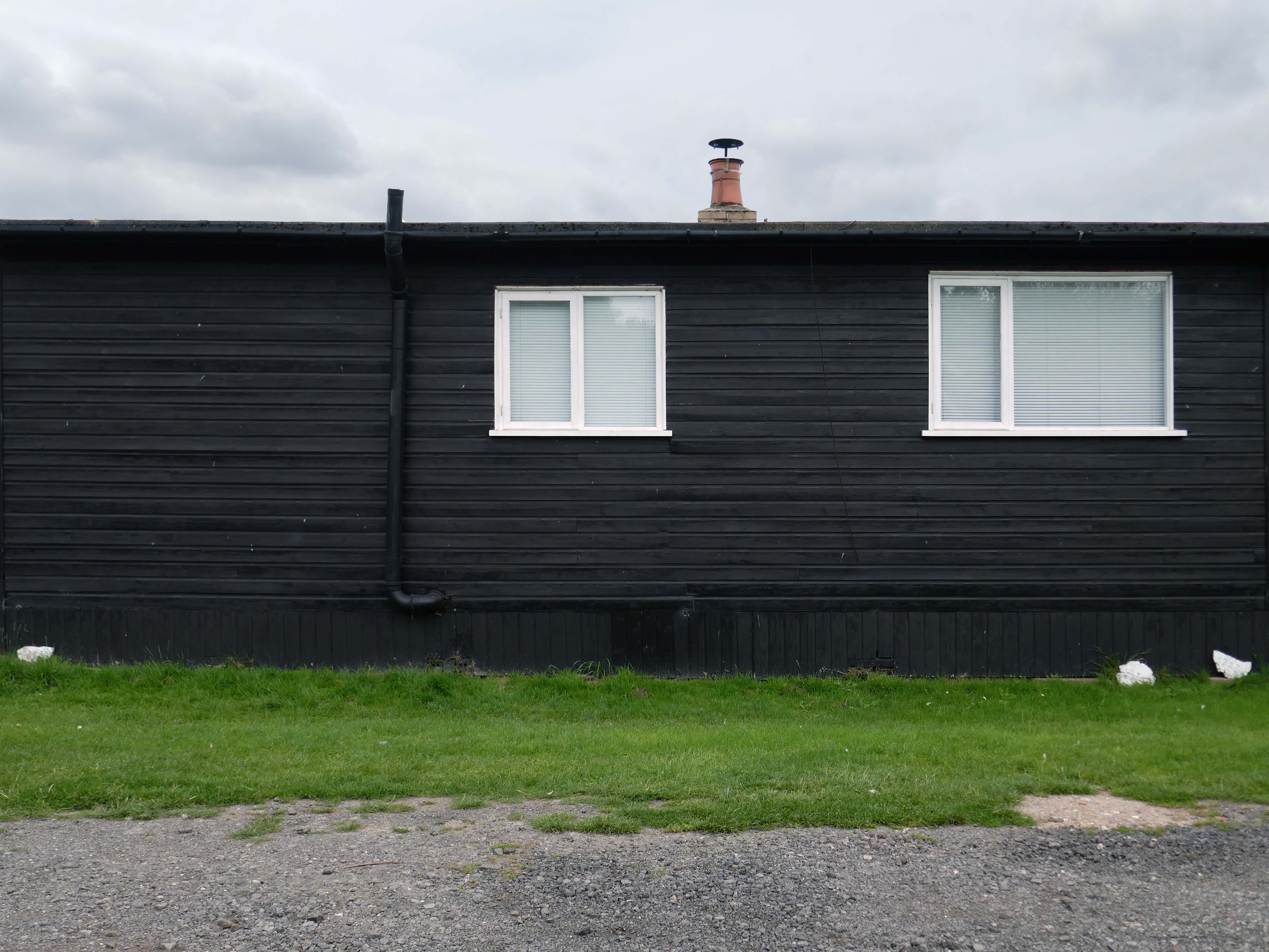
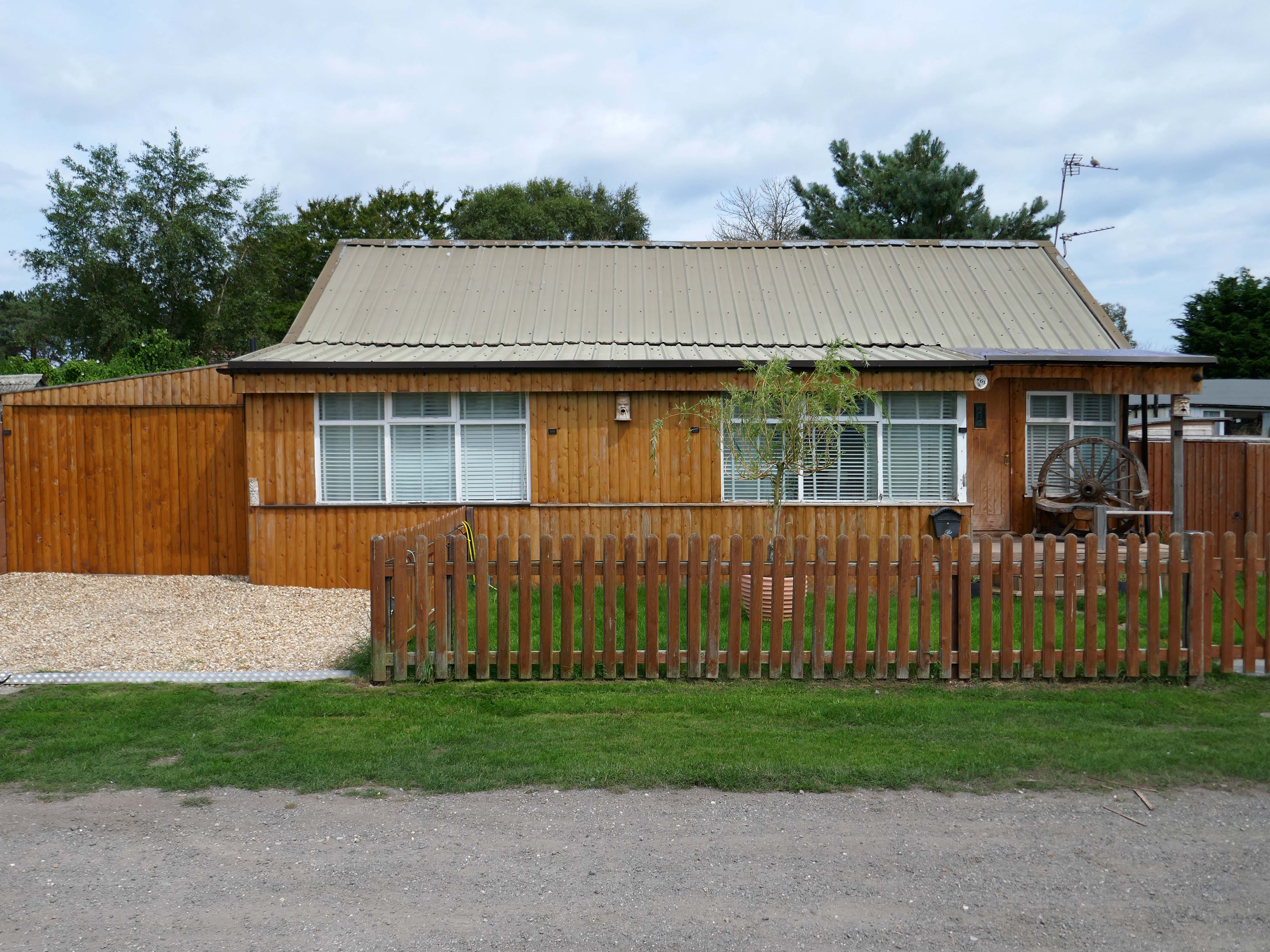
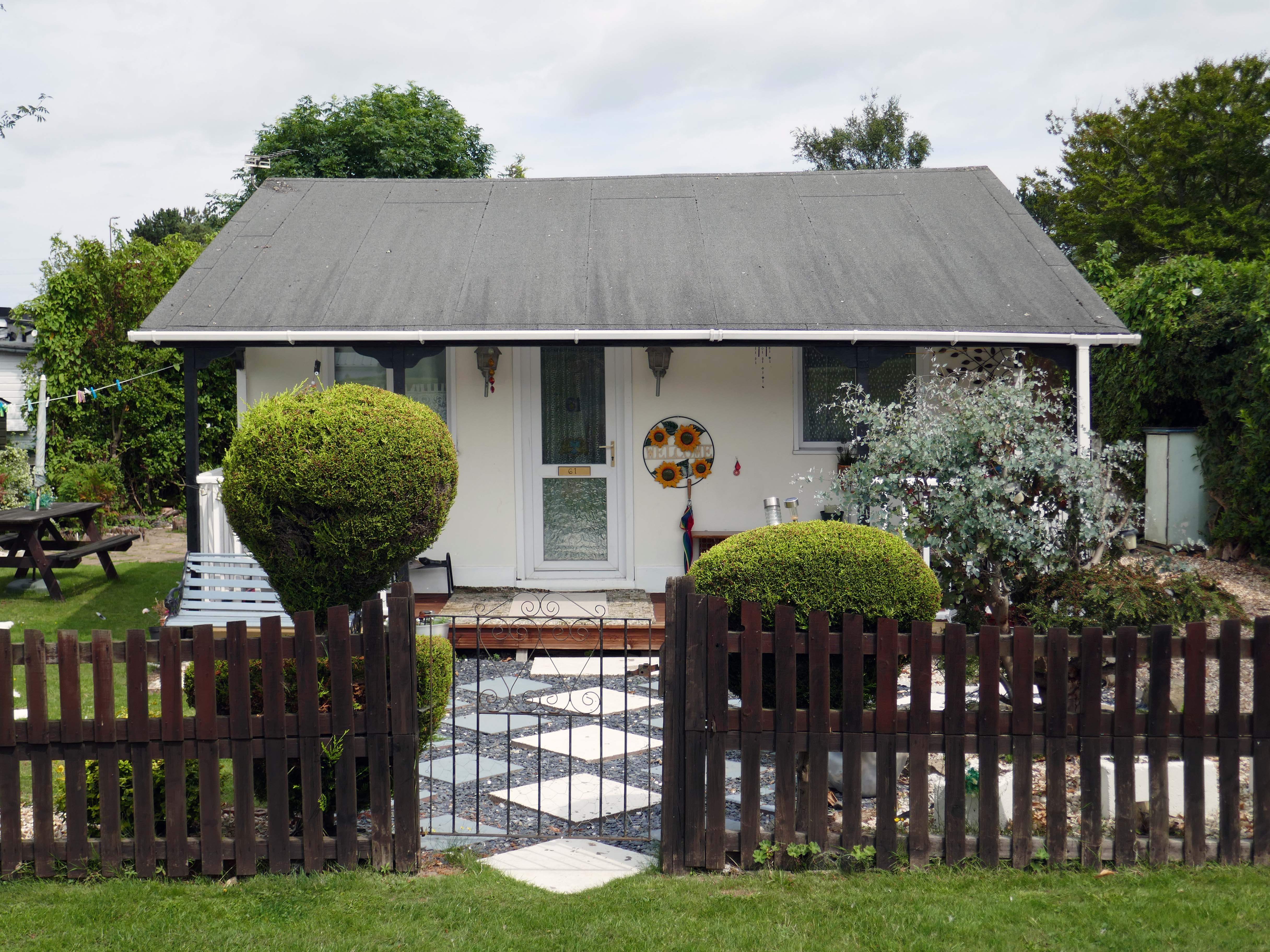
Despite the incursion of those folks on a week long excursion, there is still an air of lukewarm anarchy which pervades the Fitties. An array of wonky homemade fences constantly askew, refusing to be aligned to the orthogonal.
Mañana never comes here on this little stretch of the Lincolnshire coast, get it while you can.
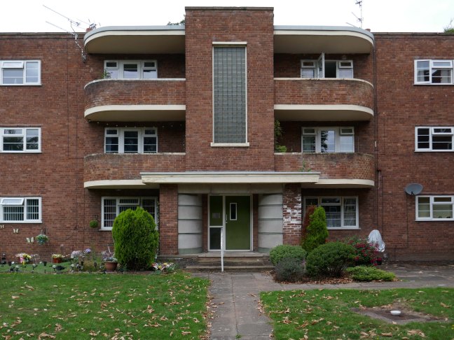
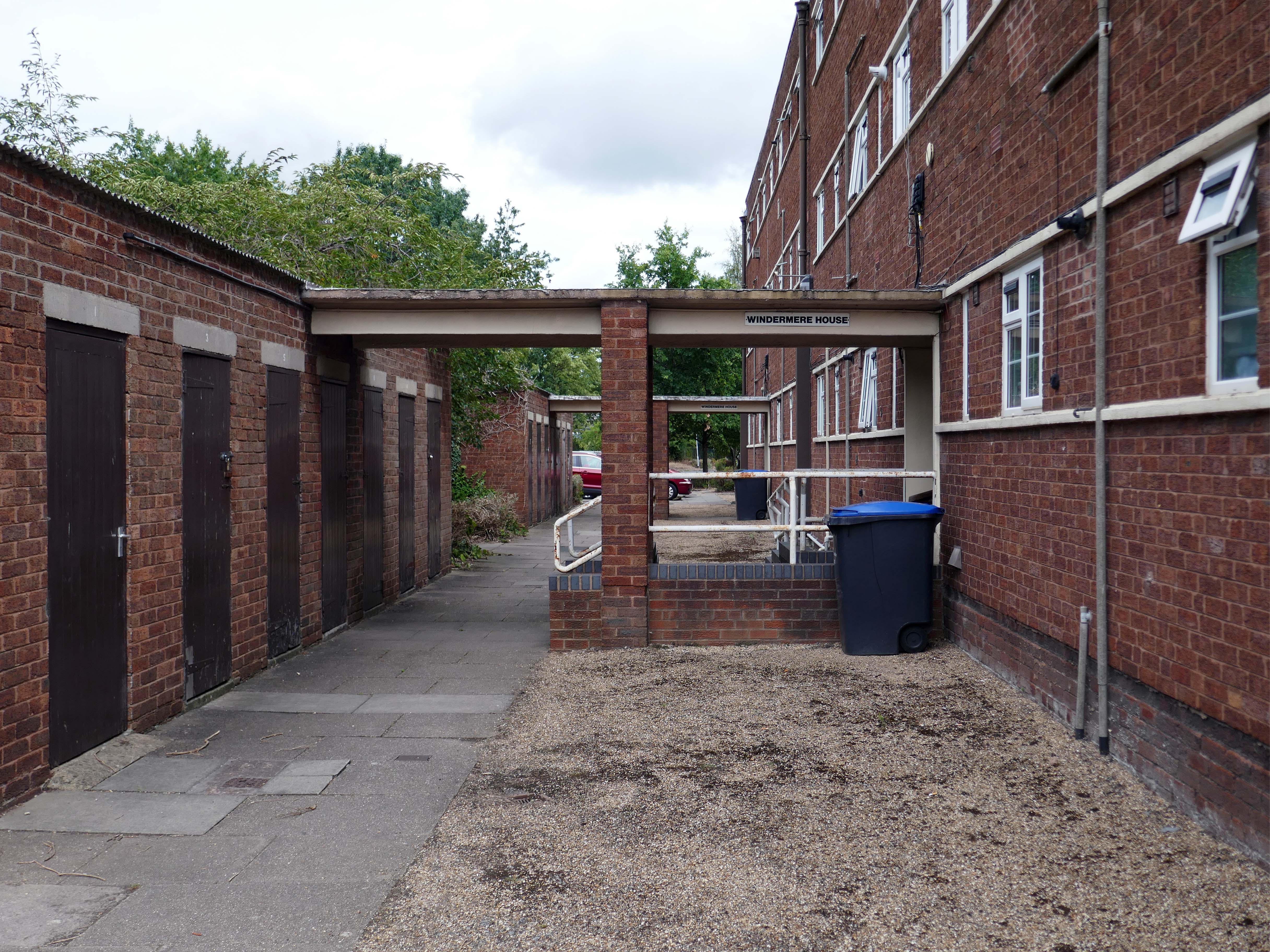
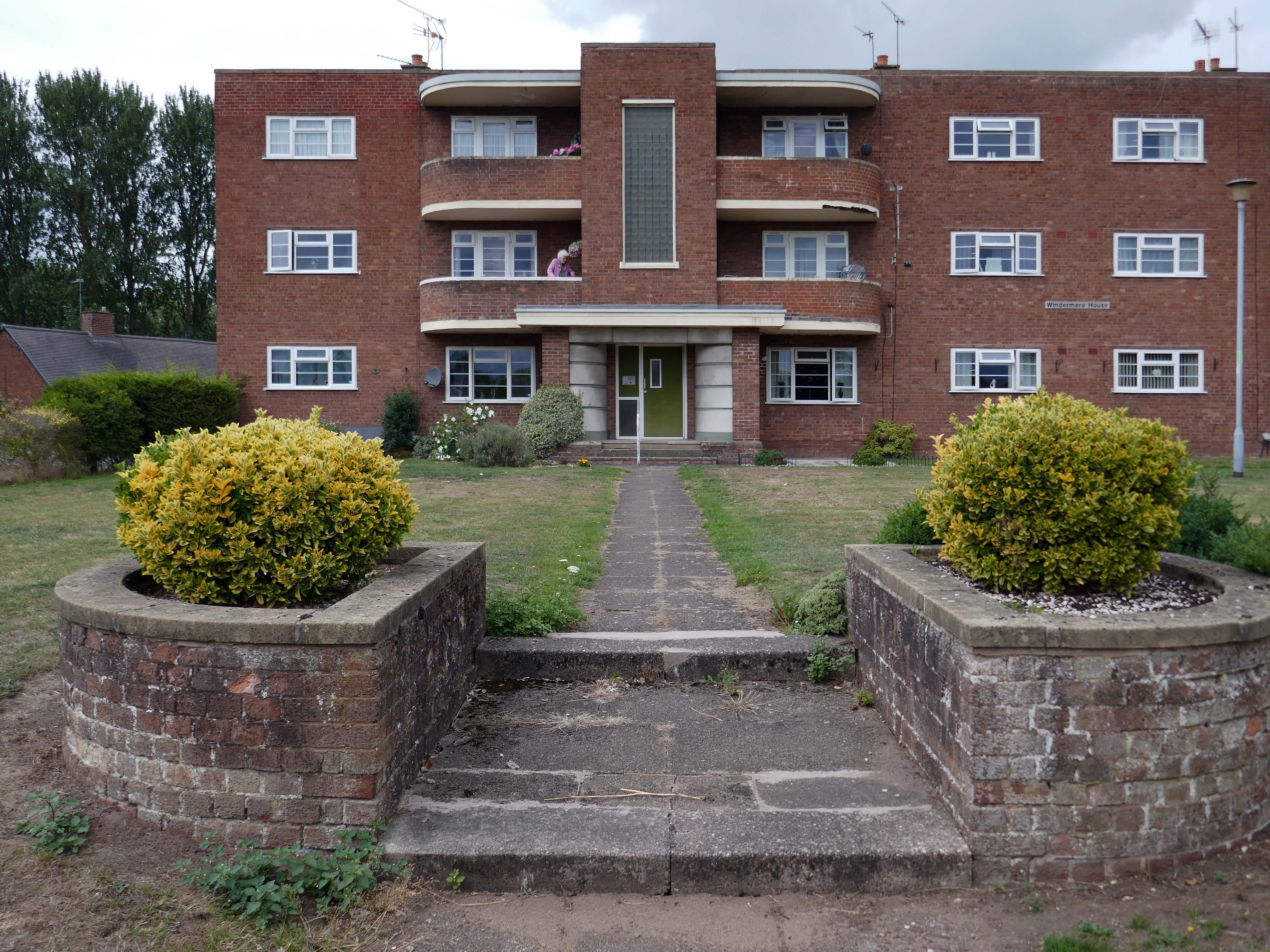
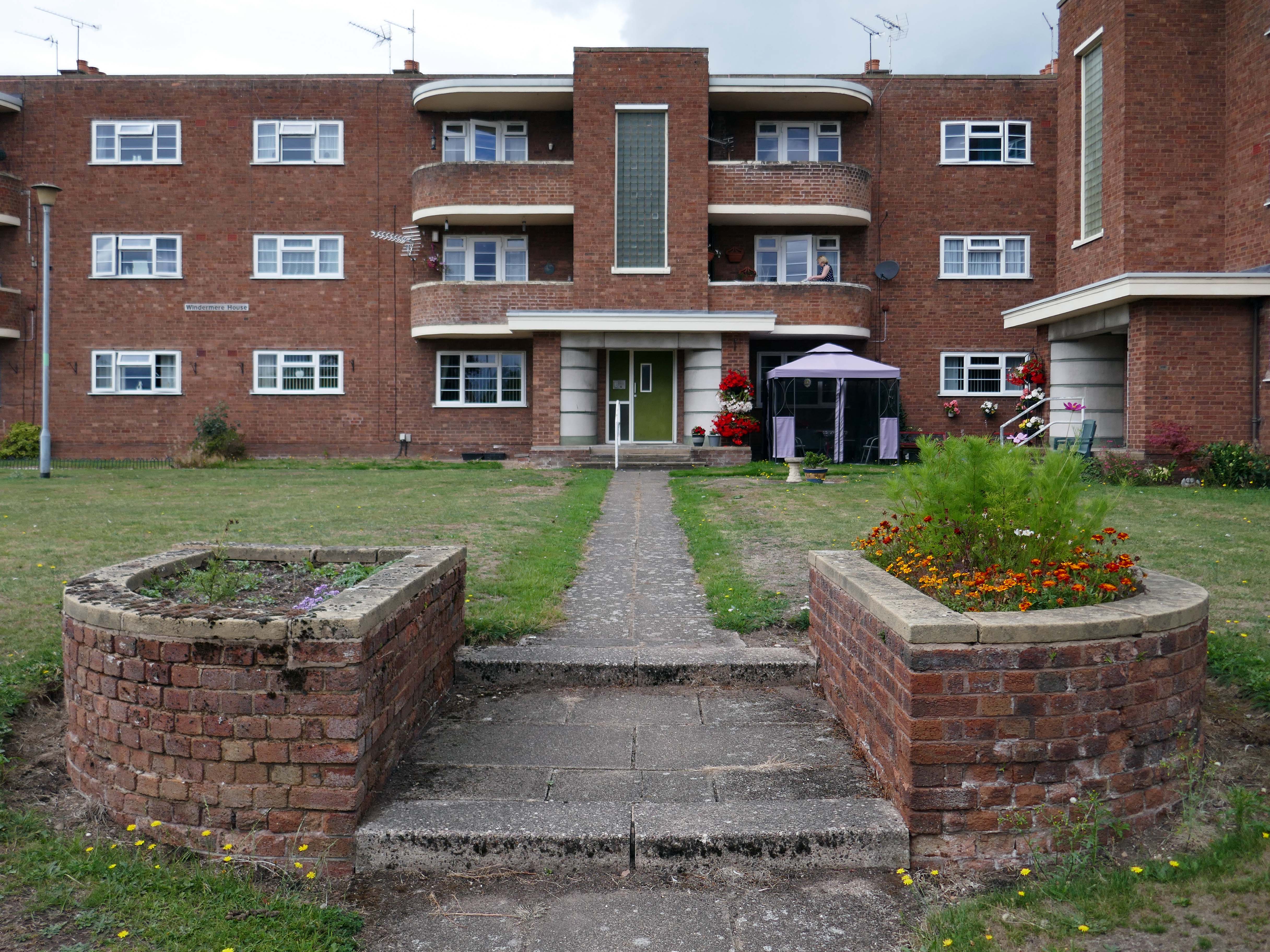
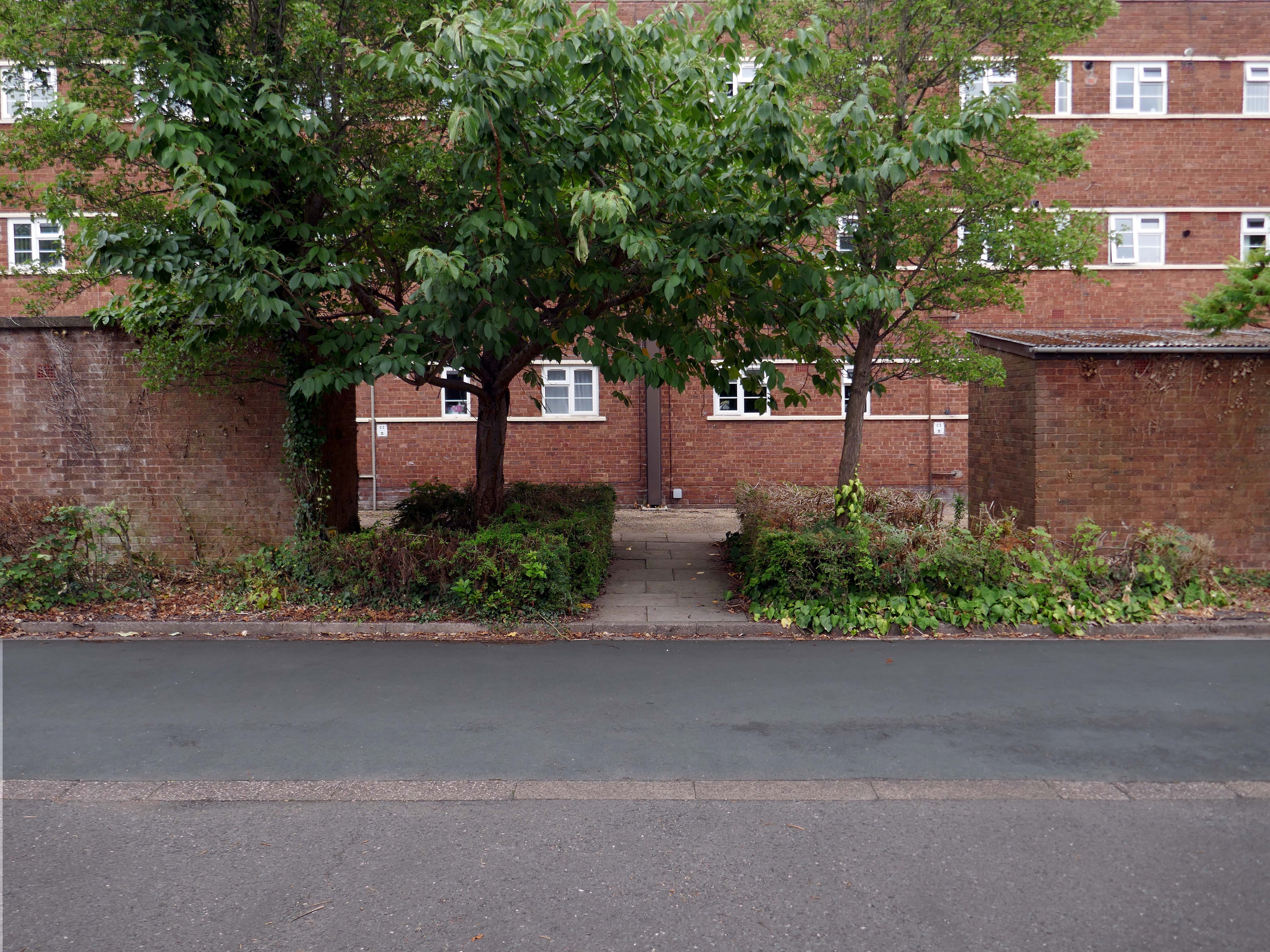
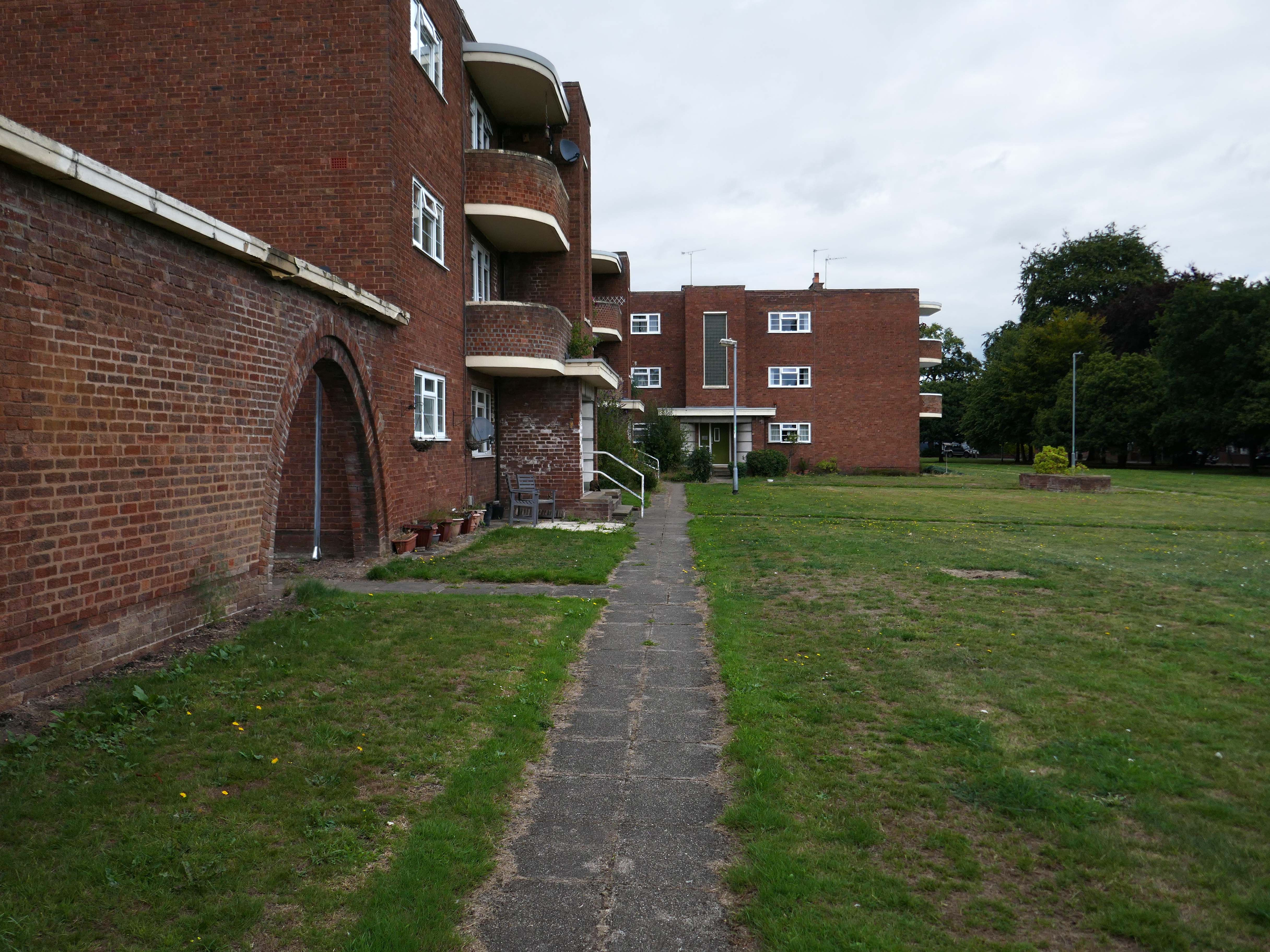
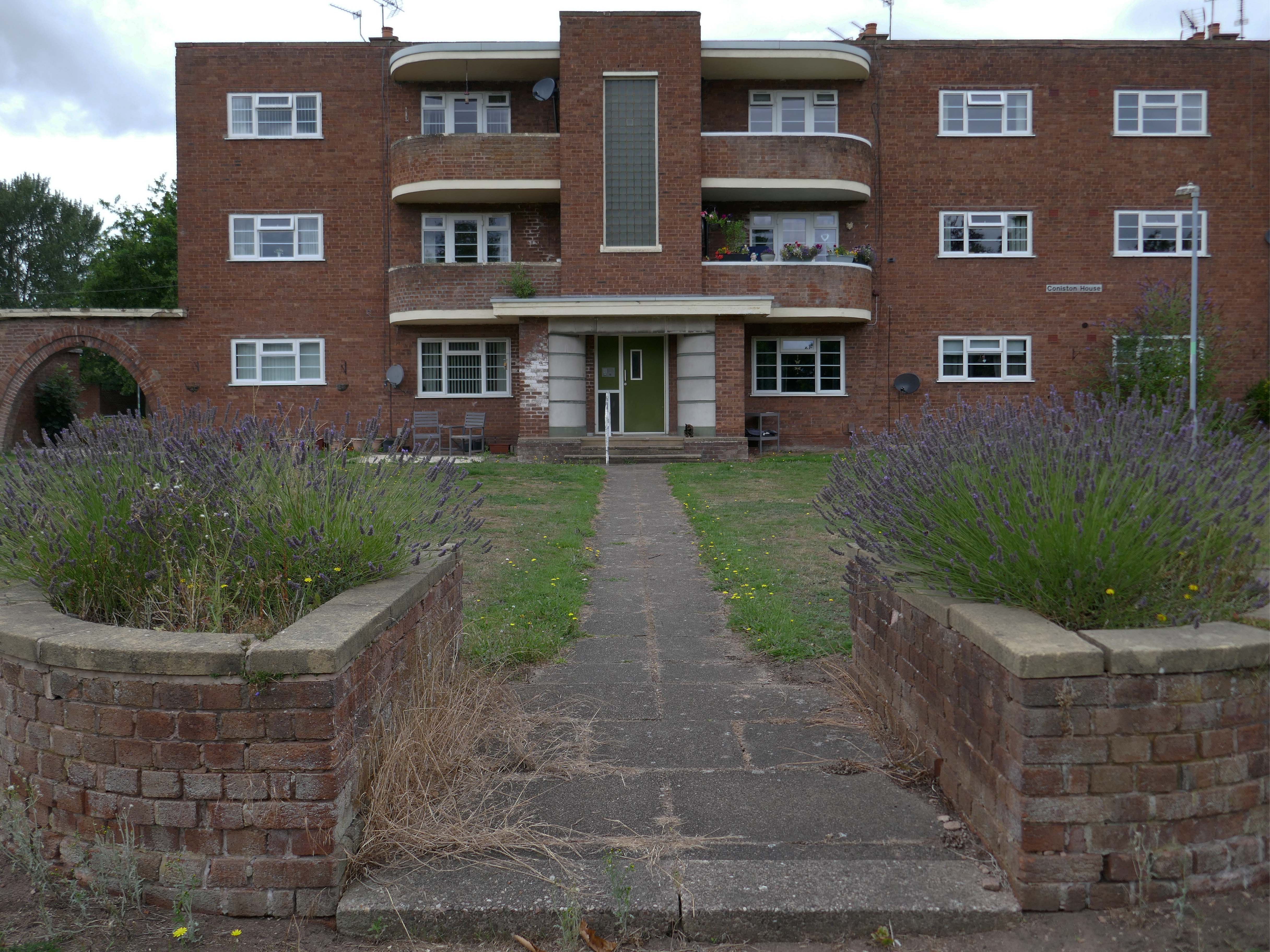
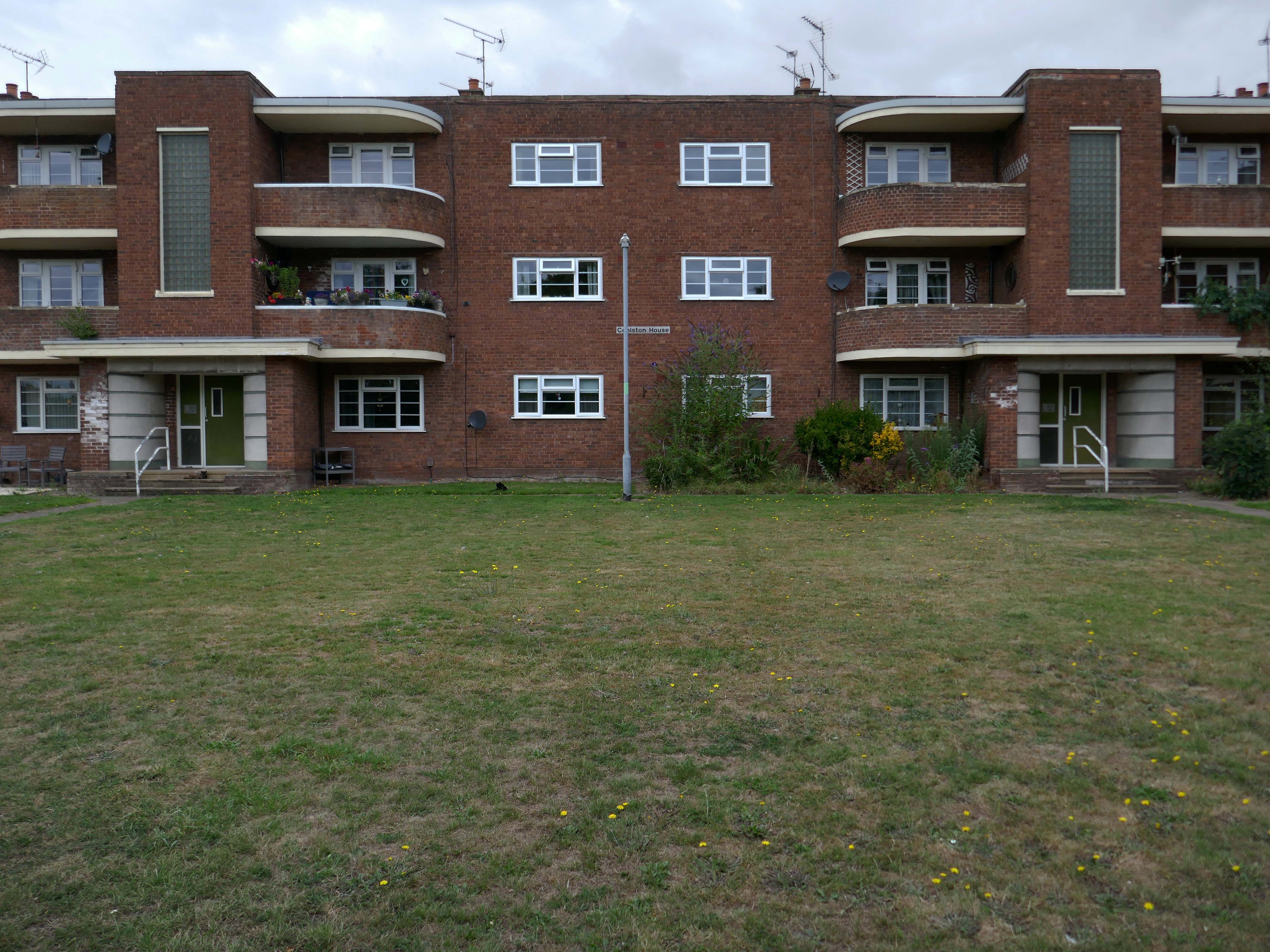
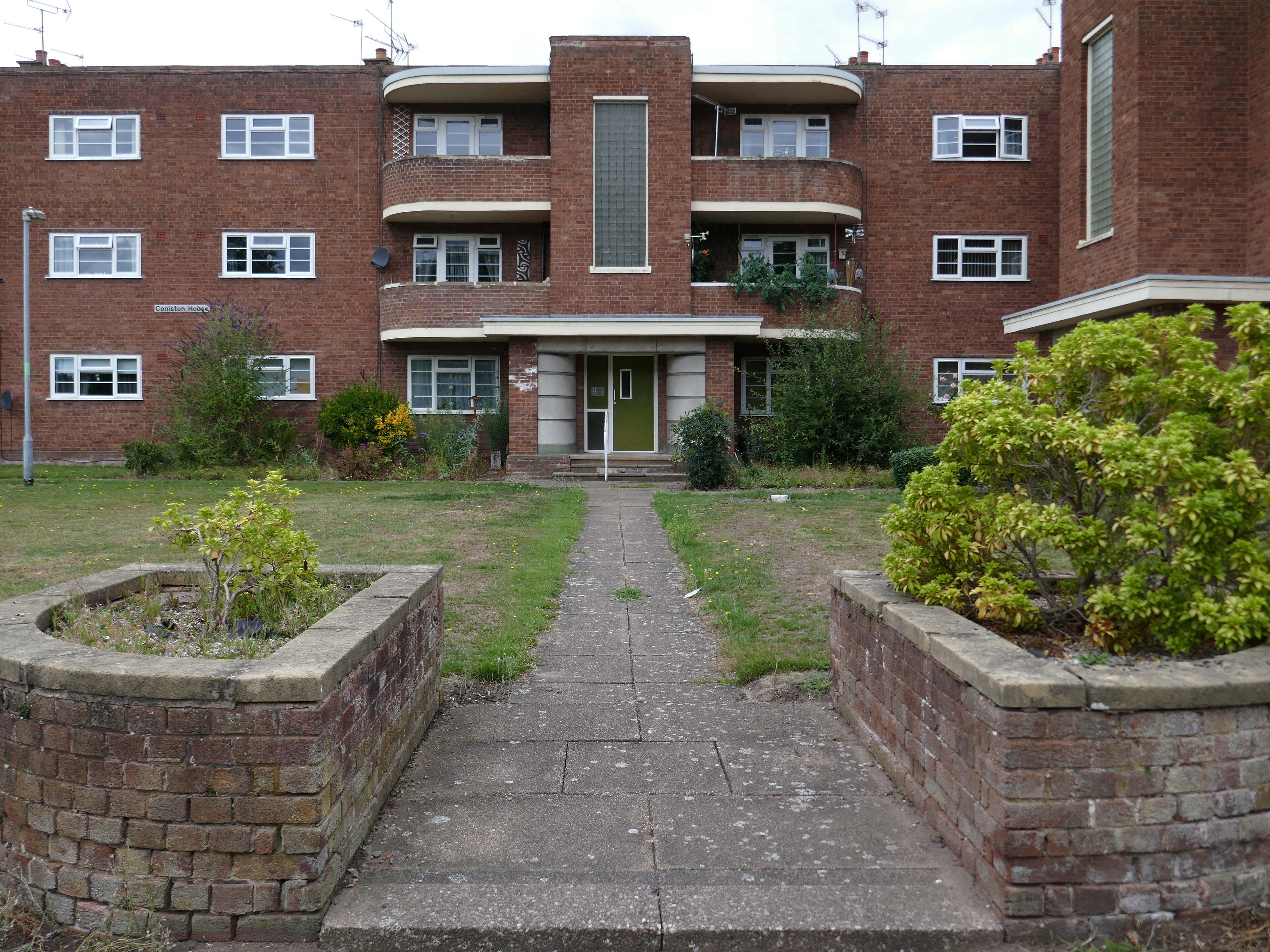
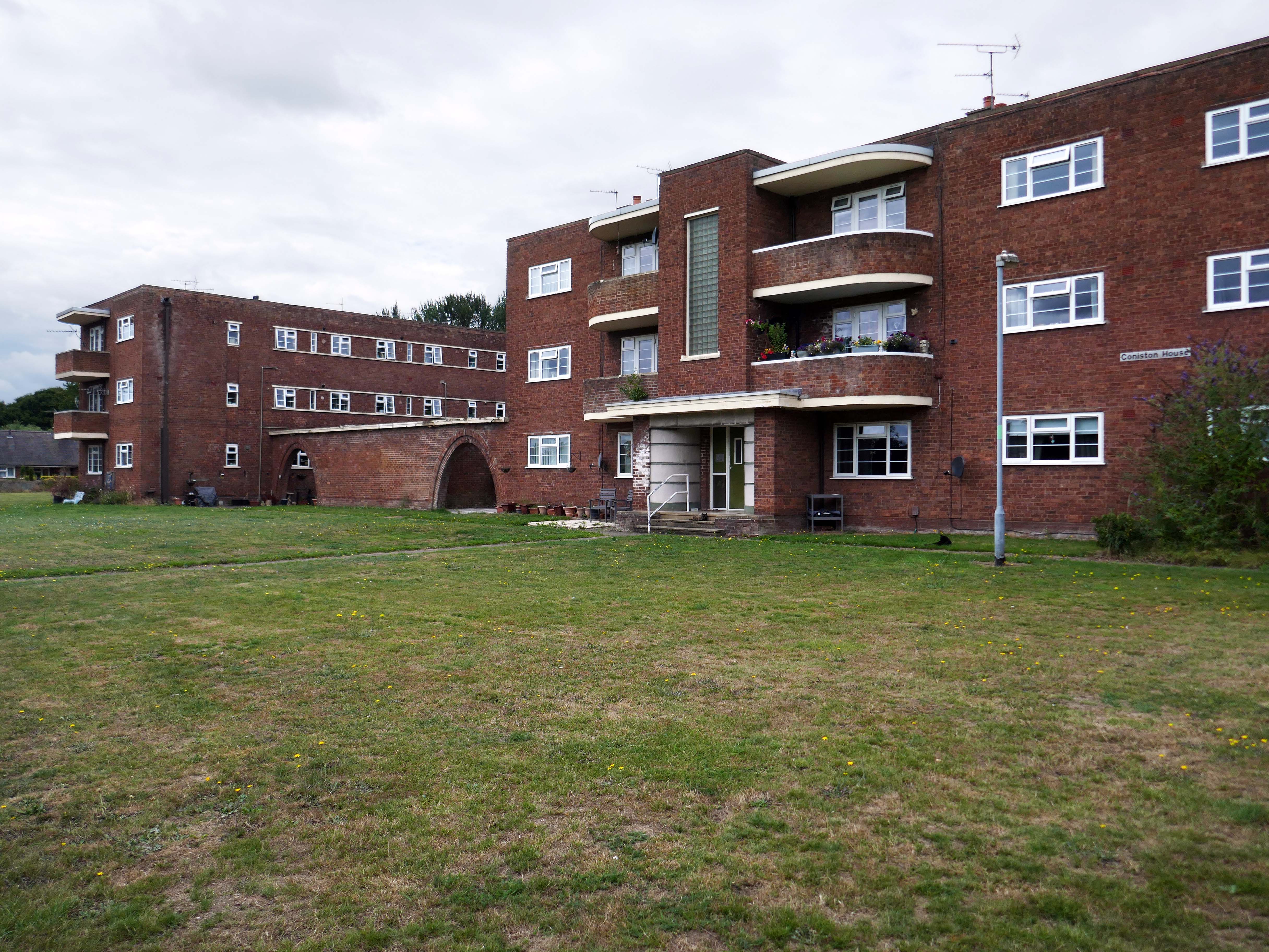
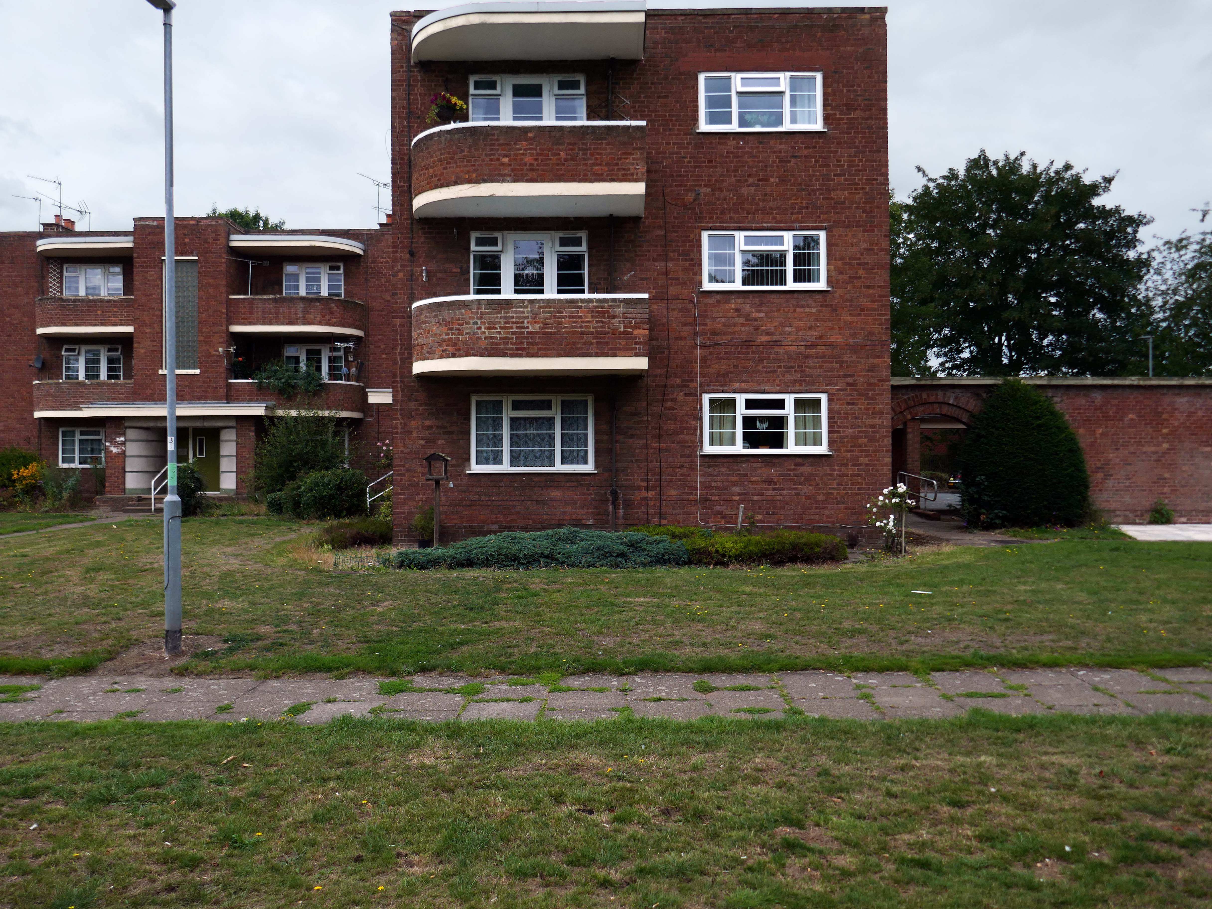
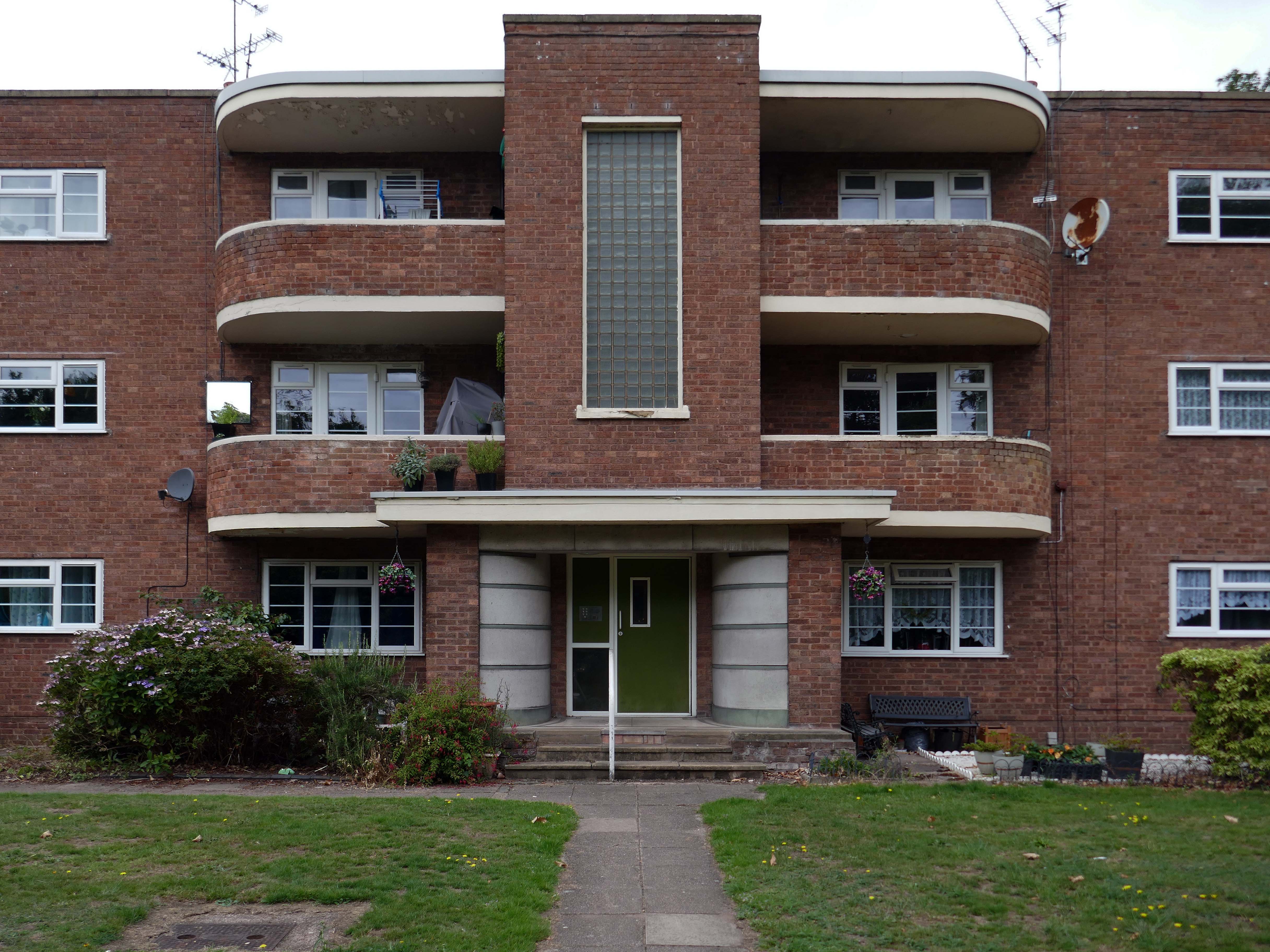
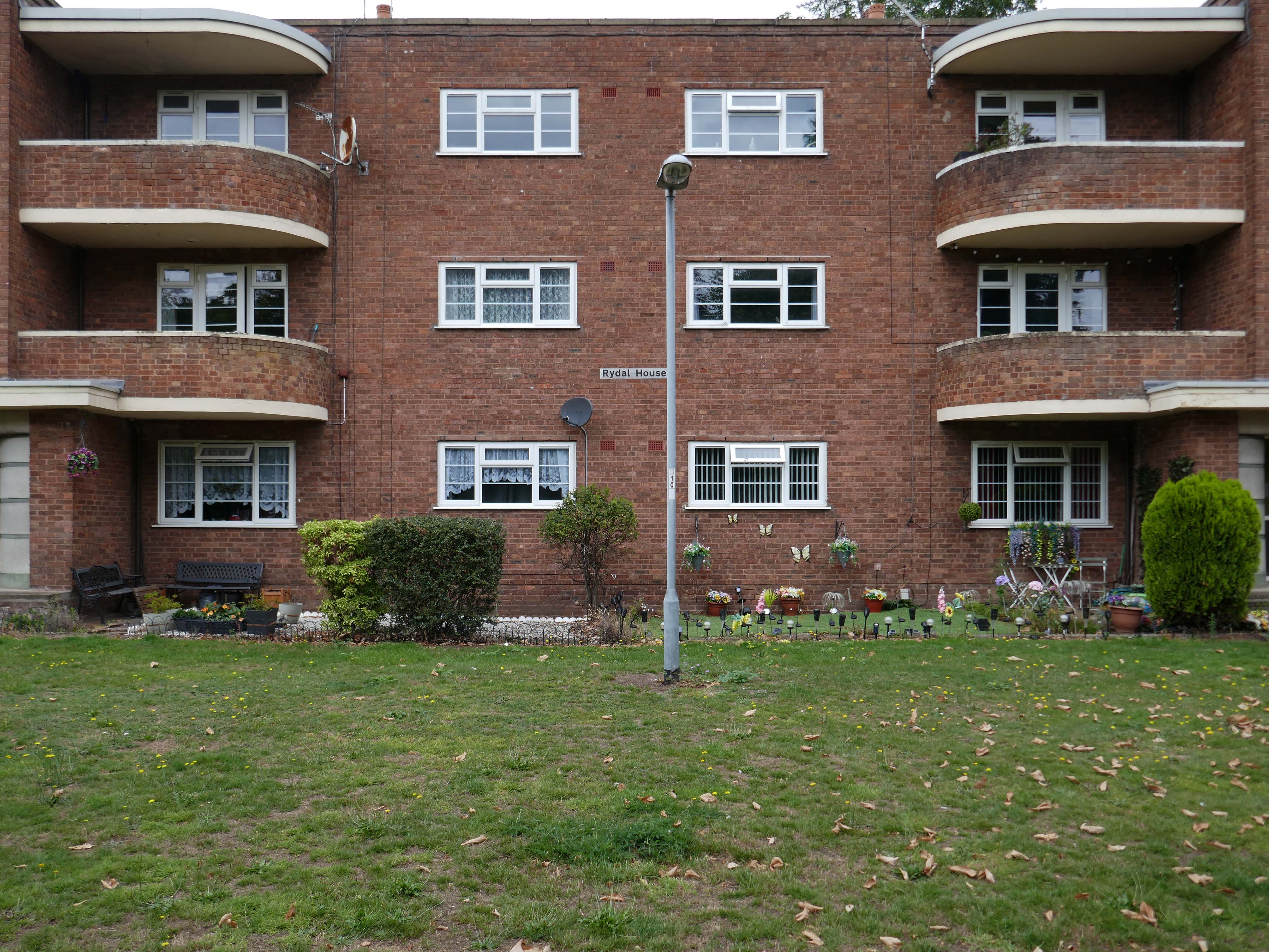
Coniston, Windemere and Rydal were among the first council homes to be built in Stafford, between 1951-52, under the direction of County Architect CM Coombes.
The flats were built as a result of The Housing – Financial and Miscellaneous Provisions Act 1946, which gave subsidies to local authorities to provide social housing. The expansion of the Borough Council’s civic duties included the employment of County Architects, in this case CM Coombes FRIBA, to whom these flats are attributed.
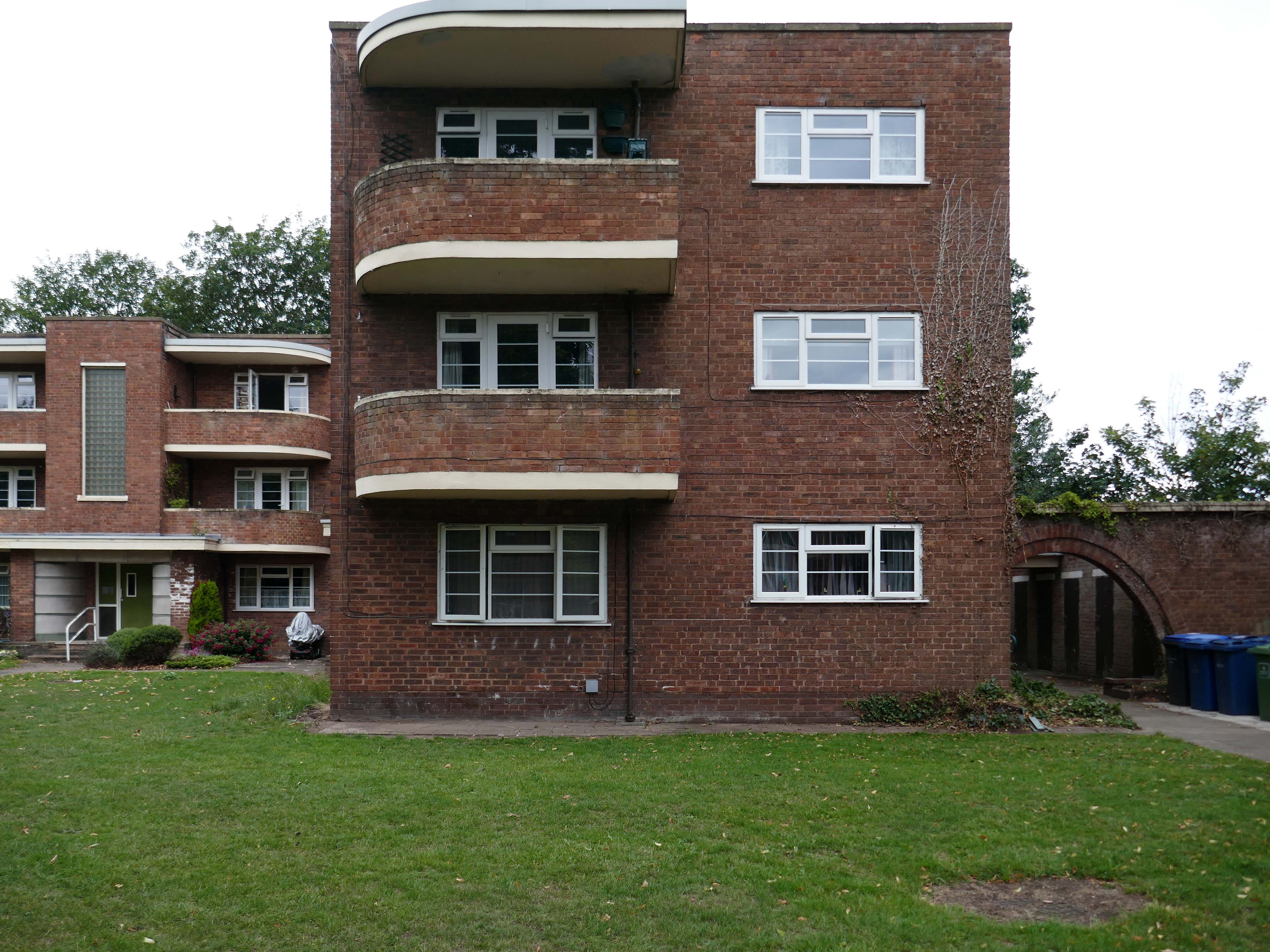
54 flats were built in total, to a distinctly Modernist design, and their appearance and setting are very well preserved.
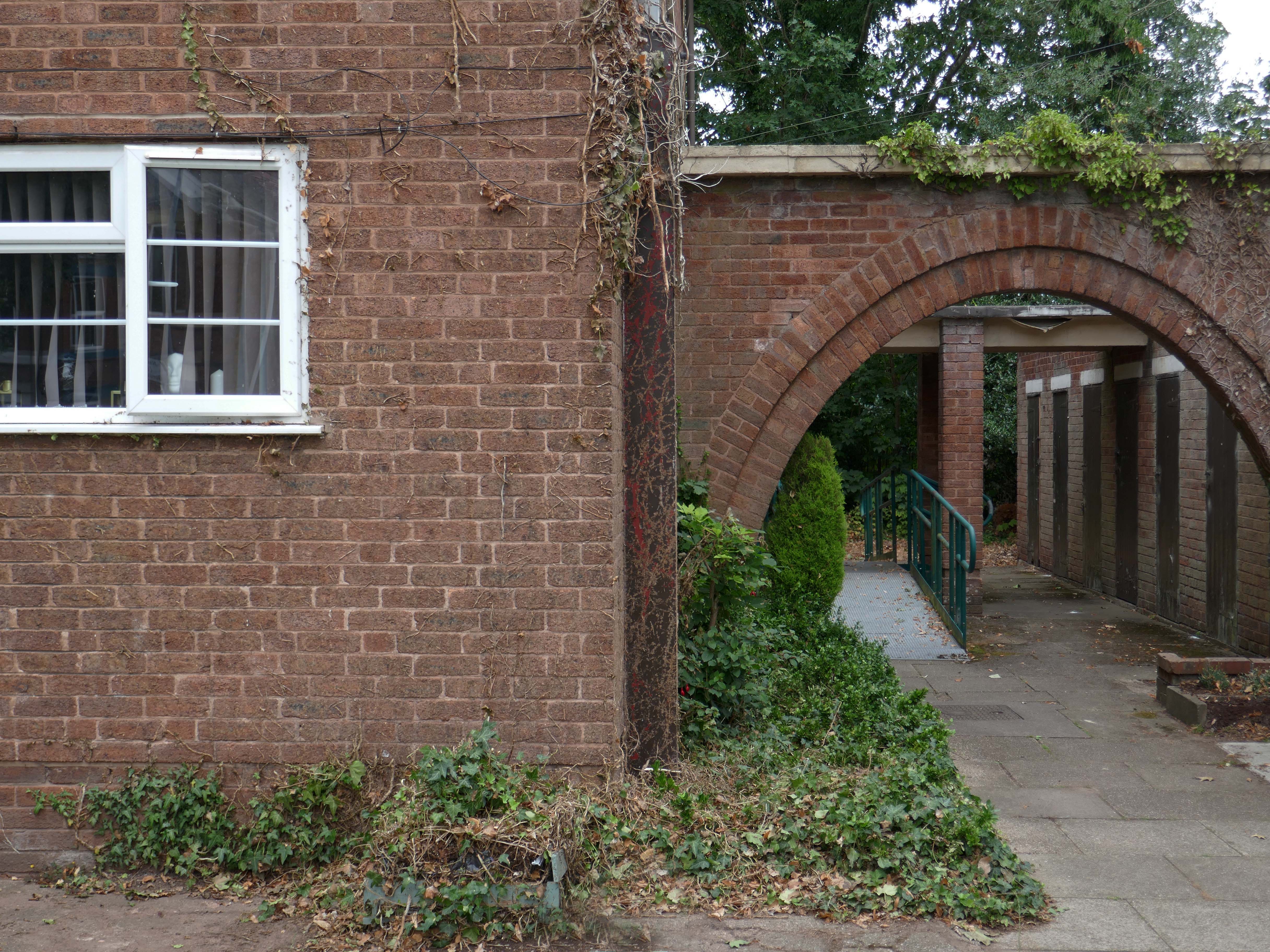
Whilst there are some common stylistic characteristics the Corporation Street Flats are of a more modest order. There are communal areas and a grassed apron, balconies and arched passages.
Over time the standard of maintenance seems to have declined, and the Crittall Windows have been replaced by white uPvc, where once there was a bowling green, this is now roughly mown and unused.
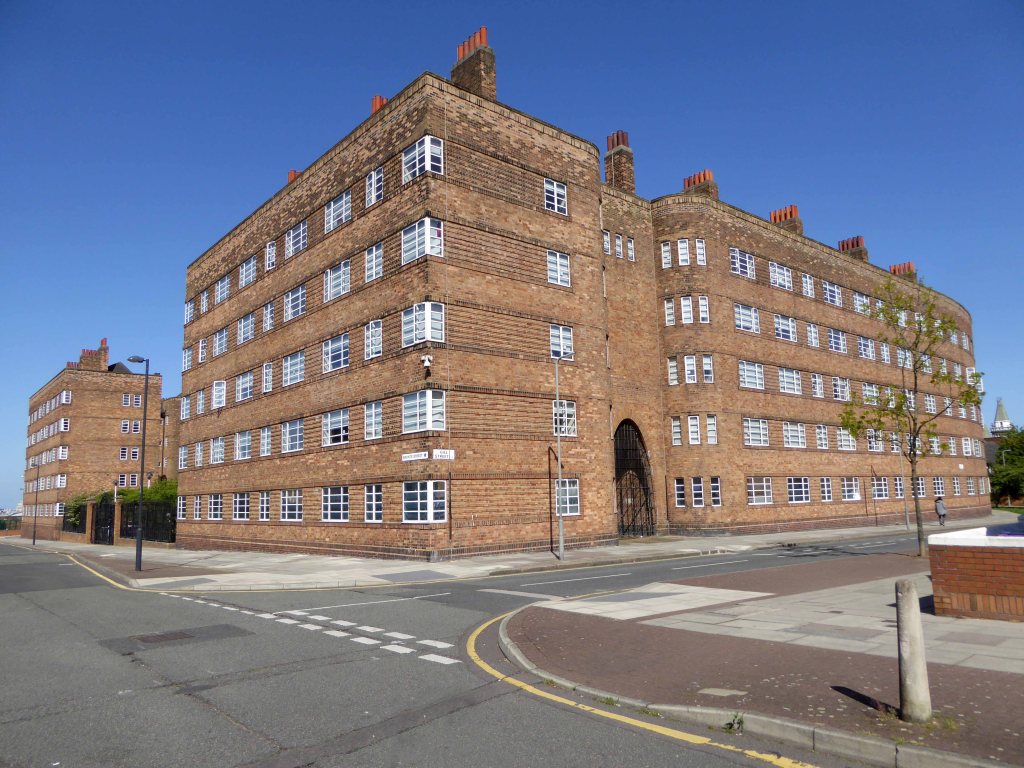
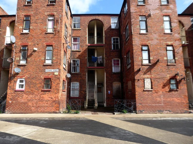
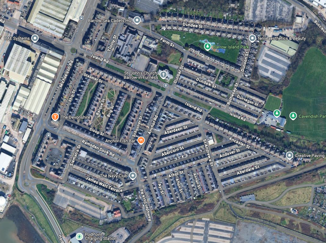
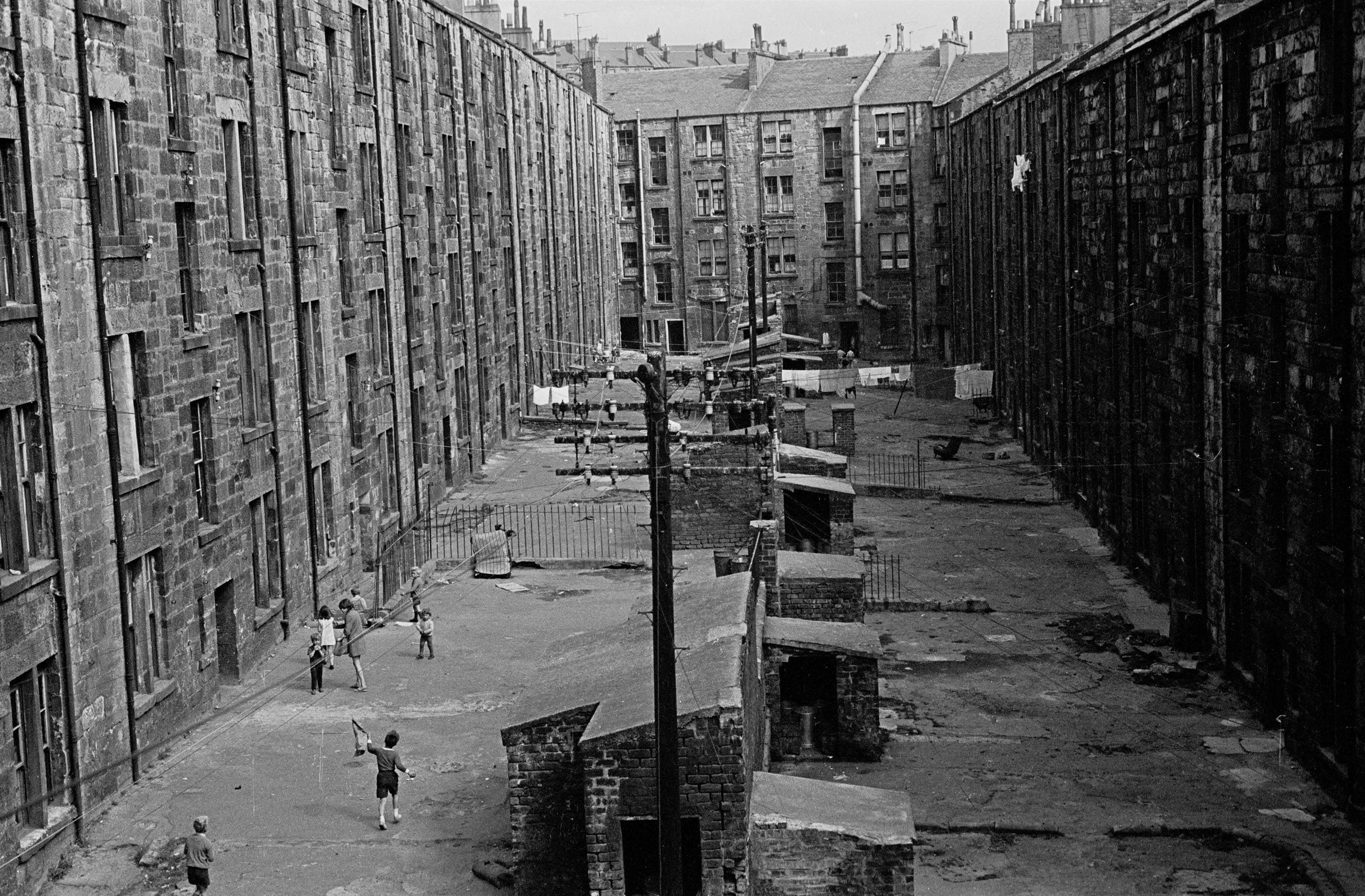
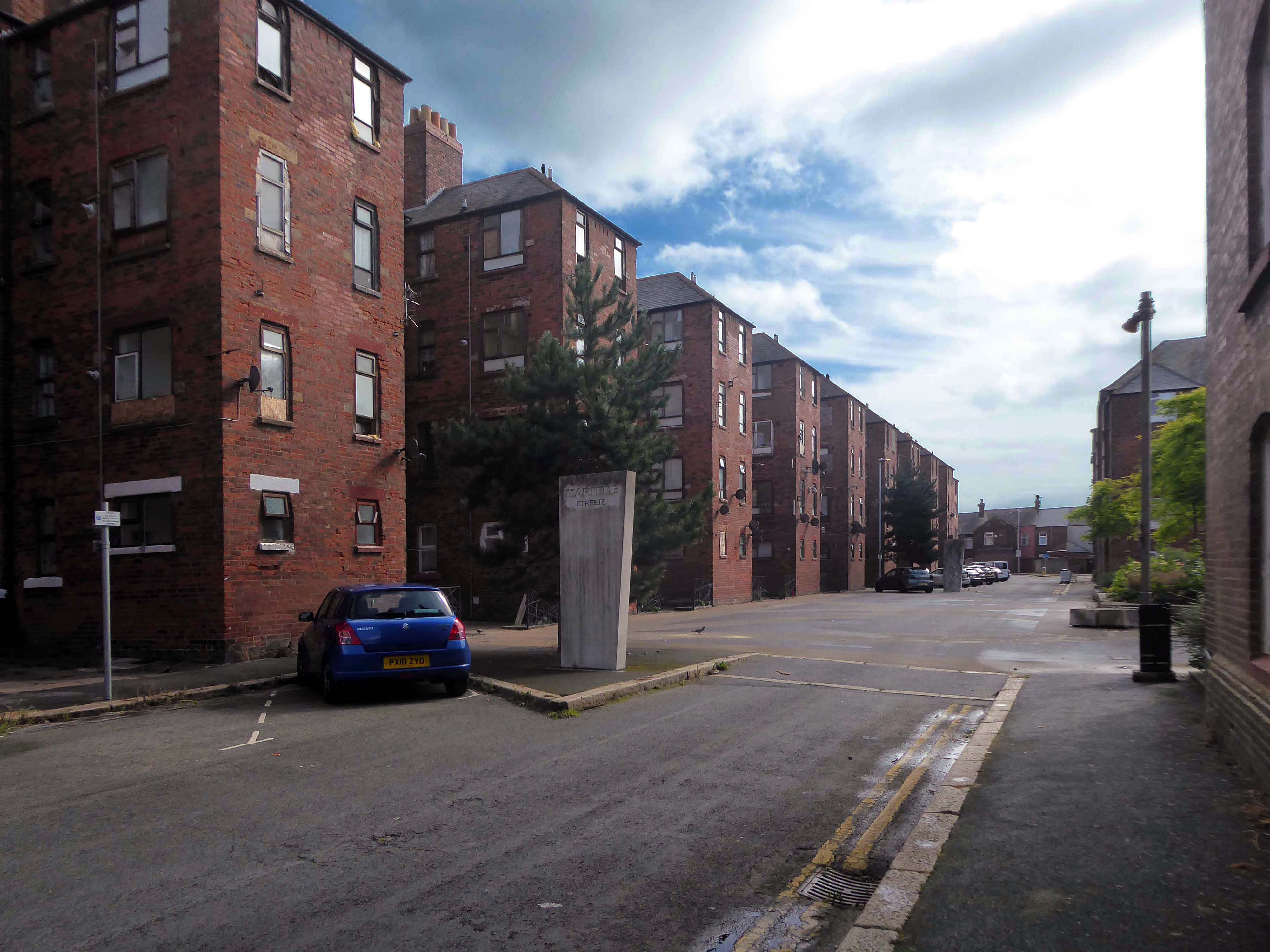
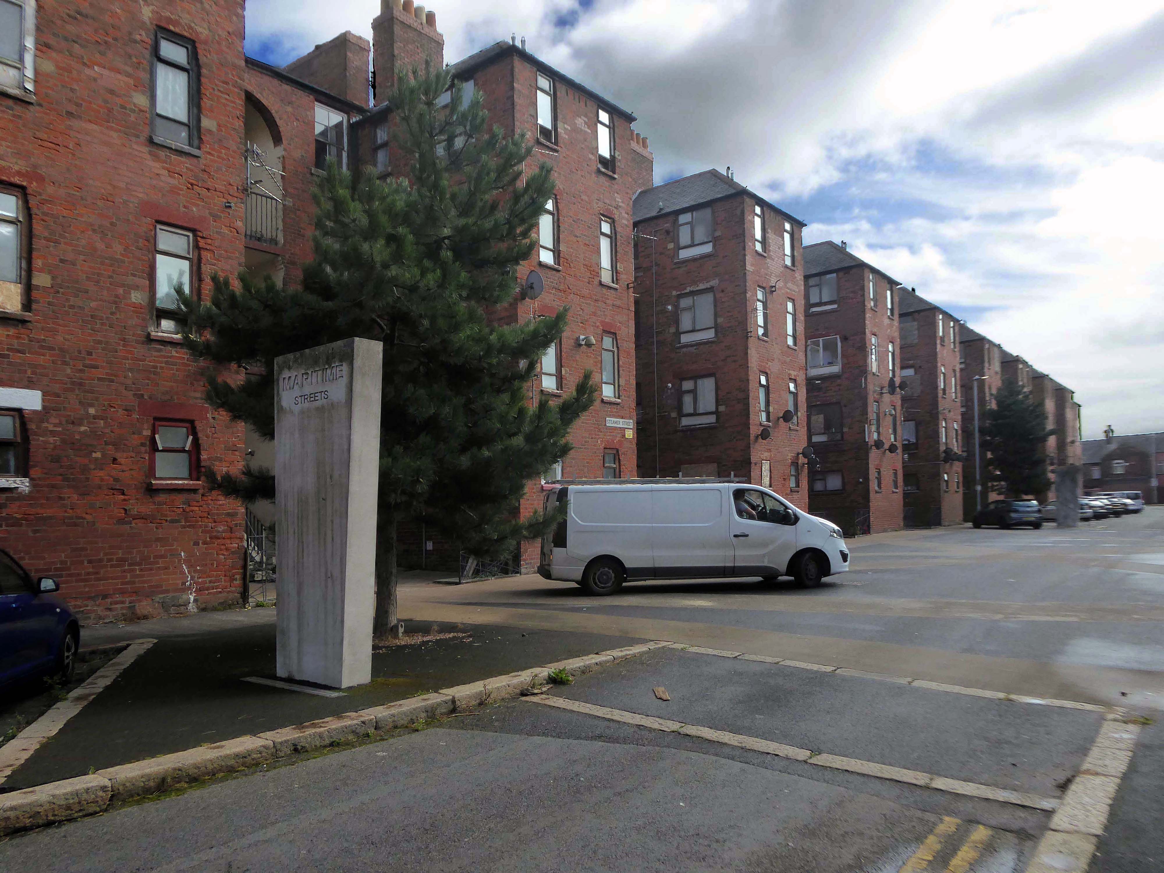
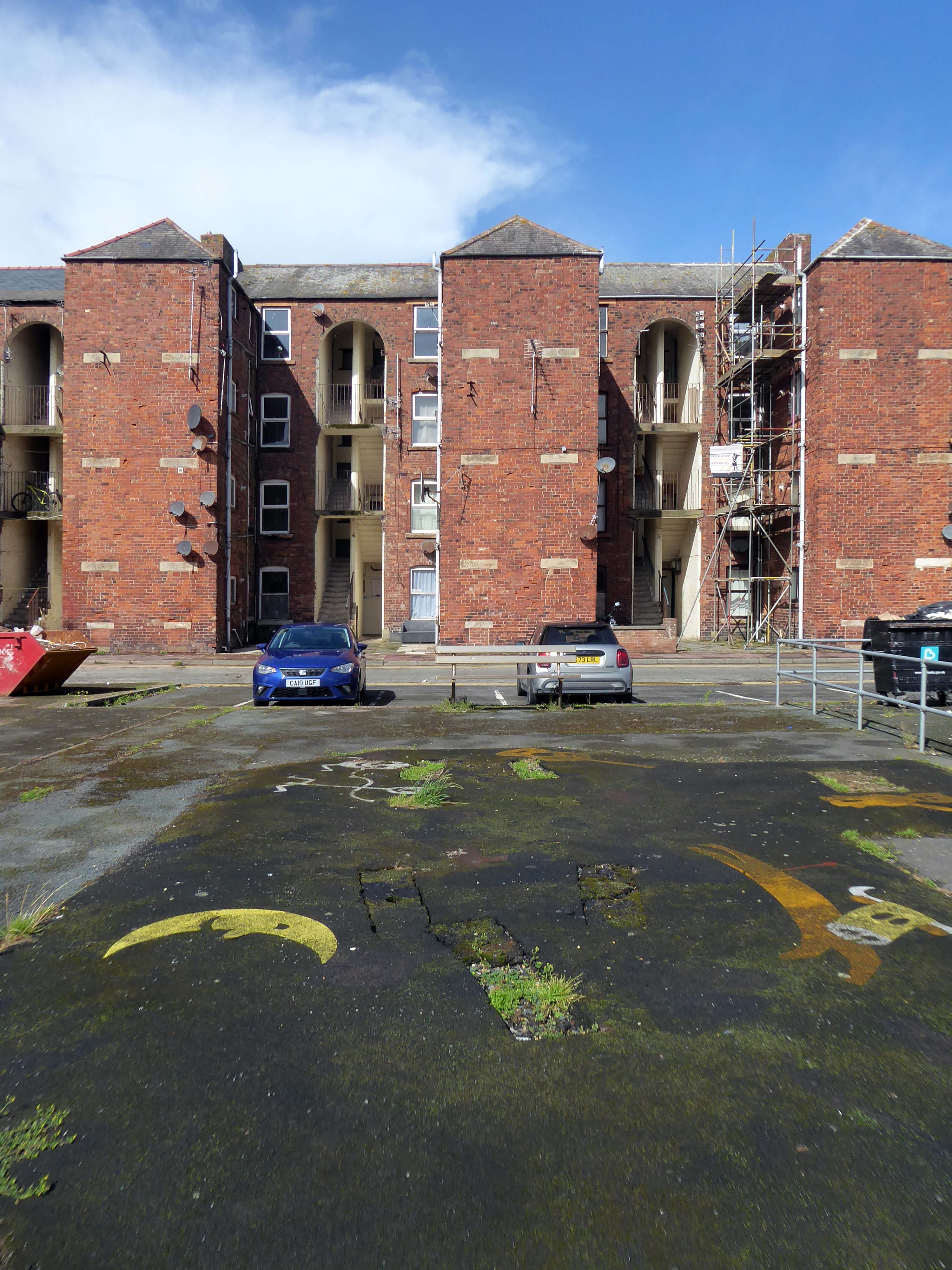
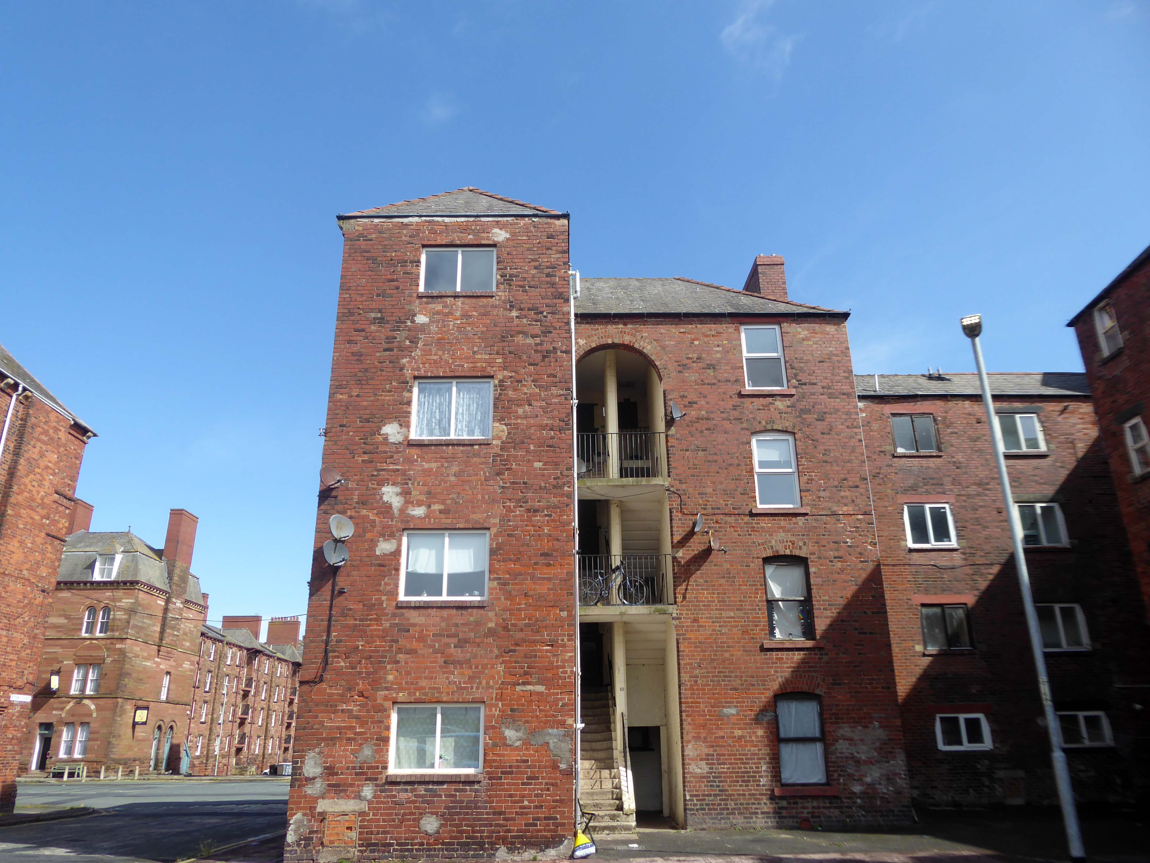
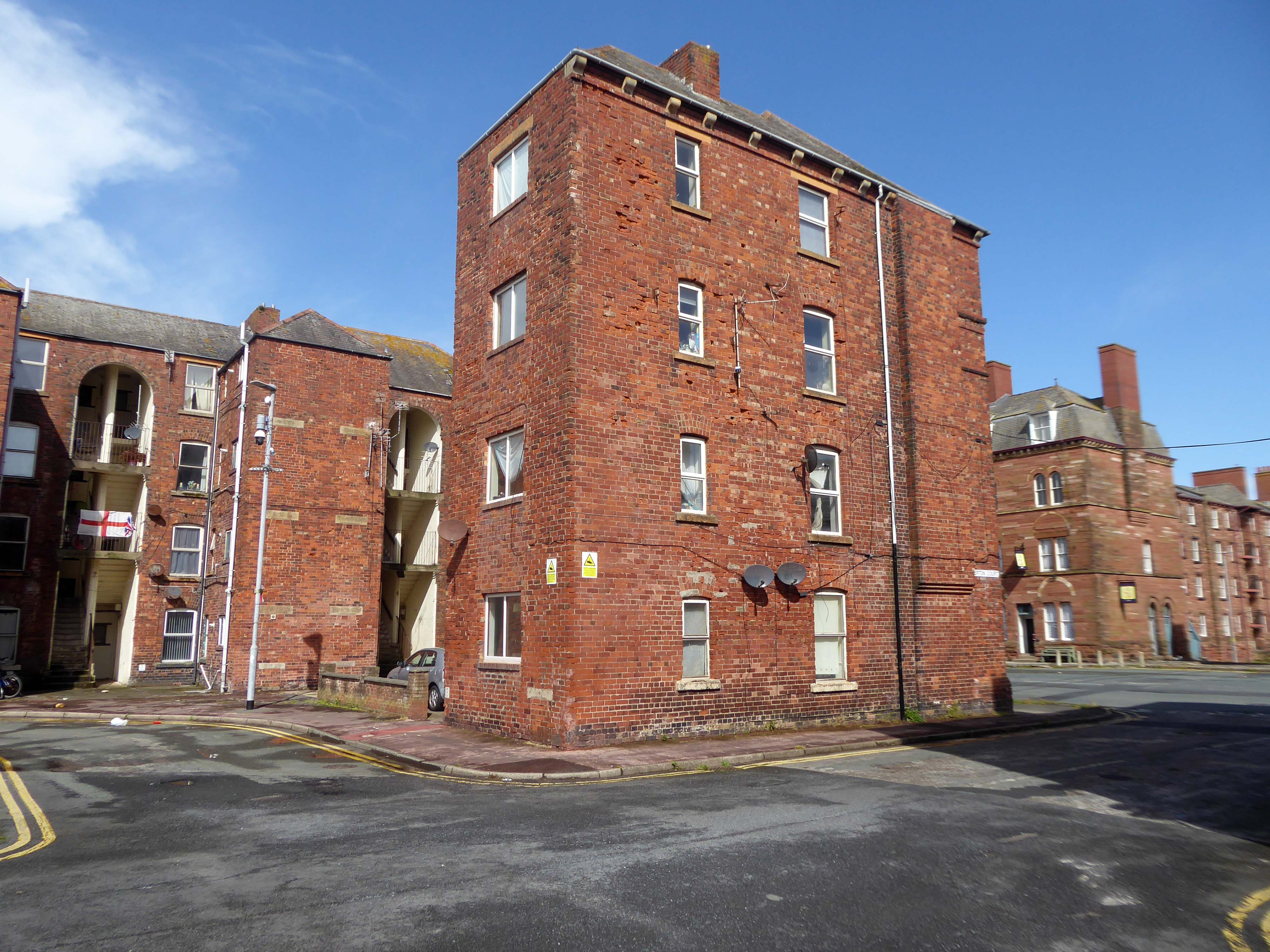
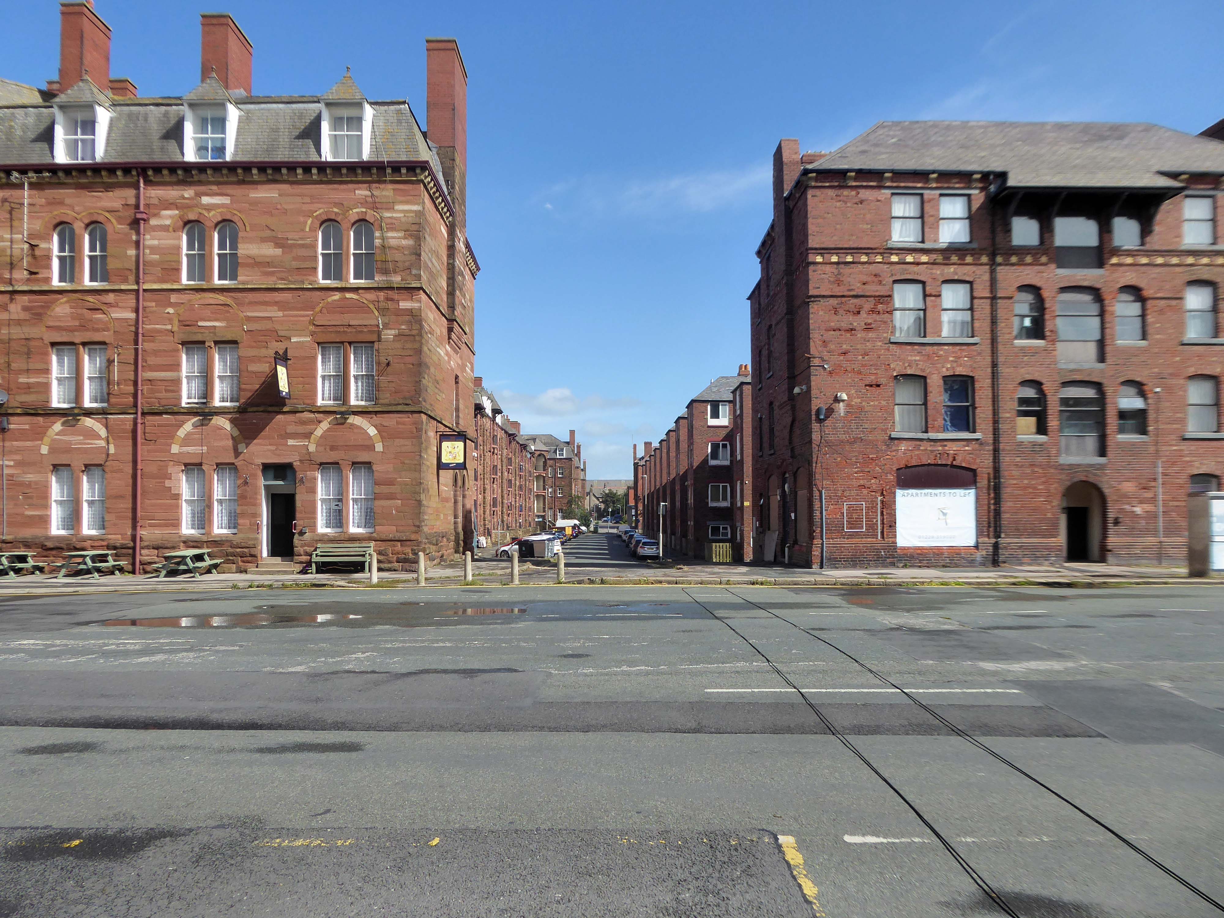
Following the rapid growth of the town of Barrow-in-Furness, the construction of the Furness Railway following the discovery of deposits of iron ore in the Furness peninsular, and the development of industries using iron as a raw material resulted in many commissions for the practice – the population of Barrow doubled between 1851 and 1861, and doubled again in the next decade.
There’s a tight knit group of roads, where the housing is redolent of Scottish tenements.
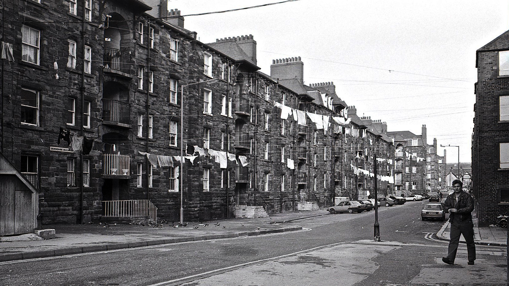
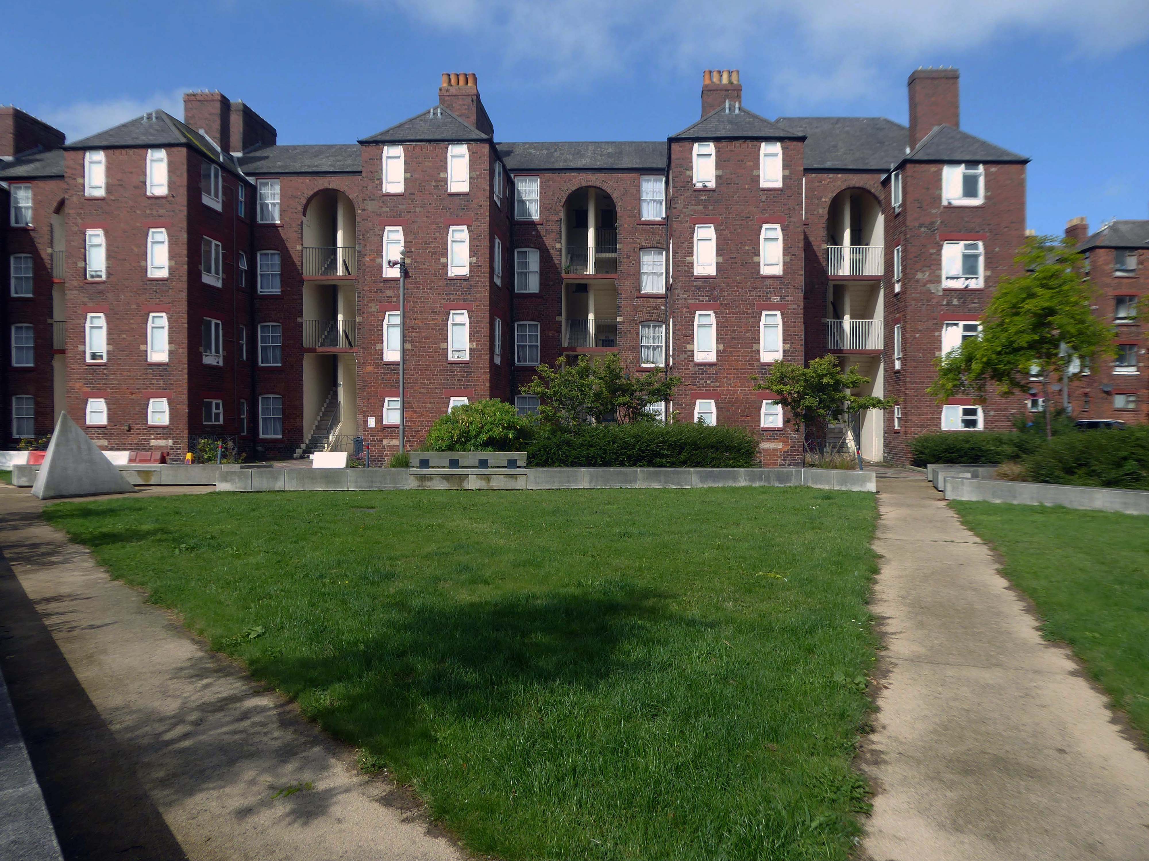
These are the Ship Street Tenements brick built in 1881-84, for the Furness Railway Company, they are Grade II Listed.
Architects Paley and Austin of Lancaster, the main contractors Smith and Caird of Dundee.
They provided accommodation for the families of employees in the Furness Railway Company’s nearby shipbuilding works, they consist of two identical four-storey blocks of nine tenements, making eighteen tenements in total.
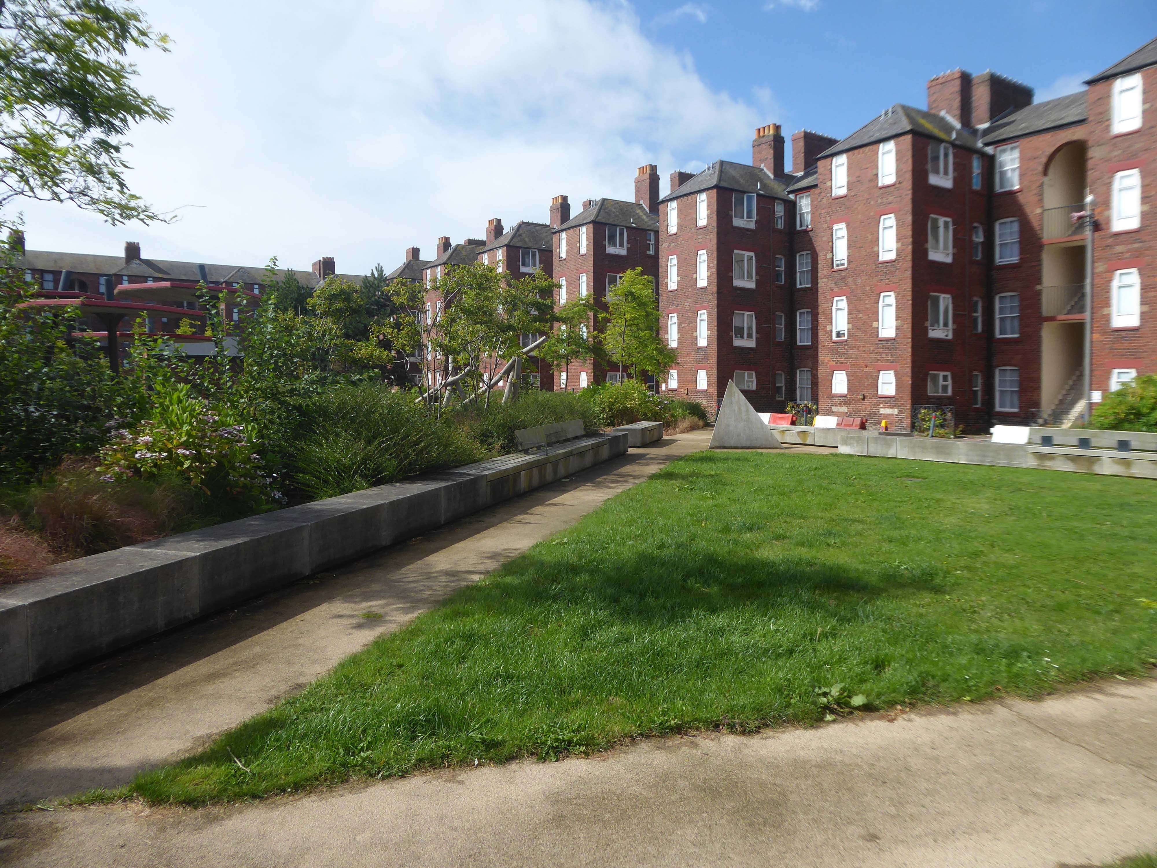
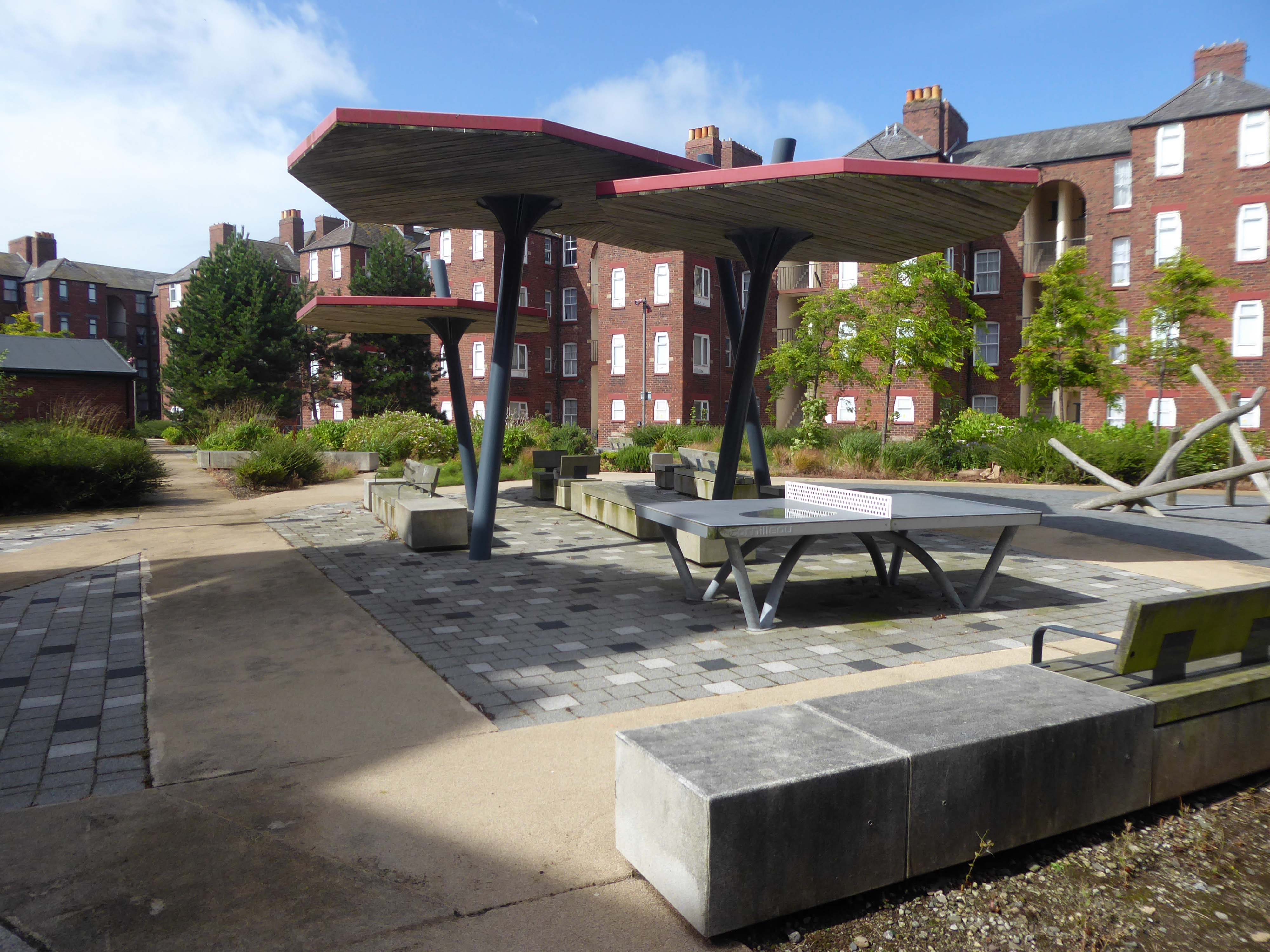
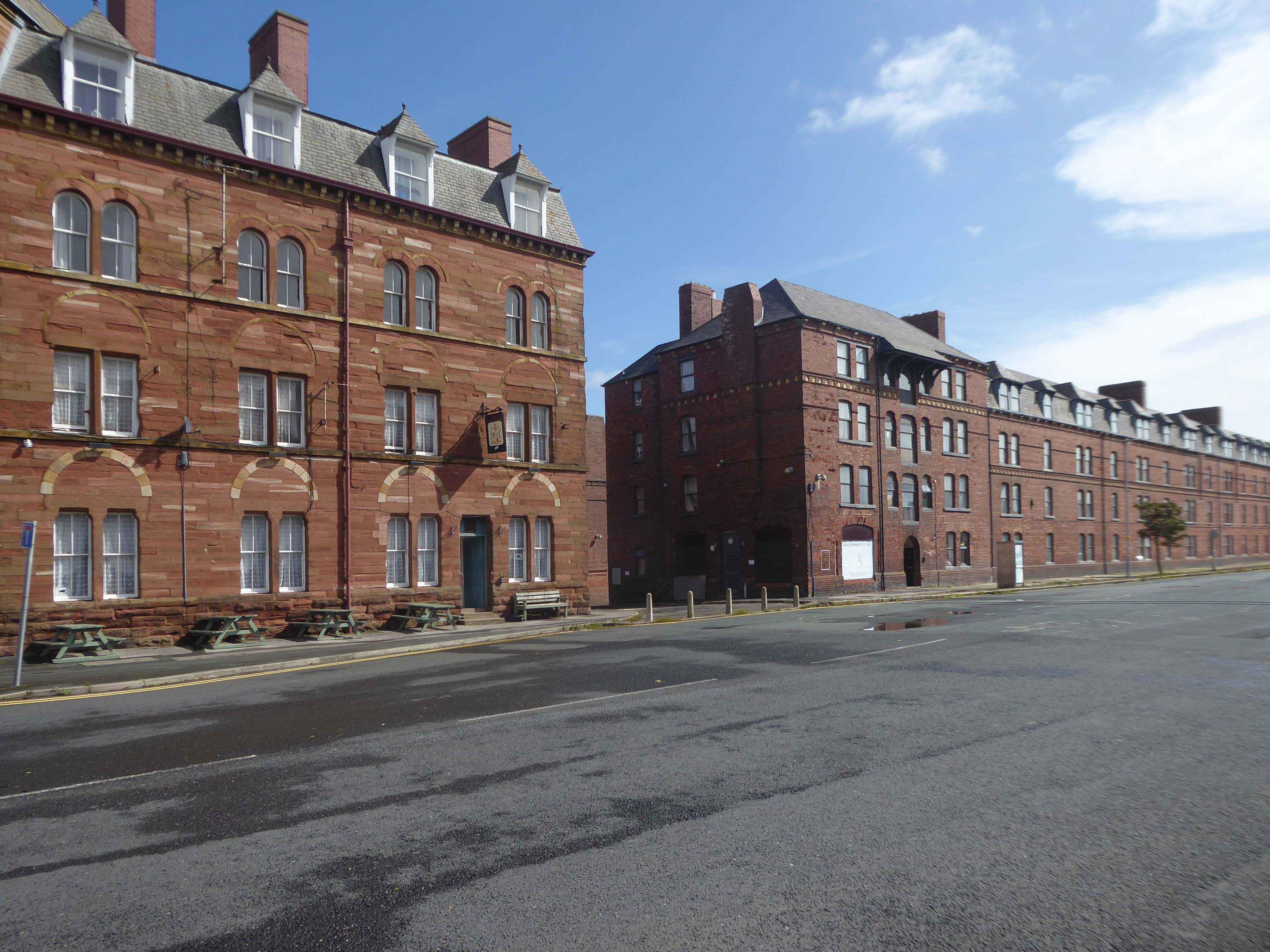
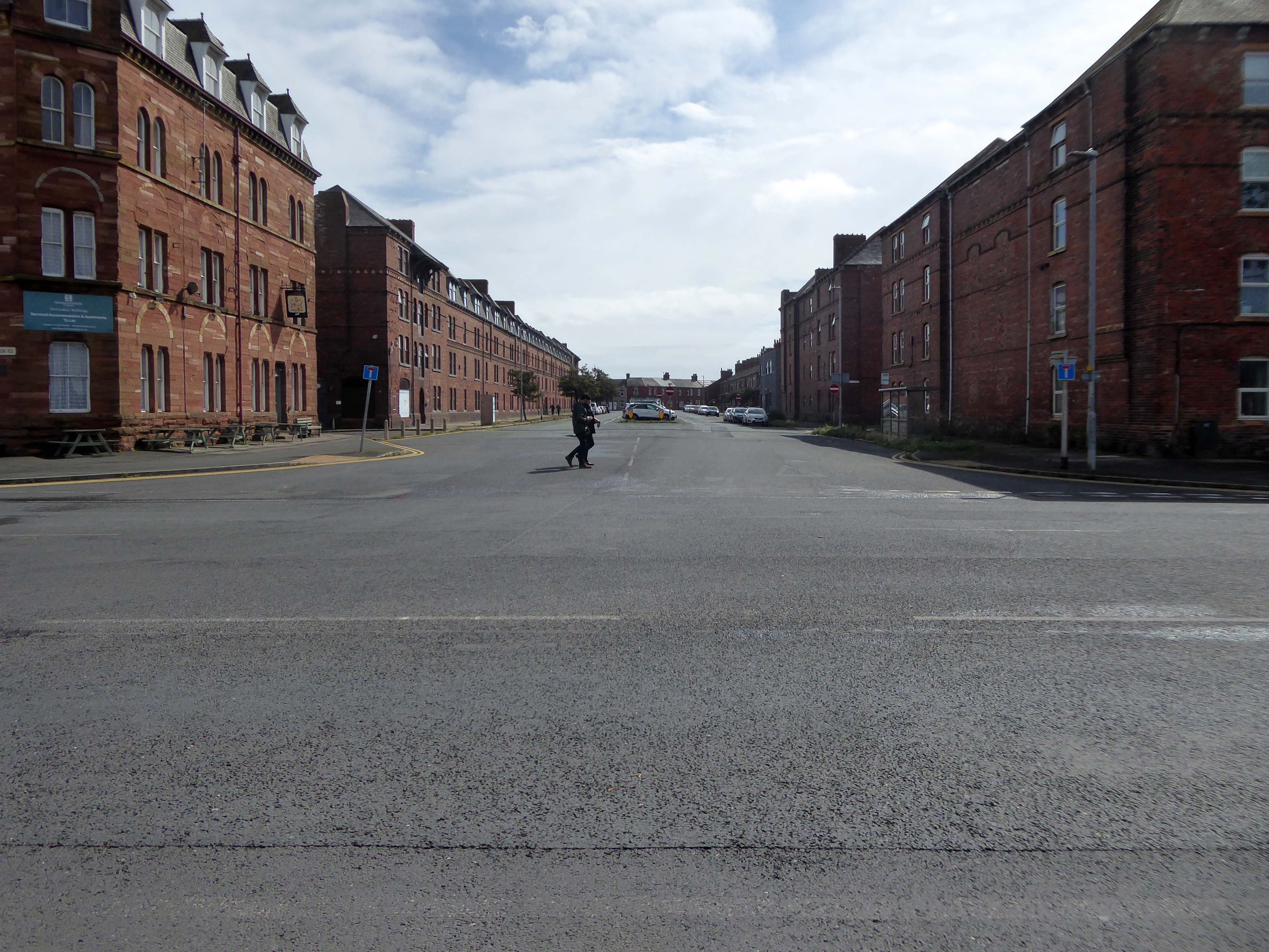
The area has been revitalised and improved in recent years and rebranded.
This beautiful and inviting public realm has acted as a catalyst for renewal of this neighbourhood in Barrow-in-Furness. The inspirational scheme won the award for Best Commercial Landscape Design at the Northern Design Awards in 2017 as well as winning the Adding Value Through Landscape award at the Landscape Institute Awards 2018 and it’s easy to see why.
The newly named Maritime Apartments are now advertised for short stays, demonstrating the increased desirability of the neighbourhood. Lisa Hart Pearce, Manager of Maritime Apartments has said: “The new landscape has transformed Maritime Streets, not only visually but holistically. People now have a happy, modern, green space to enjoy; full of colour and beauty. There is no doubt in my mind that the wellbeing of the local community has been positively encouraged by the regeneration of the area and I hope it will continue through generations.”
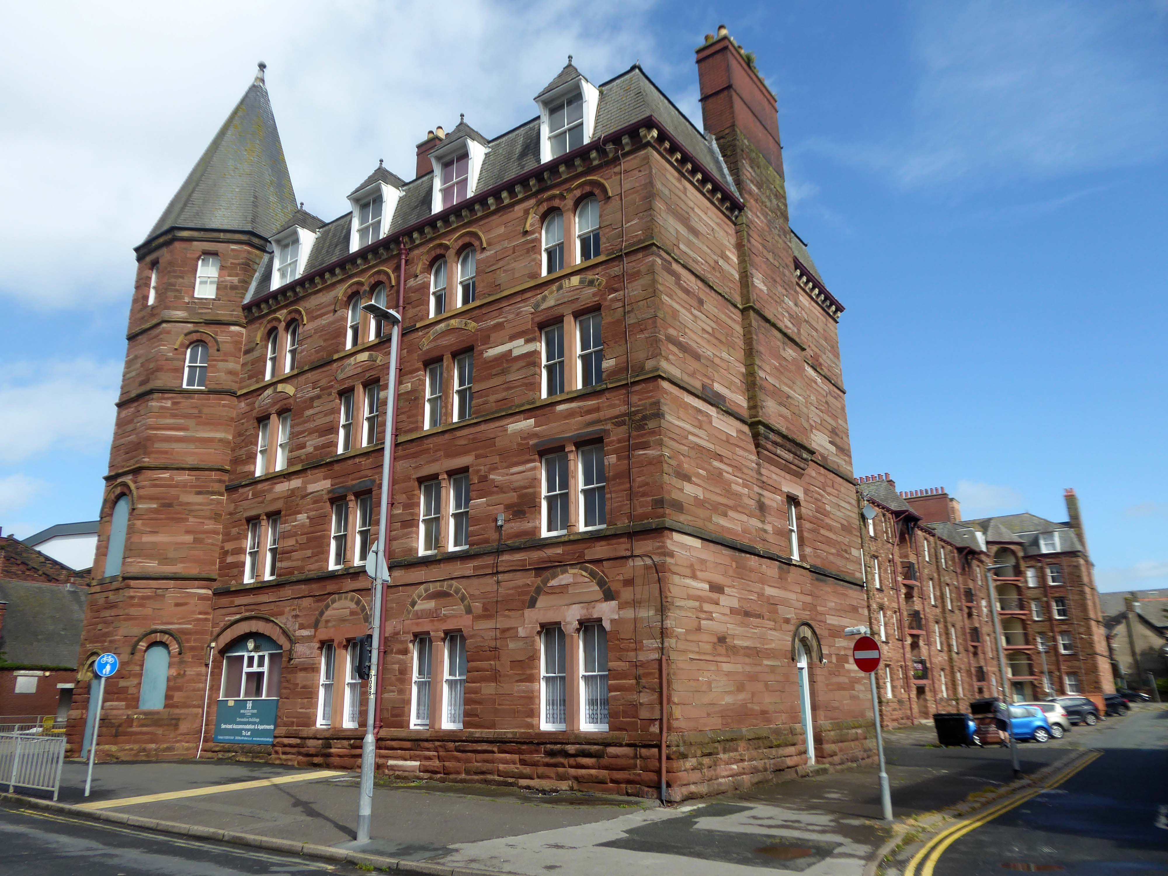
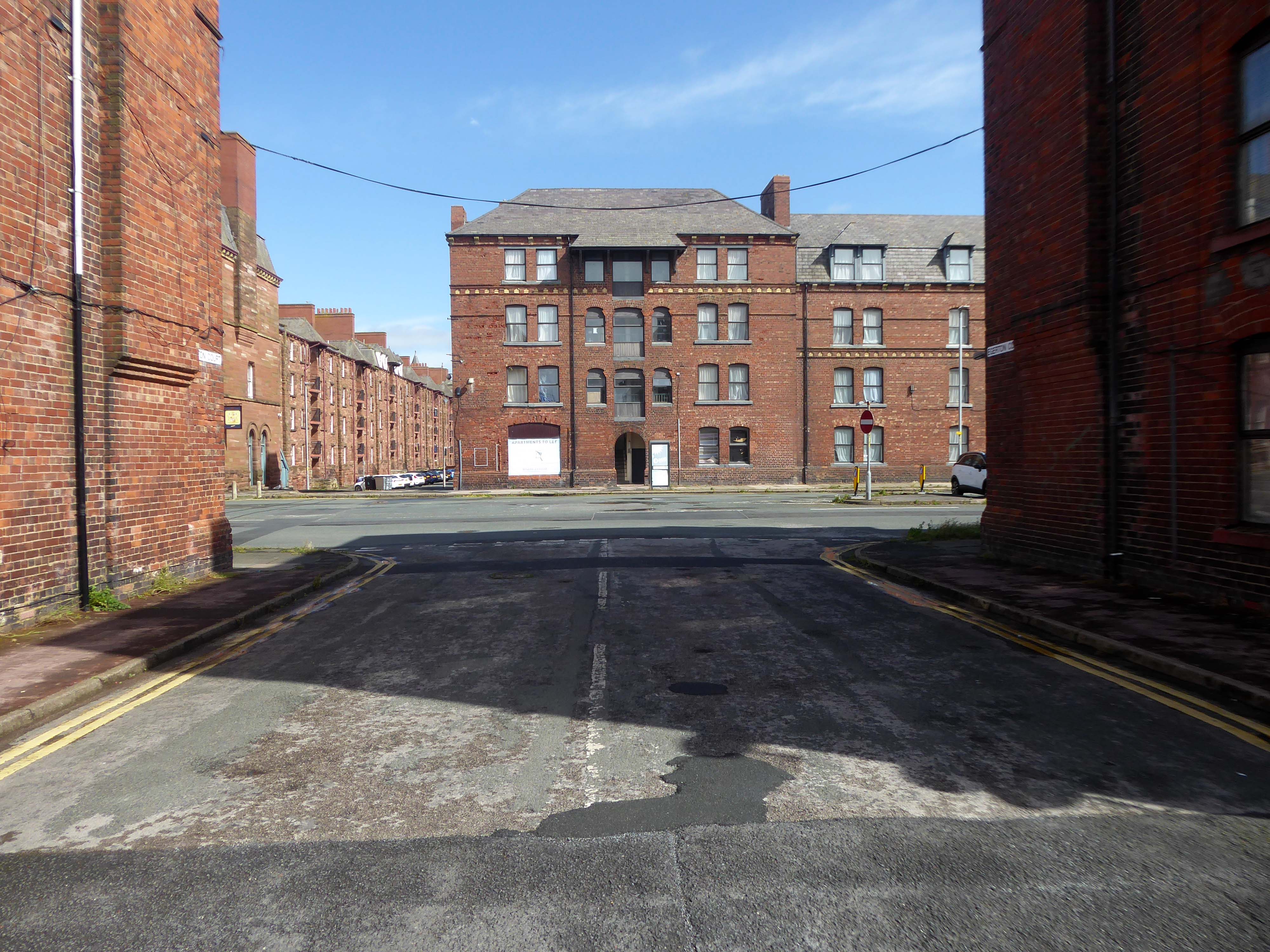
Next door are the adjacent sandstone Devonshire Buildings of old, constructed in the 1870s for the Barrow Iron Ship Building Company, by the Duke of Devonshire at a cost of £50,000, to house local shipyard workers, and recently refurbished by Holker Estate.
The buildings are currently for sale for offers in the region of £4,950,000.
Having once provided homes for the traditional shipbuilders, they now offer lets to the employers of BAE Systems.
Home to our pioneering Submarines Academy for Skills and Knowledge, Barrow-in-Furness is a hub for learning and innovation. We’re not just building the next generation of nuclear submarines here. We’re developing the next generation of engineering talent.
We’re always looking for talented individuals to join our team in Barrow-in-Furness. Whether you’re looking to start your career, or you’re an experienced professional looking for a new challenge, we might have a job for you.
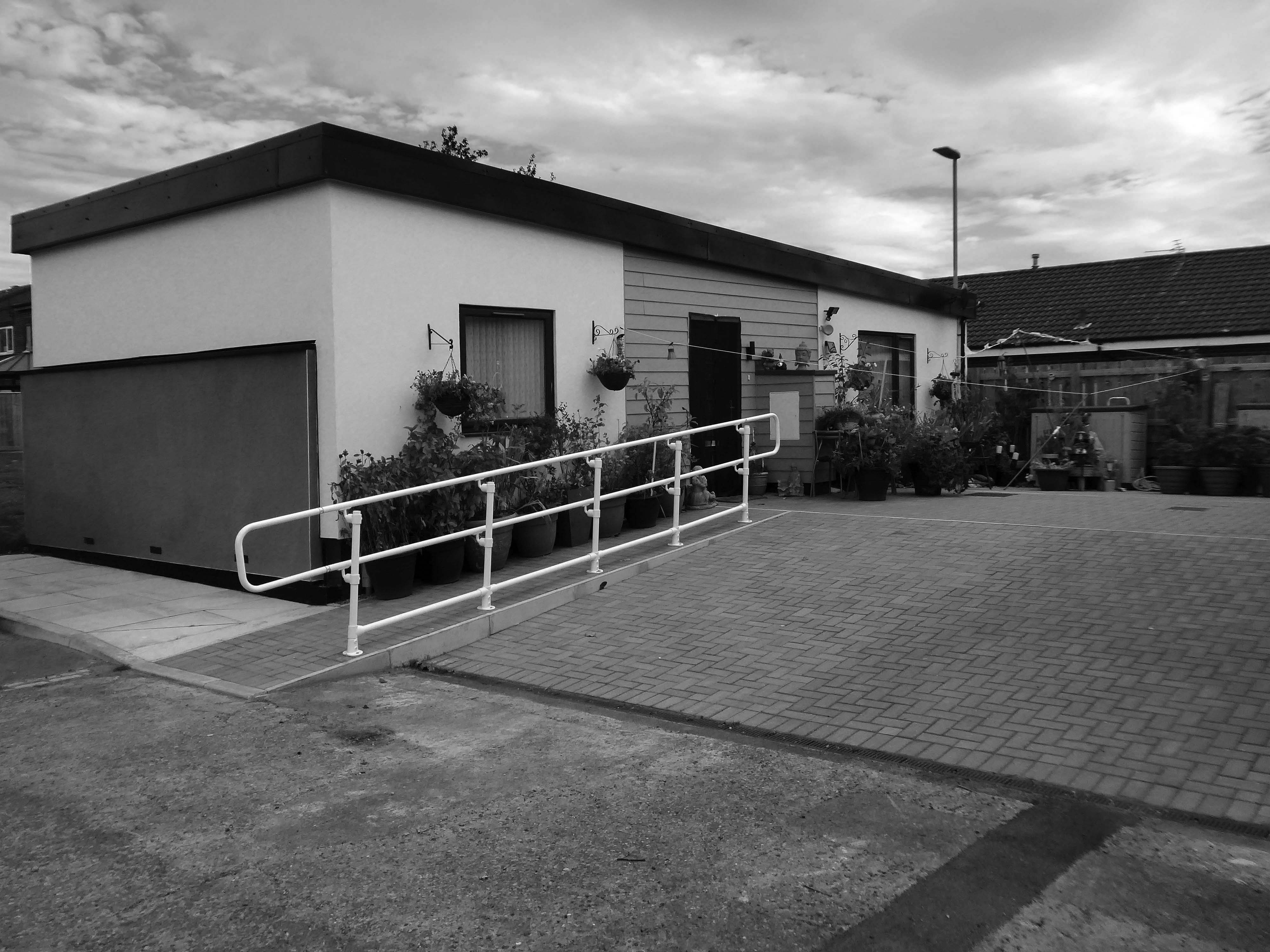
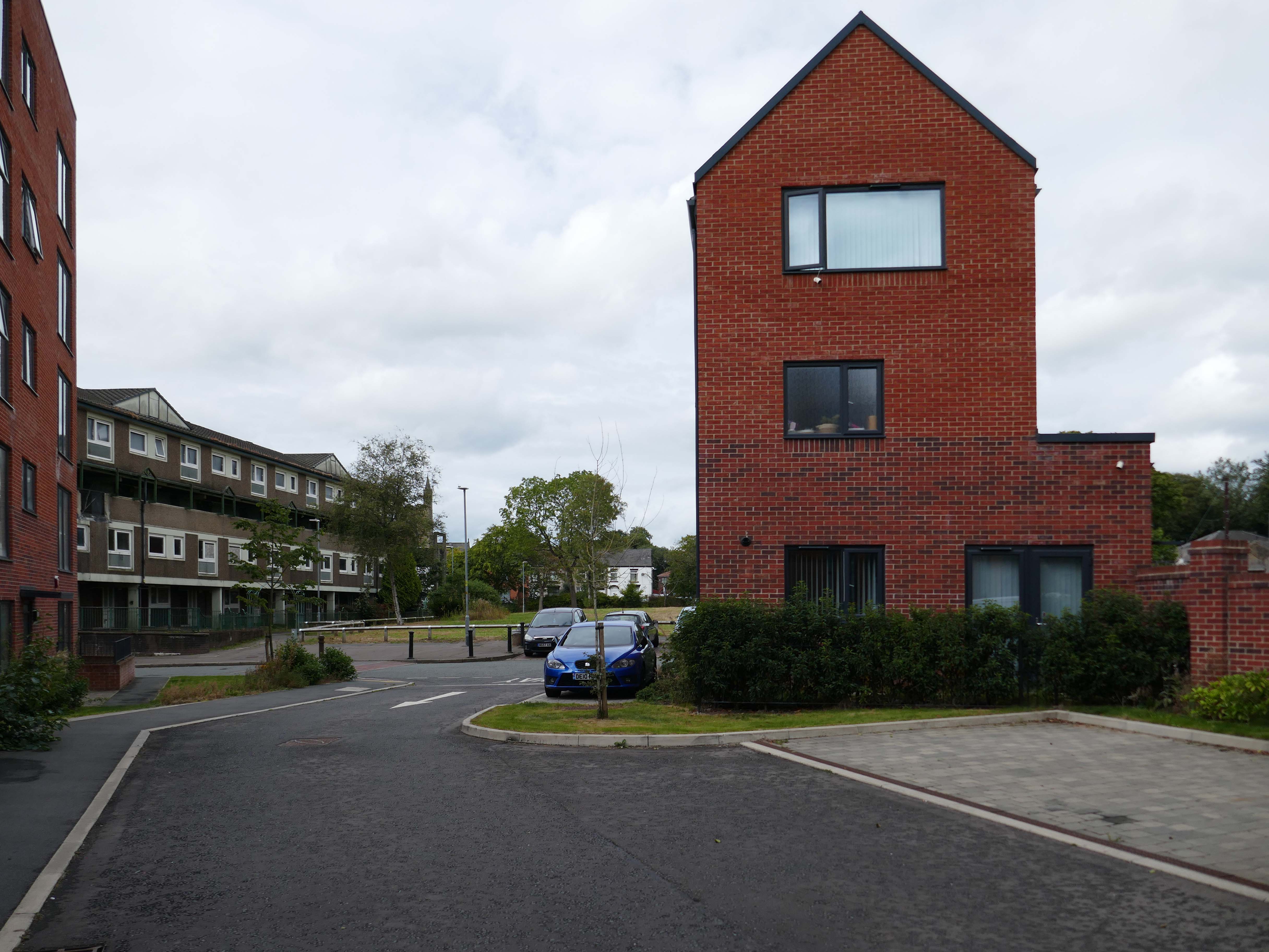
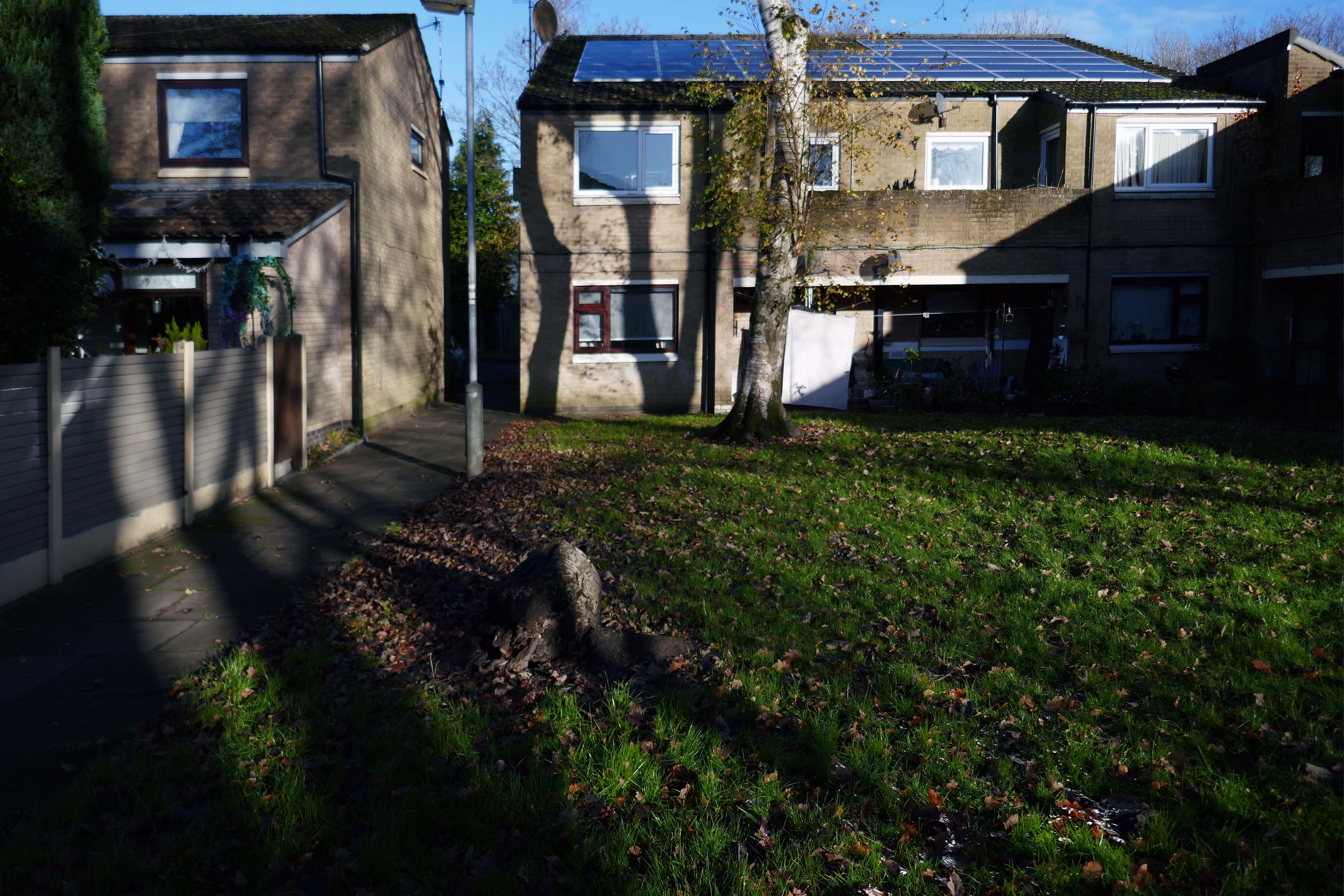
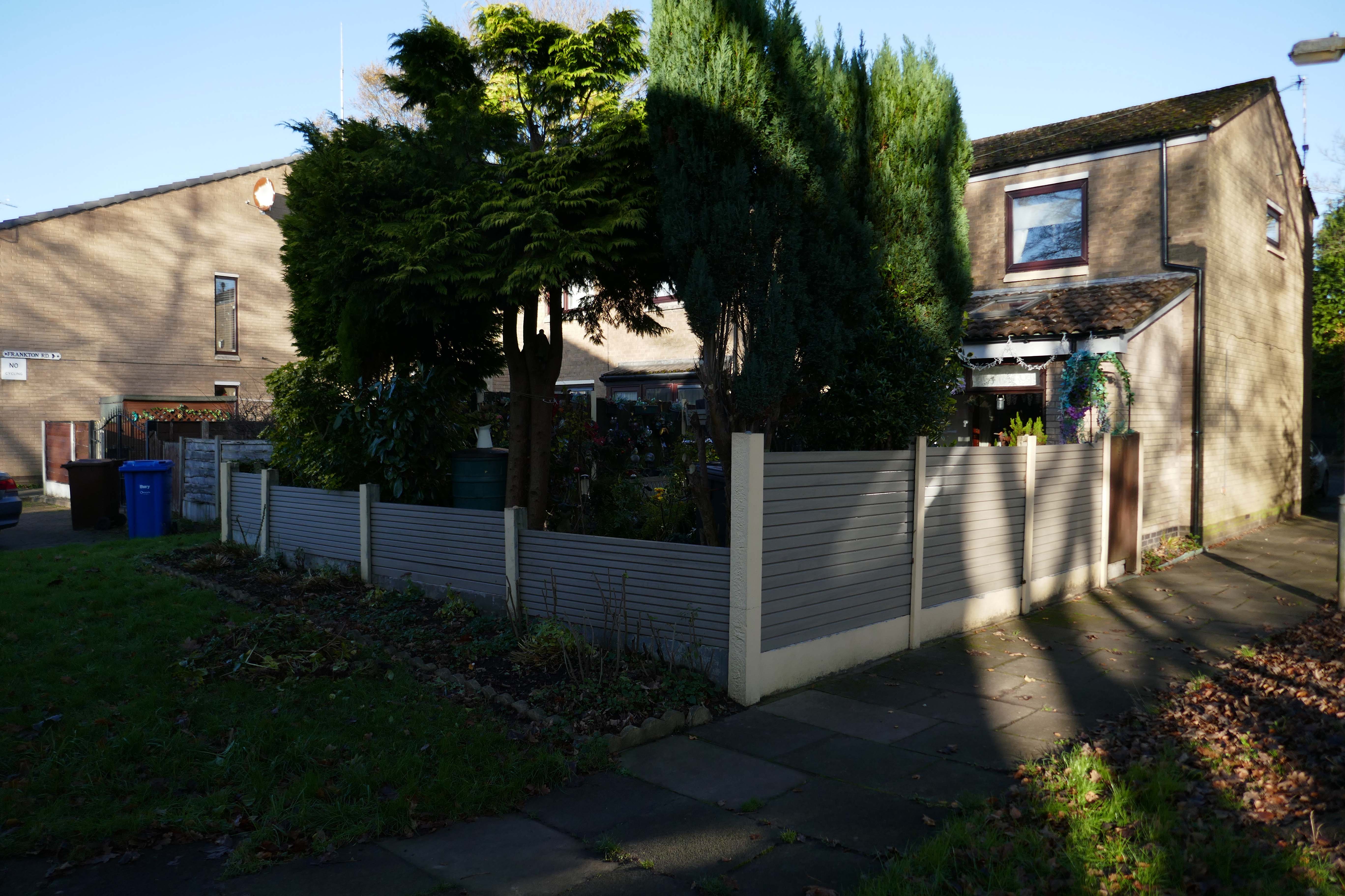
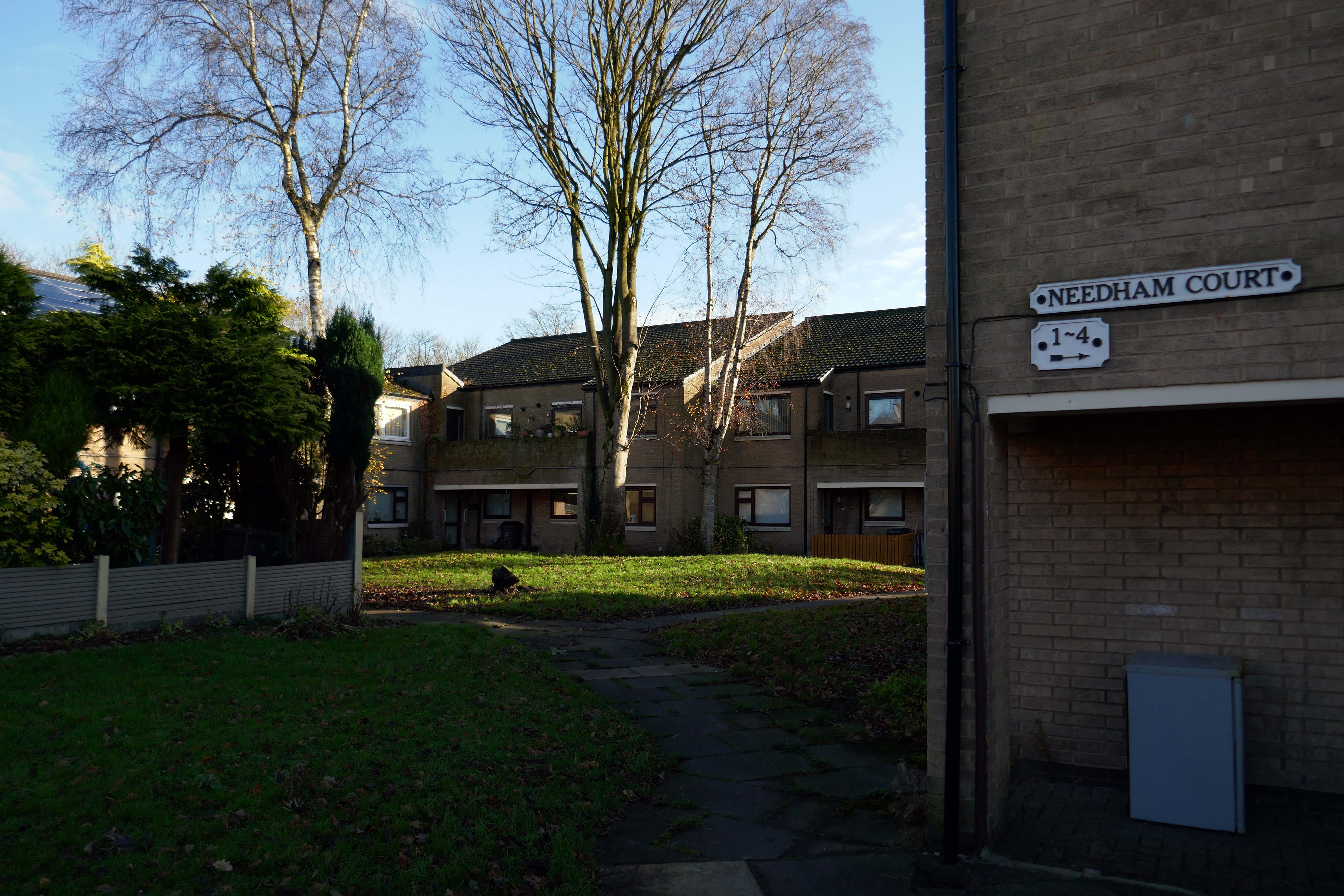
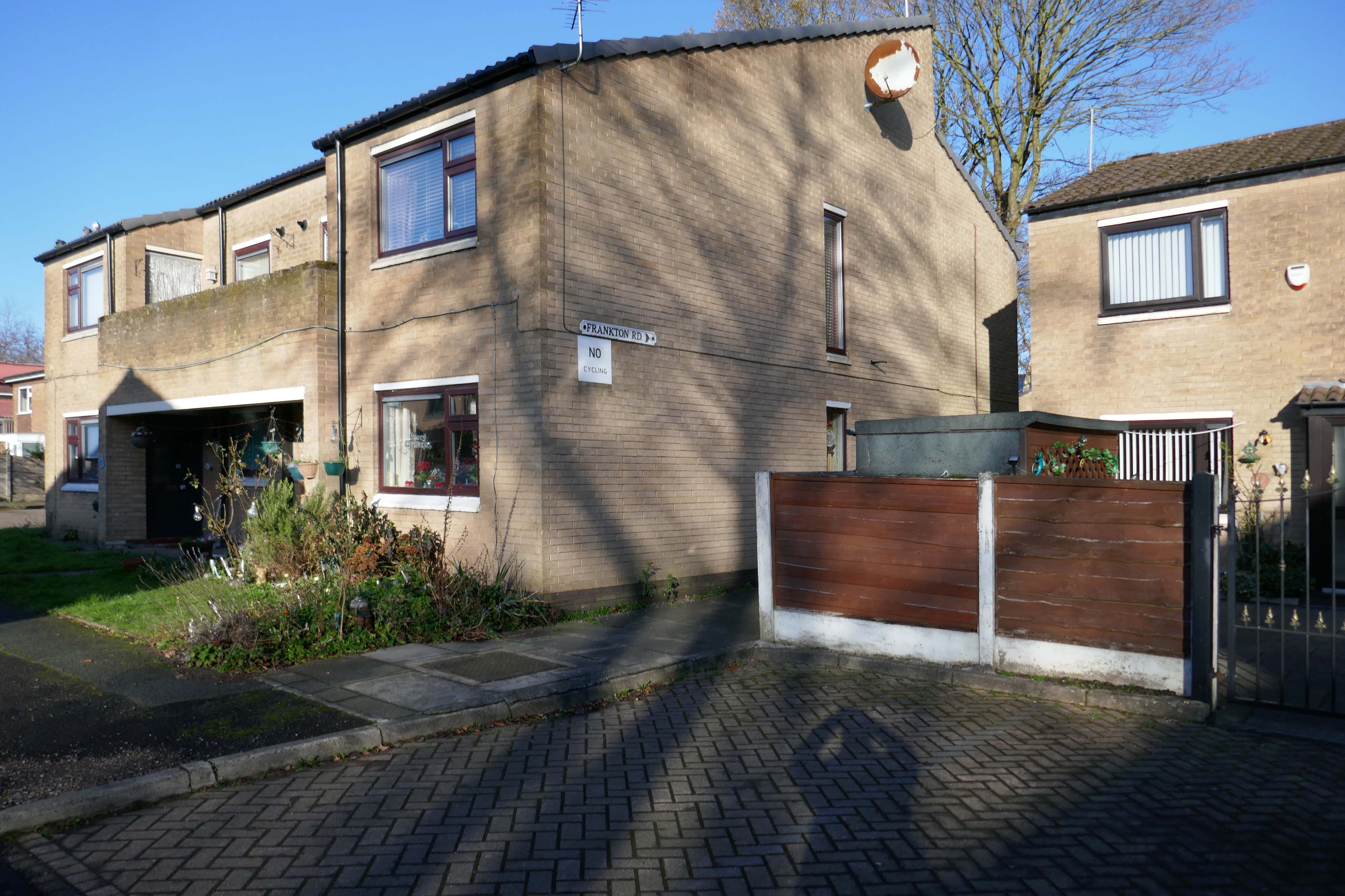
Whilst not seeking sheltered housing for my good self, I am always intrigued by small developments of interesting social housing, grouped around pedestrian walk ways and green space.
The residents with whom I chatted seems content with their homes and the management thereof.
I bade them adieu and went about my way, taking these few snaps.