Oldham Walk

1915

The Oldham area was once home to several railway stations – many of which have since closed.
There is currently no rail link to and from the town.

Tram services between Manchester and Oldham have returned – for the first time since trams stopped running in Oldham in 1946. 

The first service to Oldham Mumps left Manchester Victoria at 05:24 BST – calling at the eight stops on the line.

The tram then made the return journey, leaving Oldham at 06:00 BST and taking about 25 minutes to reach Manchester city centre.

BBC News

Oldham Central

To the right an huge Sainsbury’s supermarket 1999-2001 Pringle Richards Sharratt.
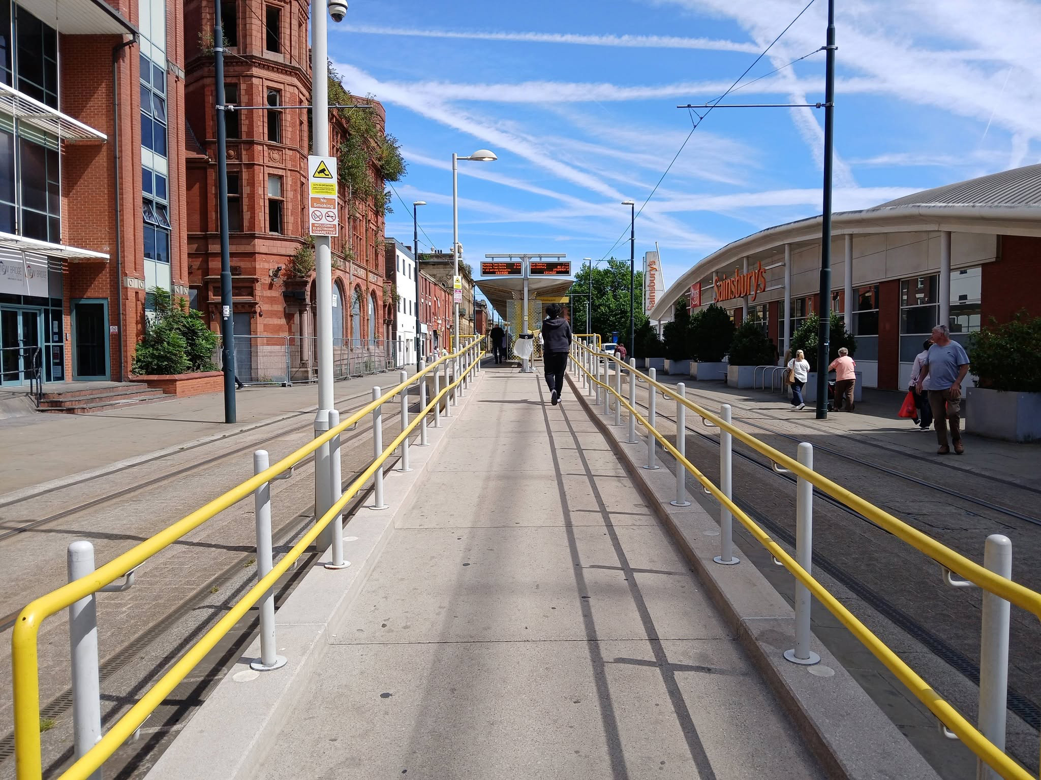
To the left can be seen the semi-derelict Grade II Listed Prudential Assurance Building 1898-91 Alfred Waterhouse & Son – now in the ownership of Oldham Council.
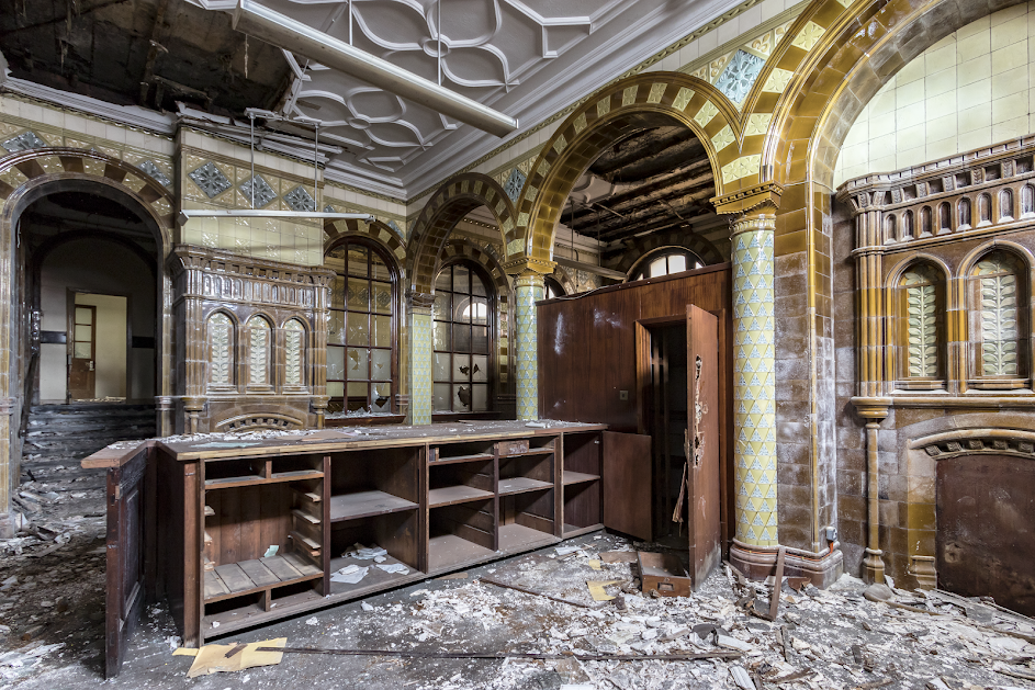
Image – Victorian Society

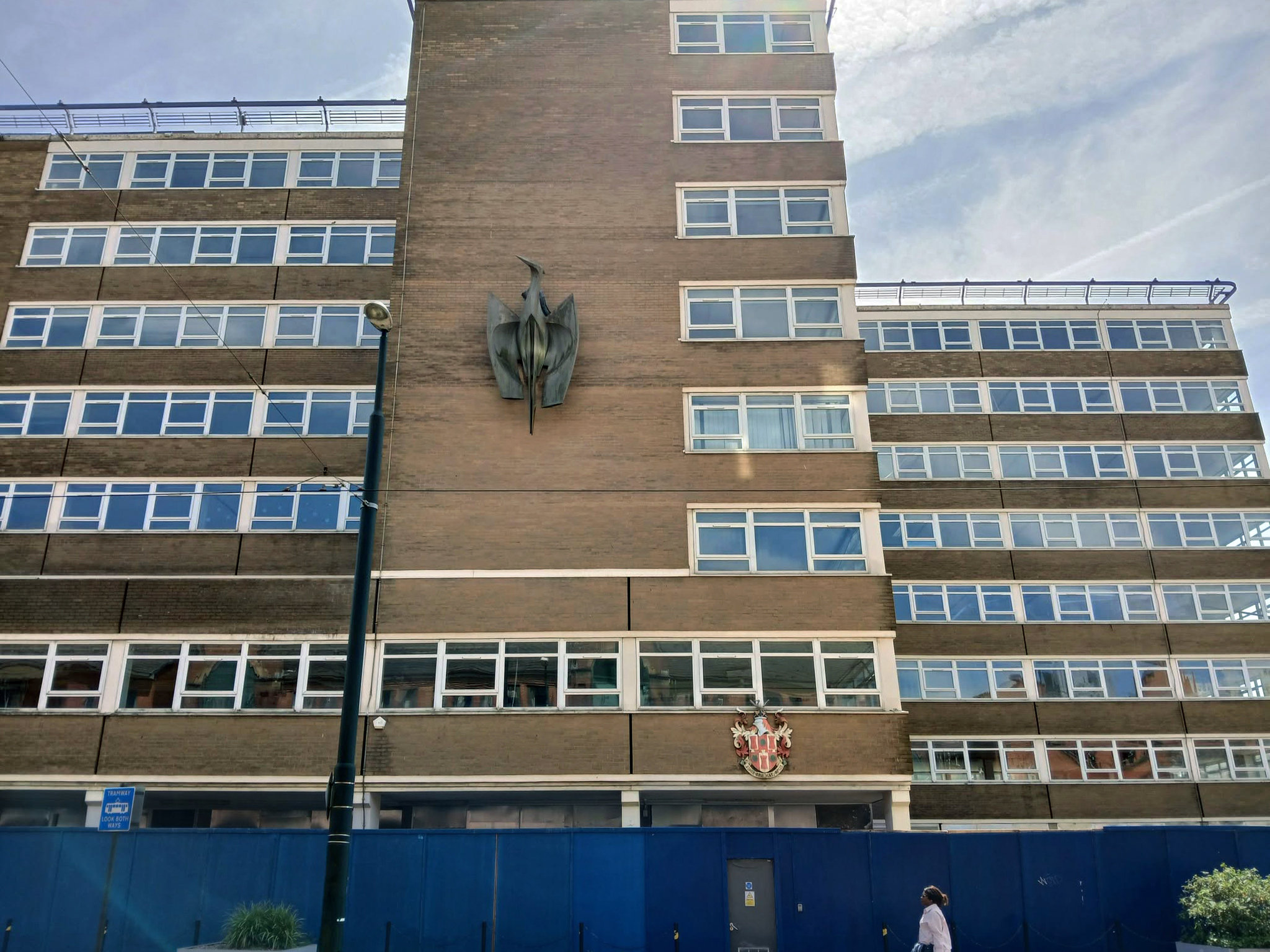
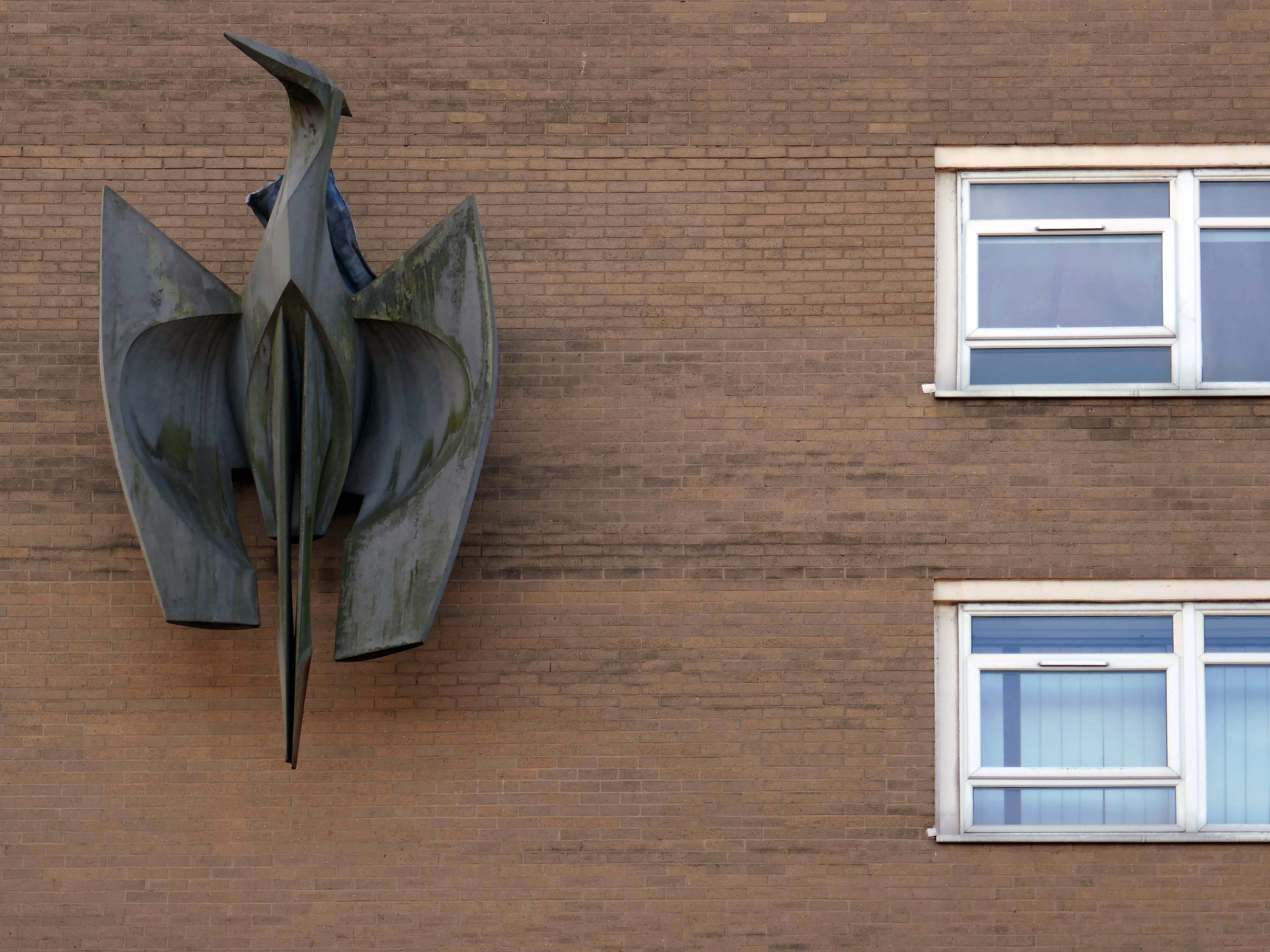
Back tracking toward Phoenix House – with its implausible heron.

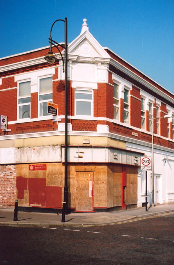
It’s been four years since the Department of Work and Pensions left their Union Street office and eighteen months since plans were submitted to turn it into eighty two flats.

However, apart from hoardings being installed around the building, there doesn’t appear to have been much movement at the site – at least not legally.
Oldham Times

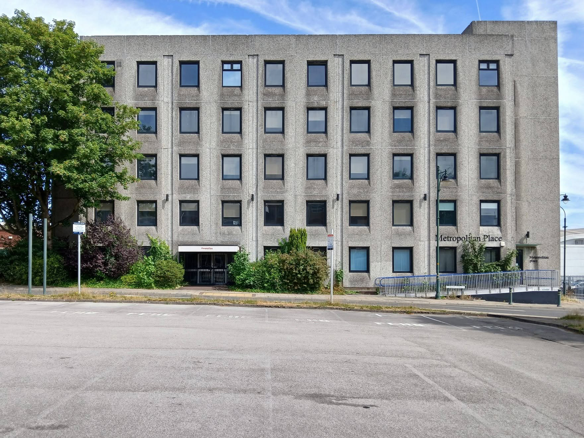
Turning the corner to Metropolitan Place.

Currently in use by Oldham Council – formerly home to the Registry Office, wedded couples referred to it as the Hobson Street Cathedral.

Though there seems to have been plans for both office and co-working space, along with conversion to apartments.
Back out onto Union Street and down to Gallery Oldham 2002 Pringle Richards Sharratt.
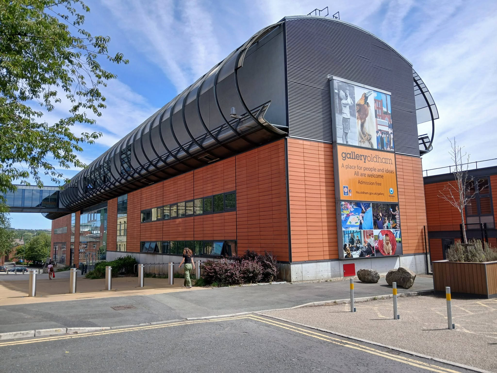
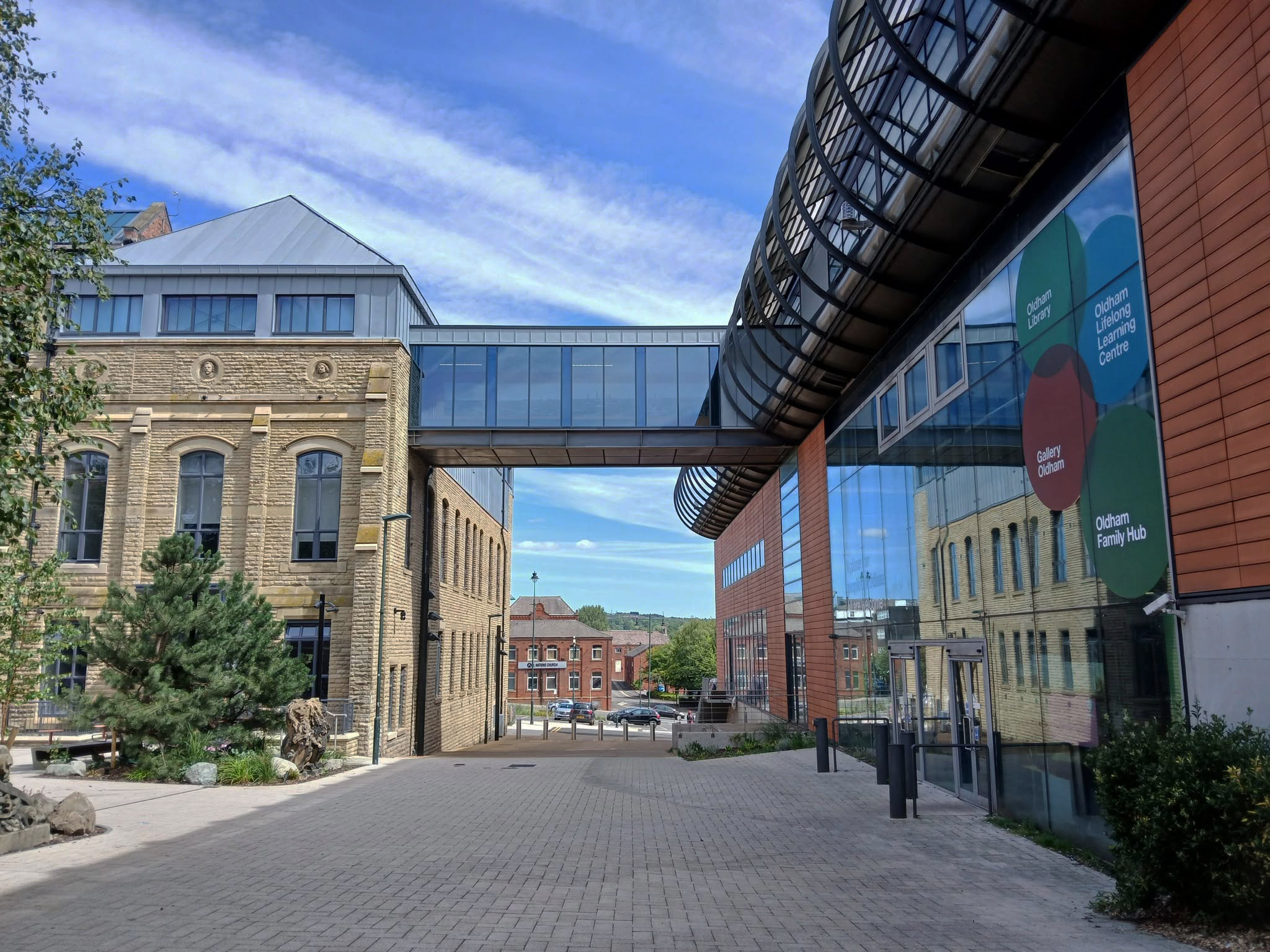
Linking to the older Library and Art Gallery 1883 T Mitchell with sculpture by JJ Milson.

Today the building has been restored to include the Council Chamber and Mayor’s Dining Room, public exhibition spaces and a new home for Oldham Theatre Workshop.

The Old Library is one of the earliest examples of an ashlar faced, in-situ formed concrete multi story building.
Oldham Gov

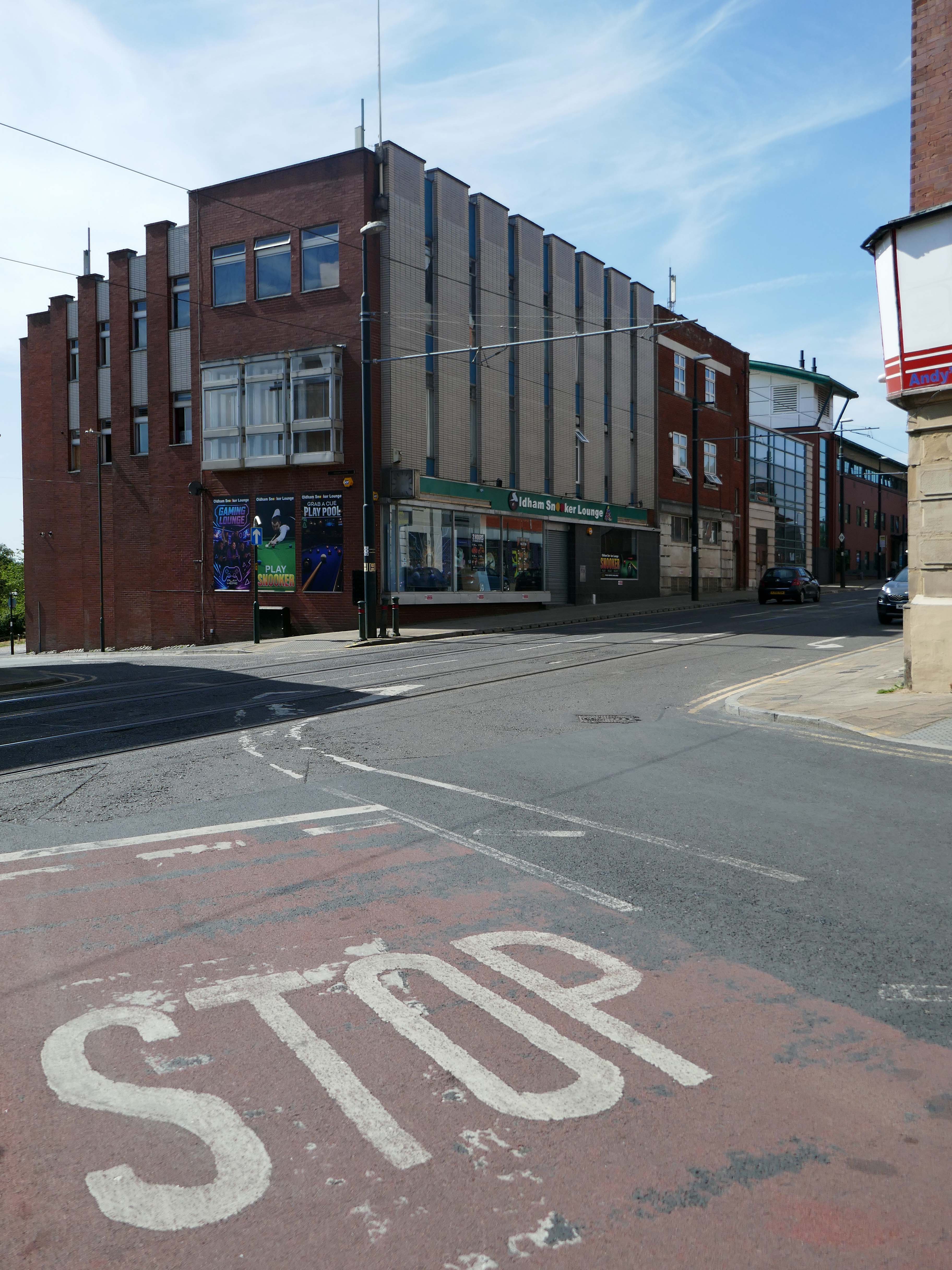
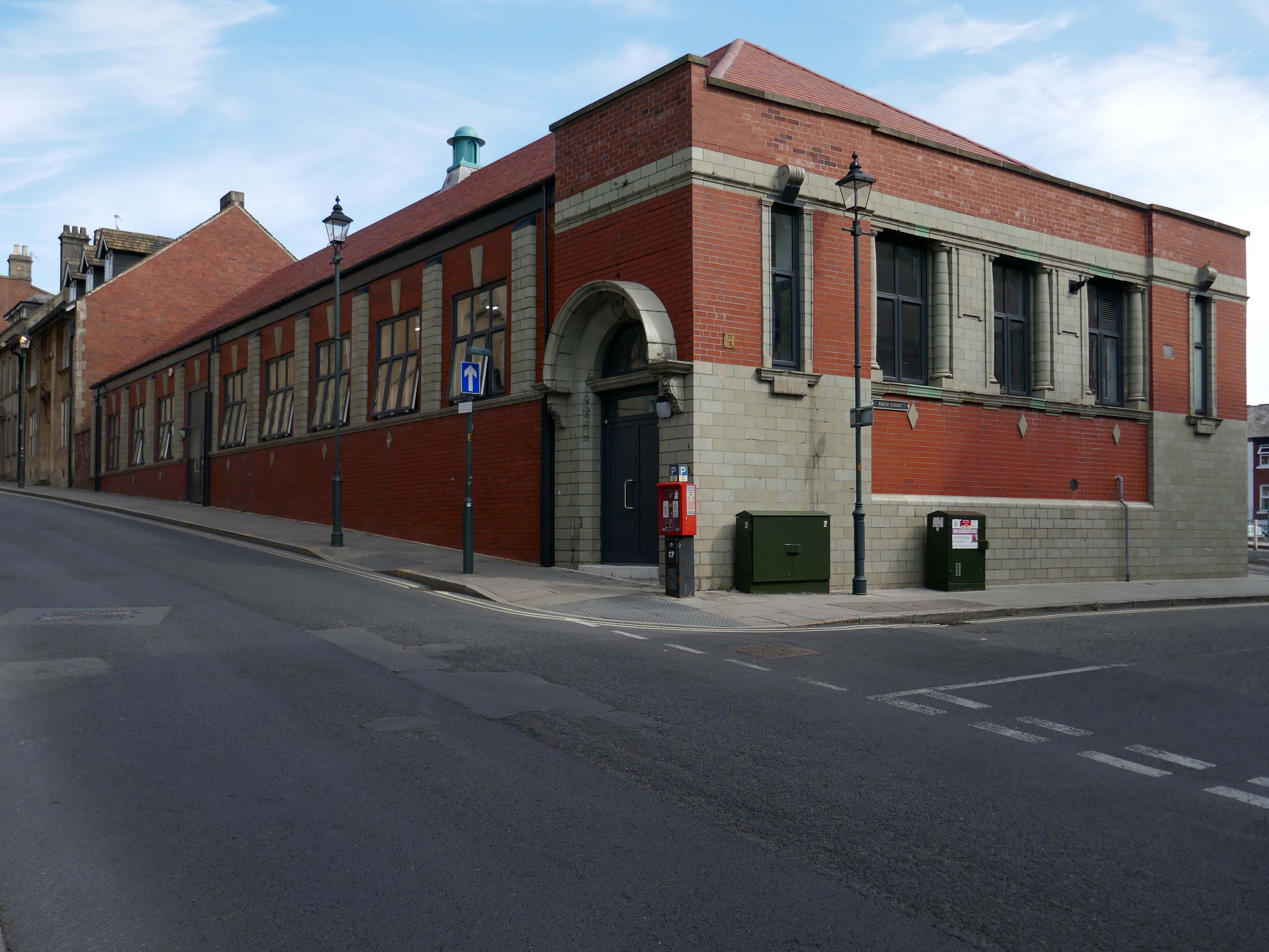
Take a turn up Greaves Street and here’s a faience clad Victoria House a former Billiard Club 1912 Winder & Taylor – subsequently the hall was used as council housing offices and a college before becoming vacant.

Oldham Boxing moved into the building in 2011.
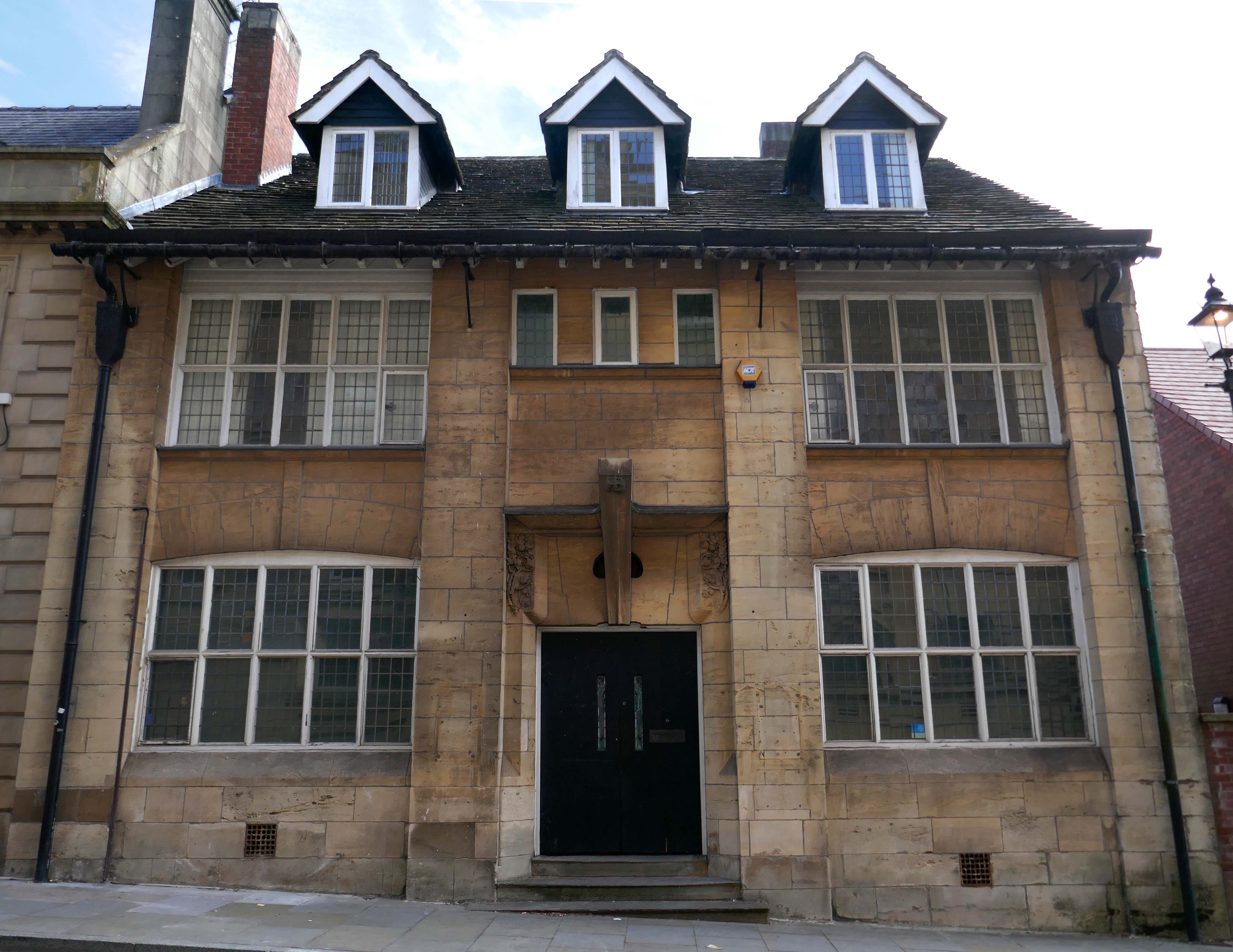
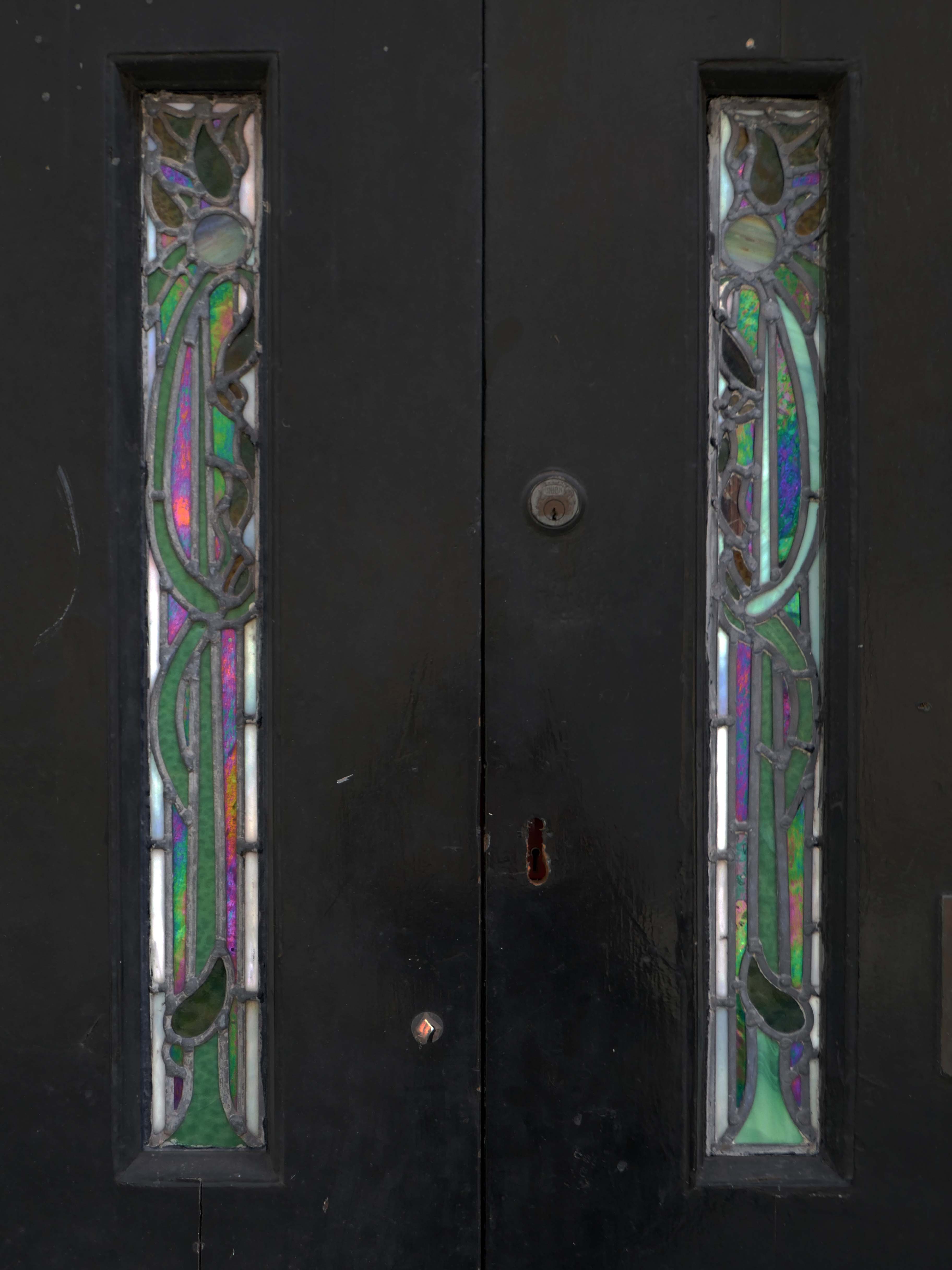
Next door a Ponsonby And Carlile Solicitors Office 1902 Edgar WoodGrade II Listed.

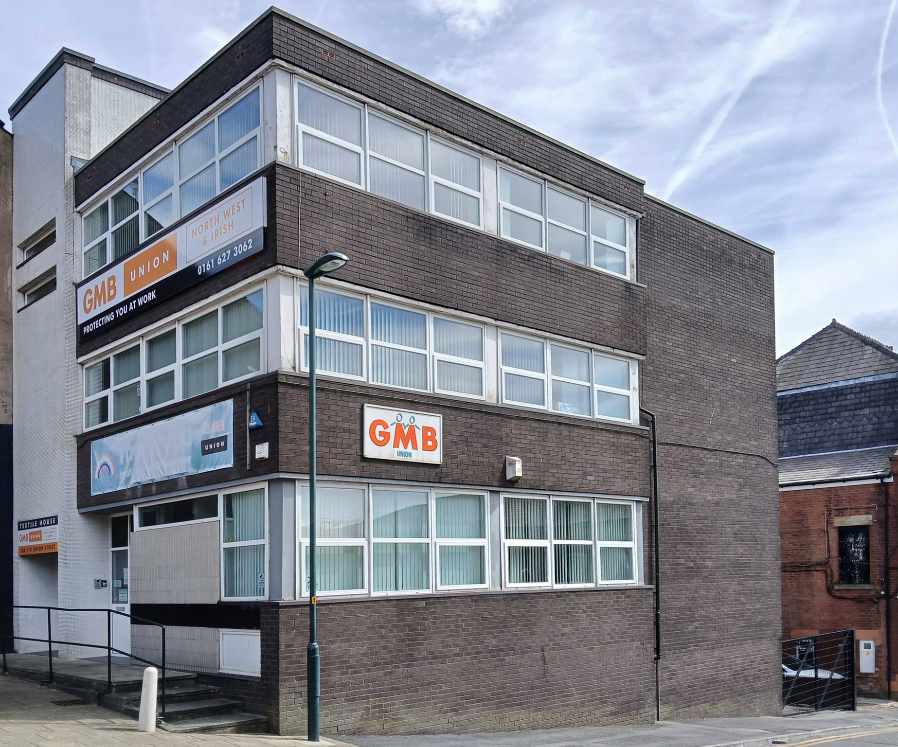
Back now onto Union Street and the GMB Offices.
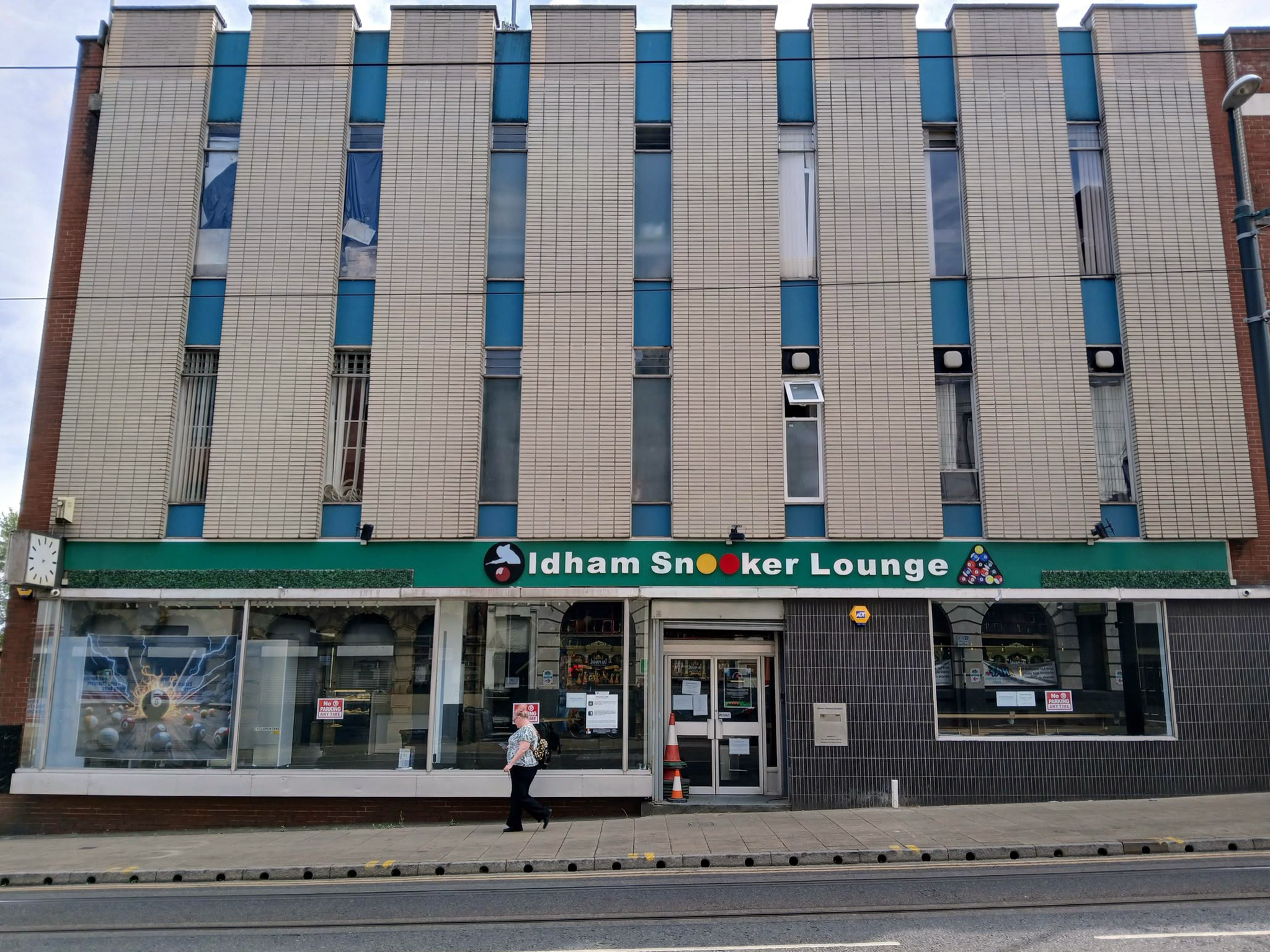
Onwards to the former Oldham Evening Chronicle
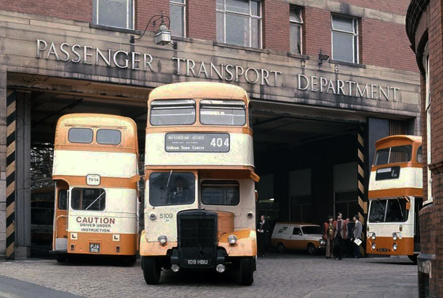
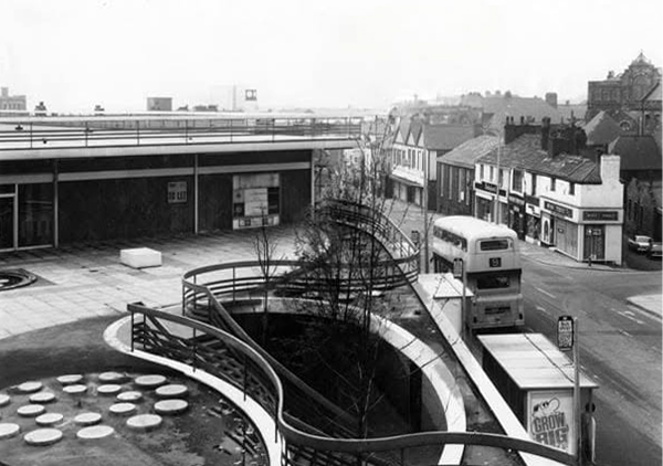
Down the hill and left to the Walshaw Street Bus Depot 1936
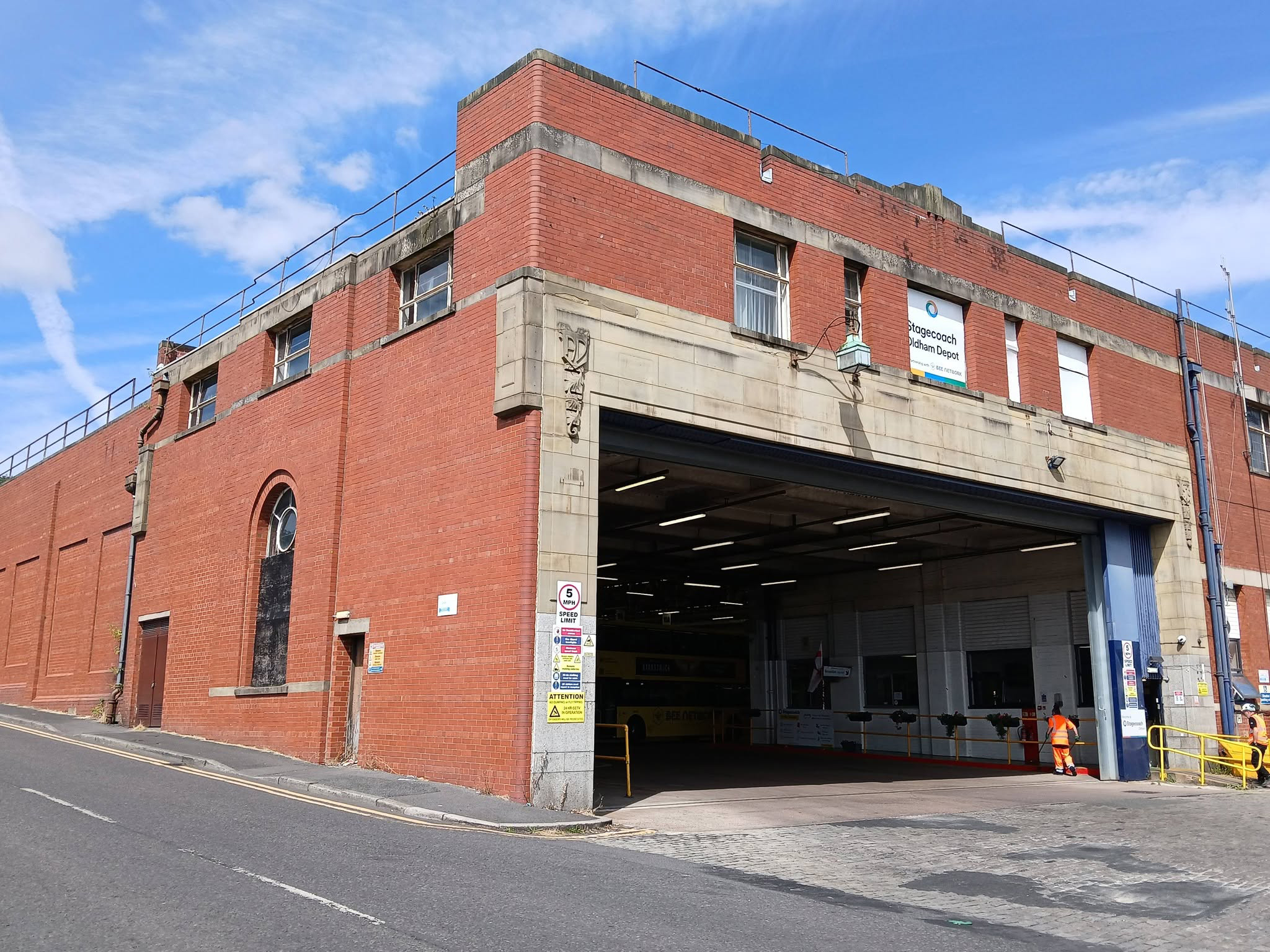
Image: Jeff Smith Oldham’s Past

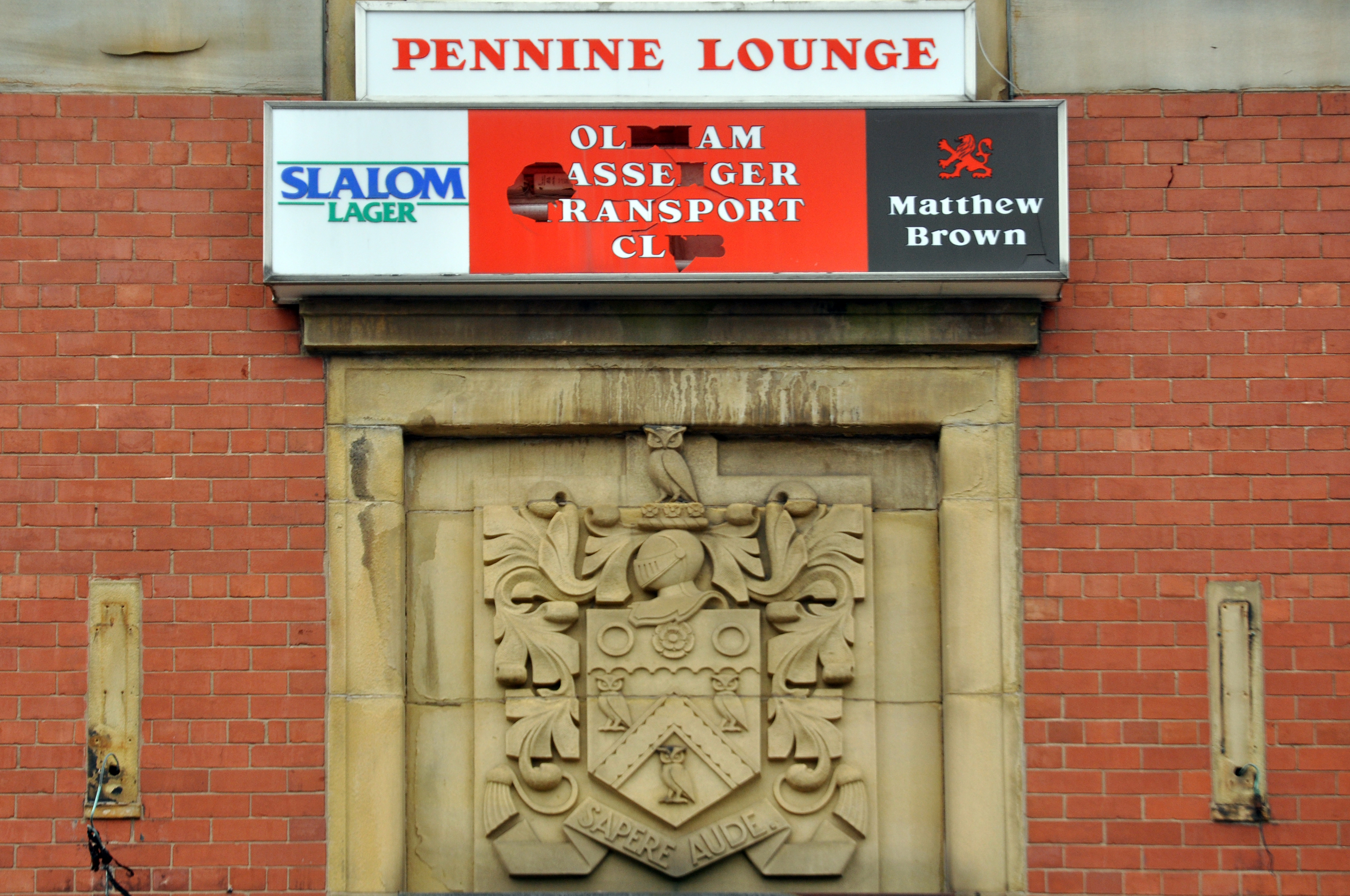
Home to the Pennine Lounge.
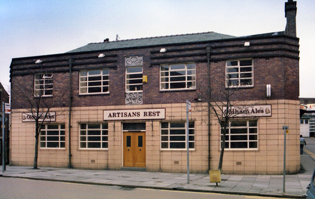
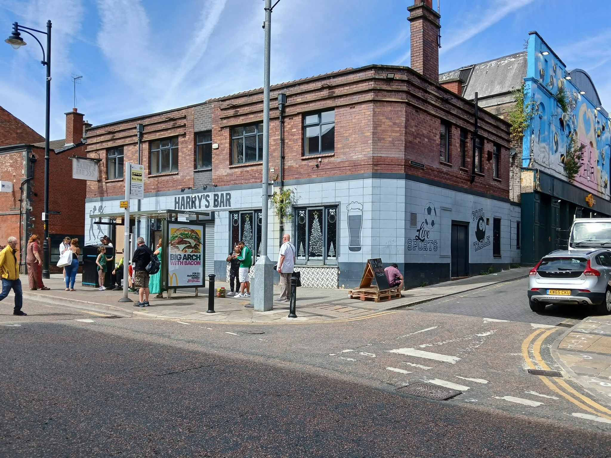
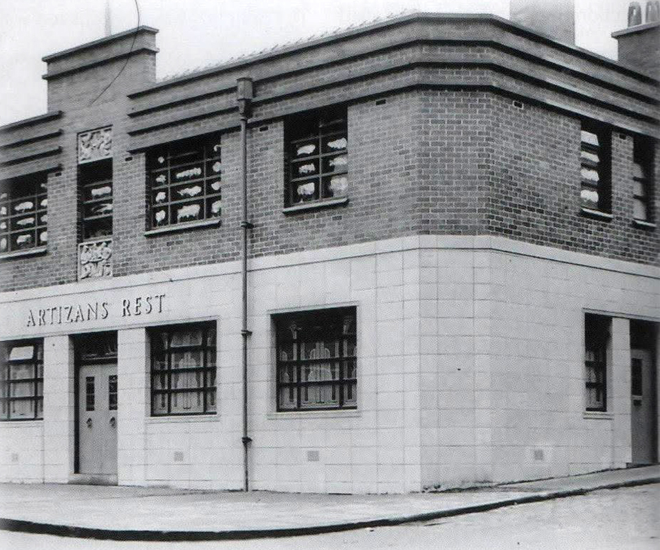
Next we head up Yorkshire Street to Harry’s Bar – formerly The Artizans Rest 1937.

Architects: CT Taylor – Roberts & Bowman.

In 2025, it was revealed by the Manchester Evening News that Oldham council planned to buy the building and demolish it with the price tag for the project reported to be £1m. The money comes from a £2.5m pot of regeneration finding given to the local authority by the government.
MEN

Image: Oldham’s Past

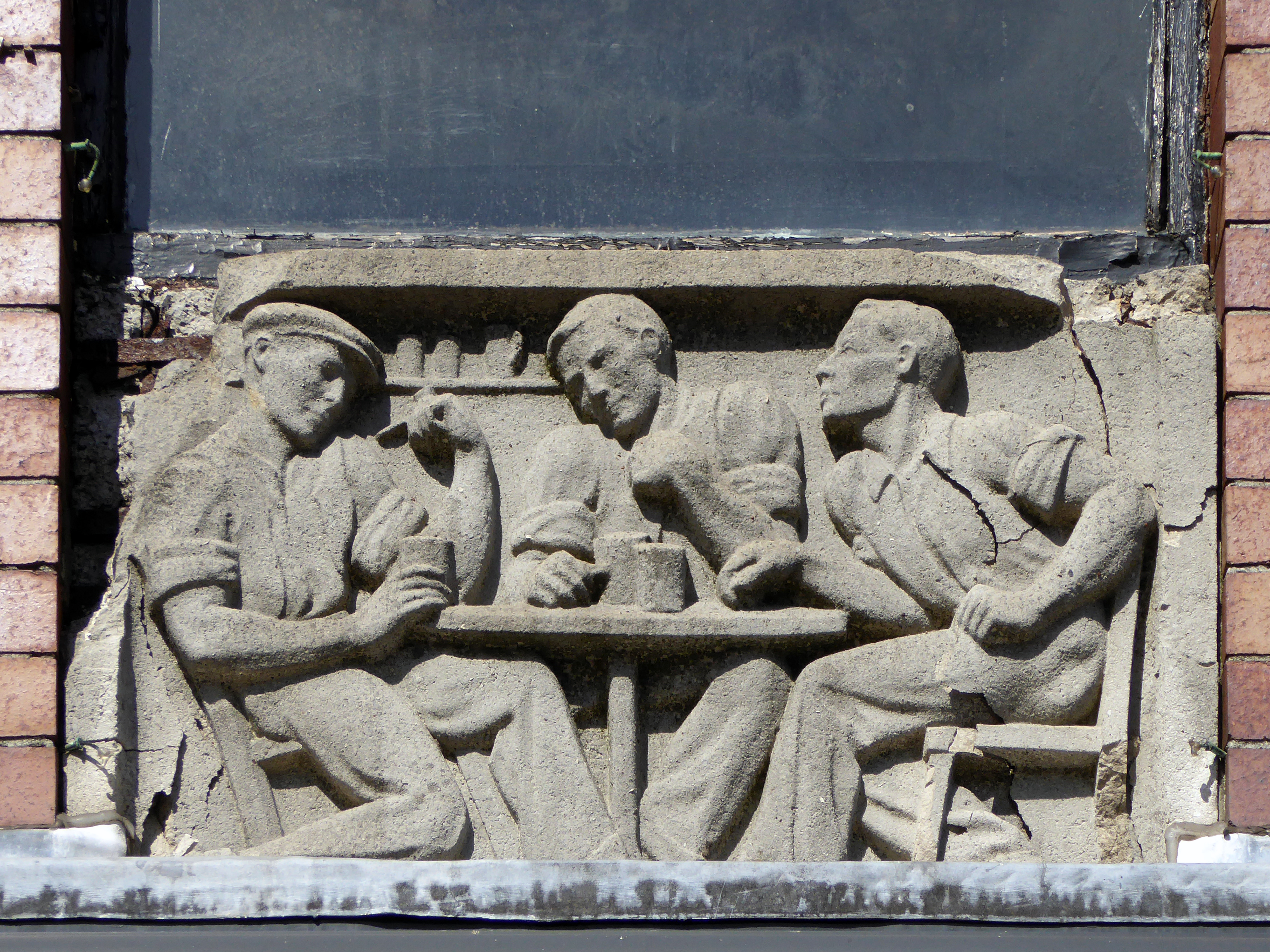
Image: George Symes

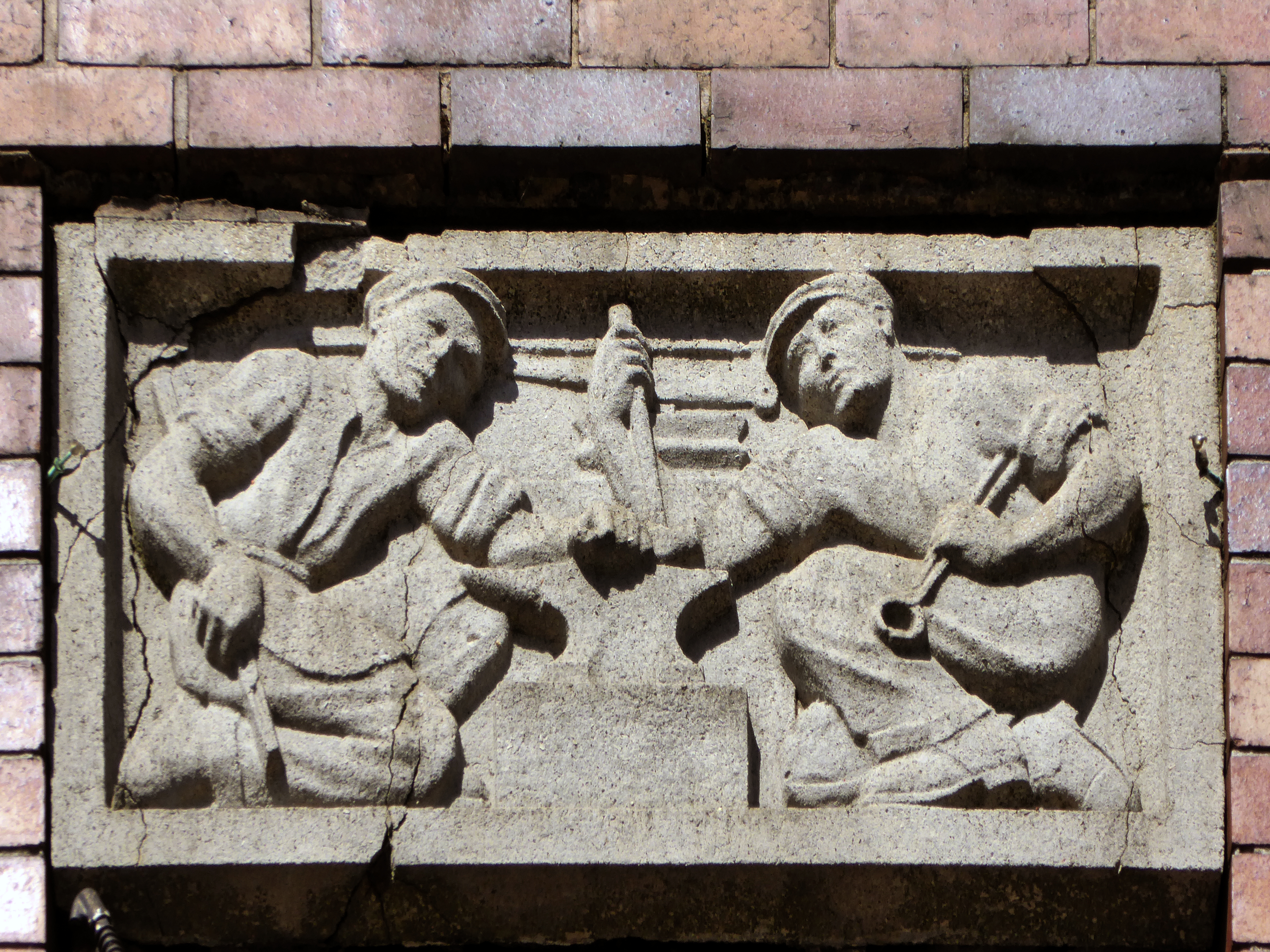
These two carved panels have been removed.
Just around the corner is the former Kings Picture Hall – currently Bees Knees.

Located in the town centre, directly opposite the Coliseum Theatre. The King’s Picture Hall was opened 18th September 1911. In October 1912 a café was opened in the building adding a further amenity to the cinema. In 1929 it was equipped with a British Thomson Houston sound system.

The King’s Picture Hall was closed on 25th June 1966 with Ryo Ikebe in Battle in Outer Space and Randolph Scott in Comanche Territory.
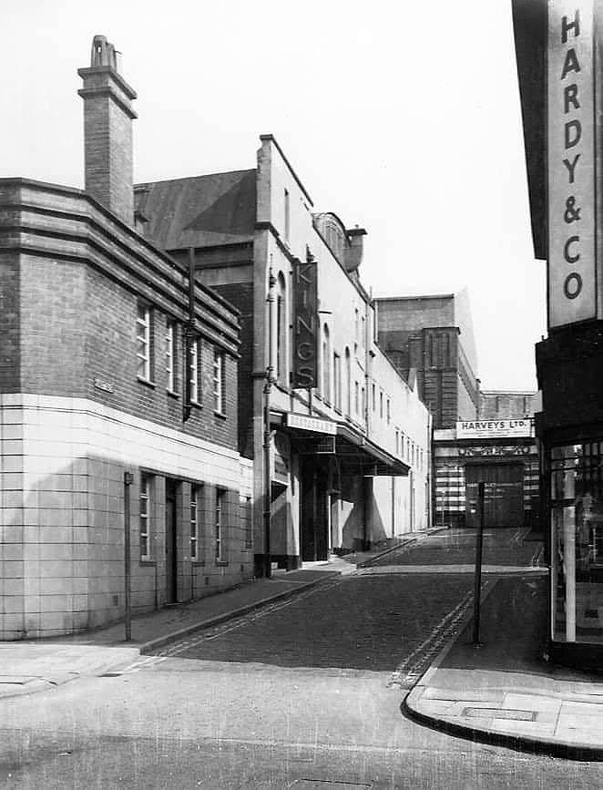
On 2nd July 1966 it was converted into a bingo club.

In 2006 it was a nightclub.
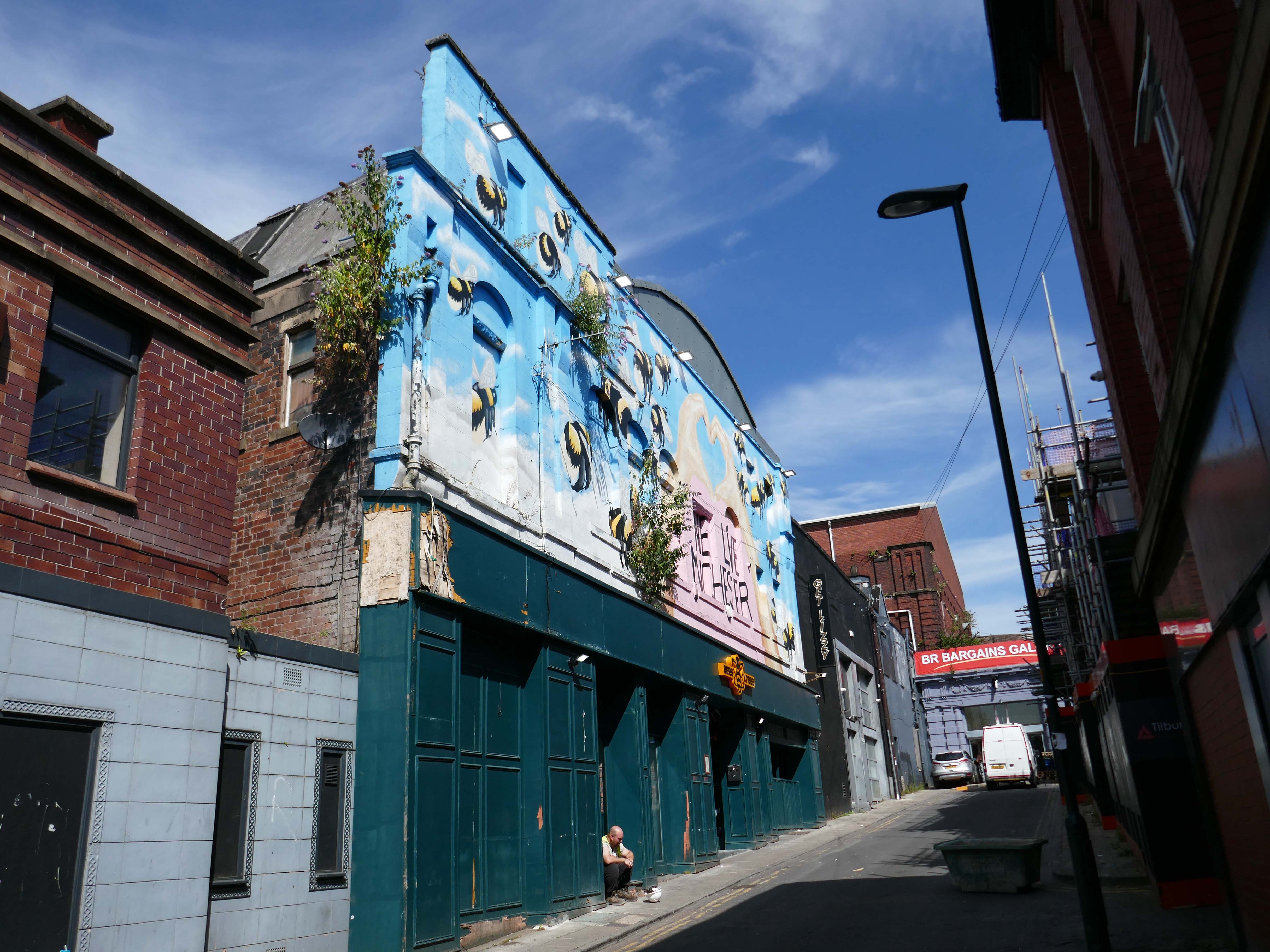
Cinema Treasures

A stand of shops – stepped the accommodate the incline, partially clad in Westmorland Slate.
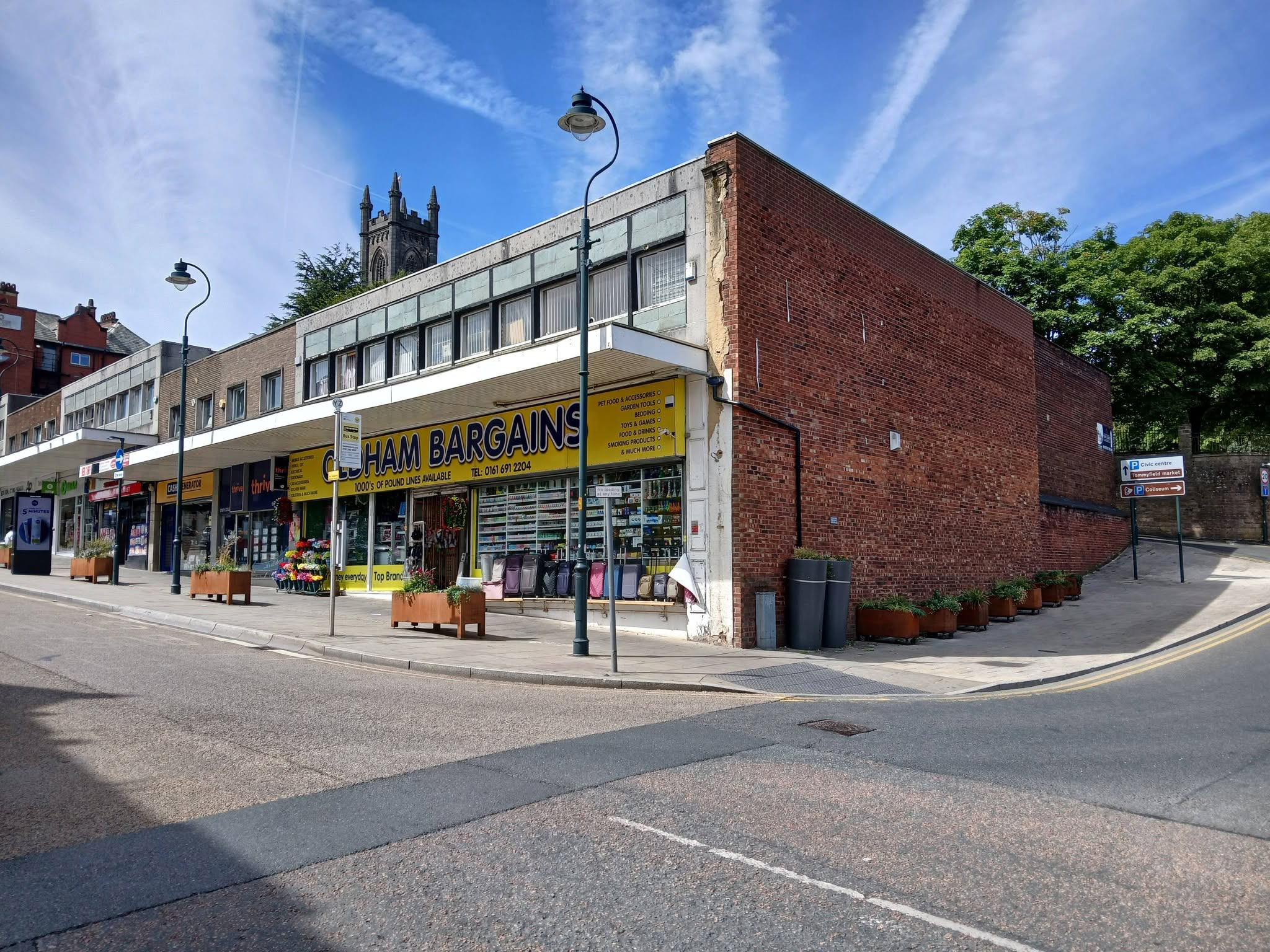
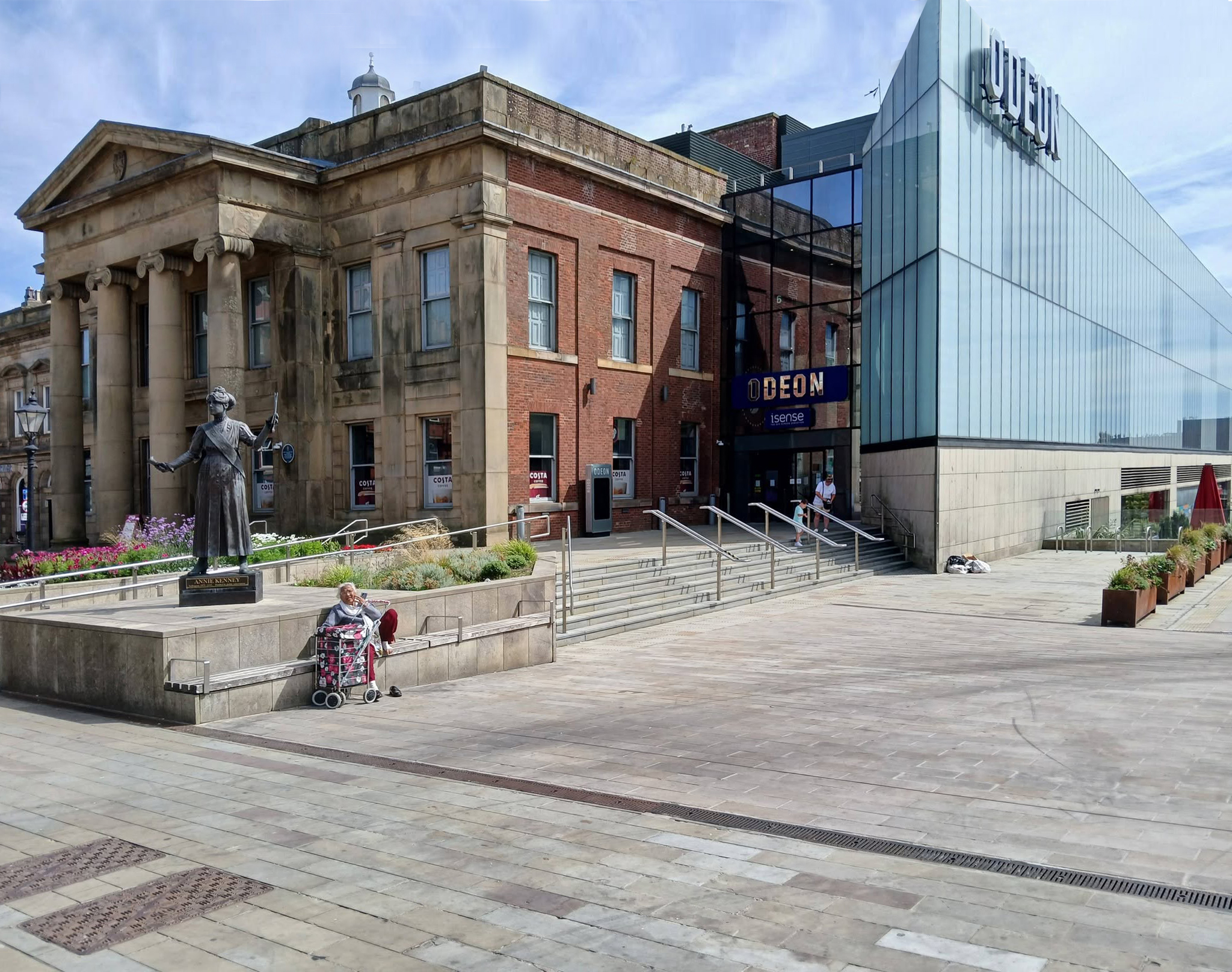
Oldham Town Centre now has a new high-quality public space – Parliament Square

Six new restaurant units will be located within the Old Town Hall alongside a brand new 800-seat, seven screen ODEON cinema.

BDP 2017

A stunning glass extension to the side of the Grade II-listed building provides access to the various levels of the cinema and is also the frontage to the new restaurants.

George Woodhouse of Bolton 1841, extended by Edward Potts of Oldham 1879-80. 

Oldham Gov

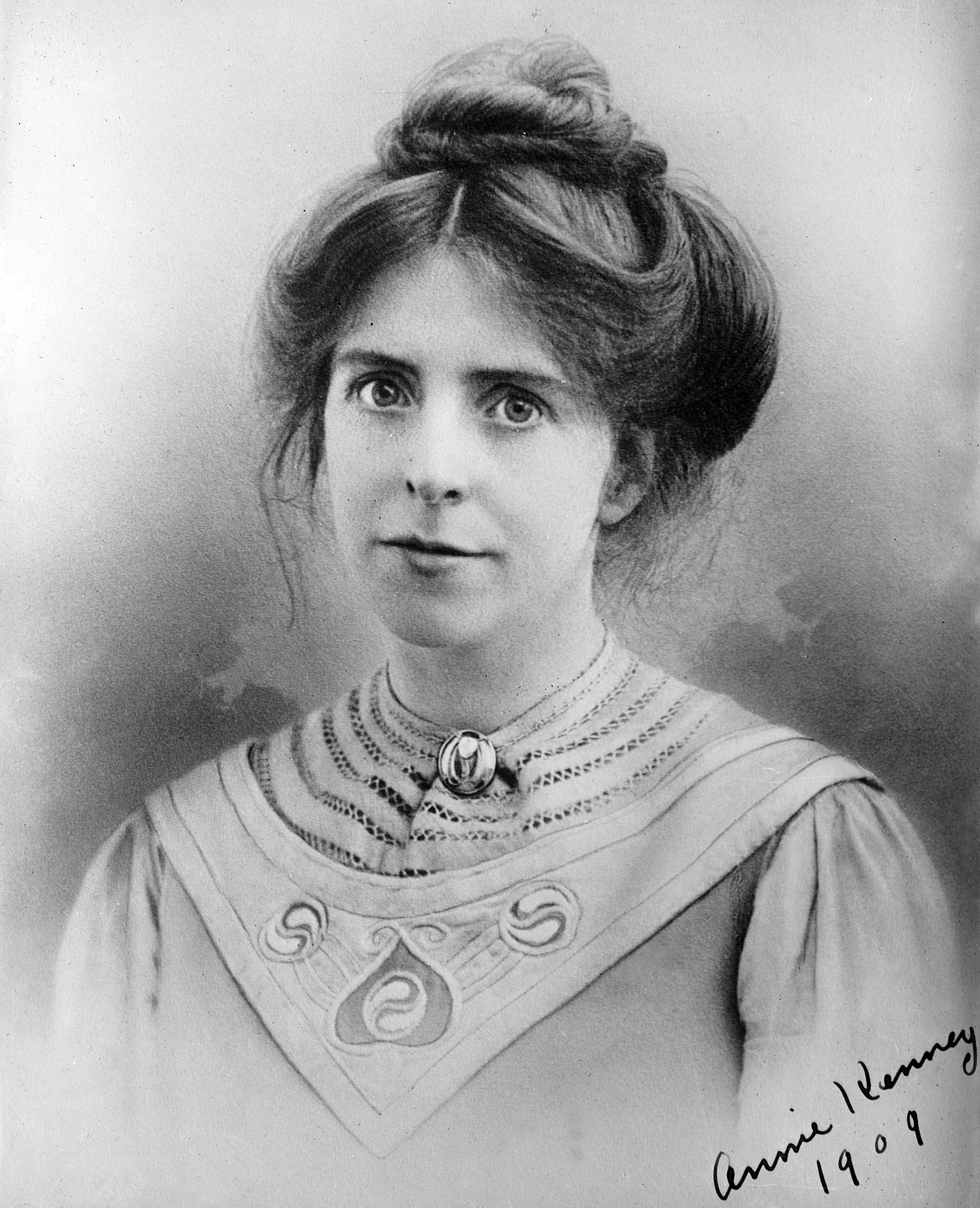
To the left is a statue of Springhead born Annie Kenney – political activist, socialist feminist and suffragette, modelled by Denise Dutton, unveiled 14 December 2018.
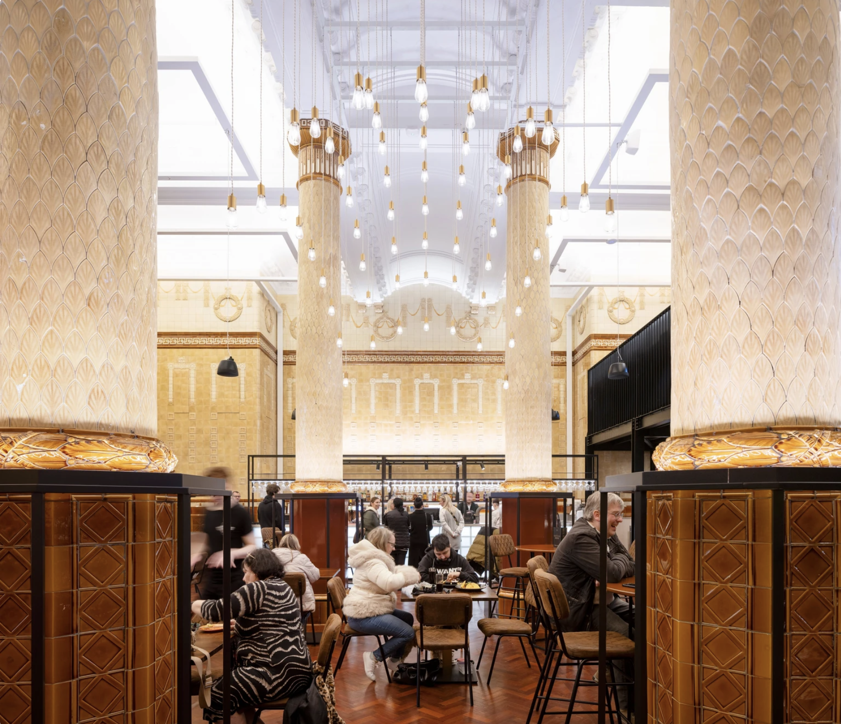
The Egyptian Room Food Hall project extends BDP’s partnership with Oldham Council and the rejuvenated Grade II listed Old Town Hall building in Oldham town centre, the main transformation of which was also designed and delivered by BDP.
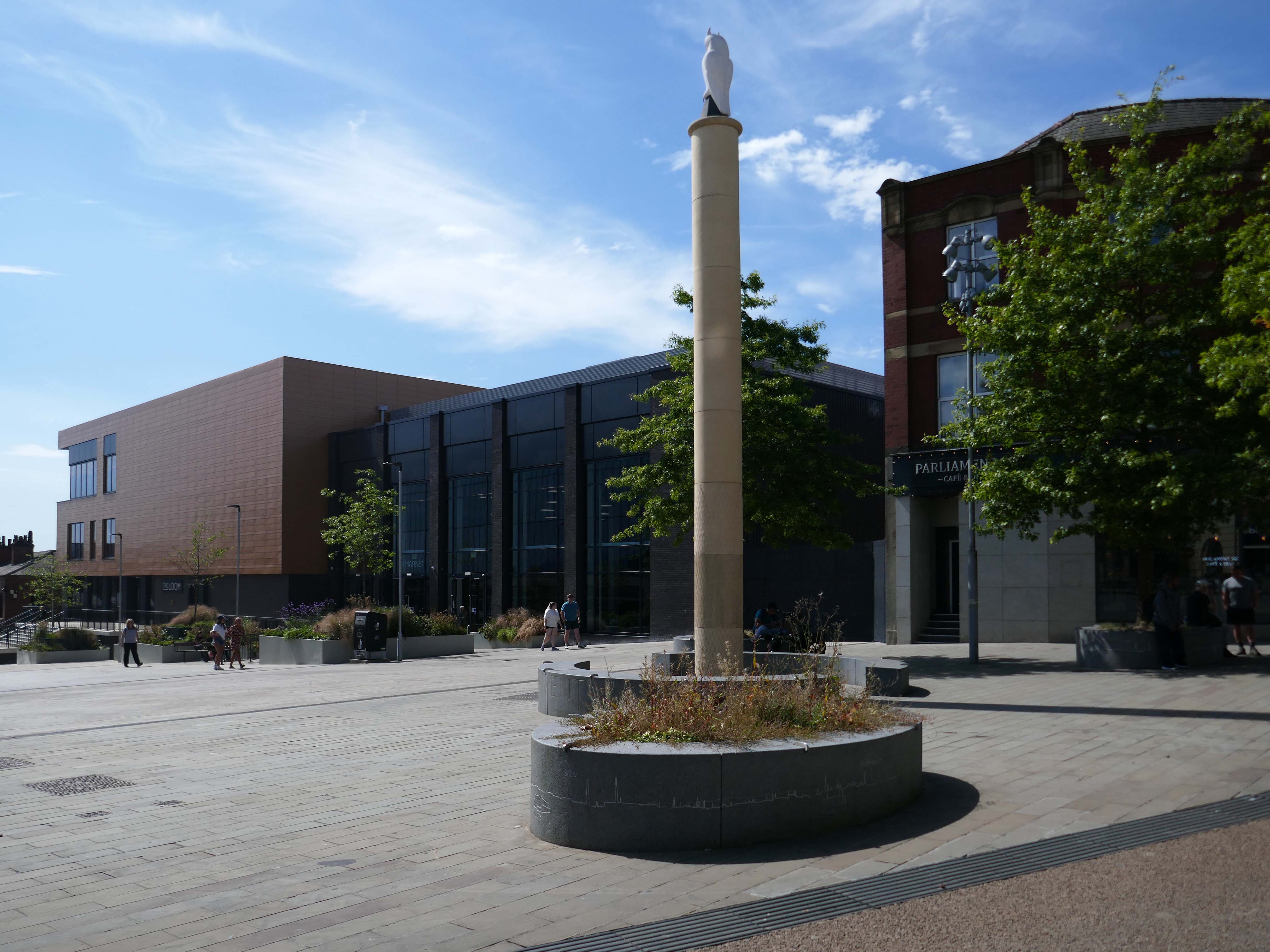
The Loom is a brand new events space next to Oldham’s new indoor market on Parliament Square in the town centre. The gala-sized event space can fit up to one thousand standing guests, seven hundred seated, or five hundred dining, or can be split-off into smaller rooms for exhibitions, gigs, or theatre performances.
Design for a war memorial chapel, St Mary’s Church 1920.

Architect: Nugent Francis Cachemaille-Day.

Artist: H Lewis Curtis.
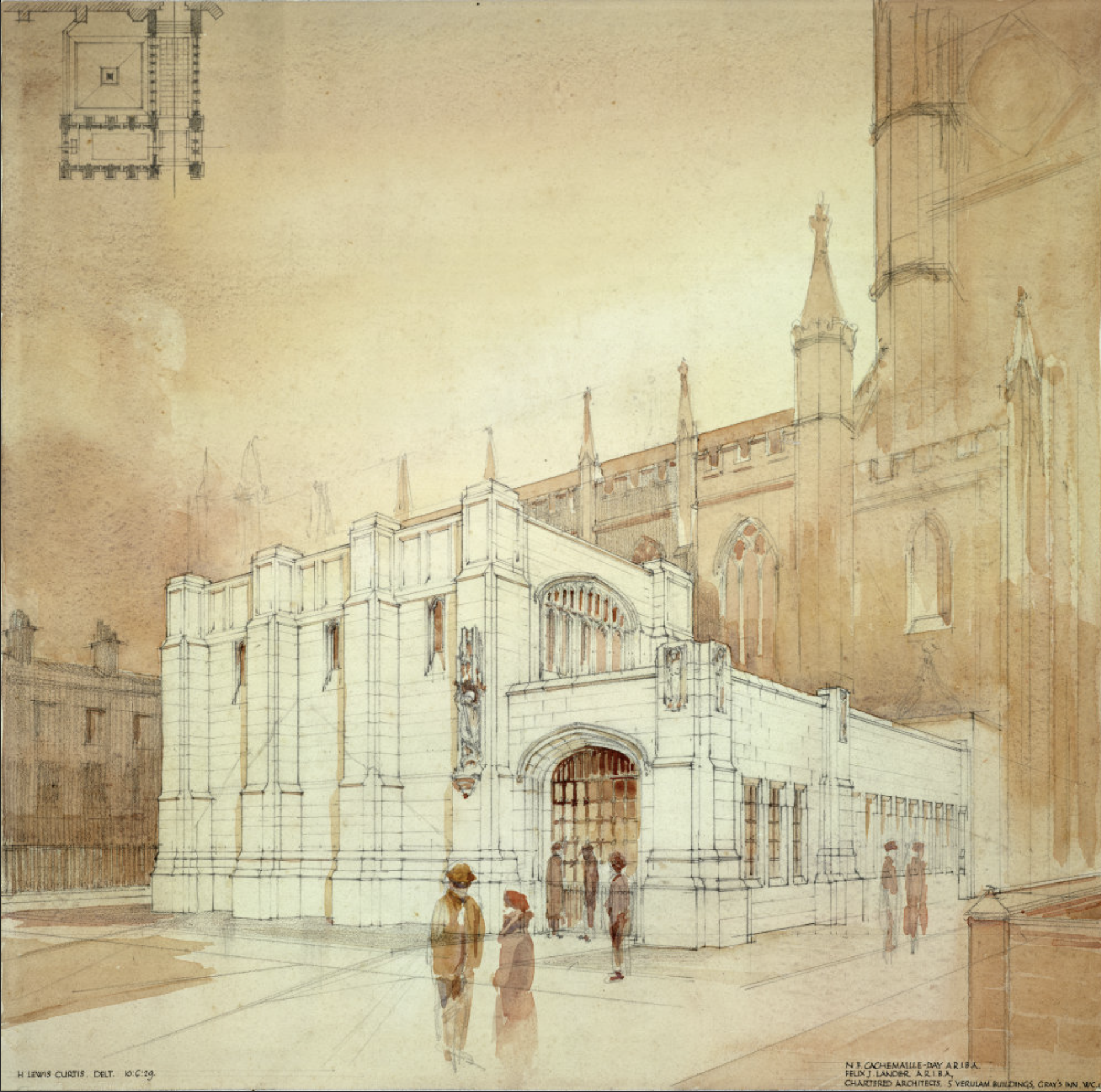
Image: RIBA pix
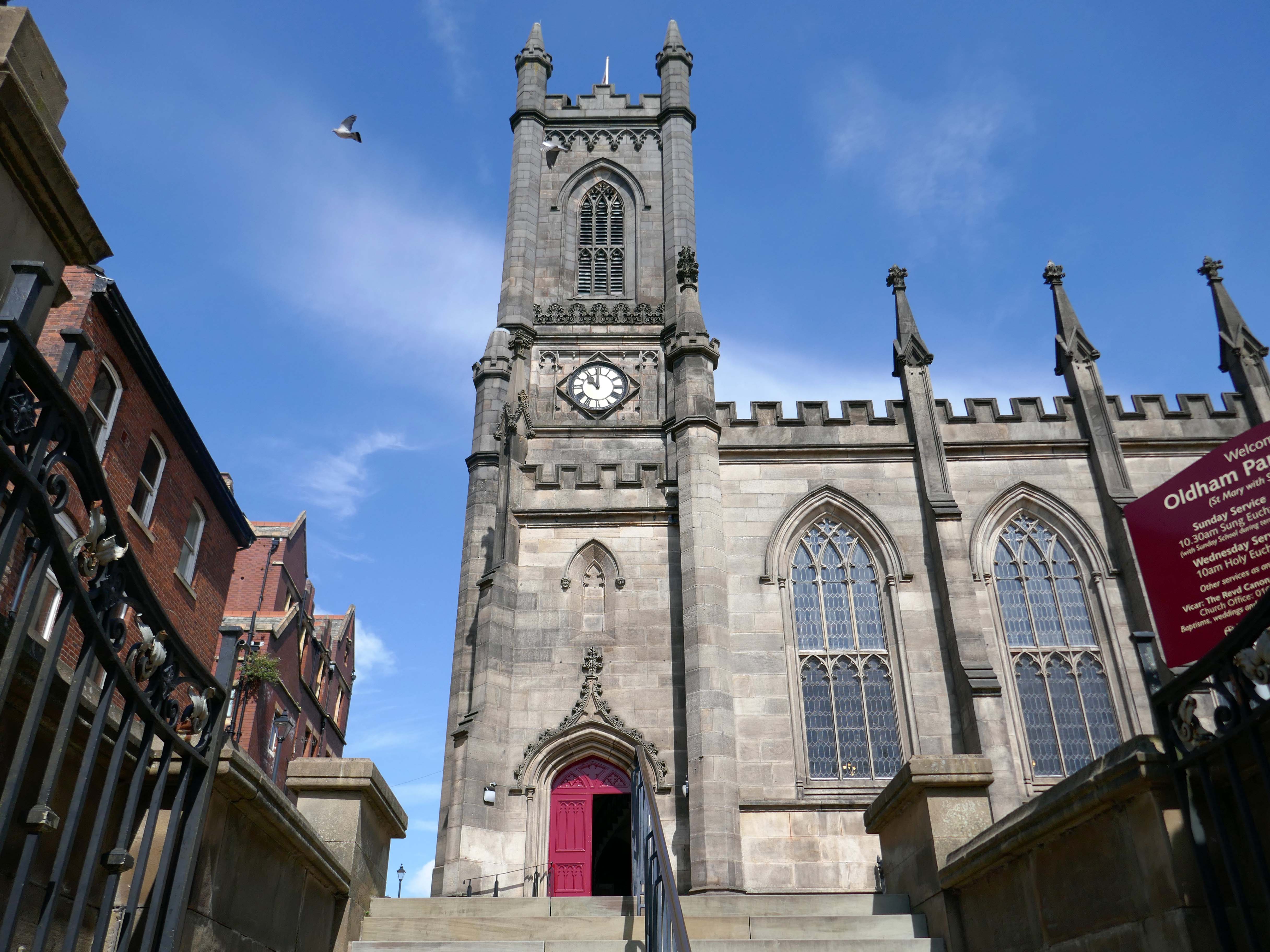
Next to the former Yorkshire Bank 1970 John Brunton & Partners.
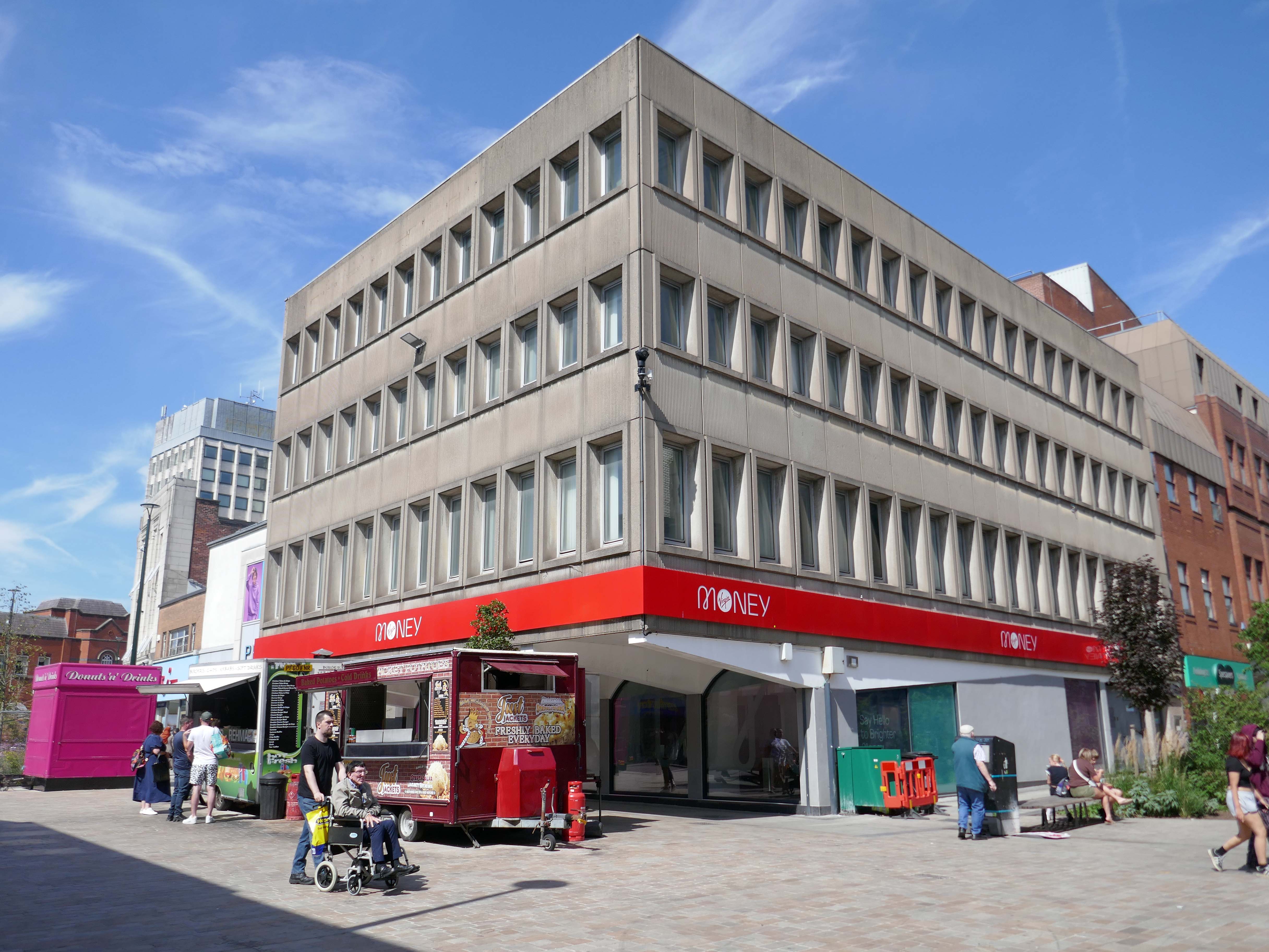
Under construction 1970
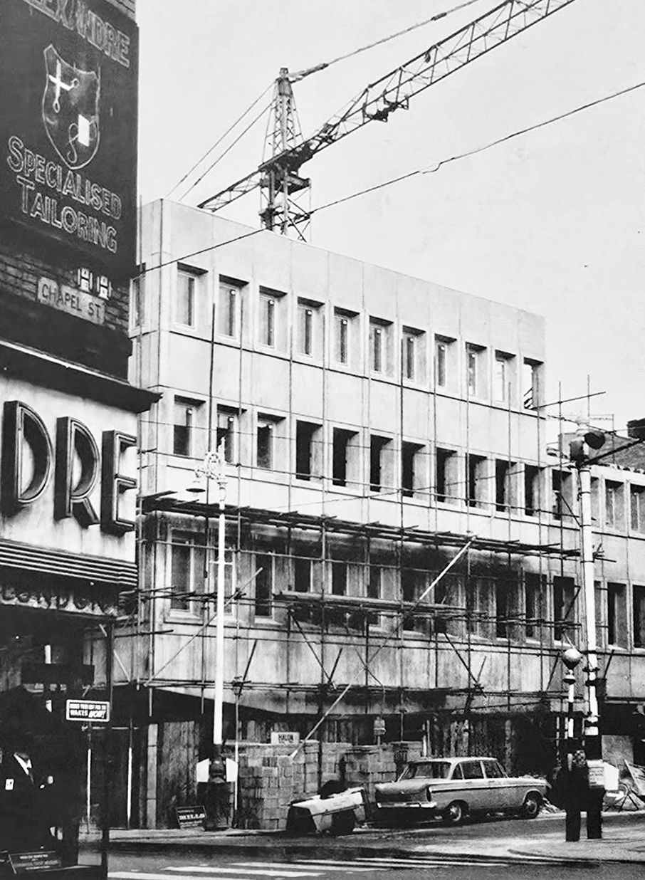
Image: Kayla Chadwick

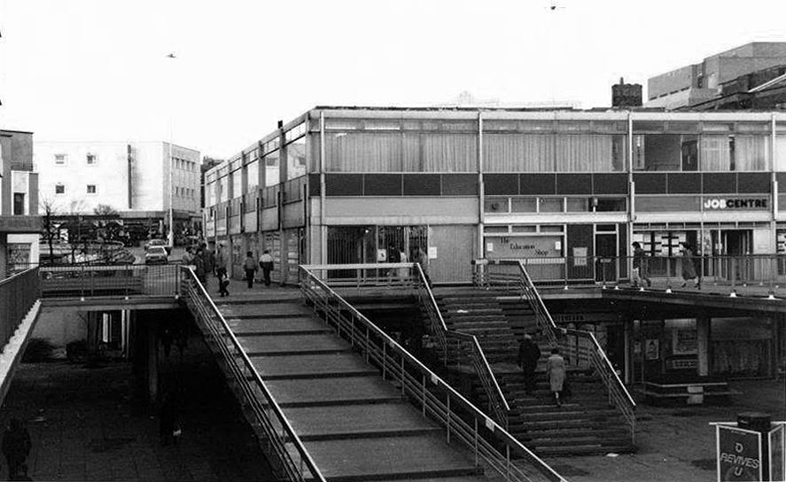
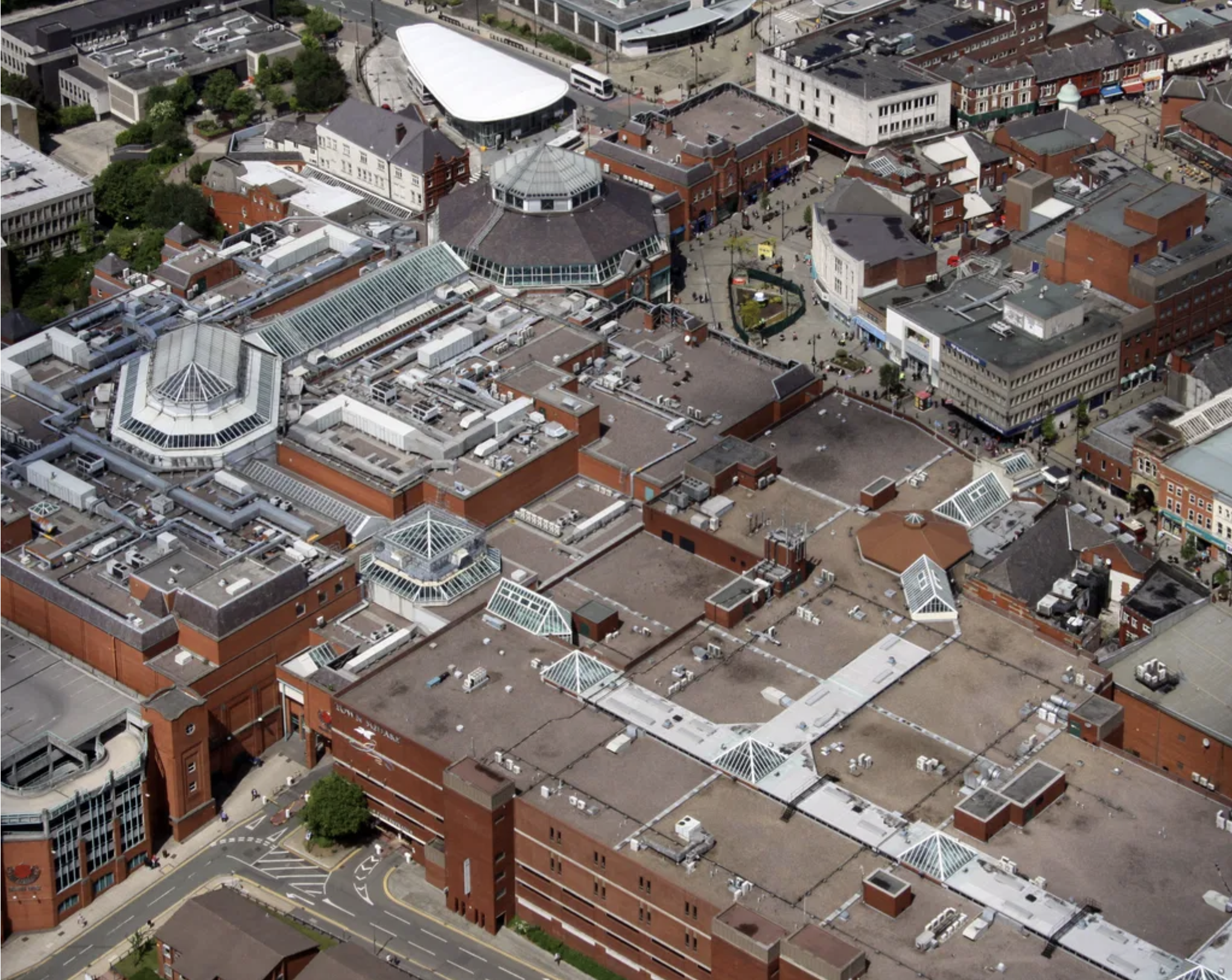
Down to the Spindles Shopping Centre 1991

Originally the site of St Peter’s Shopping Centre architect Richard Seifert

St Peter’s House – housed Oldham Area Health Authority Administrative Offices
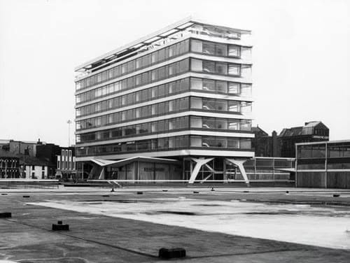
Images: Yesteryear Oldham then & now 

Spindles has been revamped by AEW Architects.
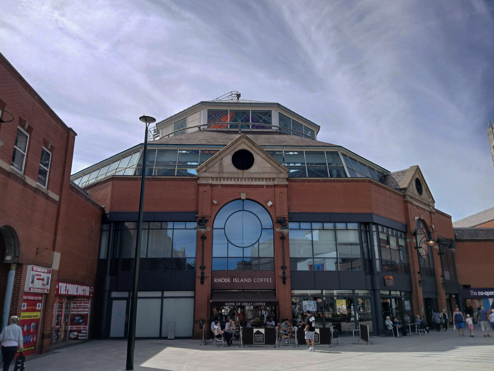
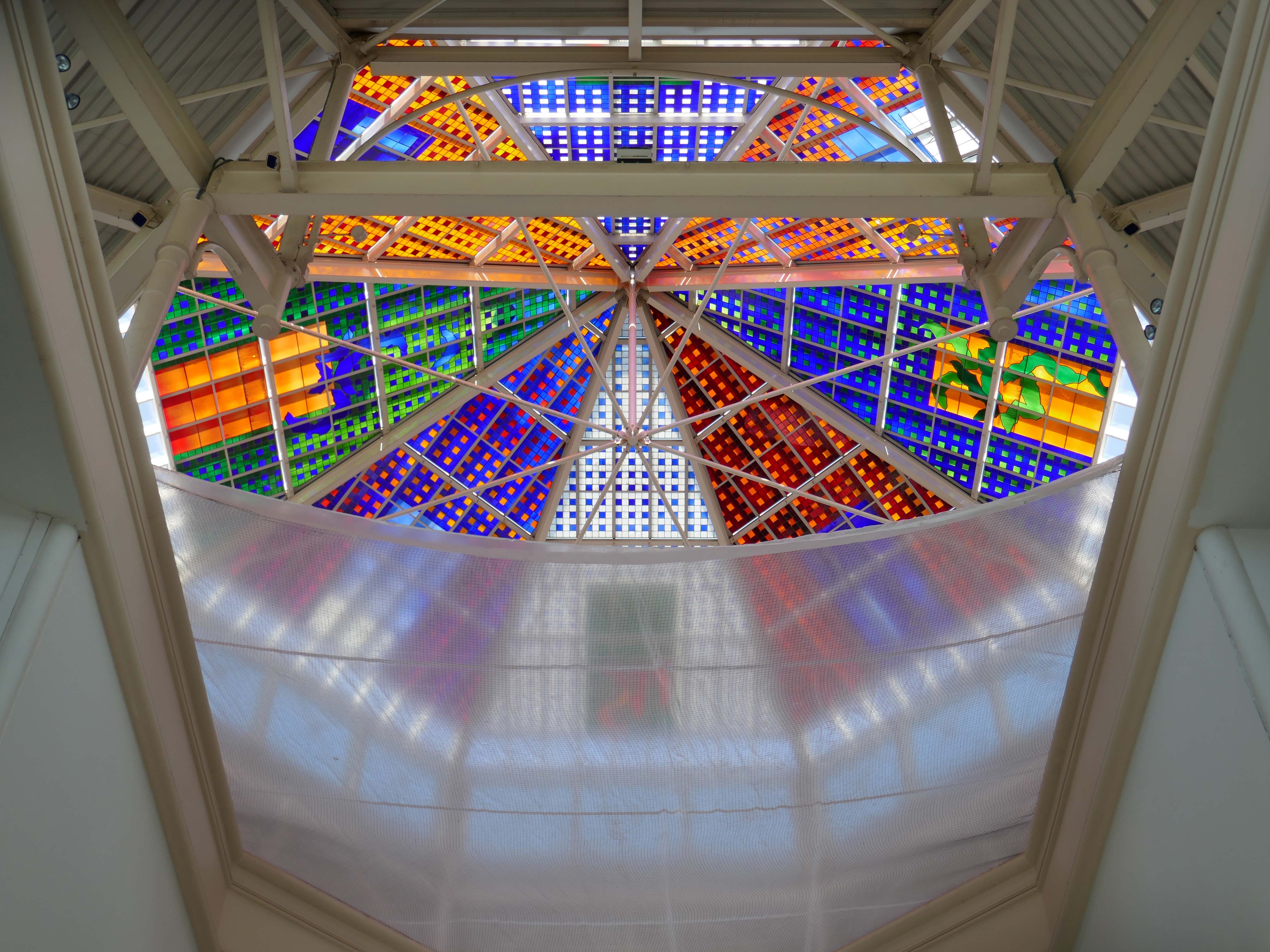
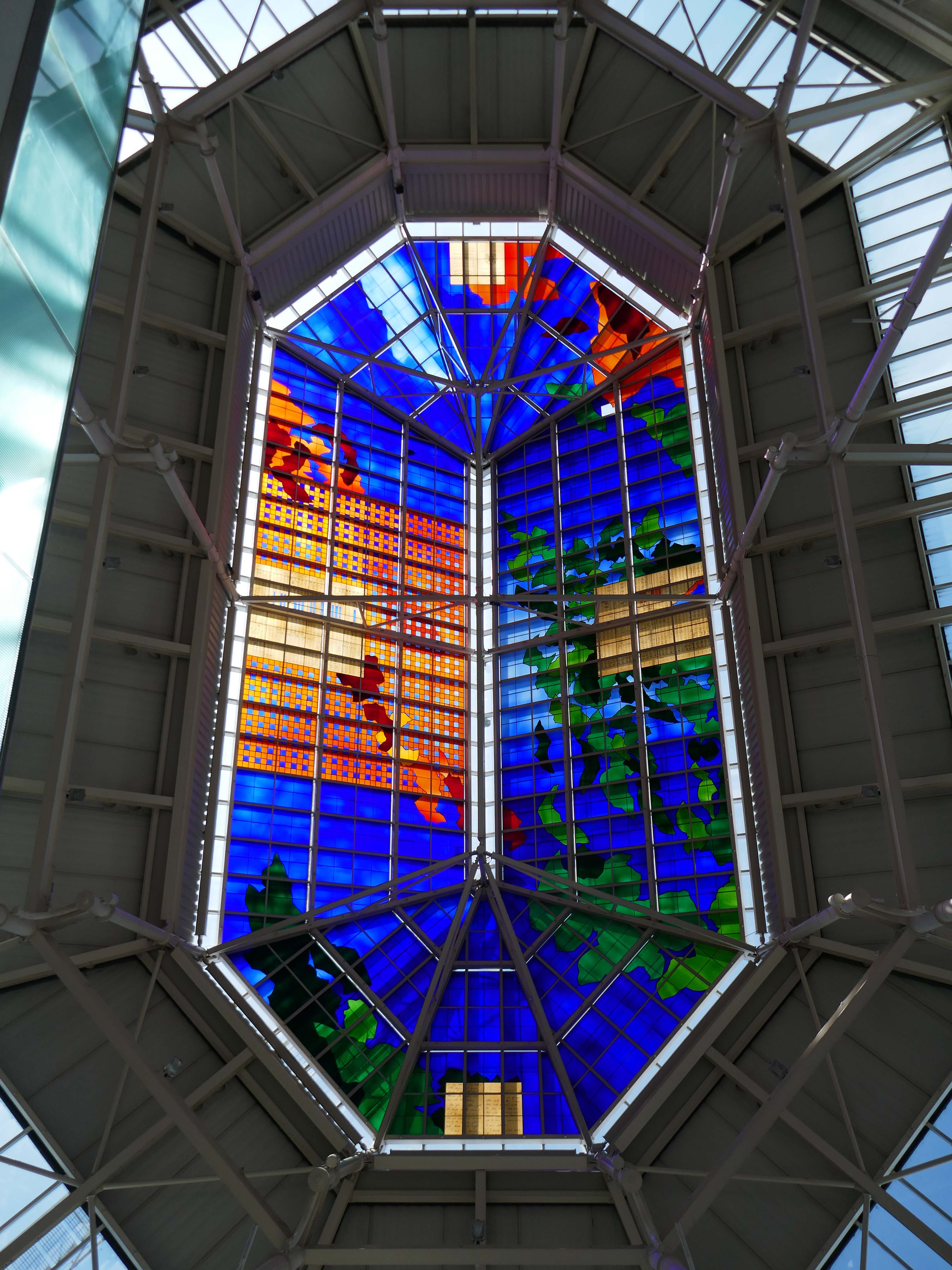
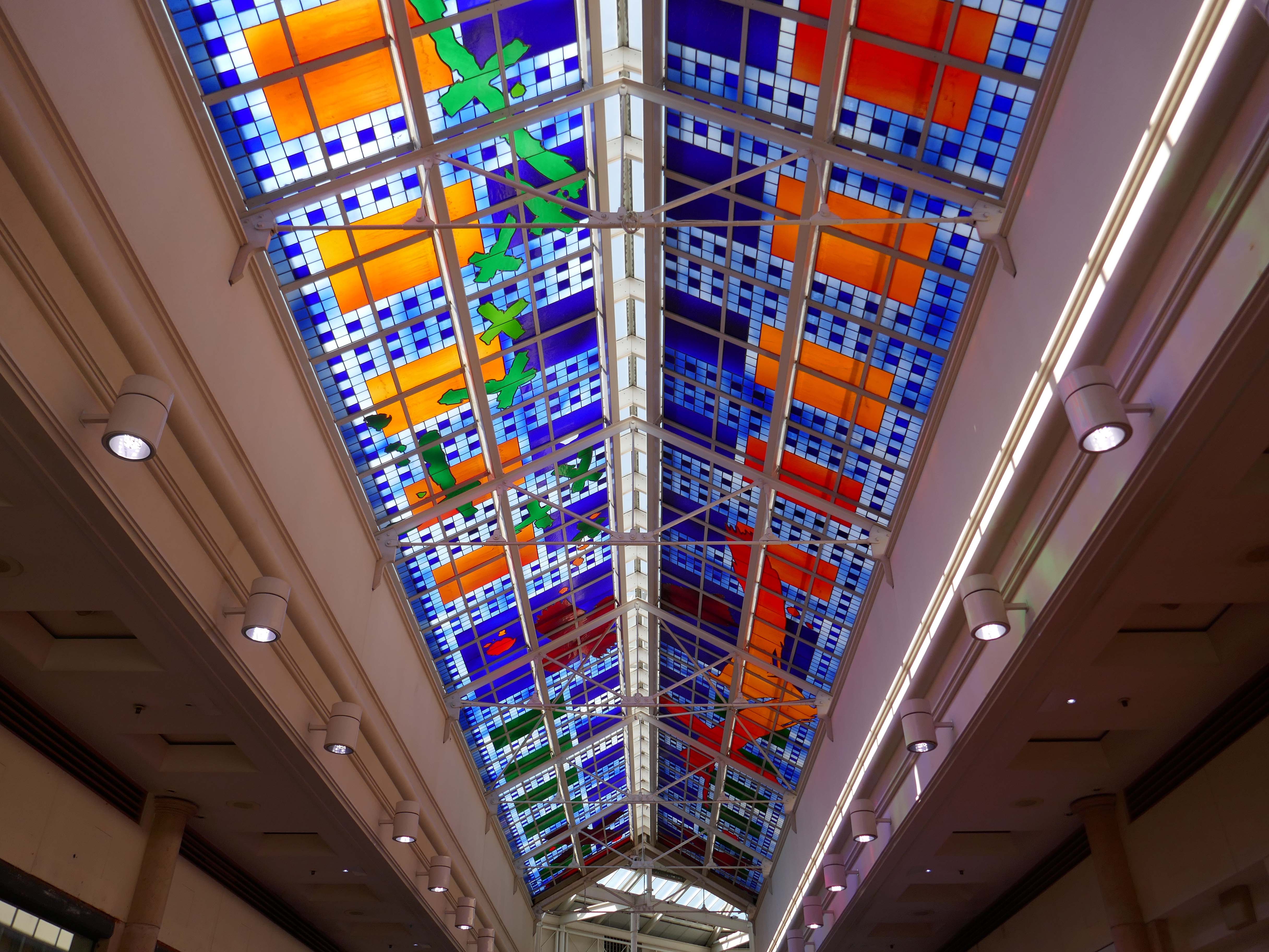
Stained glass by Brian Clarke installed in 1993.
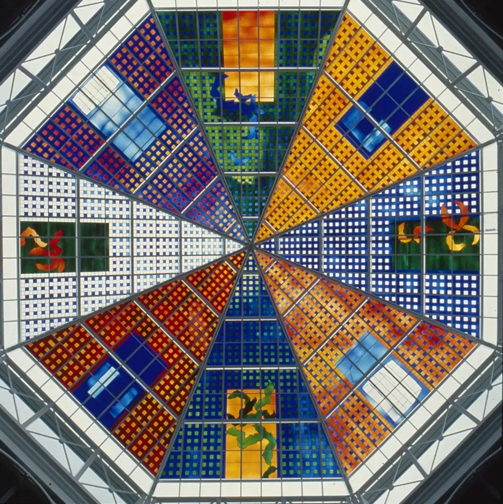
Between 1990 and 1993, Brian Clarke designed a series of three interrelated roof lights in stained glass for the Spindles Shopping Centre in his hometown of Oldham, Lancashire. Among the largest stained glass windows in Europe, and some of the largest public artworks in the UK, these panels connect the main public areas of the principal shopping centre in the town.
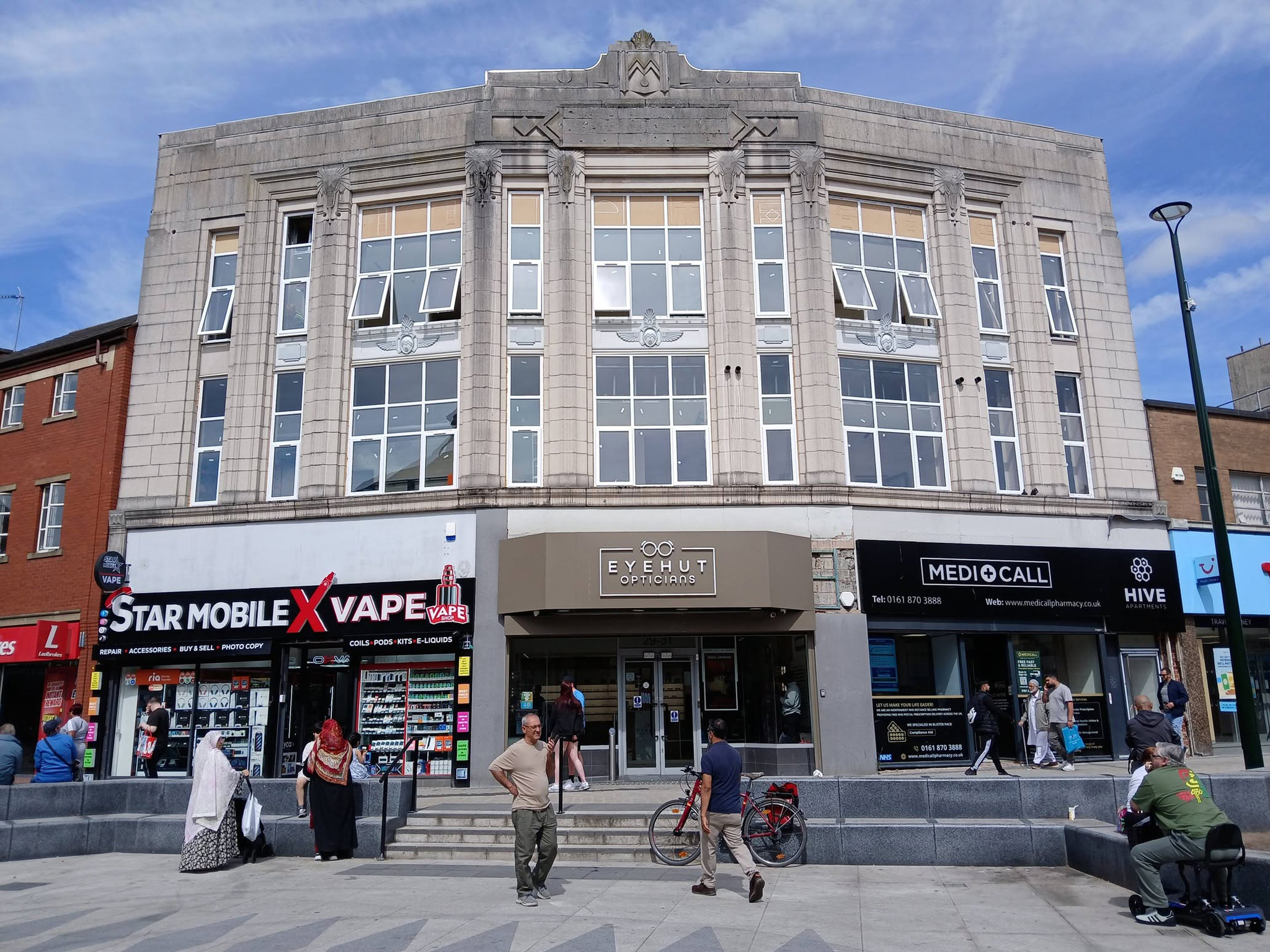
No town walk would be complete without a former Burton’s.
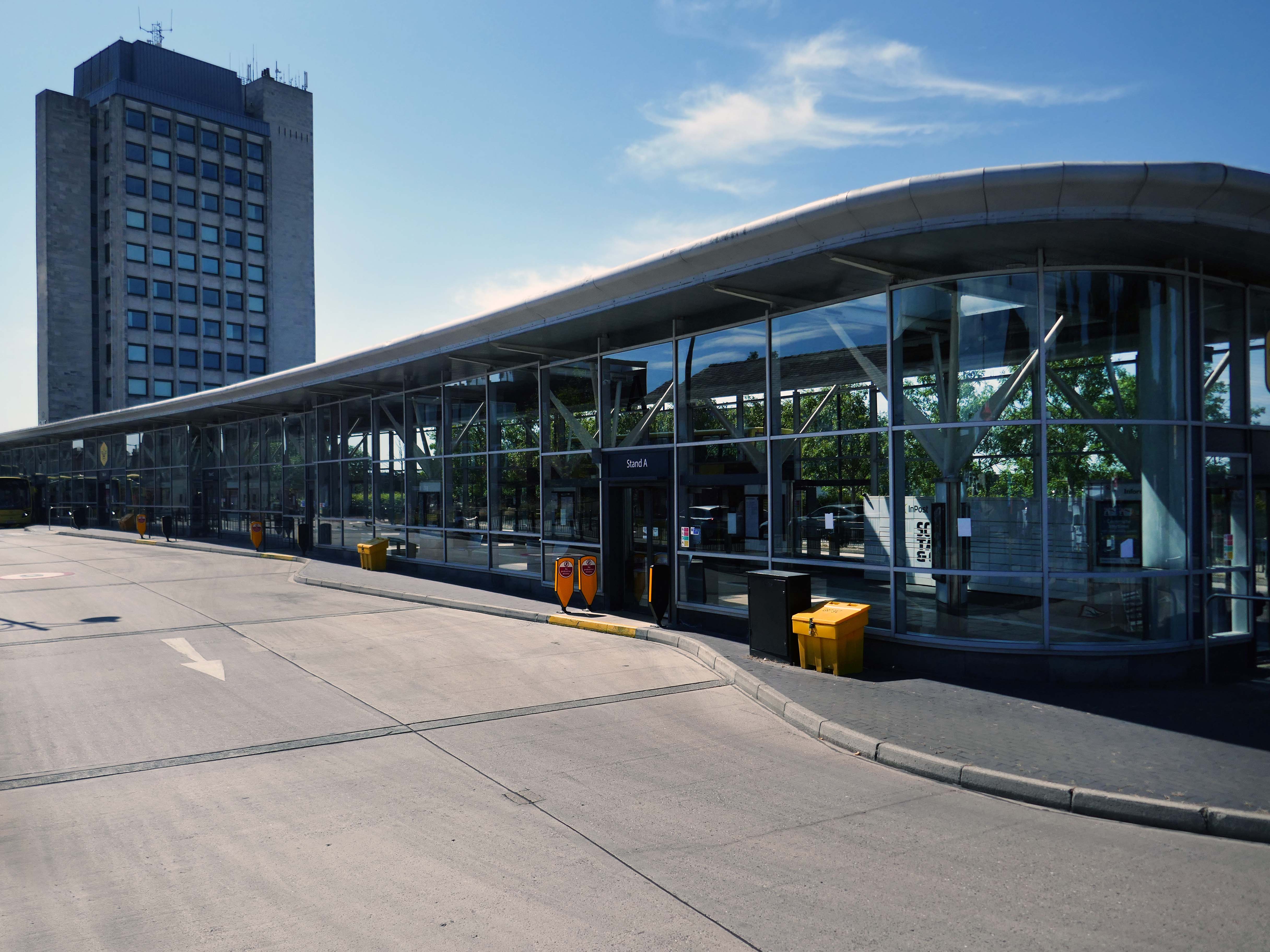
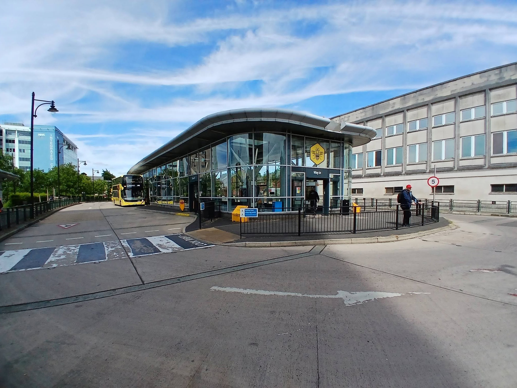
Next to the Bus Stations 2008 Austin-Smith Lord situated either side of the Civic Centre.
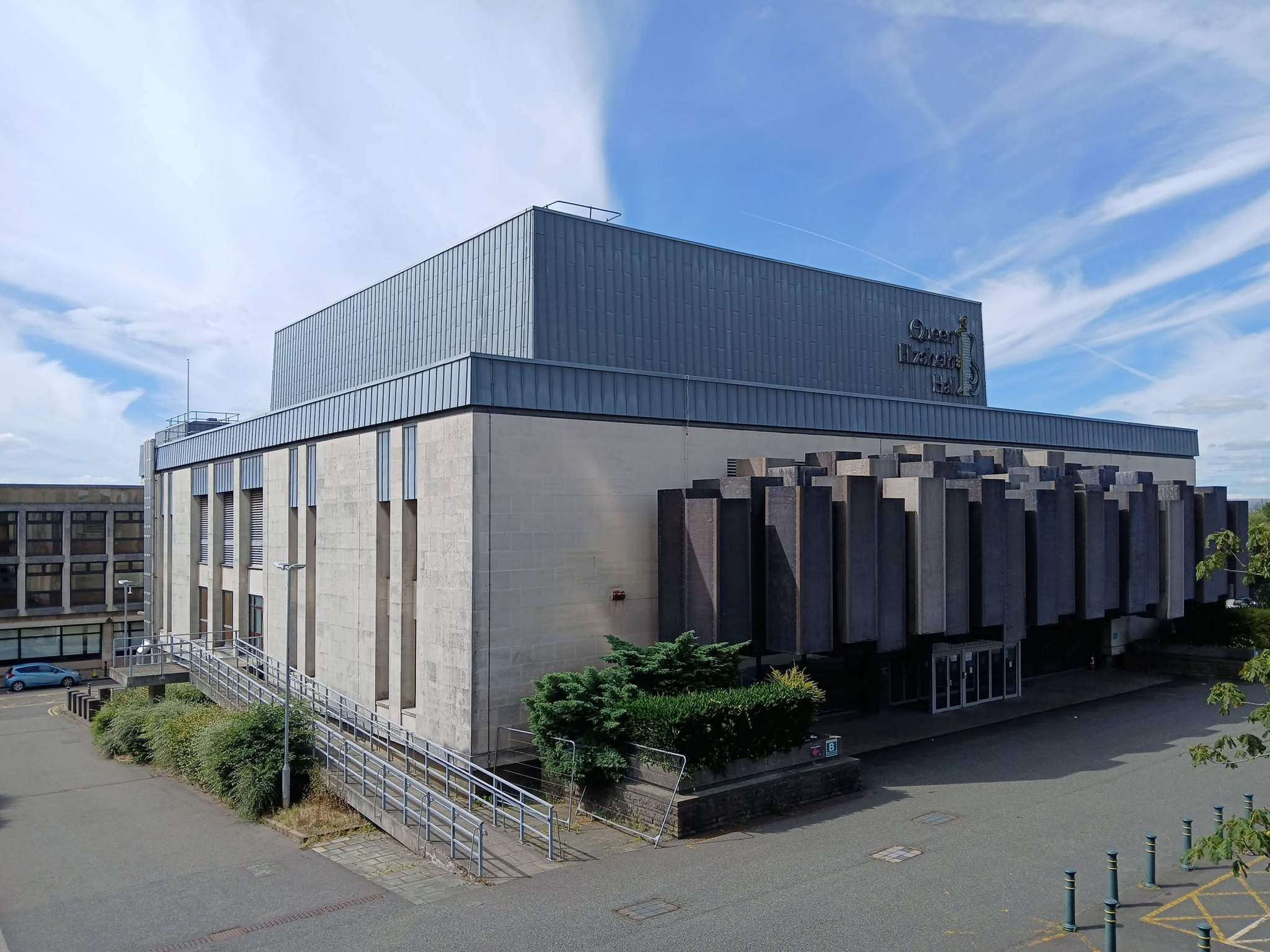
In the midst of it all is the Queen Elizabeth Hall.

The Queen Elizabeth Hall in Oldham will soon open its doors for the last time before it permanently closes to the public and is prepared for demolition. Since being condemned for containing Reinforced Autoclaved Aerated Concrete – RAAC in 2023, its days have been numbered.

Now the old theatre is part of plans to bring 2,000 new homes into the town centre in a partnership between Oldham Council and the developers Muse.
Oldham Times

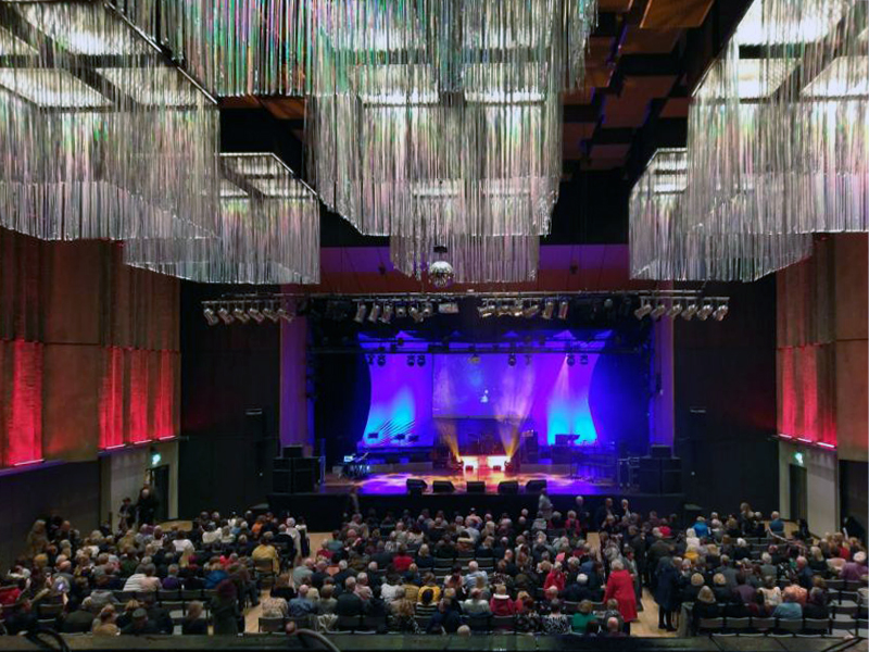
Chris Connor as Elvis at the Oldham Queen Elizabeth Hall.
Surrounded on two sides by the Civic Centre – the lower parts are by Richard Seifert & Partners 1962, the fourteen storey Tower and Hall 1974-78 are by Cecil Howitt & Partners.

Plans are underway at the civic centre, the largest site in the regeneration project, to create a vibrant community providing eight hundred and thirty eight homes rising up to fifteen-storeys with mixed-use commercial spaces on the ground floor. This development will integrate seamlessly with the surrounding neighbourhood, particularly the nearby Former Magistrates’ Court site. The Civic Tower at the edge of the site will be retained and redeveloped as a hotel in a later phase.
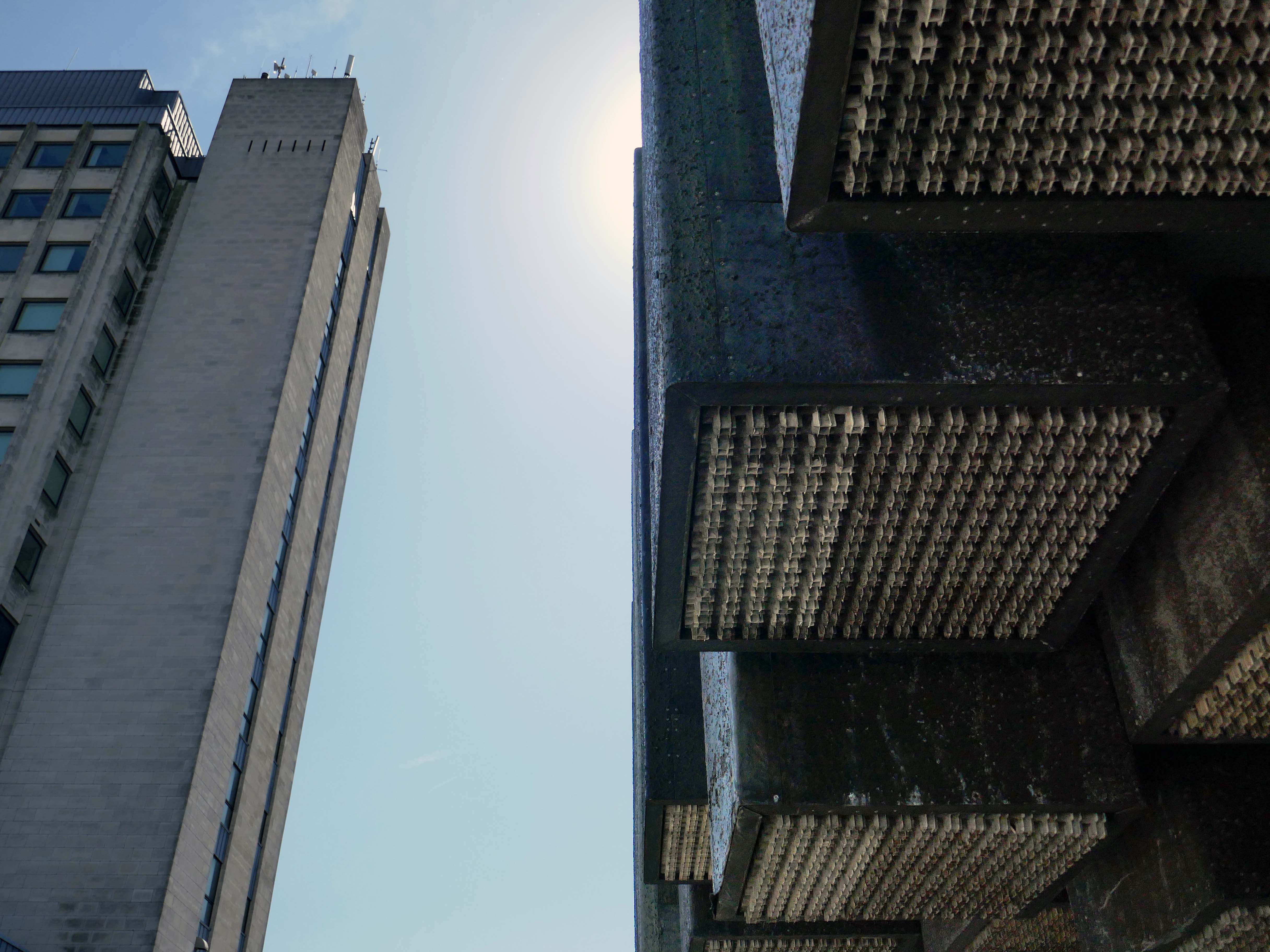
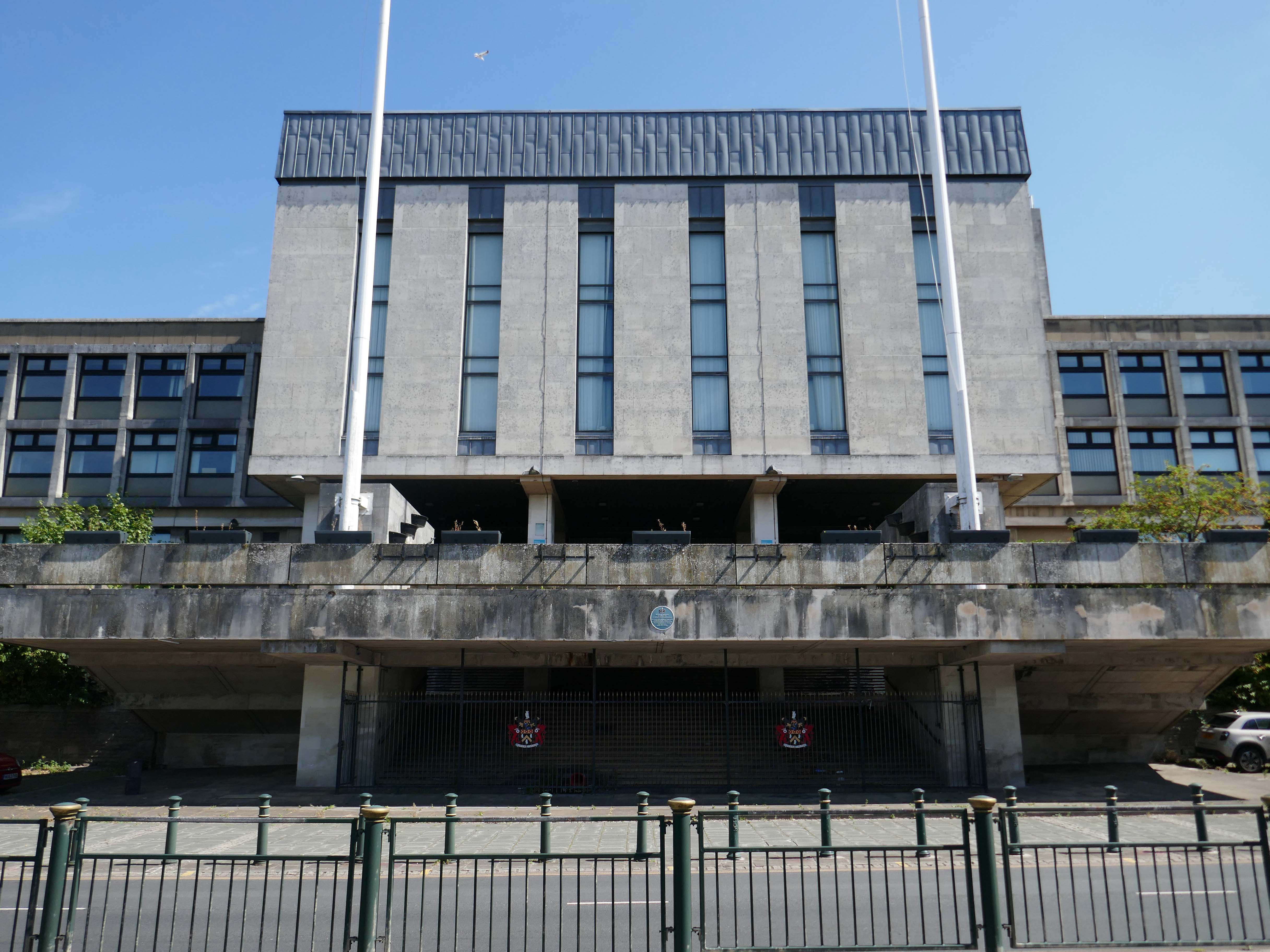
Where have the Magistrates’ Courts gone?

Architects: Leach Rhodes Walker 1977.
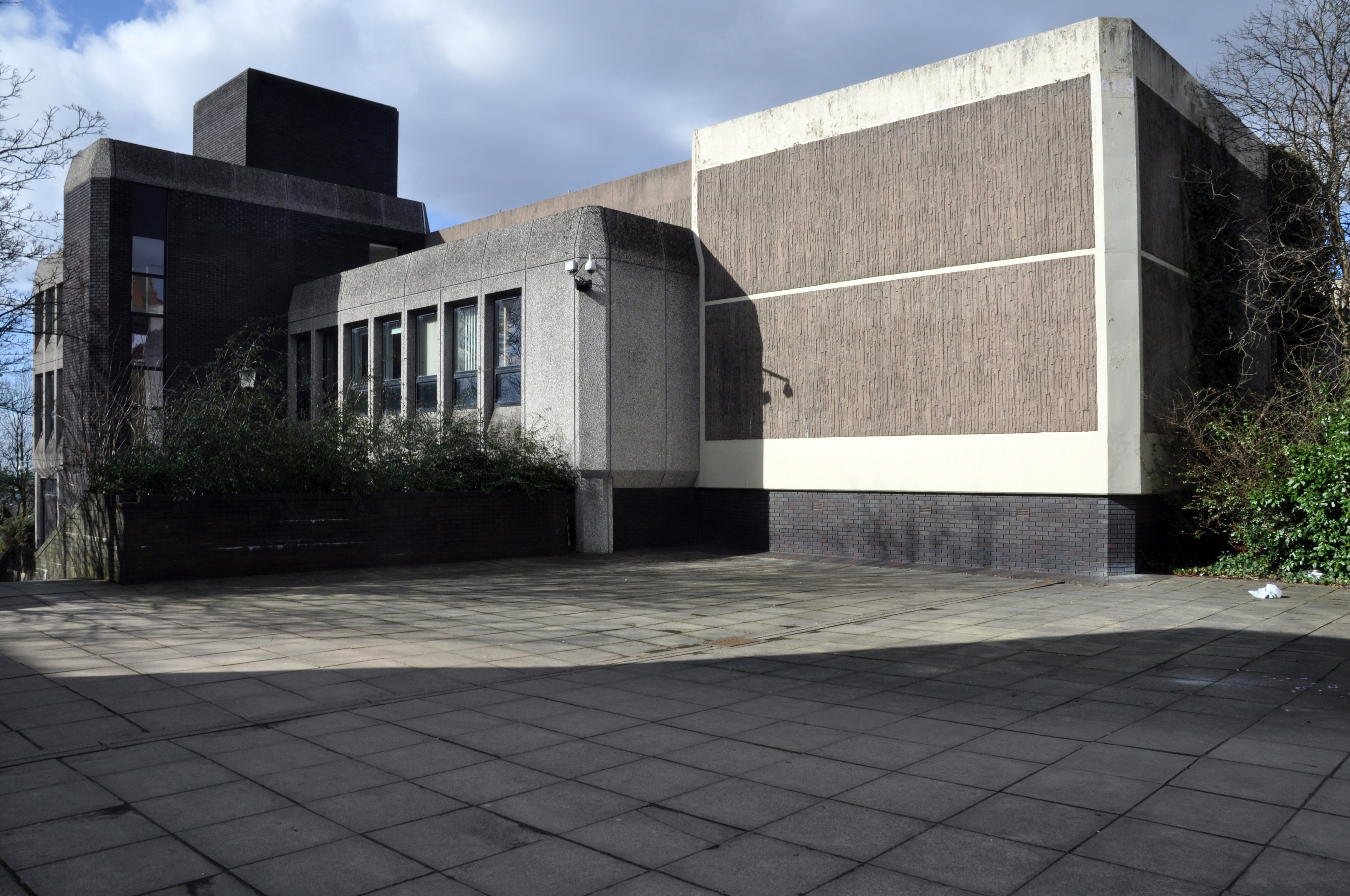
Demolished in 2019 to make way for further redevelopment.
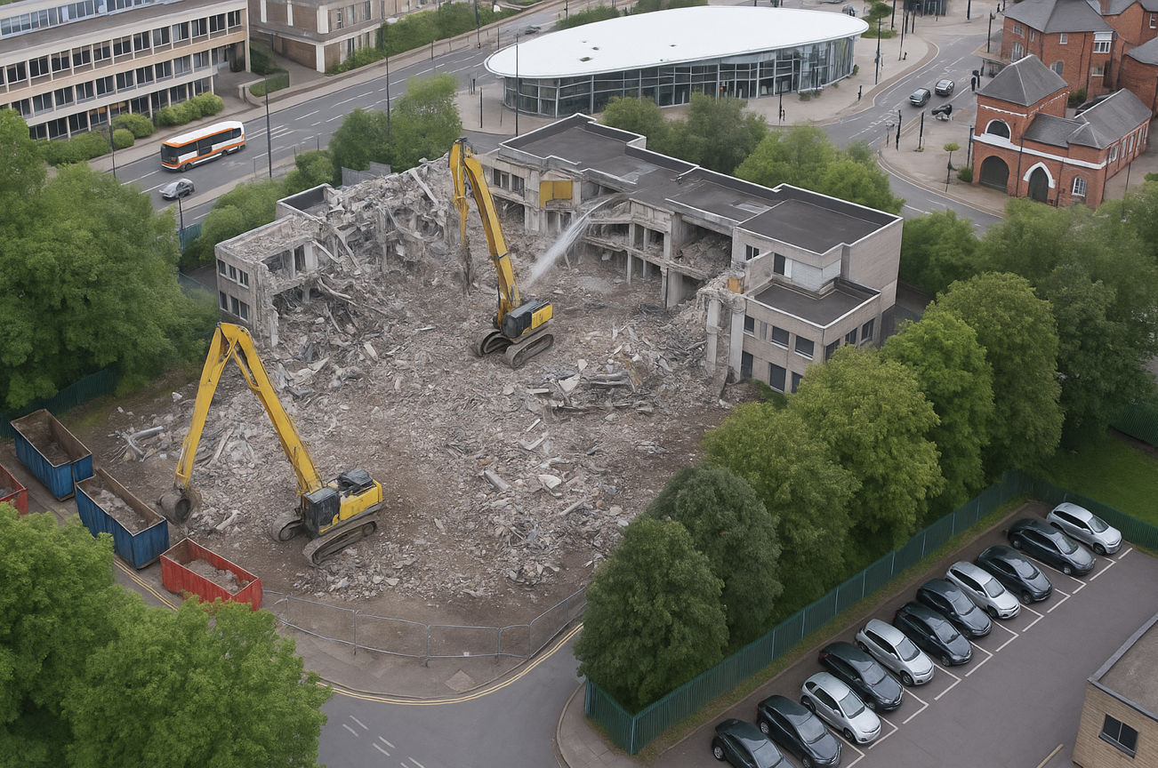
The proposals for the Former Magistrates Court site include two hundred and nineteen new homes with the tallest block ten-storeys and a green route connecting Manchester Chambers with King Street. The designs have been developed to ensure a unified neighbourhood with a common design language and seamless movement between other sites. 

Team Civic

Oldham Council and Muse intend to work in partnership over the next 15 years to develop the sextet of council-owned brownfield sites across the town centre.
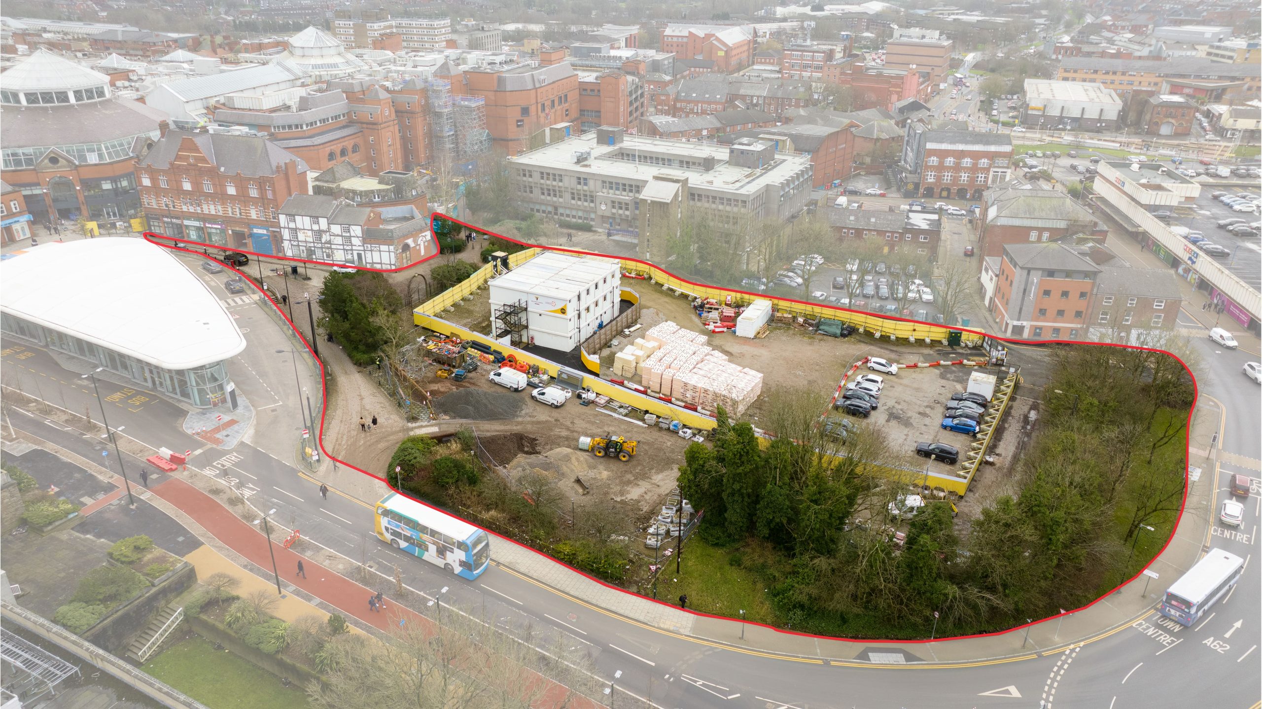
Place North West

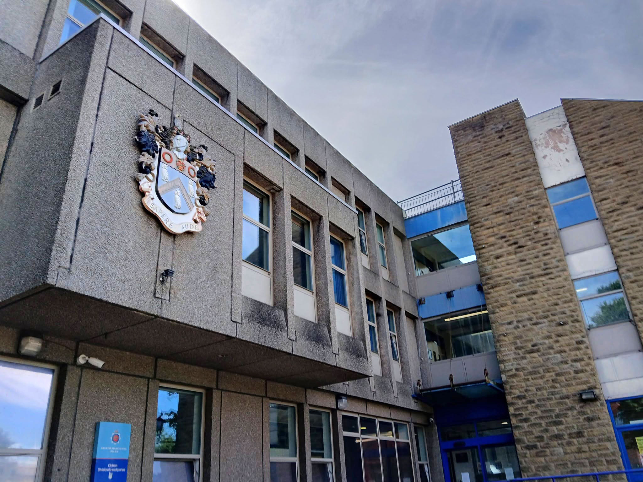
Next door the Police Station – architects: Leach Rhodes Walker.
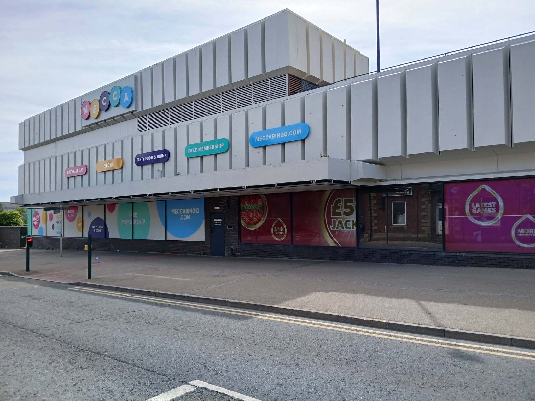
Next to the Mecca Bingo formerly Shopping Giant.
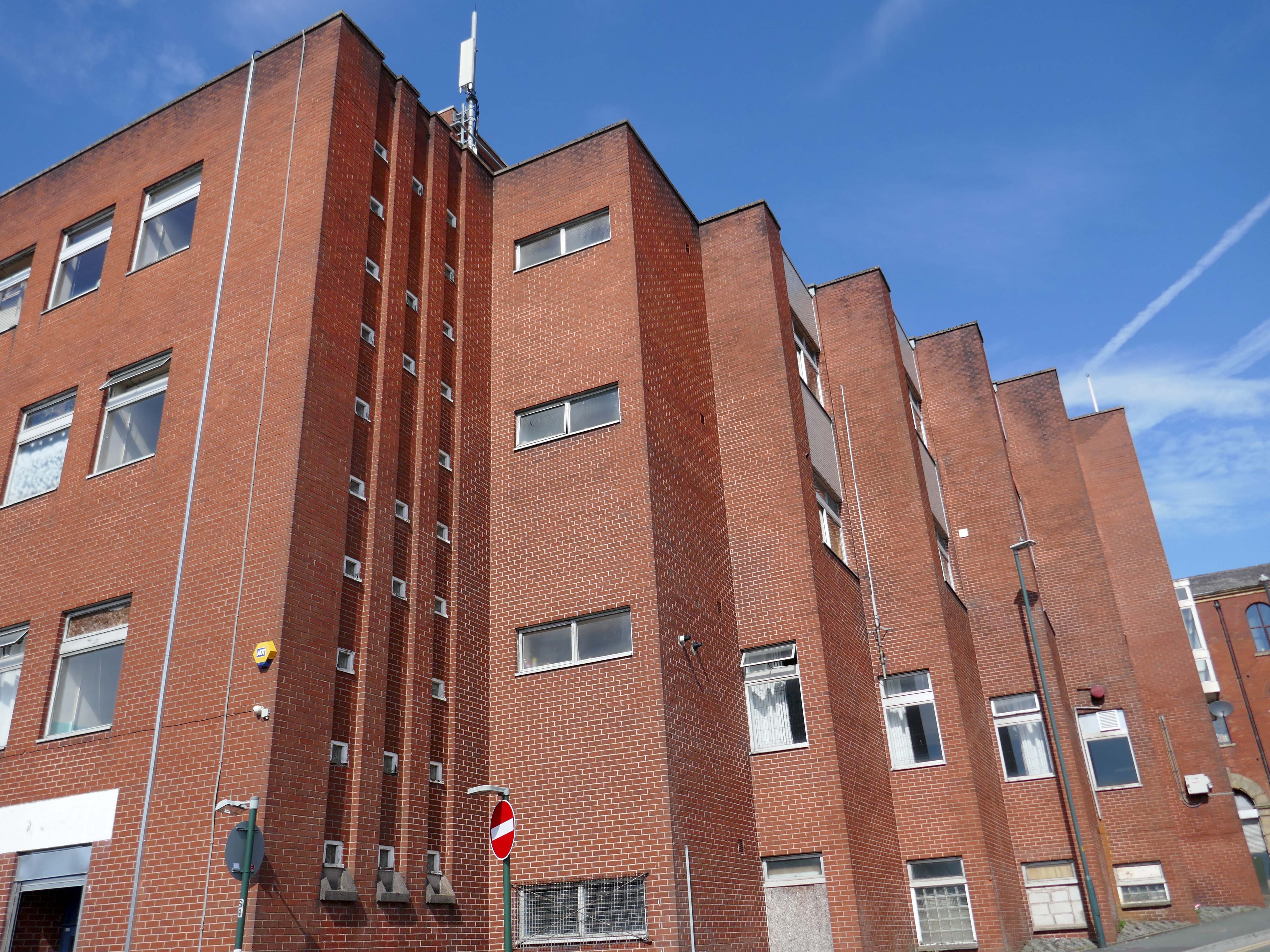
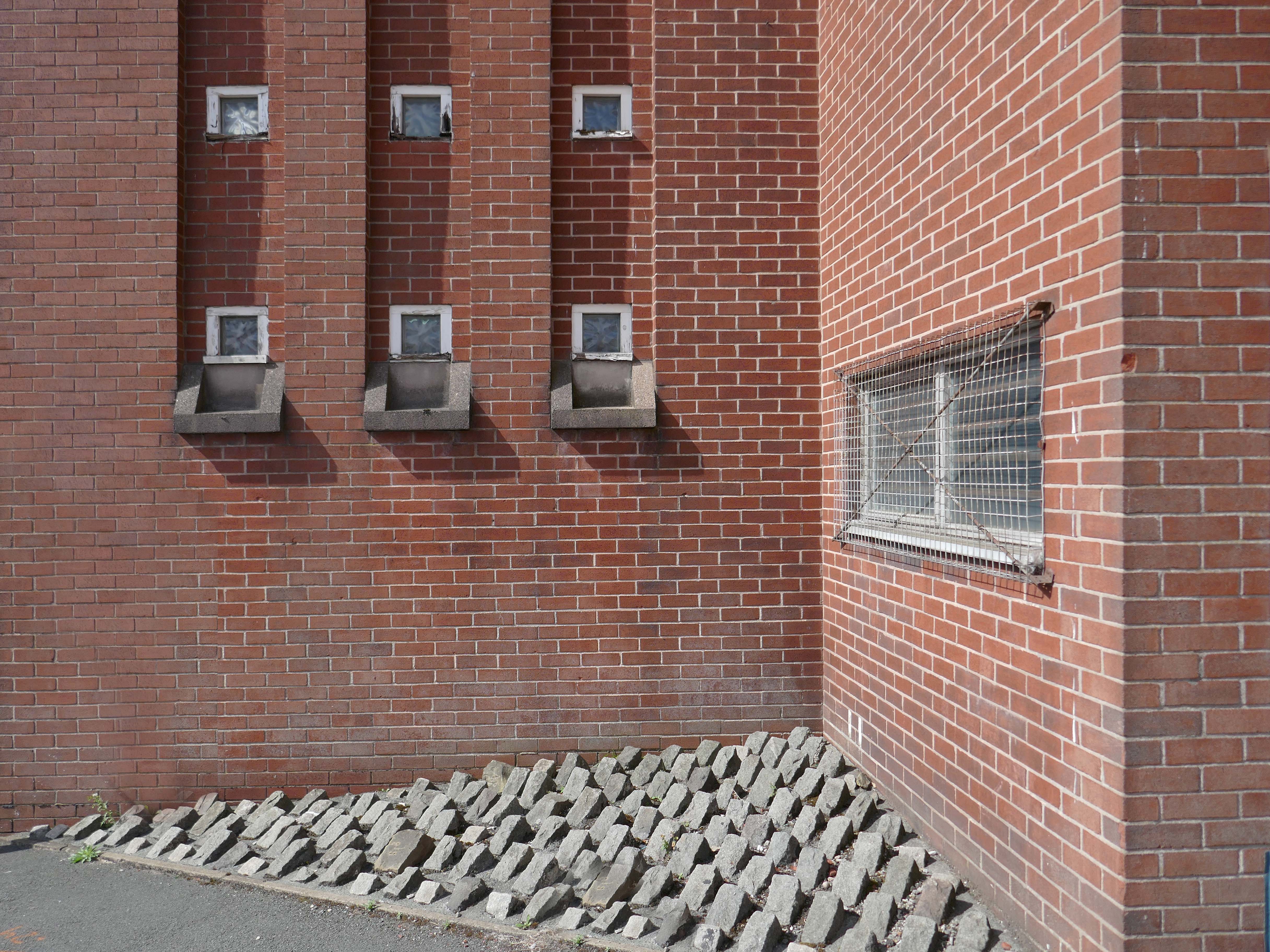
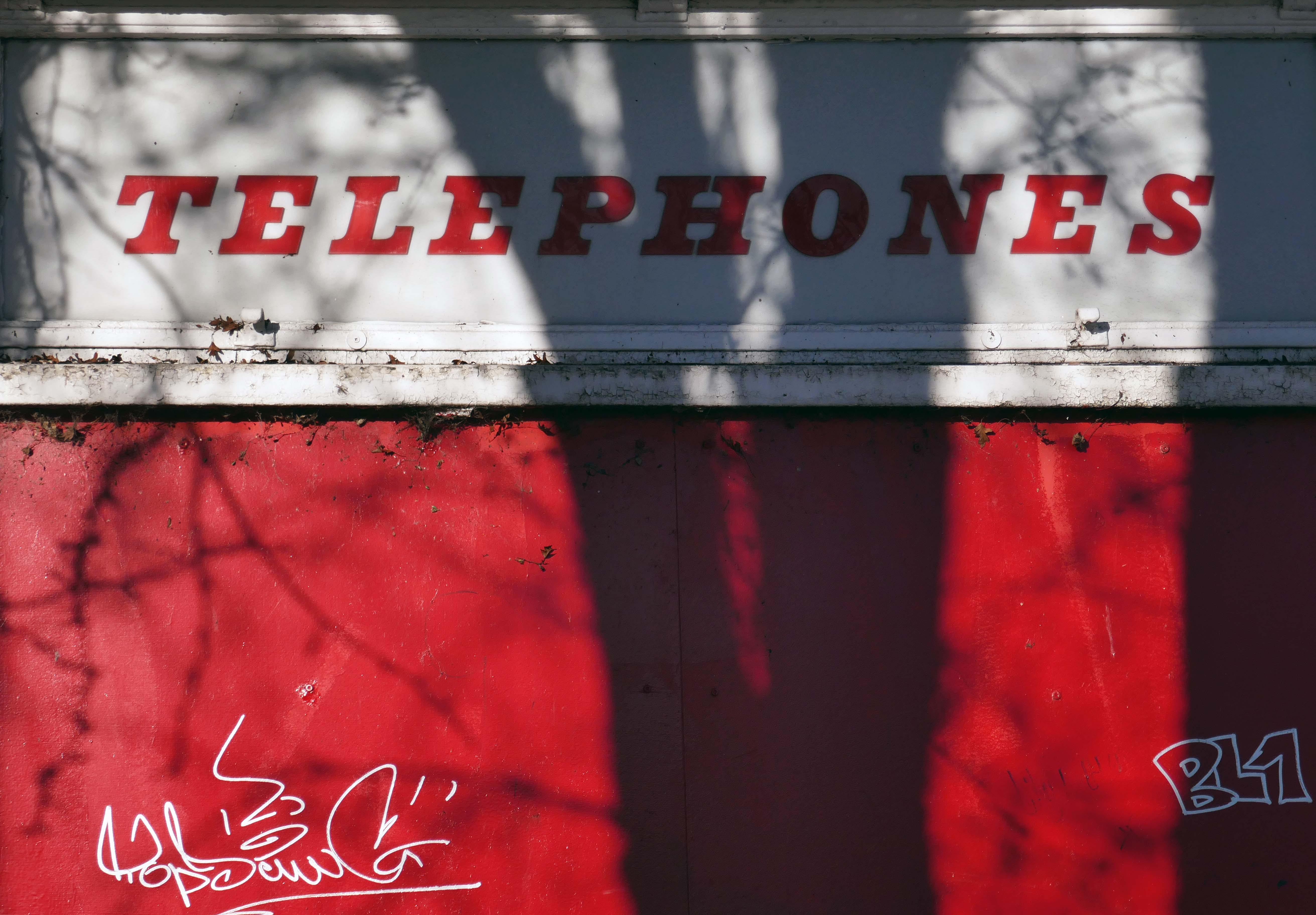
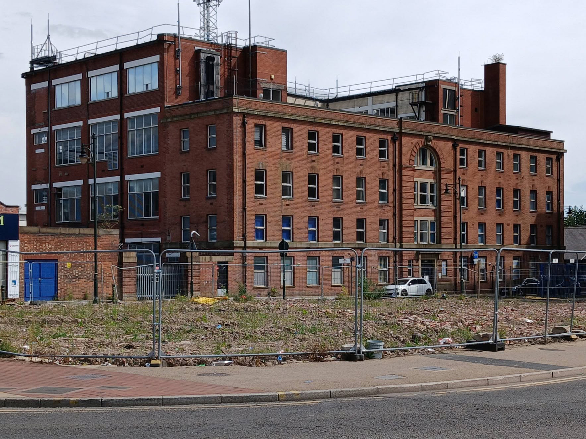
We conclude at the Telephone Exchange.
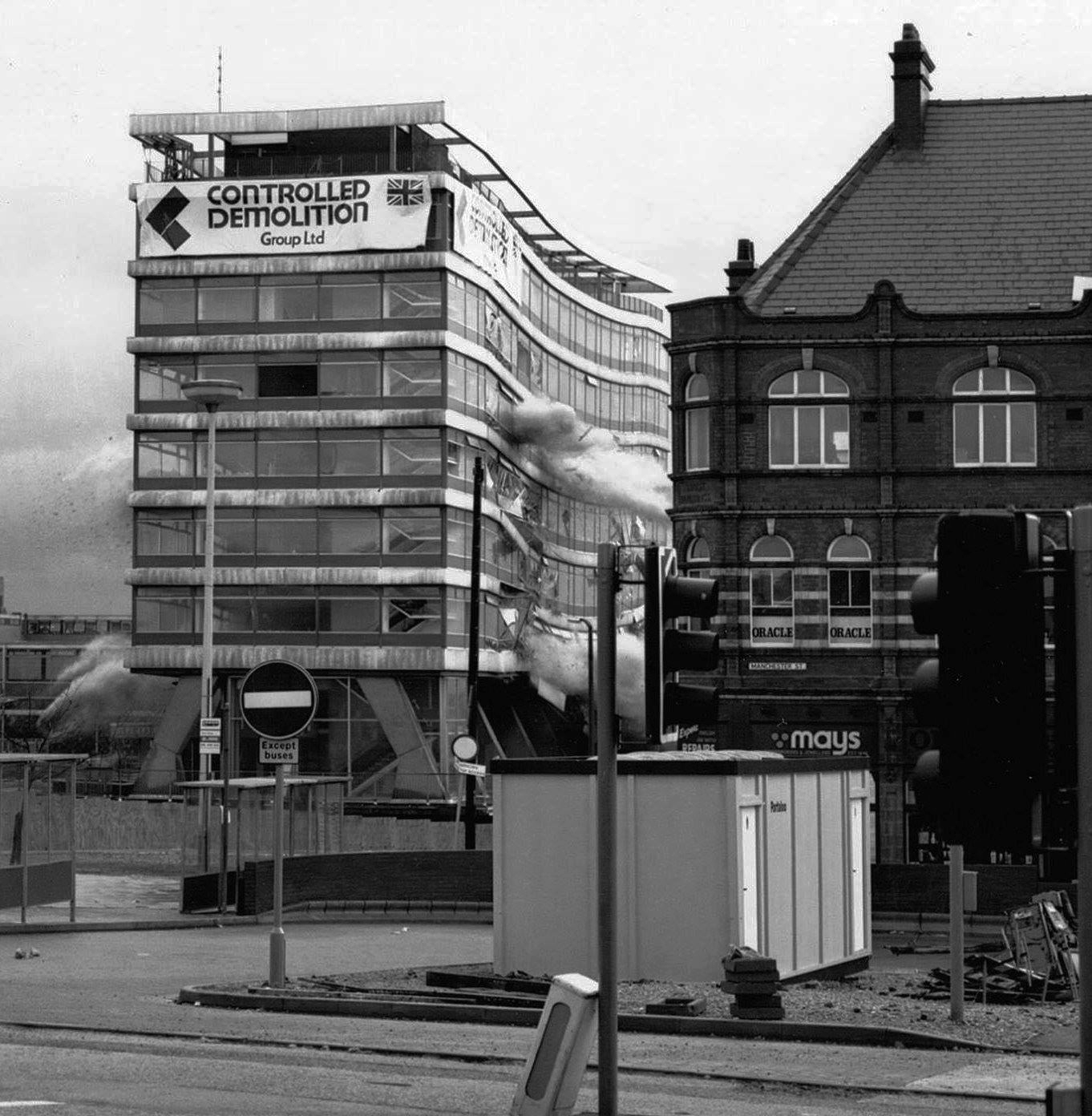
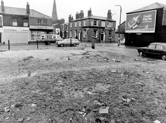
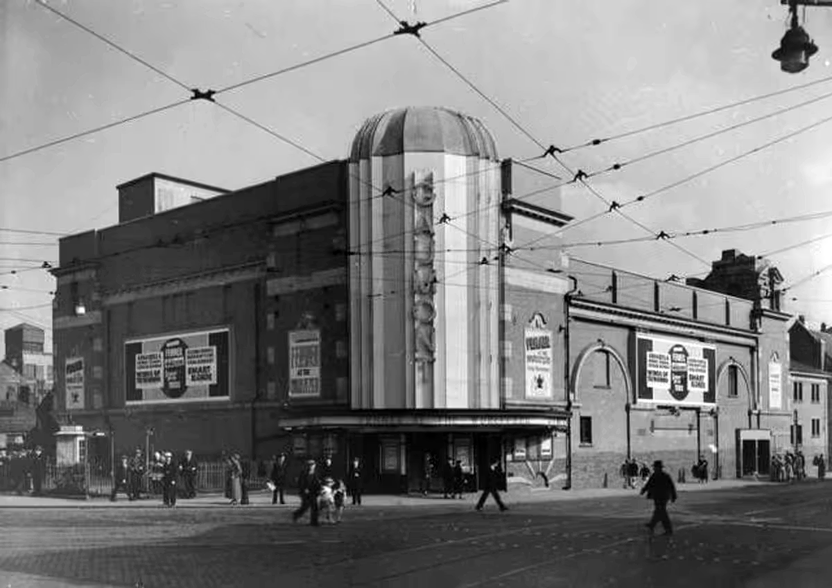
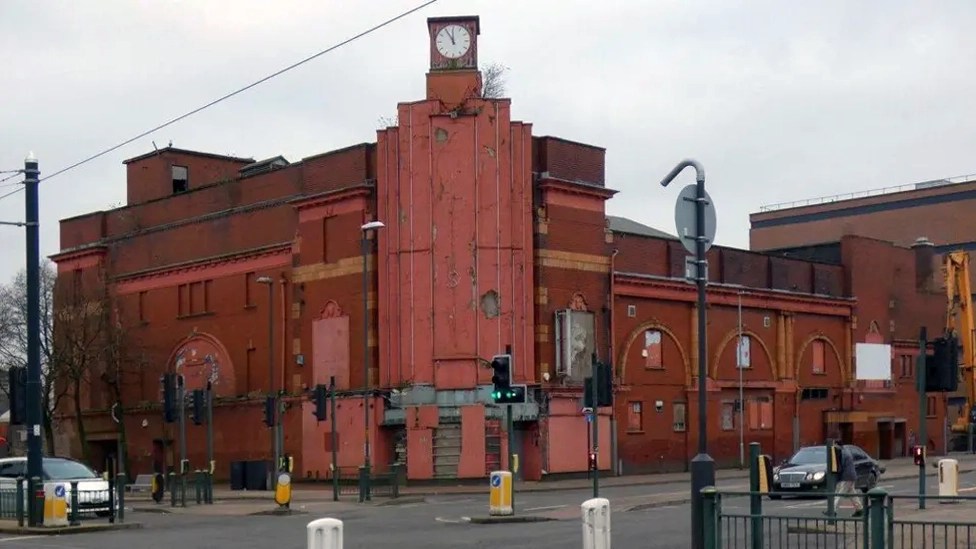
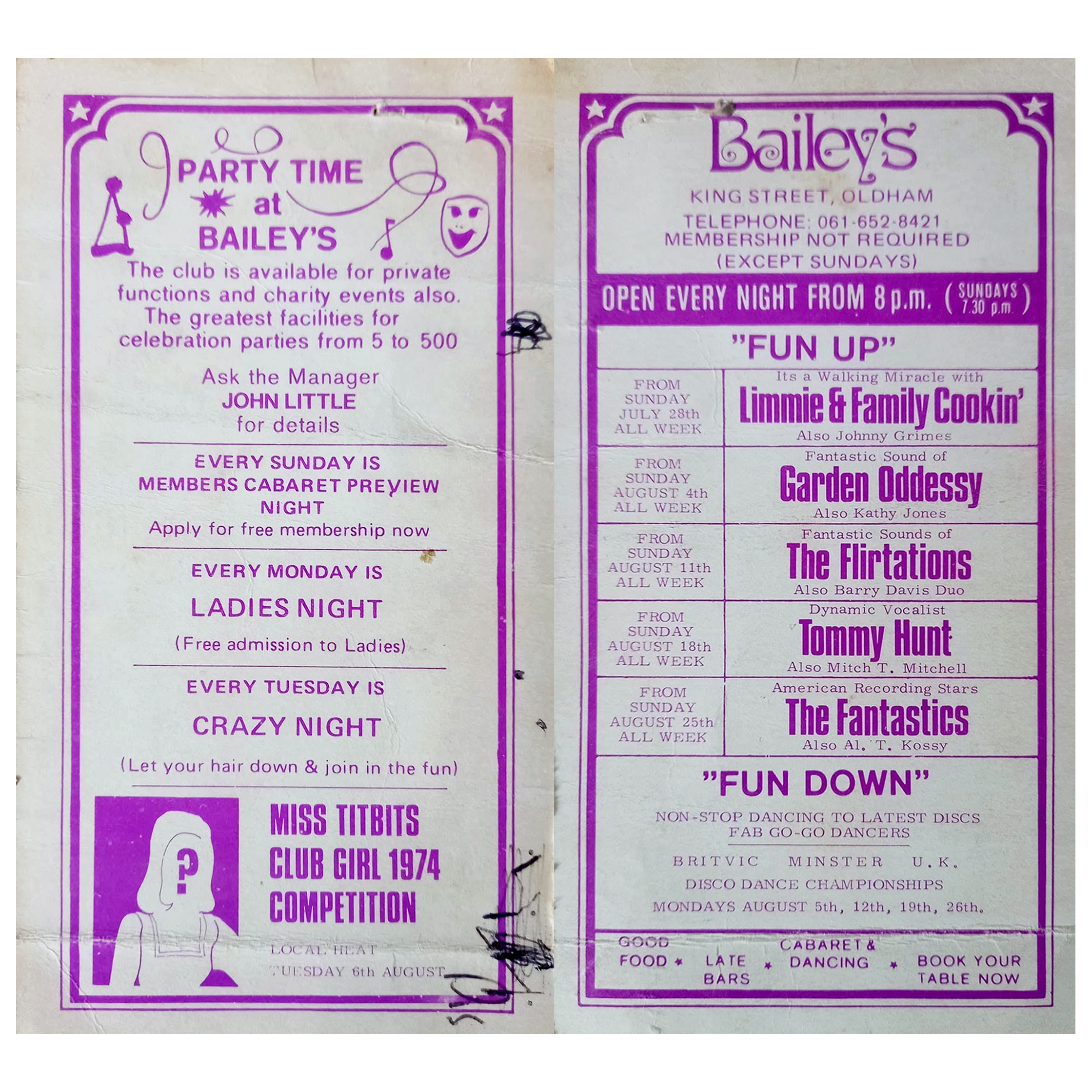
Viewed across the site where Bailey’s used to be – aka Romeo & Juliet’s, Butterflies, Astoria ballroom and Bowling Alley, Froggies and Riley’s.

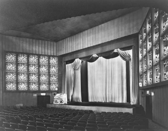
The site originally started out as the Grand Theatre, a performance space designed by London architects Thomas Taylor and Ernest Simister who also designed Chadderton Town Hall.

In 1937, Gaumont Super Cinemas took over the building, gutted the auditorium and transformed it into stalls and one circle seating totalling 1,842 to open their 1930s cinema.
BBC

In 1991, the Chronicle reported on a mysterious haunting which was thought to have taken place in Butterfly’s nightclub in Oldham.

Before Butterfly’s had been a nightclub the building had been used for many purposes, and in 1939 was known as the ‘Grand Theatre.’ The building was undergoing renovations when Mr Lloyd was killed. ‘Witnesses said that Mr Lloyd was crushed underneath the beam which he was trying to guide down with a rope.’

However, Derek Lloyd’s theory of the origin of the ghost was not accepted by everyone at the time. Due to the fact the ghost appeared to be wearing a white T-shirt, people believed it was unlikely to be the spirit of a 1930s man. In response, Derek argued that ‘my father always had his sleeves rolled up at work because he suffered from a skin complaint.’ 
Gallery Oldham

In 2011 the building was converted into a roller derby centre known as the Thunderdome, once home to the Rainy City Roller Derby who moved out in 2020.

It was announced in April 2023 that the building was proposed for demolition and the end came in May 2025.
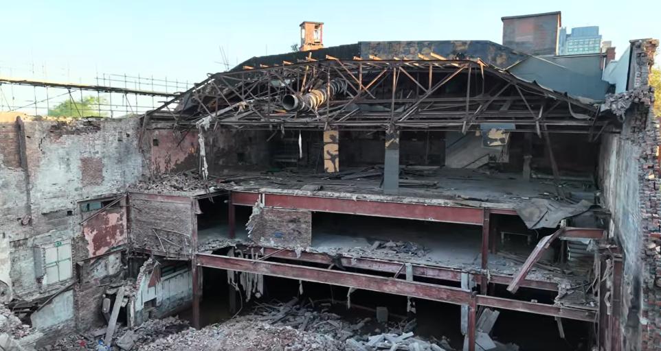
Image: Mark Hughes
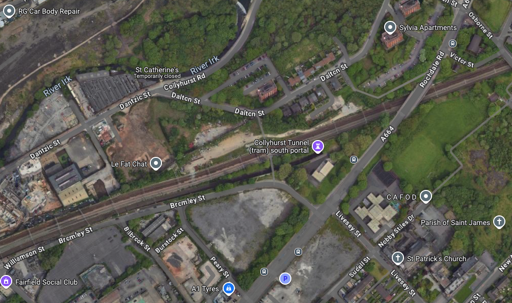
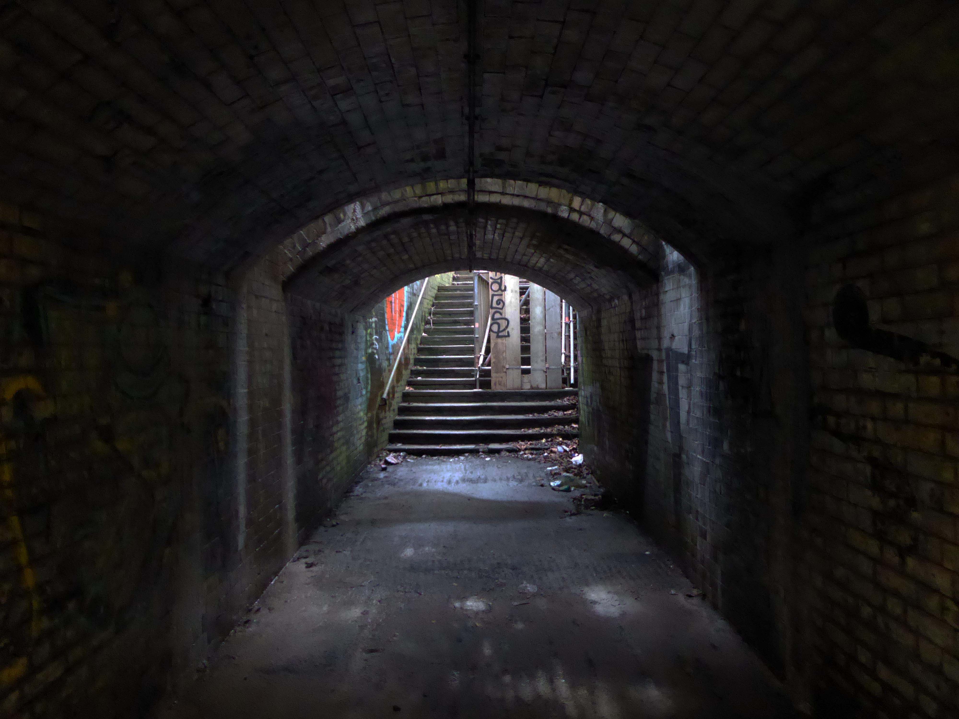
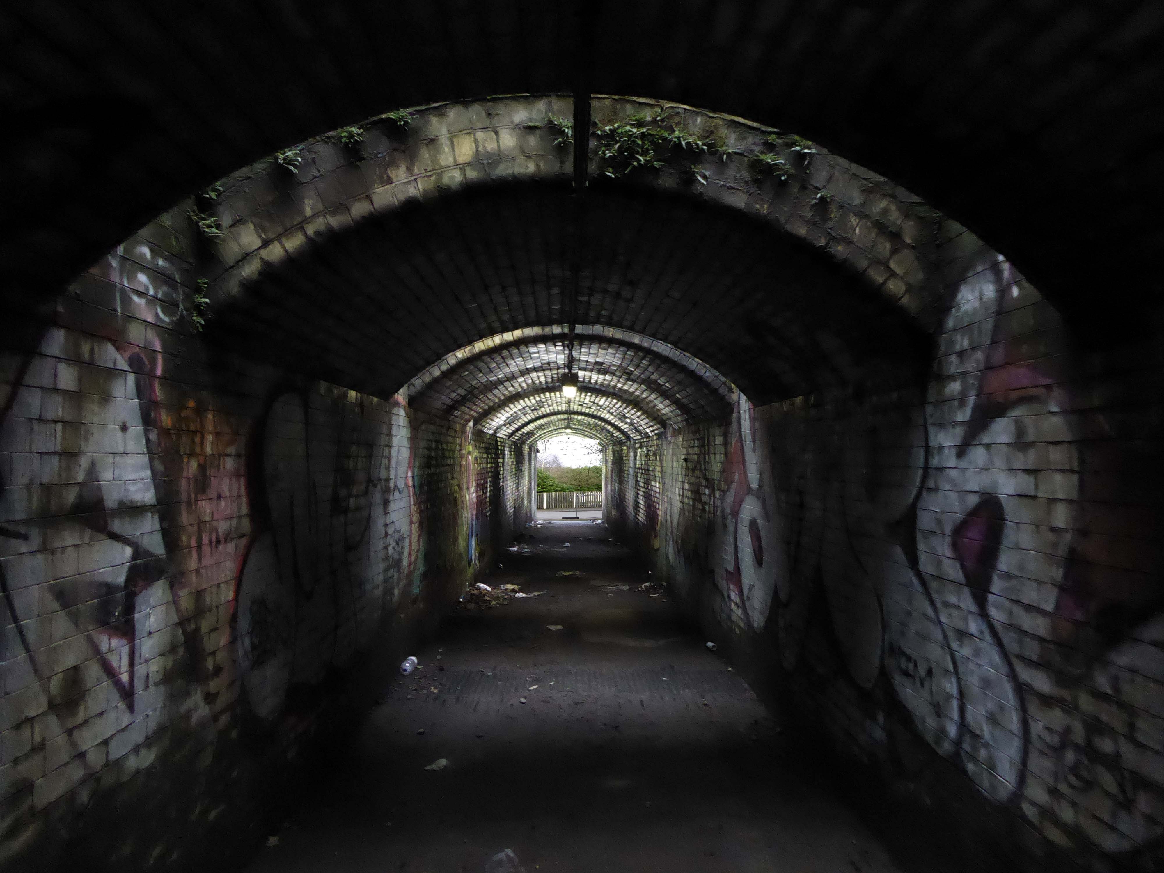
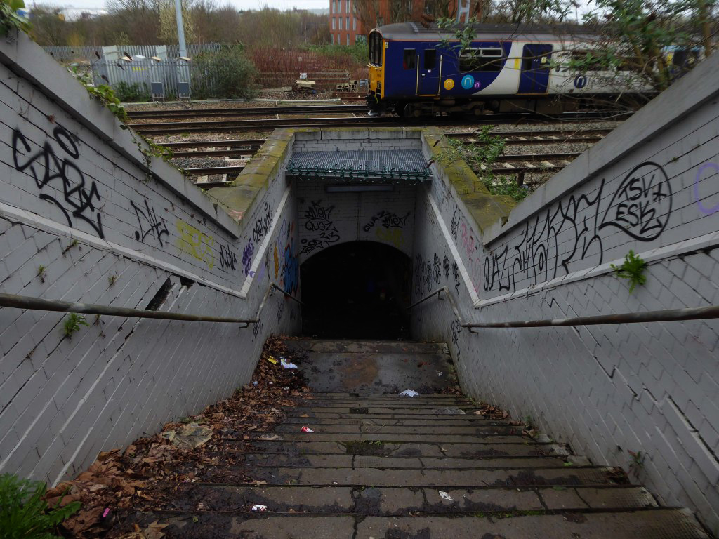
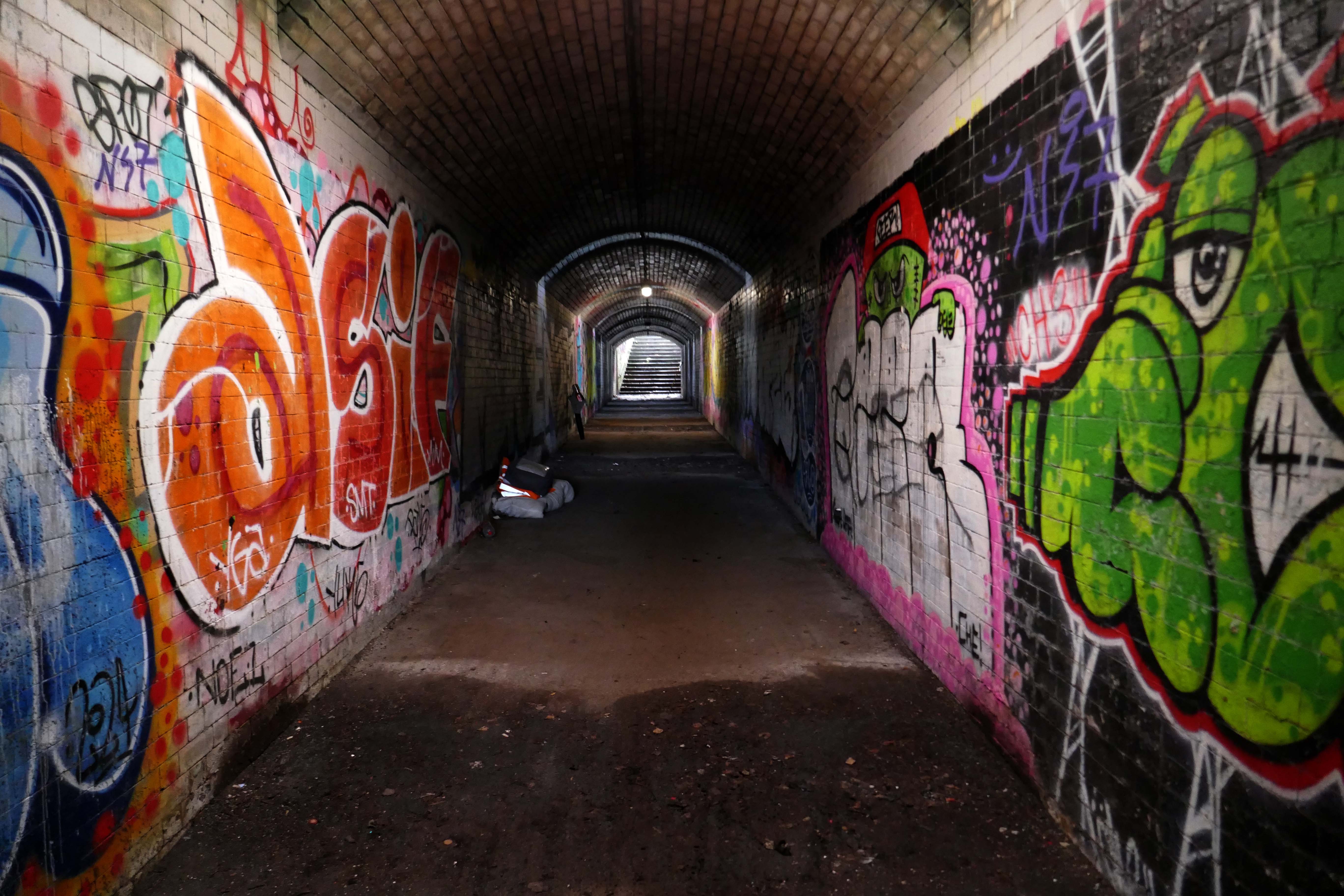
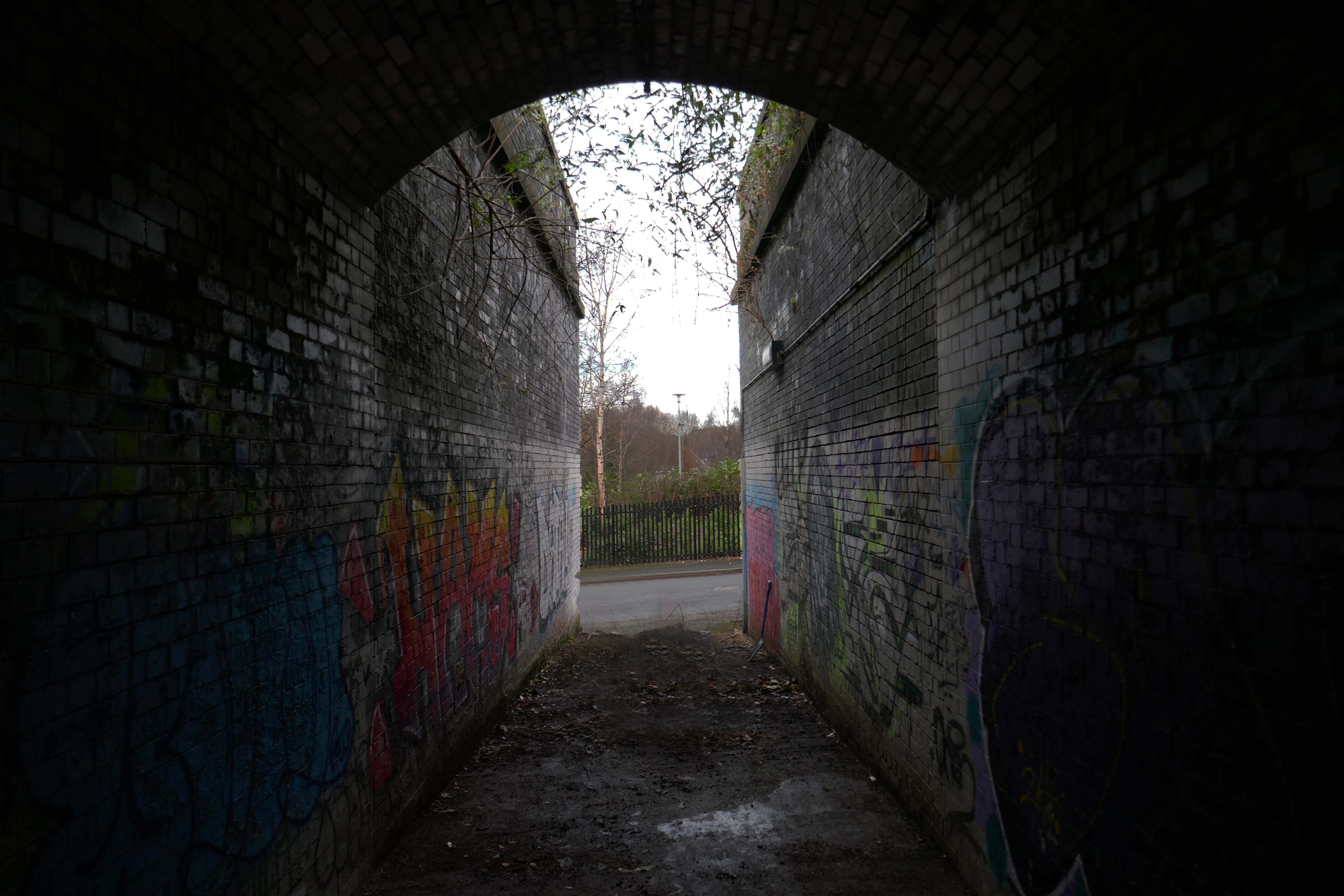
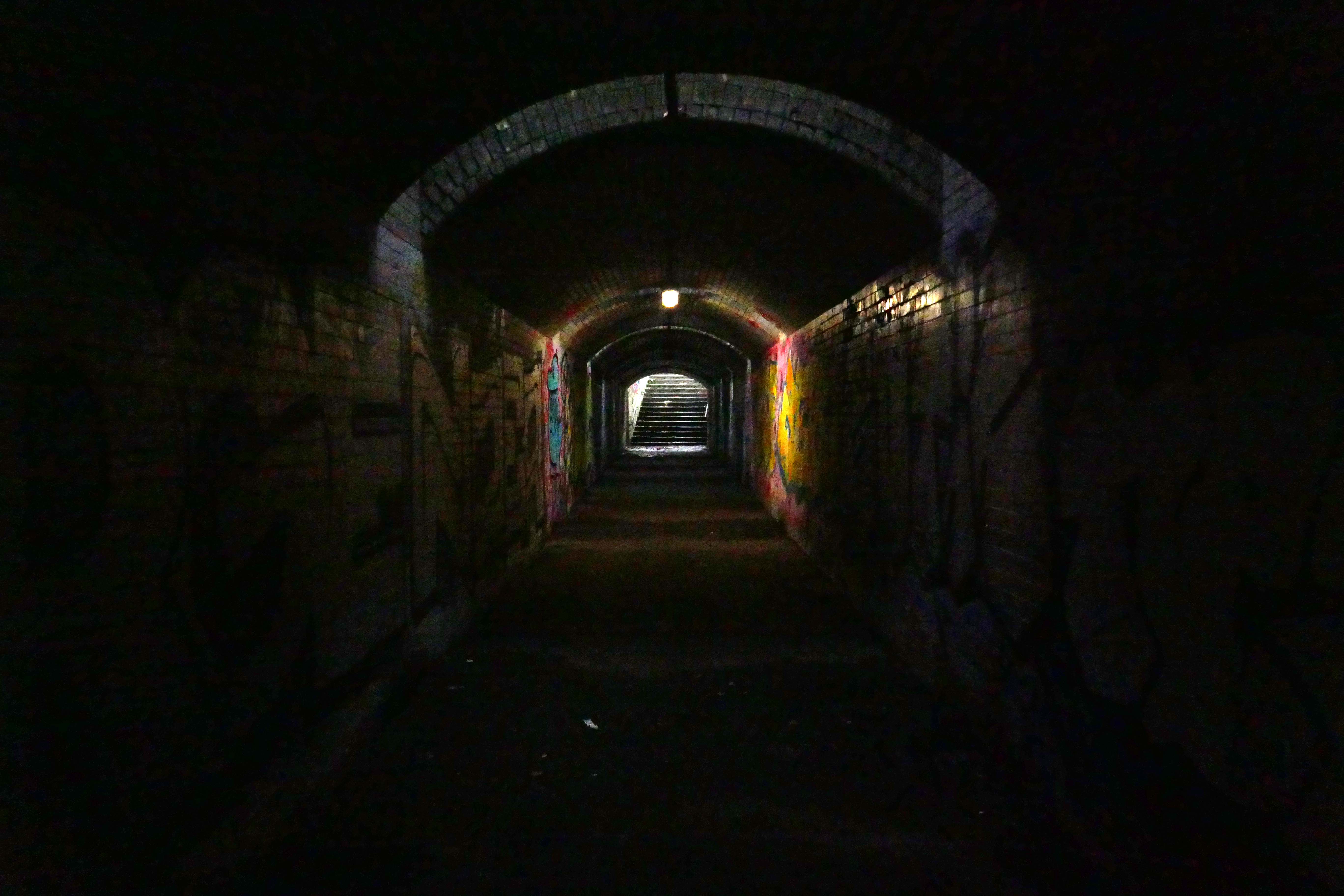
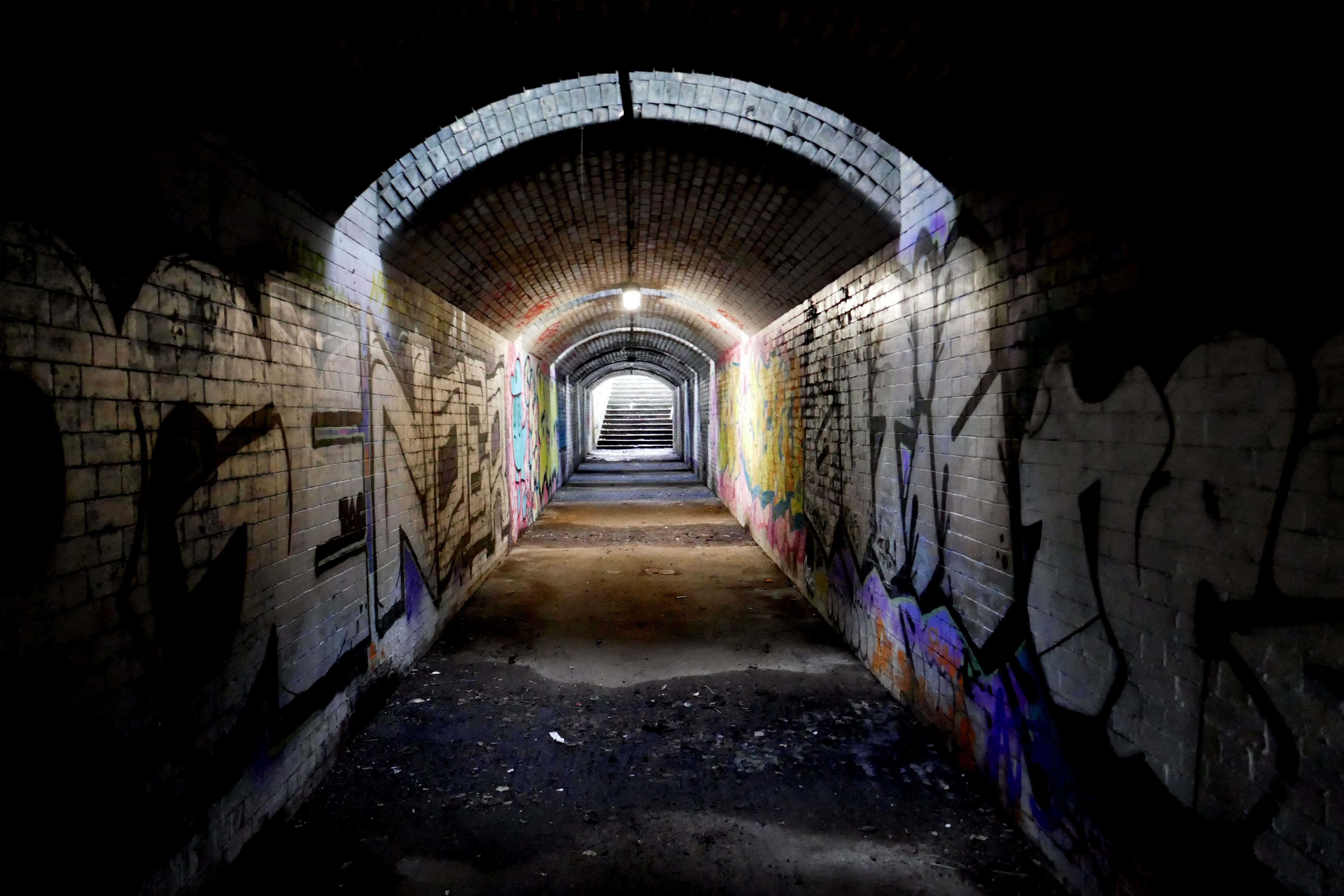
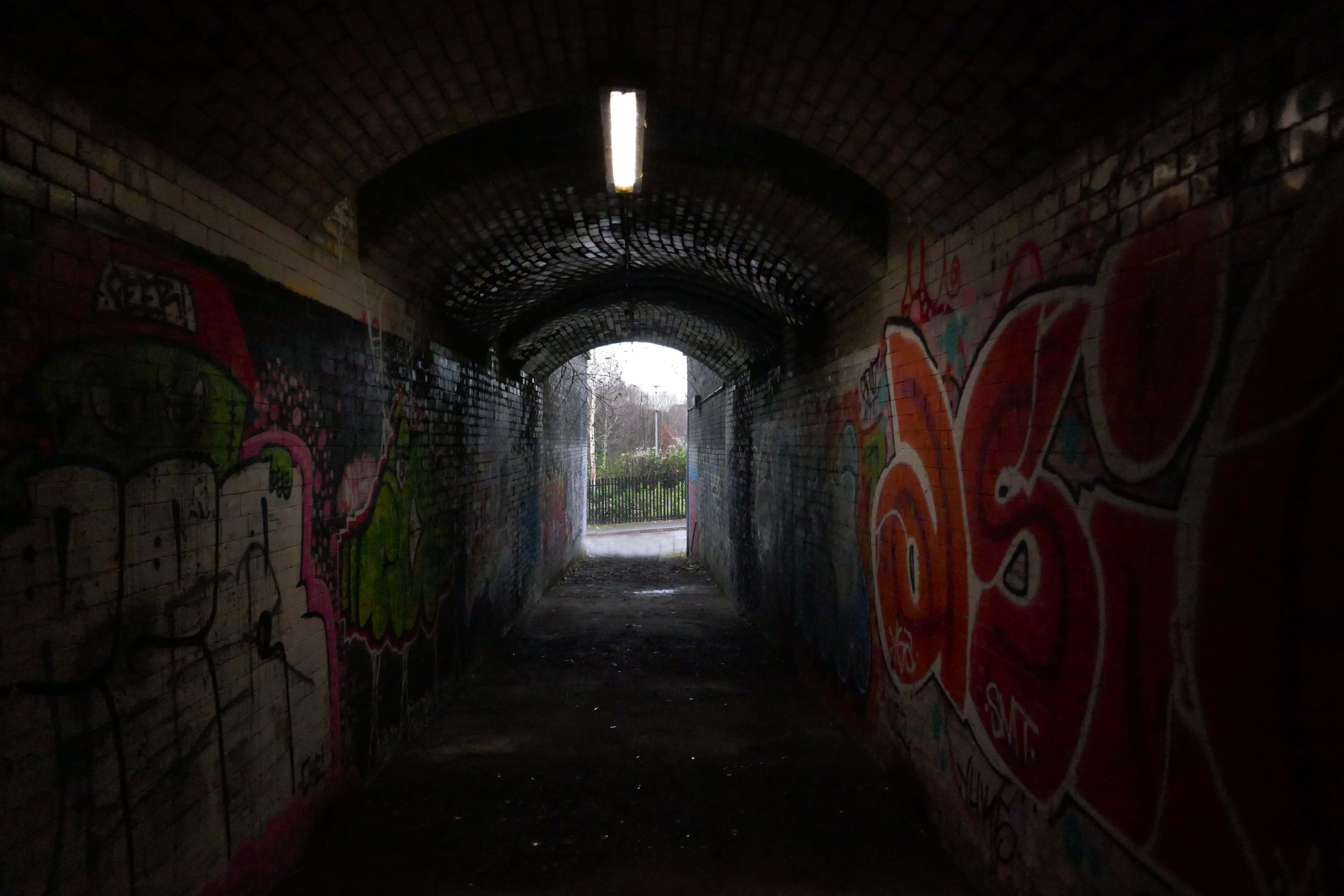
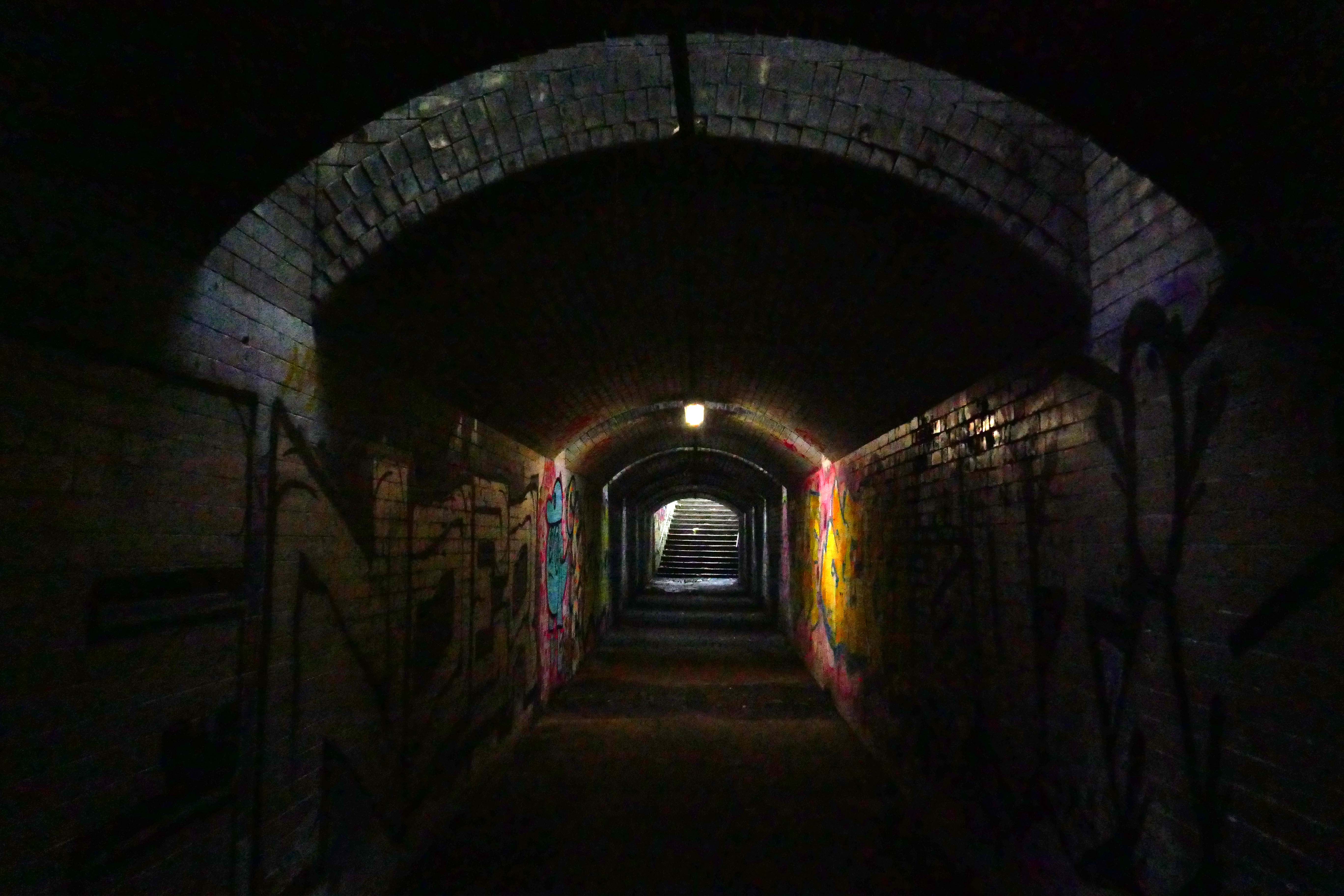
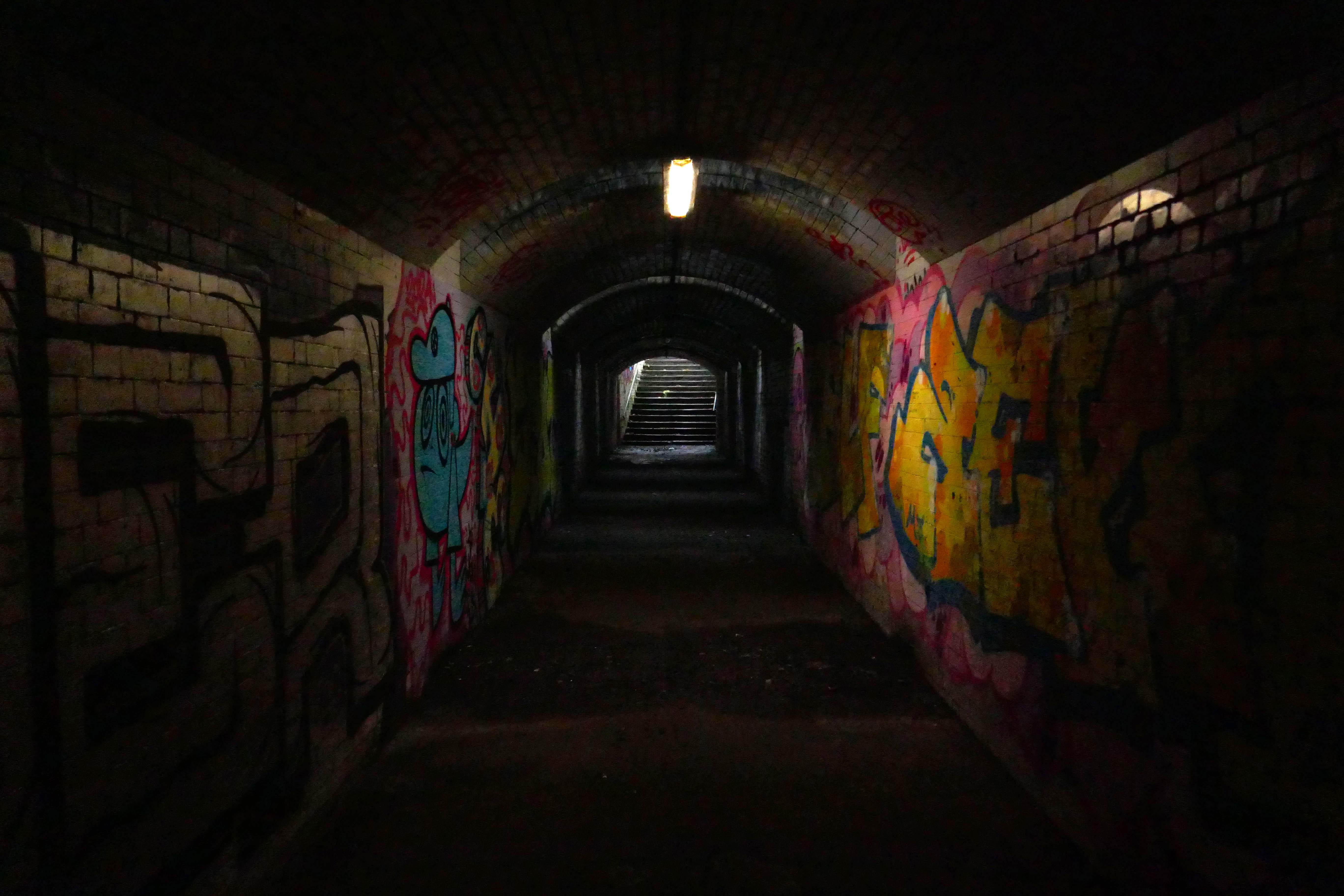
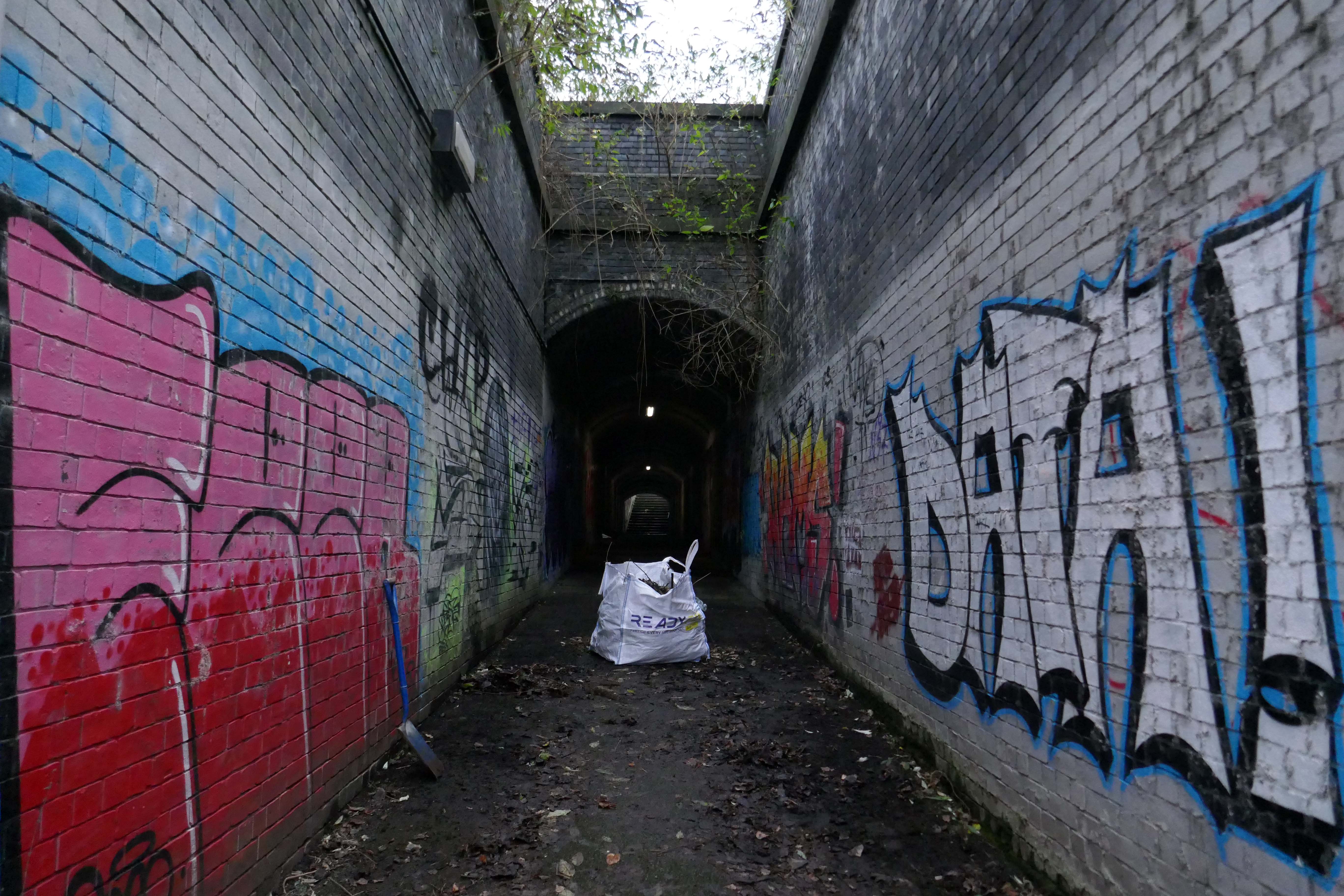
Pedestrian Tunnel – Collyhurst

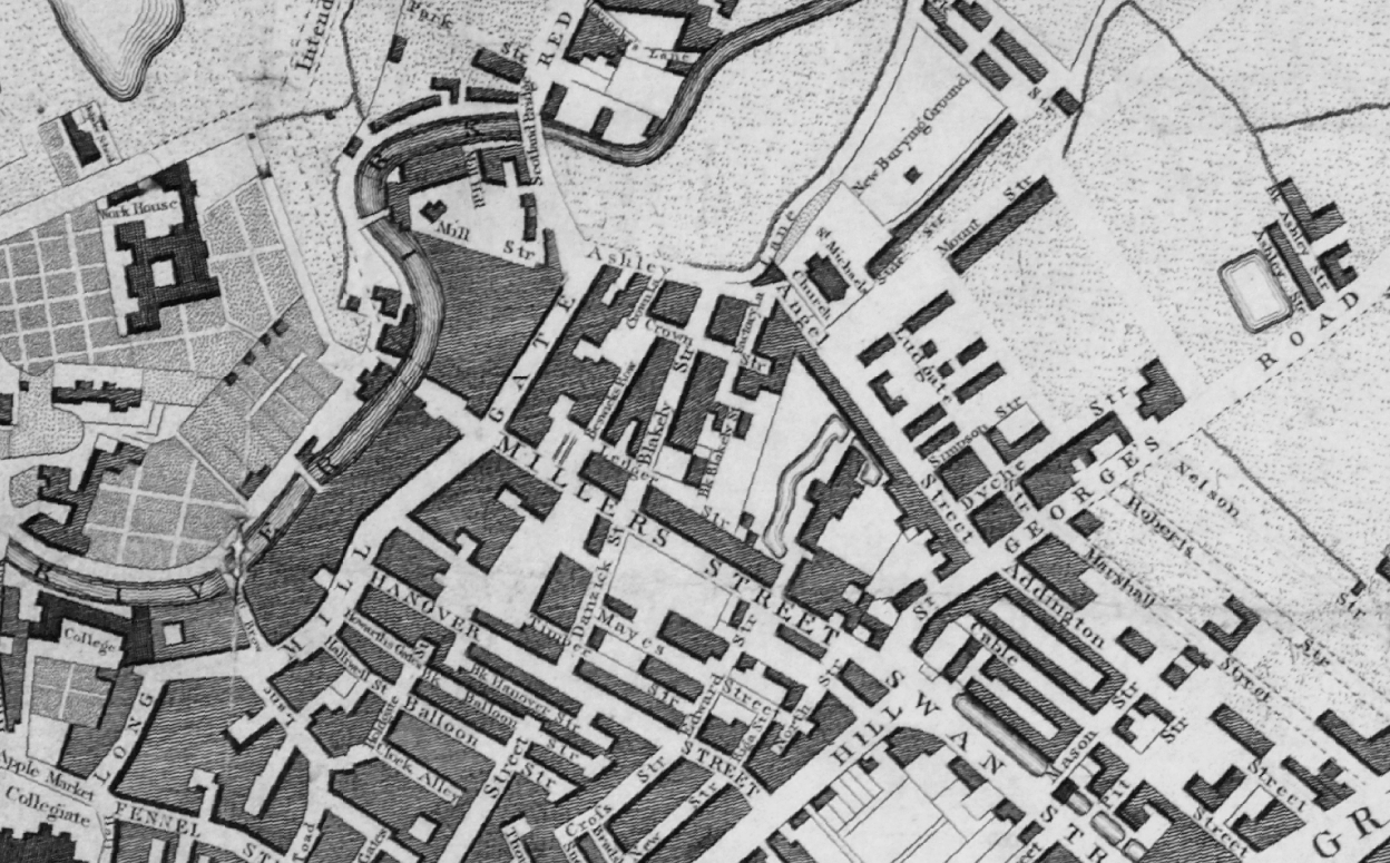
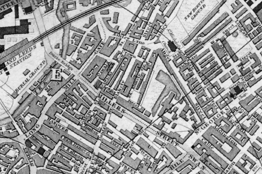
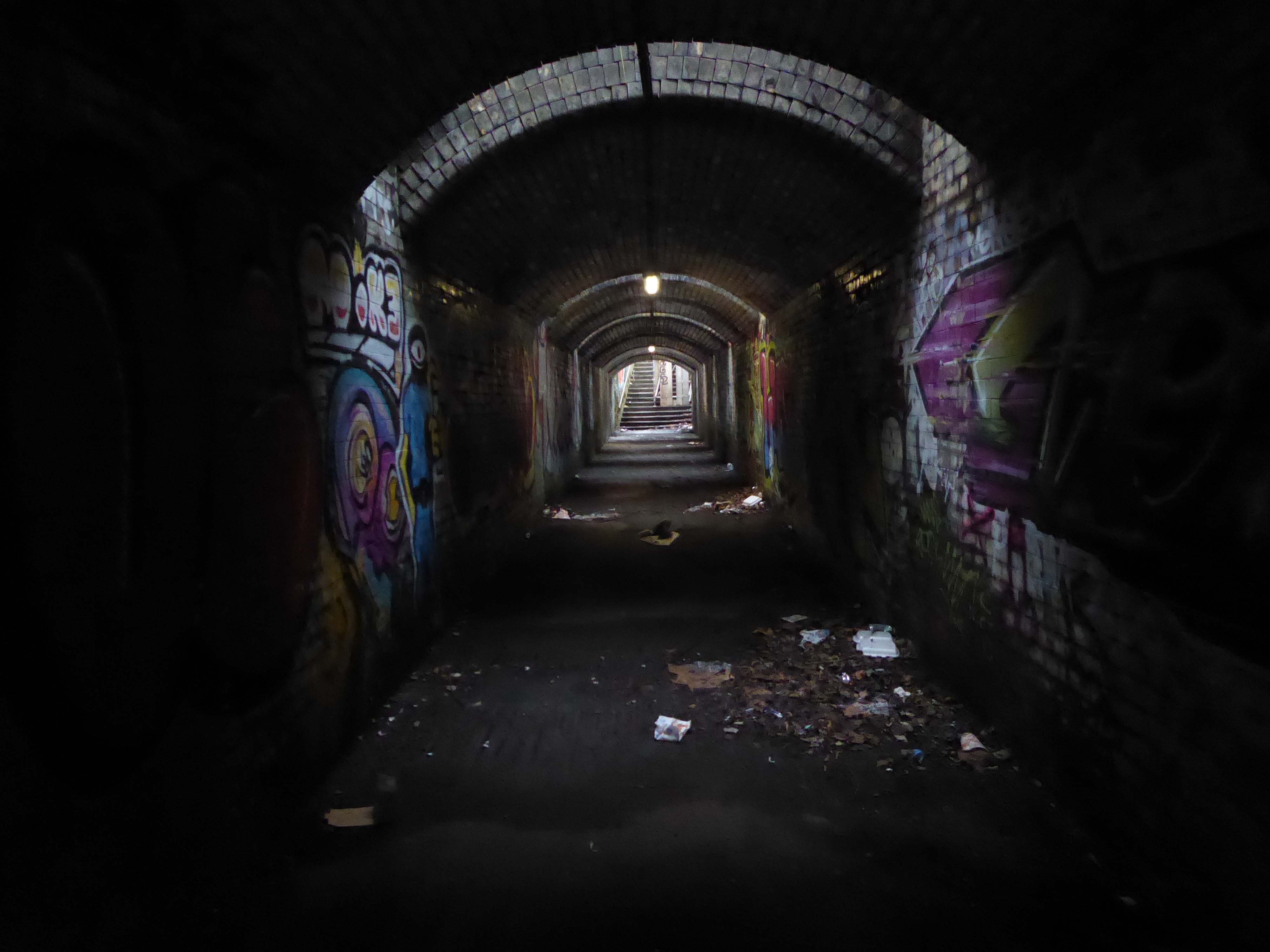
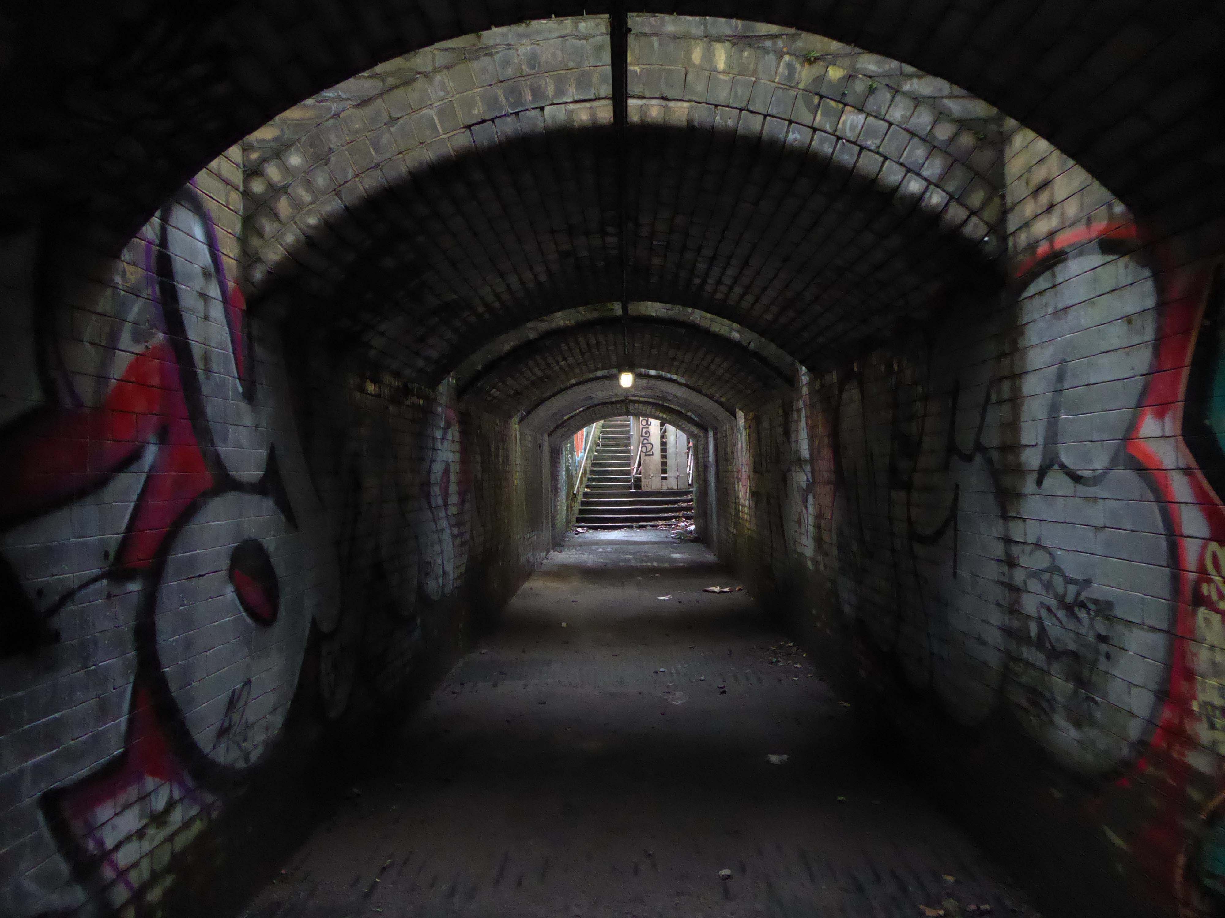
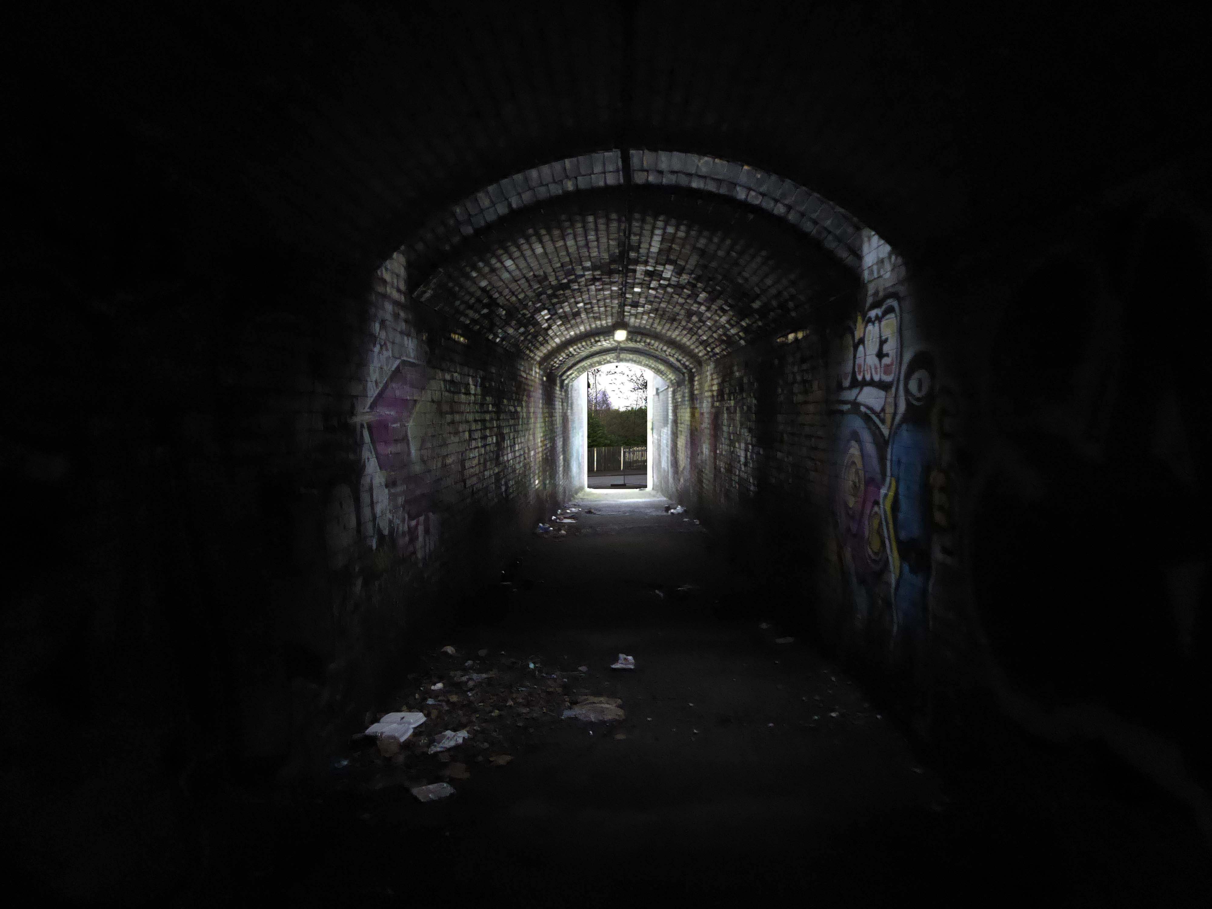
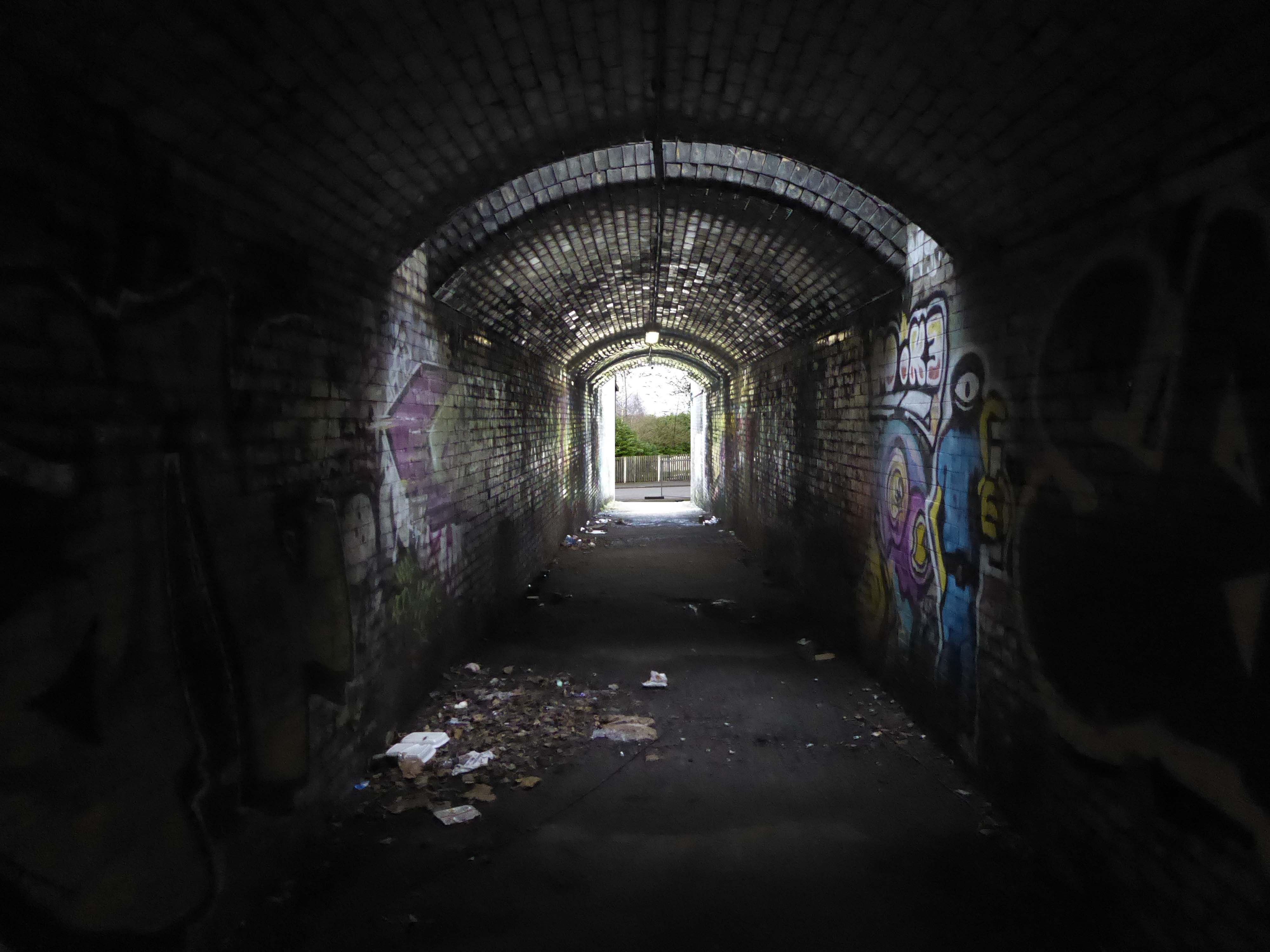
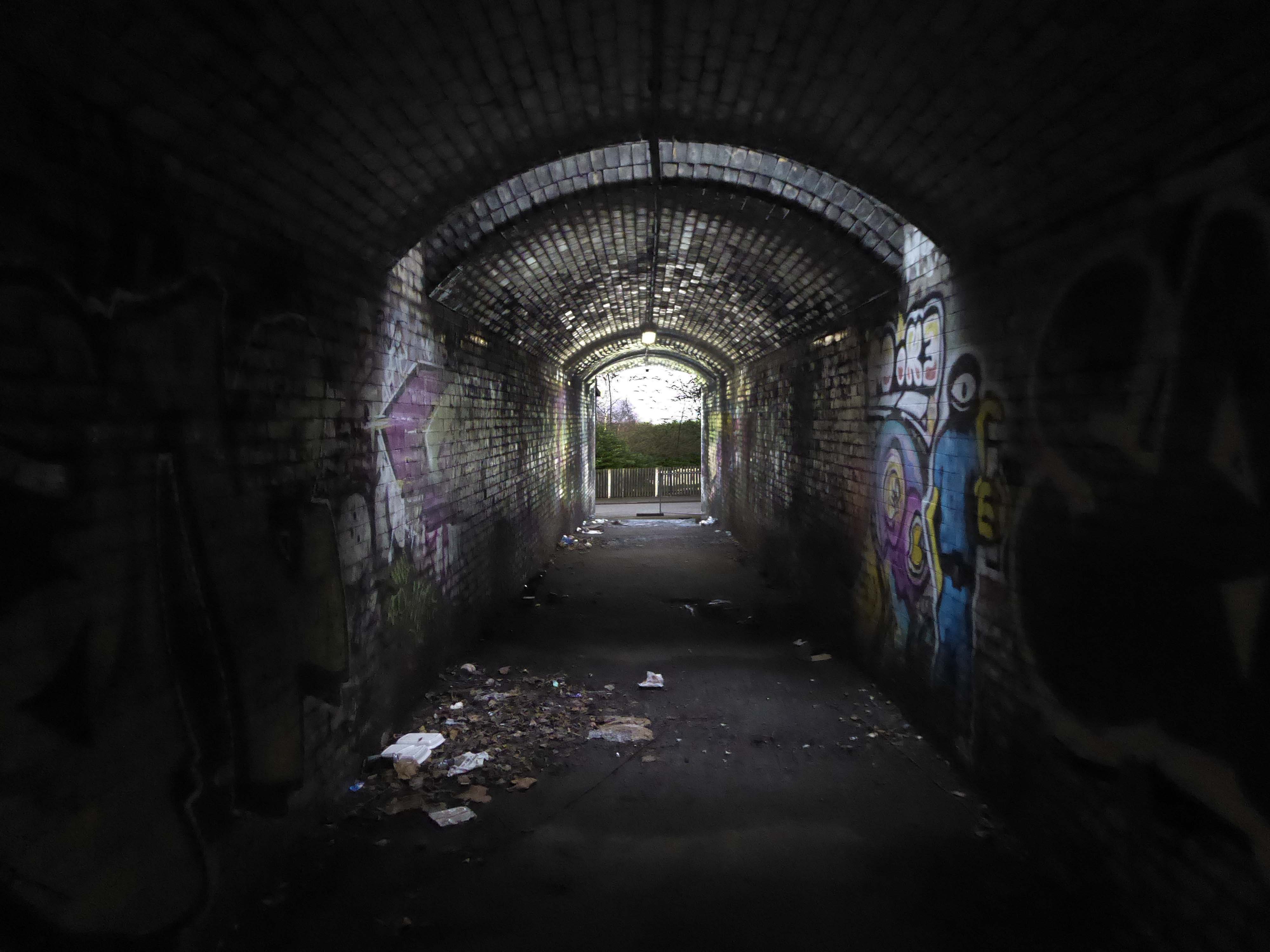
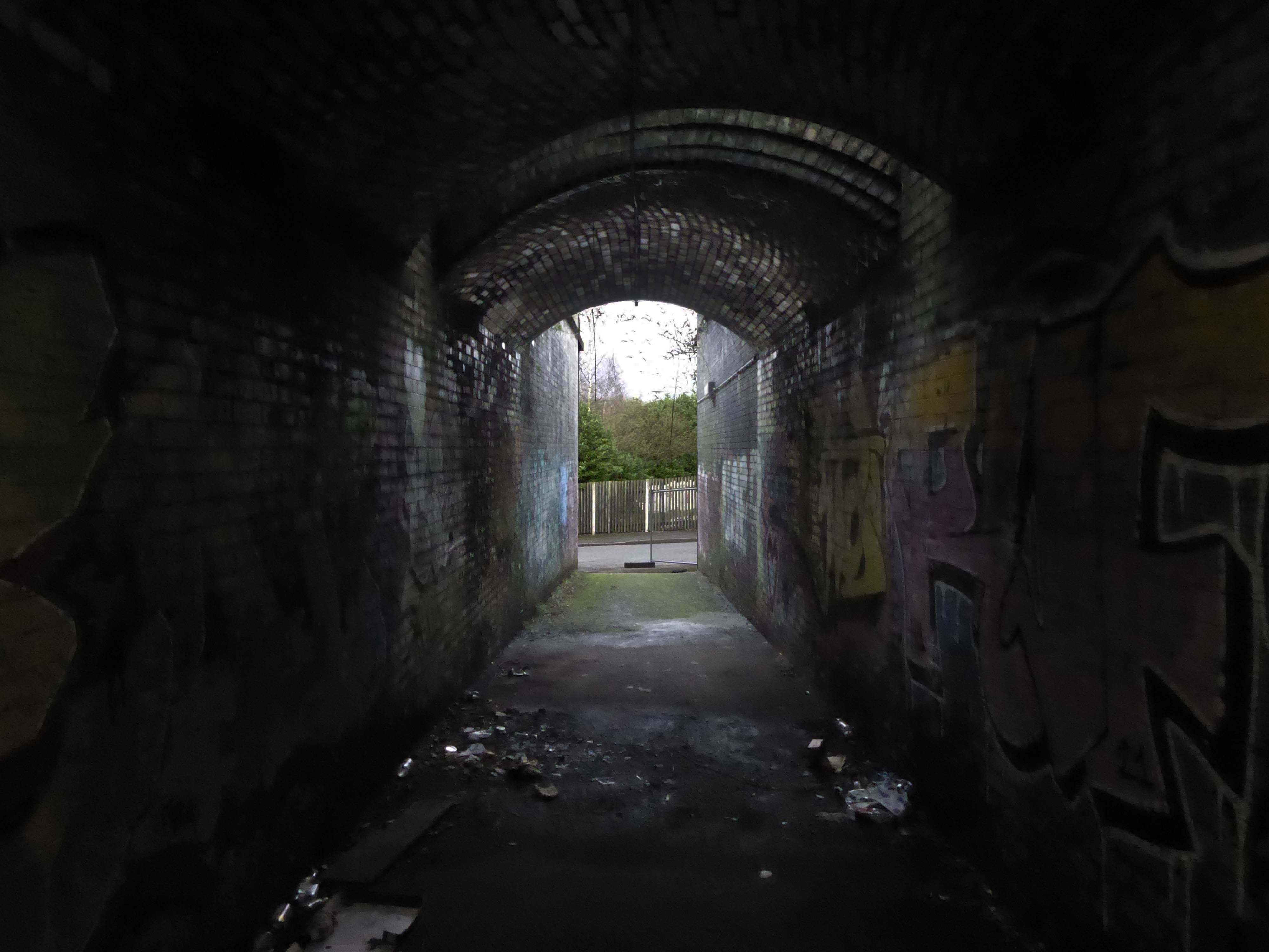
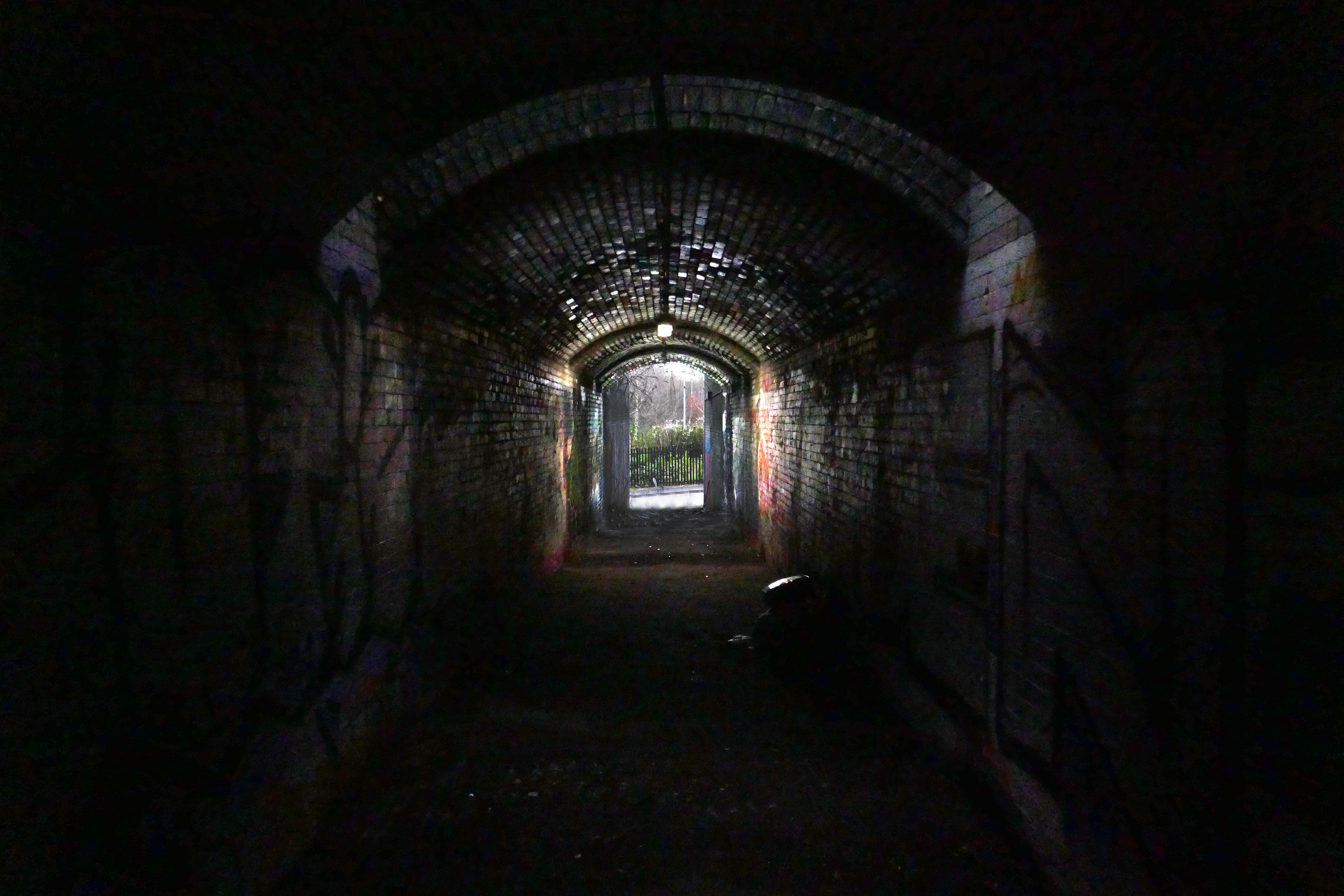
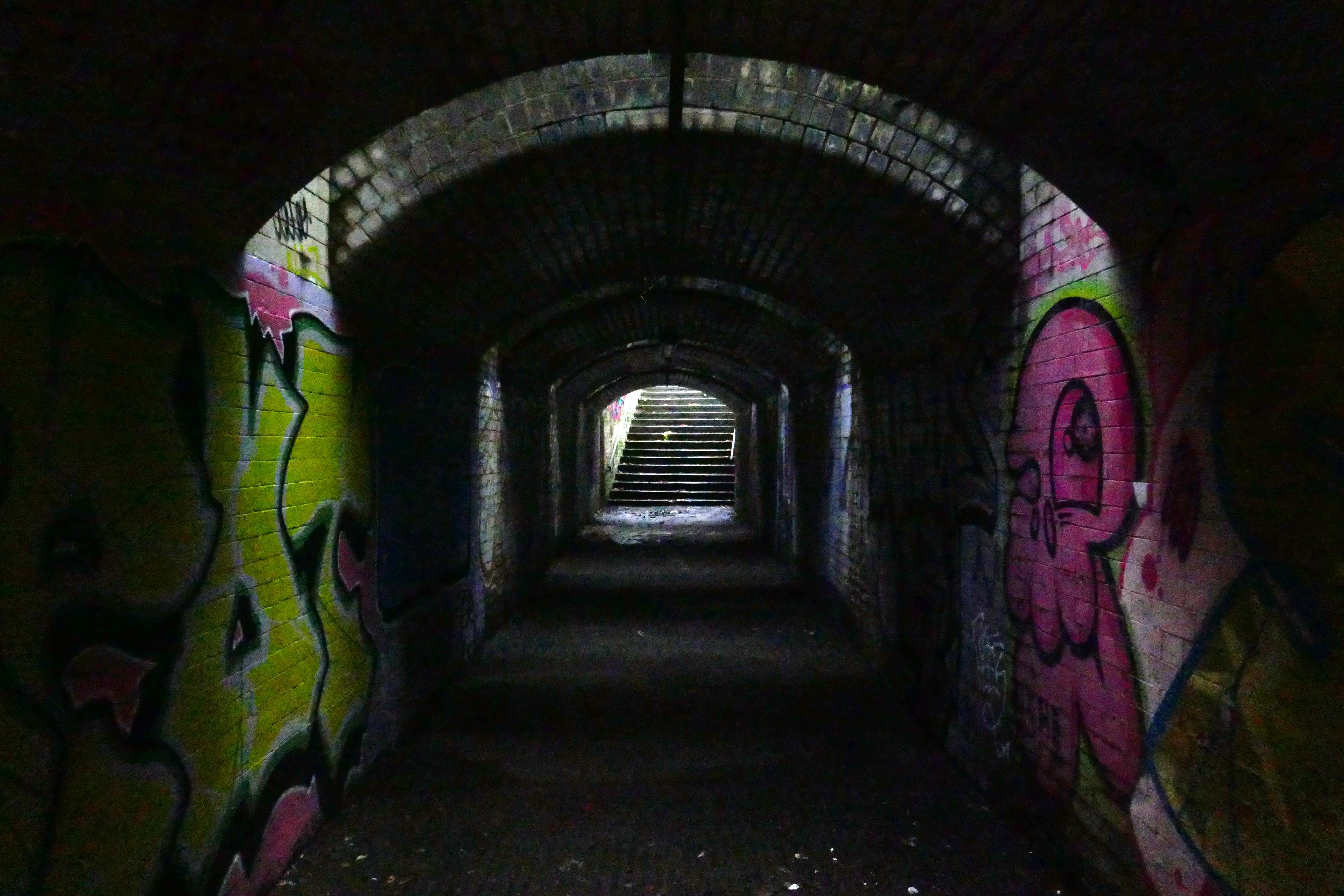
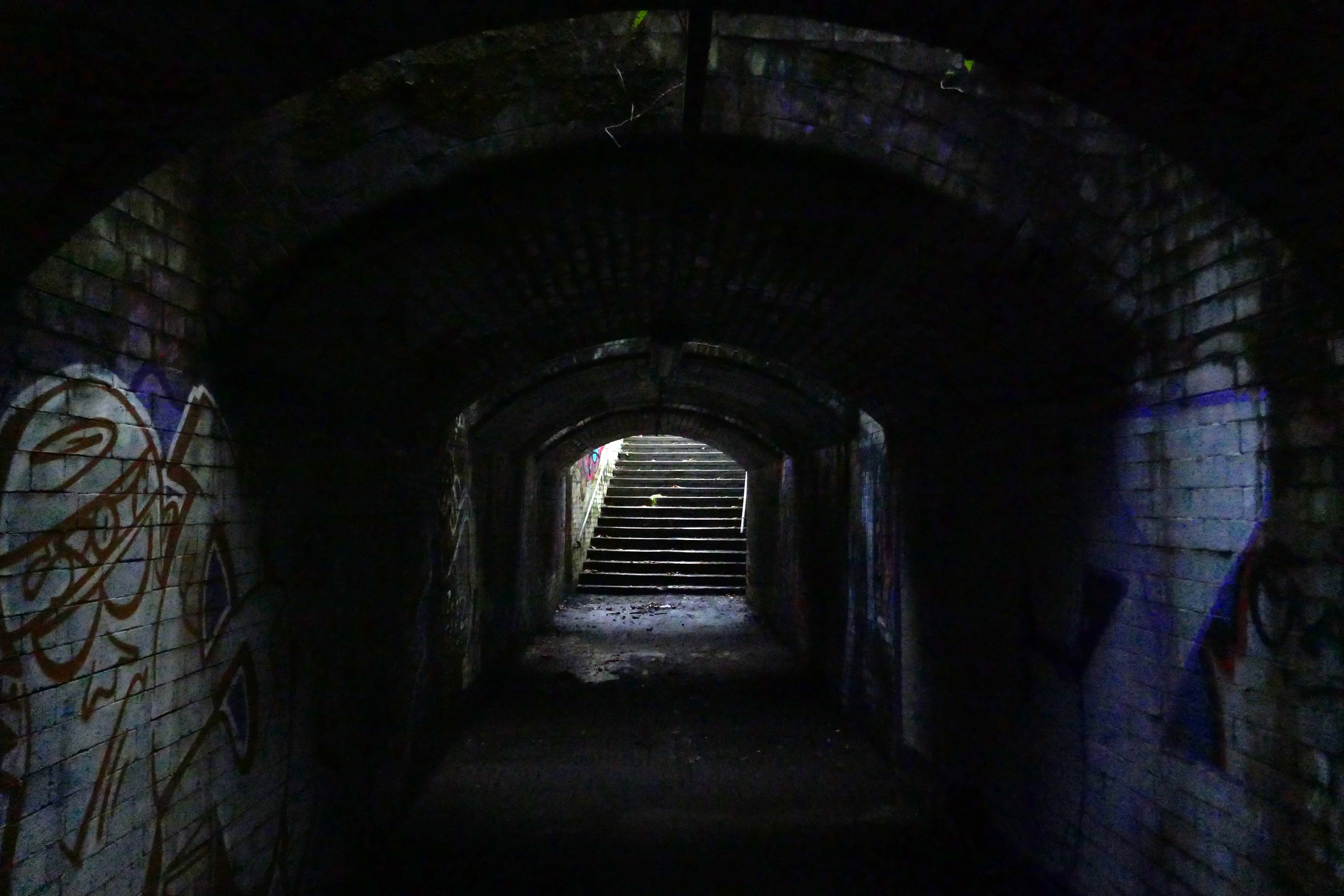
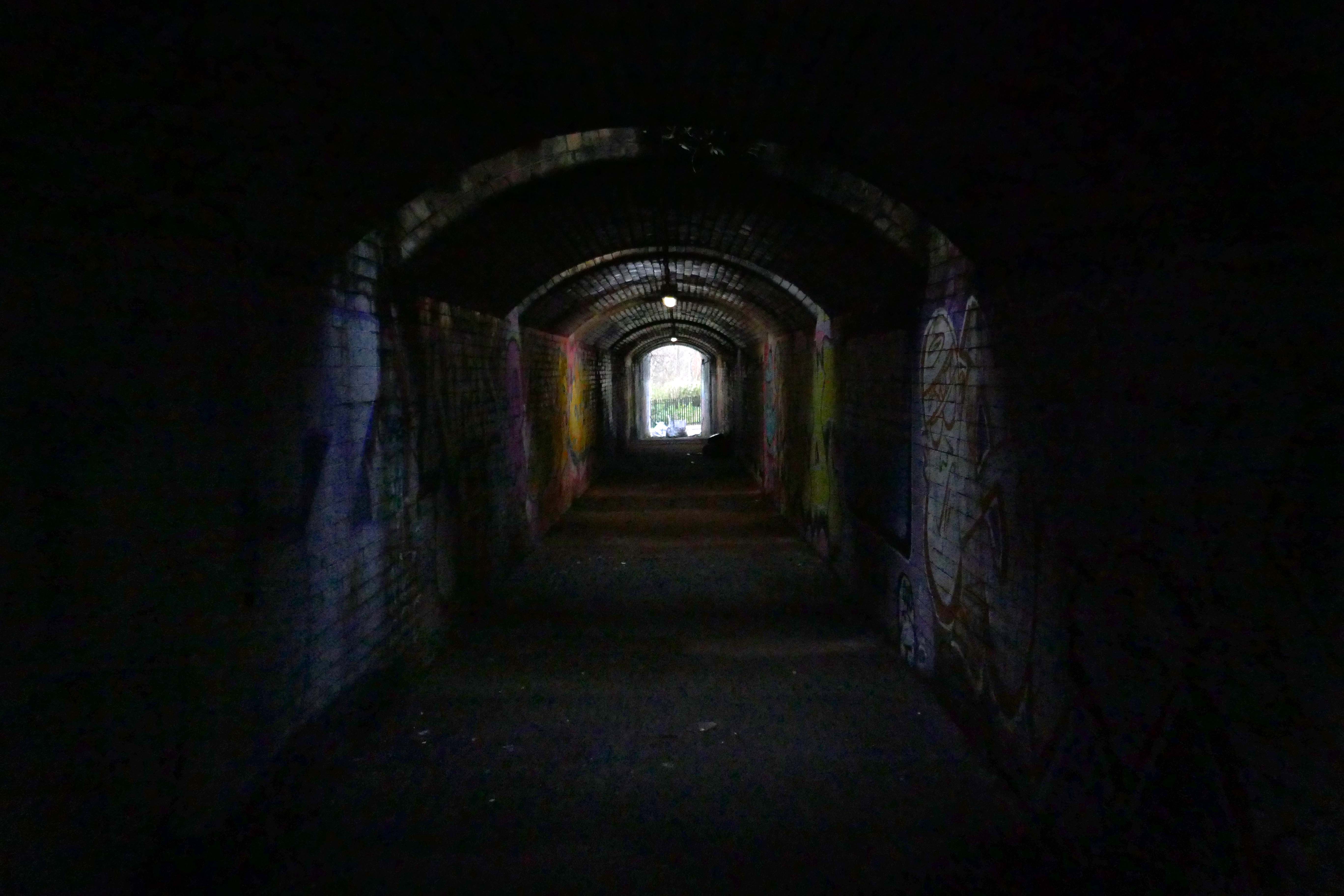
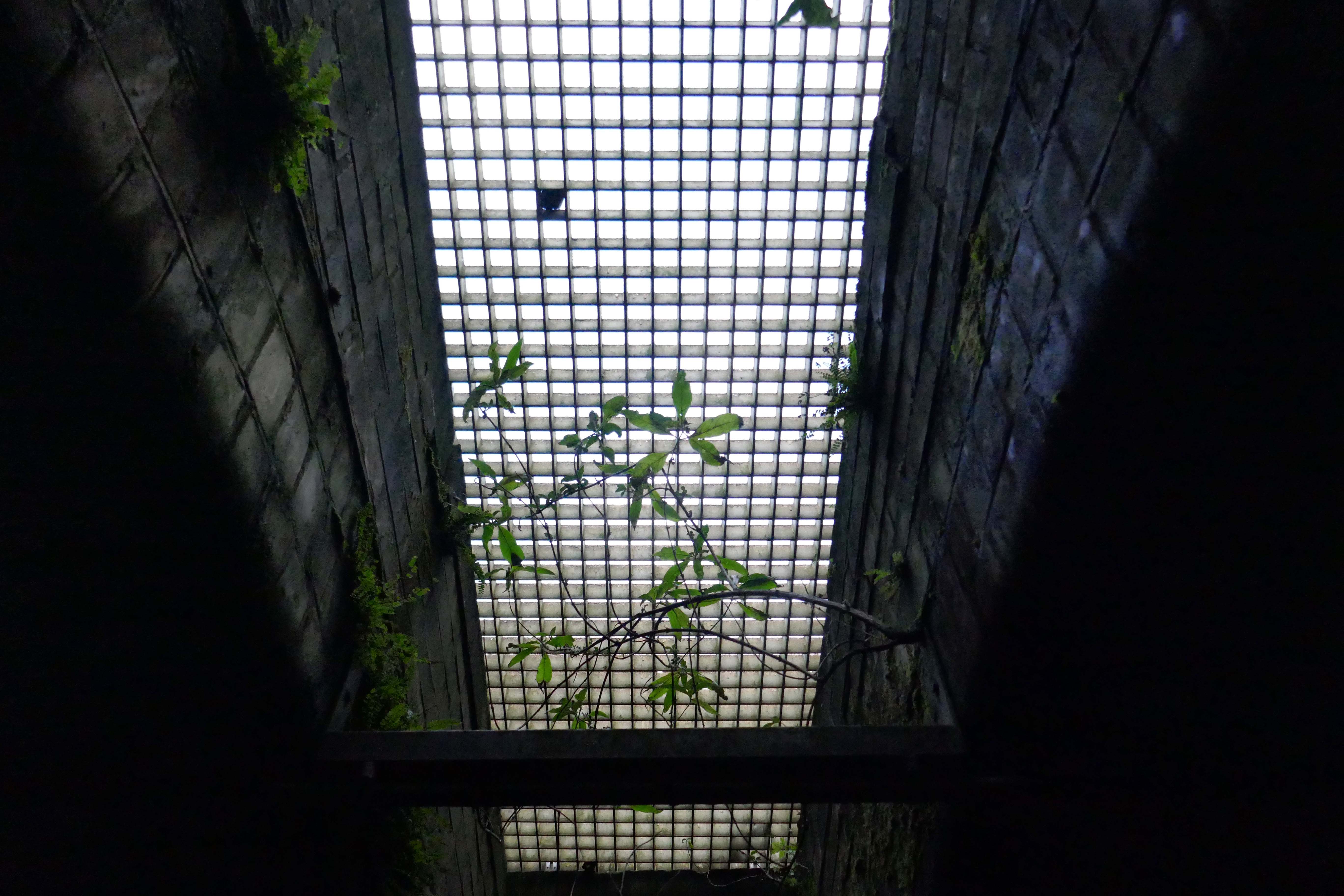
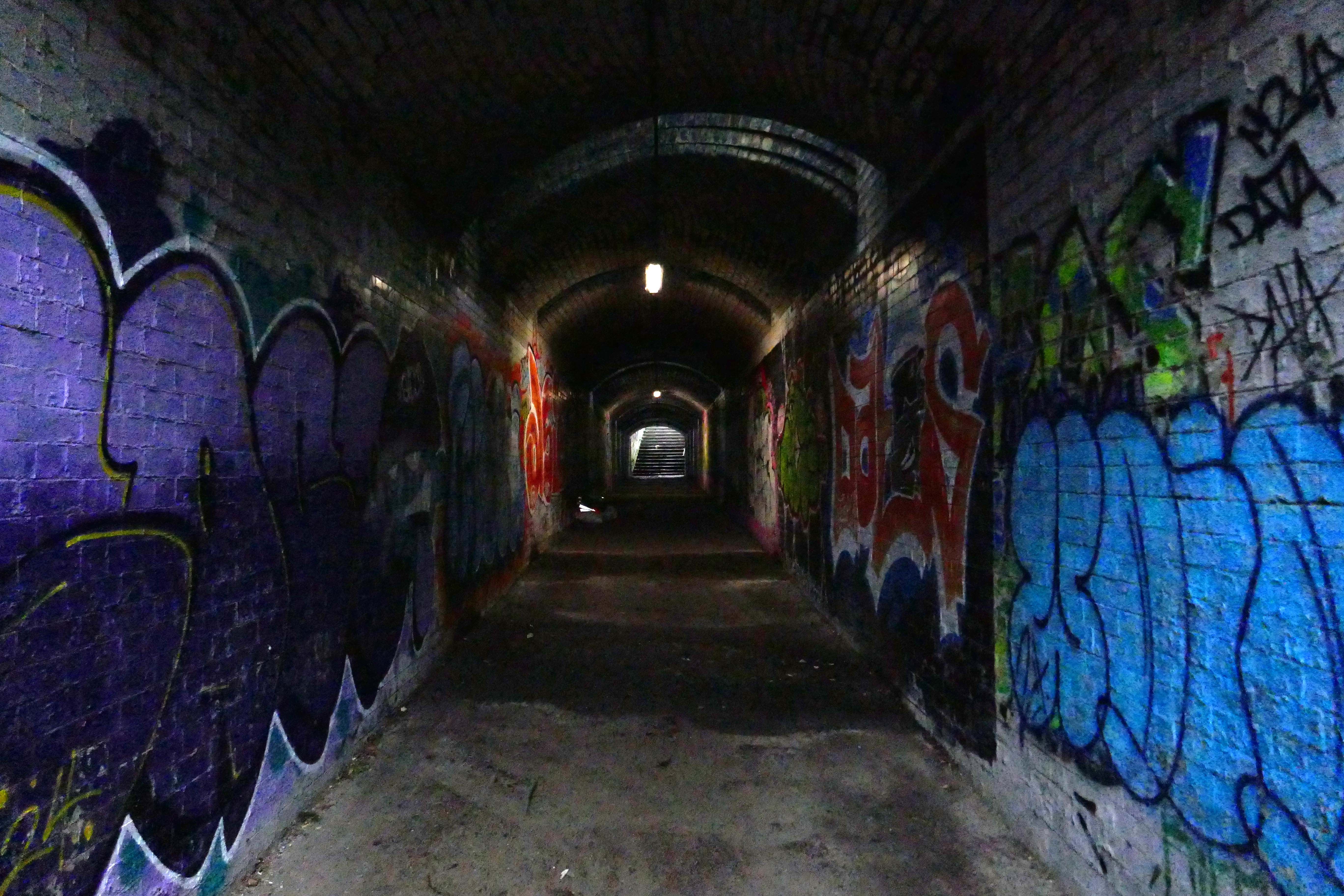
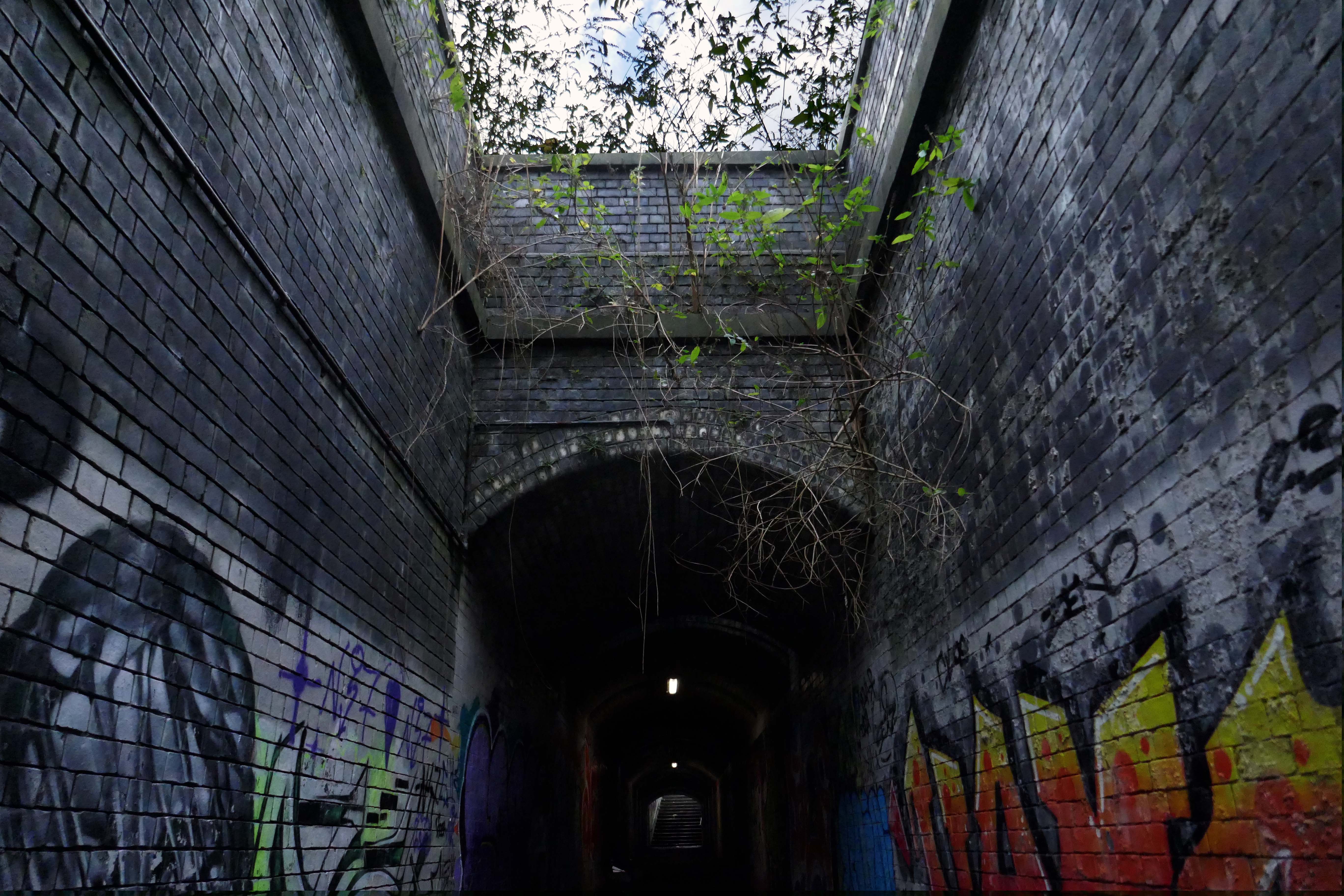
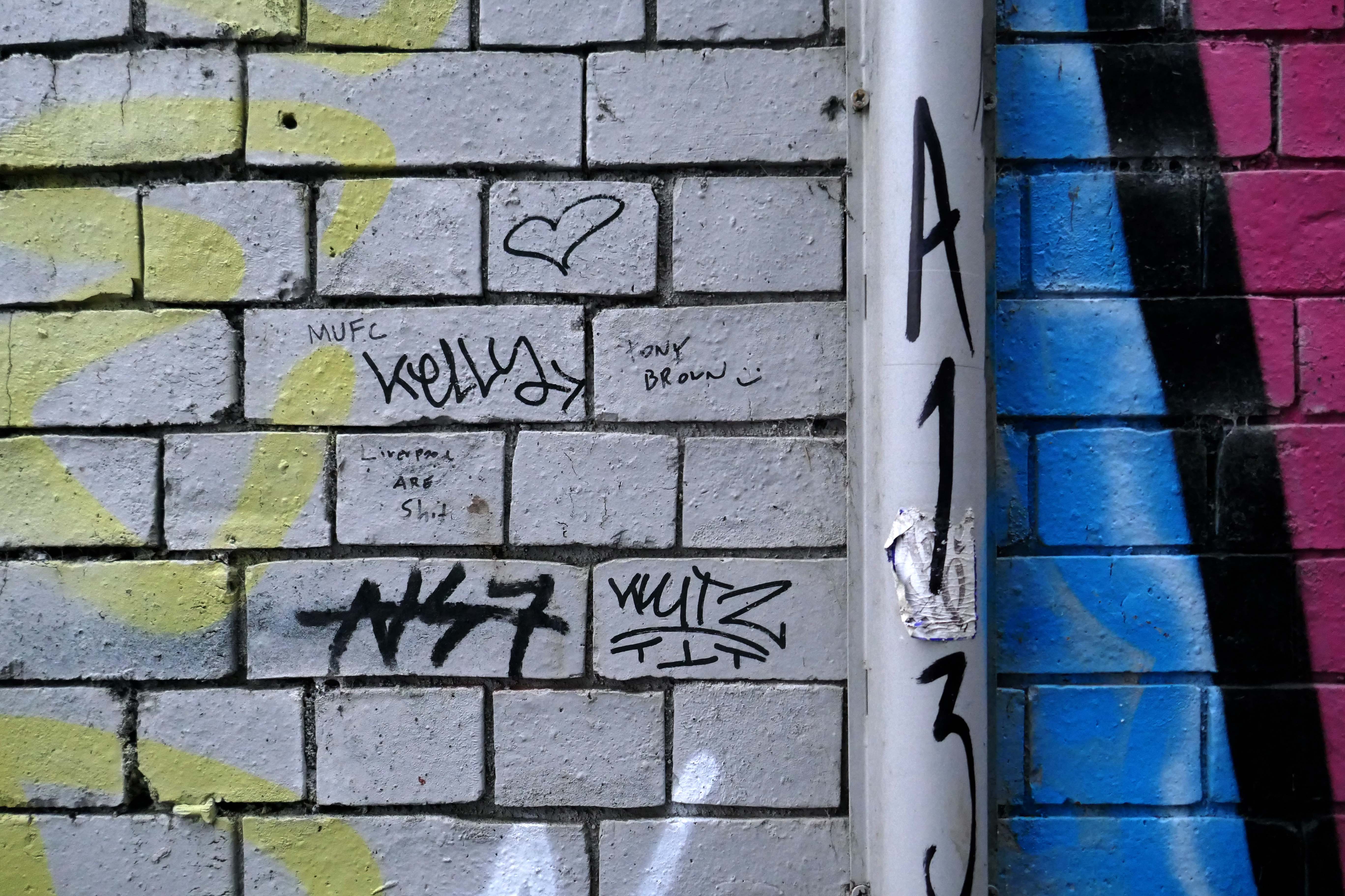
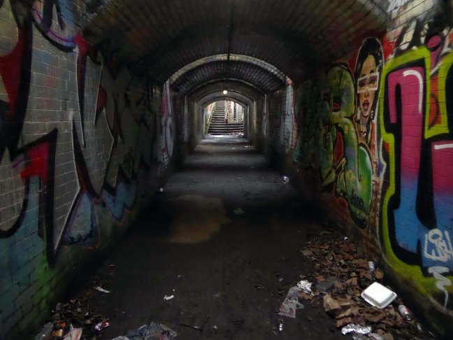
Passing between Dalton Street and Bromley Street is a pedestrian underpass, subway or tunnel.

Beneath both the Bury and Rochdale tram lines.

Once upon a time in 1807, it wasn’t there at all.

Then in 1848, it was there, as the L&Y had established a rail route.

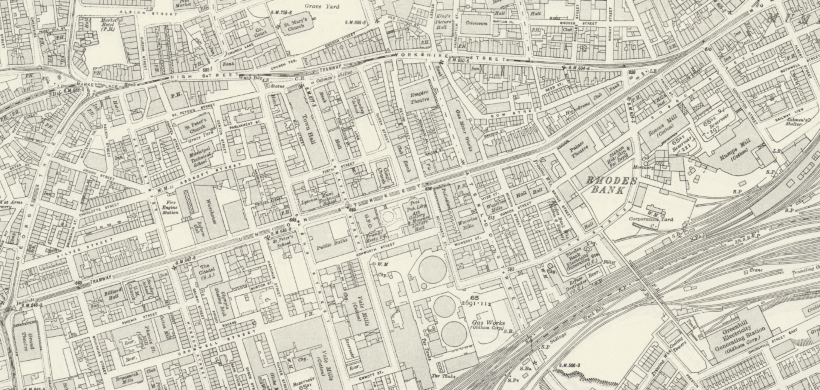
Studying historical maps, we can see the development of dense patches of housing, matching the city’s industrial growth, this is followed by a thinning of housing up to the present day – matching the city’s industrial decline.
There is yet another twist in the tale, as the development of Collyhurst Village and Victoria North, are adding another layer of housing history.

I have walked this area for several years now, recording the relentless but gradual change.

Including the pedestrian underpass, subway or tunnel.

On my most recent visit there were works cleaning the pedestrian underpass, subway or tunnel.

Tram Trip To Bury

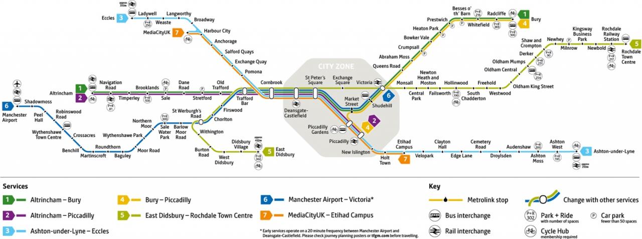
I was cordially requested to produce tram based walk, by the good folk at the modernist – travelling from Victoria Station to Bury. Alighting at each stop and seeing what could be seen, by way of modern buildings along the byways.

By the way, I do have previous experience, having undertaken a similar task travelling to Ashton.

So I set off as instructed, clutching my GMPTE senior concessionary travel pass.

Queens Road

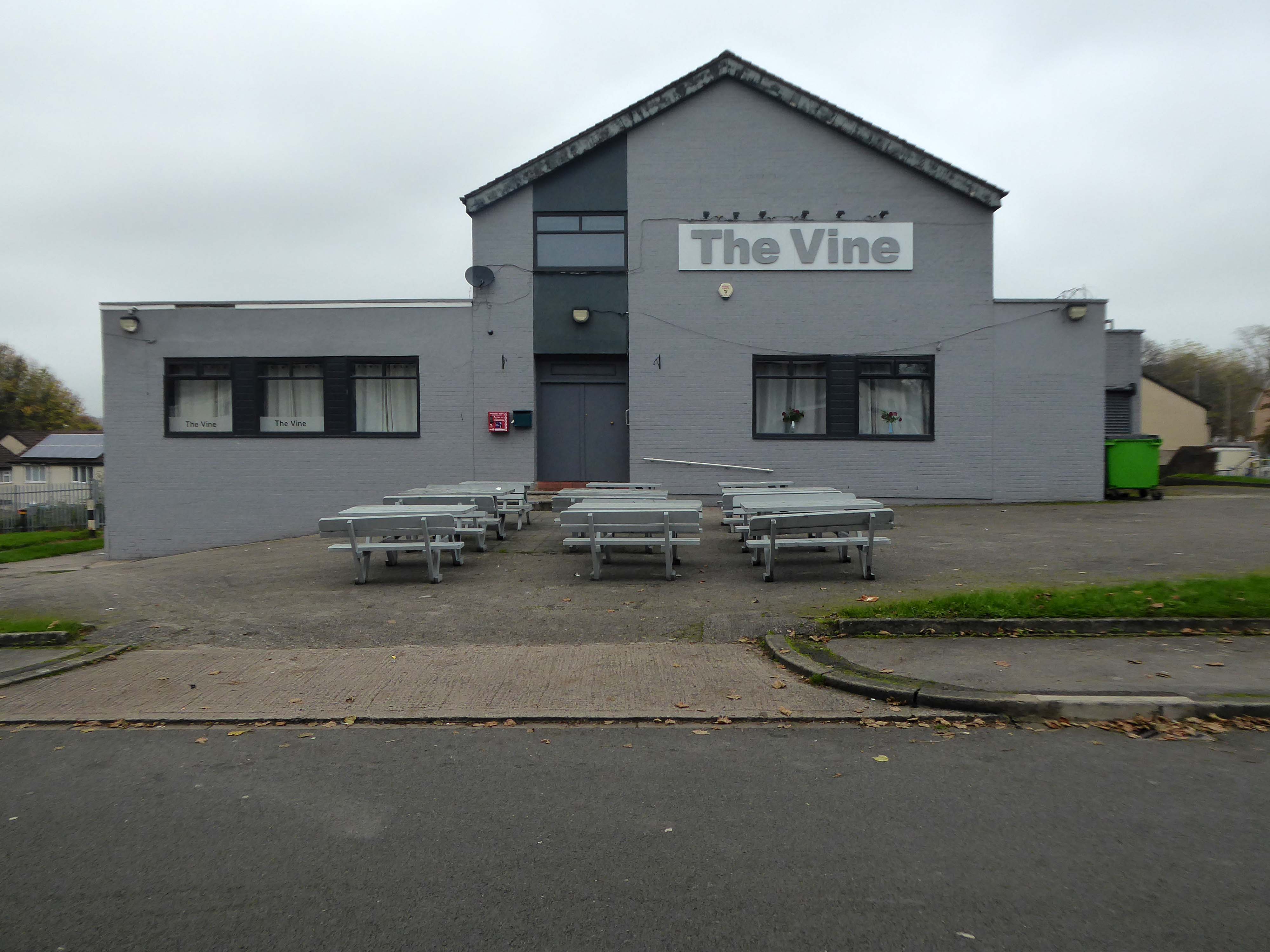
Turn right on leaving the station, right then left – you have reached The Vine.

Glendower Dr, Manchester, Greater Manchester M40 7TD.

Head for Rochdale Road and turn right back toward the city centre, you have reached Eastford Square.

Manchester M40 7QT

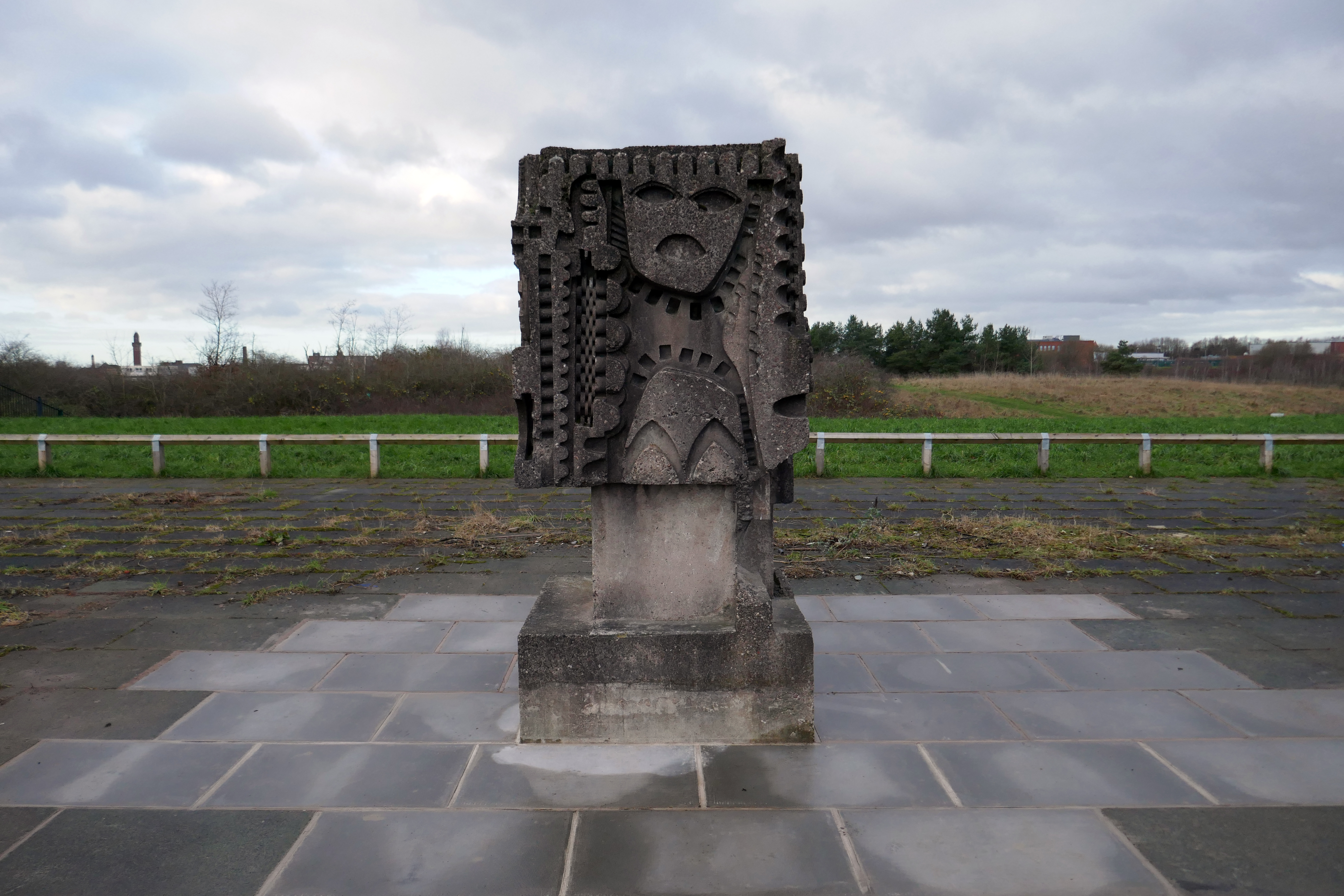
Formerly home to homes and shops – currently home to the William Mitchell Totem.
Abraham Moss

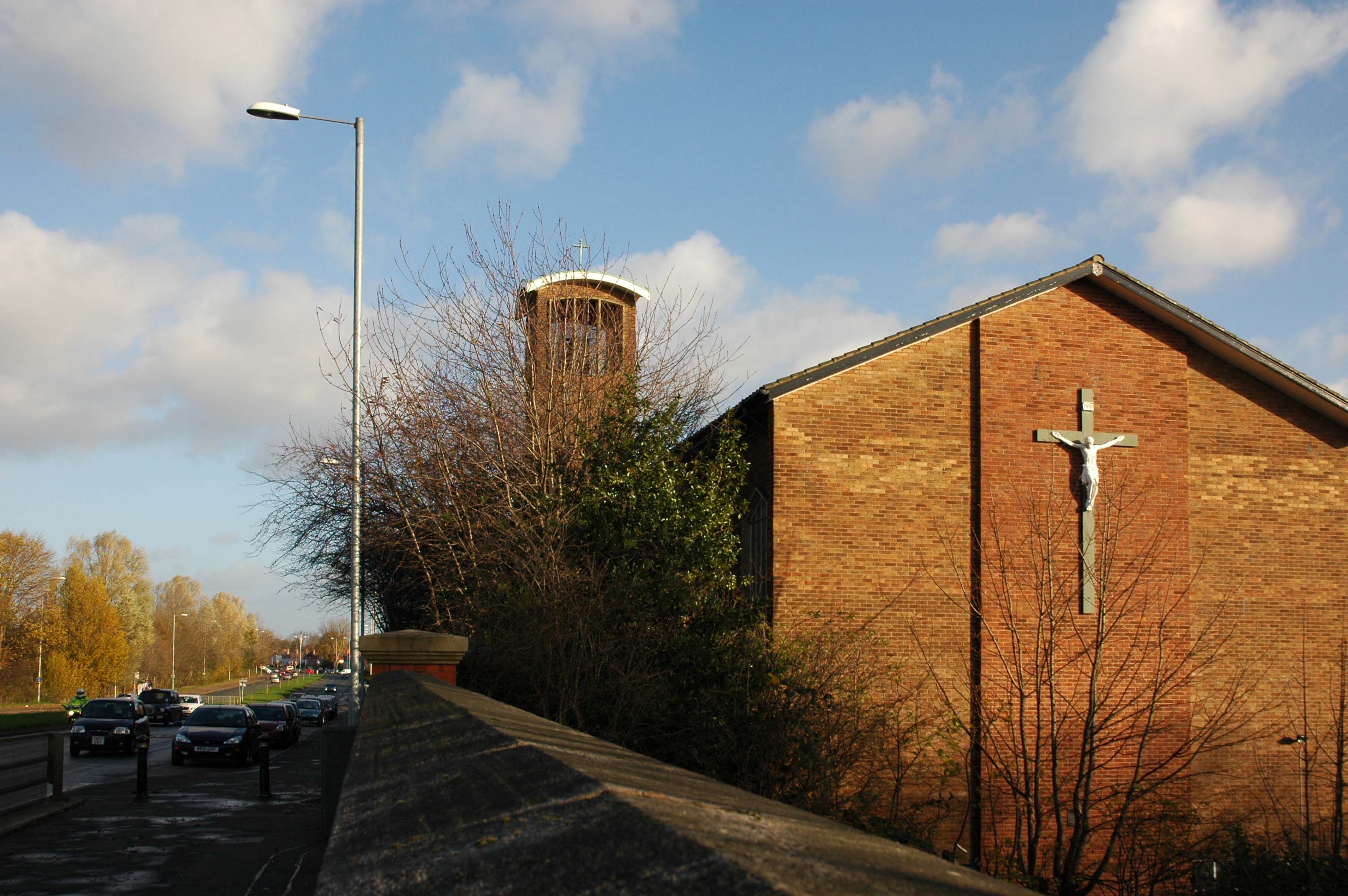
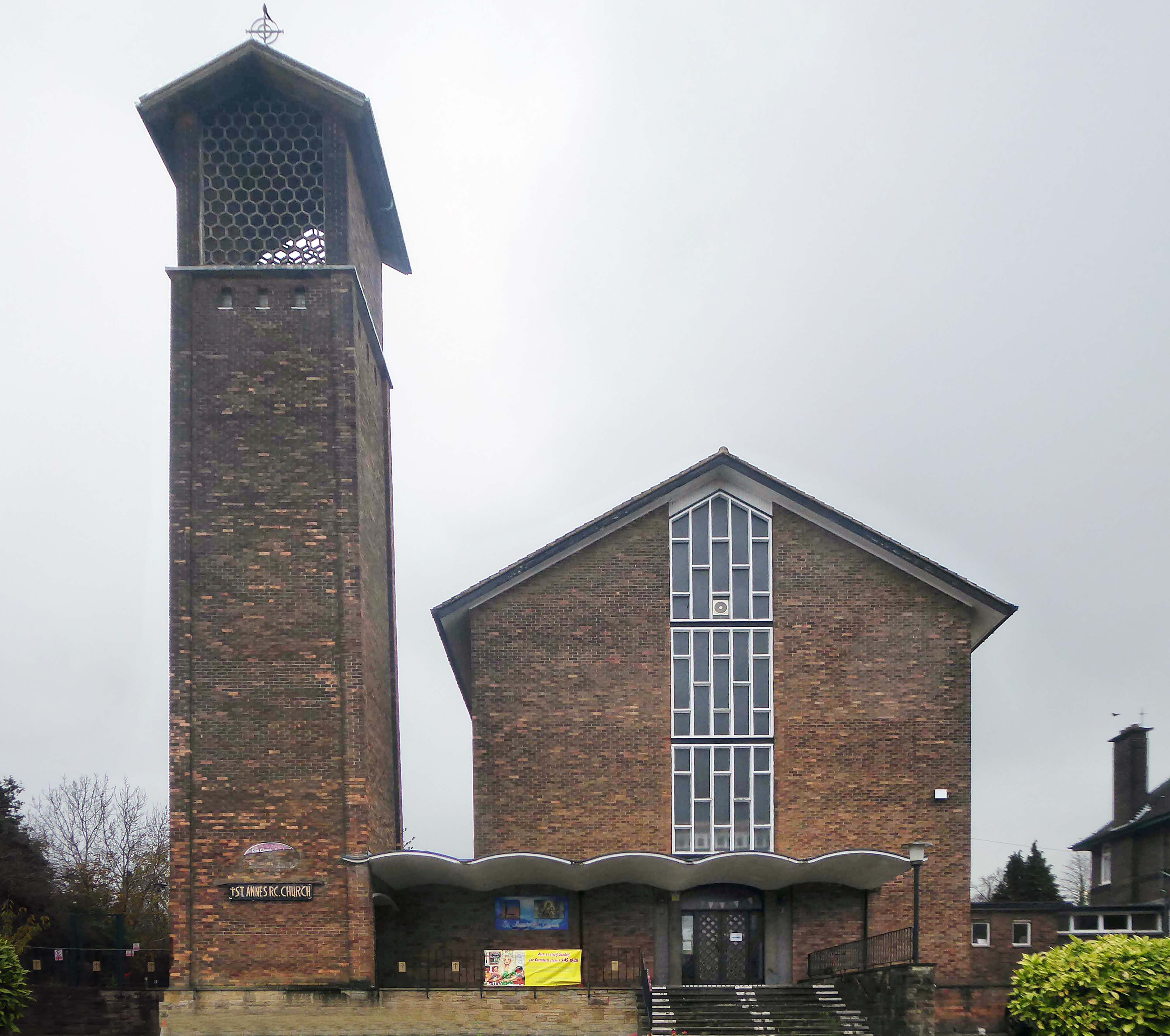
Head toward where you will find St Annes RC Church – Architect: Greenhalgh & Williams 1958
Crescent Rd, Crumpsall, Manchester M8 5UE

Crumpsall

Turn right out of the station onto Crumpsall Lane

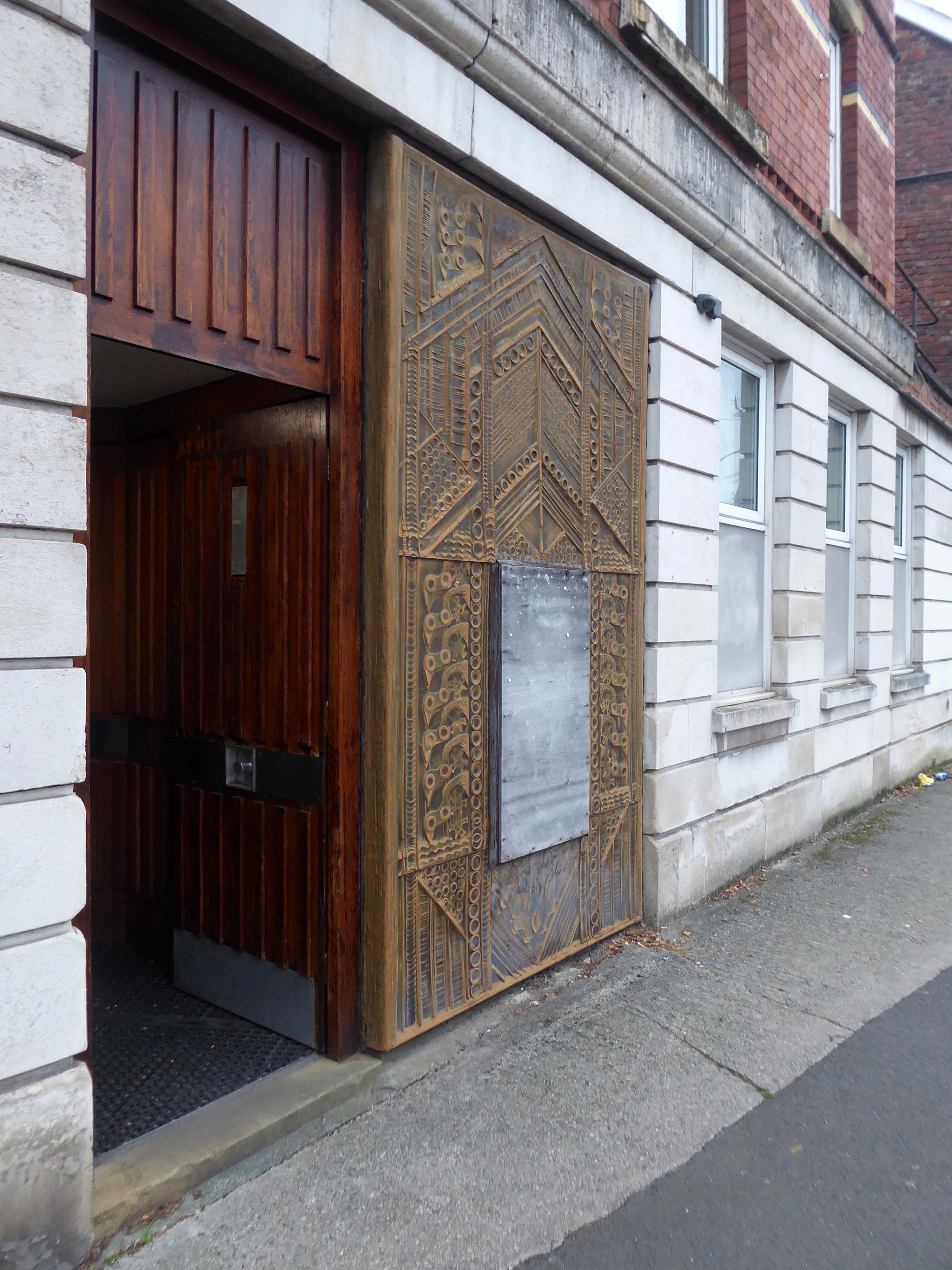
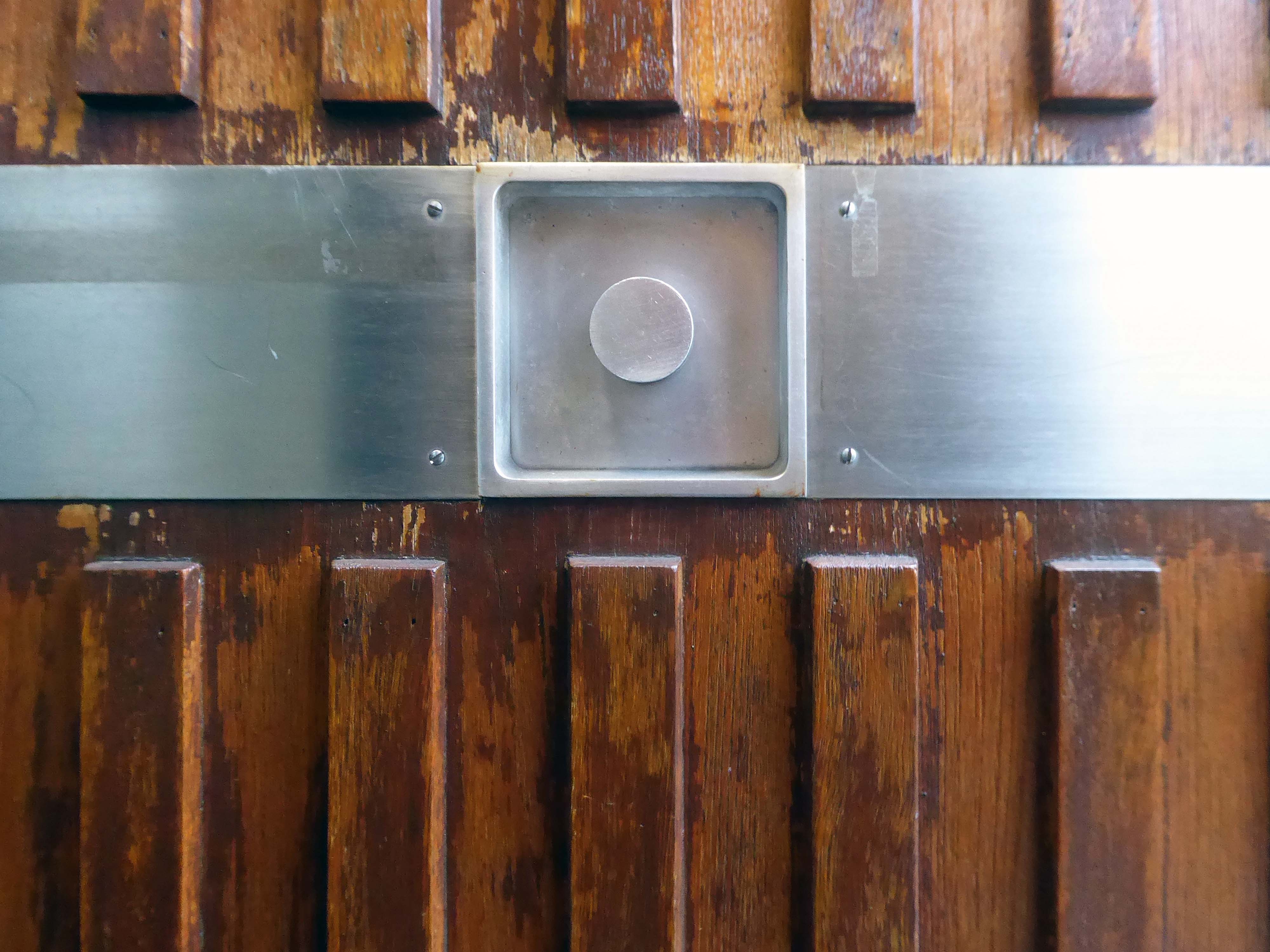
Former District Bank latterly Nat West – decorative relief and door.

Currently Greater Manchester Immigration Aid Unit

1 Delaunays Rd, Crumpsall, Manchester M8 4QS

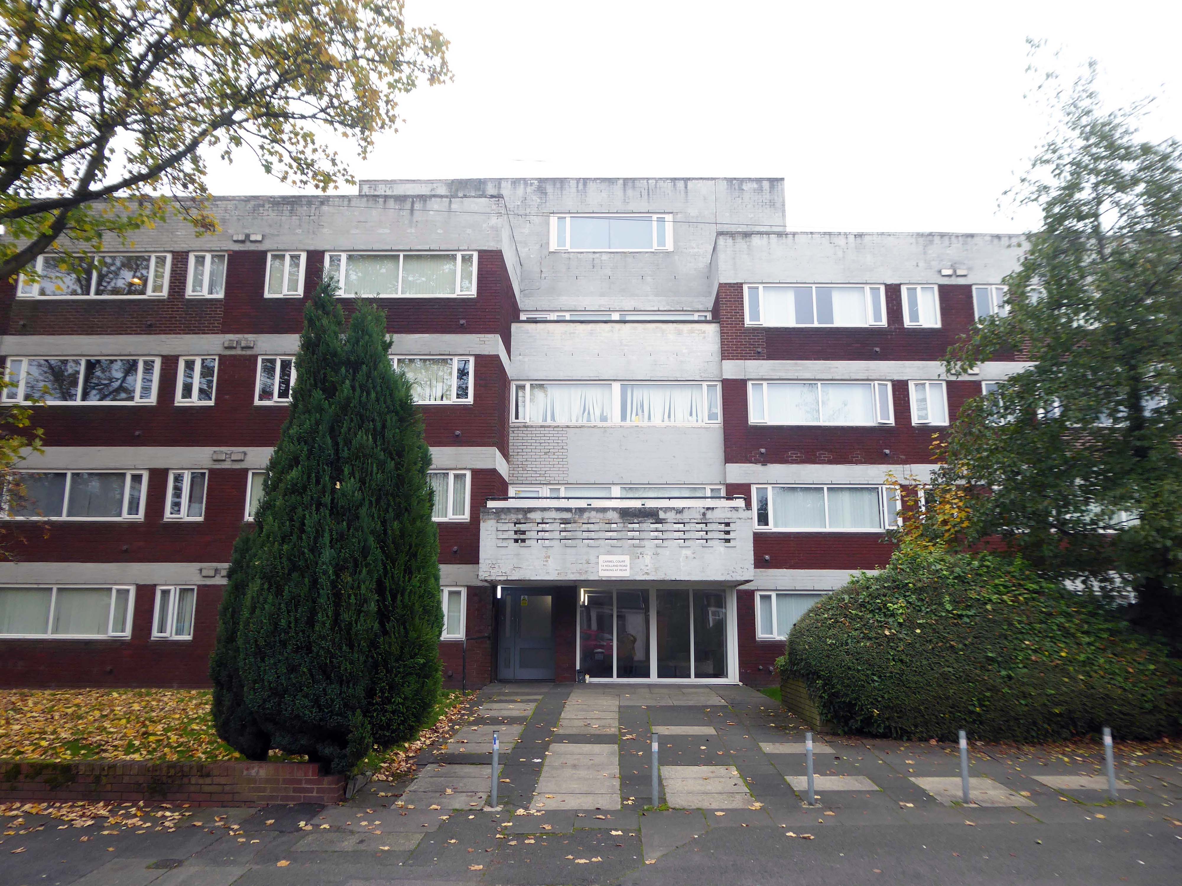
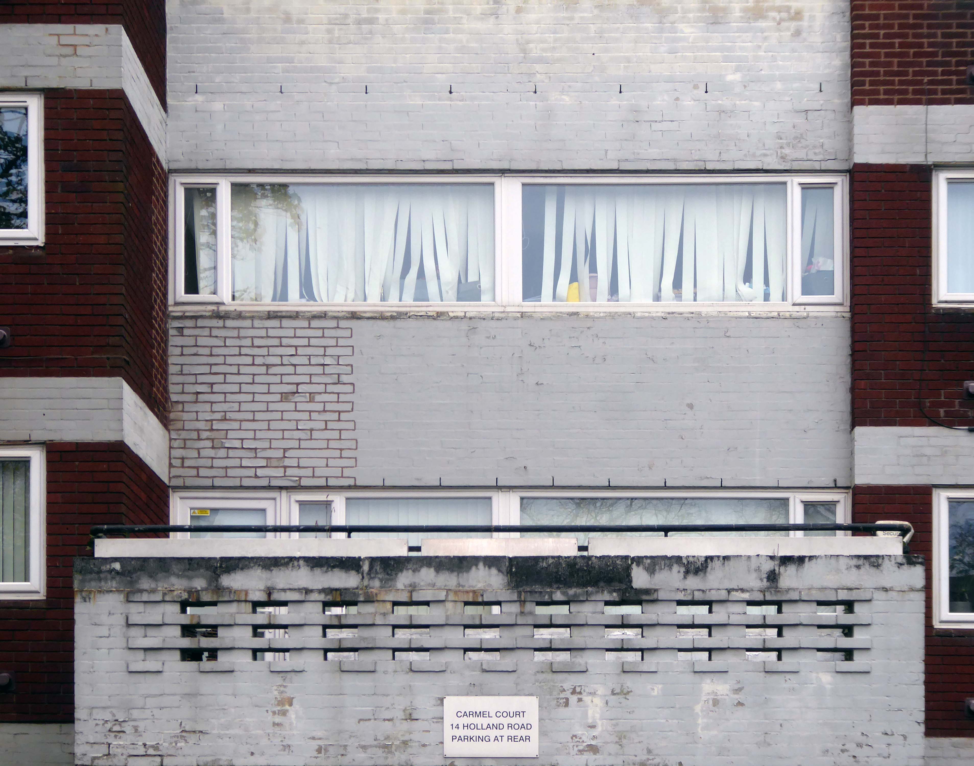
Carmel Court

Turn back along Crumpsall Lane past the station until you reach Holland Road on your right.

14 Holland Rd, Crumpsall, Manchester M8 4NP

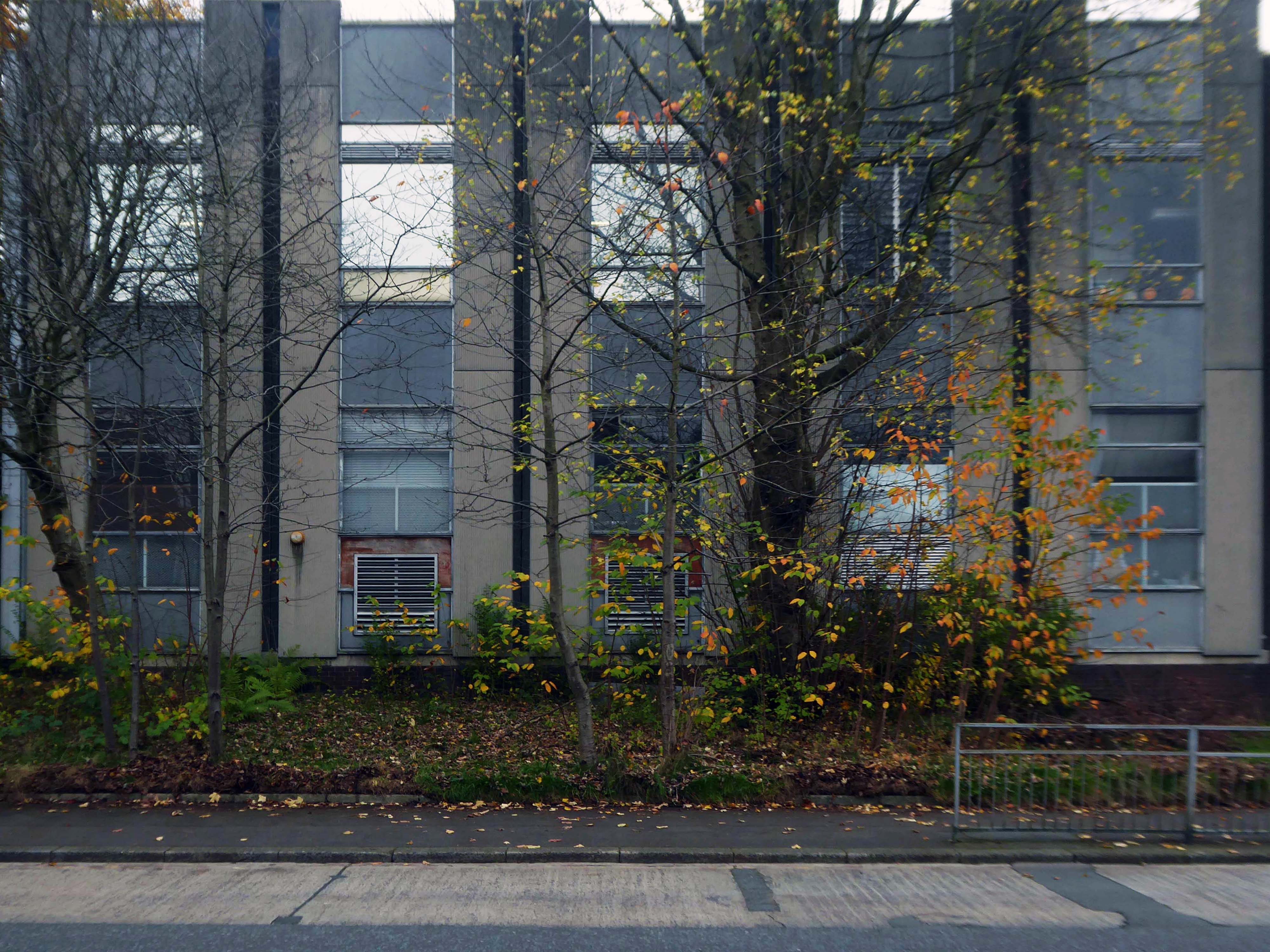
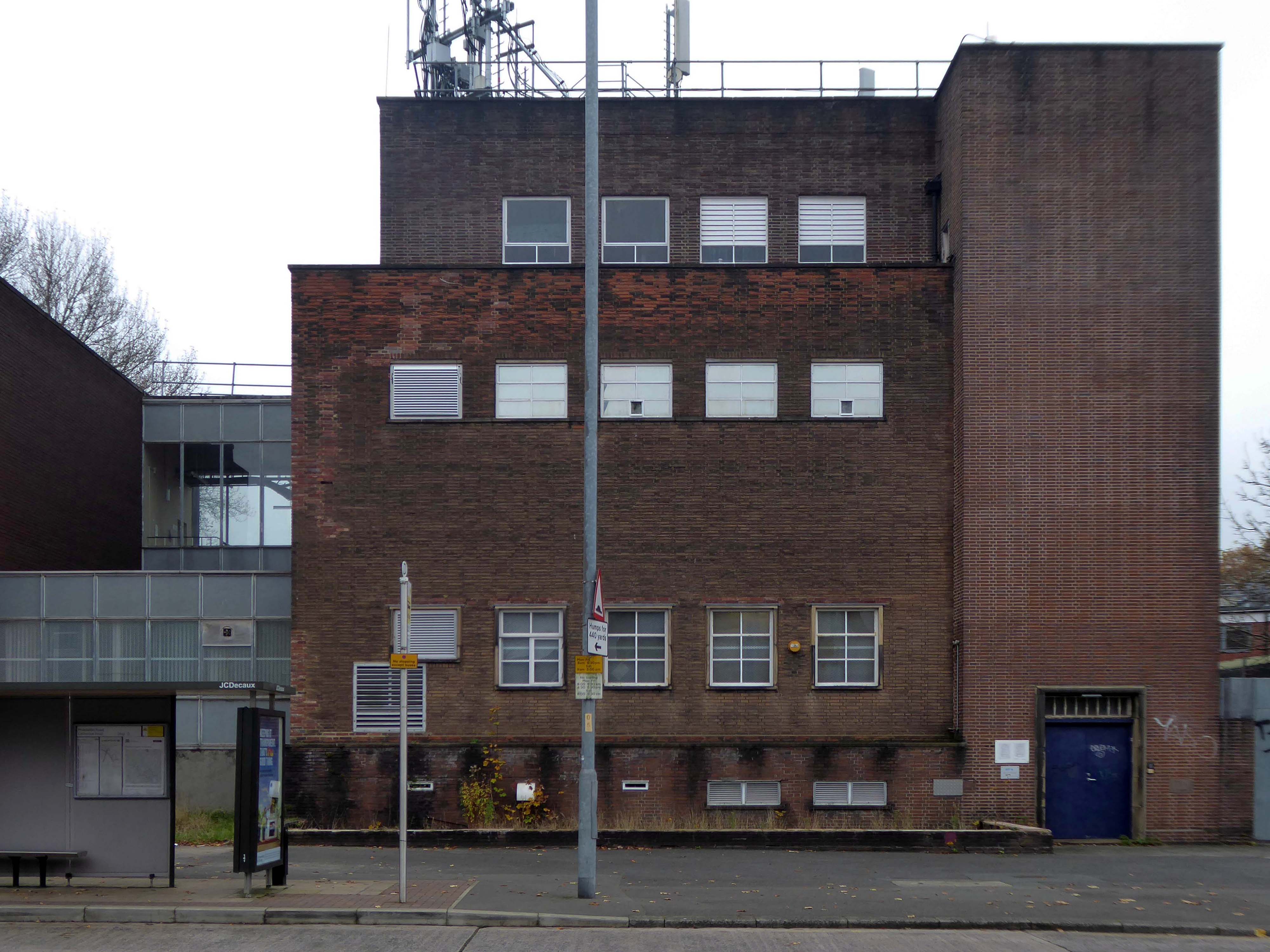
Onto Middleton Road and turn left where you will find the Telephone Exchange.

Middleton Road, Manchester. M8 5DS

Back track along Middleton Road toward Bowker Vale station.

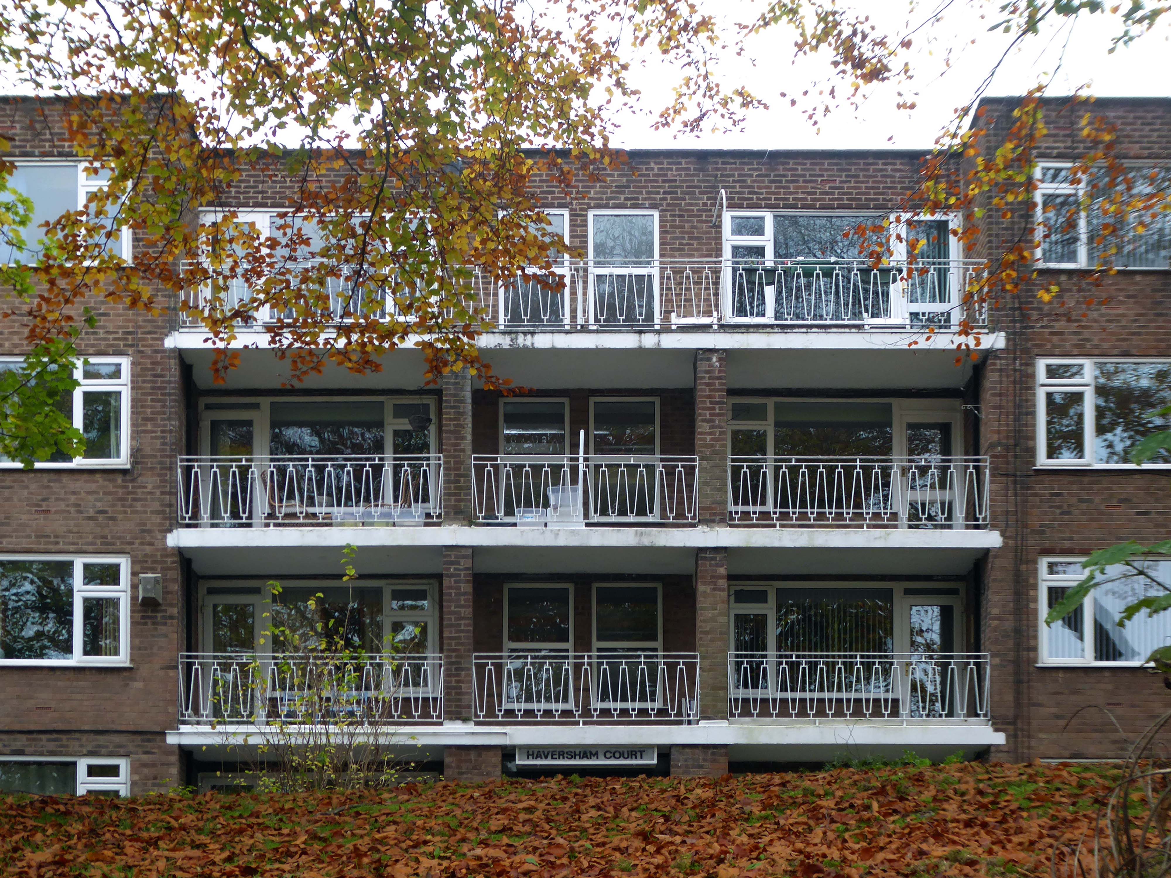
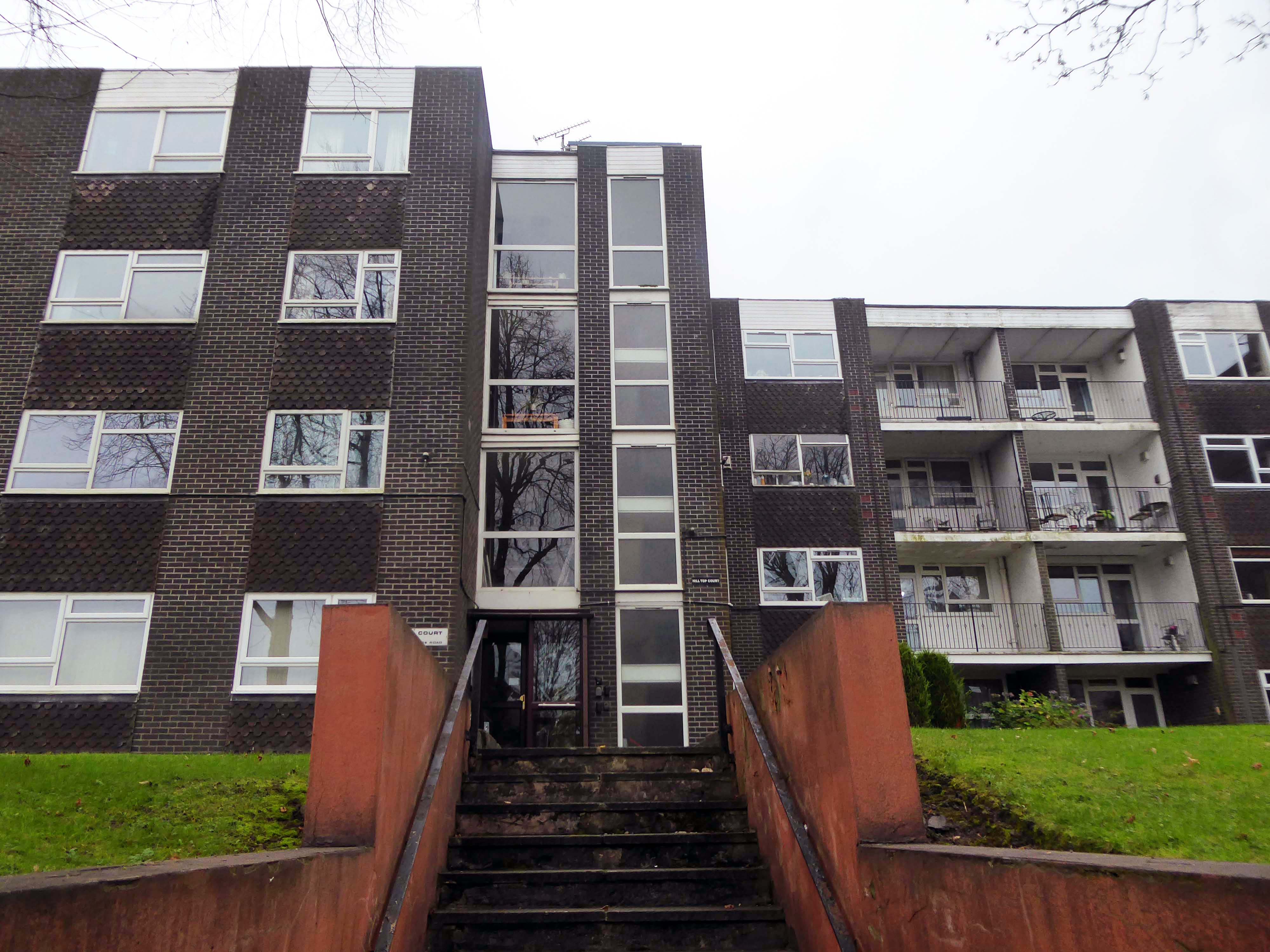
There are several post-war residential low rise block along the route.

Haversham Court

Middleton Rd, Crumpsall, Manchester M8 4JY

Hilltop Court – just off to the left of Middleton Road.

Brooklands Road, Crumpsall, Manchester M8 4JH

Bowker Vale

Heaton Park

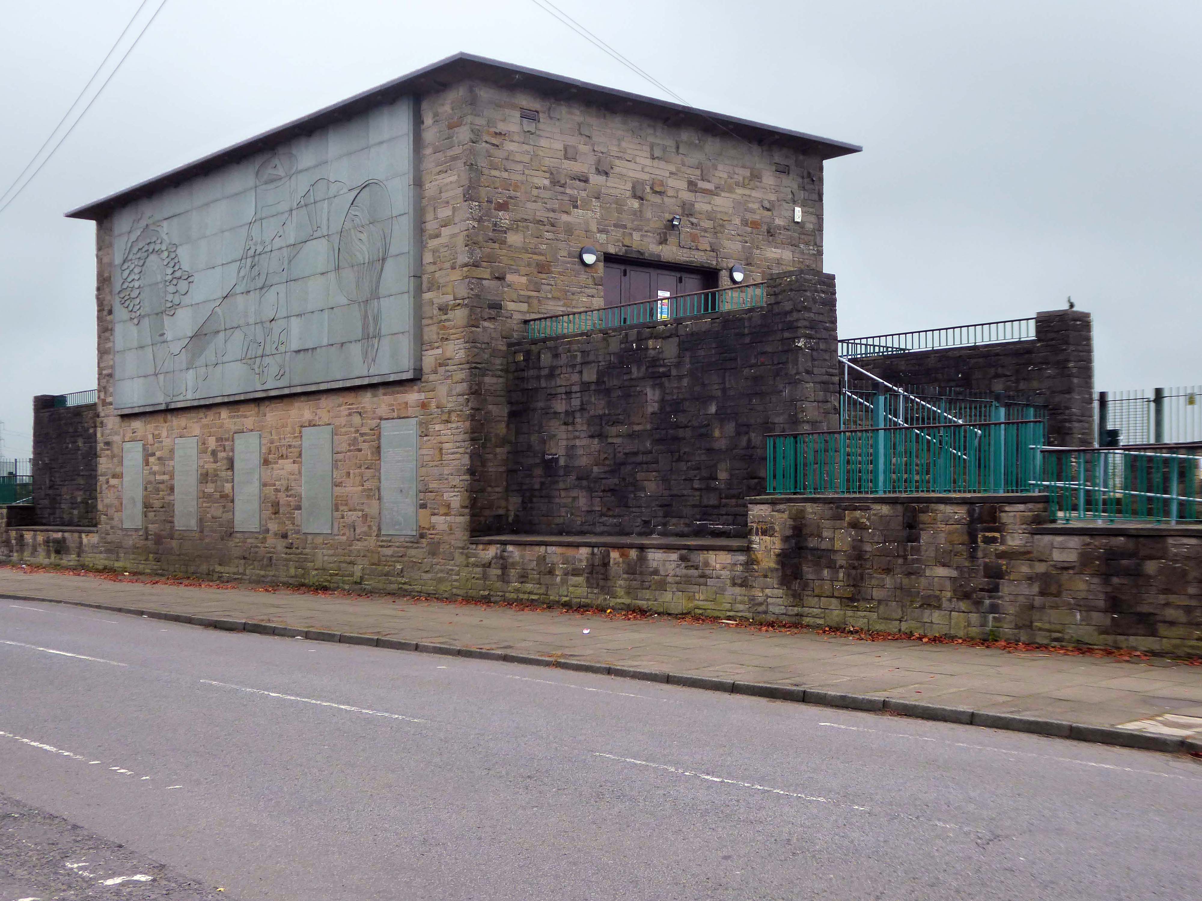
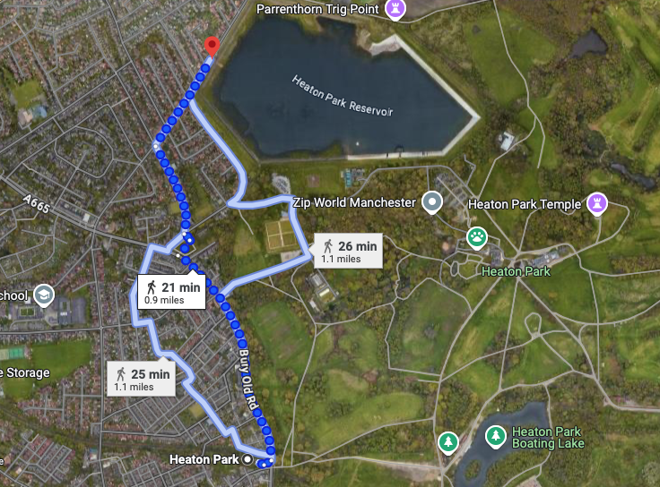
A good twenty minute walk from the station to Heaton Park Pumping Station.

Turn left from the station along Bury Old Road until you reach Heywood Road on your right.

Heywood Road, Prestwich, Manchester M25 2GT

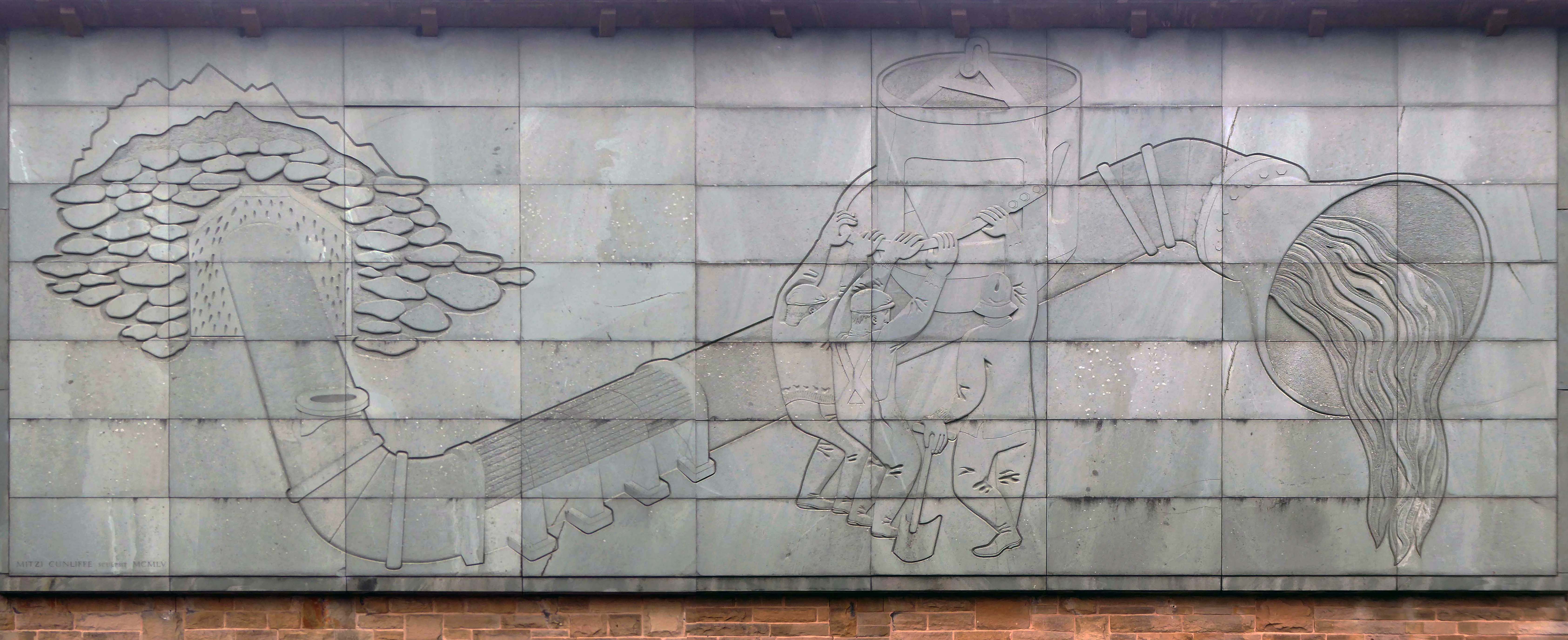
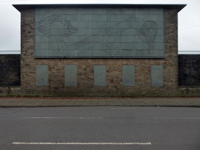
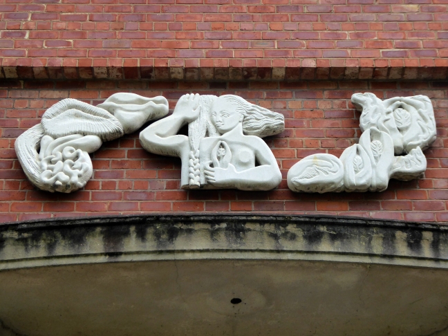
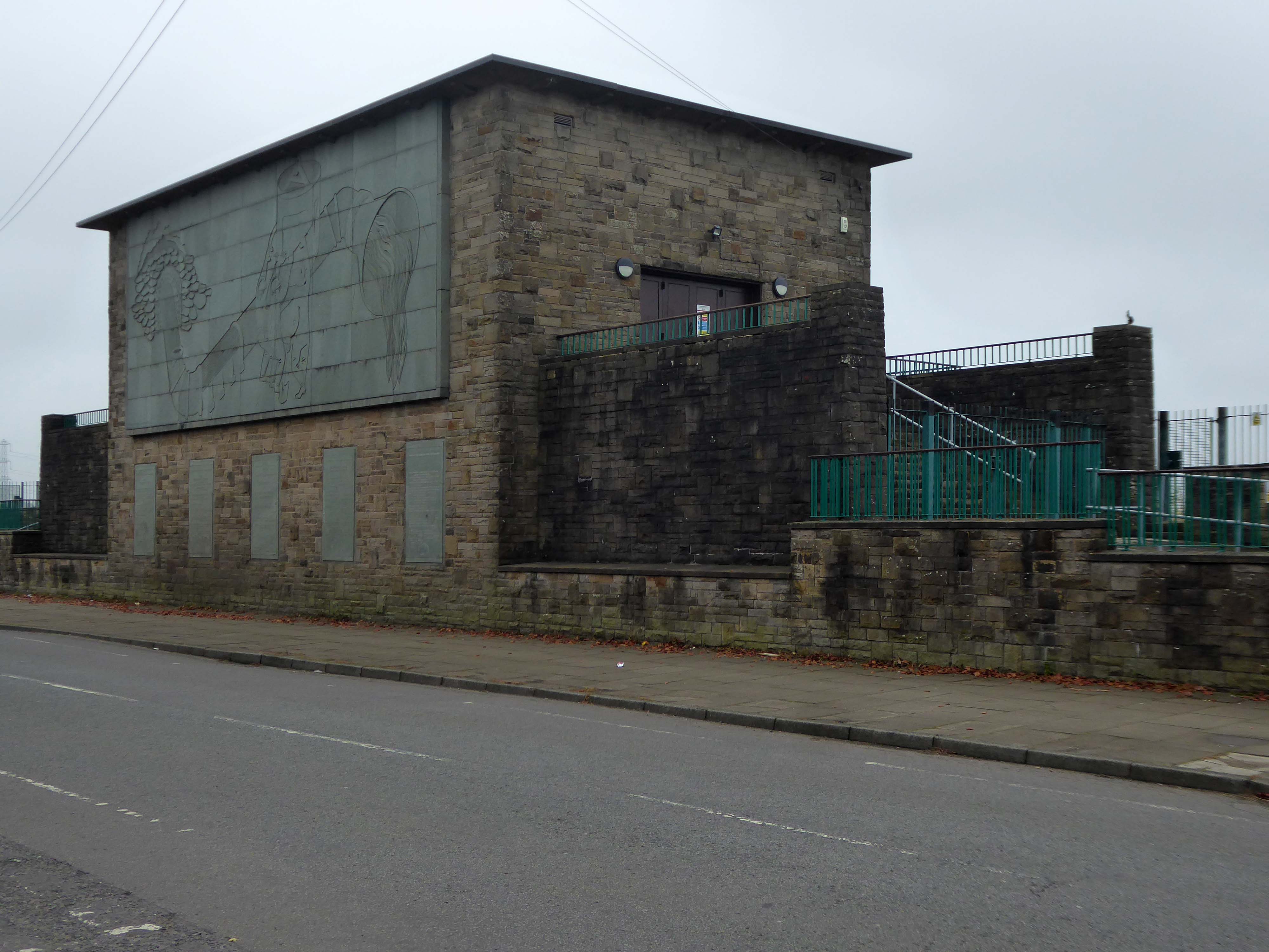
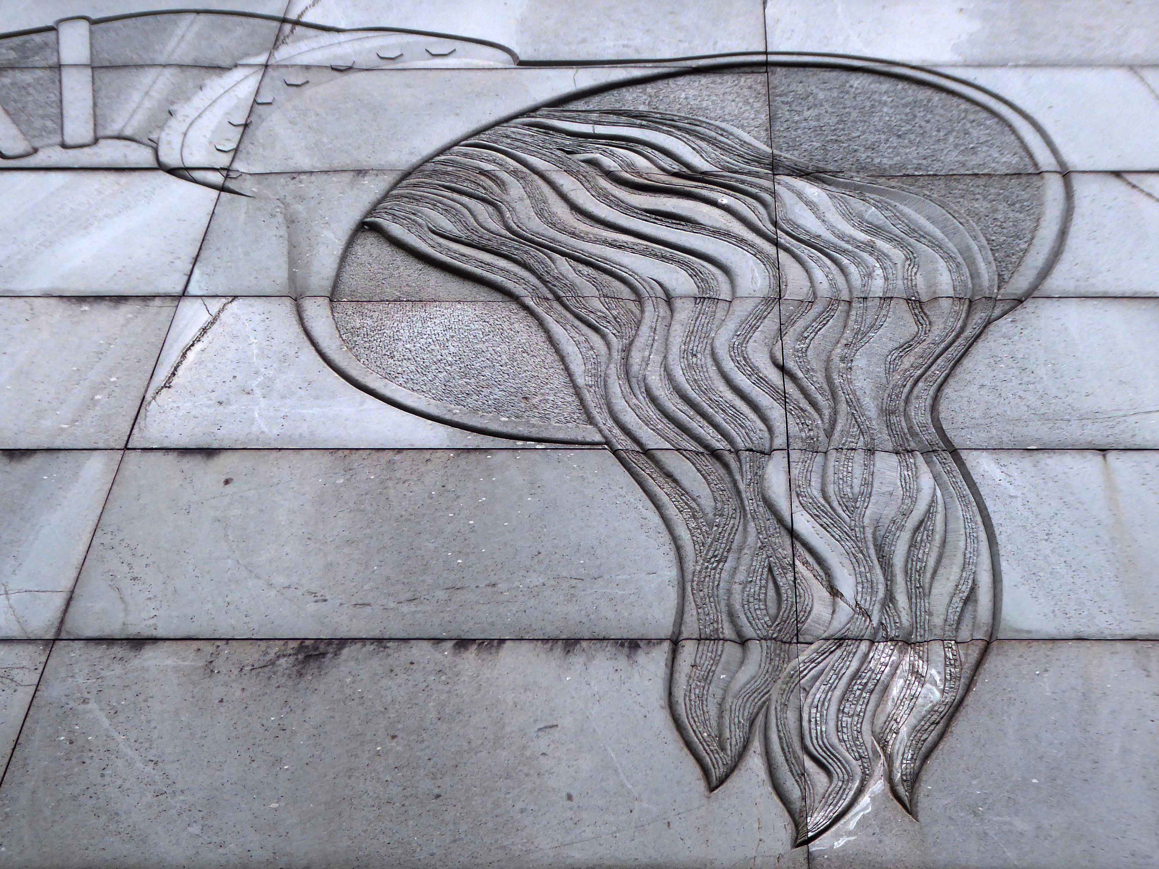
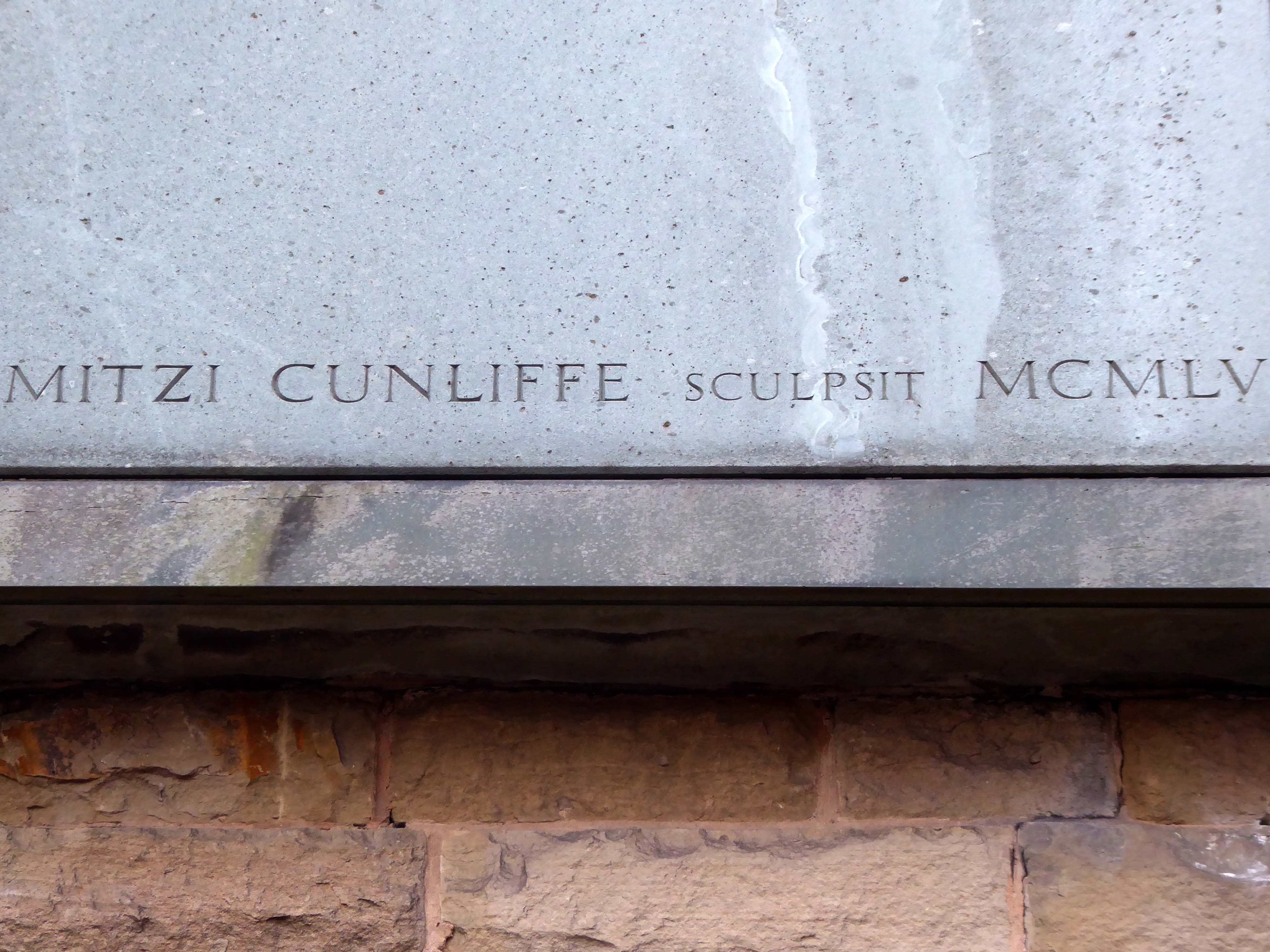
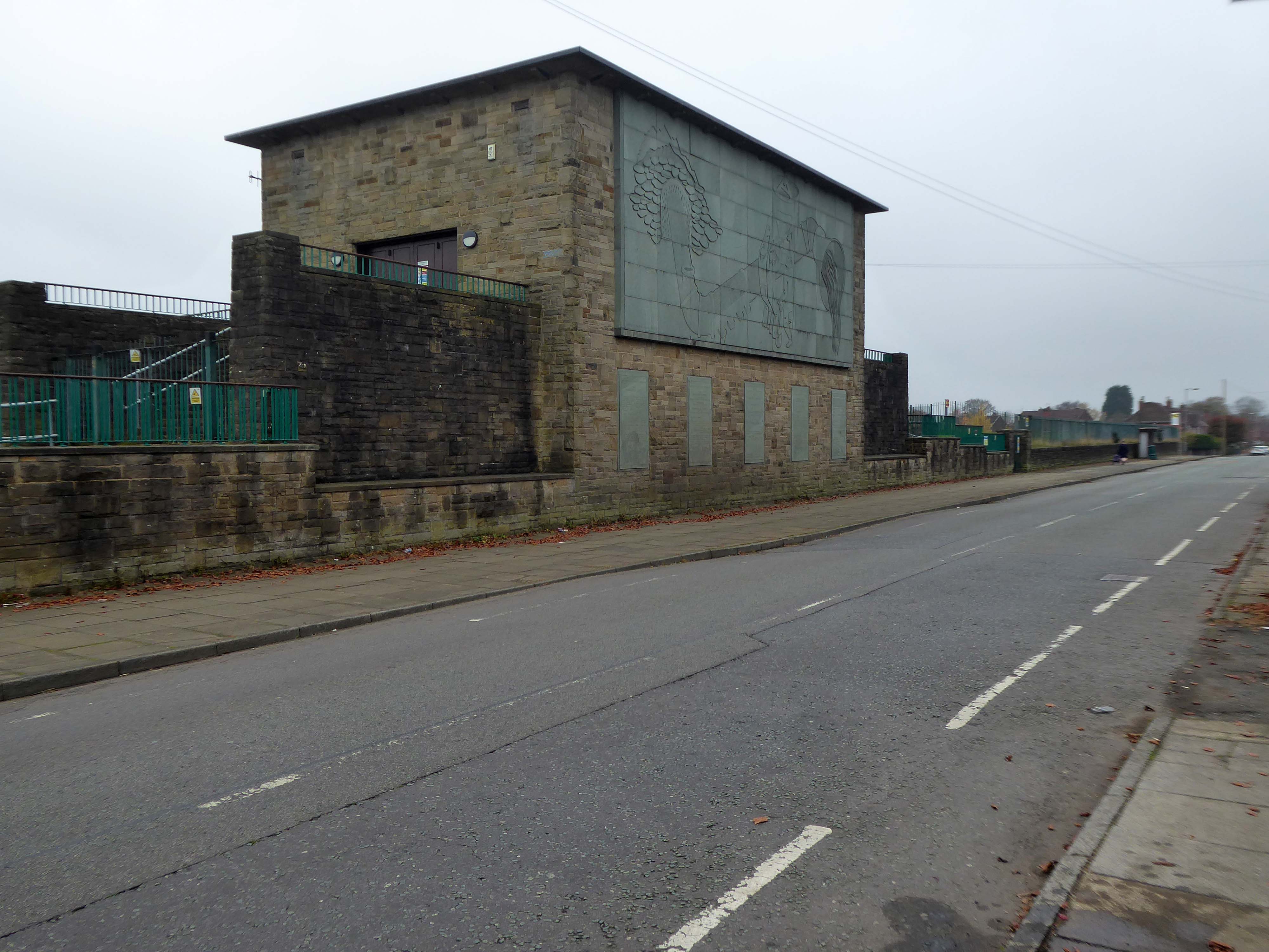
1954-5 by the Manchester City Architect’s Department, Chief Architect Leonard C Howitt, for the Manchester Corporation Waterworks. Alan Atkinson, engineer. Incorporates large relief by Mitzi Cunliffe, signed and dated 1955.

Prestwich

Development by architects Leach Rhodes Walker.

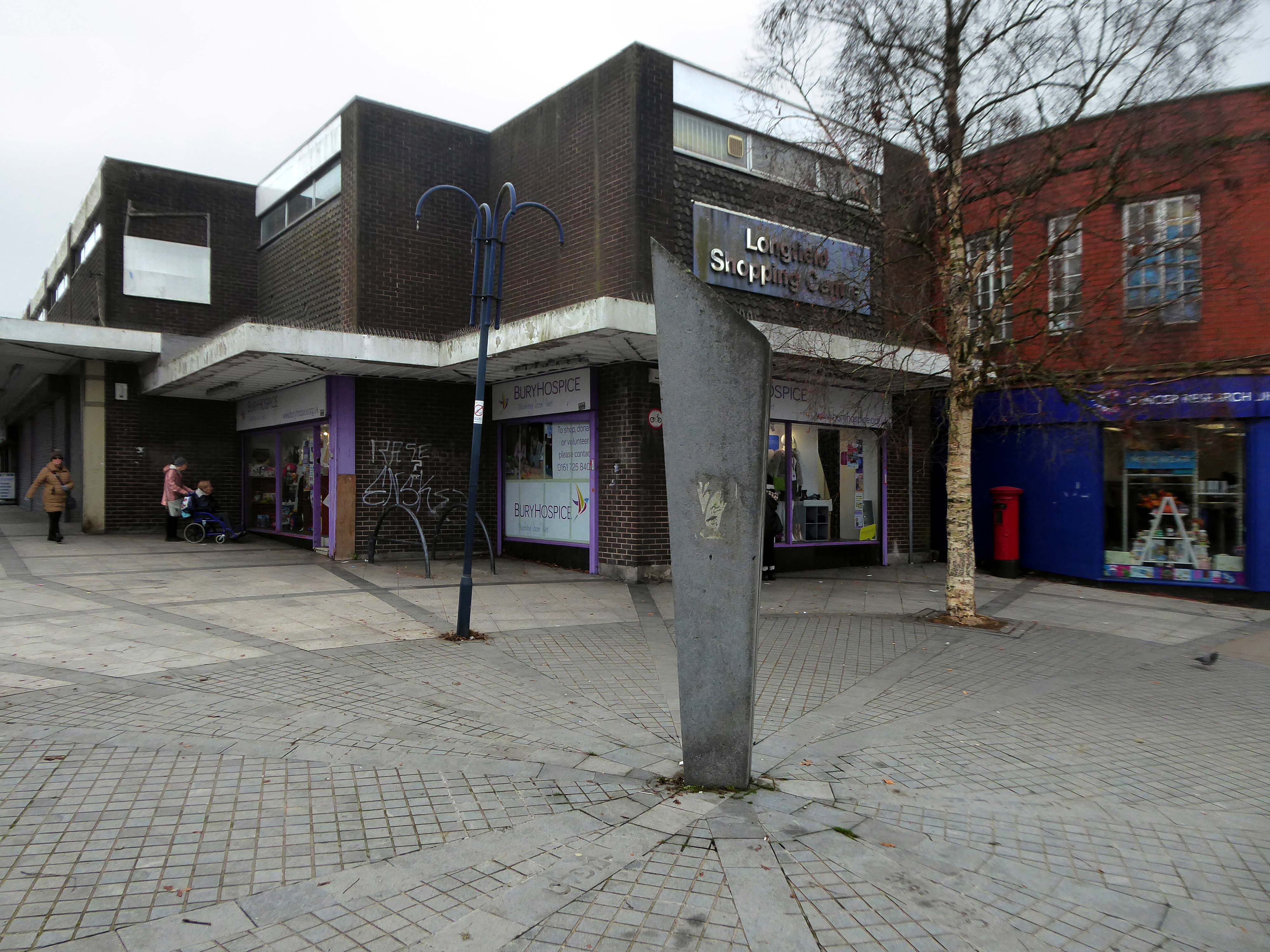
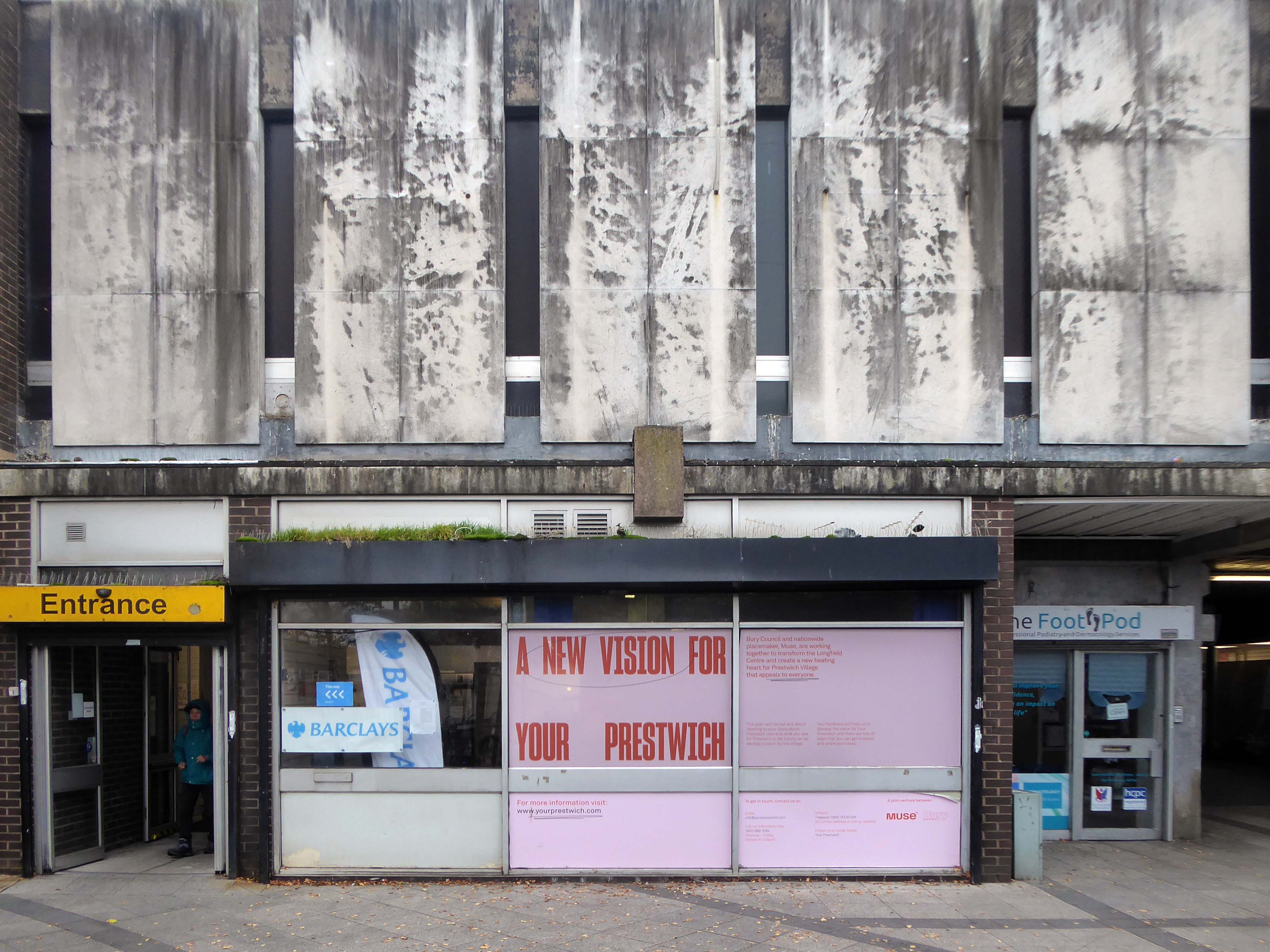
Longfield Shopping Centre

Prestwich Library

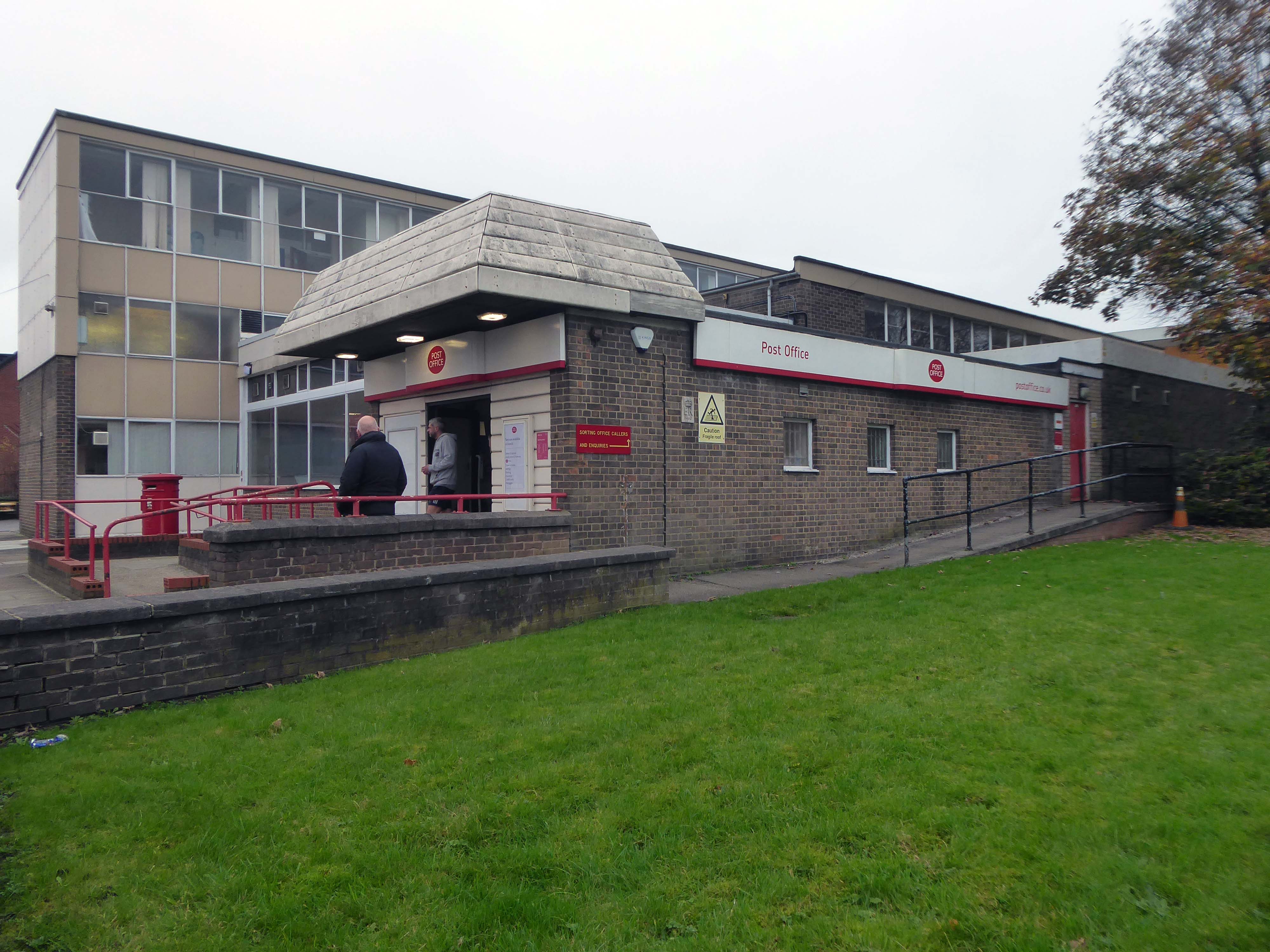
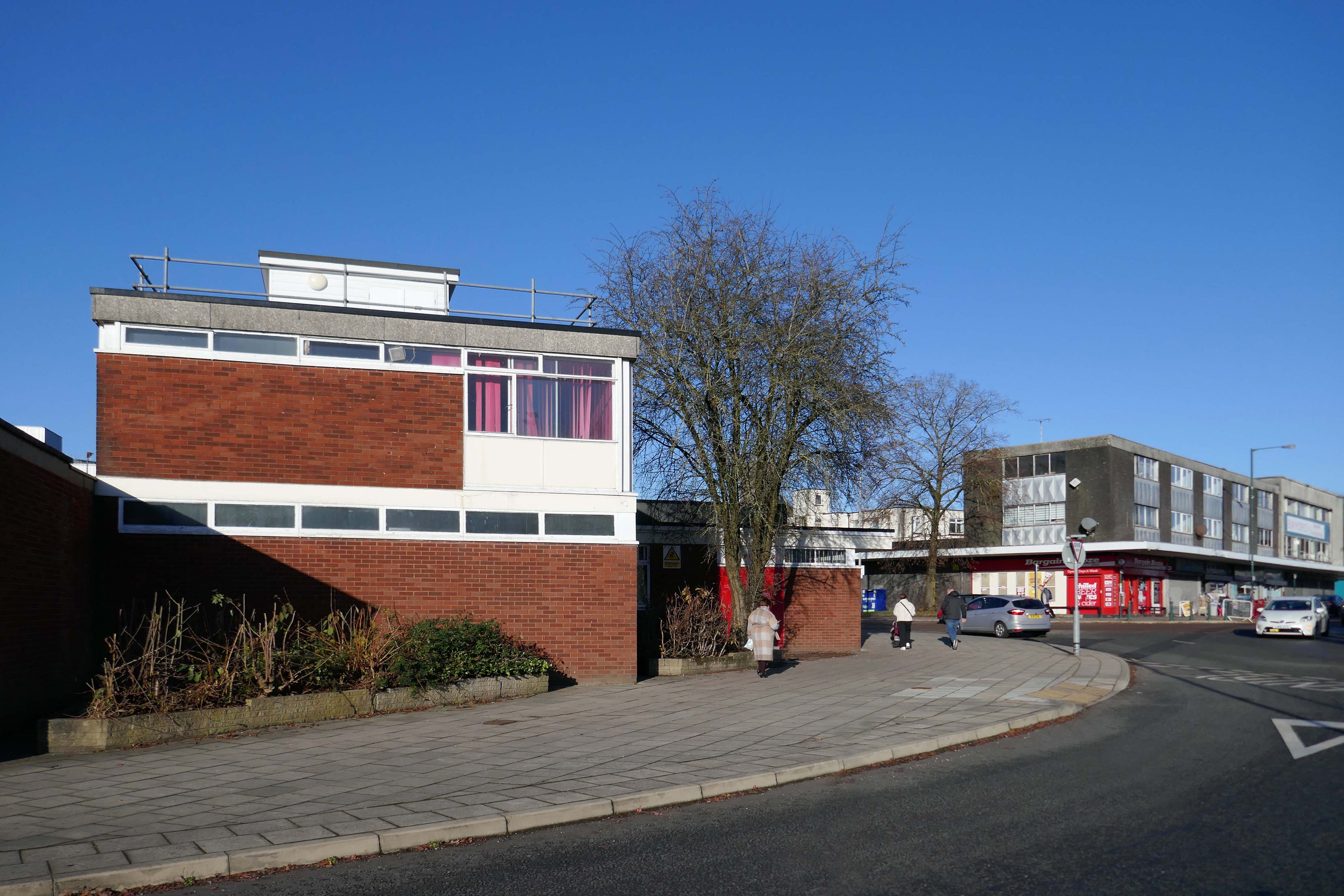
Post Office

After months of public consultation, the joint venture has firmed up its proposals for the redevelopment of the Longfield Centre and is aiming to be on site before the end of the year.

Muse and Bury Council have submitted a hybrid application to transform six acres of Prestwich town centre.

Place North West

Besses o’ th Barn

Whitefield

Almost directly facing the station along Bury New Road.

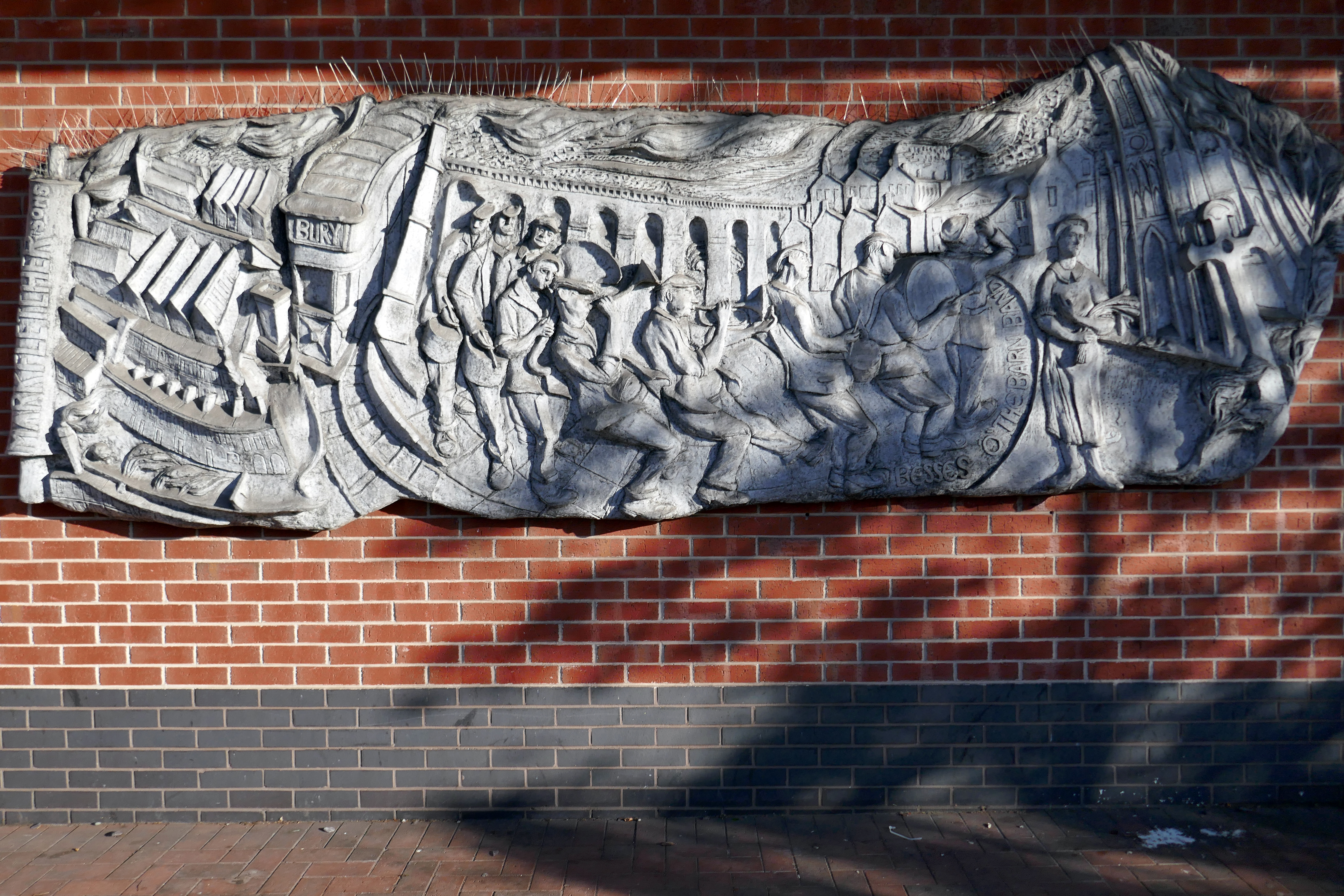
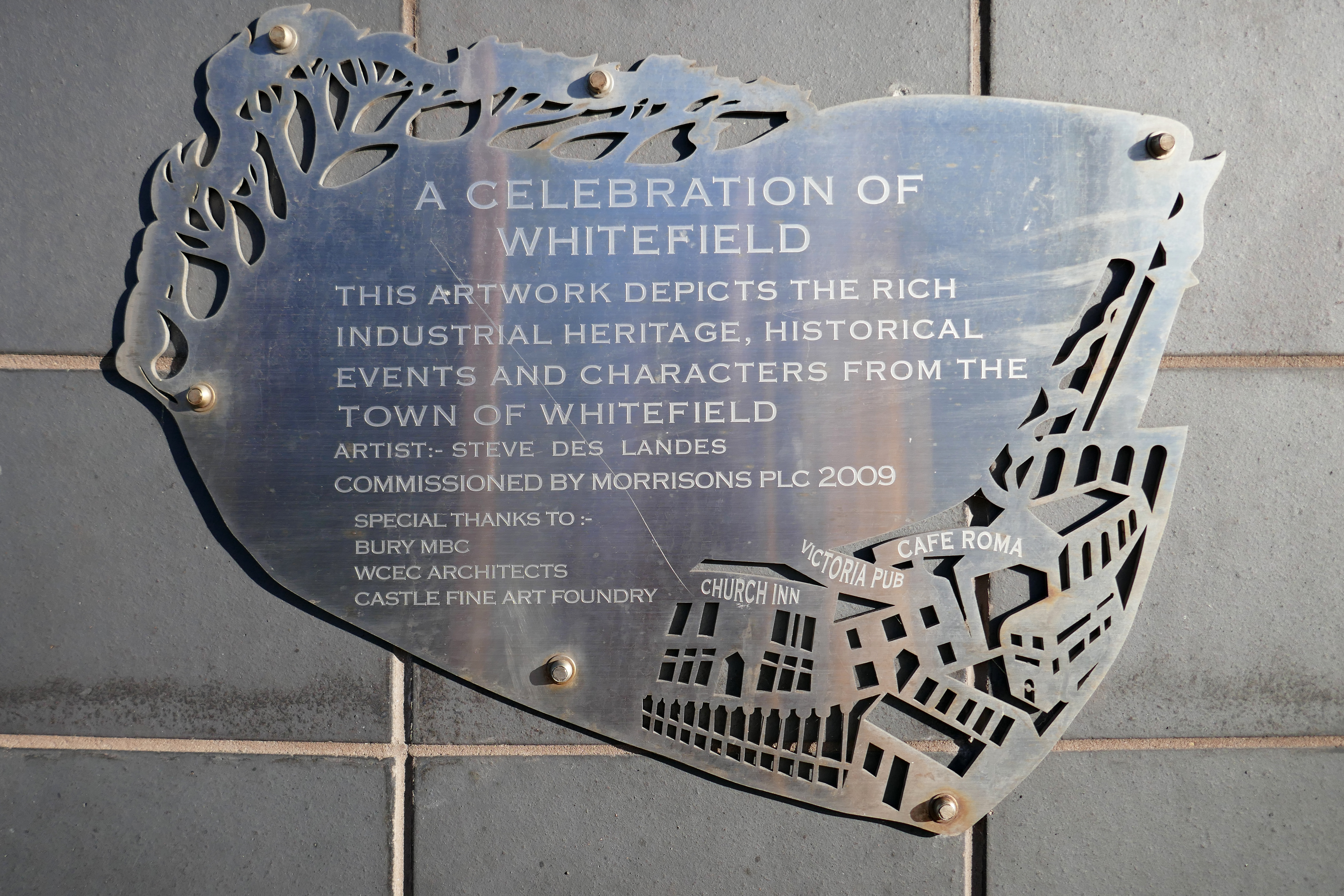
Morrison’s – a Celebration of Whitefield relief Steve des Landes 2009.

5 Stanley Road Whitefield Manchester M45 8QH

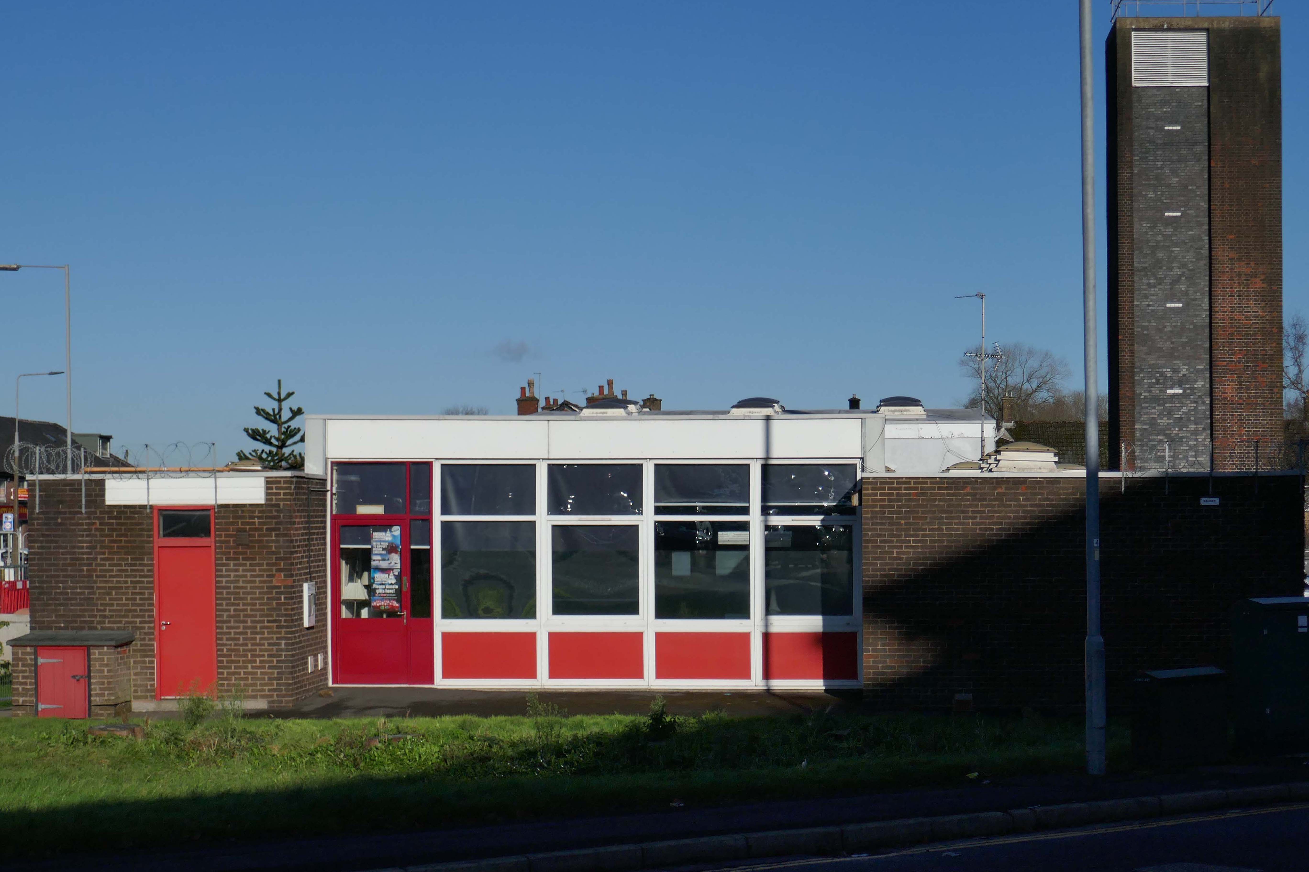
Community Fire Station

Bury New Rd, Unsworth, Manchester M45 7SY

Radcliffe

Turn left out of the station onto Church Street West turn right toward the town centre.

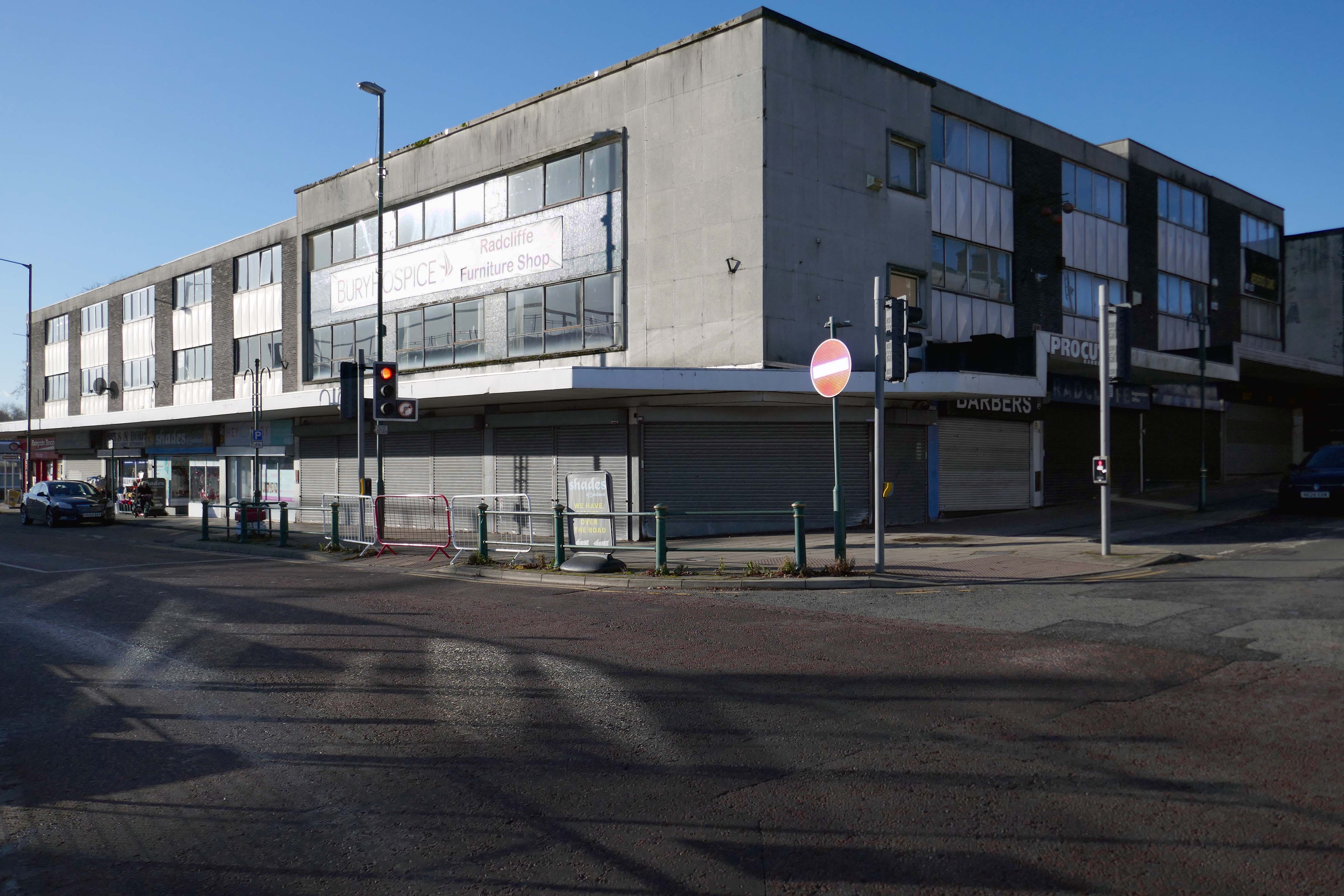
Shopping Block

Corner of Dale Street and Blackburn Street.

Former Post now Delivery Office

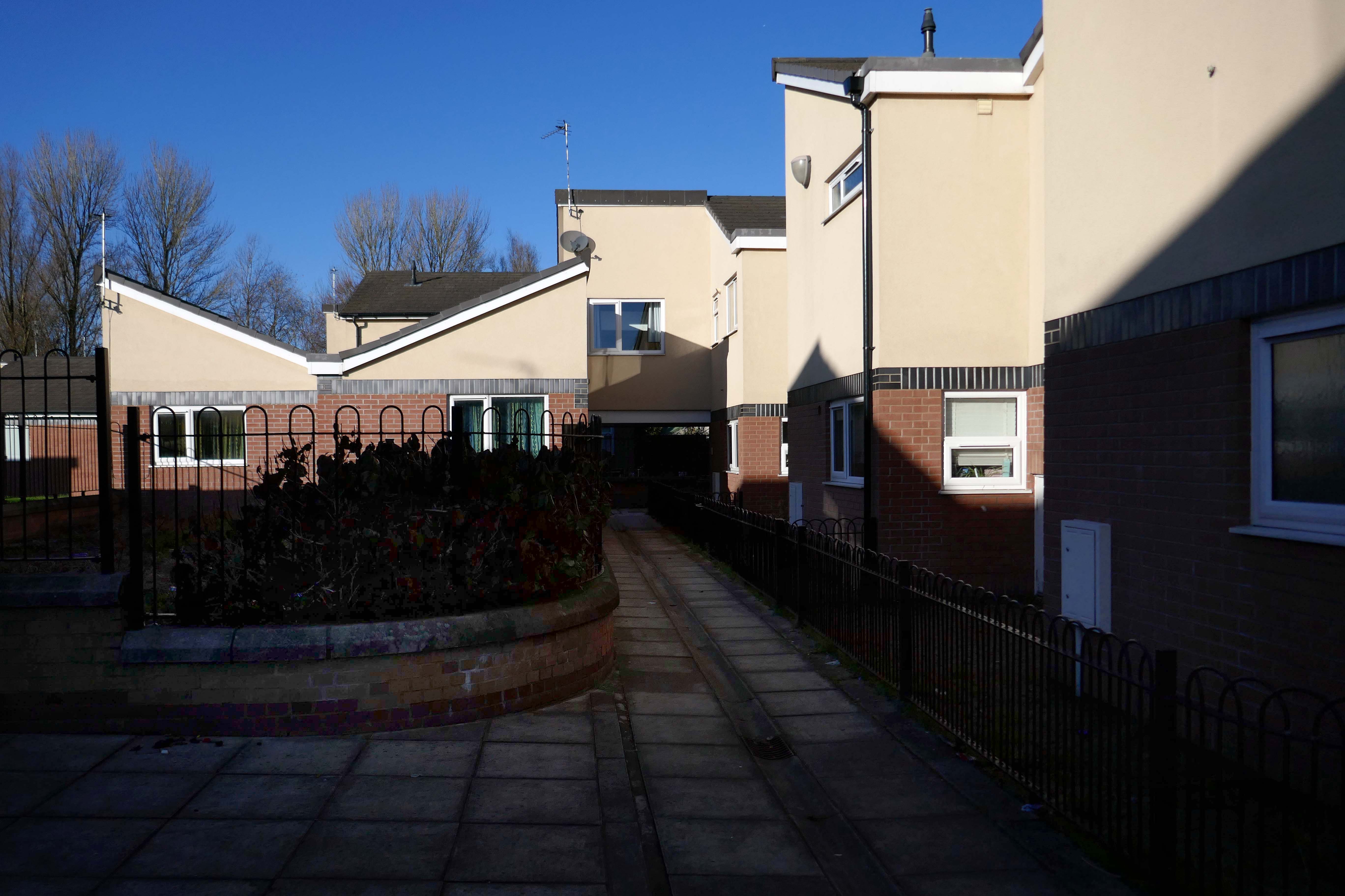
St Thomas Estate

By Wilson and Womersley 1968, the project architect was John Sheard.

New-towny, dense low-rise housing irregularly grouped around and over pedestrian access paths.

Pevsner 1996/2004

The Strategic Regeneration Framework is the guide that is shaping the direction of Radcliffe’s growth over the next 15 years with a series of realistic short, medium, and longer-term actions. It is also shaping the direction of future council investment, supporting bids for central governmental funding and providing certainty for third parties wanting to invest in town.

Work has begun on Strategic Regeneration Framework’s priority projects, these include:

  • A new civic hub in central Radcliffe, which will bring together a mix of functions at the heart of the town
  • Refurbishment of the market basement and the revamping of market chambers
  • New leisure facilities
  • A secondary school on the Coney Green site
  • A “whole town approach” to housing, bringing forward a comprehensive approach to residential development in Radcliffe
  • A transportation strategy, which will consider matters such as active travel and car parking

Bury Council

Bury

We undertook a Bury Walk for the first time in 2024

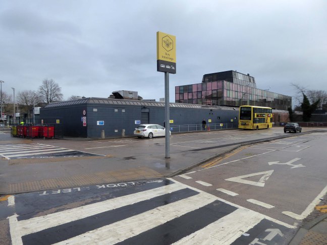
Arriving at and looking around the Interchange – 1980 architects: Essex Goodman & Suggitt

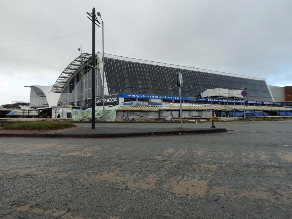
A view of the Market Hall 1971 – architects: Harry S Fairhurst.

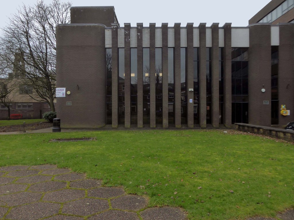
Unitarian Church.

The new church was designed and constructed by local architects James T Ratcliffe.

That’s the end of the line.

Heaton Park Reservoir Pumping Station

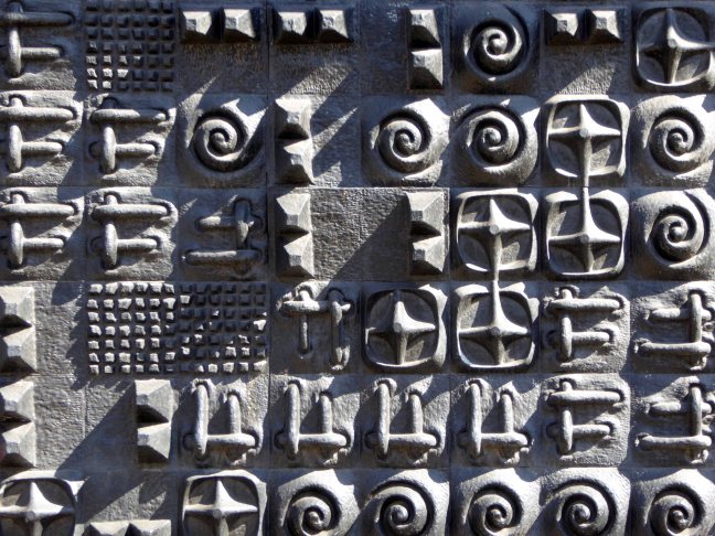
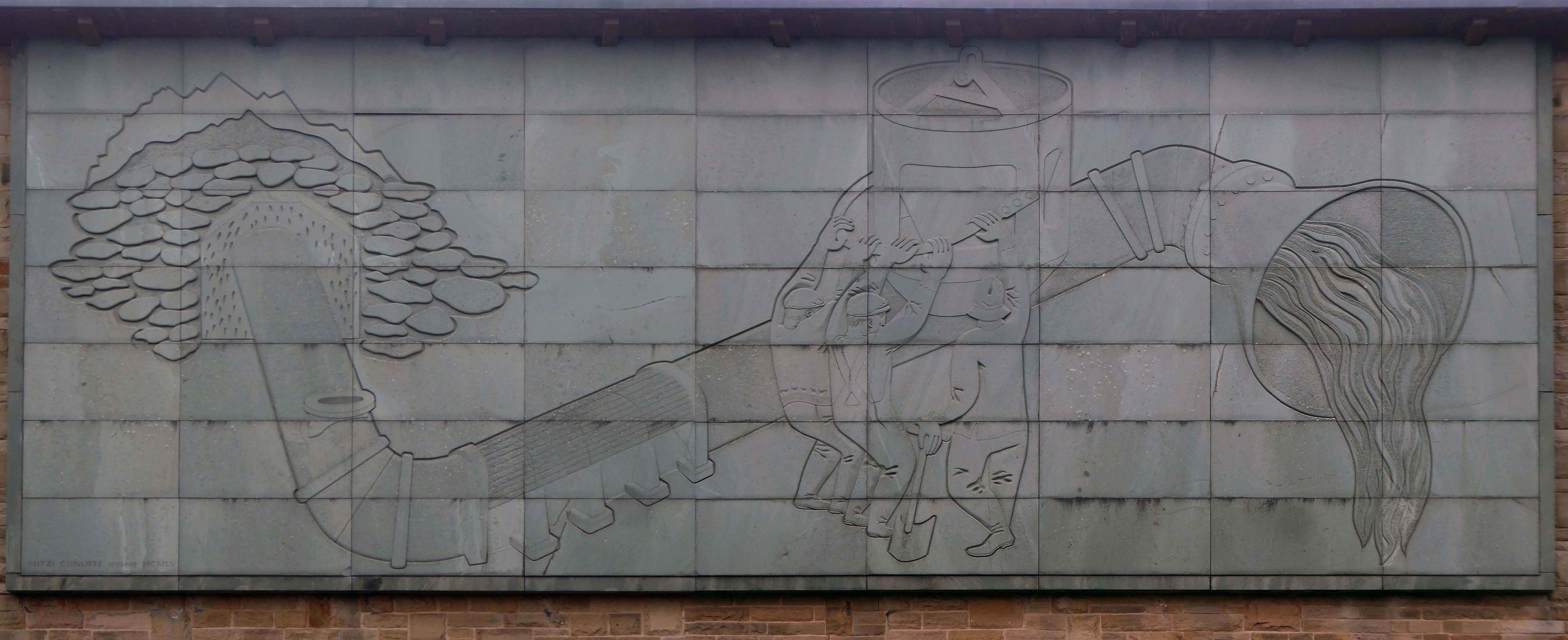
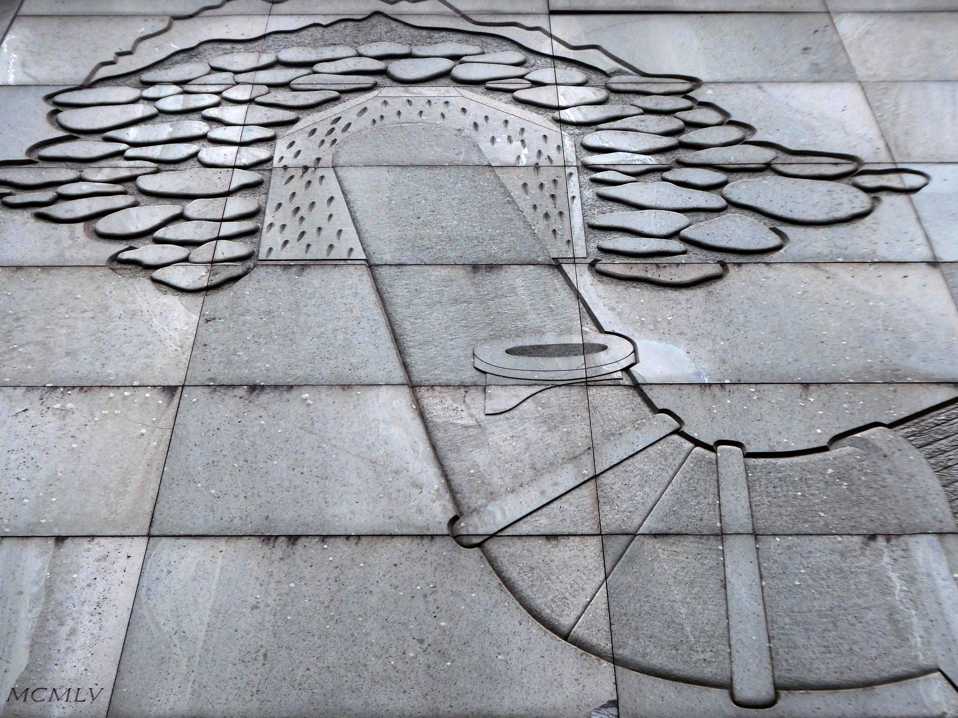
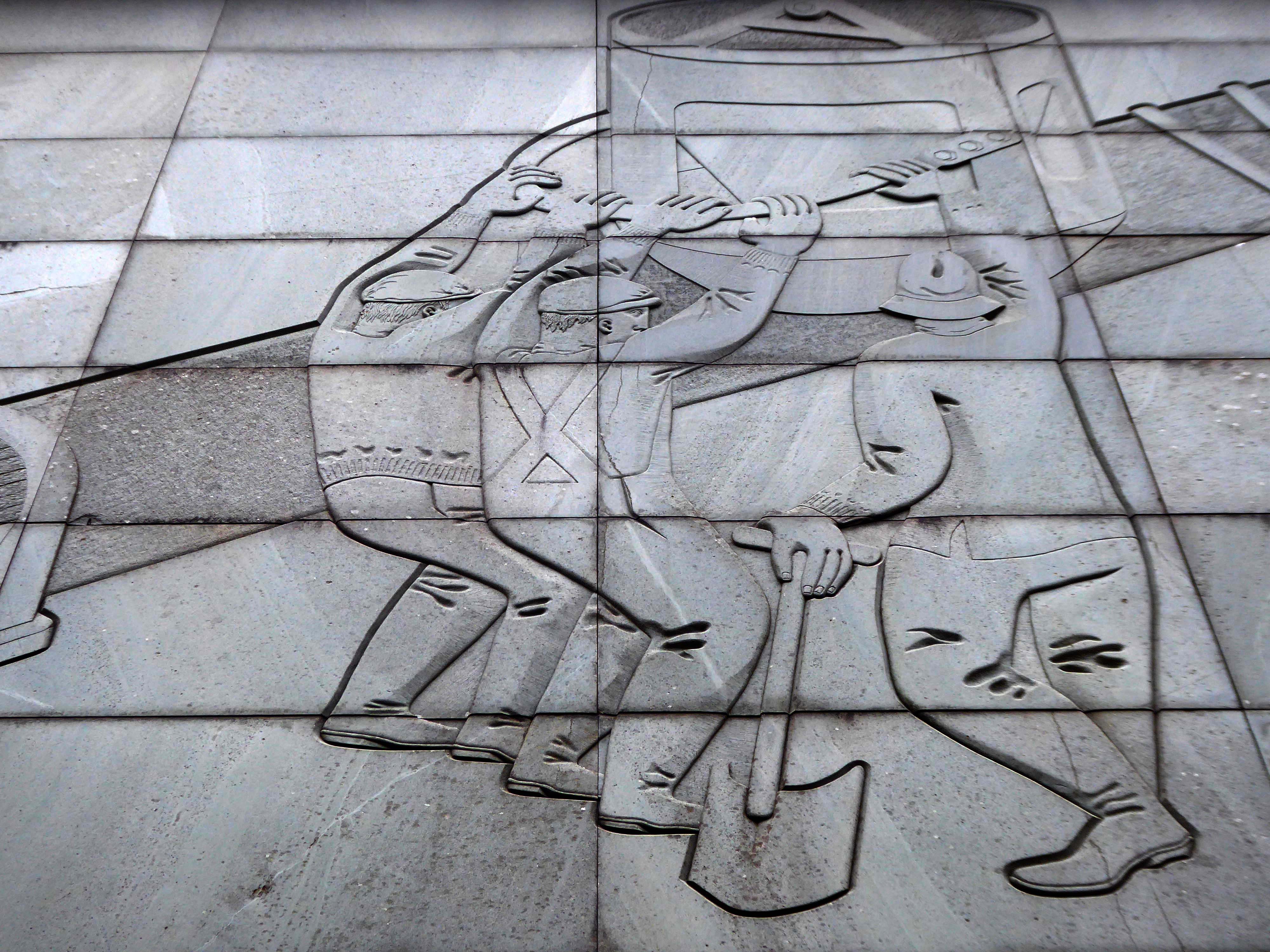
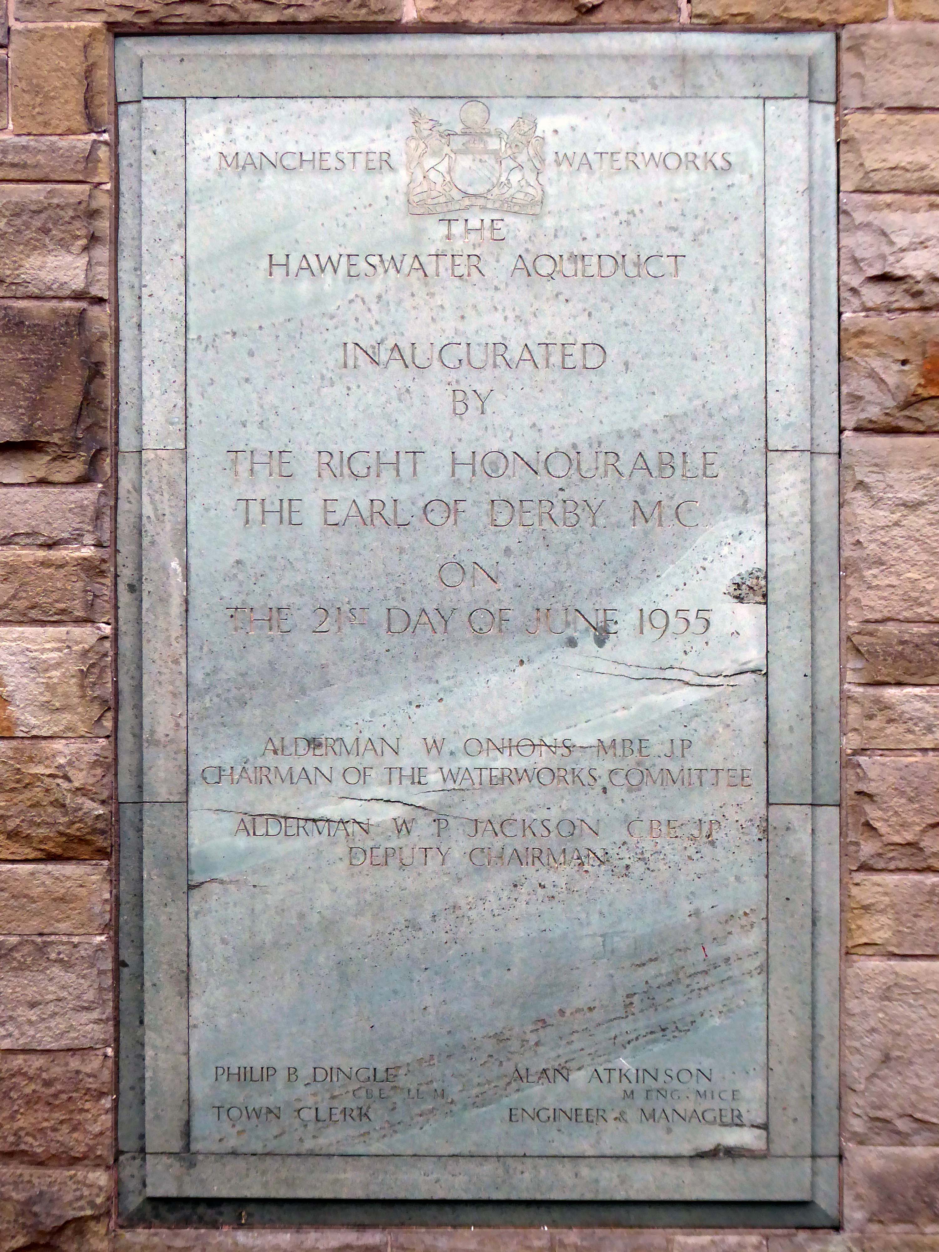
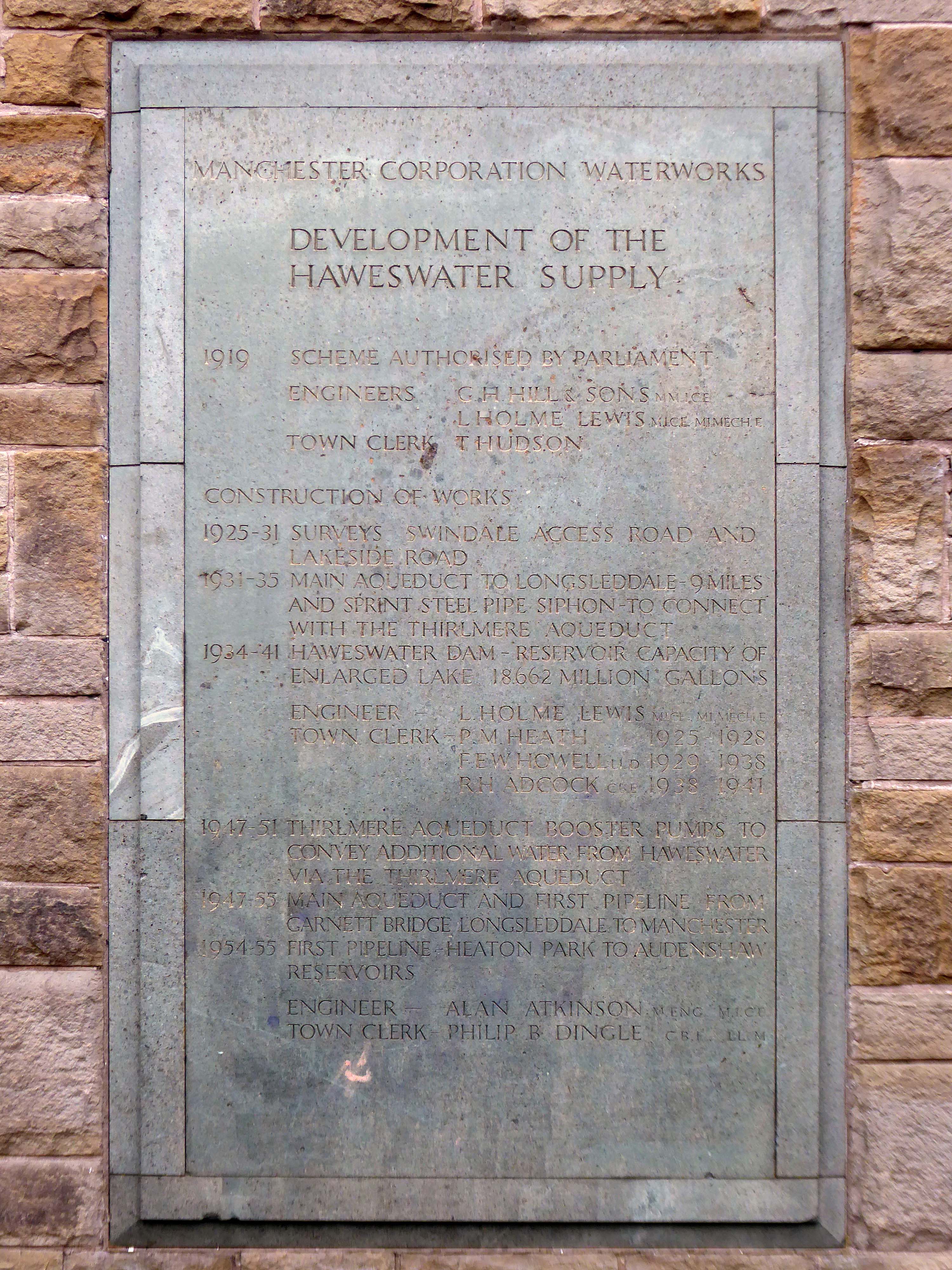
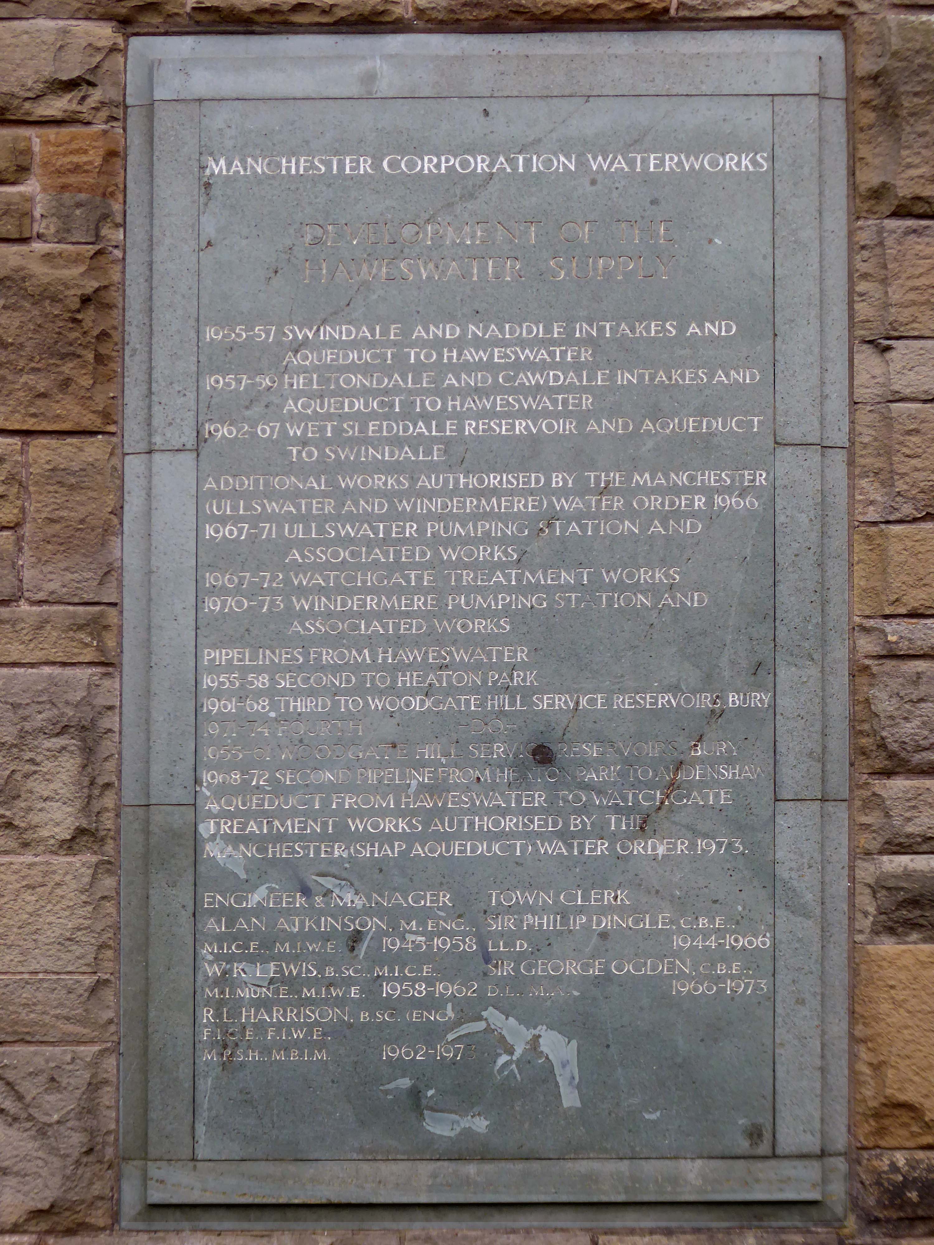
Built between 1954-5 by the Manchester City Architect’s Department, Chief Architect Leonard C Howitt, for the Manchester Corporation Waterworks. Alan Atkinson, engineer. Incorporates large relief by Mitzi Cunliffe, signed and dated 1955. Yorkshire sandstone, with Westmorland greenstone from Broughton Moor used as relief. Roof not seen above dentiled overhang.

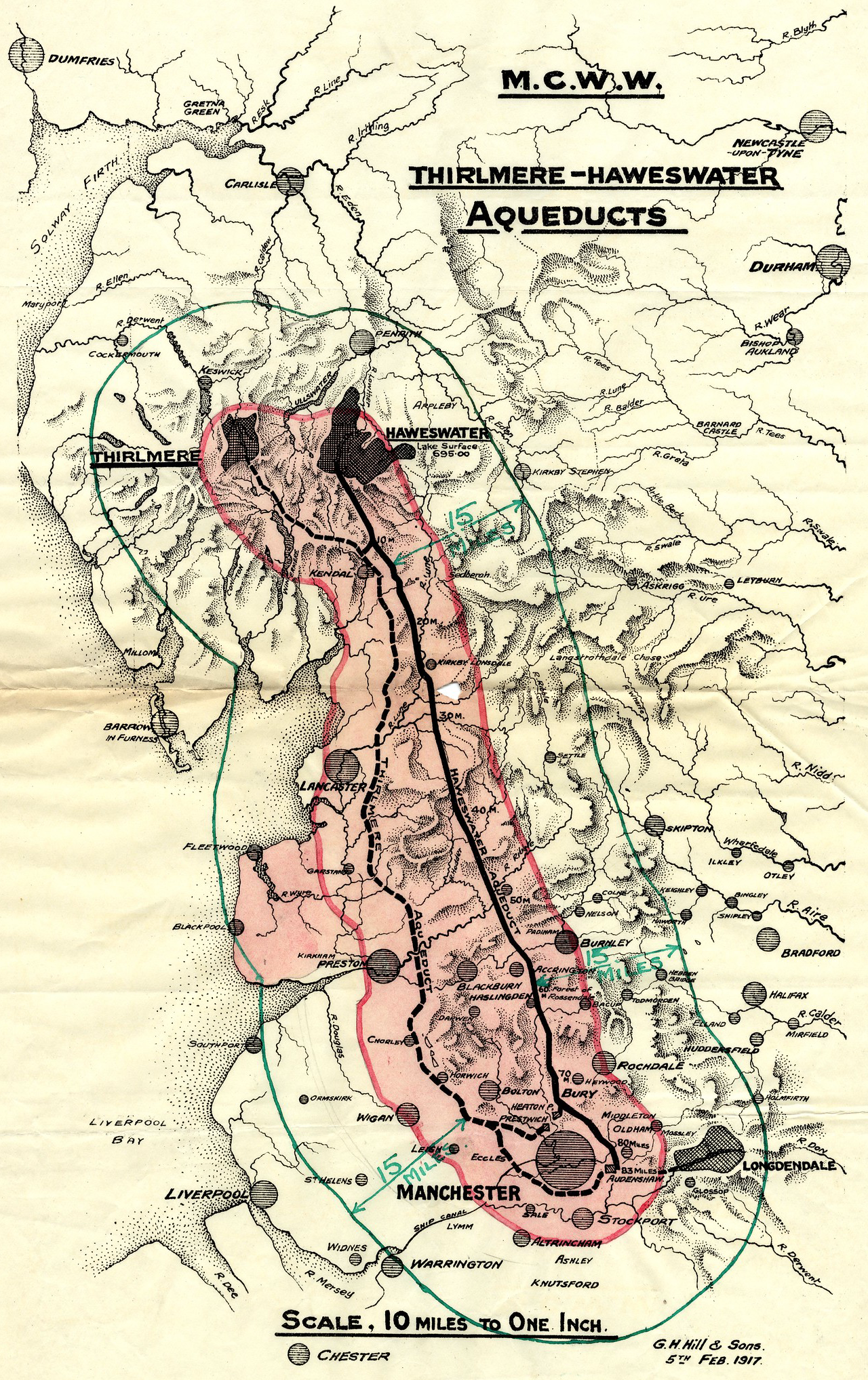
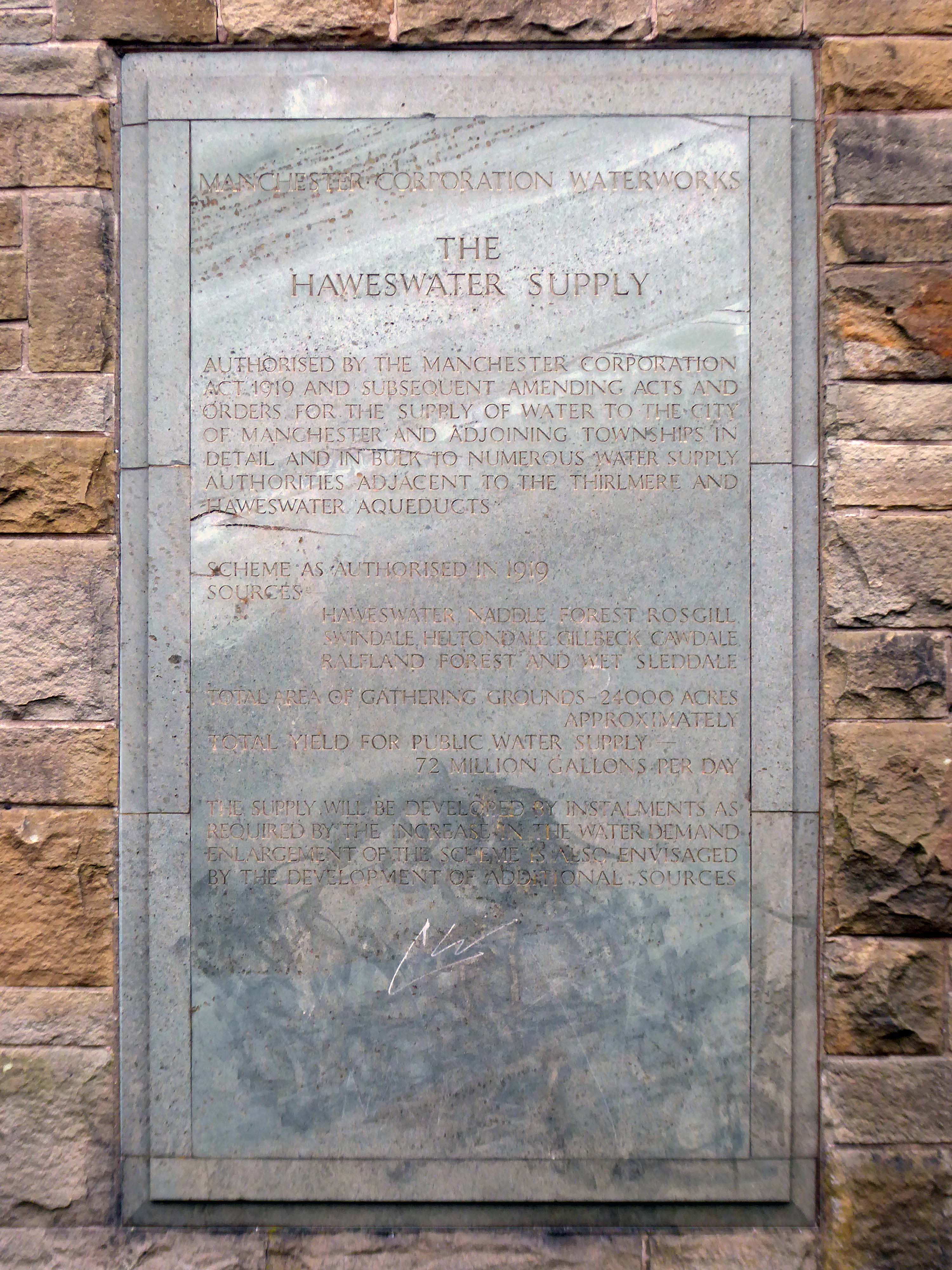
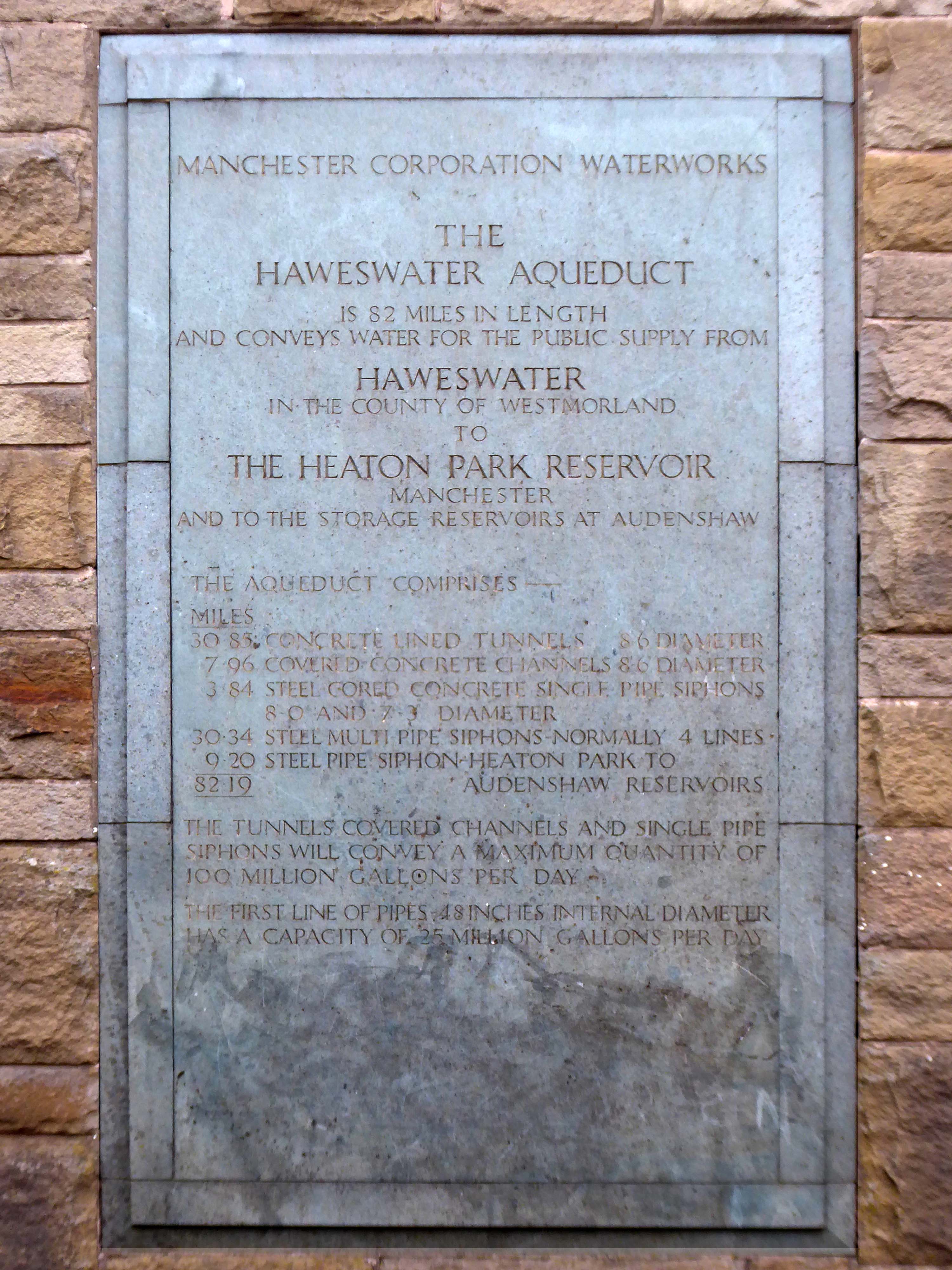
Carved relief is a highly stylised depiction of the bringing of water from Haweswater to Manchester with contemporary figures supporting the pipeline and a curious flat relief designed to be seen from below. It was designed to commemorate those who constructed it as well as the origin and course of the aqueduct. Beneath it five plaques tell the history of the Haweswater supply.

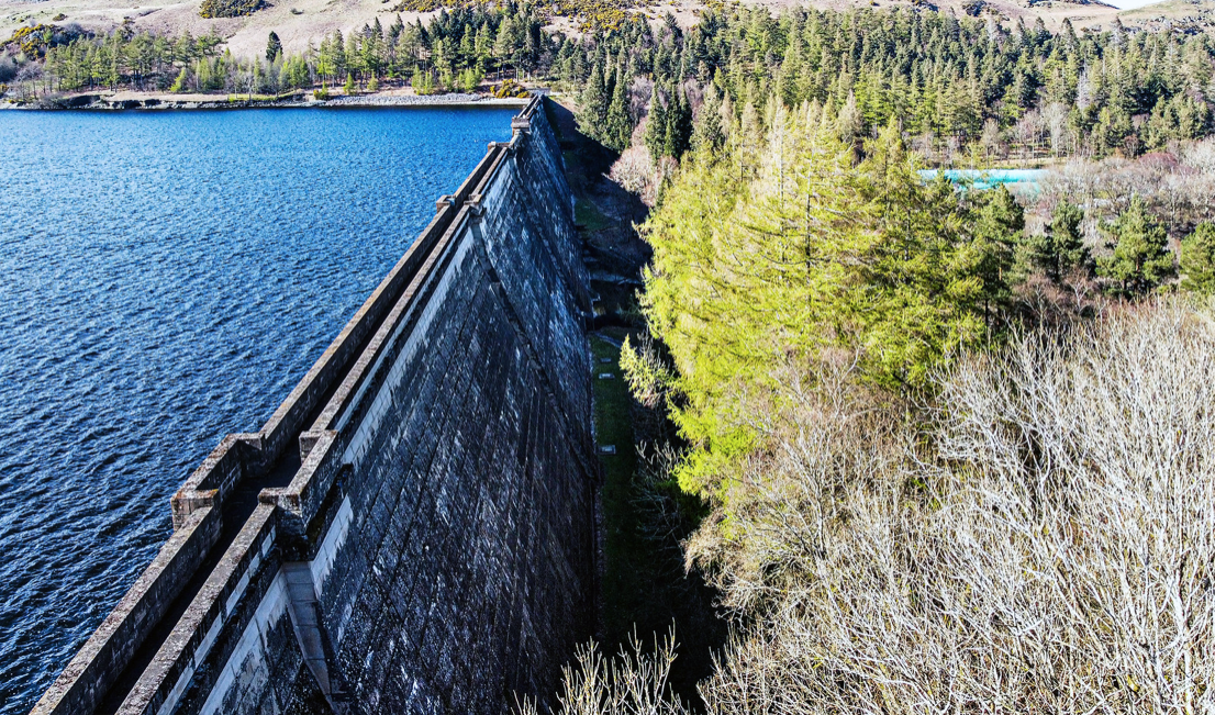
Haweswater Dam – Paul King

Completely preserved interior fully lined in beige marble, with contrasting green marble skirting continued as door surround. Behind the Cunliffe mural is a wood relief section in sycamore depicting the 82 mile route of the pipe.

The bringing of water to Manchester from a new reservoir at Haweswater was a major undertaking which cost £14,000,000. The sectional relief plan and the mural were conceived as part of the original brief to give a ‘monumental’ character to the city’s remarkable achievement. Included as a remarkable synthesis of architectural design and fine sculpture, with the dominance of the latter in this tiny building. The building materials and the reliefs are all symbolic of the achievement in bringing of water from the Lake District to Manchester.

Historic England Grade II Listed

In 1929 work started to build the dam wall across the valley floor. At the time of construction, its design was considered to be at the forefront of civil engineering technology because it was the world’s first hollow buttress dam.

Chapel Bridge Mardale

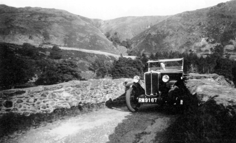
Before the valley was flooded in 1935, all the farms and dwellings of the villages of Mardale Green and Measand were demolished, as well as the centuries-old Dun Bull Inn at Mardale Green. The village church was dismantled and the stone used in constructing the dam; all the bodies in the churchyard were exhumed and re-buried at Shap.

Wikipedia

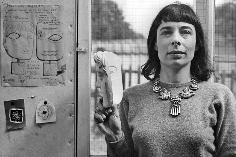
I have previously led Mitzi Cunliffe walks in south Manchester – taking in her works at Owens Park and Manchester High School for Girls.

Mitzi Cunliffe is primarily known as the designer of the BAFTA Award, but her work encompasses both ceramics and textiles, in addition to her extensive public art works – as illustrated here.

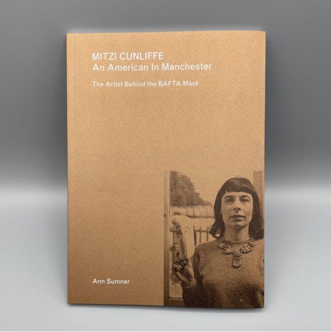
Mitzi Cunliffe – An American in Manchester is available from the Modernist Shop.

I took the tram to Heaton Park Station and walked the rest of the way.

The imposing structure, clad in the dramatic relief dominates this domesticated street of well behaved semis. As I stood admiring the work, a passerby joined me in a mutual appreciation of its beauty and significance.

Do yourself a favour – take a trip, take a look for yourself.

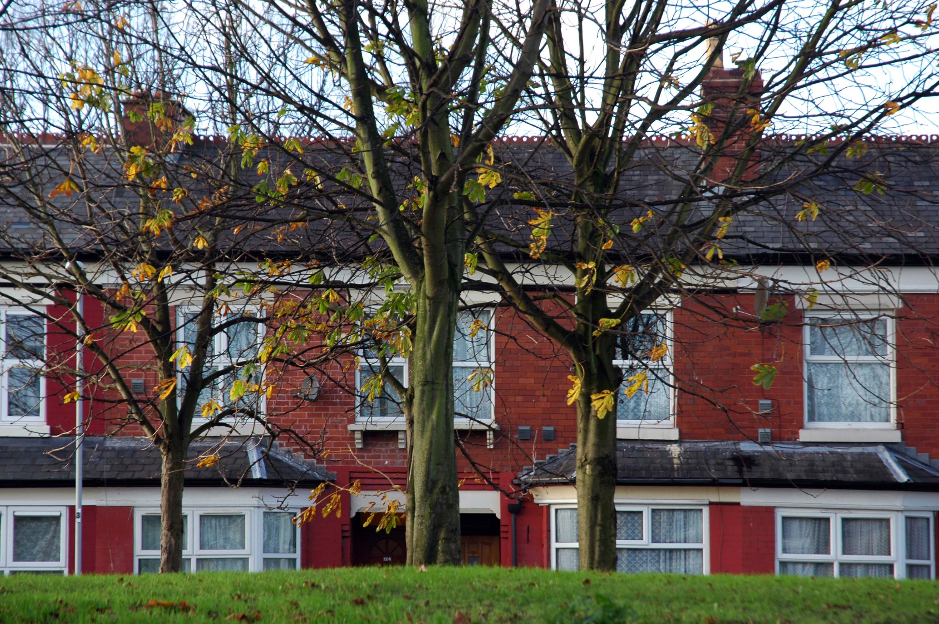
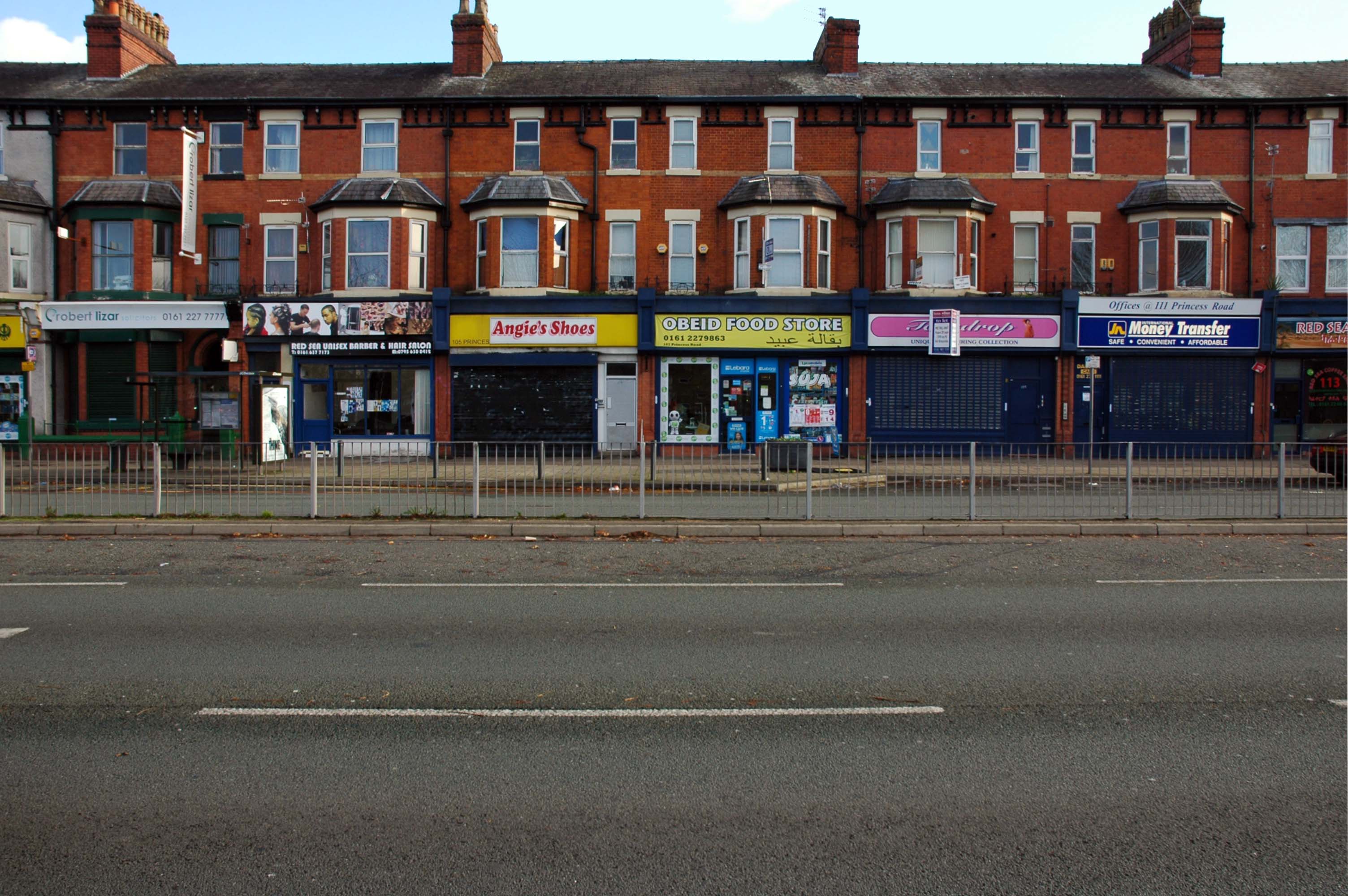
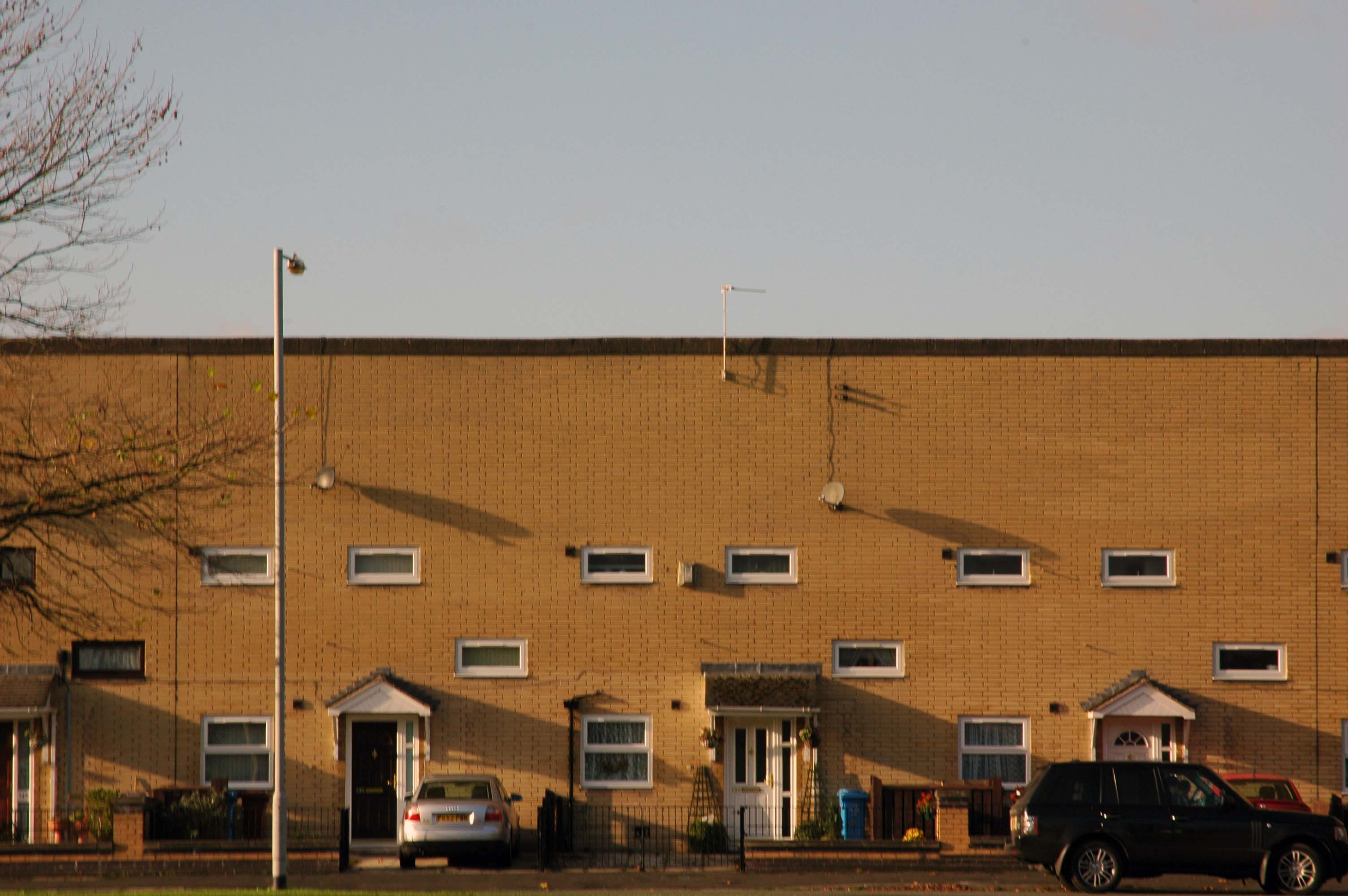
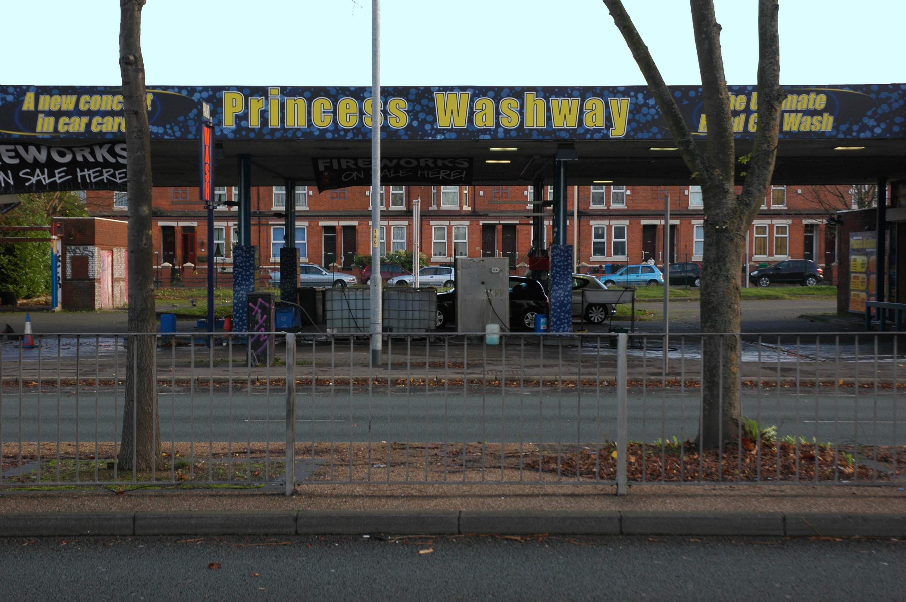
Manchester Arterial – A5103

The A5103 is a major thoroughfare running south from Piccadilly Gardens in Manchester city centre to the M56 in Northenden. The road is two-lane dual carriageway with a few grade-separated junctions. It is used by many as a link to the airport and to the motorway network south.

The road starts at Piccadilly Gardens where it meets the A6. It heads along Portland Street – at one time it ran along the parallel Mosley Street, past fast-food outlets and off-licences and then meets the A34 Oxford Street. It multiplexes with that road north for 200 yards into St Peter’s Square and then turns left into Lower Mosley Street, initially alongside the tramlines and then past the former Manchester Central station, now a conference centre with the same name. The road becomes Albion Street and goes over the Bridgewater Canal and under the railway line east of Deansgate station. The road then meets the A57(M) Mancunian Way at a roundabout interchange. This is where most of the traffic joins and leaves. 

The road is now 2×2 dual carriageway with the name Princess Road. It passes under the Hulme Arch, a grade-separated junction with the A5067, with an unusually large central reservation. This is presumably because of the proposed plans from the 1960s of a motorway. However, after passing under the junction, there are innumerate sets of traffic lights, with the B5219, the A6010 and the A5145, as well as many other unsigned roads. There are also many speed cameras set at 30 mph.

The road picks up pace as we exit the sprawl of South Manchester and the road becomes Princess Parkway, with a 50 mph speed limit. We cross the River Mersey and almost immediately hit the M60 at J5.

Except for the Manchester City Centre section – which was numbered A5068, this road did not exist on classification in 1922. Princess Road was built in 1932 to serve the new southwestern suburbs; initially it ran between the B5219 and A560 and was numbered B5290, with the road later extended north into the A5068 on the southern edge of the city centre and renumbered A5103.

The northern extension through Hulme initially followed previously existing roads, so followed a zigzag route. As part of the road’s upgrade and the reconstruction of Hulme in the 1970s the road was straightened and the original route can no longer be seen. The A5068 was severed around this time with the construction of the A57(M) and the A5103 took on its city-centre section, taking it to the A6.

Sabre Roads

See also Bury New Road and Cheetham Hill Road and Rochdale Road and Oldham Road and Ashton New Road and Ashton Old Road and Hyde Road and Stockport Road and Kingsway.

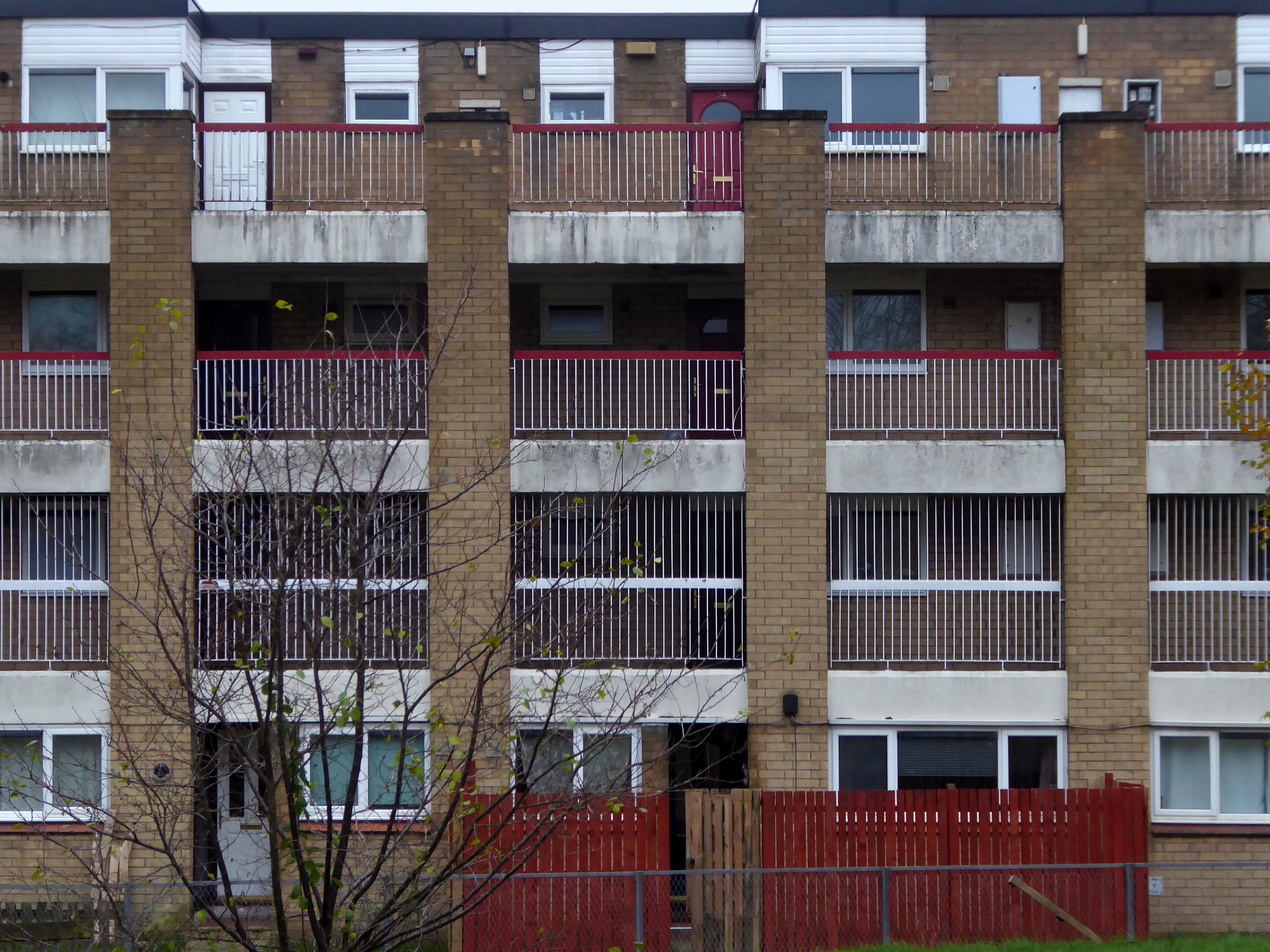
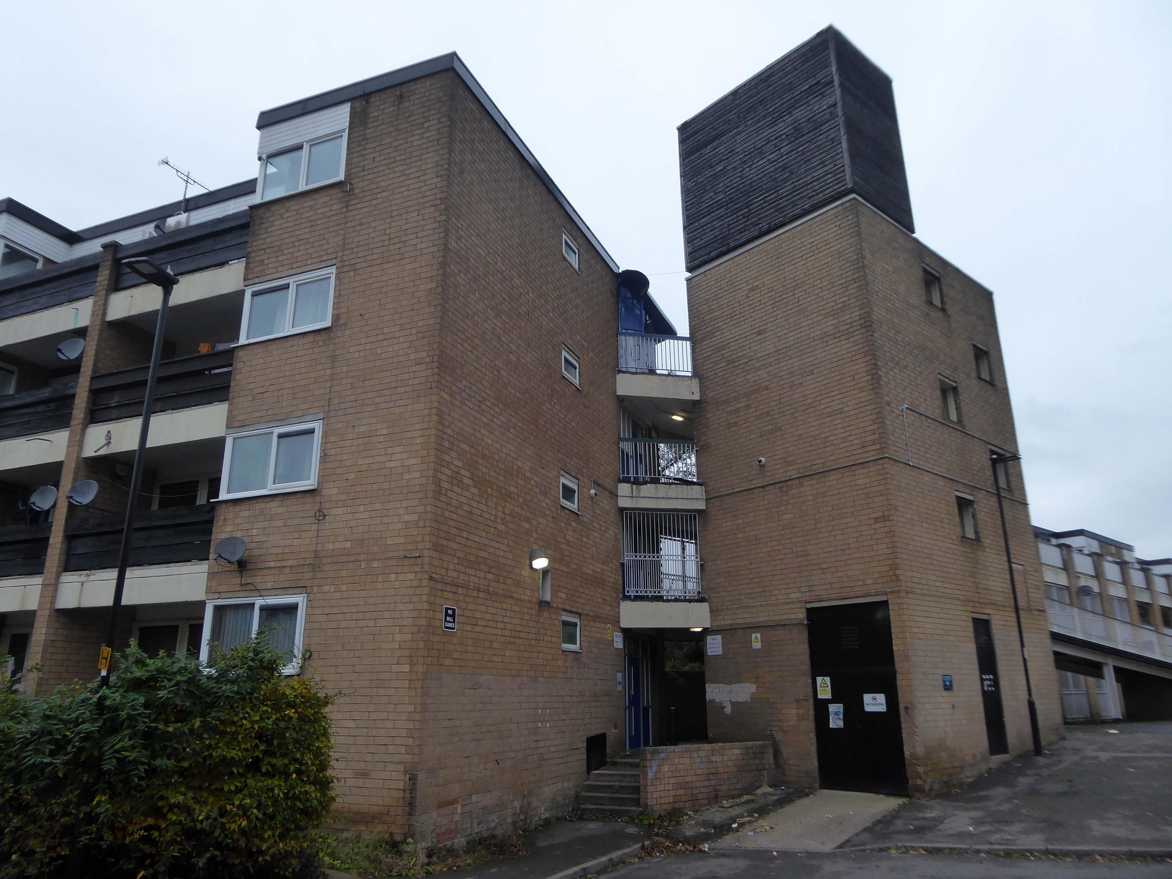
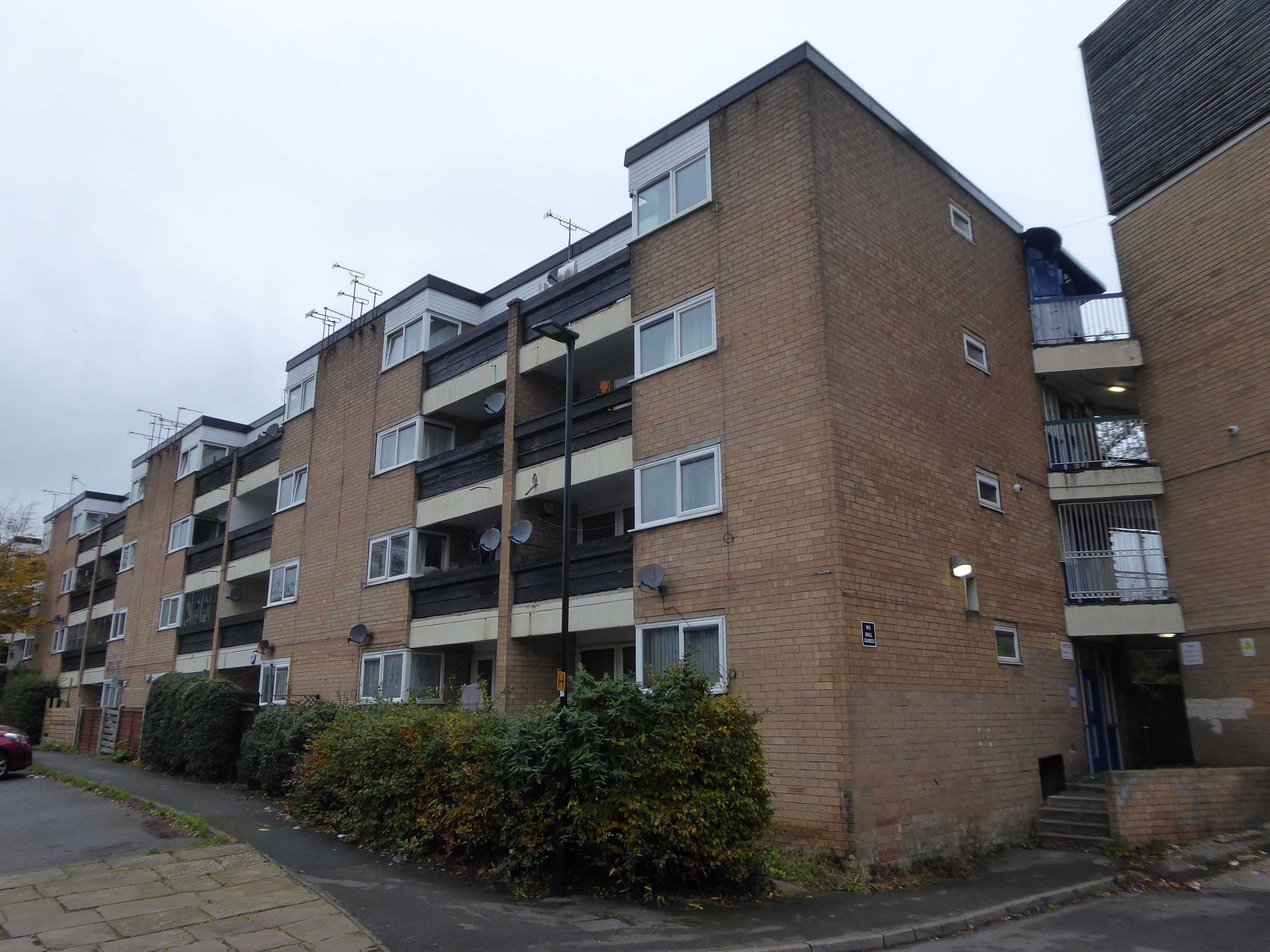
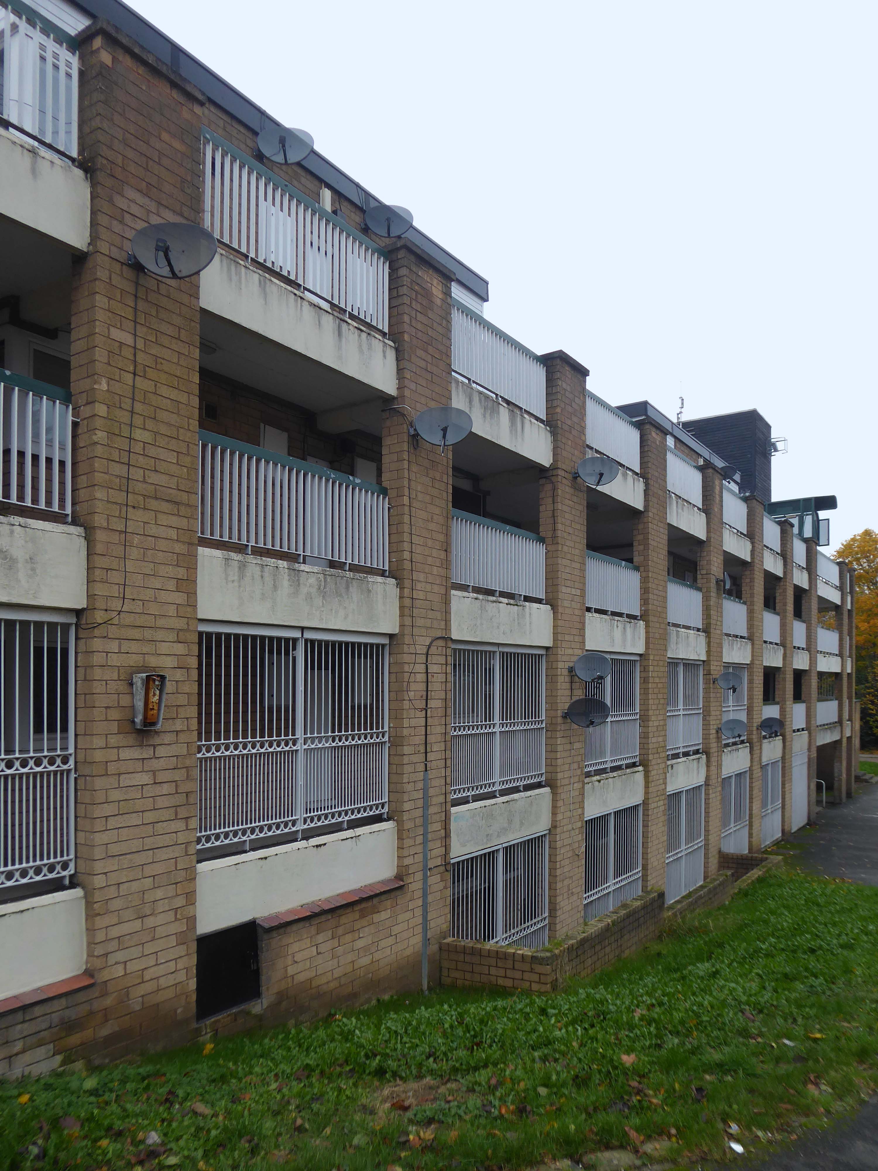
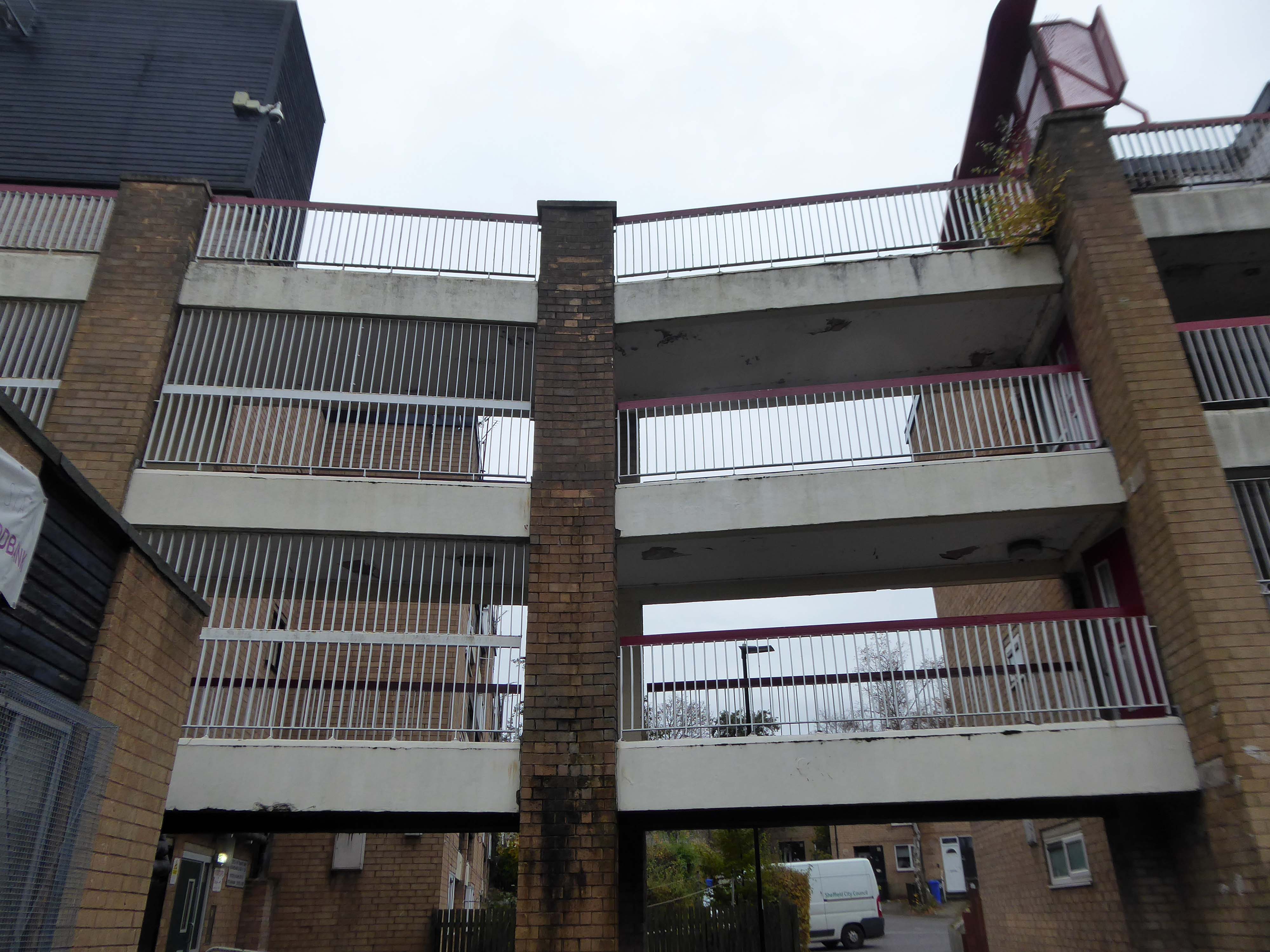
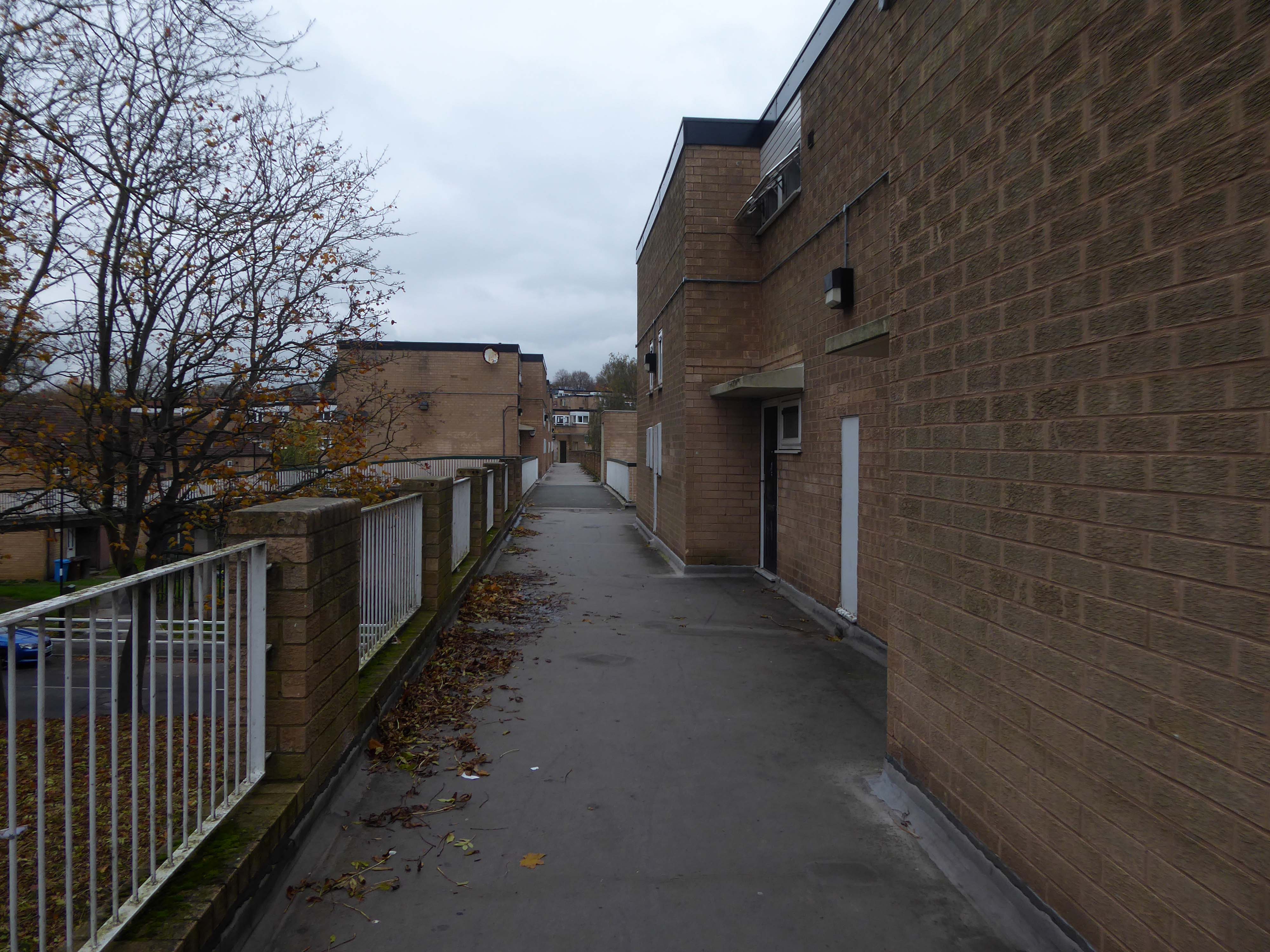
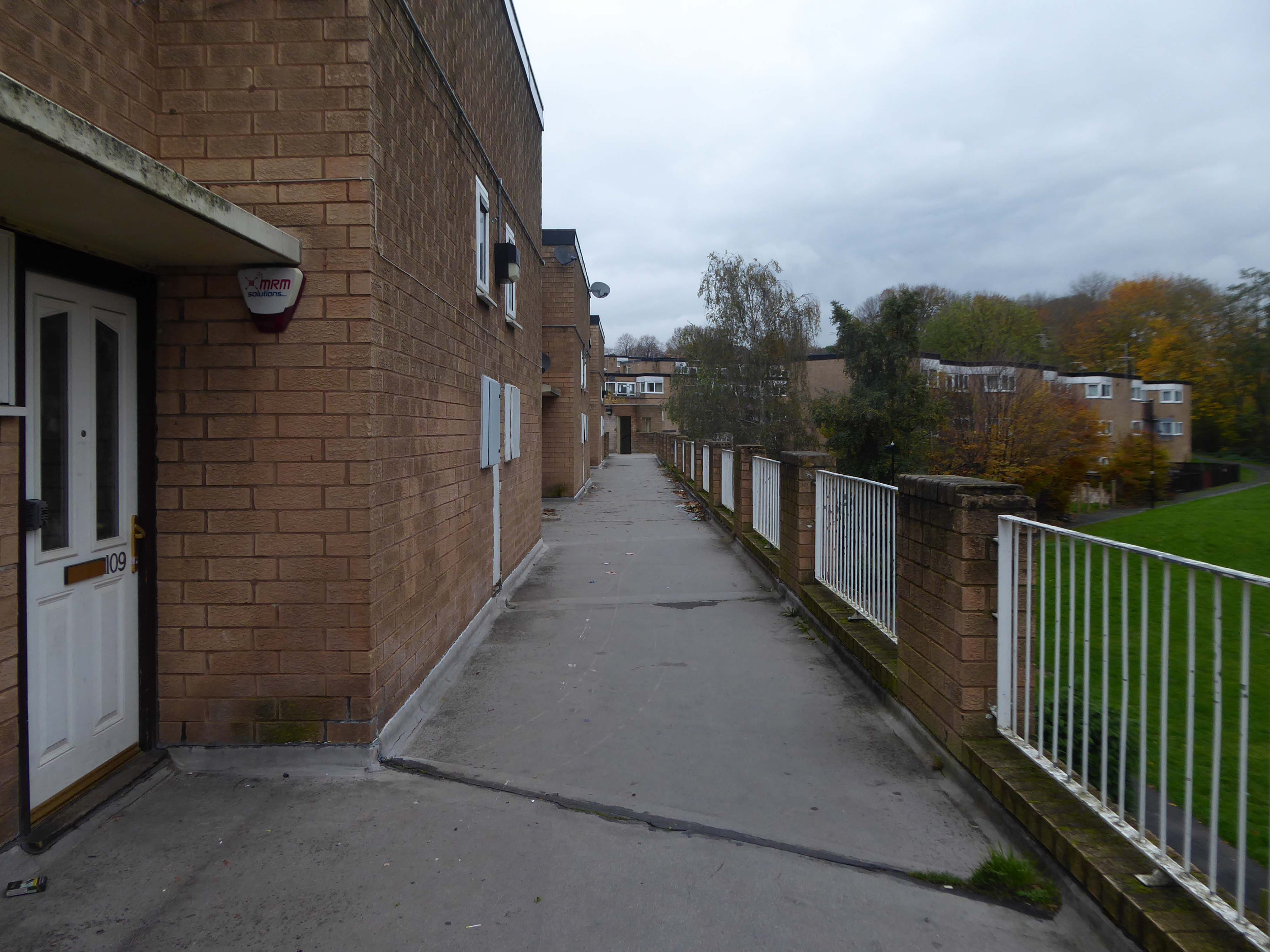
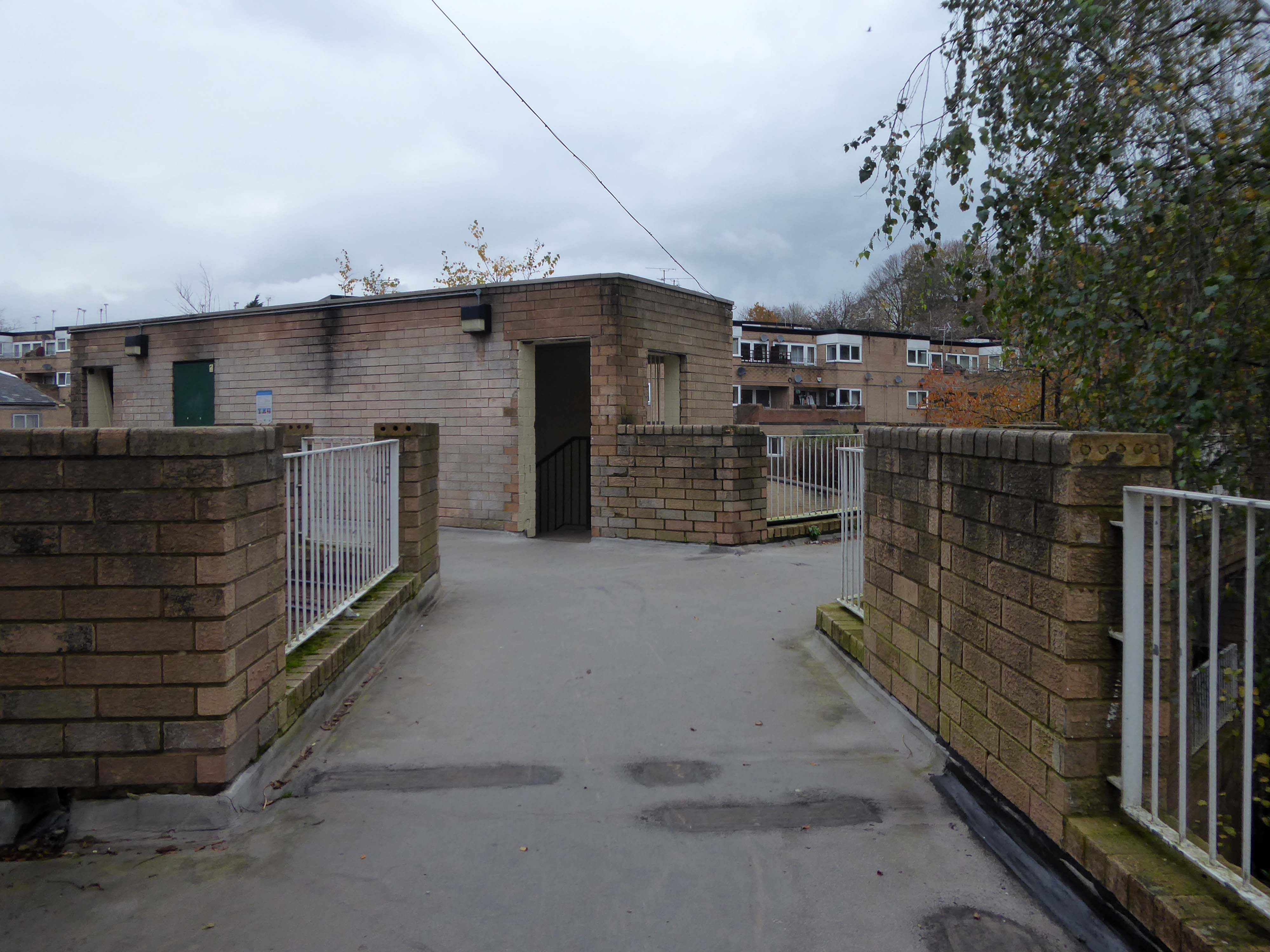
Westfield Estate – Sheffield

I was asked to give a talk for Photo North in response to Sean Madner’s photographs.

Speaking on behalf of the Sheffield Modernists.

On the day, I was eager to visit the Westfield Estate for the first time.

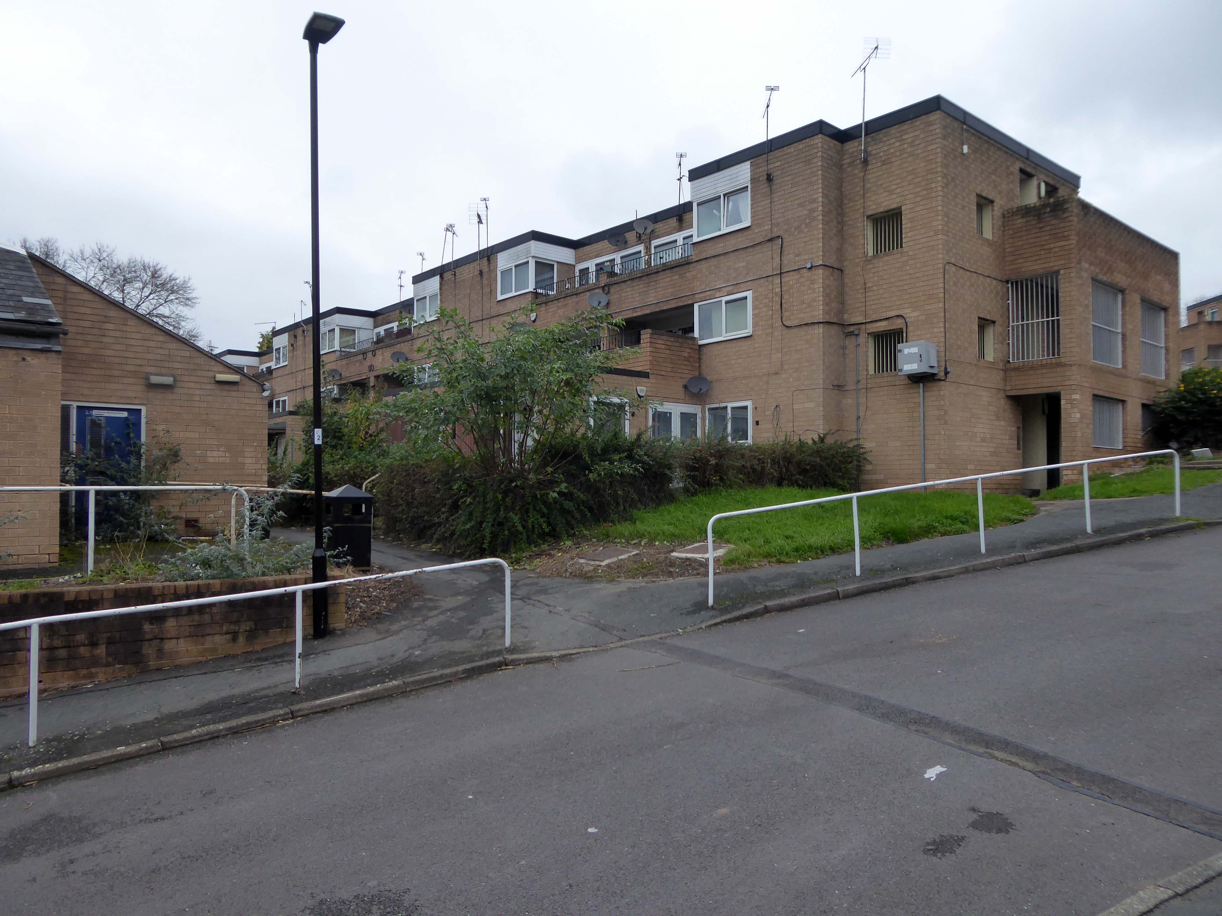
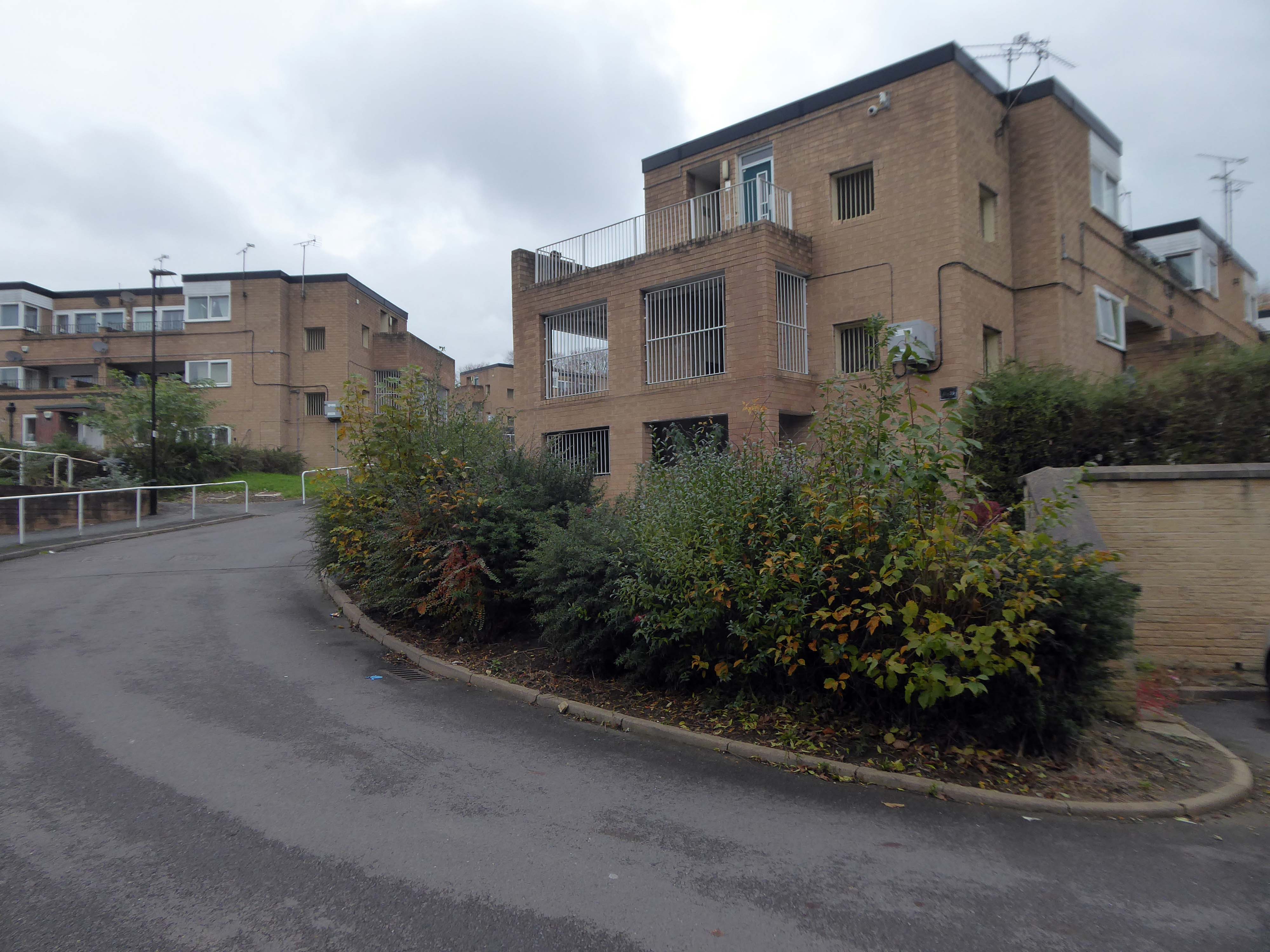
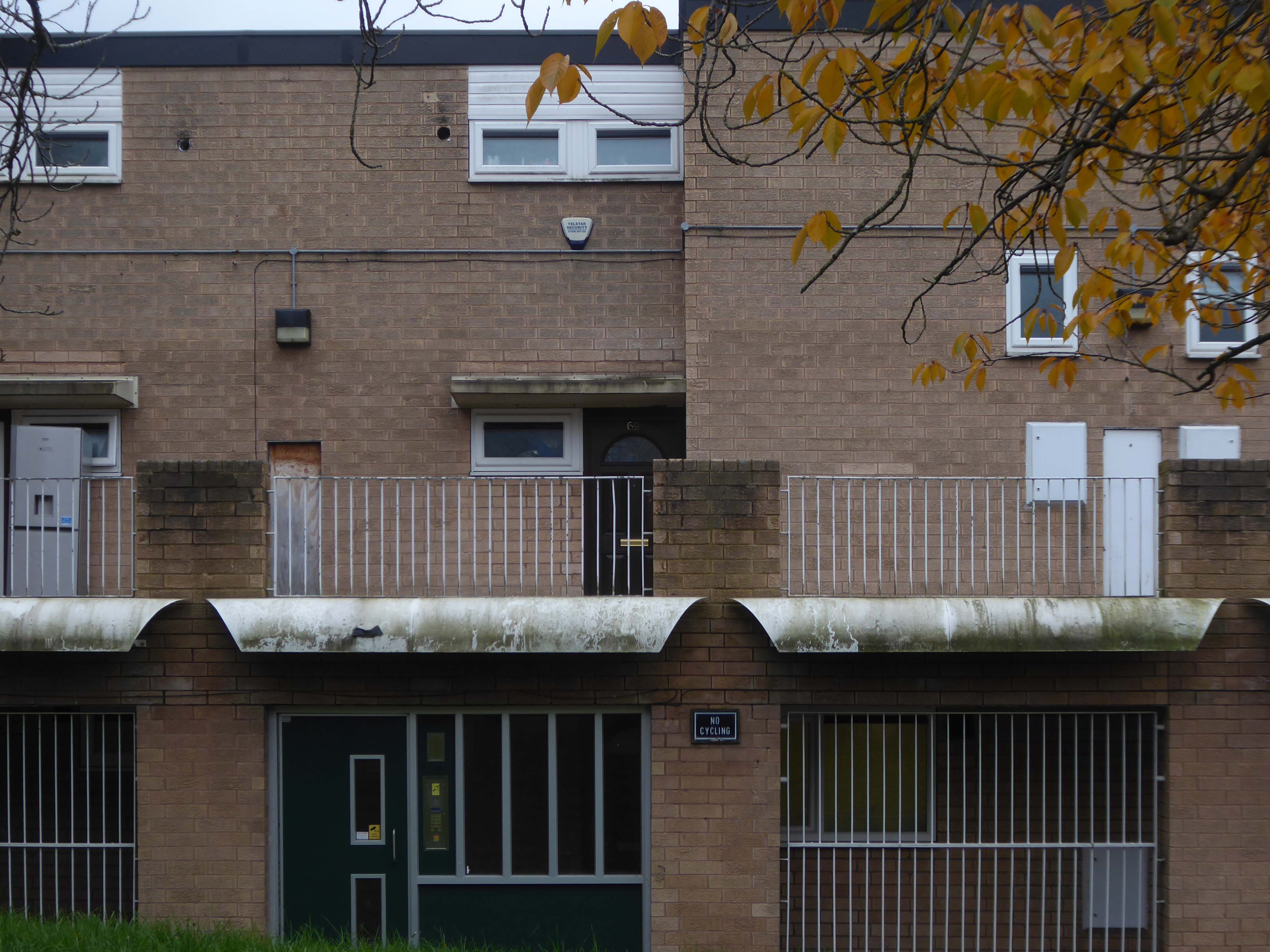
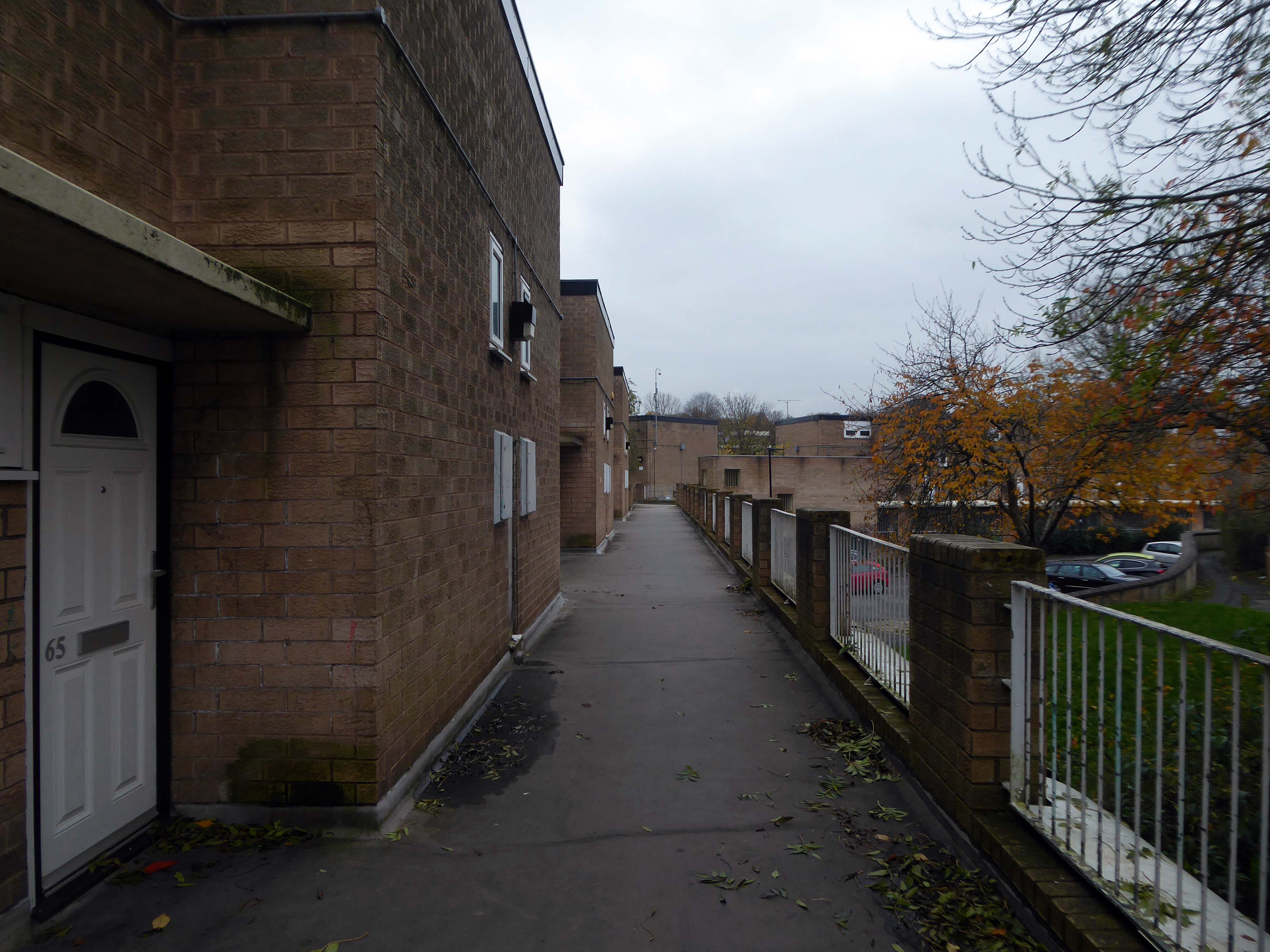
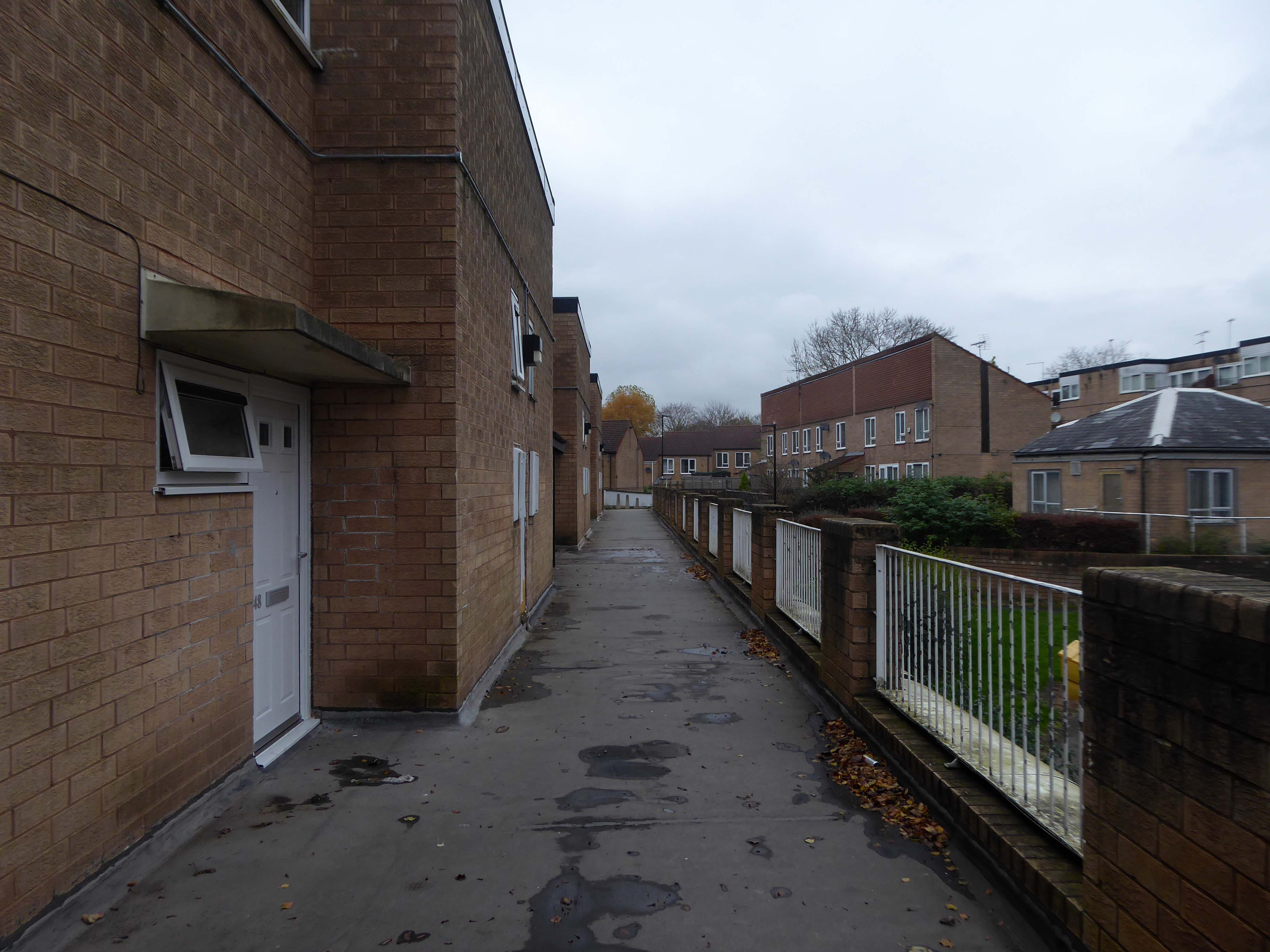
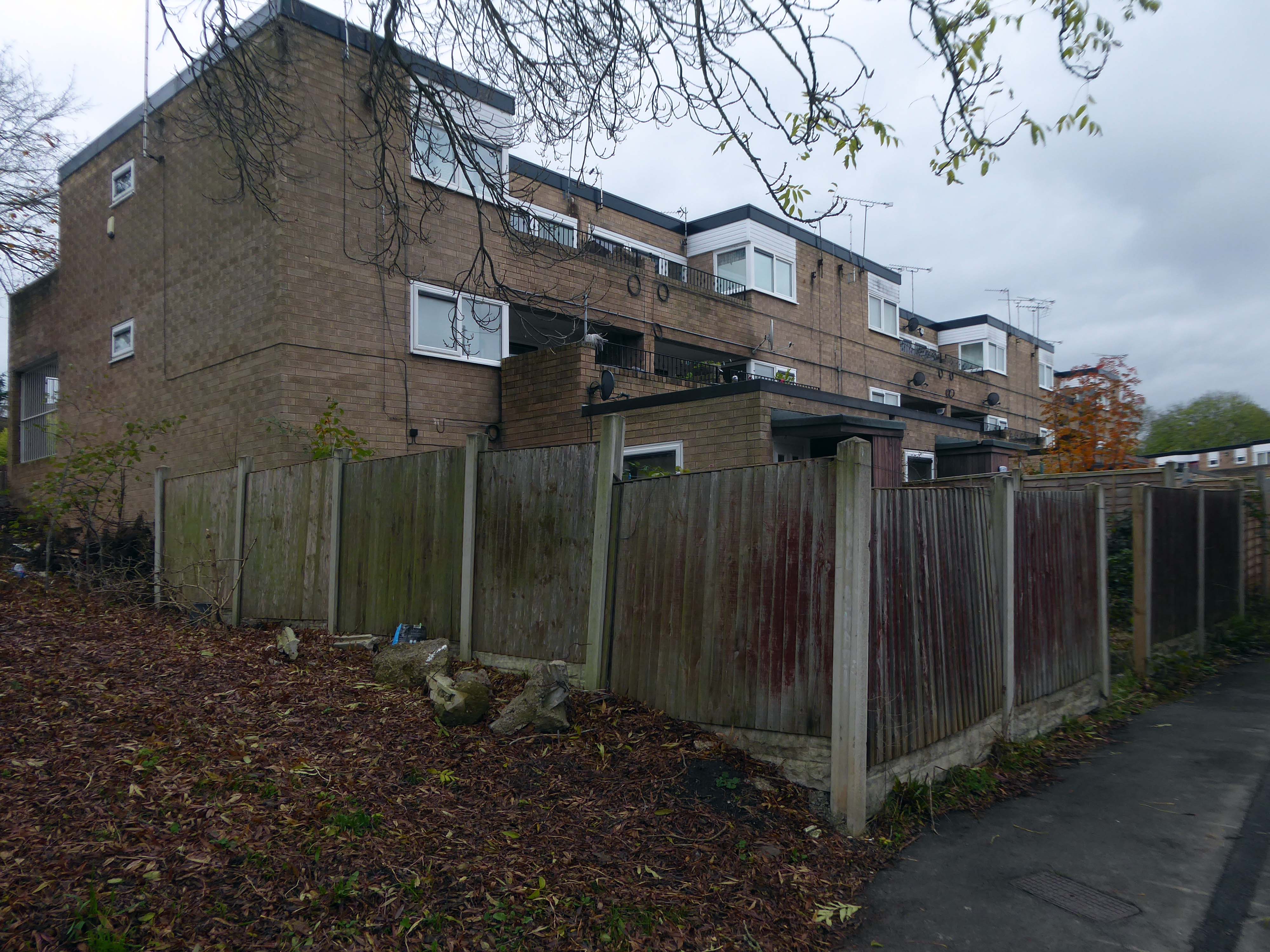
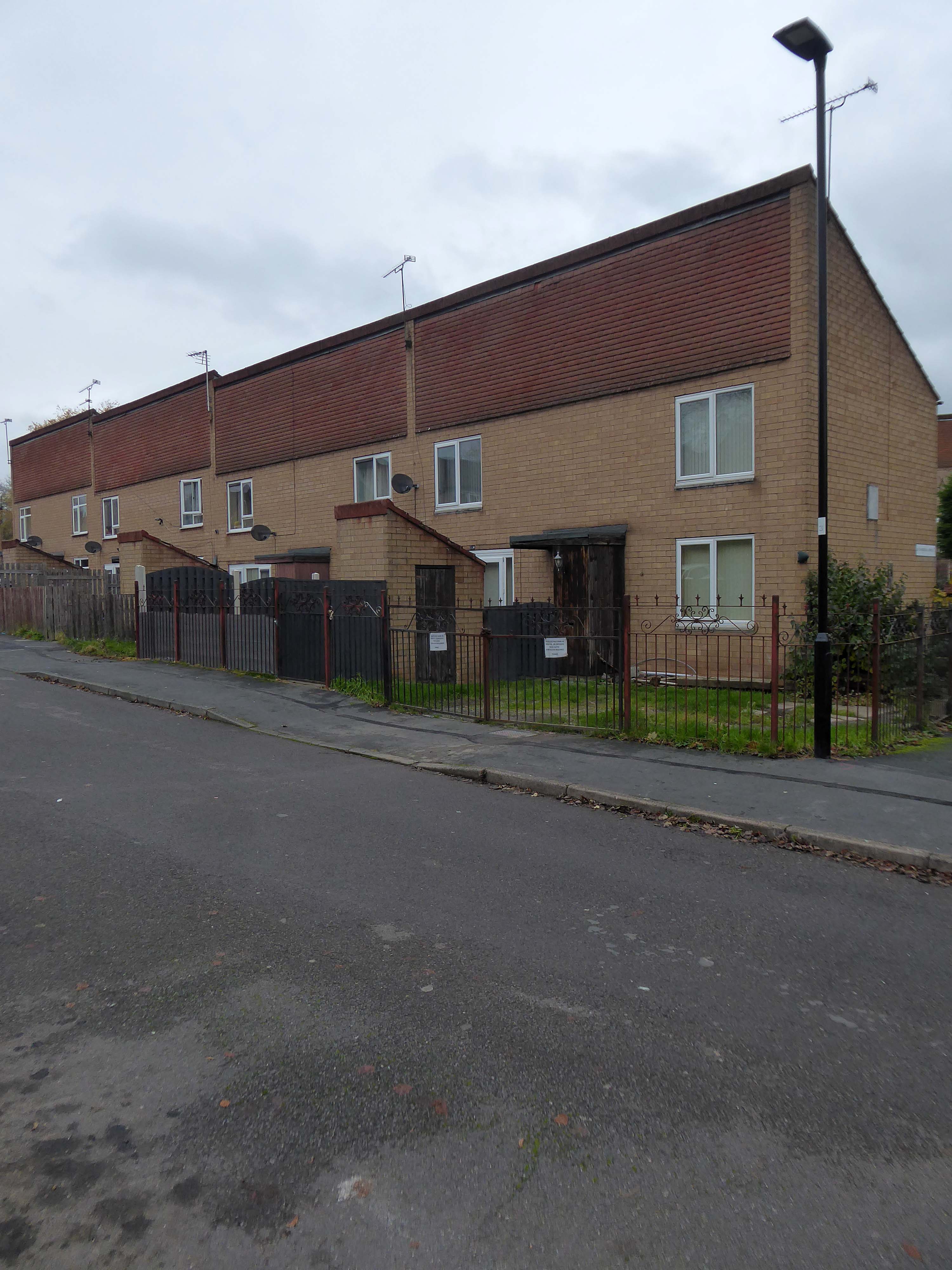
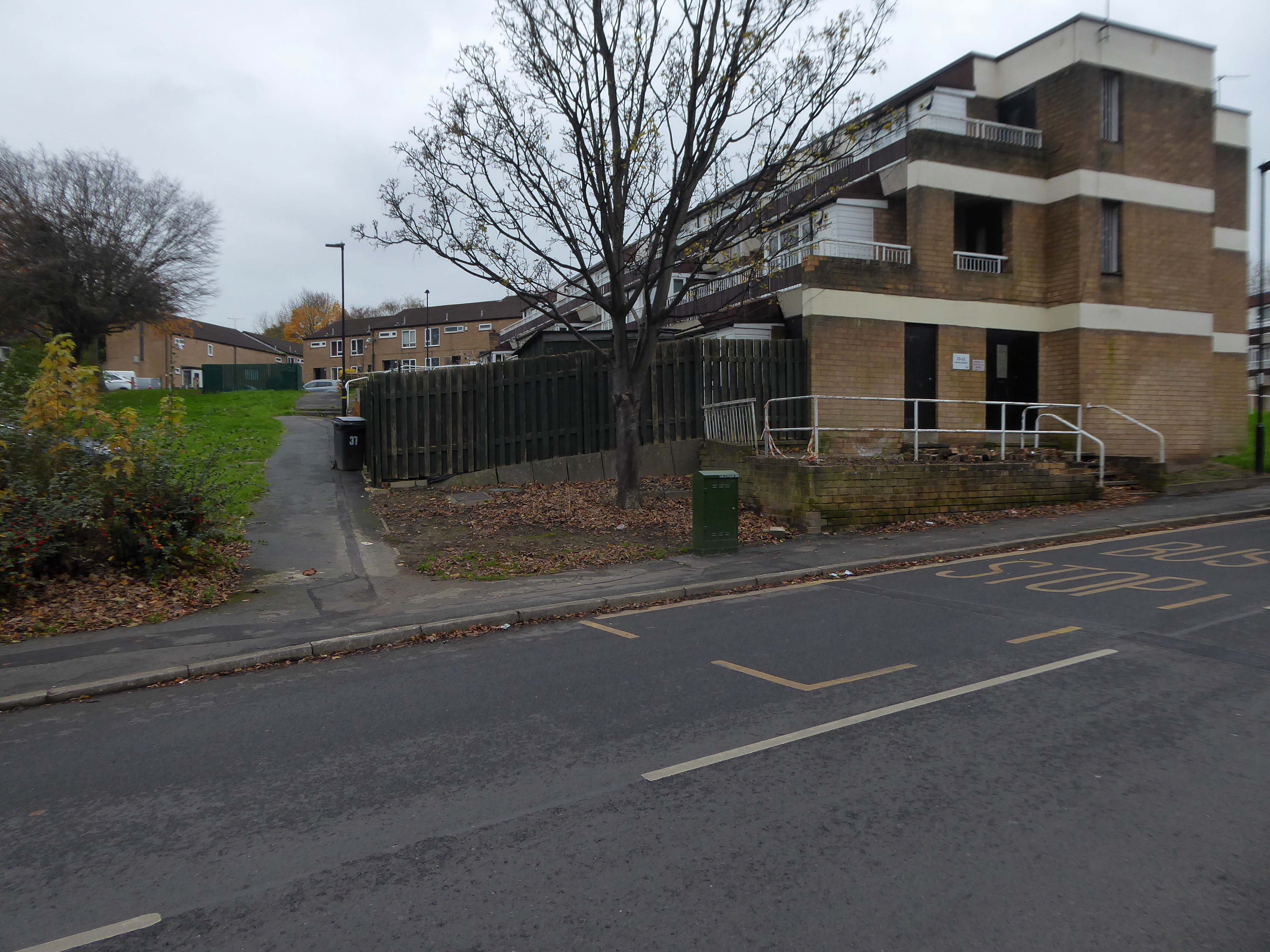
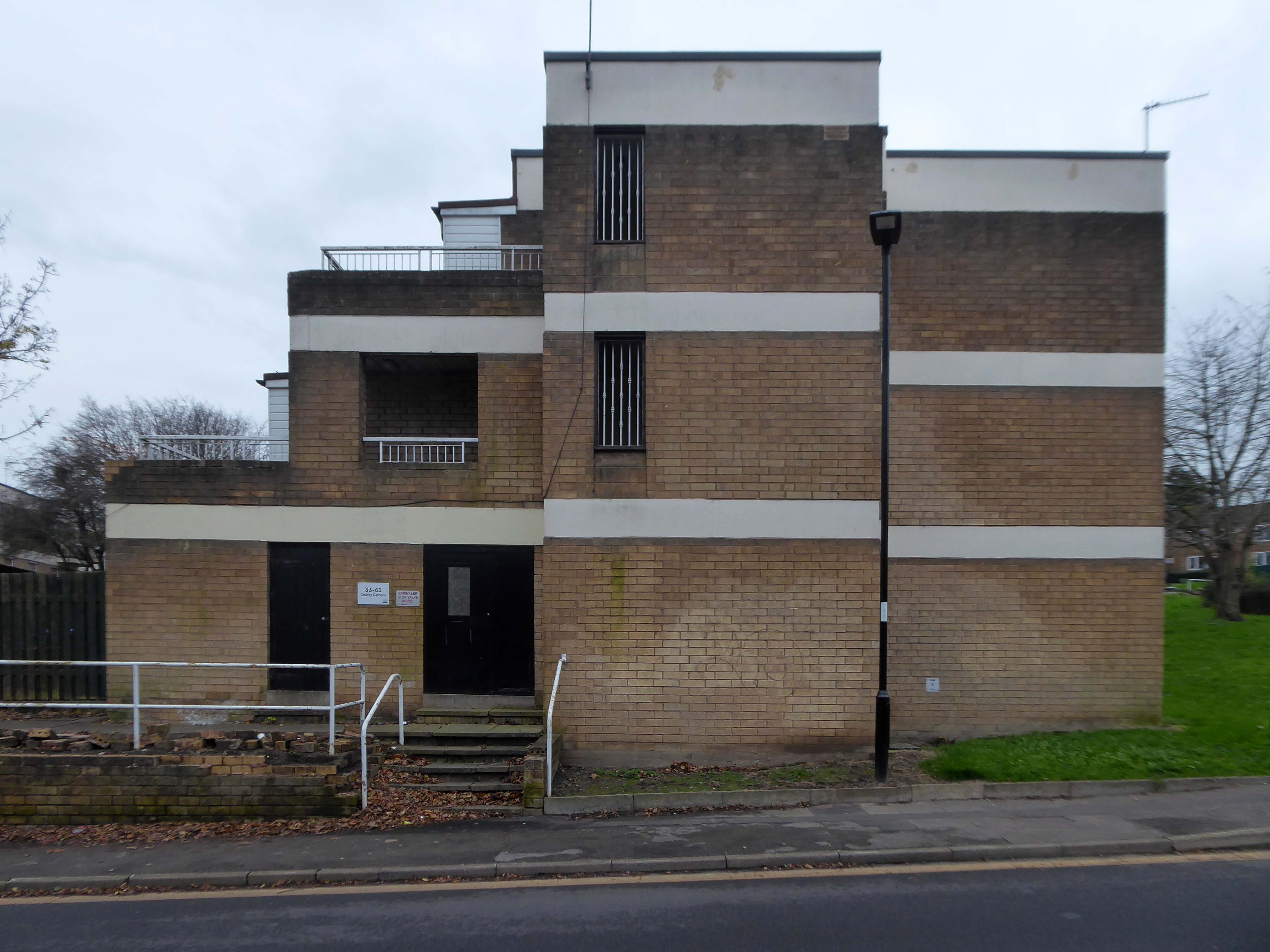
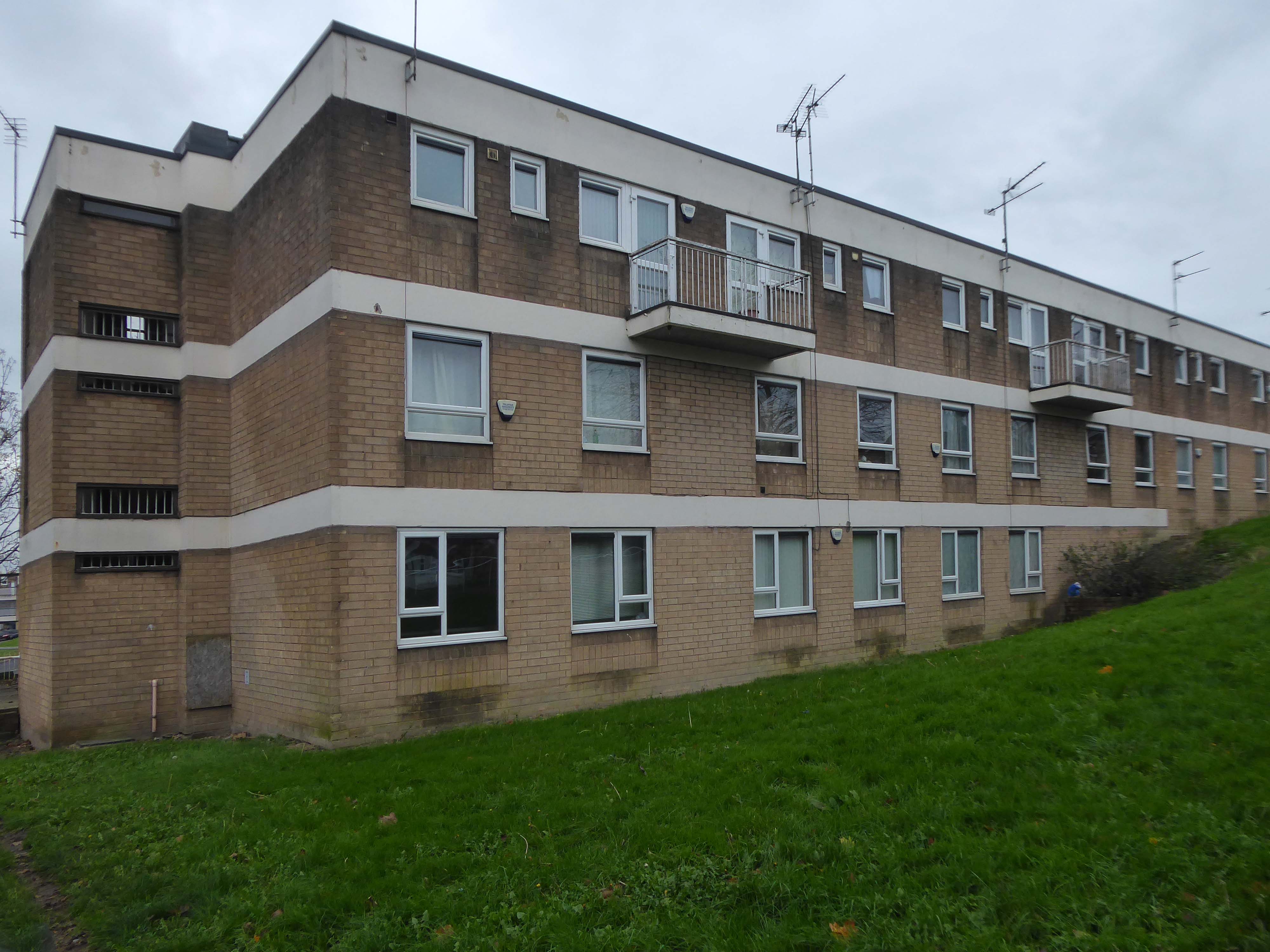
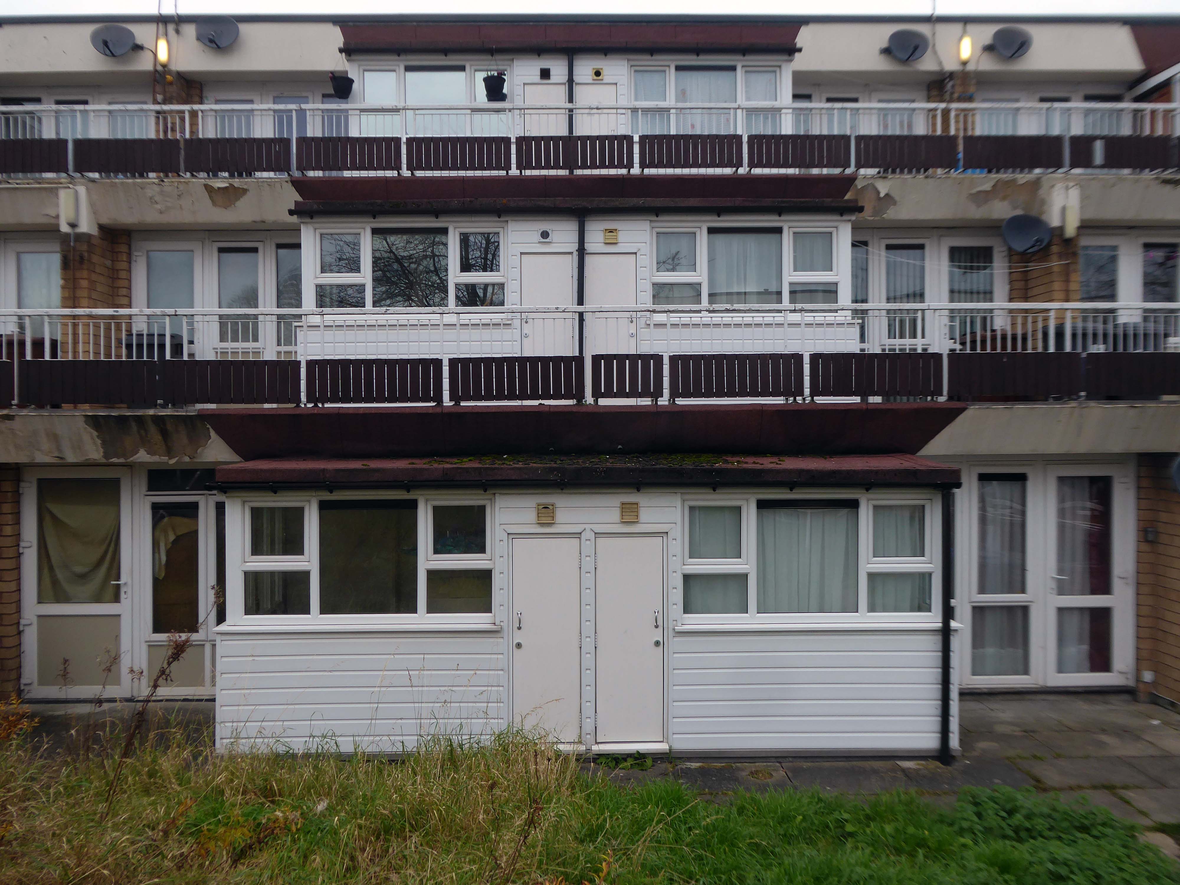
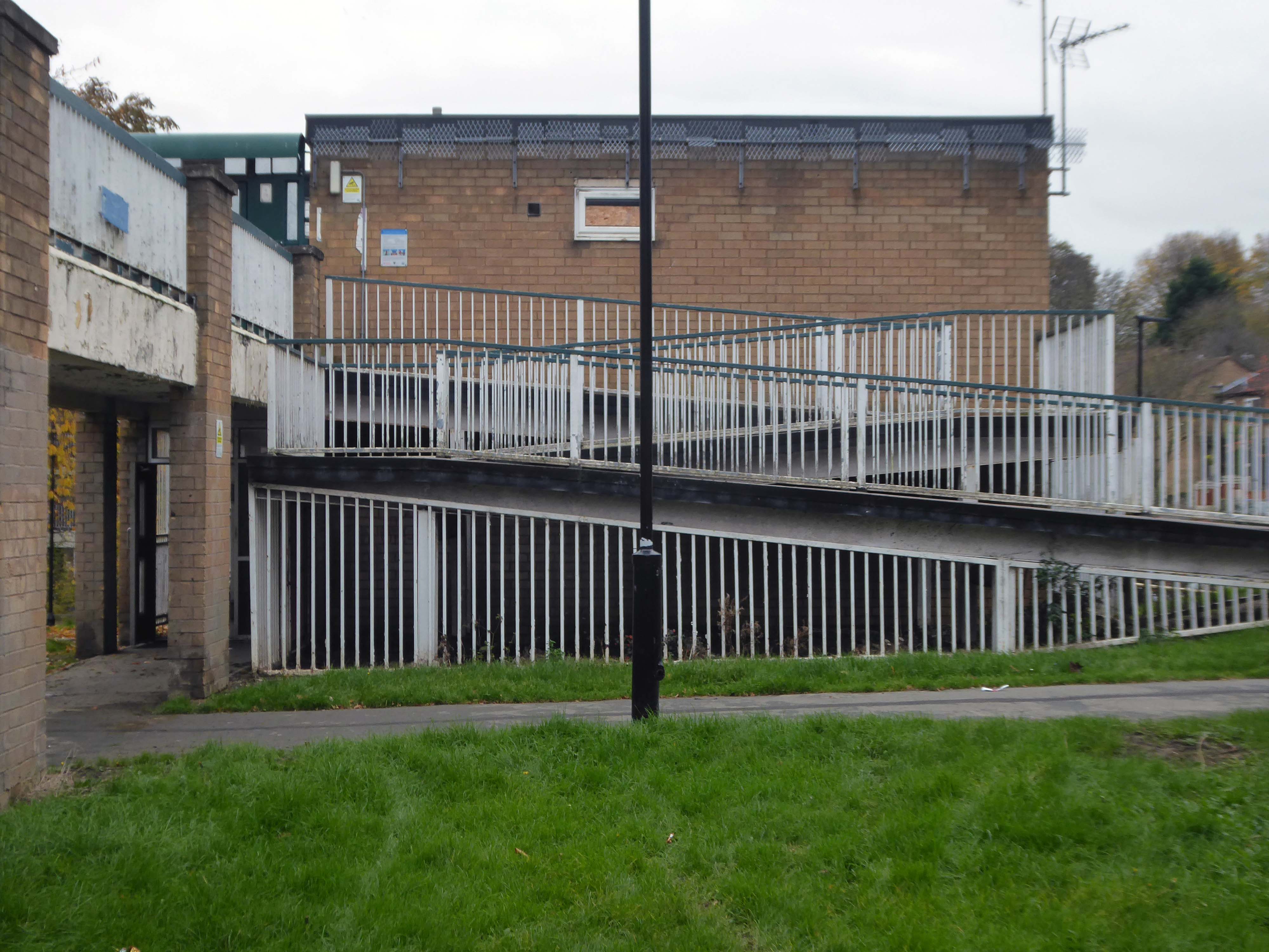
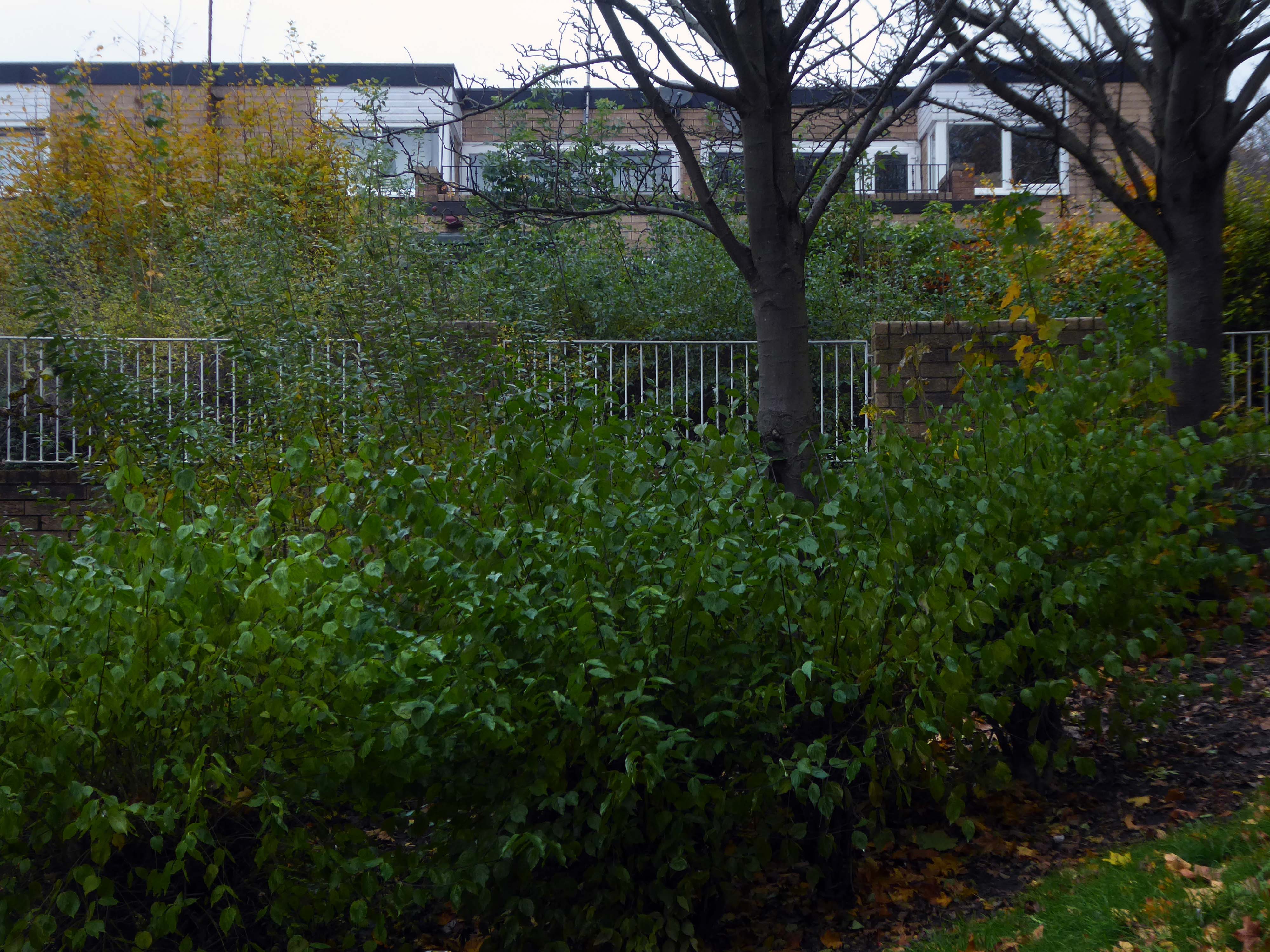
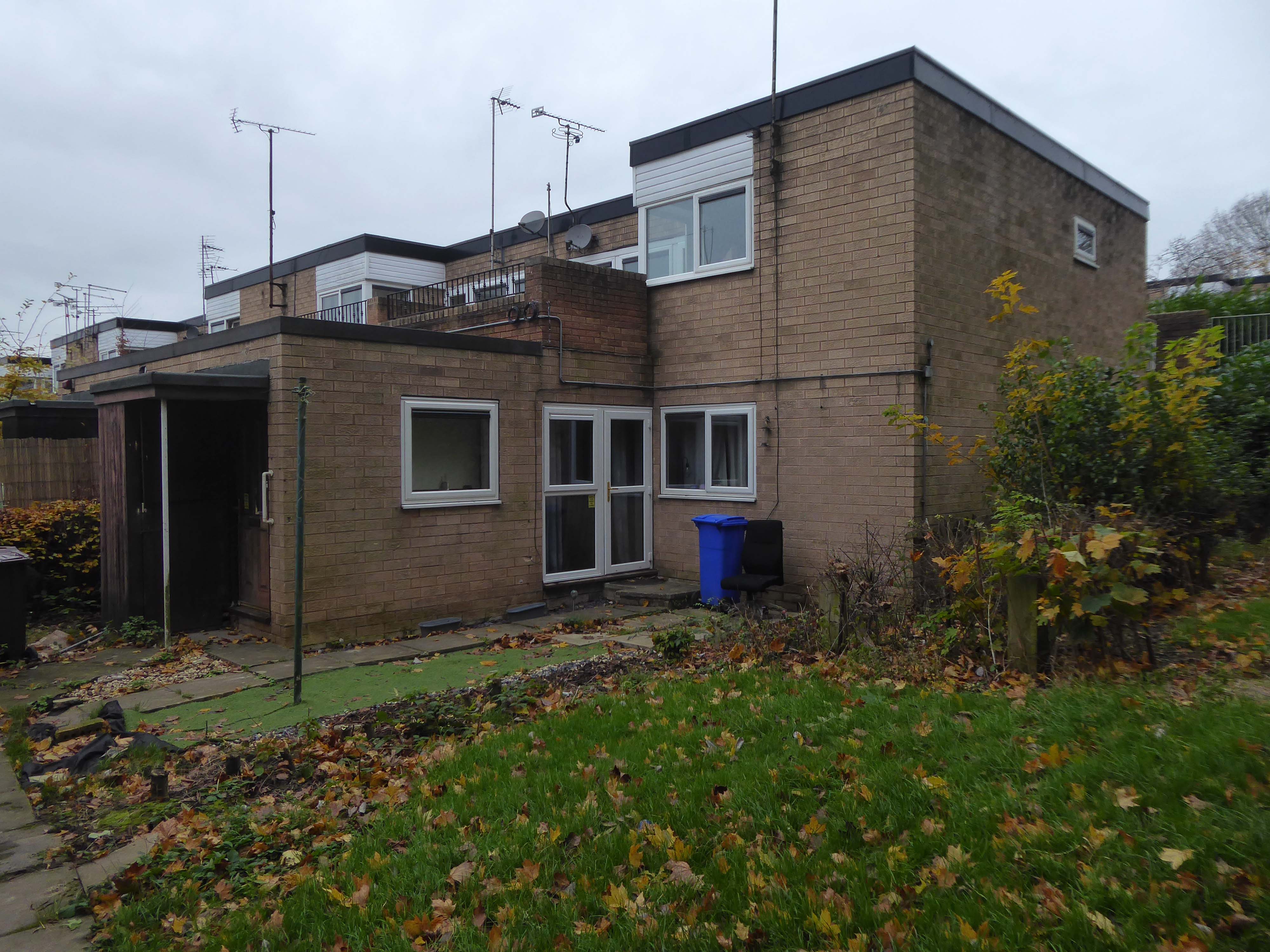
Westfield Estate Mosborough, formerly Waterthorpe Farm Estate, a rural township which was subsumed by Sheffield’s expanding housing schemes.

Mosborough, a vastly expanding village, eight miles North East of Chesterfield and six miles South East of Sheffield.

Waterthorpe Housing Estate near Beighton named after Waterthorpe – formerly Walterthorpe Farm.

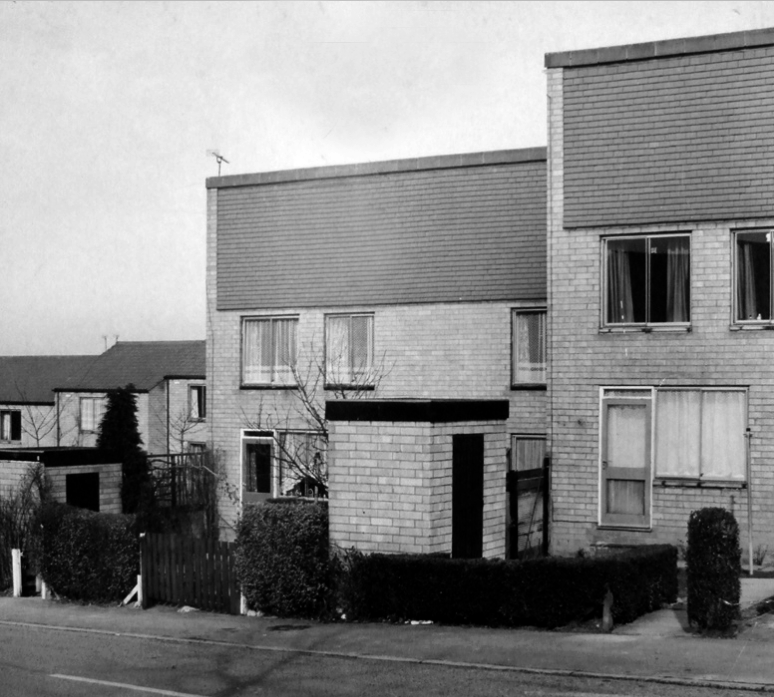
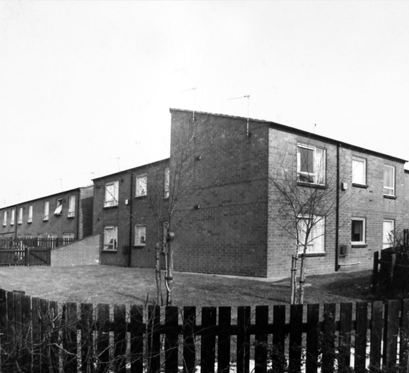
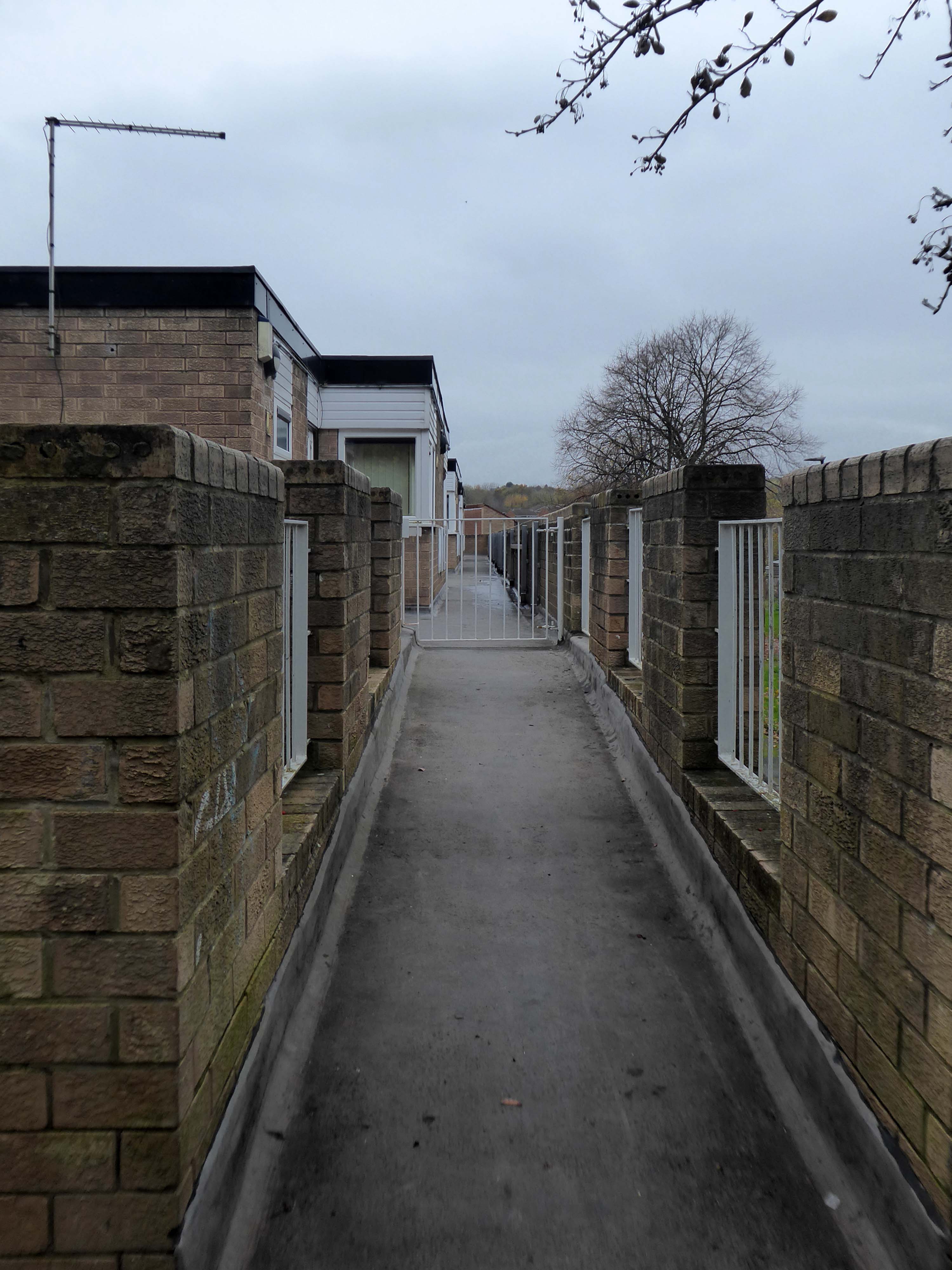
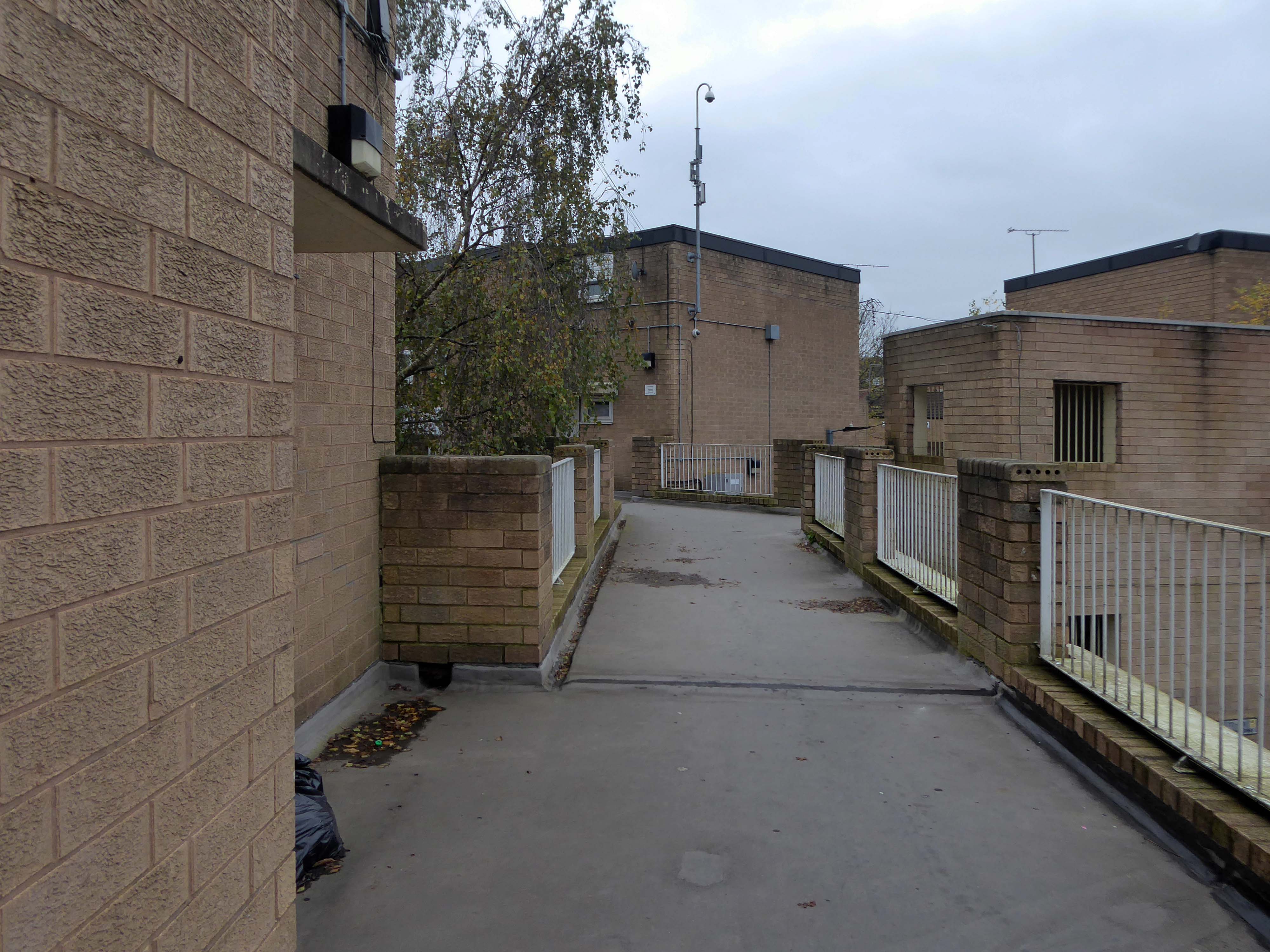
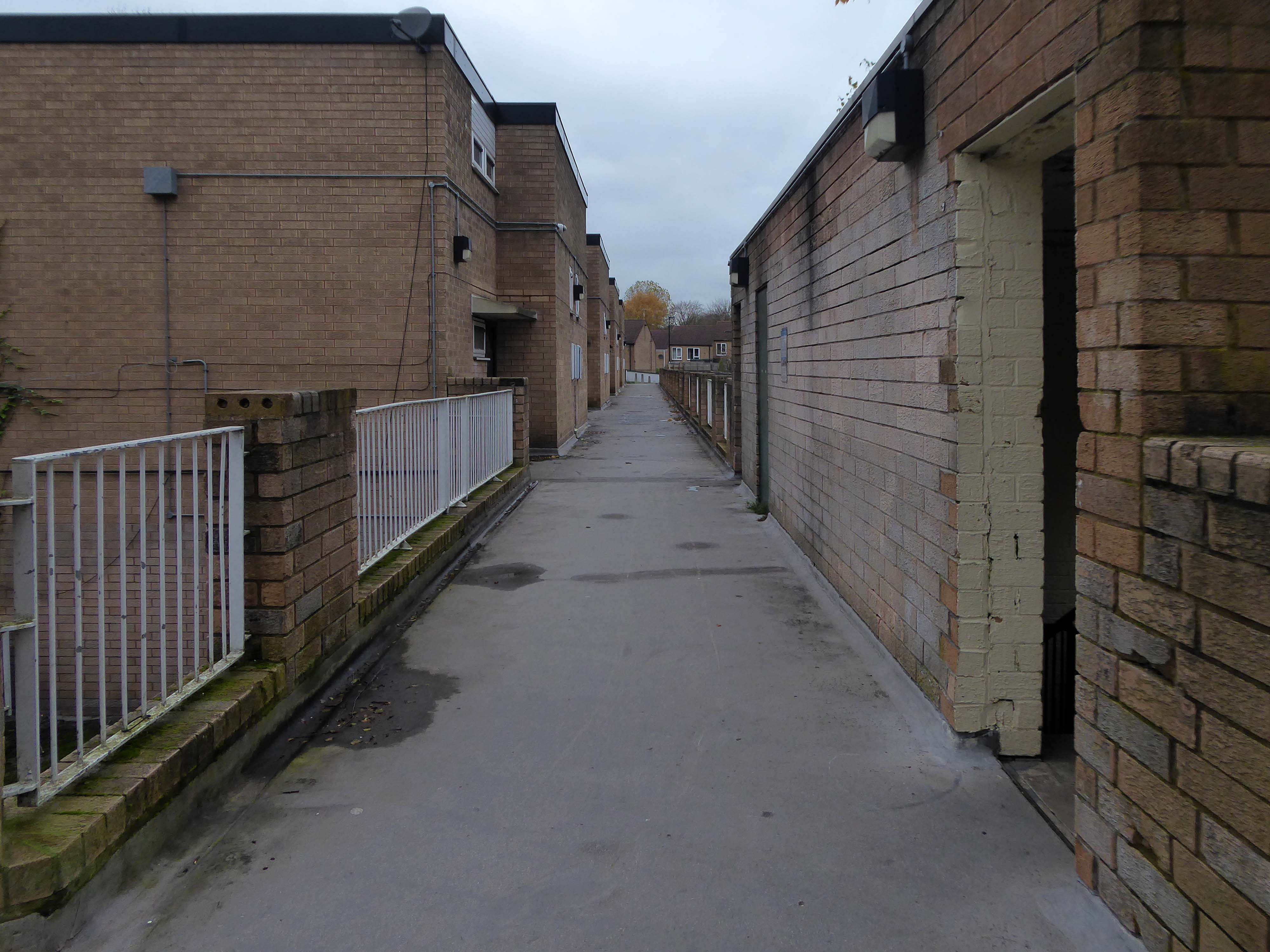
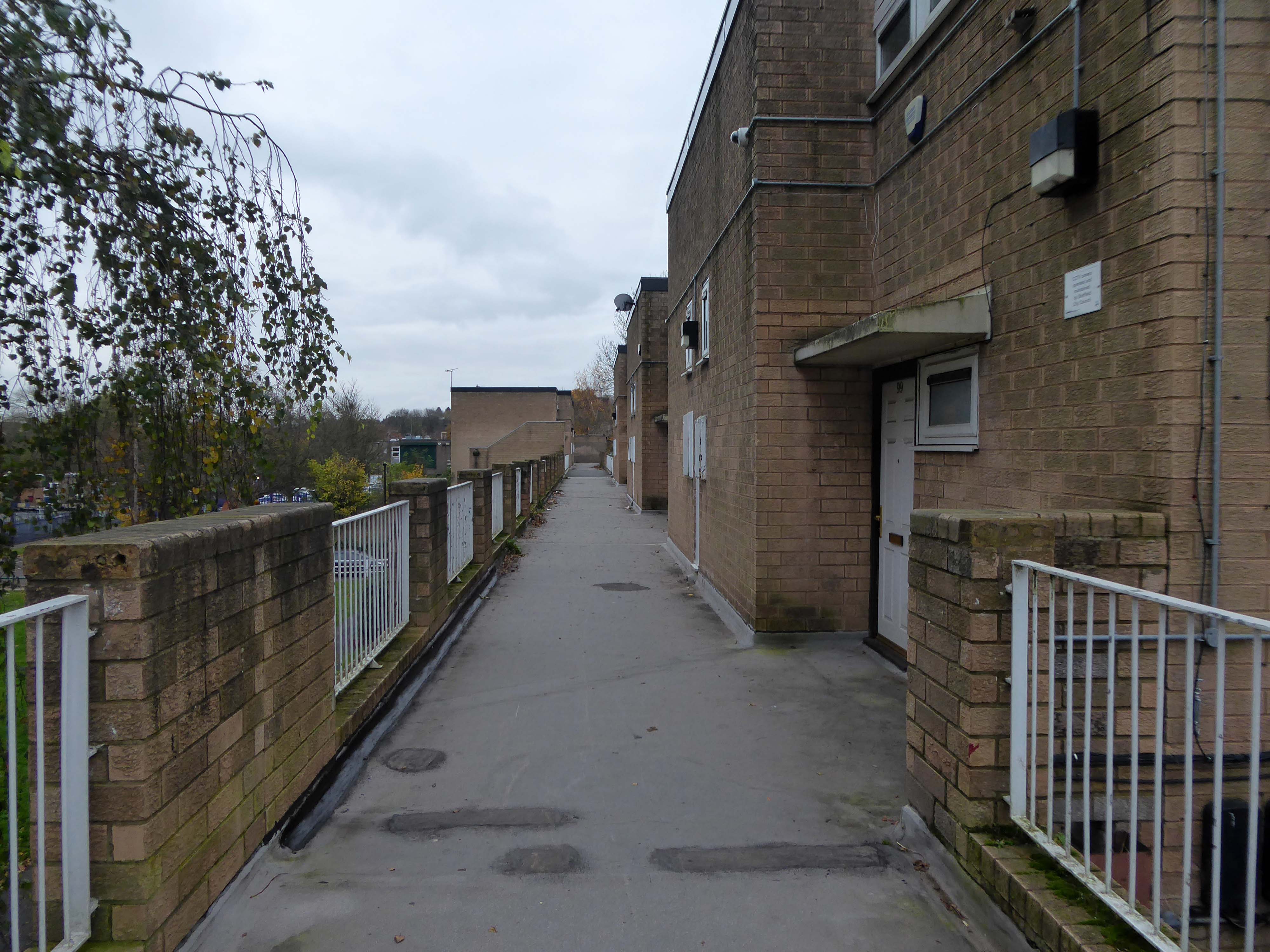
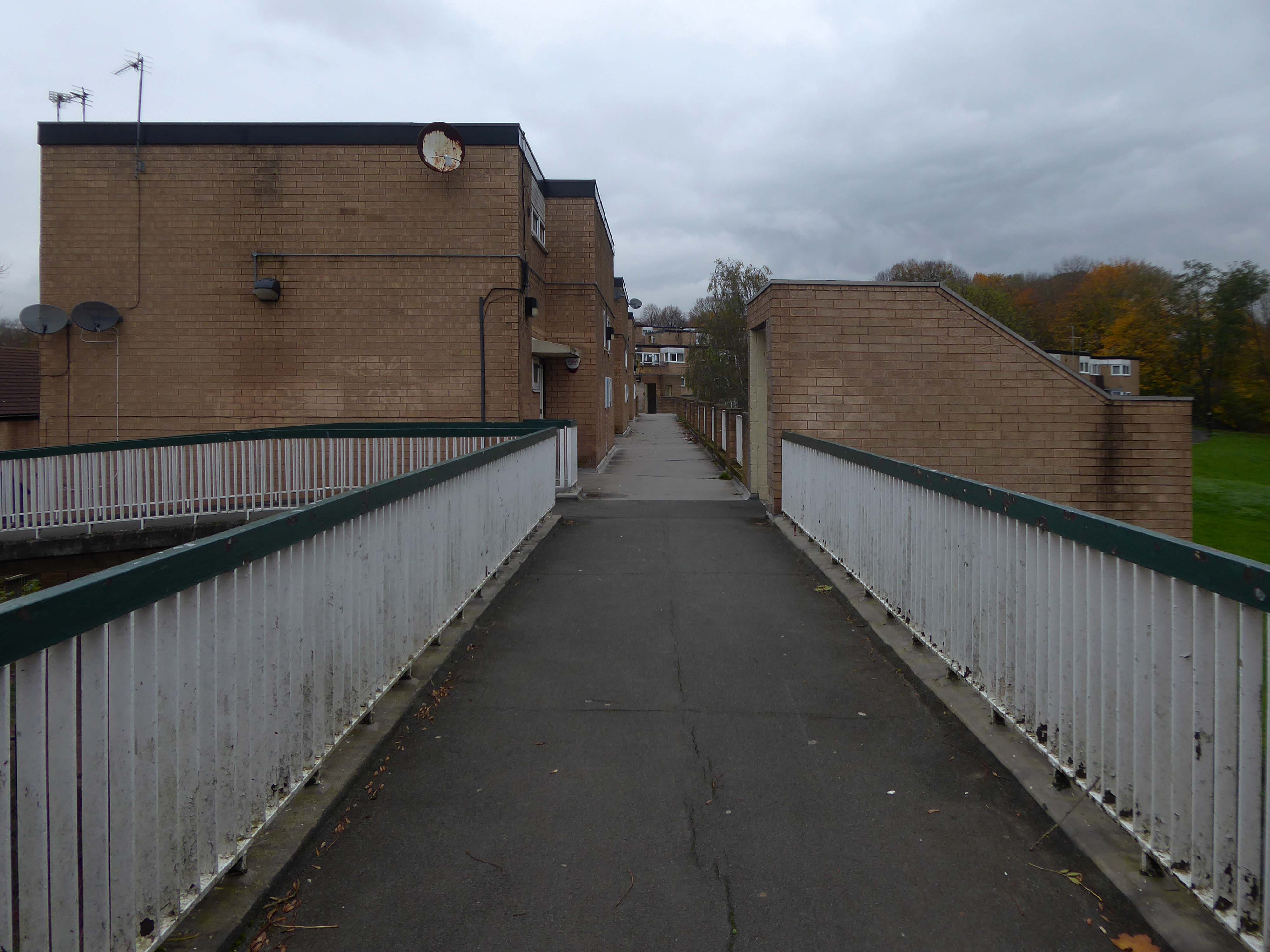
Path which goes behind houses on Short Brook Close 1974

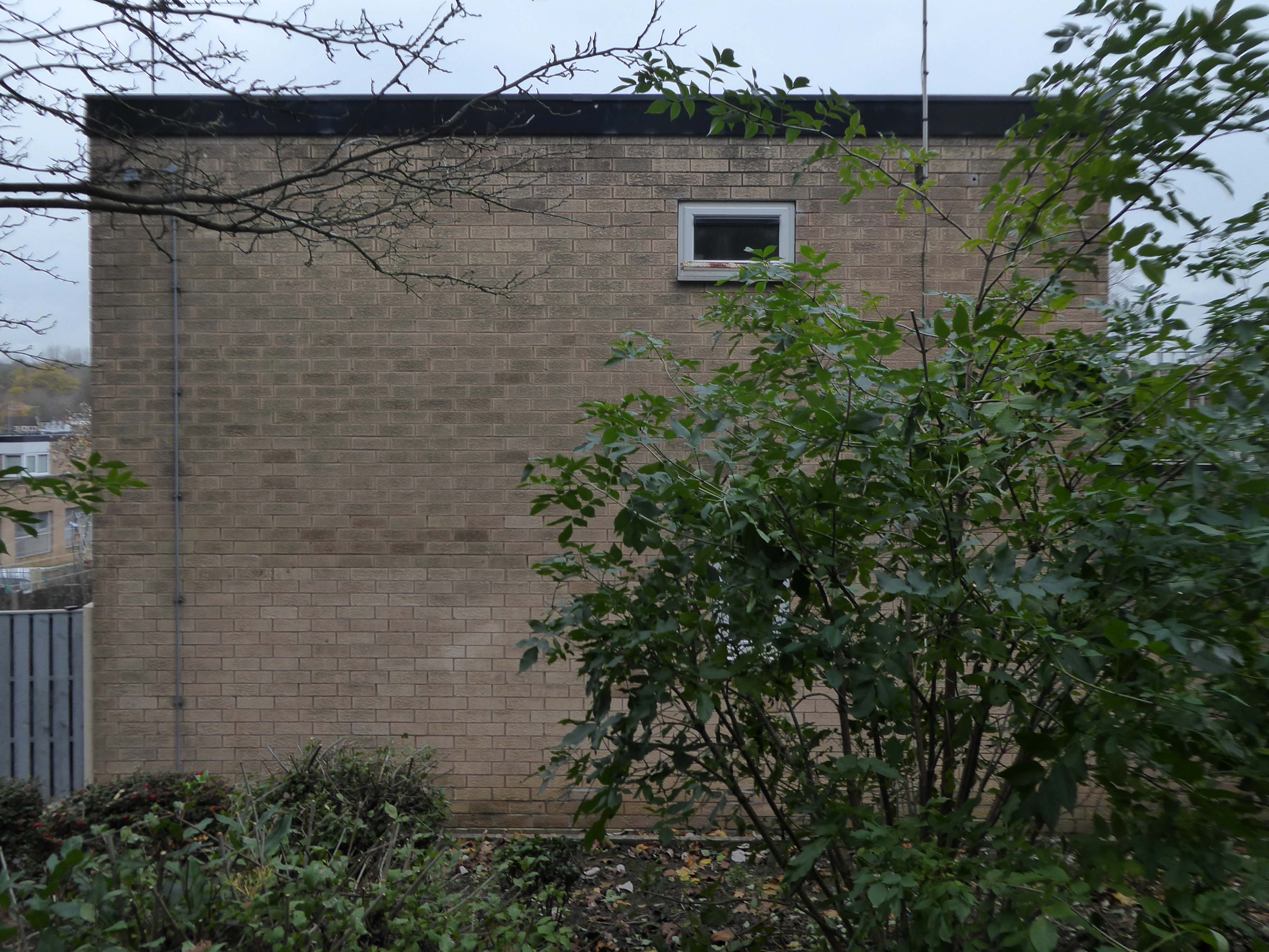
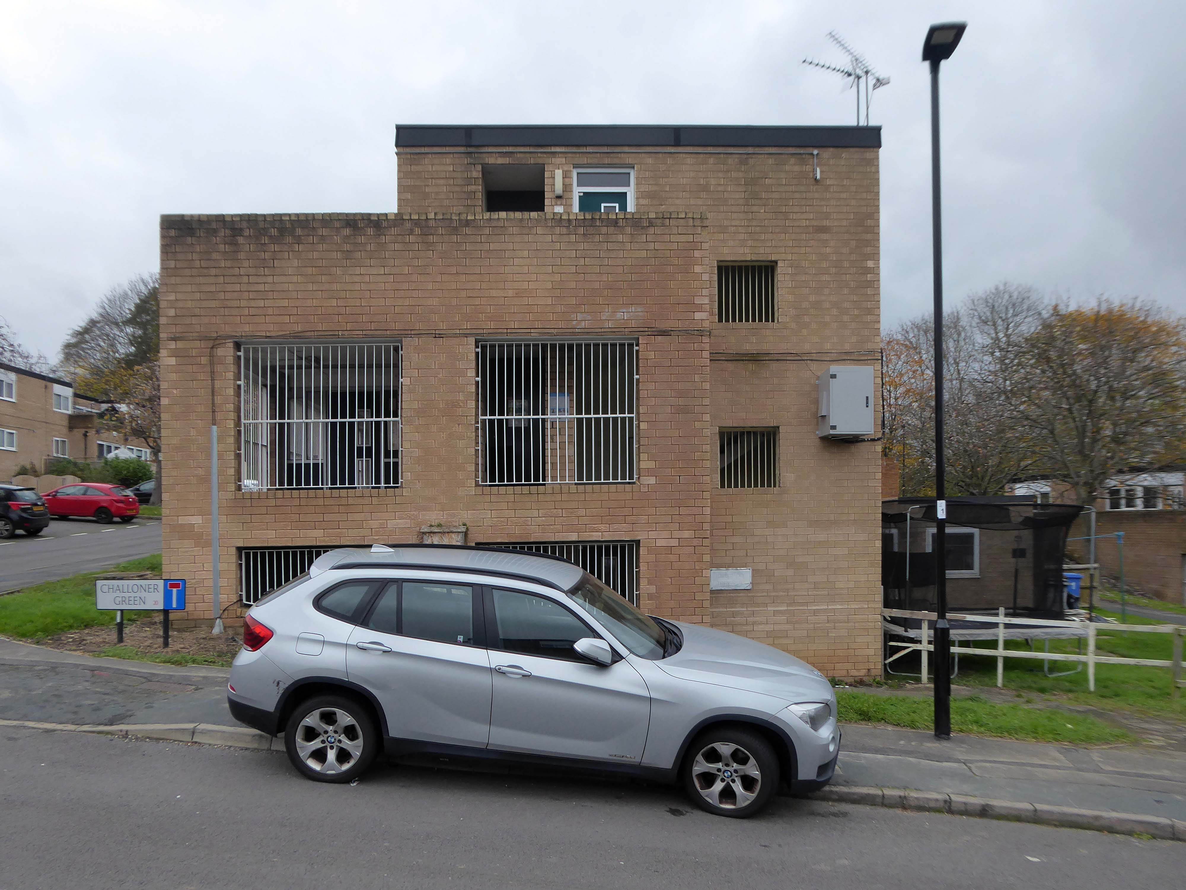
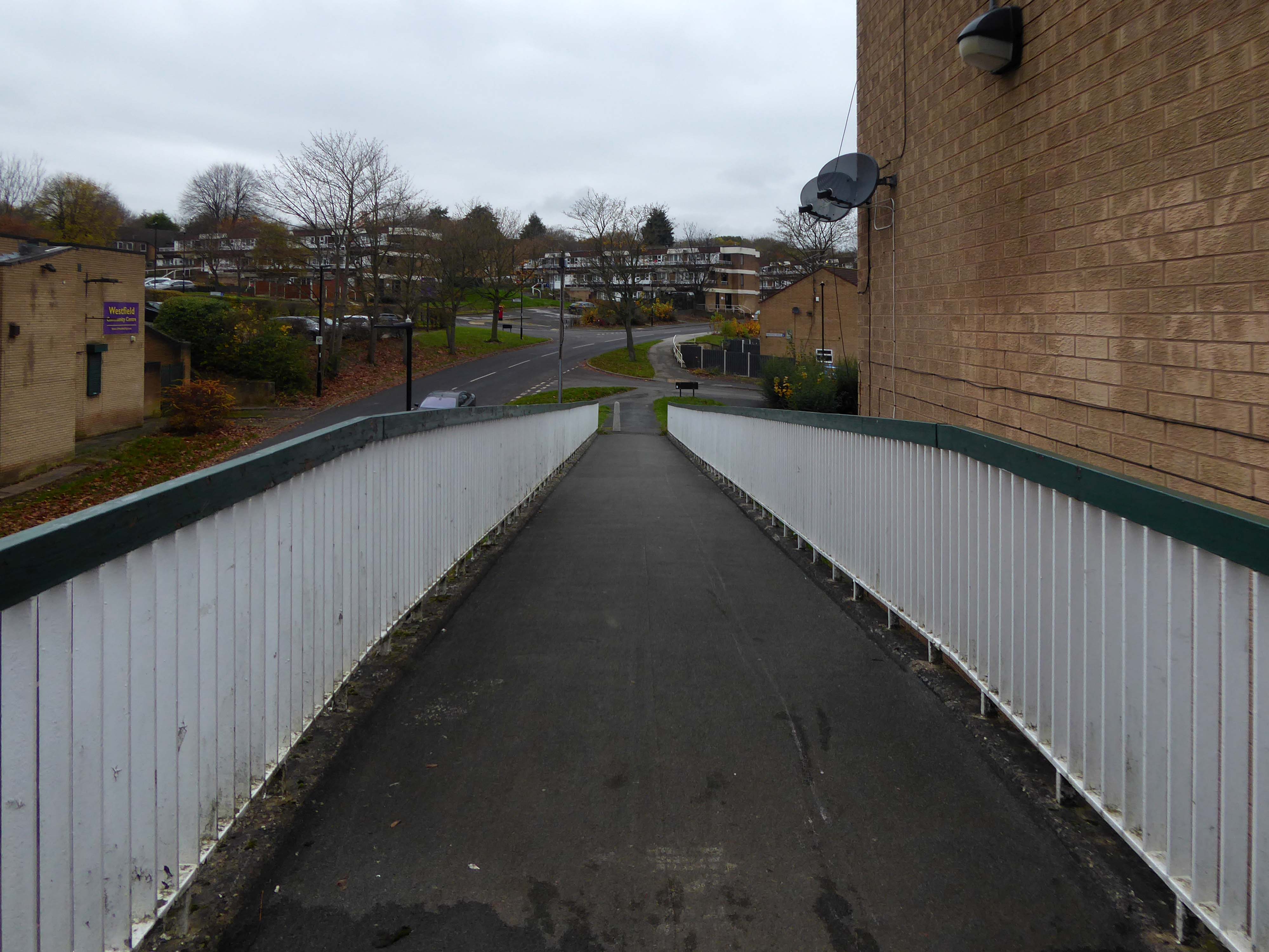
The Waterthorpe and Westfield housing estates were built from mid-1970s and were added to over a number of years. Eventually linking with both the old council estate of Beighton and the new estate of Halfway, the estates house a condensed significant number of almost wholly local authority owned properties following the phasing down and demolition of the original estates around Parson Cross and Shiregreen in the north of the city.

Wikipedia

Eastcroft Glen 1986

May Tree Lane

Archive photographs – Picture Sheffield

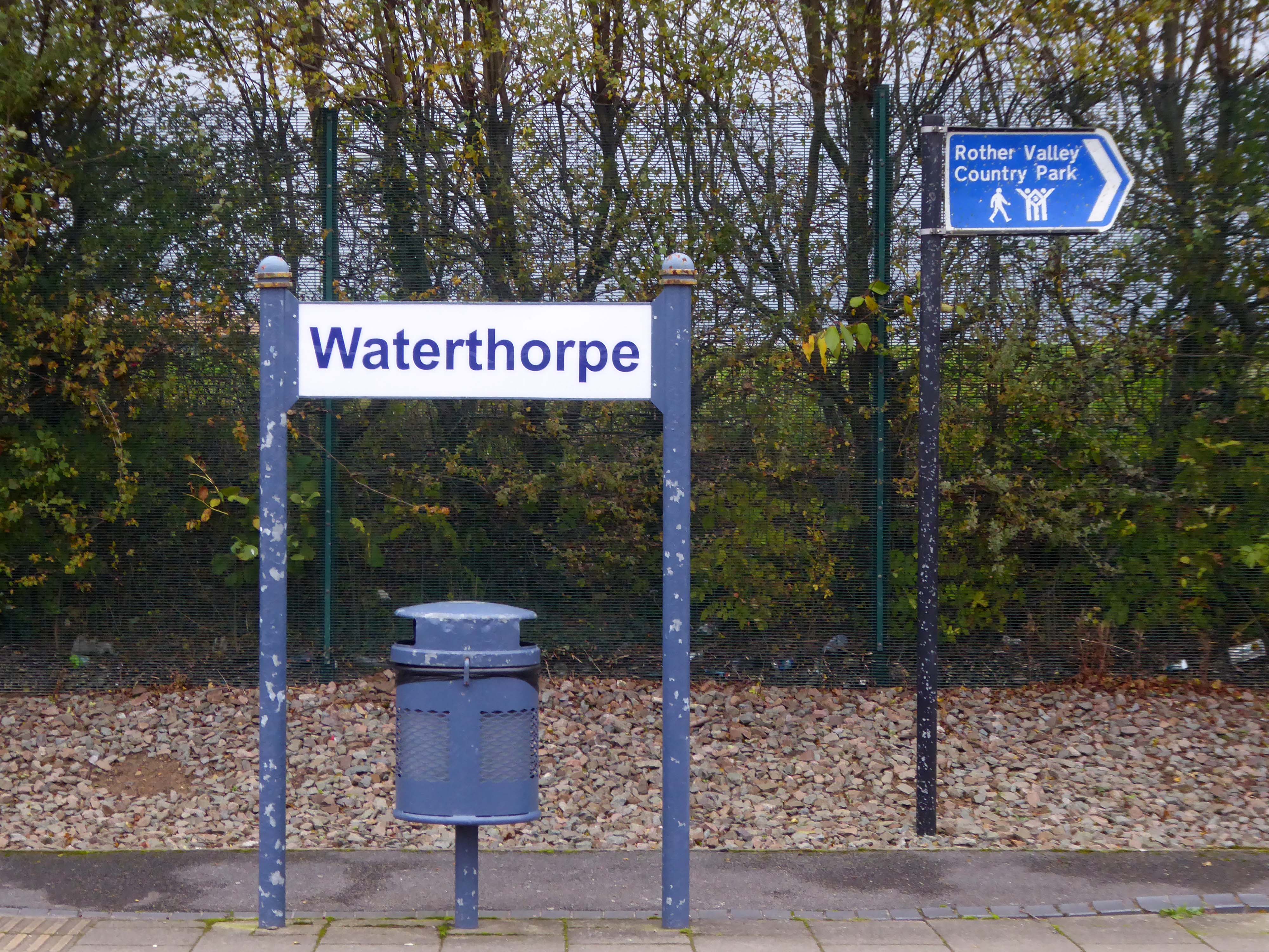
So I jumped the tram from Sheffield Station to Halfway alighting at Waterthorpe.

A long rambling ride, rolling in and out of rolling hills.

I headed over the footbridge and into the heart of the estate.

Castle Street – Edgeley #1


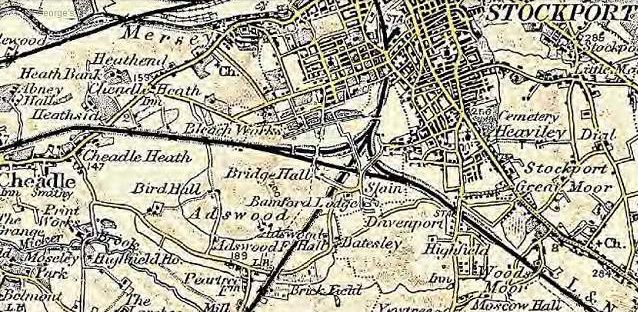
adswood2-generalarea.jpg

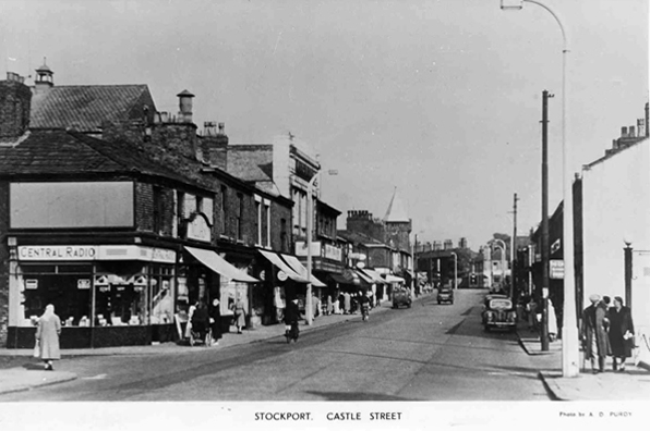
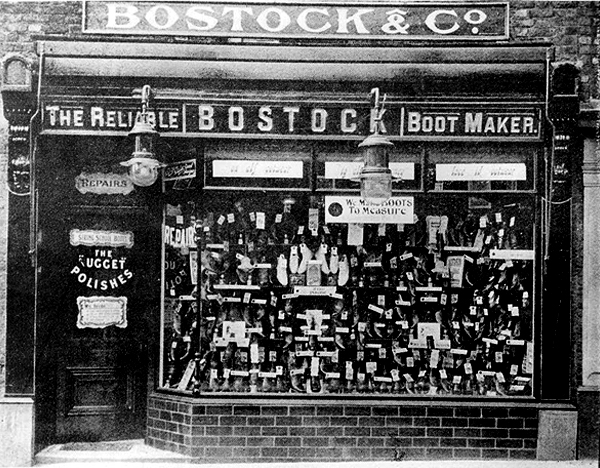
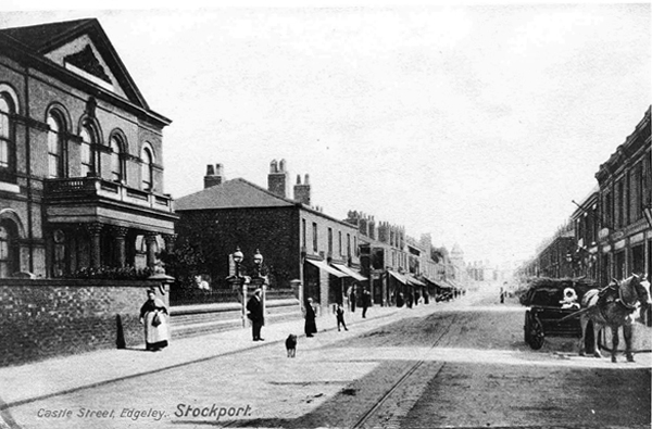
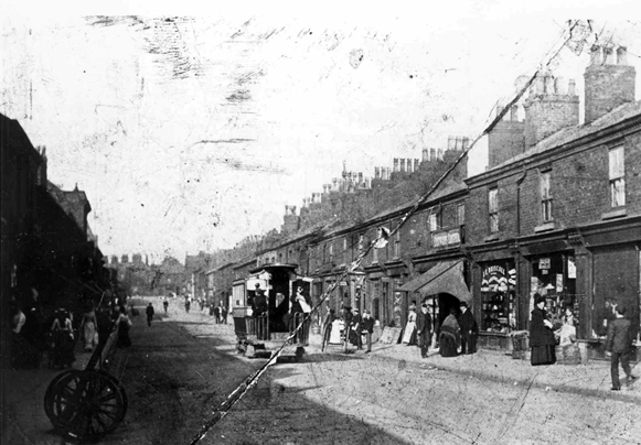
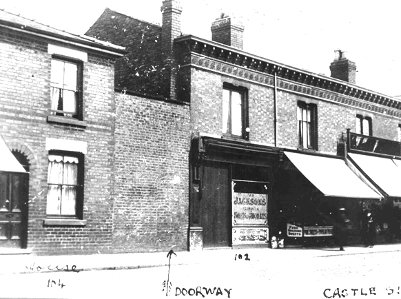
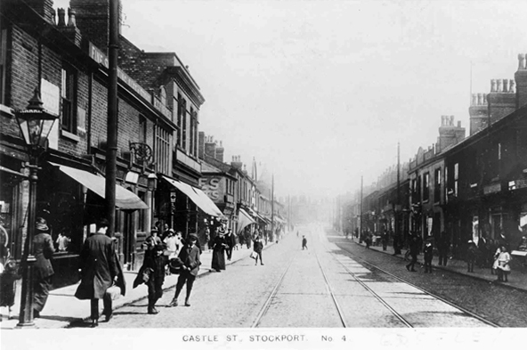
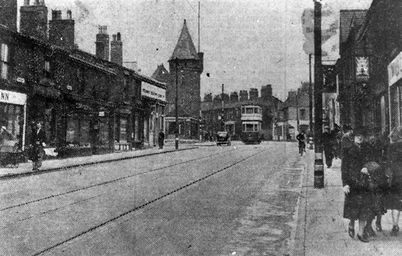
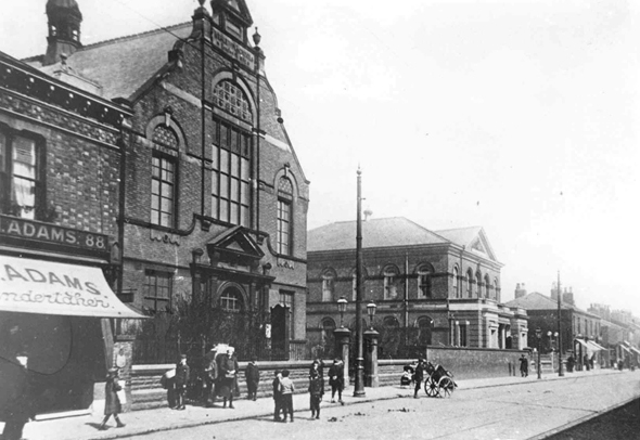
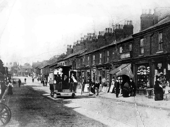
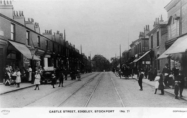
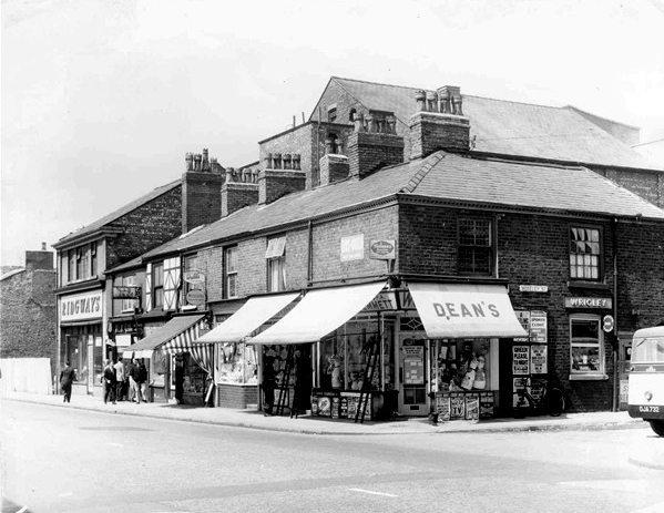
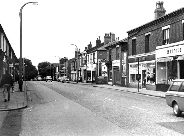
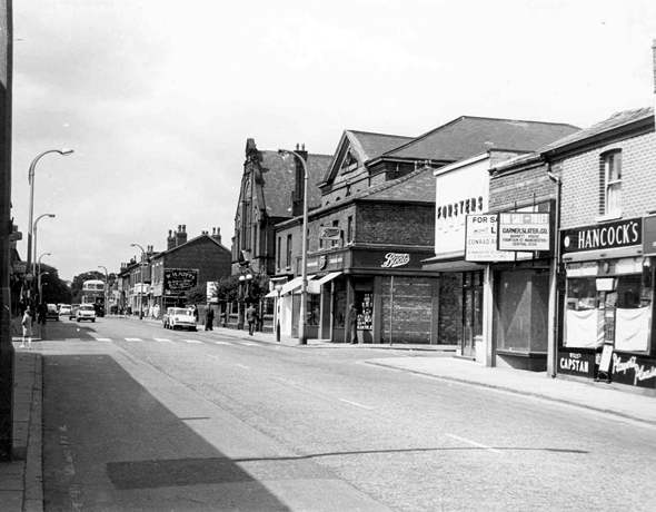
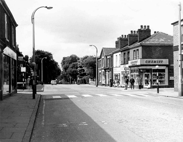
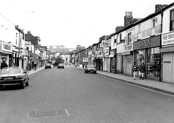
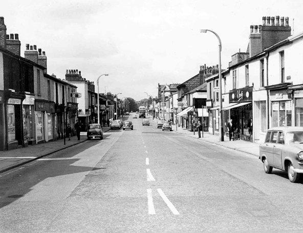
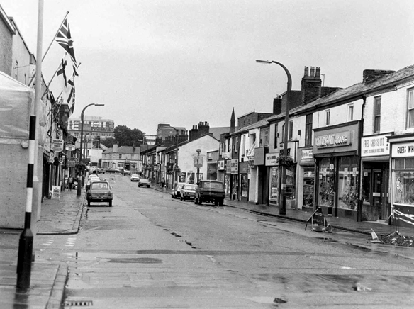
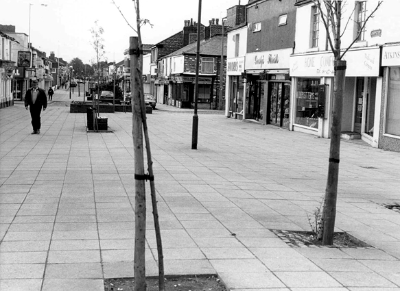
I have shuffled and shopped up and down Castle Street for some forty years or so – things have come and things have gone – and continue to do so. High streets have always been subject to so many external forces, they reshape and reform, in rhythm with the times and tides of history.

Horse drawn carriages and trams are long gone, along with the double-decker bus, people powered people rule in a pedestrianised precinct, charity begins at Barnardo’s, the Co-op has been and gone and returned, just up the way.

Two whole chapels, pubs and cinemas seem to have just disappeared.

So let’s take a short trip through time and space along a short strip of Stockport’s past.

Get your boots on.

Pictures from Stockport Image Archive

1908

28729

1902

24436

1917a

1950

36876

1890

1917

1962.jpg

1958

1958a

1951

1 6 69

07b

69

69a

69b

74

93c

1969

1981

93

1983

07 a

93a

84

34929235_10216853242823182_2882427370675896320_n

07 copy

C_71_article_1073950_image_list_image_list_item_0_image

Screen Shot 2018-06-13 at 19.59.23

07