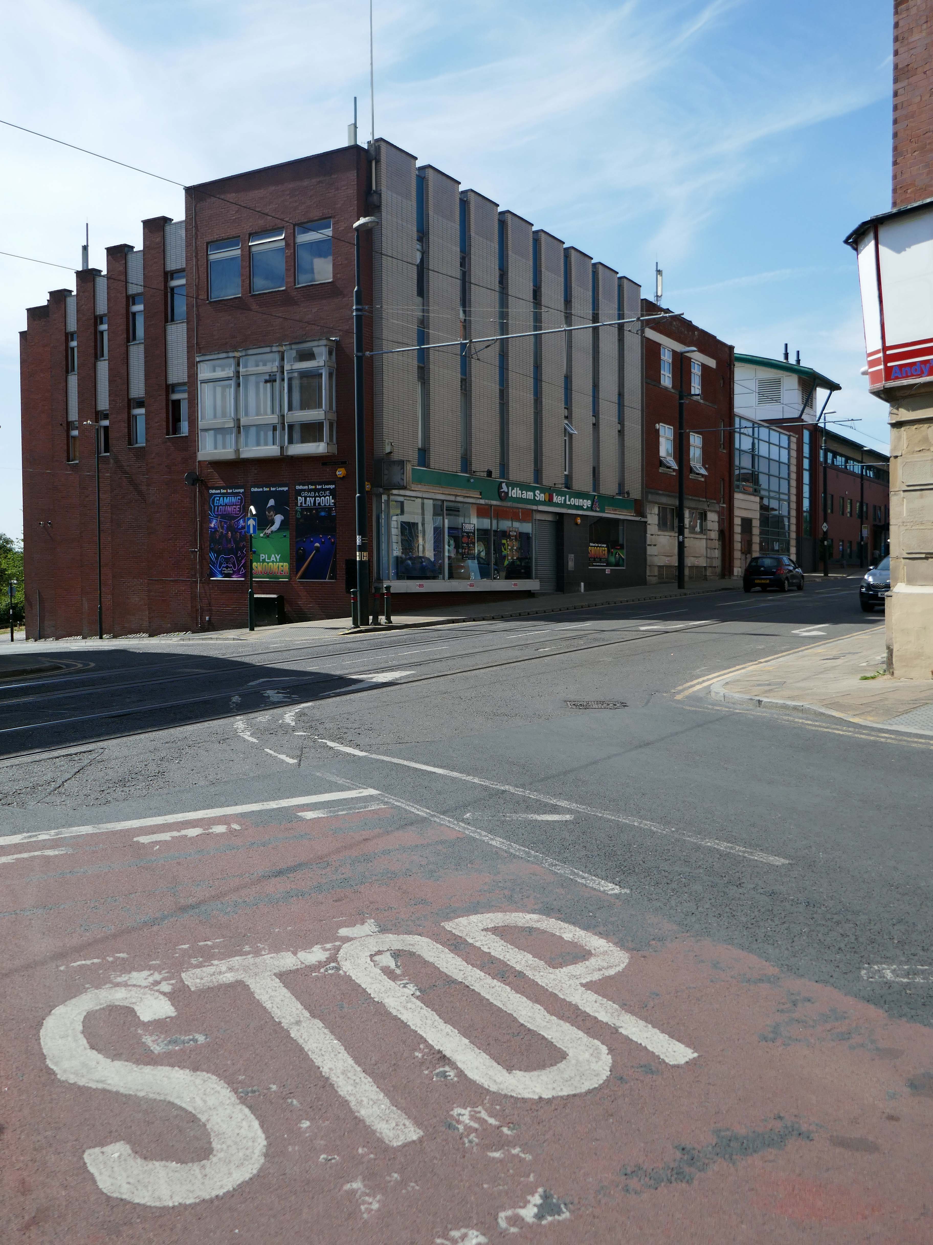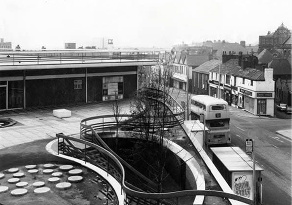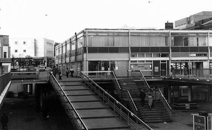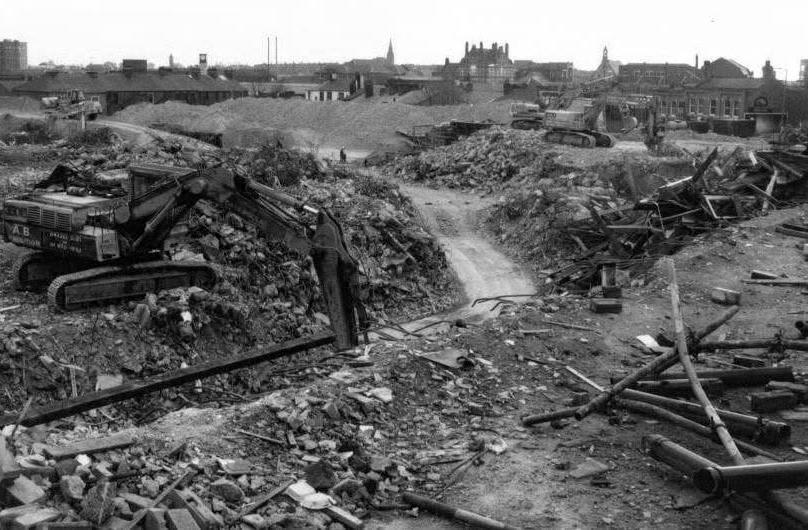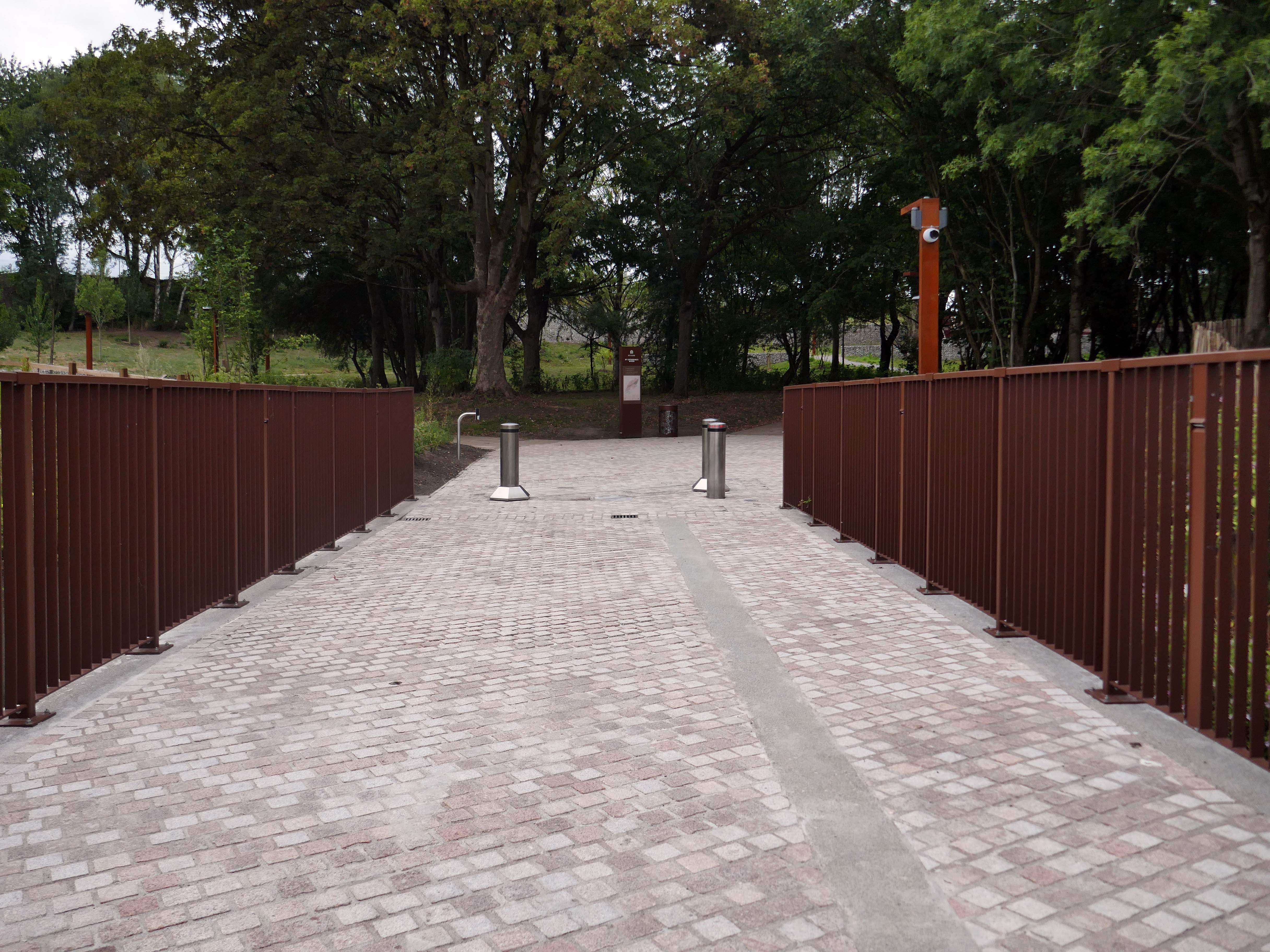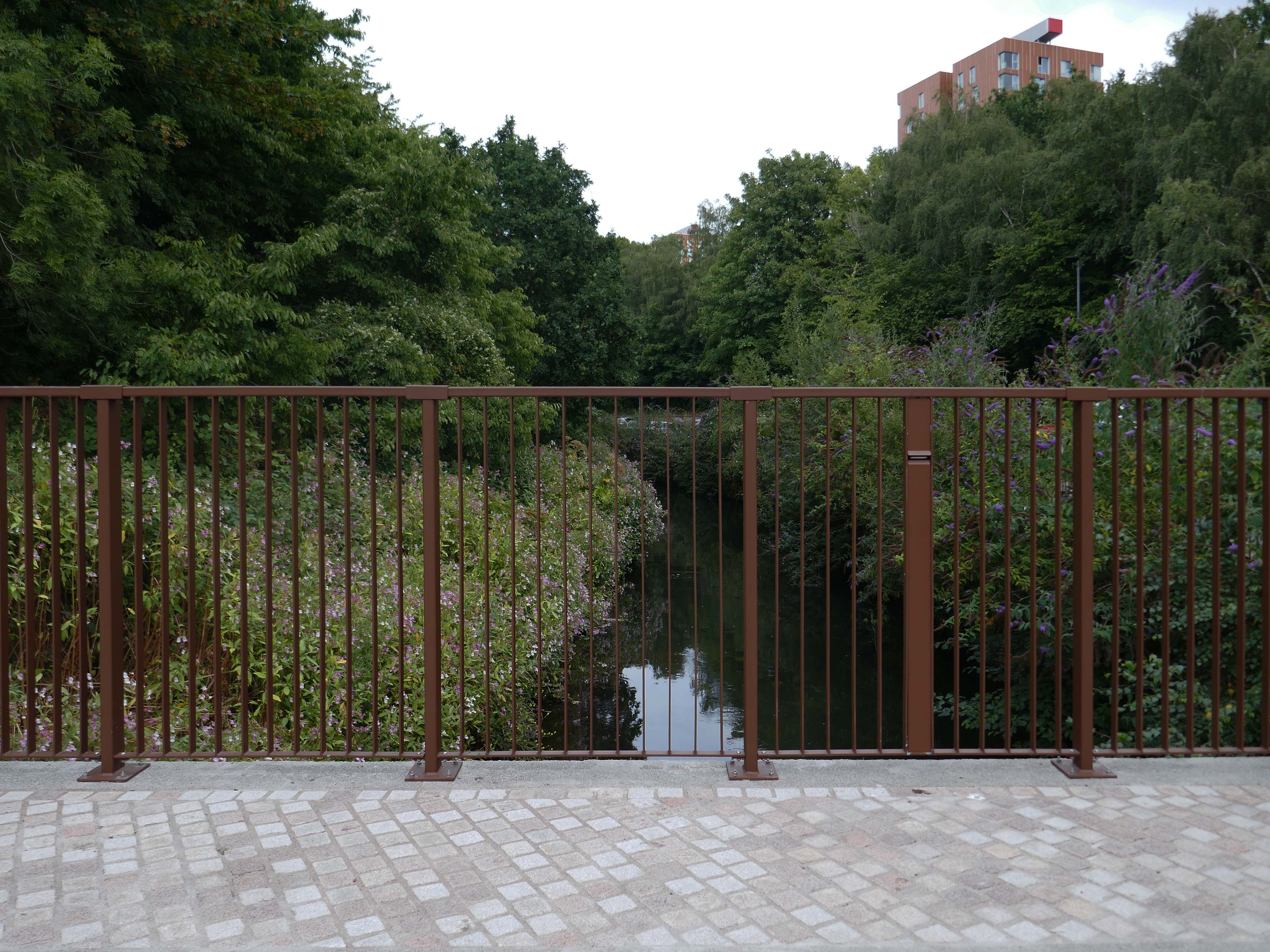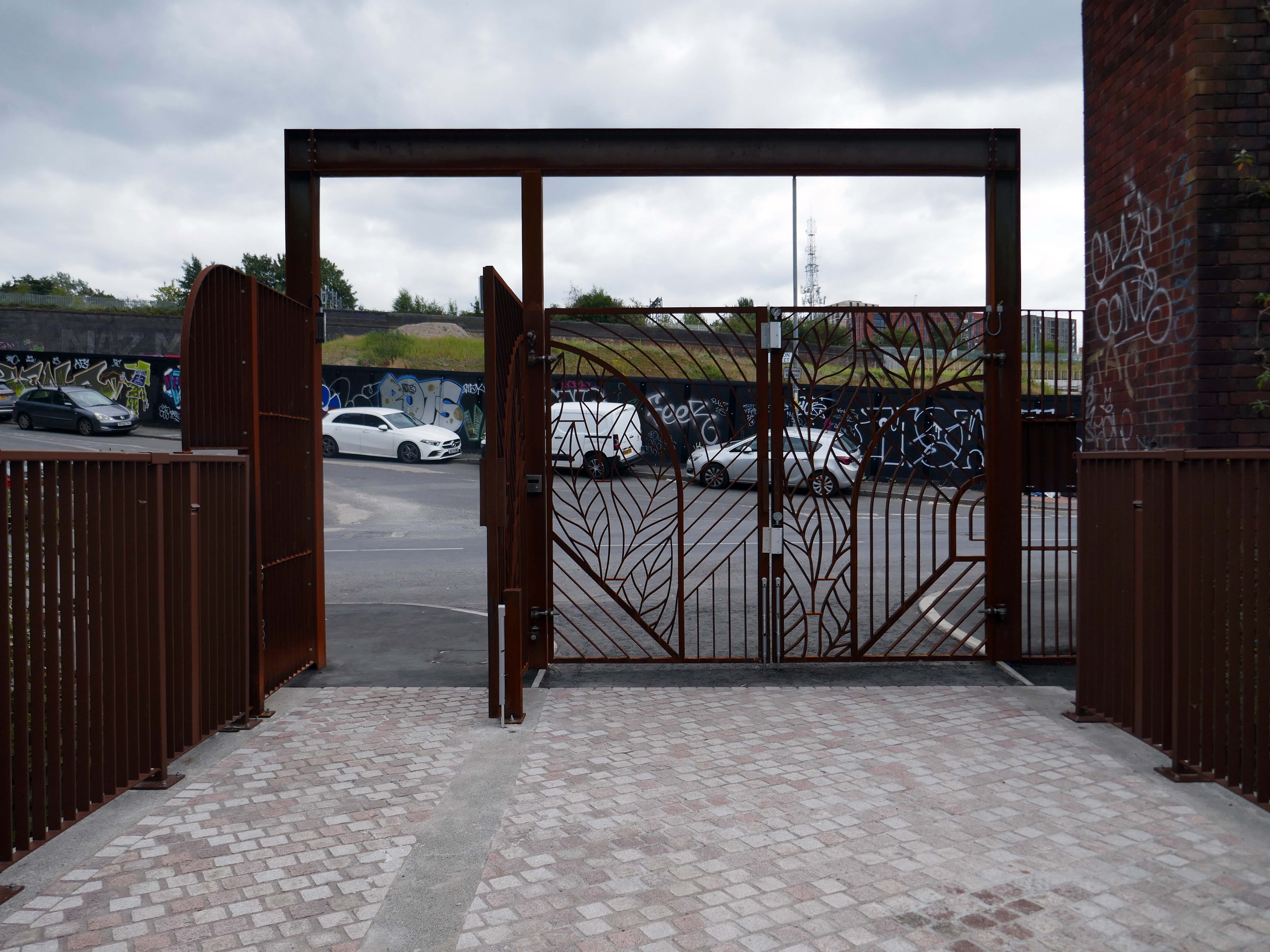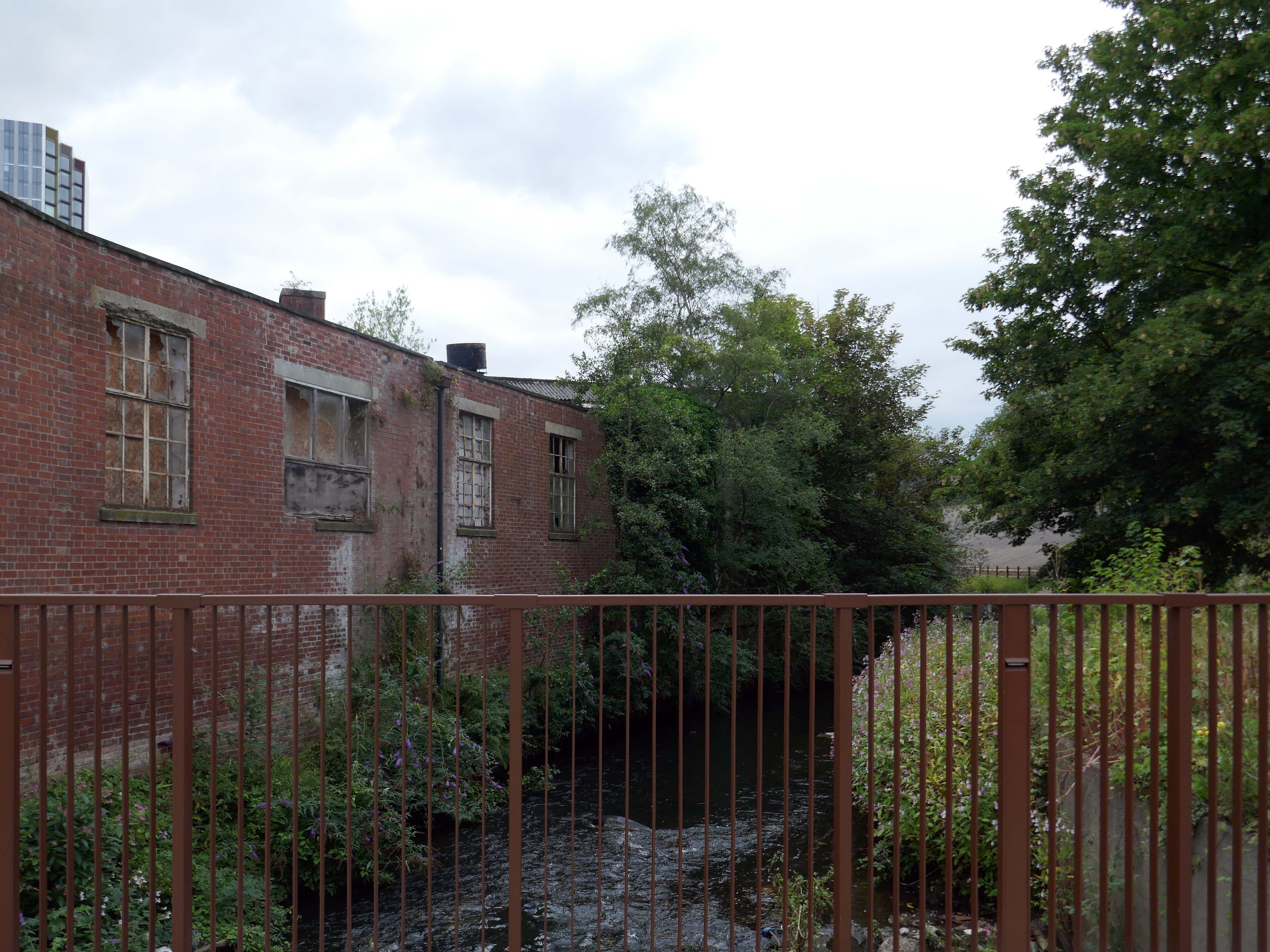
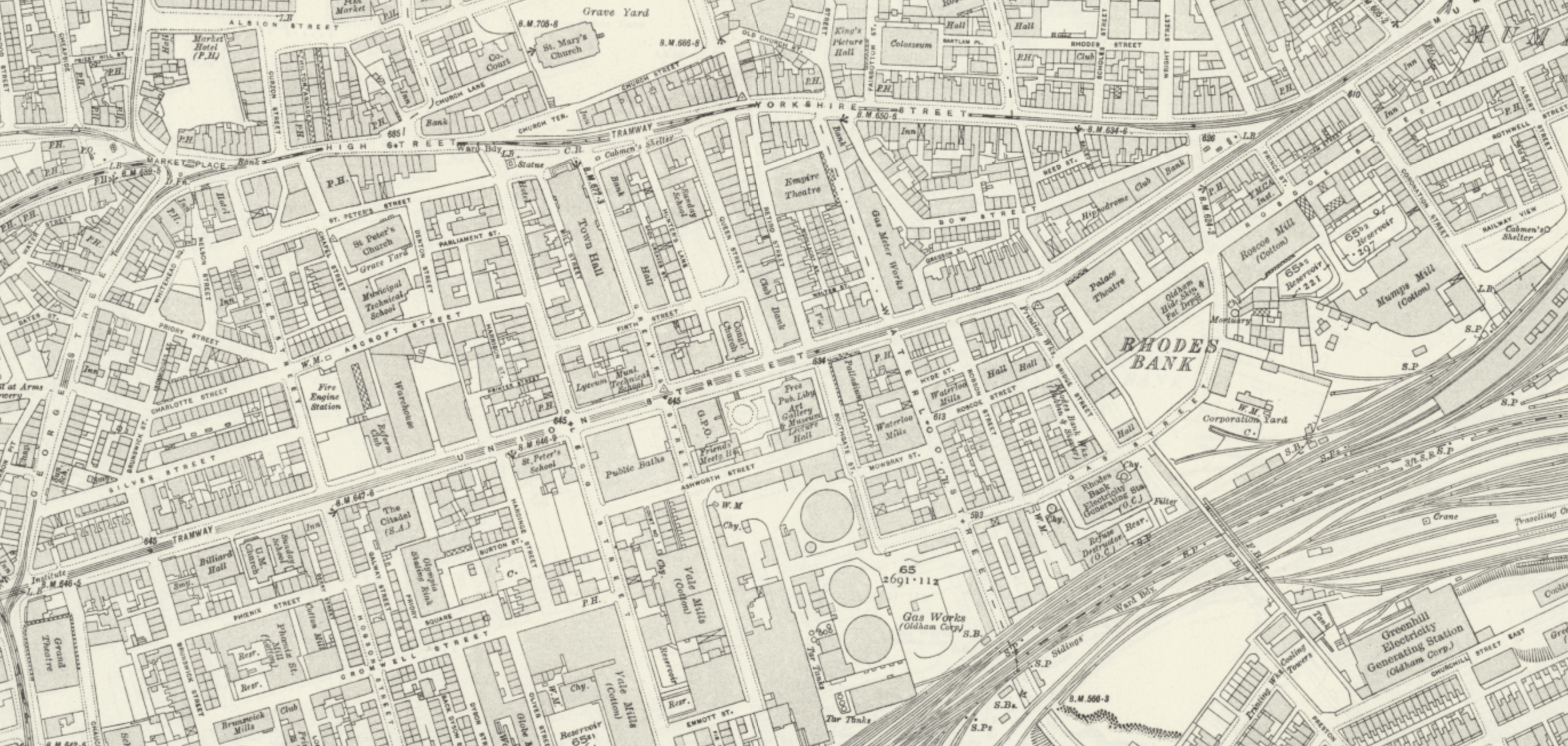
Oldham Walk

1915

The Oldham area was once home to several railway stations – many of which have since closed.
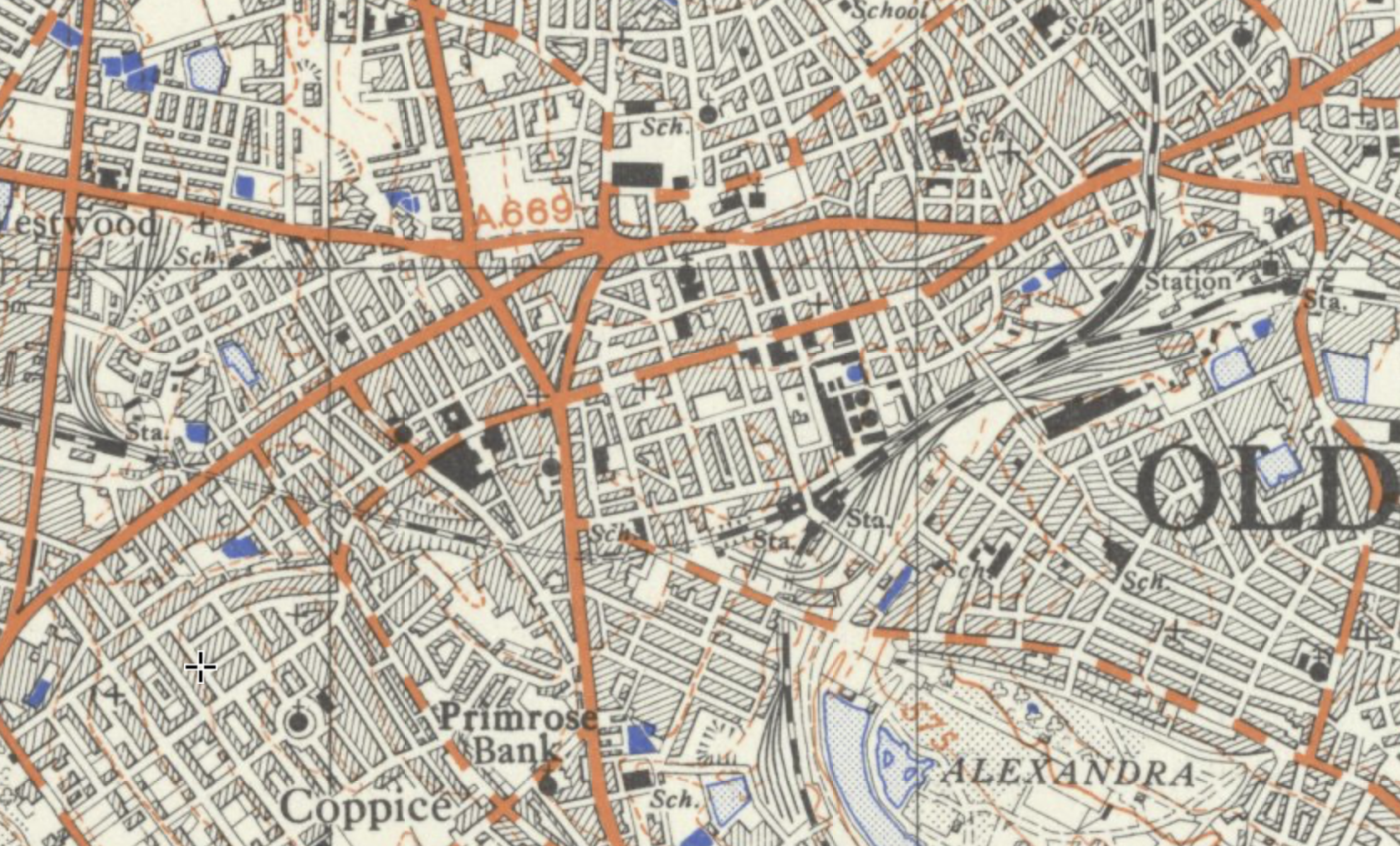
There is currently no rail link to and from the town.

Tram services between Manchester and Oldham have returned – for the first time since trams stopped running in Oldham in 1946. 

The first service to Oldham Mumps left Manchester Victoria at 05:24 BST – calling at the eight stops on the line.

The tram then made the return journey, leaving Oldham at 06:00 BST and taking about 25 minutes to reach Manchester city centre.

BBC News

Oldham Central

To the right an huge Sainsbury’s supermarket 1999-2001 Pringle Richards Sharratt.
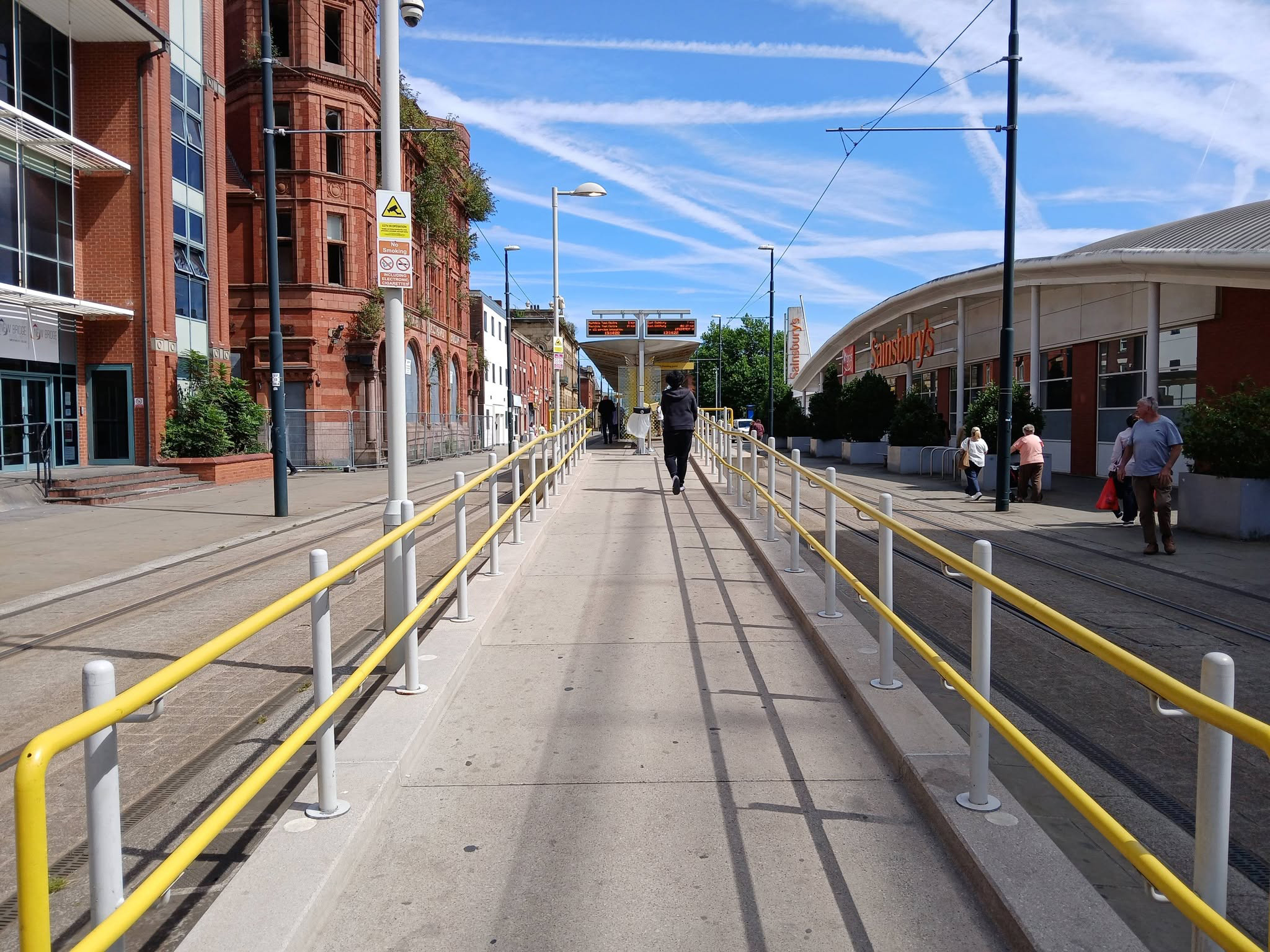
To the left can be seen the semi-derelict Grade II Listed Prudential Assurance Building 1898-91 Alfred Waterhouse & Son – now in the ownership of Oldham Council.
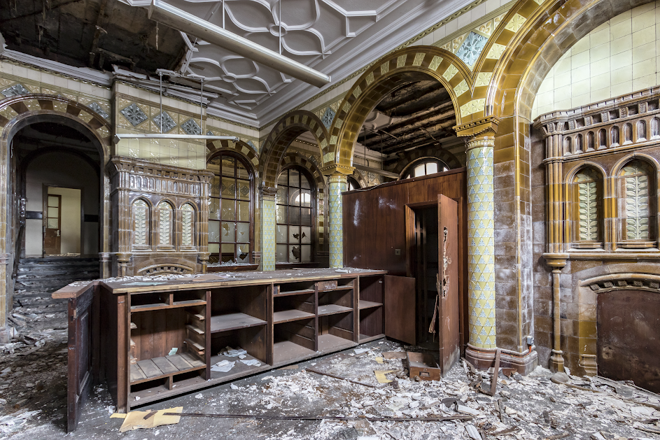
Image – Victorian Society

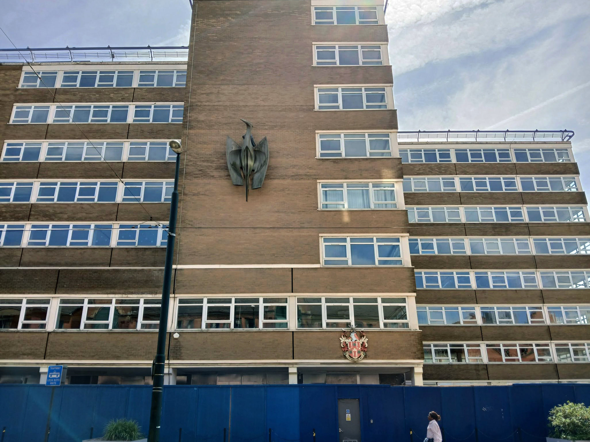
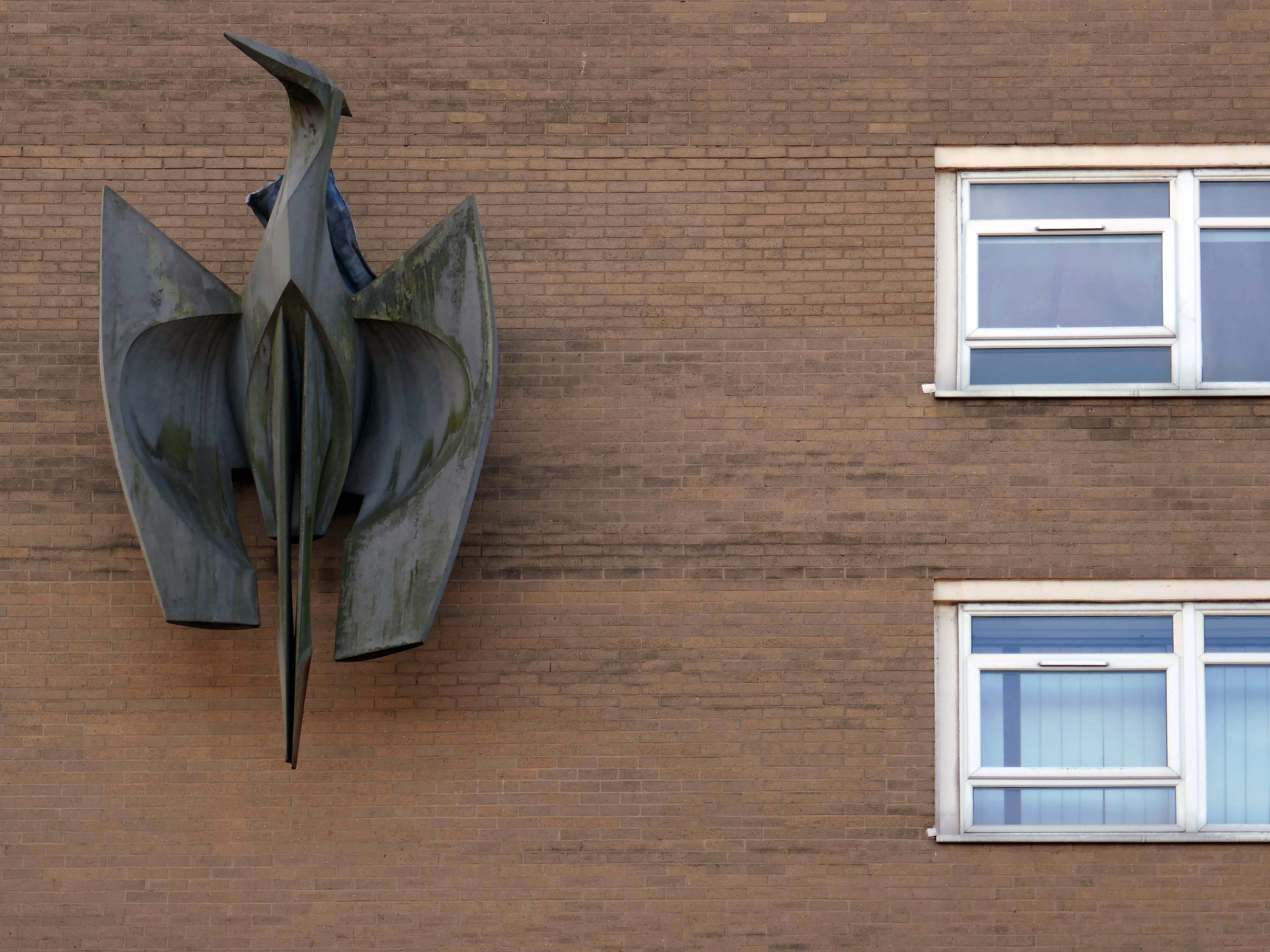
Back tracking toward Phoenix House – with its implausible heron.

It’s been four years since the Department of Work and Pensions left their Union Street office and eighteen months since plans were submitted to turn it into eighty two flats.

However, apart from hoardings being installed around the building, there doesn’t appear to have been much movement at the site – at least not legally.
Oldham Times

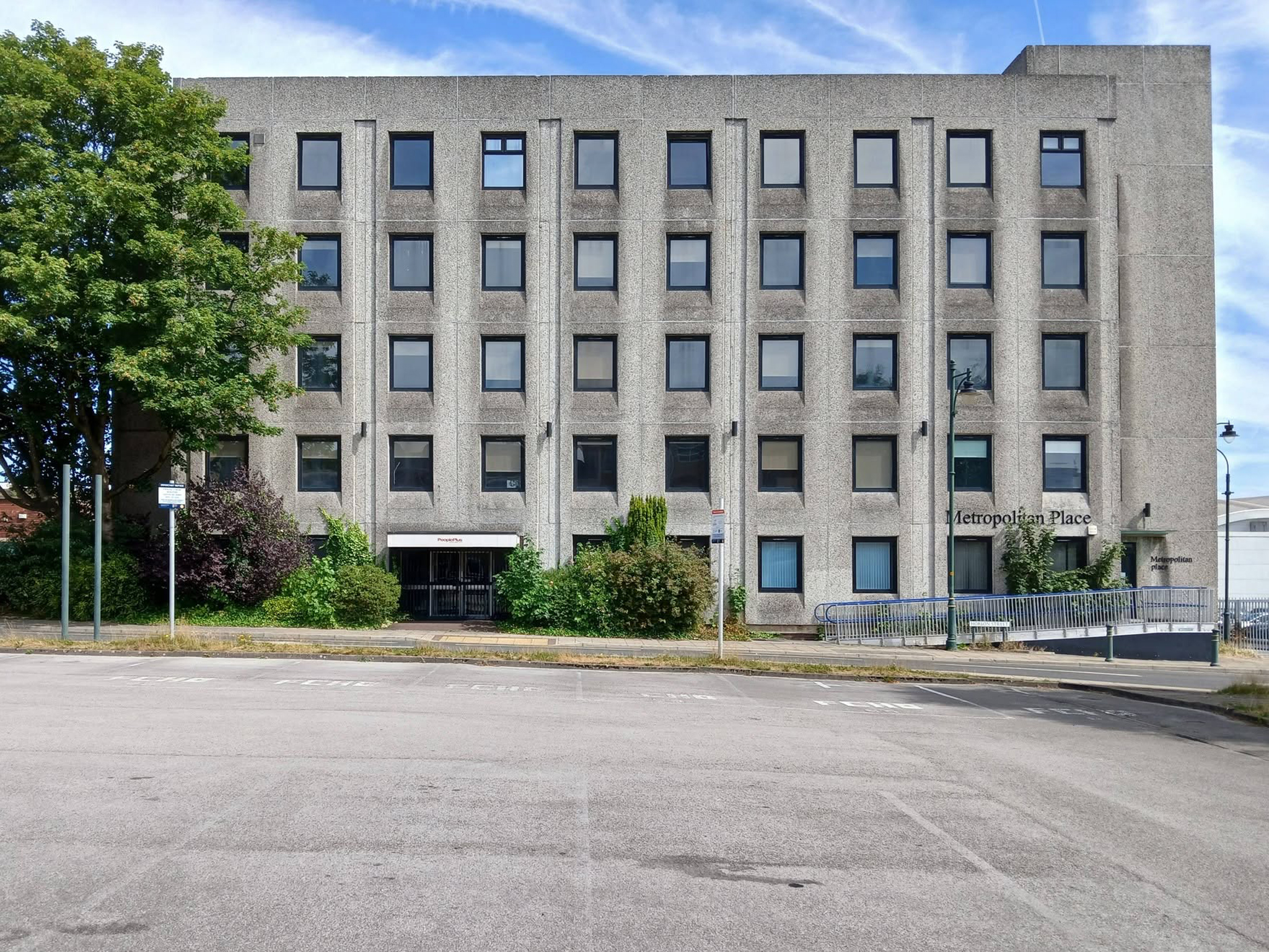
Turning the corner to Metropolitan Place.

Currently in use by Oldham Council – formerly home to the Registry Office, wedded couples referred to it as the Hobson Street Cathedral.

Though there seems to have been plans for both office and co-working space, along with conversion to apartments.
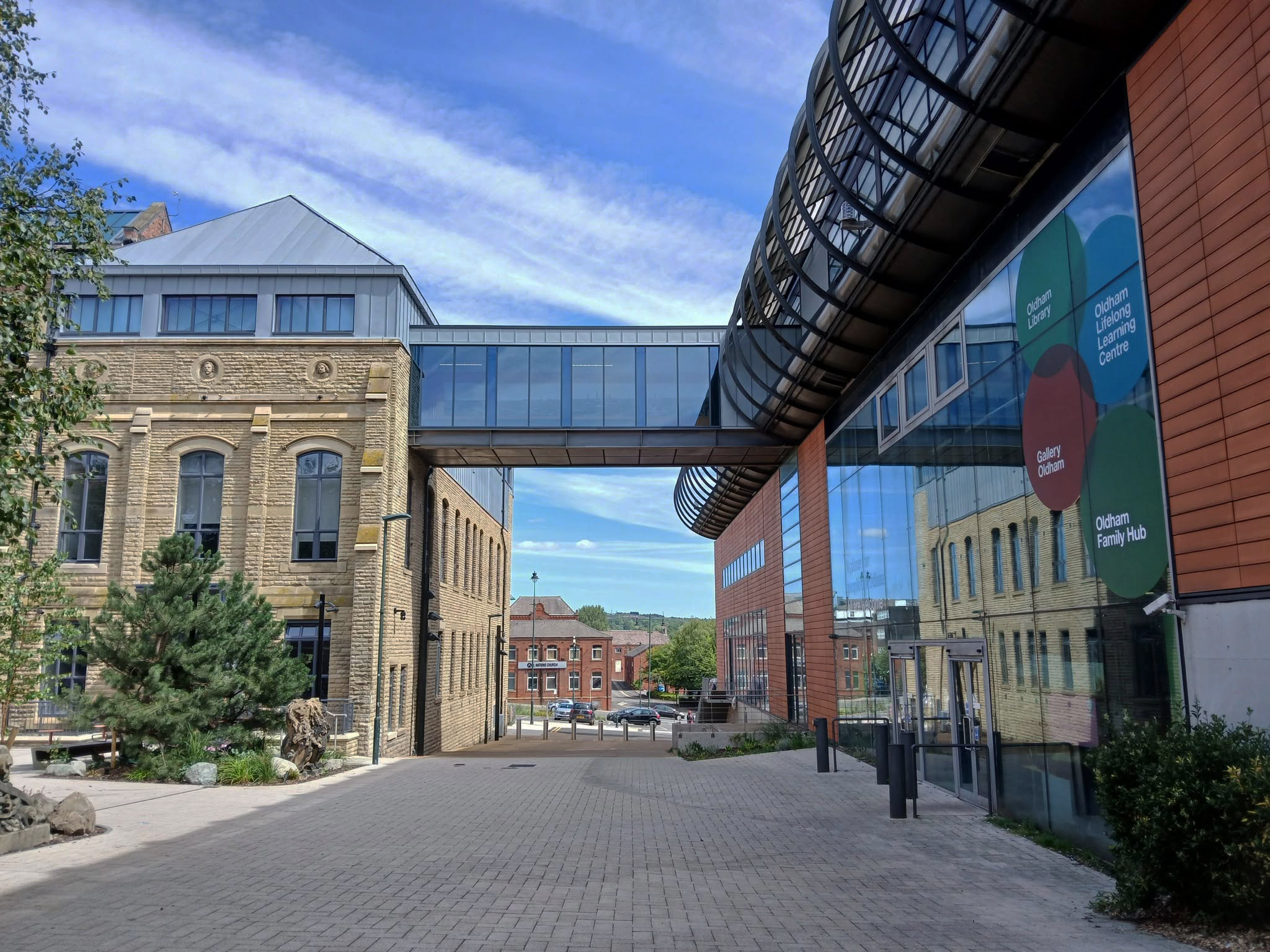
Back out onto Union Street and down to Gallery Oldham 2002 Pringle Richards Sharratt.
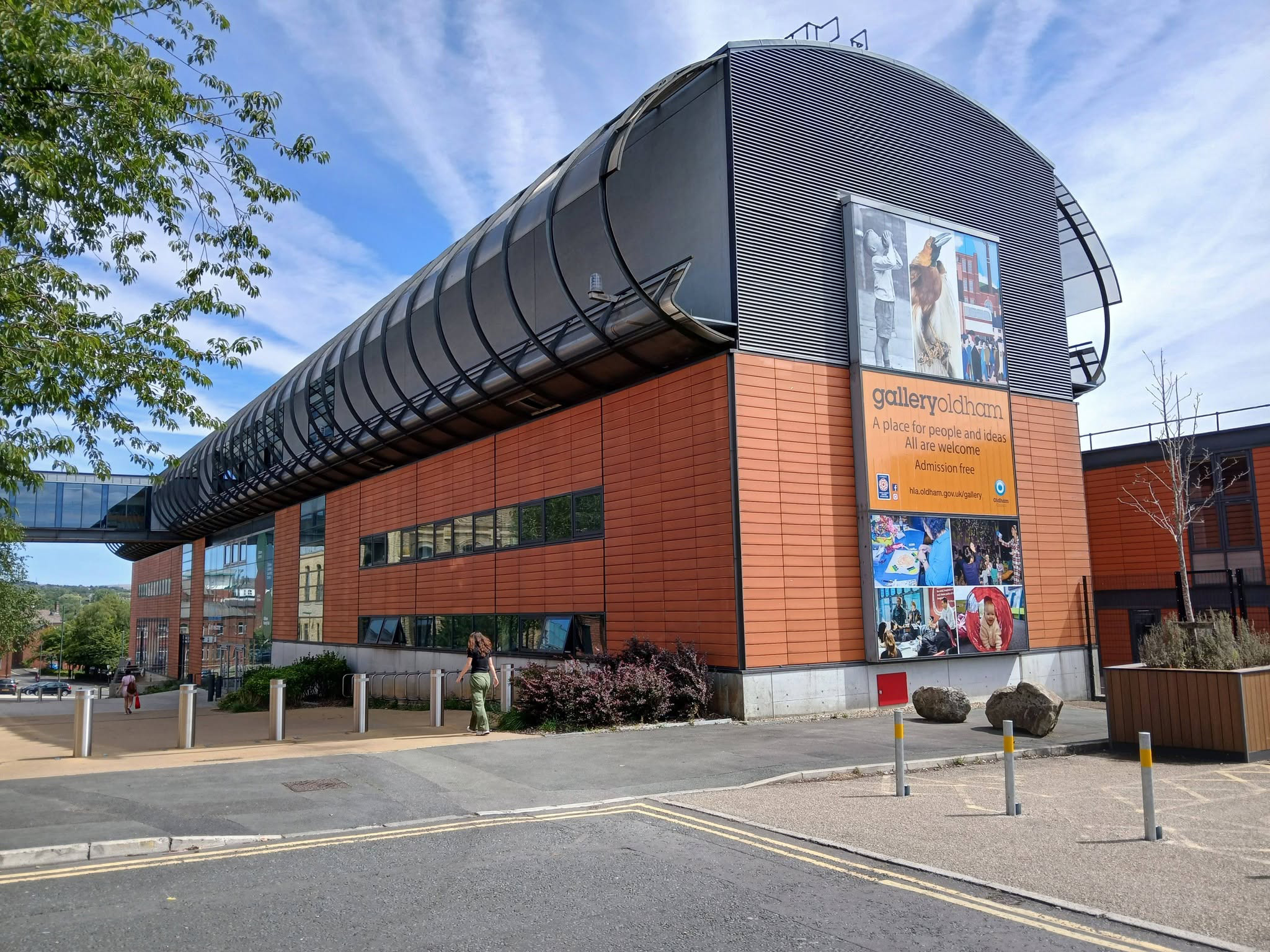
Linking to the older Library and Art Gallery 1883 T Mitchell with sculpture by JJ Milson.

Today the building has been restored to include the Council Chamber and Mayor’s Dining Room, public exhibition spaces and a new home for Oldham Theatre Workshop.

The Old Library is one of the earliest examples of an ashlar faced, in-situ formed concrete multi story building.
Oldham Gov

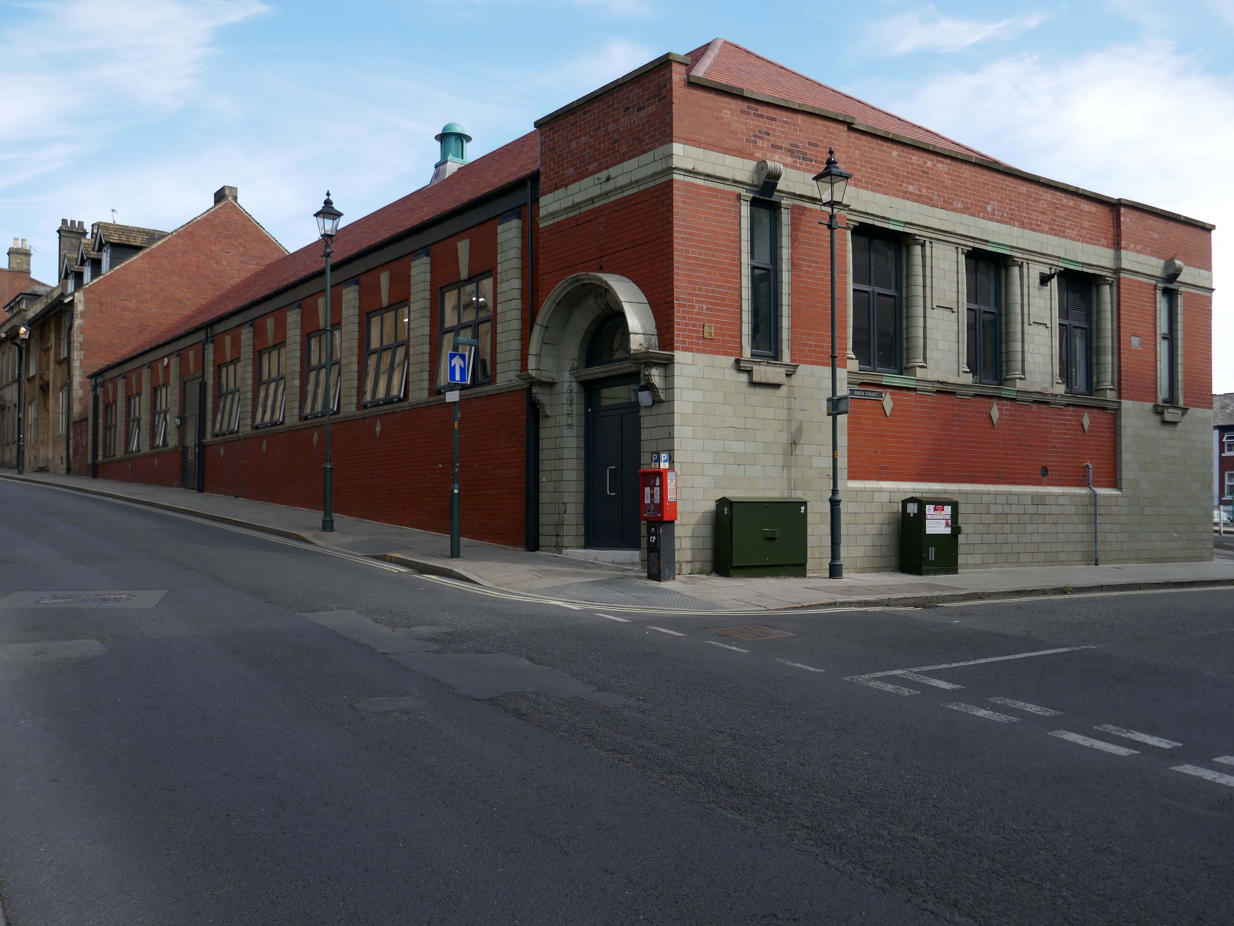
Take a turn up Greaves Street and here’s a faience clad Victoria House a former Billiard Club 1912 Winder & Taylor – subsequently the hall was used as council housing offices and a college before becoming vacant.

Oldham Boxing moved into the building in 2011.
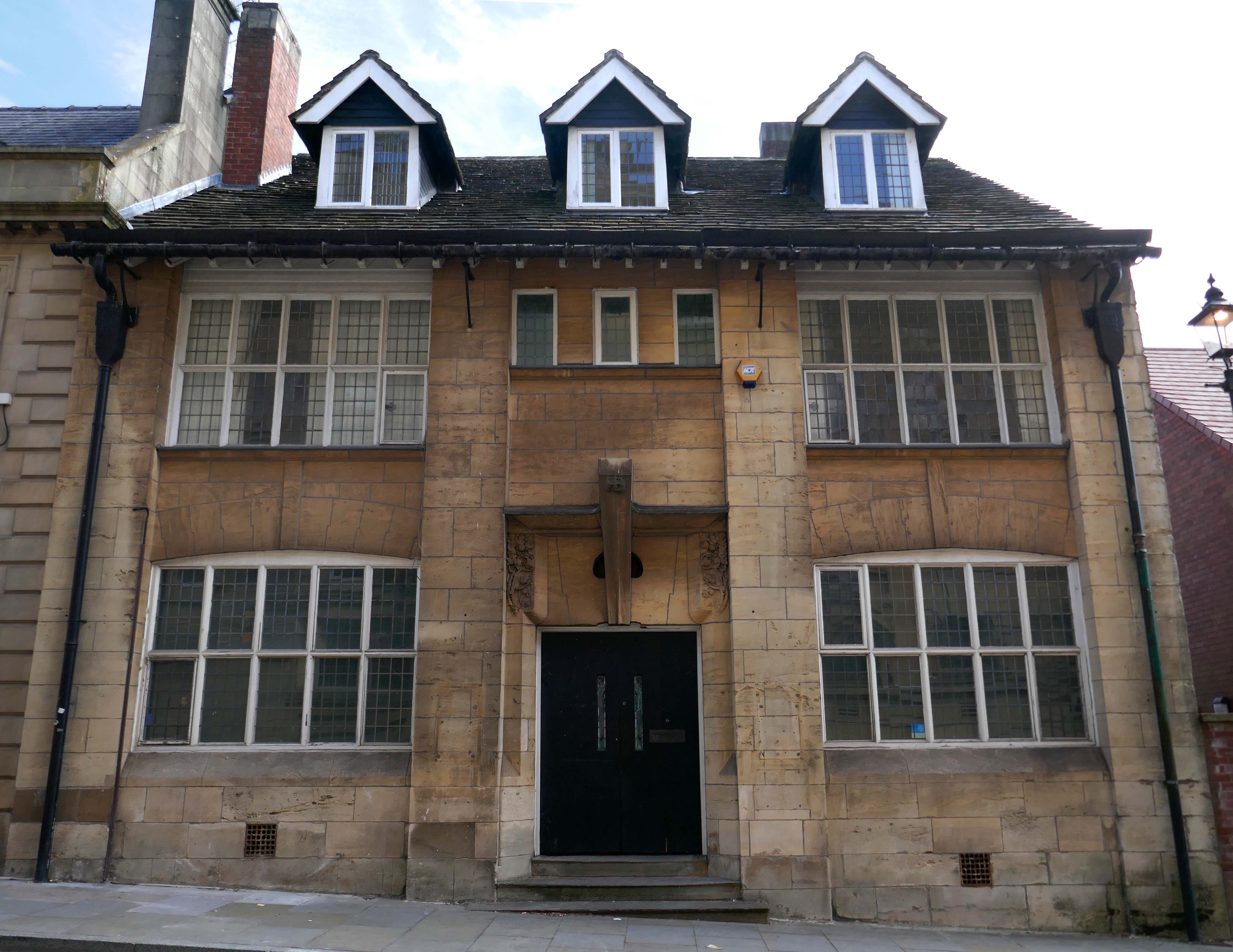
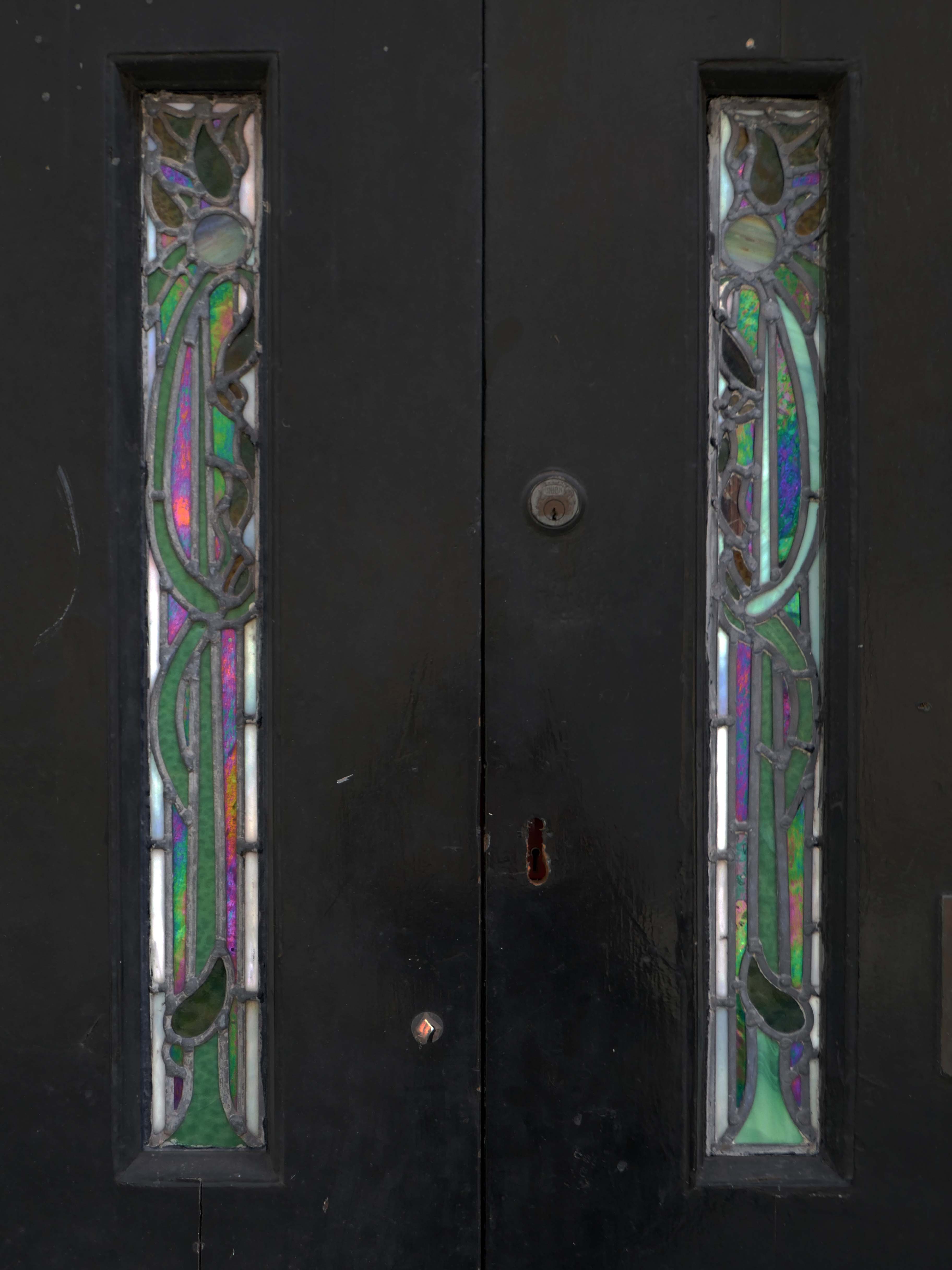
Next door a Ponsonby And Carlile Solicitors Office 1902 Edgar WoodGrade II Listed.

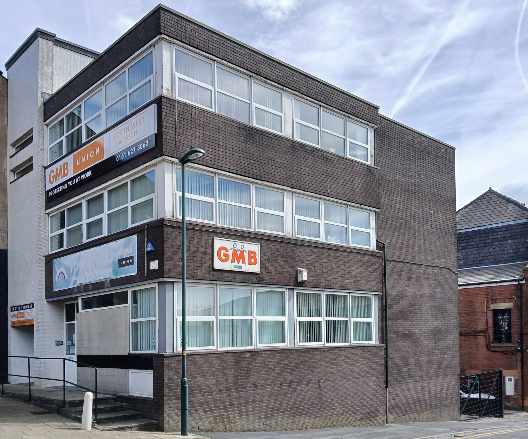
Back now onto Union Street and the GMB Offices.
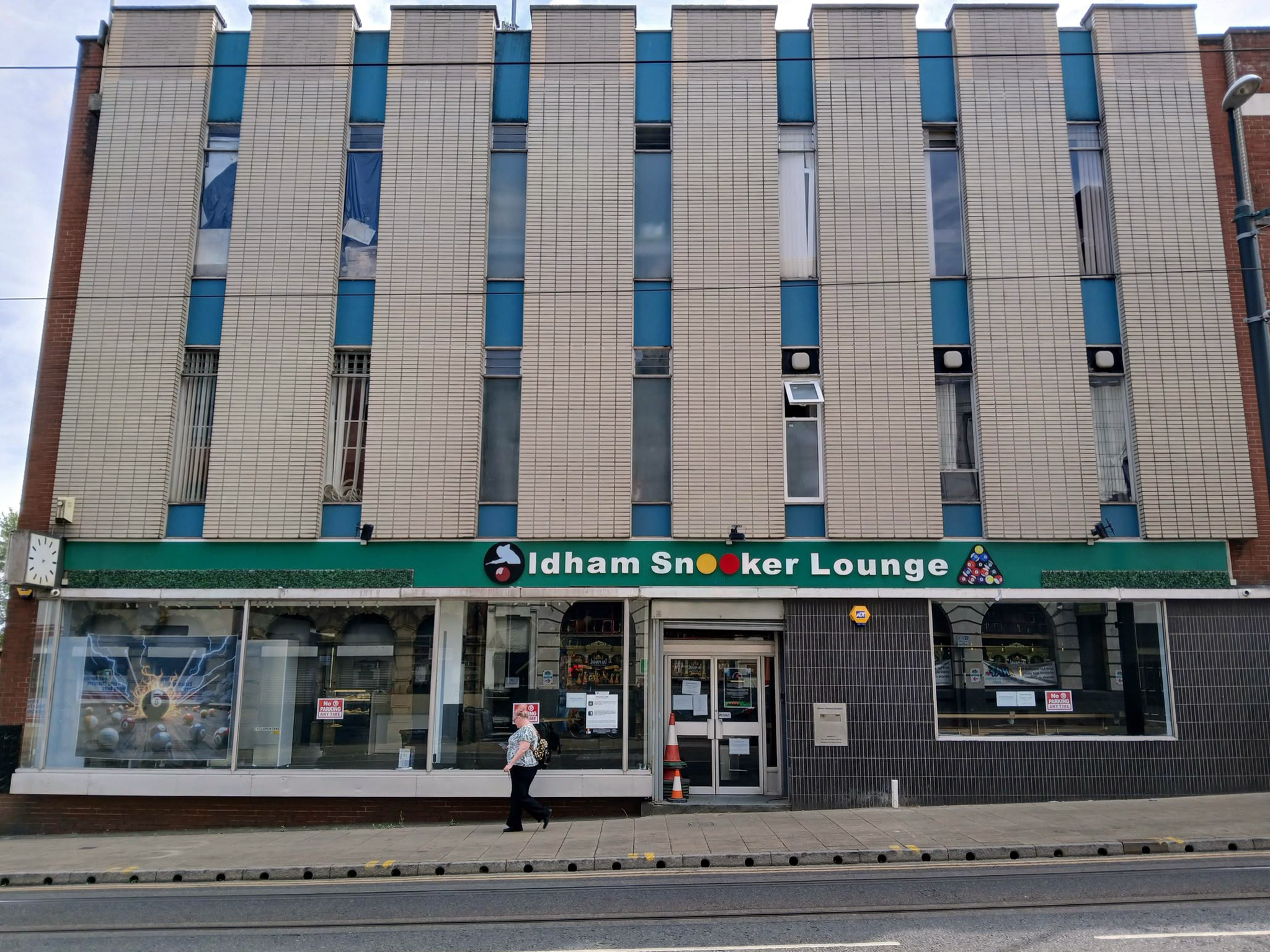
Onwards to the former Oldham Evening Chronicle
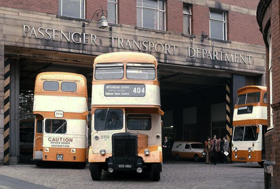
Down the hill and left to the Walshaw Street Bus Depot 1936
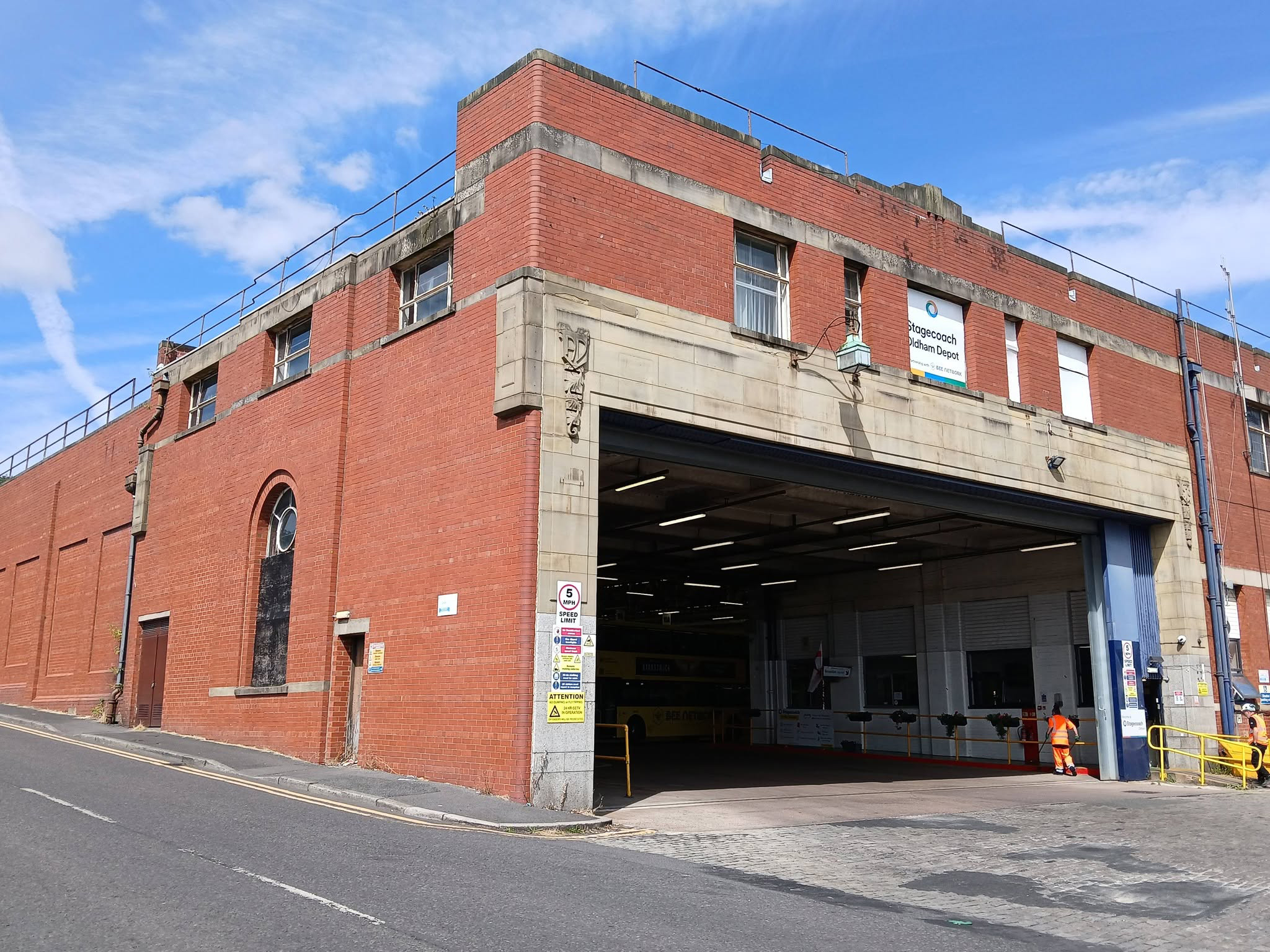
Image: Jeff Smith Oldham’s Past

Home to the Pennine Lounge.
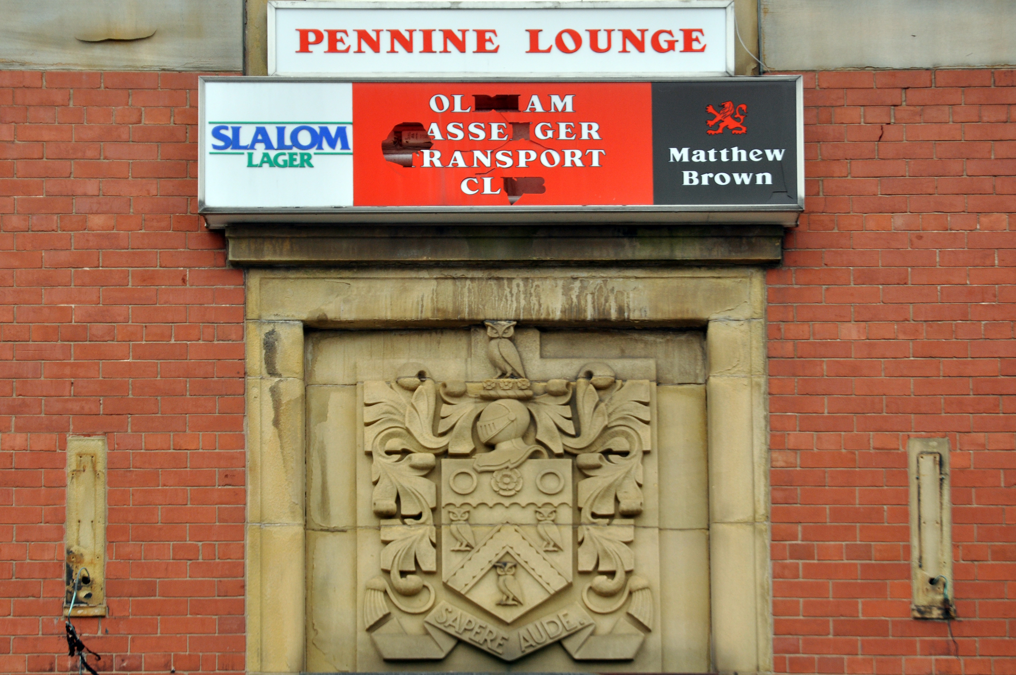
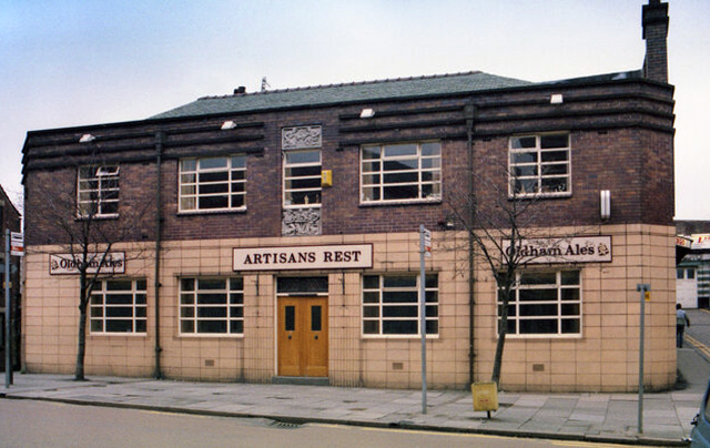
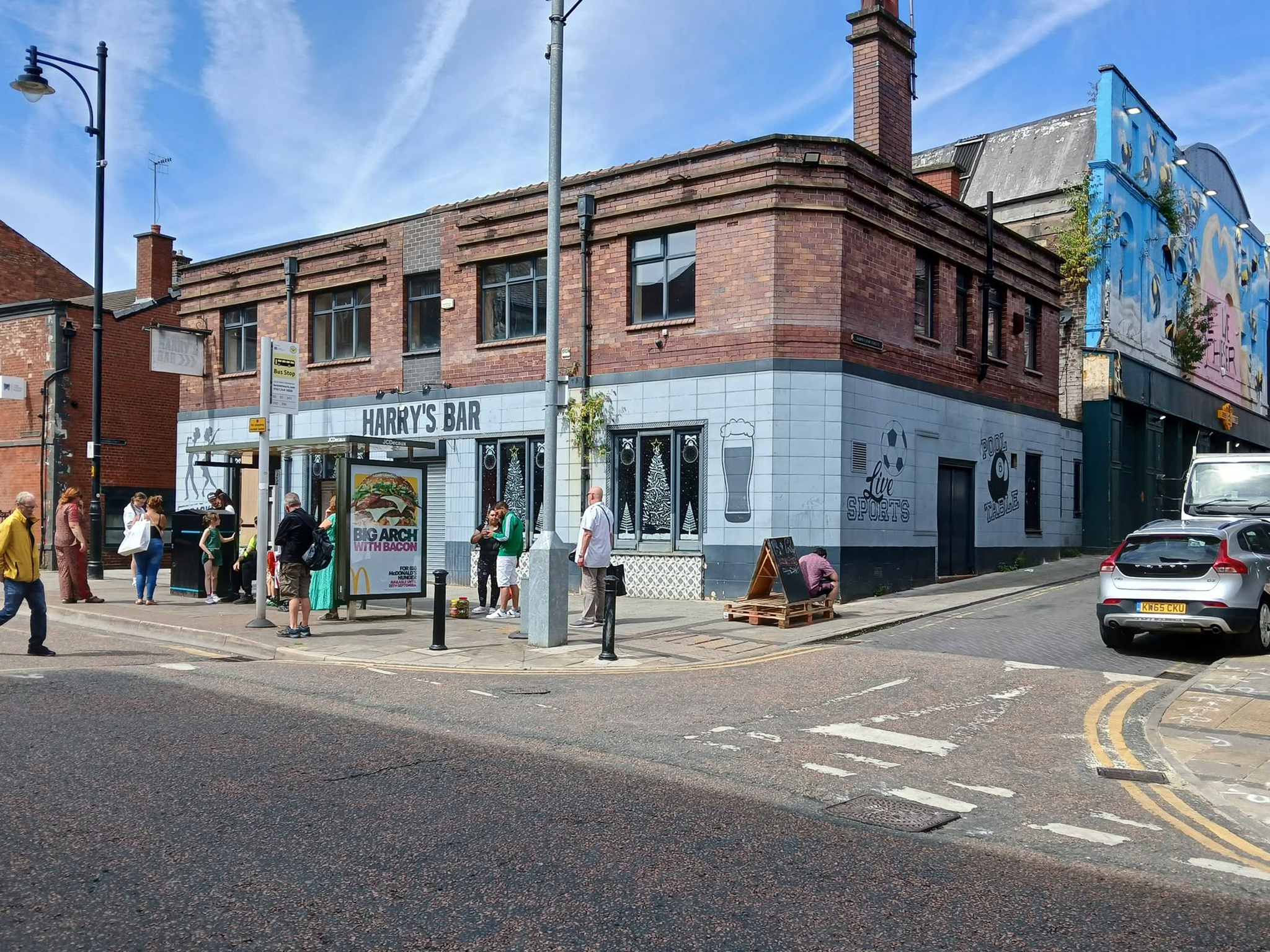
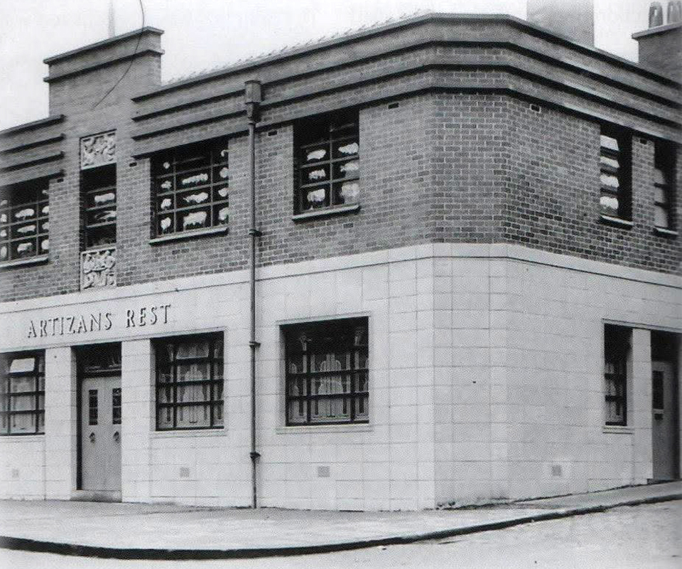
Next we head up Yorkshire Street to Harry’s Bar – formerly The Artizans Rest 1937.

Architects: CT Taylor – Roberts & Bowman.

In 2025, it was revealed by the Manchester Evening News that Oldham council planned to buy the building and demolish it with the price tag for the project reported to be £1m. The money comes from a £2.5m pot of regeneration finding given to the local authority by the government.
MEN

Image: Oldham’s Past

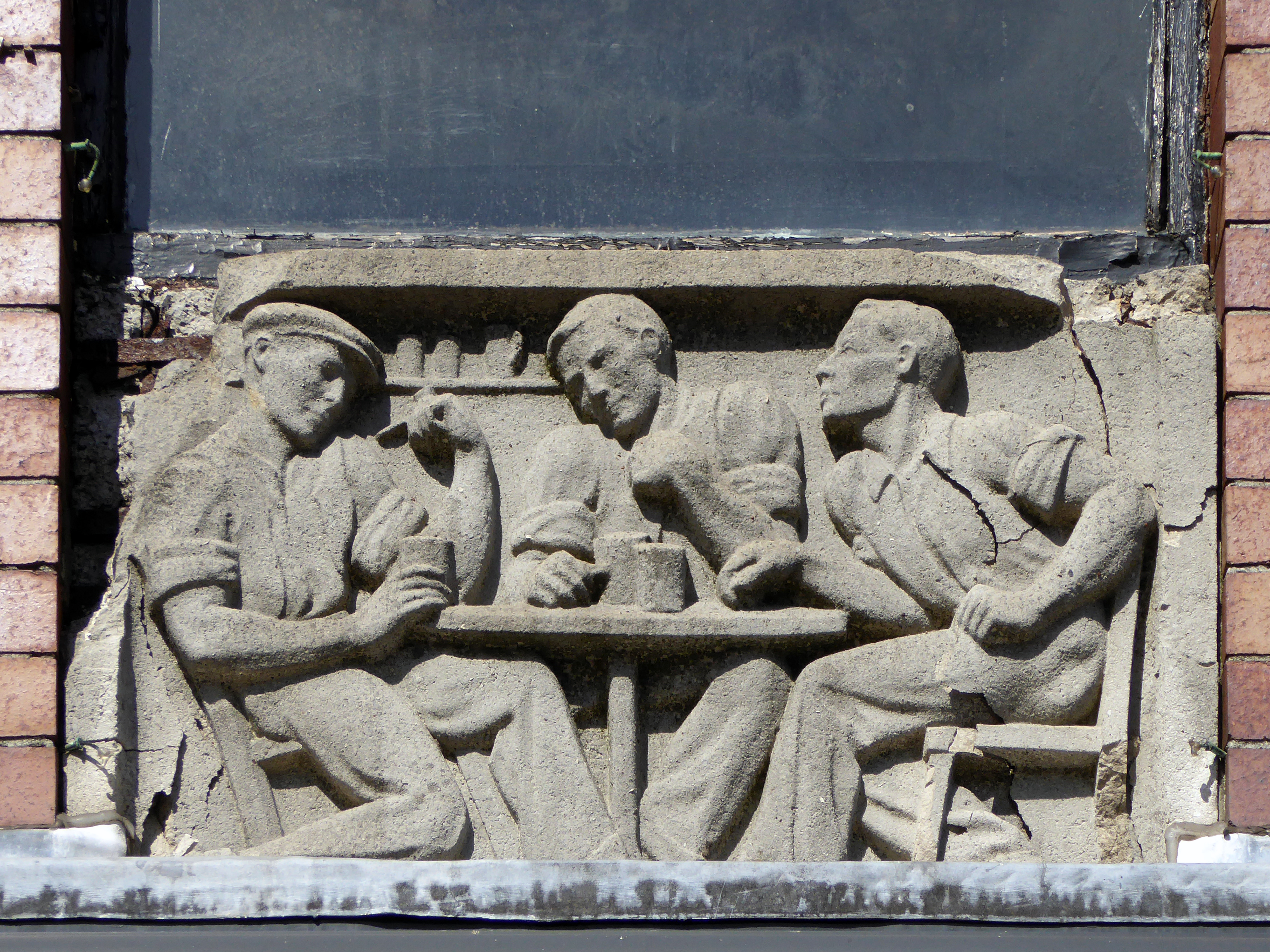
Image: George Symes

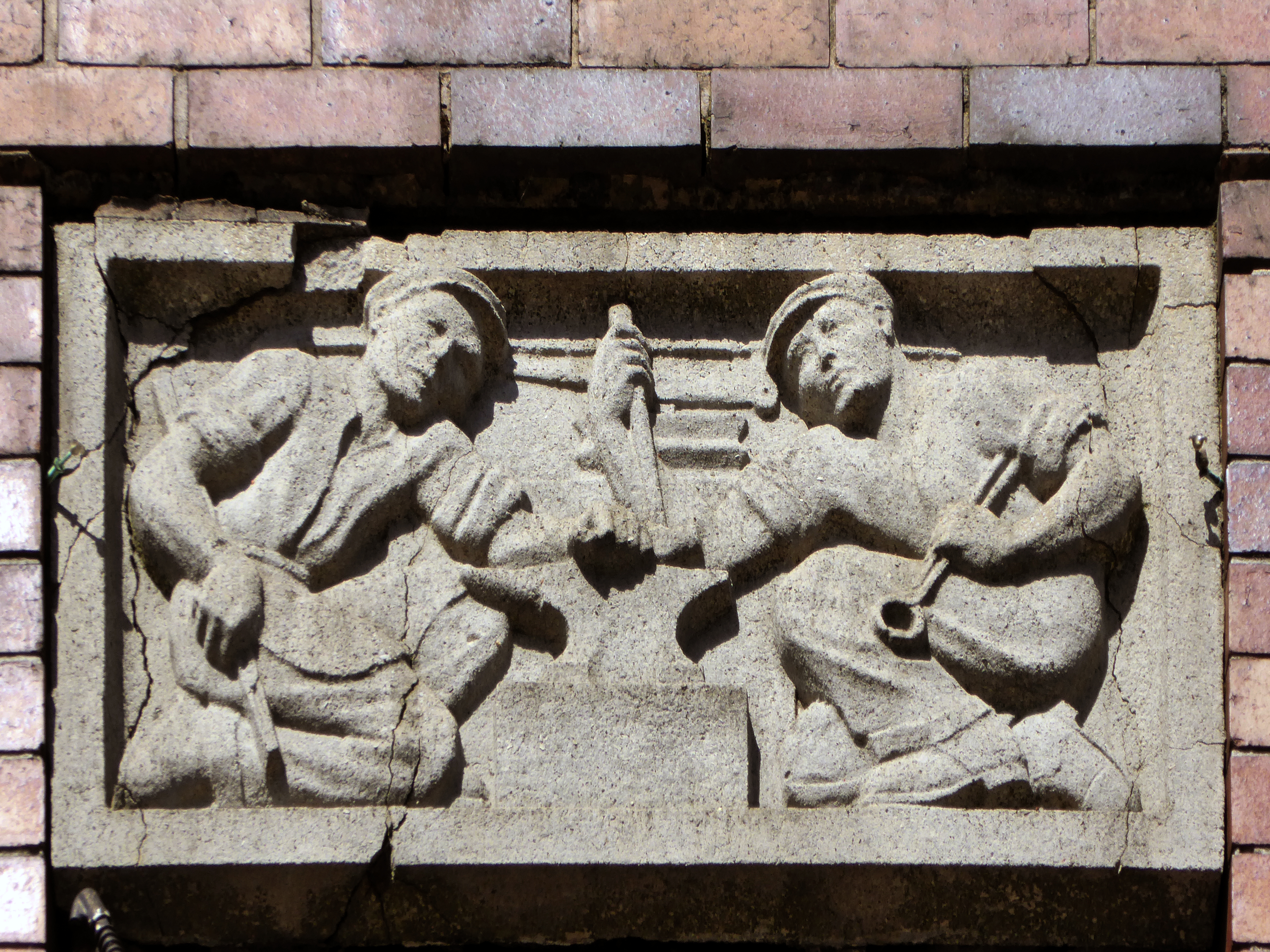
These two carved panels have been removed.
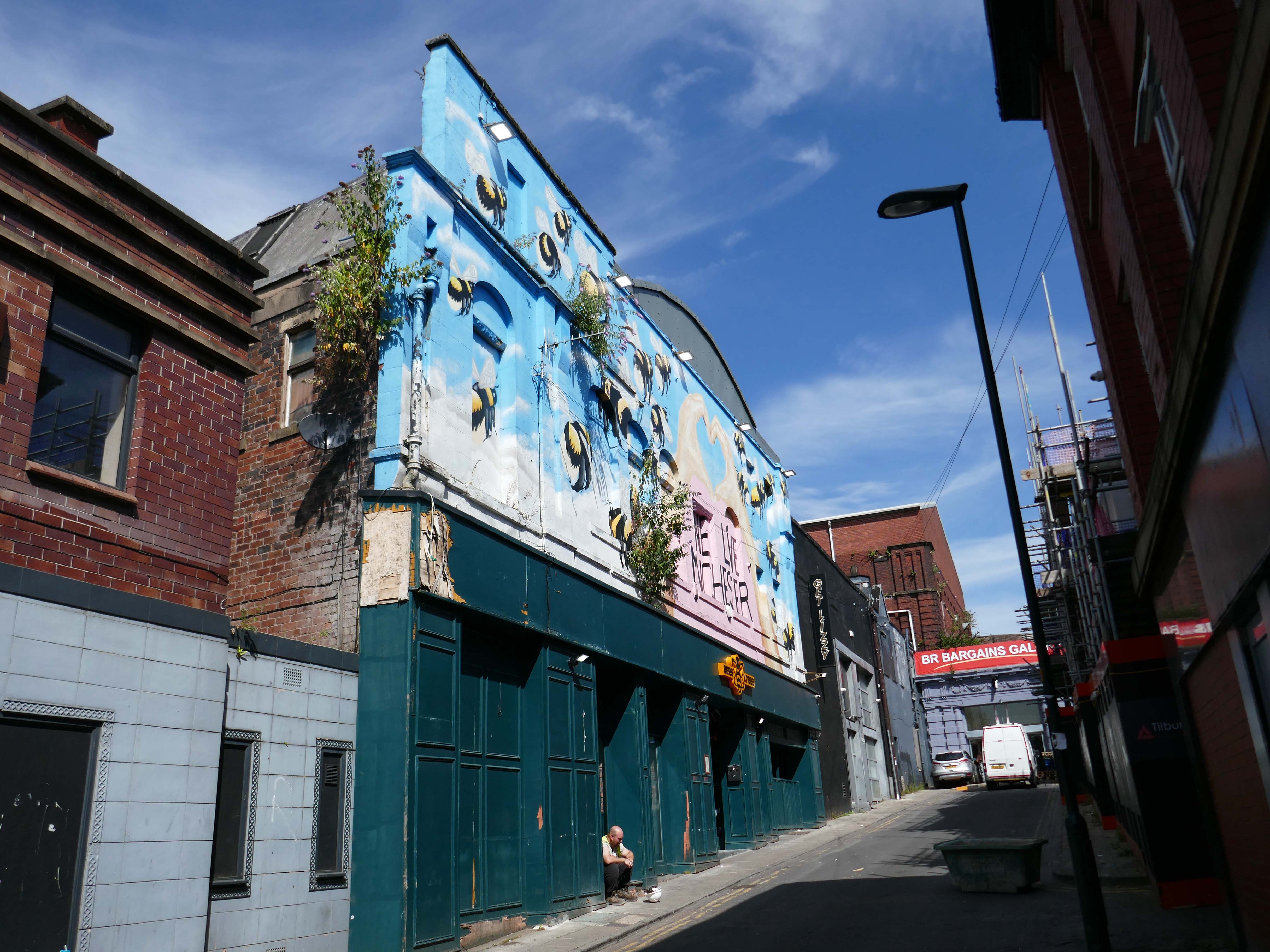
Just around the corner is the former Kings Picture Hall – currently Bees Knees.

Located in the town centre, directly opposite the Coliseum Theatre. The King’s Picture Hall was opened 18th September 1911. In October 1912 a café was opened in the building adding a further amenity to the cinema. In 1929 it was equipped with a British Thomson Houston sound system.

The King’s Picture Hall was closed on 25th June 1966 with Ryo Ikebe in Battle in Outer Space and Randolph Scott in Comanche Territory.
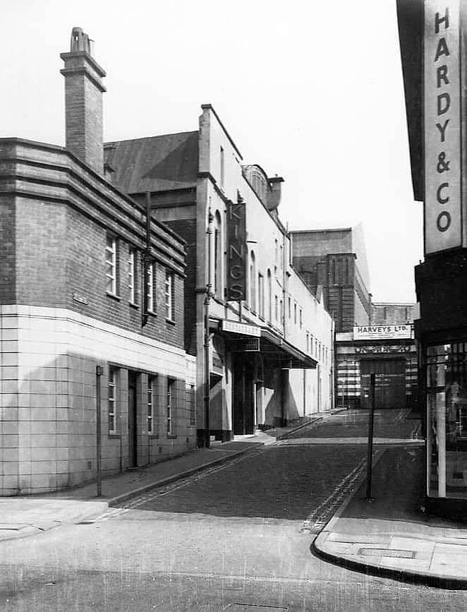
On 2nd July 1966 it was converted into a bingo club.

In 2006 it was a nightclub.
Cinema Treasures

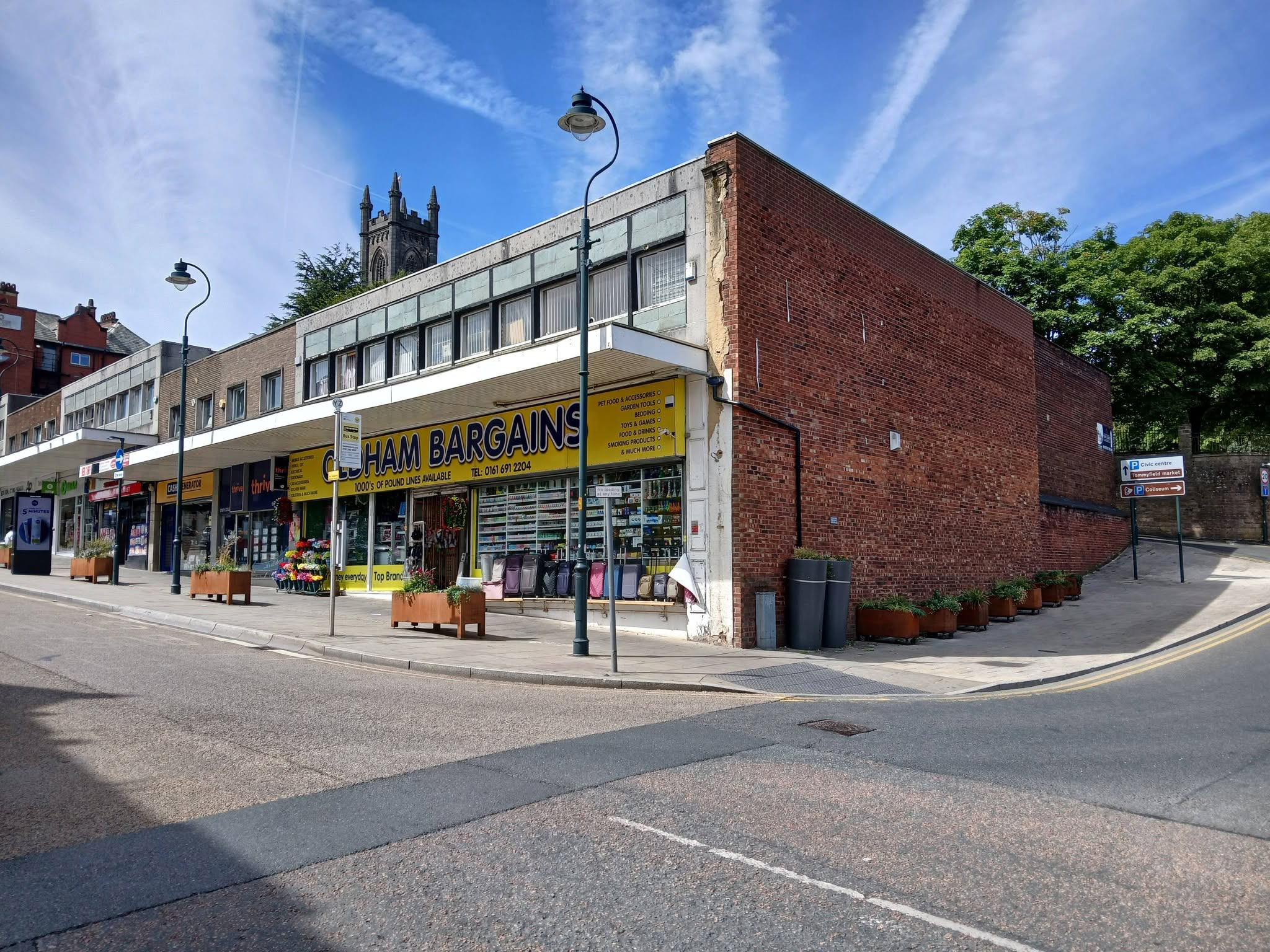
A stand of shops – stepped the accommodate the incline, partially clad in Westmorland Slate.
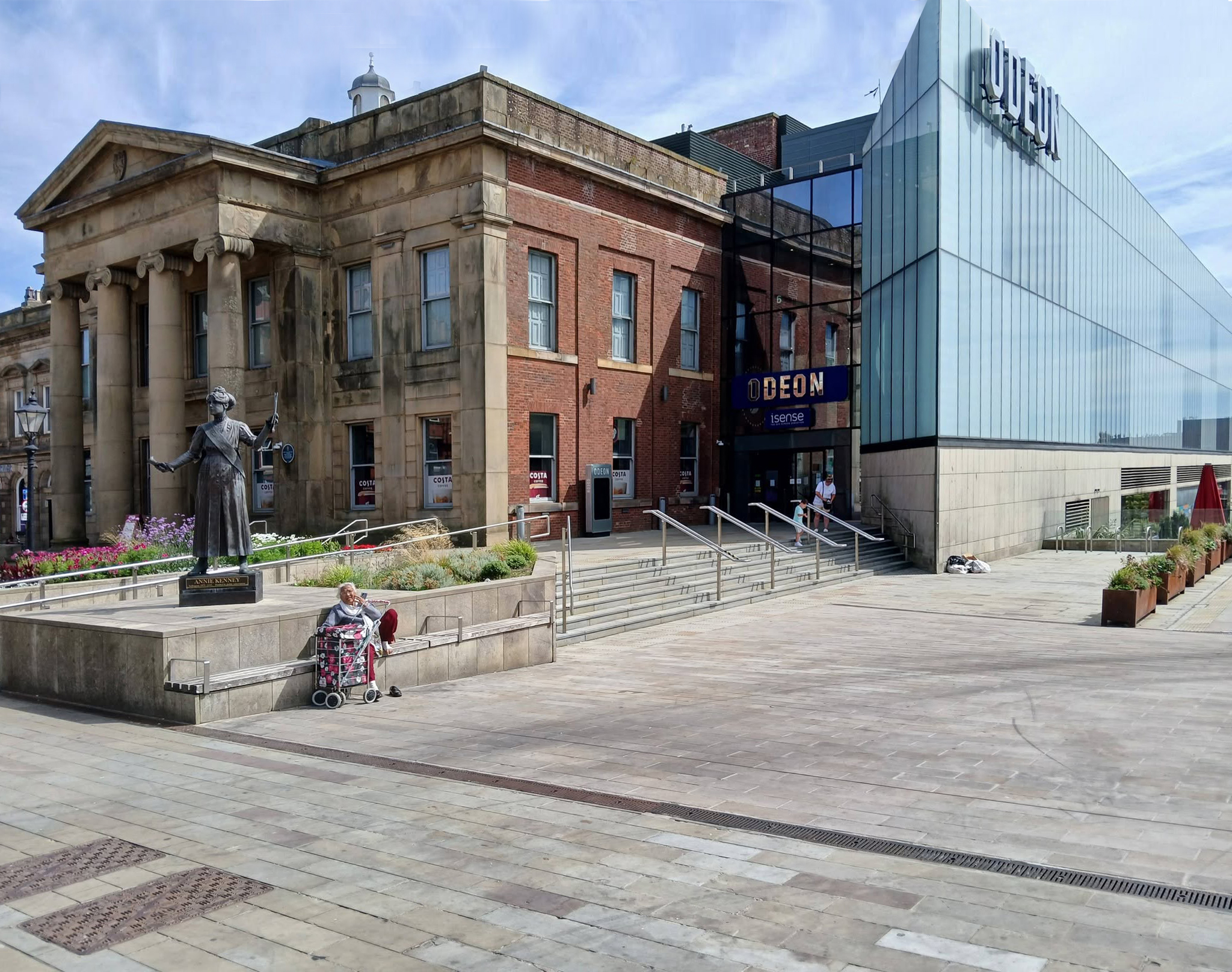
Oldham Town Centre now has a new high-quality public space – Parliament Square

Six new restaurant units will be located within the Old Town Hall alongside a brand new 800-seat, seven screen ODEON cinema.

BDP 2017

A stunning glass extension to the side of the Grade II-listed building provides access to the various levels of the cinema and is also the frontage to the new restaurants.

George Woodhouse of Bolton 1841, extended by Edward Potts of Oldham 1879-80. 

Oldham Gov

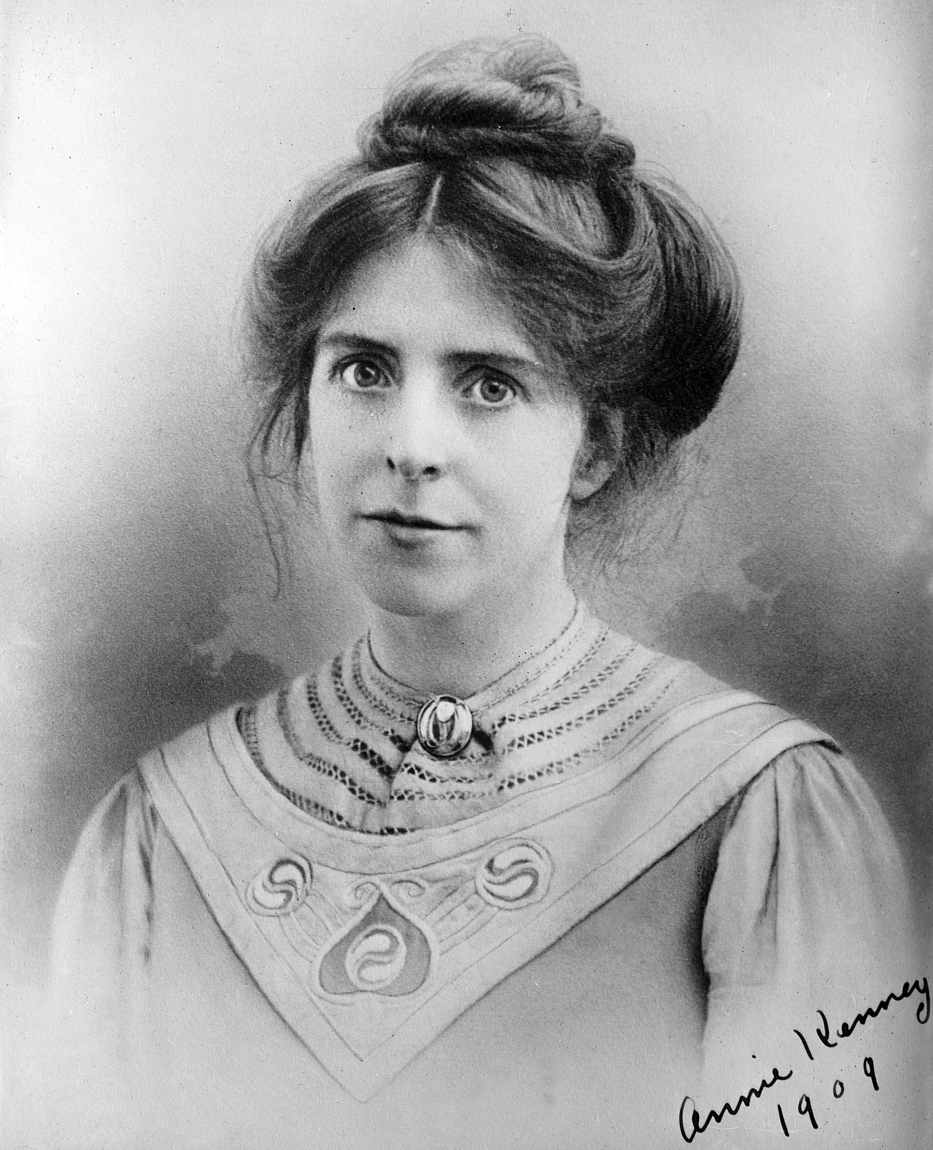
To the left is a statue of Springhead born Annie Kenney – political activist, socialist feminist and suffragette, modelled by Denise Dutton, unveiled 14 December 2018.
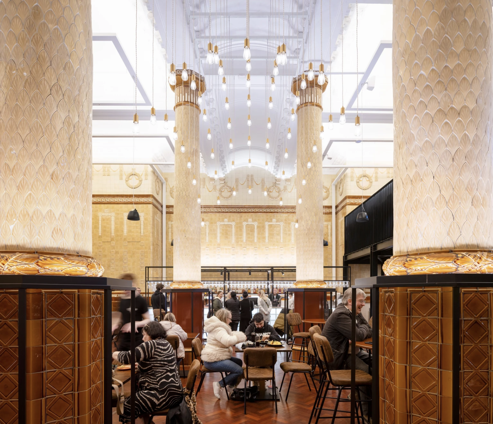
The Egyptian Room Food Hall project extends BDP’s partnership with Oldham Council and the rejuvenated Grade II listed Old Town Hall building in Oldham town centre, the main transformation of which was also designed and delivered by BDP.
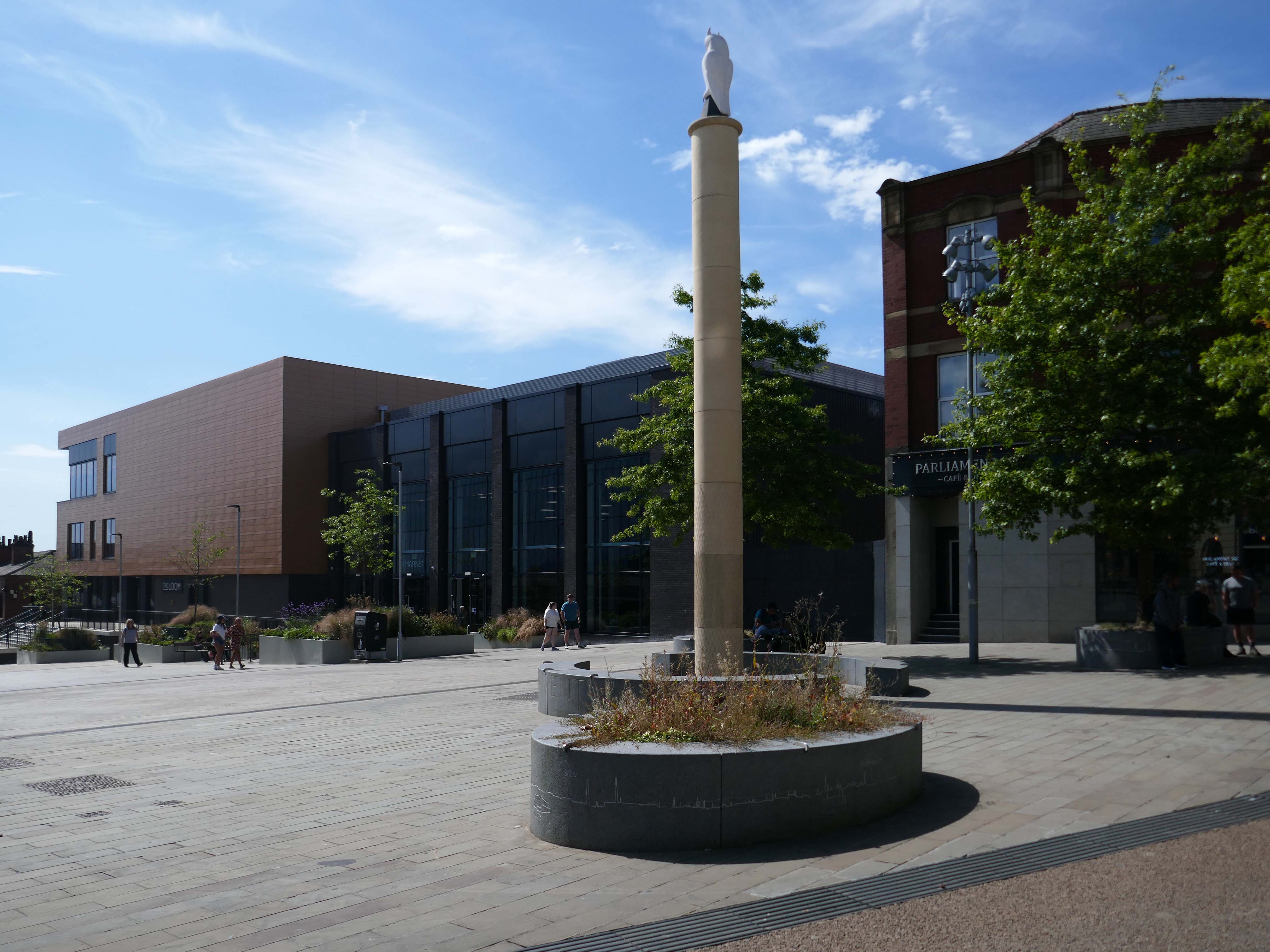
The Loom is a brand new events space next to Oldham’s new indoor market on Parliament Square in the town centre. The gala-sized event space can fit up to one thousand standing guests, seven hundred seated, or five hundred dining, or can be split-off into smaller rooms for exhibitions, gigs, or theatre performances.
Design for a war memorial chapel, St Mary’s Church 1920.

Architect: Nugent Francis Cachemaille-Day.

Artist: H Lewis Curtis.
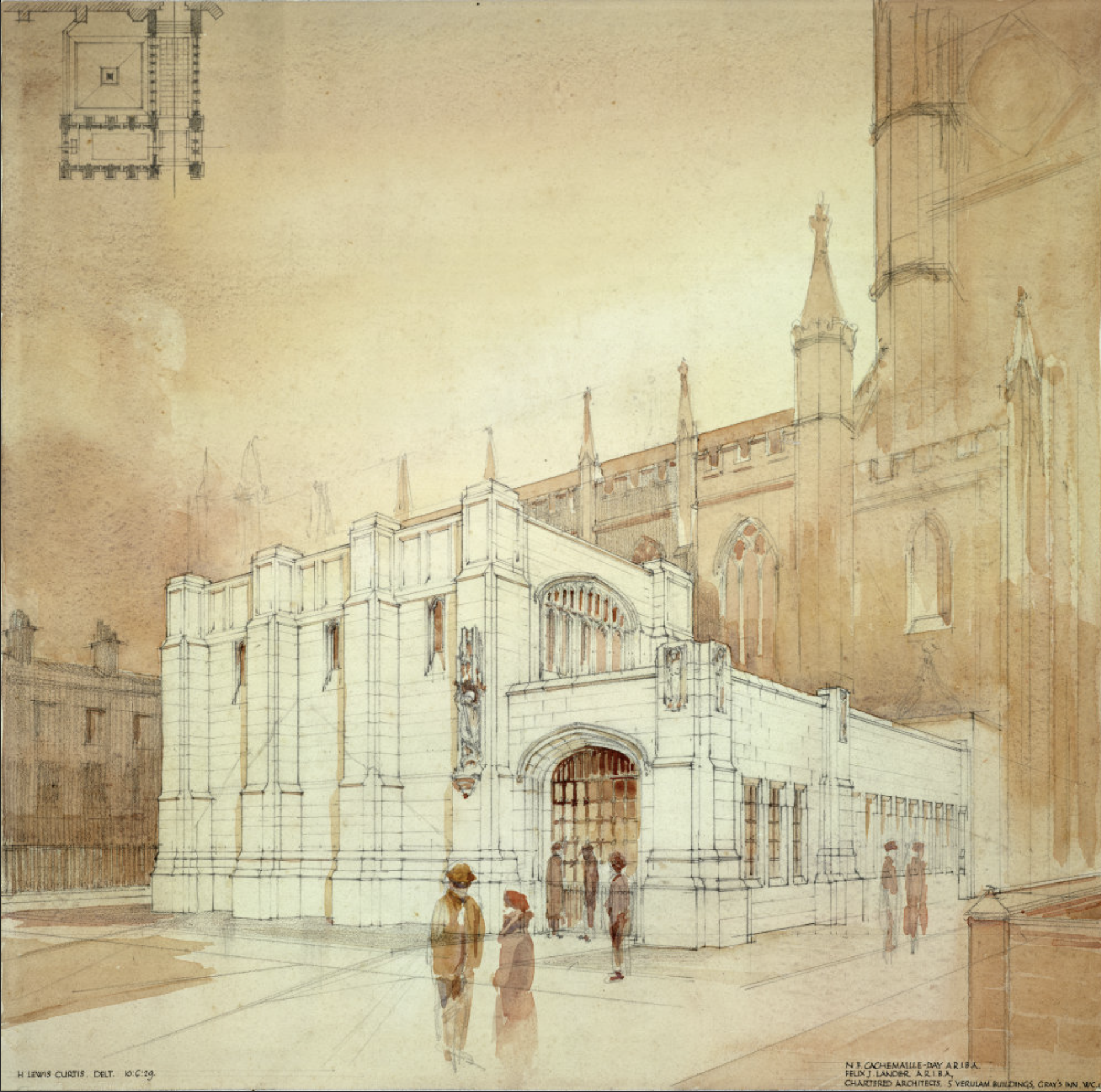
Image: RIBA pix
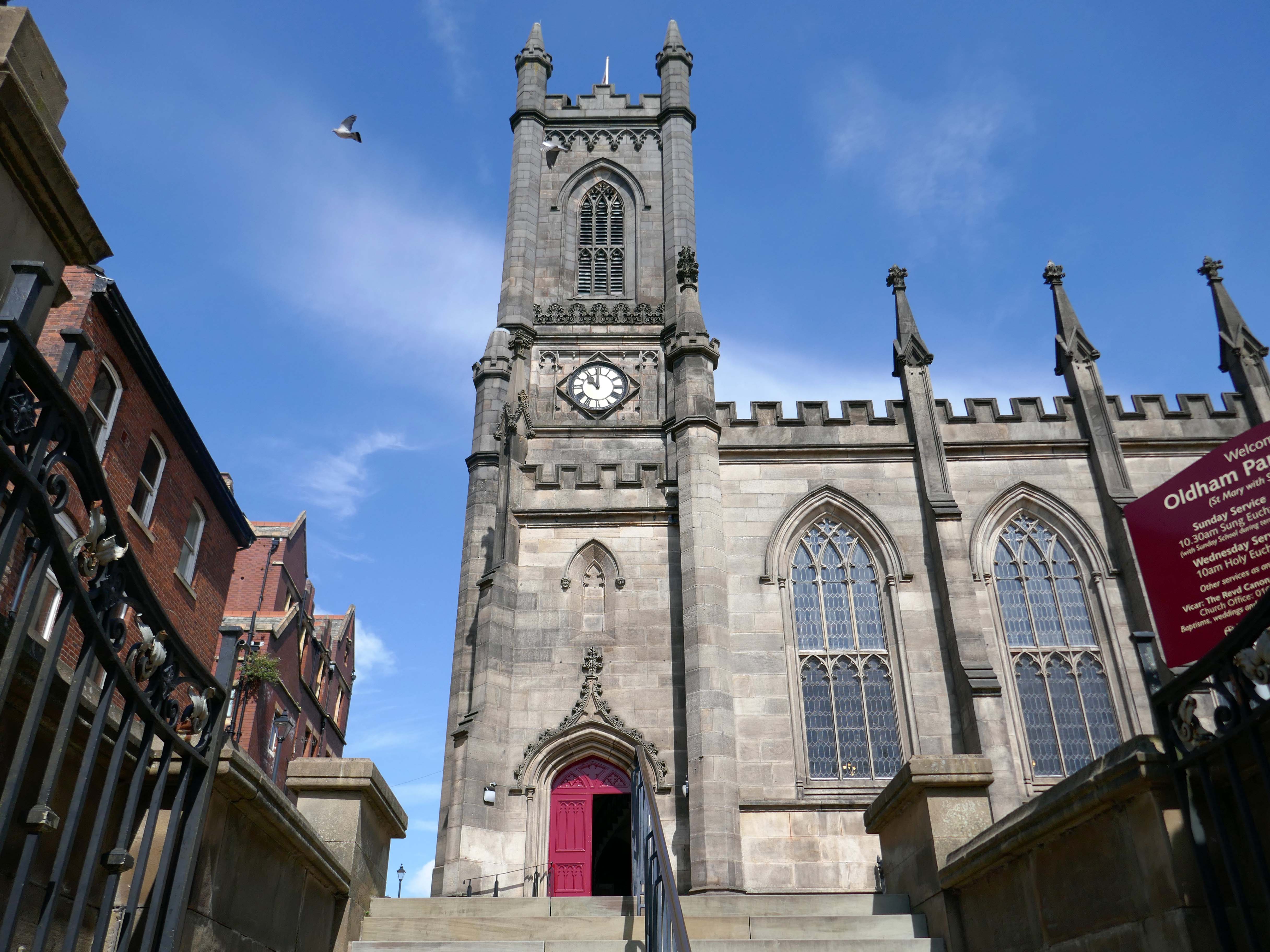
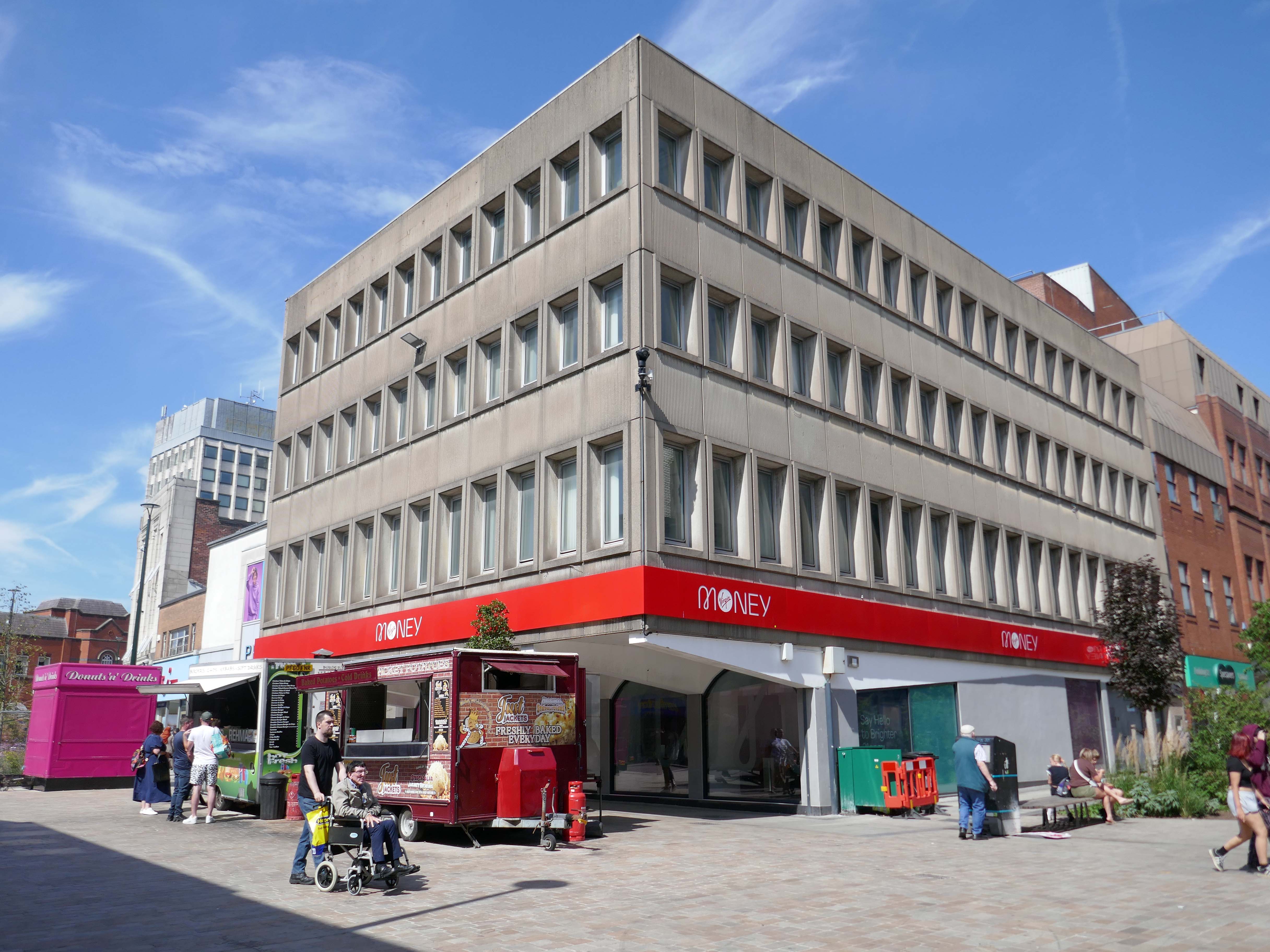
Next to the former Yorkshire Bank 1970 John Brunton & Partners.
Under construction 1970
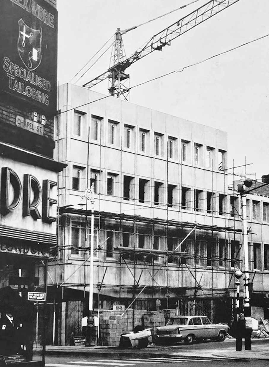
Image: Kayla Chadwick

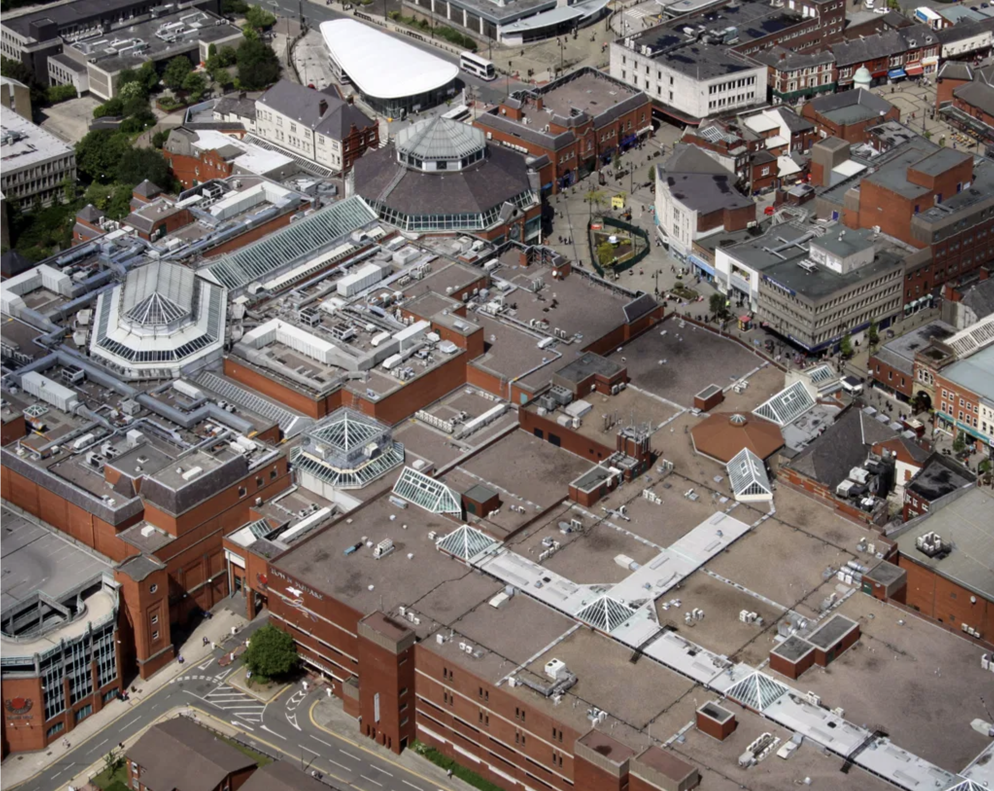
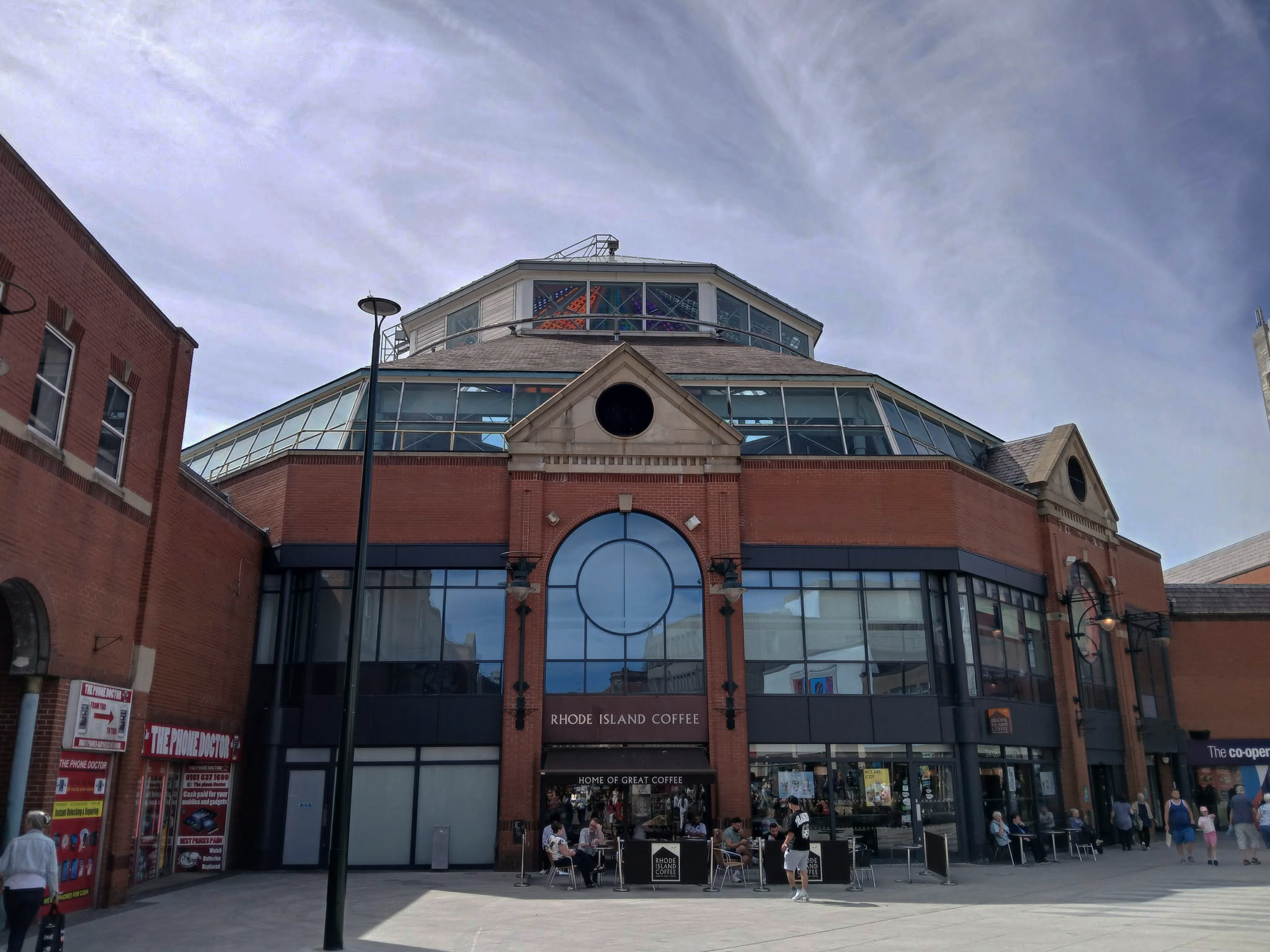
Down to the Spindles Shopping Centre 1991

Originally the site of St Peter’s Shopping Centre architect Richard Seifert

St Peter’s House – housed Oldham Area Health Authority Administrative Offices
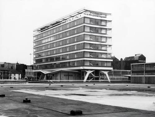
Images: Yesteryear Oldham then & now 

Spindles has been revamped by AEW Architects.
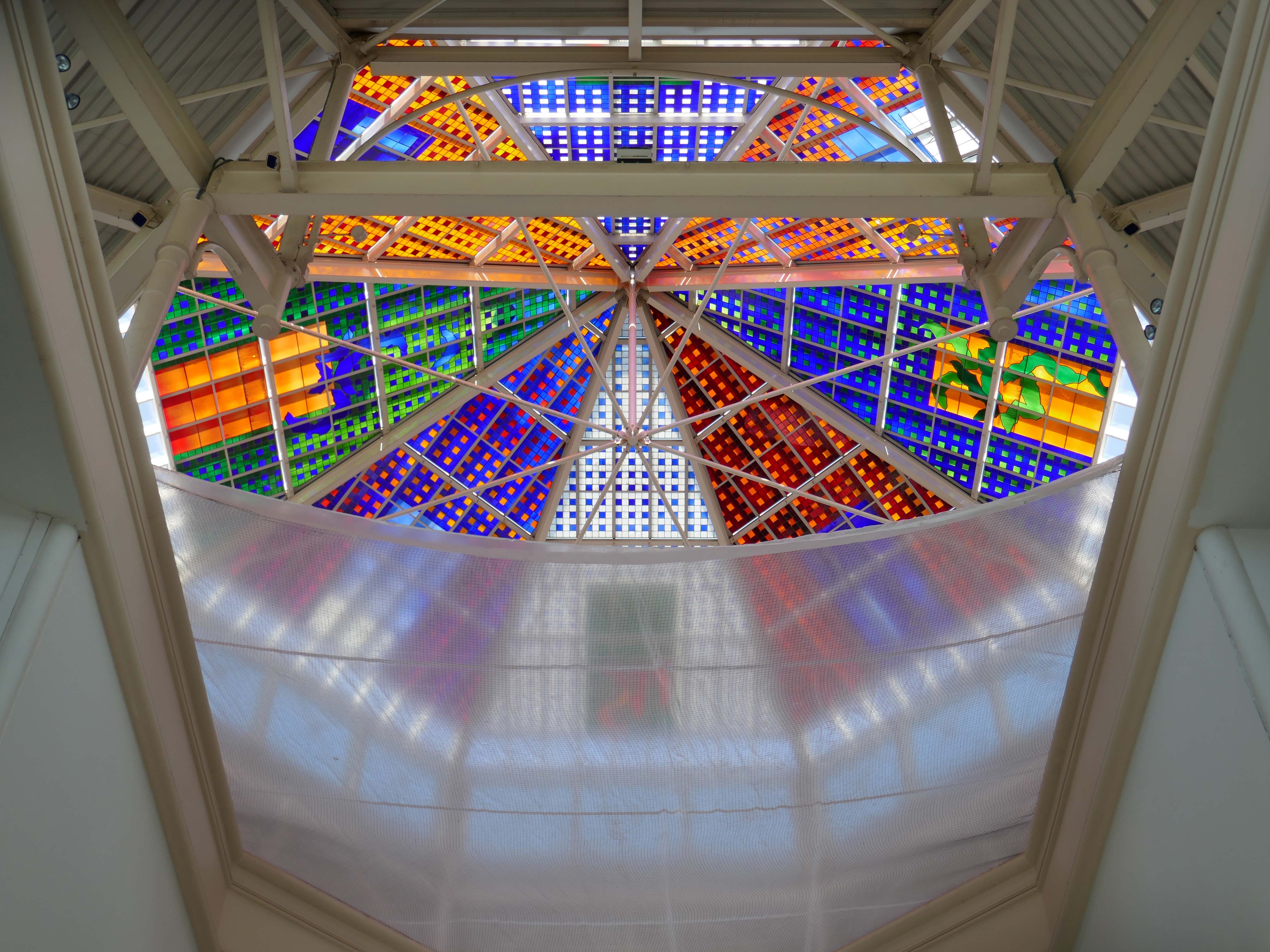
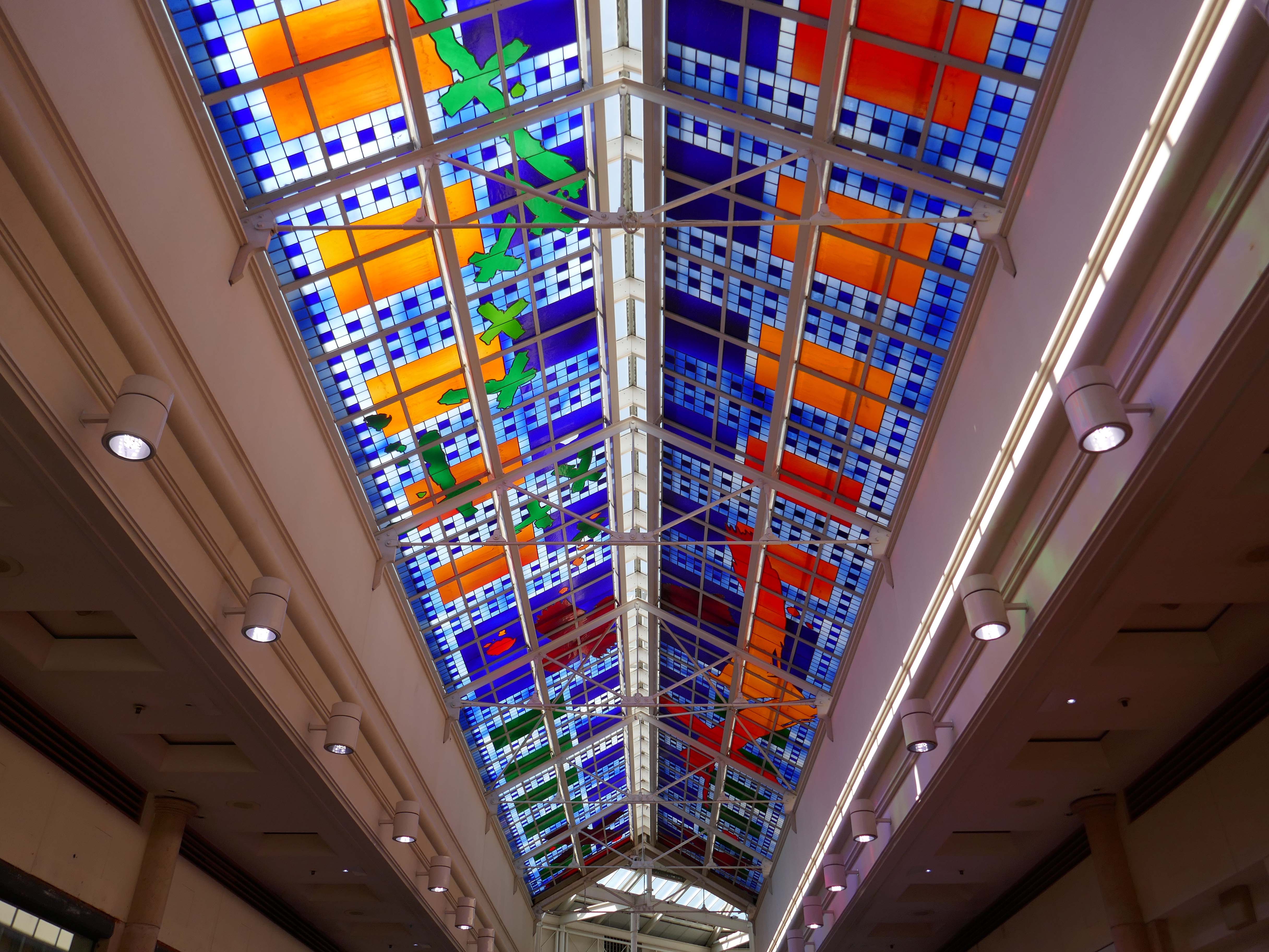
Stained glass by Brian Clarke installed in 1993.
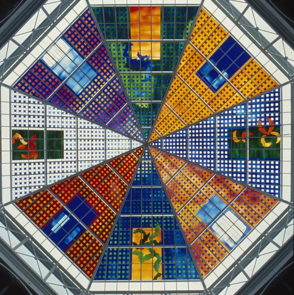
Between 1990 and 1993, Brian Clarke designed a series of three interrelated roof lights in stained glass for the Spindles Shopping Centre in his hometown of Oldham, Lancashire. Among the largest stained glass windows in Europe, and some of the largest public artworks in the UK, these panels connect the main public areas of the principal shopping centre in the town.
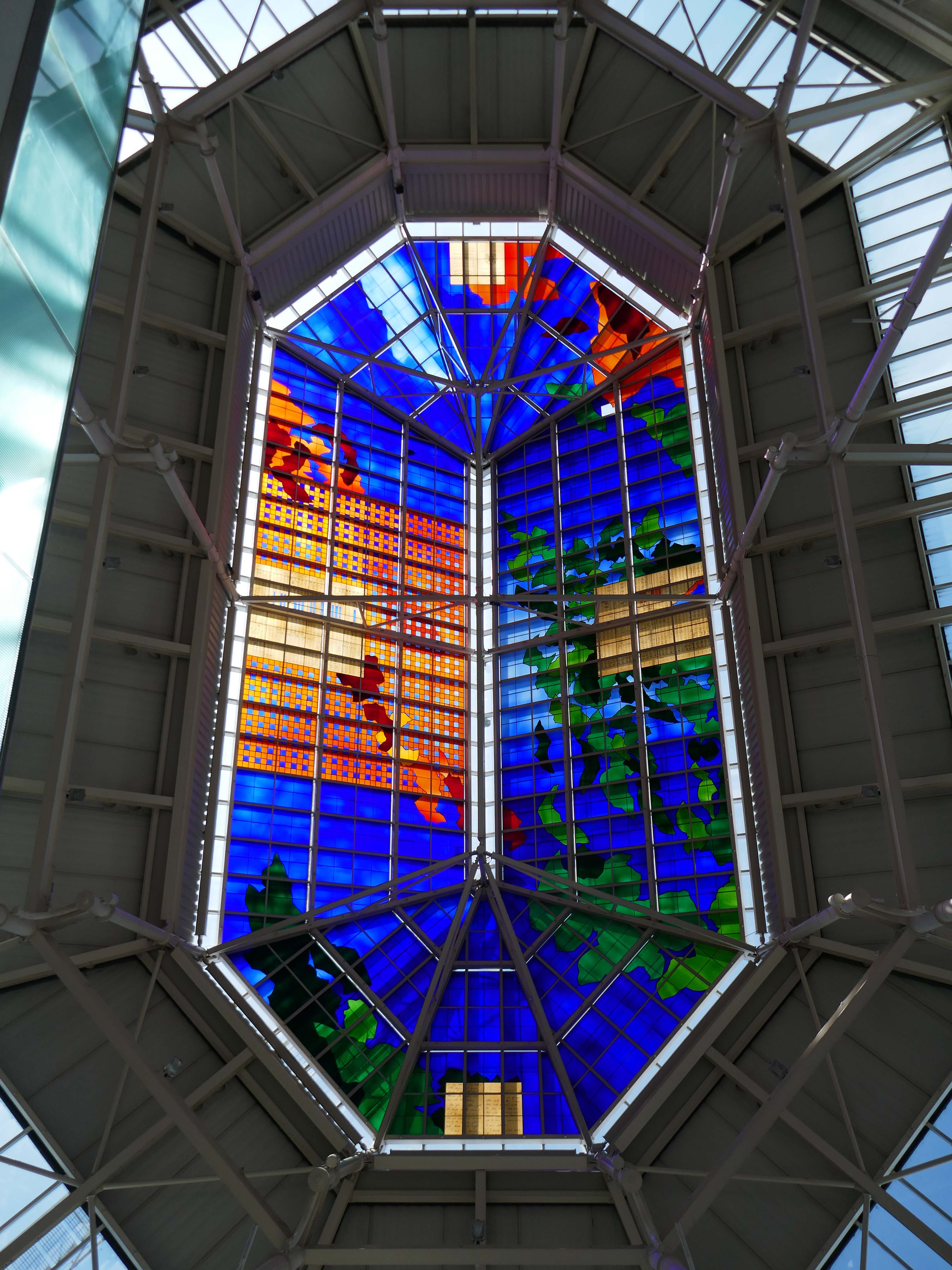
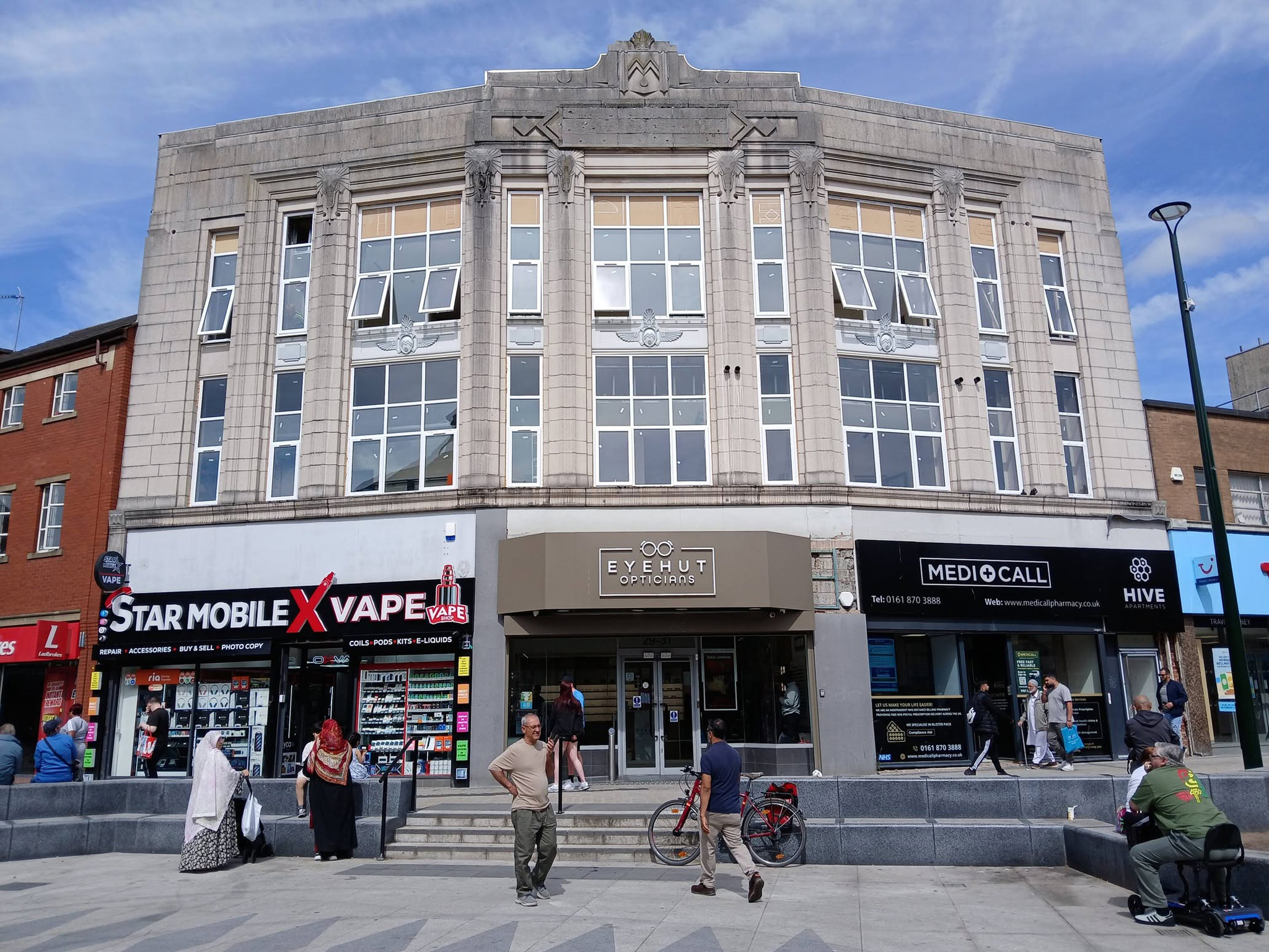
No town walk would be complete without a former Burton’s.
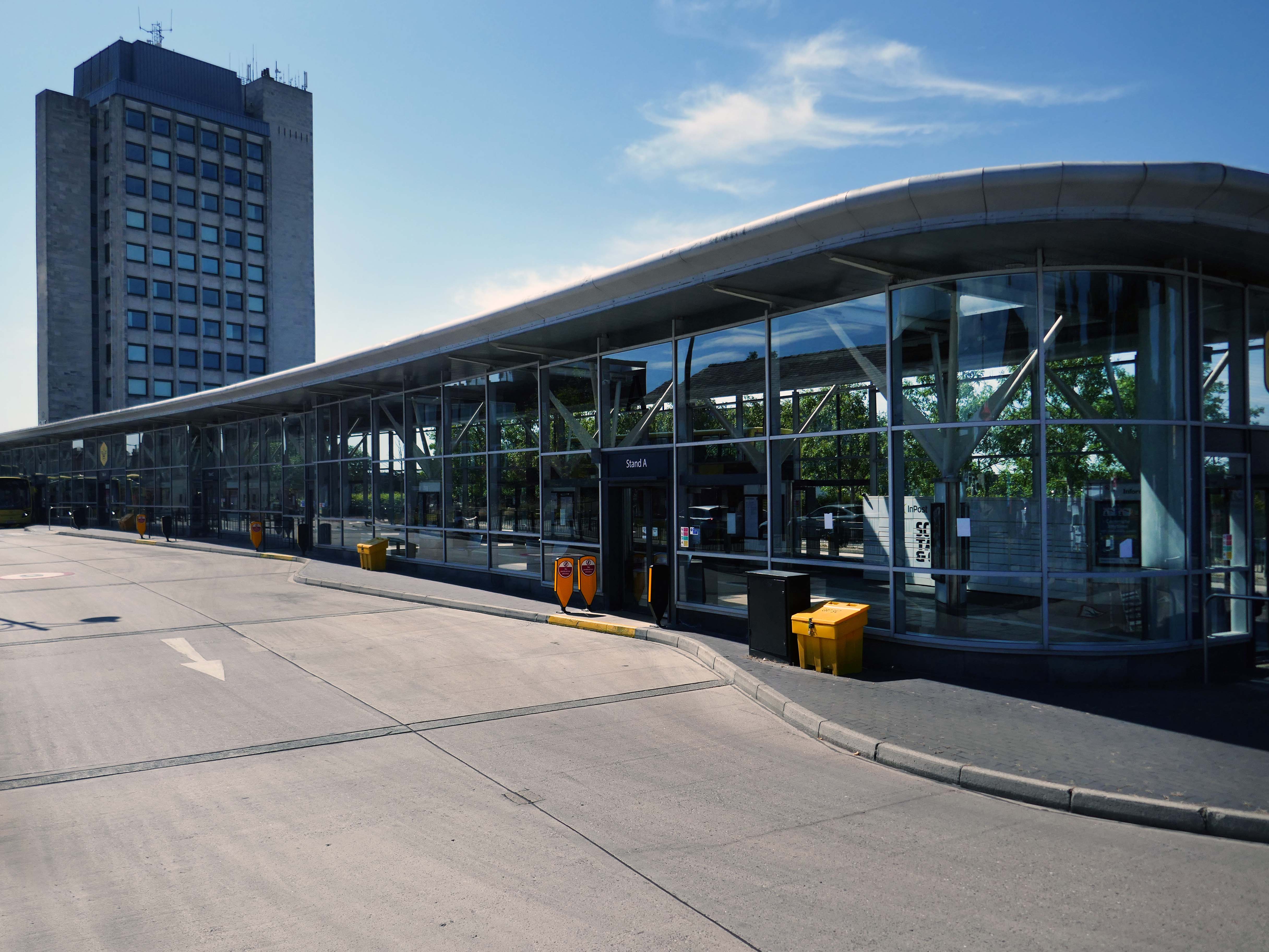
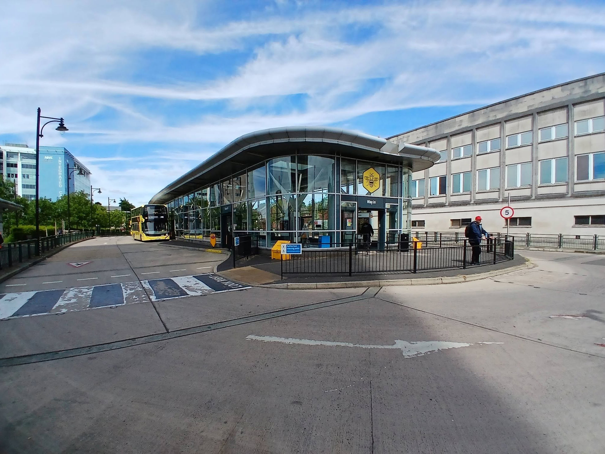
Next to the Bus Stations 2008 Austin-Smith Lord situated either side of the Civic Centre.
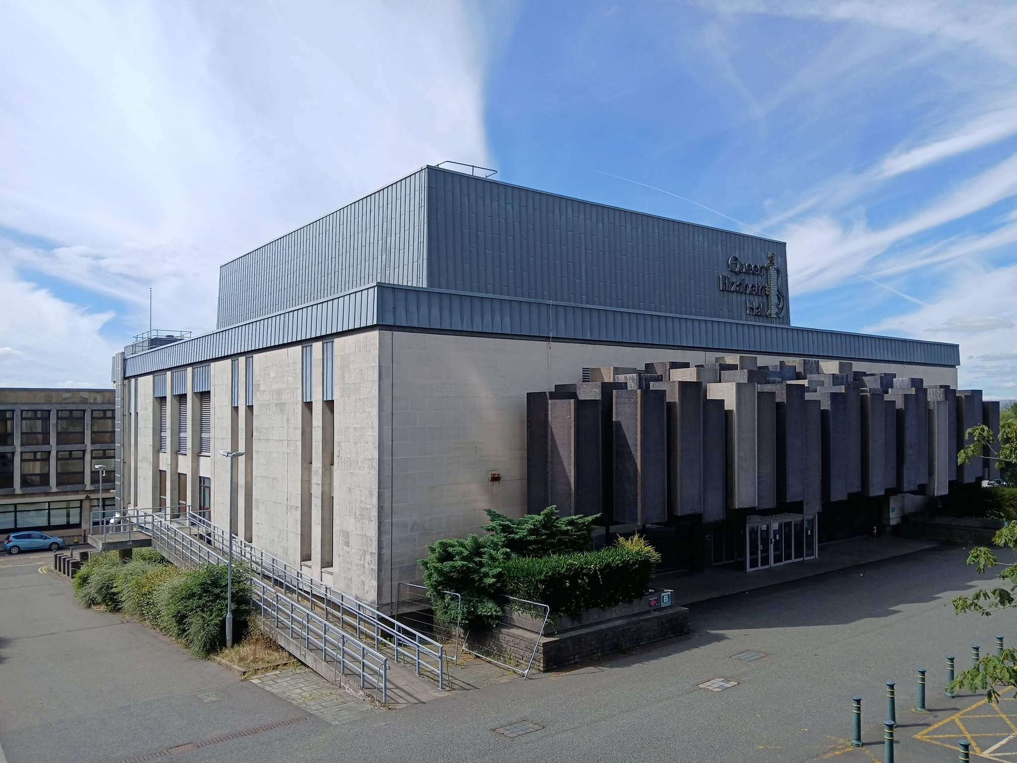
In the midst of it all is the Queen Elizabeth Hall.

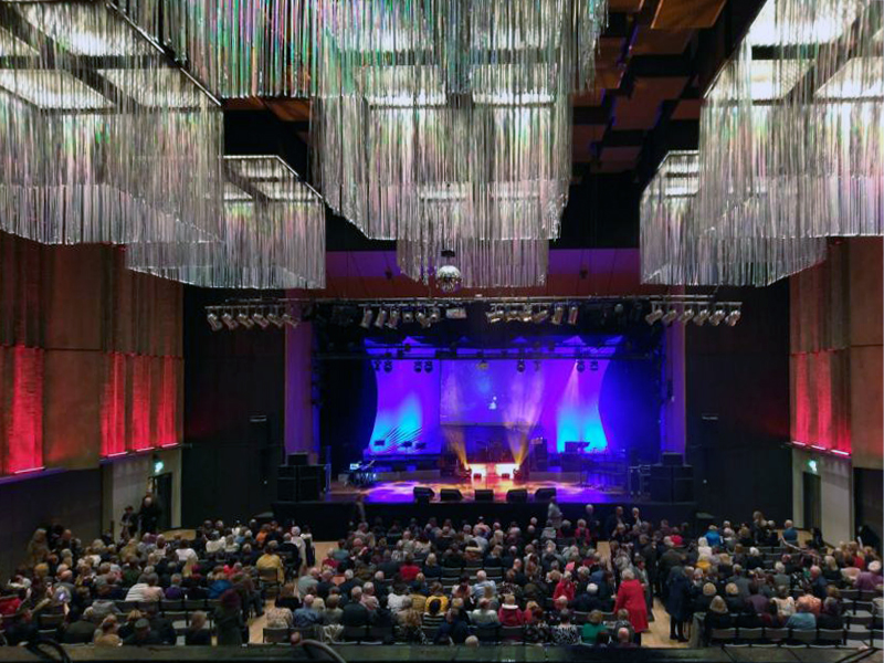
The Queen Elizabeth Hall in Oldham will soon open its doors for the last time before it permanently closes to the public and is prepared for demolition. Since being condemned for containing Reinforced Autoclaved Aerated Concrete – RAAC in 2023, its days have been numbered.

Now the old theatre is part of plans to bring 2,000 new homes into the town centre in a partnership between Oldham Council and the developers Muse.
Oldham Times

Chris Connor as Elvis at the Oldham Queen Elizabeth Hall.
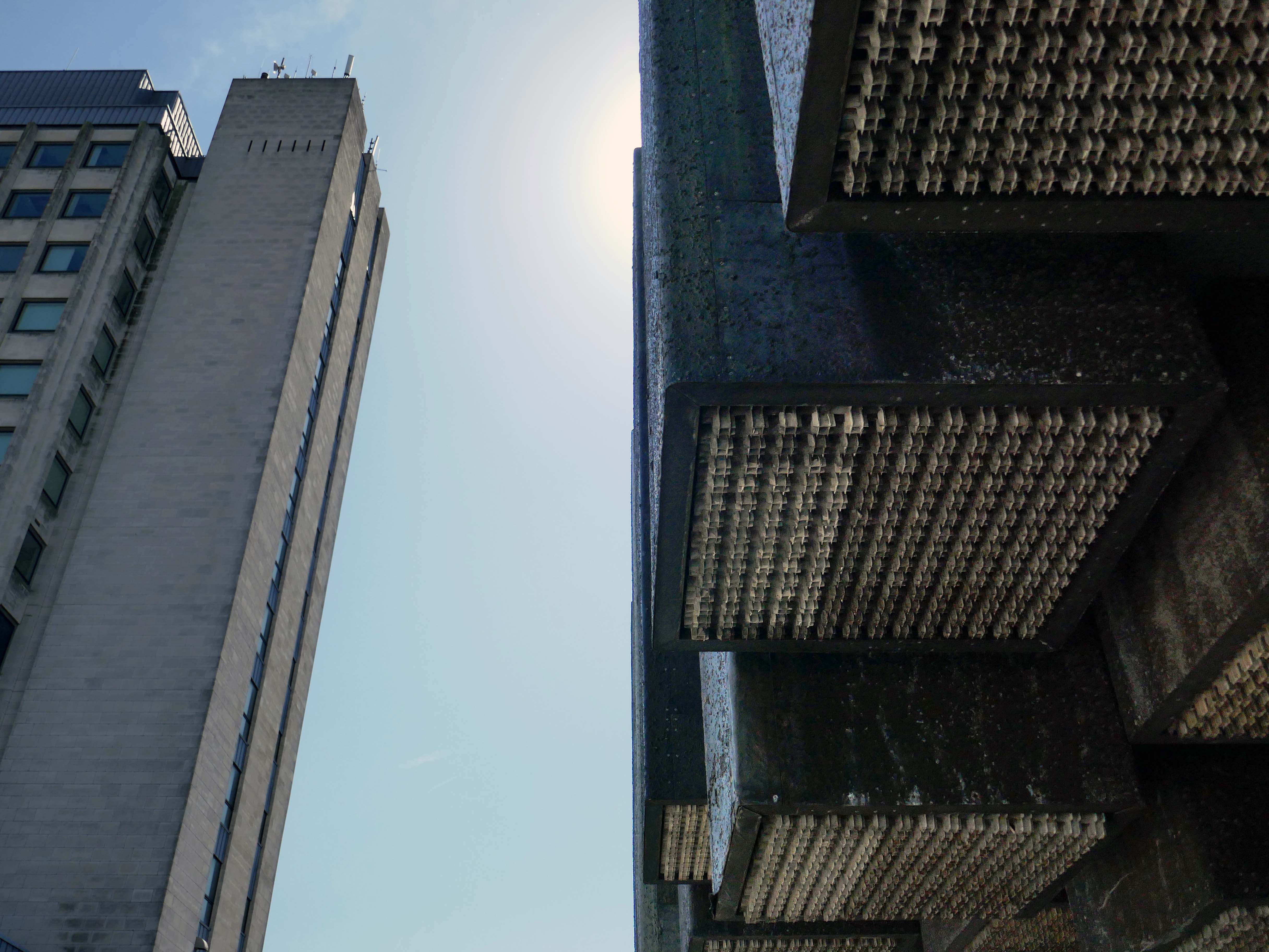
Surrounded on two sides by the Civic Centre – the lower parts are by Richard Seifert & Partners 1962, the fourteen storey Tower and Hall 1974-78 are by Cecil Howitt & Partners.

Plans are underway at the civic centre, the largest site in the regeneration project, to create a vibrant community providing eight hundred and thirty eight homes rising up to fifteen-storeys with mixed-use commercial spaces on the ground floor. This development will integrate seamlessly with the surrounding neighbourhood, particularly the nearby Former Magistrates’ Court site. The Civic Tower at the edge of the site will be retained and redeveloped as a hotel in a later phase.
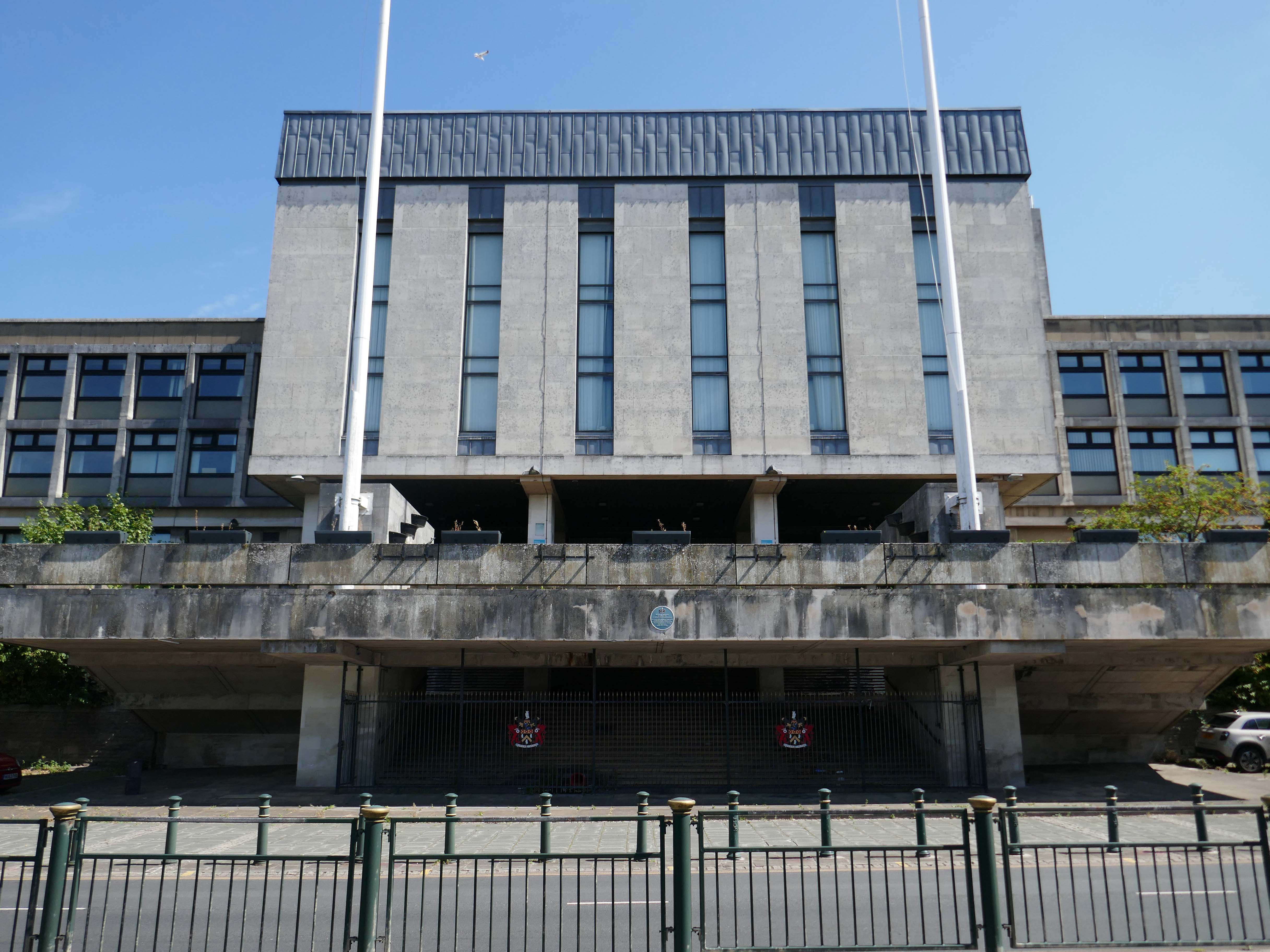
Where have the Magistrates’ Courts gone?

Architects: Leach Rhodes Walker 1977.
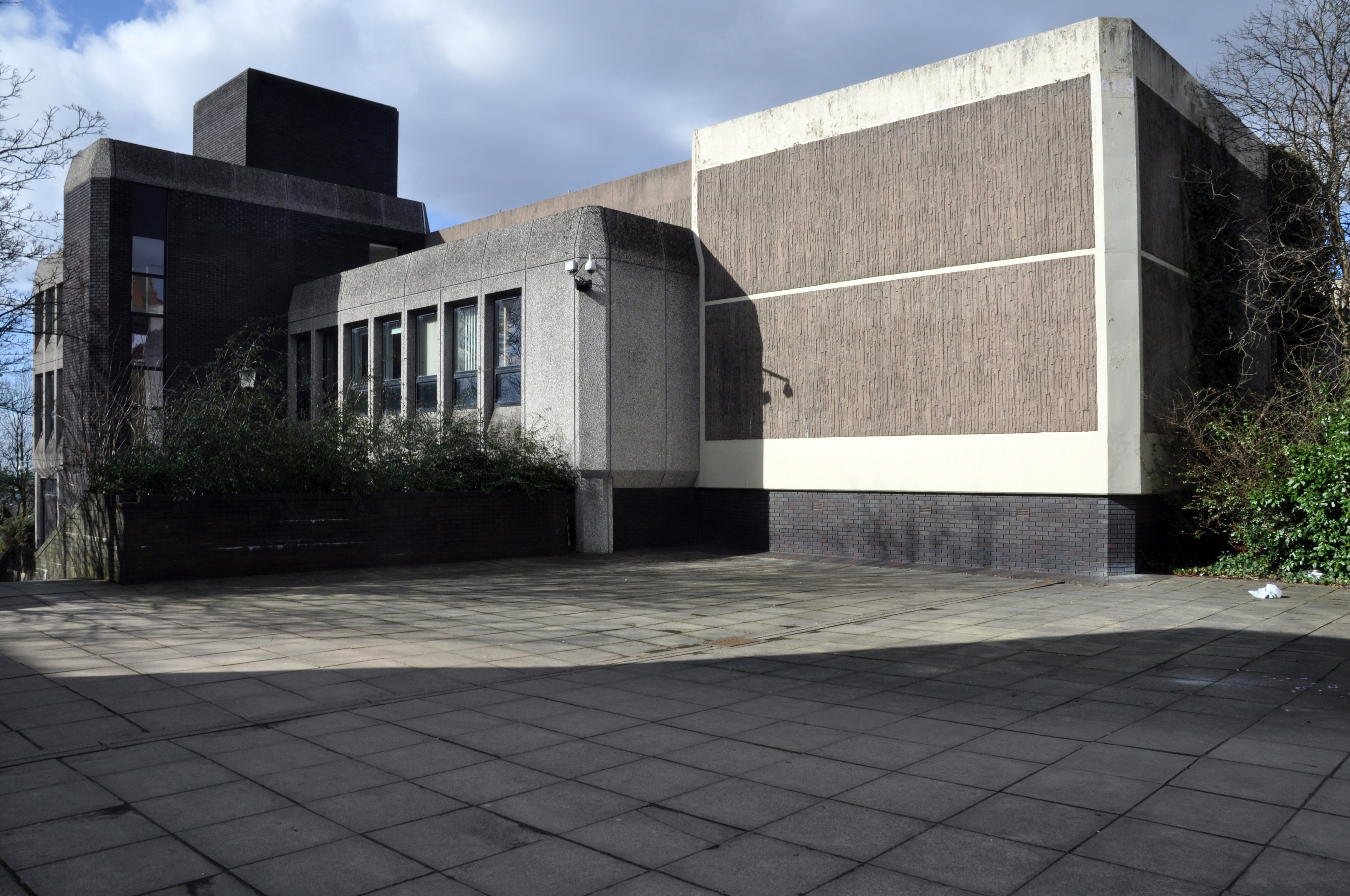
Demolished in 2019 to make way for further redevelopment.
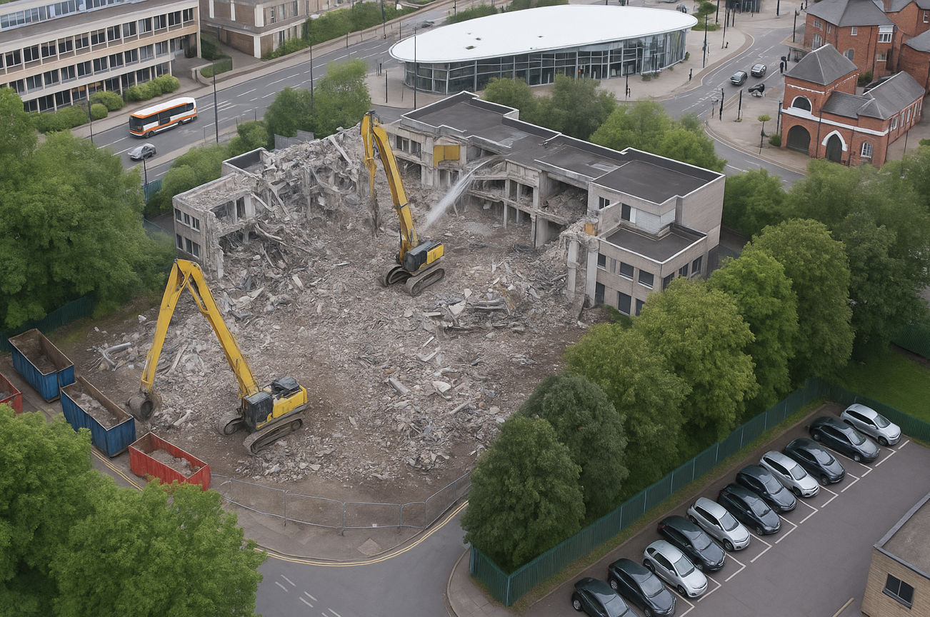
The proposals for the Former Magistrates Court site include two hundred and nineteen new homes with the tallest block ten-storeys and a green route connecting Manchester Chambers with King Street. The designs have been developed to ensure a unified neighbourhood with a common design language and seamless movement between other sites. 

Team Civic

Oldham Council and Muse intend to work in partnership over the next 15 years to develop the sextet of council-owned brownfield sites across the town centre.
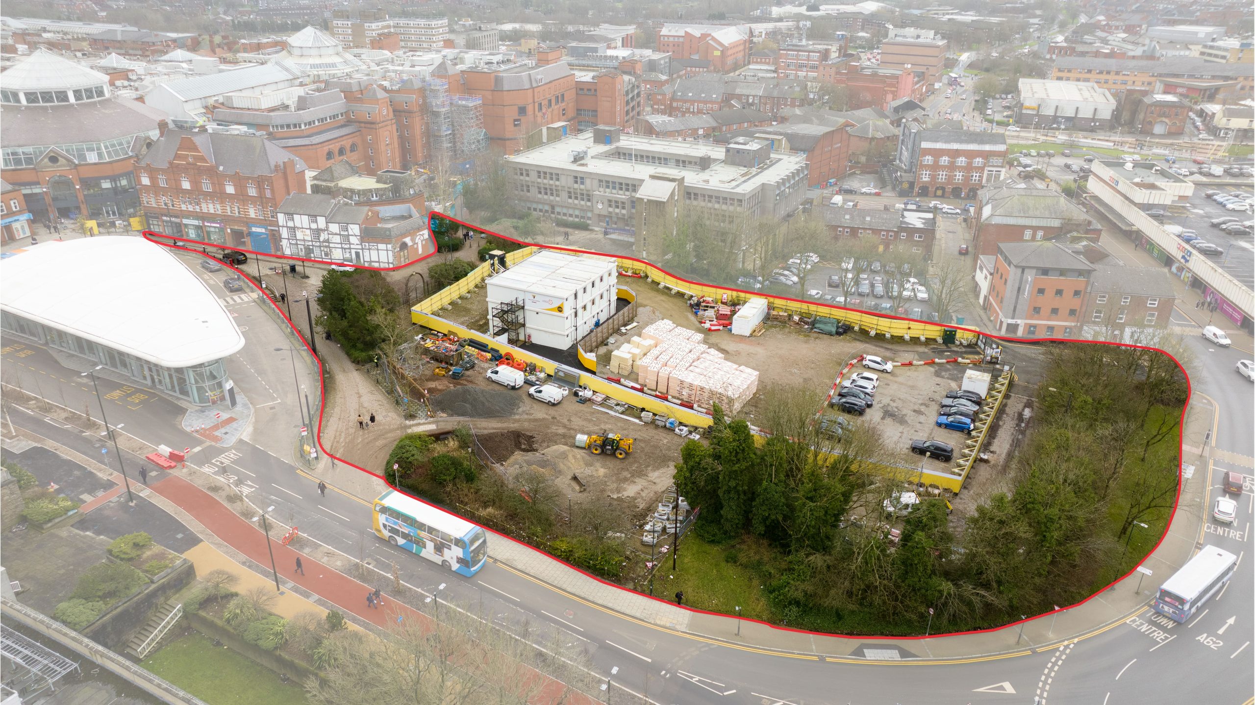
Place North West

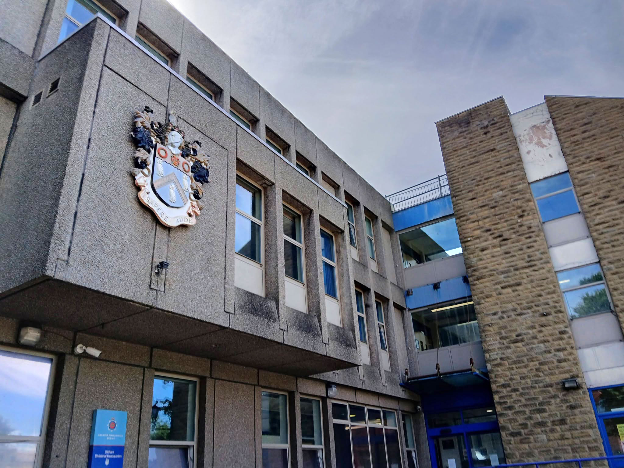
Next door the Police Station – architects: Leach Rhodes Walker.
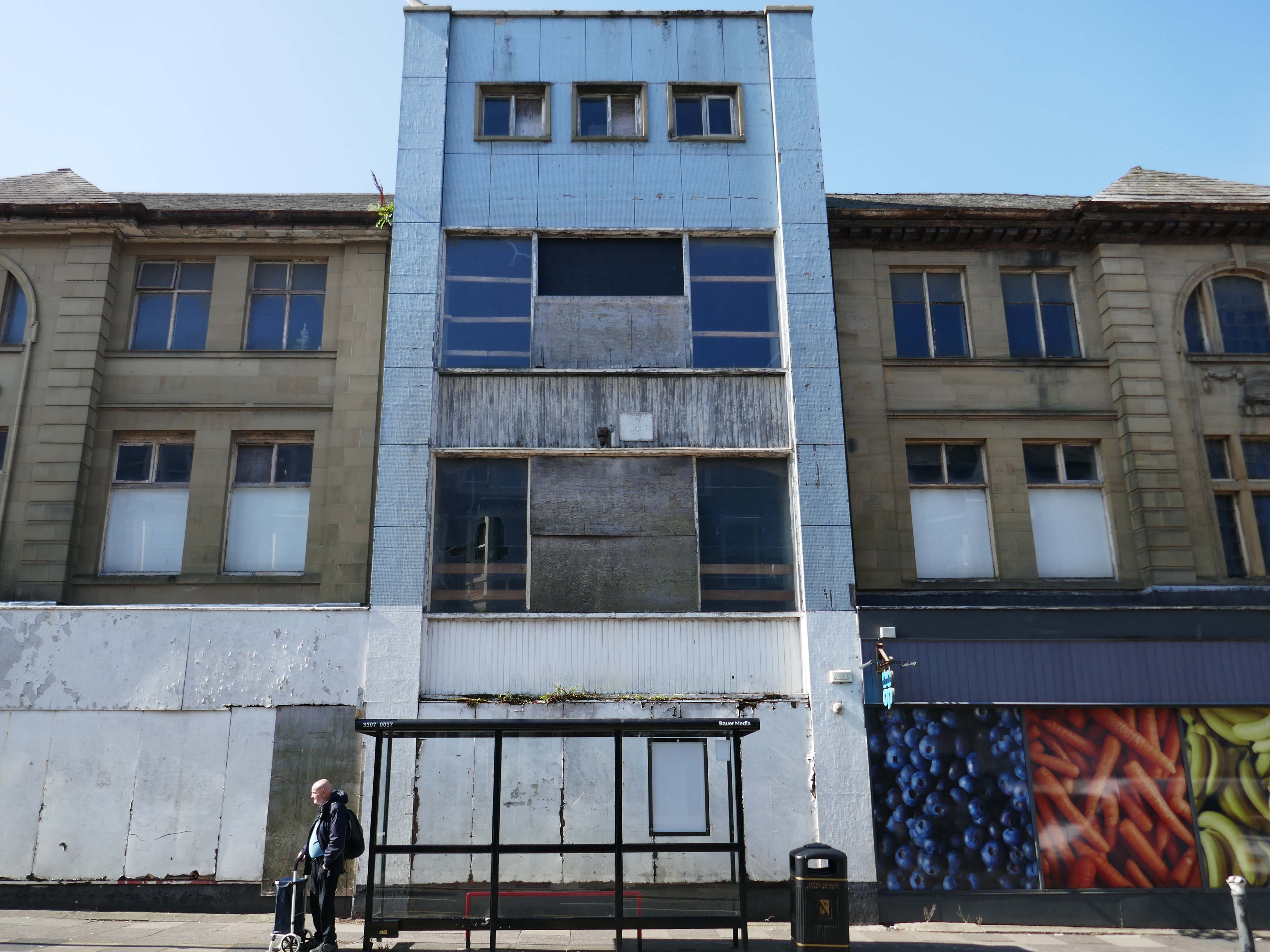
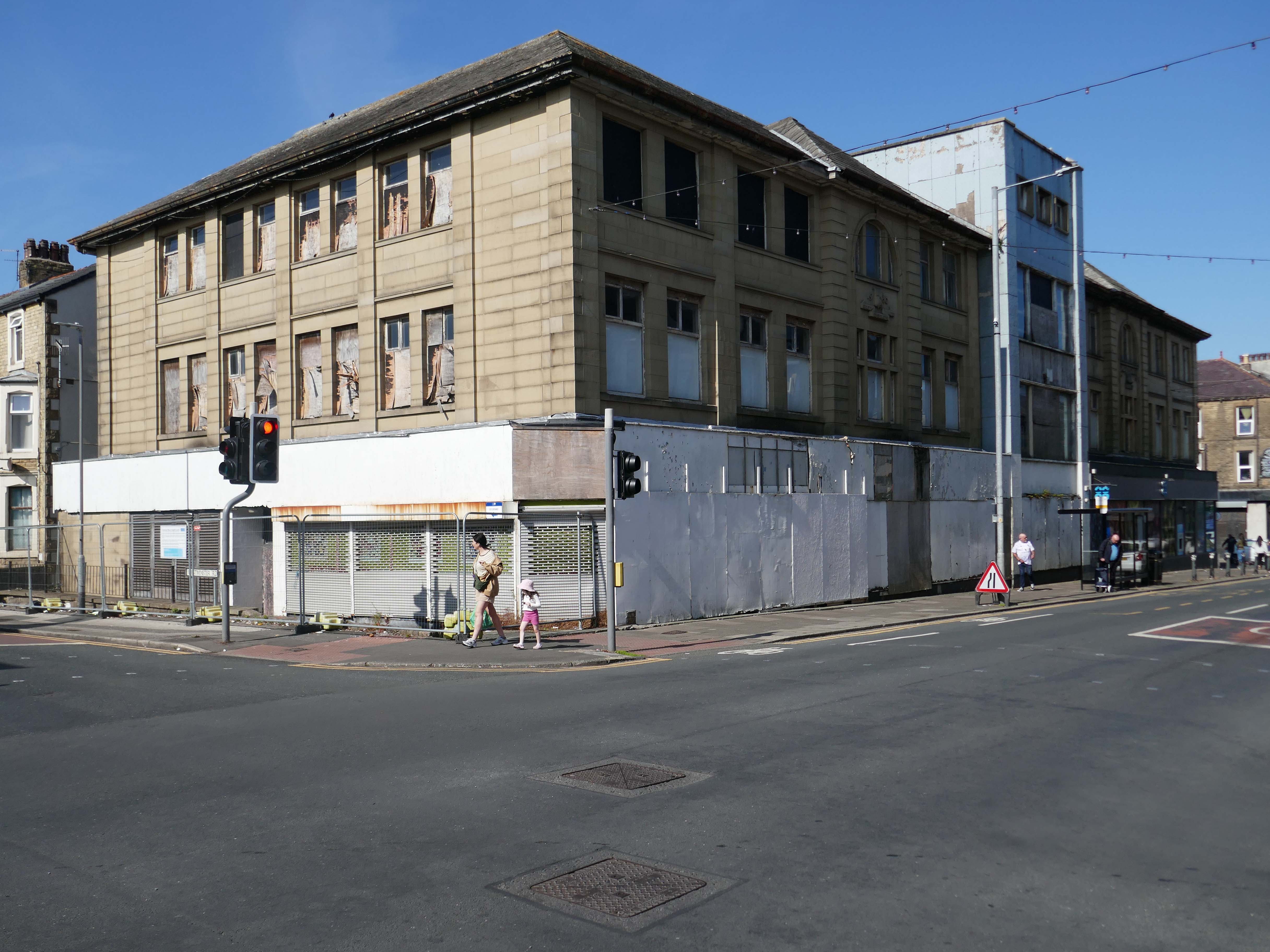
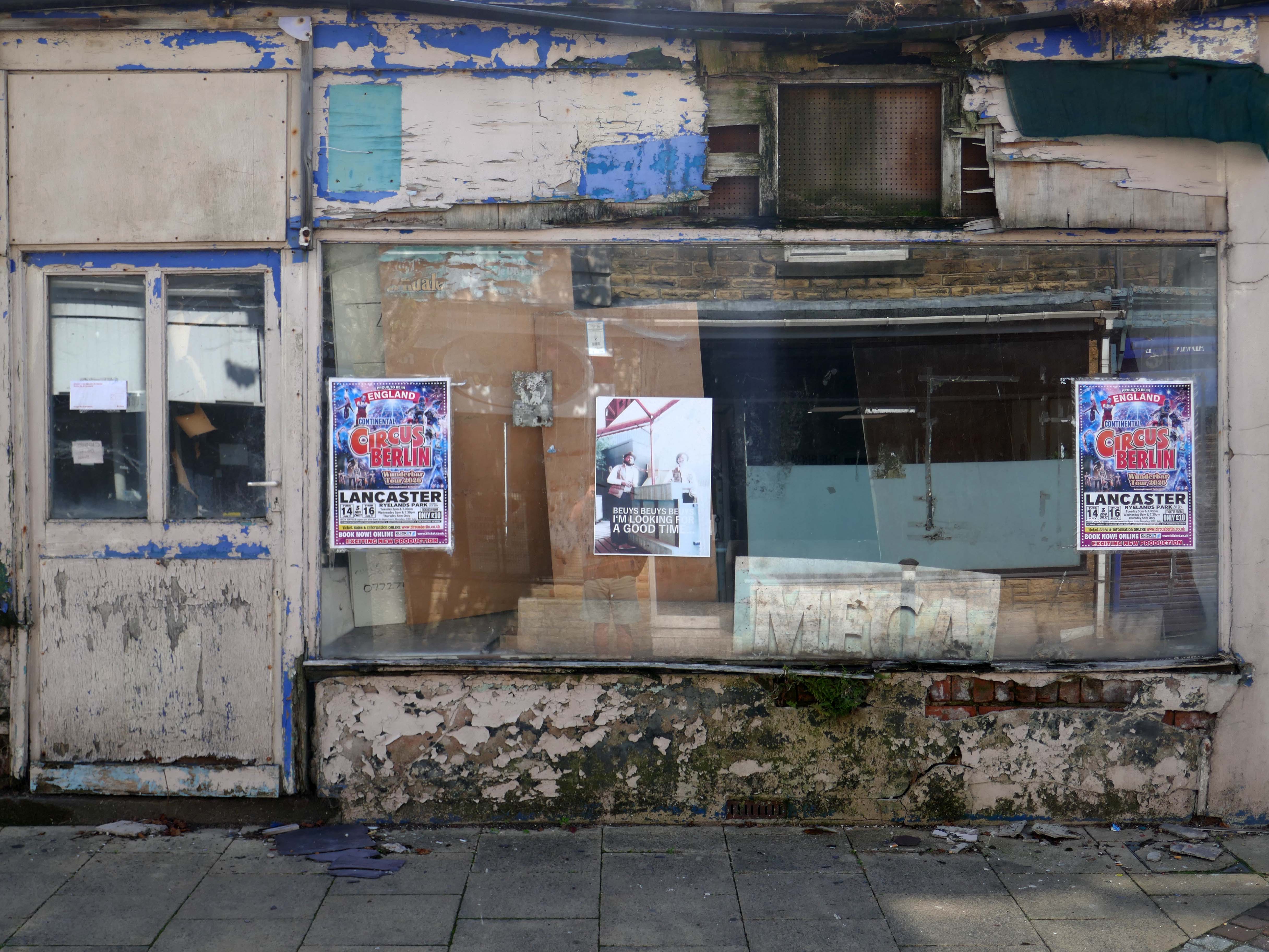
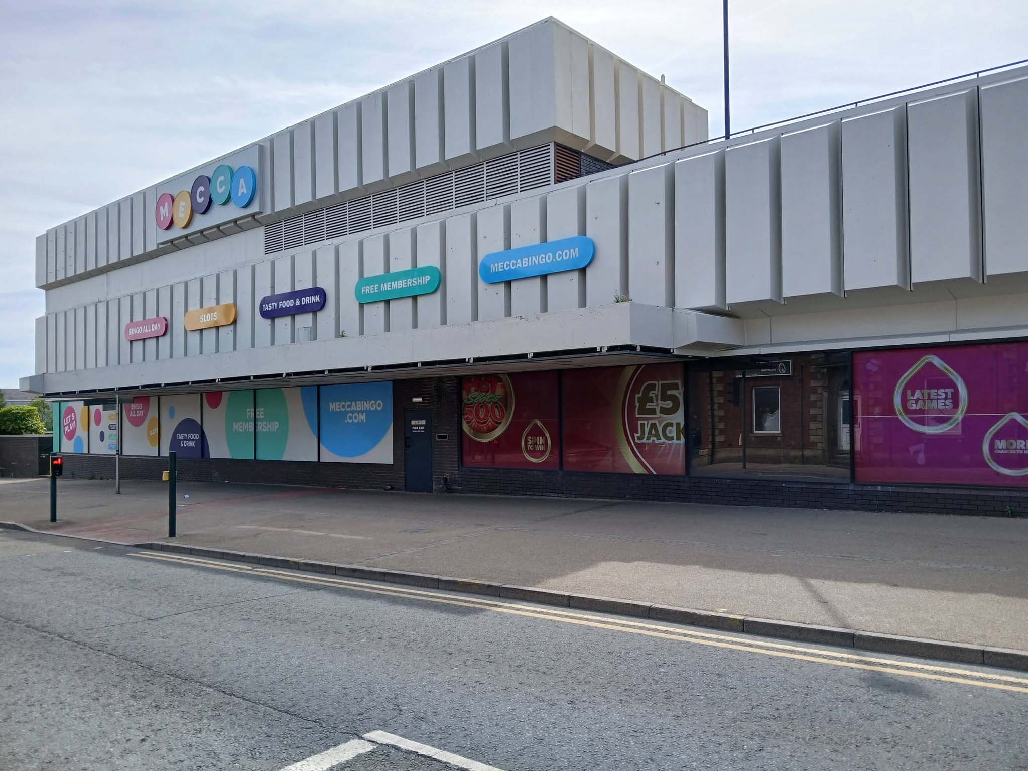
Next to the Mecca Bingo formerly Shopping Giant.
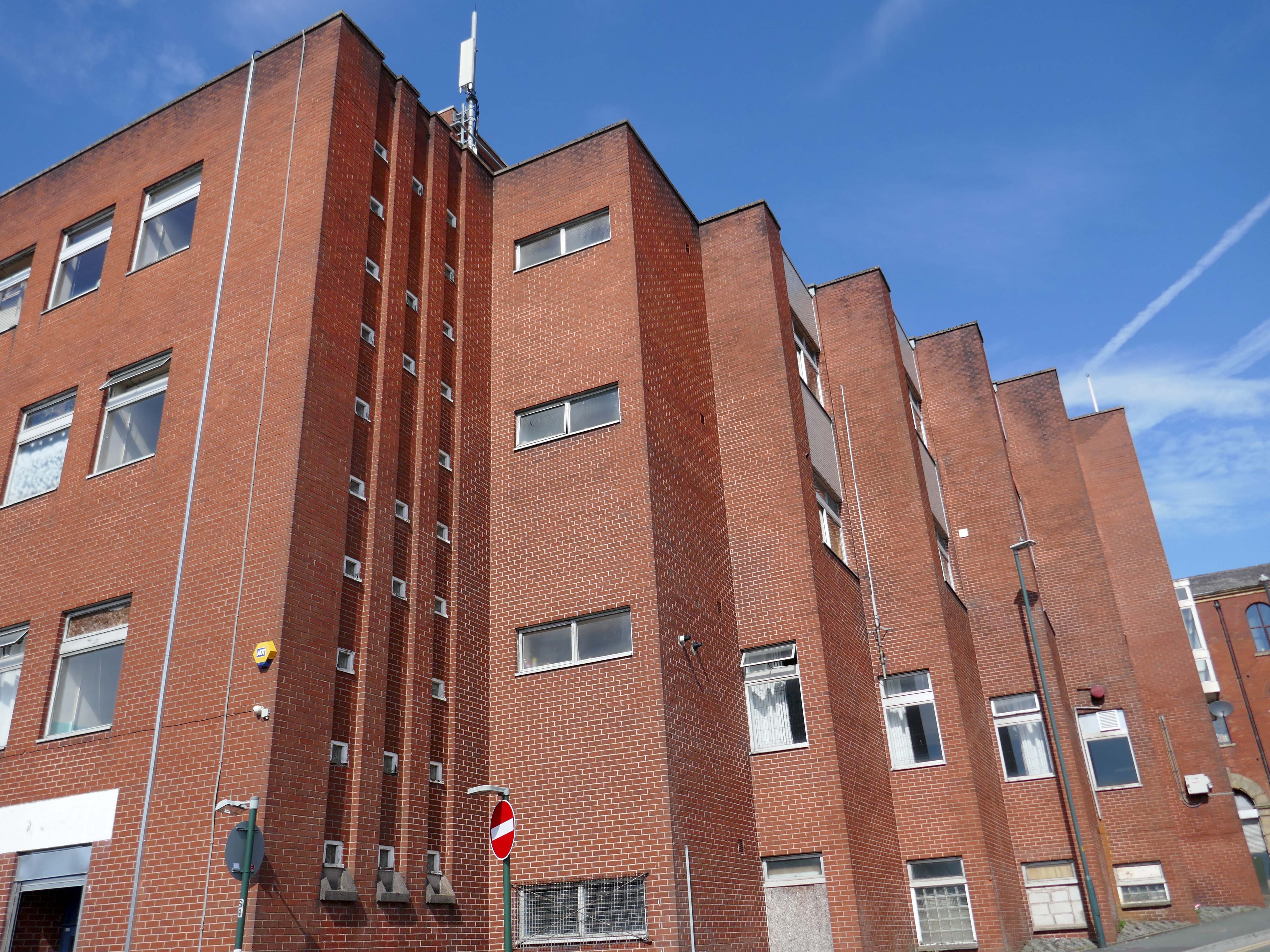
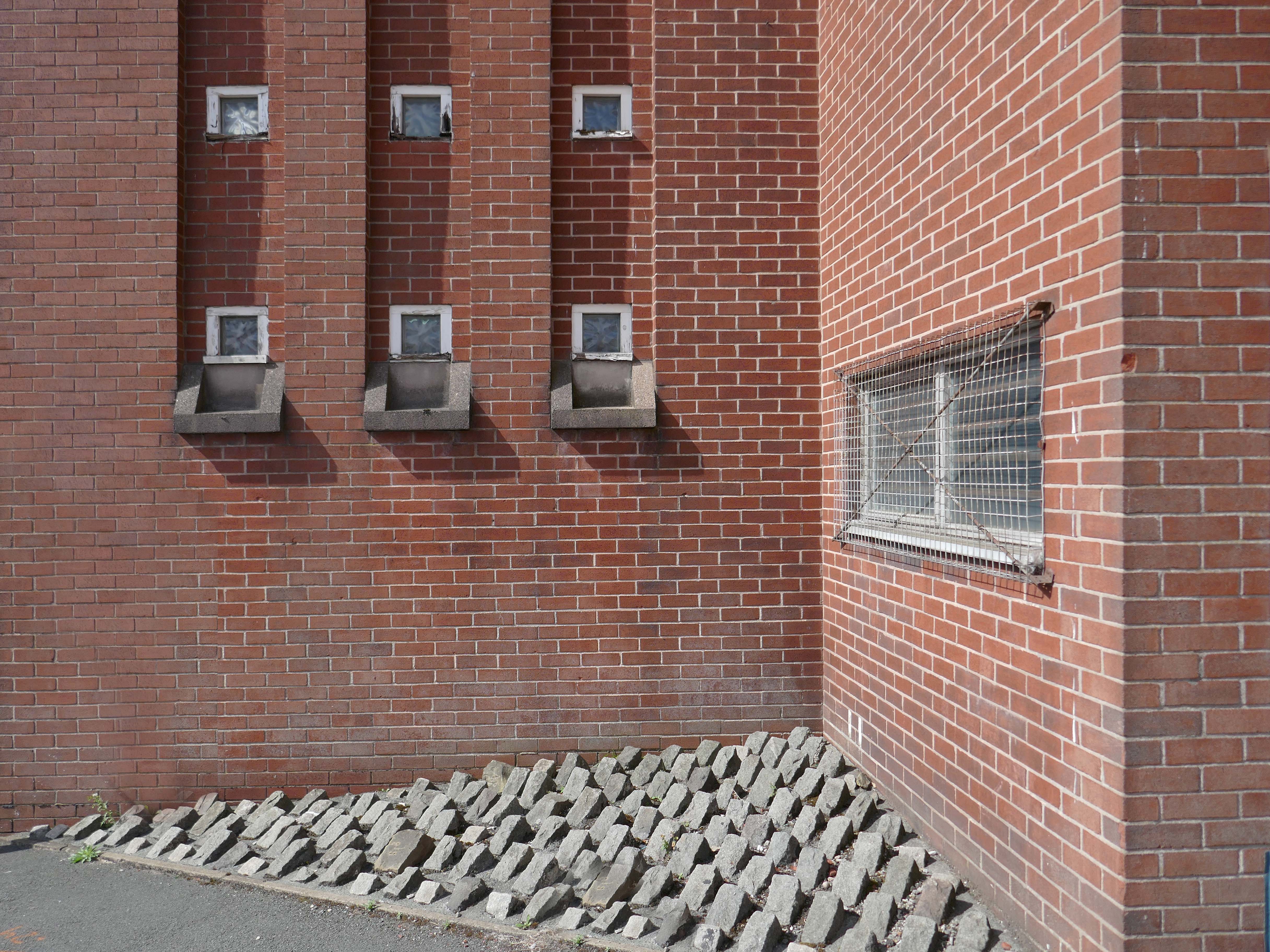
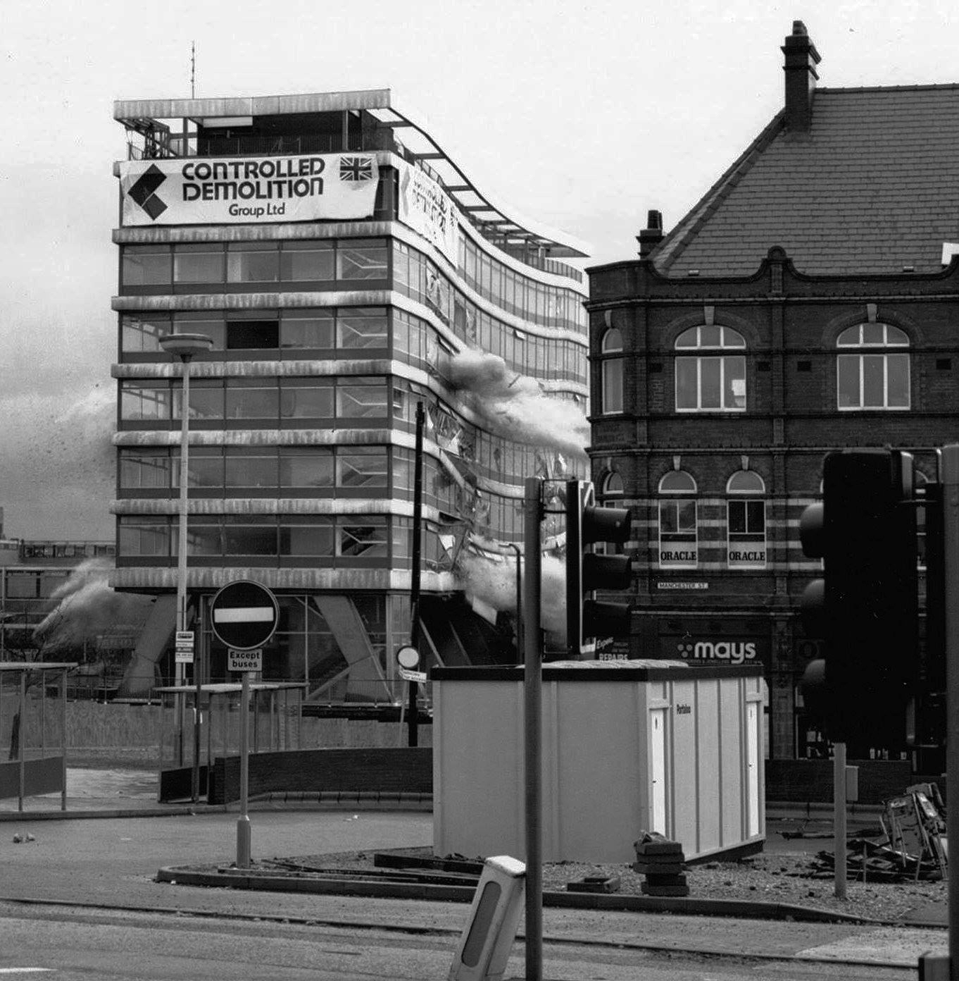
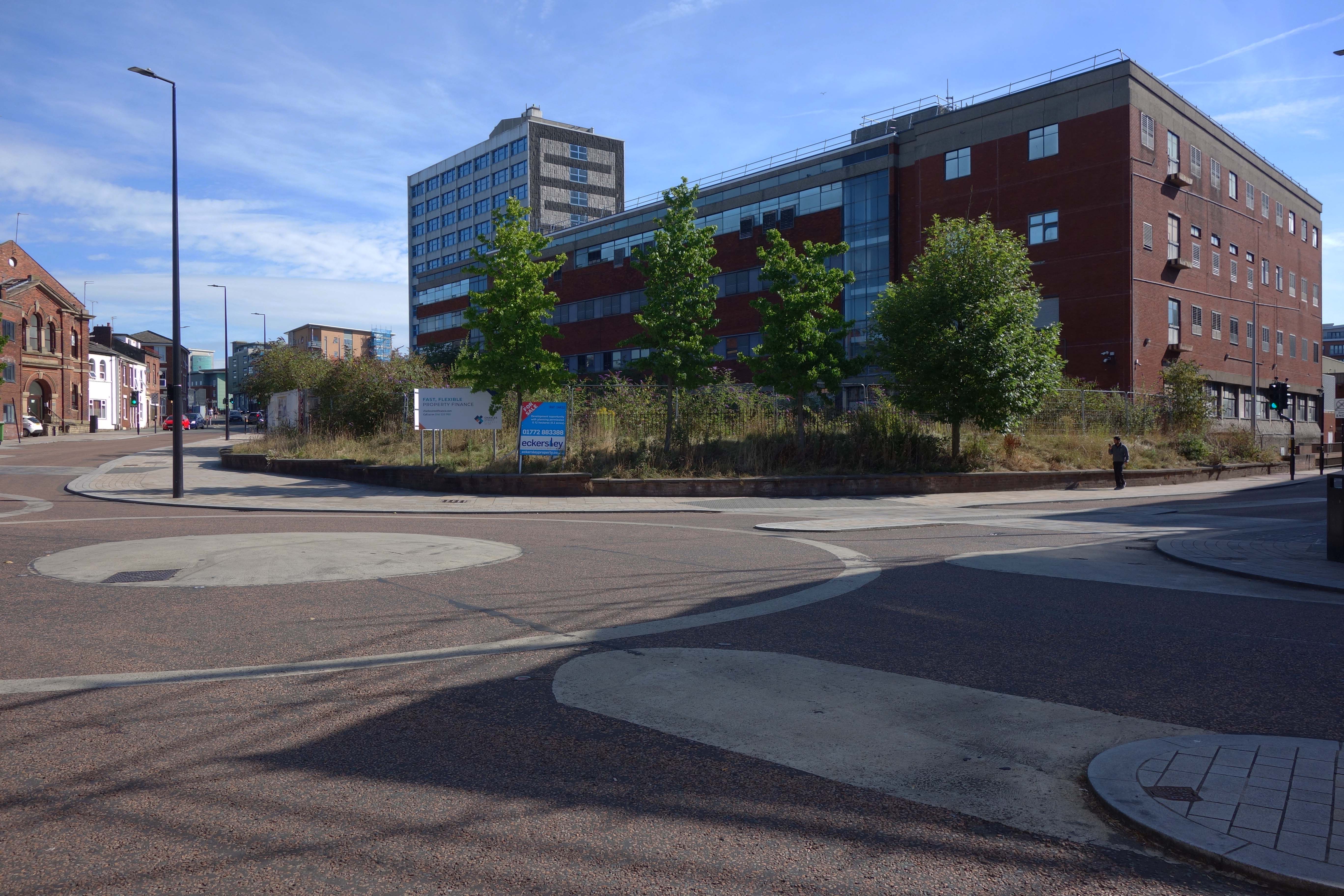
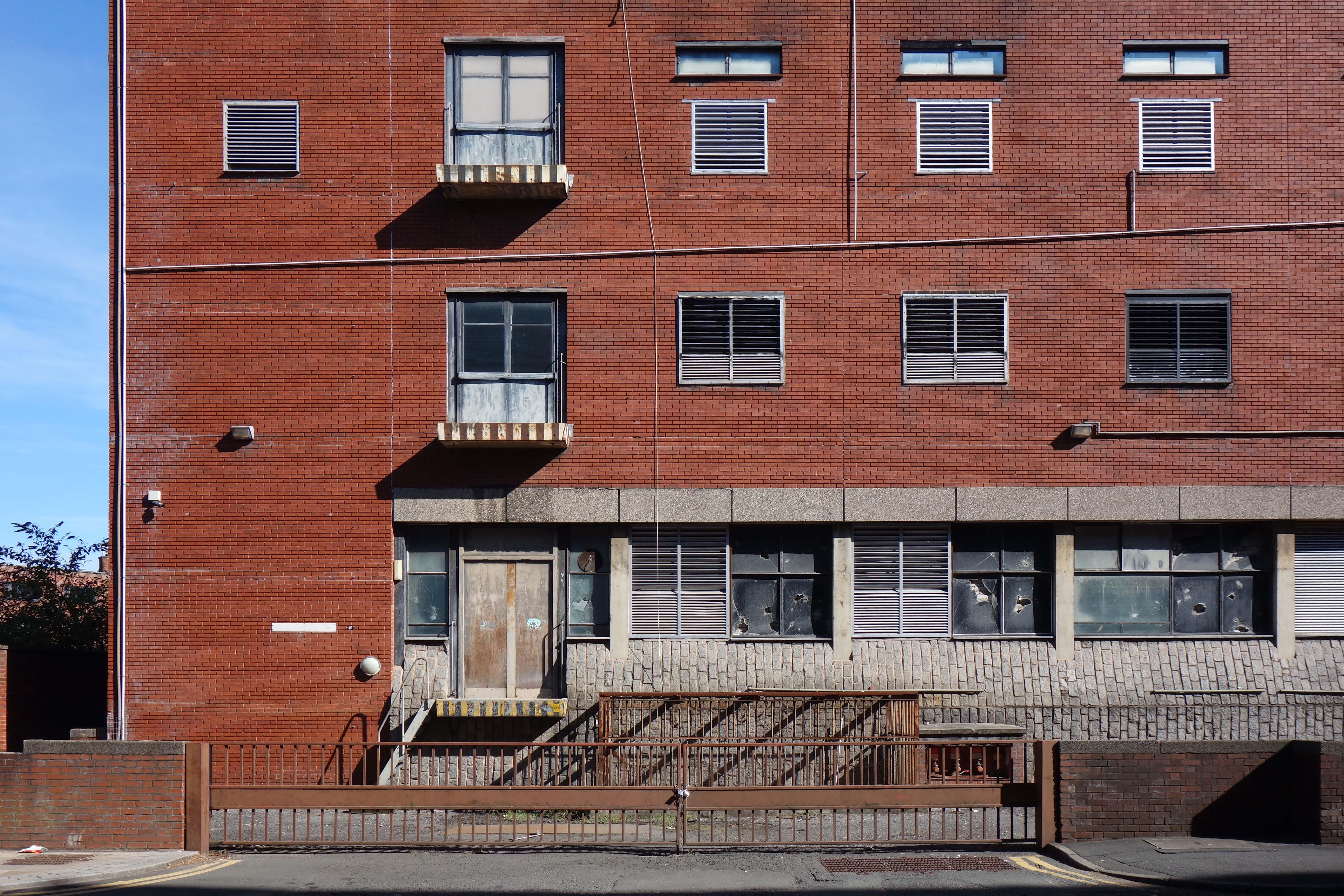
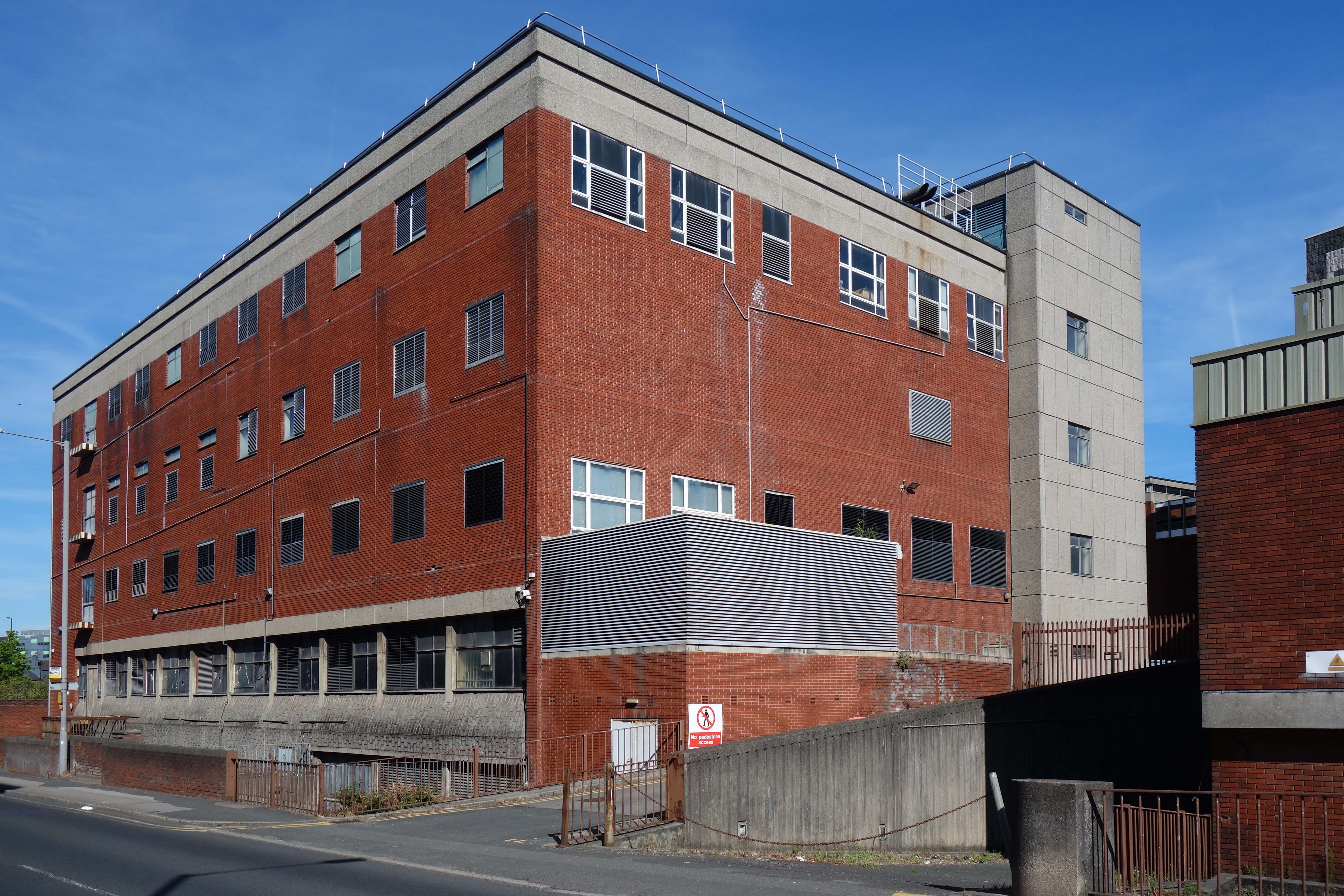
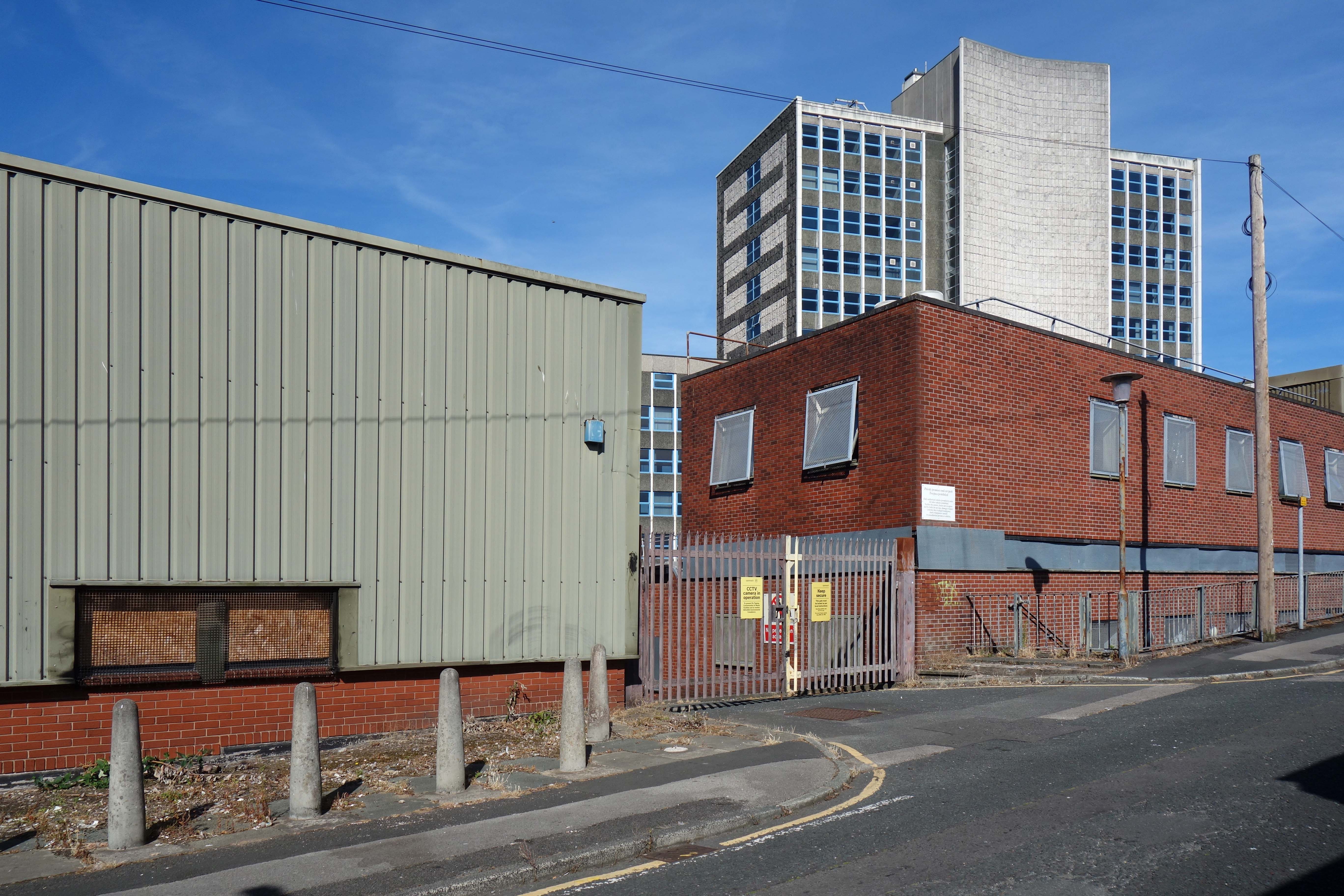
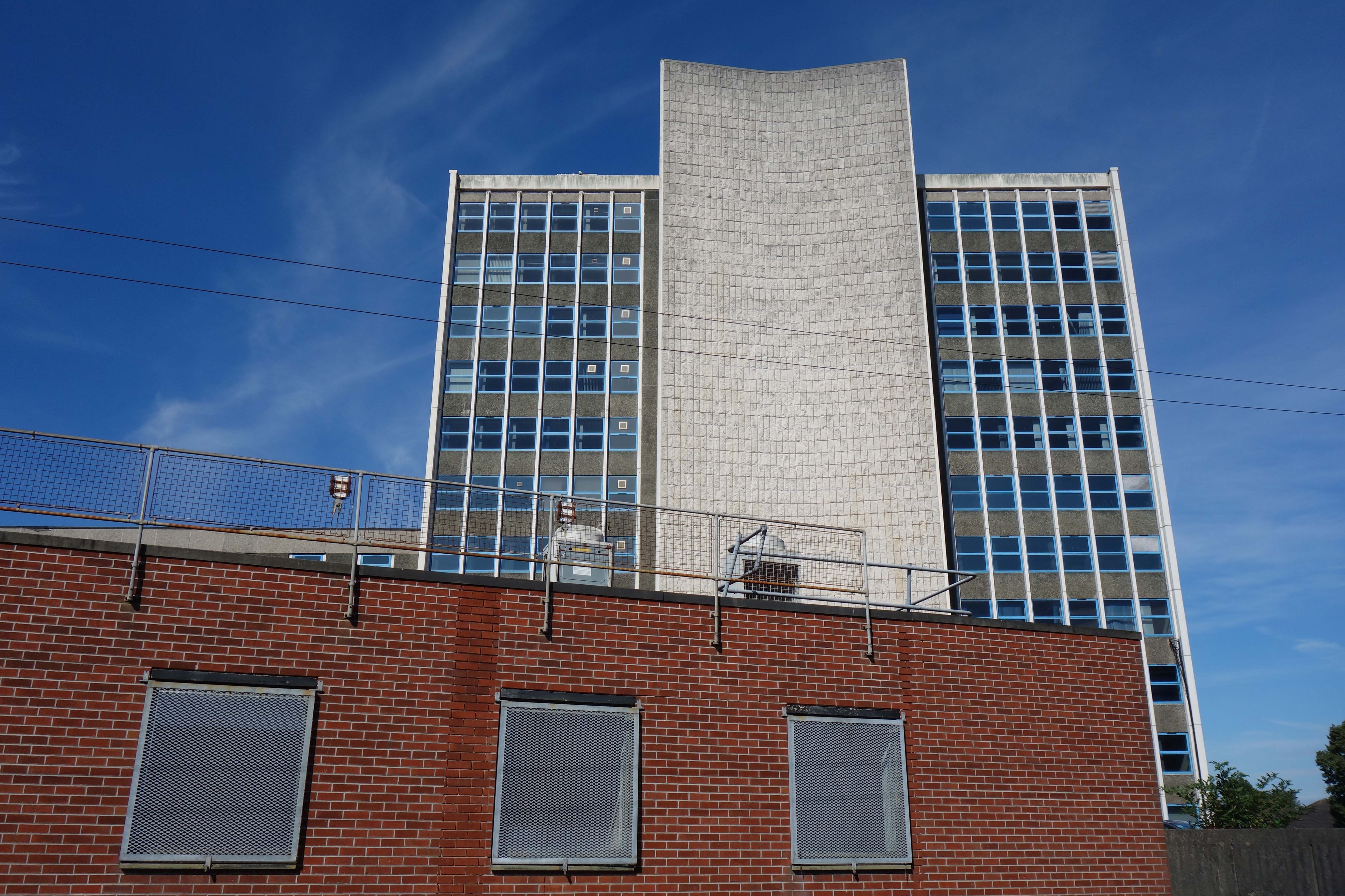
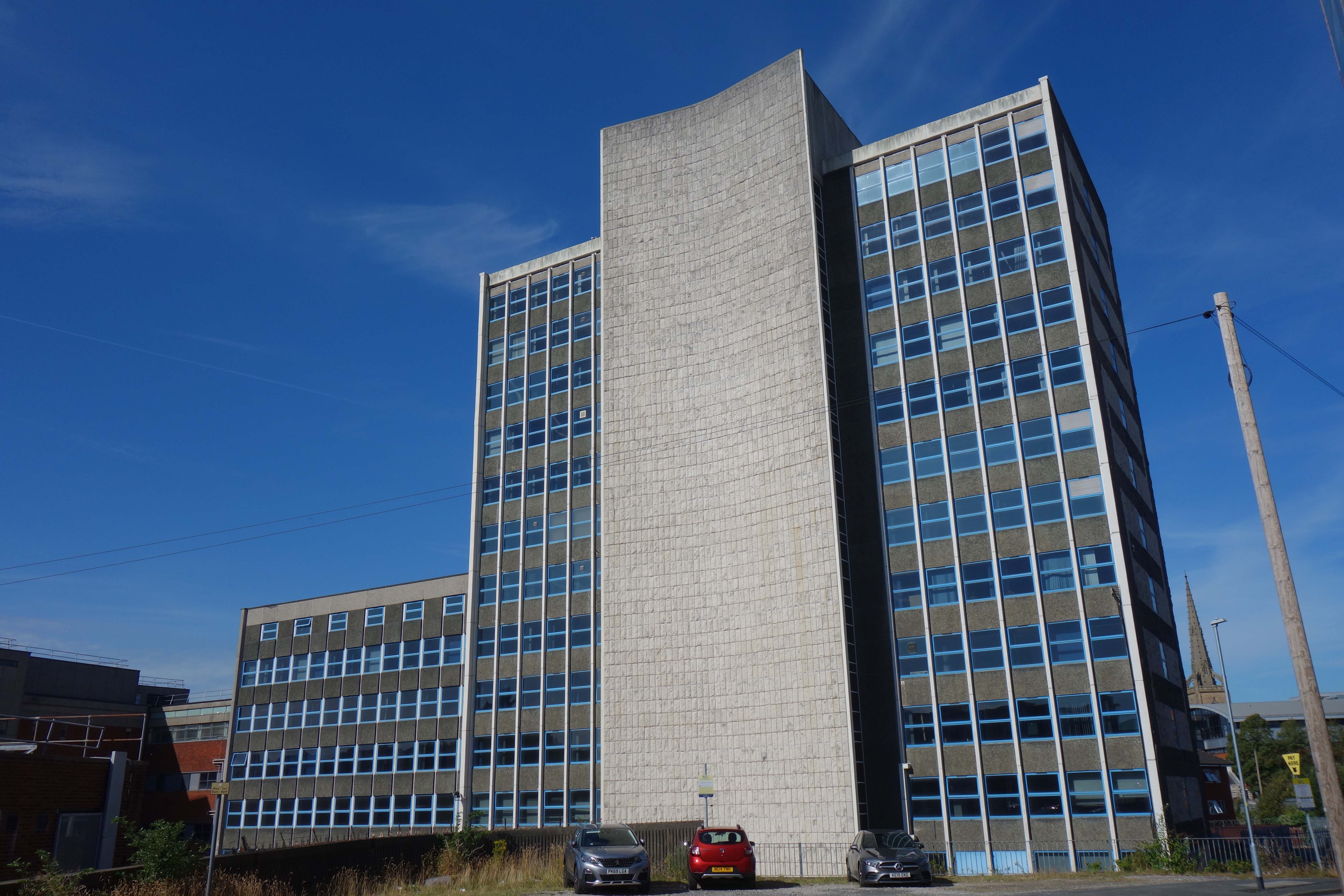
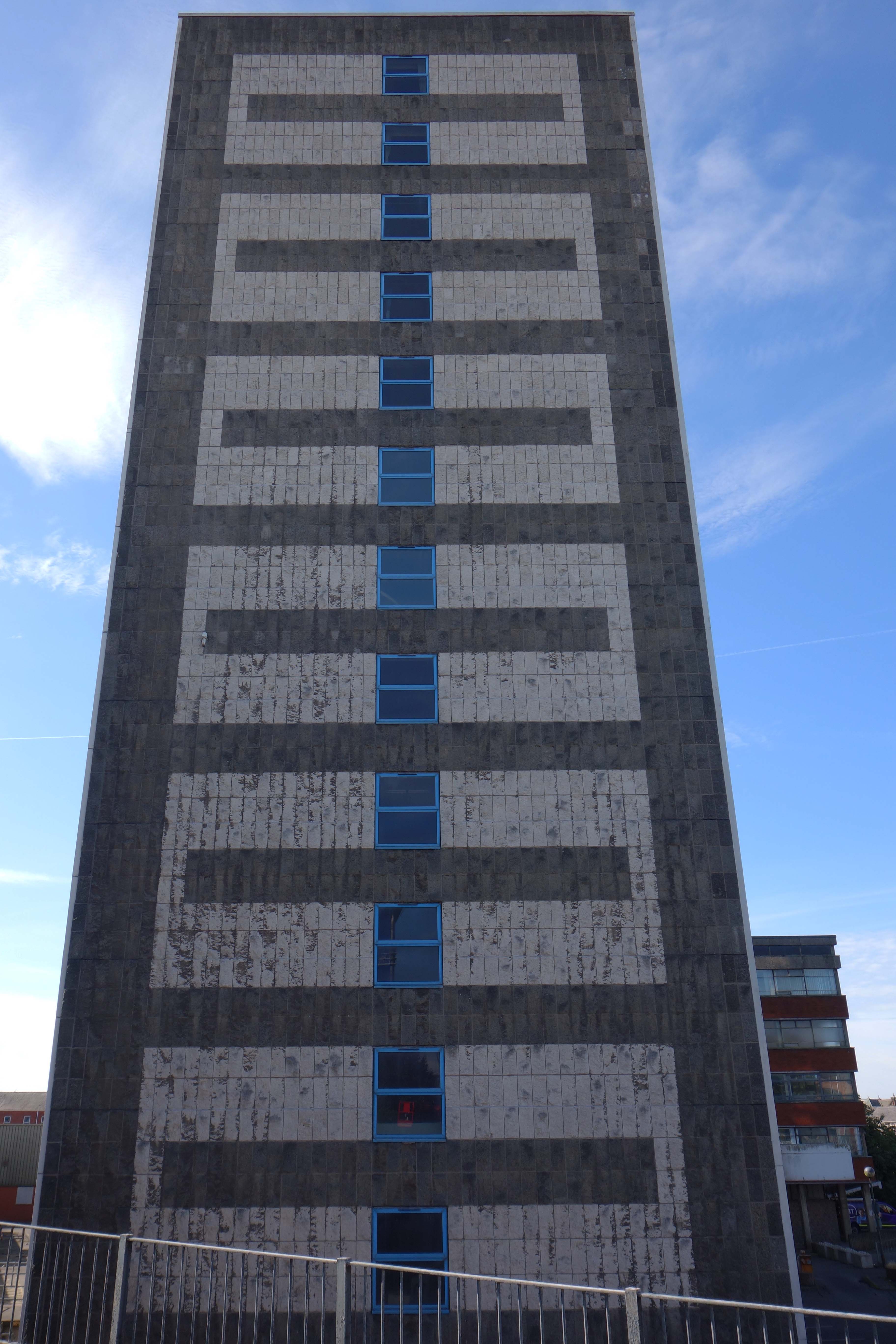
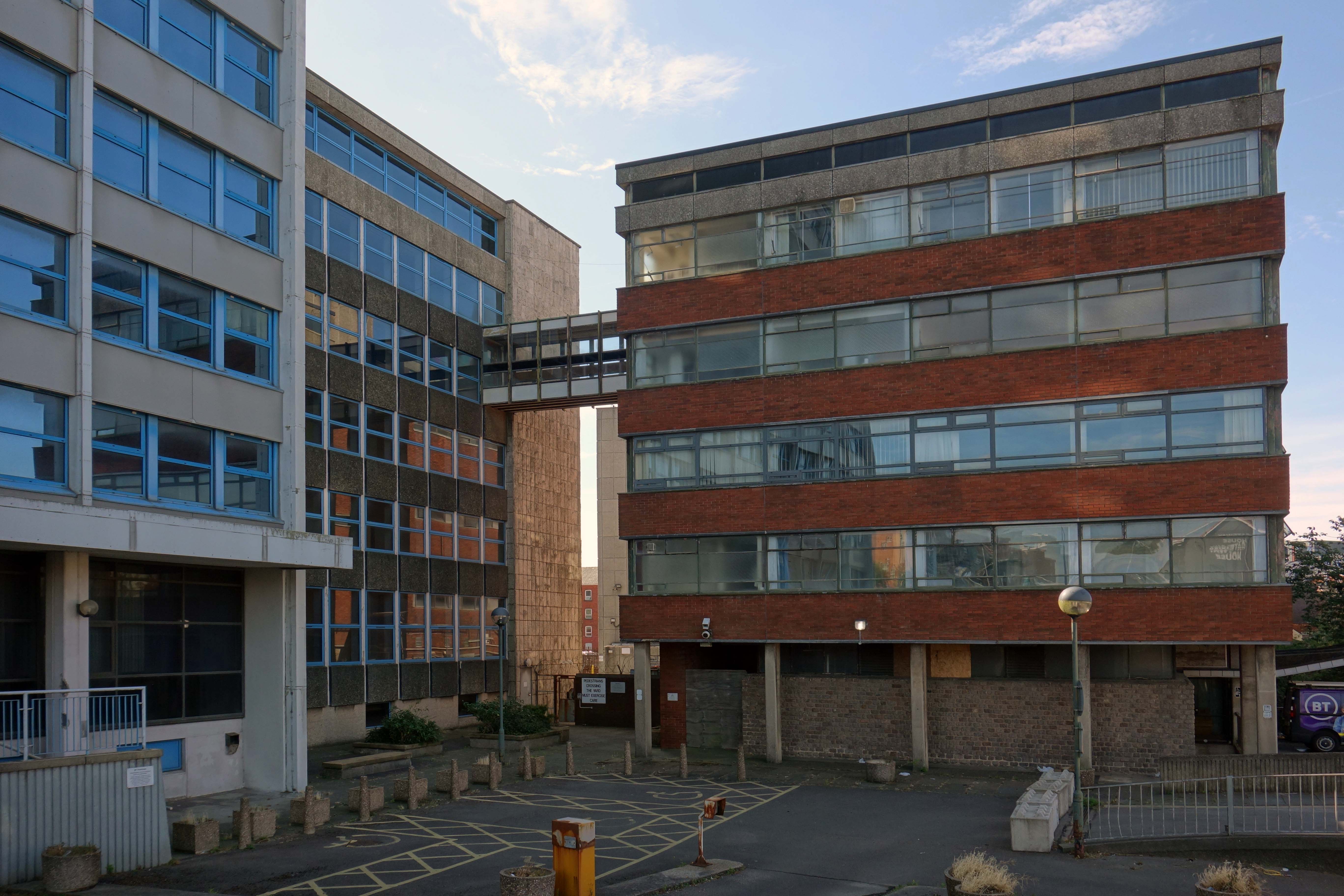
We conclude at the Telephone Exchange.
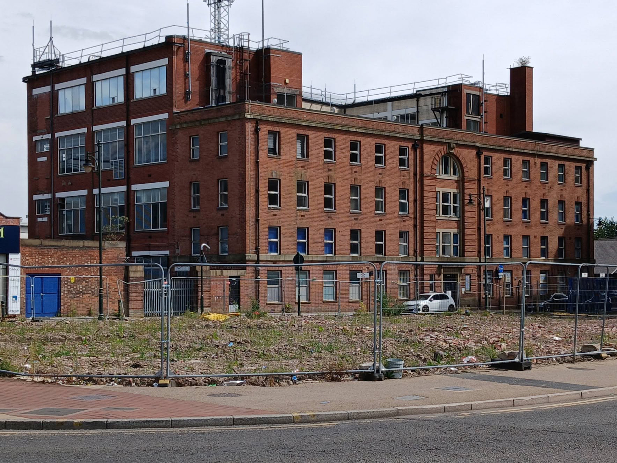
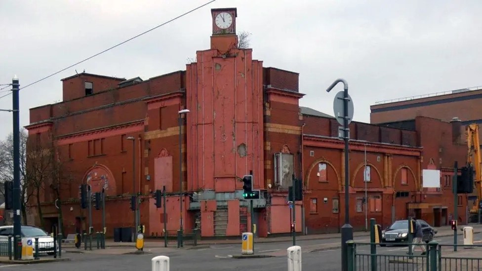
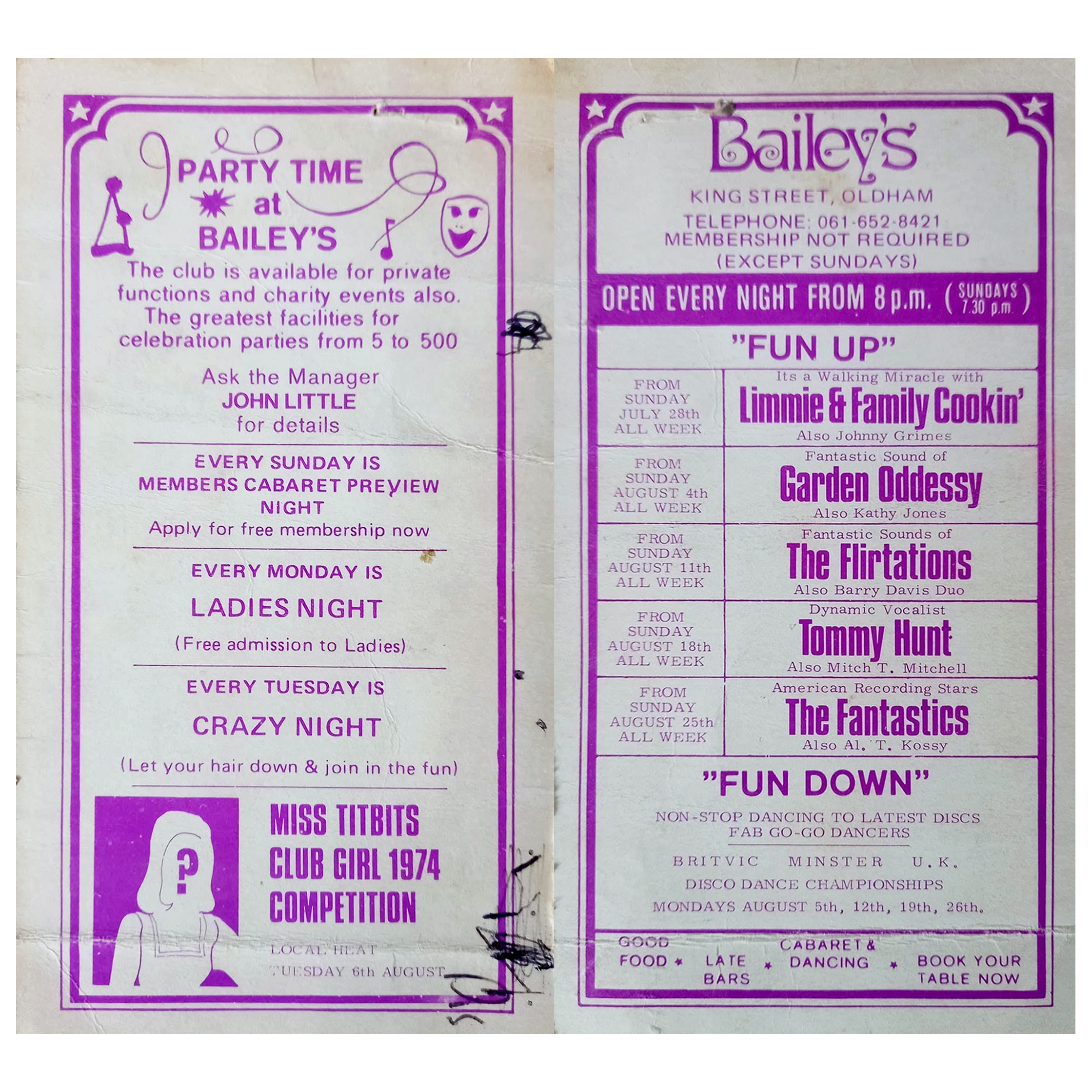
Viewed across the site where Bailey’s used to be – aka Romeo & Juliet’s, Butterflies, Astoria ballroom and Bowling Alley, Froggies and Riley’s.

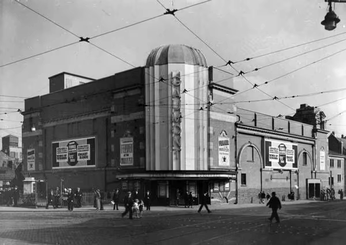
The site originally started out as the Grand Theatre, a performance space designed by London architects Thomas Taylor and Ernest Simister who also designed Chadderton Town Hall.

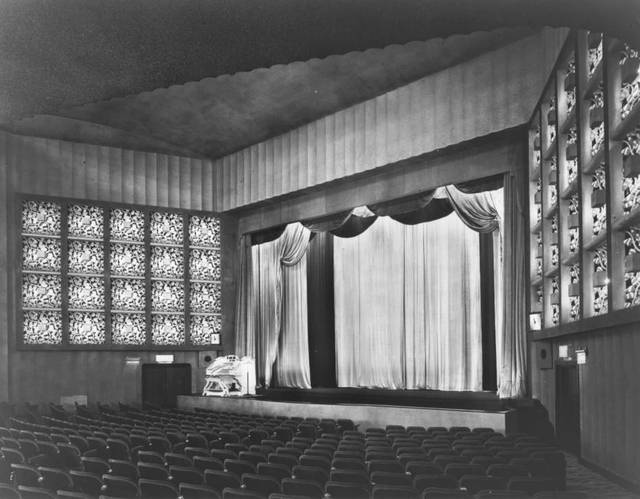
In 1937, Gaumont Super Cinemas took over the building, gutted the auditorium and transformed it into stalls and one circle seating totalling 1,842 to open their 1930s cinema.
BBC

In 1991, the Chronicle reported on a mysterious haunting which was thought to have taken place in Butterfly’s nightclub in Oldham.

Before Butterfly’s had been a nightclub the building had been used for many purposes, and in 1939 was known as the ‘Grand Theatre.’ The building was undergoing renovations when Mr Lloyd was killed. ‘Witnesses said that Mr Lloyd was crushed underneath the beam which he was trying to guide down with a rope.’

However, Derek Lloyd’s theory of the origin of the ghost was not accepted by everyone at the time. Due to the fact the ghost appeared to be wearing a white T-shirt, people believed it was unlikely to be the spirit of a 1930s man. In response, Derek argued that ‘my father always had his sleeves rolled up at work because he suffered from a skin complaint.’ 
Gallery Oldham

In 2011 the building was converted into a roller derby centre known as the Thunderdome, once home to the Rainy City Roller Derby who moved out in 2020.

It was announced in April 2023 that the building was proposed for demolition and the end came in May 2025.
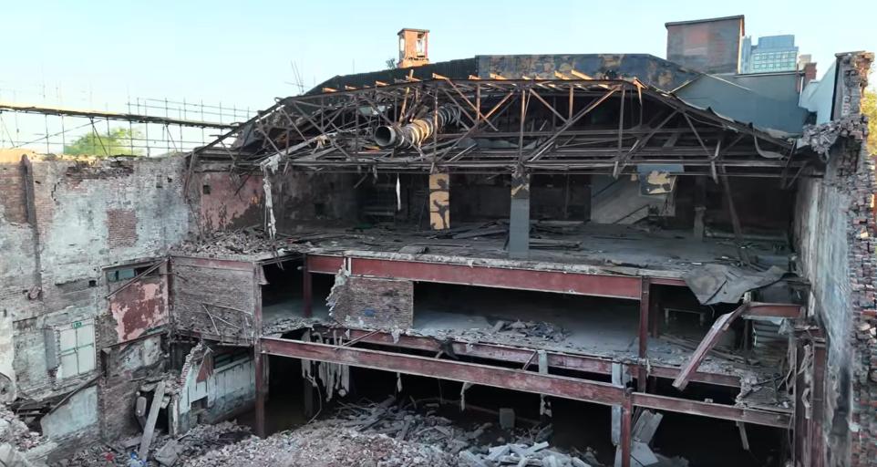
Image: Mark Hughes
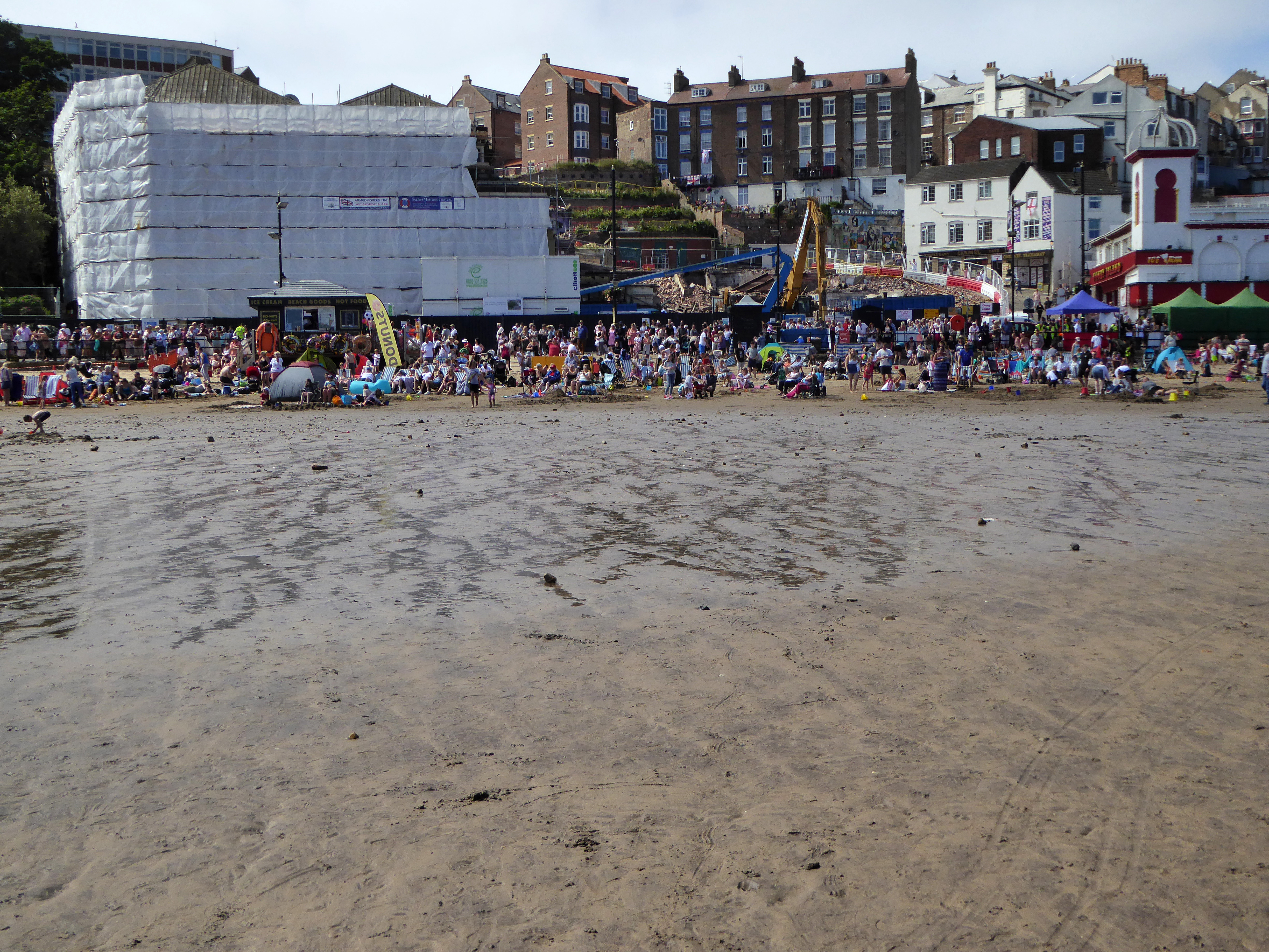
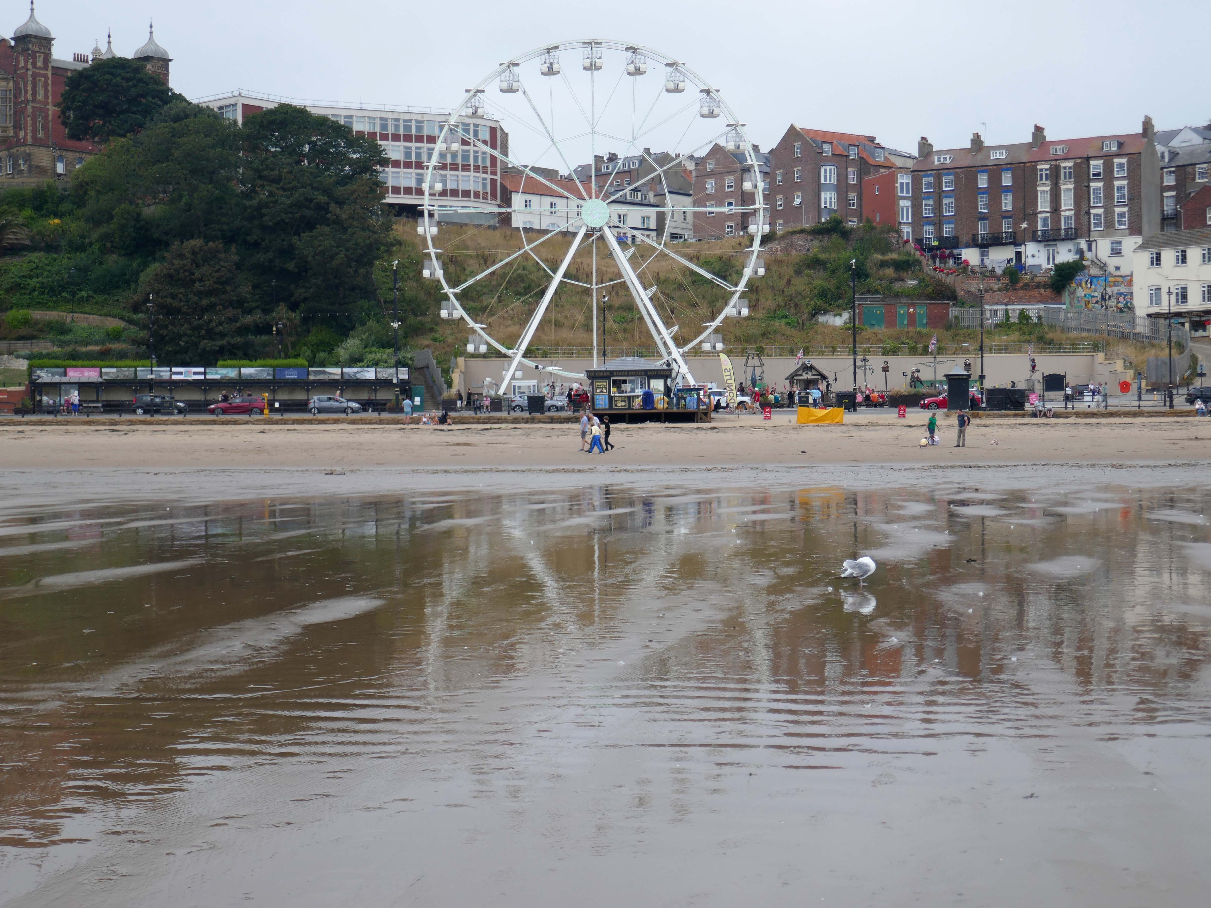
Scarborough Coastal Stroll

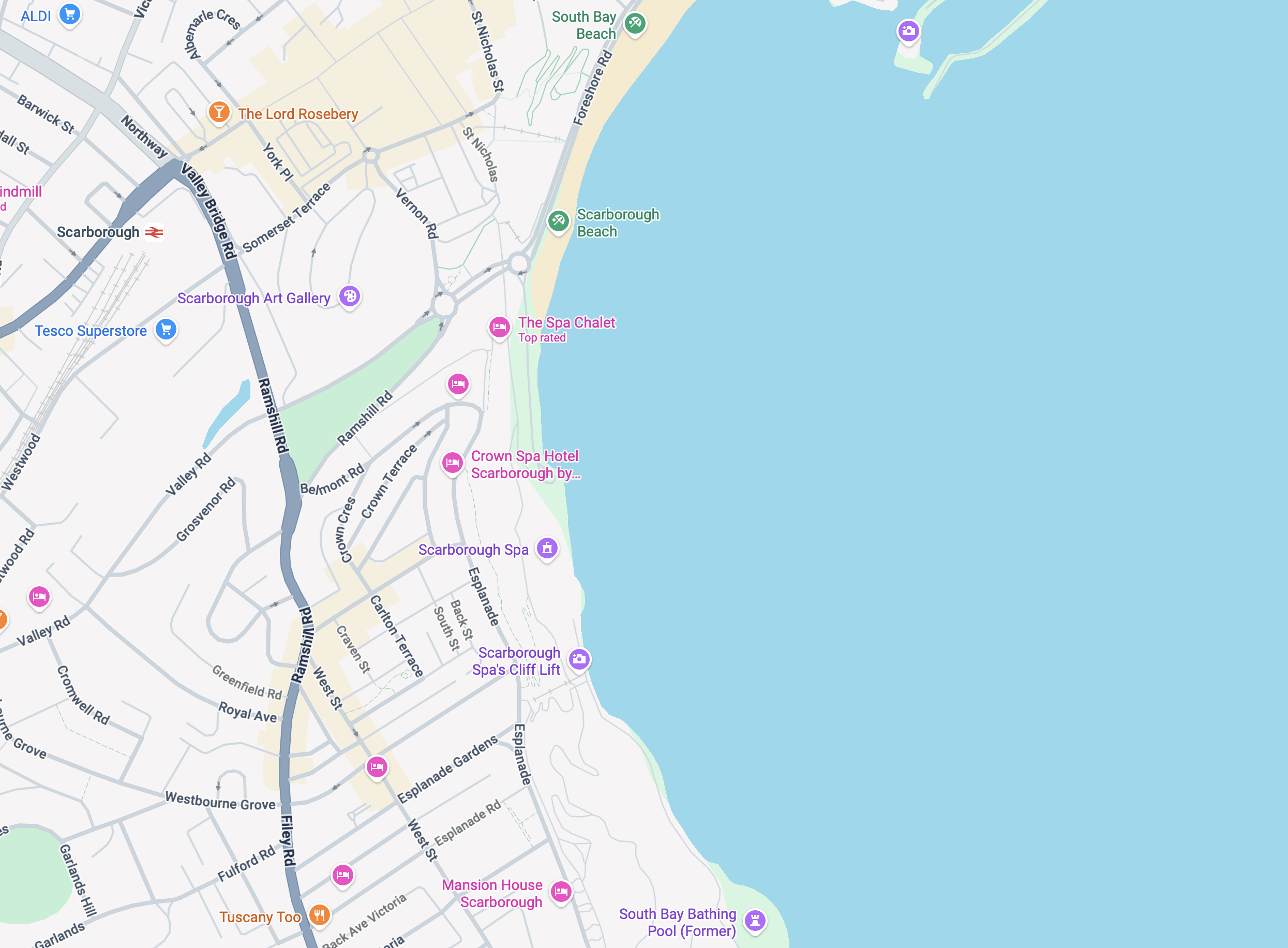
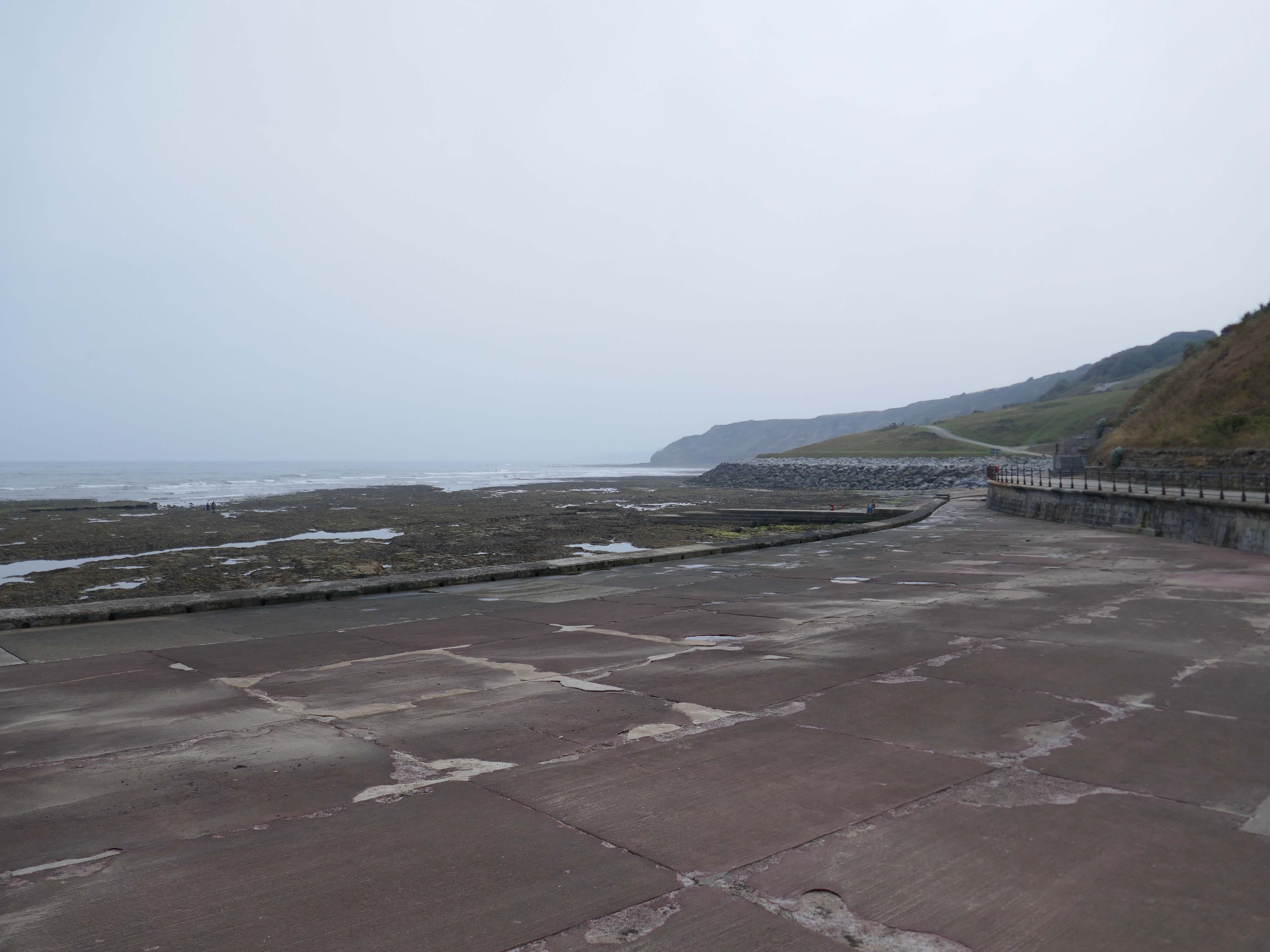
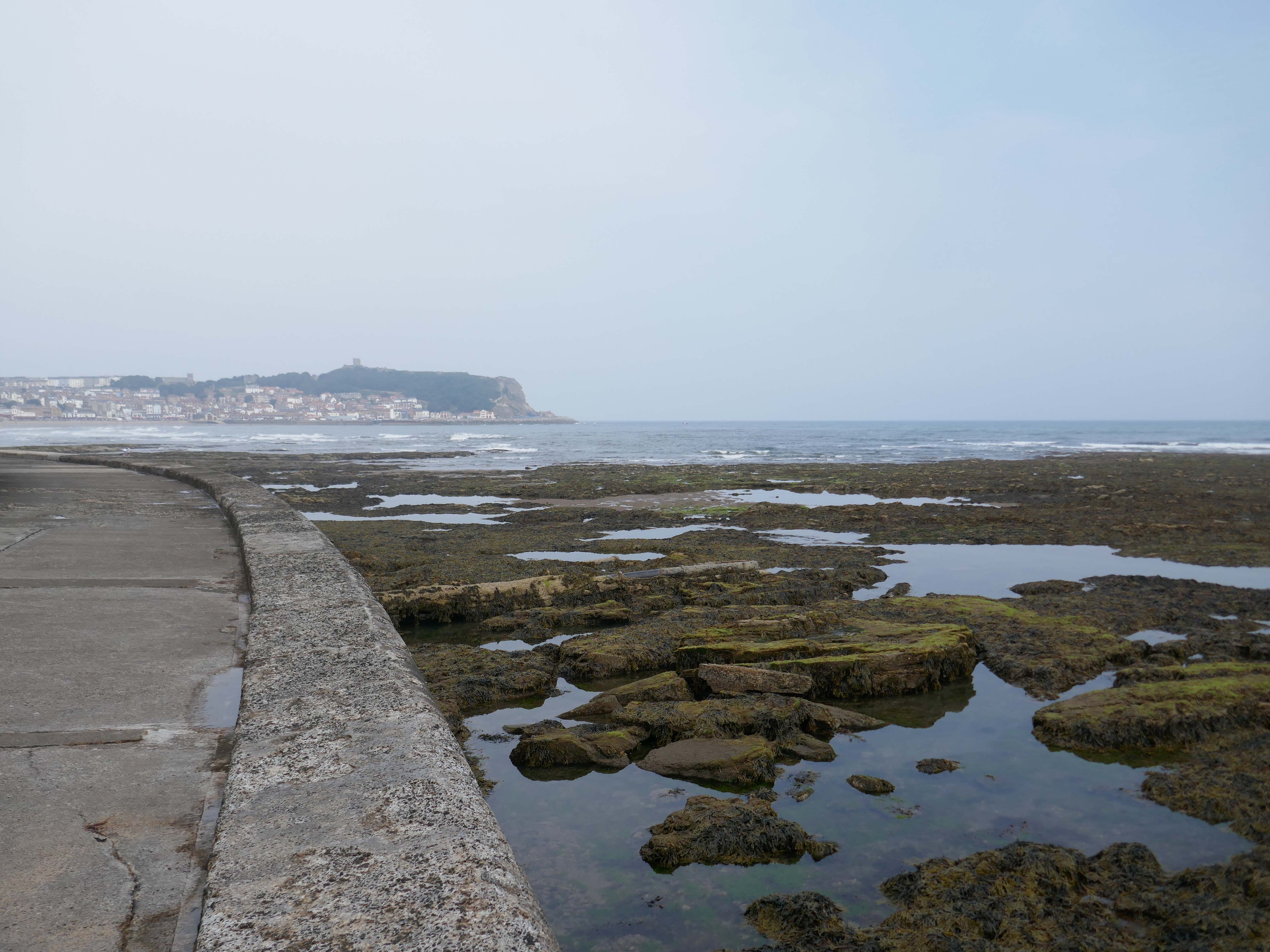
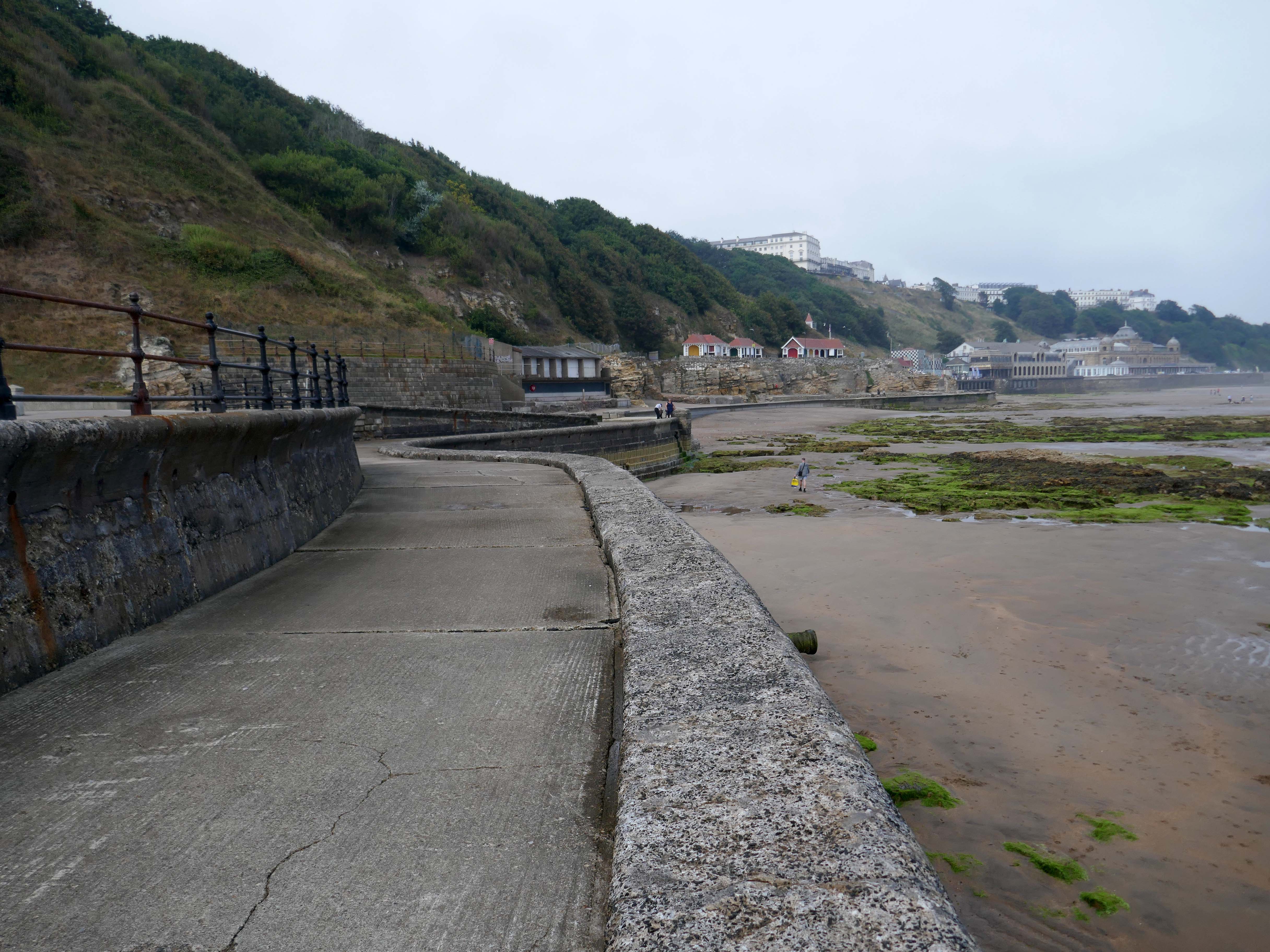
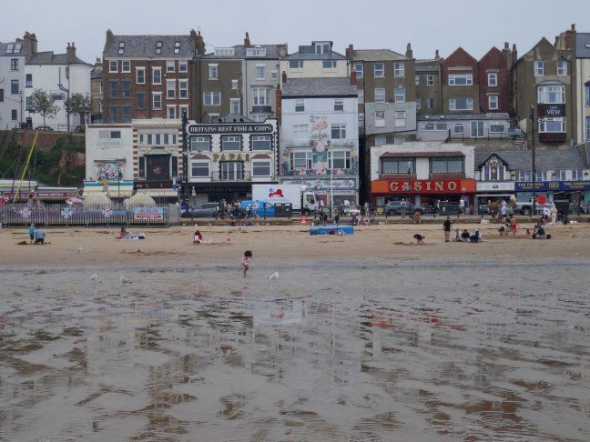
This is one of many walks from South Bay Bathing Pool to South Bay Beach.

Today we begin at the Scarborough Library.

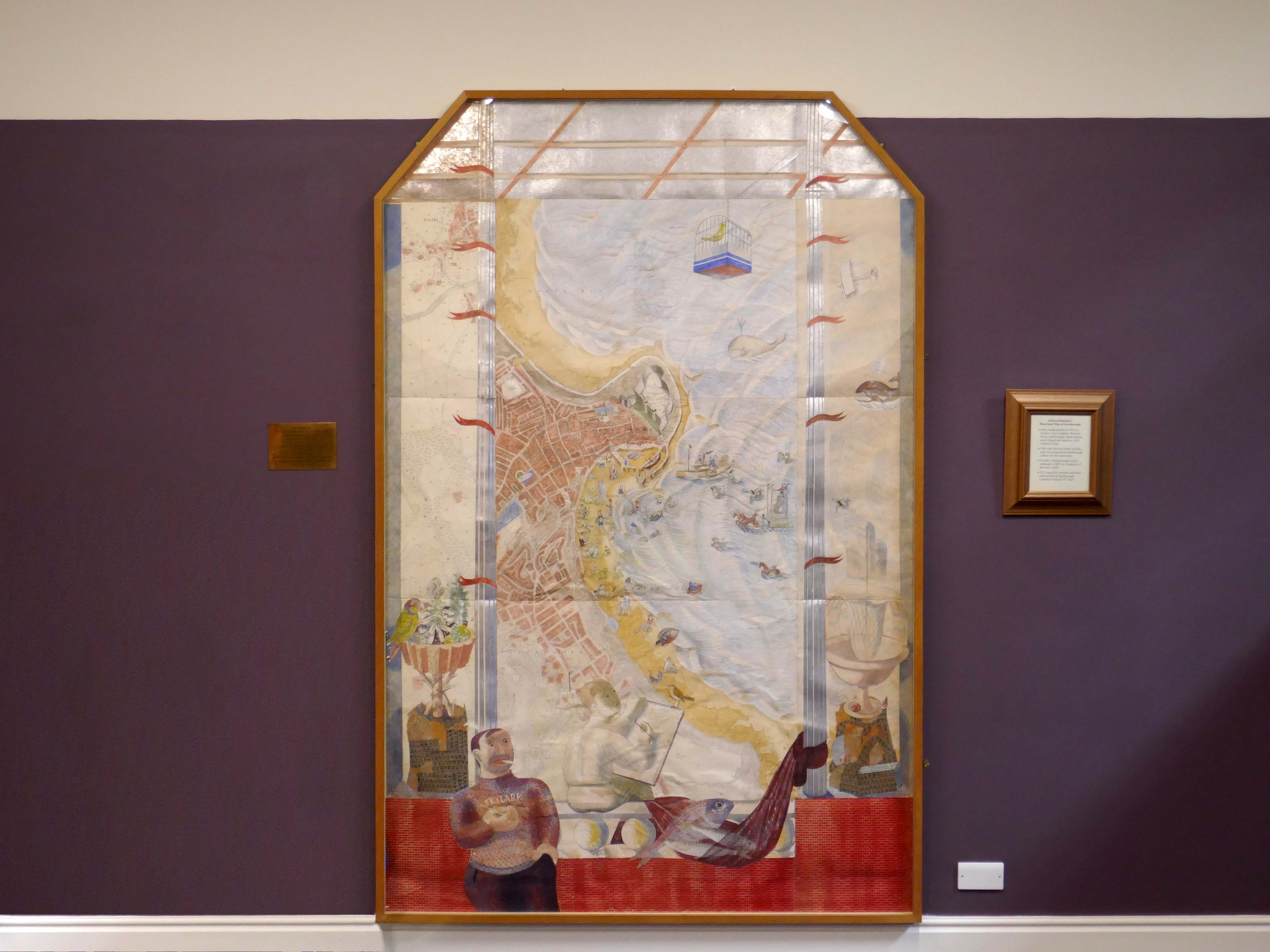
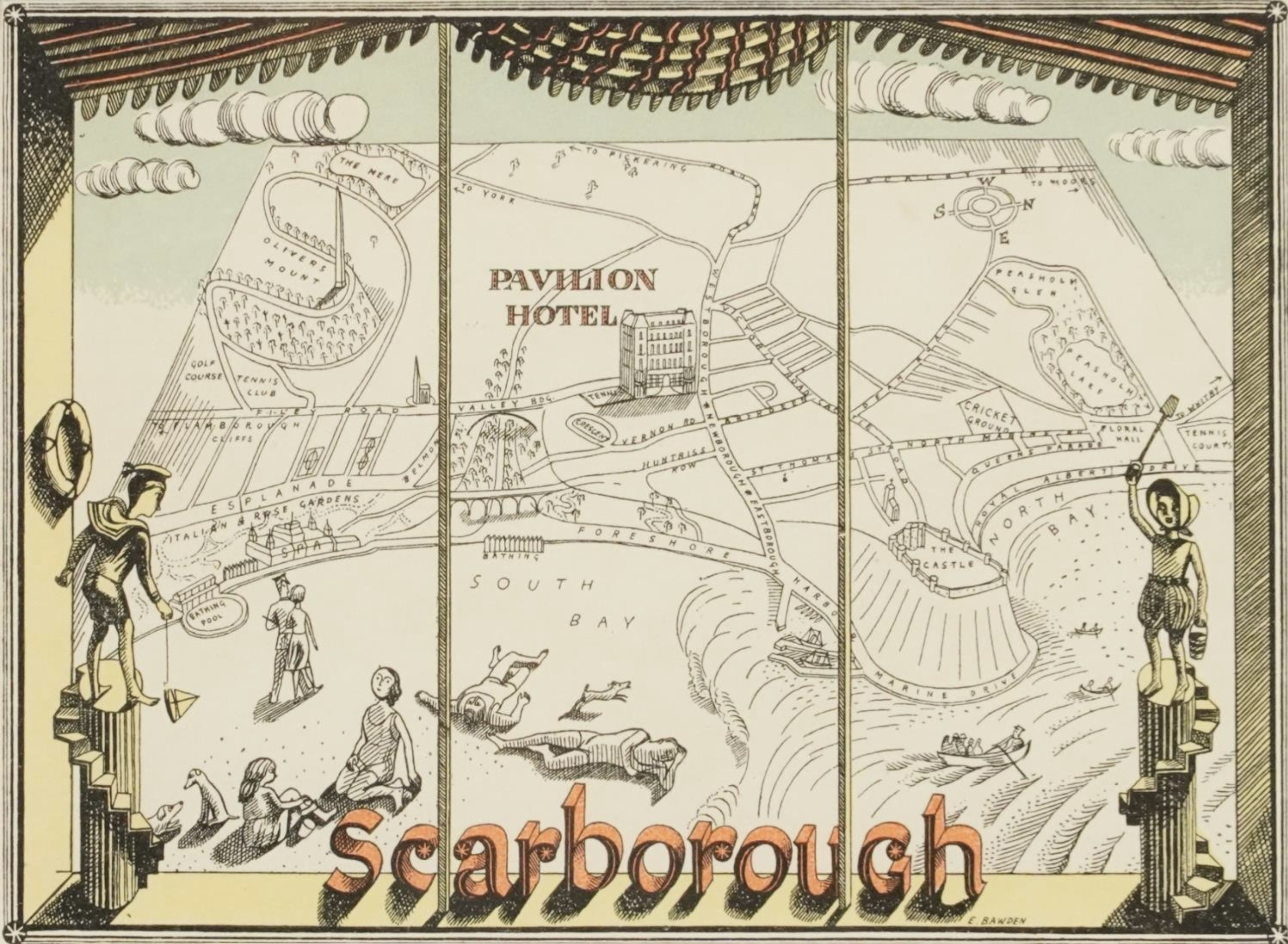
The Edward Bawden map was commissioned in 1931 by Tom Laughton, the hotelier of Pavilion Hotel in Scarborough.

I discovered Edward Bawden myself. I saw some illustrations of murals in the Illustrated London Newswhich had been carried out by Bawden at Morley College. The principal subject was a lodging house with a classical pediment and with the front walls taken out, so that the life in the house was shown from the basement to the attic. I found it delightful. I managed to find out where he lived, and I went to see him. I rang his bell; waiting on the steps I looked across the road and recognised the building that was the subject of the mural. At length a young and seemingly timid man came to the door; “There is your mural”, I said. He told me that I was the first person to spot his subject. He took me on a bus to see the paintings on the walls of Morley College.

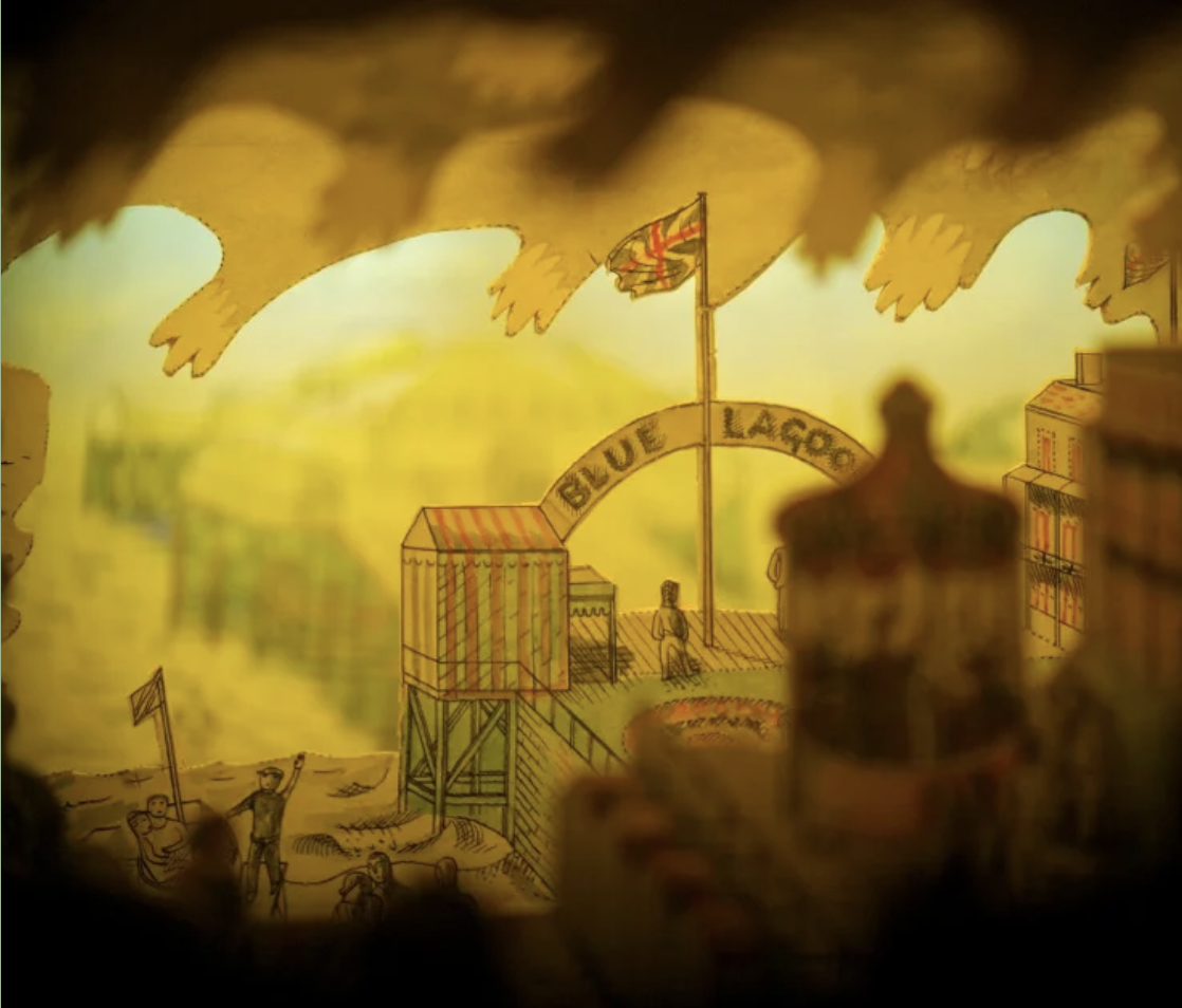
The outcome was that he designed a wine list for the Pavilion Hotel, decorated a large ordnance map of Scarborough – (which when I left the hotel I gave to the children’s public library and also made an amusing perspective peepshow, which is still in my possession – Pavilions by the Sea was published in 1977.

The peepshow is on display on the first floor of Scarborough Art Gallery, where it still enchants children and adults alike.

Scarborough Museum and Galleries

The map is hand painted and based on the OS Map of 1926.

The map was fully restored and reframed in 2012 and now lives in Scarborough Library.

Bawden’s postcard for the Pavilion Hotel.

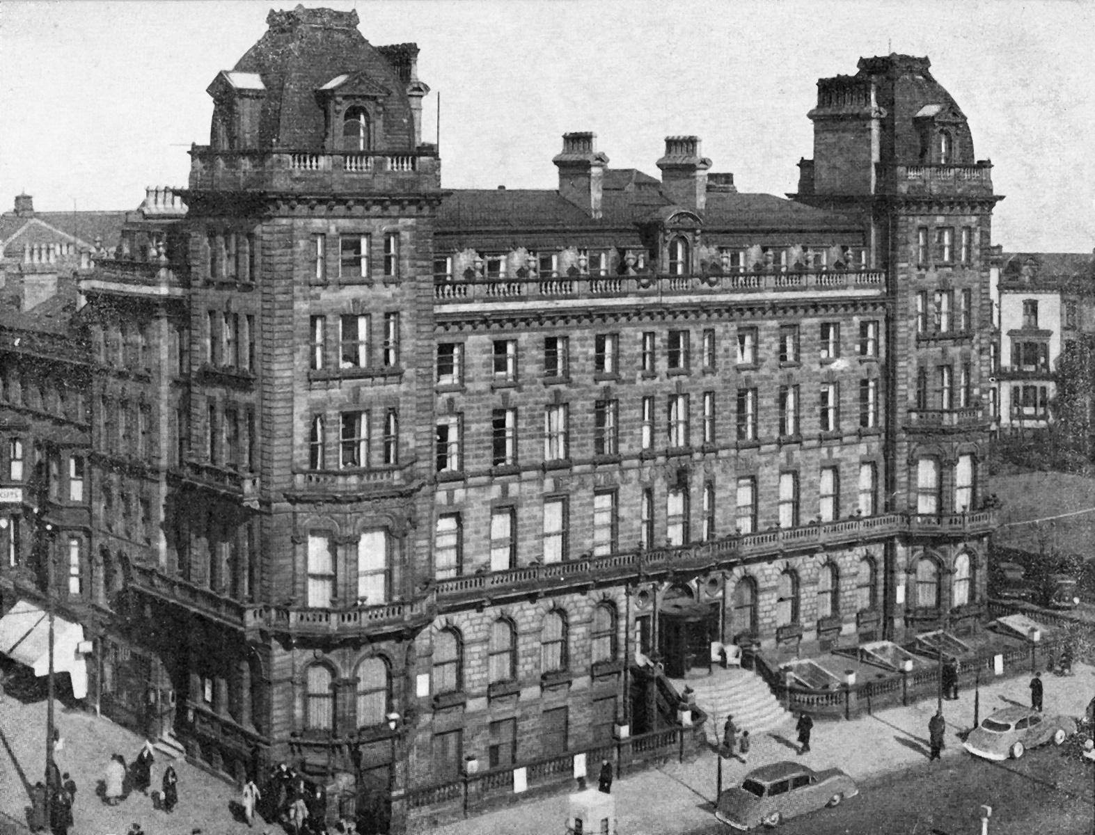
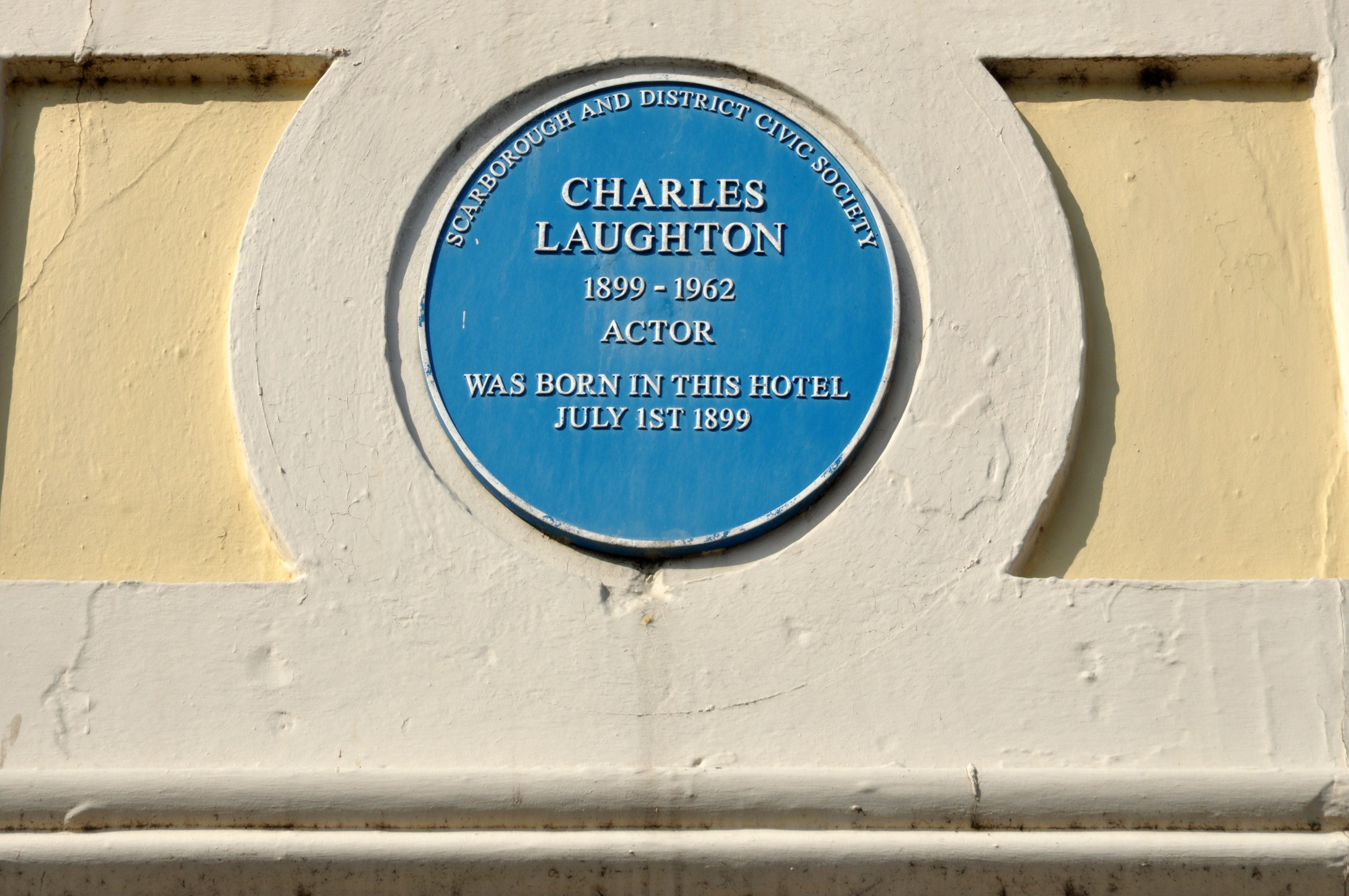
Tom Laughton was brother to Charles Laughton – the plaque is attached to their home the Victoria Hotel.

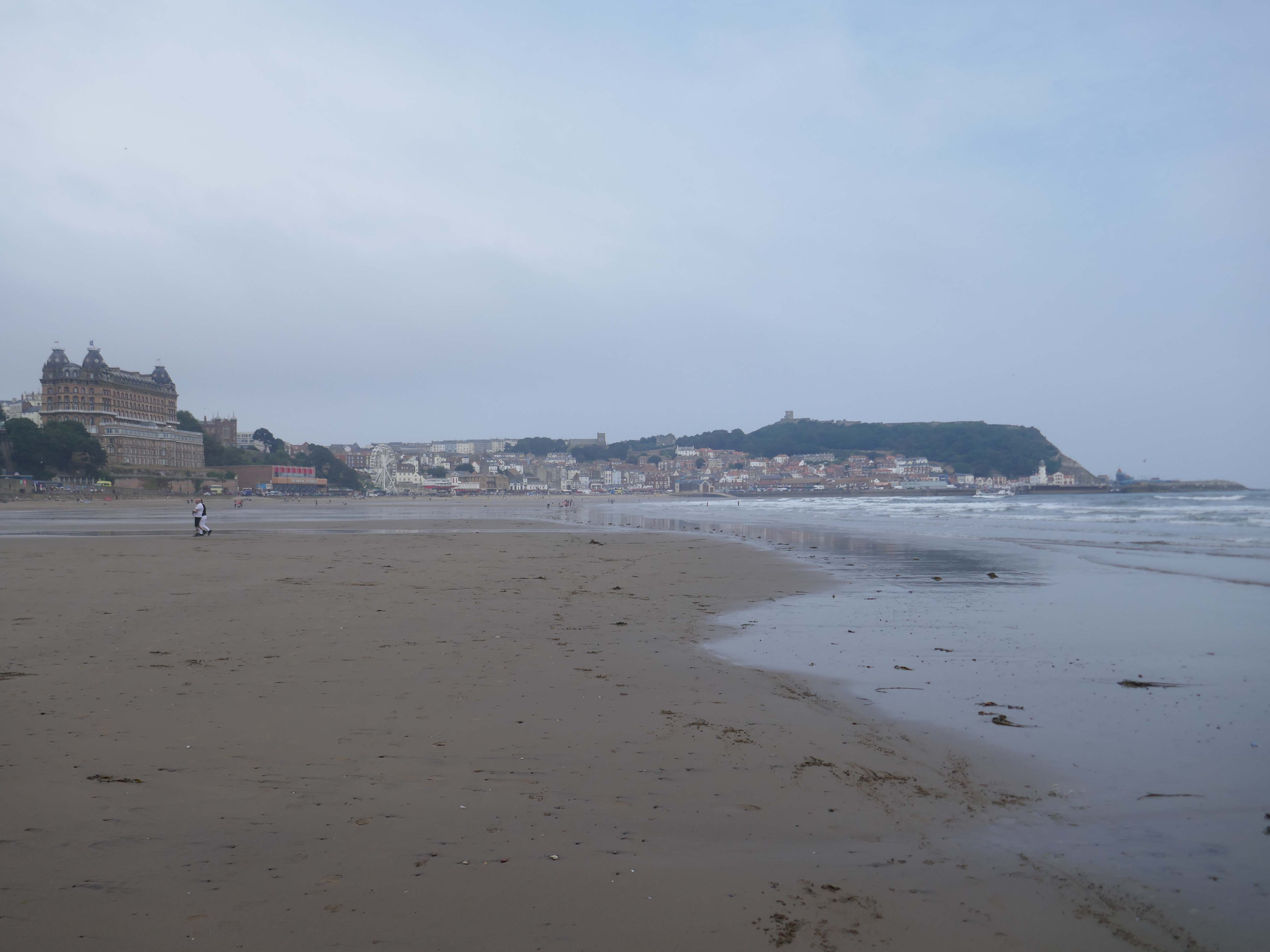
Enthused by Edward’s exquisite map I set off strolling along the seafront.

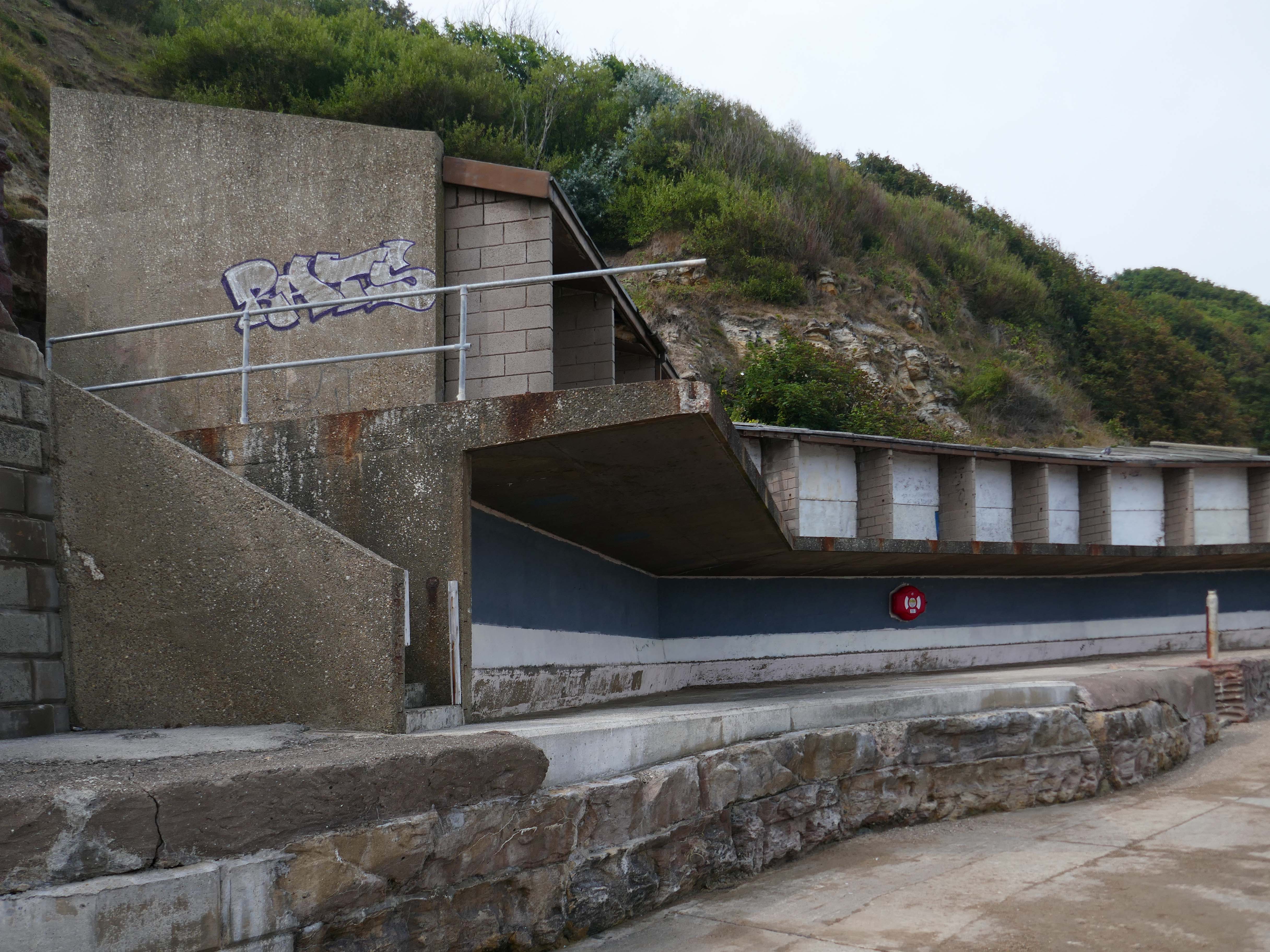
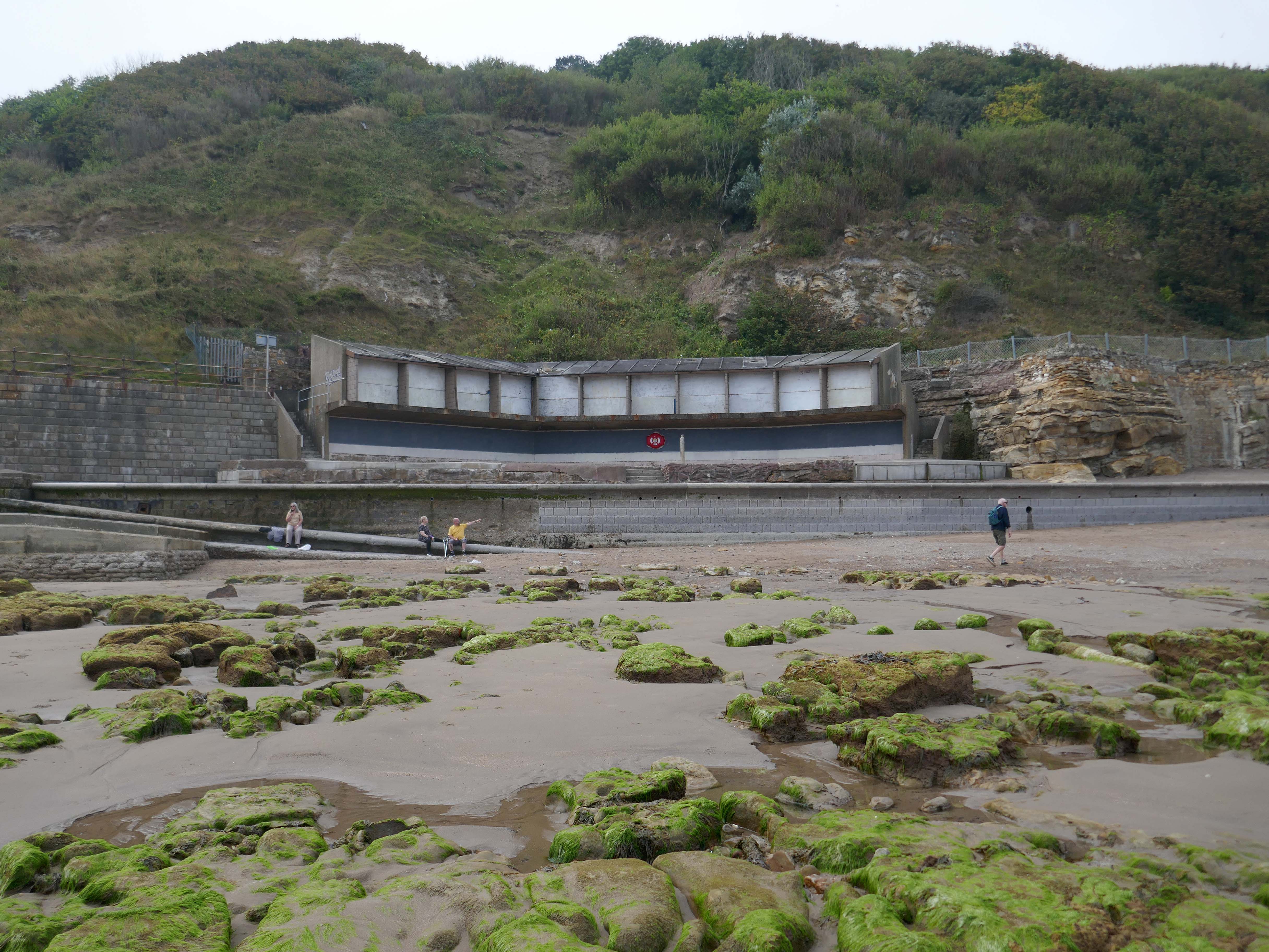
I always stop to pay my respects to these seriously neglected concrete beach chalets.

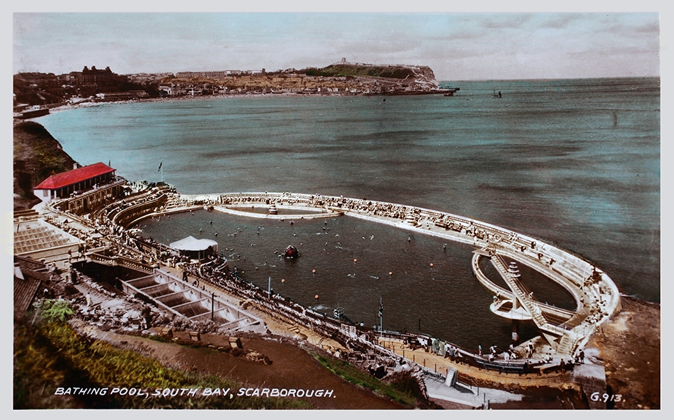
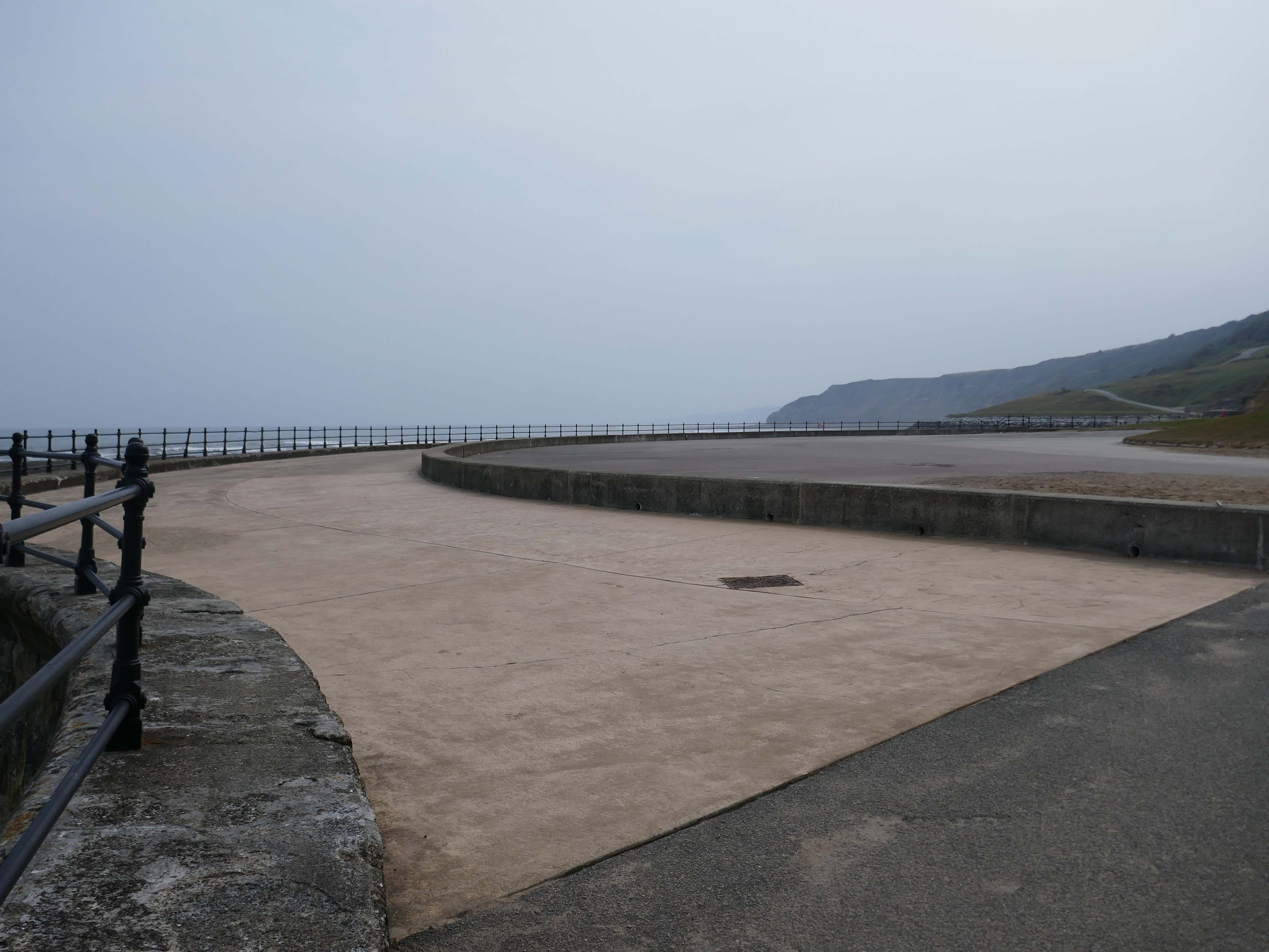
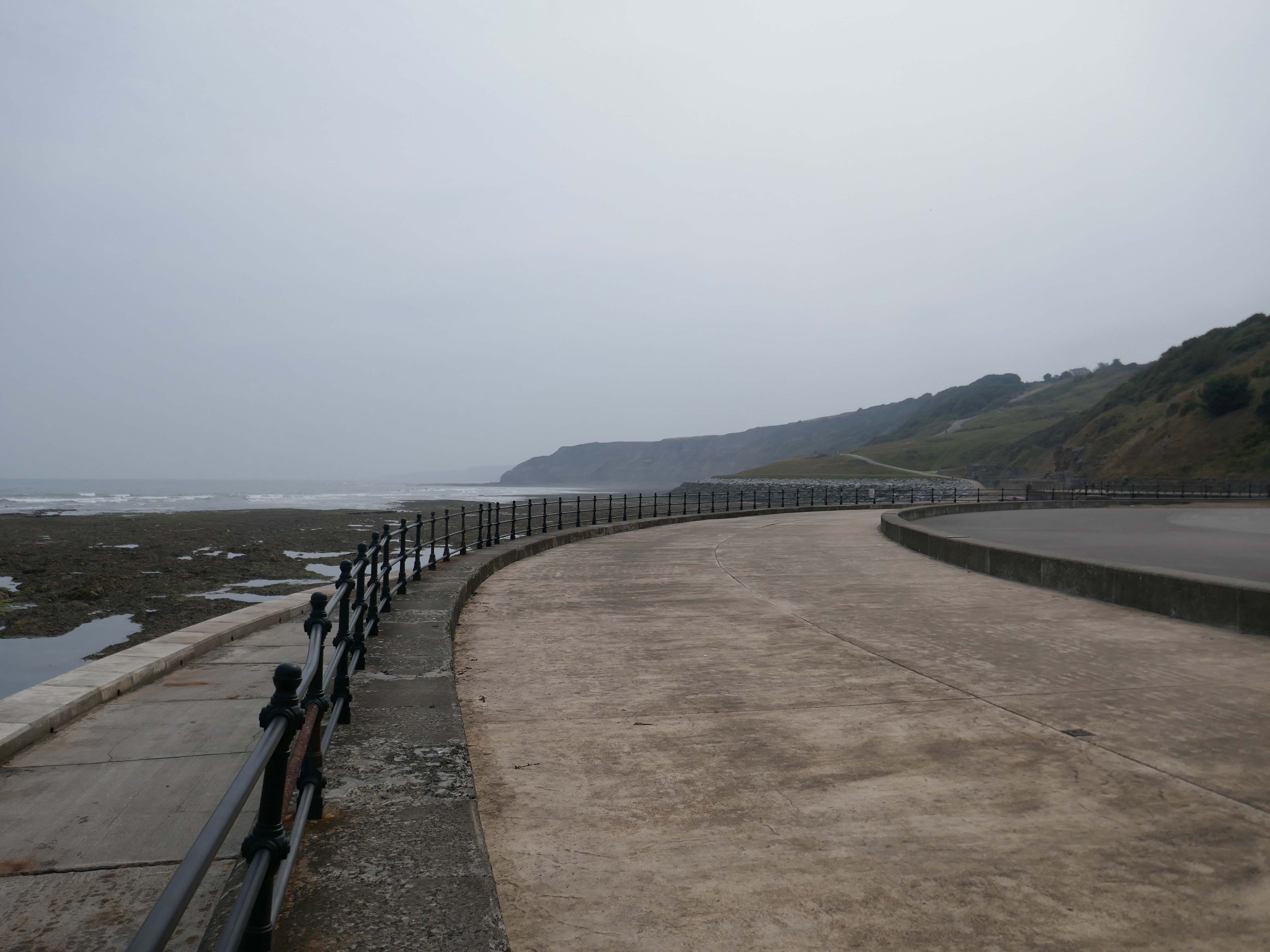
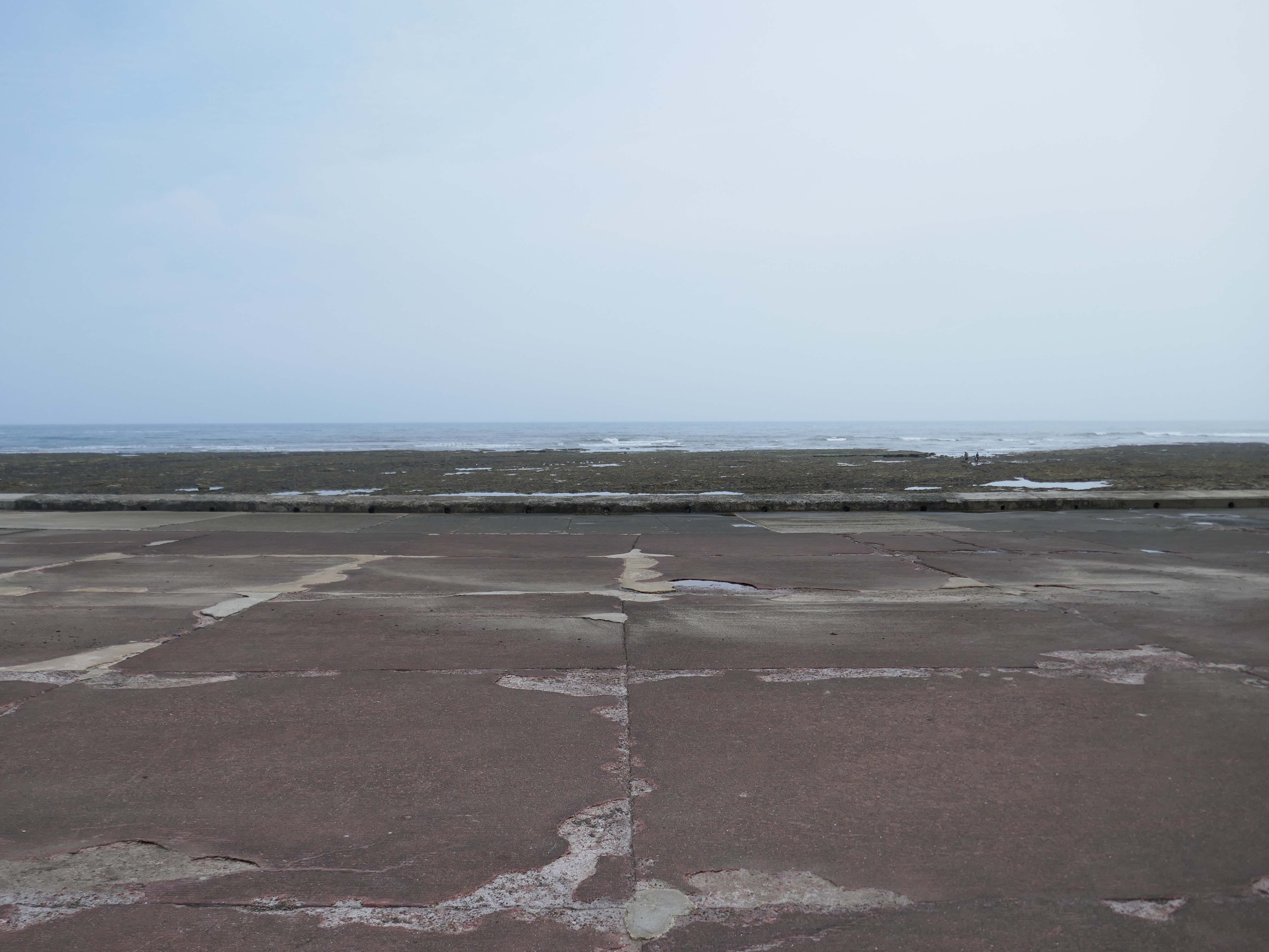
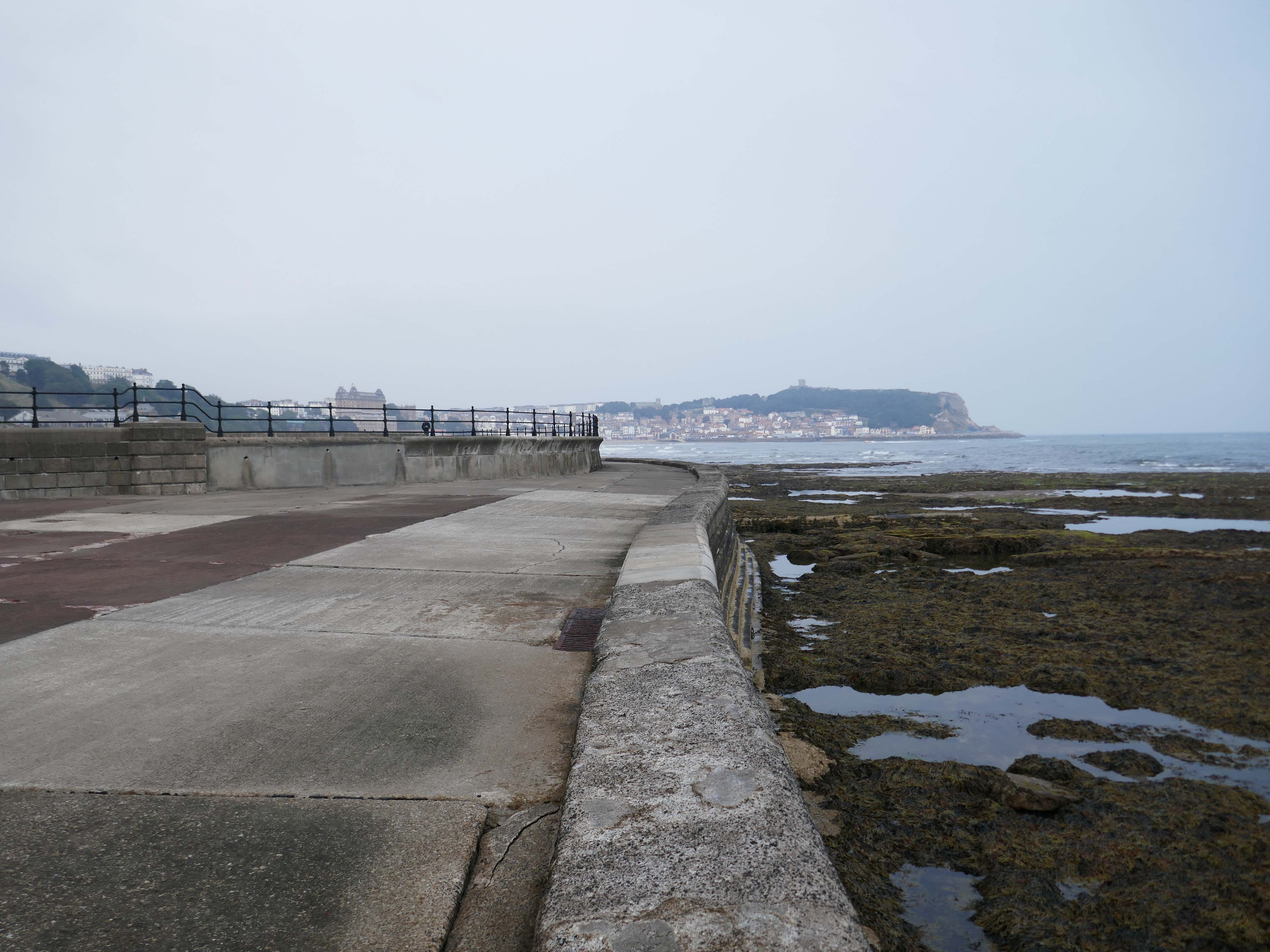
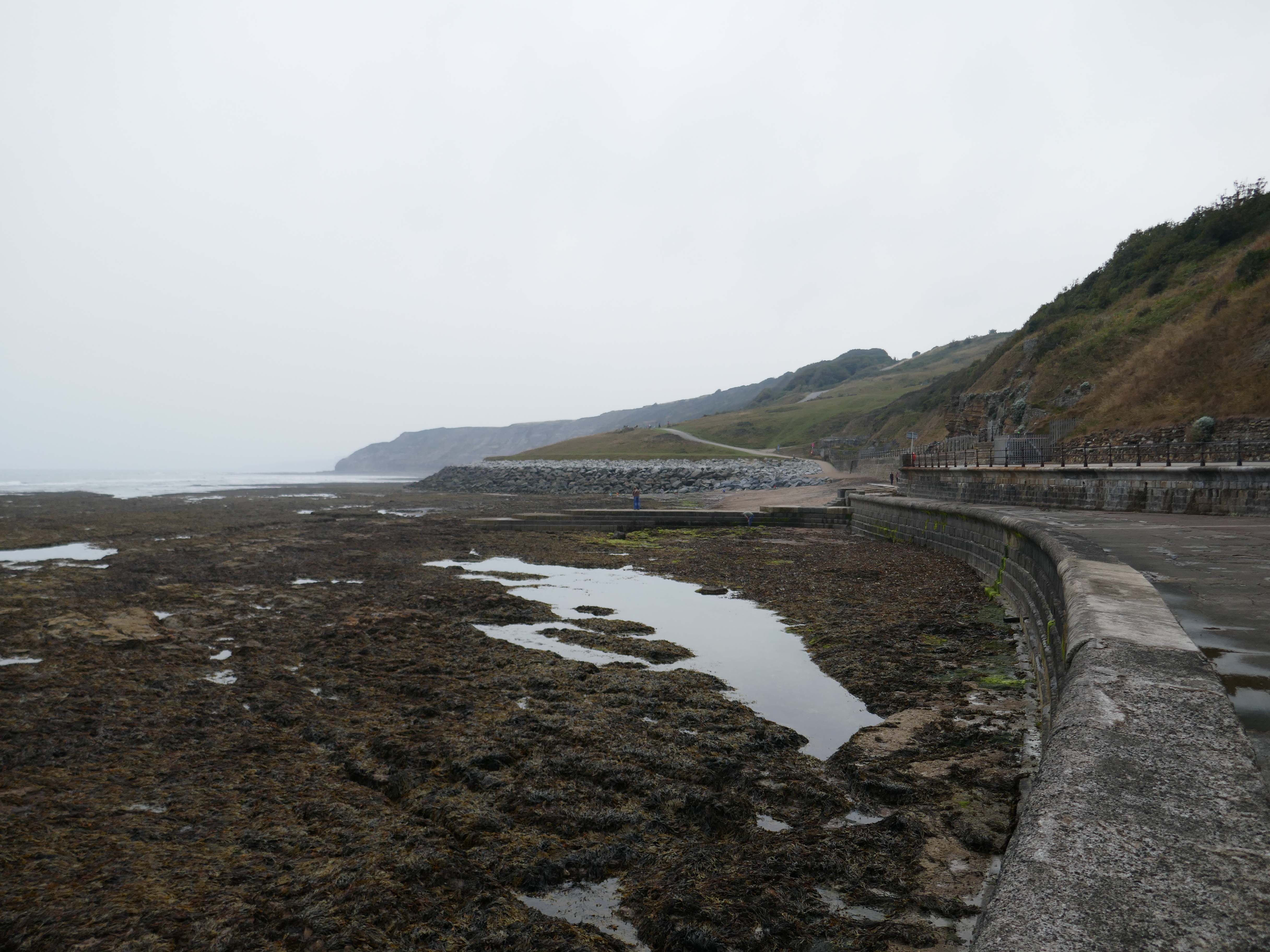
Thence to the former South Beach Bathing Pool designed by Scarborough’s former Borough Engineer, Harry W Smith.

Construction began shortly before the outbreak of WWI, and was taking place in December 1914, when Scarborough was bombarded by German ships. Workers were able to shelter, coincidentally, behind the new wall they had recently constructed for the pool.

Built in the Art Deco style, it measured 330ft long and 167 ft wide, and was filled naturally by fresh sea water, propelled into the pool by the tide each day – officially opened in 1915.

The pool closed in 1989.

Stories From Scarborough

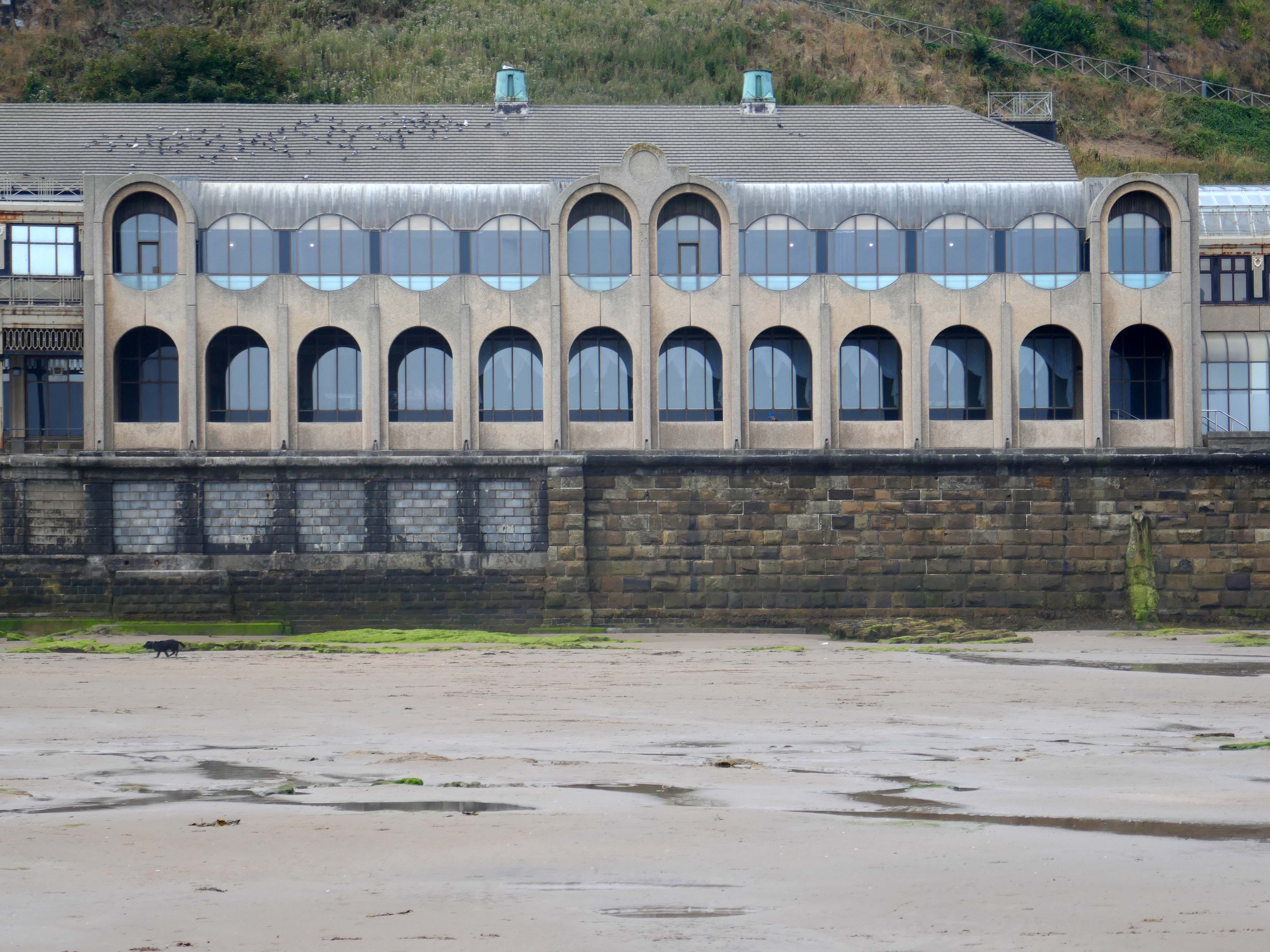
Concrete Colonnade in the Post Modern manner.

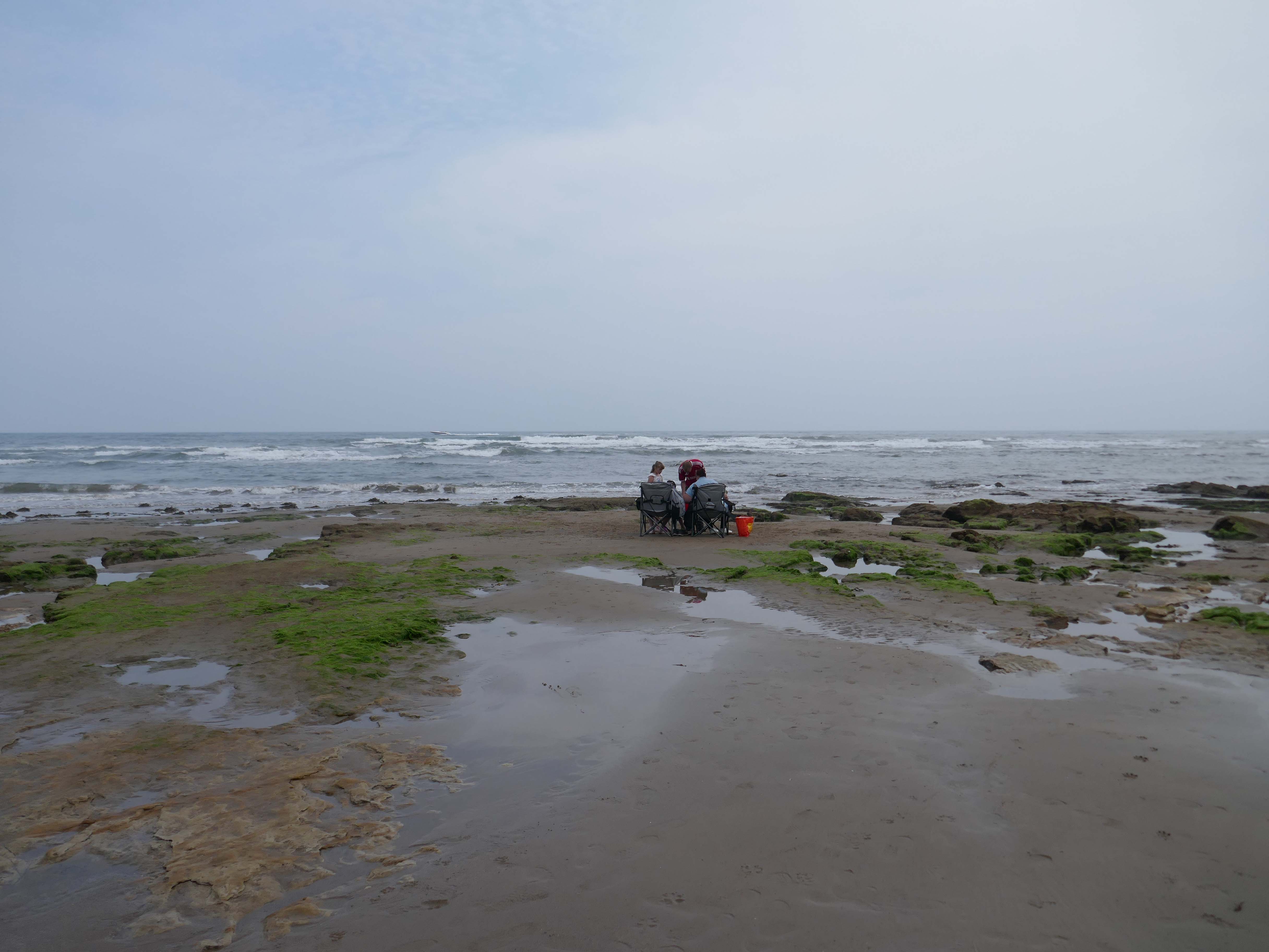
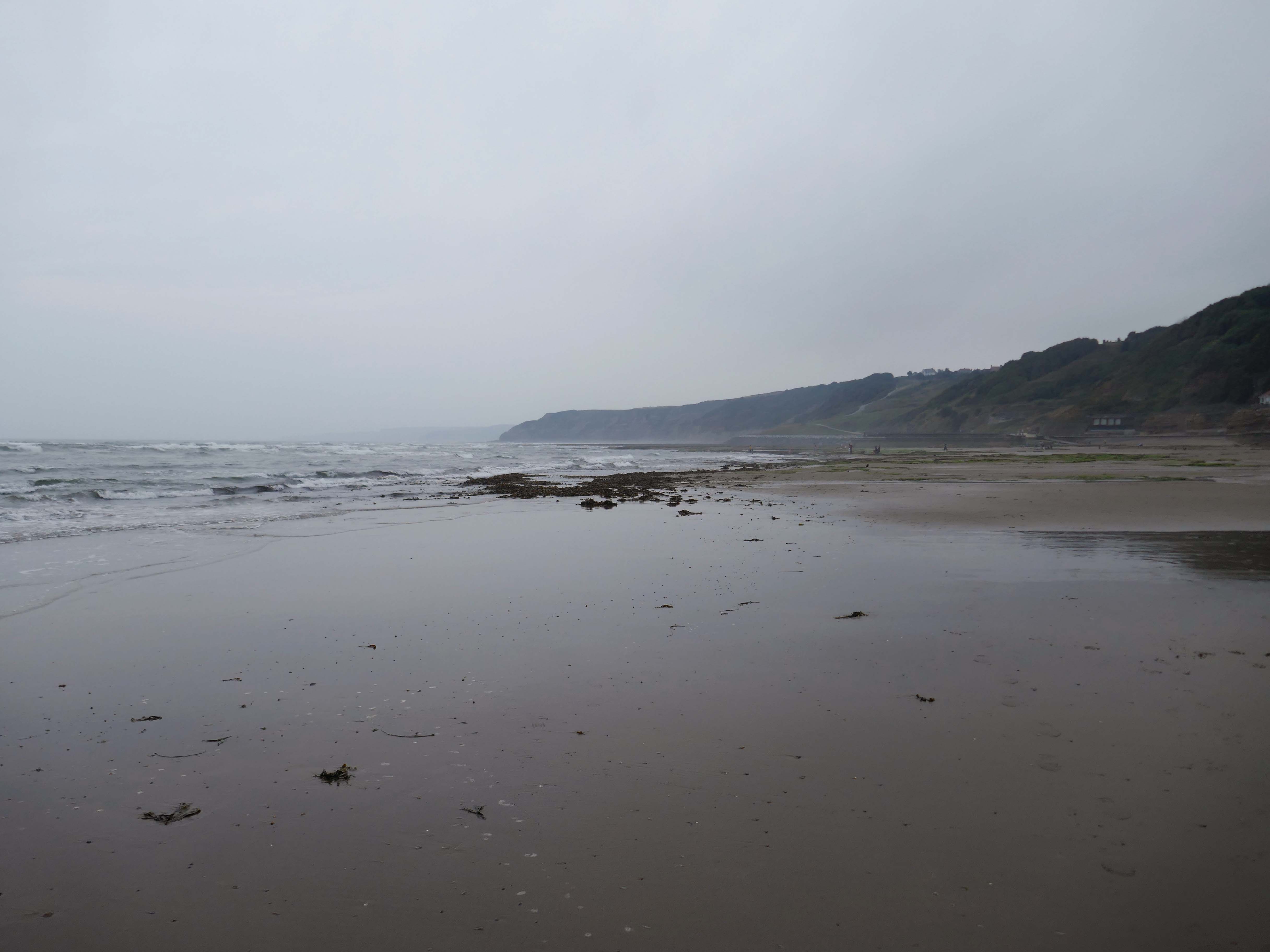
Filey Brigg is barely visible through the mist.

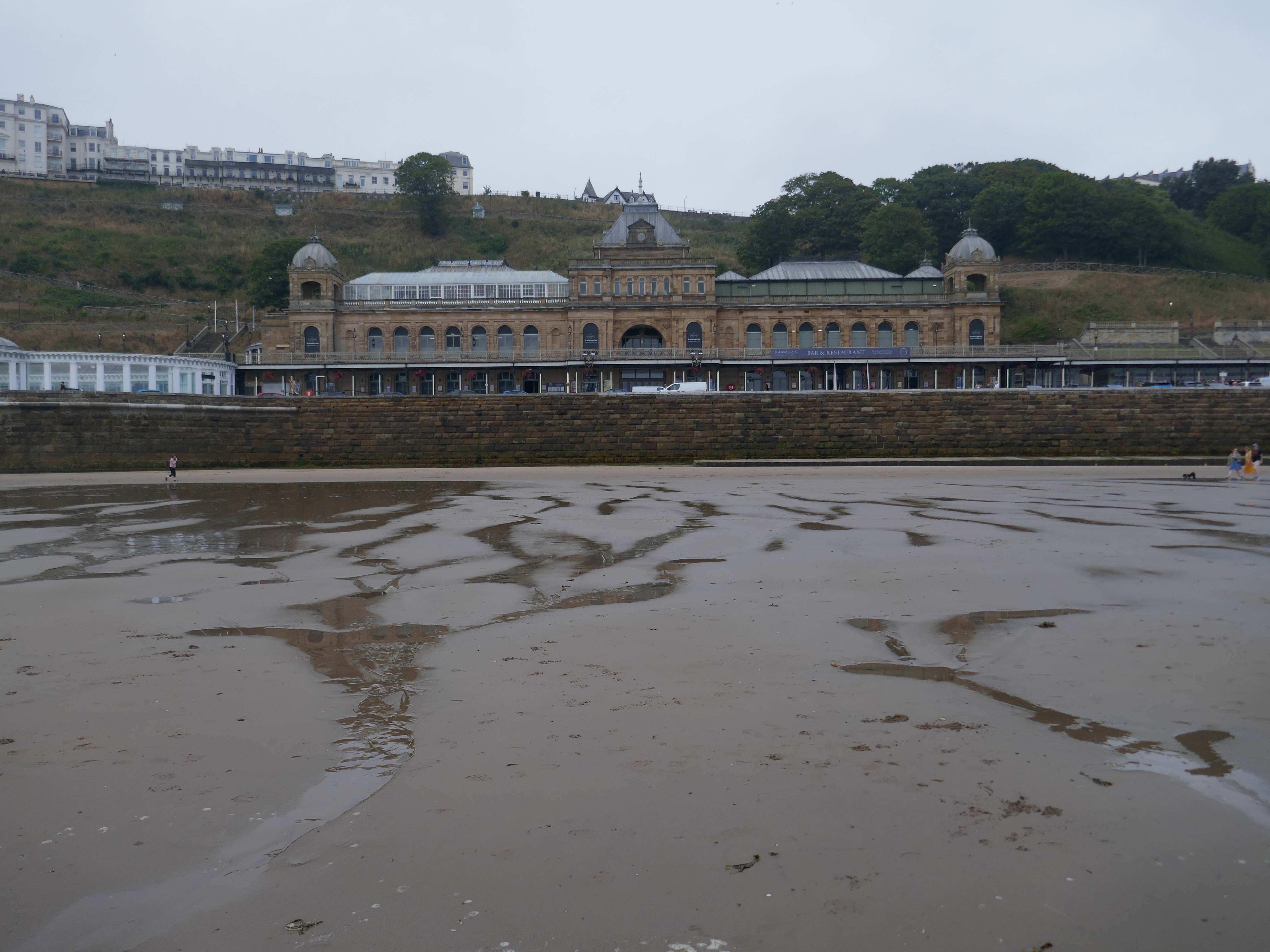
The Scarborough Spa – boldly stands over the bay, beaches, and harbour, providing unrivalled views. With a lengthy and impressive past, it is a popular venue for touring performers and meetings, conferences, and training sessions.

The Spa dates back to the C18 when a mineral spring there became a place of fashionable resort. Originally there was just a timber embanked terrace to the shore. Later, in the early C19 a castellated building was raised. In 1858 Sir Joseph Paxton designed the new ashlar faced Spa pavilion raised on terrace with arcaded ground and first floor articulated by pilaster strips, seven bays, with projecting pilastered corner towers with balustraded parapets.

Grade II* Listed

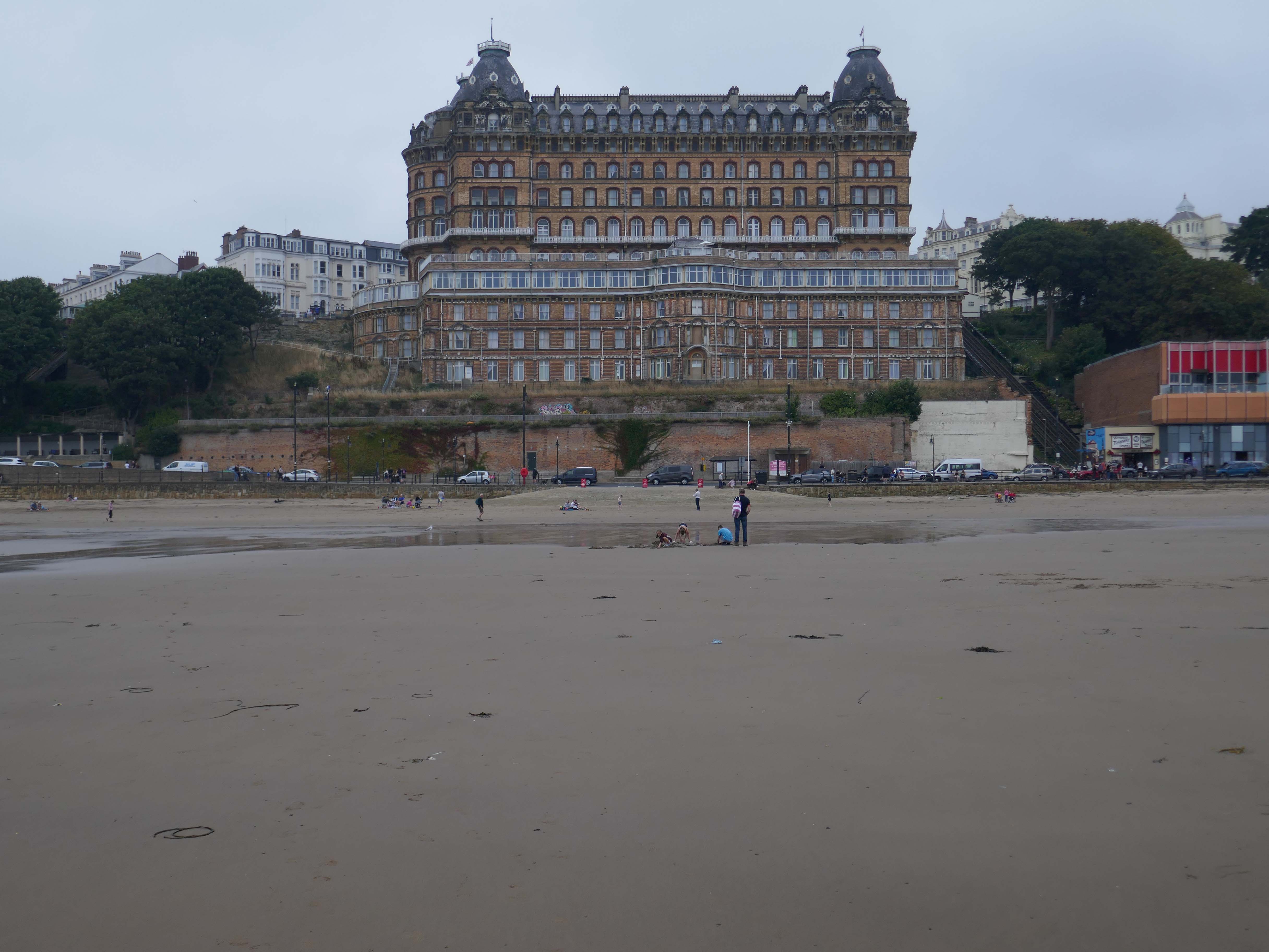
Grand Hotel was chosen as one of Historic England’s seven wonders of the English seaside, as featured in the Daily Mail

Located in the town centre and built in 1863, the Grand Hotel Scarborough takes pride of place overlooking the town’s picturesque harbour and South Bay. This stunning Victorian building is an instantly recognisable landmark, and stands out amongst other hotels in Scarborough. 

We’ve stayed here a few times and we’ve never had a problem with our room. If you dont like lifts theres a lot of stairs but we like to keep fit anyway. Fridge was a bonus. Hairdryer, towels, three loo roll, towels, fan, iron, ironing board Good stock of tea and coffee, nice clean kettle. Paid for a room with a window and got unexpected sea view which was fab to wake up to. Gorgeous main area, singers on at nine, stayed in room thirteen no ghosts lol.

Will defo come again – thank you Grand Hotel.

Samantha K

Absolutely disgusting, the rooms was very dirty, full of dust, the room hasn’t been cleaned since the last person stayed as there body shape was still in the bed, bathroom had toothpaste all in the sink and the shower was absolutely filthy. Curtains are hanging off. Carpets are dirty. The food is very bad, cheap and under cooked. And most the food on the menu wasn’t even available. When speak to the staff I got verbal abuse from them and the chef told my partner to “f off”.. it’s just horrible experience. Do not wish this on anyone. You go outside to loads off homeless doing drugs and been drunk also. I actually ended having to leave and book an alternative accommodation.

Don’t stay here

Chloe S

Trip Advisor

Architect: Cuthbert Brodrick – 1863-67 an immense structure in red brick with tawny terracotta dressings, four storeys, basement, and storey at eaves cornice level, and two storey attic

Grade II* Listed

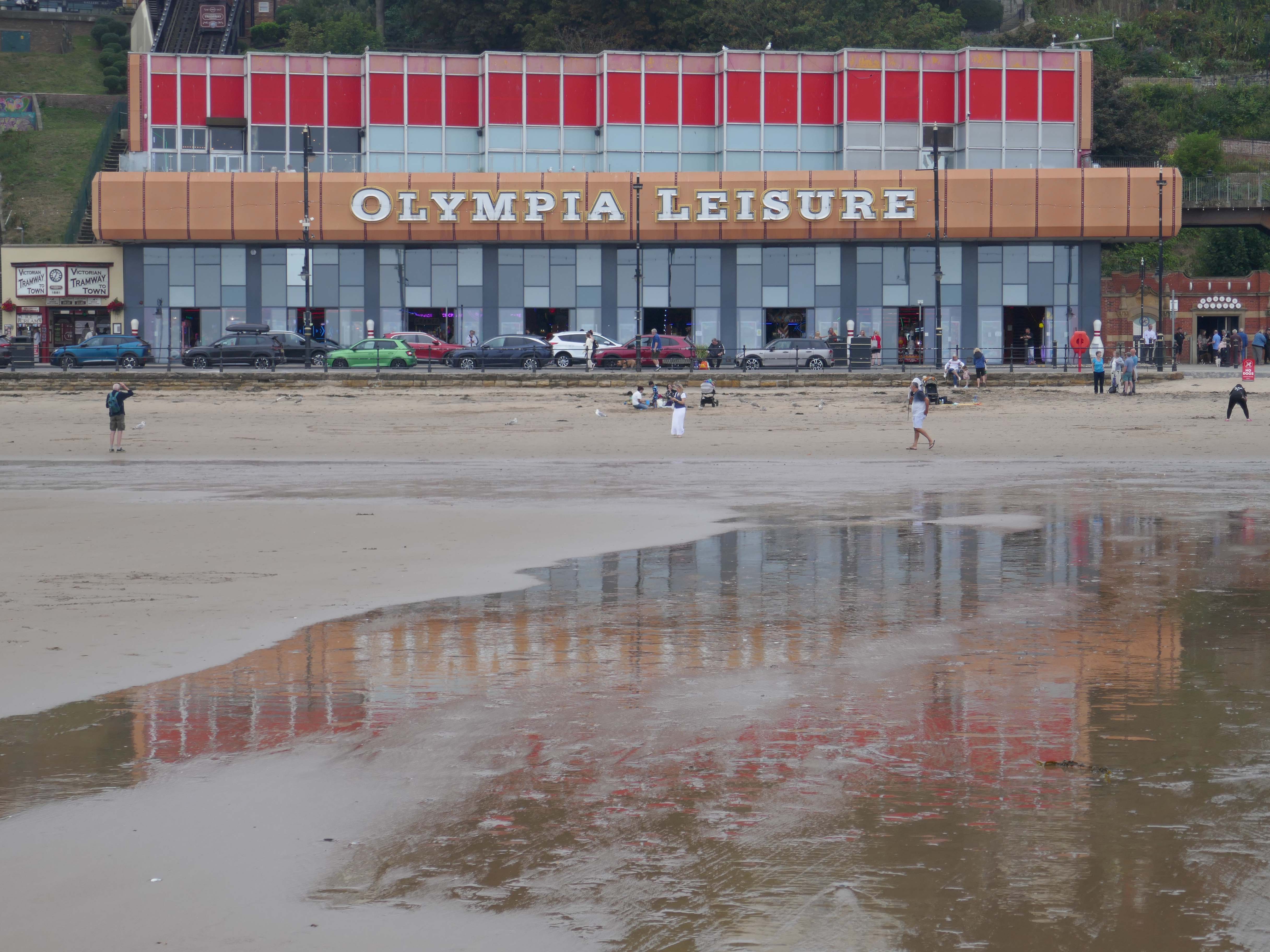
Olympia Leisure

This is the place to be, either to meet friends, make friends or just book a Party event for friends and family. With twelve lanes our Ten Pin Bowling Alley, with its modernised interior and updated scoring system is a fantastic place to relax.

We have fabulous balcony views of Scarborough’s Seafront and Bay and a Smoking Area. It’s the perfect venue for an office or workplace party, student celebration, holiday activity, or just a regular get together of friends.

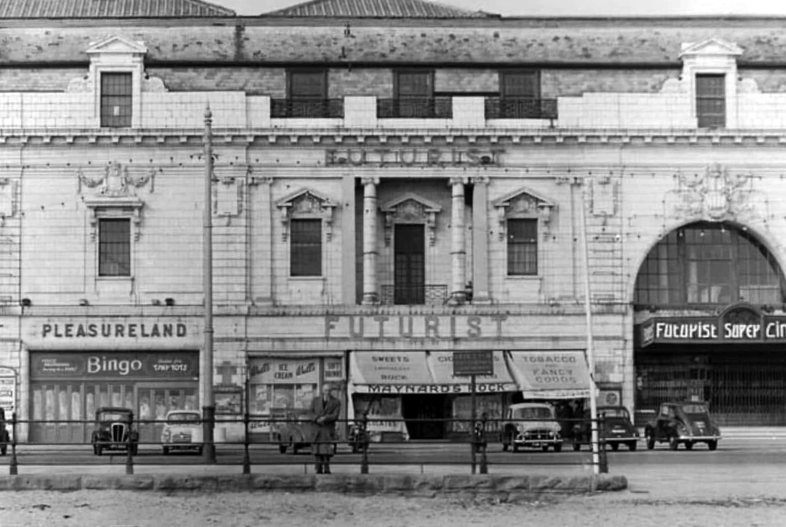
Formerly the site of the Futurist Theatre

The Futurist Theatre was built to the design of Scarborough architect Frank Tugwell and opened on 27 June 1921 as a cine-variety theatre operated by William Catlin.

Originally it boasted a grandiose, ornate façade of robust, self-cleaning white glazed Carraraware tiles, the design of Henry Doulton.

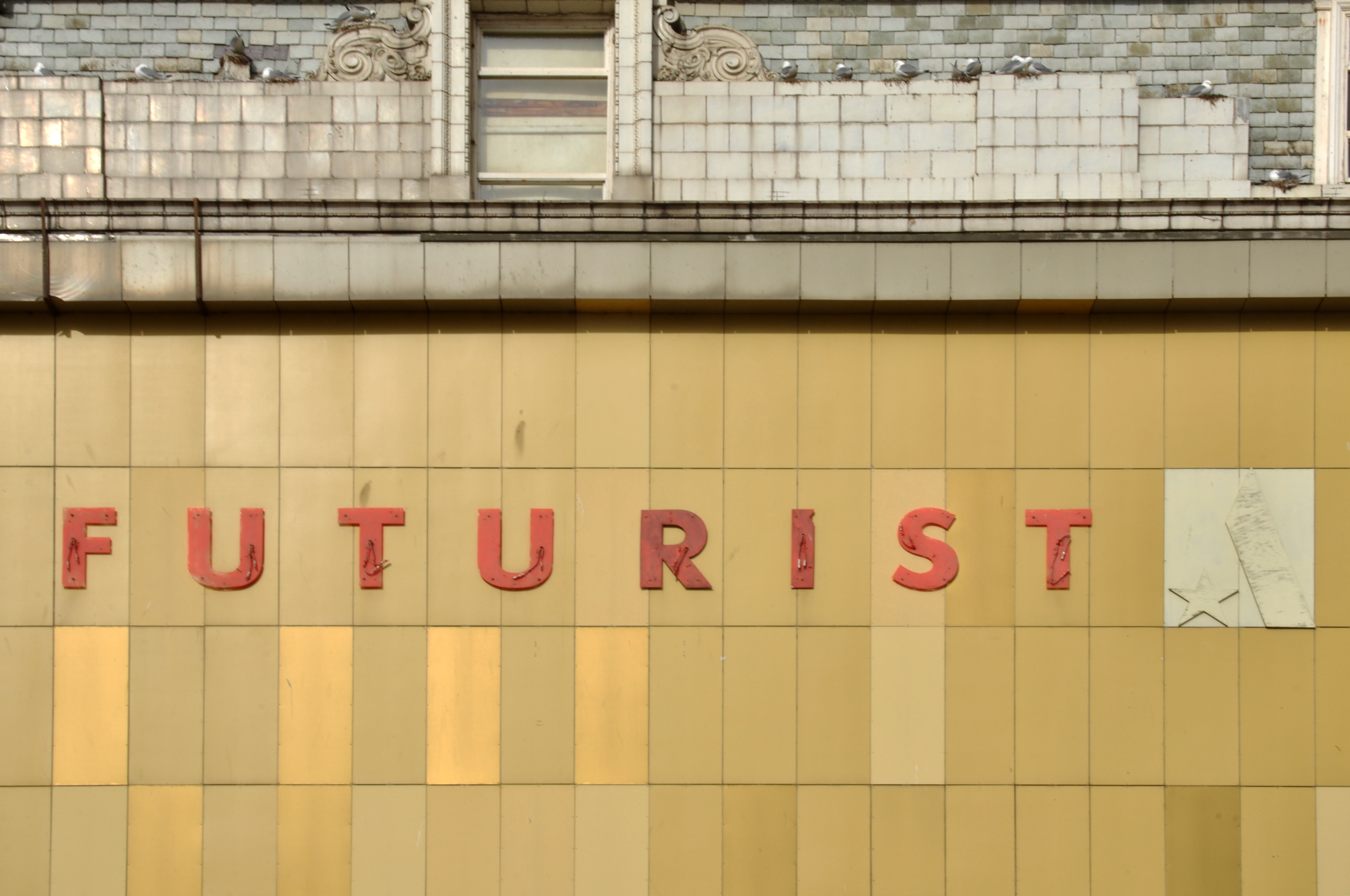
This was later obscured during spring 1968 by a facelift of rectangular plain yellow cladding.

Demolition of the building began in June 2018 and was completed in August 2018.

The demolition and associated land works cost local taxpayers £3.91 million.

Wikipedia

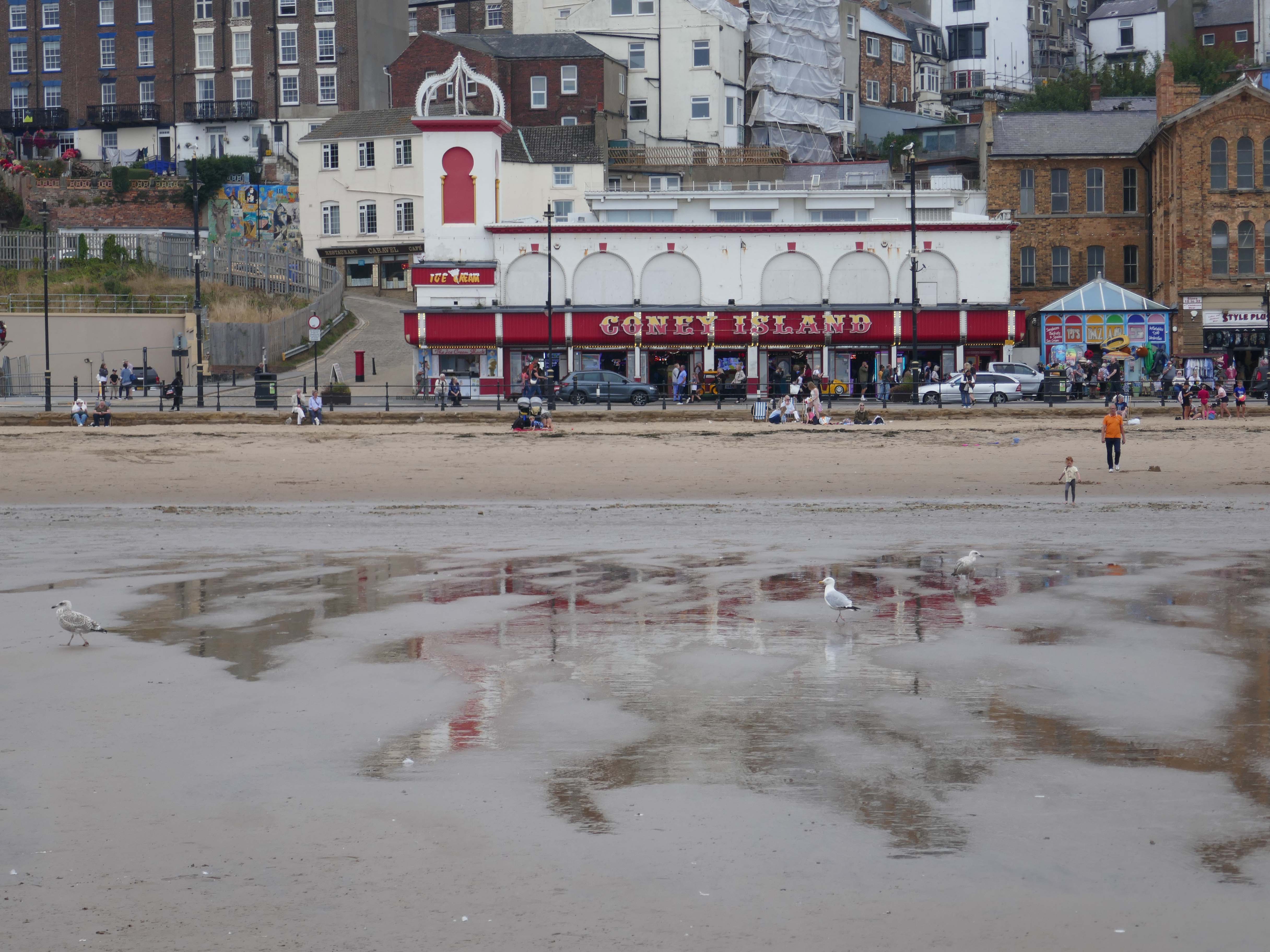
Coney Island is a popular amusement centre located on Foreshore Road in Scarborough, offering a vibrant dose of classic seaside entertainment. It’s known for its unique architectural style and cool retro vibes that captivate visitors. This lively spot provides a welcoming atmosphere for all ages looking for fun by the coast.

Step inside Coney Island and discover a fantastic array of arcade games, ranging from exciting racing simulators where you can ‘drive’ sports cars and motorbikes, to a decent selection of both older and newer games. Beyond the flashing lights and sounds of the arcade, the centre also features a bowling alley, perfect for some friendly competition. Guests appreciate the ease of exchanging notes for coins at the desk, ensuring continuous play.

Yorkshire.com

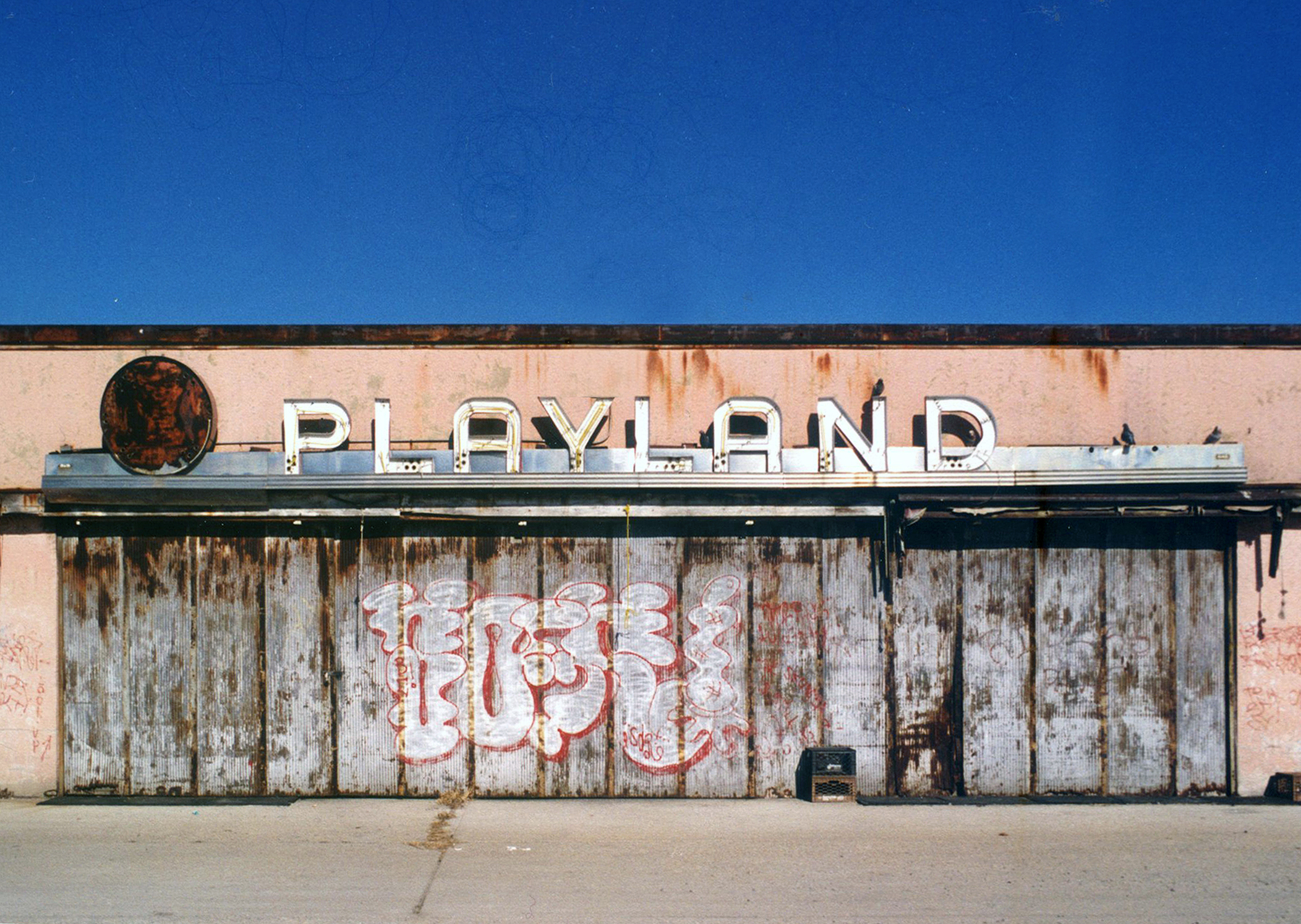
I have been to t’other Coney Island – it looked like this.

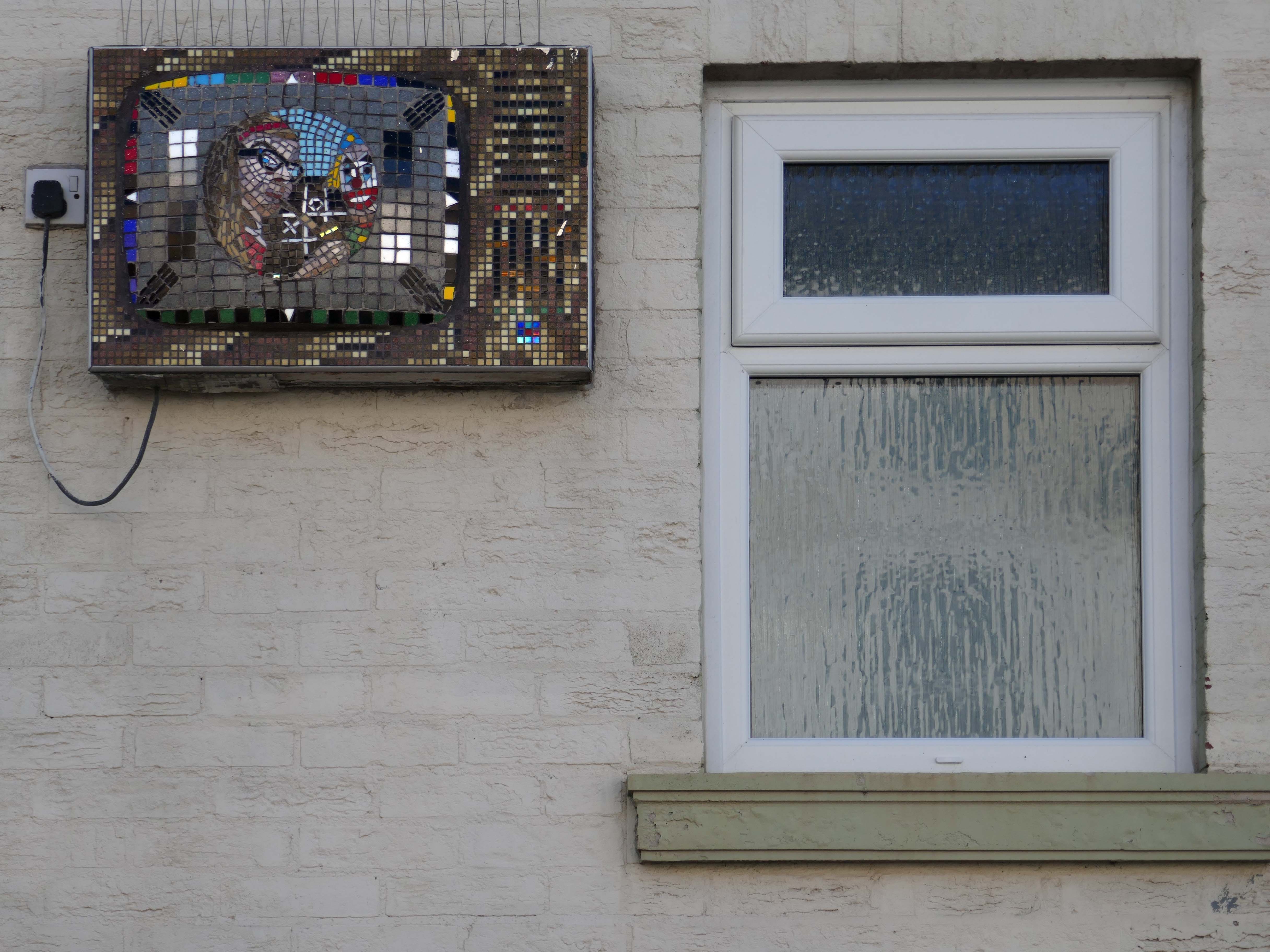
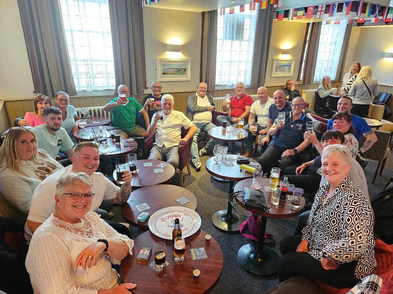
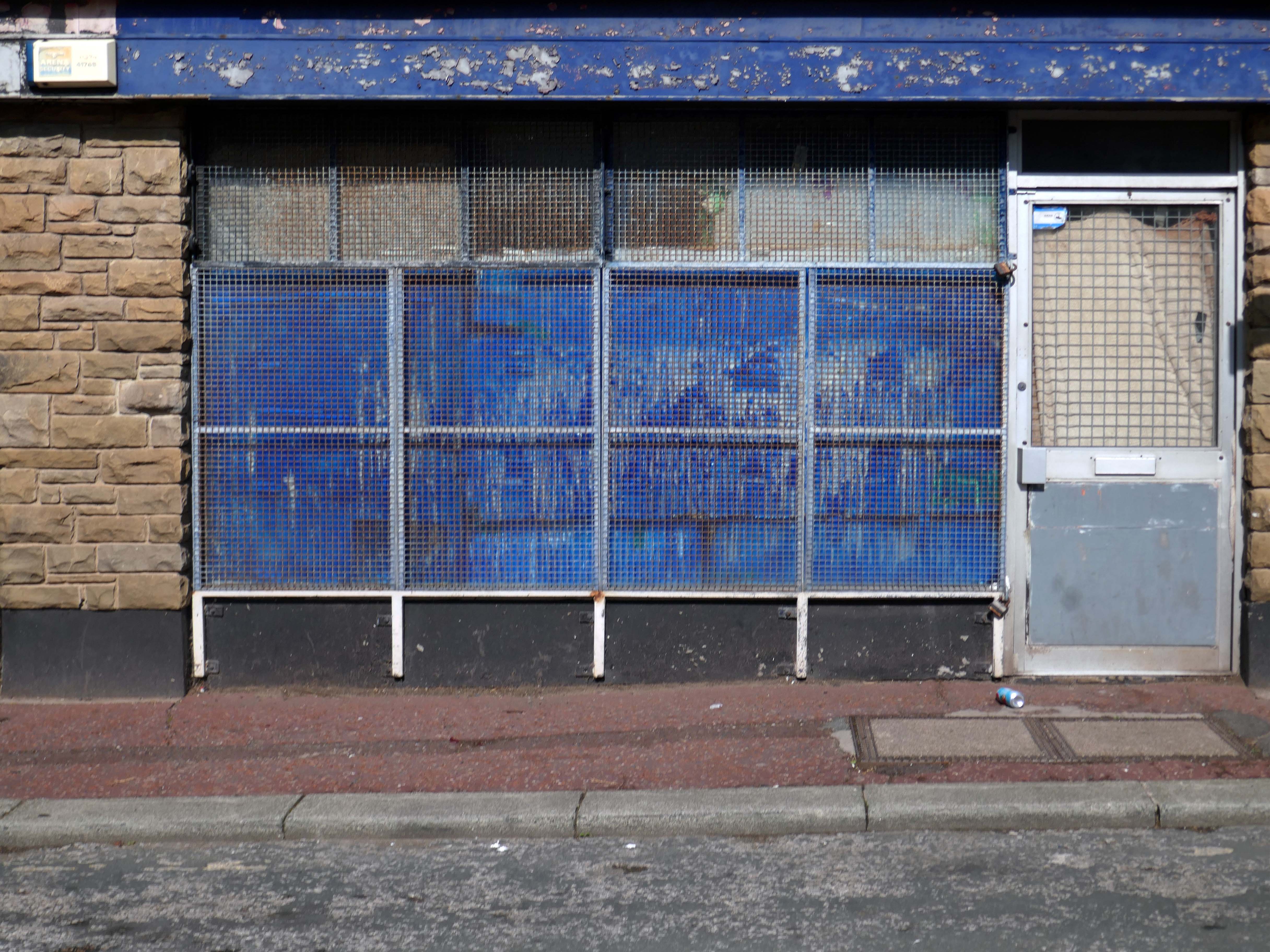
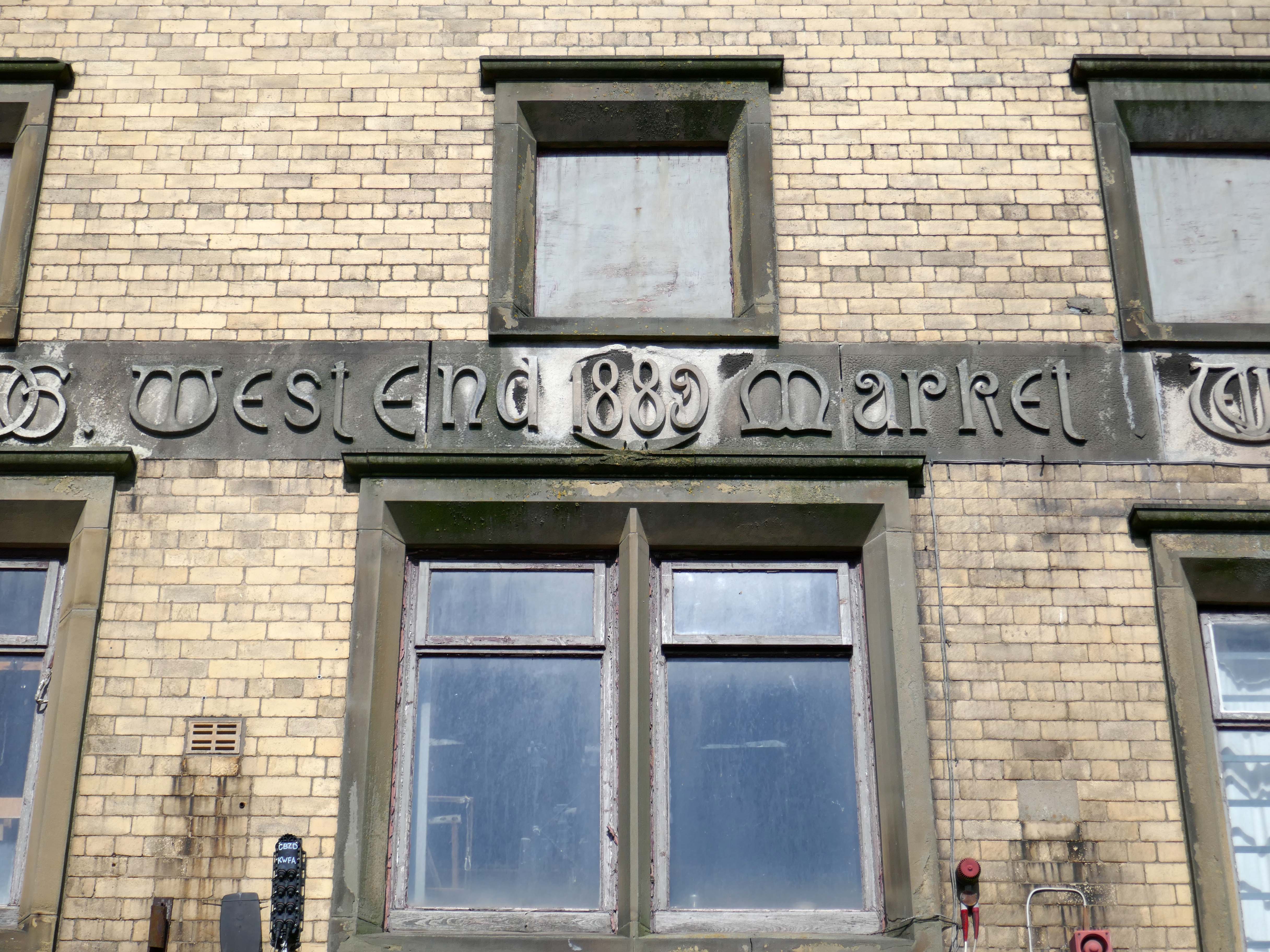
Morecambe – West End

We are on a collision course on the coast.

The sky collides with the sea

The sea collides with the land

We wash up in Morecambe’s West End.

This is where the past meets an uncertain future, the best laid plans are eroded by the backwash of interminable economic decline.

The whole tale is best told here by East of the M60.

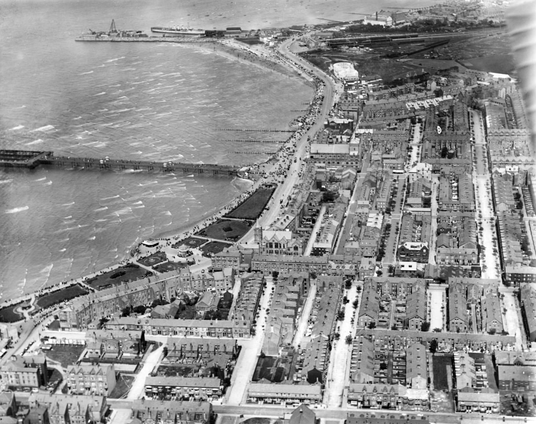
Britain from Above 1920

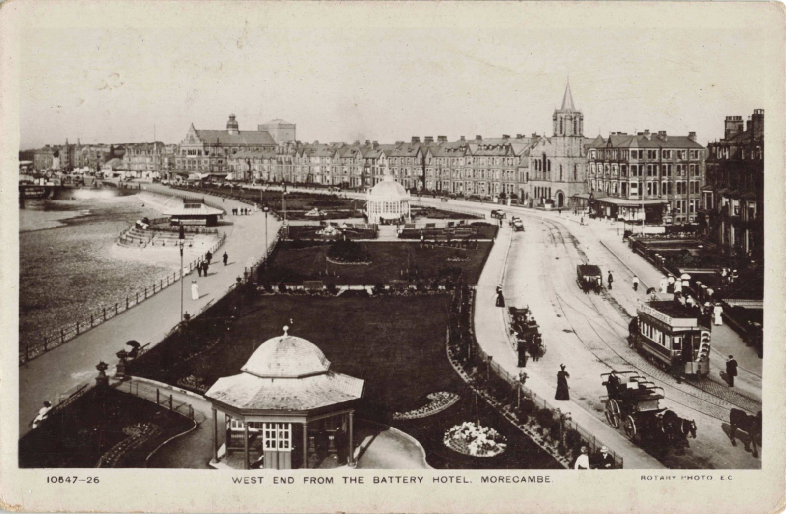
Postcard 1919

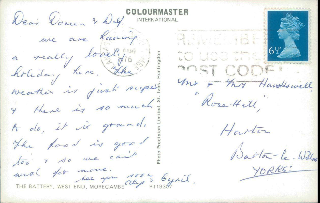
Postcard 1976

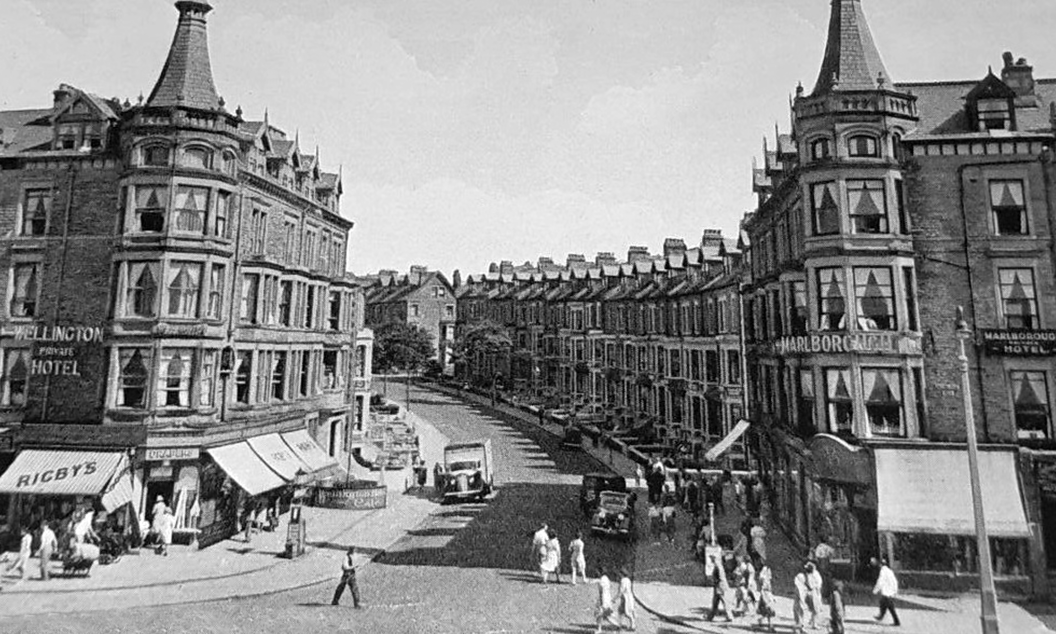
Busy bustling streets lined with large bed and breakfast establishments, rail and road links that led the holiday makers to town.

Supplanted by budget airlines, that took them far away.

The pier disappears along with subsequent short term attractions.

Social deprivation ensued, the shadow of Thatcher’s economic experiment looming large over the hollowed out streets.

2007

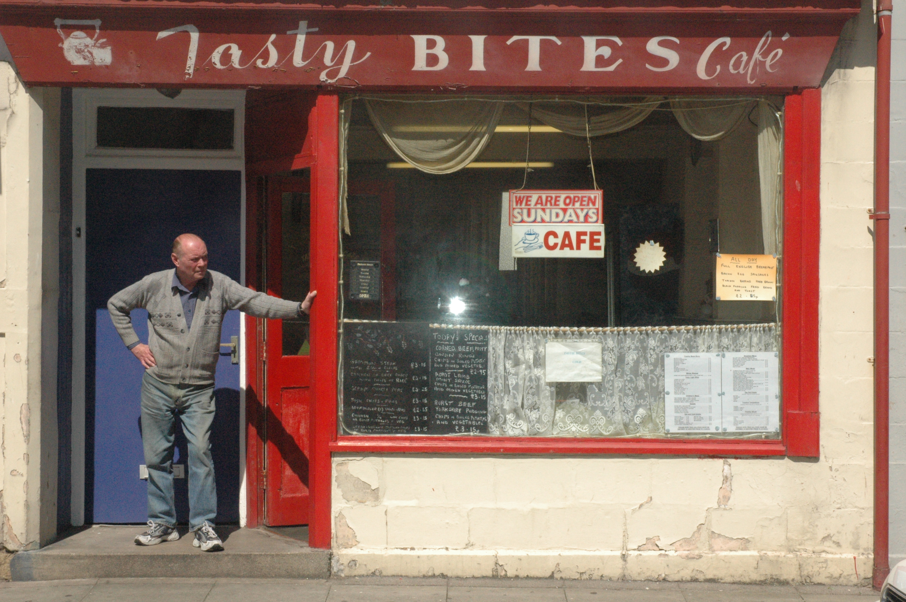
The café has been and gone no more Tasty Bites.

There were projects to support the rebuilding of the community, WEM closed in March 2026.

The area has been allocated £20m from the government’s Pride In Place fund.

Phased over 10 years, it aims to empower local people to tackle empty buildings and boost the local economy, public spaces and community amenities.

Lancaster Guardian

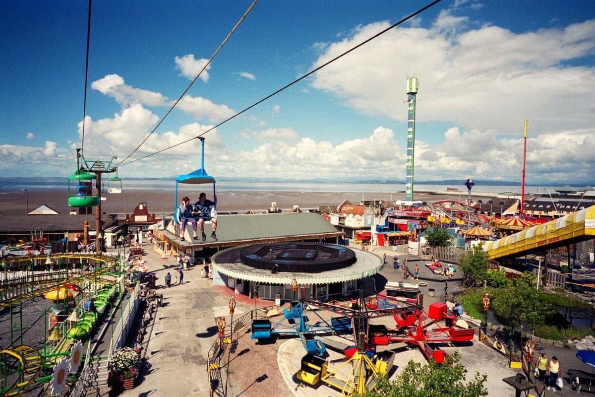
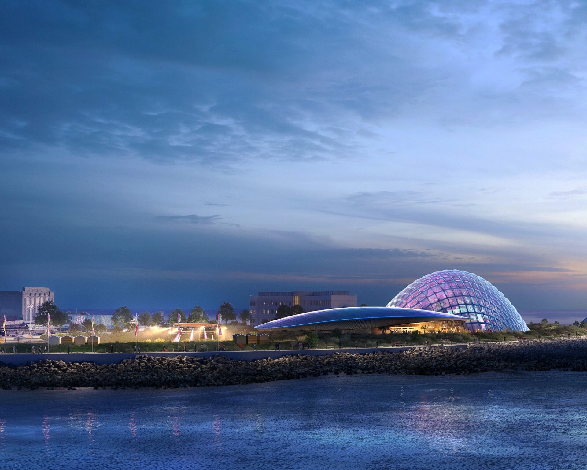
The former land of Frontierland may yet be saved as the cavalry, in the form of the Eden Project, comes down the line.

Photo: Dave Clark

It was a sunny day in August so I went to take a look around.

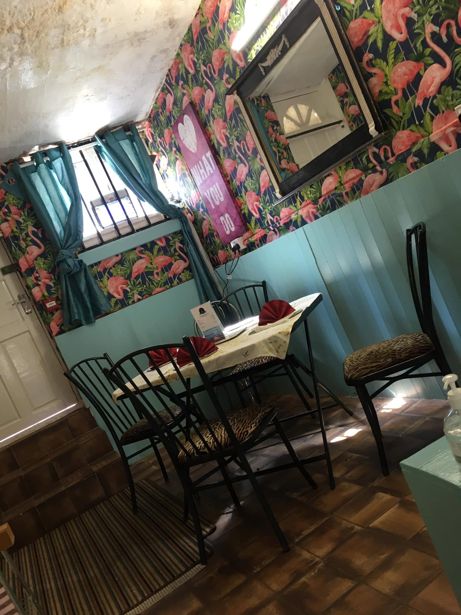
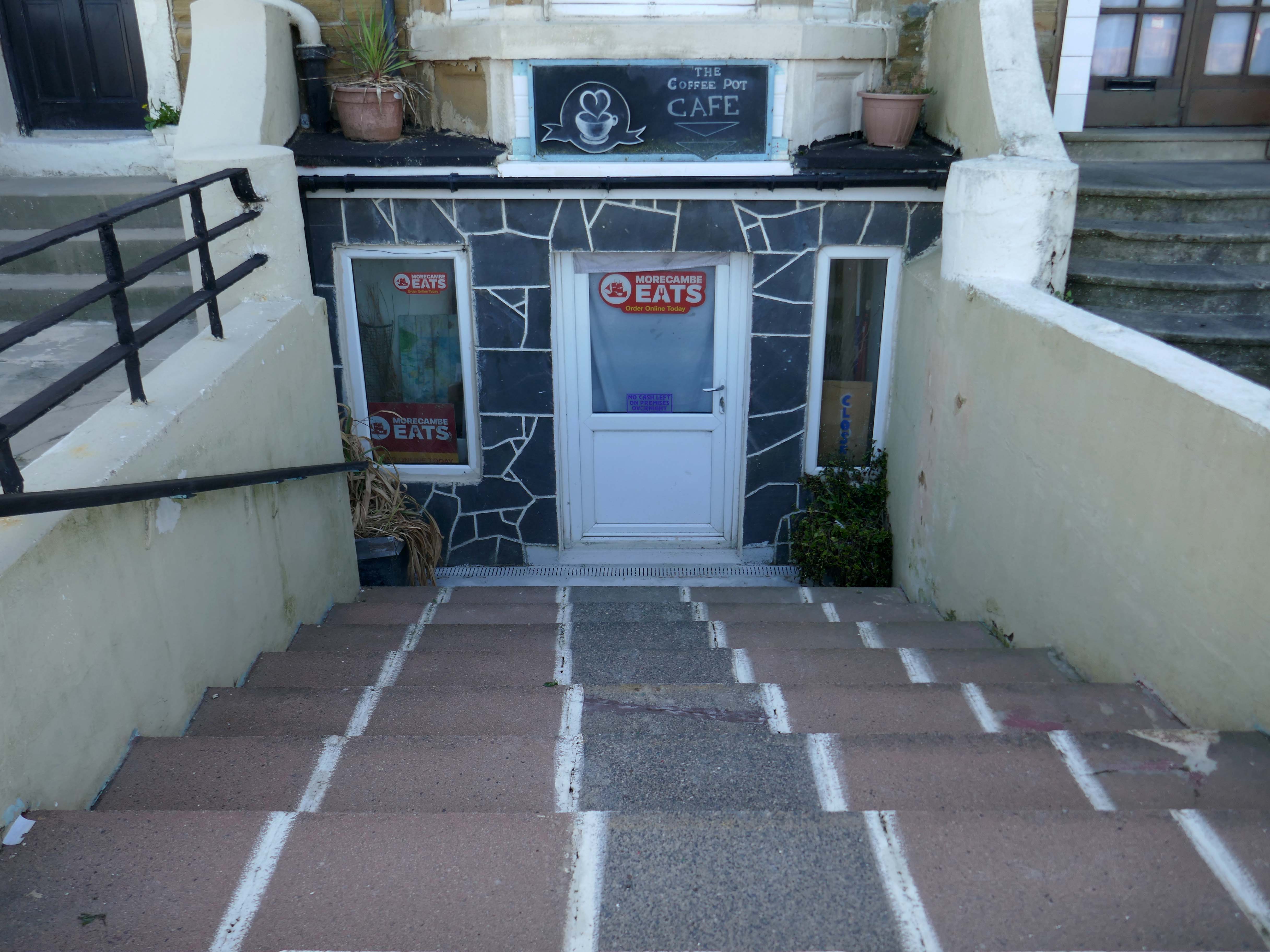
Come along to the Coffee Pot – 93 Marine Road

All day breakfast, burgers, panini, hot dogs and much more.

Outside seating on this lovely sunny day, come try us out.

Permanently closed.

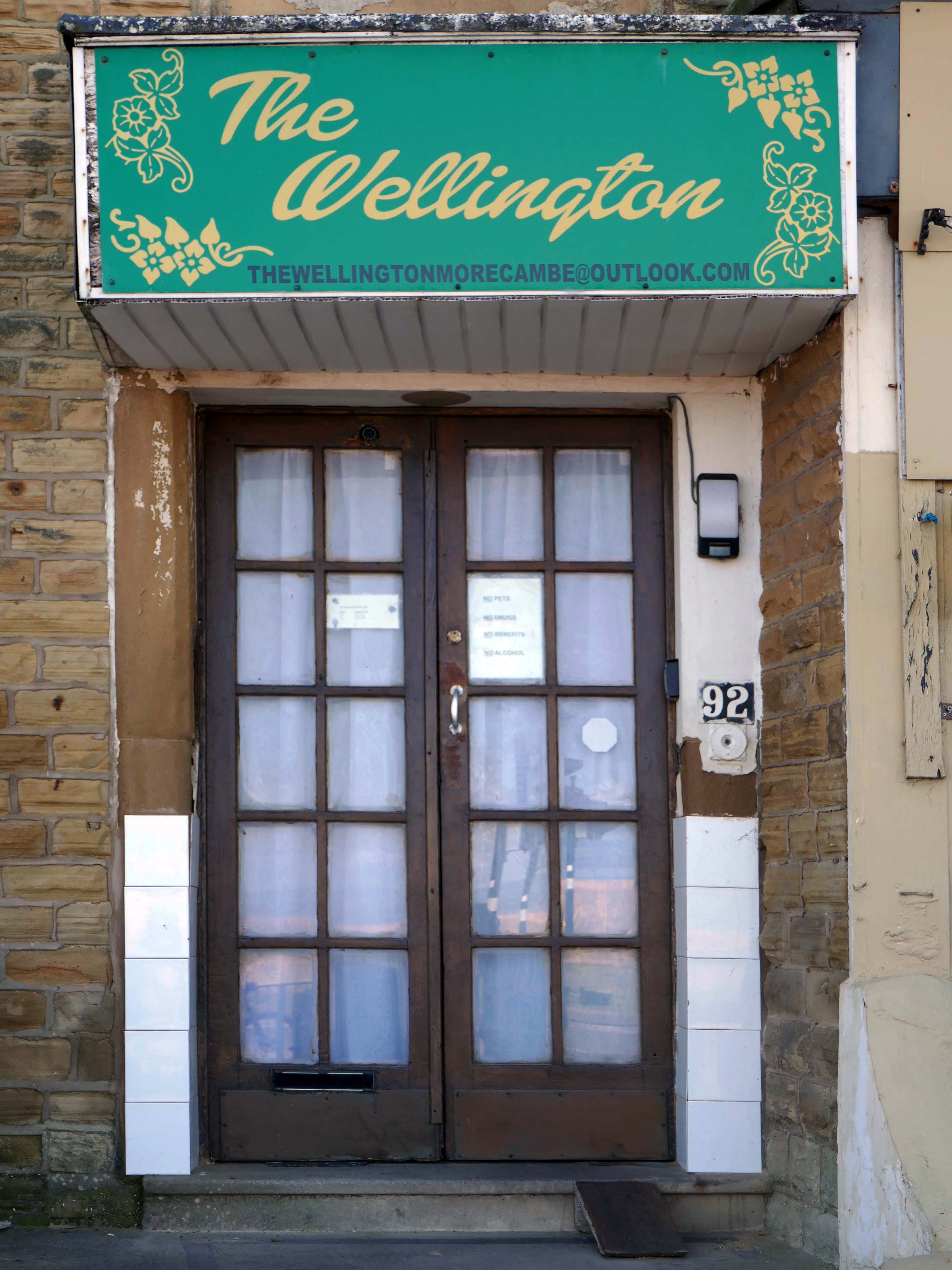
Offering sea views, The Wellington Hotel & Holiday Flats is an accommodation set in Morecambe, the accommodation offers a 24-hour front desk and free WiFi is available throughout the property.

The aparthotel is fitted with one bedroom, a fully equipped kitchenette with a microwave and a fridge, and one bathroom with a shower and a hair dryer.

Photo: The Guardian

Best shop ever – Gabrielle Gibson

Olive Tree Ministries – serving the Polish Community.

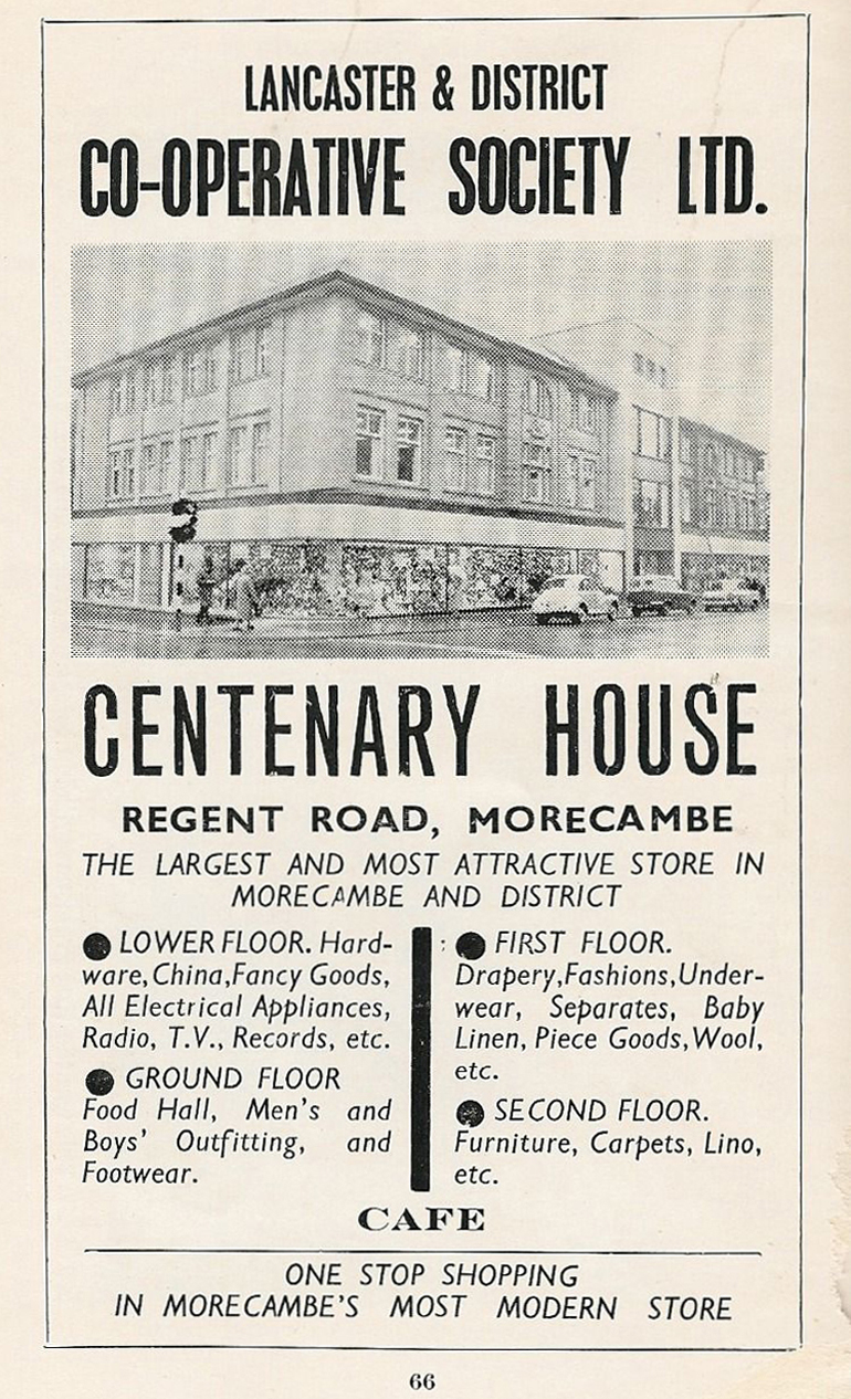
Lancaster City Council’s ambitions to bring back to life the site of a former department store have moved one step closer thanks to the award of a government grant worth nearly £750,000.

Bought by the city council as part of the West End masterplan, the intention is to refurbish the building’s upper floors to provide affordable housing, retaining the Co-Op late shop that occupies one-half of the ground floor.

Lancaster Council

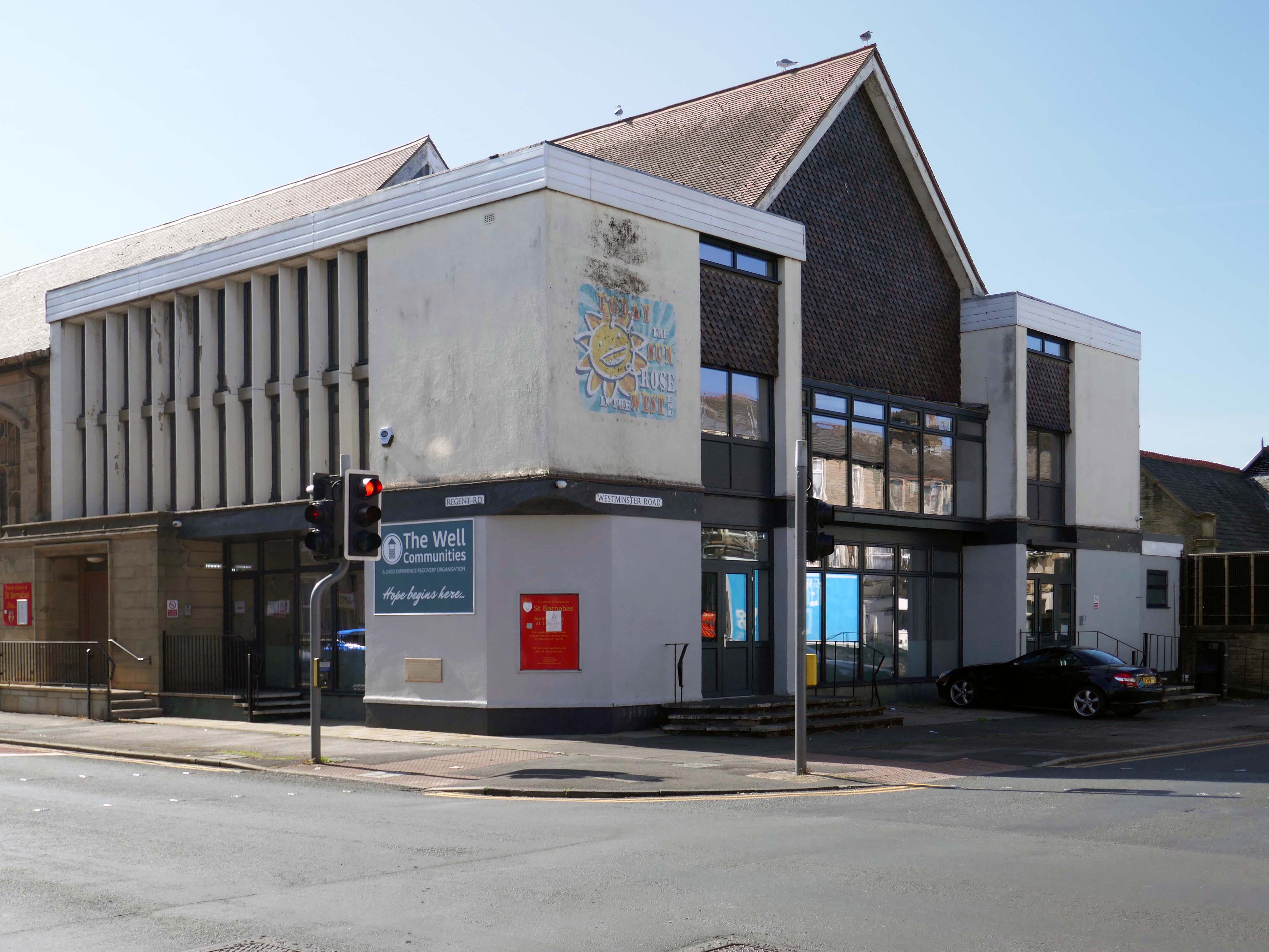
The Well Communities is a peer-led recovery organisation built on support, inclusion, and lived experience. For more than a decade, we’ve helped people across North Lancashire and Cumbria overcome drug and alcohol challenges, rebuild confidence, and move toward healthier, more hopeful lives.

Well Communities

Established in 2016 and winner of The Visitor “Business of the Year” award in our opening year.

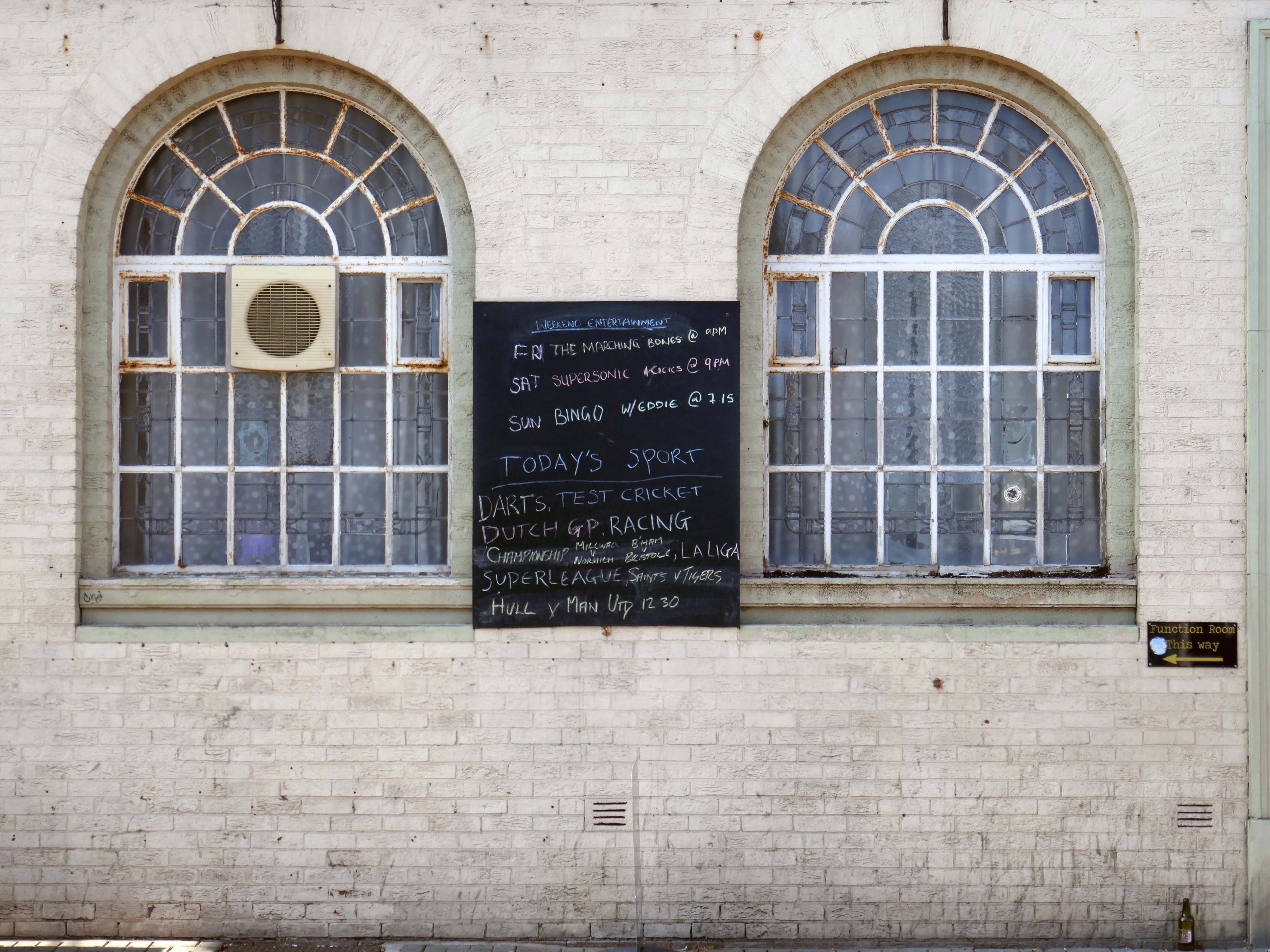
The Exchange

This is by far the best, friendliest and cheapest pub I have been to in the fifteen years I have lived in Morecambe.

Initially they owned the Ranch House on the promenade but moved to the Exchange – then called the Imperial, some years ago.
Rob and Debbie completely turned the place around, barring all the undesirables and introducing live music every weekend.
Rob has kept the ale prices down which is reflected by the numbers of regulars and visitors it attracts.

Trip Advisor

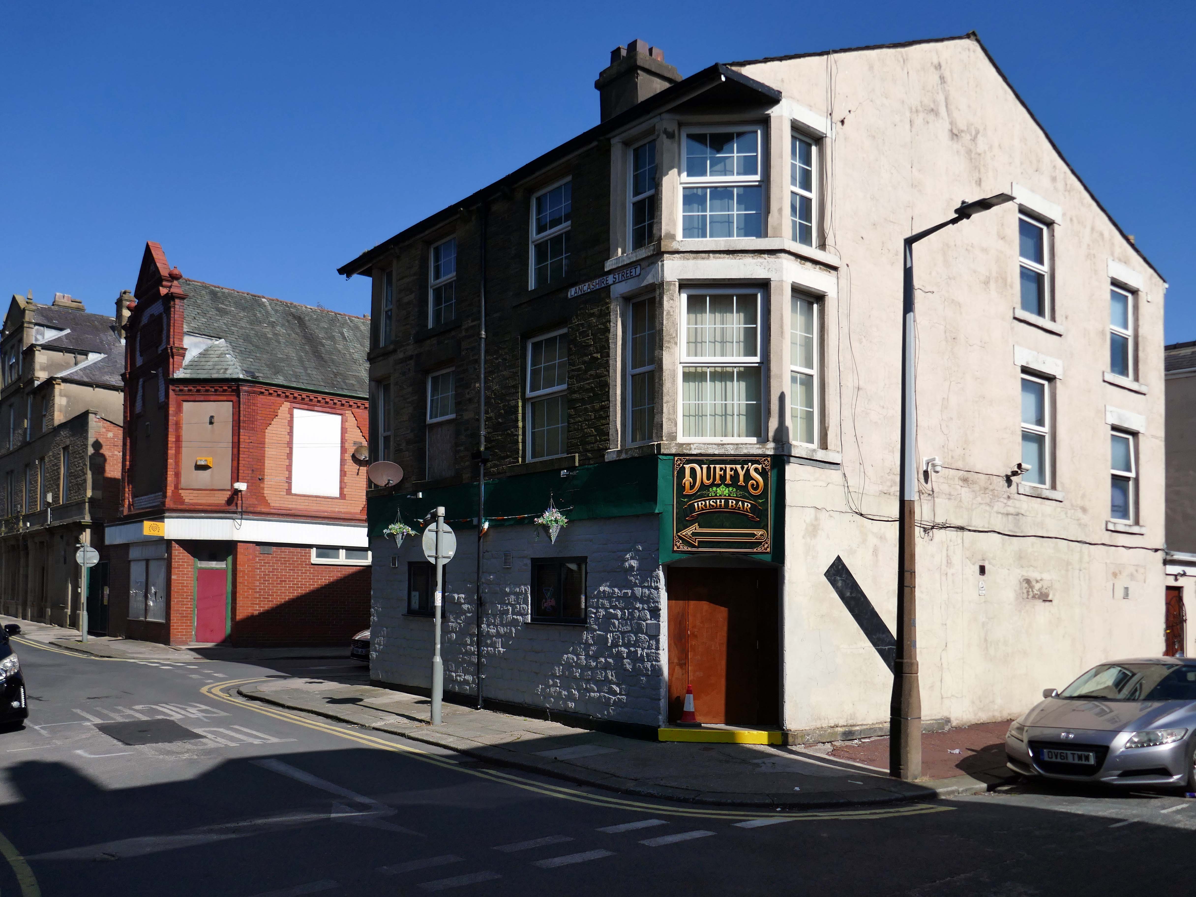
Duffy’s Irish Bar on Springfield Street is officially opening its doors on Saturday June 6th from 12 midday.

A spokesman for Duffy’s Irish Bar said:

Expect great craic, ice-cold drinks, live entertainment, and the warm Irish welcome you’ve been waiting for.

Lancaster Guradian

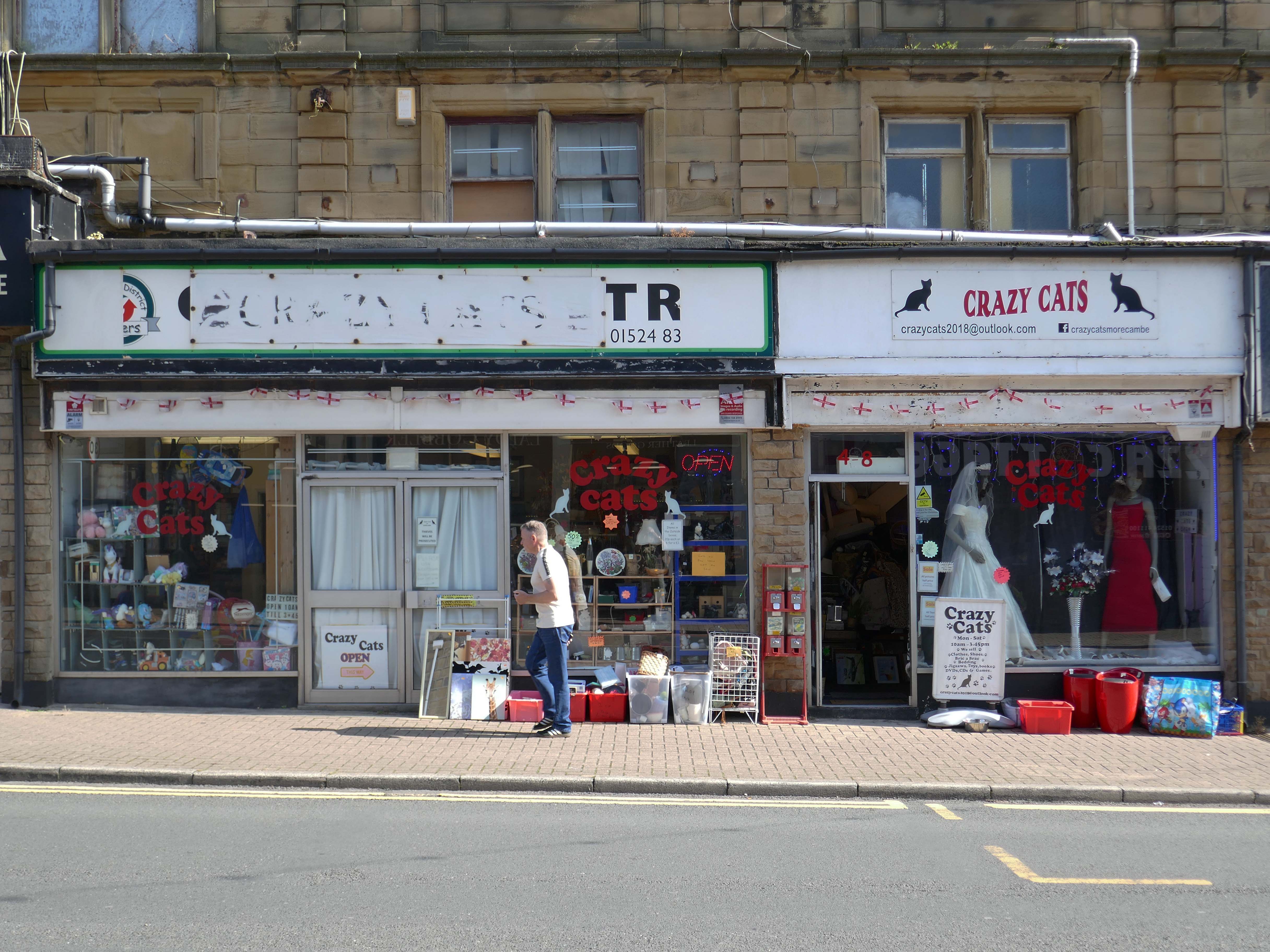
We are a Morecambe based organisation & shop located ran by volunteers dedicated to helping local pets.

Crazy Cats

Loaded jackets, fresh smoothies and delicious panini.

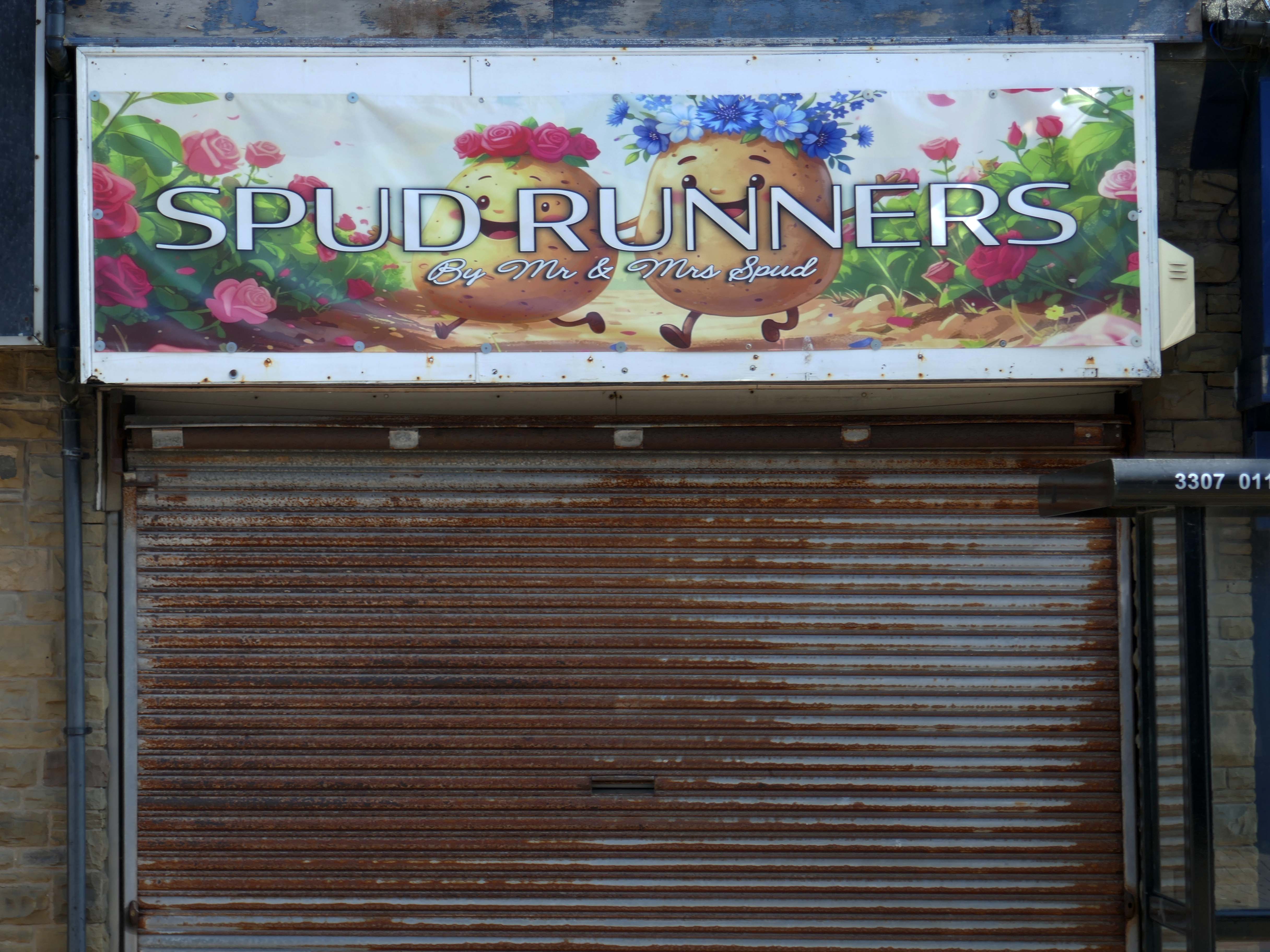
Spud Runners

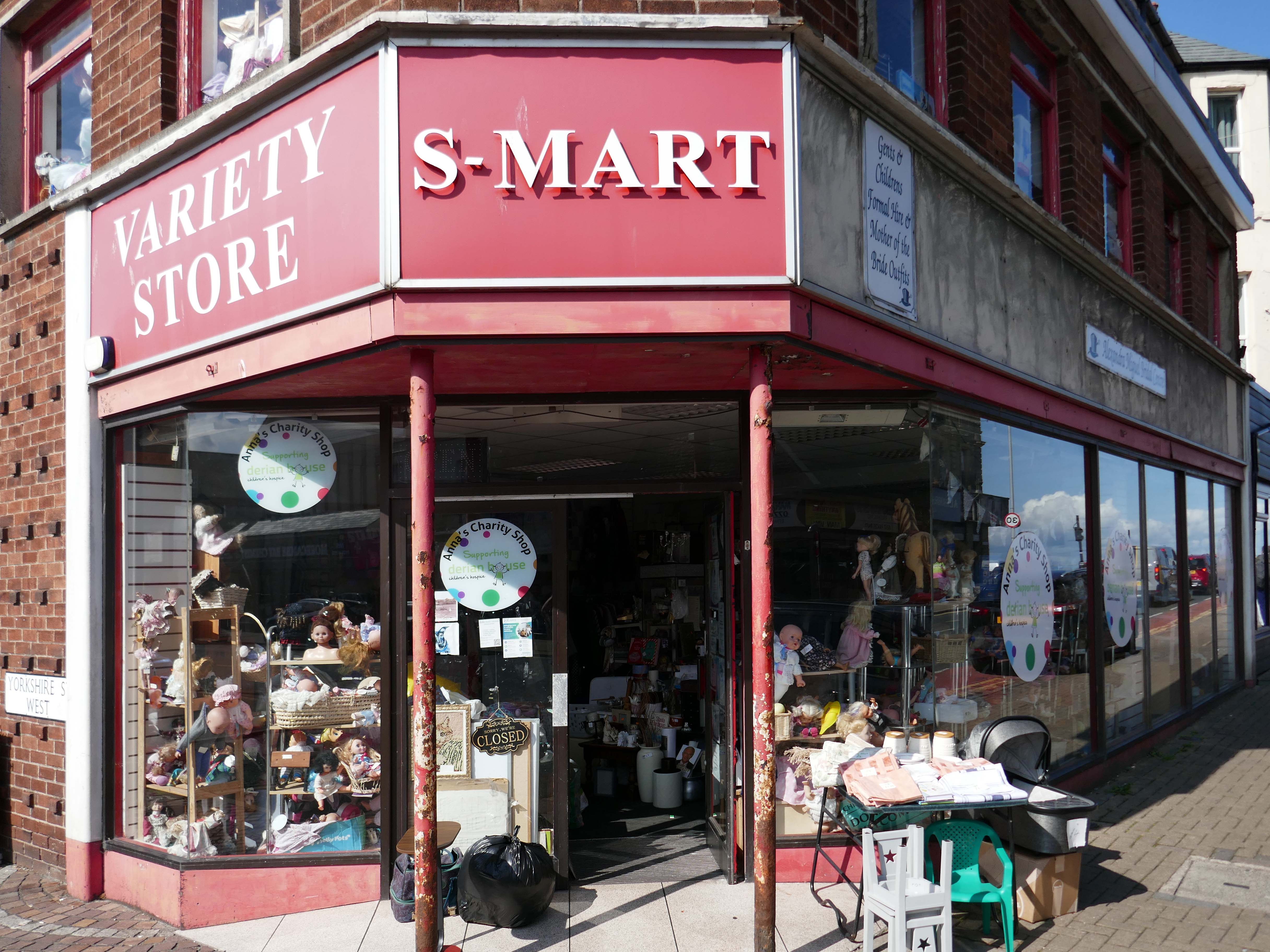
Morecambe, I love this place for treasures – Anna’s Charity

Four soup cups £2, 70’s piggy bank £1, 80’s and 90’s curtains £2

Louise Beagle

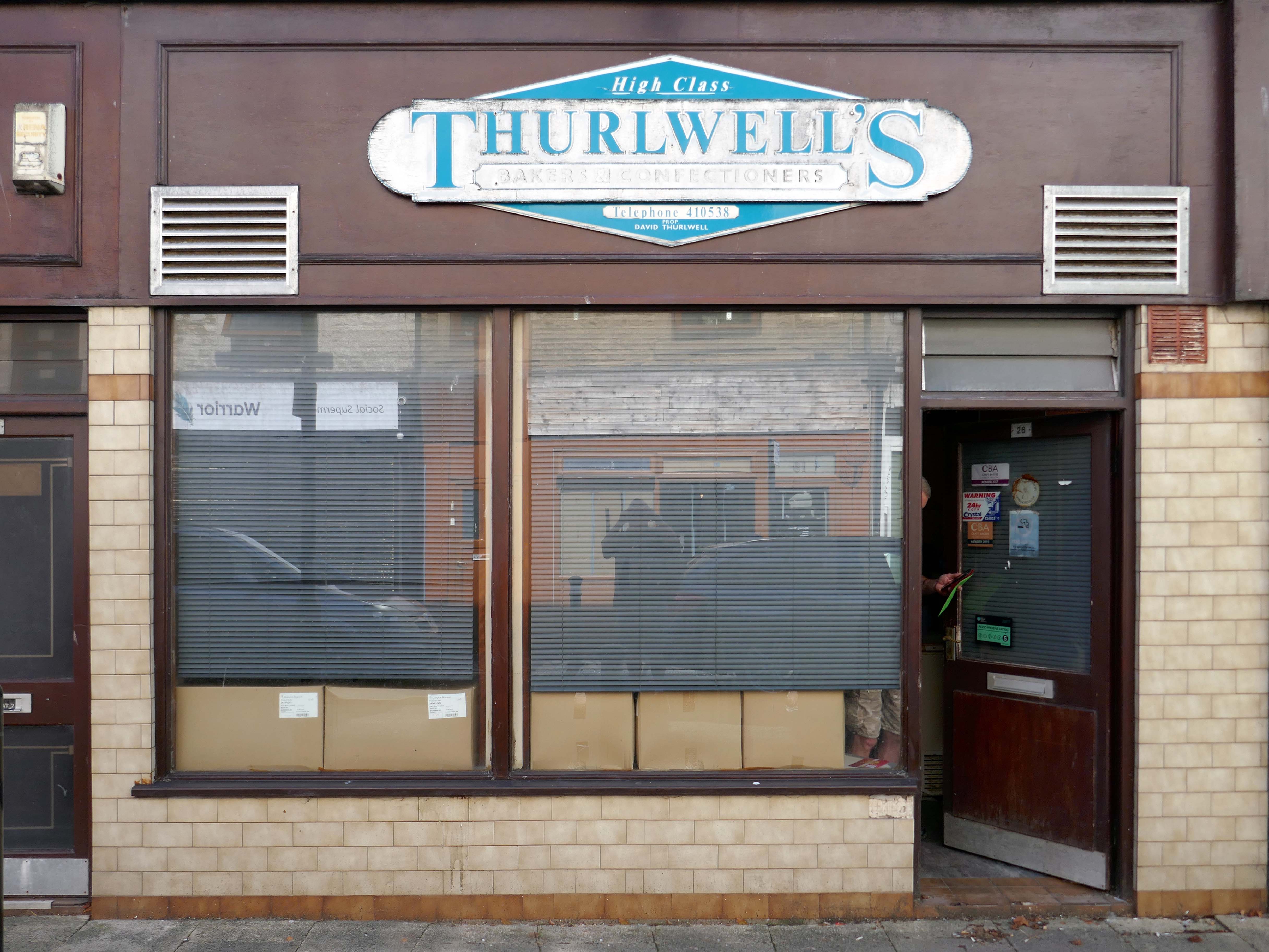
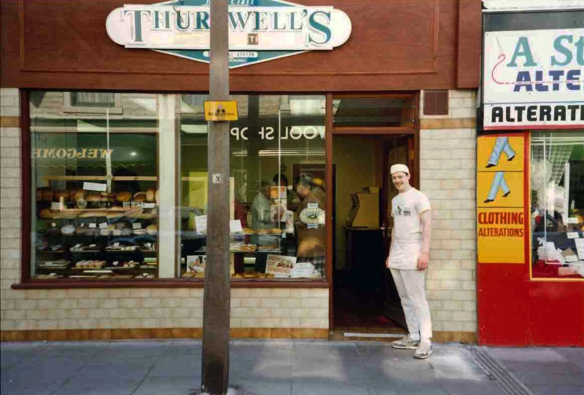
David Thurlwell, baker and proprietor – taken on the 26th of April 1991.

I remember the excellent meat and potato piesGeorge Smith.

Lancaster City Museum

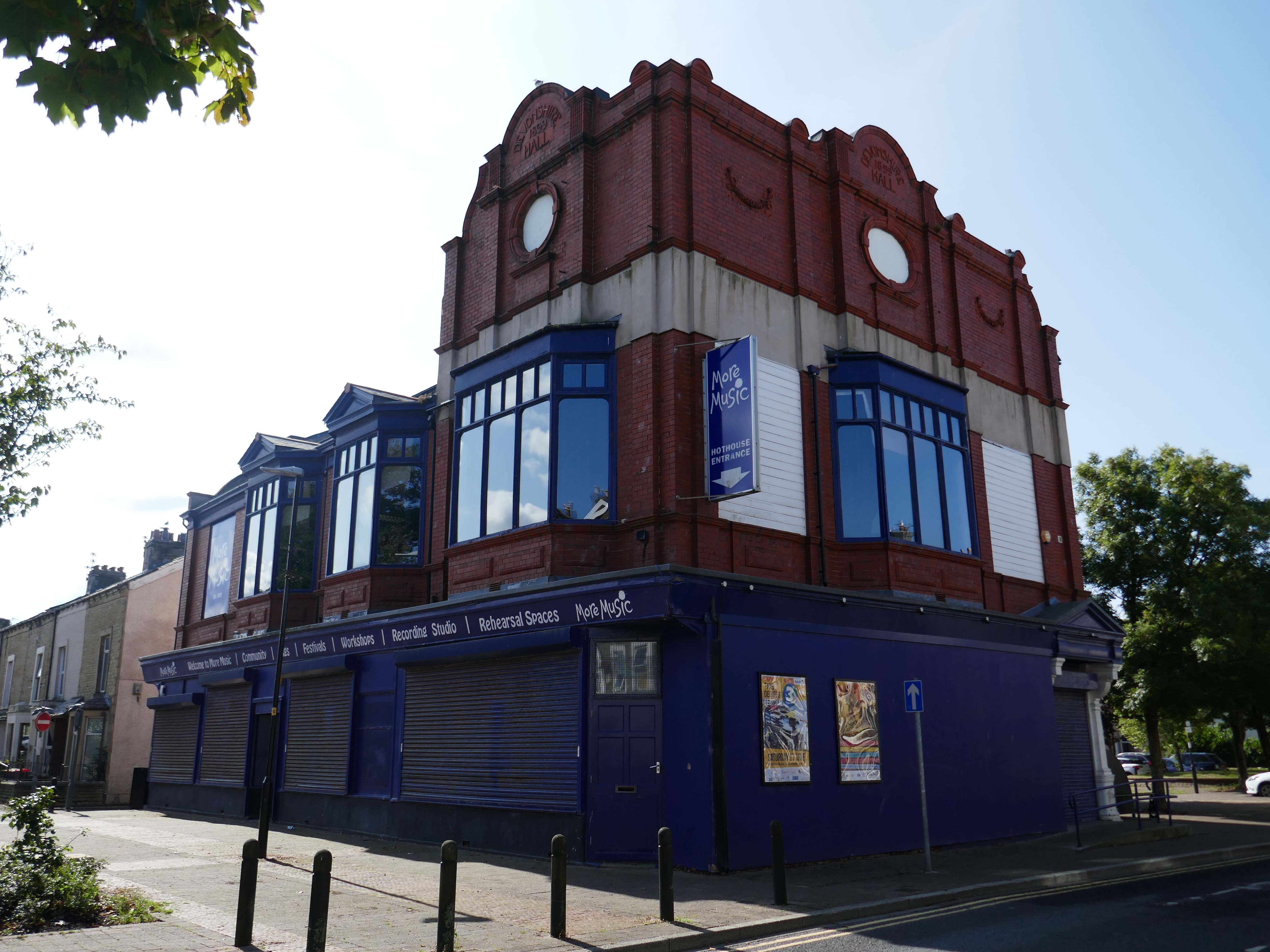
More Music is a music and education charity based in the West End of Morecambe, with 30 years of experience delivering workshops, training, performances and festivals across the district, region and beyond. More Music seeks to build confidence and spirit in individuals and communities through the arts, especially music. More Music is an Arts Council National Portfolio Organisation.

More Music

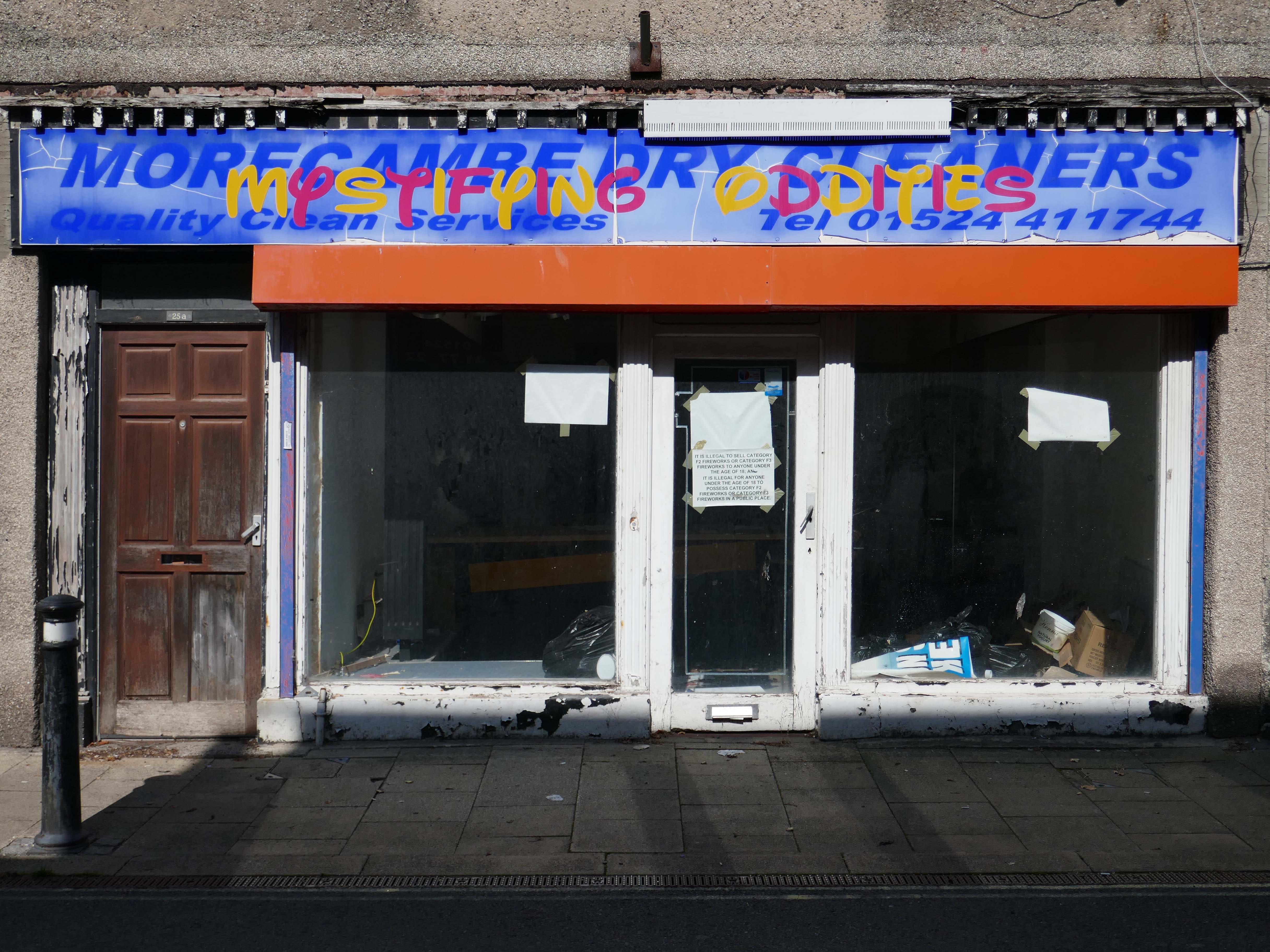
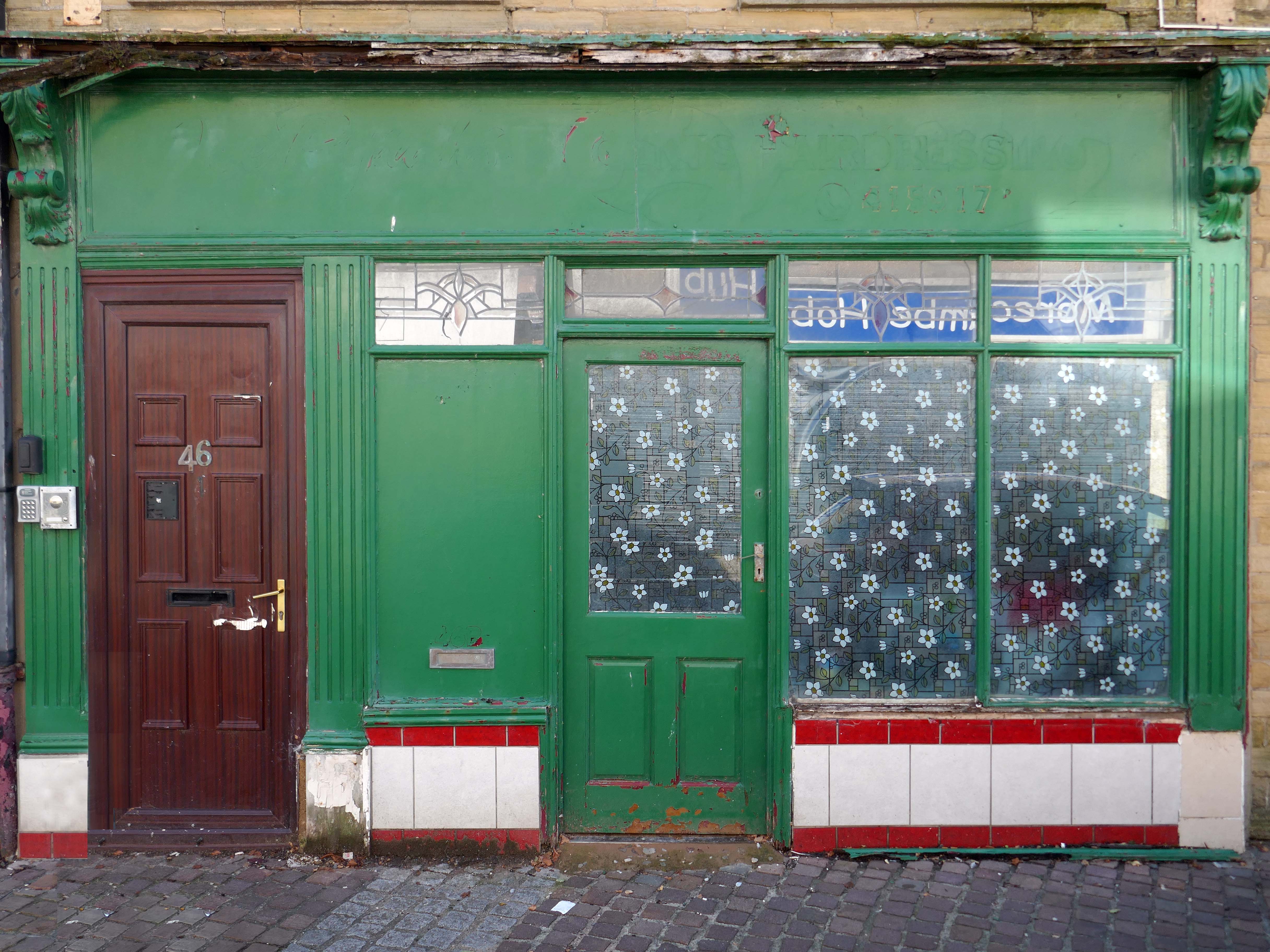
Action is needed to tackle empty shops and rundown buildings in Morecambe’s West End, councillors have said.

Coun Whitaker “Do you agree that we need to stop the rot and the domino impact of more boarded up properties which residents are getting really fed up of? We need to prioritise getting boarded up properties back into use, as business or arts opportunities. Hopefully, we can make the West End a good arts hub when the Eden Project arrives?”

Coun Bottoms replied: “Yes, there are lots of ideas and lots of talk at these meetings. But there is no real vision or strategy. That’s what we need to move things forward. We need positive action, not just words.”

Lancaster Guardian

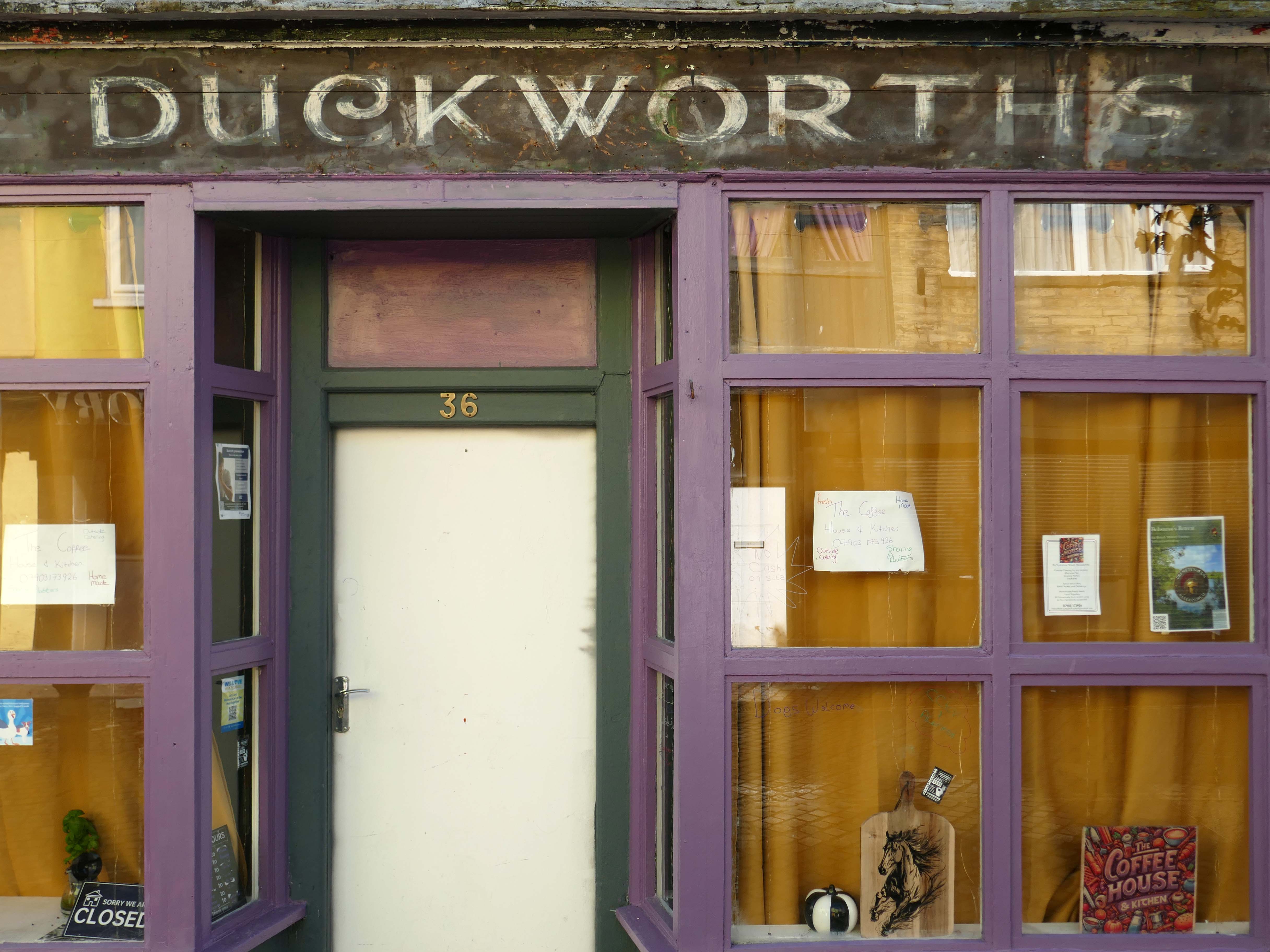
See how the other half live on my Morecambe Walk.

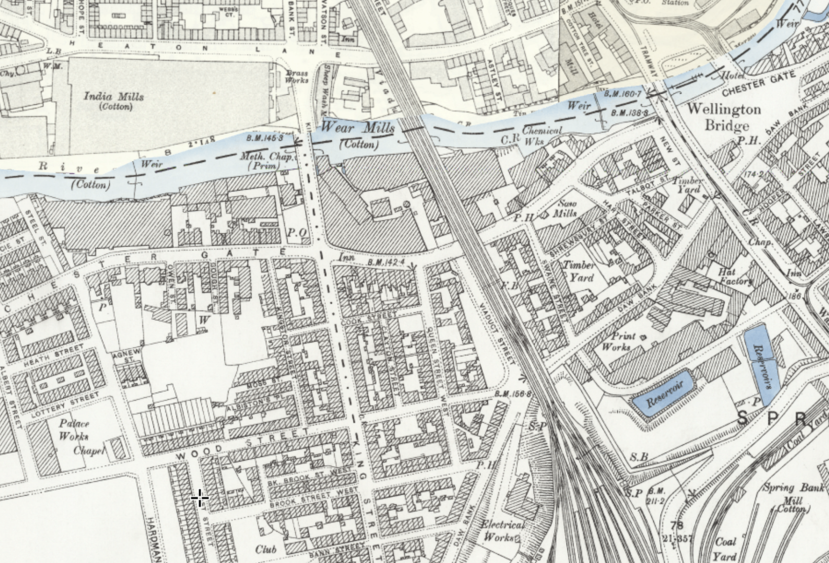
Wear Mill Stockport

1920

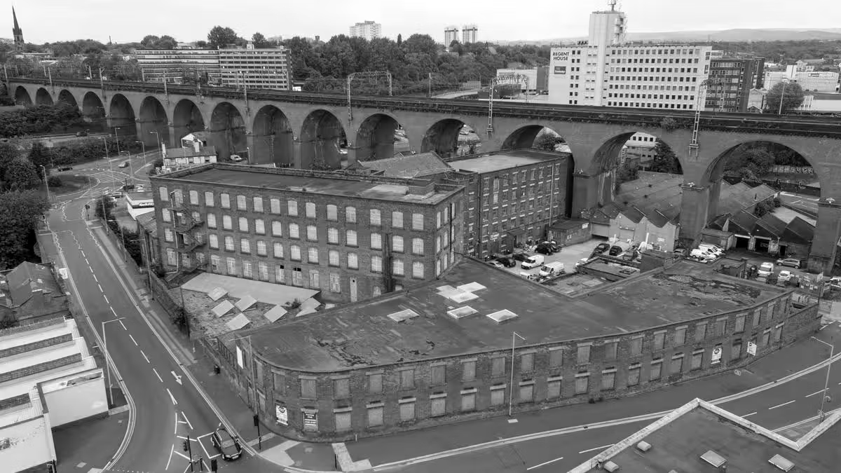
As a consequence of the geology, geography, and topography of the area Stockport became an industrialised town.

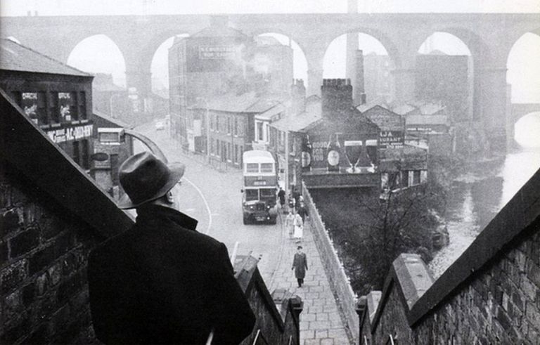
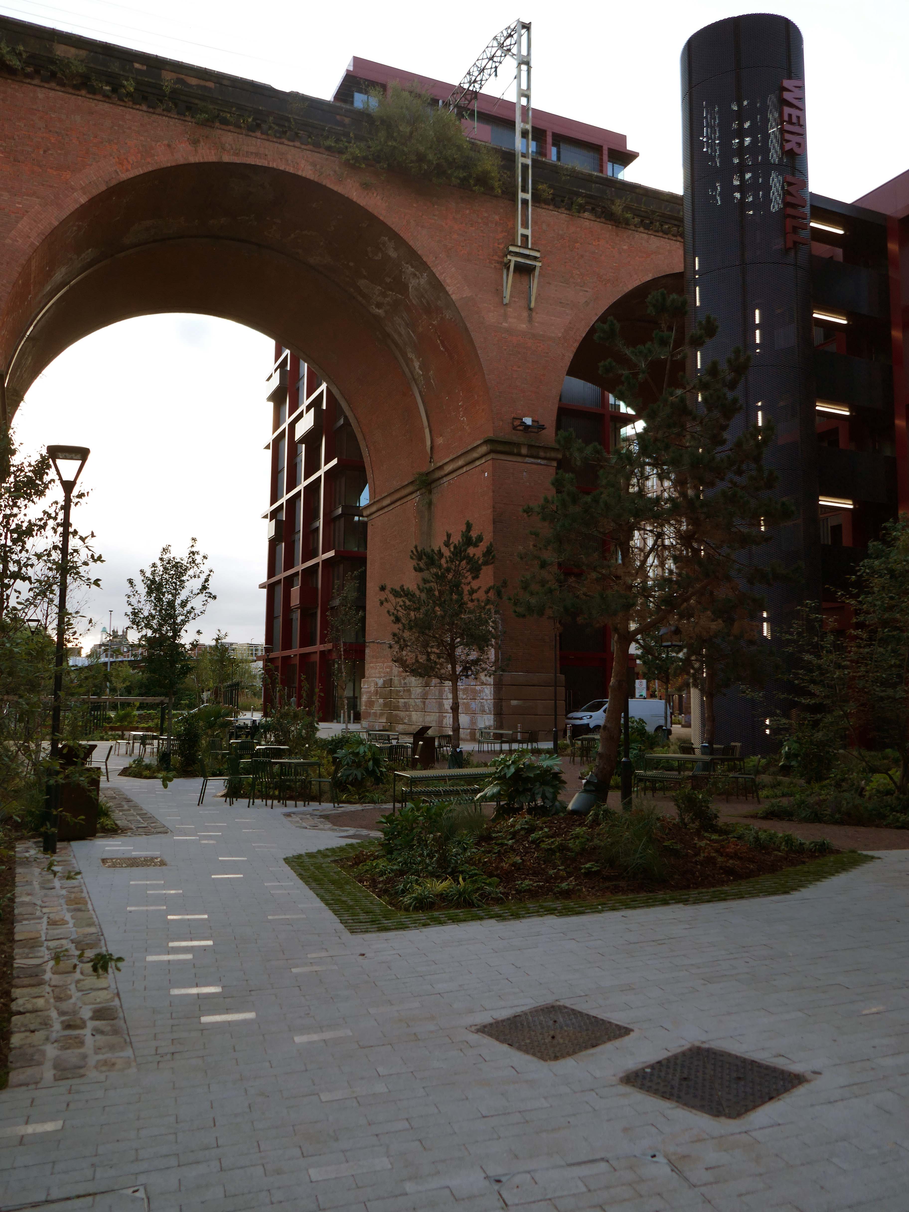
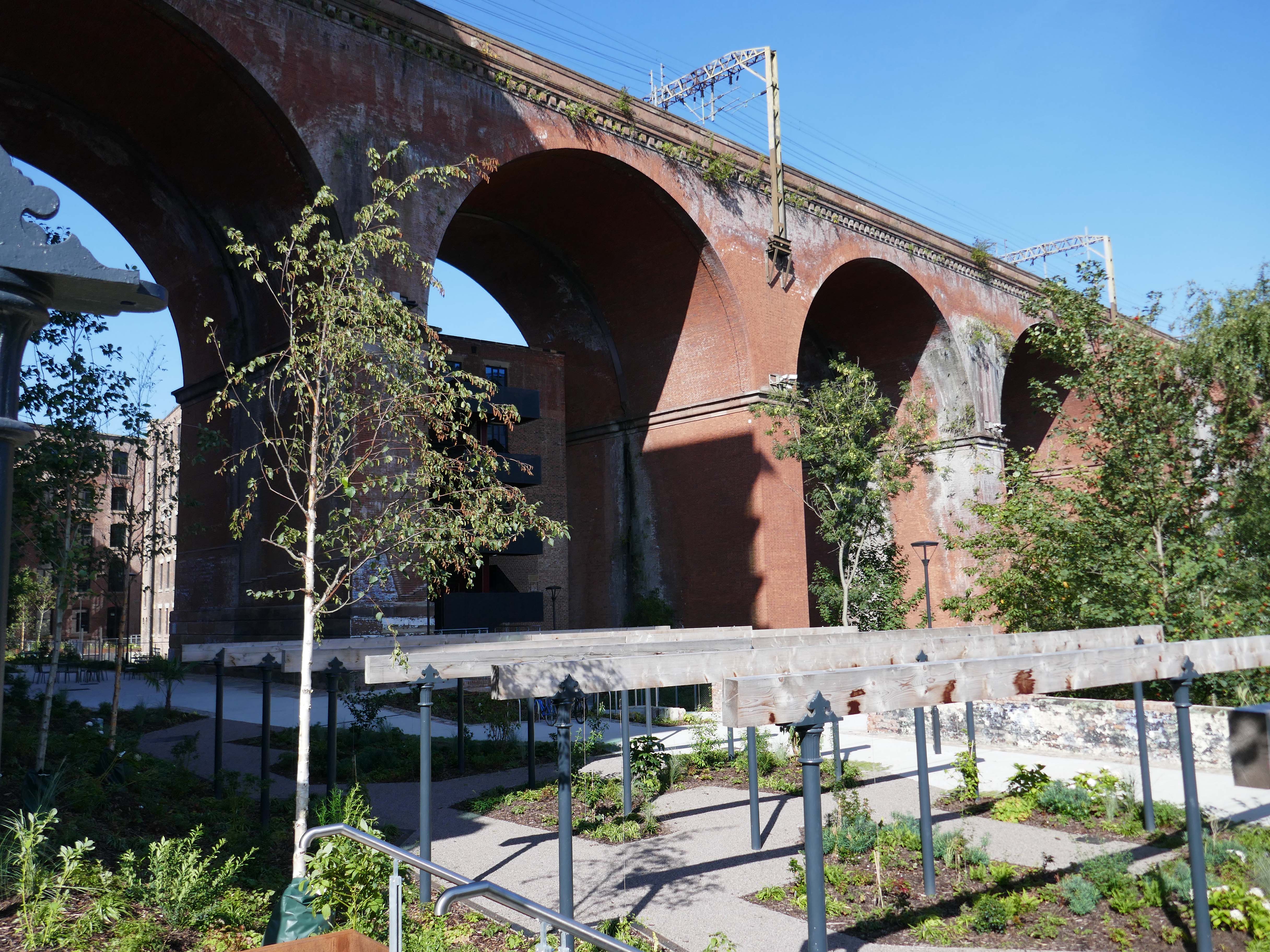
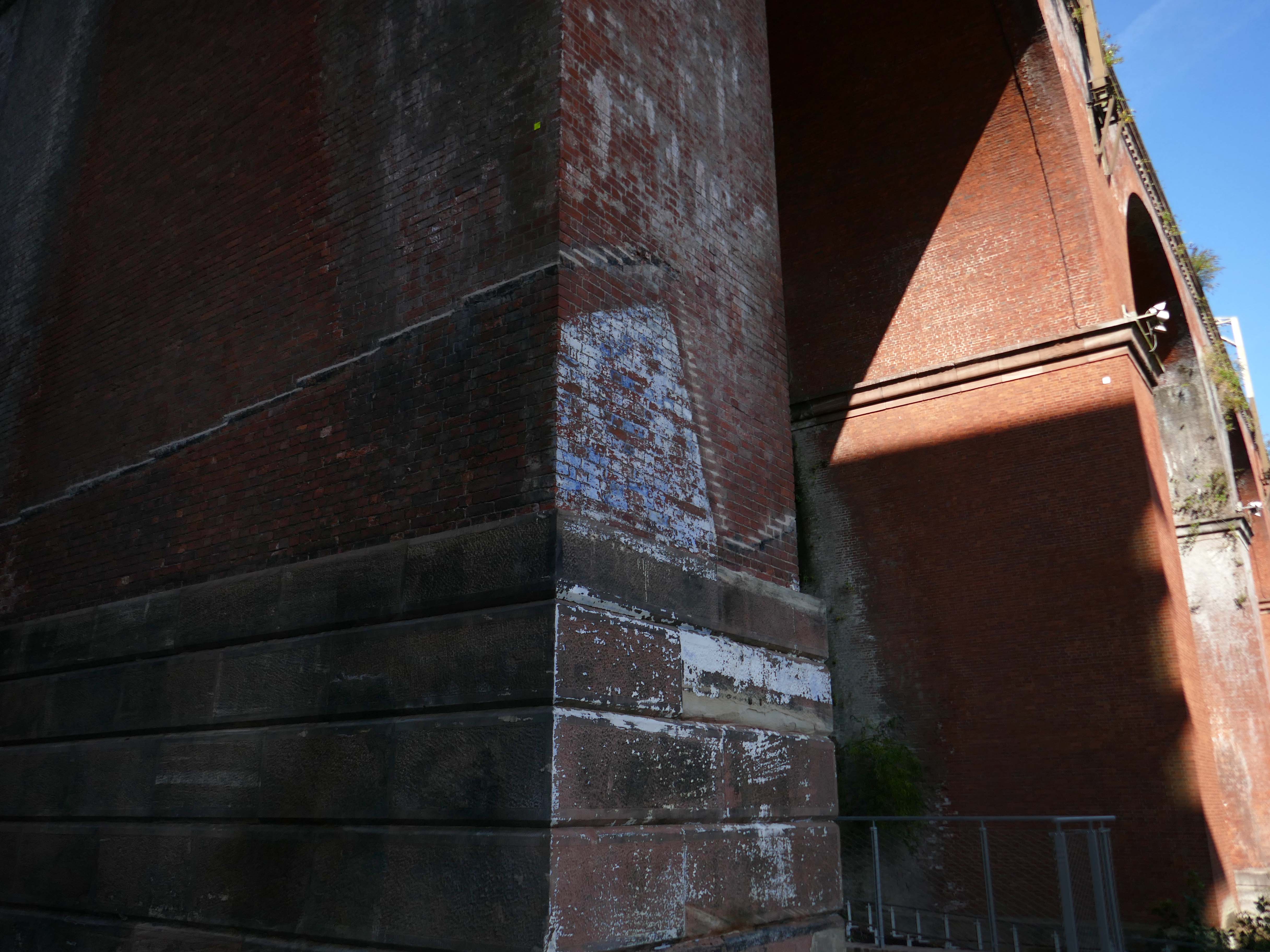
Coal, water cotton and hats coalesced into a viable local economy, with a viaduct to carry goods, services and people over the River Mersey.

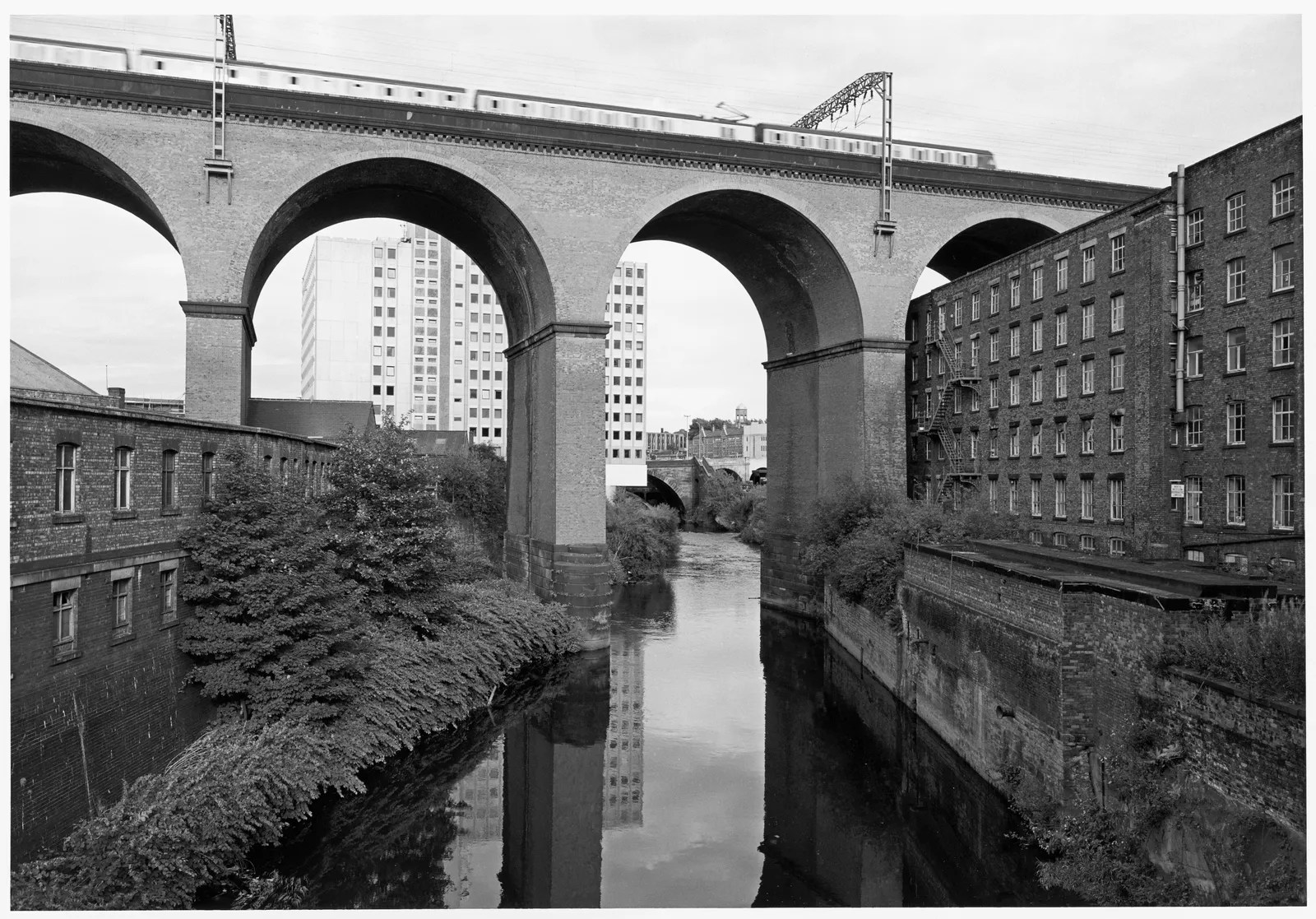
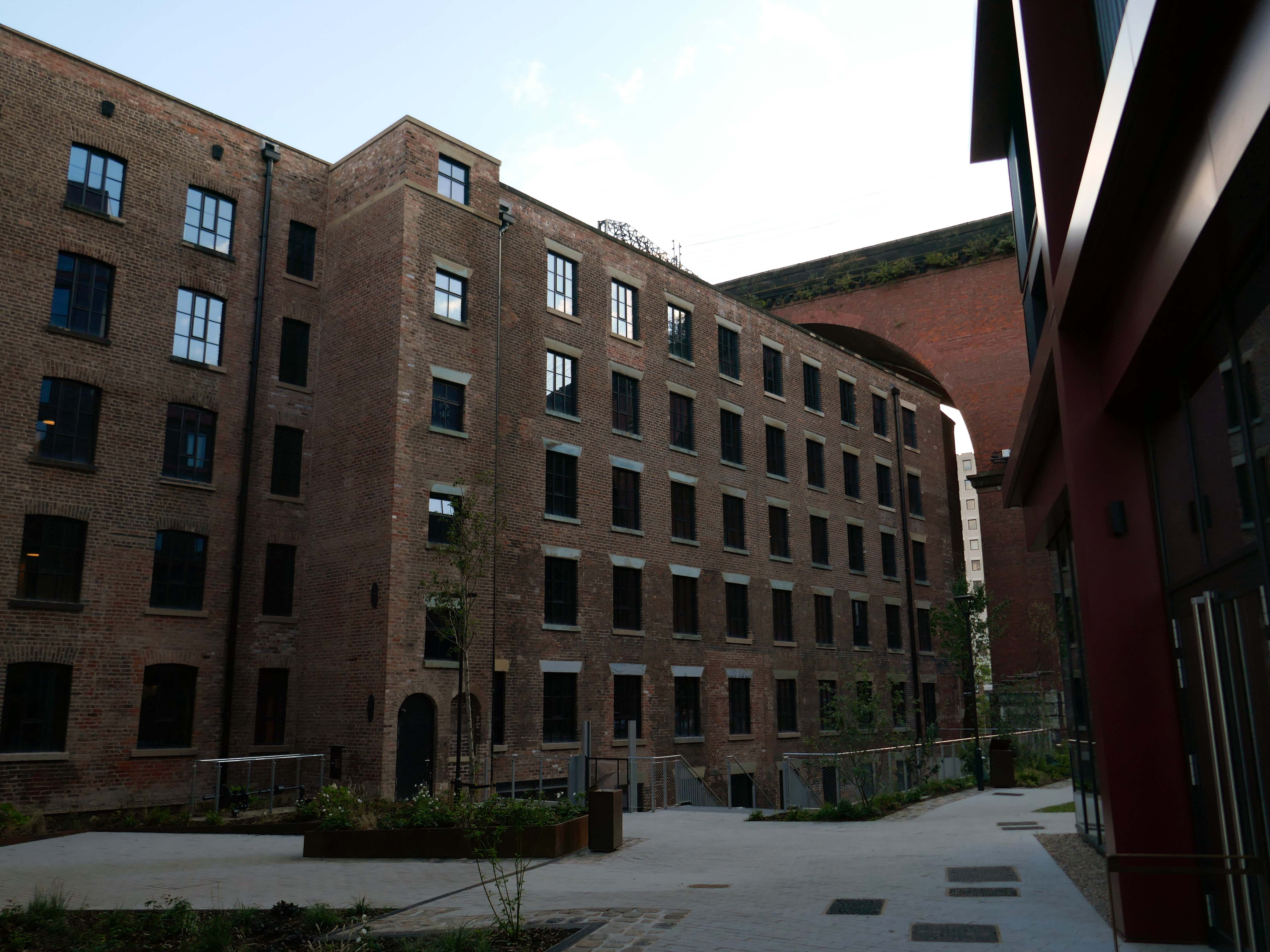
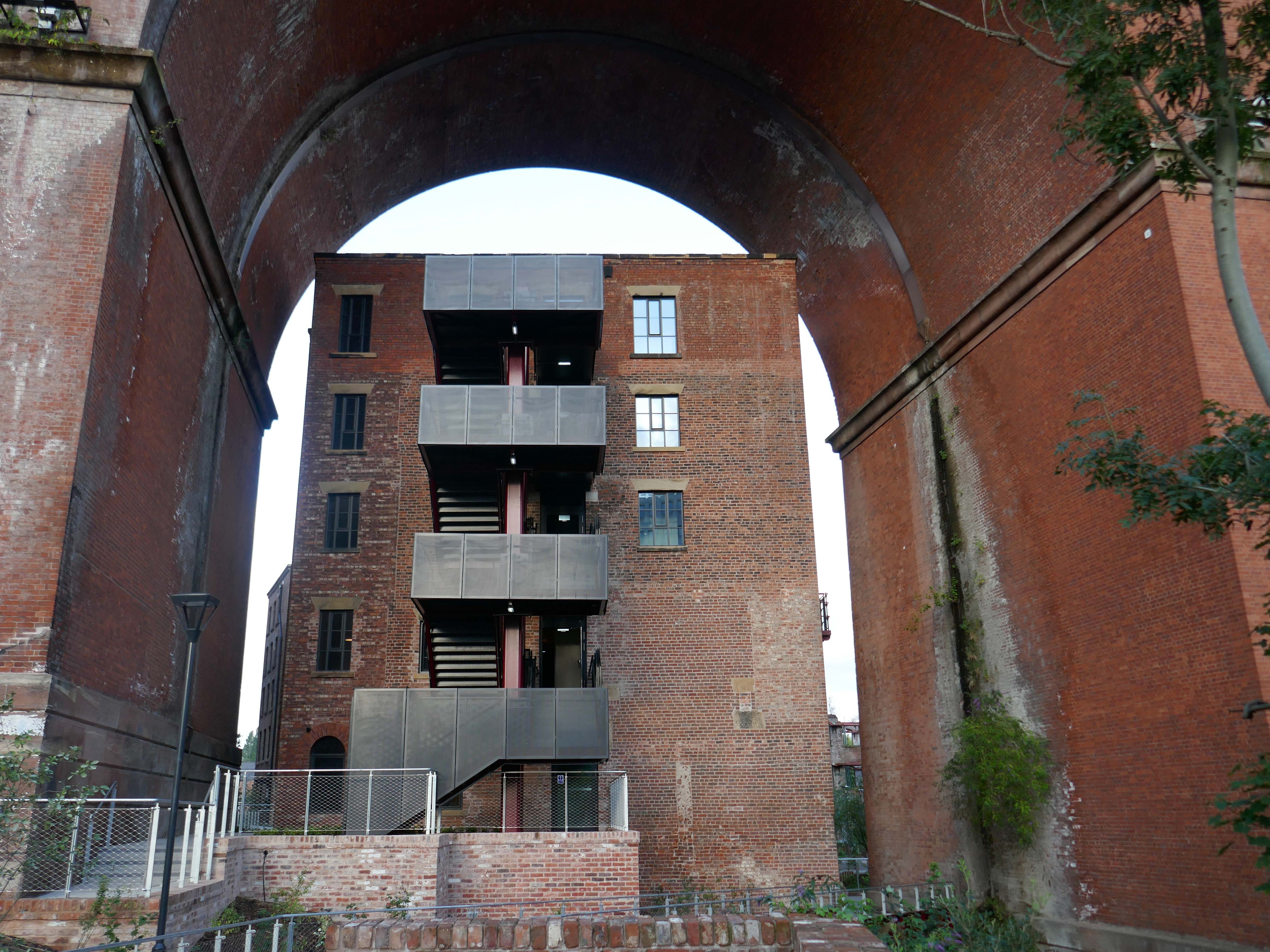
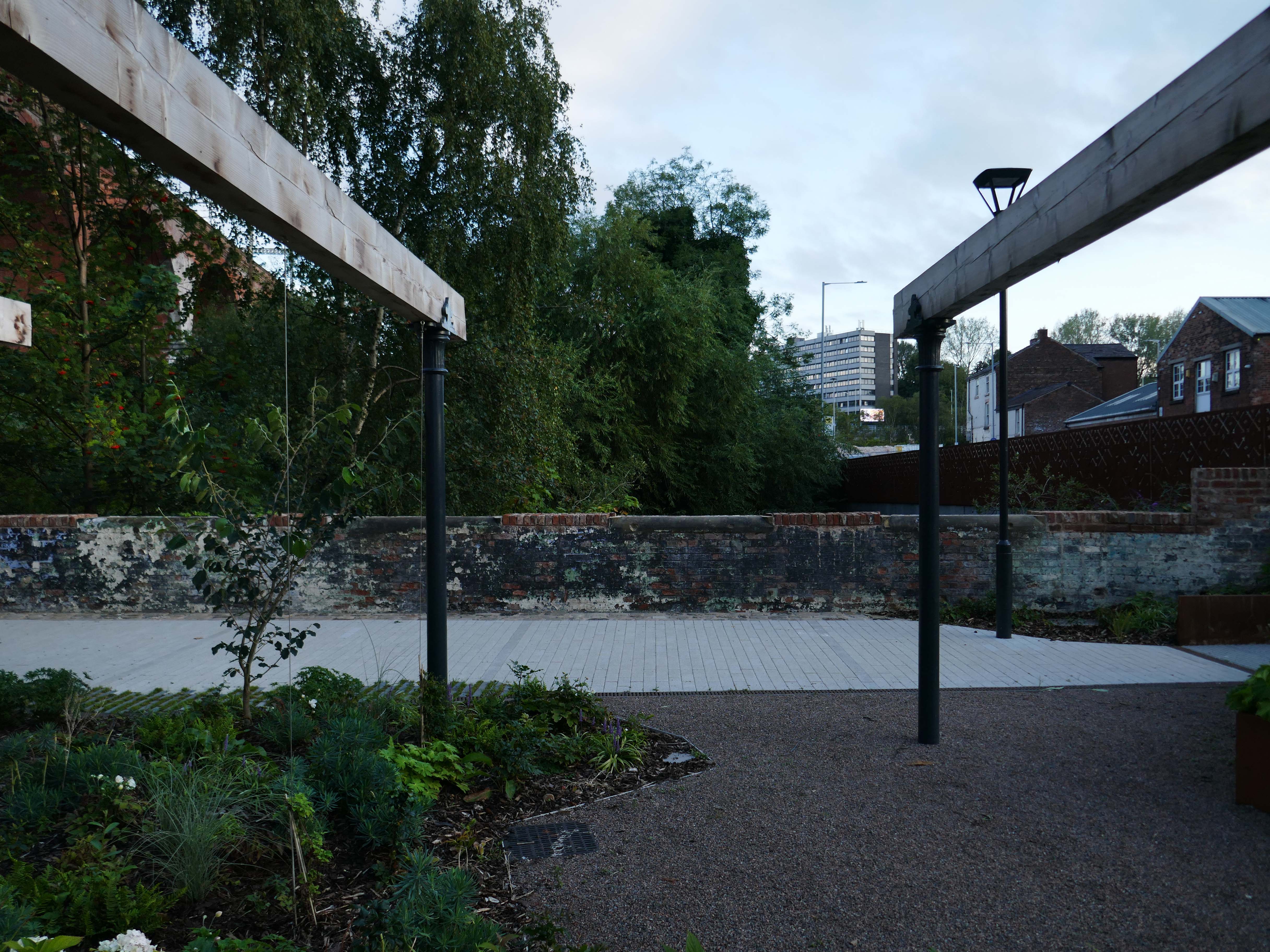
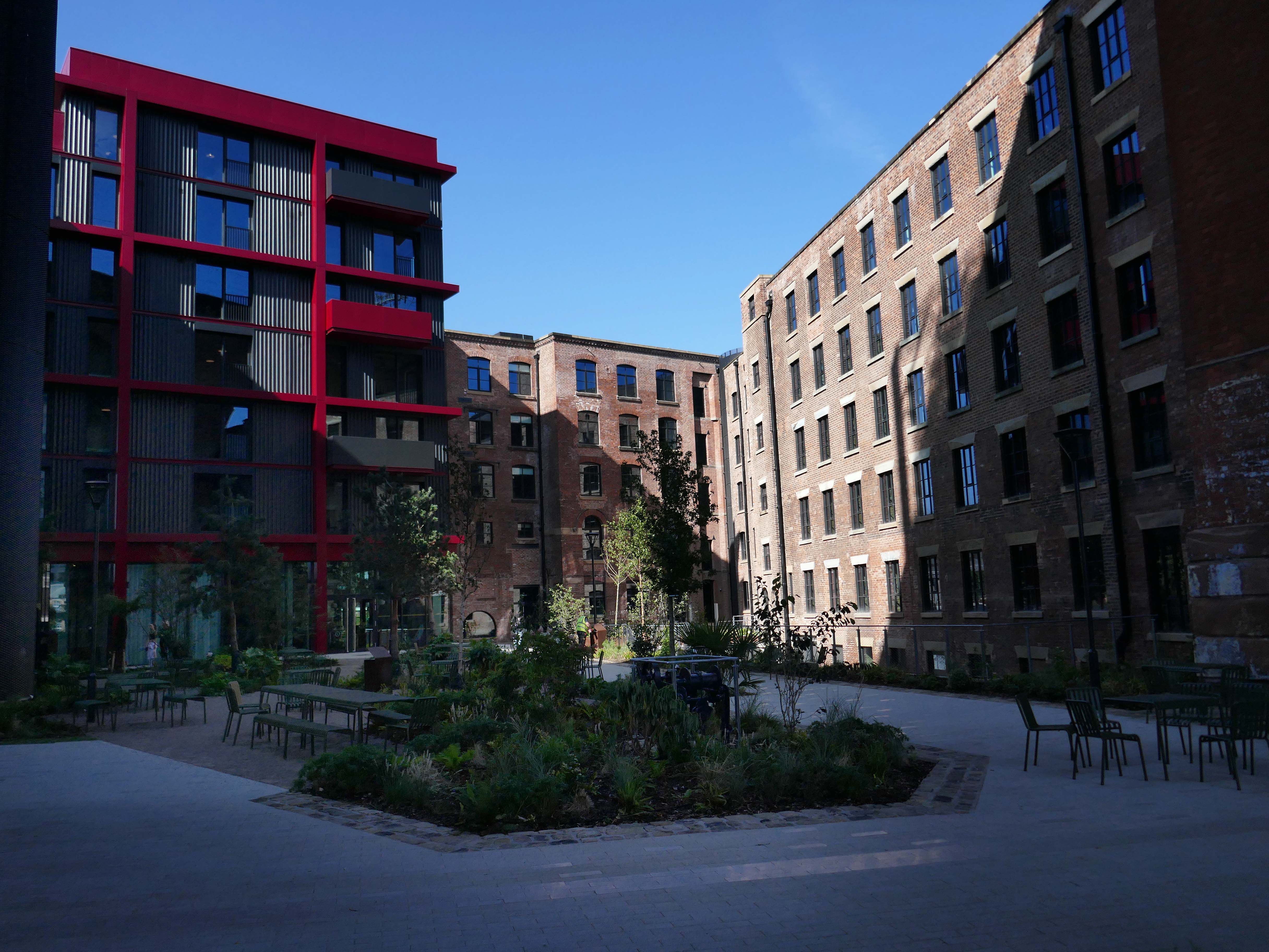
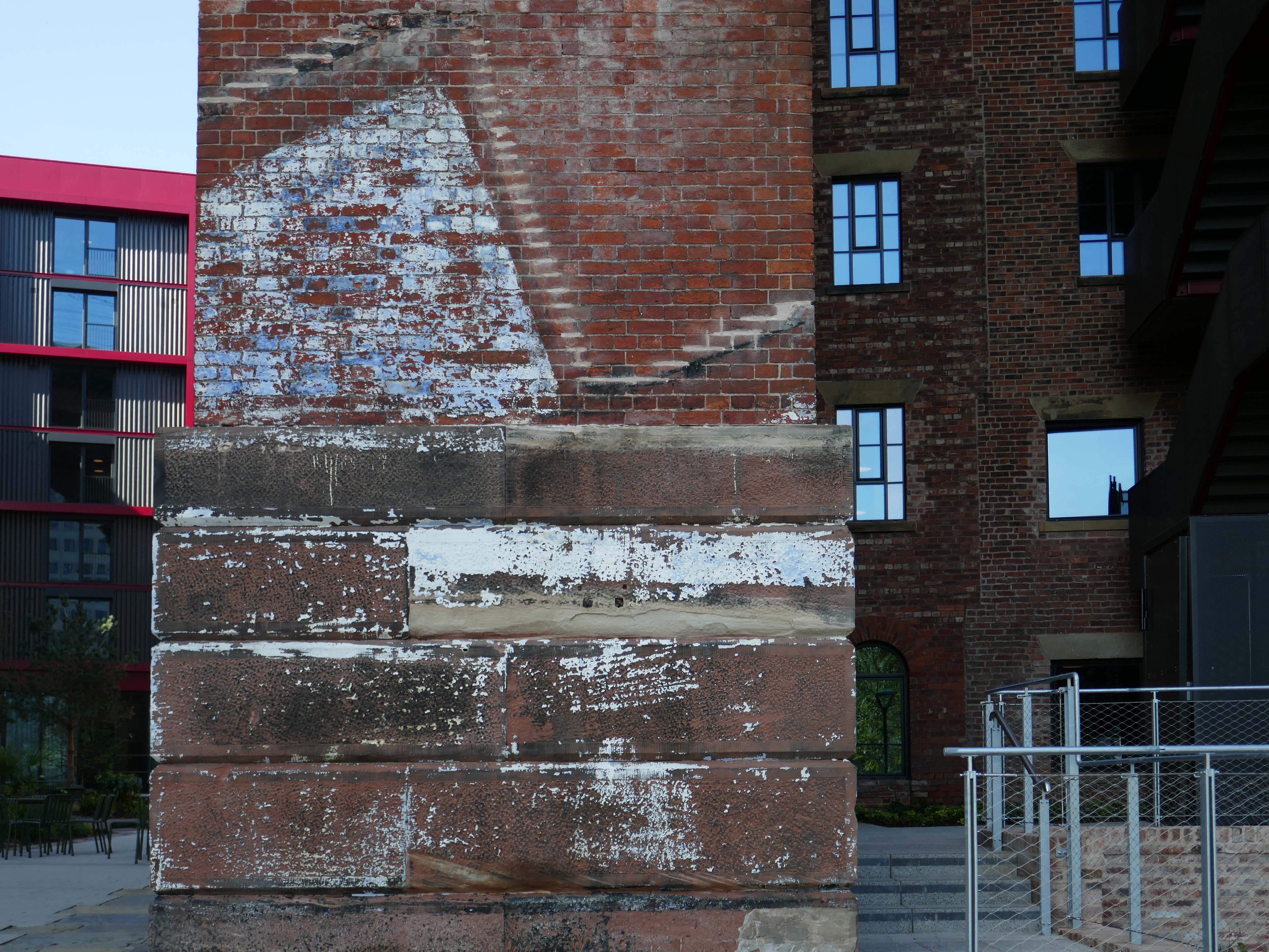
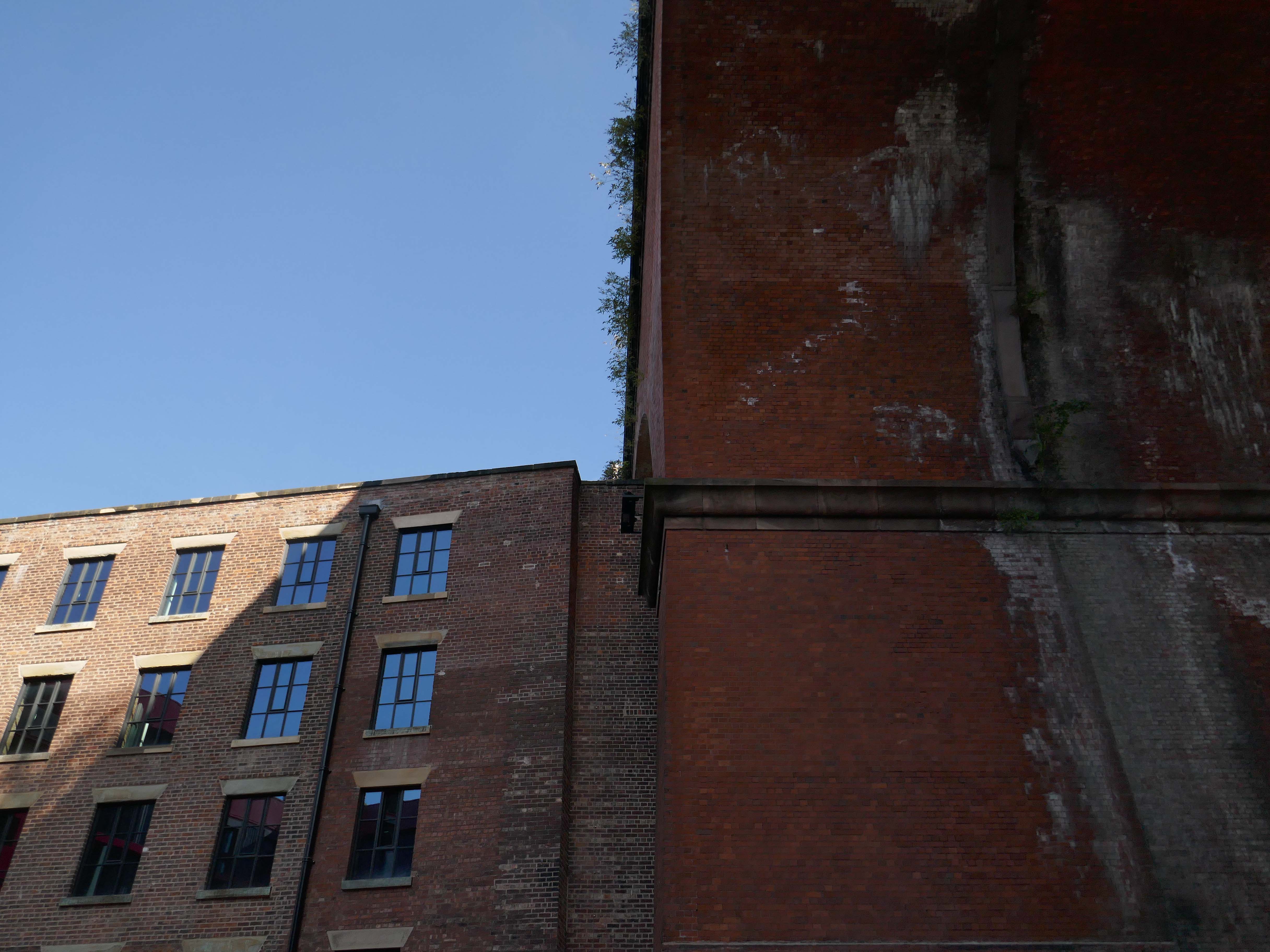
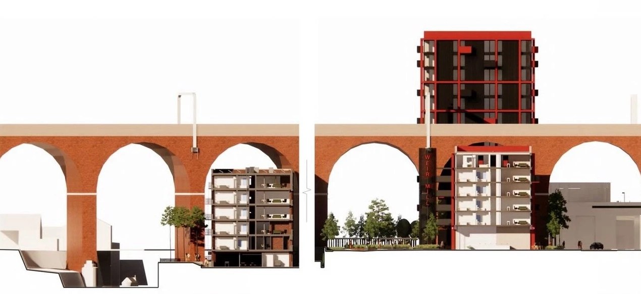
Beneath the viaduct and alongside the river is Grade II Listed Wear Mill

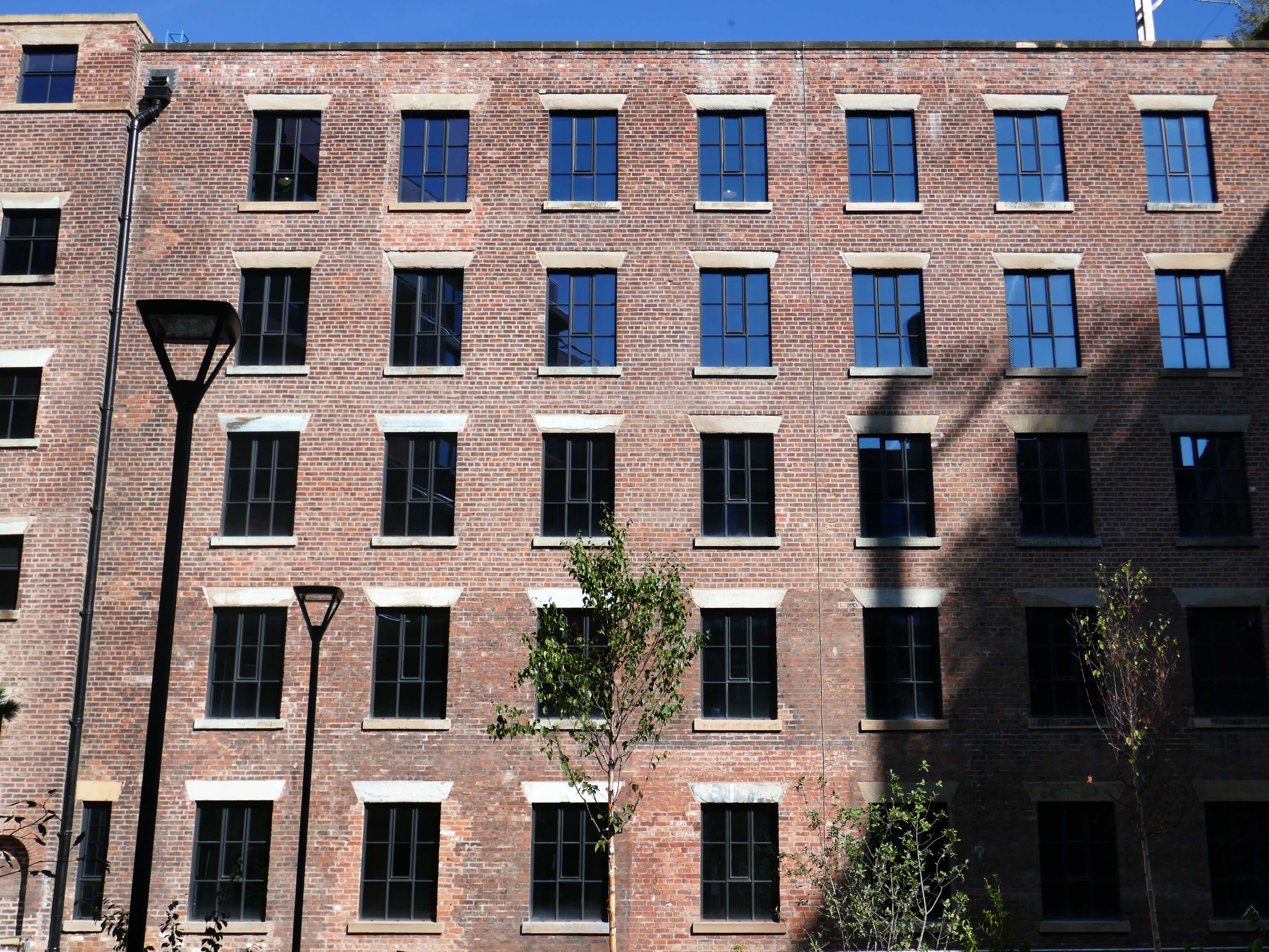
The first record of a mill on this site was when John Collier, a cotton manufacturer built a mill on this site in 1790. It was water powered. The mill probably consisted of two multi-storey spinning mills and attached weaving sheds, one destroyed by fire in 1831 and the other rebuilt in 1884.

Thomas Fernley bought the mill in 1824, and in 1831 needed to replace one mill with a new one that was of fireproof construction. This mill was eleven bays long and six storeys tall. The floors were sprung on transverse brick arches supported on cast iron columns. It was driven by a beam engine in an internal engine house to the east of the mill. It was over this engine house that the Manchester and Birmingham Railway built the Stockport Viaduct in 1840, and again when it widened in 1880. The second mill was replaced in 1884, but not the original wheelhouse. It is a five-storey, 15-bay mill of fireproof construction with narrow longitudinal vaults springing from iron joints. The original weaving sheds have been replaced with two-storey structures, creating a complex site.
Wikipedia

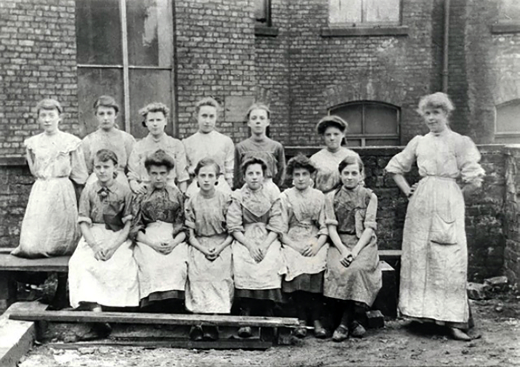
Employees at Wear Mill c.1907
I have circumnavigated the site on a previous post concerning the viaduct.
Way, way back in the Twentieth Century Mr LS Lowry came to take a look around.

As did photographer John Davies.

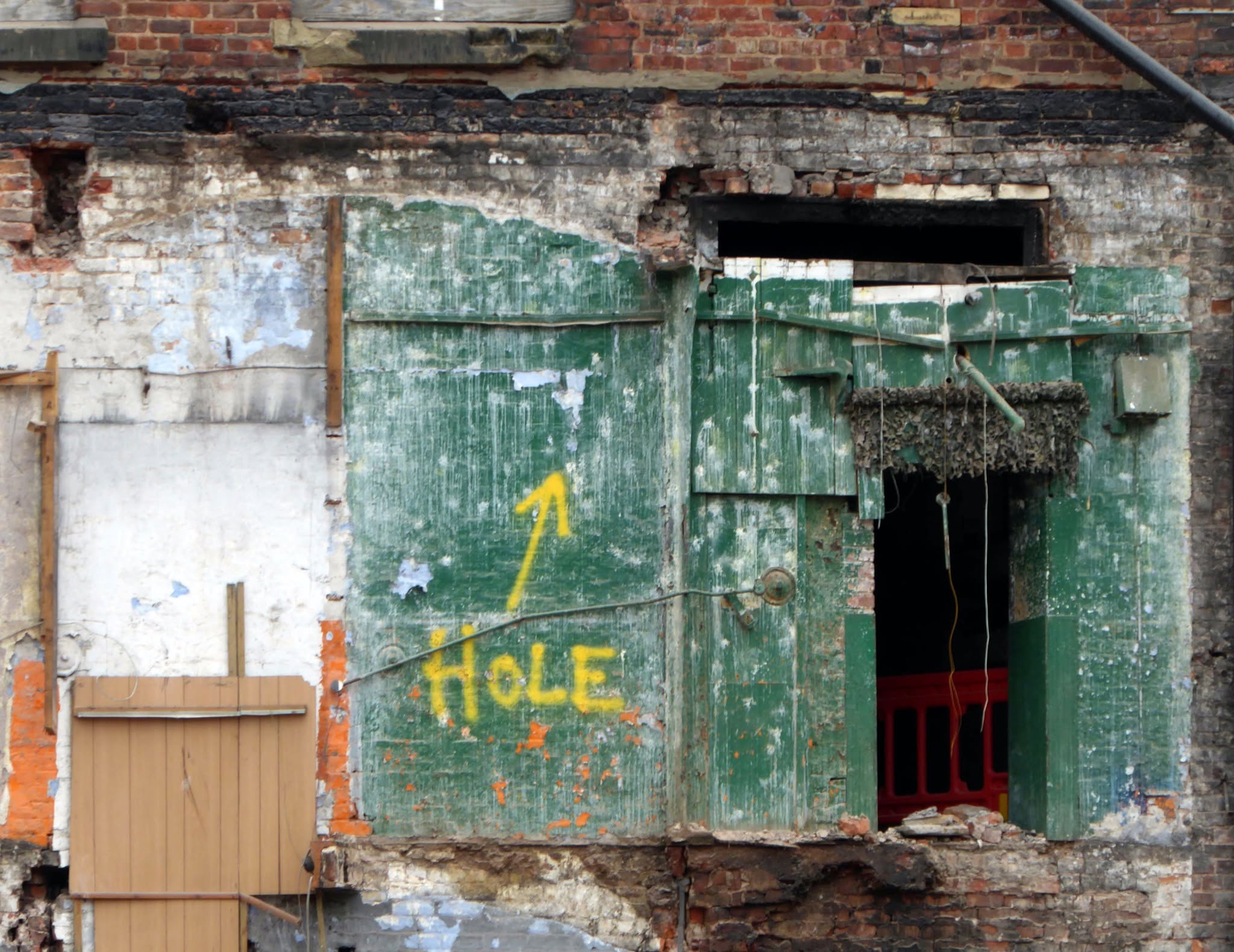
However cotton and hats do not last forever and the mill became home to a variety of small business operations, its future seemed precarious.

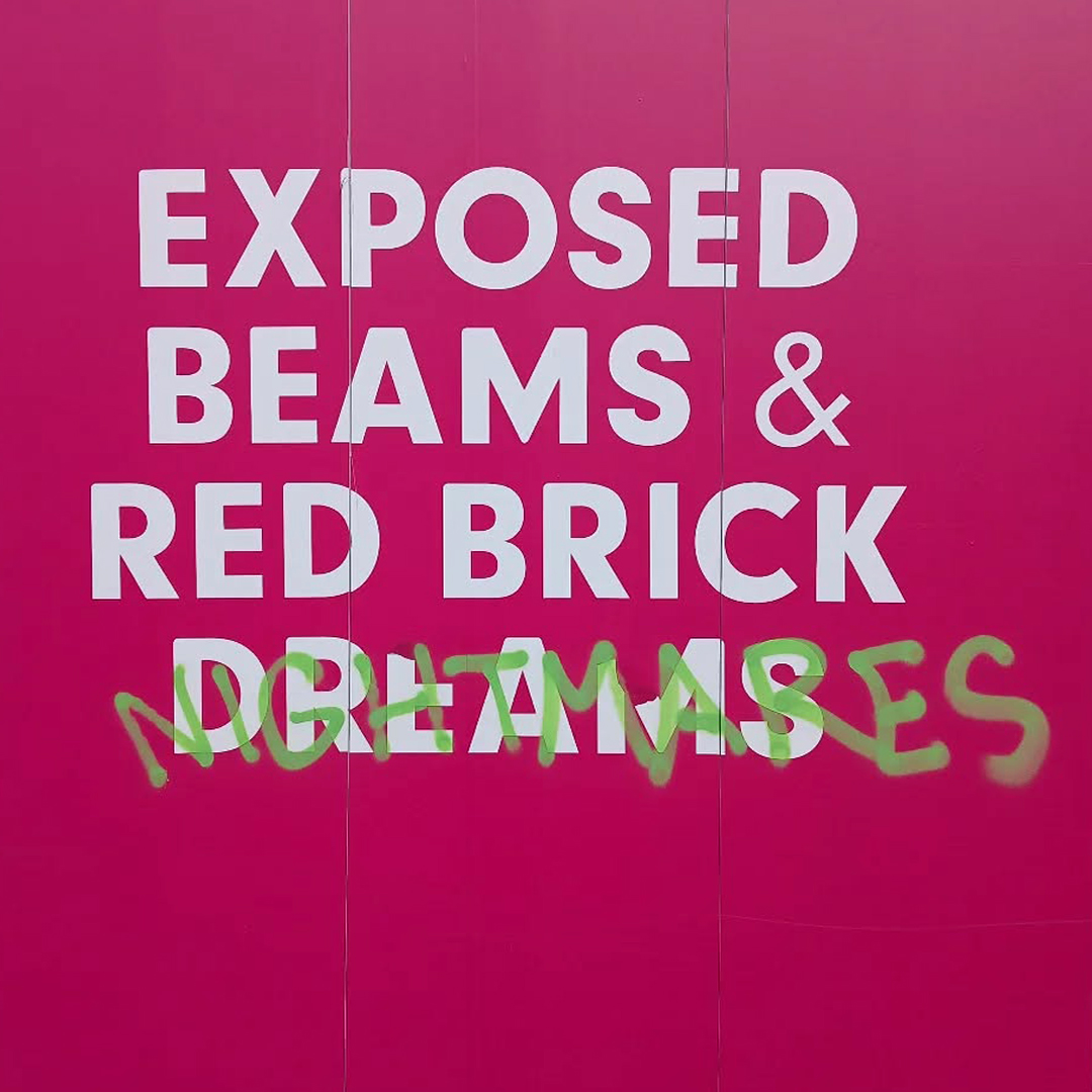
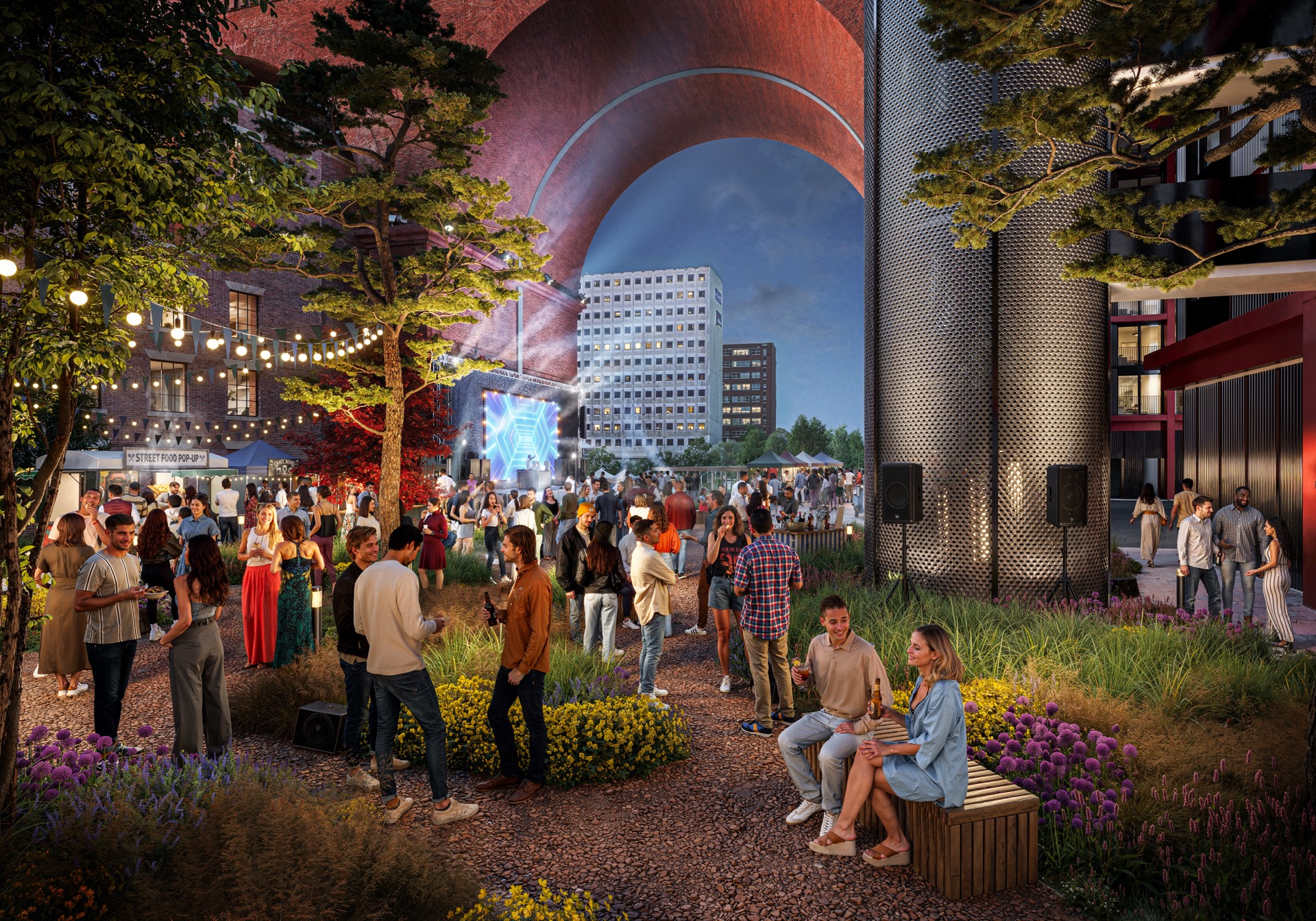
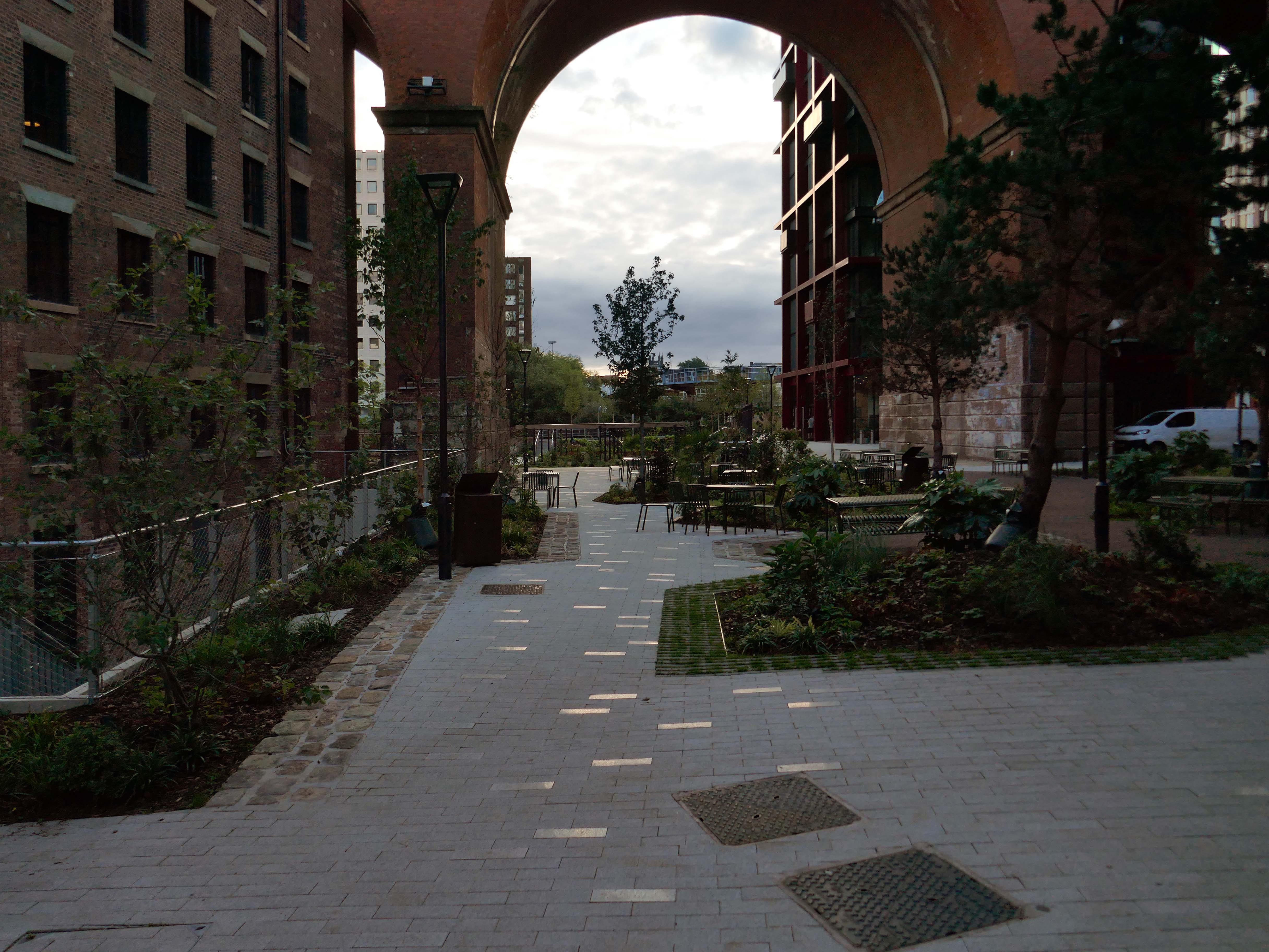
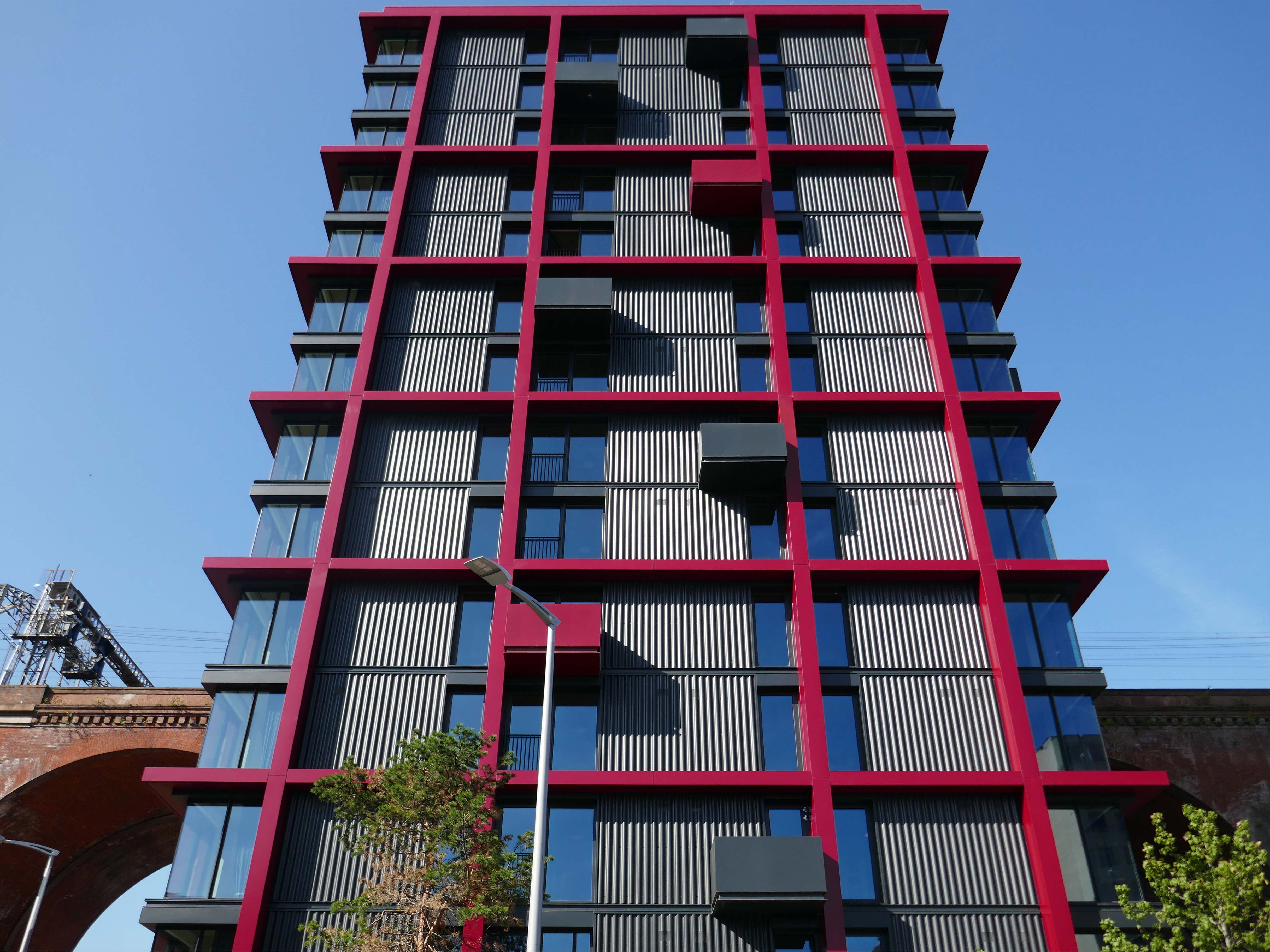
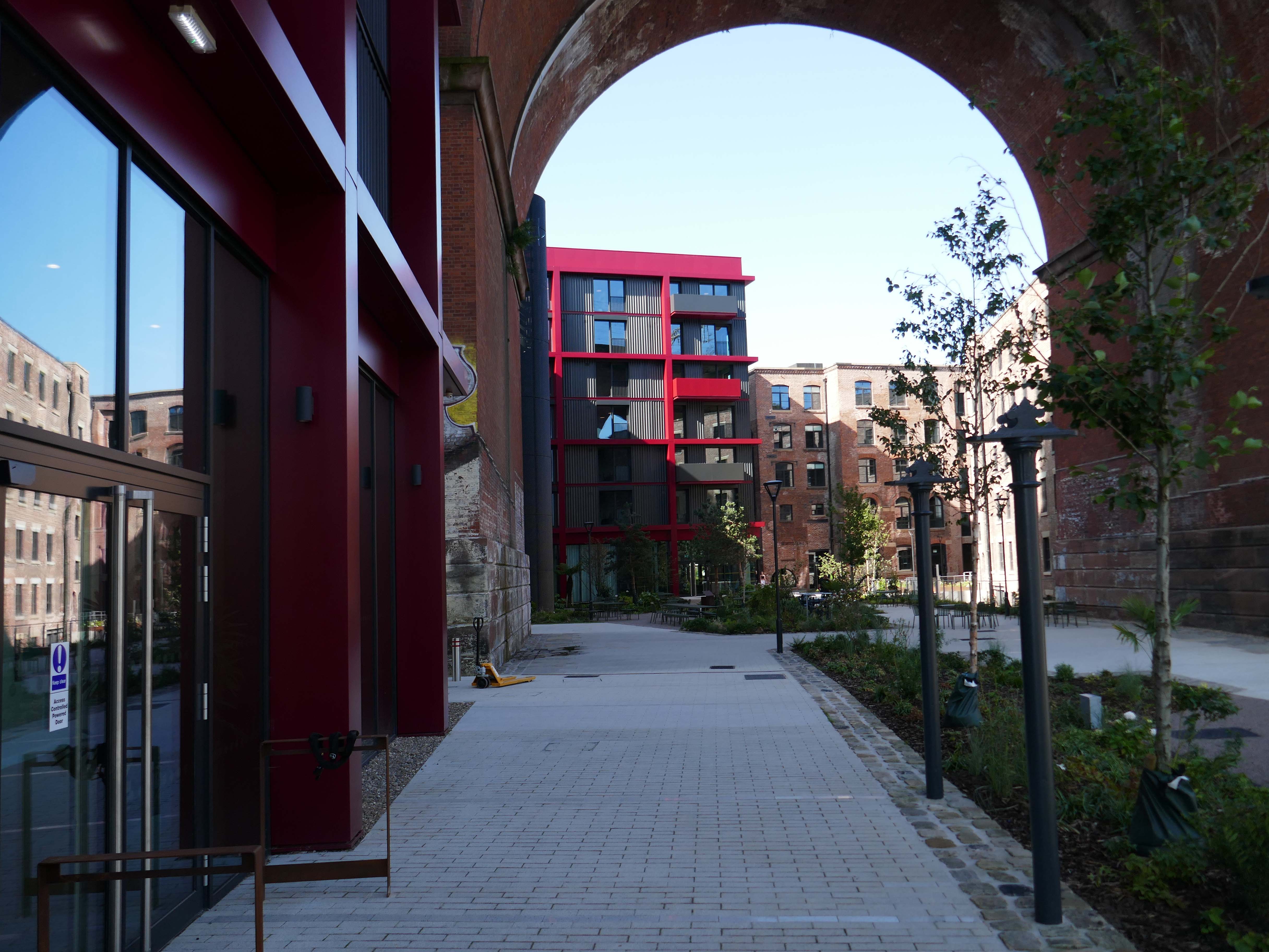
Along comes Capital & Centric wearing their developers’ hats to transform the site into an oasis of modern living.

Hundreds of youthful stock photographic figure illustrations were ordered to fill the proposed dwellings and contemporary leisure outlets.

Work began the future began to take shape.

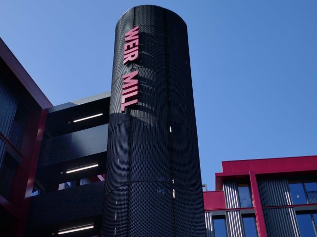
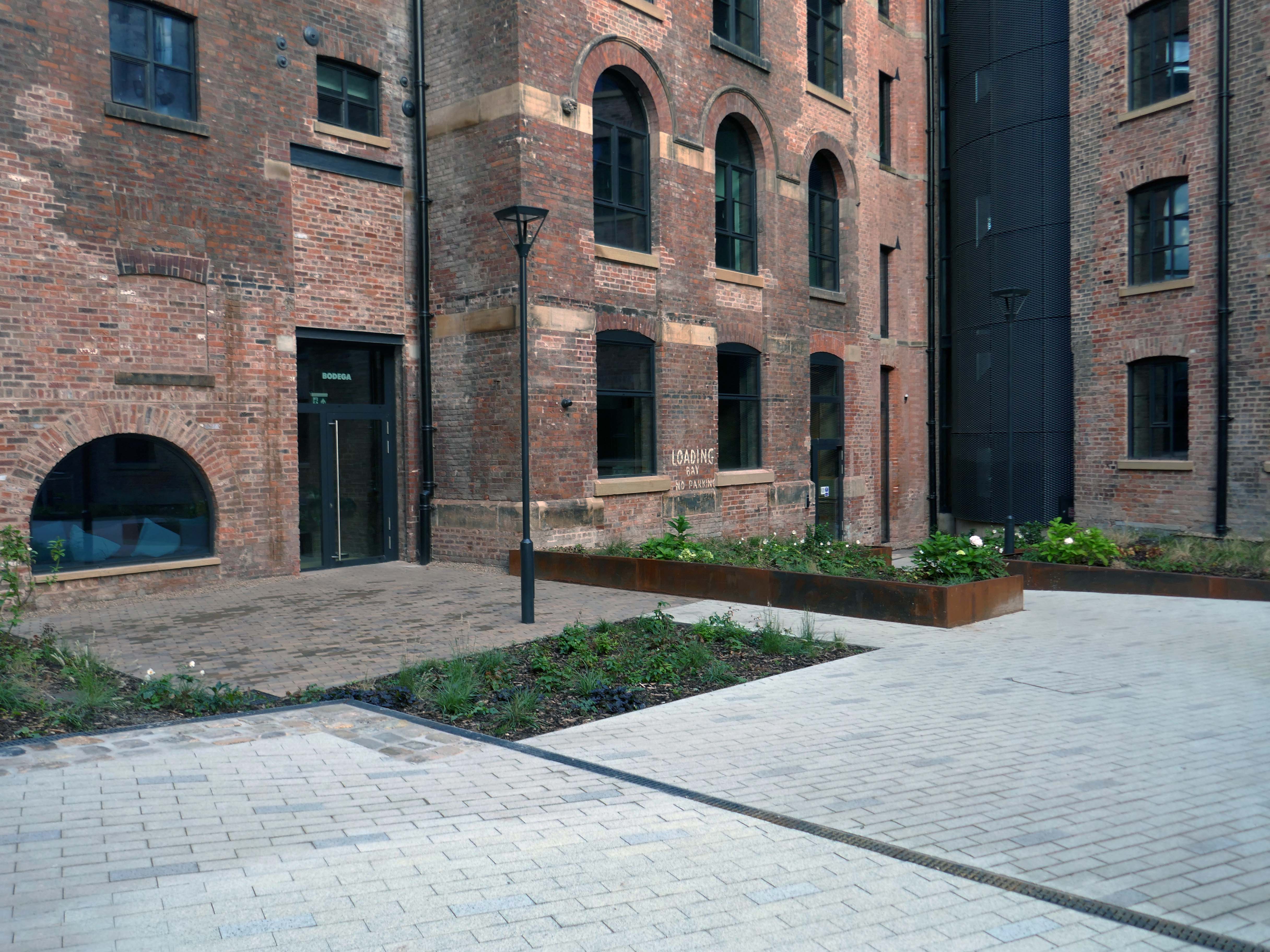
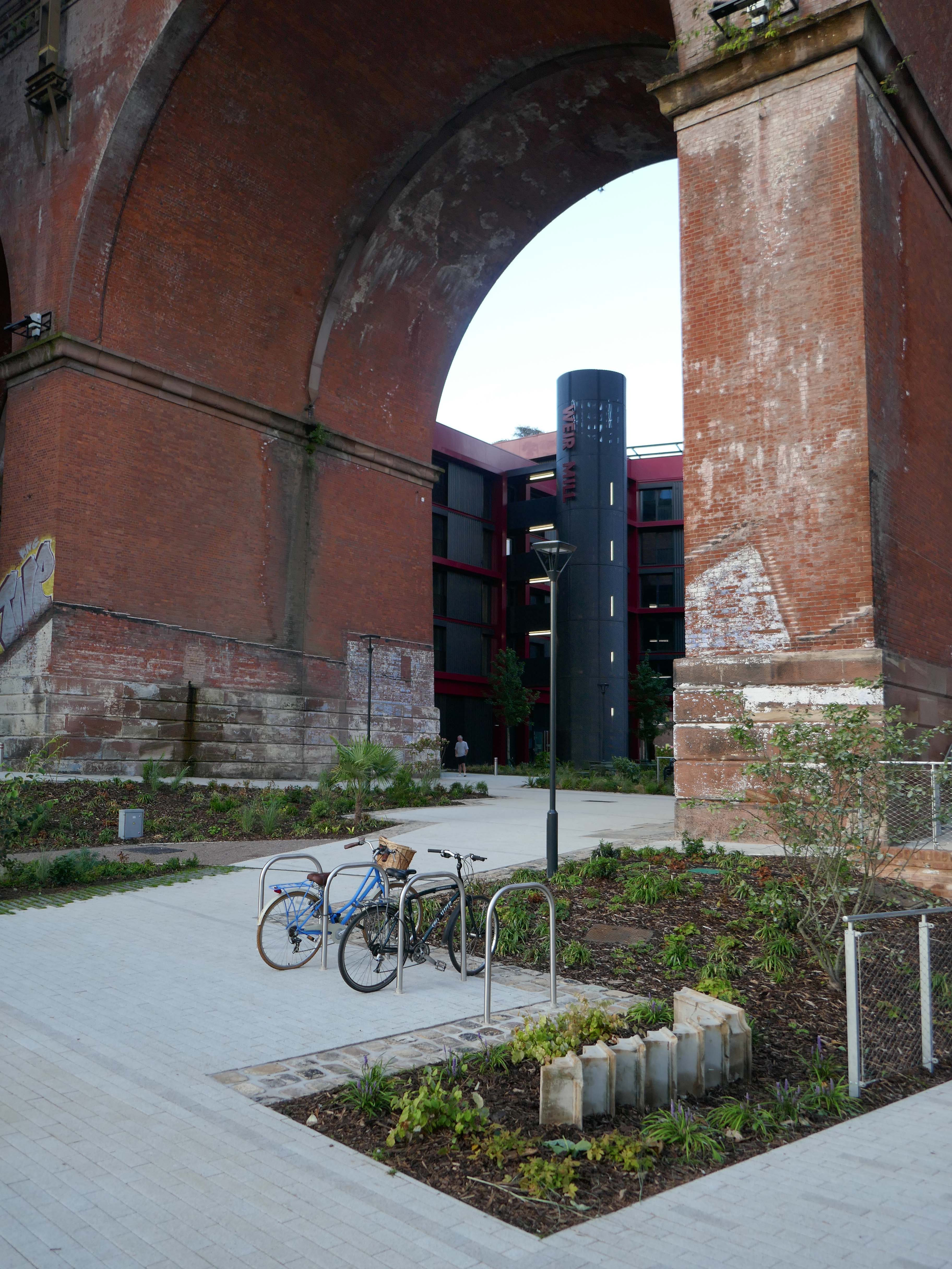
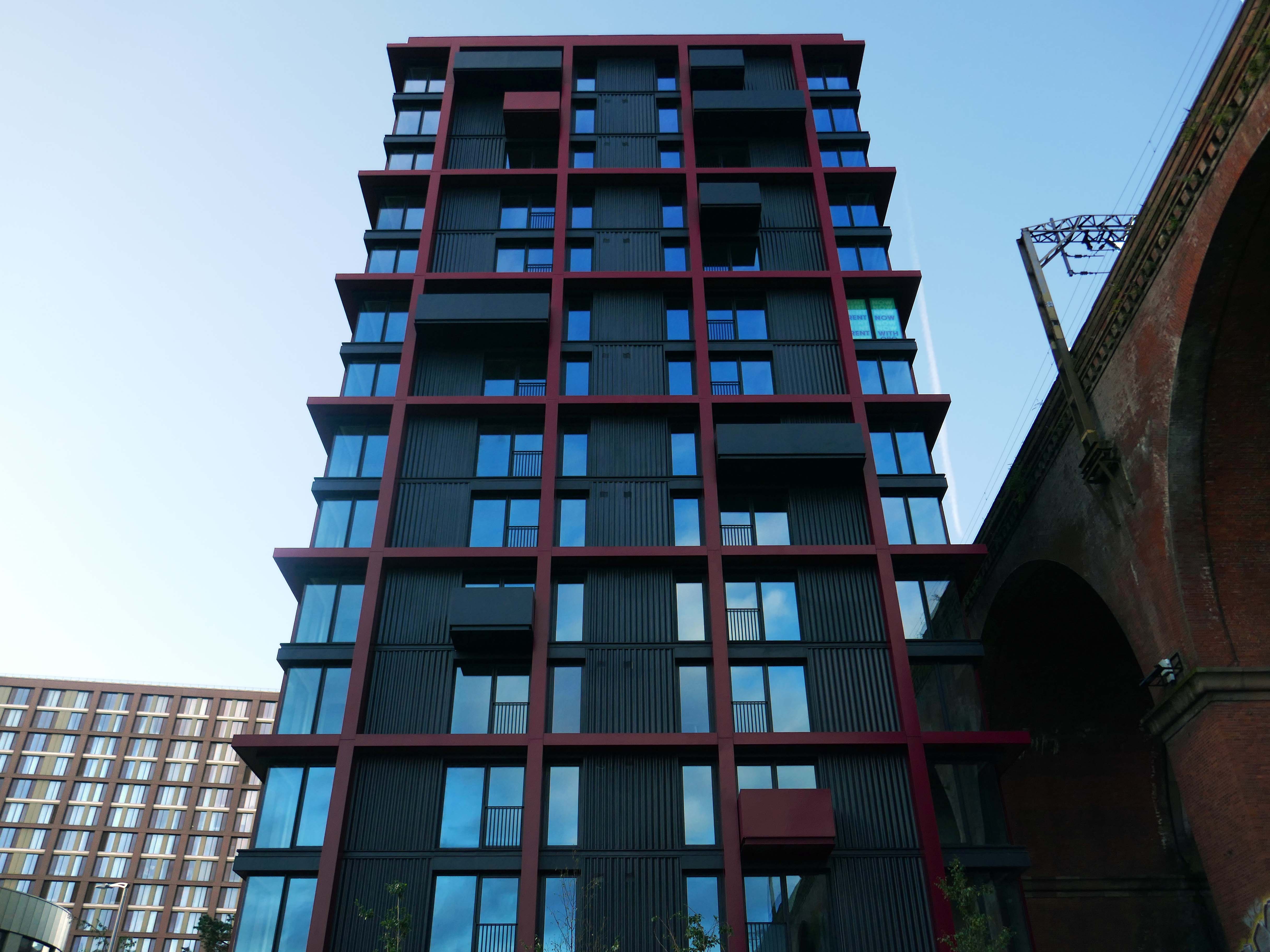
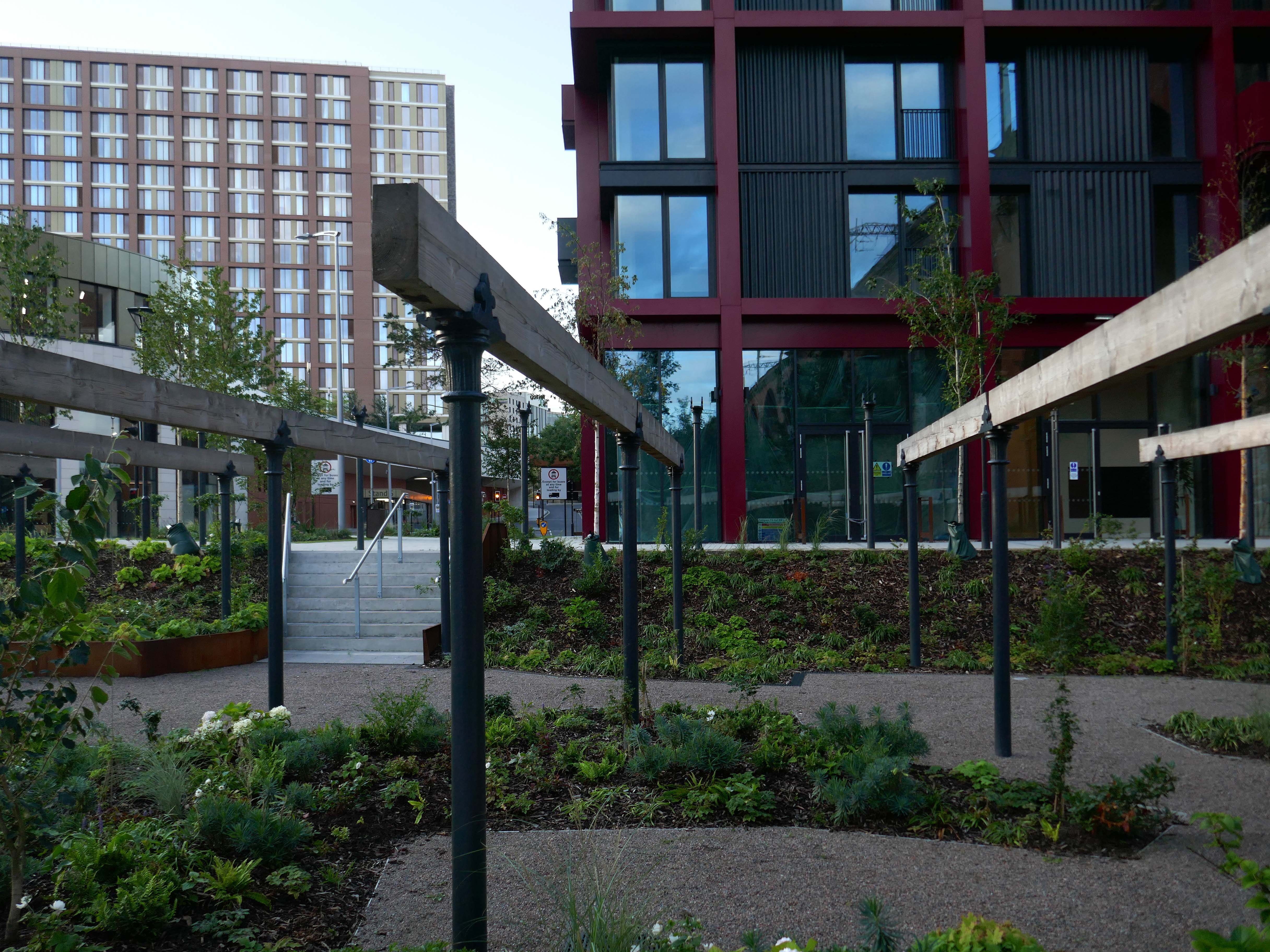
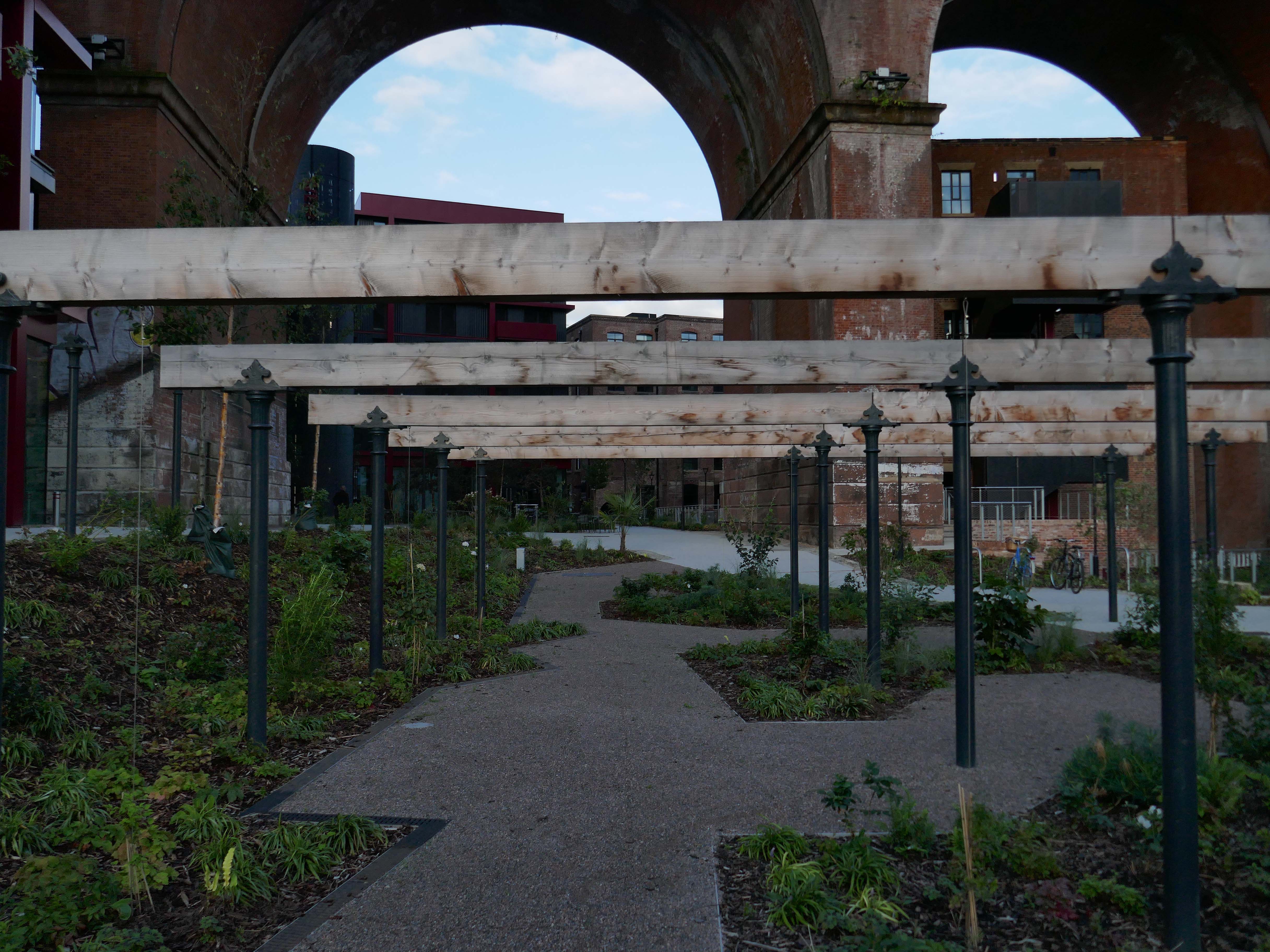
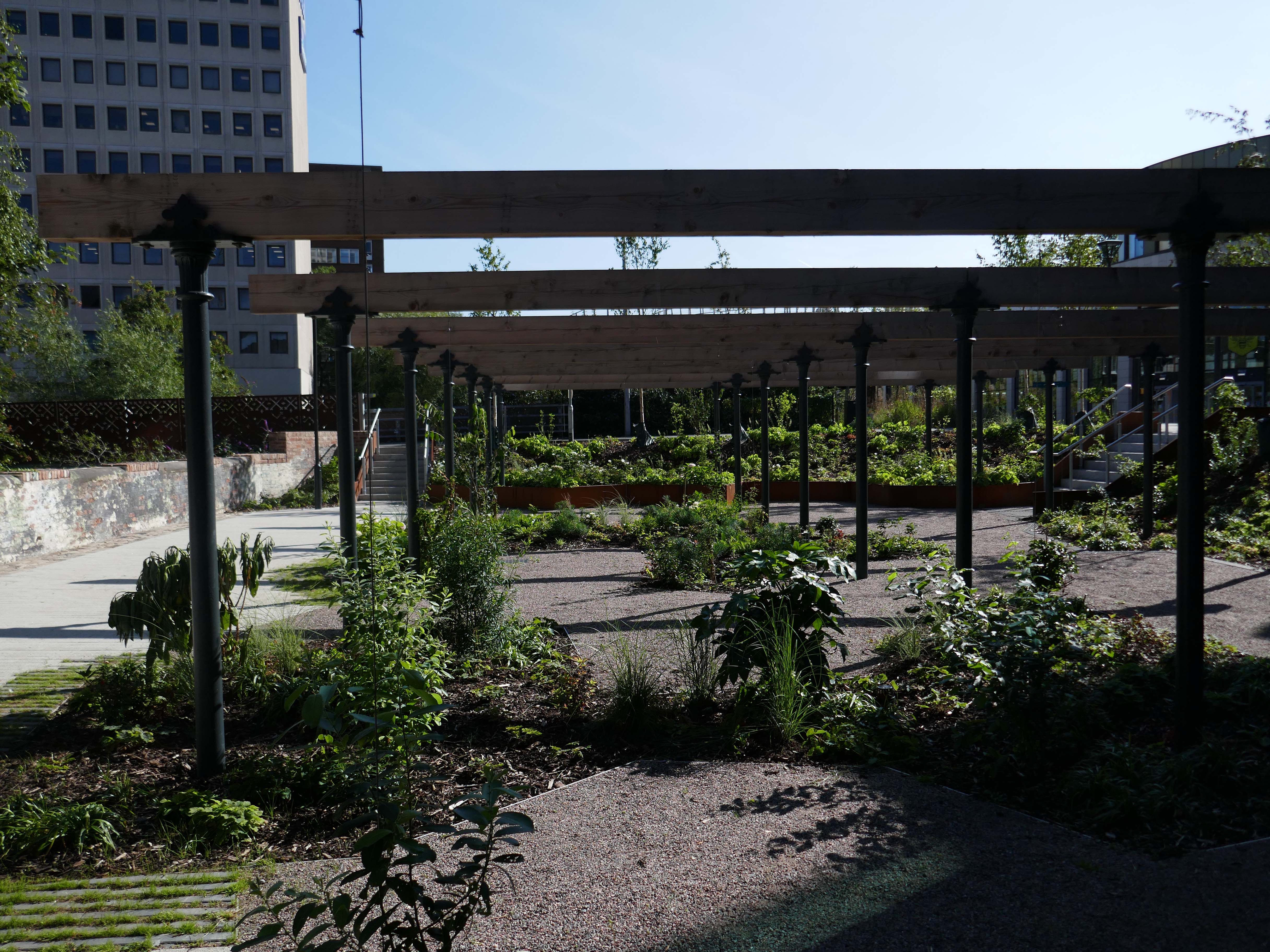
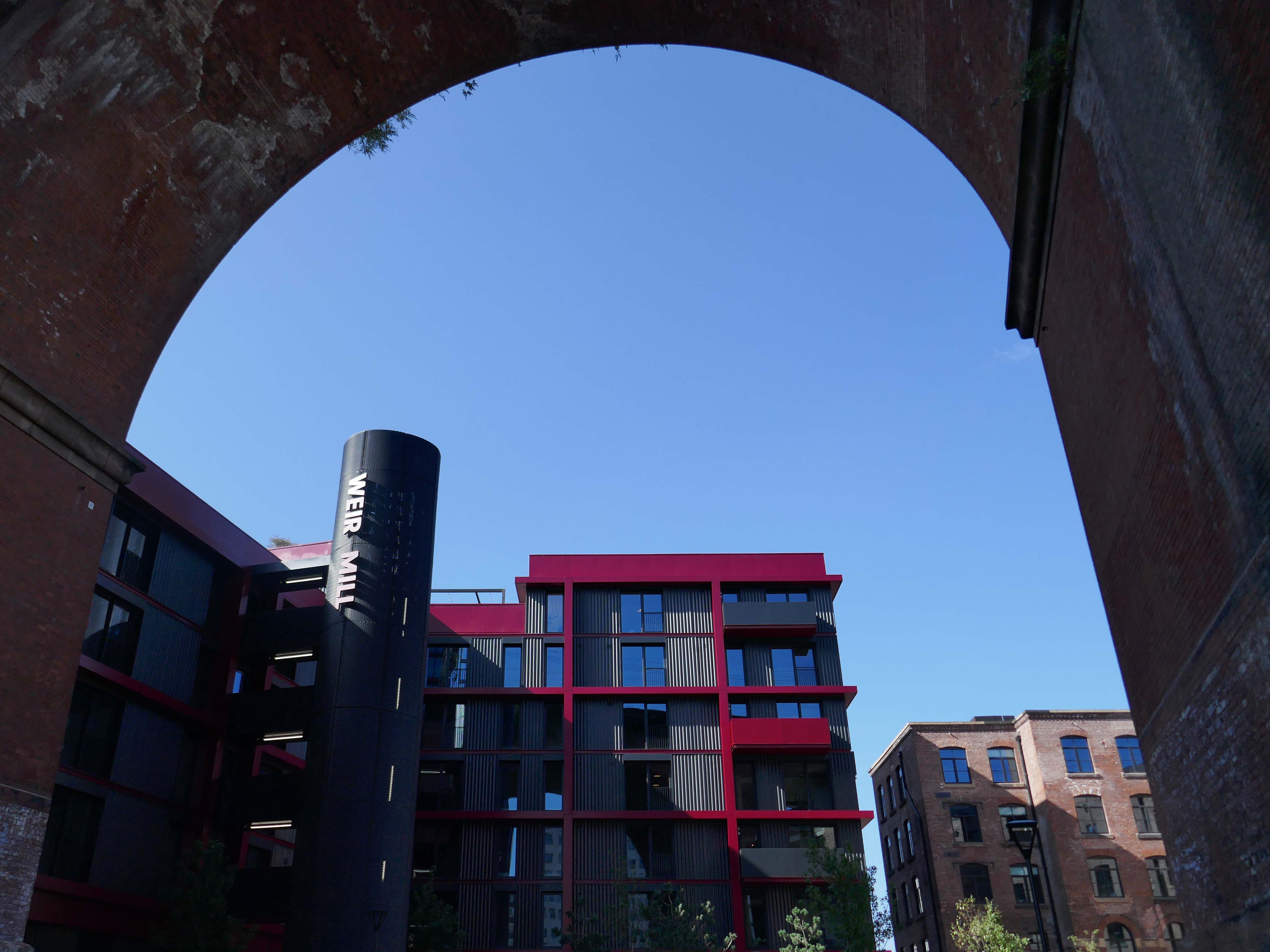
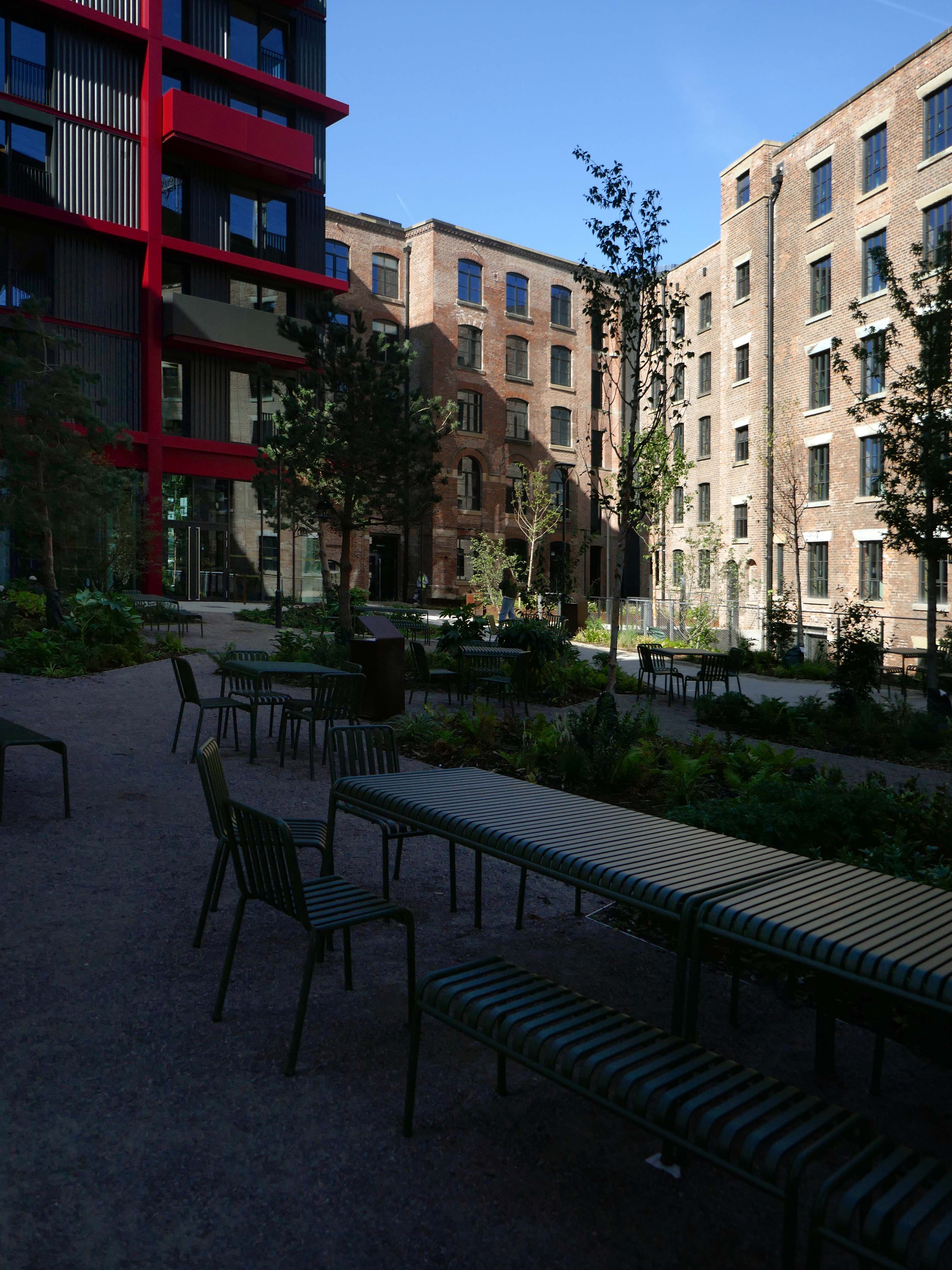
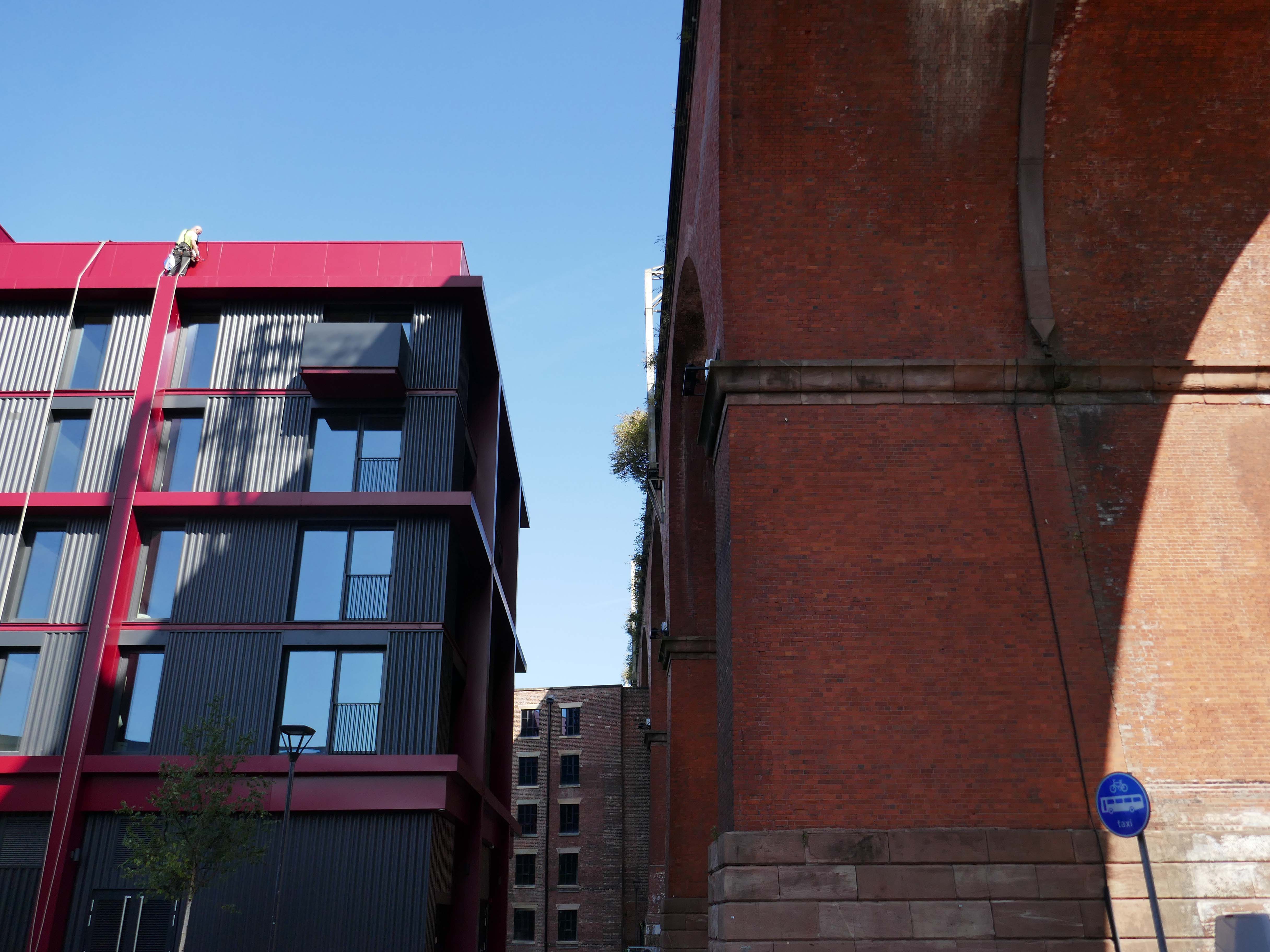
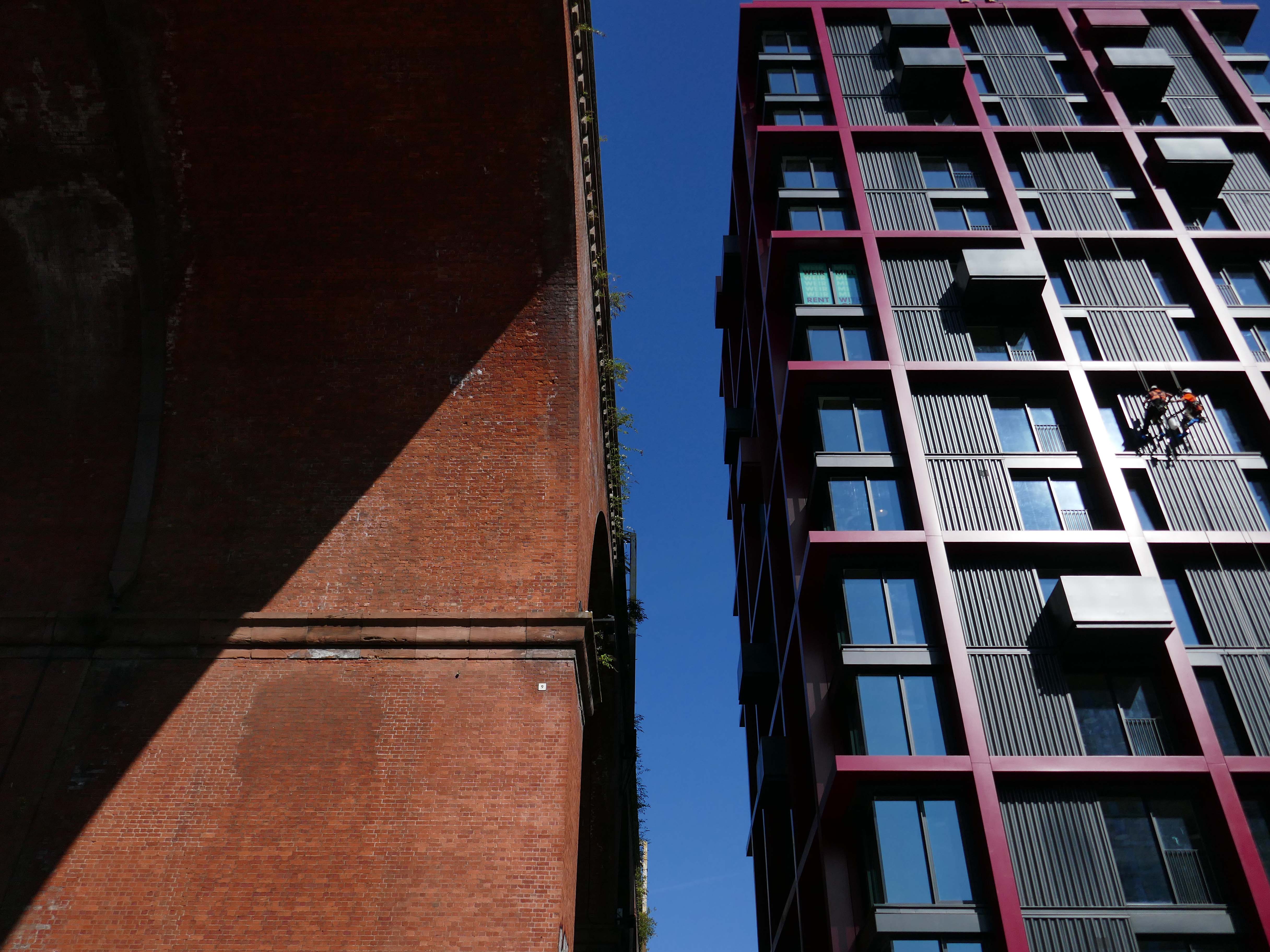
The Weir Mill project in Stockport is breathing new life into a historic site, transforming the former cotton mill into a vibrant mixed-use community.

BDP

Lo, it came to pass – opened to the public August 2026.

I went to take a look around.

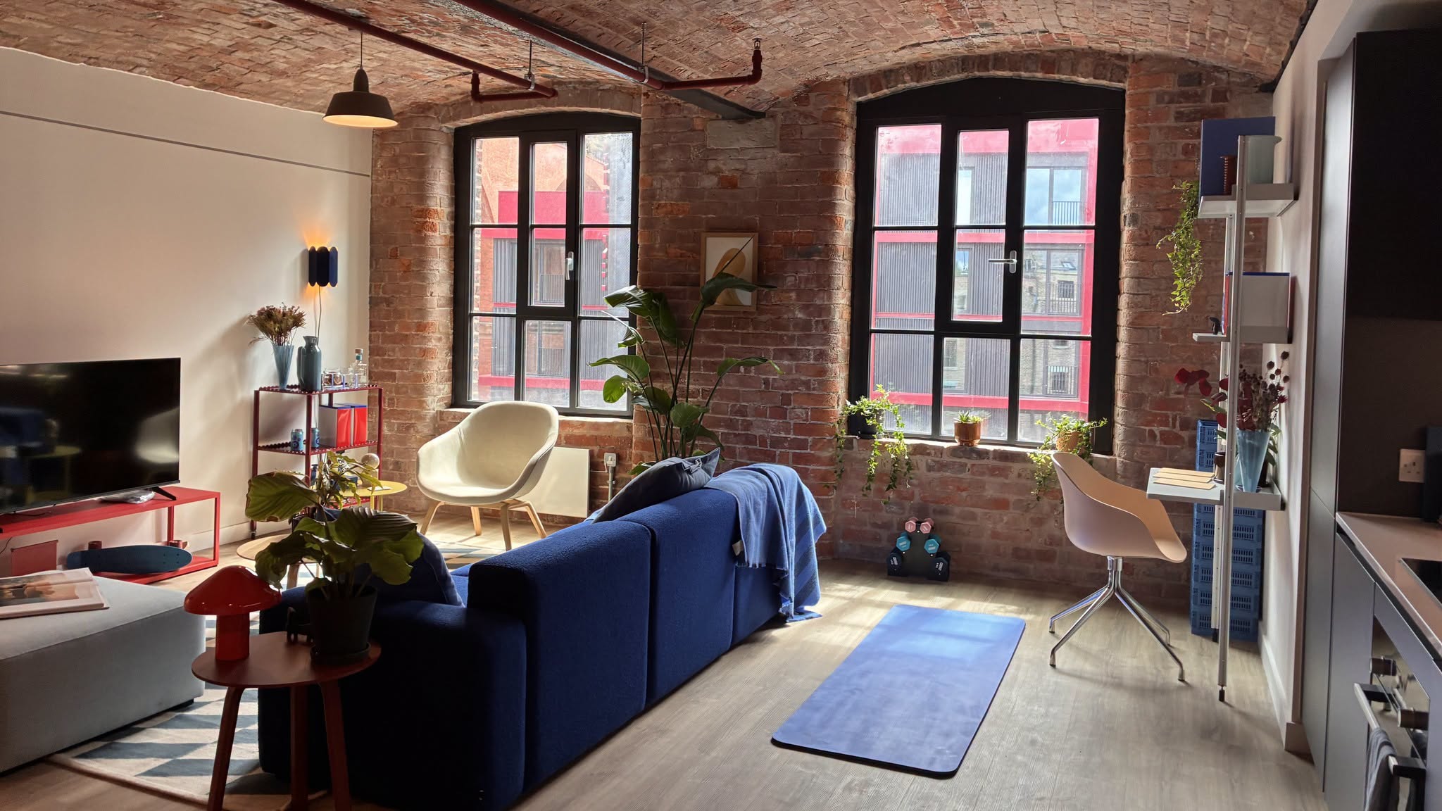
Available to rent right now – one bed from £1250 two bed from £1600

Living here comes with a stack of resident perks too. On-site amenities include a fully kitted out gym and studio, co-working spaces, mini-cini, residents lounge, private dining for big get togethers, and a rooftop garden fitted with electric BBQs.

Ollo Living

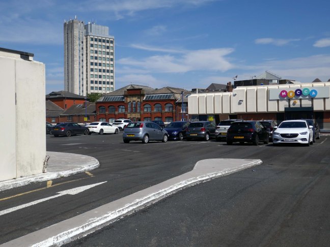
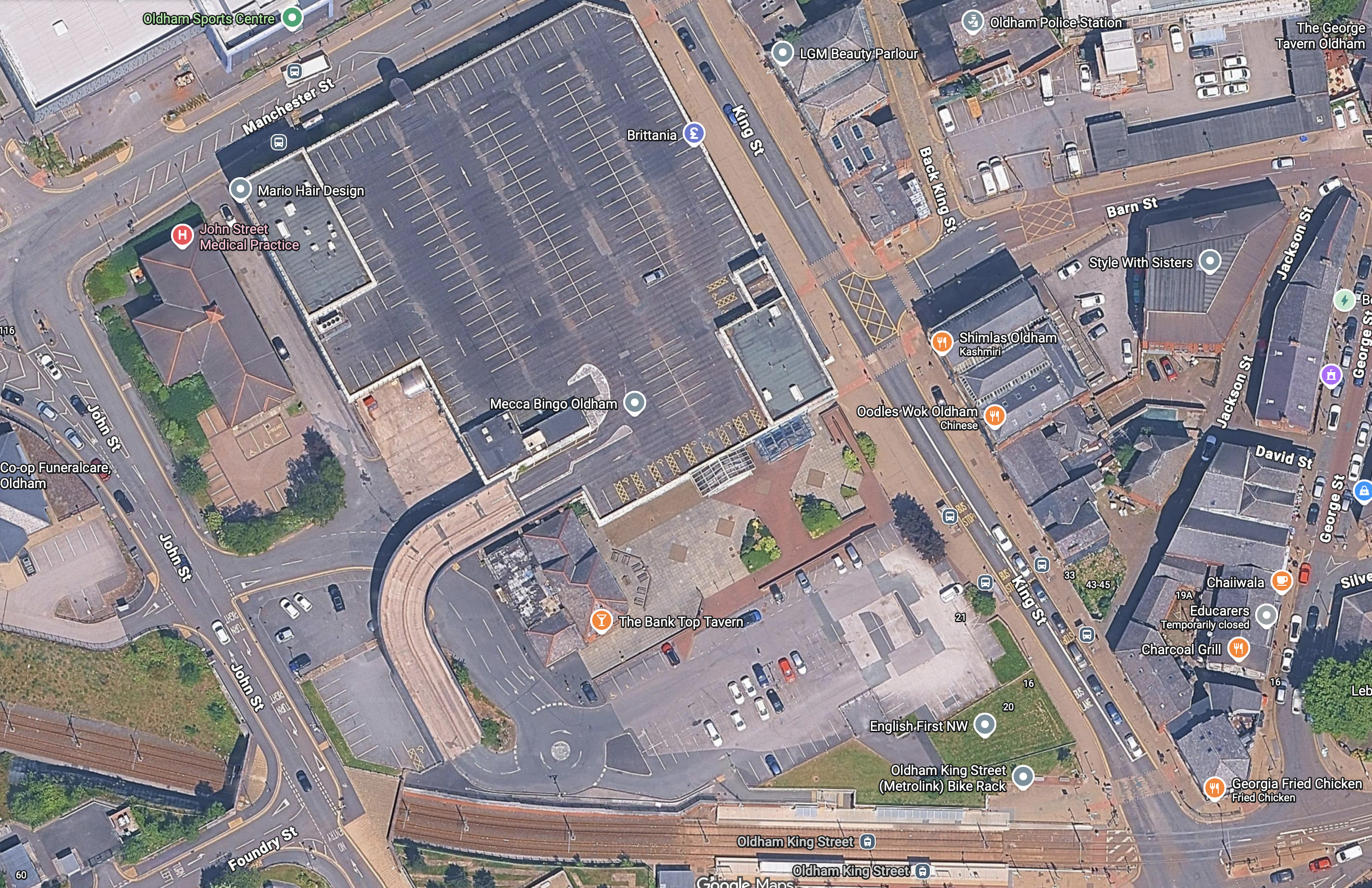
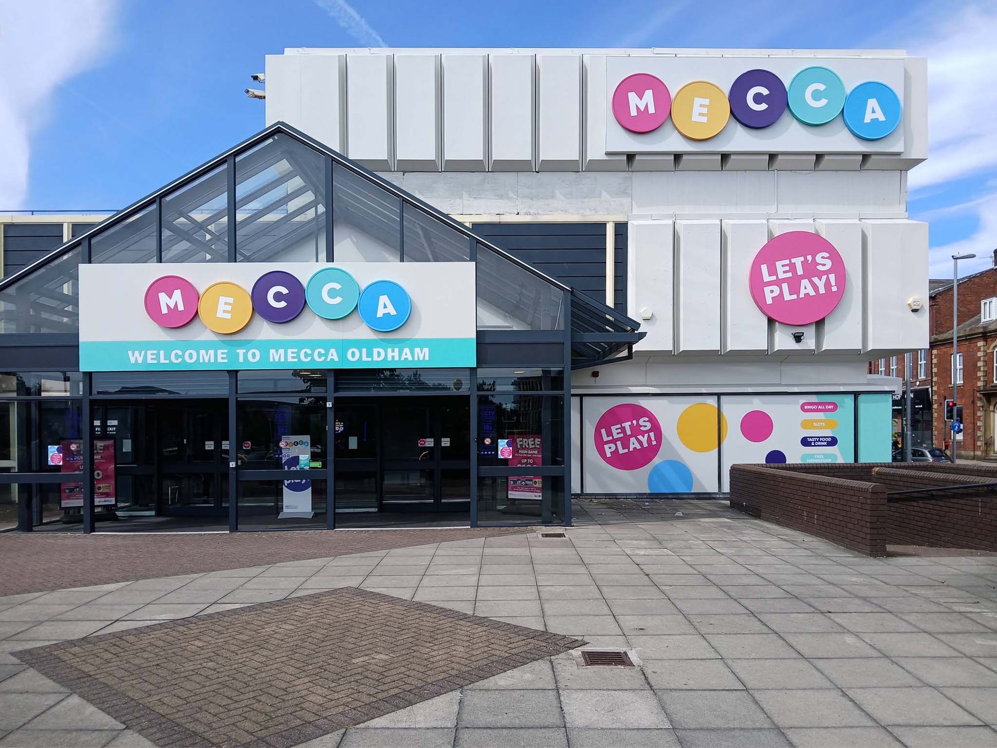
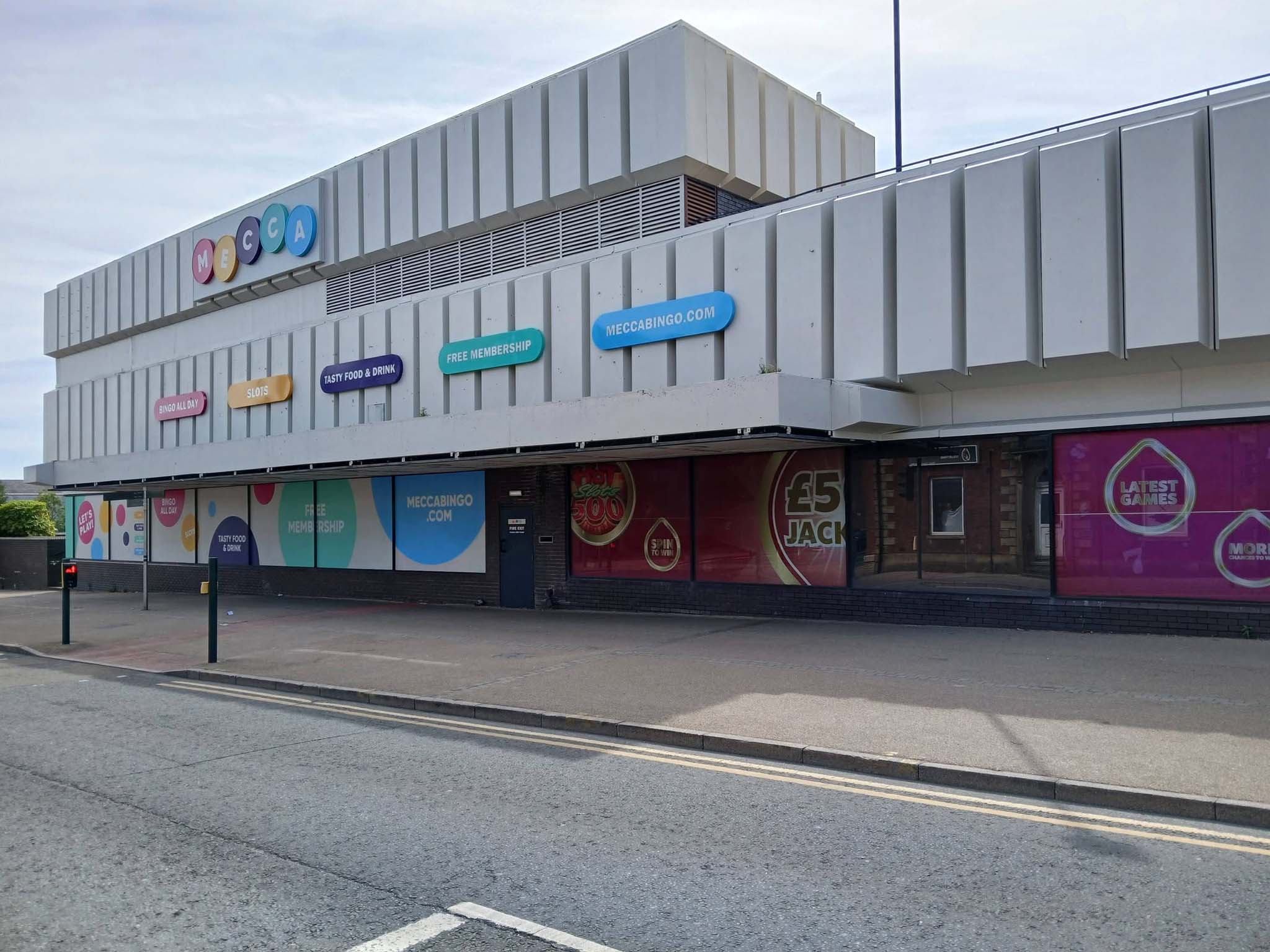
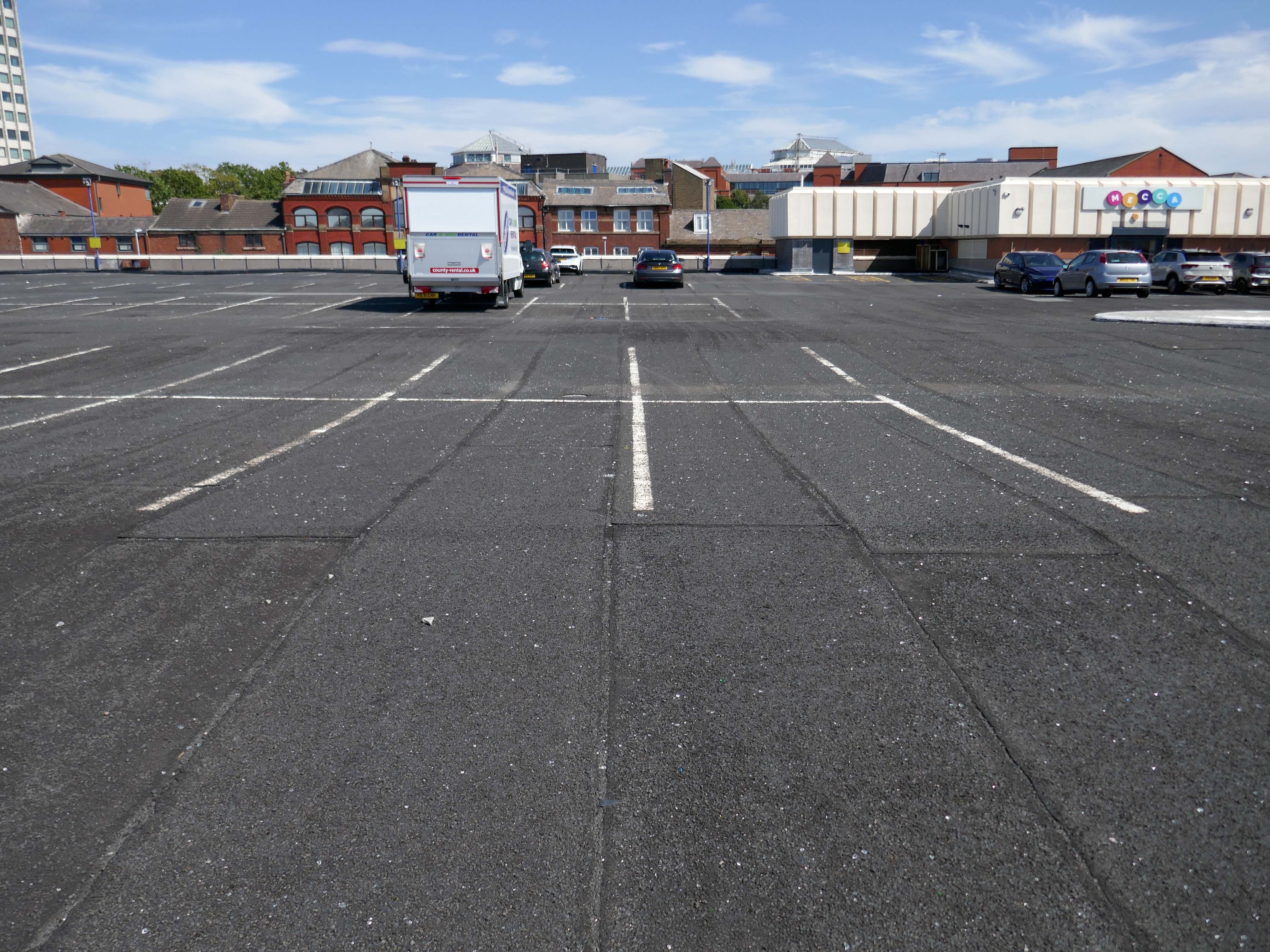
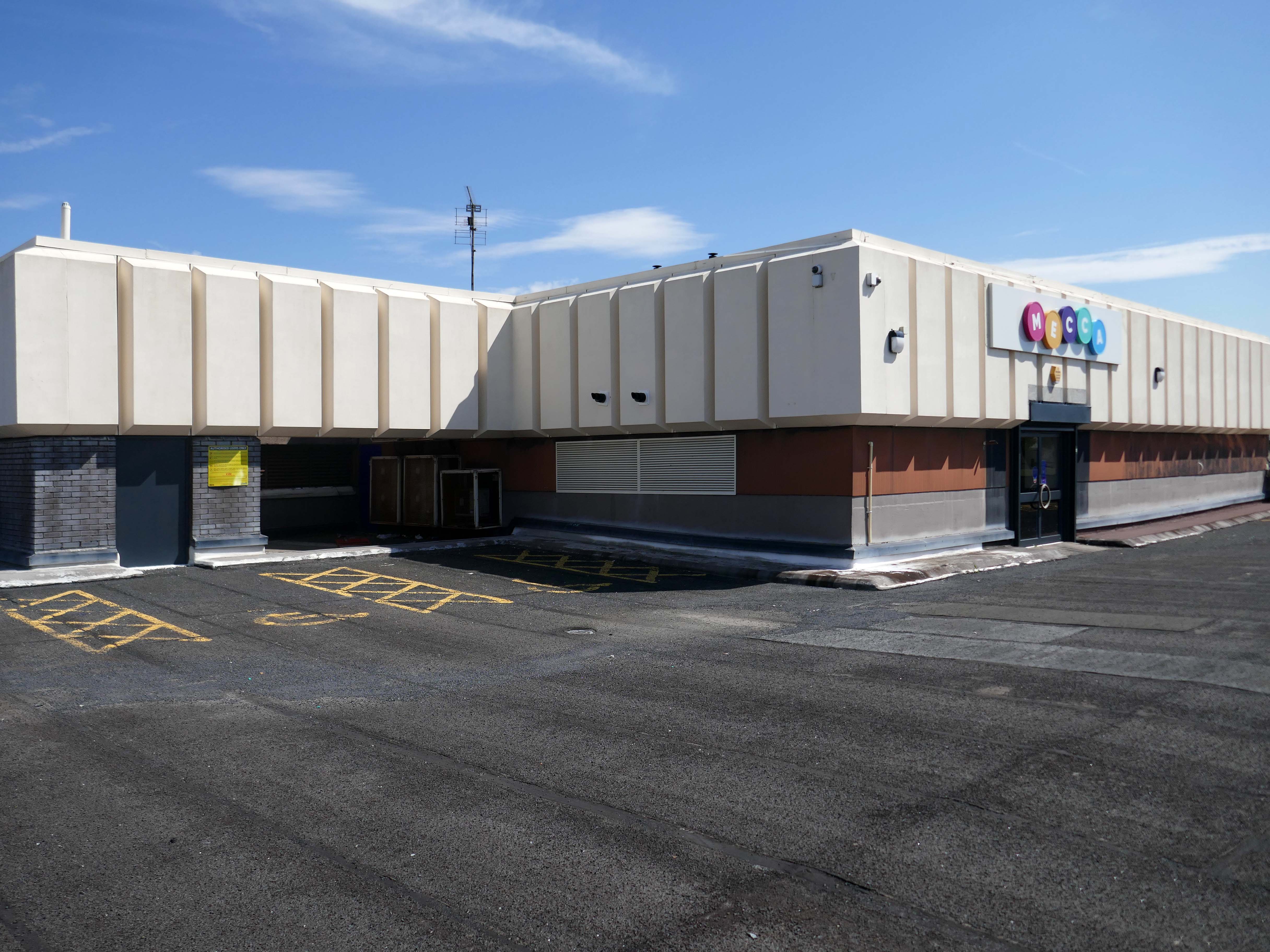
Mecca Bingo Oldham

Once upon a time you were not a bingo hall.

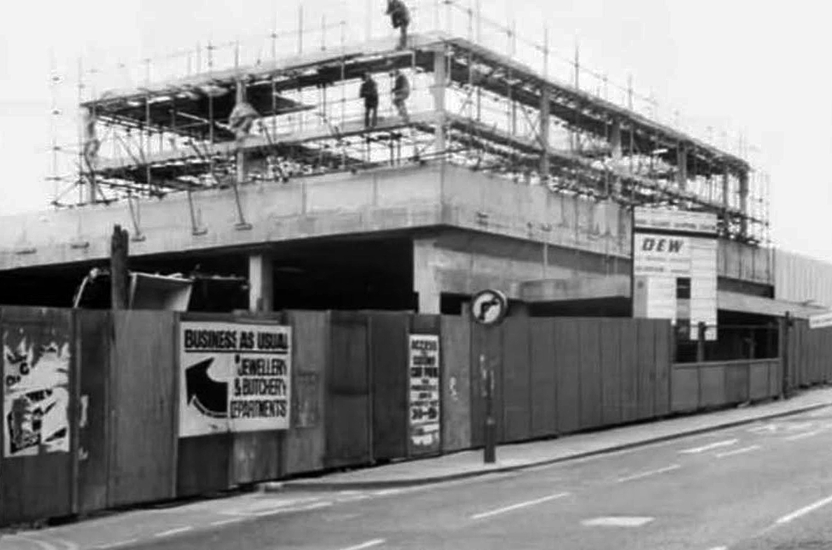
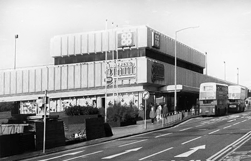
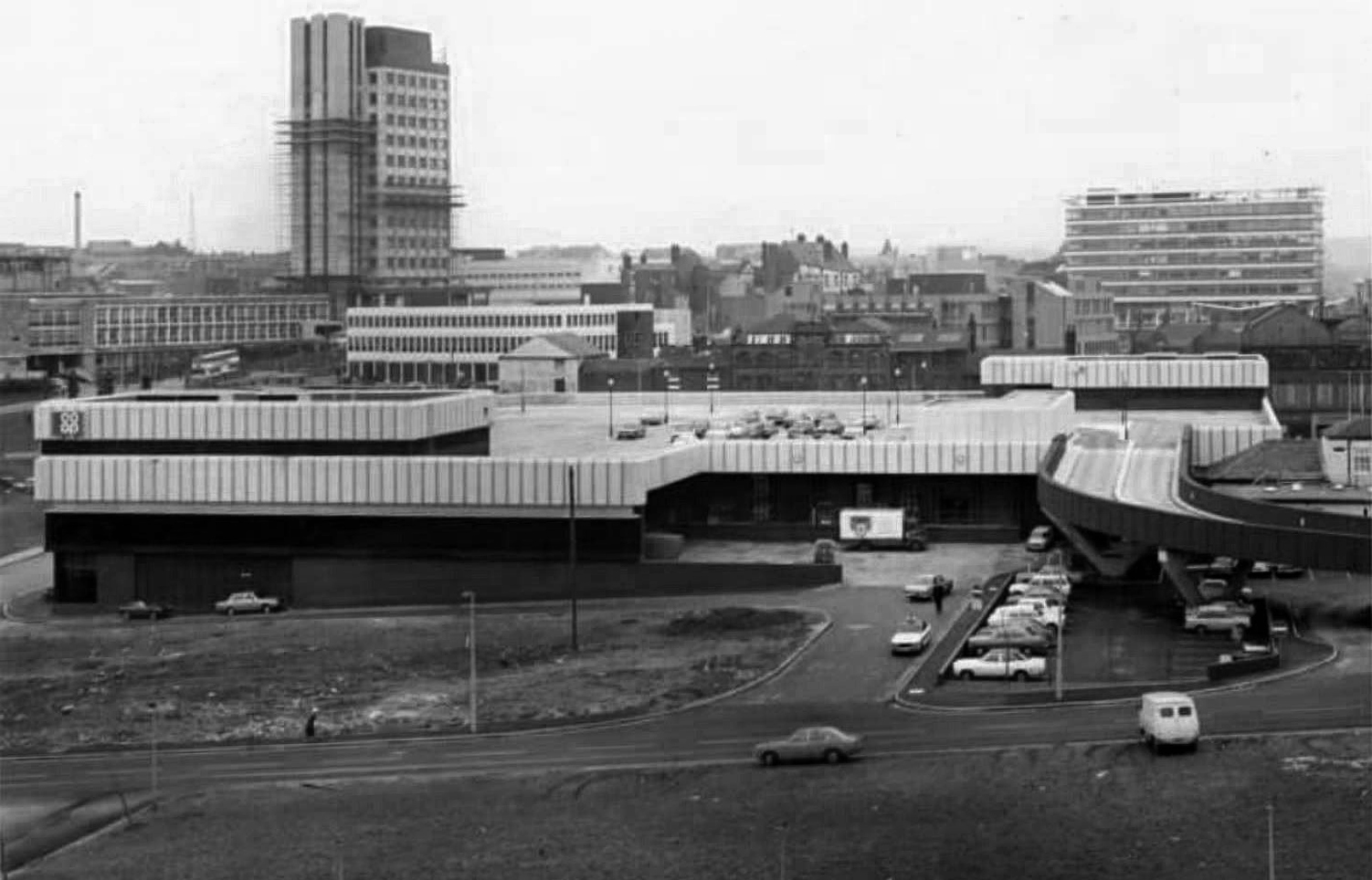
You were a Shopping Giant – a Co-op superstore.

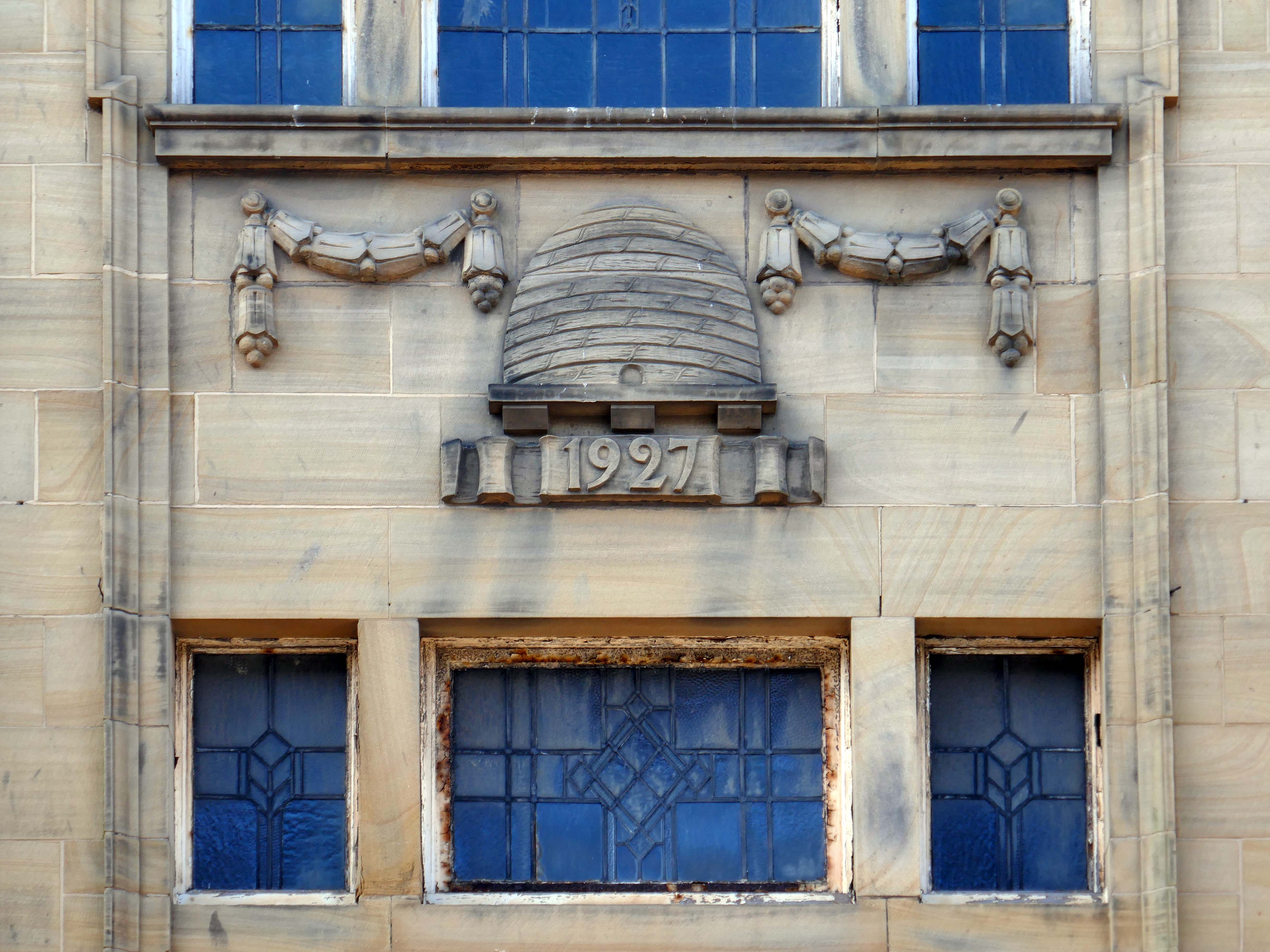
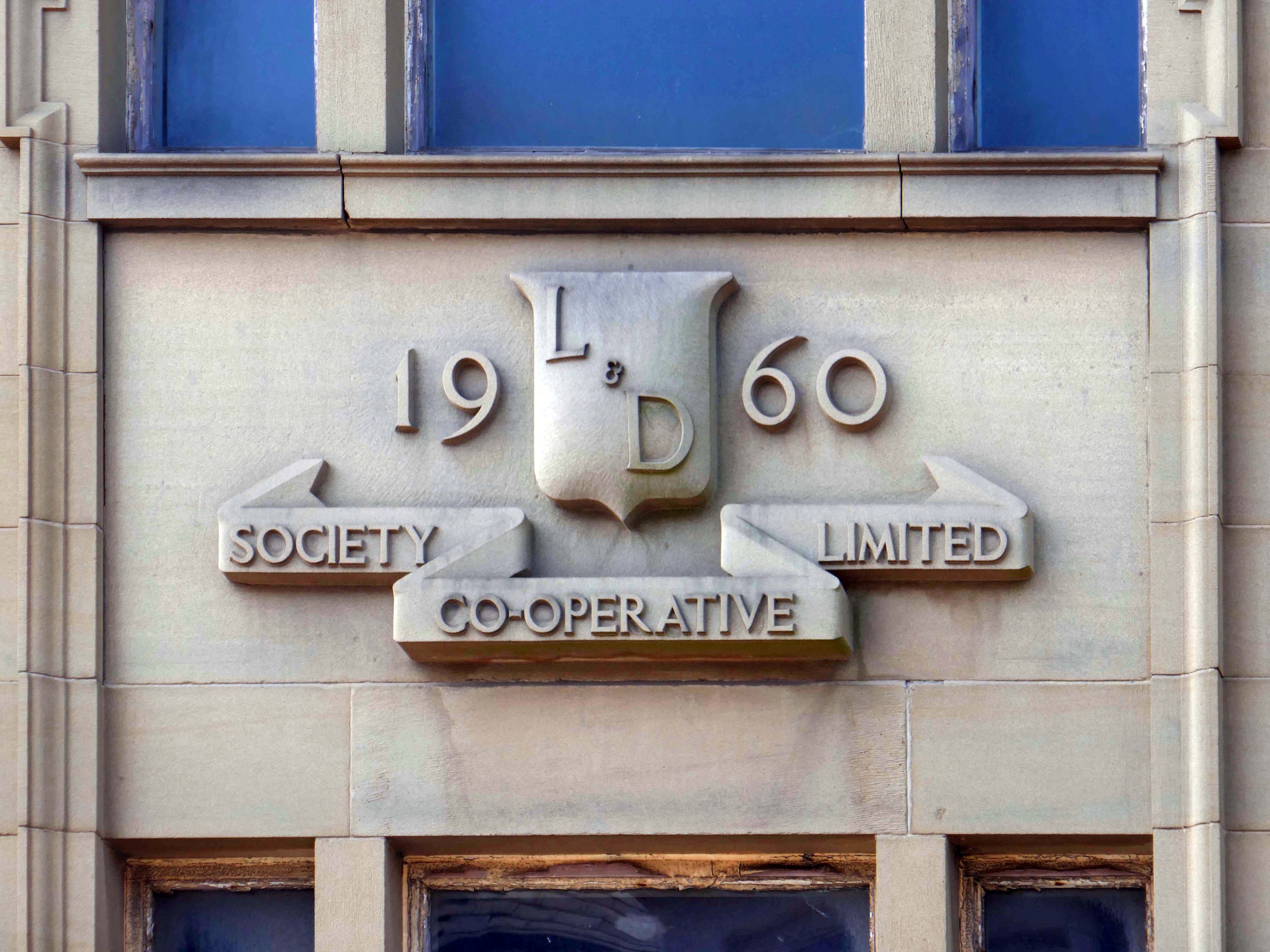
Pioneer co-op opened King Square superstore in 1974, changing to Shopping Giant, then eventually Discount Giant.

Oldham’s Past

Dominating Oldham for most part of the decade was Co-op’s Shopping Giant. It was a great place where you could stock up on your groceries and buy non-food items. It boasted its own Handybank, had a separate chemist opposite the main store and a fast food restaurant – qv Food and Drink section. Cars parked on the roof and at ground level with access via trolley-friendly escalators.

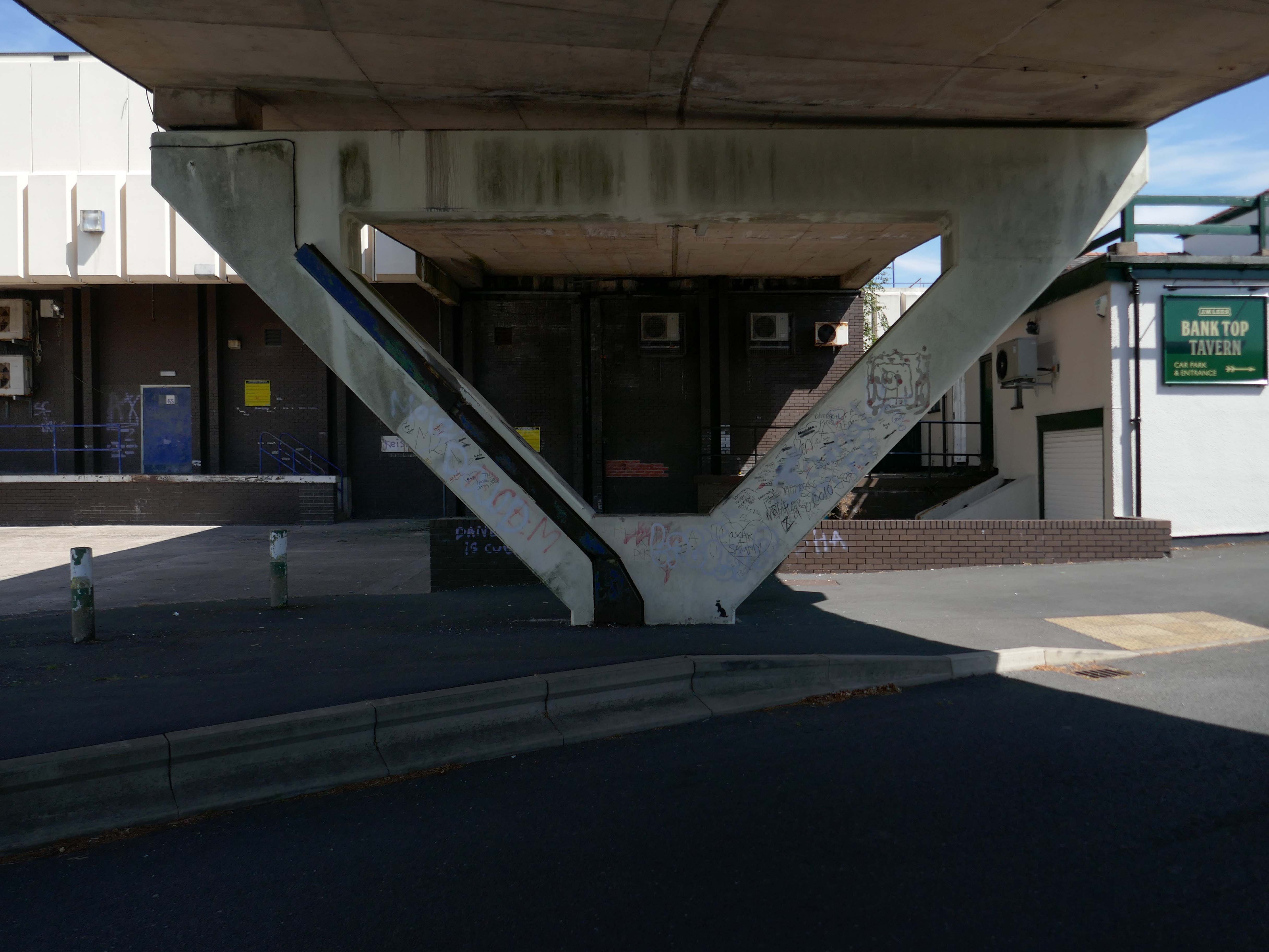
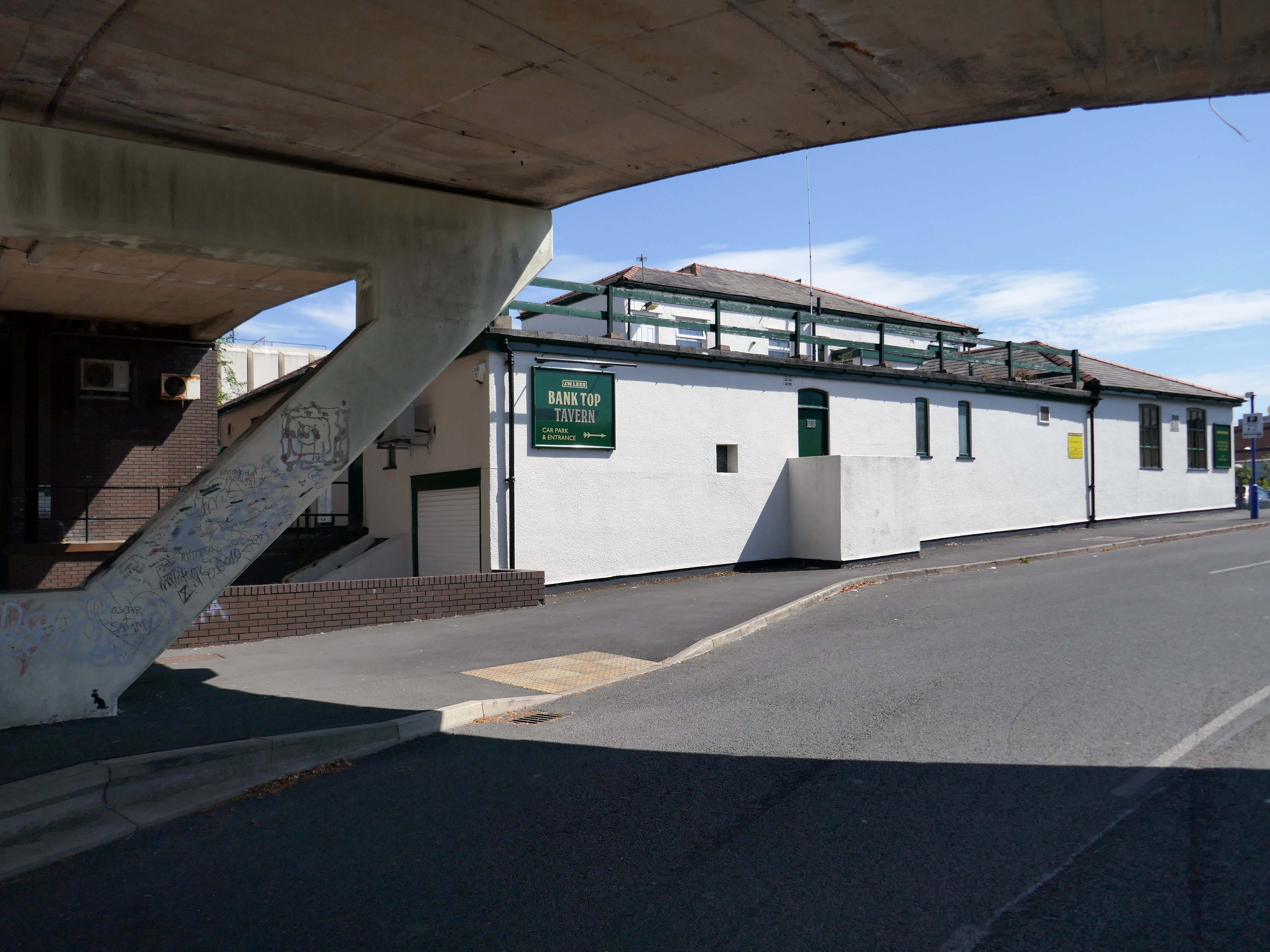
Other delights included Mario’s salon – on Manchester Street underneath the main store, and an ice cream stand by the entrance nearest the Bank Top Tavern.

Mancunian 1001

Nothing, like everything lasts forever – so you became the Mecca Bingo Hall.

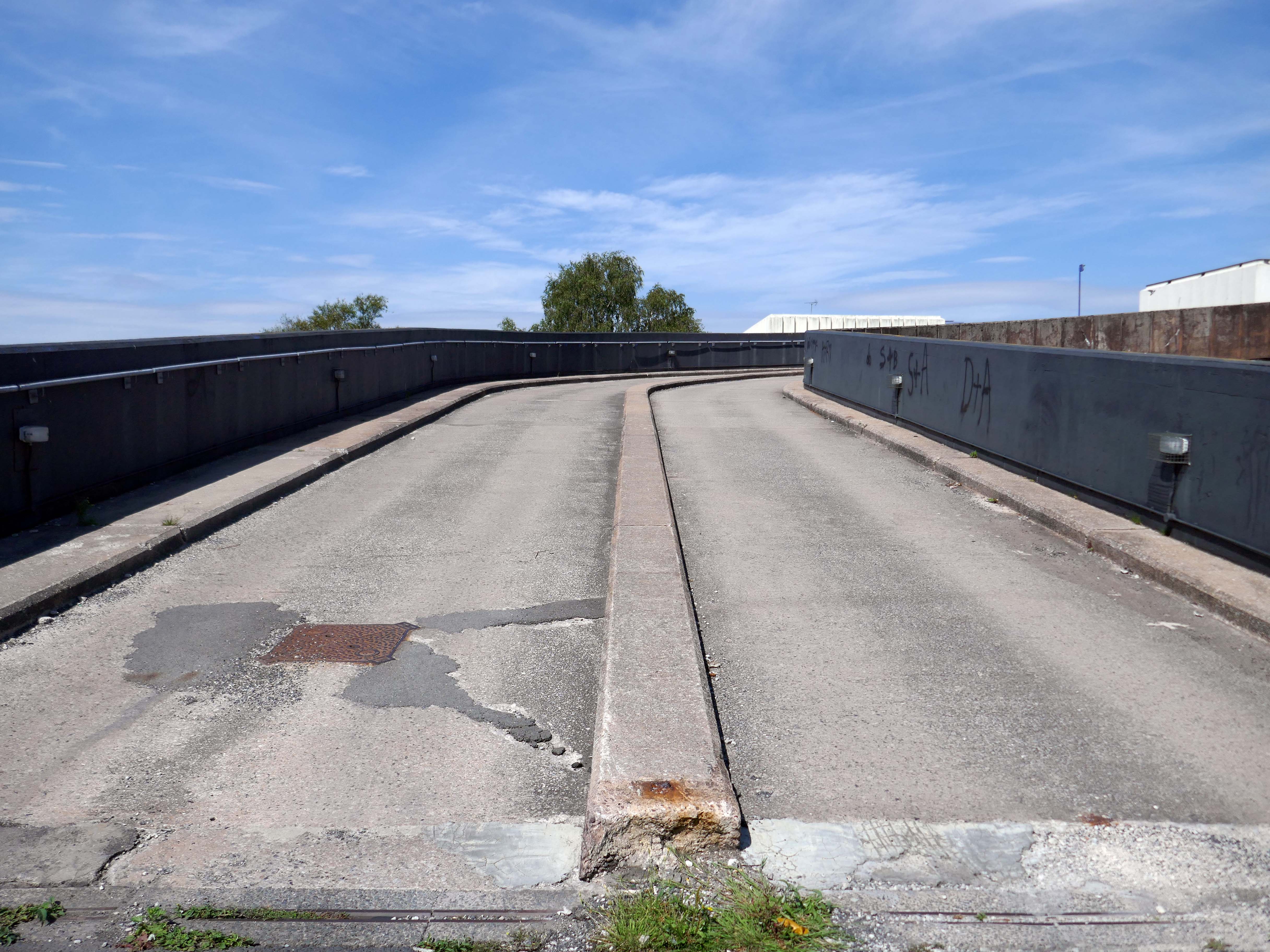
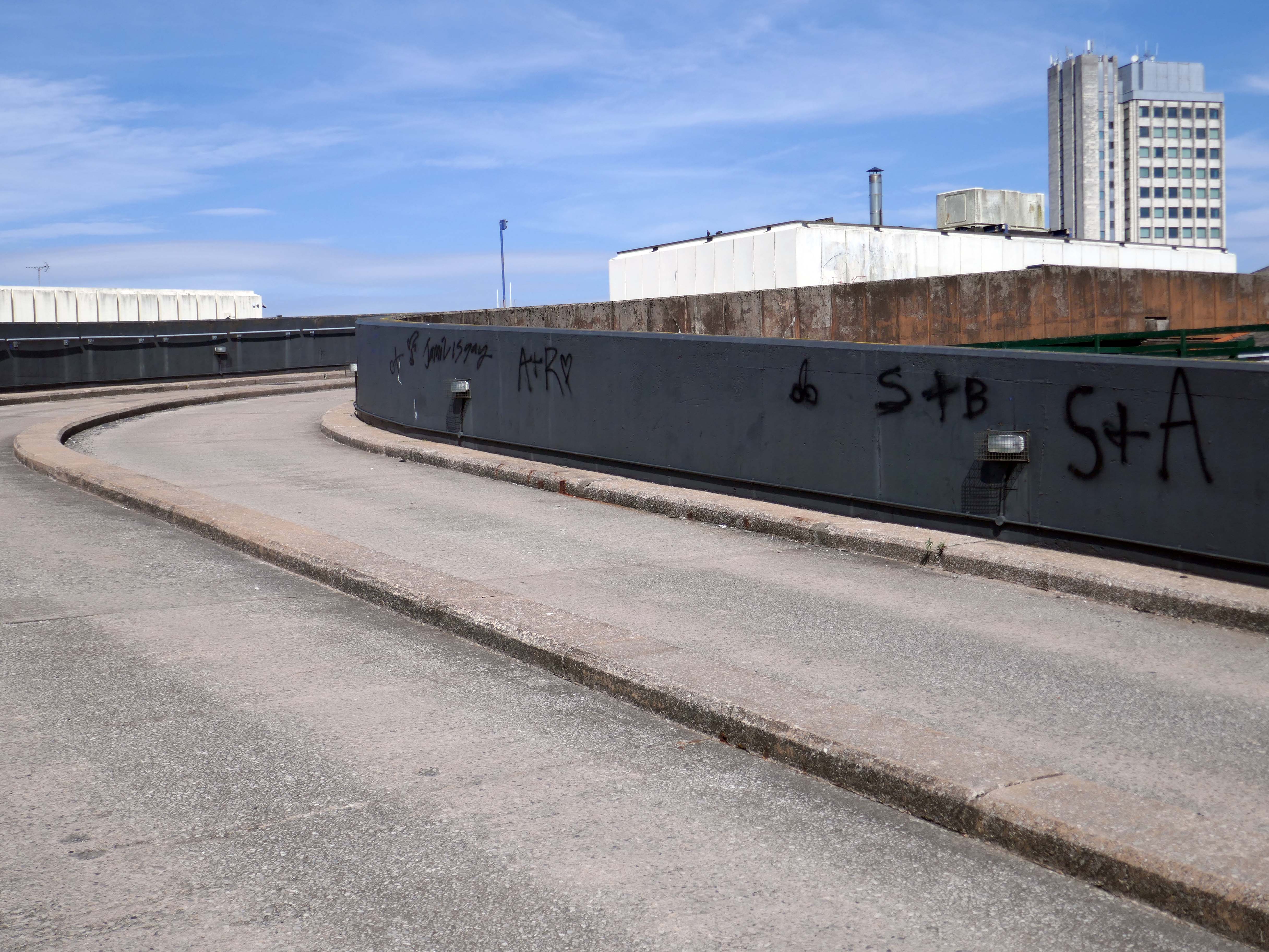
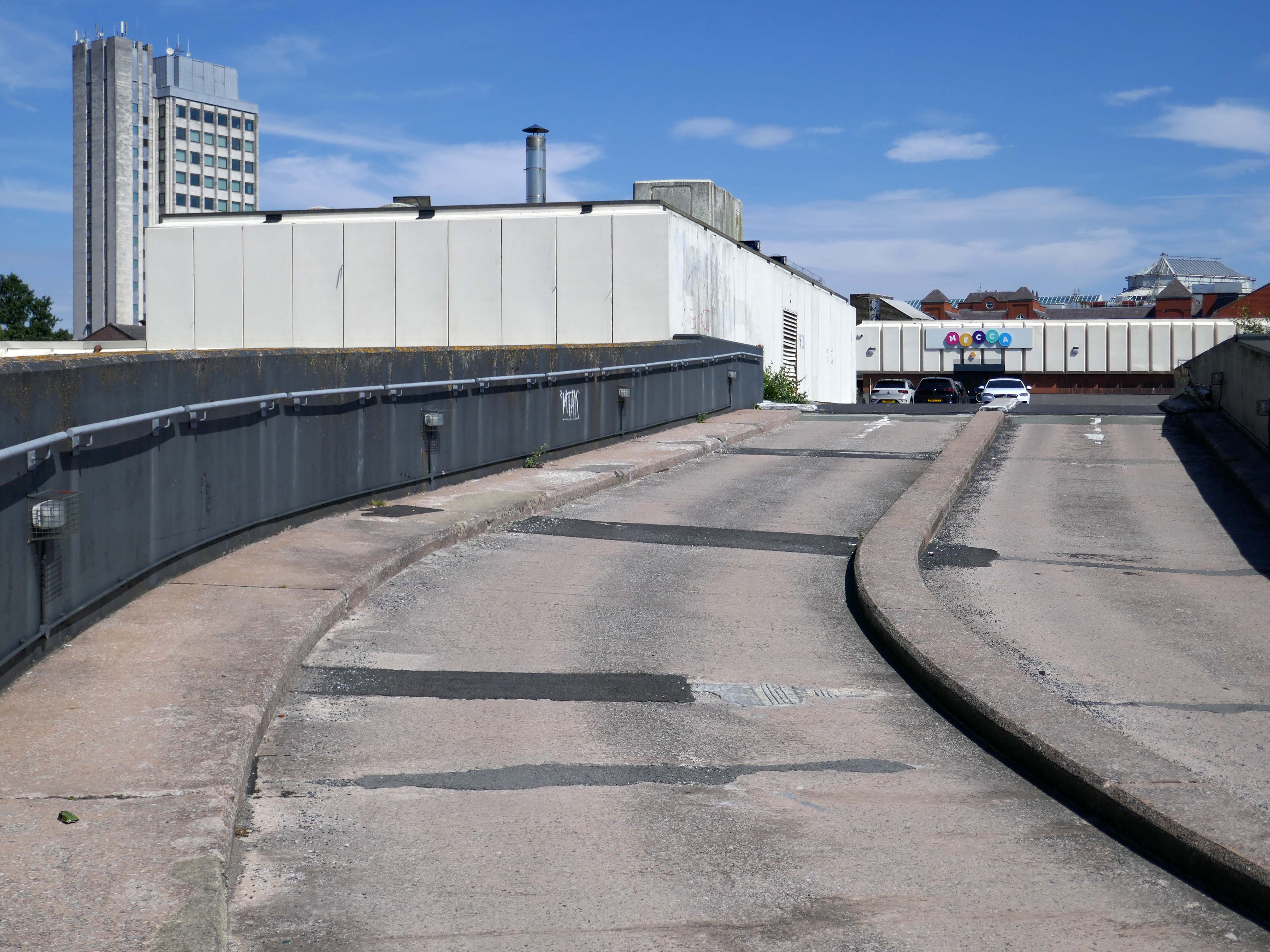
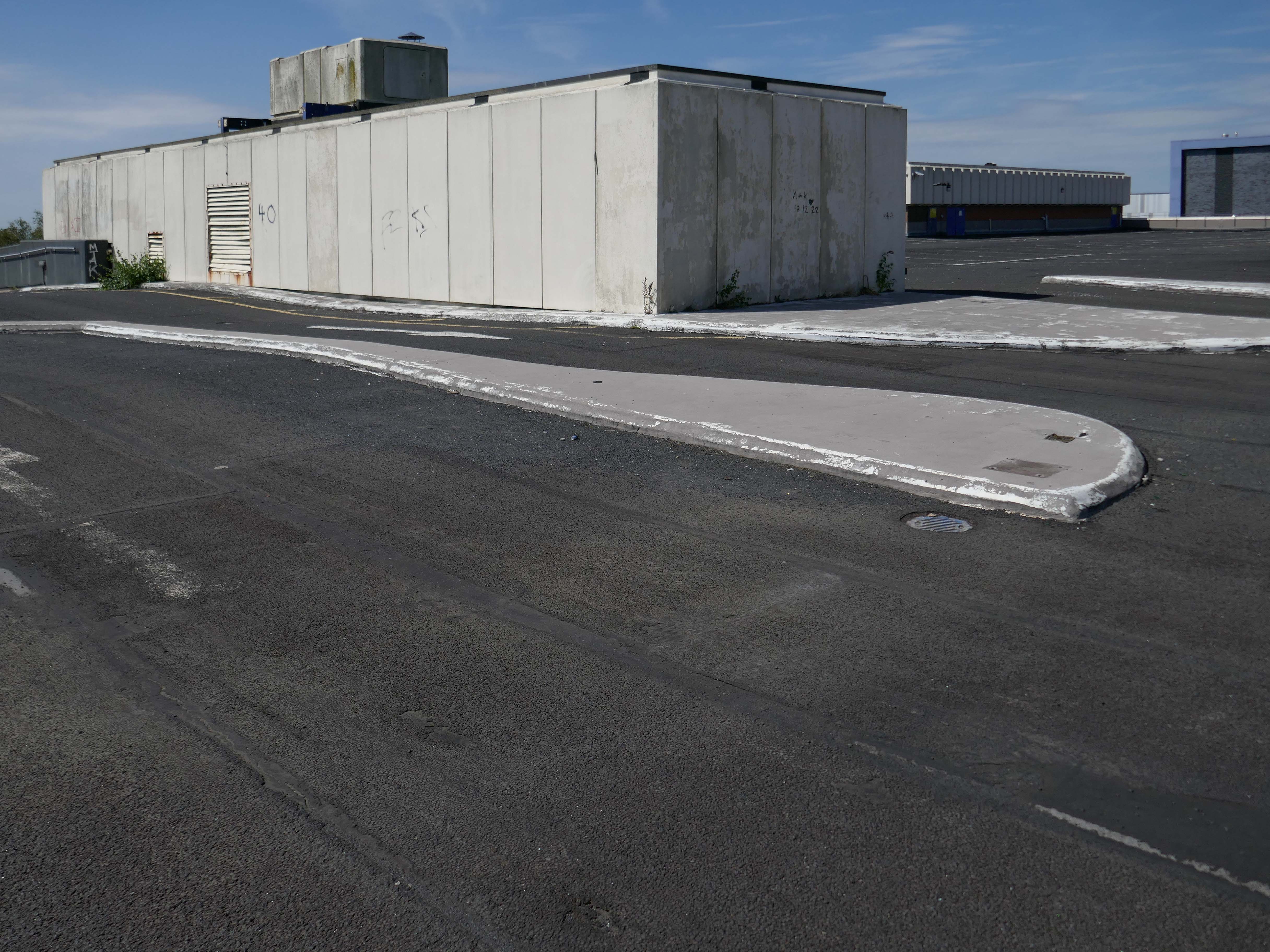
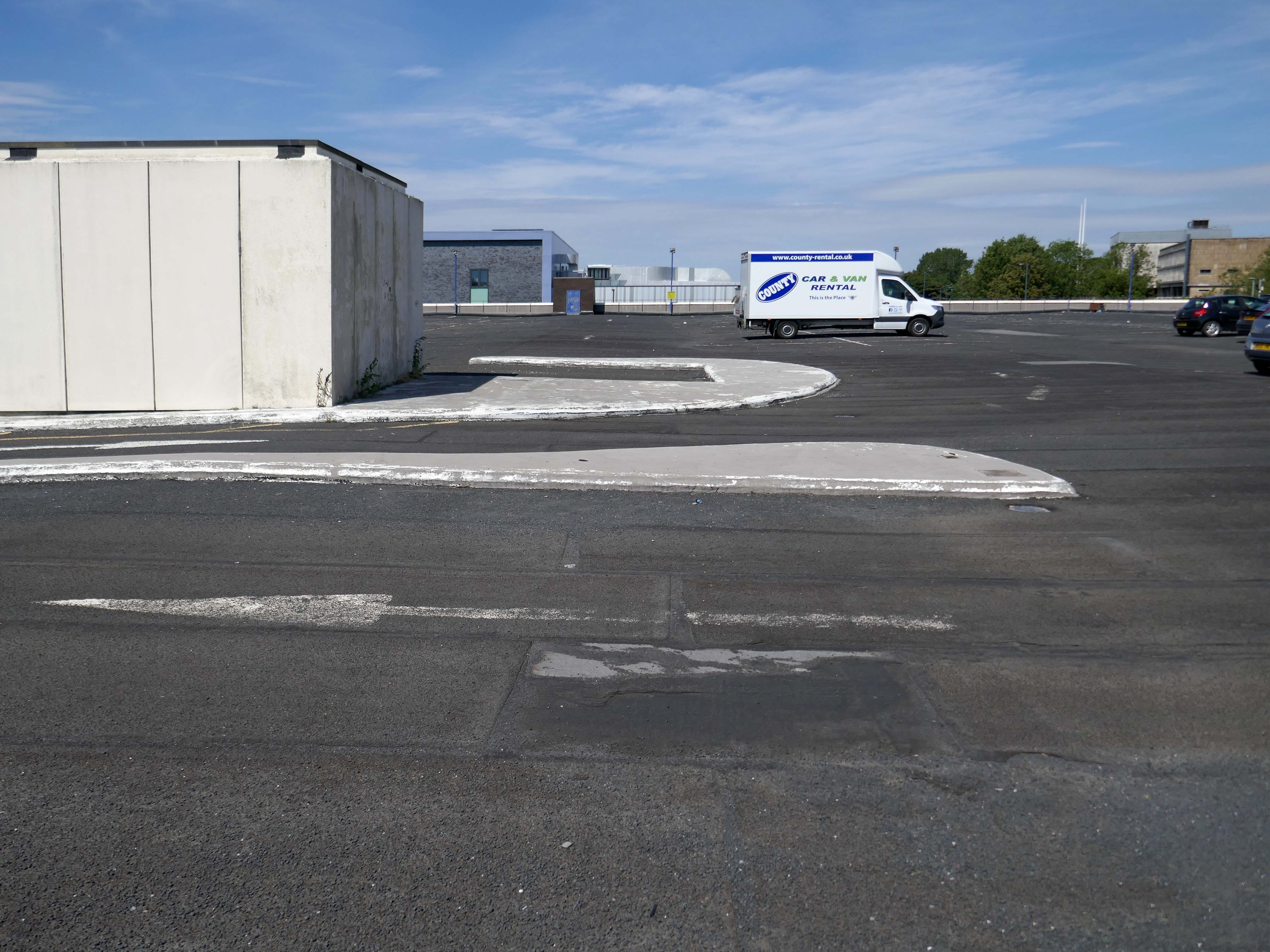
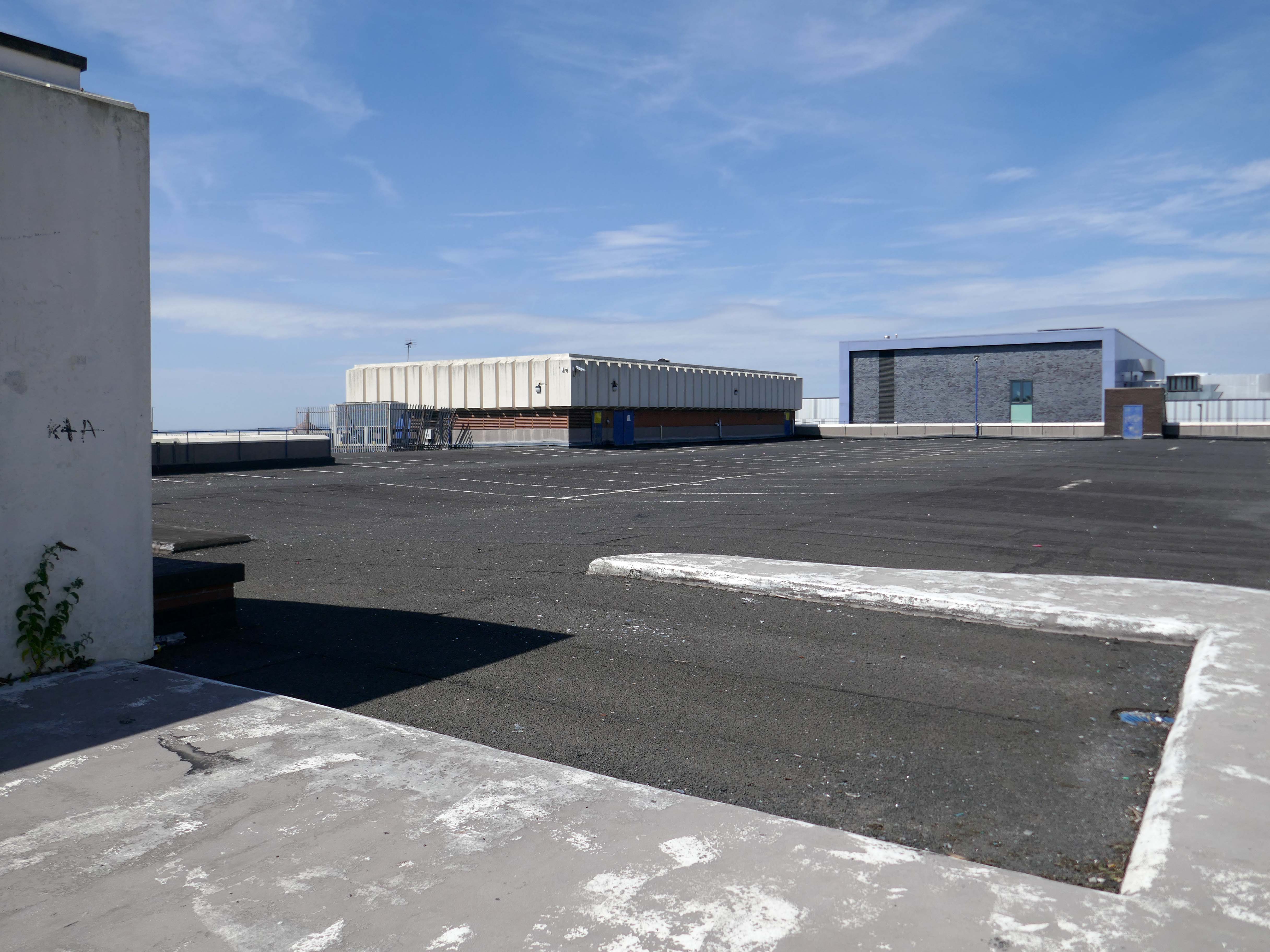
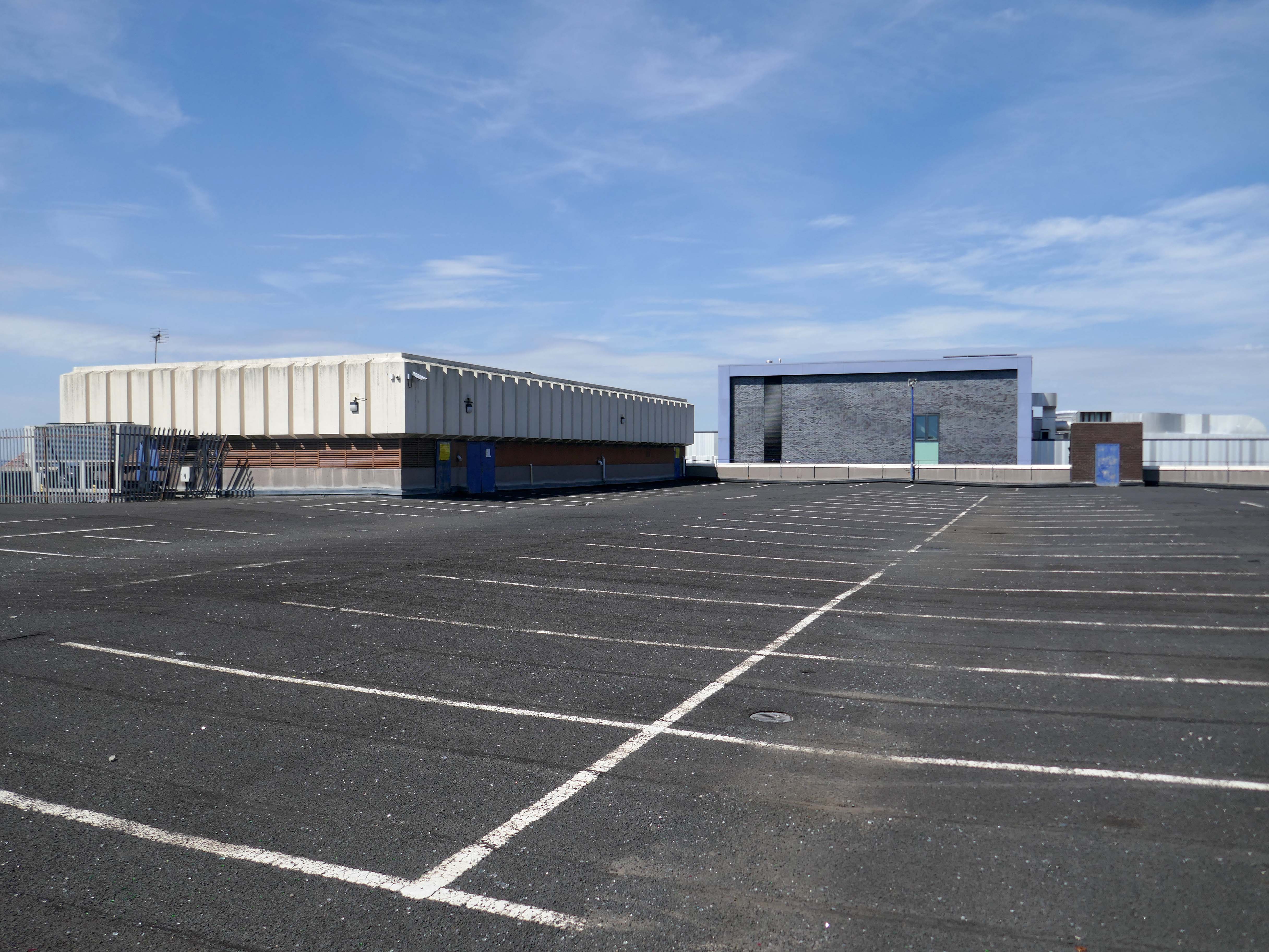
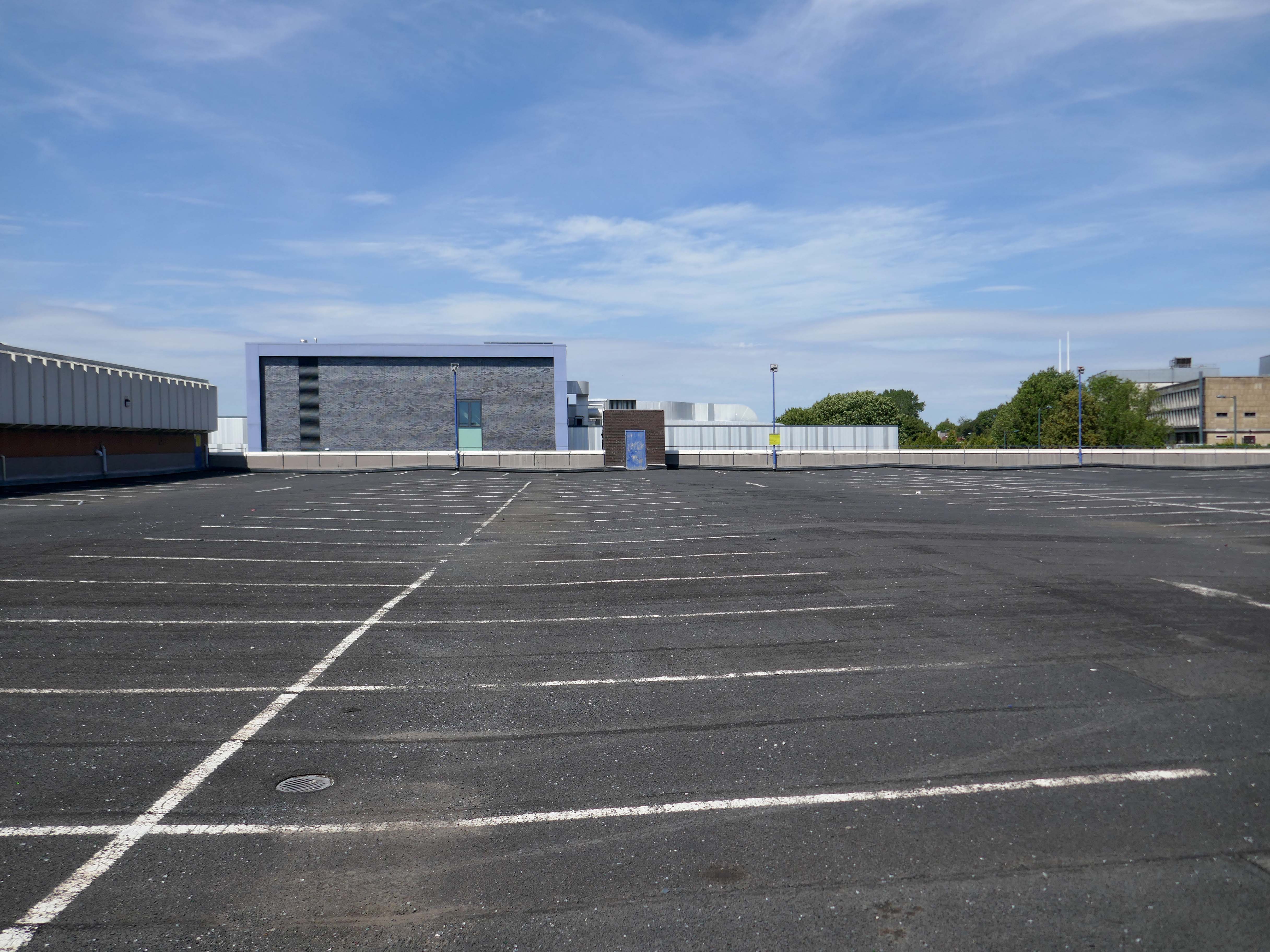
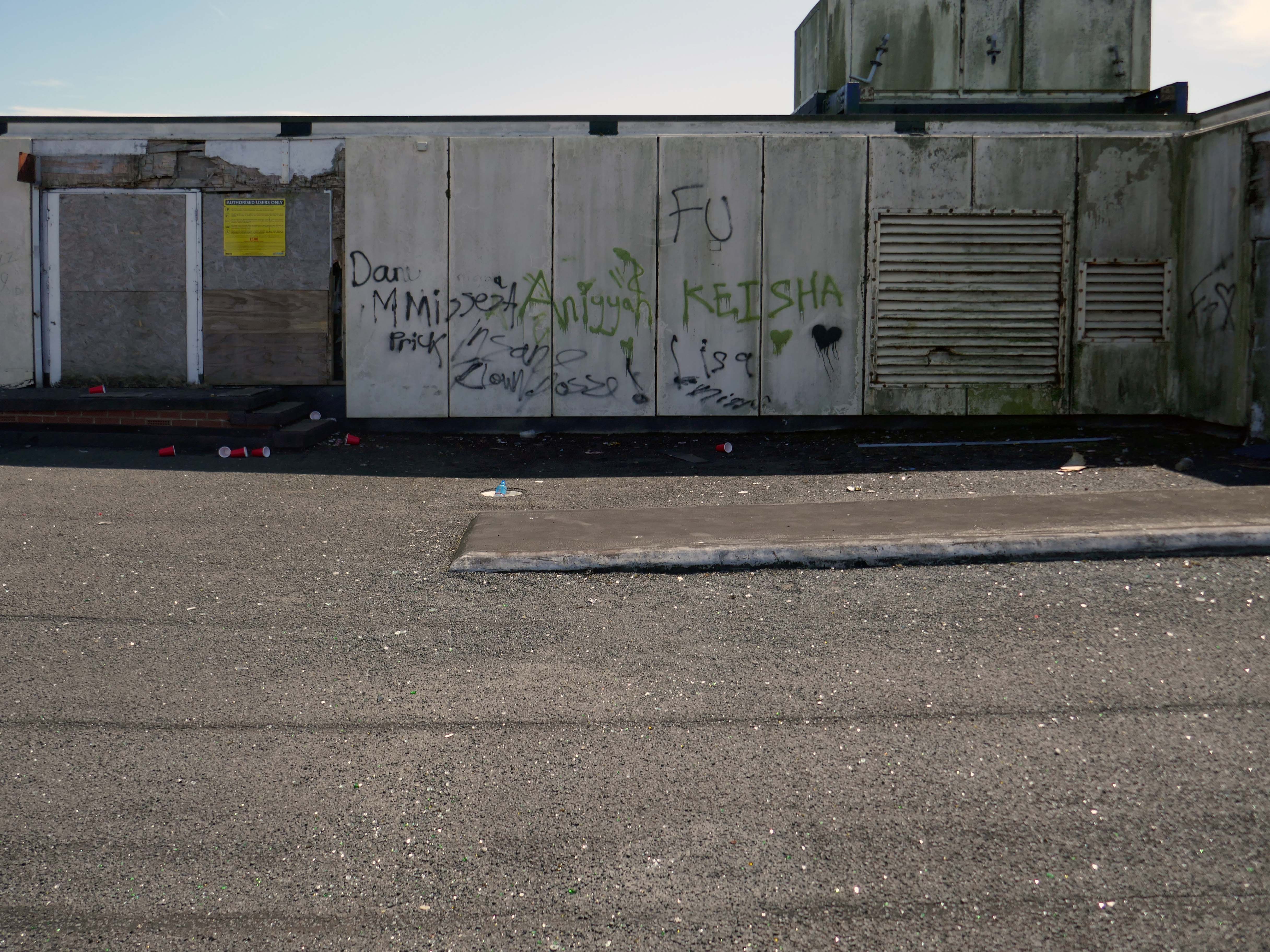
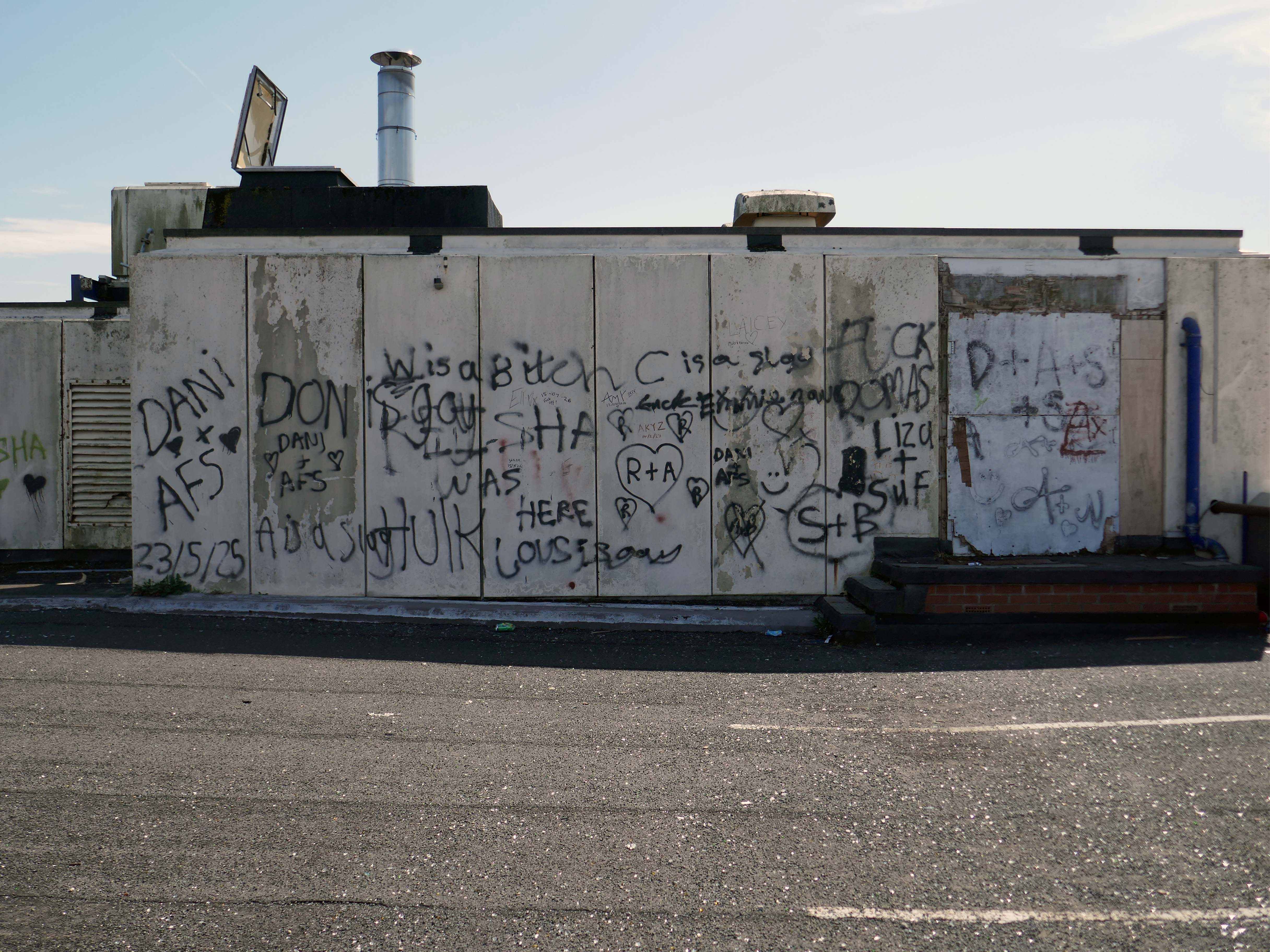
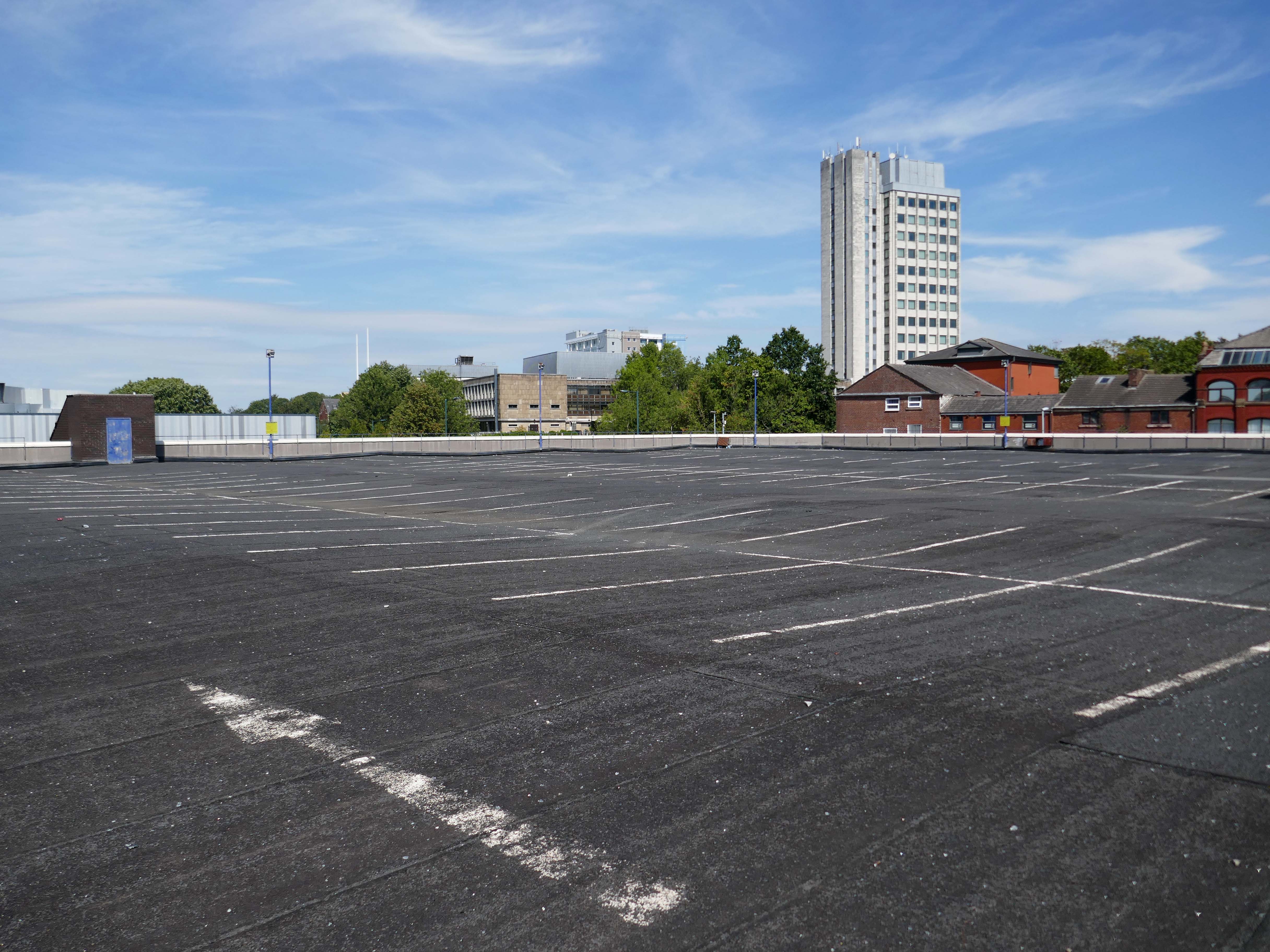
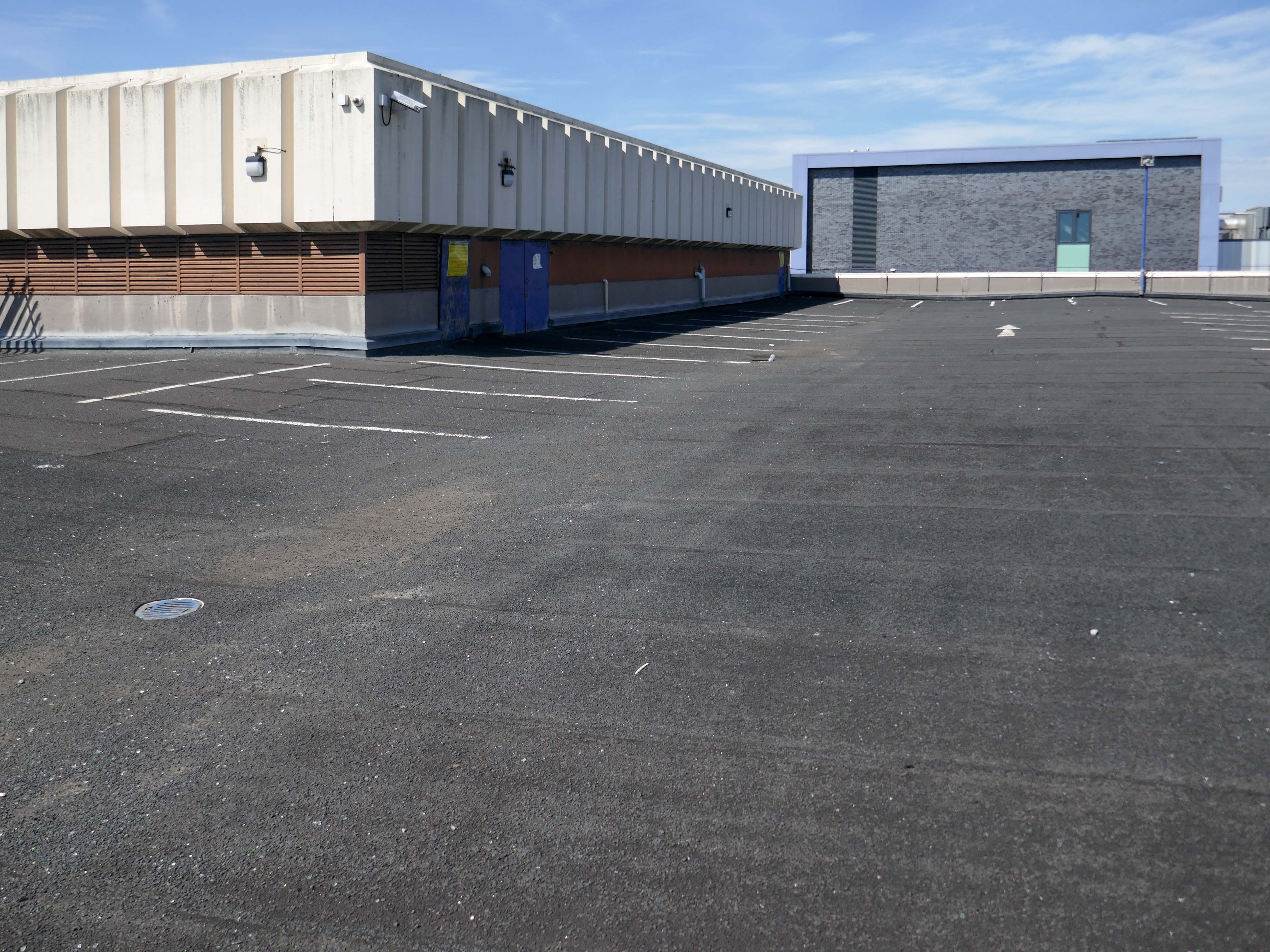
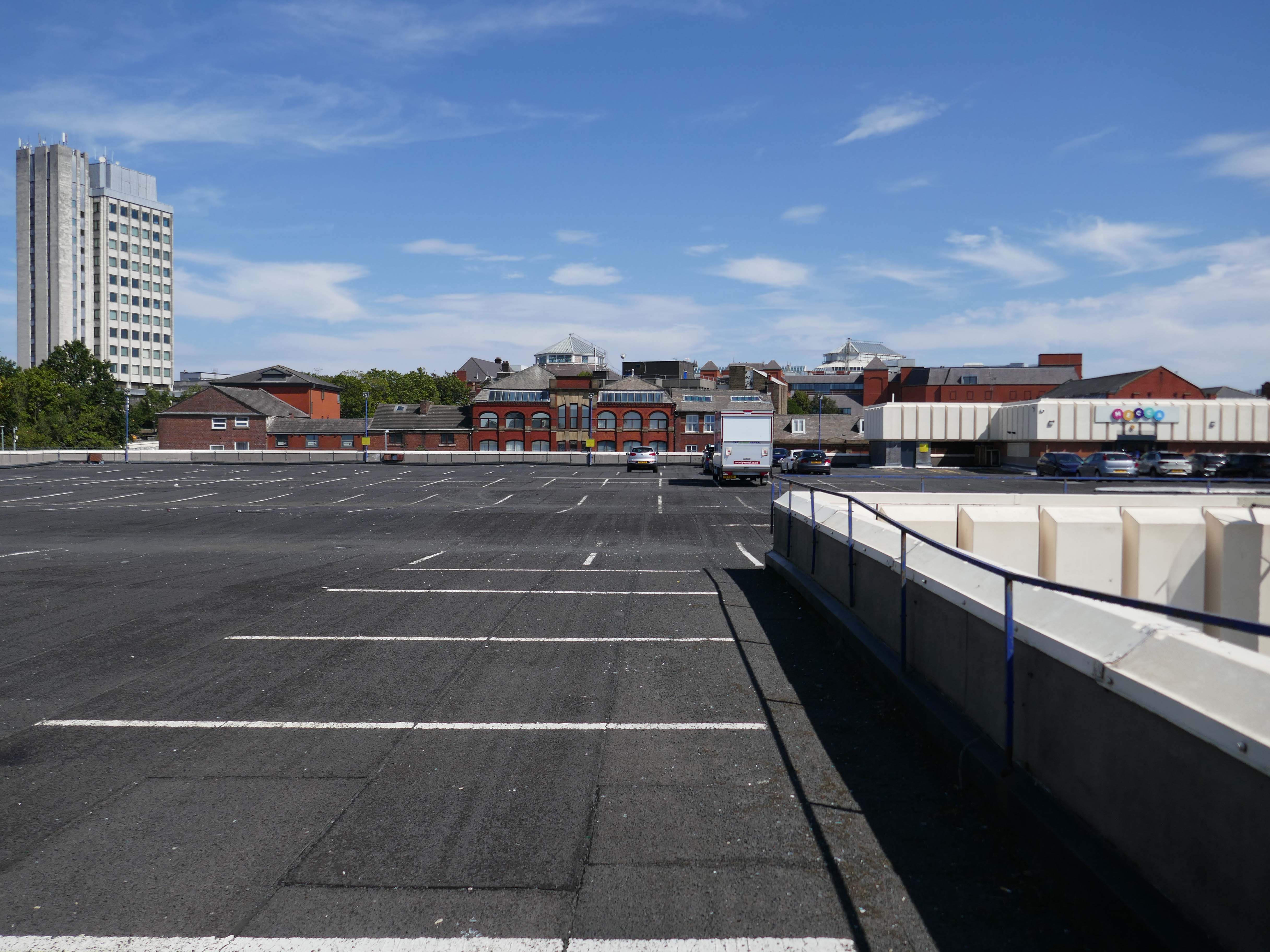
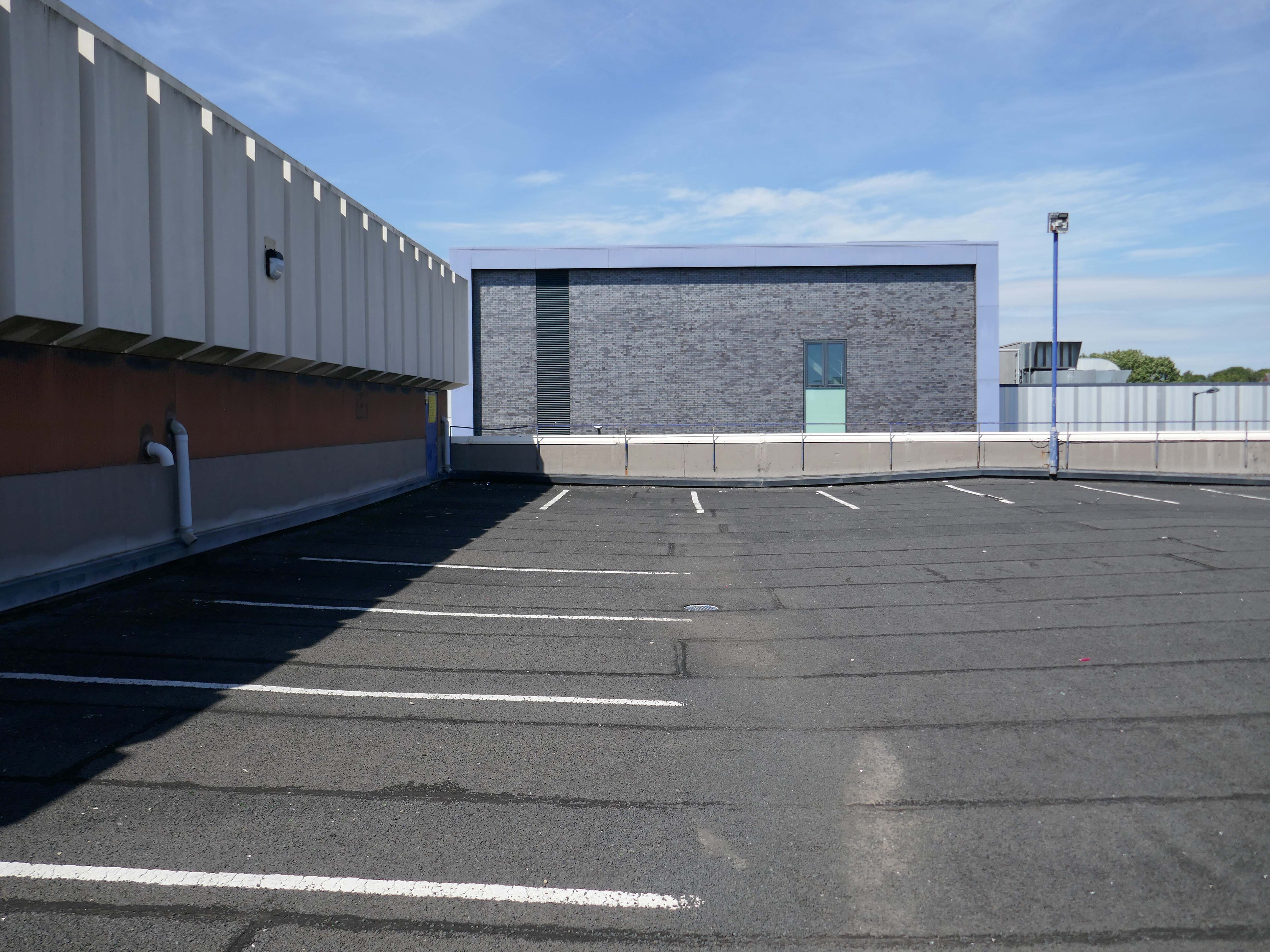
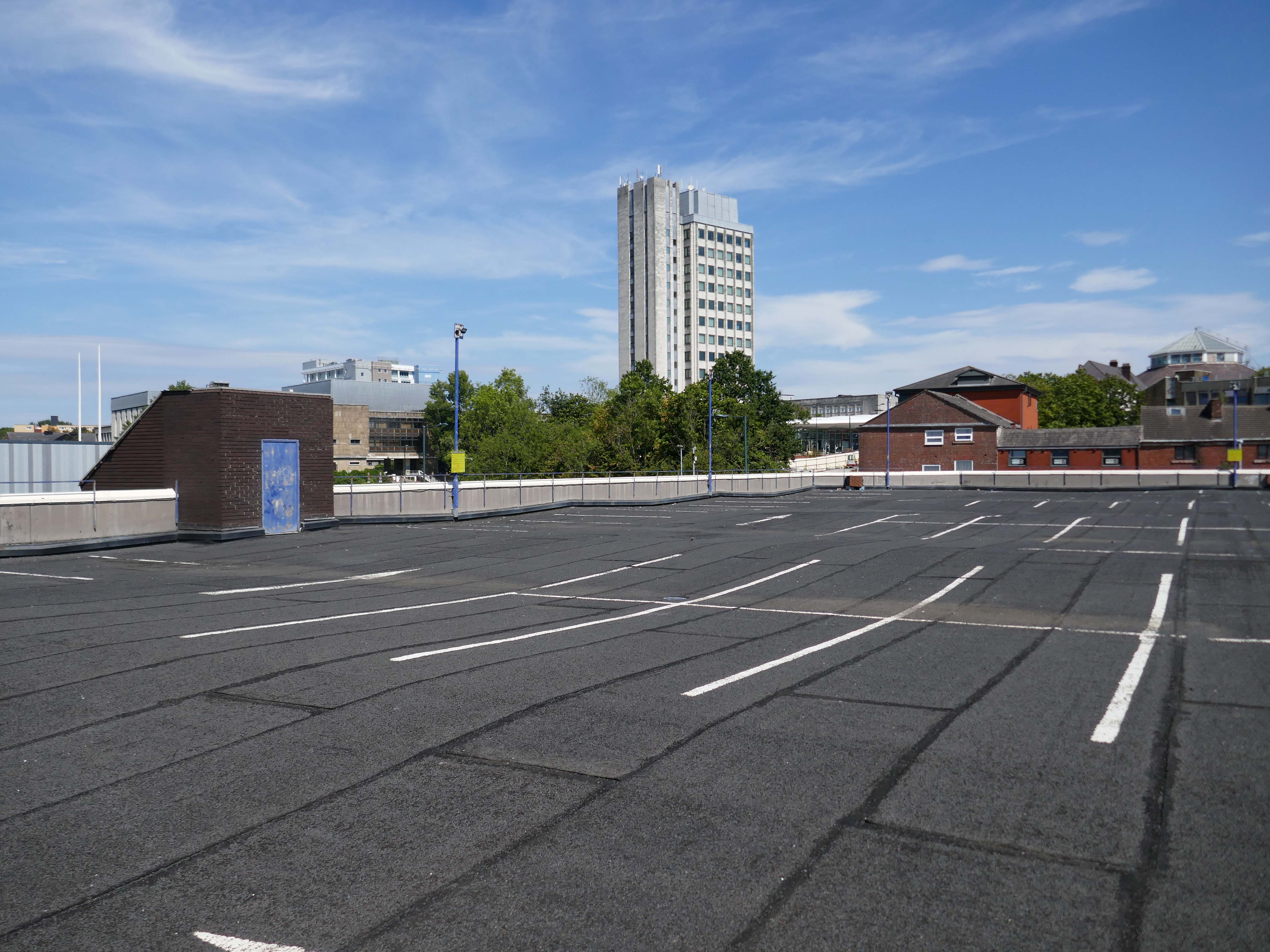
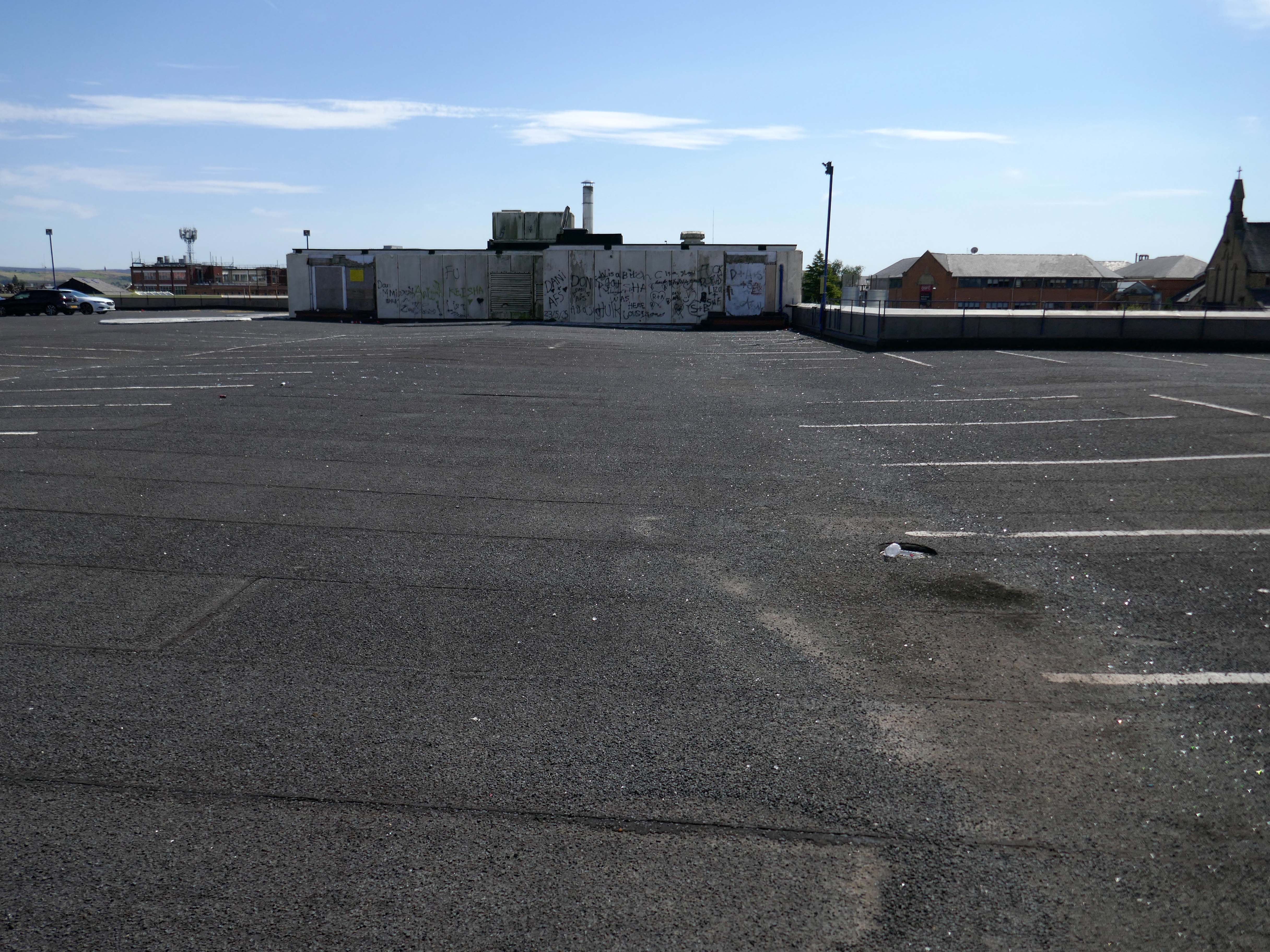
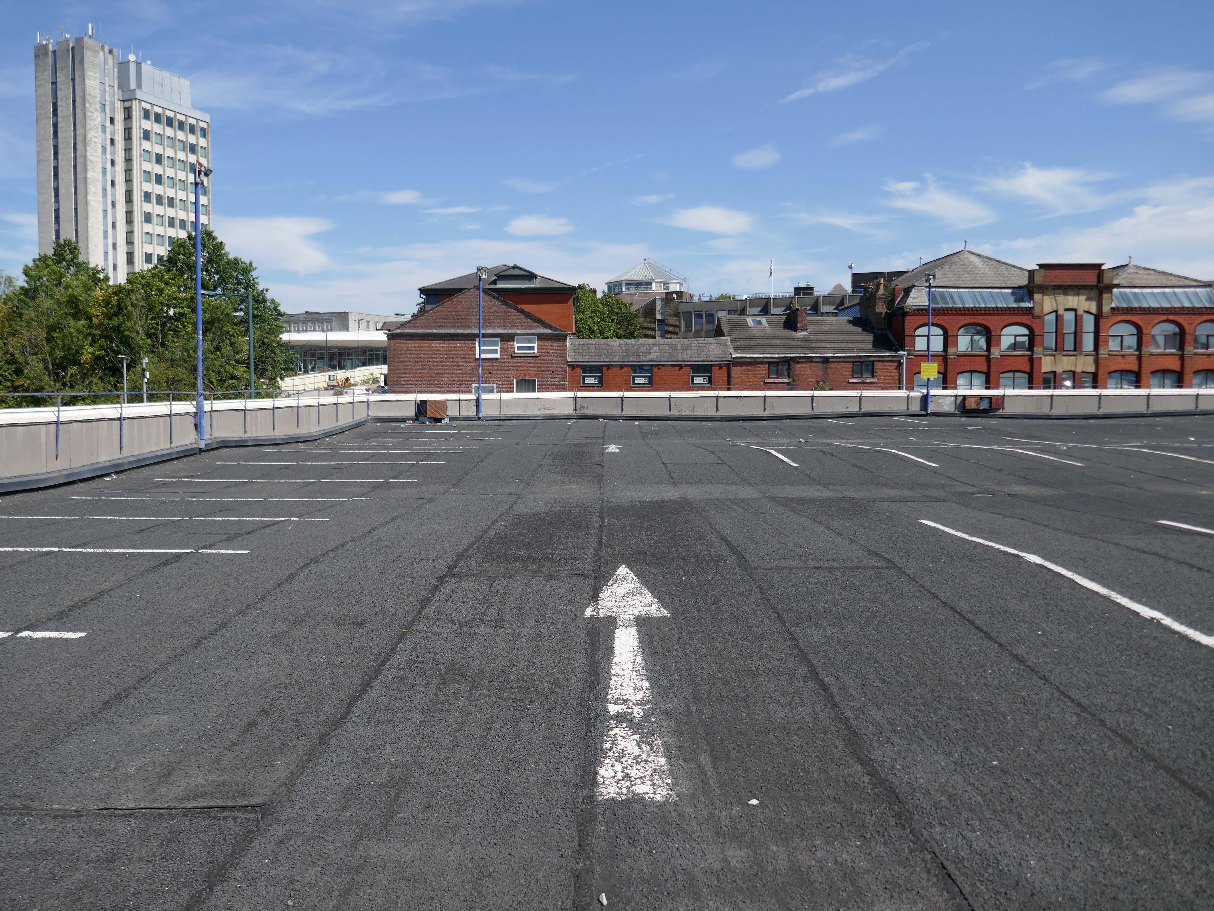
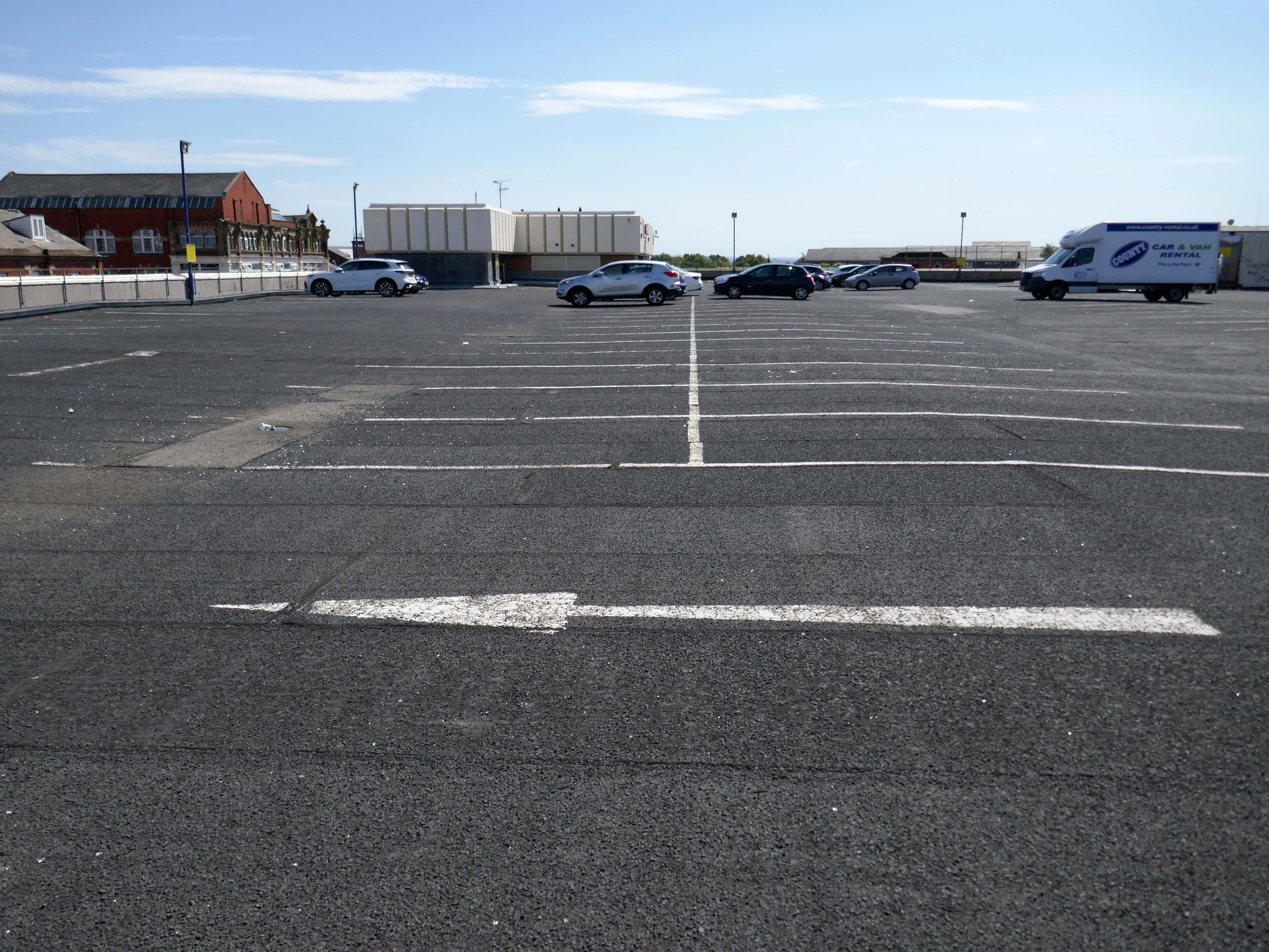
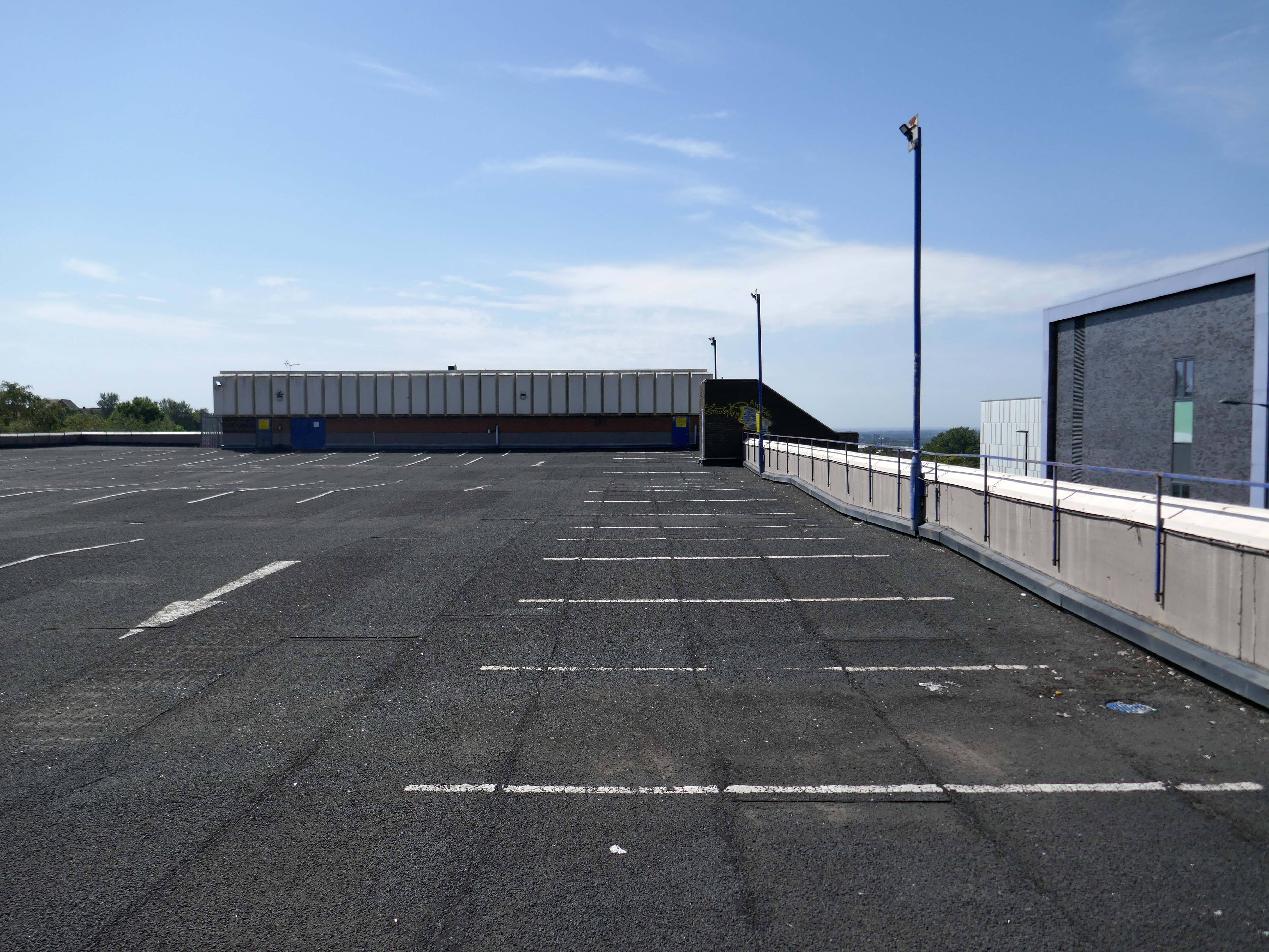
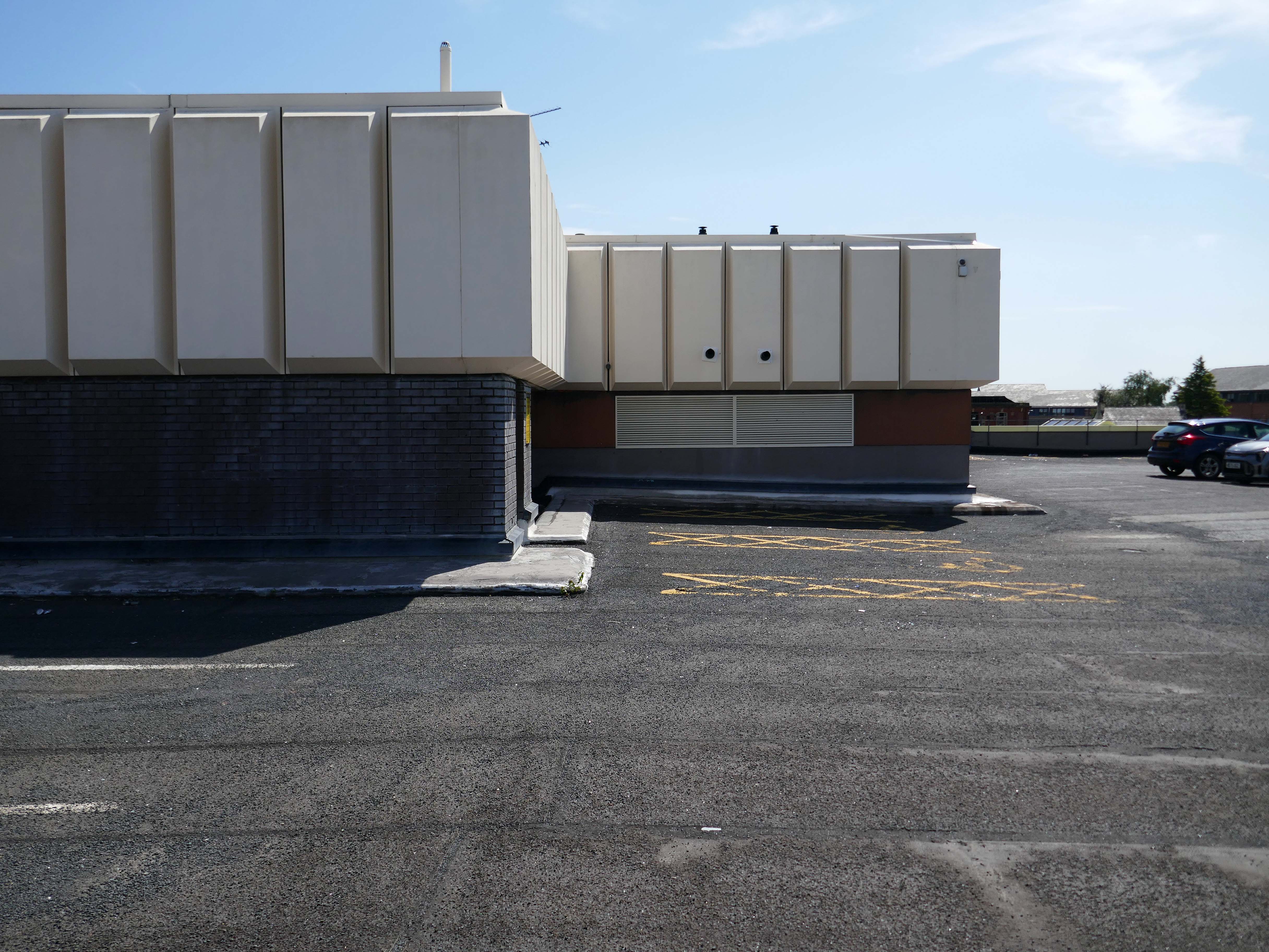
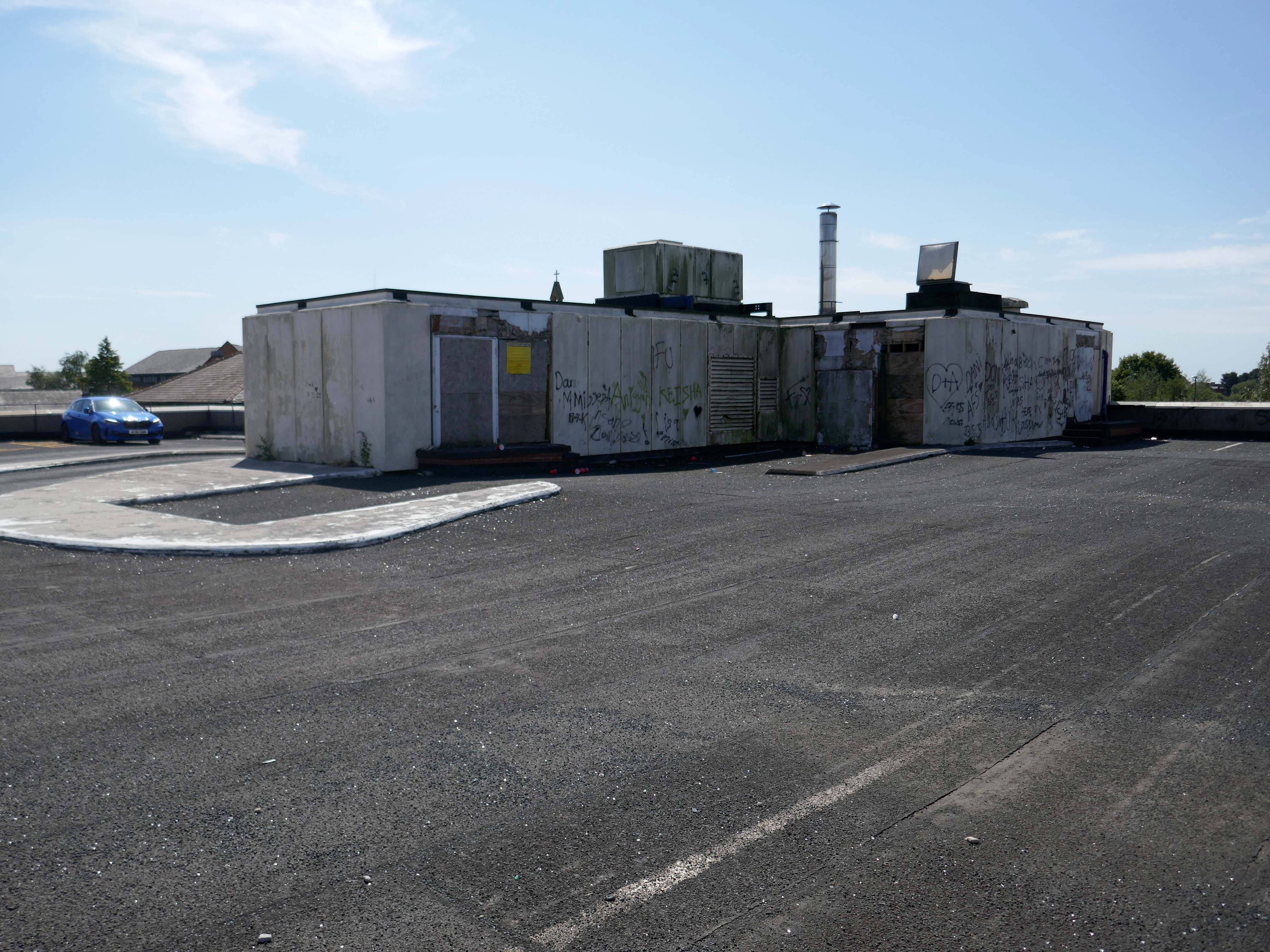
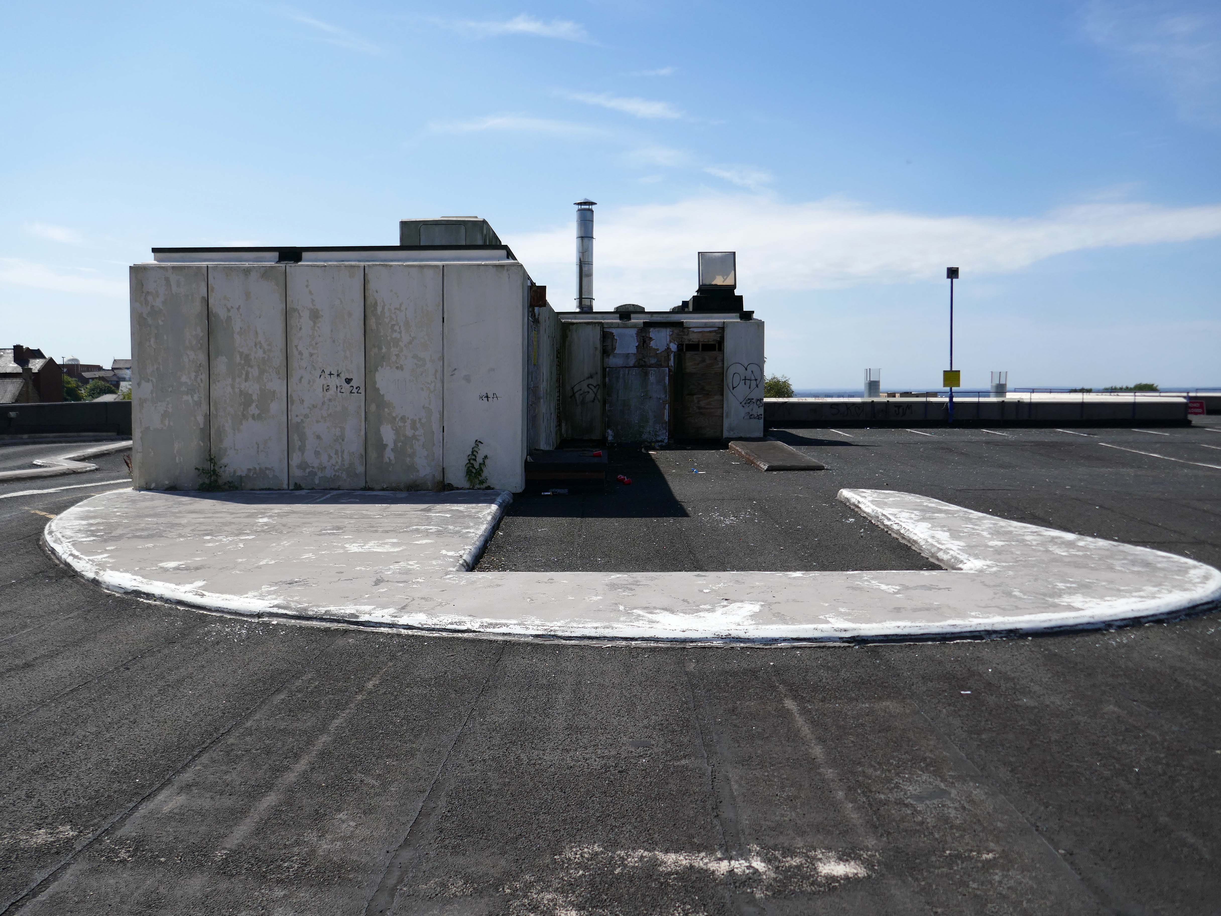
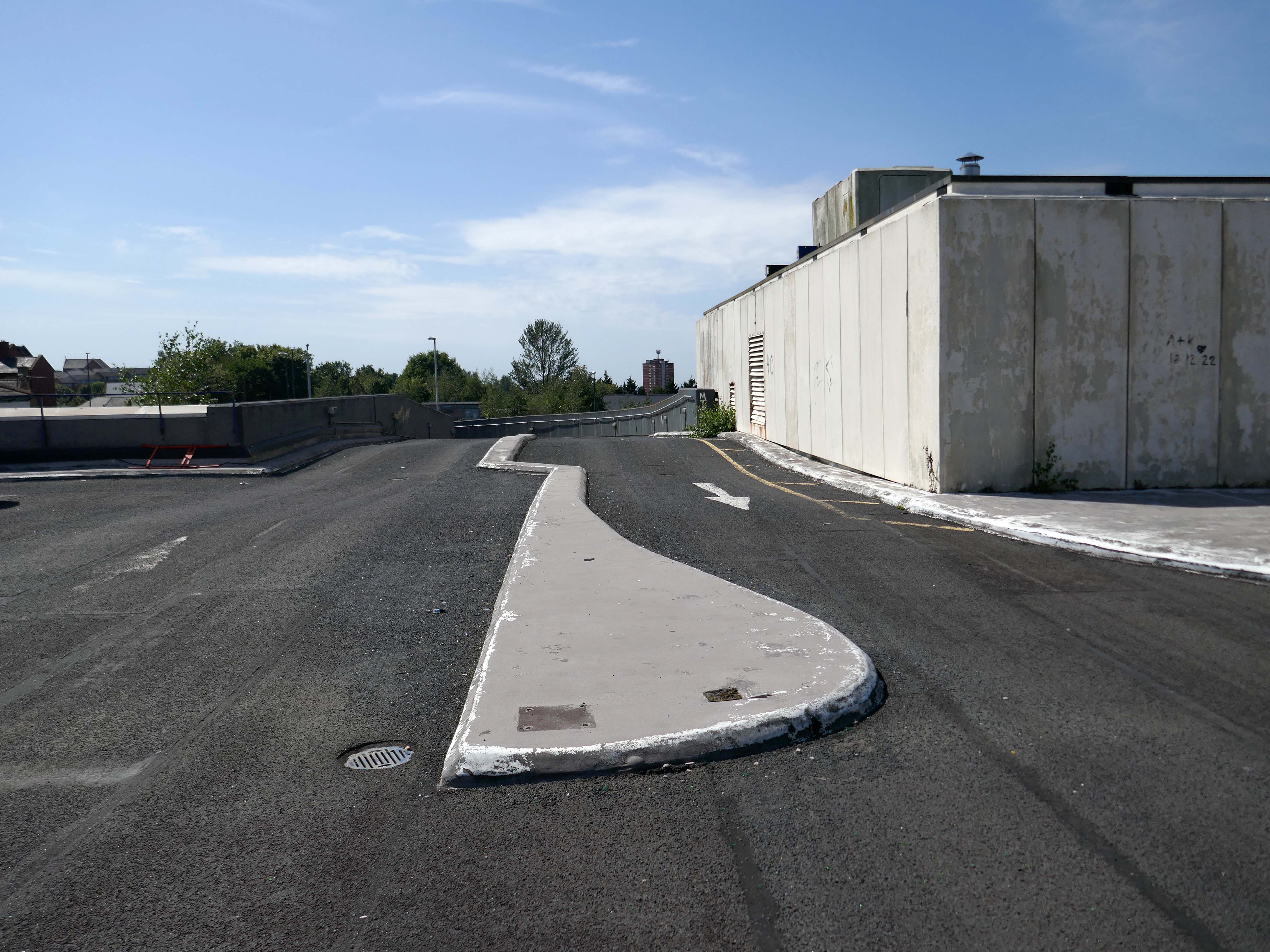
Being something of a car park aficionado I couldn’t resist walking up the ramp to take a look around.

To the right is the tower of the Civic Centre, it was designed by Cecil Howitt & Partners, and the topping out ceremony was held on 18 June 1976.

Plans are underway at the Civic Centre, the largest site in the regeneration project, to create a vibrant community providing 838 homes rising up to 15-storeys with mixed-use commercial spaces on the ground floor. This development will integrate seamlessly with the surrounding neighbourhood, particularly the nearby Former Magistrates’ Court site.

The Civic Tower at the edge of the site will be retained and redeveloped as a hotel in a later phase.

Team Civic

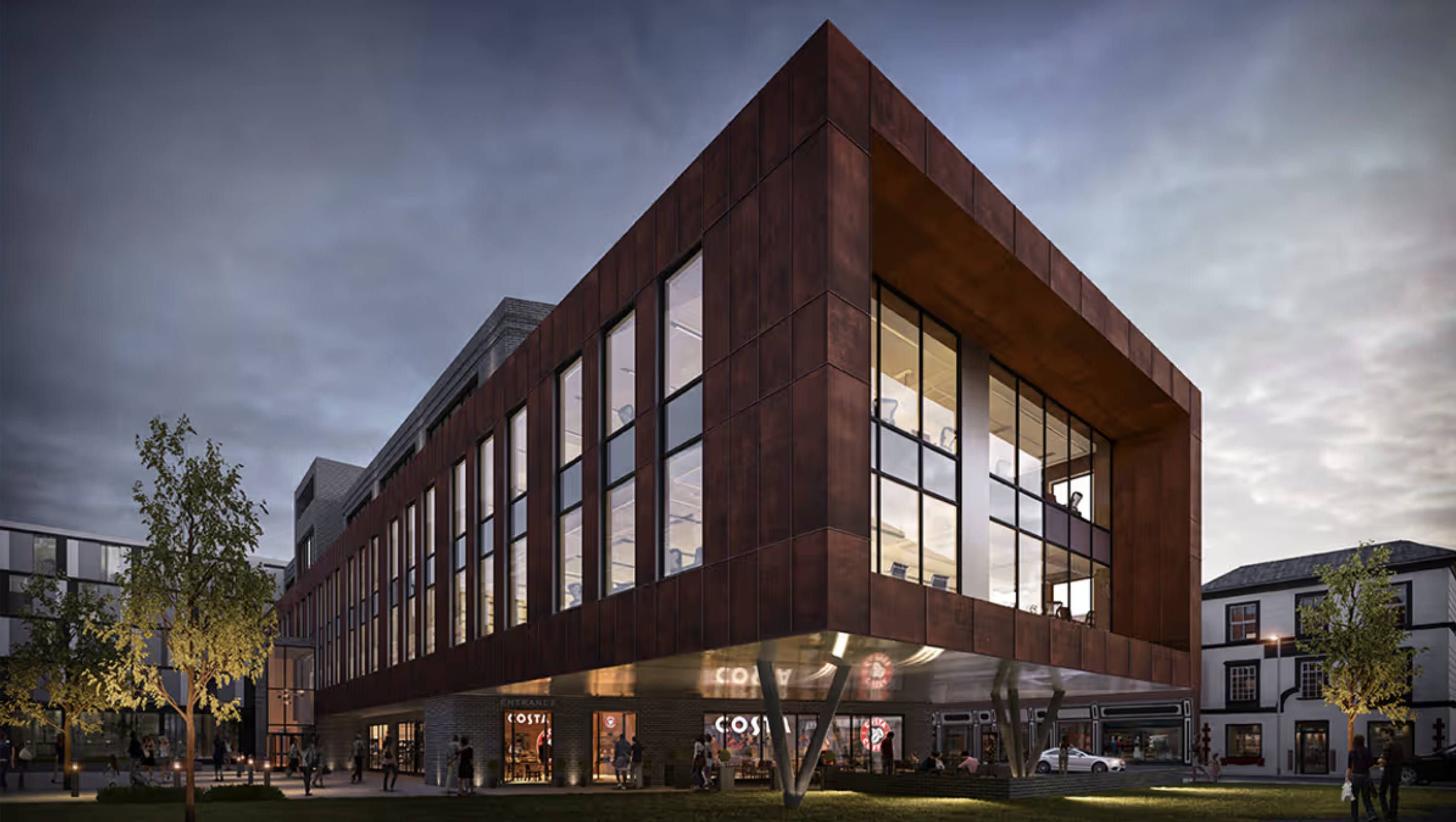
Images have revealed how the site of Oldham’s Mecca Bingo was envisioned to be transformed into a new state-of-the-art ‘commercial quarter’.

However the council says that while the site is still potentially earmarked for redevelopment – it is not likely to come forward any time soon.

MEN 2023

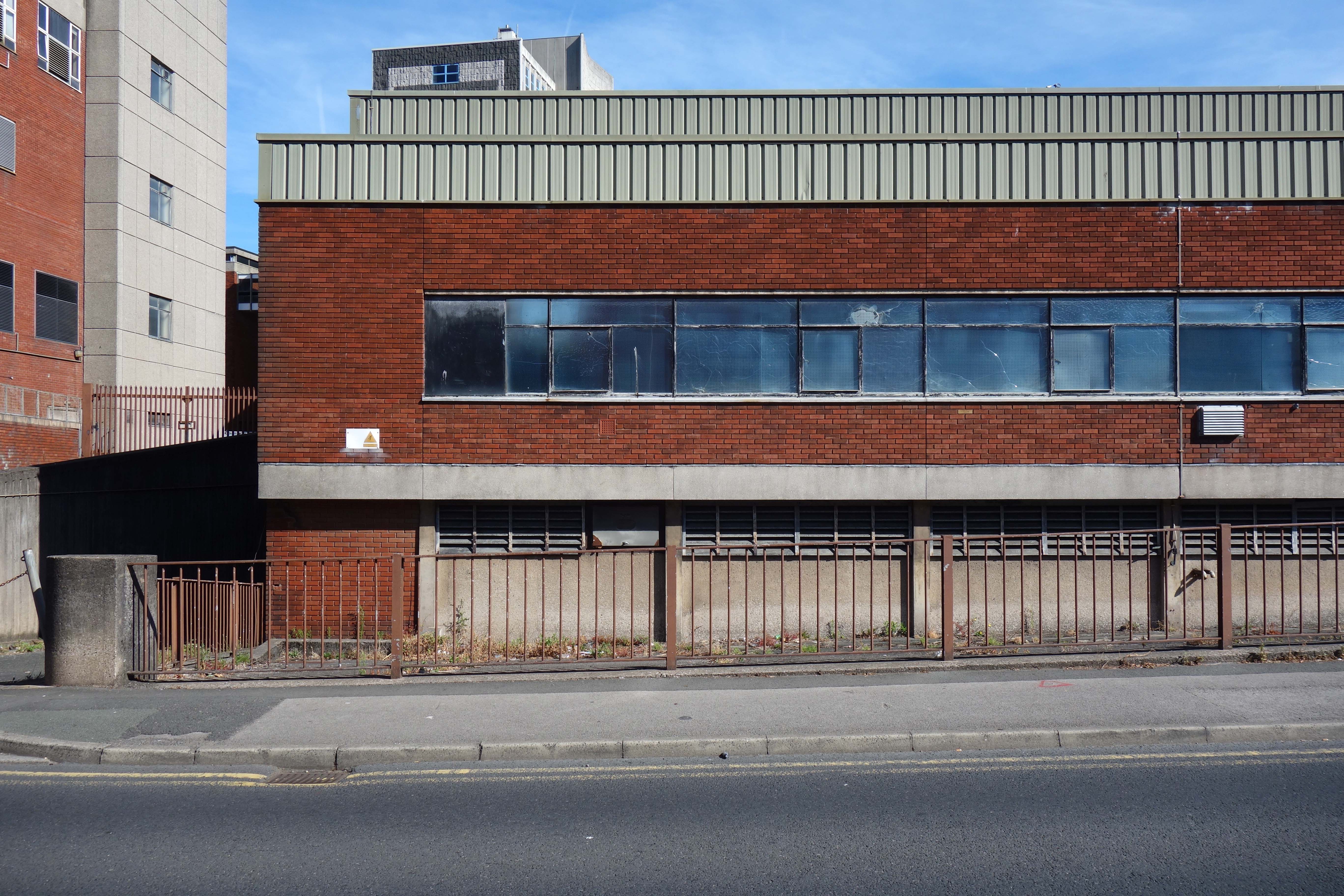
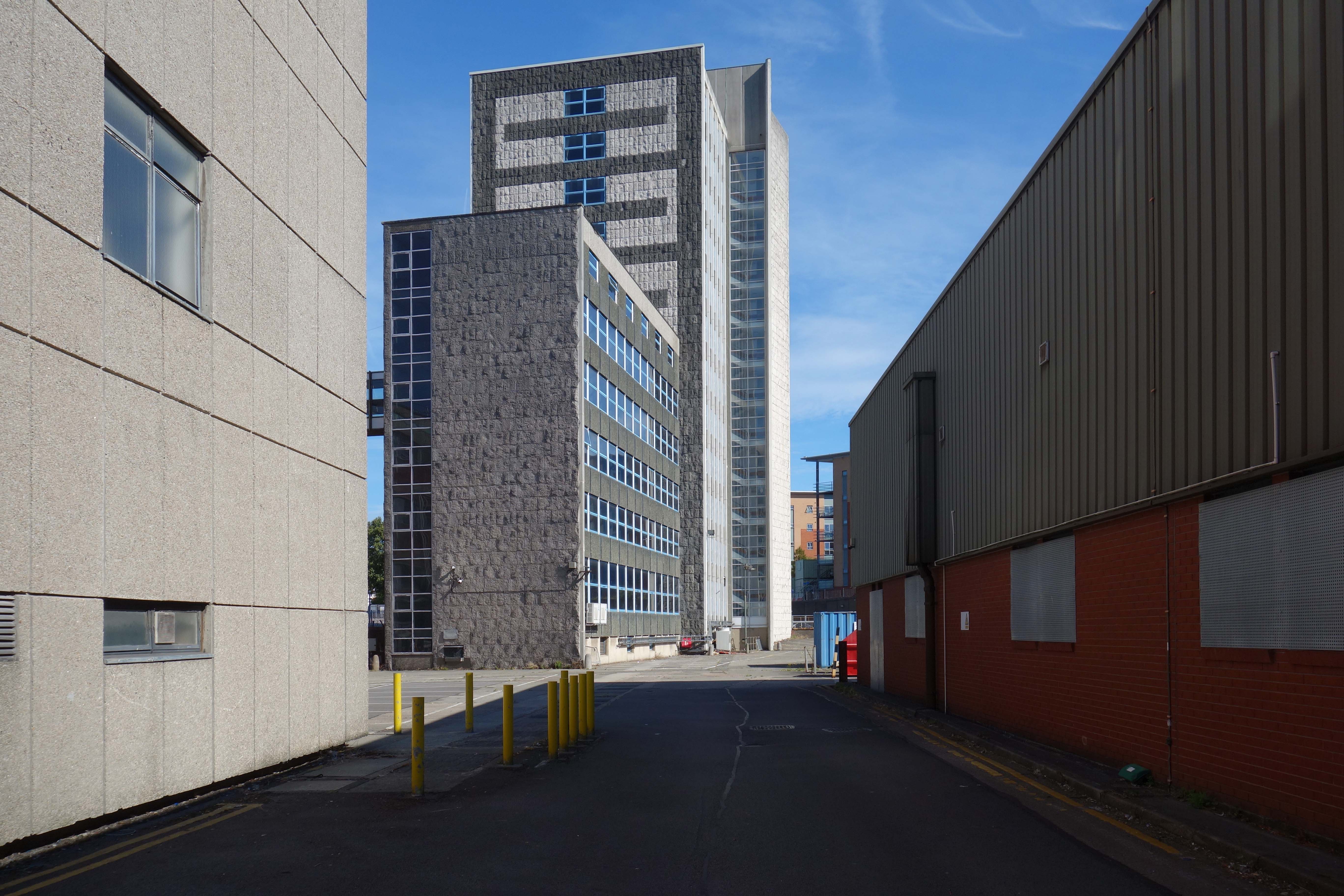
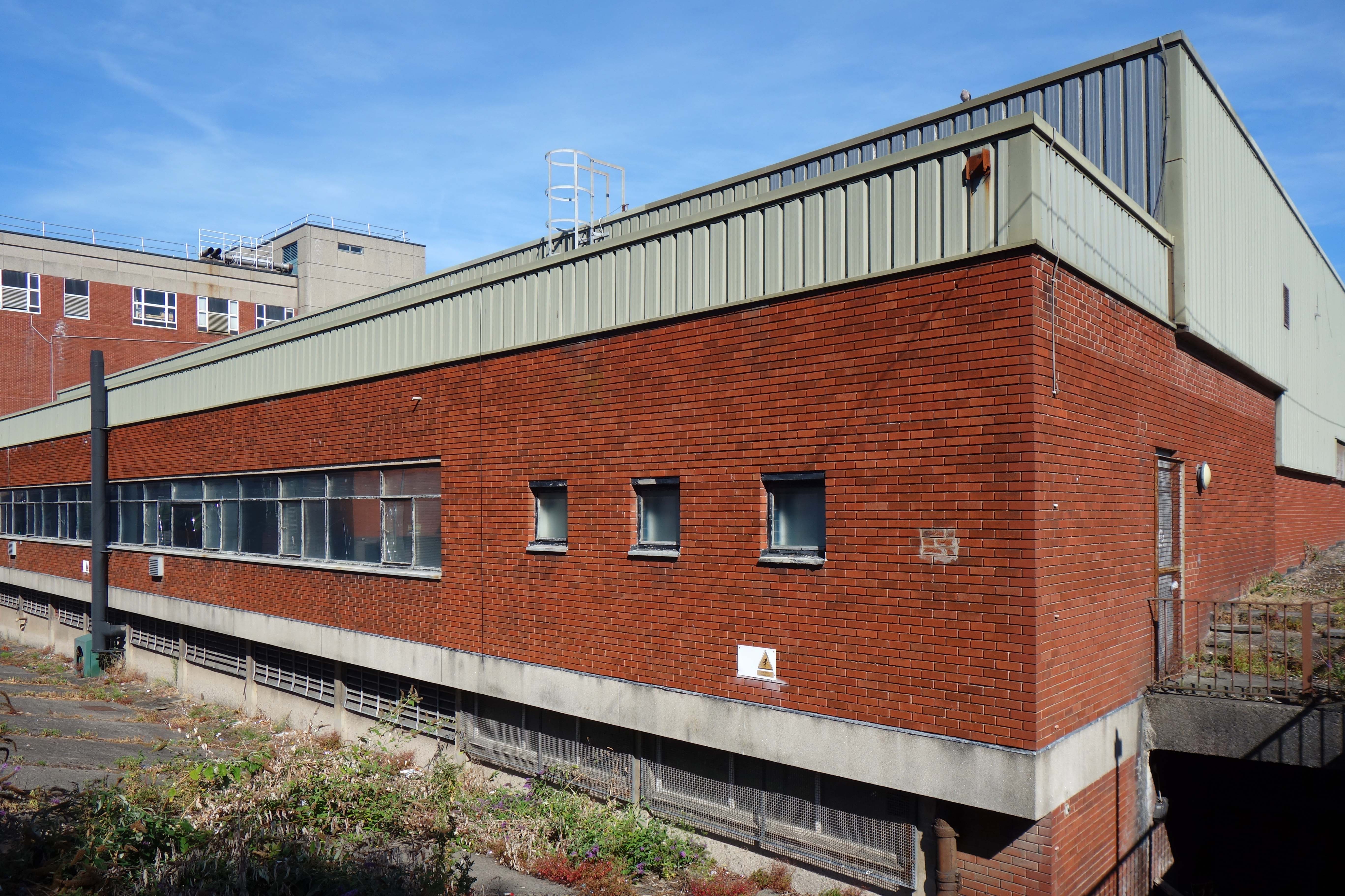
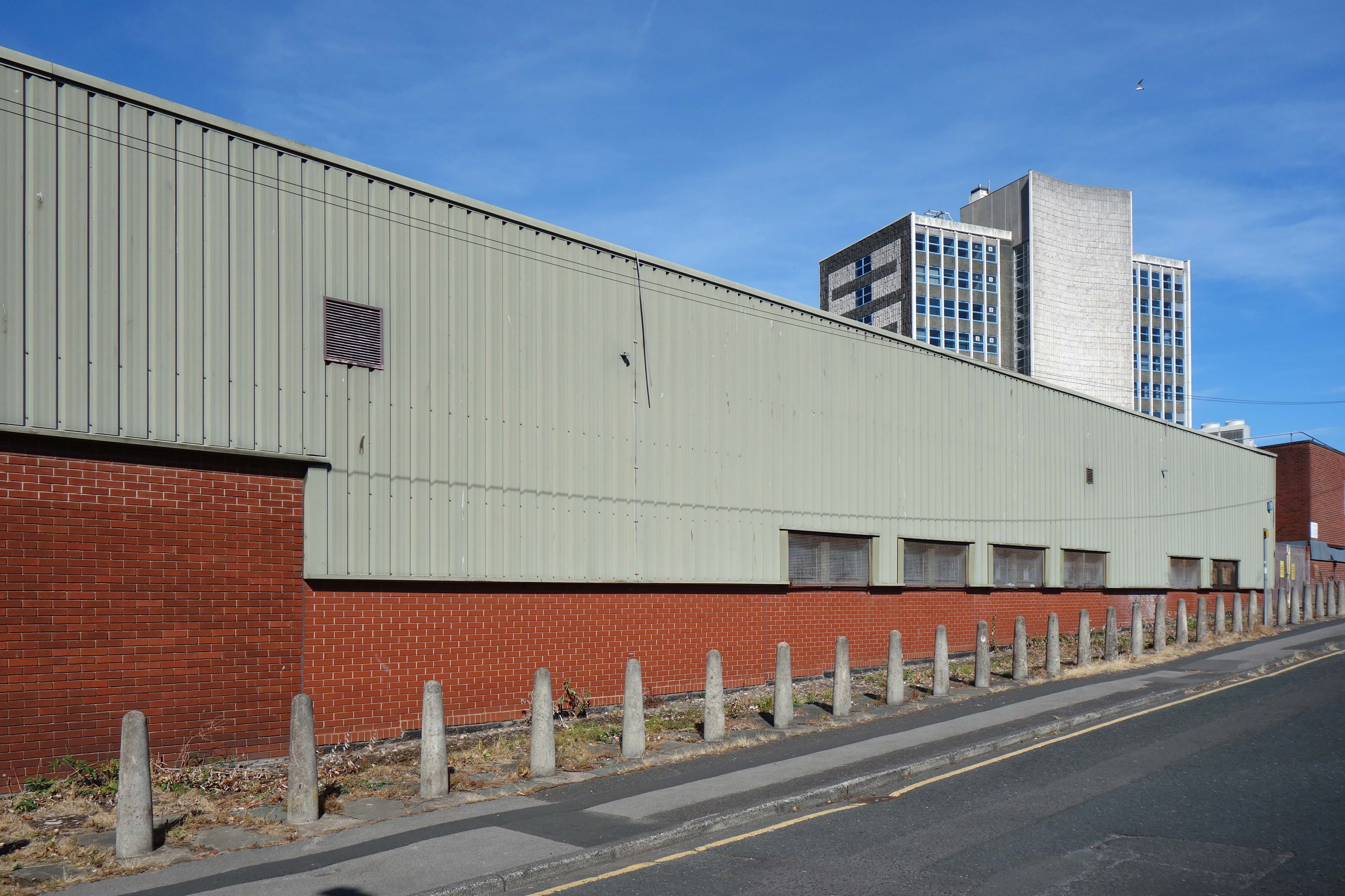
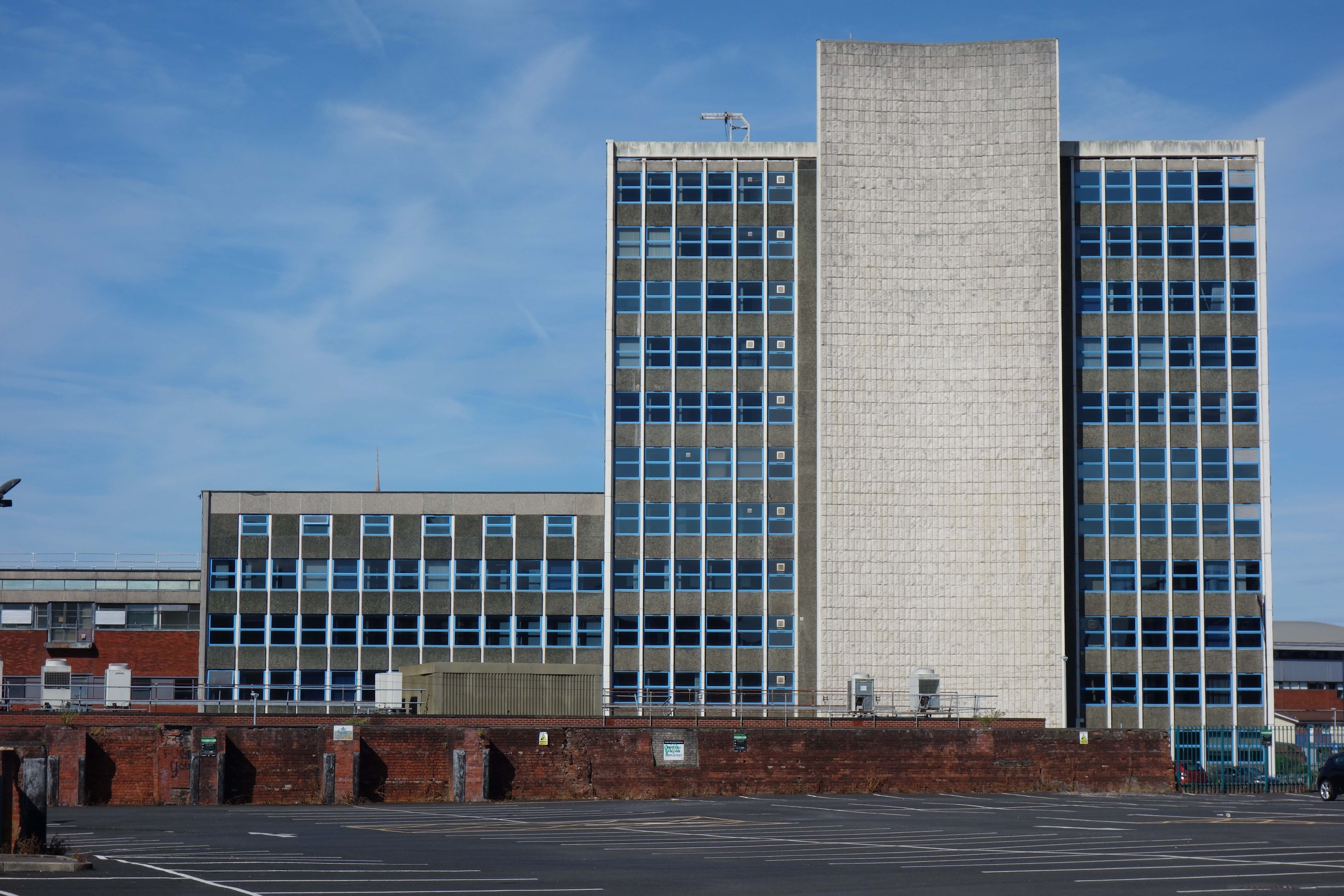
Telephone House Preston

A visit to Preston on our Modernist Walks would not be complete without a visit to Telephone House.

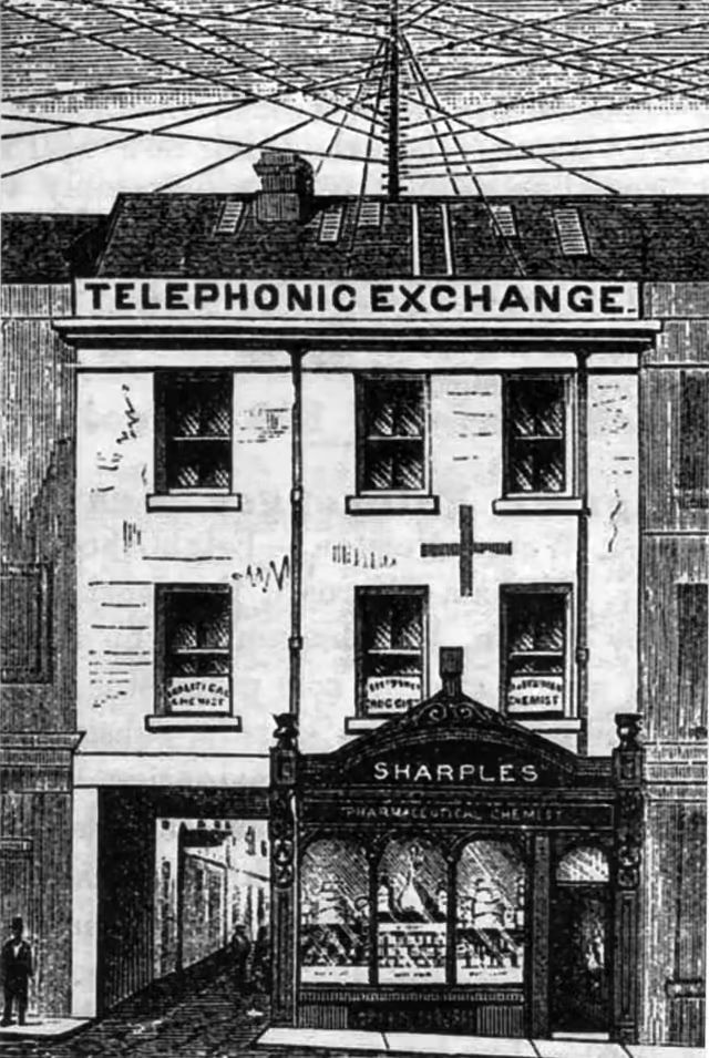
Local enthusiast George Sharples, a chemist by trade who was familiar with telegraph engineering, also had ambitions in this field and successfully applied for a licence to operate from his premises at 7 Fishergate.

His Preston Telephonic Exchange opened a few weeks later, having recruited local businesses who at first were reluctant to move away from the highly efficient telegraph message services and embrace the new technology.

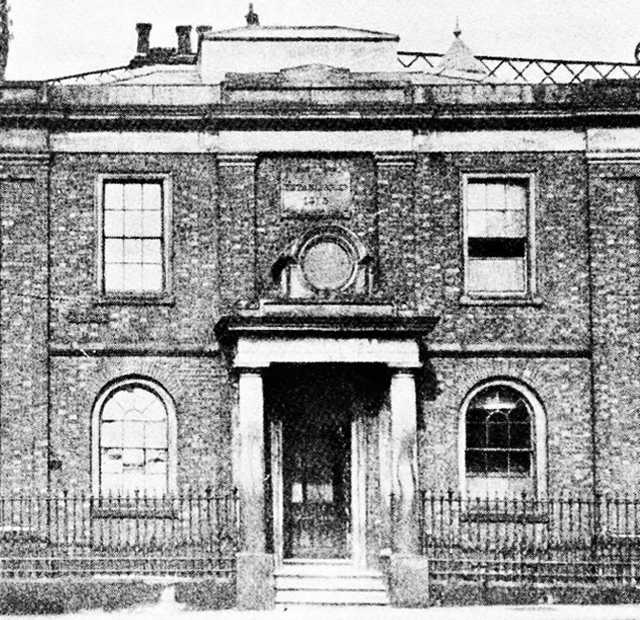
Things progressed quite rapidly after that and by 1886 Sharples had sold his business to the county operators, who in turn were taken over by the National Telephone Company in 1889. Within a year the £9 subscription rate offered by Sharples had increased to £12 – a familiar tale. Within three more years this organisation had set up its telephone exchange in Guildhall Street and a decade later moved operations to the old Preston Gas Company offices in Glover Street, where the multi-storey Avenham car park now stands.

Despite the NTC being taken over in 1912 by the Post Office, the Preston Telephone Exchange remained at the Glover Street premises until 1931, when an automatic telephone system was installed in the General Post Office building in the Market Place. Subscribers now had the freedom to dial most calls themselves. At the official launch of the new system it was stated that 15,000 calls were handled daily in Preston.

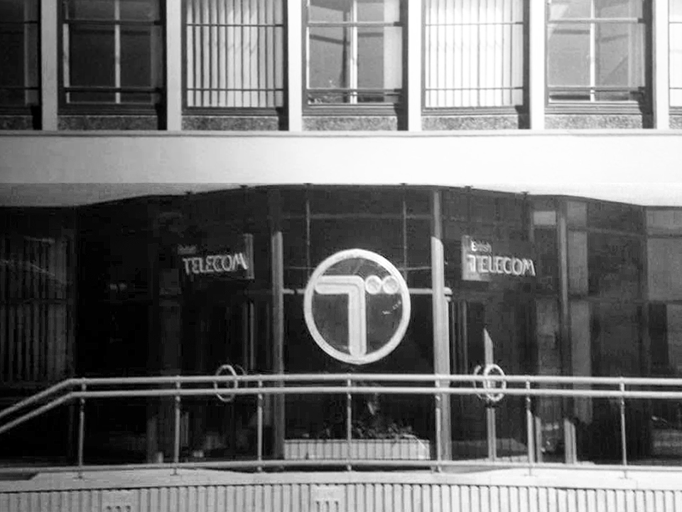
From the mid-1940s the increase in telephones was dramatic, with modern technology and underground cables leading to greater efficiency. A reflection of this progress was seen locally in June 1964 when the main Preston telephone exchange was moved to the purpose-built structure on Moor Lane. The era of trunk dialling had arrived and by 1980 two out of three homes within the Preston Telephone Area had a telephone installed.

Images and further information Lancashire Post.

Image – Norwyn Photographics

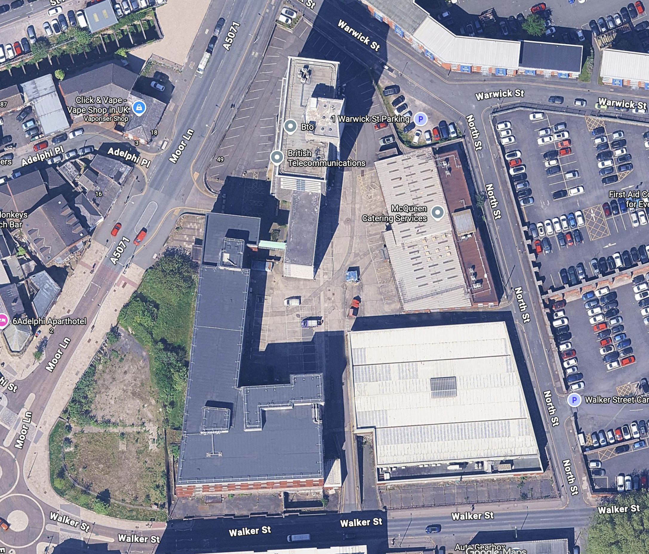
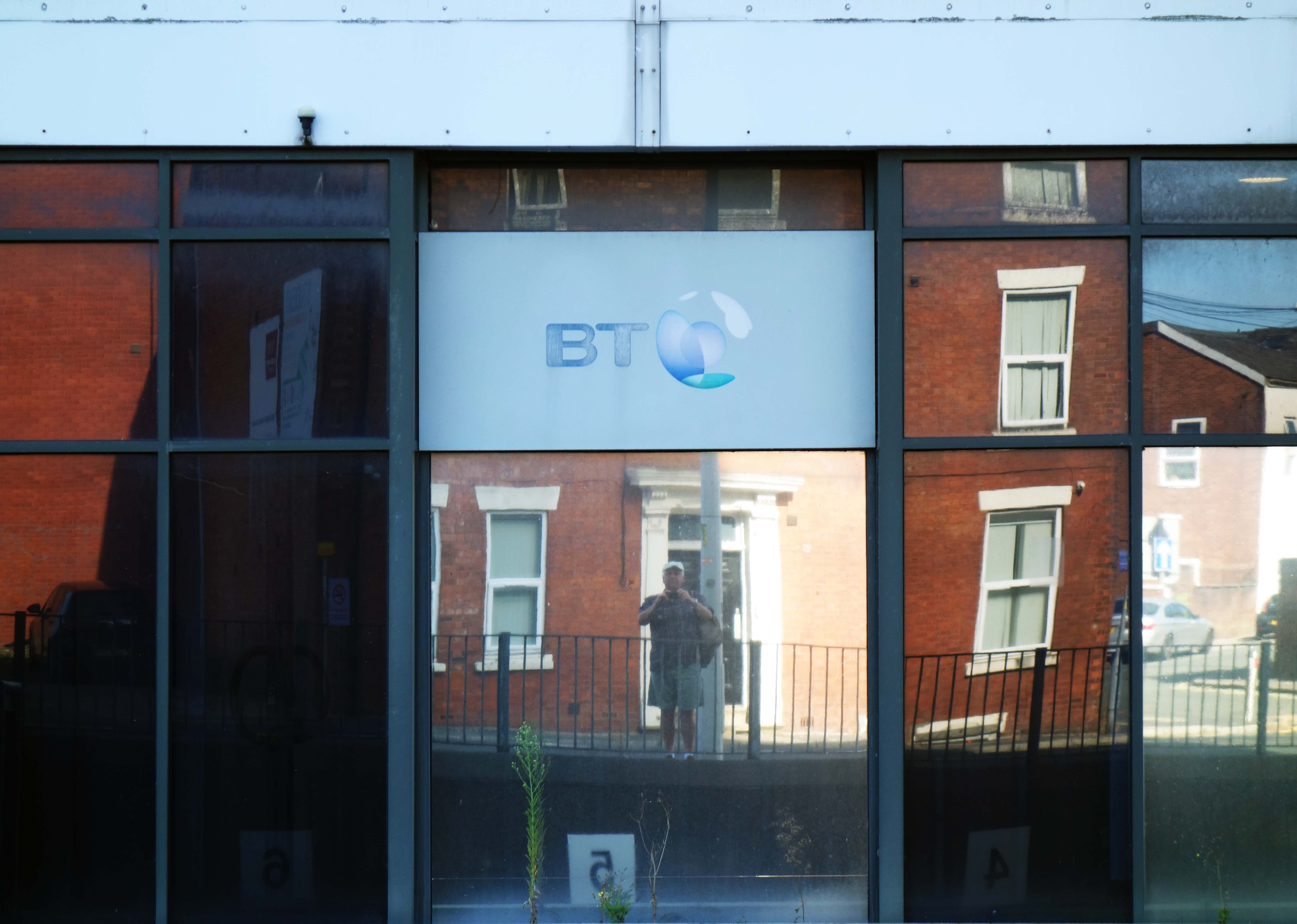
Twixt Walker Street and Moor Lane the mighty BT Building – Telephone House by Building Design Partnership, 1960-64.

A decent office block with rough patterned concrete end walls. 

Pevsner

The front elevation was re-clad in 1992 the back is intact

BDP’s founder Professor Sir George Grenfell Baines, known affectionately as GG, was born in 1908 and set up in practice as an architect in Preston in 1937.

Four years later he teamed up with two other Preston practices and the Grenfell Baines Group was born. Expansion in various locations in the UK continued throughout the 1940s and 1950s and in 1951 GG was the only northern architect appointed to design a building for the Festival of Britain in London.

In 1961, his long cherished ambition of establishing the world’s first interdisciplinary practice was realised and Building Design Partnership was founded.  It was a successful formula and on the occasion of his retirement in 1974 GG’s advice was

“keep going, getting better.”

BDP

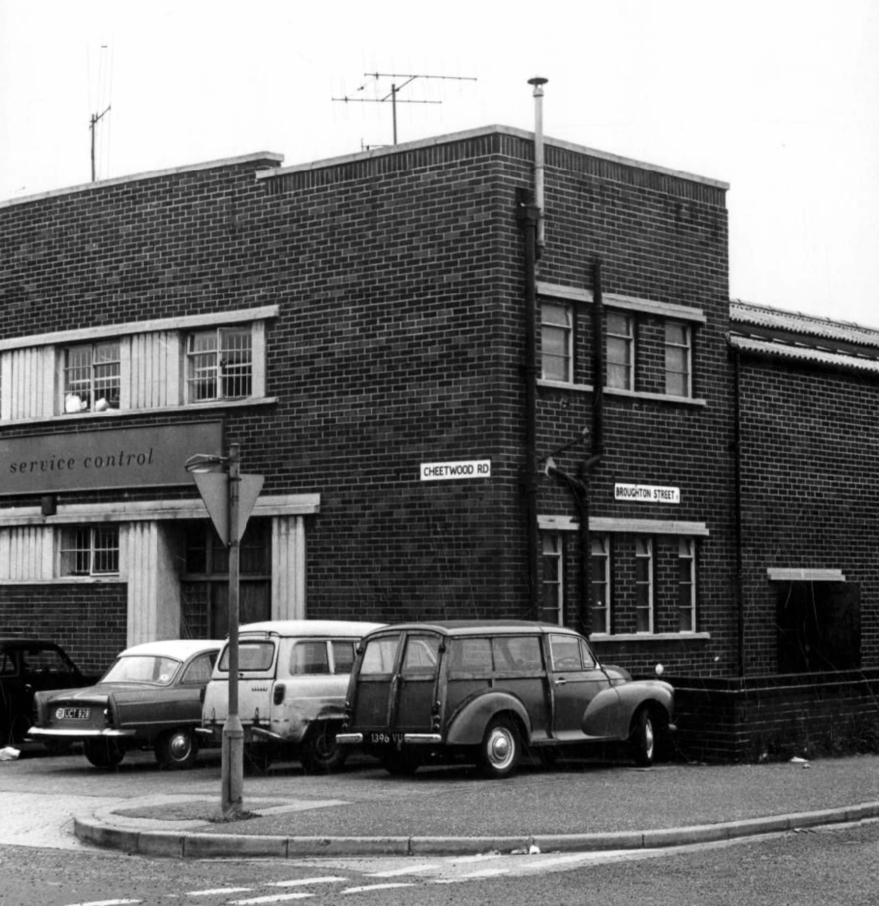
Cheetwood Road Manchester

1900

1920

1960

2026

I often wander these streets and write about the area’s history, or record the current state of affairs, then returning with 35mm film to photograph a black and white world.

On this occasion I am concerned with the tight little rectangle formed by Cheetwood Road, Broughton, Alison and Sherborne Streets.

Cheetwood Road is a postwar construction, a straight route replacing the meandering Cheetwood Lane. The road is lined with low level functionalist brick, steel and concrete industrial units.

Having fallen into disrepair they are now being renovated and reused.

In the early Twentieth Century the area was a mix of semi-derelict Victorian housing and industry.

Corner of Sherborne Street 1905

Cheetwood Lane 1917

The huge Holt’s Cheetwood Hotel has since been demolished, lasting until c1990.

Cheetwood Lane 1920

Images: Thomas Baddeley

Progress House 1969 – Domtar Howard Smith Ltd Paper Manufacturers.

Norweb Electricity

Images: Louis H Price Manchester Local Image Collection.

So here we are on Friday 7th August, taking yet another look.

The whole area and beyond is now the centre of a plan for regeneration.

Salford City Council and Manchester City Council have developed a joint Strategic Regeneration Framework to transform the Strangeways and Cambridge areas.

This plan addresses long-standing challenges such as counterfeit crime, poor-quality buildings, and flood risk, while creating opportunities for new homes, businesses, and green spaces.

Salford Gov

The Strangeways and Cambridge strategic regeneration framework sets out a vision to deliver around 7,000 homes in buildings up to 30 storeys and 3.1m sq ft of new or improved commercial space across 320 acres spanning both Manchester and Salford.

HMP Manchester & Jury Street: A catalytic neighbourhood at the heart of the SRF. Home of the existing HMP Manchester with potential for long term change subject to the relocation of the prison.

Derby Street: An intensified business district, supported to ensure the long-term preservation and evolution of the business base in the area.

Copper Park: A regional destination, multi-functional open space delivered to create positive amenity and biodiversity in response to future flood risk.

Overbridge: Gateway to Copper Park from the city centre, an area of significant residential potential – up to 2,000 homes – but with important economic assets and heritage.

Cheetham Park: A new urban-suburban residential neighbourhood of up to 1,000 homes, building on the heritage of the Victorian Cheetham Park and the nascent residential community around it.

Dutton Street: The Dutton Street area is a natural extension of the city centre. Subject to the existing Great Ducie Street SRF, it is identified as residential-led mixed use area – up to 4,000 homes – where significant development and investment is already evident. This part of the SRF could accommodate 1.75m sq ft of new commercial space

Lord Street: A transitional neighbourhood, connecting the residential-led change in Dutton Street with the economic focus of Derby Street to the north, and with Red Bank and Victoria North to the east.

Place Northwest

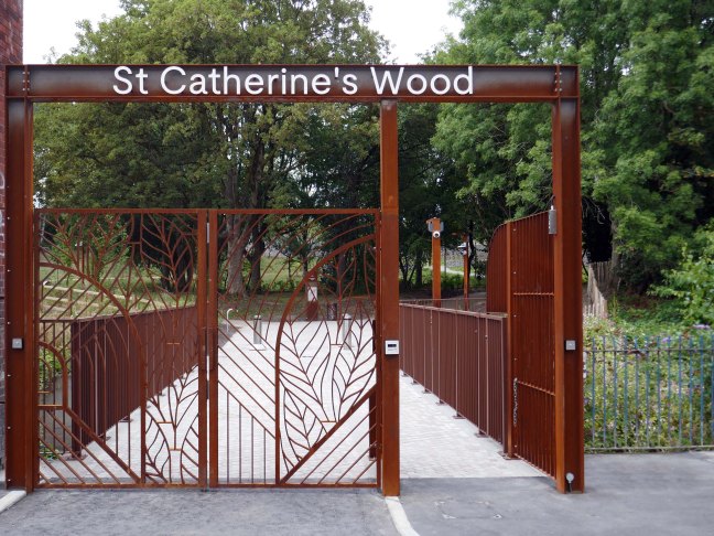
St Catherine’s Wood – Manchester

1807

1821

1860

1908

1960

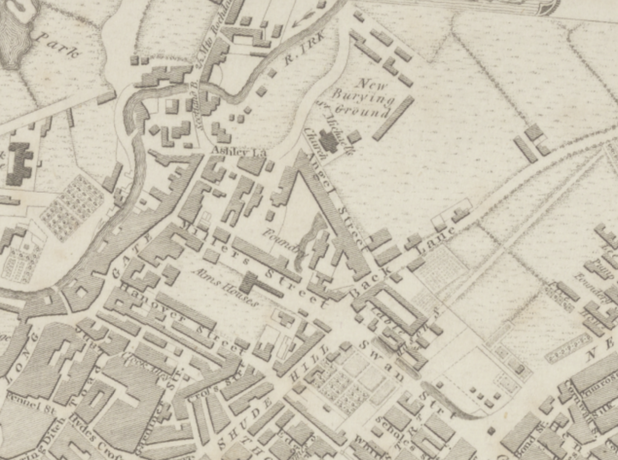
Manchester Historical Maps

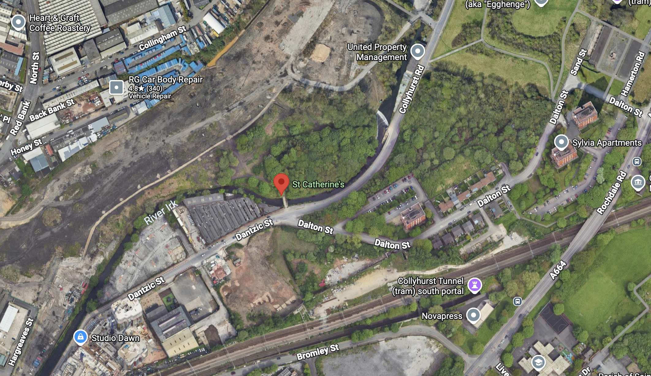
Collyhurst Rd Manchester M40 7TW

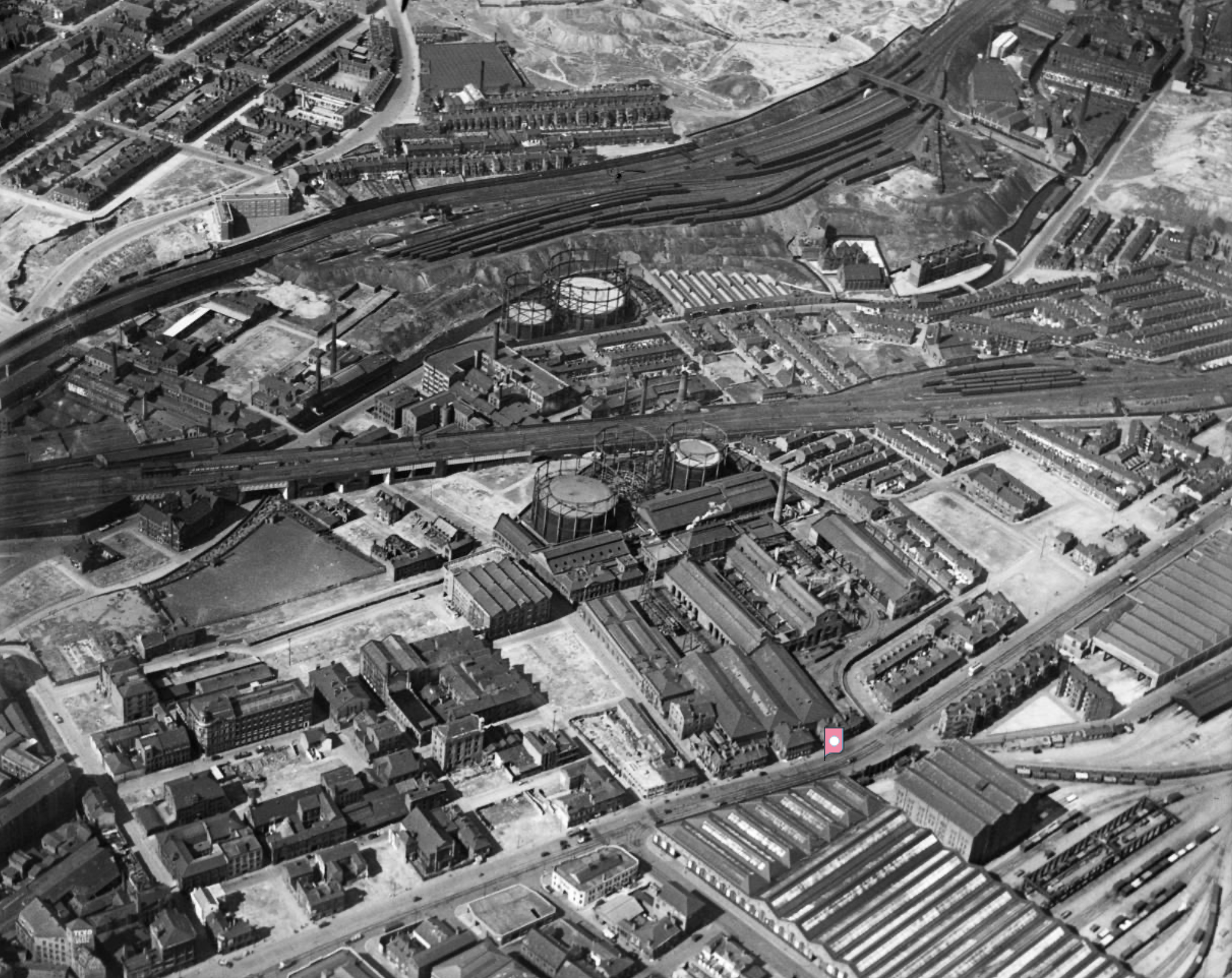
Image 1939 – Britain from the Air

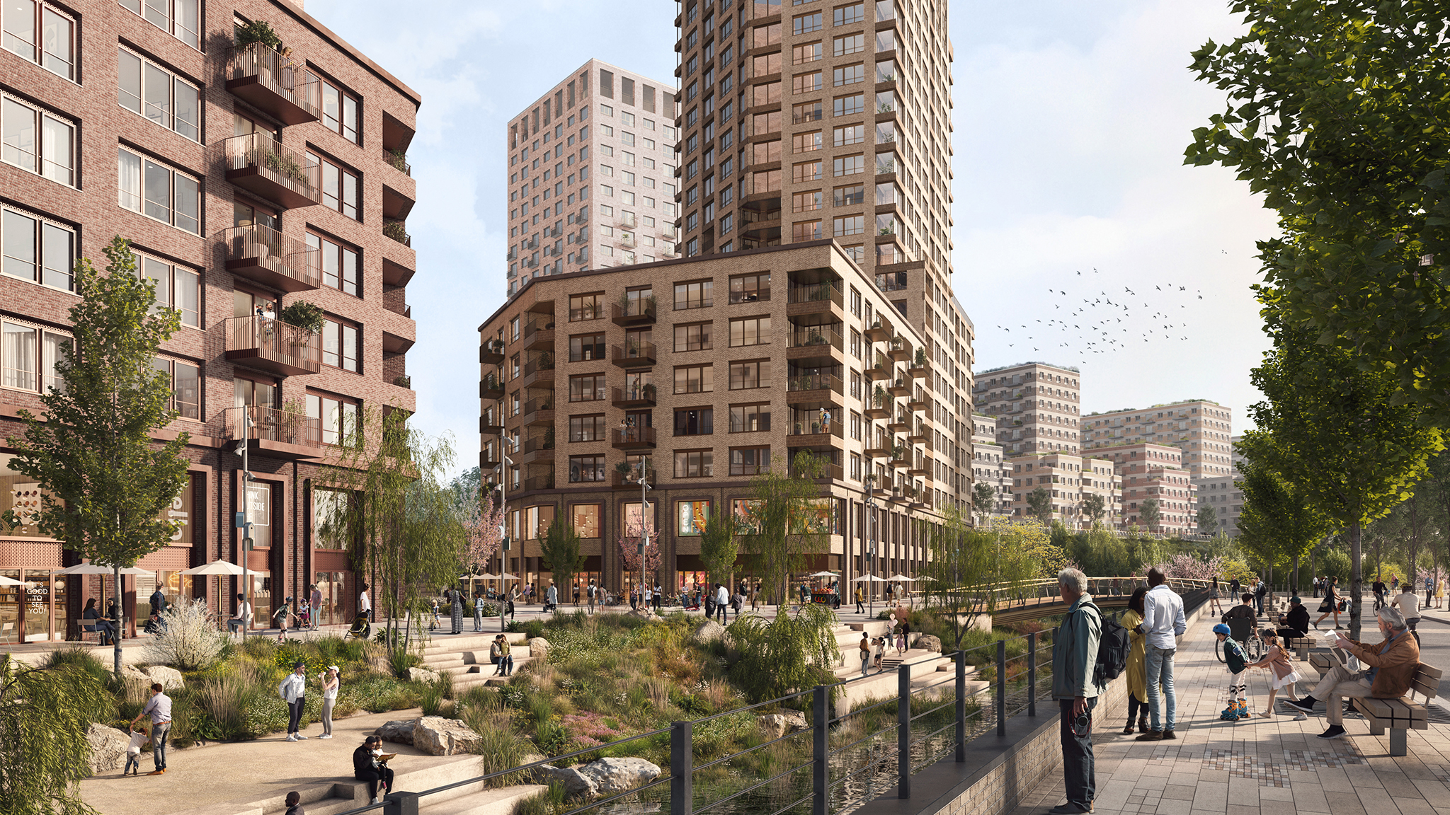
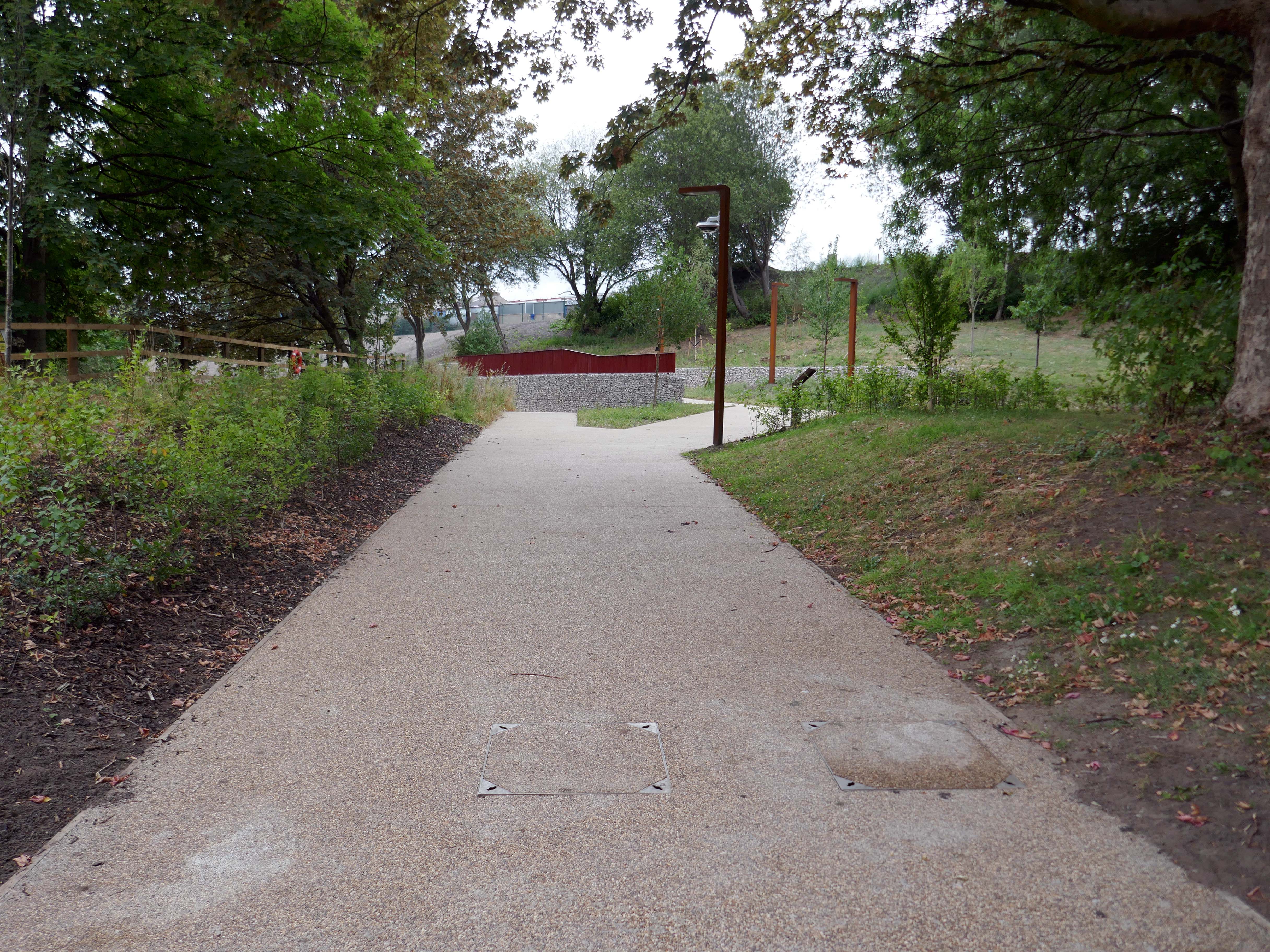
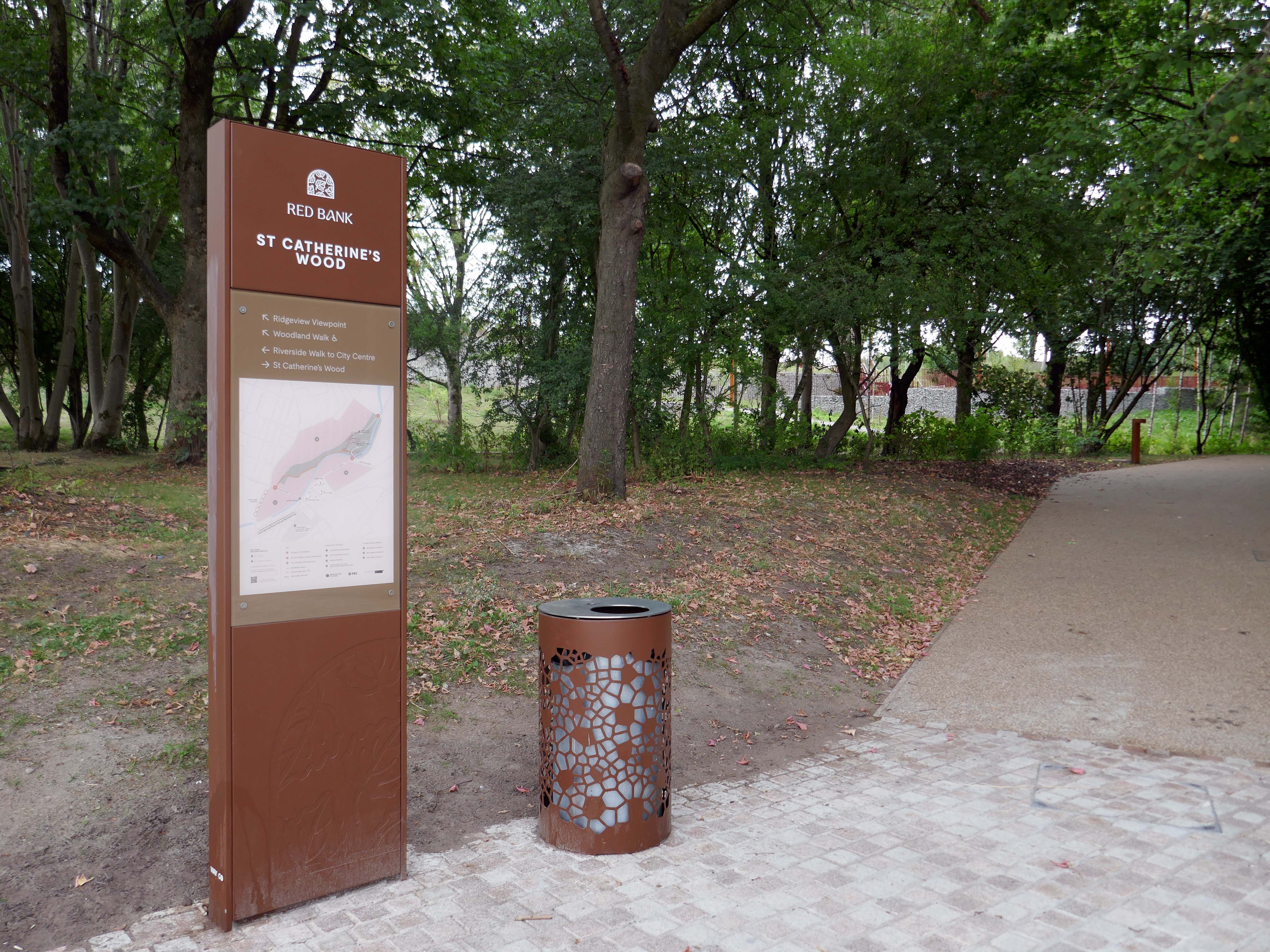
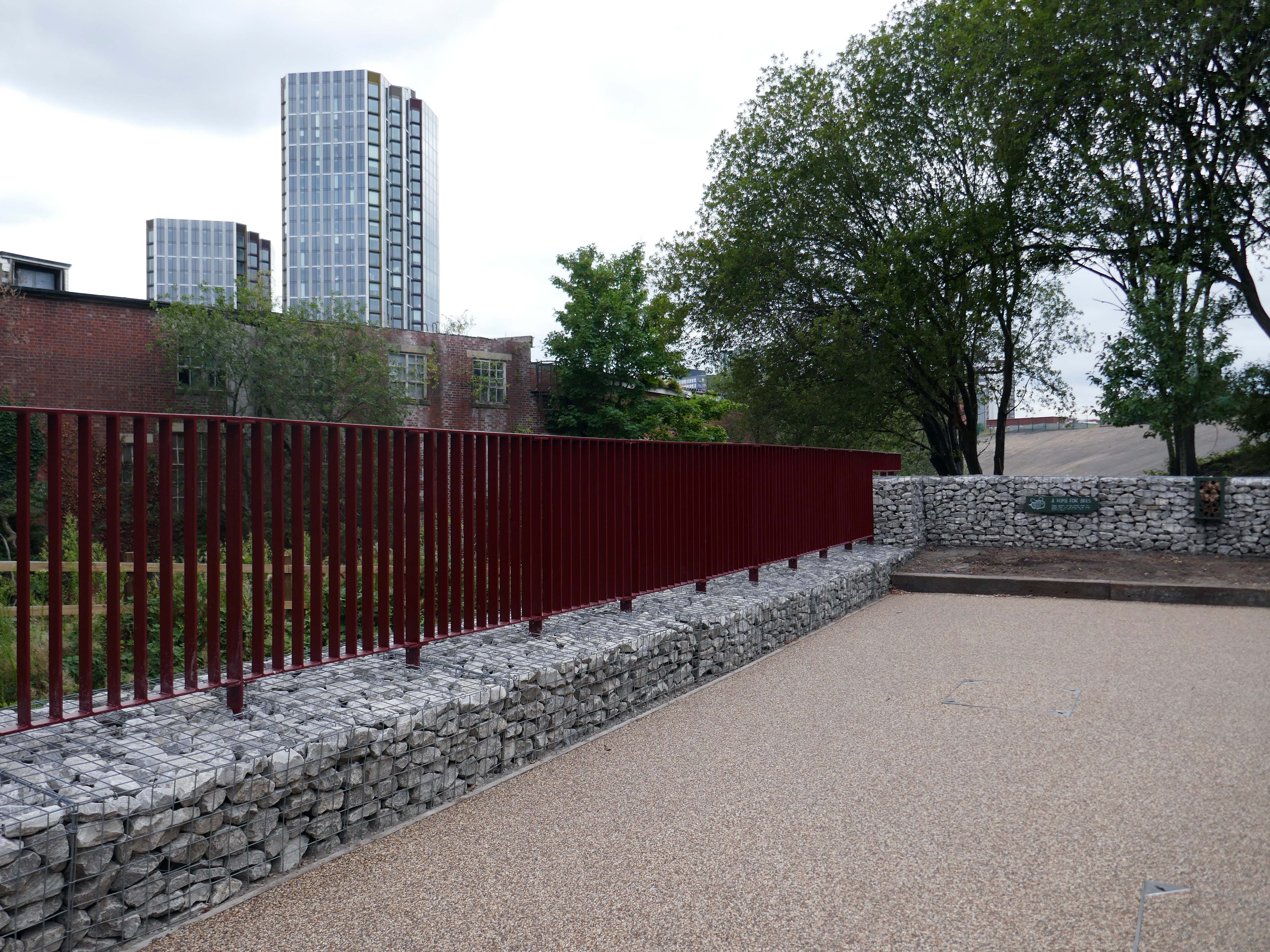
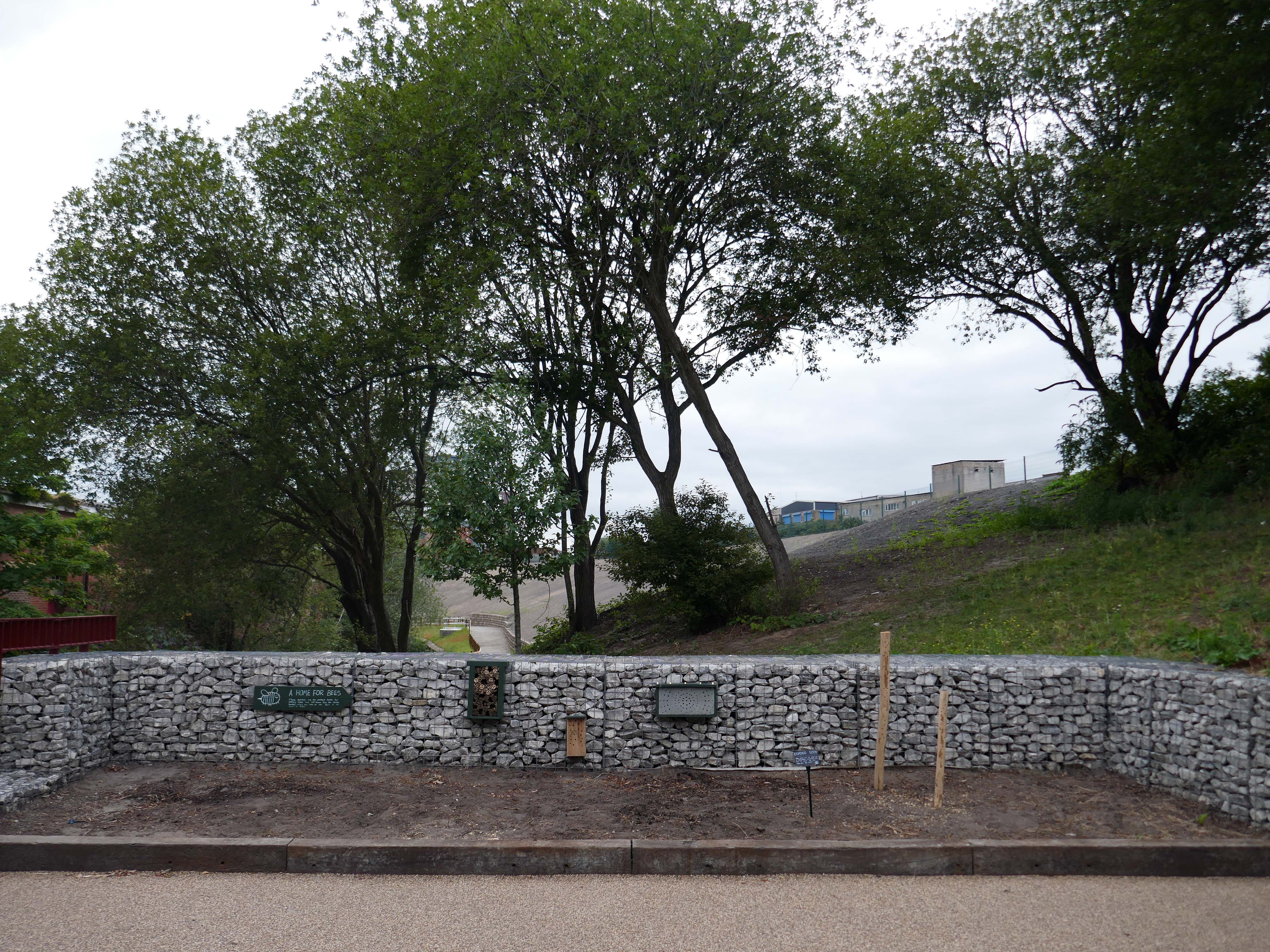
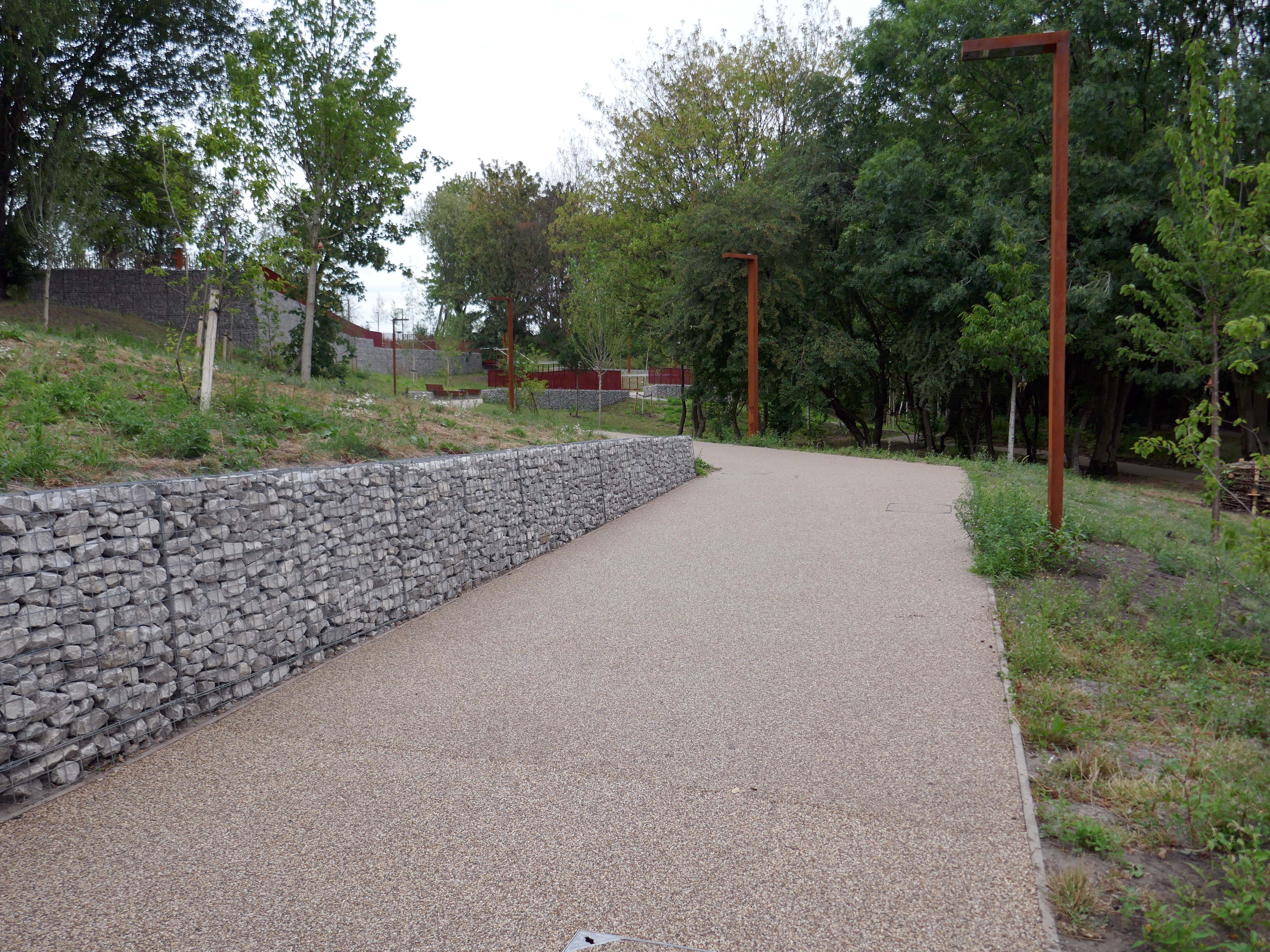
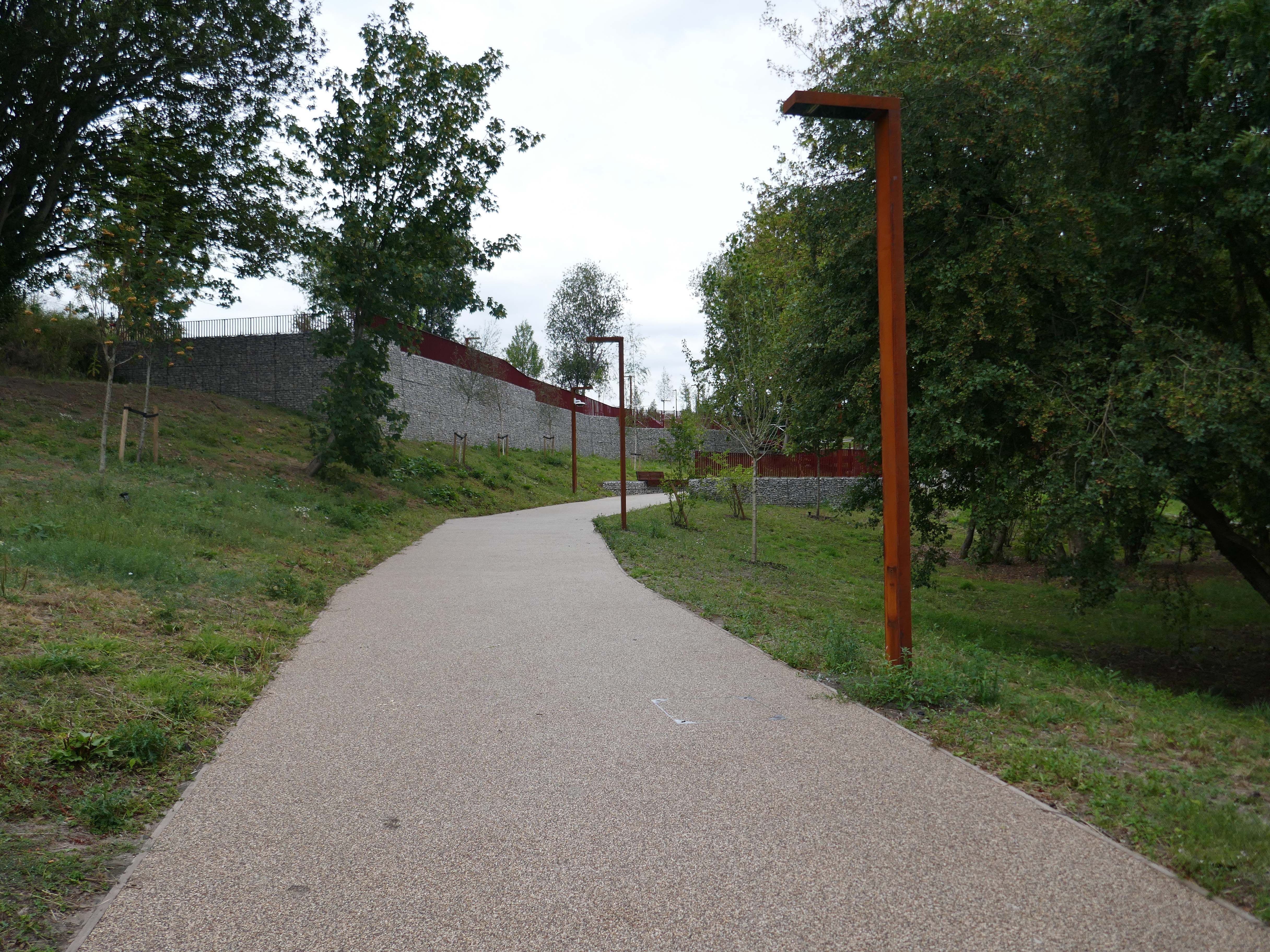
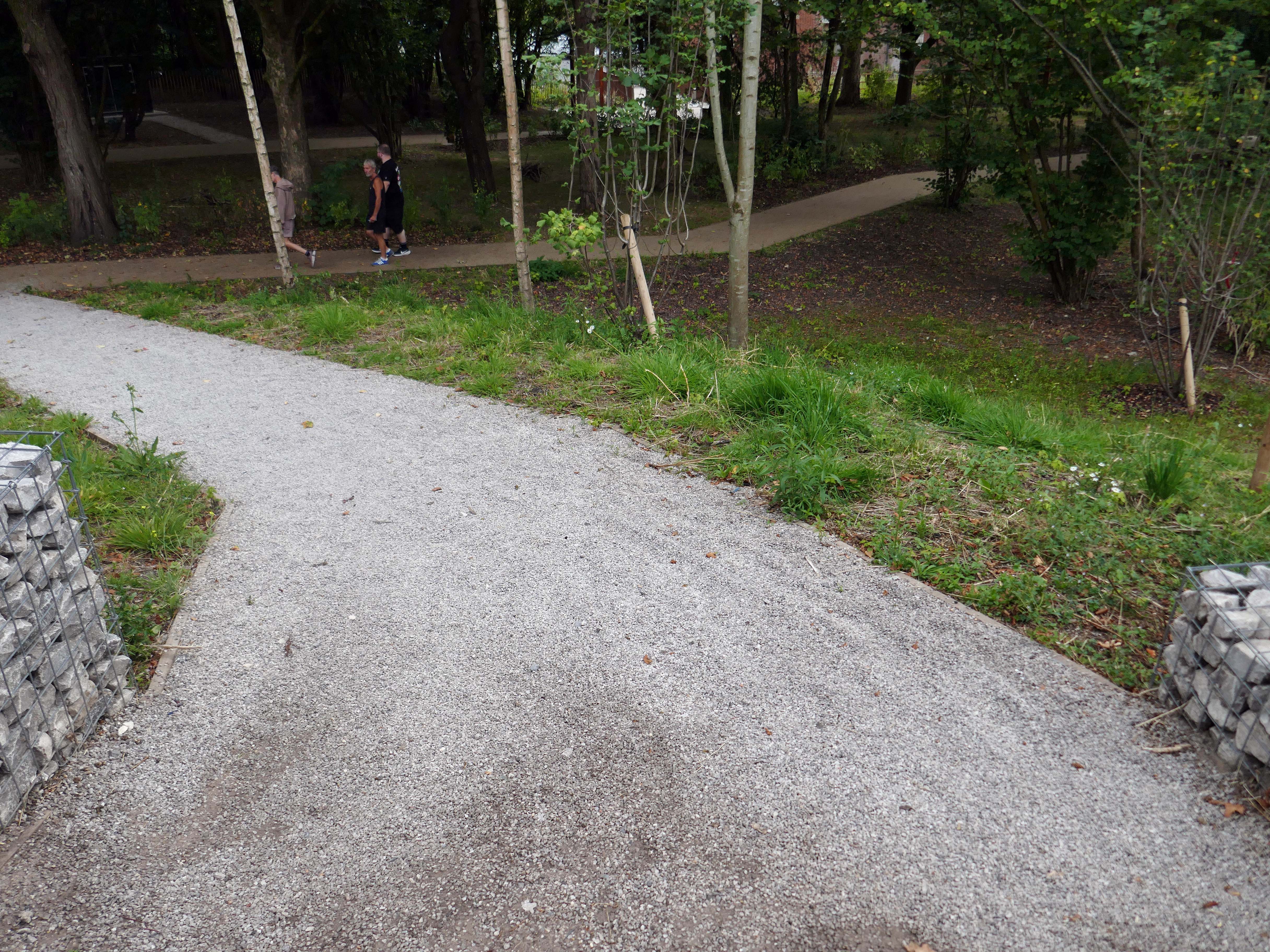
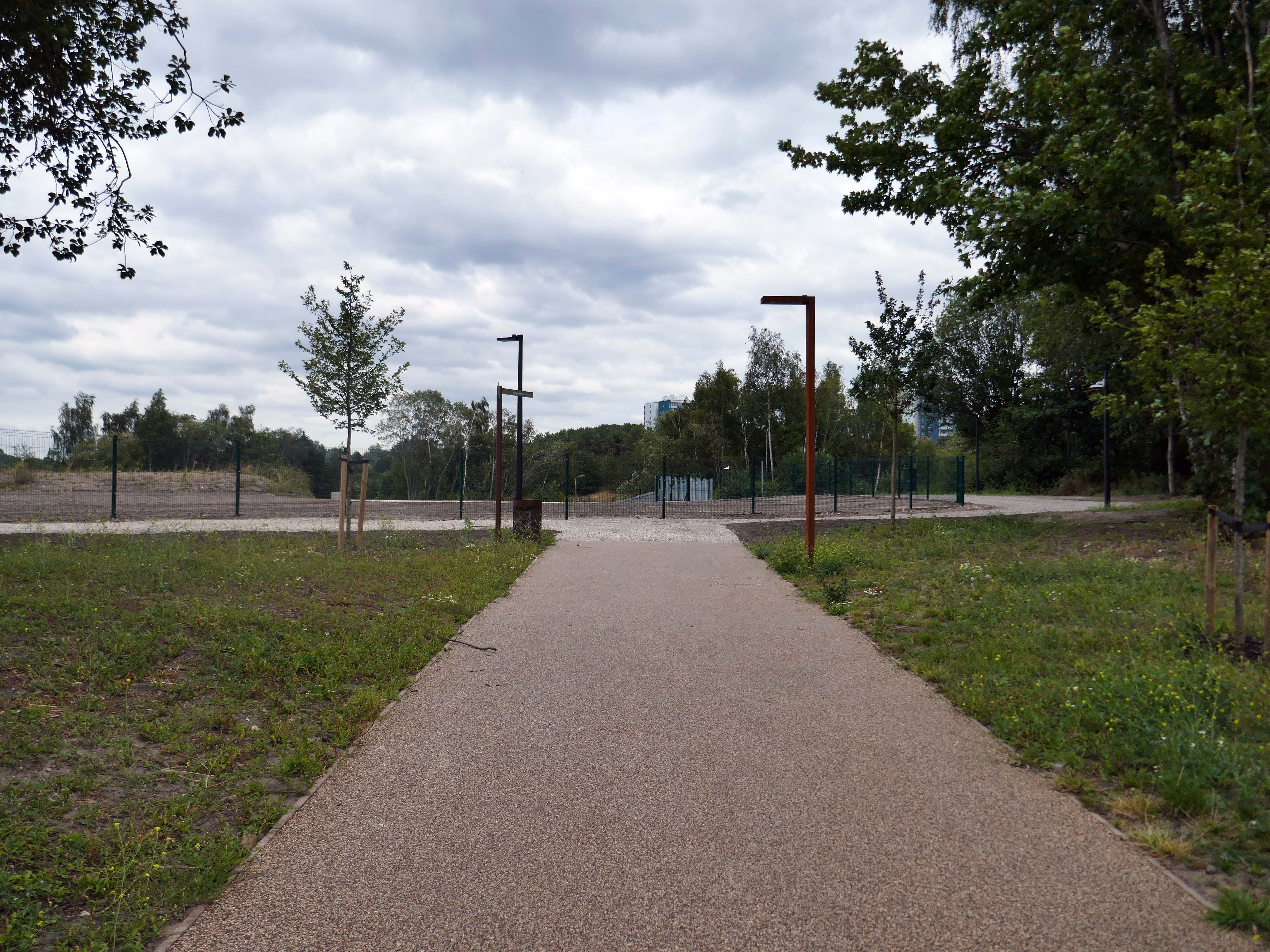
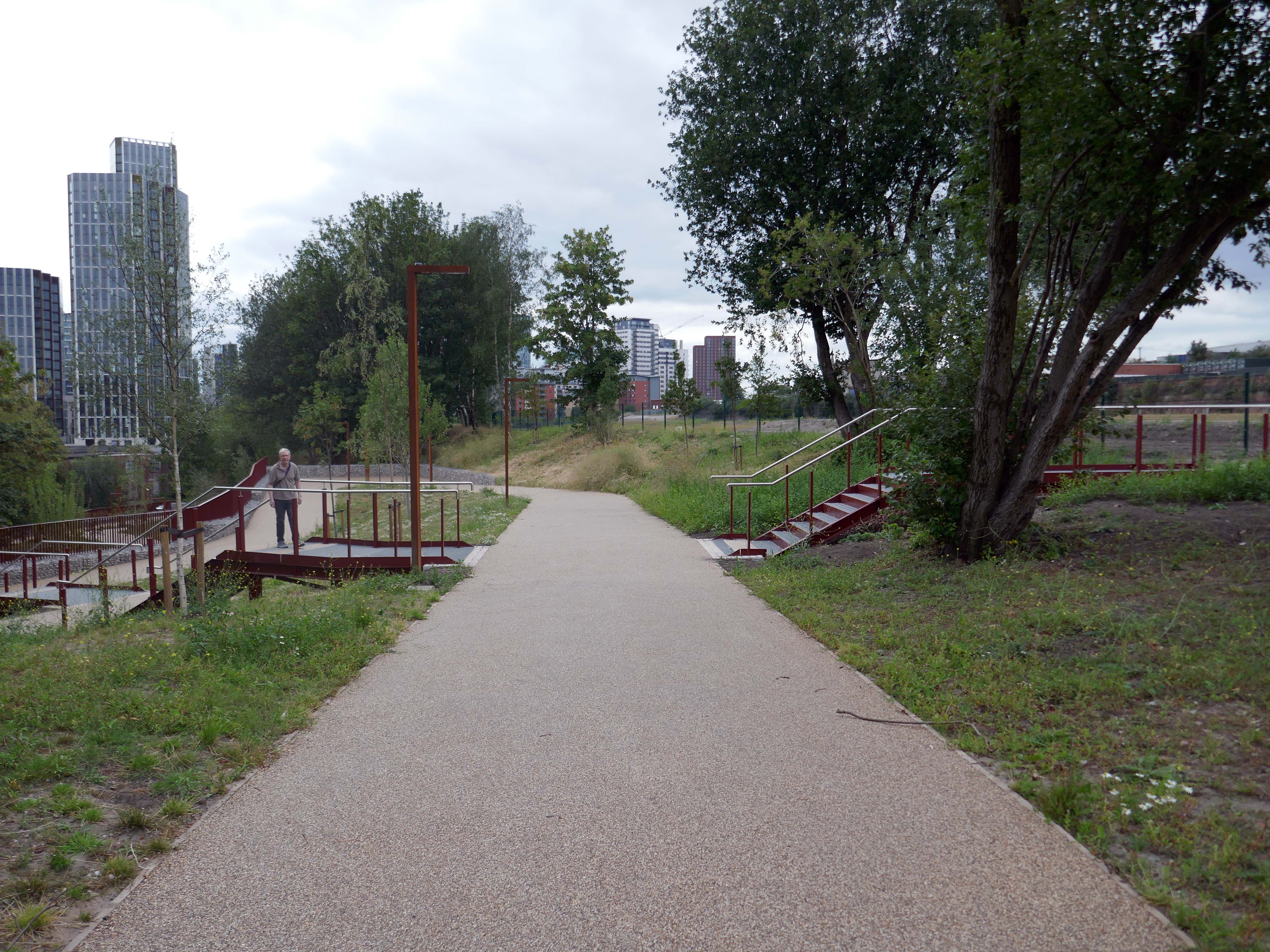
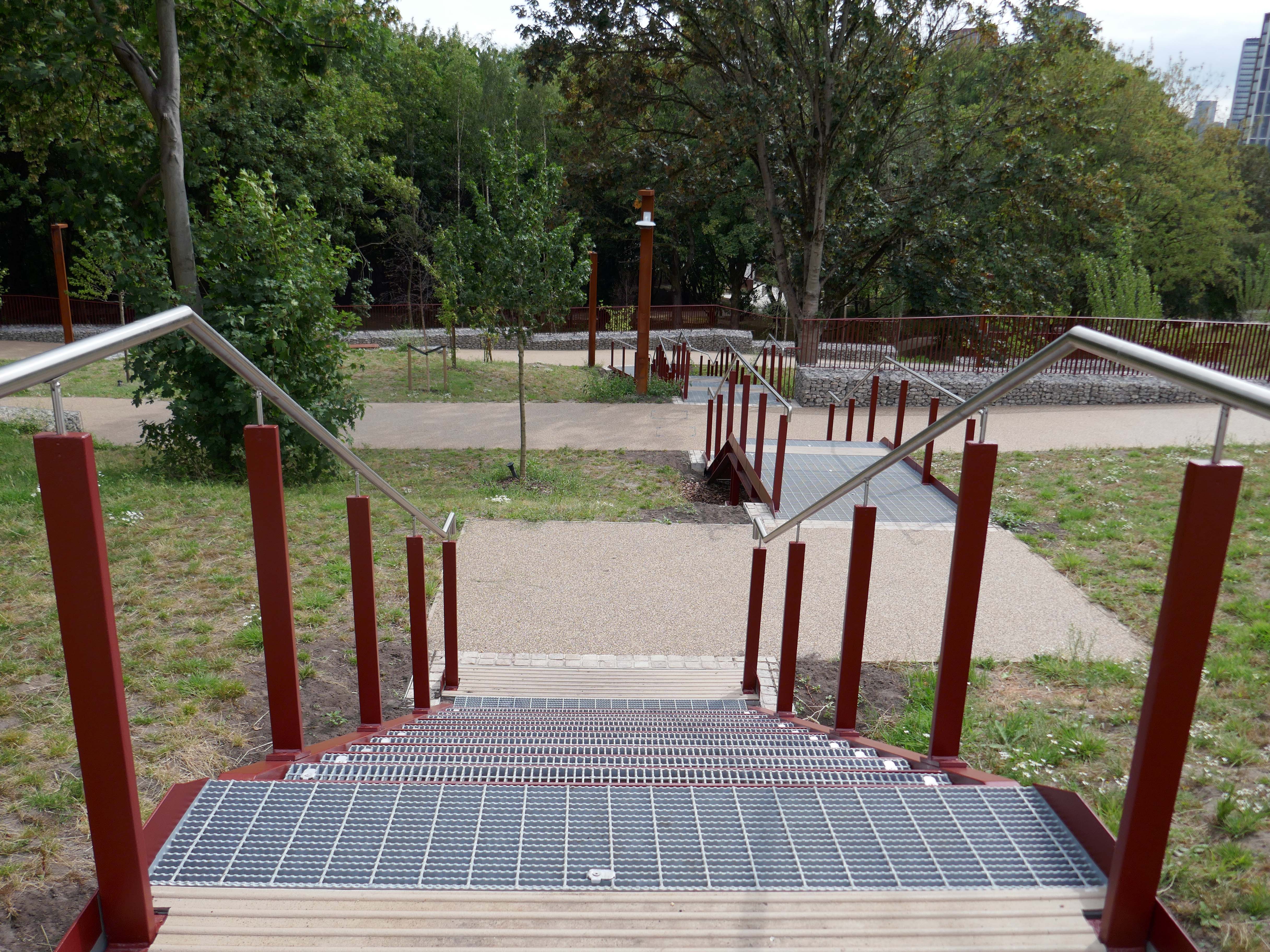
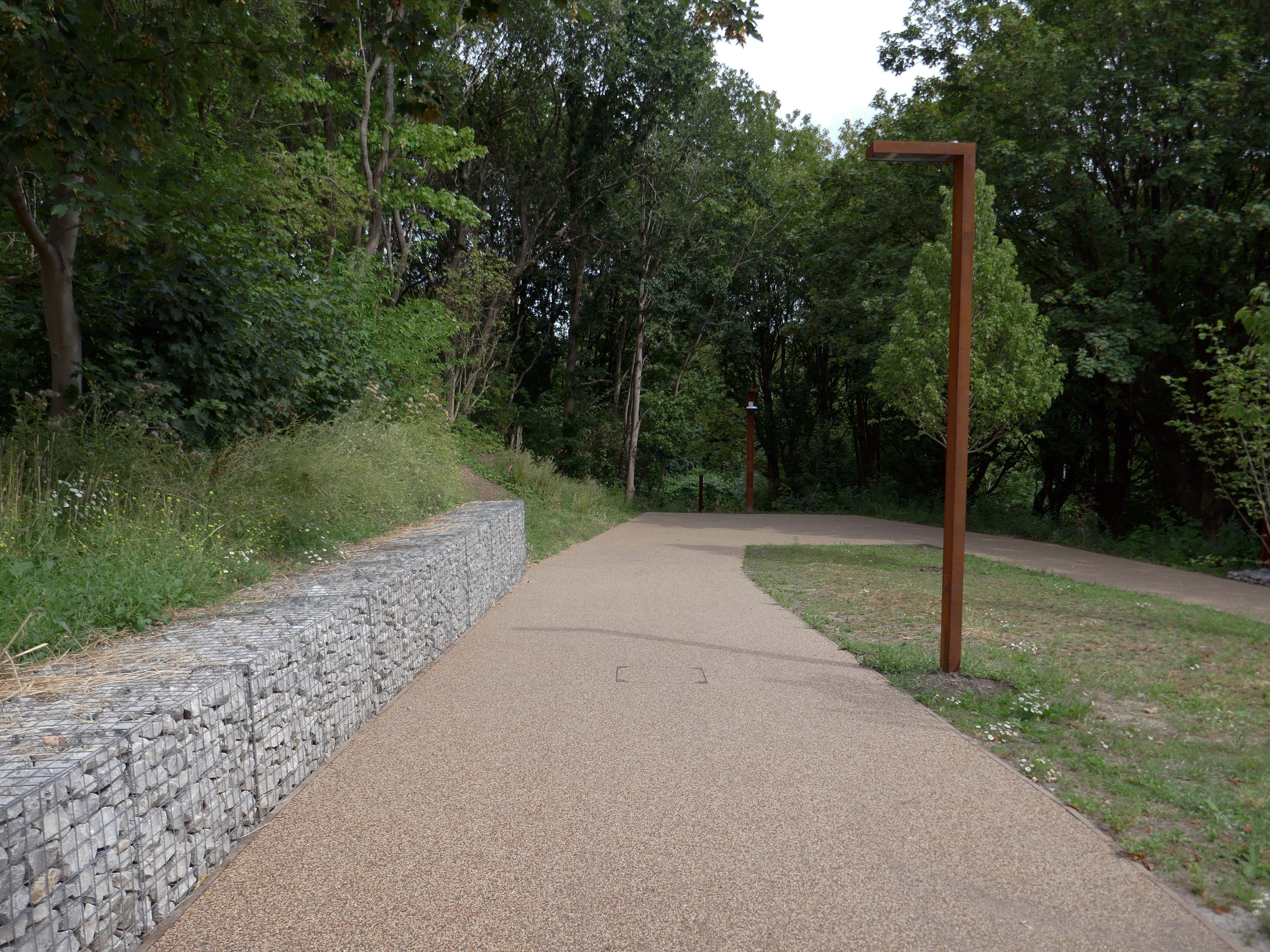
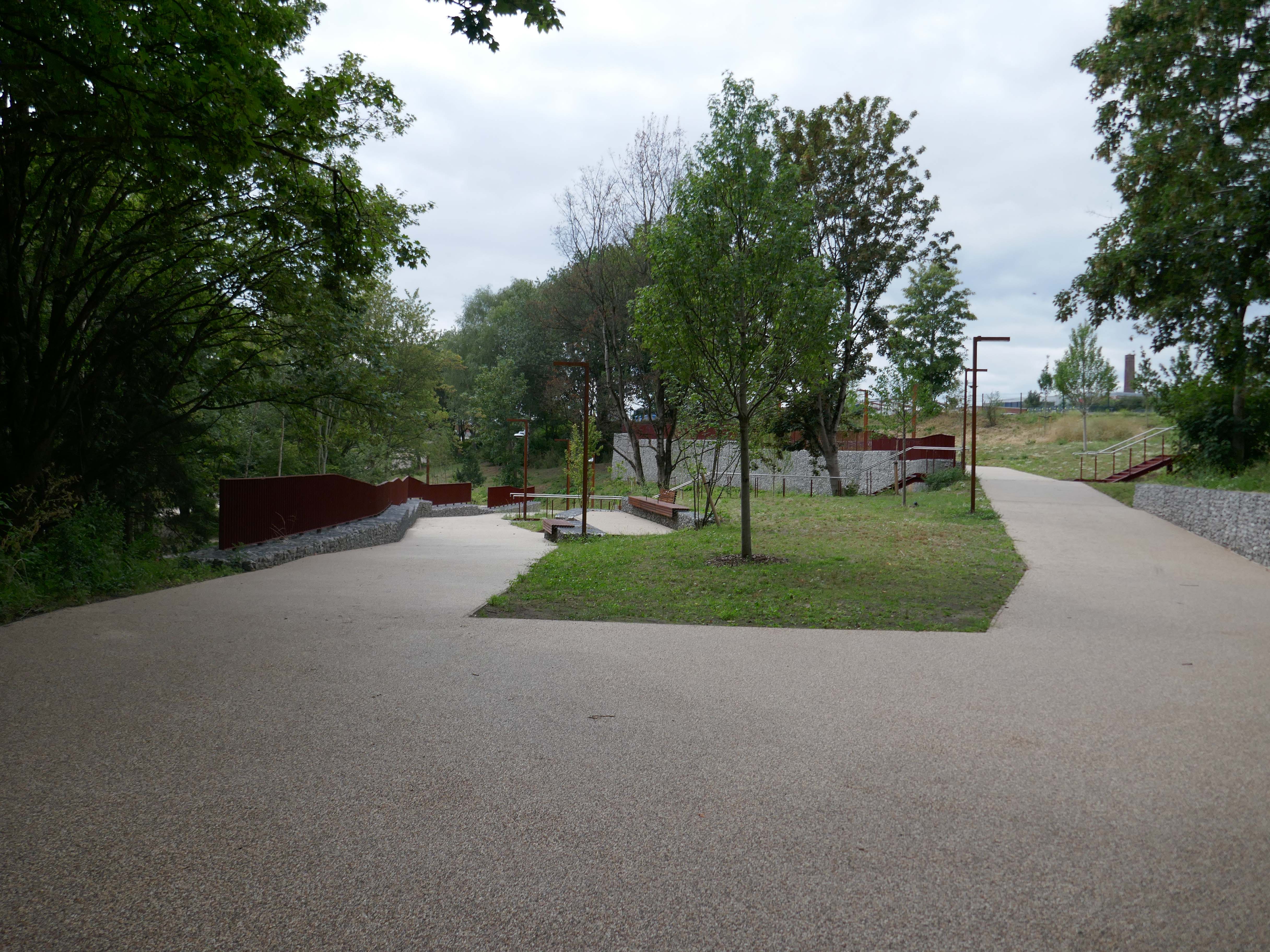
Situated at the western end of the Irk Valley – there’s a brand new urban woodland park.

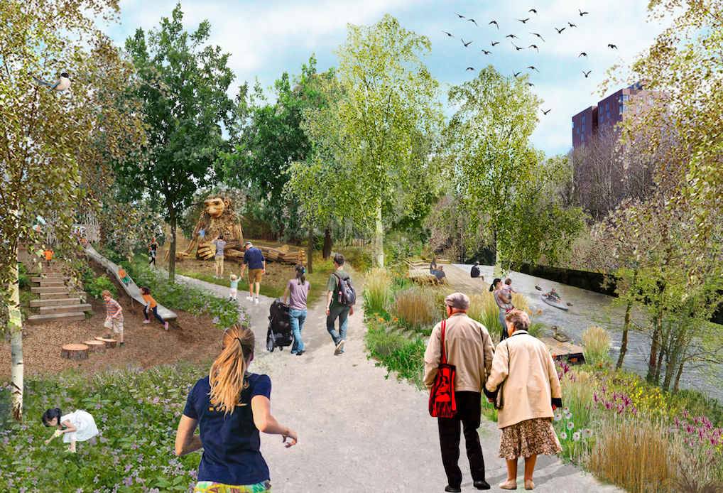
We worked together with Copenhagen practice, Schulze + Grassov on the Red Bank Masterplan in Manchester for Far East Consortium. It combines the wilderness of the riverside park setting and the metropolitan urbanity of Central Manchester.

Set within this wilderness, social, community and commercial infrastructure will support a thriving residential neighbourhood to foster an equitable, active, local, and resilient urban dwelling.

It is one of the first seven neighbourhoods being  regenerated  as part of the £4 billion Victoria North project, which is one of the largest in the UK and expected to build 15,000 new houses over the next decade.

MACCREANOR LAVINGTON

2022 plan – here’s one we made earlier.

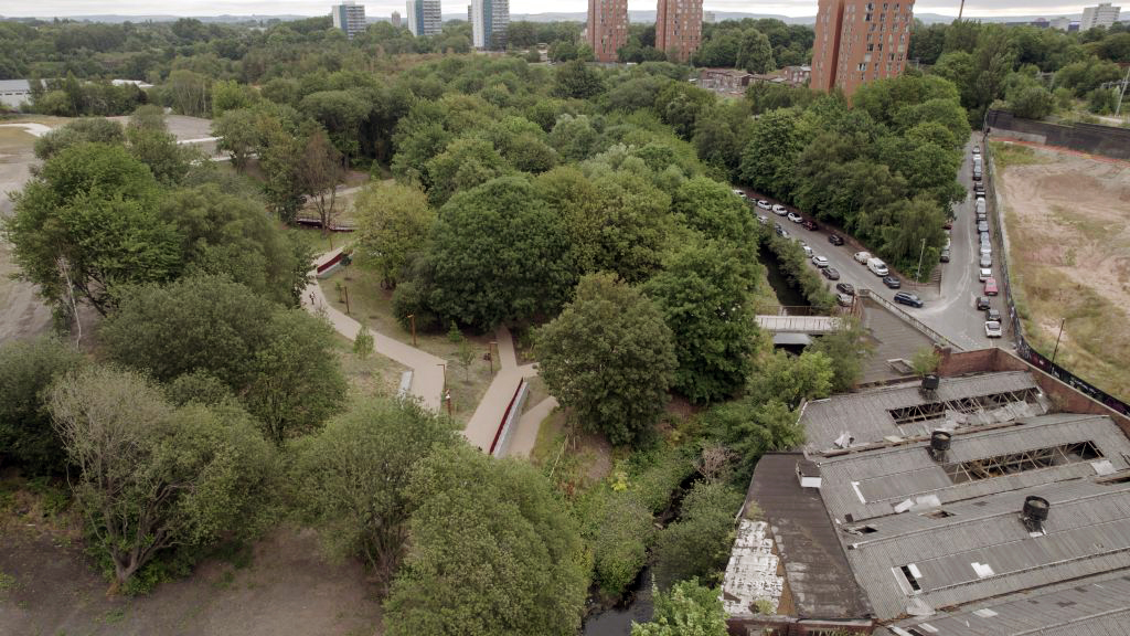
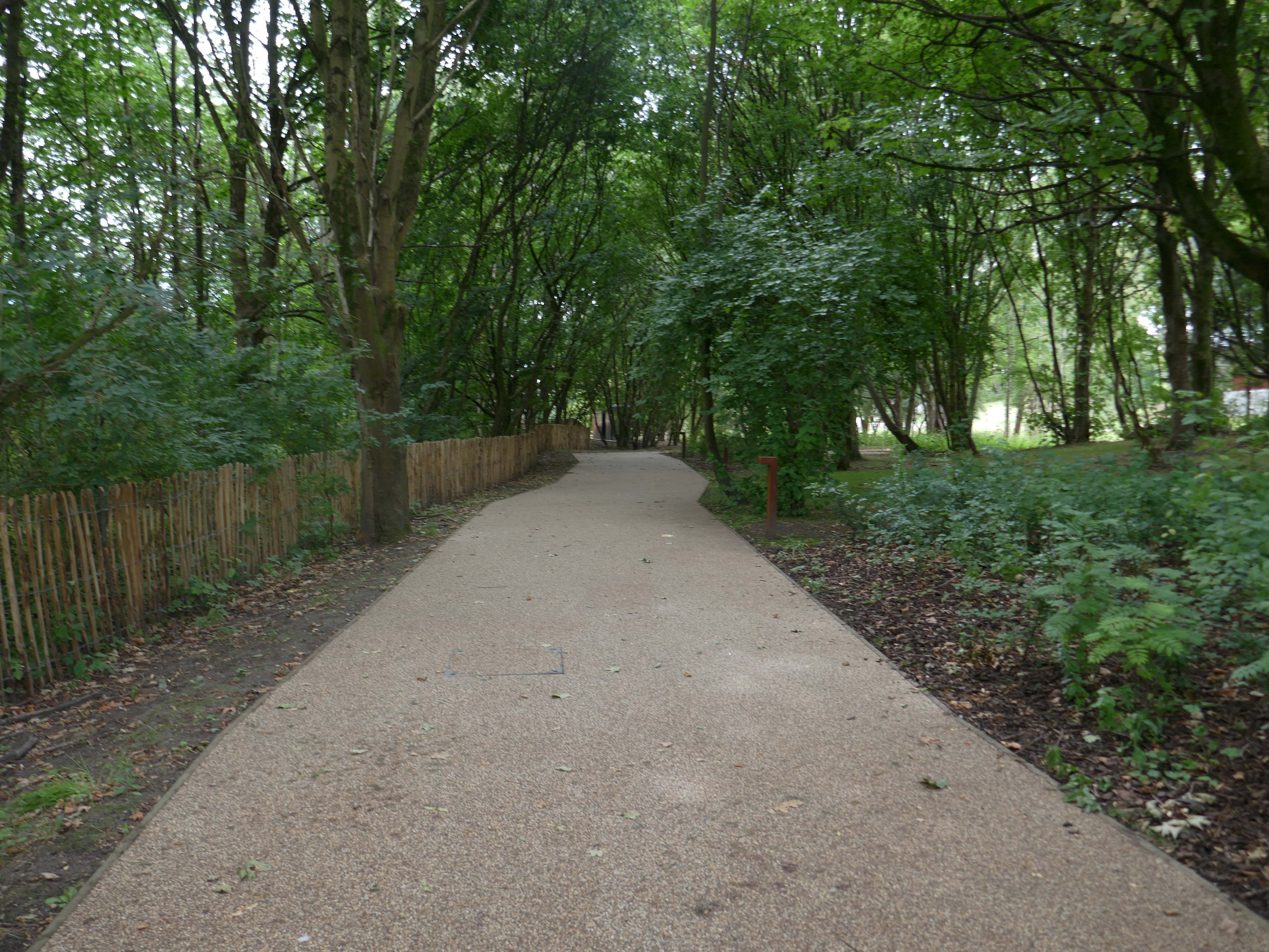
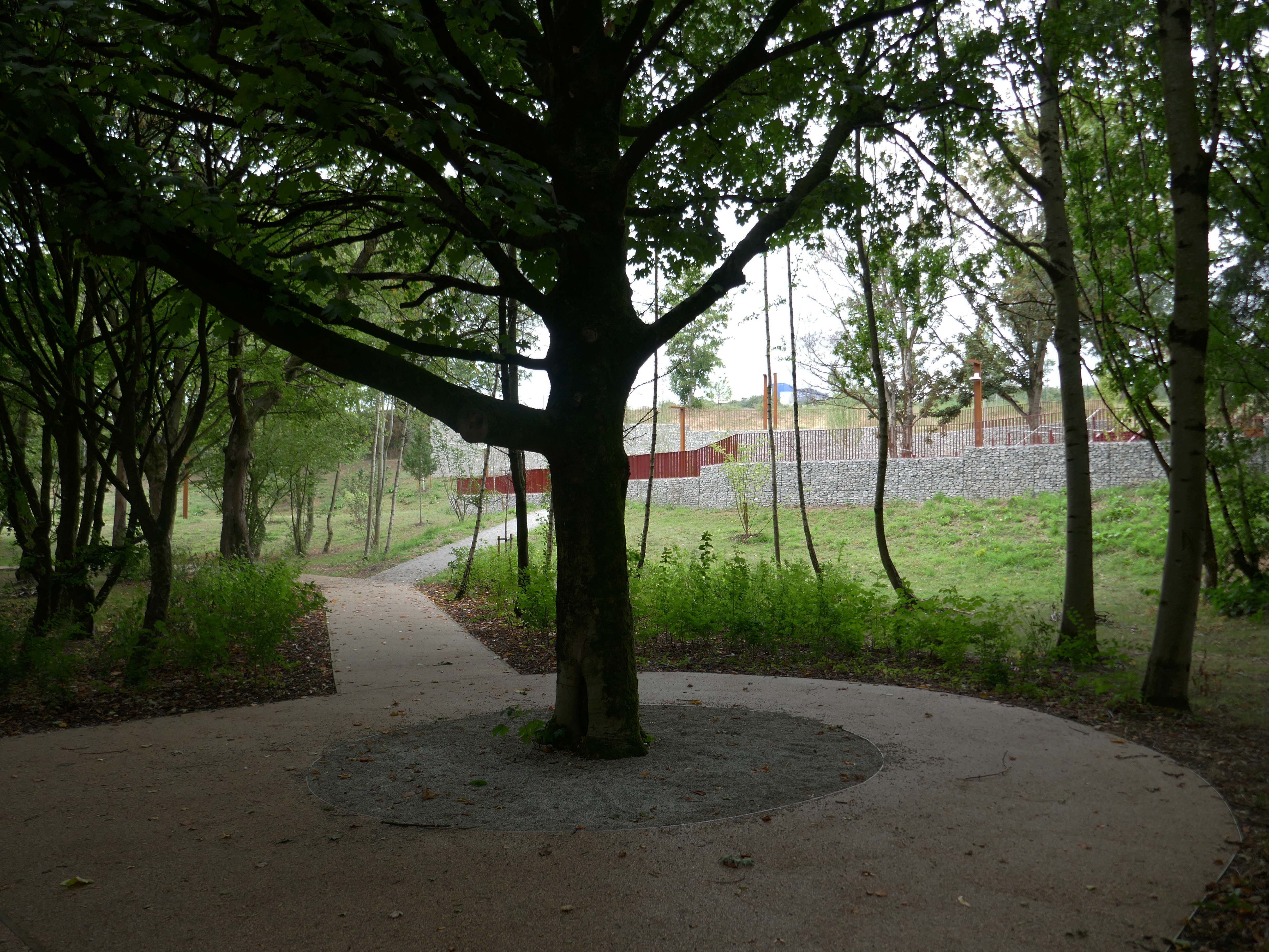
The 2.7 acre St Catherine’s Wood, part of the emerging 5,000-home Red Bank neighbourhood within Victoria North, welcomed its first visitors on Friday.

Manchester City Council and Victoria North development partner FEC unveiled the city’s newest park at an event last week that gathered local stakeholders to the previously forgotten patch of woodland next to the River Irk.

Accessed via a pre-existing bridge off Collyhurst Road, the site has been transformed using part of a £51.6m Housing Infrastructure Fund grant from Homes England and £7m from the GMCA.

Place North West

This is the first phase of wider plans for Red Bank.

Red Bank forms the first phase of Victoria North that will see the regeneration of Manchester’s neighbourhoods running north of the city centre along the River Irk.

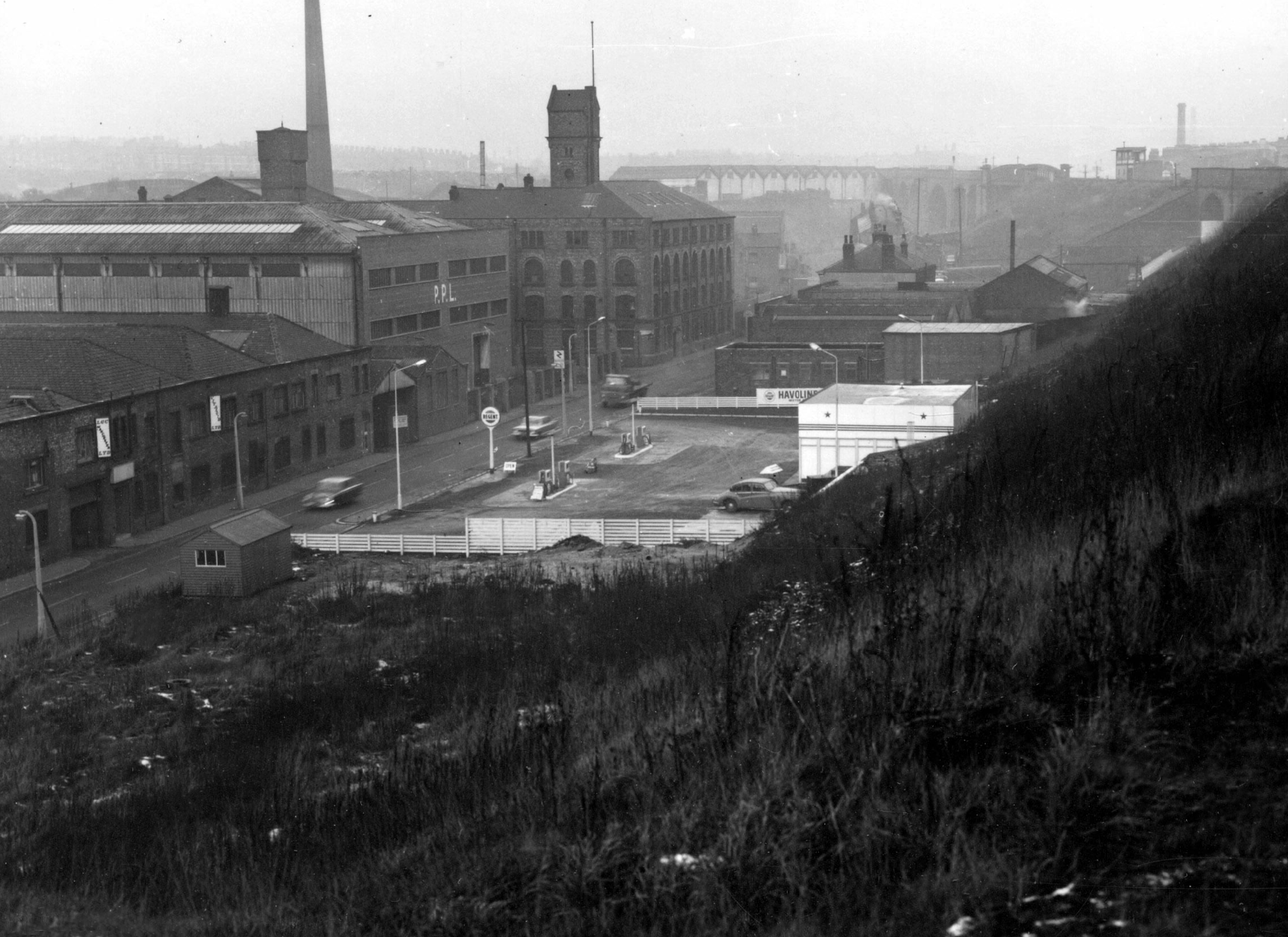
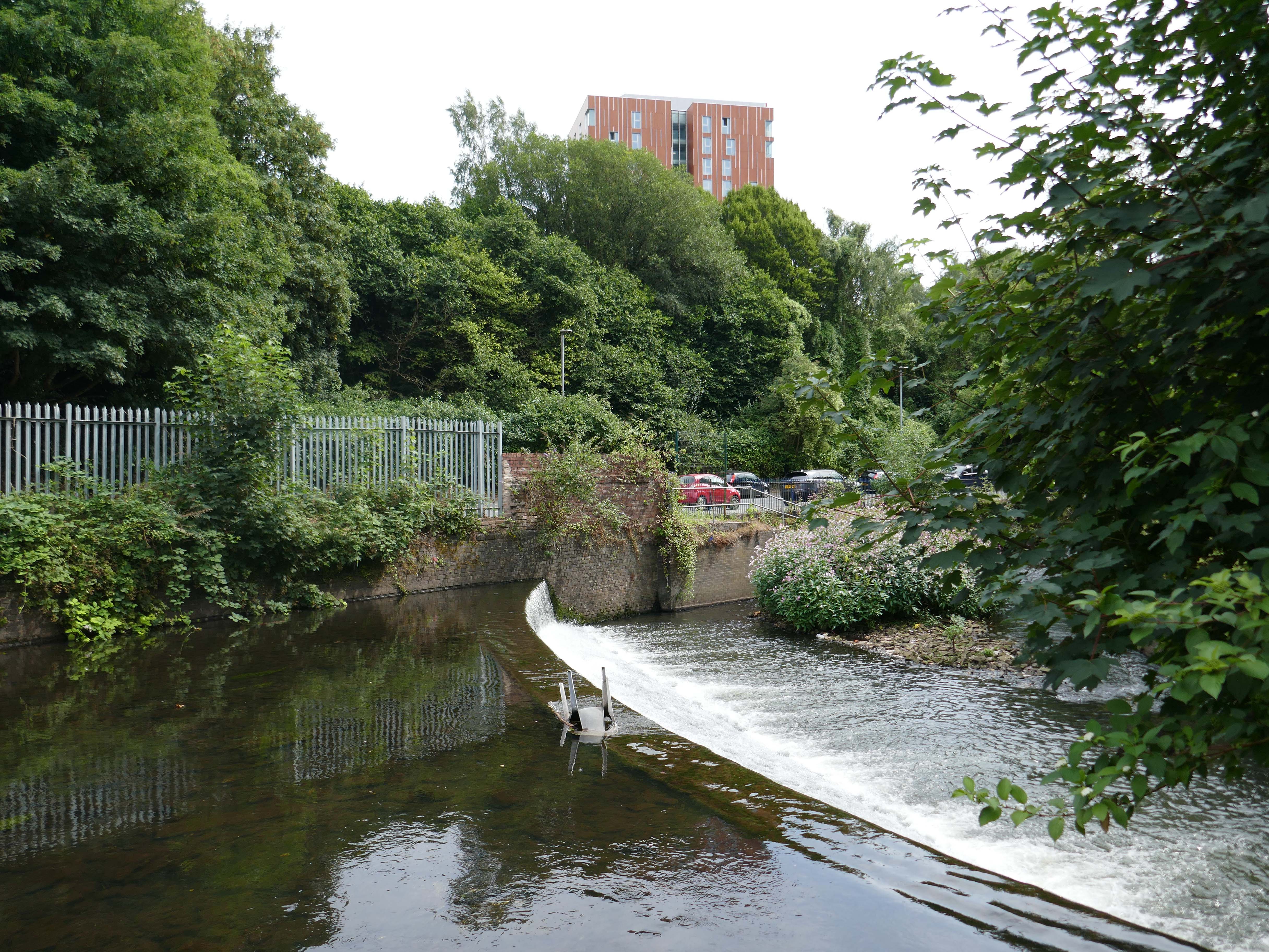
Red Bank forms the first phase of Victoria North that will see the regeneration of Manchester’s neighbourhoods running north of the city centre along the River Irk. The fast-flowing river is nested at the bottom of a valley, with its dramatic topography providing a respite from the general flatness of the central Manchester. The surrounding area was formerly at the centre of Manchester’s industrial might. Red Bank itself had held gasworks, a railway depot, mills, small factories and workers’ housing. Infamously, it was this neighbourhood that Engels used to describe the appalling quality of urban living in the “Conditions of the Working Class in England”.

NLA

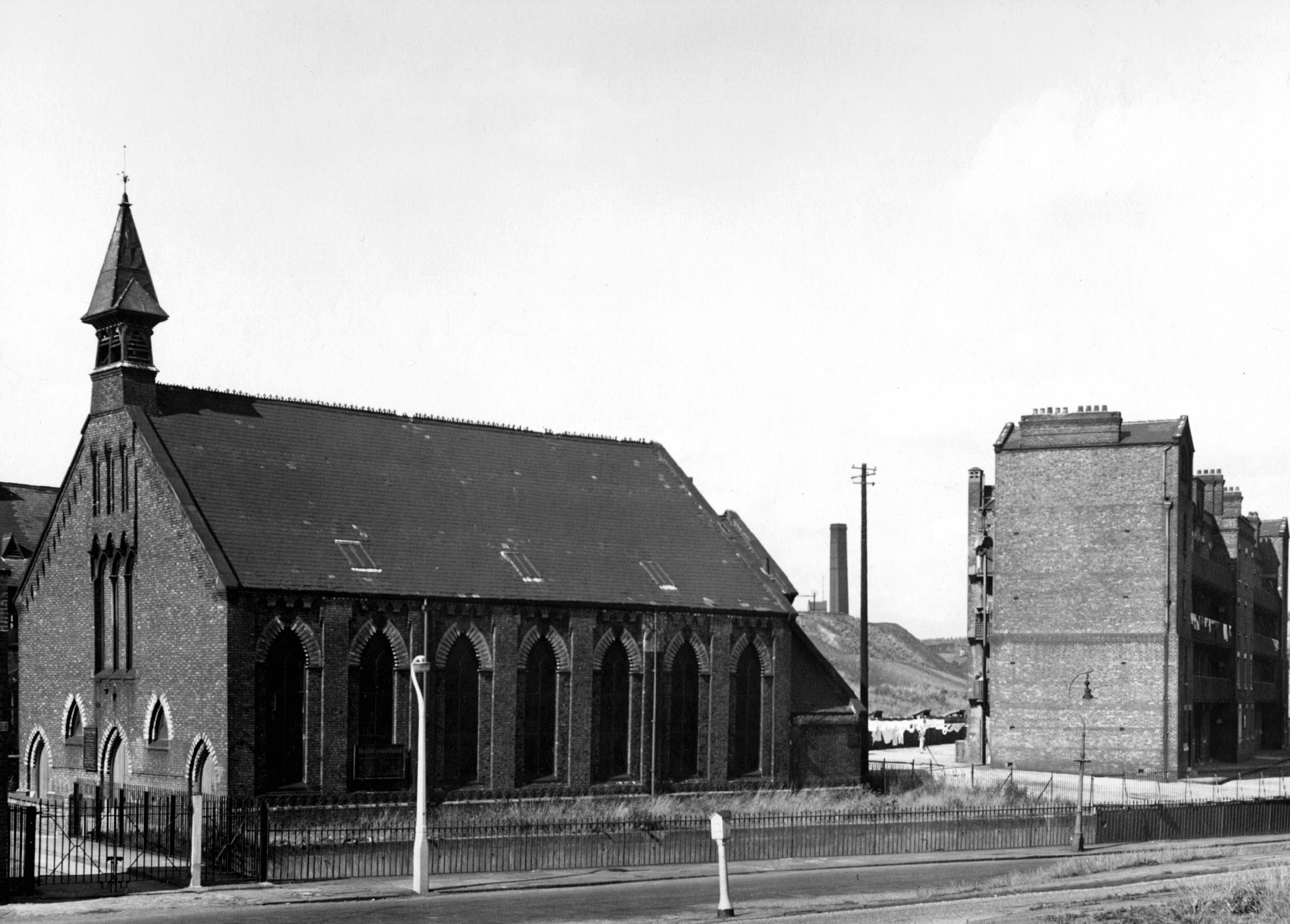
The park is named for long gone St Catherine’s Church on Collyhurst Road.

Architects – Speakman and Charlesworth, built by, Messrs A Cochrane and Company, Manchester

On 5th November 1859, St Catherine’s Church Collyhurst was consecrated, with the service from the Book of Common Prayer, which gave thanks for the delivery of Parliament from the Gunpowder Plot and for the landing of William of Orange at Torbay in 1688. The church was named after a daughter of Lord Derby.

The rector of St Catherine’s in 1959 was Rev Robert C Tootel a Deputy Grand Chaplain of the Loyal Orange Institution of England. Due to dry-rot and a declining population the church had to close and the building was demolished in the 1960’s.

Manchester Orange

Image 1968 Lawrence Kaye Manchester Local Image Collection.

Collyhurst Road 1968 Manchester Local Image collection.

So the industry is all but gone, the older houses and their occupants displaced, the church and its congregation demolished and dispersed. A new world awaits the incoming population, a demographic and architectural leap into a high rise high rent future.

In this sense, the theory of the Communists may be summed up in the single sentence: Abolition of private property.

Friedrich Engels  The Communist Manifesto

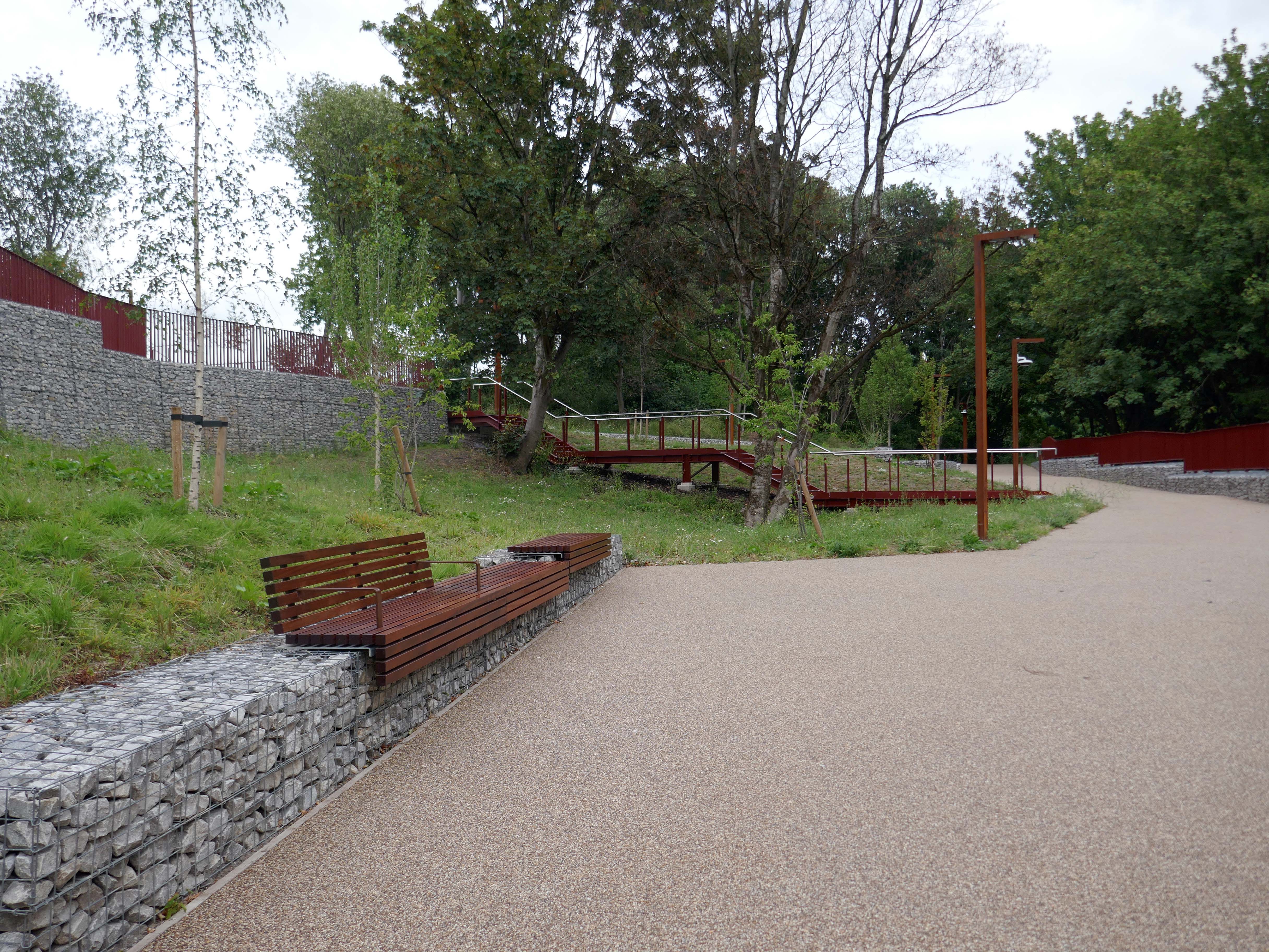
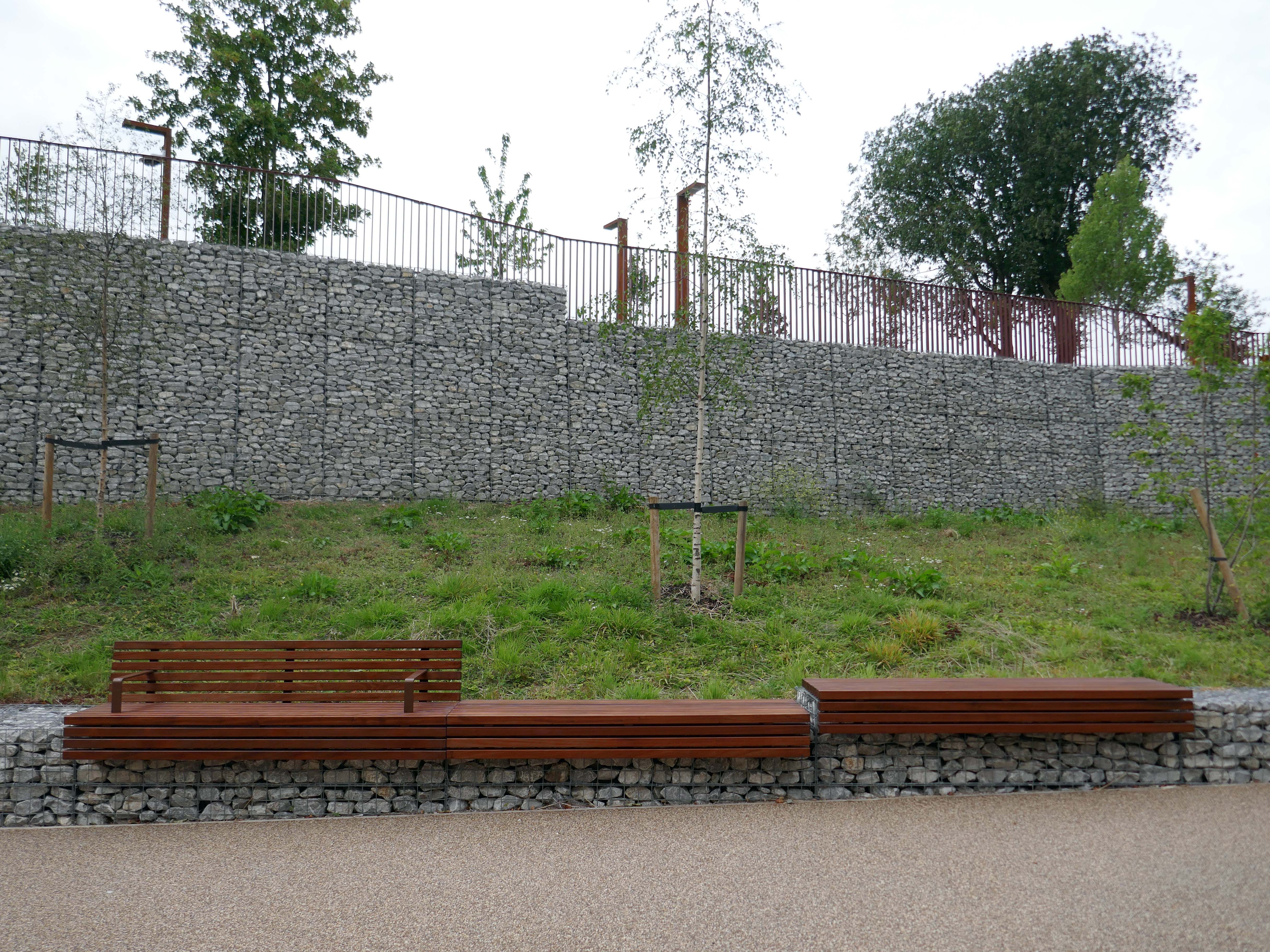
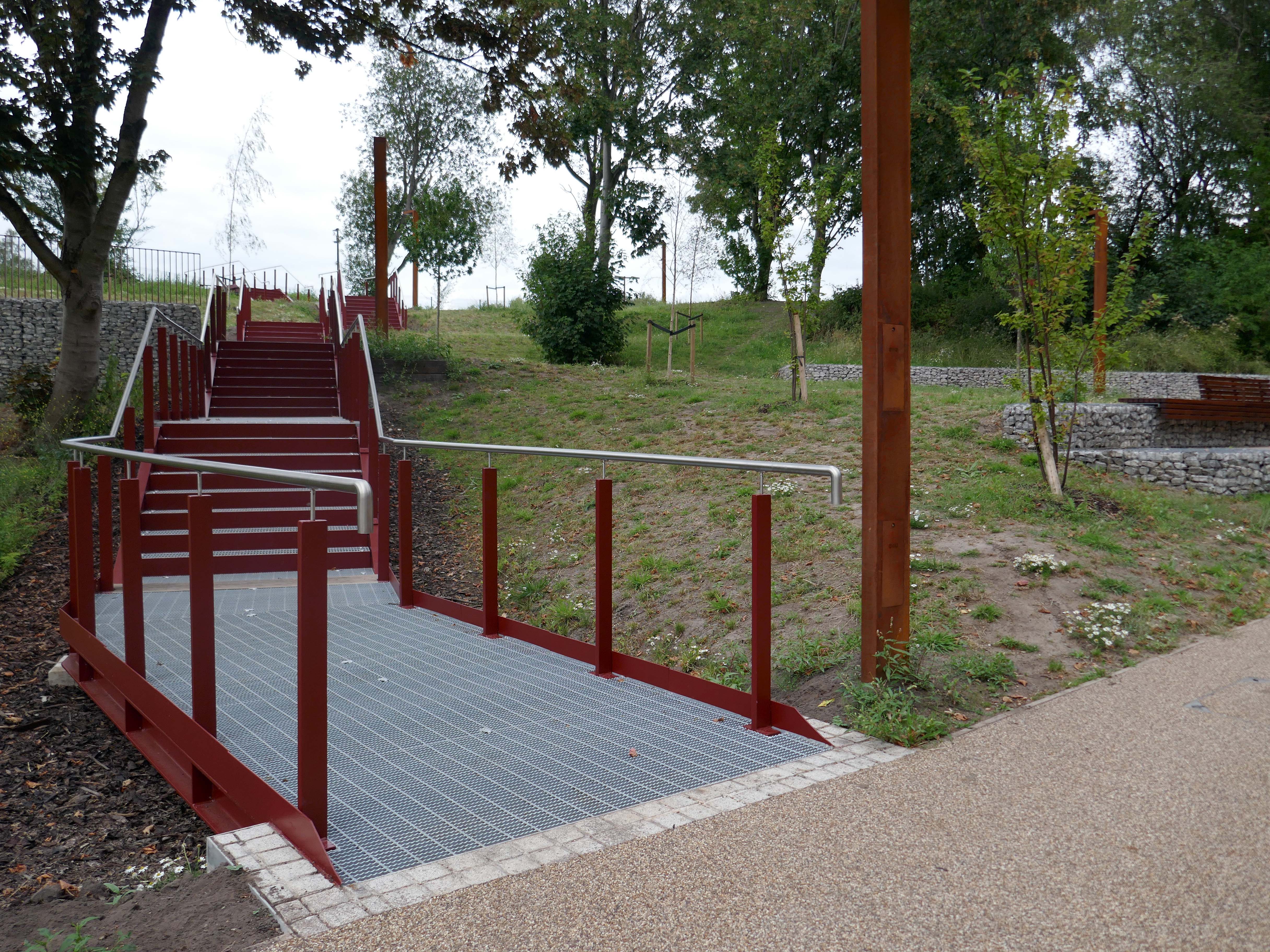
Let’s take a walk in the park.

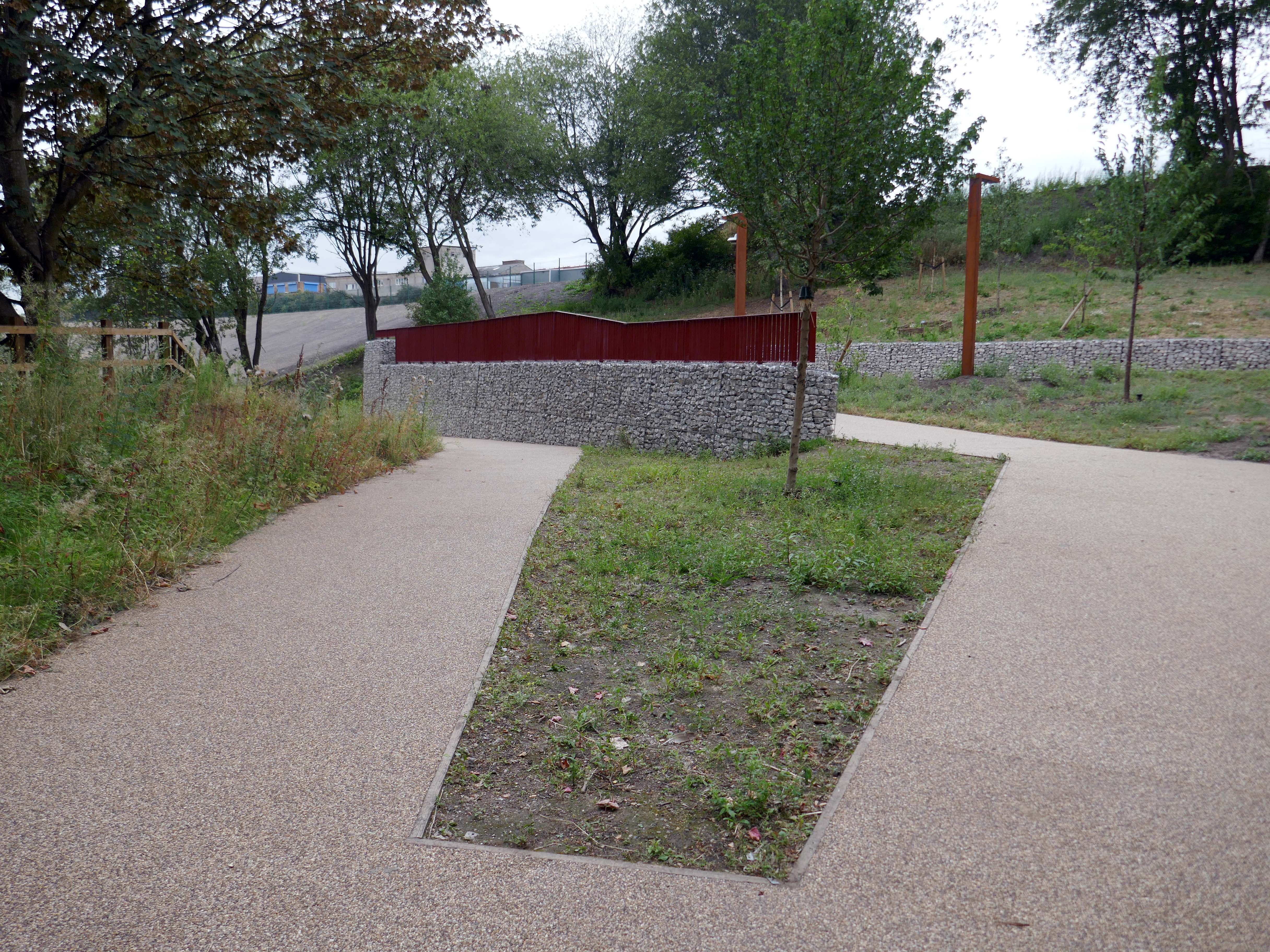
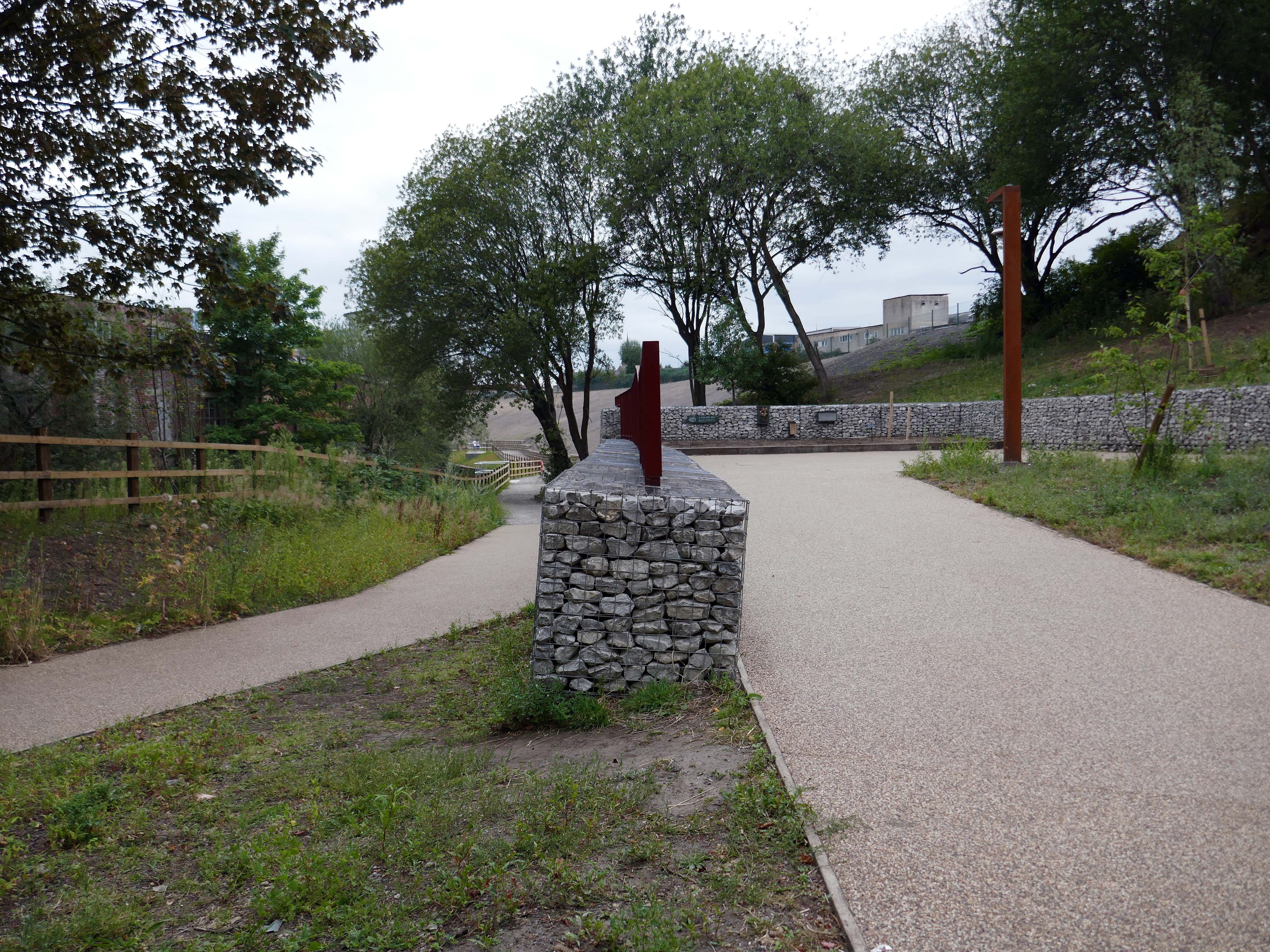
Collectively, we developed the idea of – Wild Urbanism, uniting the wilderness of the re-naturalised post-industrial landscape with the urbanity of the metropolitan world directly adjoining it. Merging nature and city life, it will offer the naturalised River Irk, the extended existing St Catherine’s Wood and a myriad of other interconnected green spaces to Mancunians. Cafes, restaurants, shops, community spaces and homes will be set among the nature to bring a dose of urbanity to the wilderness.

MACCREANOR LAVINGTON

When is a wilderness not a wilderness?

When it’s Wild Urbanism.

For further context see previous posts Dalton Street, Eastford Square, Sandhills and Collyhurst Circular.

This wilderness was and is home to a significant community of people with a sense of their history.

Collyhurst Voices.

Post Industrial Ancoats

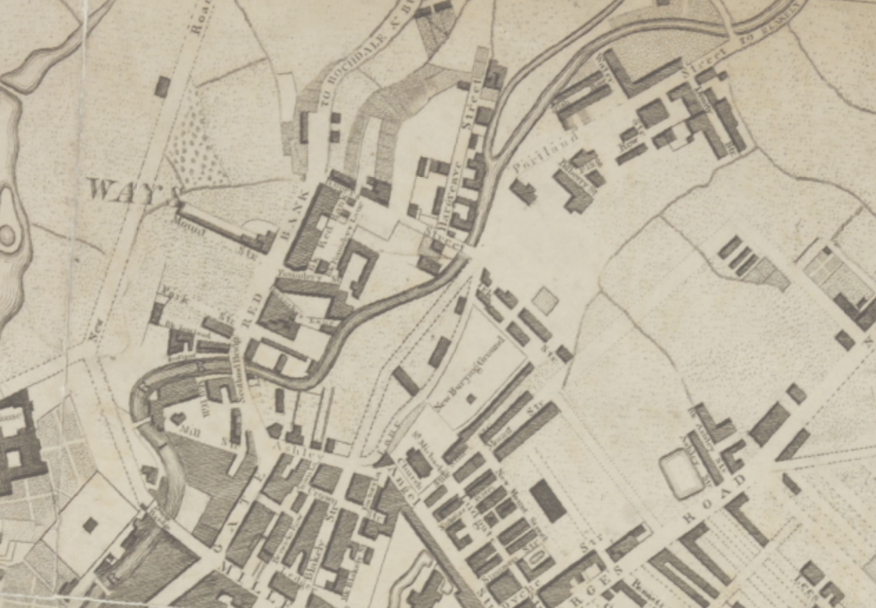
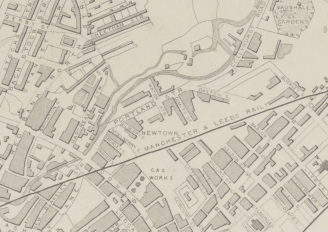
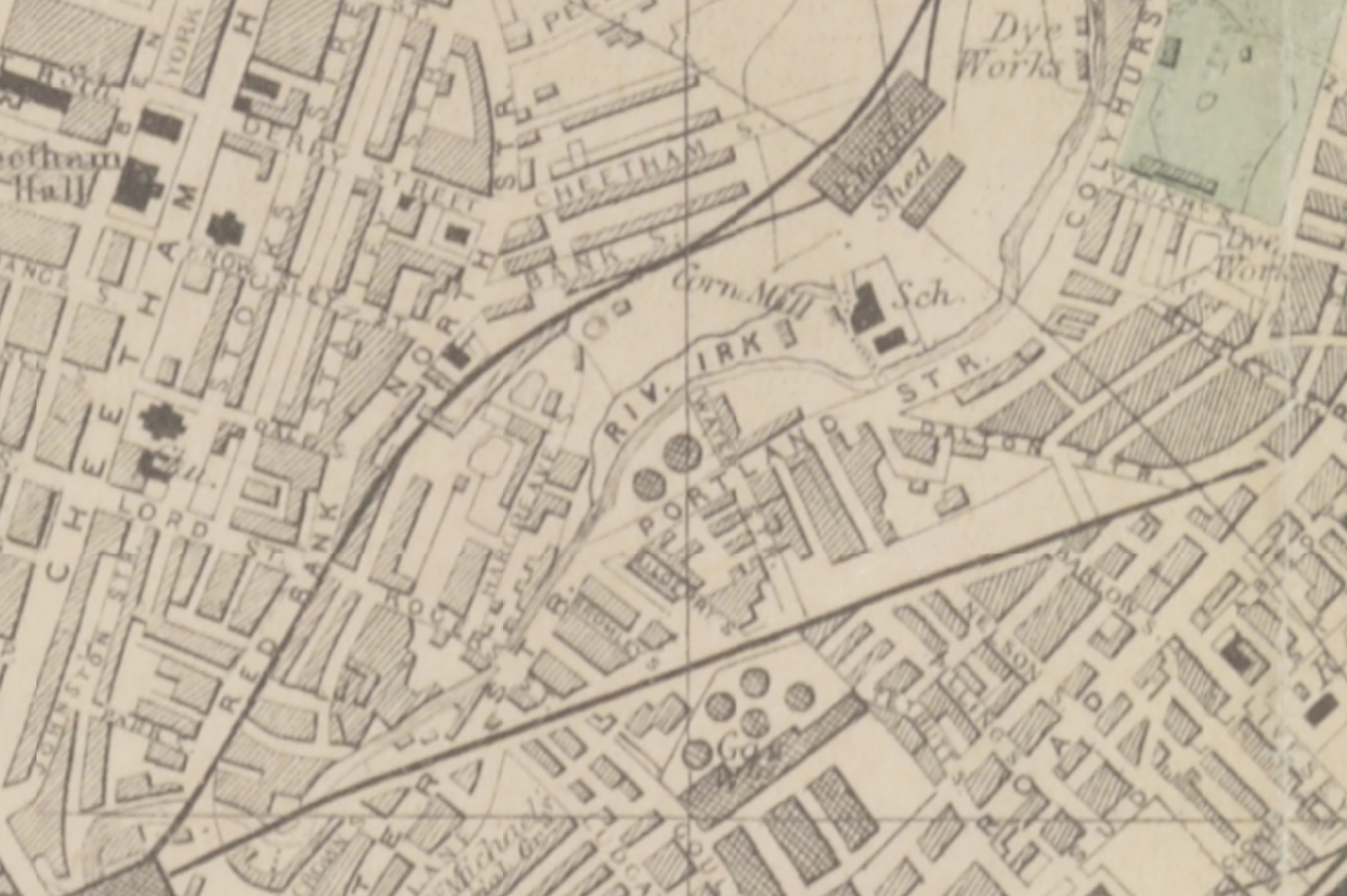
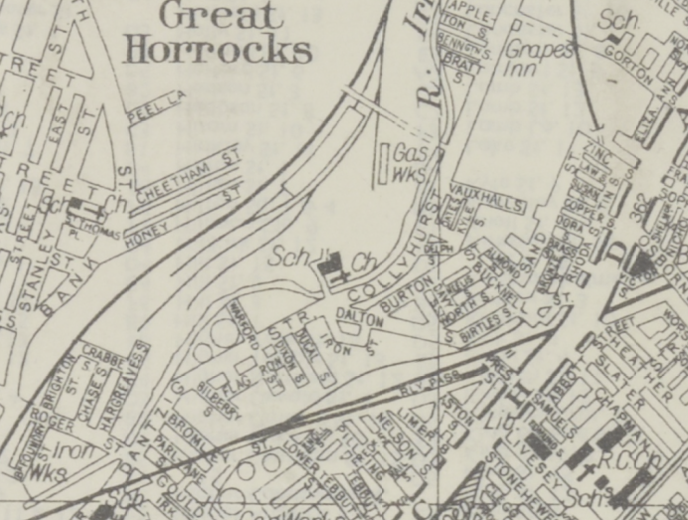
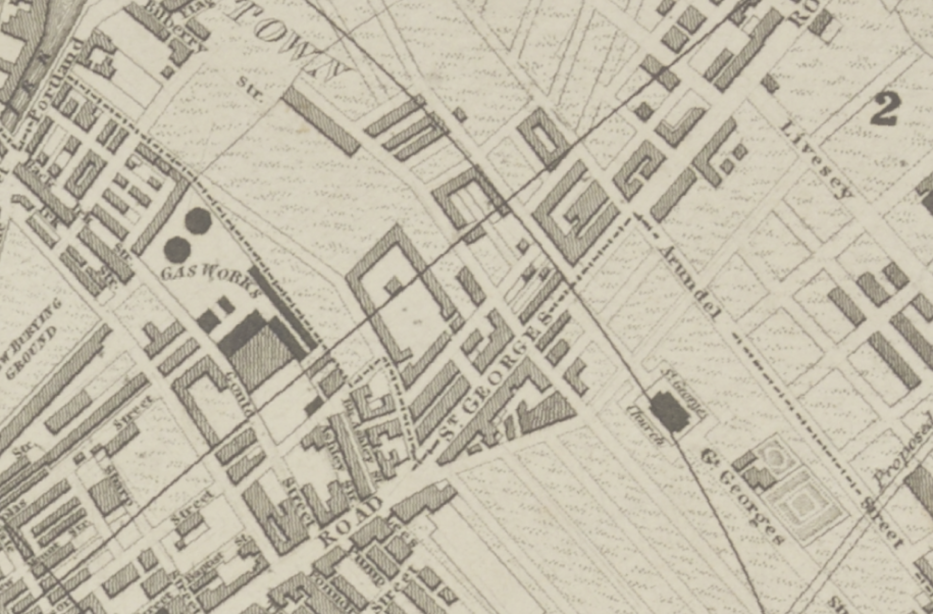
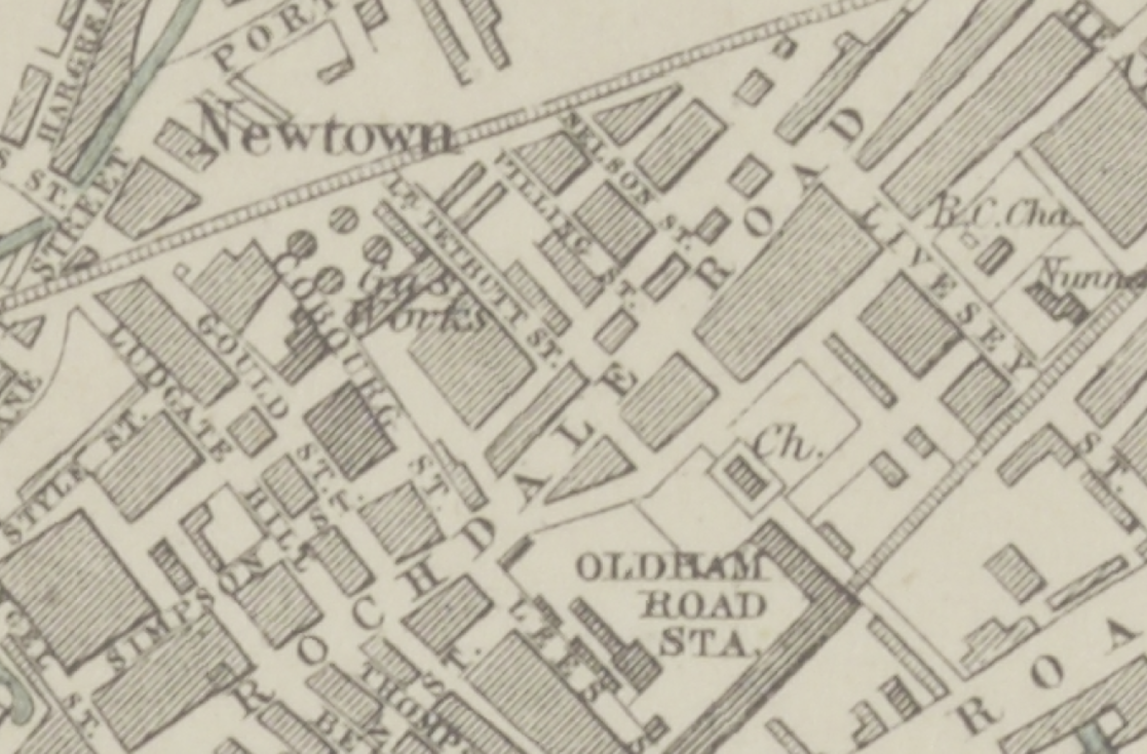
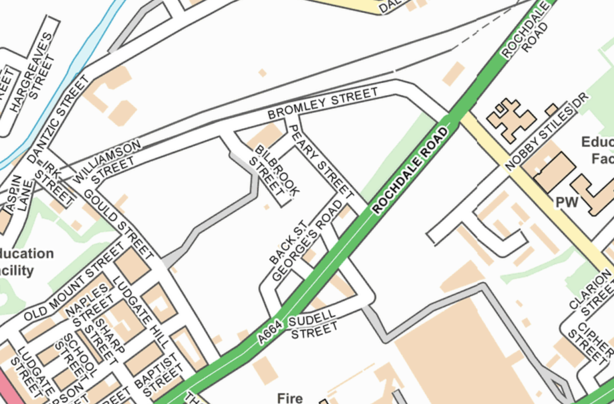
This is a story of streets which almost existed in 1836, an area enclosed by Gould Street, Bromley Street and Rochdale Road.

Further developing my Collyhurst Cheetham Circular.

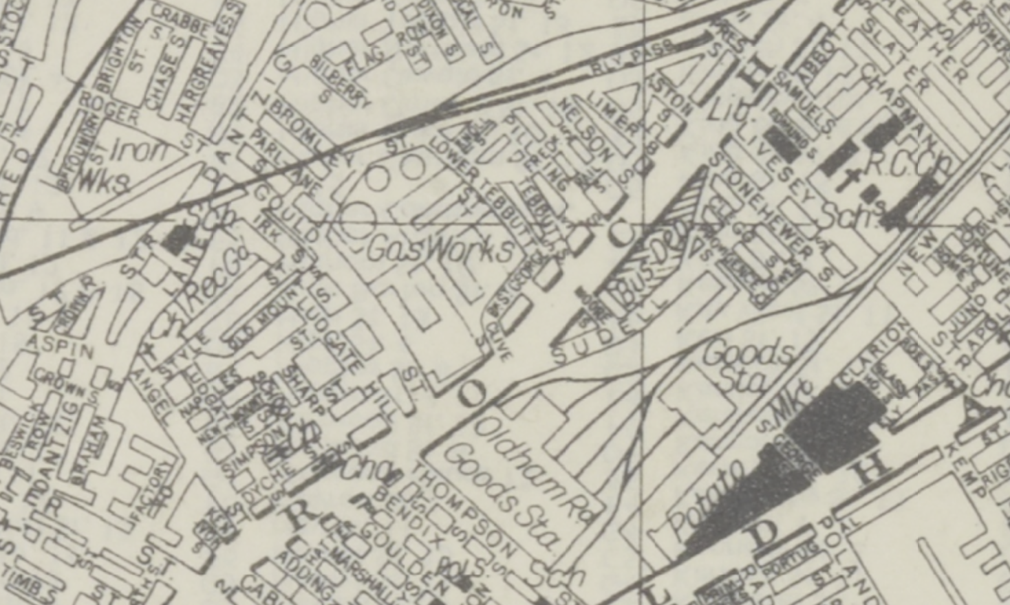
By 1870 there are a number of streets which now no longer exist, along with the homes and industry, they have been subsumed by car parks.

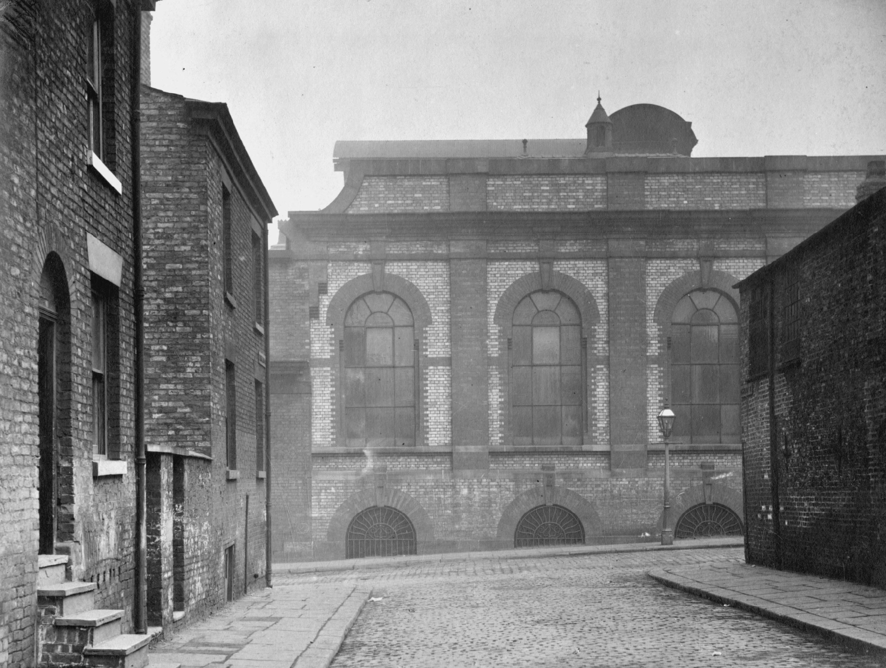
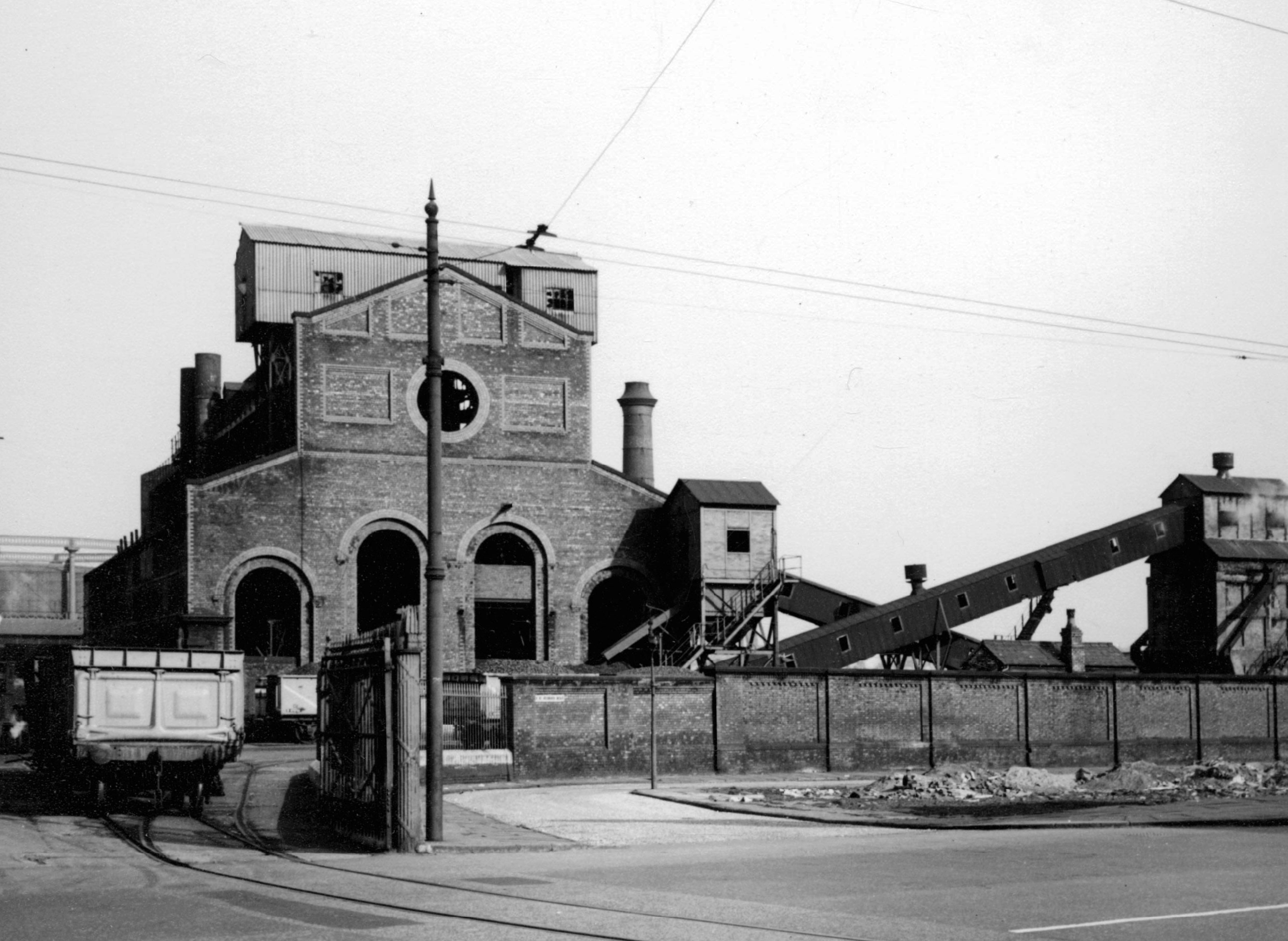
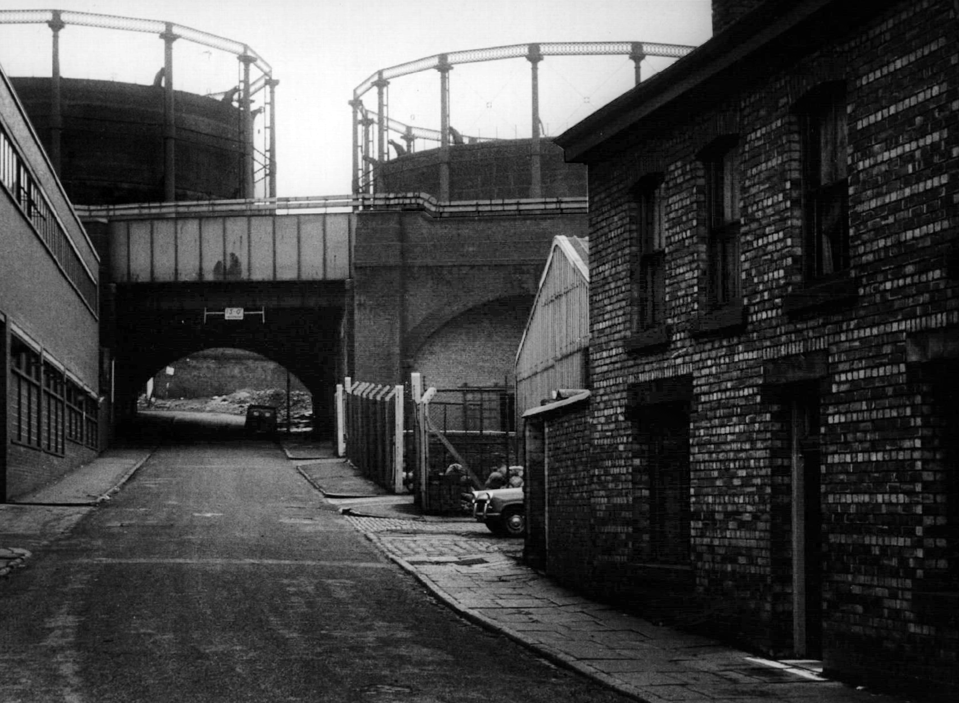
In 1960 the Rochdale Road Gas Works built in 1824, is then still extant.

The expansive site spanned over nine acres, including four retort houses, with a capacity of producing 8,500,000 cubic feet of gas daily. Since the end of the 18th century, the site was home to a locomotive/goods shed outside of the main works tramline infrastructure which was used for coal transportation for off-site refining. In the early 1940s, reorganisation and reconstruction ledto alterations and clearance of existing above-ground structures.

Image – Britain from the Air

Image 1907 J Jackson Manchester Local Image Collection.

Image 1958 Lawrence Kaye Manchester Local Image Collection.

Bromley Street.

Image 1964 Lawrence Kaye Manchester Local Image Collection.

Image 1966 Thomas Brooks Manchester Local Image Collection.

It’s 2026 and almost everything has been erased.

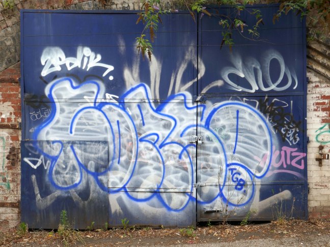
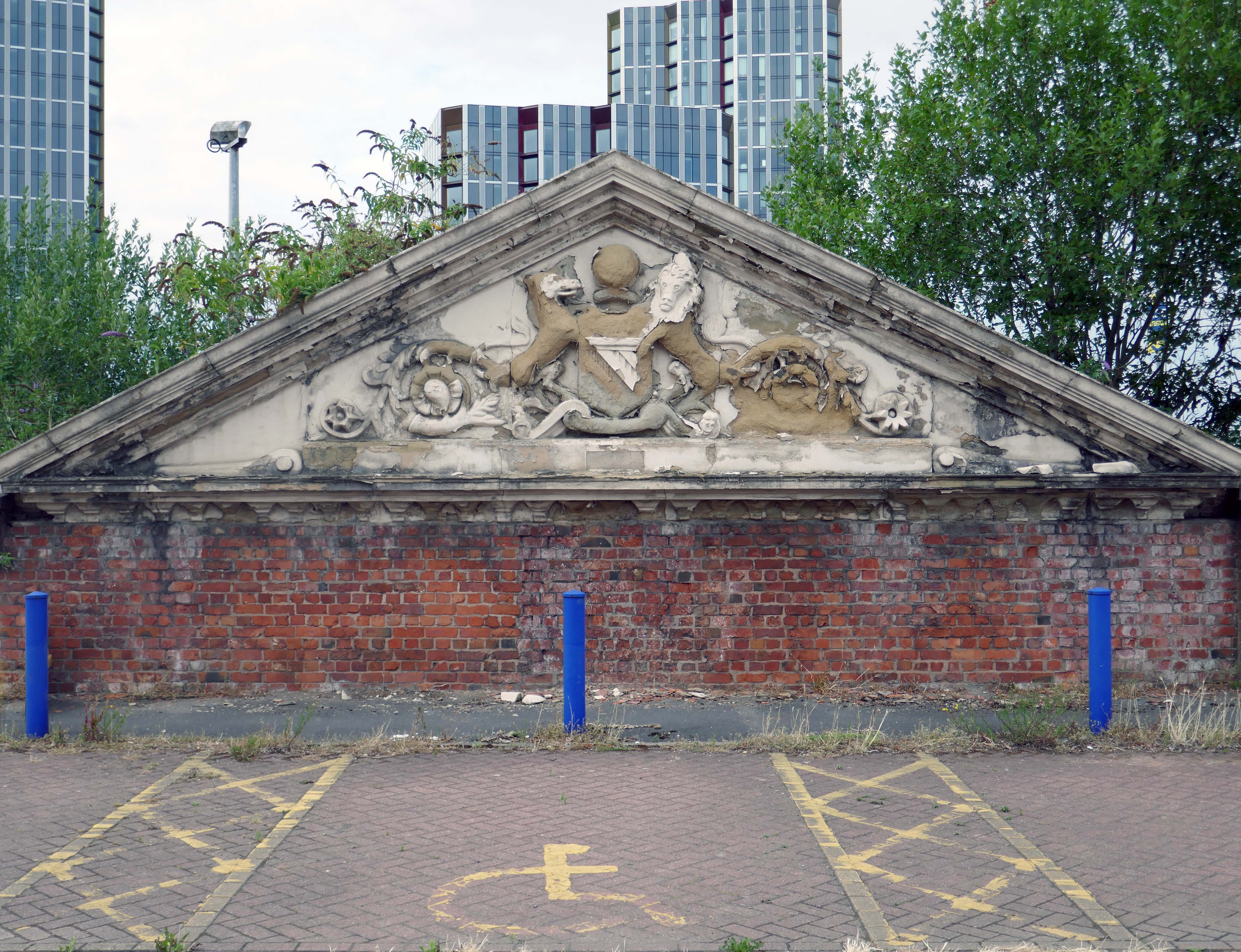
This is the only remnant of the former gasworks, preserved on Gould Street car park.

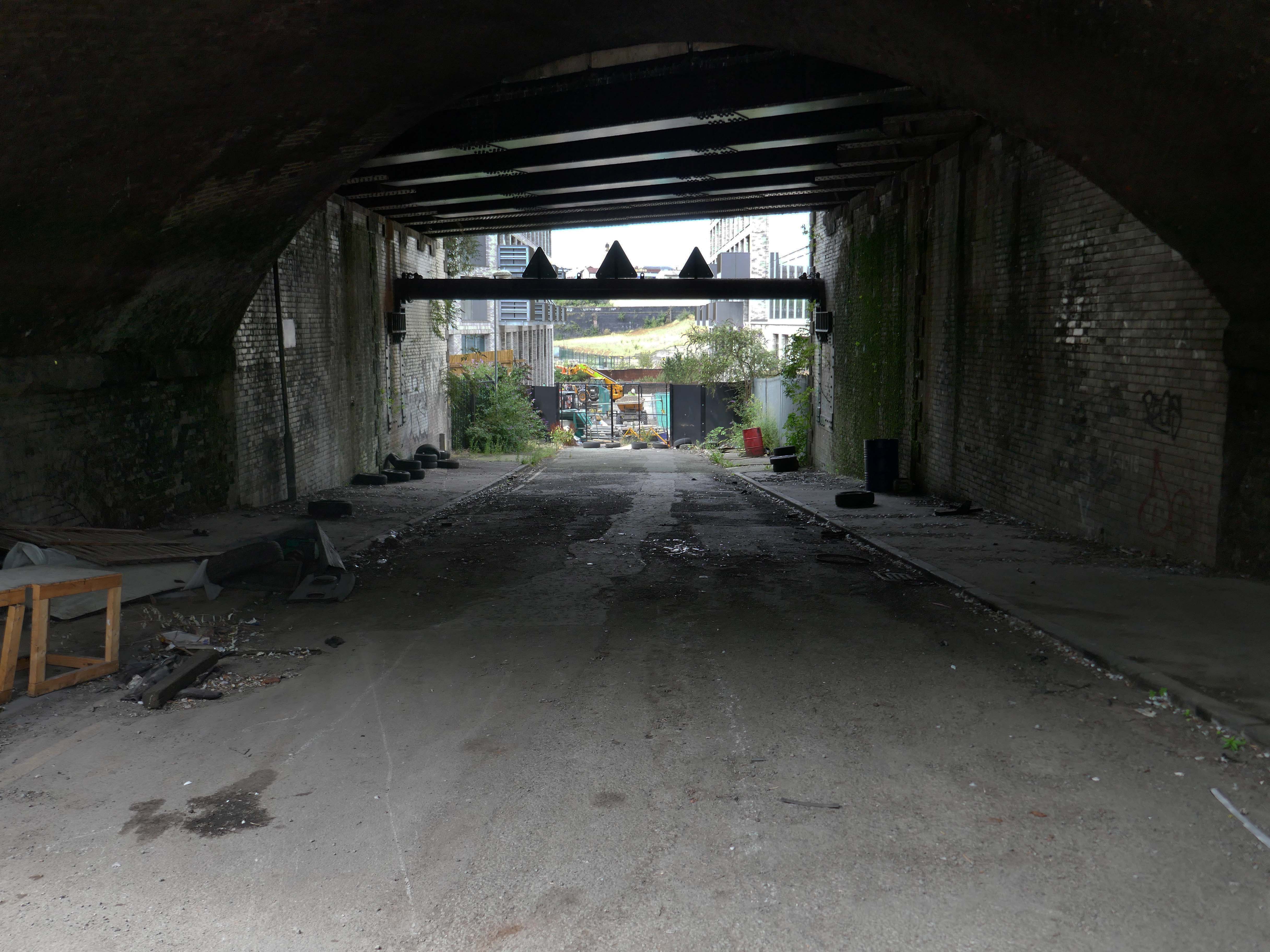
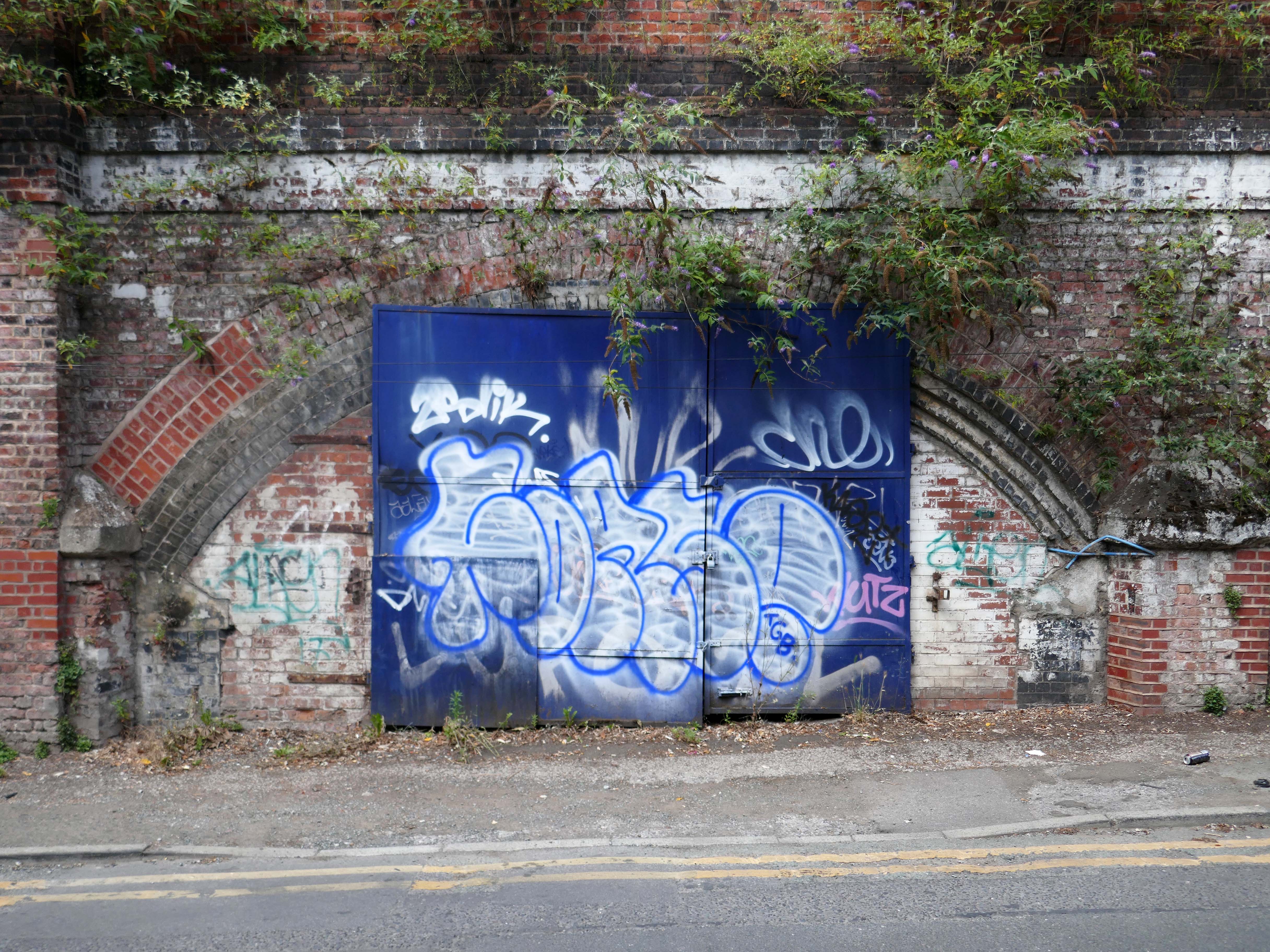
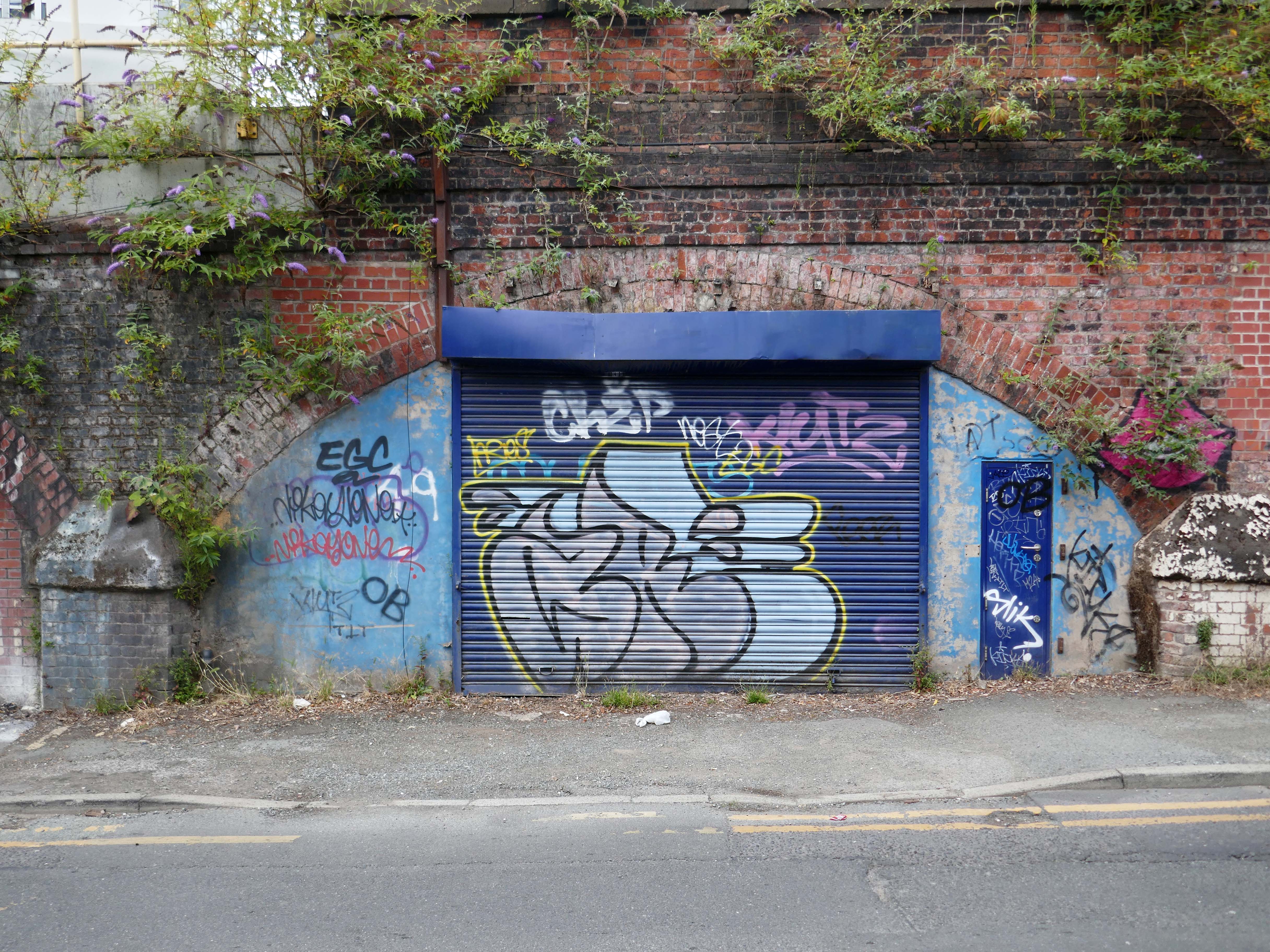
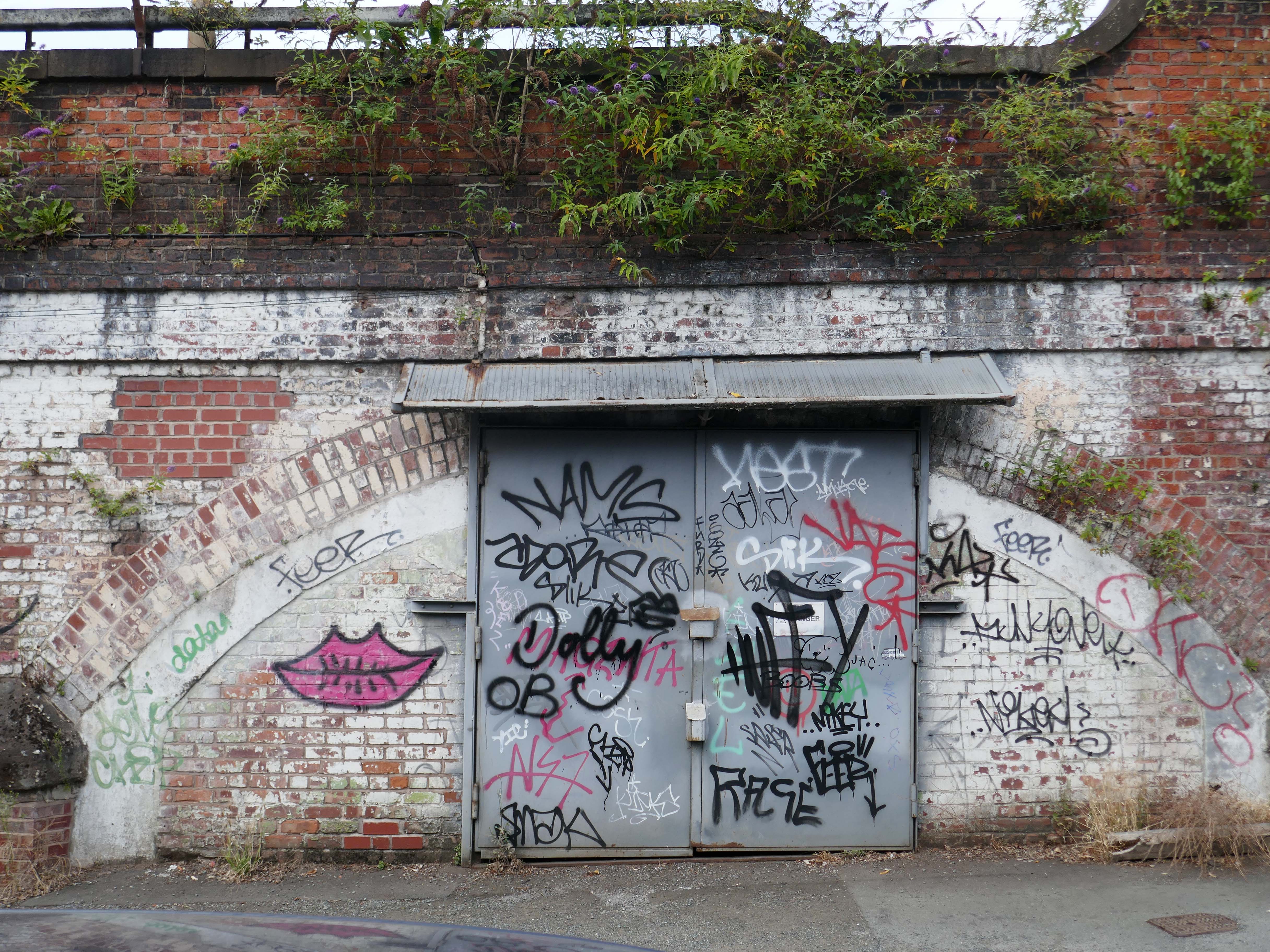
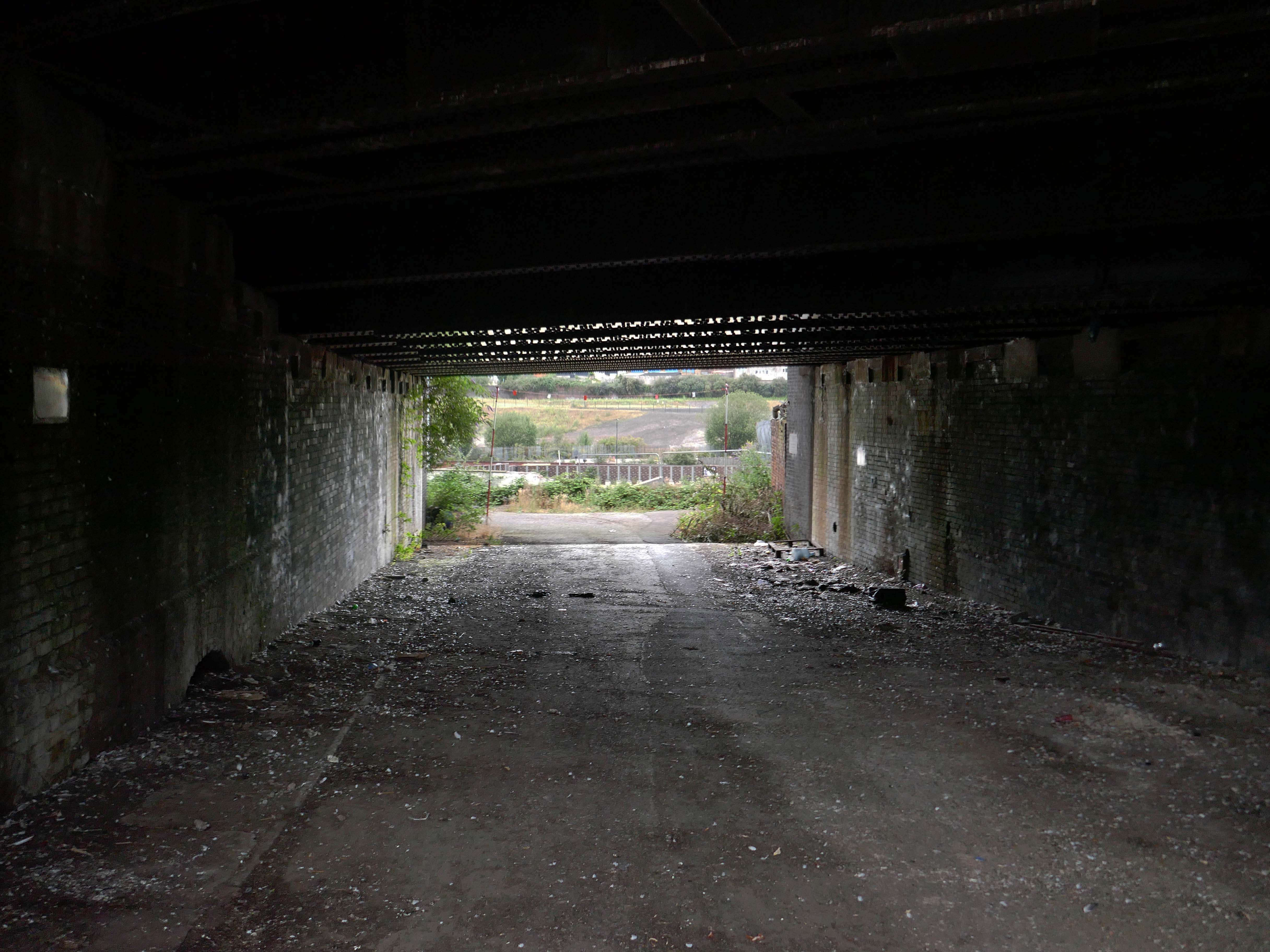
The raggle-taggle gaggle of businesses cling on to the Bromley Street arches beneath the railway.
The other side of the tracks.

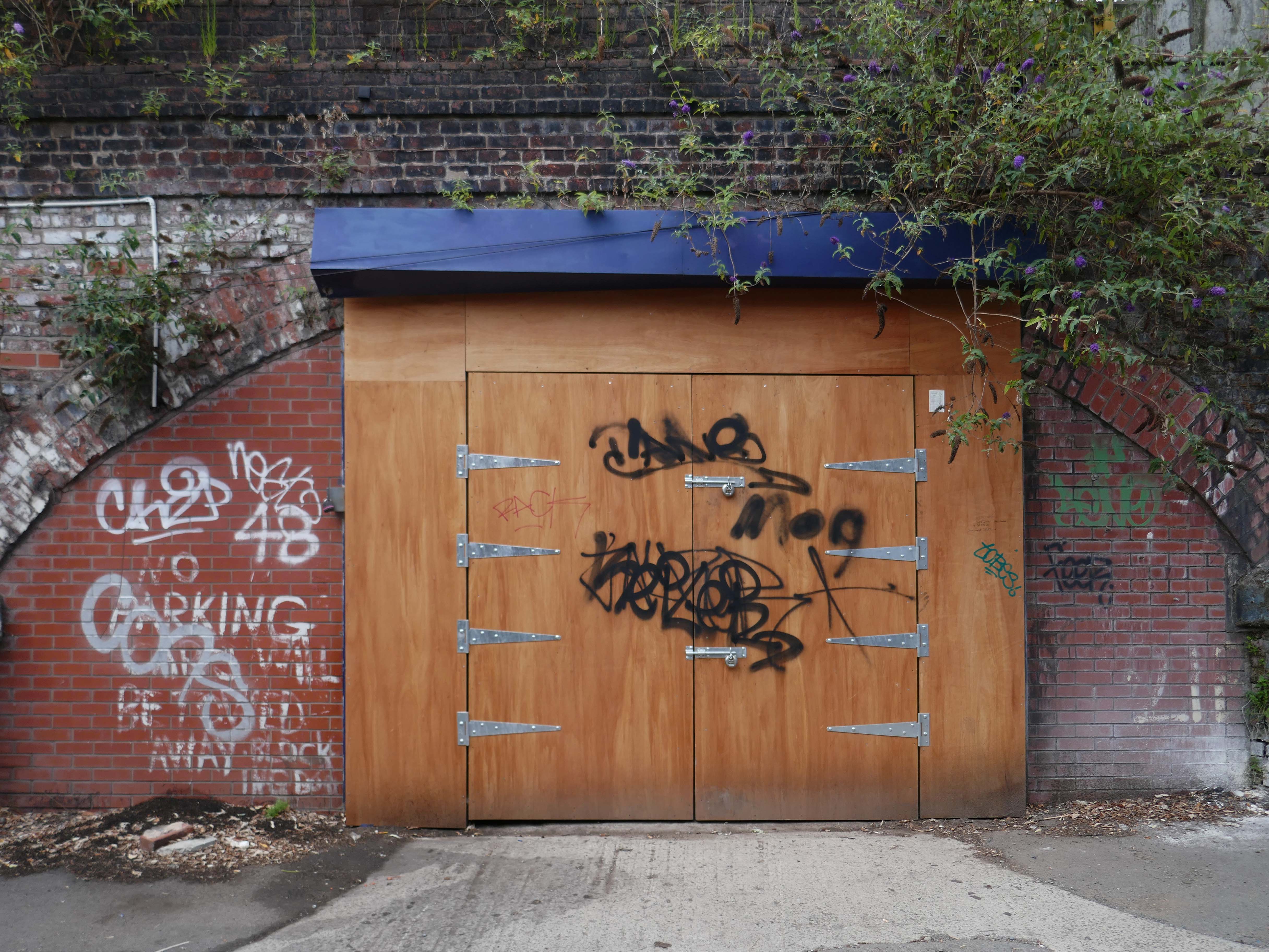
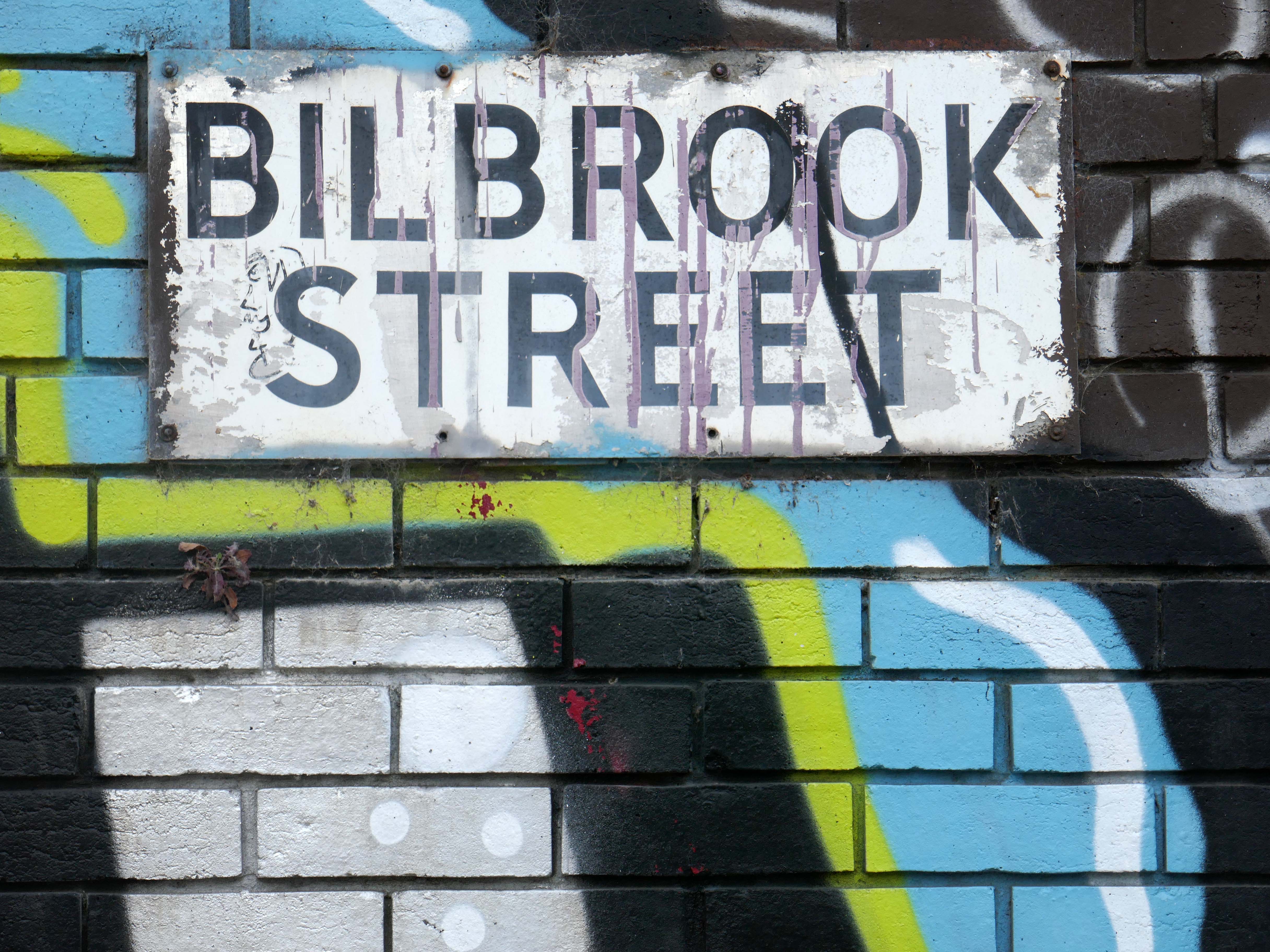
Bilbrook Street just about hanging in there.

Burstock Street.

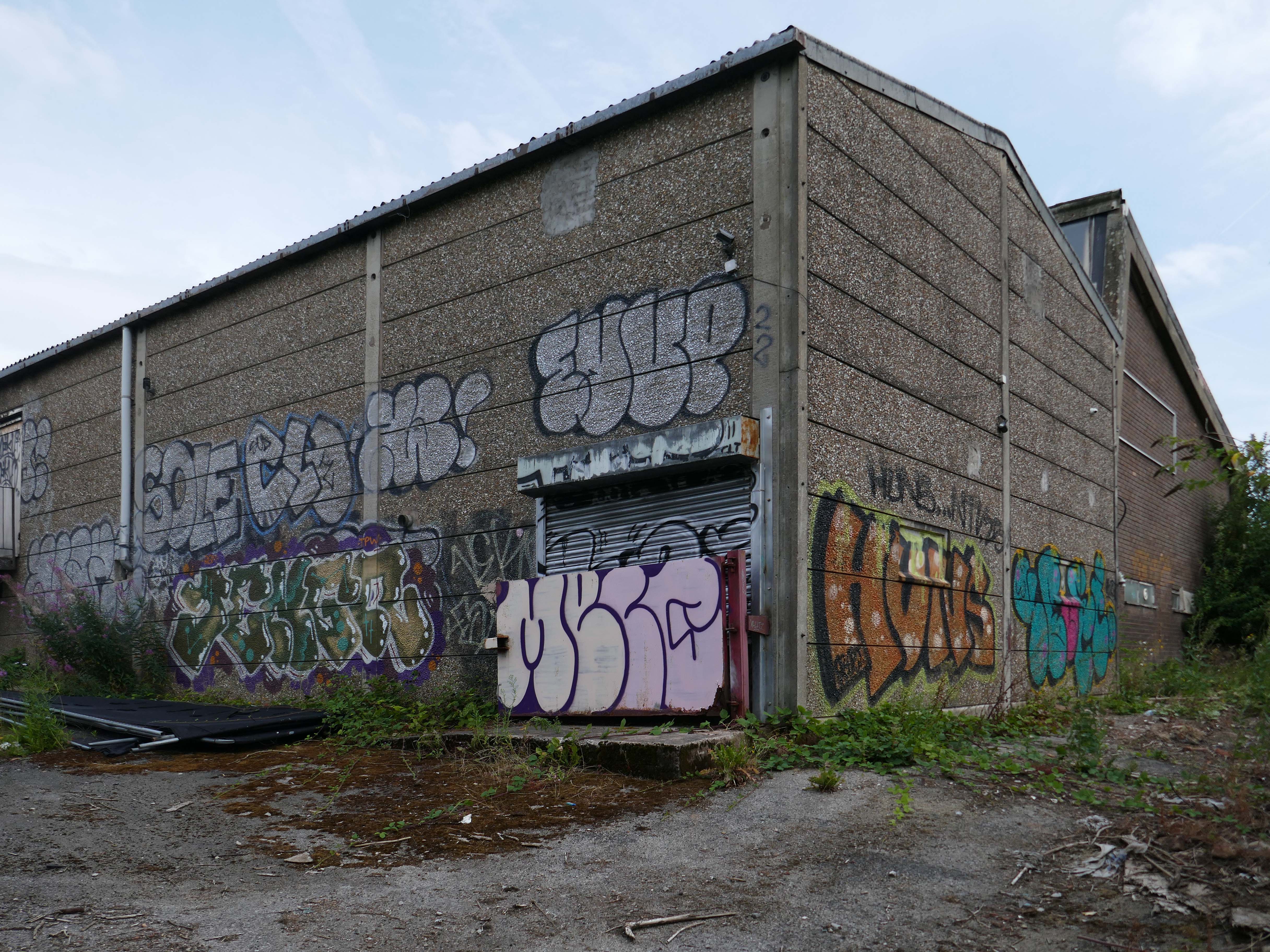
Here we are at the former home of Isomax Construction Company Ltd.

Manufacturing and execution of liquid waterproofing systems since 1990. All products are unique development, protected by patents and trademarks. All products are water-based and thus are 100% ecological. More than 1,200,000 sqm of executed projects with ten years warranty, since 1990.

Export to Serbia, Poland, Spain, Montenegro, France,

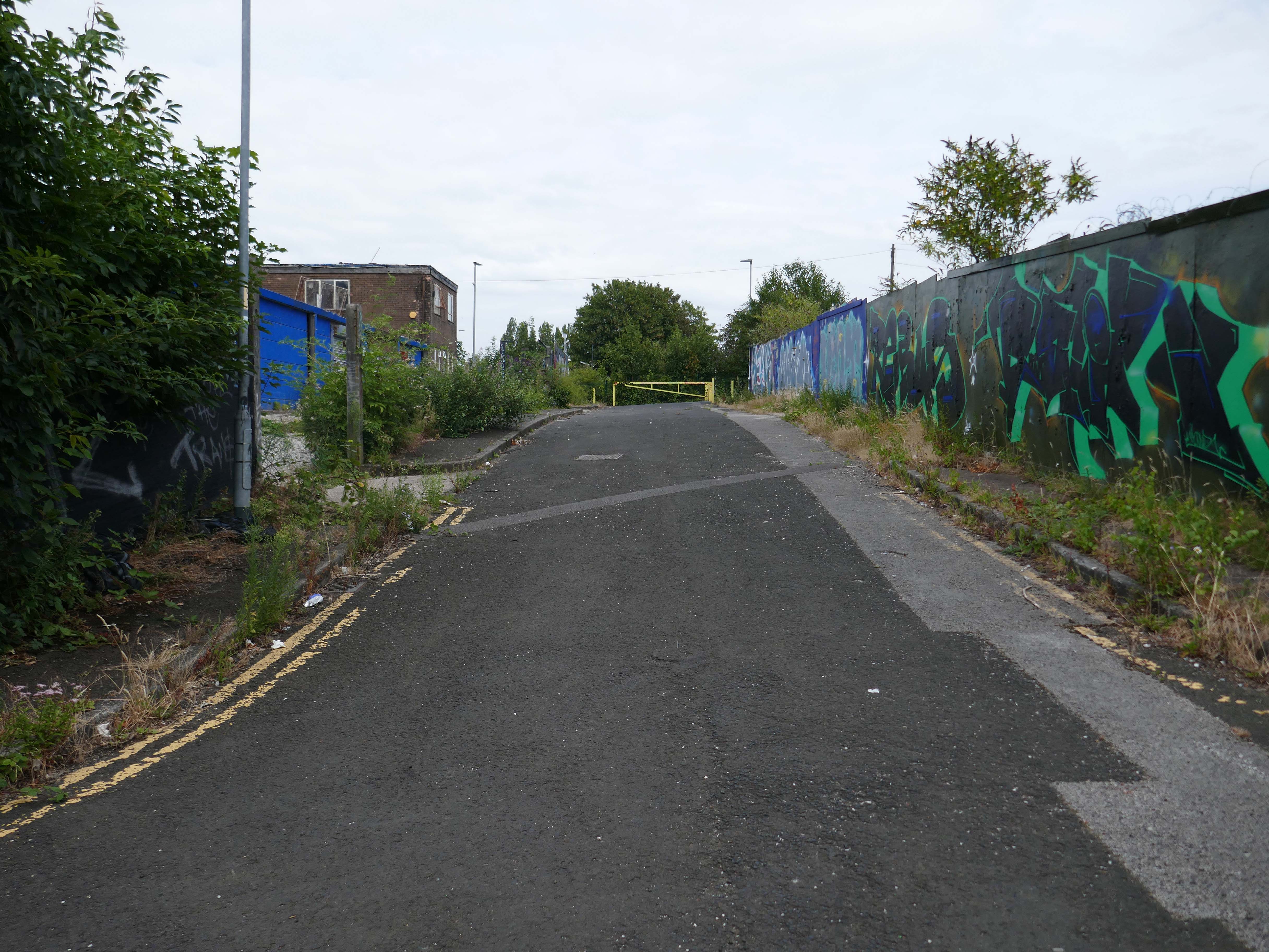
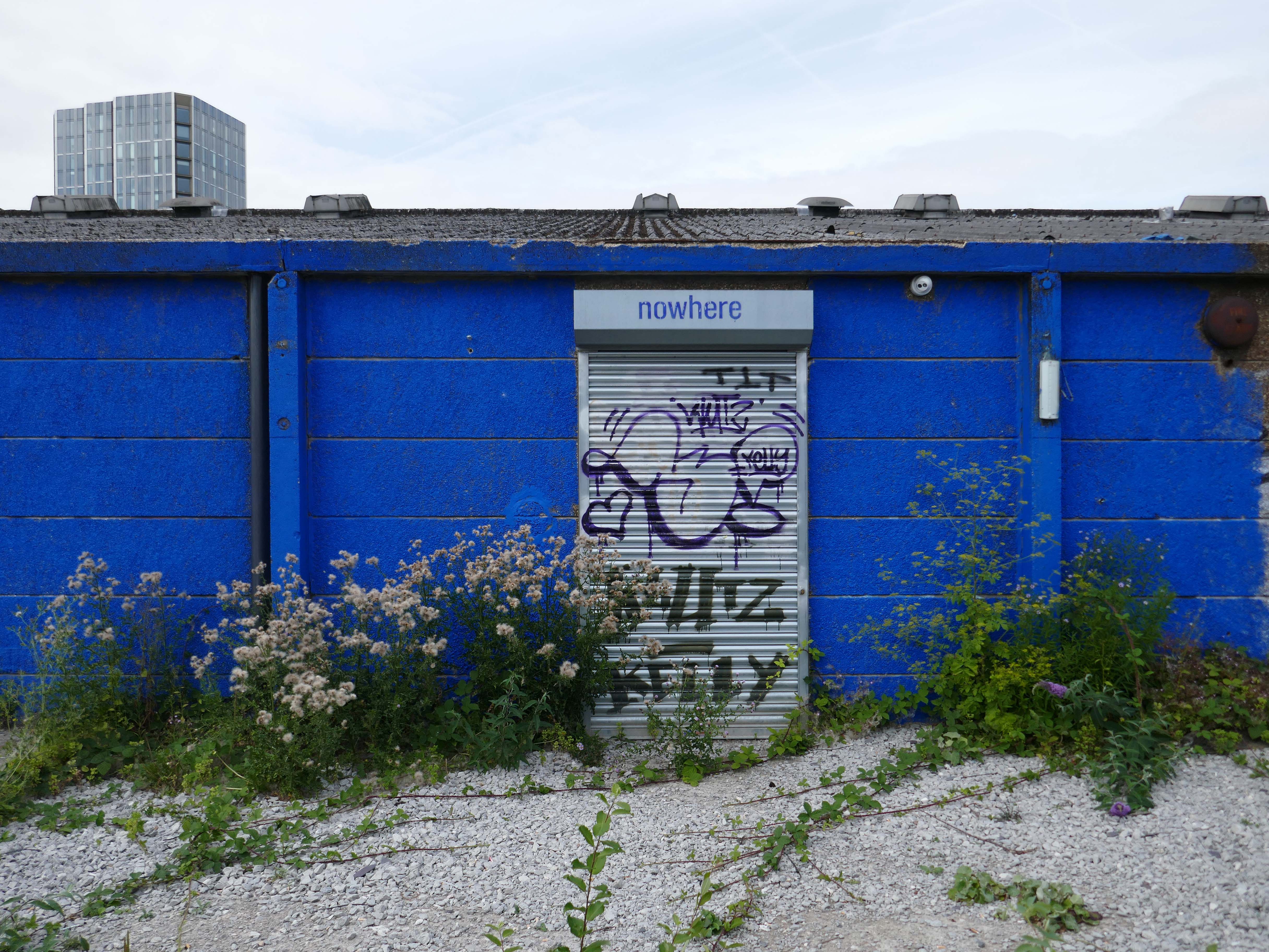
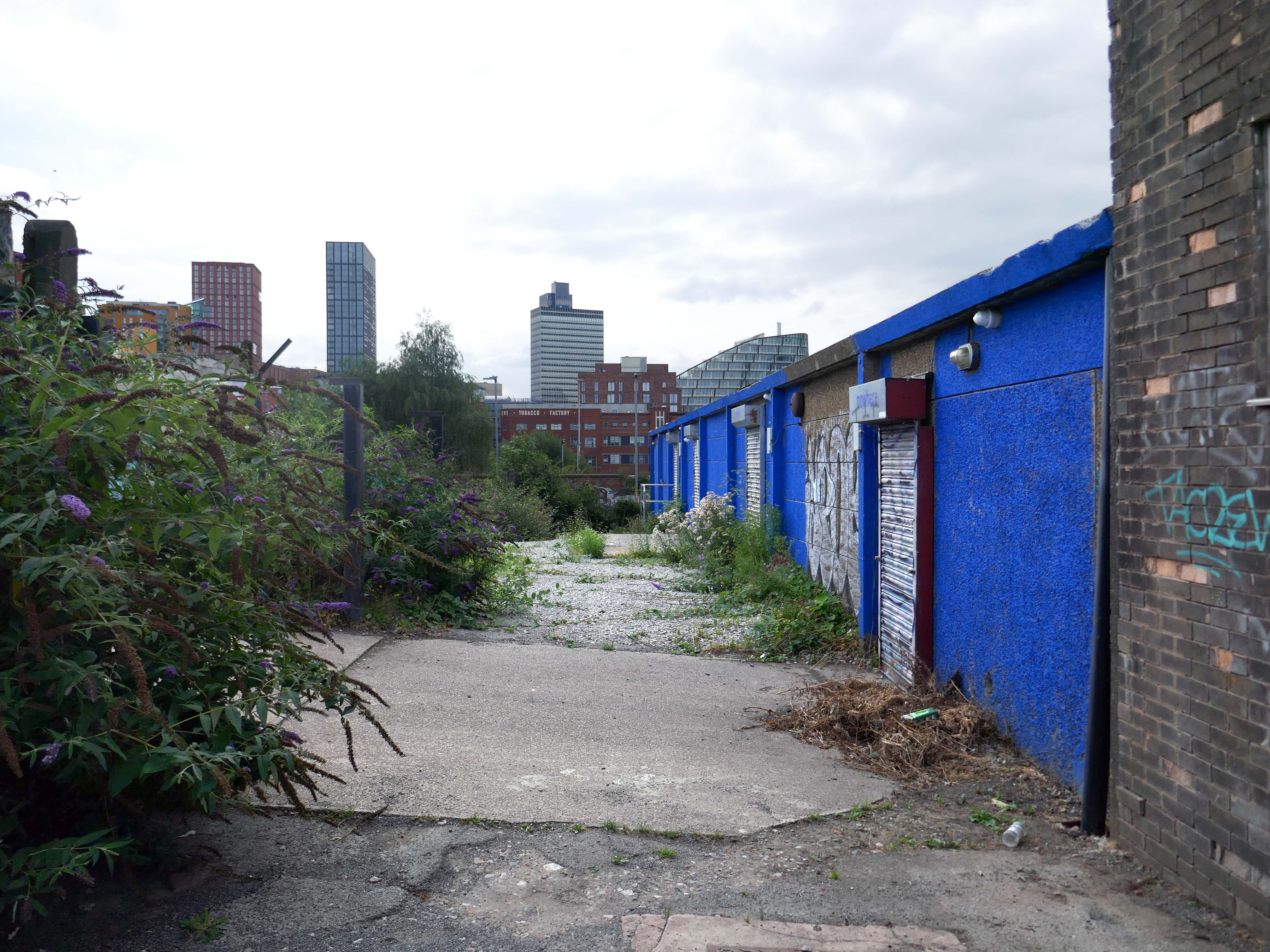
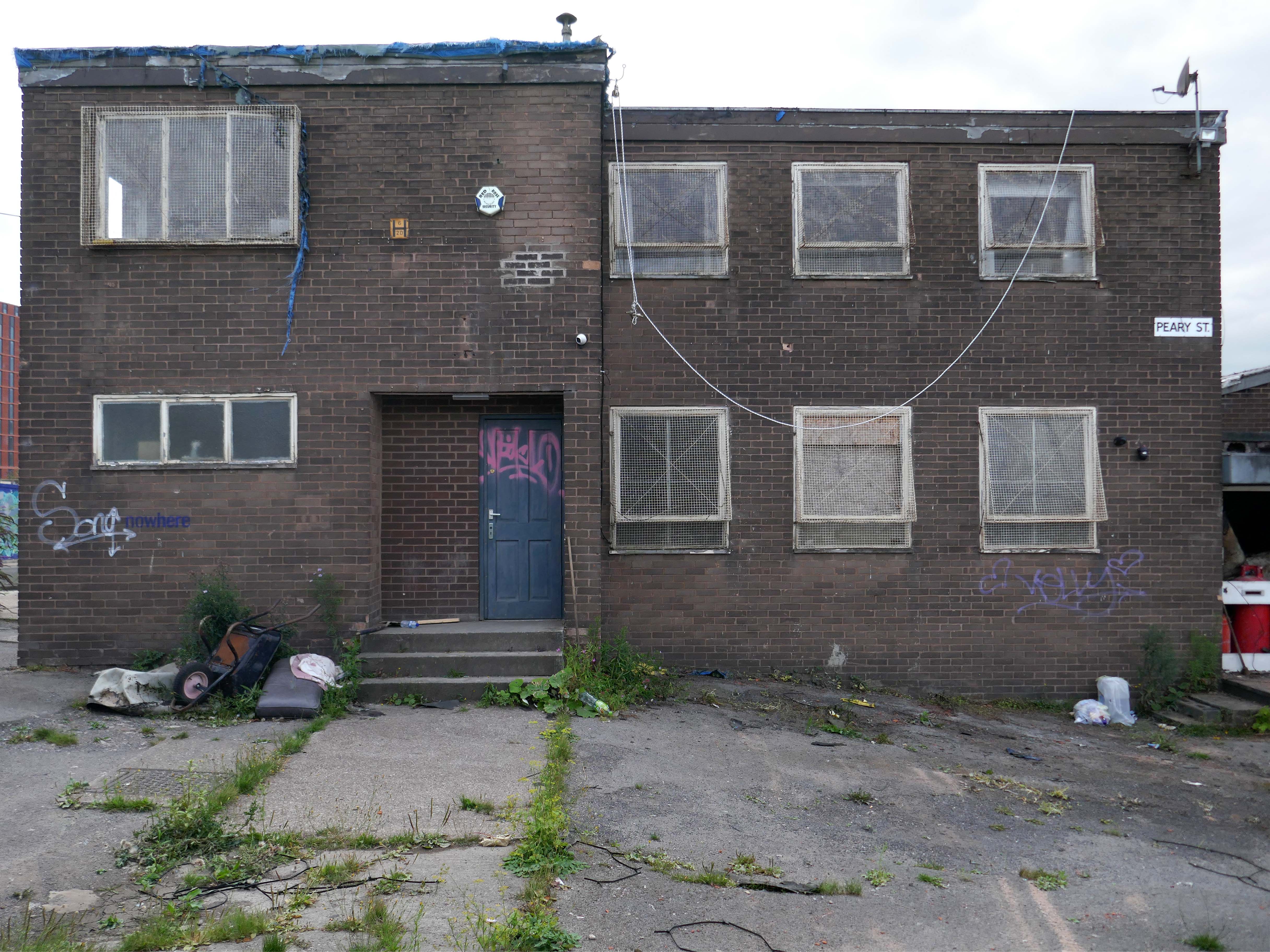
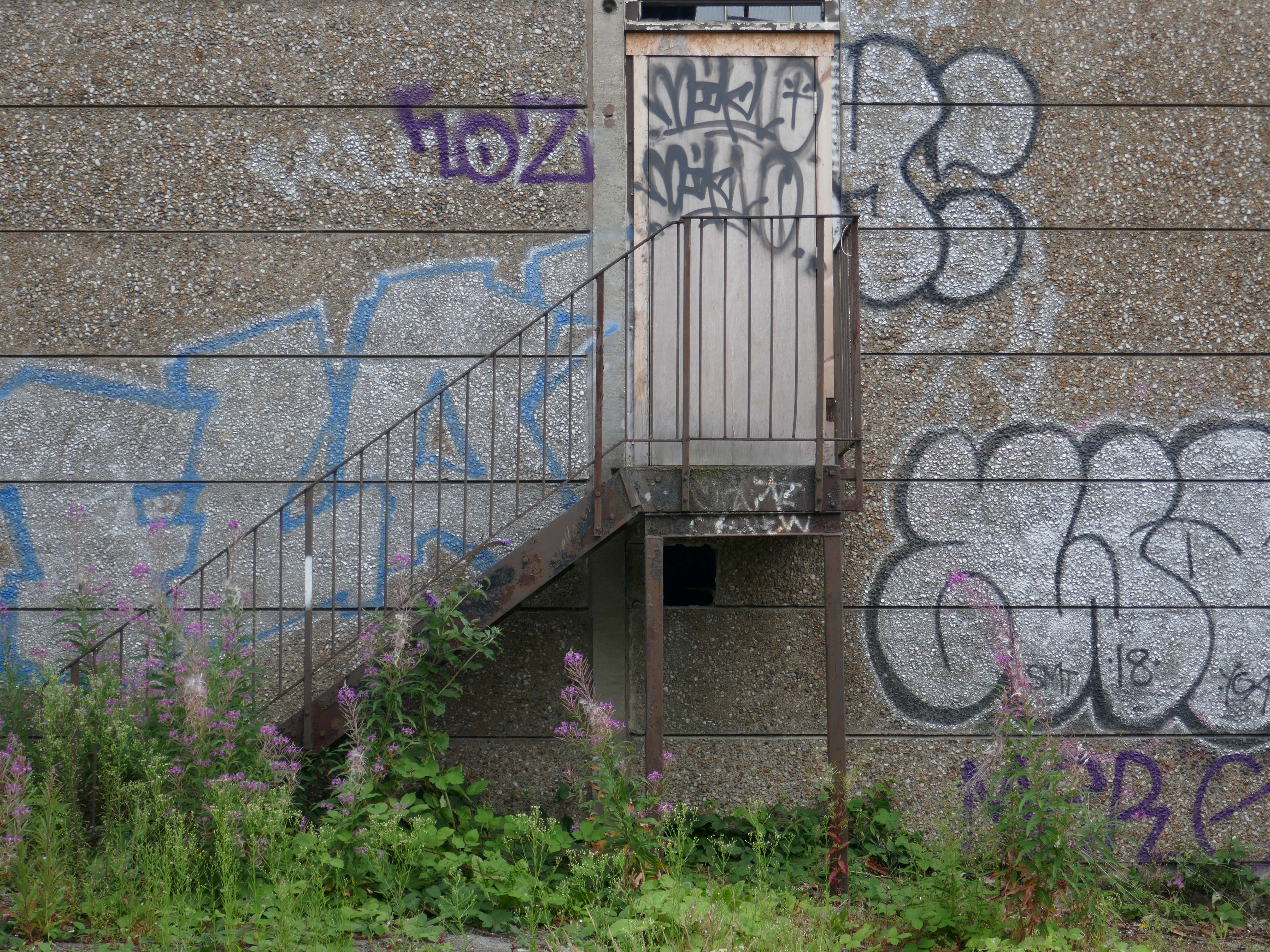
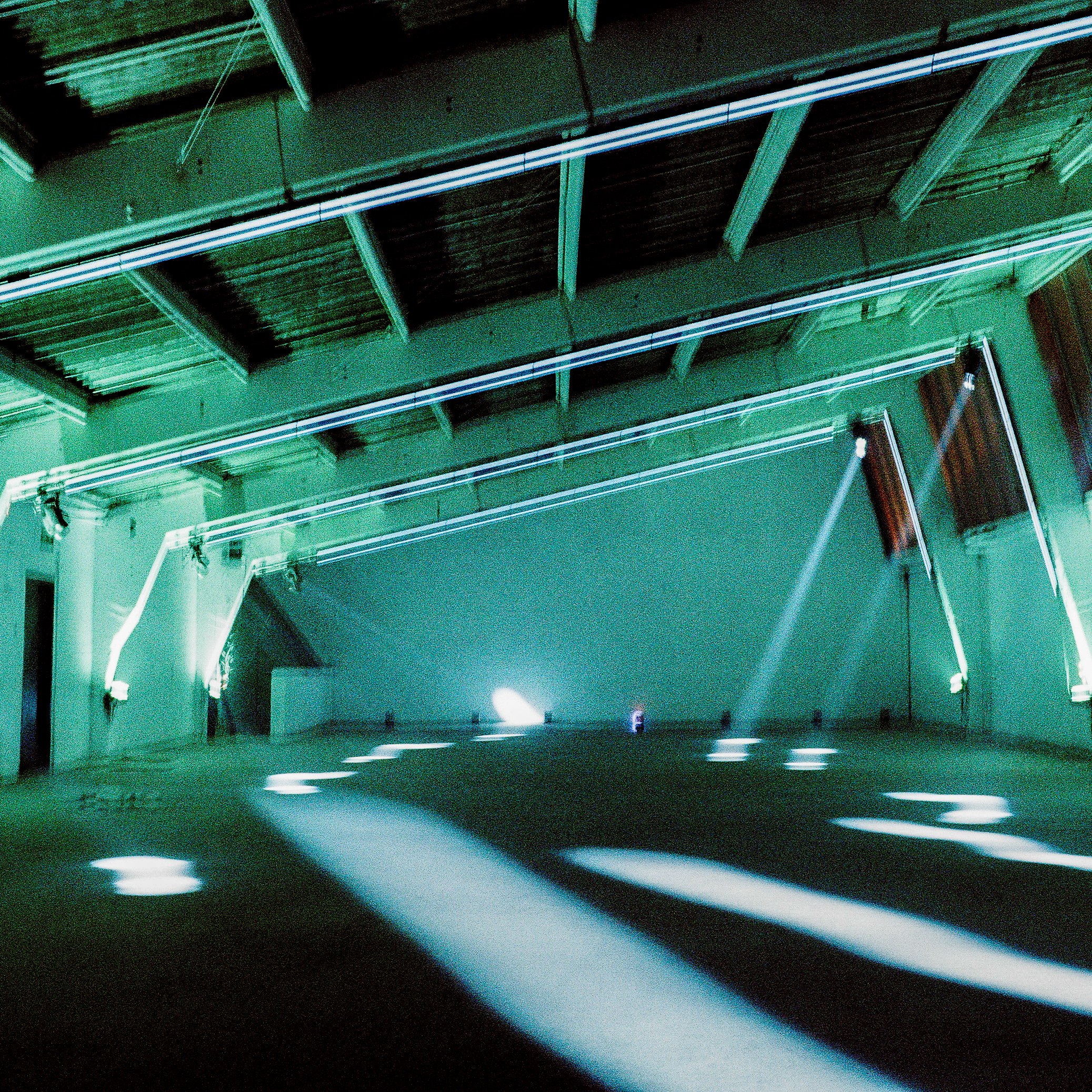
Latterly the former industrial premises have become temporary home to a Warehouse House Party – under the banner of We Are Nowhere.
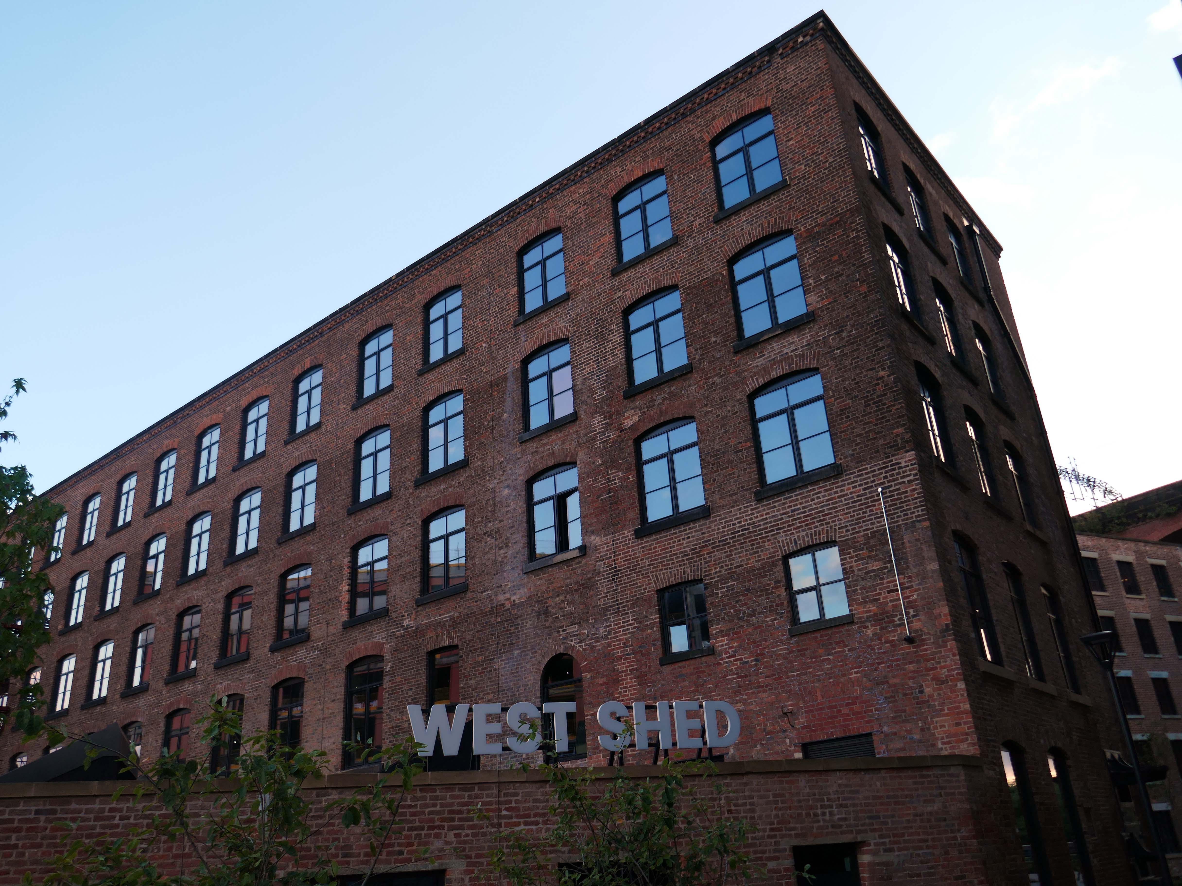
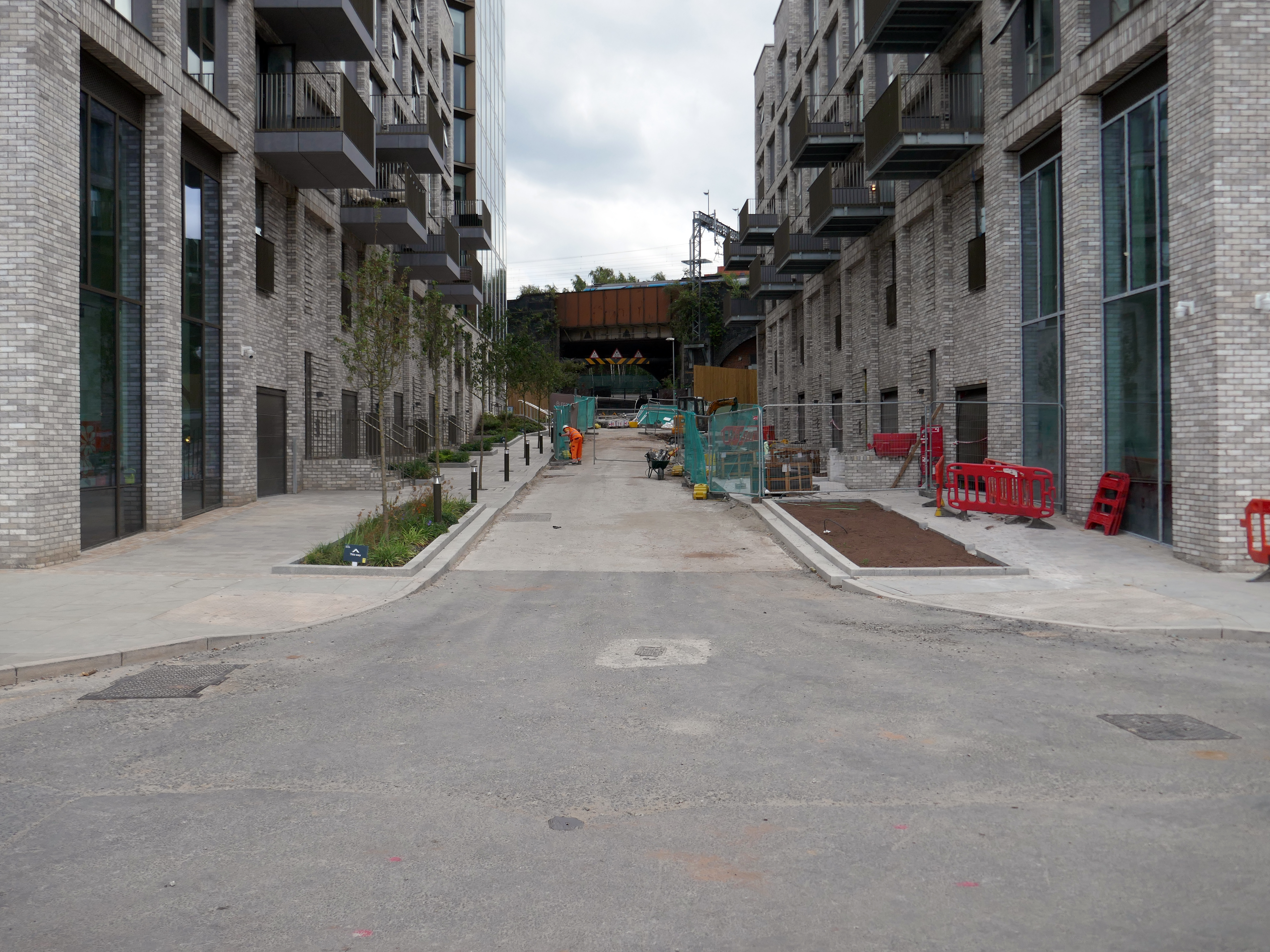
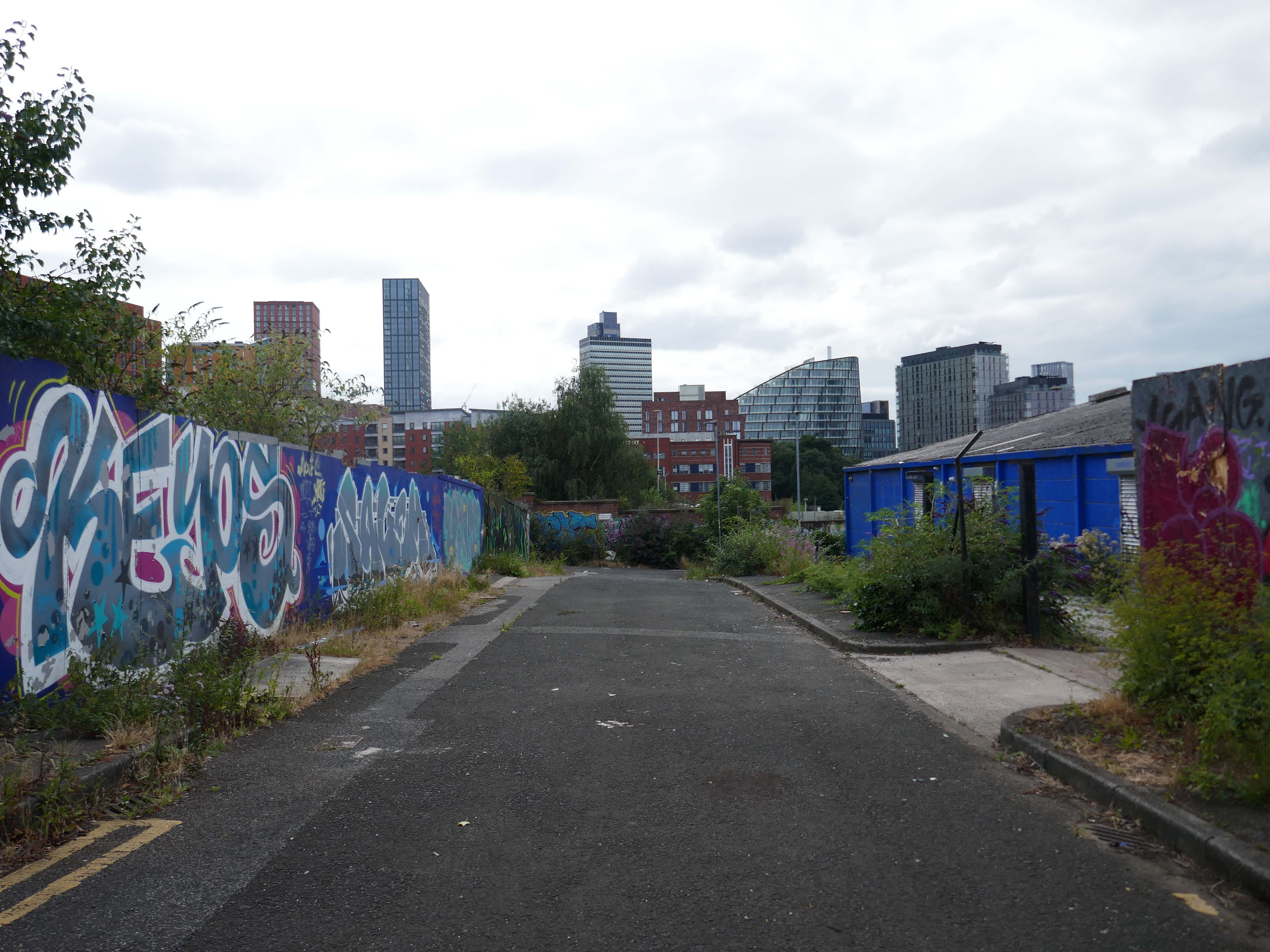
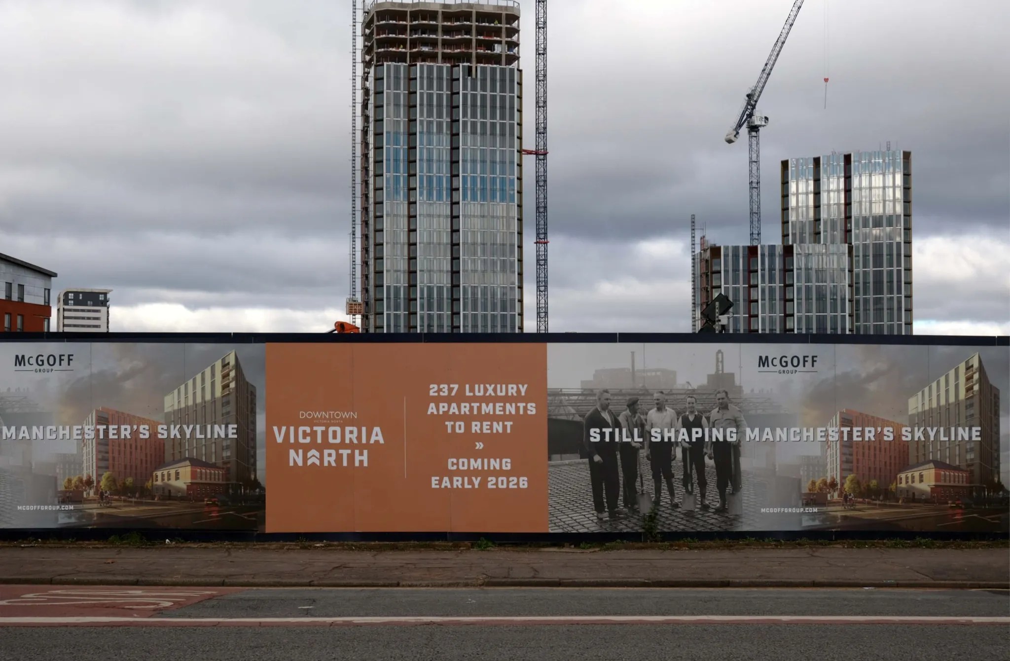
In 2024 the are was becoming Victoria North – with the incipient intrusion of gargantuan residential blocks.
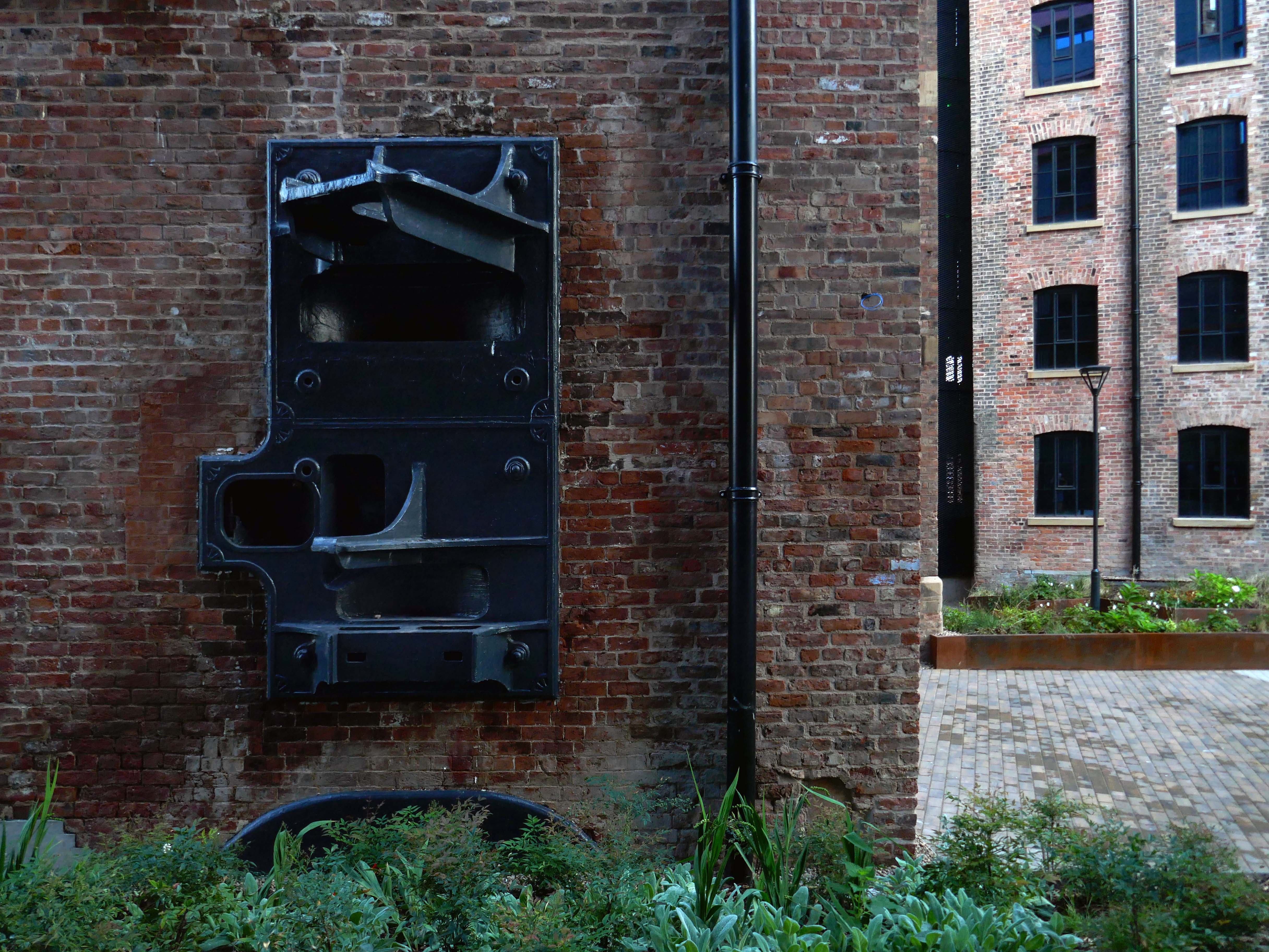
A far cry from the workers’ homes of Sudell Street.

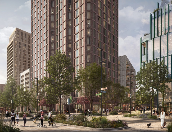
The redevelopment project will create better-connected public spaces, new and improved transport links, and more homes, parks and retail spaces for the city’s growing population. Victoria Riverside is at the forefront of the new, distinct residential neighbourhood at Red Bank and New Town, benefitting from its location within Manchester City Centre, but offering something new to its community.

Victoria Riverside