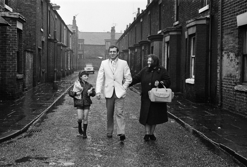
It’s been four years since our 2022 Wigan Walk – so time to see if there has been a refreshing change.
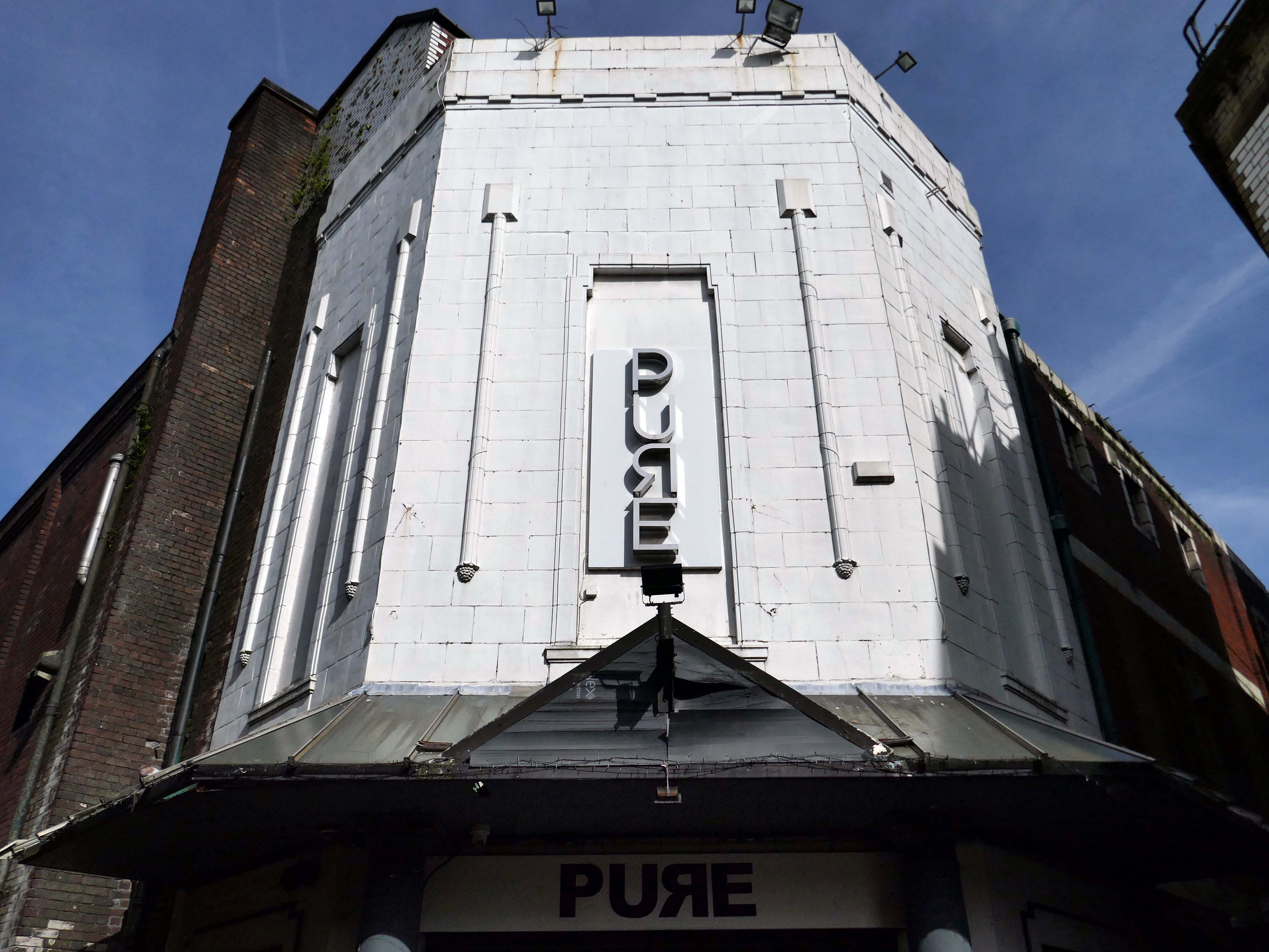
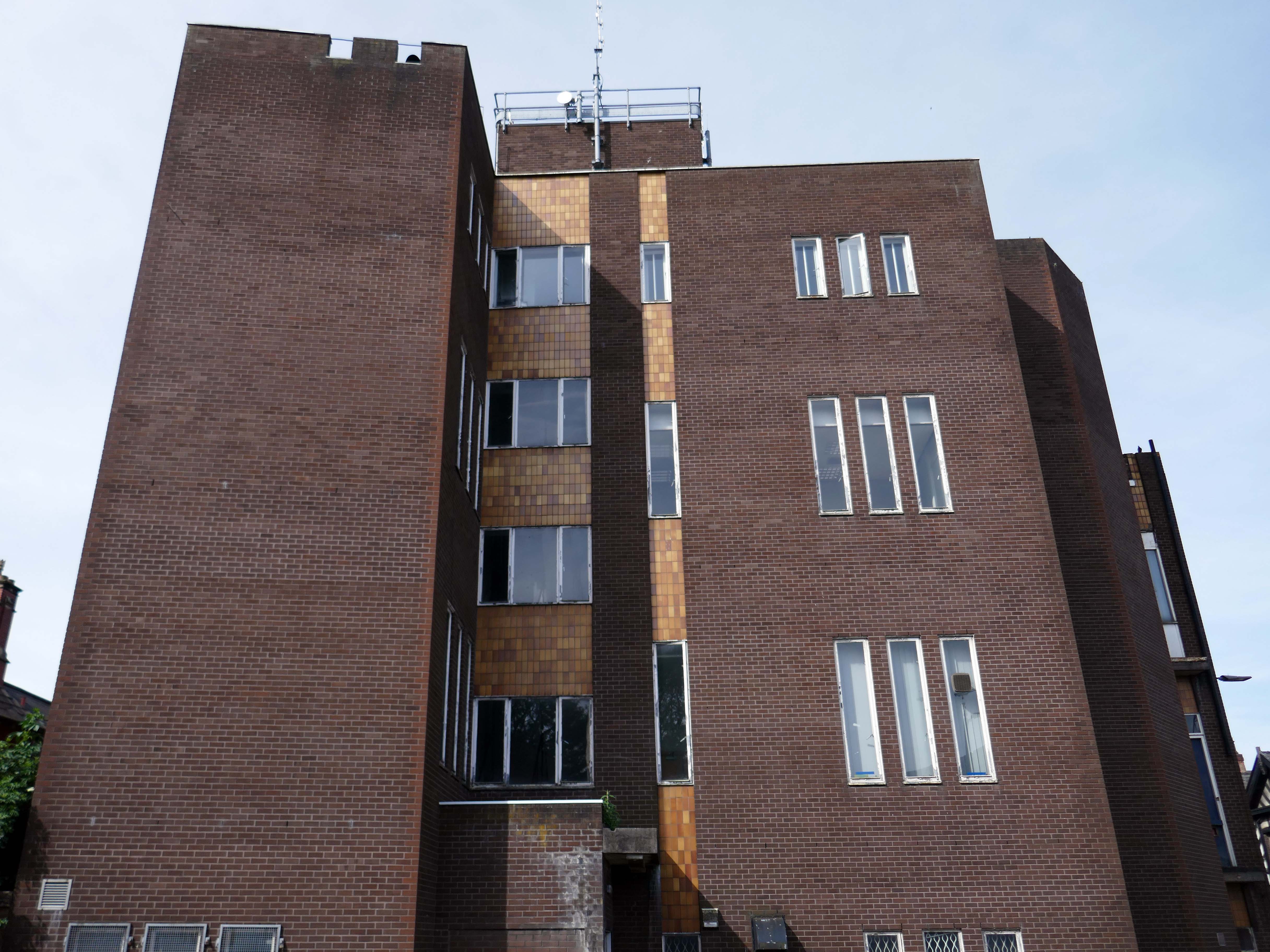
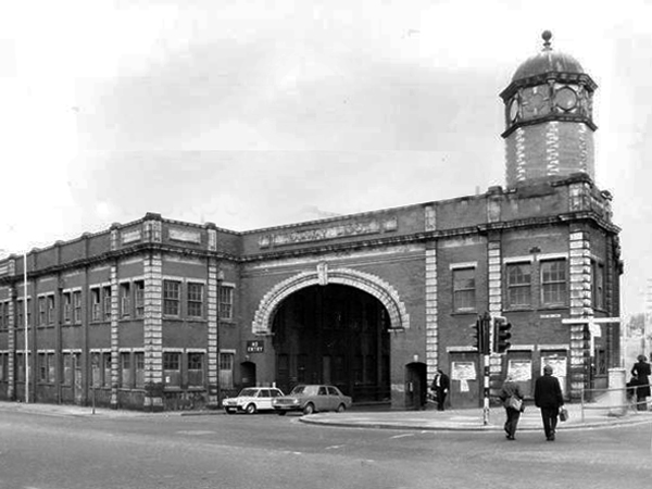
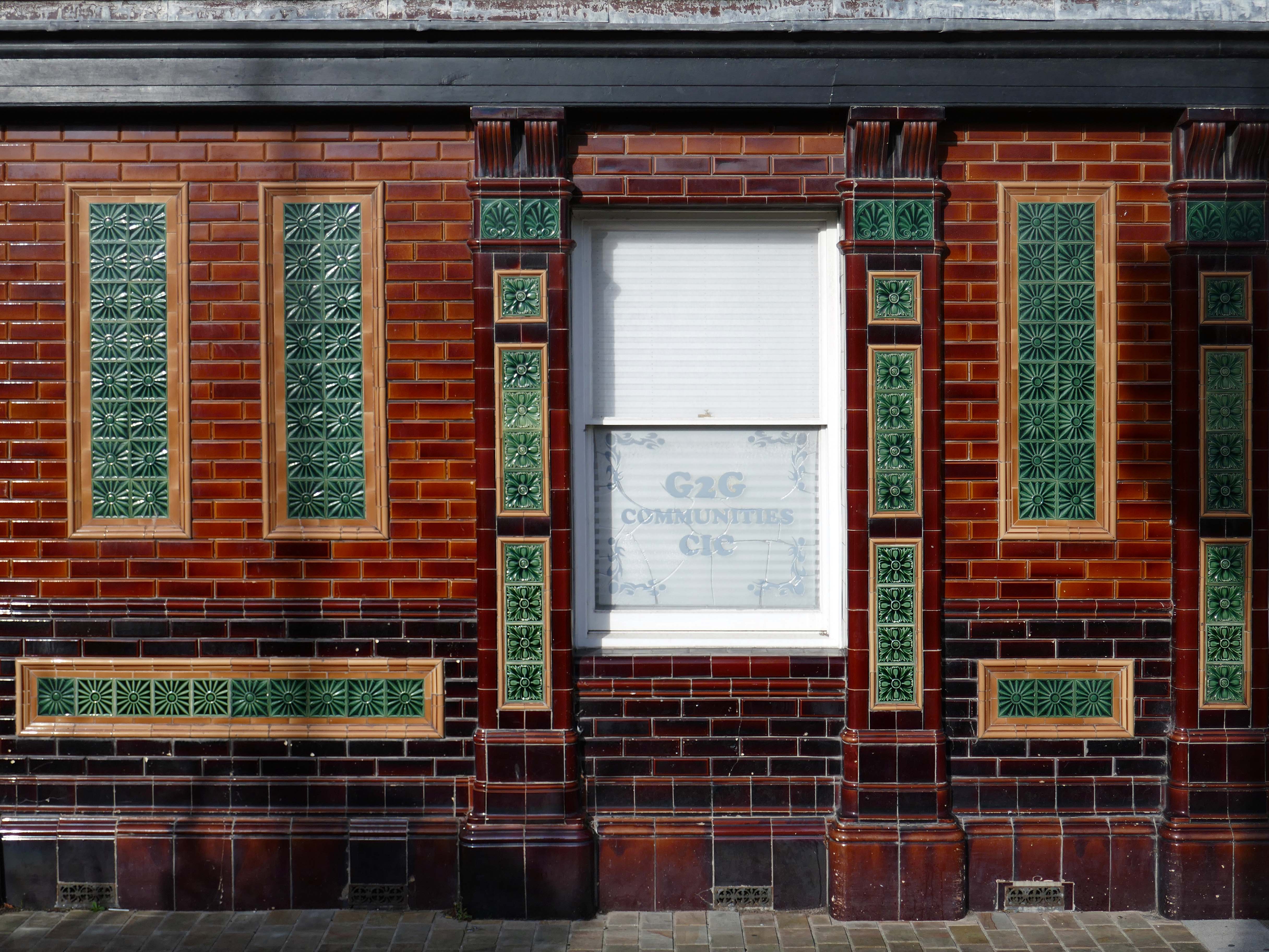
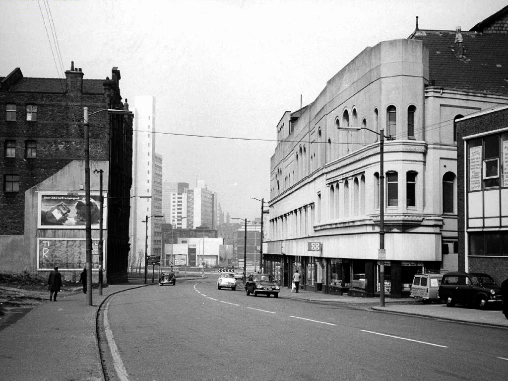
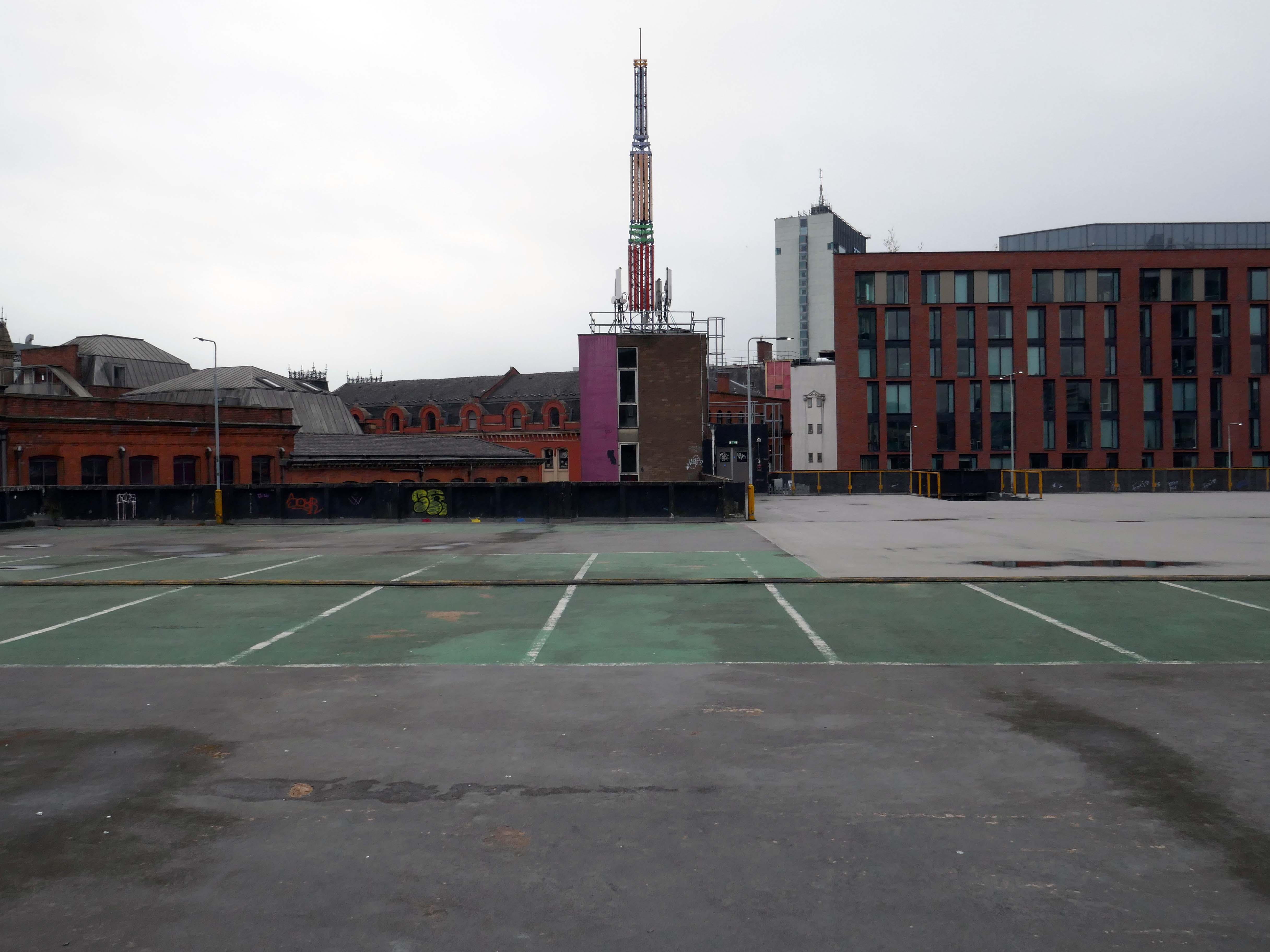
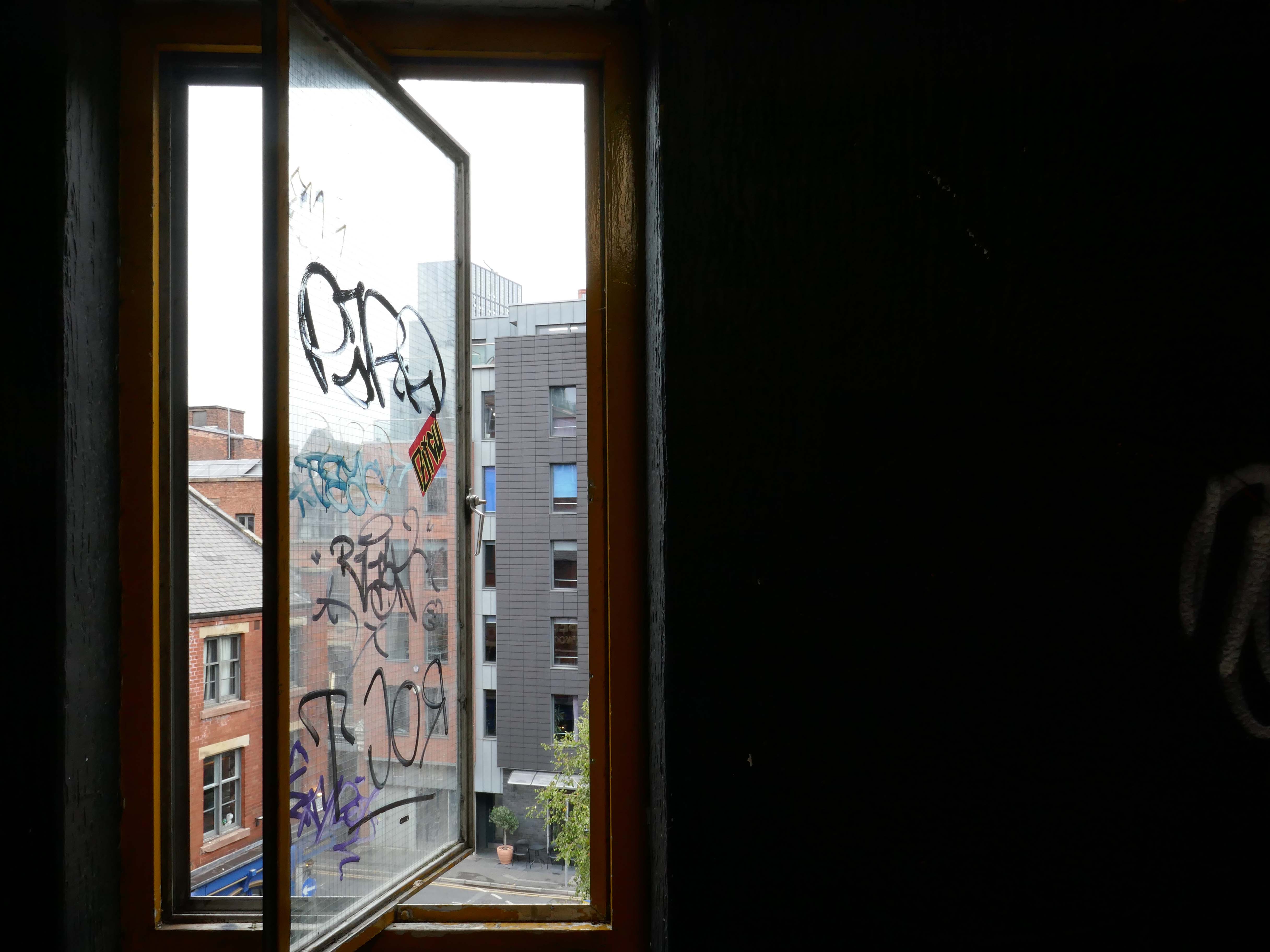
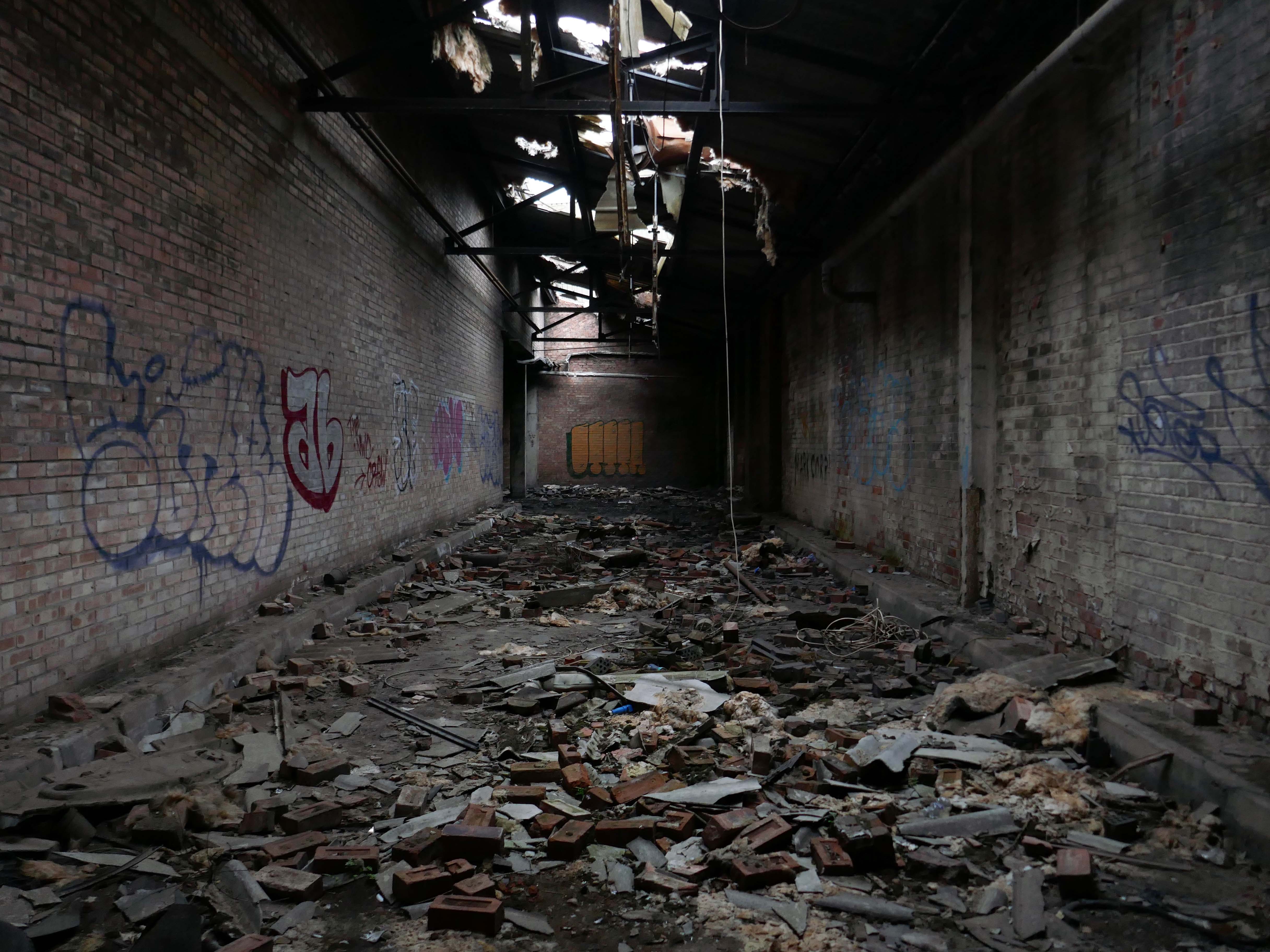
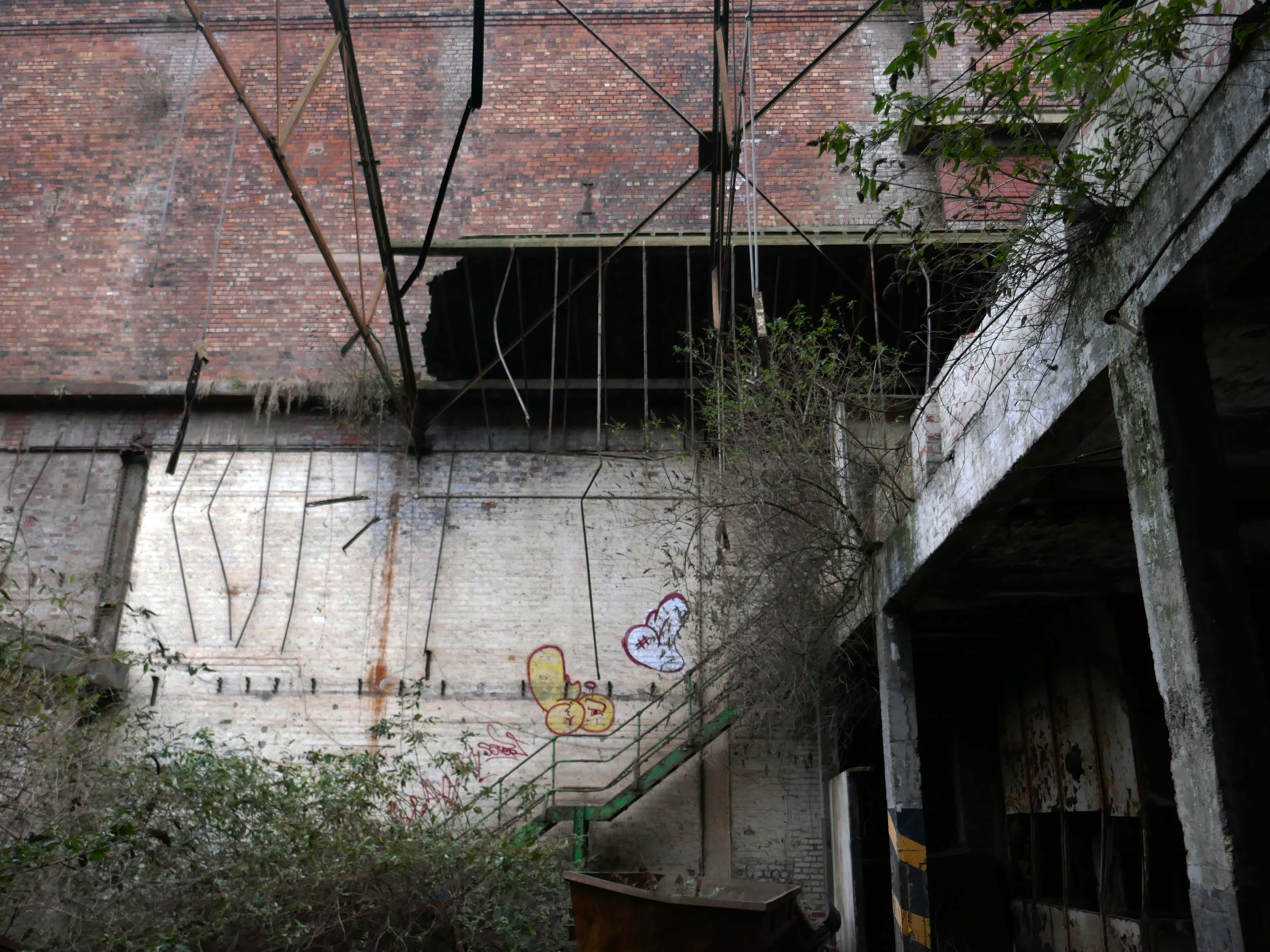
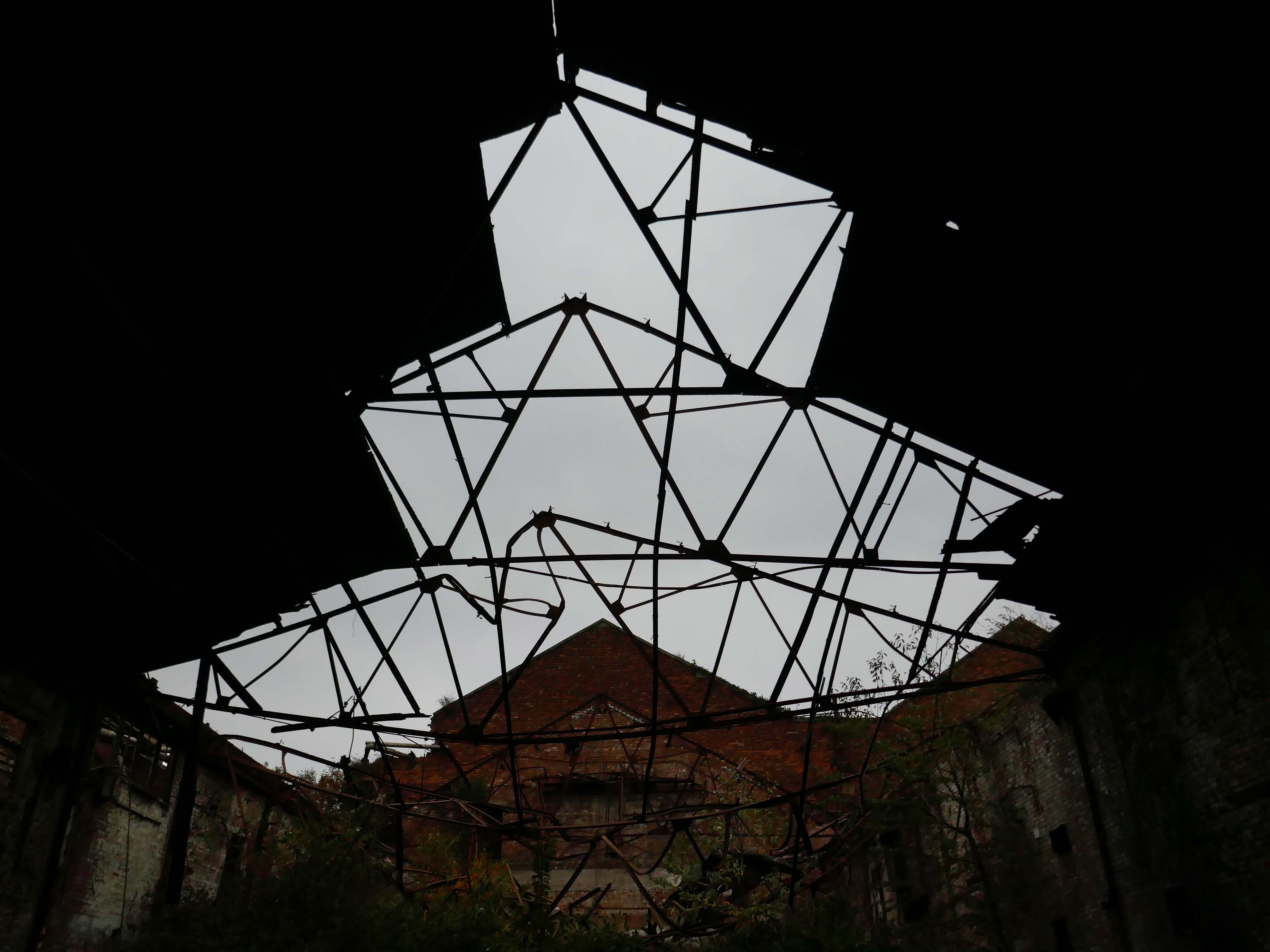
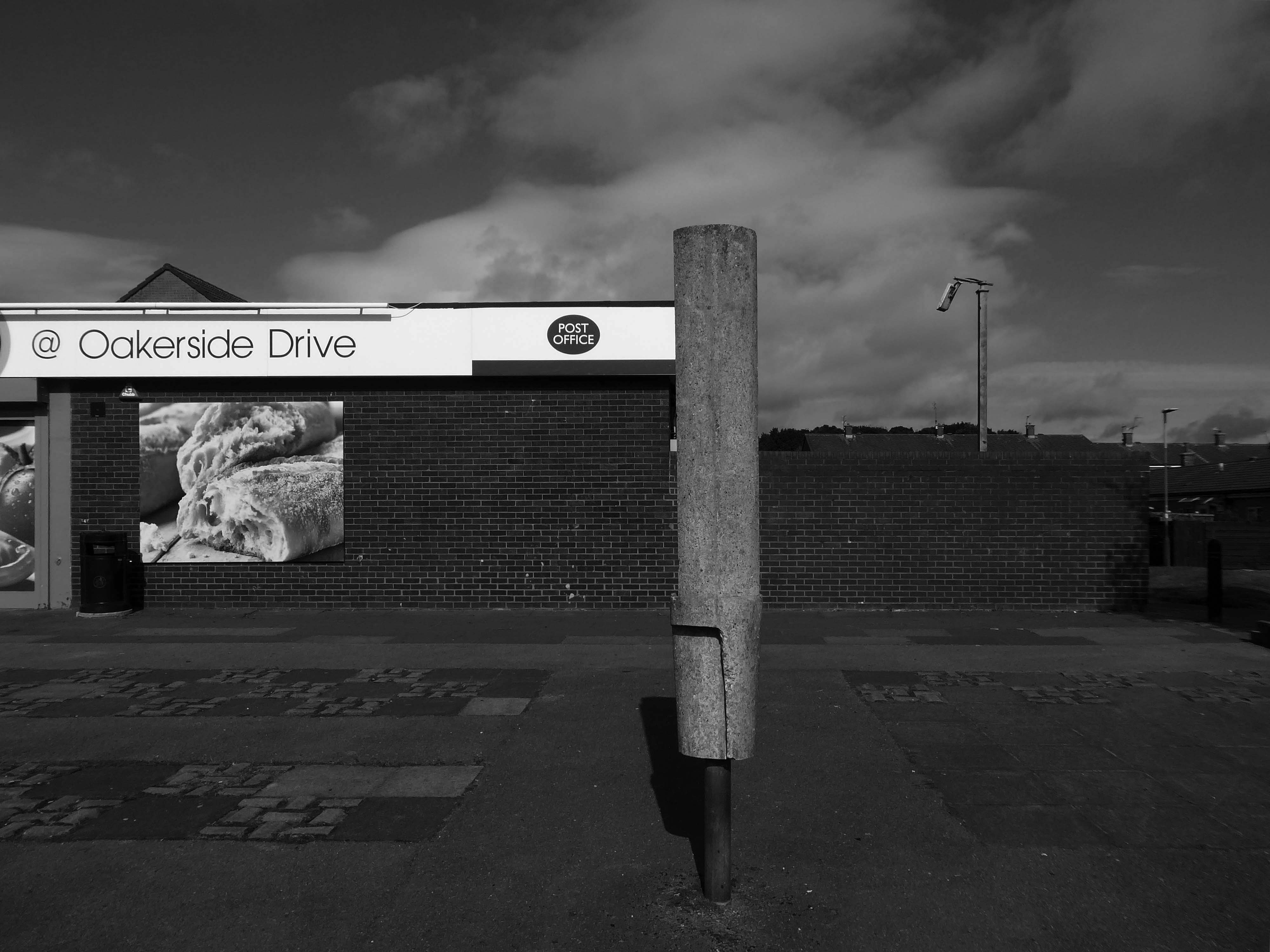
Beginning with a trip to the former flicks, the Princes Cinema now trading as Pure nightclub, sometimes home to Singo Bingo.
Originally the site of New Princes Theatre, opened on the 1st May 1911, the cinema was demolished and replaced, on an adjacent plot, by Princes Cinema in 1933.
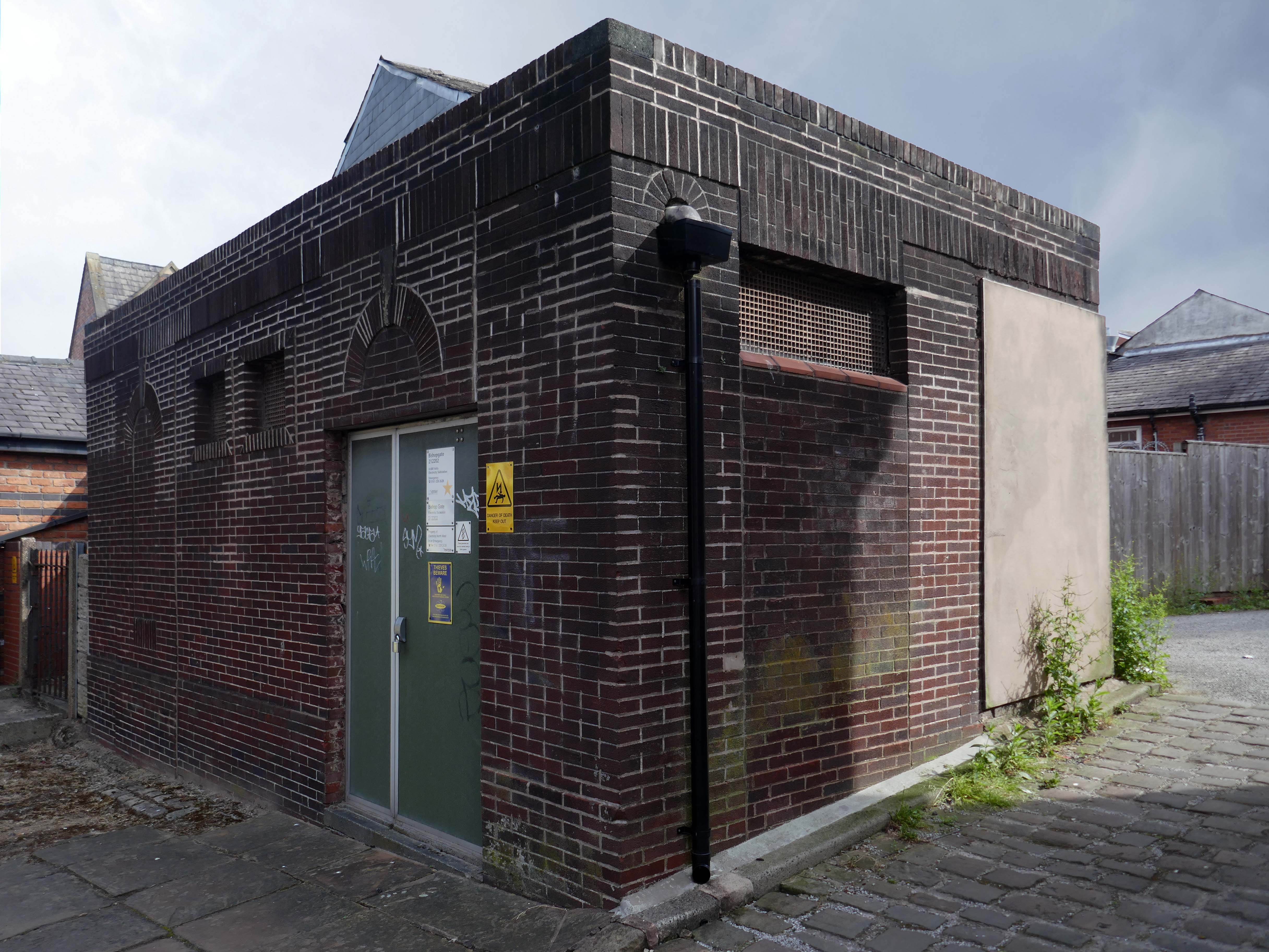
Ofd special note the adjacent Electrical Substation of the day.
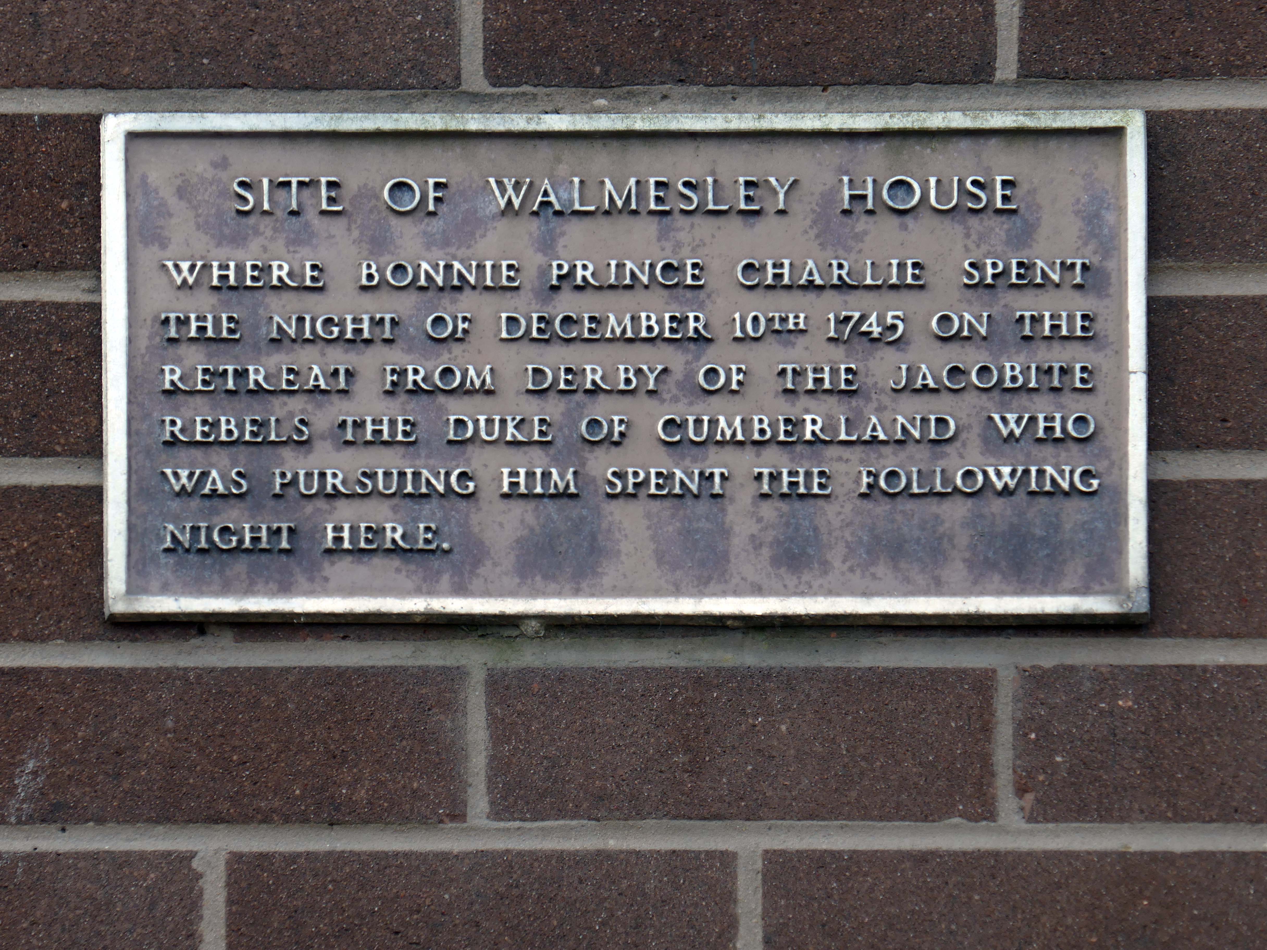
Plus extra added military history.
Seventies
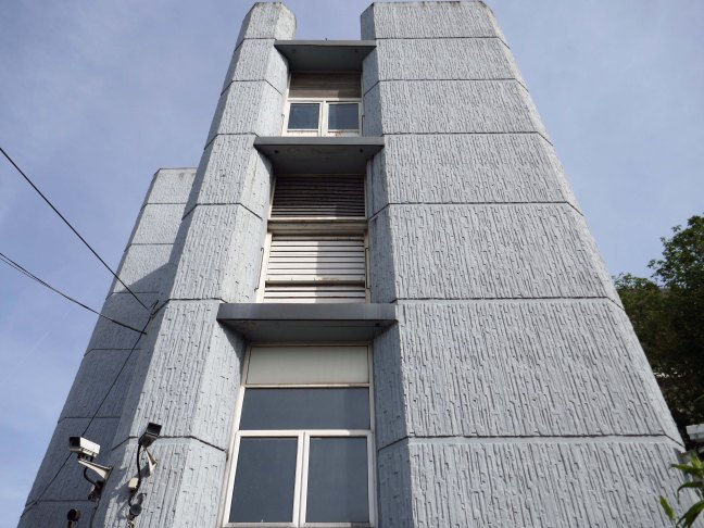
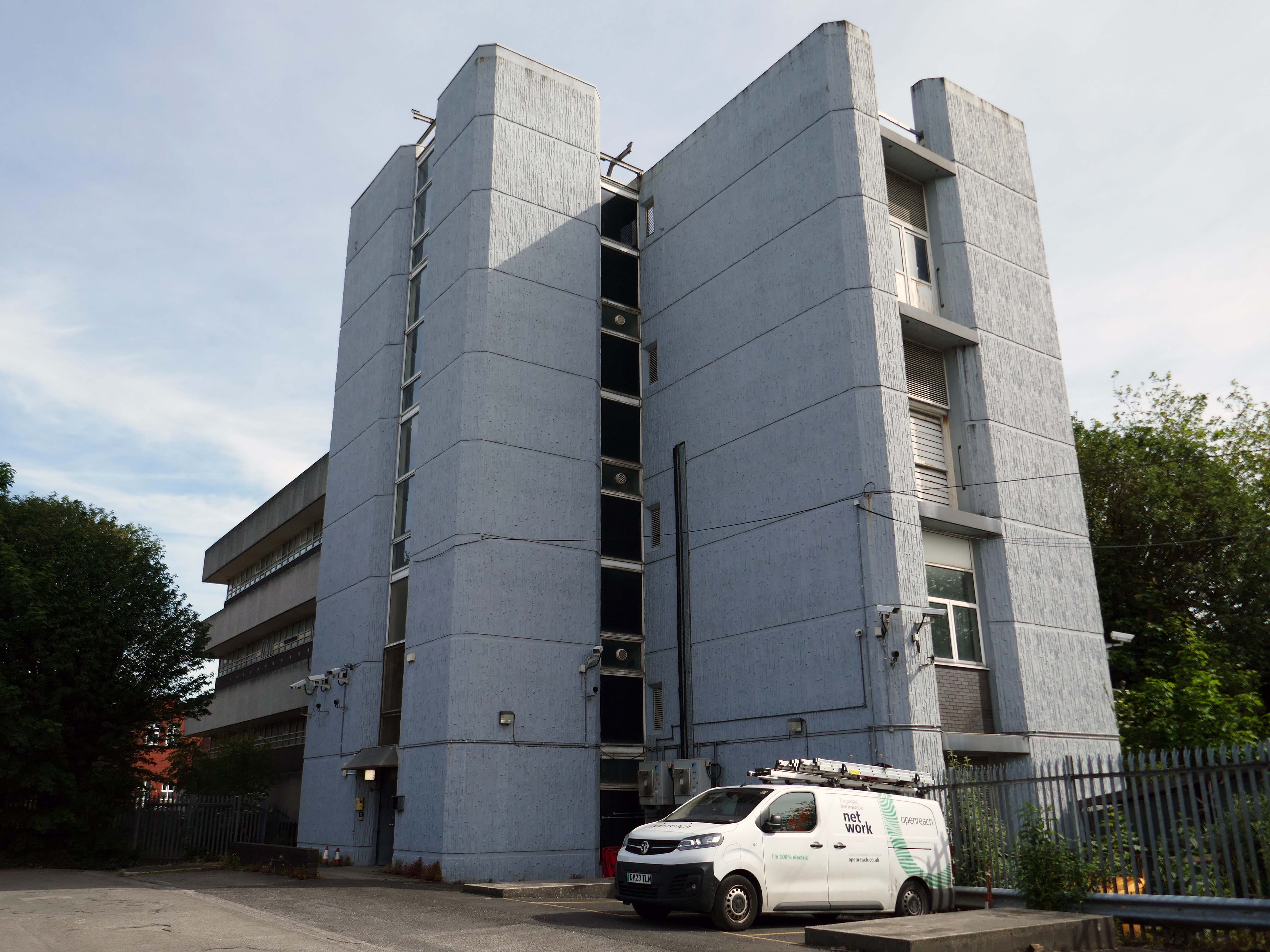
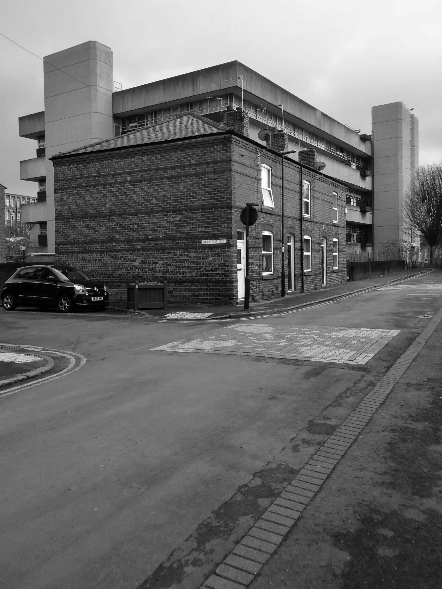
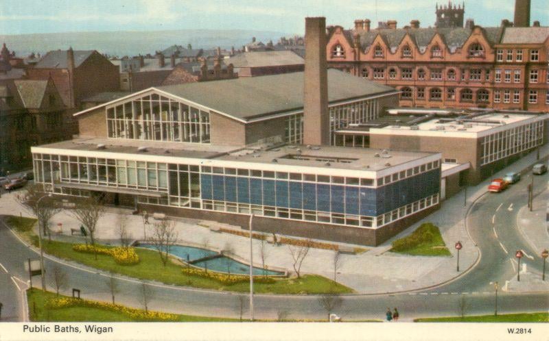
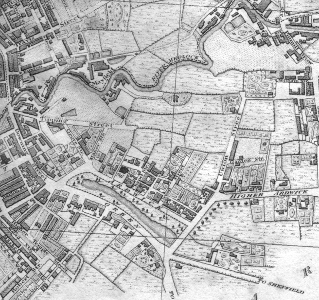
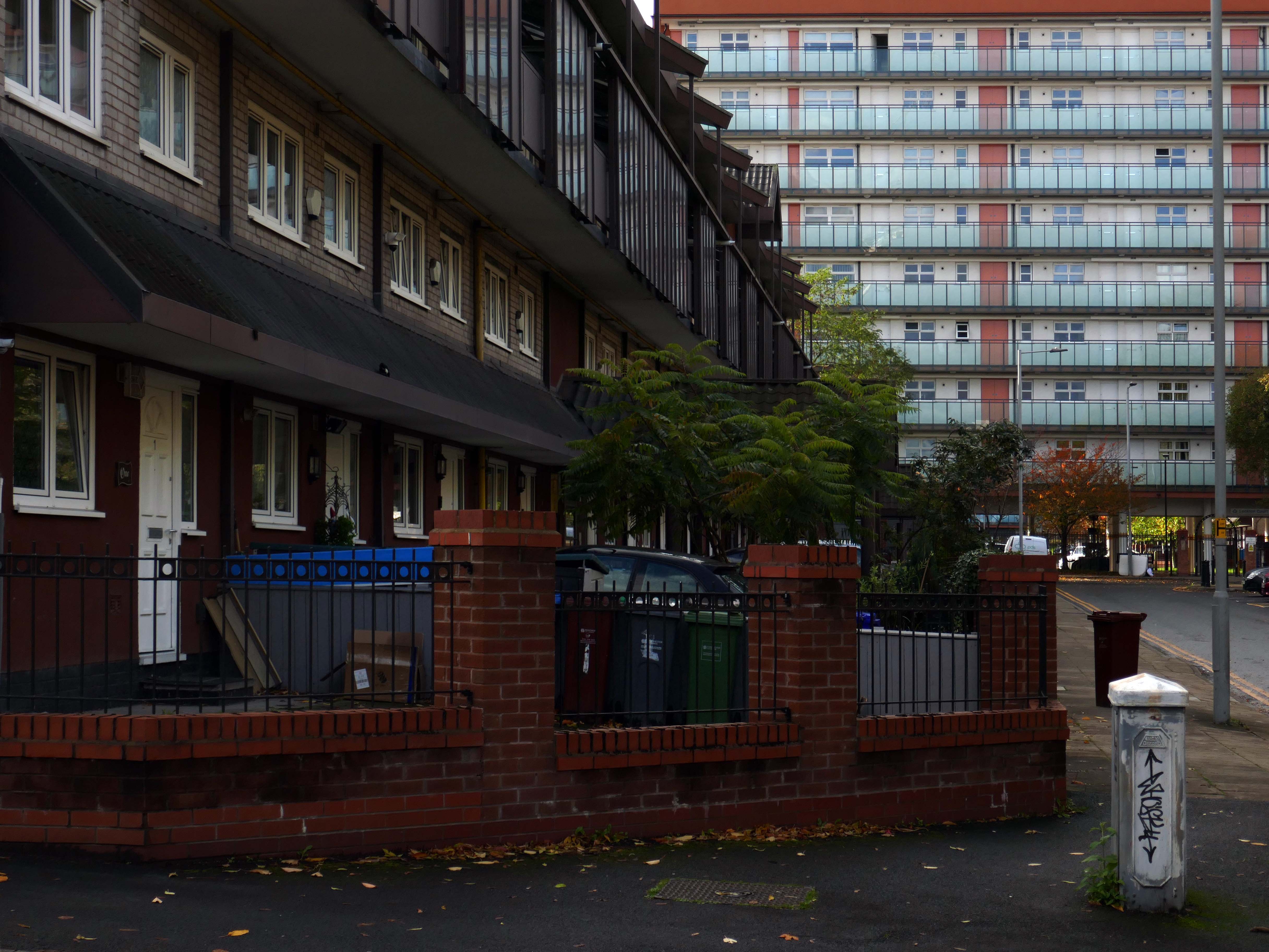
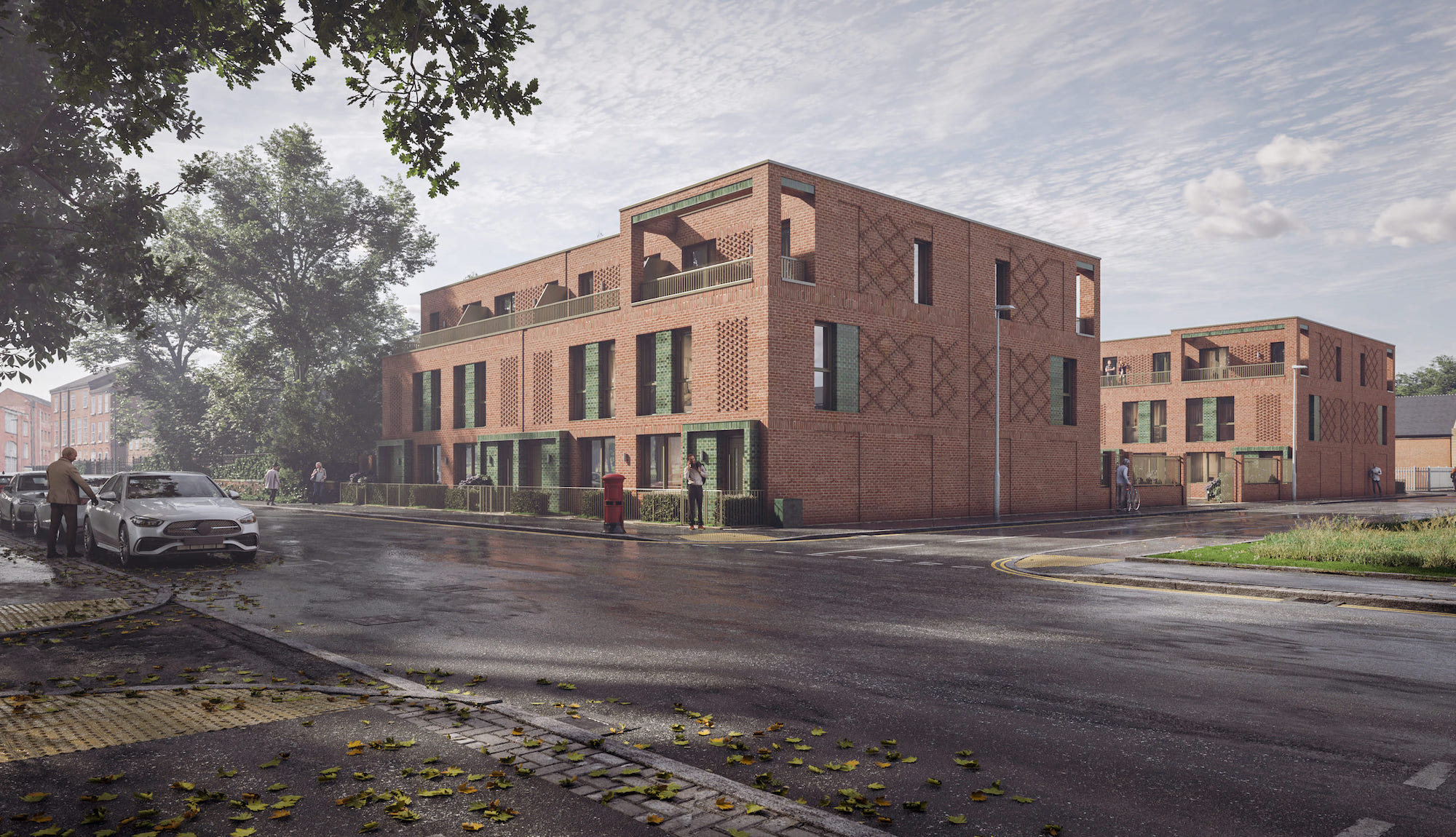
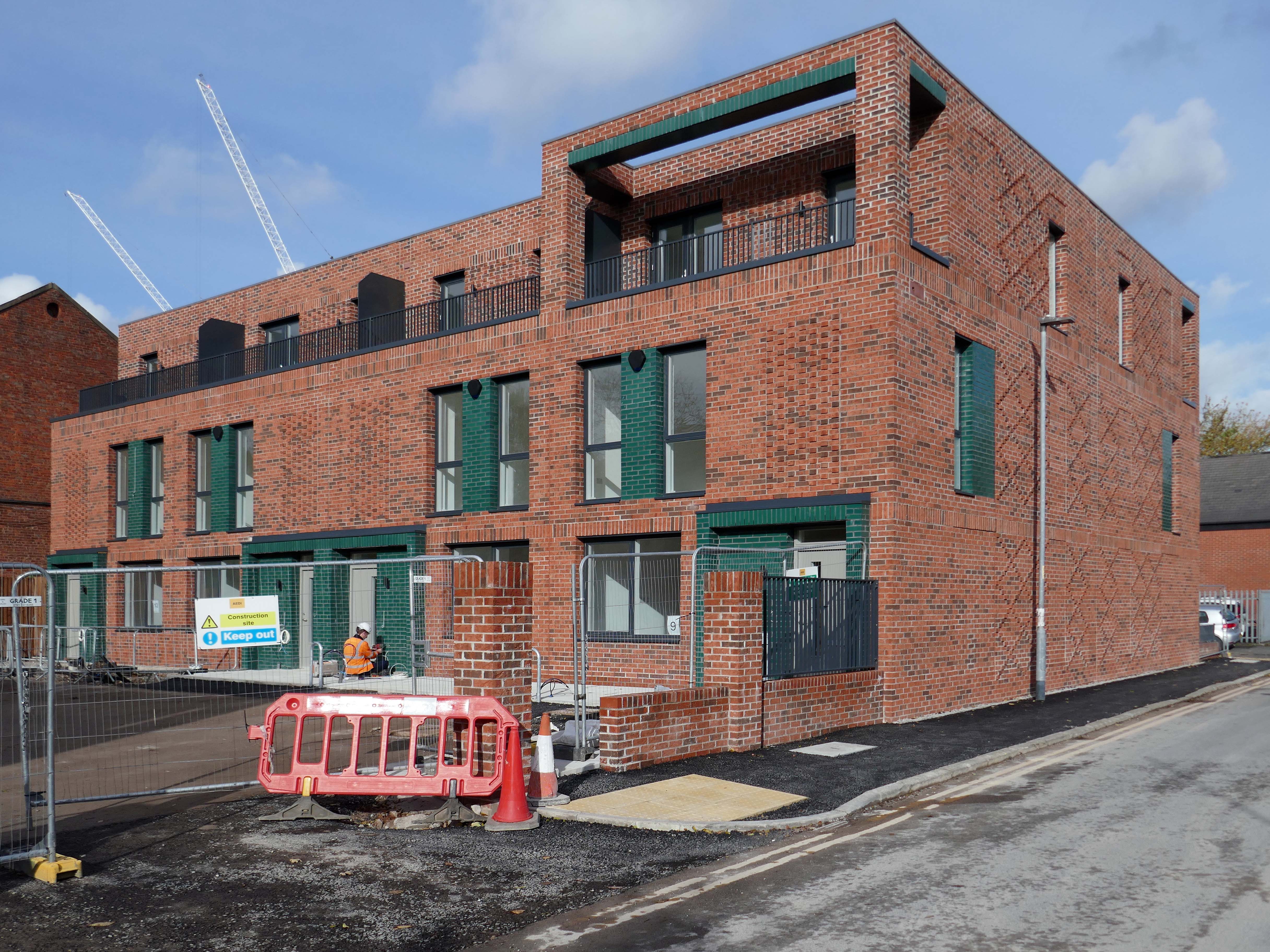
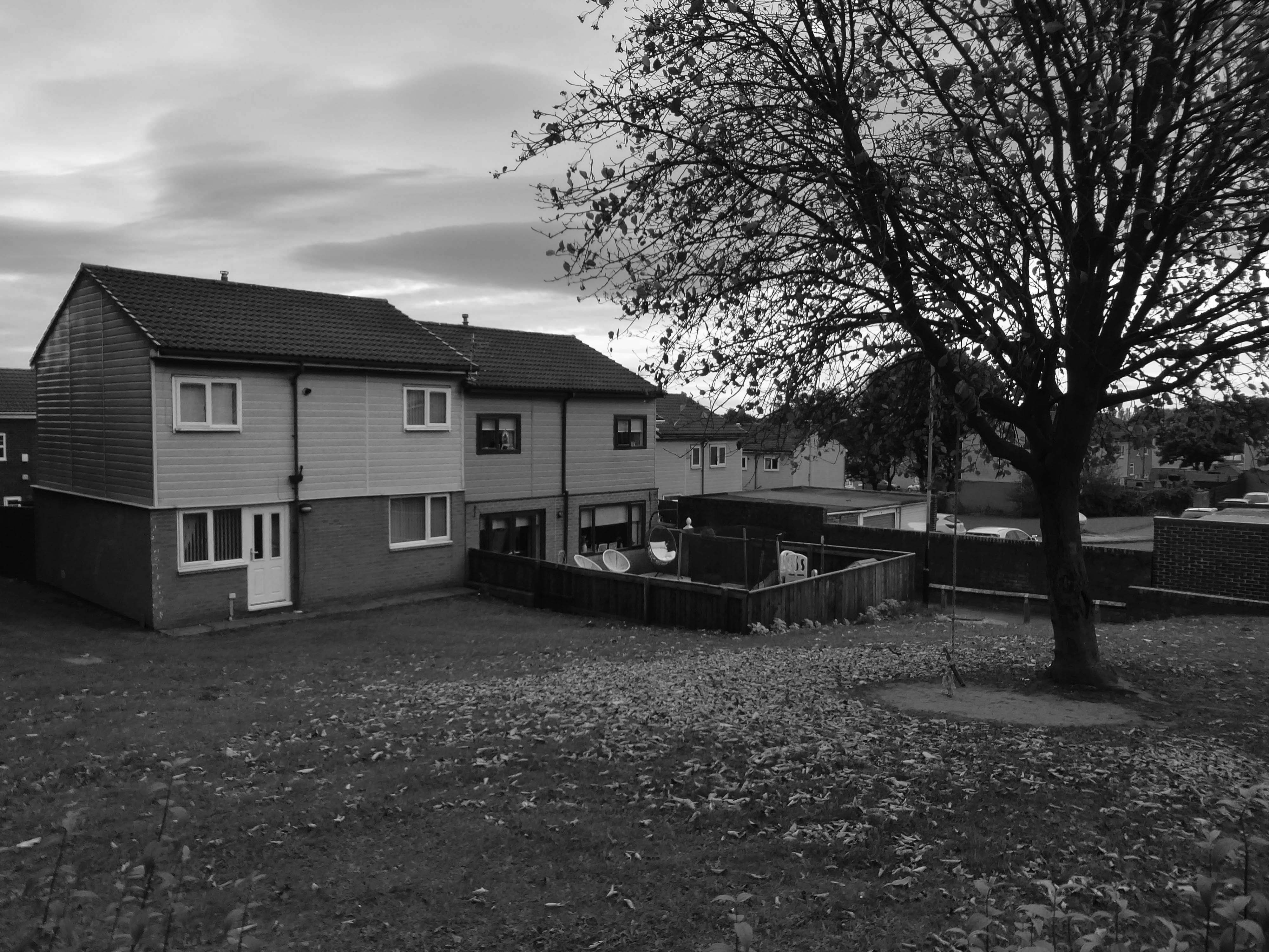
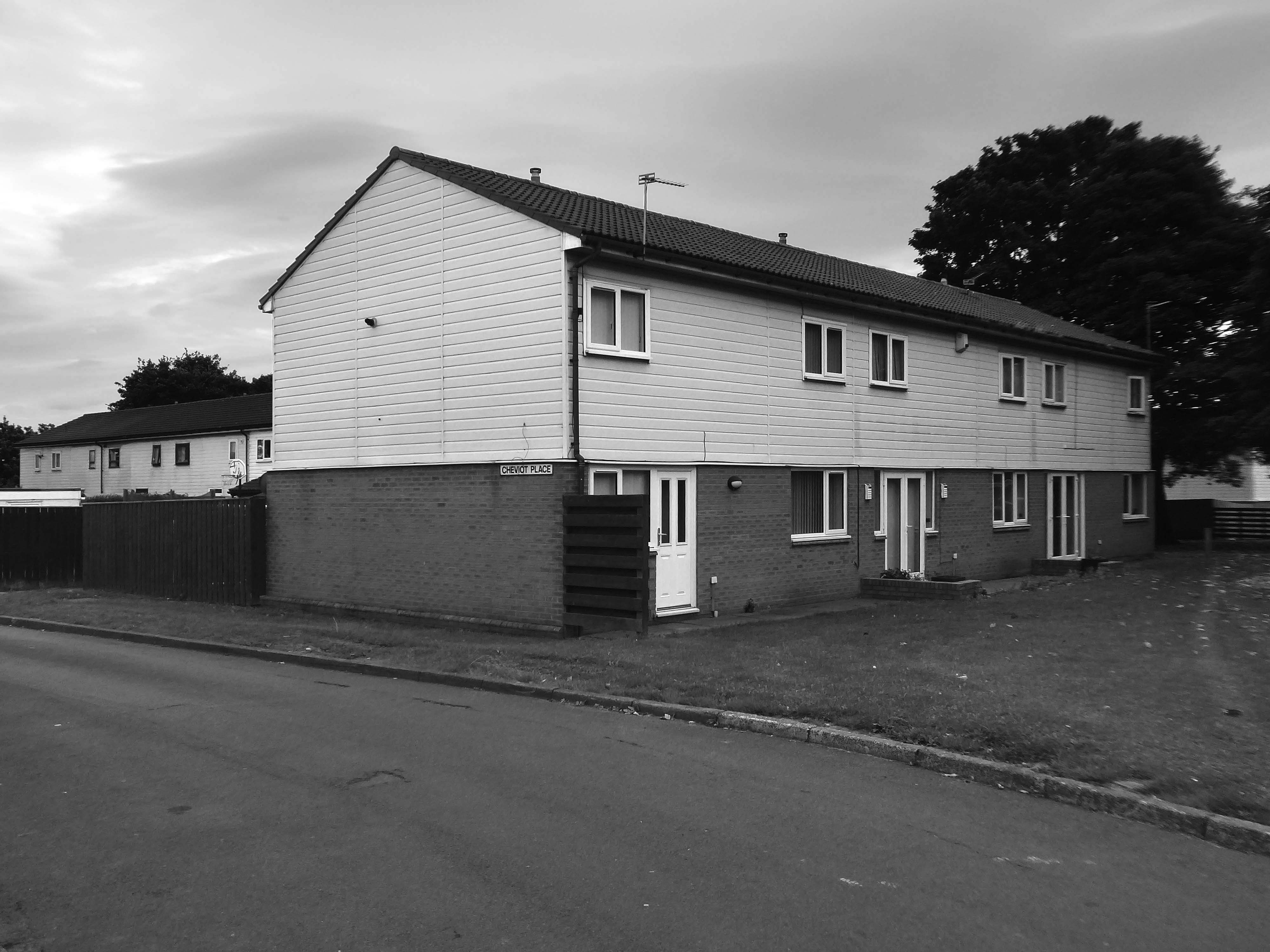
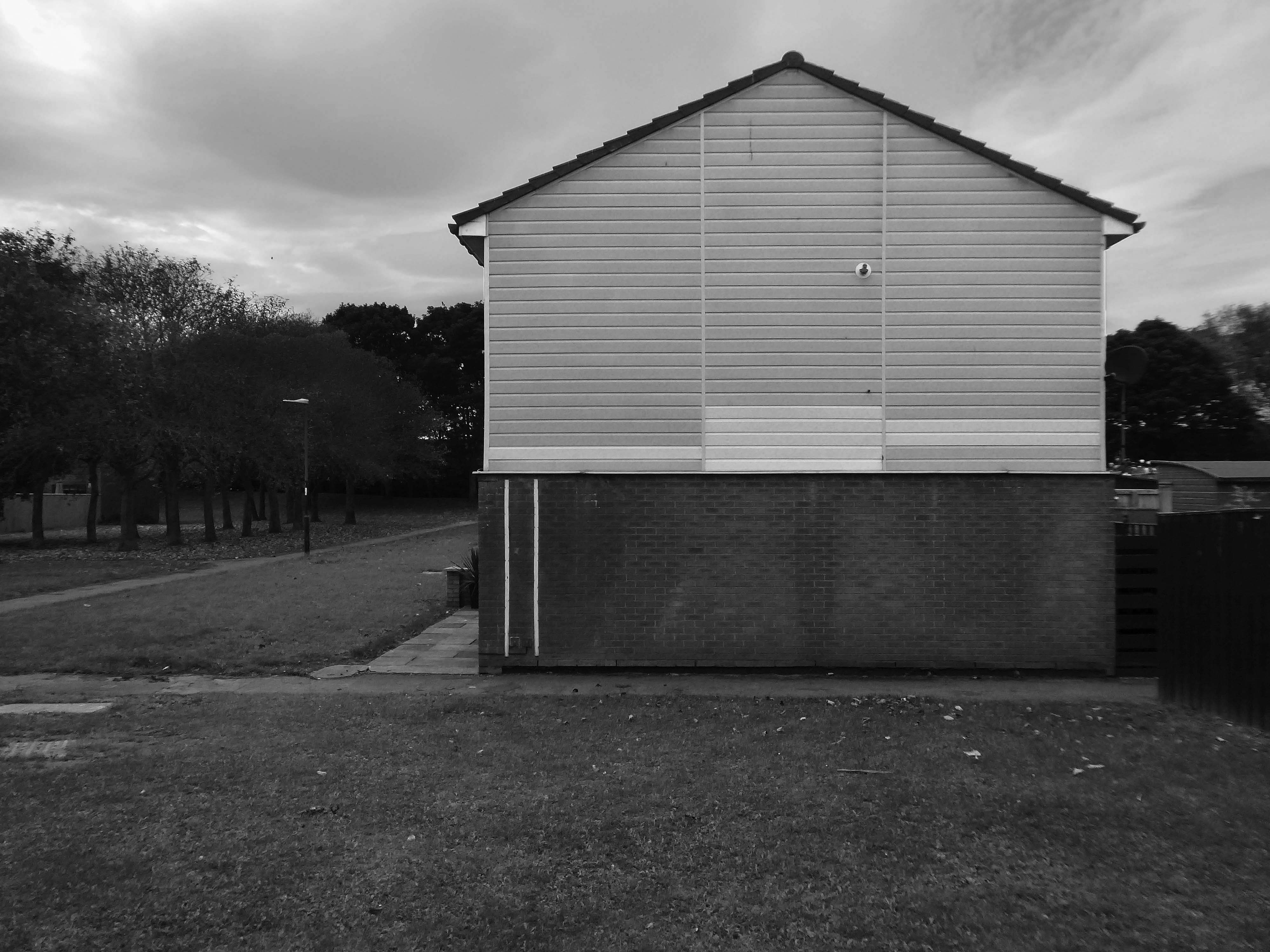
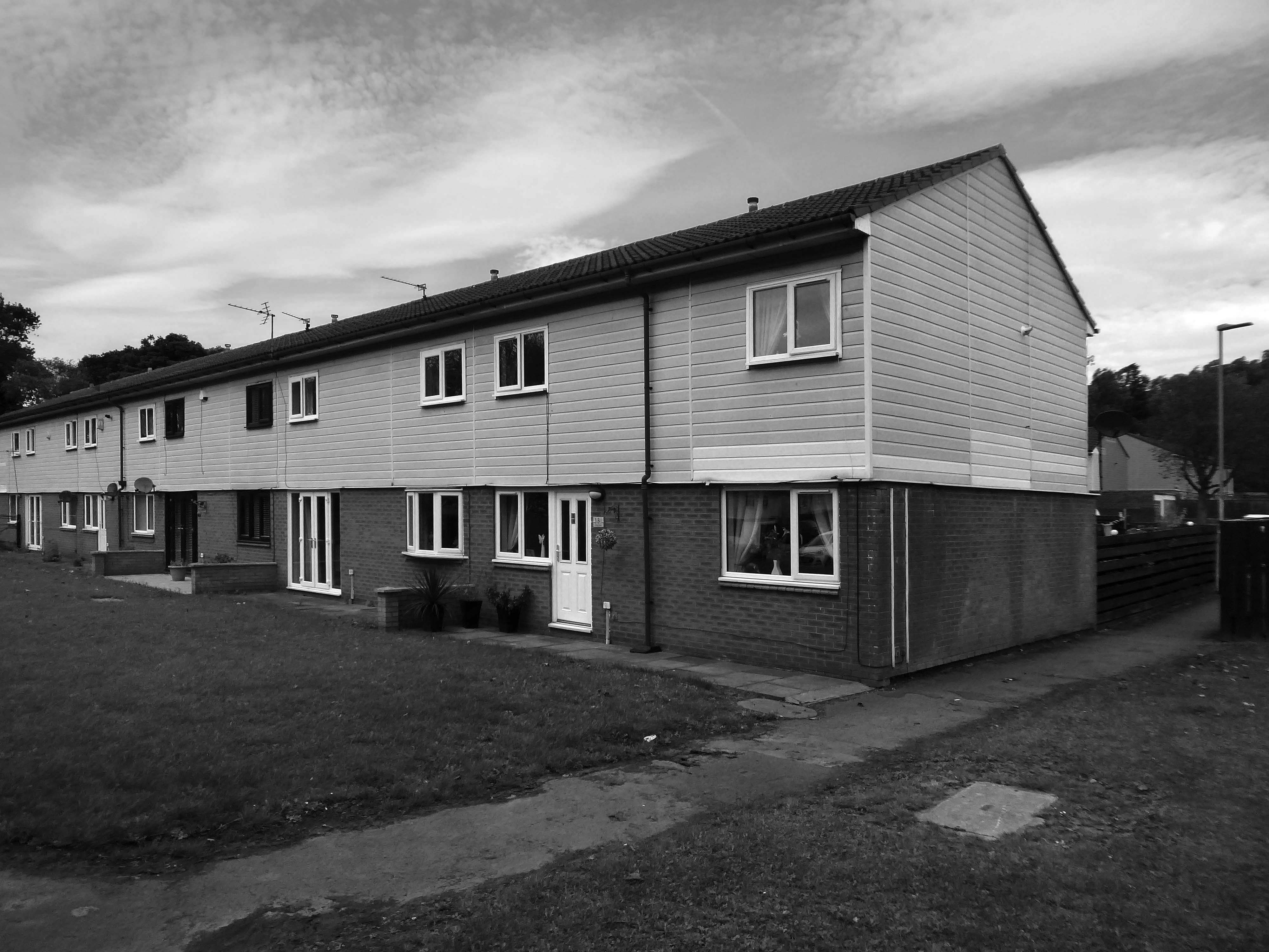
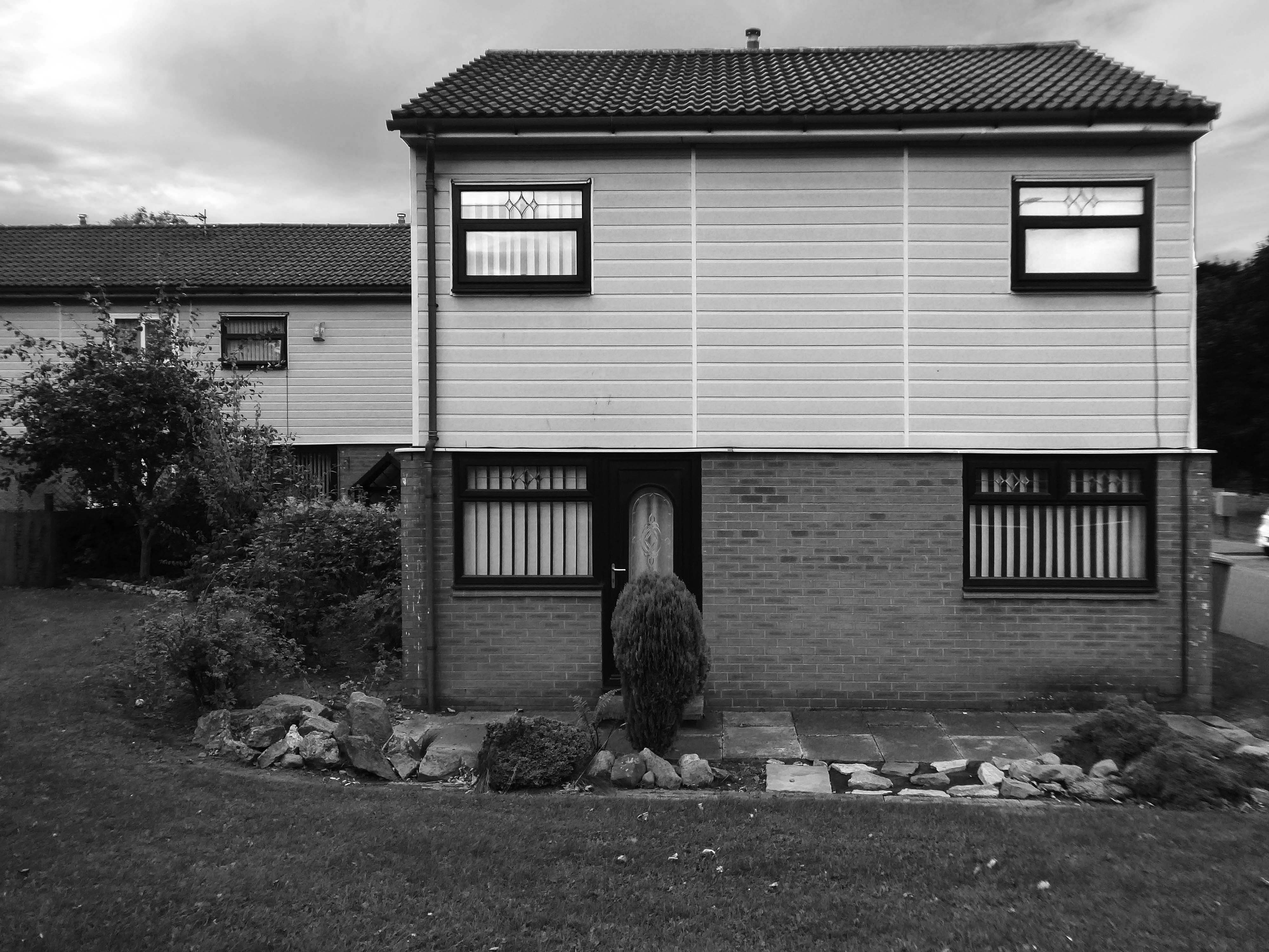
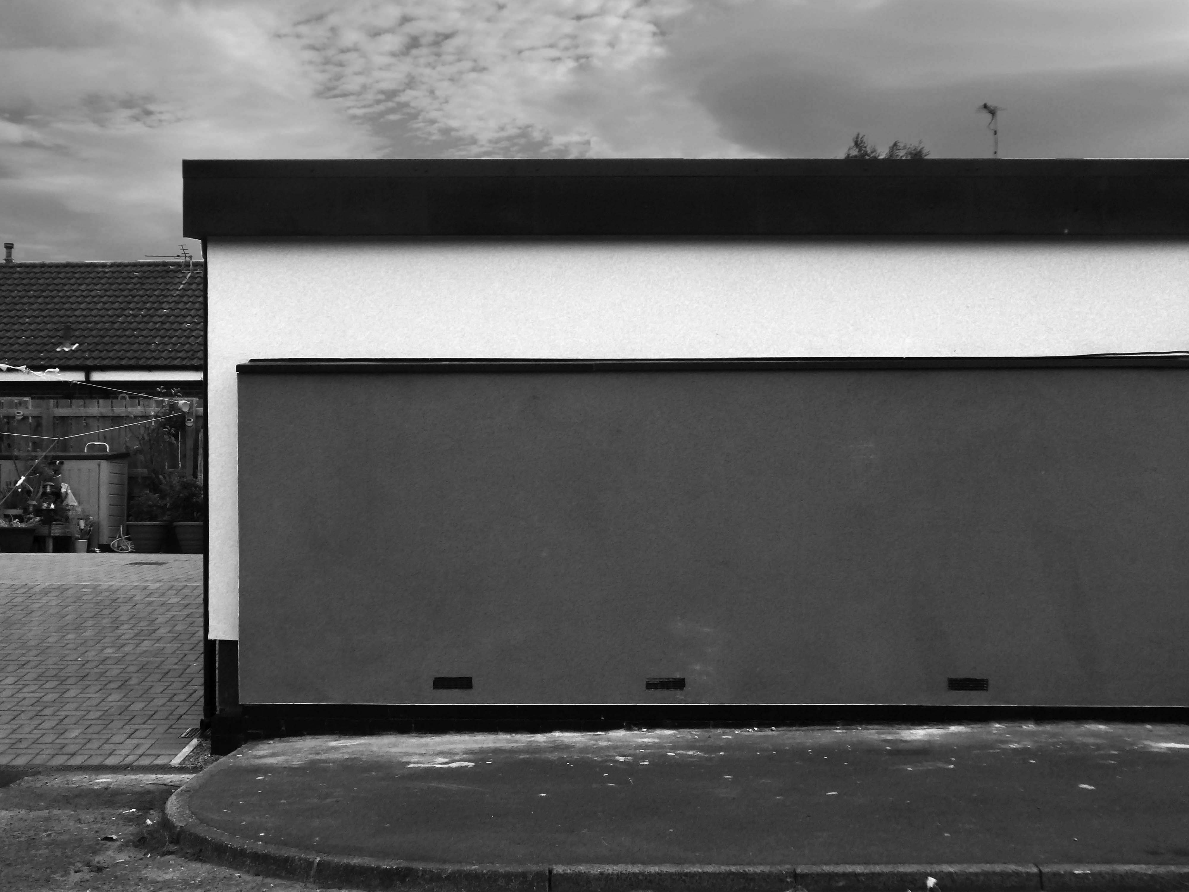
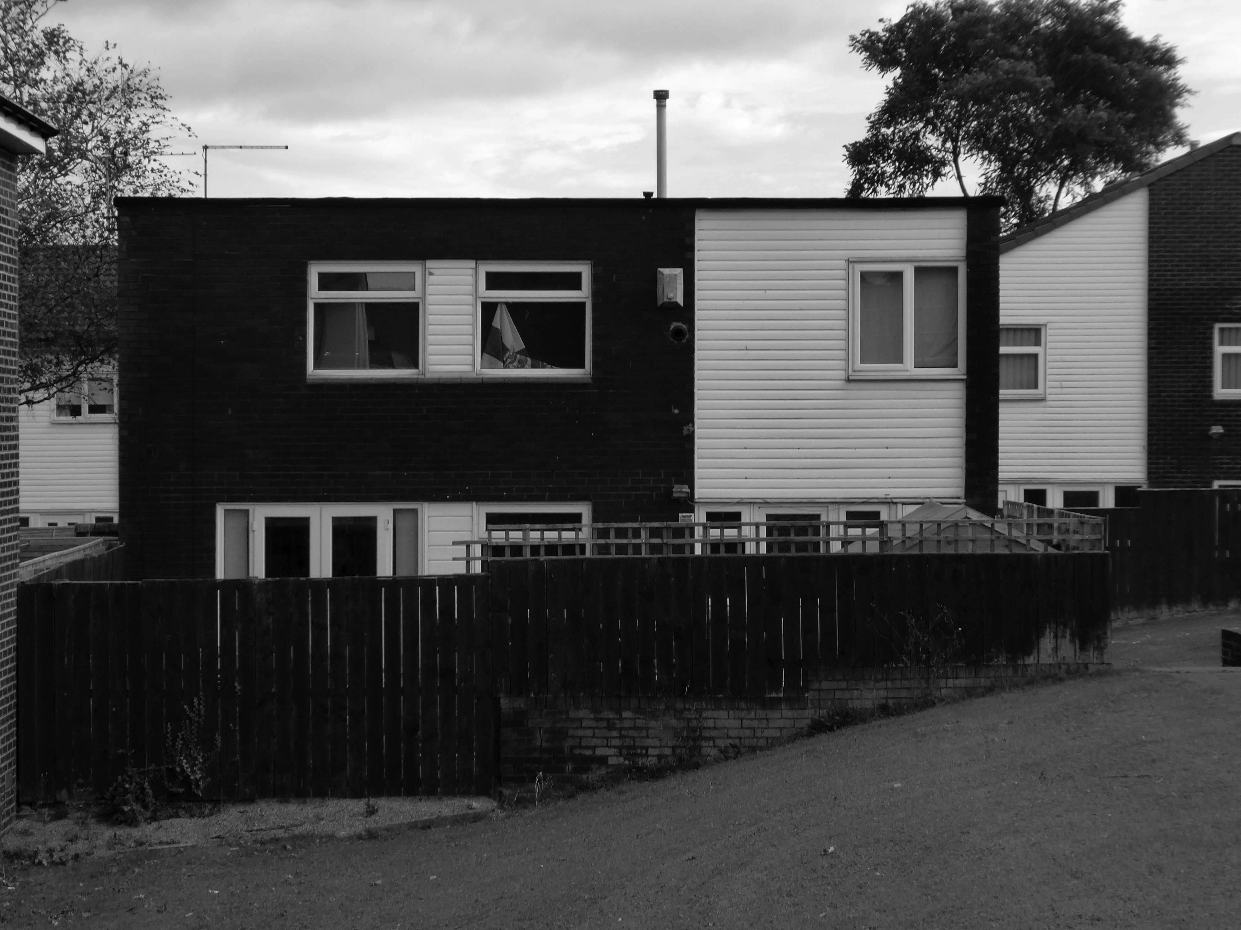
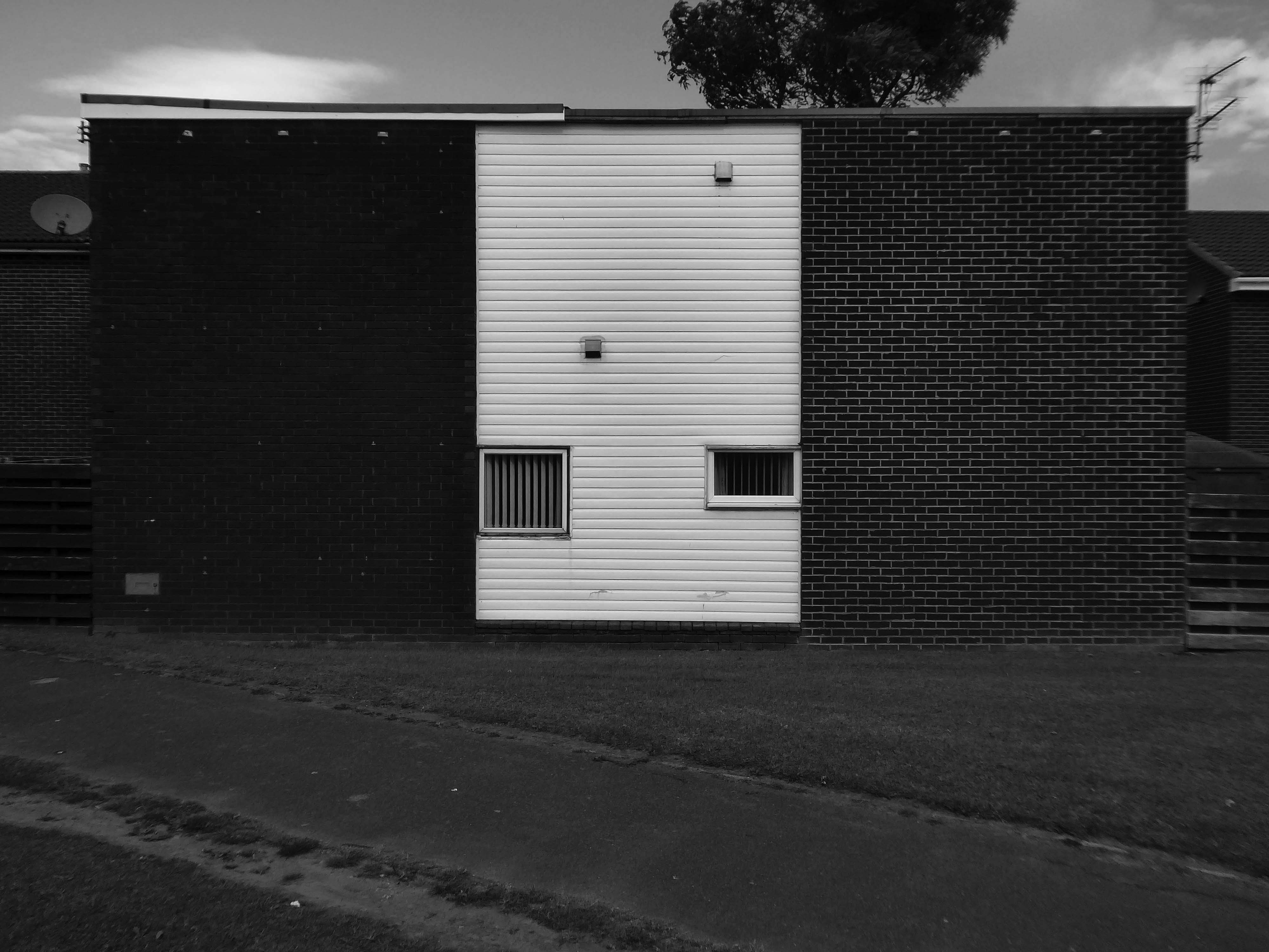
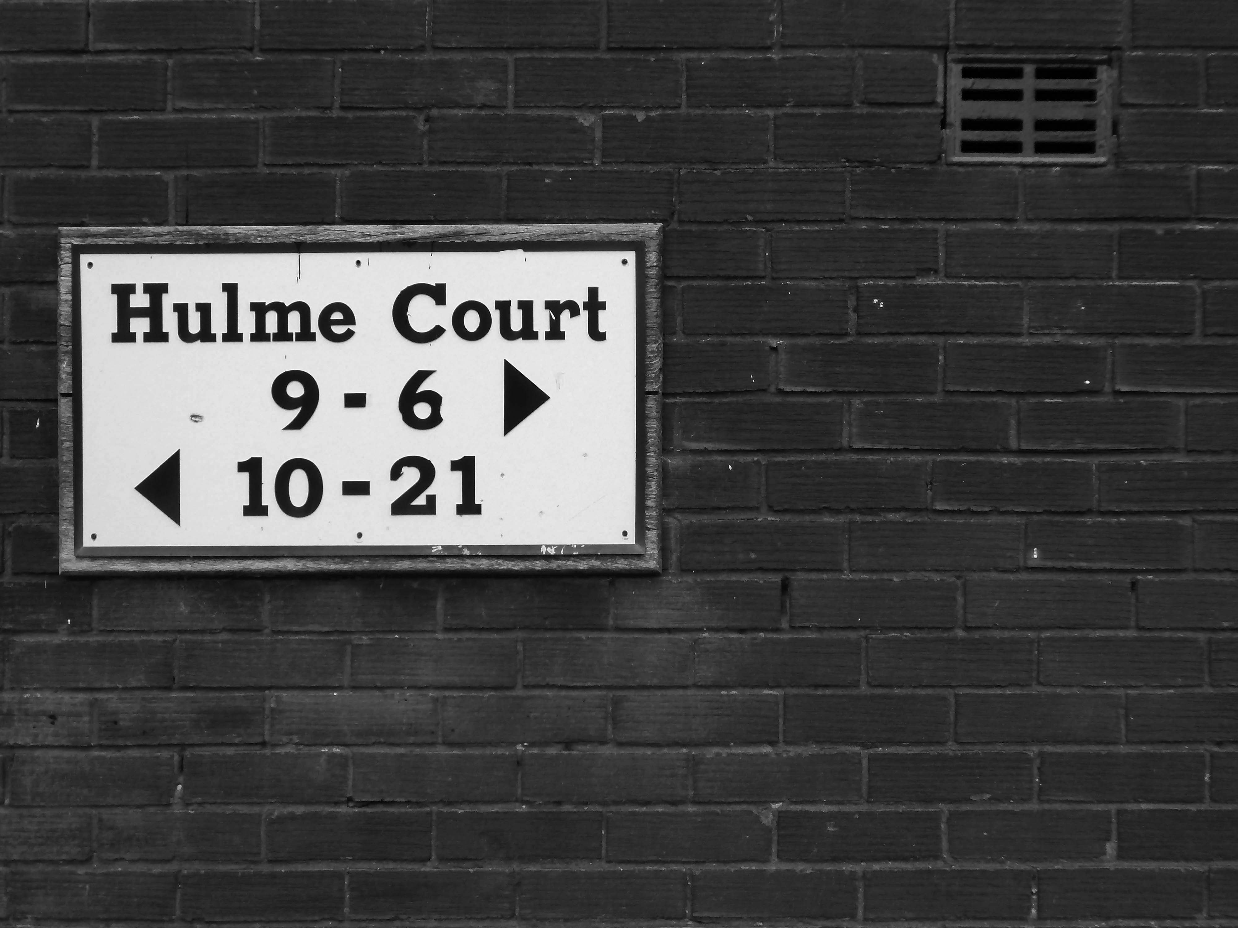
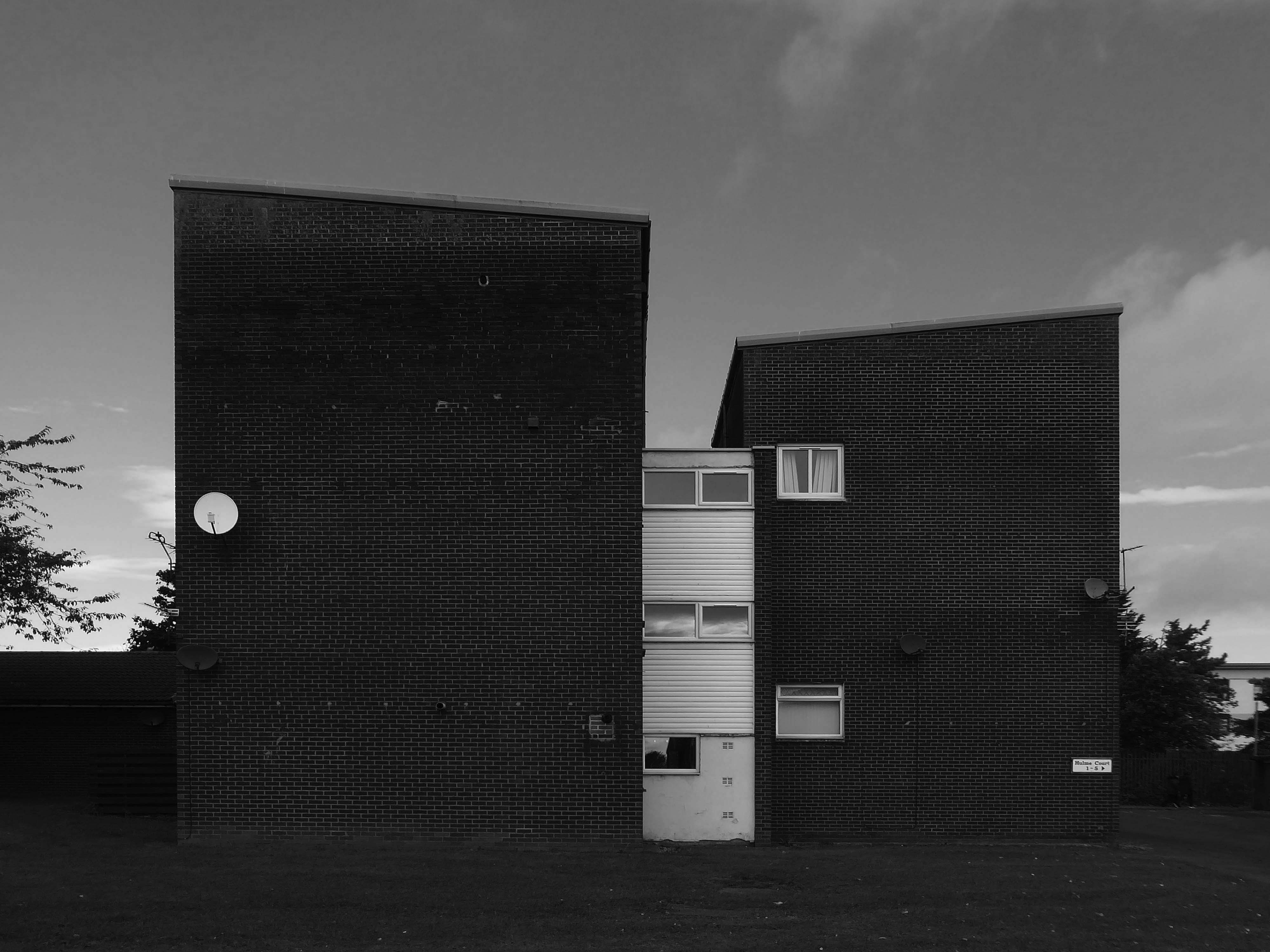
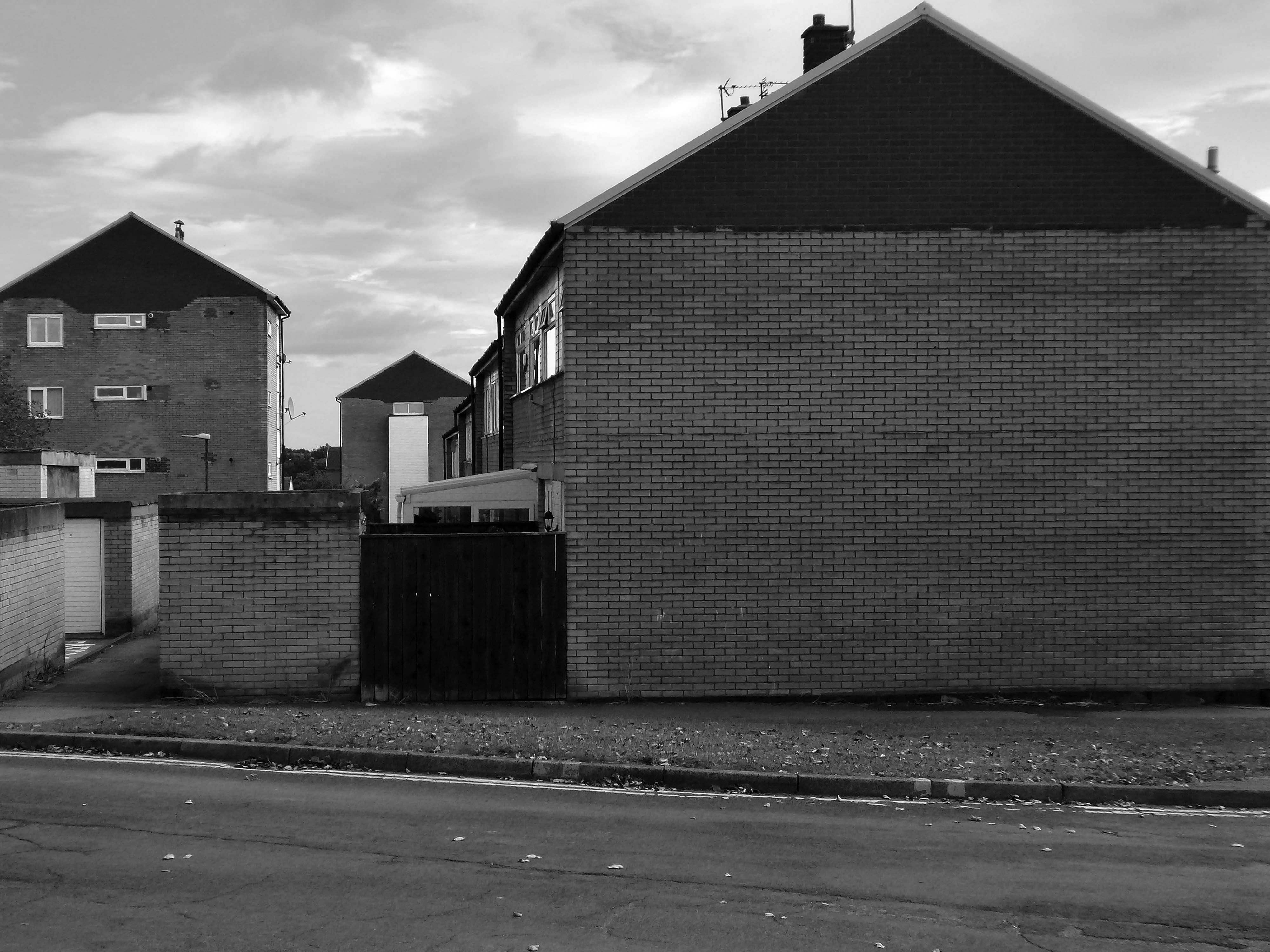
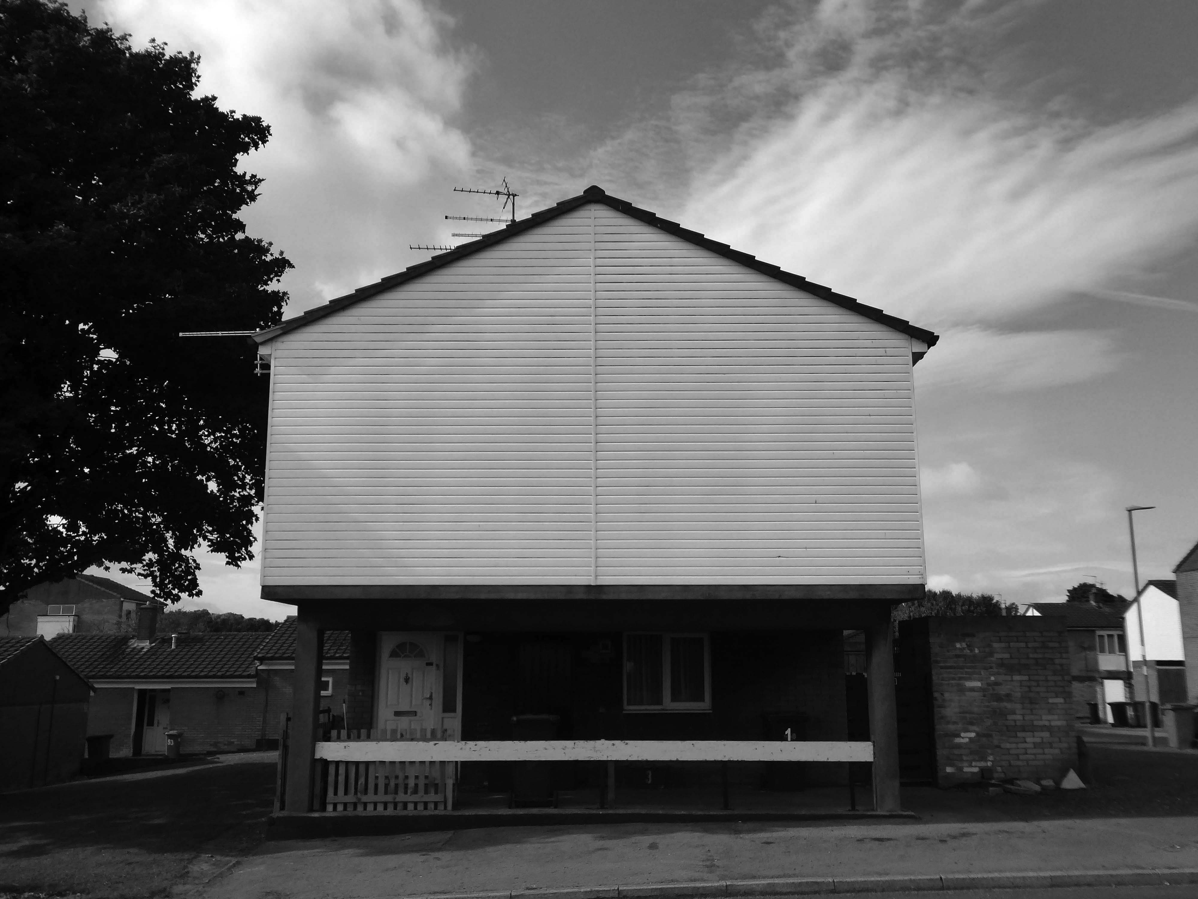
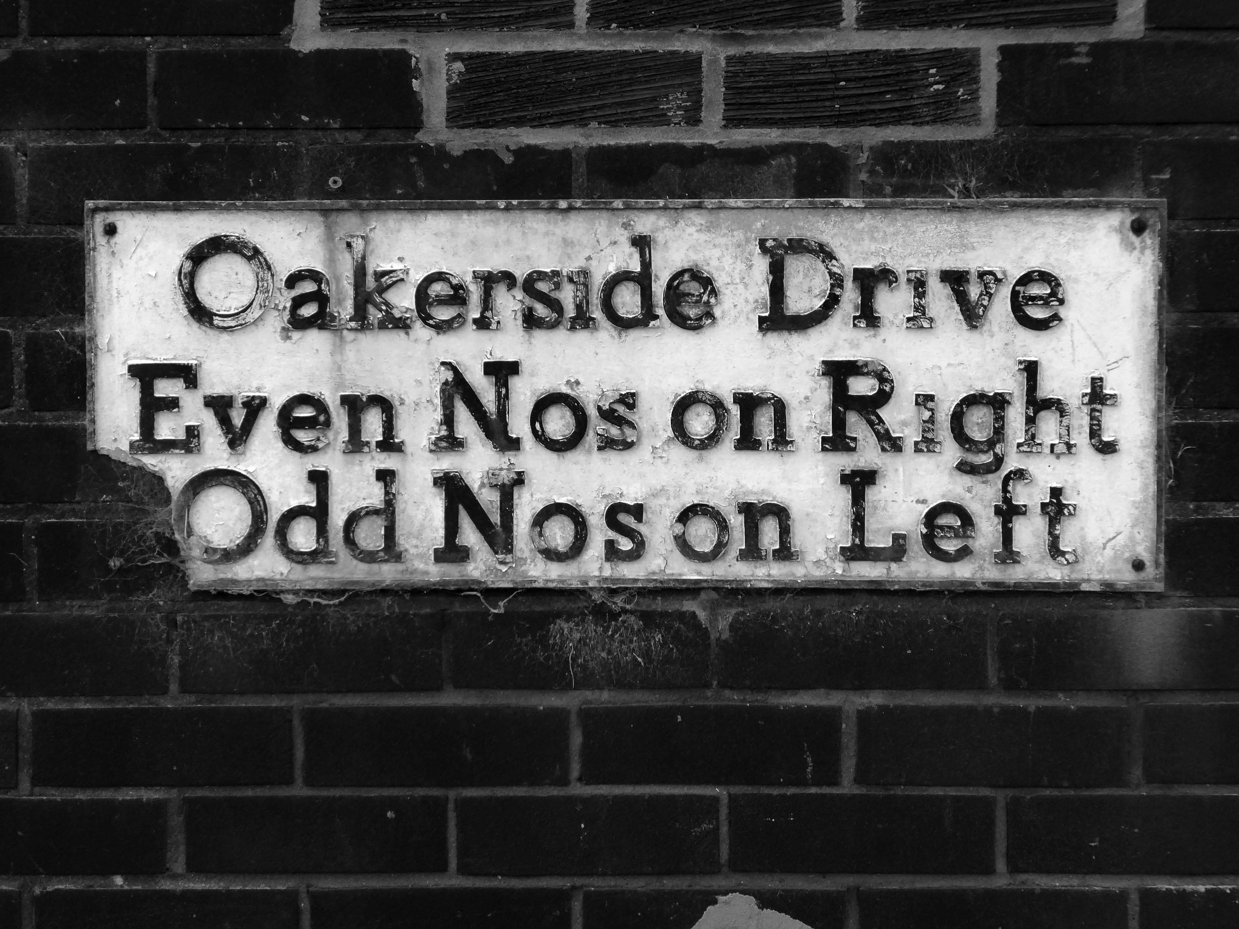
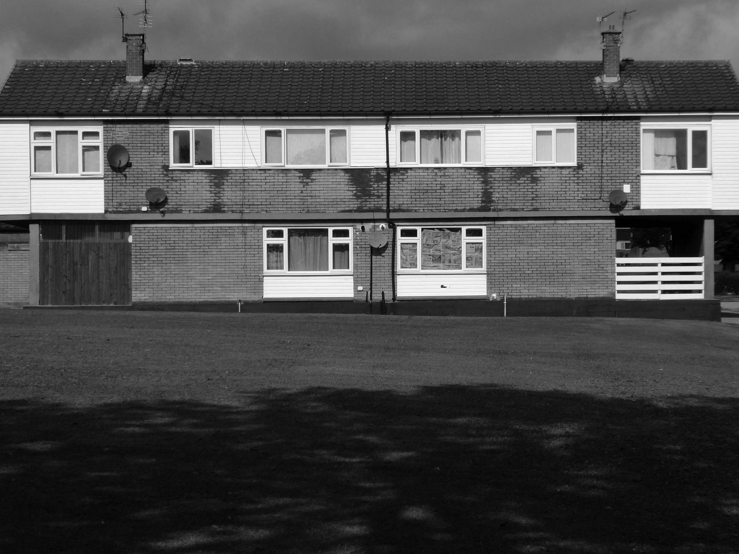
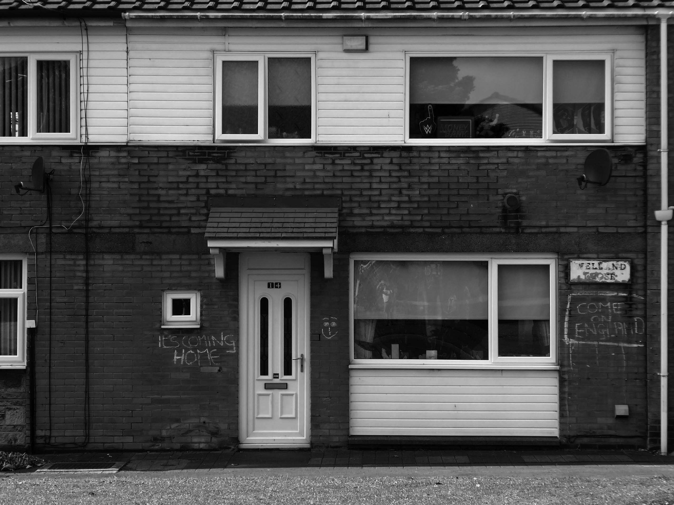
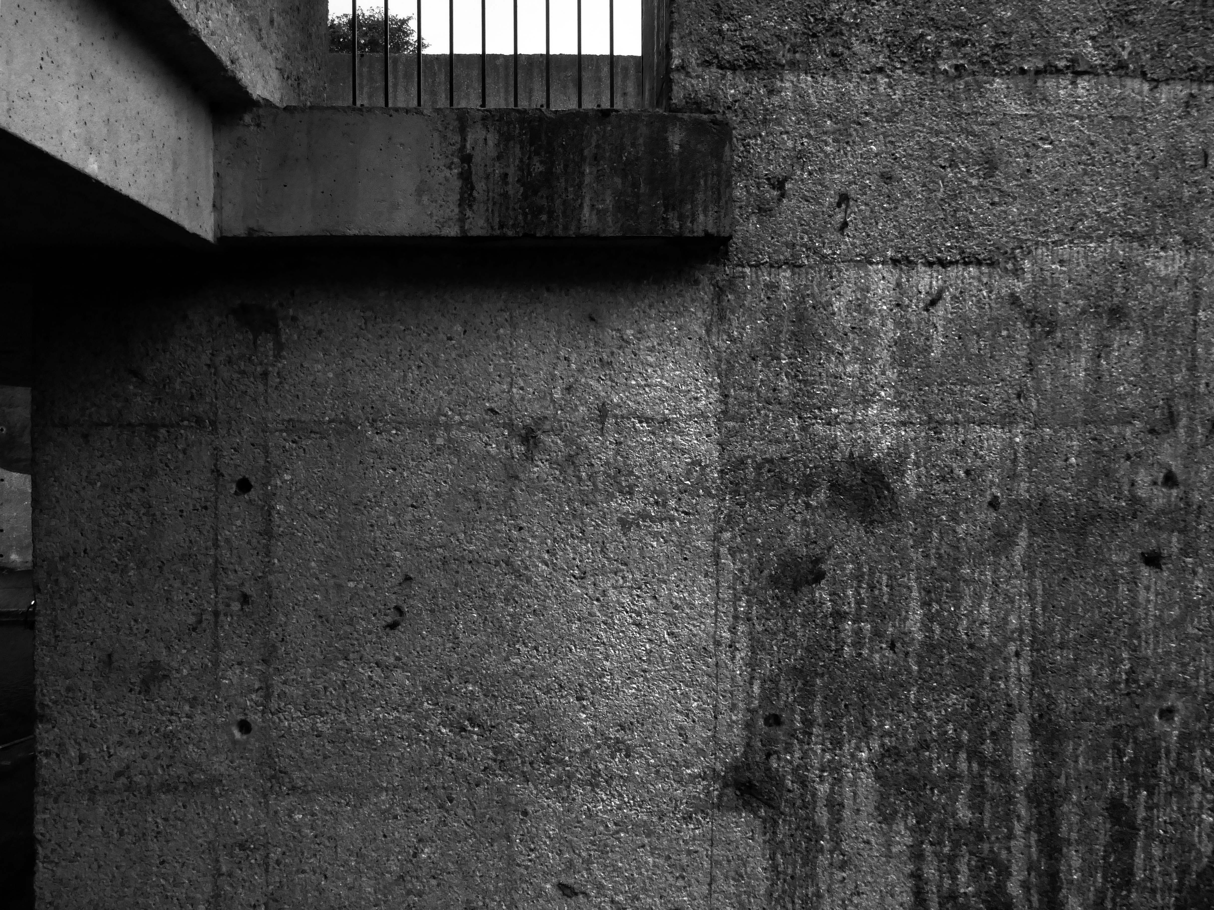
Tucked in behind the Telephone Exchange are several streets of Edwardian social housing – the Spring Gardens Scheme of 1905.
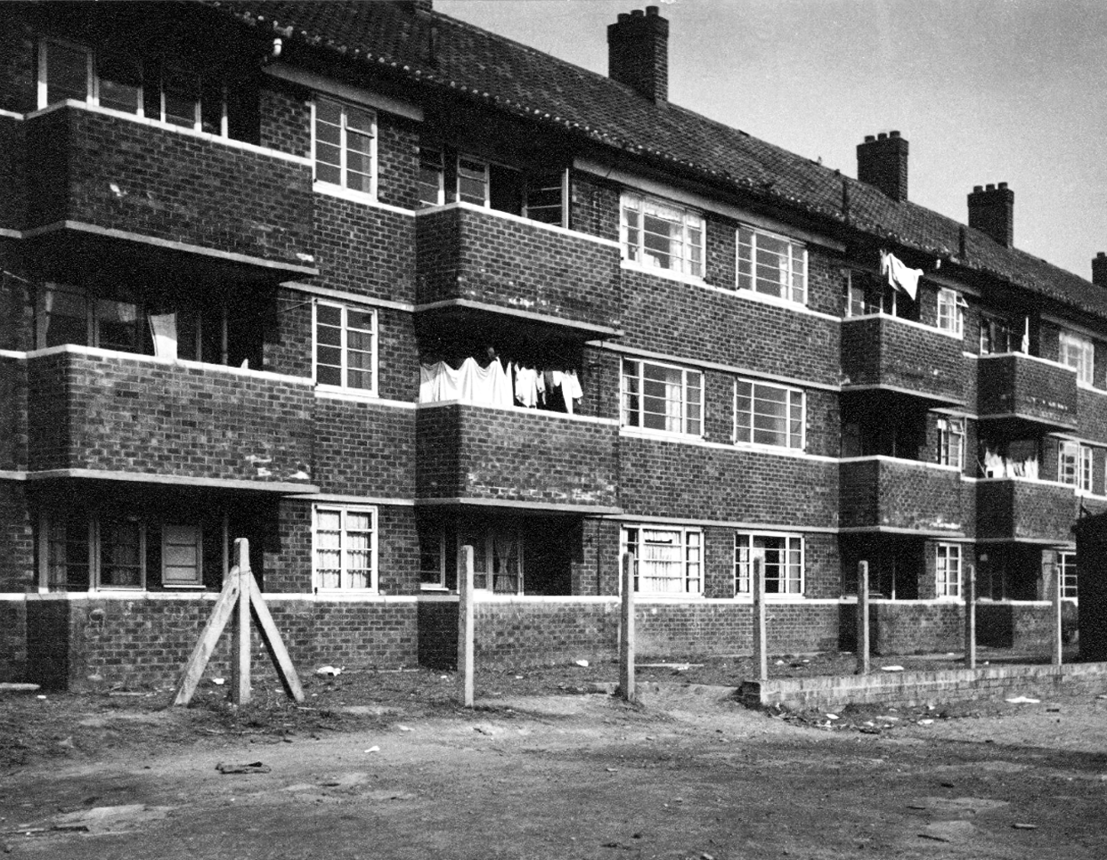
The property is practically paying its way, and all the present generation has to find is a small sum of ninety odd pounds for sinking funds. For this we get fifty-nine families decently housed, the rateable value of the town increased, a slum abolished, an eyesore removed, the health of the inhabitants remarkably improved, their environment made clean, refined, and elevating, whilst our successors in 1959 will inherit an unencumbered estate.
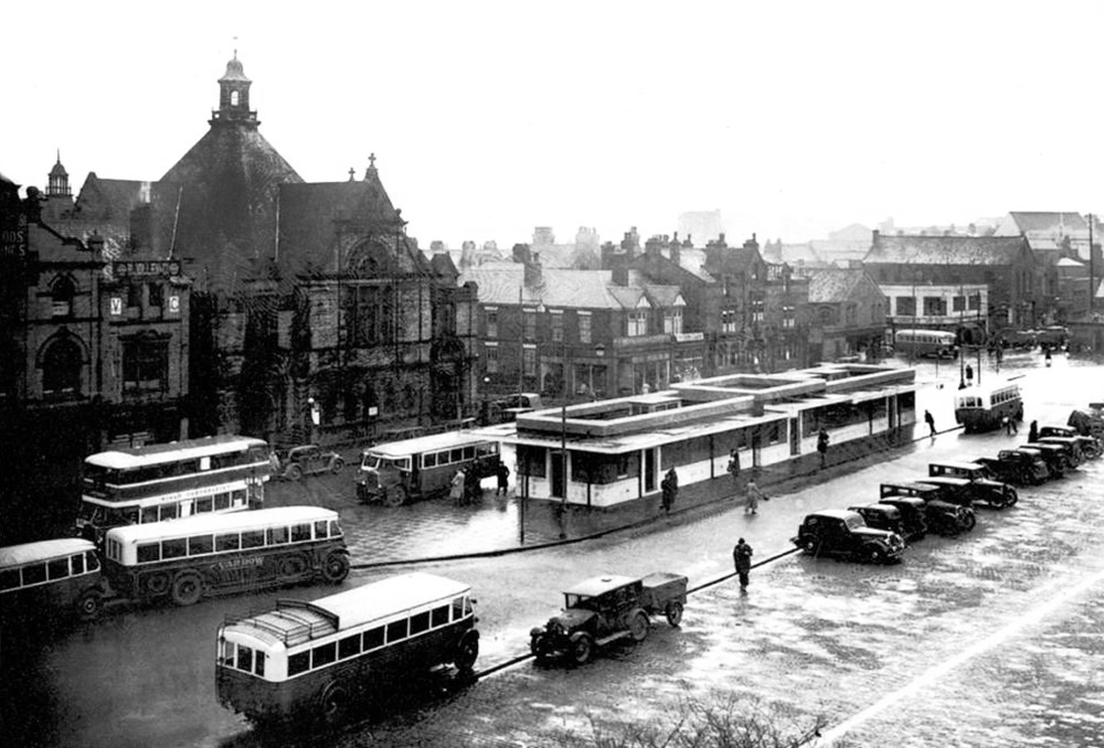
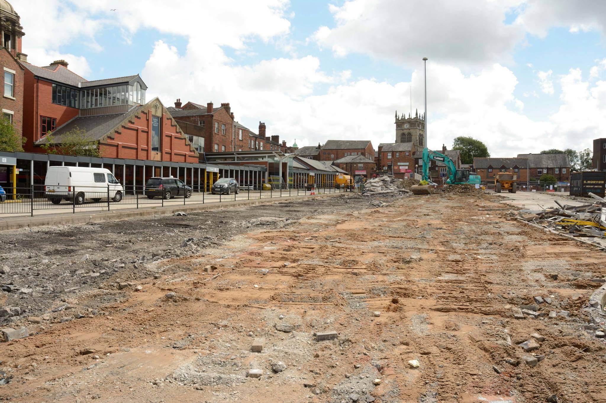
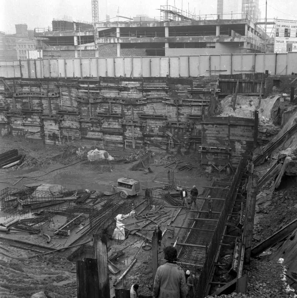
It was demolished in 1985 as part of a wider redevelopment of the town centre to make way for the Galleries Shopping Centre. A new bus station, built at a cost of £2.3 million, began construction in April 1986, and opened in November 1987.
Wikipedia
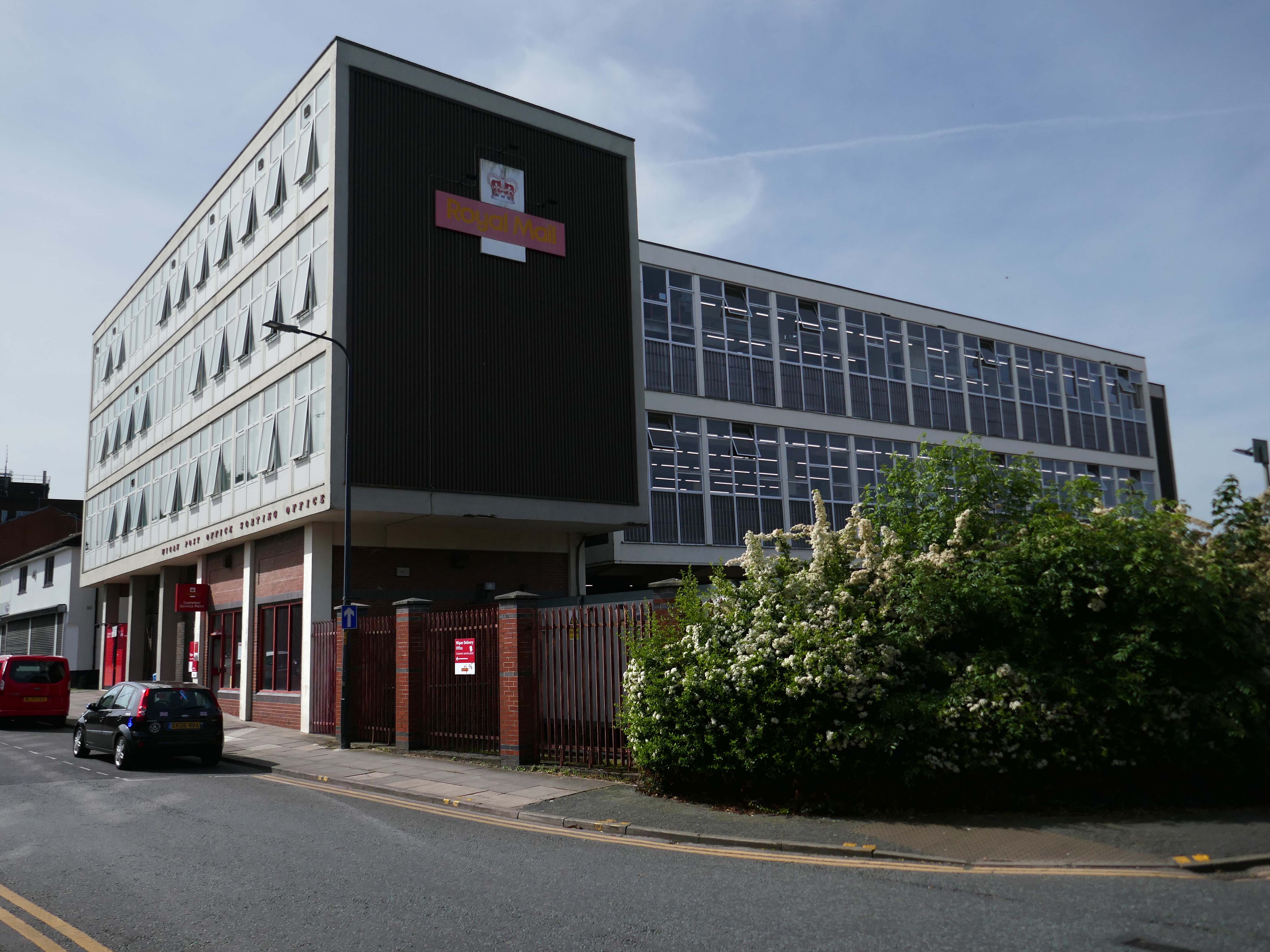
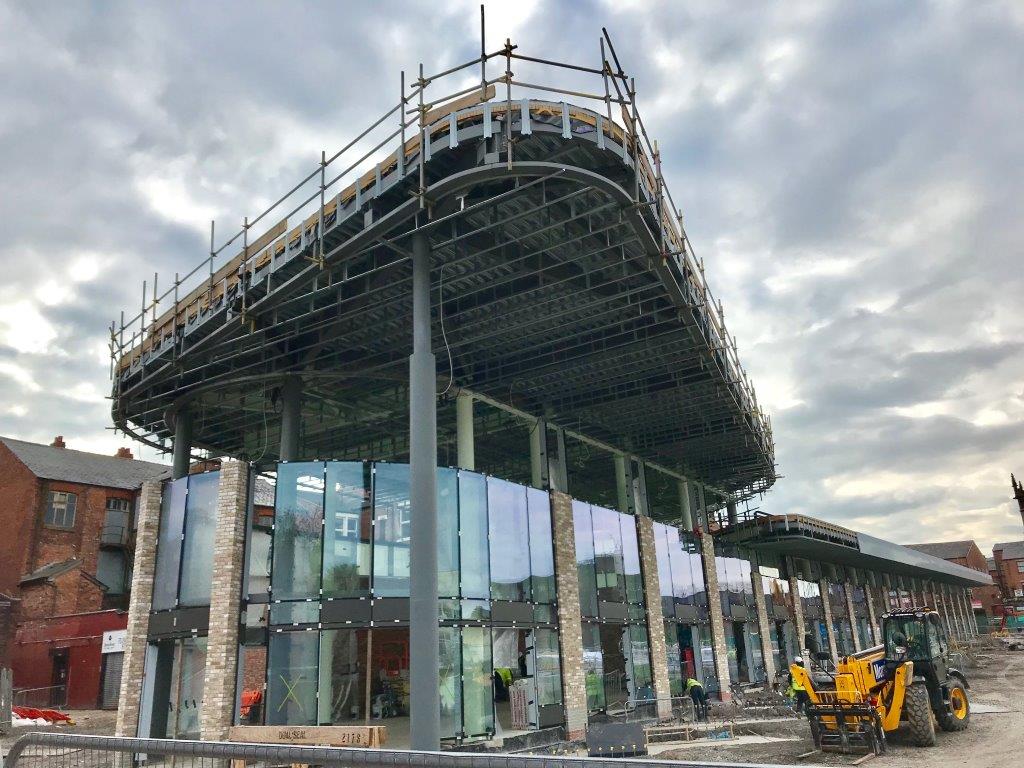
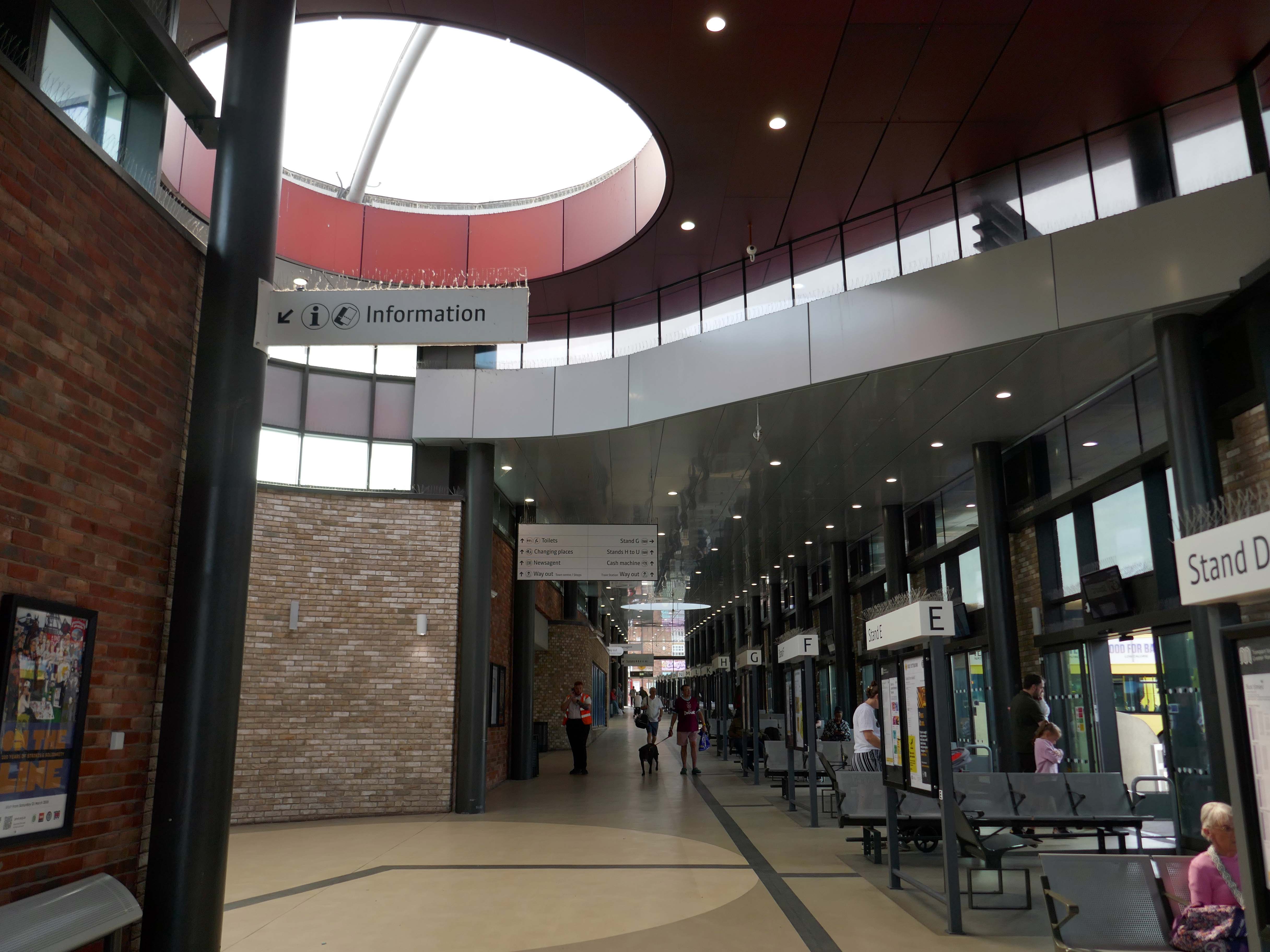
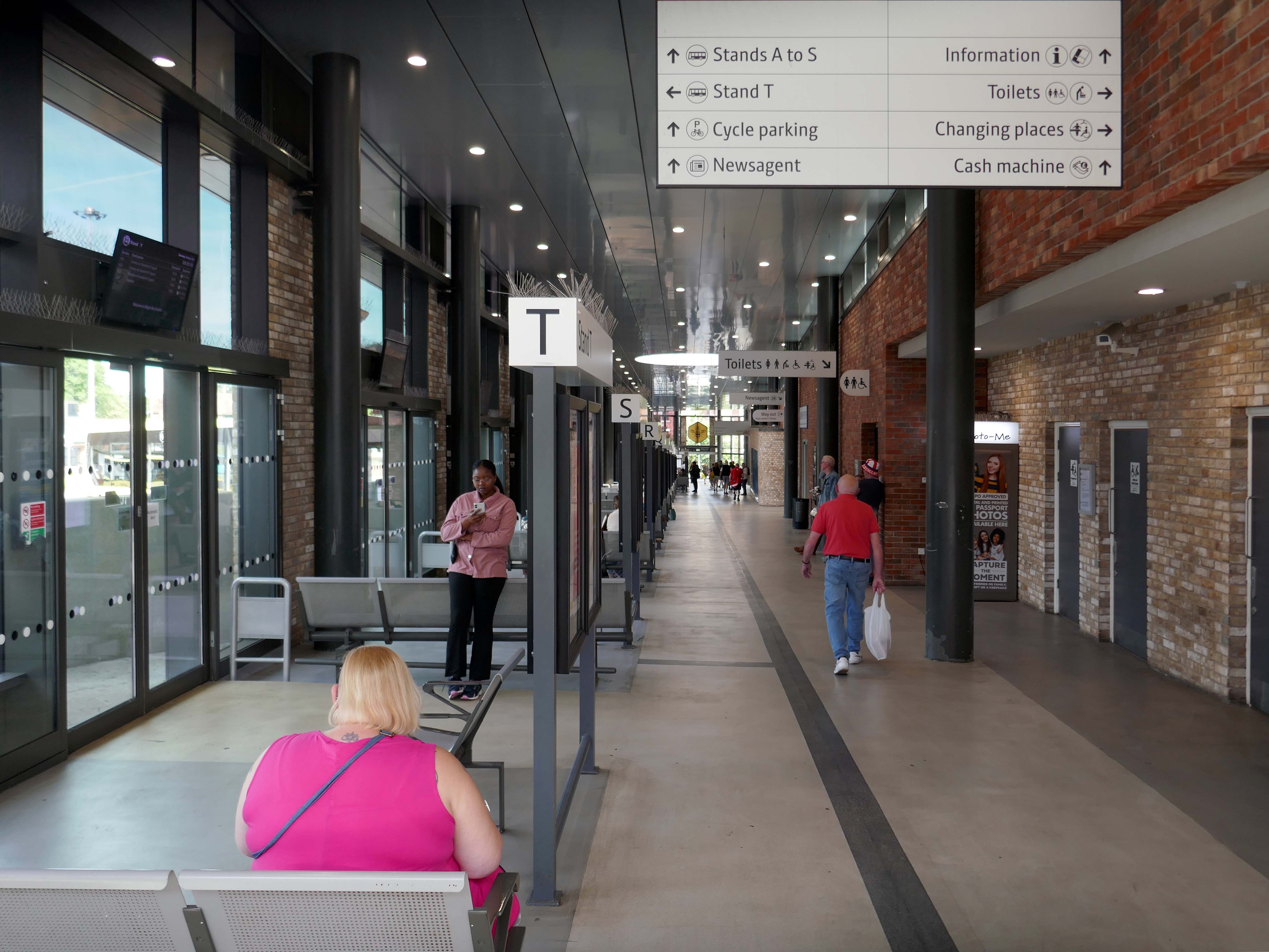
Transport for Greater Manchester commissioned Austin-Smith:Lordto design a replacement nineteen stand £15.7m bus station in Wigan Town Centre, the project was completed in October 2018.
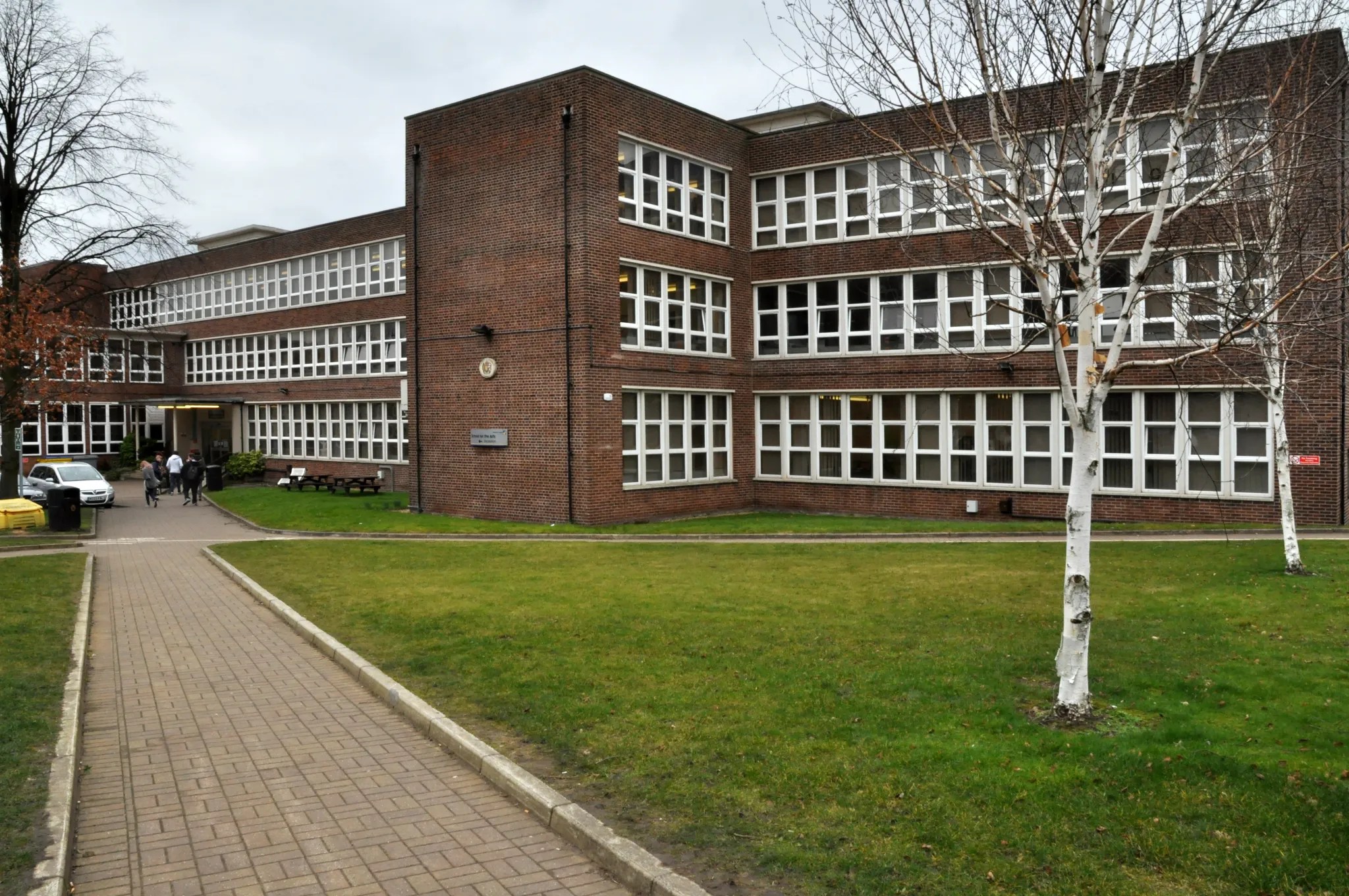
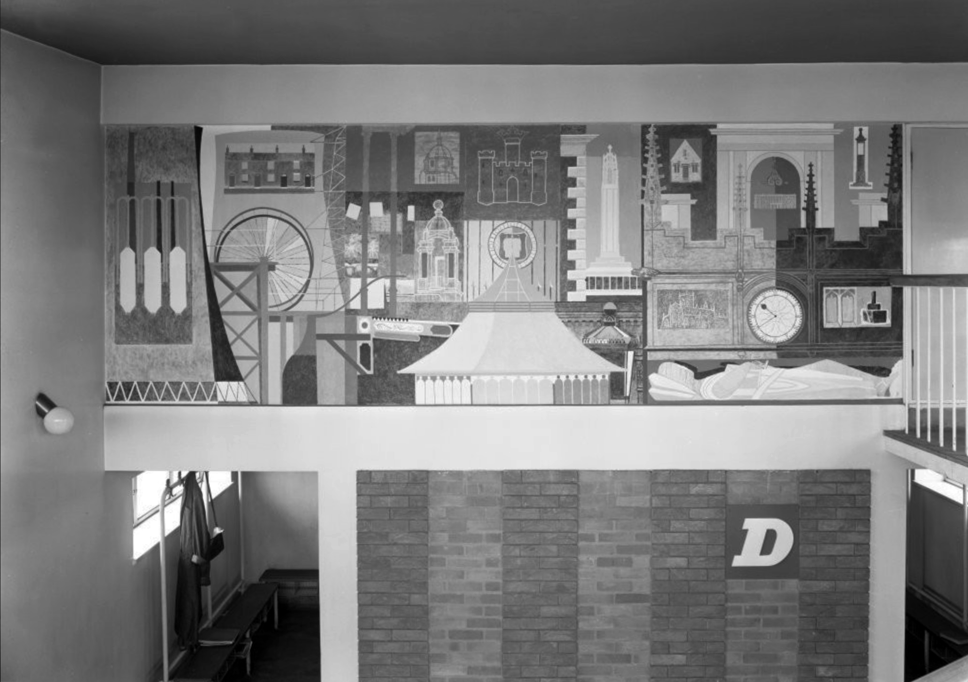
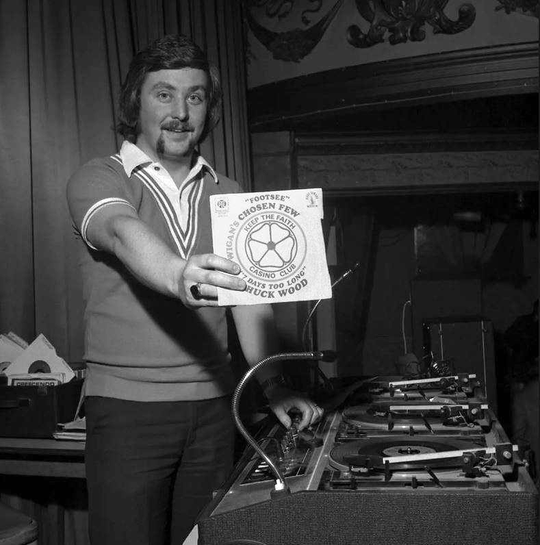
DJ Russ Winstanley was a former pupil, here he is in 1975 at the Wigan Casino holding up a copy of Footsee by Wigan’s Chosen Few b/w Seven Days Too Long by Chuck Wood.
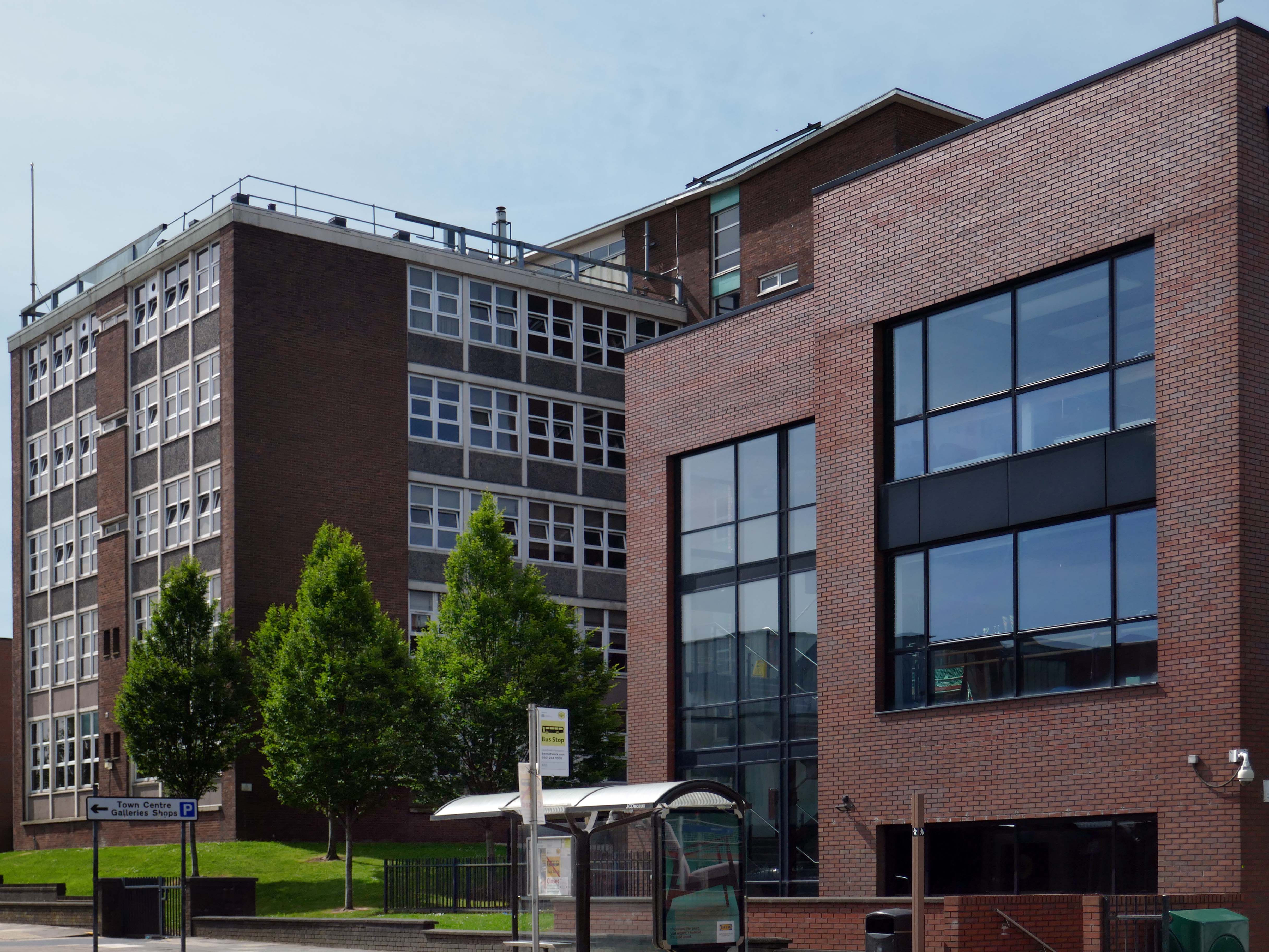
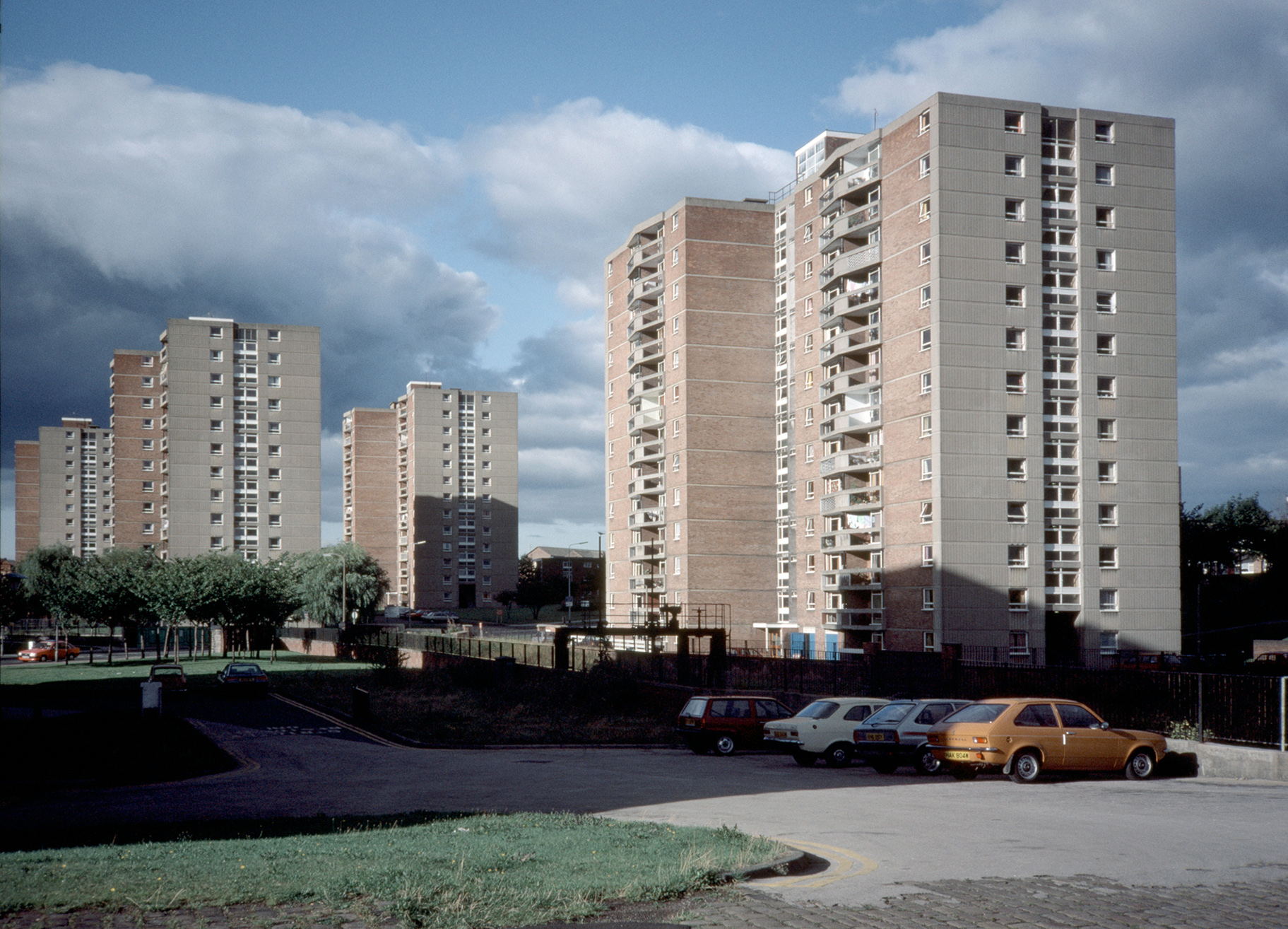
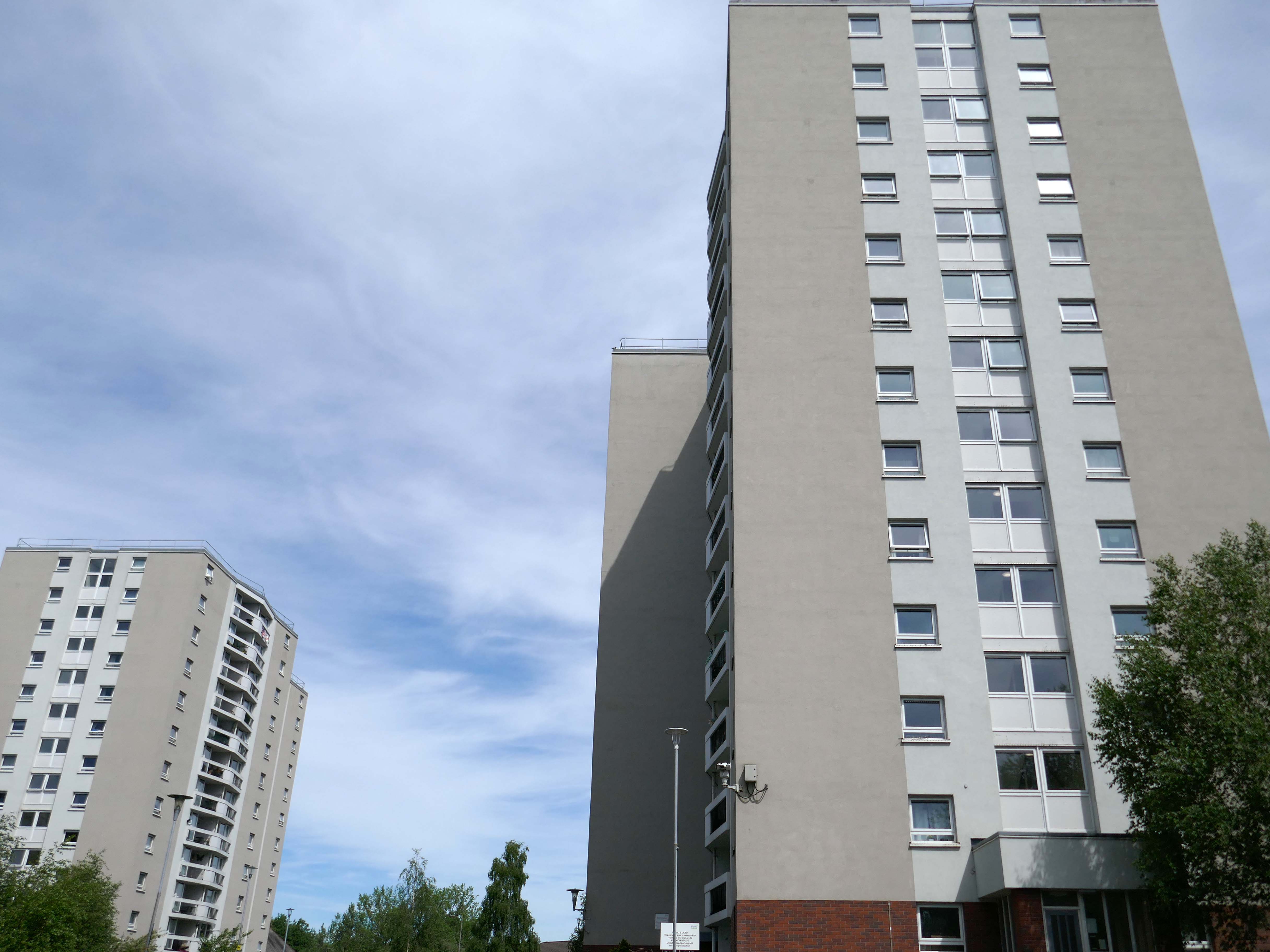
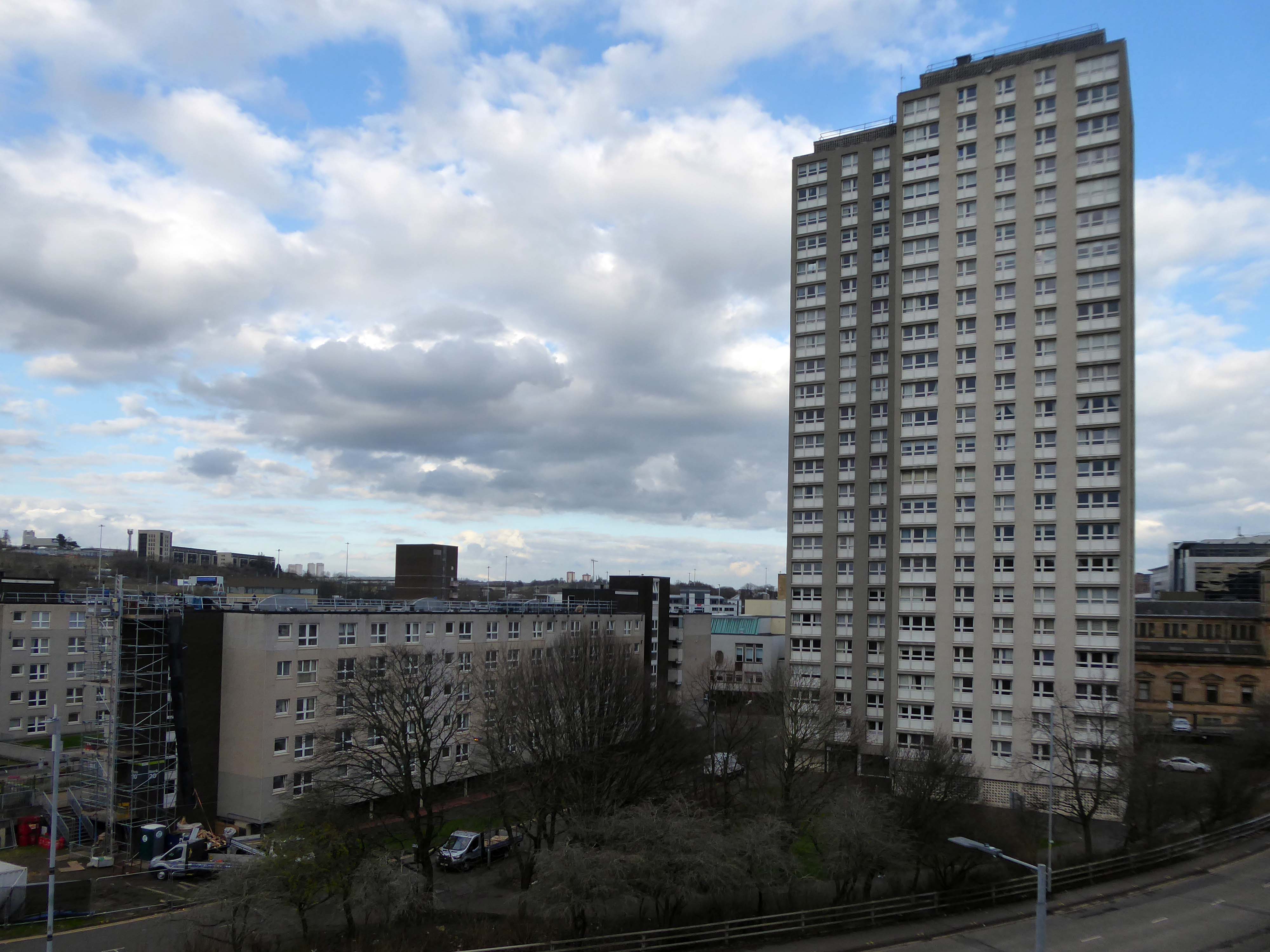
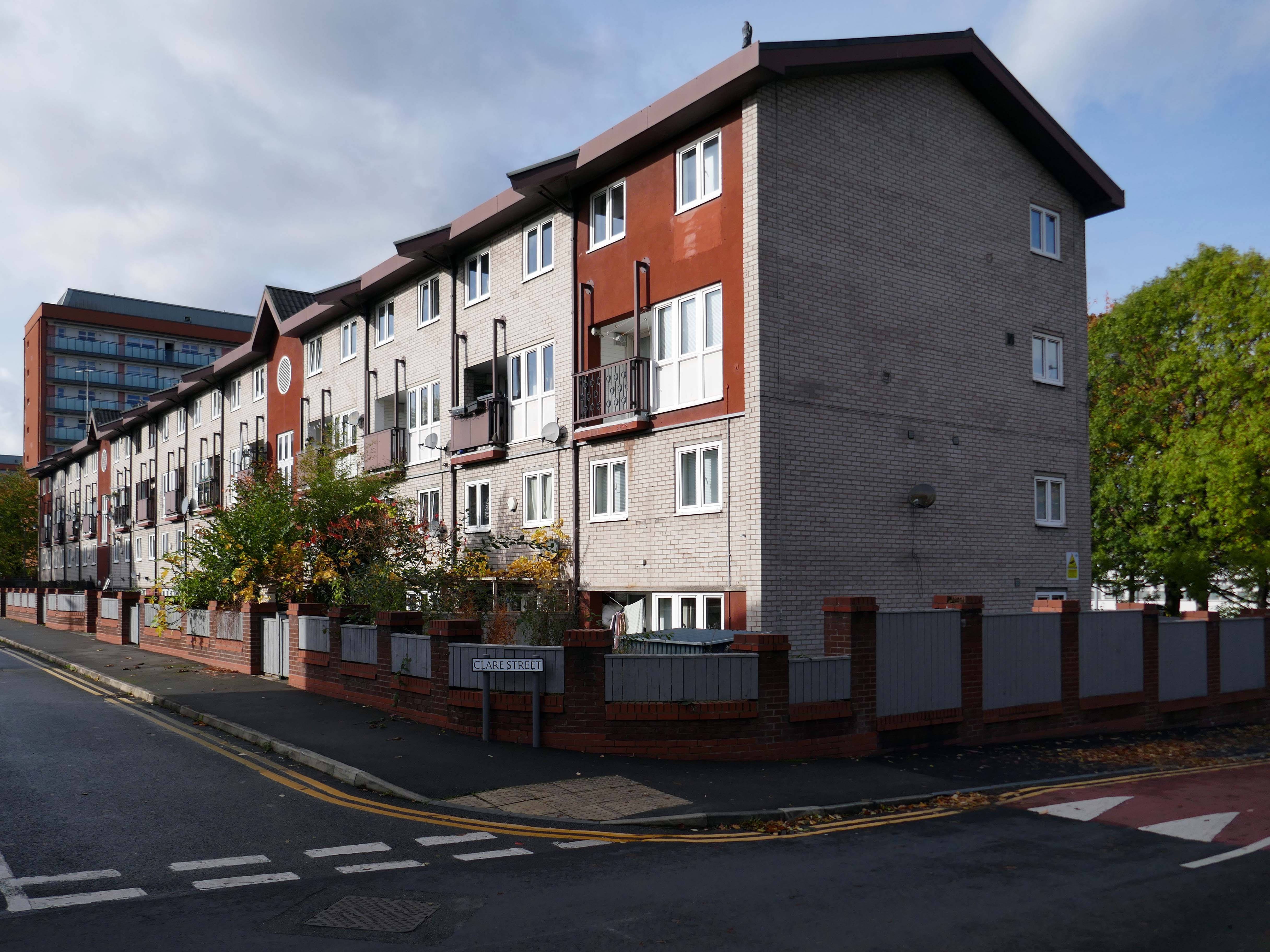
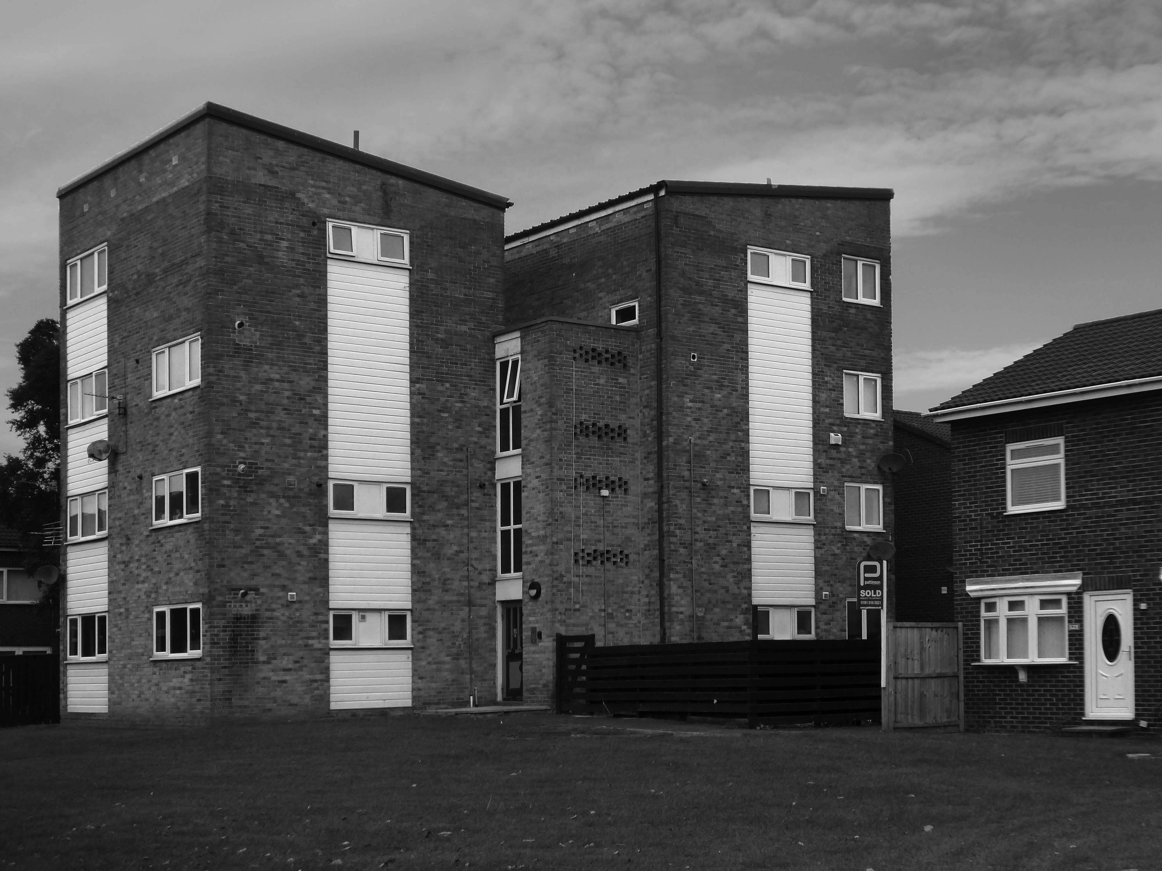
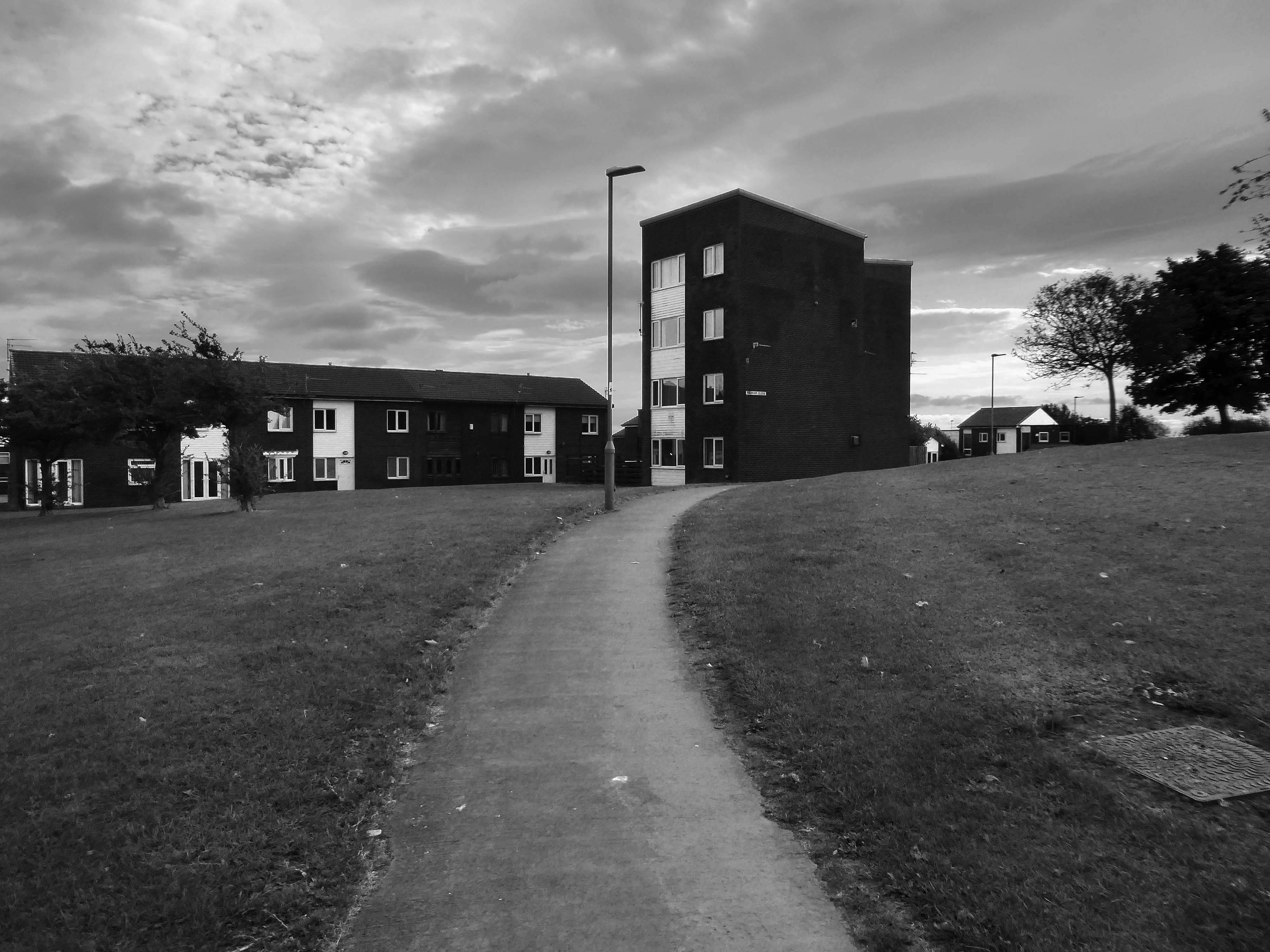
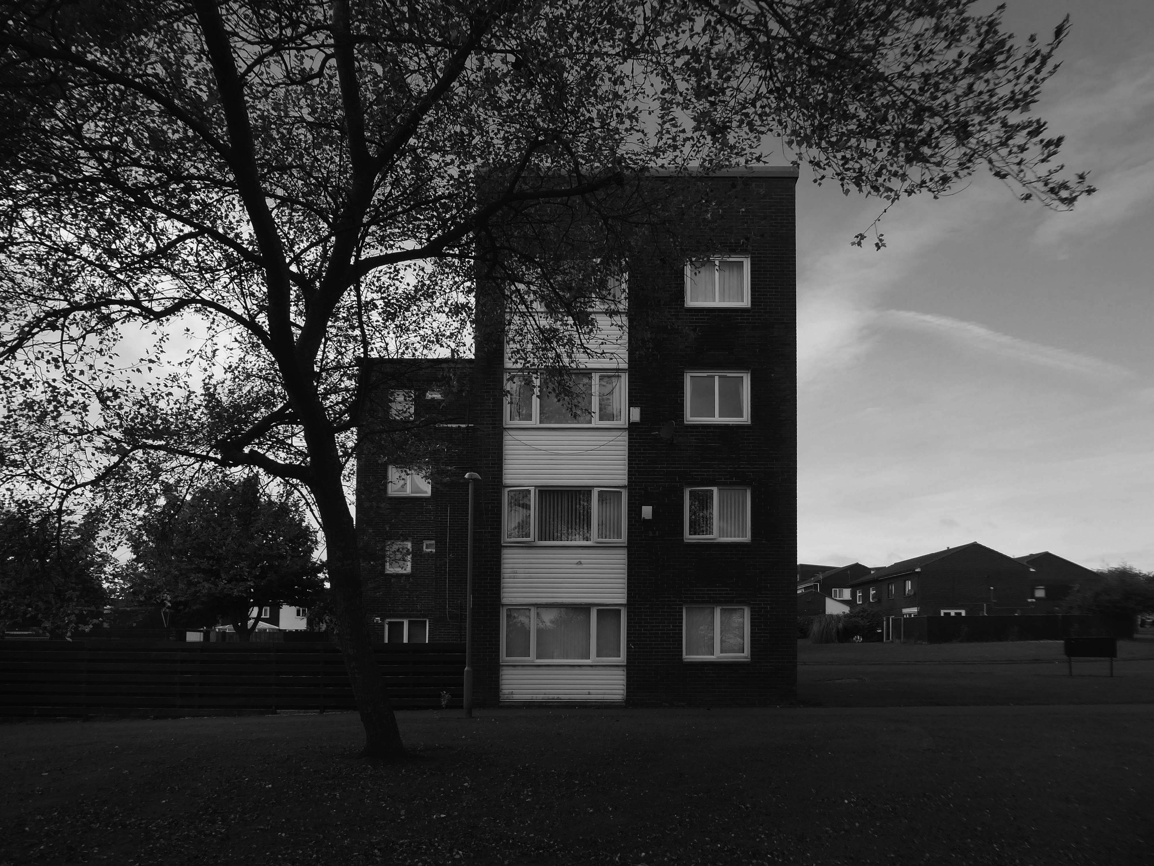
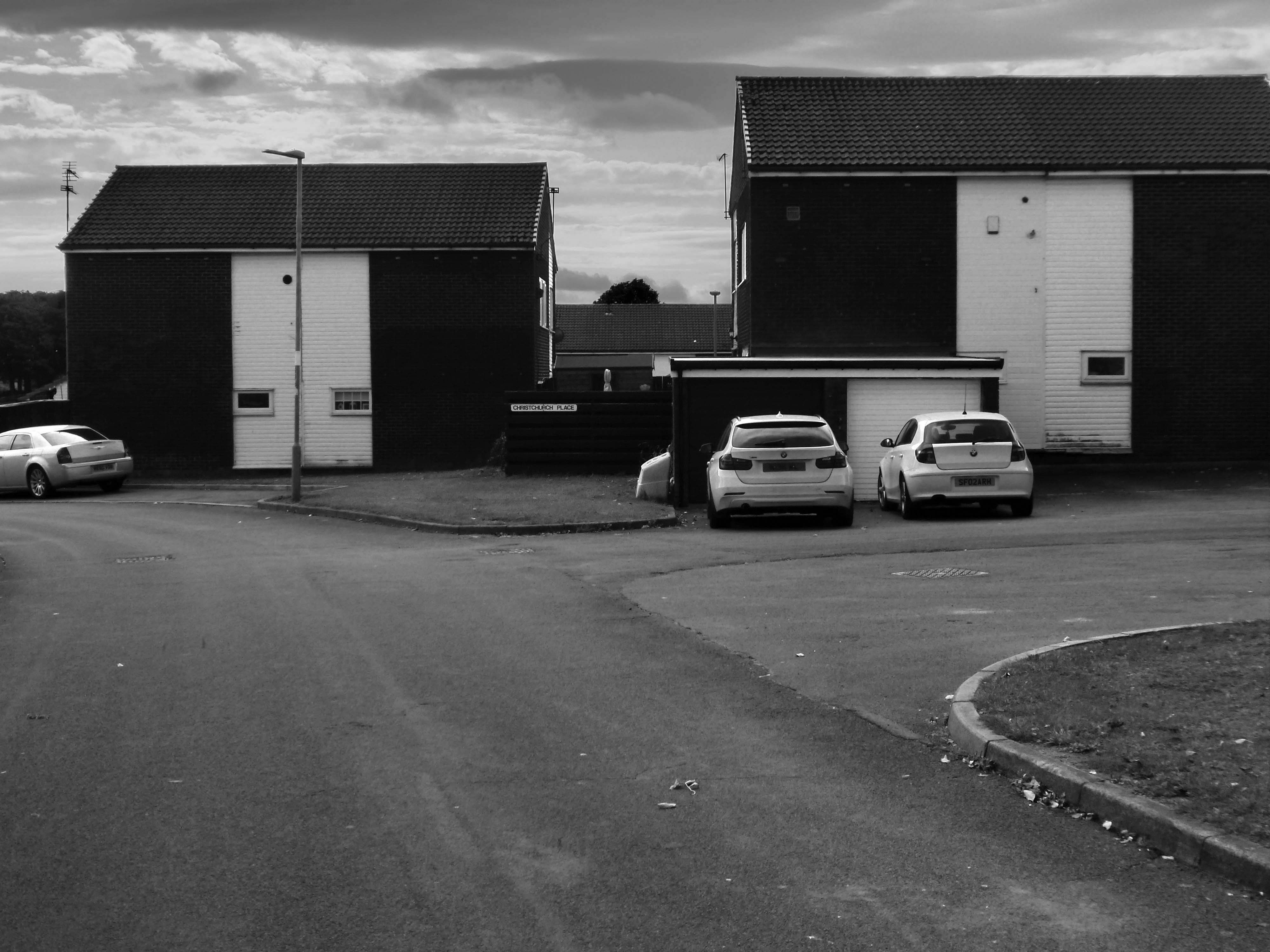
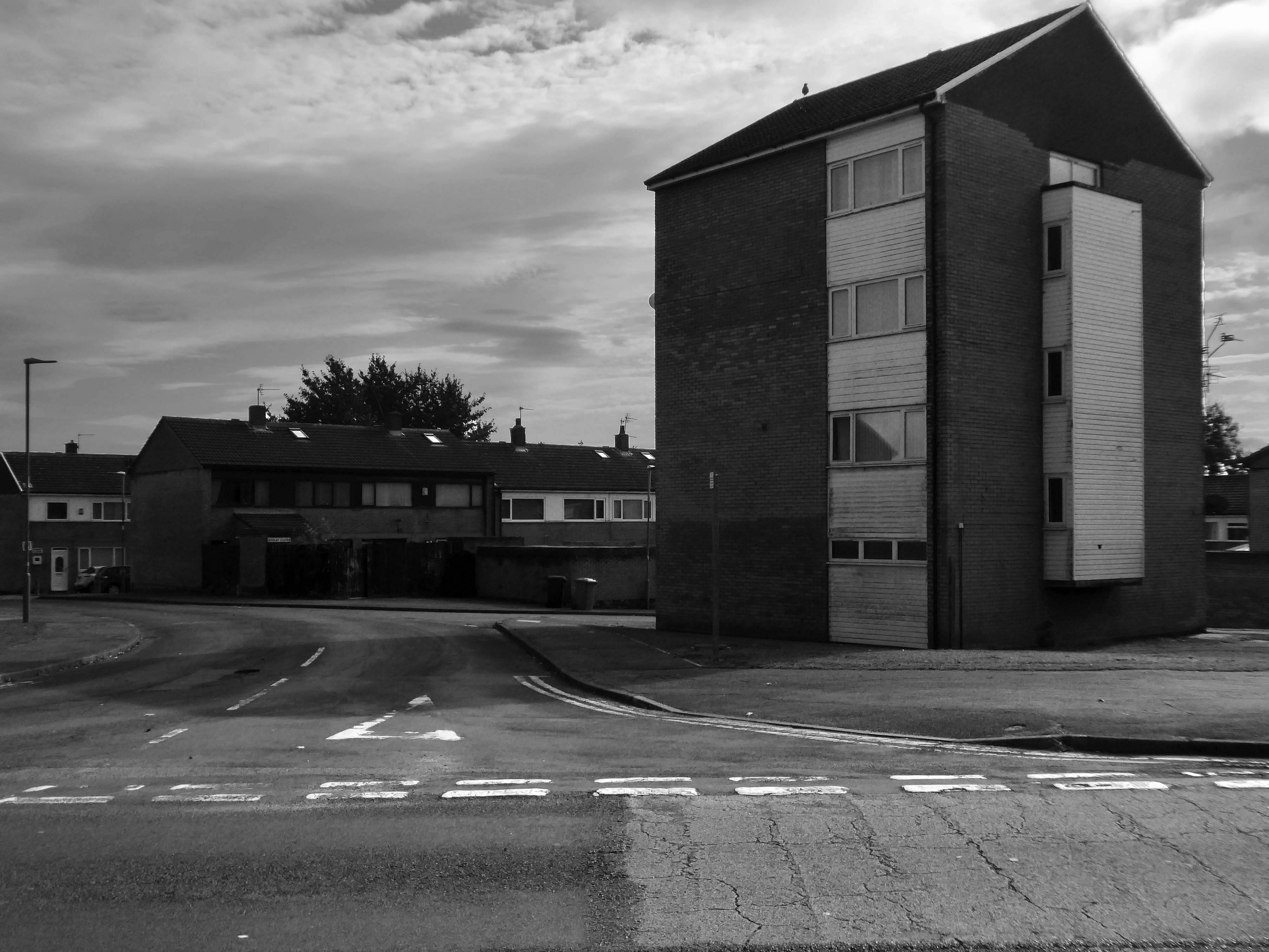
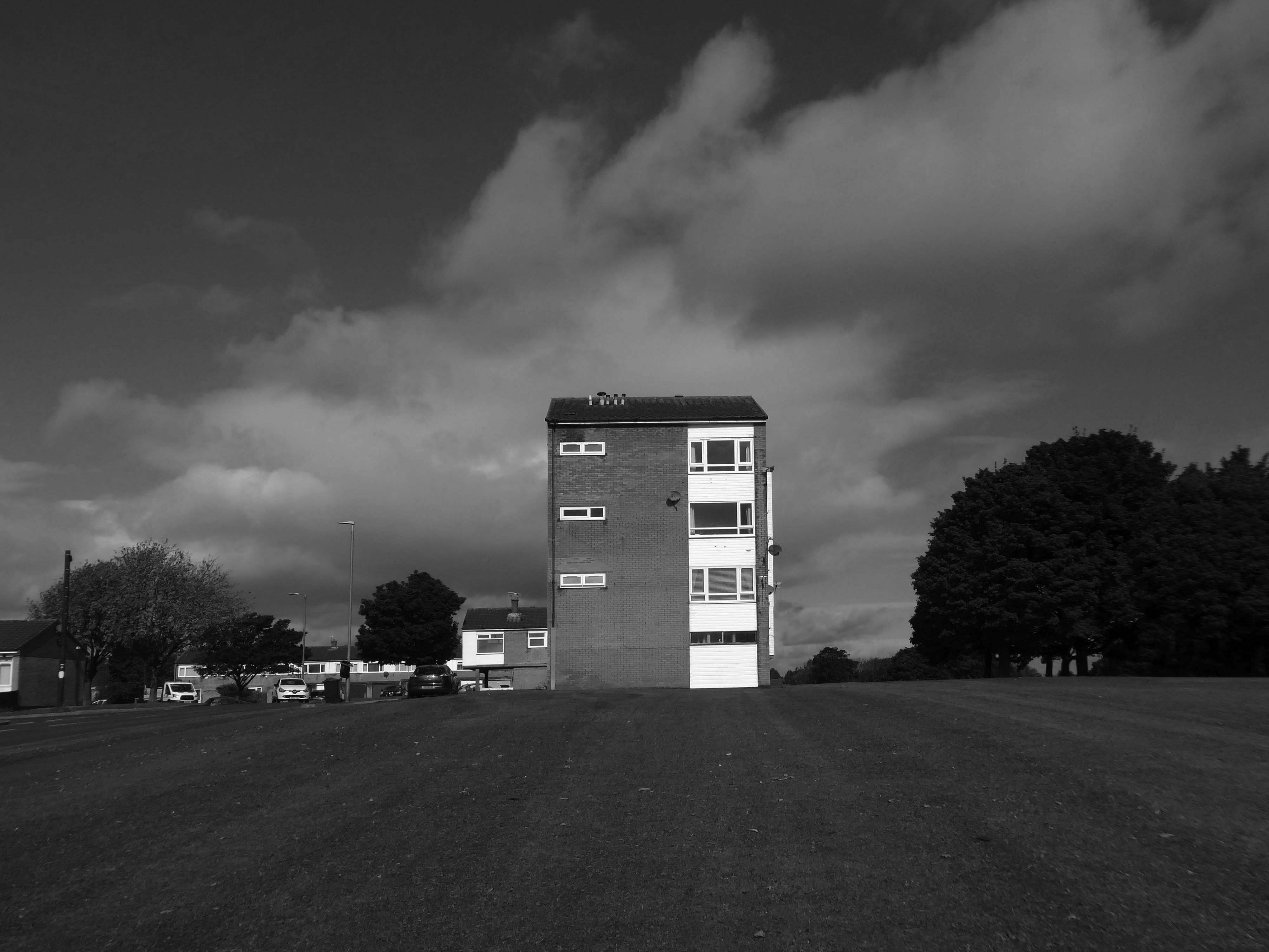
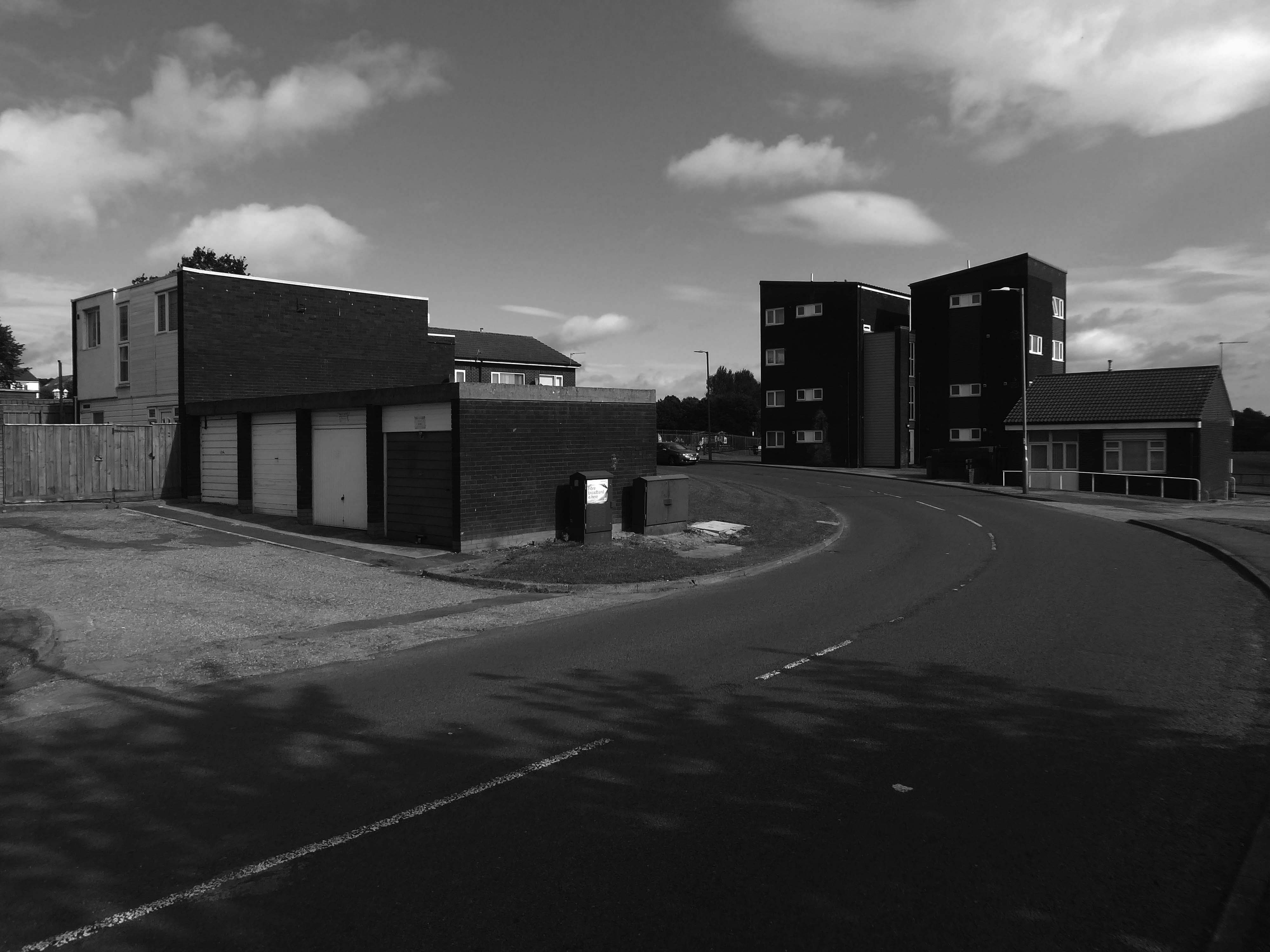
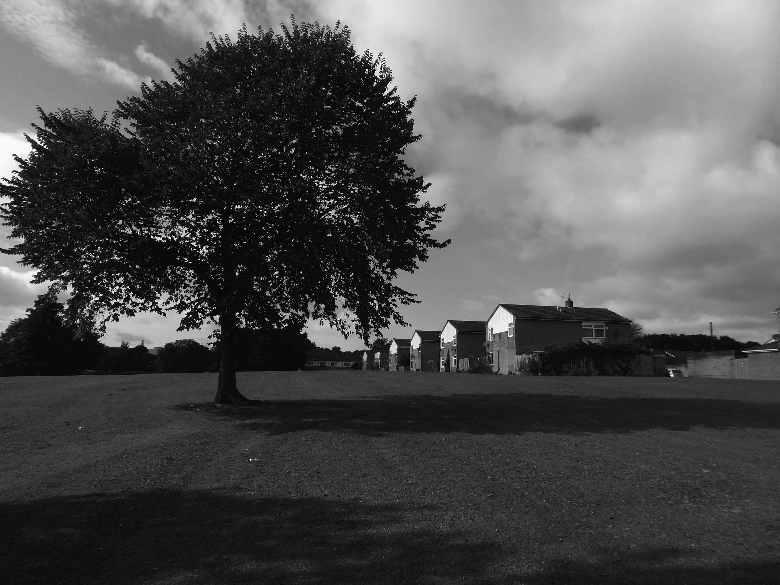
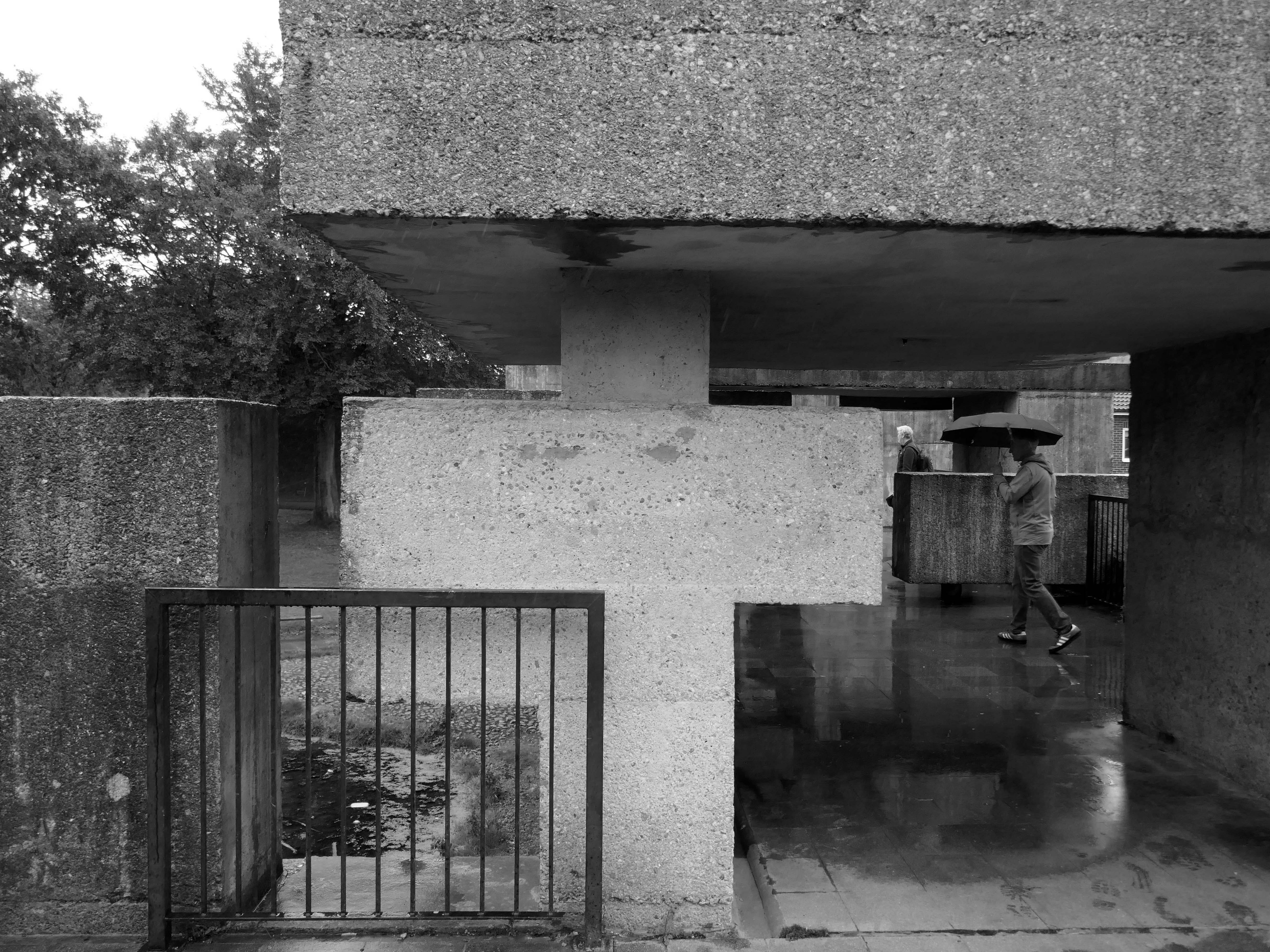
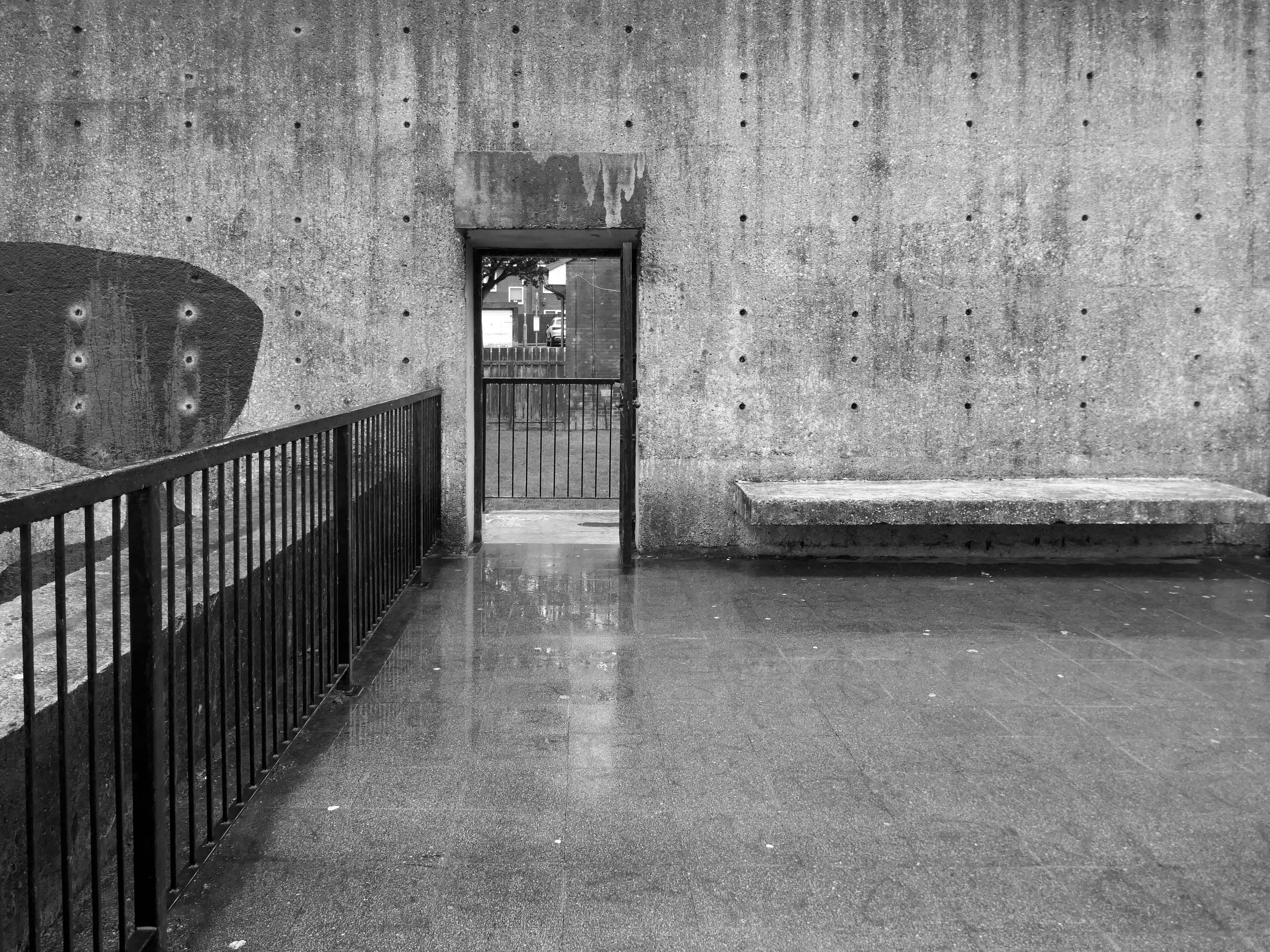
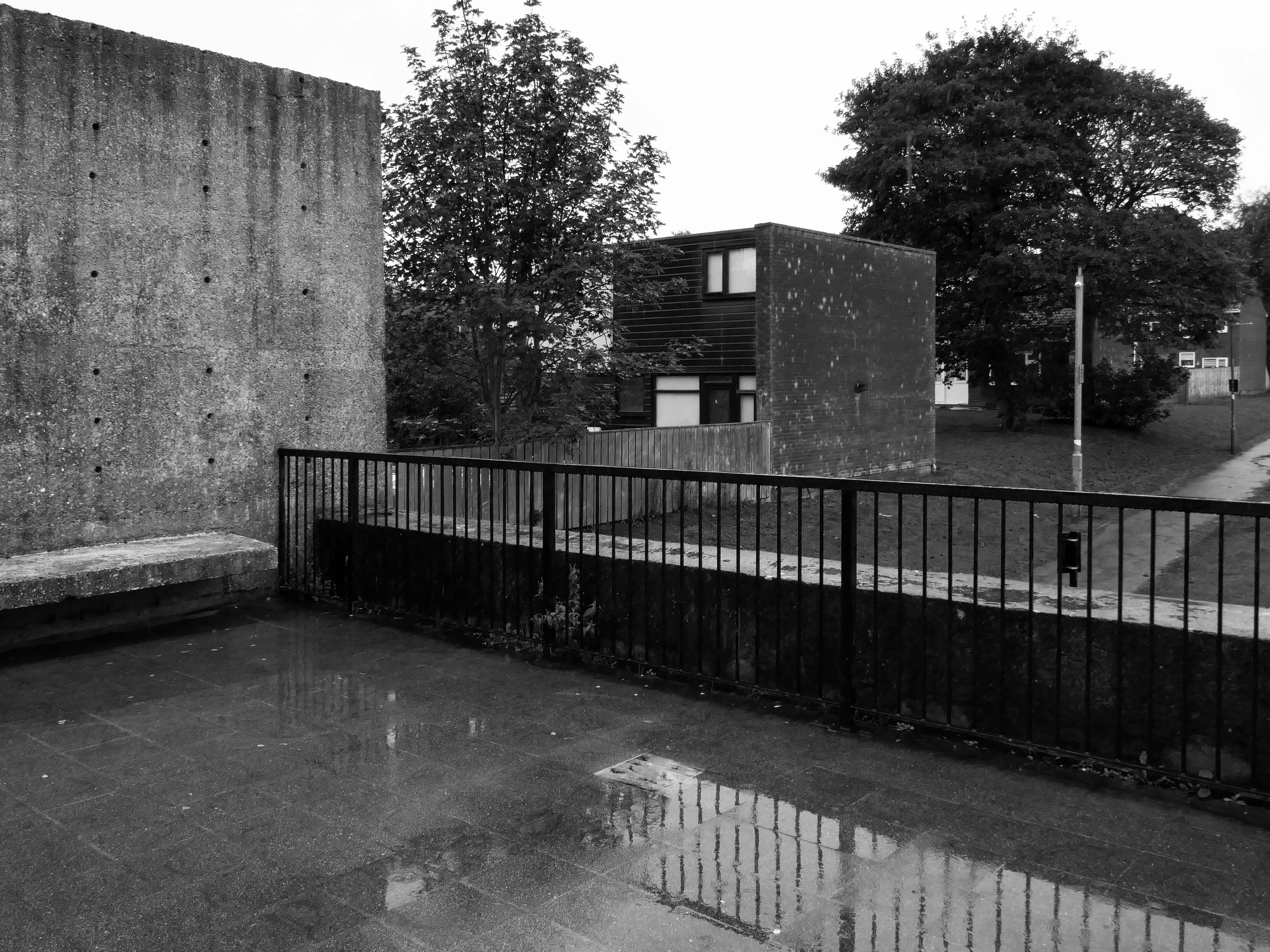
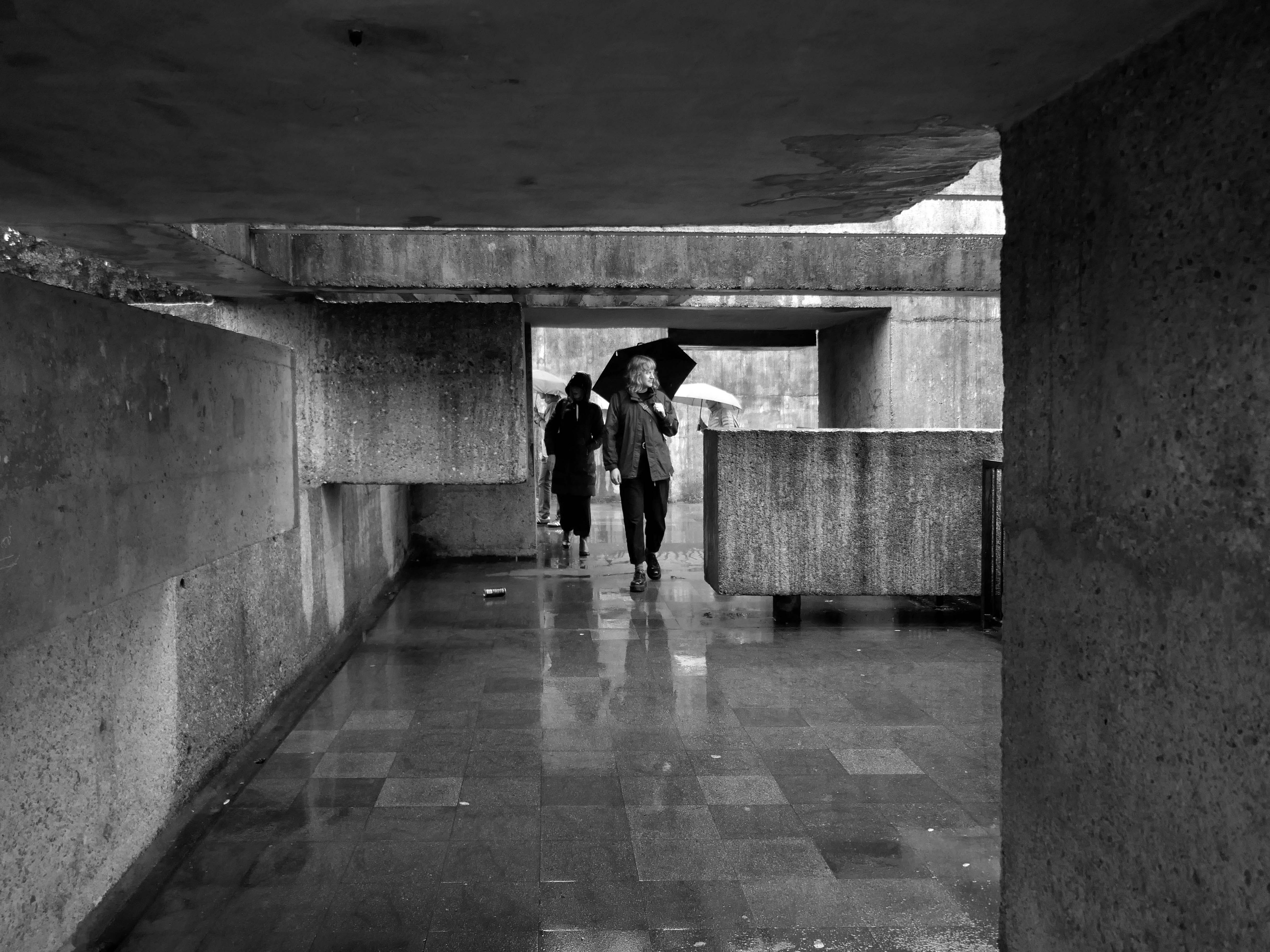
Across the way to Scholes Comprehensive Development 1964
Five thirteen-storey tower blocks adjacent to Douglas House in Scholes were approved in 1964. Lower-rise housing and flats spread to the east. In 1968, a further 13-storey block, Boyswell House, was built at this eastern end of the Scholes Comprehensive Development Area. Almost 500 slum houses, housing 566 families, were demolished that same year and 581 new council homes completed.
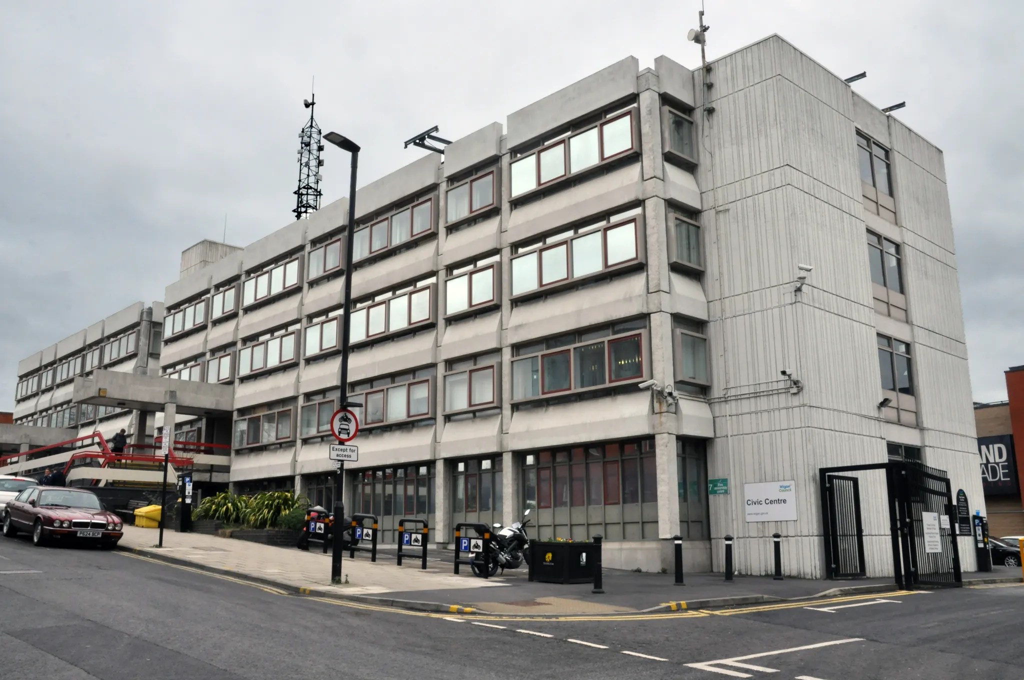
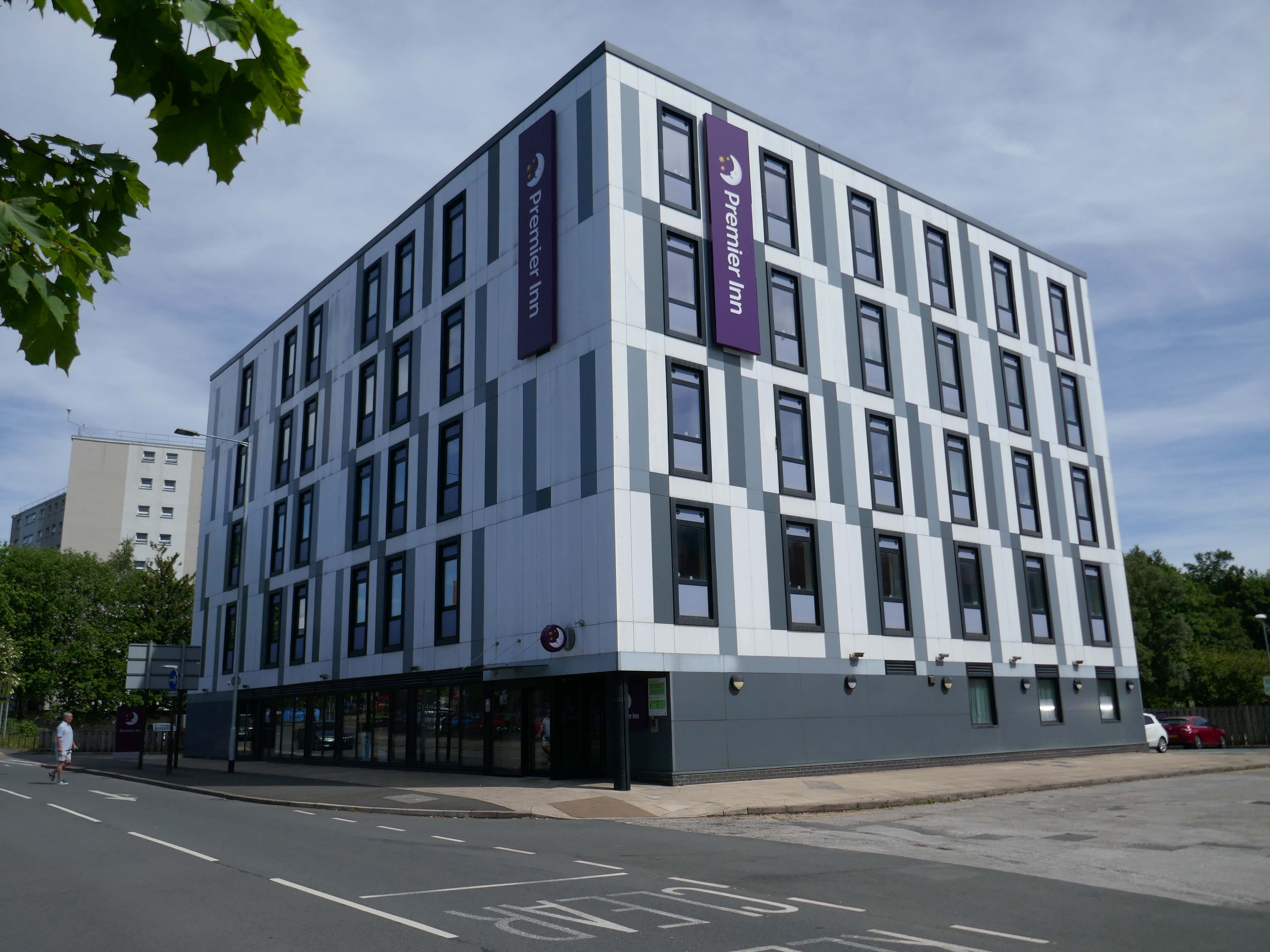
Next to the Roger Booth cop shop that became a Premier Inn.
A super-comfy bed, blackout curtains, a powerful shower and free Wi-Fi – our double rooms have everything you’ll need for a great night’s sleep.
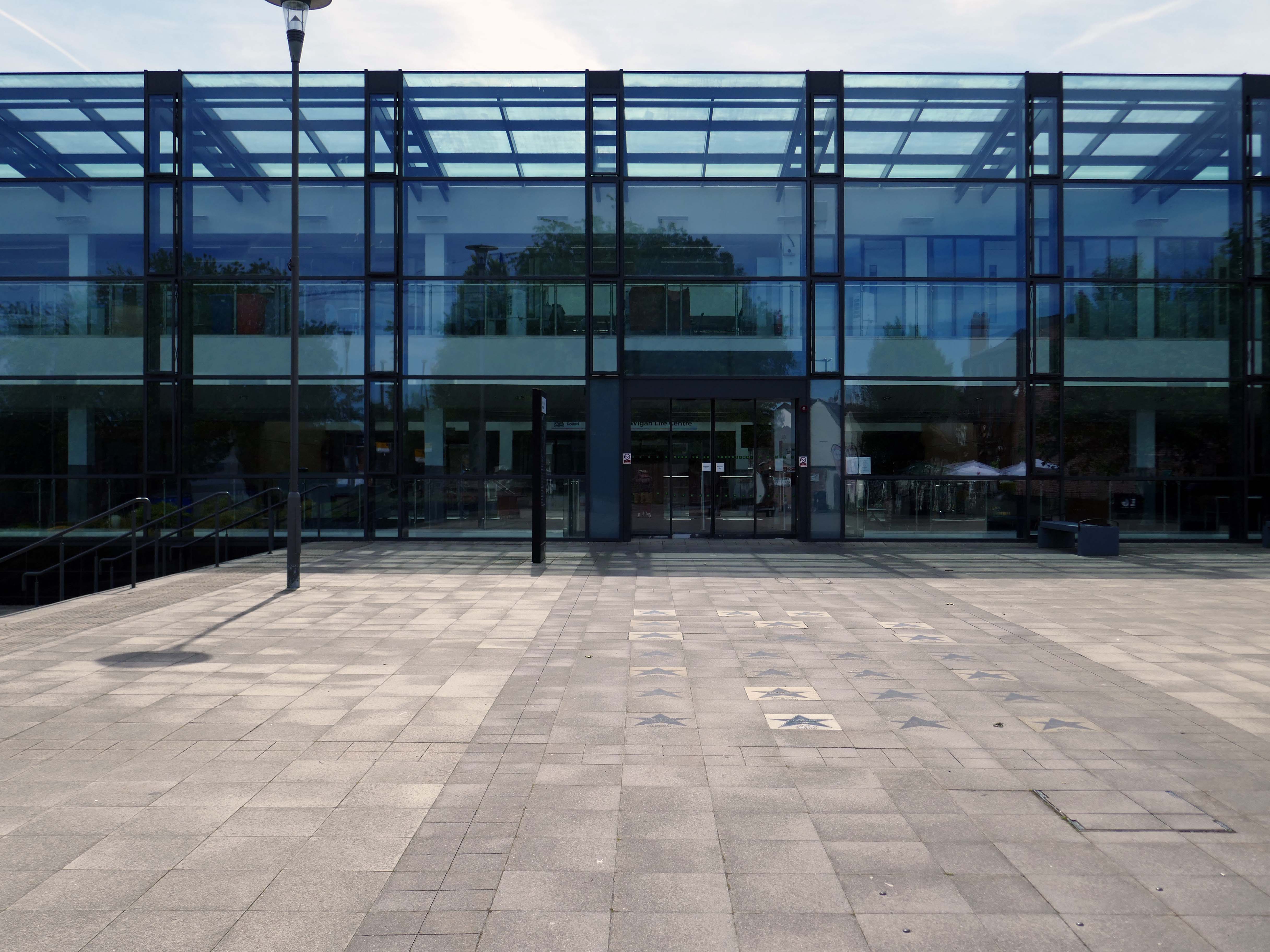
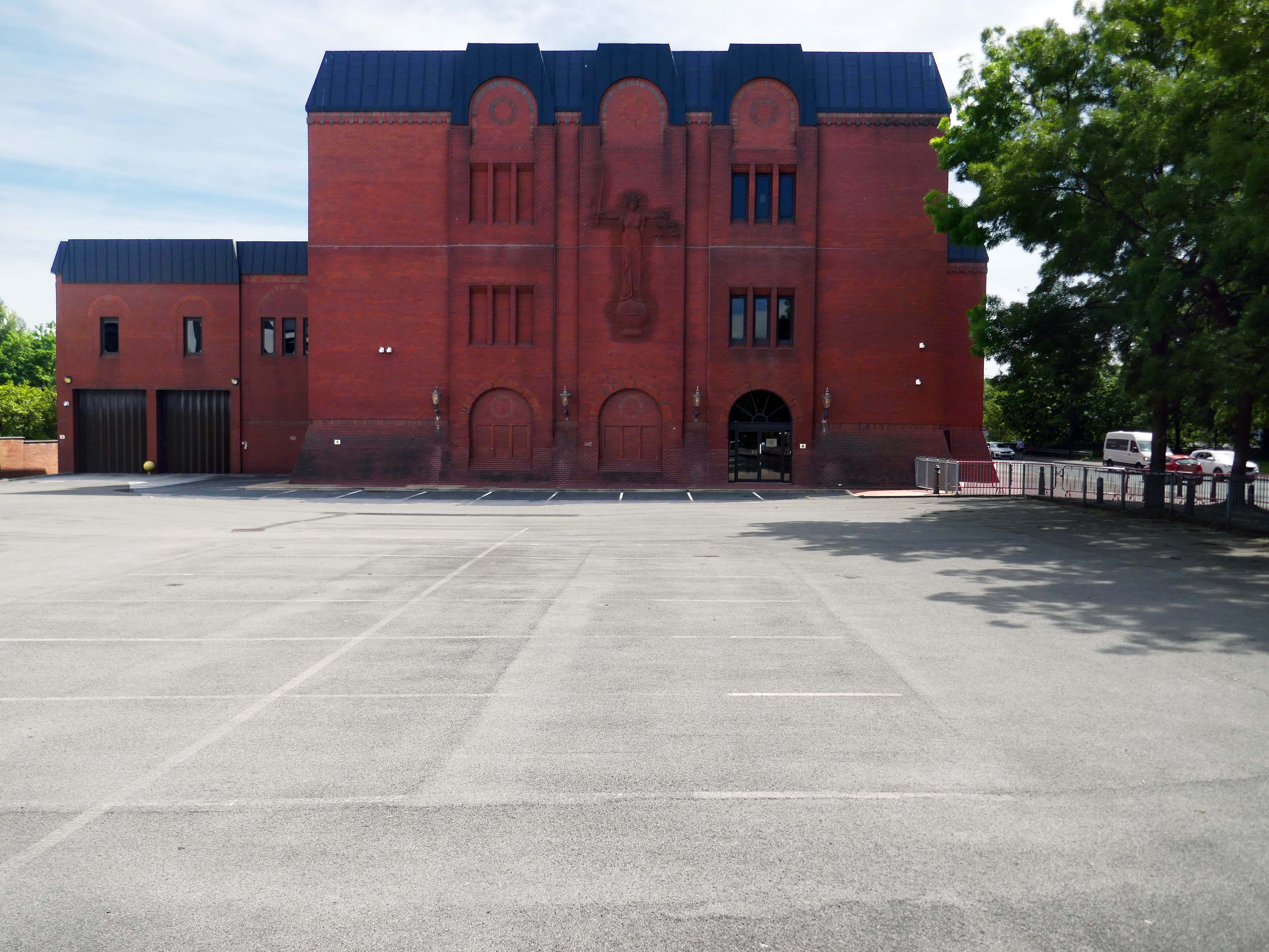
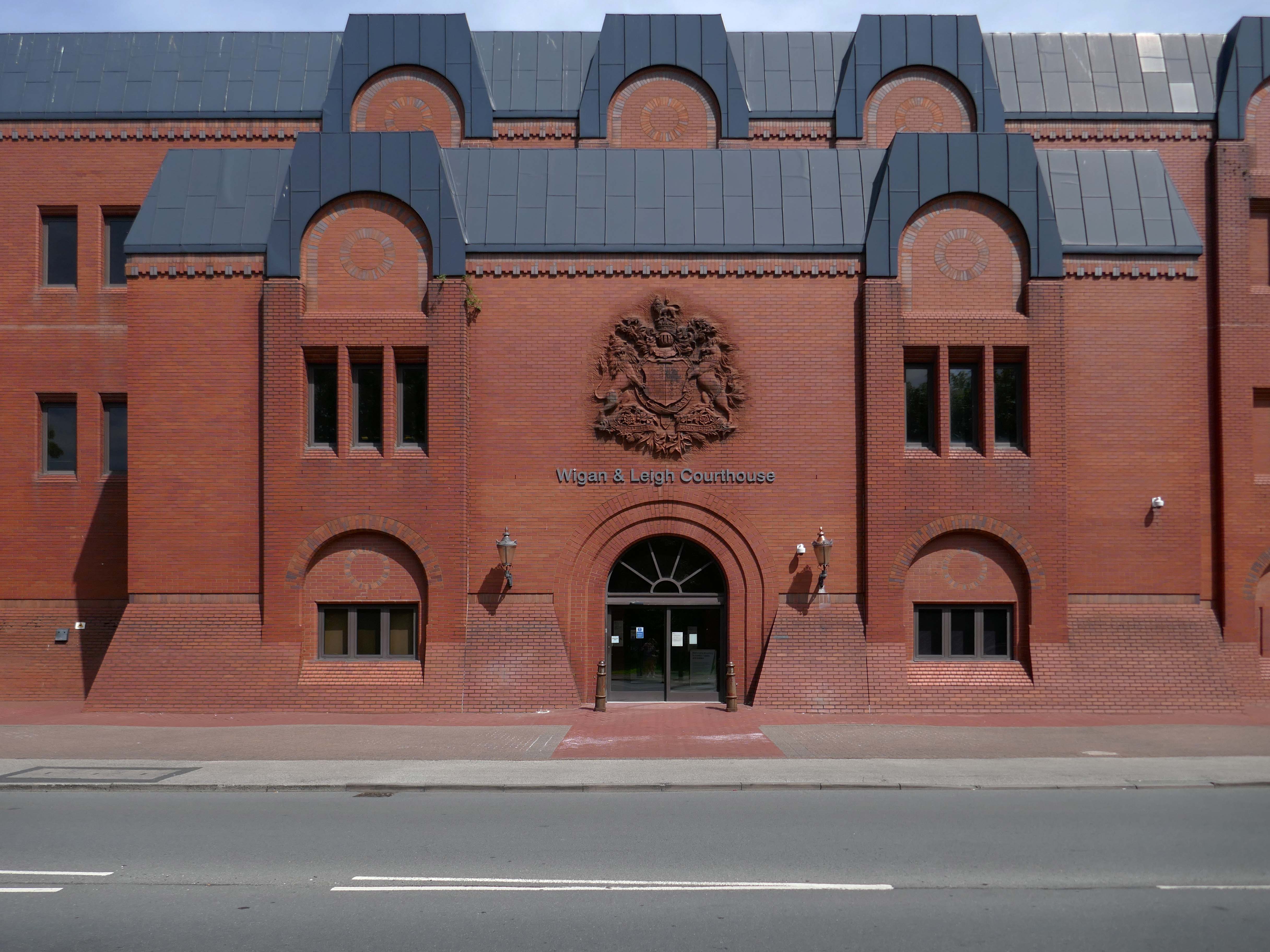
Next door the Wigan & Leigh Courthouse 1992 Wigan MBC Architect.
Relief figure of justice by Christine Ward.
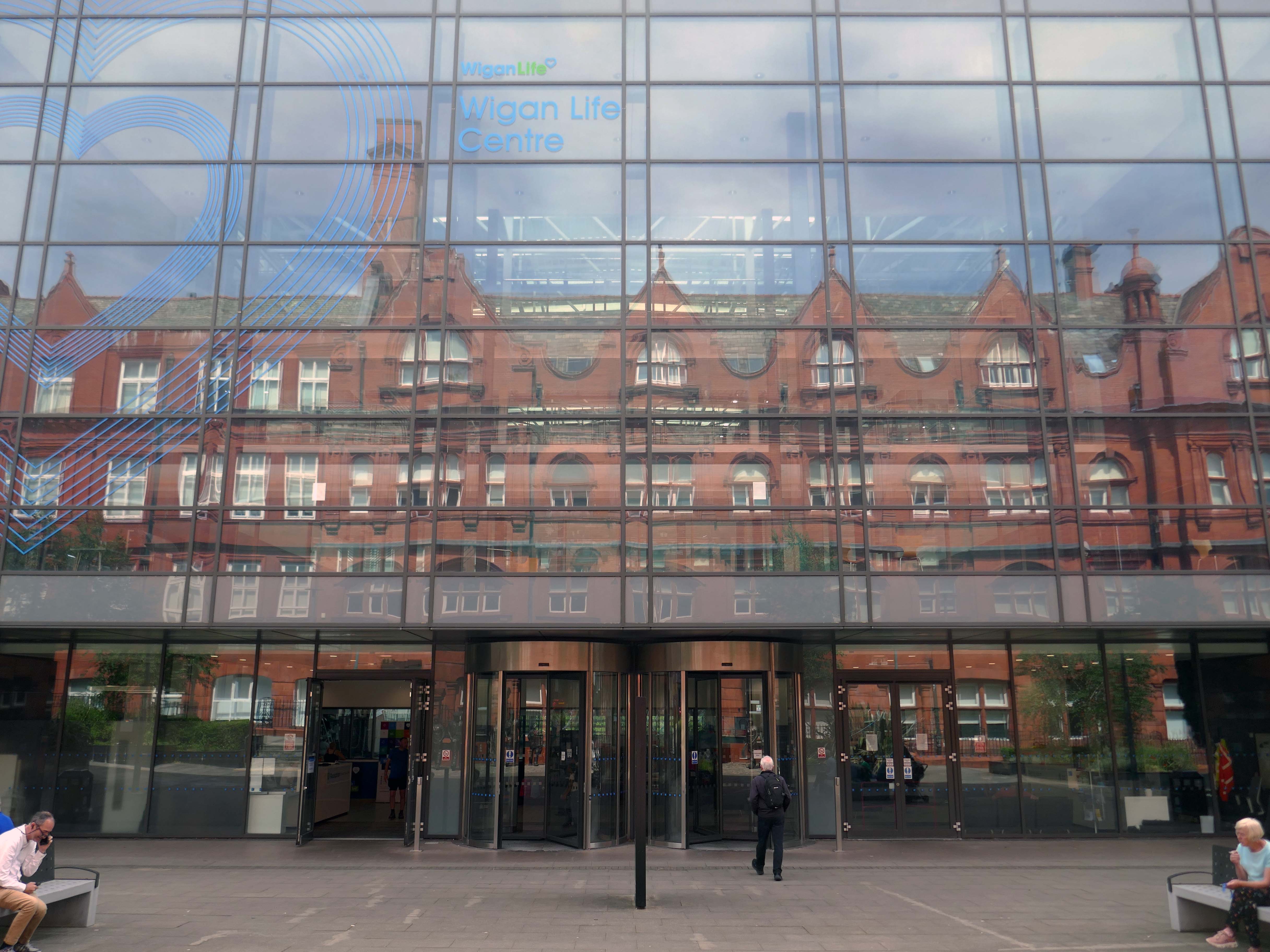
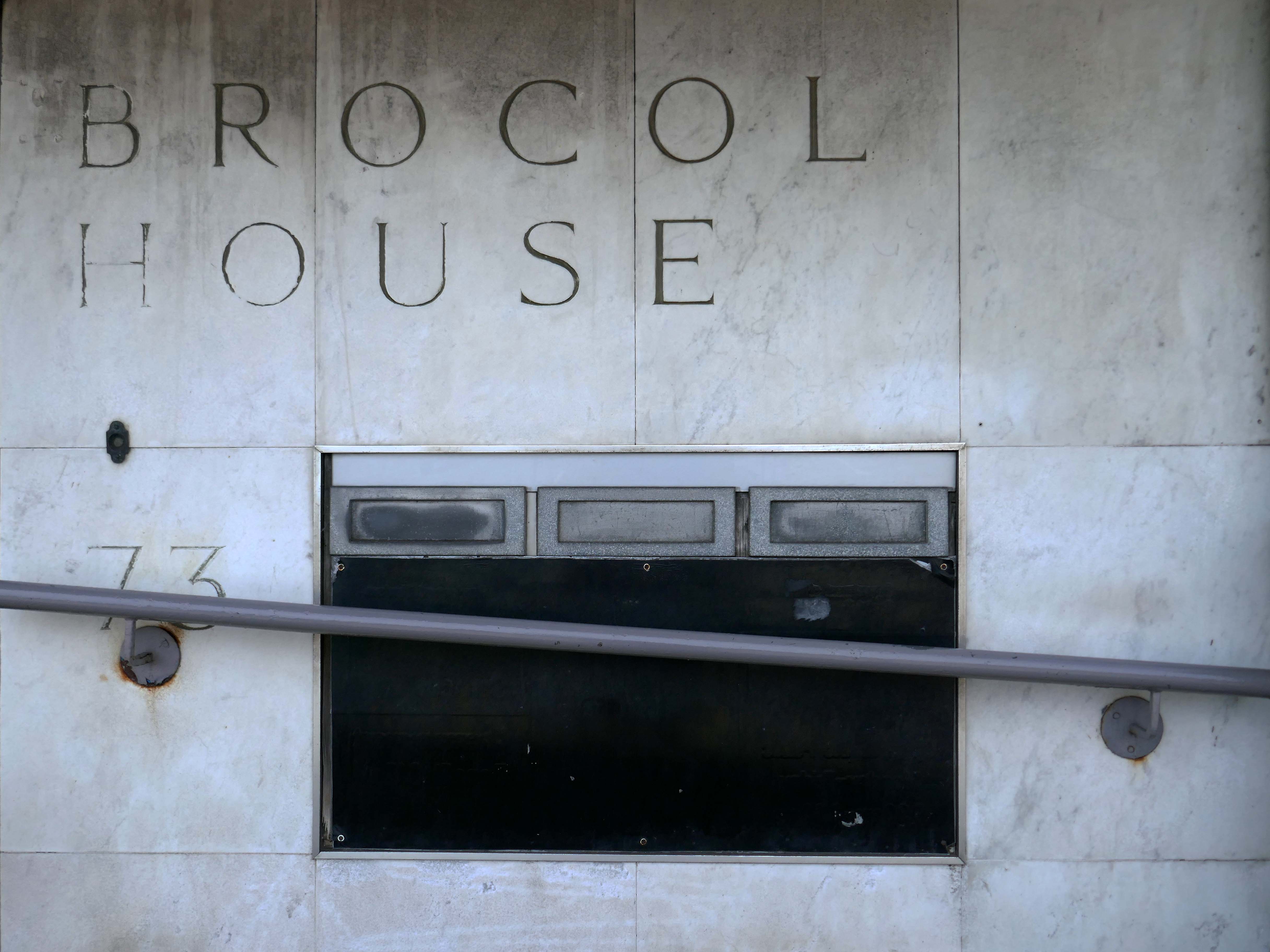
Onward to Brocol House – currently home to the Job Centre
Image – Wigan Peers
Originally built for the Inland Revenue one the site of the Brewers Arms – has the welcoming charm shared by the majority of Ministry of Works buildings of the period.
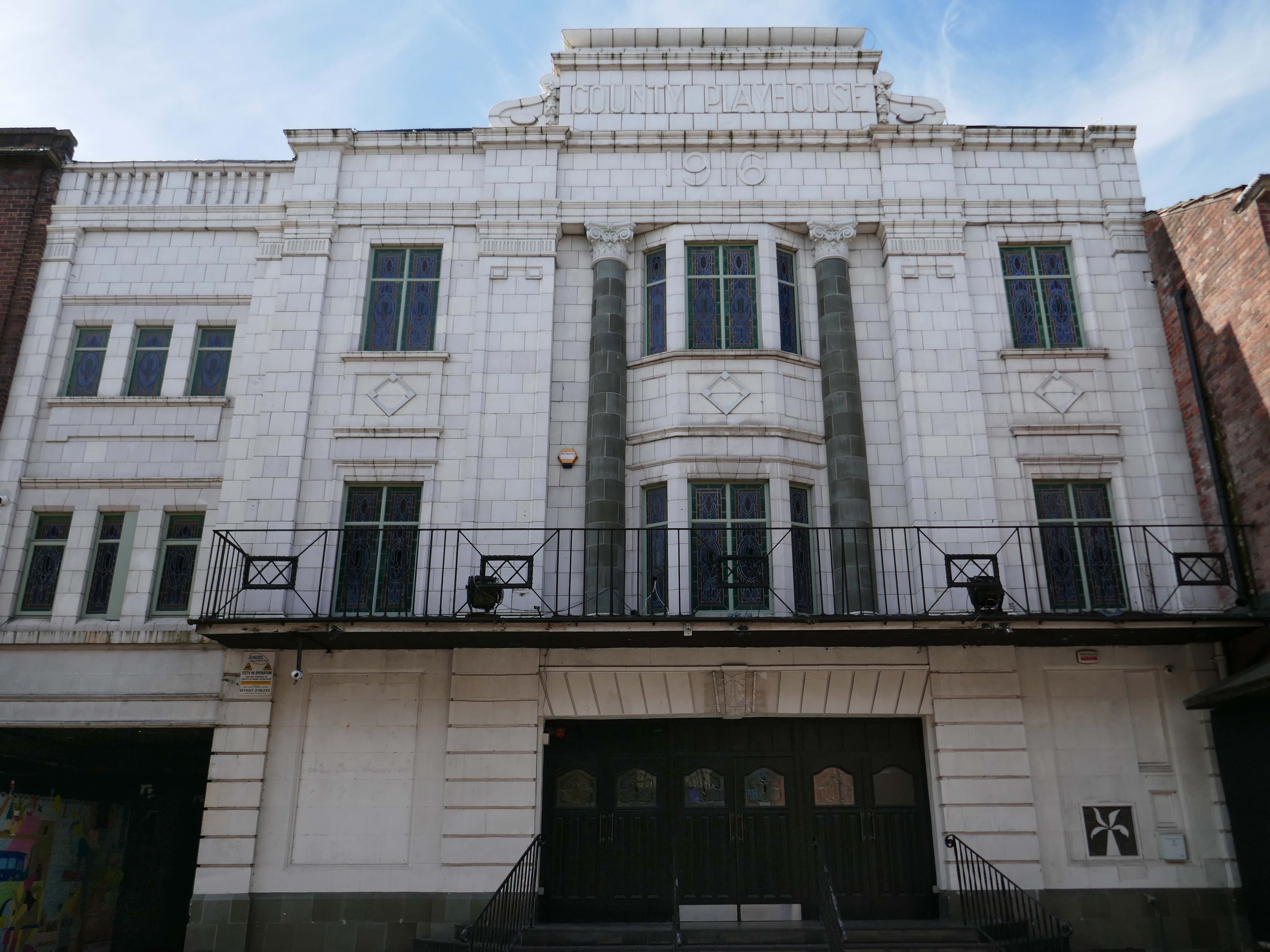
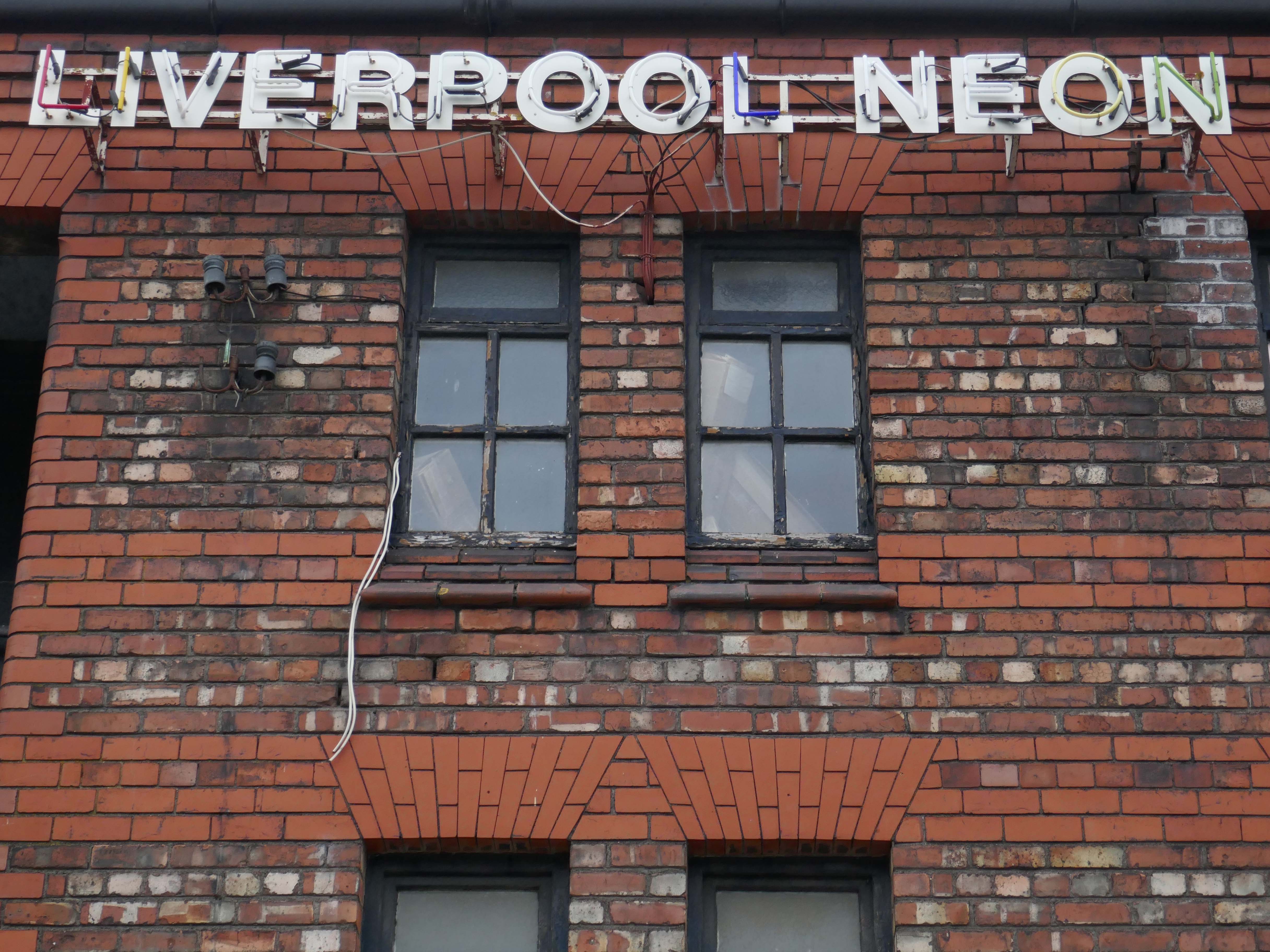
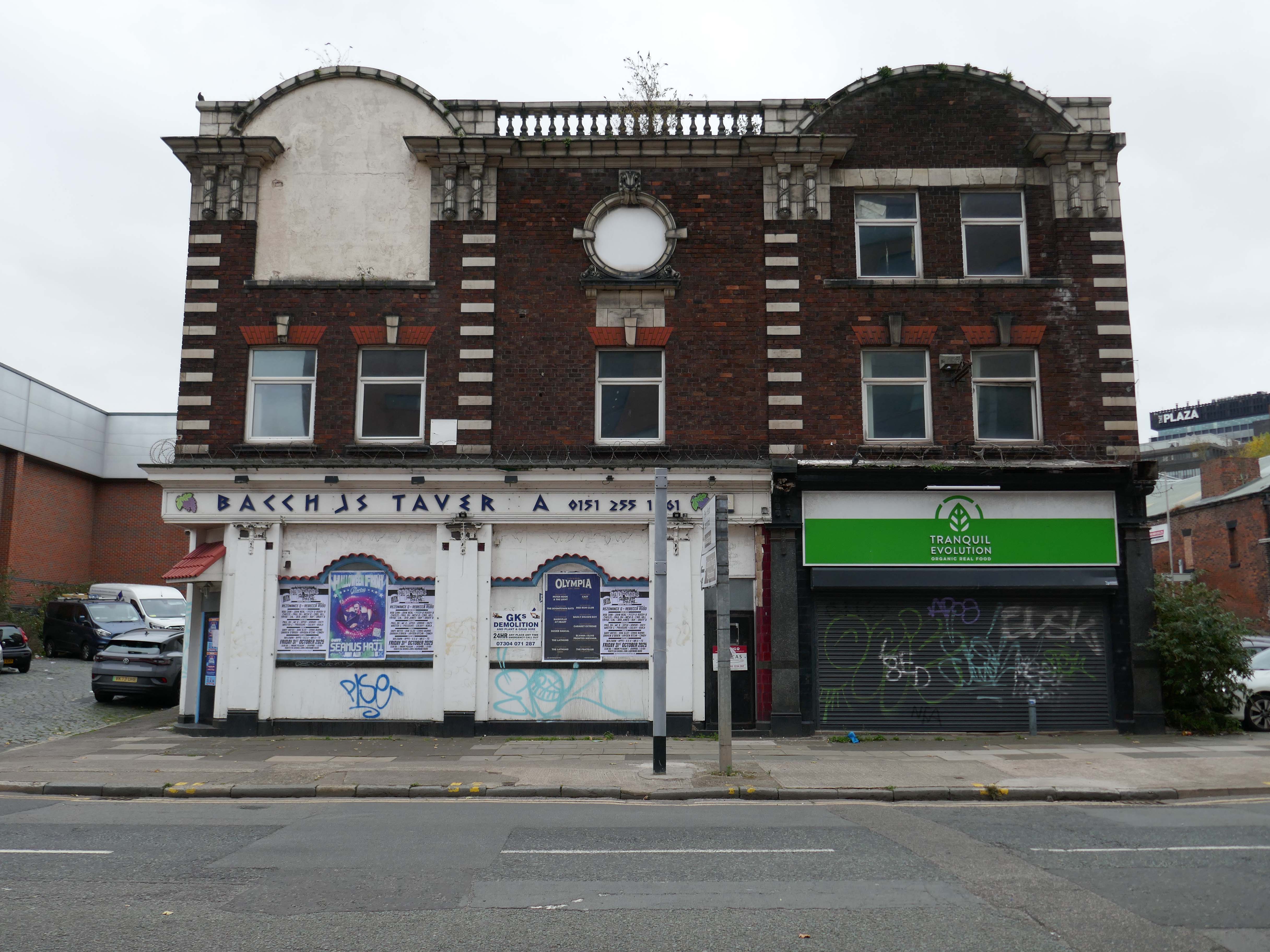
Nearly done – up the road to the County Playhouse.
The club’s atmosphere is defined by thumping musicand a vibrant crowd eager to dance and celebrate. Its modern interior design complements the lively ambience, creating an inviting space for locals and visitors alike.
Construction began on the County Playhouse in 1916. However, due to a shortage of materials and labour during World War I, it was not completed until 1919.
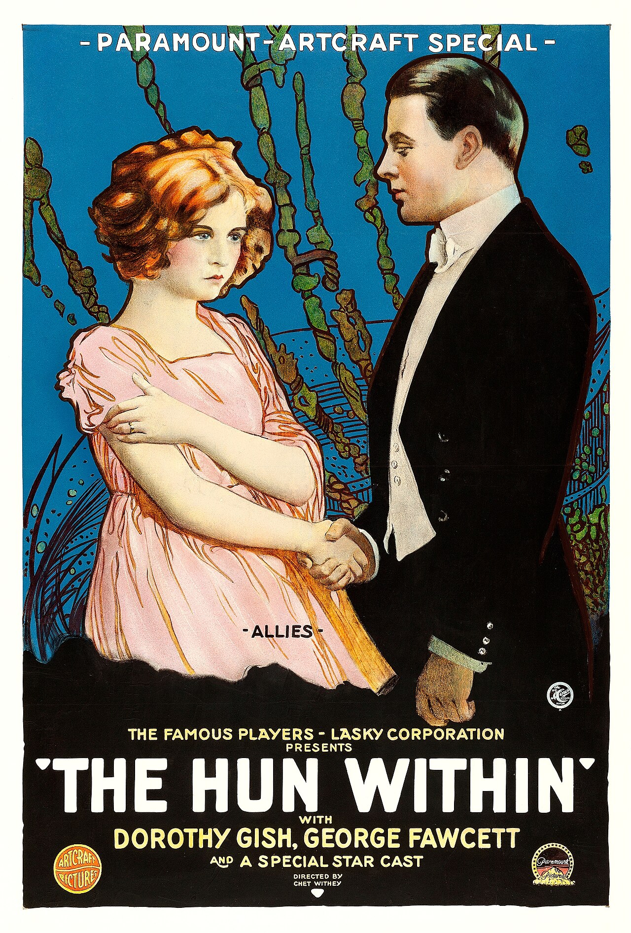
Finally opened on 22nd December 1919 with The Hun Within – starring Dorothy Gish.
The County Playhouse closed on Sunday 13th November 1966 with Disney’s “The Sword and the Stone”. It was taken over by the Leeds Based Star Cinemas chain and they converted it into Star Bingo and Social Club opened on 24th November 1966.
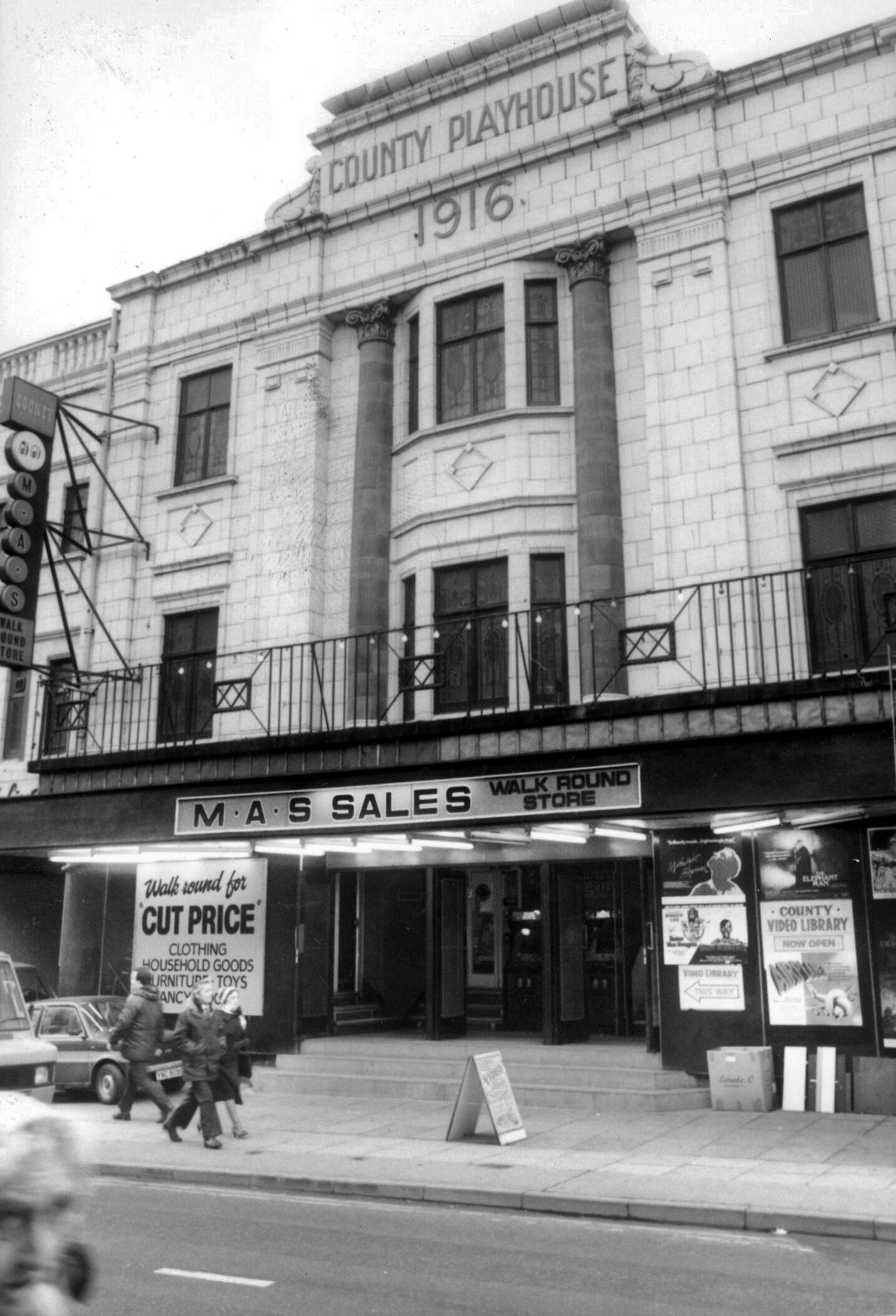
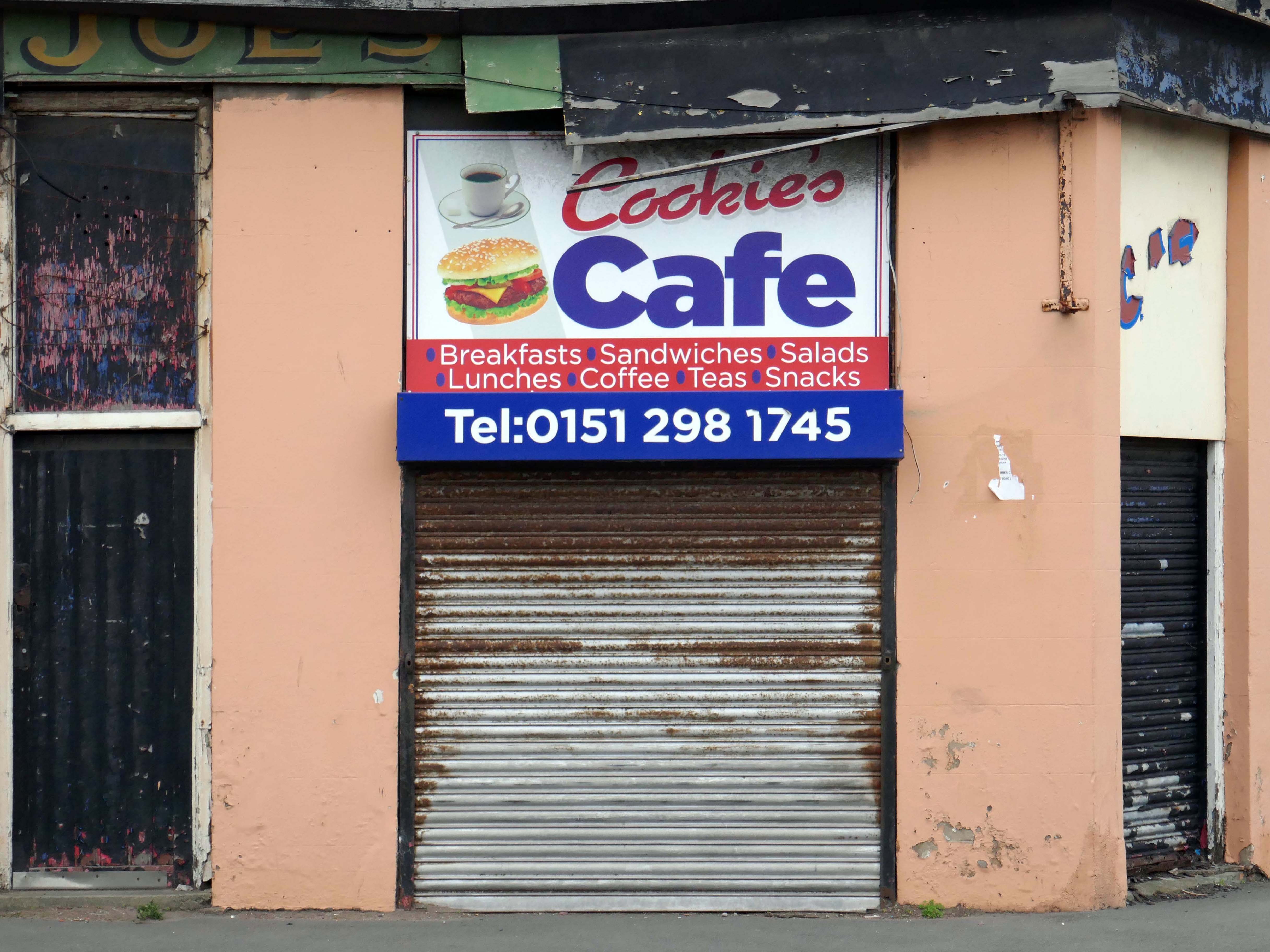
MAS sales store 1982 – Frank Orrell Photography
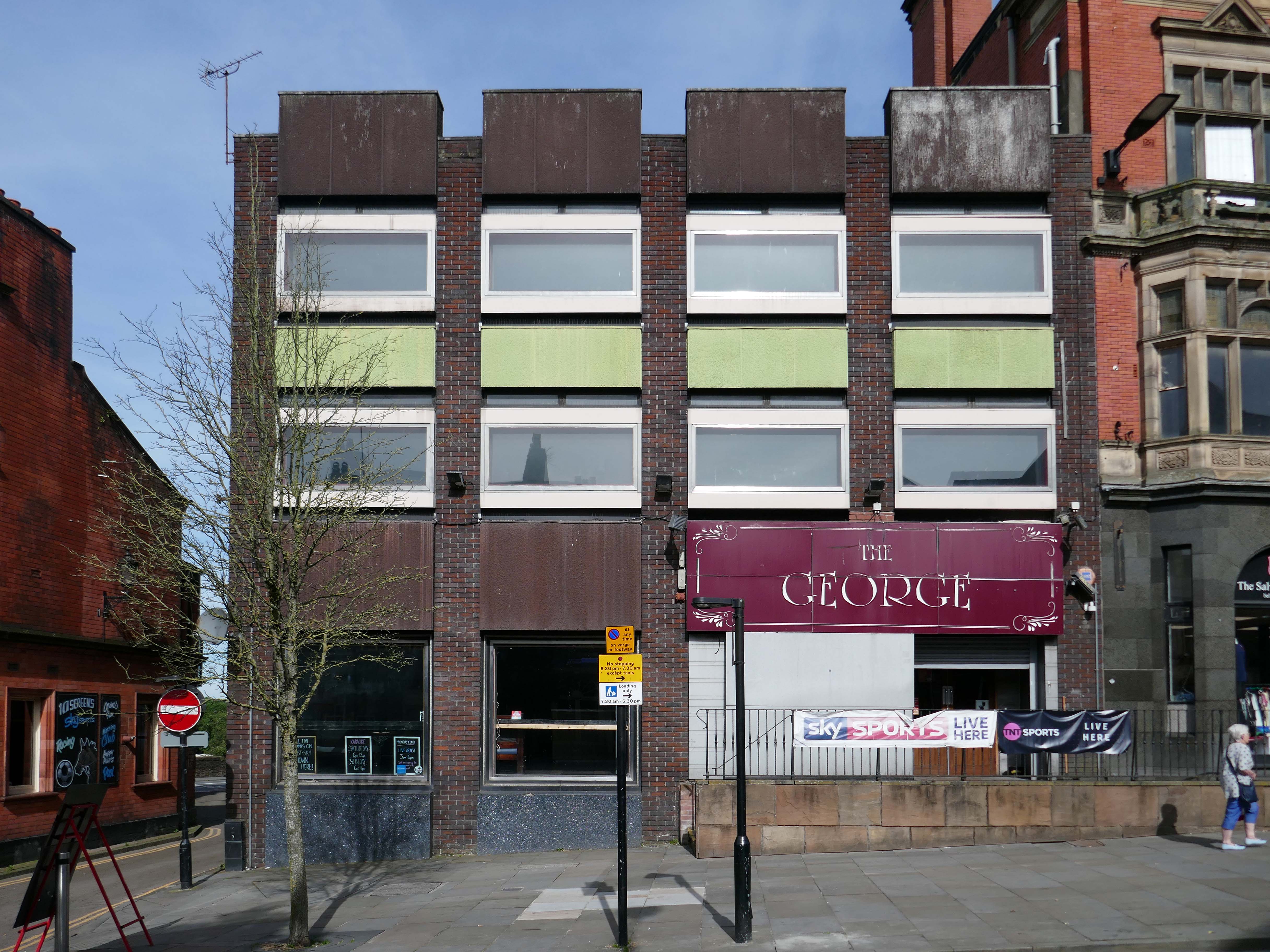
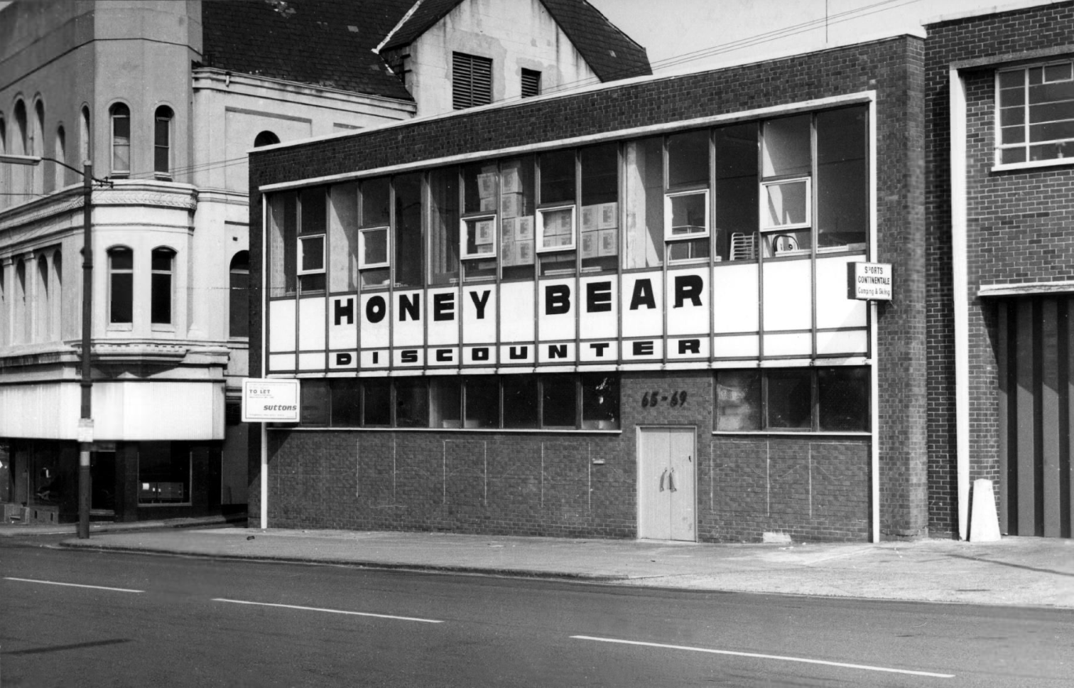
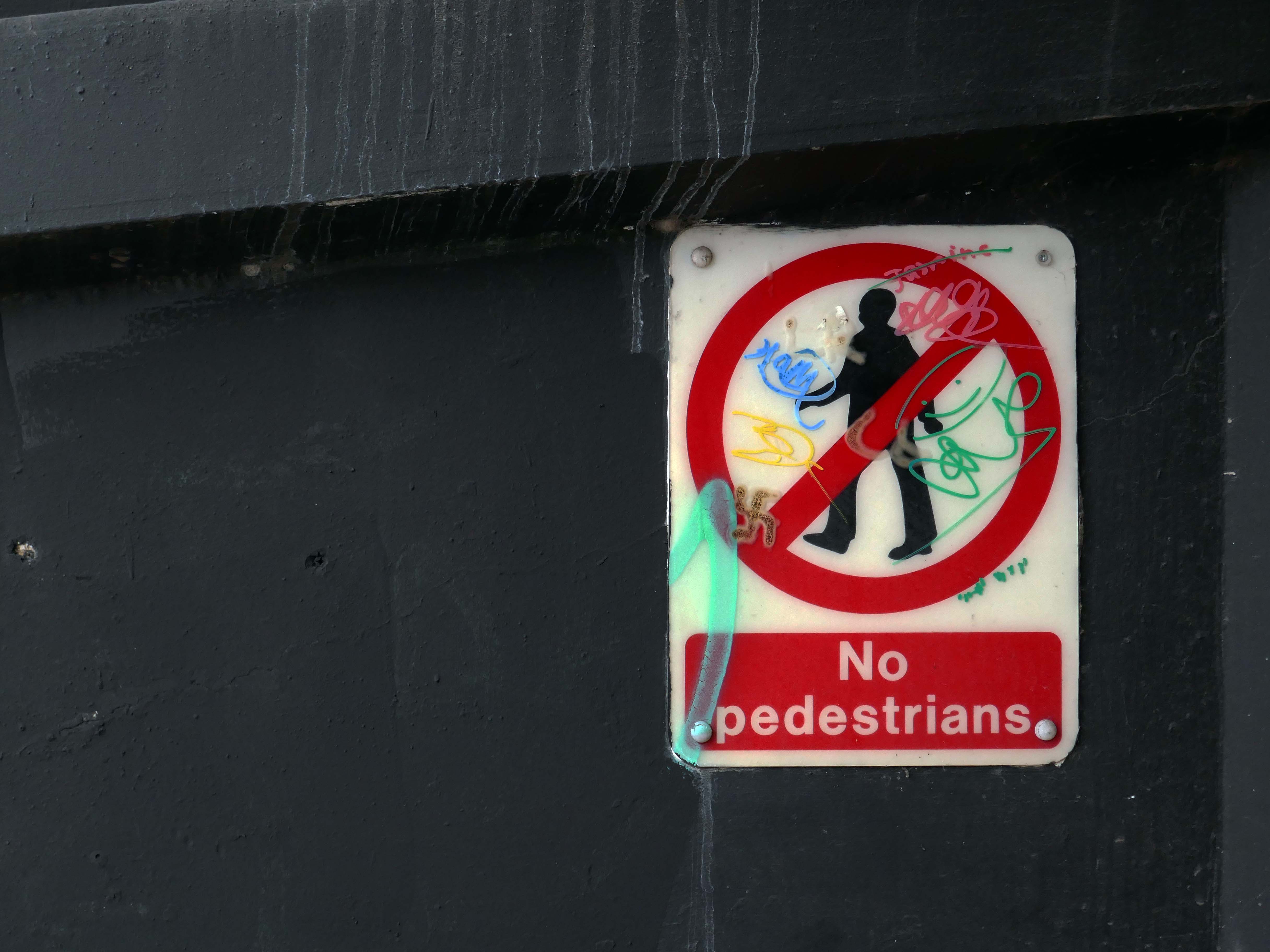
The building has since been used as a discount store and Playhouse Club Café. It then became home to the 1,200 capacity Pure Nightclub. In the early-2000’s it became the Ibiza nightclub. The Pure nightclub move into the former Princes Cinema
Time for a swift half in The George to end your tour?
Great for a local pint one of the cheapest in Wigan I believe, slightly rough at times but no fights just real local people who are generally friendly. Proper drinking gaff, and karaoke on certain nights.
On Wednesday 21st January, I boarded the 9.33 for Blackpool from Platform 14 Manchester Piccadilly station.
10.35 the train terminated at Preston – thus far and no further.
Thinking on my feet, I legged it rapido to Preston Bus Station and just about caught the 68 bus to Blackpool.
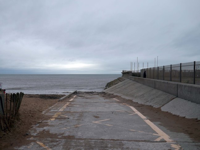
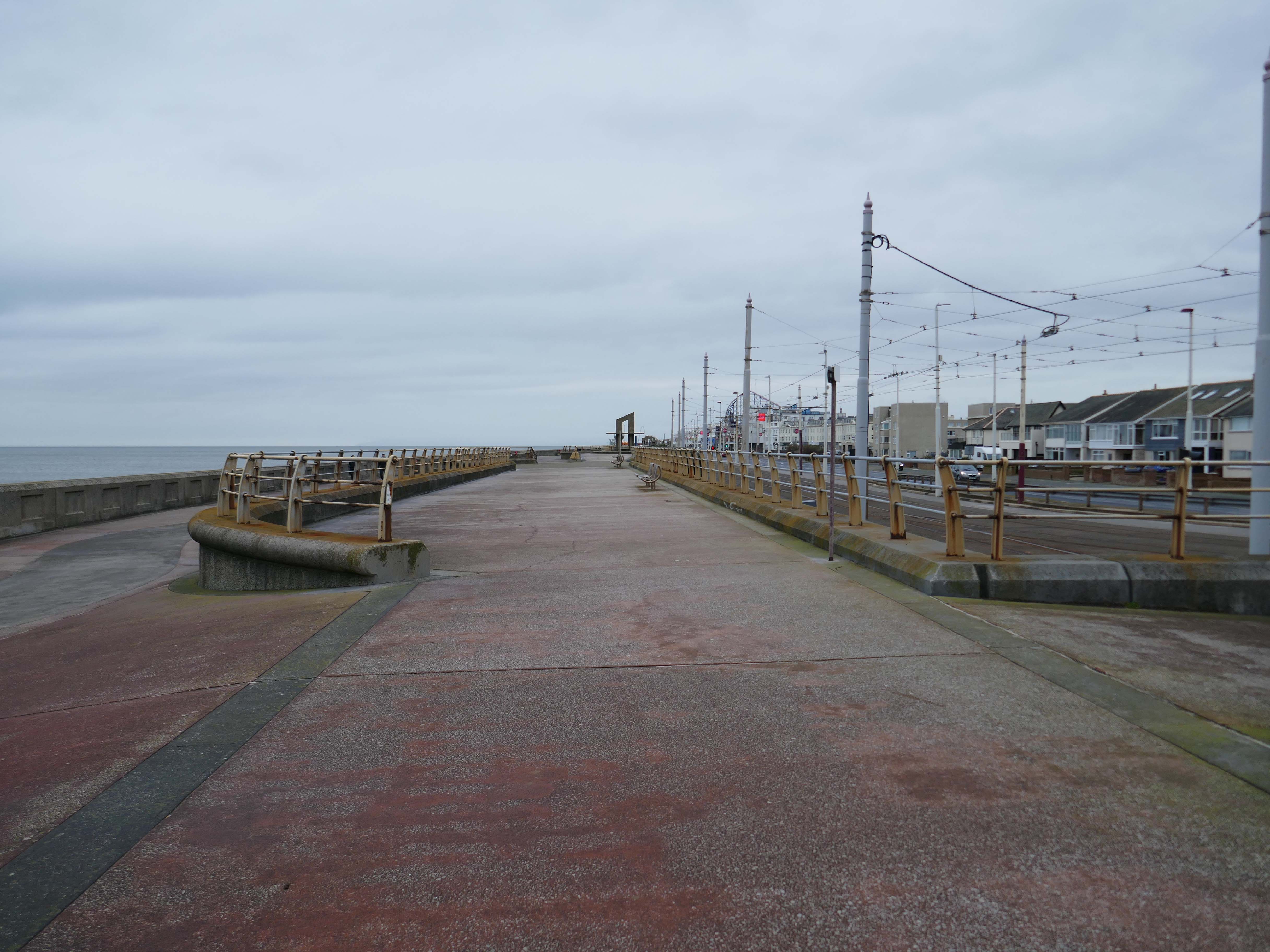
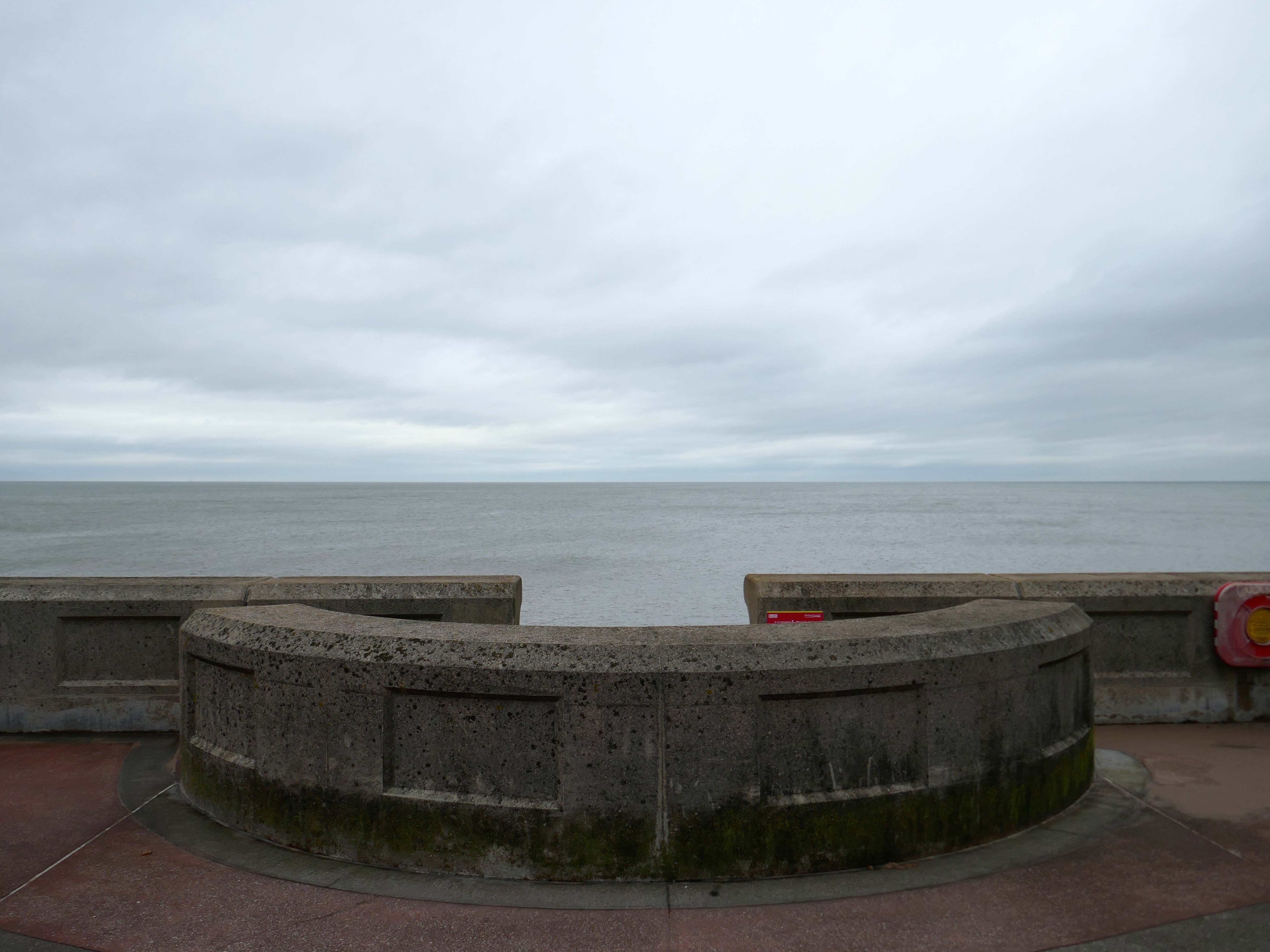
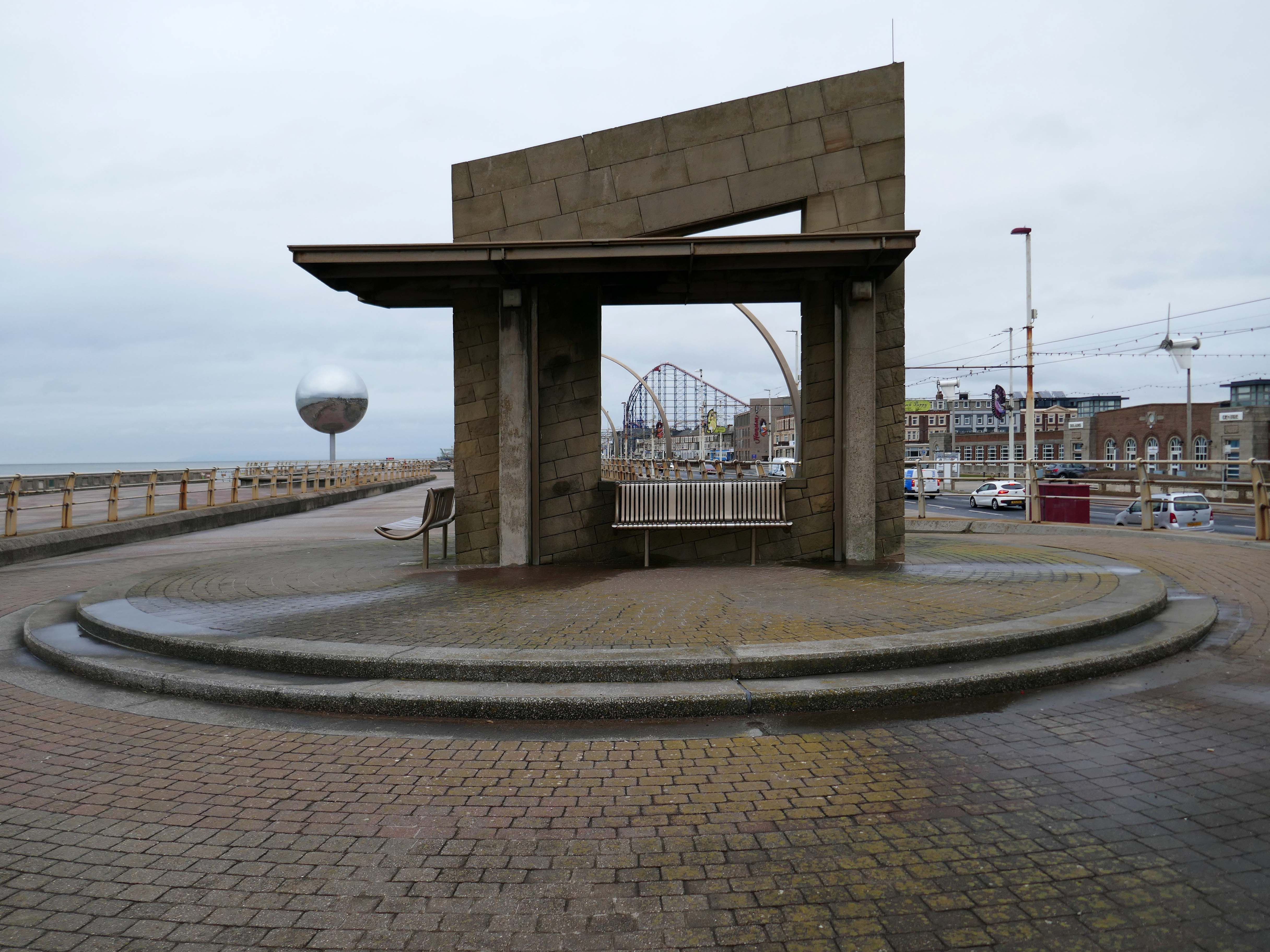
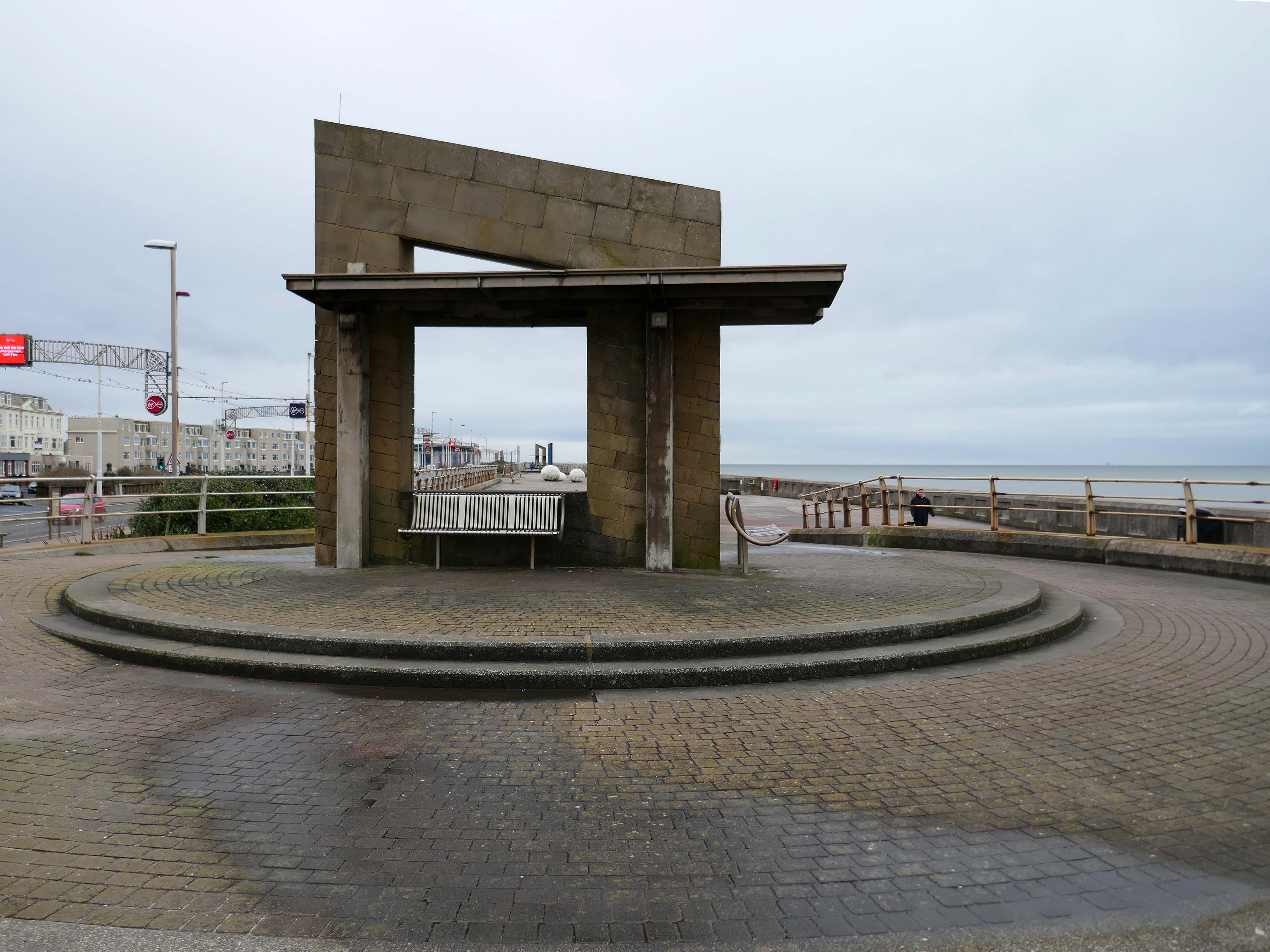
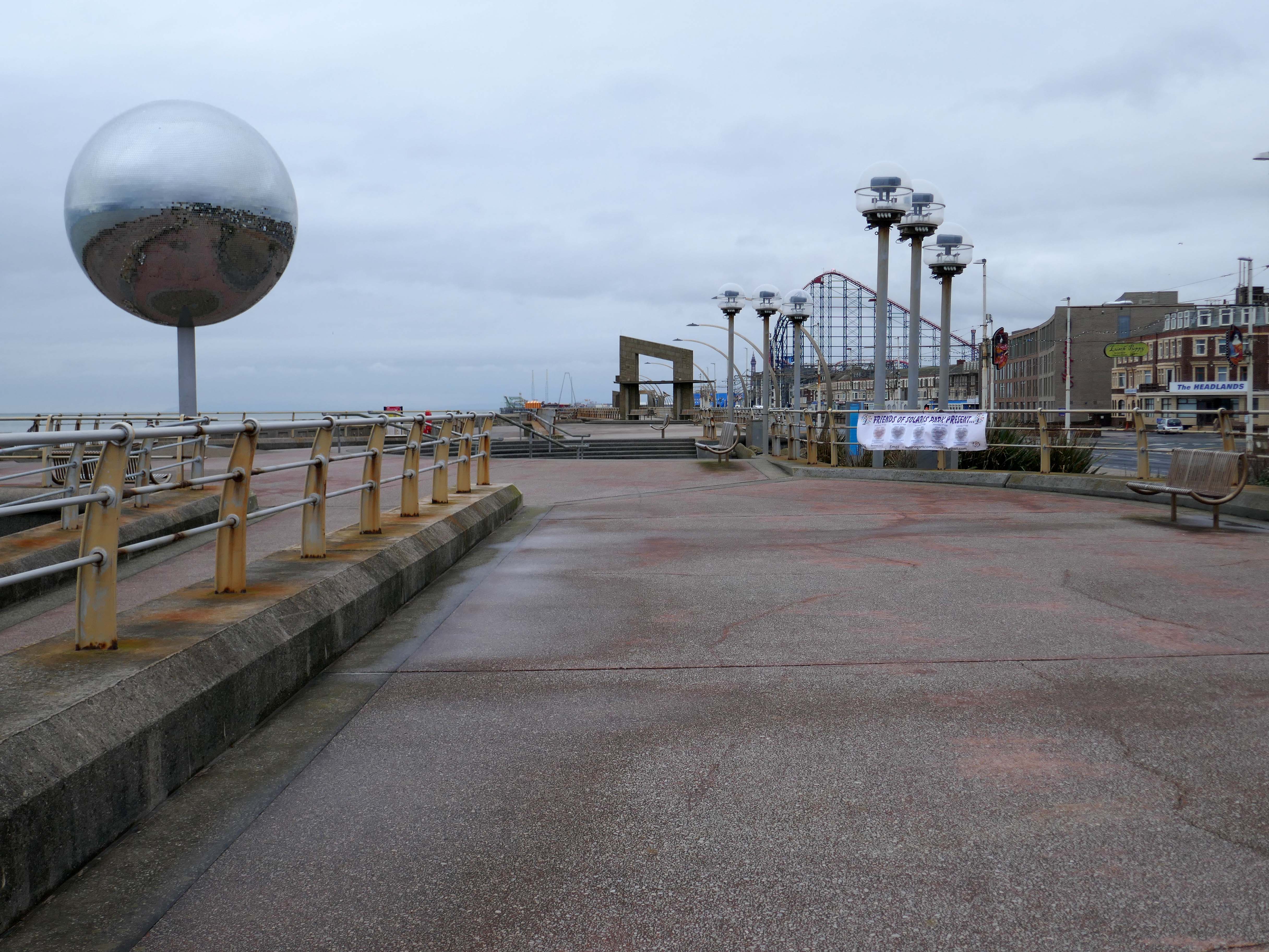
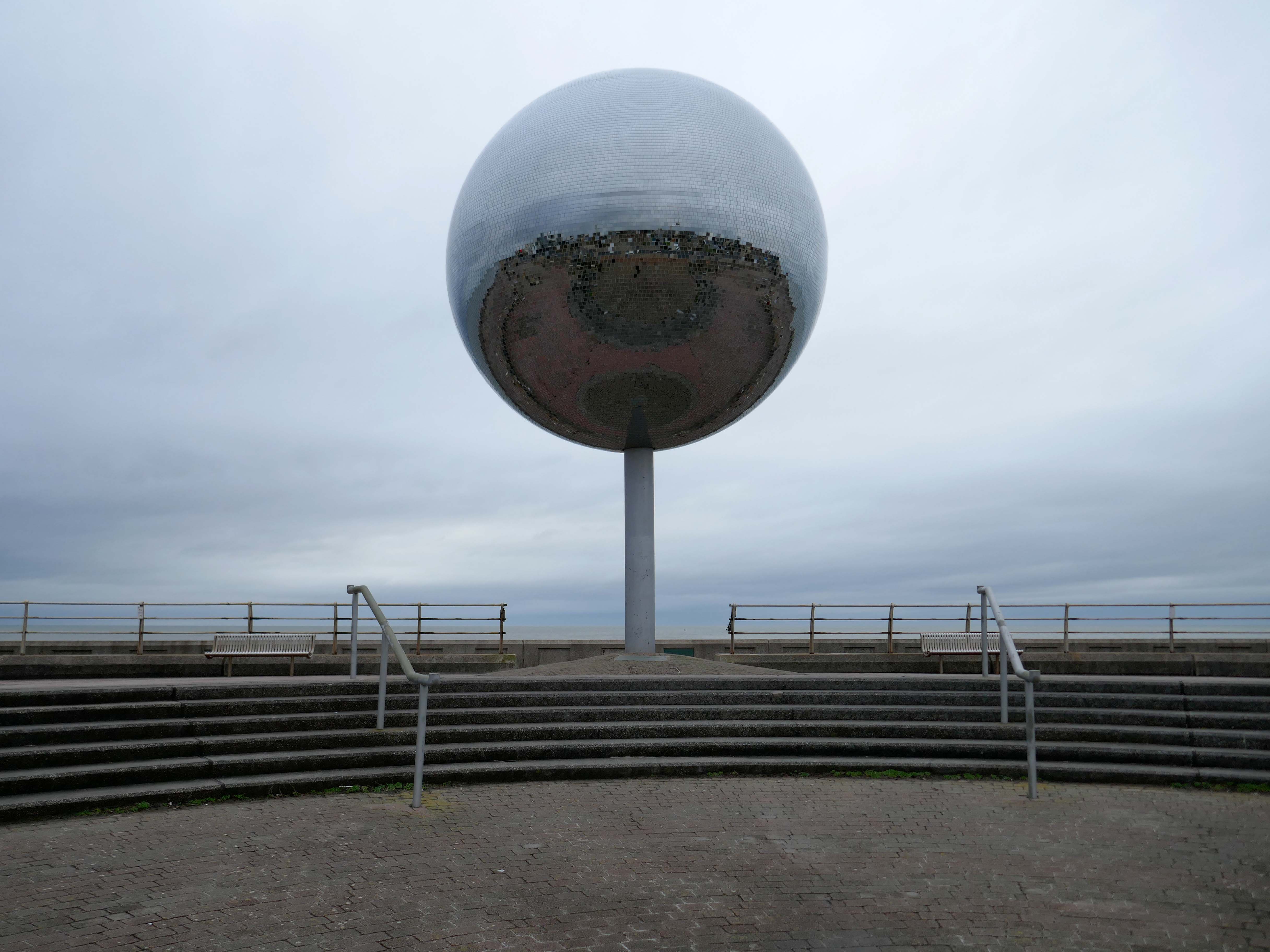
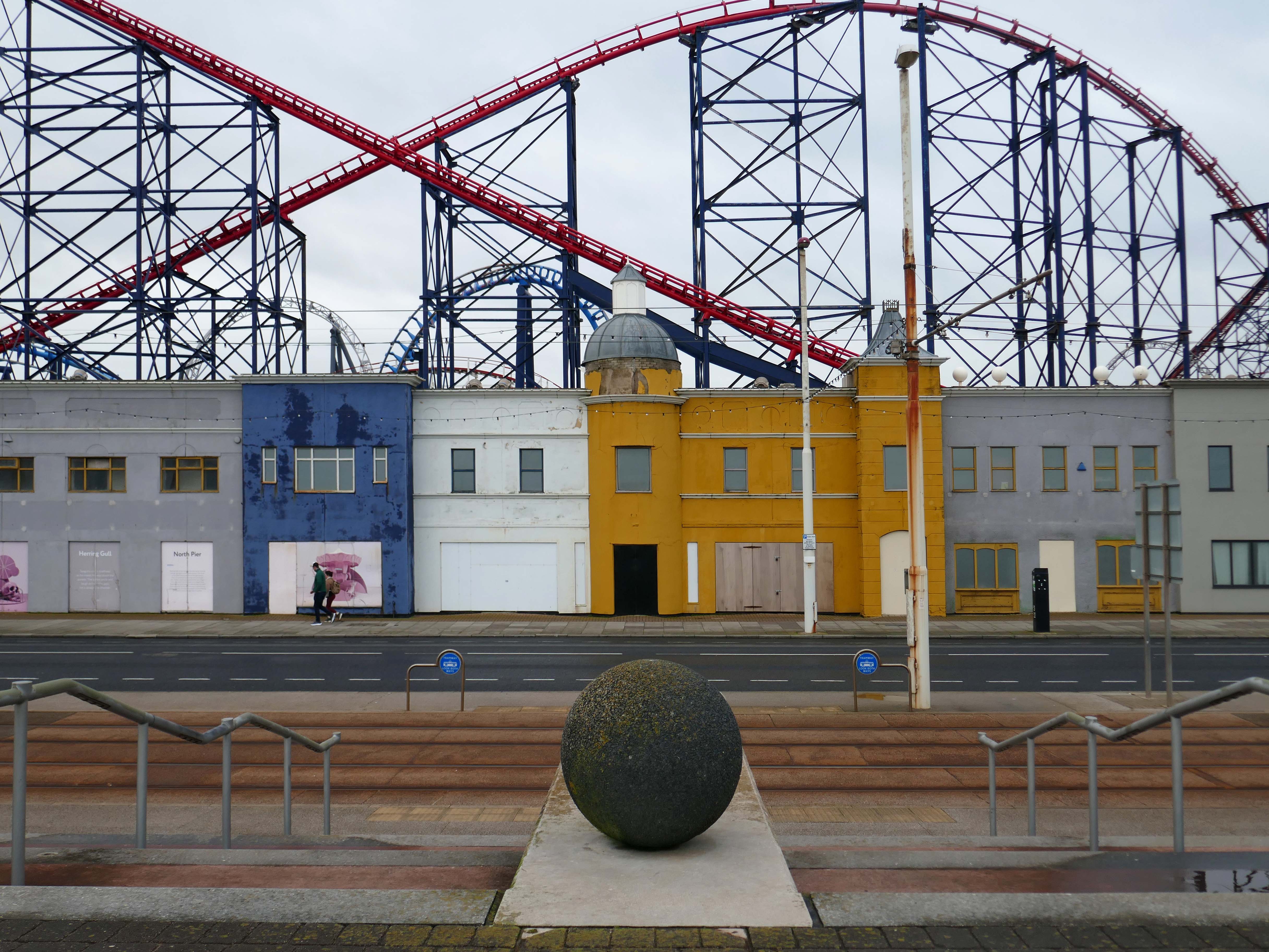
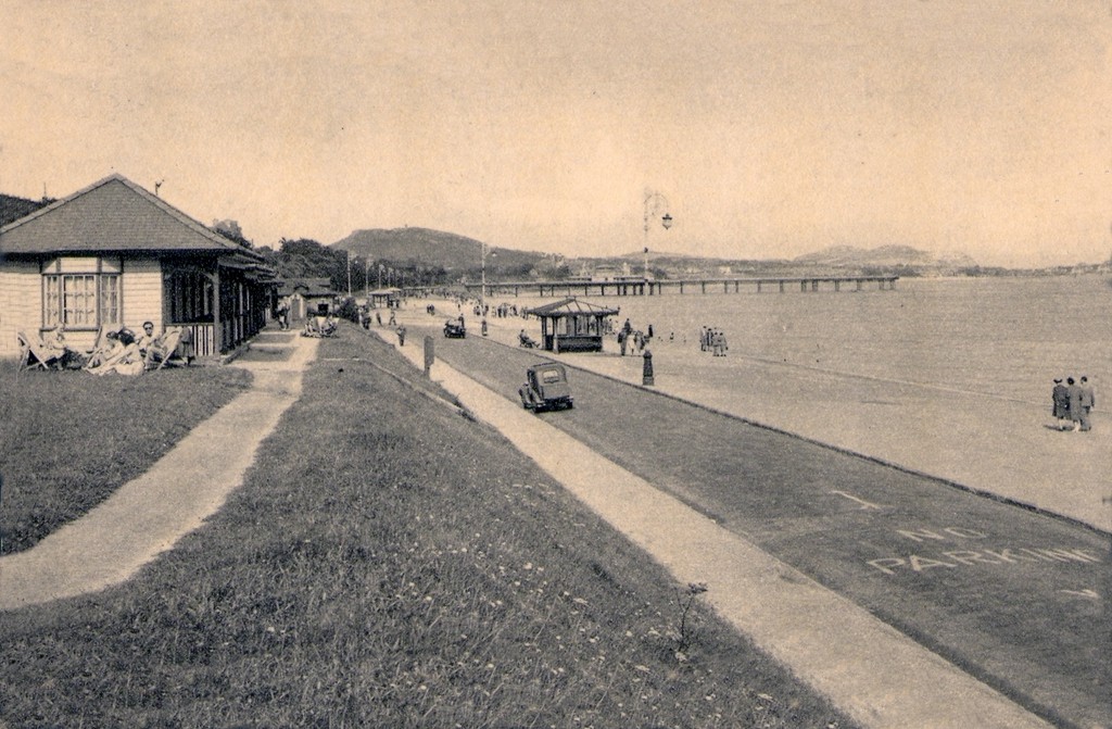
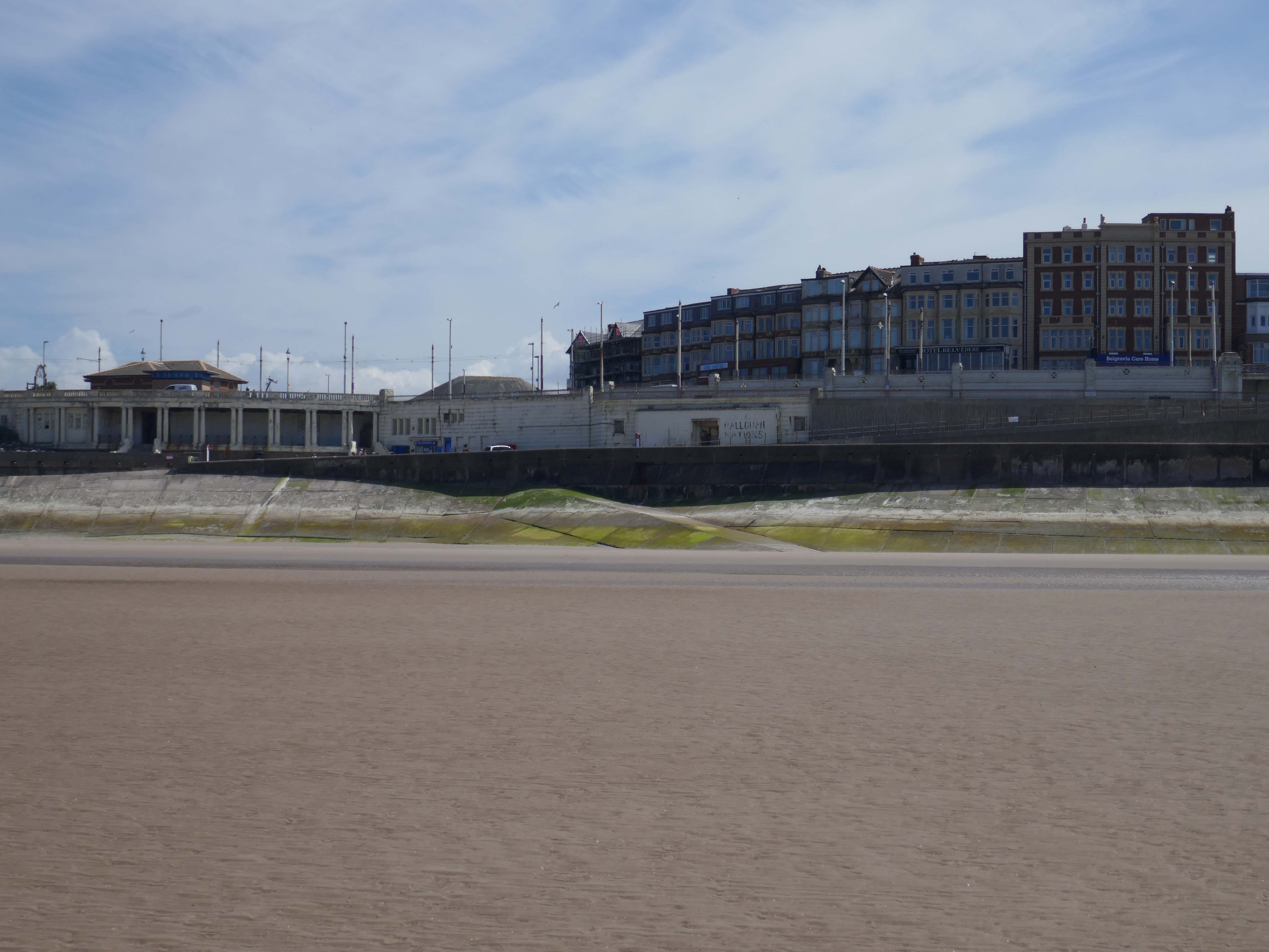
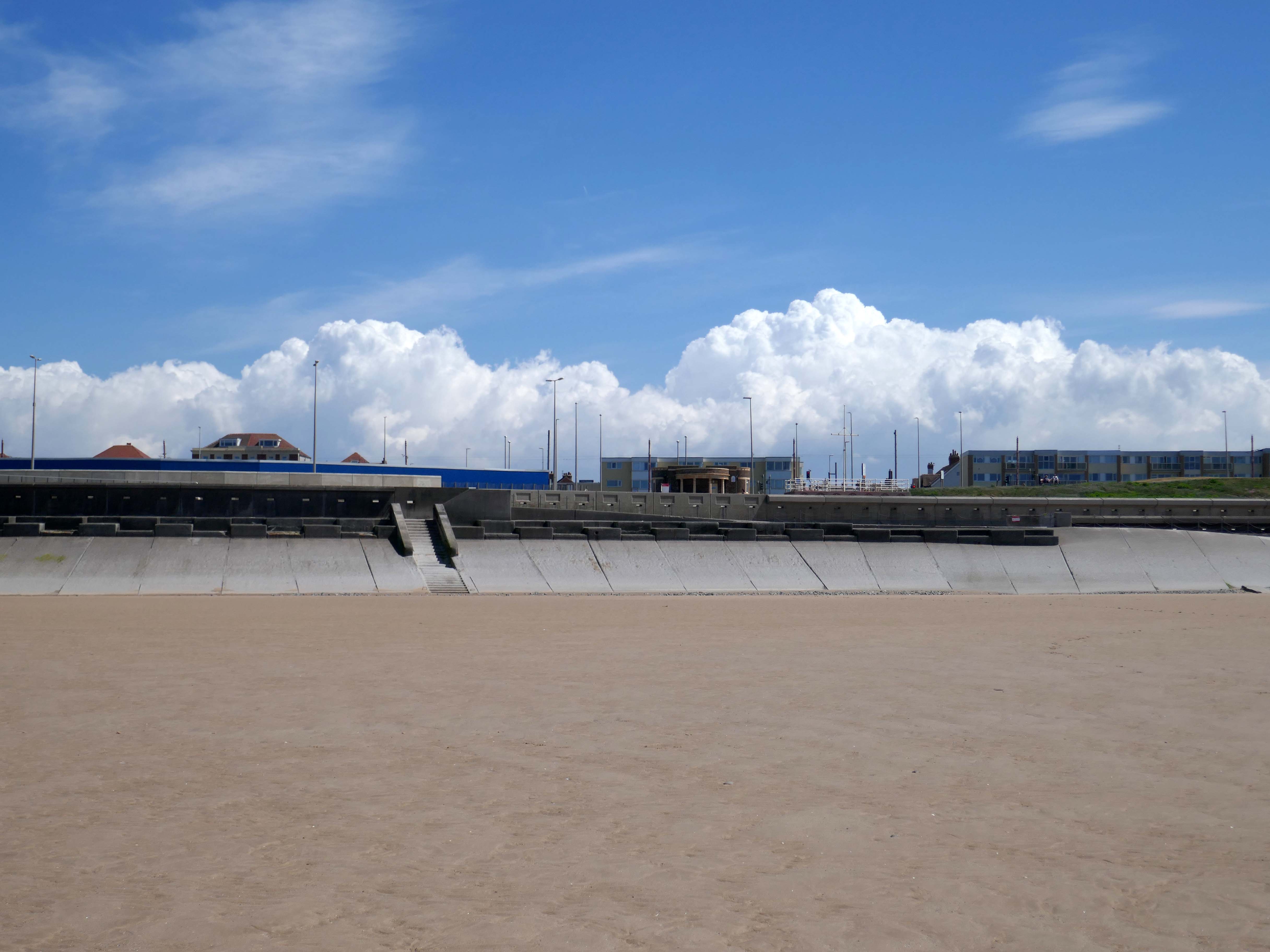
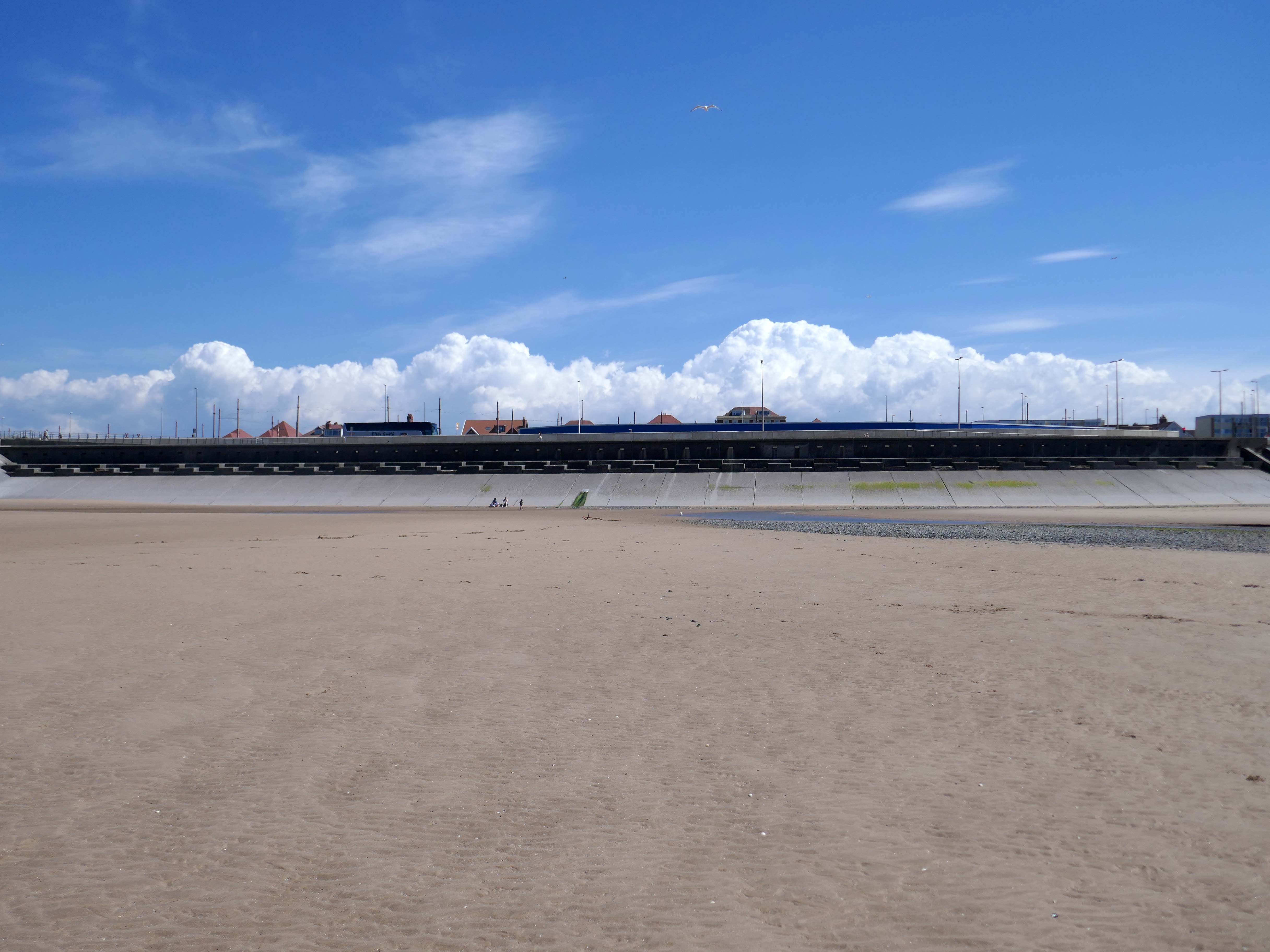
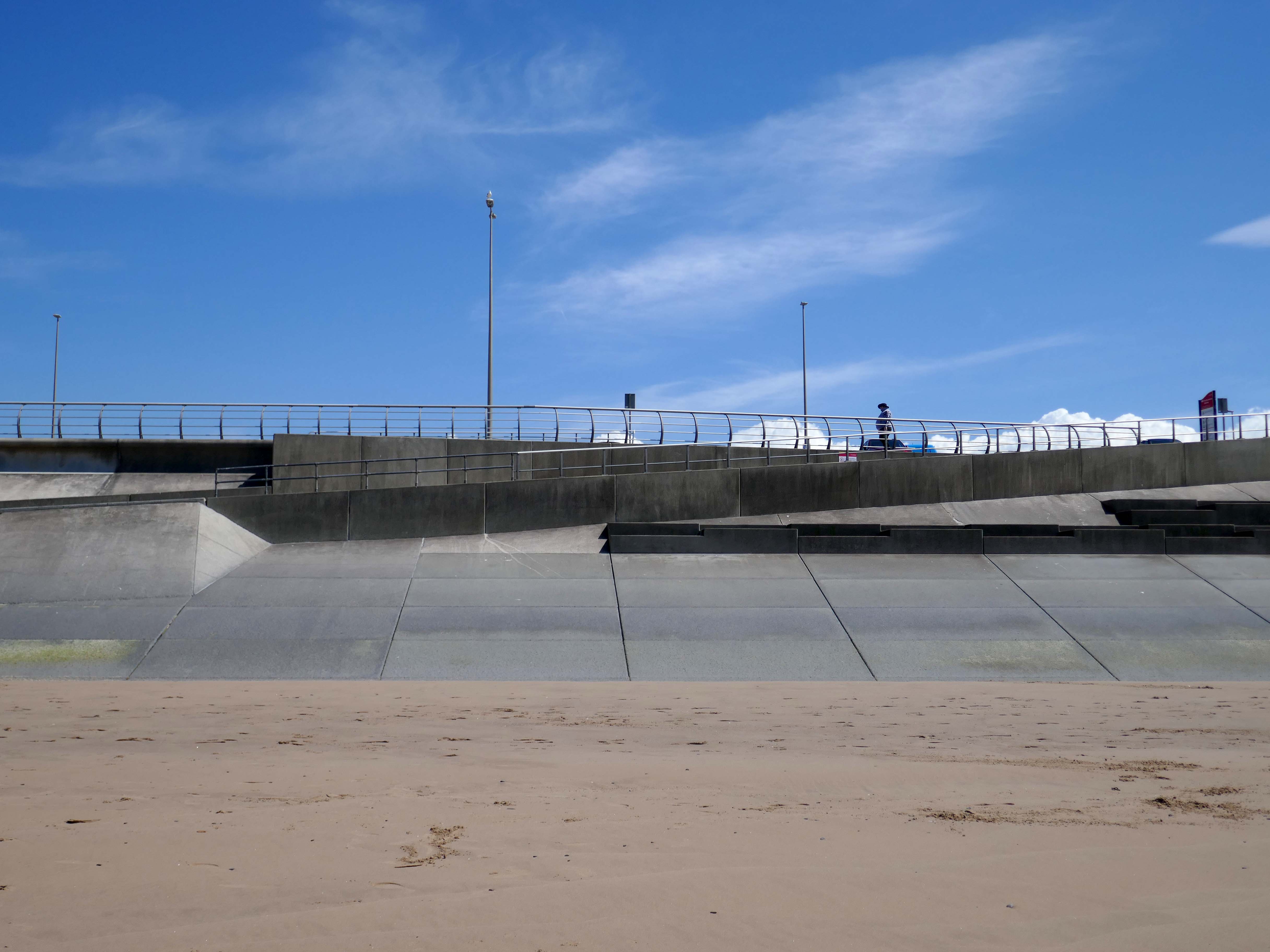
Already an hour or two behind time I elected to alight at Squires Gate, and take a walk along the South Promenade toward the town centre.
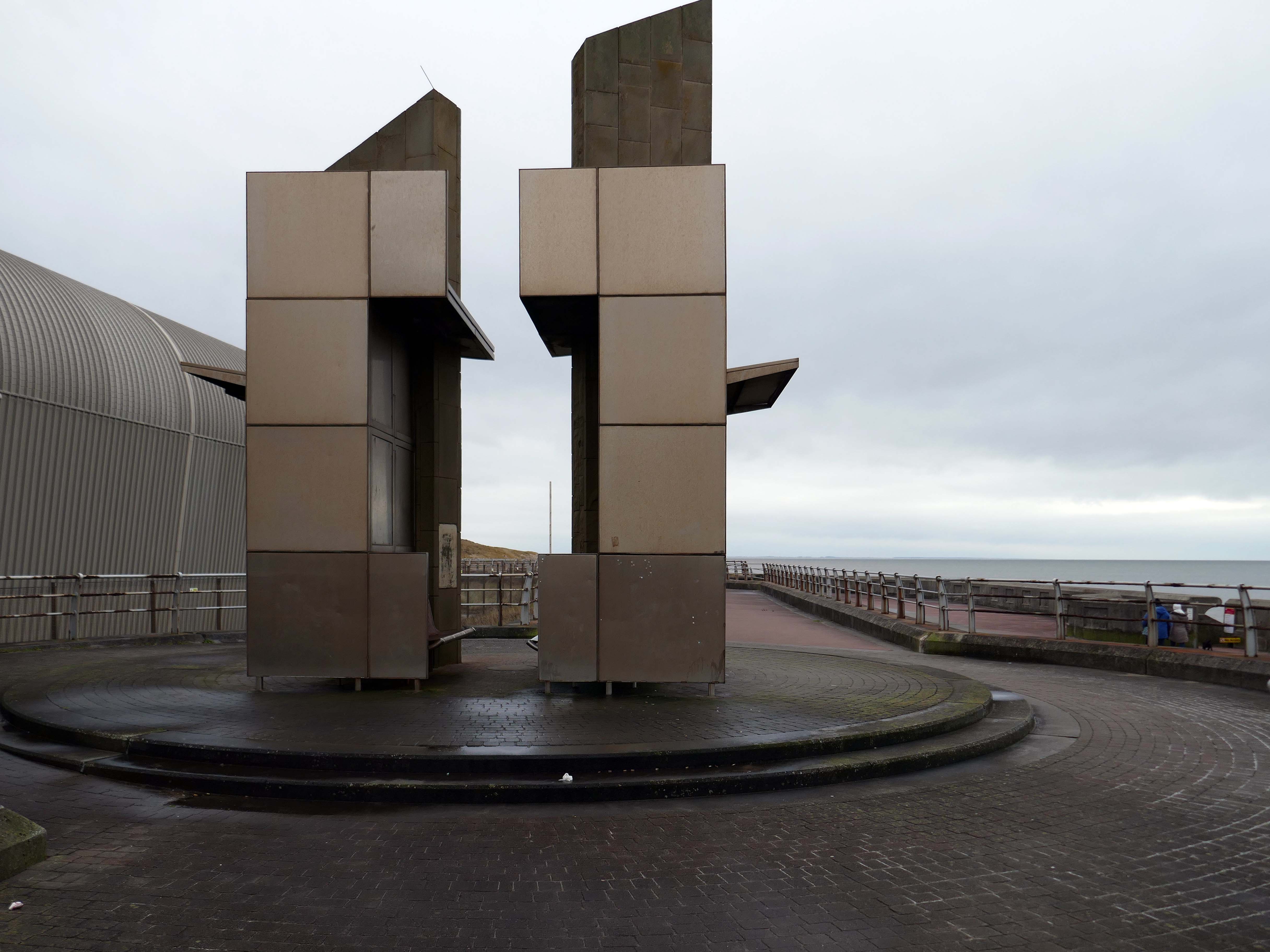
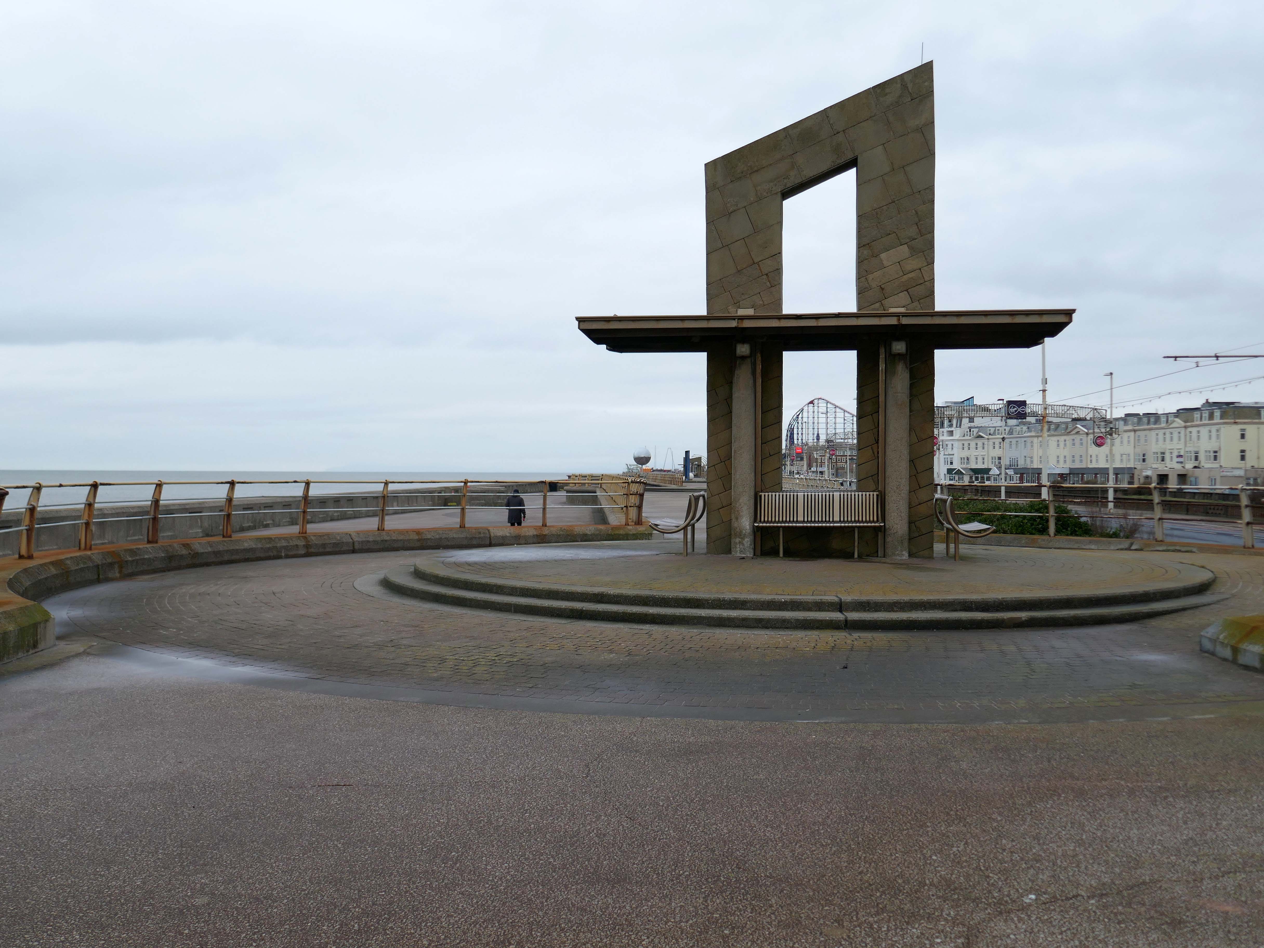
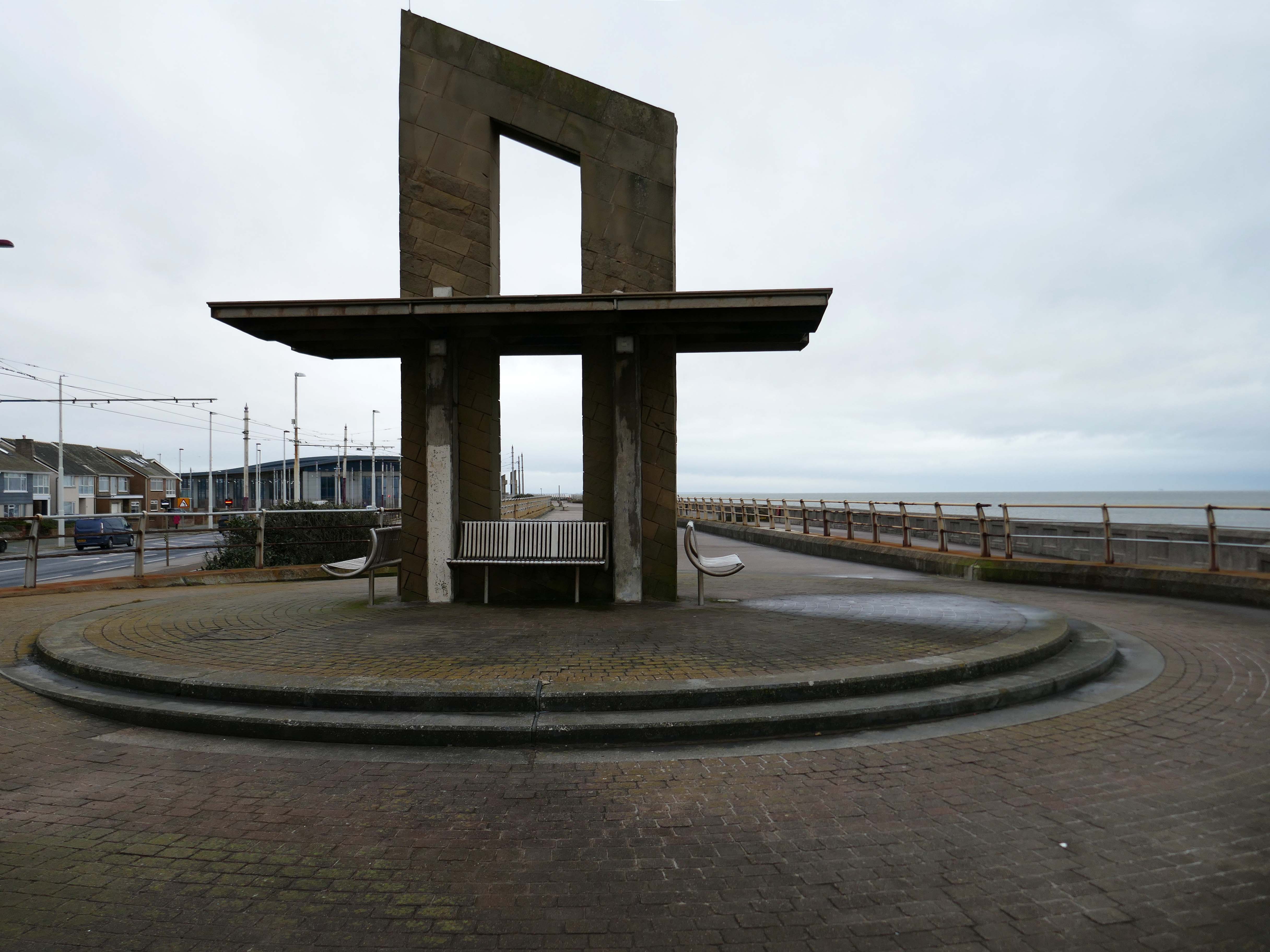
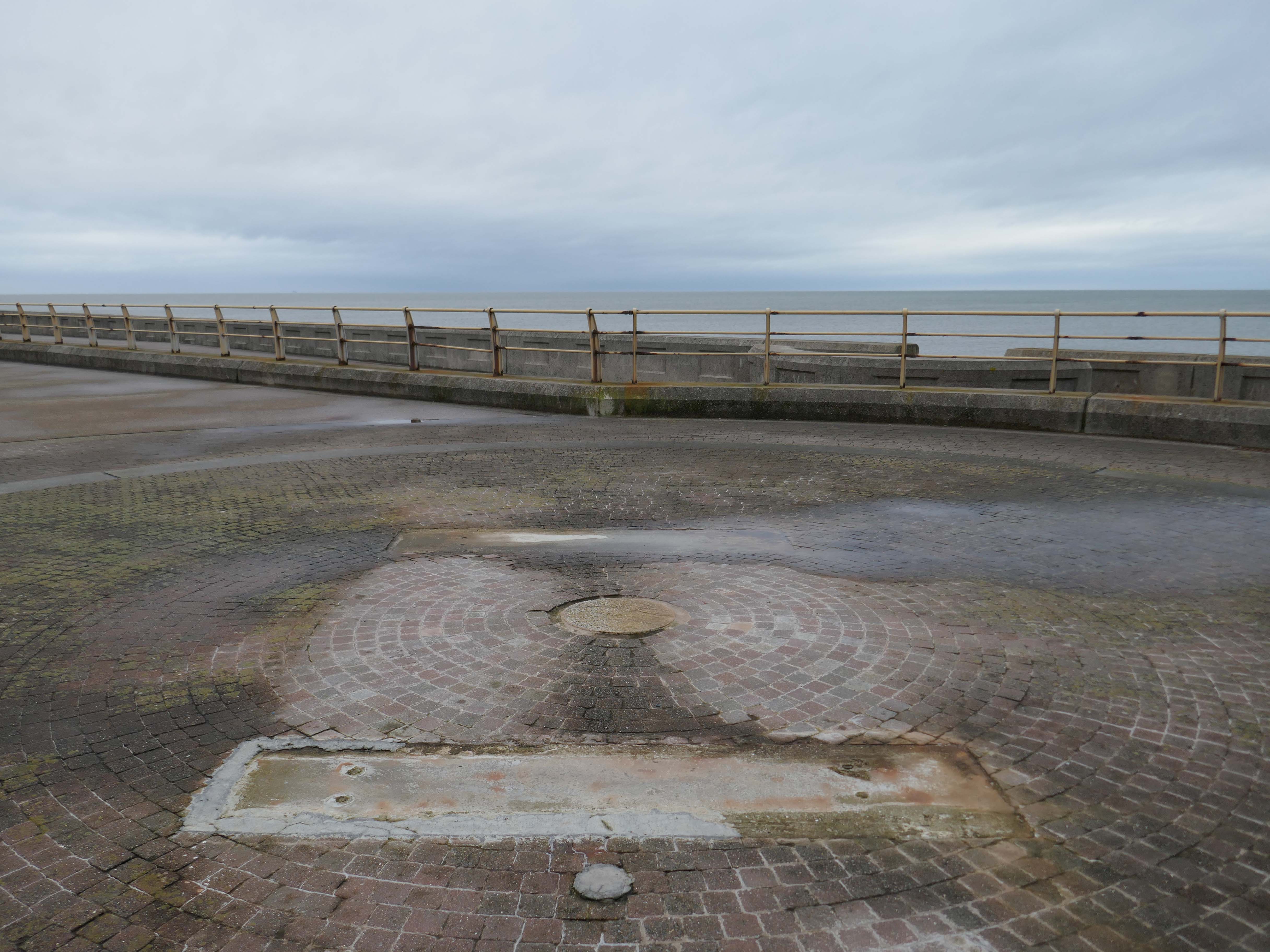
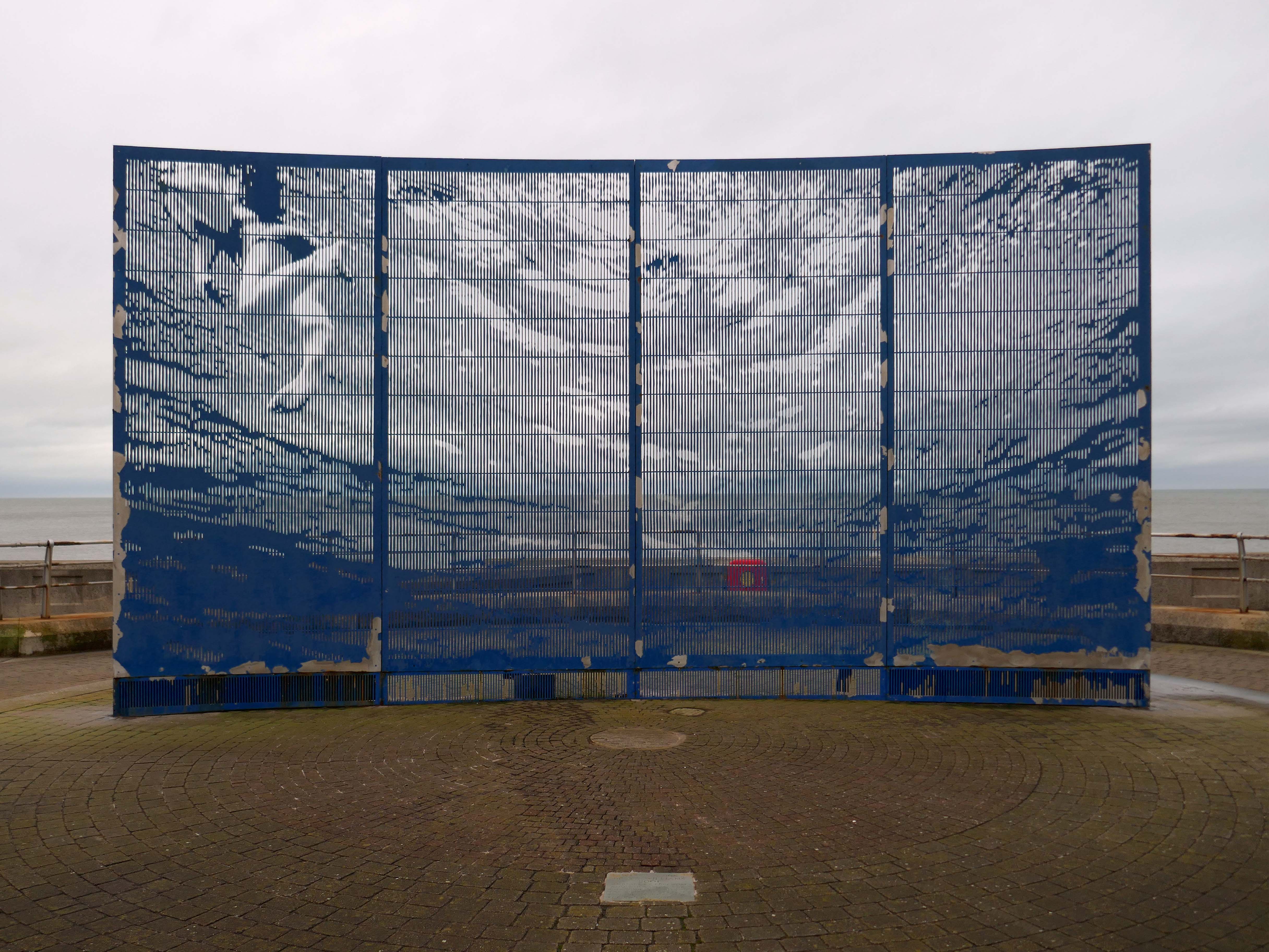
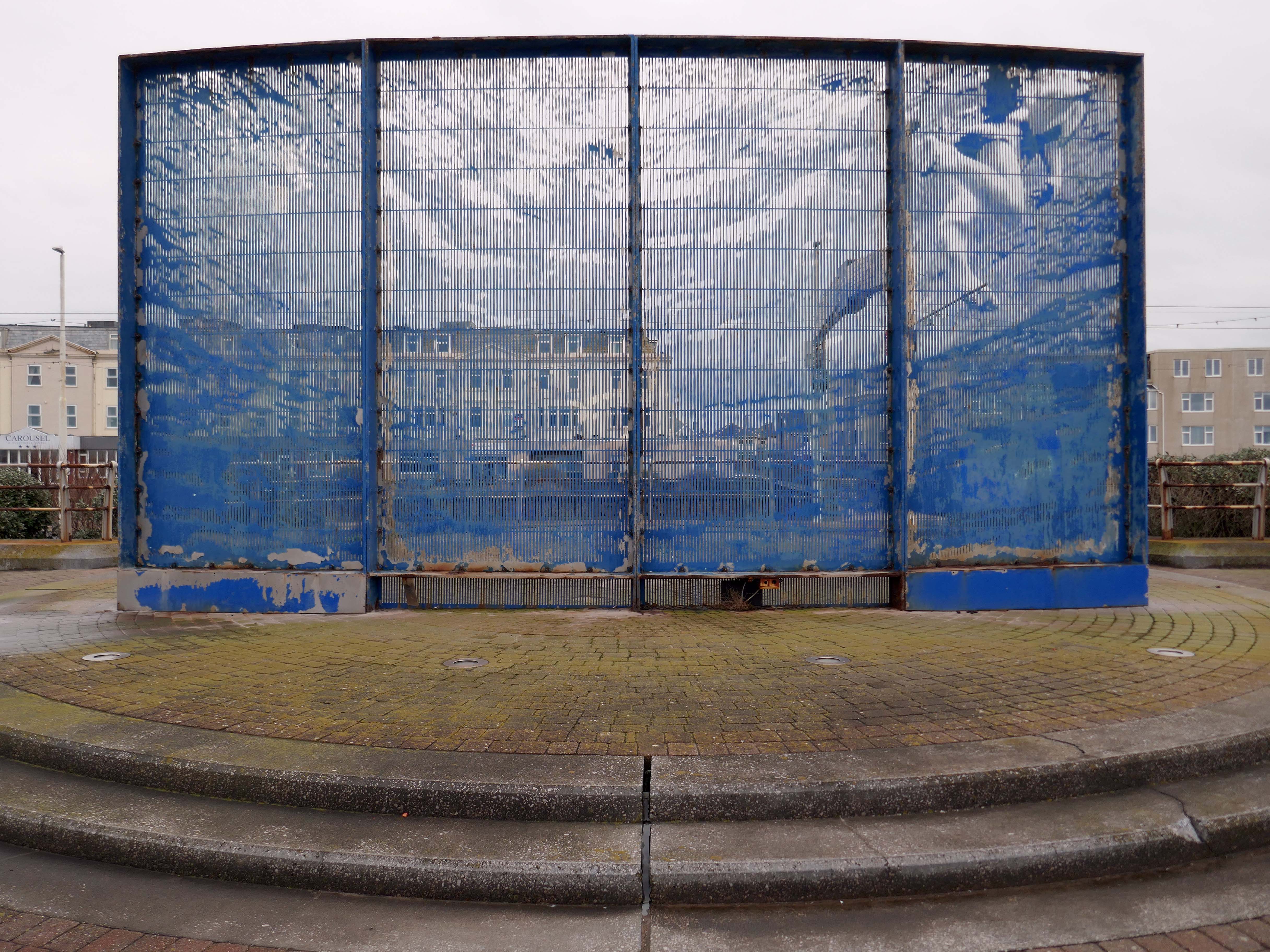
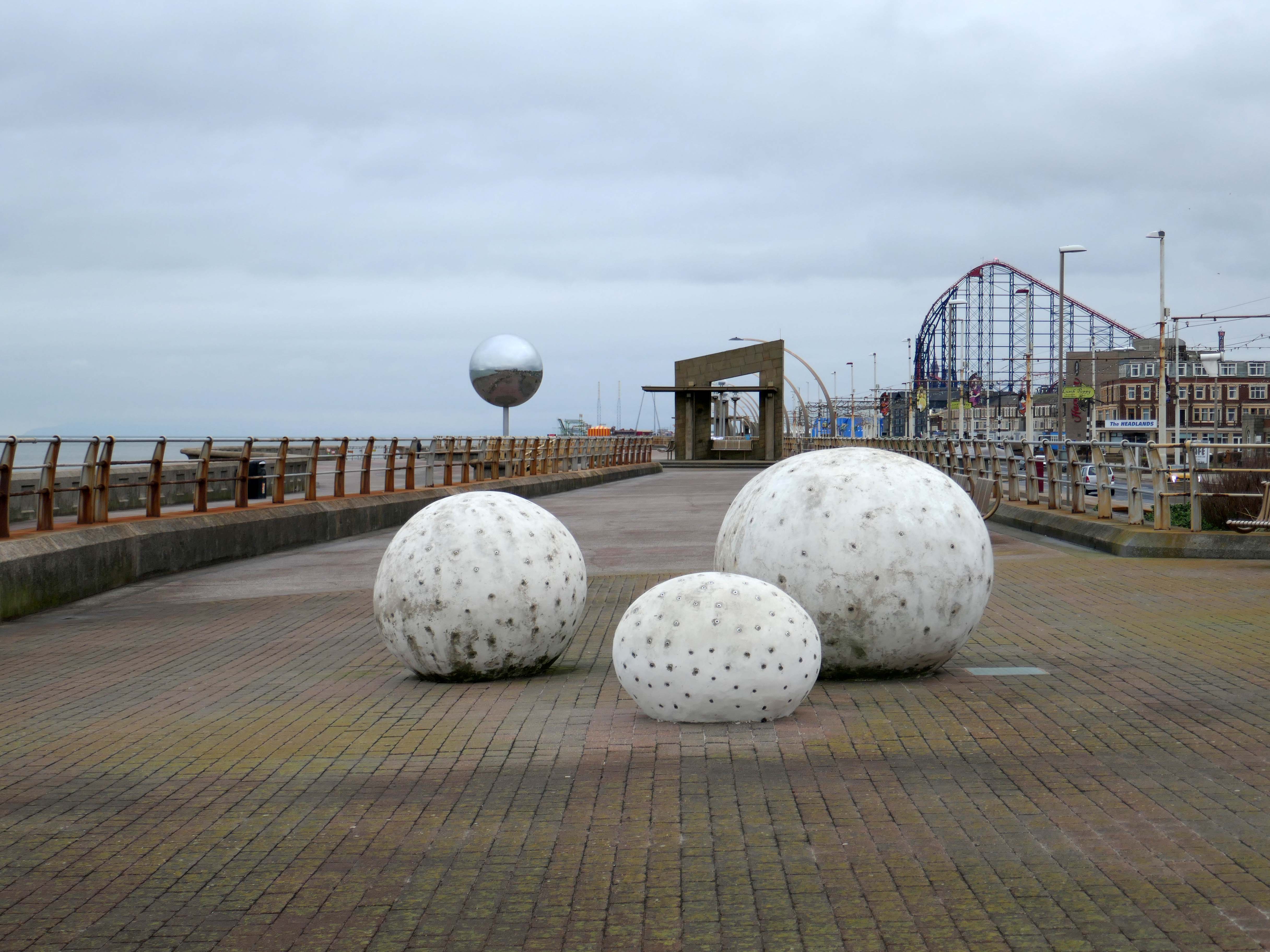
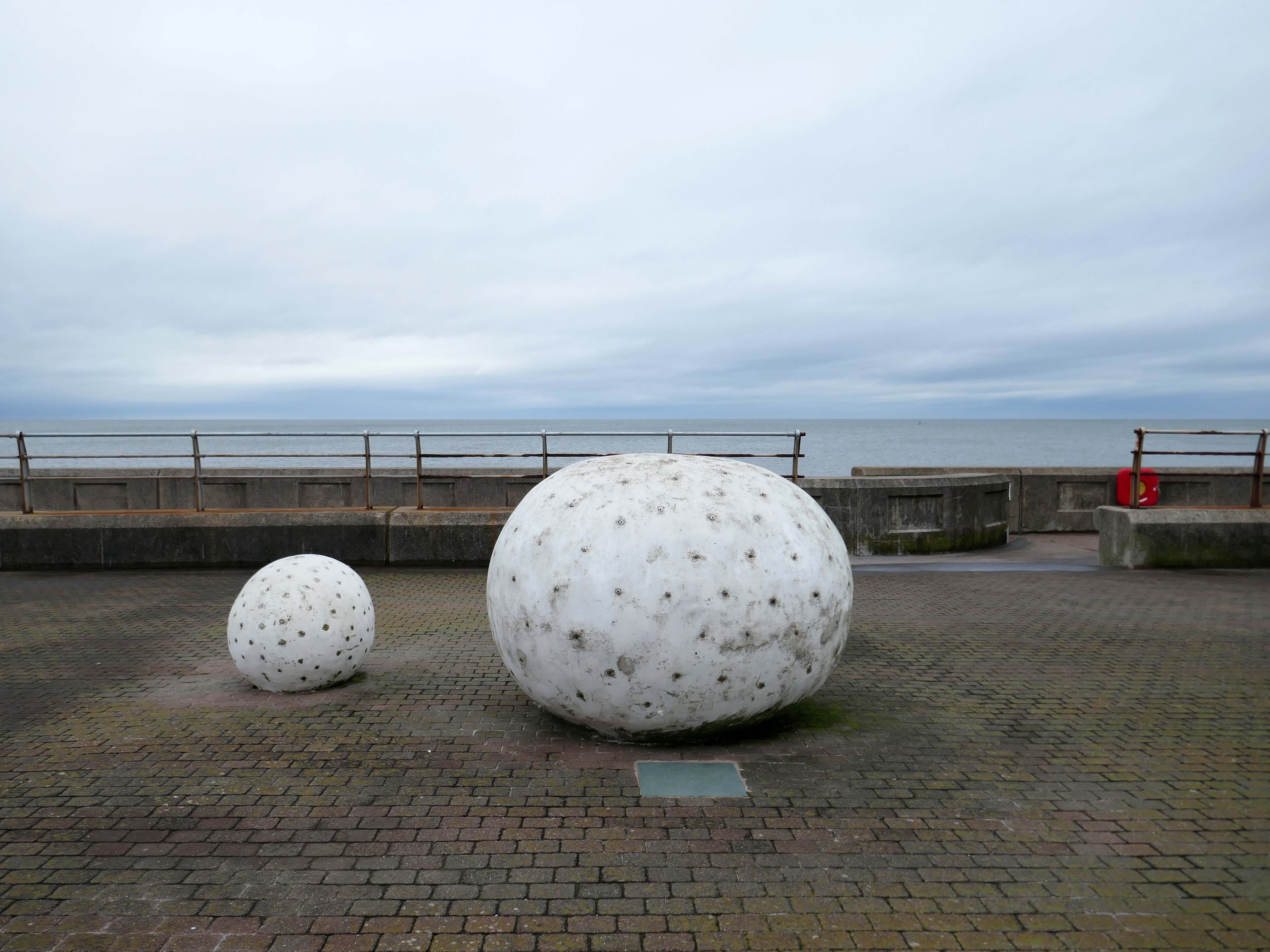
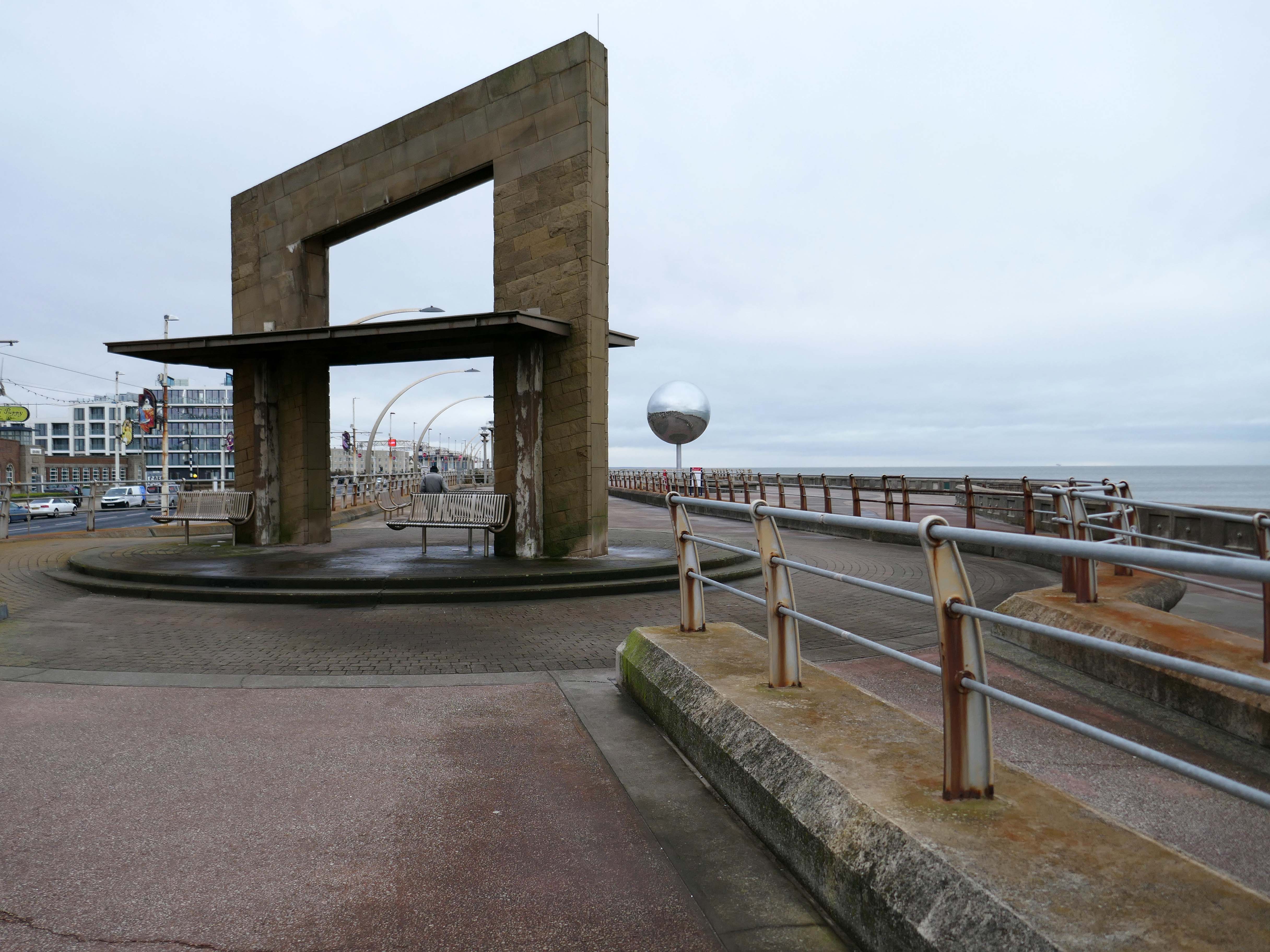
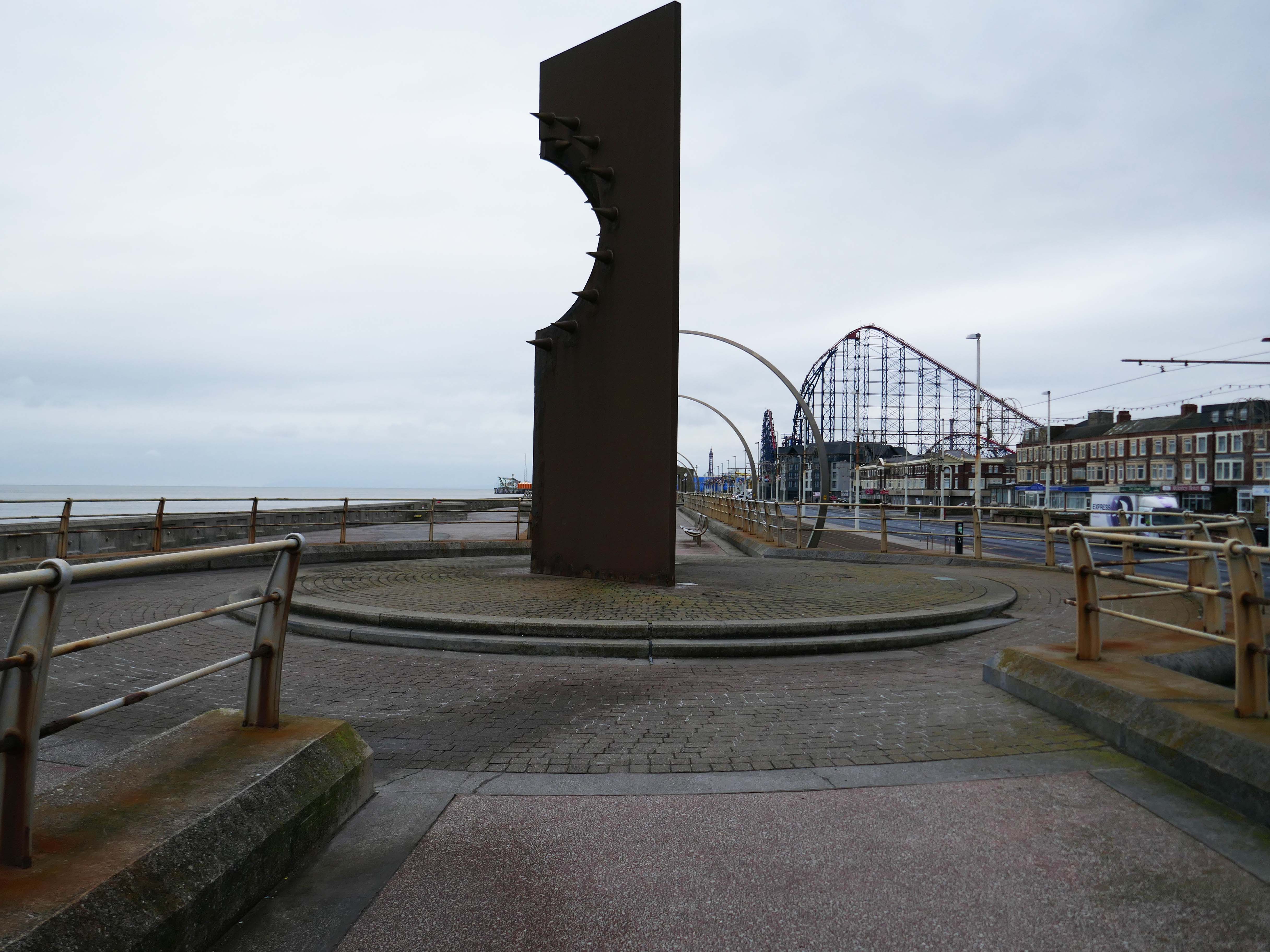
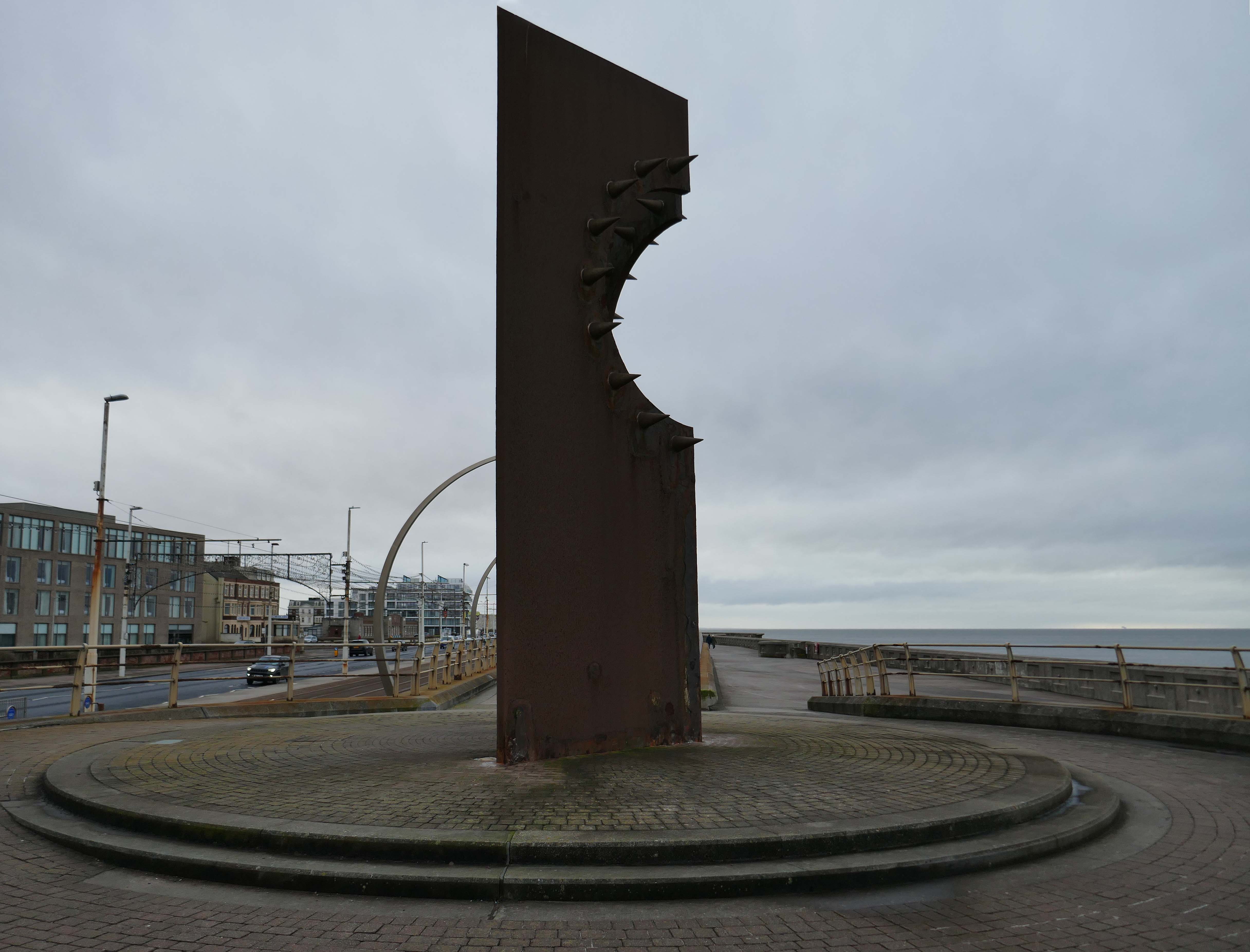
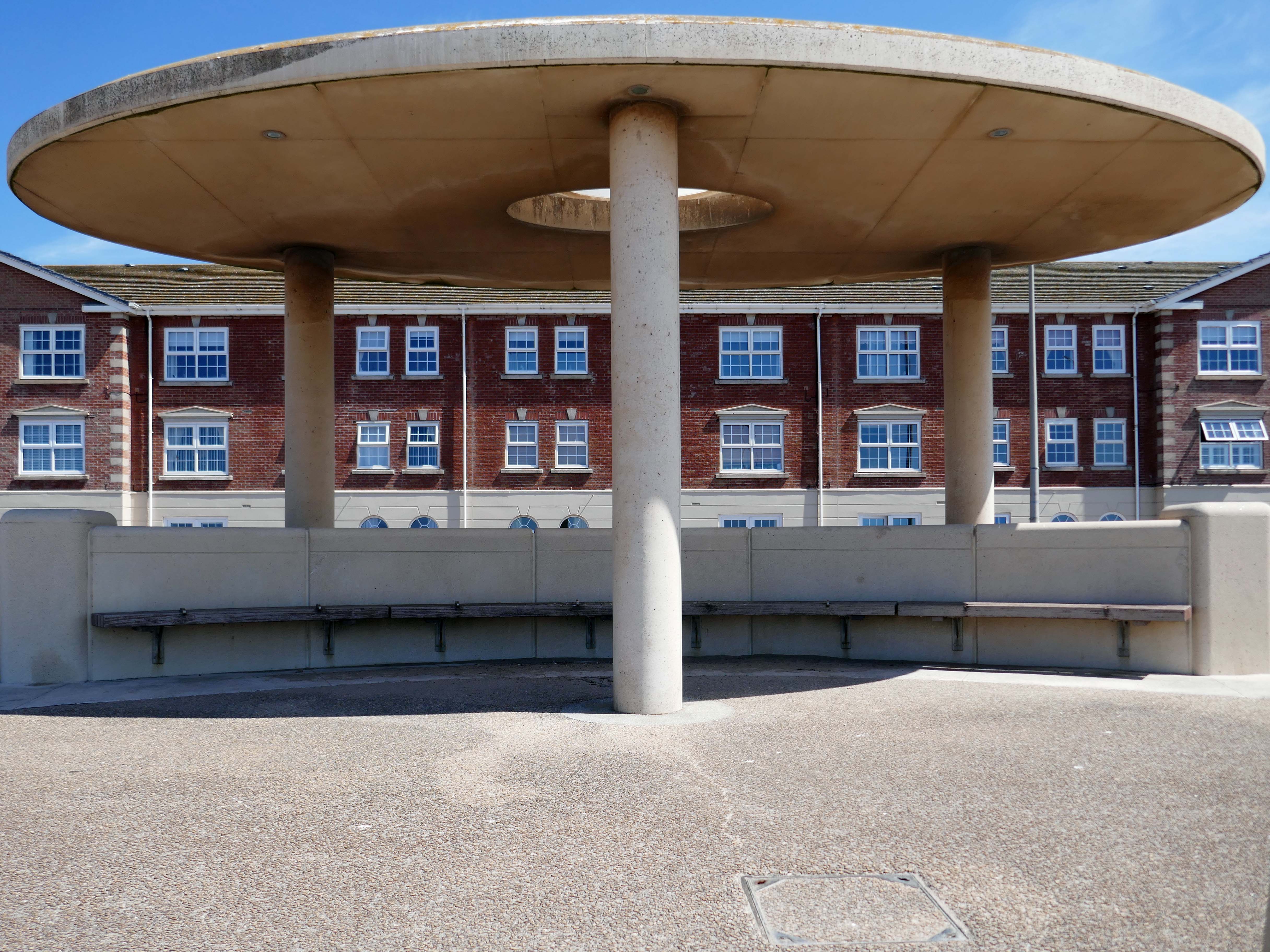
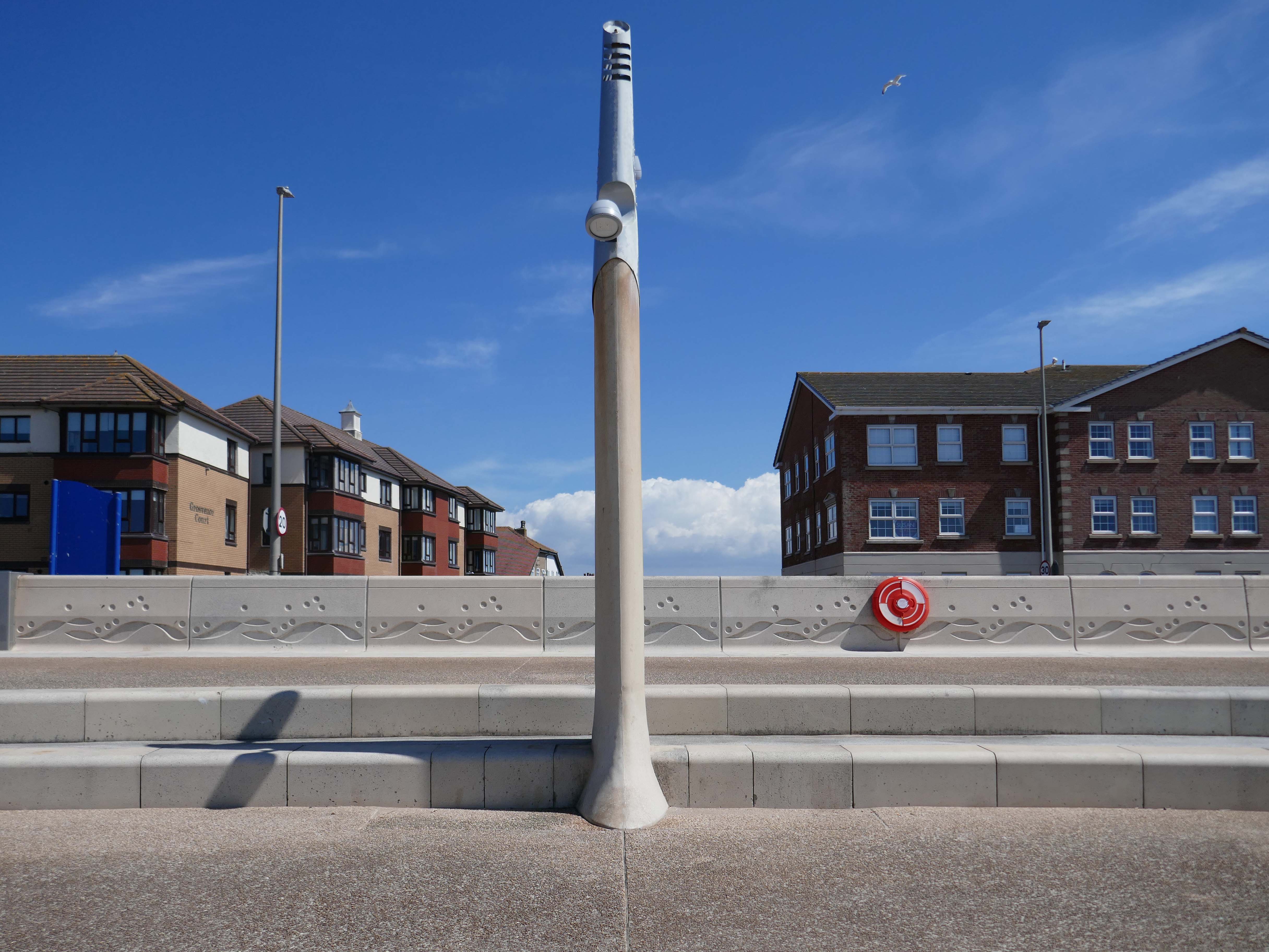
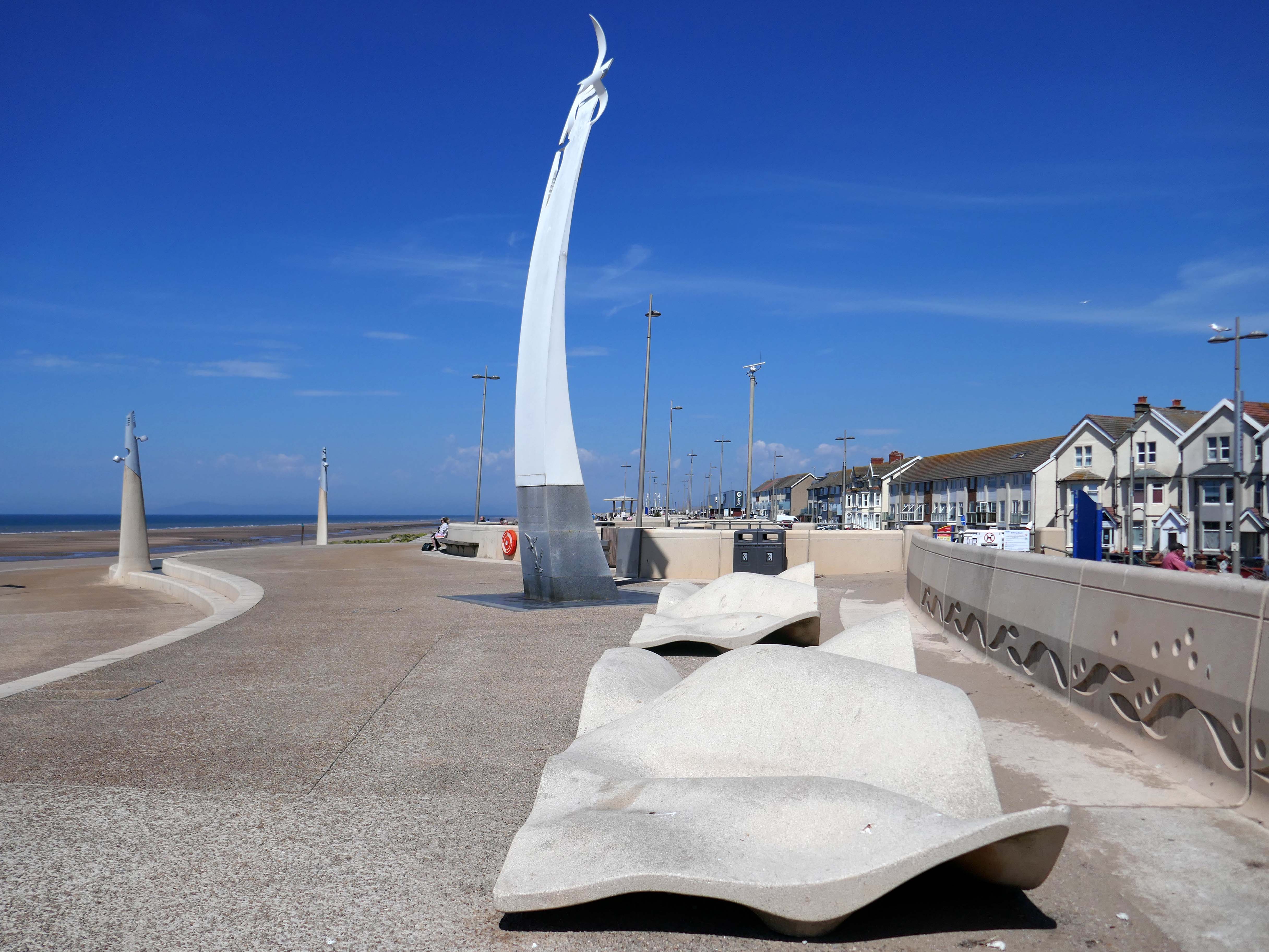
The promenade is home to a plethora of public art works and sculptural shelters.
The Great Promenade Show originated from the major redevelopment undertaken by the then Department for Environment, Food and Rural Affairs to replace and strengthen the 2km long South Promenade’s seawall flood defences. This £20 million project entailed removing the existing Victorian promenade and replacing it with a new well-designed concrete promenade on two levels. The upper level was to incorporate ’roundels’ every hundred metres, on which it was intended to site specially designed features, including wind shelters and visual displays possibly representative of the history of Blackpool. A Millennium Lottery bid was made by the Council to this end, though a commitment to start building had to be made before the outcome of the bid was known. The bid was unsuccessful, but the sites for visual features along the new promenade remained, as did the Council’s commitment to occupying them. At this point, responsibility for managing the project shifted from the Council’s Technical Services Department to its Education, Leisure and Cultural Services Division.
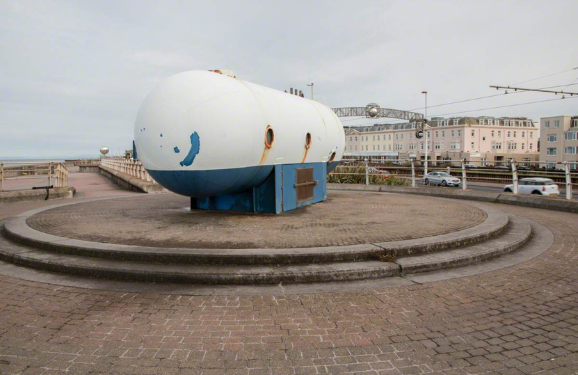
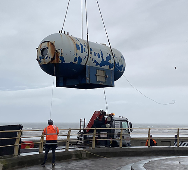
Like a sinister exhibit in one of Blackpool ‘s Victorian freak shows, the skeleton of a killer whale made from pulsating dark blue neon can be viewed through portholes within a metal tank like a decompression chamber.
The work was subsequently removed.
The structure has been on display for the public to enjoy for over 15 years and was deemed unsightly due to corrosion, which is why the decision was taken to remove it. PTSG Building Access Specialists Ltd planned the decommissioning and contract crane lift from start to completion.
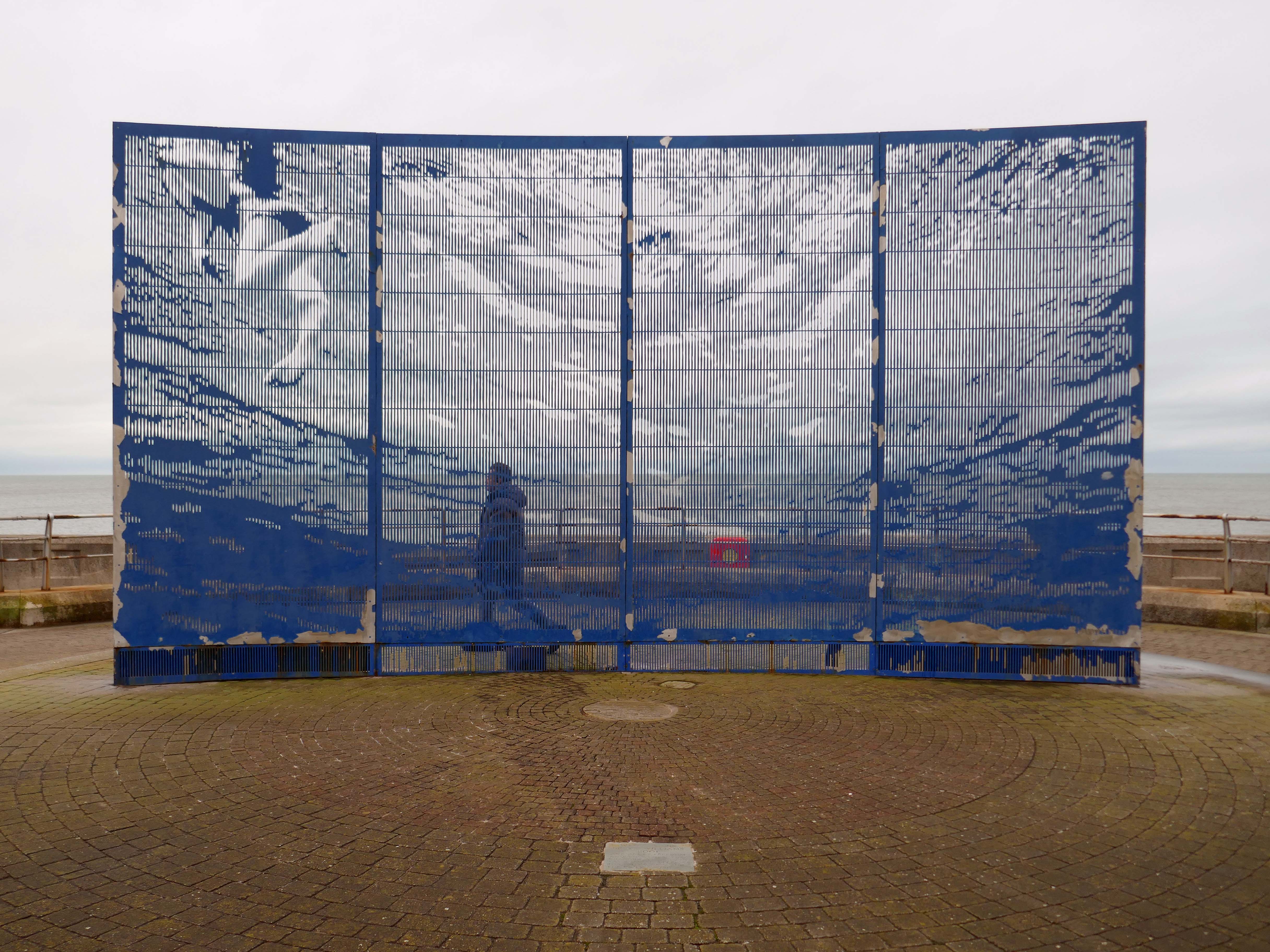
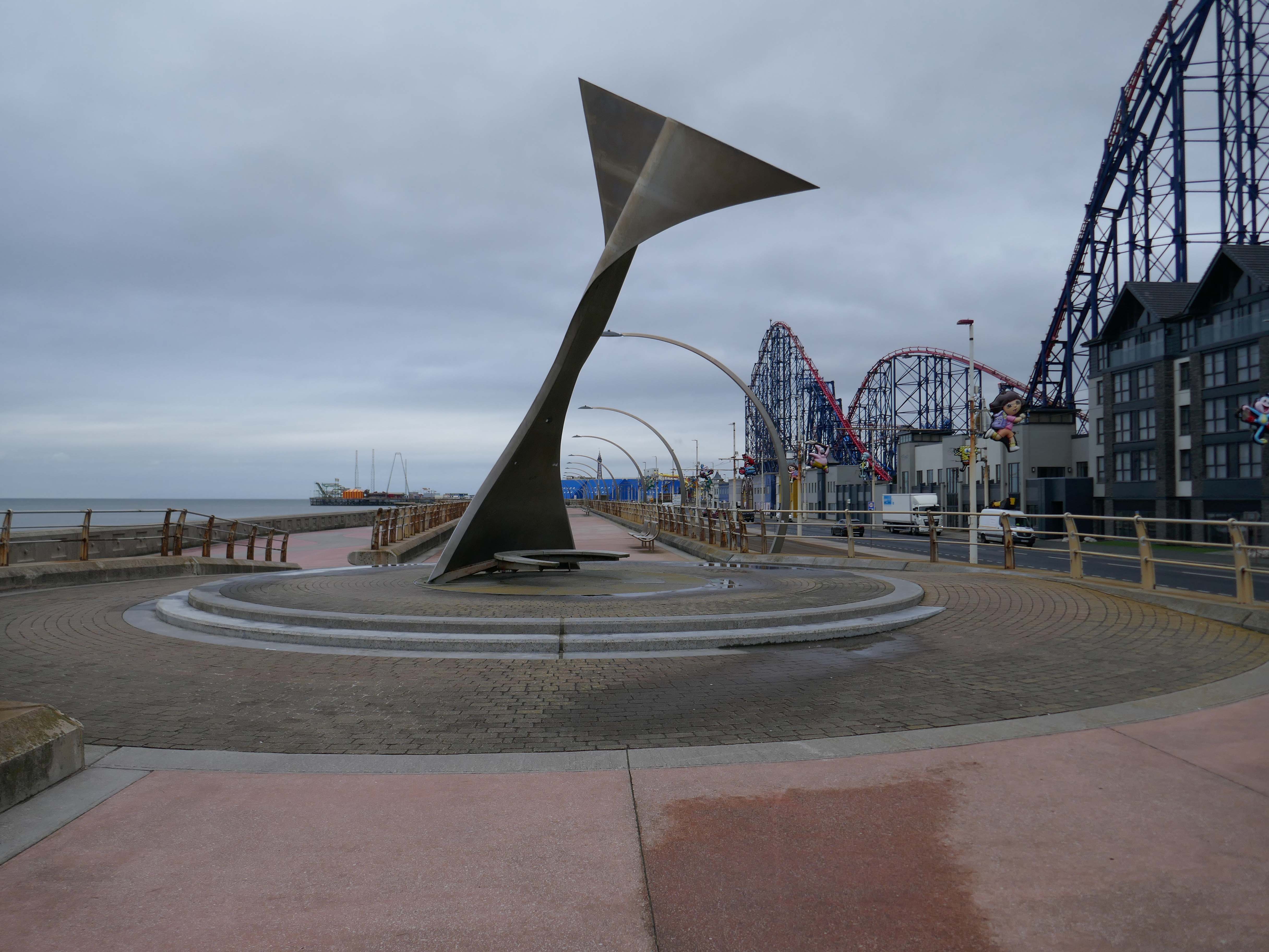
Designed to be viewed in motion from the adjacent tram track and road, the photographic image of a swimming child laser cut into an 8m long curved stainless steel screen gradually resolves and disappears again as the viewer moves past.
Glam Rocks by Peter Freeman
Inspired by Las Vegas and the Blackpool Illuminations, three large pebble-like modelled shapes glitter after dark, as hundreds of fibre optic light points on their surface slowly change colour and sparkle.
They Shoot Horses, Don’t They? by Michael Trainor and The Art Department
Blackpool is known as the “ballroom capital of Britain”. This rotating ball 6m in diameter, covered in almost 47,000 mirrors, has been claimed as the world’s largest mirror ball, and is named after the 1969 film about a depression era ballroom marathon in the USA.
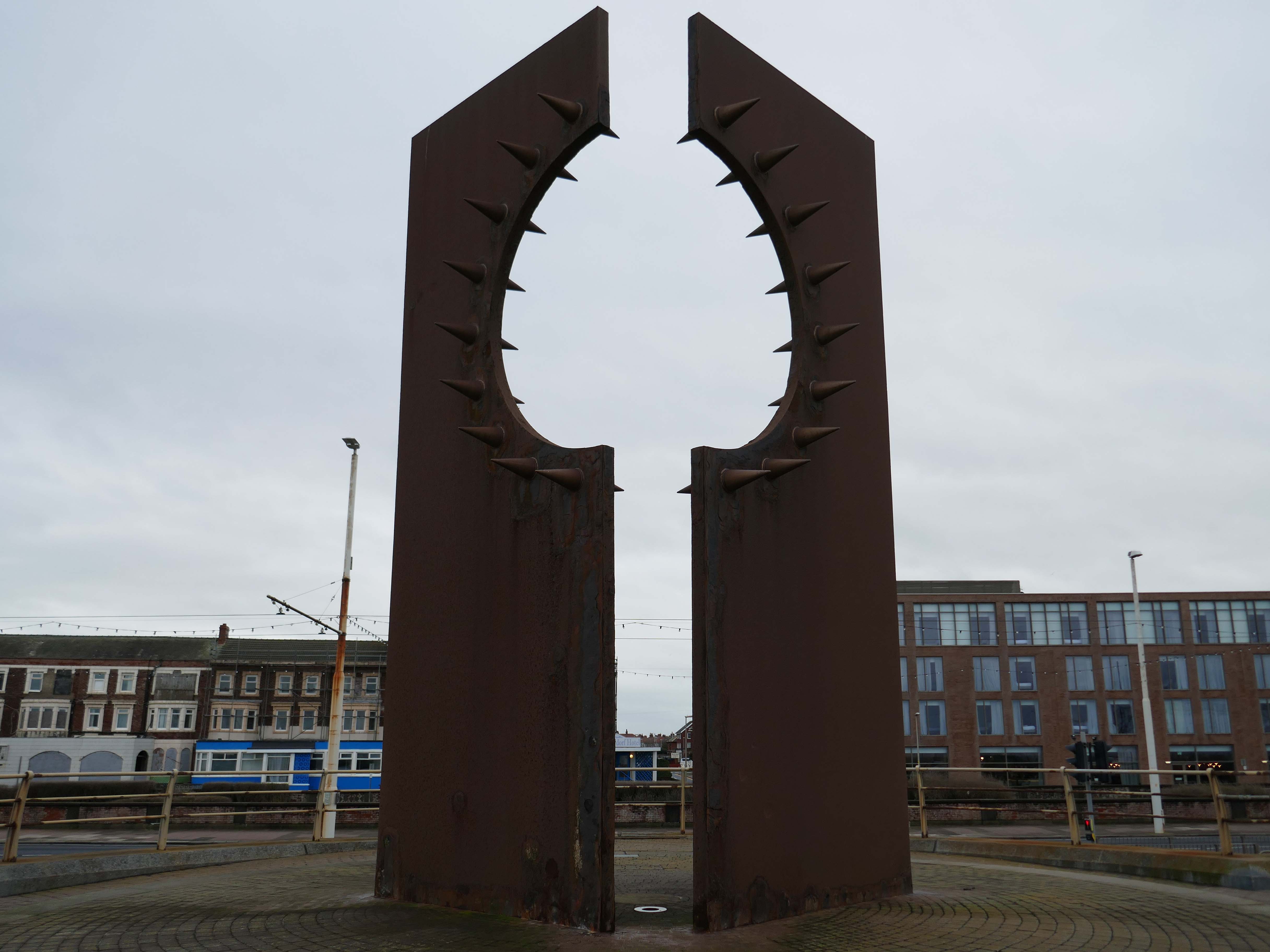
Desire by Chris Knight
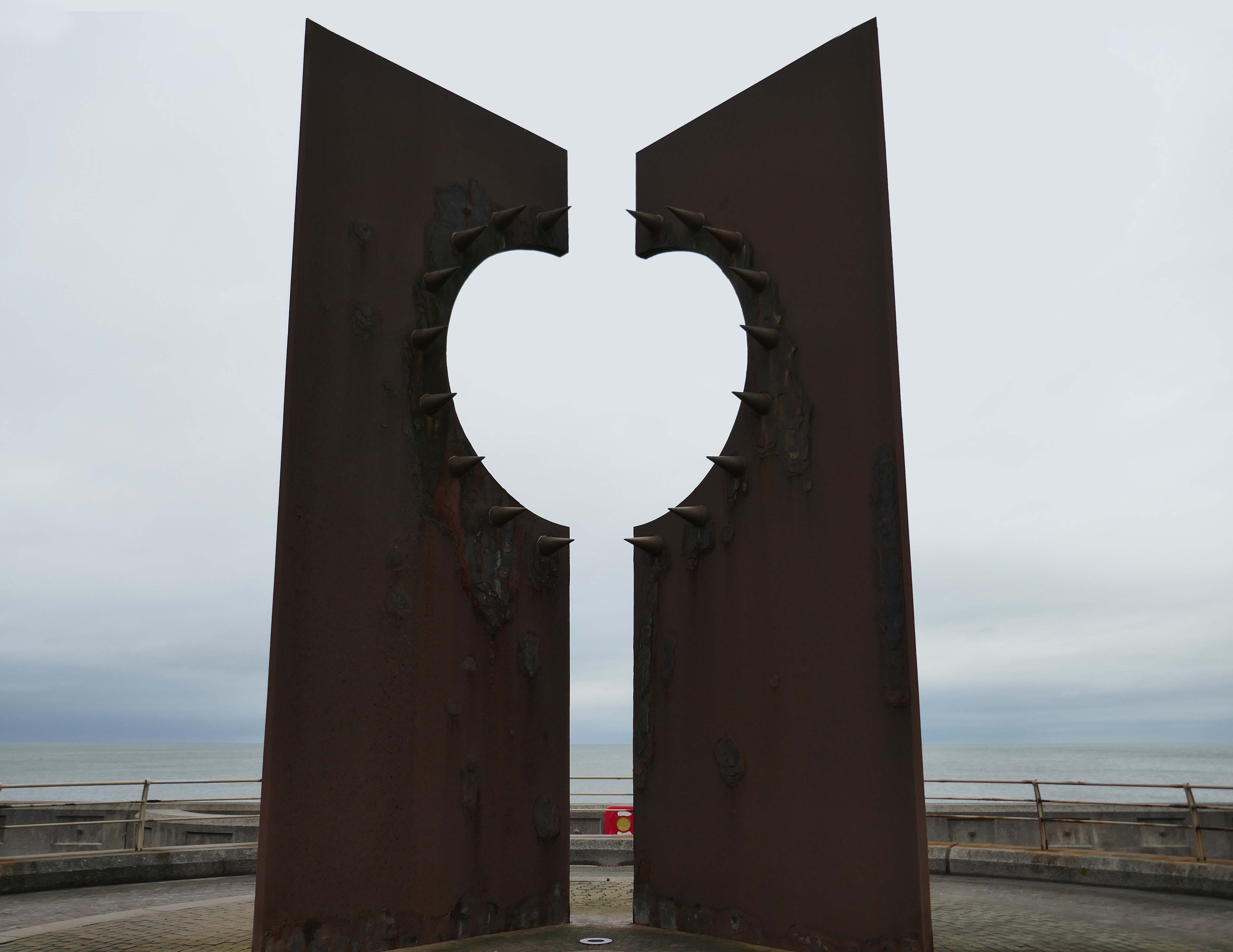
An abstract sculpture 8m high, contrasting rusty corten steel with shiny stainless steel spikes, inspired by the town’s reputation as a destination for ‘dirty weekends’, and its hidden ‘fetish scene’. It casts the shadow of a spiky heart on the promenade.
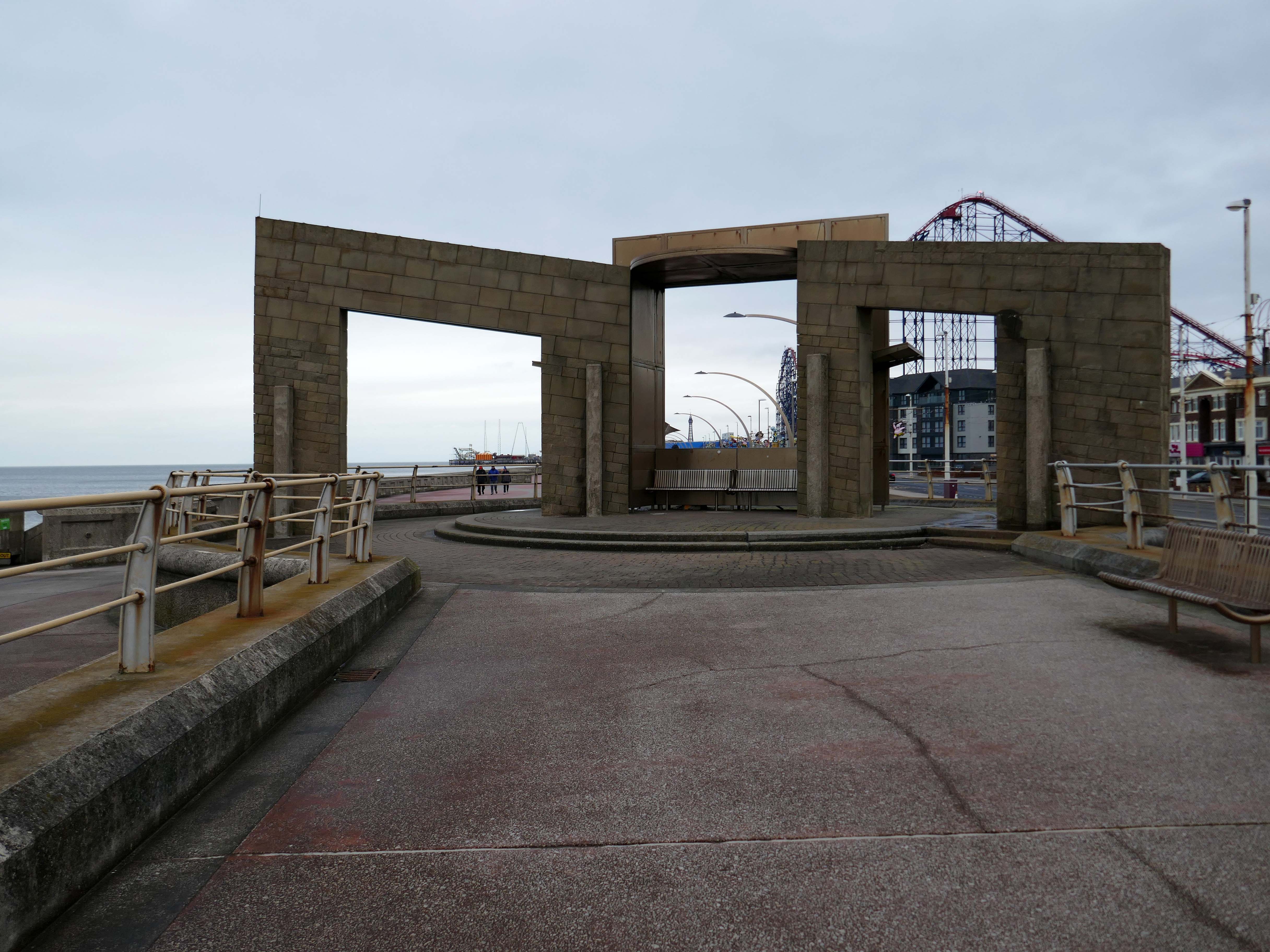
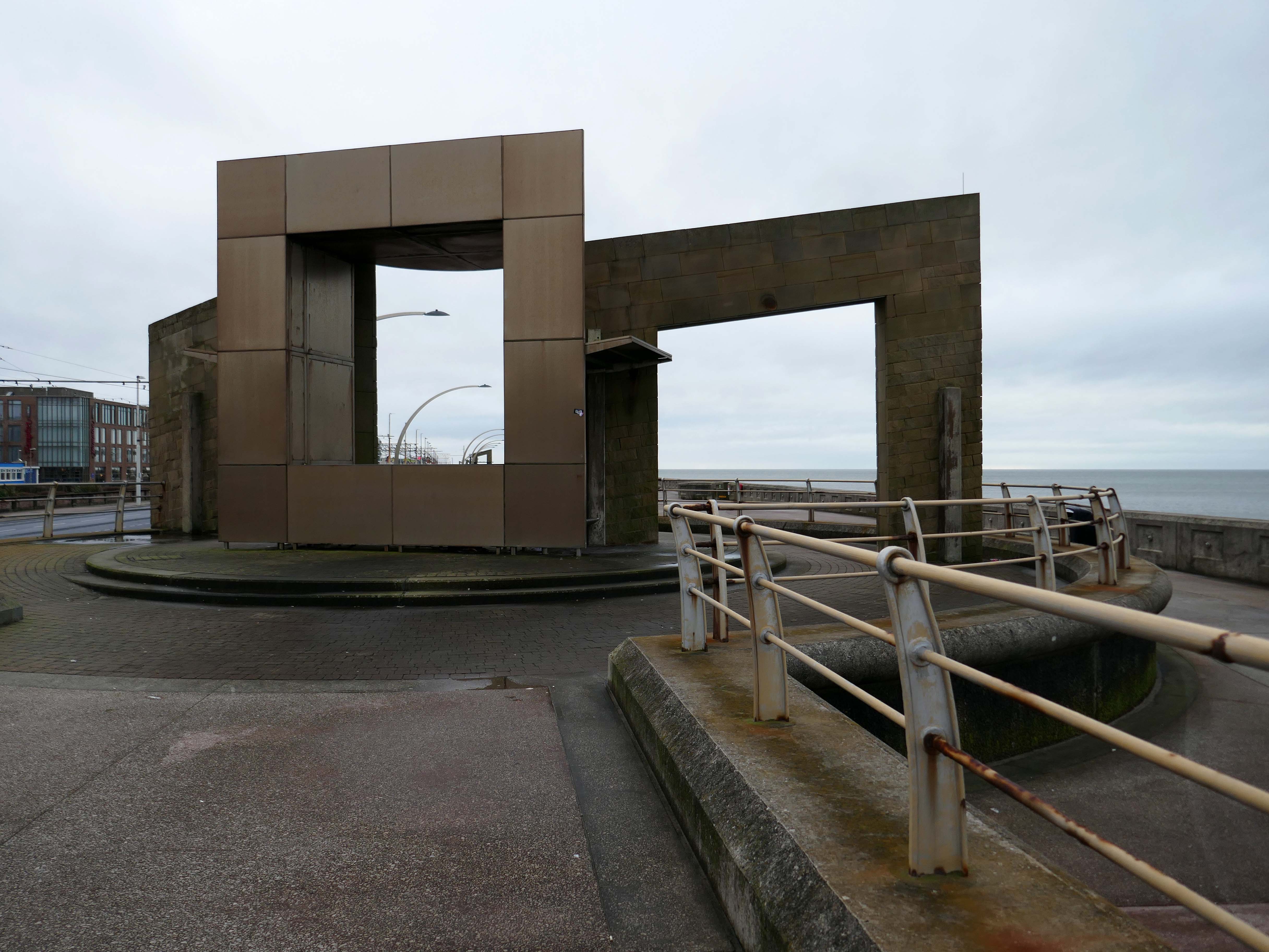
Swivelling Wind Shelters by Ian McChesney with Atelier One
Three 8m high, stainless steel shelters turn like weather vanes, keeping their occupants away from the prevailing wind. Designed by architect Ian McChesney, in collaboration with engineers Atelier One, the graceful sculptural form of the shelters, shaped like whales’ flukes, is structured like an aircraft wing, vibrating in strong gusts of wind.
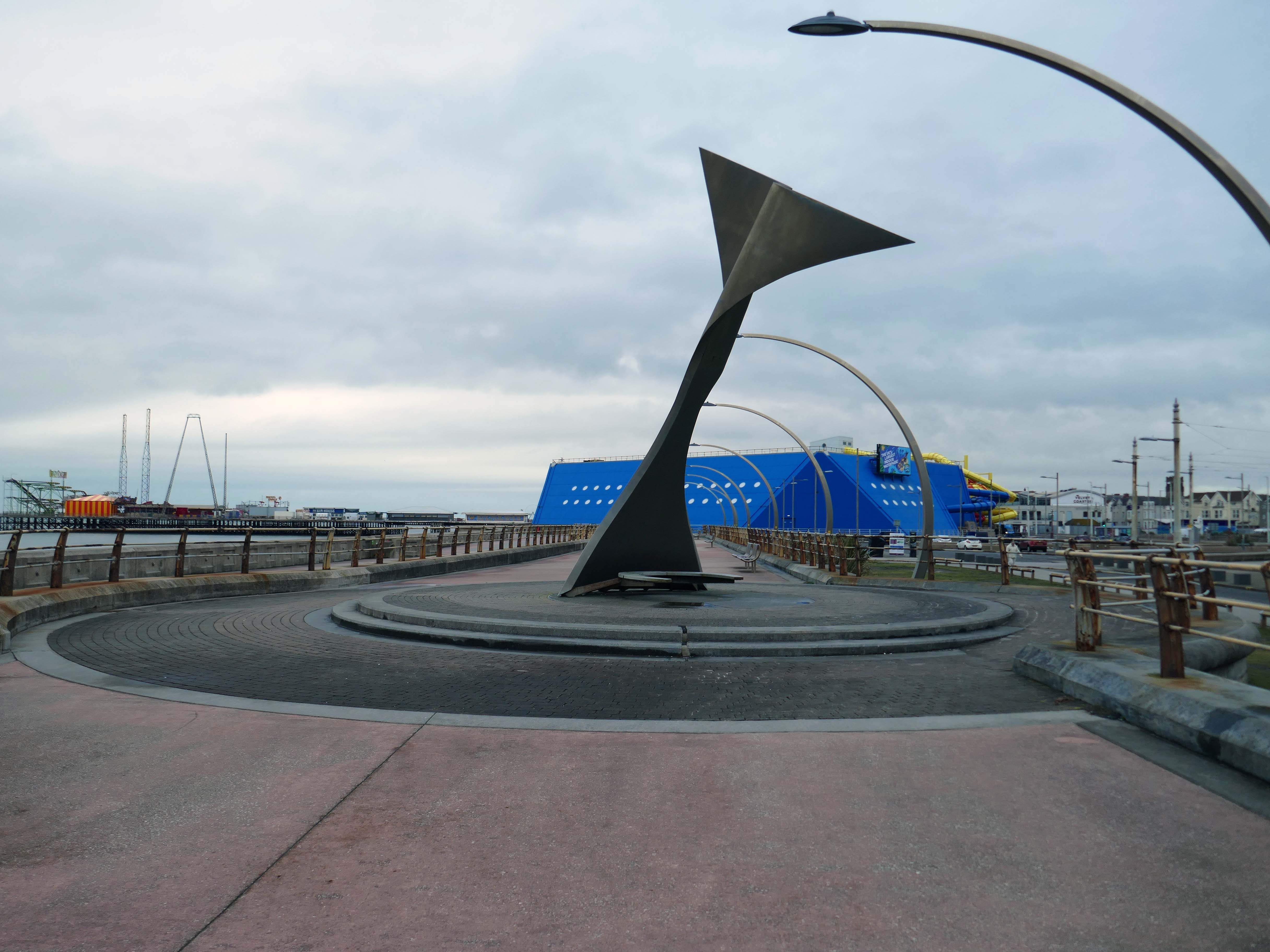
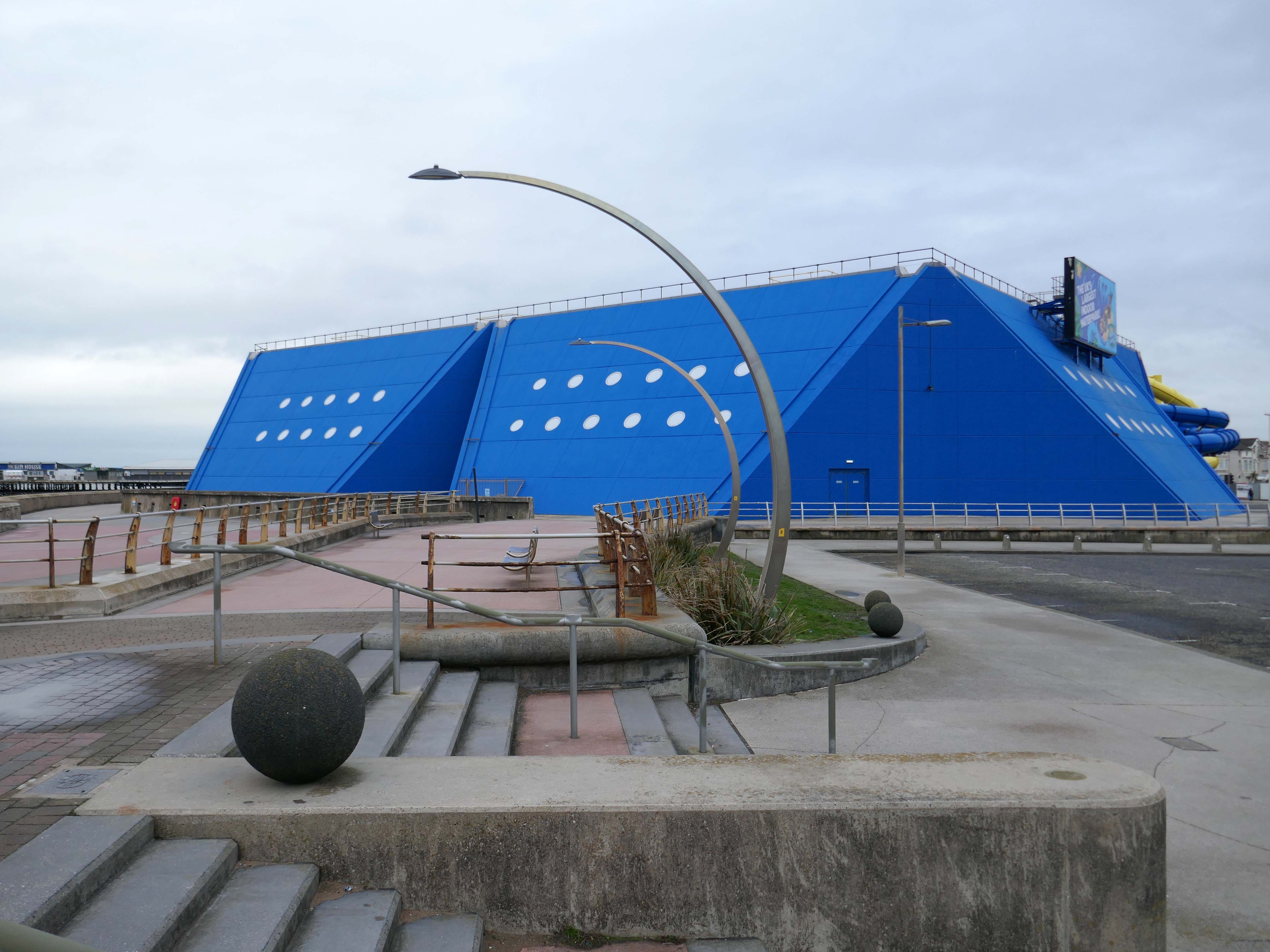
Sandcastle the UK’s largest indoor water park.
Sandcastle opened on 26 June 1986 on the site of the former South Shore Open Air Baths as a joint public/private partnership. Operation of the facility was taken back into Blackpool Council ownership in 2003. A significant investment in new attractions costing £5.5M was also agreed, which was delivered in two phases, with the second opening in 2006 on time and on budget.
In 2012, Sandcastle opened two new Aztec-themed slides, one with a chamber called ‘Aztec Falls’, and a toboggan-like slide called ‘Montazooma’.
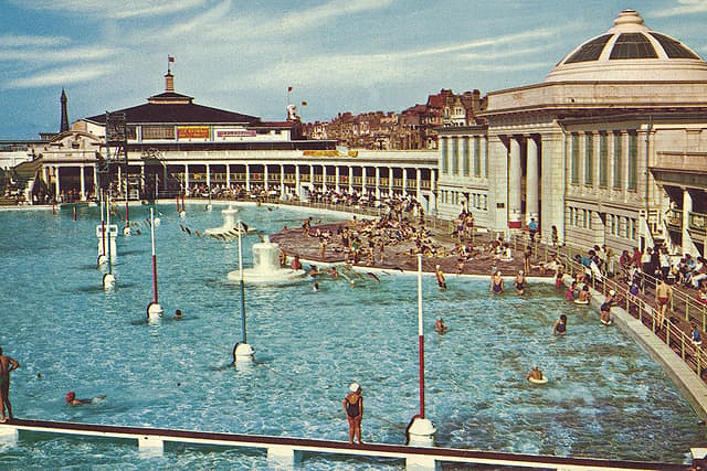
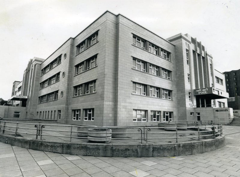
Situated adjacent to the South Pier at Blackpool was the open- air swimming bath. Elliptical in form, it was designed in the renaissance style of architecture, with white ivory terracotta, known as ‘Marmola’. It was said to be the largest and finest of its kind in the world and similar in design to the colosseum of ancient Rome.
Built at a cost of around £70,000, Designed by JC Robinson – Borough Architect, it was officially opened on the 9th June 1923, the same day as the first Blackpool Carnival, by the Mayor of Blackpool, Councillor Henry Brooks. The opening ceremony was followed by a short swimming exhibition in which Blackpool swimmer Lucy Morton took part. The following year Lucy was to win a gold medal in the 1924 Paris Olympics.
Sadly in 1983, following years of neglect and falling attendances, the bath was demolished.
Built to the designs of Joseph Emberton for Leonard Thompson; restored and altered 1972 and 1977-9 by Keith Ingham. Reinforced concrete in the International Modern style. Circular plan, the circle broken by three principal projections marking the main entrance and foyer, the main exit and the main public stairs. The key to the plan were the central kitchens on the ground and first floors, serving (on the former) a number of restaurants and (on the latter) a banqueting room. Kitchens now on first floor only. The result is a sequence of intriguingly curved rooms; originally there was no public access to this inner core area or directly across the building, but this has now been provided. The basement contained stores, a billiard room and sports facilities, now in mixed use. Between ground and first floor is a mezzanine office range, with private flat over. Top floor built as roof garden, provided with a glazed curtain wall in c.1940 by Emberton and largely infilled as an extra floor in 1972.
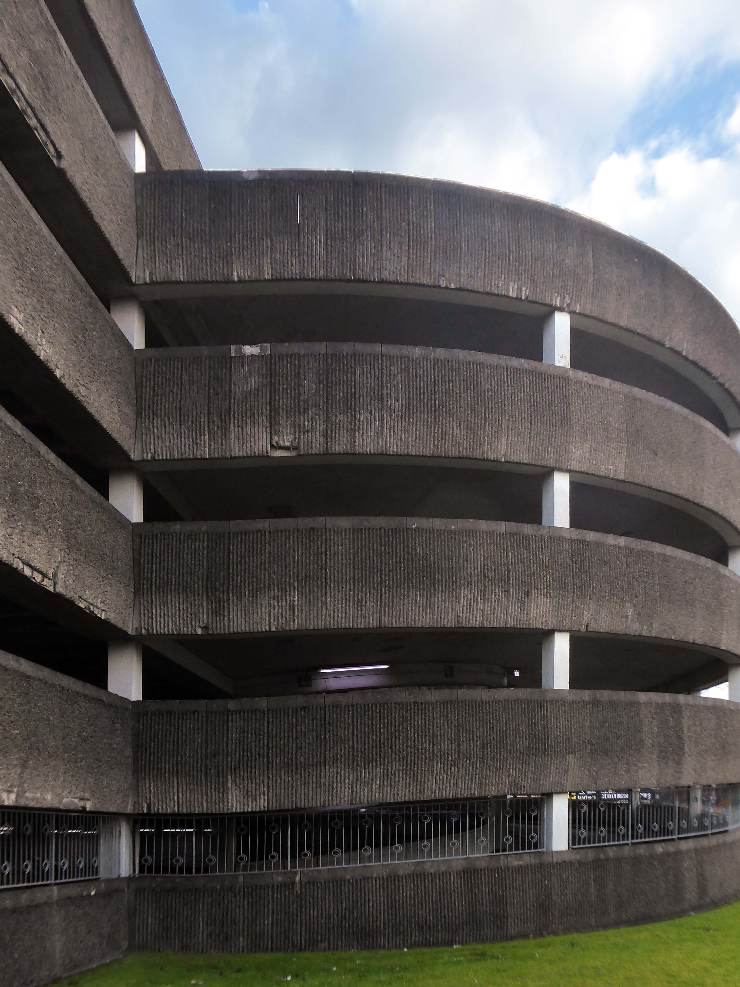
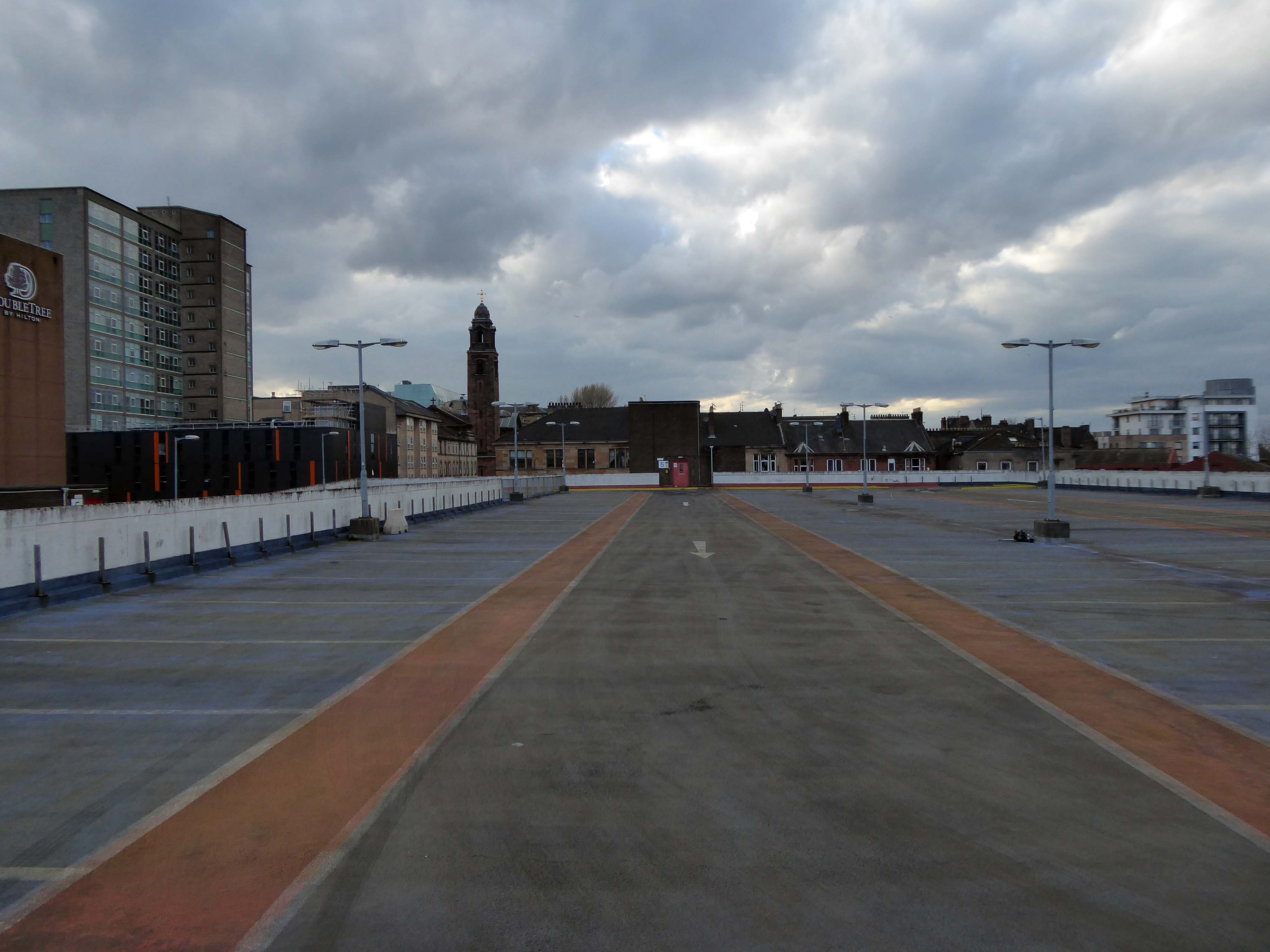
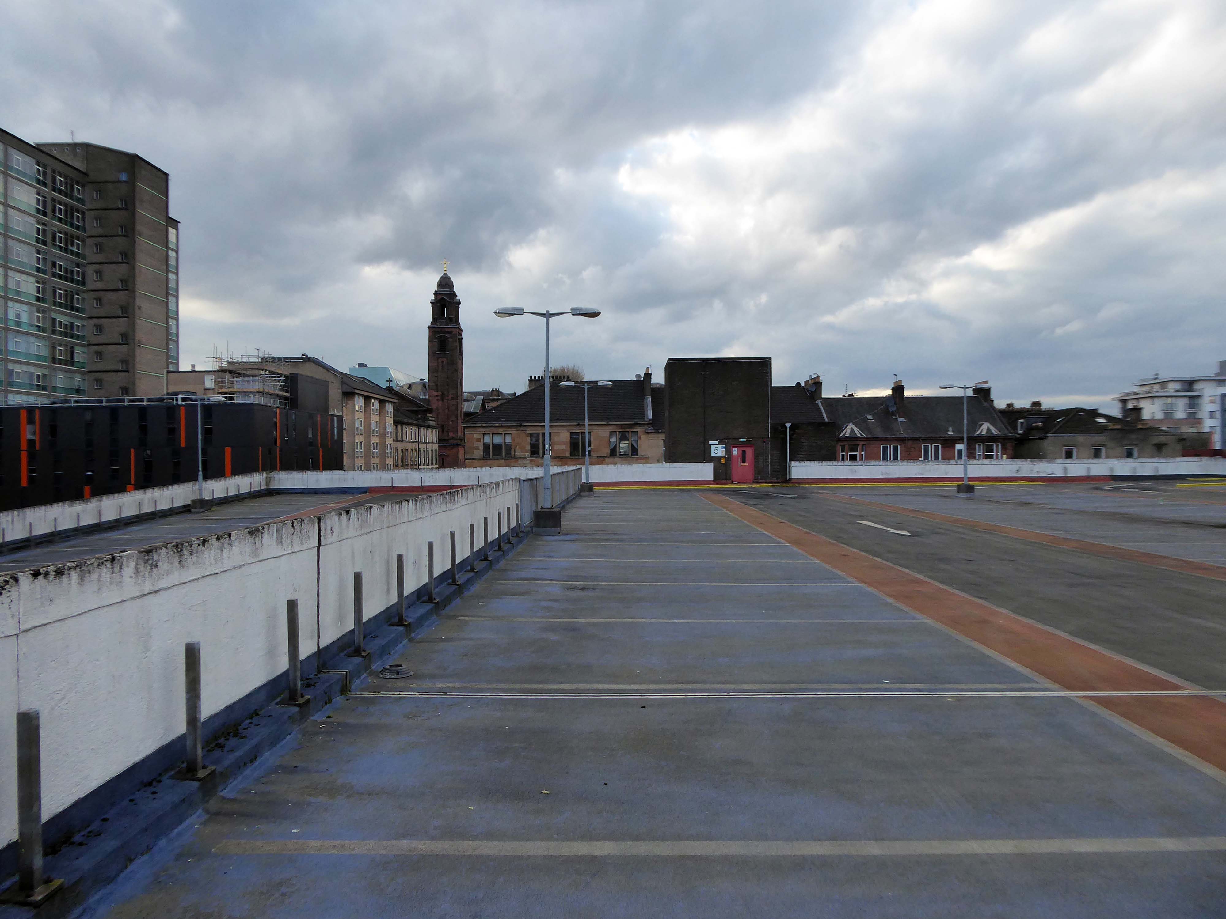
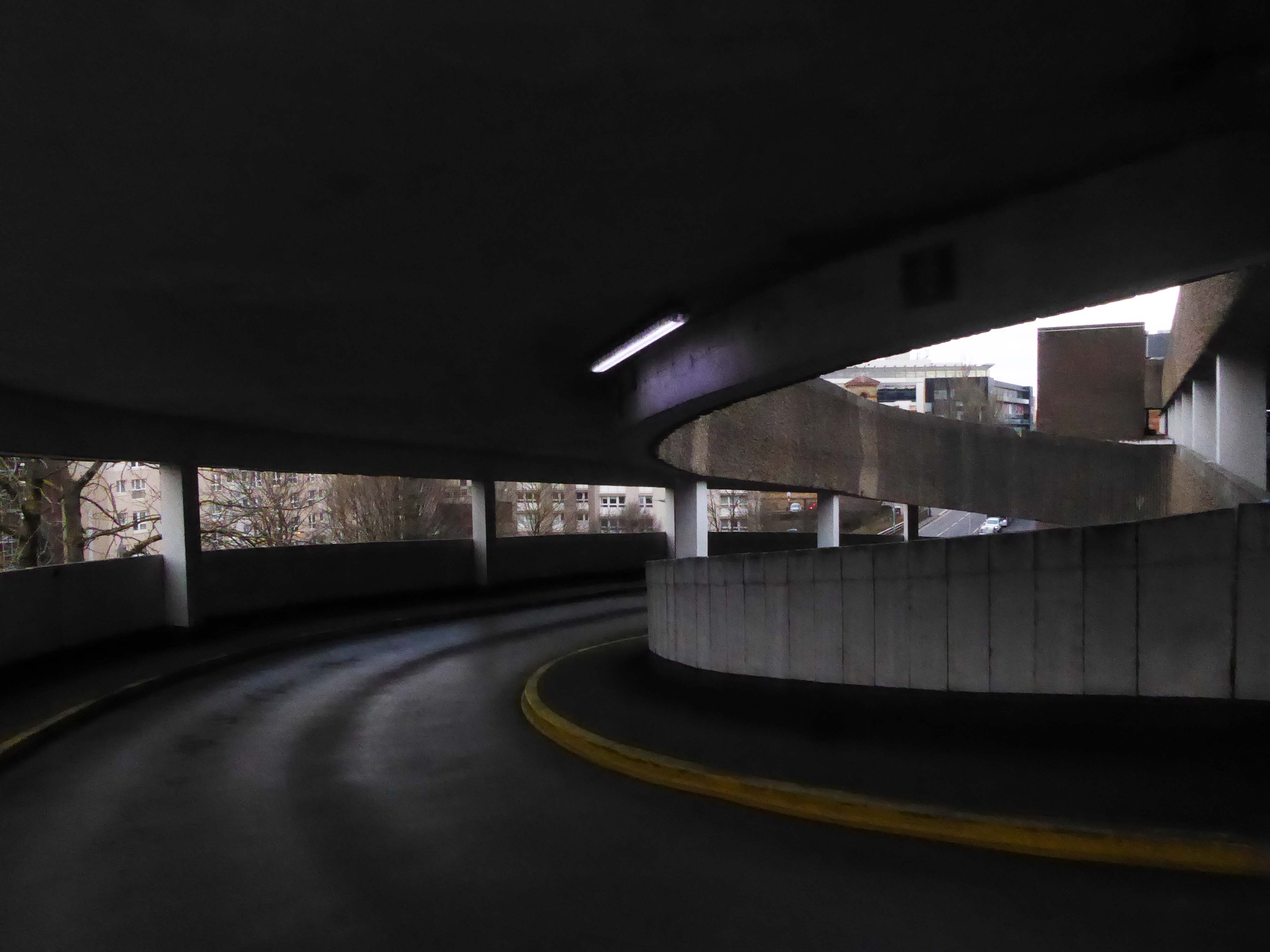
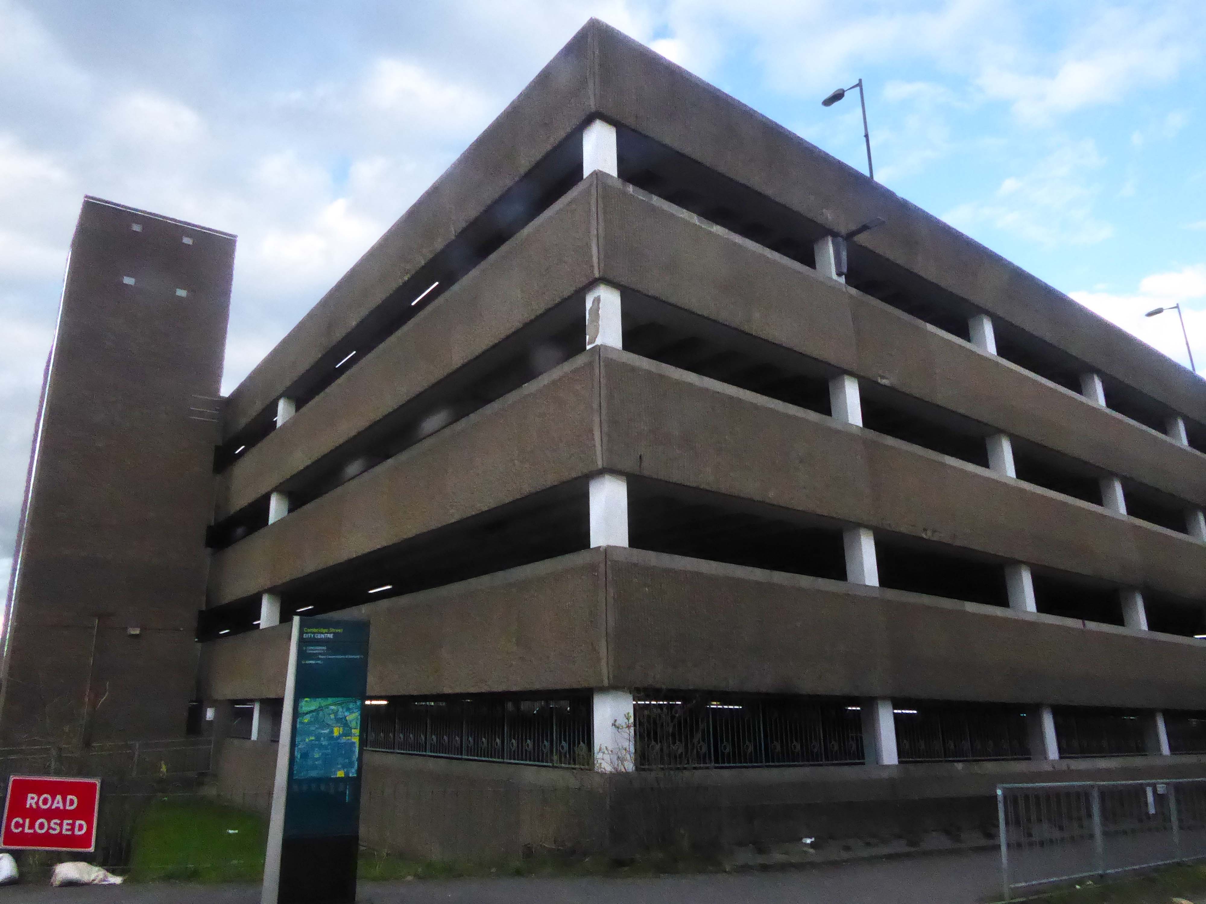
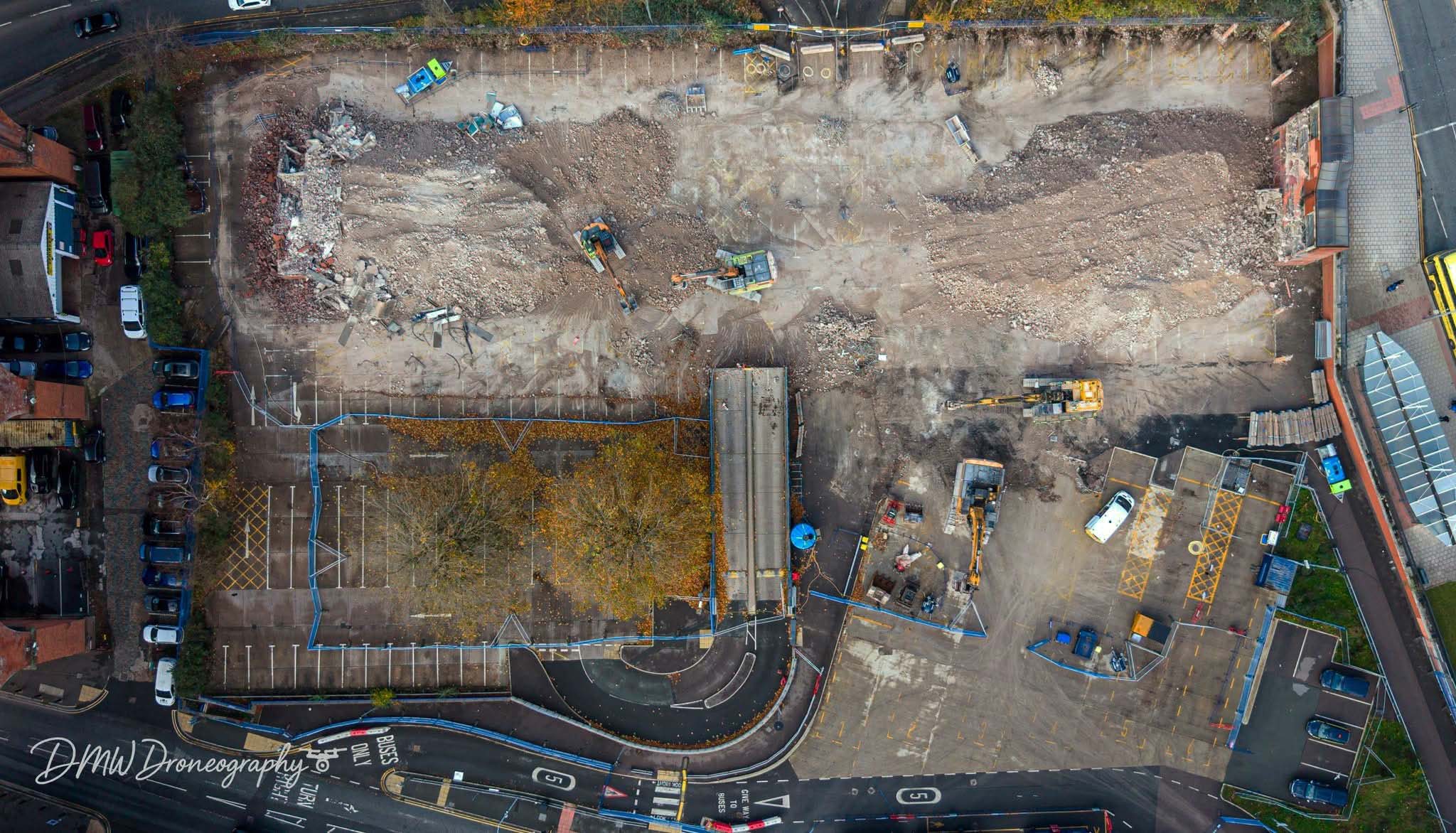
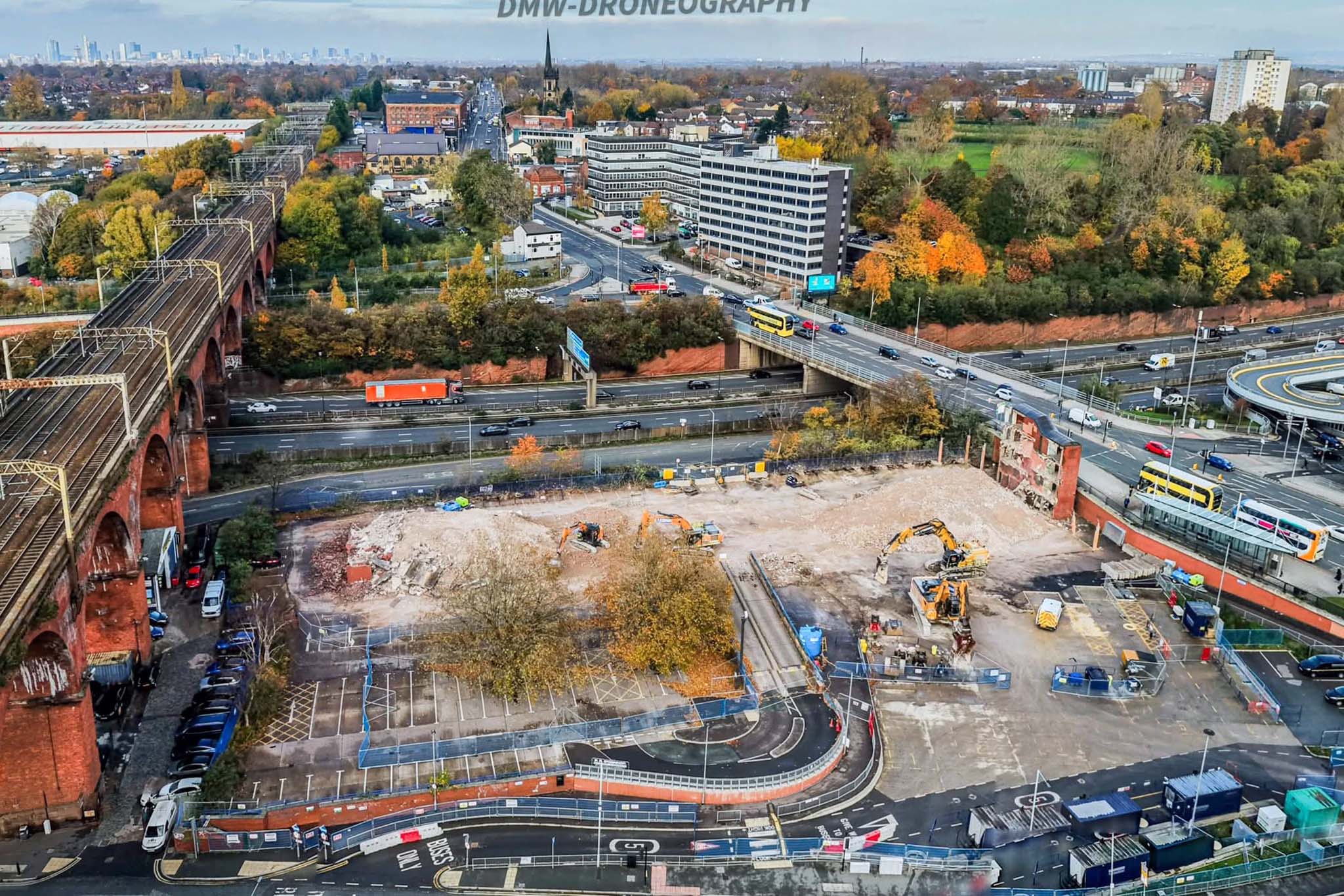
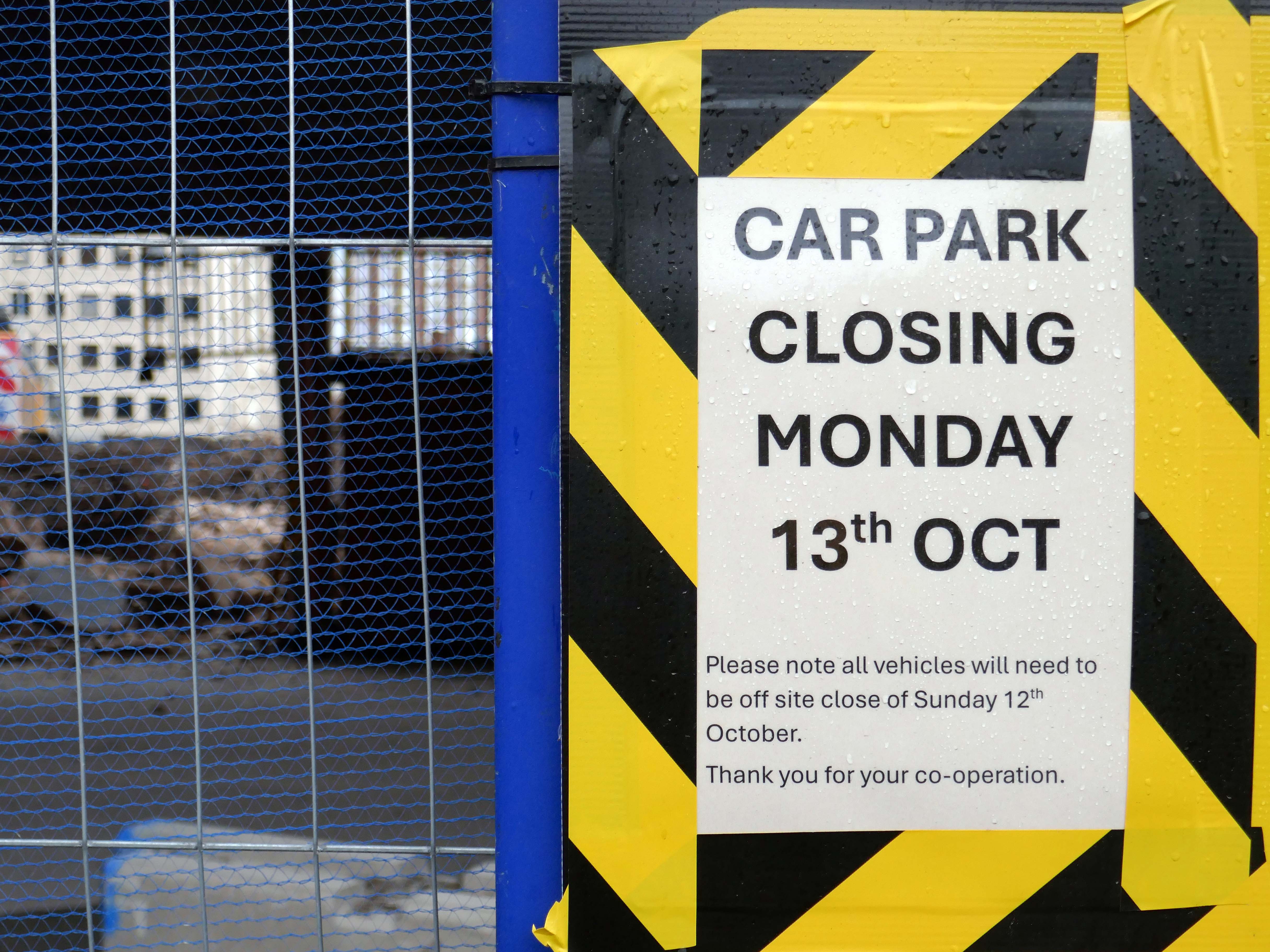
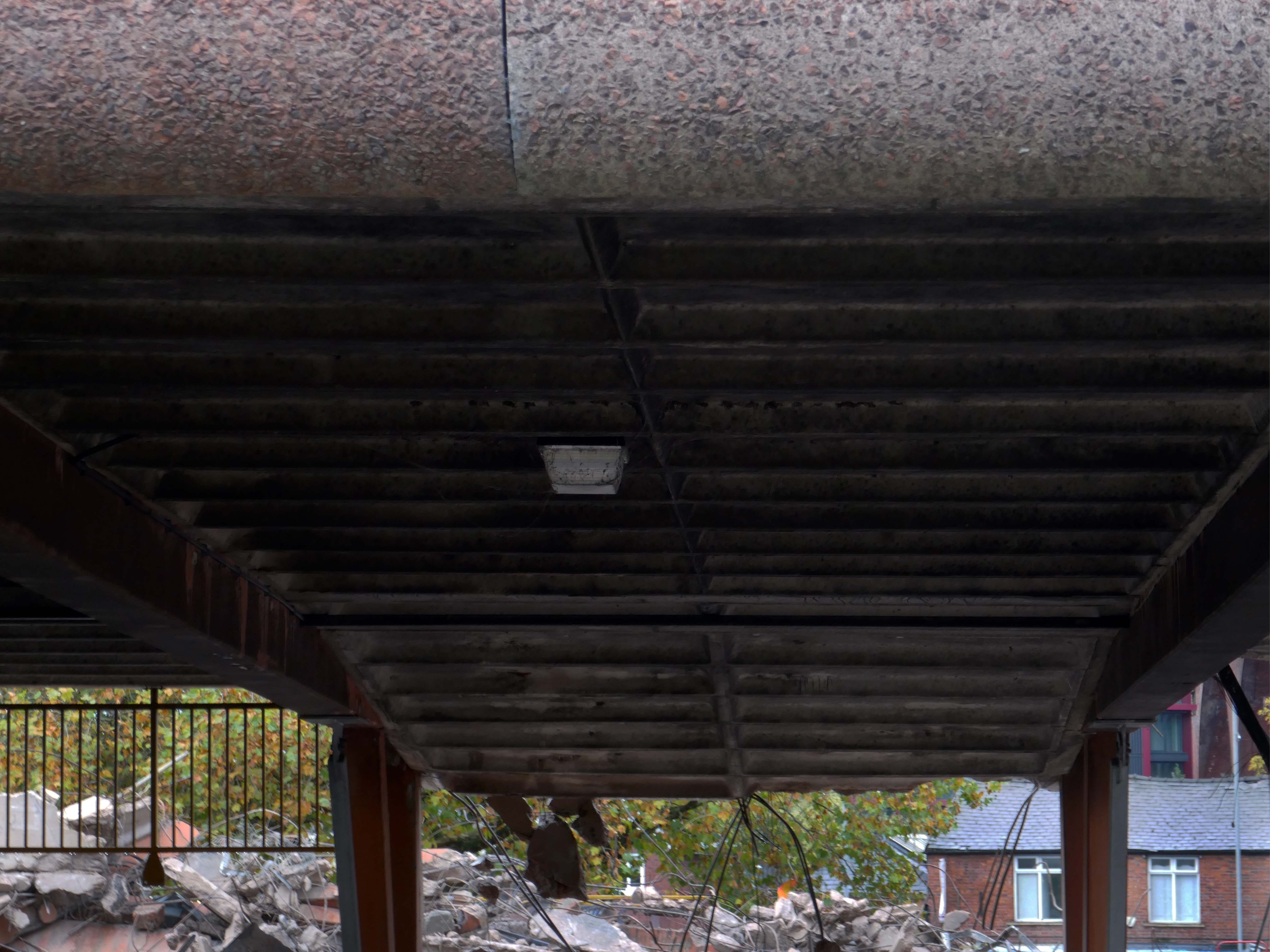
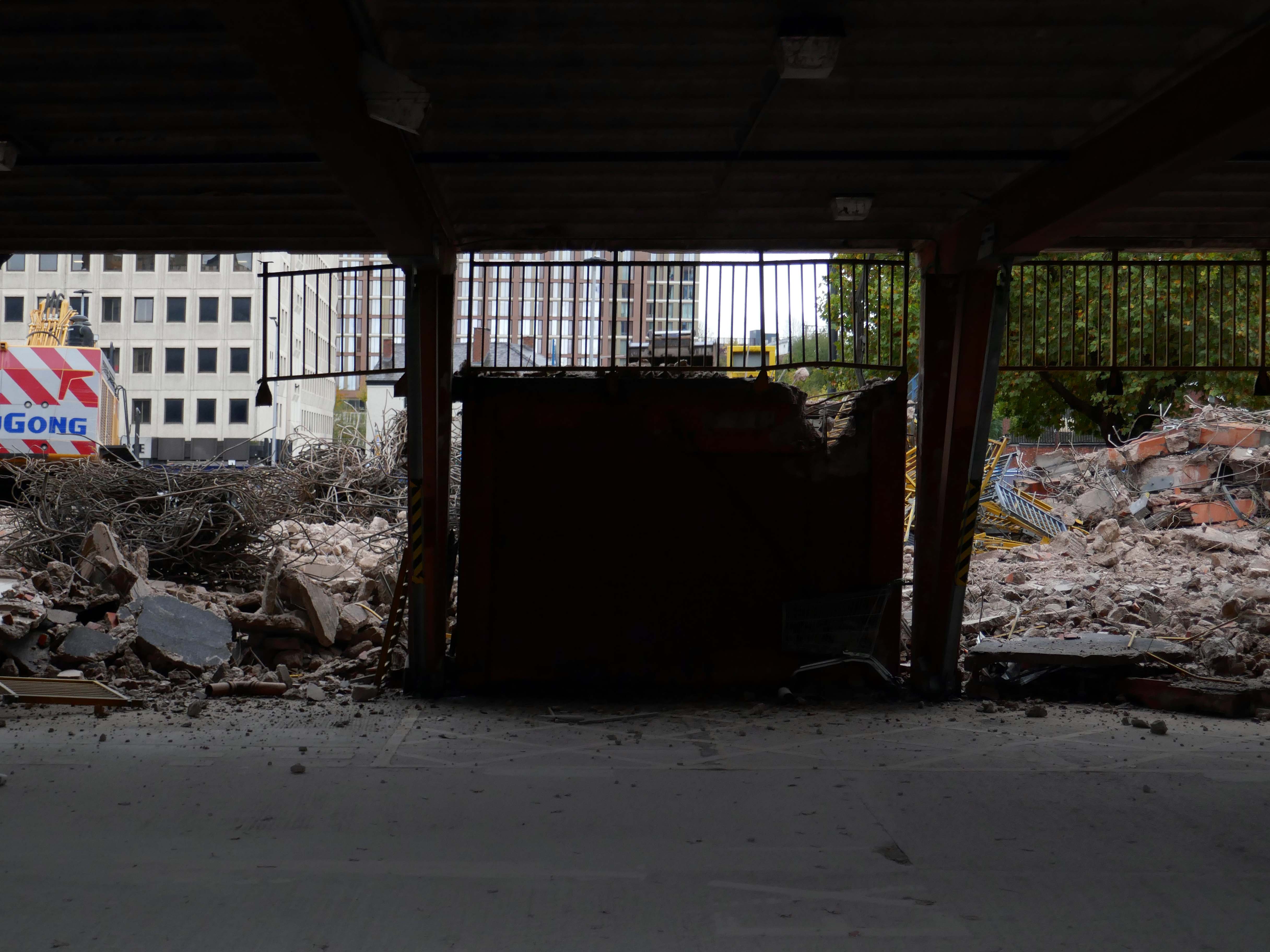
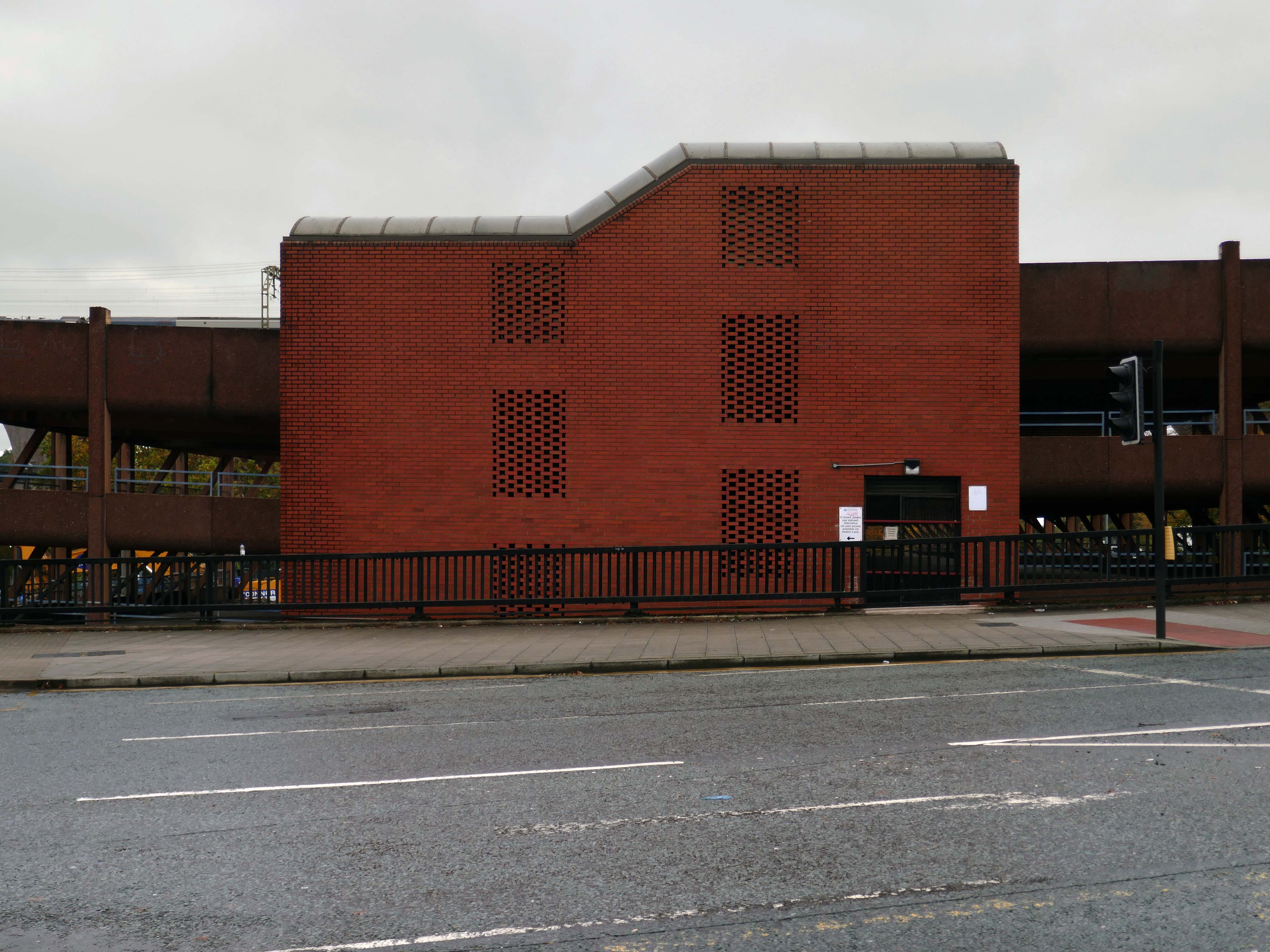
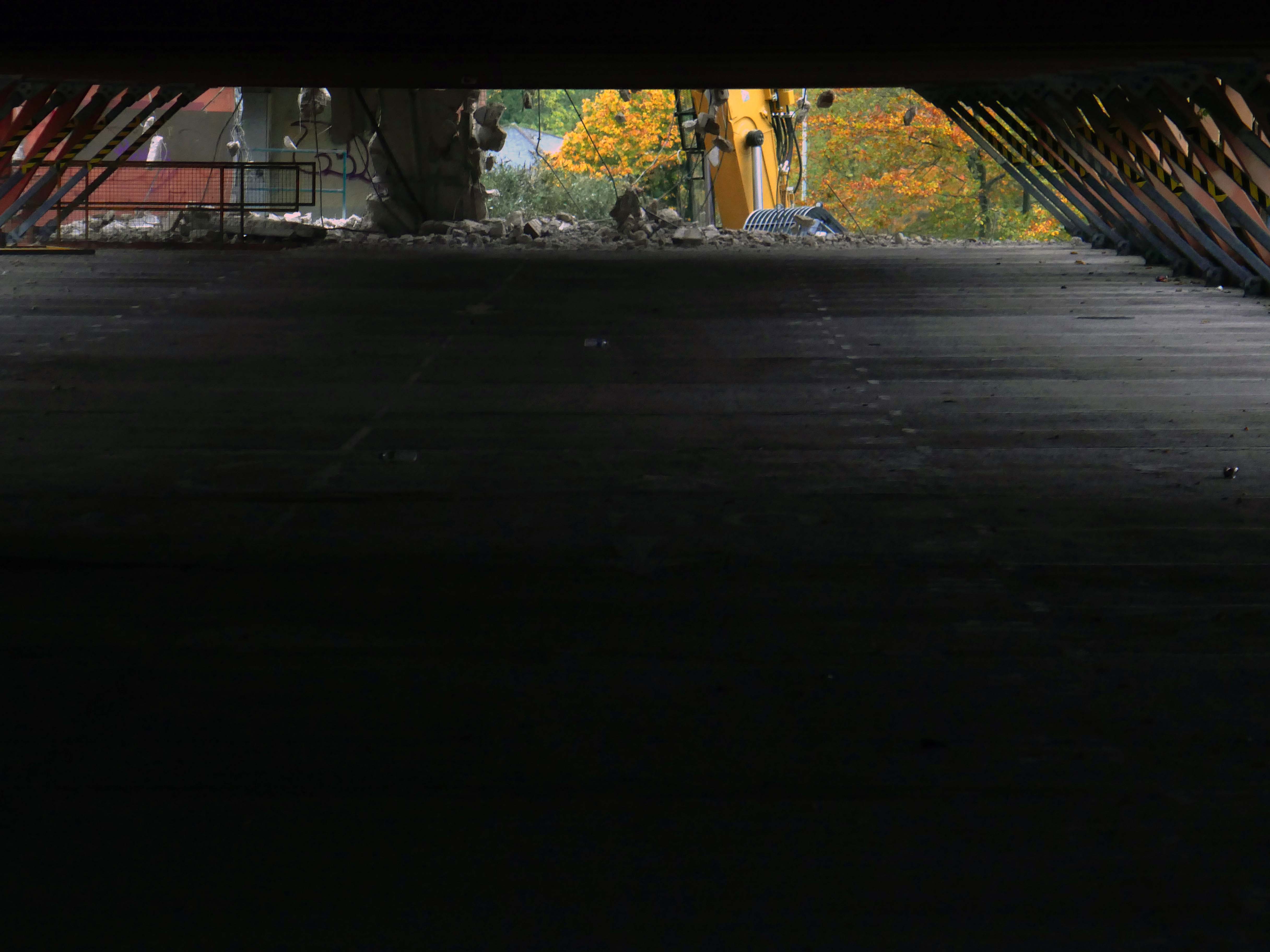
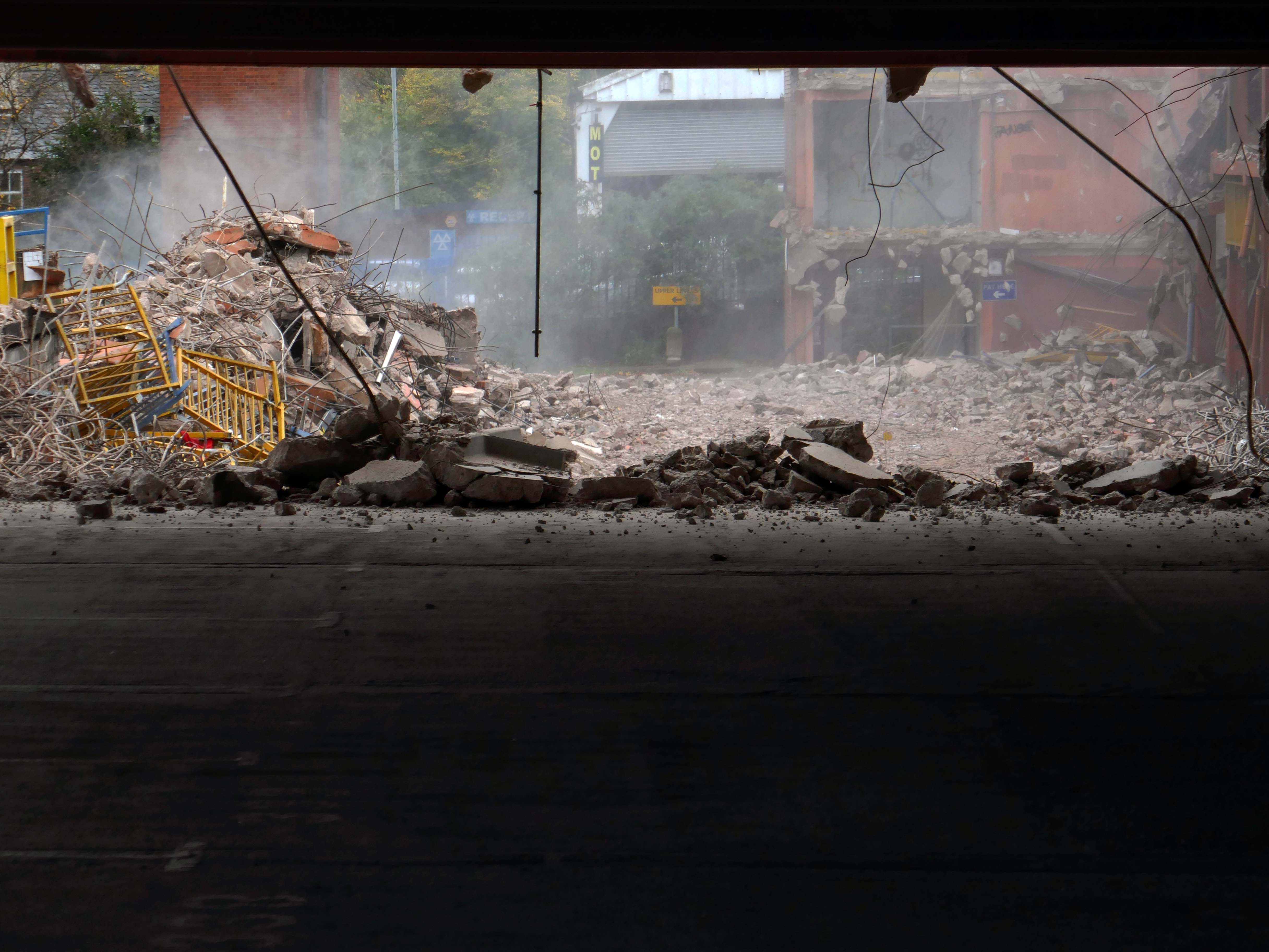
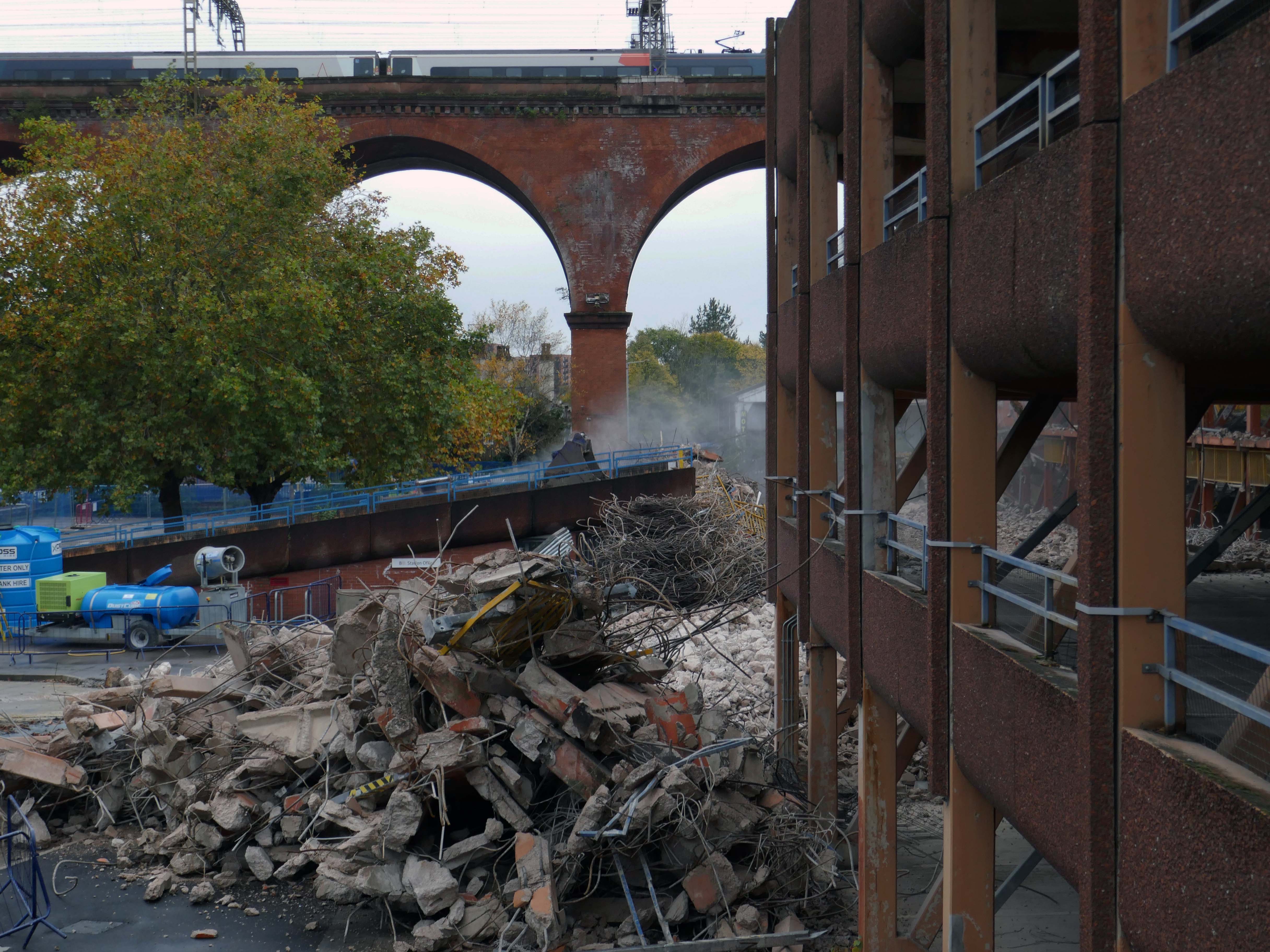
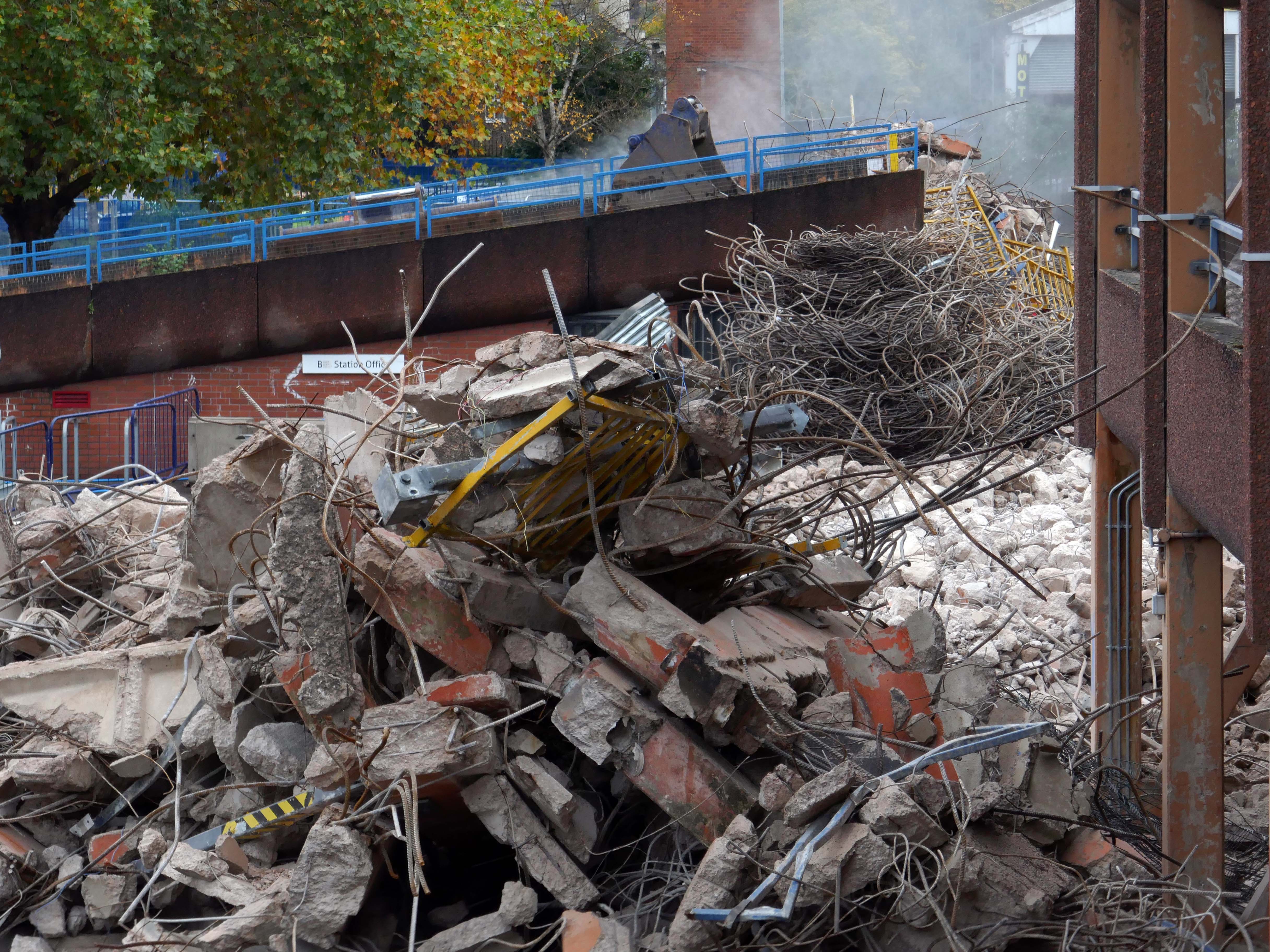
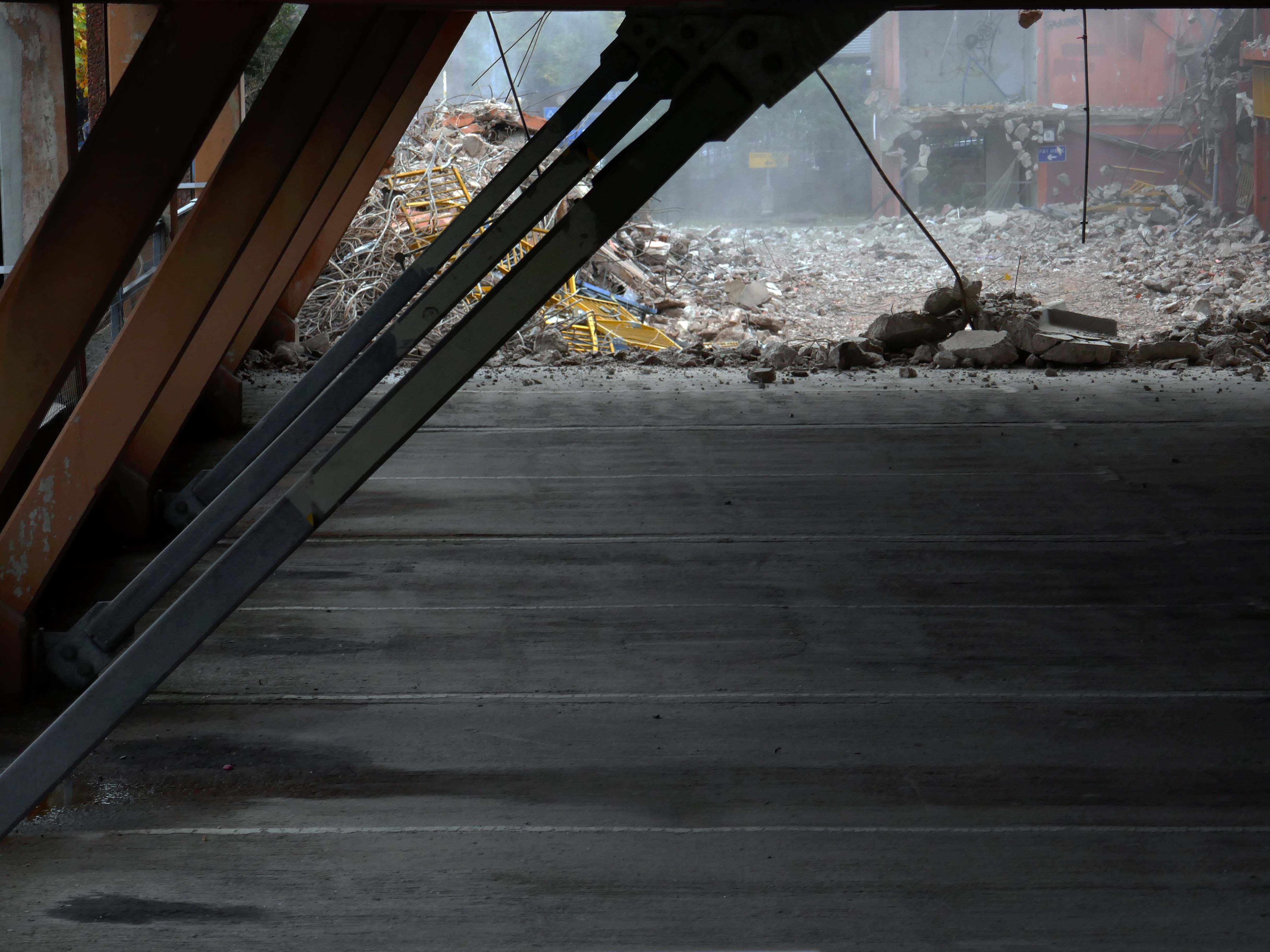
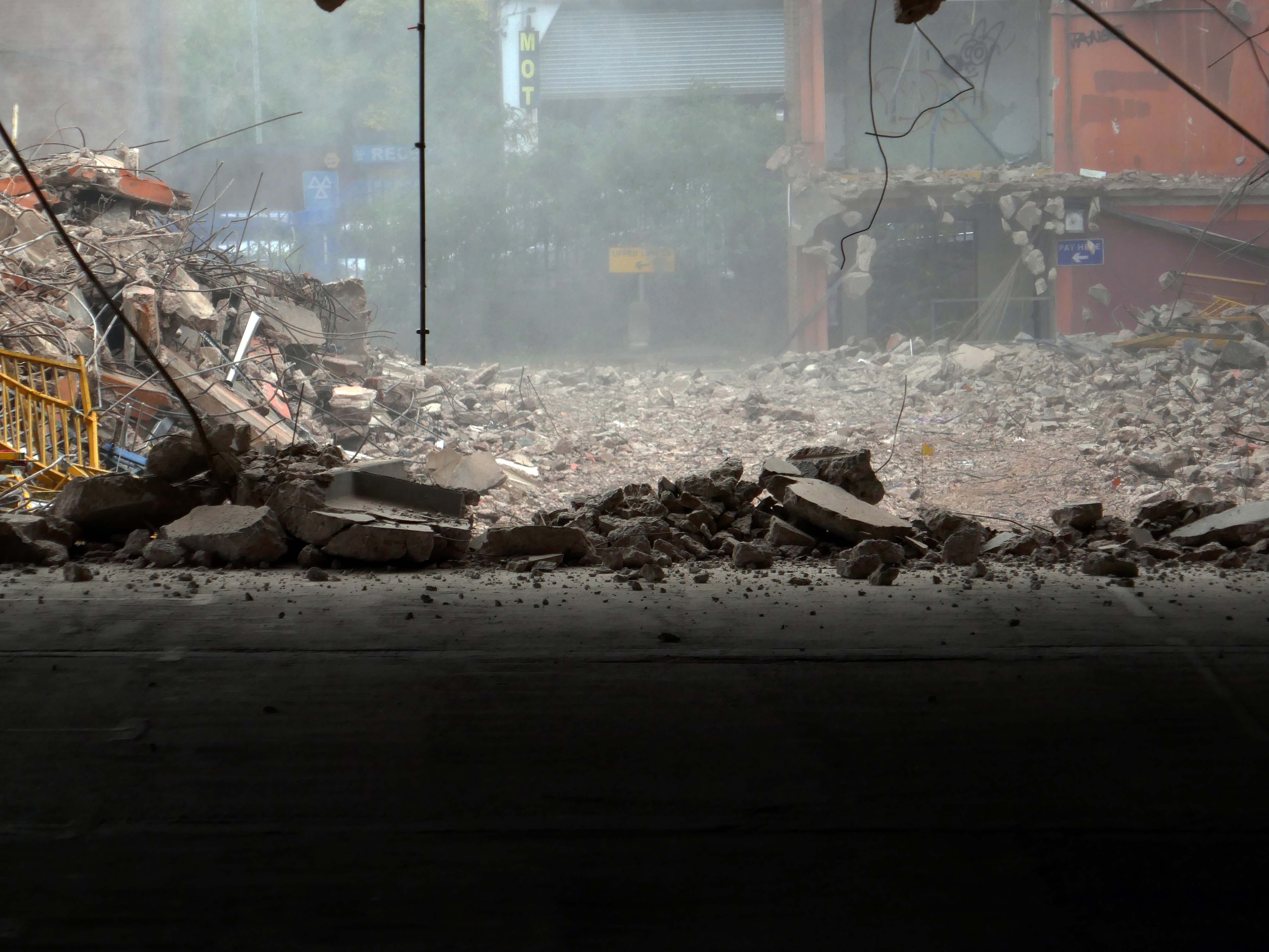
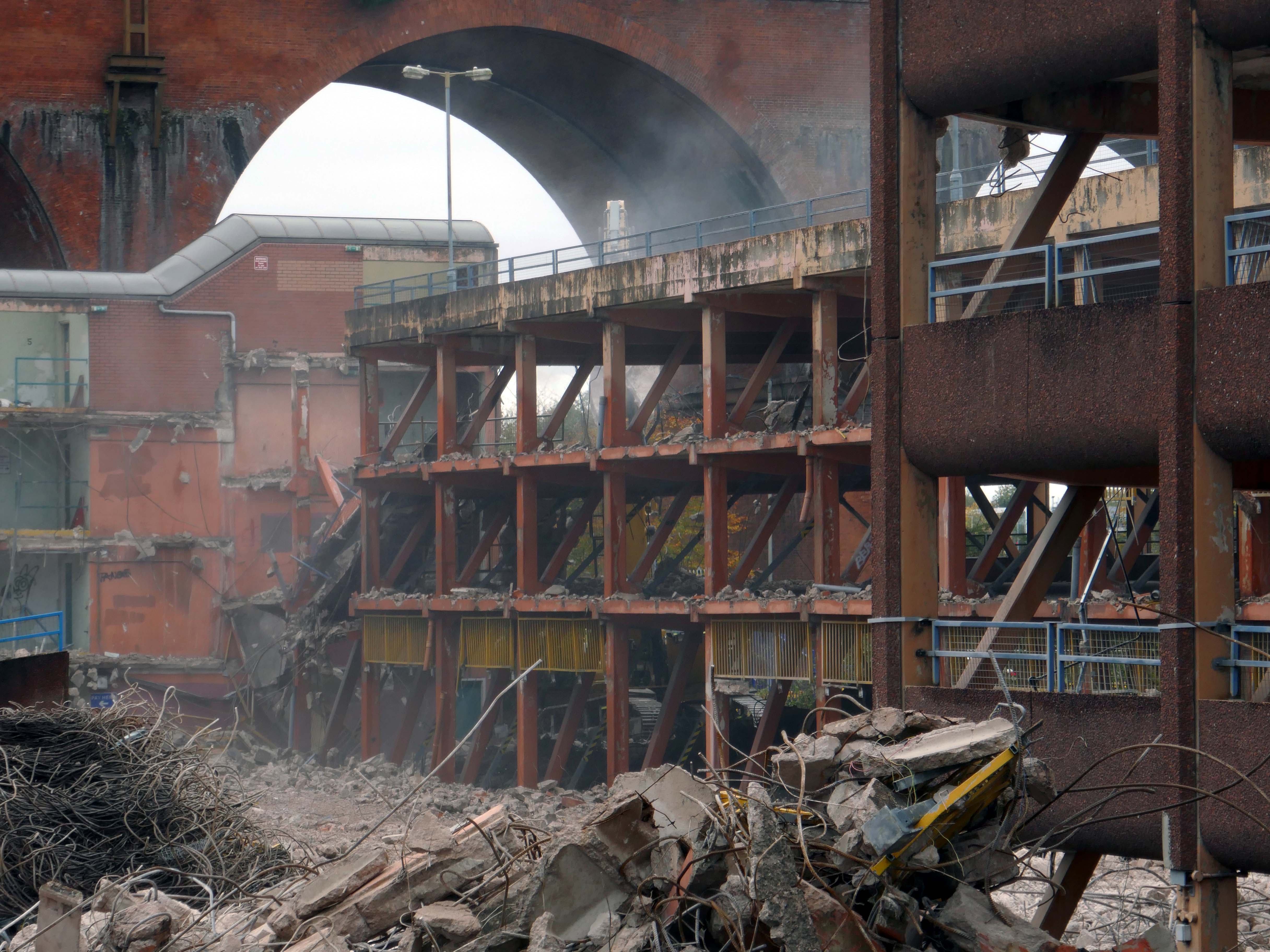
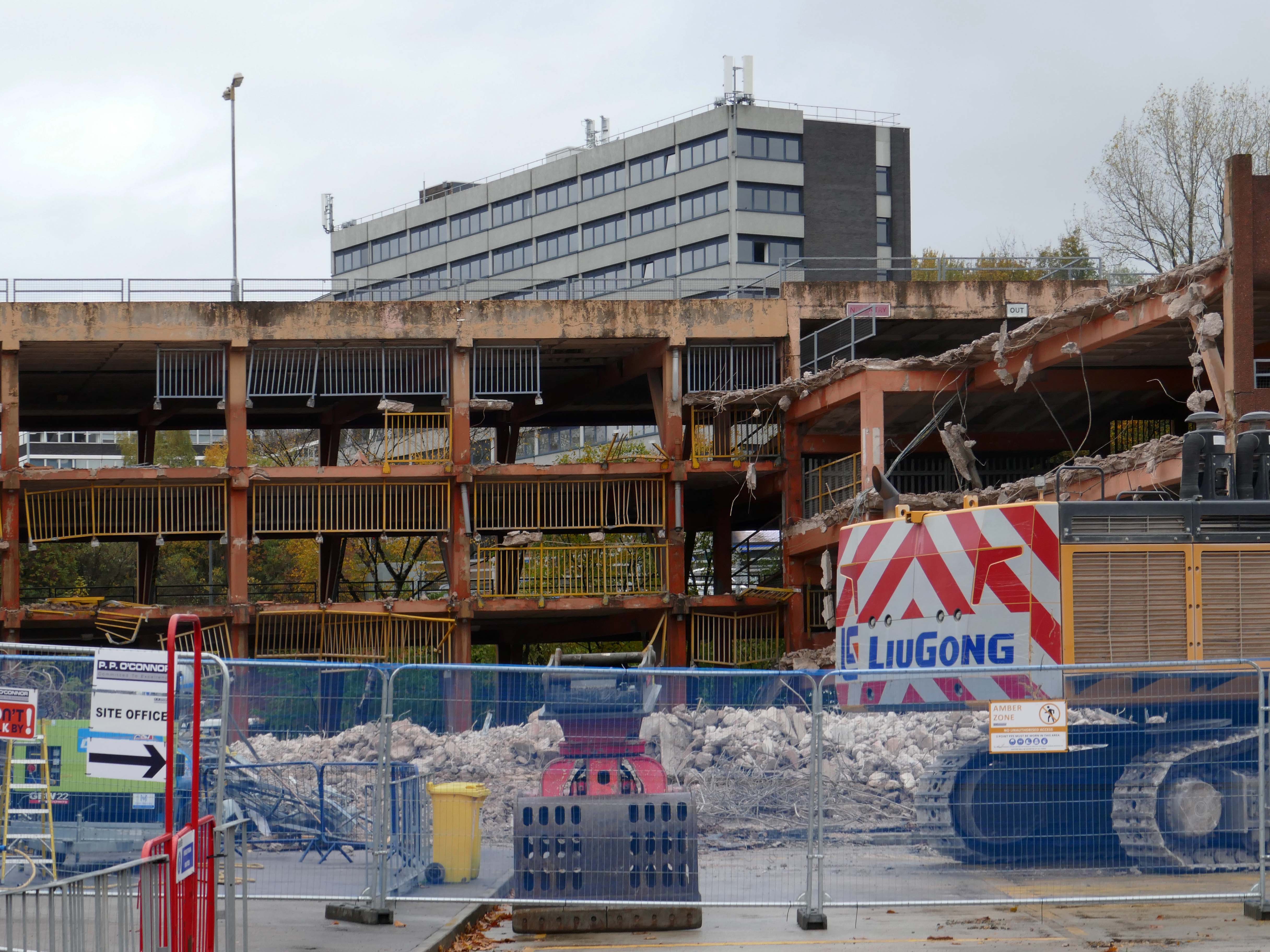
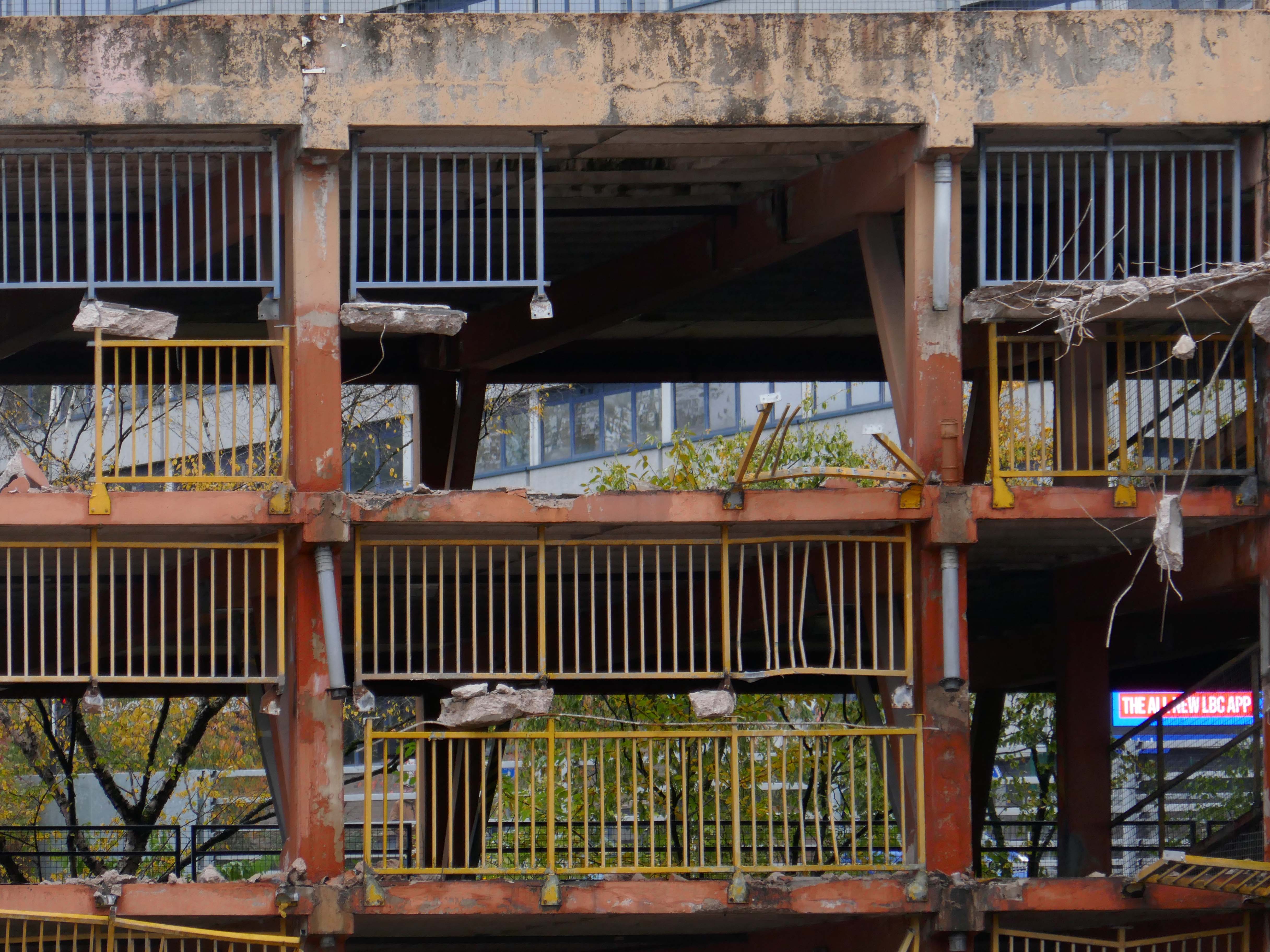
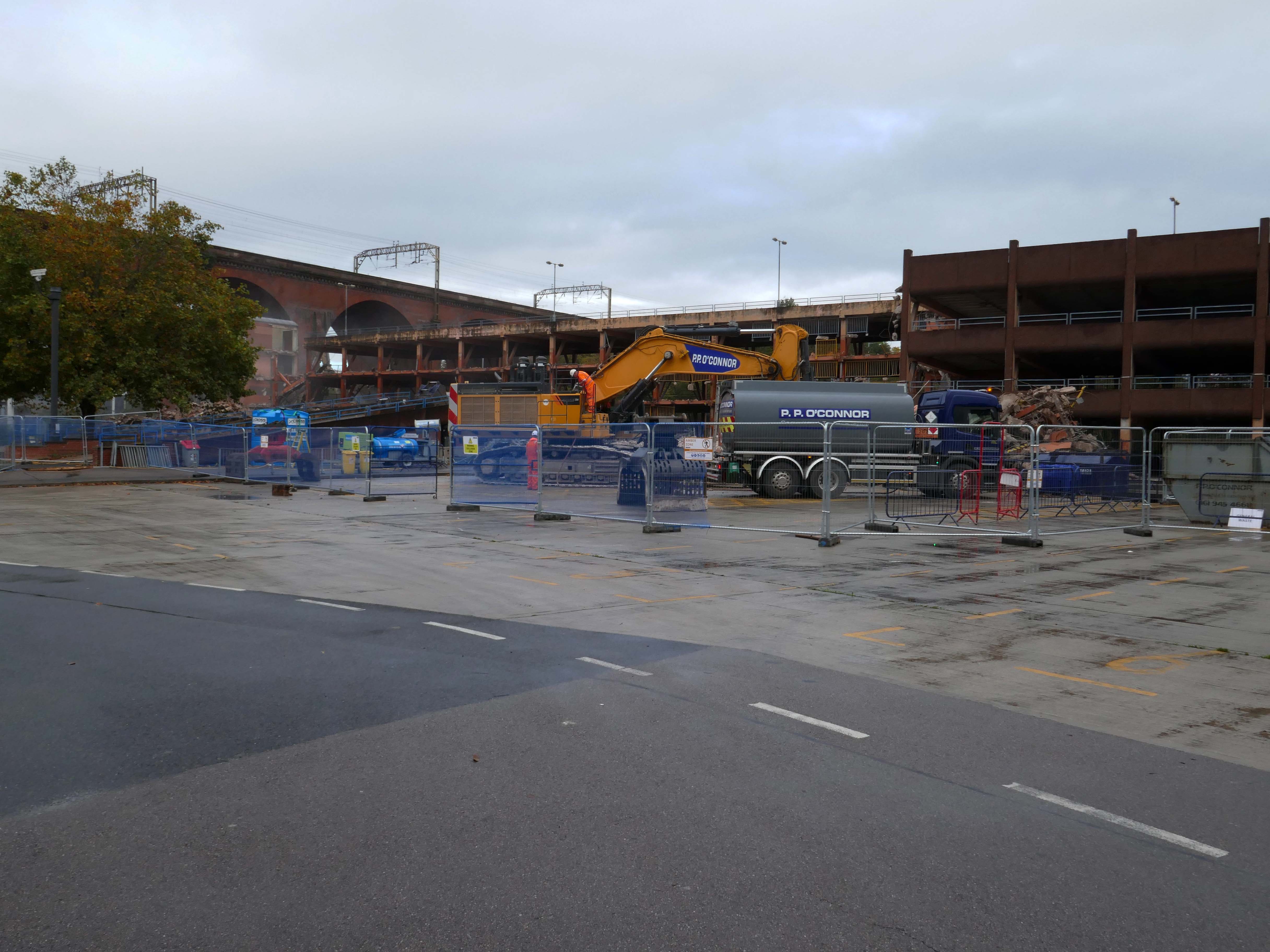
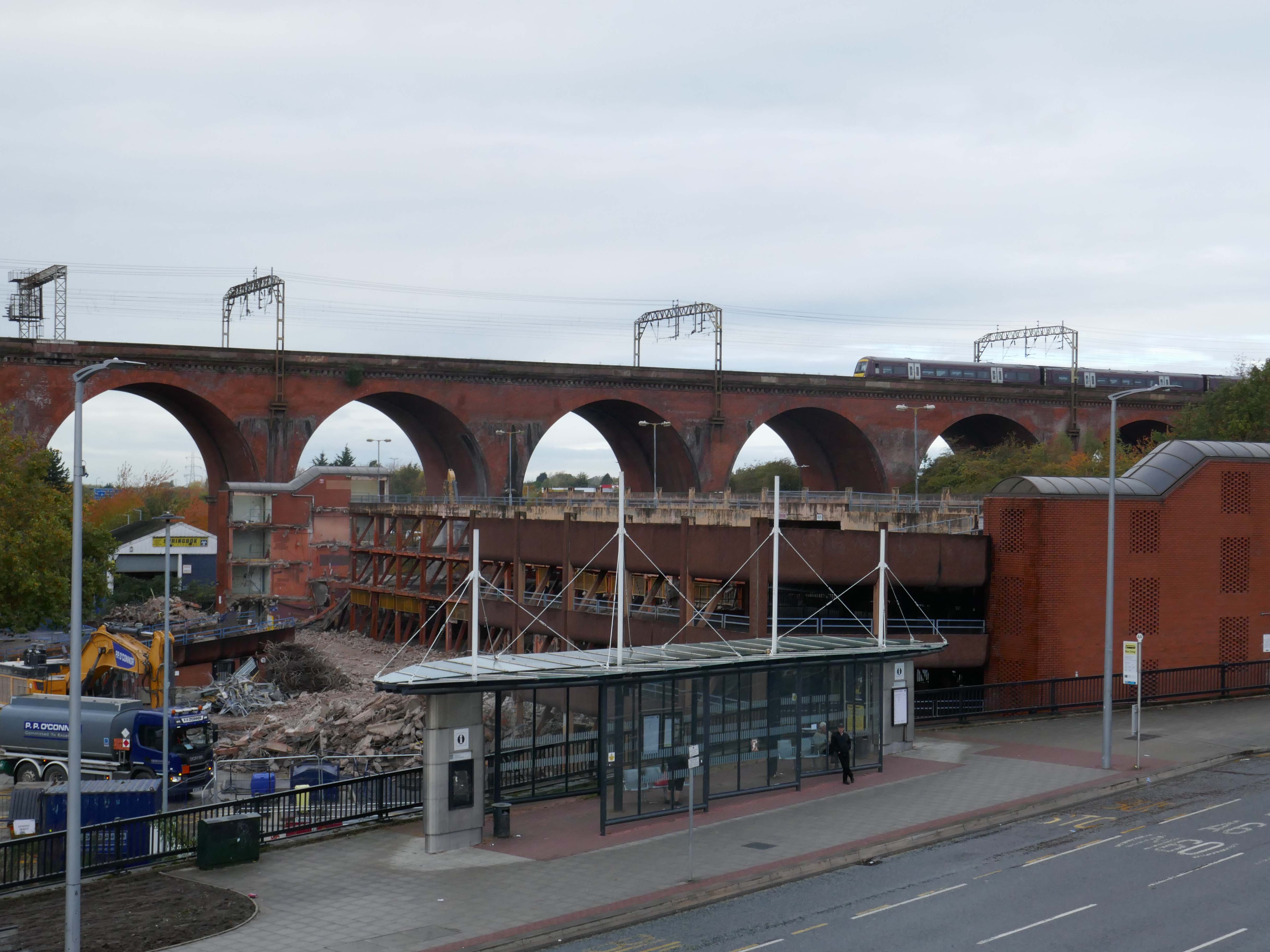
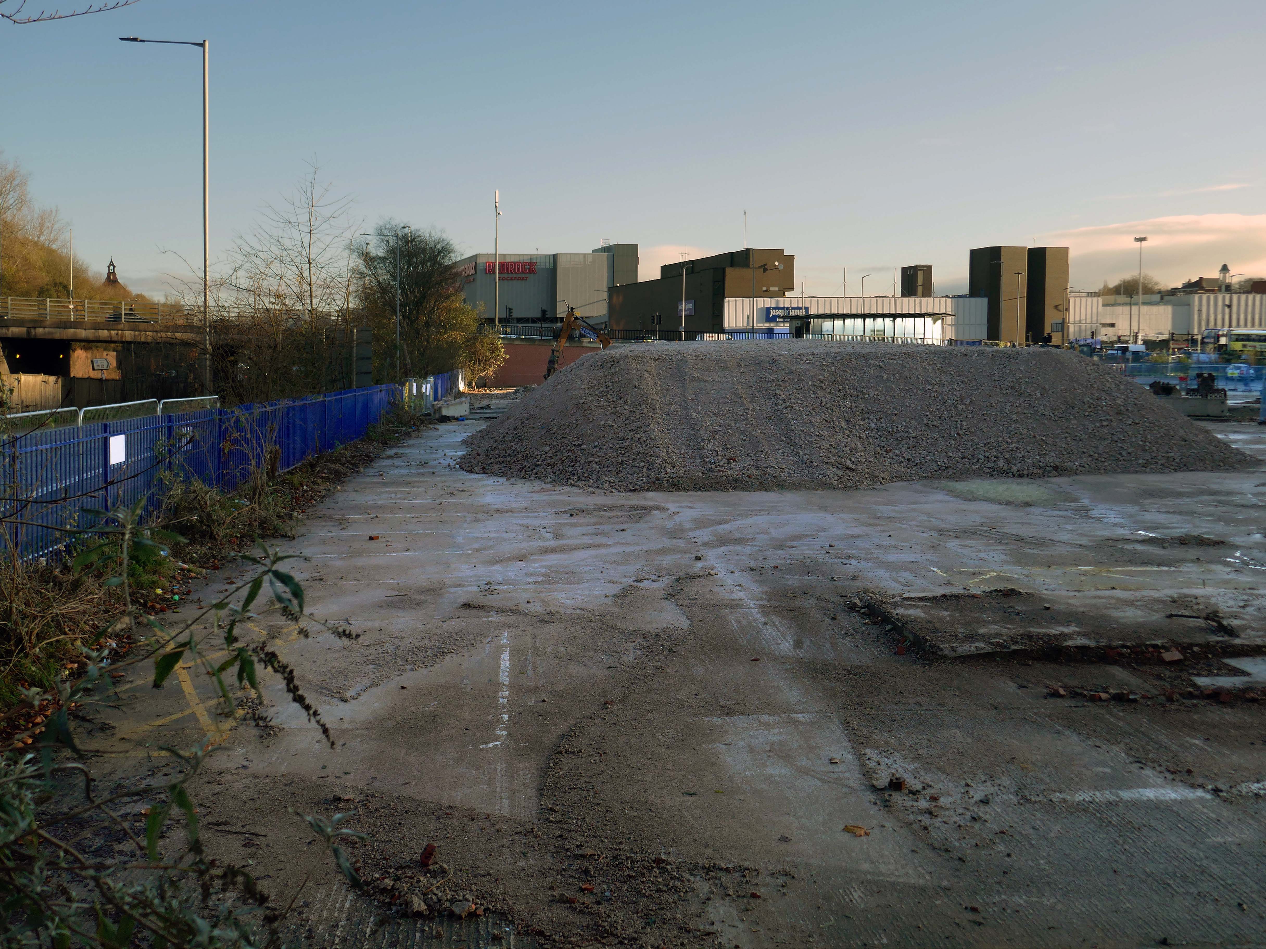
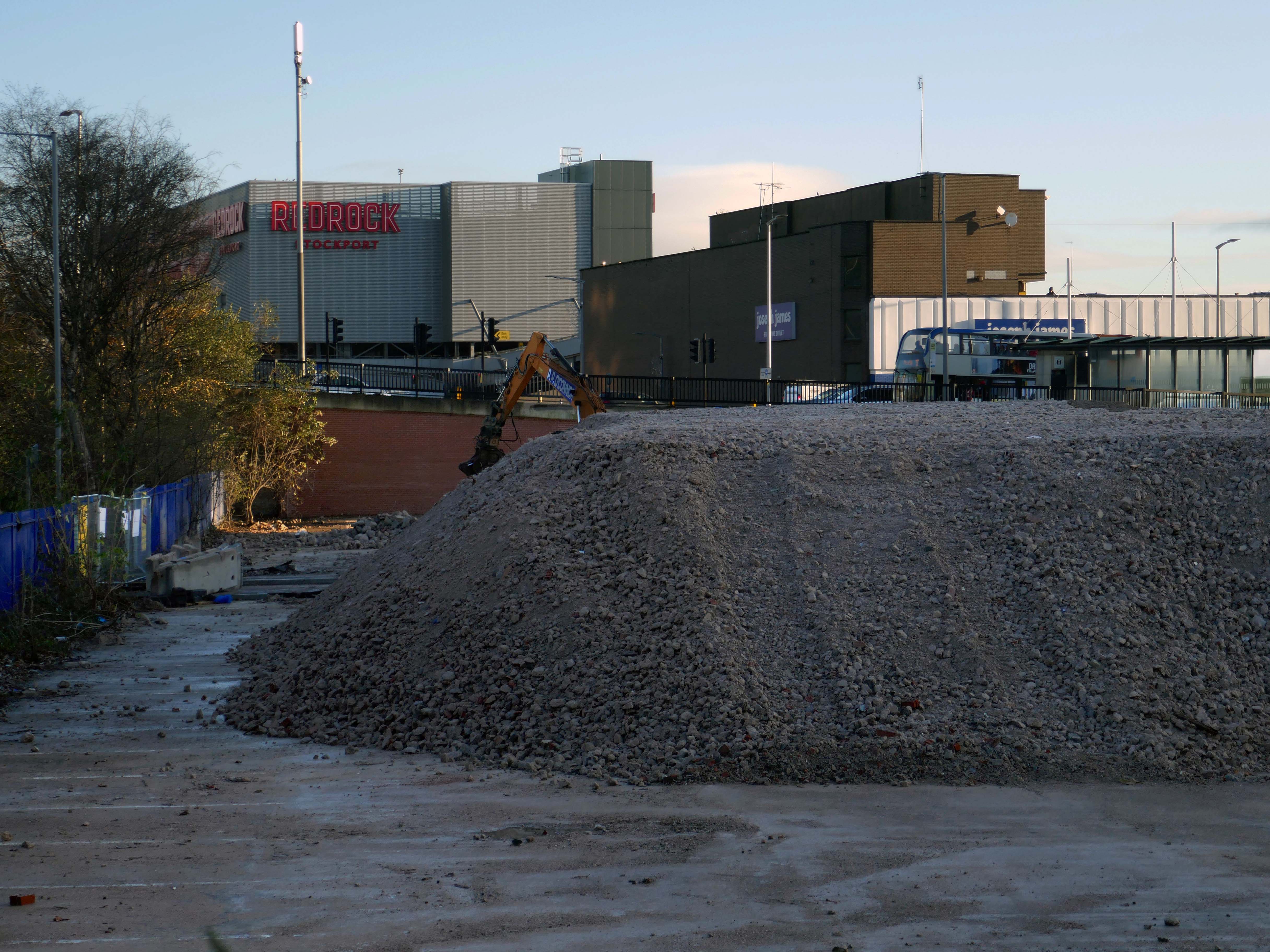
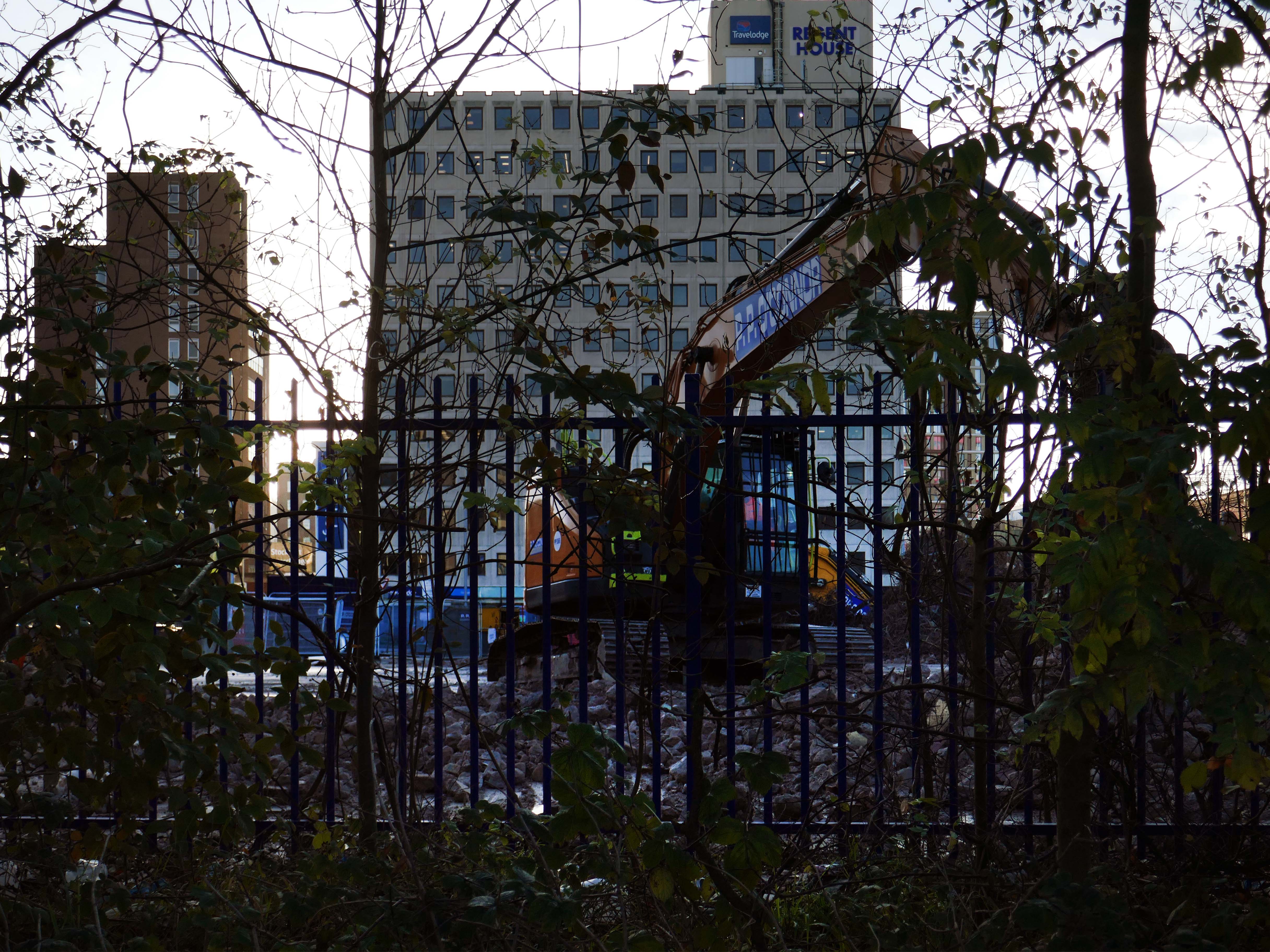
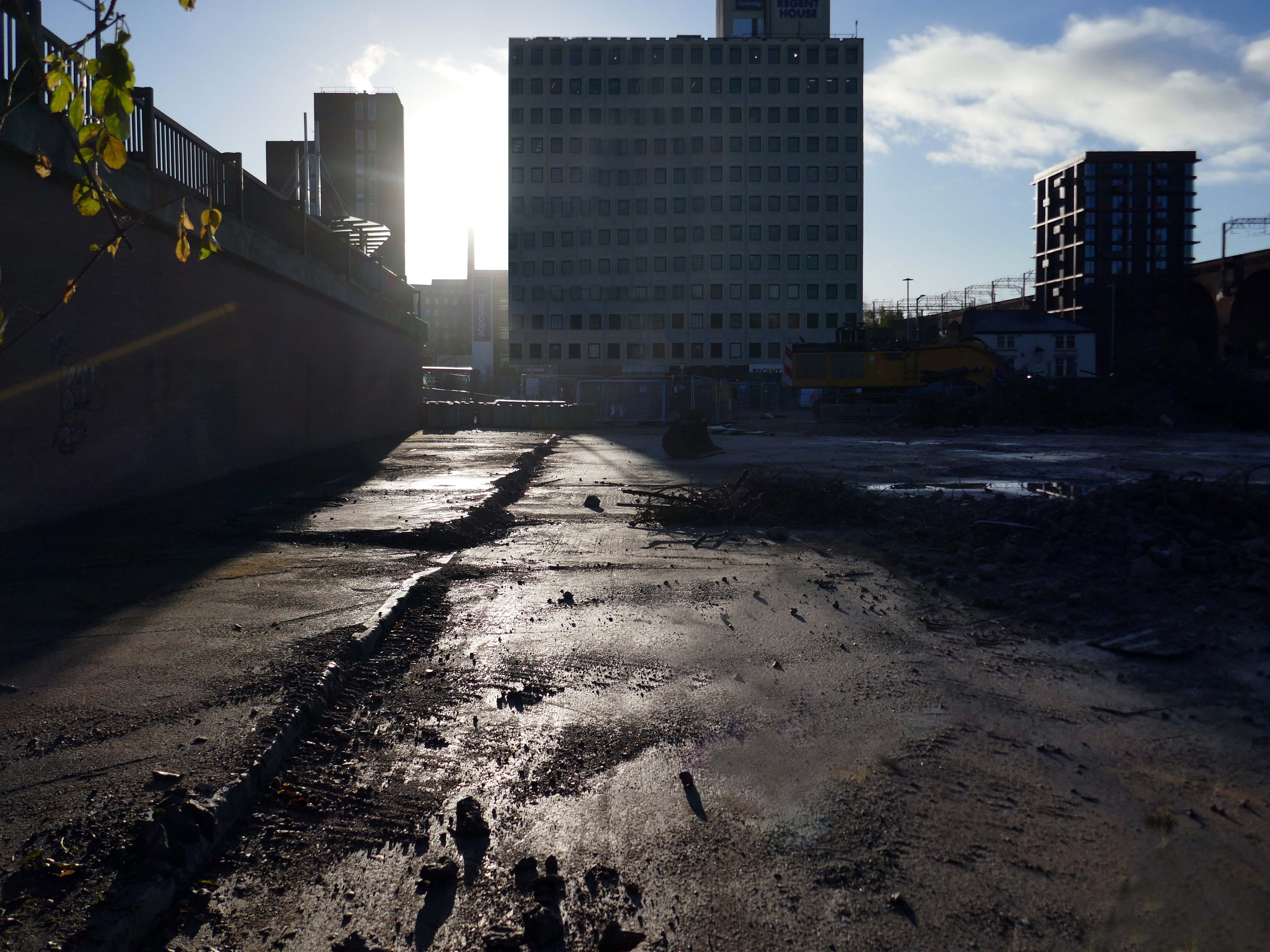
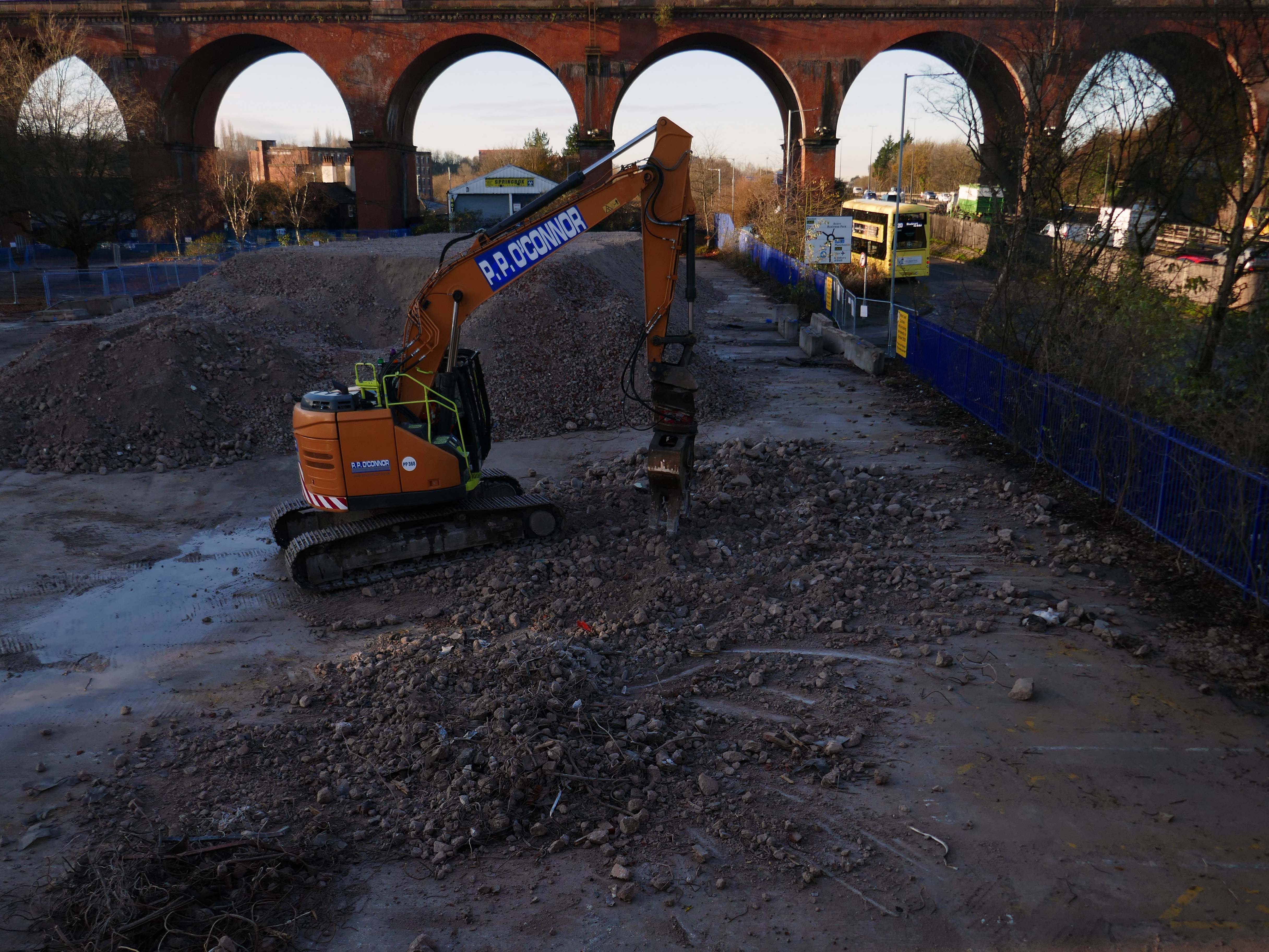
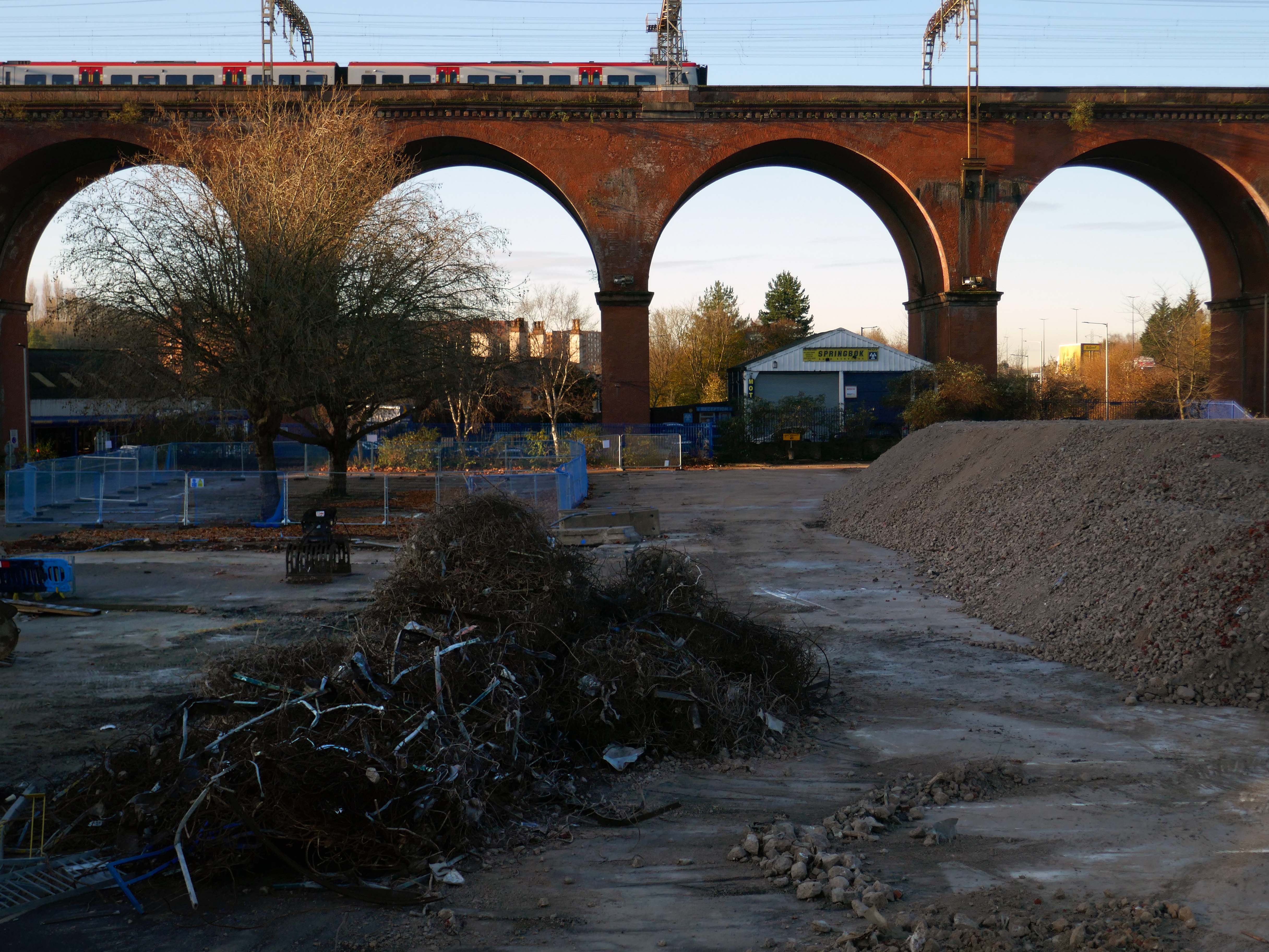
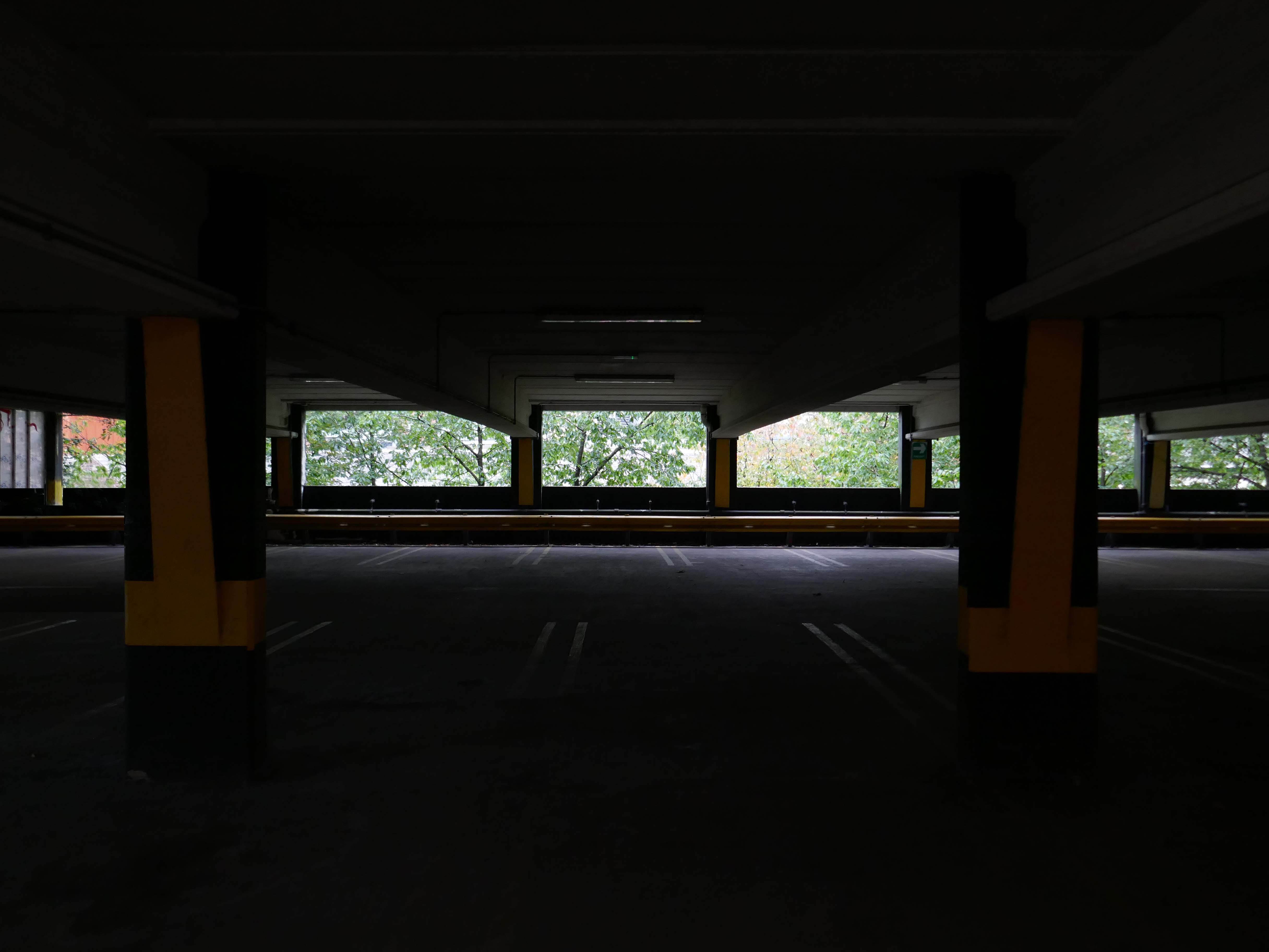
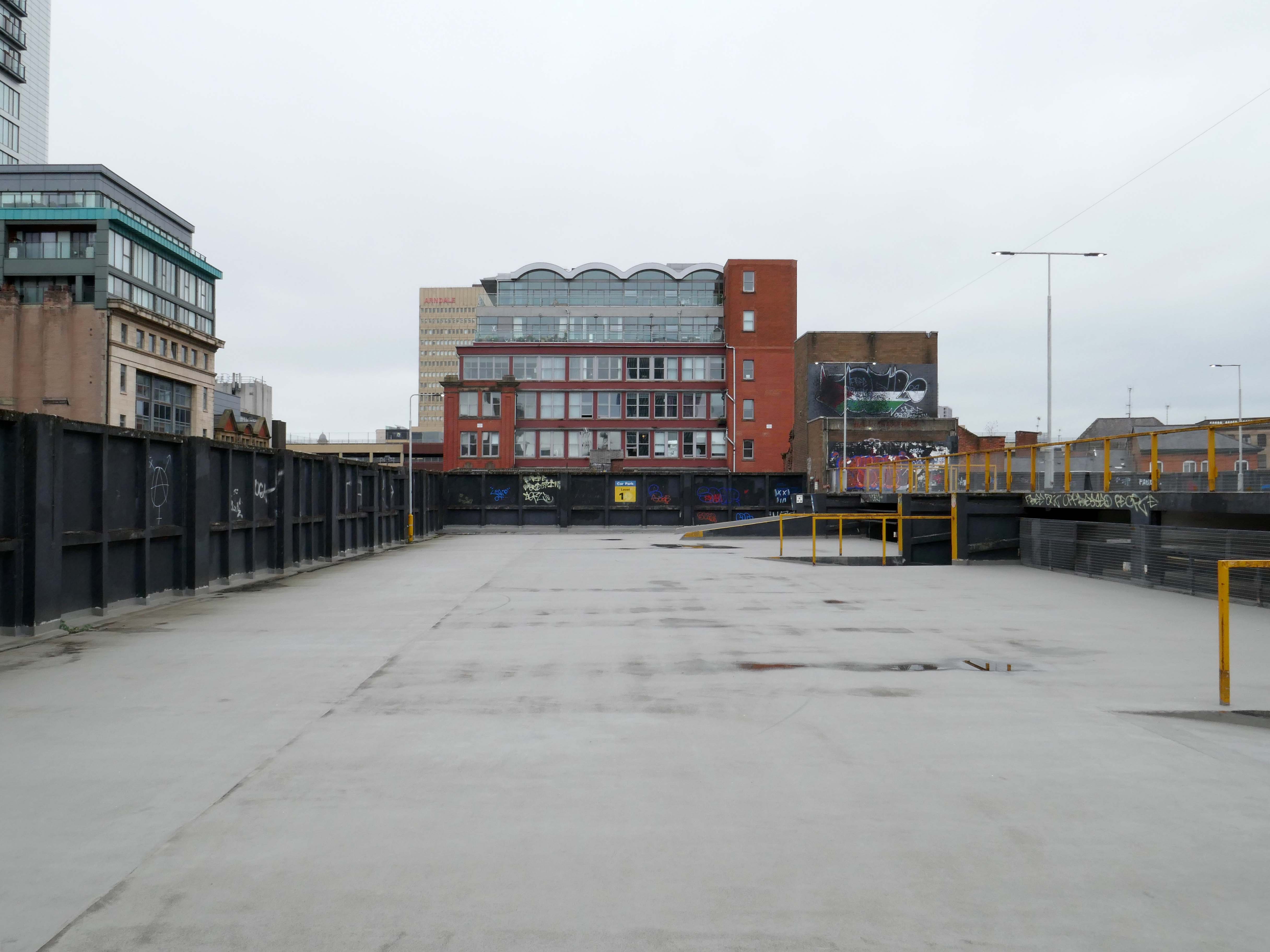
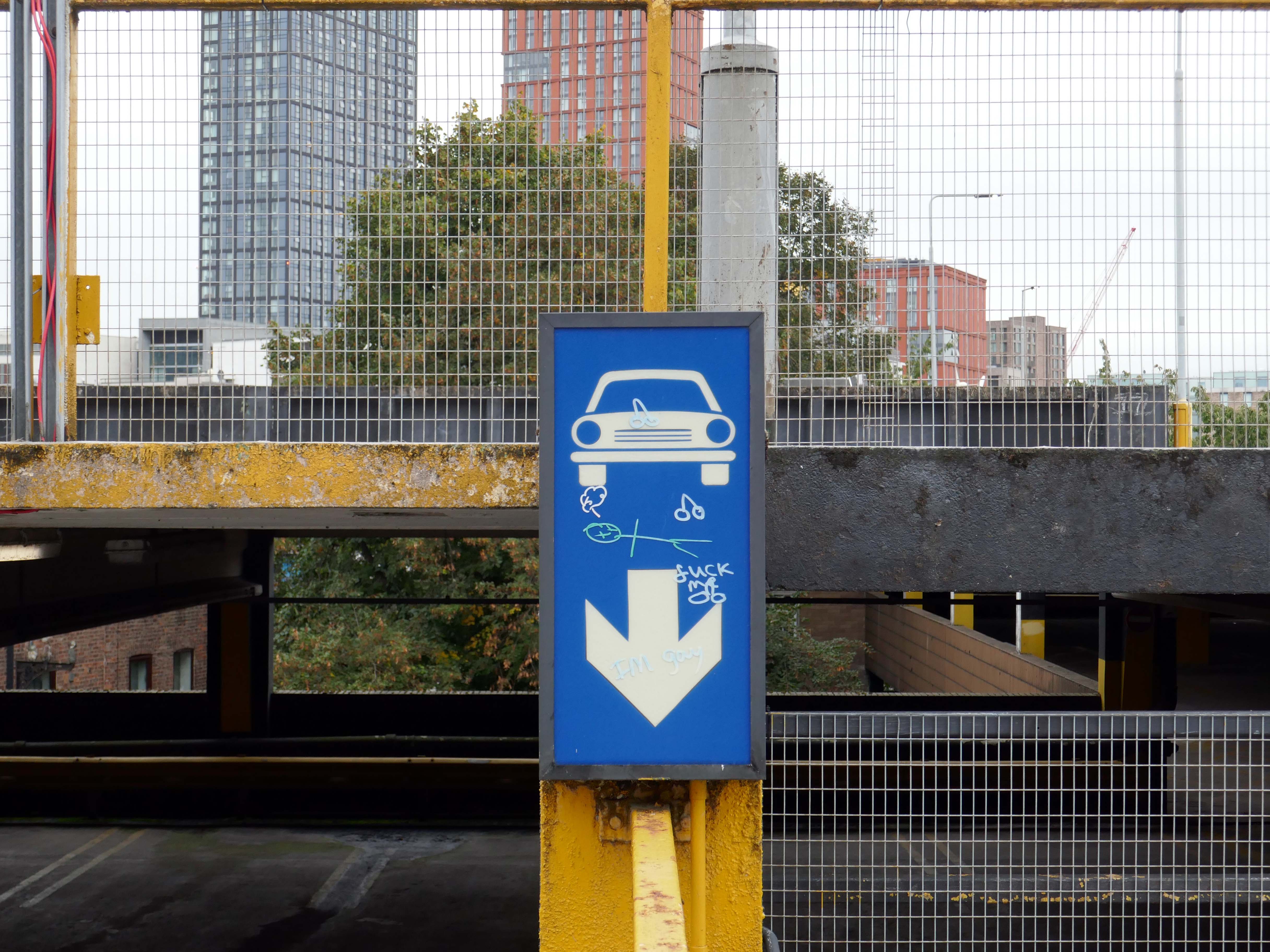
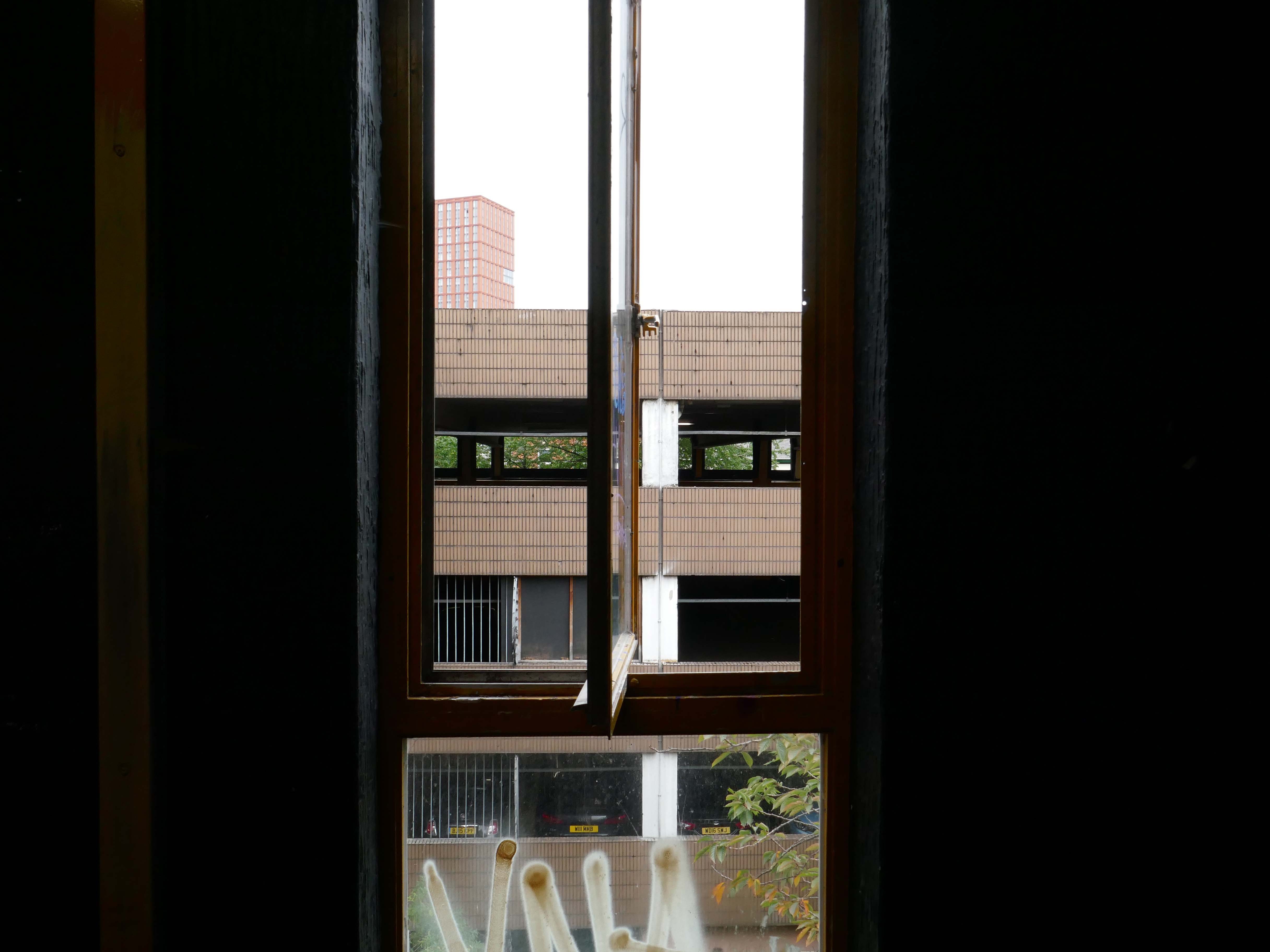
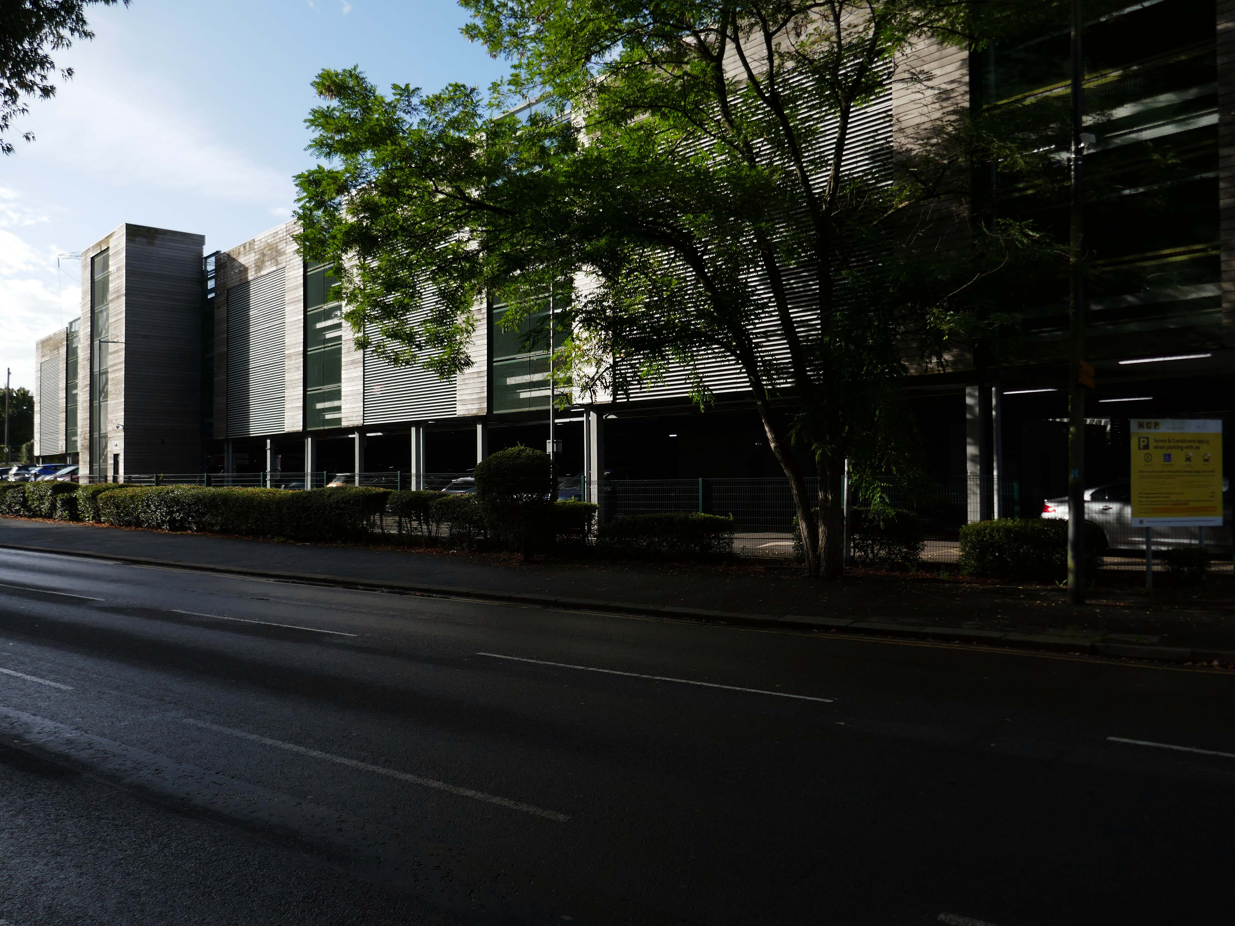
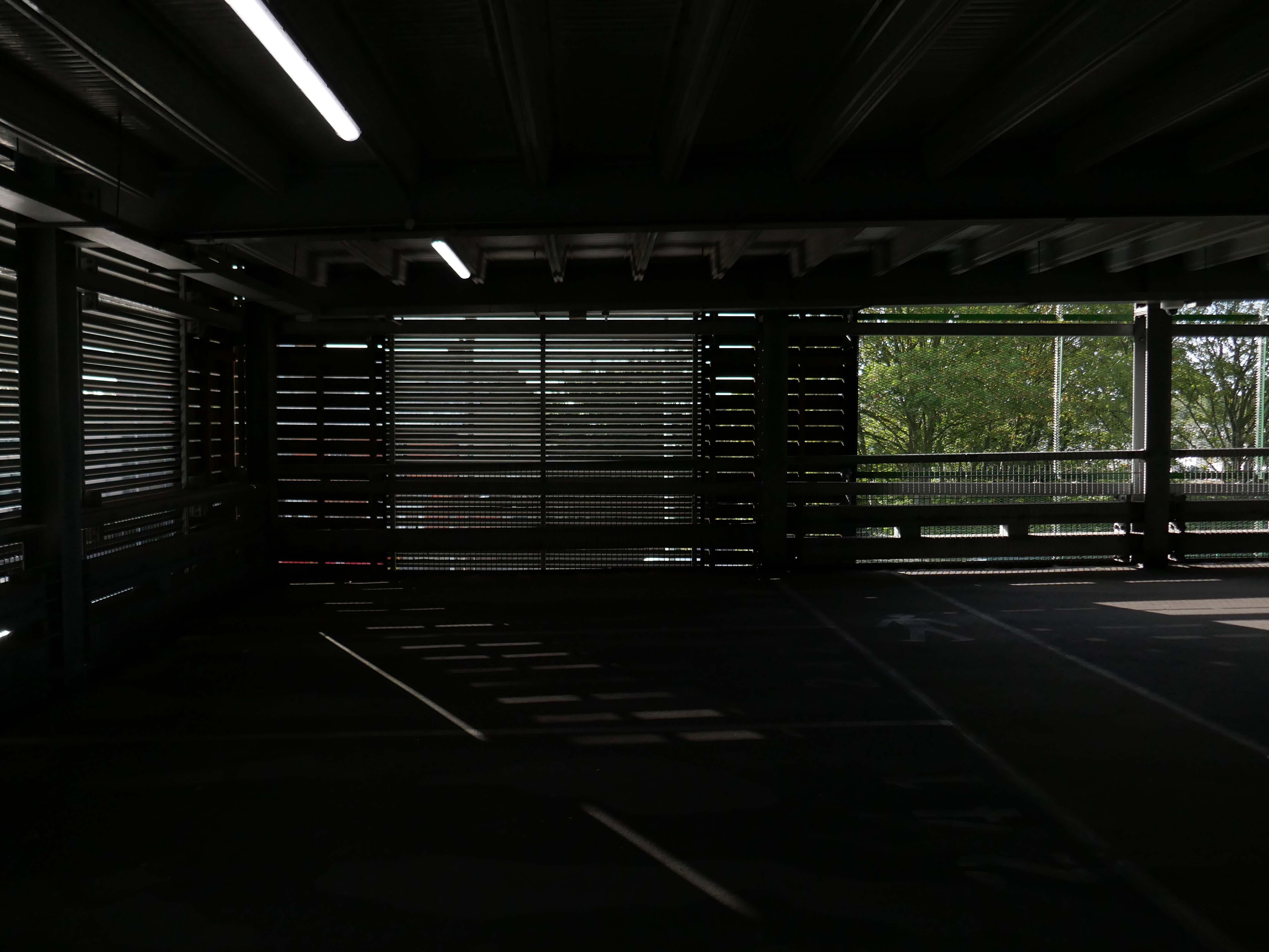
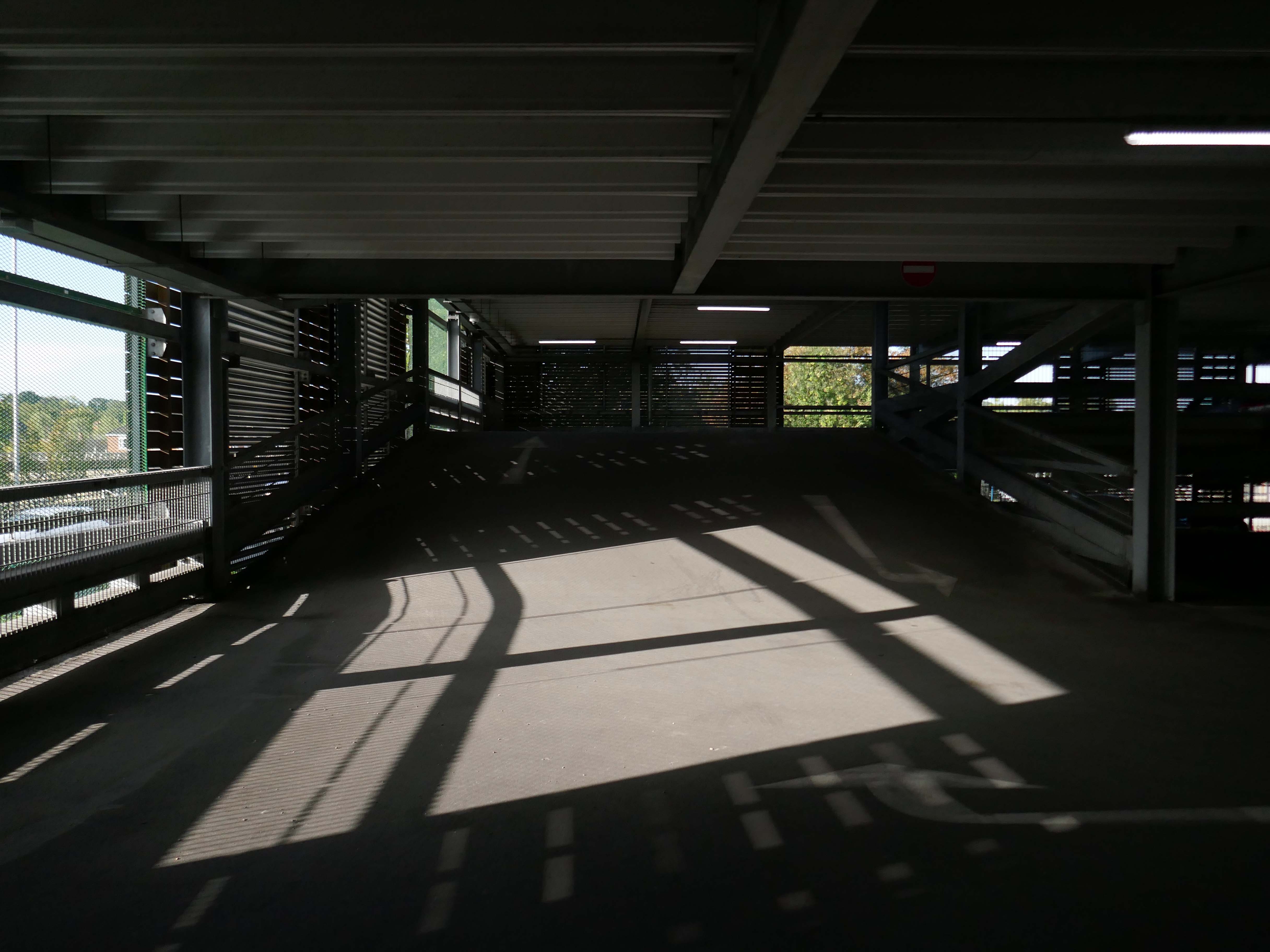
Heaton Lane car park is closed while demolition works take place.
Plans to demolish the car park were submitted by Stockport Council in September this year.
The plans propose removing the multi-storey car park down to ‘slab level’
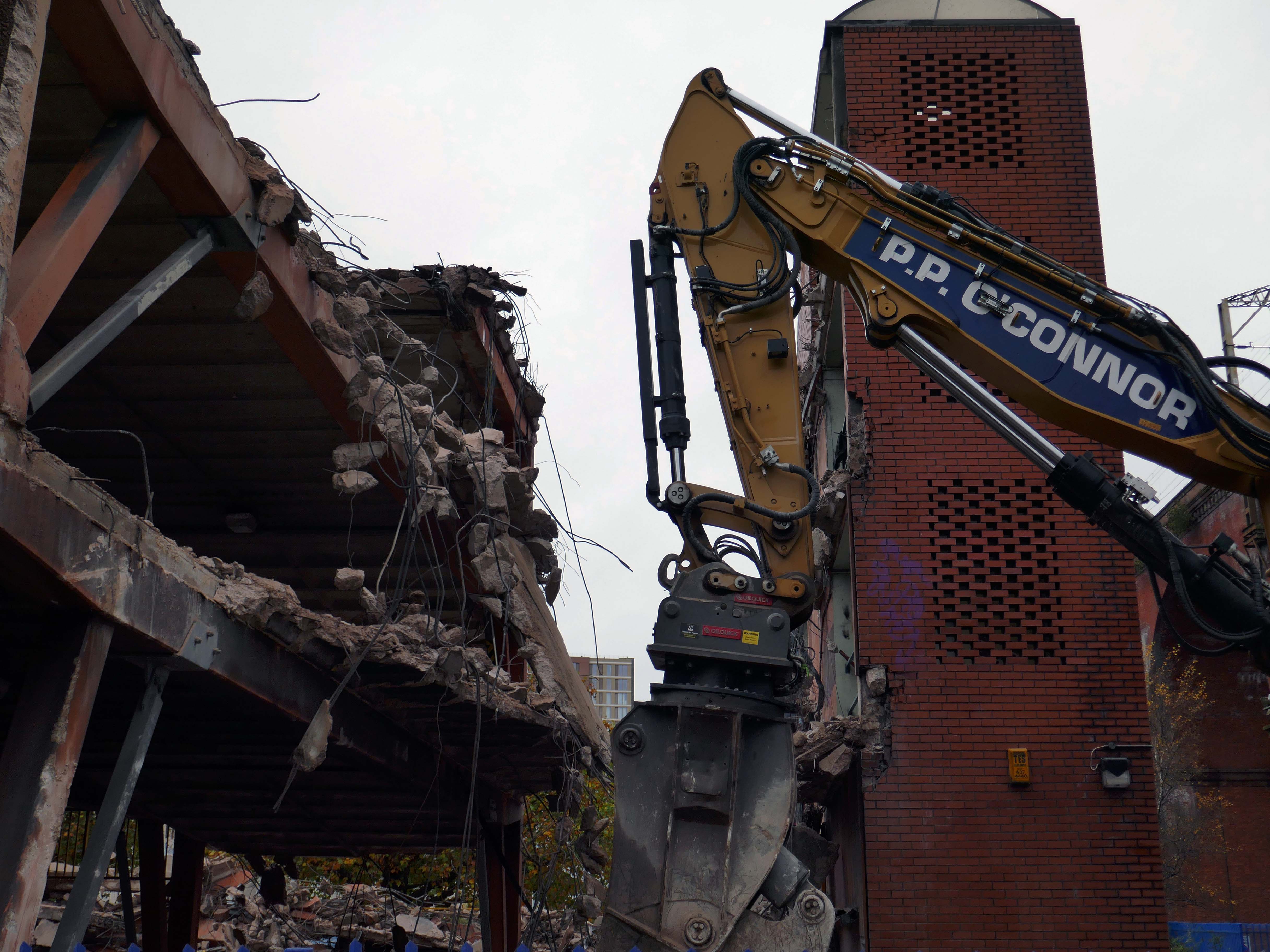
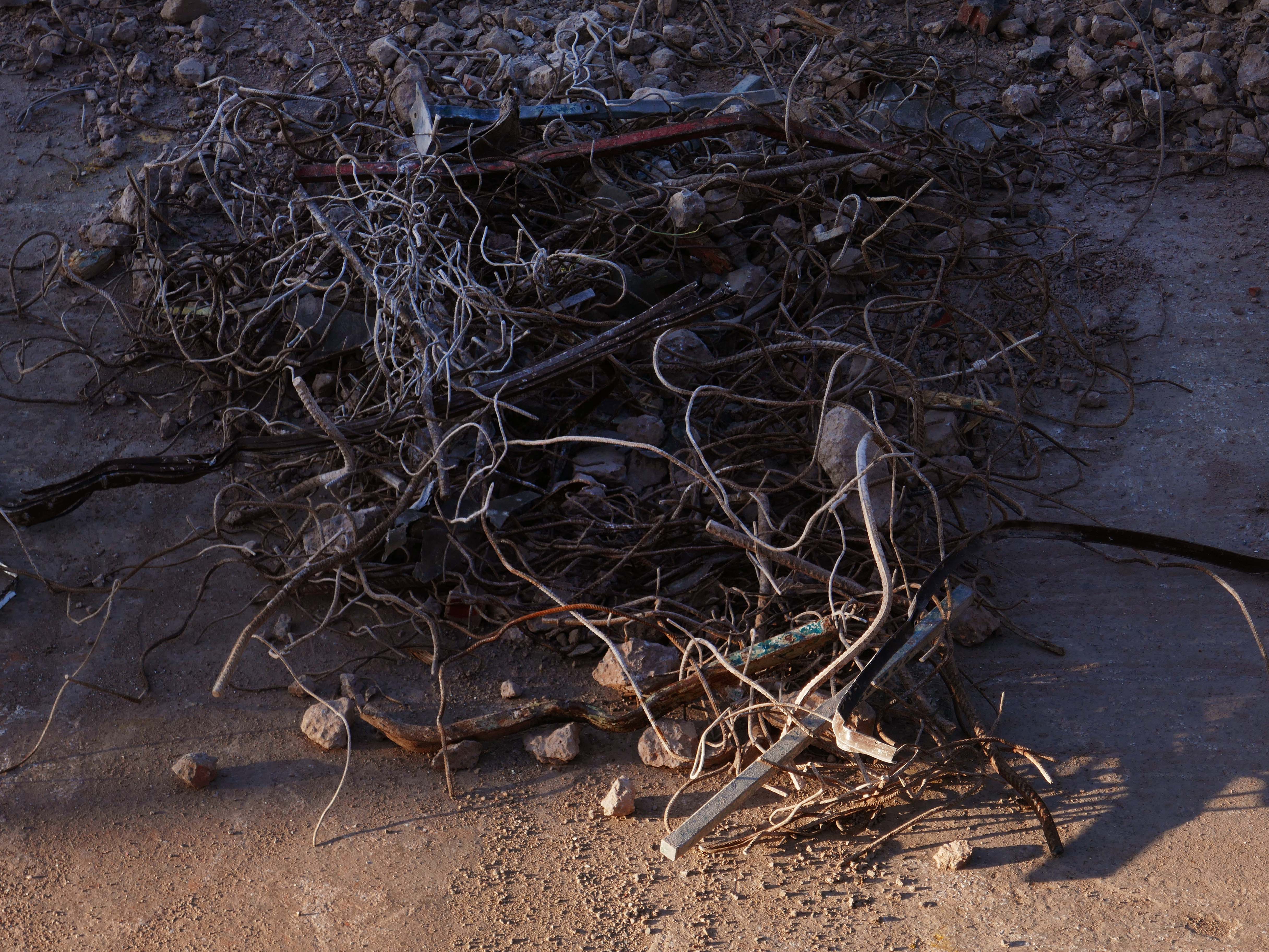
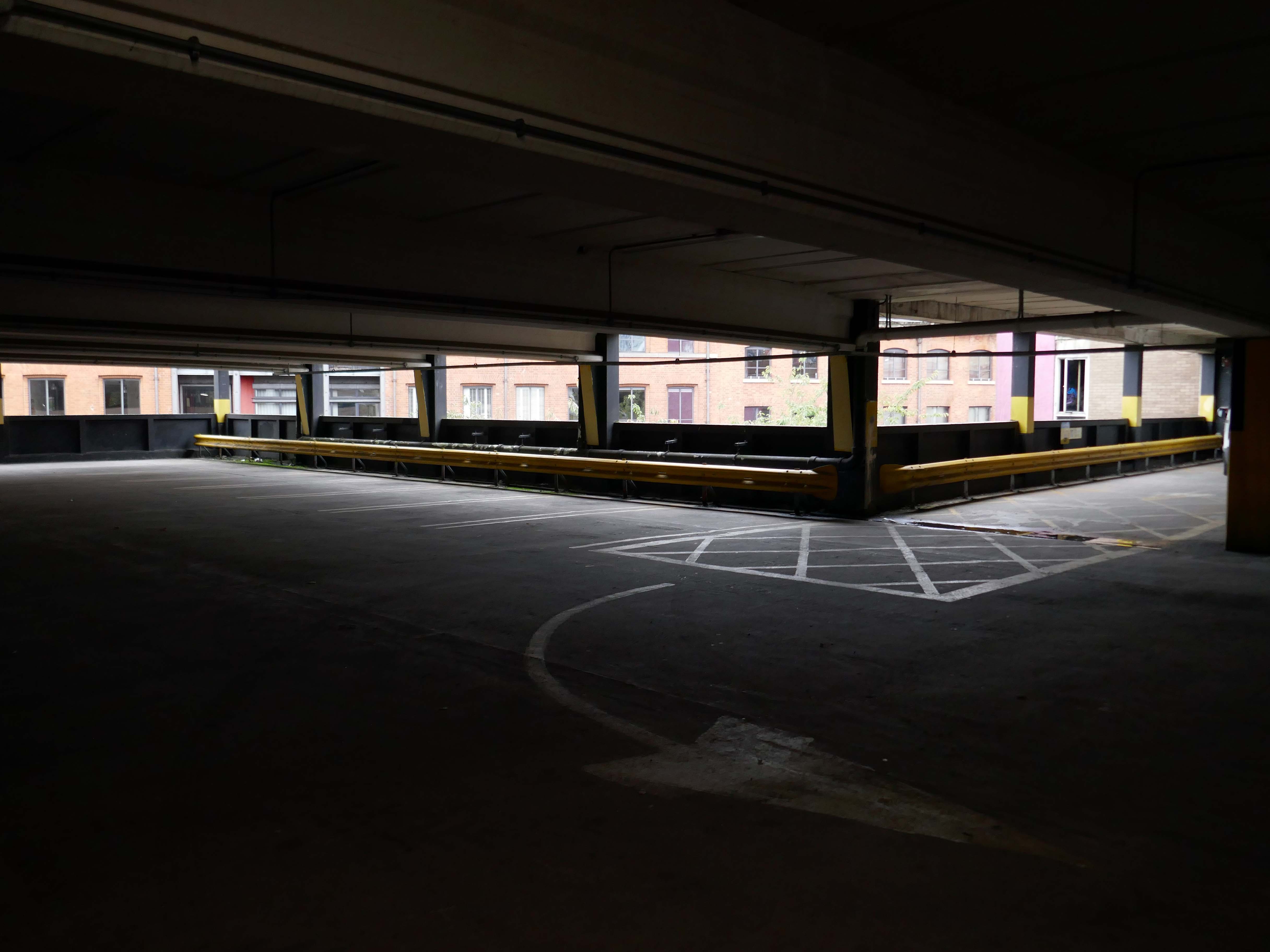
The work itself will be carried out by removing floor slabs one by one from the parking bays, from the ground upwards. Contractor PP O’Connor has said it will take noise and dust into consideration when completing the works.
Dust suppression systems will be in place to minimise pollution.
Noise levels are not considered likely to be a nuisance, however the site manager will be able to review the demolition process if it’s deemed too high.
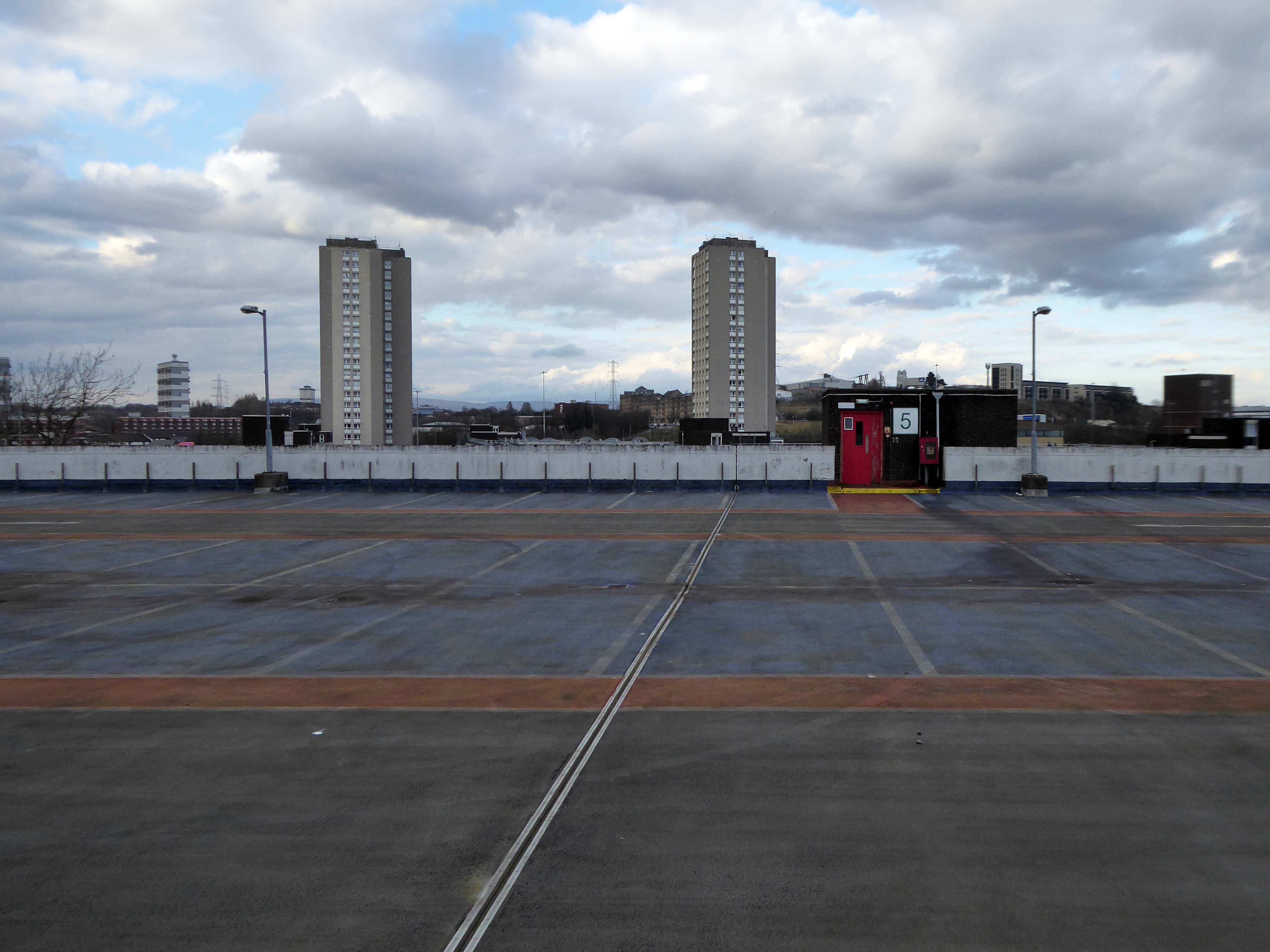
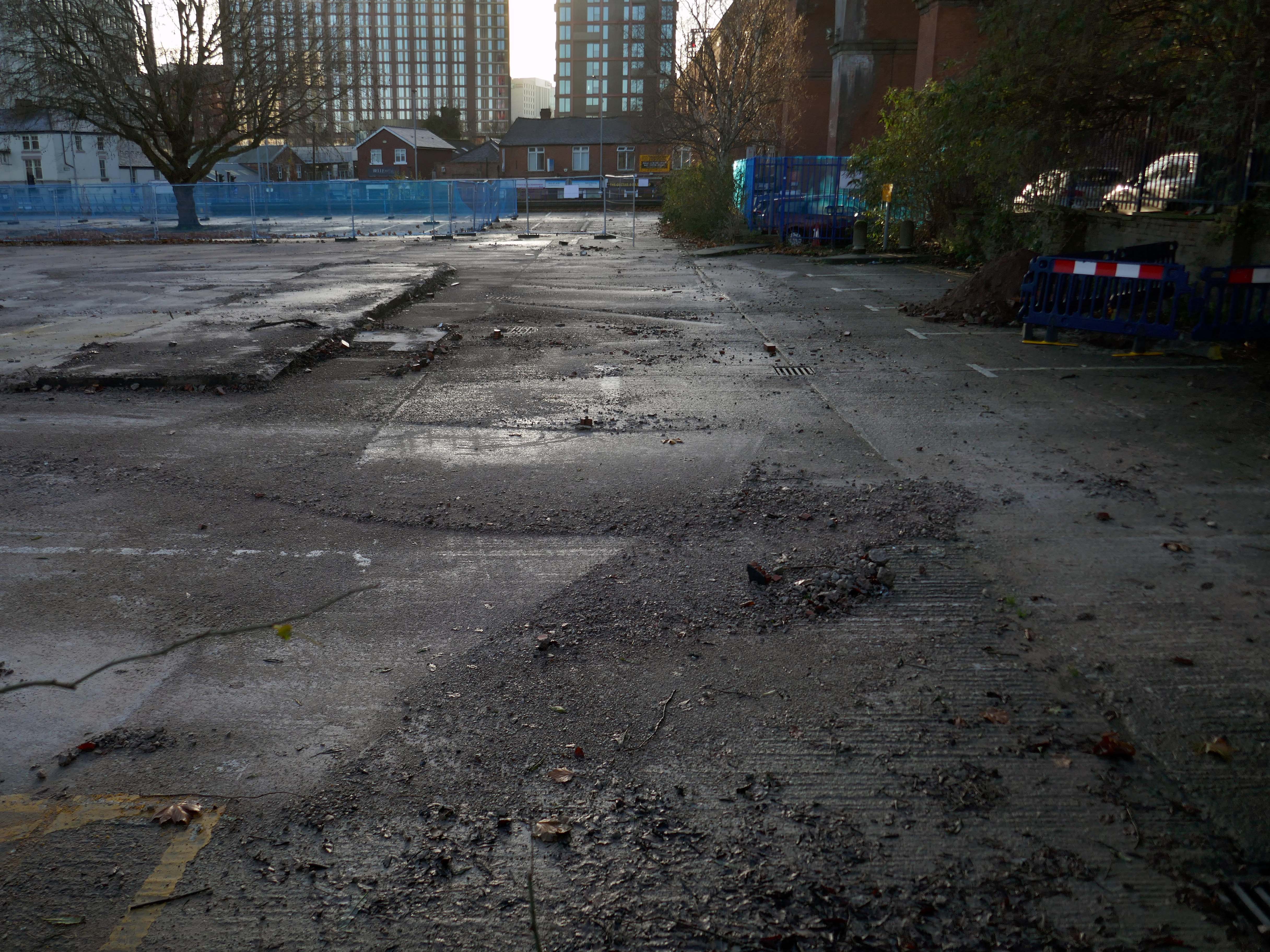
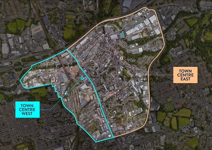
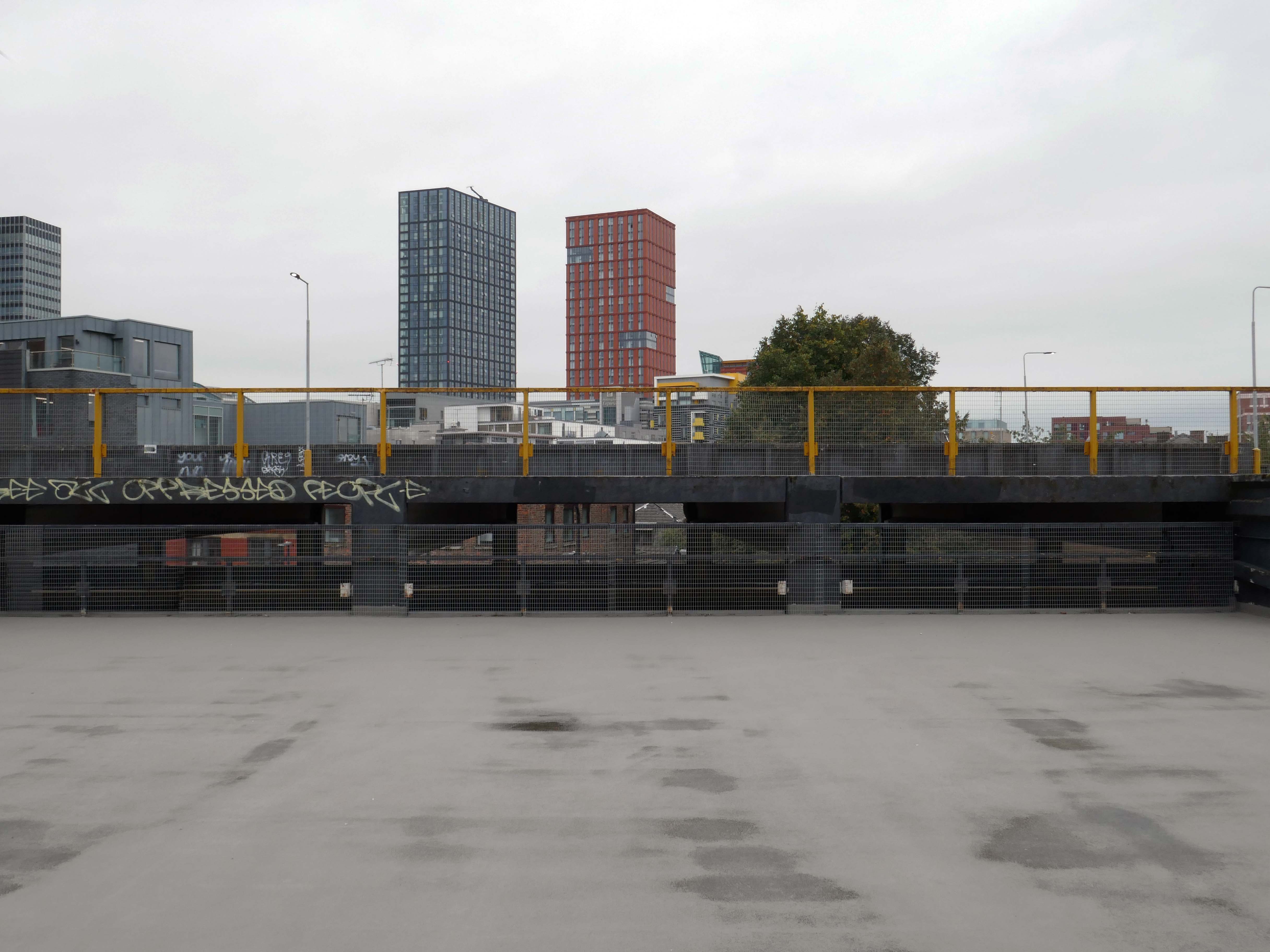
There car park is almost at the heart – on the edge of plans to regenerate the town centre.
The Strategic Regeneration Framework for Stockport Town Centre West set out how up to 4,000 new homes and 1m sq. ft of new employment floorspace and 5,300 new jobs could be delivered across Town Centre West by 2035.
In order to assess the overall economic benefit of an expanded Mayoral development area Stockport Council have developed an SRF for Stockport Town Centre East. This SRF sets out an illustrative masterplan to guide the creation of Stockport’s new neighbourhoods and achieve comprehensive urban regeneration by 2040. Together the SRFs for Town Centre West and Town Centre East will guide the development of a total of 8,000 new homes alongside services and amenities. The development set out in the SRFs will drive a transformational impact on the Stockport economy.
The Corporation is expected to be established in early 2026. It will provide a single, focused body for local decision-making; engagement with stakeholders including government departments, public agencies; private sector landowners, and developers; and to drive investment across the public and private sectors to realise the shared vision for the regeneration of the Area.
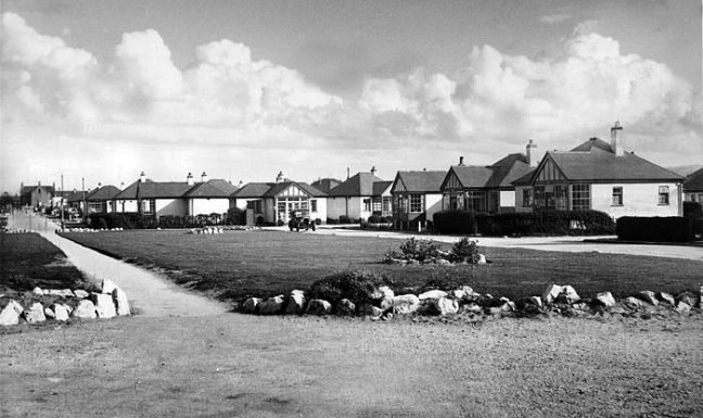
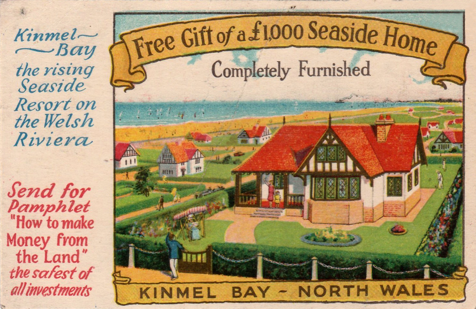
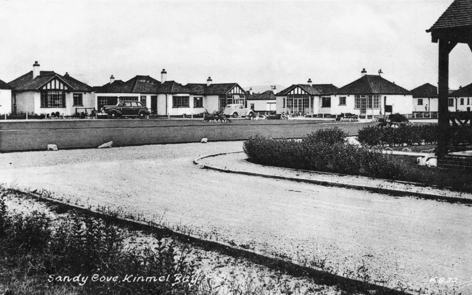
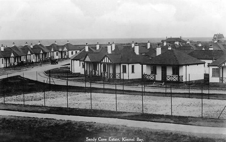
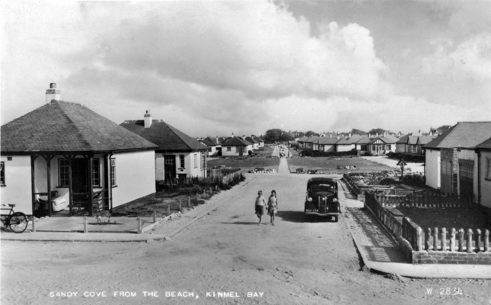
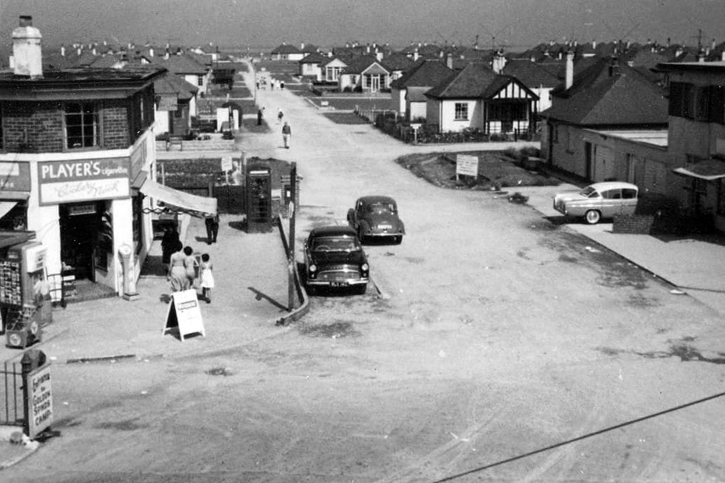
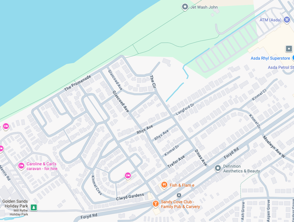
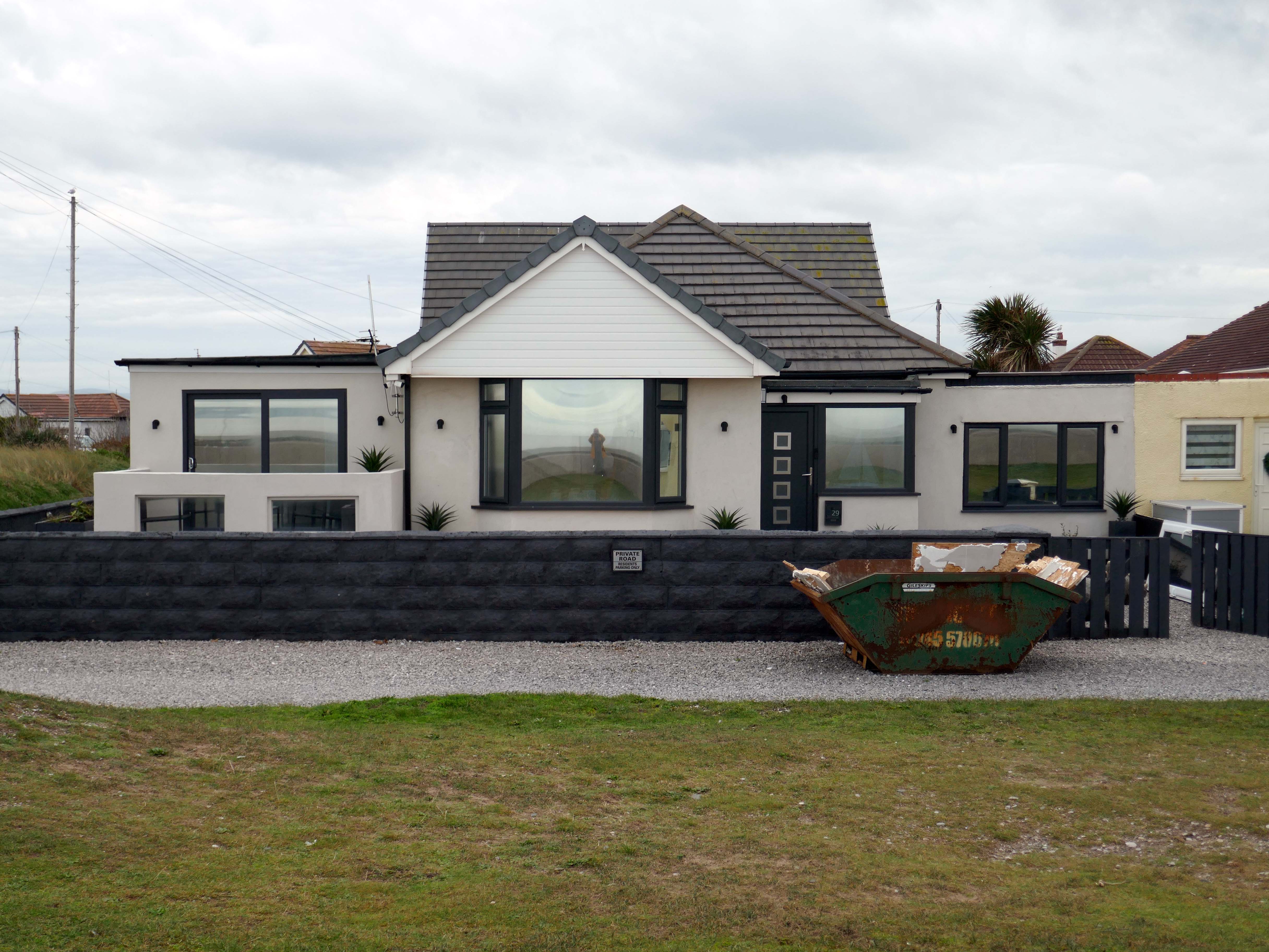
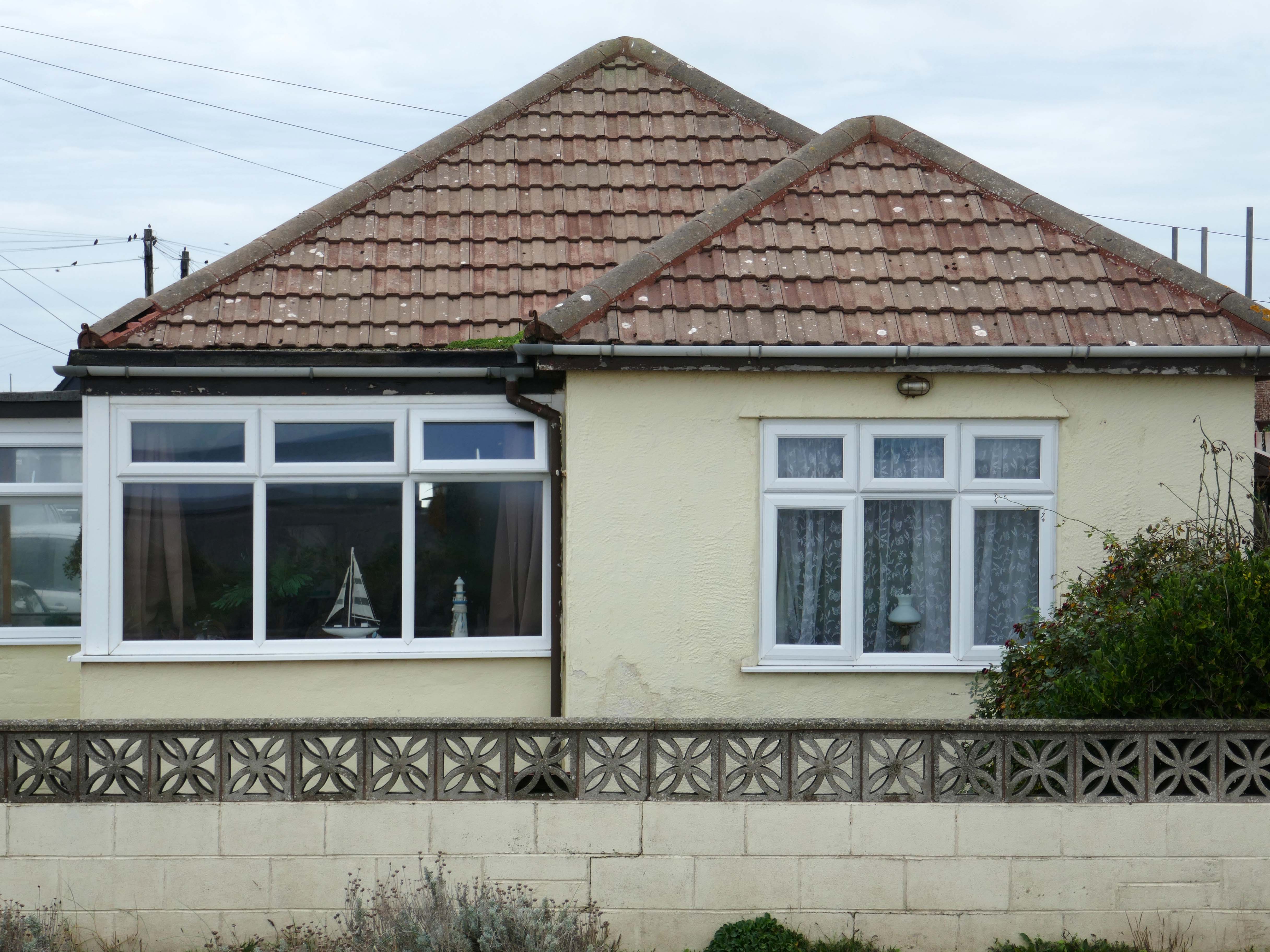
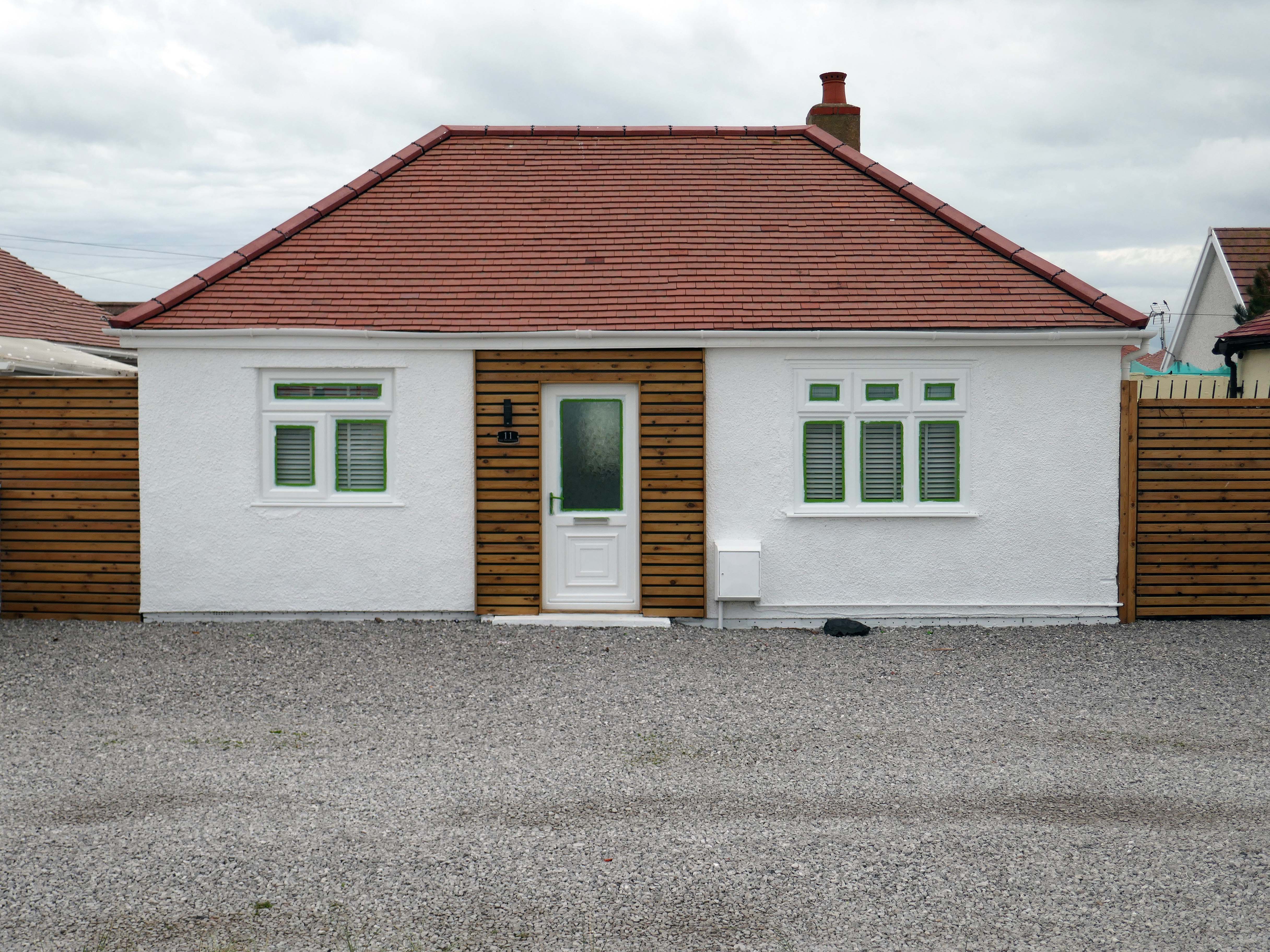
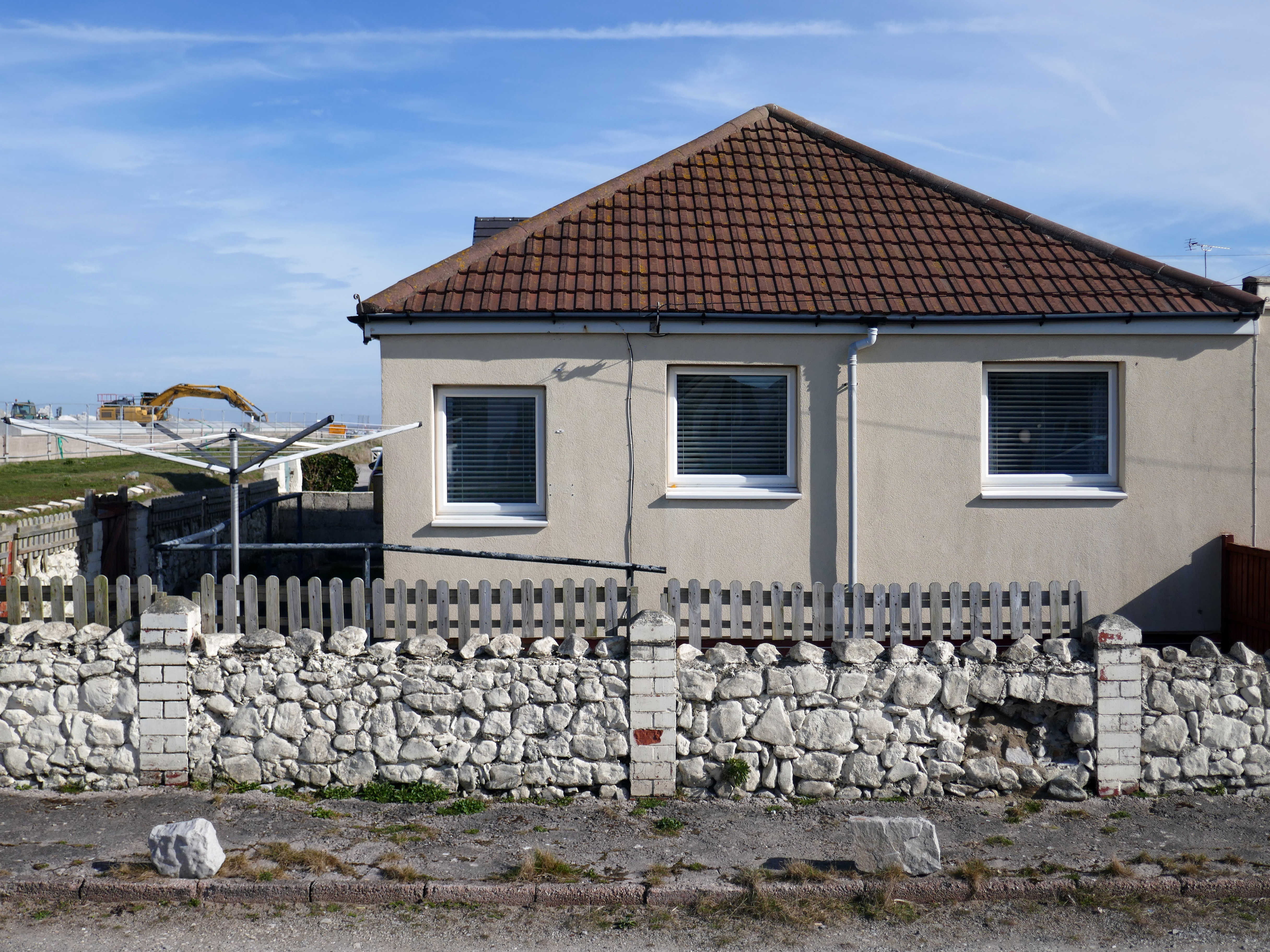
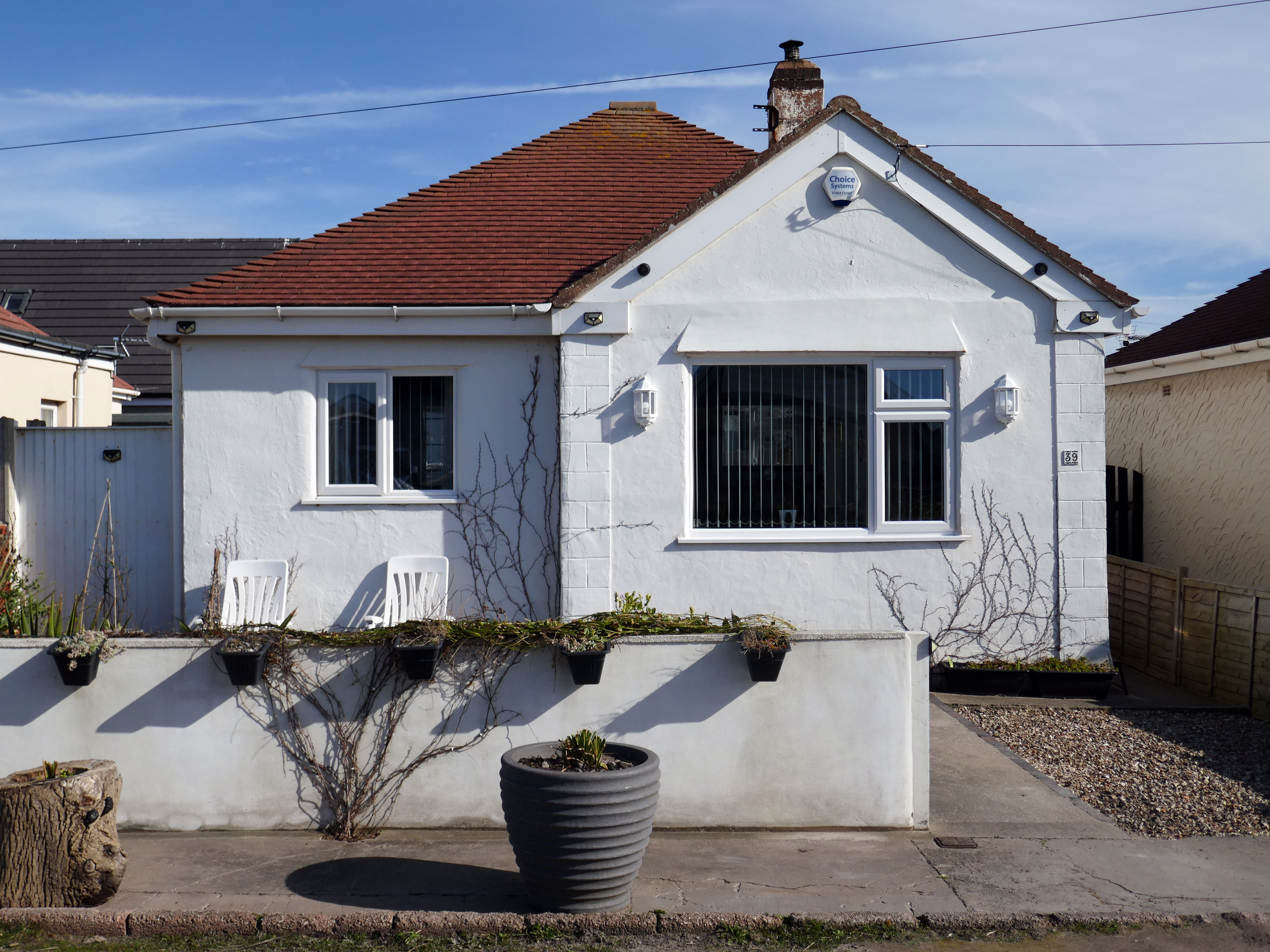
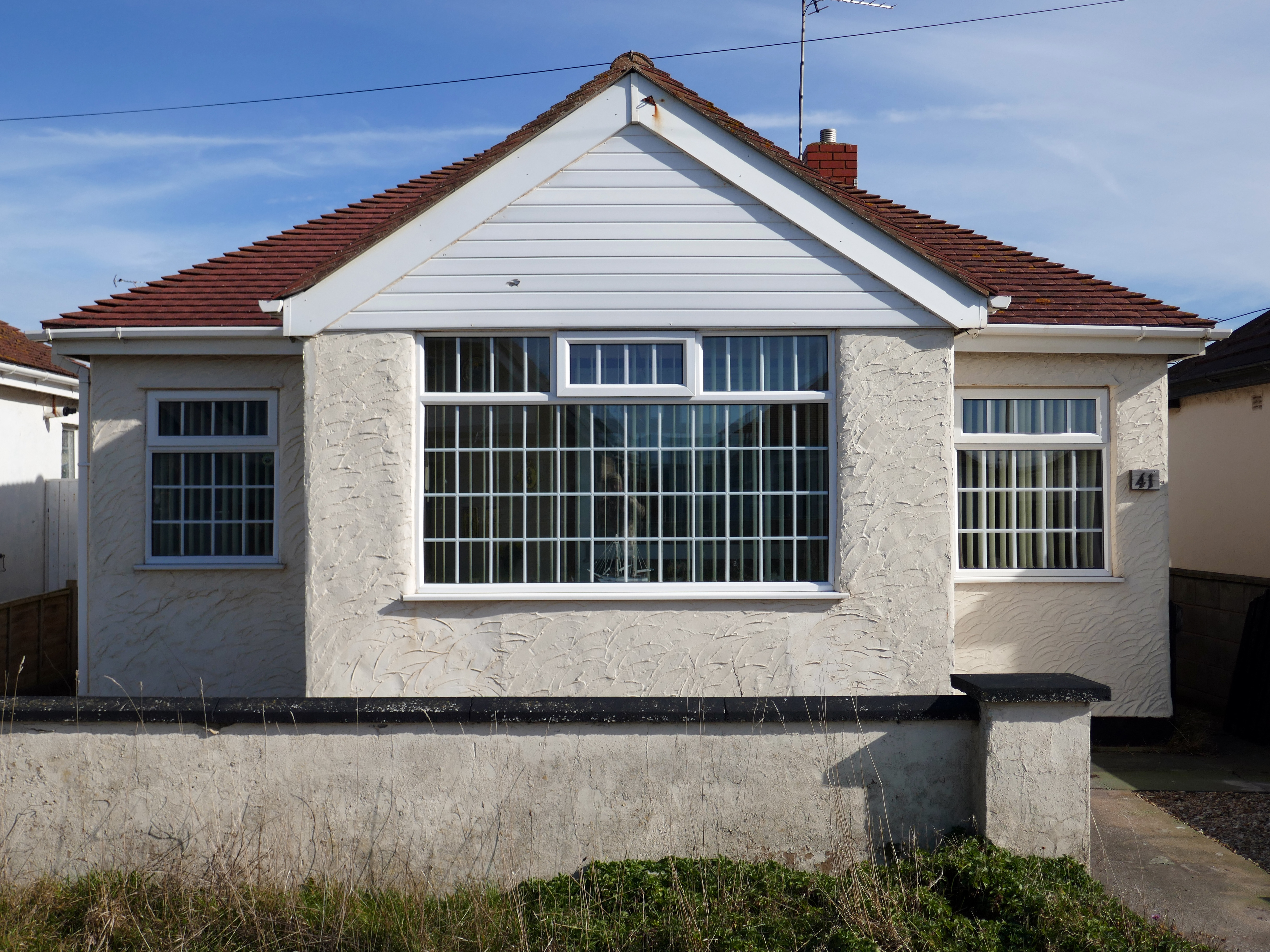
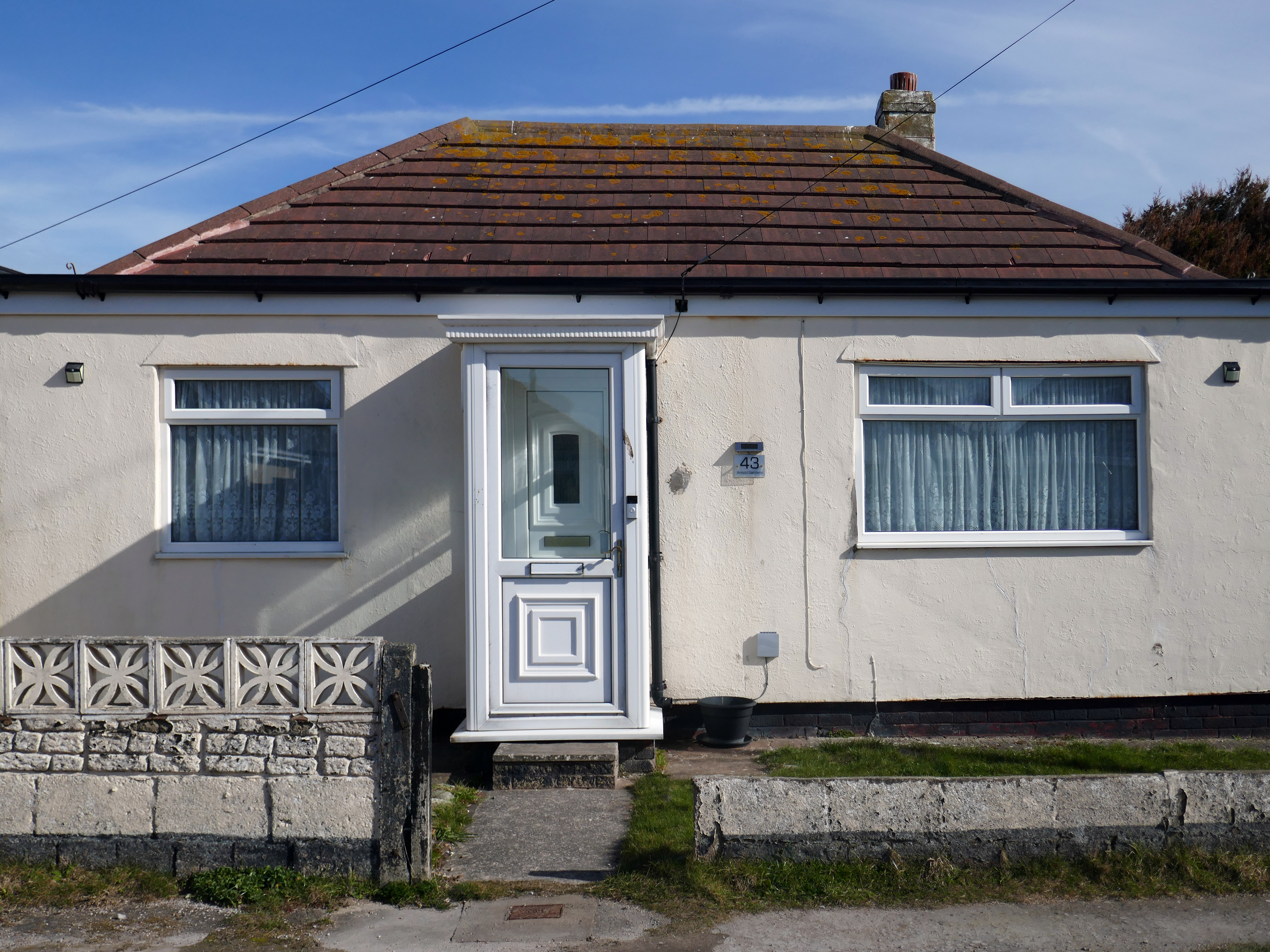
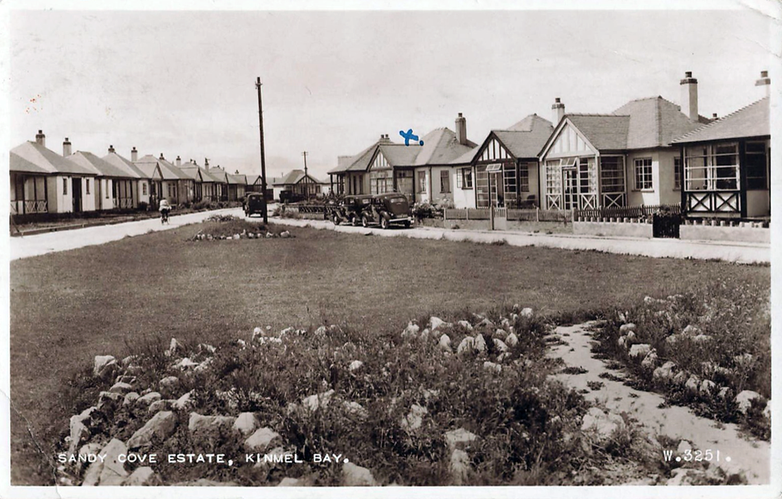
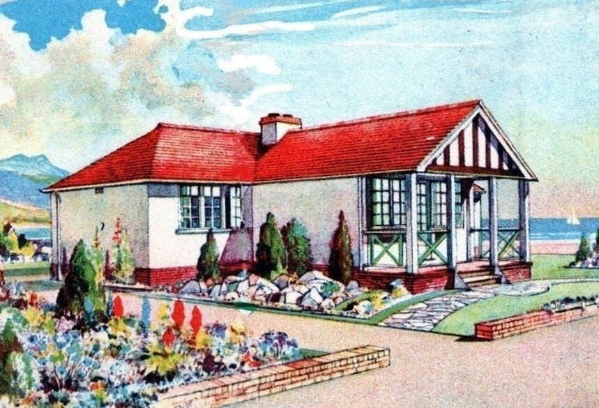
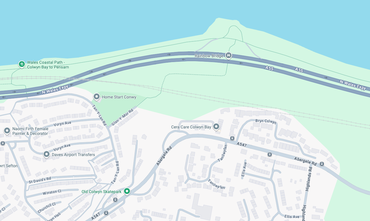
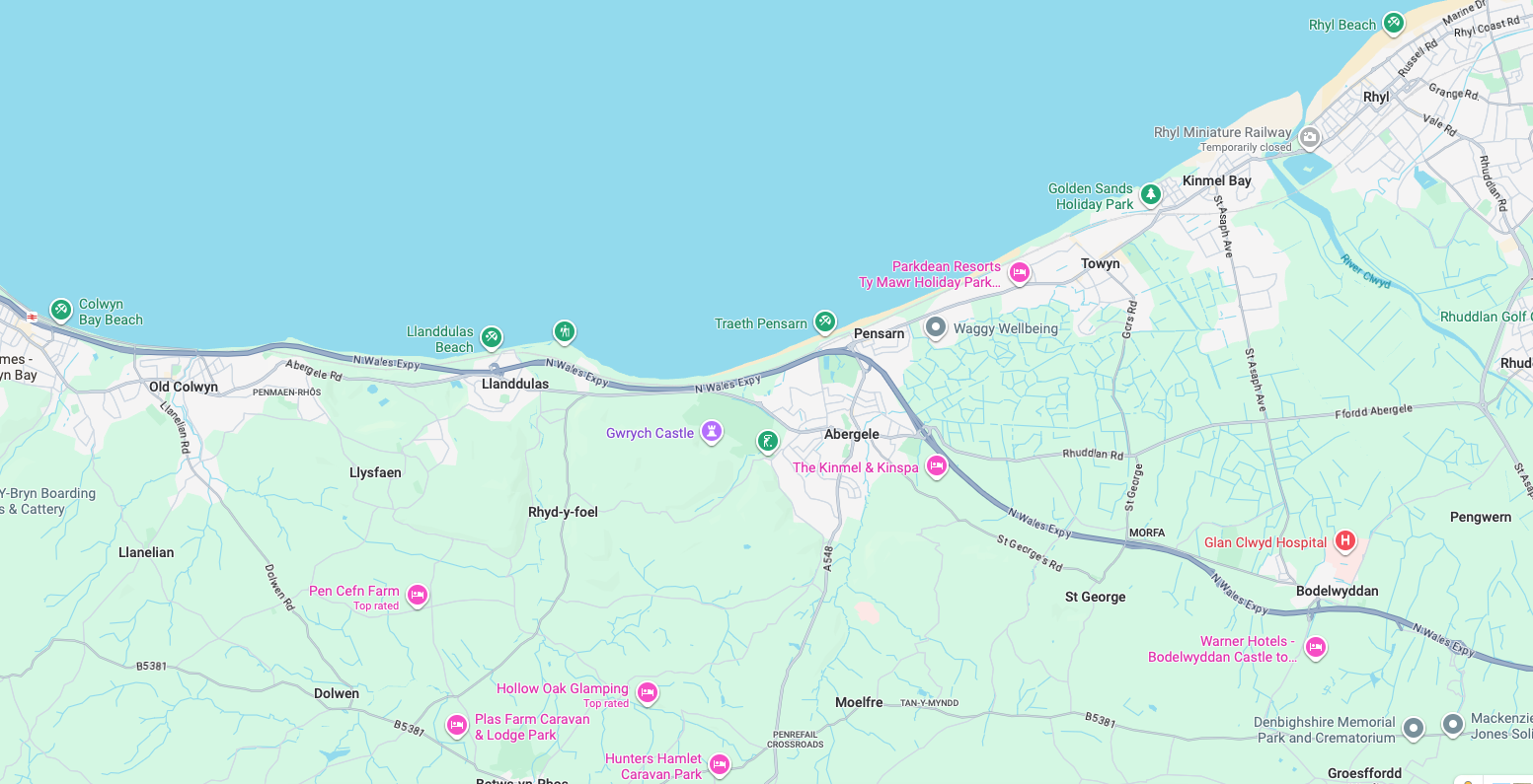
As I walked out one morning, as on other mornings I passed a group of bungalows along the North Wales Coast, as seen on many a trip twixt Rhyl and Colwyn Bay.
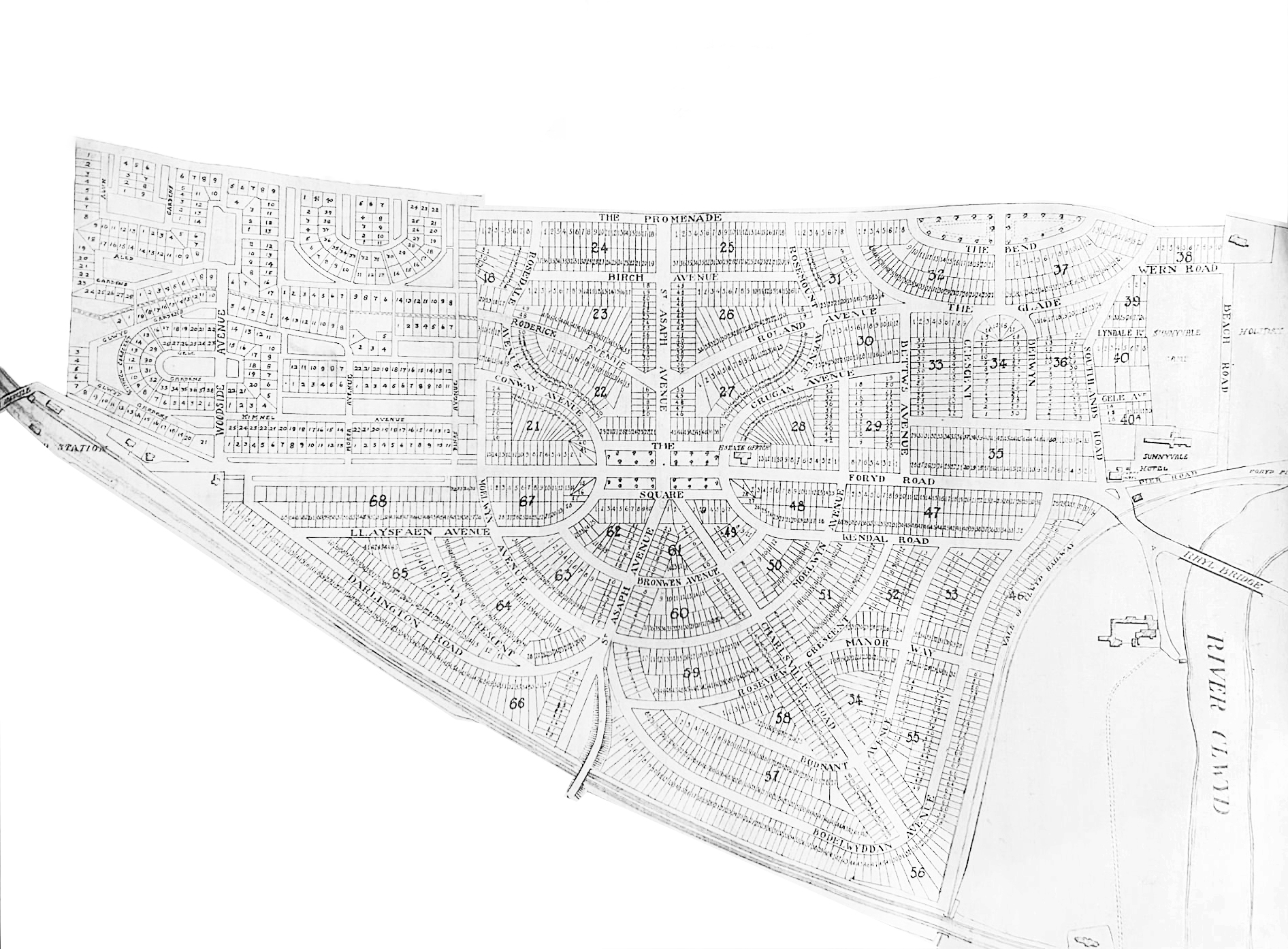
What is the history of this Kinmel Bay estate?
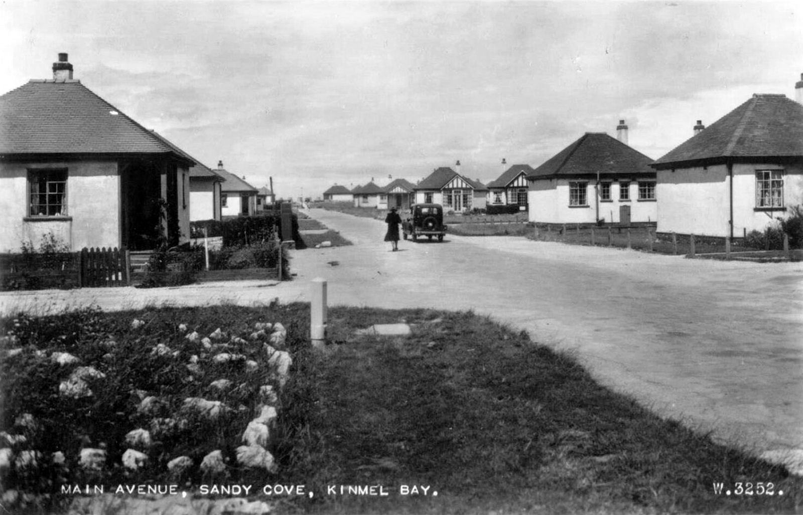
During the 1930s a company called Kinmel Estates Ltd came up with a idea of building a Holiday Village called Sandy Cove Estate. These Houses soon produced a lot of interest by many wishing to own their own holiday home and by the 1940s most were sold.
Due to unknown financial problems the Company went into liquidation in 1947 leaving further work on the infrastructure of the village undone. The Village was taken over by the Crown as the local Council showed no interest. It remained this way until 1997 when the land passed to The Kinmel Bay and Towyn Community Assocation Ltd.
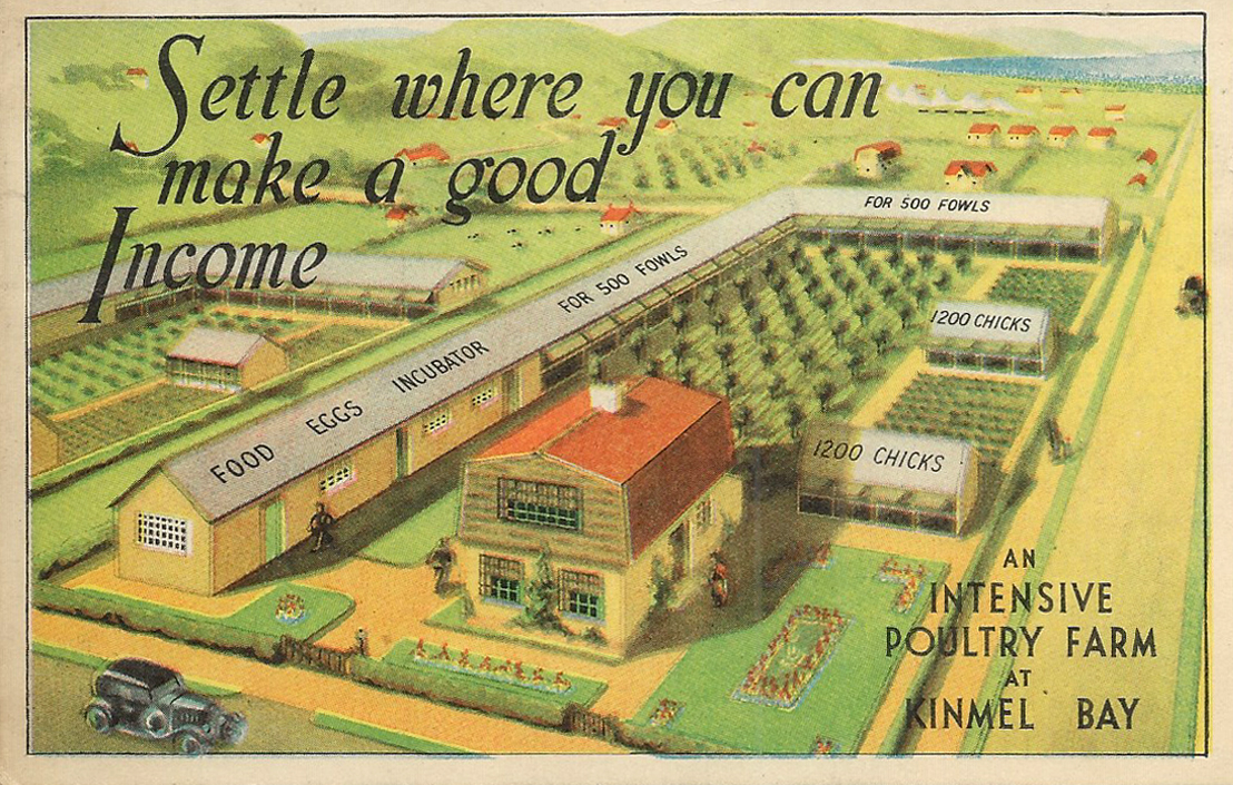
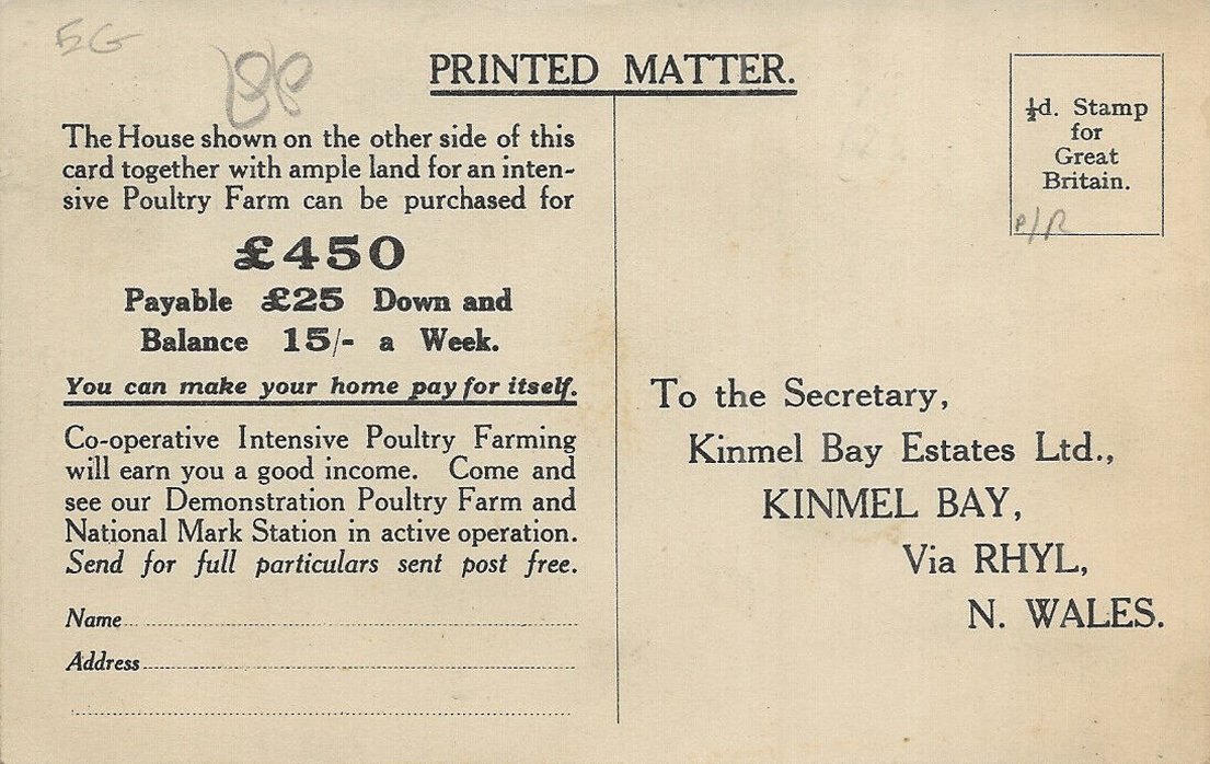
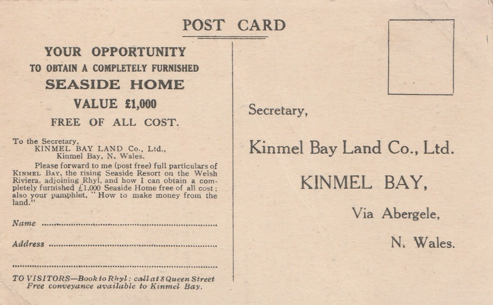
In 1925 a Mr Charles W Neville bought from 1,500 to 2,000 acres of land for the very small price of £30 an acre, and subsequently sold it at a handsome profit to himself, that is to say, to another company of which he is the moving spirit, a company known as the Kinmel Bay Land Company, of which he has been the dominating figure throughout.
By specious advertisements—which I have not now the time to show the House but they are contained in wonderful advertisements shown all over the Kingdom—and very cleverly devised contracts they have induced a large number of retired people, some with very small incomes, or small pensioners, to buy land which up to the year 1925 had cost £30 an acre at a price of from £100 a quarter of an acre up to £500 an acre with annual charges supposed to be for roadmaking, sewerage, and so on—a charge actually on the land which will last for all time, with the result that a beautiful site—a place of great possibilities to that part of the world—has been largely ruined and has brought a great deal of misery and discomfort to many people.
What is the present state of Kinmel Bay? In a few words I will give it. There is no proper system of sanitation or sewerage. Cesspools are a disgusting nuisance. In some cases they have to be emptied once a fortnight by the householder at an exorbitant cost, sometimes as much as £1 of poor people’s money. Ditches have become full. The sewerage in summer months is quite intolerable at times. Instances have been known of crude sewage floating on the surface and actually overflowing into a house in this area. There is no proper system of roads. Those that are made are mainly of twigs or branches of trees, old tin cans, and other rubbish, with a layer of stones on top. Even these roads, of course, are not maintained. Drinking water, at one time brown and muddy, has improved. A new company has been formed, a subsidiary of this very company, which is certainly selling rather purer water now, but at the exorbitant price of a minimum charge of 15s. a quarter to the householders. Of course, the hydrants are quite useless in the case of fire. Now we have here 1,380 acres built over in this scattered and haphazard manner with a population of over 2,000.
This seems to have been the oddest case of hucksterism – which also involved the sale of putative poultry farms. This image seems to be the only reference which I can find online.
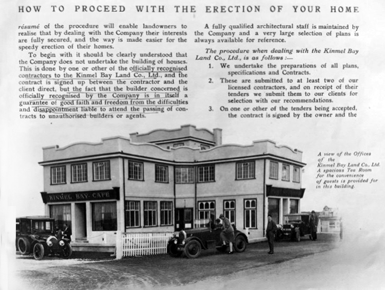
Were they ever built?
Along with the aforementioned homes.
It would appear that they were perhaps self-assembly kits.
These are archival images from a variety of sources:
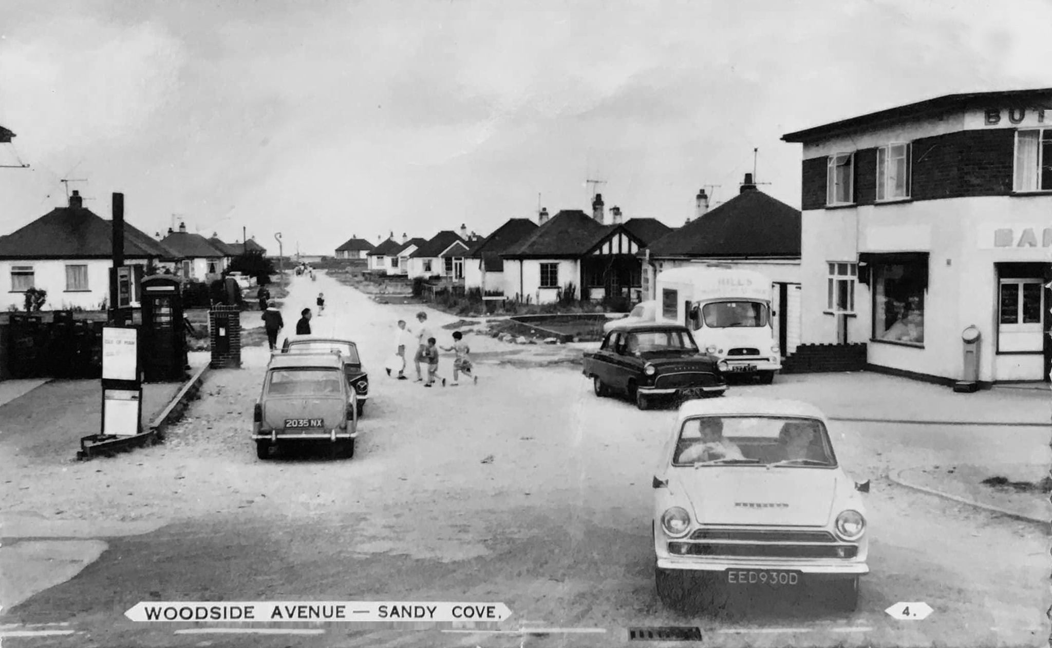
In the past Chester Avenue was nicknamed Dodge City thanks to its reputation for low-level crime and scruffiness.
It was like Beirut in the early days – said Mike Nolan, who has lived in the area since 1978.But now it is very pleasant, and since Cartrefi Conwy has taken over it has been even better. People want to come and live here now.
The issue of infrastructure management on the estate is still an issue it would seem:
Clwyd West MS Darren Millar yesterday raised in the Senedd the plight of residents living on Kinmel Bay’s Sandy Cove, who recently experienced flooding. Calling for a Welsh Government statement on the issue of unadopted roads during the Business Statement, Darren referred to the situation at Sandy Cove.Adverse weather on April 9th led to residents of the estate being evacuated from their homes. The estate has also been hit by flooding in the past.
Speaking in the Senedd Chamber, Darren said:
I’d like to receive an update from the Cabinet Secretary for Transport on the issue of unadopted roads. Sandy Cove in Kinmel Bay, which has around 250 properties on unadopted roads, experienced flooding during storm Pierrick just over 10 days ago.
That flooding was made worse because of the lack of drainage on that estate. It clearly needs an improvement to the drainage infrastructure. Those roads need to be up to an adoptable standard, and the poor condition of them is making life a misery for local residents.
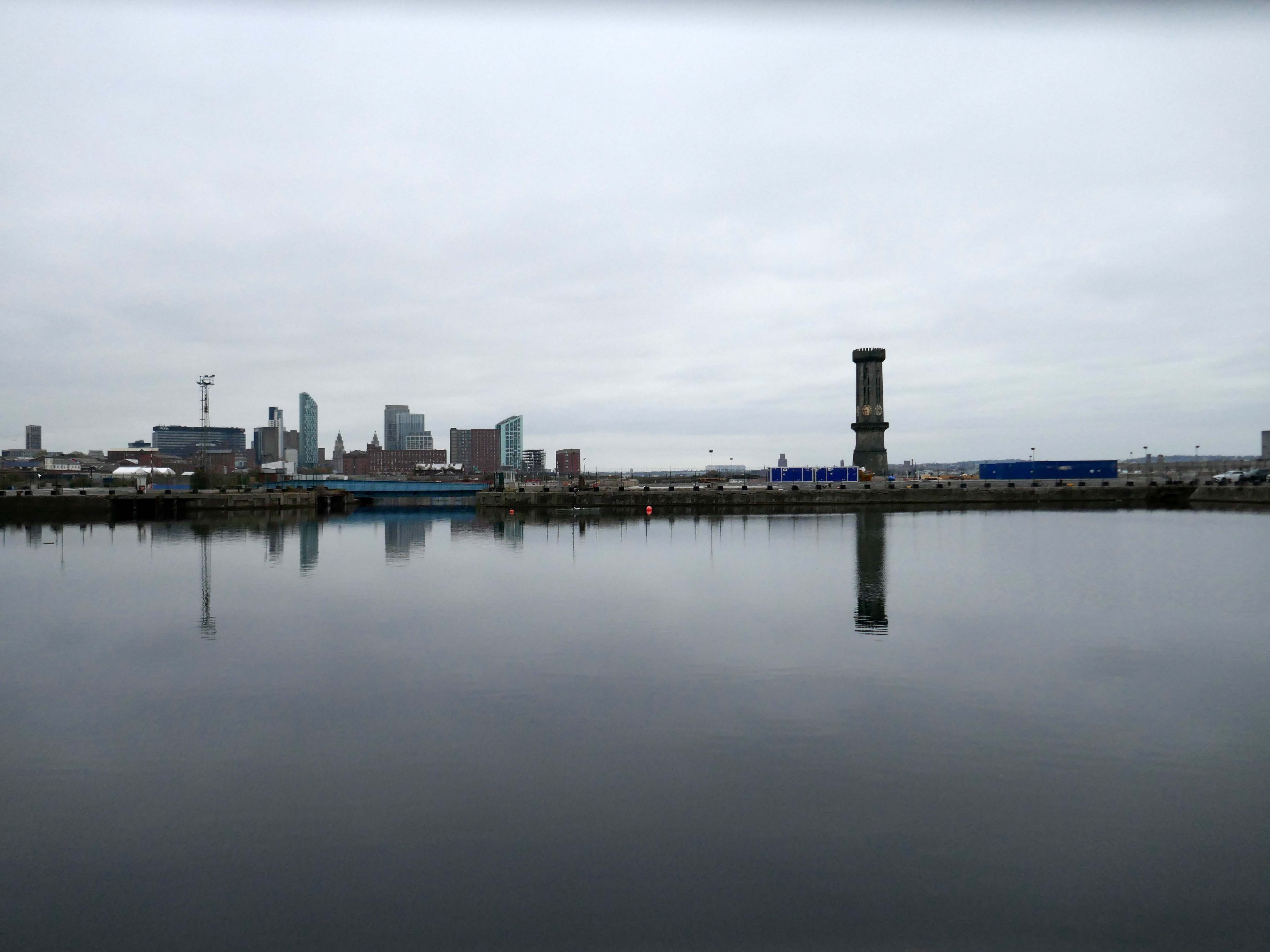
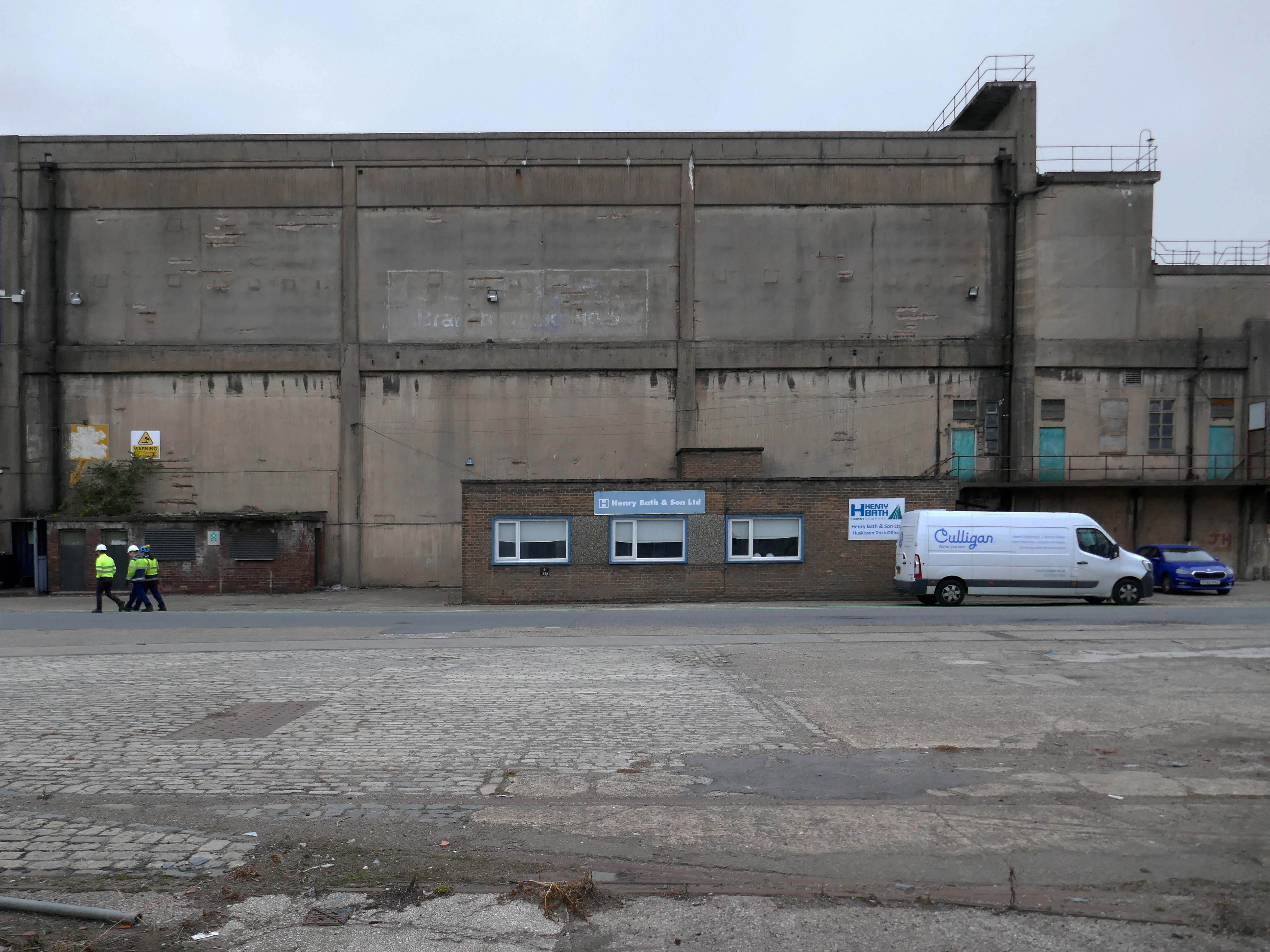
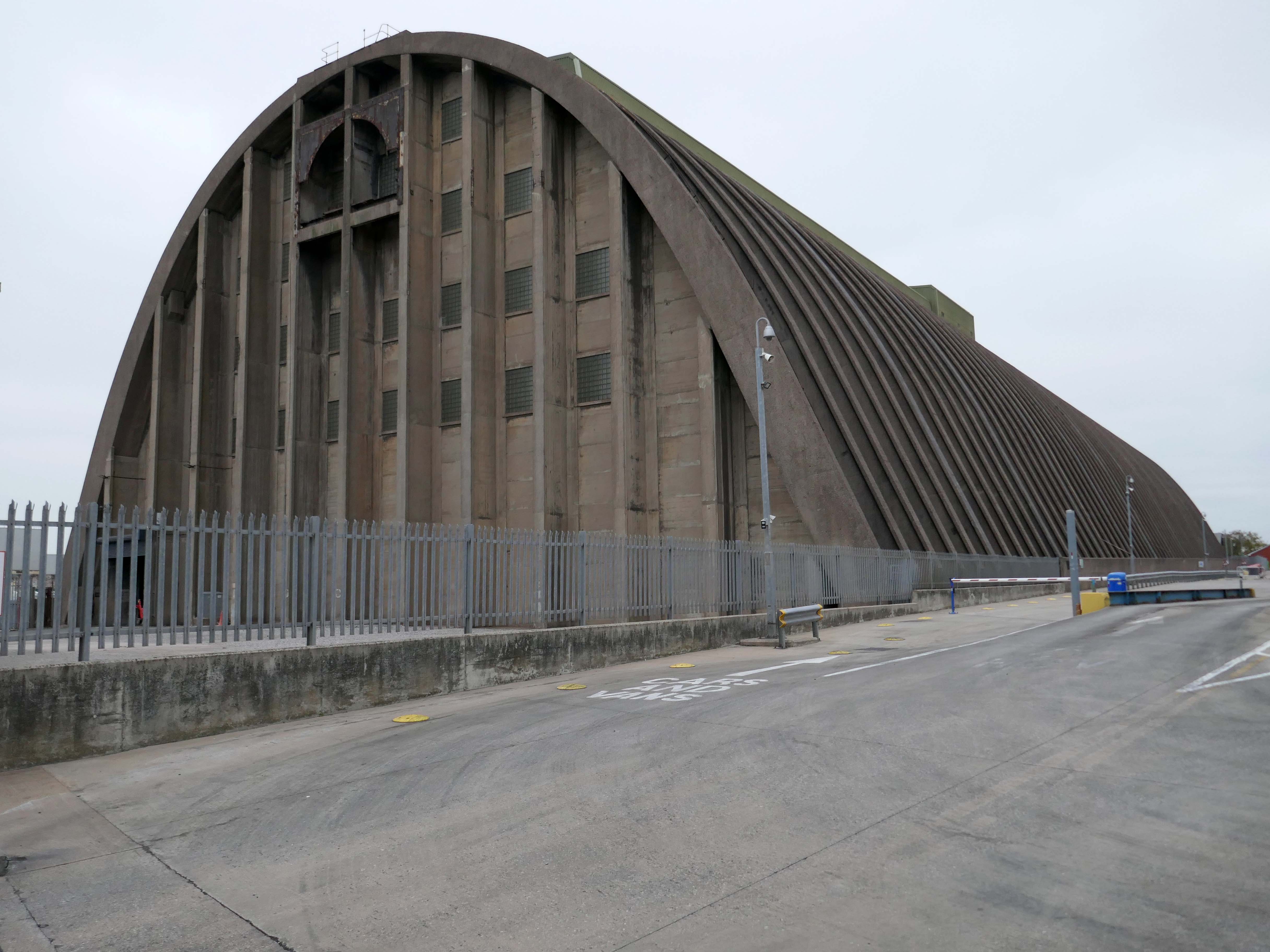
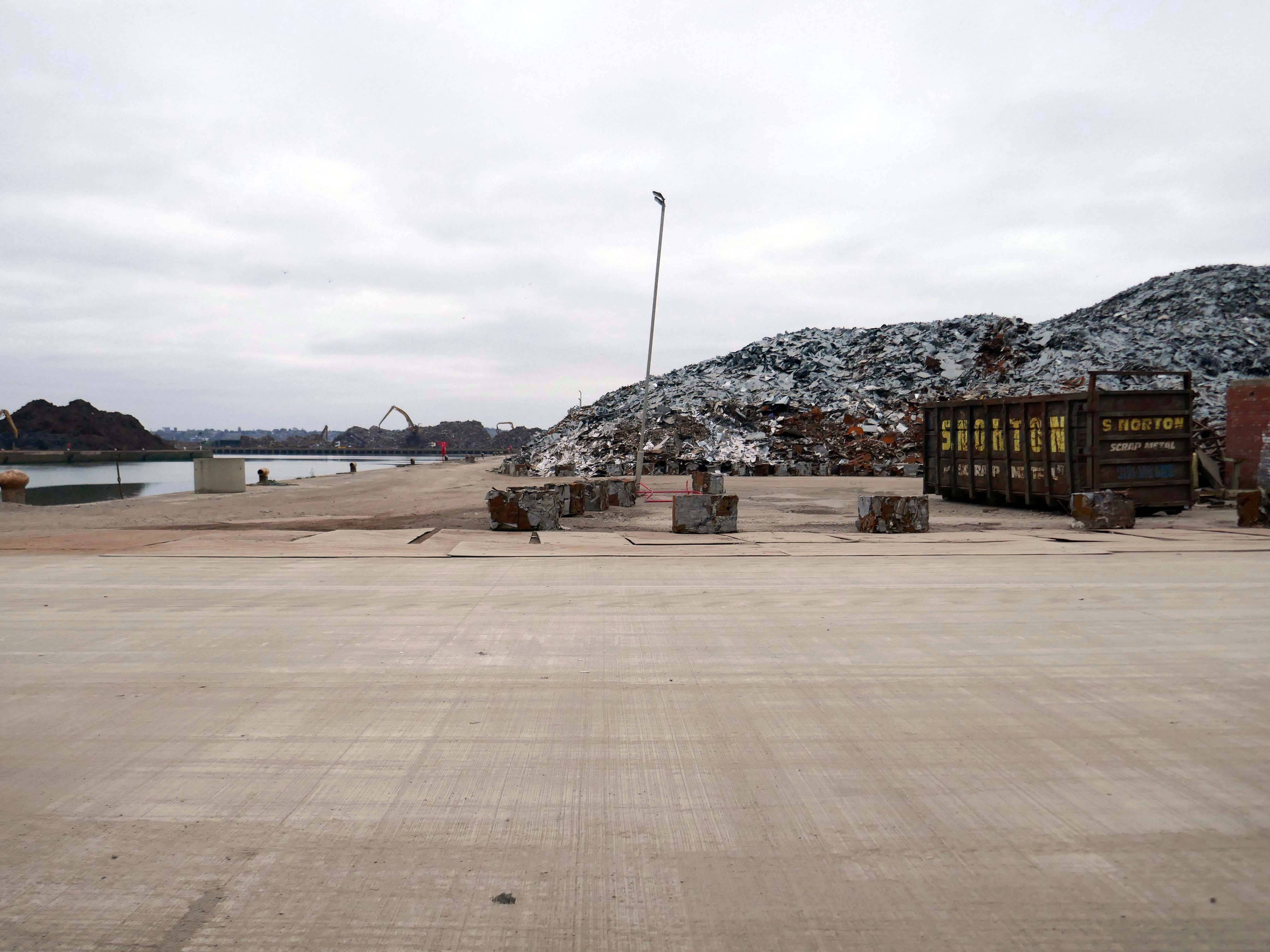
The days when a vast multitude of things came and went have been and gone.
The docks as they were are no more.
Yet in 2023, the Port of Liverpool was the UK’s fourth busiest container port, handling over 30 million tonnes of freight per annum. It handles a wide variety of cargo, including containers, bulk cargoes such as coal, grain and animal feed, and roll-on/roll-off cargoes such as cars, trucks and recycled metals. The port is also home to one of the largest cruise terminals in the UK which handles approximately 200,000 passengers and over 100 cruise ships each year.
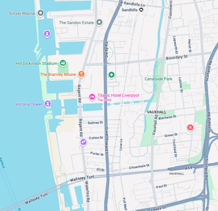
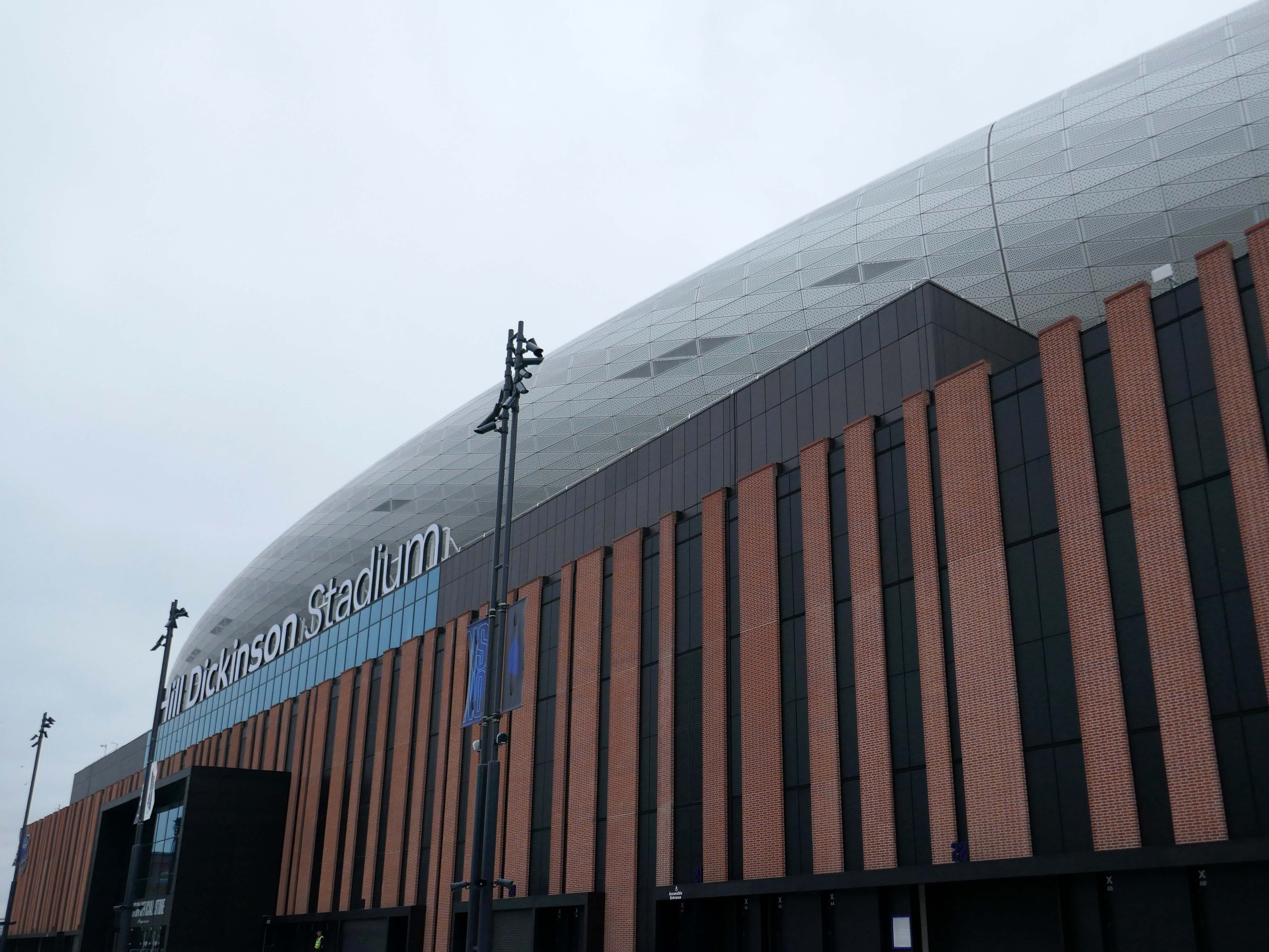
Now with the opening of the Titanic Hotel in the Stanley Dock and the arrival of the Toffees just up the road at the Hill Dickinson Stadium, the whole area is slowly being transformed into a destination, as they say in modern parlance.
However much of the Industrial heritage remains in various states of disarray, used and possibly disabused, but hanging on in there.
Time for the train home to Stockport – but you can bet I’ll be back.
And true to my word I have been back, several times – on this occasion alone and on foot.
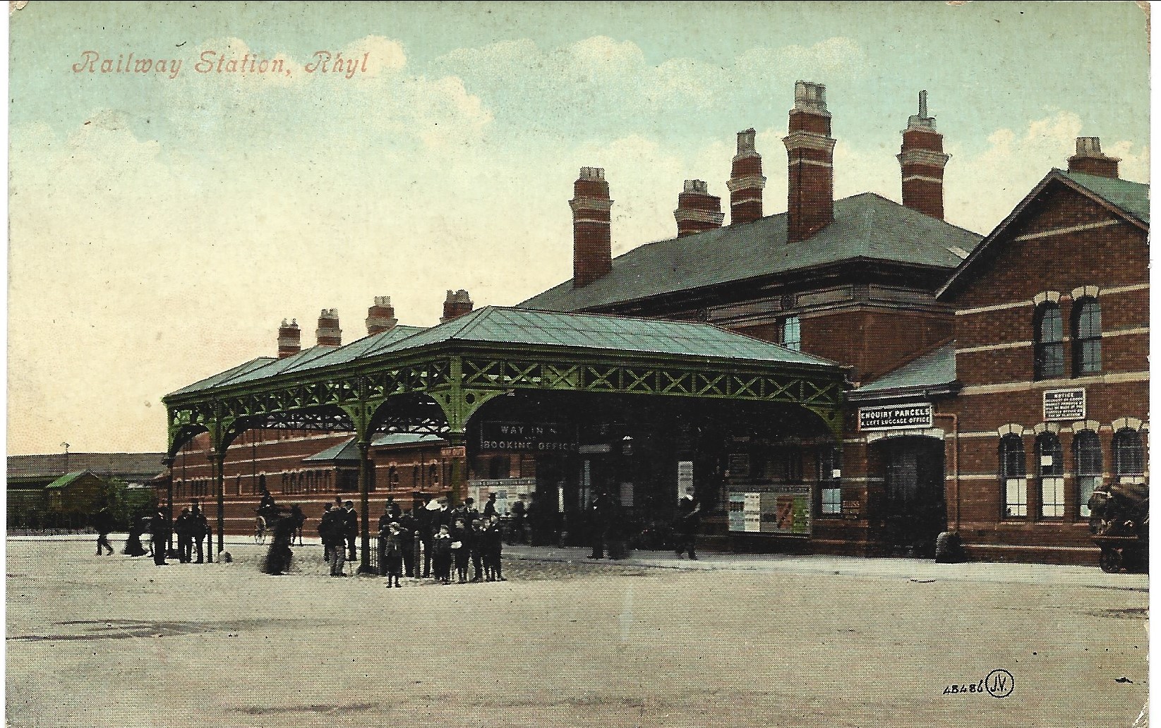
An almost overcast mid-grey day in November, alighting at Rhyl Station and loafing along to Colwyn Bay – this what I done seen.
1907
Former Bee and Station Hotel immediately opposite the Station.
The Bee and Station Hotel was built in the 1860s. The decorative tile work of the exterior was probably added during remodelling c.1890. Inside, the lobby is also richly decorated with brightly coloured tiling. The building was listed in 1991 as an excellent example of pub of the late 19th century with a complete tiled frontage and a rare surviving internal layout throughout.
The pub closed in 2005. The building reopened in 2013 after being refurbished and given a modern extension by Denbighshire County Council, under the Townscape Heritage Initiative, to provide new offices for small businesses
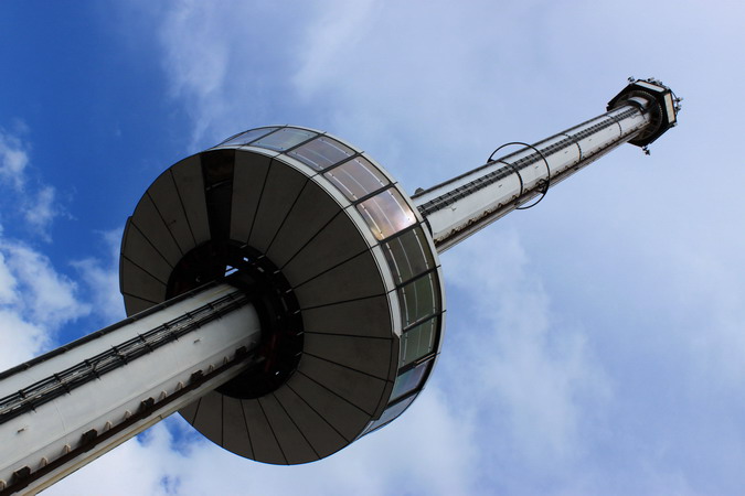
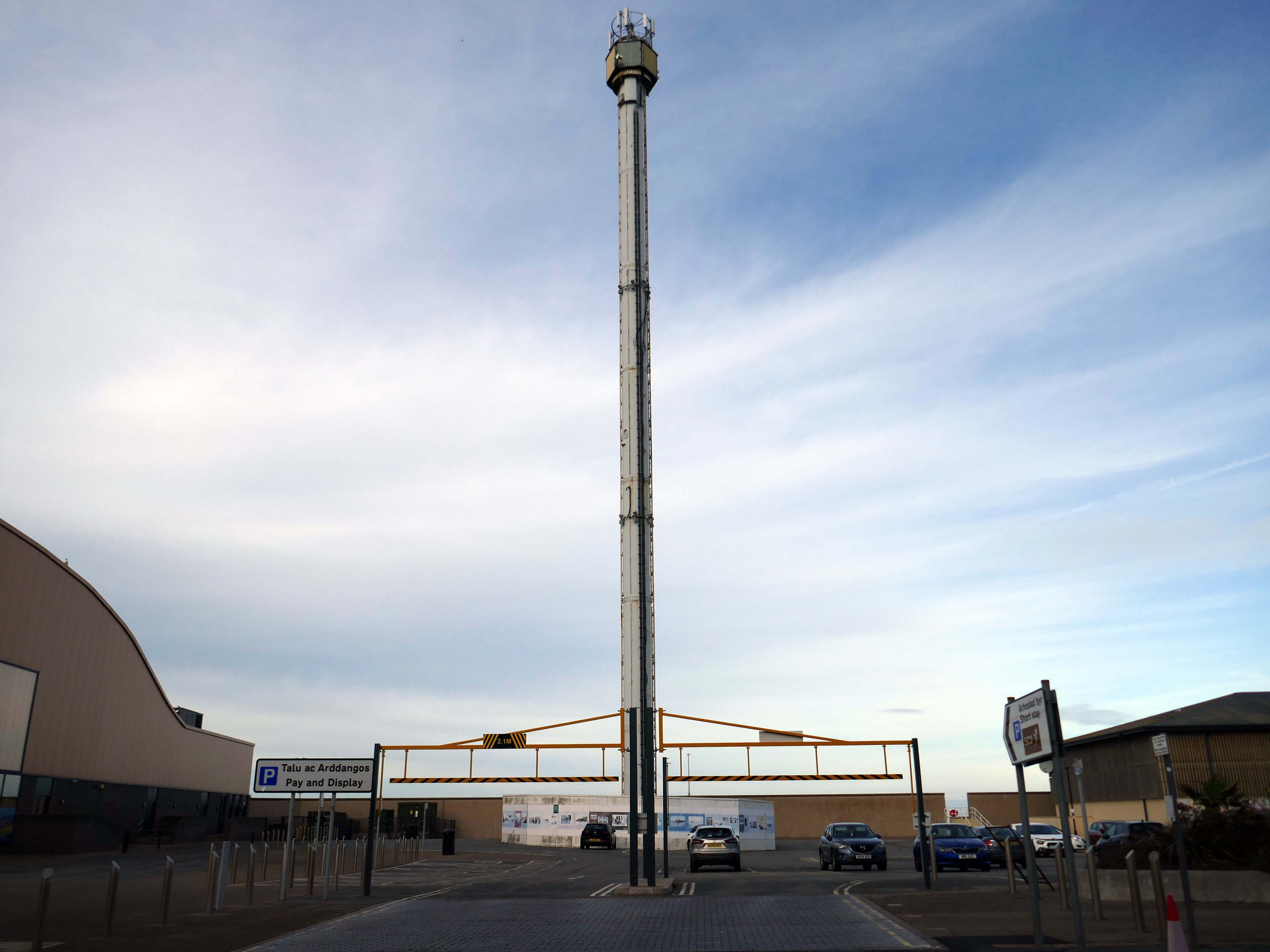
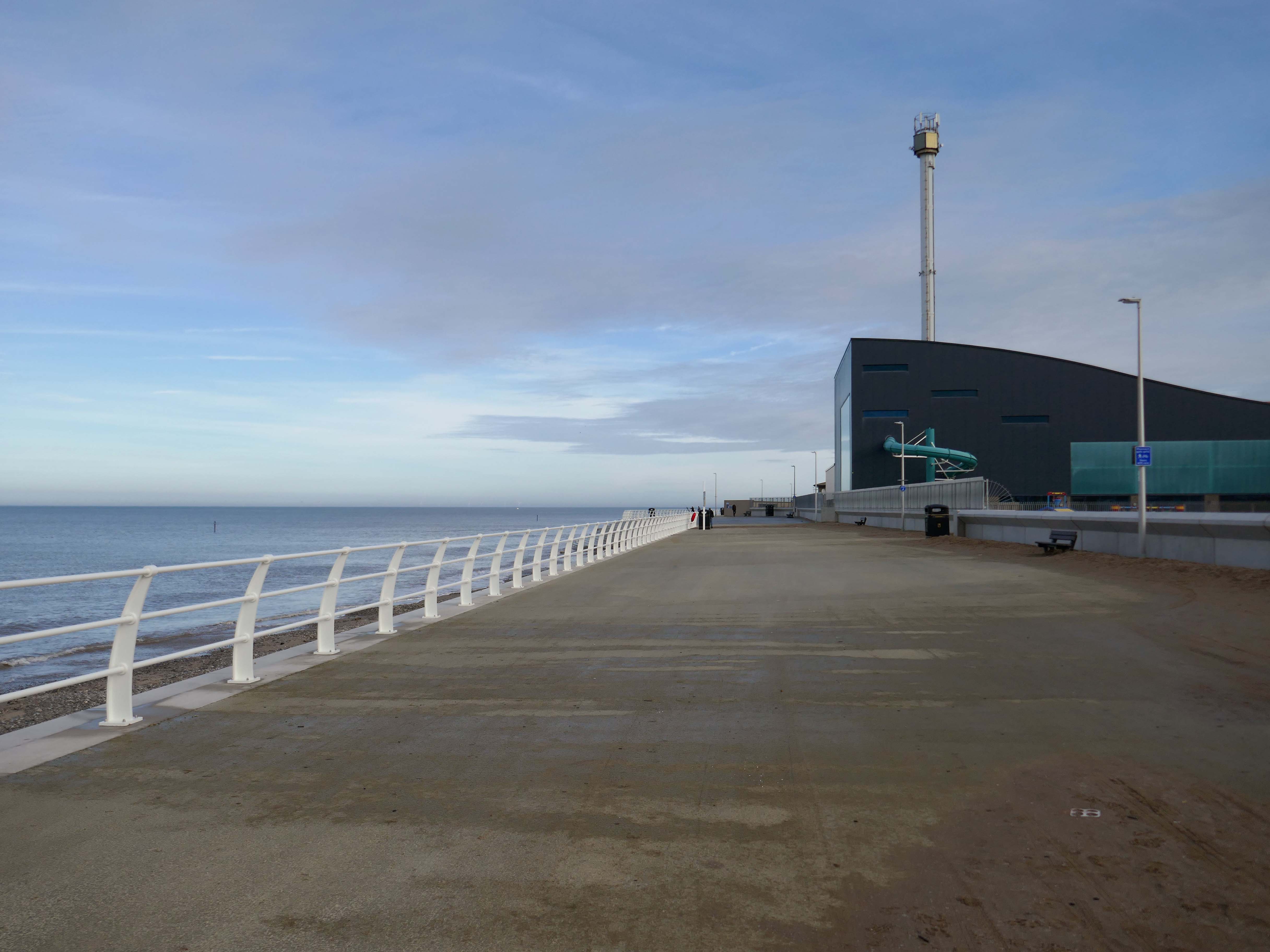
Onward to the seafront, home to the defunct Skytower.
The tower first operated at the 1988 Glasgow Garden Festival, where it was known as the Clydesdale Bank Tower and was opened by Prince Charles and Princess Diana. Following the festival, it was dismantled and reassembled on the Rhyl seafront.
The tower last operated in 2010. The following year, a safety report found that £400,000 worth of repairs were required to keep the ride operational. After standing but not operating for seven years, in 2017 work was carried out to turn the tower into a beacon.
Much has been done to improve the promenade, with sumptuous hard landscaping, coastal defences and seafront shelters.
The £66m Central Rhyl Coastal Defences Scheme will protect almost 600 properties in Rhyl from flooding and coastal erosion for decades to come.
85% of the construction costs have been funded by the Welsh Government, with the Deputy First Minister labelling the project a ‘significant milestone’ in efforts to protect Welsh communities from the growing threats of climate change. Denbighshire County Council contributed the remaining 15%.
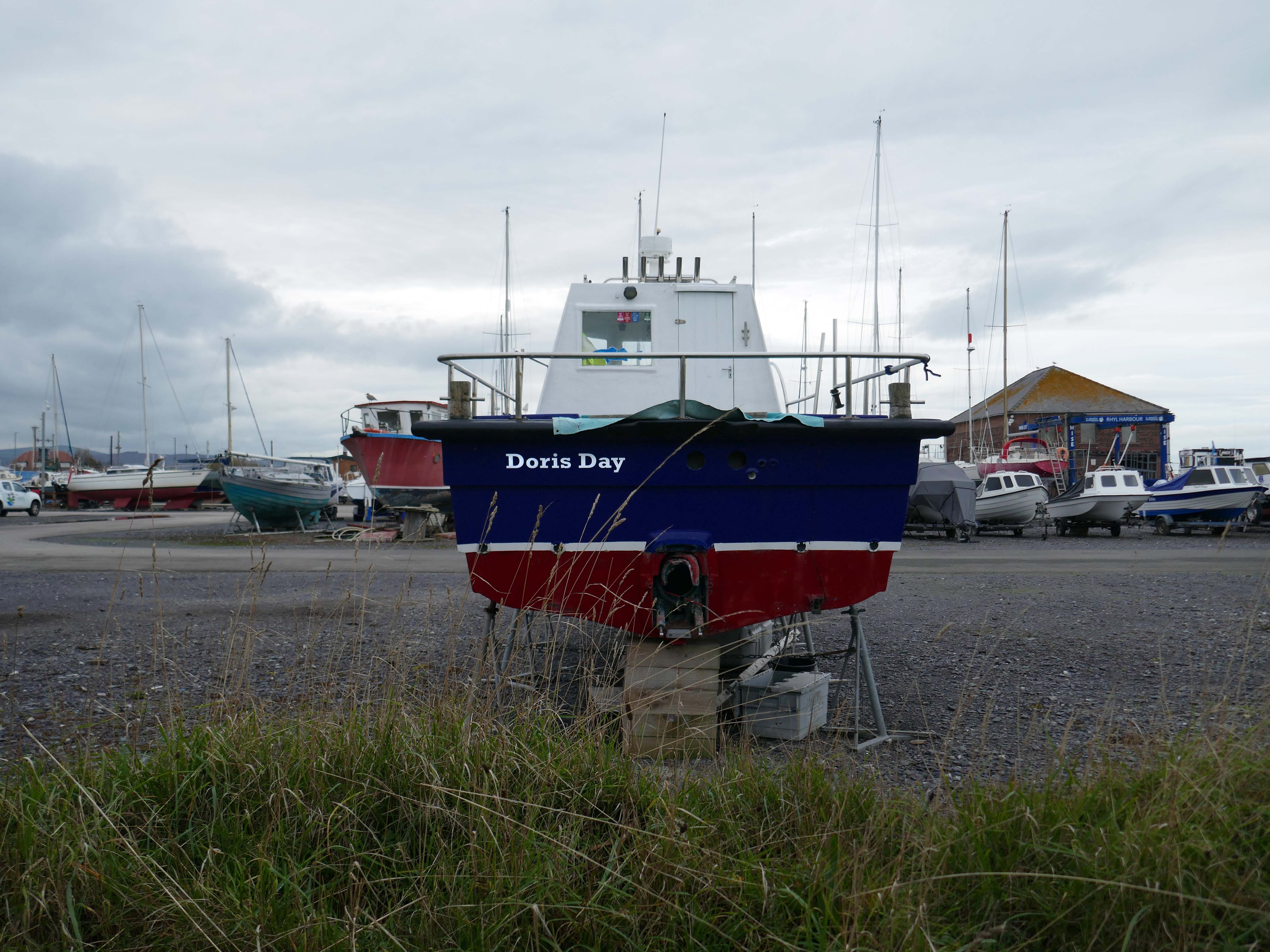
Over the estuary to Rhyl Harbour home to Doris Day.
Rhyl Harbour is located on the spectacular North Wales Coast and has undergone a dramatic refurbishment which has hugely improved the facilities on offer. The original timber yard which was used by sailing ships up until the Second World War, has been redeveloped and now offers storage for over 150 boats.
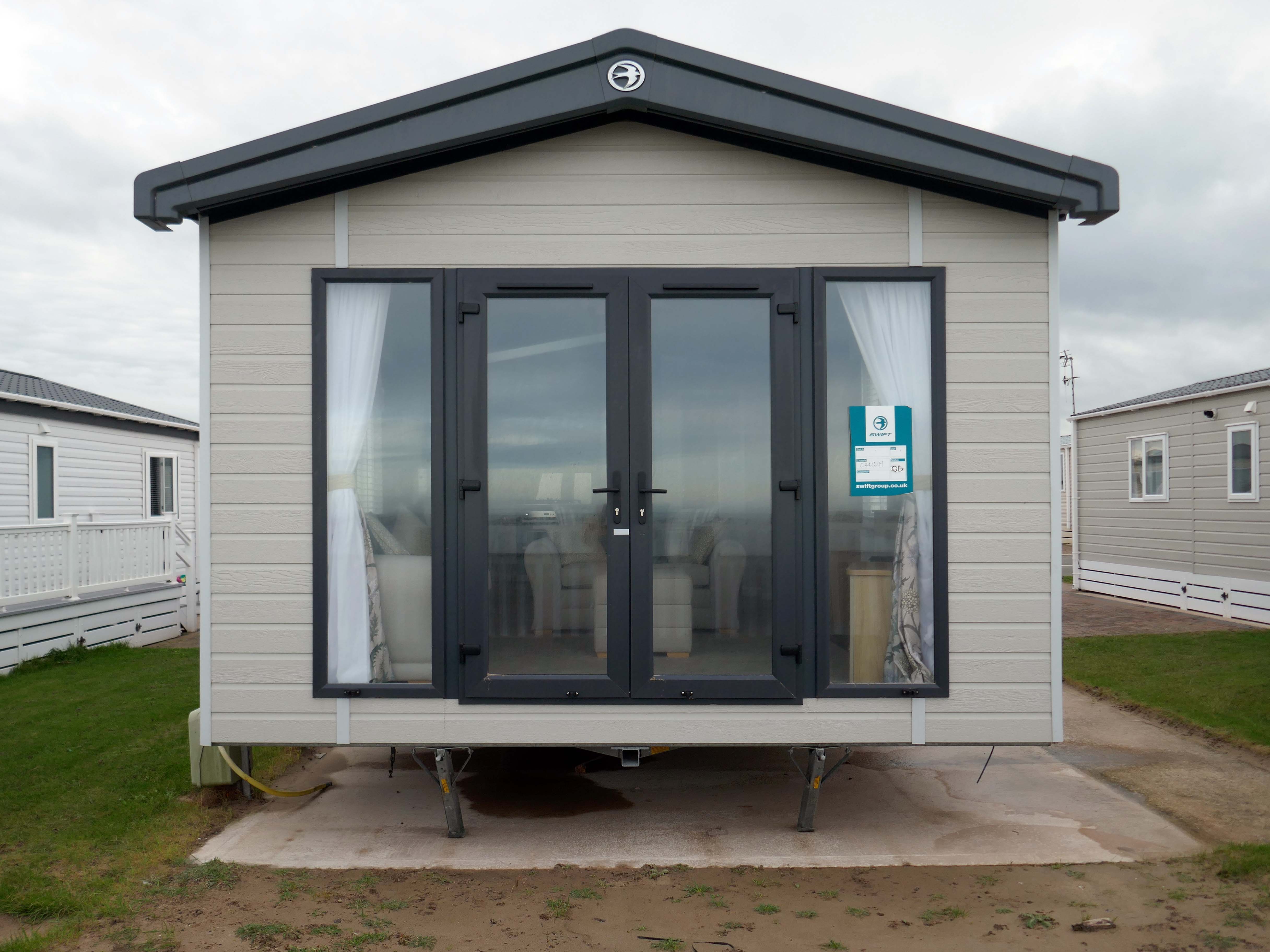
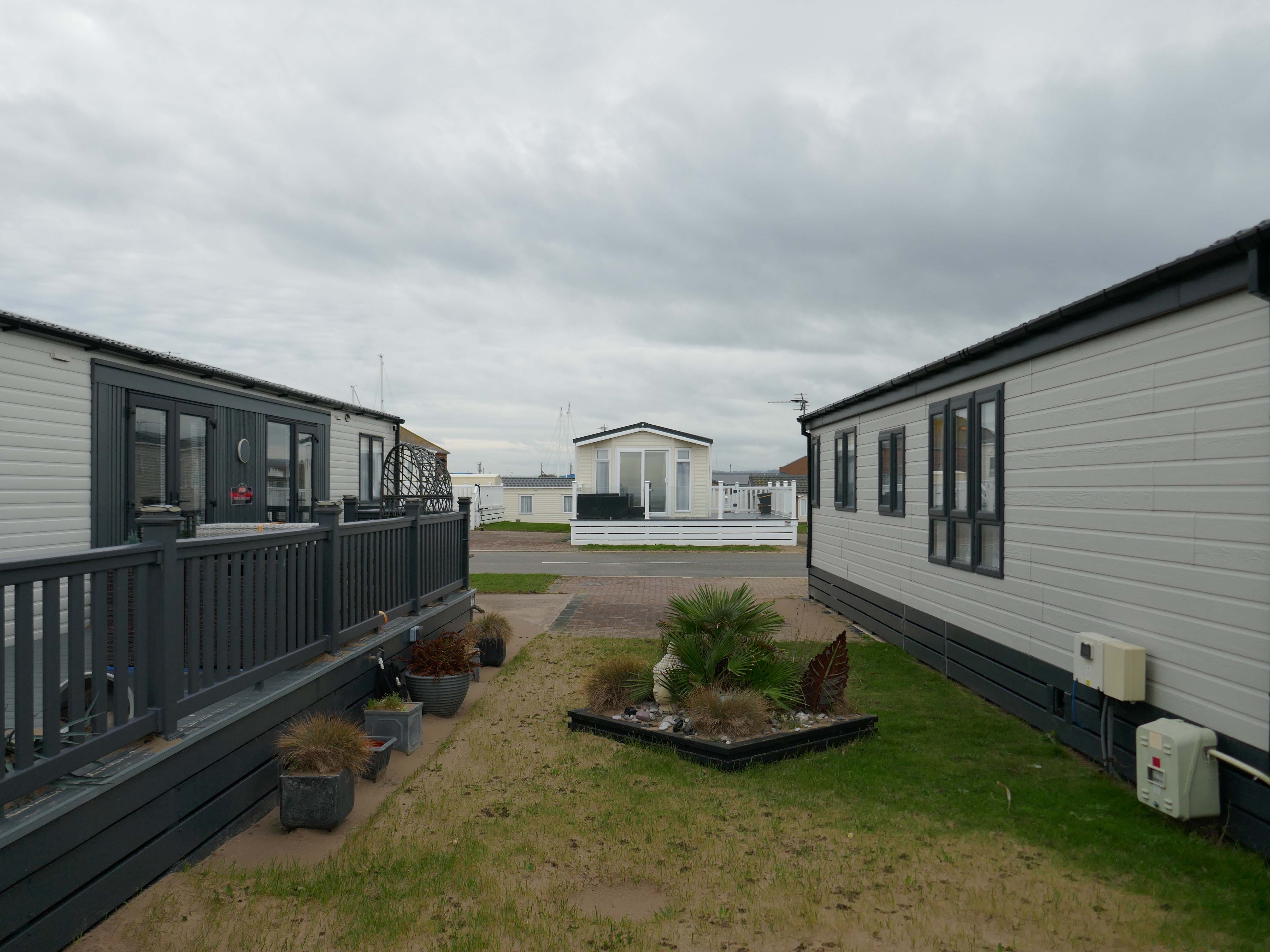
The foreshore home from home for thousands of caravan dwellers.
Golden Sands Holiday Park Rhyl has over 85 years history of fun filled holidays. Wonderfully located right next to the beach in Kinmel Bay in North Wales, it’s the perfect place for a family seaside holiday. It’s also an excellent base for exploring the beauty of North Wales. The town of Rhyl is closest, though also nearby are Prestatyn, Colwyn Bay and Llandudno – with the Great Orme. Blue Flag beaches offering wonderful seaside holiday traditions along with stunning Snowdonia National Park are within an easy drive.
Fast food is often nutritionally poor and high in calories. Evidence demonstrates that overeating commercial fast food products can negatively impact health in both the short and long term.
However:
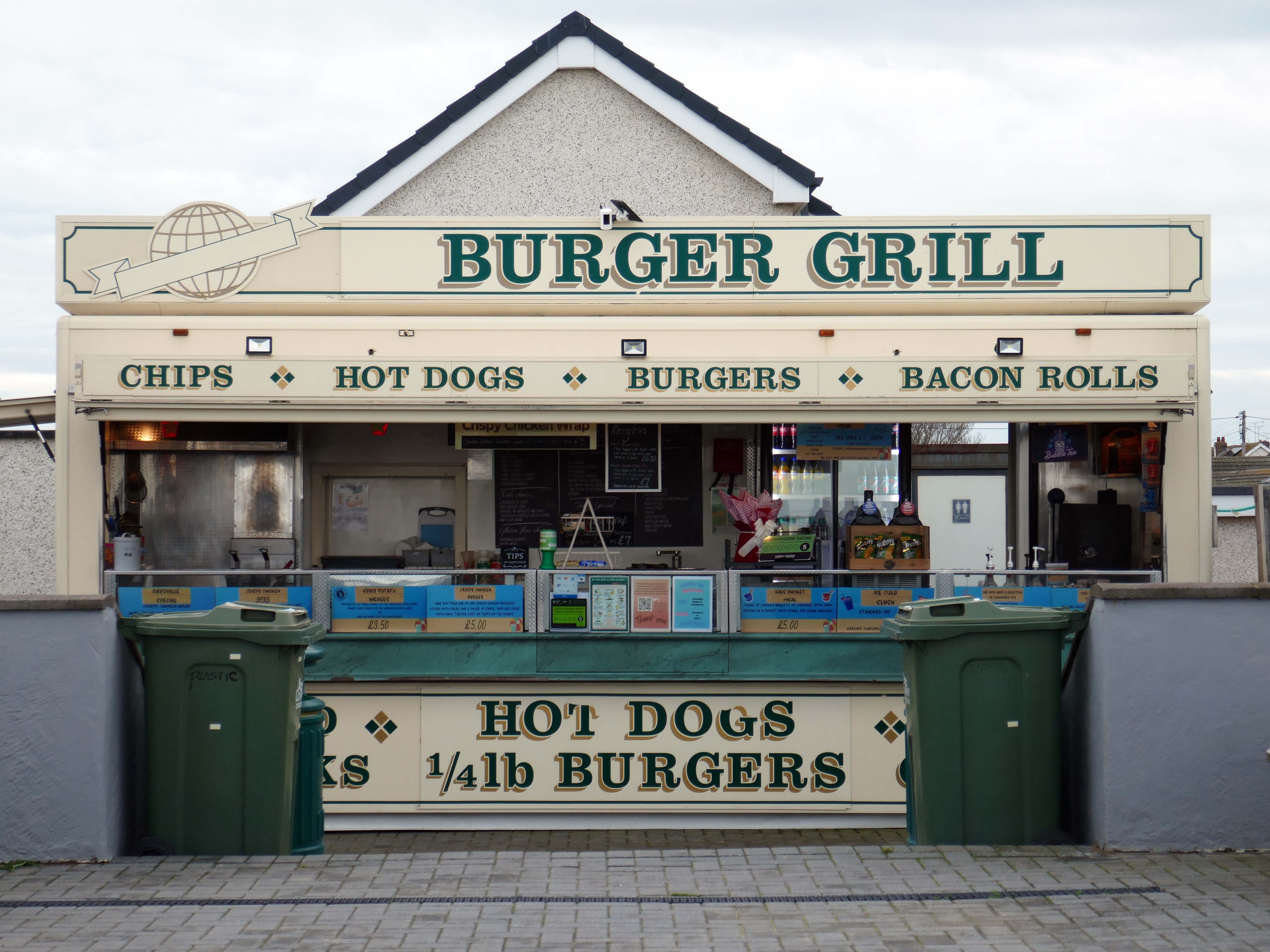
Baysville is lovely and clean, lots of tables and a good choice of foods from ice cream, donuts, burgers, hot and cold drinks and a bar. The staff are pleasant and welcoming.
Researchers have found people who drink up to three cups of coffee a day could have a healthier heart and a lower risk of dying of any cause.
But too much caffeine can produce anxiety, sleeplessness, agitation, palpitations, diarrhoea and restlessness. In individuals with a mental health condition caffeine can worsen psychosis and result in the need for higher amounts of medication.
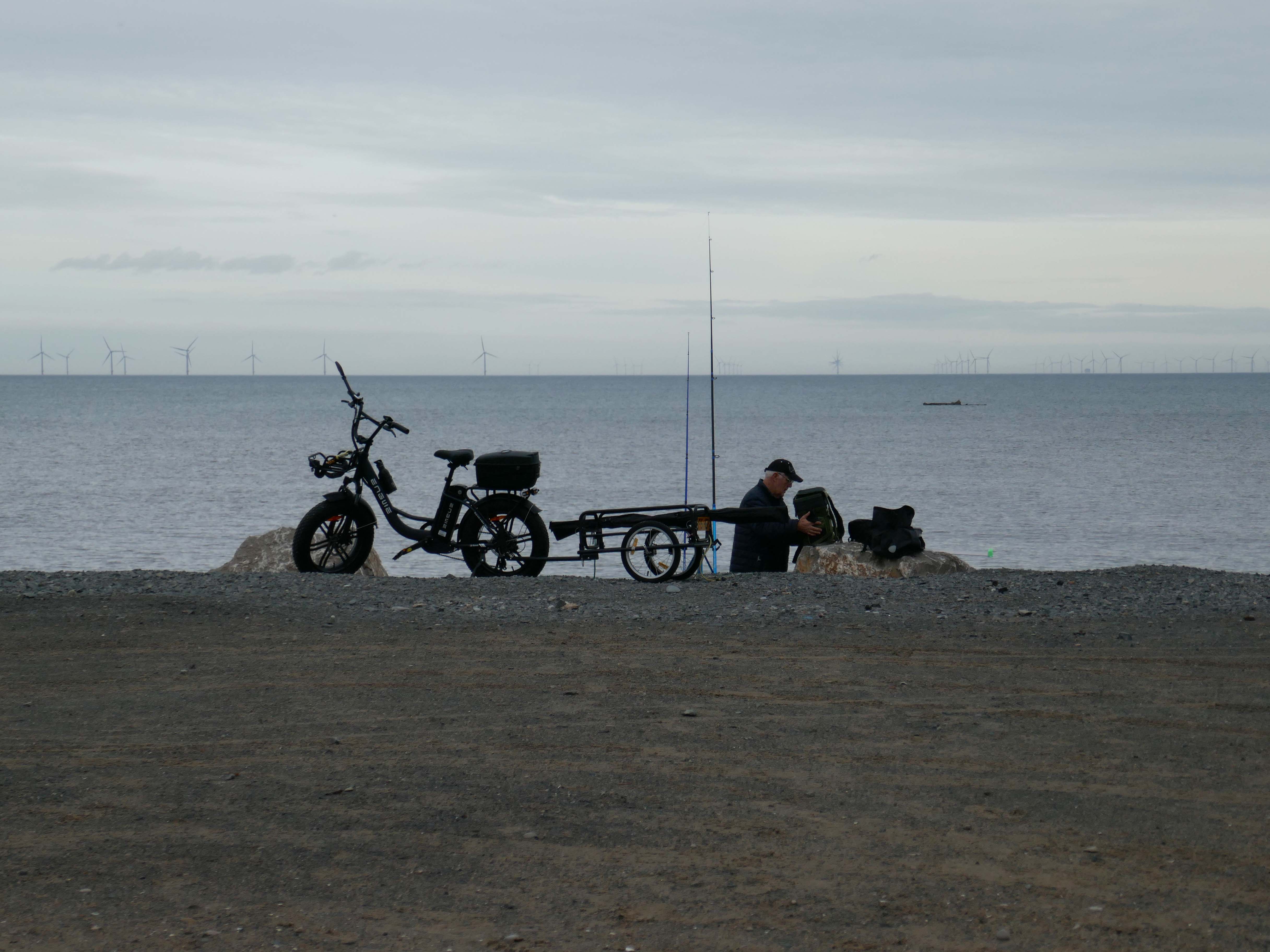
Possibly wiser to take a leisurely ride on your electric bicycle, followed by an hour or two of beach casting .
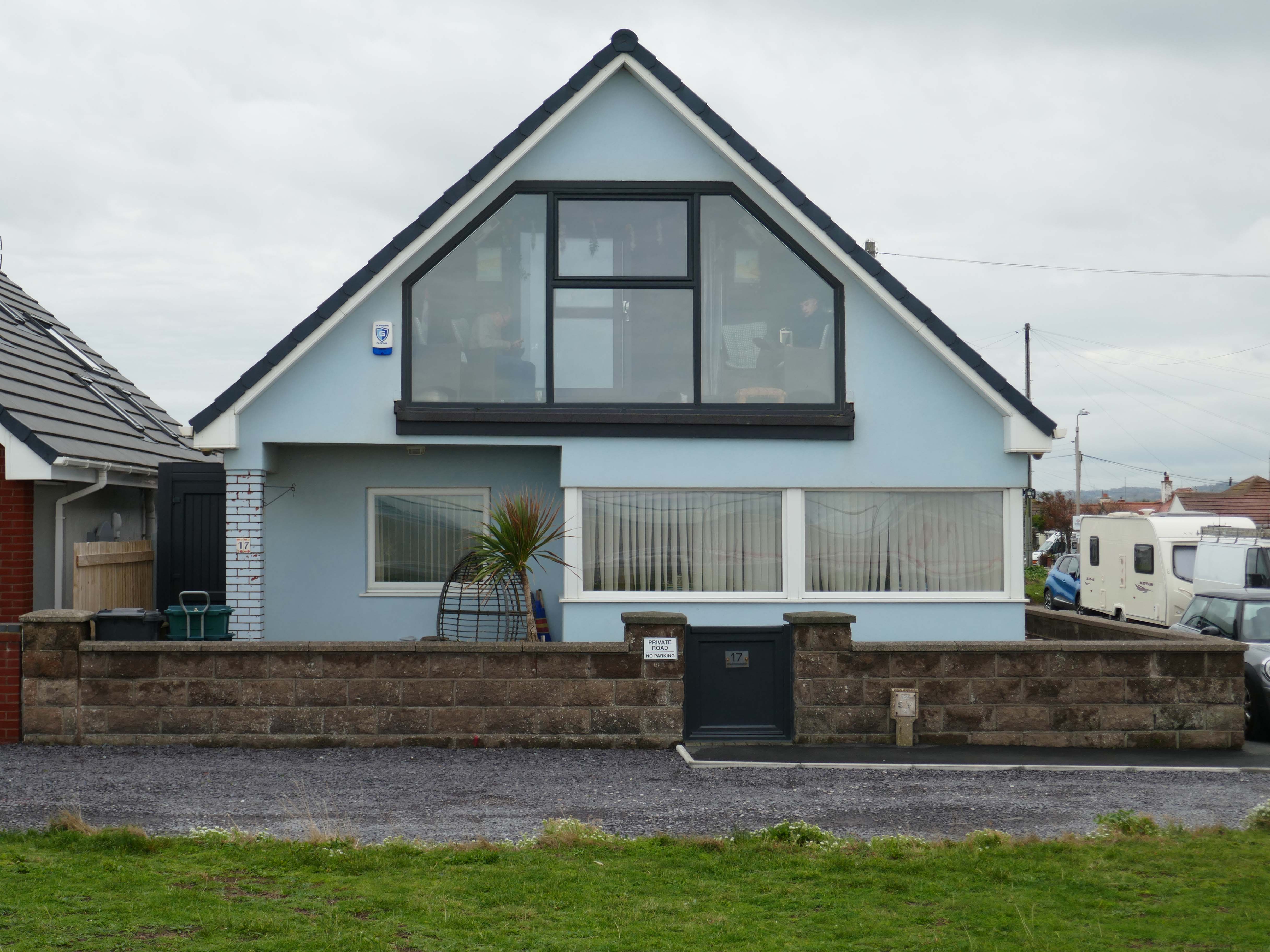
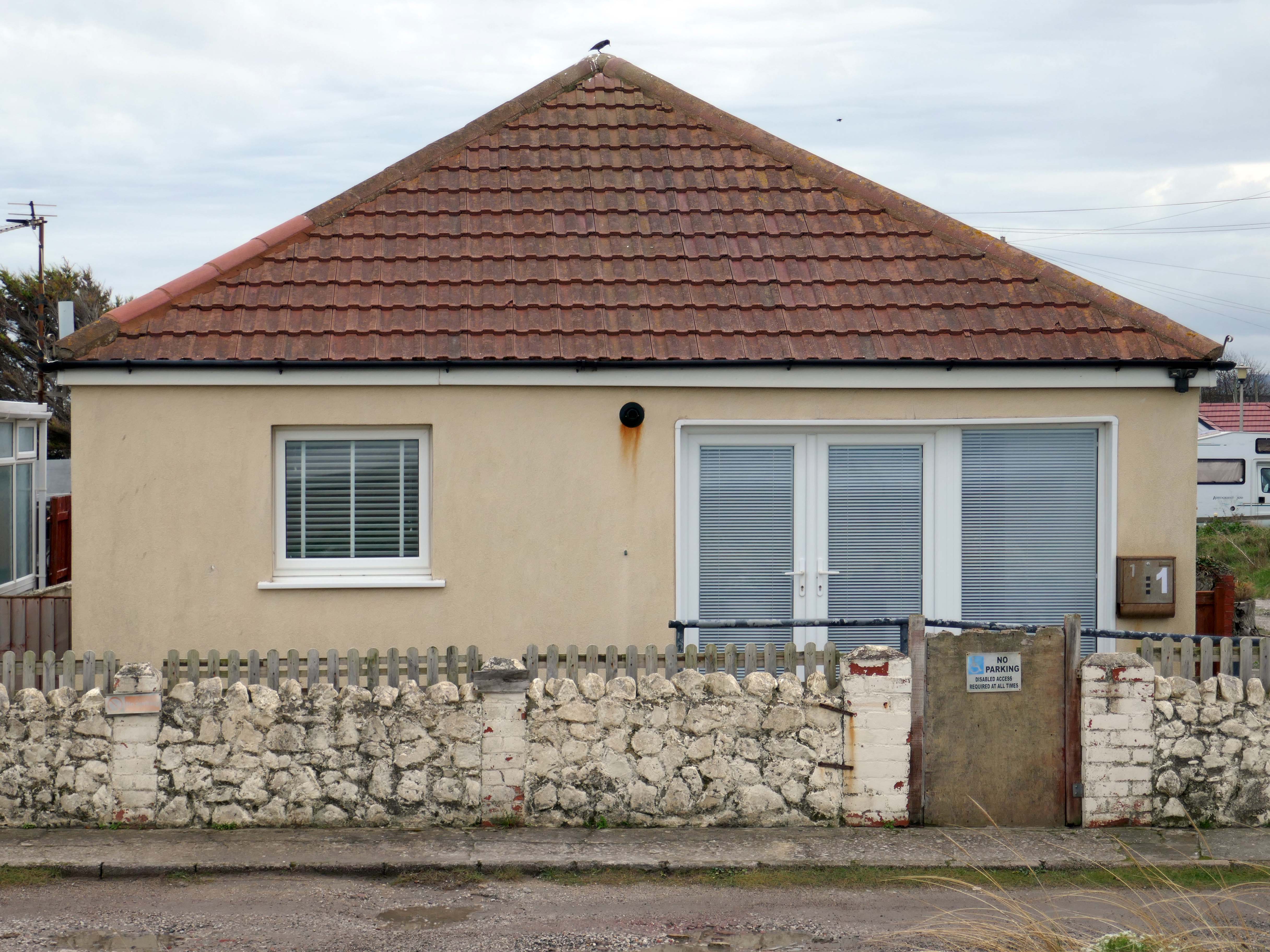
The coastal housing at Kinmel bay is undergoing a cosmetic upheaval, the determinedly down home bungalow swamped by the relentless monotone tide of home improvements.
The Sandy Cove Estate consists of 250 bungalows that were built in the 1930s by the Kinmel Estates Ltd, who sadly went into liquidation around 1947, before the estate was completed. This left the estate with only dirt tracks for roads with no sidewalks or pavements, no drainage for surface water or any adequate street lighting. After the liquidation of the company the roads and communal greens were escheated to the Crown who then offered the land free of charge to successive Councils for the to incorperate into the towns that were developing. This was refused by the Councils.
Fifty or more homes are ready for you to choose from, gardens and tennis courts have been provided for the sole use, in perpetuity of residents.
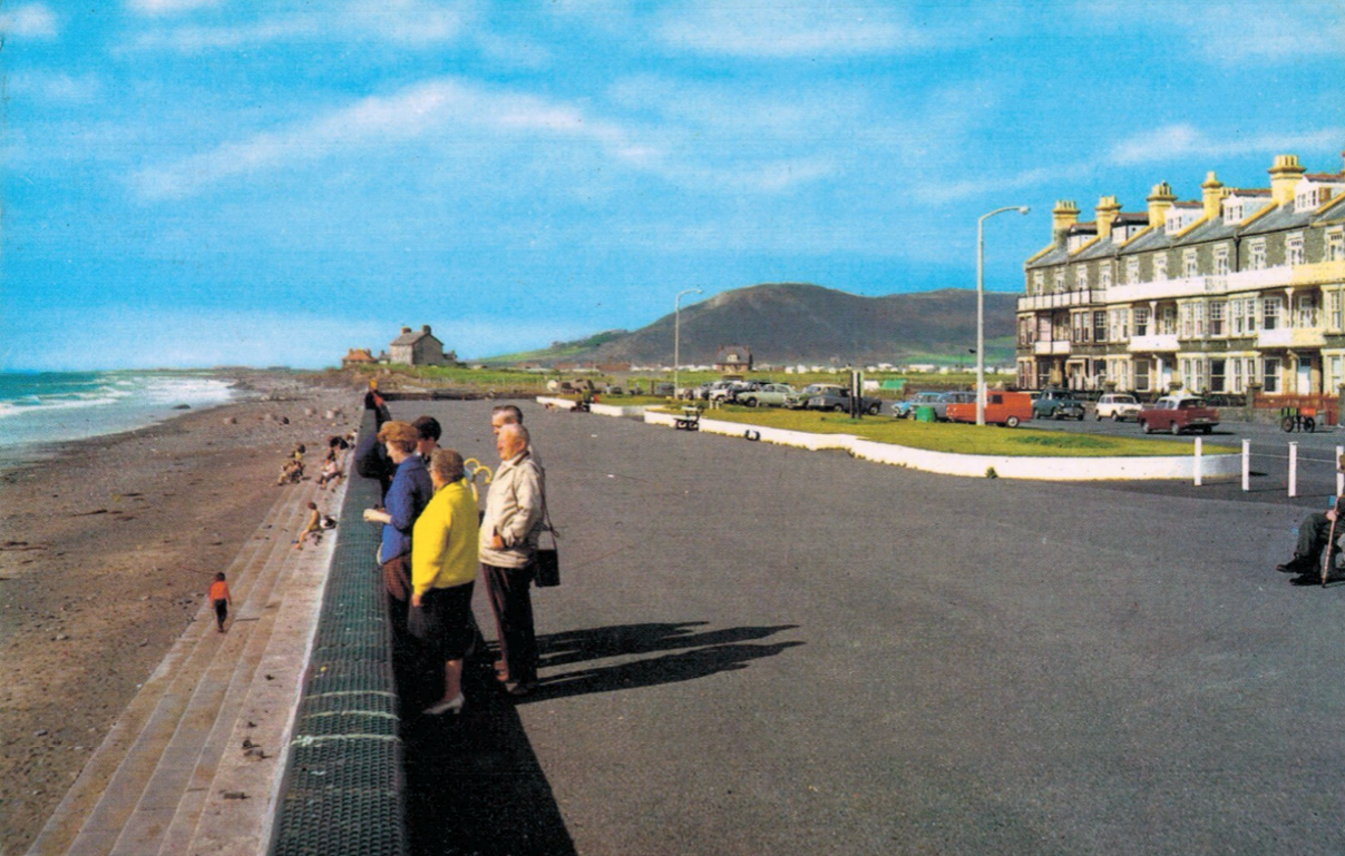
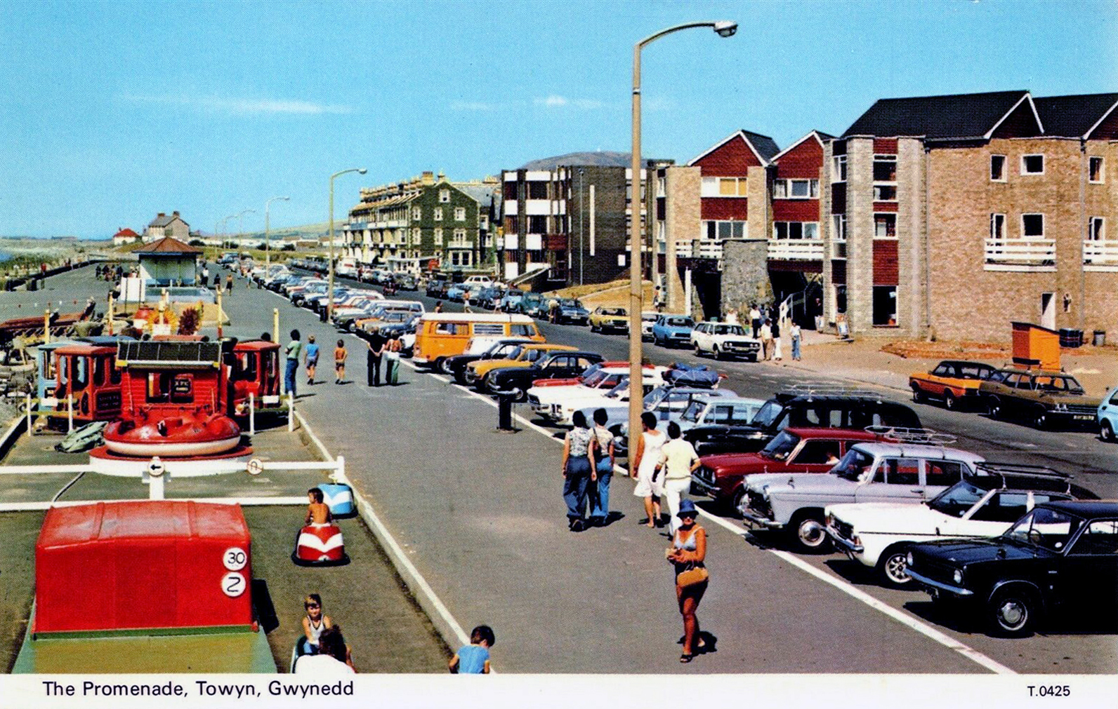
Onward now to Towyn.
The town made national headlines in 1990 when a combination of gale-force winds, a high tide and rough seas caused Towyn’s flood defences to be breached at about 11.00am on 26 February. 4 square miles of land was flooded, affecting 2,800 properties and causing areas of the resort to be evacuated. Further flooding occurred later the same week, on 1 March, shortly after the site of the disaster was visited by Prince Charles and Princess Diana.
Scientific experts also believe that the silt left behind from the flooding had left the town with a higher concentration of radioactivity, over ten times the governmental safety limits, most likely originating from the nuclear processing plant at Sellafield which had been dispersed into the Irish Sea over many years since its construction. The National Radiological Protection Board stated that there was a “small risk” to the people there, while the Welsh Office claimed there was no danger to the public. The coastal defences have since been reconstructed and significantly enhanced.
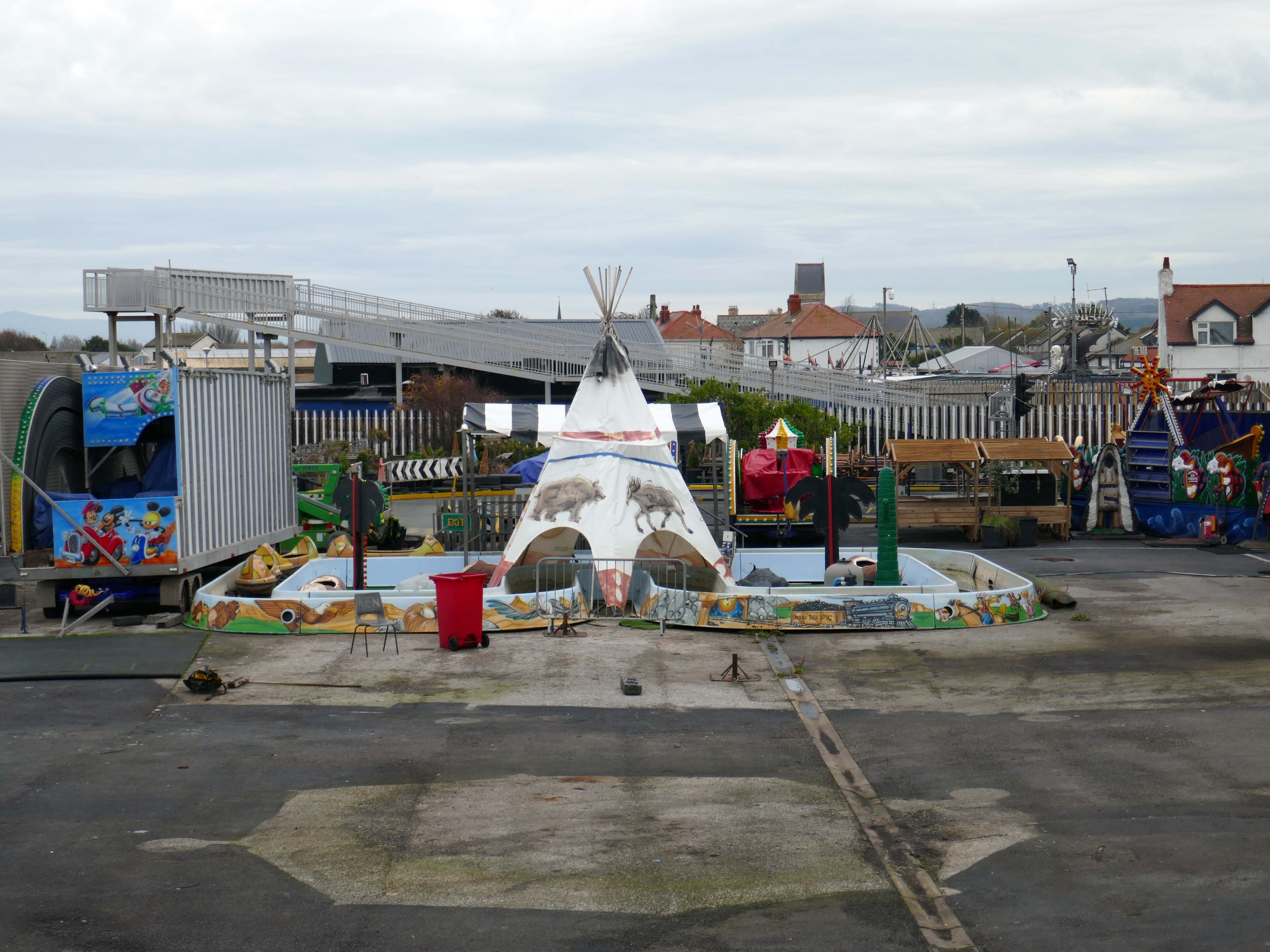
The People of the First Nation here at Knightly’s Fun Park are now safe from the threat of flood.
Knightly’s Funfair has a fantastic range of rides for the whole family! Experience high speed thrills and heart pumping excitement! We’ve got rides for the little ones too as well as games and food stalls to keep the whole family entertained all day!
We also welcome dogs, so you don’t have to leave your furry friends behind!
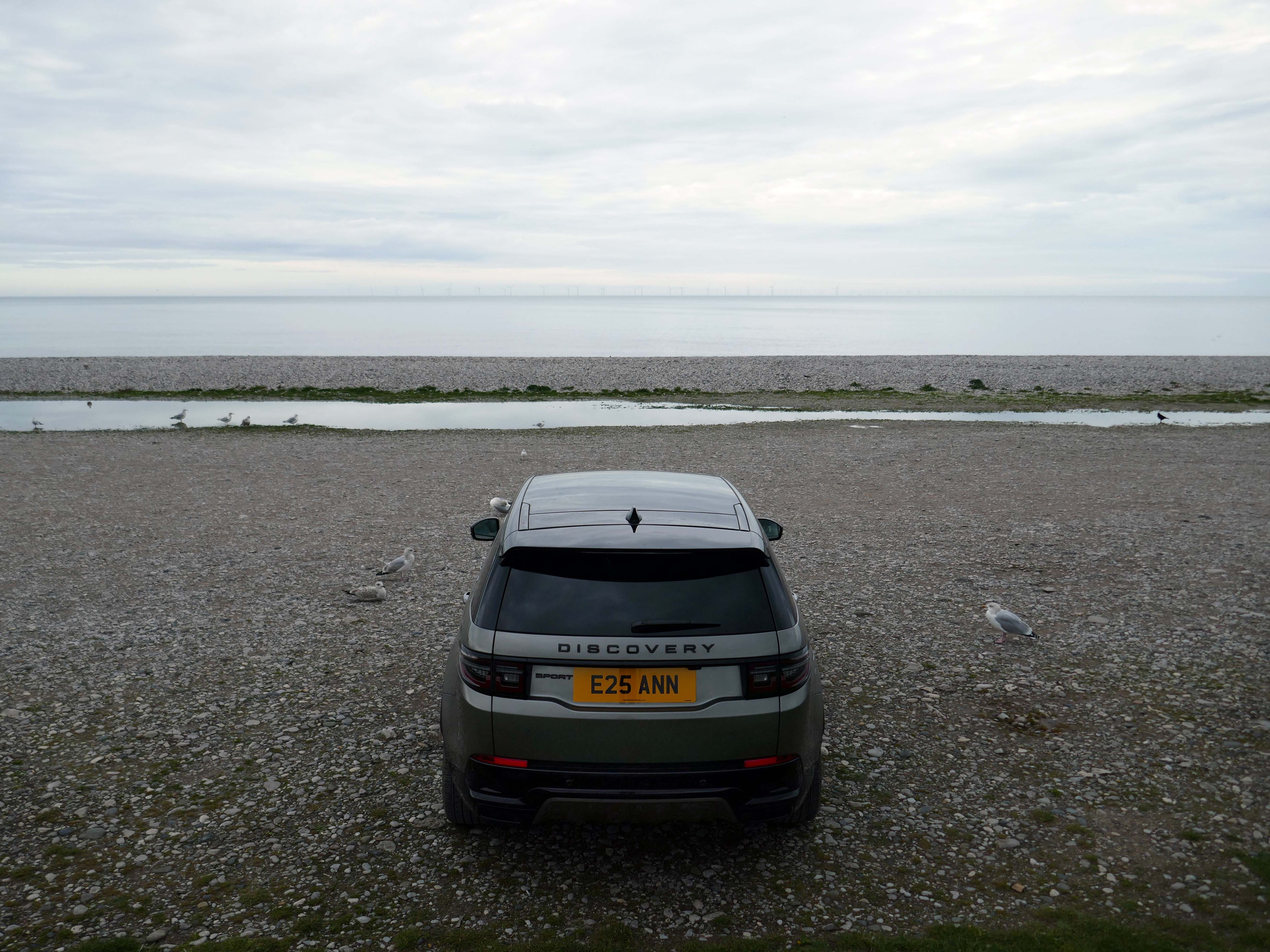
The monotone gentrified home is accompanied by the monotone SUV – the Land Rover Discovery Sport.
The joy of Discovery Sport is in finding that no adventure is out of reach. Offering the ultimate in comfort, while having the toughness to cope with family life.
According to a Europe-wide study, which included the UK, when vehicles are 300kg heavier, the risk of fatal injuries is 30% higher for vulnerable road users.
Pedestrians and cyclists are also 30% more likely to be killed if they’re hit by a car with a bonnet that’s 10cm higher than average.
E25 is Spirulina Extract Phycocyanin, when taken as directed, Spirulina generally doesn’t cause side effects. In some people, it may cause mild side effects, including headaches, diarrhoea, bloating and gas.
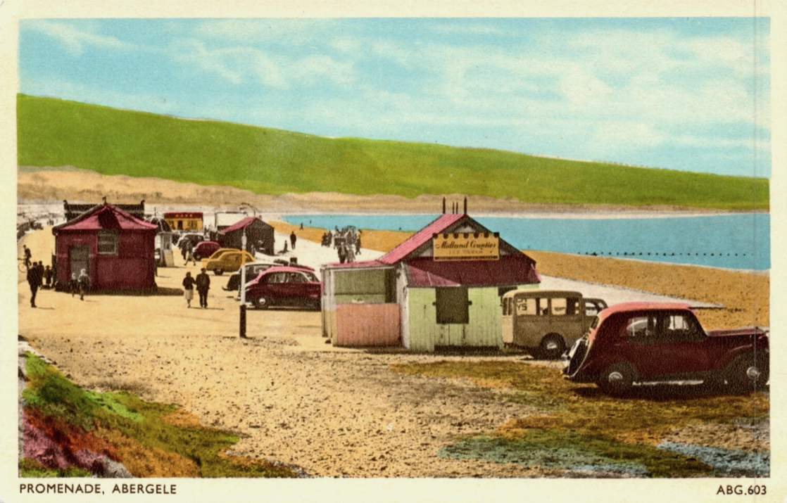
Here we are now at Abergele and Pensarn which have quiet sandy beaches close to historic sites and wooded hills. From here, you can escape the stresses of everyday life. Enjoy sea views, historic places such as Gwrych Castle – home to ITV’s I’m a Celebrity 2020 and 2021 TV series, and a range of things to do providing fun for all the family.
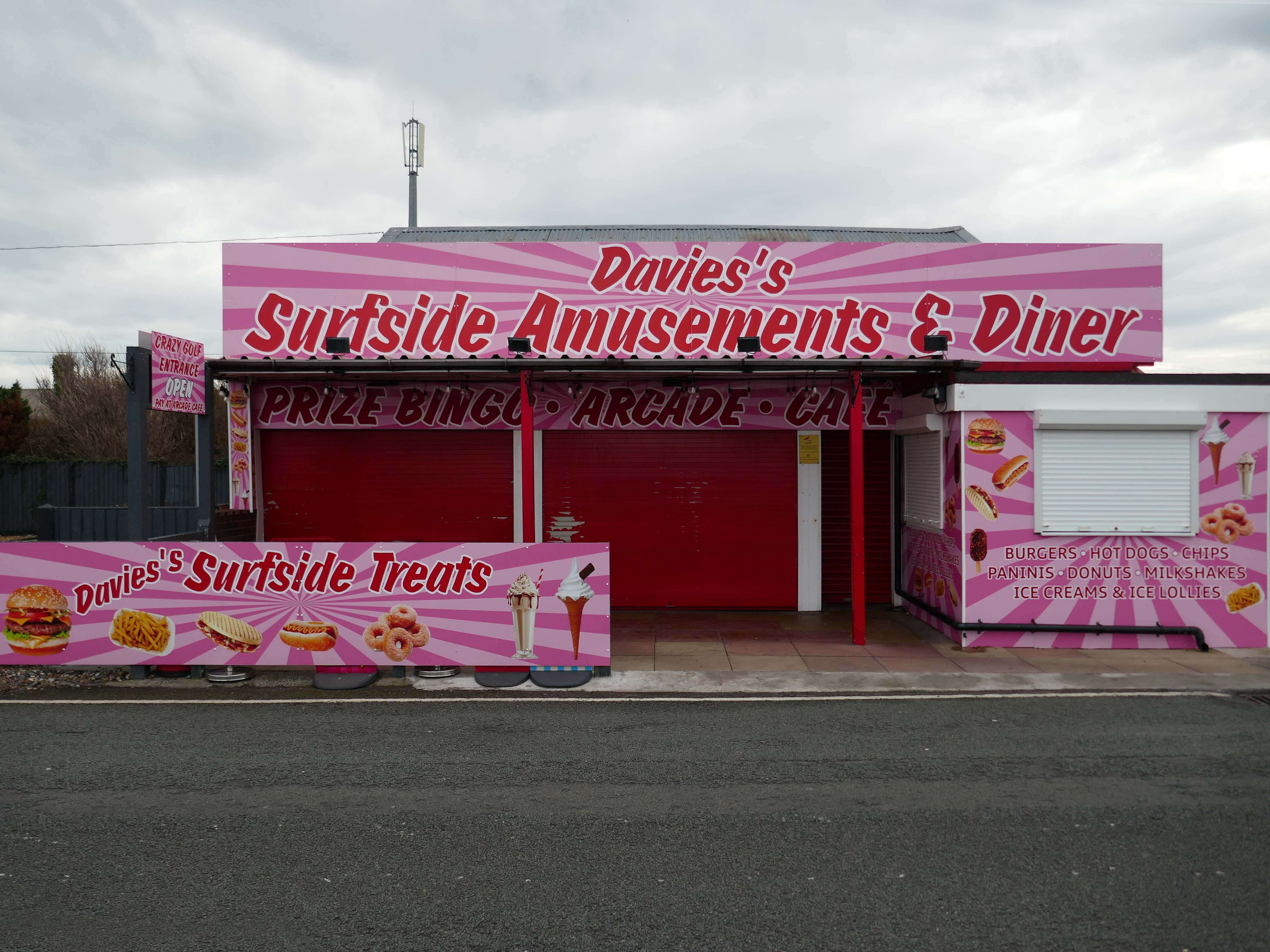
Pensarn Pleasure Beach Amusement Arcade, operated by Laurence Williams Amusements, offers a charming family-friendly experience. Visitors often highlight its nostalgic appeal with fun penny machines and small shops selling drinks and handmade goods.
While many appreciate the charm of the arcade, some mention that certain machines are quite dated and do not work properly, this aspect may affect overall enjoyment for some users.
The reviews indicate a good variety of activities including classic penny slots and local shops offering food and unique handmade items like dog harnesses, catering to diverse interests.
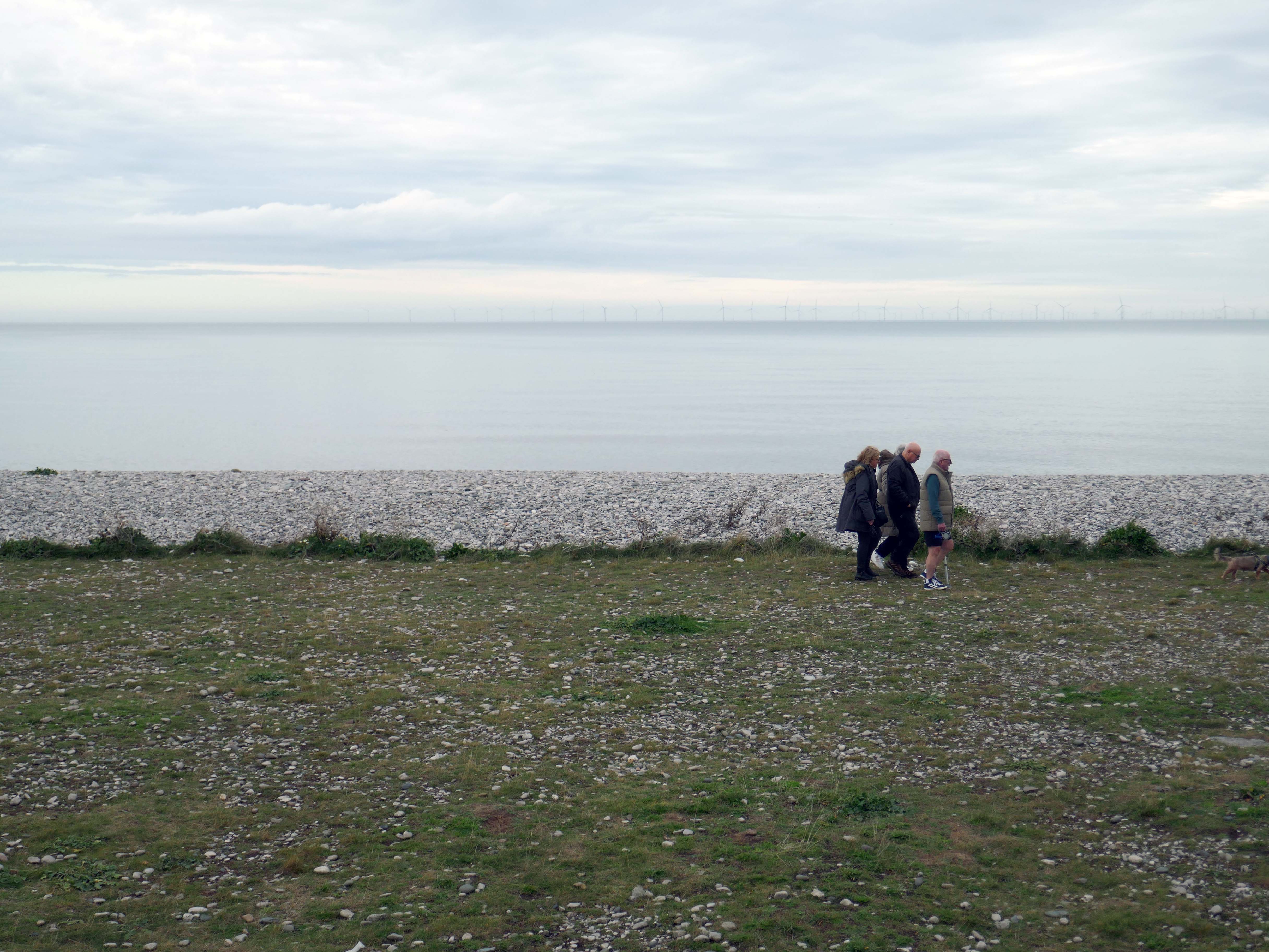
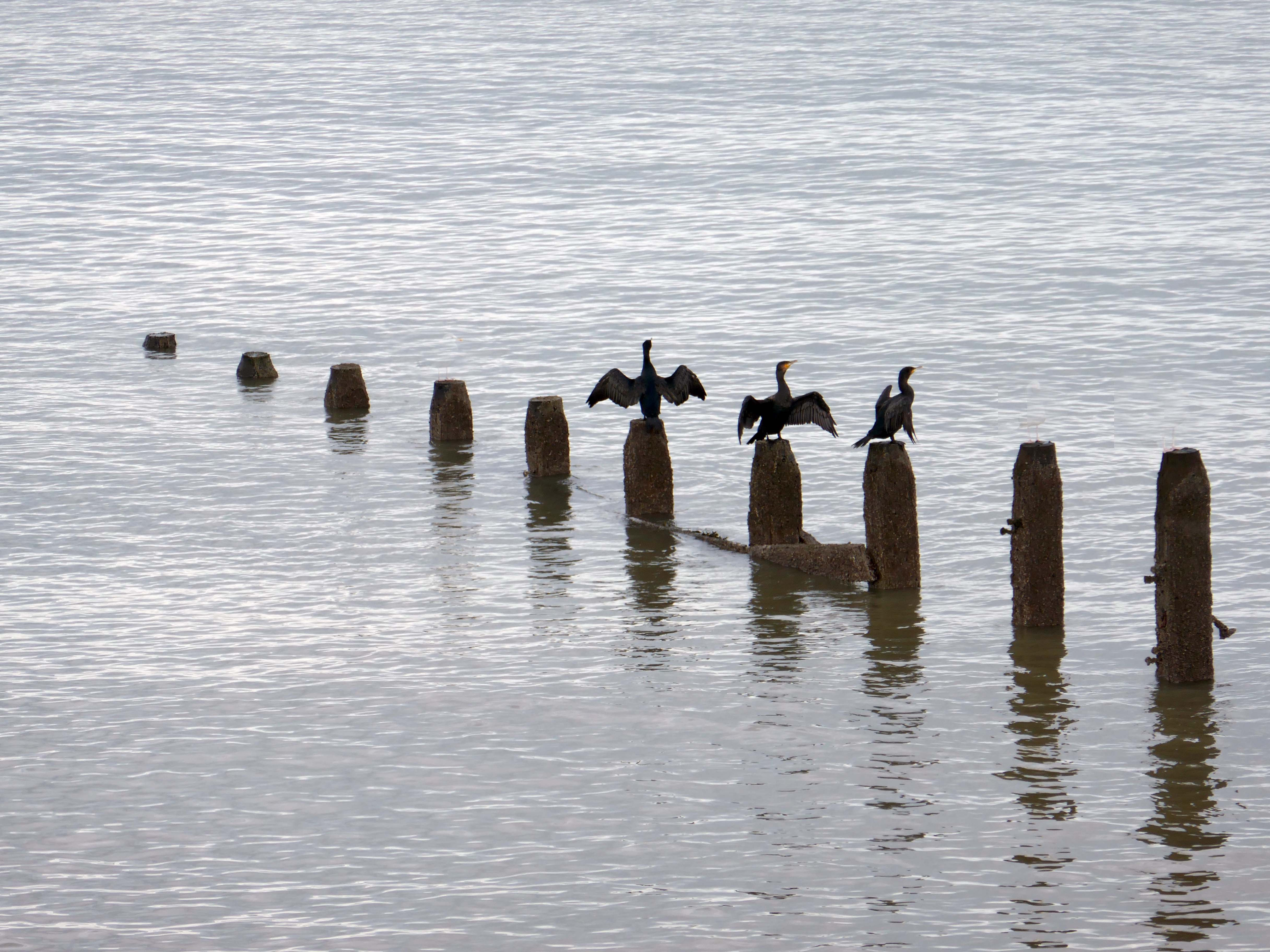
Such a pleasant stretch of coast to stretch your legs along.
Or to stretch your wings for that matter, should you happen to be a cormorant.
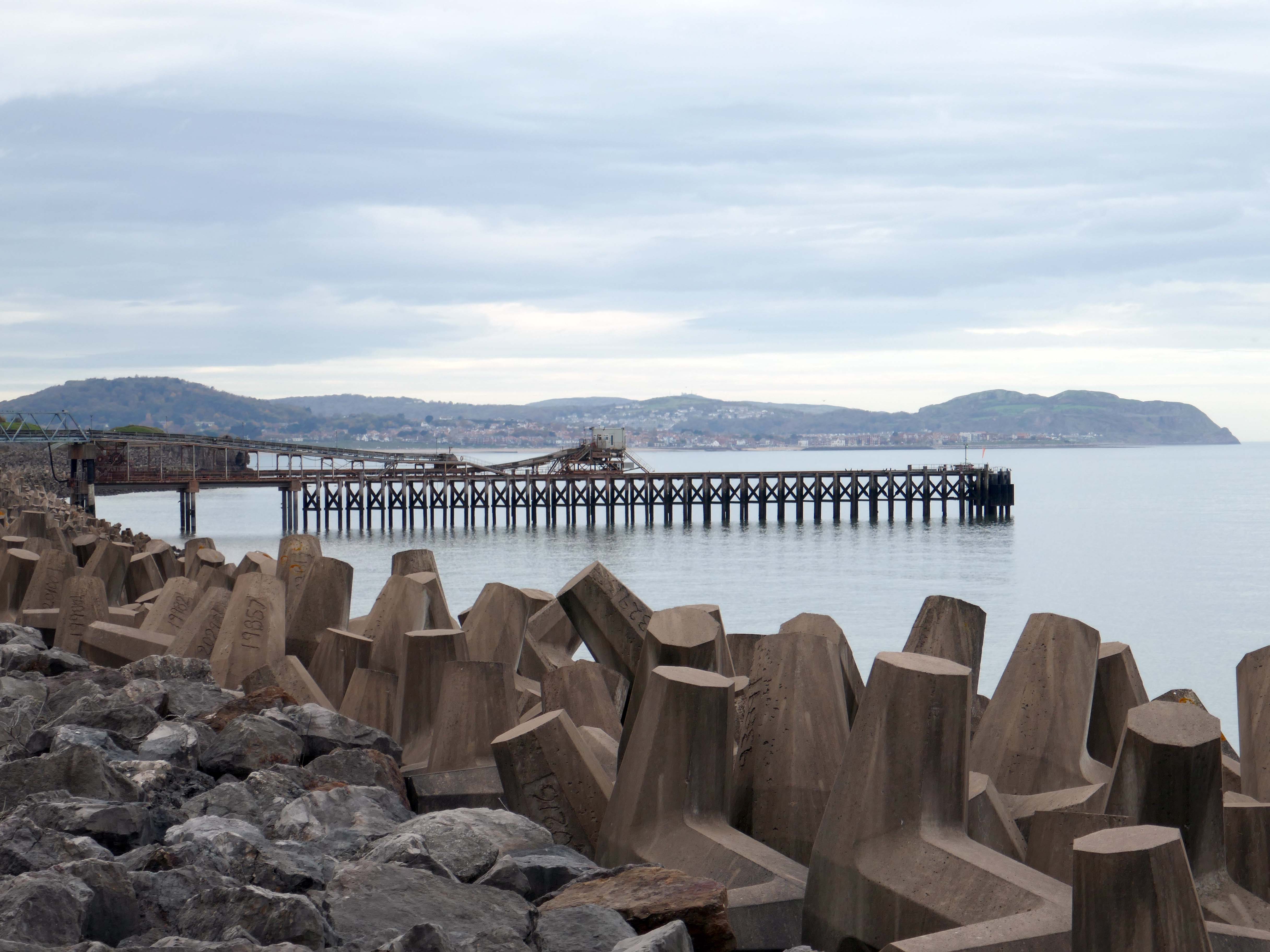
Coastal defences from the giant concrete bobbers and jacks.
A tetrapod is a form of wave-dissipating concrete block used to prevent erosion caused by weather and longshore drift, primarily to enforce coastal structures such as seawalls and breakwaters. Tetrapods are made of concrete, and use a tetrahedral shape to dissipate the force of incoming waves by allowing water to flow around rather than against them, and to reduce displacement by interlocking.
Tetrapods were originally developed in 1950 by Pierre Danel and Paul Anglès d’Auriac of Laboratoire Dauphinois d’Hydraulique in Grenoble,who received a patent for the design. The French invention was named tétrapode, derived from Greek tetra ‘four’ and pode ‘foot’.
Tetrapods were first used at the thermal power station in Roches Noires in Casablanca, to protect the sea water intake.
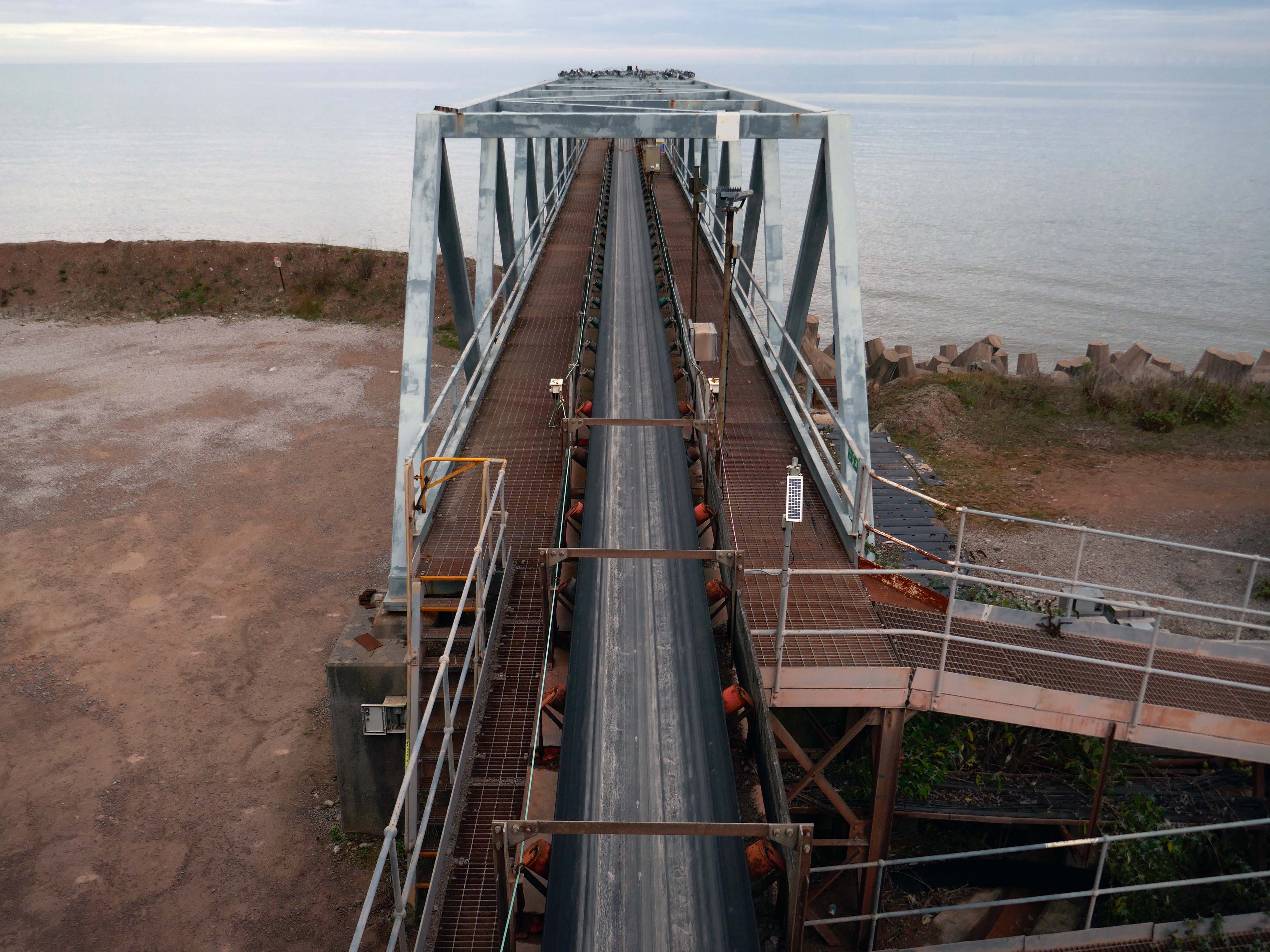
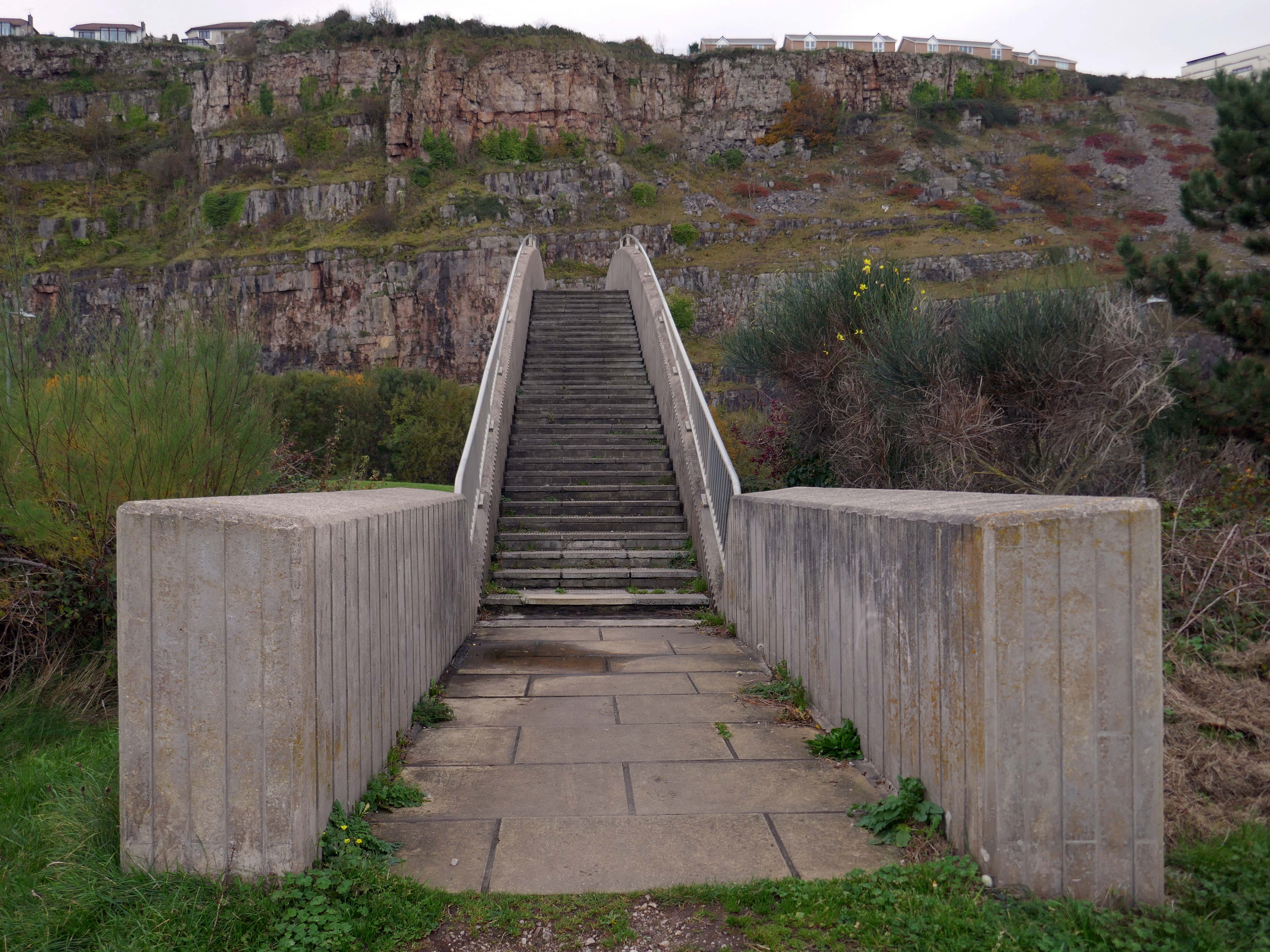
Next we pass Raynes Jetty the quarry conveyor belt – shifting and shipping limestone out to sea.
Limestone from Raynes quarry, to the south, is transported by conveyor belts to the jetty, crossing the A55 Expressway and railway. From the jetty it is loaded into coastal freighters which take it to other parts of the British Isles. Limestone from this quarry is a pure form of the rock, making it ideal for the chemical and cement industries.
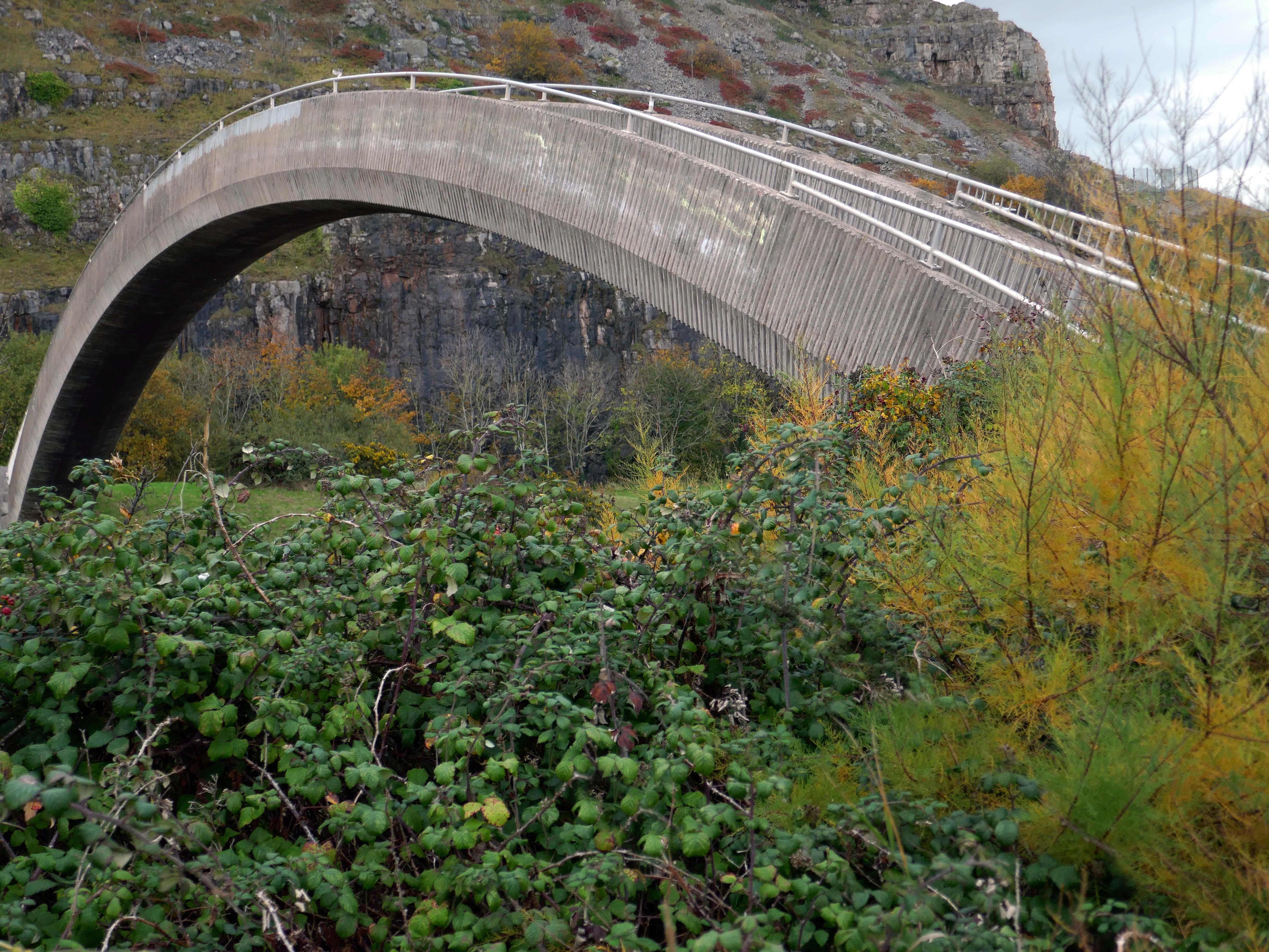
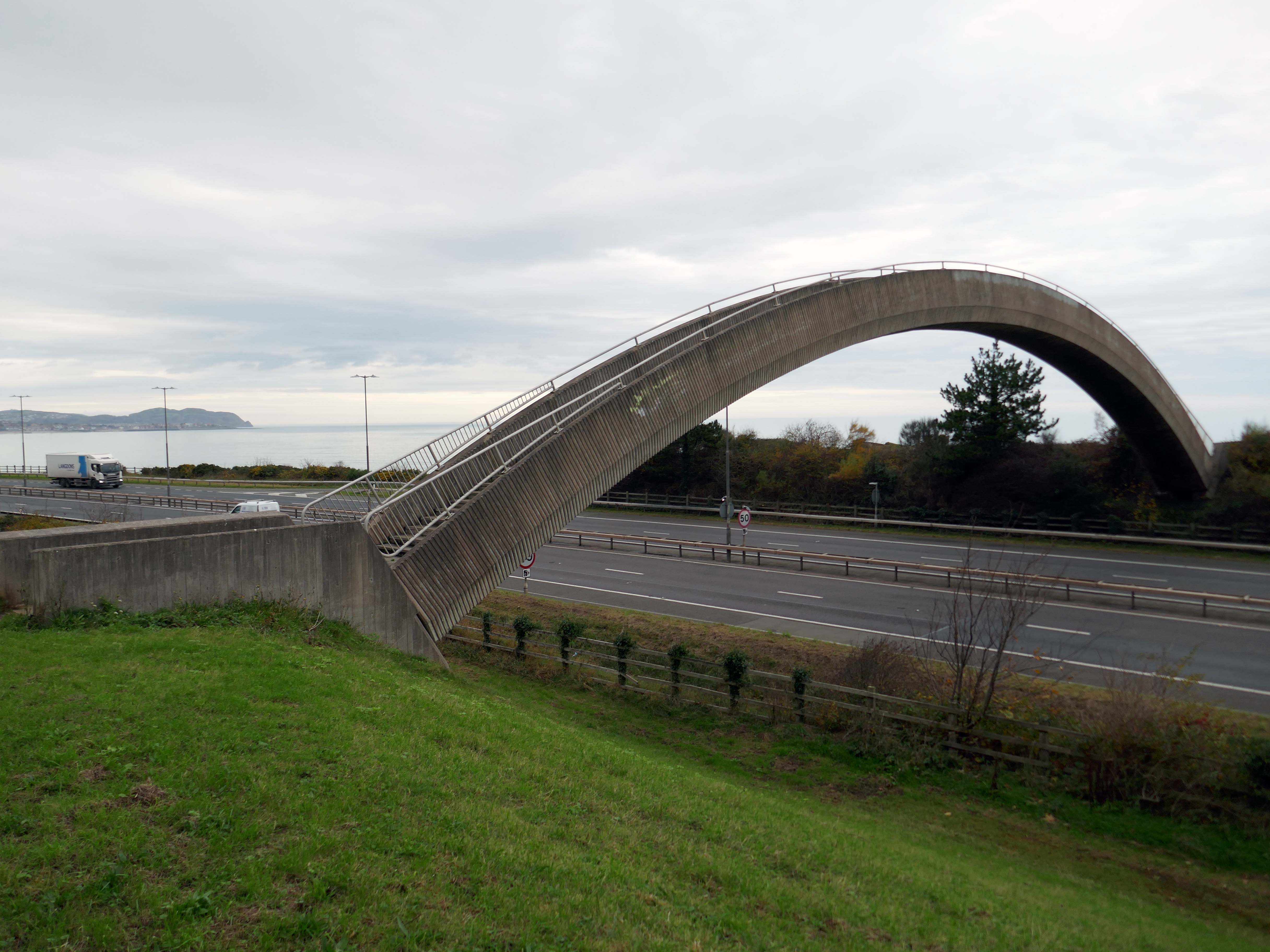
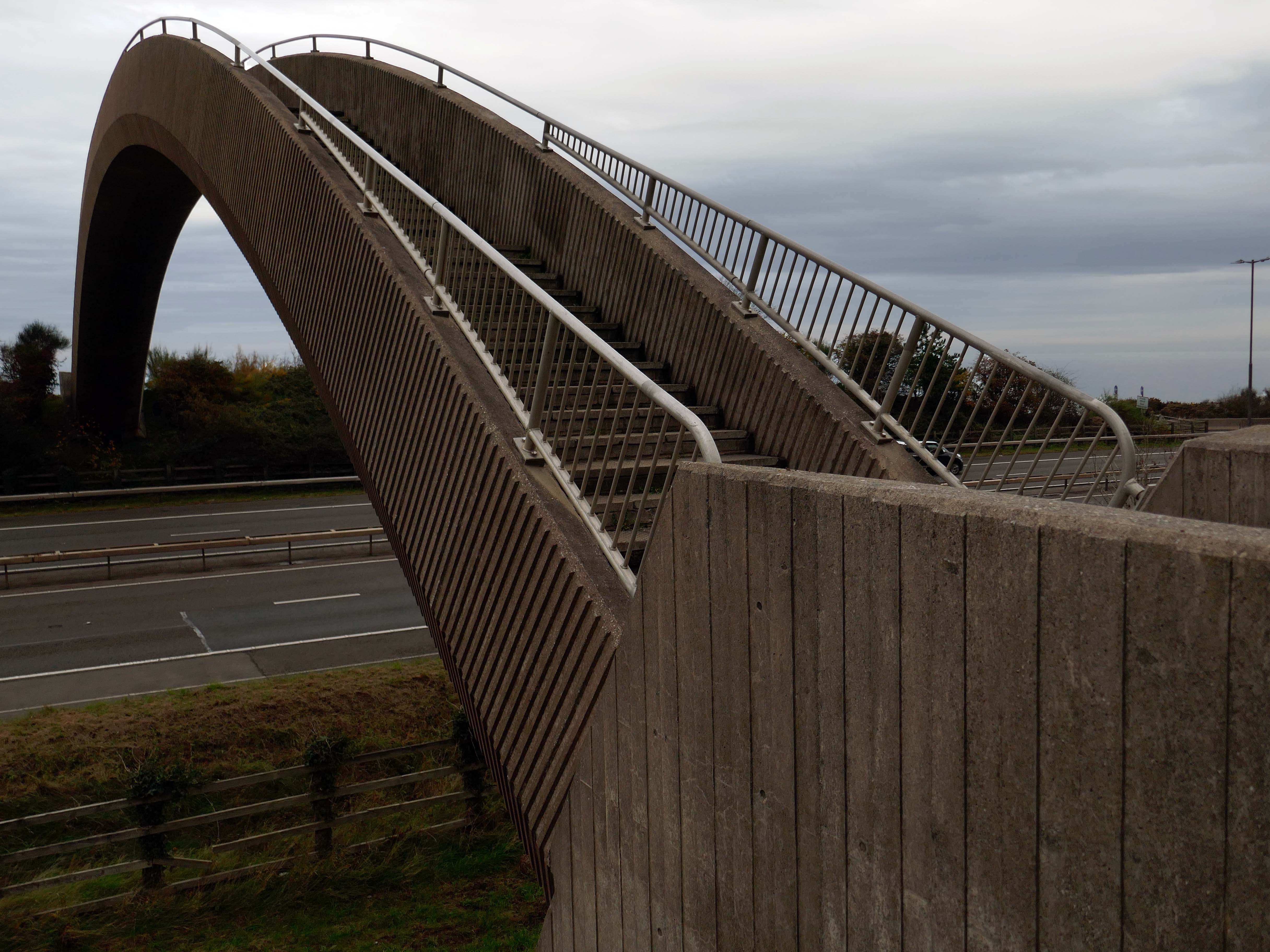
Limestone forming an important constituent part of the nearby concrete Rainbow Bridge – linking Old Colwyn’s pedestrians to the shore.
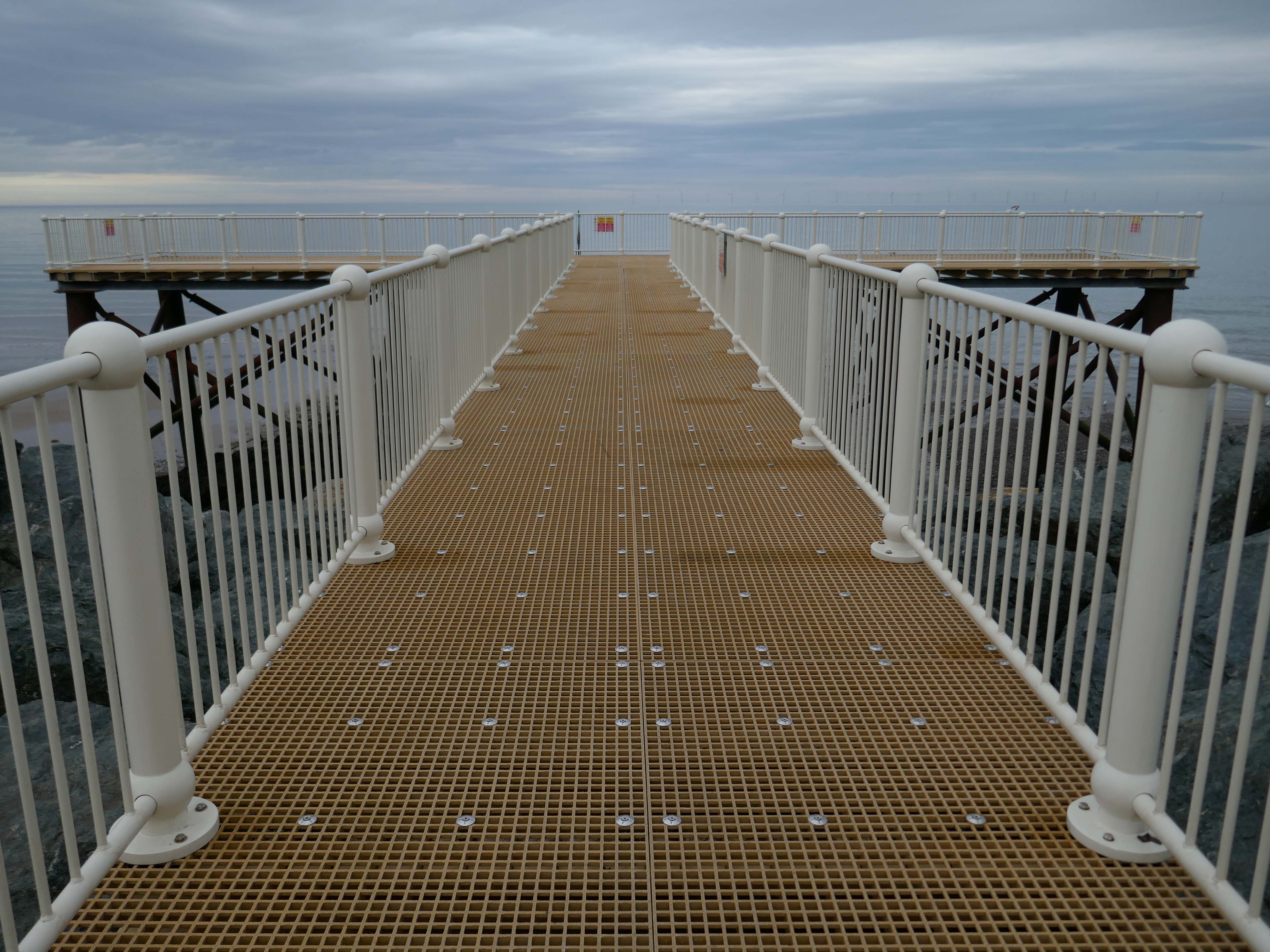
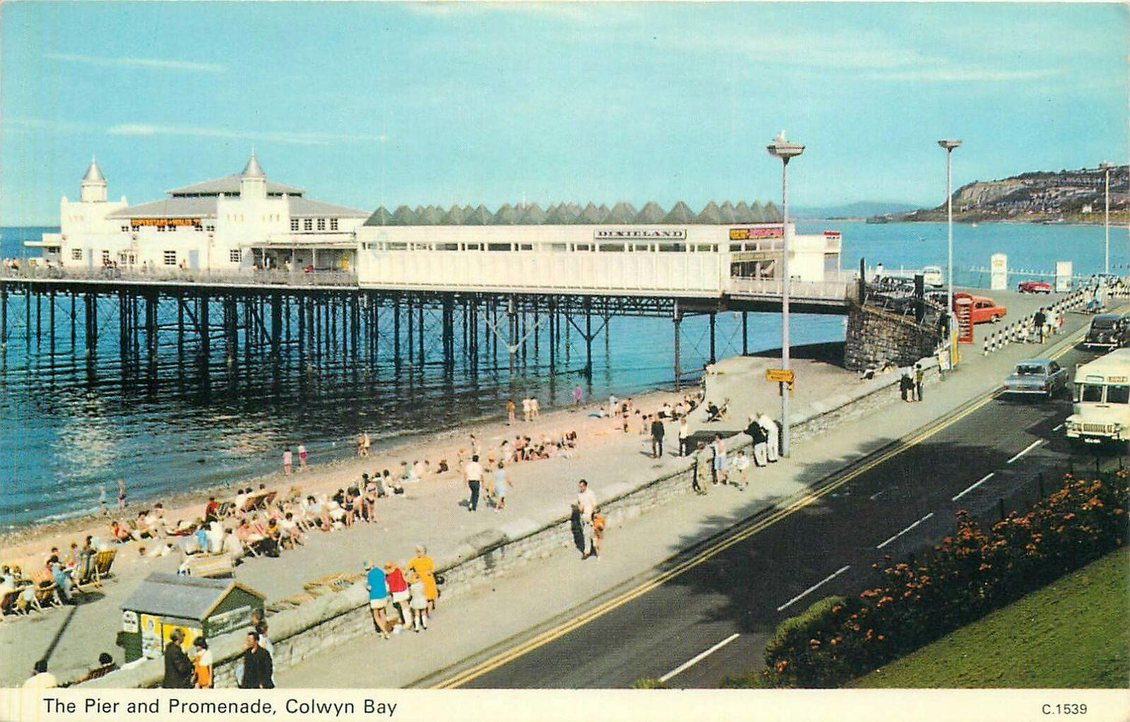
On the site of Colwyn Bay Pier is a seriously truncated pier.
It was conceived in the late 19th century, when Colwyn Bay wanted to catch up with other towns which had piers where steamers deposited and collected passengers. However, it was found that the proposed pier would have to extend almost half a mile to reach the area where the water was deep enough for ships. This was too costly, so the pier was built purely for entertainments. The councillors saved face by saying this would avoid day trippers arriving by steamer and lowering the tone of Colwyn Bay!
The pier was less than 100 metres long when it opened in 1900. The pavilion had a 2,500-seat theatre, shops and a restaurant. The opening performance featured Adelina Patti, one of the world’s most renowned operatic sopranos in her day.
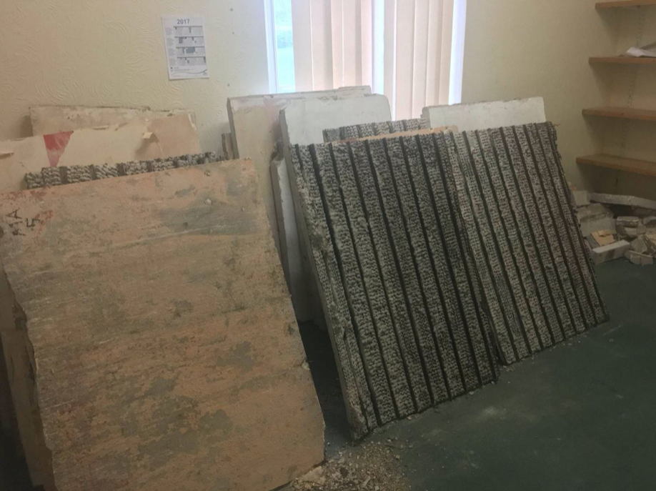
The final pavilion, opened in 1934, incorporated Art Deco features and murals by Eric Ravilious and Mary Adshead.
Both walls of the last remaining Eric Ravilious mural have been successfully removed, and were placed safely in storage. But with CCBC staff set to relocate to new Colwyn Bay offices a more permanent home is needed for the murals.
Many of those features were destroyed or obscured in post-war refurbishments. Entertainers who performed at the pier in this period included comedians Ken Dodd and Morecambe and Wise, and singers Harry Secombe and Elvis Costello.
The new promenade, measuring 2.3 miles long, has been designed to protect the town and its infrastructure from the effects of the sea. The project was split into two phases; the first, to remove what was originally there and to construct the new raised promenade including a road, cycleway and car parking. The second phase was to transform the promenade with further development as well as reinforce the defence structures.
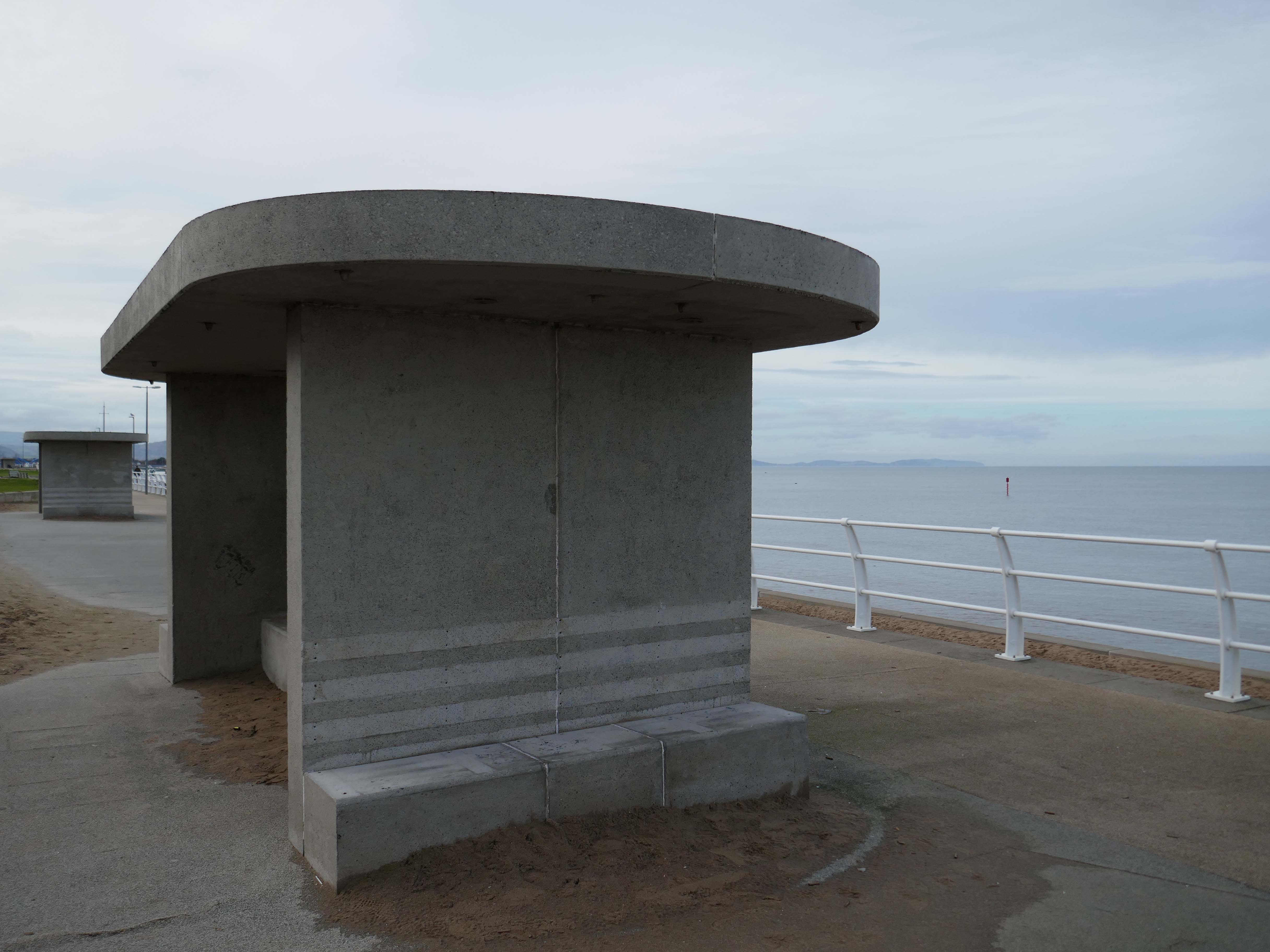
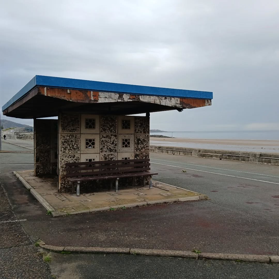
This is the last of the Sixties concrete shelters – which once stretched all the way to Rhos on Sea.
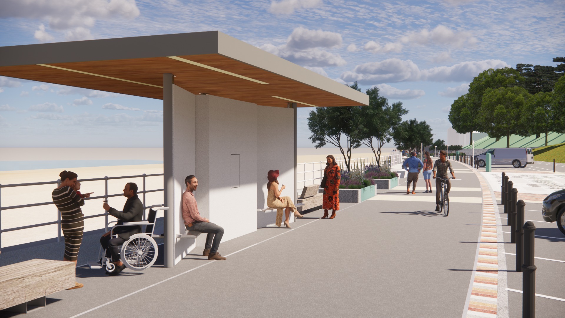
New shelters have appeared
A Conwy County Borough Council spokesperson said:
The shelters include new features such as solar power lighting and are designed to be accessible for wheelchair and mobility scooter users.
The closed design of the old shelters made anti-social behaviour easier and led to their condition deteriorating.
And a new pier has appeared.
Construction on the new Pier at Colwyn Bay commenced in July 2020. Despite being initially slated for completion in the summer, the erection of scaffolding and subsequent work on the 45-meter truncated Colwyn Bay pier were delayed. However, the project timeline was expedited, and the construction was successfully finished in July 2021.
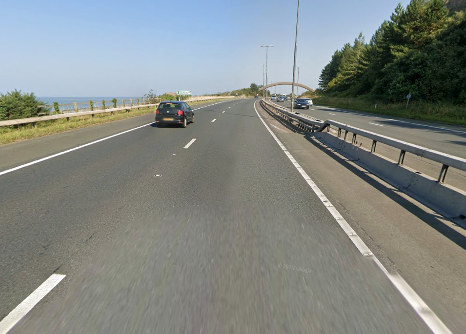
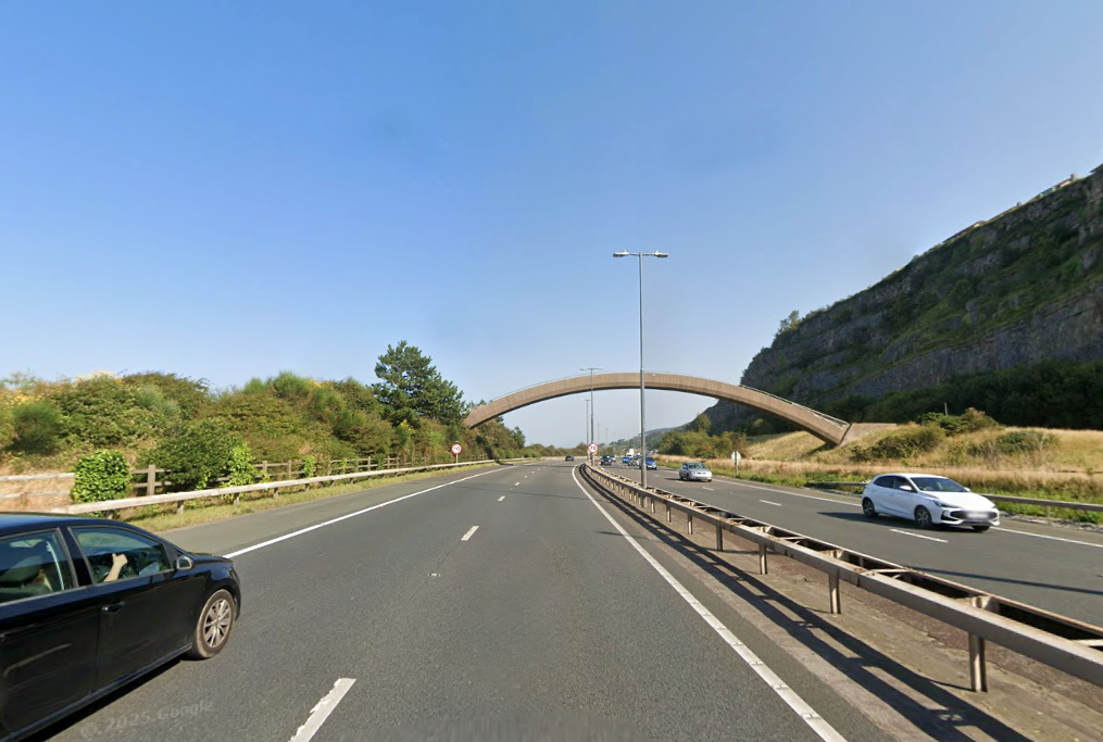
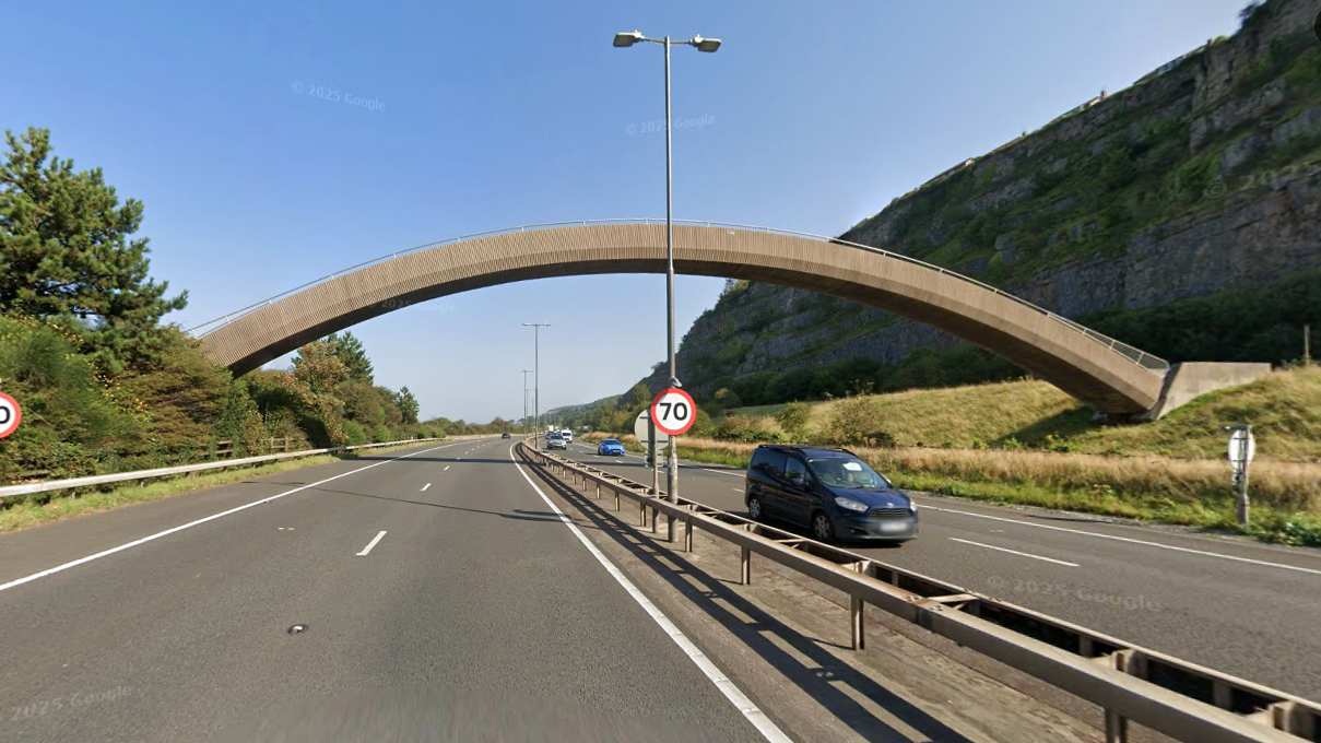
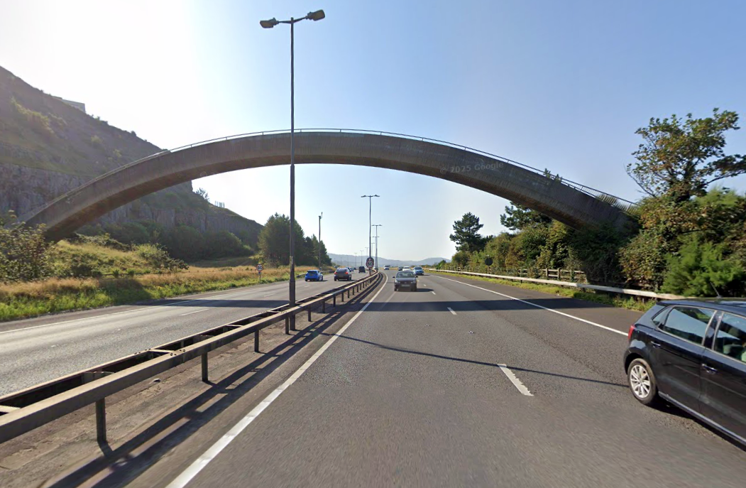
The iconic Rainbow Bridge on the A55 has been lit up to say thank you to NHS, social care staff and other key workers.
This well-known landmark lived up to its name on Tuesday night when it was bathed in rainbow colours alongside a thank you message projected onto the nearby cliffside.
This one-off tribute to staff from the health and care sectors and other key workers who are working tirelessly during the Covid-19 pandemic, was arranged by the North and Mid Wales Trunk Road Agent.
The walkway over the A55, colloquially known as Rainbow Bridge, is situated on the strategic road network which NMWTRA is responsible for maintaining and managing on behalf of the Welsh Government.
The A55 partly follows the alignment of the Roman road from Chester to Caernarfon, particularly from Junction 31 to 30 and Junction 13 to 12. Between Chester and Holywell the alignment of this road is uncertain and between St. Asaph and Abergwyngregyn, the Roman road followed an inland route, via Canovium Roman Fort at Caerhun, avoiding the difficulties of the crossing of the Conwy estuary and the cliffs at Penmaenbach and Pen-y-Clip.
On 1 April 1937, the route, as it was then, was classed to form the Chester–Bangor trunk road. By 2015, the Welsh Governmentwas also classifying part of the road as part of the London–Holyhead trunk road.
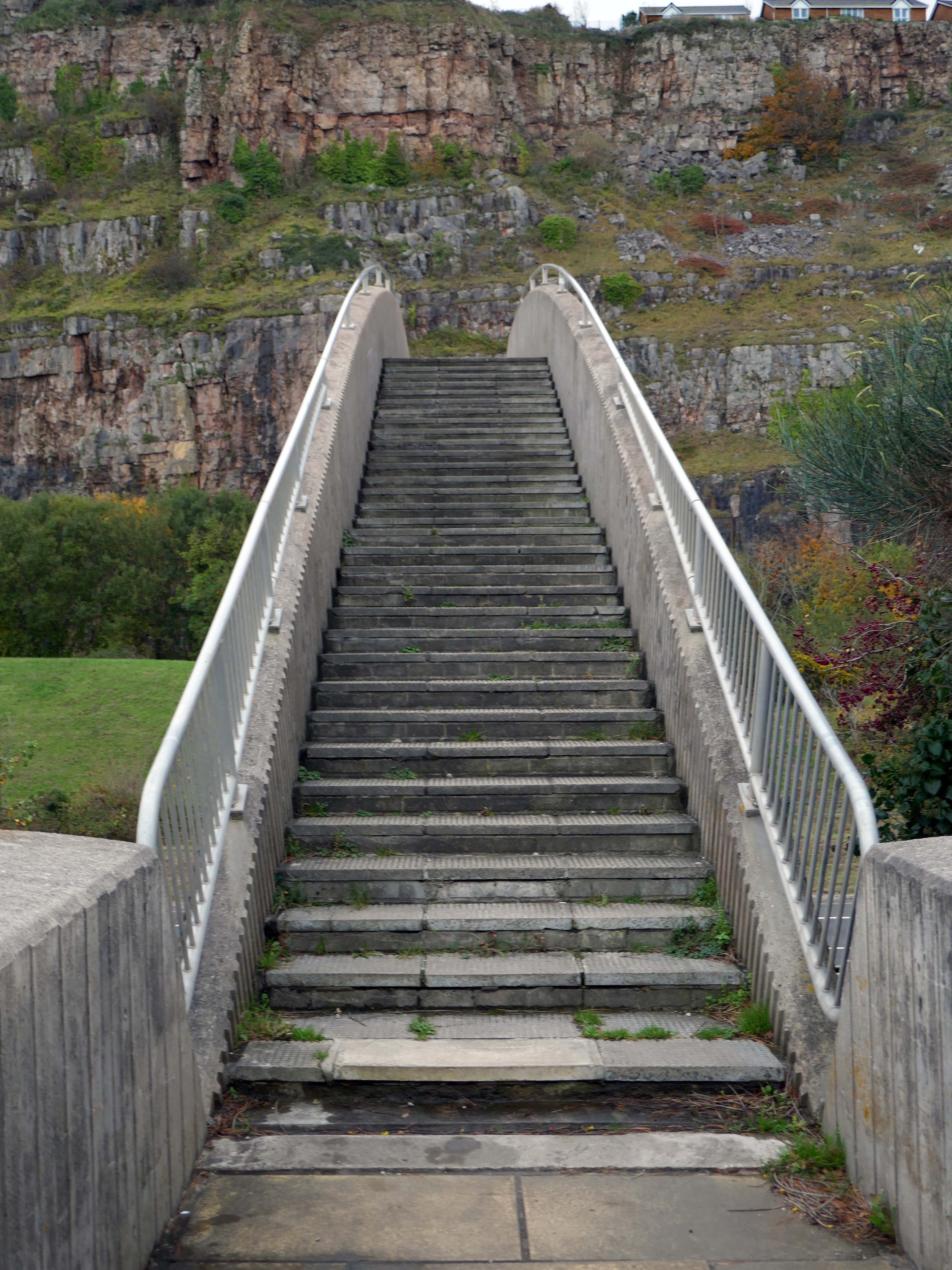
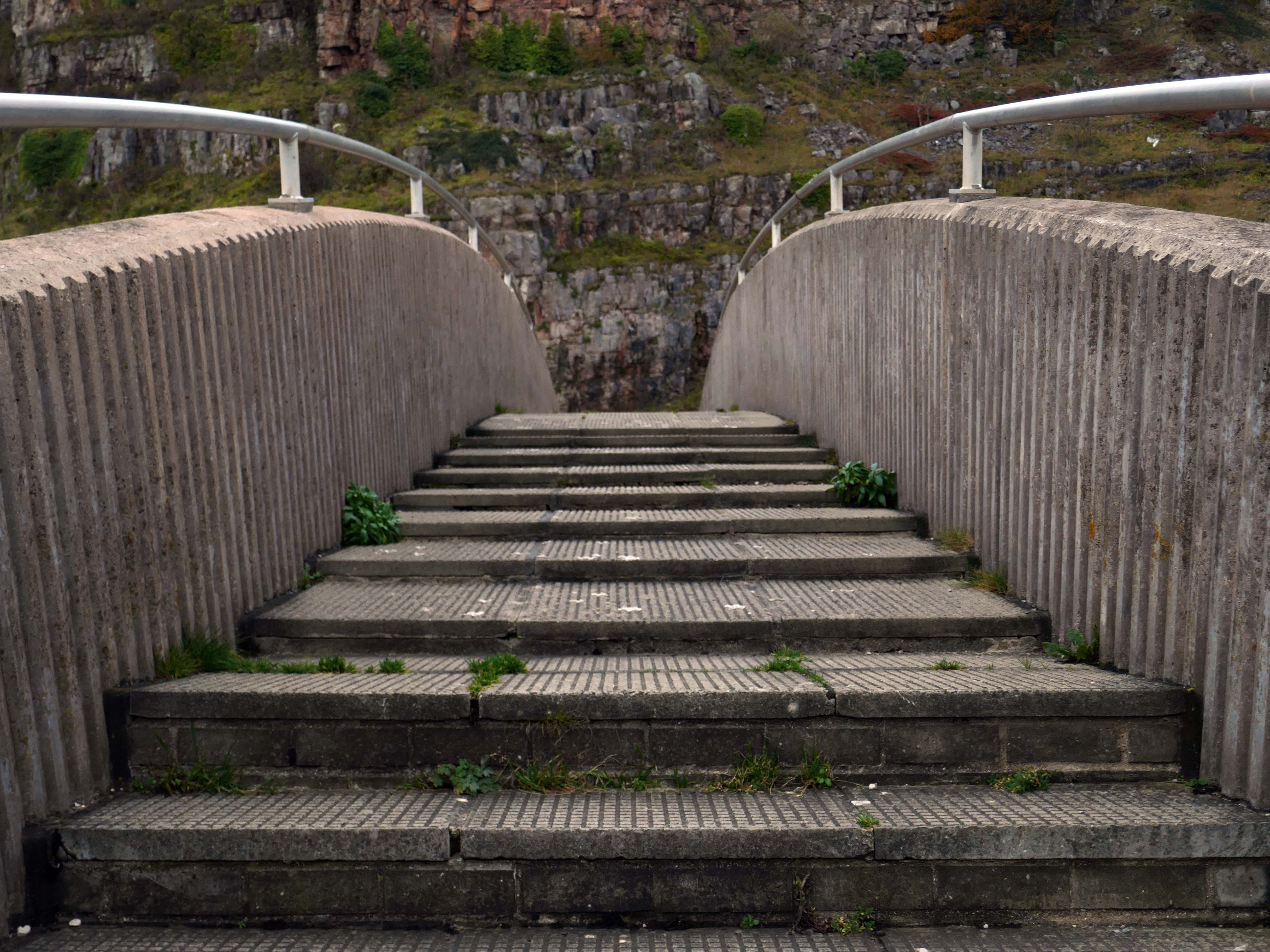
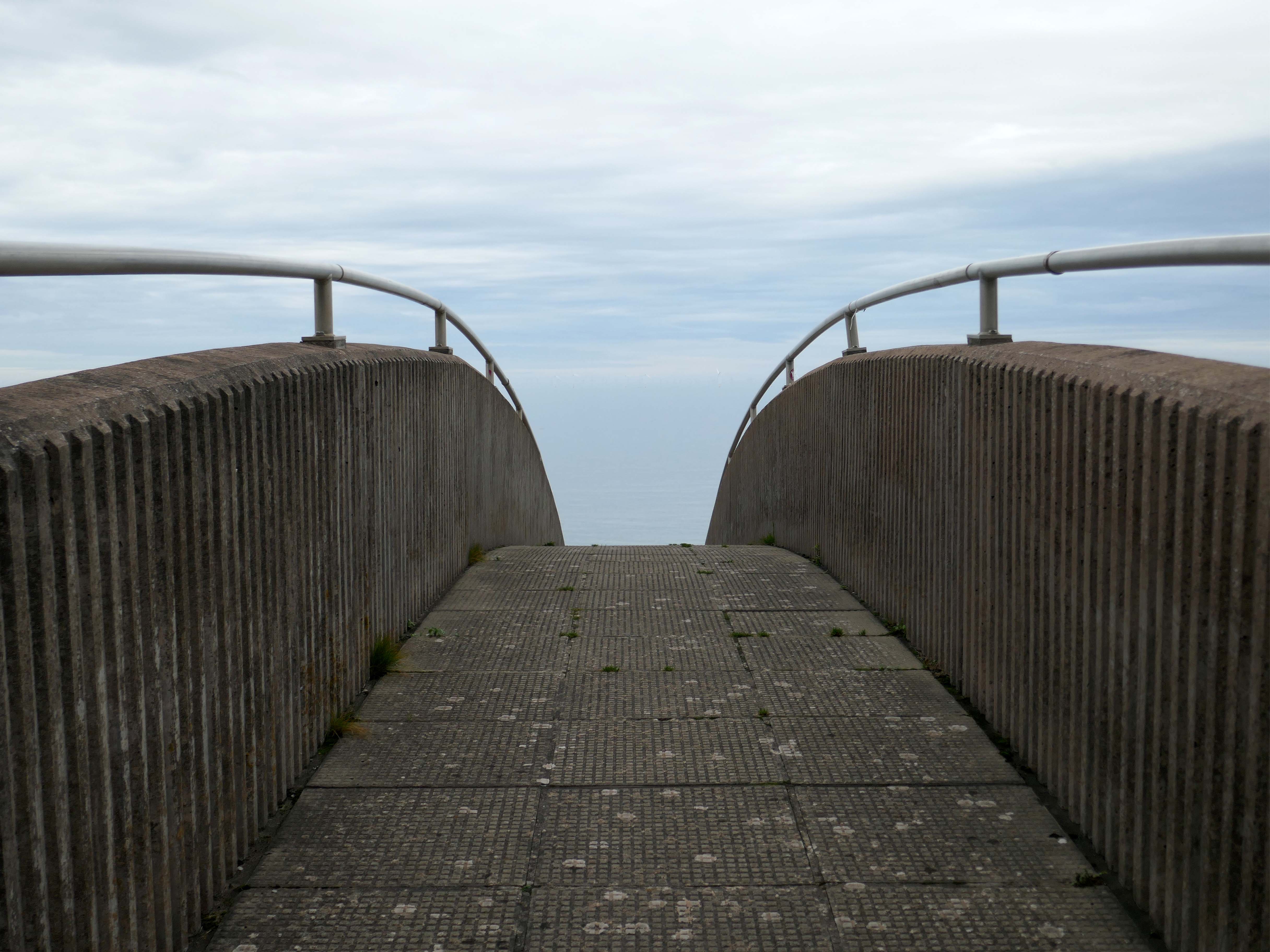
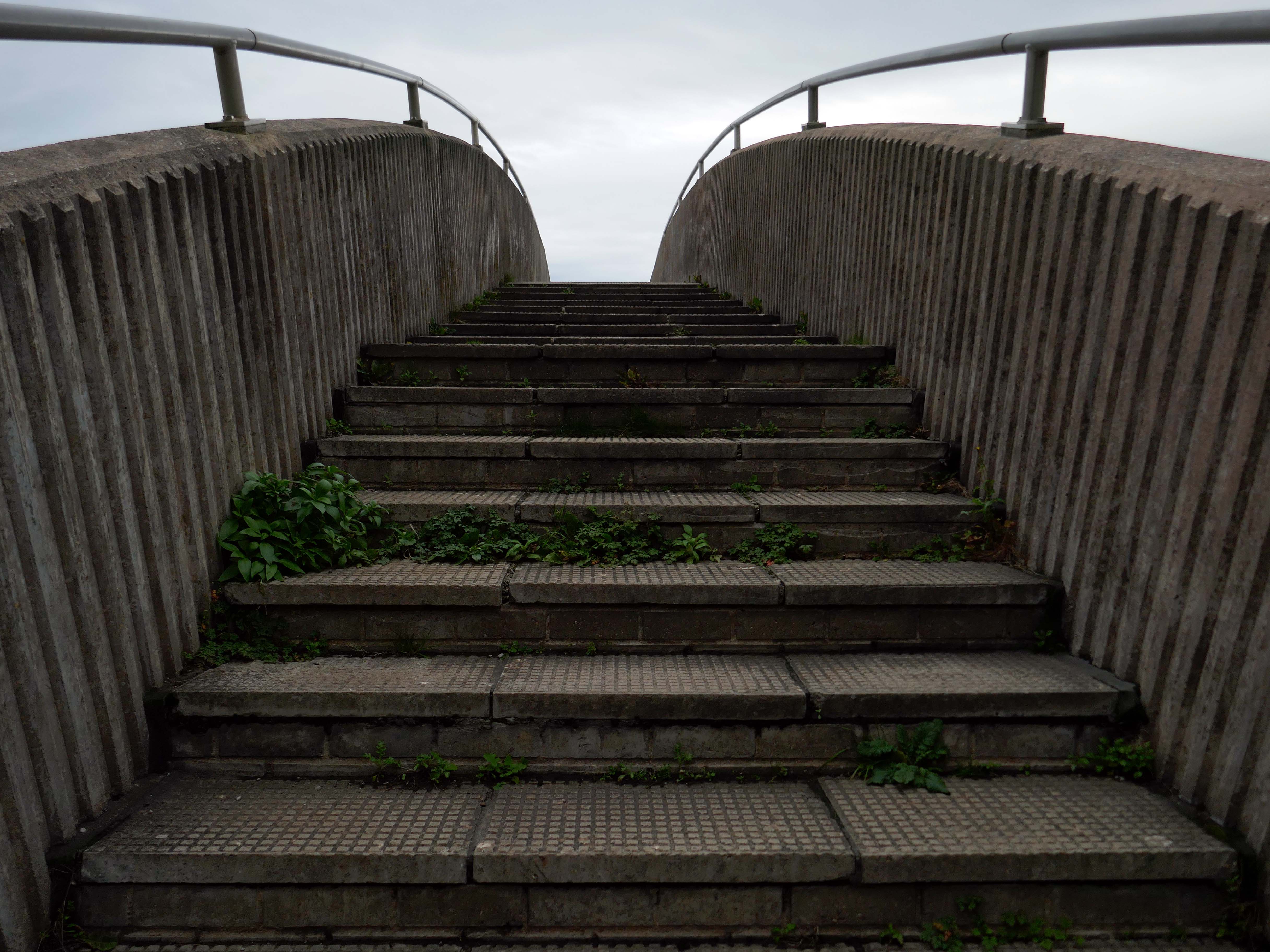
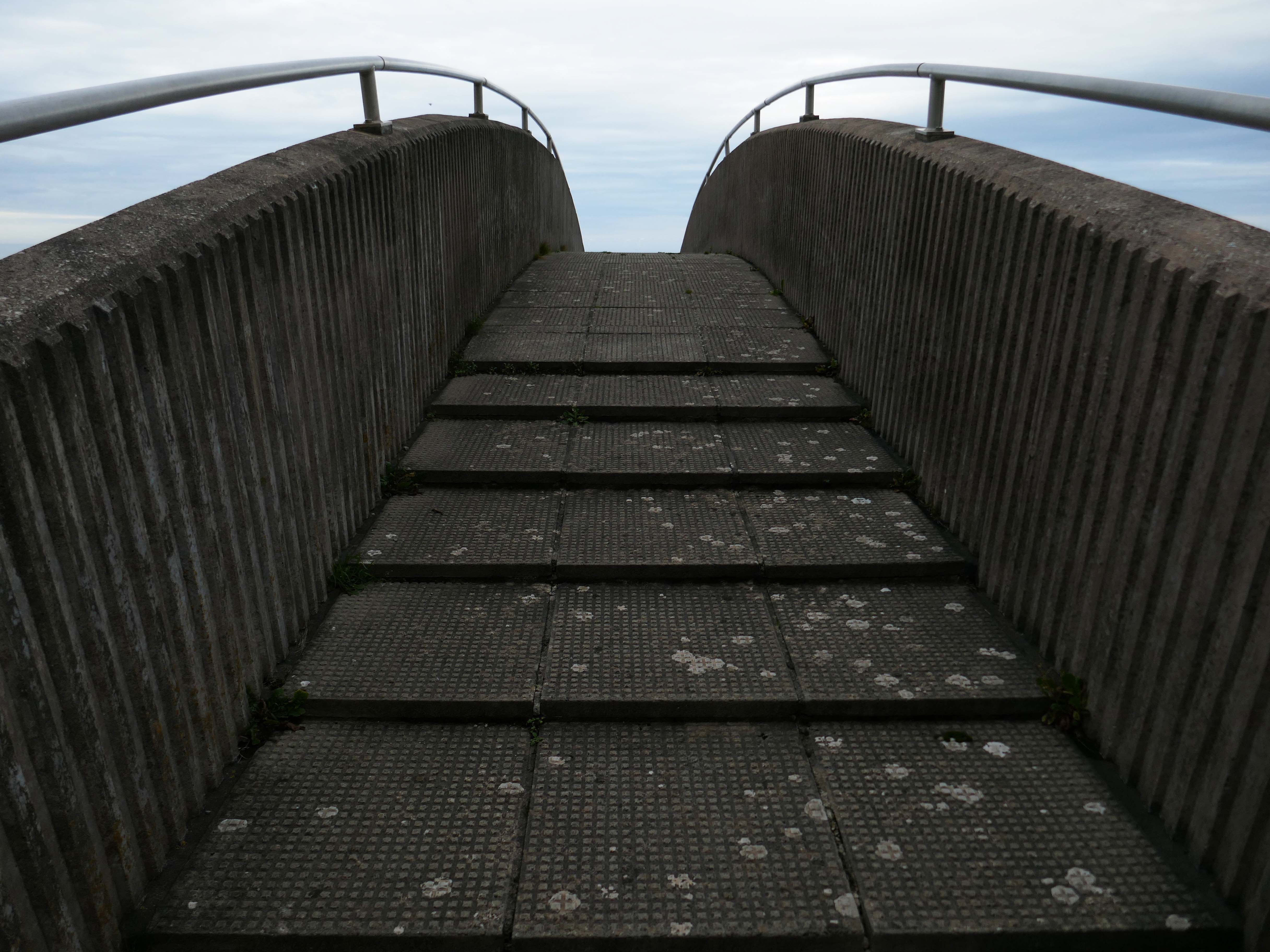
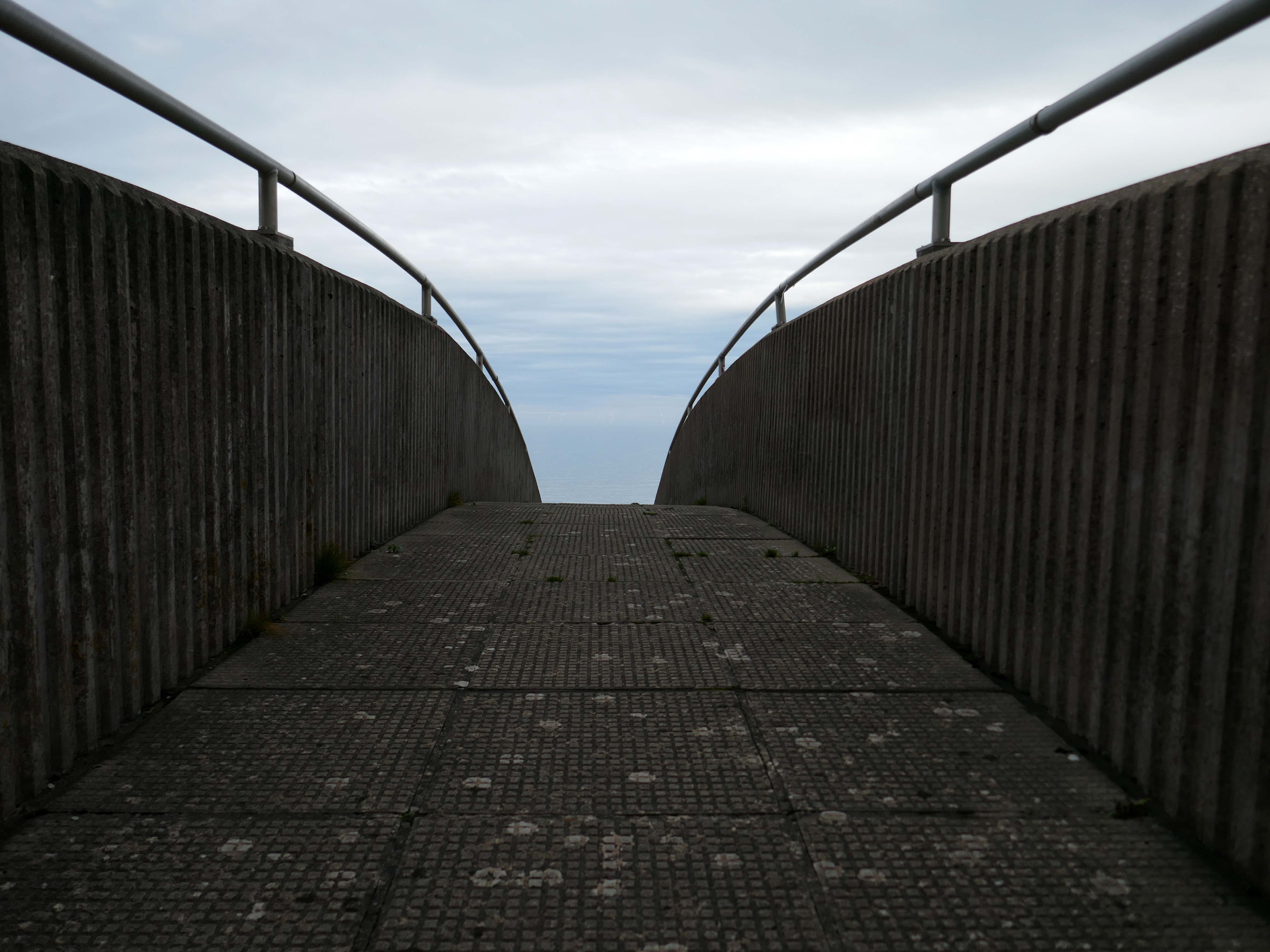
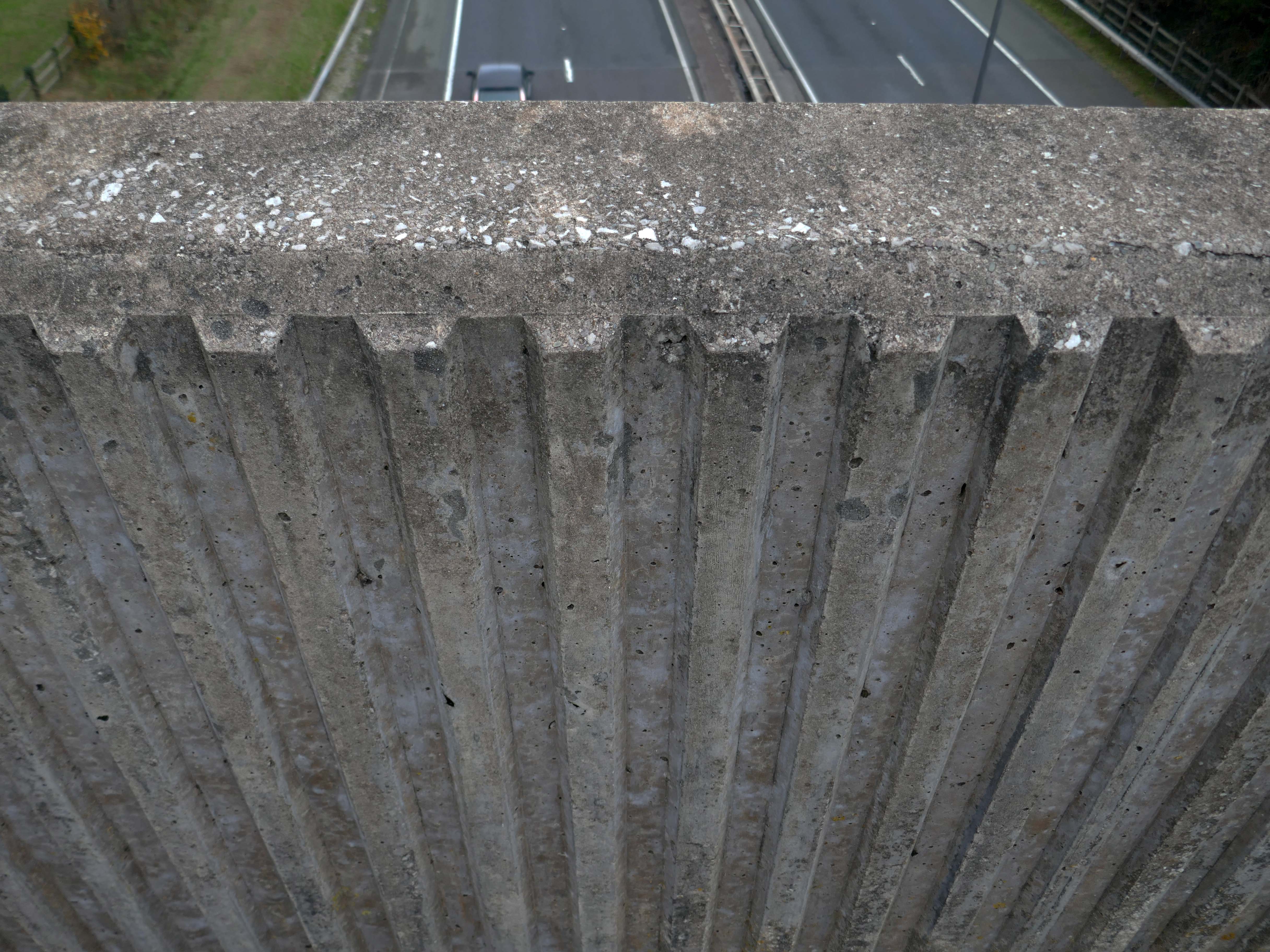
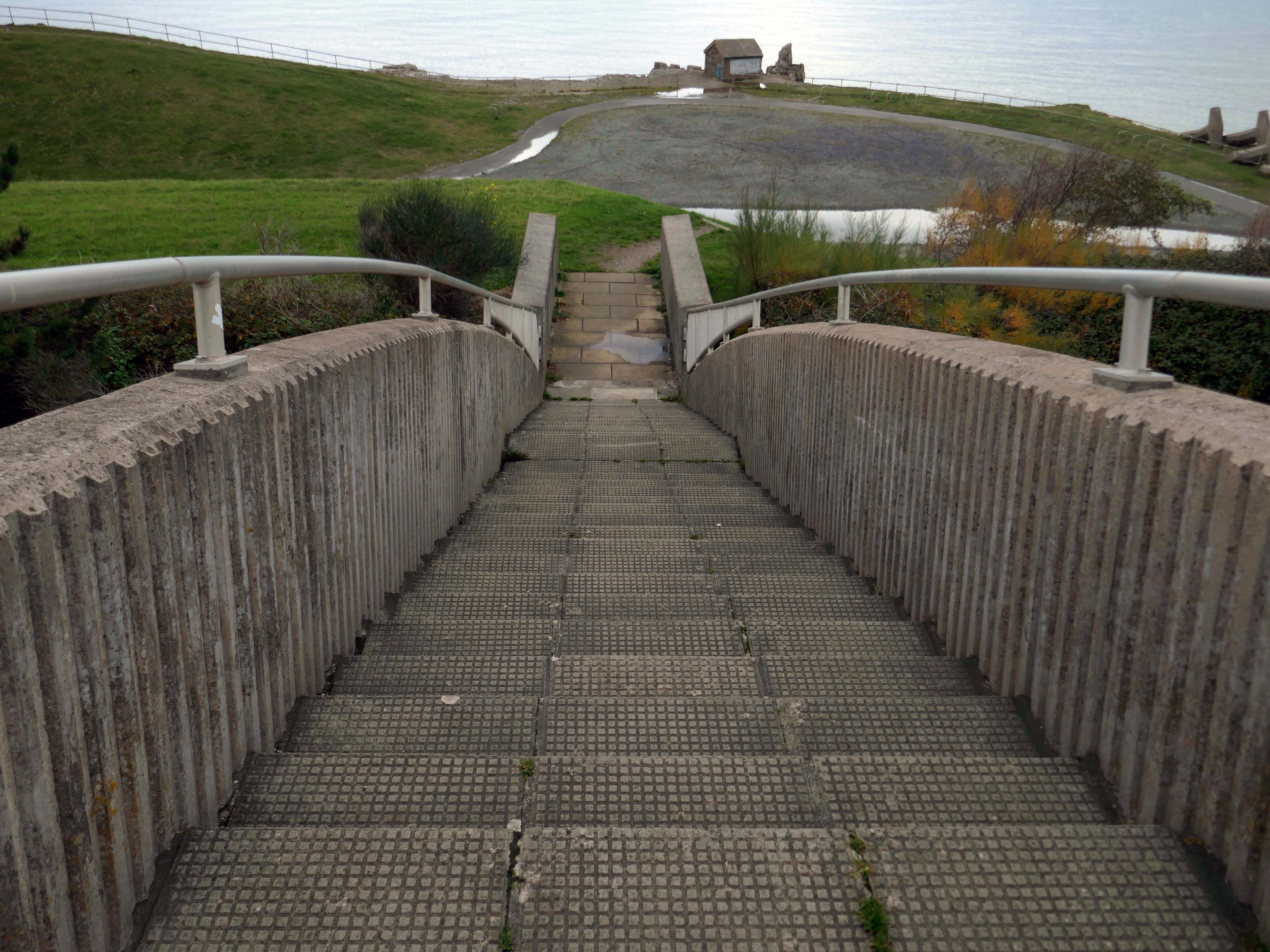
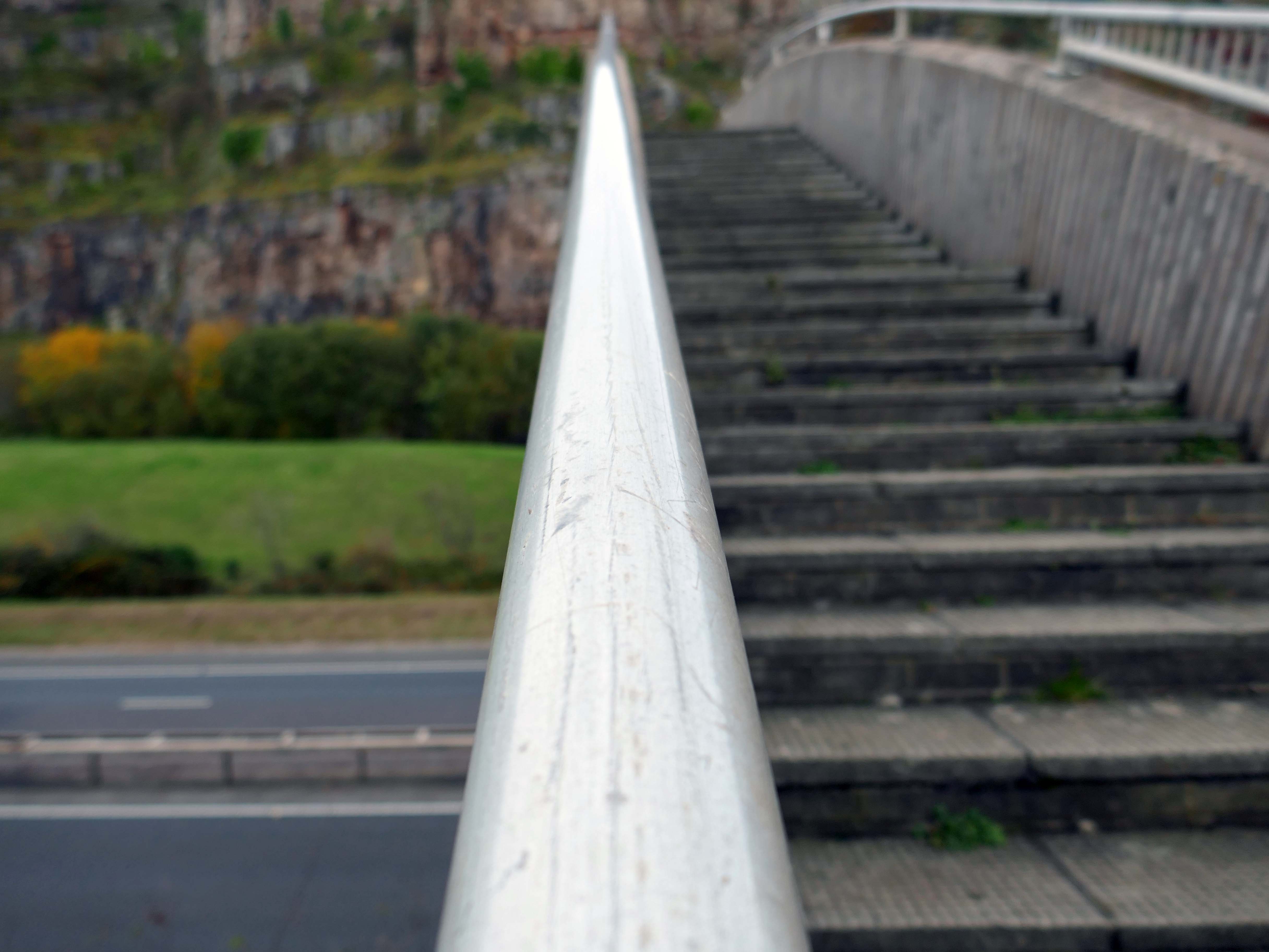
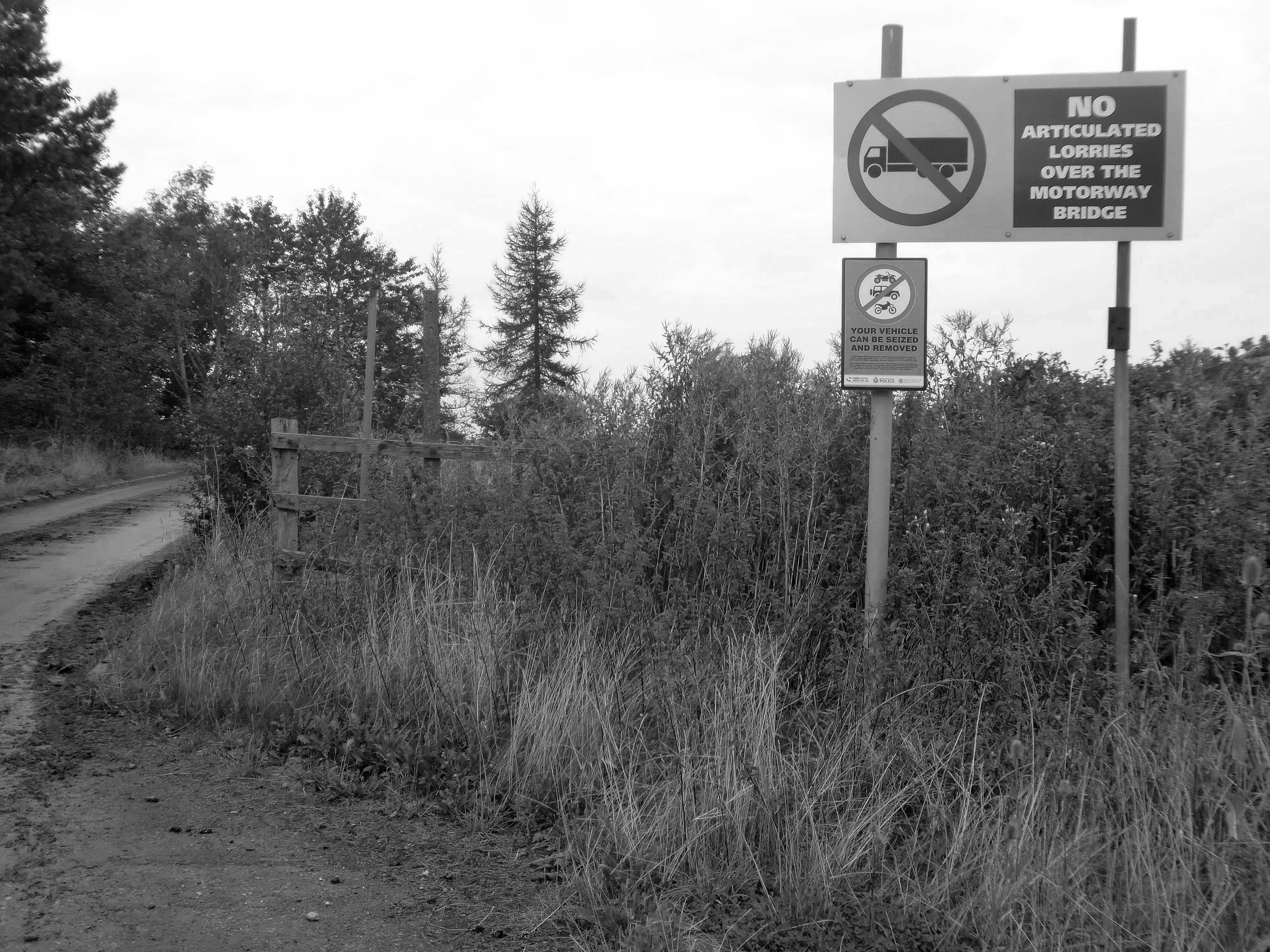
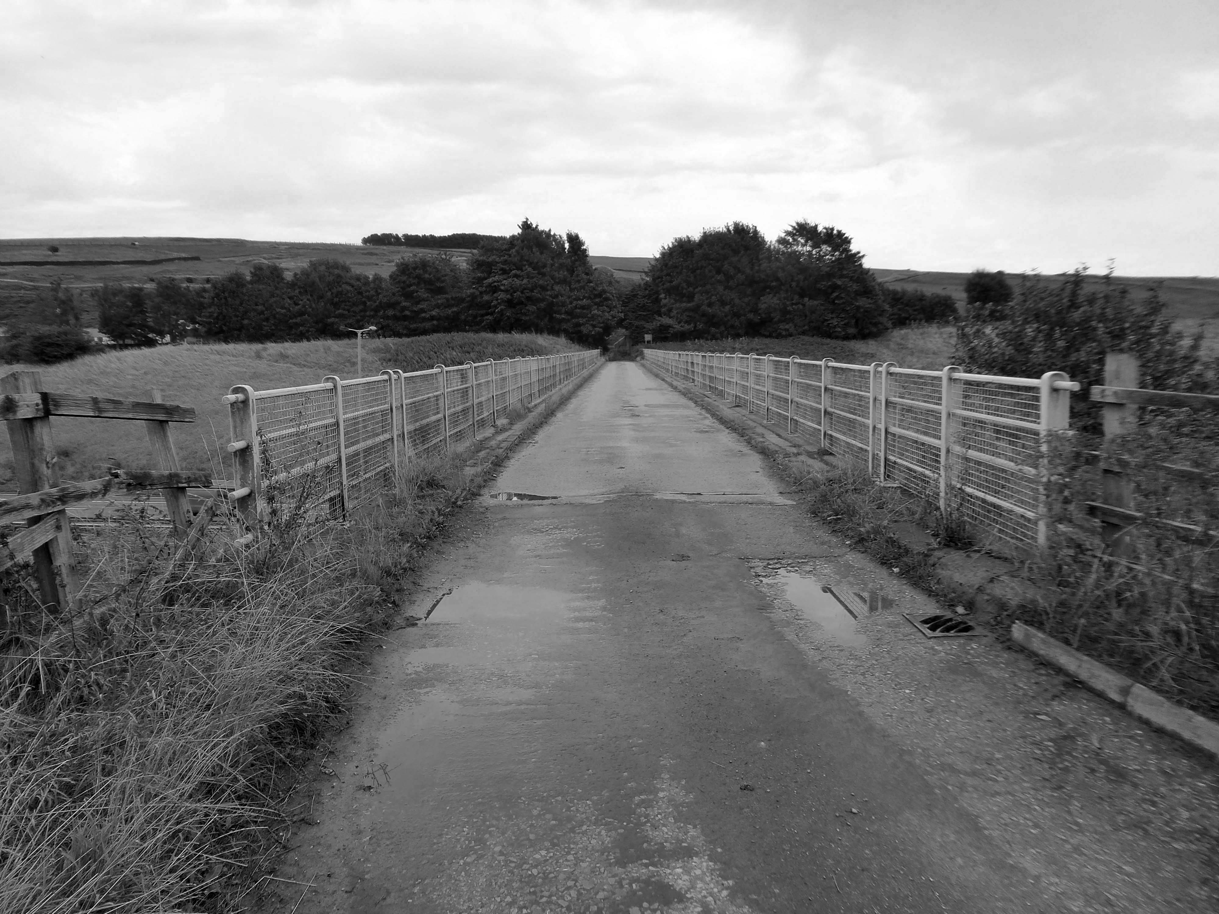
So much for modern motoring – I was walking from Rhyl to Colwyn Bay, so decided to walk back and forth across the bridge, before going along my merry way.
Steep and stepped, it certainly would not be described as accessible.
Other Concrete Footbridges are available – here in Durham and closer to home in Stockport.
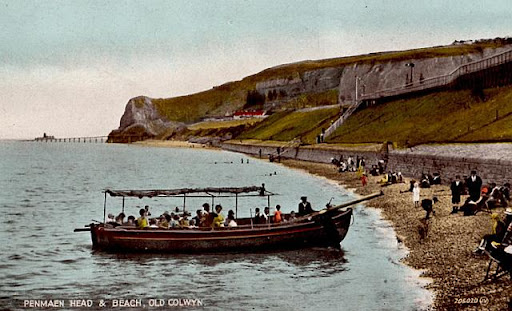
Old Colwyn just short of the original Colwyn Bay station. In 1929 a pleasure boat is about to depart. Penmaen Head is still in one piece with its quarry jetty. The path can be seen leading directly from the beach to the platform and to the underpass which is still in use today.
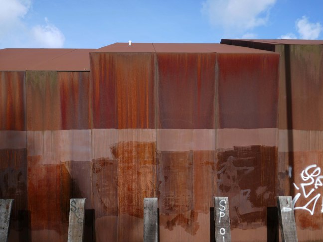
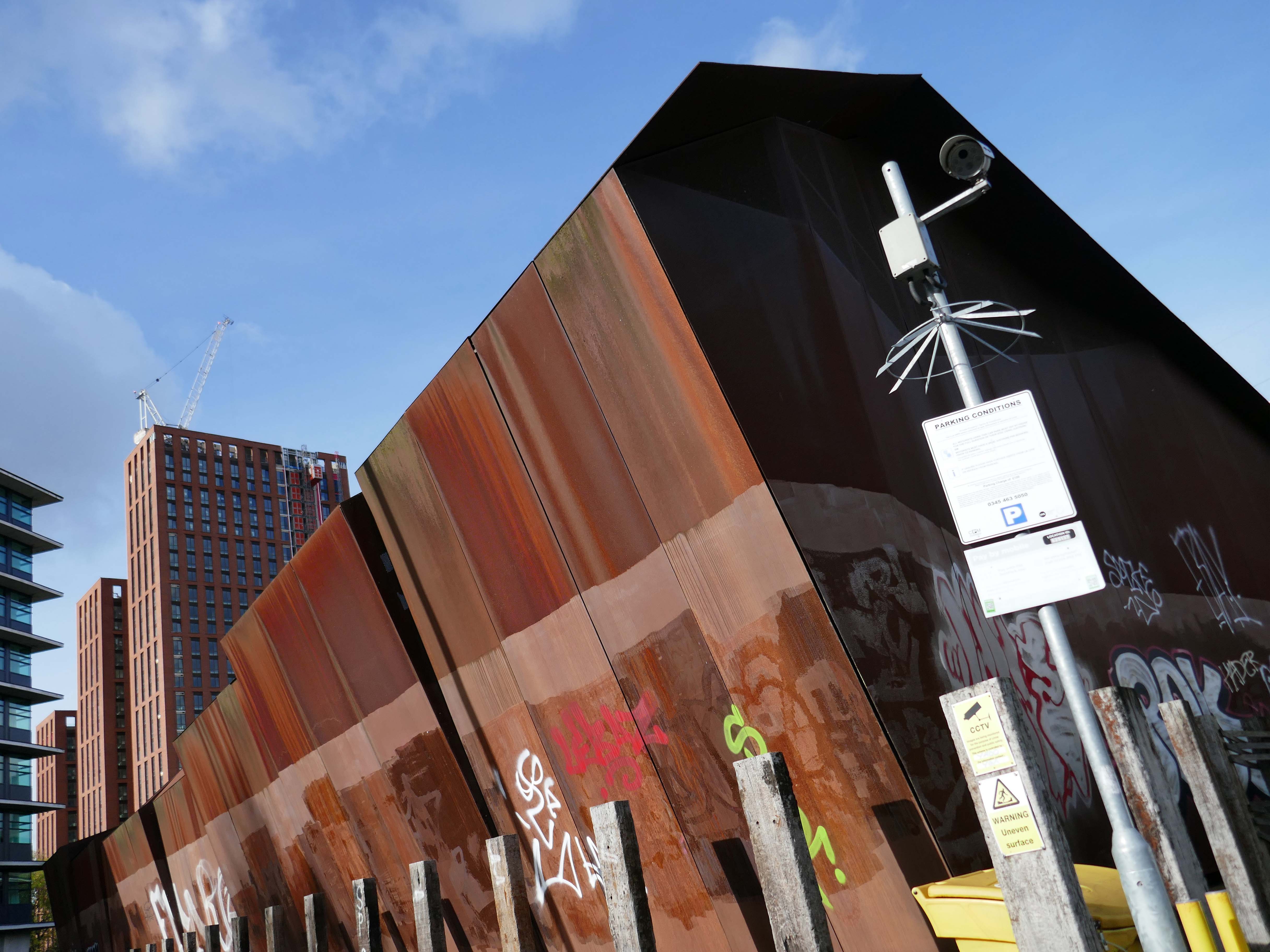
The building was cladded with a COR-TEN® steel envelope, the nature of which was relatively complex.
Corten steel sets itself apart due to the inclusion of unique alloying elements: chromium, nickel, copper and added phosphorous which gives the steel its self-protecting properties.
Platform 14 is primitive, I understand totally from an infrastructure standpoint because it’s on a bypass line on a bridge, but it gets too overcrowded and is windswept. The rest of the station is ok. Platforms 13/14 have not changed in 40 years, grim.
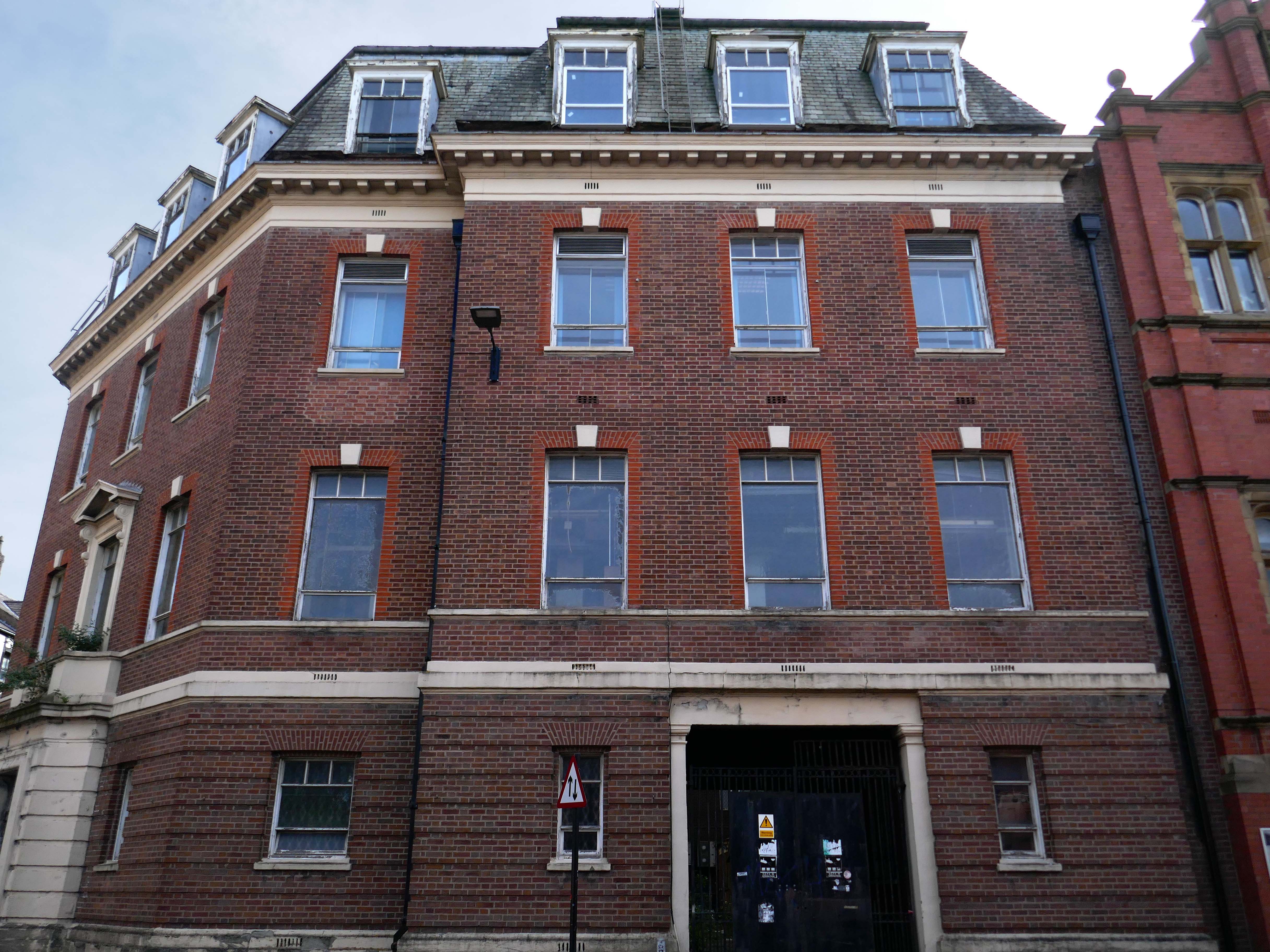
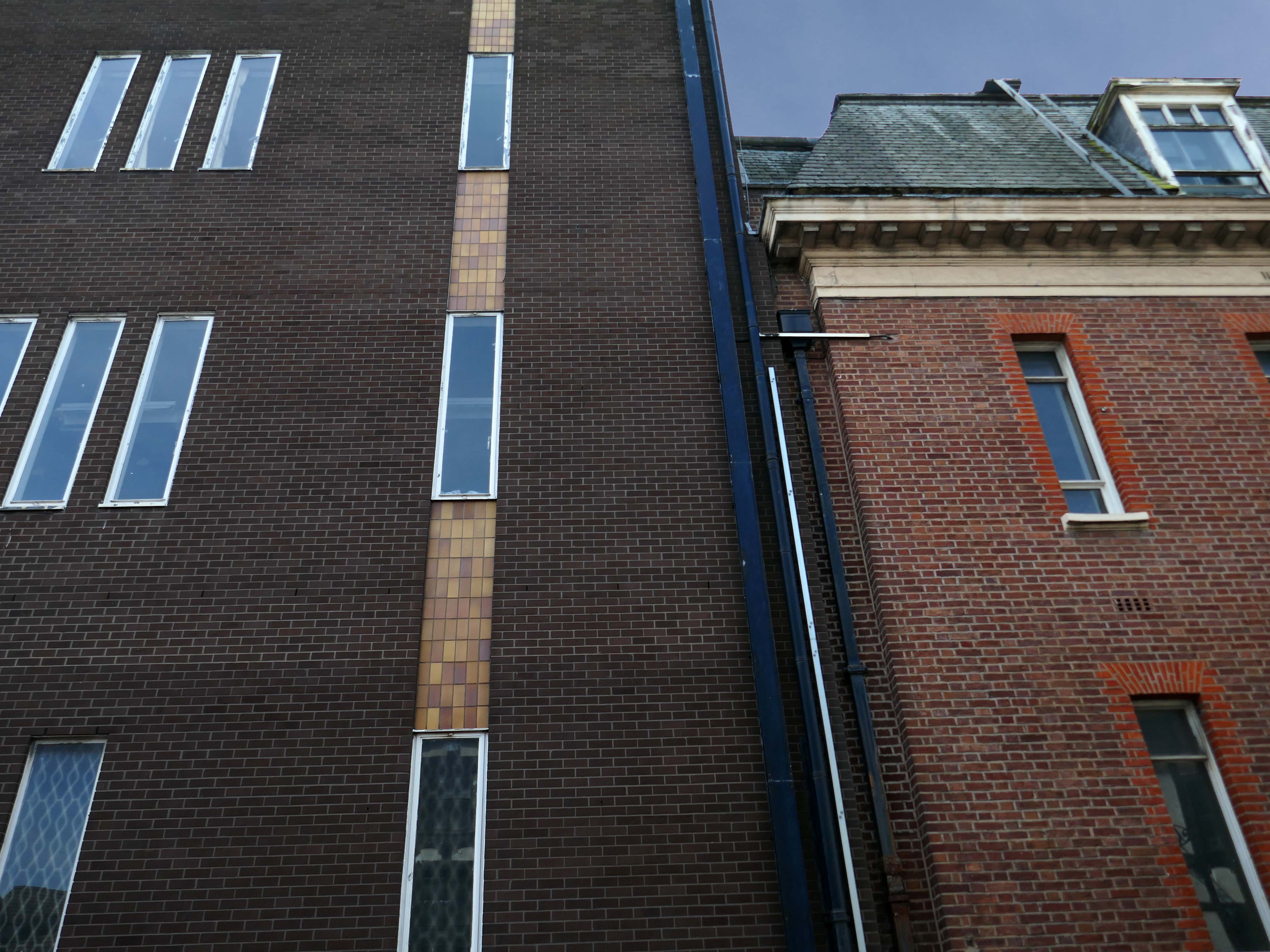
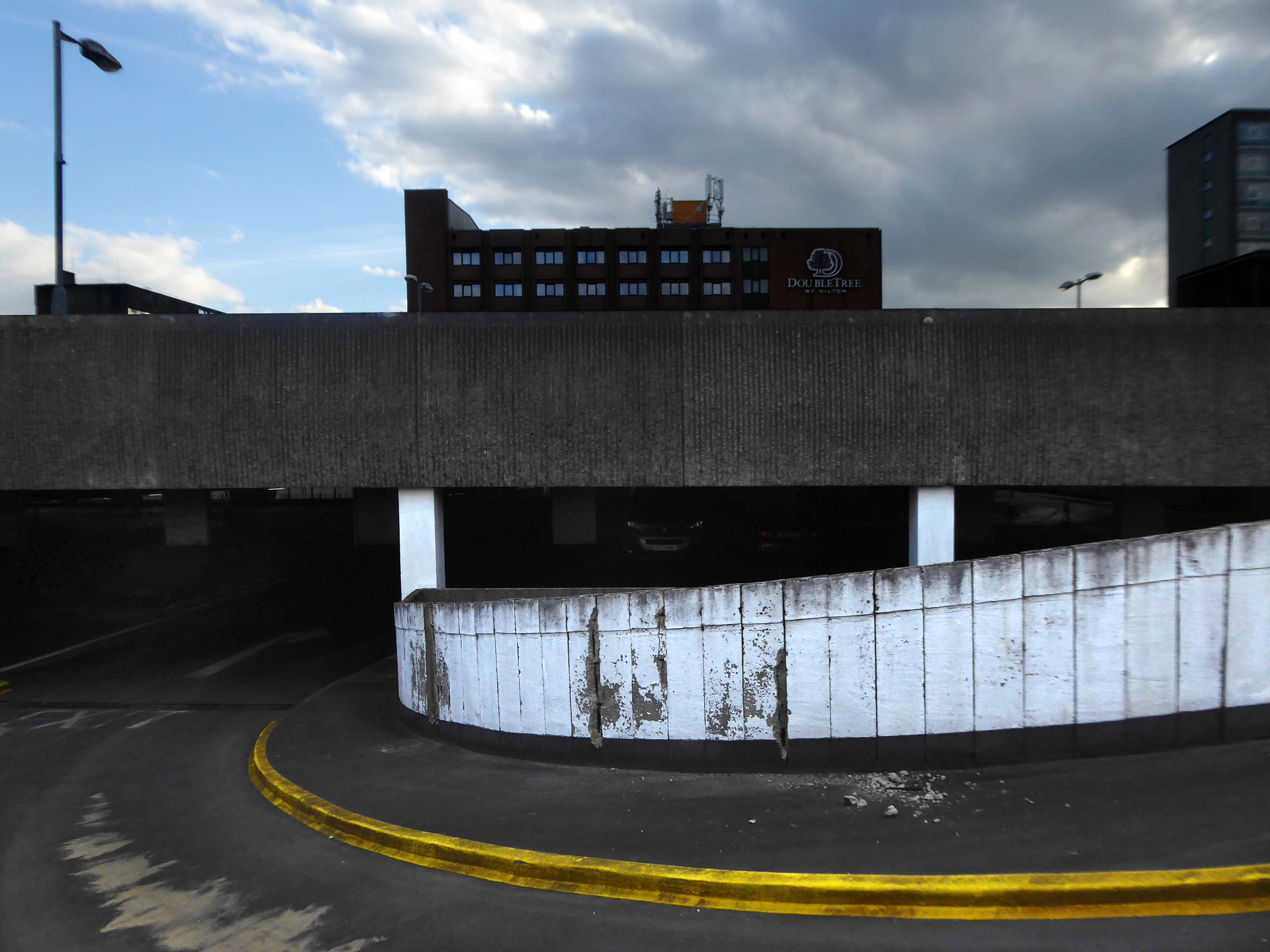
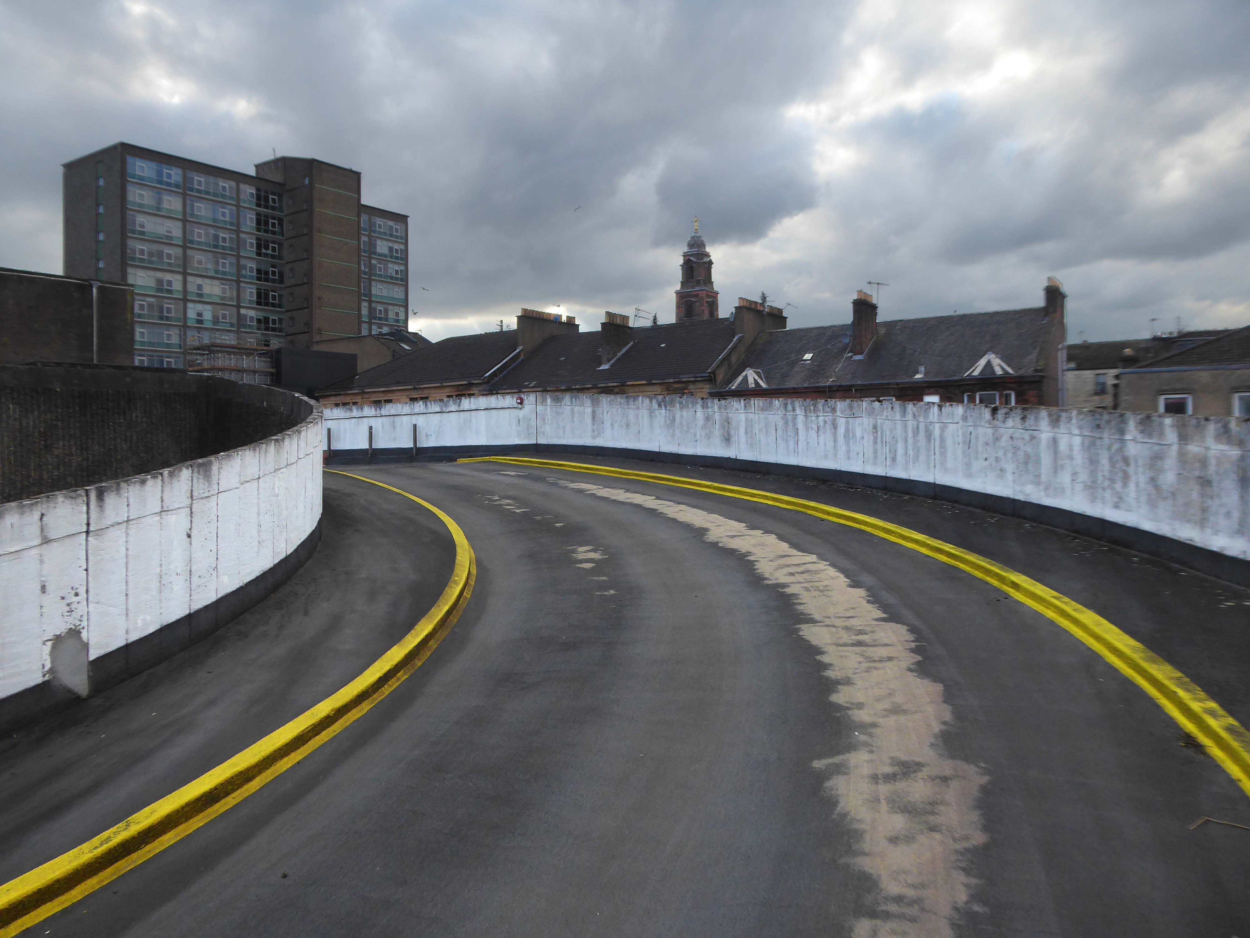
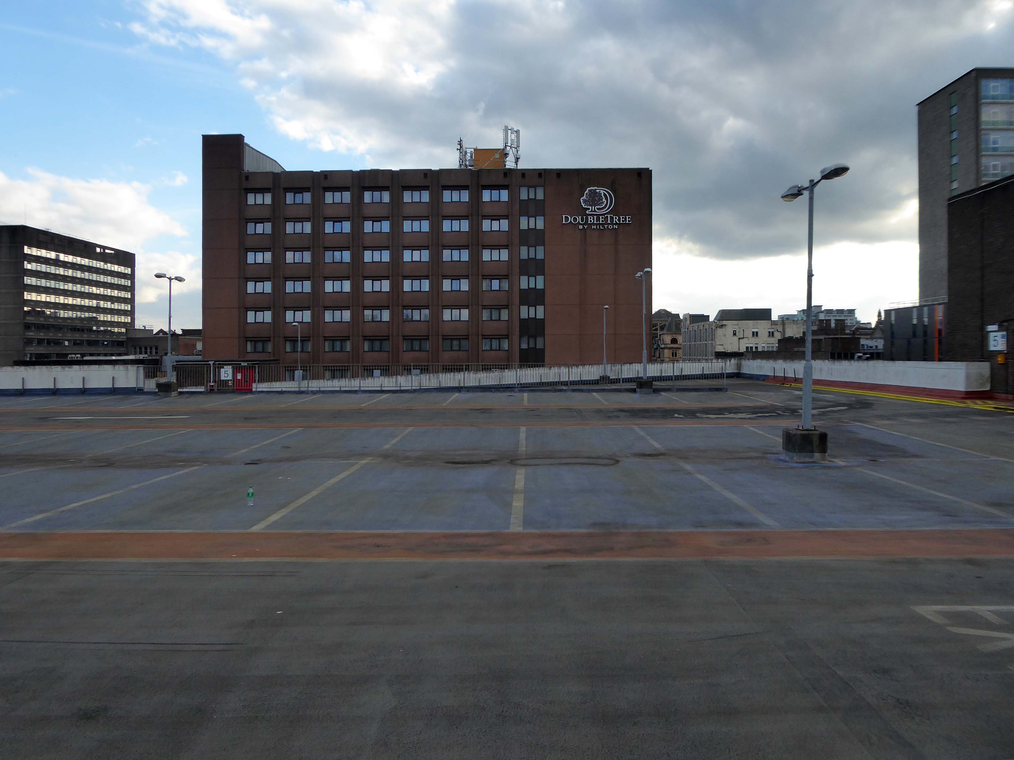
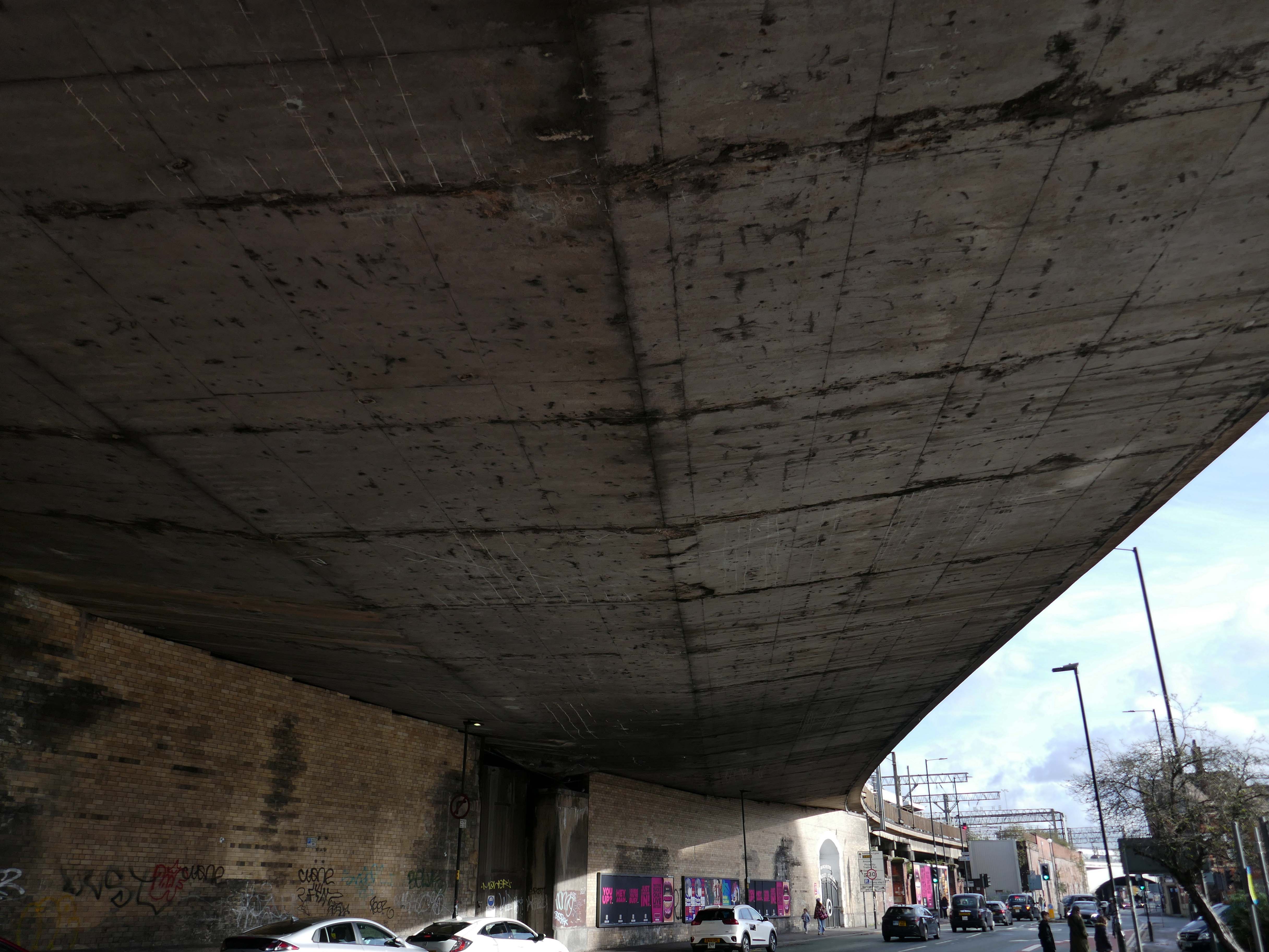
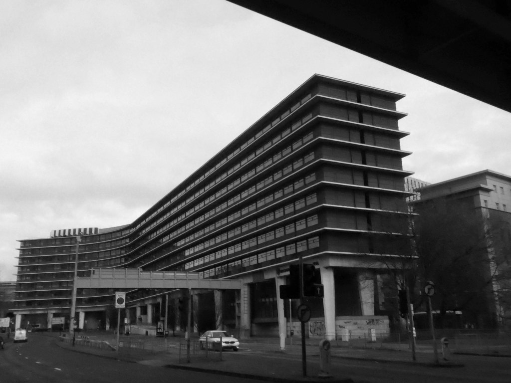
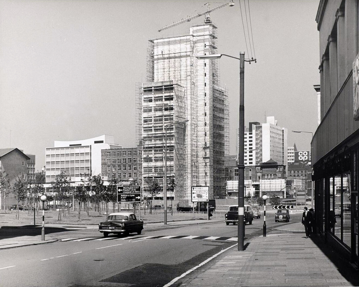
We the pass to the former BT Building – architects JW Hammond 1973.
Originally conceived as a hotel, there were no takers at the time, so it became the BT HQ.
Comprising 338 rooms, Manchester Marriott Hotel Piccadilly is near a shopping district, a 10-minute ride from Etihad Stadium. Offering a location right in the centre of a beautiful neighbourhood, this comfortable hotel boasts a lounge bar along with city views.
The developer’s architects now propose to ‘reimagine’ the artwork and incorporate it into the foyer of the new office building. However, this ‘reimagining’ requires large sections of the artwork to be removed by cutting away and ‘folding’ around 30% of the sculpture.
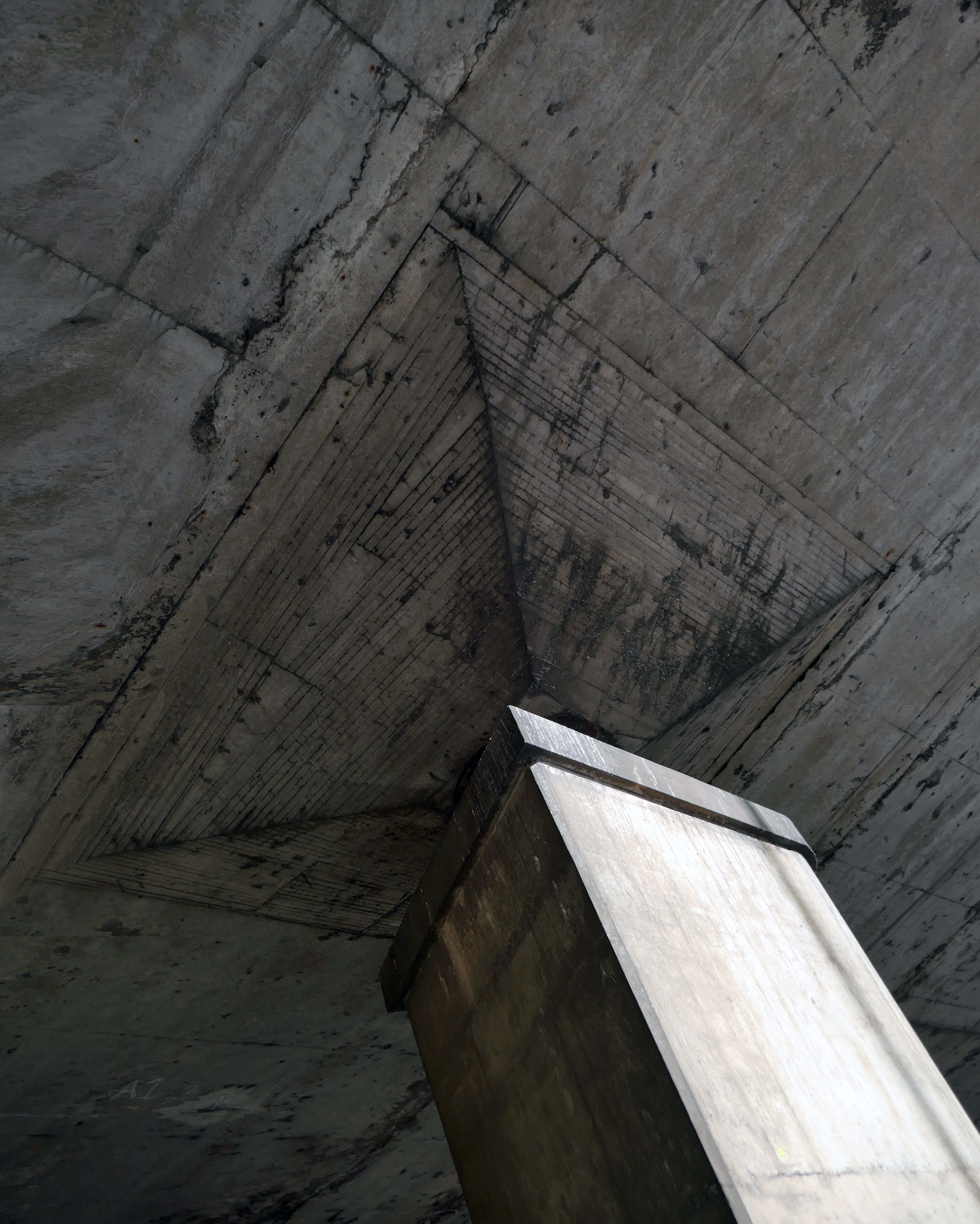
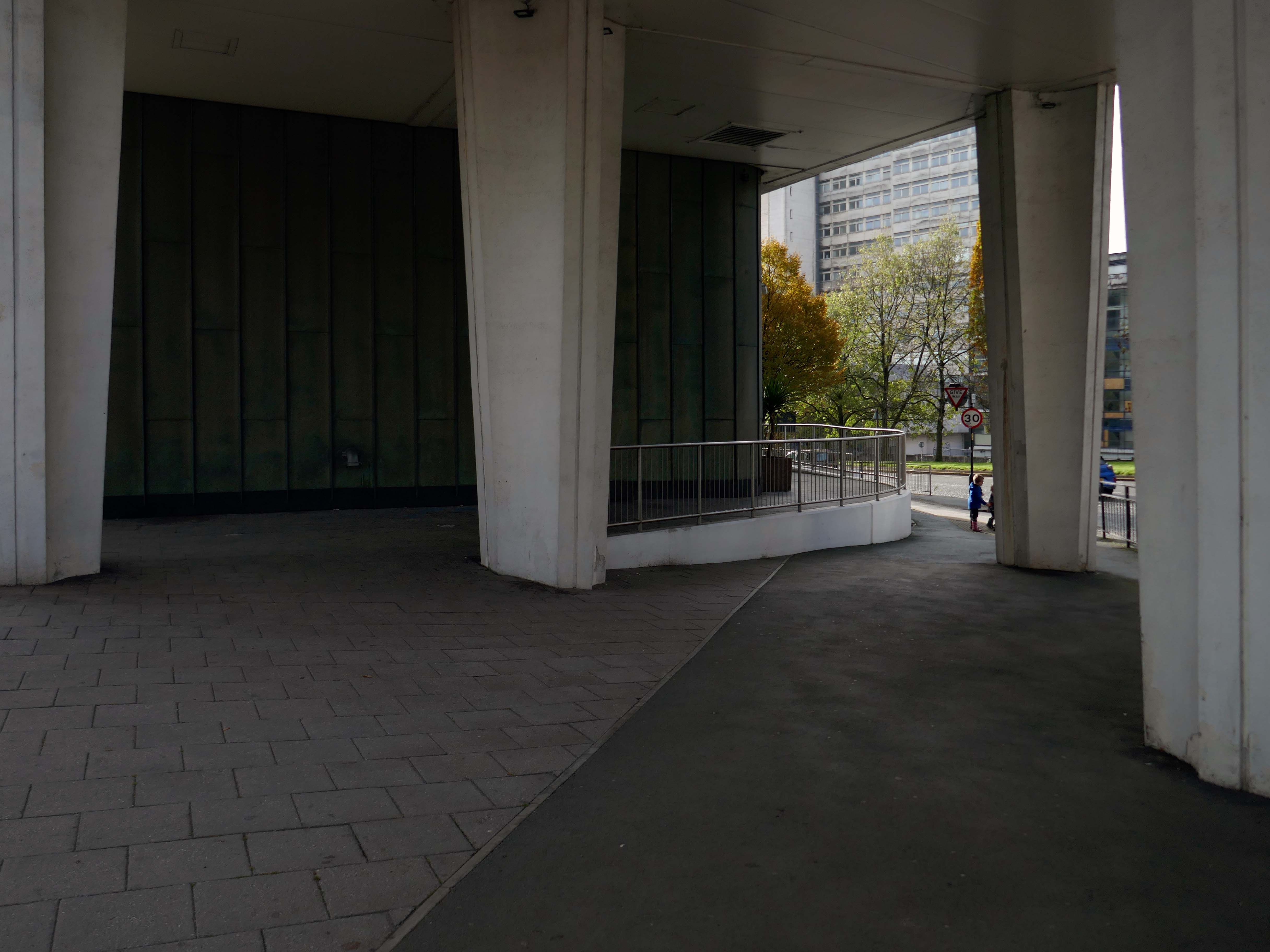
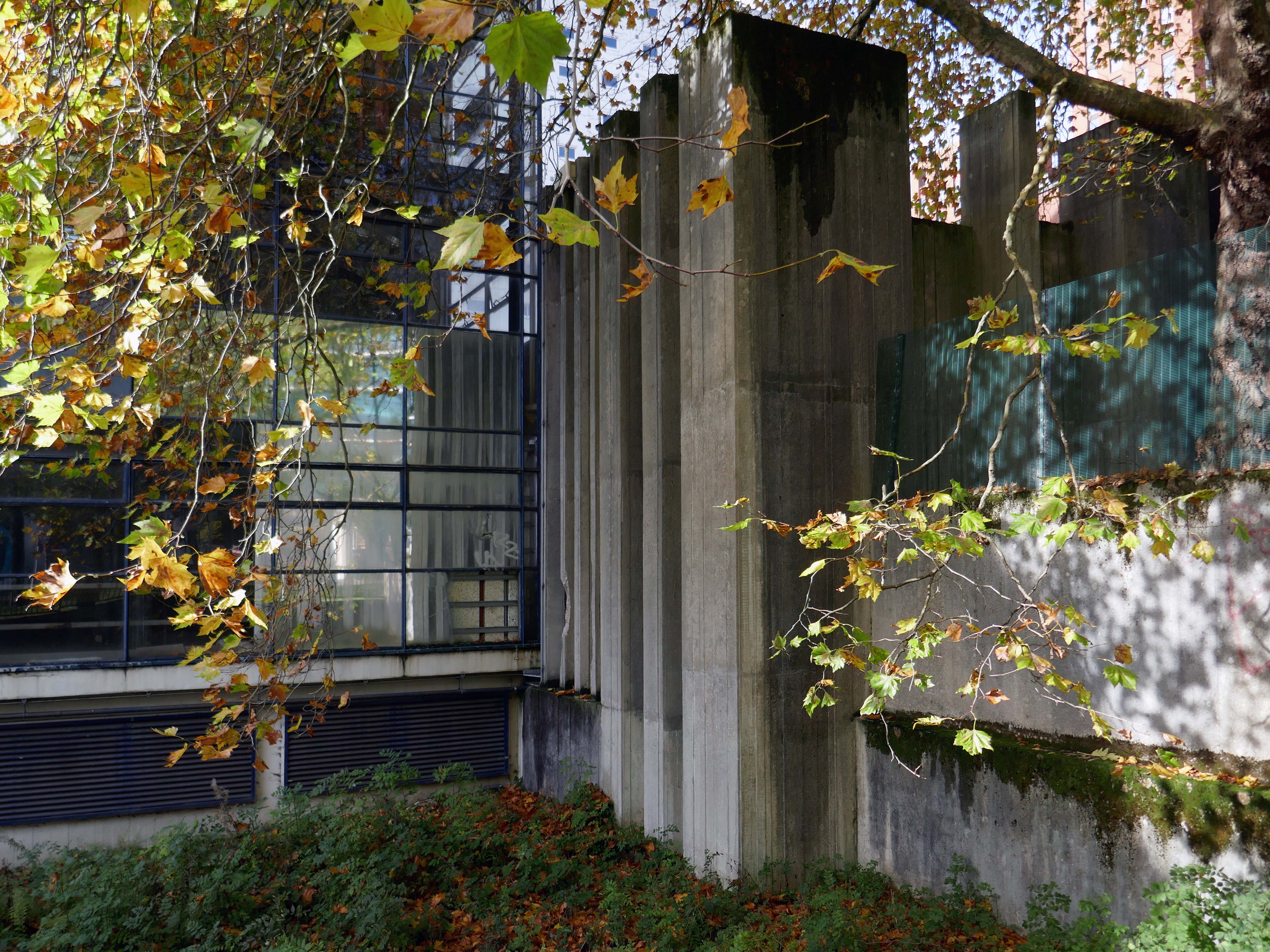
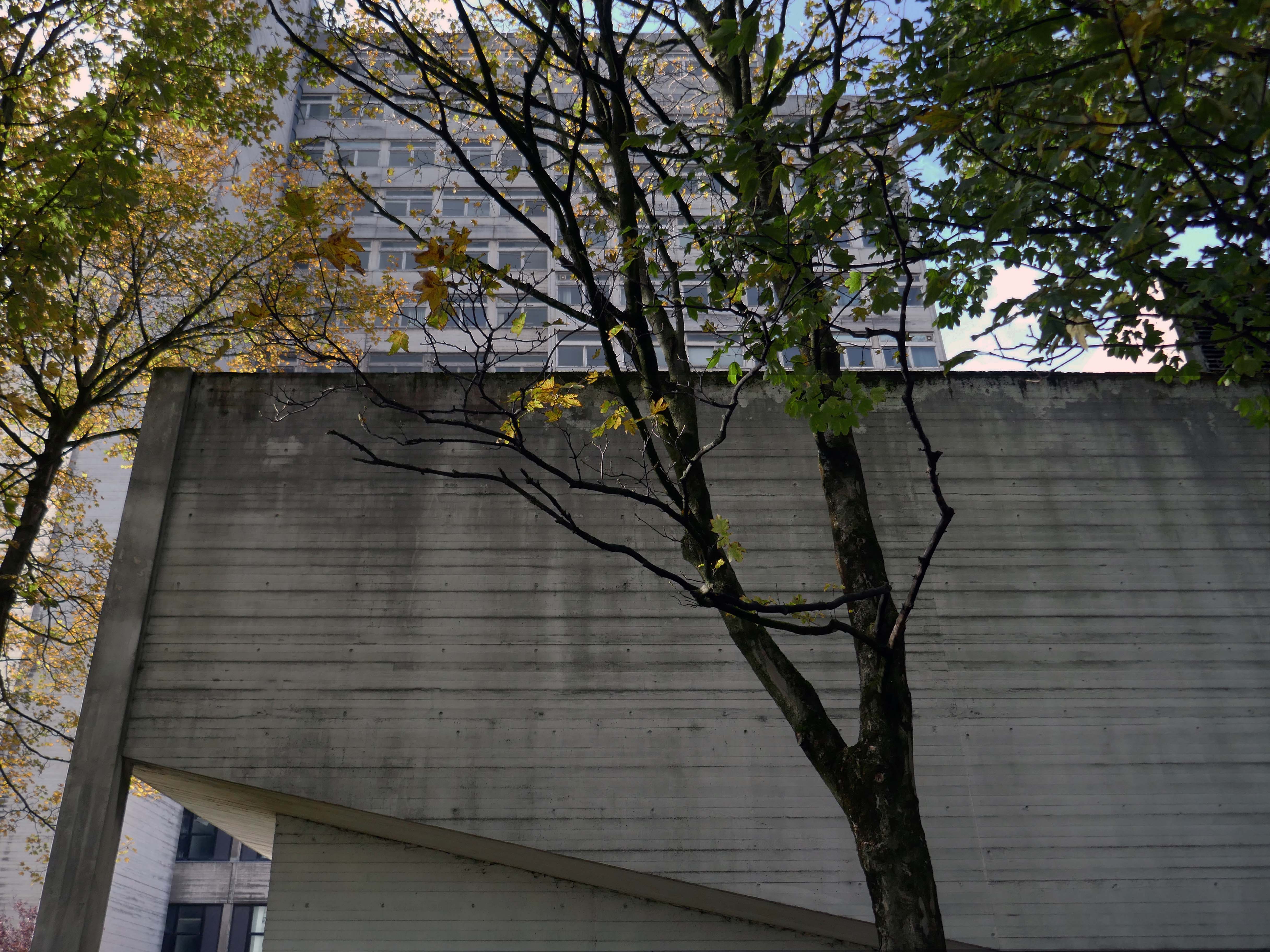
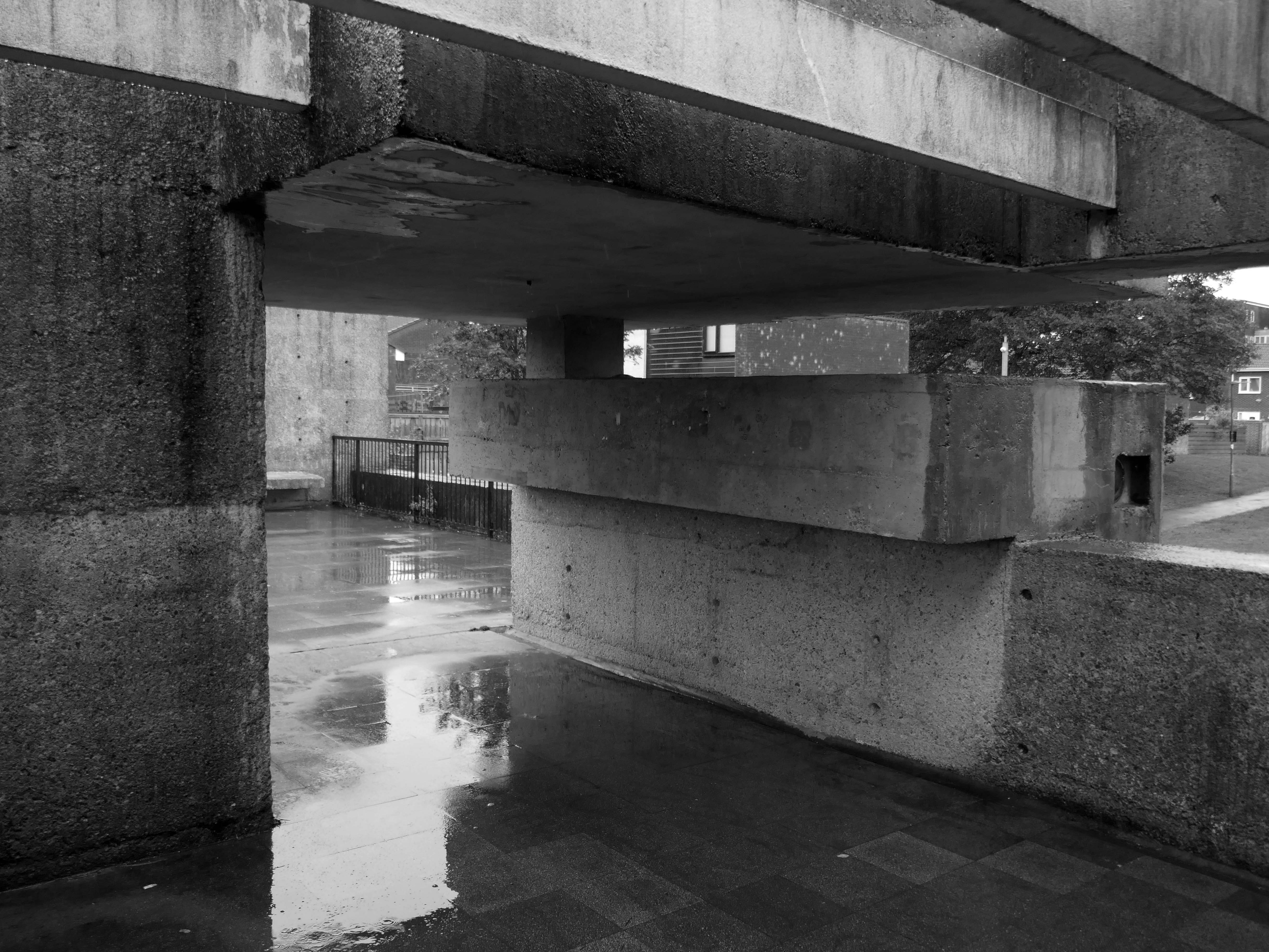
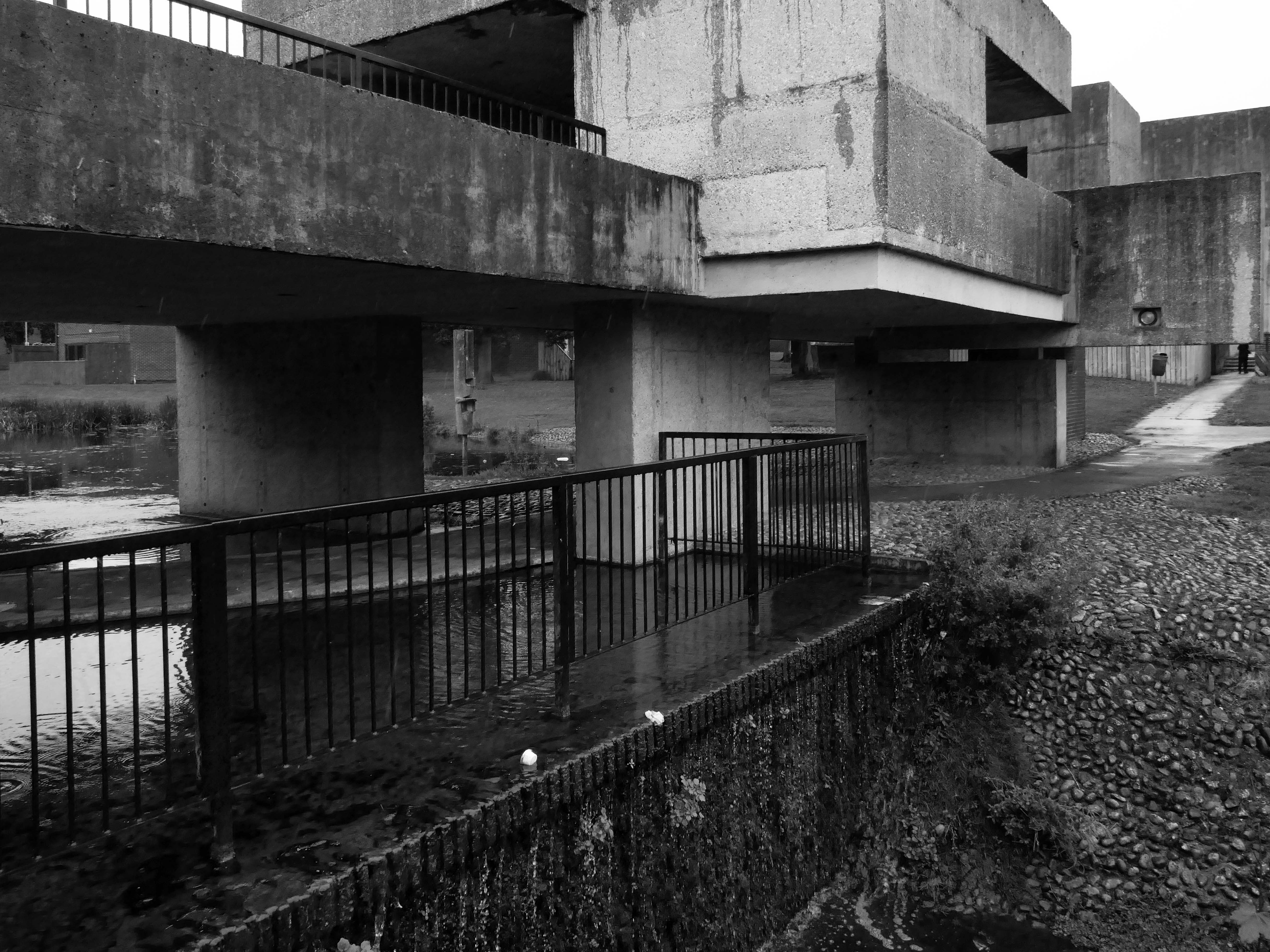
From beneath the roadway we can see the Ferranti Building.
Crossing over to see the Brunswick Estate, built in the Sixties and Seventies and recently refurbished.
S4B is a partnership leading the £106m regeneration of Brunswick, Manchester. The Brunswick Regeneration PFI is a combination of government funding, private investment and expertise that will revitalise Brunswick. Improvements will include council home refurbishments, new homes for sale and to rent and an improved neighbourhood design.
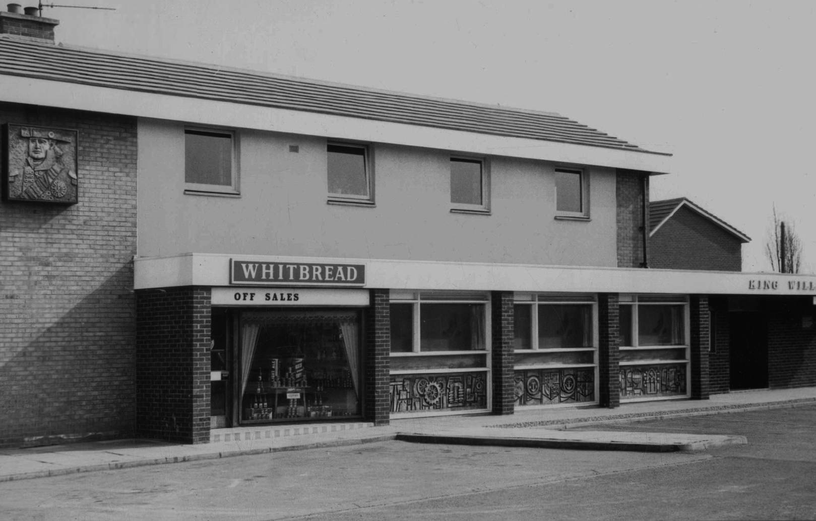
Long gone lost estate pub from the estate – King William IV a former Chesters then Whitbread estate pub was built in 1967. Closed in 1996 when it was converted to residential property. It had a brief spell 1991 to 1995 as brewery premises for the Dobbin’s West Coast Brewery, during this period the interior was stripped out to accommodate the brewery paraphernalia.
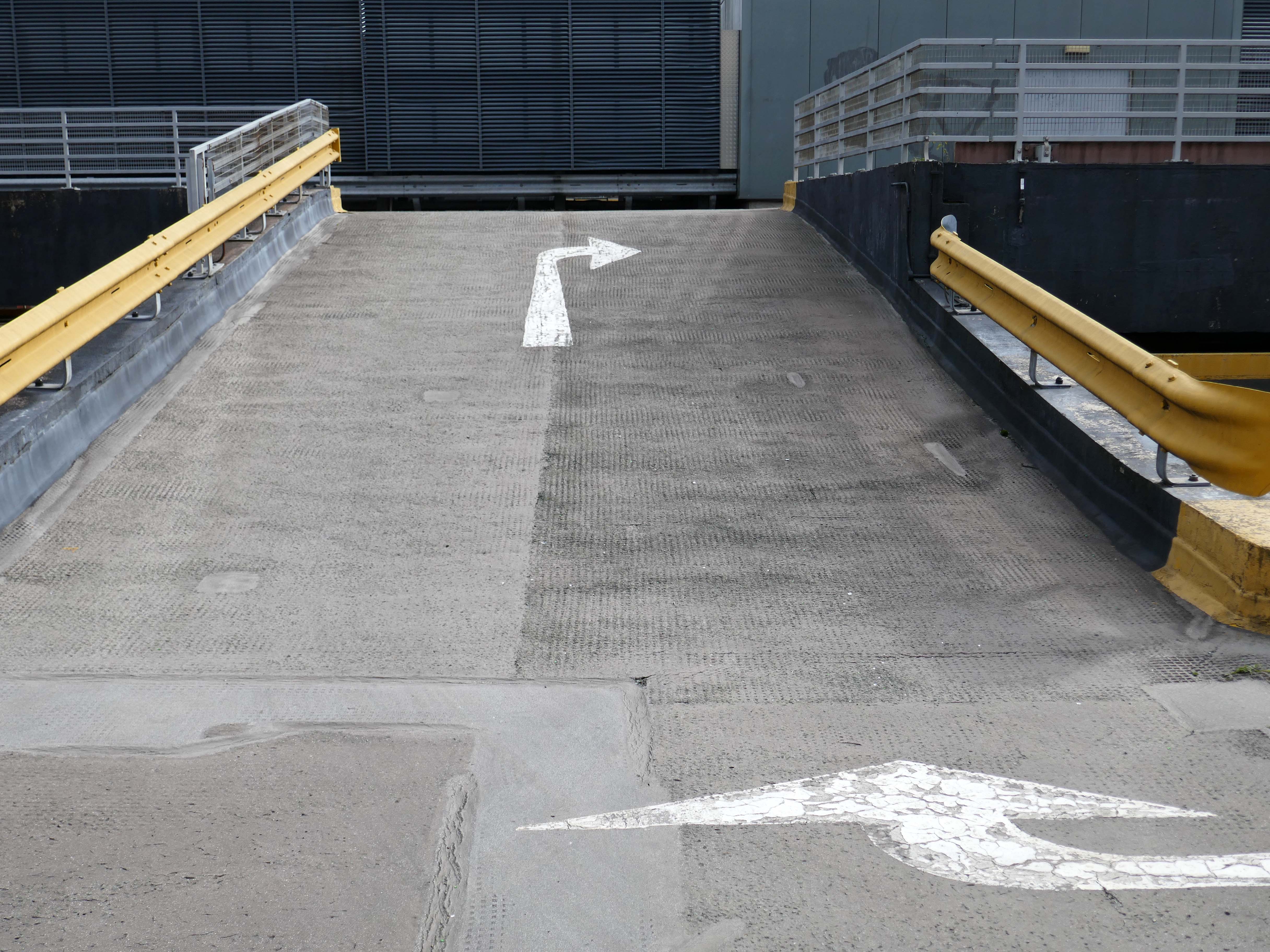
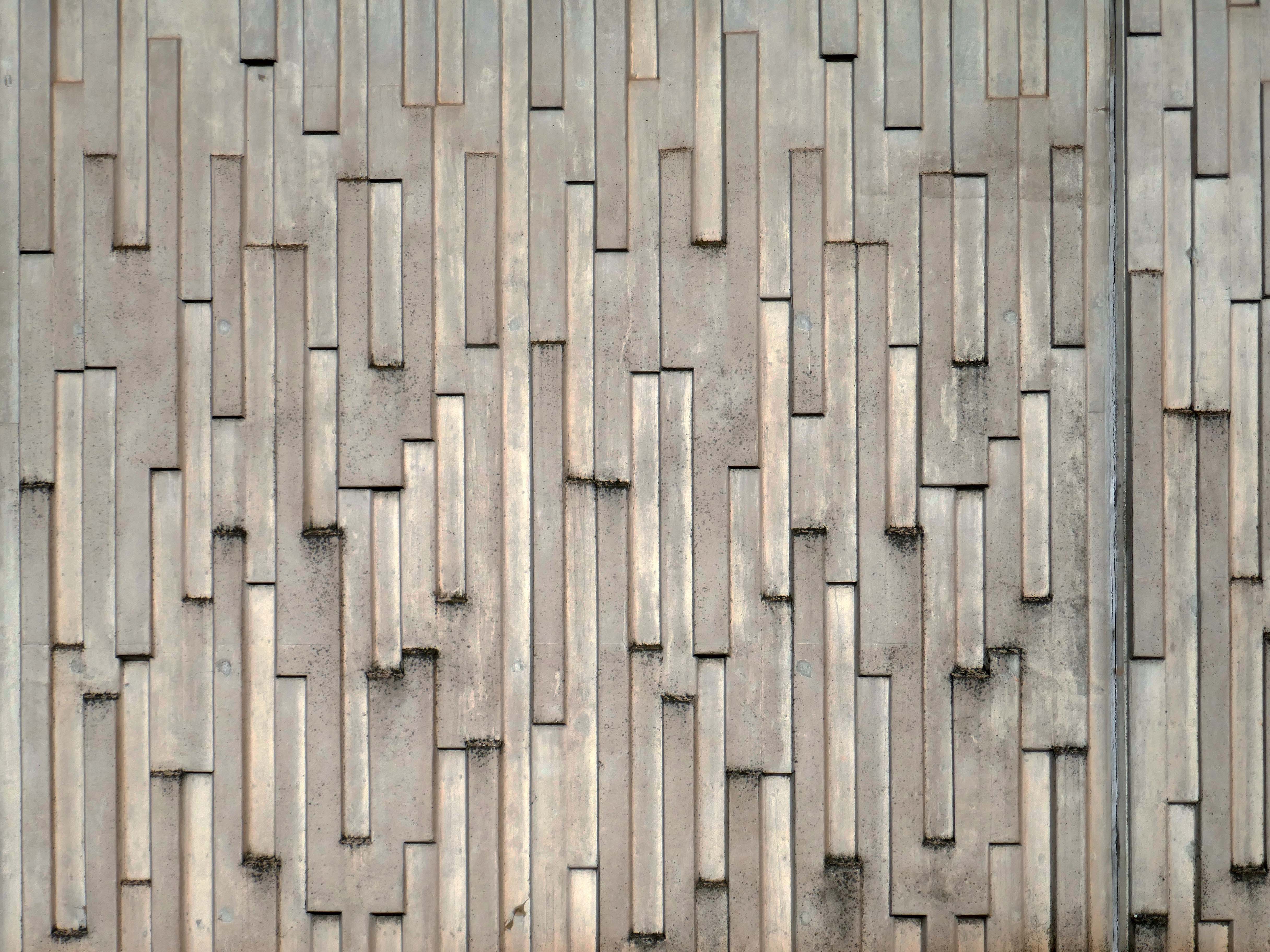
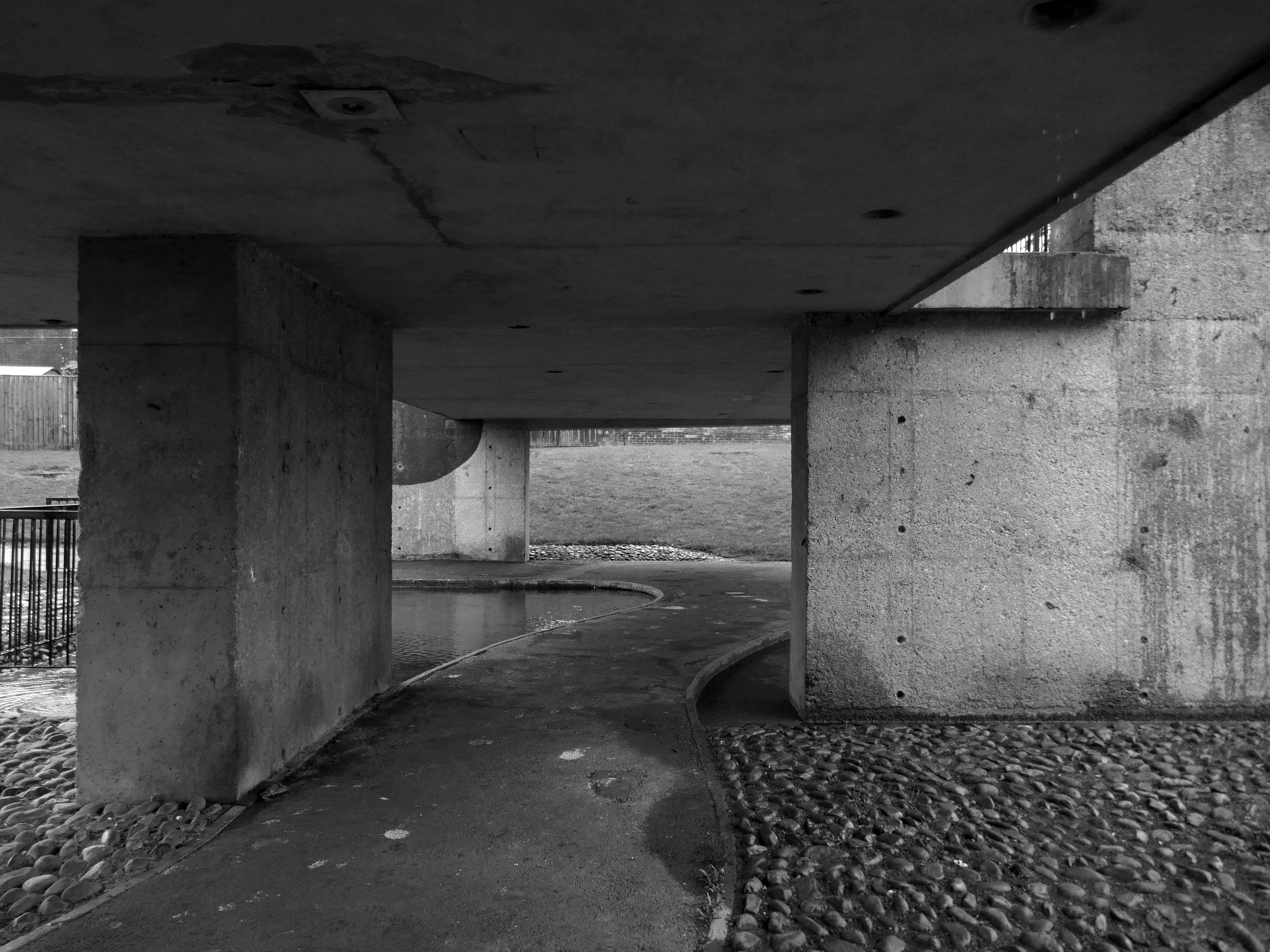
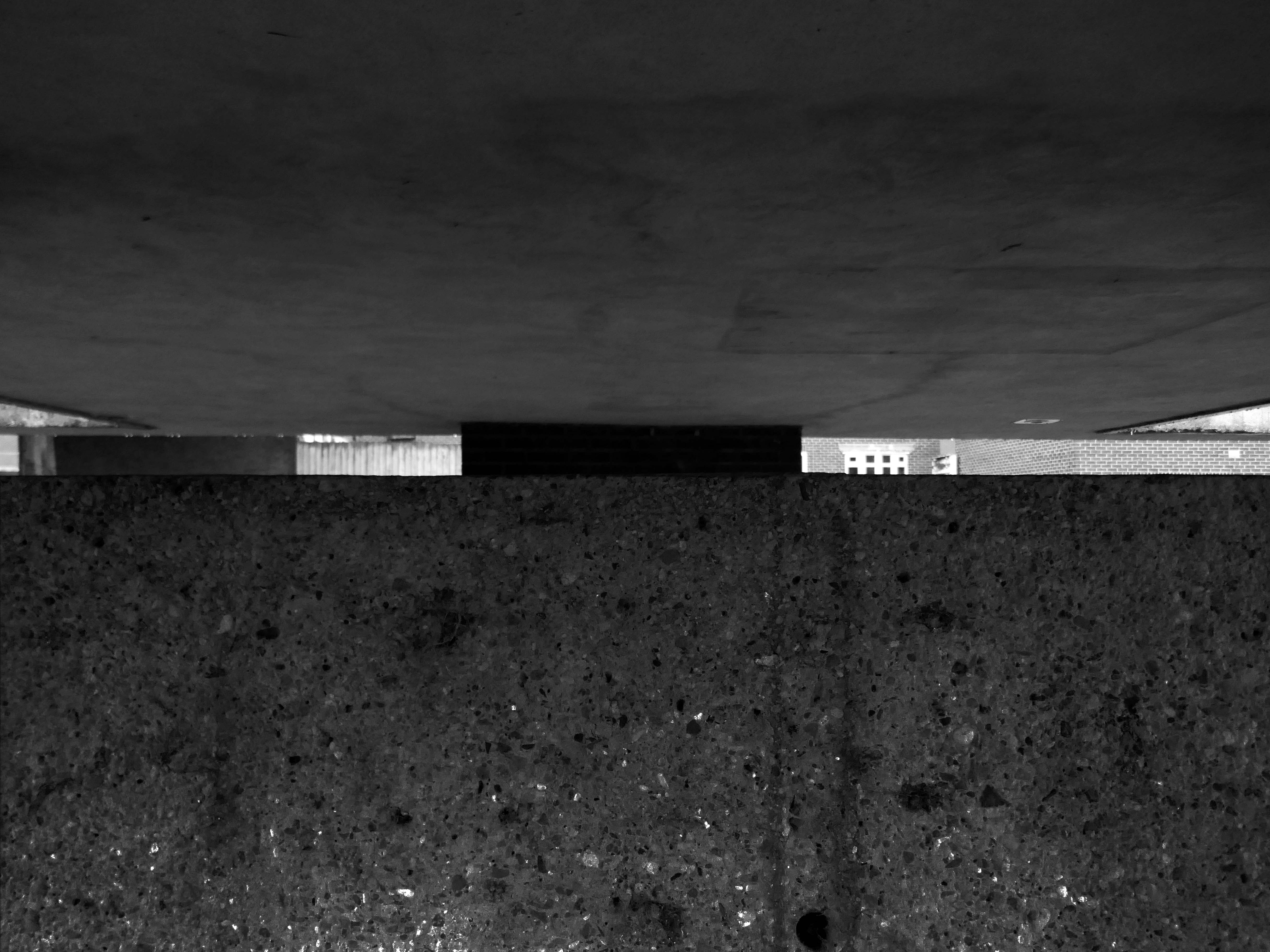
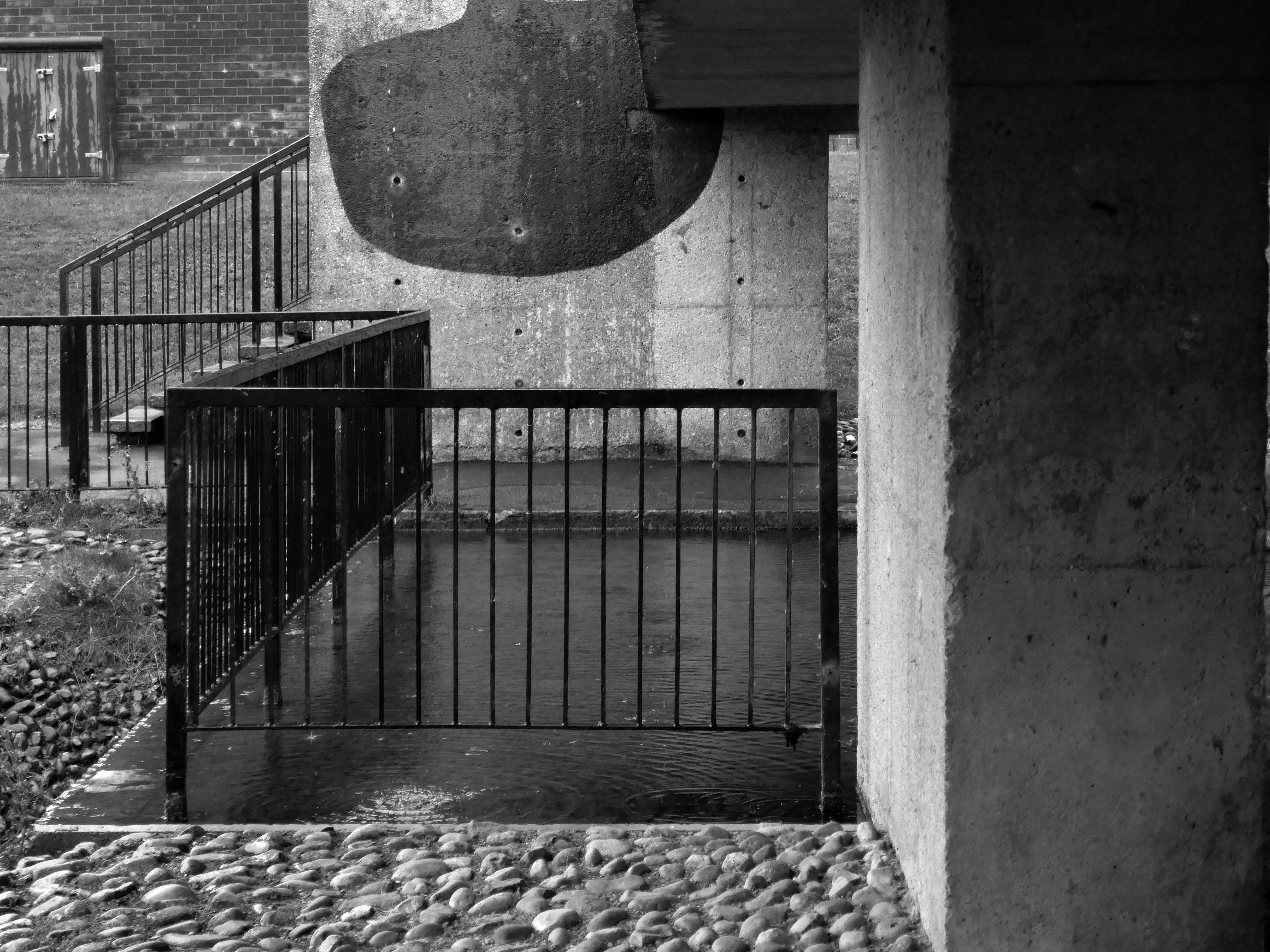
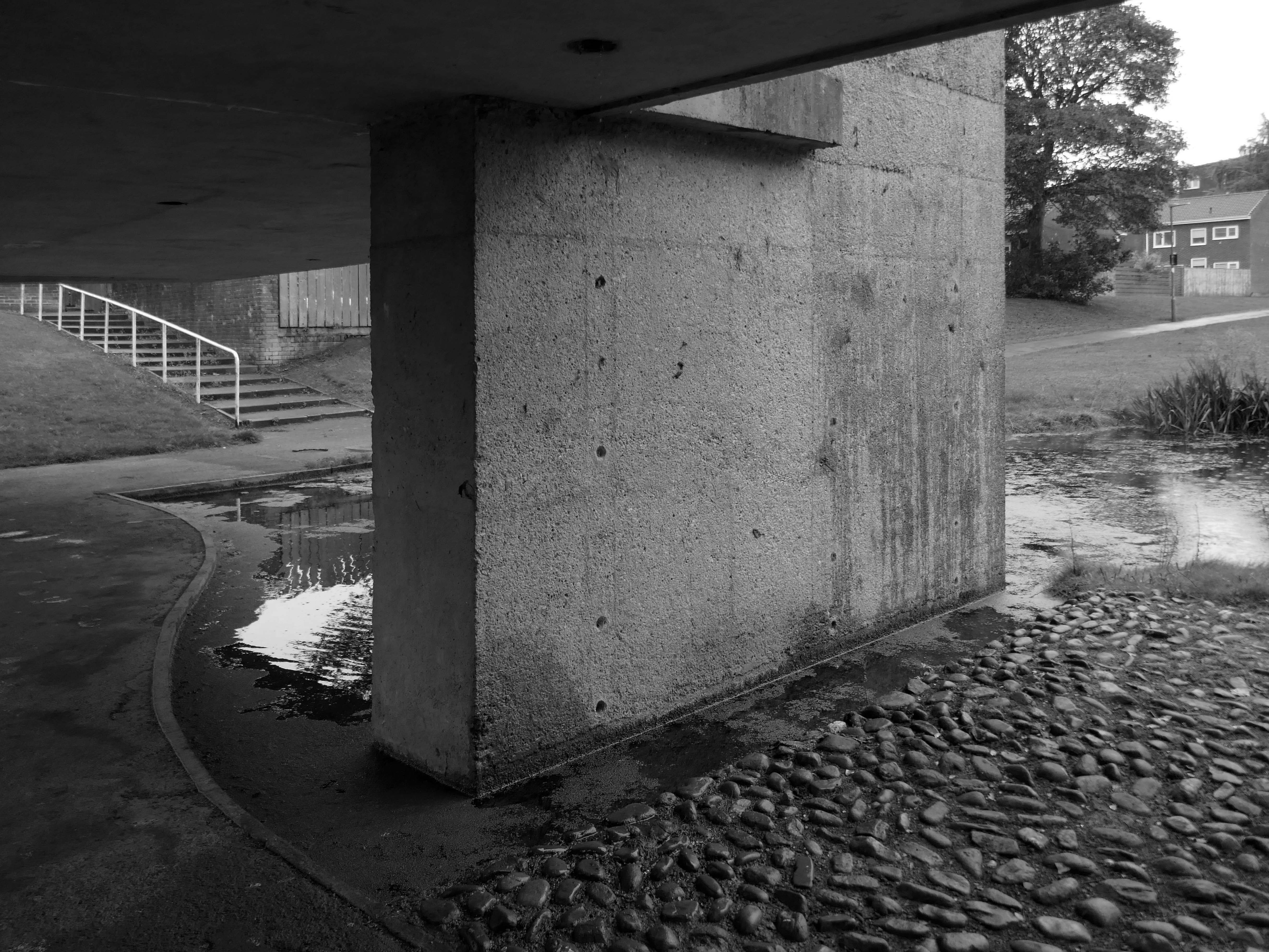
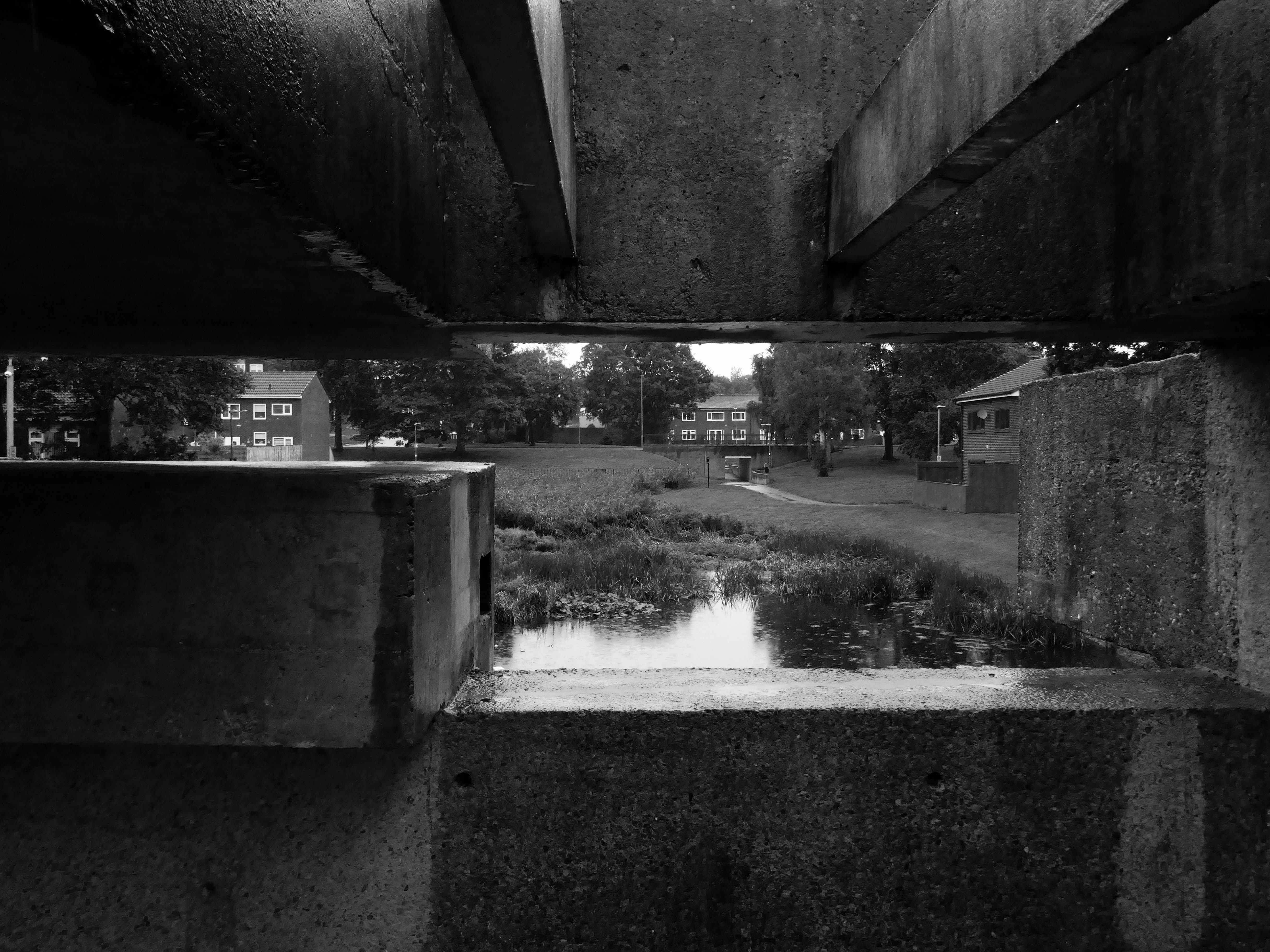
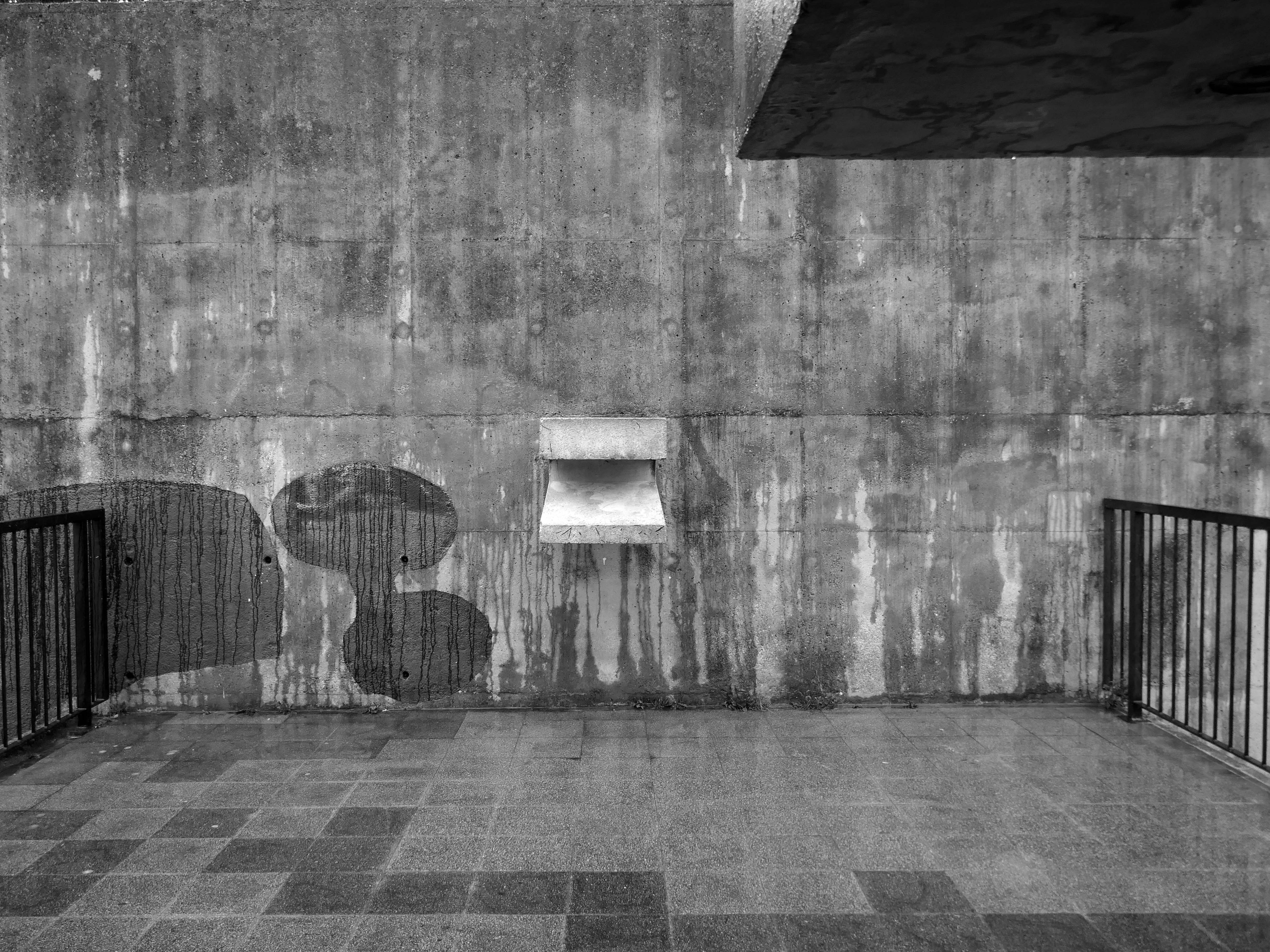
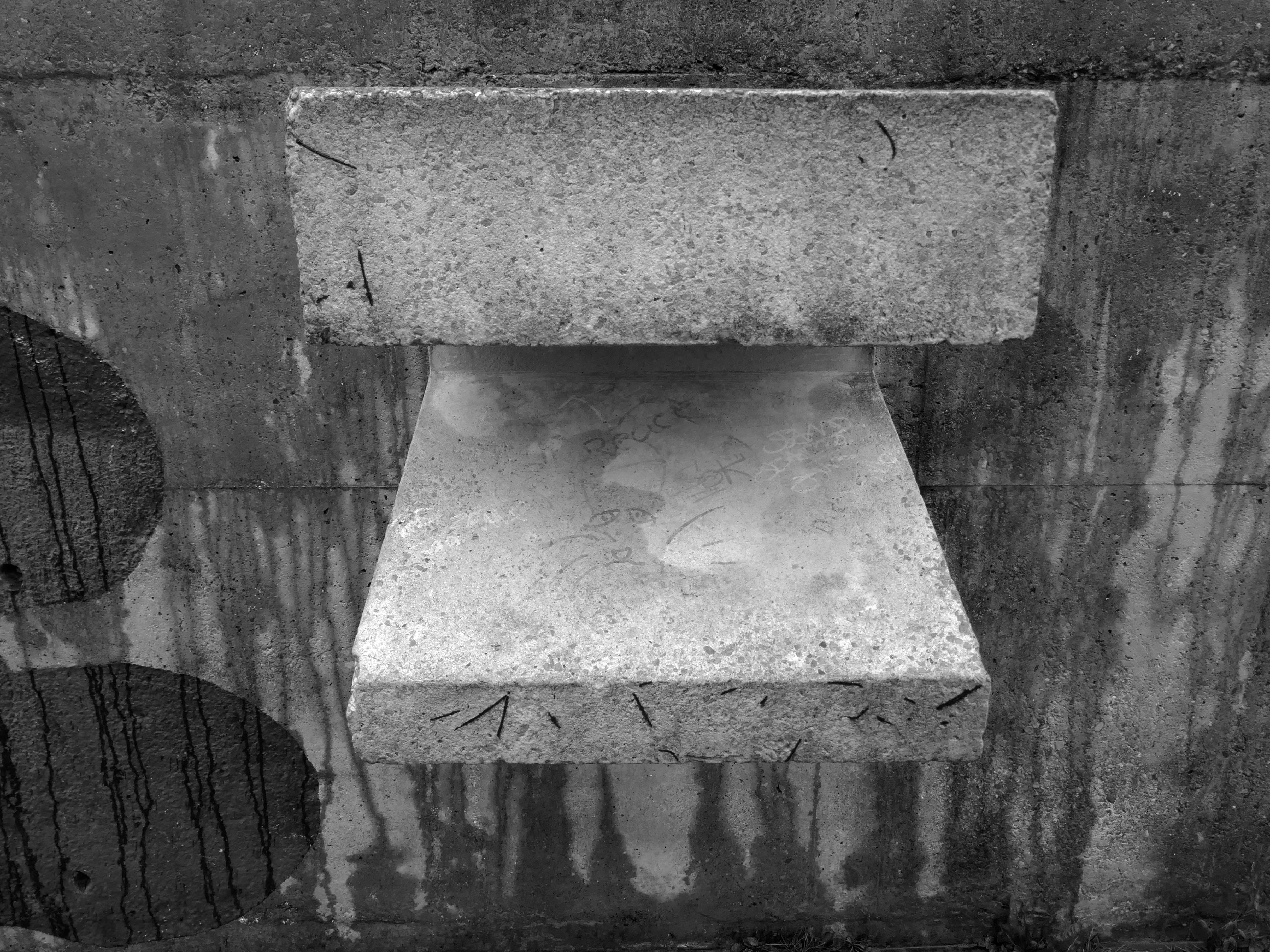
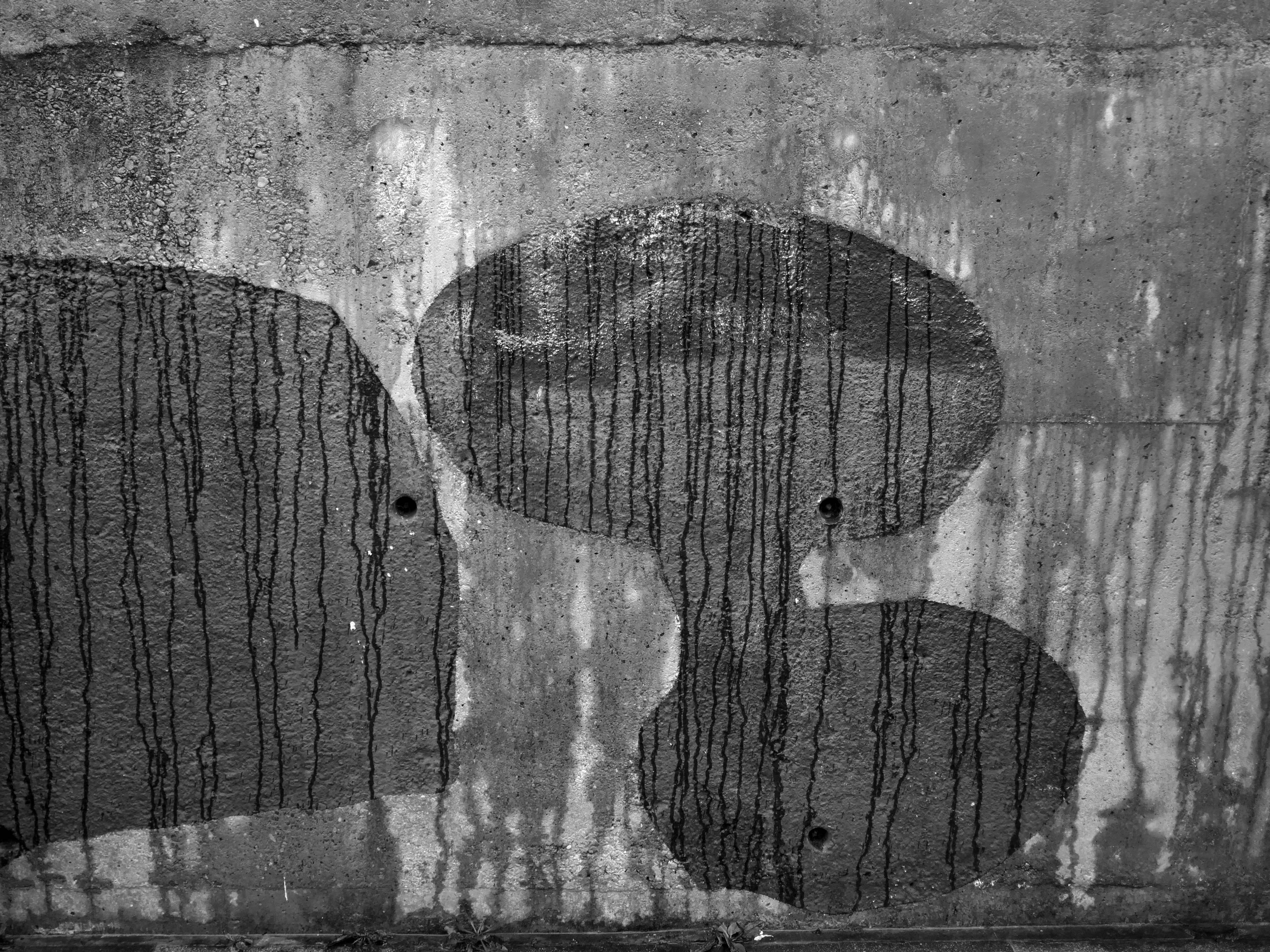
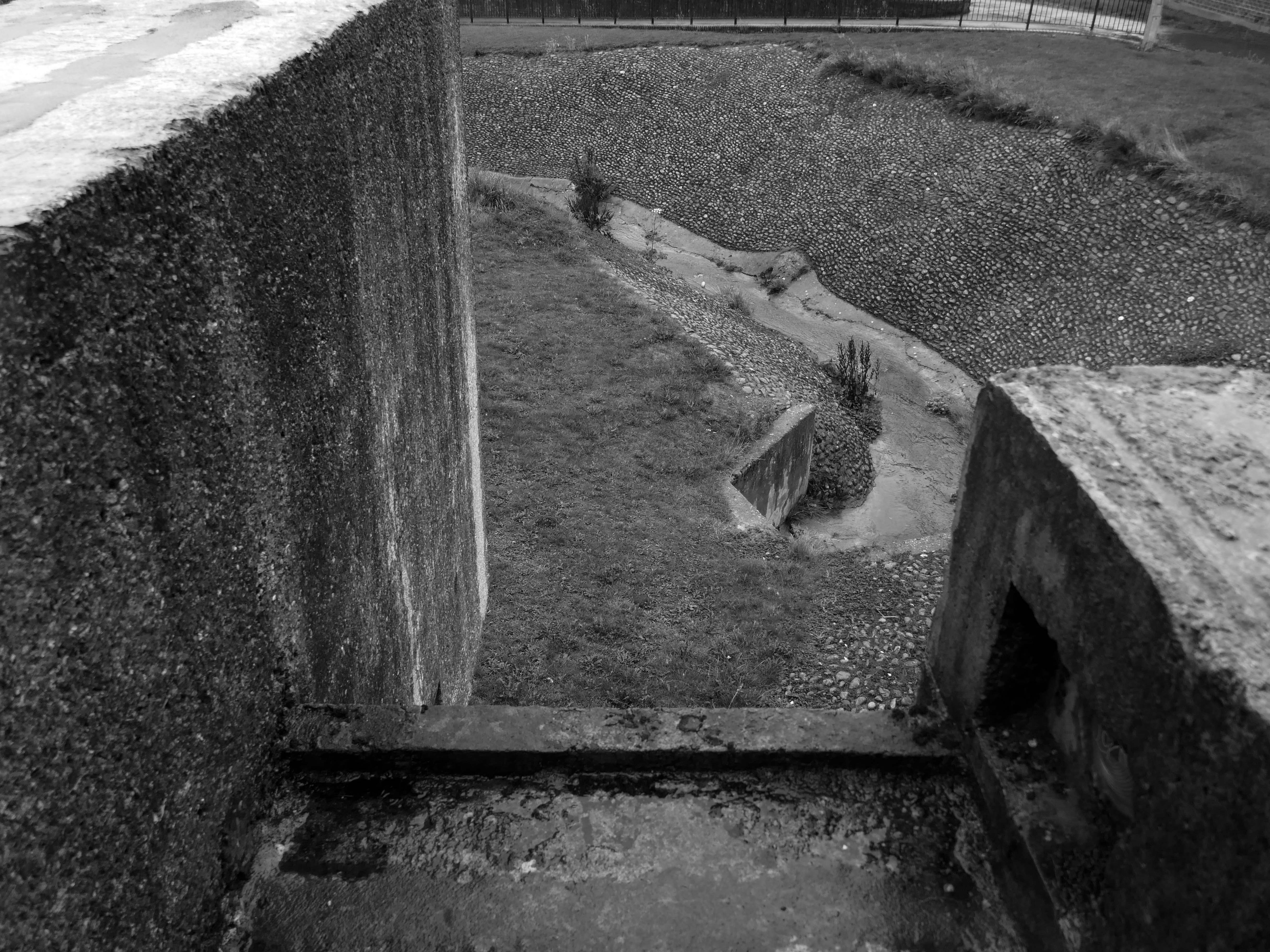
We take a jog around the block to see the concrete relief that clads the road ramp.
Where there was once a giant Cooperative Store there is now a light industrial and retail estate.
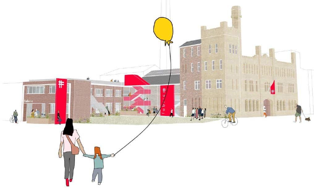
The Diocese of Manchester has been working in partnership with the Church Revitalisation Trust to open Fabric Church and refurbish the building, following a successful bid to the Church of England’s Strategic Mission and Ministry Investment Board.
We’re excited to be working alongside Fabric Church on the transformation of the Grade II listed former Ardwick Barracks in Manchester. This ambitious refurbishment project will see the historic site reimagined as a vibrant community hub, featuring a new worship hall, community café, offices, meeting spaces, and more.
Alongside Ardwick Green Park there are new housing developments nearing completion.
Ardwick Green combines contemporary design with great light infused spaces, offering stylish homes with a modern twist, private parking, outdoor spaces and a welcoming community atmosphere an urban retreat that truly feels like home.
With the city just moments away, living at Ardwick Green will give homeowners easy access to Manchester City Centre and beyond with its vibrant social scene, bustling business landscape and extensive transport network on your doorstep.
Without which much of what we understand as the modern age would possibly not now exist.
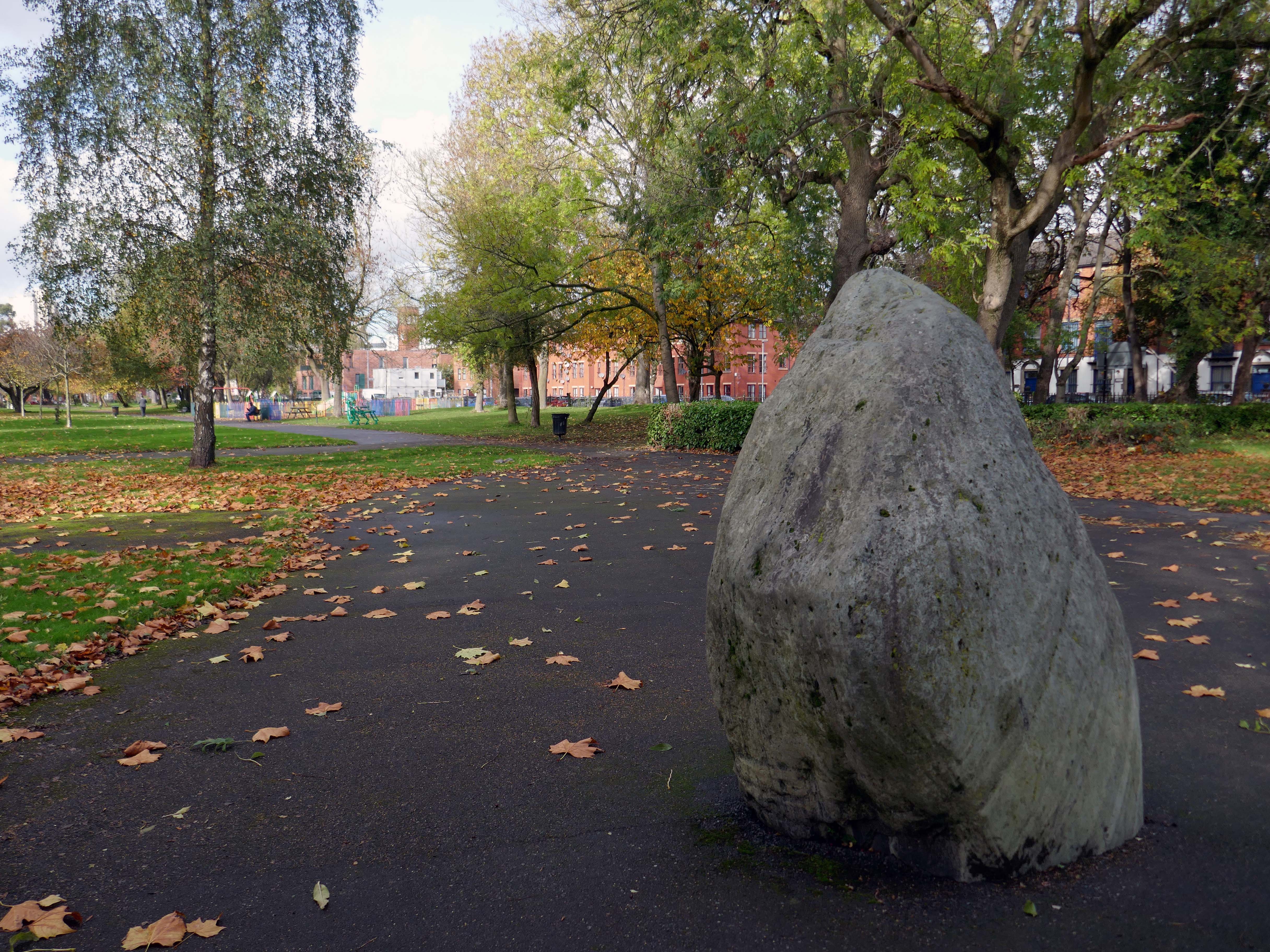
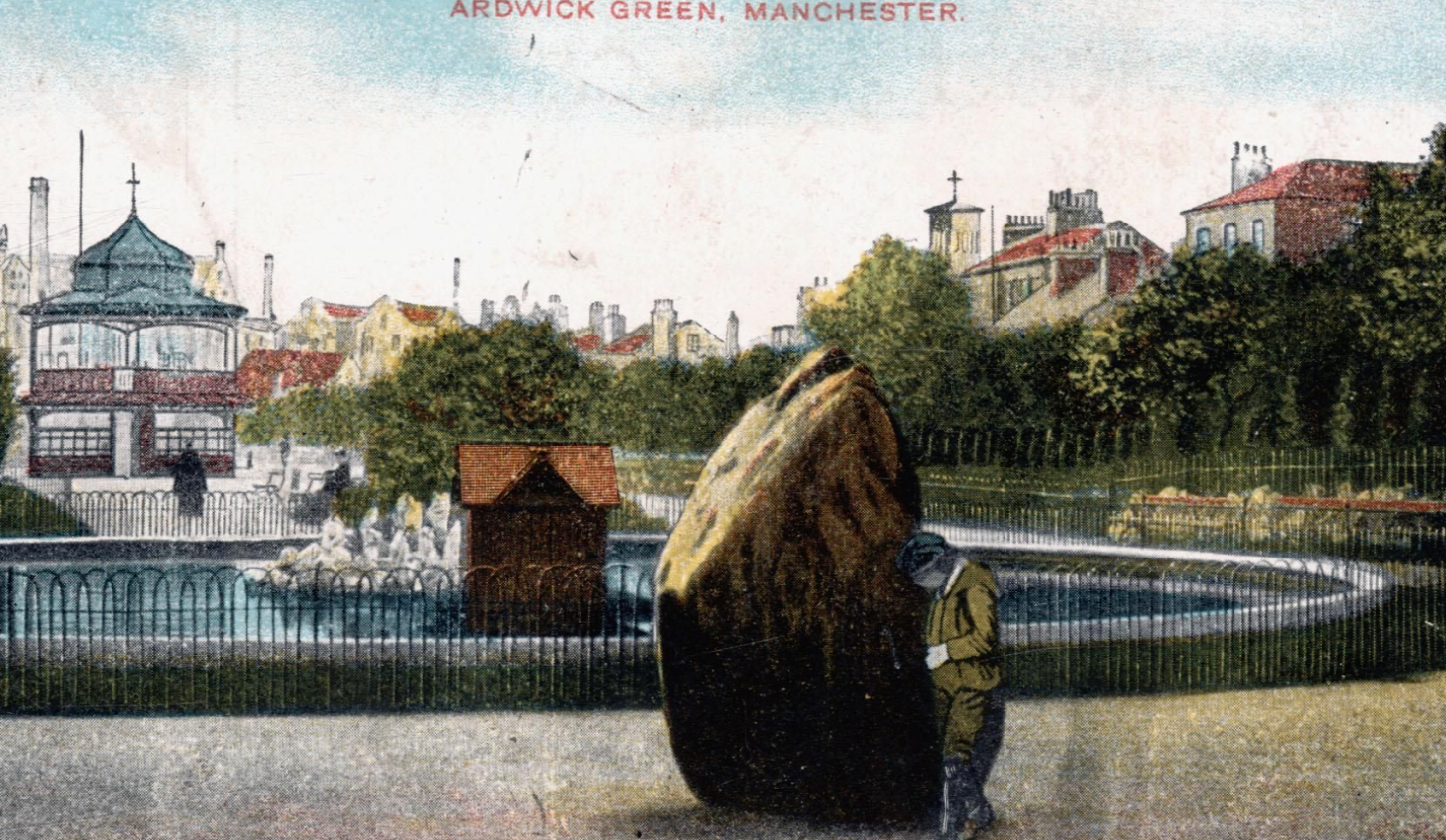
It appears to be green slate from the Lake District, the native underlying rock in this part of Manchester is a red sandstone.
Postcard of 1906
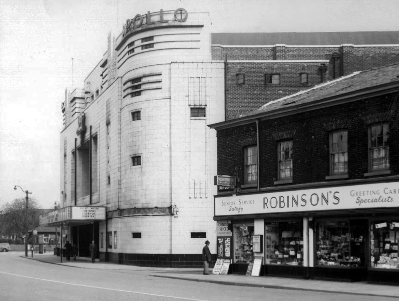
The Apollo of course prevails. – seen here in 1958
Architects: Peter Cummings Alex M Irvine
Opened on 29th August 1938 the interior decorations were carried out by noted interior designers Mollo & Egan with the Holophane lighting designed by R Gillespie Williams.
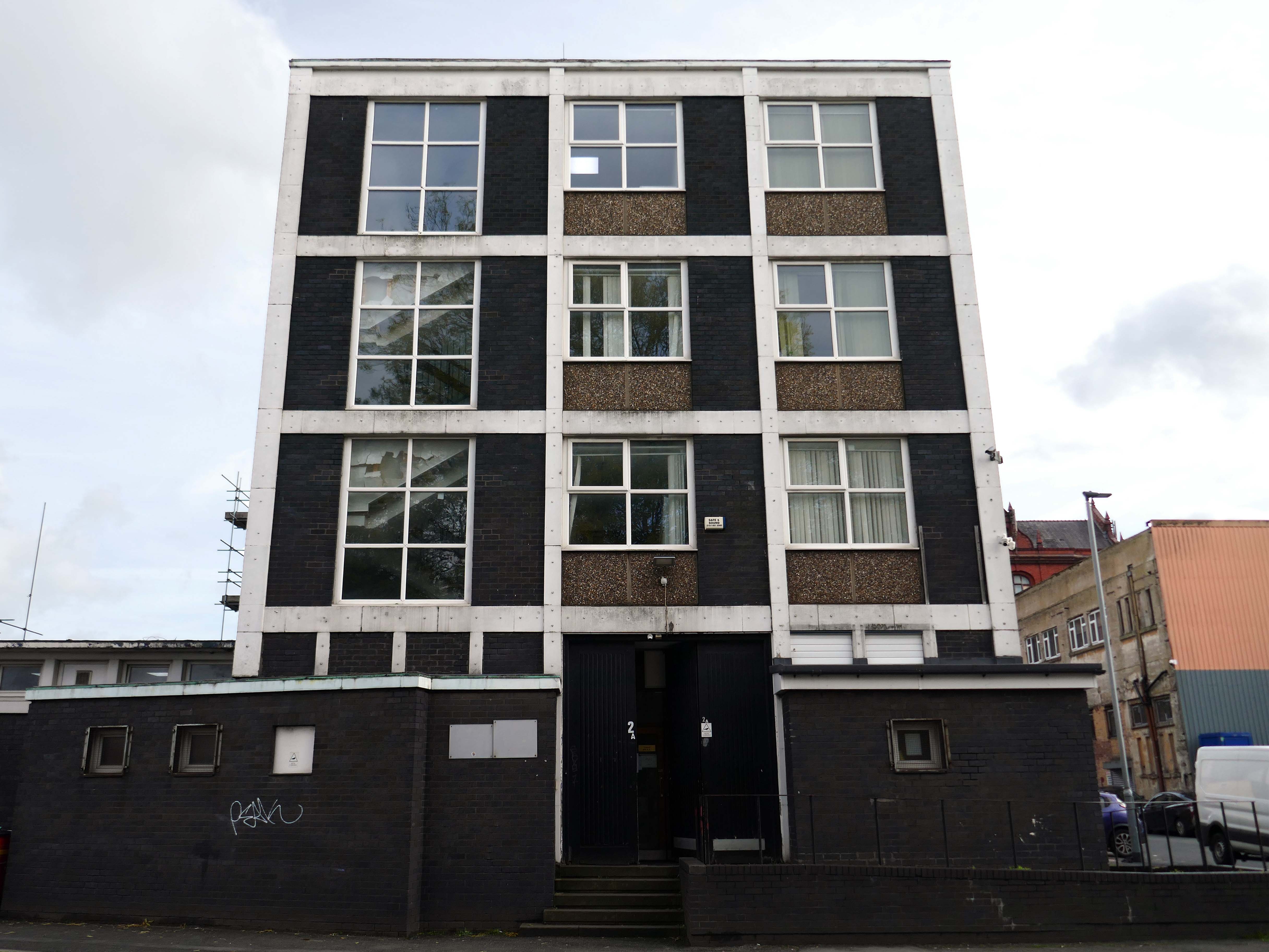
This Sixties municipal building remains a mystery.
Actor Harry H Corbett visiting his childhood area in 1969, he lived on Earl Street and later in Wythenshawe.
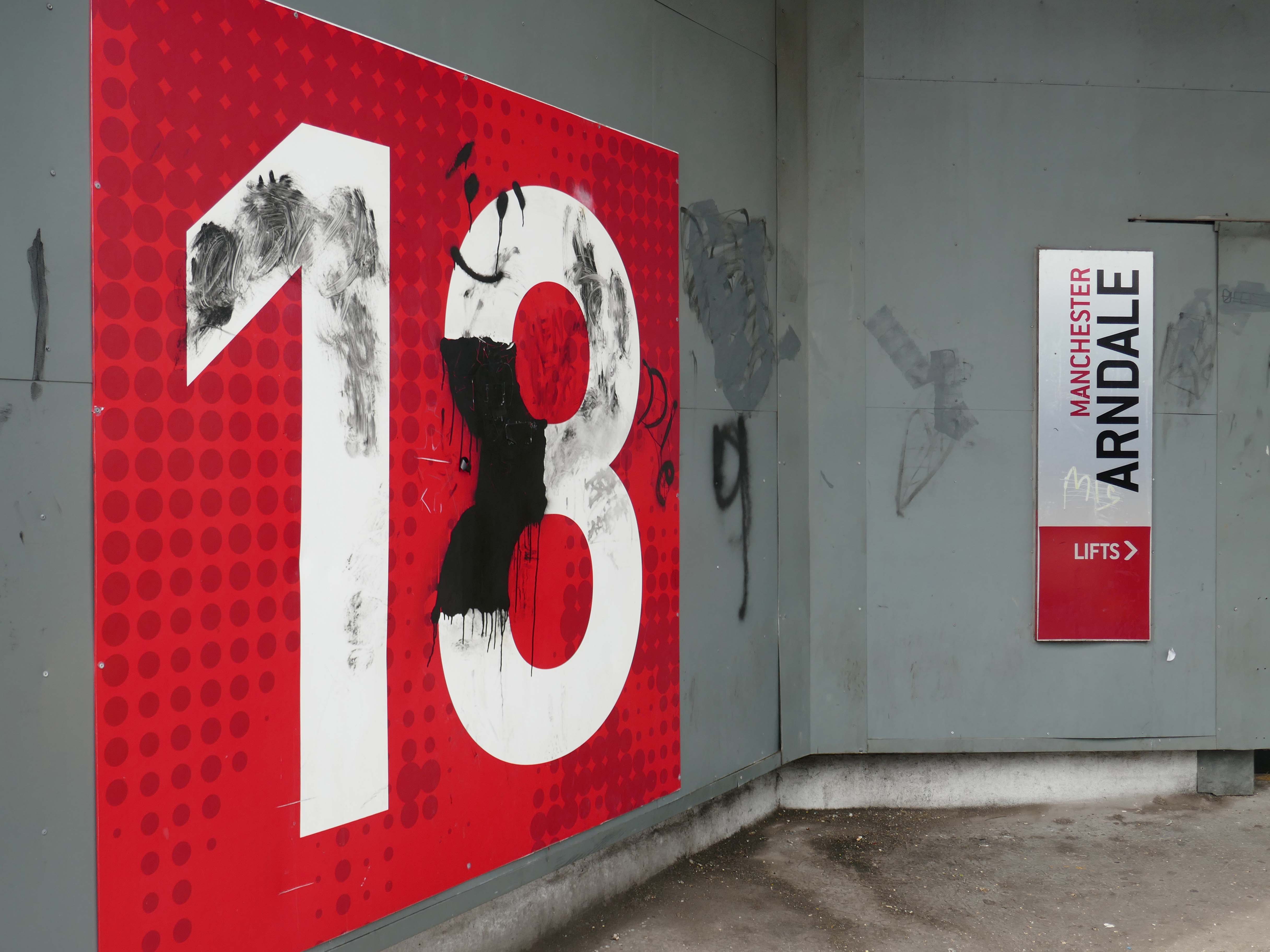
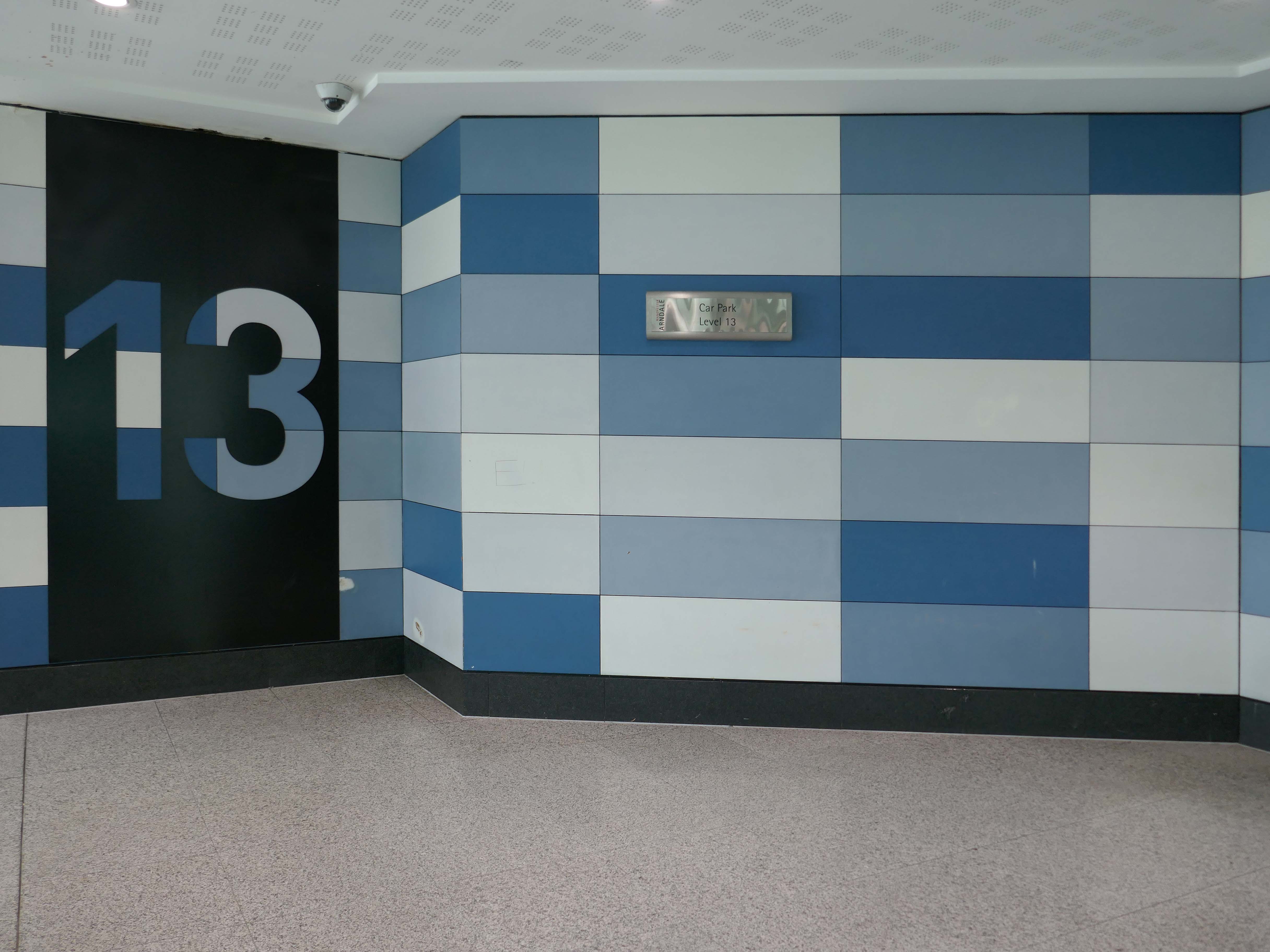
It seems that you are not long for this world – destined for an ultra elevated multi-storey heaven.
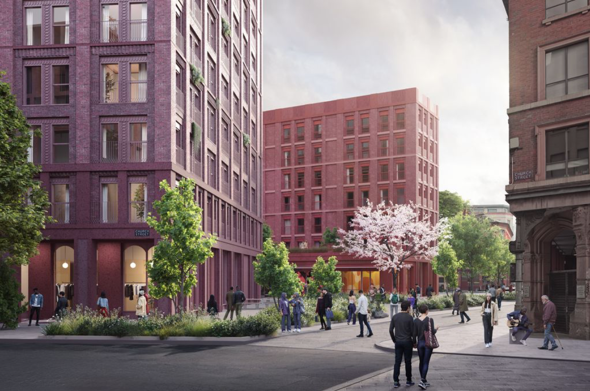
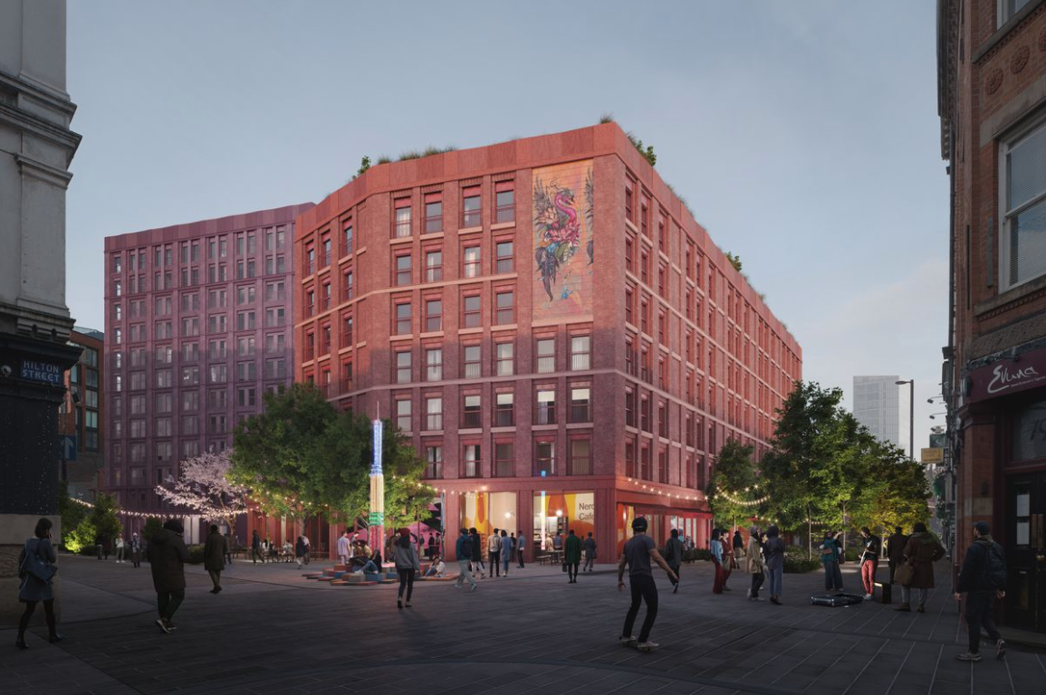
An eyesore Northern Quarter car park is to be demolished to make way for a new development. Four new public squares will be built, the council has announced.
MEN
Glenbrook’s proposal for the 1.5-acre site, designed by Tim Groom Architects, will feature 20% affordable provision, in line with the city council’s aspirations.
The new neighbourhood will also feature four public squares and green spaces, a flexible community and gallery space, and commercial units for local independent businesses and food and beverage outlets.
“The Church St site represents a unique opportunity in the heart of the Northern Quarter, a neighbourhood and community that is alive with energy and creativity, and Glenbrook is delighted to play an important role in its future growth,” said Ian Sherry, director at Glenbrook.
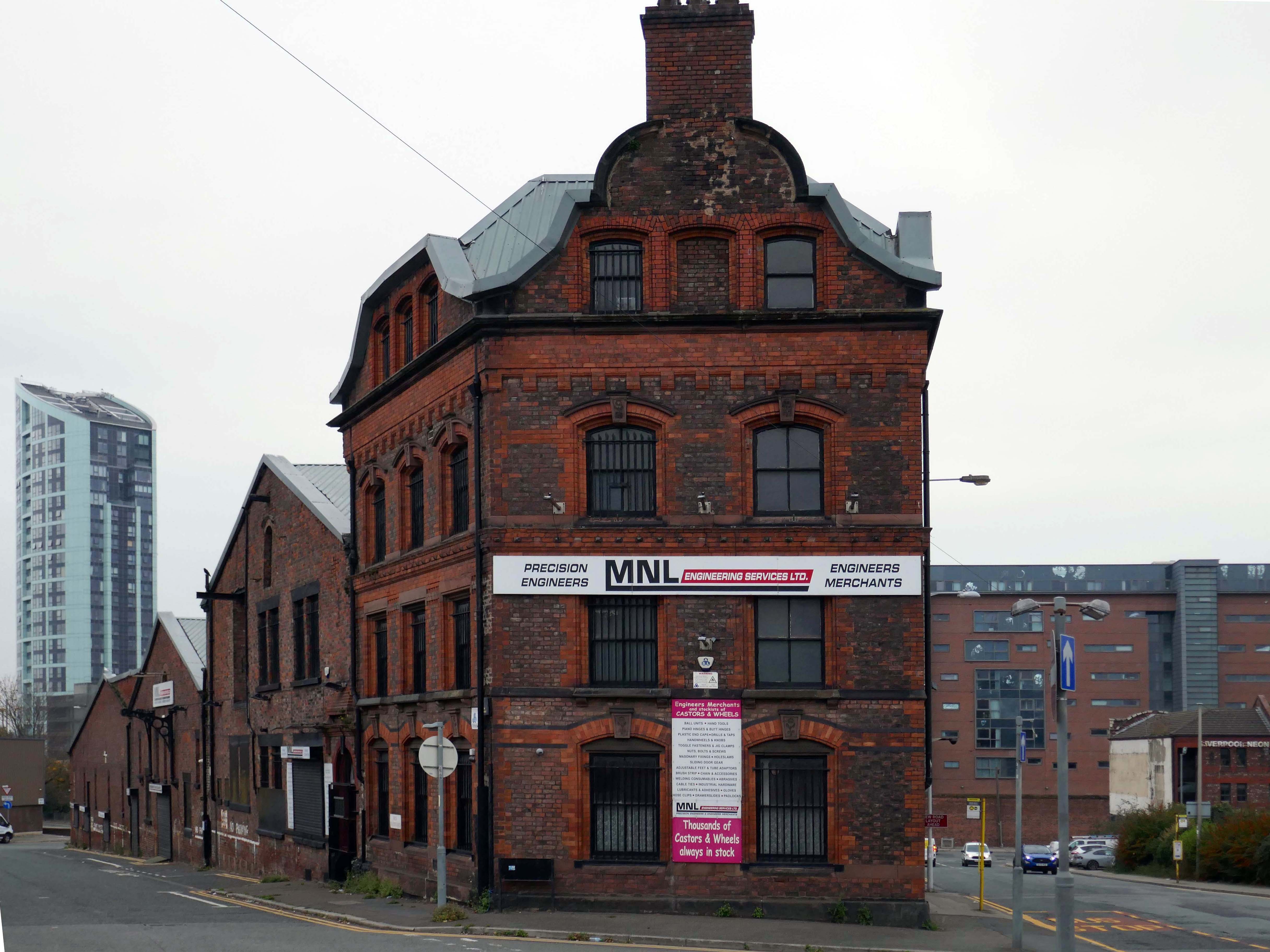
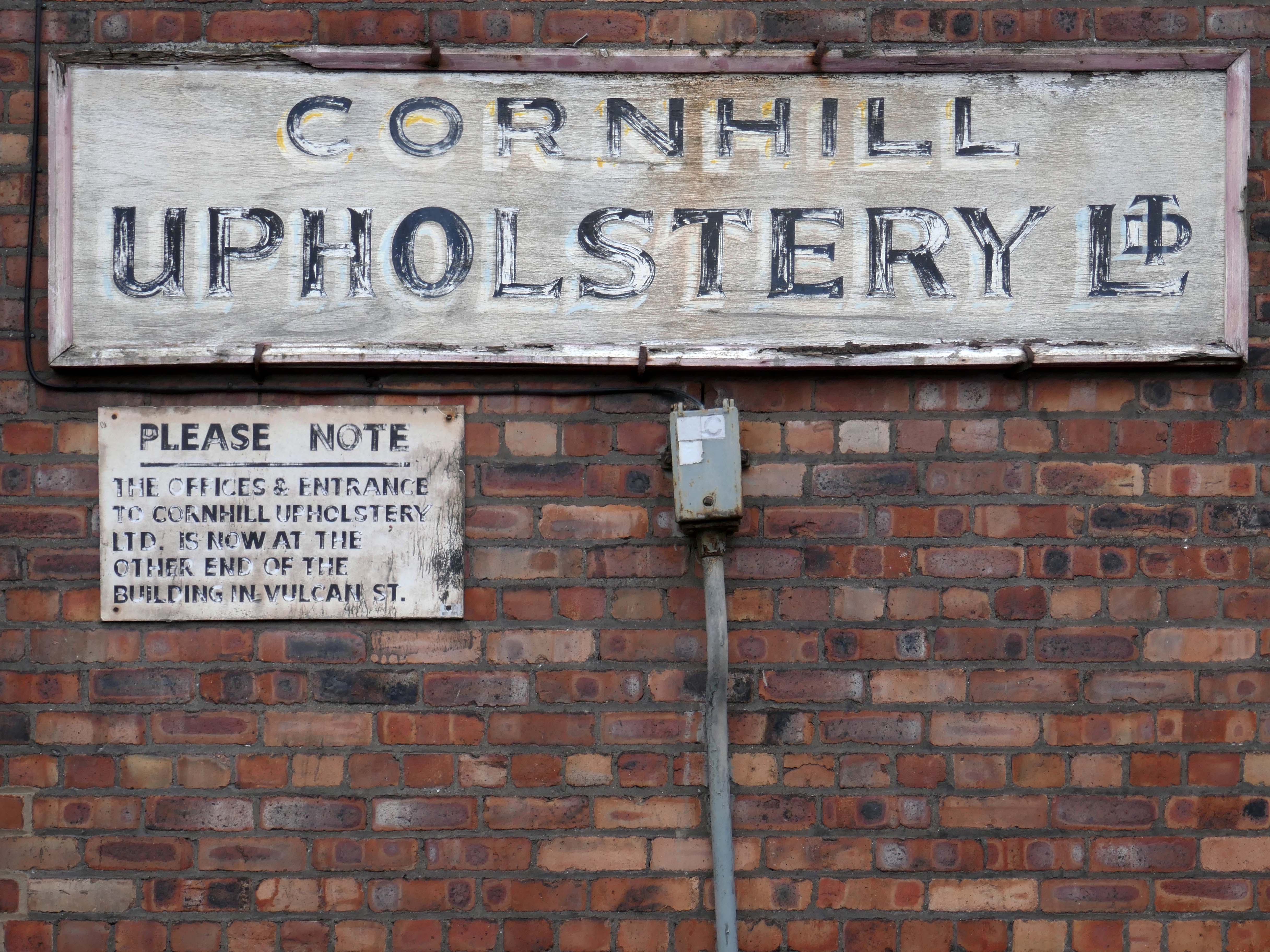
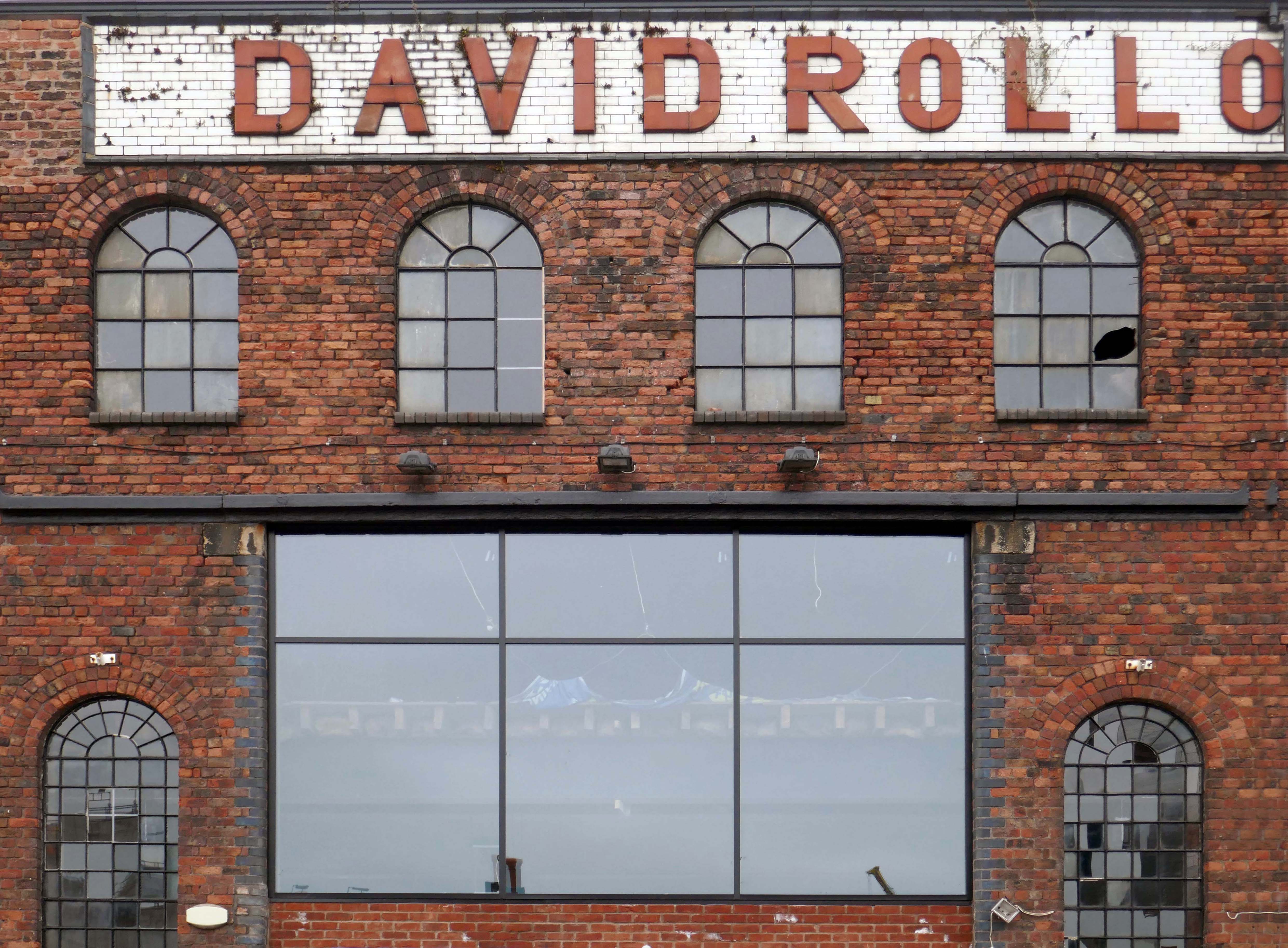
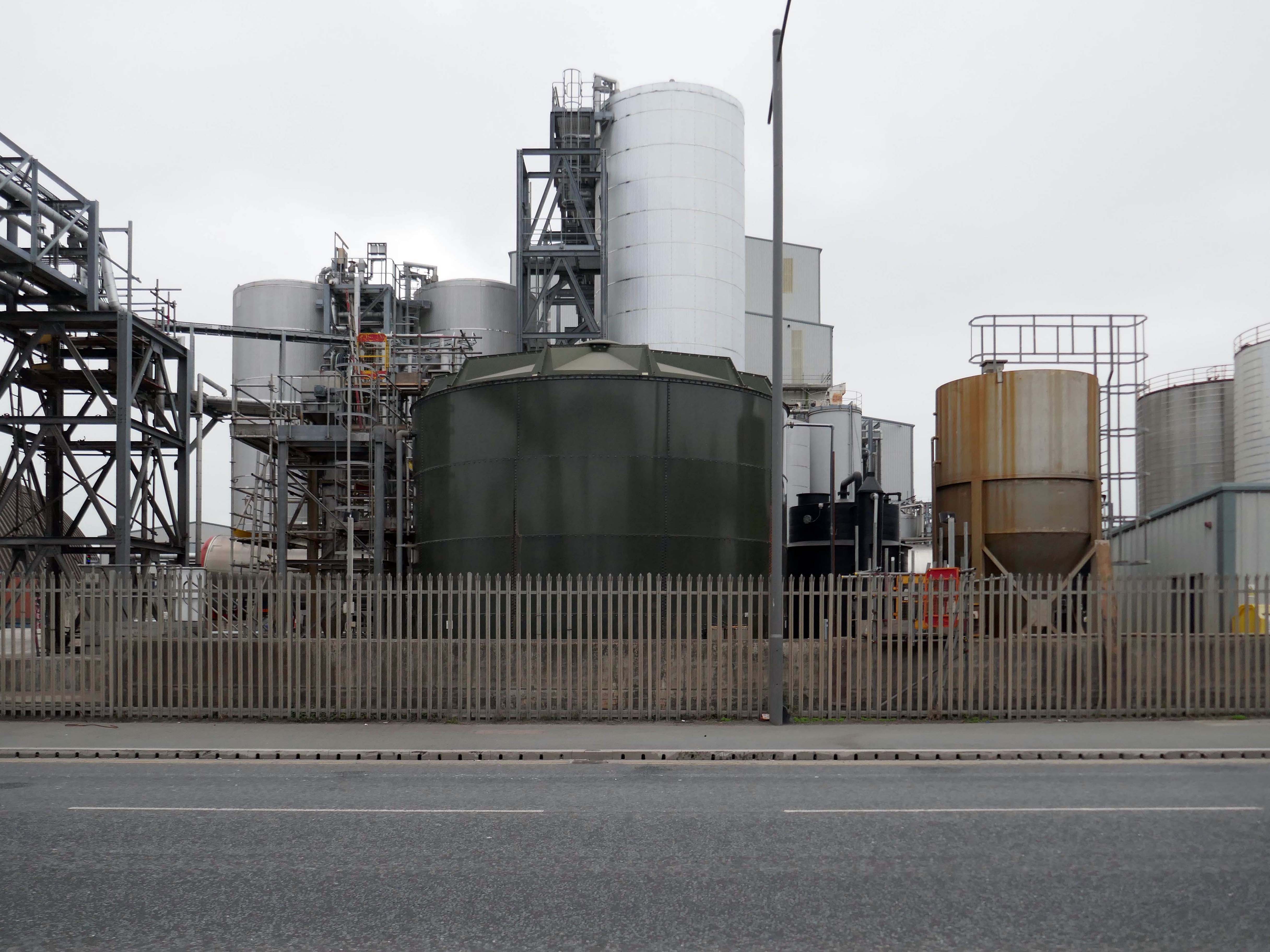
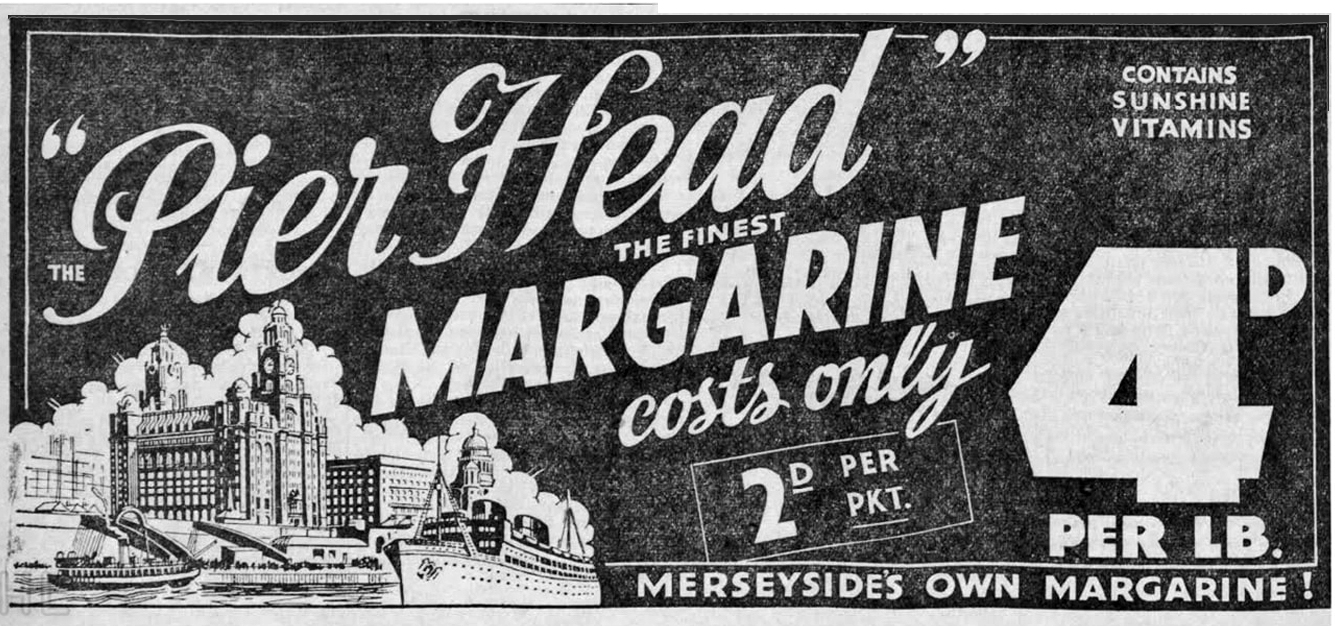
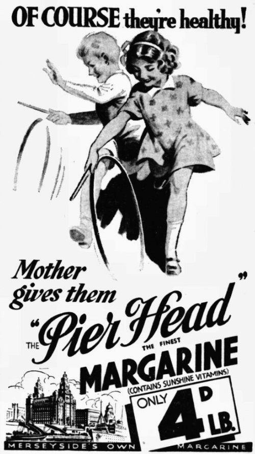
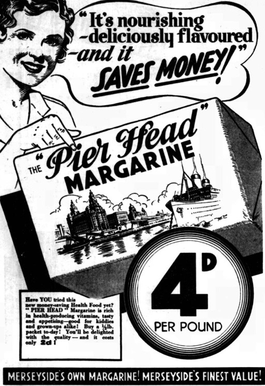
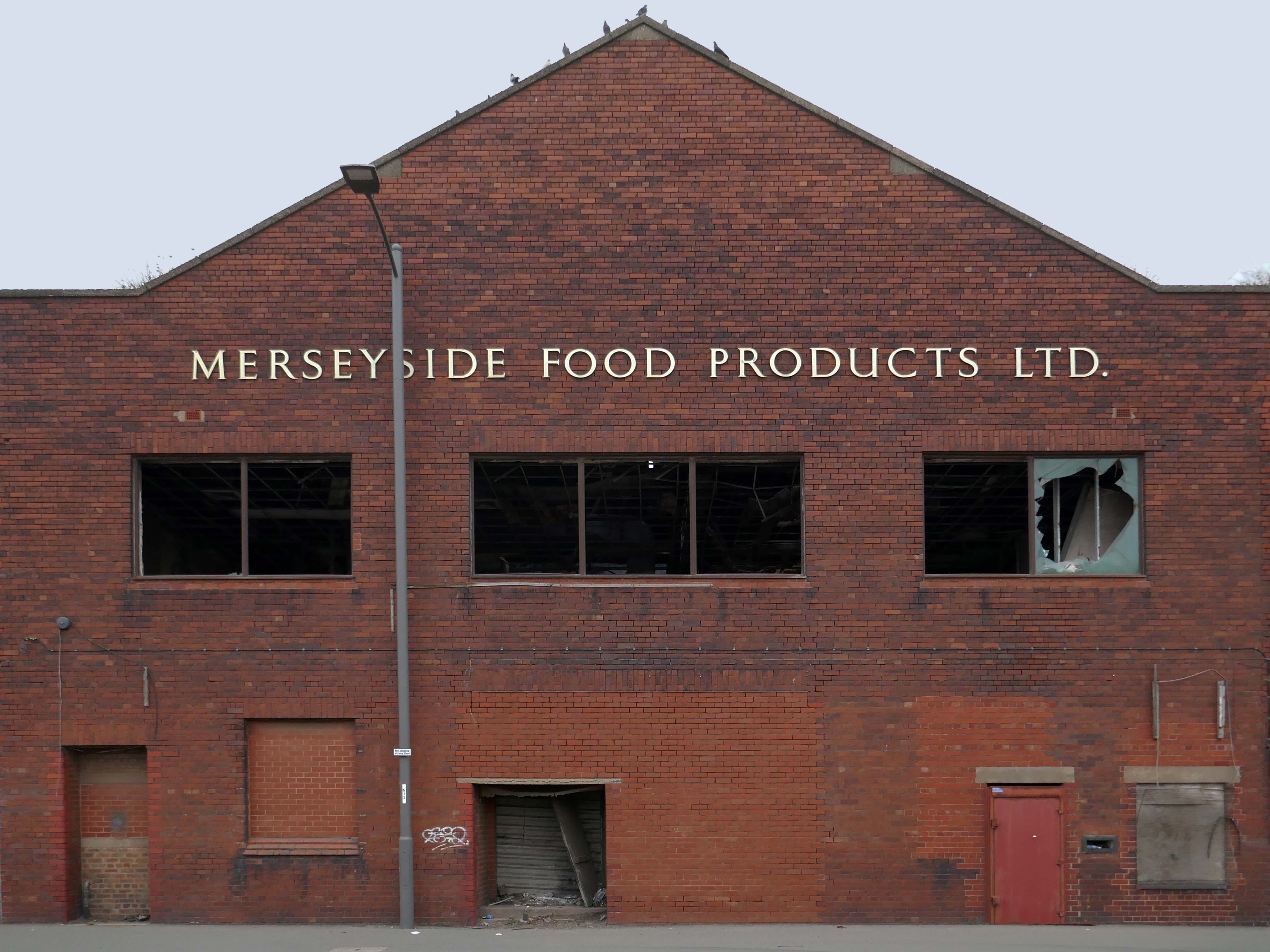
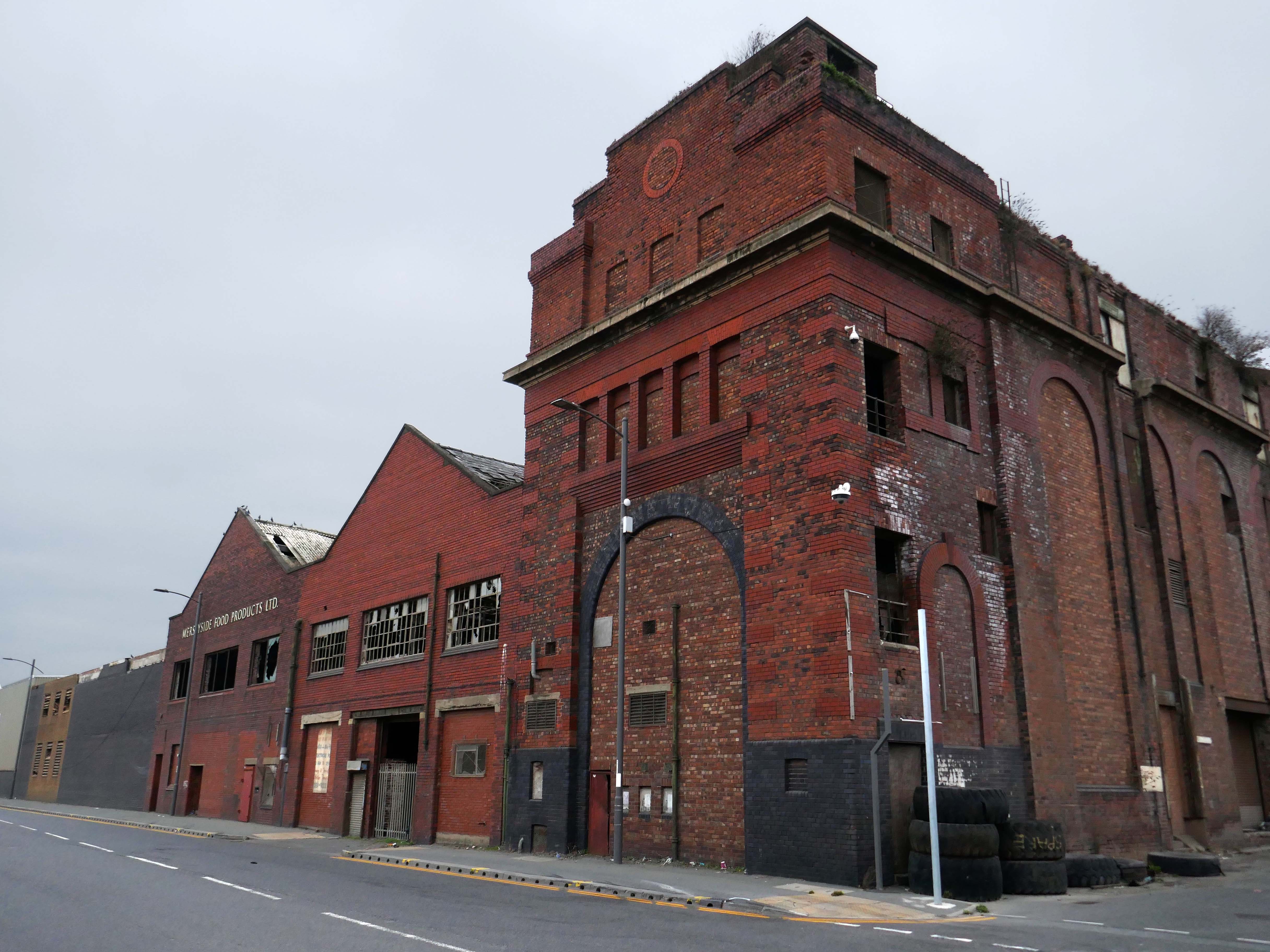
Merseyside Food Products Ltd of Marsh Lane, later 185 Regent Road.
Edible oil producers.
1939 Producing Pier Head brand margarine.
The Regent Road premises had originally been the marine engineering North Works of H&C Grayson. It appears that the southern block was converted to a warehouse at some point before being occupied by Merseyside Food Products in the 1950s.
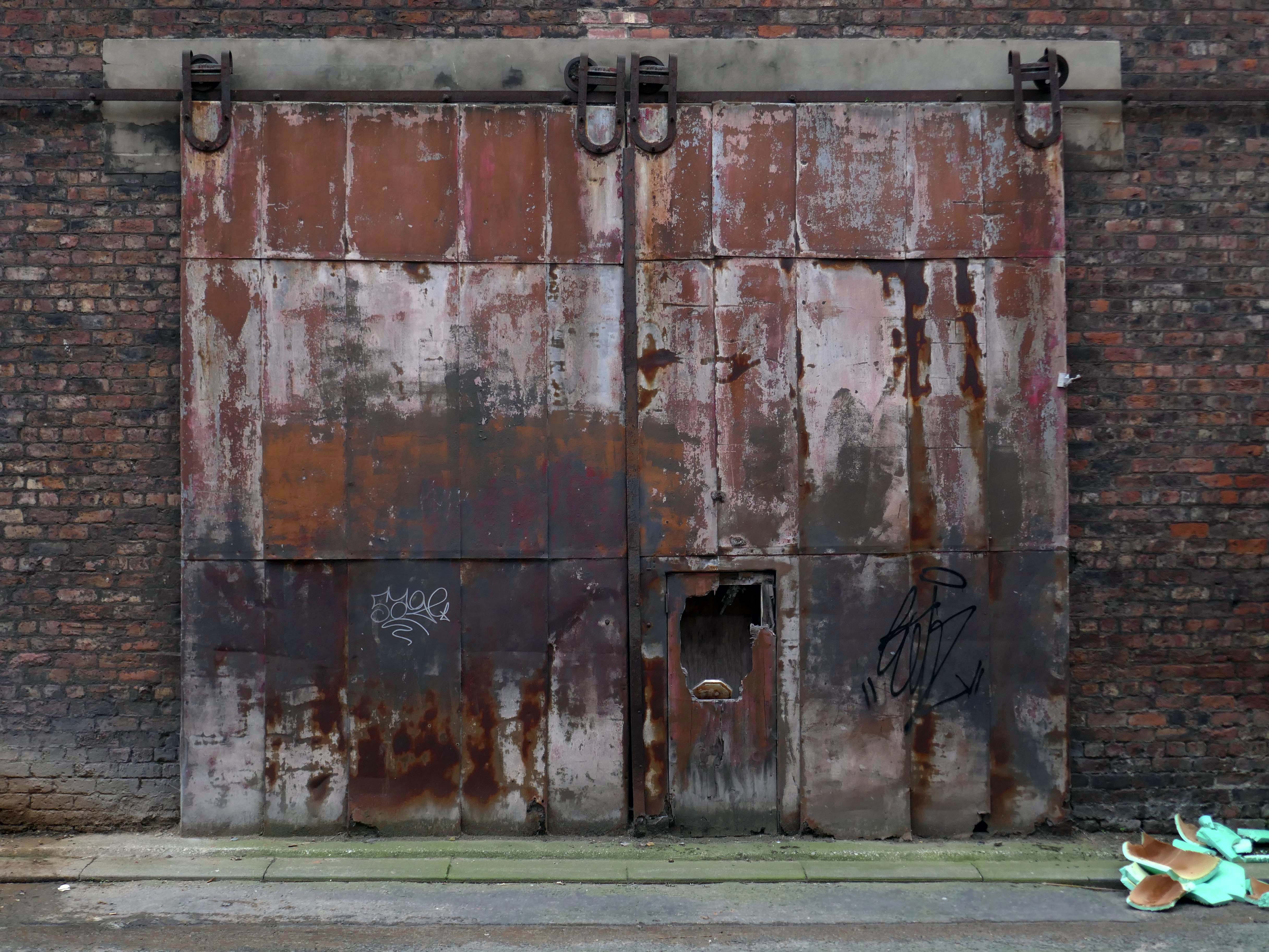
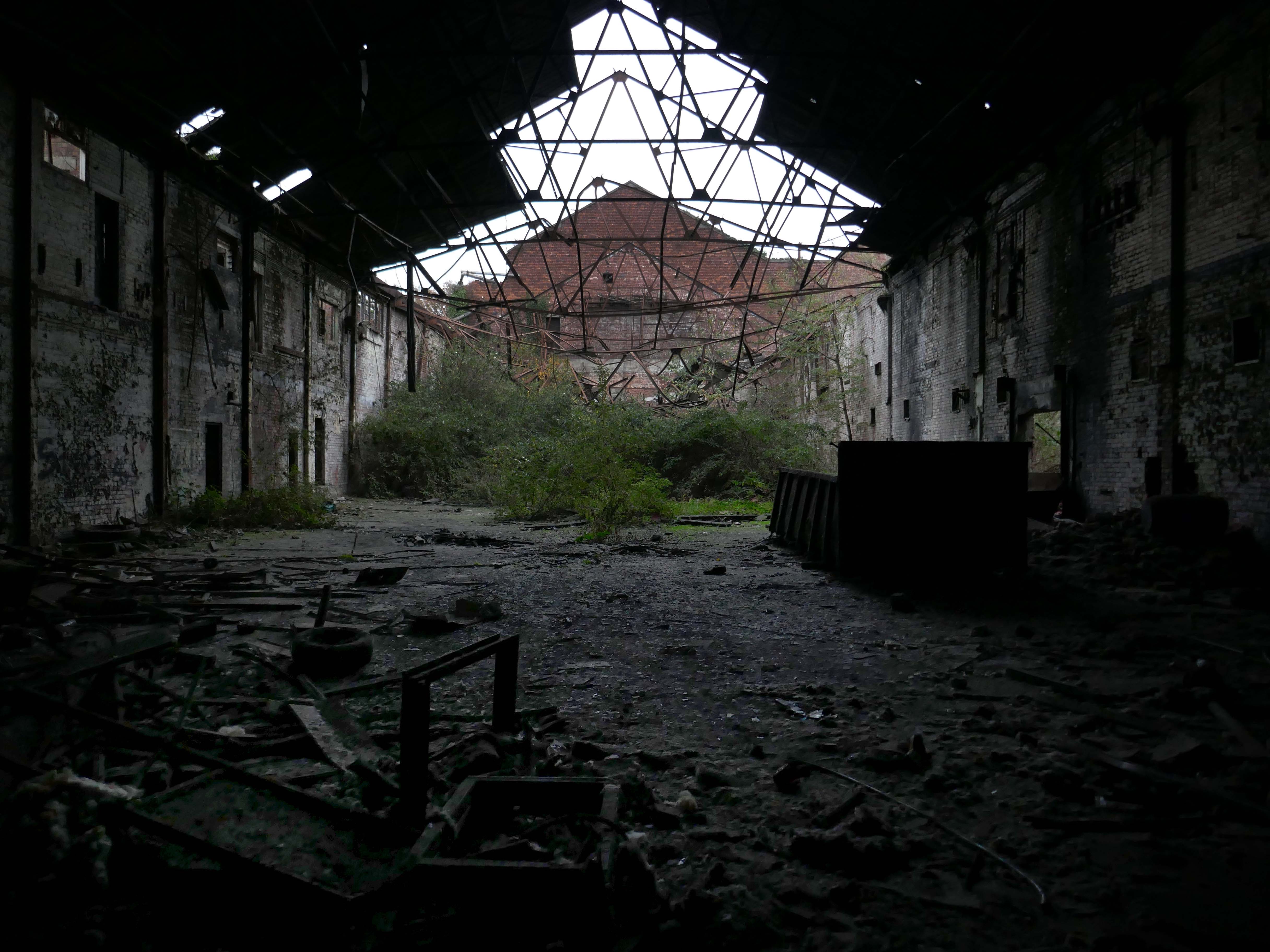
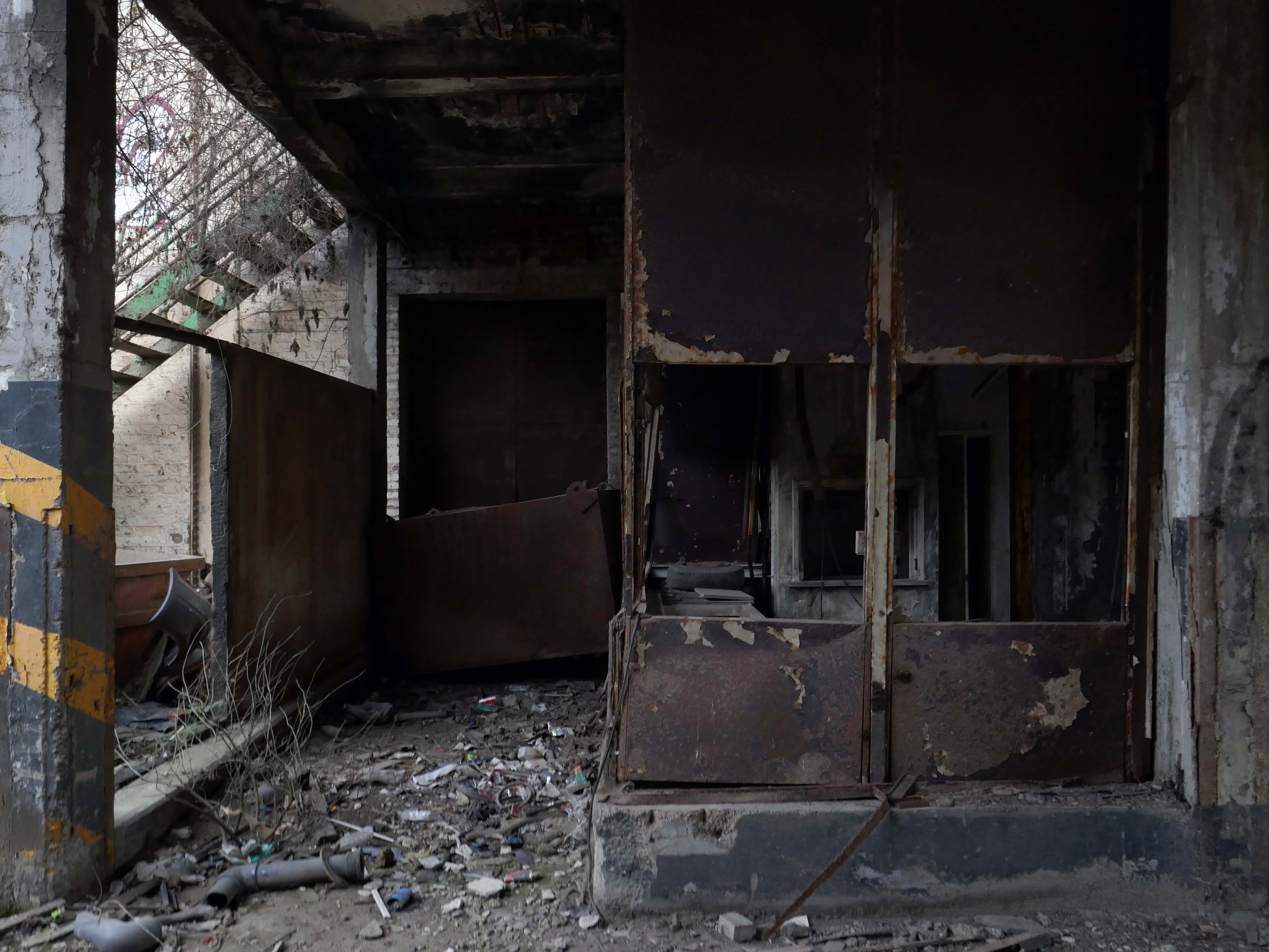
Having a casual afternoon stroll along the road, I espied a narrow gap in the railings, whilst I could never be considered a devotee of urbex, who can resist a narrow gap in the railings?
There are those who have been here before – the 28 Days Later folk take a much deeper peep.
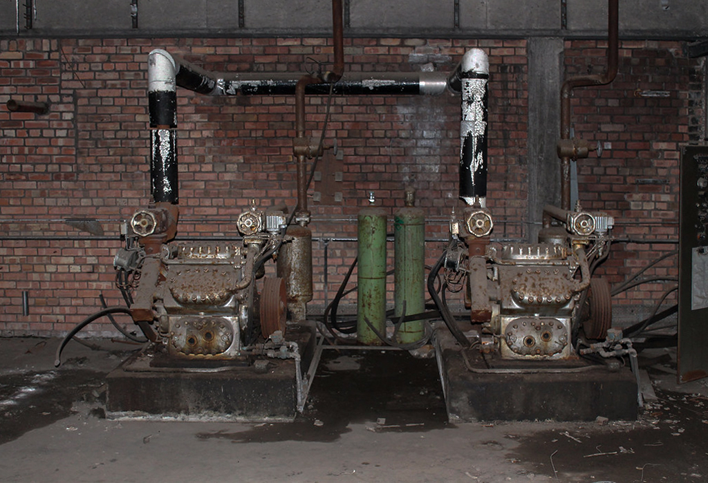
Uncovering some of the left behind plant.
And attracting a comment from a former employee:
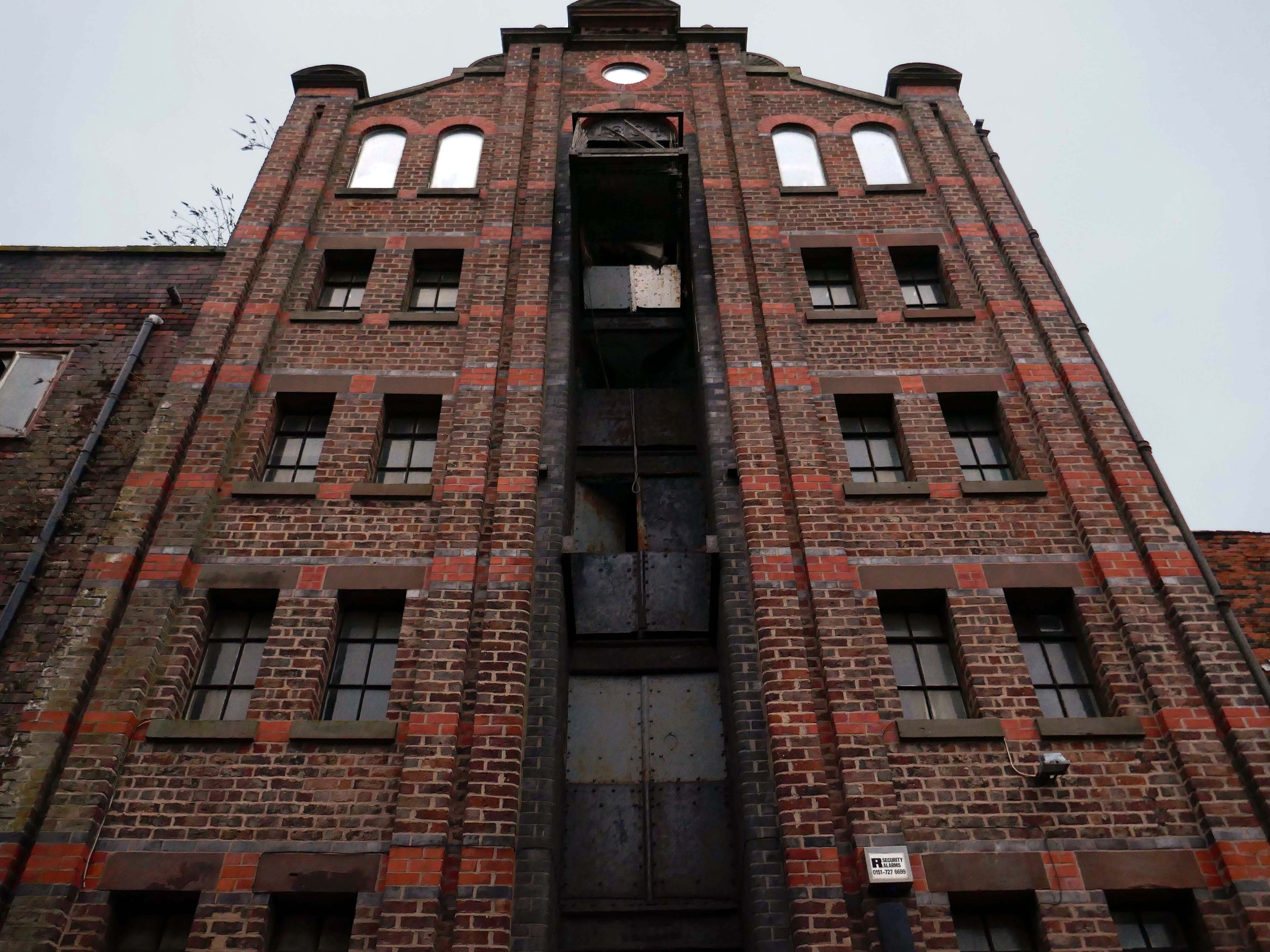
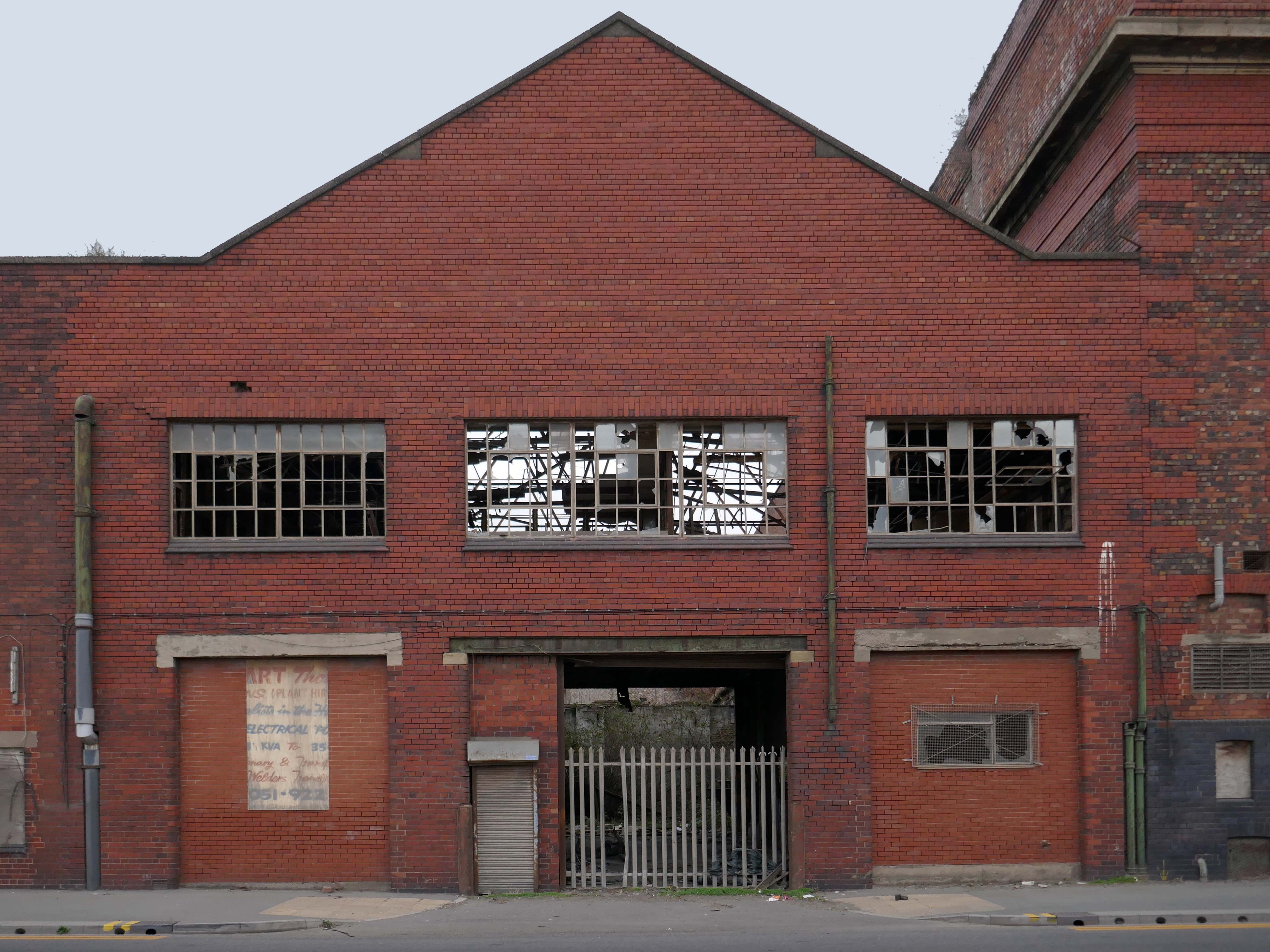
I was company microbiologist at this site, The sets of broken windows at the front of the building on the first floor were the laboratories.
The main photograph shows the chemistry laboratory, my microbiology laboratory was next door. The larger windows to the left provided light to a large open plan reception and office area. Within the factory, the main area had various packing machines for margarines, from 250g paper wrapped packets to 2 Kg catering packs.
A second packing area contained a machine that produced tinned margarine for the Ministry of Defence, who supplied it to the Army overseas.
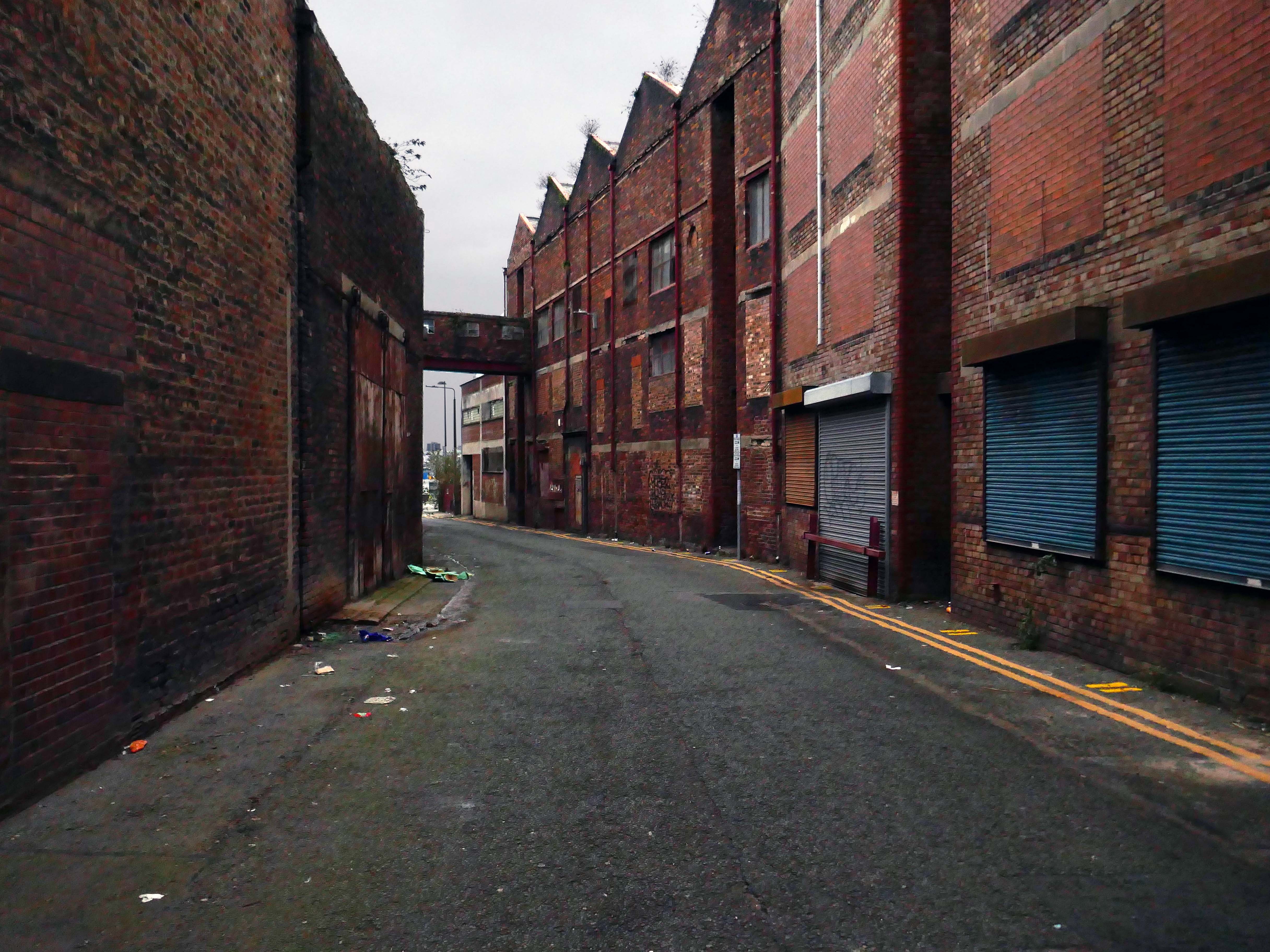
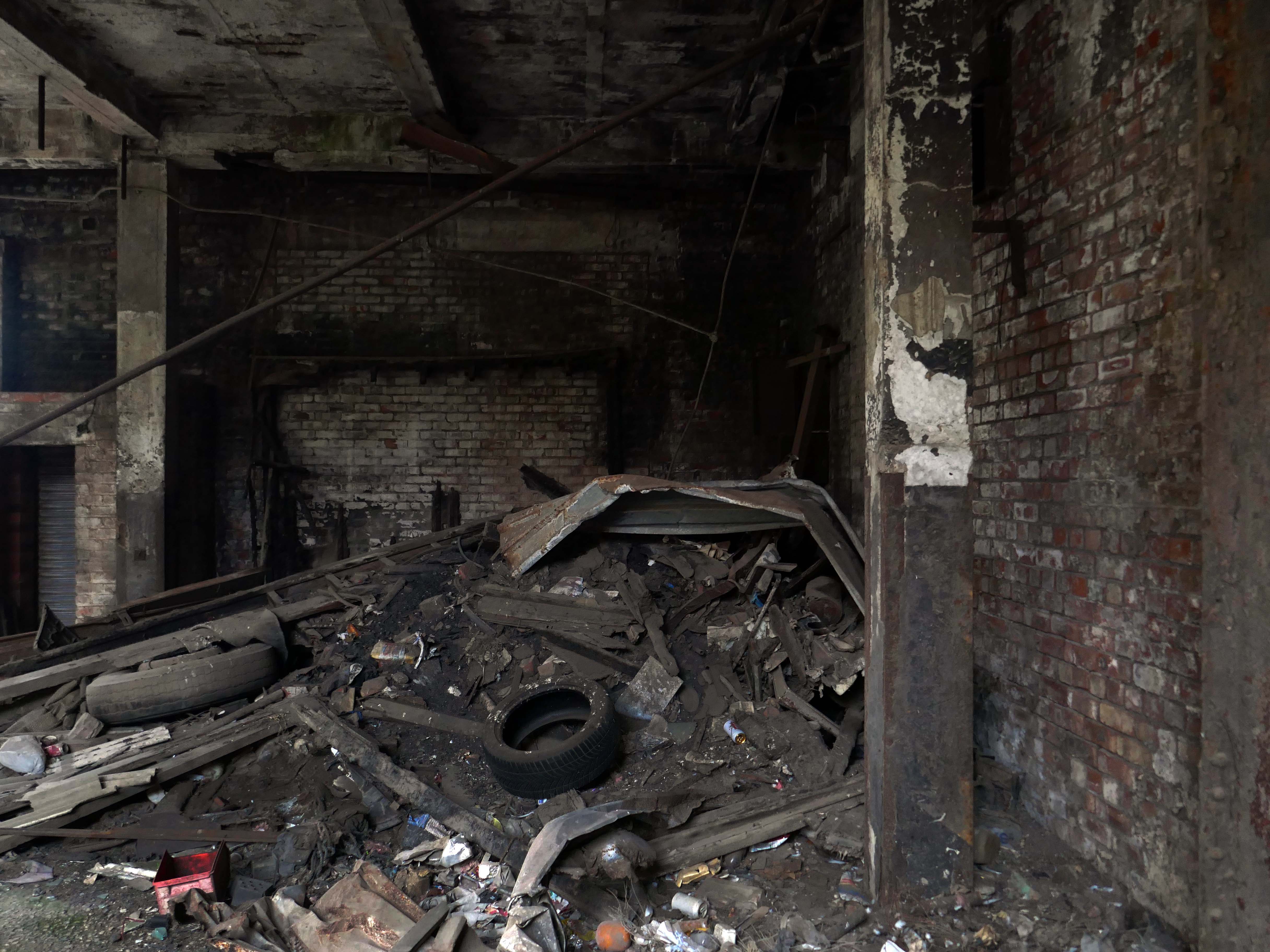
Whilst feeling that familiar frisson of mild trepidation, whilst walking through the debris, dirt and decay, it’s important to recall those who have walked and worked in these now derelict premises.
With that in mind here’s what I saw whilst feeling that familiar frisson of mild trepidation, whilst walking through the debris, dirt and decay,
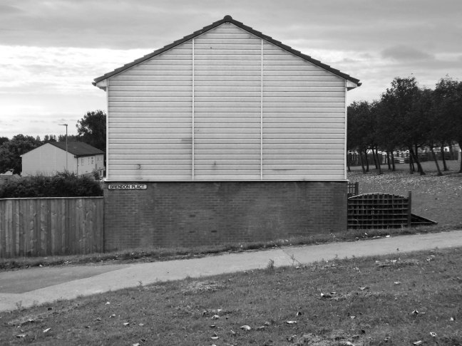
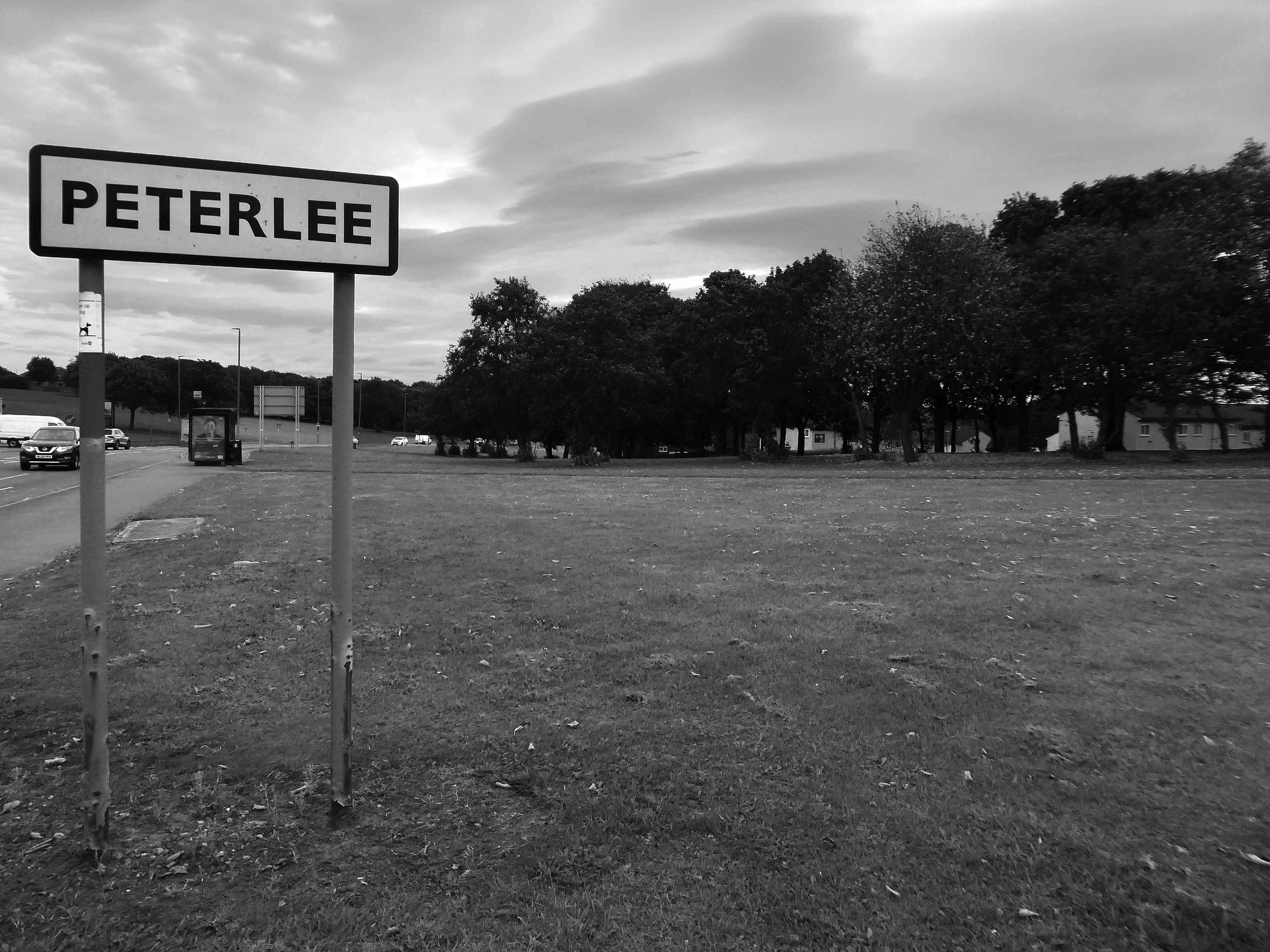
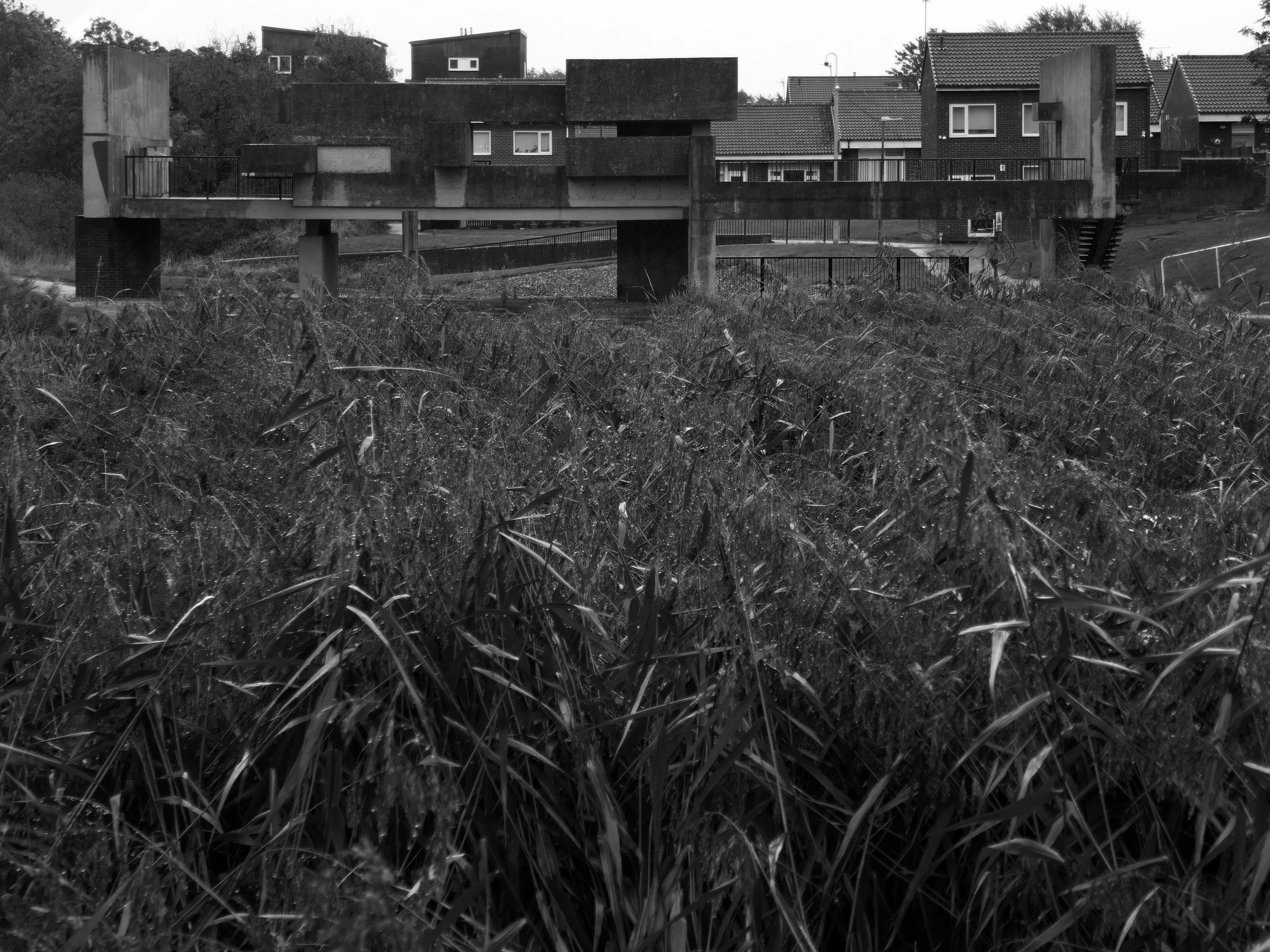
An express bus ride away from Newcastle City Centre – arriving in Peterlee, with a clear intent to wander around and look at housing.
There have been many alterations and amendments made, in the short time since the inception of the Masterplan. Flat roofs have largely been and gone, timber replaced by uPVC, what remains is an interesting array of building types set in an attractive rolling landscape.
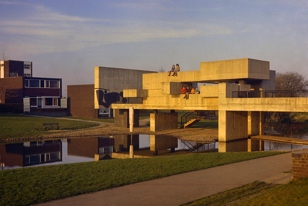
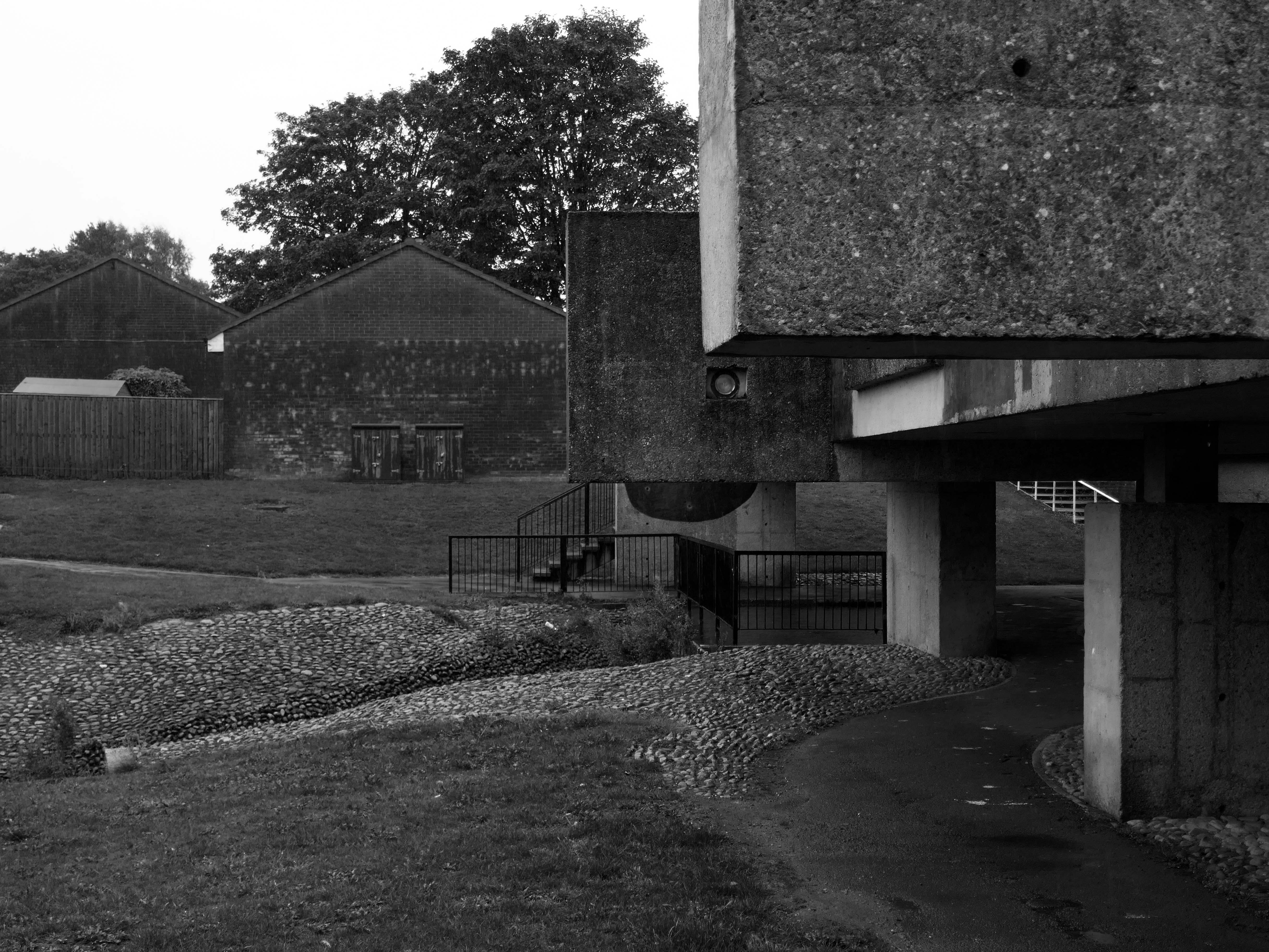
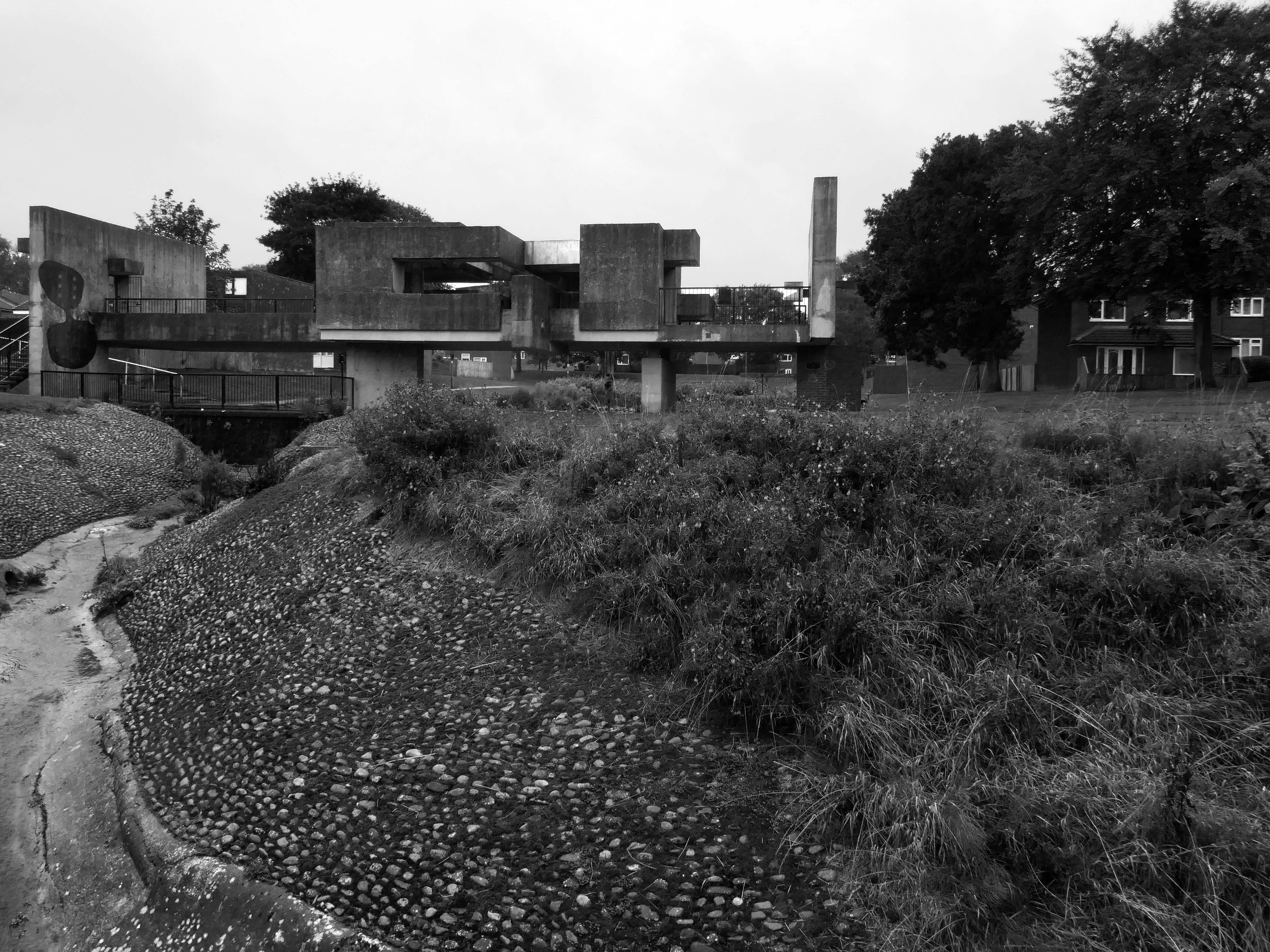
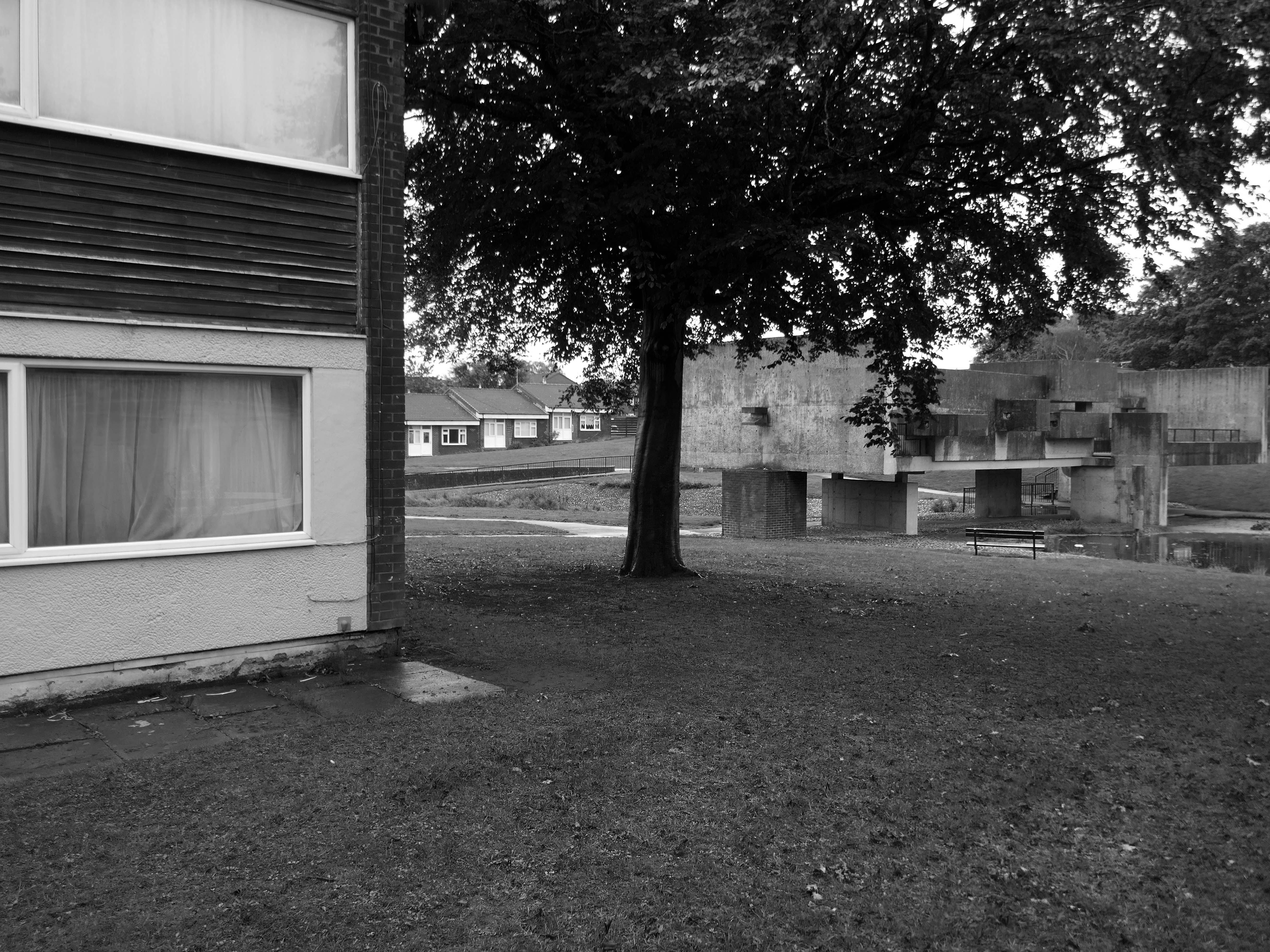
The idea for the Apollo Pavilion was the culmination of Victor Pasmore’s involvement with the planning and design of the new town of Peterlee in County Durham which began in 1954 with his appointment by AV Williams, the General Manager, as a consultant architectural designer to the Corporation. The brief was to inject a new initiative into the new town’s design, which had been limited by practical and financial constraints. The early departure of Berthold Lubetkin from the original design team, and the limitations imposed by building on land subject to underground mining, had led to a deterioration in the quality of the architecture being produced at Peterlee.
The Apollo Pavilion, created by Victor Pasmore in 1969, is designated at Grade II* for the following principal reasons: Architectural interest: the structure is of very high architectural quality, forming the centrepiece of a registered landscape Artistic quality: the only truly three-dimensional work by the internationally known artist Victor Pasmore, the Pavilion is an abstract work of art, a demonstration of Constructivist ideas on a large scale and an expression of brutalist architecture Setting: the setting of the structure is the centrepiece of the registered Pavilion Landscape and as such survives intact.
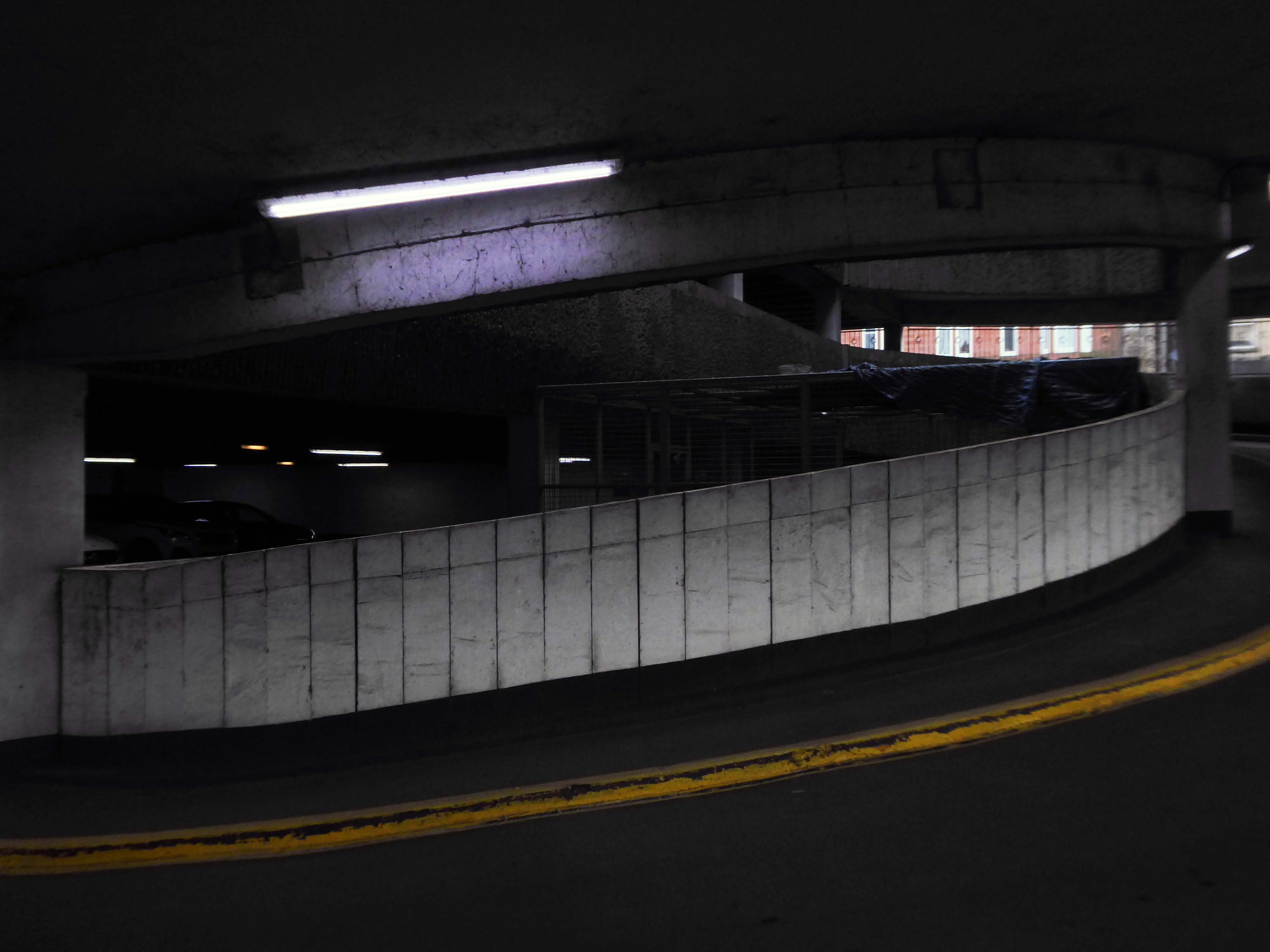
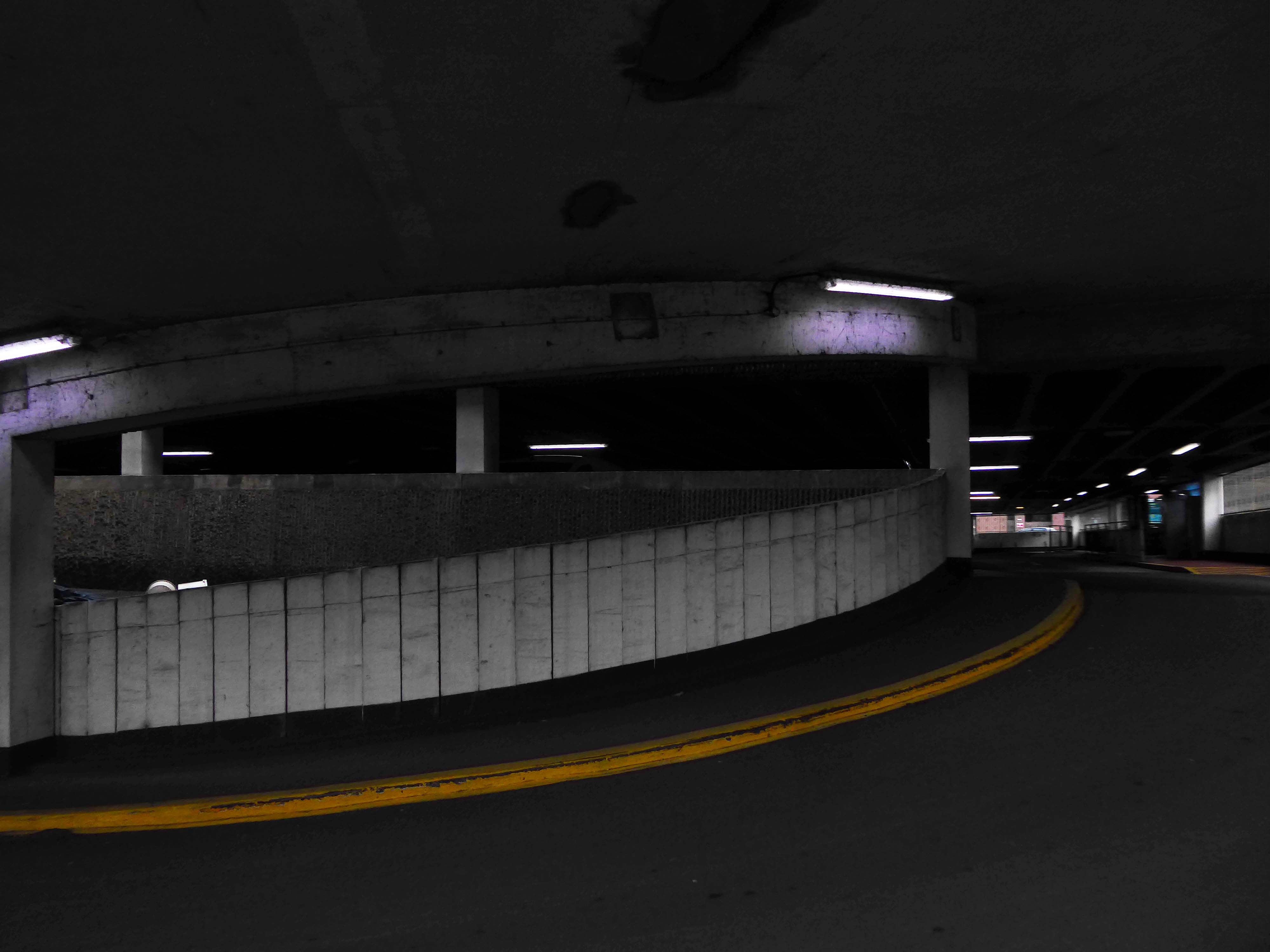
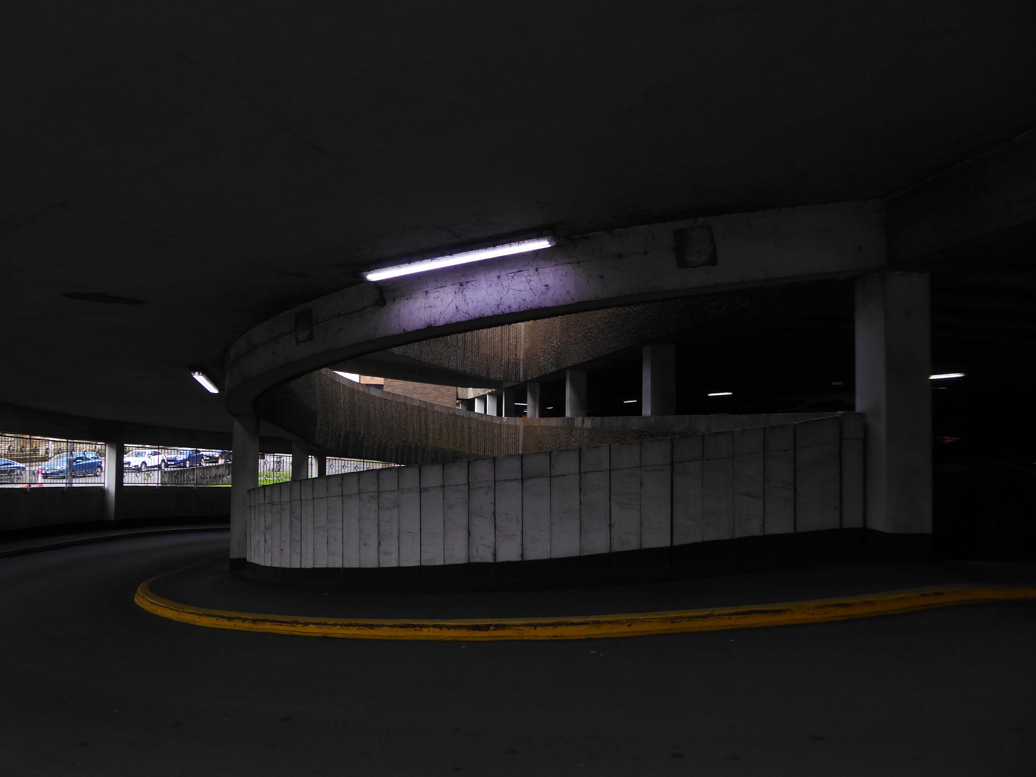
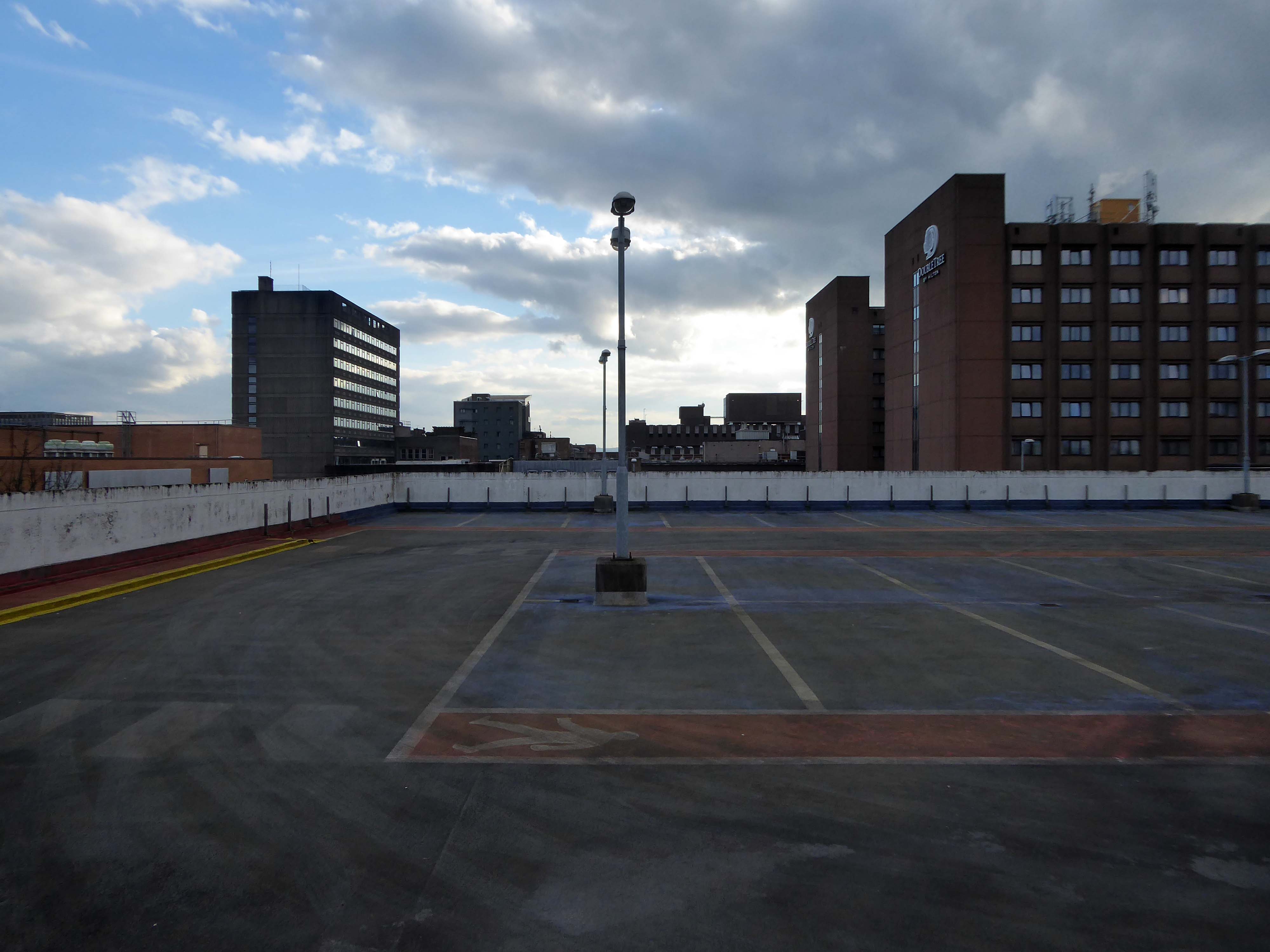
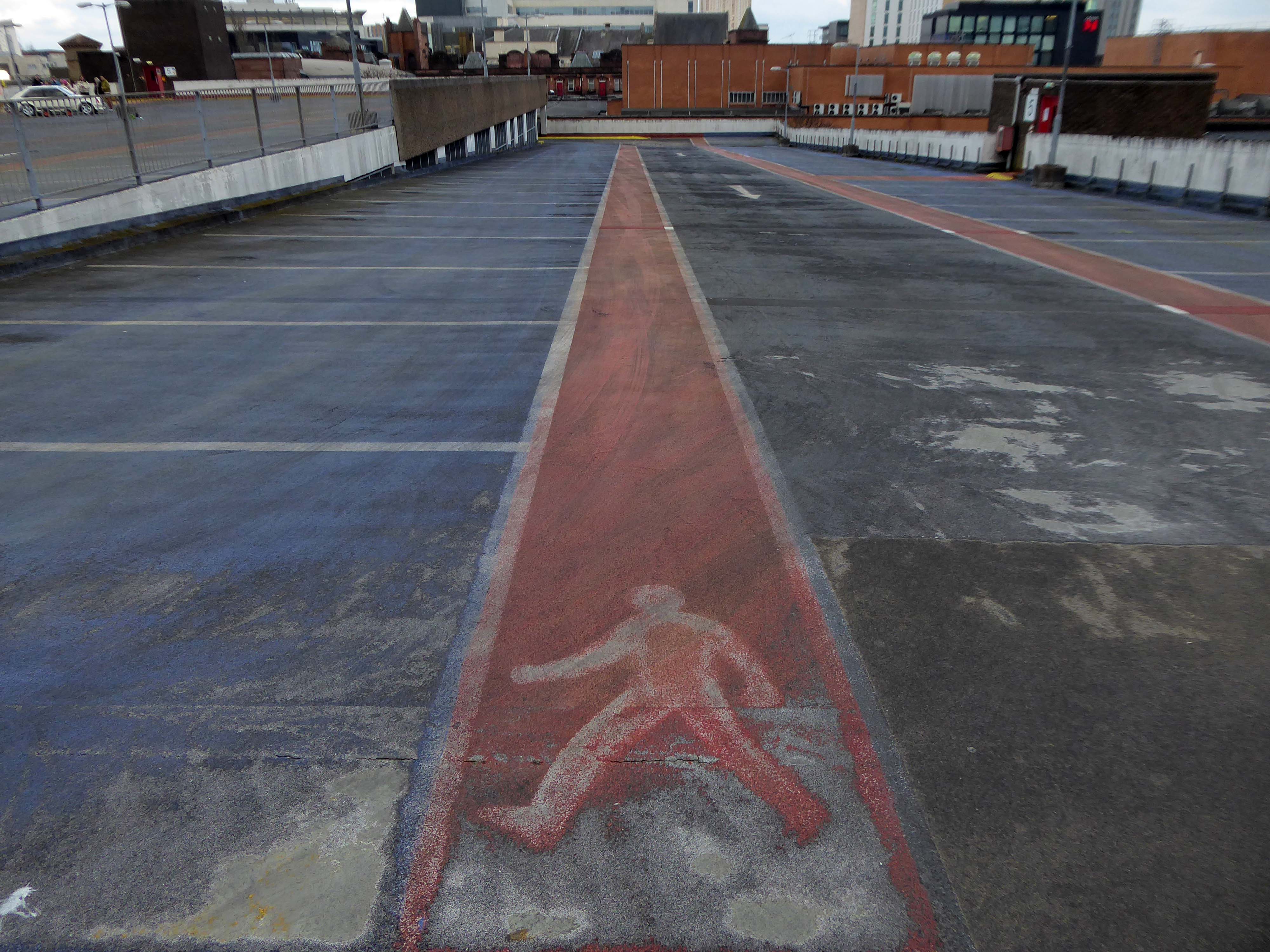
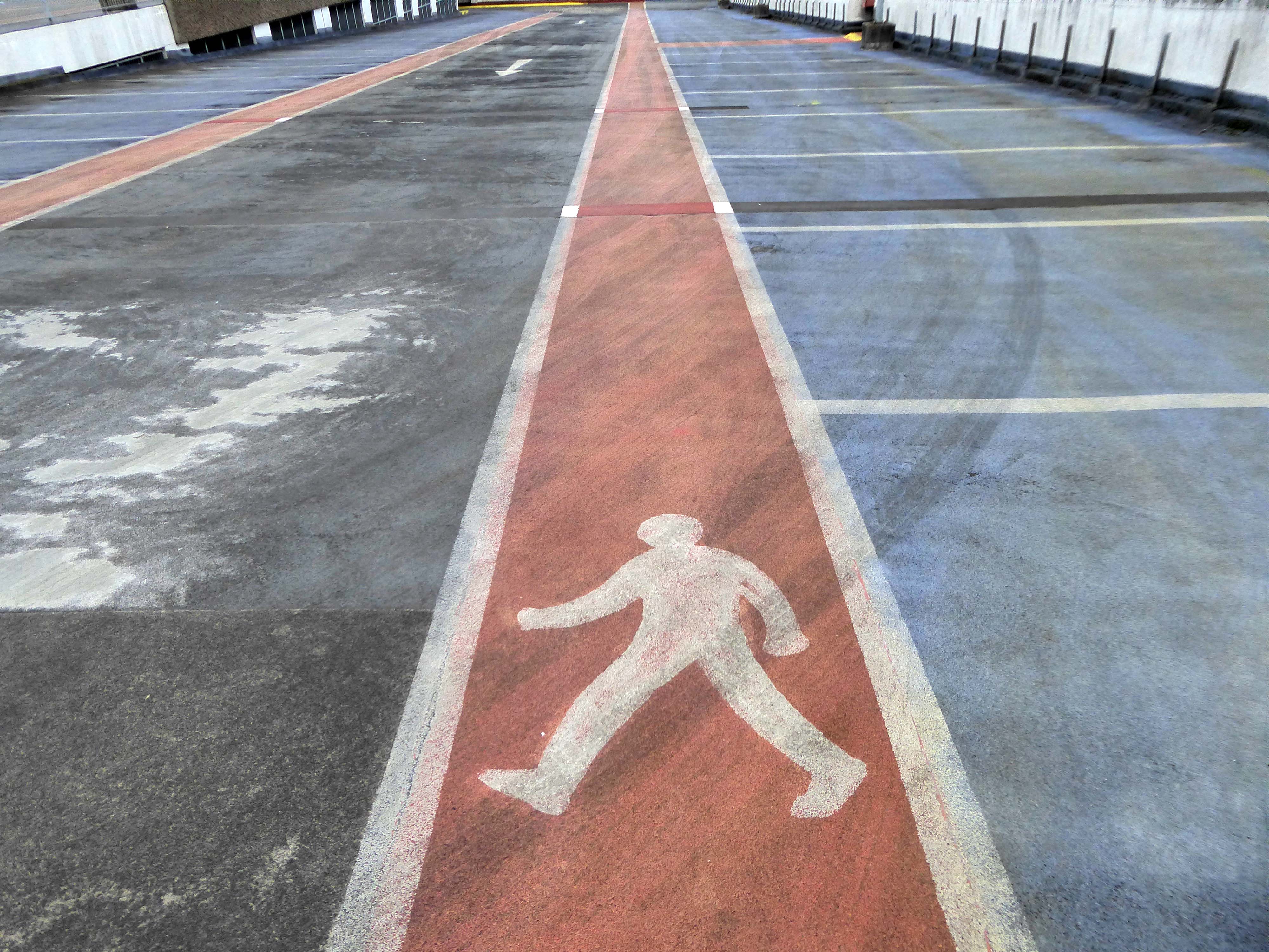
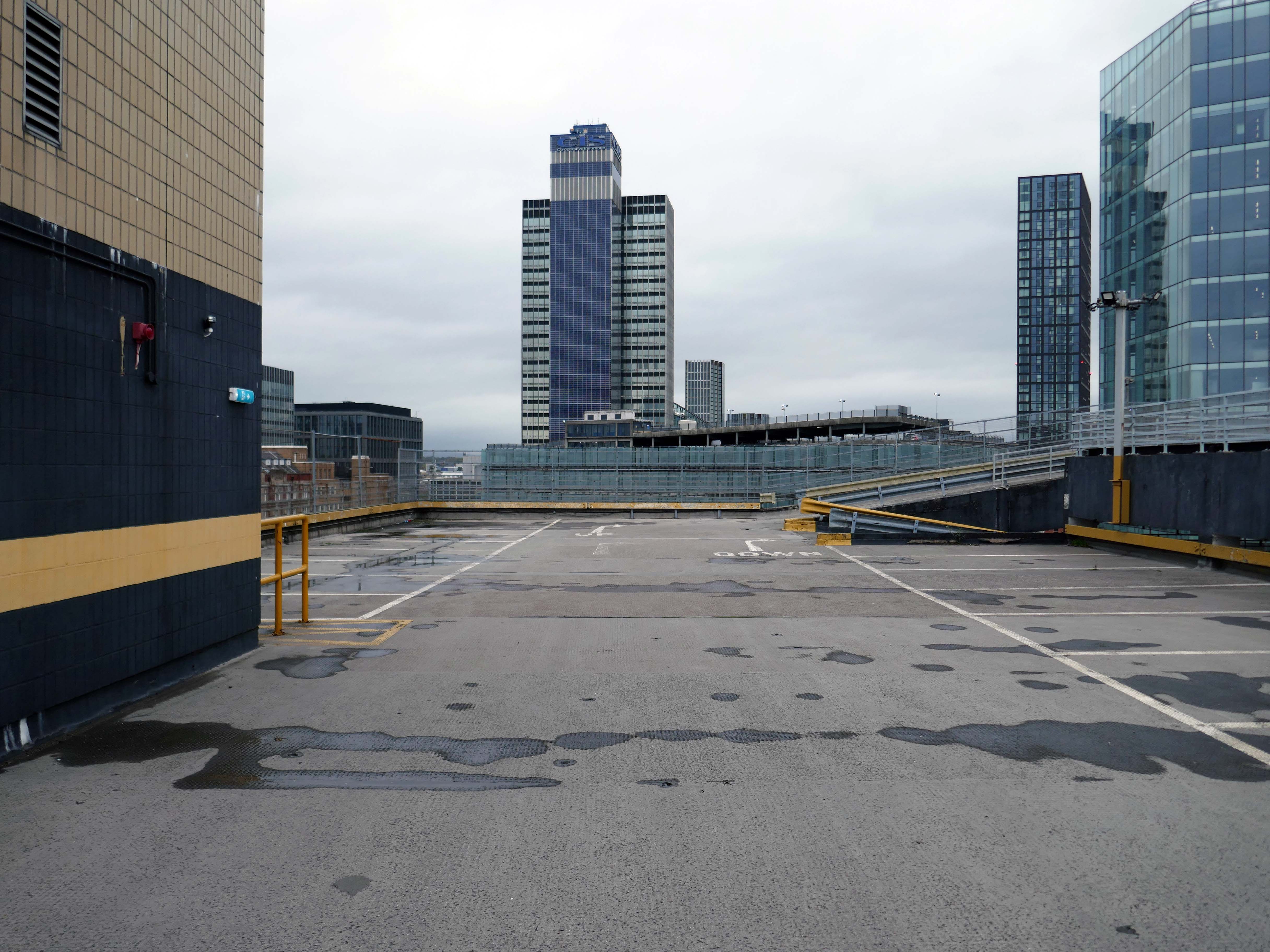
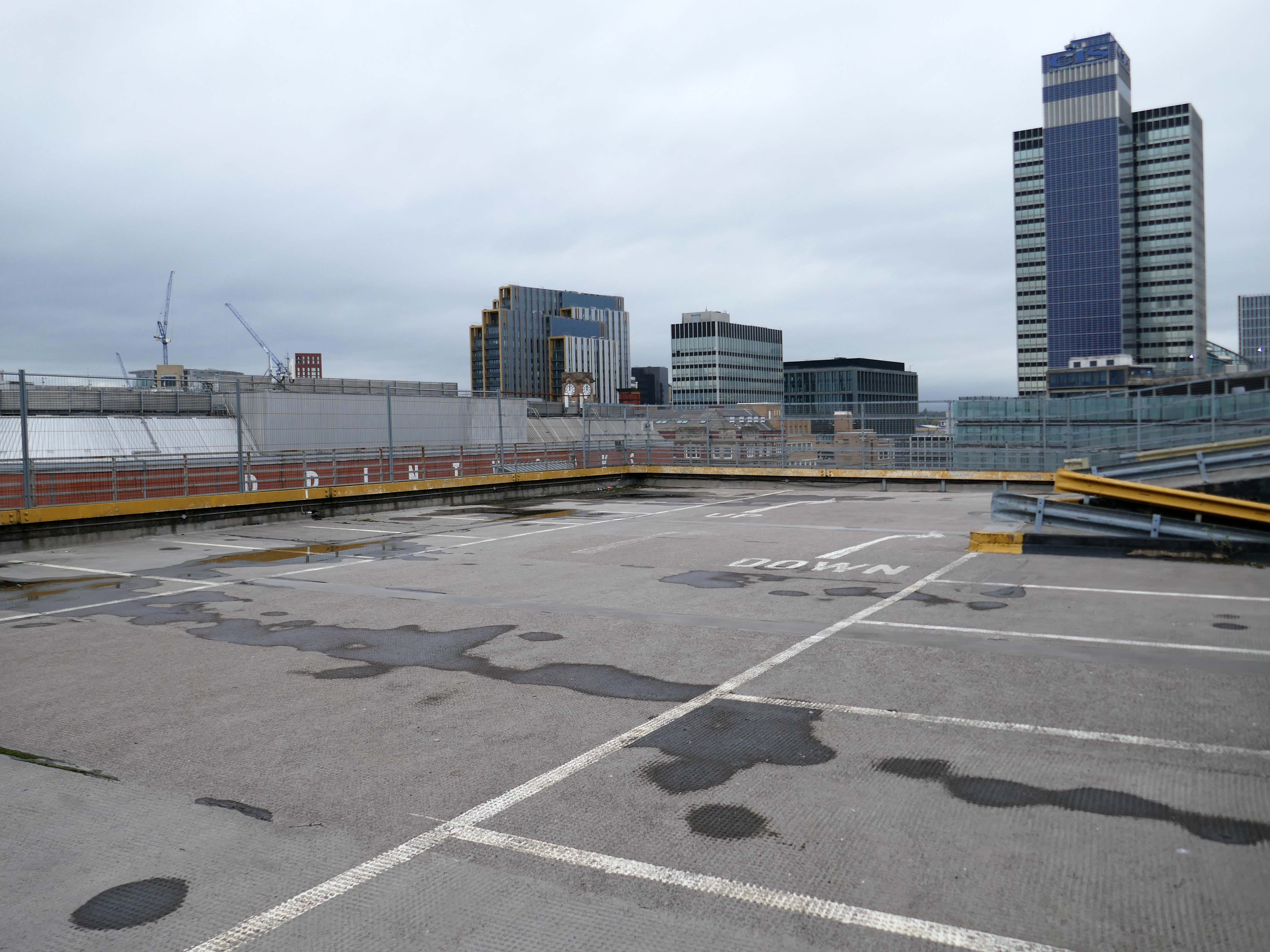
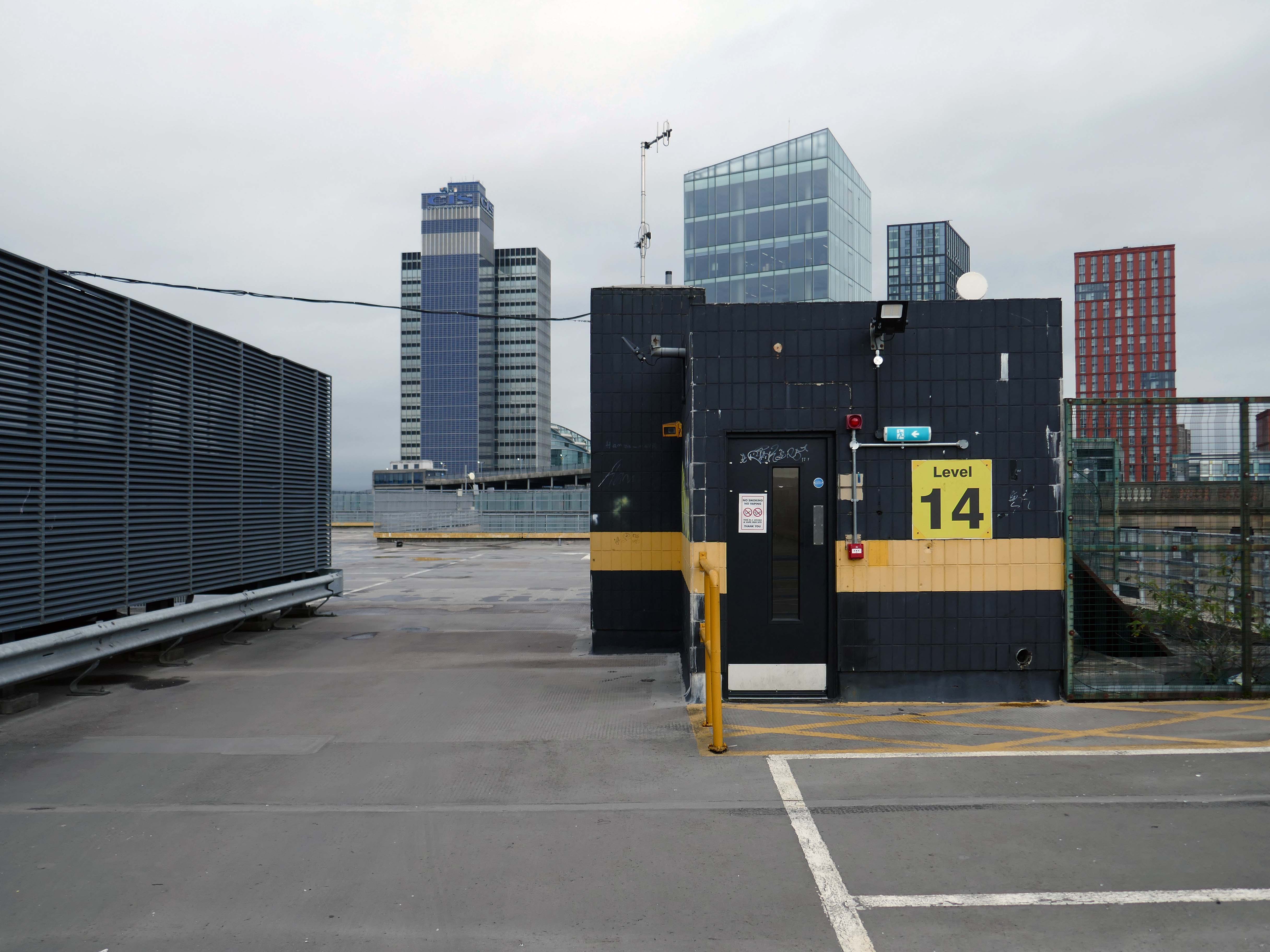
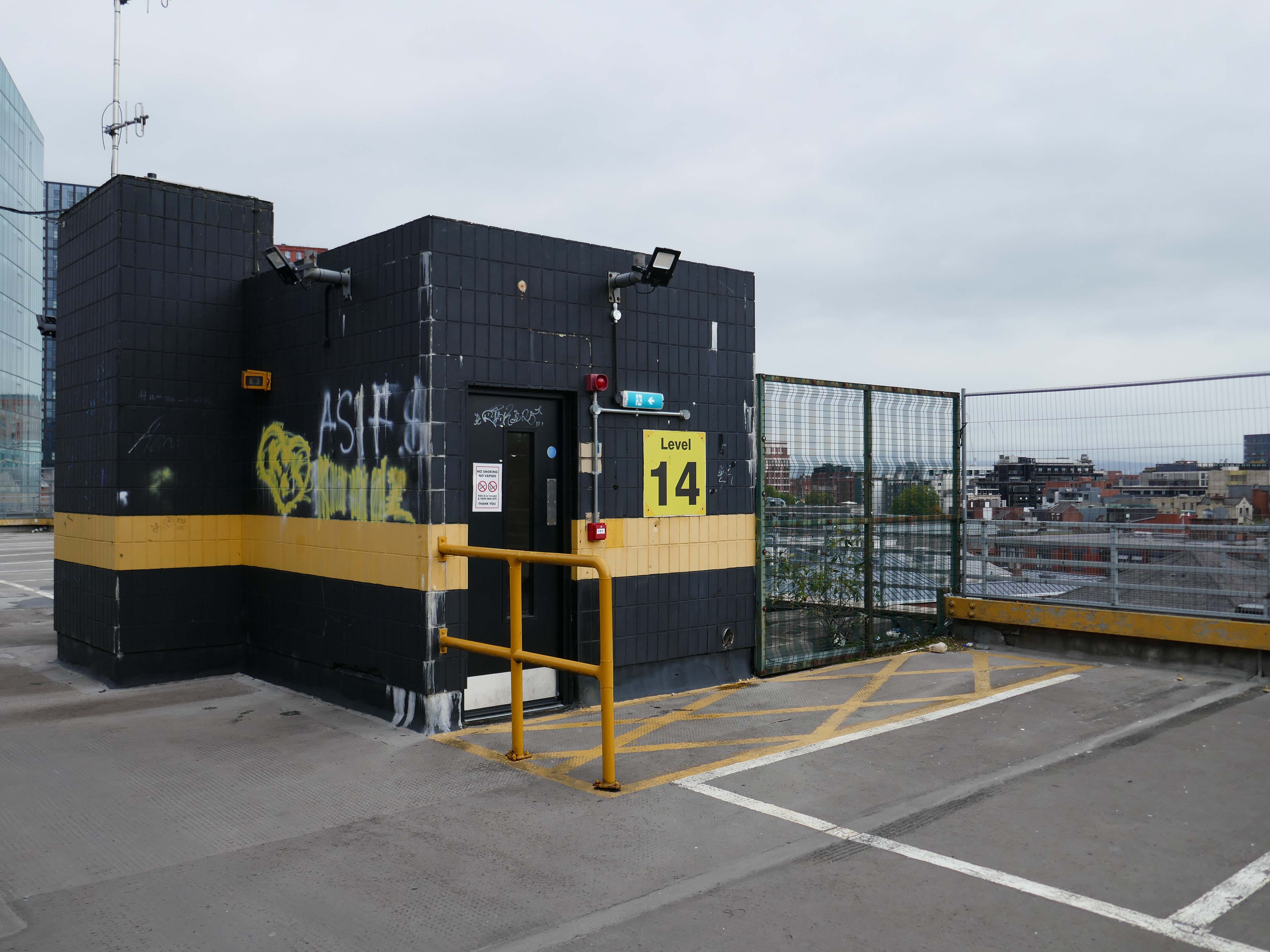
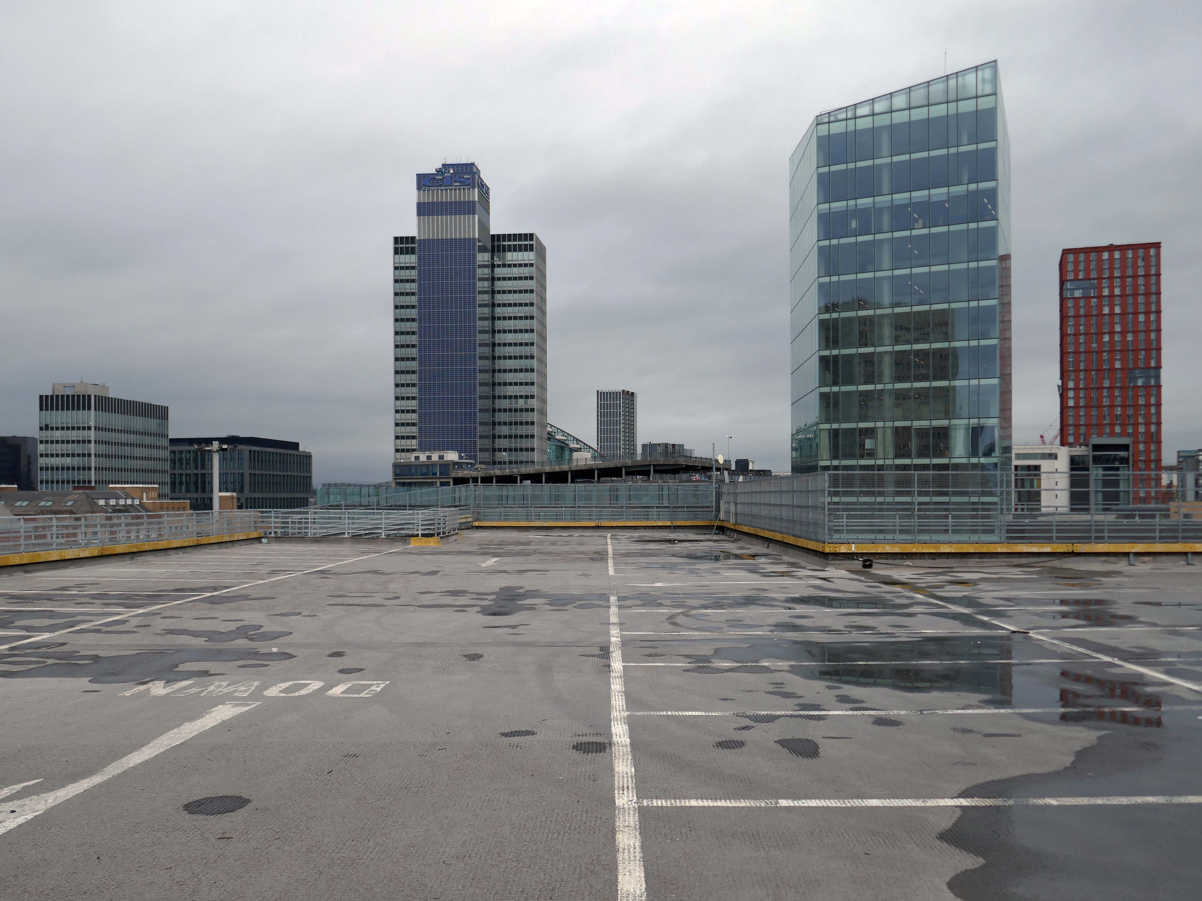
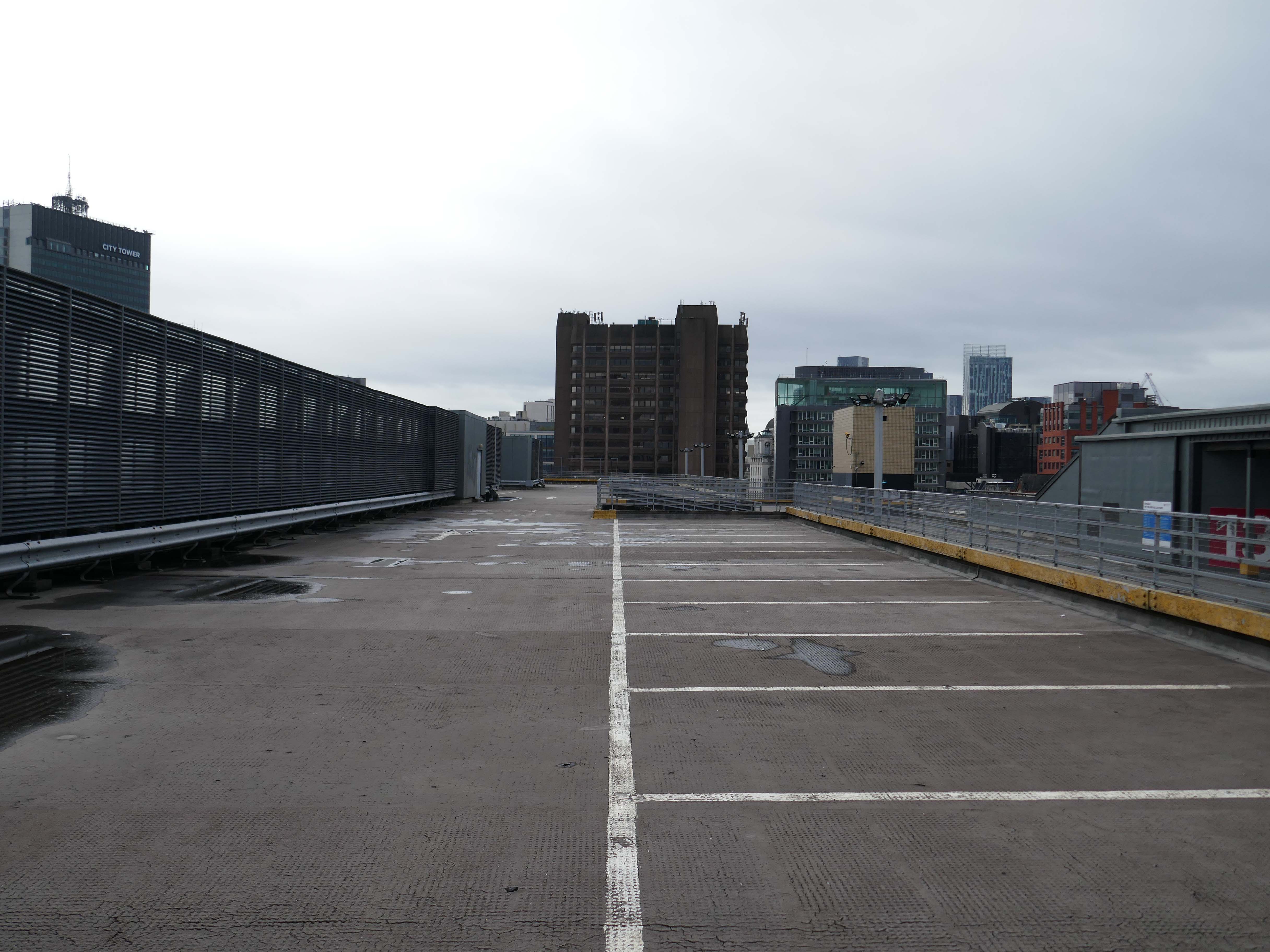
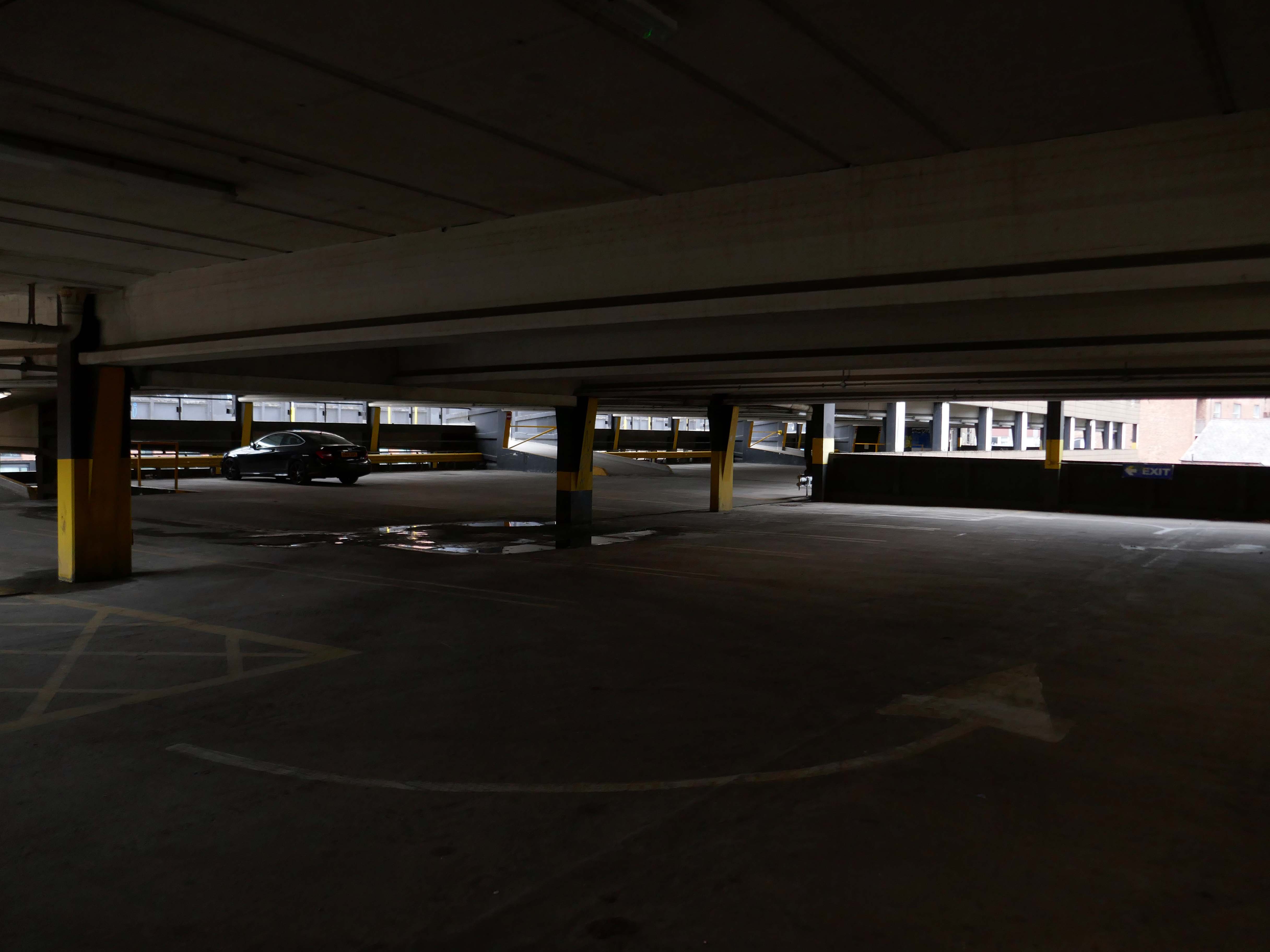
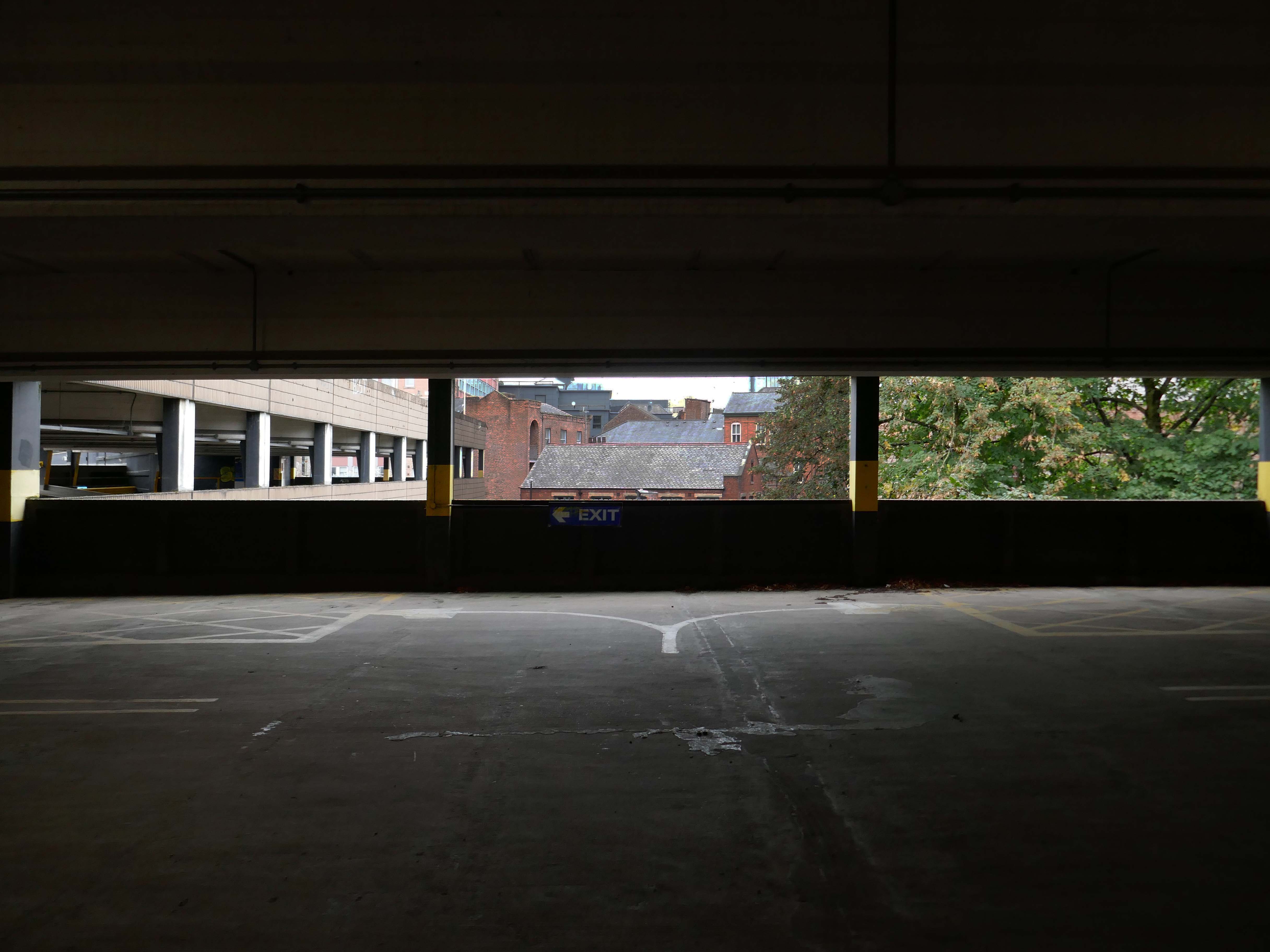
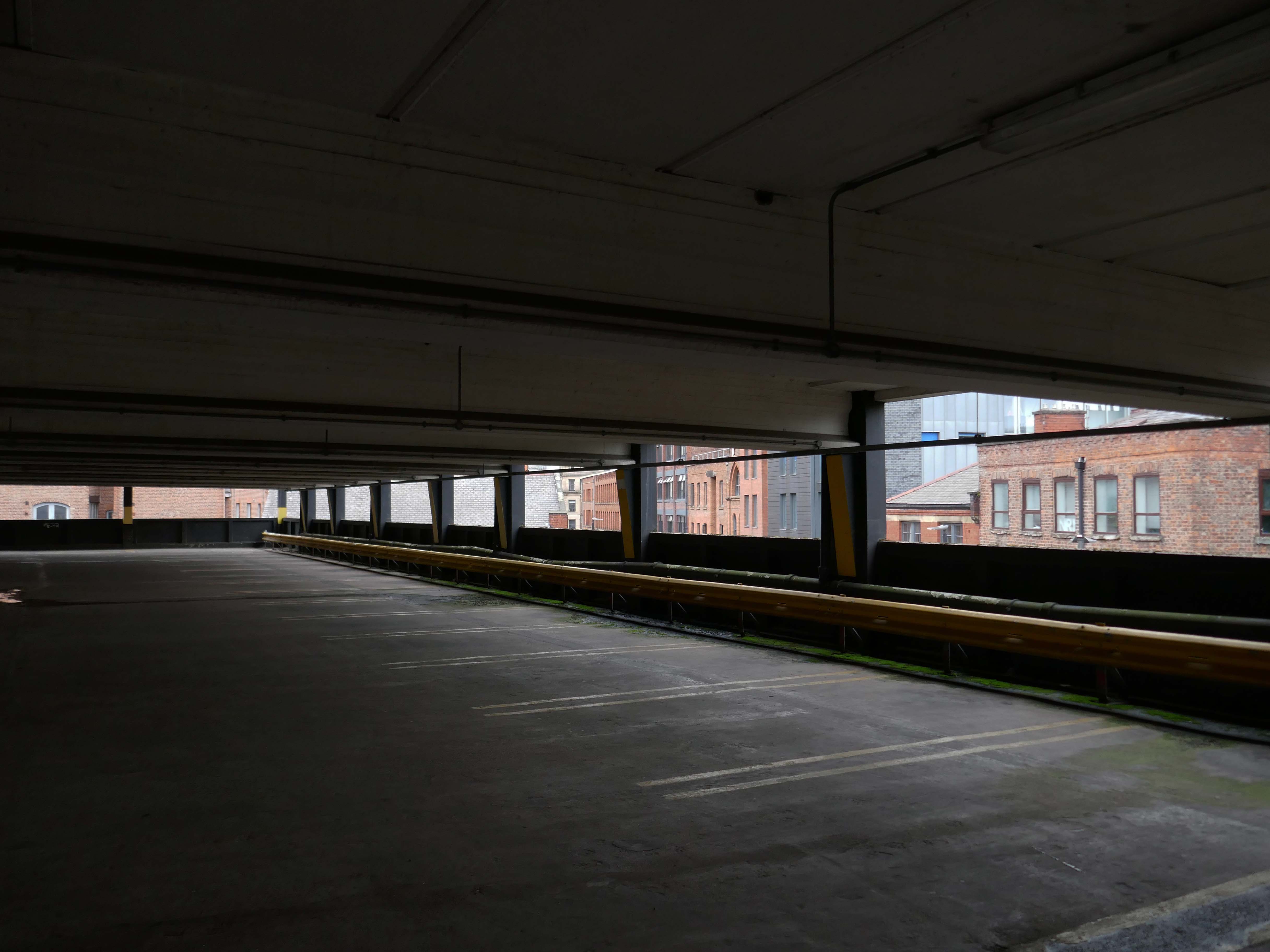
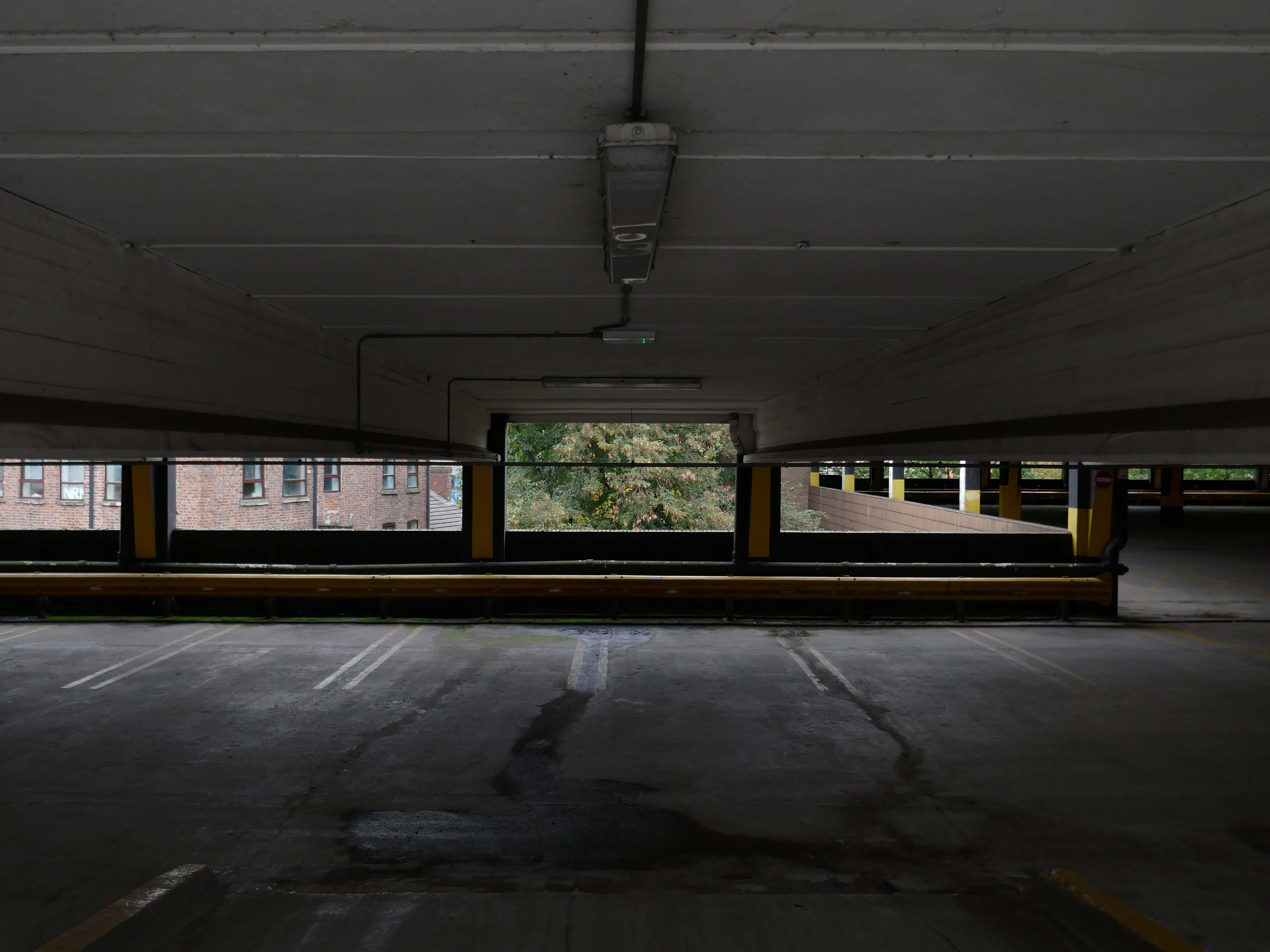
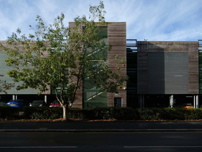
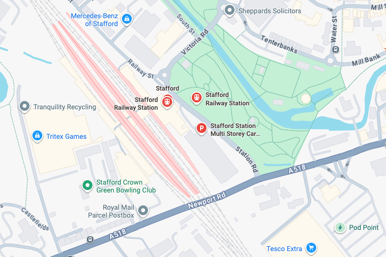
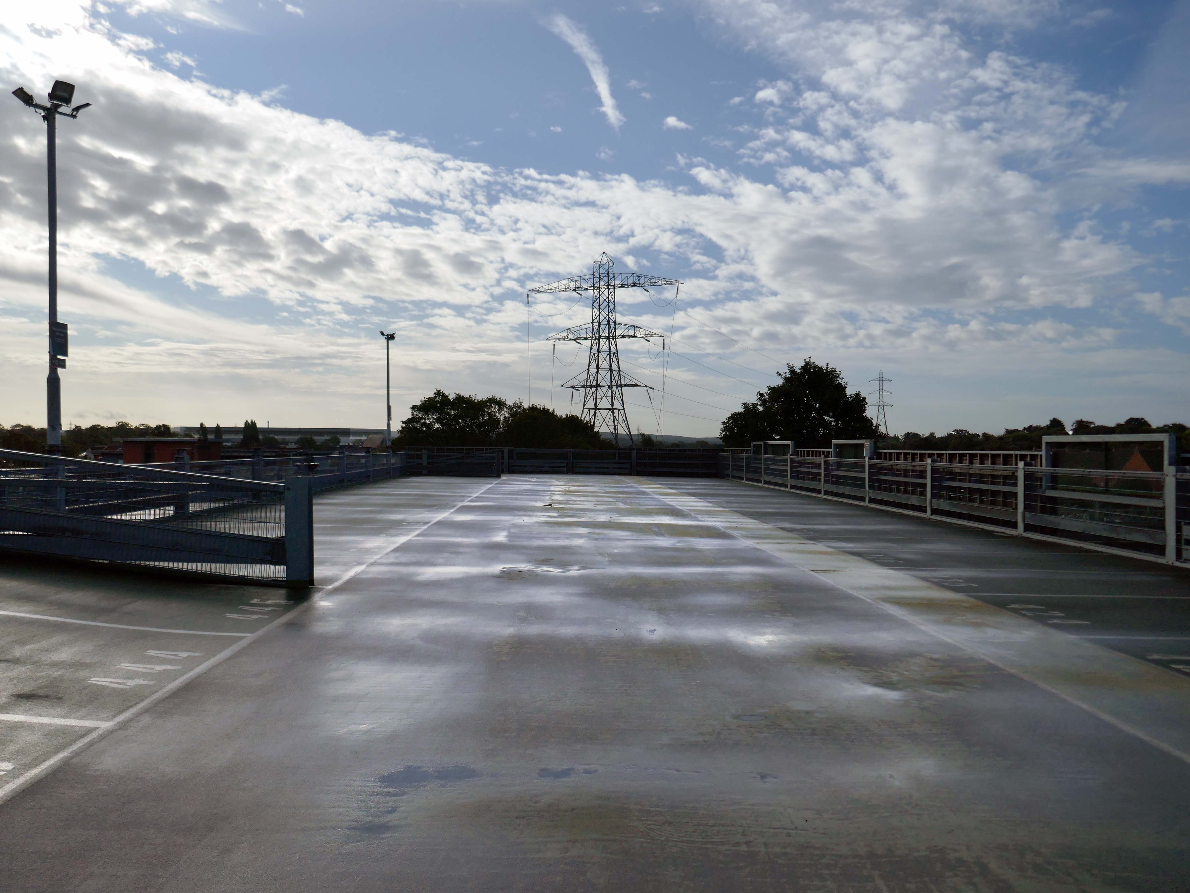
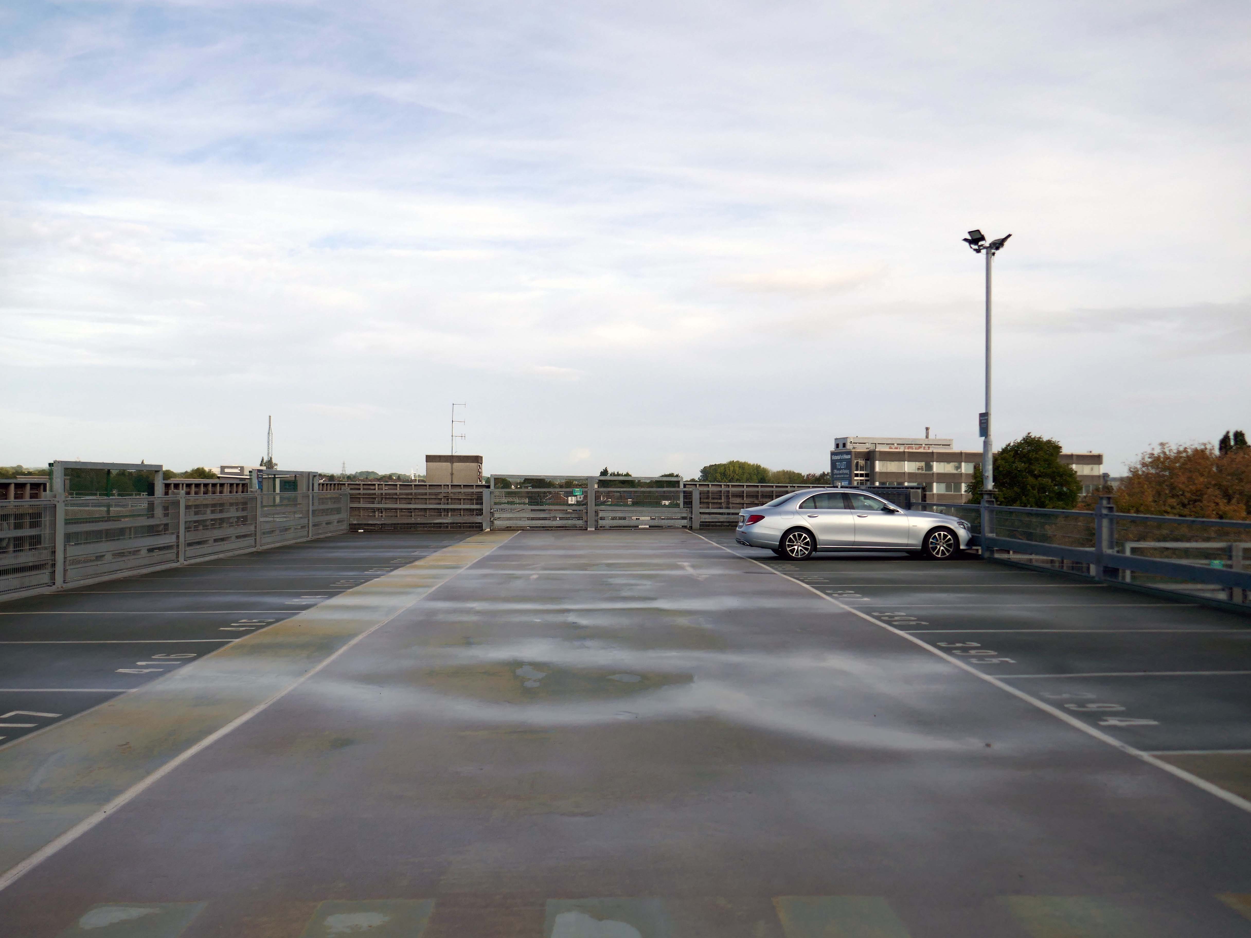
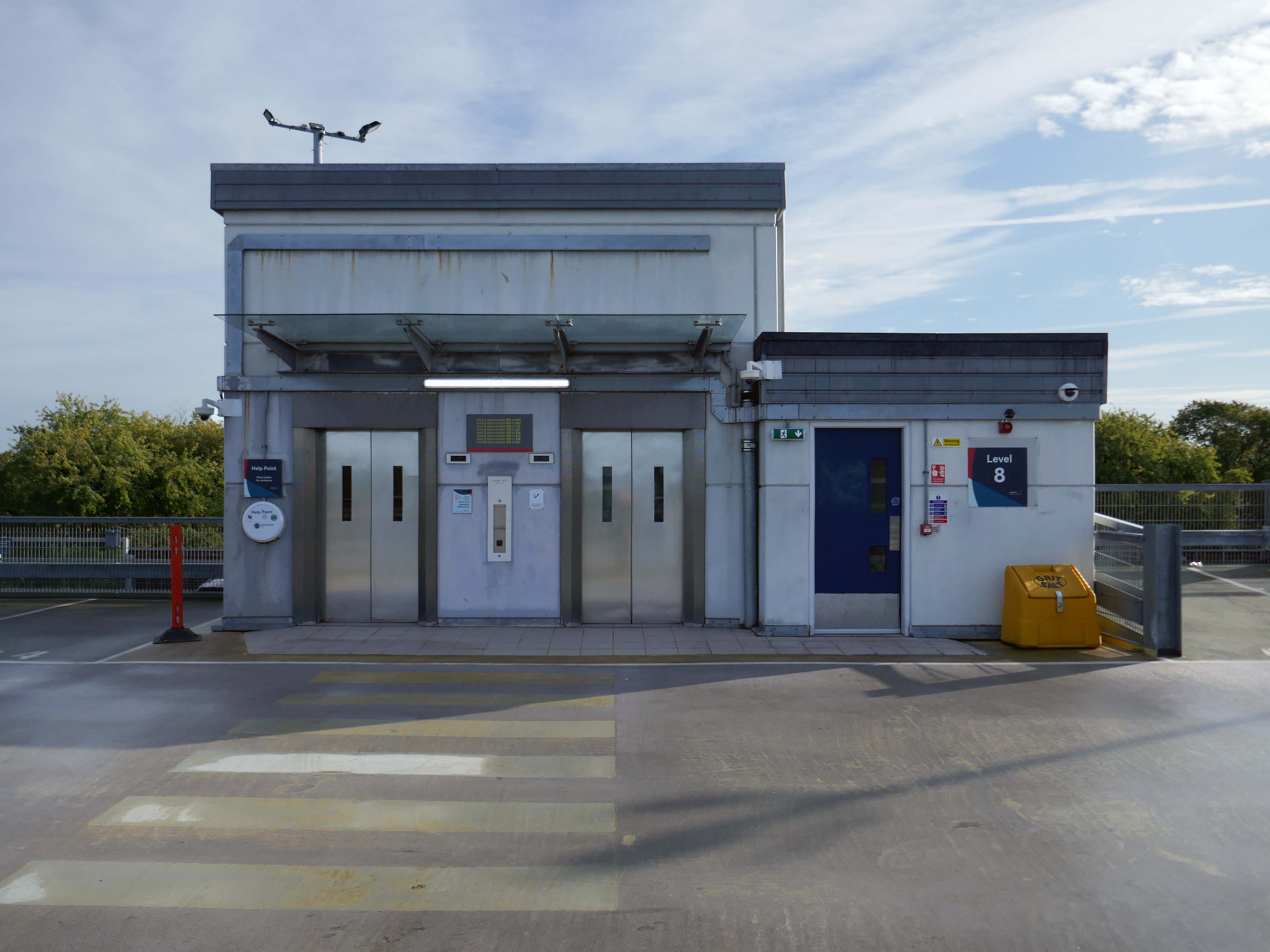
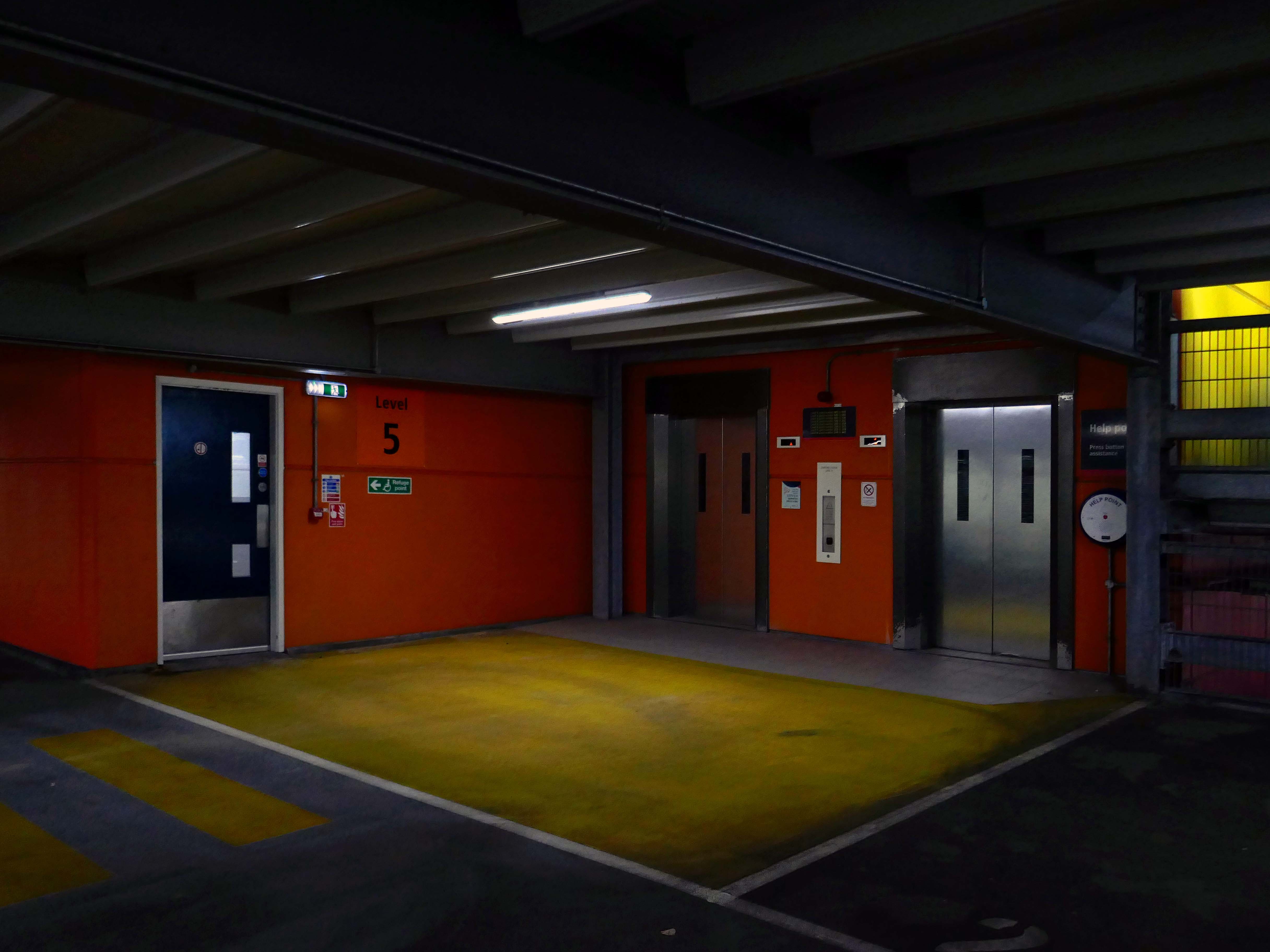
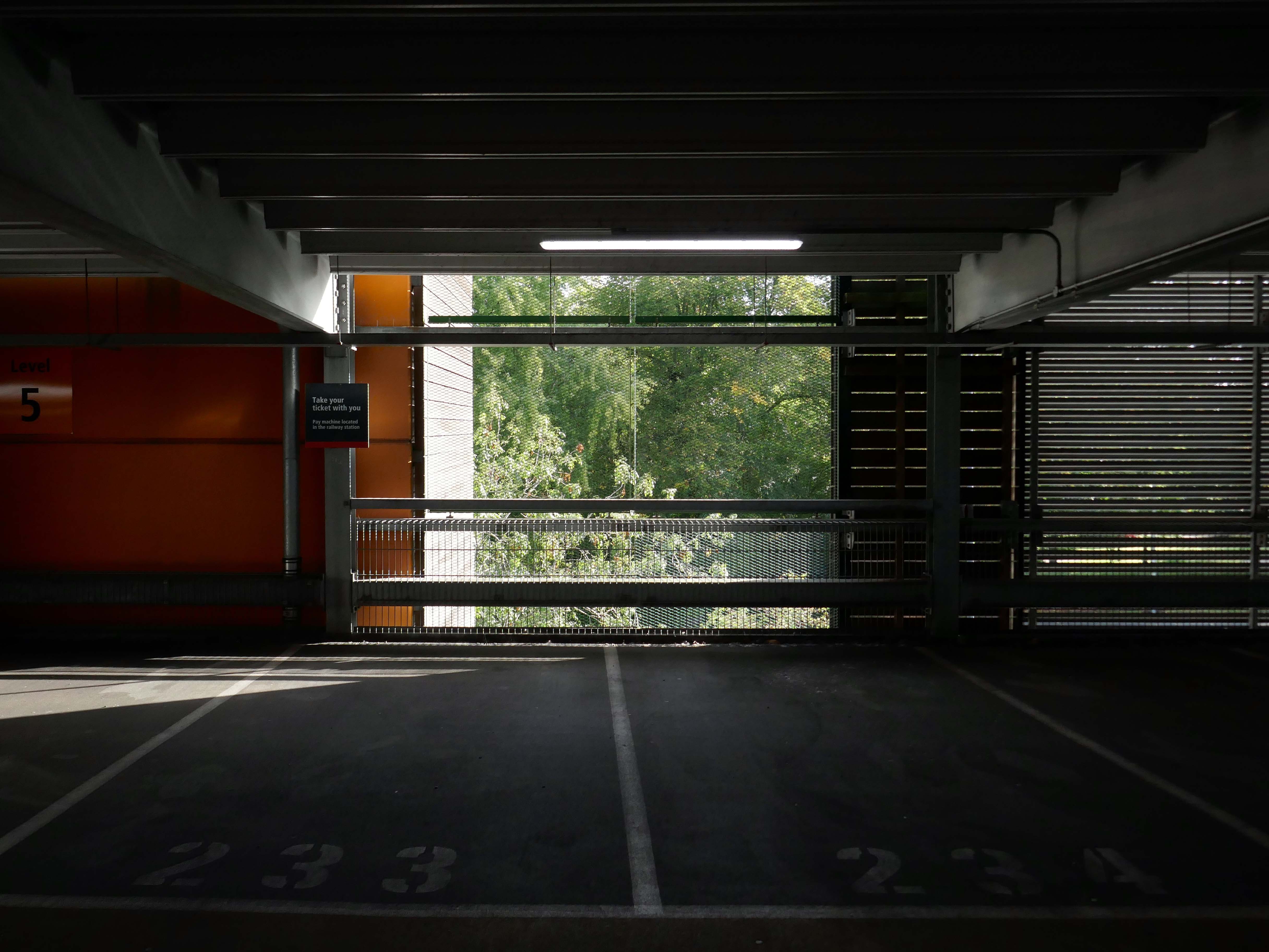
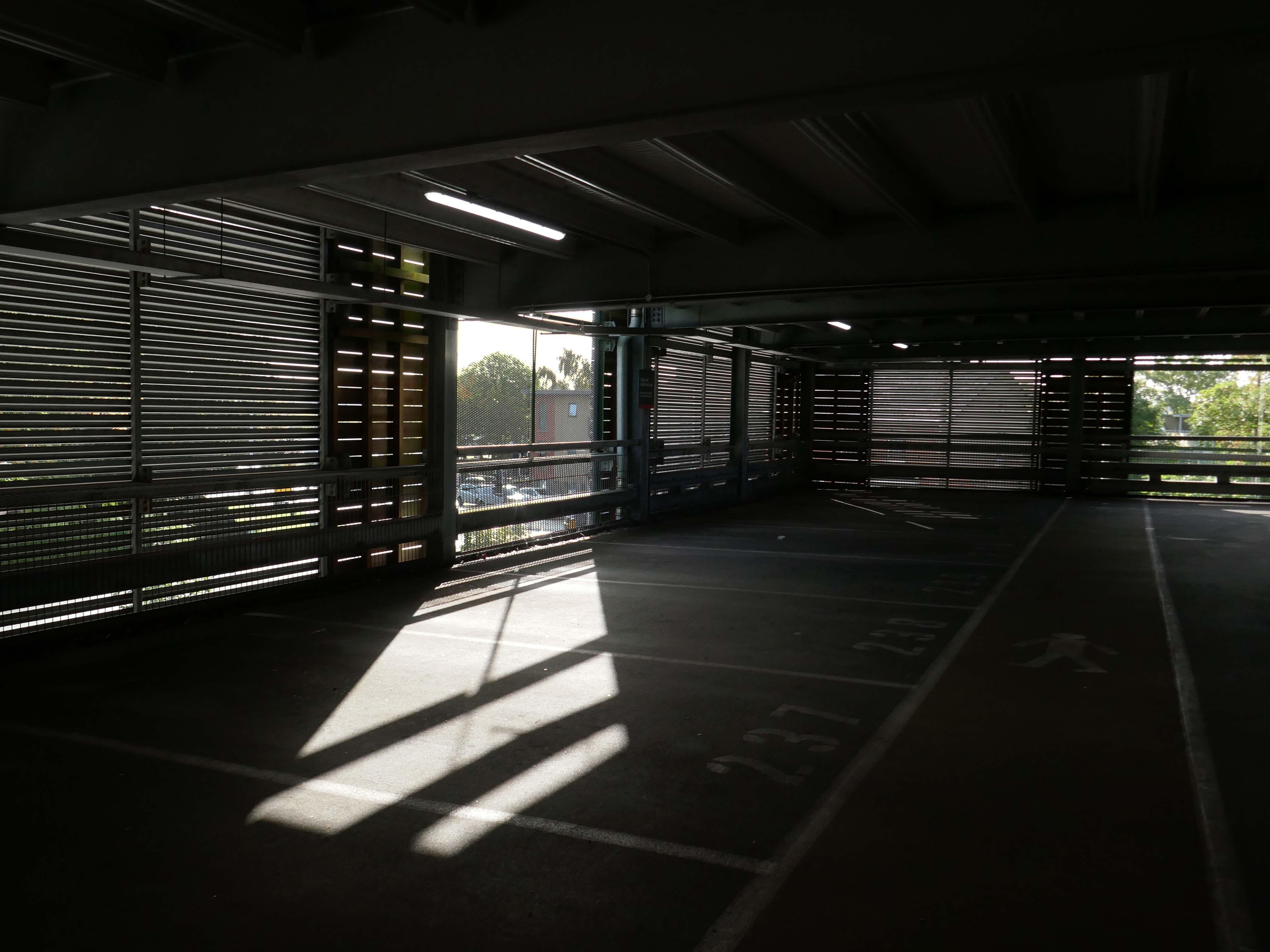
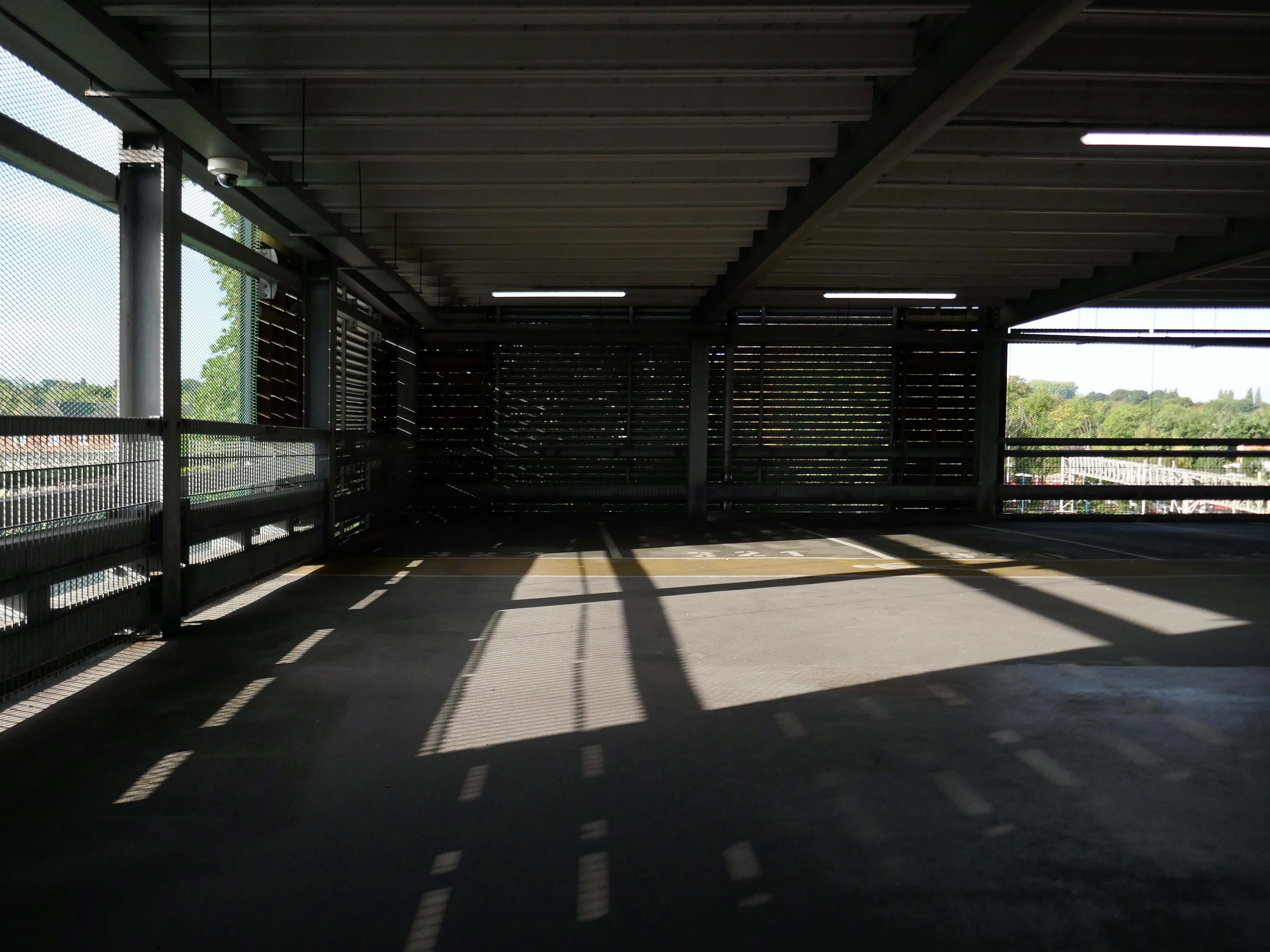
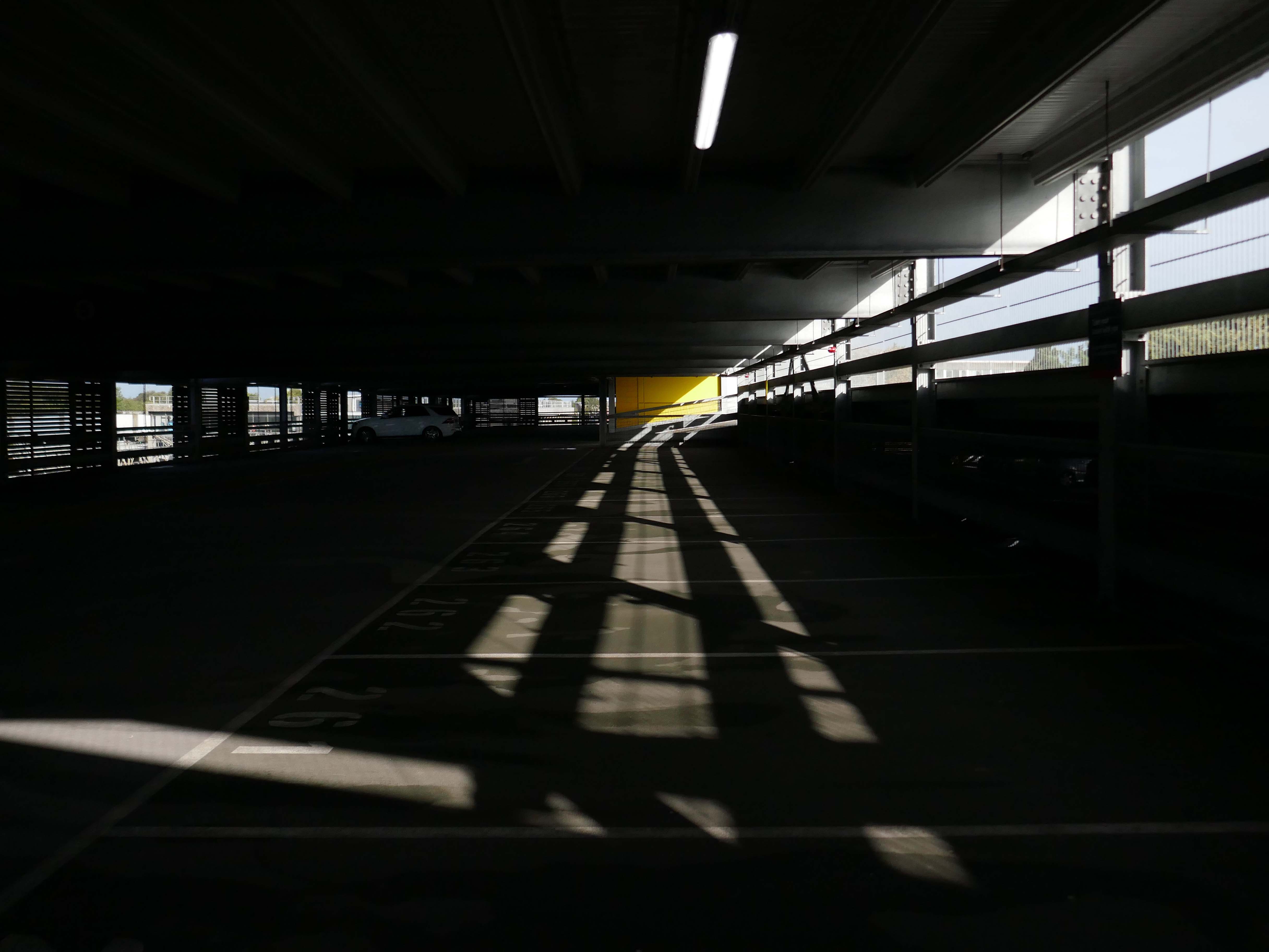
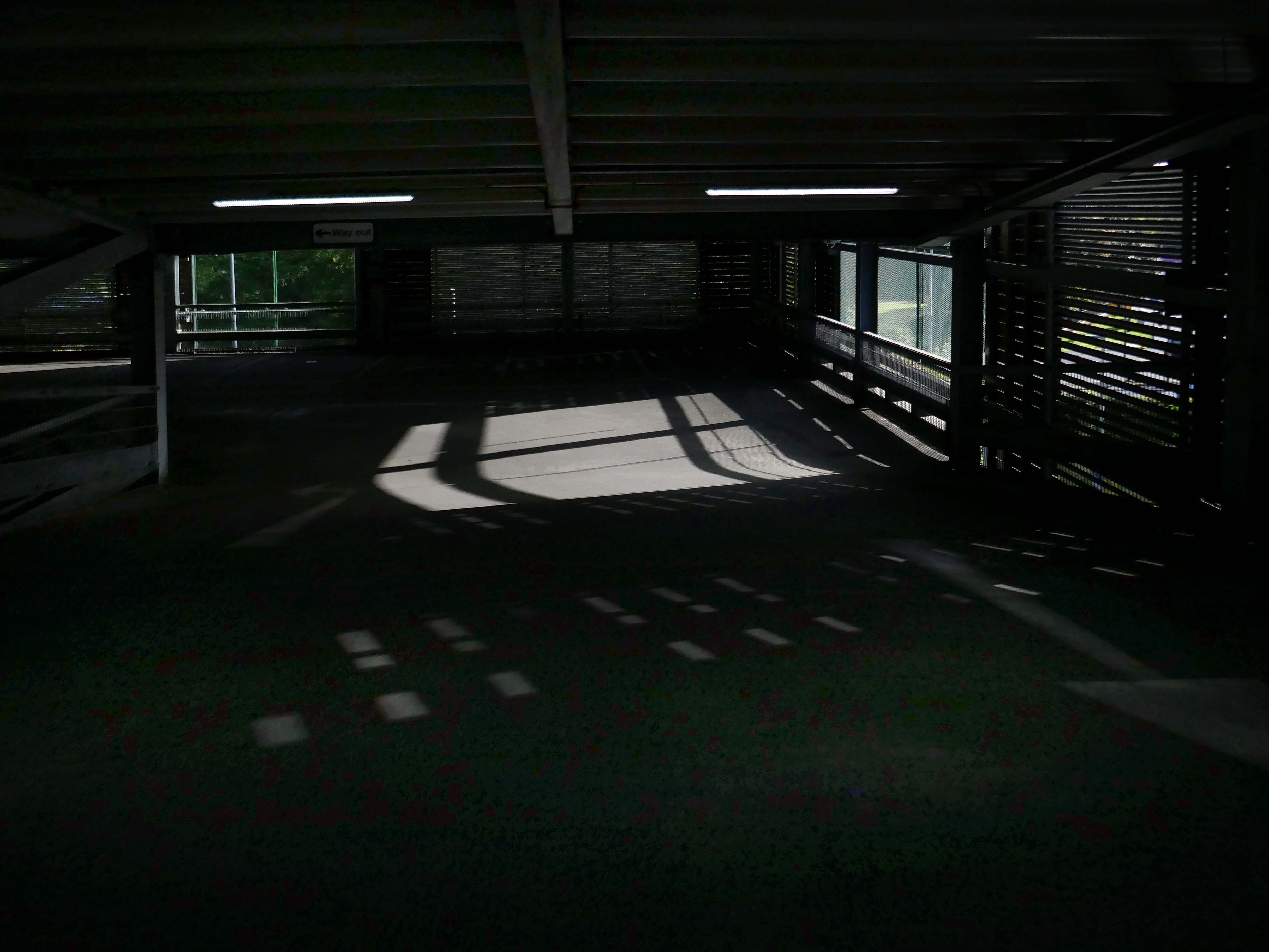
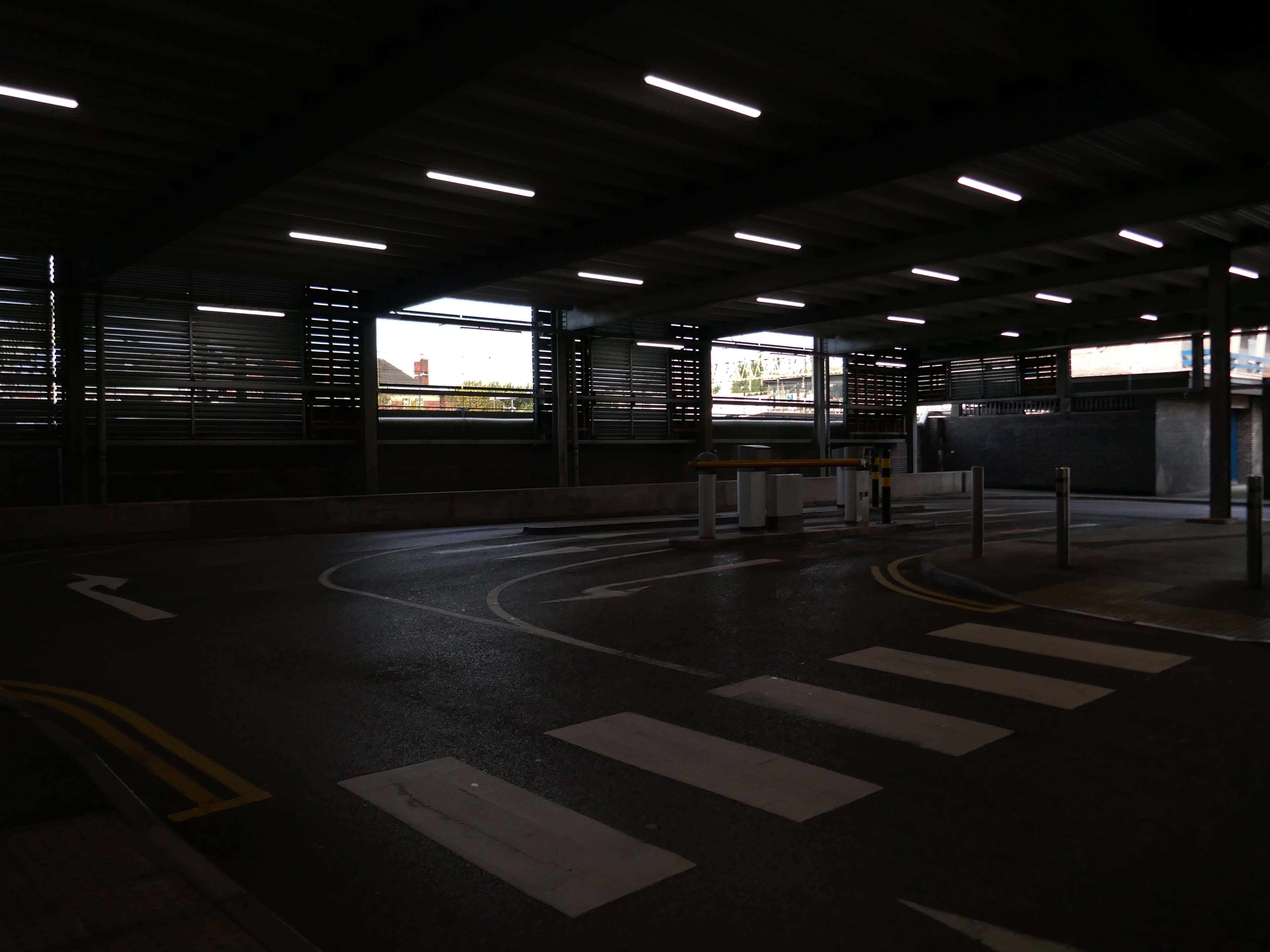
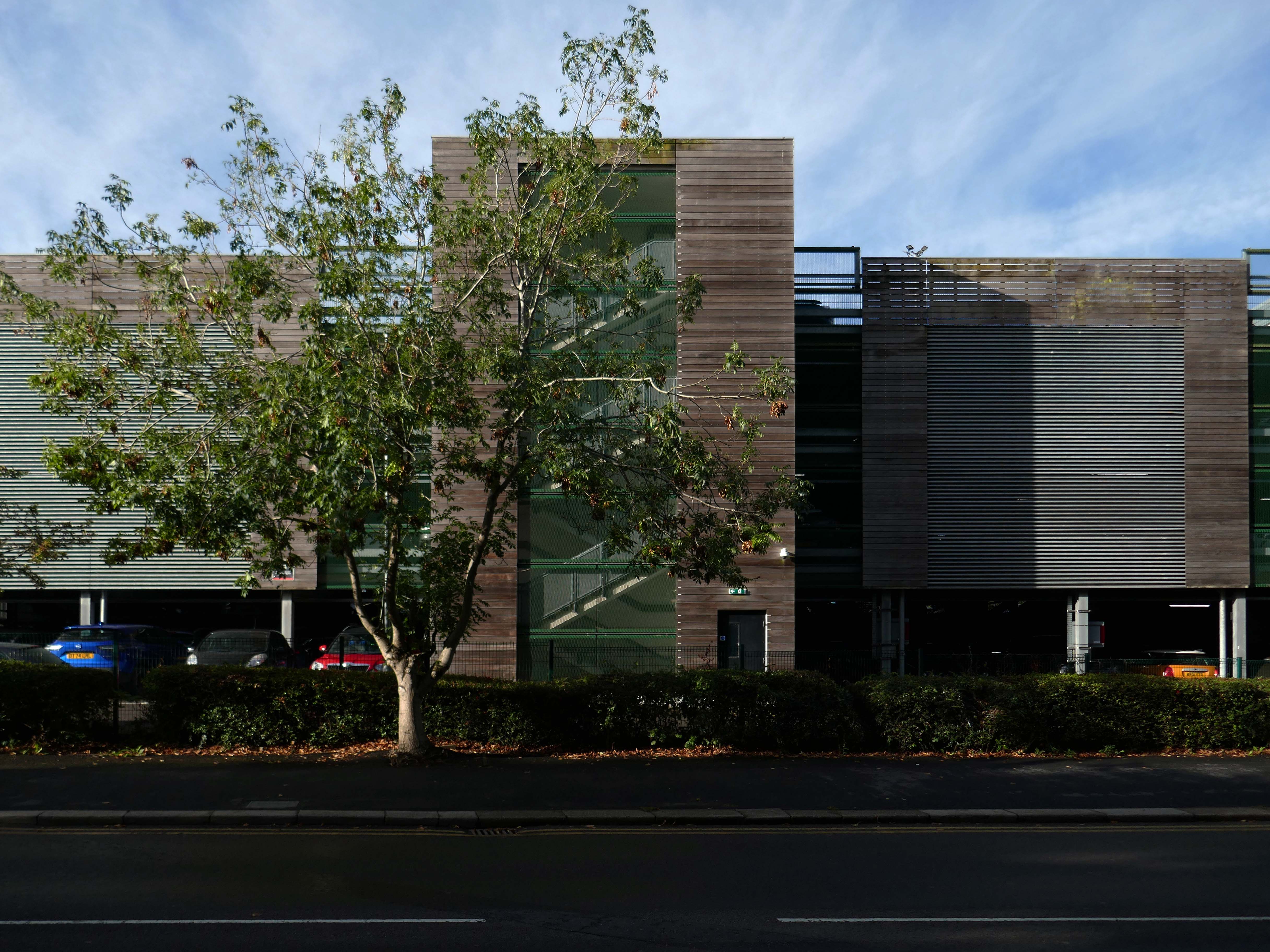
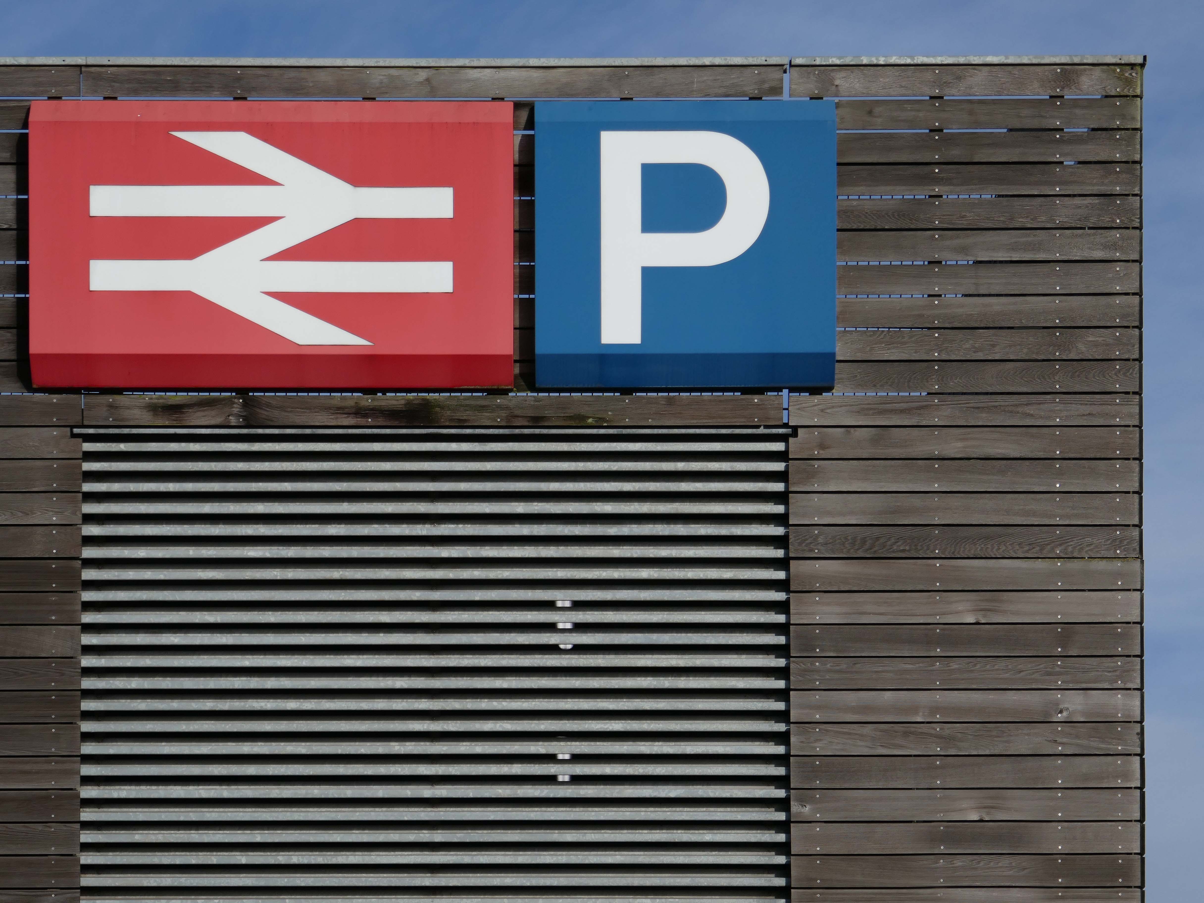
Stafford Station – Multi-Storey Car Park Station Road ST16 2AA
Arriving by train one Saturday morning at the Stafford Station, with time on my hands, I thought to take a look at the adjacent multi-storey car park.
As a pedestrian I found it to be first rate, clean and well signed and designed, easy access by both stairways and lifts, affording panoramic views of the town.
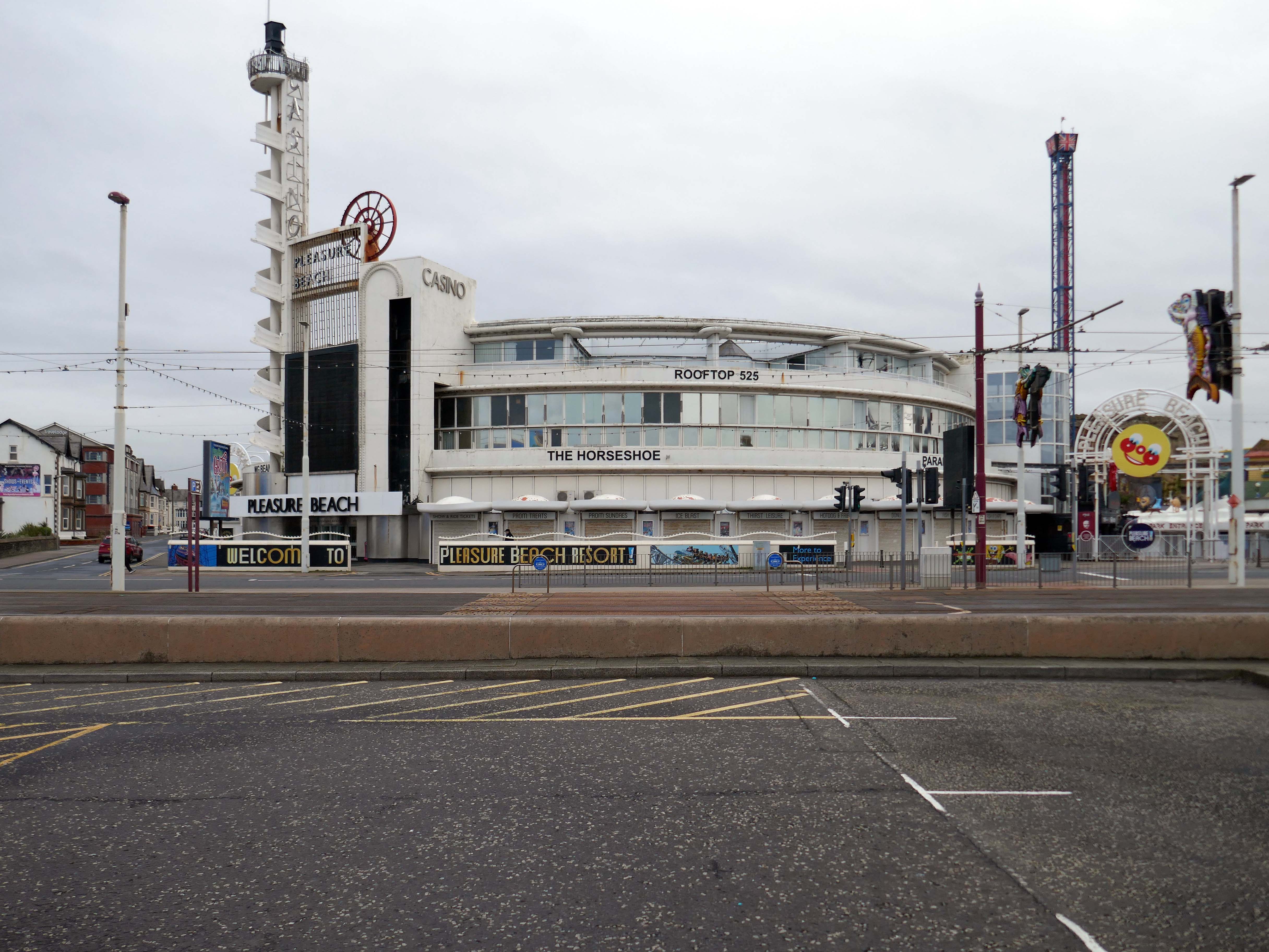
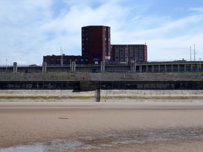
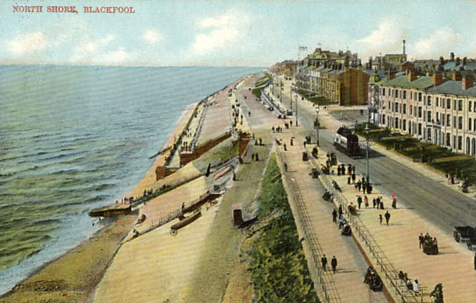
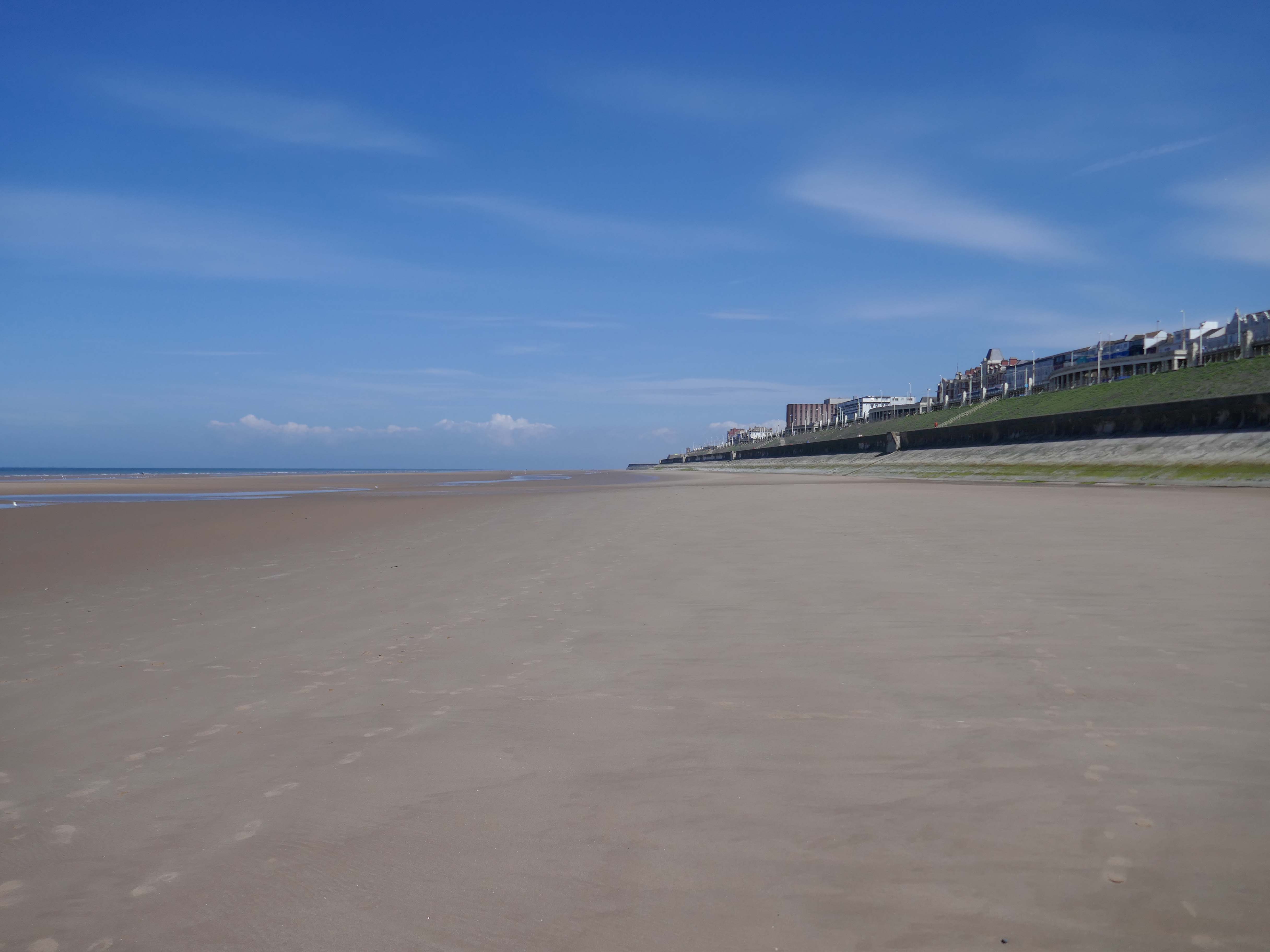
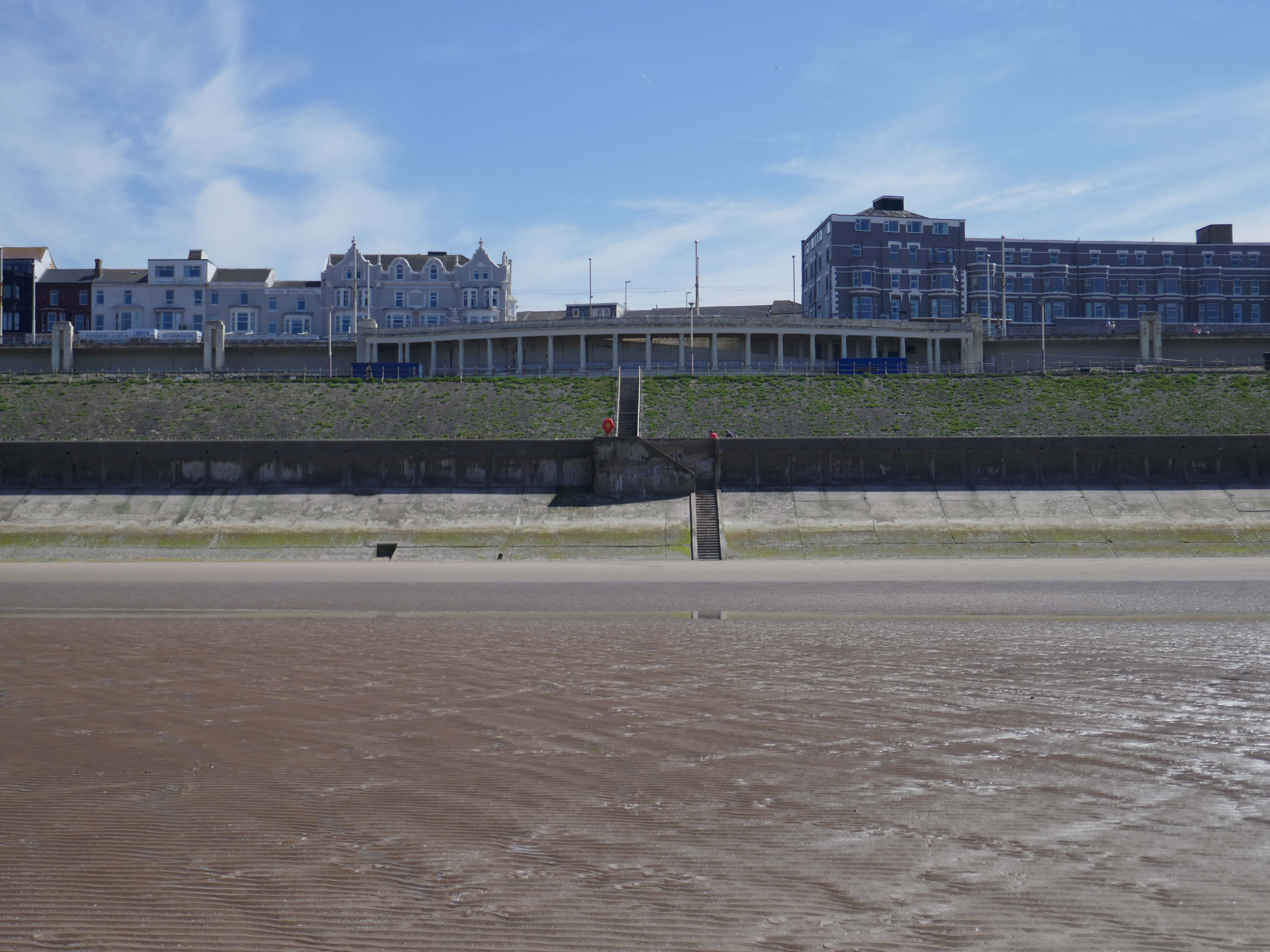
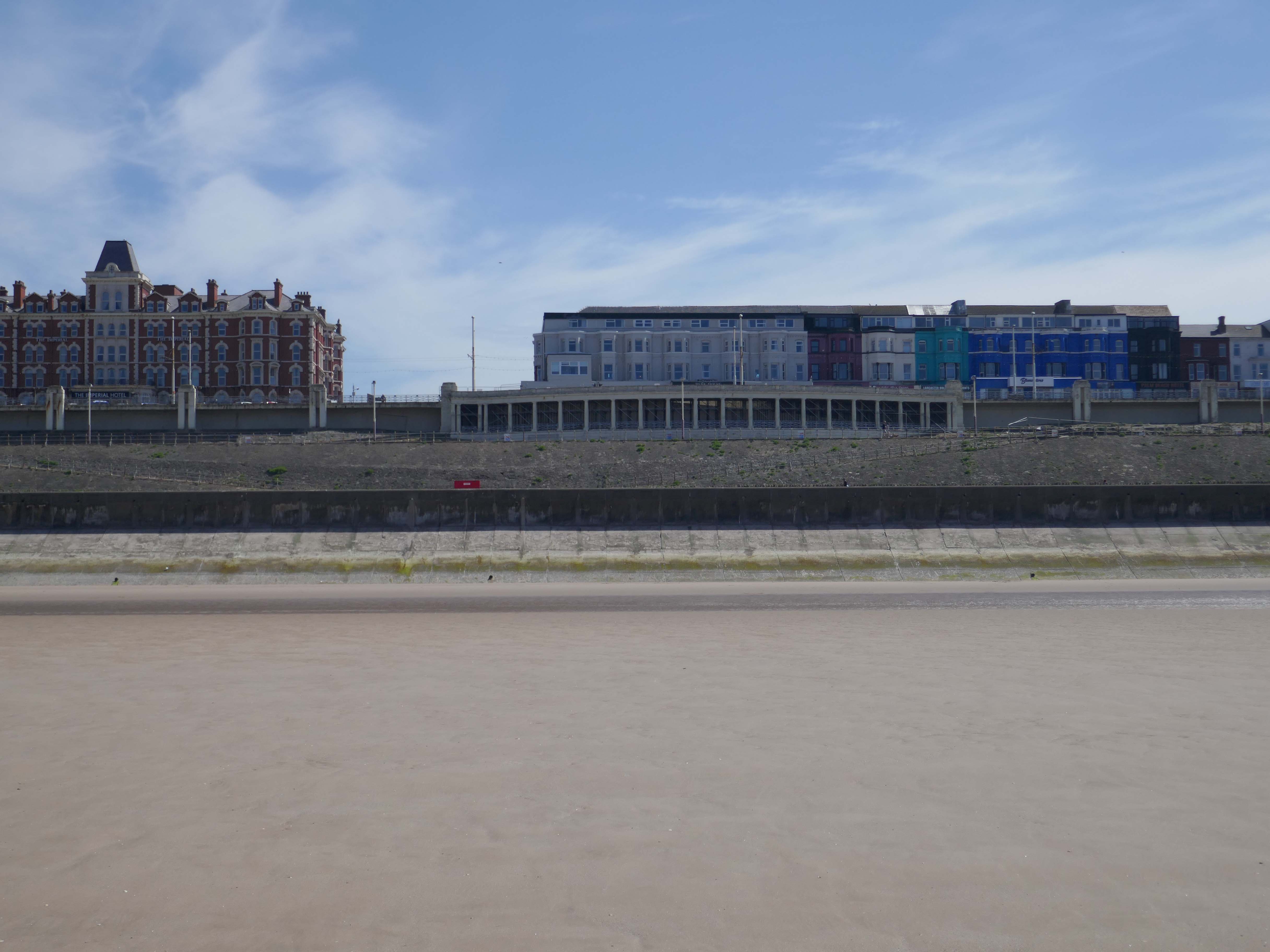
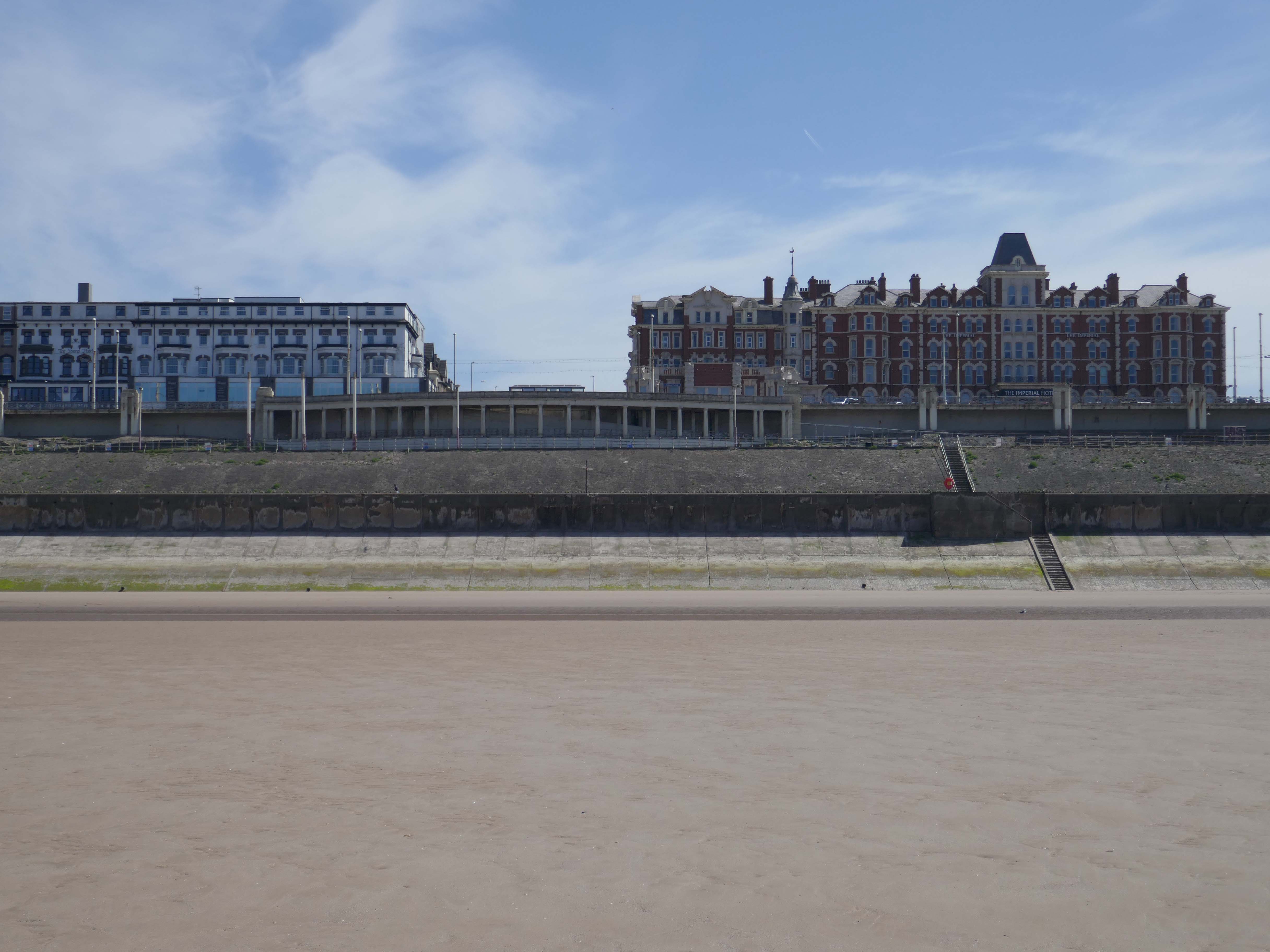
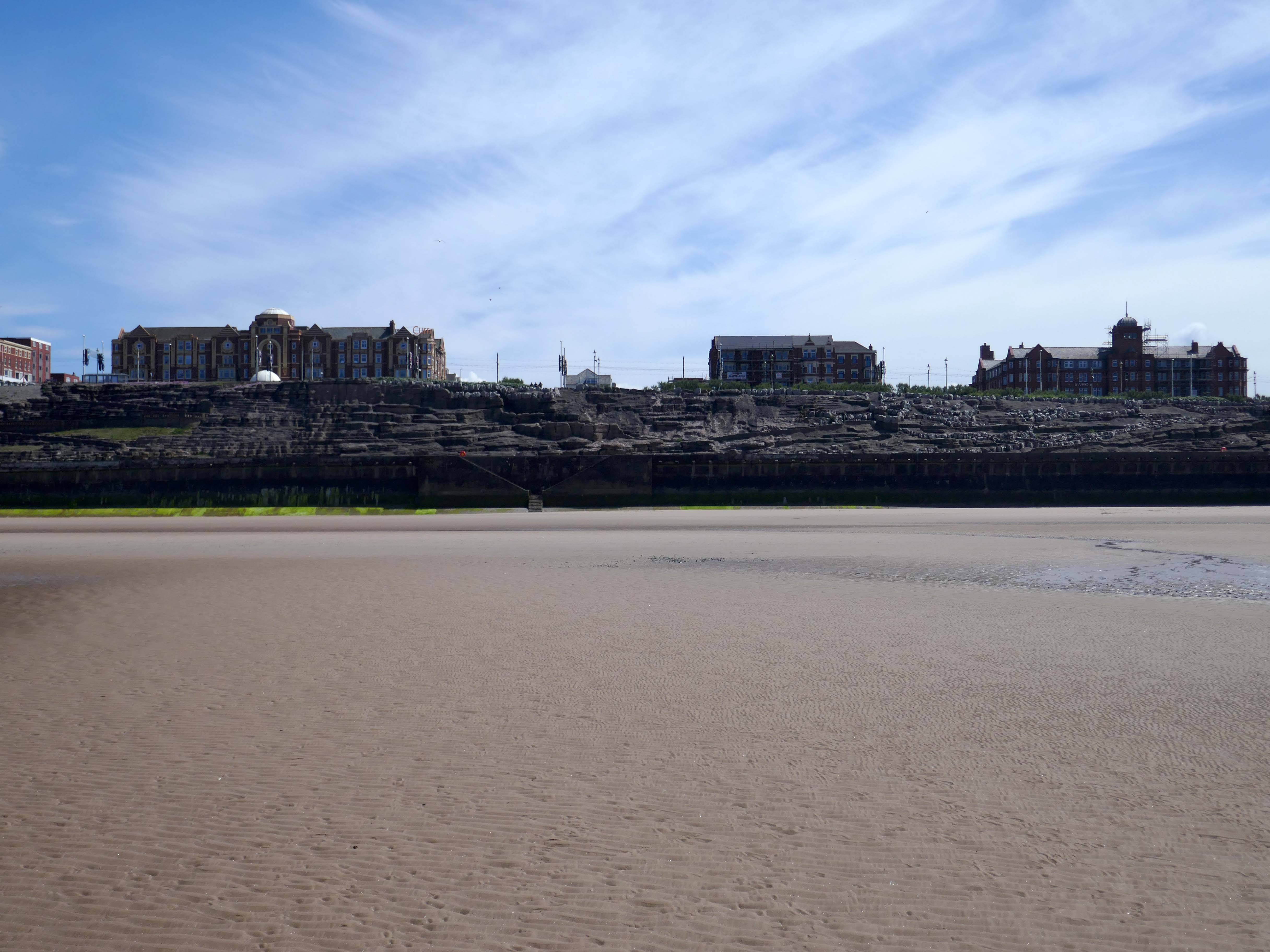
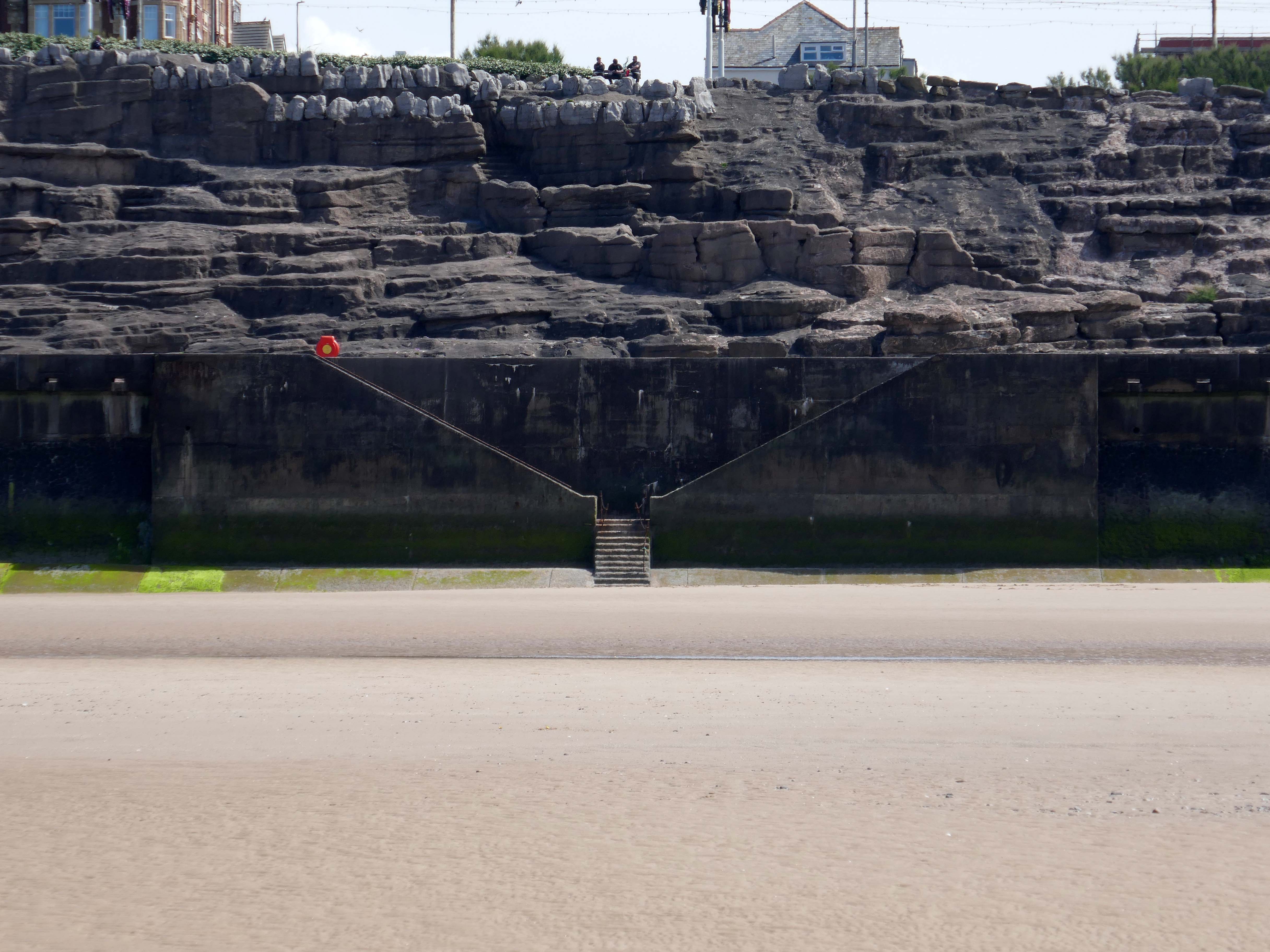
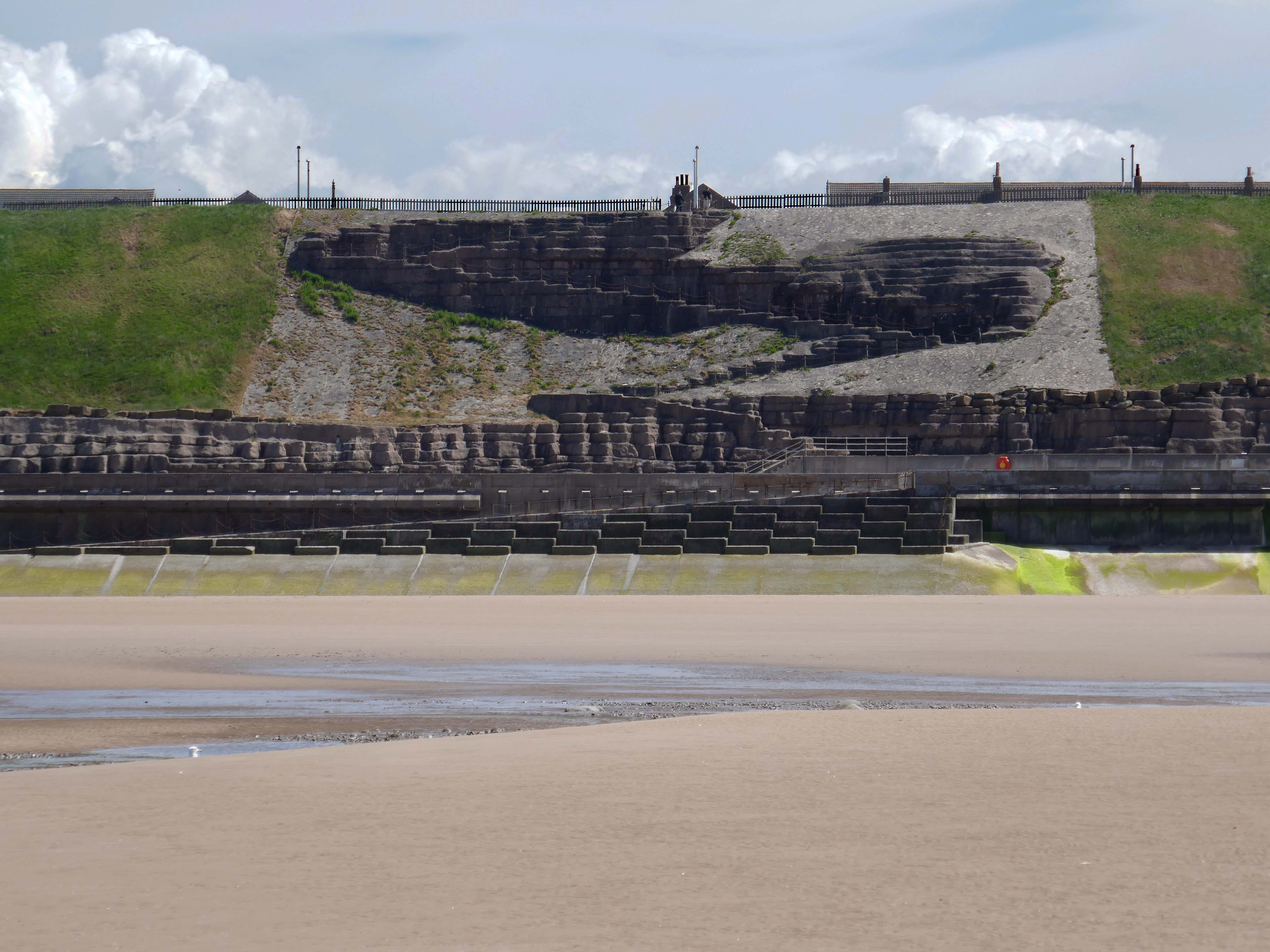
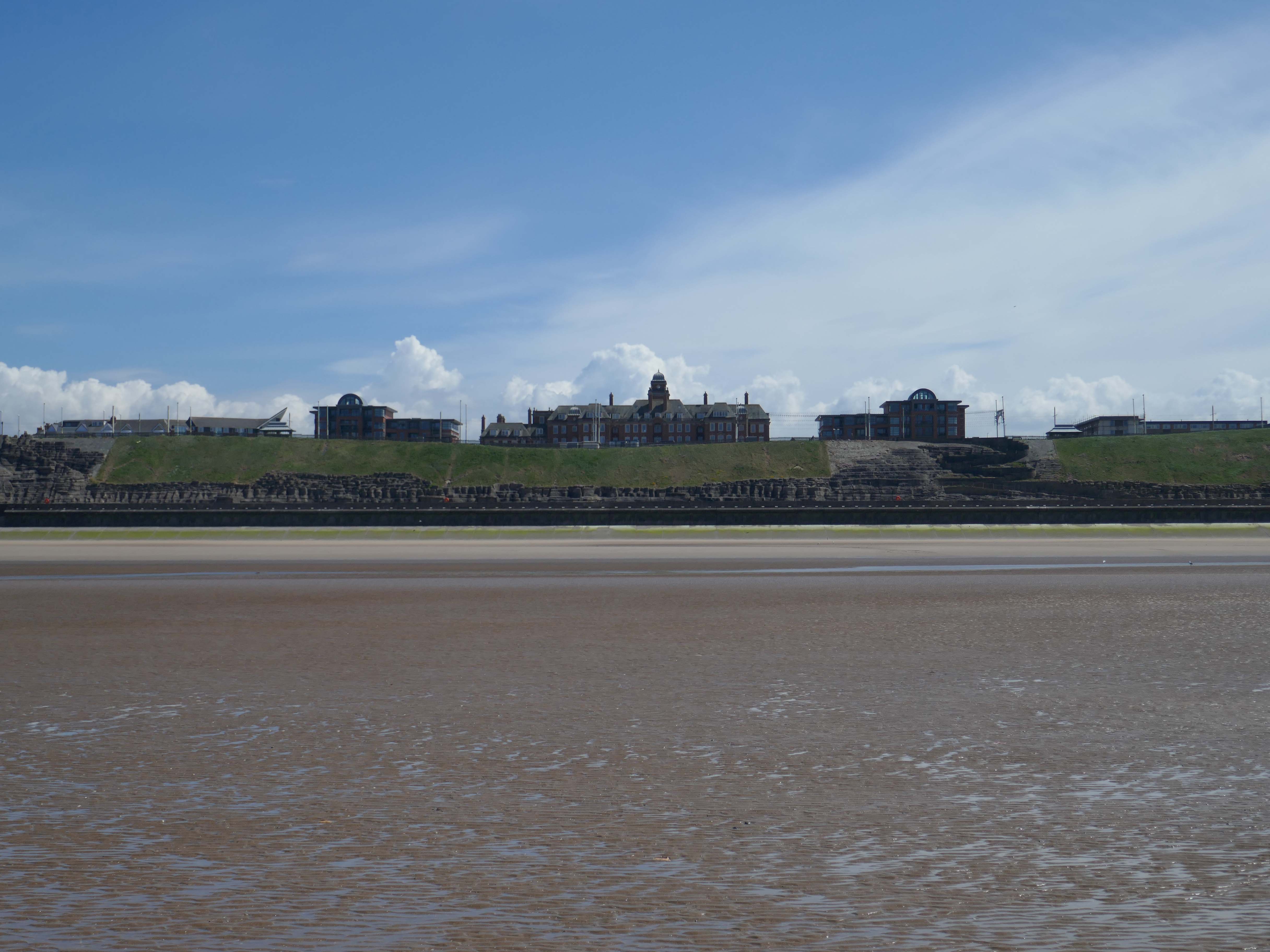
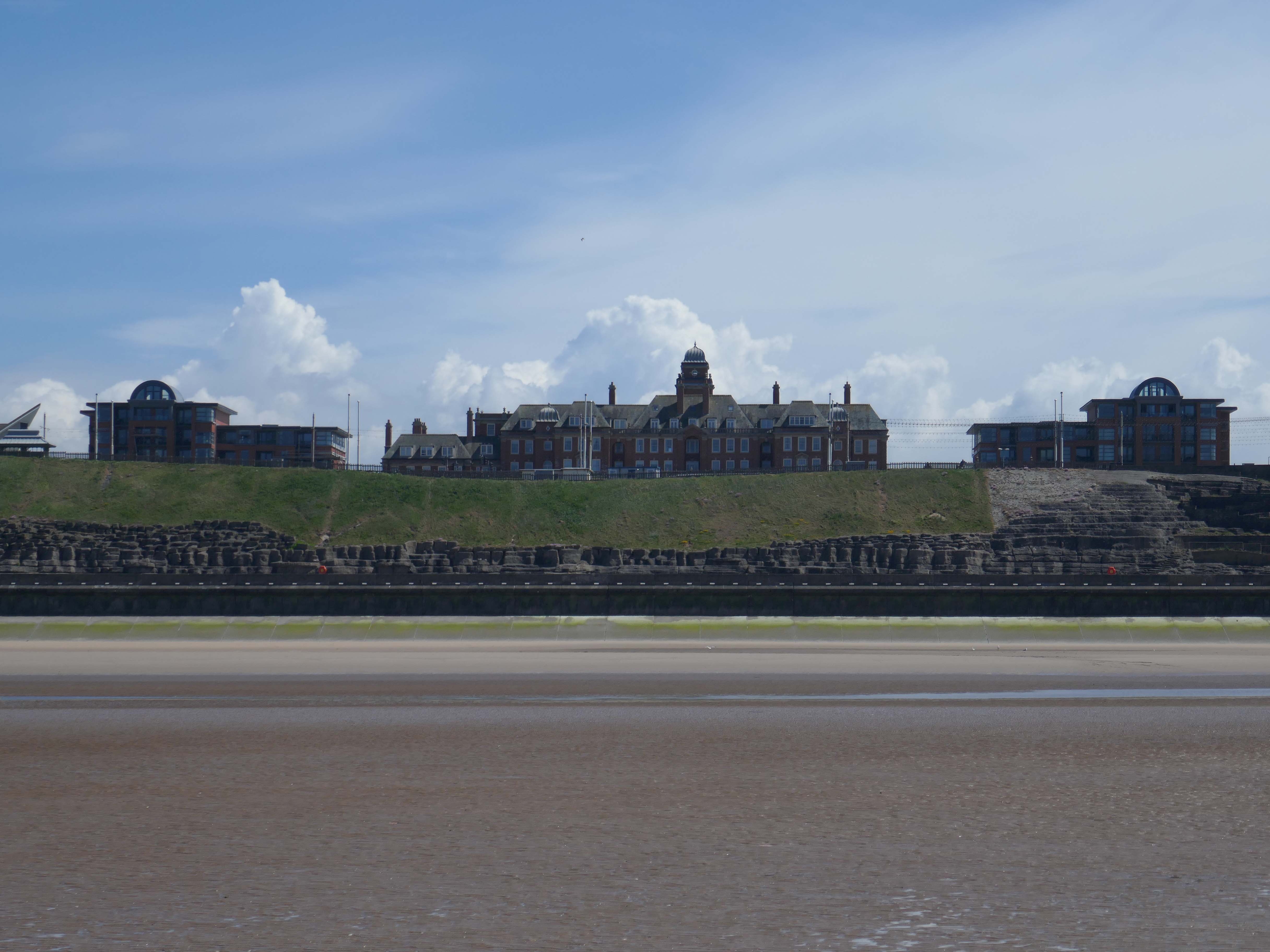
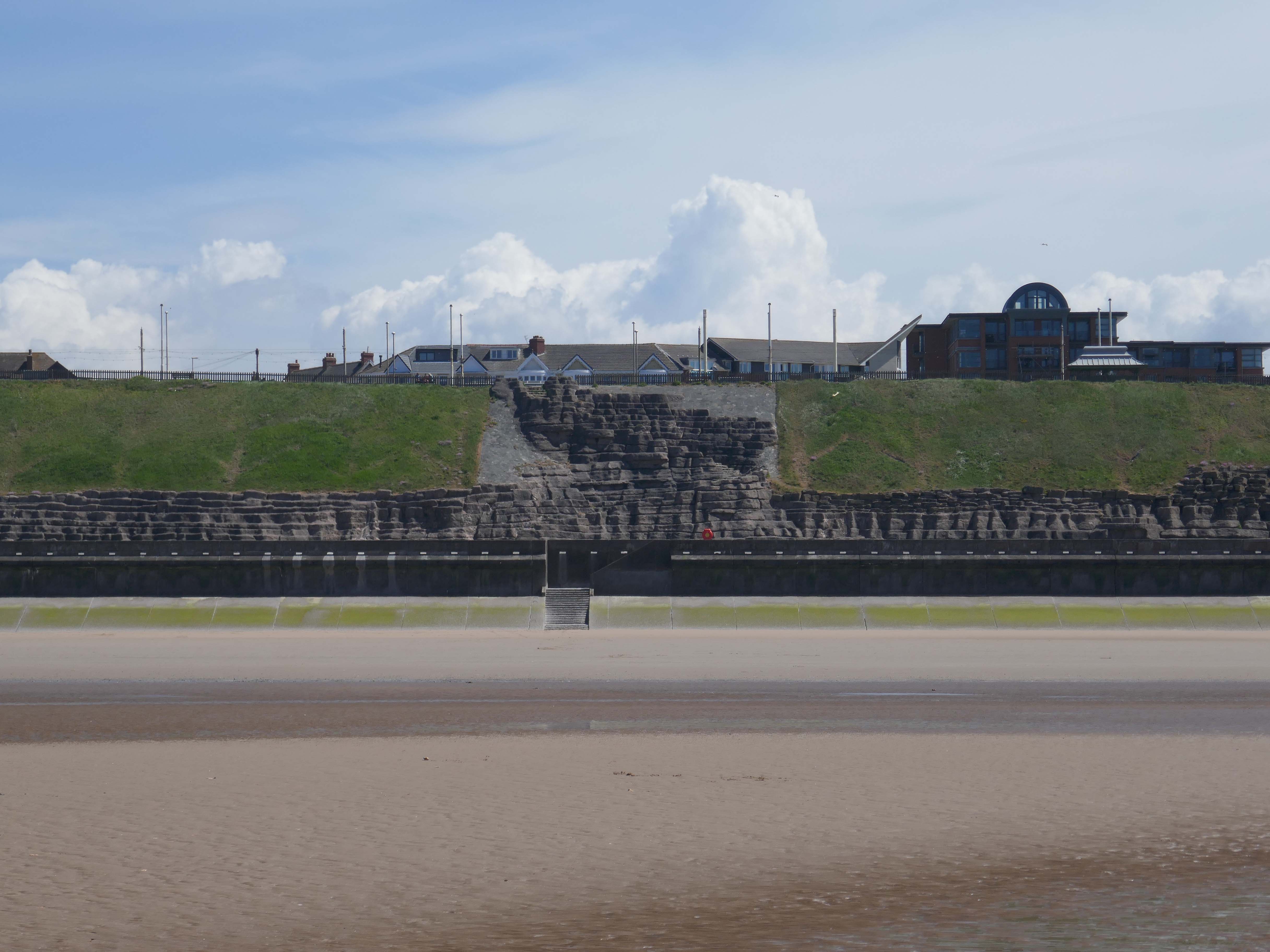
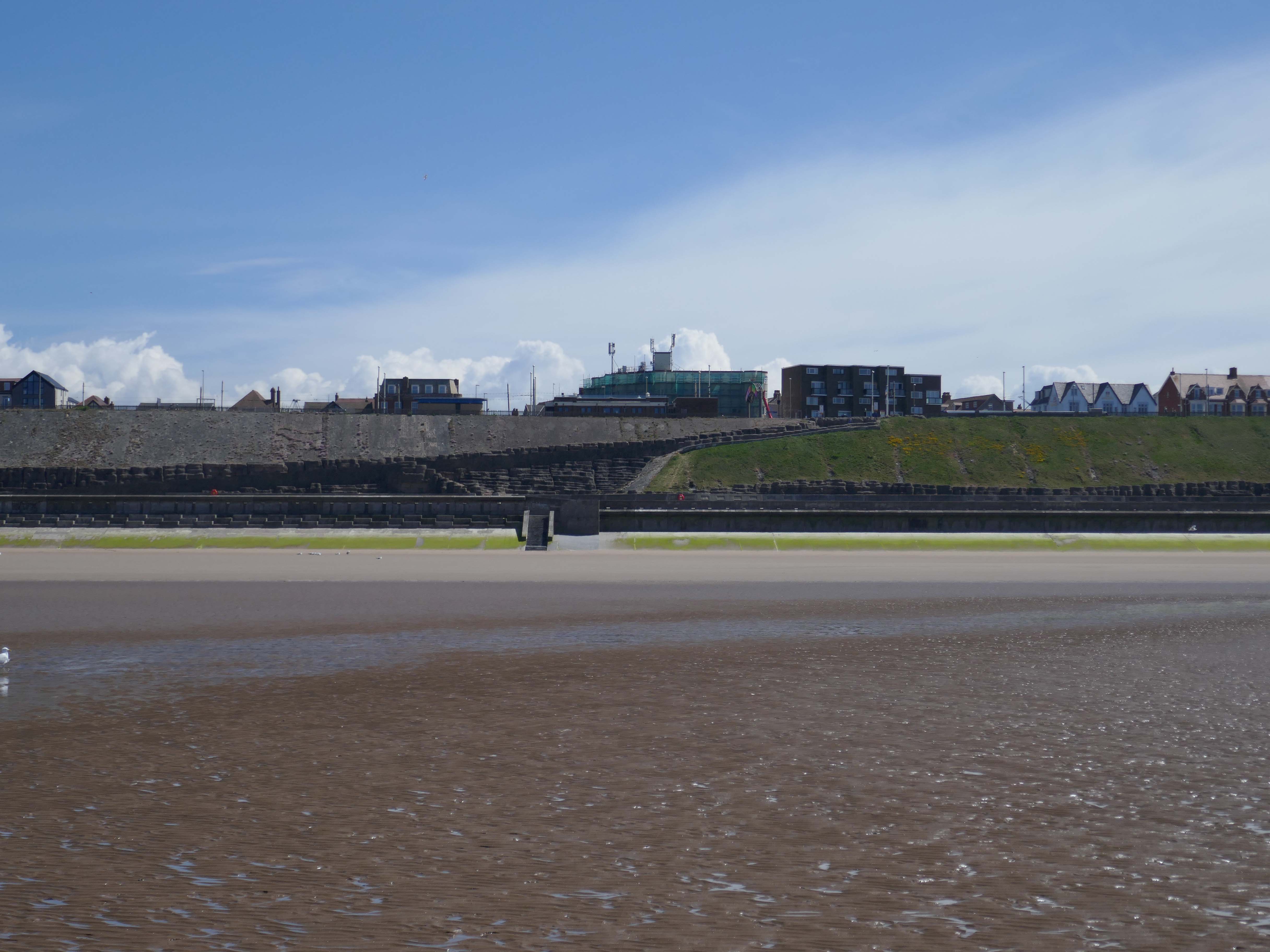
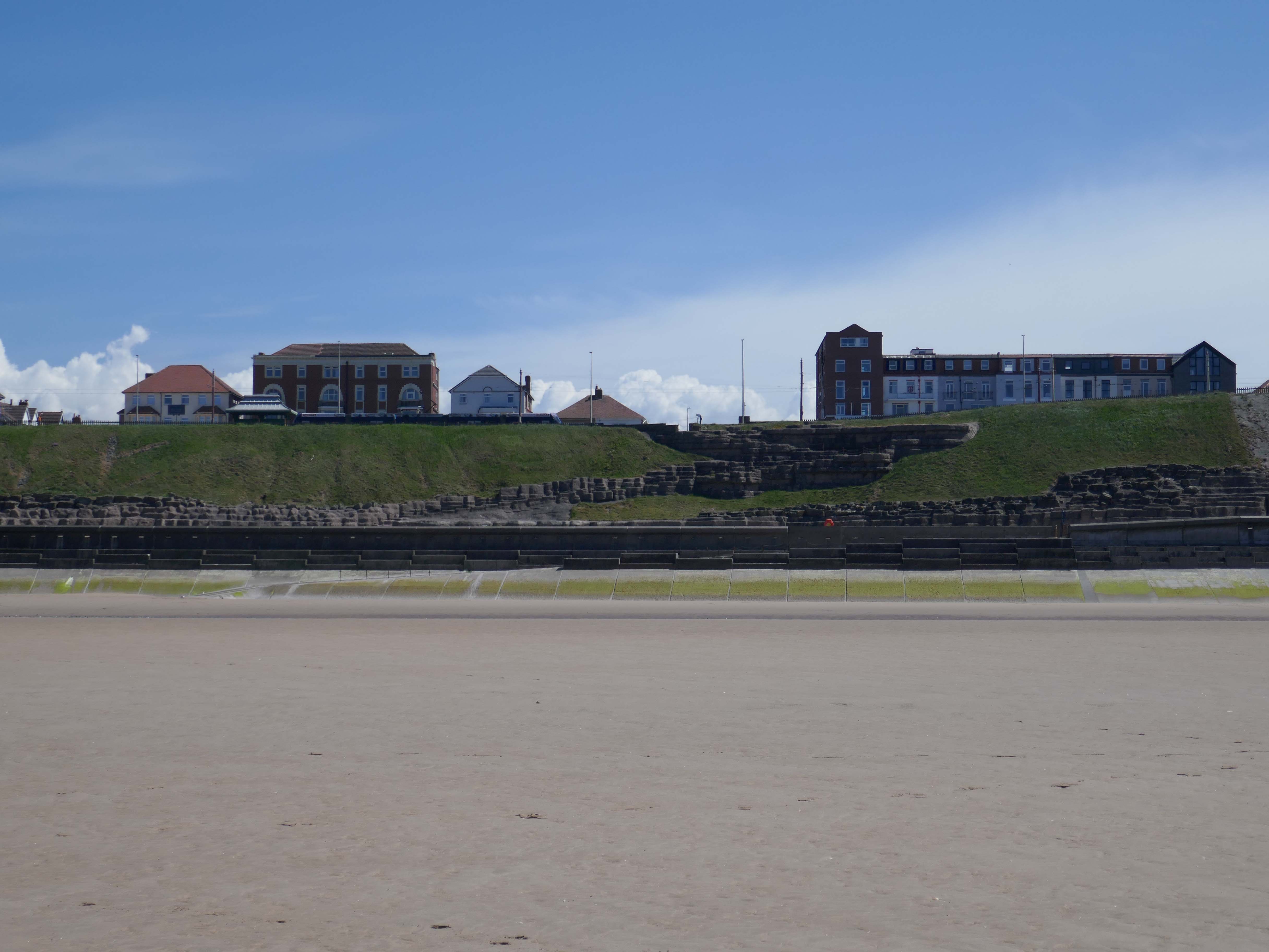
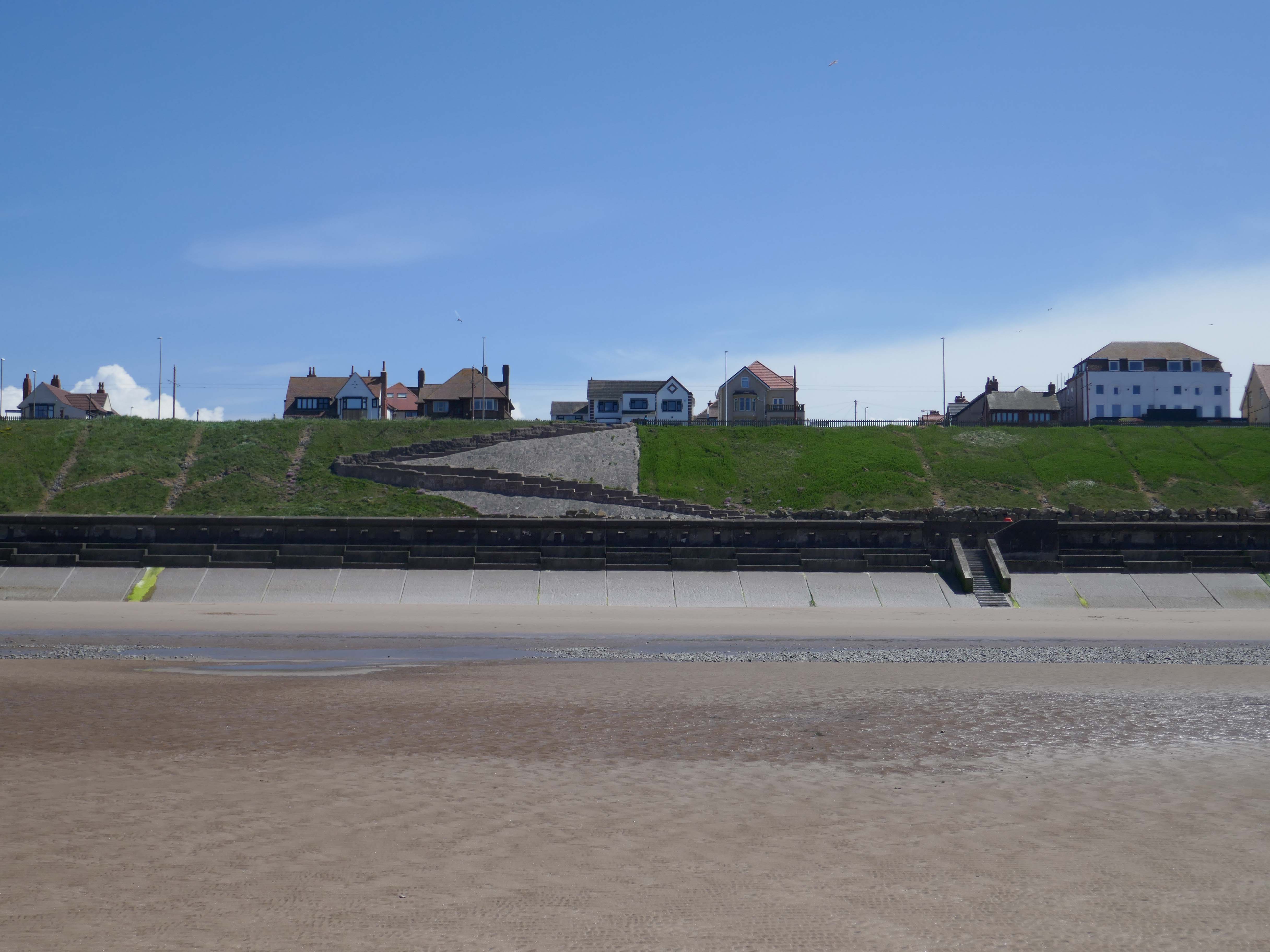
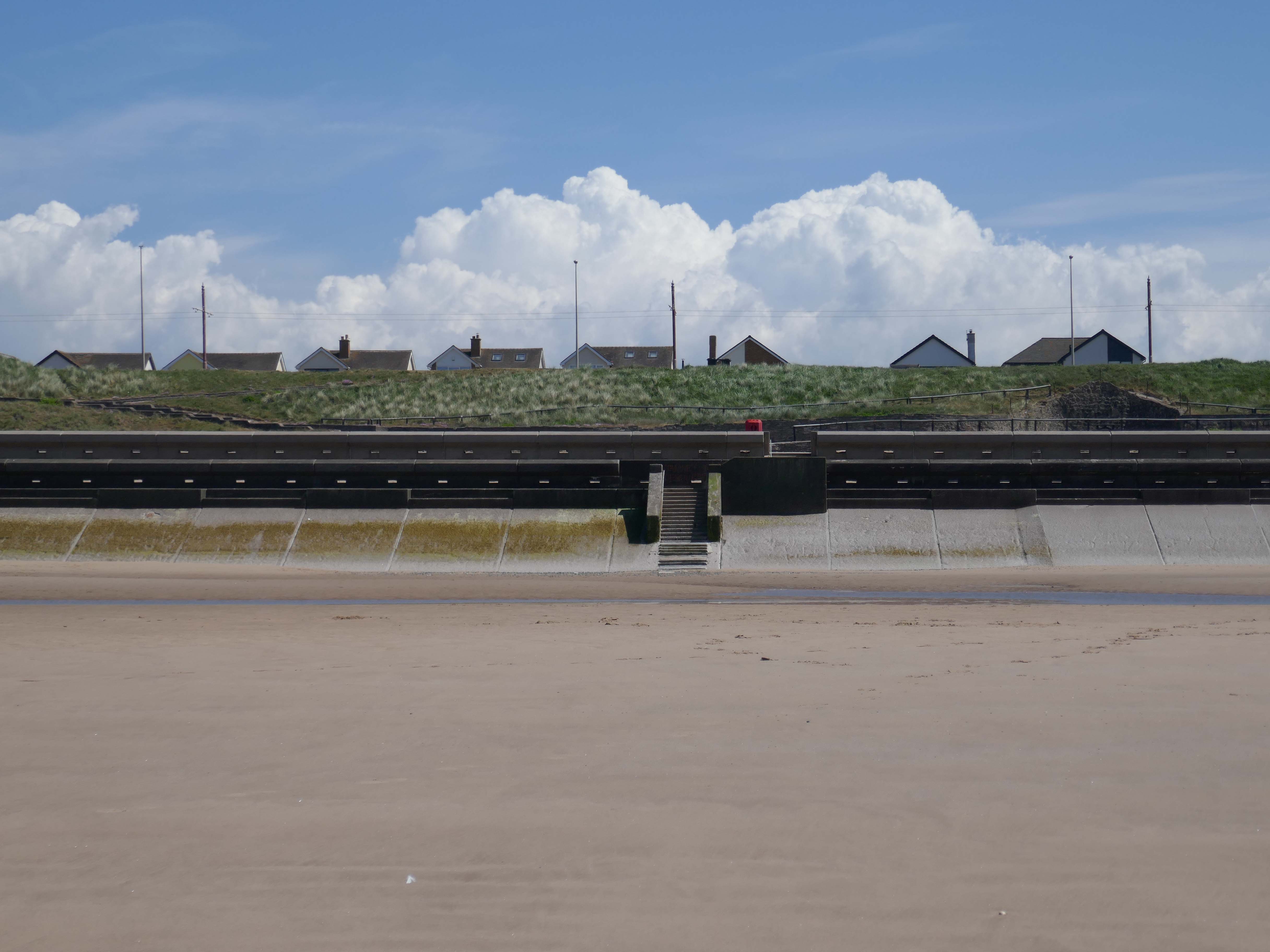
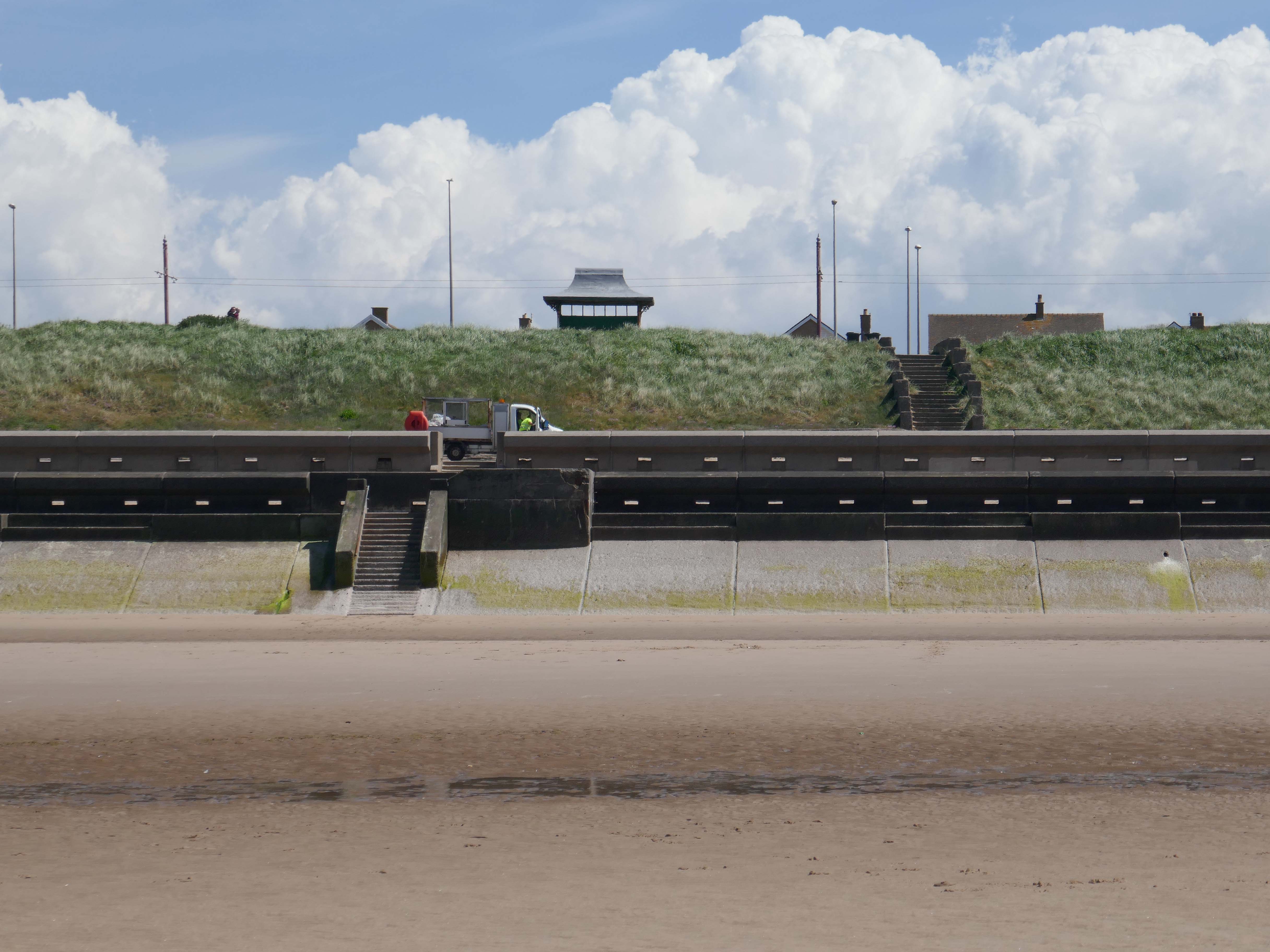
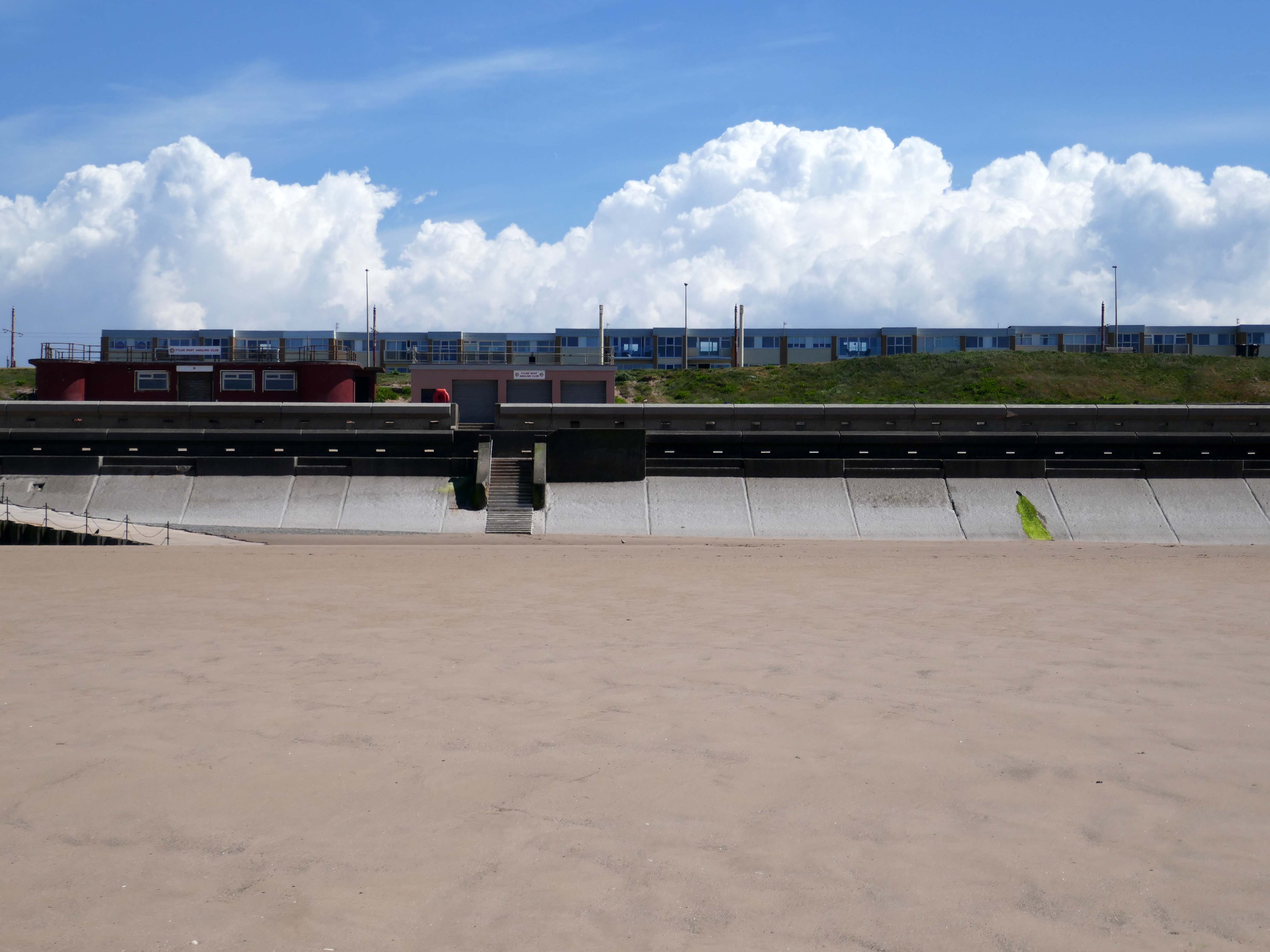
Yesterday, Wednesday 21st May 2025, the sun was shining and the tide was out, I decided to walk along the sands, and look towards the land.
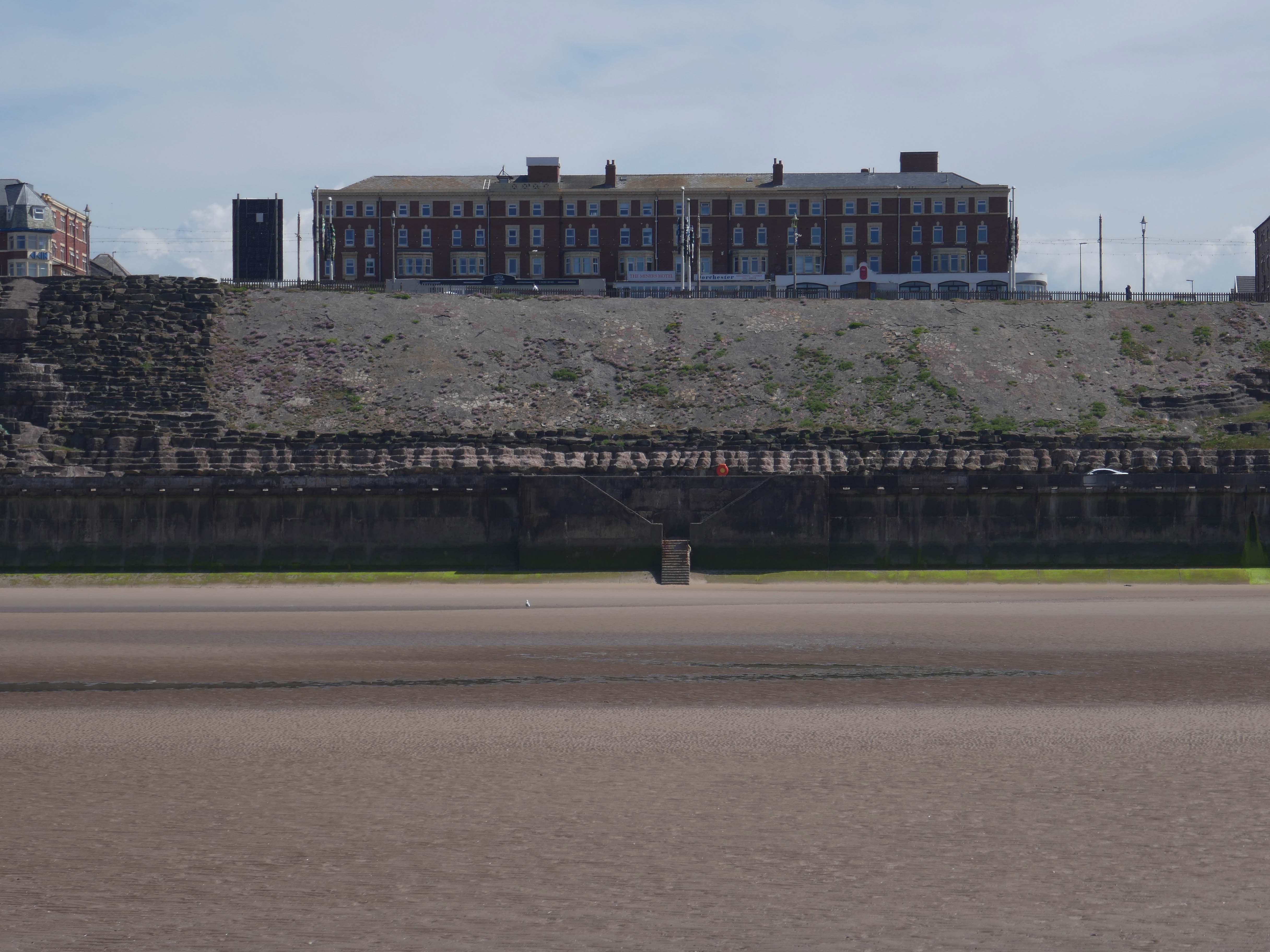
To the right the Imperial Hotel – 1866-7 by Clegg and Knowles of Manchester, wing added 1875 by Mangnall and Littlewood.
The hotel was established in 1867. Charles Dickens stayed at the hotel in 1869. In 1904, the hotel was extended with the addition of a large neo-baroque style dining room. In 1912, Princess Louise, Duchess of Argyll stayed at the hotel.In the mid 20th century, Winston Churchill, Queen Elizabeth The Queen Mother, Princess Margaret, Countess of Snowdon and The Beatles stayed at the hotel. Queen Elizabeth II stayed at the hotel when visiting Blackpool. In 1985, Margaret Thatcher celebrated her 60th birthday in the hotel. In 2002, US President Bill Clinton and Prime Minister Tony Blair stayed at the hotel for the Labour party conference.
Join us at The Imperial Hotel Blackpool for an unforgettable experience where entertainment, family fun, and group leisure come together. Book now and start creating memories that will last a lifetime.
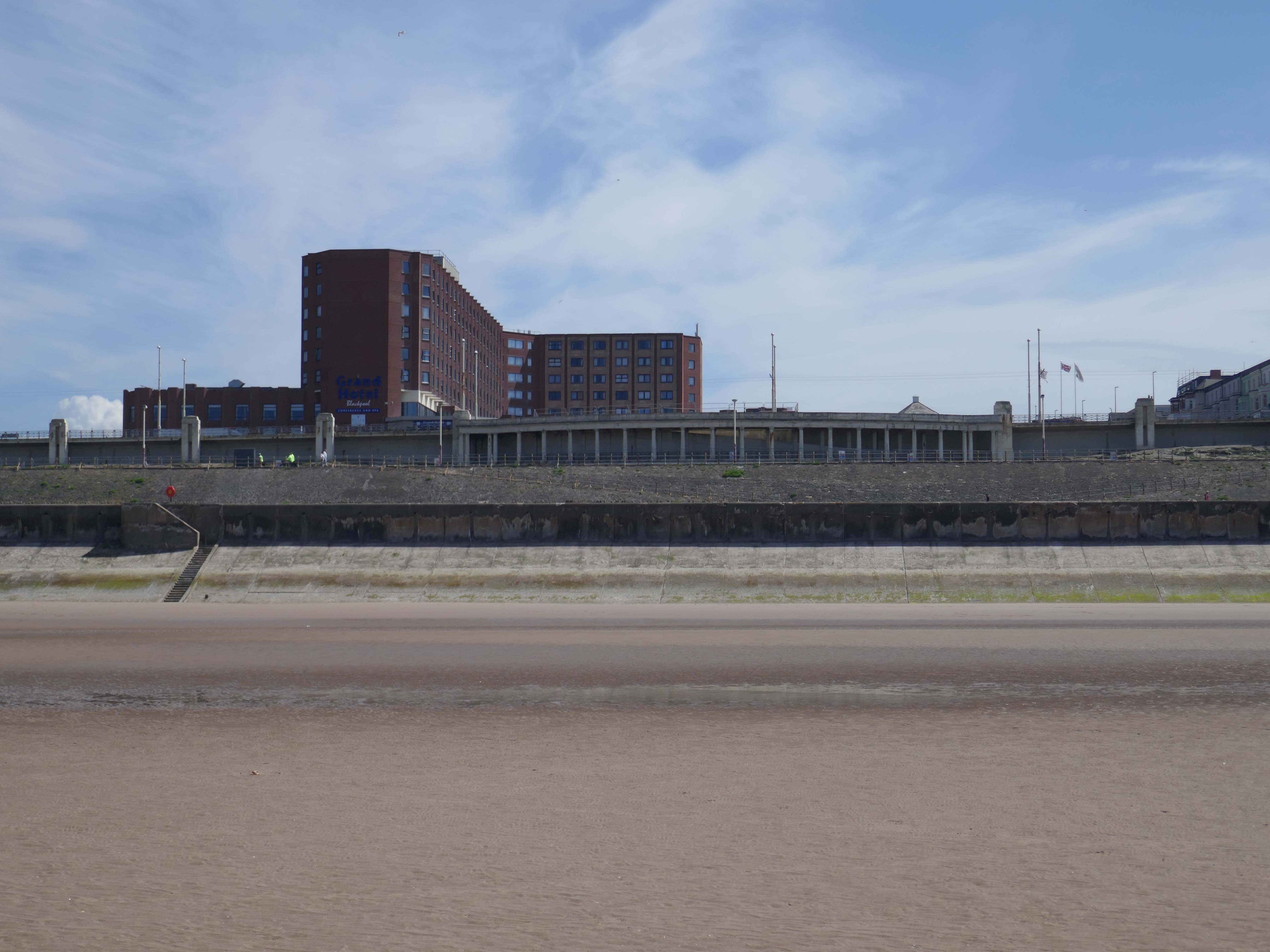
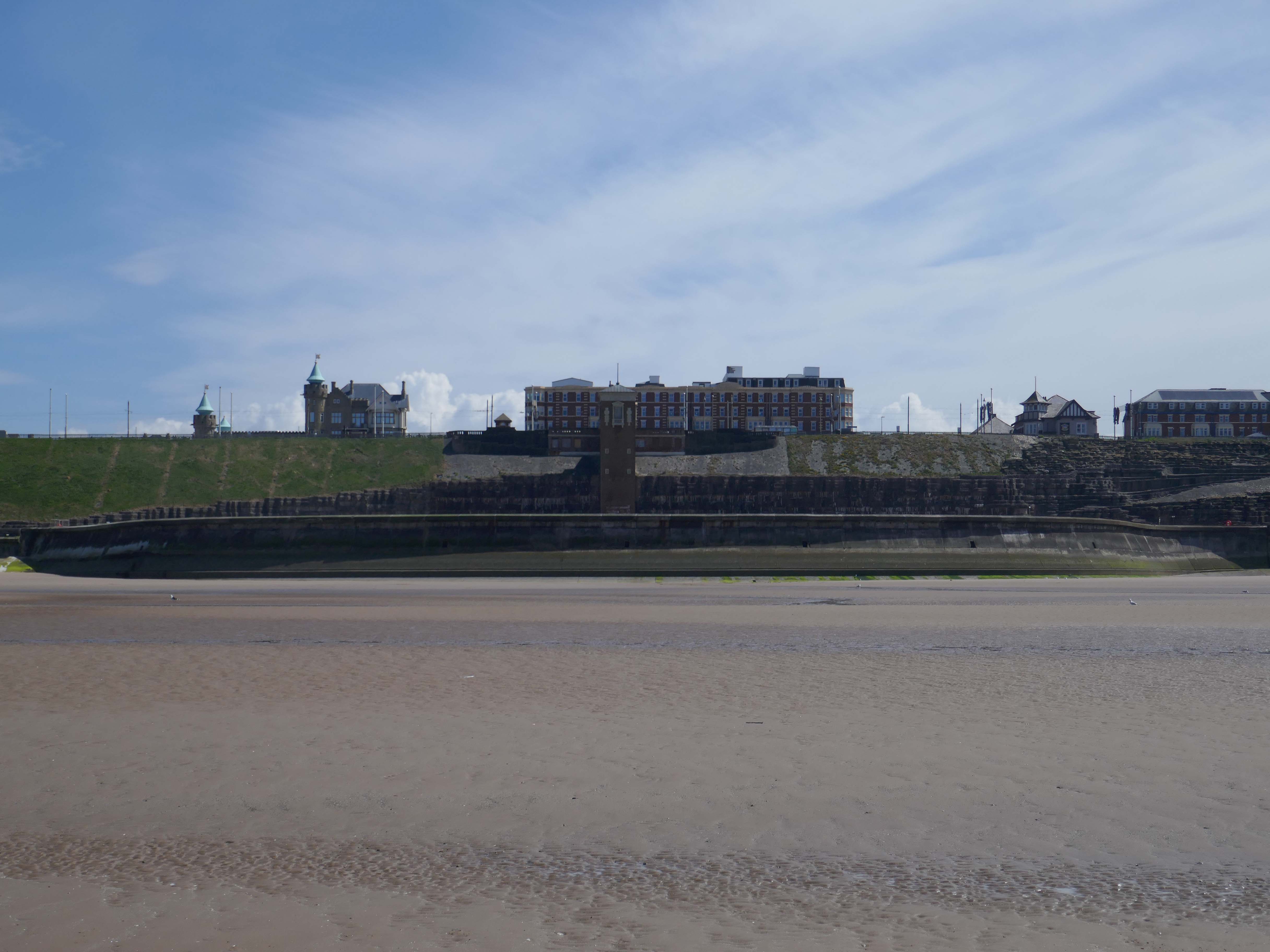
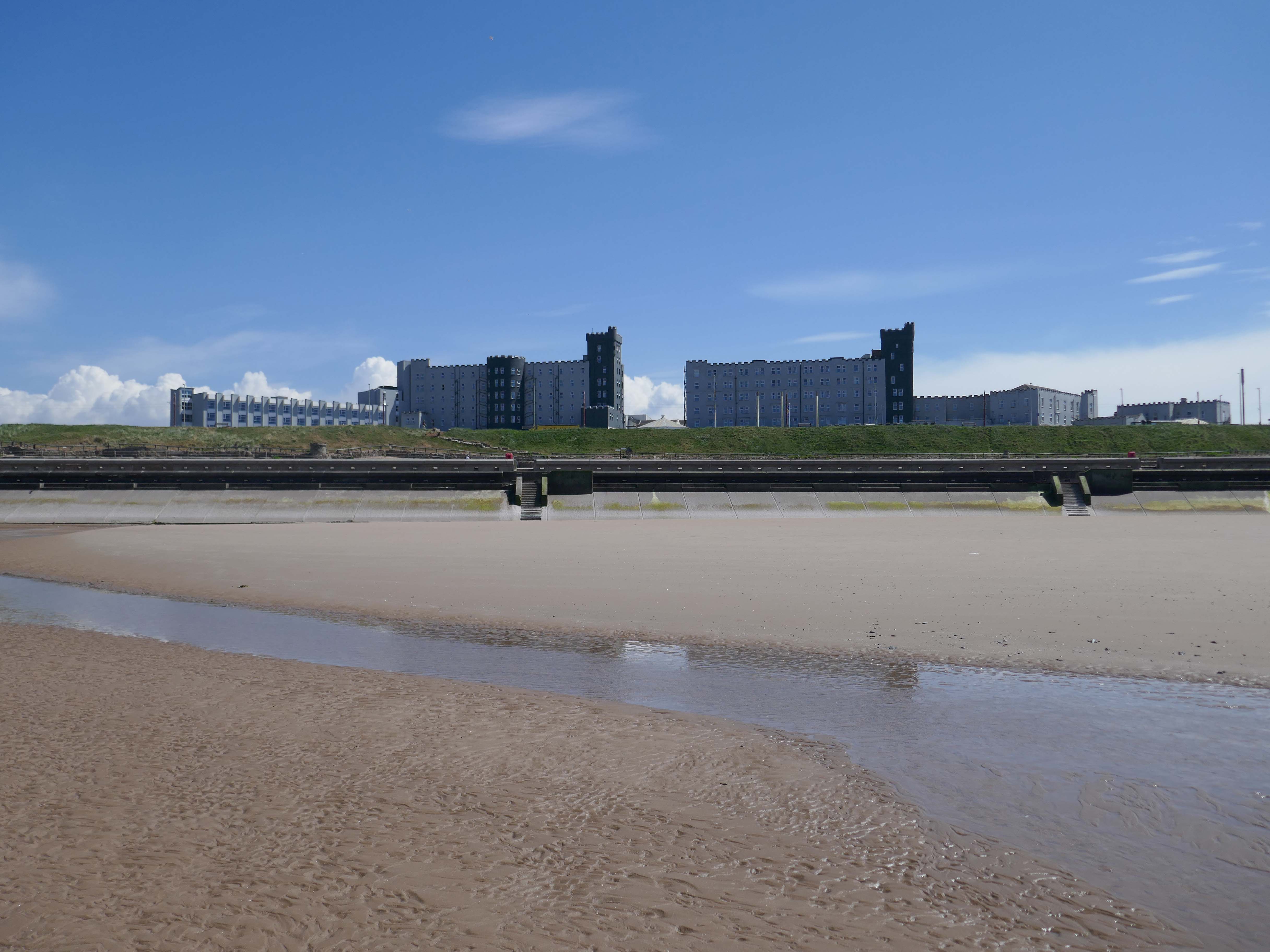
Grand Hotel – the hotel was built as the Pembroke Hotel in 1982, became the Hilton Hotel in 1999 and The Grand Hotel in 2017
The hotel was built next to the site of the Derby Baths 1939 – architect: John Charles Robinson who between 1920-1944 designed many of Blackpool’s landmark civic buildings including libraries, schools, swimming baths, leisure facilities and tourist infrastructure.
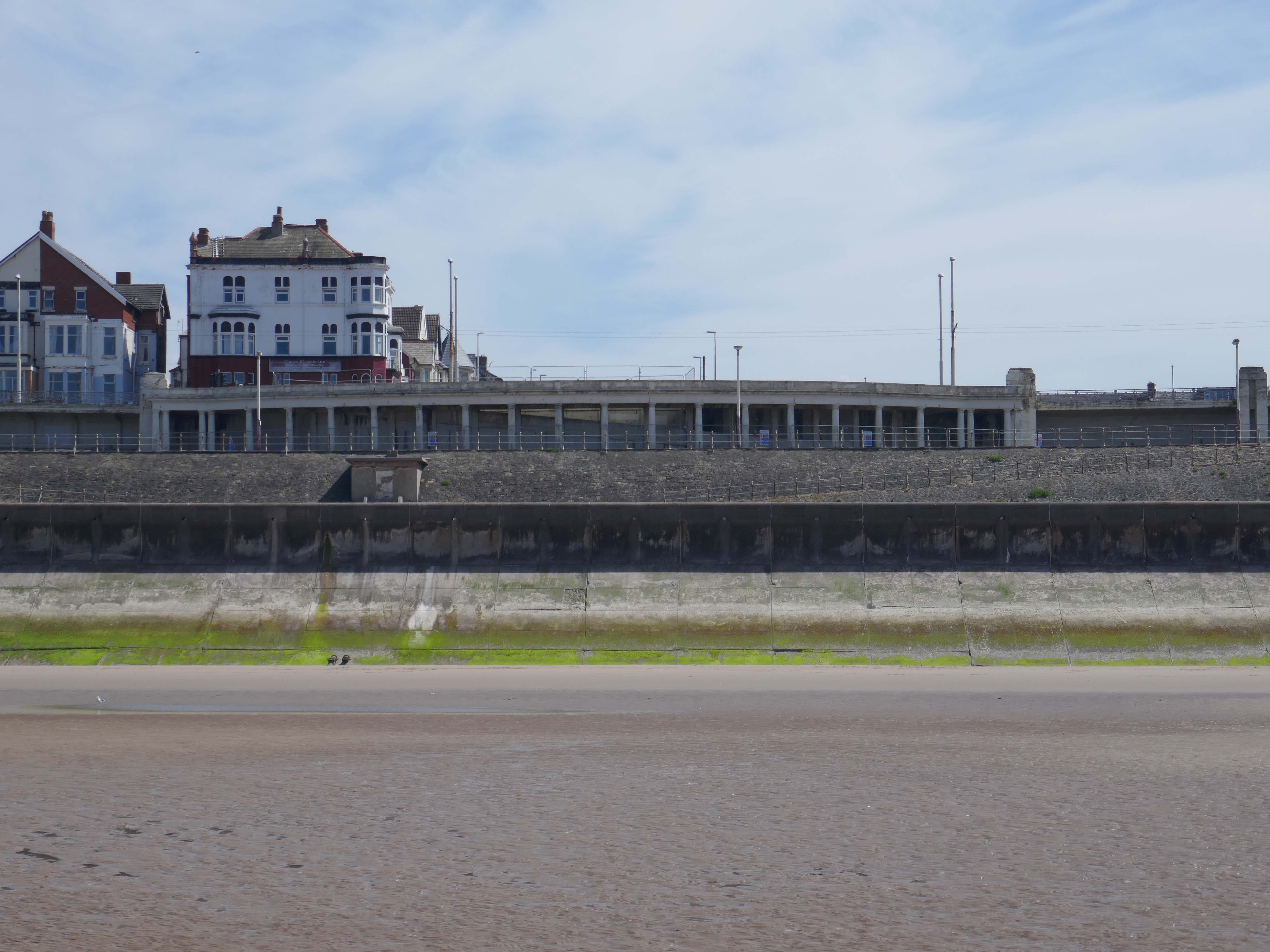
The Savoy Hotel, just north of Gynn Square, is one of the series of large red brick and red terracotta hotels built around the turn of the century. The architect was TG Lumb and the hotel opened in 1915; the sun lounge in Hathern’s cream faience was added in 1935 by Lumb and Walton.
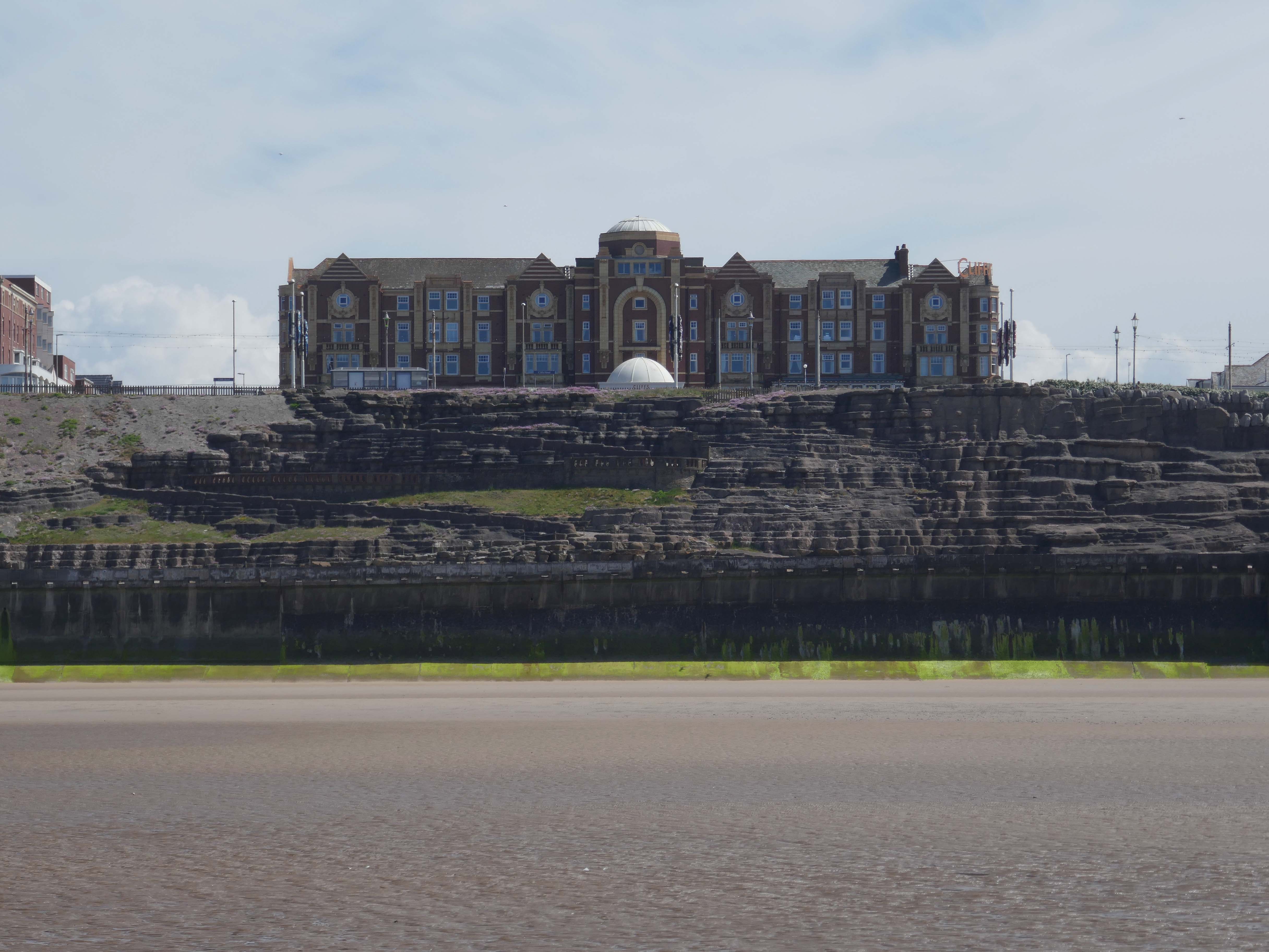
The Cliffs Hotel started in 1921 – architect Halstead Best substantially rebuilt and enlarged the building 1936–37 and added an underground carpark
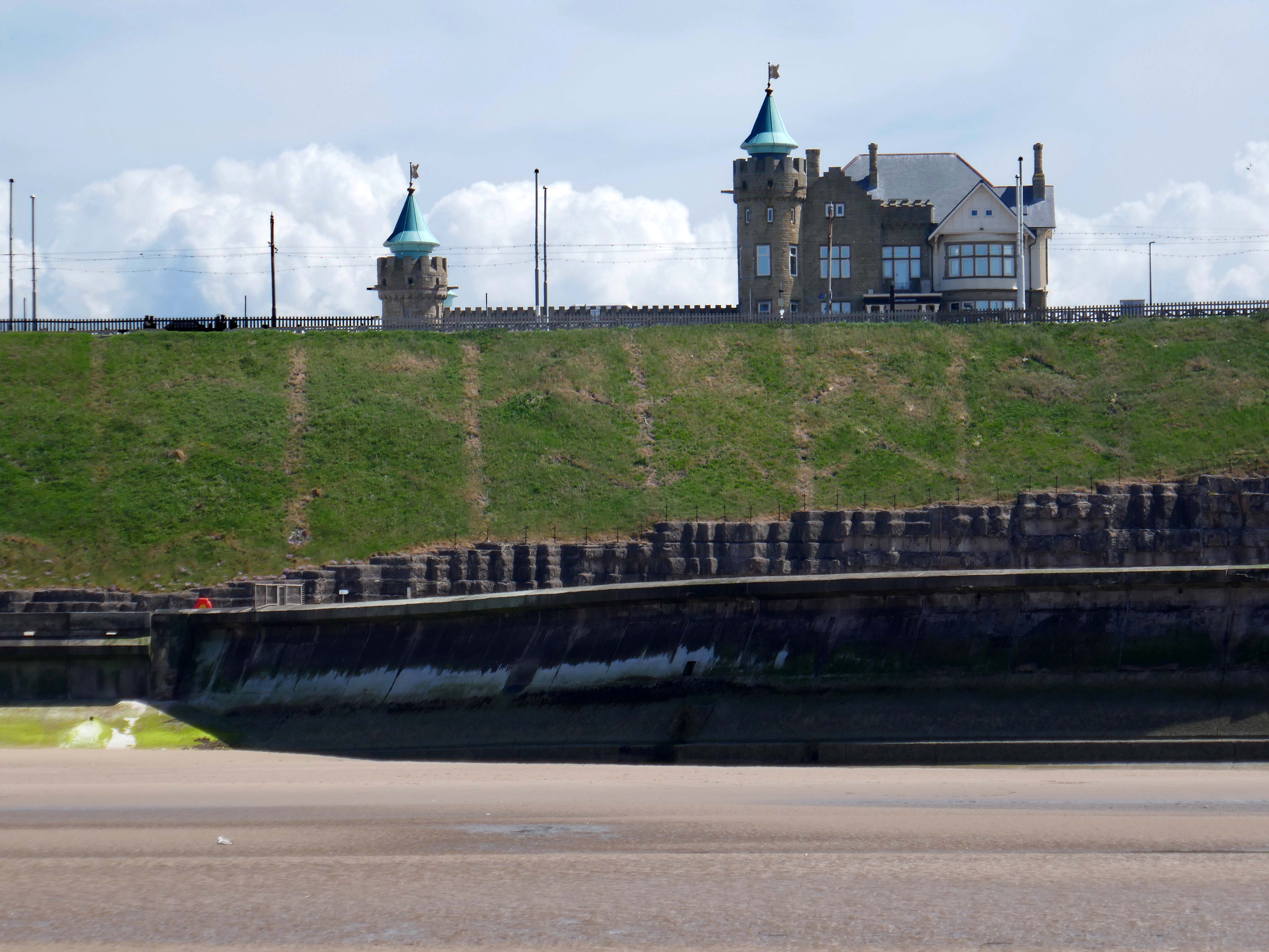
Castle Casino – architect: Arthur Hindle 1906
Arthur Knowles built the Castle at 64 Queens Promenade North Shore for his wife, who unfortunately stayed in France. The couple stayed in the house for a mere nine months during 1929. Apart from housing Belgian refugees during World War 1, it stayed empty until 1935. It then opened briefly as an old people’s home, before being bought by Lawrence Wright – AKA Horatio Nicholls, as his home.
Wright sold it in 1941, and after several years as the home of the Blackpool and Fylde Motor Club, it became the Castle Casino of today in 1965, first owned by wrestler Jack Pye, who moved to Blackpool in 1950. It has had various identities, and was last taken over in 2005, now being known as the Genting Club – part of a national chain of that name.
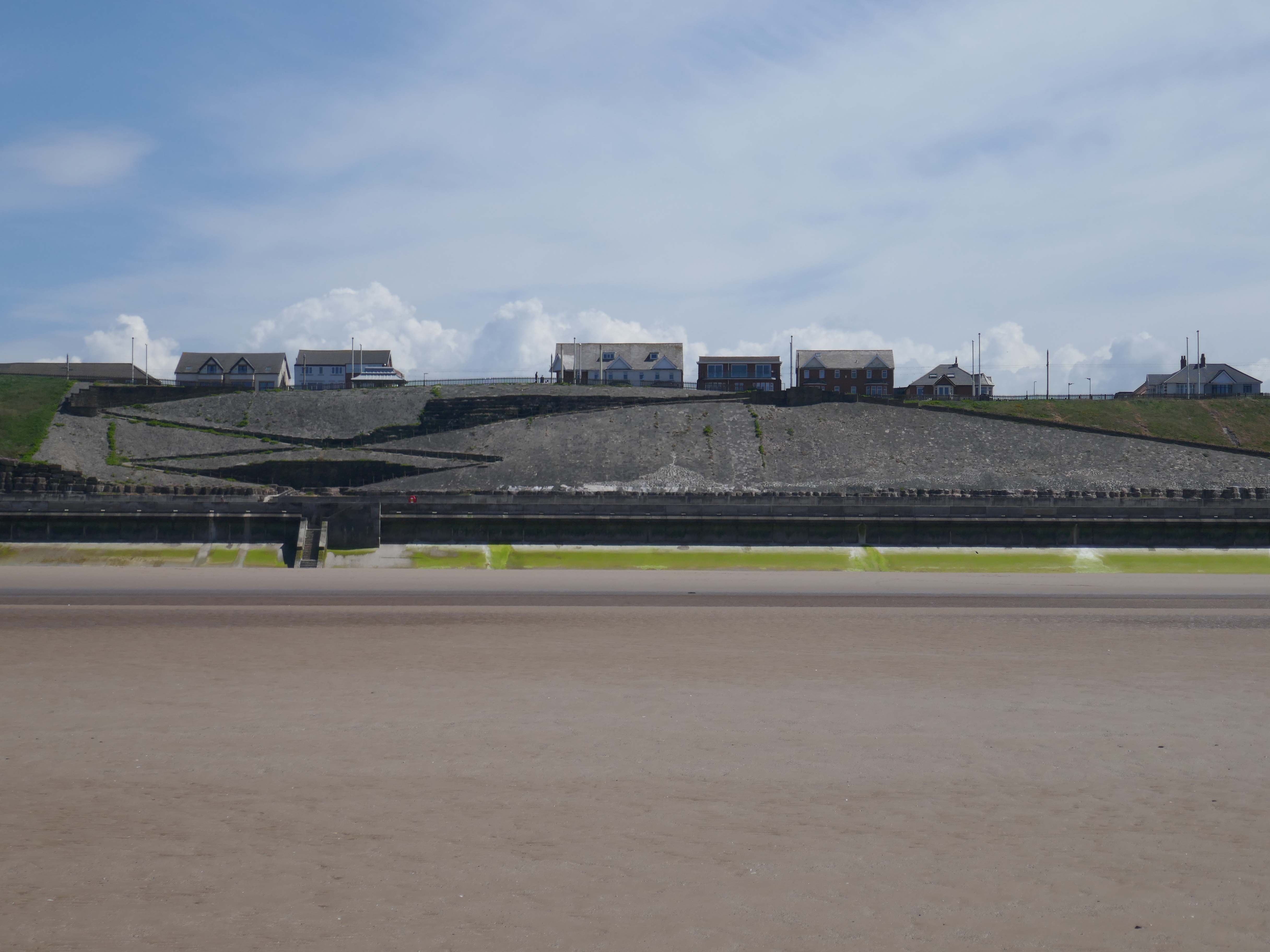
Former Miners Convalescent Home 1925-27 – architects: Bradshaw Gass & Hope, Grade II listed
Converted to apartments in 2005 – trading as Admiral Point.
Norbreck Castle Hotel originally built as a large private country house in 1869, it was bought around the end of the 19th century by JH Shorrocks, who used the house to entertain friends and colleagues at lavish weekend parties. The popularity of these parties led to Shorrocks running them on a commercial basis by taking paying guests.
The S Block by architect WH Longworth 1912 – the N Block by Halstead Best 1933-34.
In the 1970’s the Motel wing was added along with, the large Norcalympia exhibition hall, the name was changed from the Norbreck Hydro to Norbreck Castle.
European Regional Development Fund cash of £450,000 was granted towards a regeneration project on Cleveleys Promenade. Wyre Council improved 64,000 sq ft of the promenade to create a more attractive place for visitors to the town. The latest work complements the £20m sea defence installation.
Broadbent Studio worked collaboratively from the outset with Wyre Council, Ferguson & McIlveen and Faber Maunsell in 2008, to create an exciting new promenade and sea defence scheme for the coastline at Cleveleys.
The Sea Swallow is a 10m tall structure that brings to life Wyre’s Mythic Coast storybook ‘The Sea Swallow’. The coated aluminium sculpture, has the feel of ‘a book coming to life’, with the two sea swallows symbolic of the town’s protectors emerging from the page.
I began walking when quite young, then like Felix, I kept on walking, walking still.
The photograph was taking during the Whit Walks in 1958 – aged three, I was engaged in religious pilgrimage, as we know there are many reasons for walking, this is but one.
I was fortunate to grow up at a time when youngsters were permitted to roam freely, less traffic, less anxiety, gave me access to a wider axis of exploration.
The photograph would have been taken I assume, by my mam, on the Brownie 127. When aged nine I wandered alone through the local woods and exposed twelve frames of 44mm 127 film, the prints are long gone, yet I remember each of the photographs and locations clearly.
I went to school, then I didn’t, then I went to Art School, eventually becoming a teenage Constructivist, tutored by Jeffrey Steele, a leading light in the British Systems movement.
The rigidity of the grid, symmetry and orthogonal framing have stayed with me.
Then I went to work for a very long time indeed, then all of a sudden I didn’t. Taking early retirement aged 59 some ten years ago, subsequently taking to the roads, streets and hills of Britain in search of nothing in particular.
In recent years there has been a rapid development in the culture of walking, theories, films, guides, songs and literature. I am fully cognisant of such, yet believe at heart that walking can be free of such baggage, we can stride unhindered, atavistic and carefree/less.
Walk tall, walk straight and look the world right in the eye.
Getting lost is about the unfamiliar appearing.
In my own small way, I have become part of that baggage, having been asked to lead a walk around Stockport by the the modernist neé Manchester Modernist Society.
The photograph depicts Alan Boyson’s concrete screen wall, attached to the former Cooperative super store designed by Philip Andrew. The two worked to gather on the Hull Cooperative store, which is adorned by Alan’s huge Three Ships mosaic.
Philip was a childhood friend of Alan Boyson and it was Alan’s father, manager of the Marple Co-operative Society, that recommended Philip for an apprenticeship job in 1951 to the chief architect at the CWS in Manchester HQ.
In preparation for the tour, I visited the town’s Local Heritage Library and read extensively from serendipitous charity shop finds.
The two hour route was designed around an economy of distance and elevation, allowing time for others to take in, what may be for them unfamiliar surroundings. A group of around twenty or so folk became sociable and engaged, with a suitably concise and apposite contribution from myself. There are those who busied themselves taking snaps along the way, chatting amiably or simply gazing in amazement.
The service building above the former Debenham’s store.
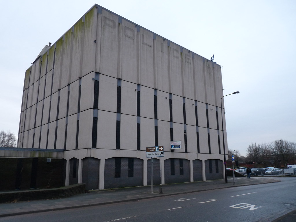
Famed as an imaginary TV police station, this civic building is a civic building I simply can’t resist. I return on a regular basis to wander and snap. This is an open public space that seems little loved and has few visitors.
From then onwards I have been taking folks on Modernist Mooches on a regular basis, two or so a month, during the less inclement times of year.
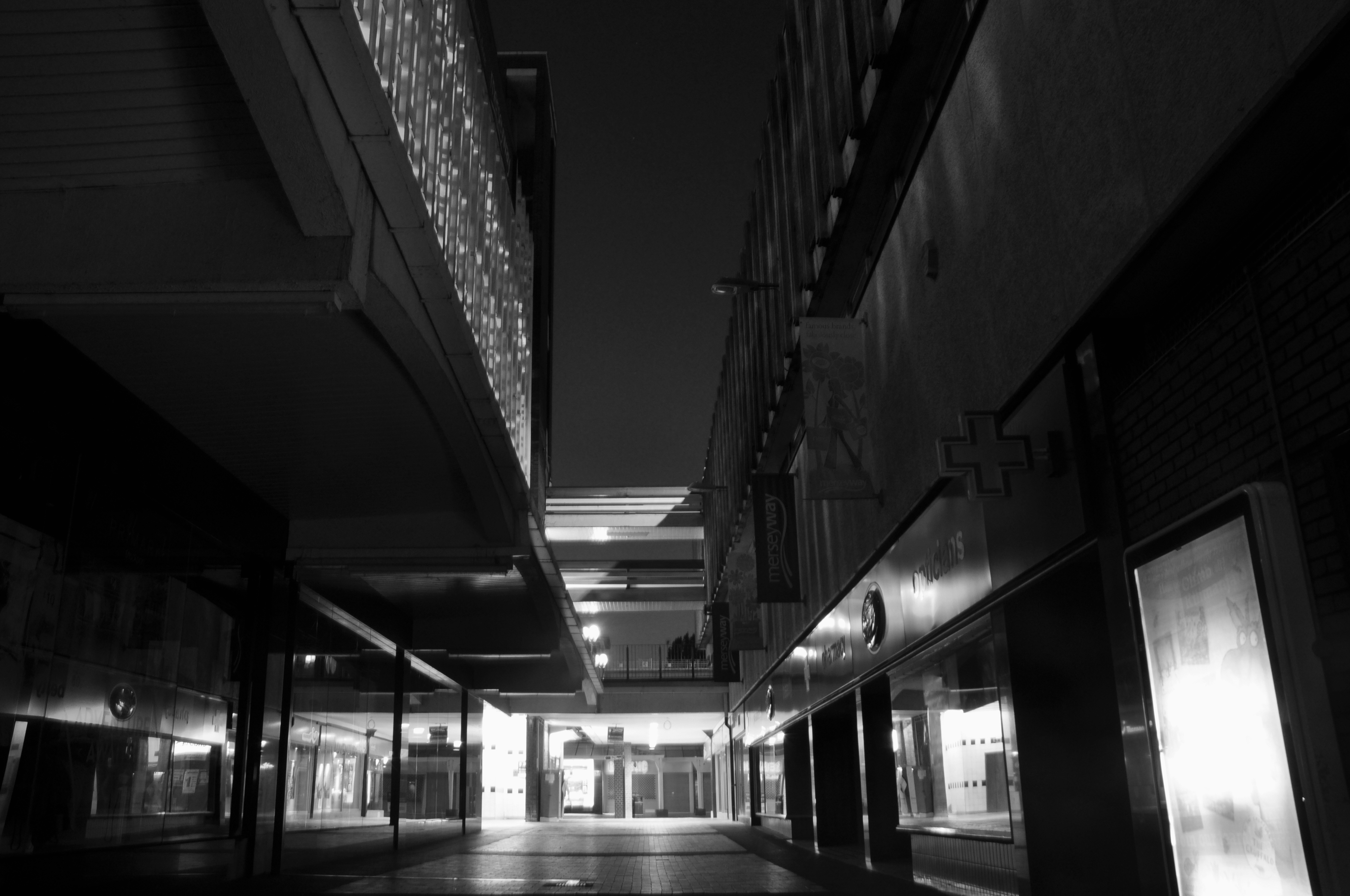
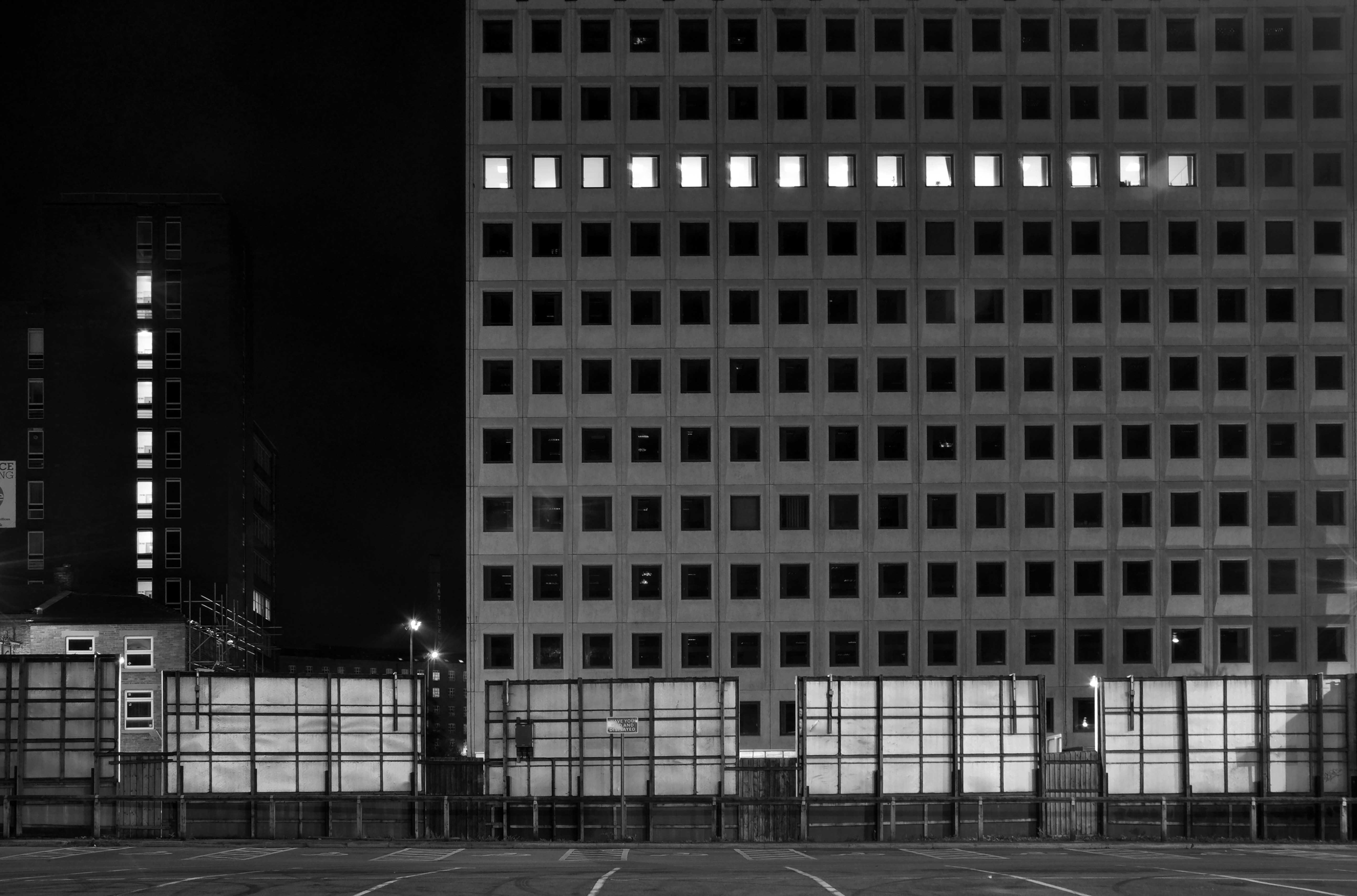
At about the same time I was asked to exhibit my photographs in Stockport, I chose to mooch about at night. Walking around an almost deserted town, avoiding the glare of streetlights, there is a mild frisson to be about when nobody else is about. The air feels different, exposures are longer, the almost waking world feels arrested, by the low available light.
My local shopping centre and as such part of my weekly walking and shopping life.
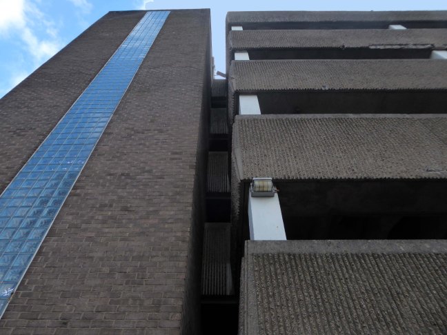
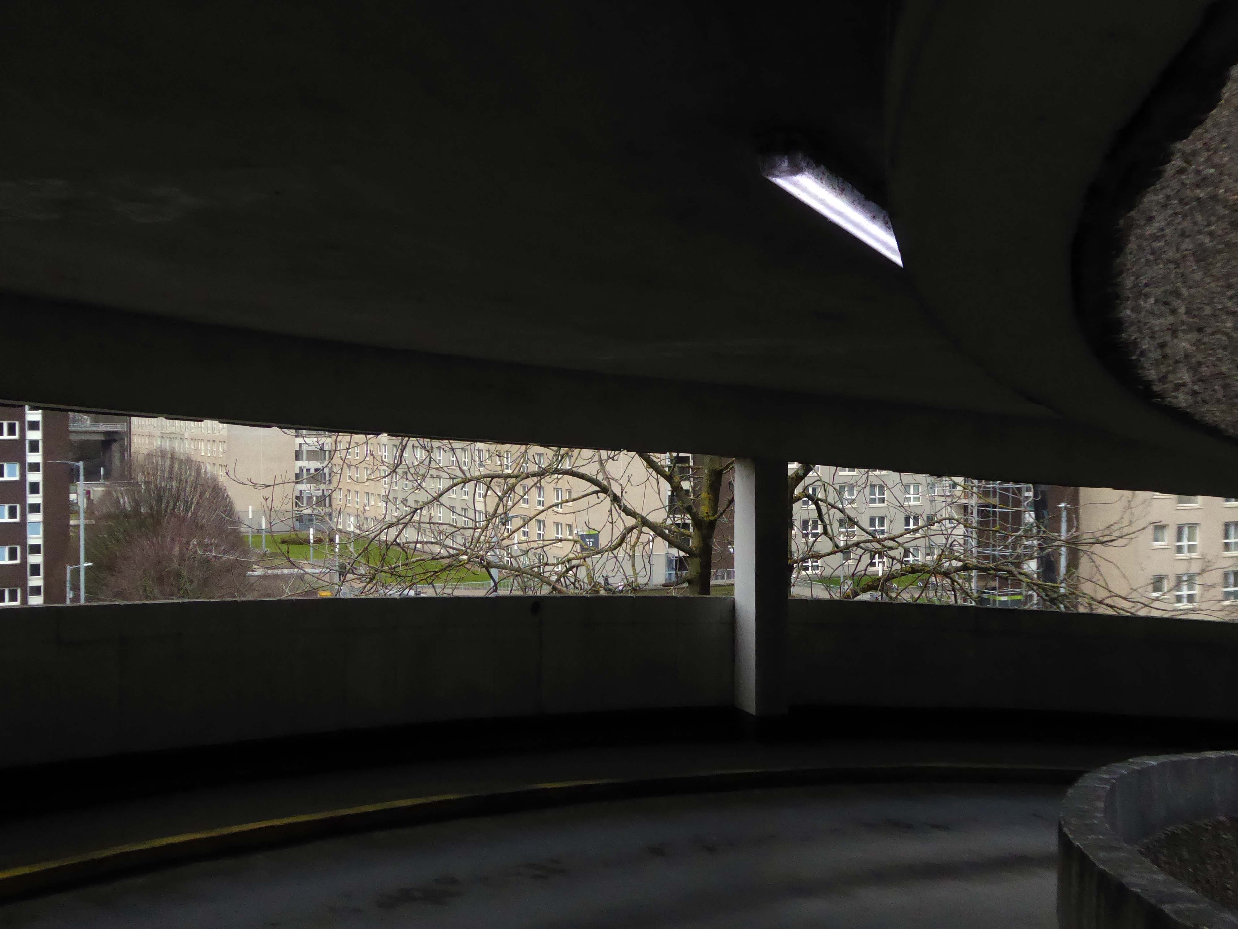
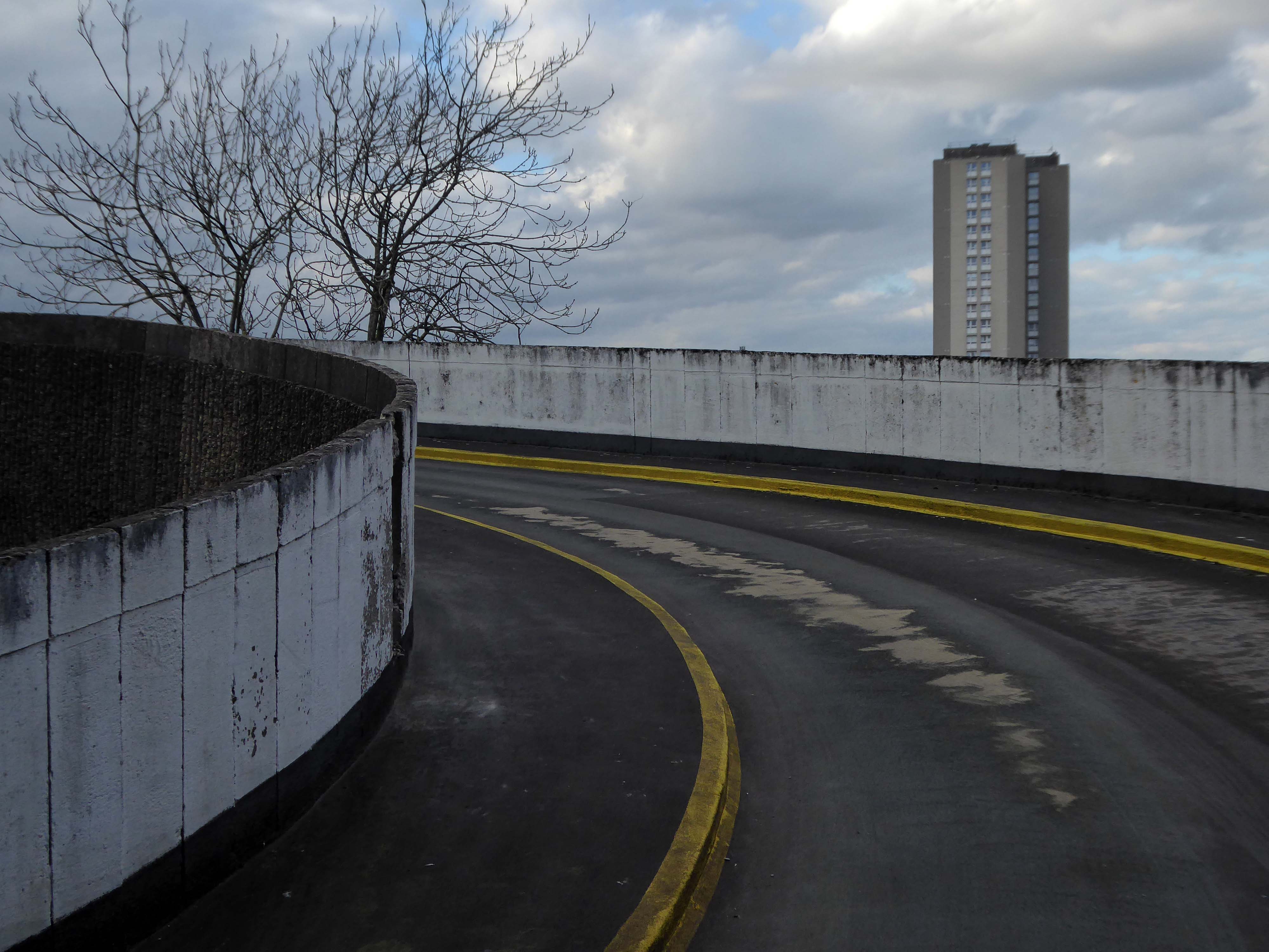
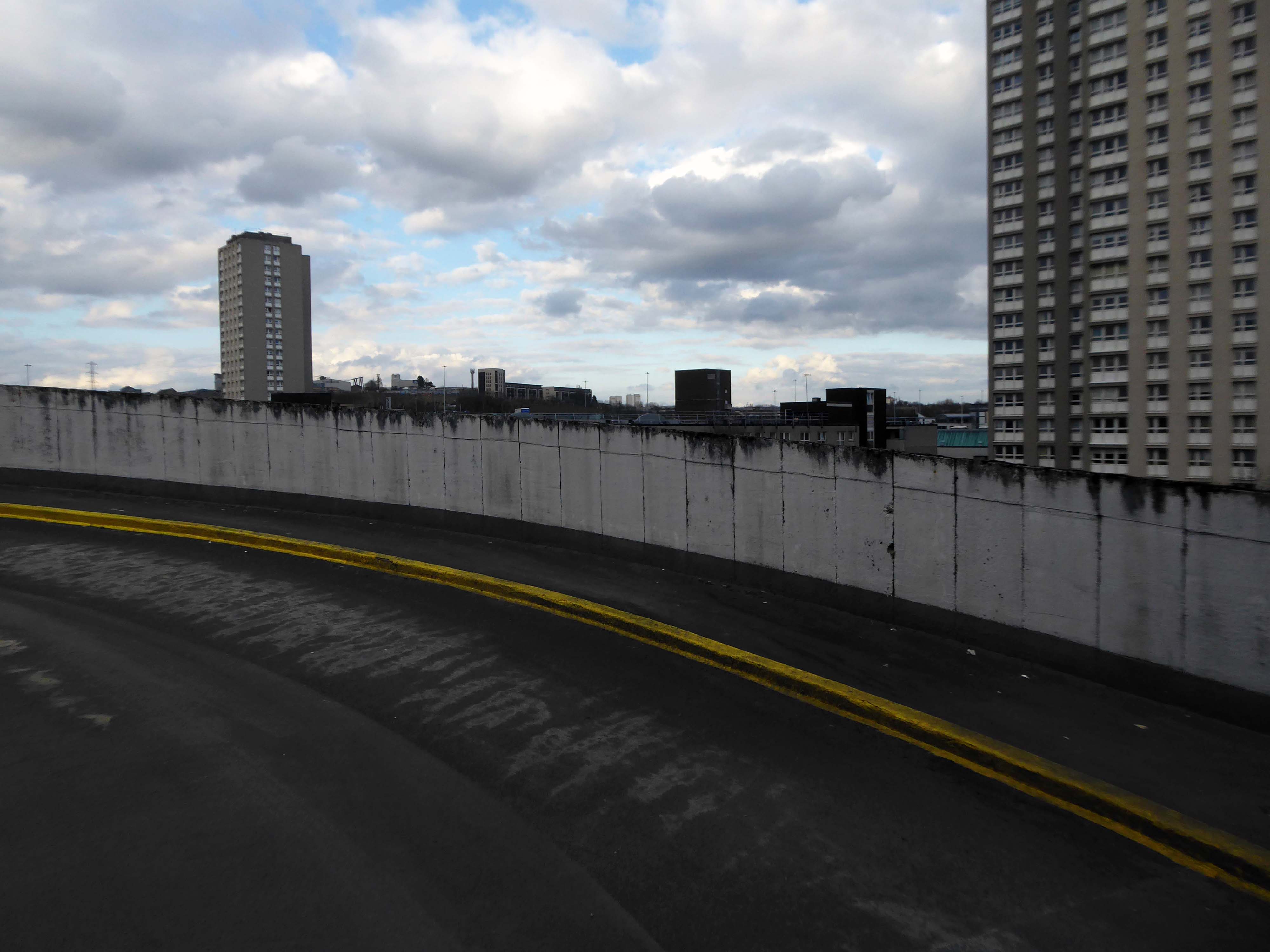
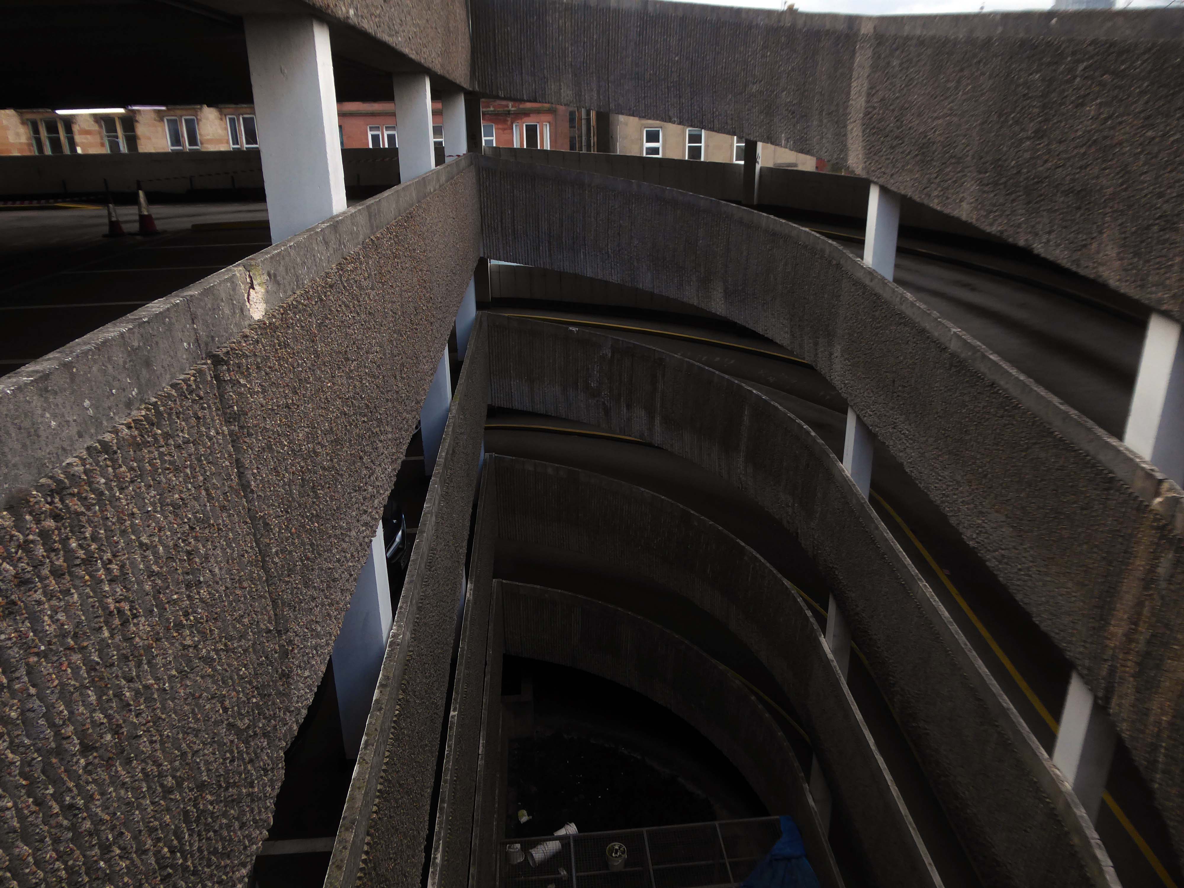
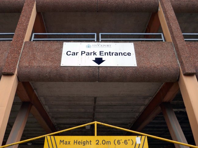
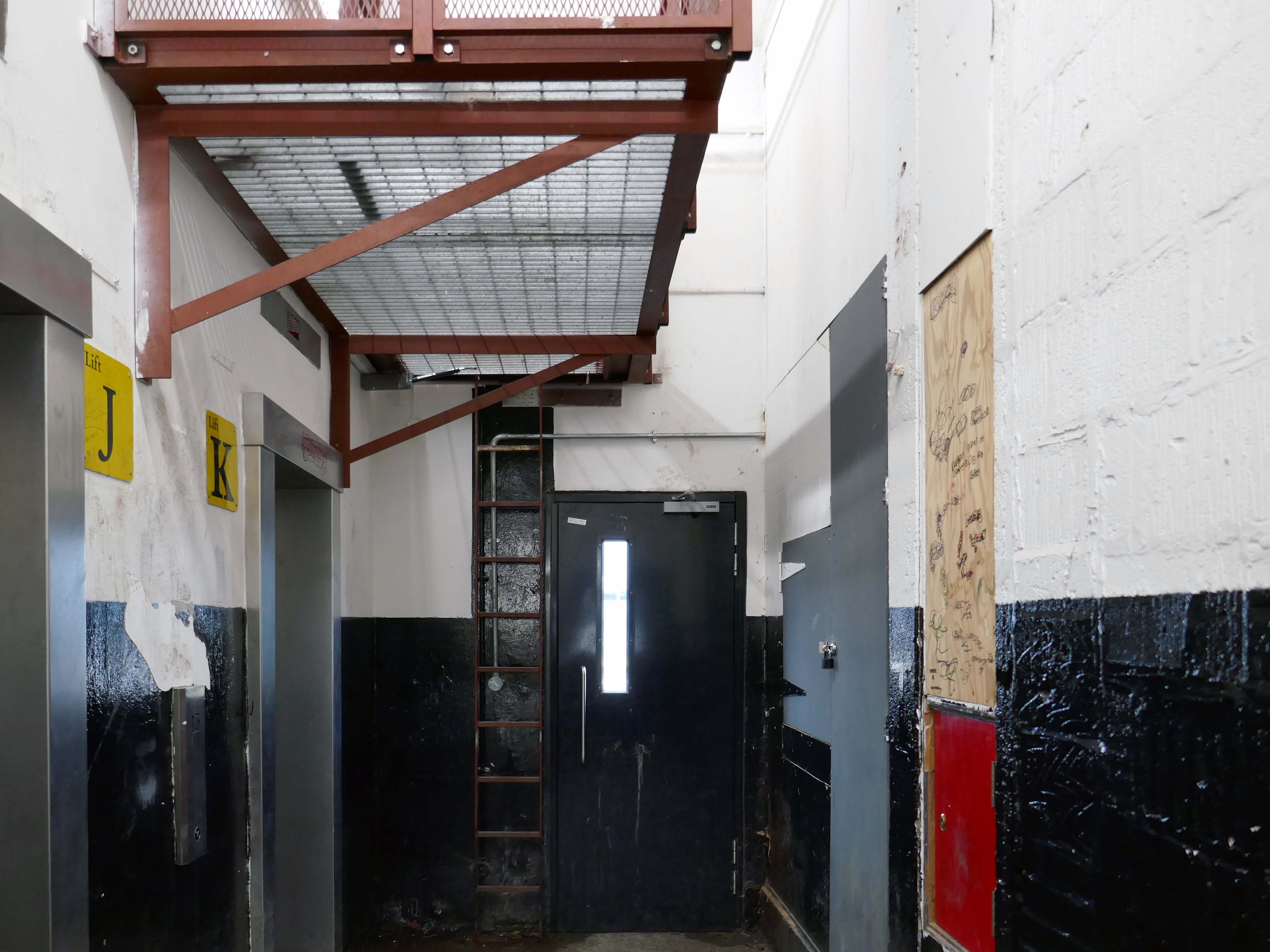
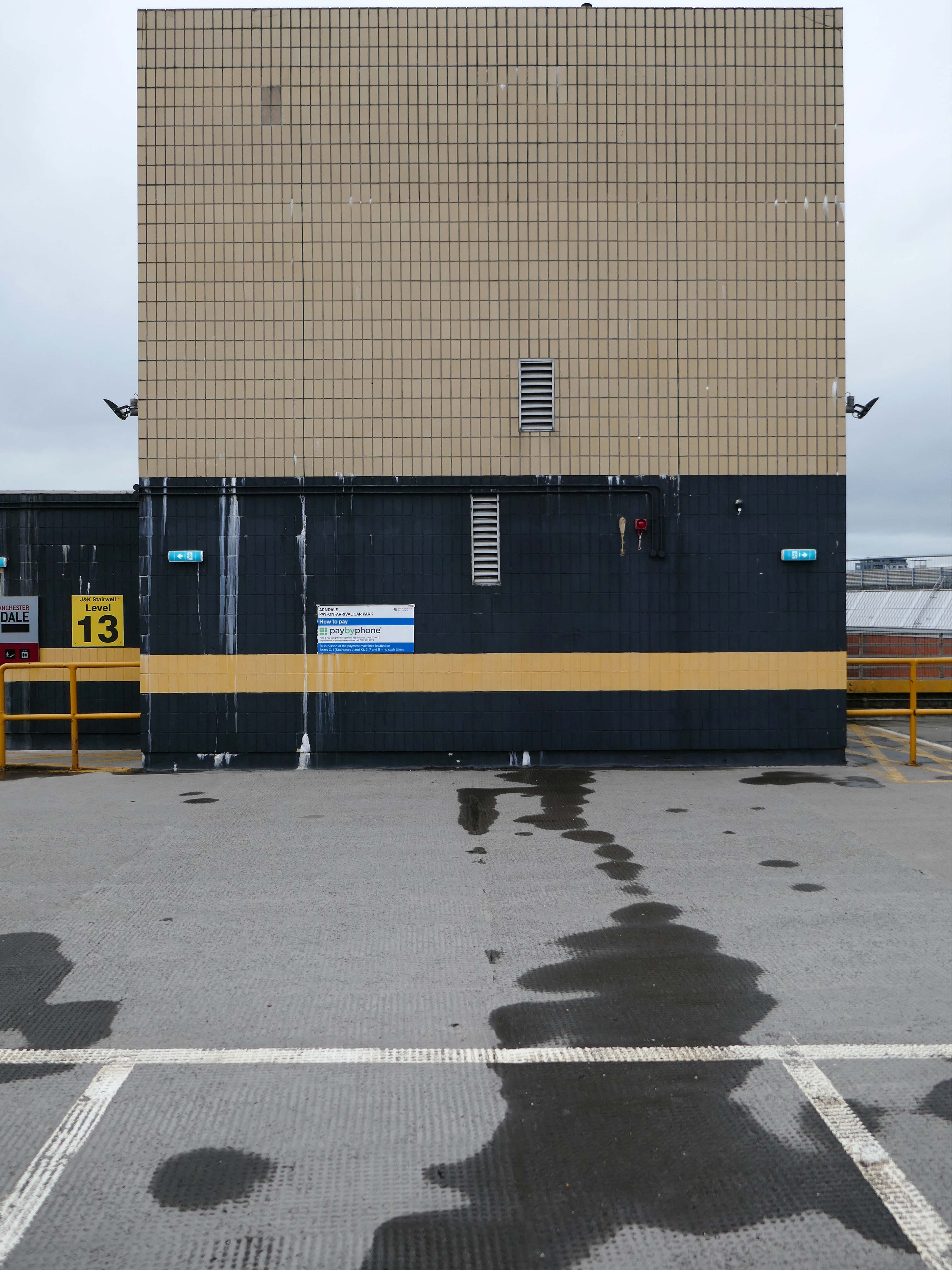
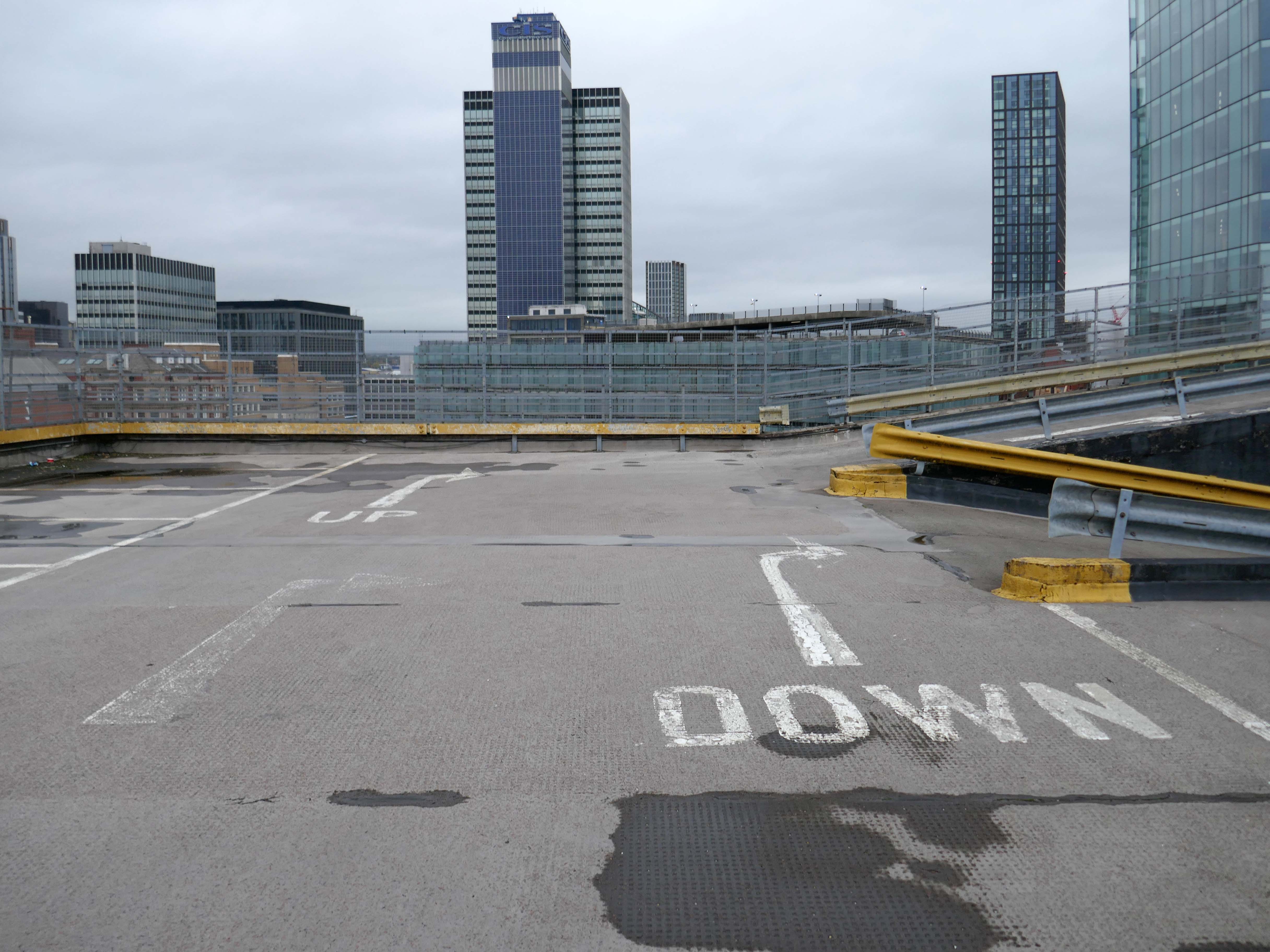
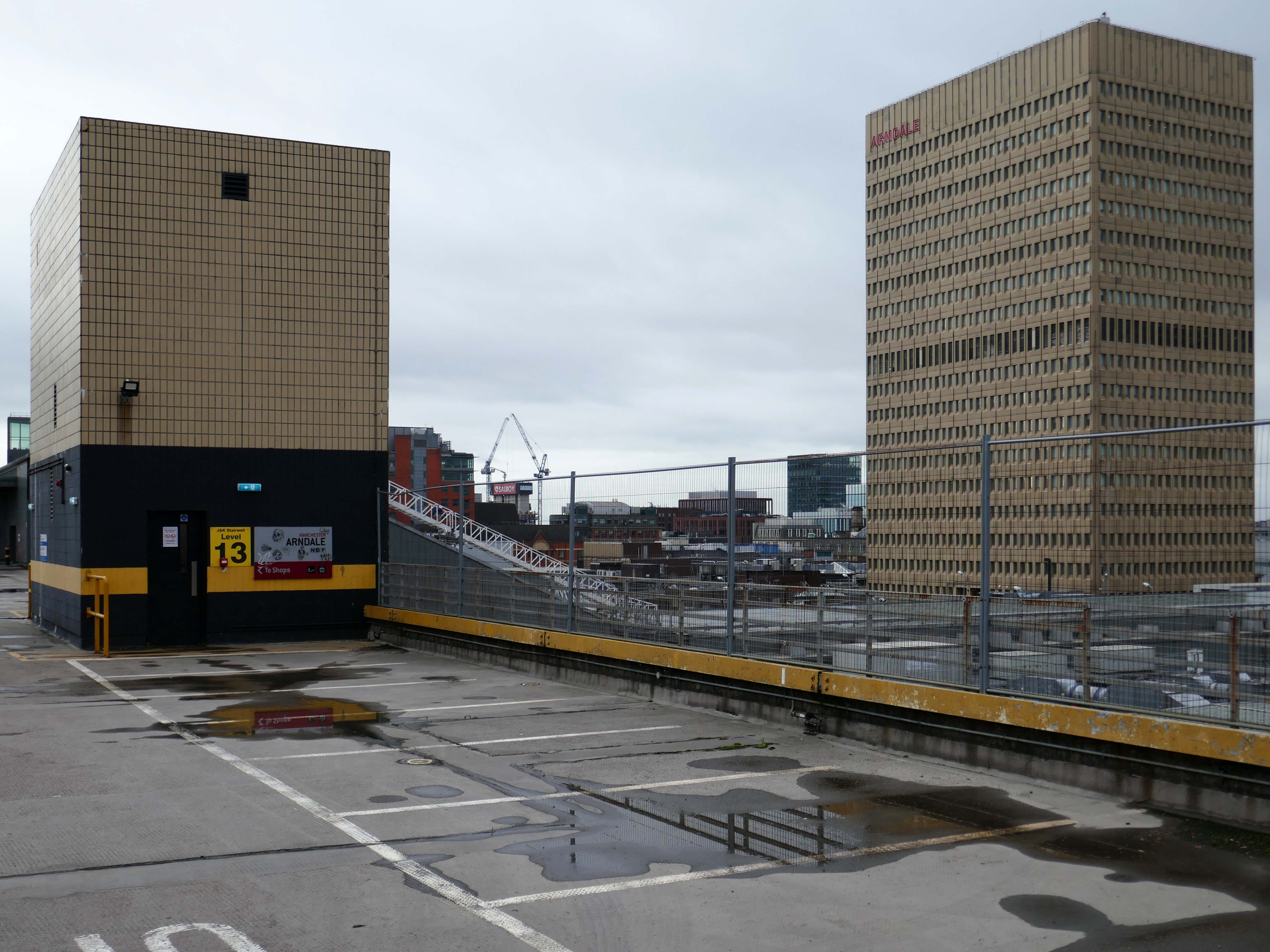
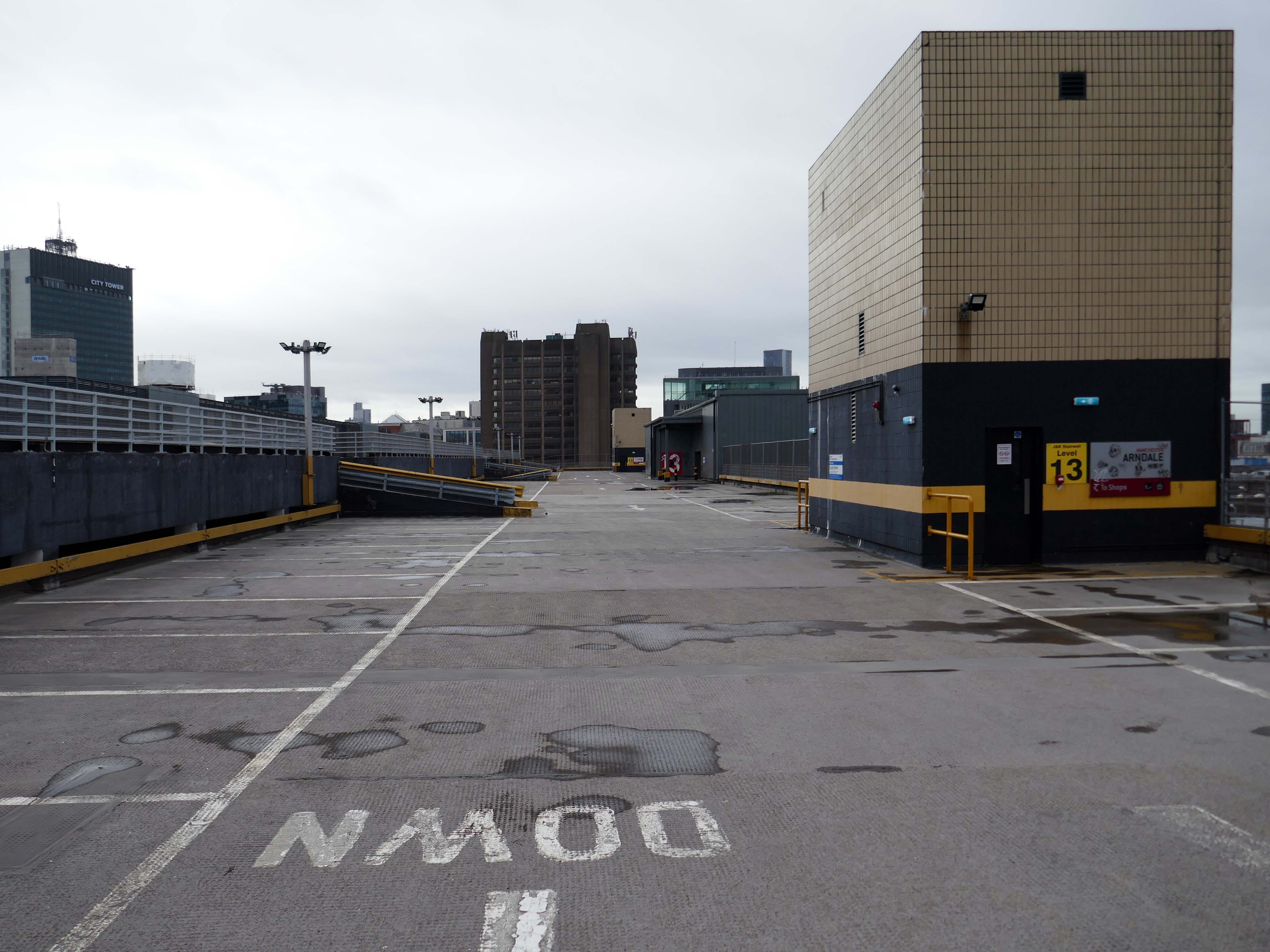
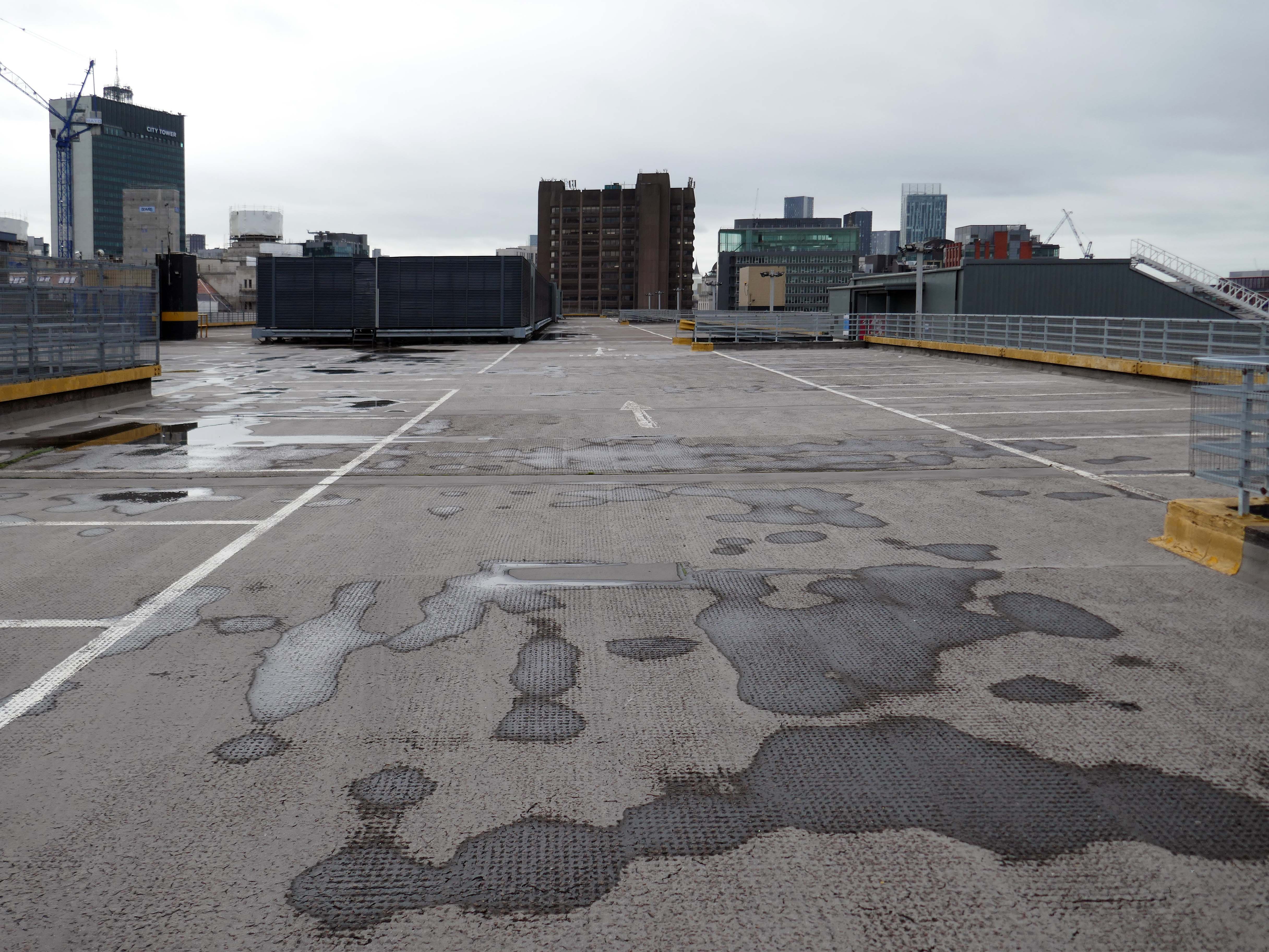
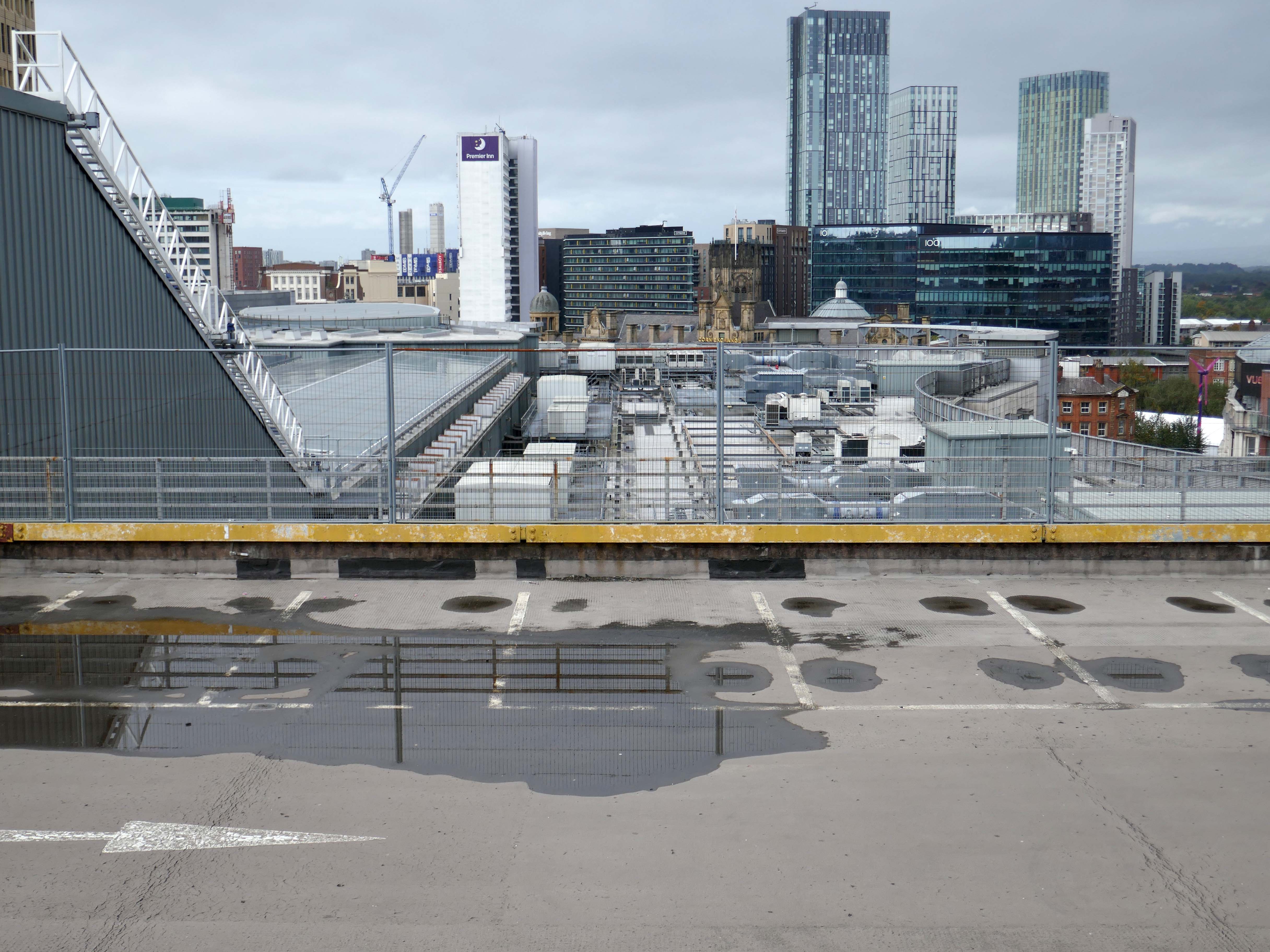
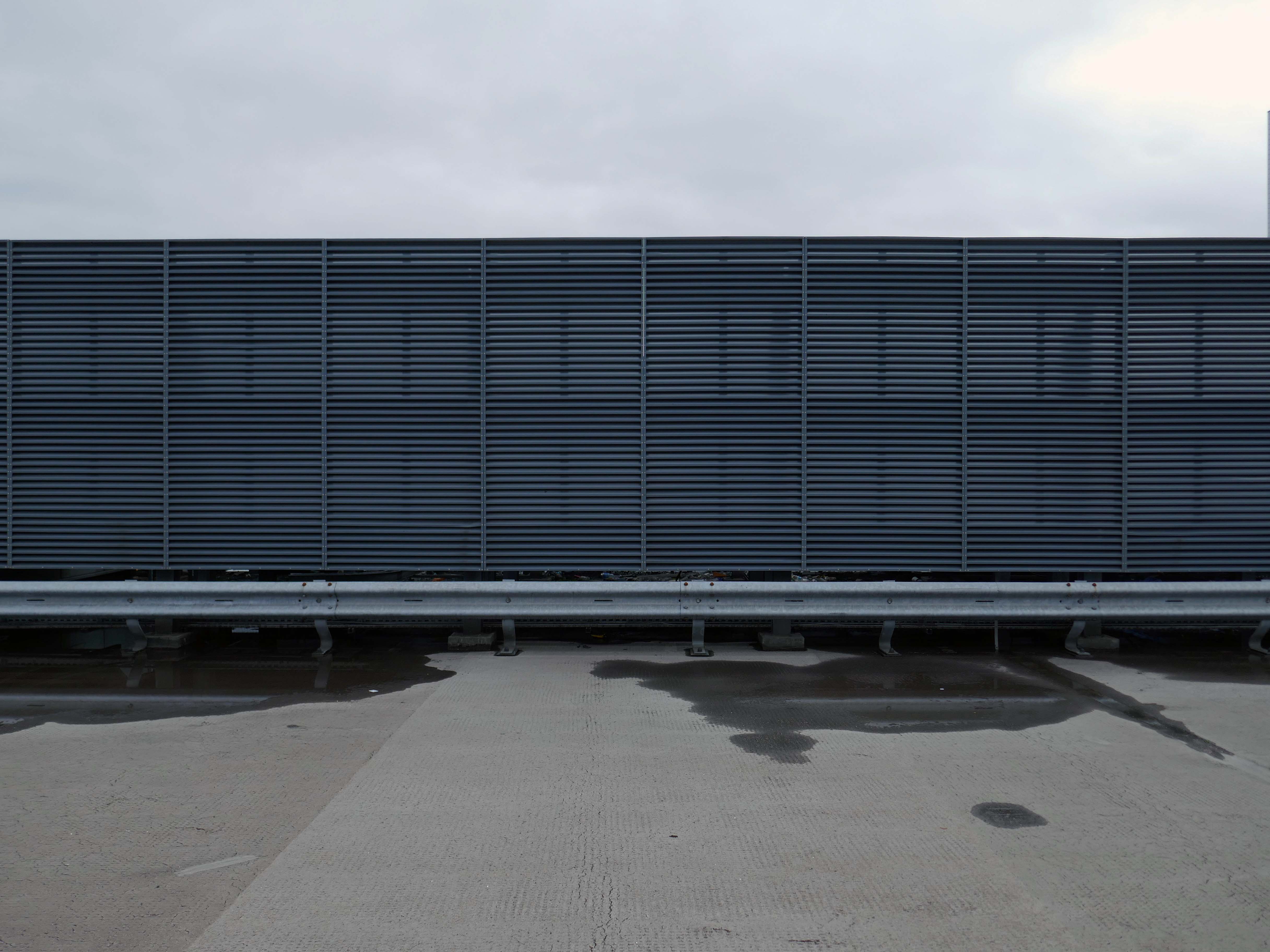
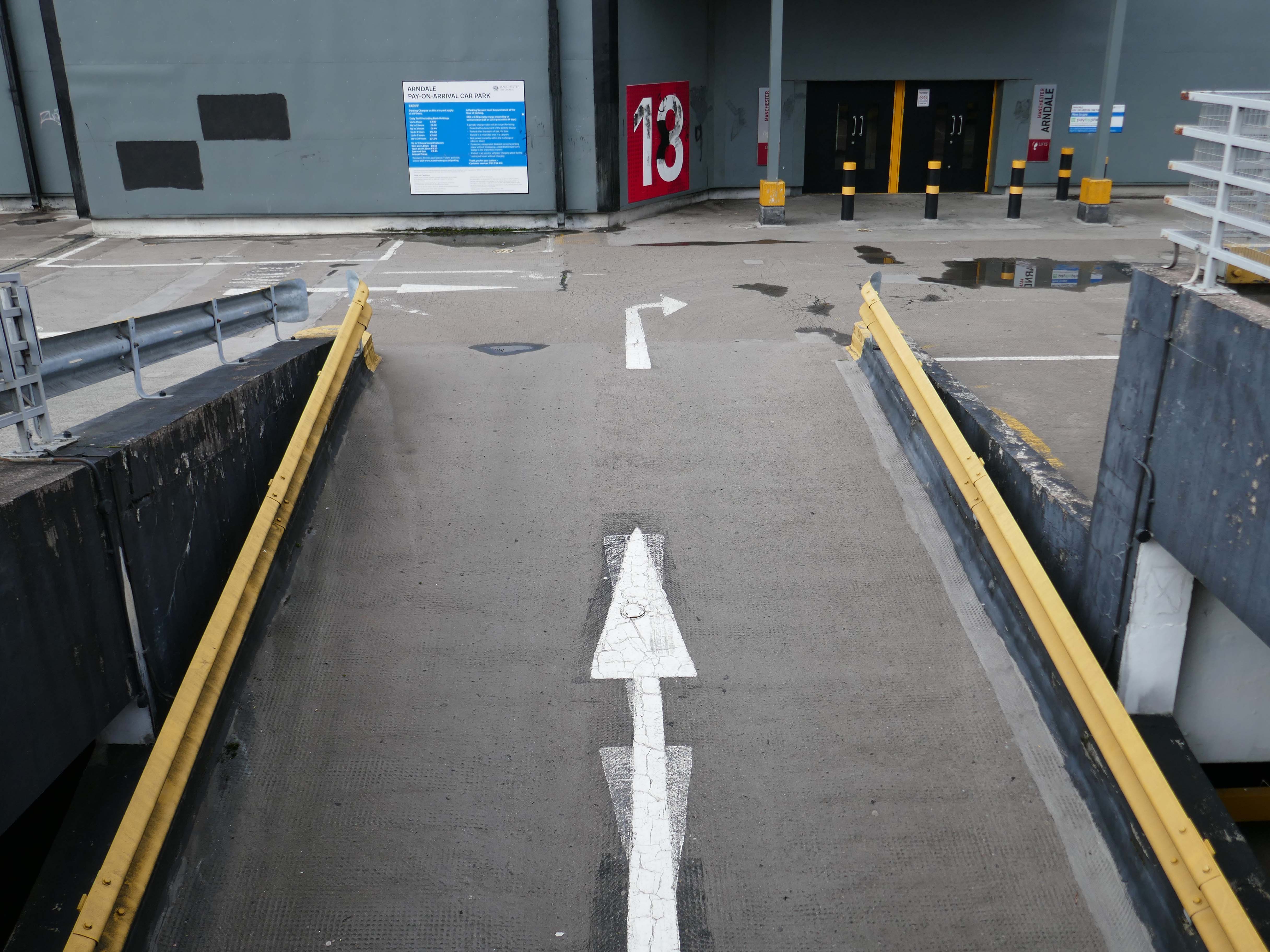
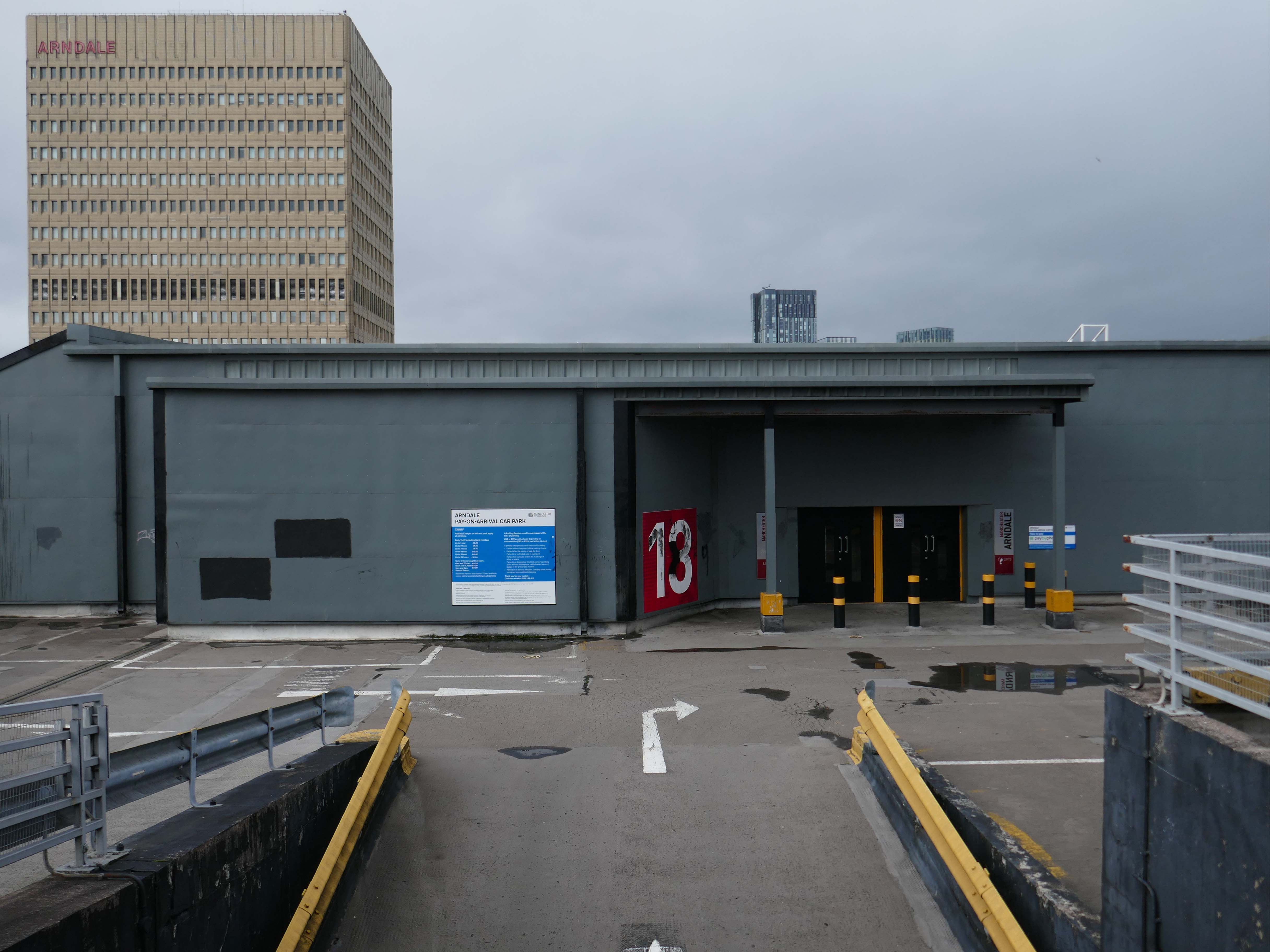
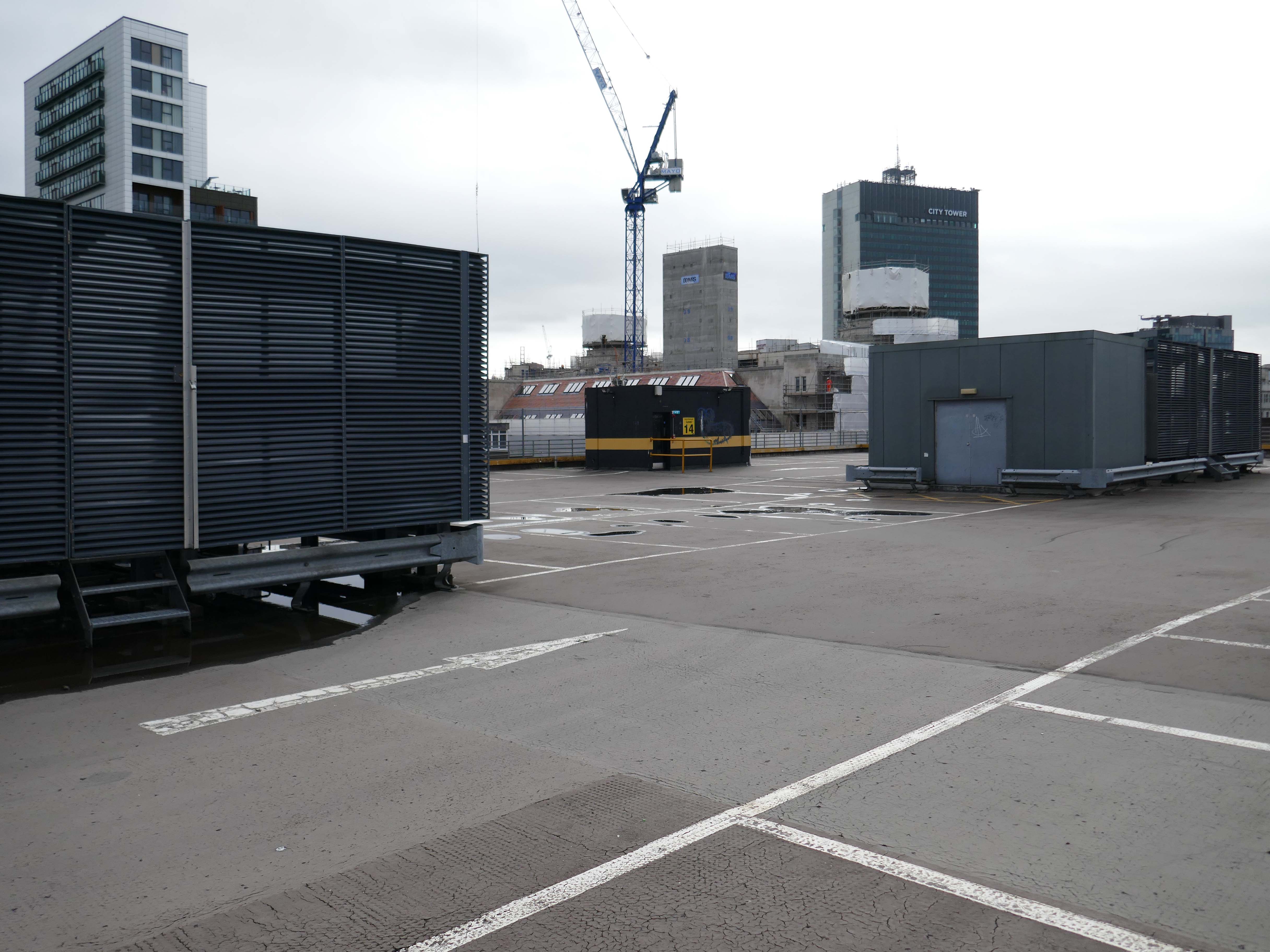
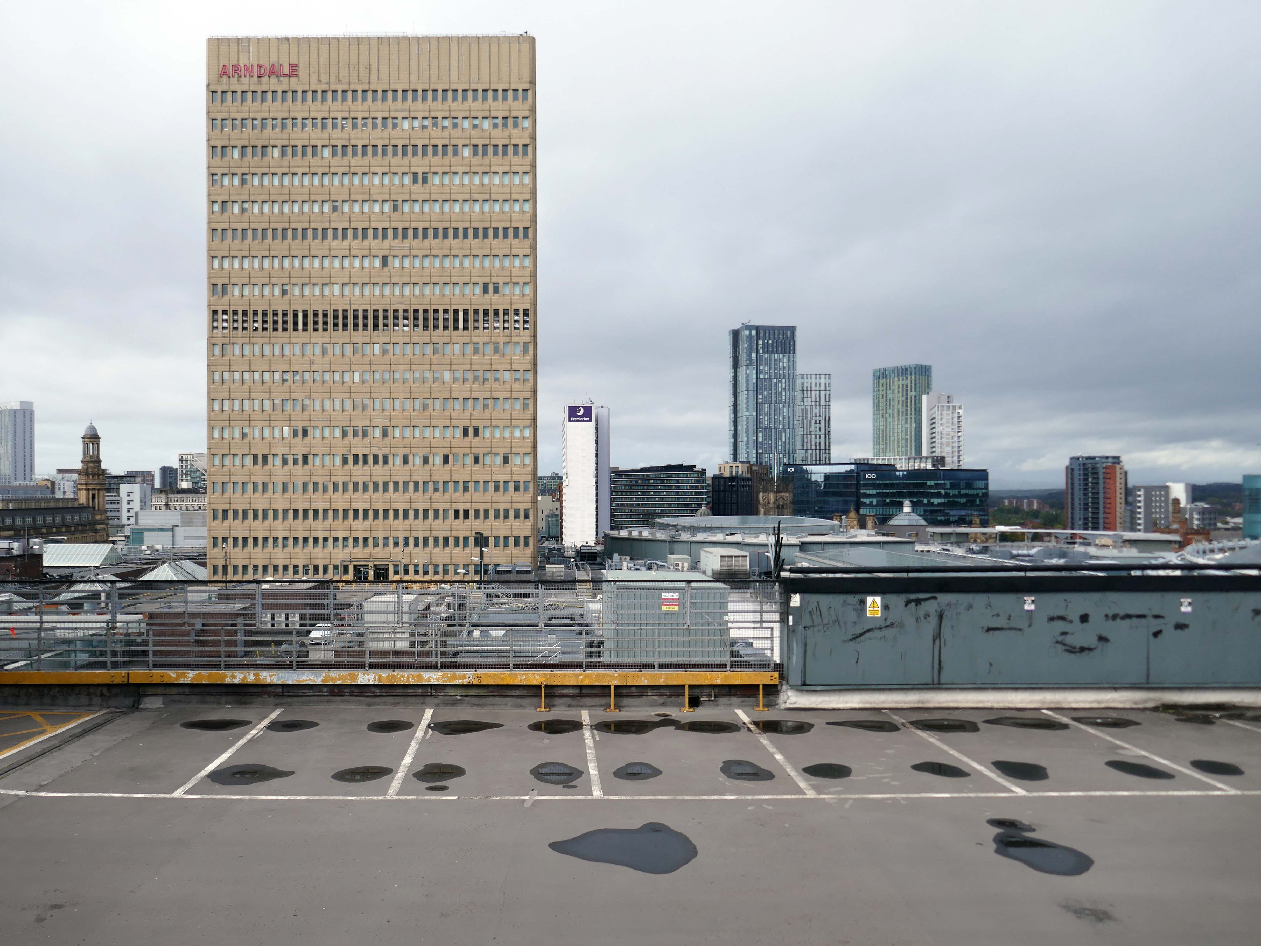
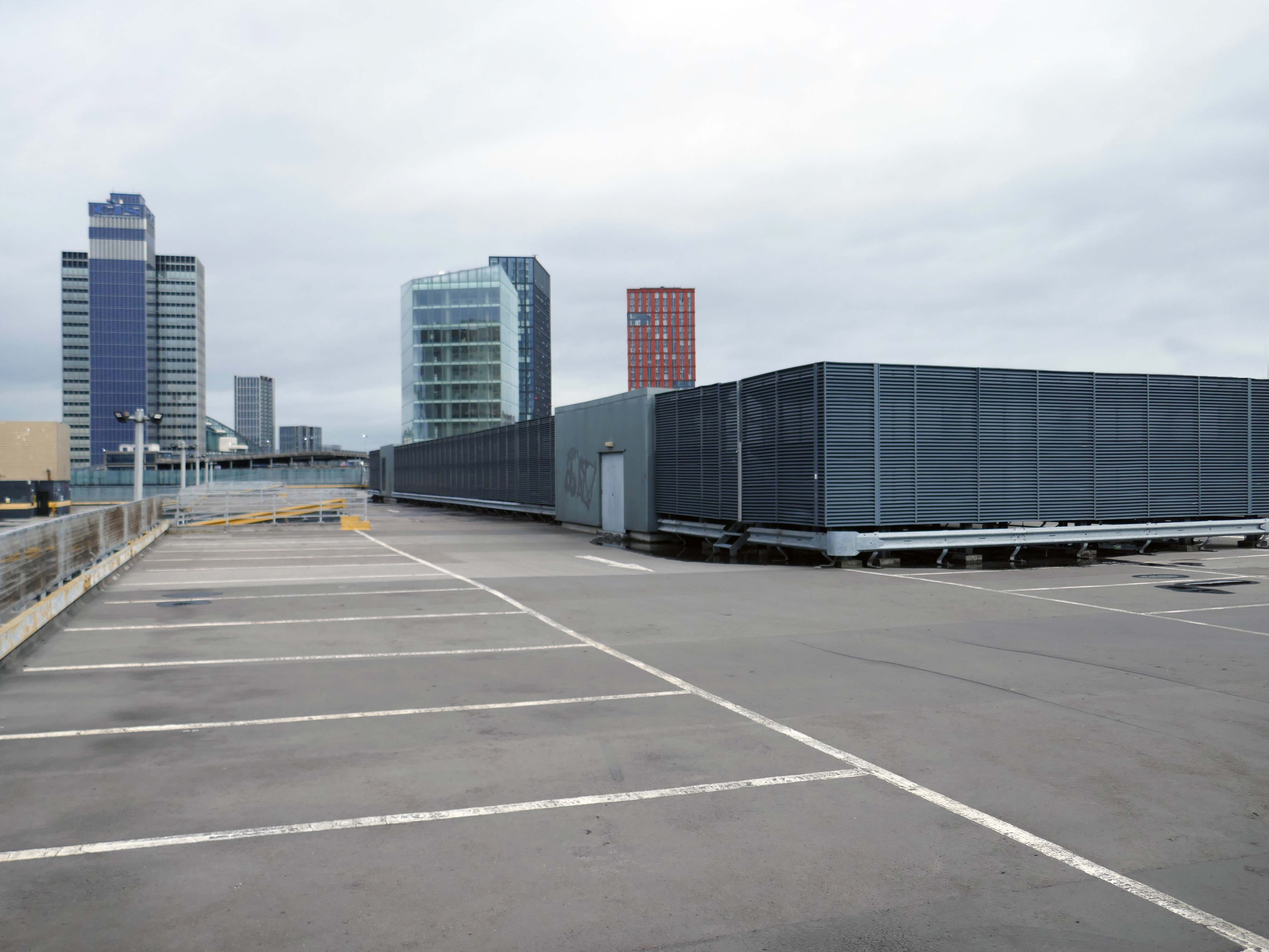
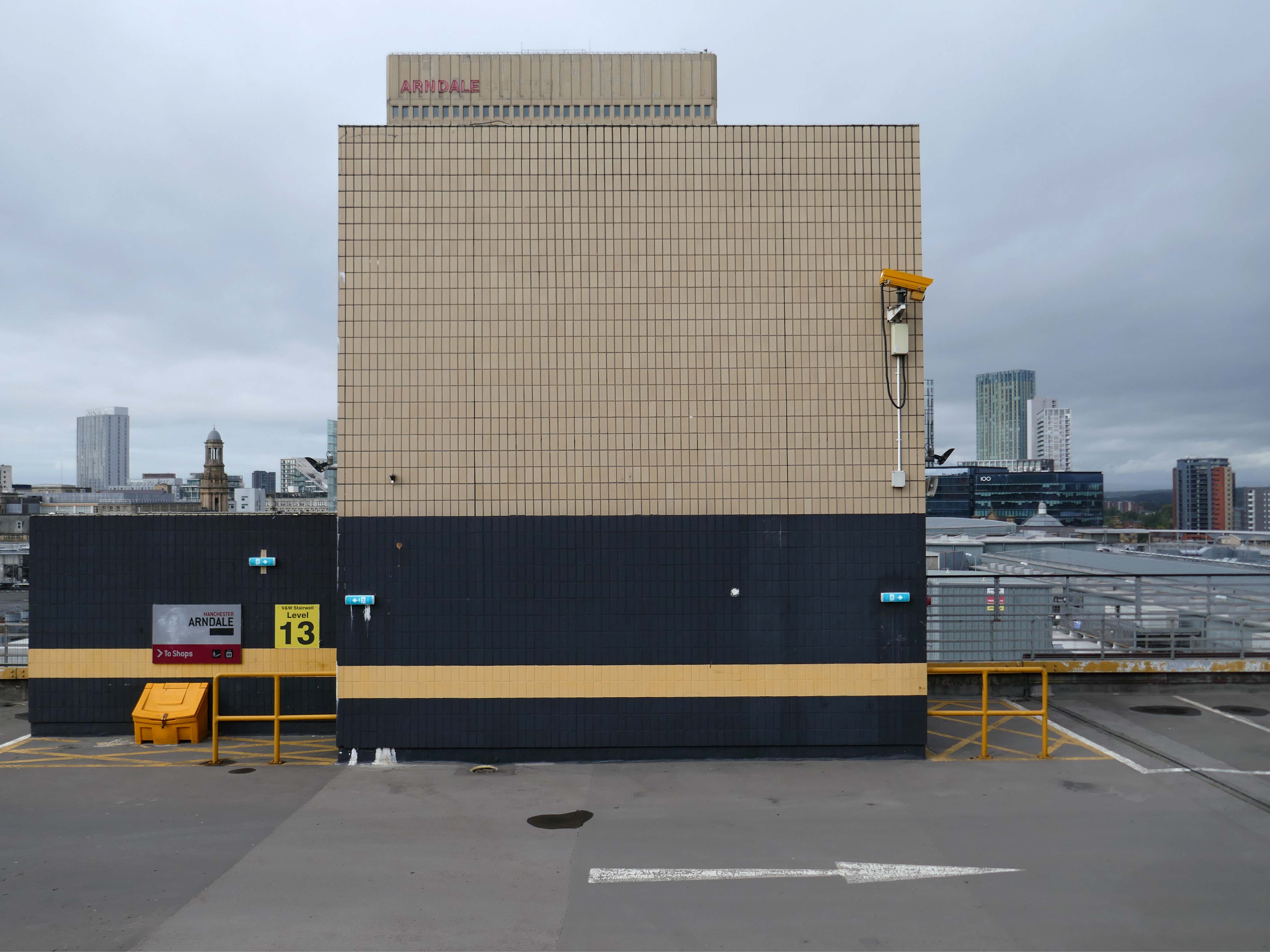
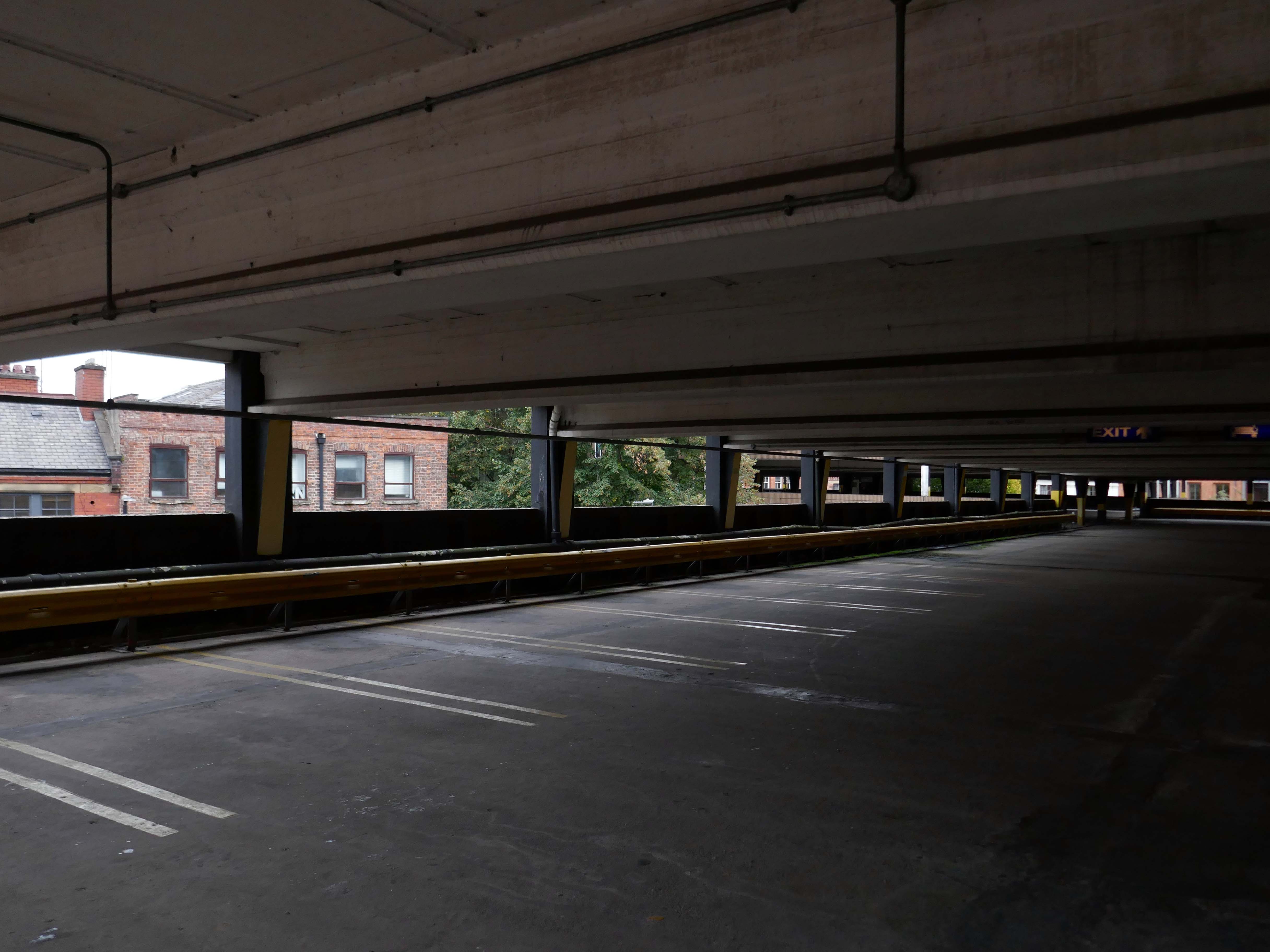
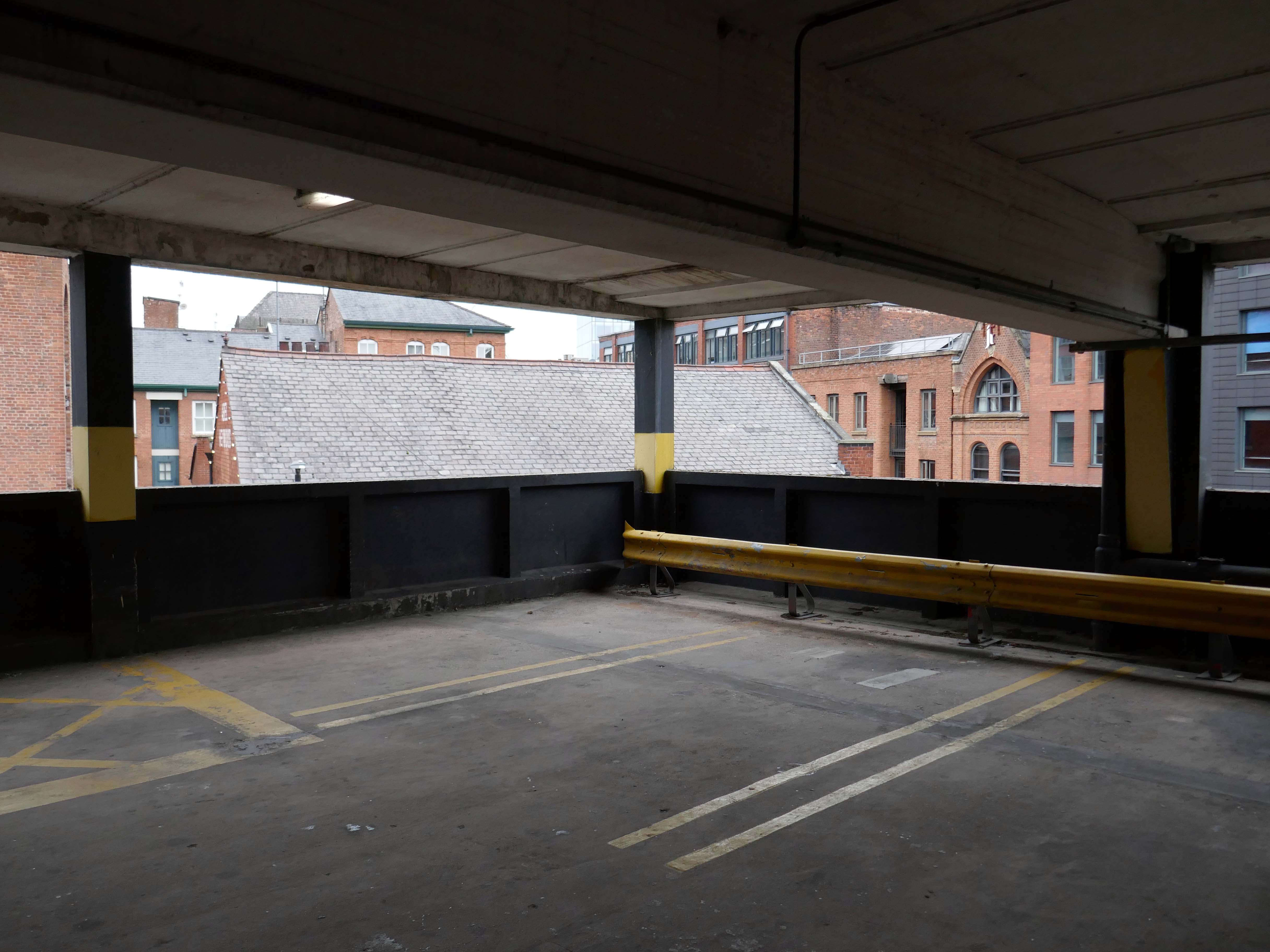
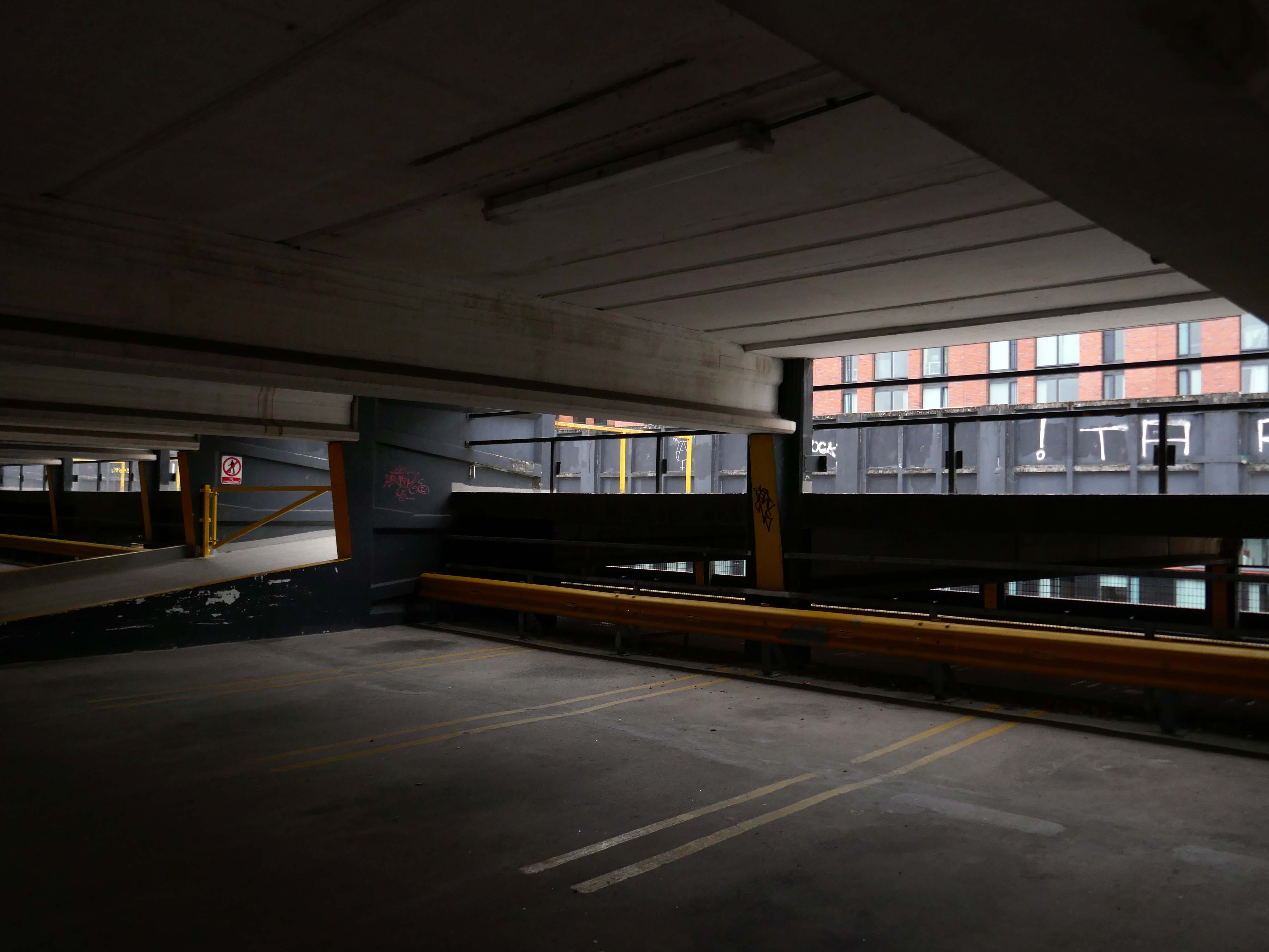
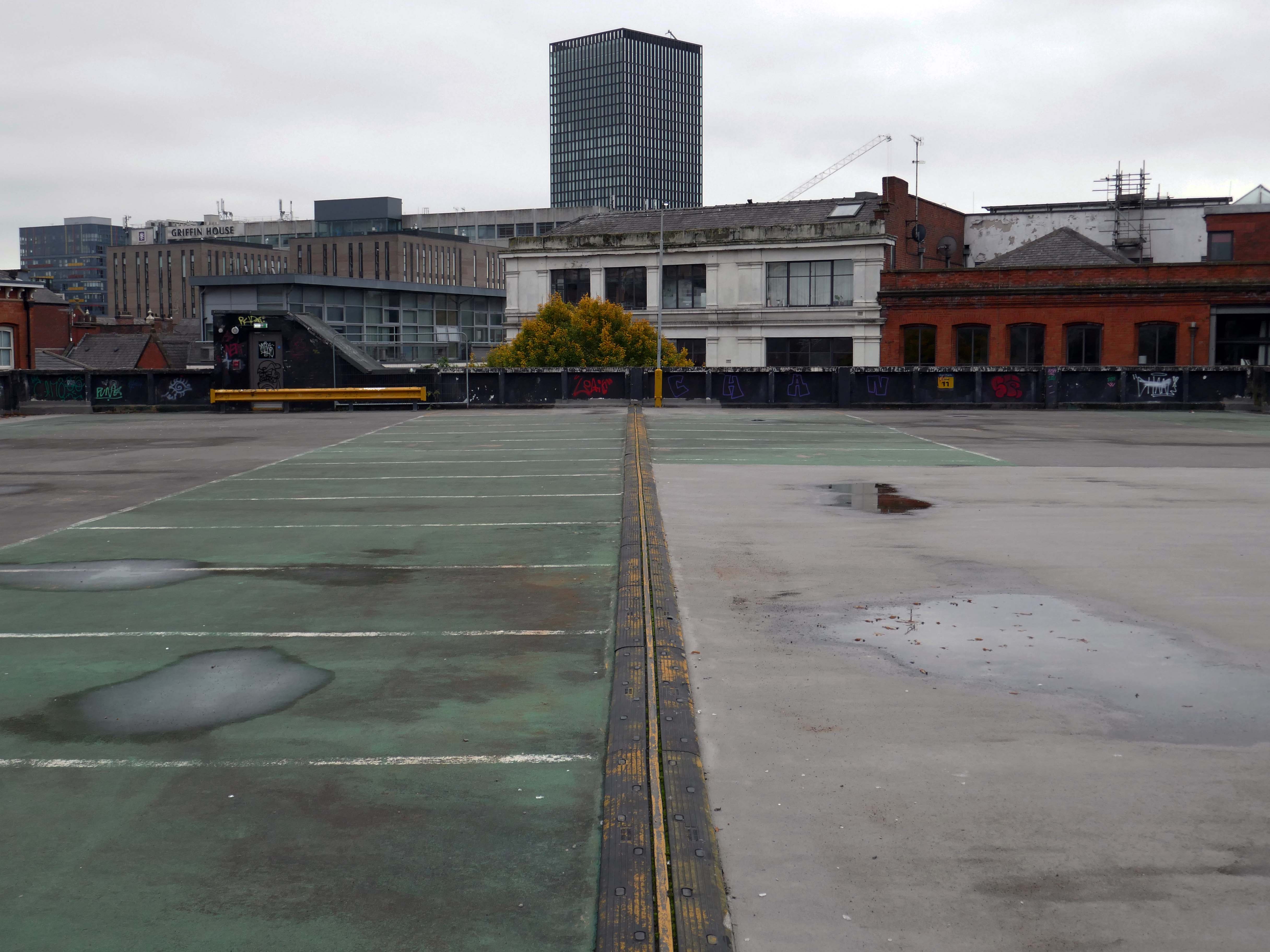
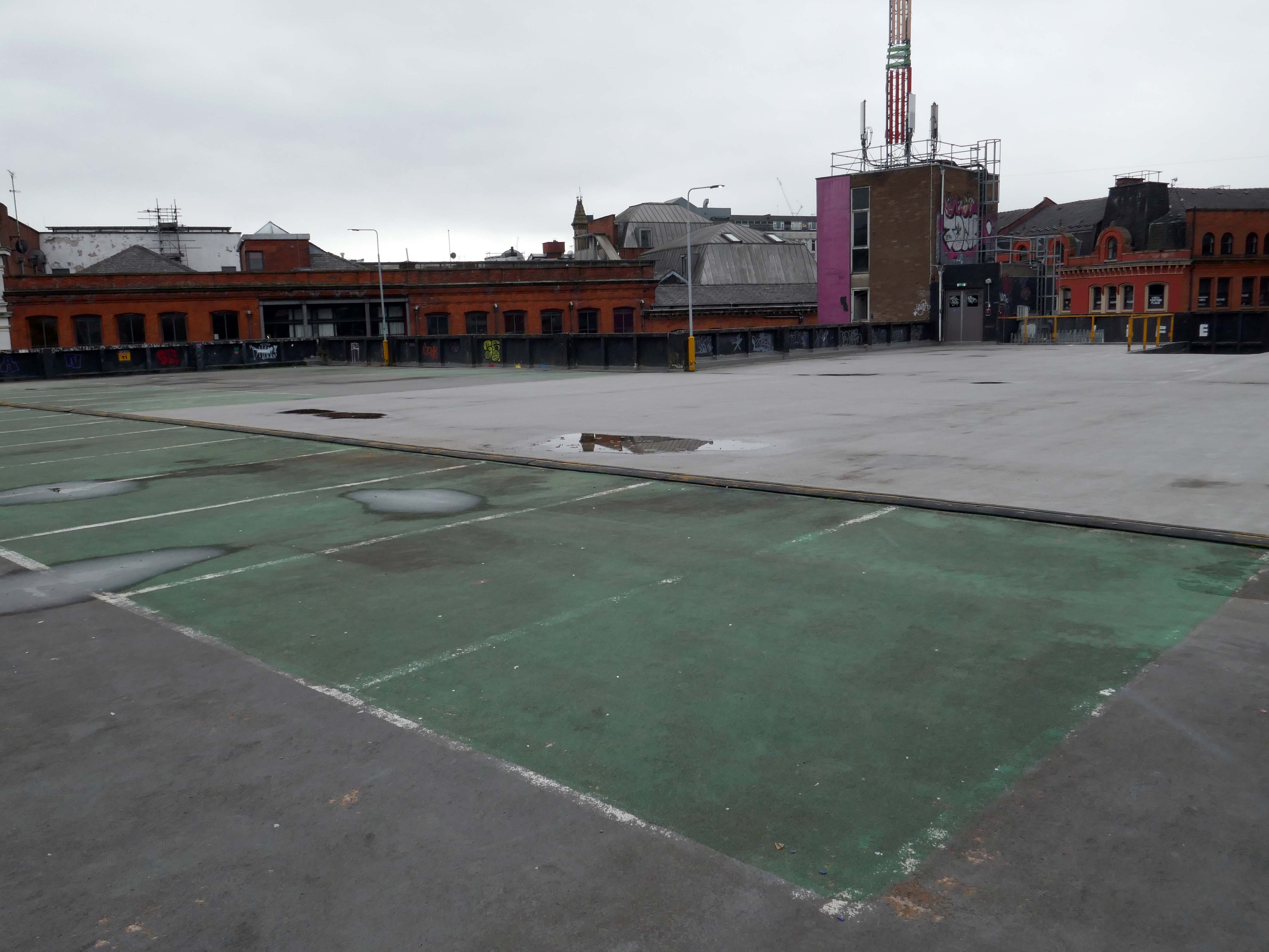
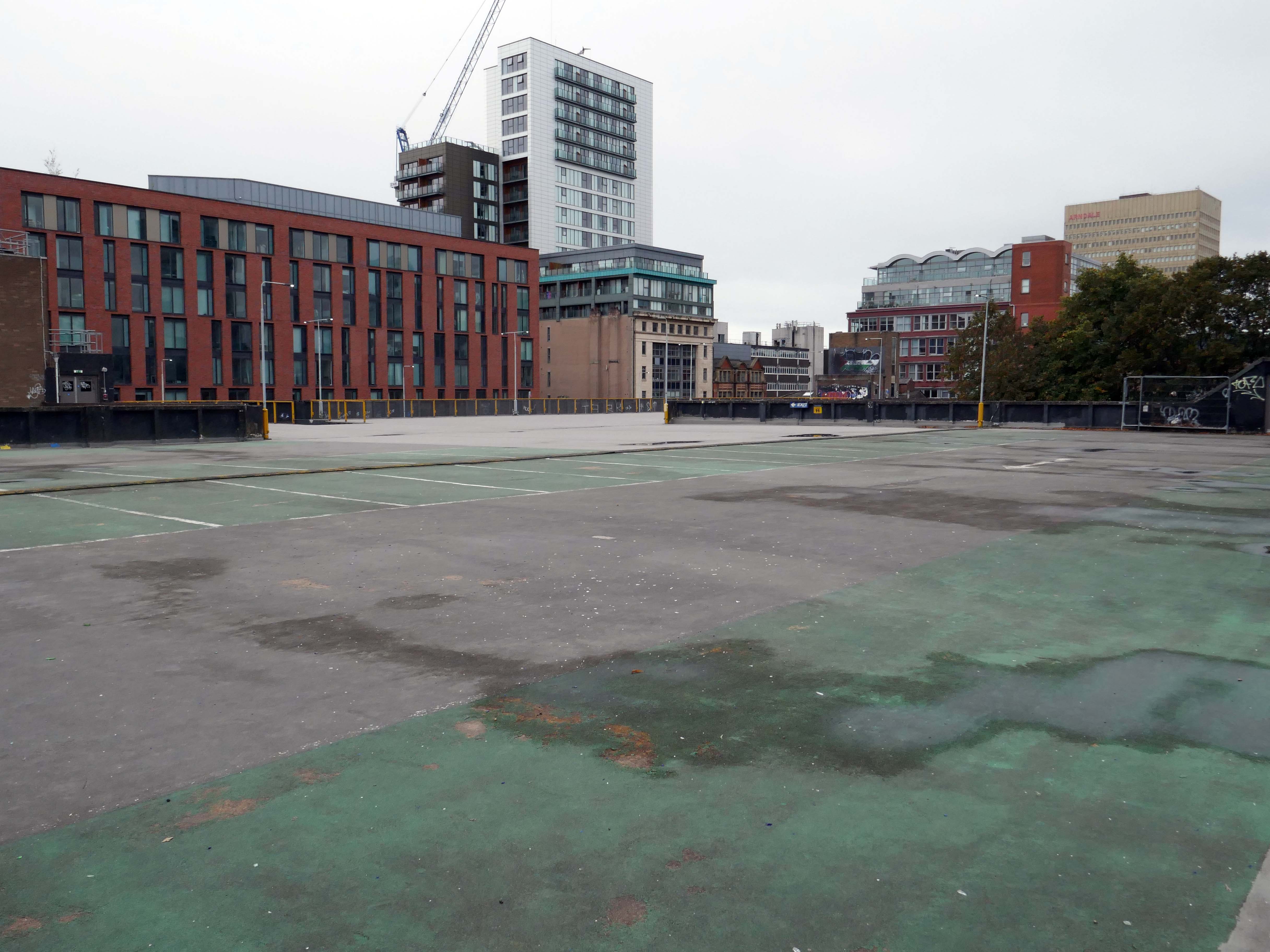
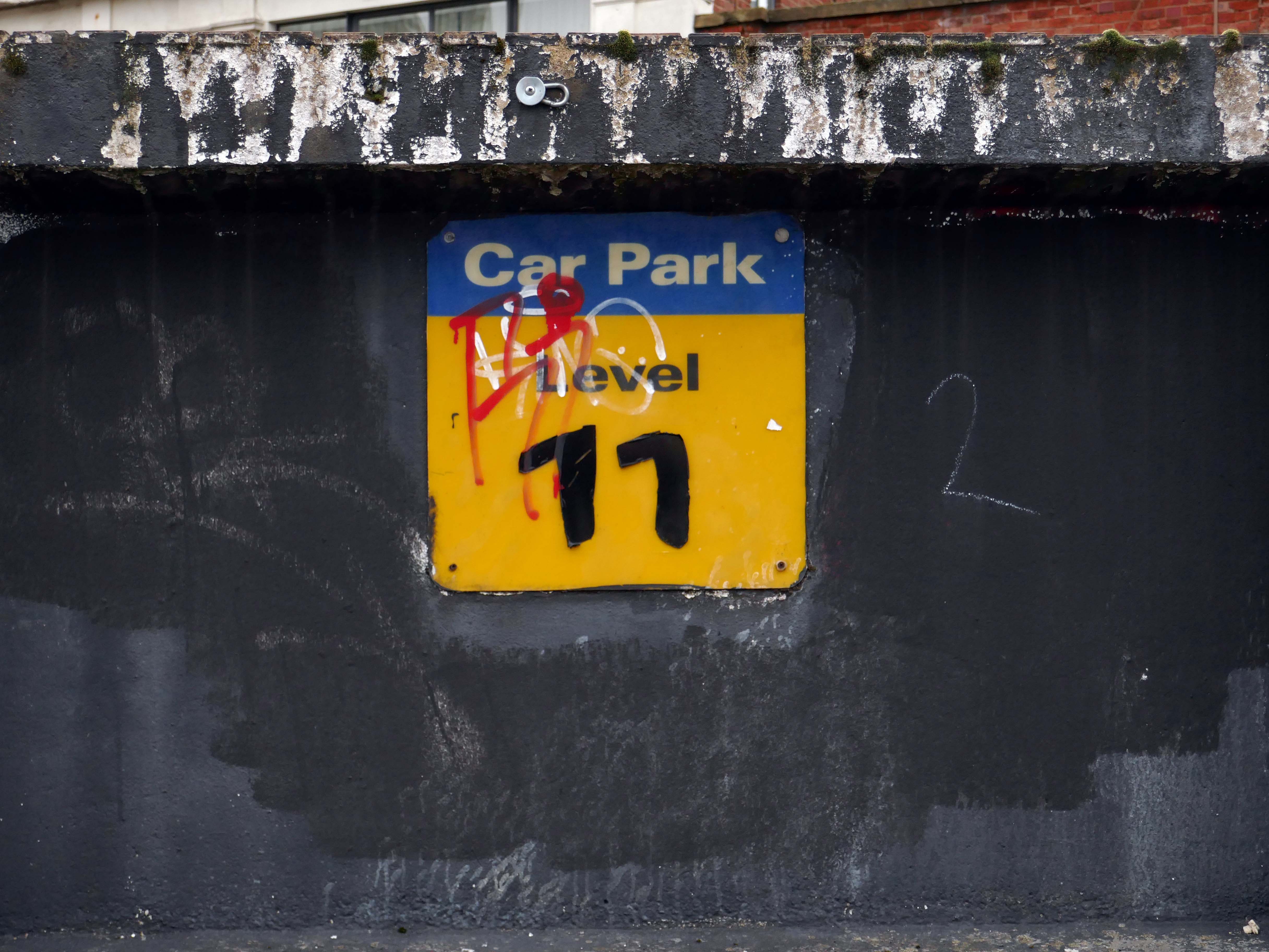
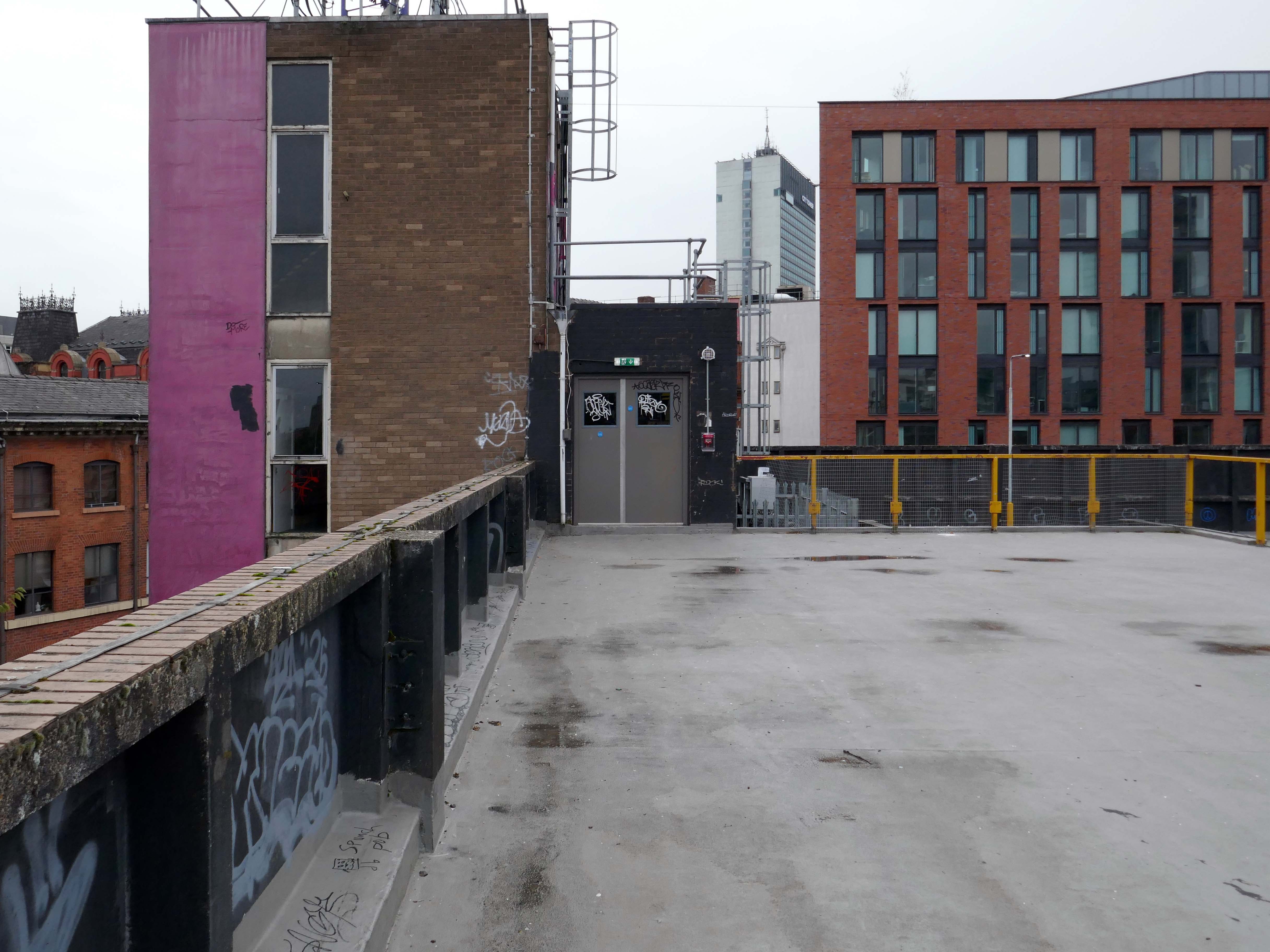
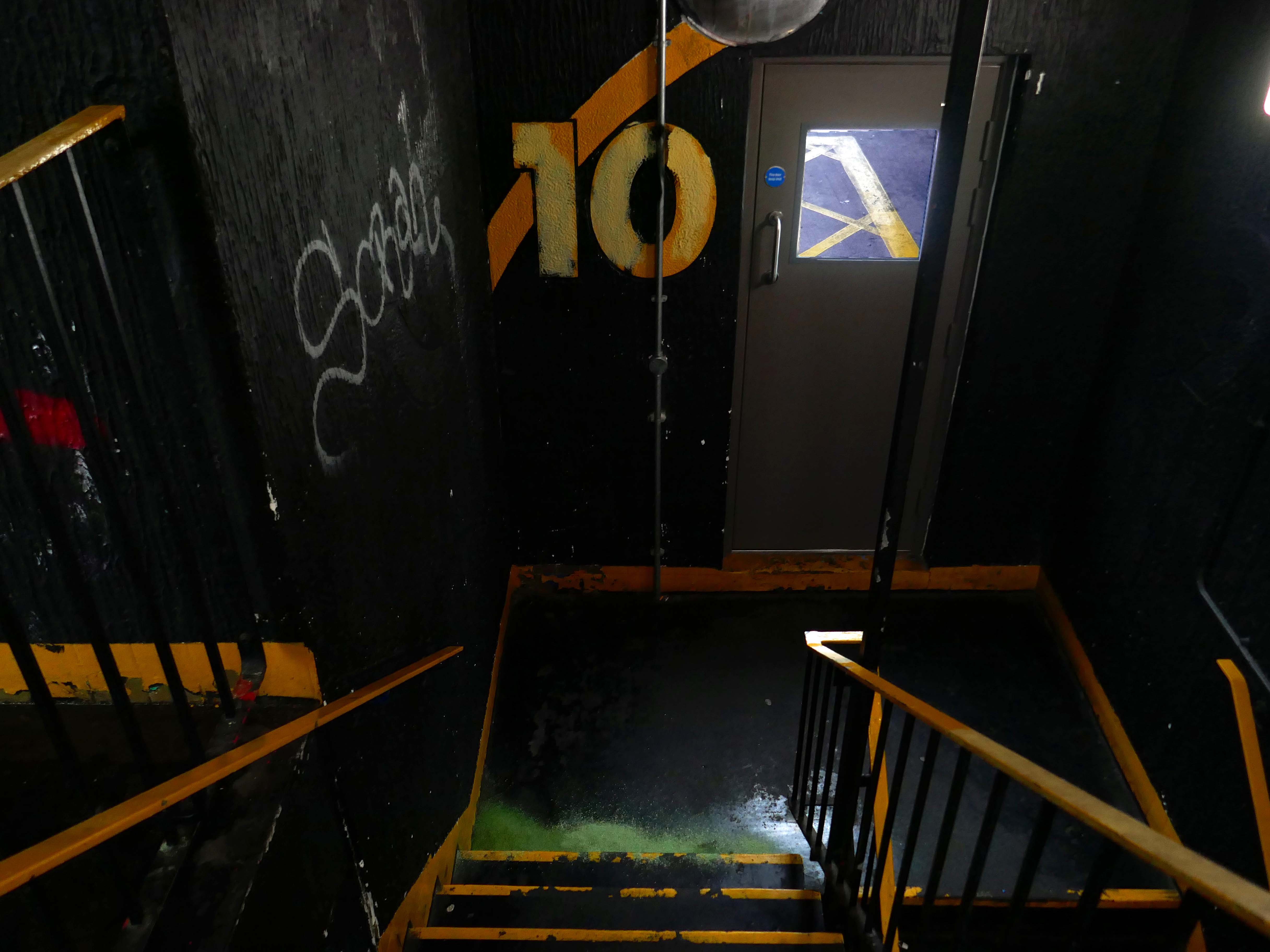
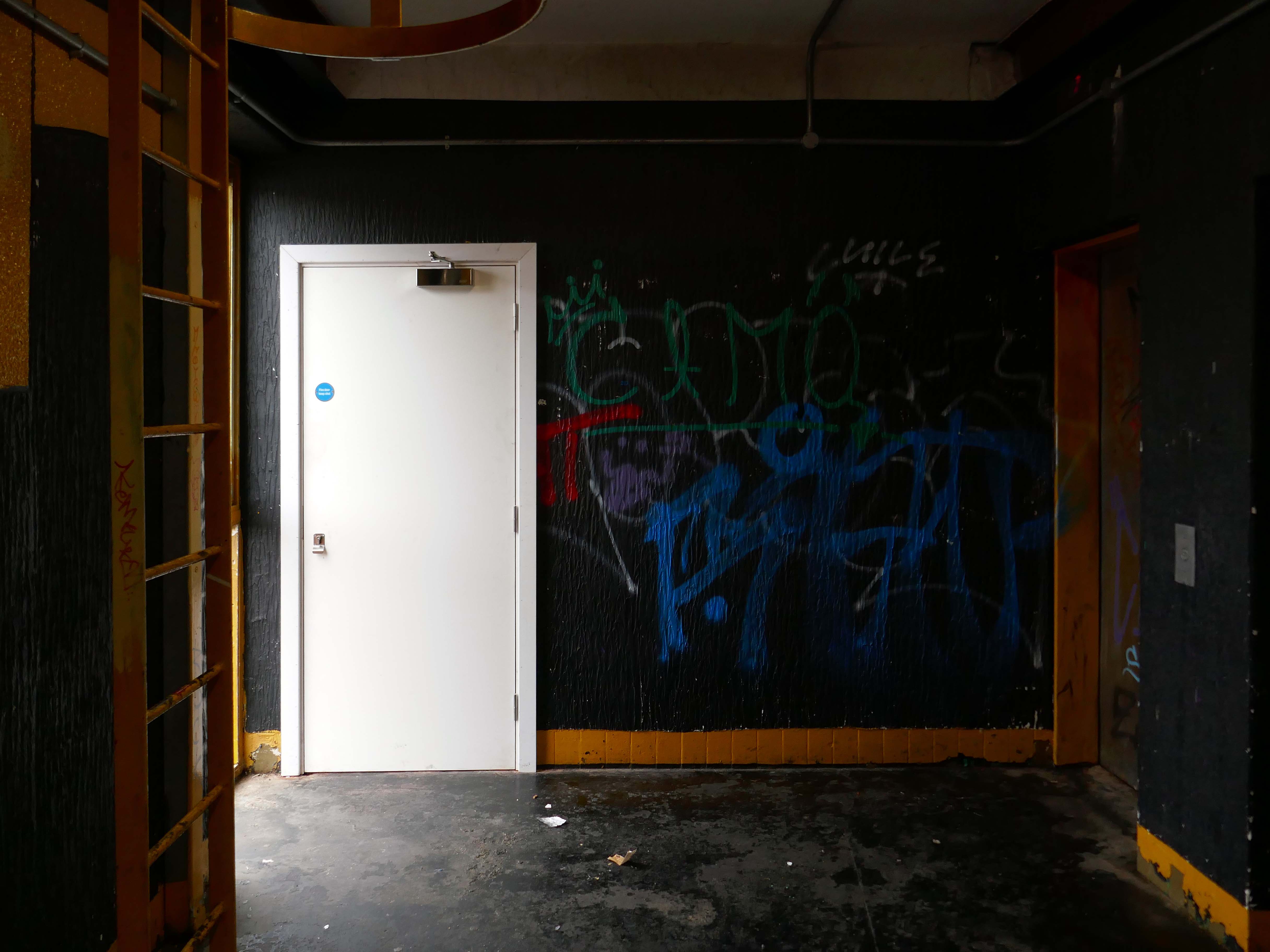
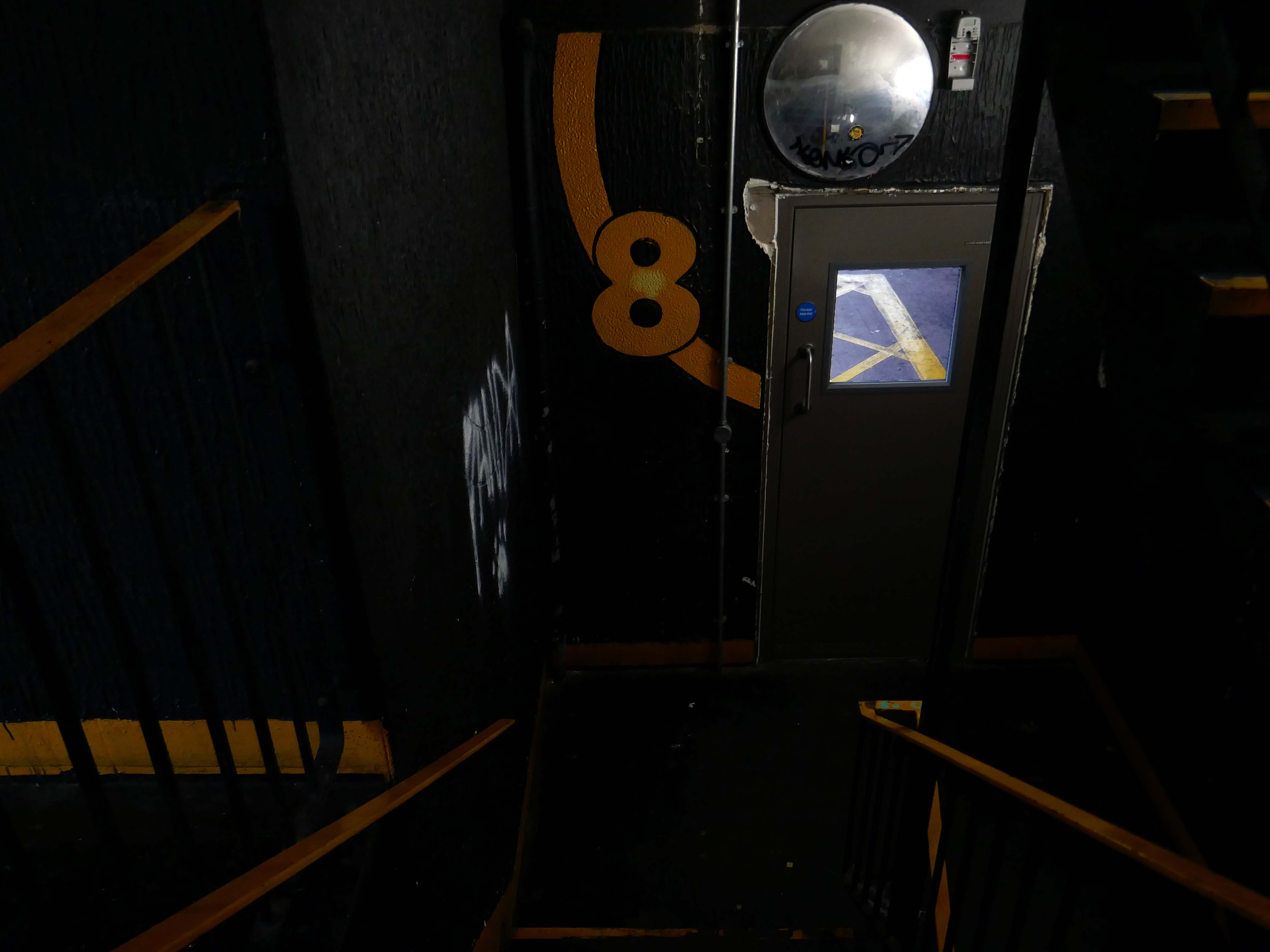
NCP Car Park located on Stockport Station approach.
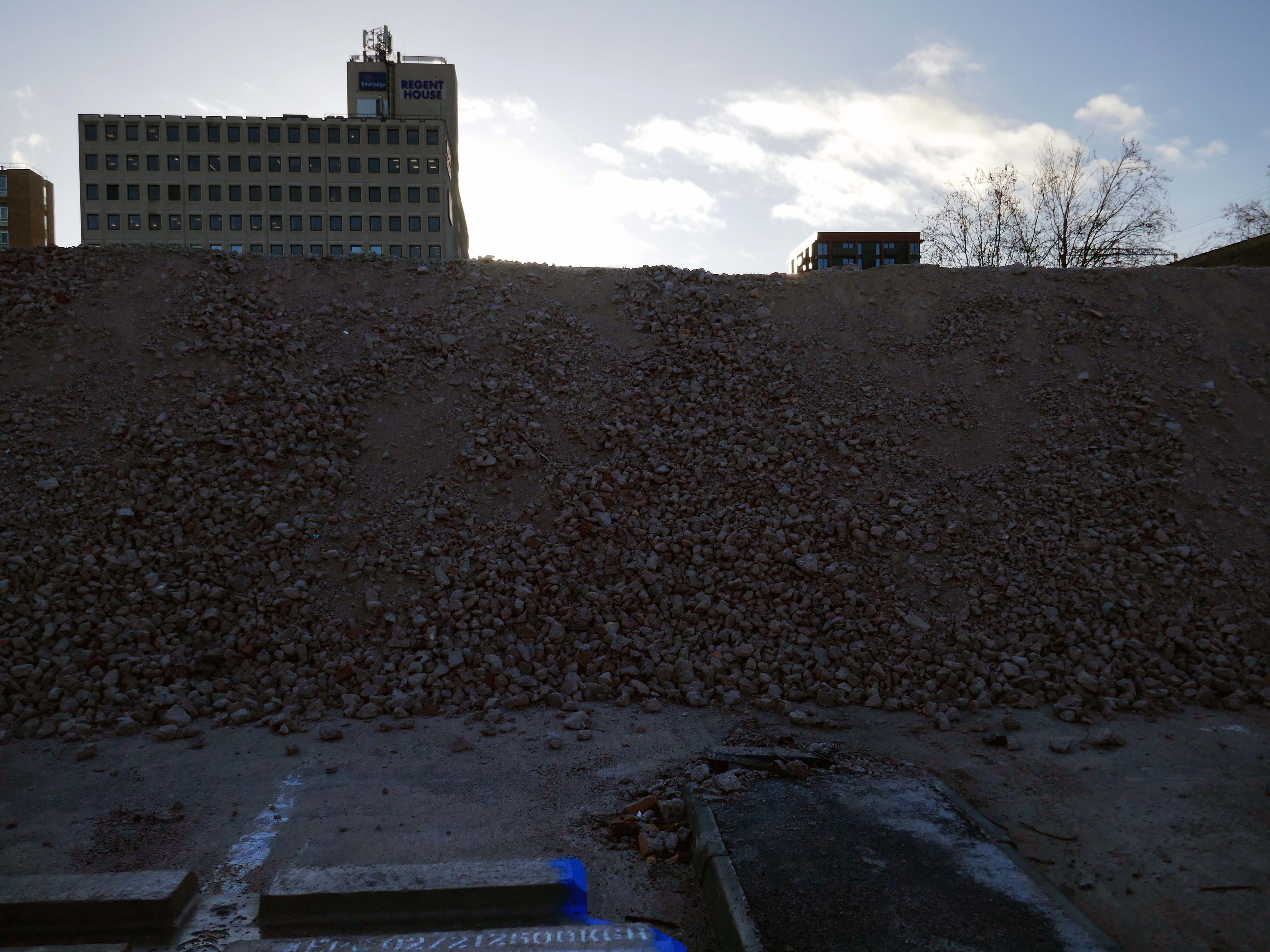
Regent House
Asda superstore
I found a copy of Charlie Meecham’s book Oldham Road in a charity shop.
Inspiring me in 2014, to walk in mostly straight lines, though often as not zig zagging along the main arterial roads of Manchester.
Taking pictures on Sunday mornings, in order to avoid traffic, mildly amused to be ignoring the primary function of the routes.
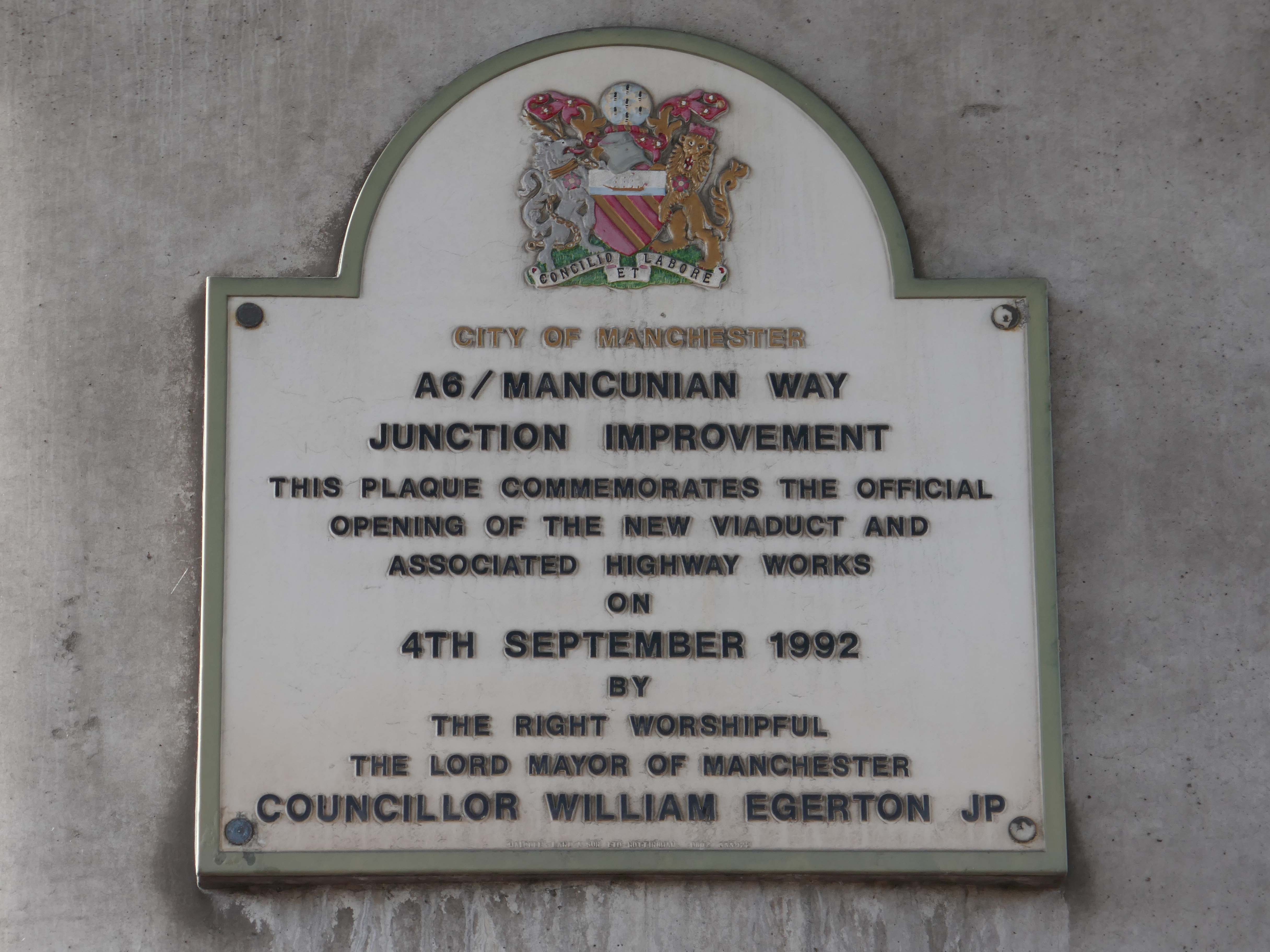
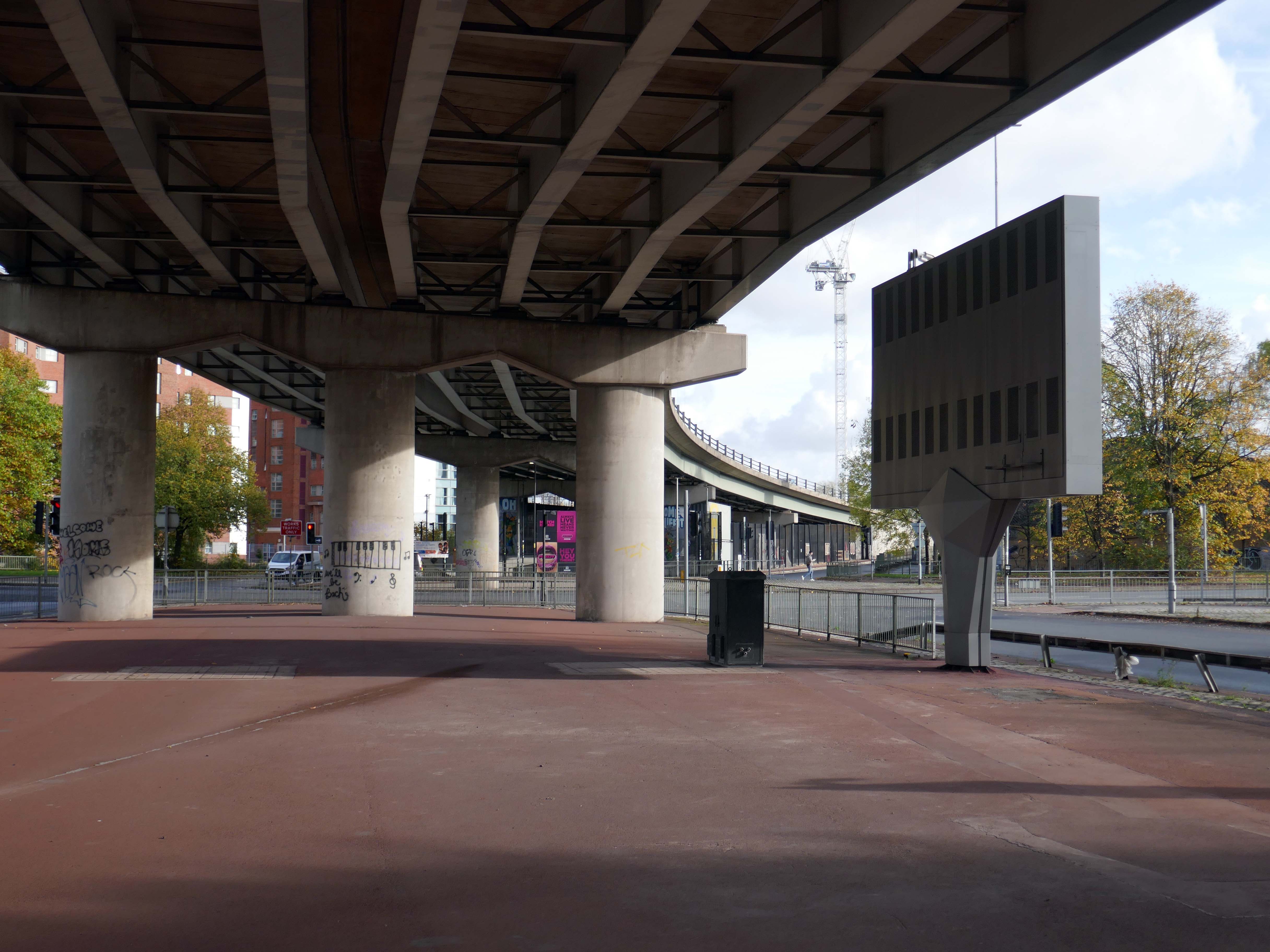
This is one of the more familiar roads, having walked up and down several times over several years. It was to have been an extension of the Mancunian Way, forming a trans-pennine motorway. Much of the property lining the route was cleared in preparation, it was never built, and for years a strange semi-deserted ambience hung over the A57.
Bus Depot
Railway Bridge
The car showrooms which later became an African Evangalist church.
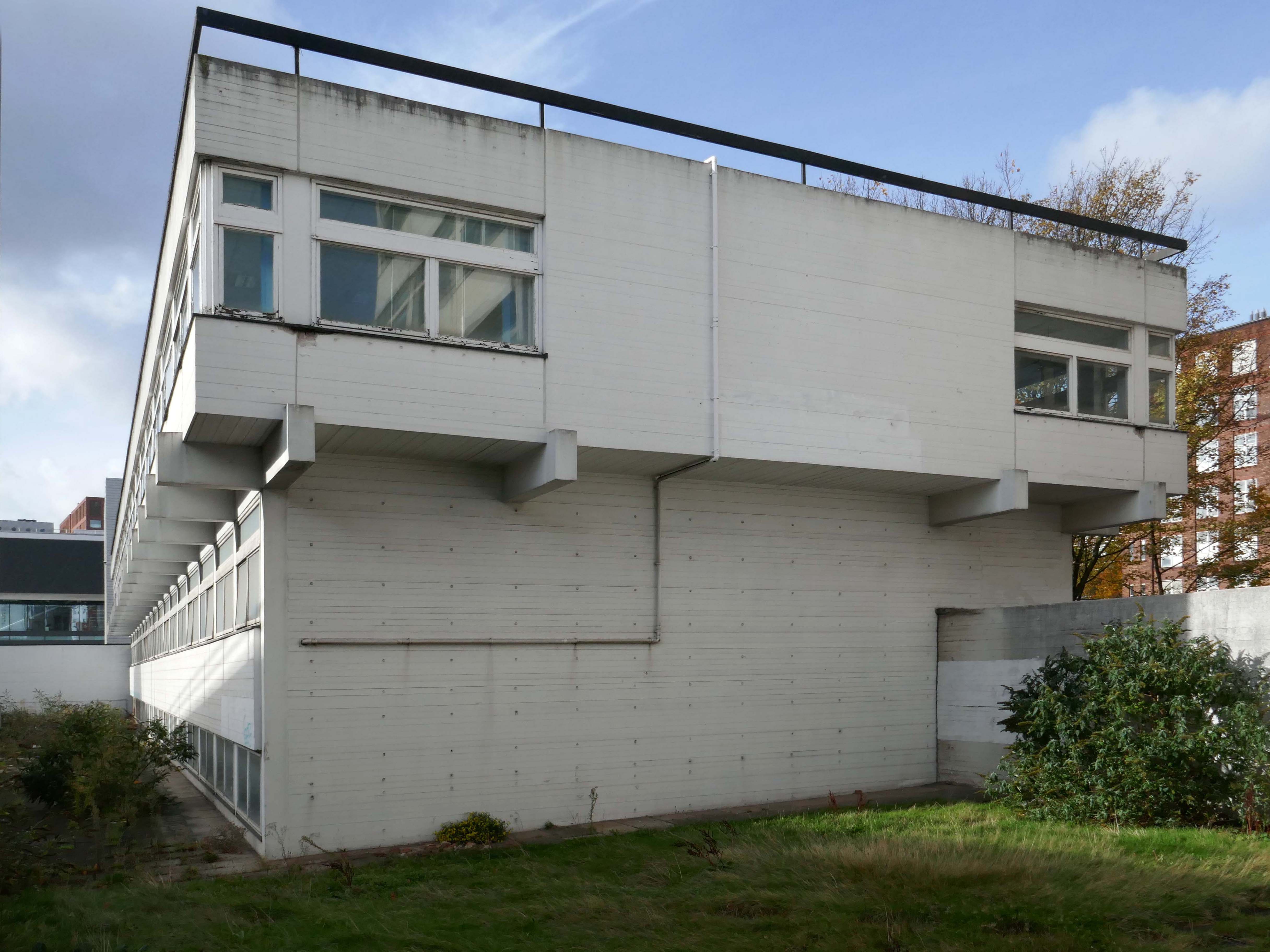
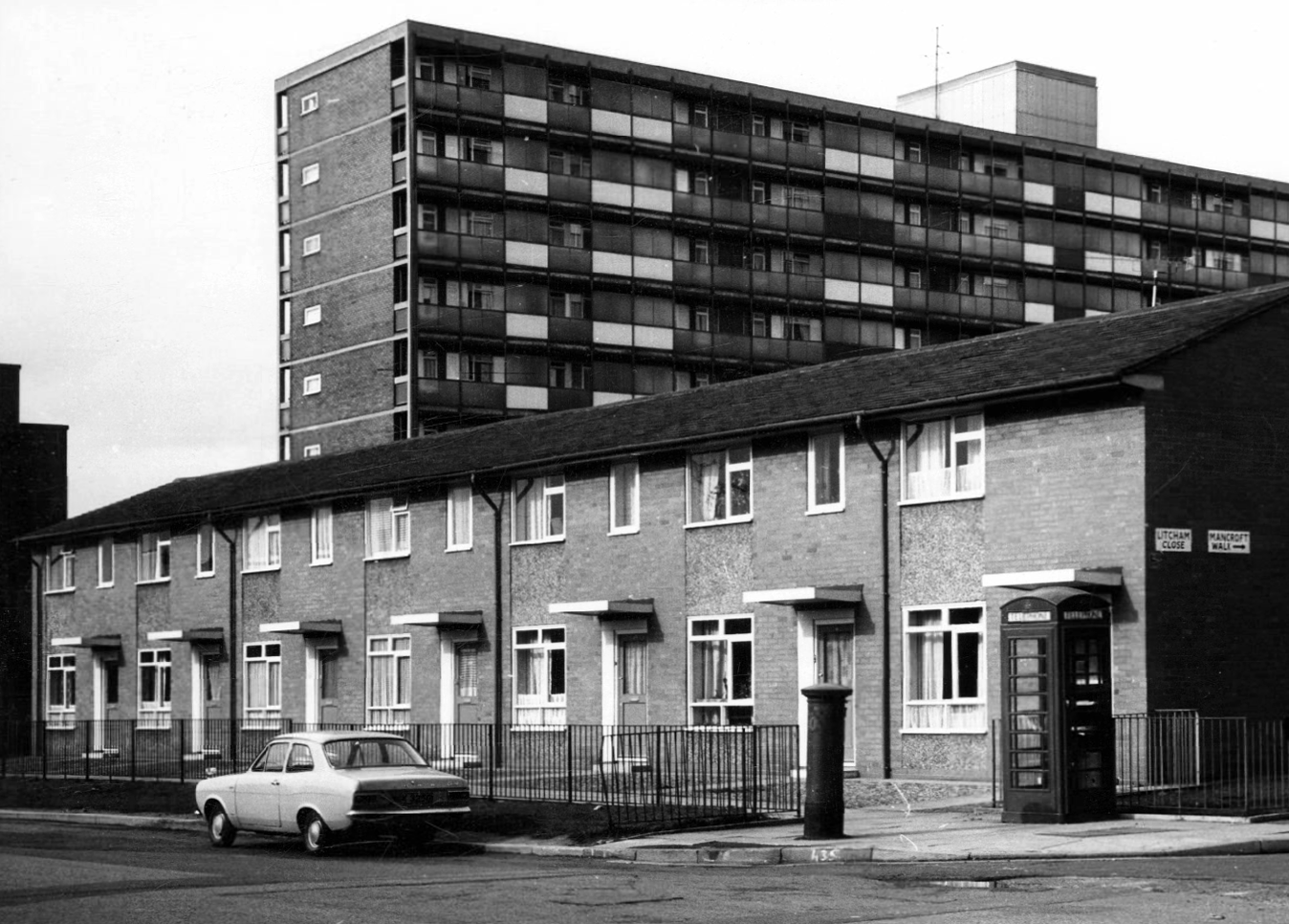
Having cleared away both Victorian and Sixties housing, new architectural forms arose in West Gorton.
Now, everywhere I go, I see launderettes – so arriving in Hanley with time on my hands, wandering around I found this exemplary example.
Having a blog entitled Manchester Estate Pubs, the national media became interested in my photographs. I had spent quite some time, wandering around in search of this endangered architectural typology.
This was Billy Greens in Collyhurst, named for a local boxer, now demolished.
Which in turn became the second modernist calendar.
Followed the following year by fish and chip shops.
So building a vocabulary for my mooching, discovering yet another chippy, laundry, pub, Burton’s, telephone exchange, glazed stairway or underpass.
These things find you, yearning for some small amount of attention and affection.
The Trawl – my favourite peg board menu, my favourite Bridlington chippy.
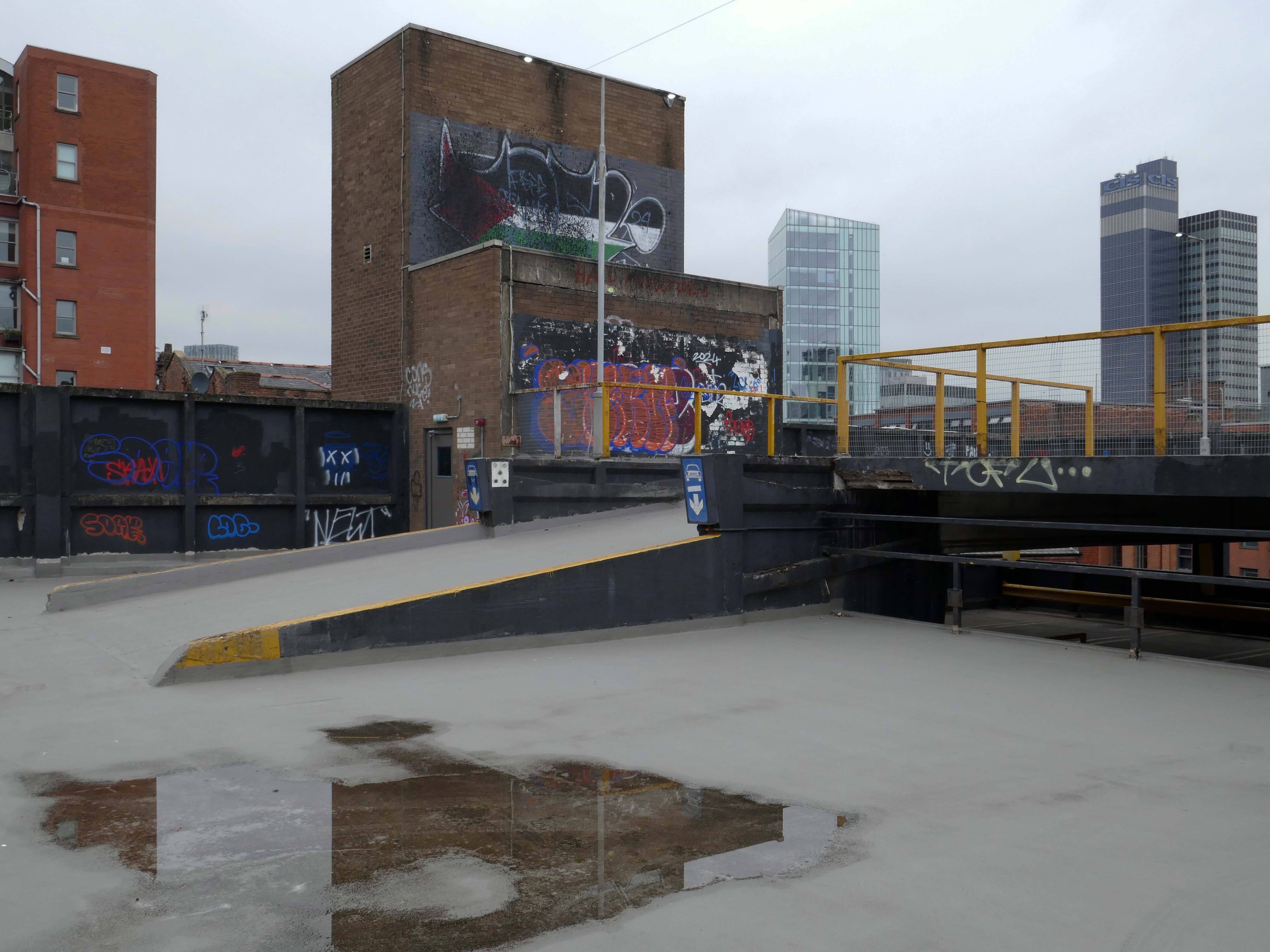
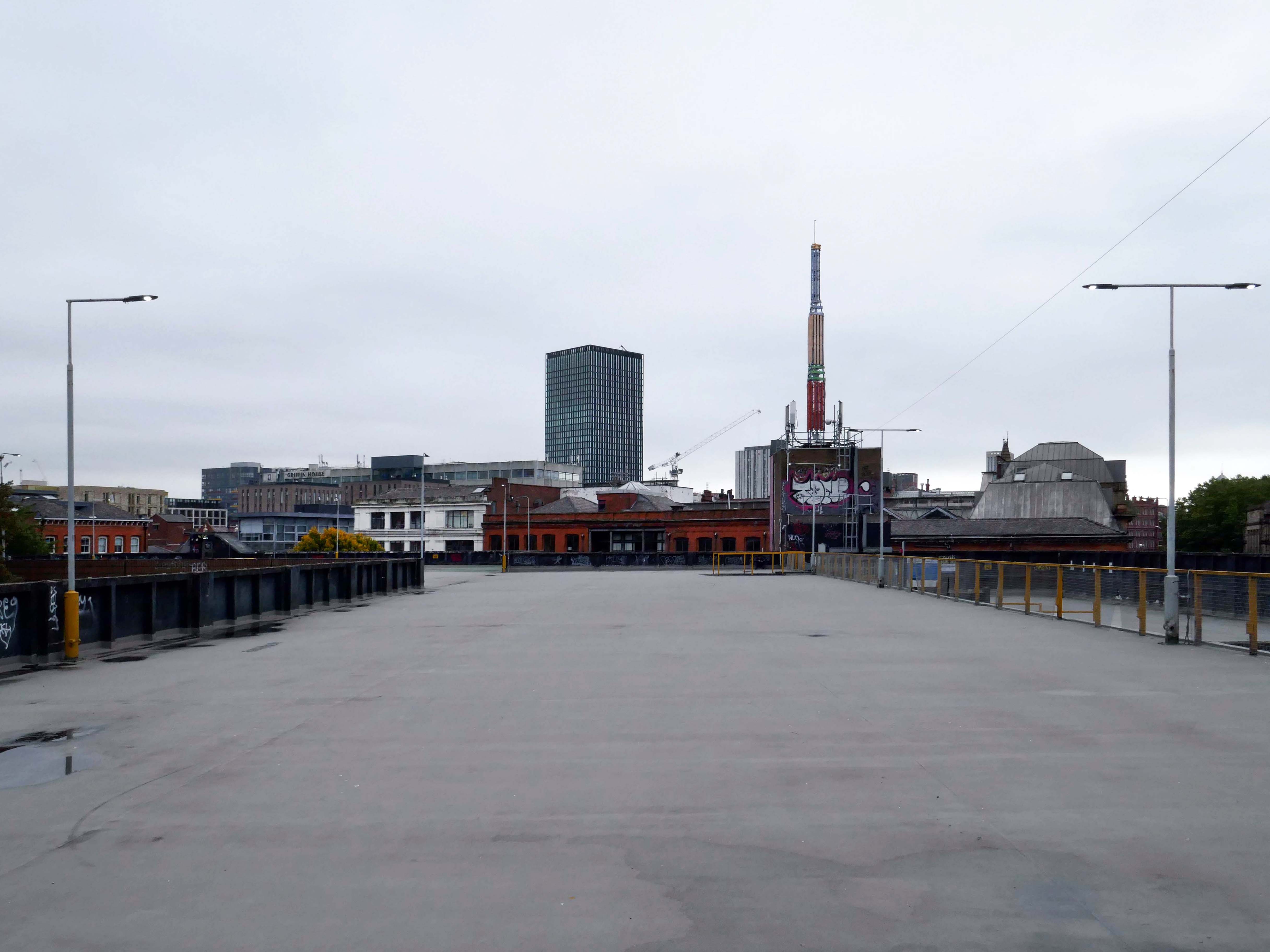
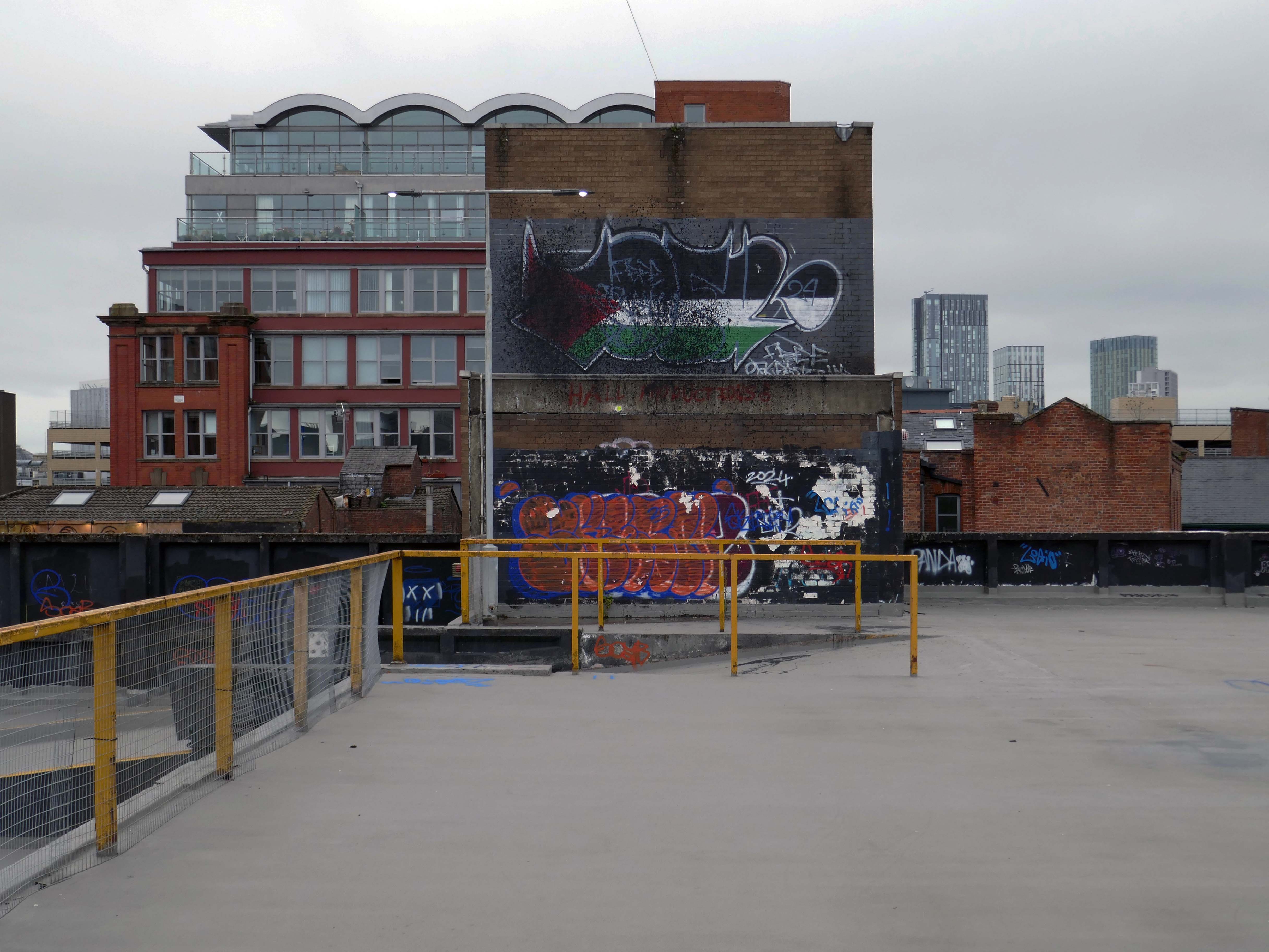
We are now coming to the end of the car park year – seen here on the wall of my command centre.
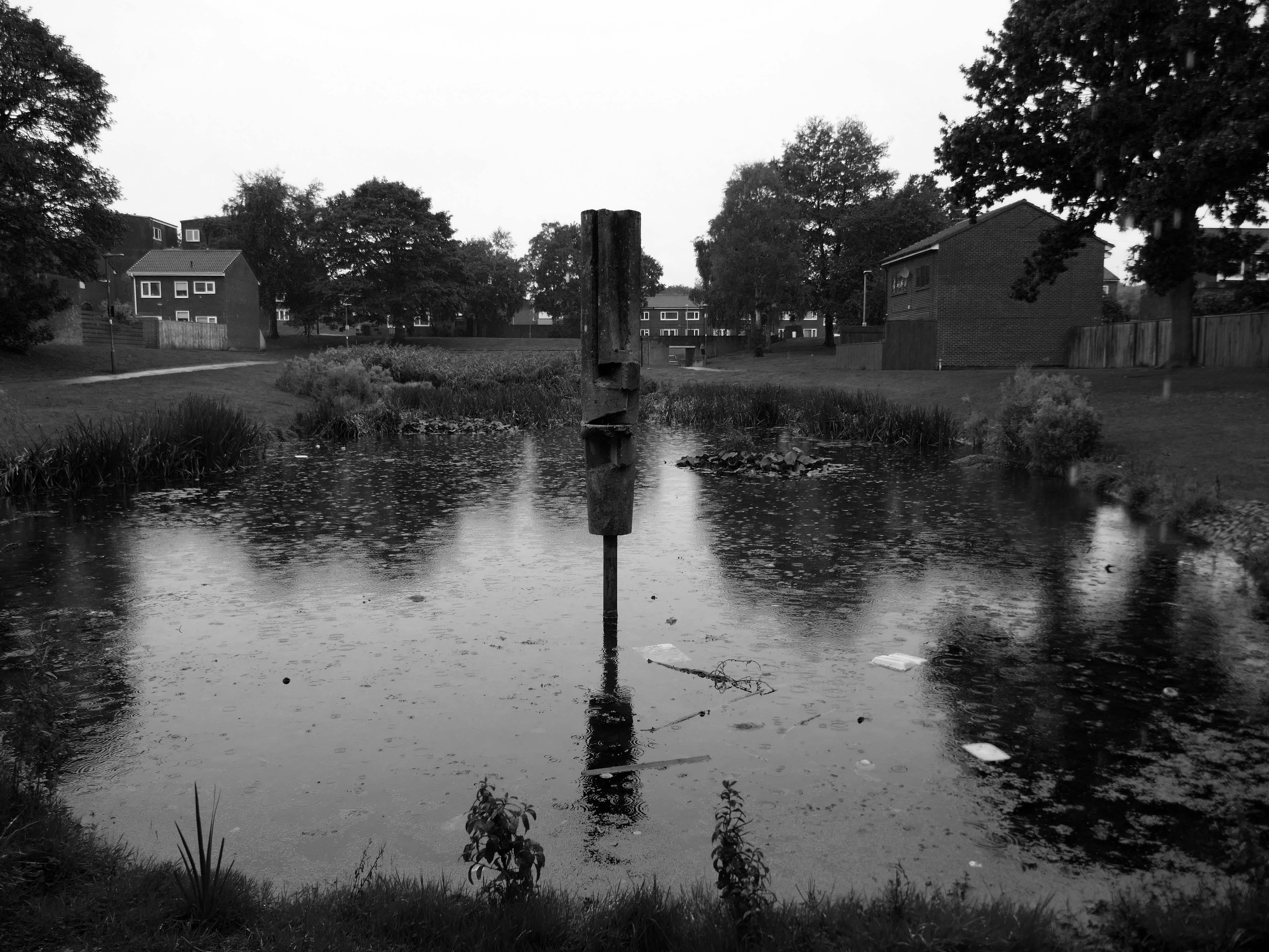
Home to William Mitchell’s Totem, the homes long gone and the Council pledged to move the totem too.
The state of play this week, the detritus removed and the base filled in, repaved and safe for a while.
Off now to the Weaver Valley another day another river, passing under Weaver Viaduct
The looking toward KouraGlobal – leader in the development, manufacture, and supply of fluoro products and technologies, opened a new HFA 152a production facility at their Runcorn site in the UK.
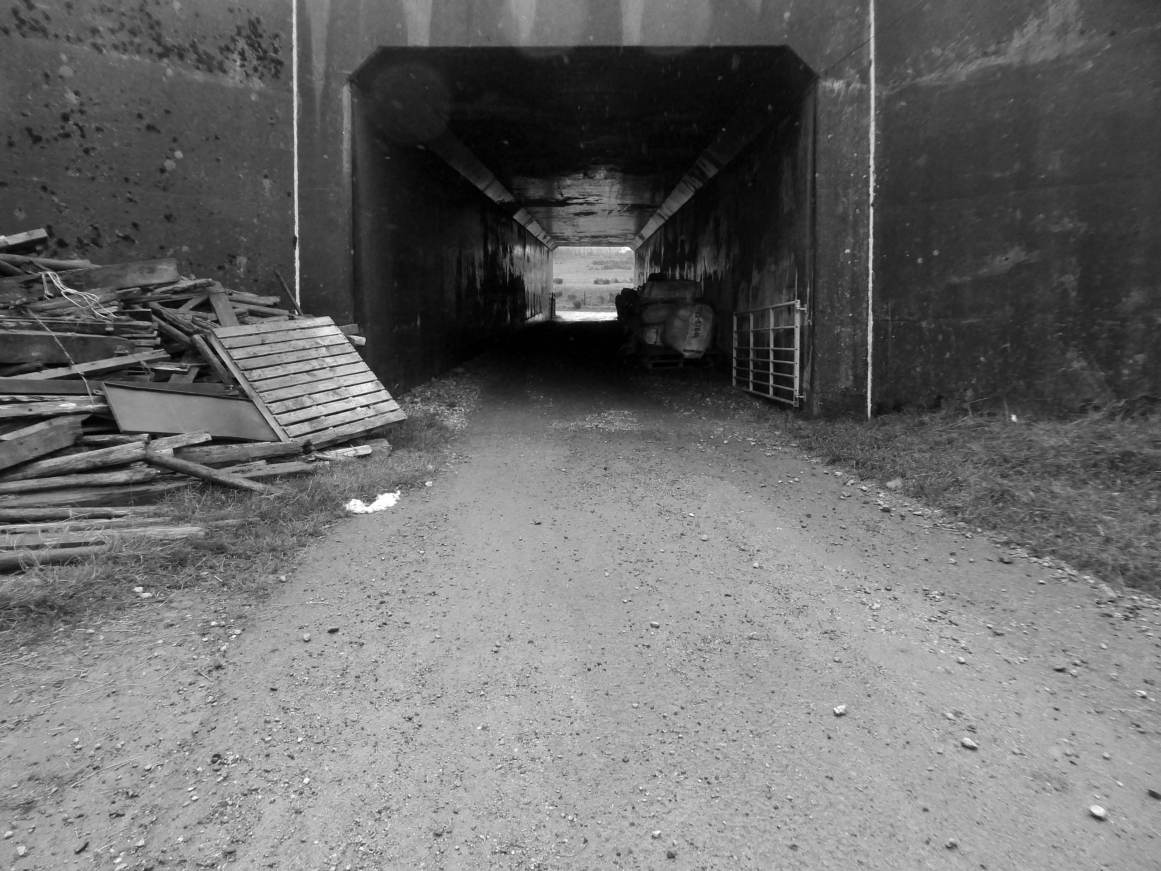
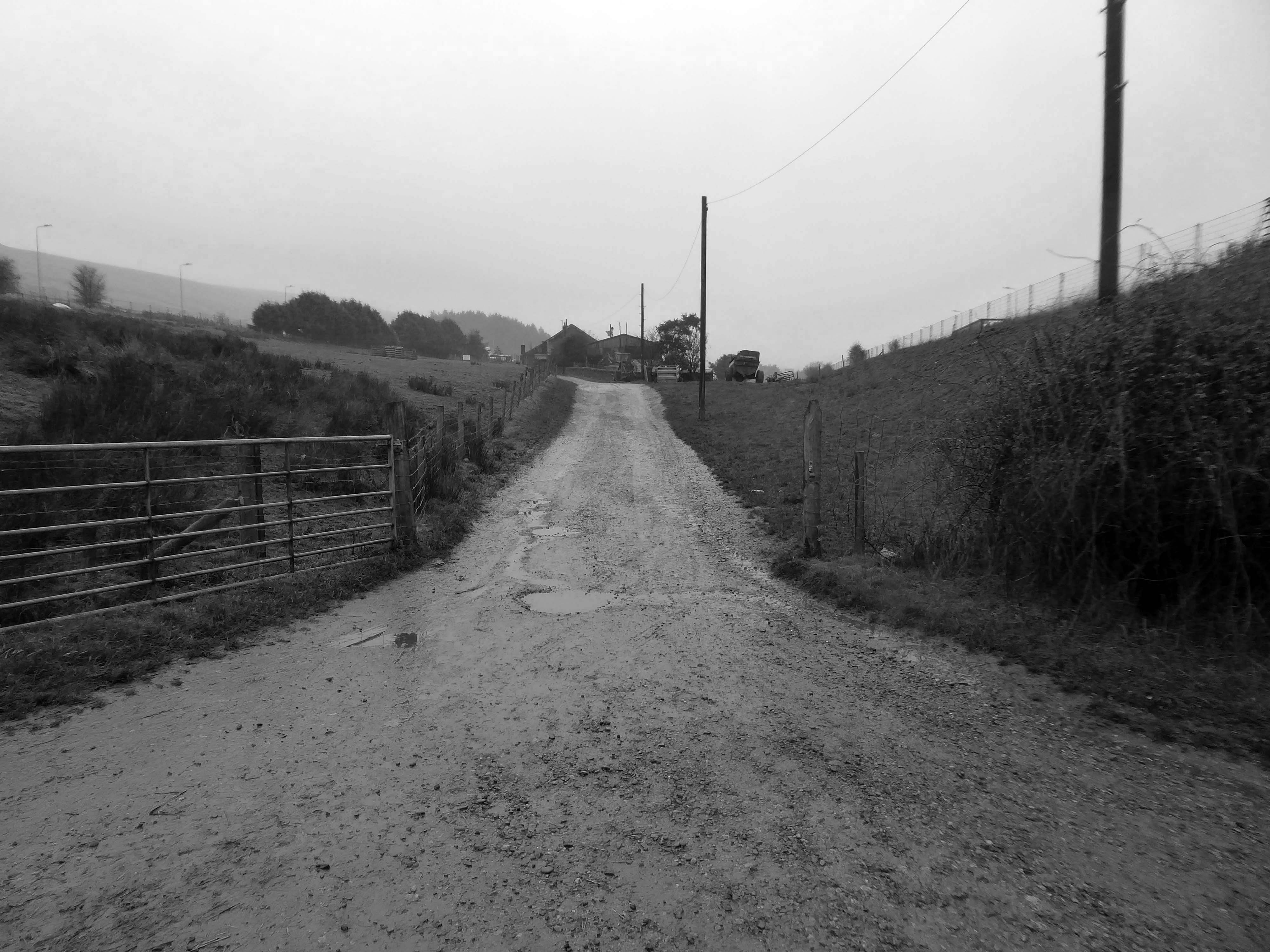
Further rural Modernism as we pass under and traverse the M62, whilst walking around the Piethorn Valley
The newest of the Modernist Mooches was to Burnley where we visited the Keirby Hotel.
The former GUS Offices with a mural by Diane and William Morris.
Plus the Charles Anderson concrete relief at the Crow Wood Hotel.
Finally a little light relief – a visit to the Boots factory in Nottingham.
Having innocently board a bus outside the station with a Boots head code , I alighted within the factory gates. Then innocently walking around taking snaps, unheeded until the men in the van stopped me in my tracks.
Who are you, what are you doing?
I am the Modern Moocher going about my business – well it turns out this was not permitted and I was red carded by the earnest security guards and asked to leave forthwith. Suitably rebuked, I politely bade them farewell and headed for the gates.
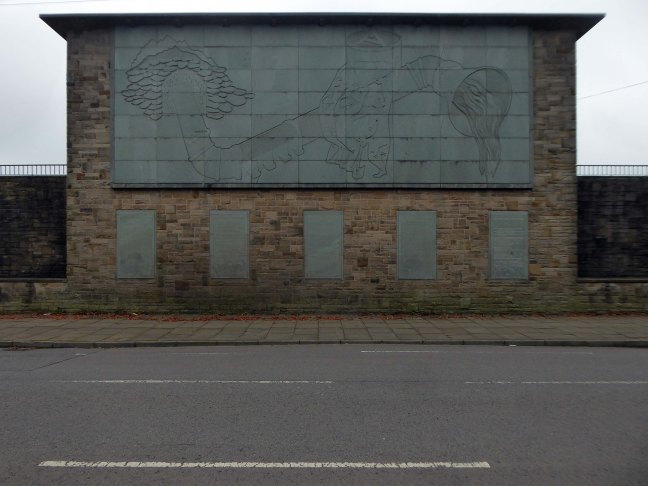
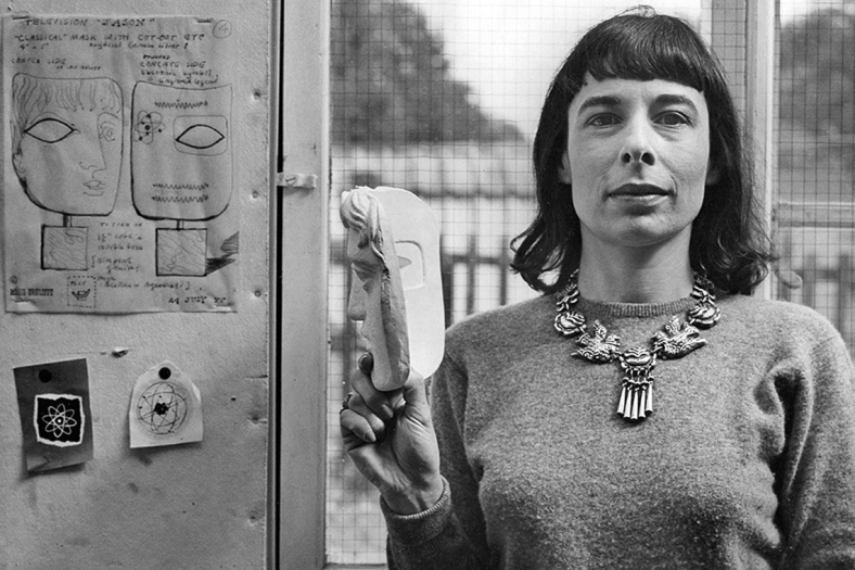
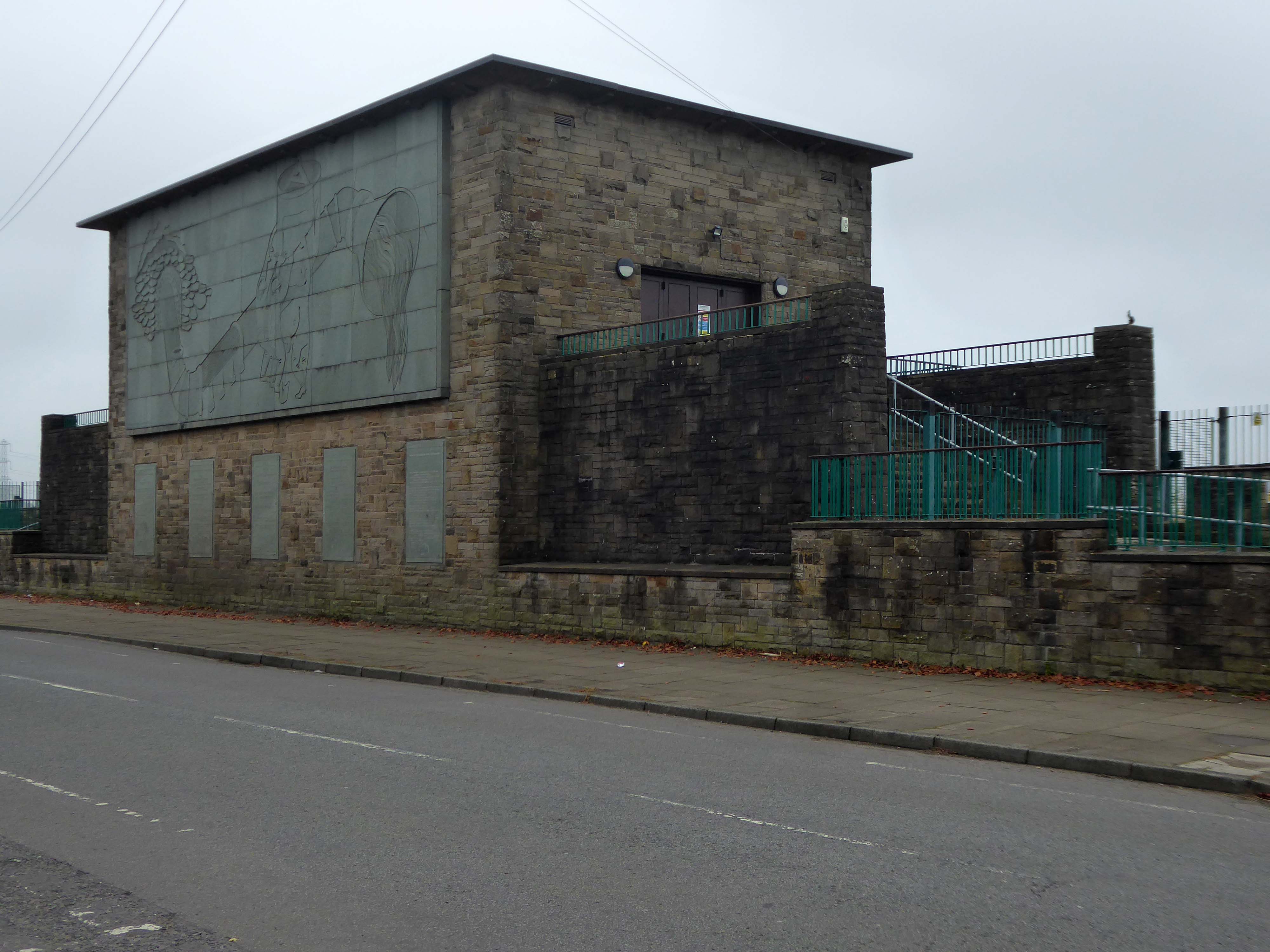
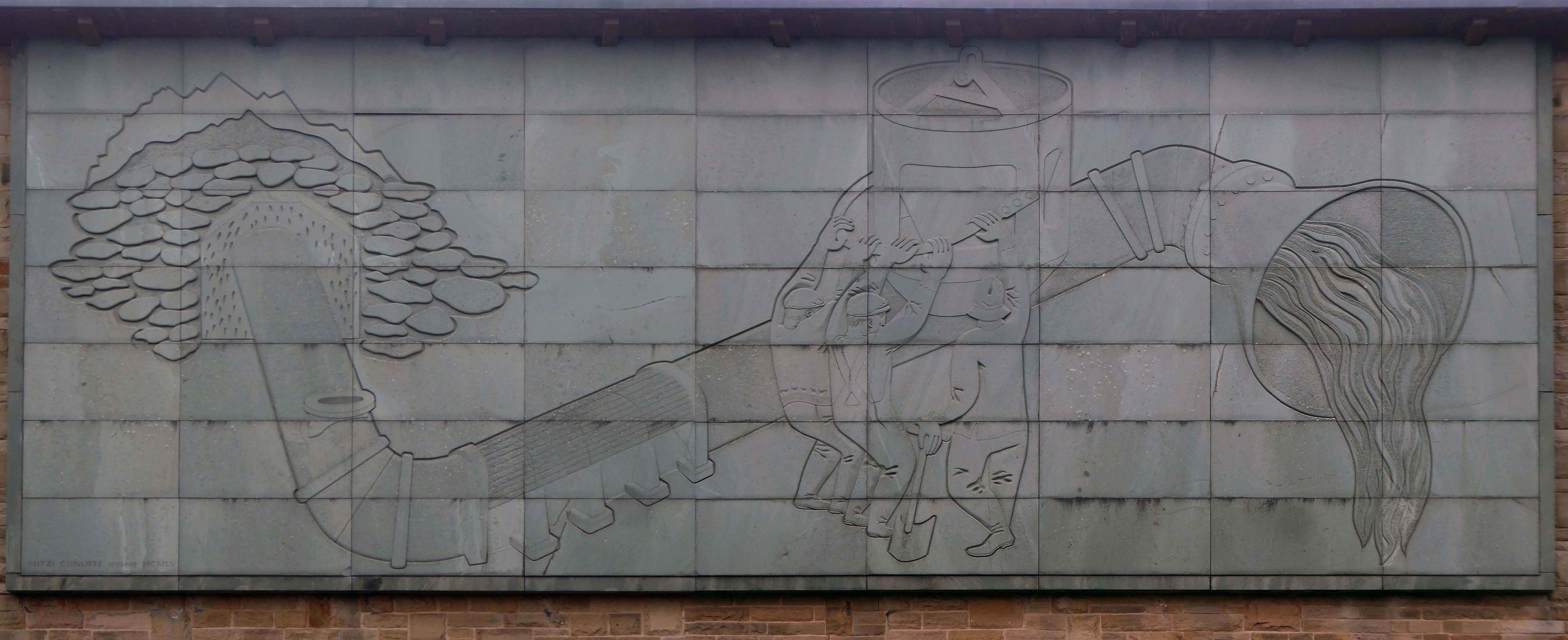
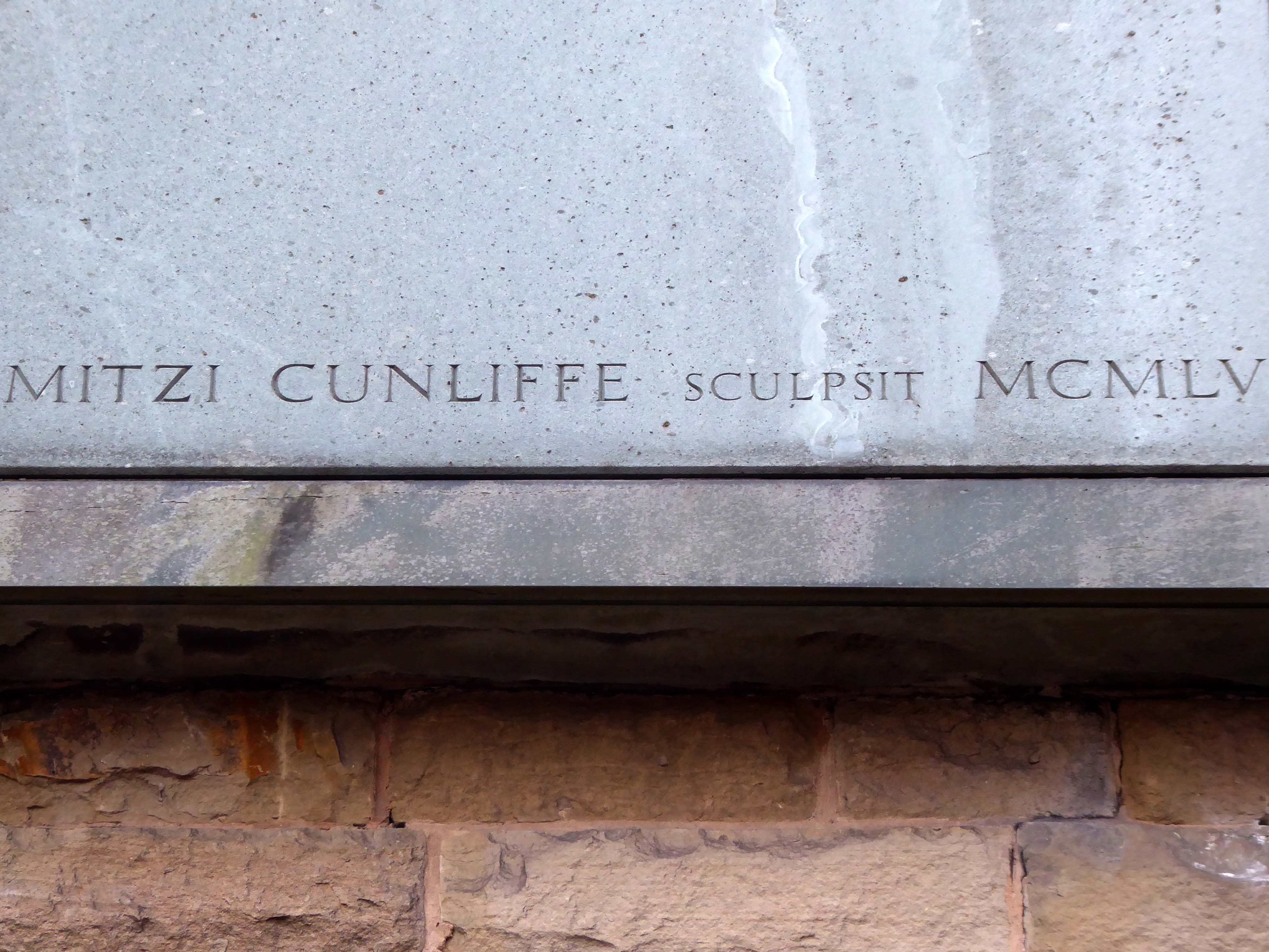
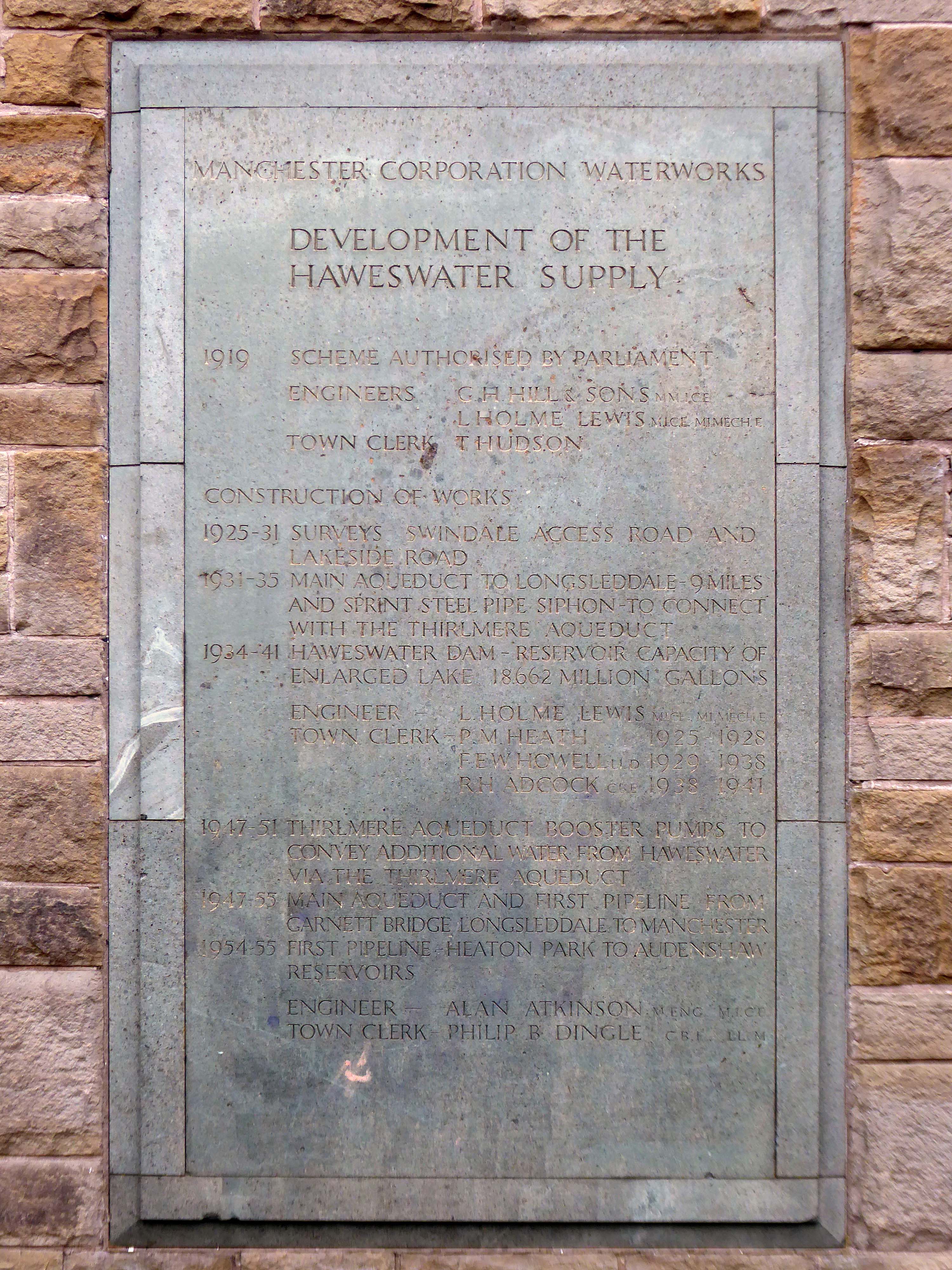
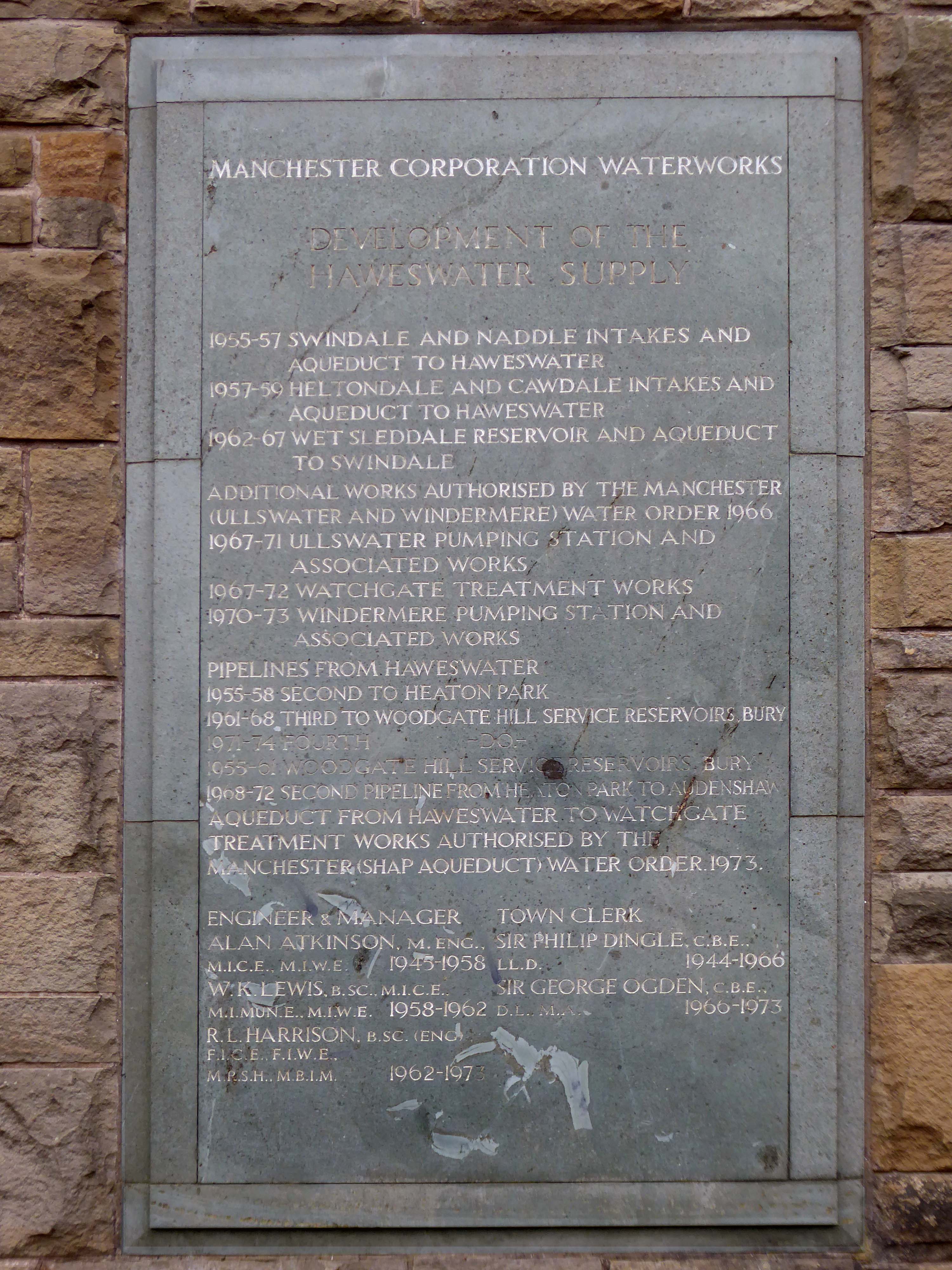
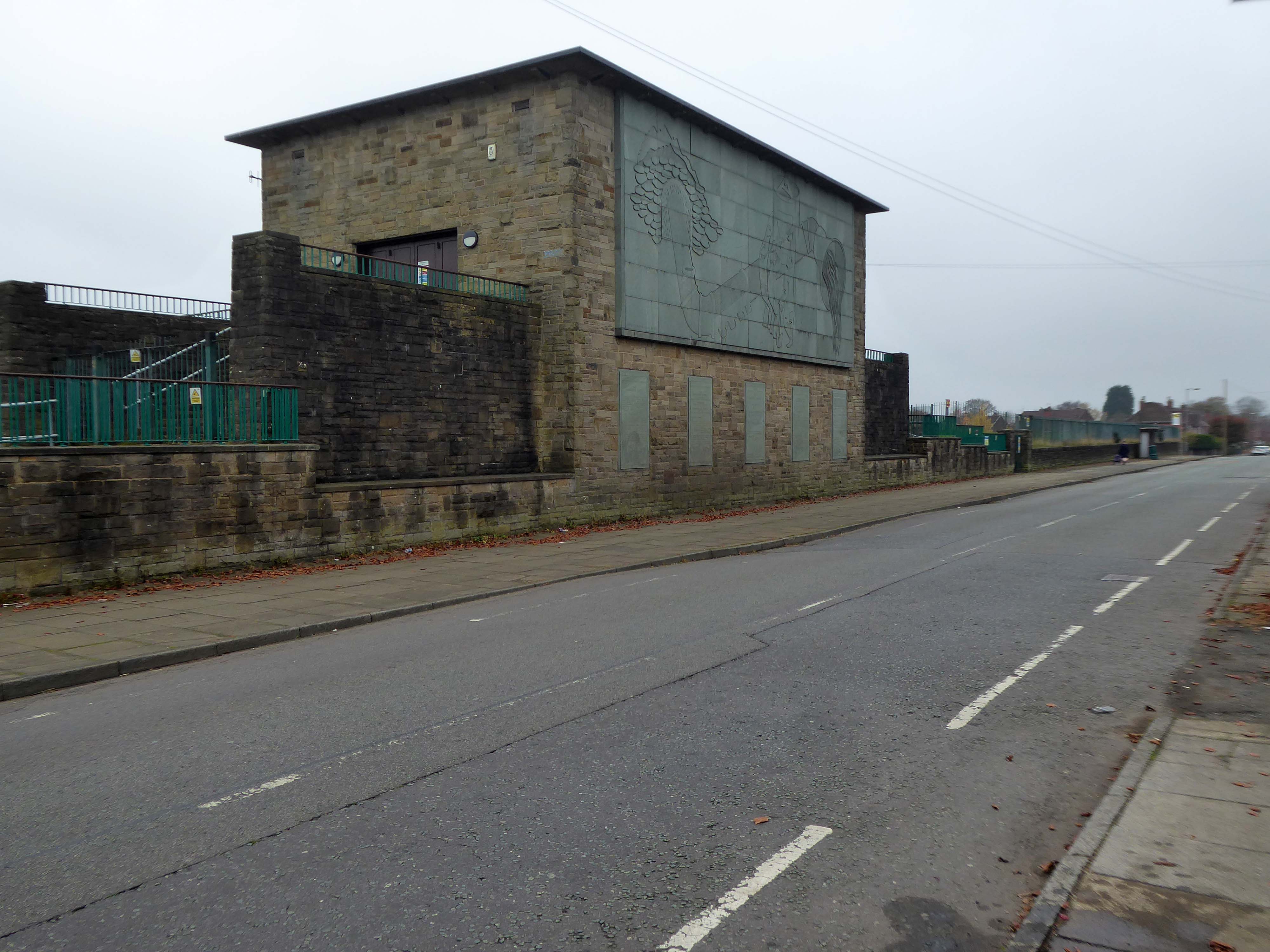
Built between1954-5 by the Manchester City Architect’s Department, Chief Architect Leonard C Howitt, for the Manchester Corporation Waterworks. Alan Atkinson, engineer. Incorporates large relief by Mitzi Cunliffe, signed and dated 1955. Yorkshire sandstone, with Westmorland greenstone from Broughton Moor used as relief. Roof not seen above dentiled overhang.
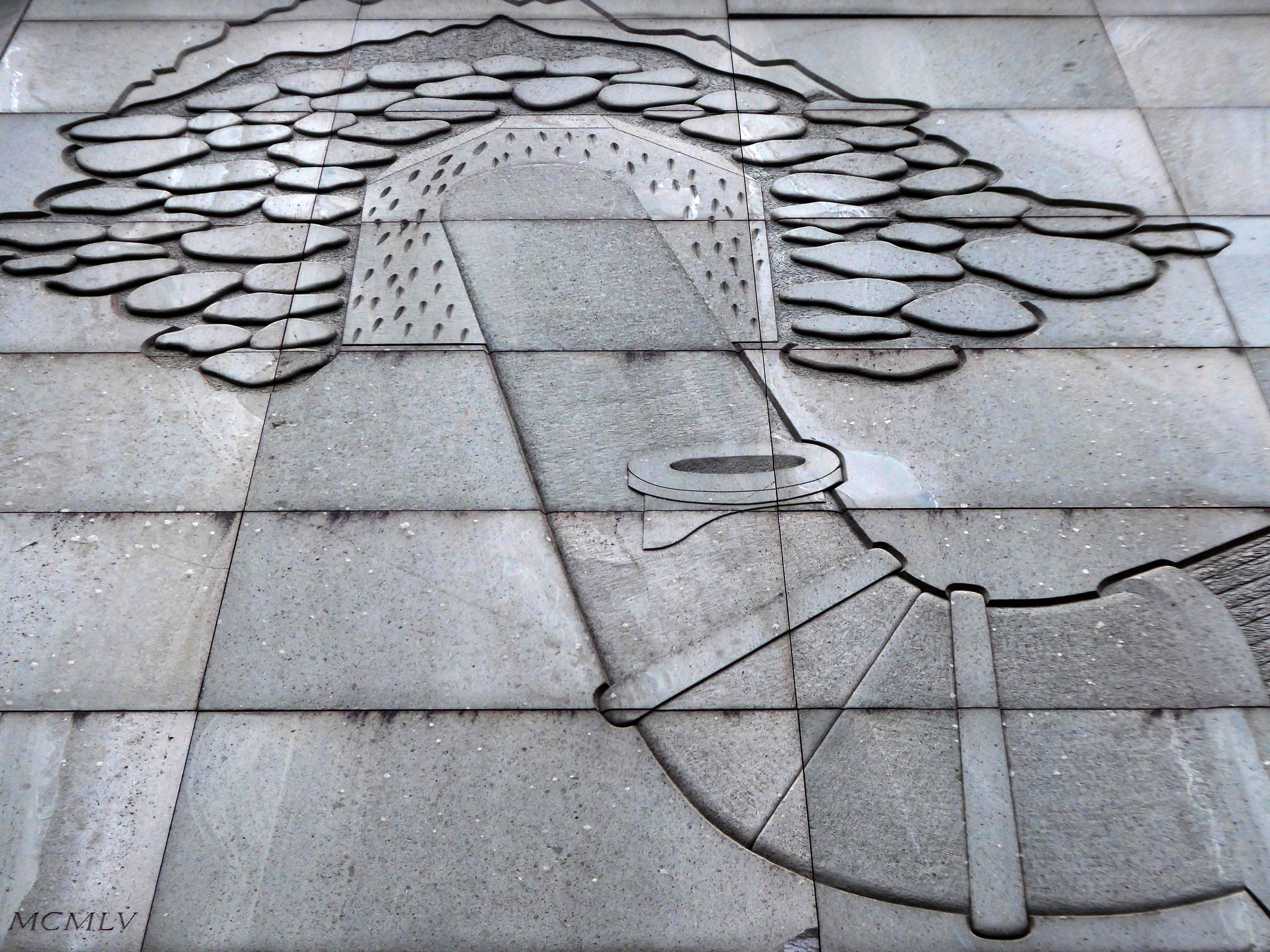
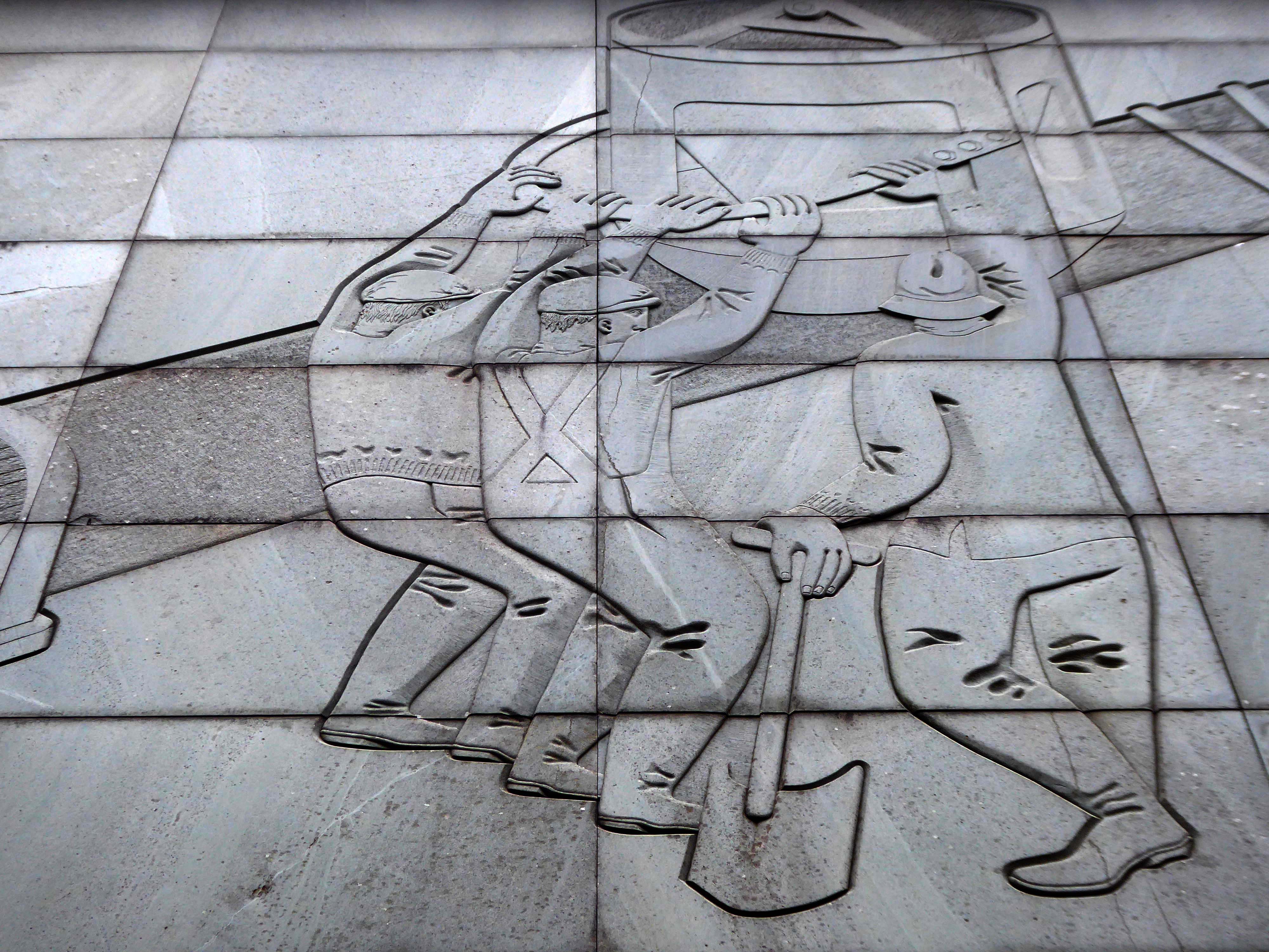
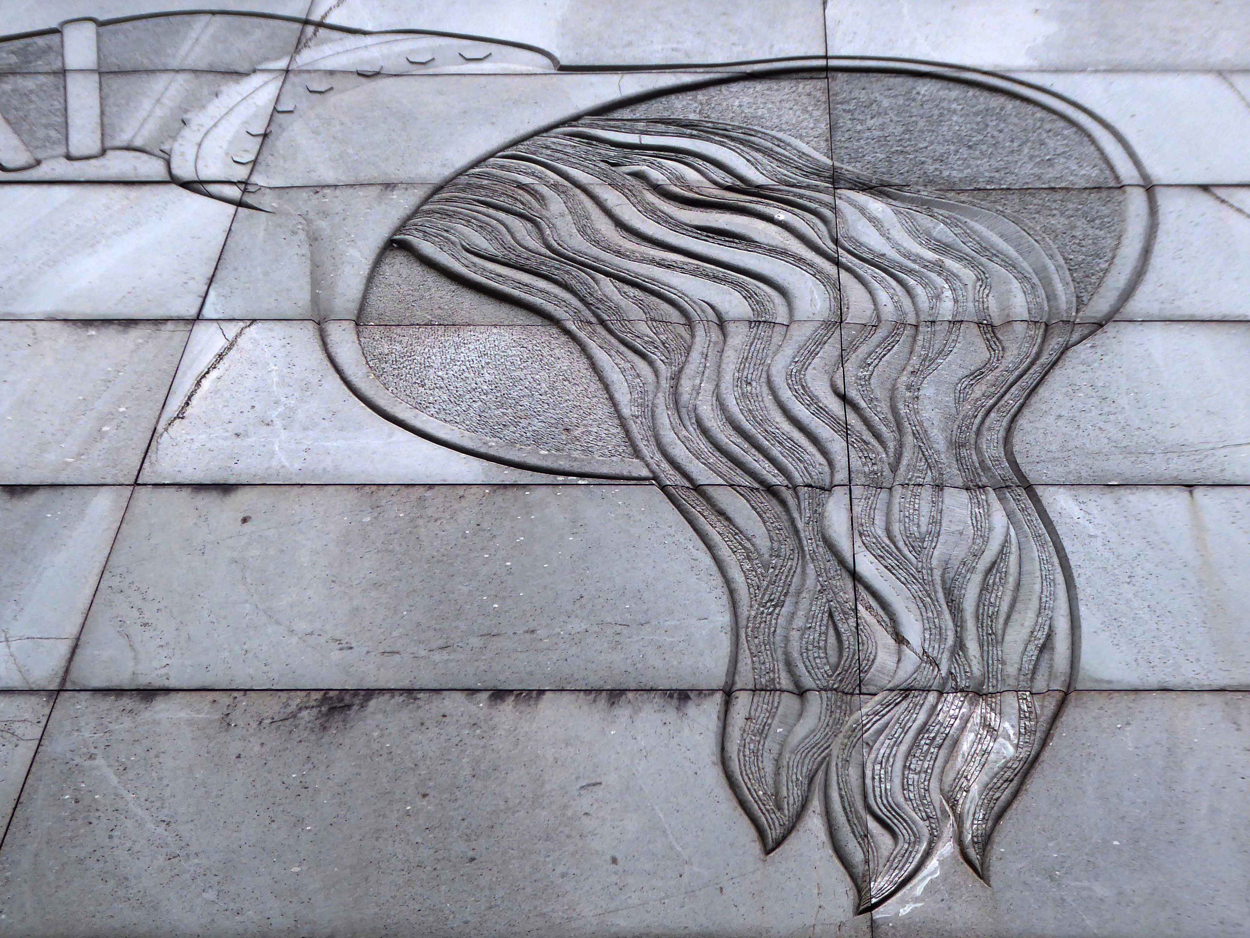
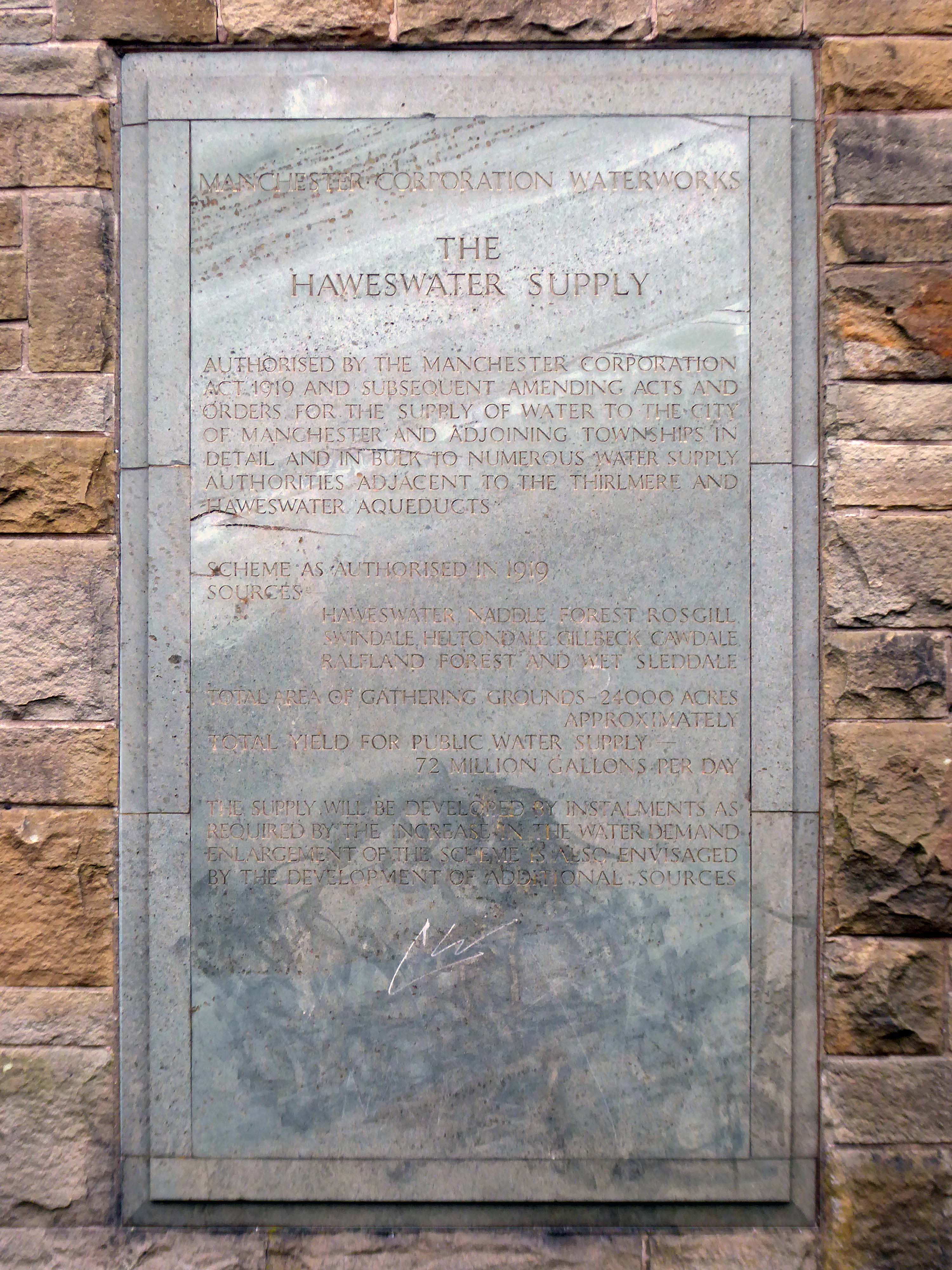
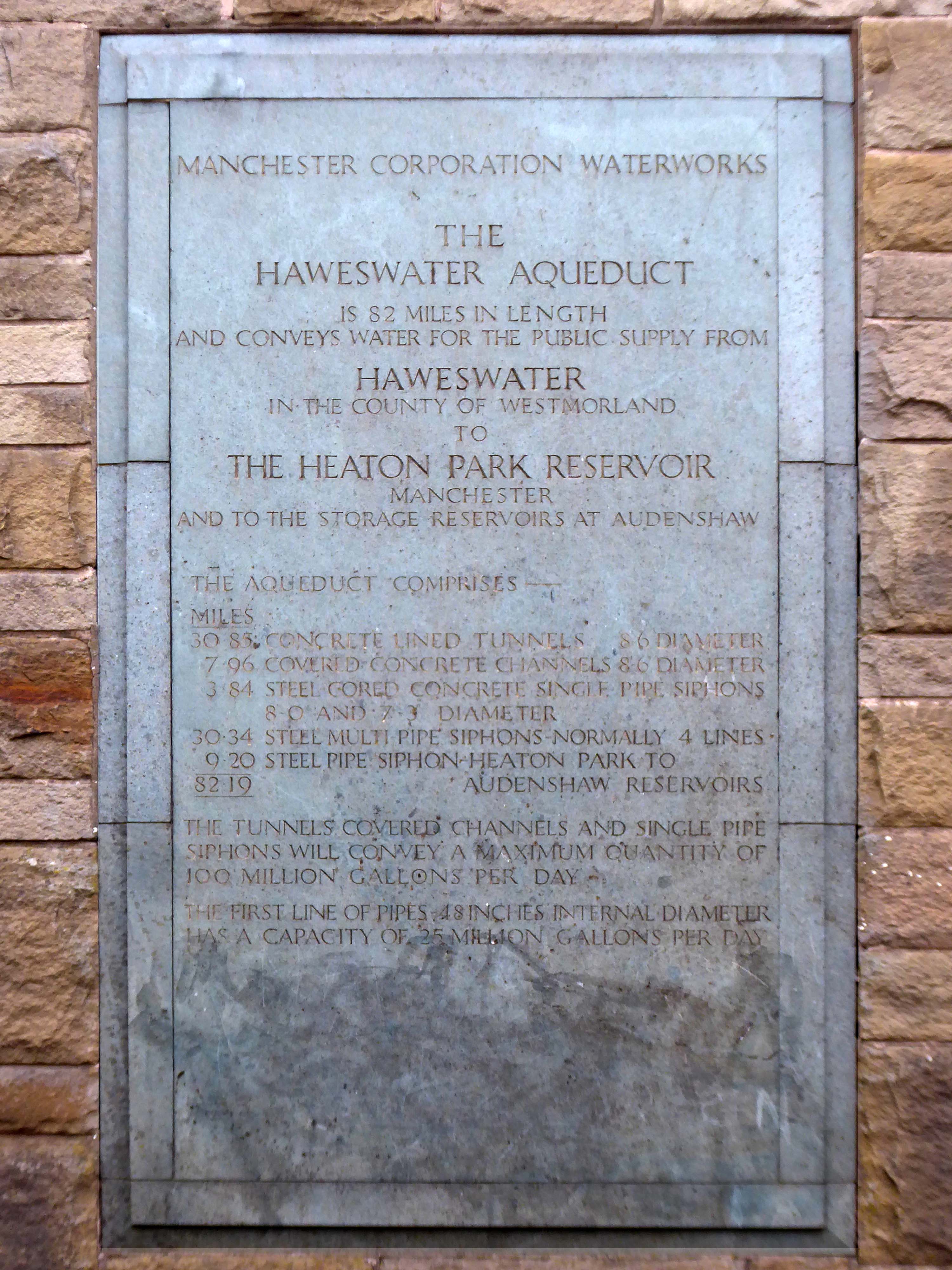
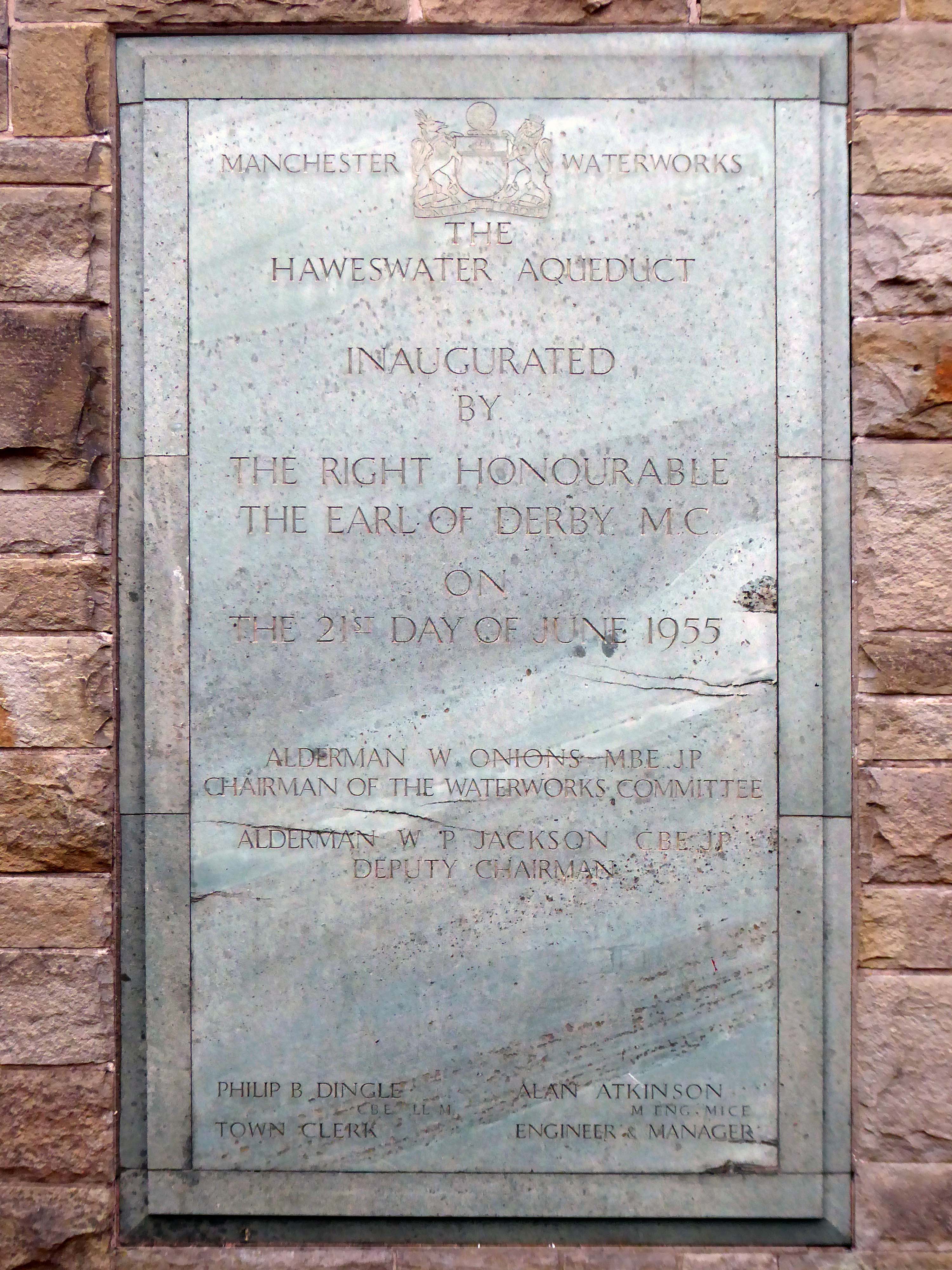
Carved relief is a highly stylised depiction of the bringing of water from Haweswater to Manchester with contemporary figures supporting the pipeline and a curious flat relief designed to be seen from below. It was designed to commemorate those who constructed it as well as the origin and course of the aqueduct. Beneath it five plaques tell the history of the Haweswater supply.
Completely preserved interior fully lined in beige marble, with contrasting green marble skirting continued as door surround. Behind the Cunliffe mural is a wood relief section in sycamore depicting the 82 mile route of the pipe.
The bringing of water to Manchester from a new reservoir at Haweswater was a major undertaking which cost £14,000,000. The sectional relief plan and the mural were conceived as part of the original brief to give a ‘monumental’ character to the city’s remarkable achievement. Included as a remarkable synthesis of architectural design and fine sculpture, with the dominance of the latter in this tiny building. The building materials and the reliefs are all symbolic of the achievement in bringing of water from the Lake District to Manchester.
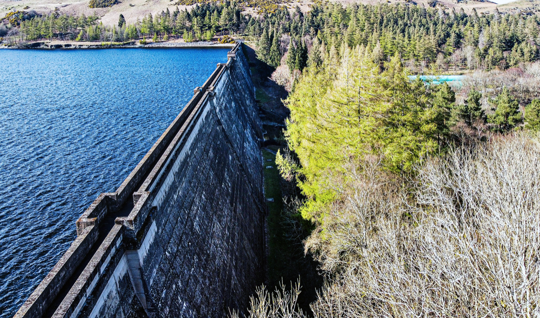
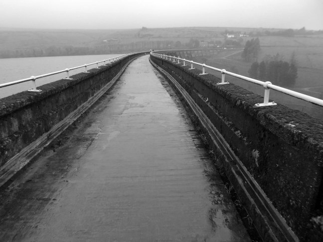
In 1929 work started to build the dam wall across the valley floor. At the time of construction, its design was considered to be at the forefront of civil engineering technology because it was the world’s first hollow buttress dam.
Before the valley was flooded in 1935, all the farms and dwellings of the villages of Mardale Green and Measand were demolished, as well as the centuries-old Dun Bull Inn at Mardale Green. The village church was dismantled and the stone used in constructing the dam; all the bodies in the churchyard were exhumed and re-buried at Shap.
I have previously led Mitzi Cunliffe walks in south Manchester – taking in her works at Owens Park and Manchester High School for Girls.
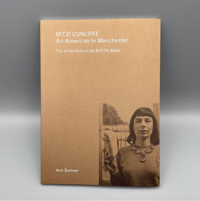
Mitzi Cunliffe is primarily known as the designer of the BAFTA Award, but her work encompasses both ceramics and textiles, in addition to her extensive public art works – as illustrated here.
Mitzi Cunliffe – An American in Manchester is available from the Modernist Shop.
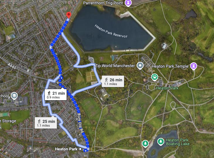
I took the tram to Heaton Park Station and walked the rest of the way.
The imposing structure, clad in the dramatic relief dominates this domesticated street of well behaved semis. As I stood admiring the work, a passerby joined me in a mutual appreciation of its beauty and significance.
Do yourself a favour – take a trip, take a look for yourself.
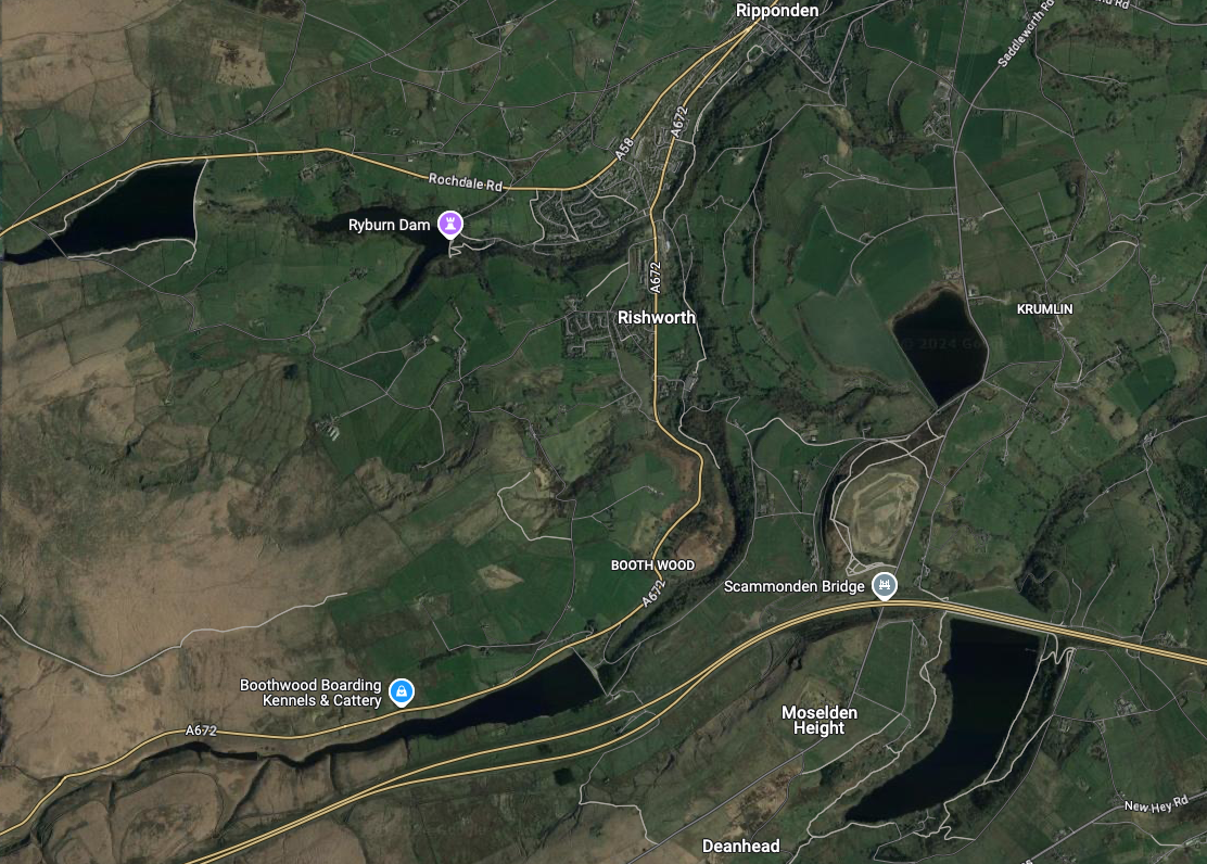
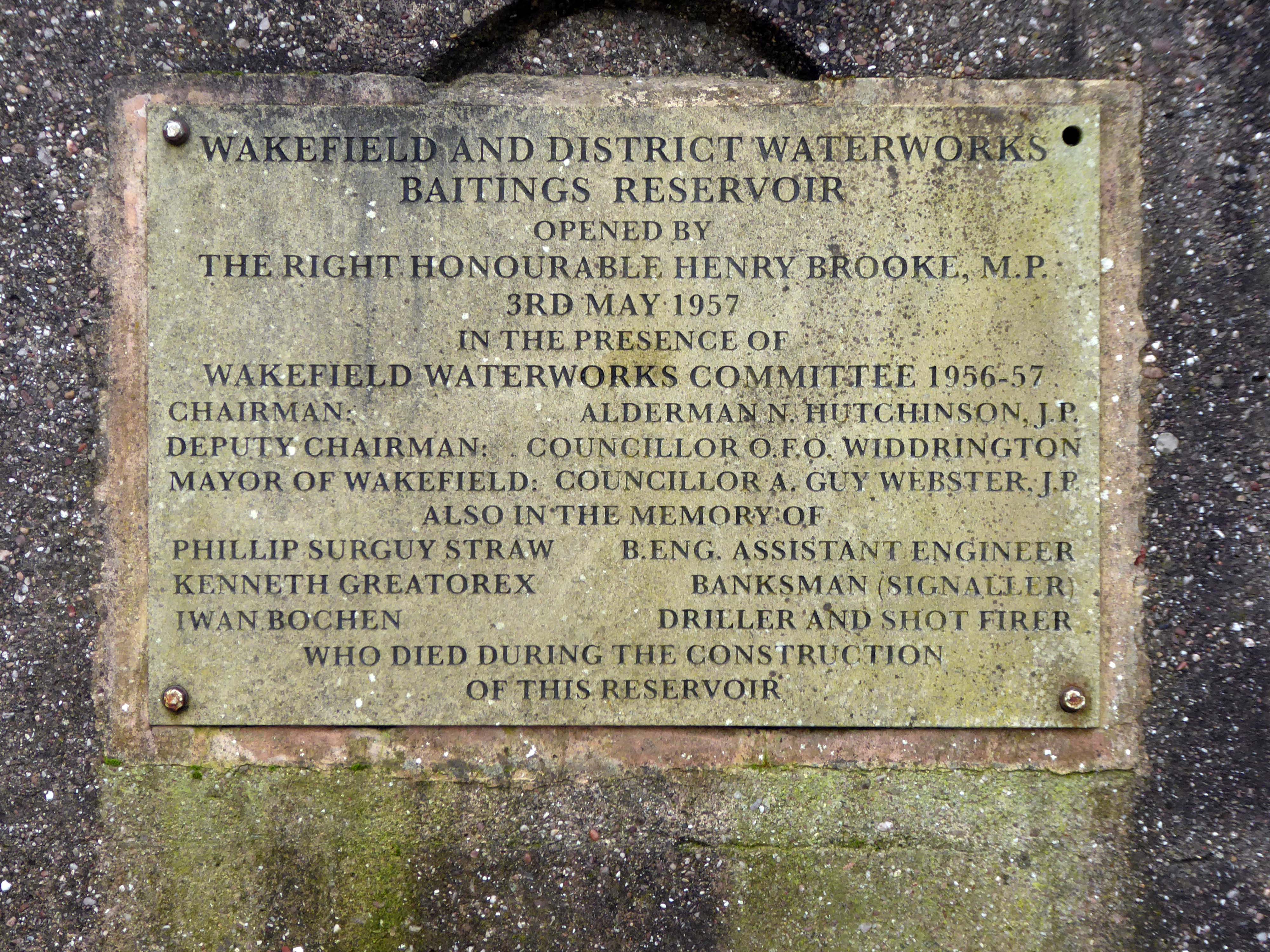
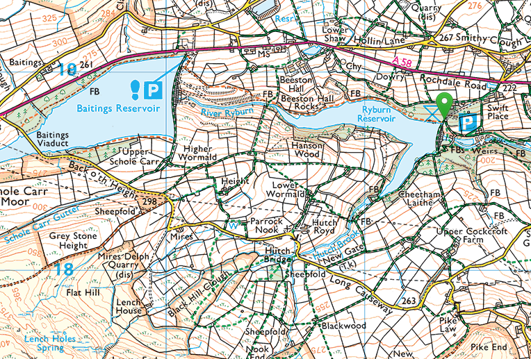
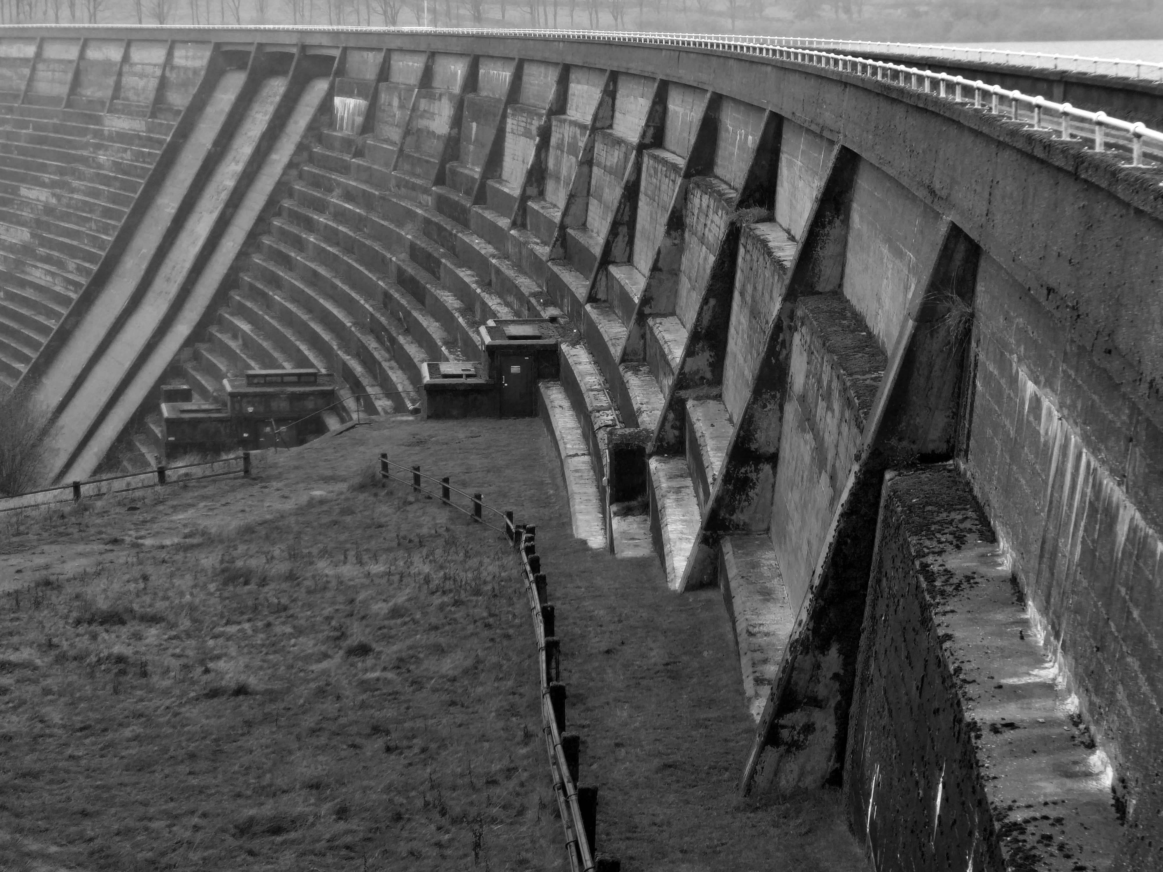
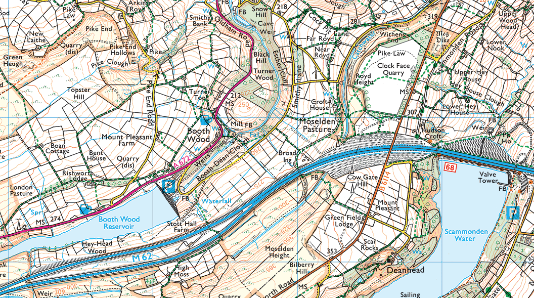
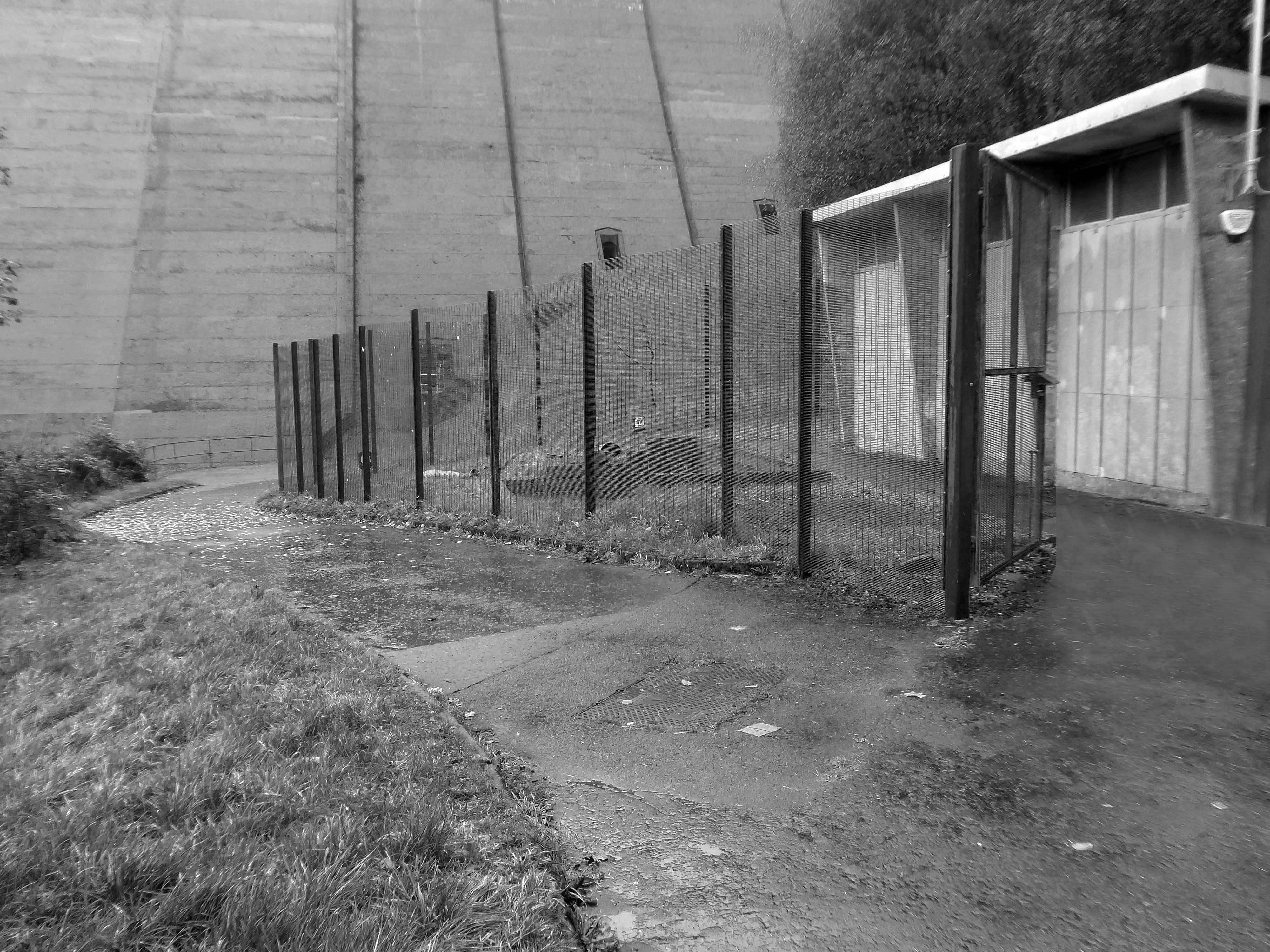
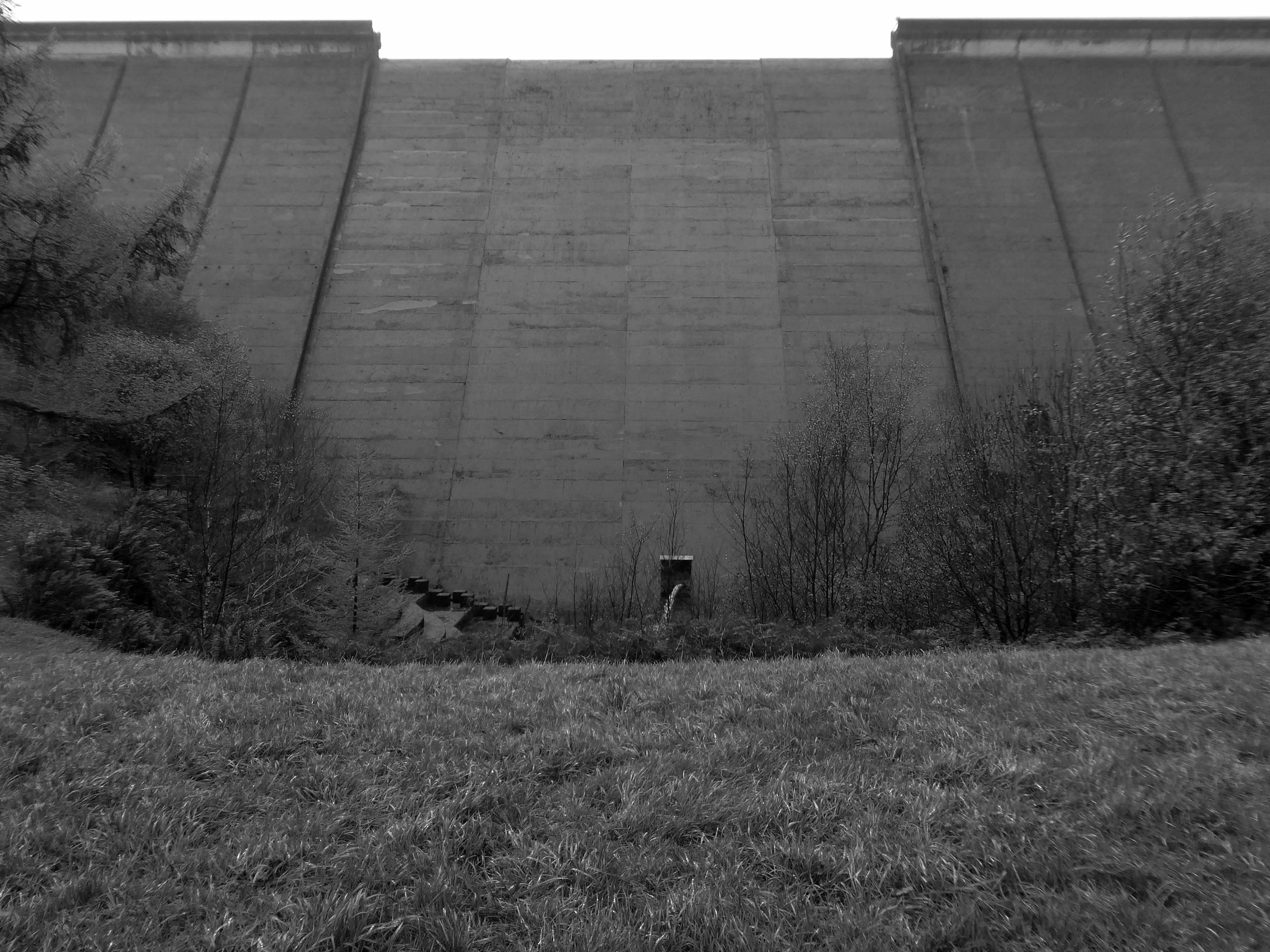
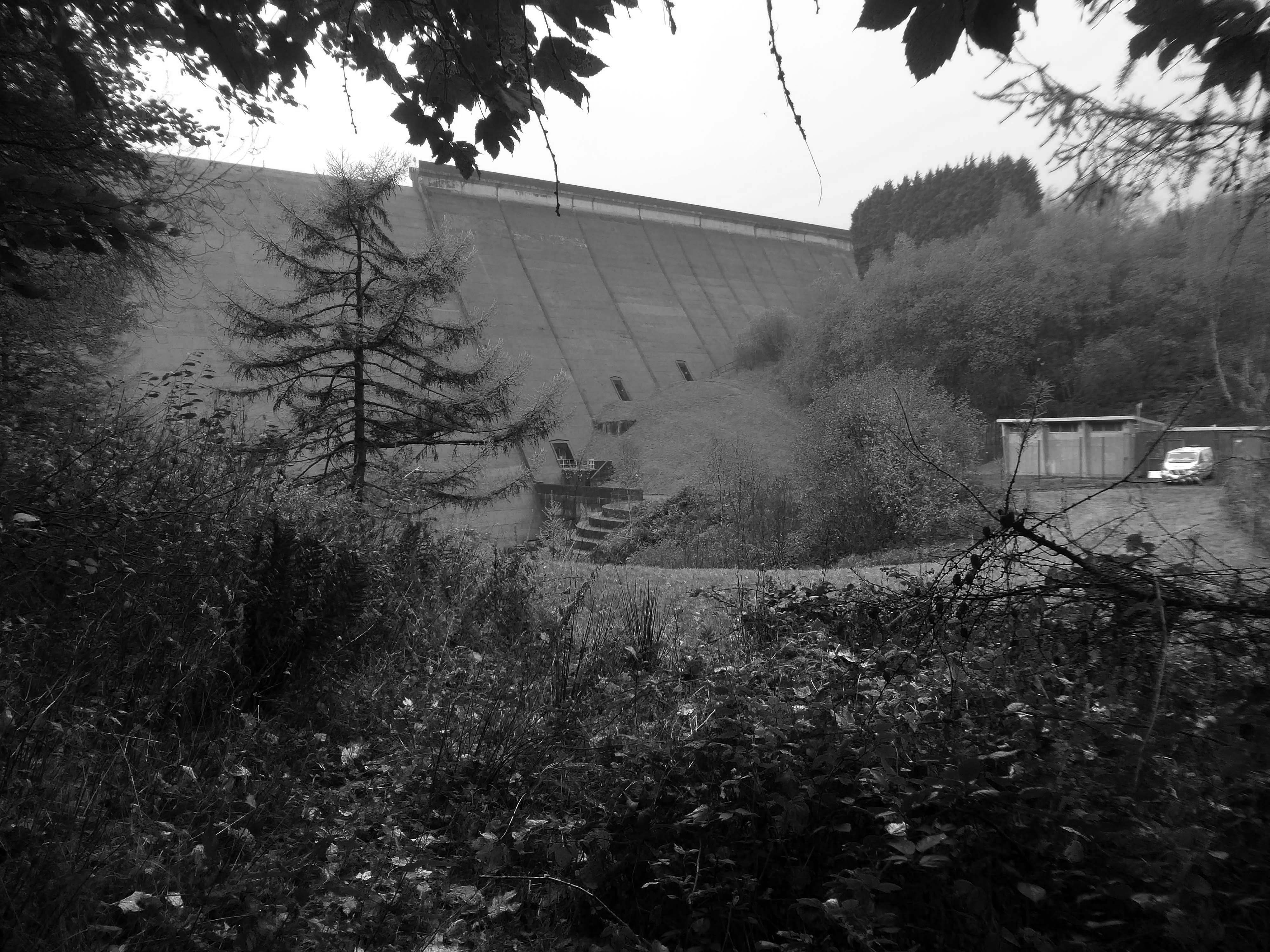
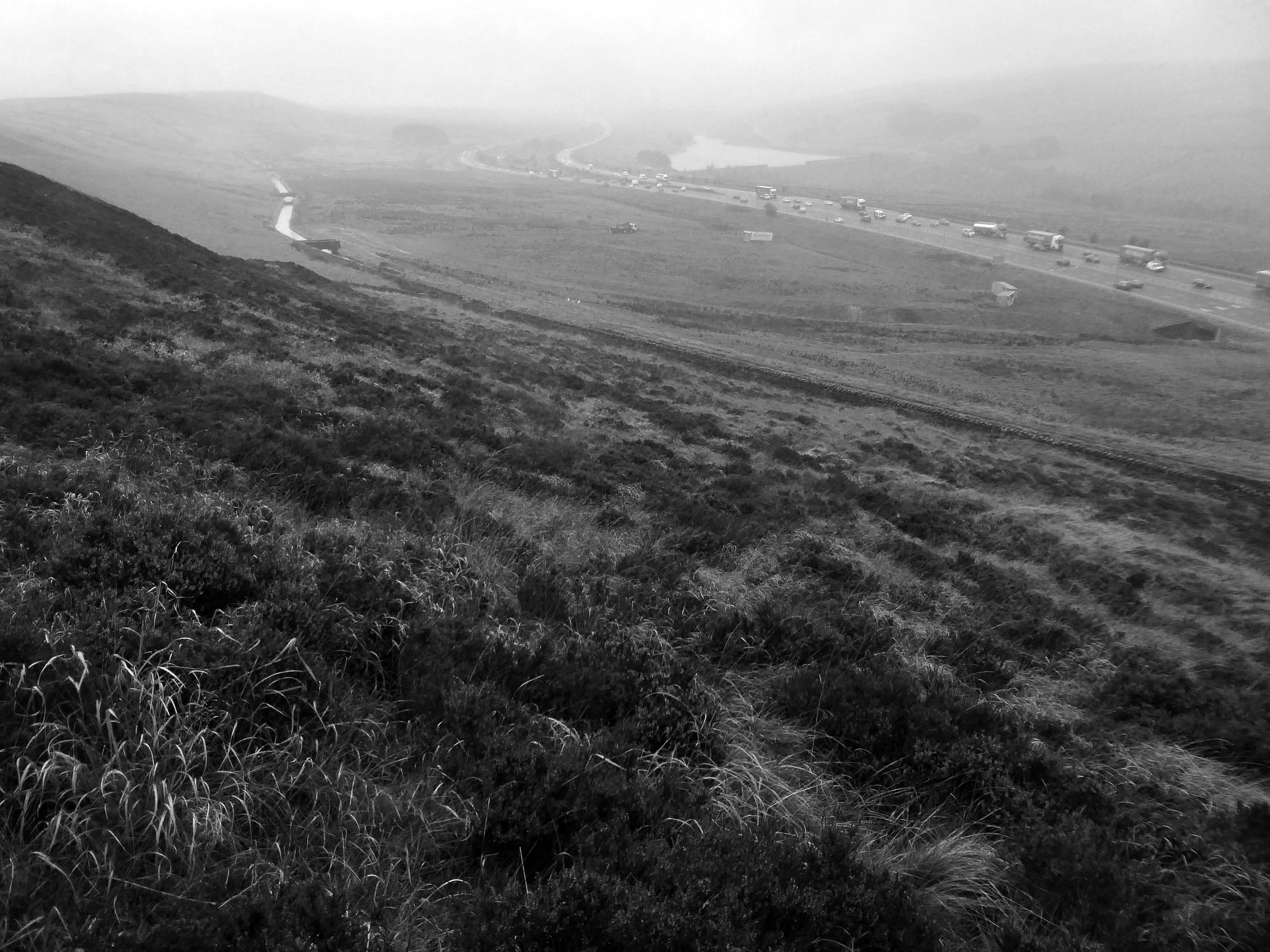
To begin at the beginning, to begin at Baitings Reservoir.
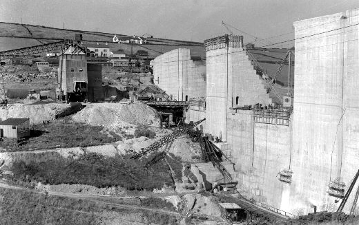
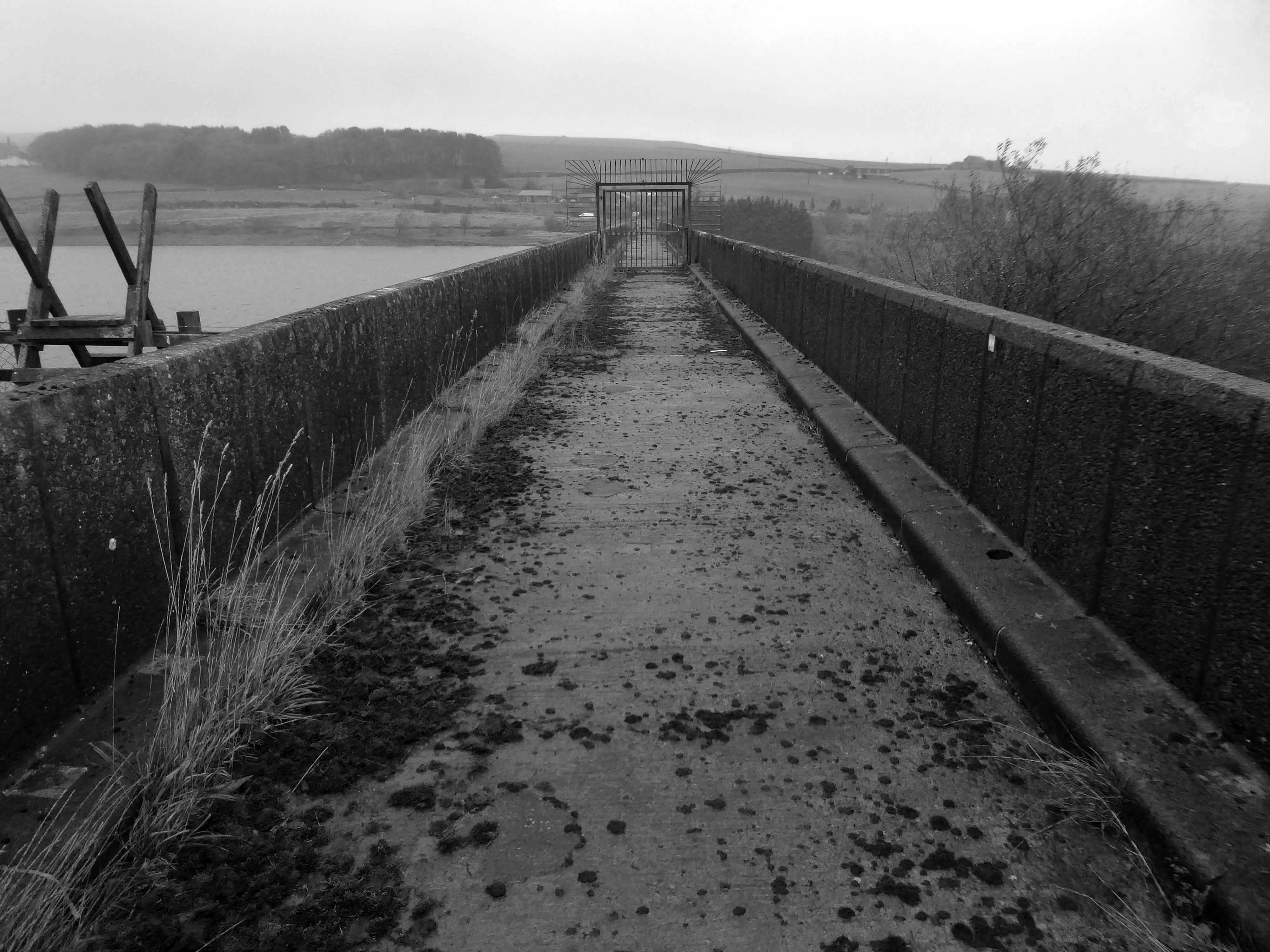
Wakefield Corporation Waterworks started impounding the valley of the River Ryburn in the 1930s, with Ryburn Reservoir being completed in 1933. Construction on Baitings took place 20 years later with completion in 1956. Baitings Bridge, on an old road linking Yorkshire and Lancashire, was to be flooded under the reservoir so a concrete viaduct was built. During spells of very hot weather and drought conditions, the old packhorse bridge is revealed.
Wakefield Express: 31st August 1955
The dam head is a curved structure that is 1,540 feet long and over 160 feet high. The reservoir covers 59 acres and has a catchment of 1,830 acres , and when it is full, it holds over 113,000,000 cubic feet of water. The dam took eight years to complete at a cost of £1.4 million, and is located at 840 feet above sea level. A tunnel connects reservoirs in valleys to the north with Baitings to allow for the transfer of water. Manshead Tunnel is 8,000 feet long and was opened in 1962.
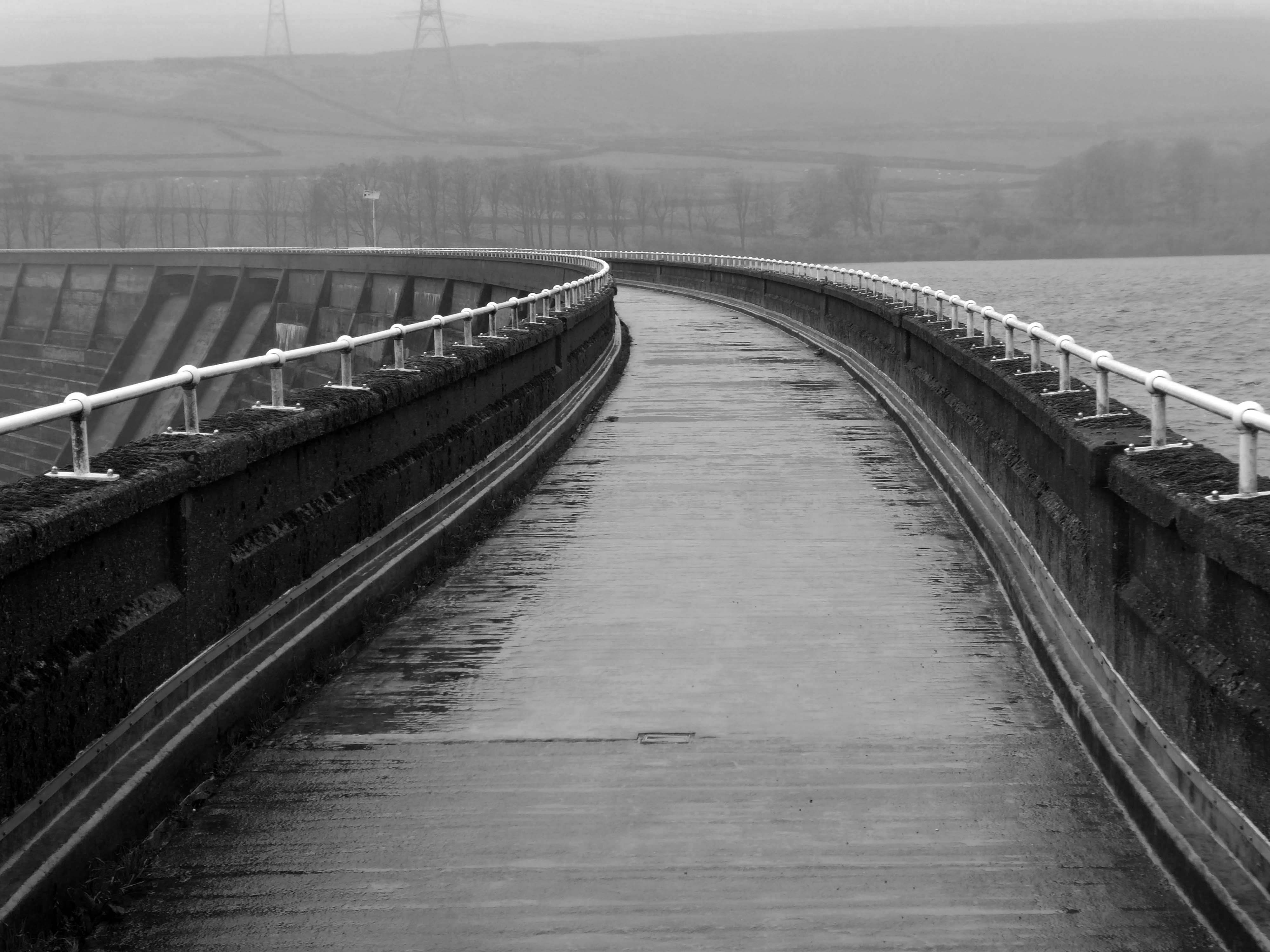
Inconveniently, the footpath to the lower Ryburn Reservoir was closed – we were diverted over the dam.
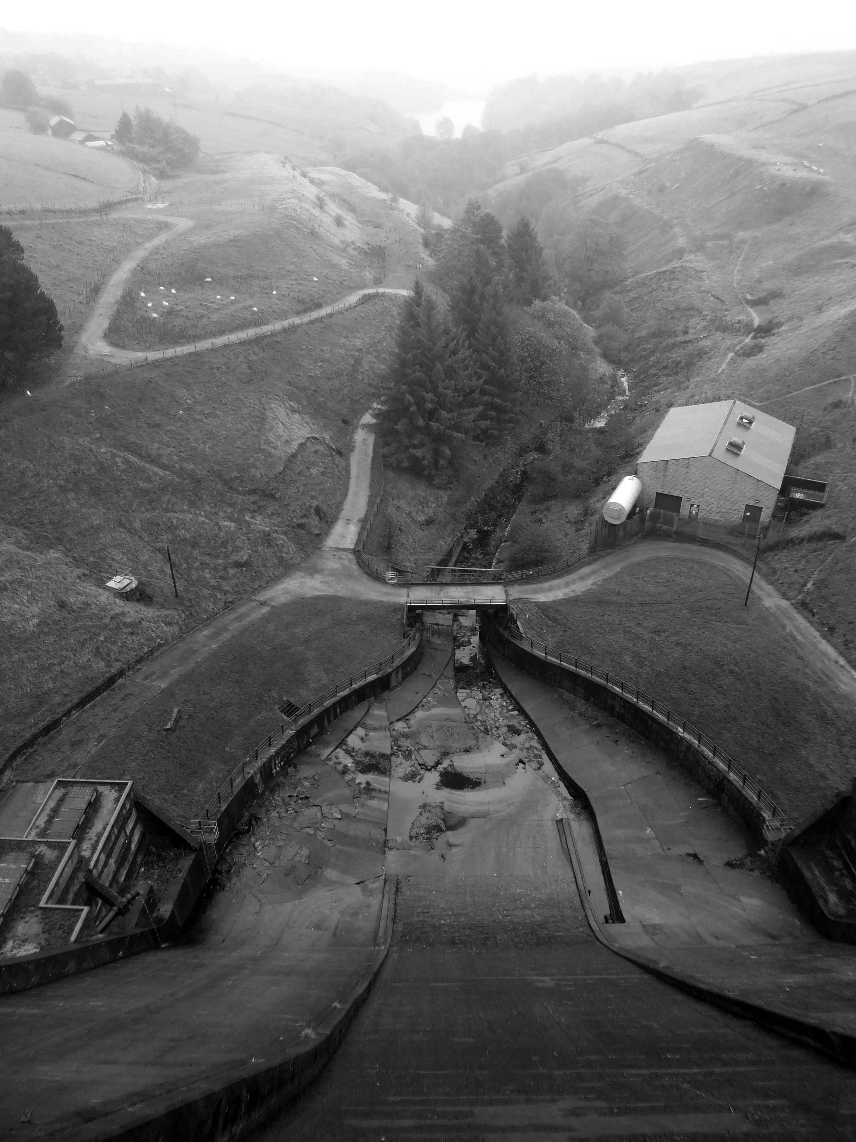
We took the pathway to Booth Wood Reservoir – over Pike End and beyond.
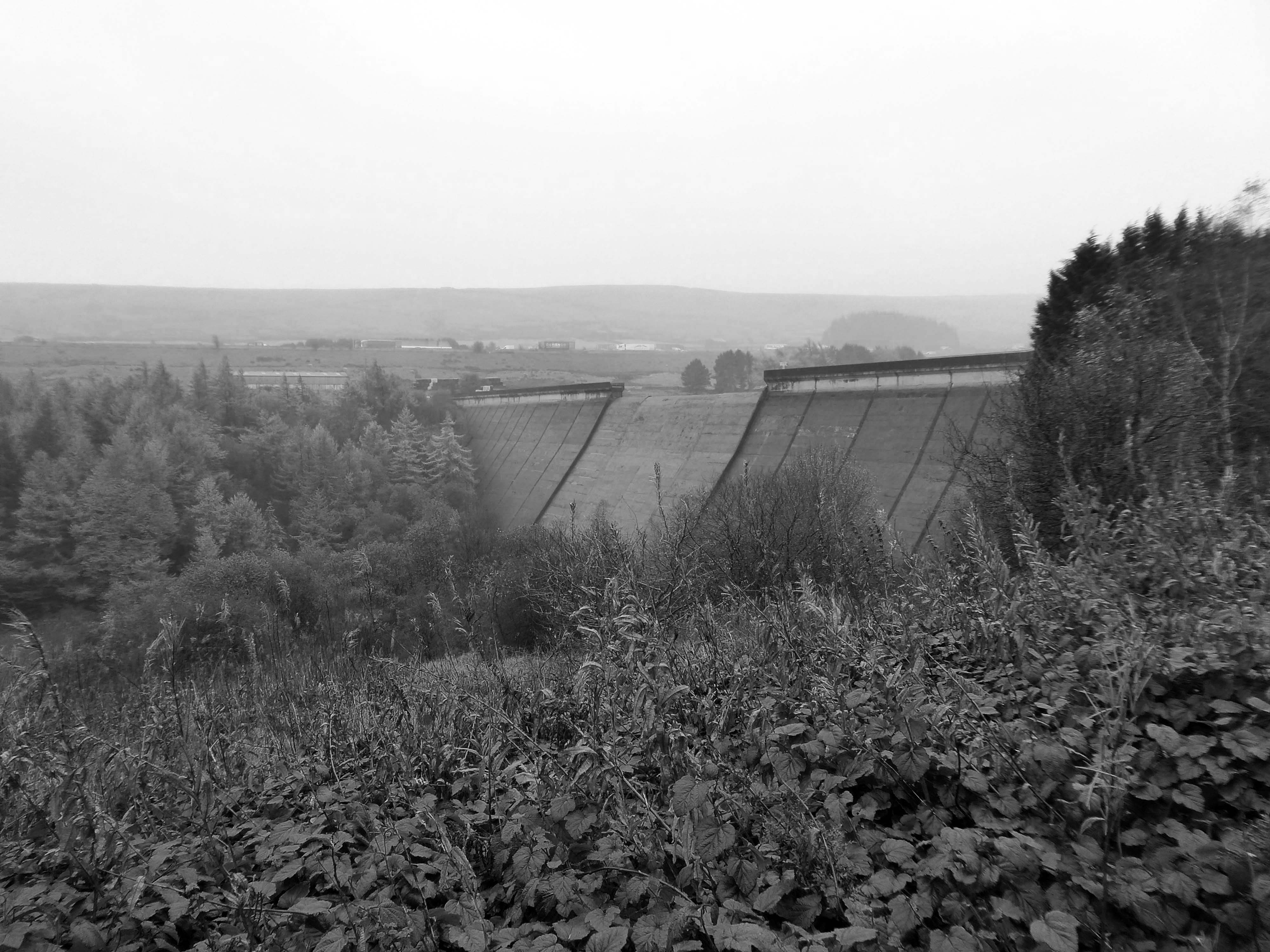
We dropped down beneath the Booth WoodDam.
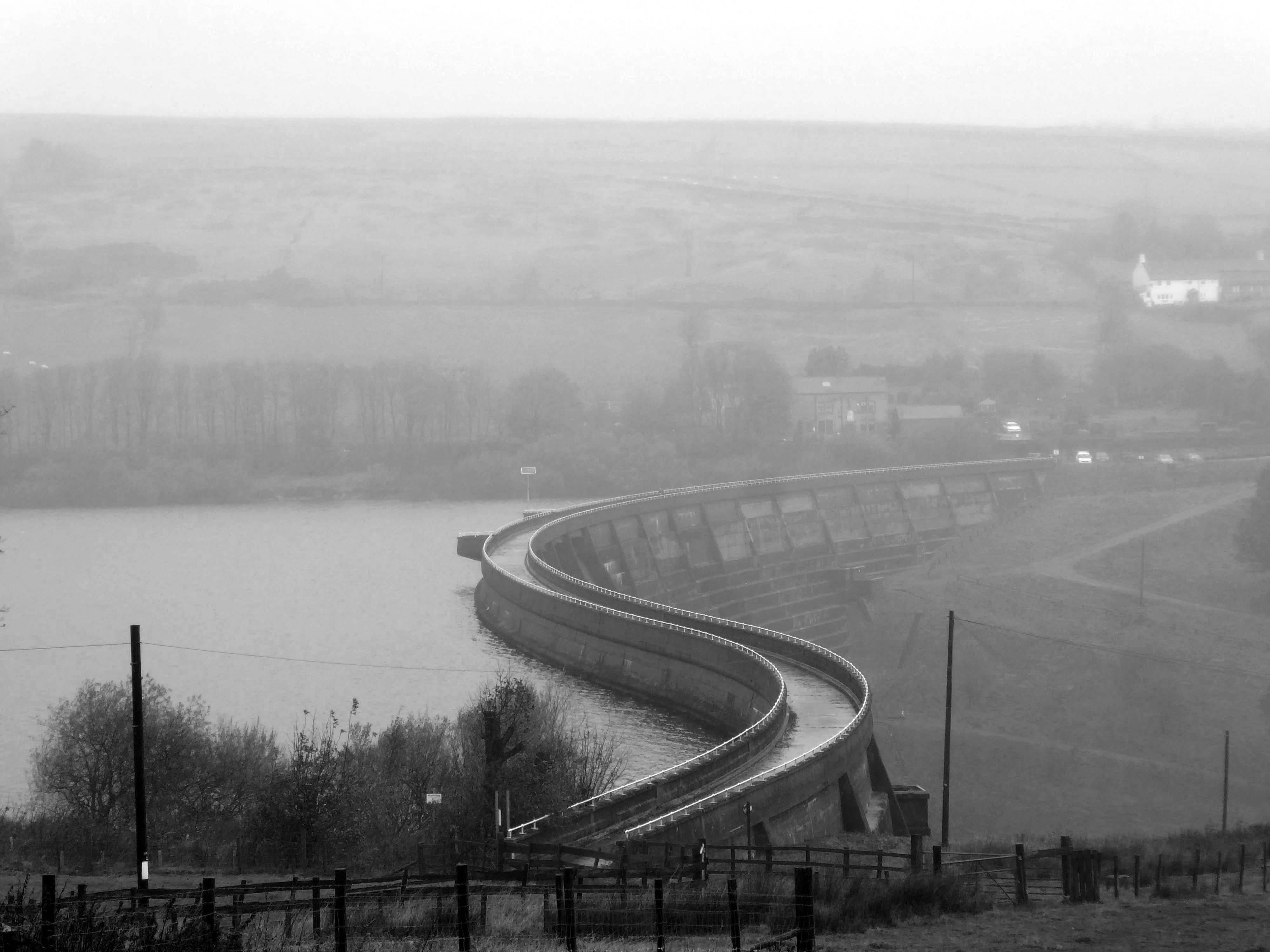
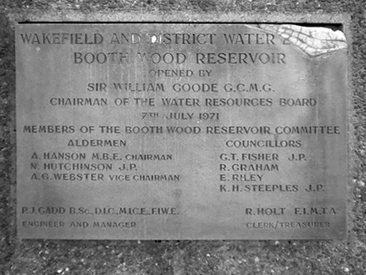
Booth Wood Reservoir is a man-made upland reservoir that lies north of the M62 motorway and south of the A672 road near to Rishworth and Ripponden in Calderdale, West Yorkshire. The reservoir was approved for construction in 1966 and completed in 1971.
It supplies water to Wakefield.
The reservoir dams the Booth Dean Clough watercourse and takes water directly from the surrounding moorland. It has a plain concrete crest on the dam head which is straight and extends to a length of 1,150 feet and a height of 157 feet.
Below is a dinky pumping station, tucked beneath the dam.
We took a precipitous path through the wood – up to the level of the reservoir.
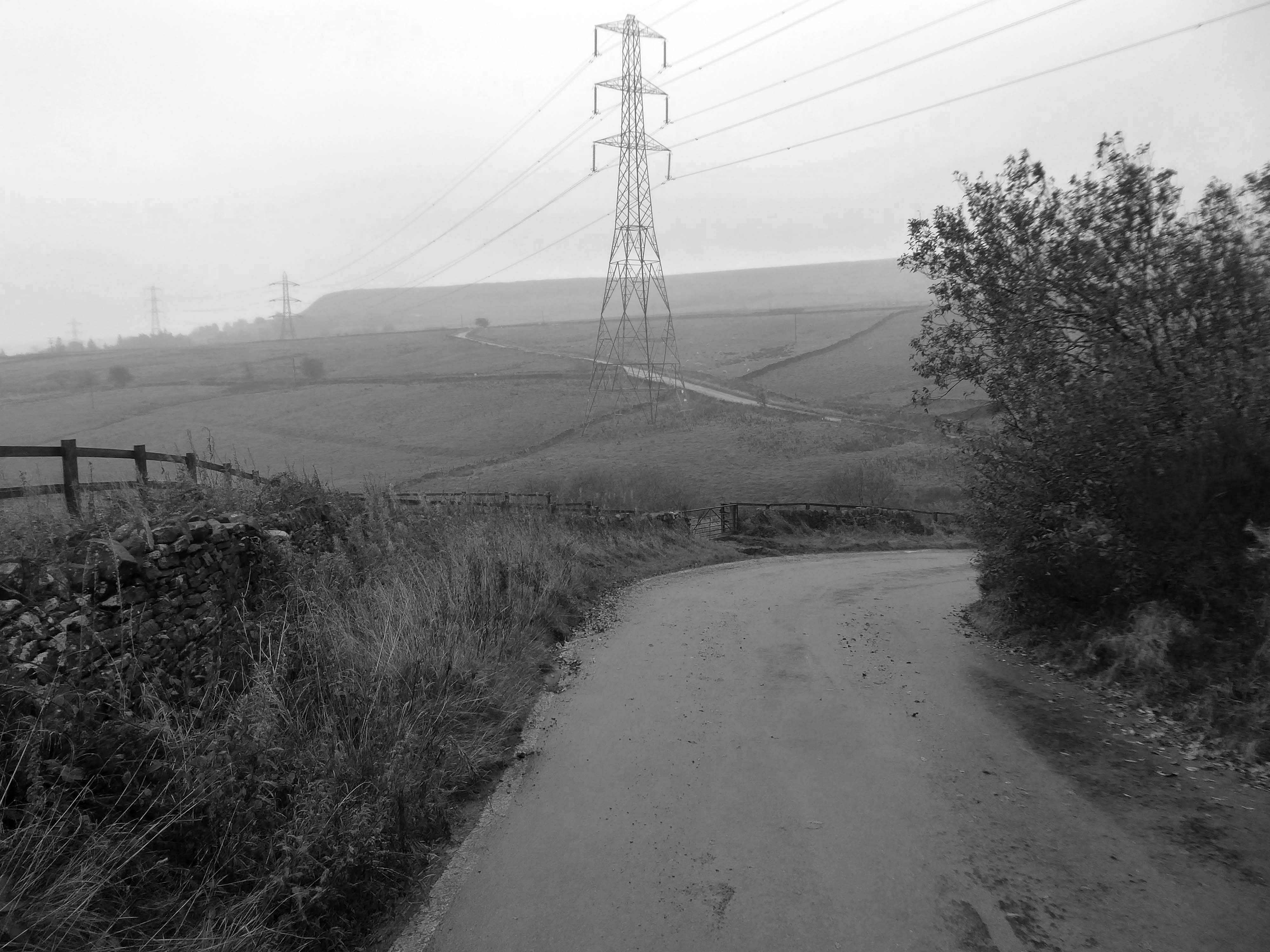
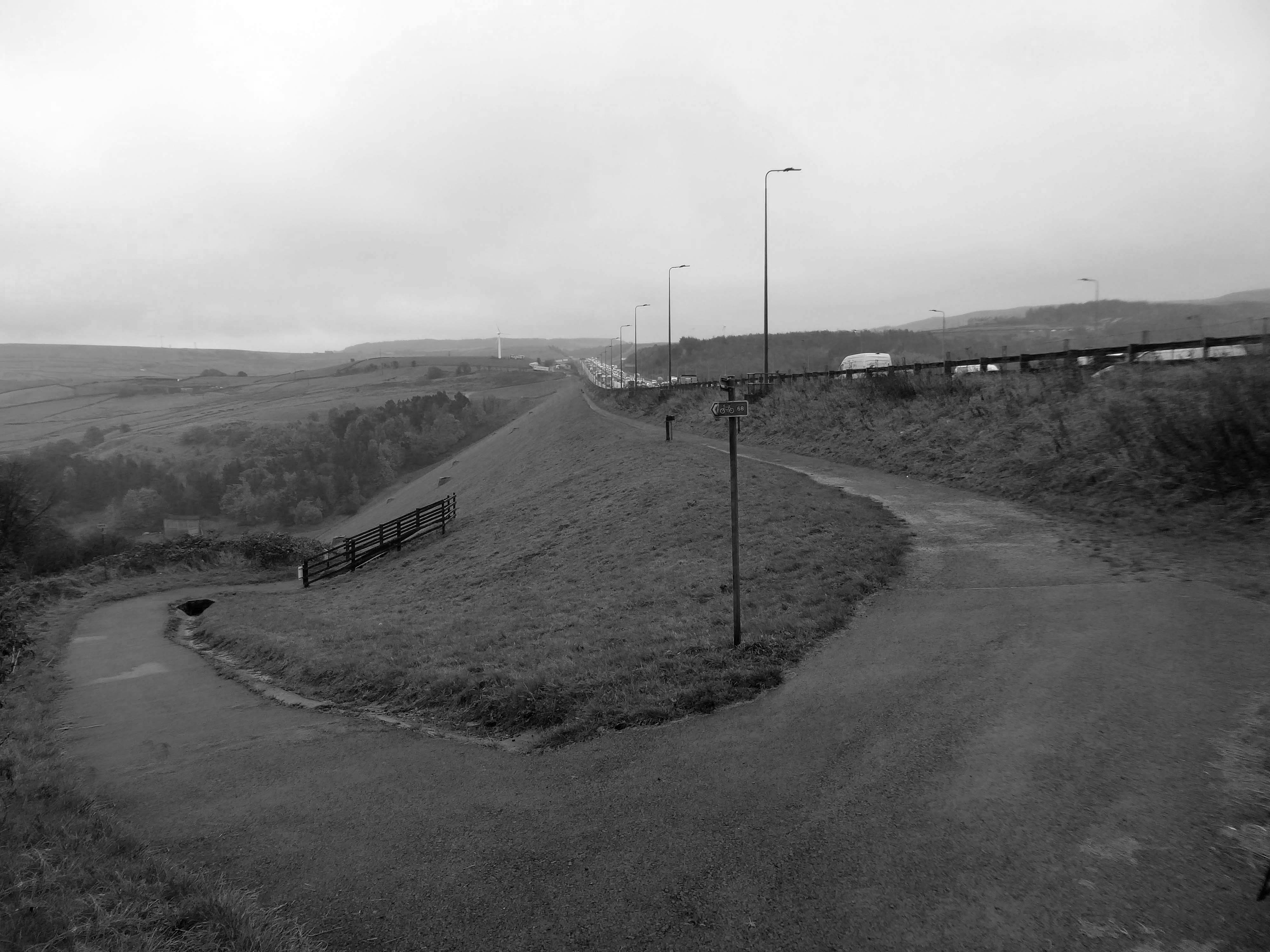
Under the the M62 and past the infamous Stott Hall Farm.
Stott Hall Farm is a farm located between the eastbound and westbound carriageways of the M62 motorway in Calderdale. It is the only farm in the UK situated in the middle of a motorway and was built in the 18th century on Moss Moor. It lies south of Booth Wood Reservoir where the carriageways are separated between junctions 22 and 23. The road divides for much of its length between the Windy Hill and Deanhead cuttings because of the surrounding geography; but a myth persists that it was split because Ken and Beth Wild refused to sell. However, the farm was actually owned by Yorkshire Water at the time the M62 was built.
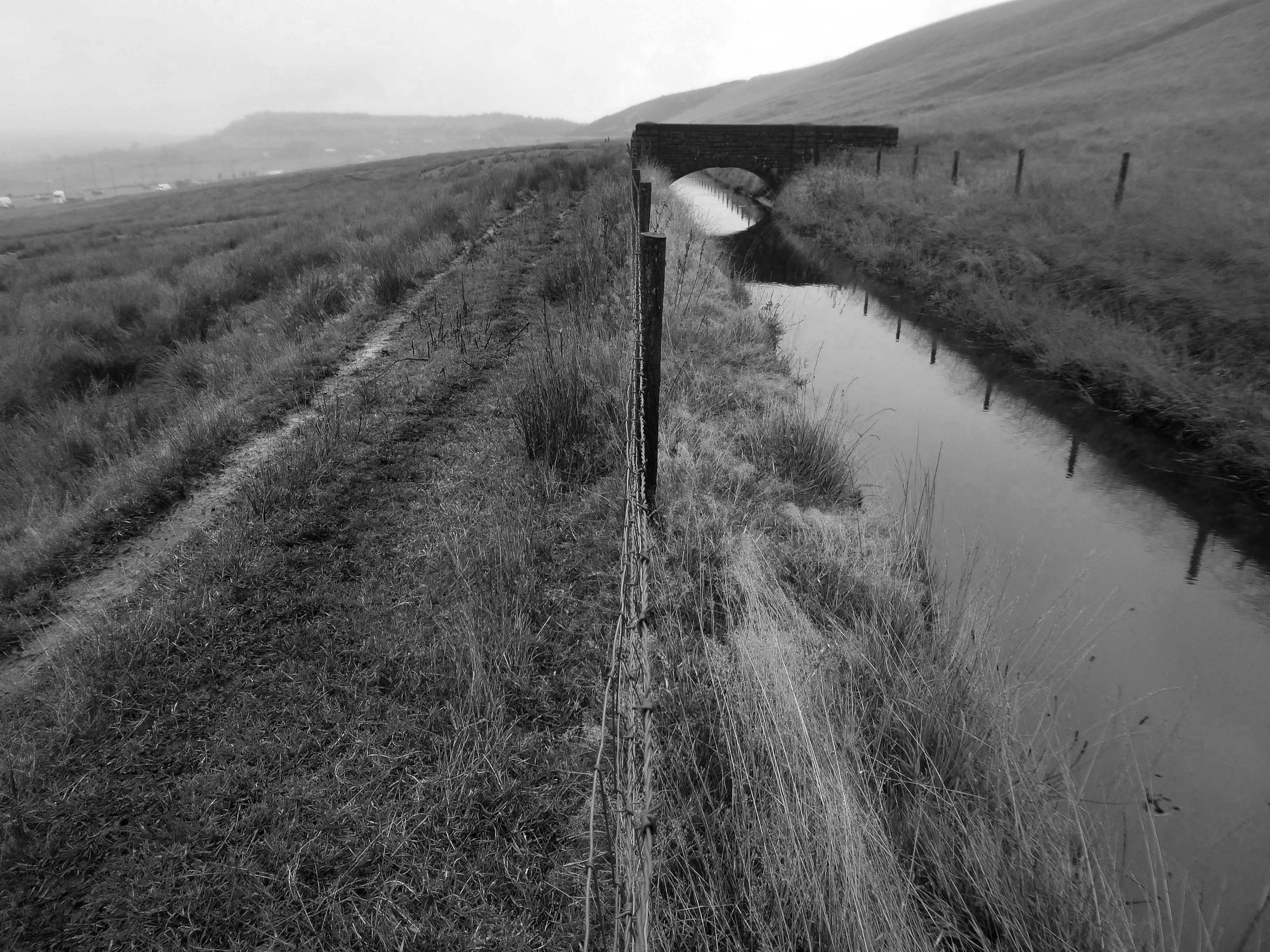
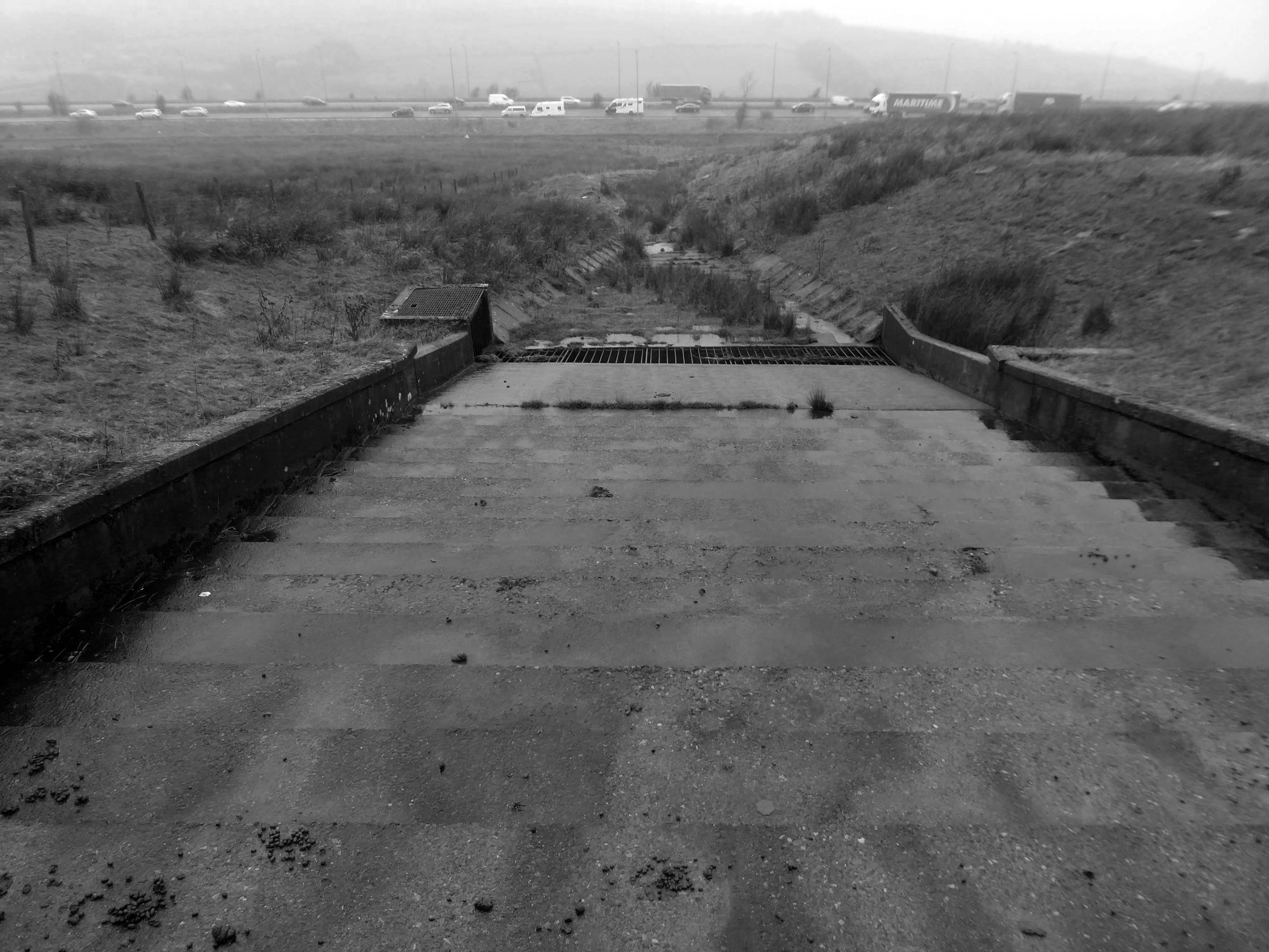
We walked over the upland moors to meet with the Catchwater, which formerly fed the Ringstone Edge Reservoir, prior to the construction of the motorway cutting.
Climbing again over Cow Gate Hill to meet the Saddleworth Road.
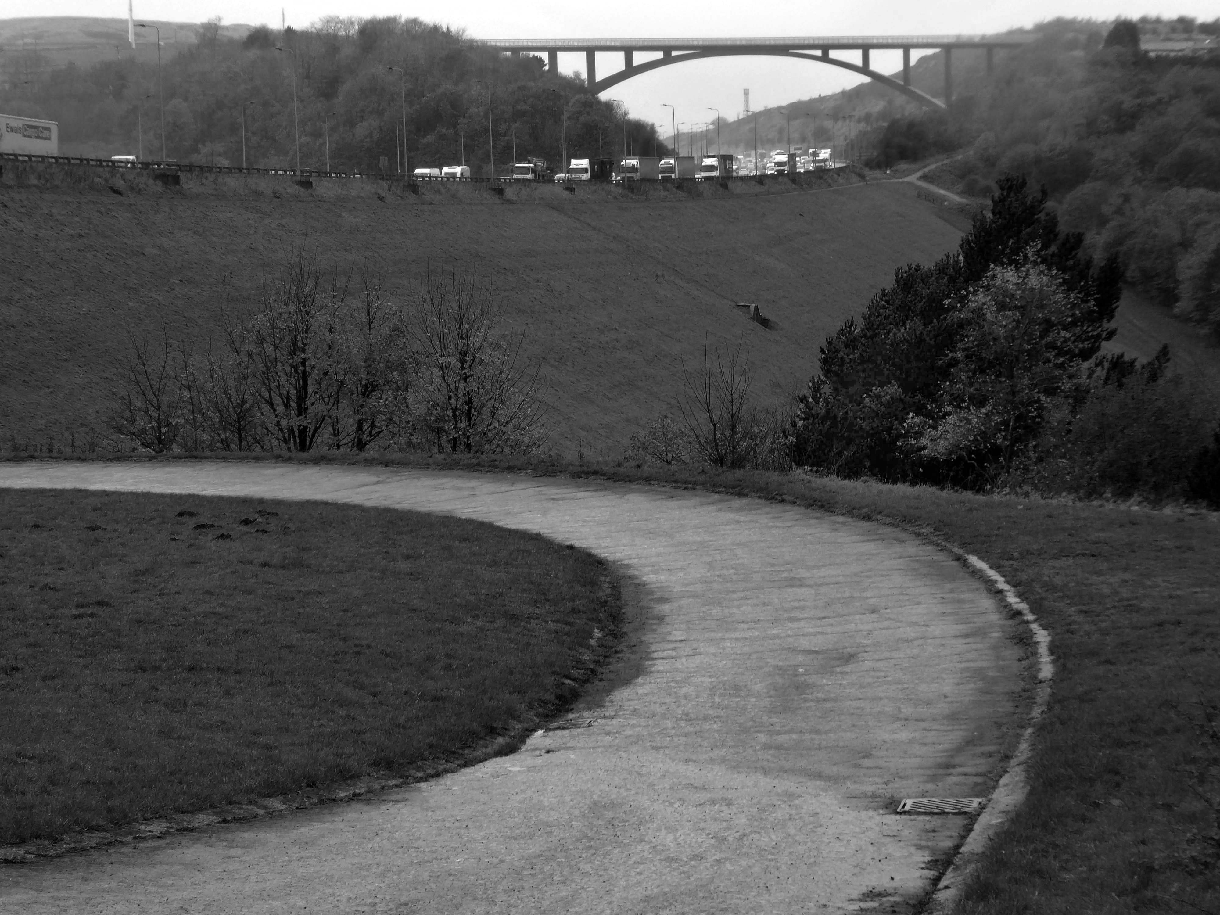
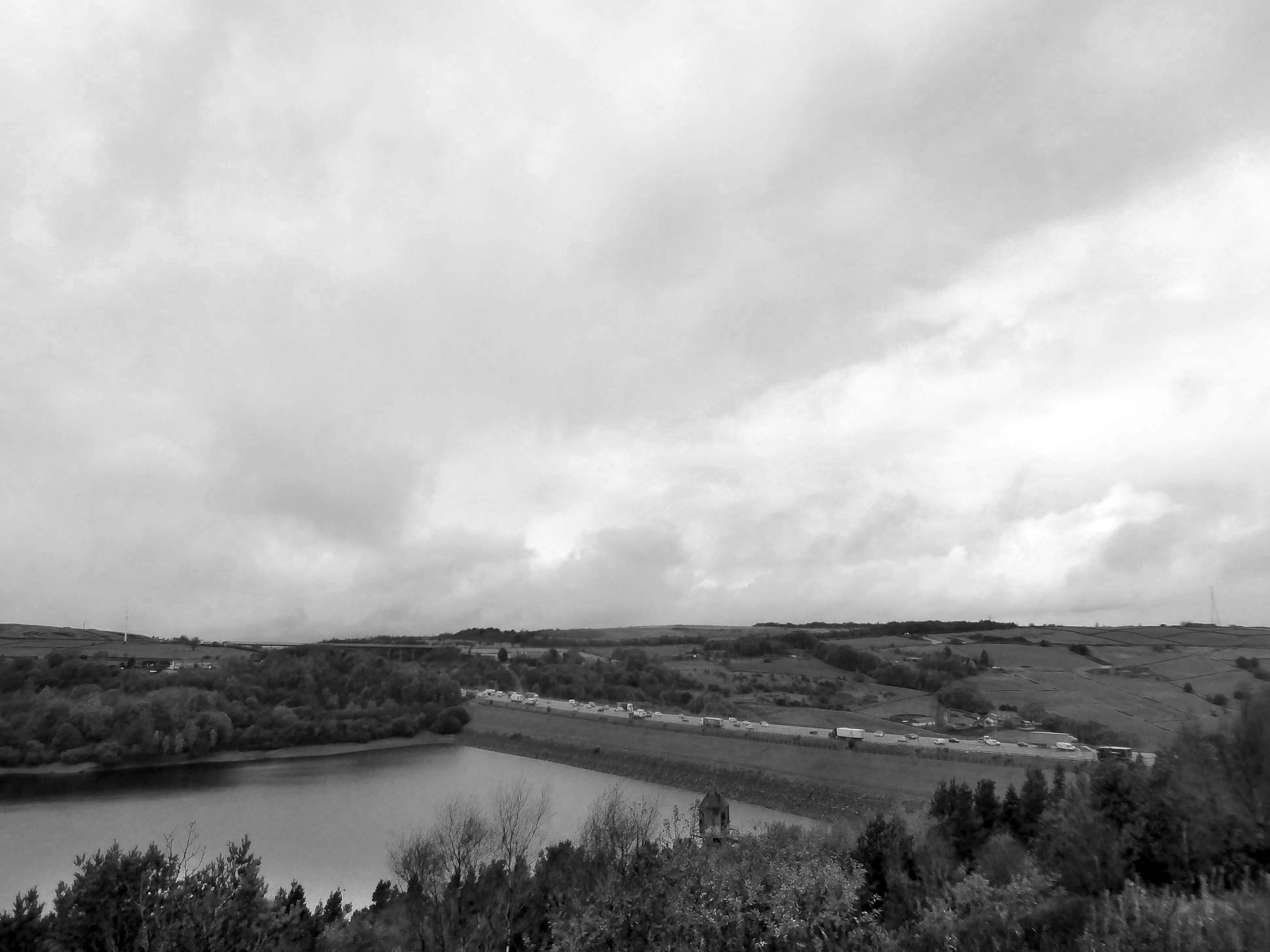
Crossing the motorway and dropping down to meet the Scammonden Dam.
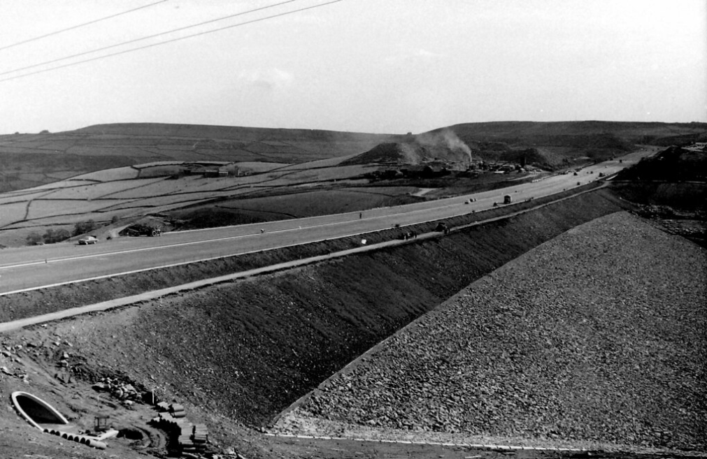
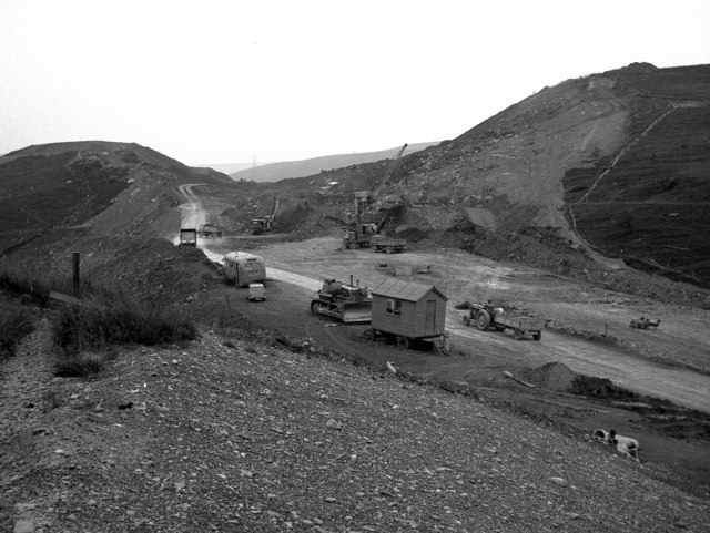
Scammonden Dam is part of the M62 motorway between junctions 22 and 23, the only such structure in Britain. Its construction by the Ministry of Transport and Huddersfield Corporation Waterworks required the passing of the Huddersfield Corporation Act 1965. The motorway dam spans the Deanhead Valley in the Pennines between Huddersfield and Rochdale and the main contractor for the project was Sir Alfred McAlpine & Sons.
It was designed by Rofe, Kennard and Lapworth
Surveying began in November 1961 and the route of the carriageway was determined in mid 1963. Excavation in the Deanhead Valley commenced the following year and for the dam in 1966. This required the removal of 25,200,000 cu ft of peat bog to reach the solid rock base nearly 43 ft below ground level. Material excavated elsewhere on the line of the motorway, clay from cuttings between Lofthouse and Gildersome, and 3.4 million cubic metres from the Deanhead excavations was used to build the dam’s embankment which is 2,051 ft in length and 207 ft above the original valley floor. The embankment is 1,427 ft wide at its base and 180 ft at road level.
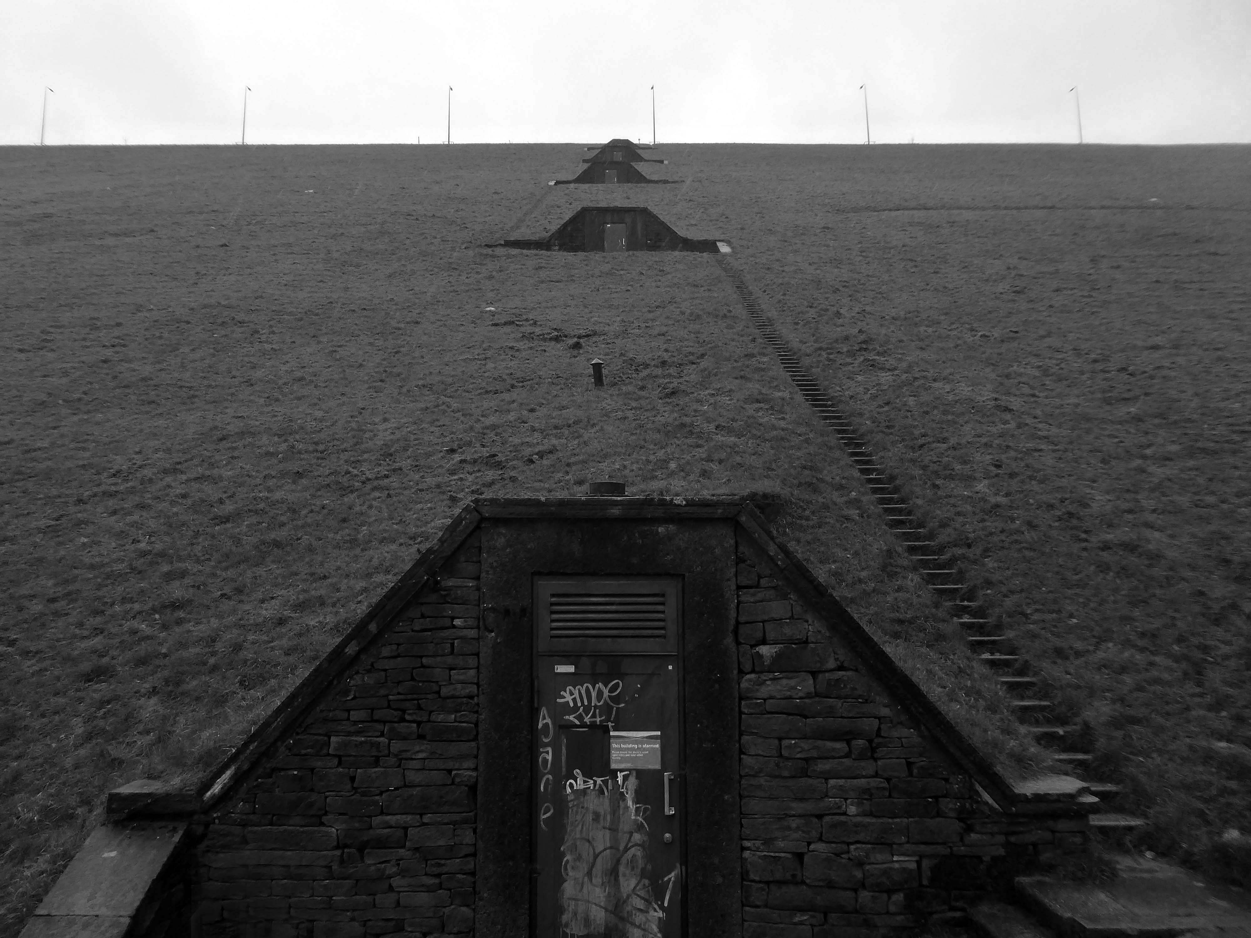
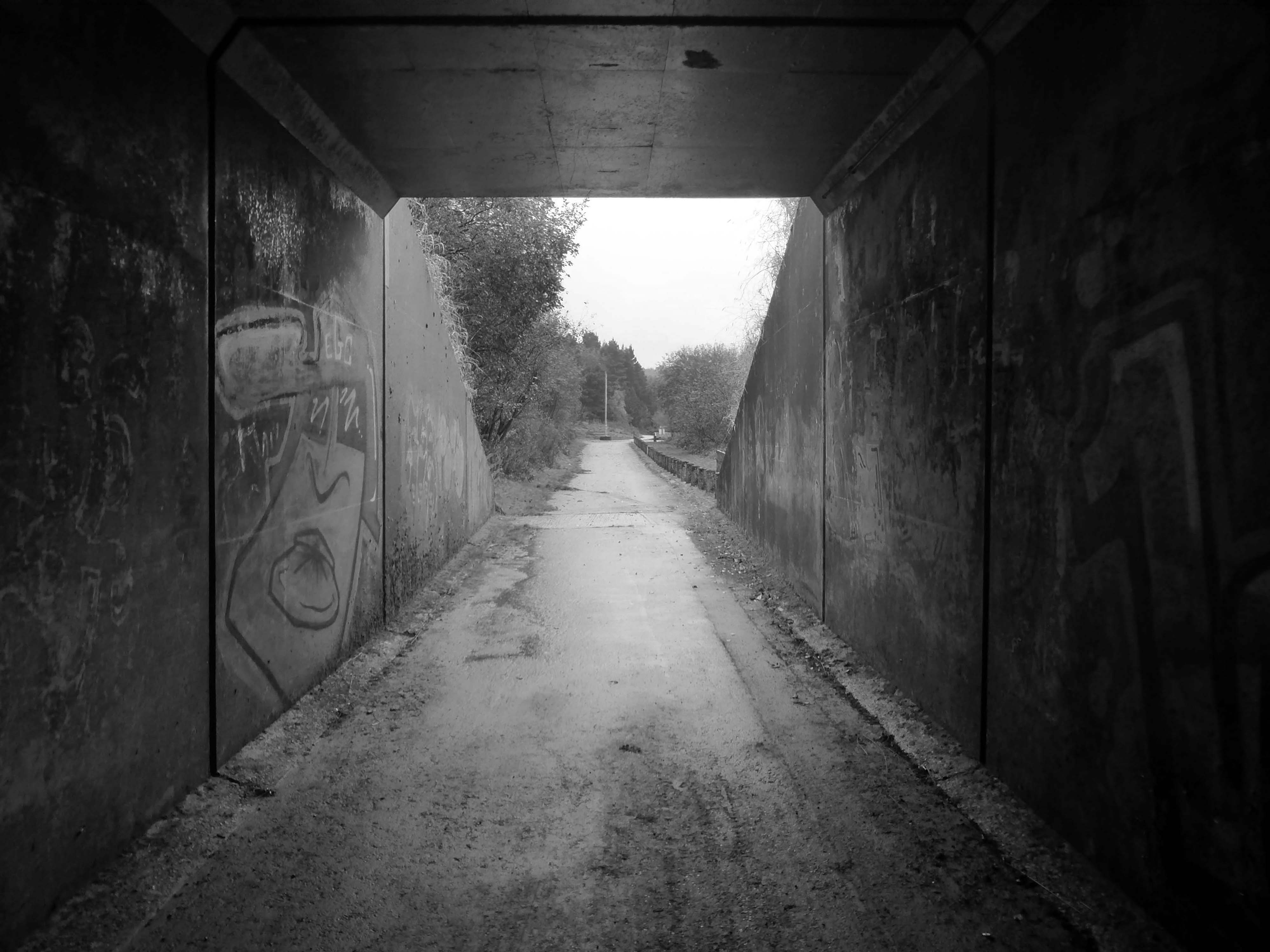
Scammonden steps comprises five flights of steps up the hillside from the valley below. Totaling 458 steps, the cumulative step count when ascending each of the five flights is 95, 200, 287, 363 then 458.
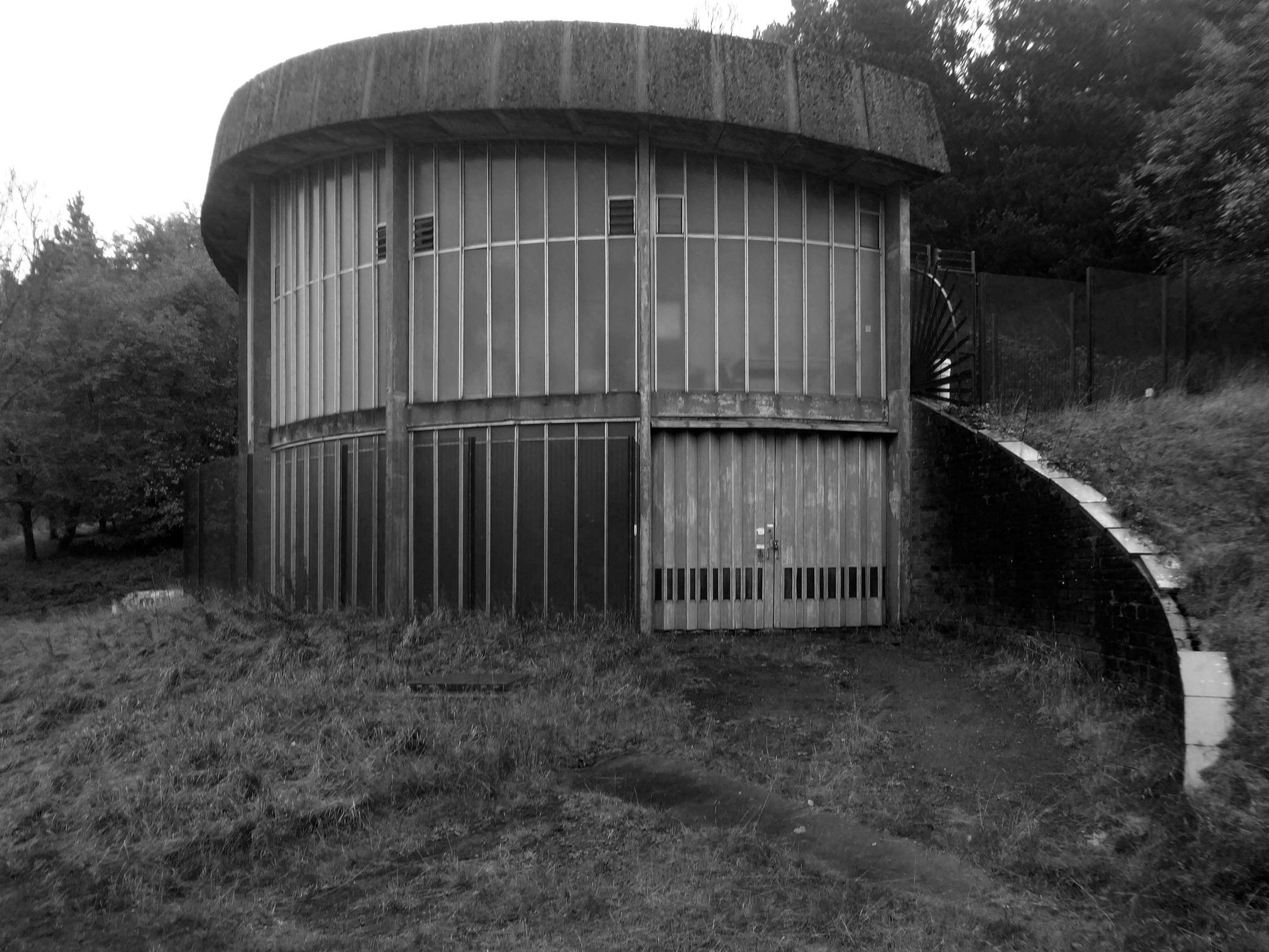
At the base of the dam is this delightful Pumping House.
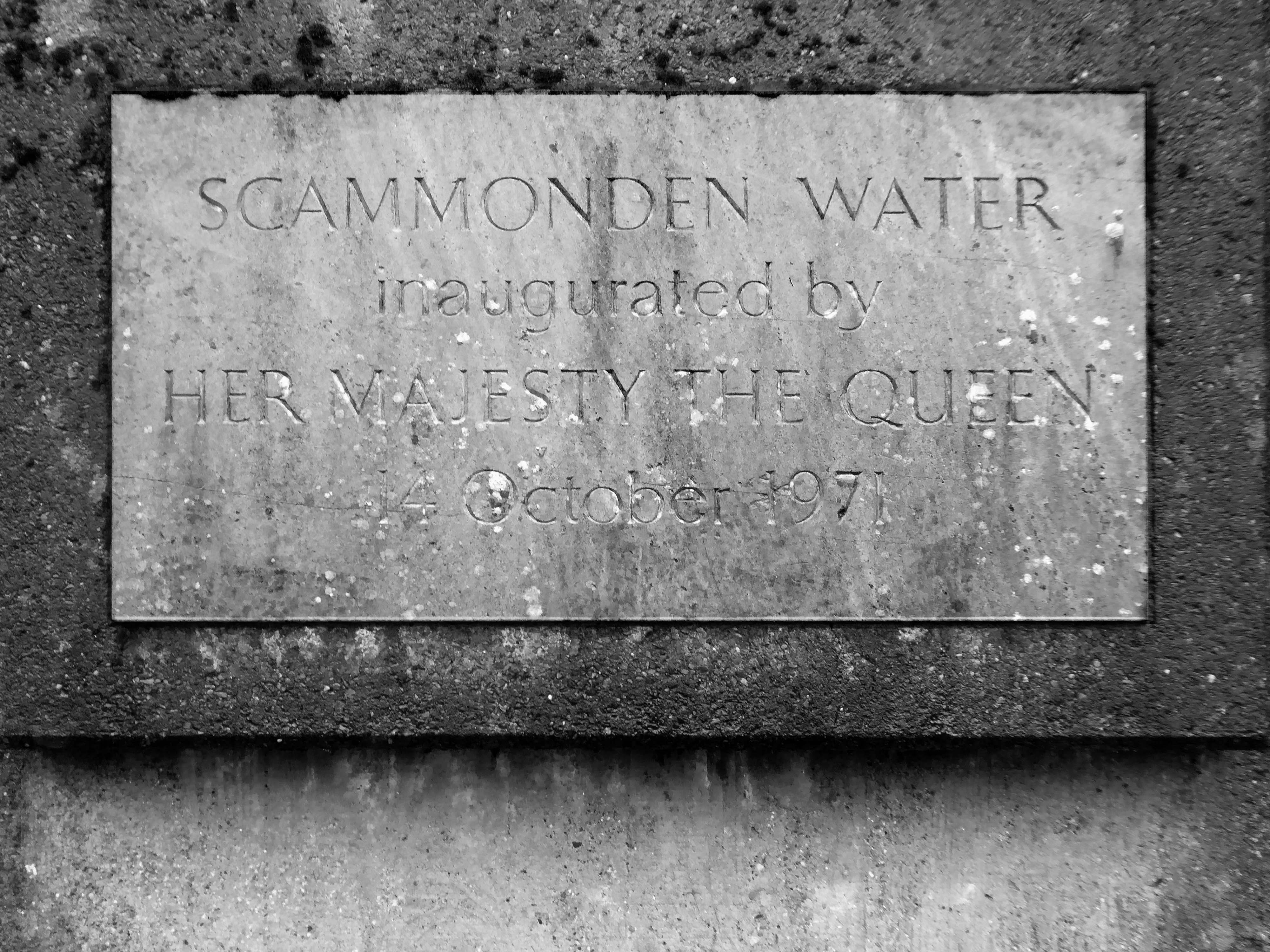
The motorway, which was dependent on the completion of the dam, was opened to traffic on 20th December 1970 and officially opened by Queen Elizabeth II who unveiled a plaque near the valve tower of Scammonden Water on 14 October 1971.
Ascending and looking back toward Scammonden Bridge also known locally as the Brown Cow Bridge – after the nearby Brown Cow Inn, now closed, spans the Deanhead cutting carrying the B6114.
The bridge was built for the West Riding County Council to the designs of the county surveyor, Colonel S Maynard Lovell.
It opened to traffic on Monday 18 May 1970 by Major Bruce Eccles – Huddersfield Transport ran buses to see the bridge.
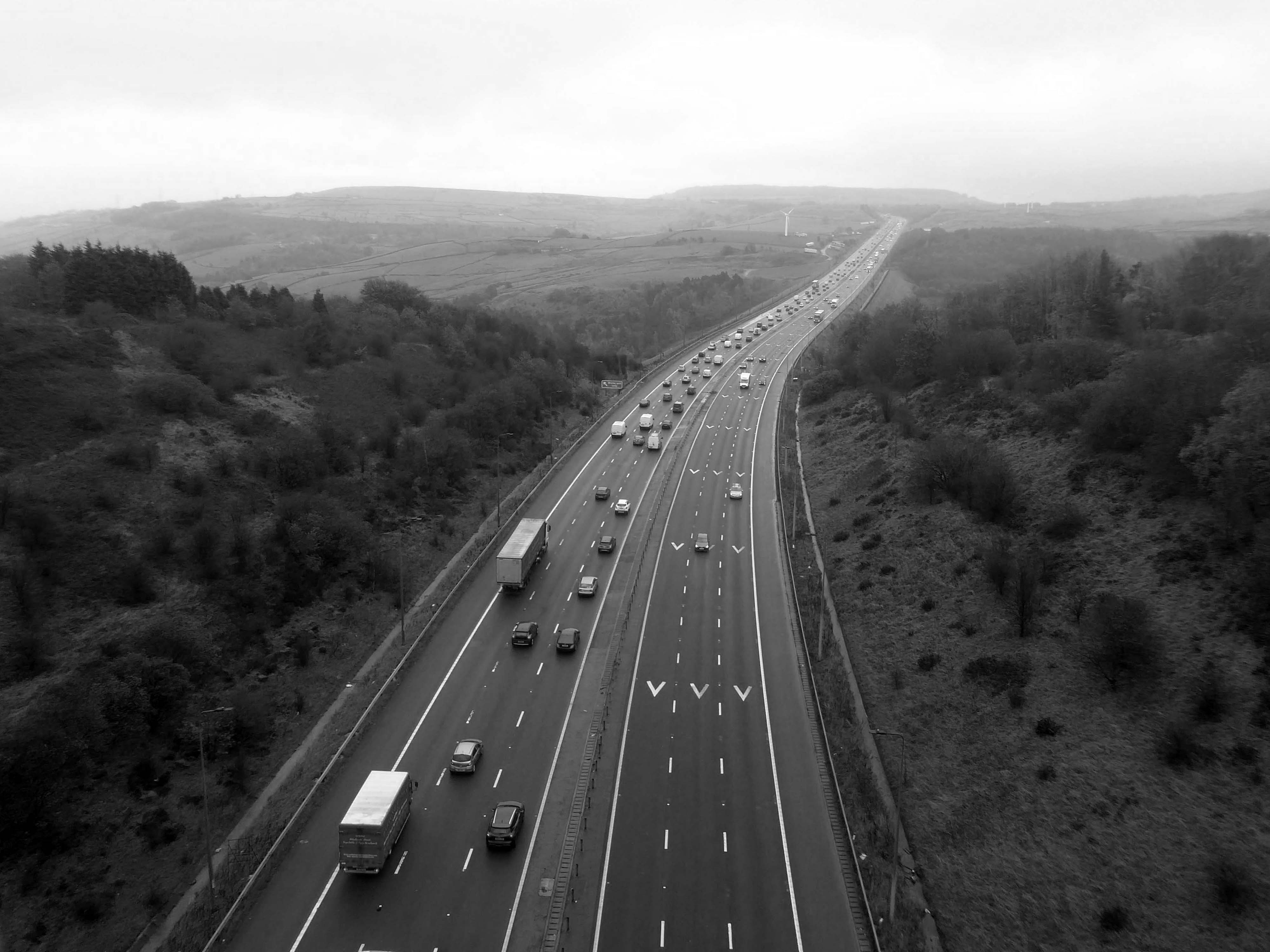
The M62 is a 107-mile-long west–east trans-Pennine motorway, connecting Liverpool and Hull via Manchester, Bradford, Leeds and Wakefield; 7 miles of the route is shared with the M60 orbital motorway around Manchester.
The motorway, which was first proposed in the 1930s, and conceived as two separate routes, was opened in stages between 1971 and 1976, with construction beginning at Pole Moor near Huddersfield and finishing at that time in Tarbock on the outskirts of Liverpool. The motorway absorbed the northern end of the Stretford-Eccles bypass, which was built between 1957 and 1960. Adjusted for inflation to 2007, its construction cost approximately £765 million. The motorway has an average daily traffic flow of 144,000 vehicles in West Yorkshire, and has several sections prone to gridlock, in particular, between Leeds and Huddersfield and the M60 section around Eccles.
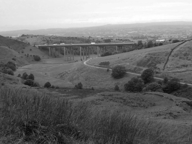
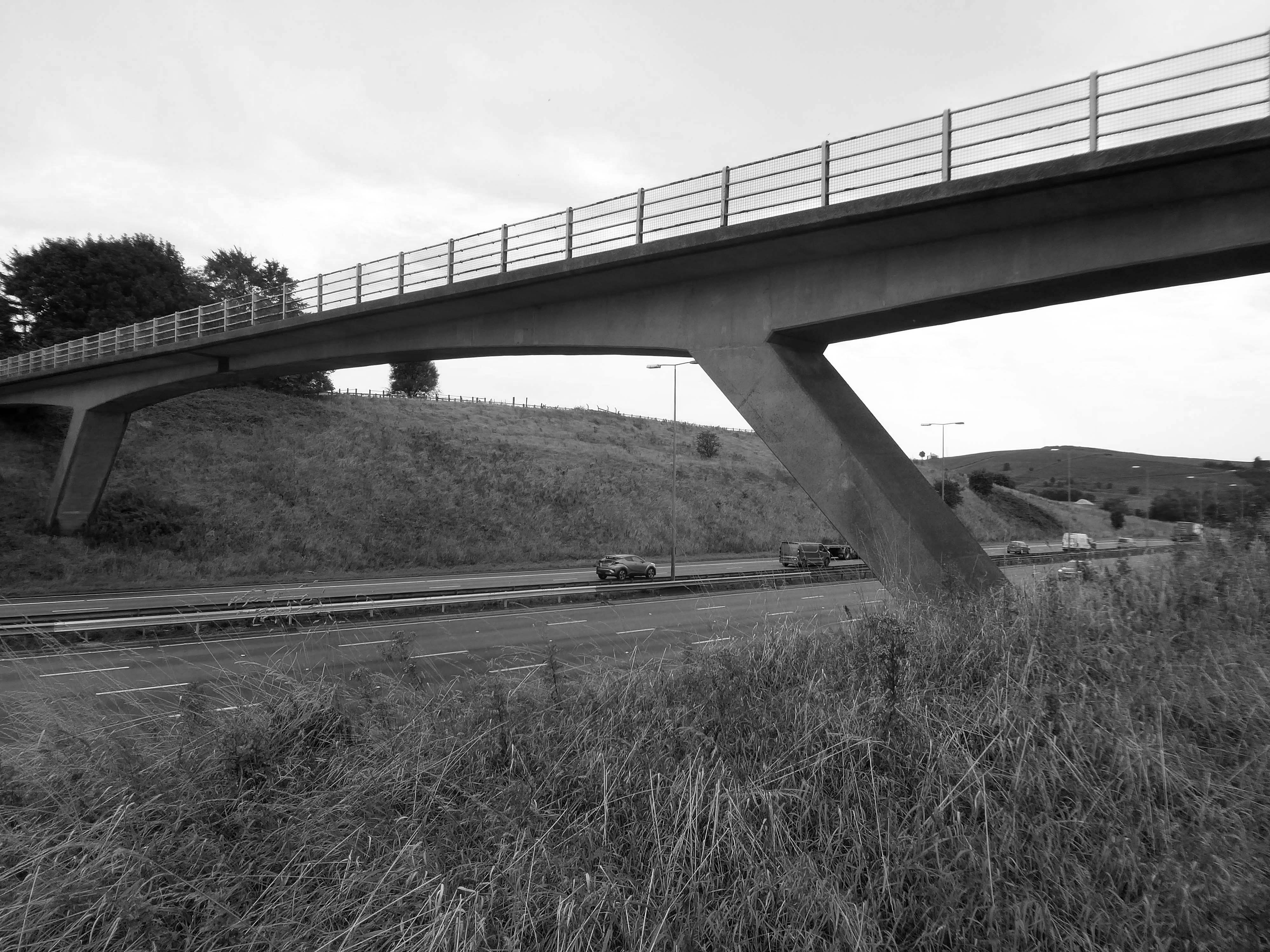
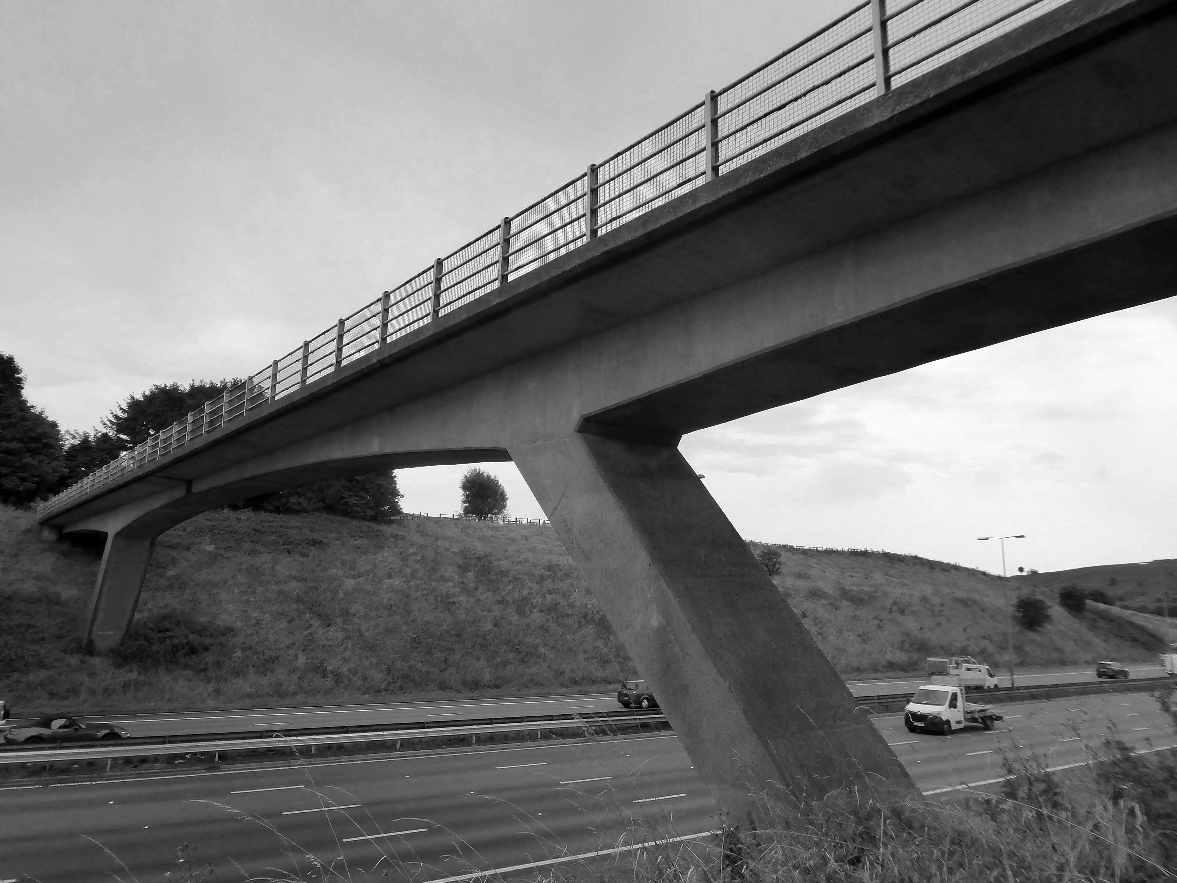
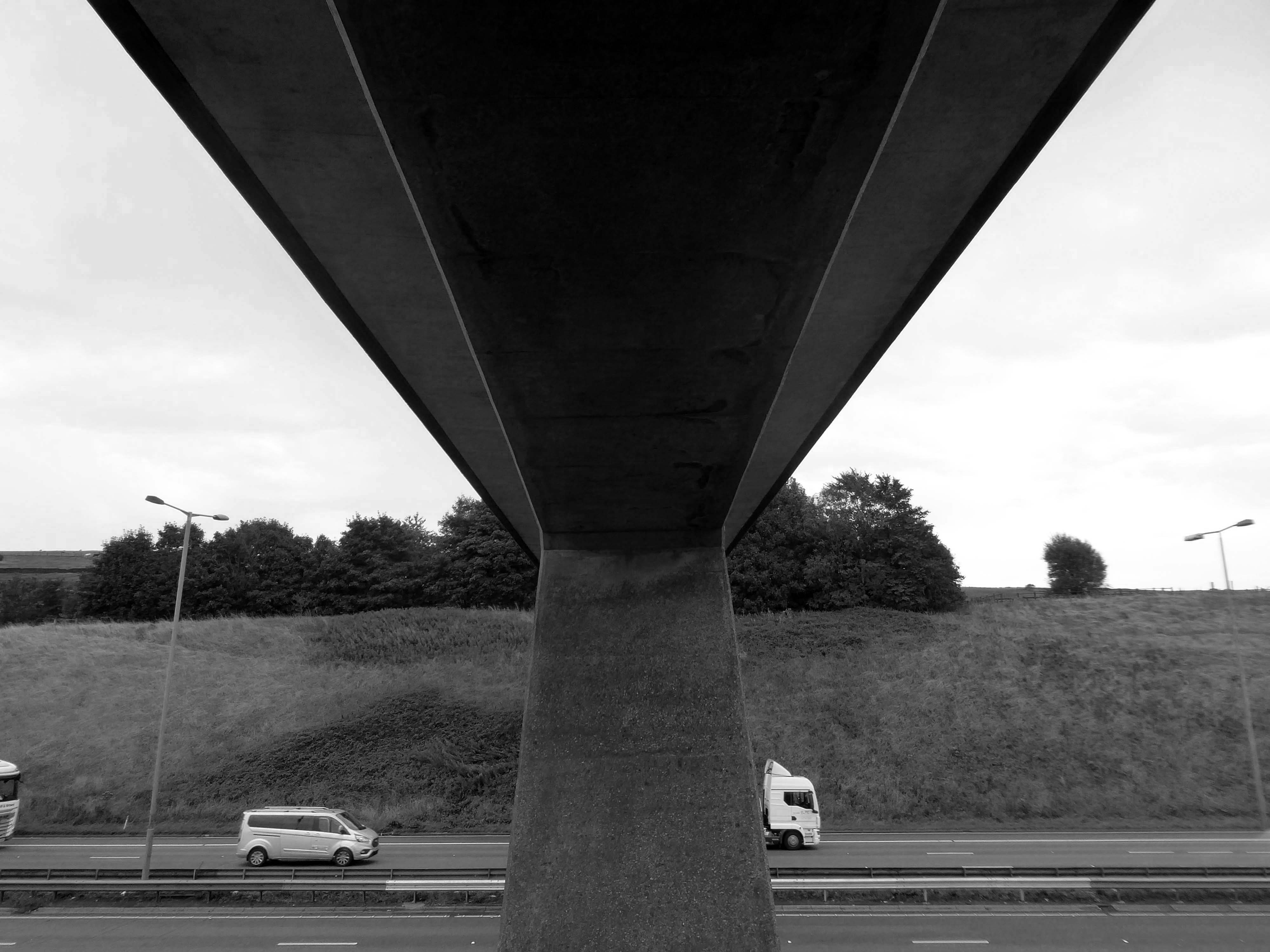
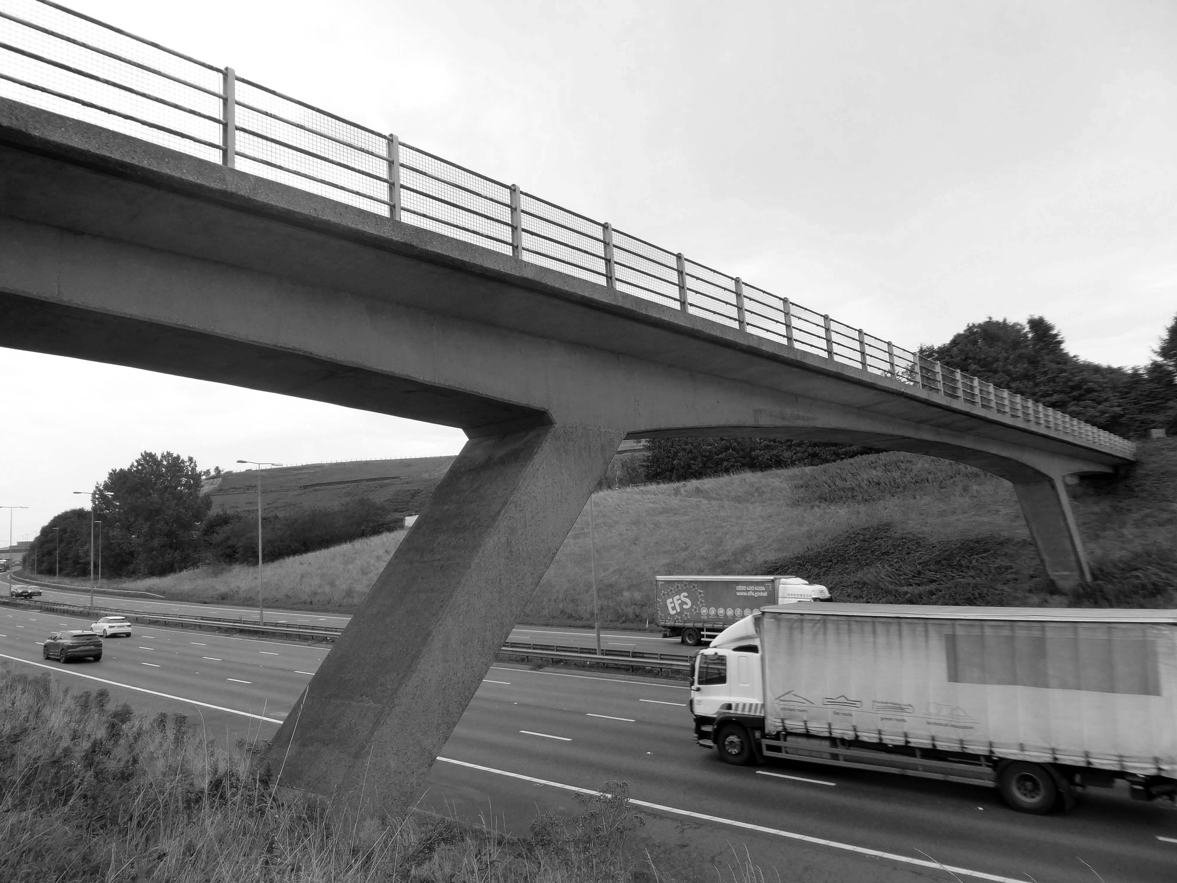
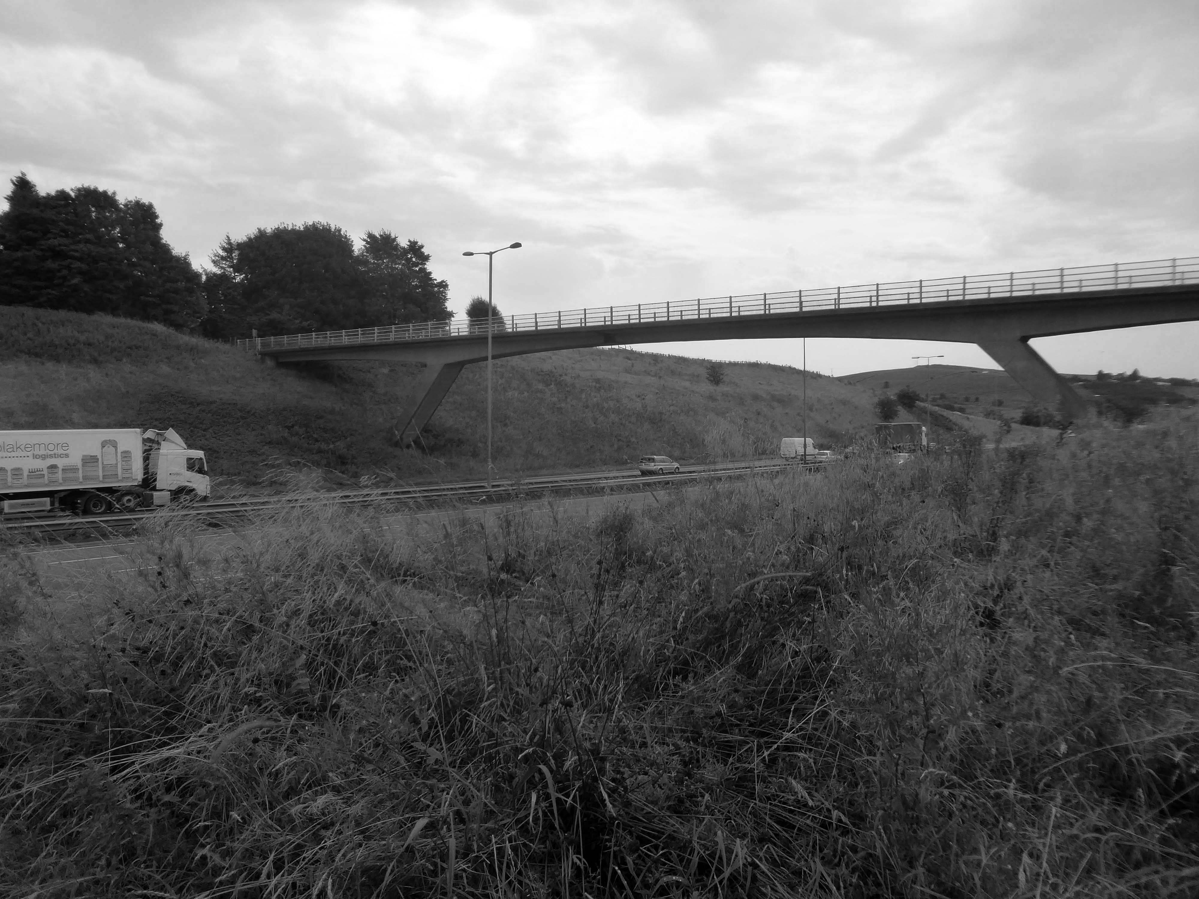
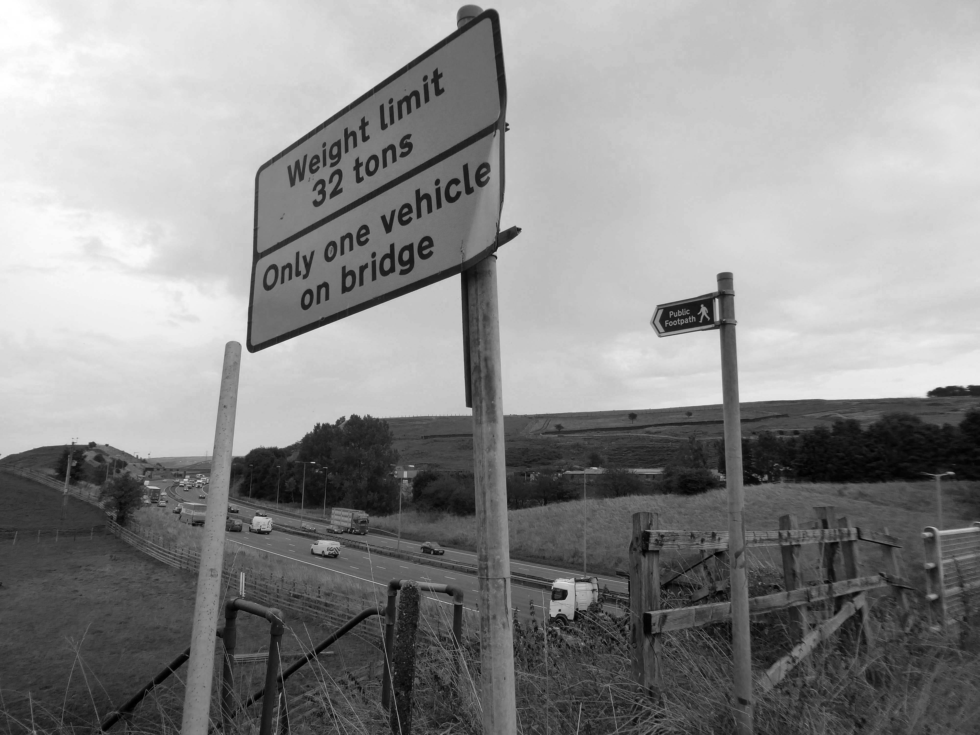
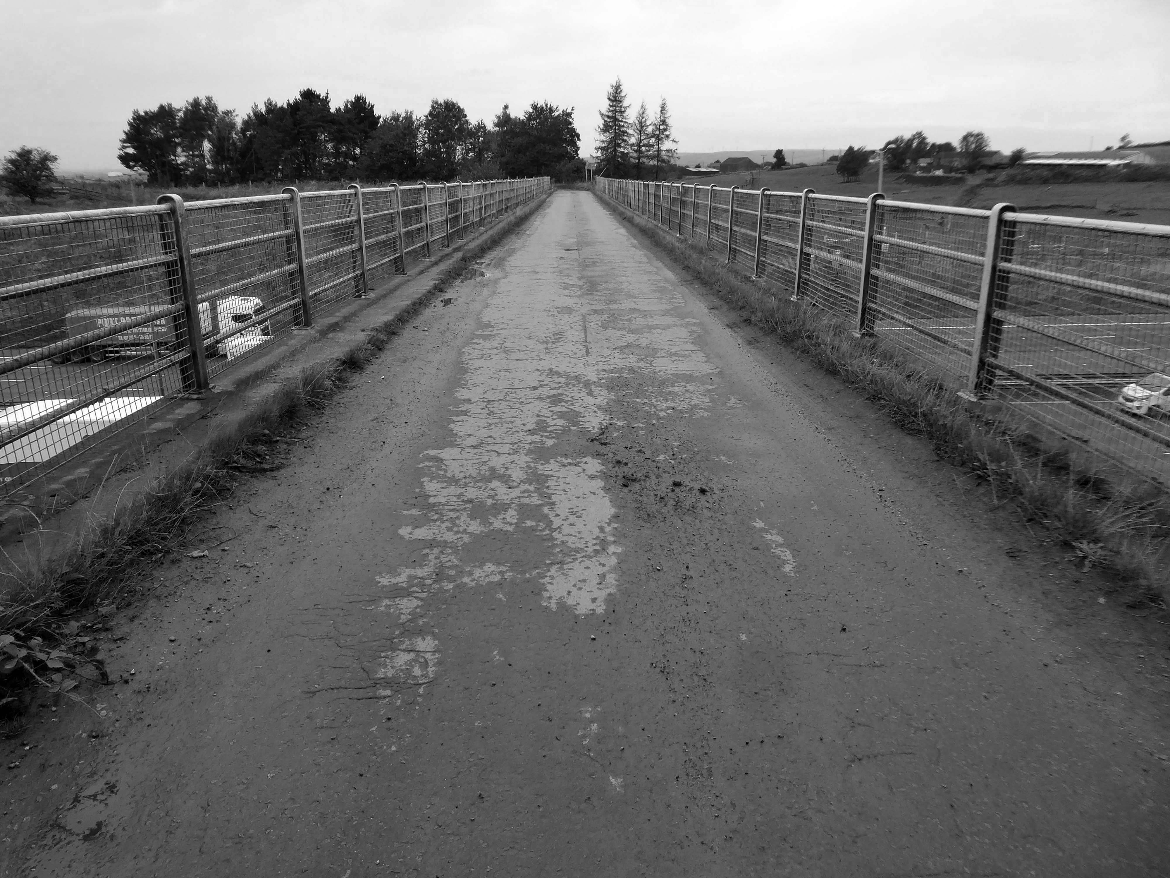
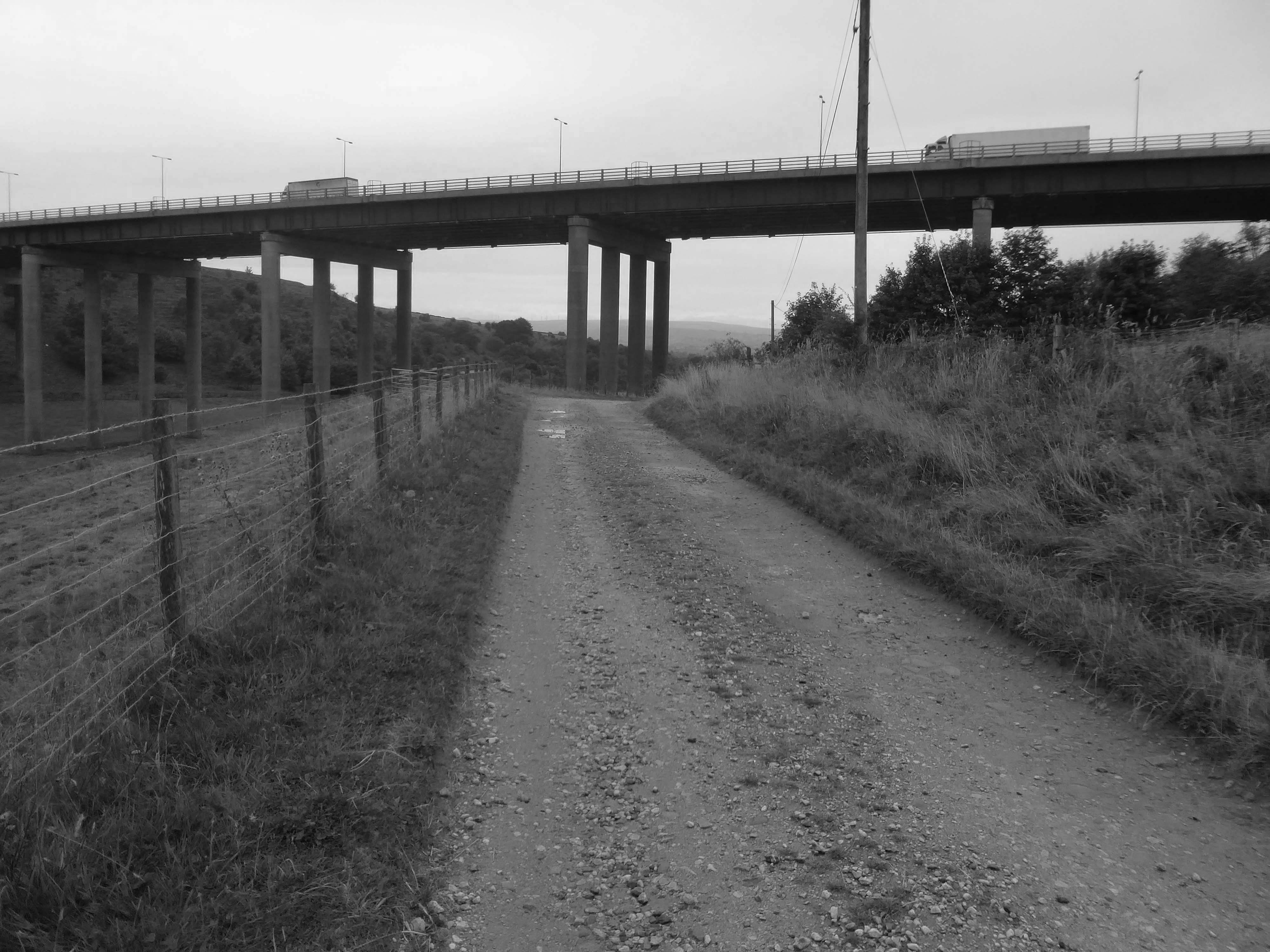
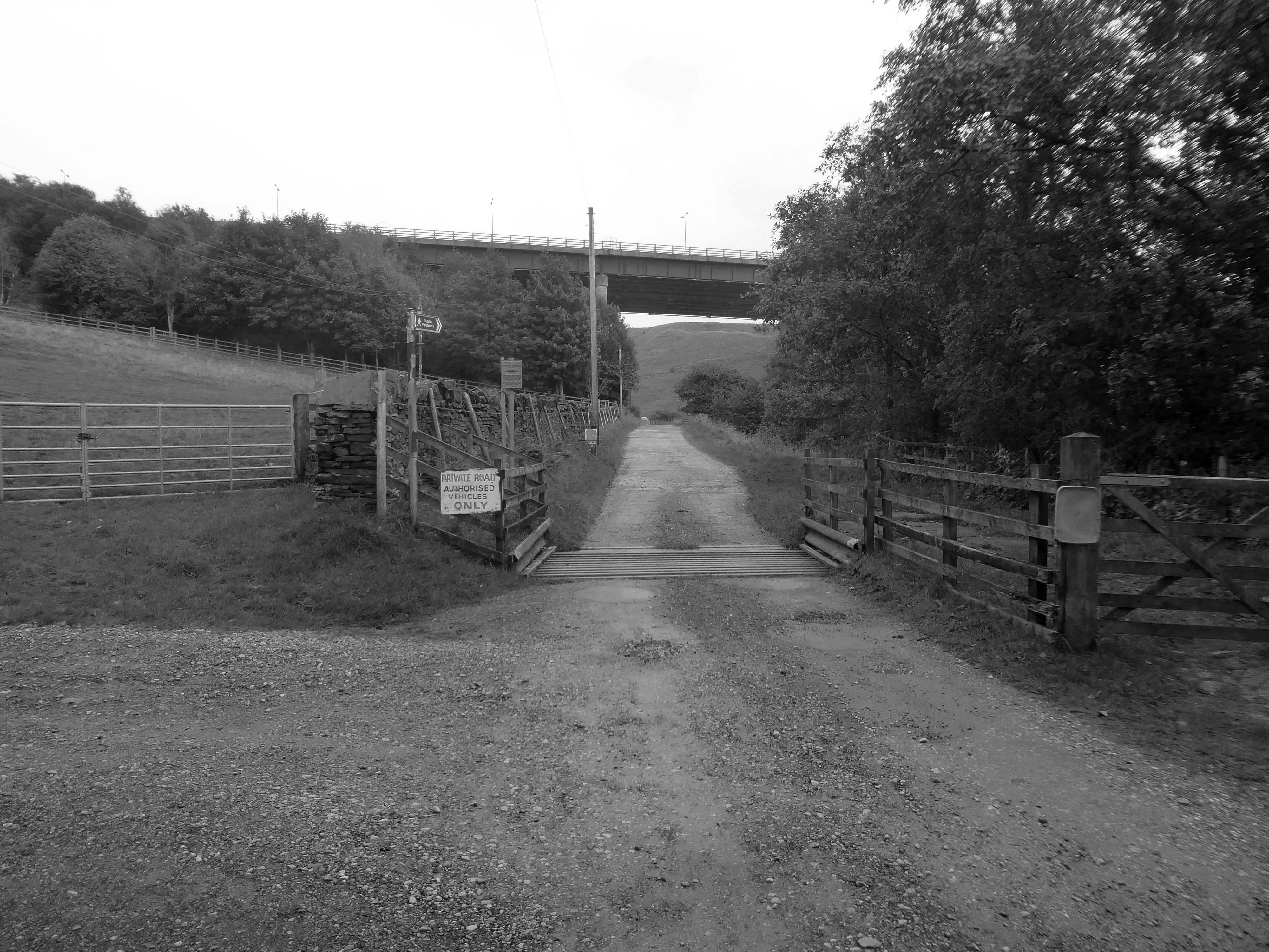
We were walking along Tunshill Lane on our way to the Piethorn Valley, our crossing of the M62 facilitated by this elegant road bridge.
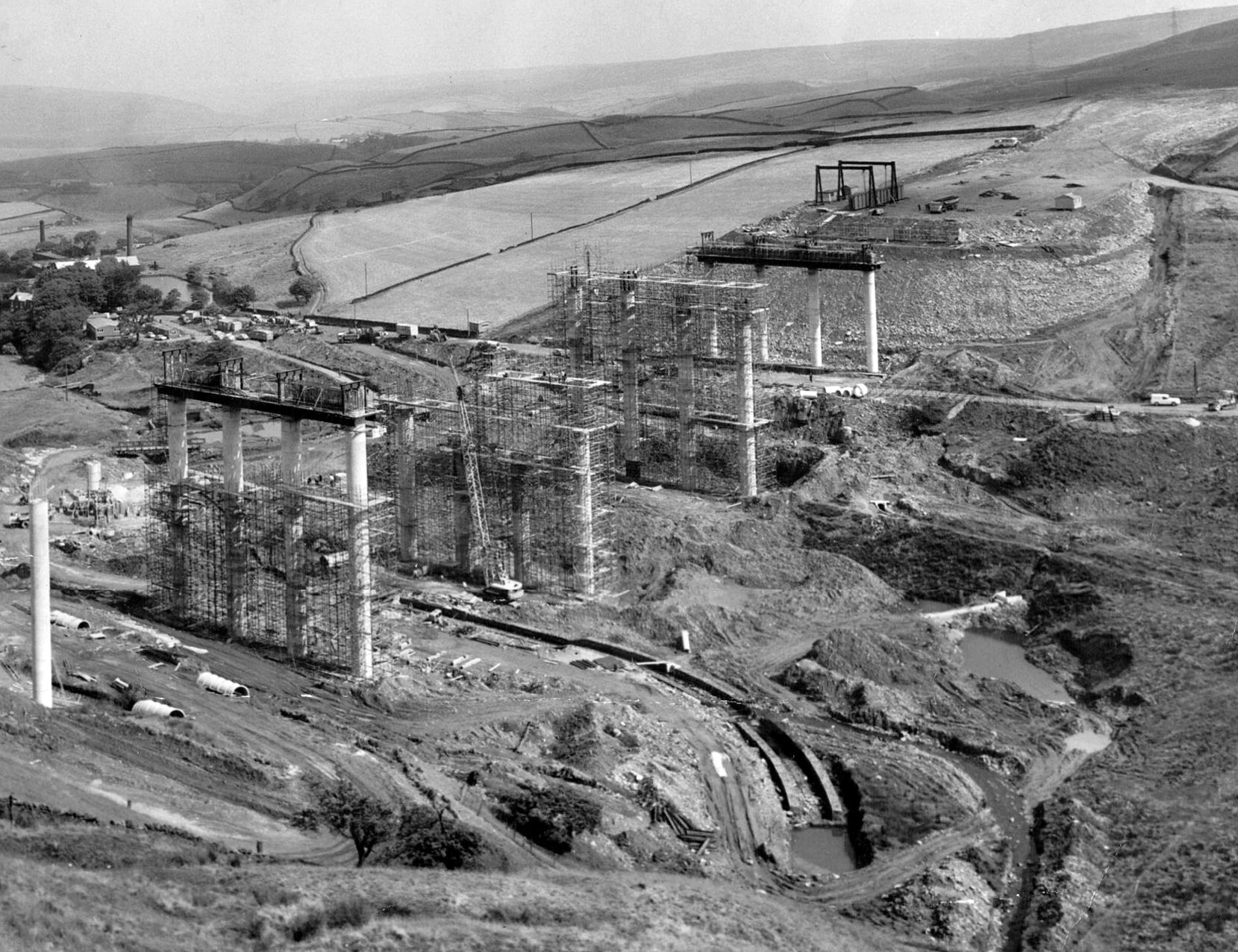
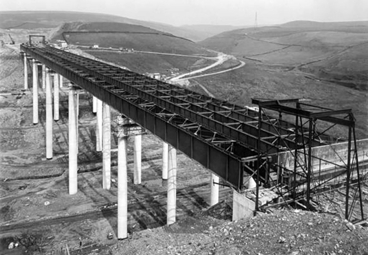
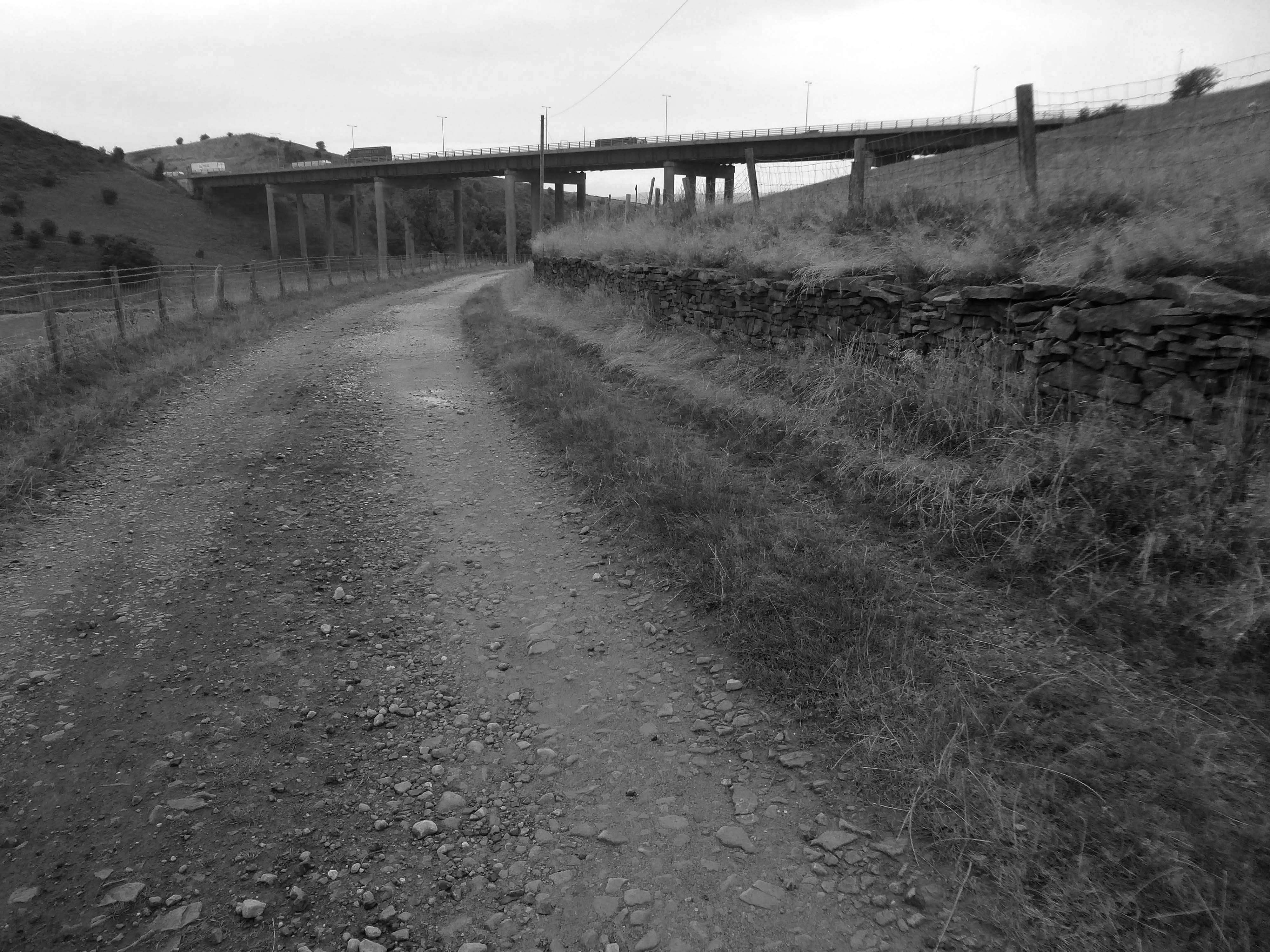
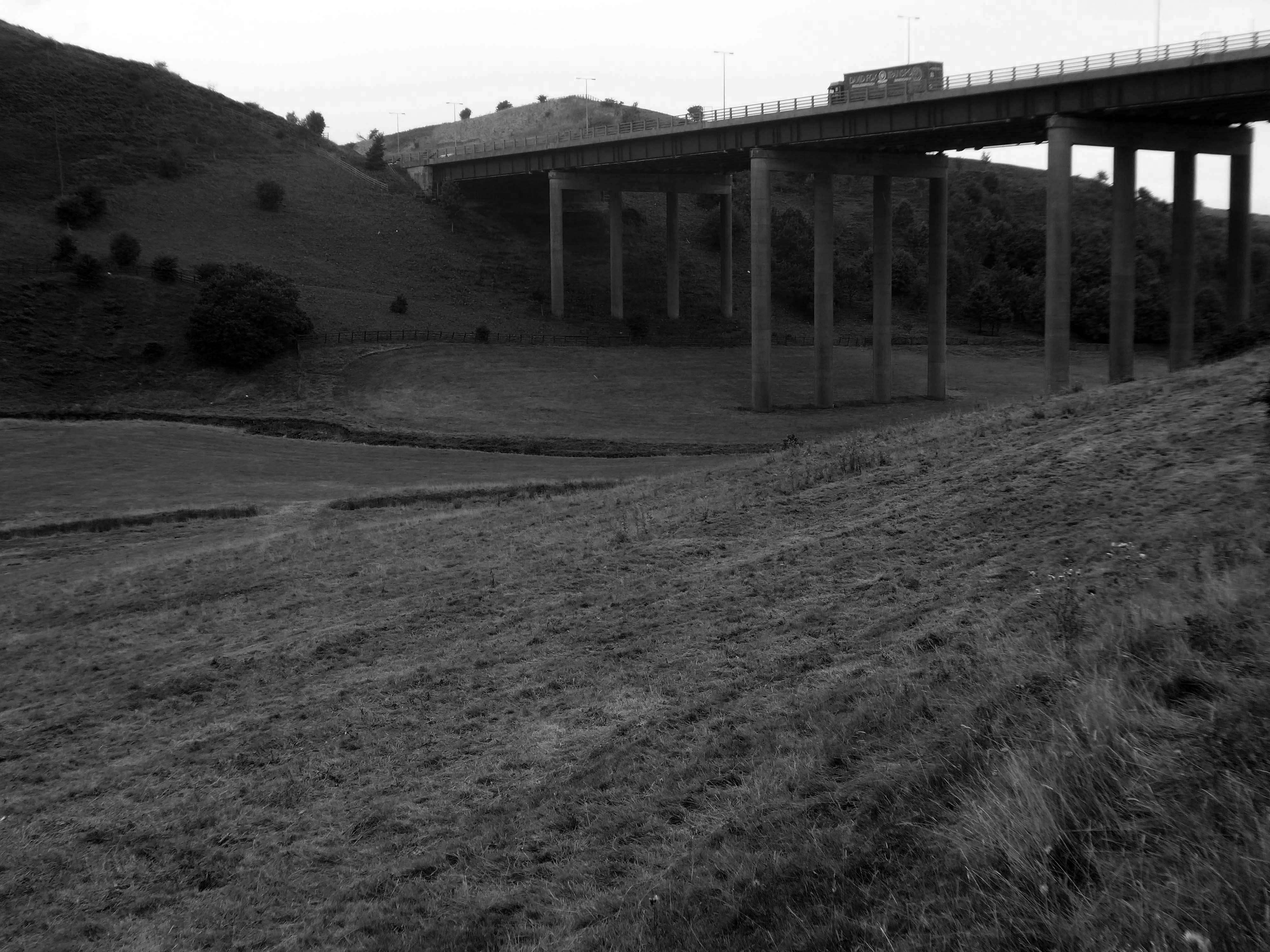
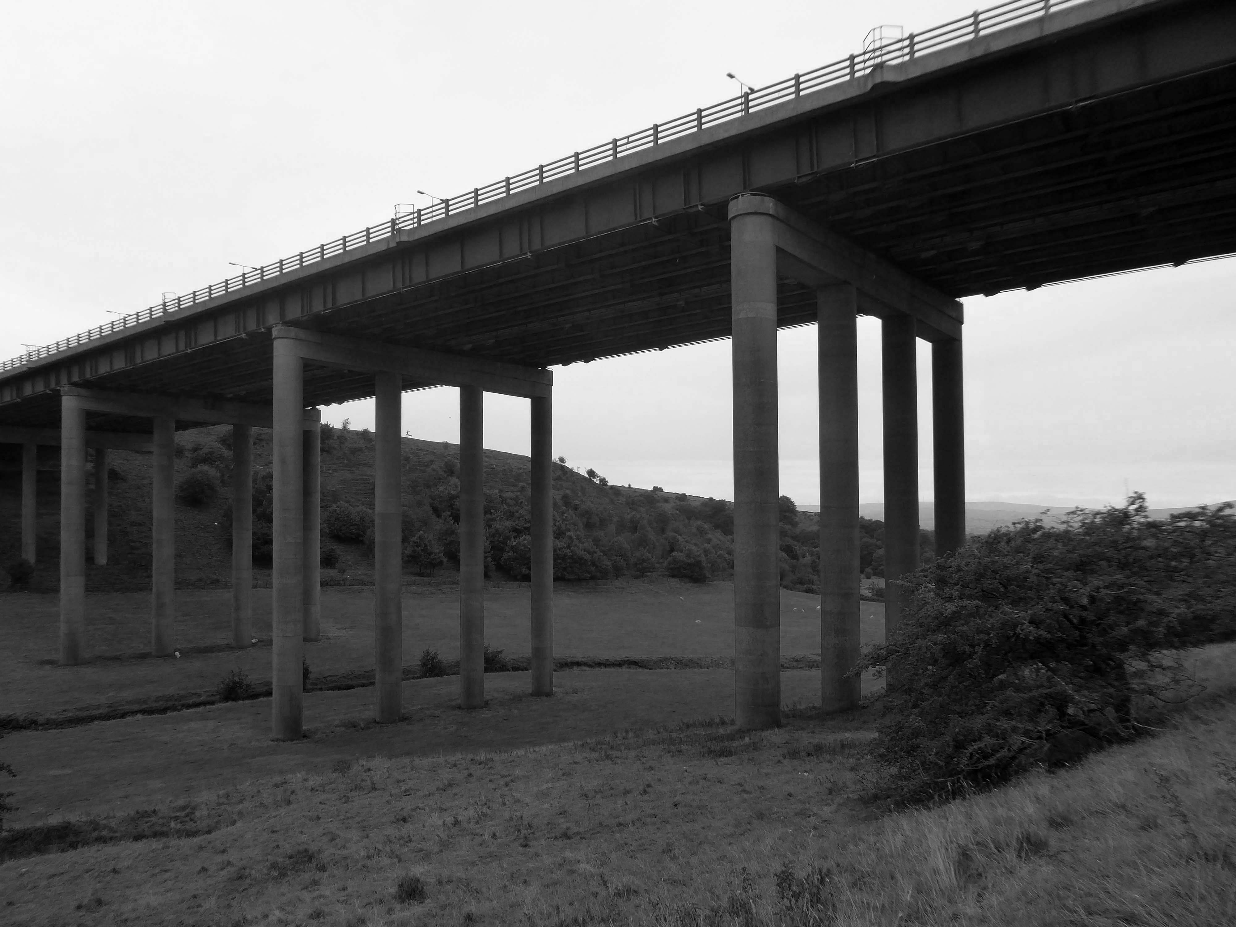
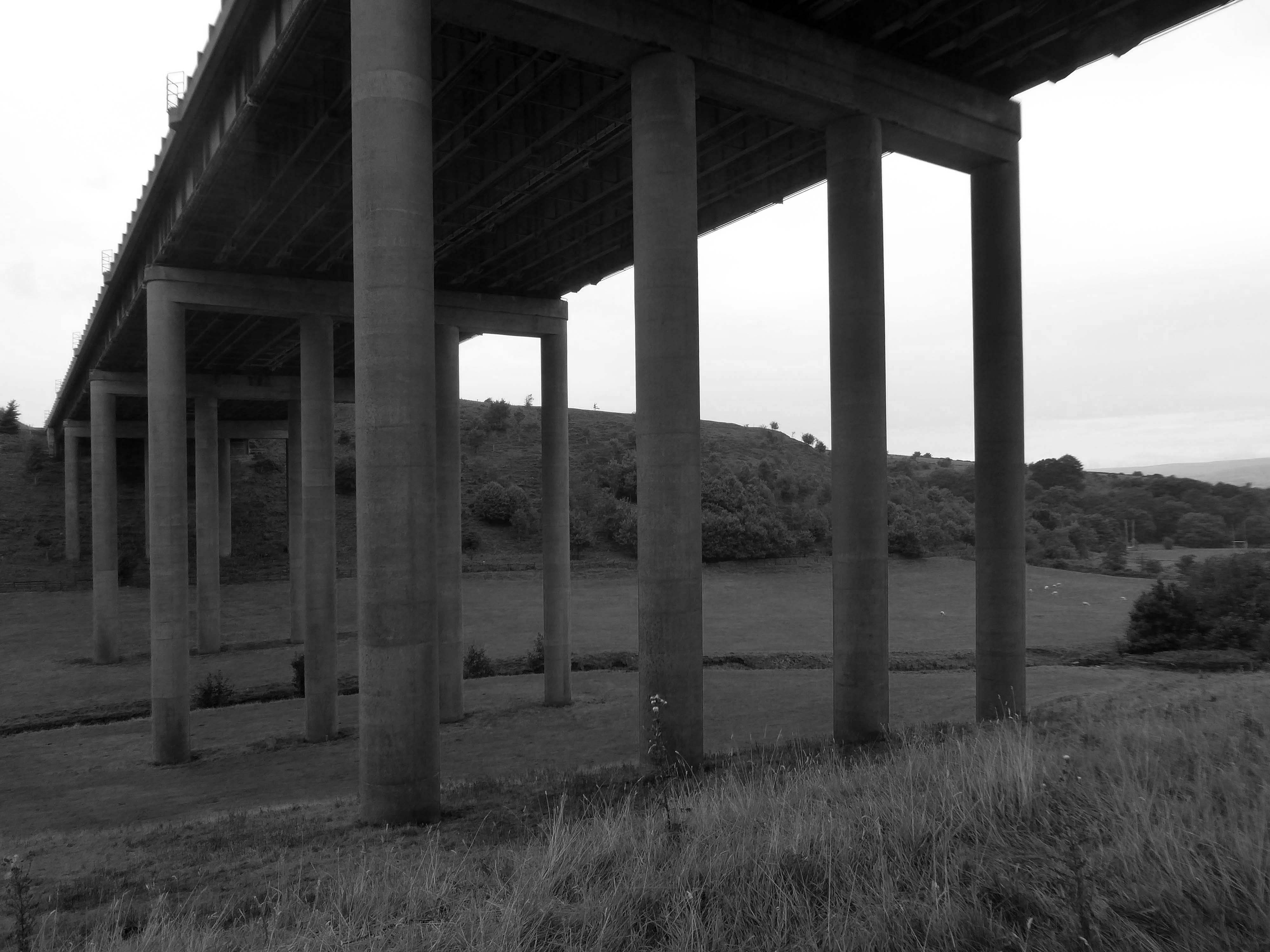
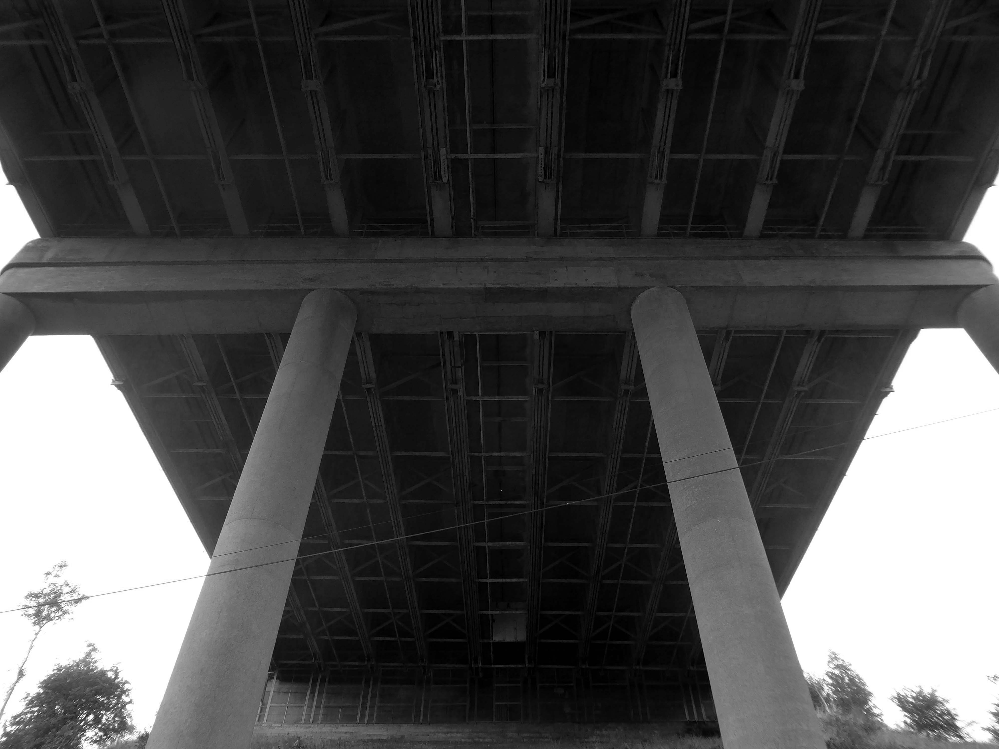
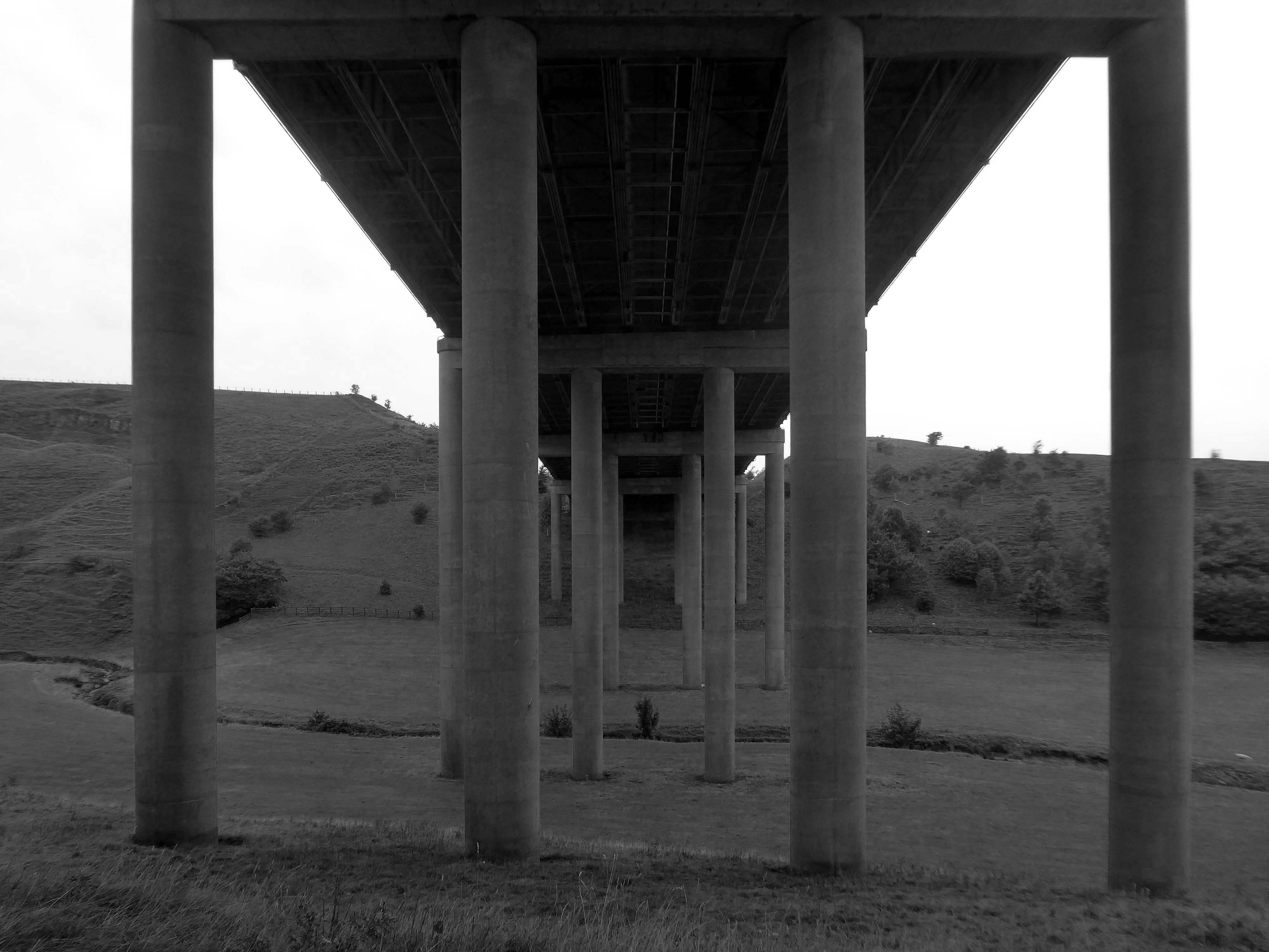
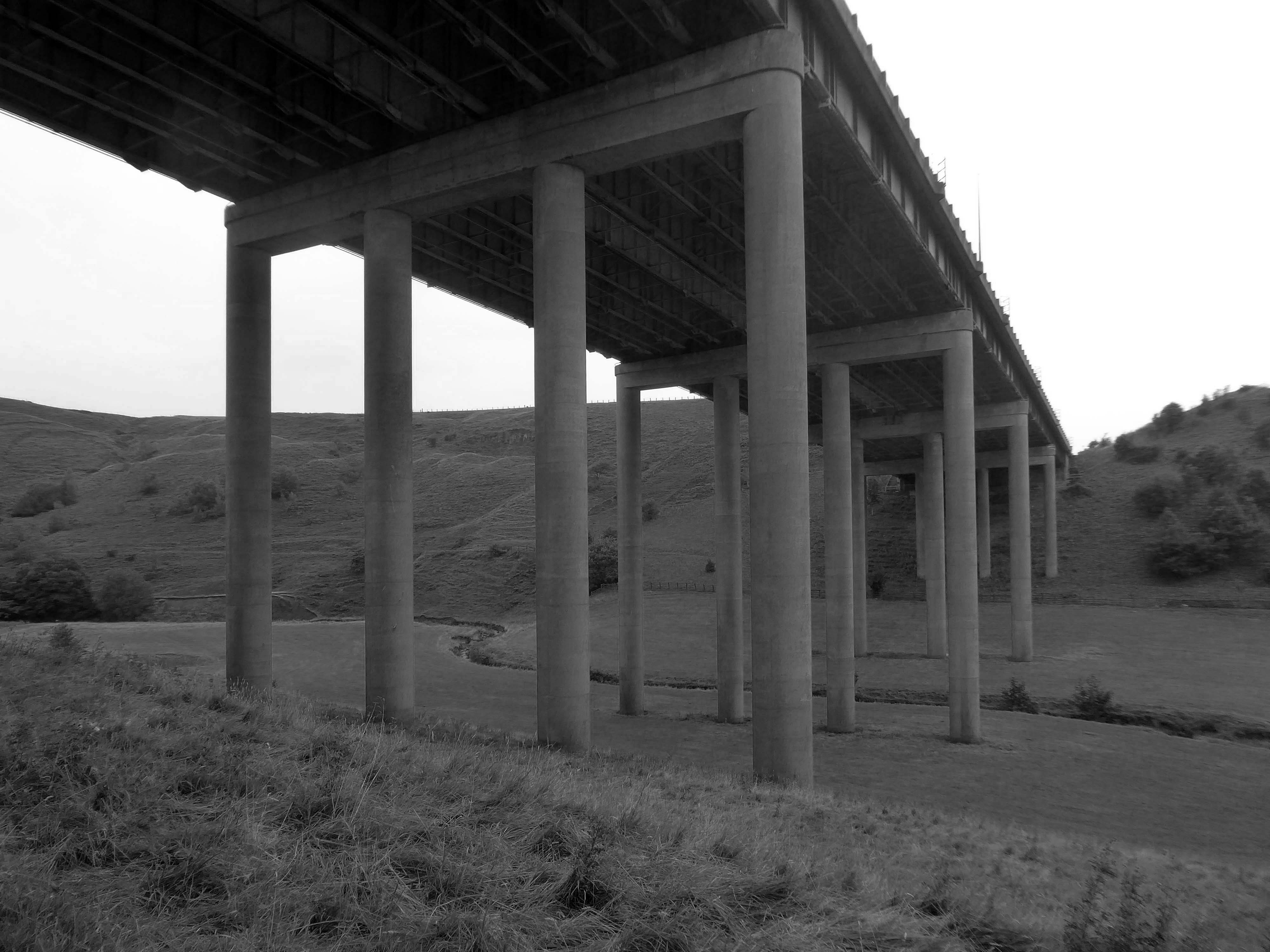
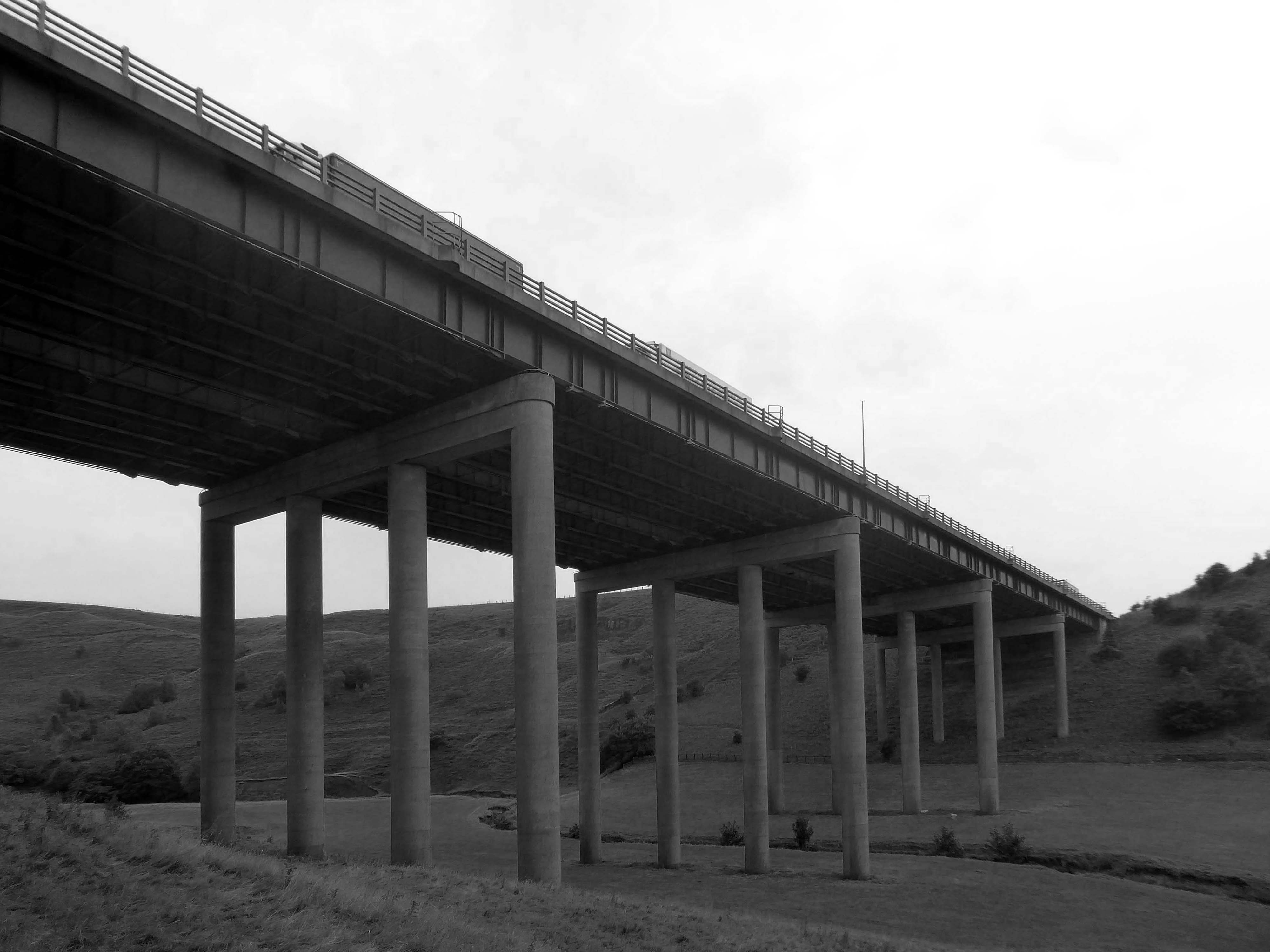
A notable structure between junctions 21 and 22 on the uphill section towards Windy Hill is the Rakewood Viaduct which carries the road over the Longden End Brook.
The viaduct is 280 yards long and 140 ft above the valley floor. It was built in 1966 by Reed & Mallik and opened to motorway traffic in October 1971. It has a sister bridge, the Gathurst Viaduct in Wigan, which carries the M6 motorway over the Leeds & Liverpool Canal, the Manchester-Southport line and the River Douglas and was constructed before the Rakewood Viaduct.
The steelwork deck was subcontracted to Robert Watson Steelwork of Bolton.