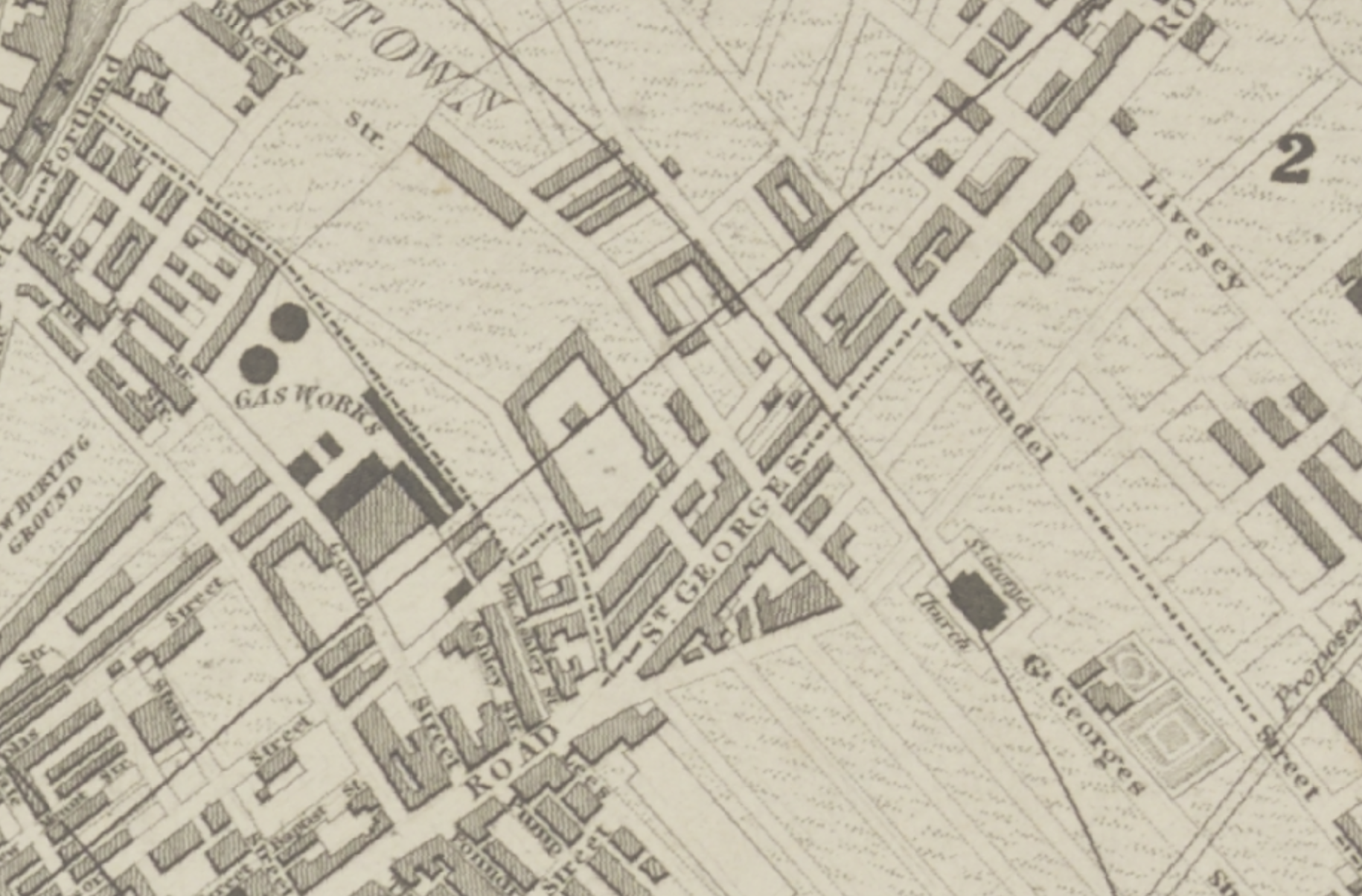
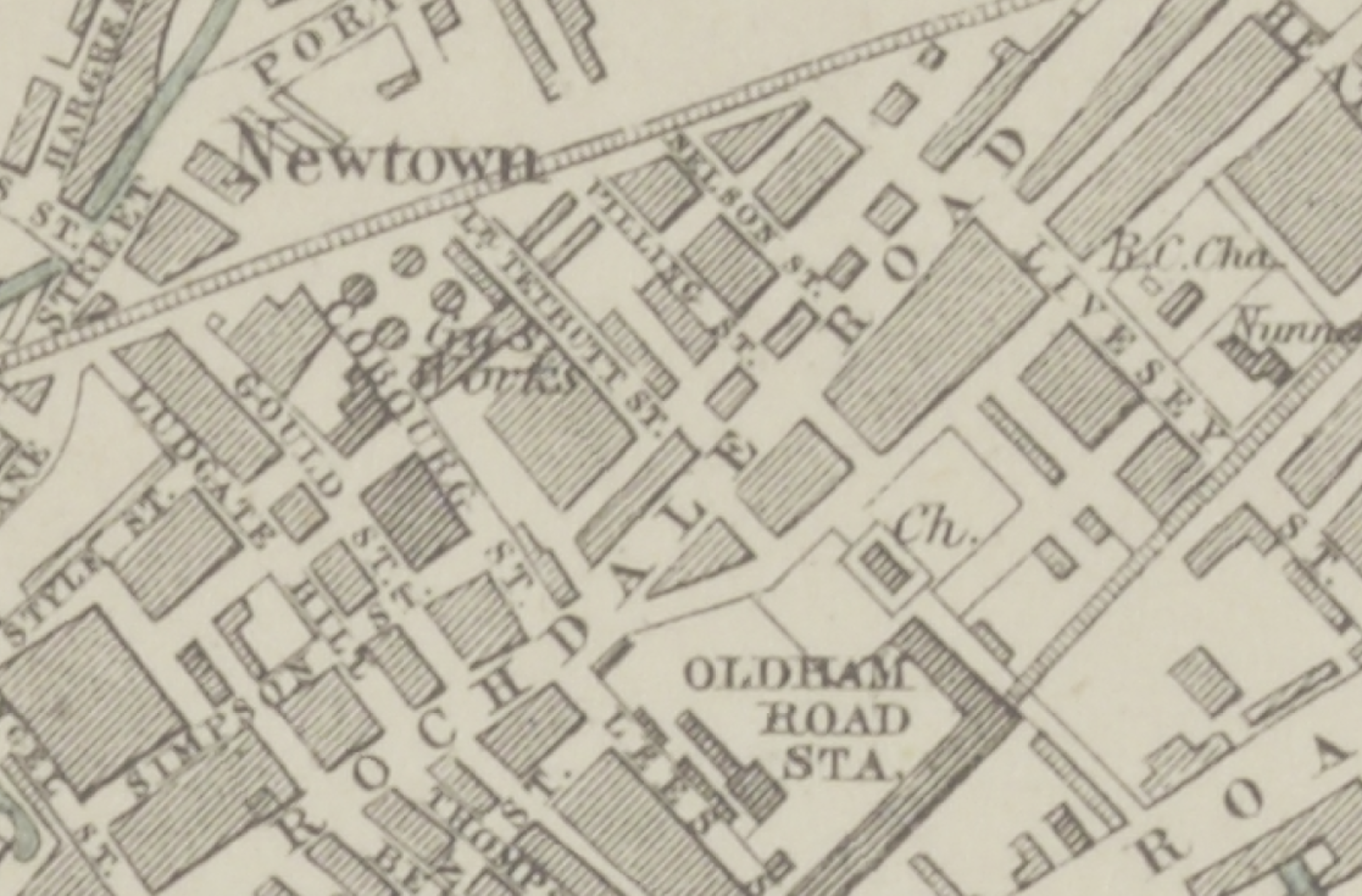
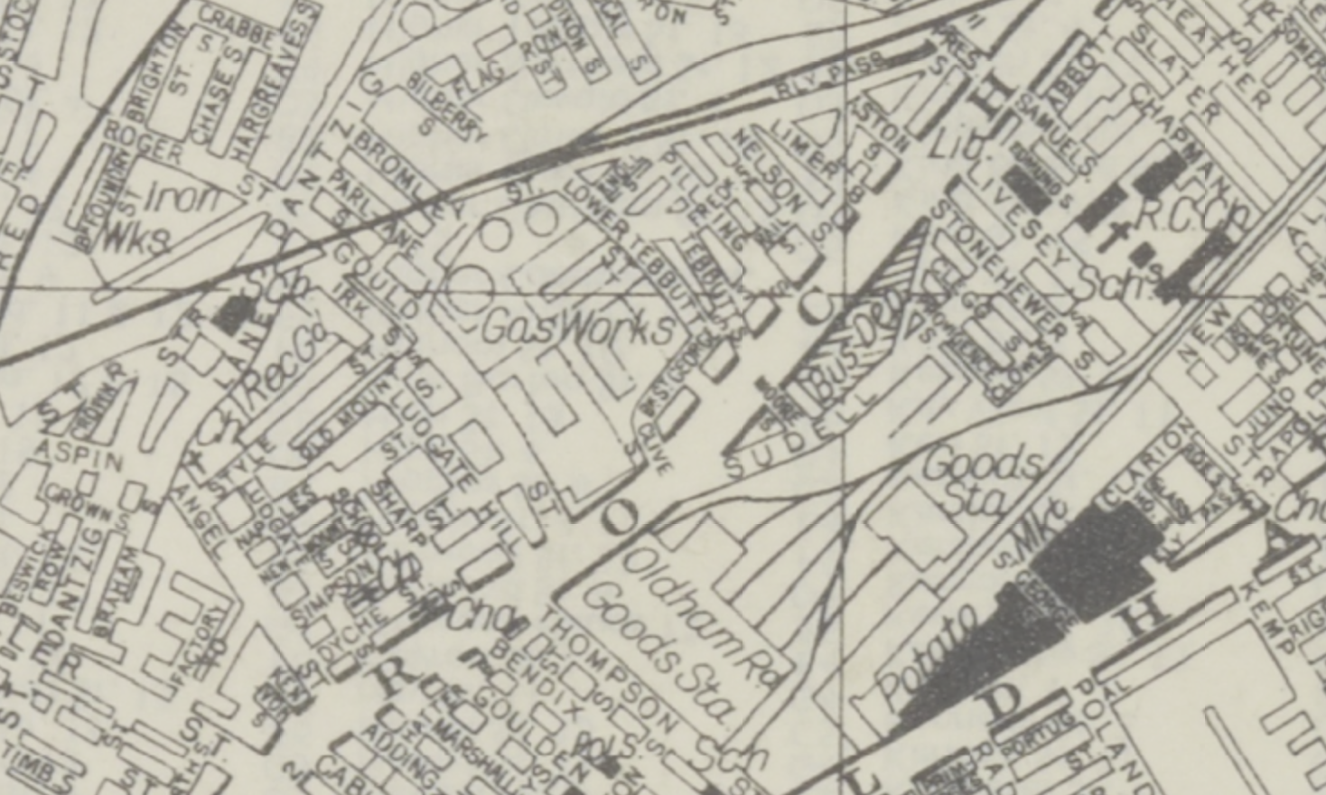
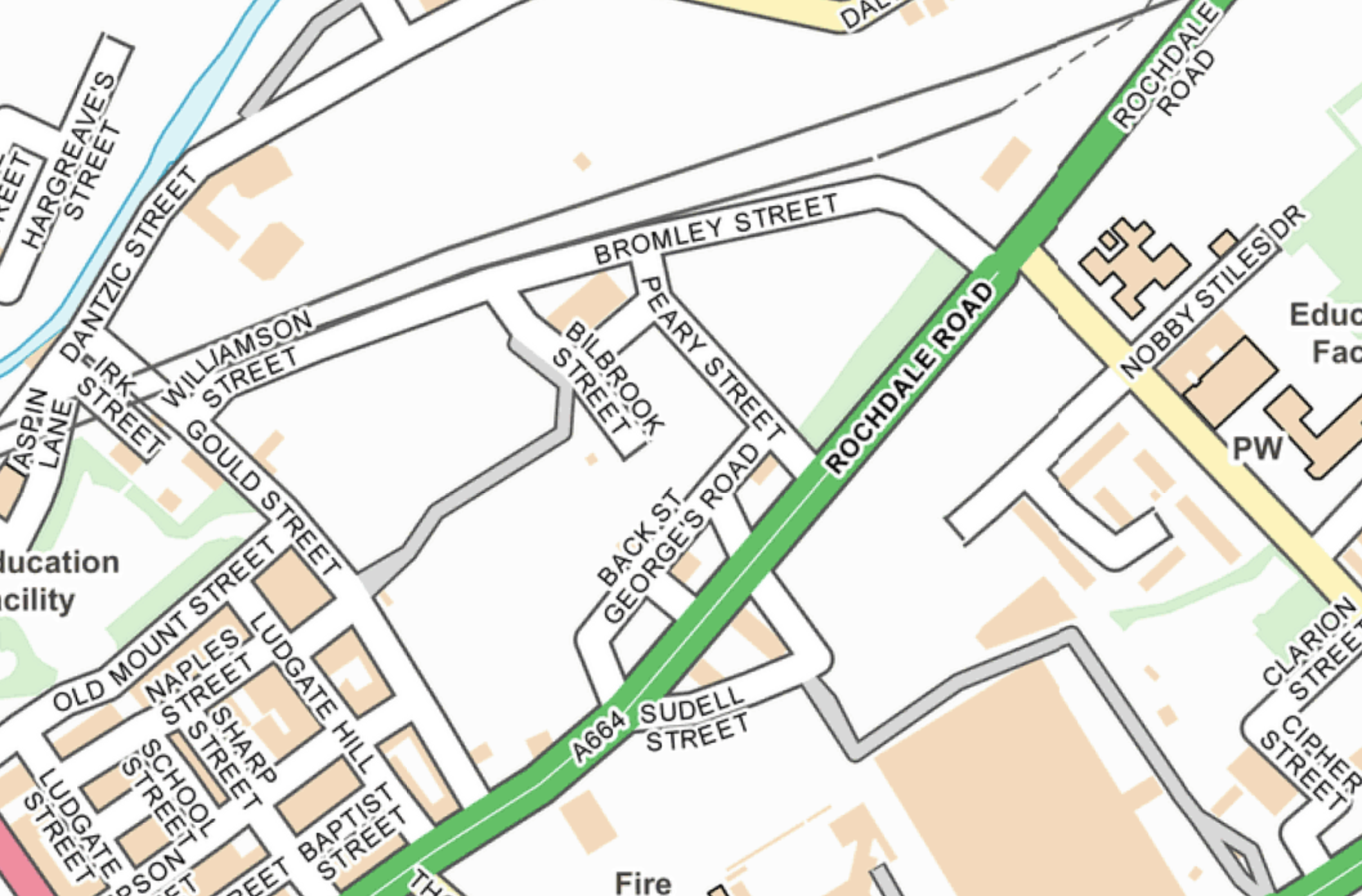
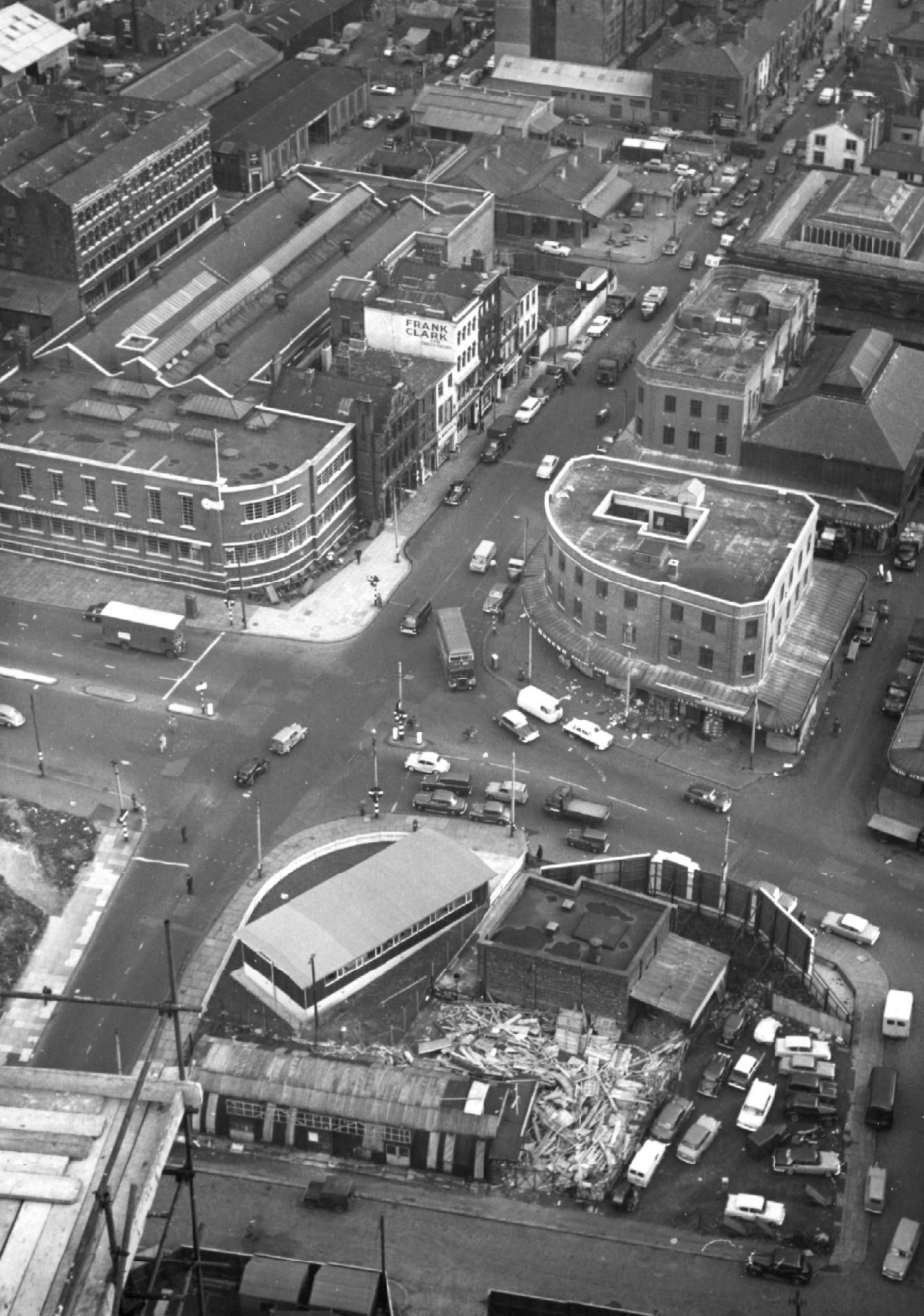
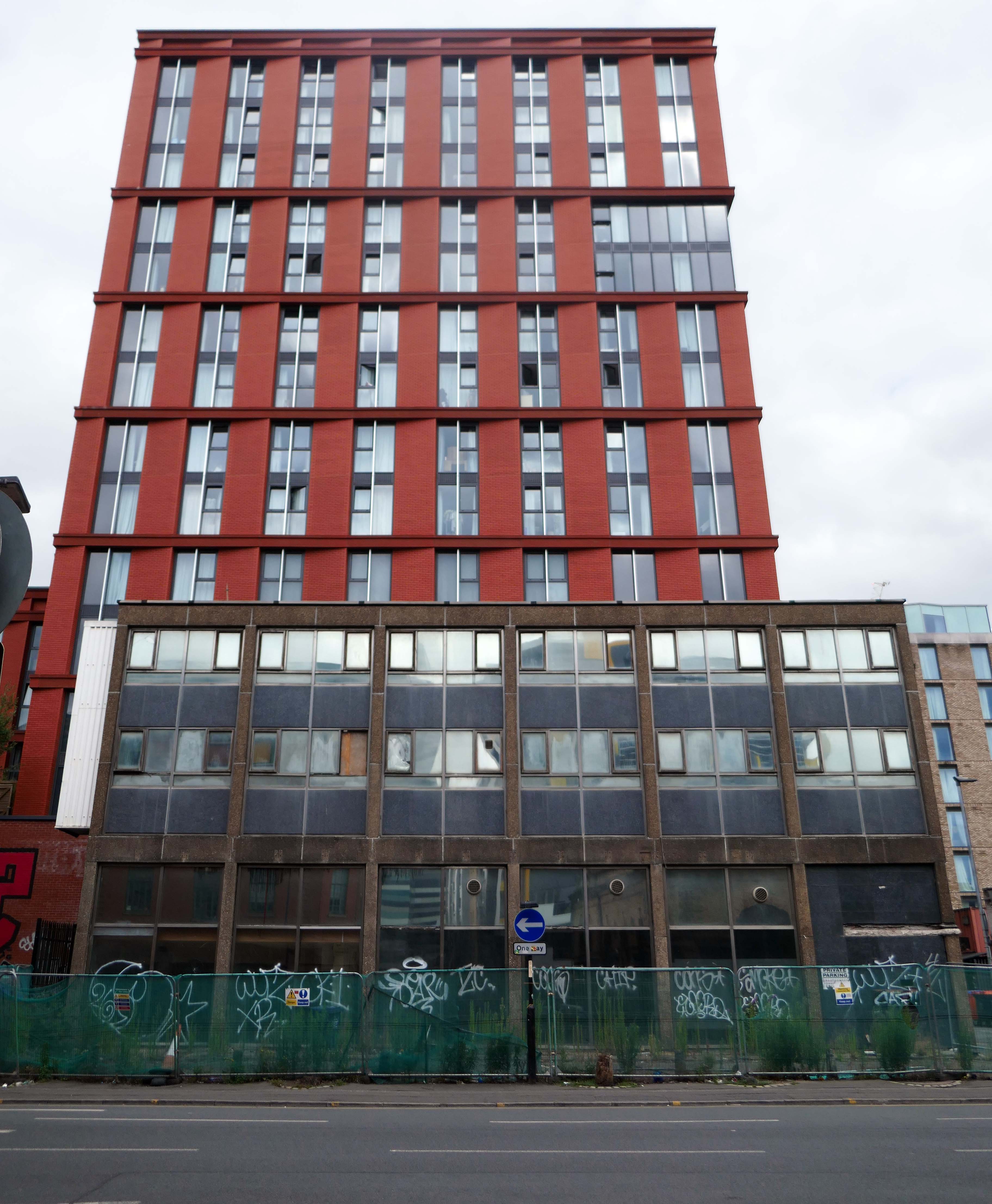
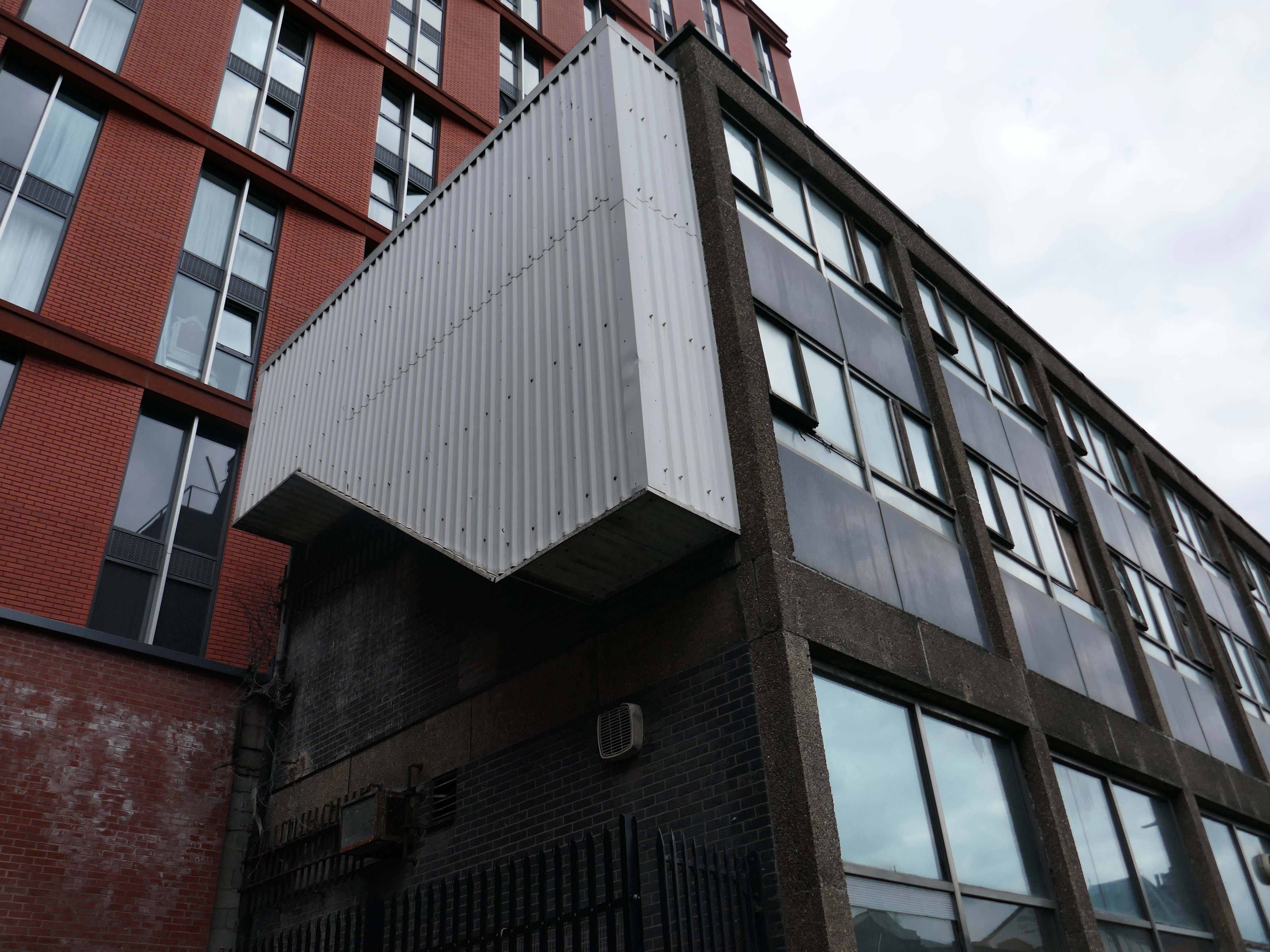
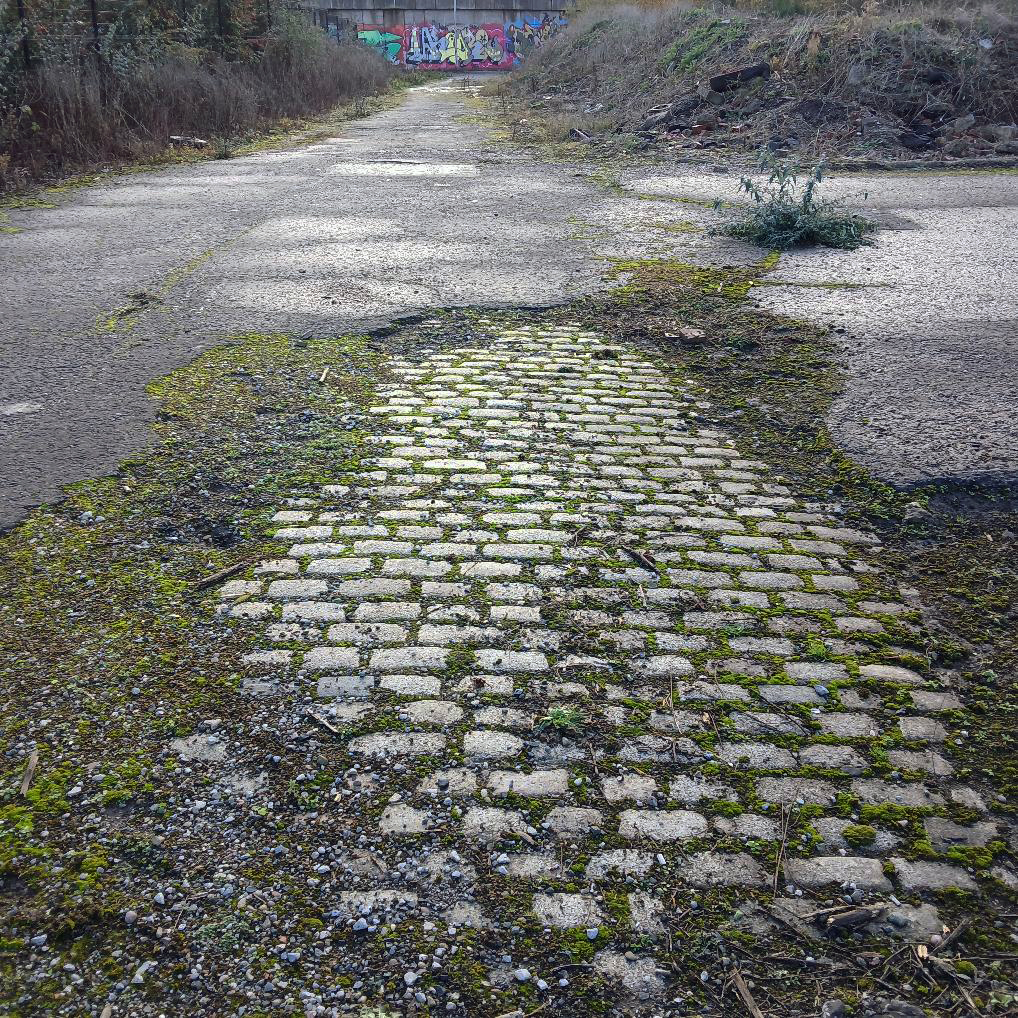
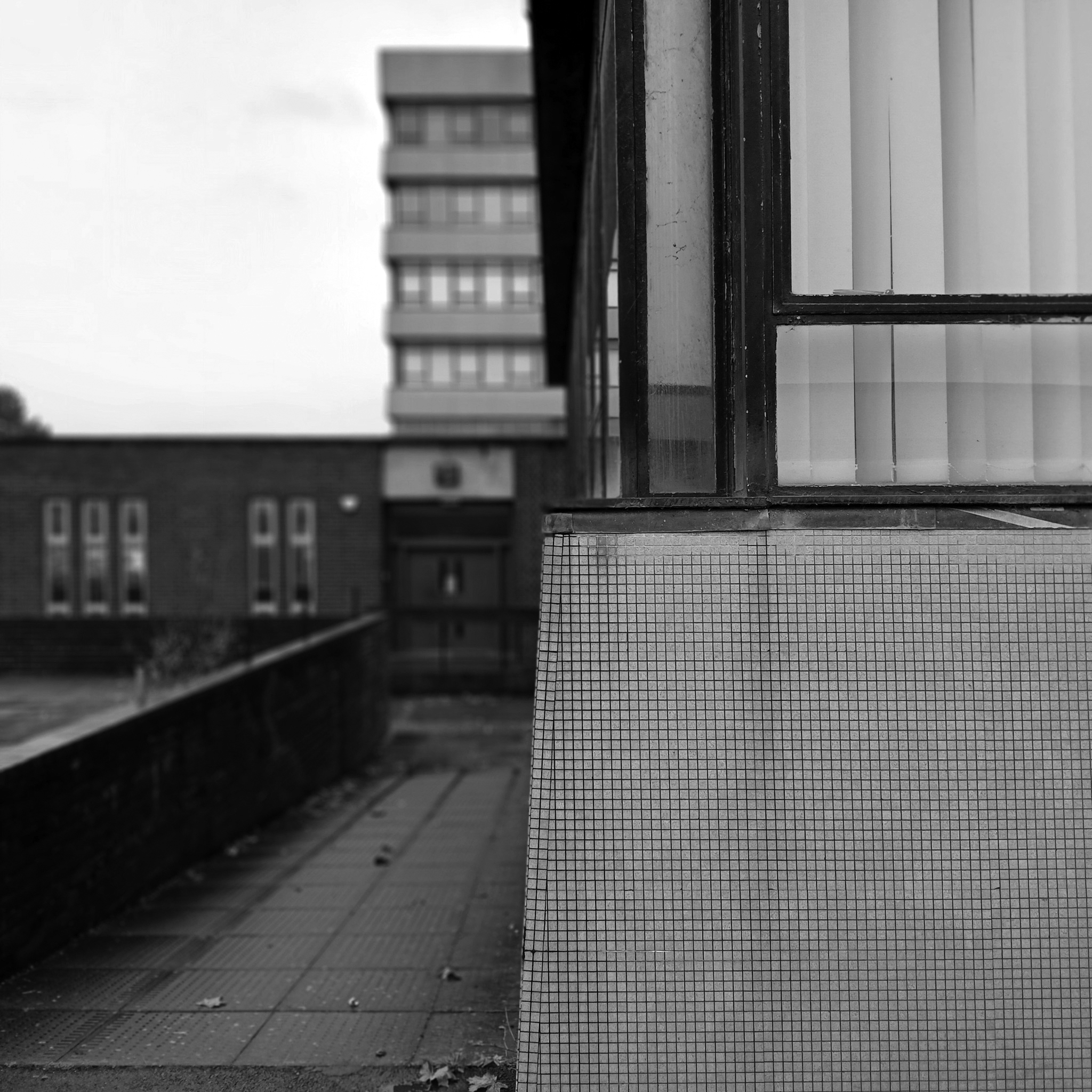
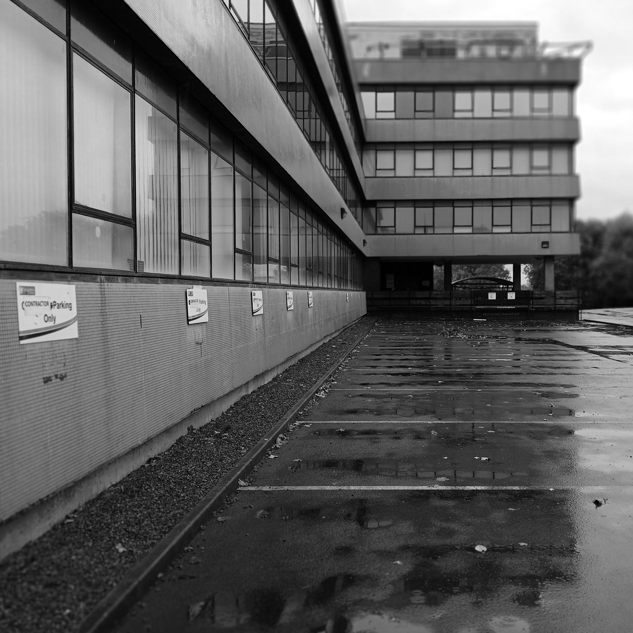
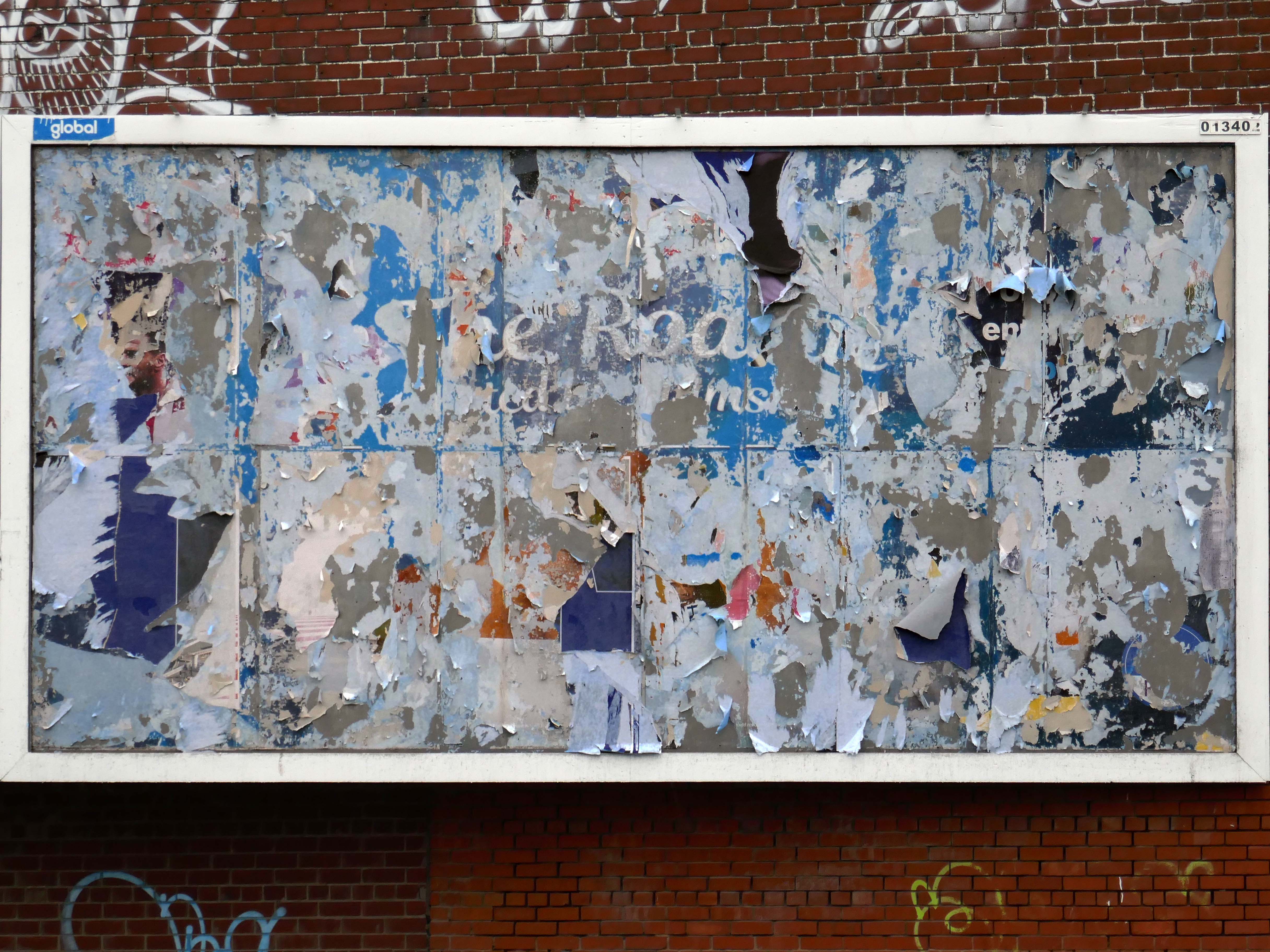
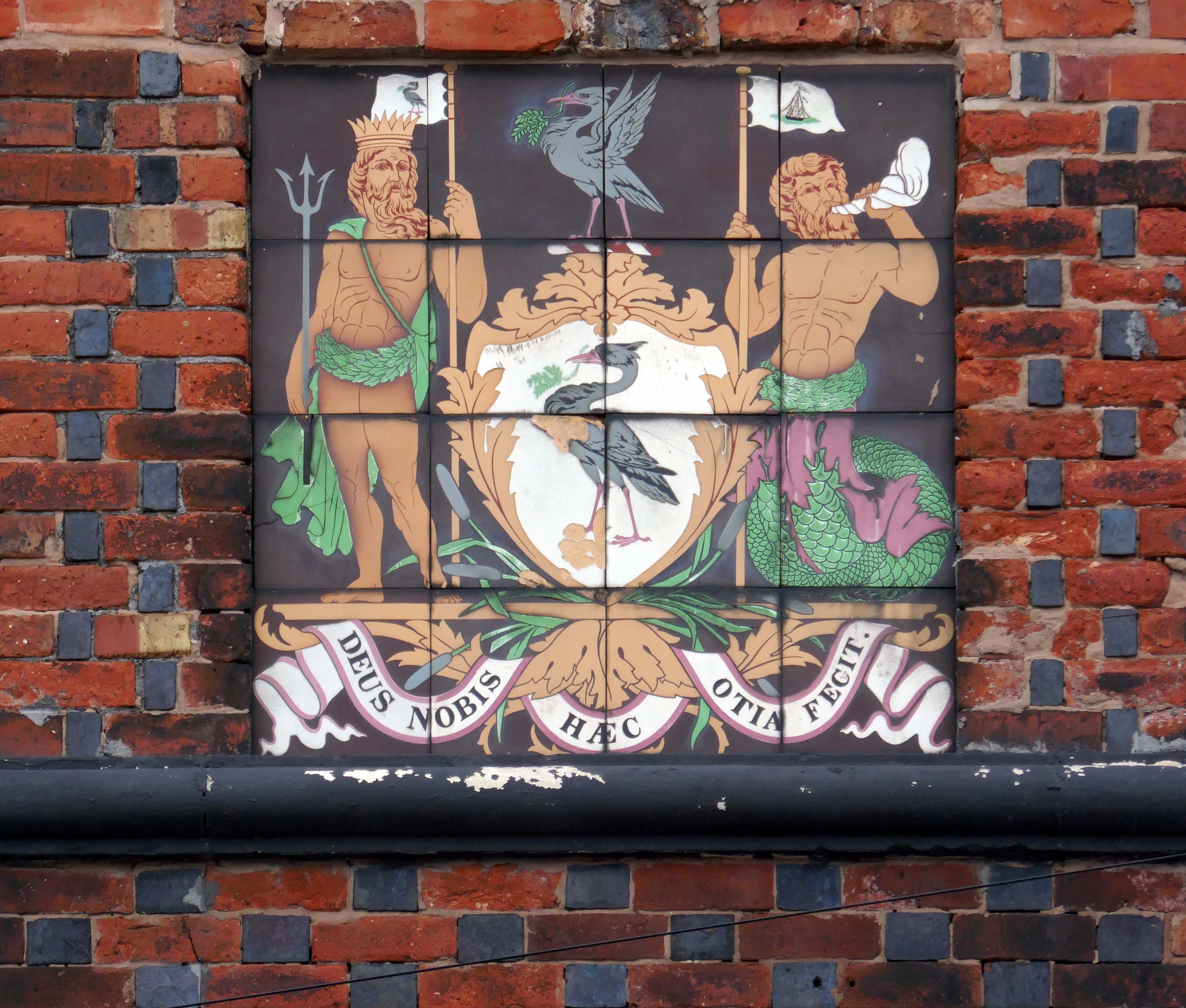
By 1870 there are a number of streets which now no longer exist, along with the homes and industry, they have been subsumed by car parks.
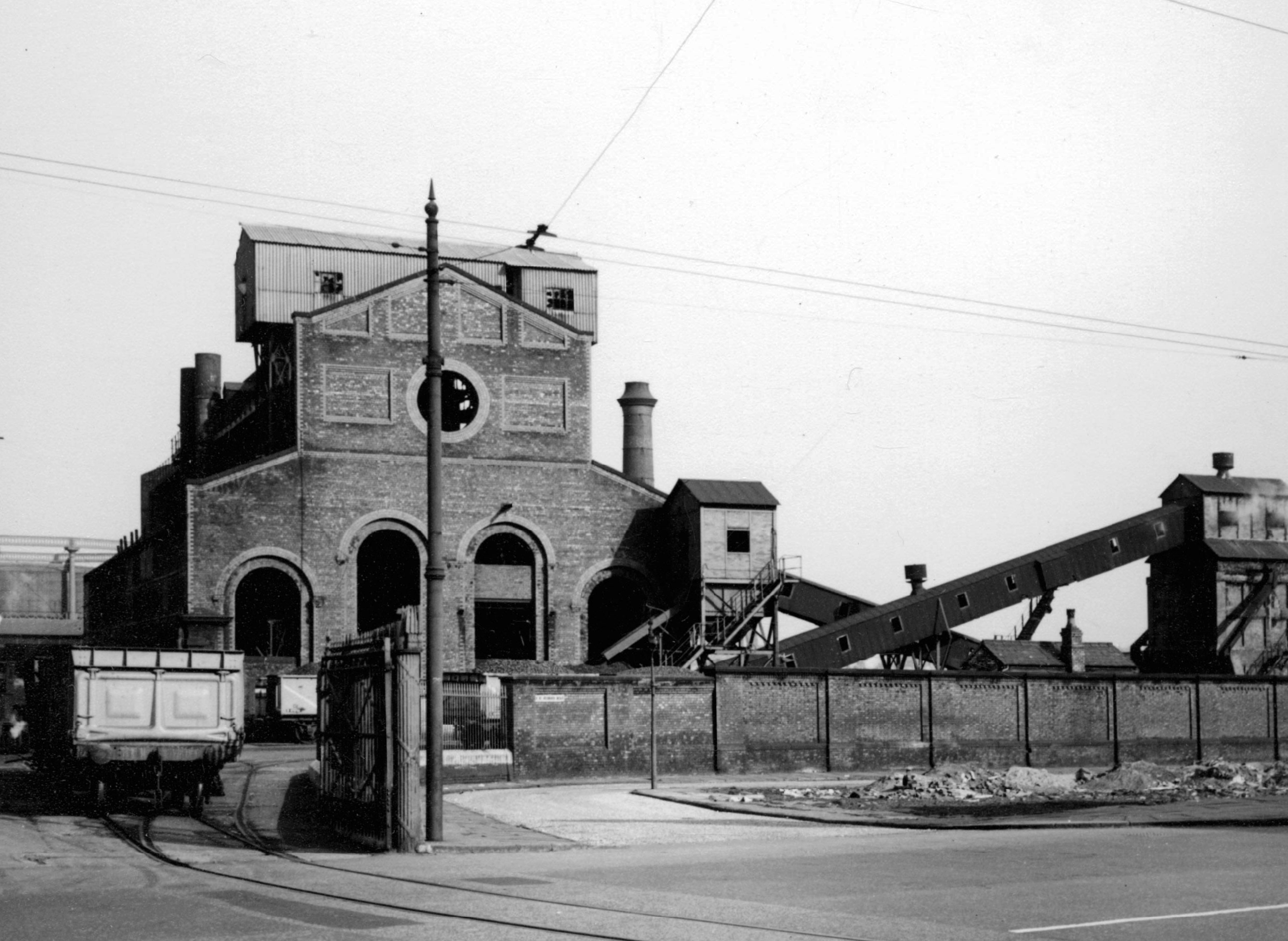
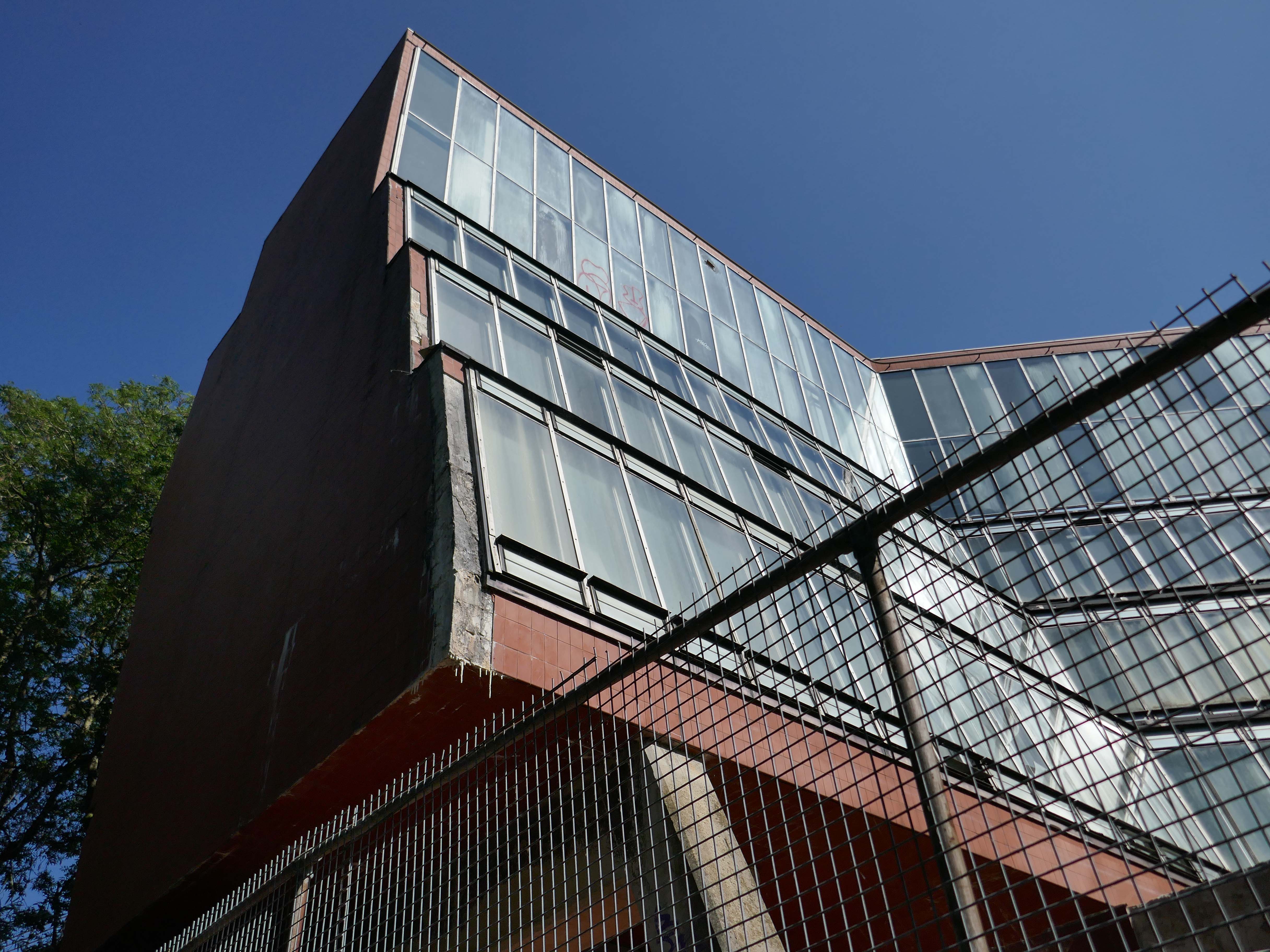
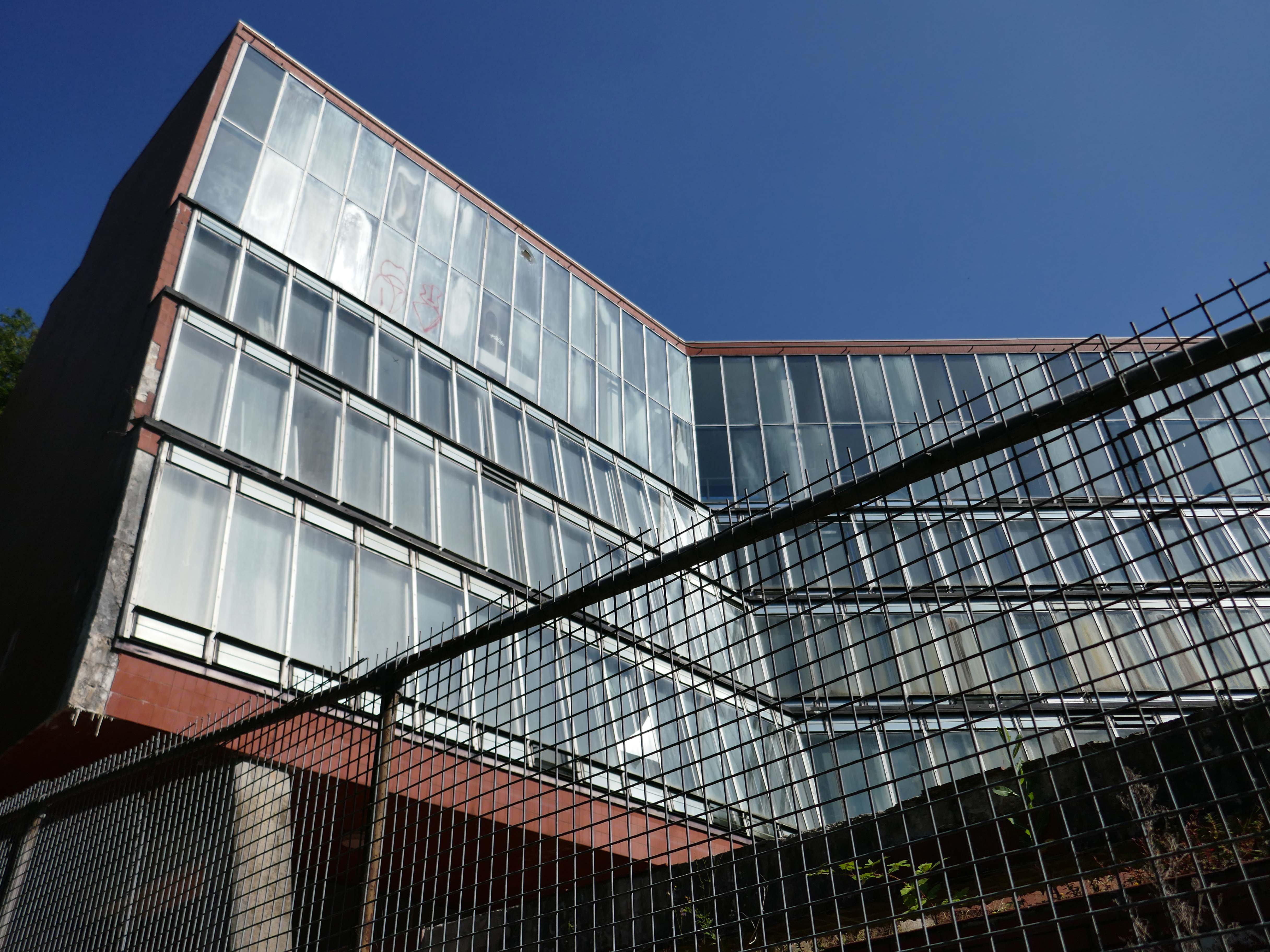
In 1960 the Rochdale Road Gas Works built in 1824, is then still extant.
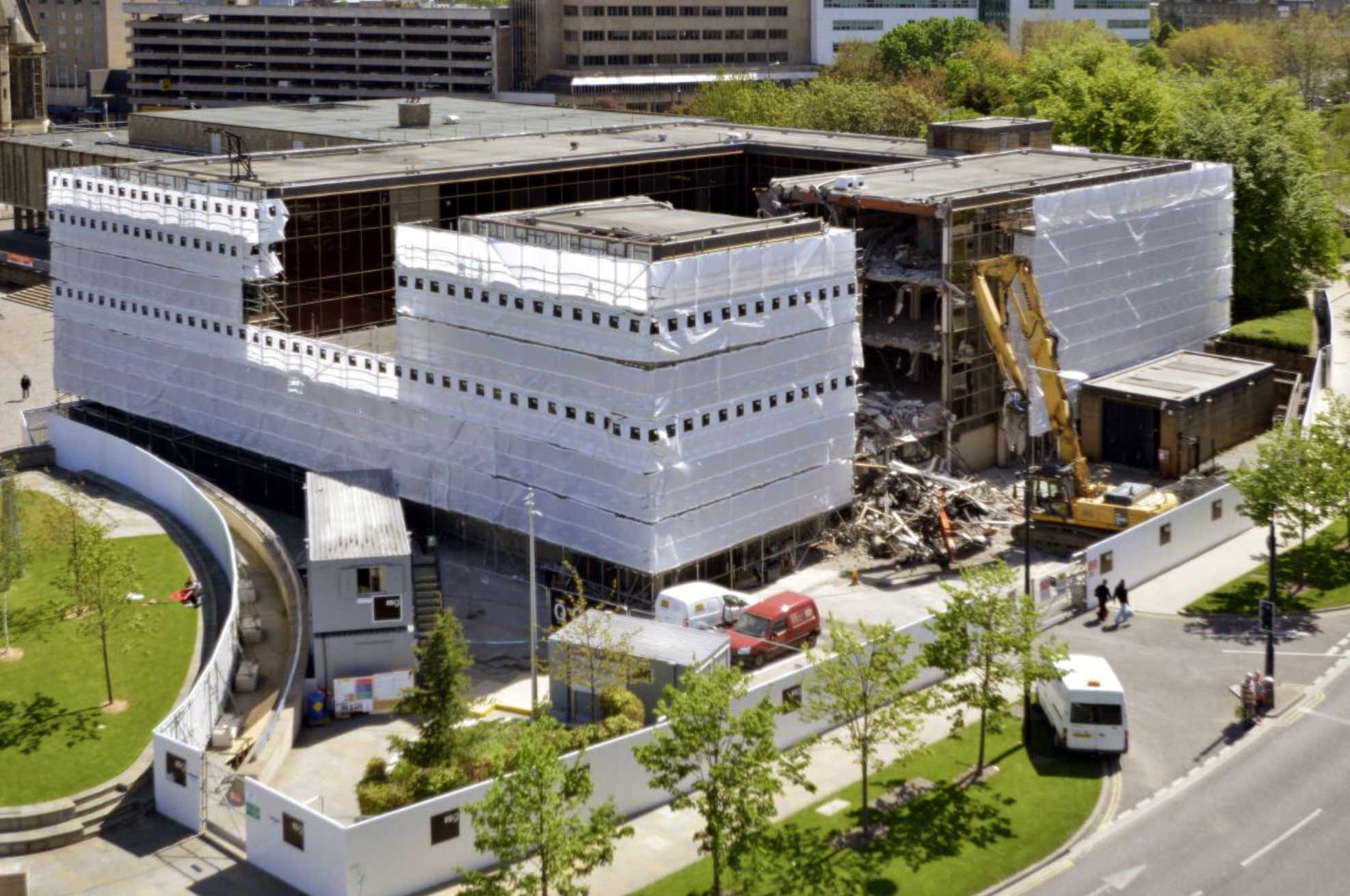
The expansive site spanned over nine acres, including four retort houses, with a capacity of producing 8,500,000 cubic feet of gas daily. Since the end of the 18th century, the site was home to a locomotive/goods shed outside of the main works tramline infrastructure which was used for coal transportation for off-site refining. In the early 1940s, reorganisation and reconstruction ledto alterations and clearance of existing above-ground structures.
Image – Britain from the Air
Image 1907 J Jackson Manchester Local Image Collection.
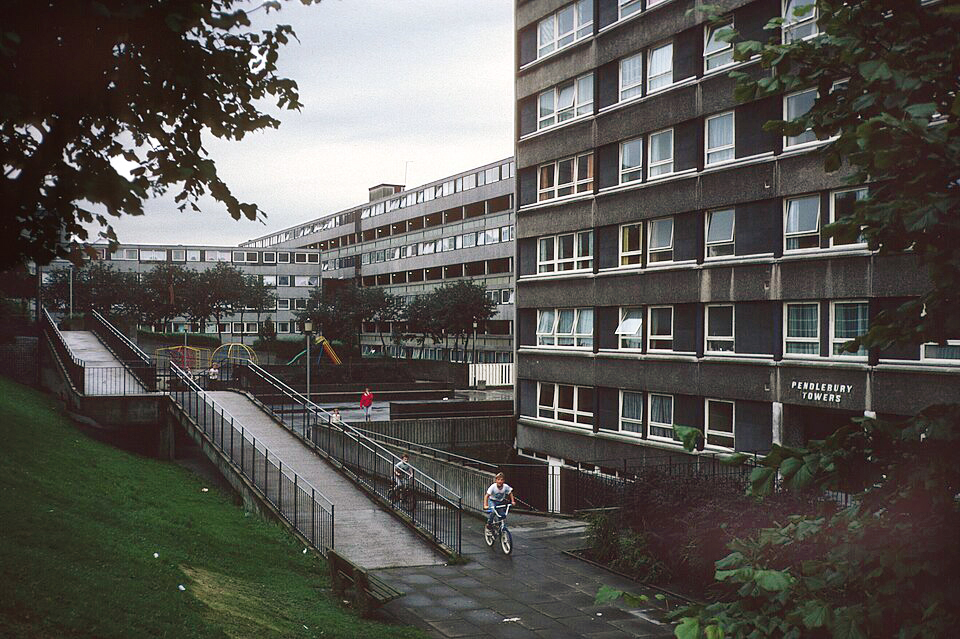
Image 1958 Lawrence Kaye Manchester Local Image Collection.
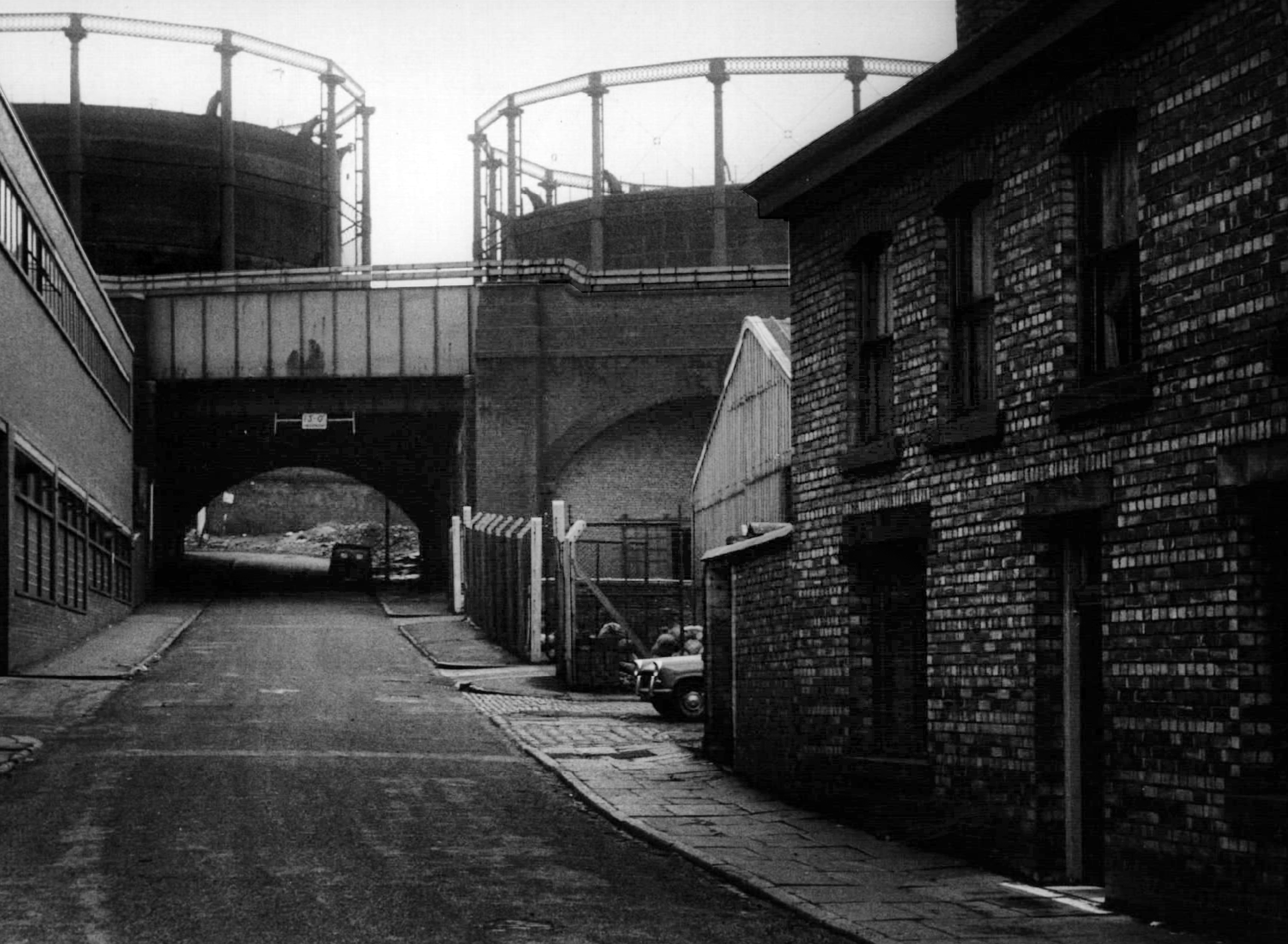
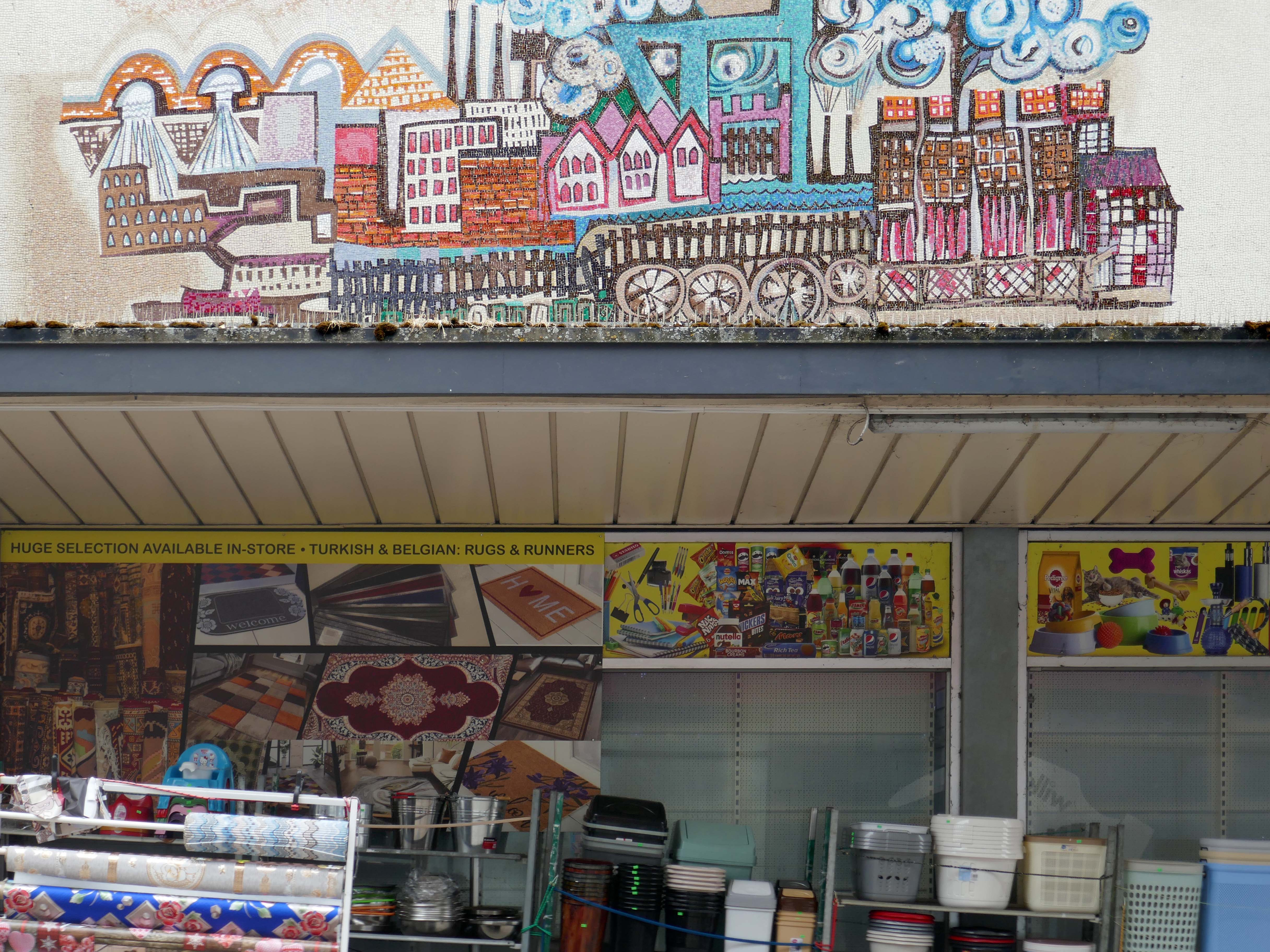
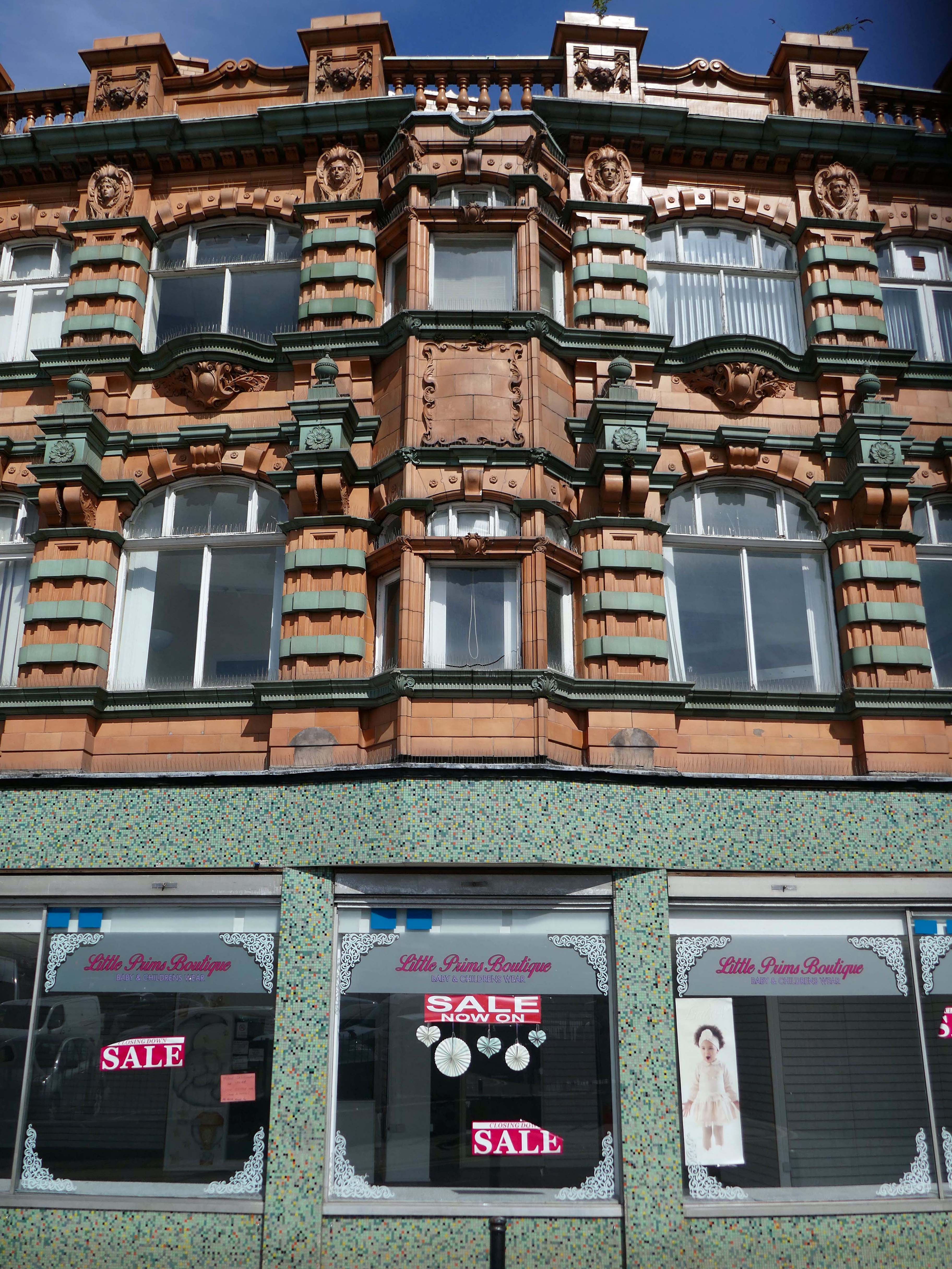
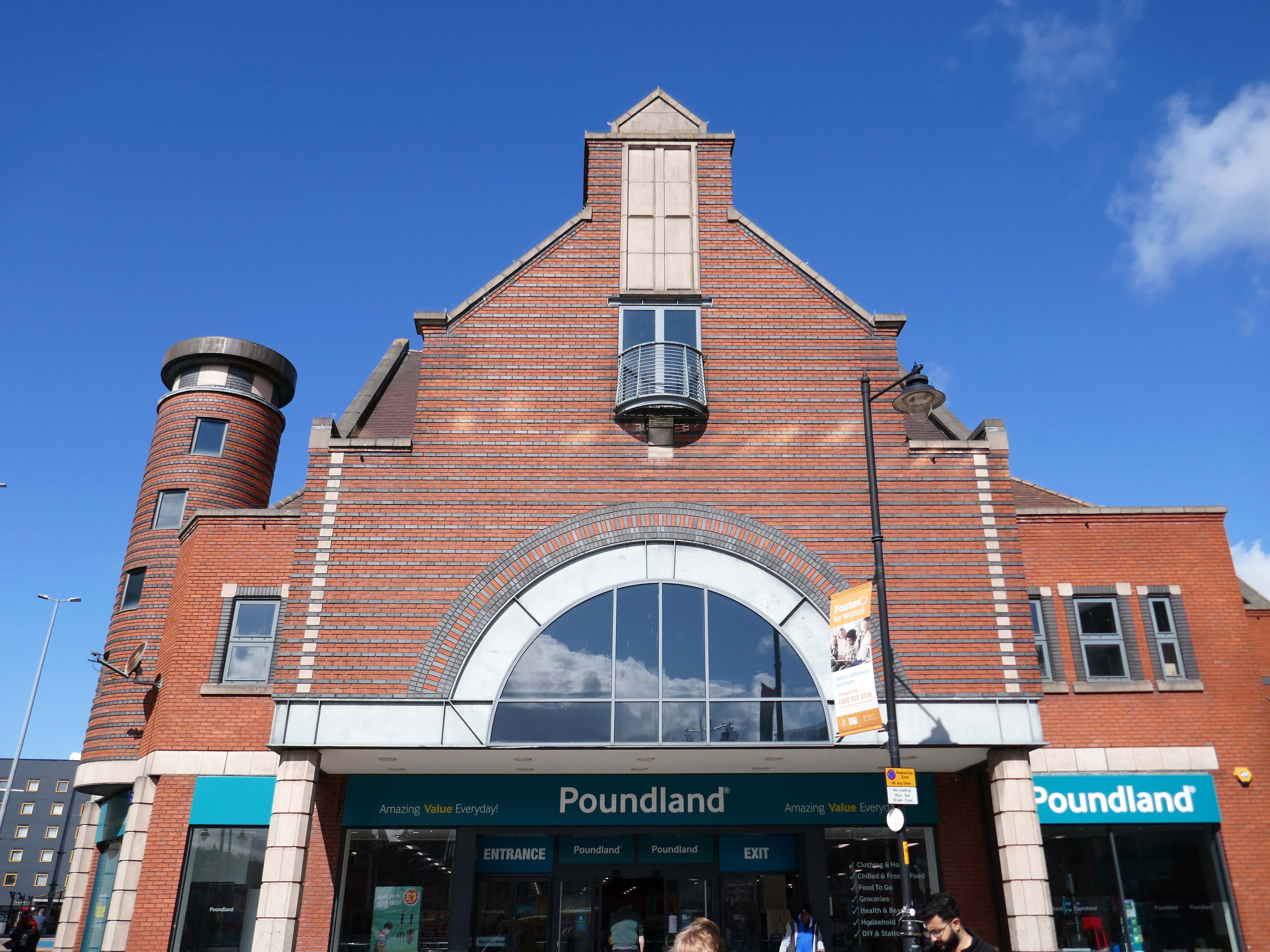
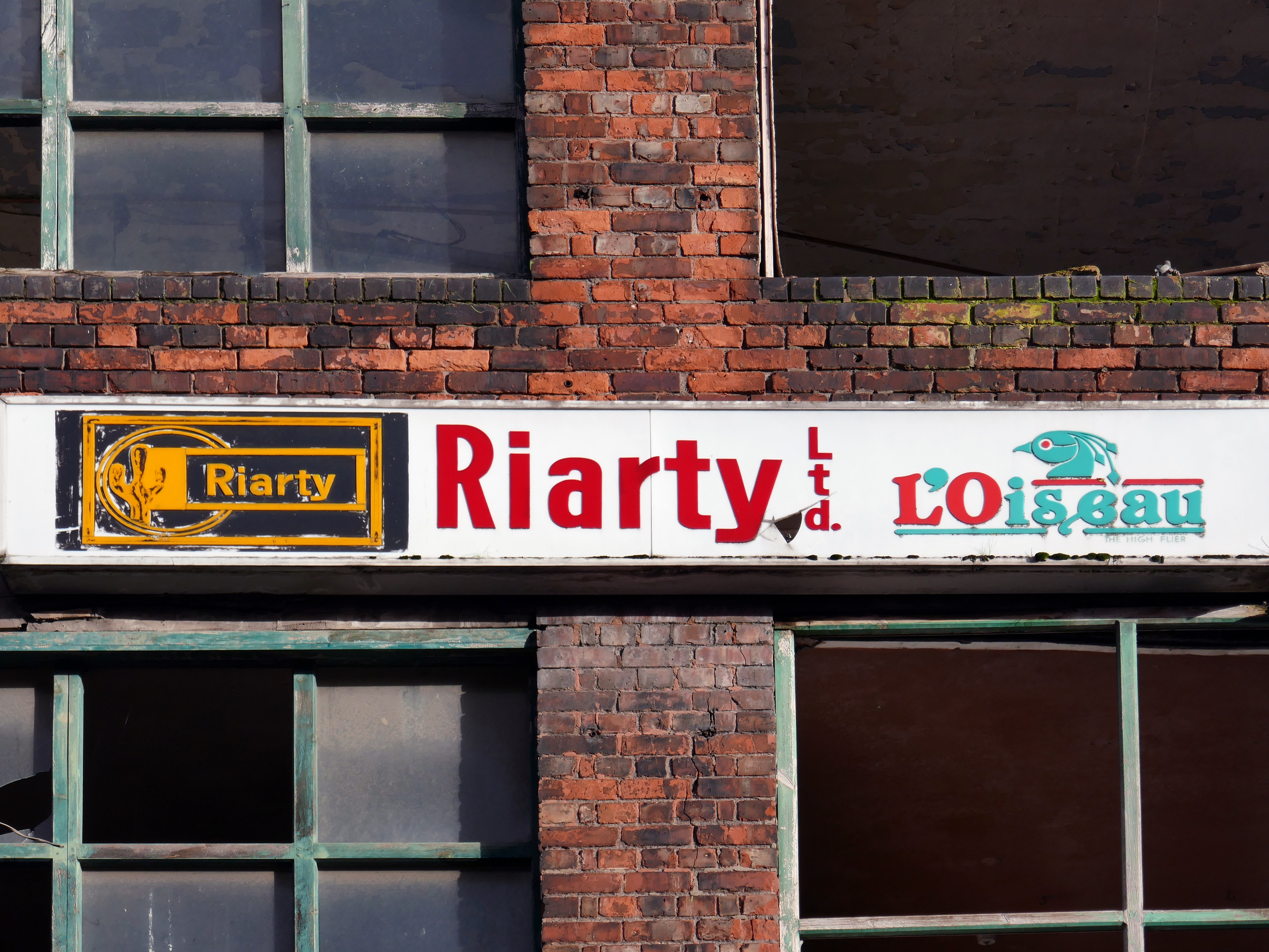
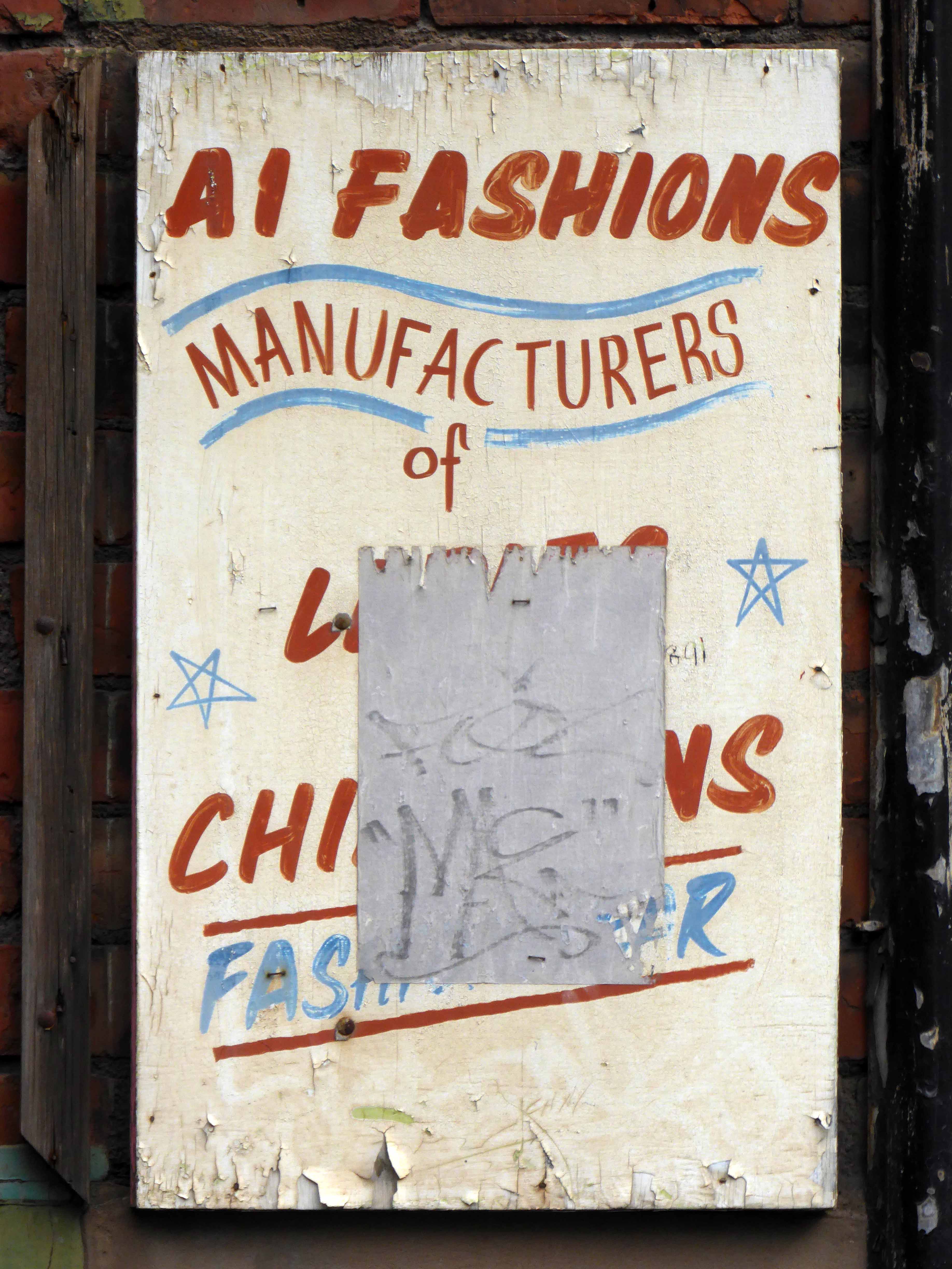
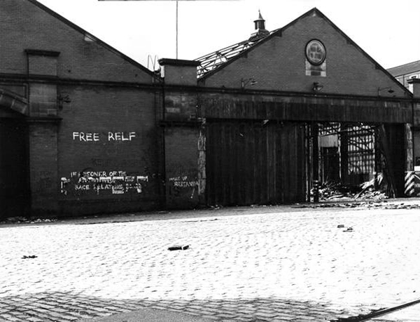
Bromley Street.
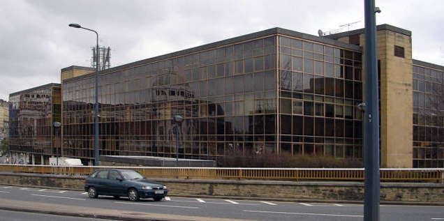
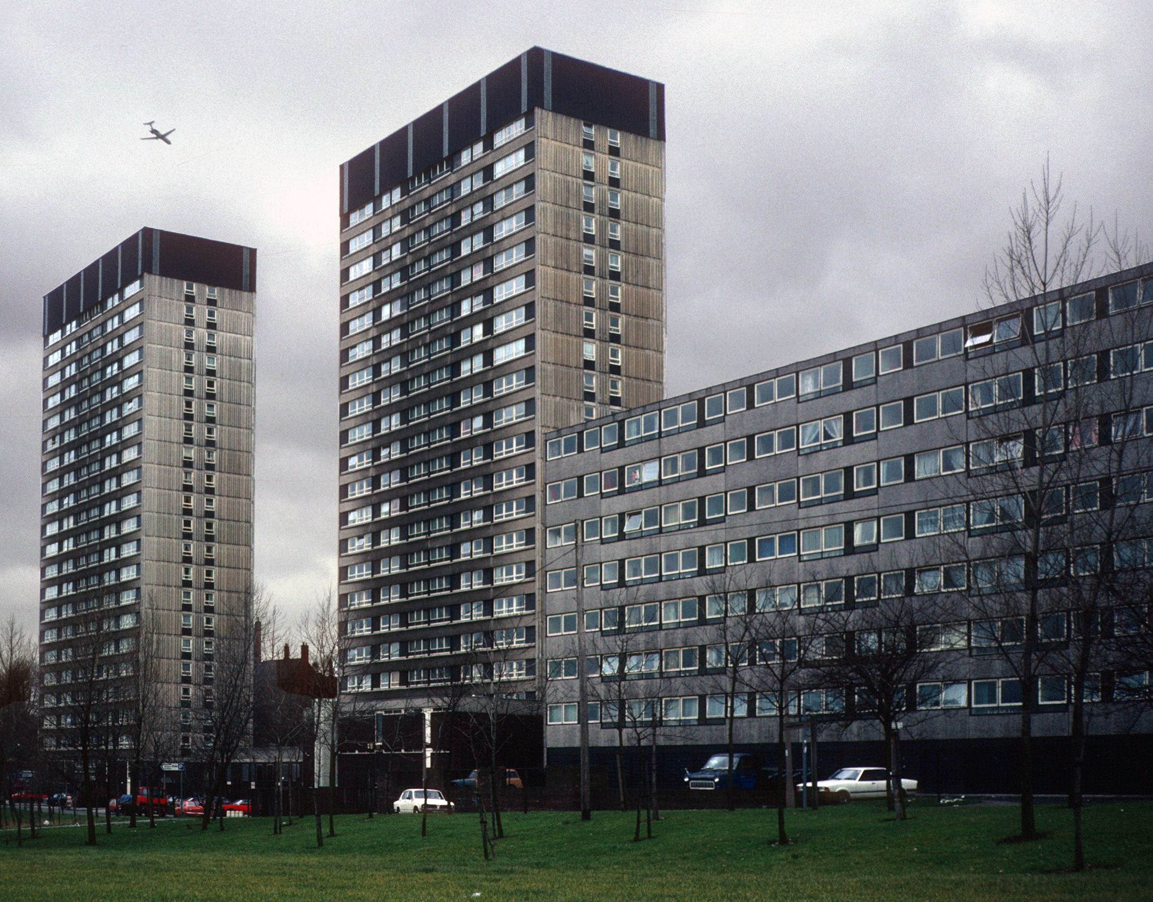
Image 1964 Lawrence Kaye Manchester Local Image Collection.
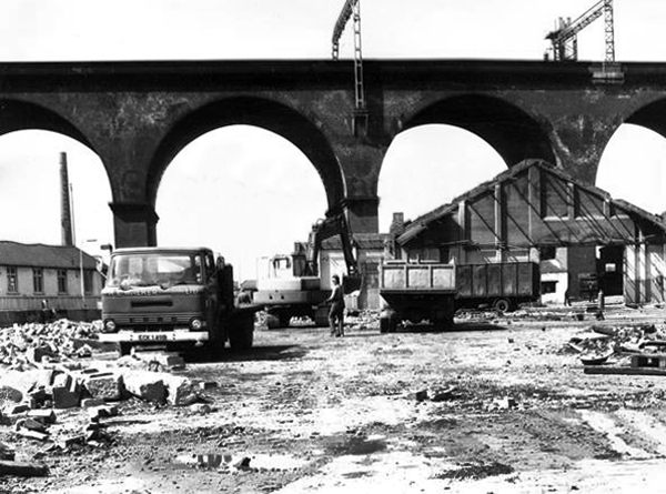
Image 1966 Thomas Brooks Manchester Local Image Collection.
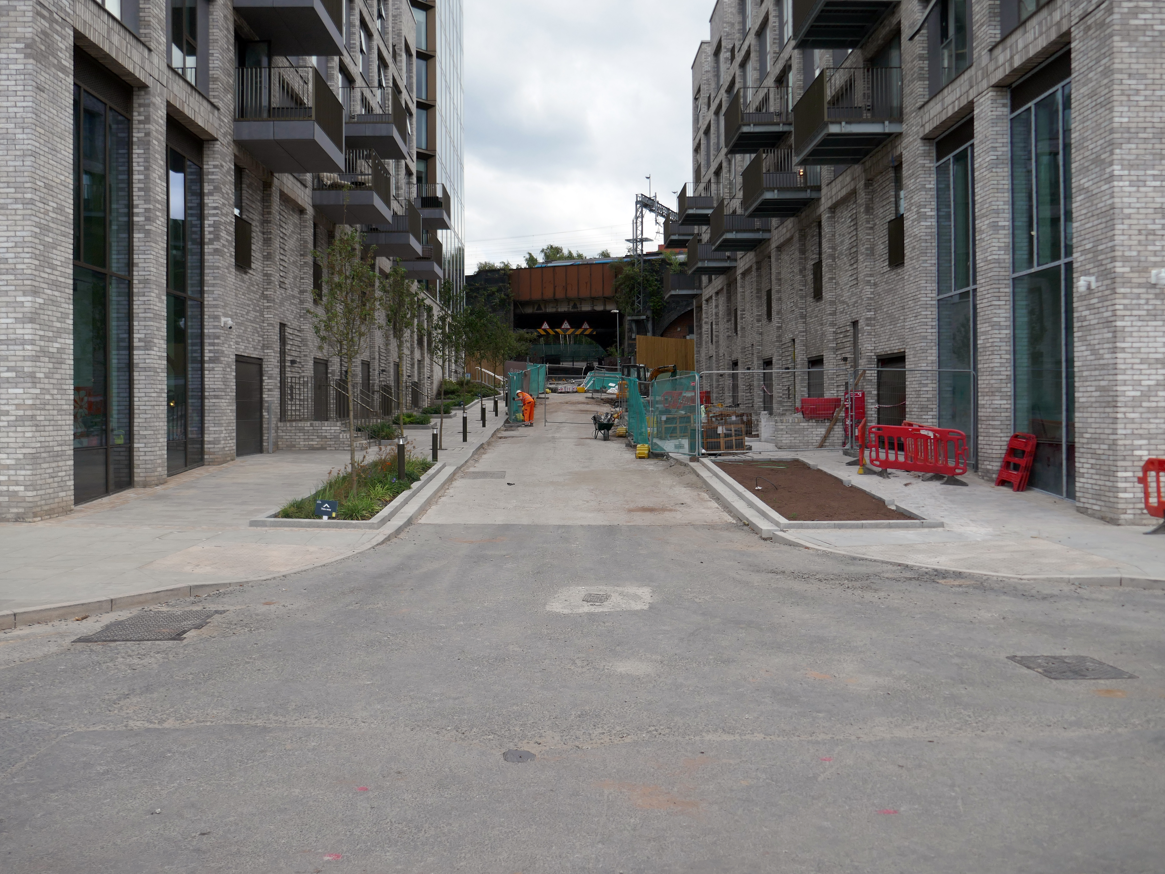
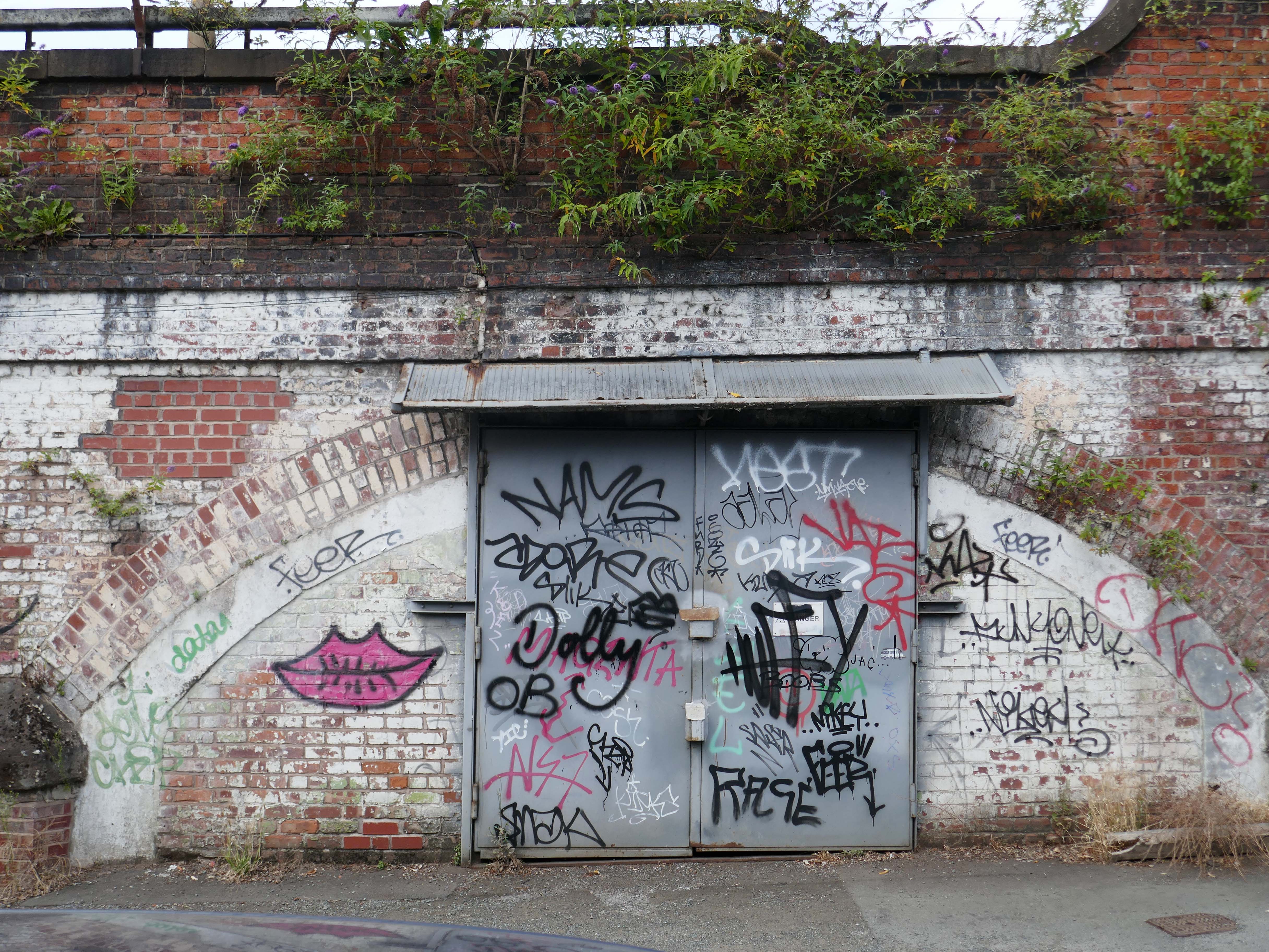
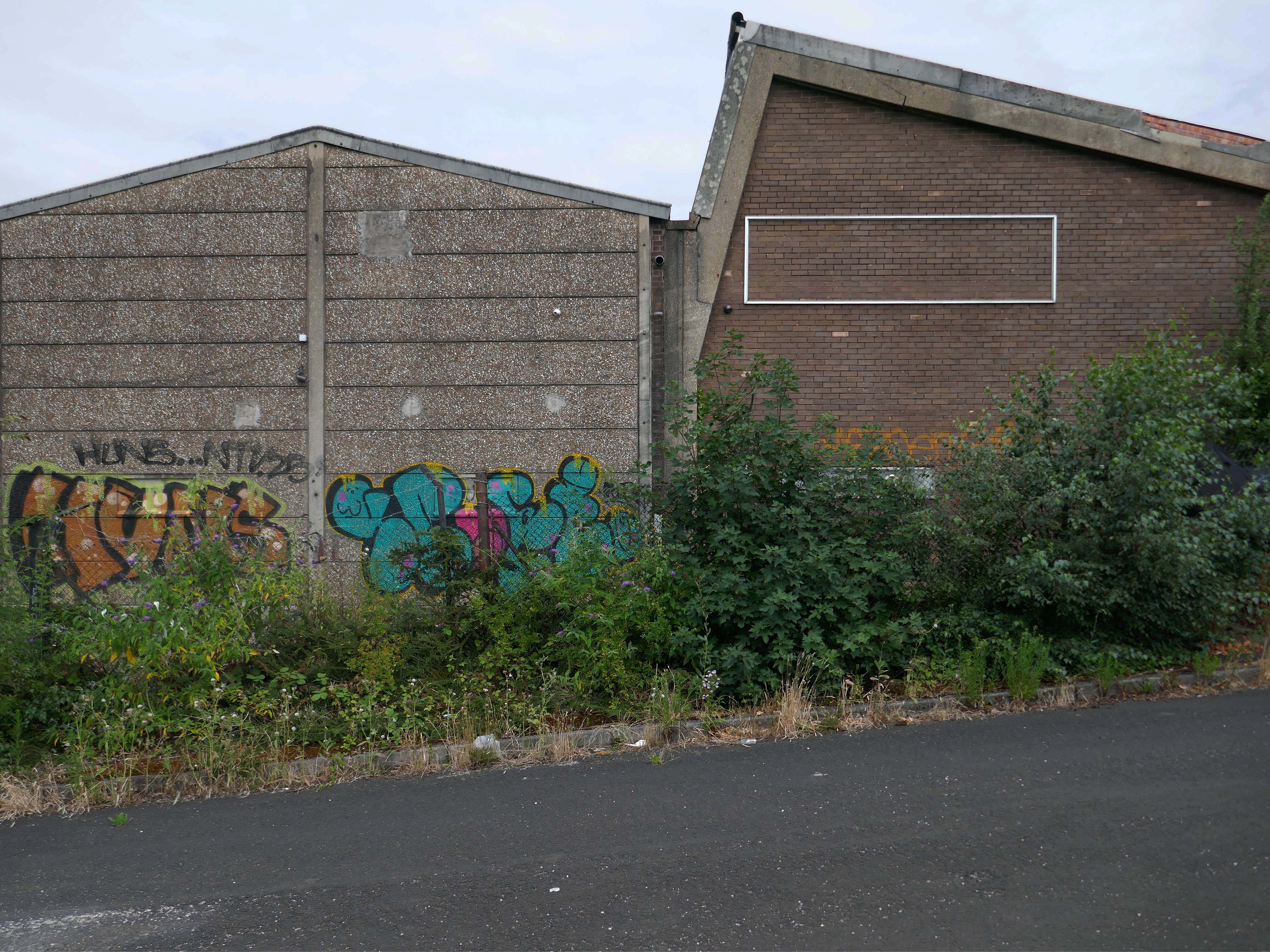
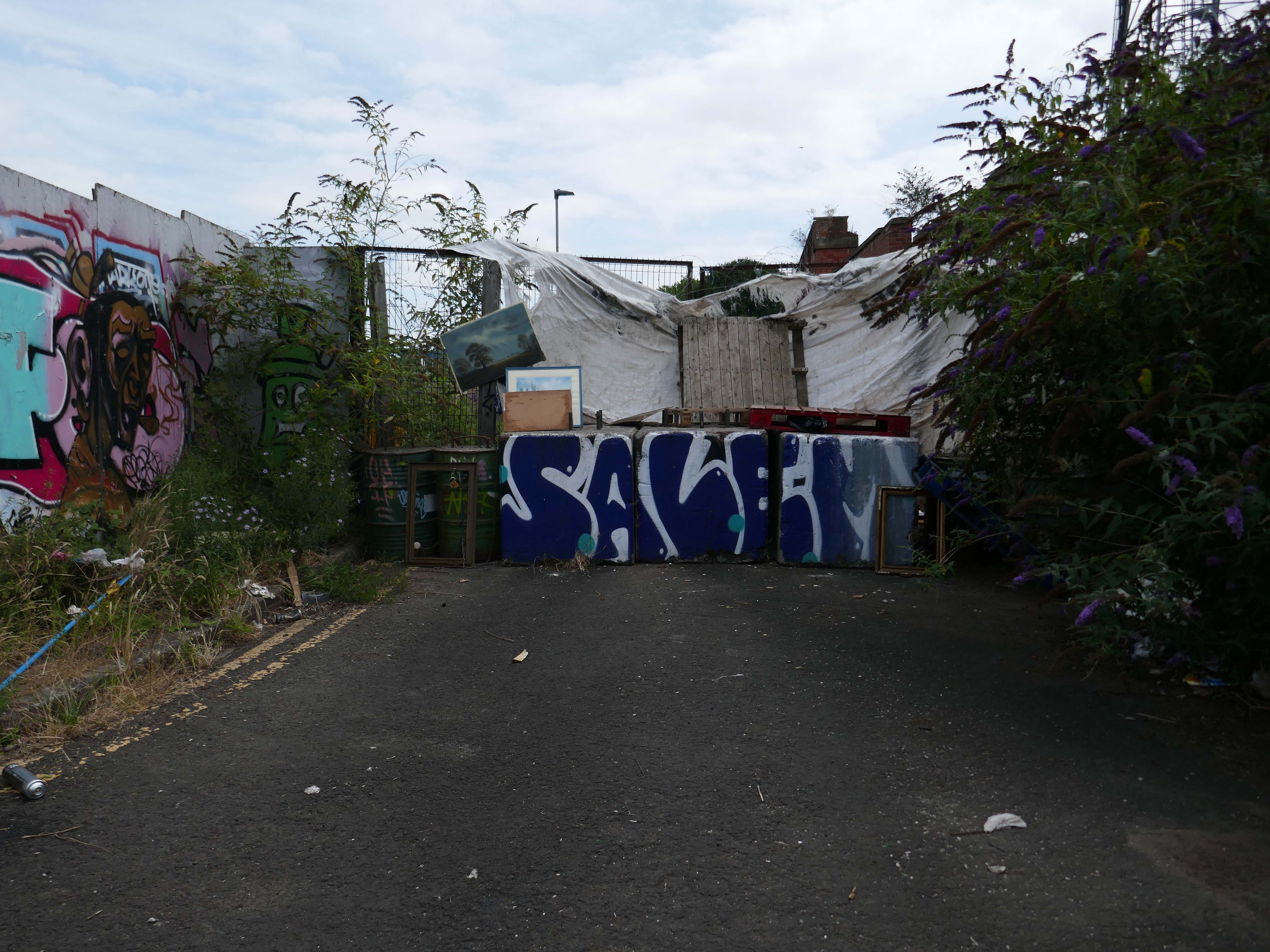
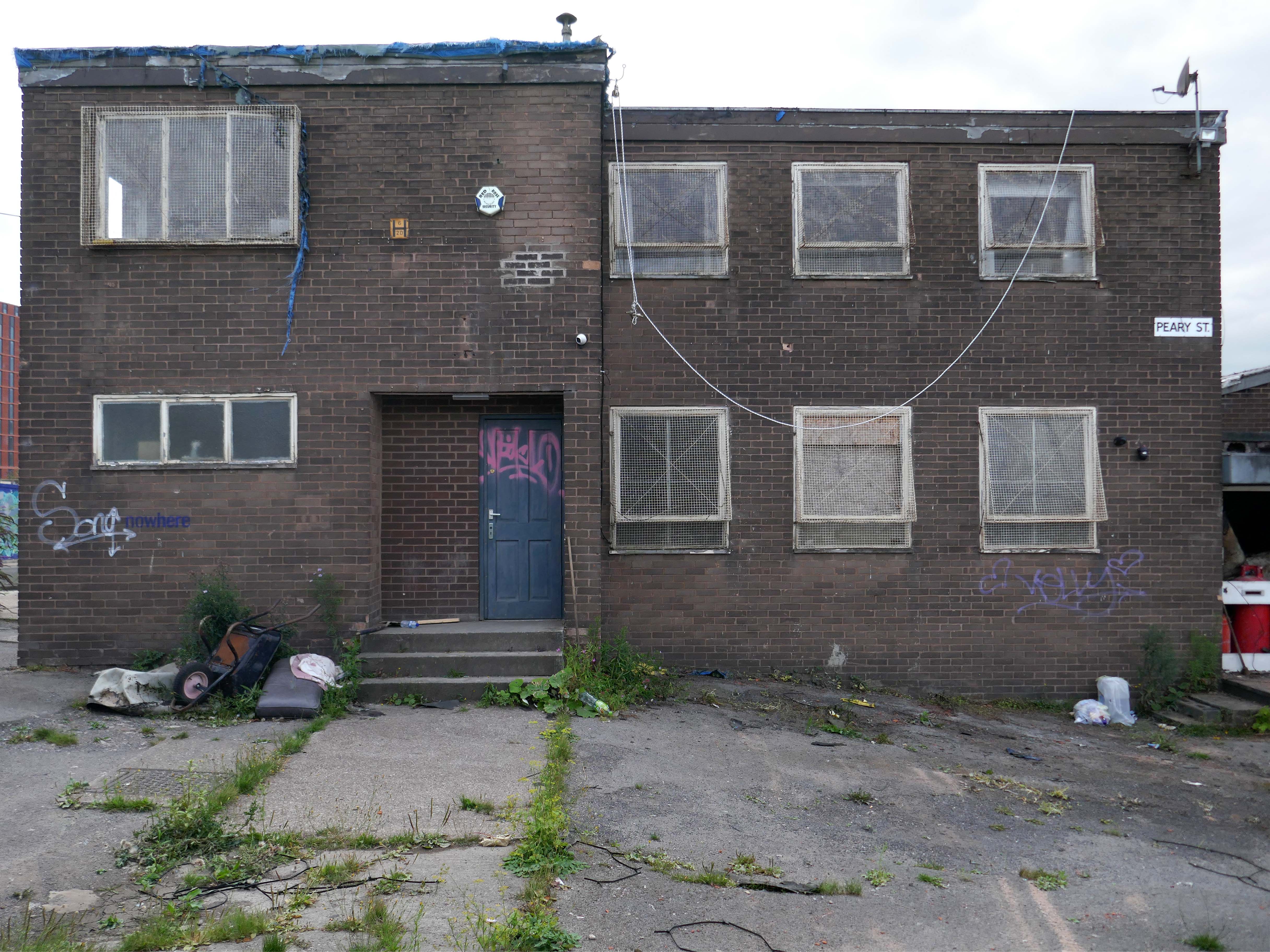
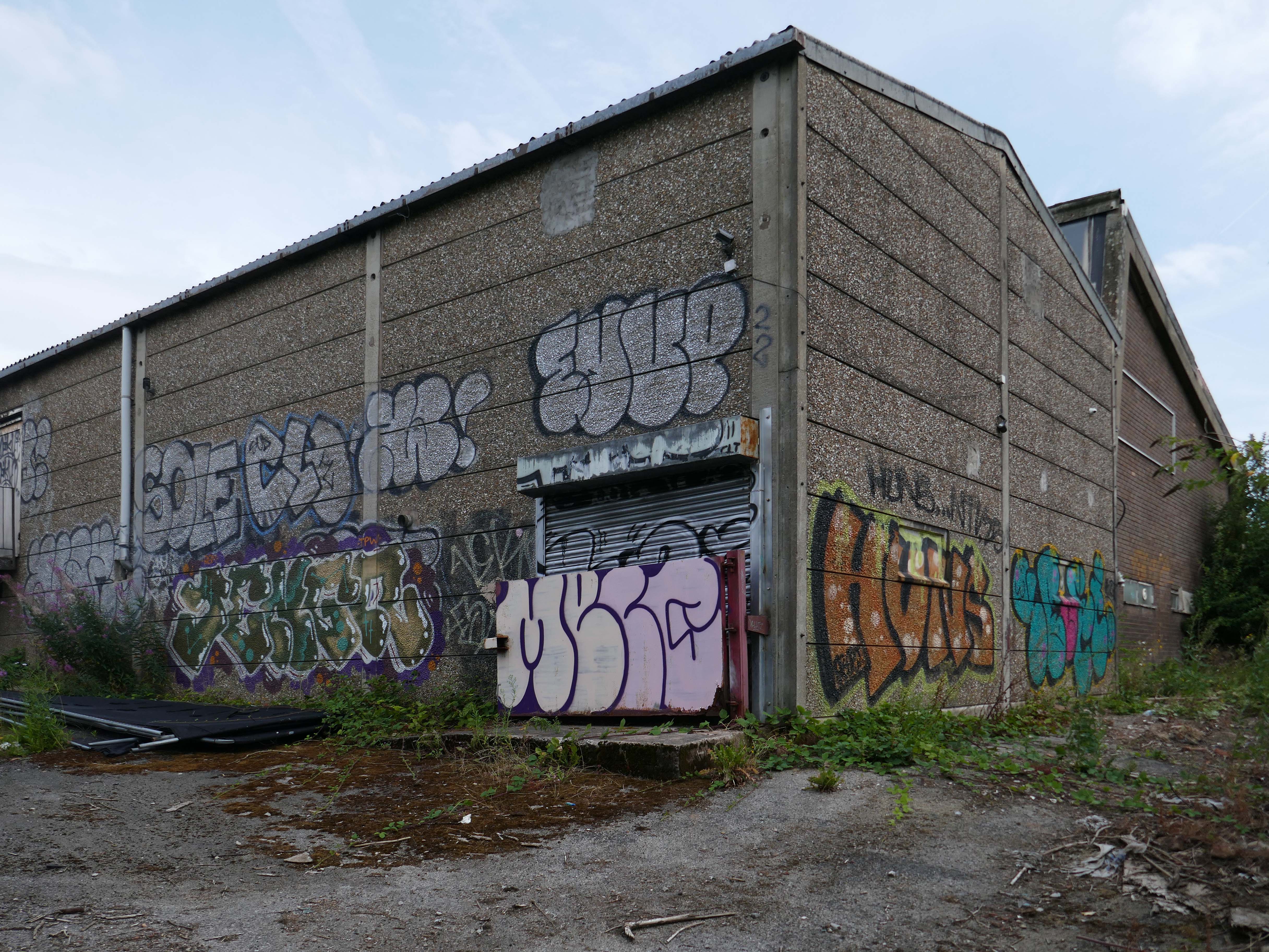
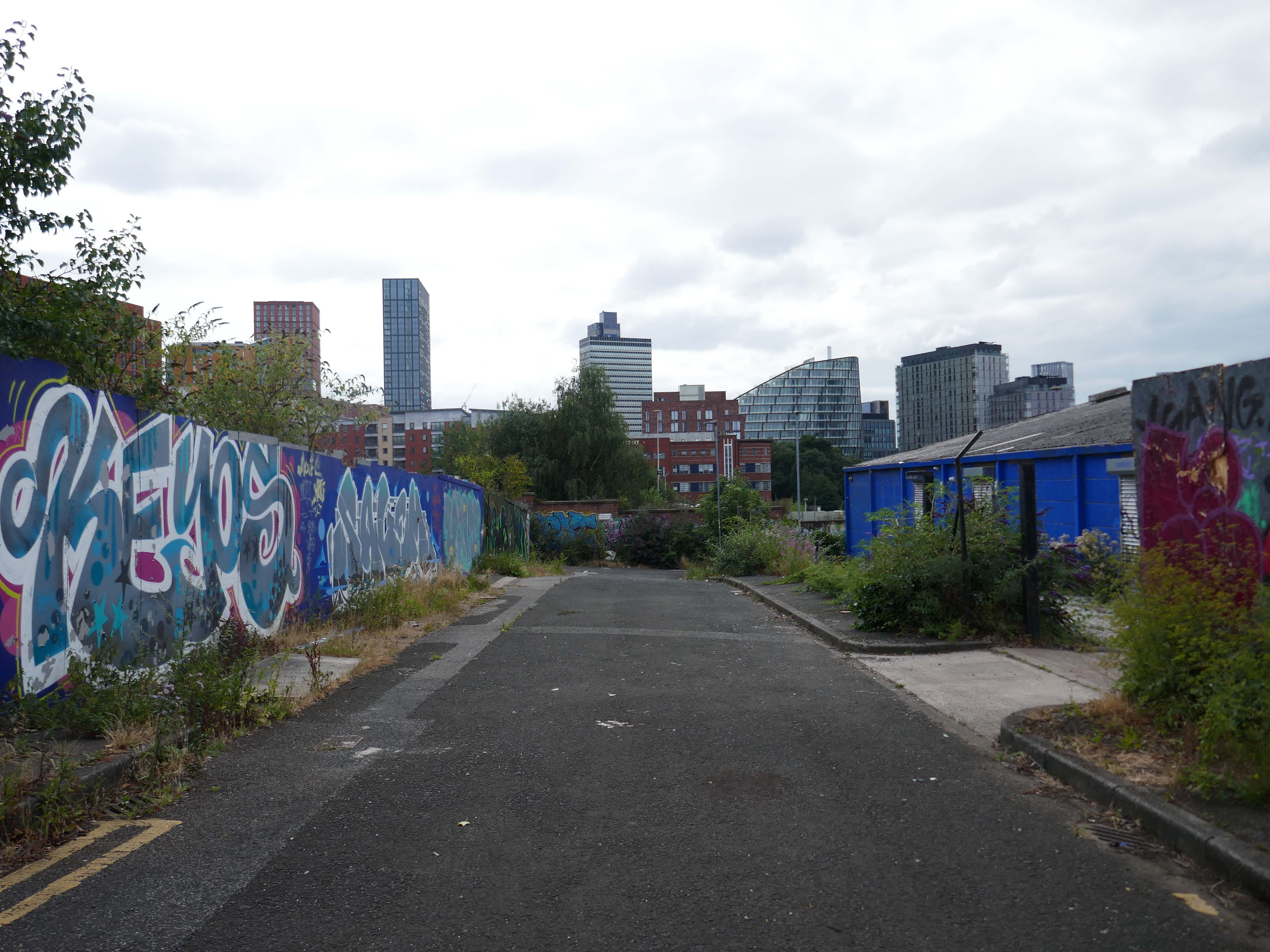
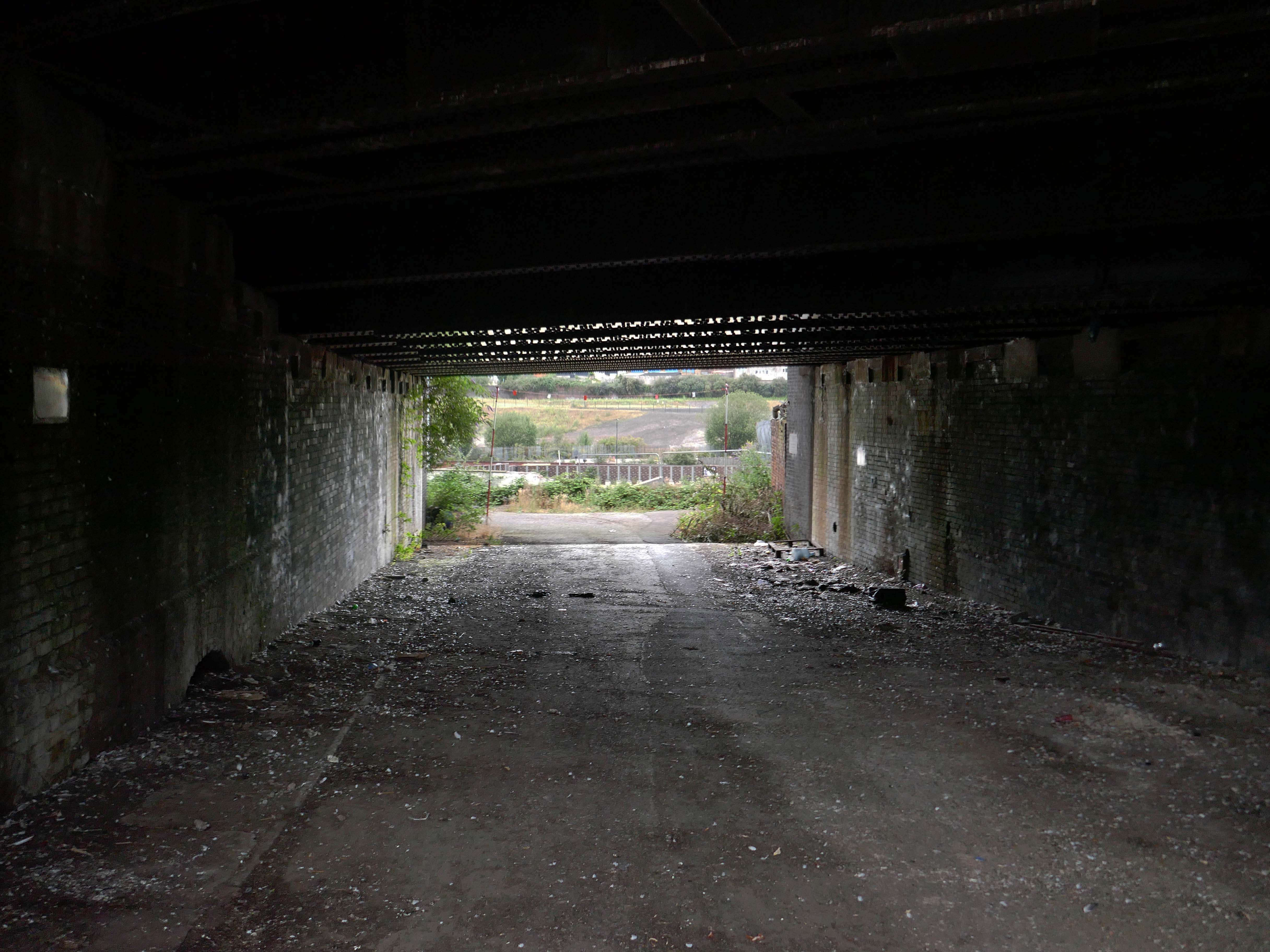
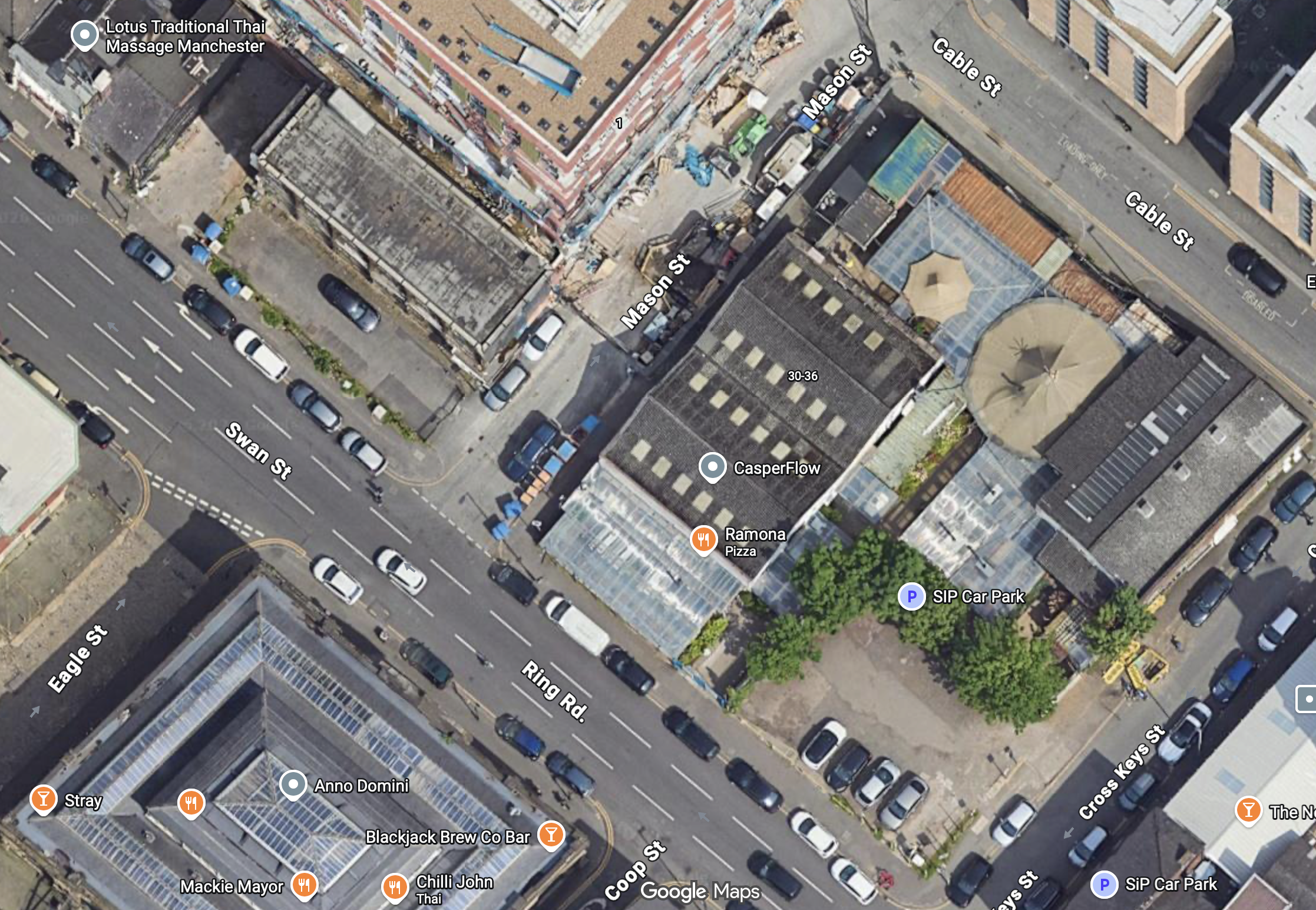
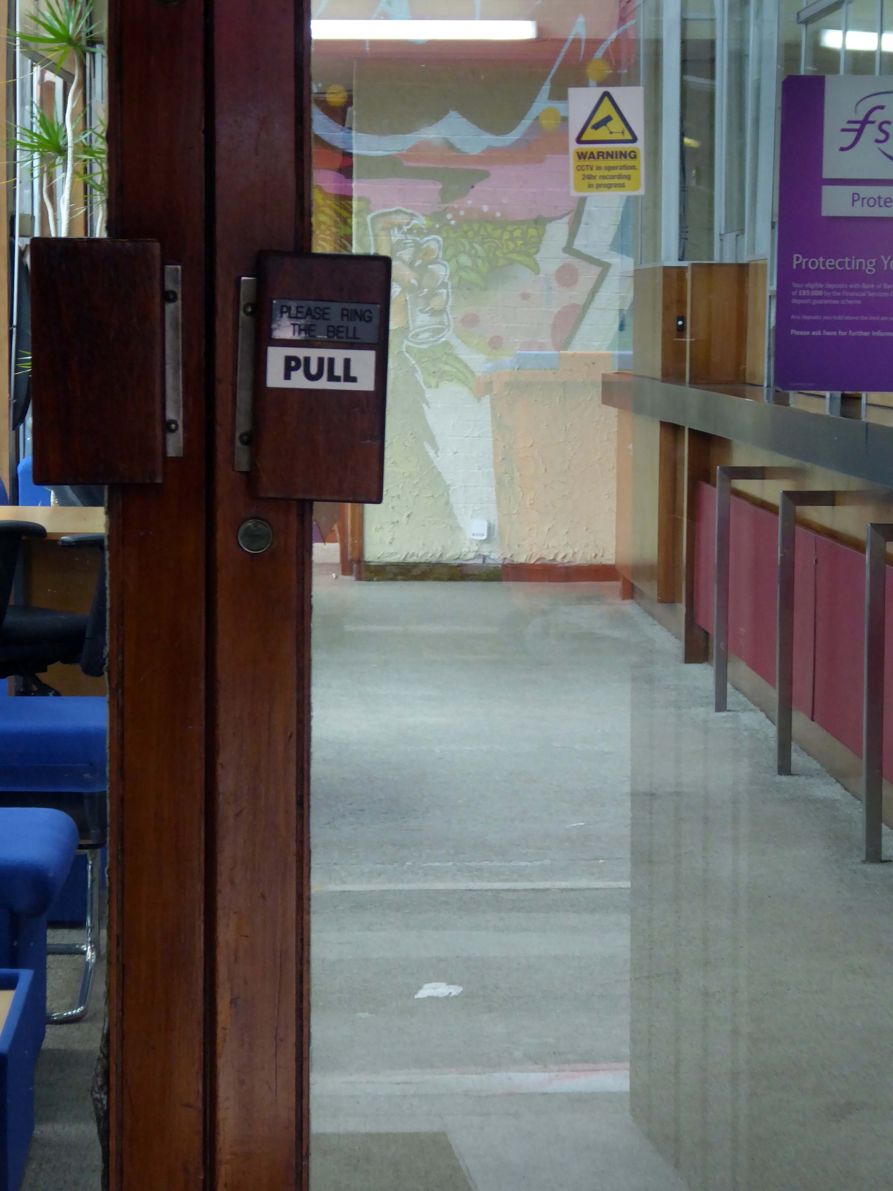
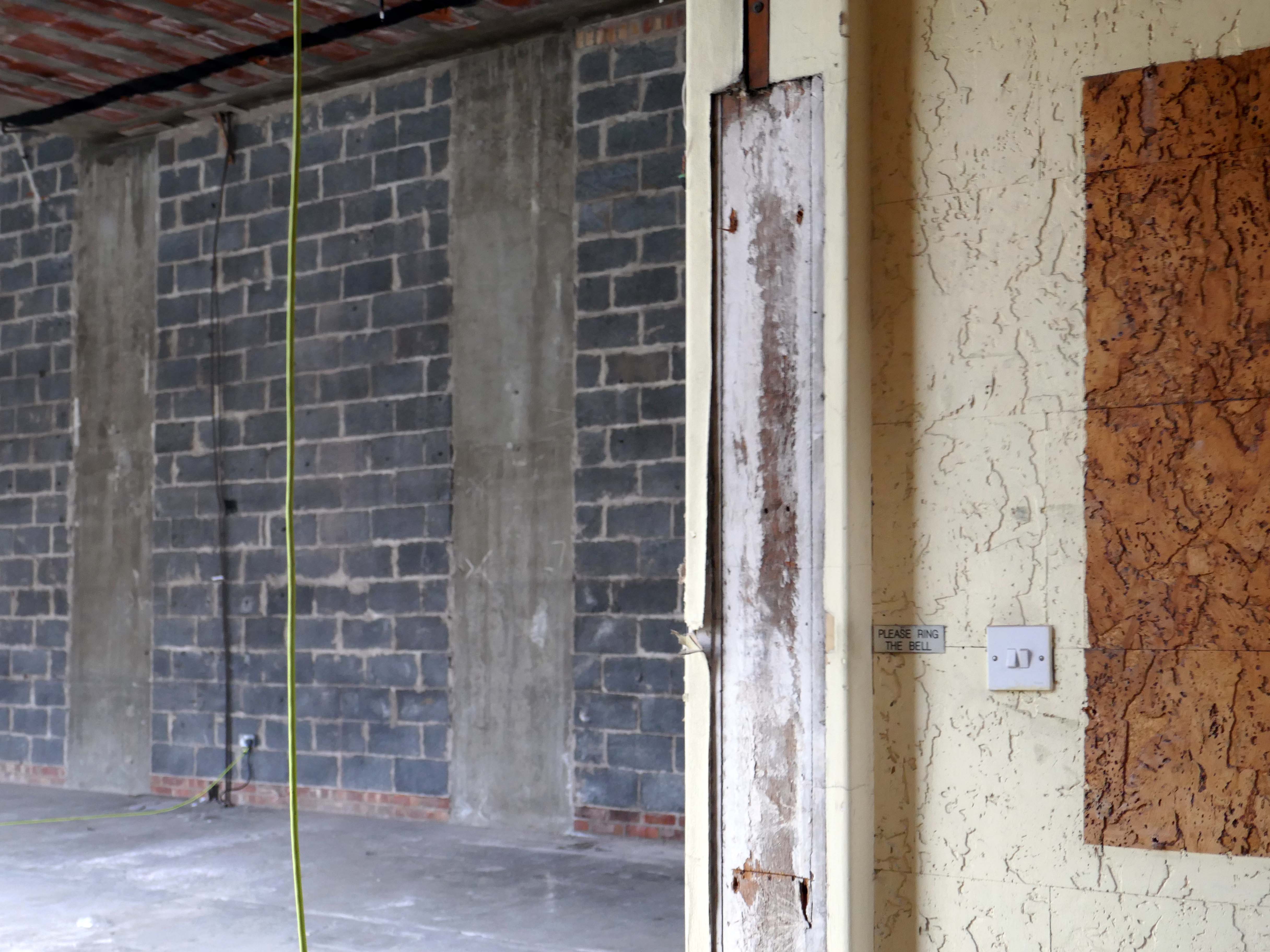
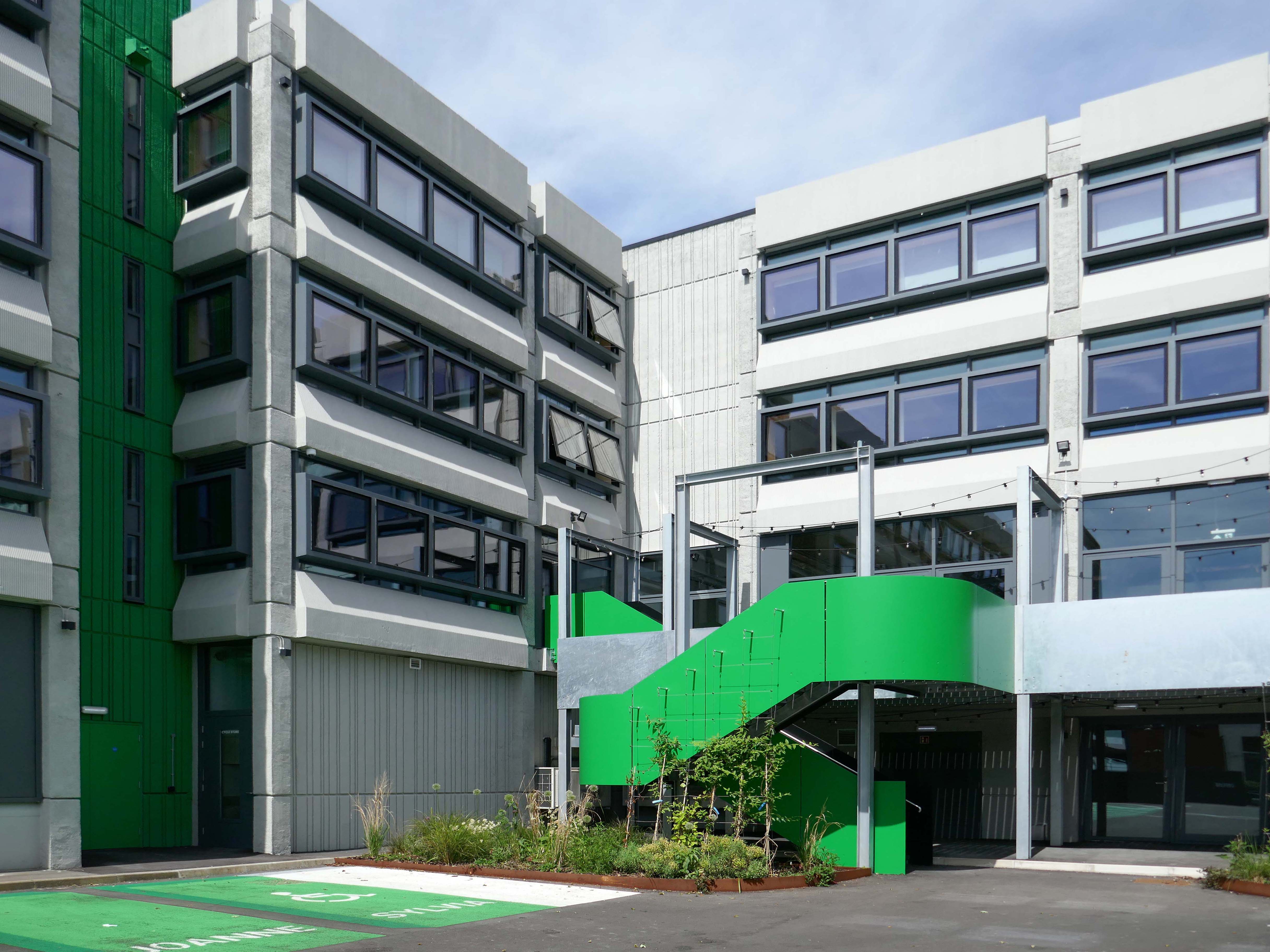
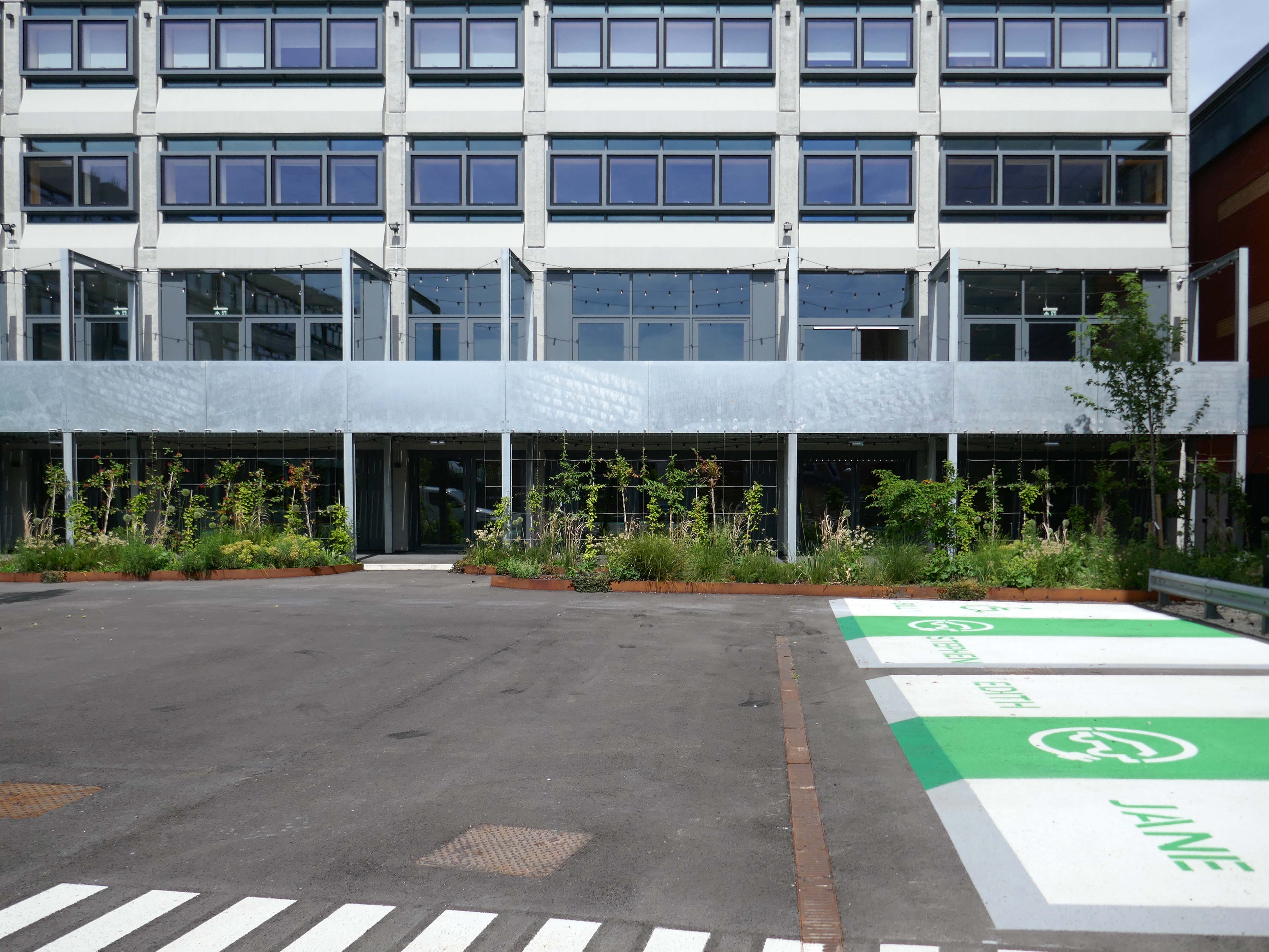
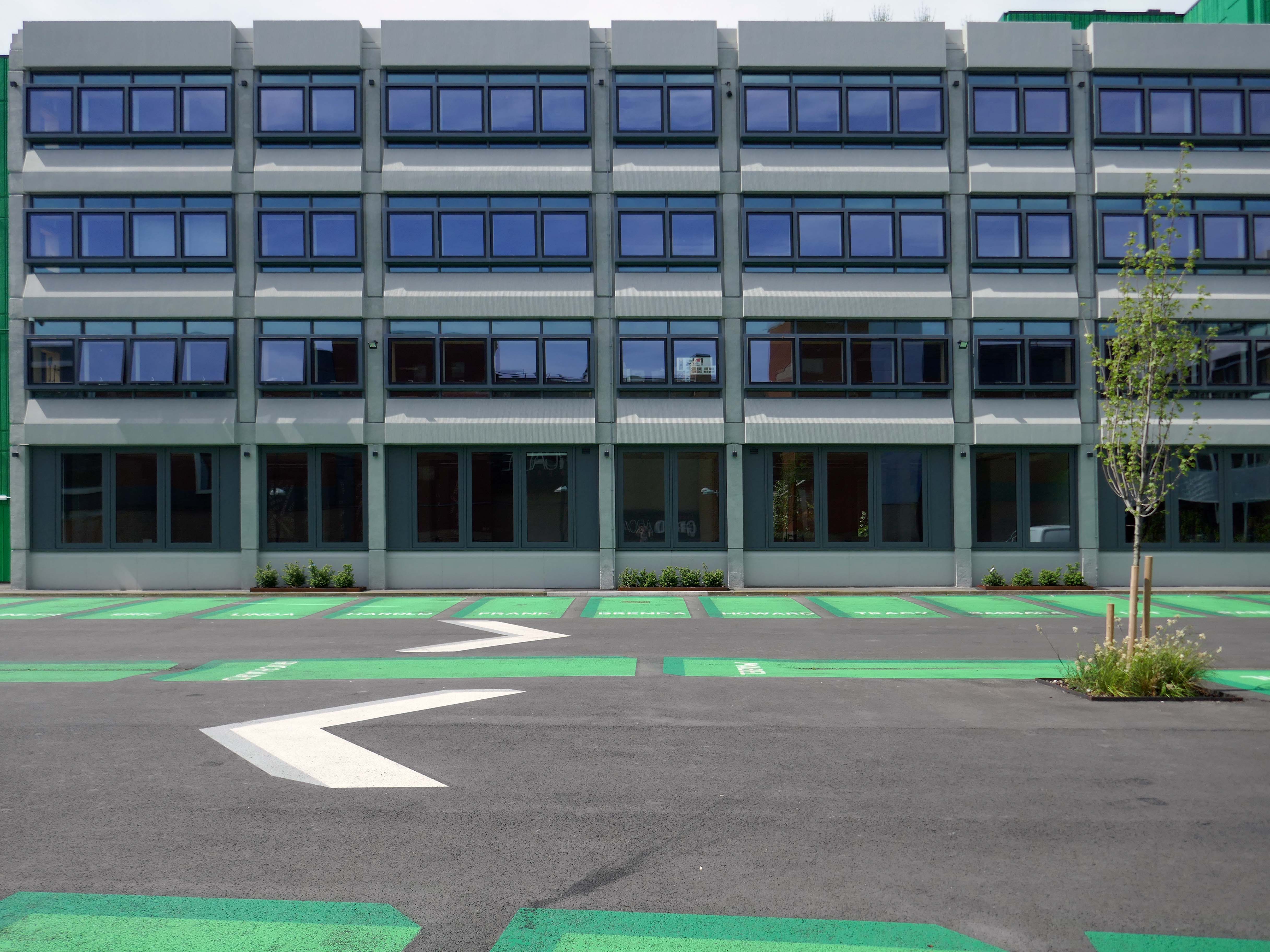
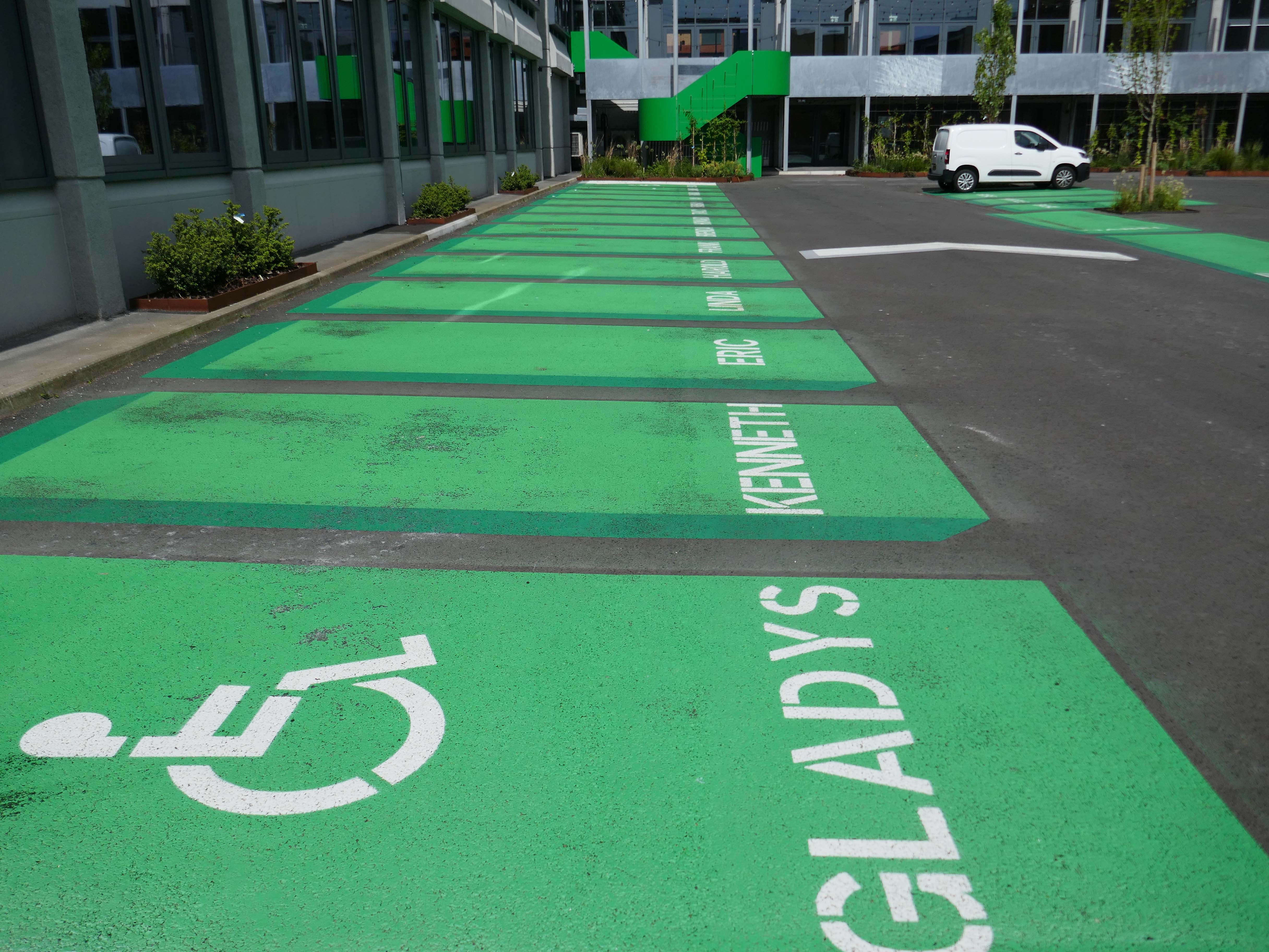
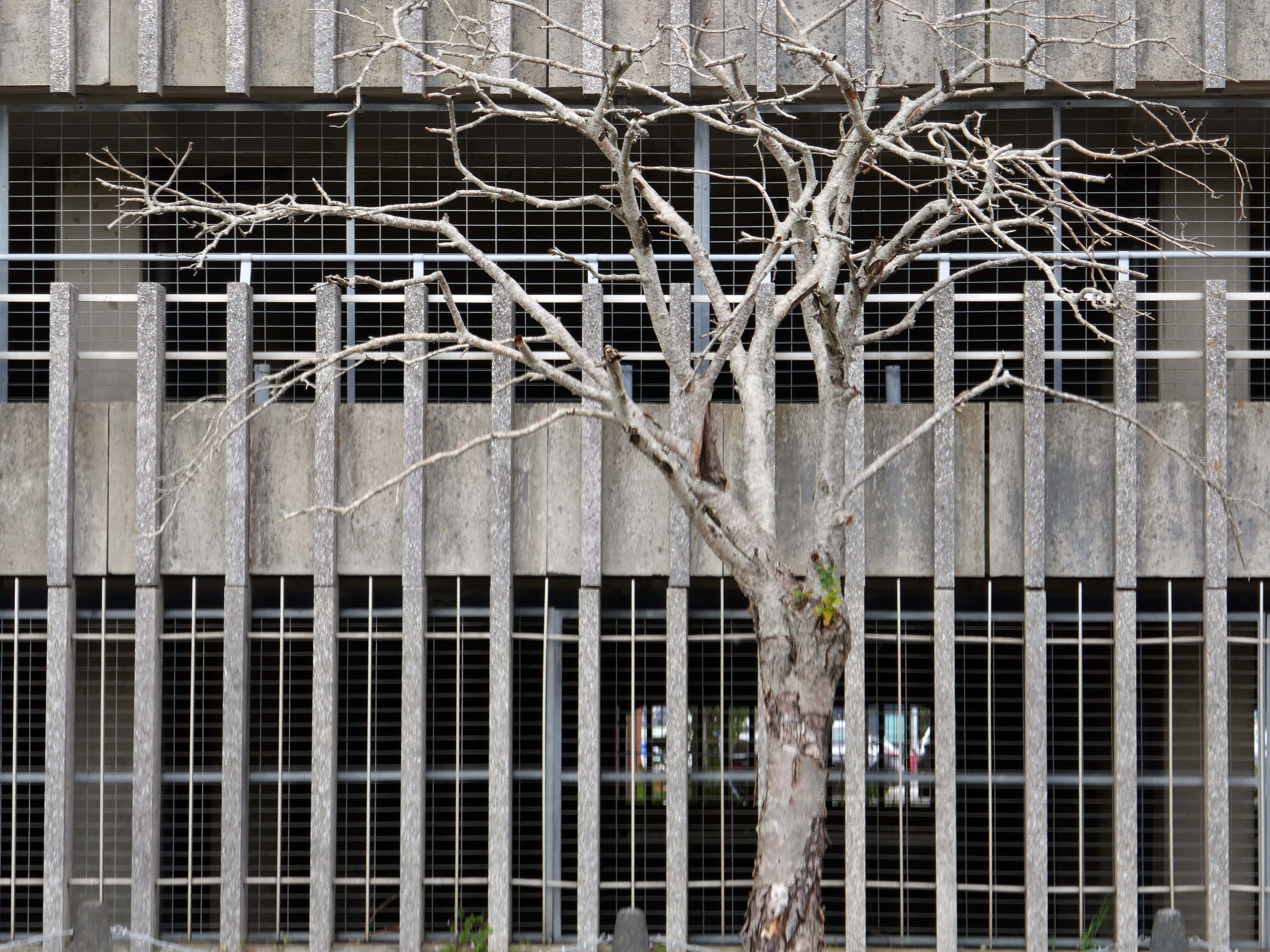
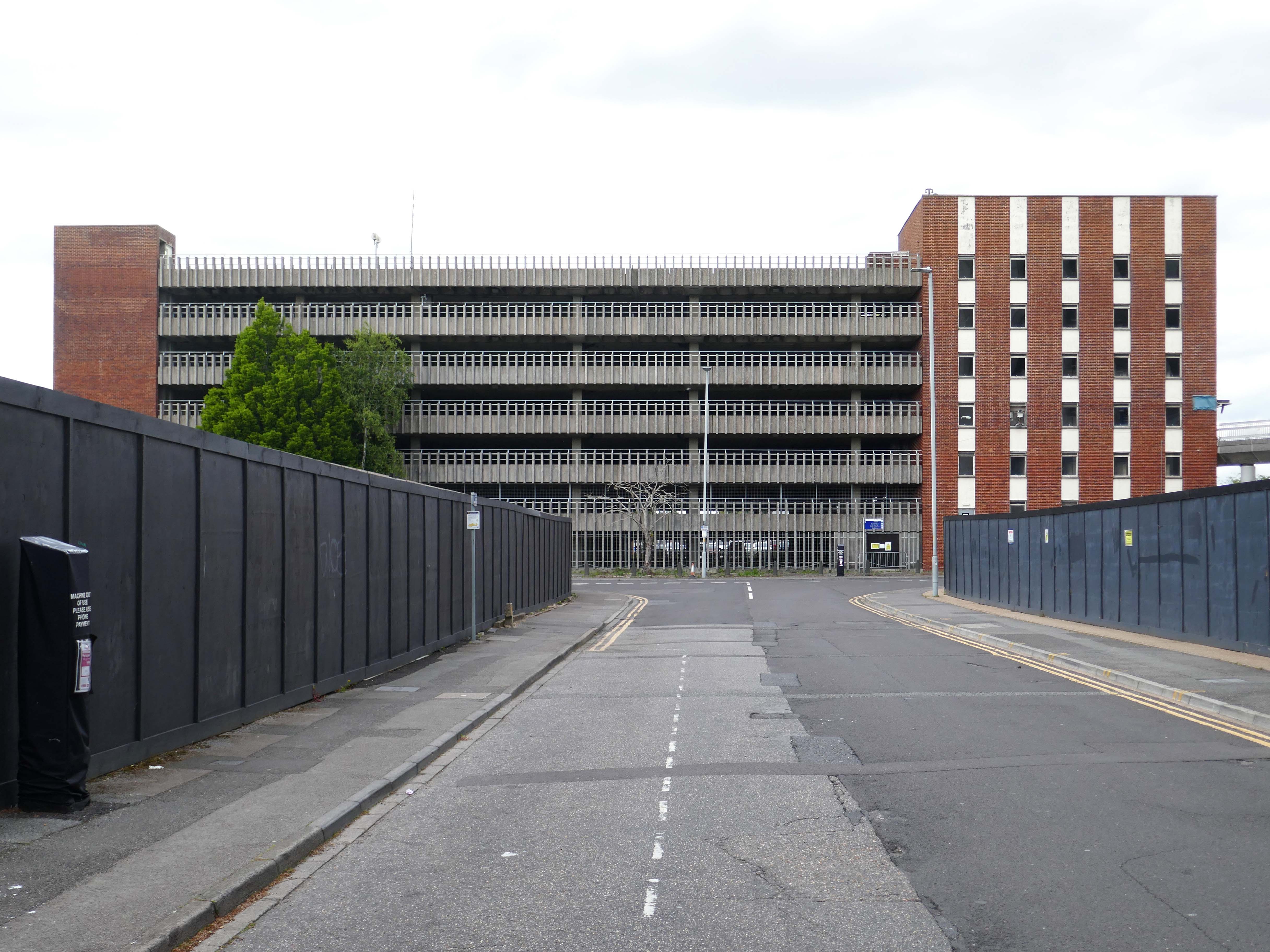
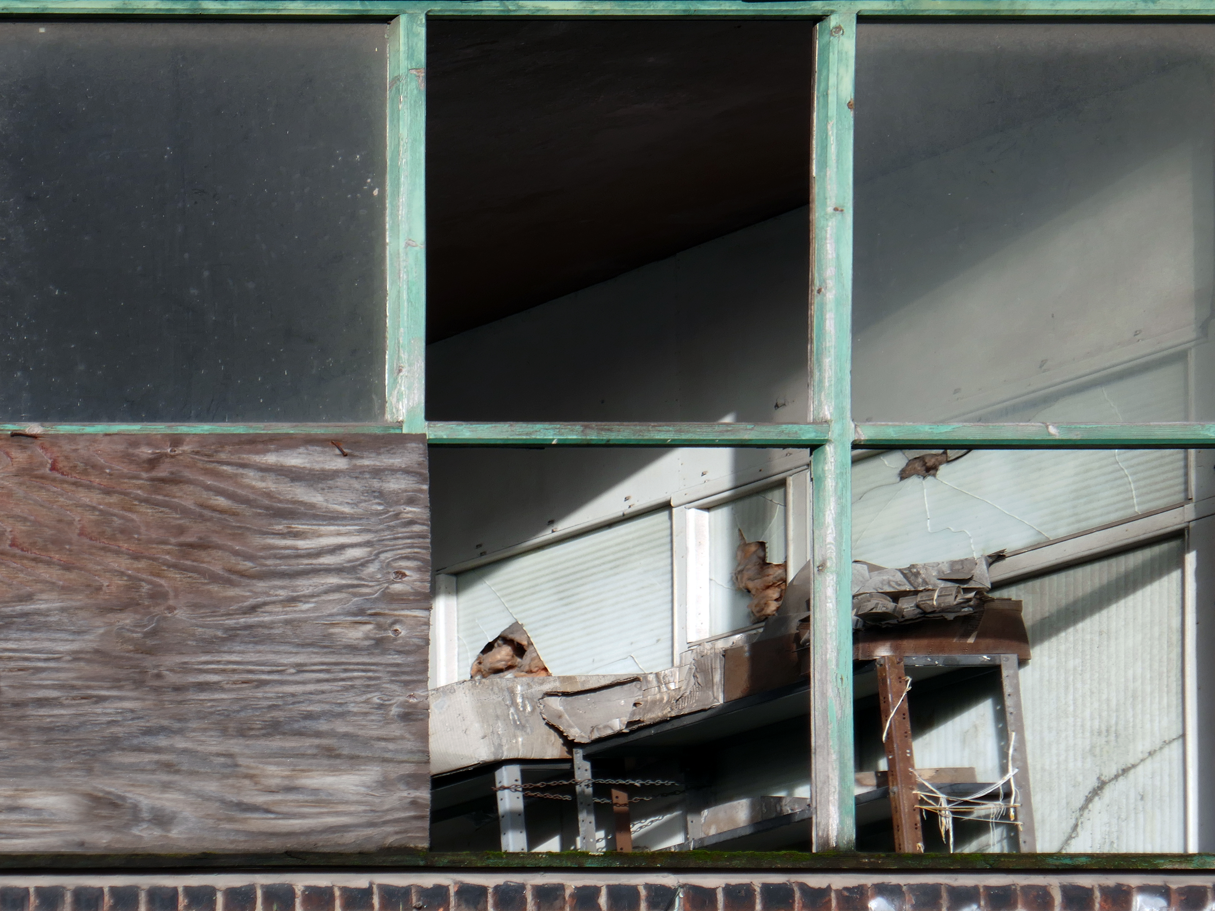
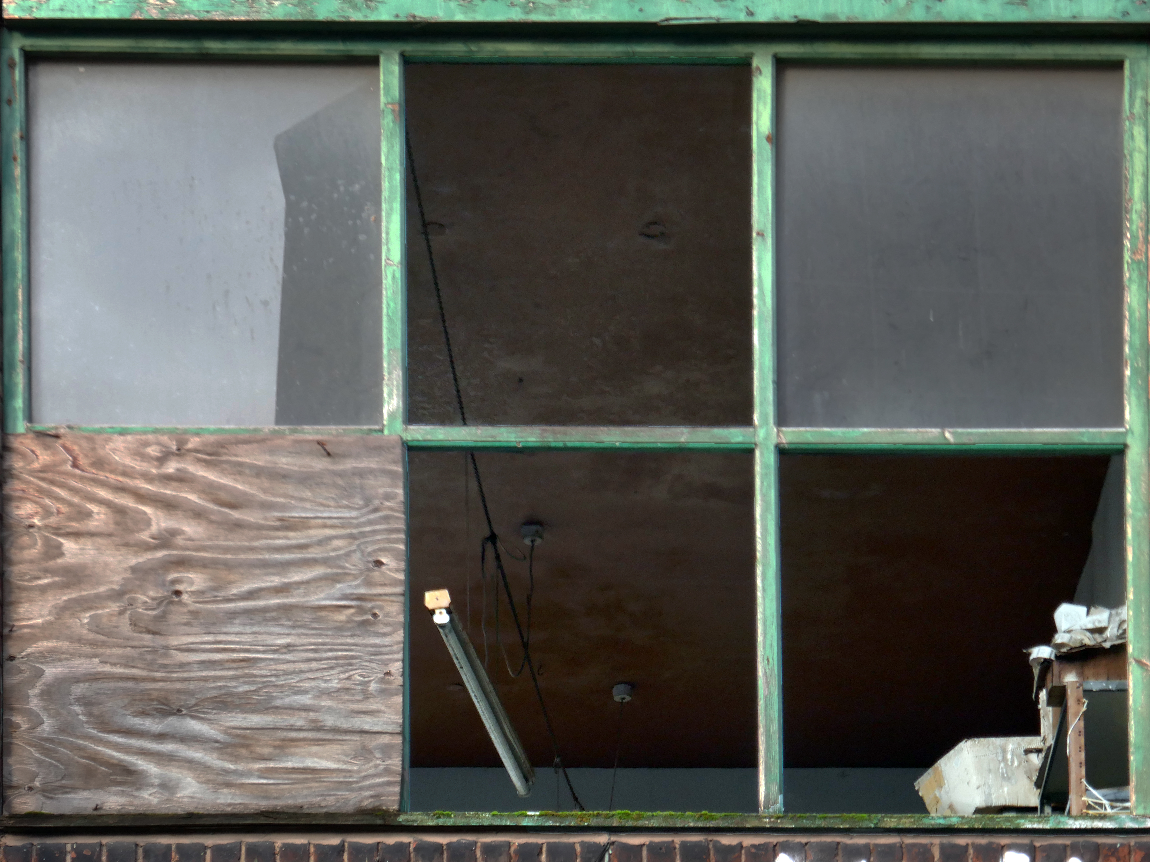
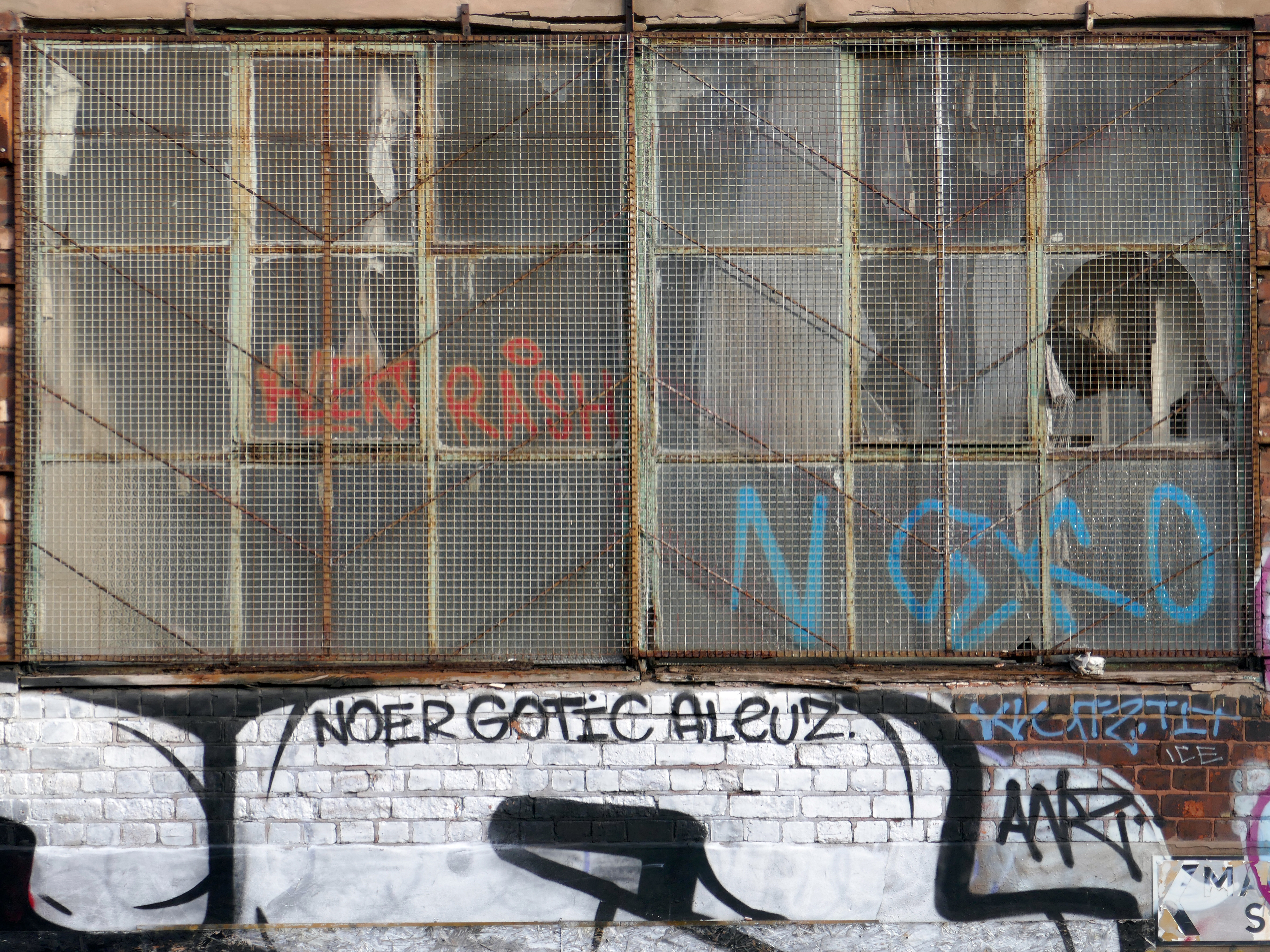
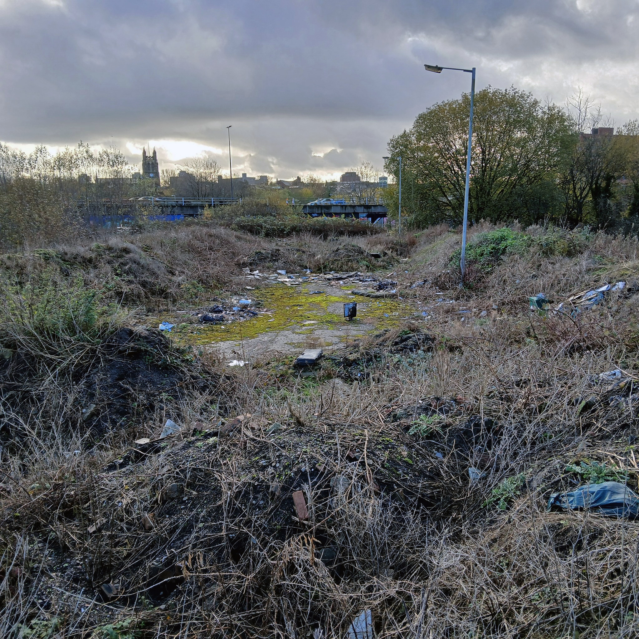
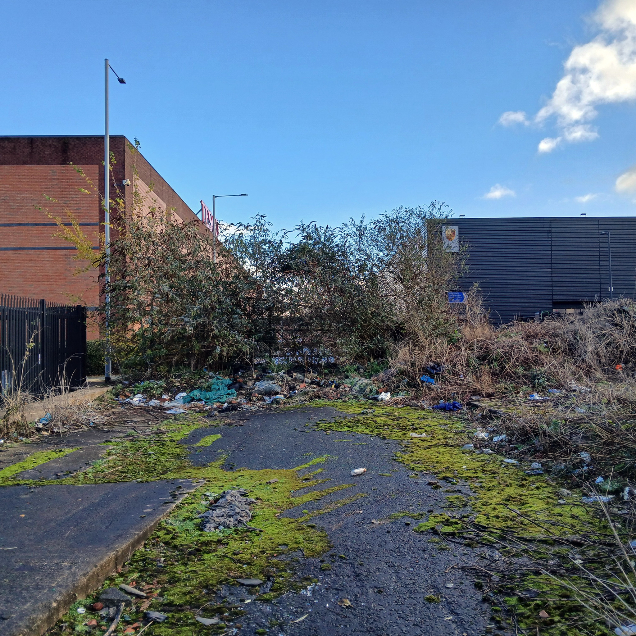
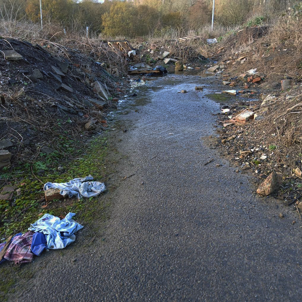
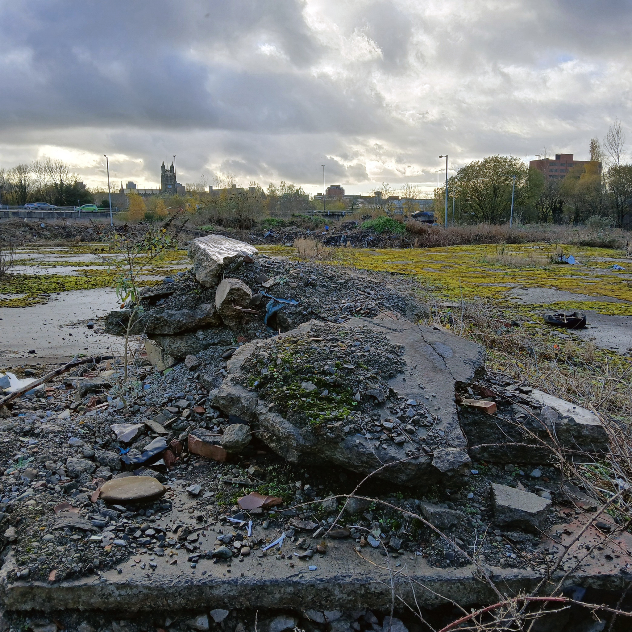
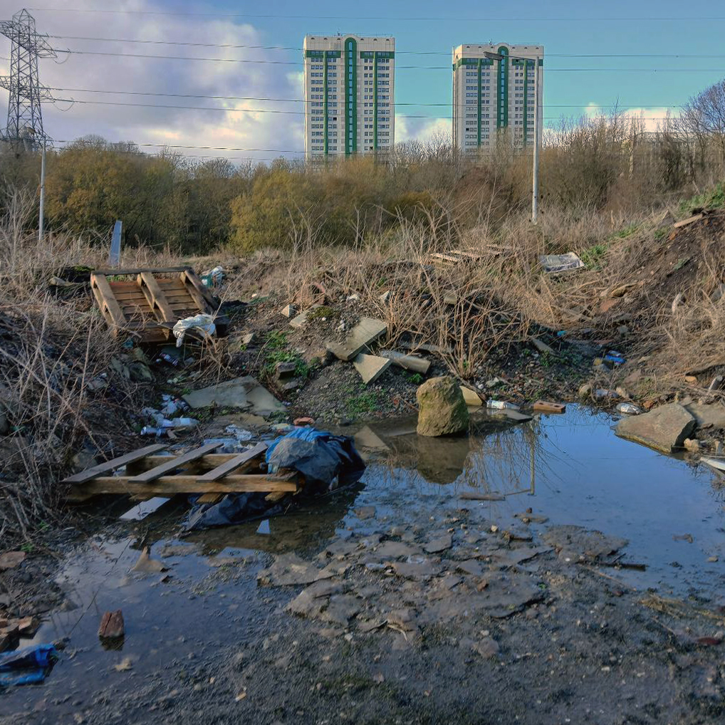
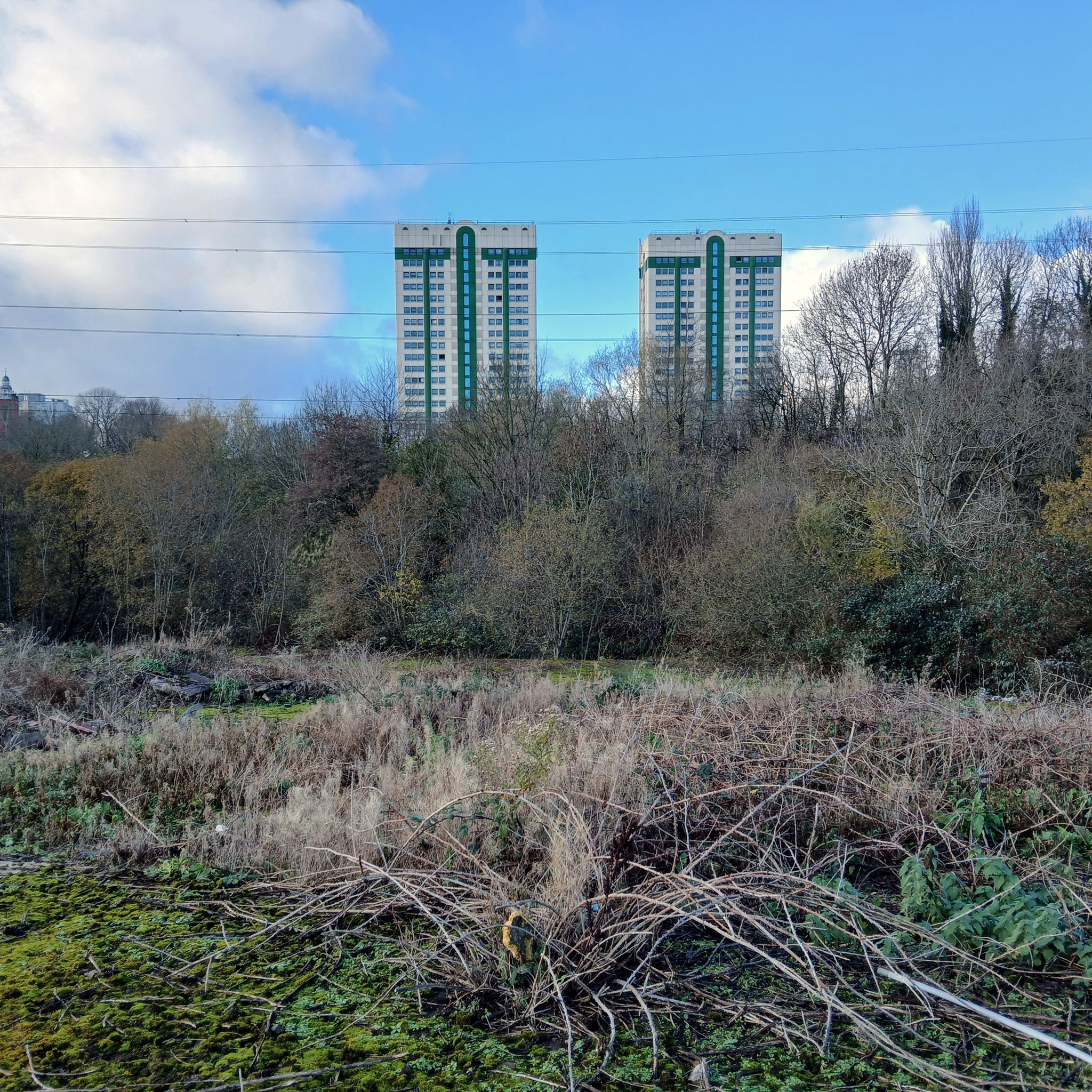
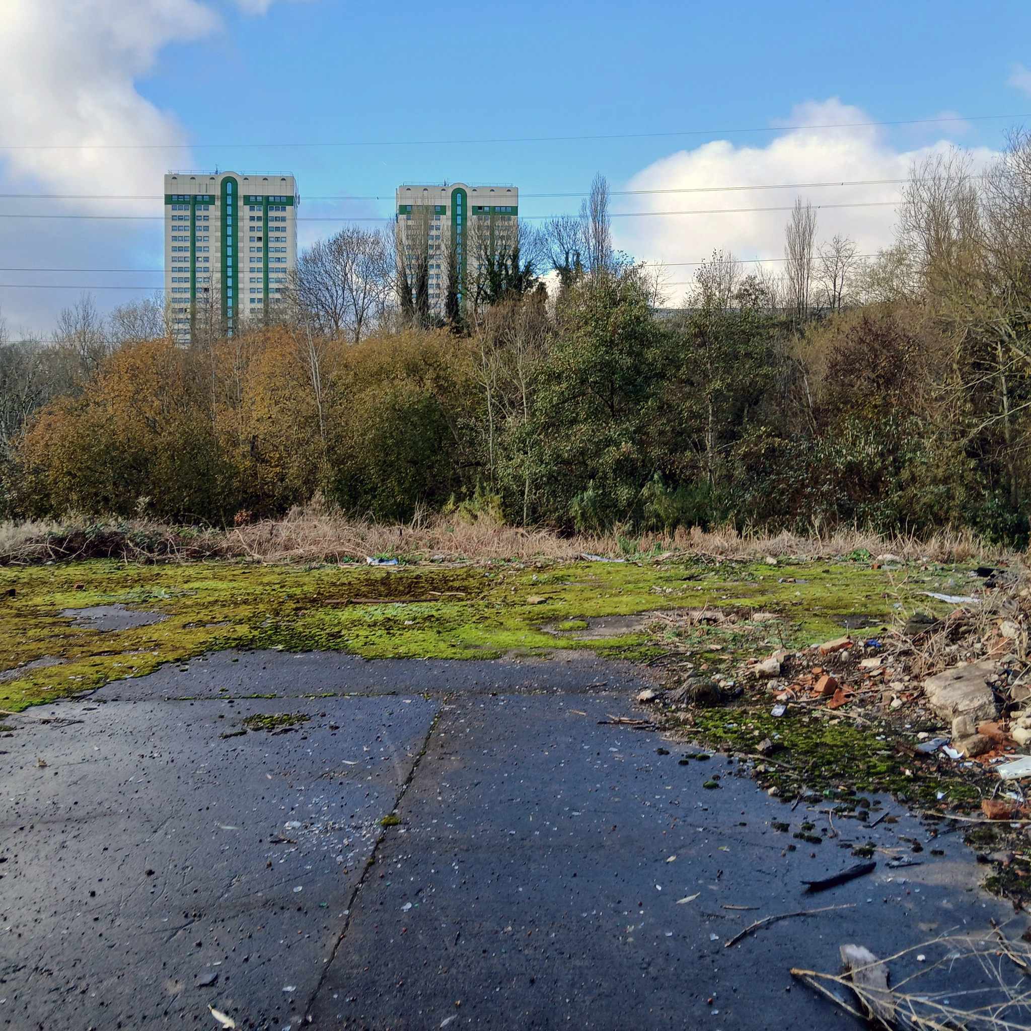
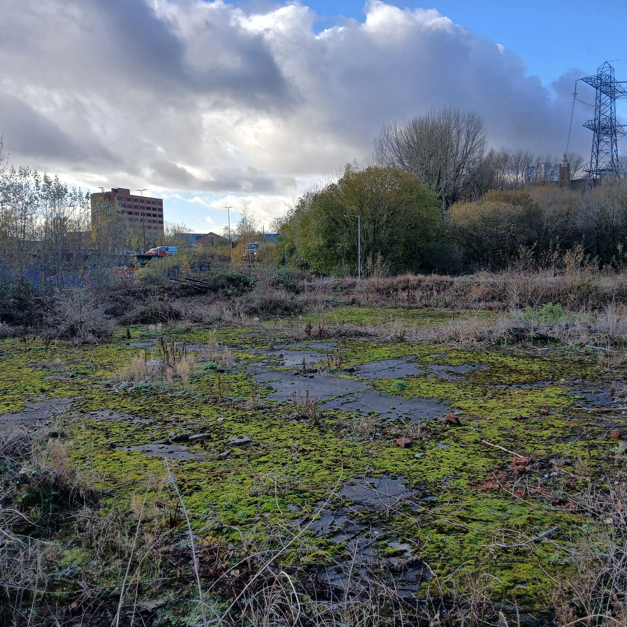
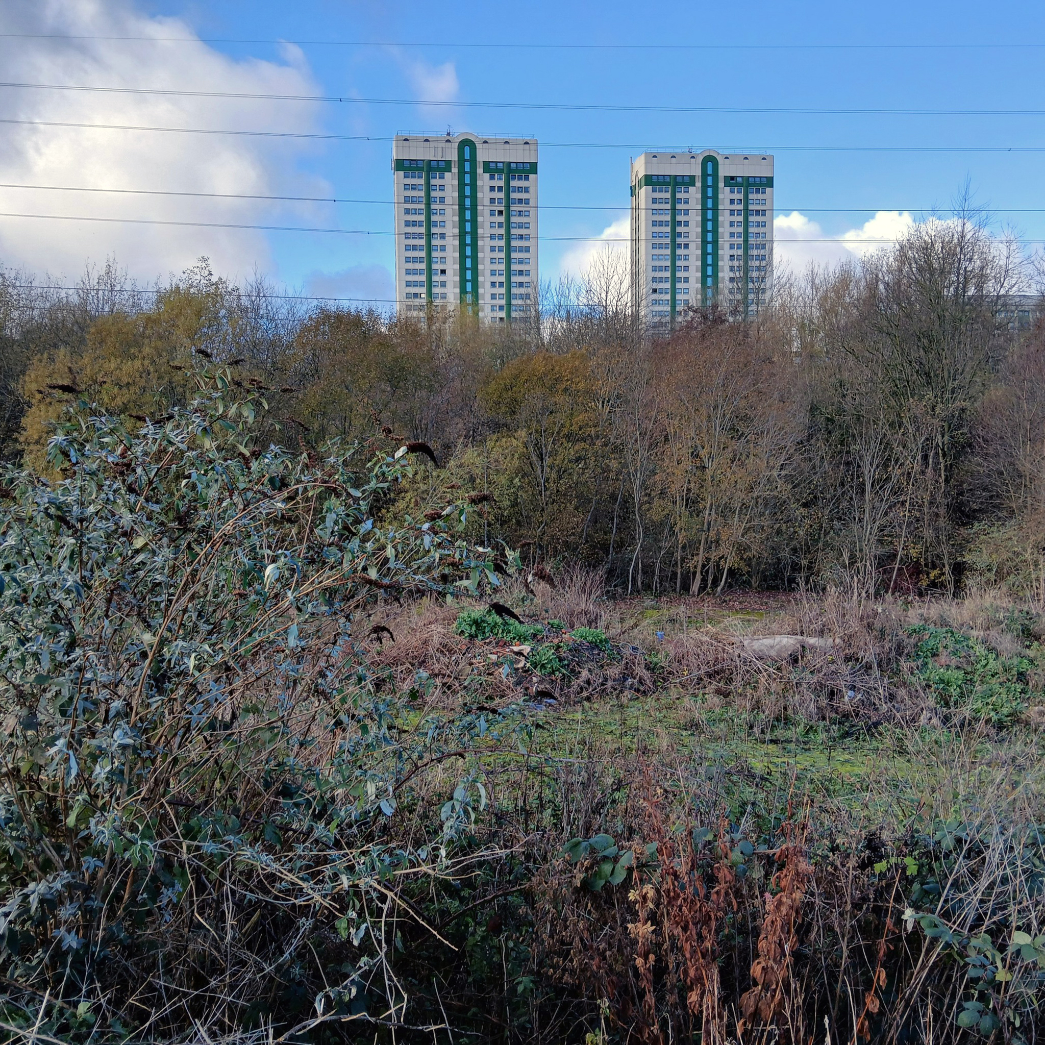
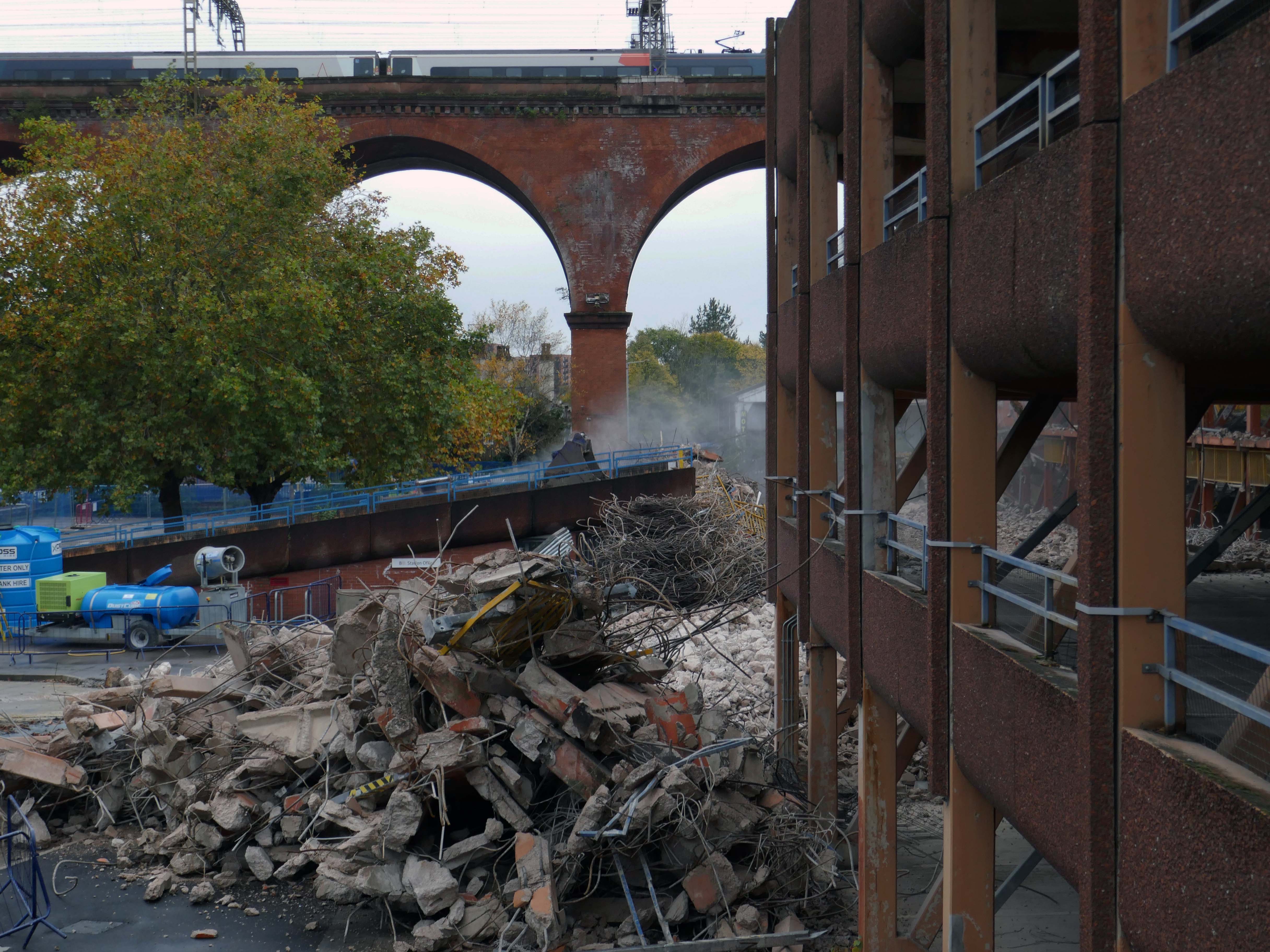
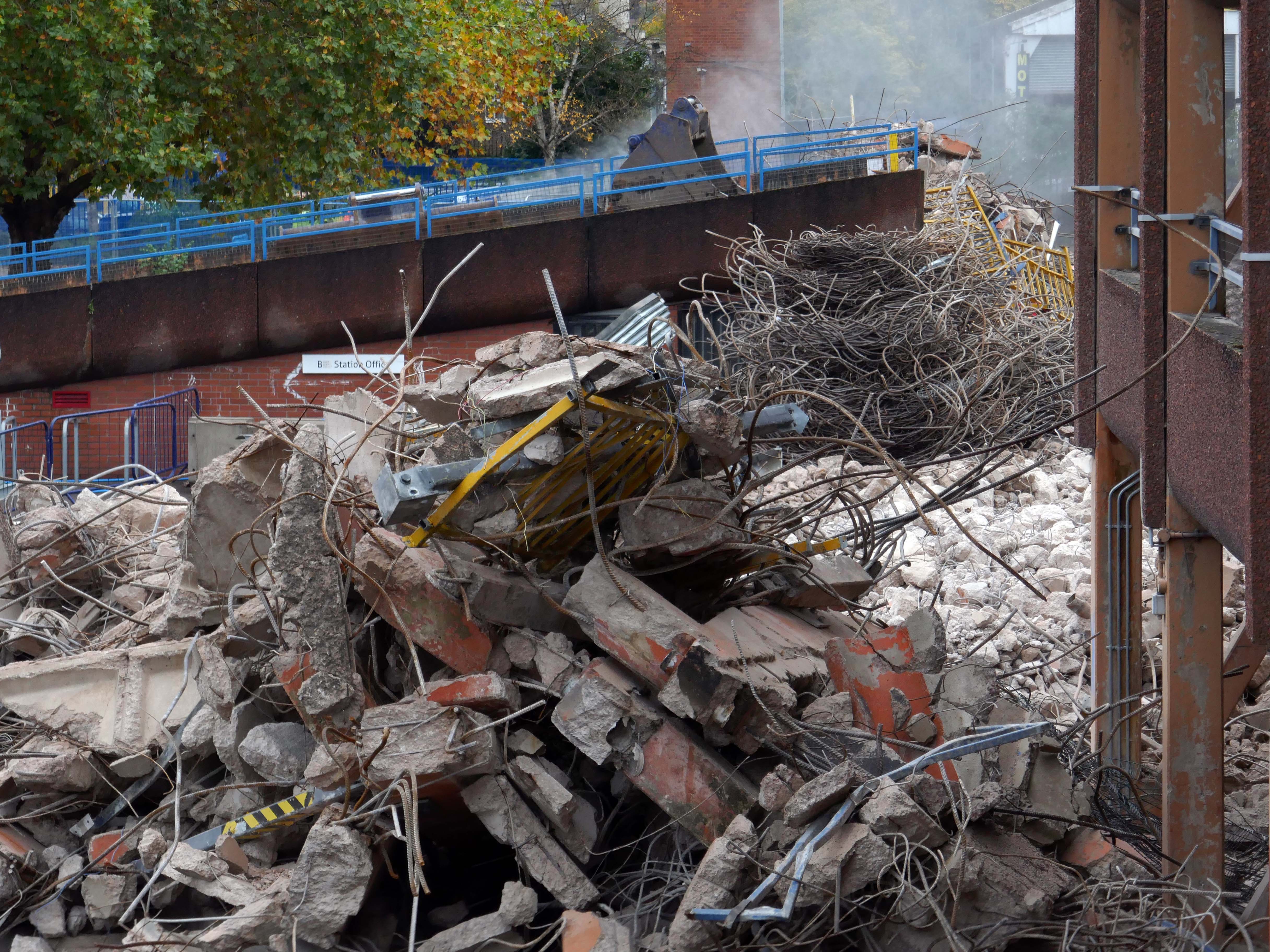
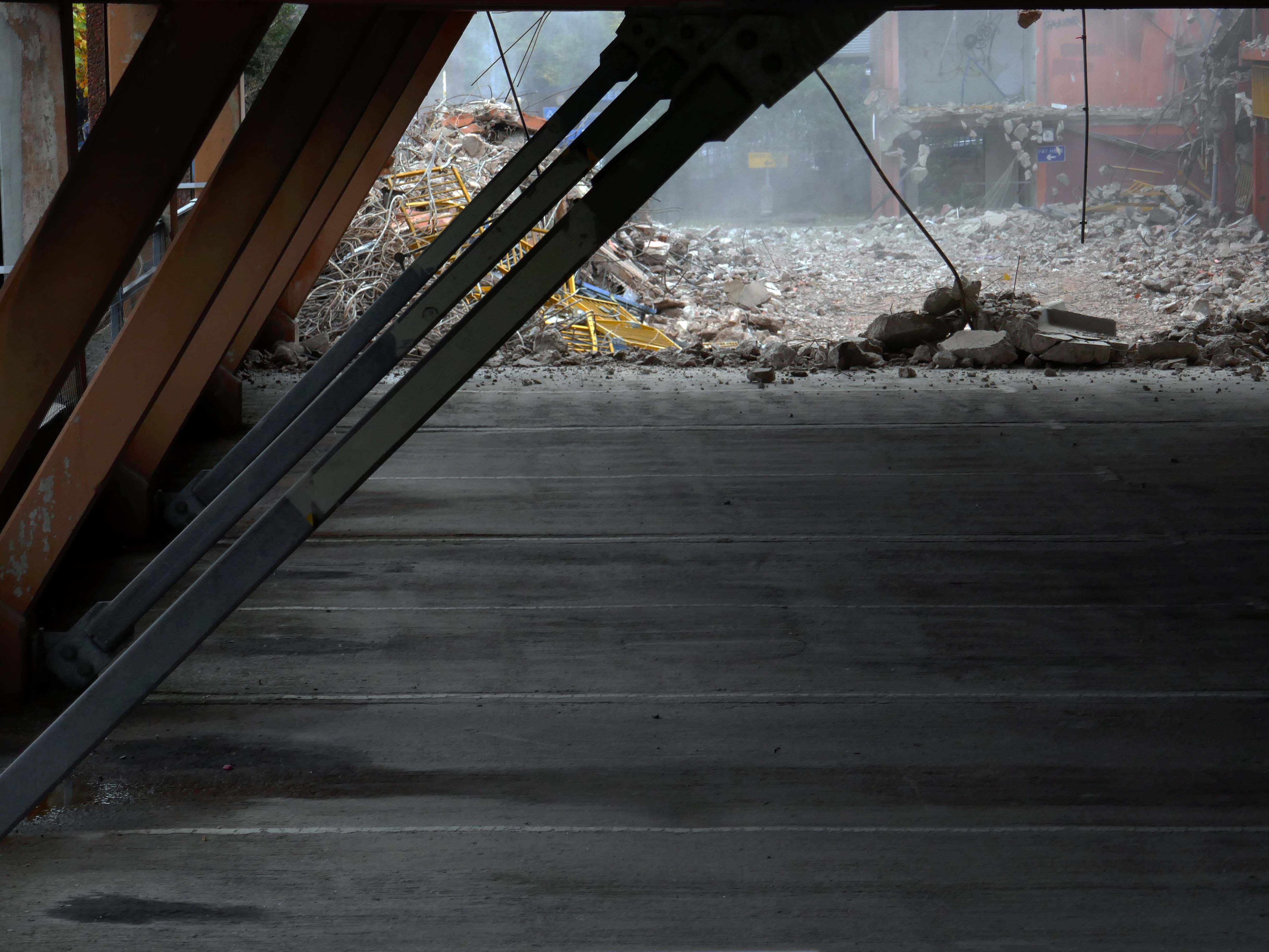
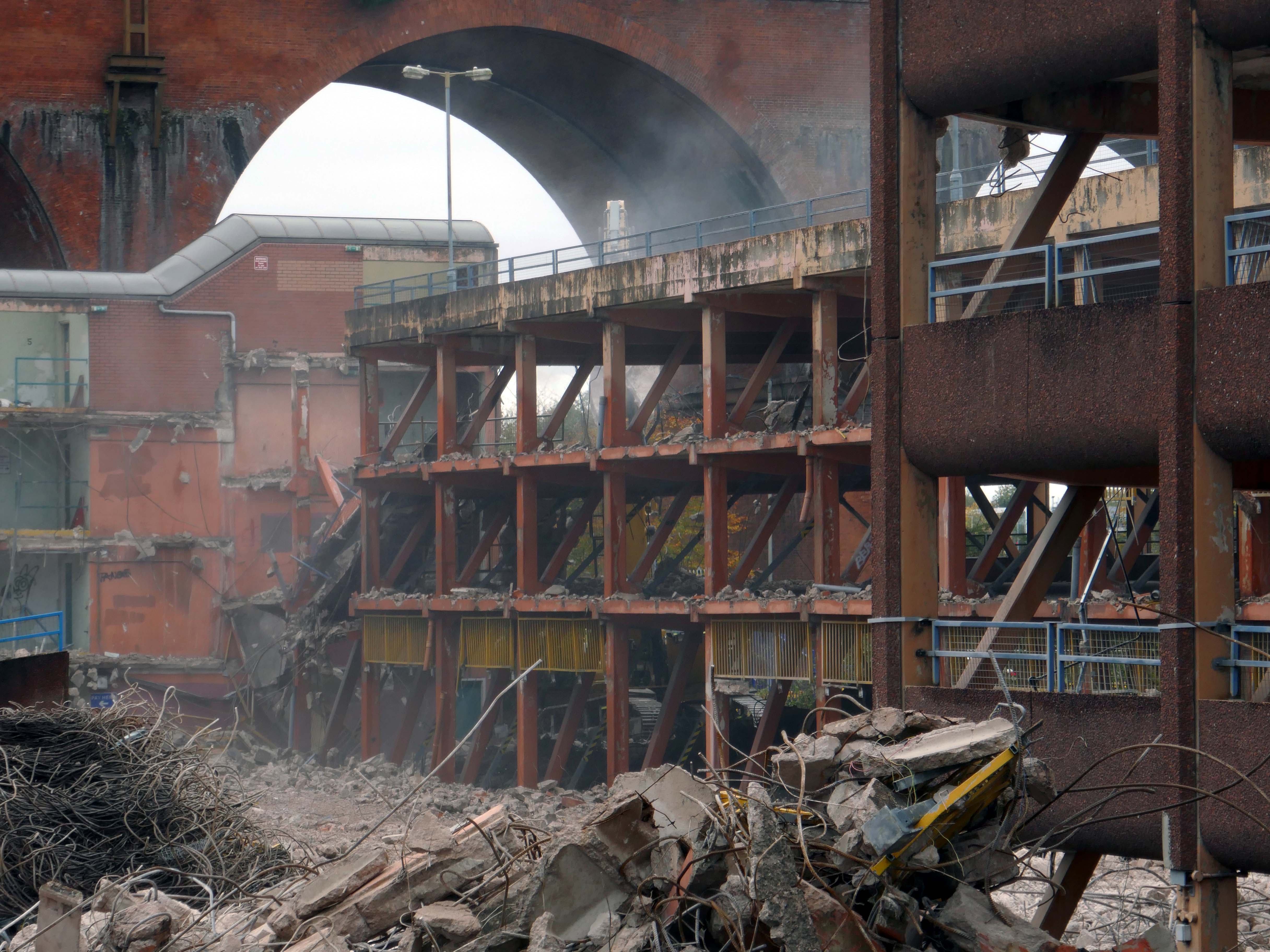
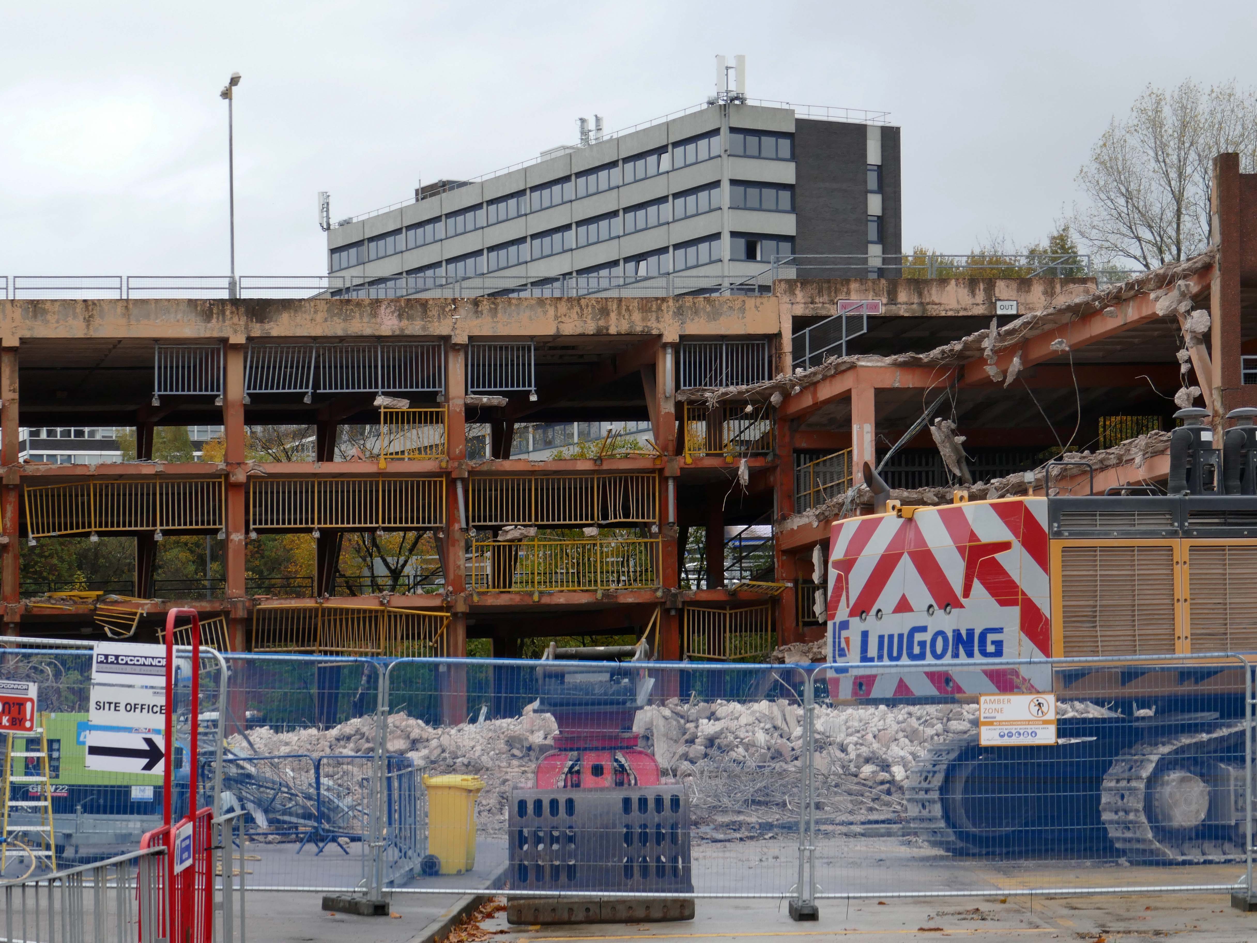
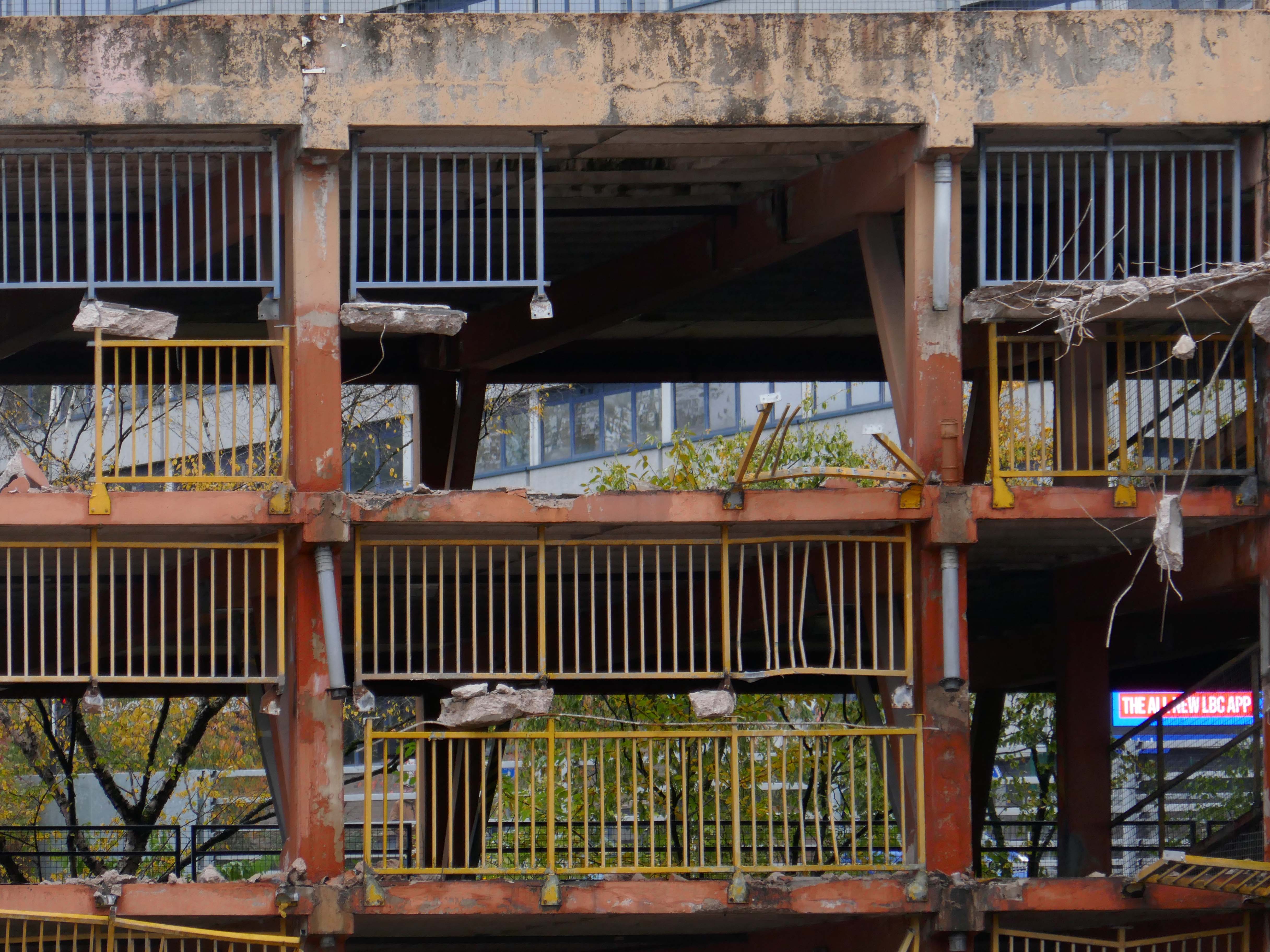
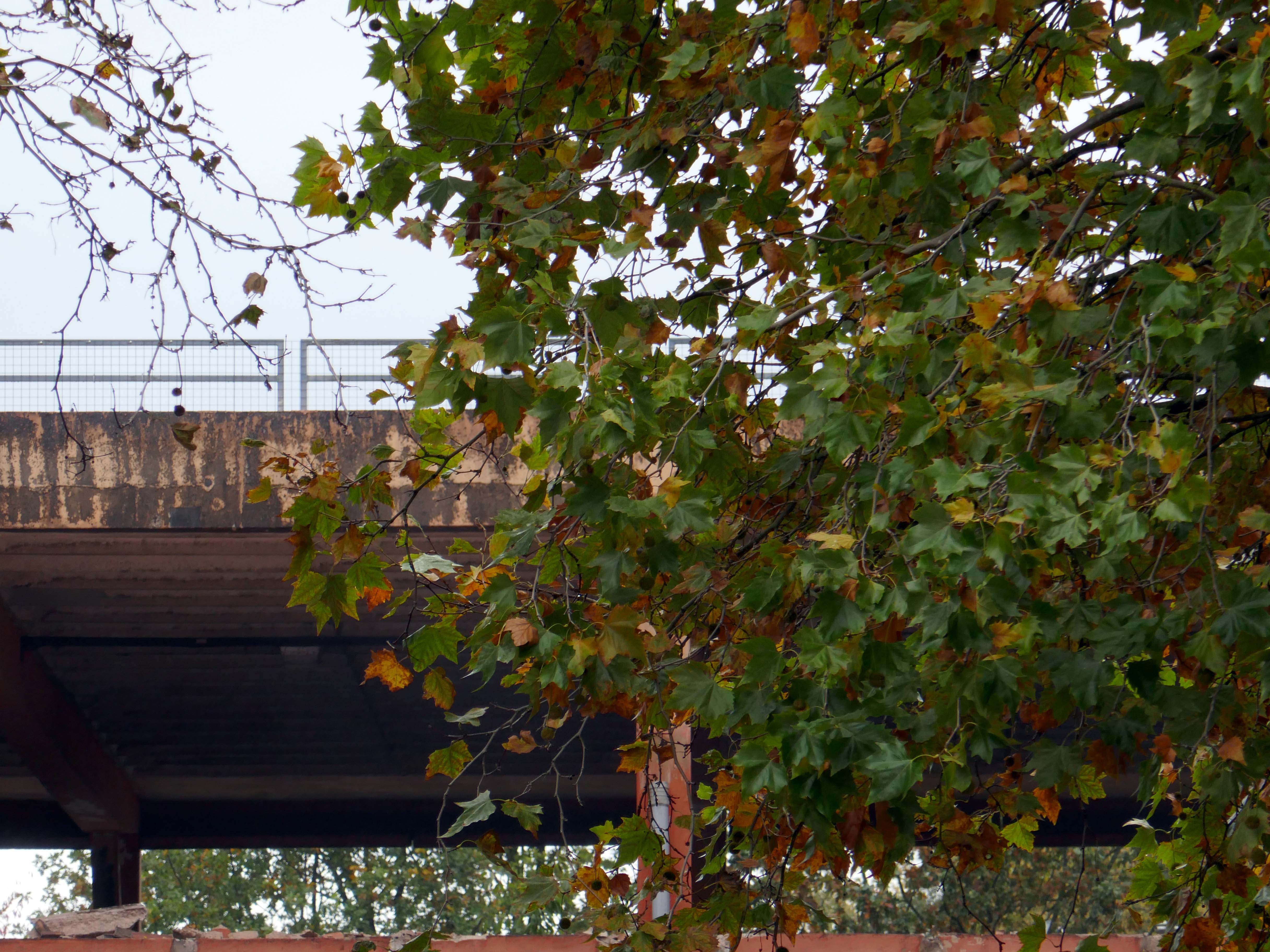
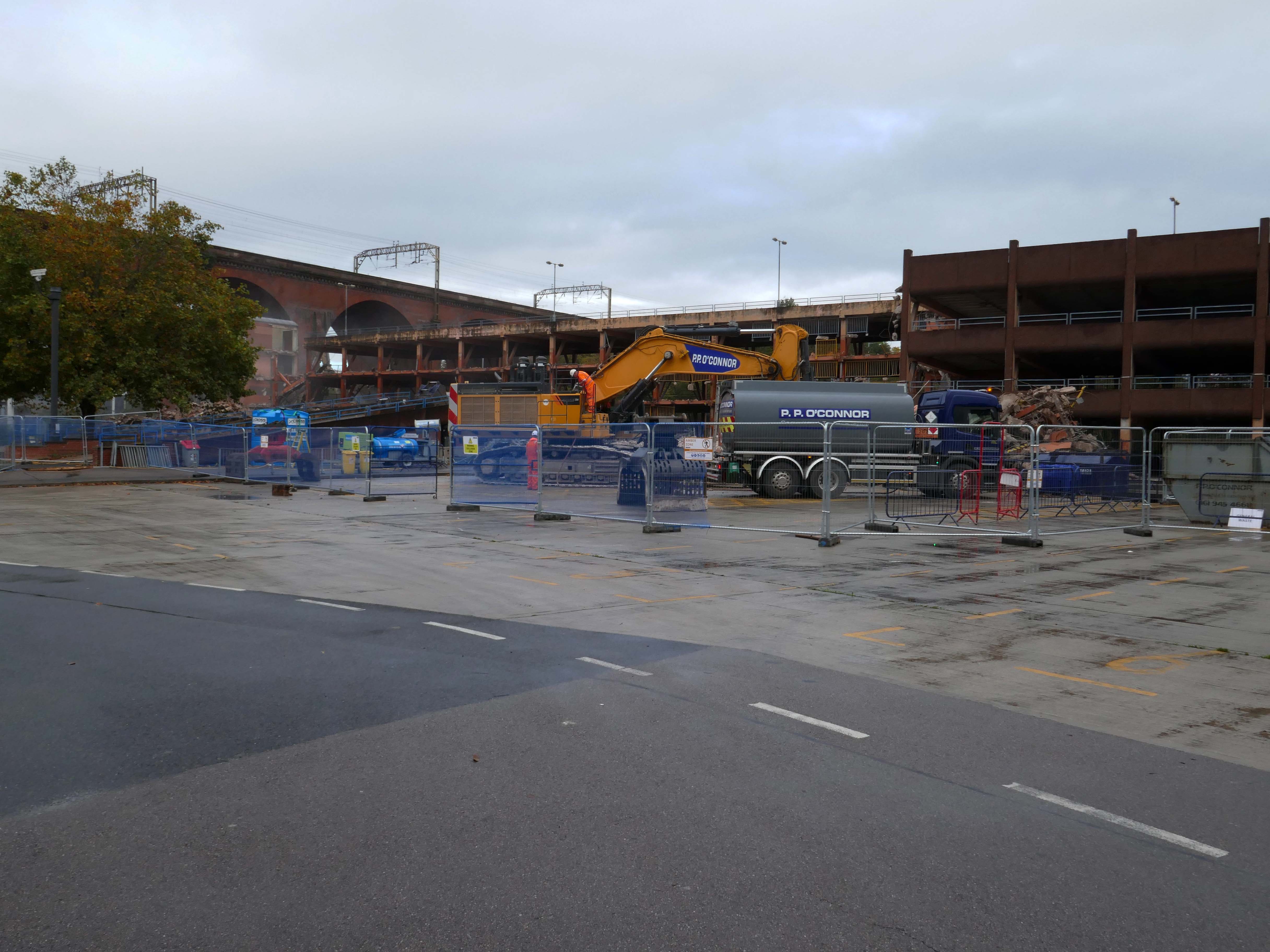
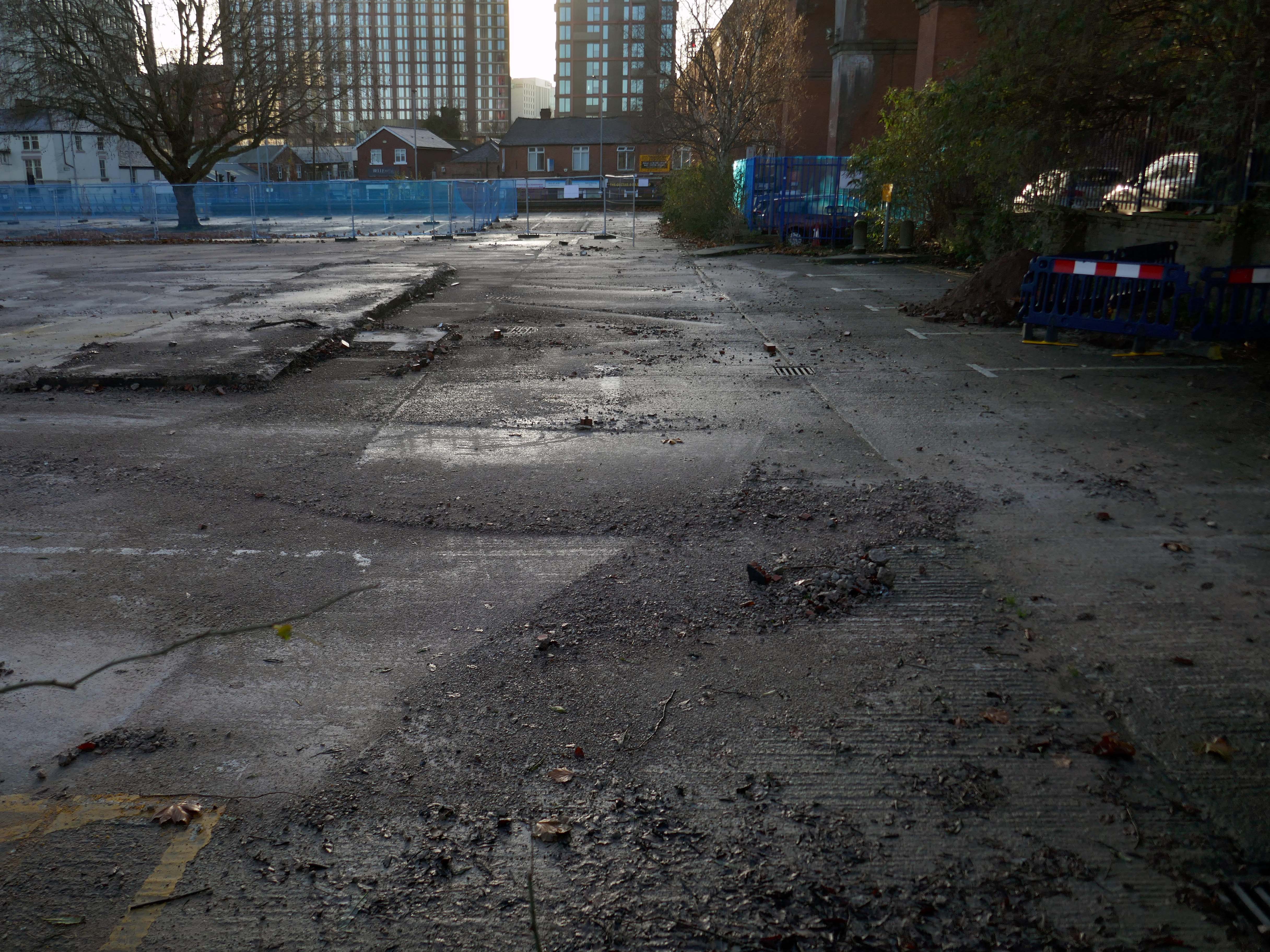
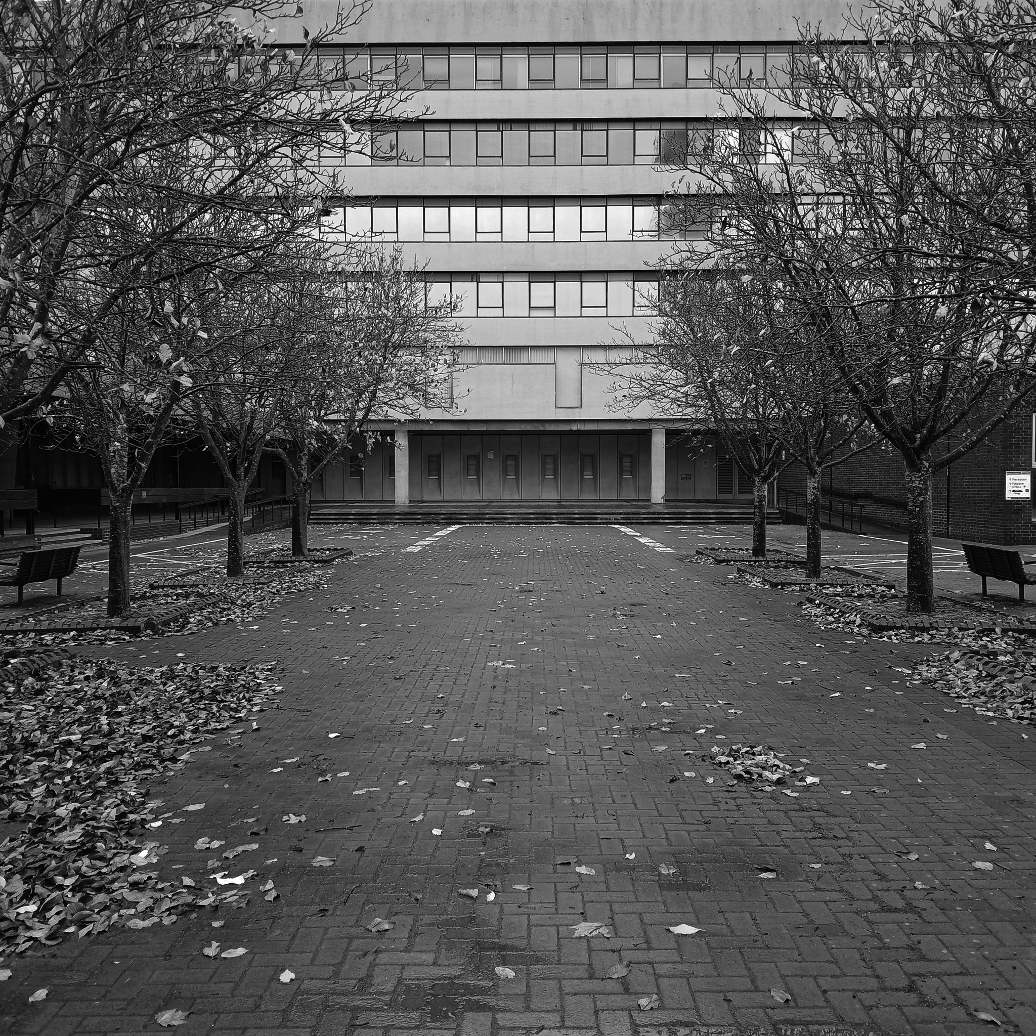
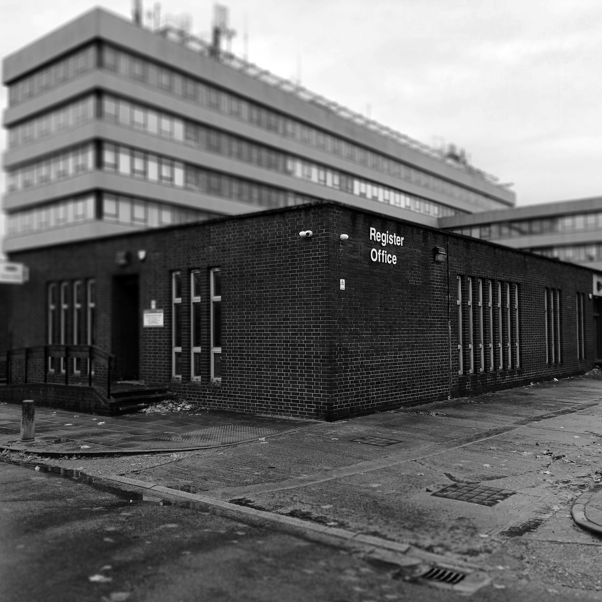
It’s 2026 and almost everything has been erased.
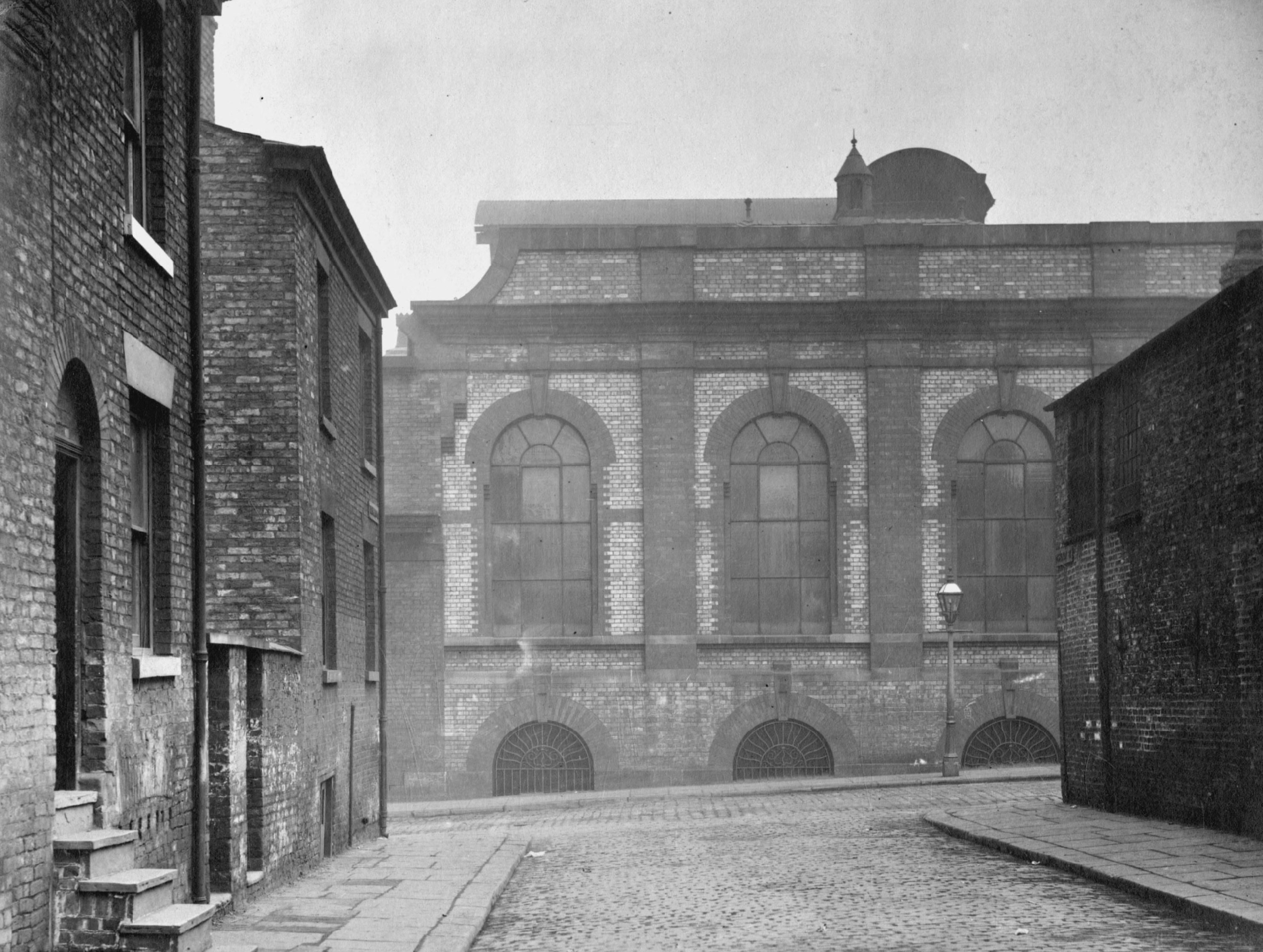
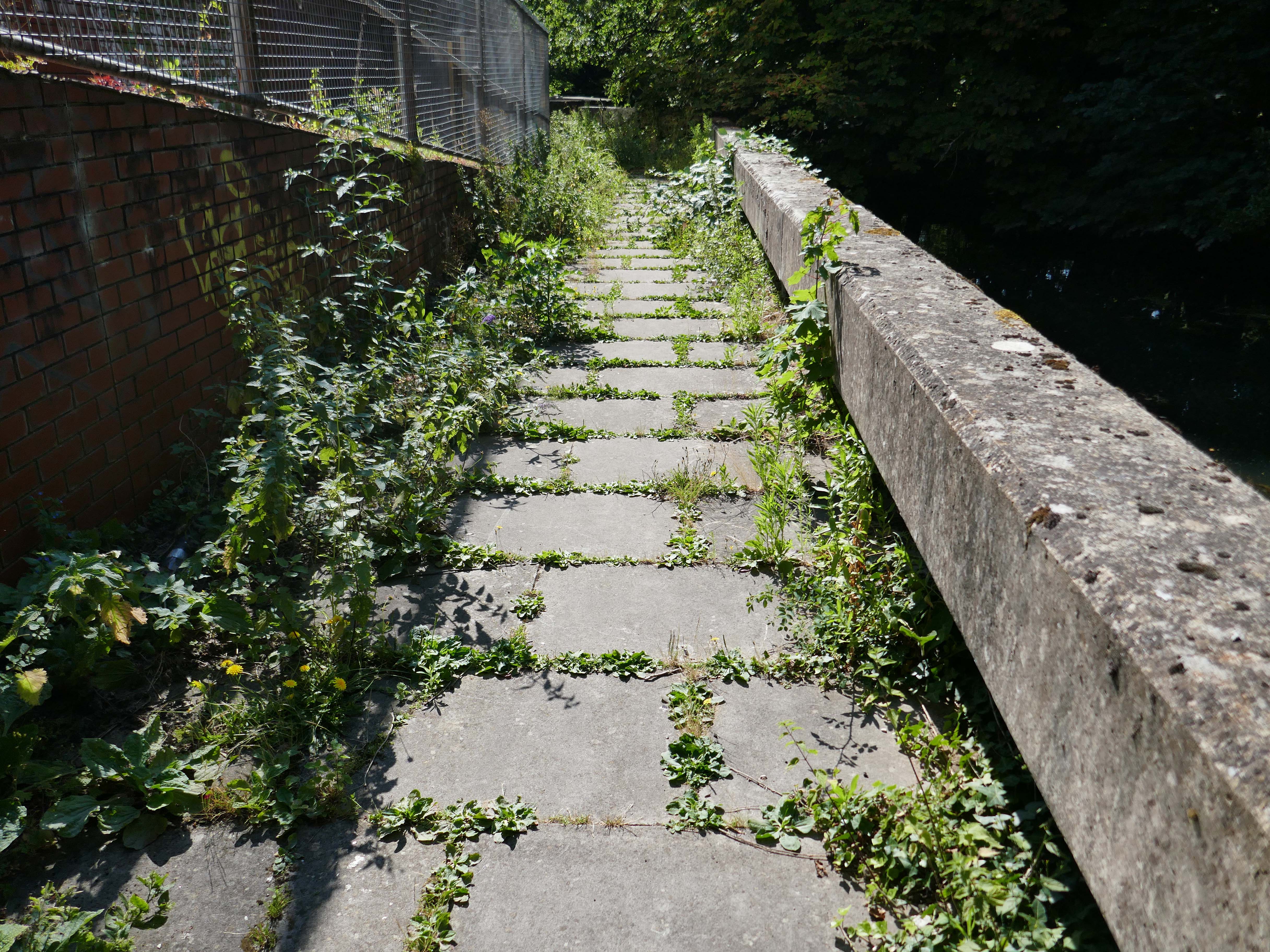
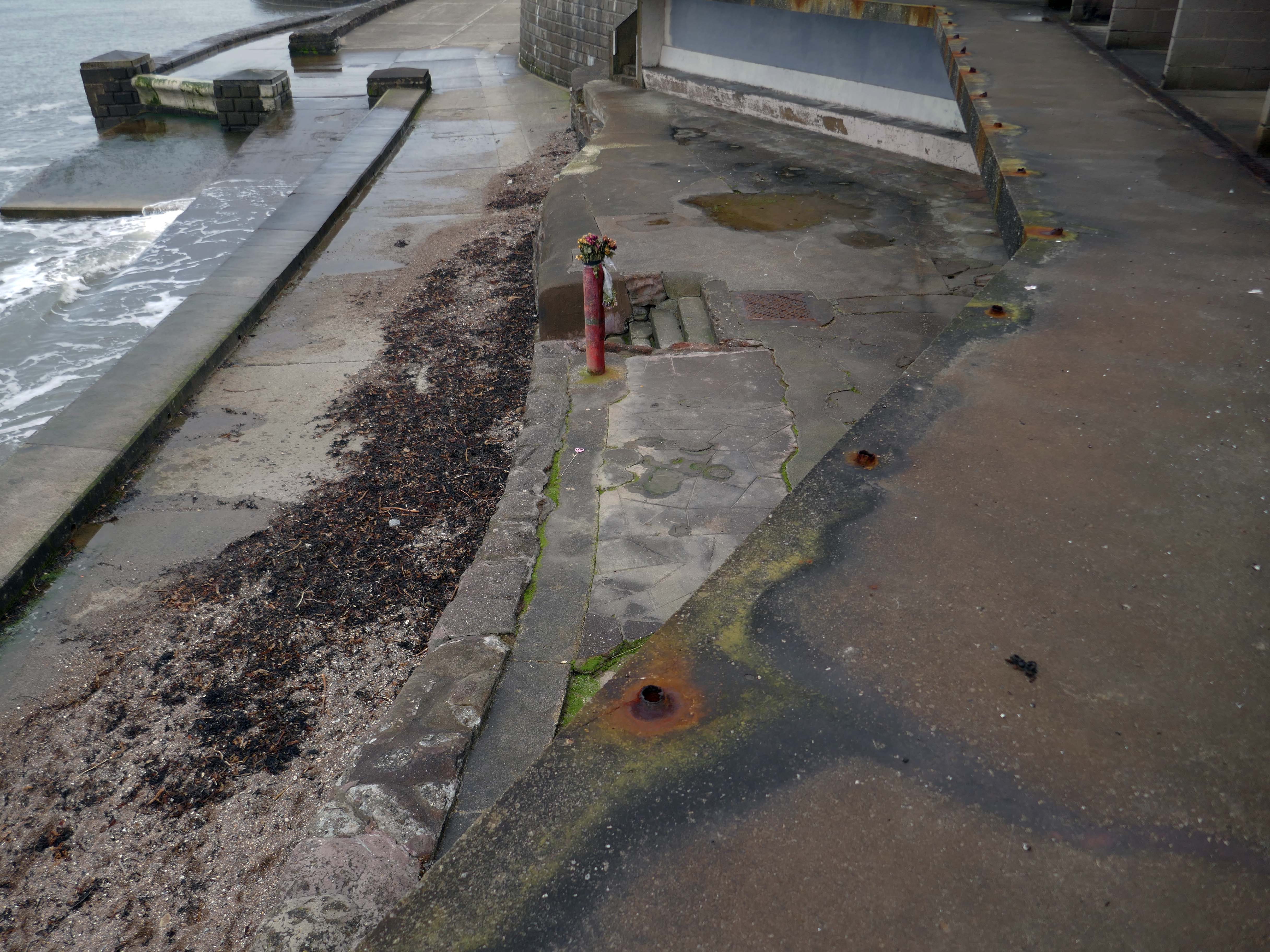
This is the only remnant of the former gasworks, preserved on Gould Street car park.
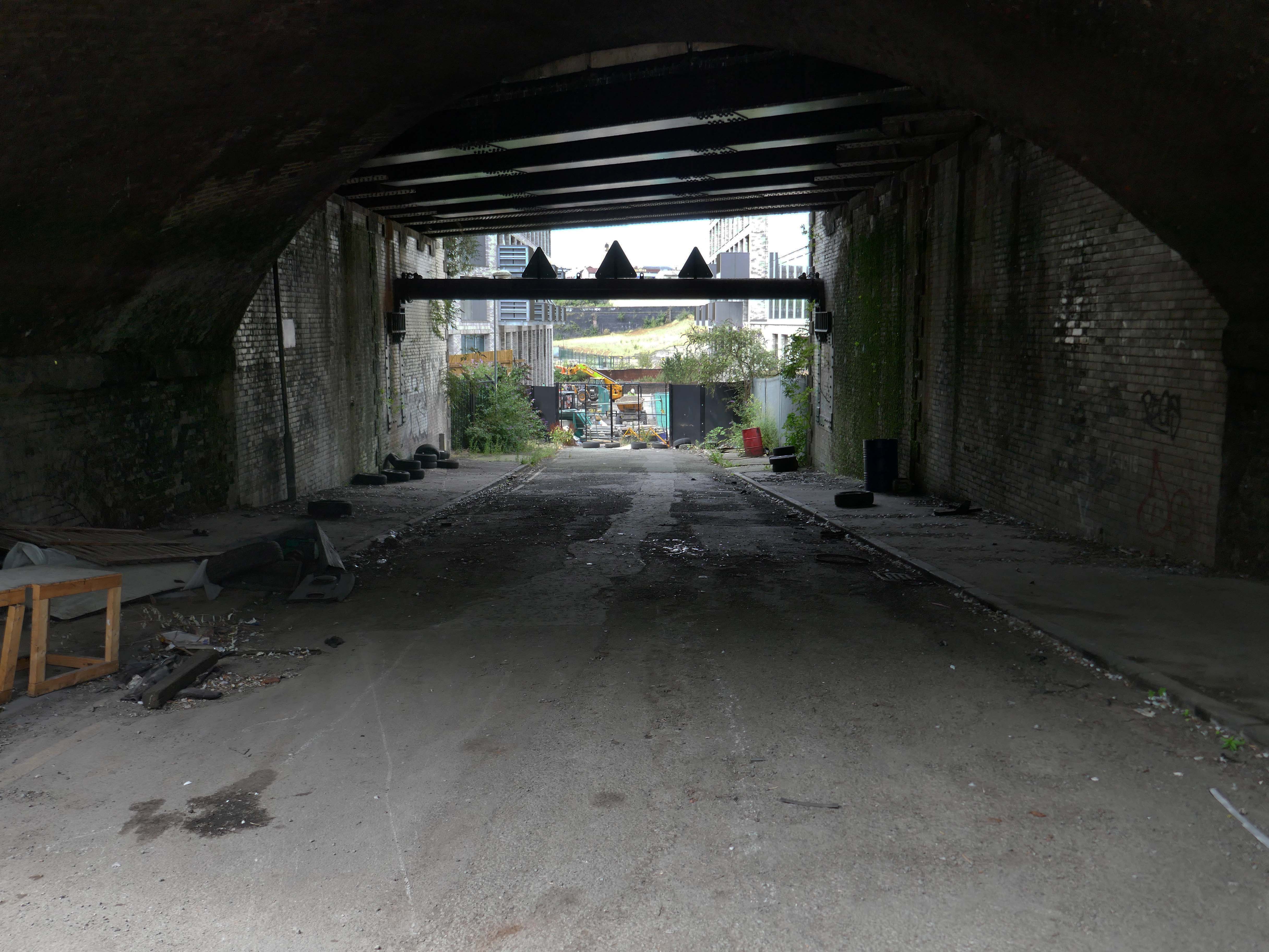
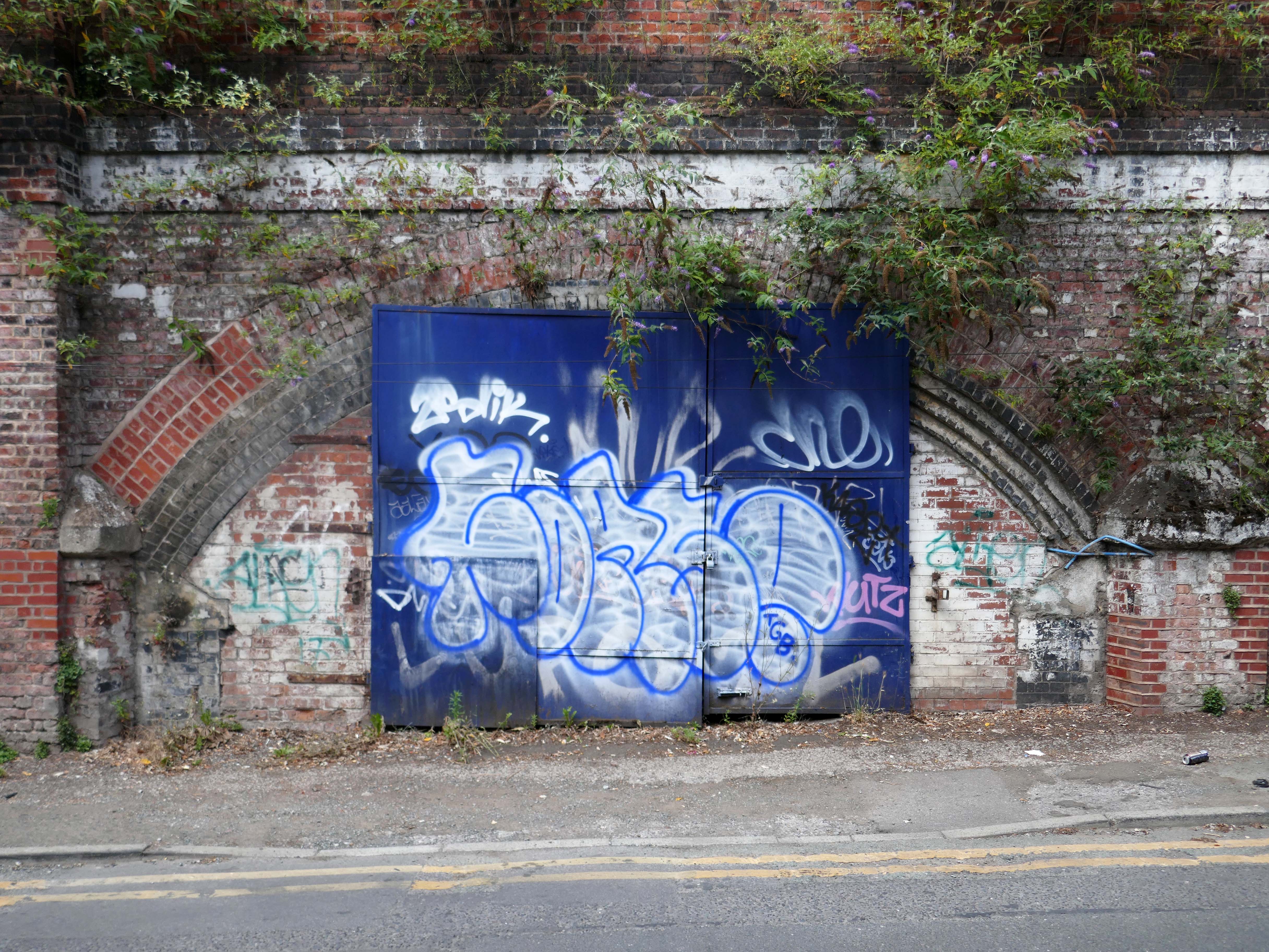
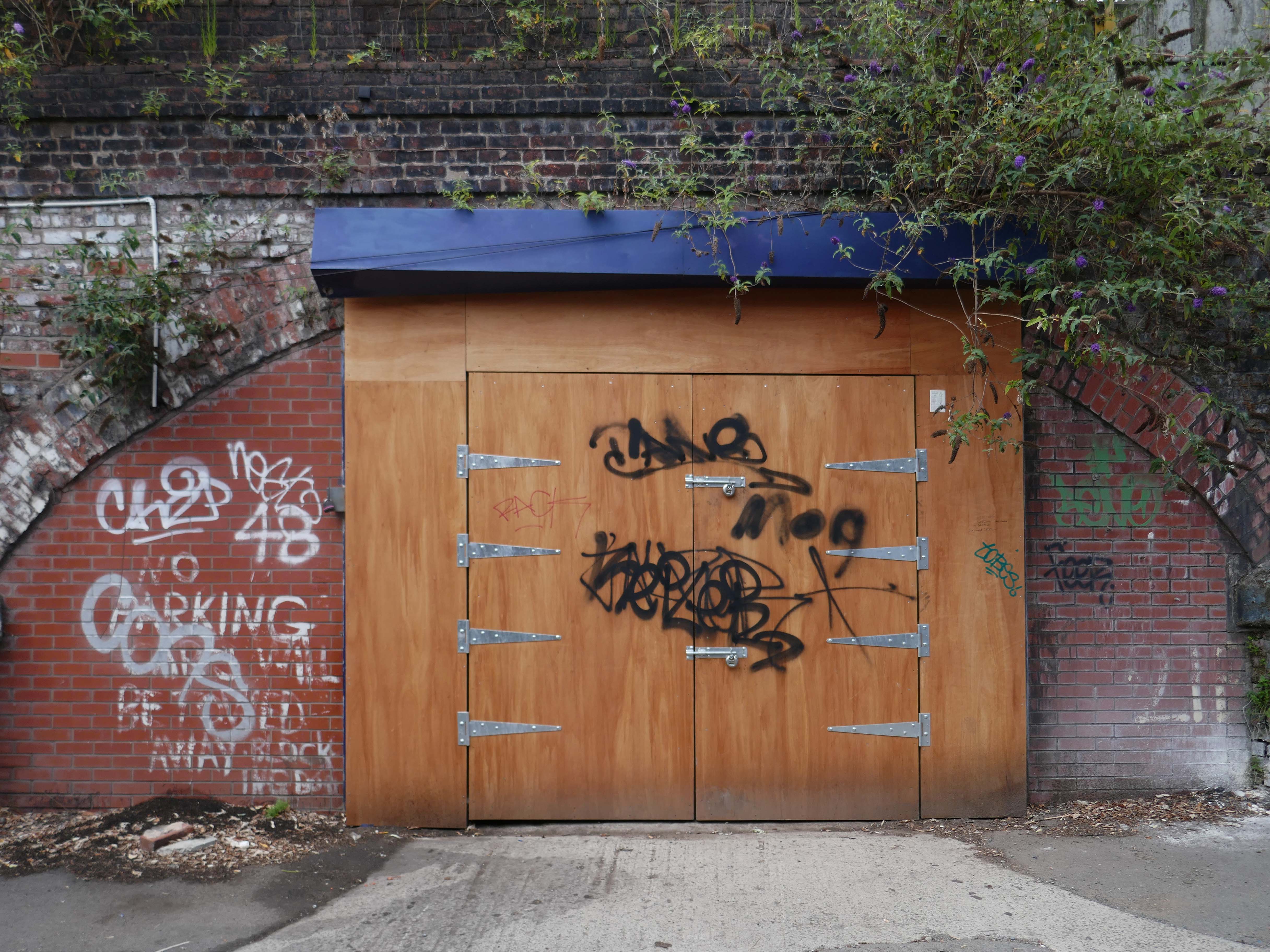
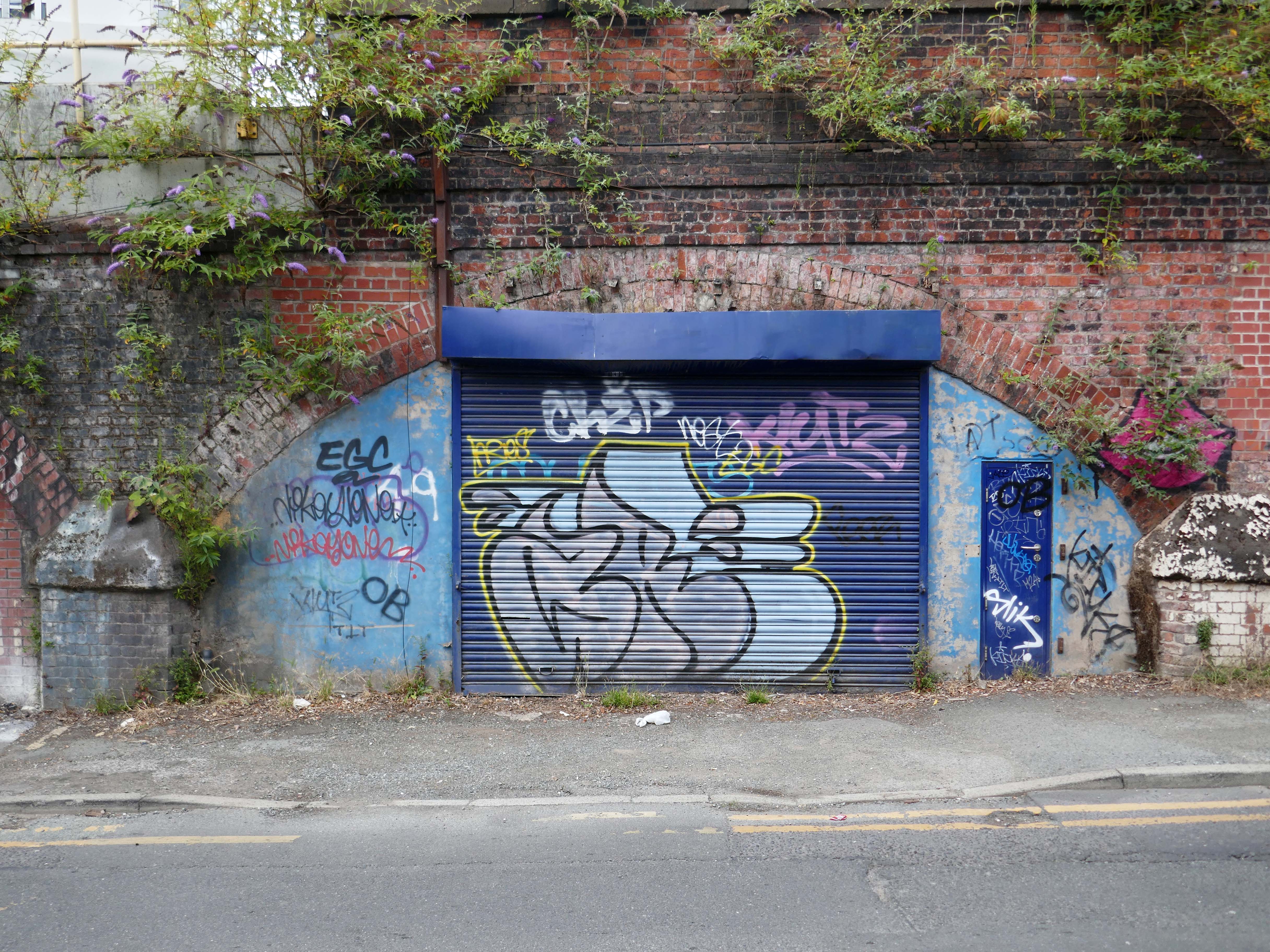
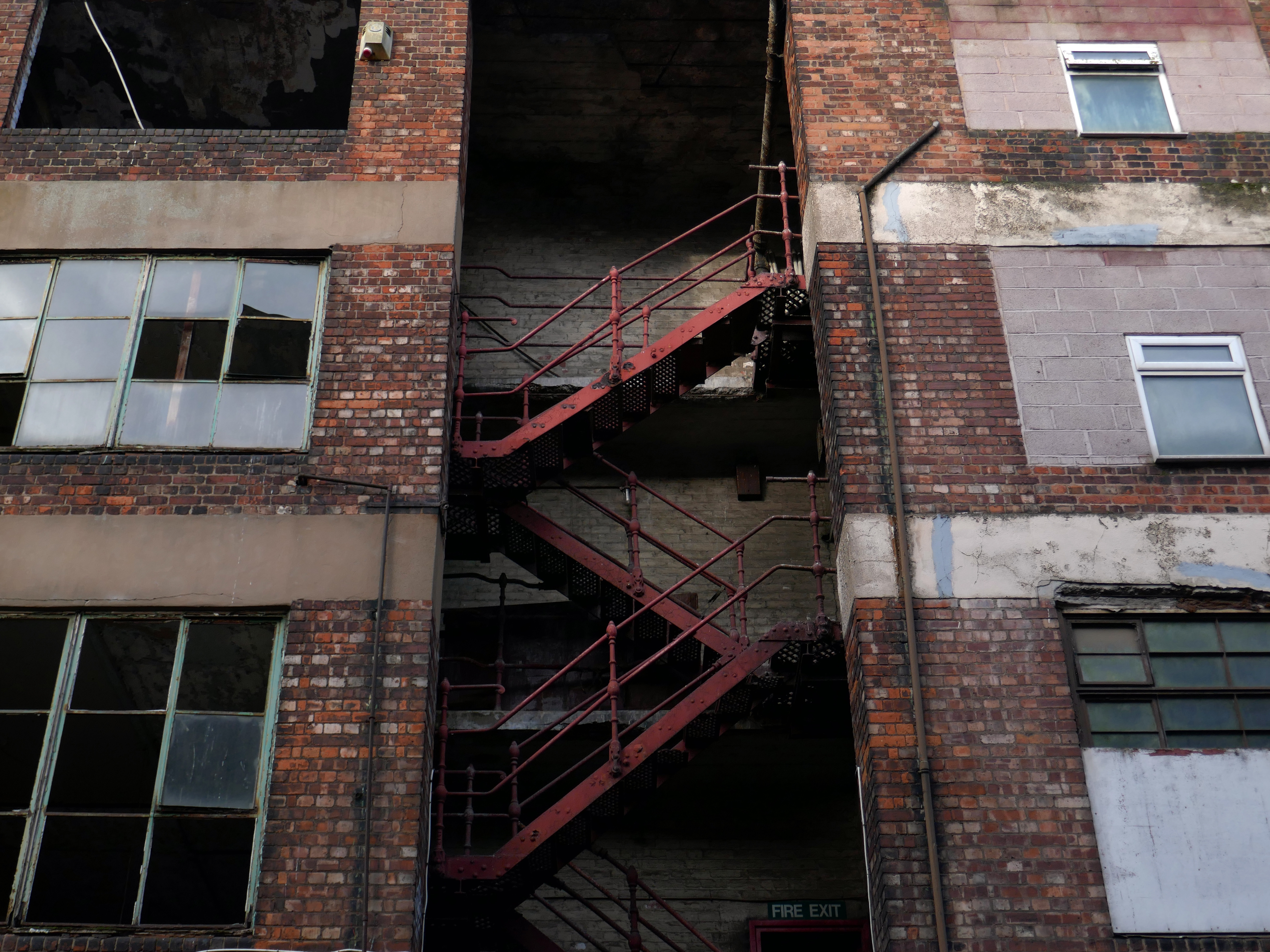
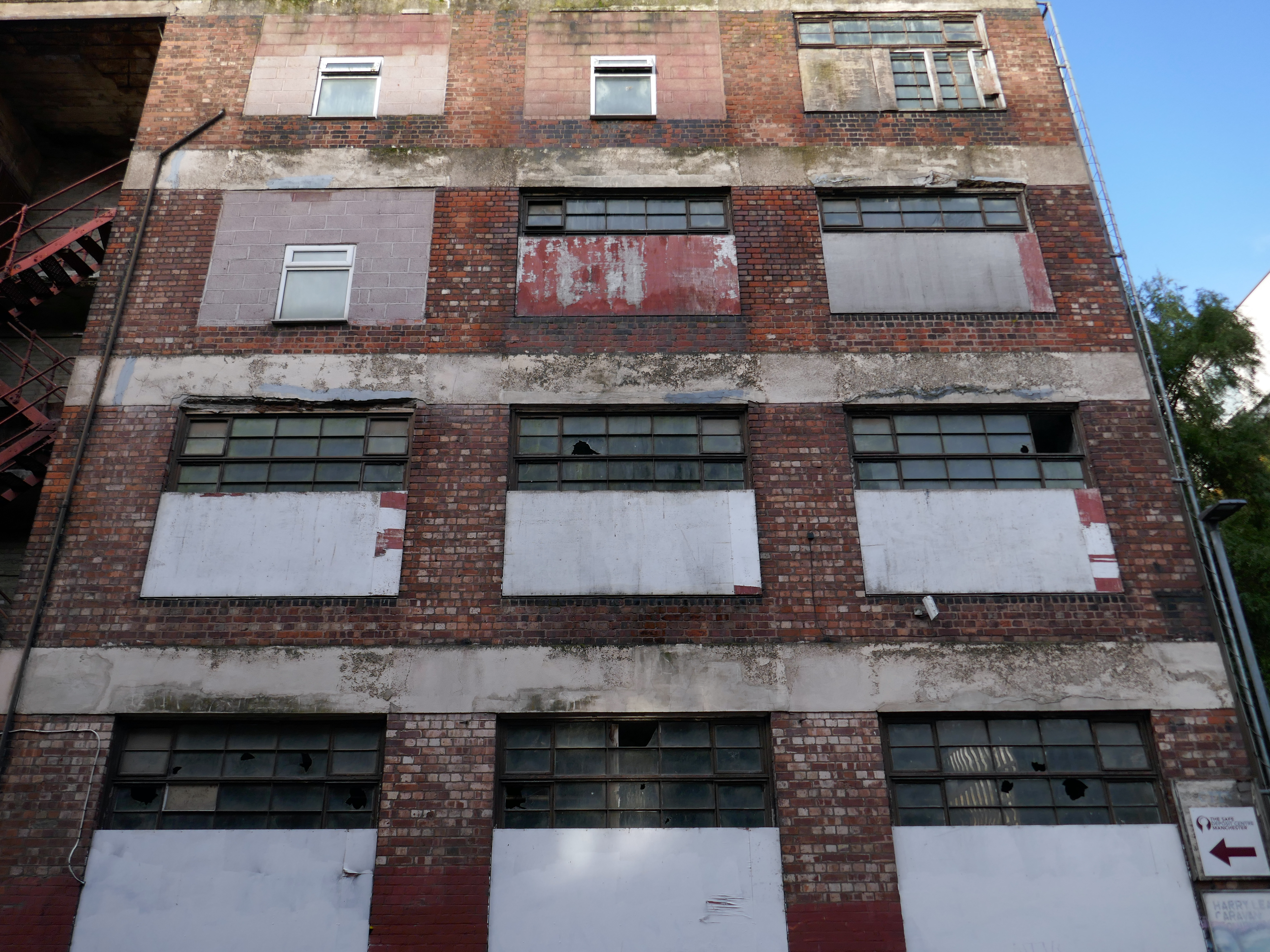
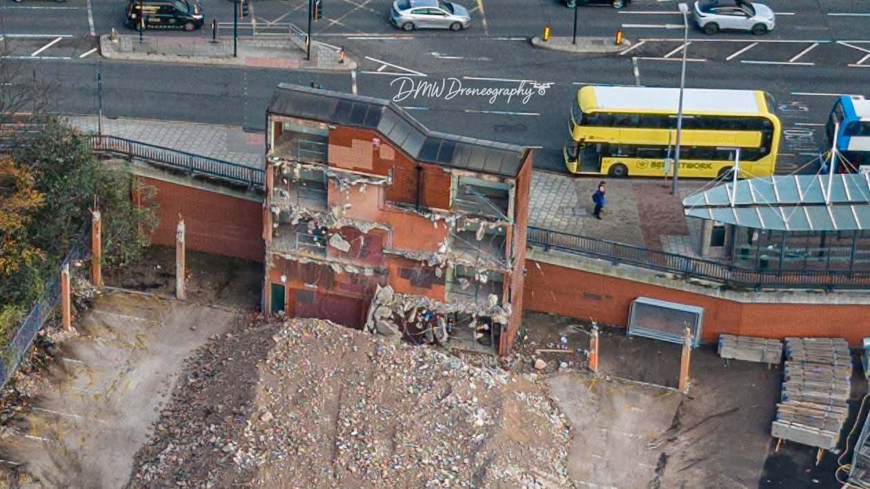
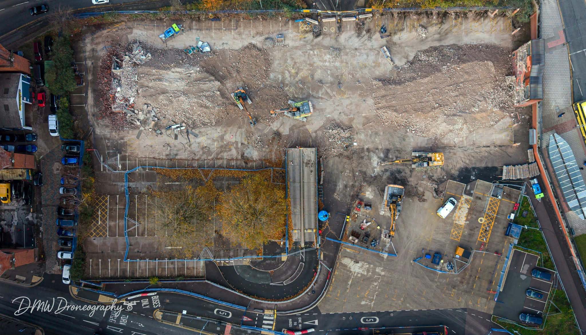
The raggle-taggle gaggle of businesses cling on to the Bromley Street arches beneath the railway.
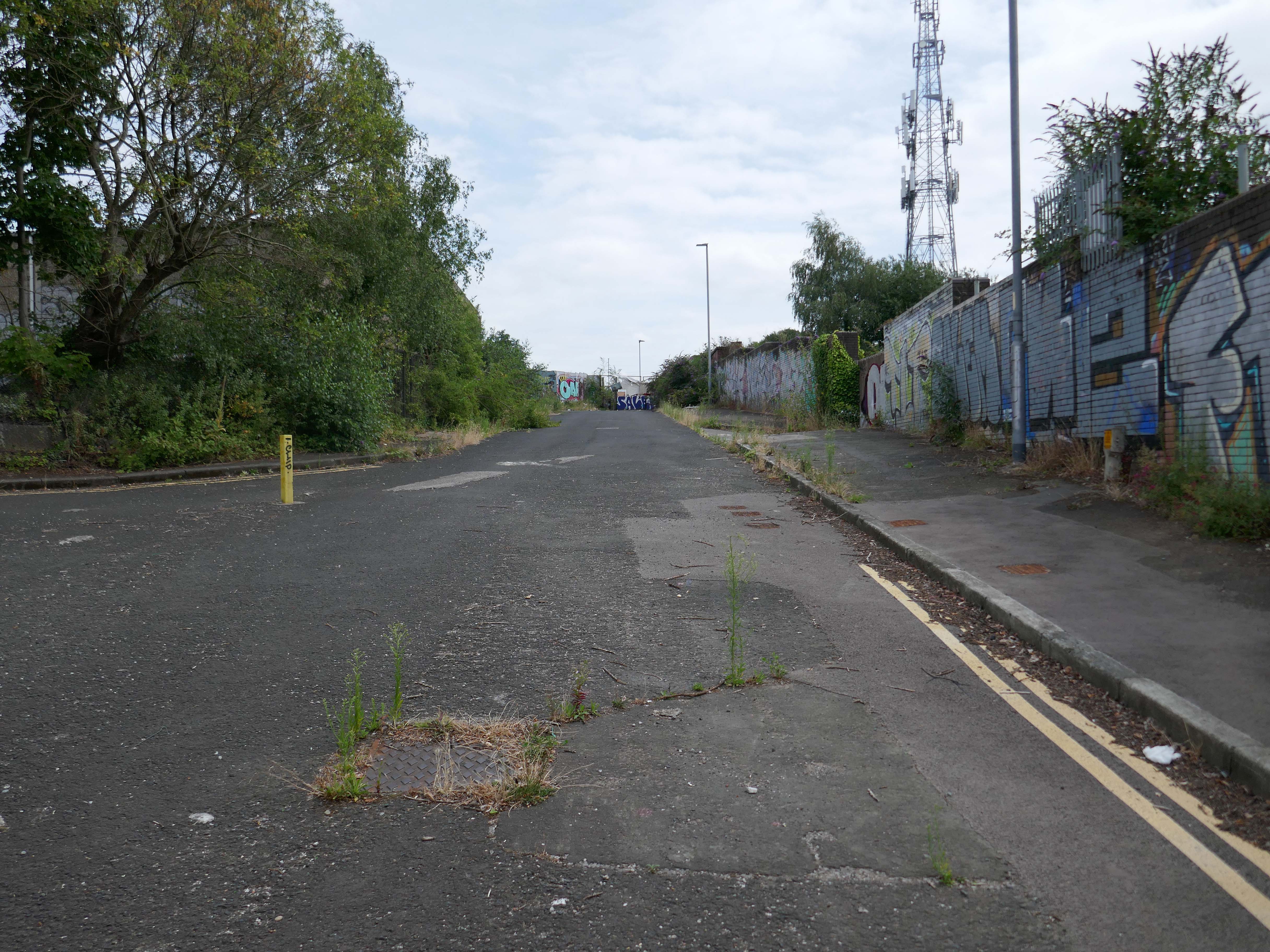
The other side of the tracks.
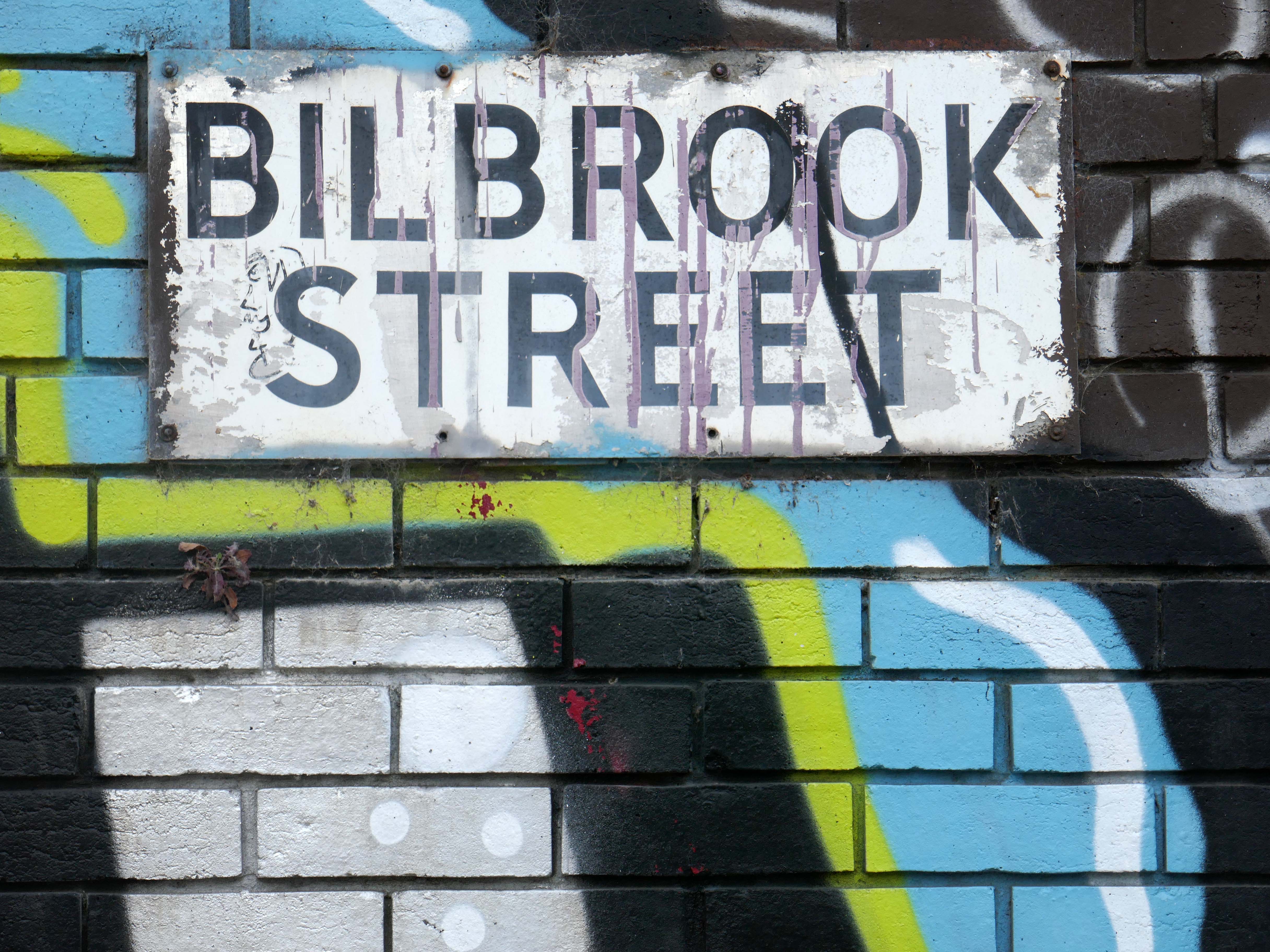
Bilbrook Street just about hanging in there.
Burstock Street.
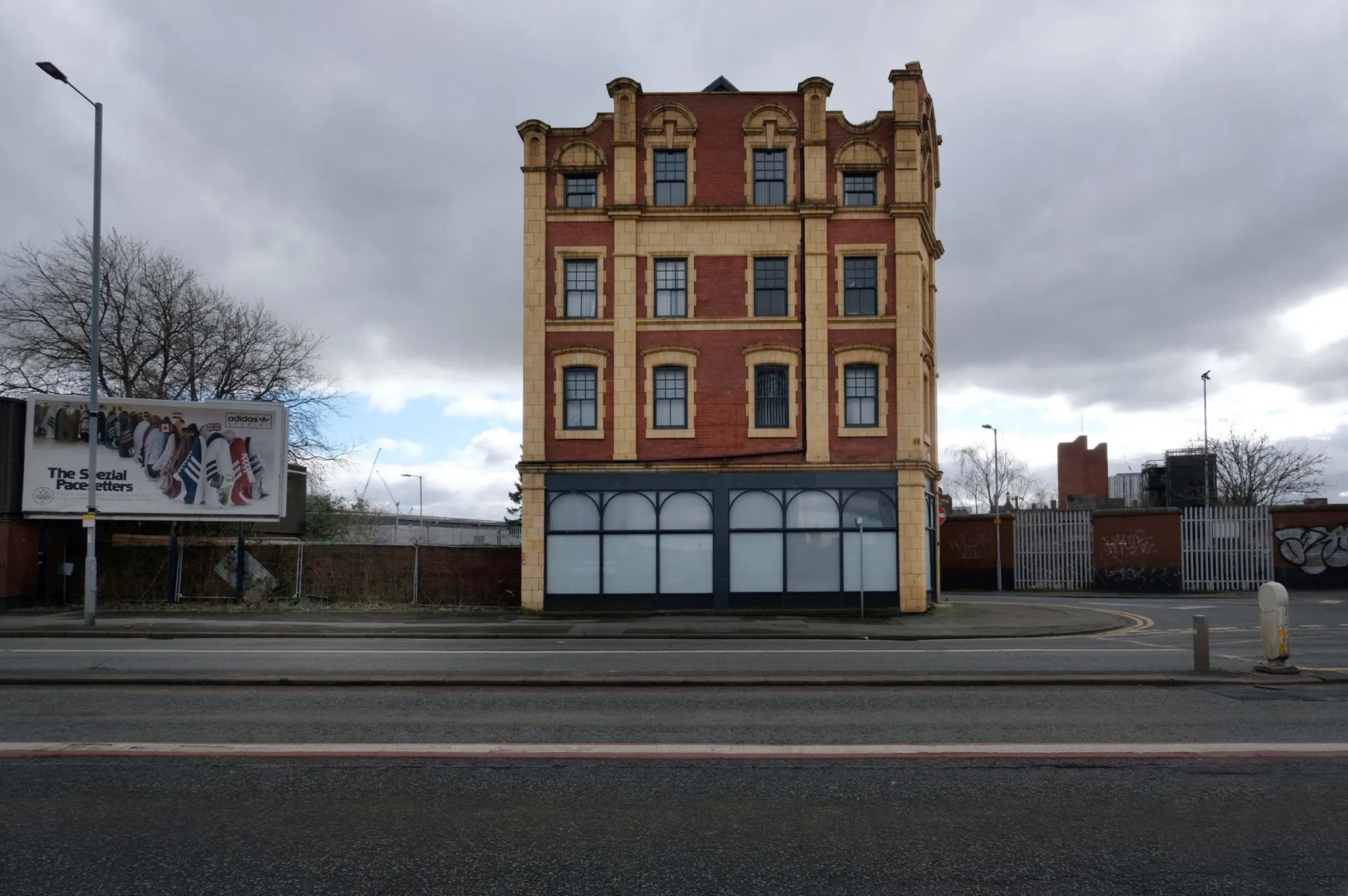
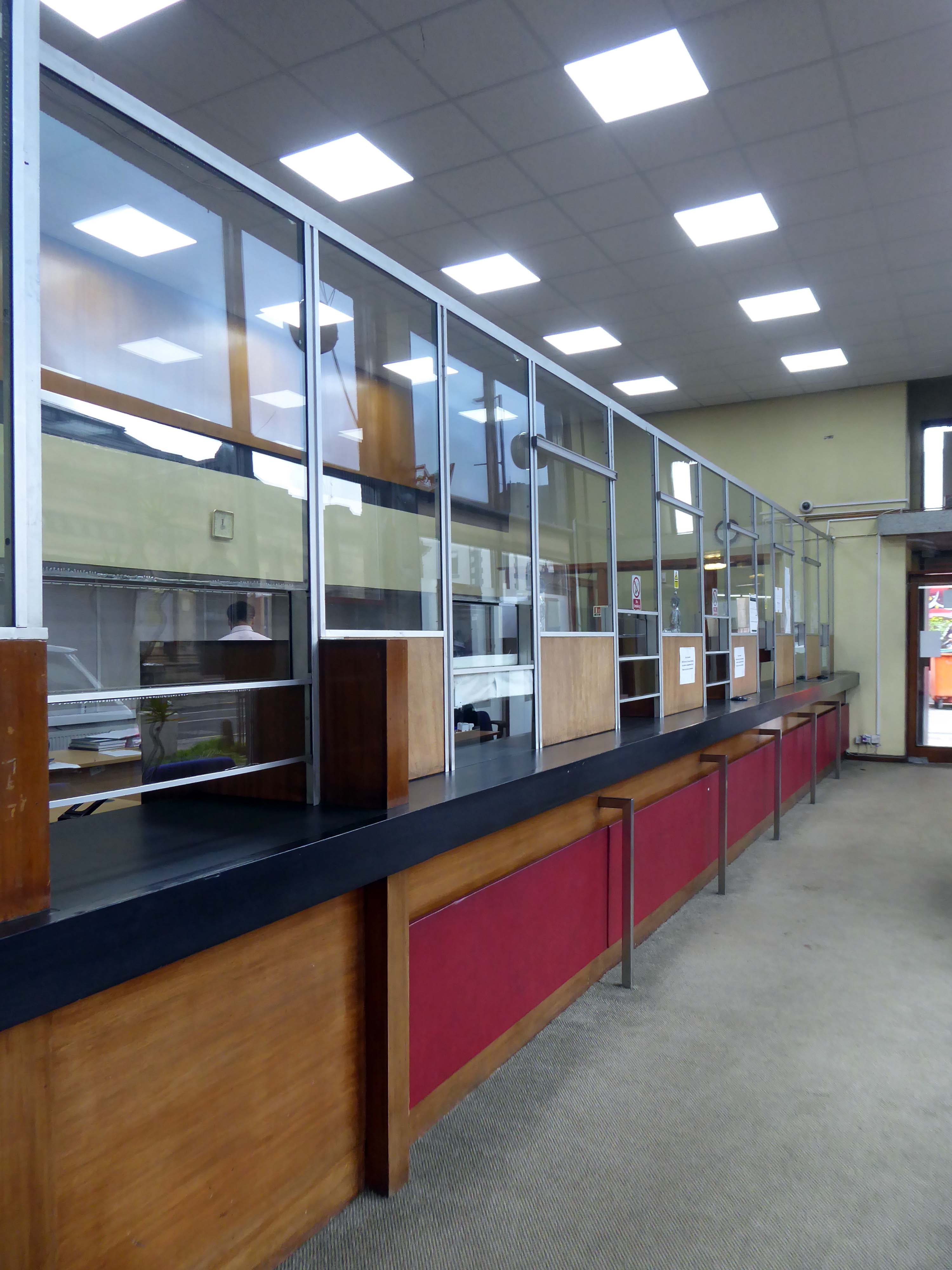
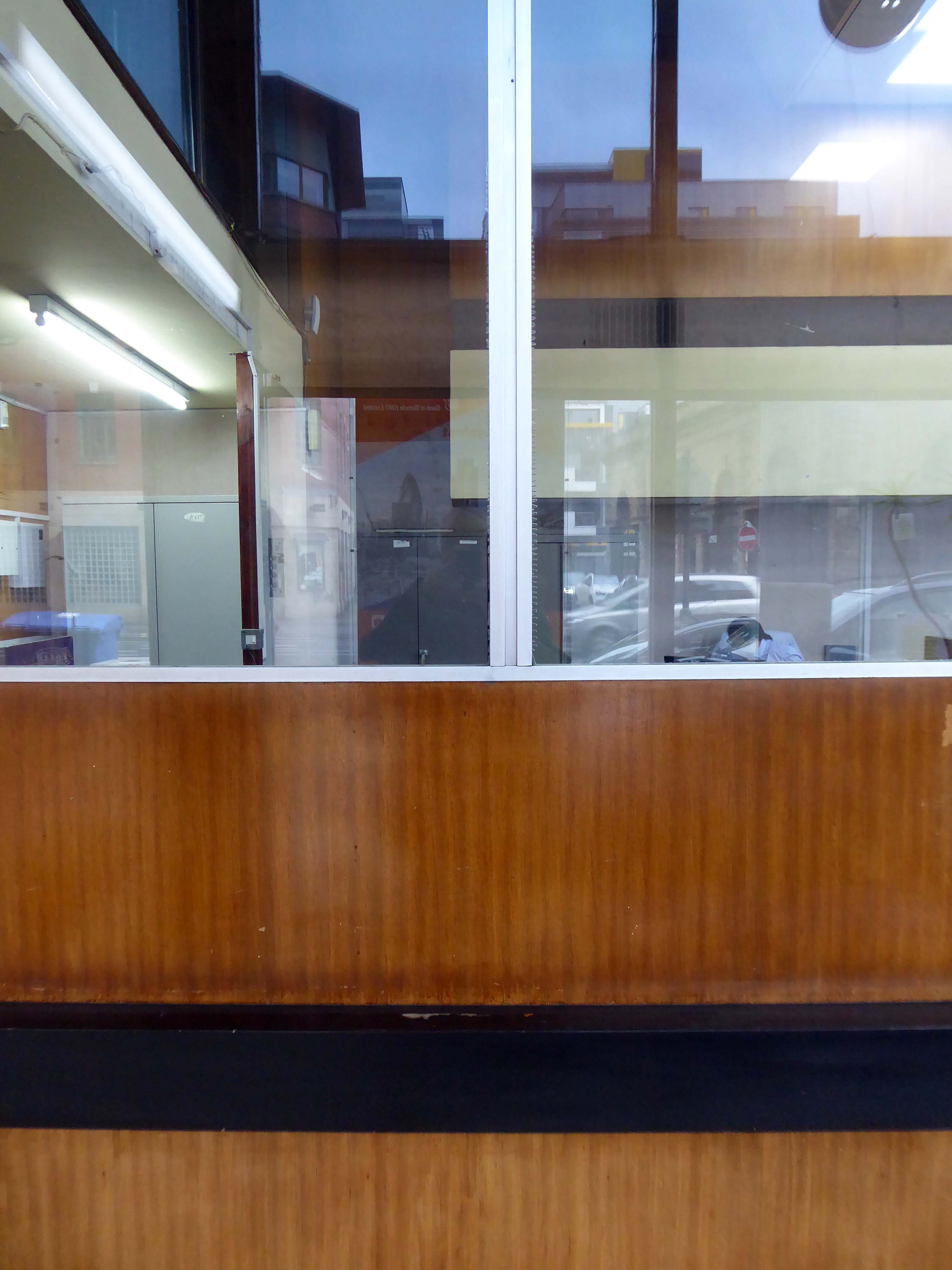
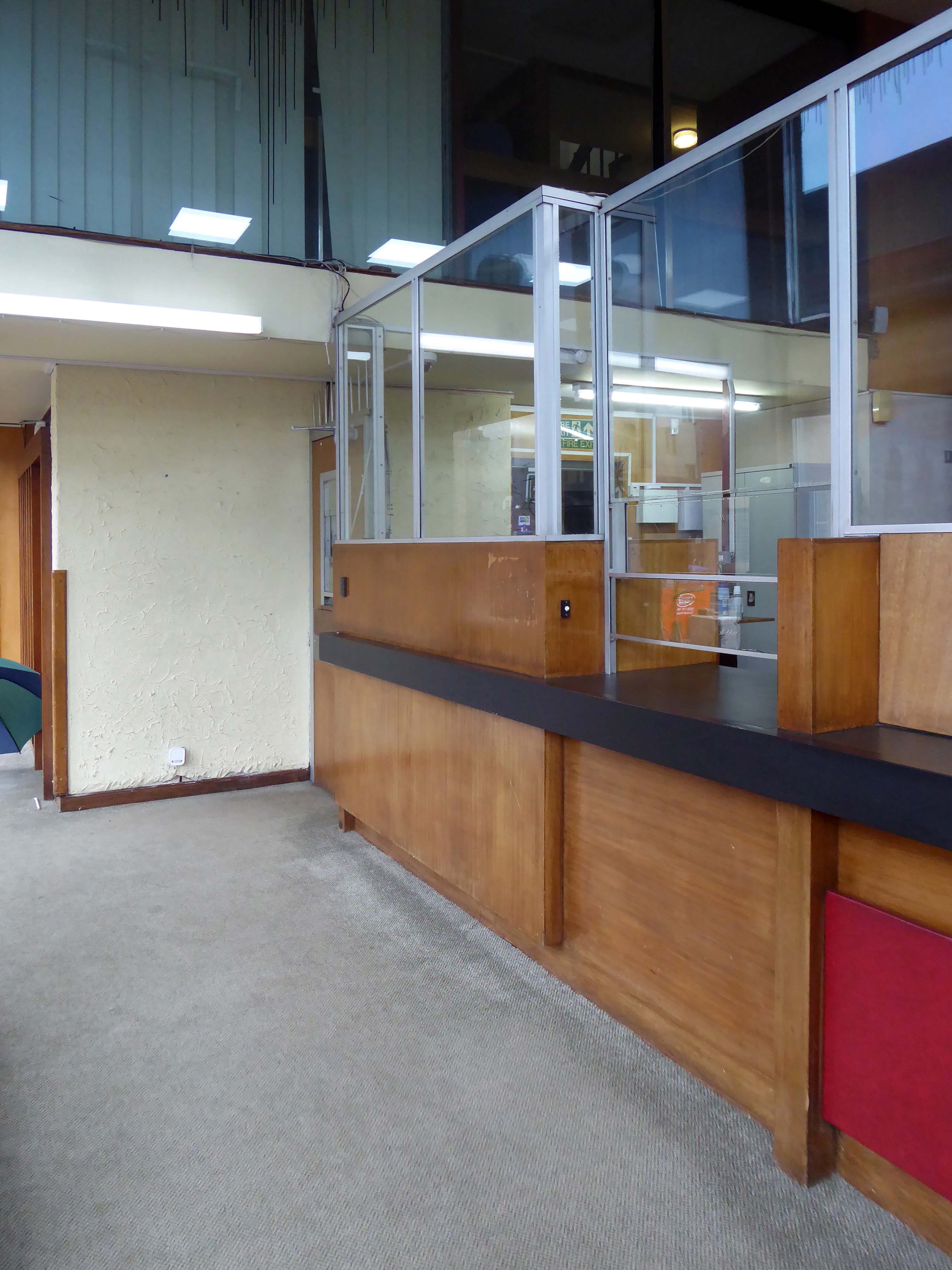
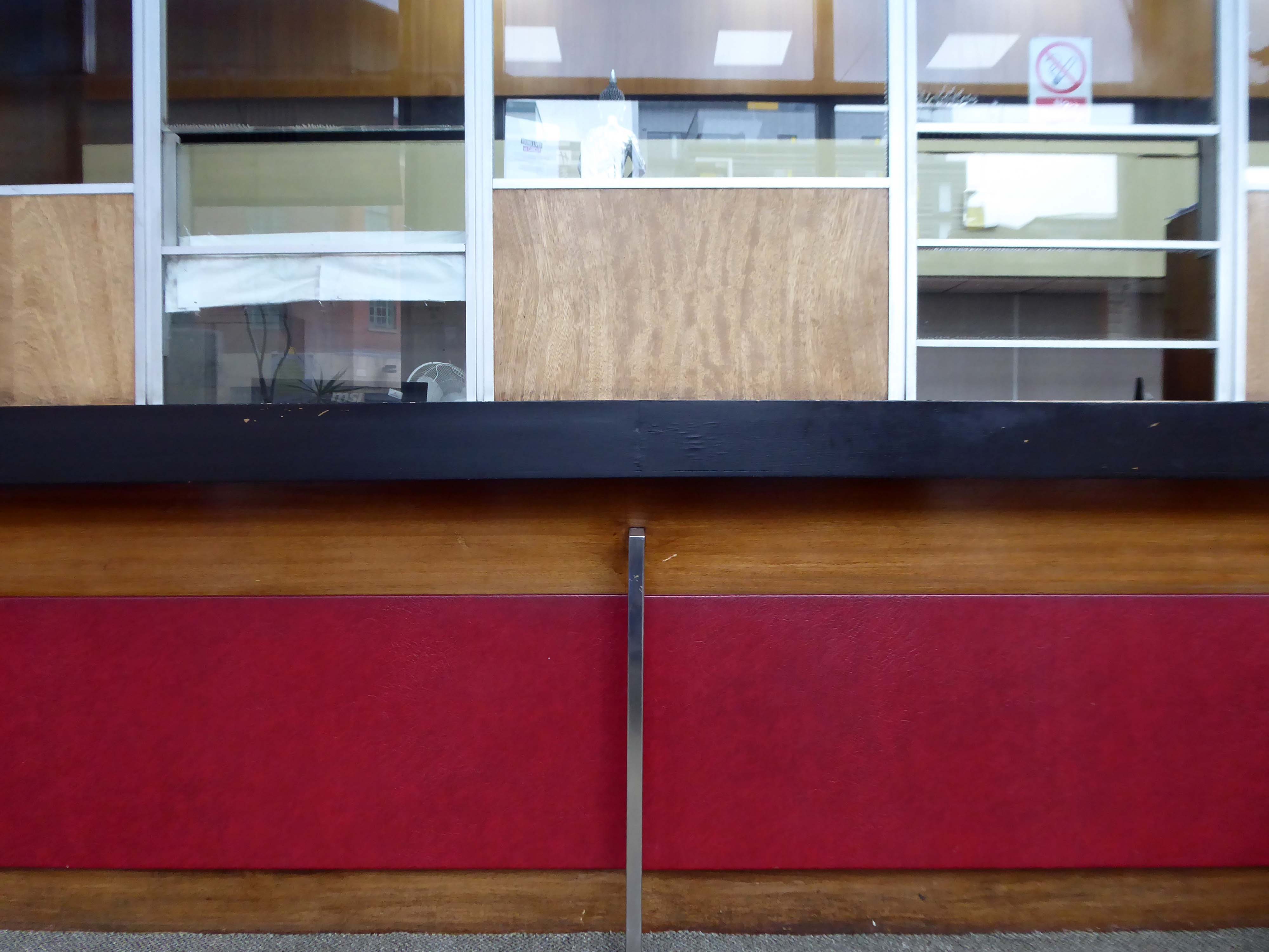
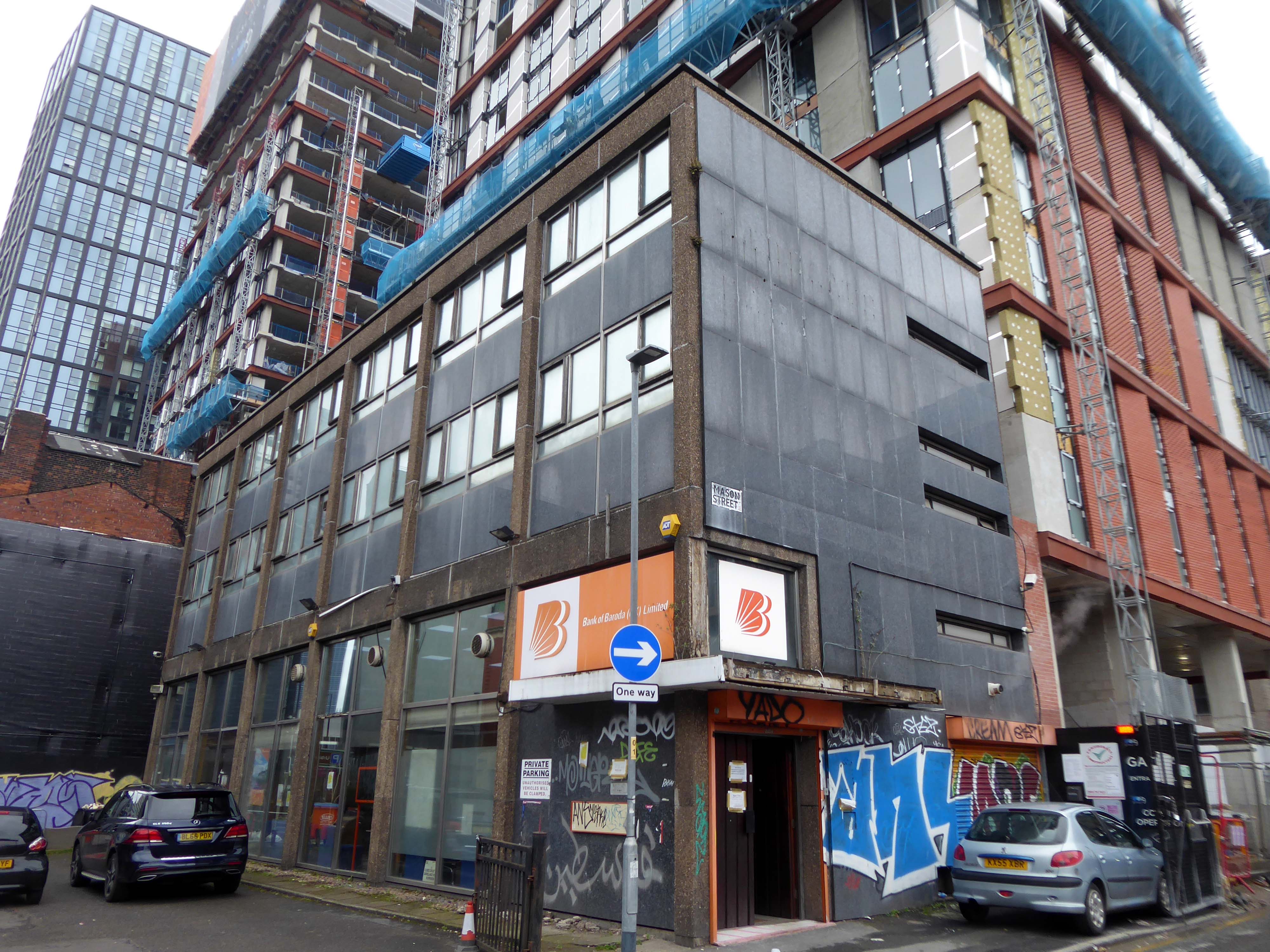
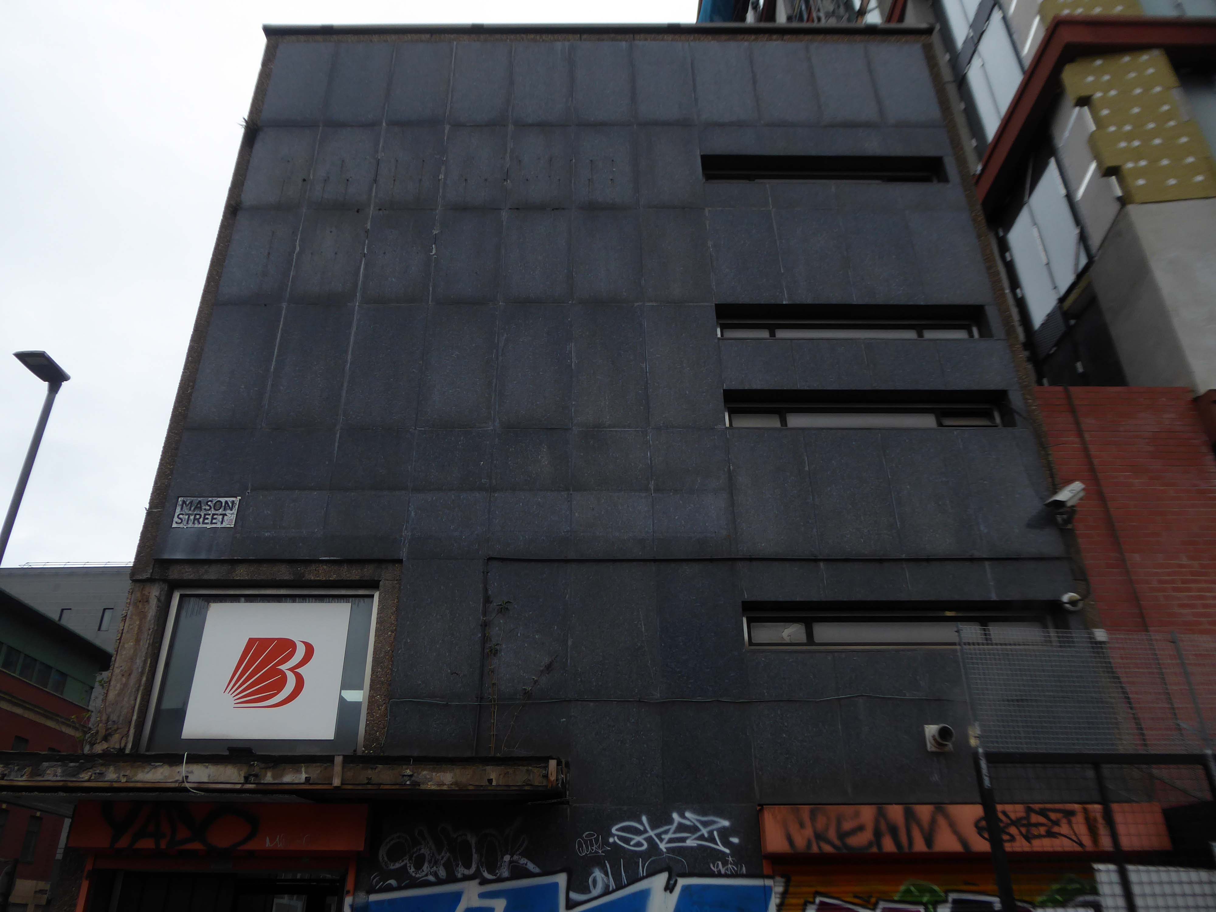
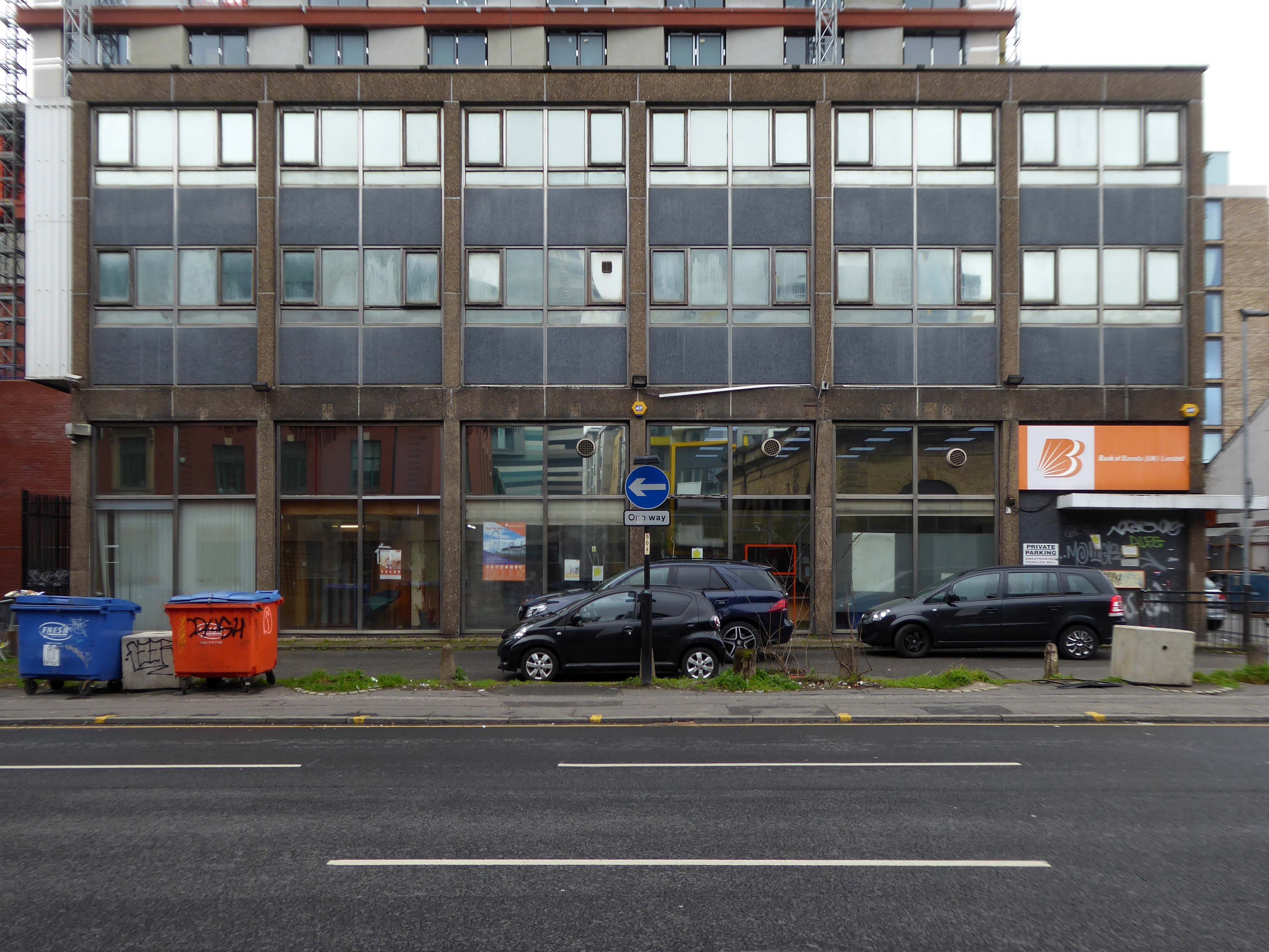
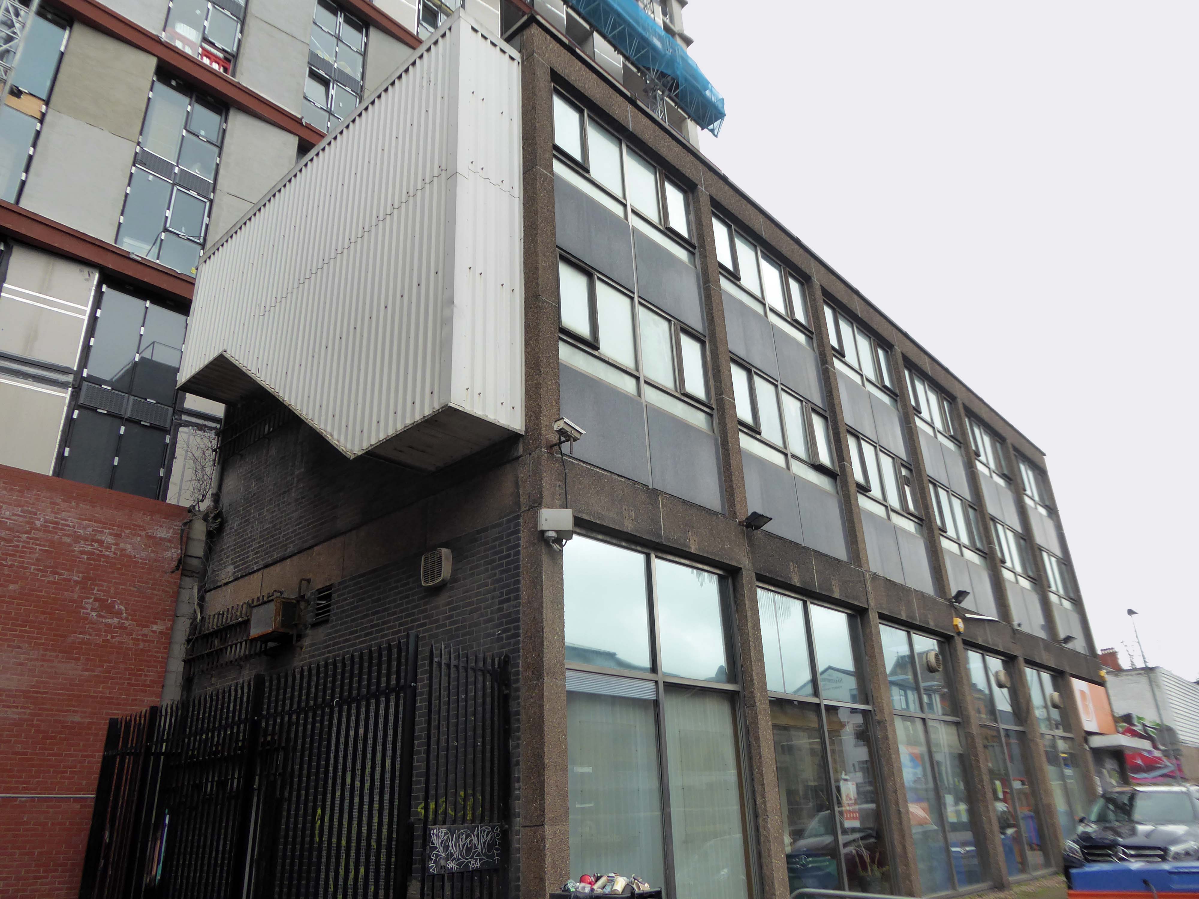
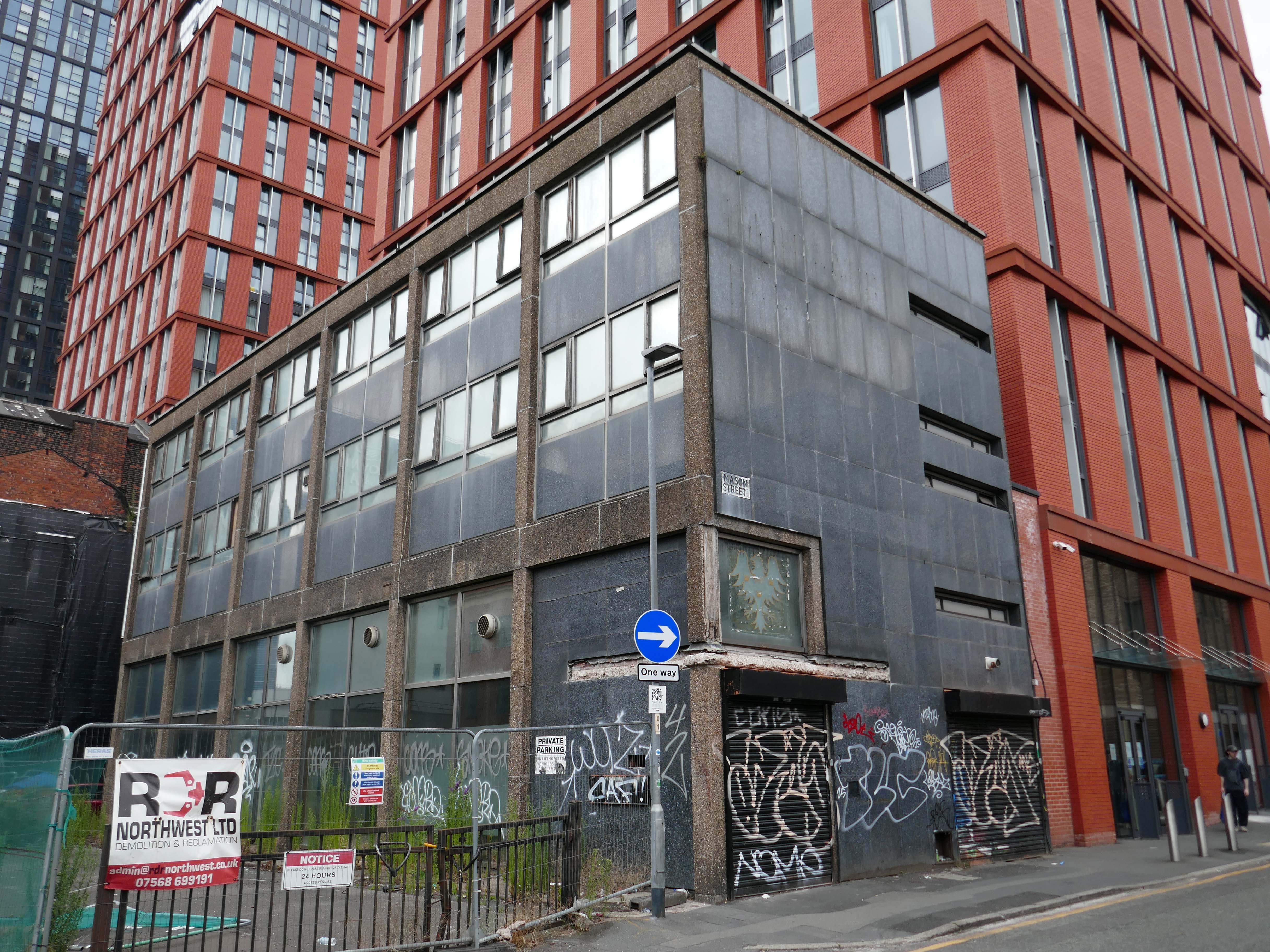
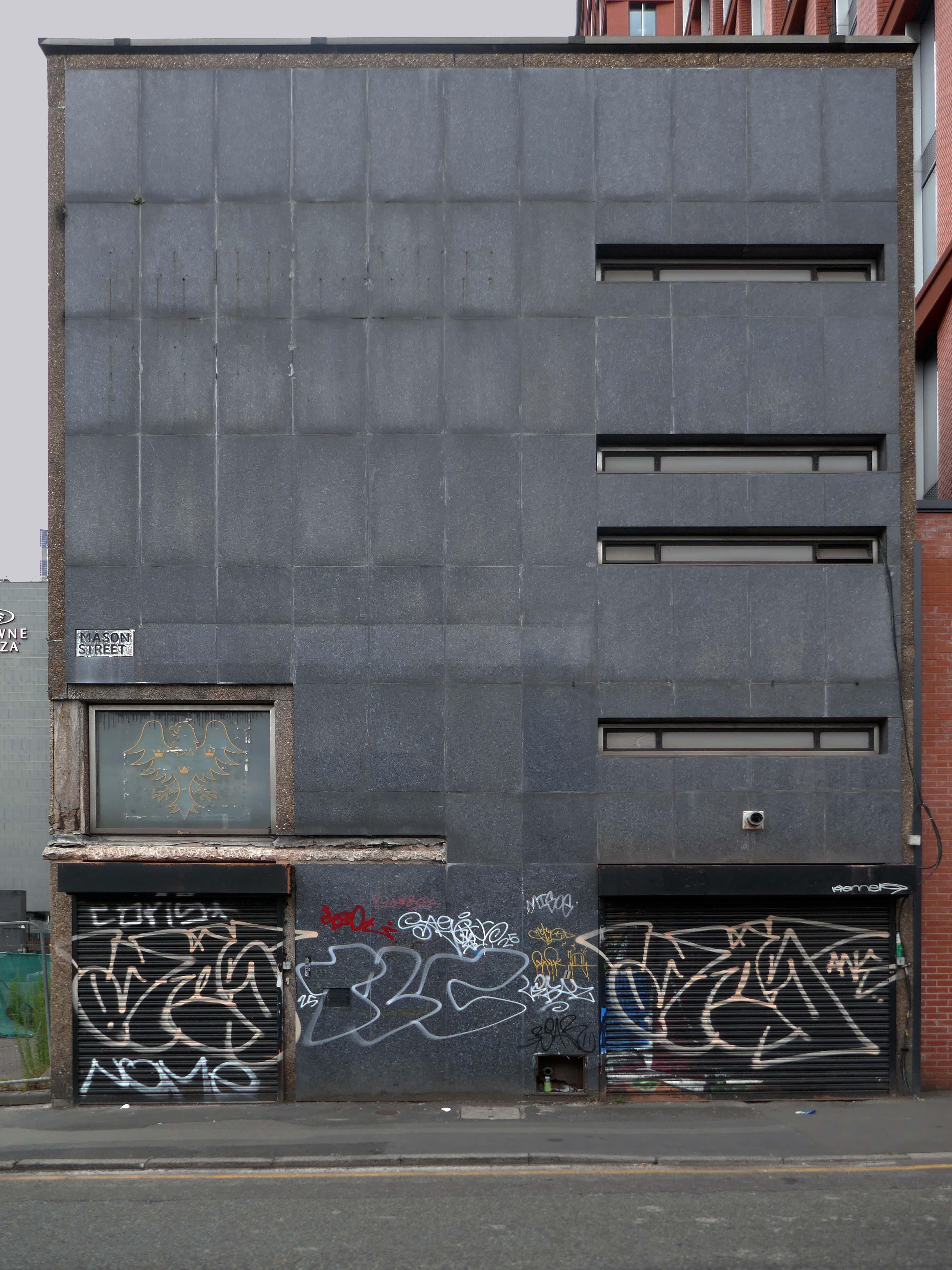
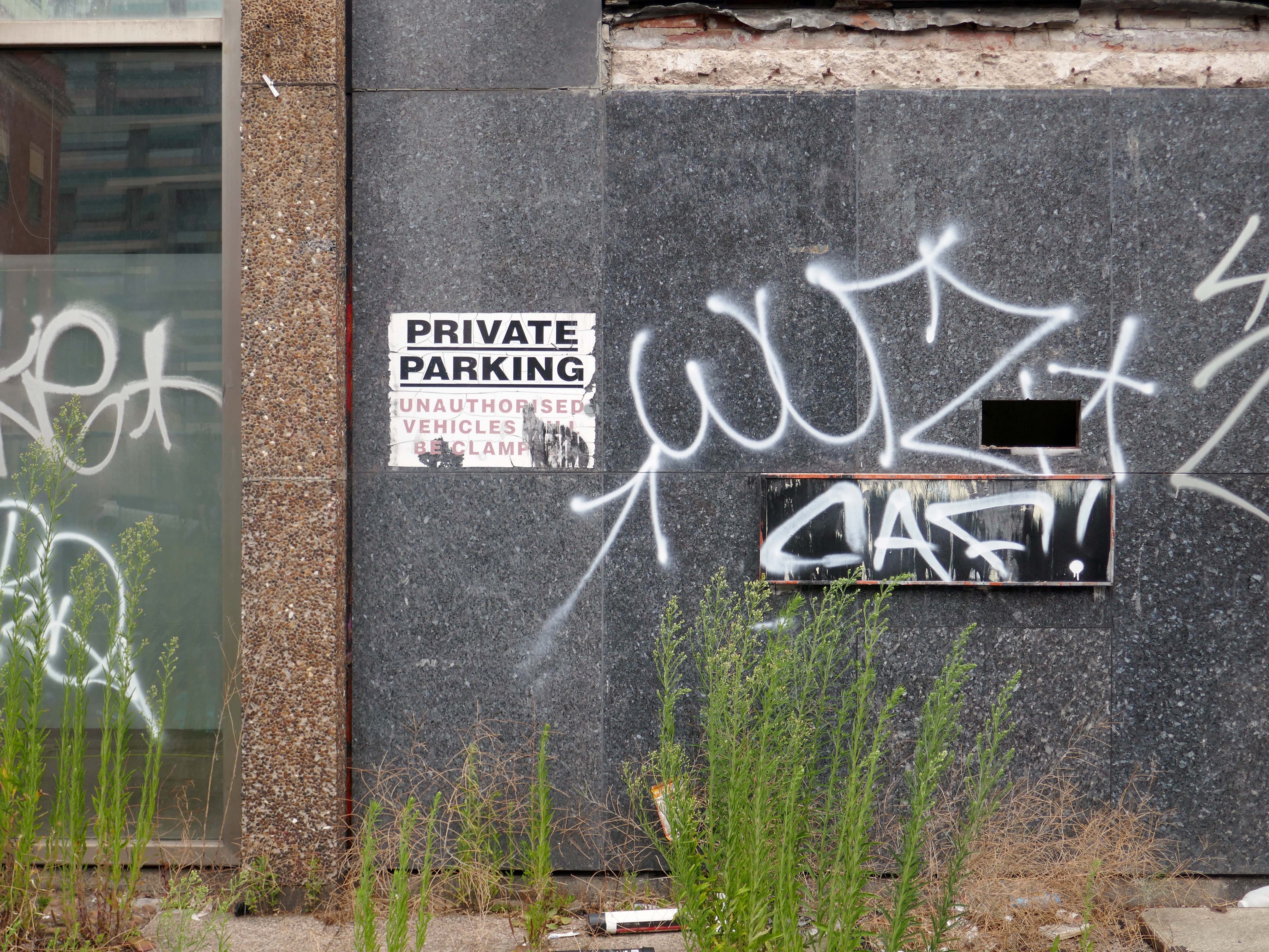
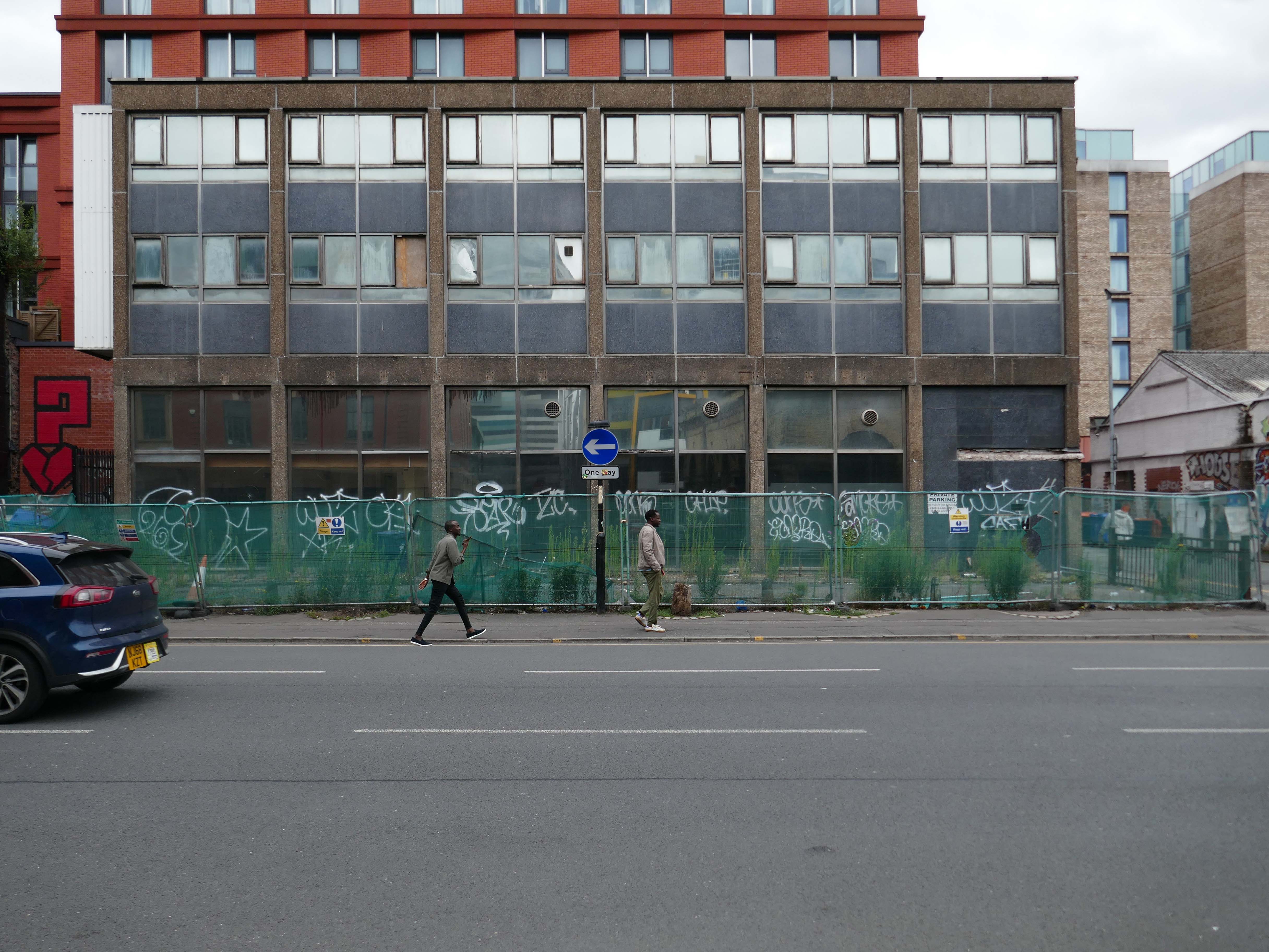
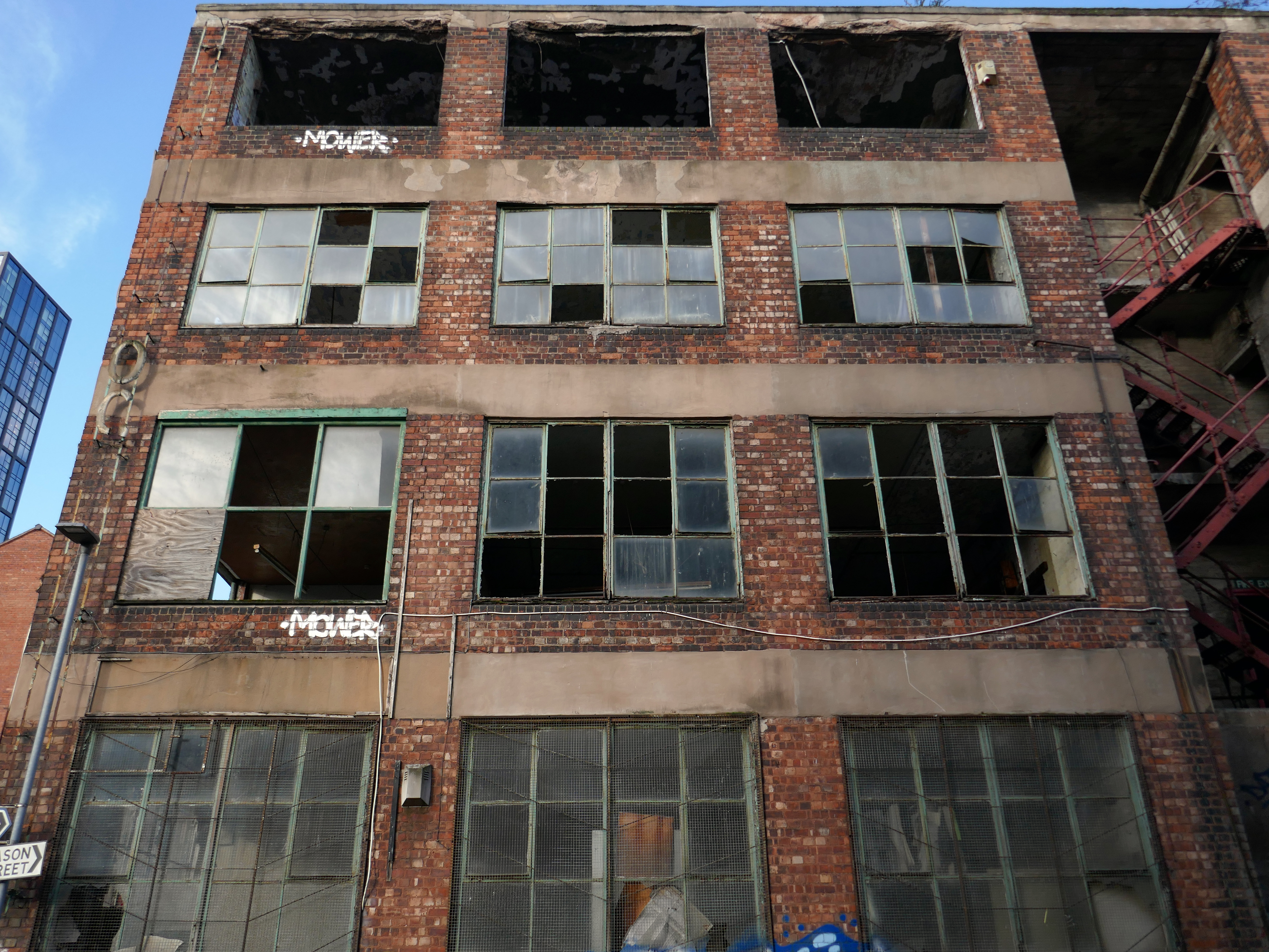
Here we are at the former home of Isomax Construction Company Ltd.
Manufacturing and execution of liquid waterproofing systems since 1990. All products are unique development, protected by patents and trademarks. All products are water-based and thus are 100% ecological. More than 1,200,000 sqm of executed projects with ten years warranty, since 1990.
Export to Serbia, Poland, Spain, Montenegro, France,
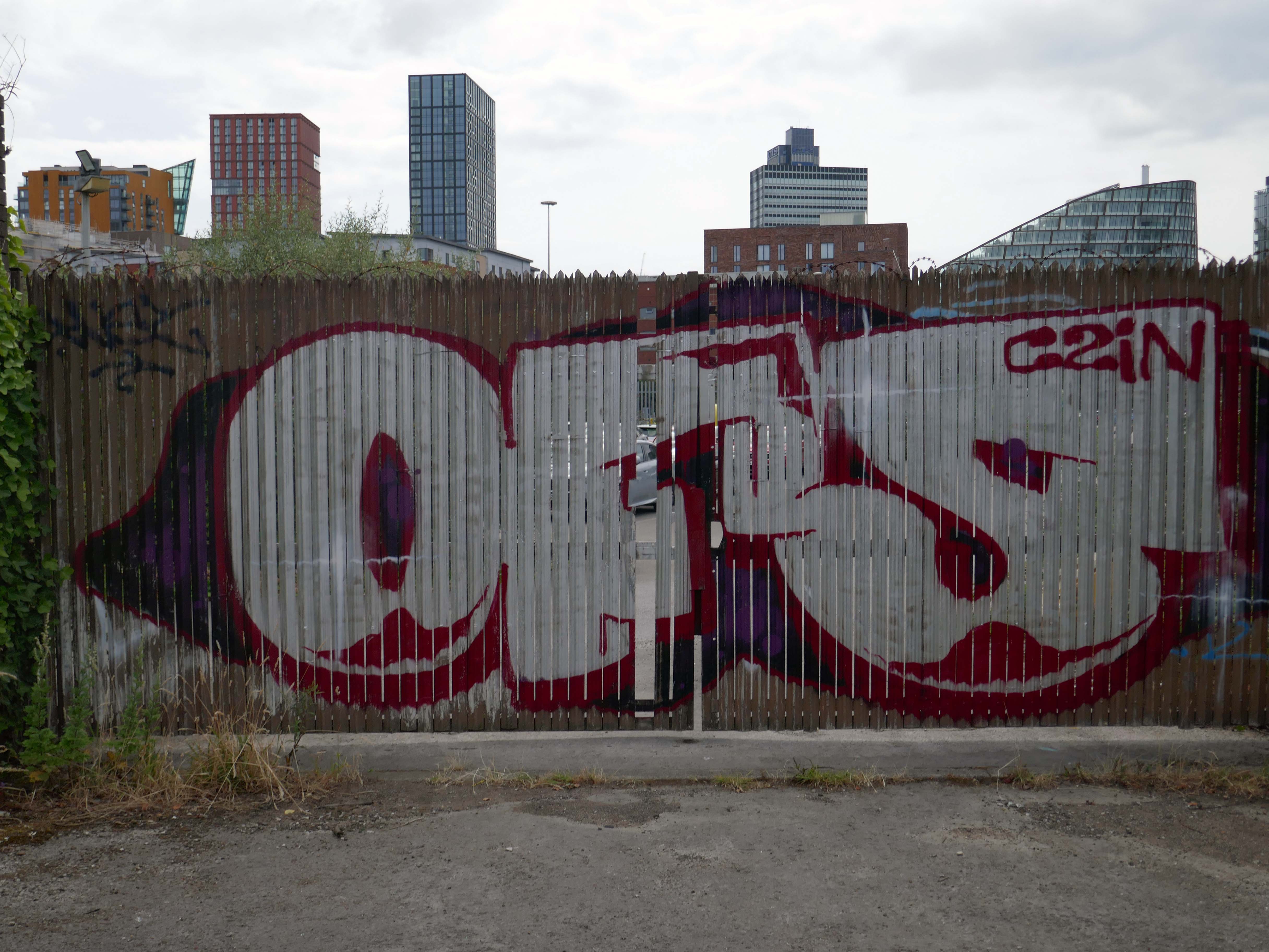
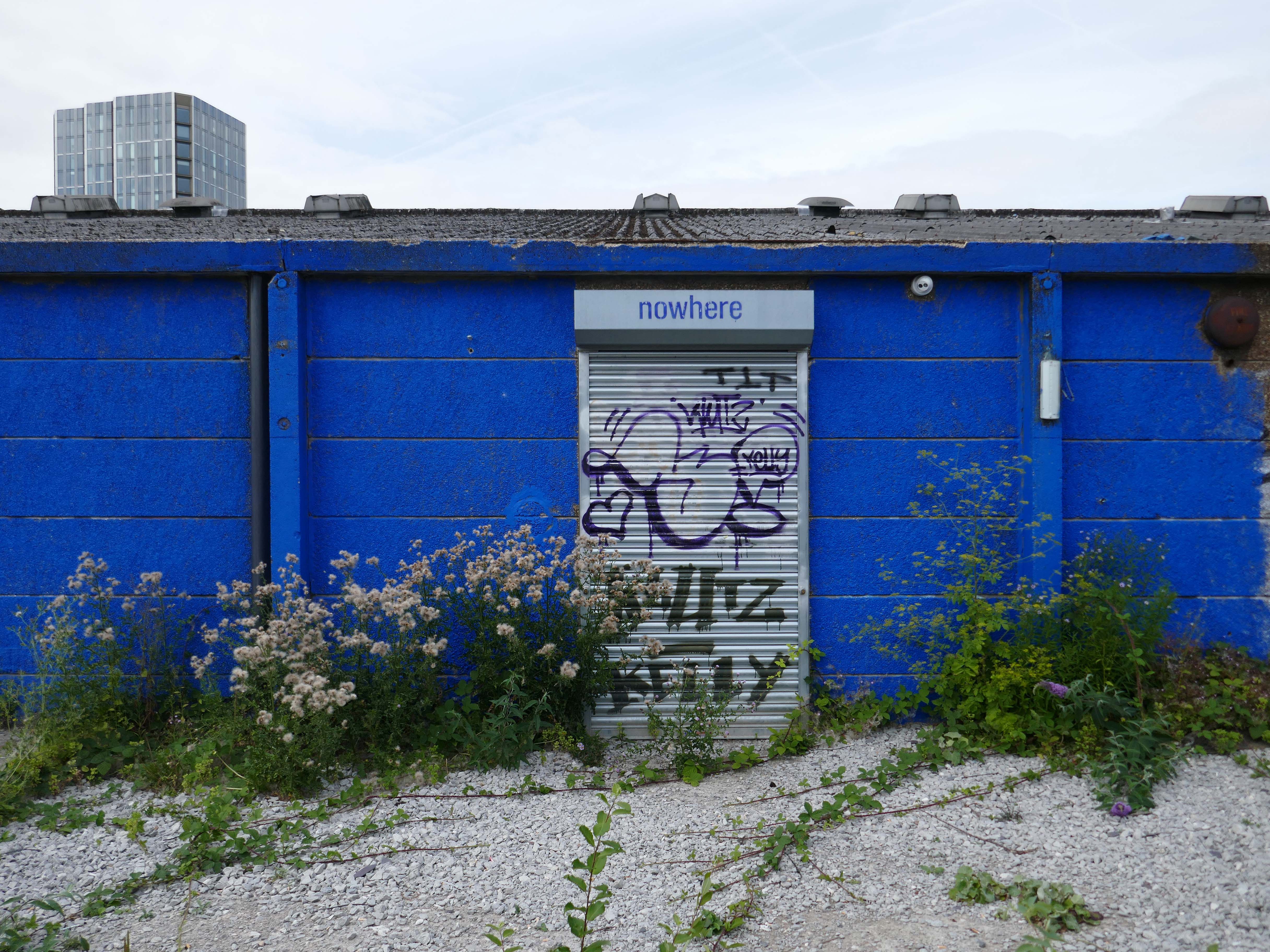
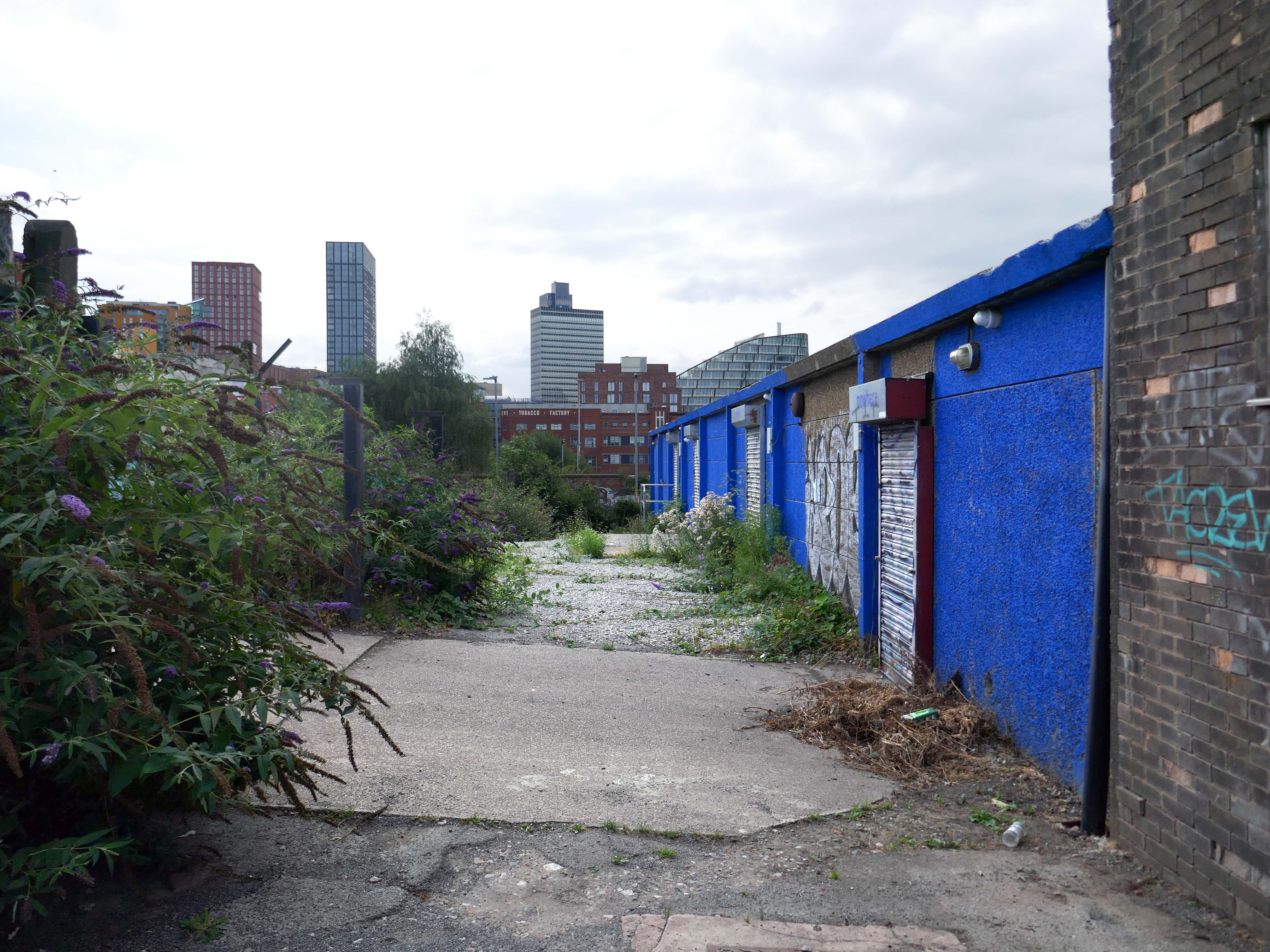
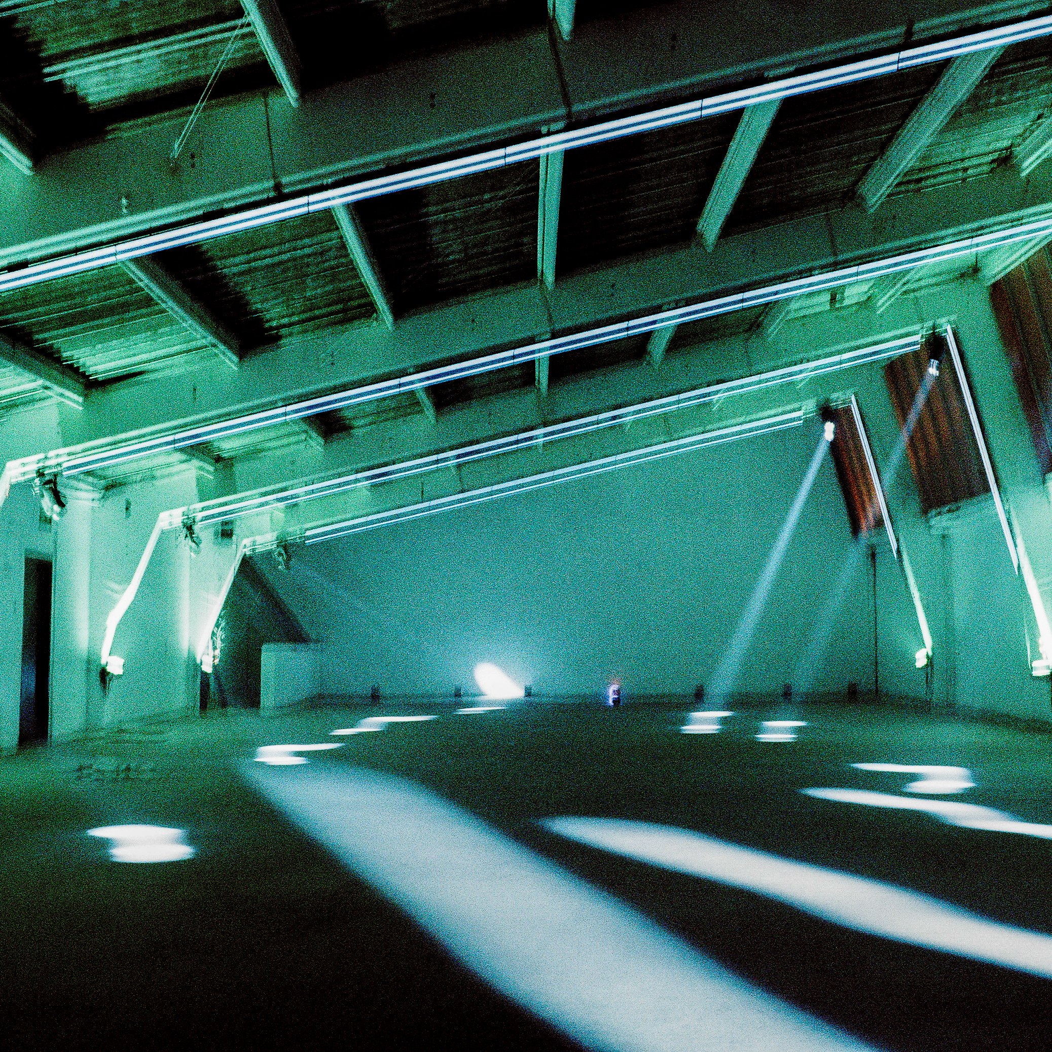
Latterly the former industrial premises have become temporary home to a Warehouse House Party – under the banner of We Are Nowhere.
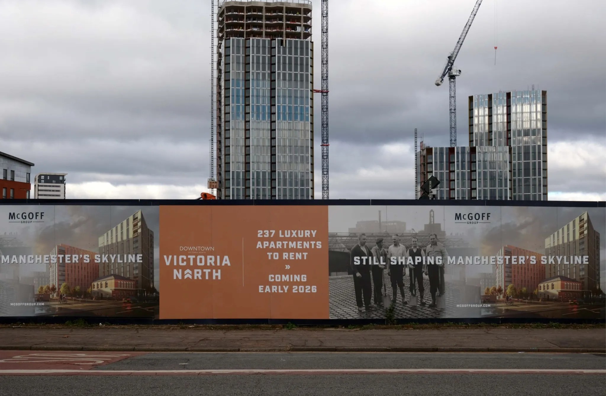
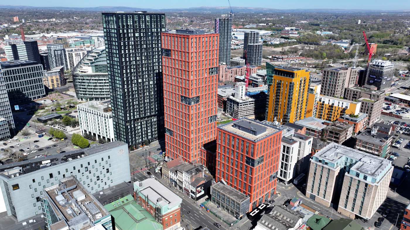
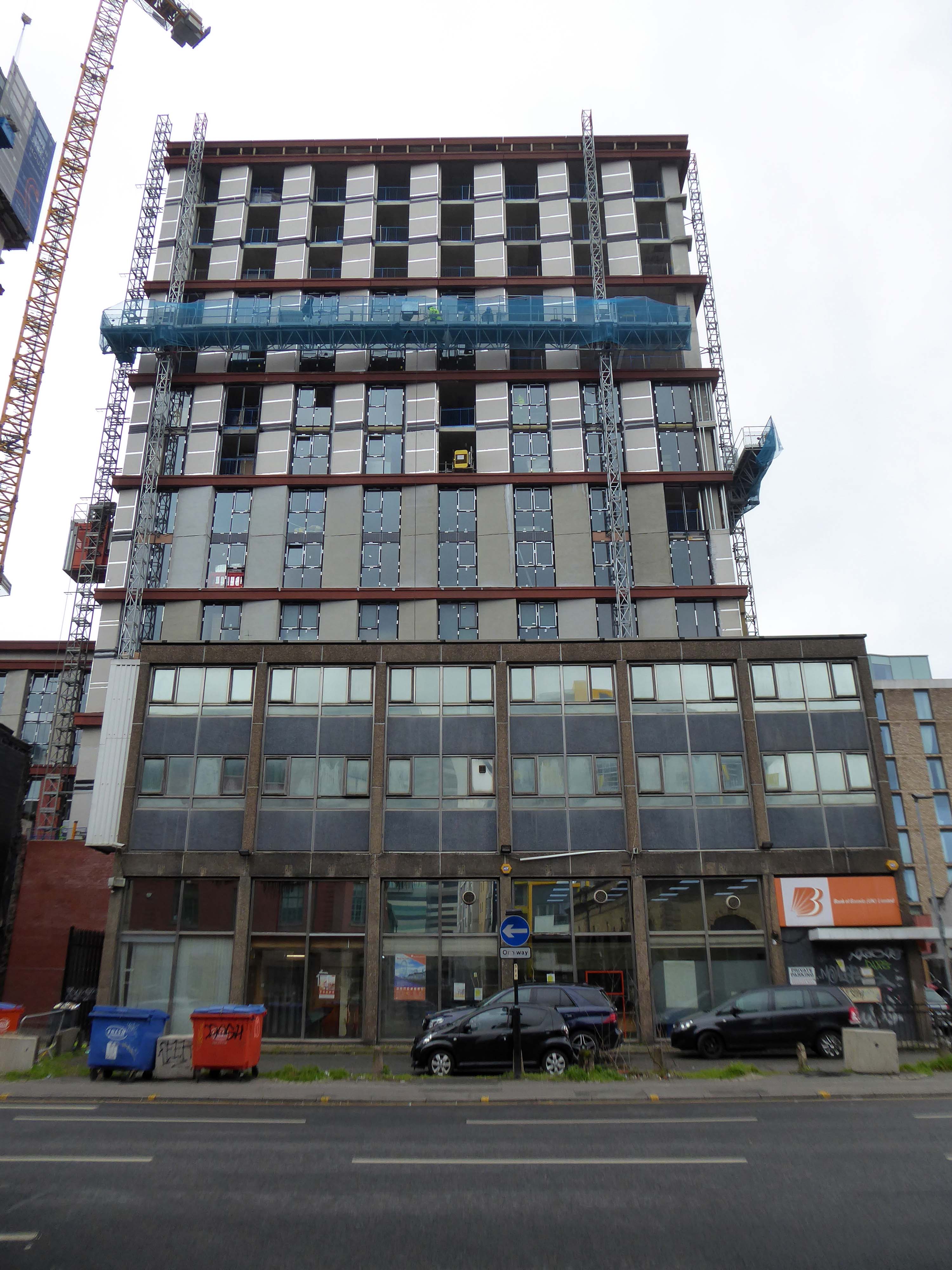
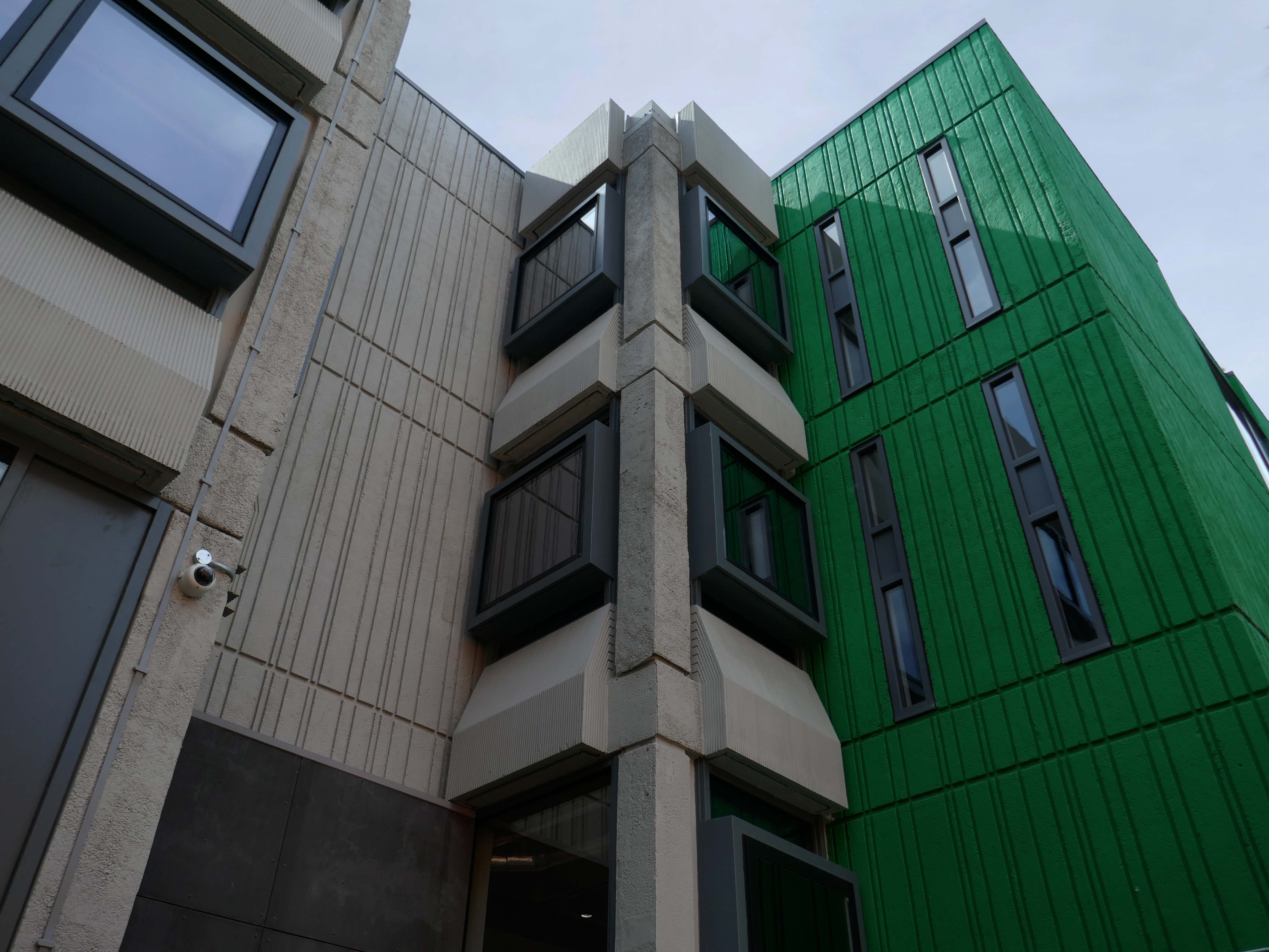
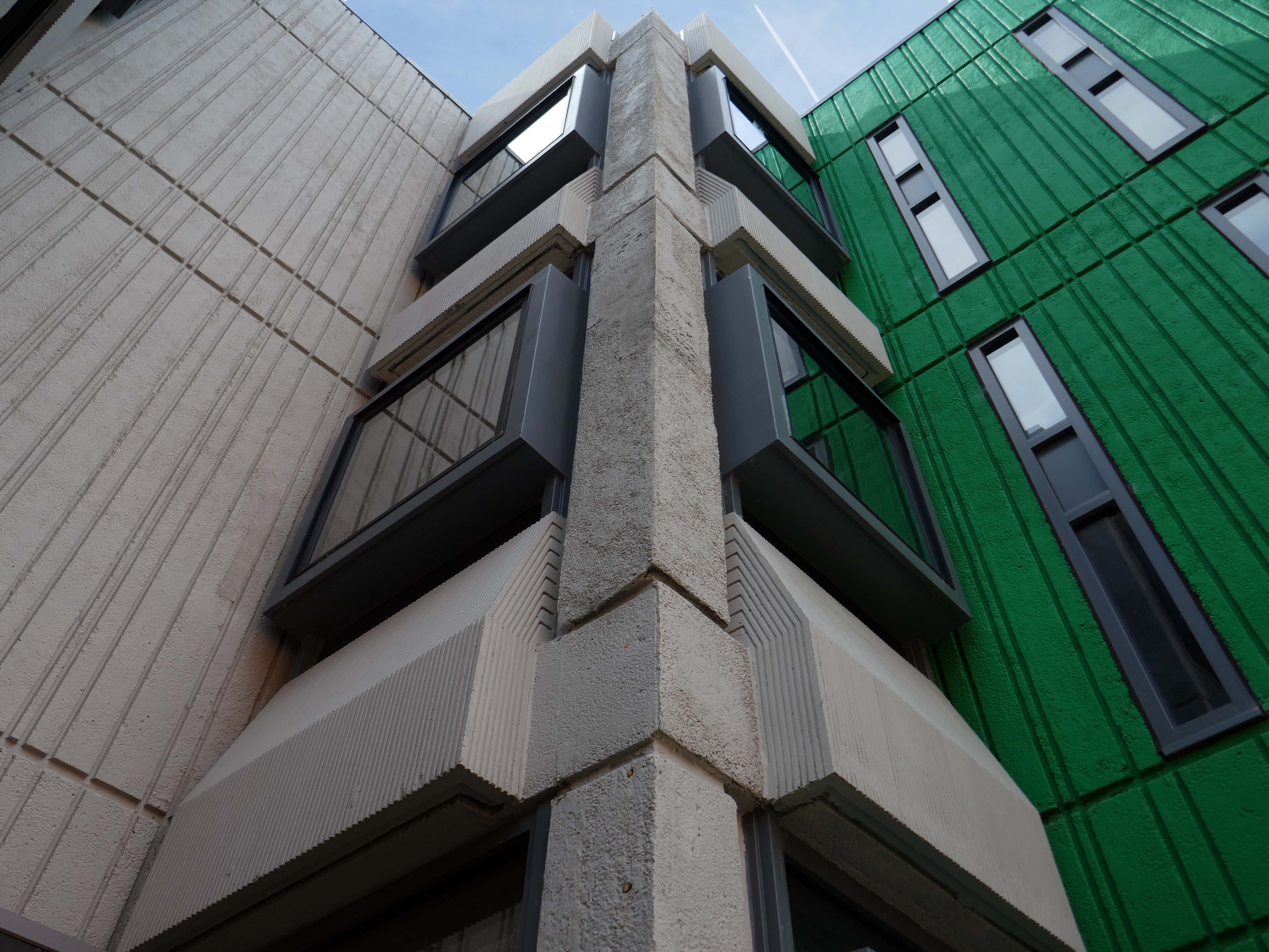
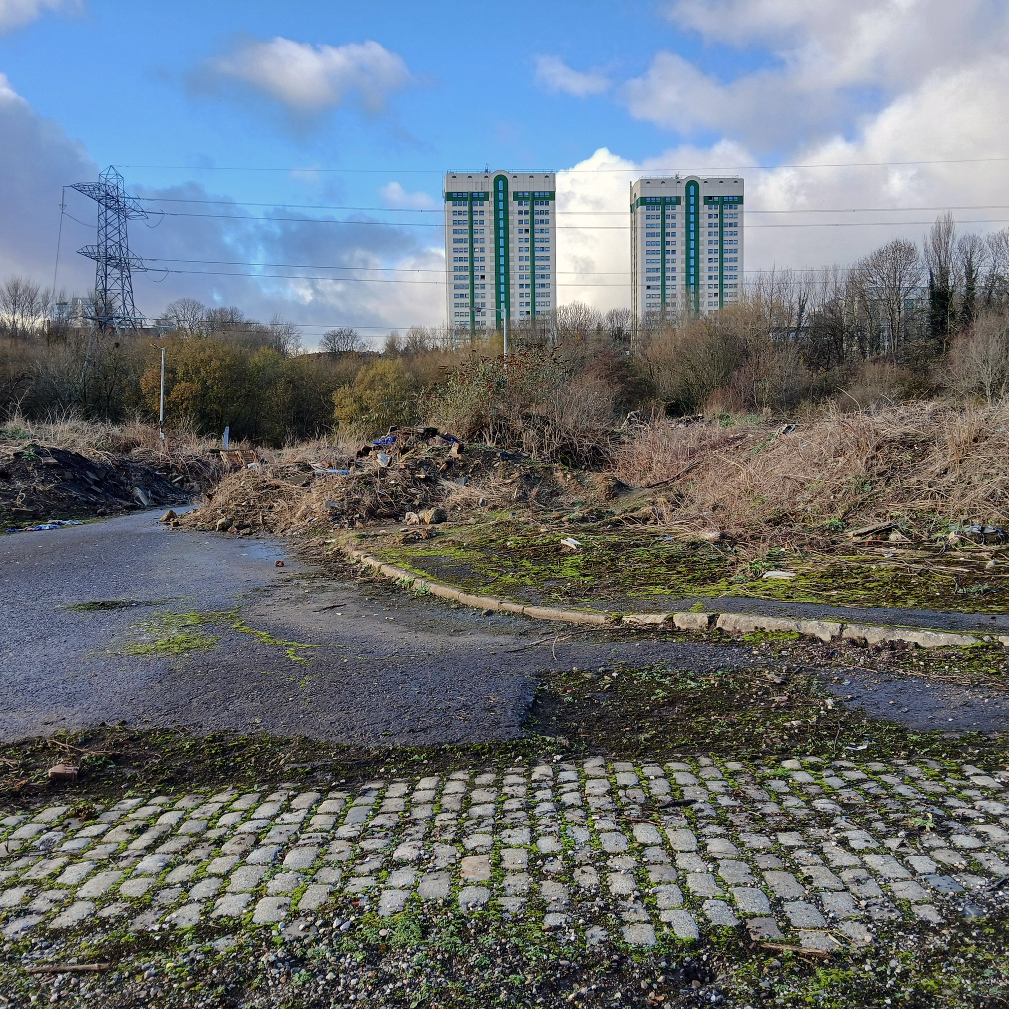
In 2024 the are was becoming Victoria North – with the incipient intrusion of gargantuan residential blocks.
The redevelopment project will create better-connected public spaces, new and improved transport links, and more homes, parks and retail spaces for the city’s growing population. Victoria Riverside is at the forefront of the new, distinct residential neighbourhood at Red Bank and New Town, benefitting from its location within Manchester City Centre, but offering something new to its community.
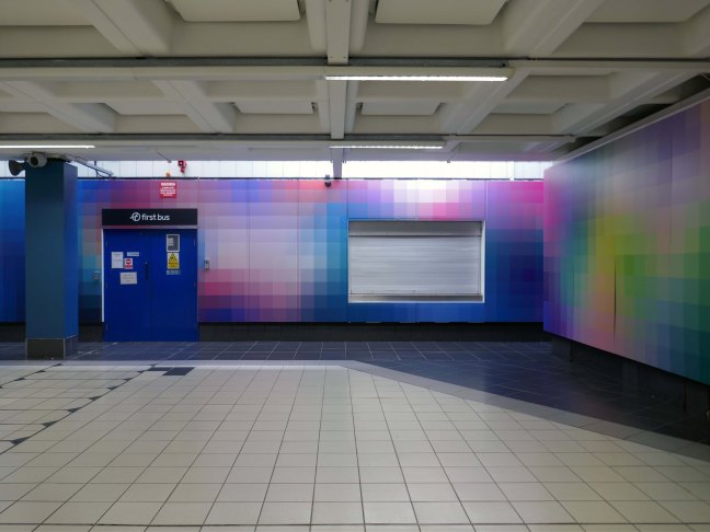
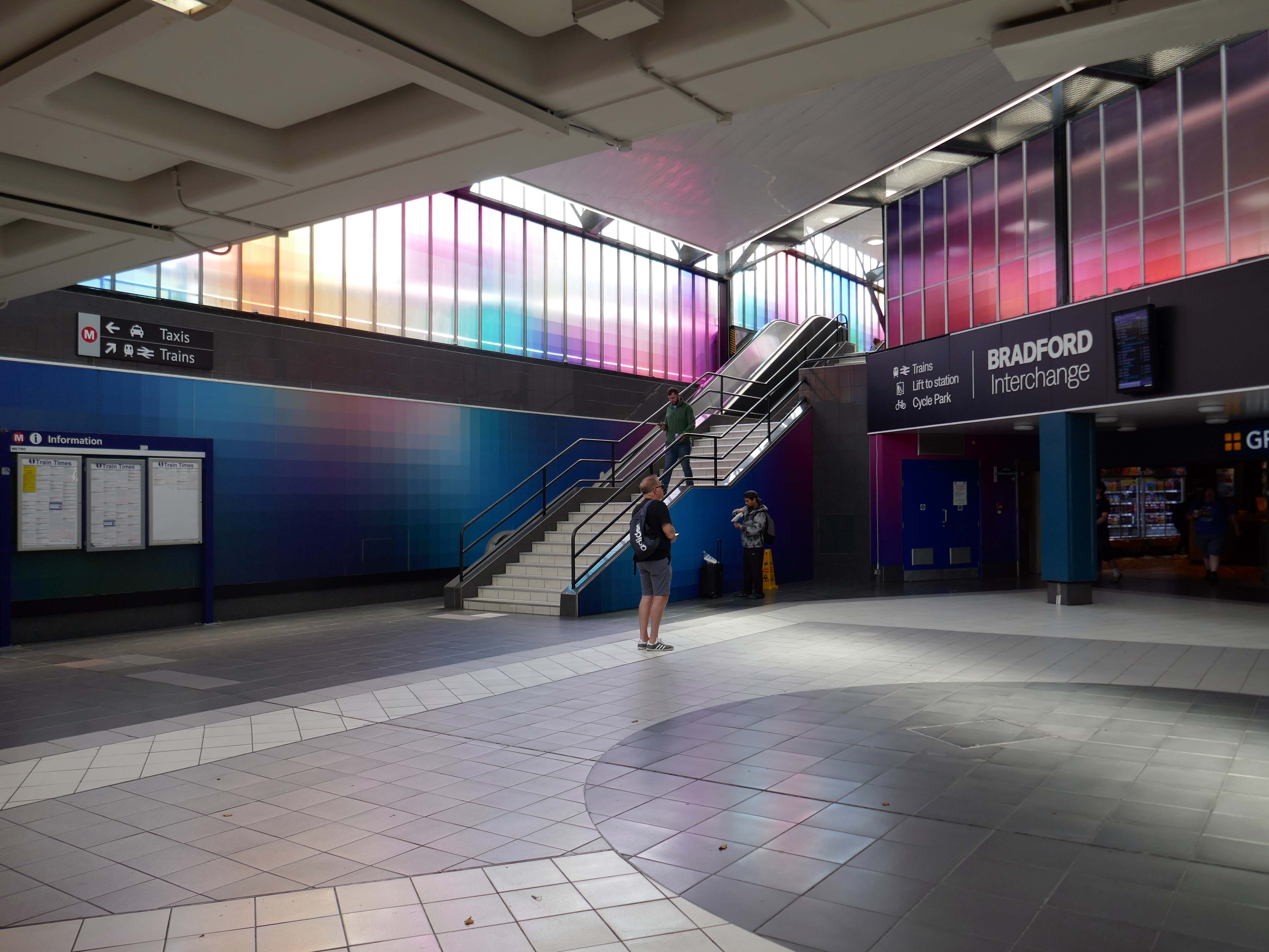
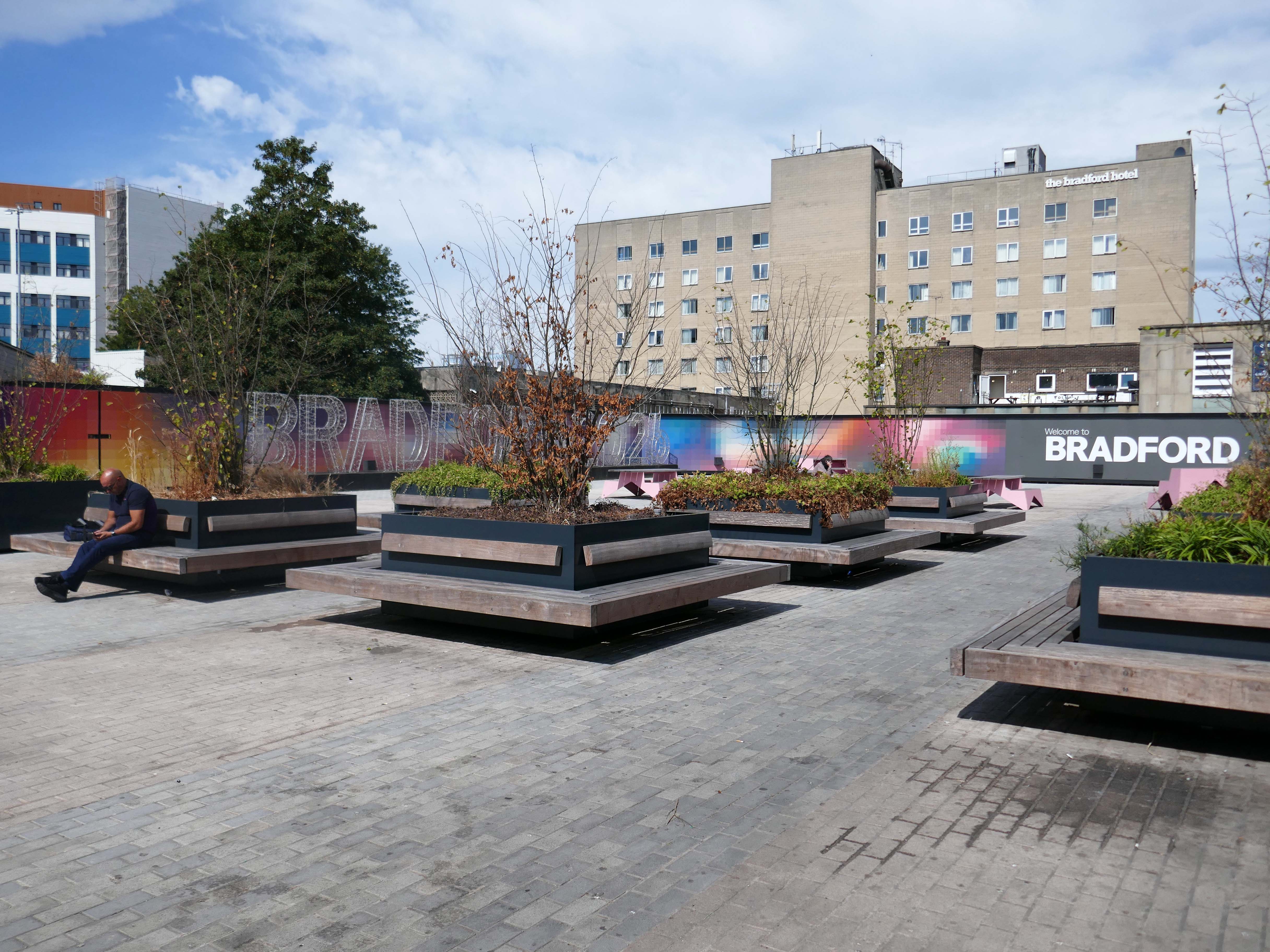
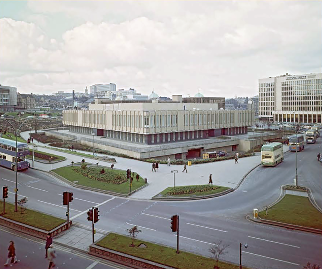
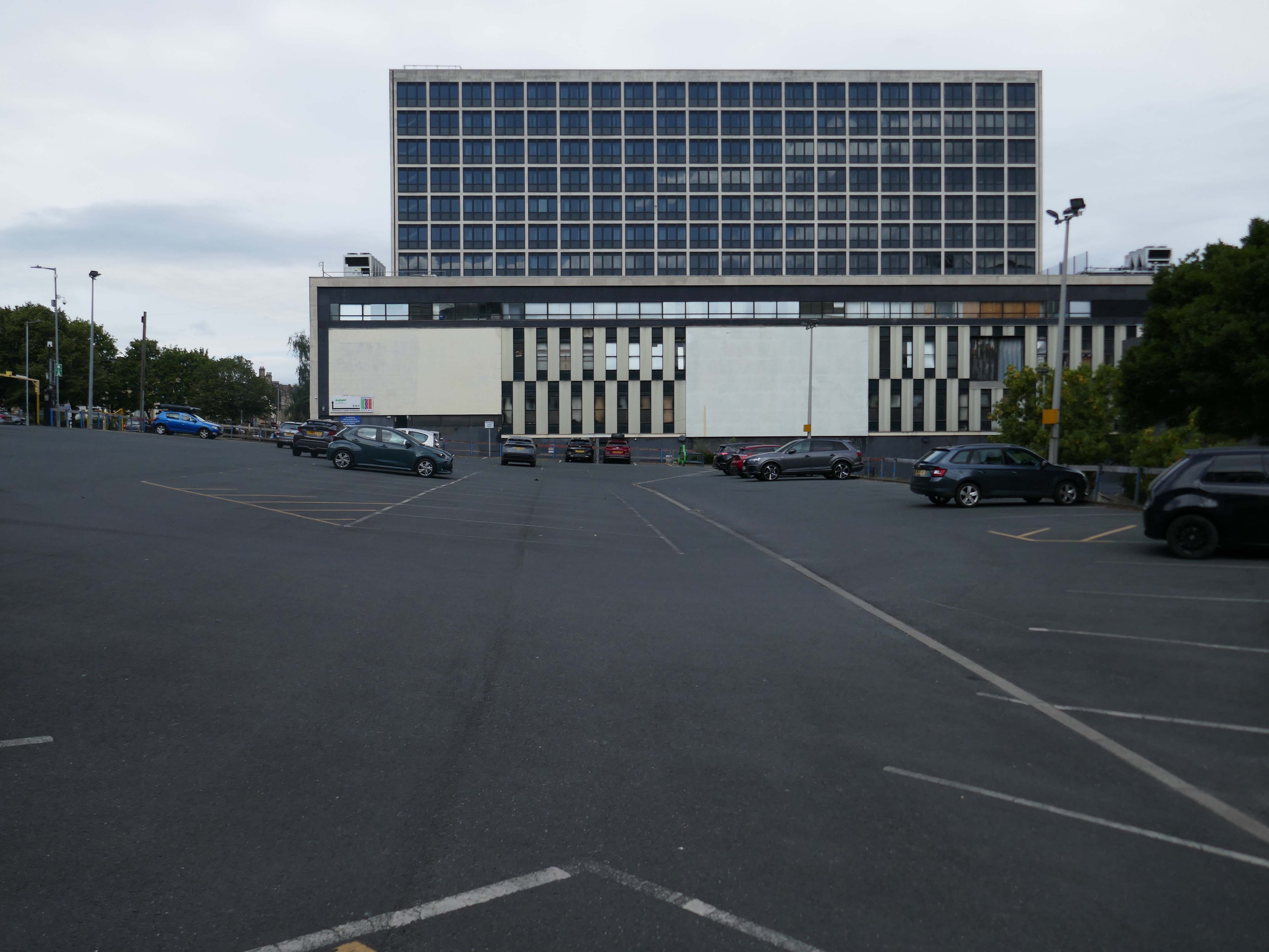
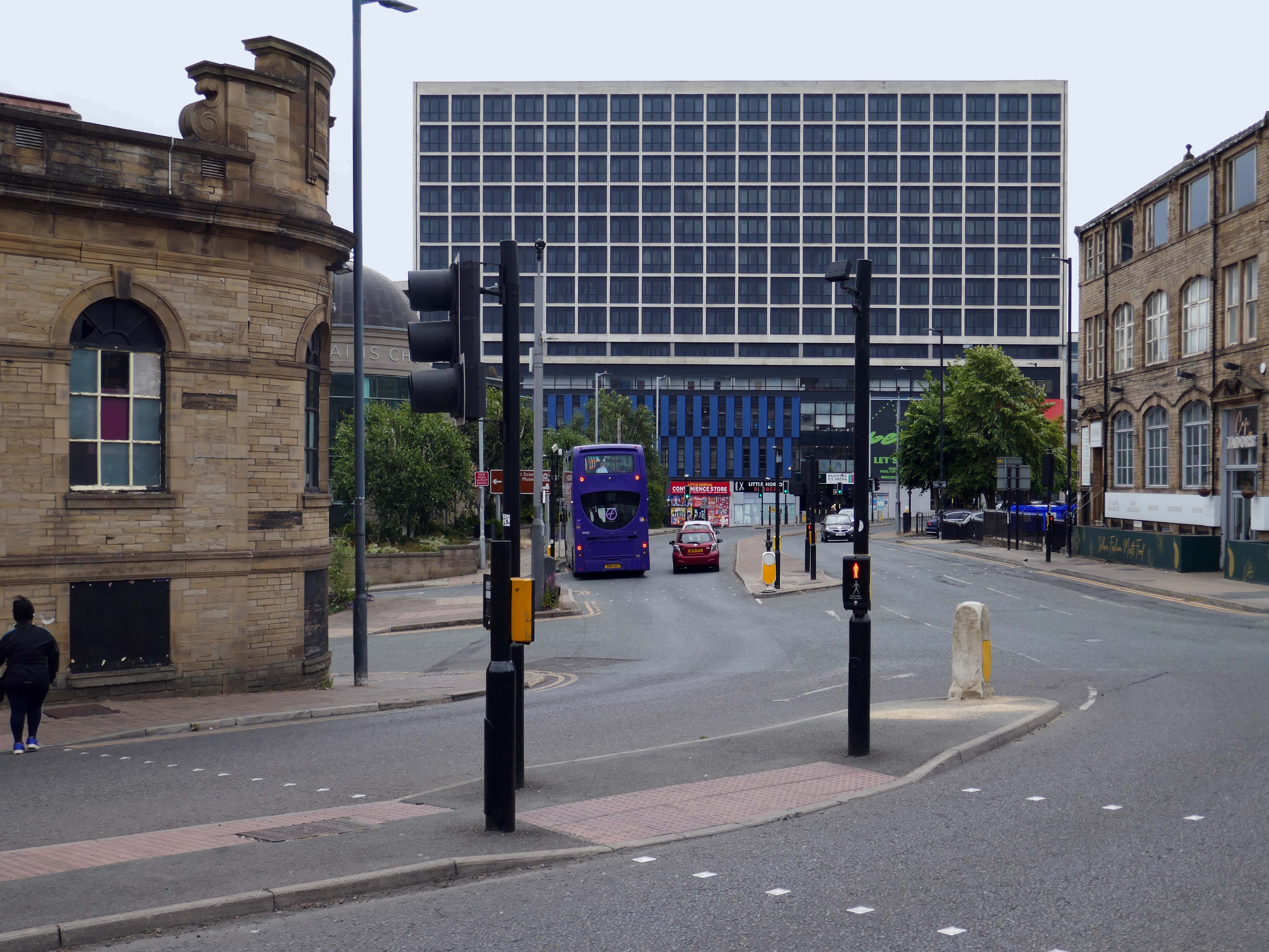
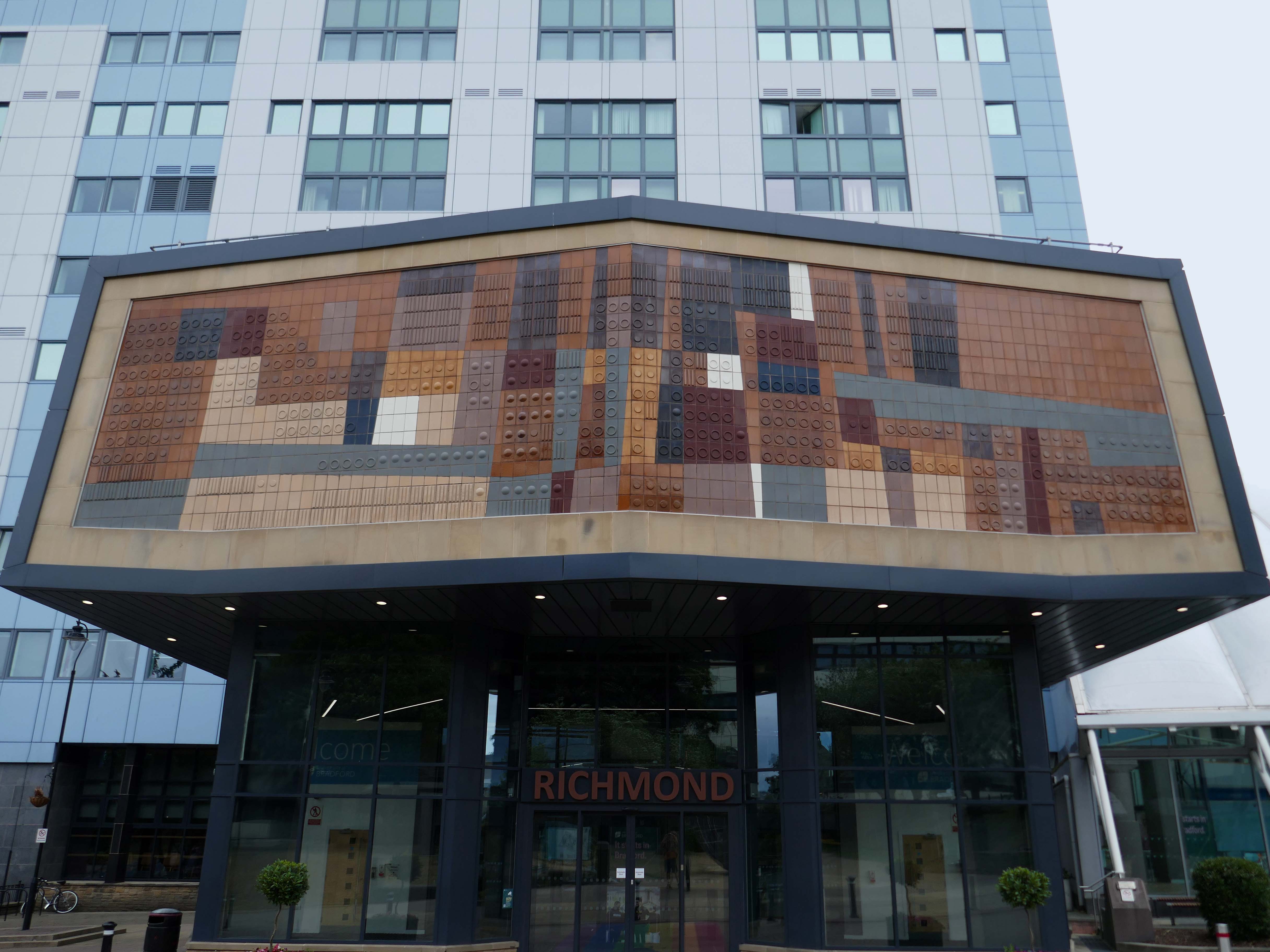
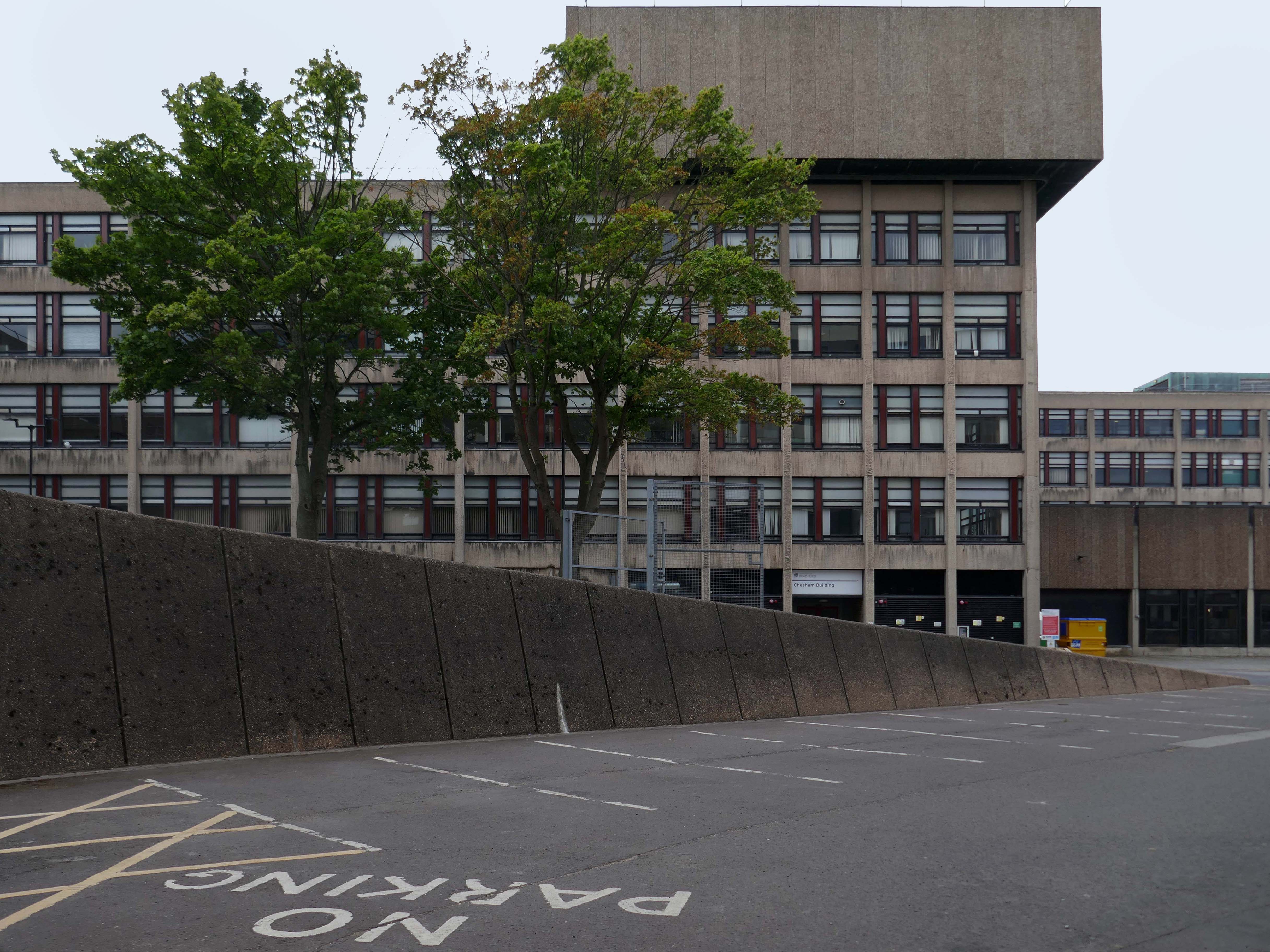
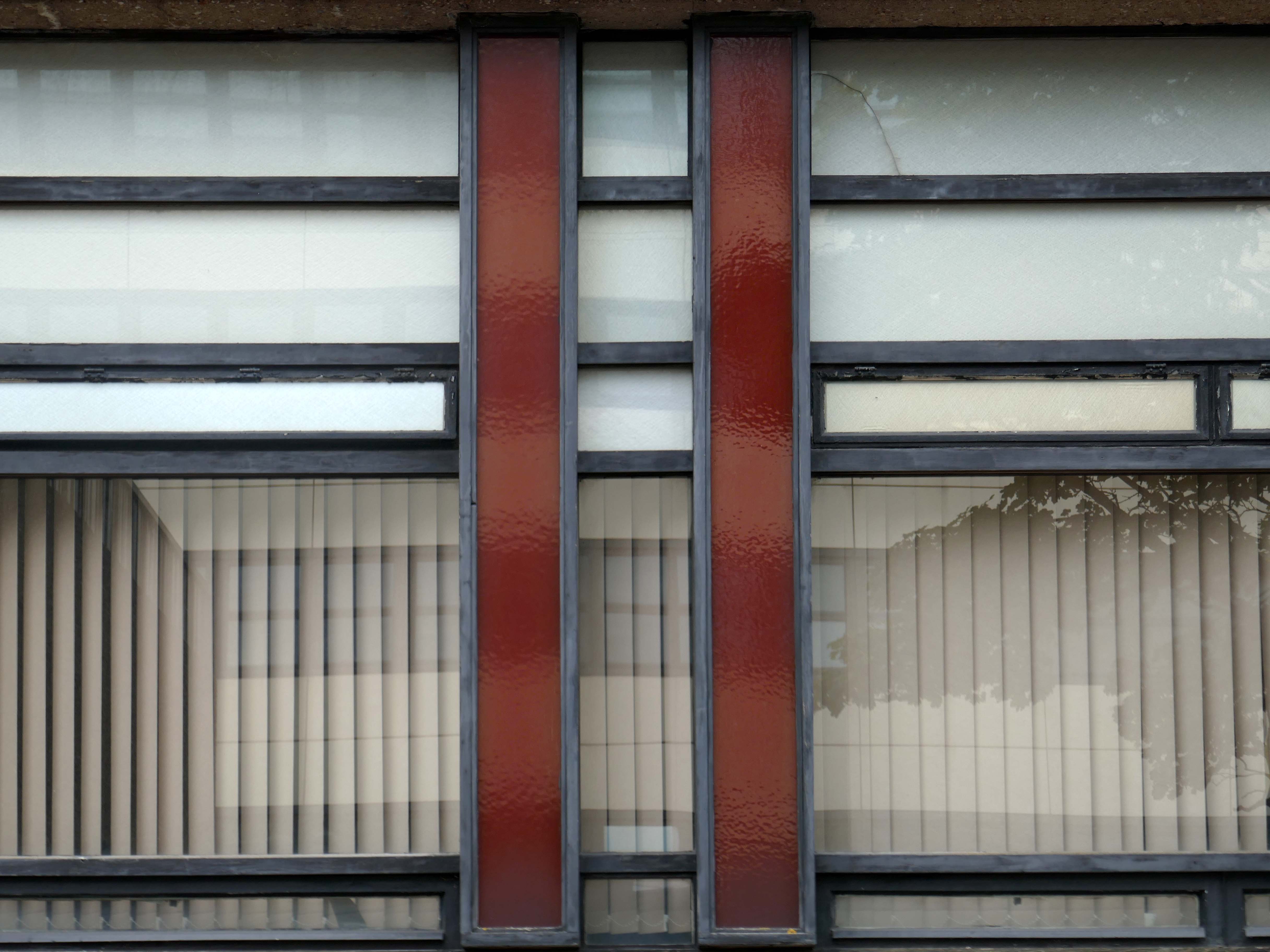
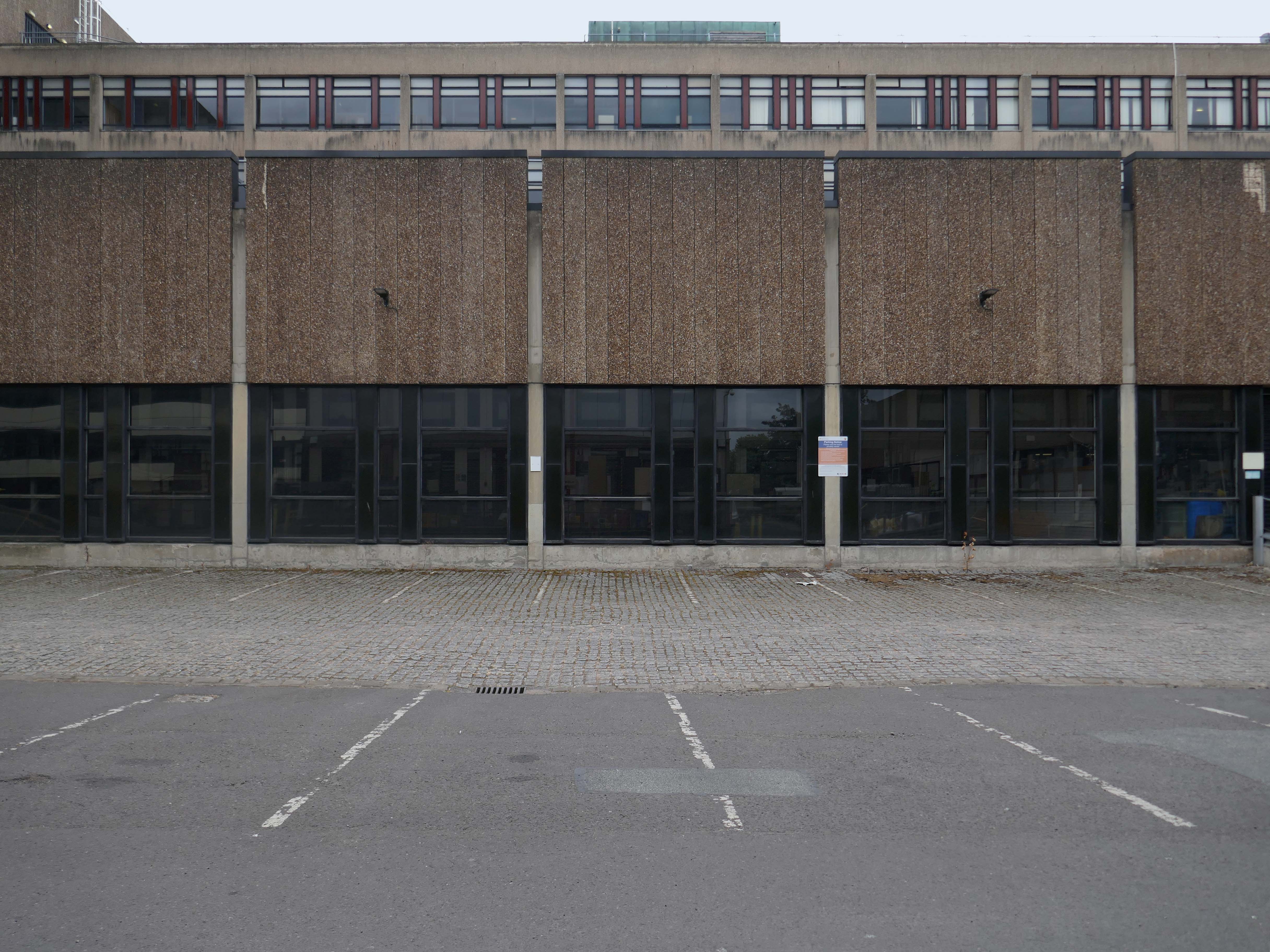
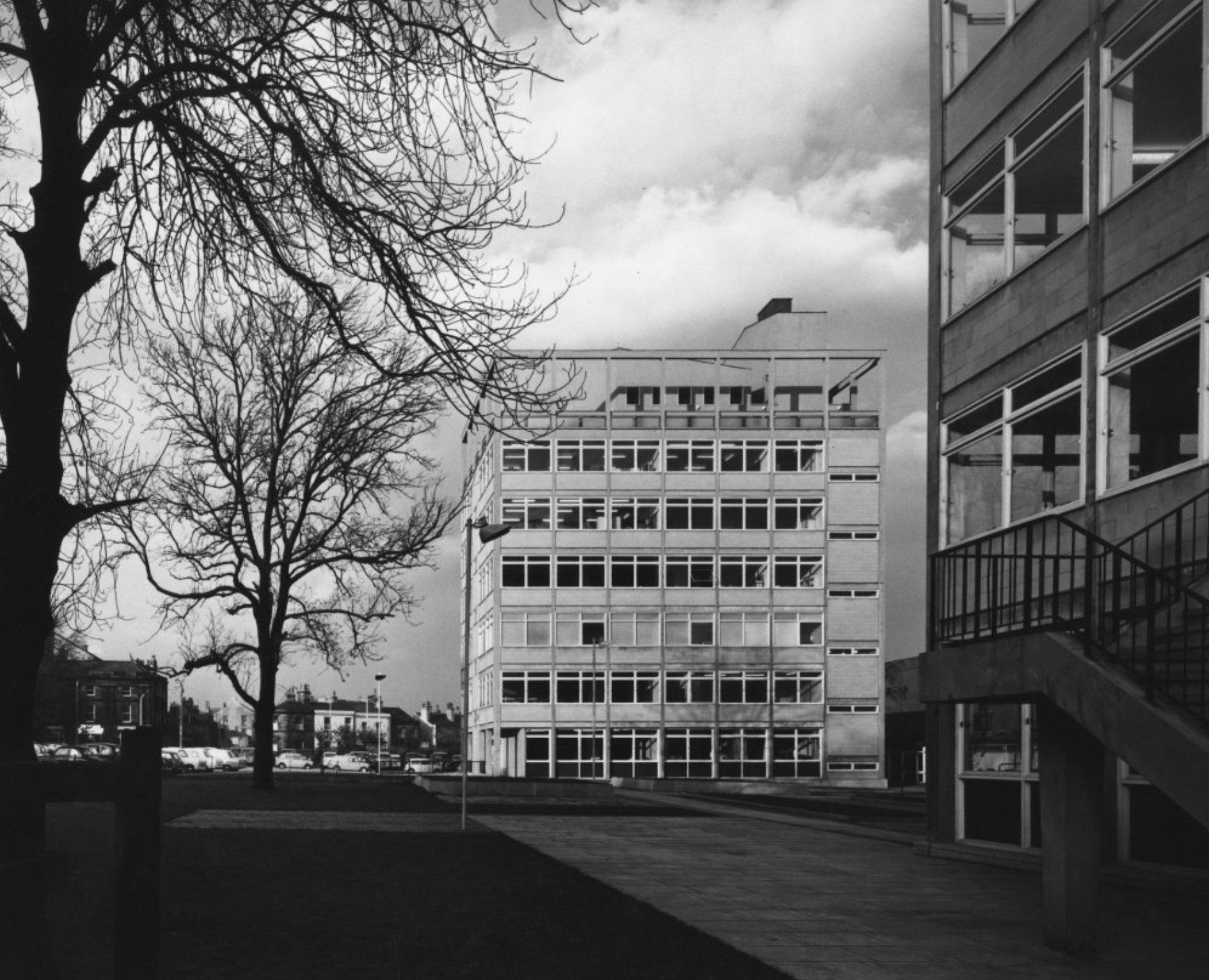
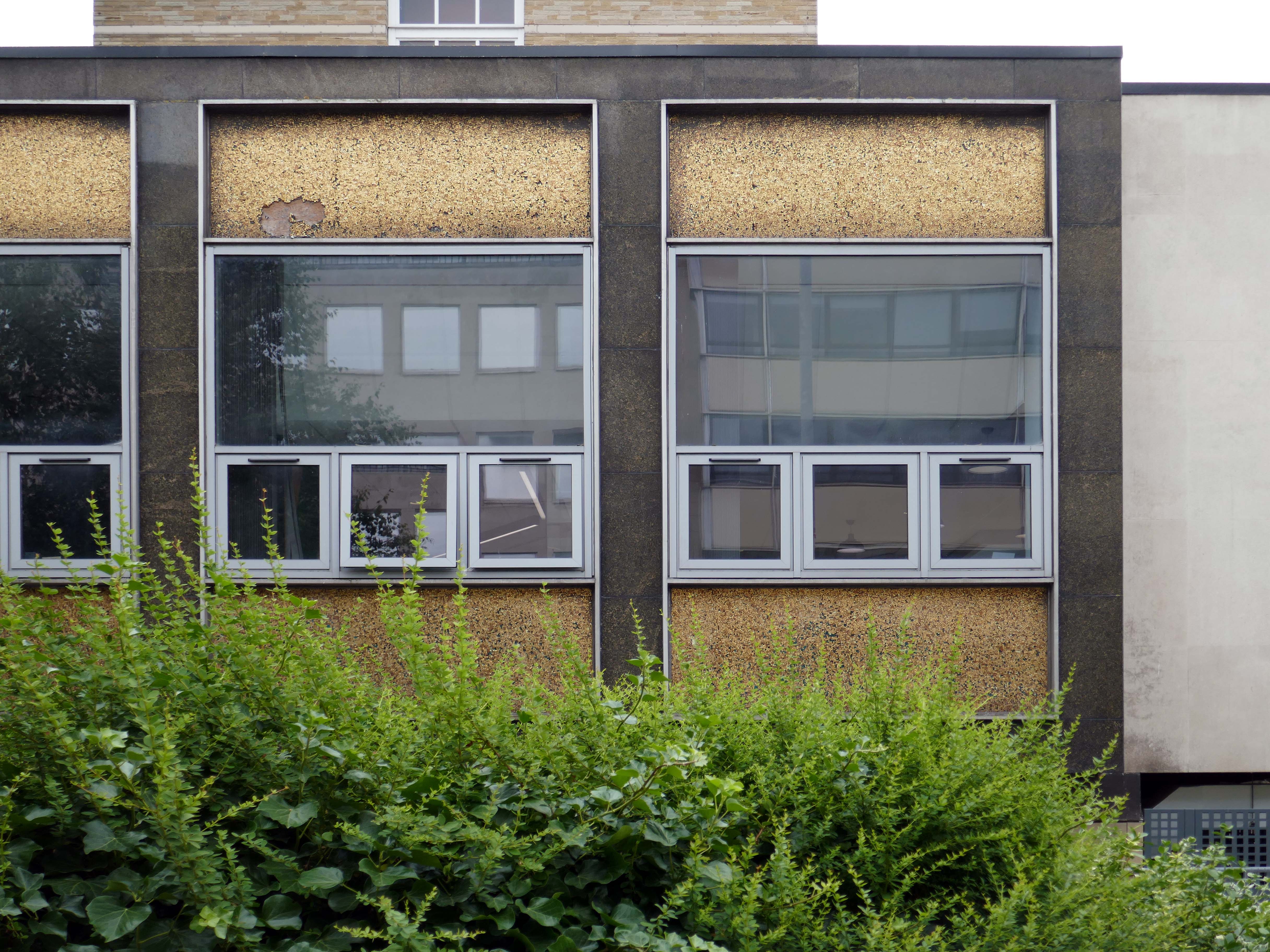
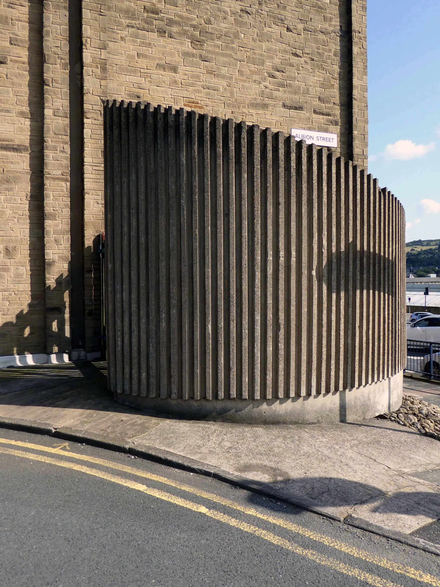
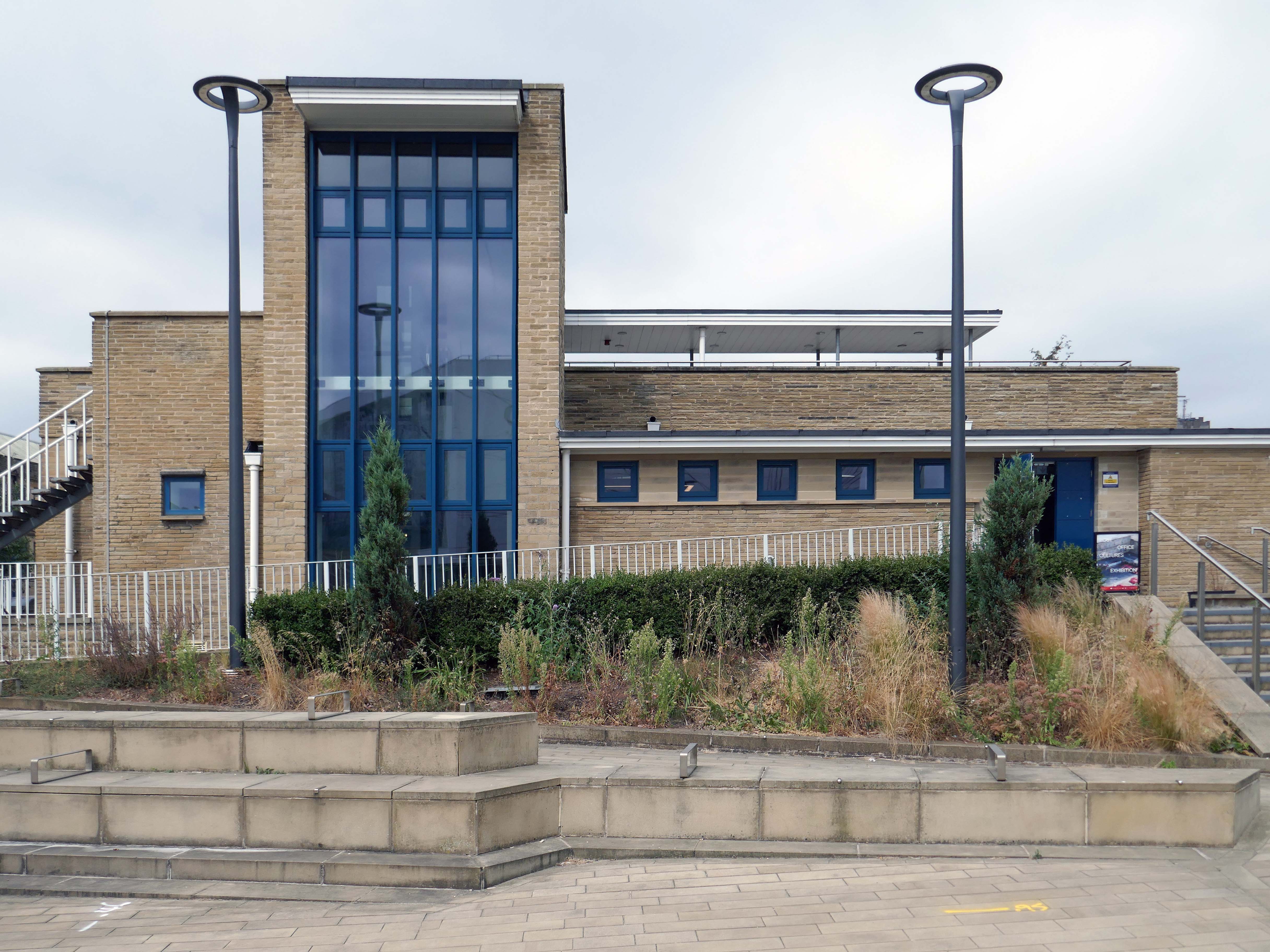
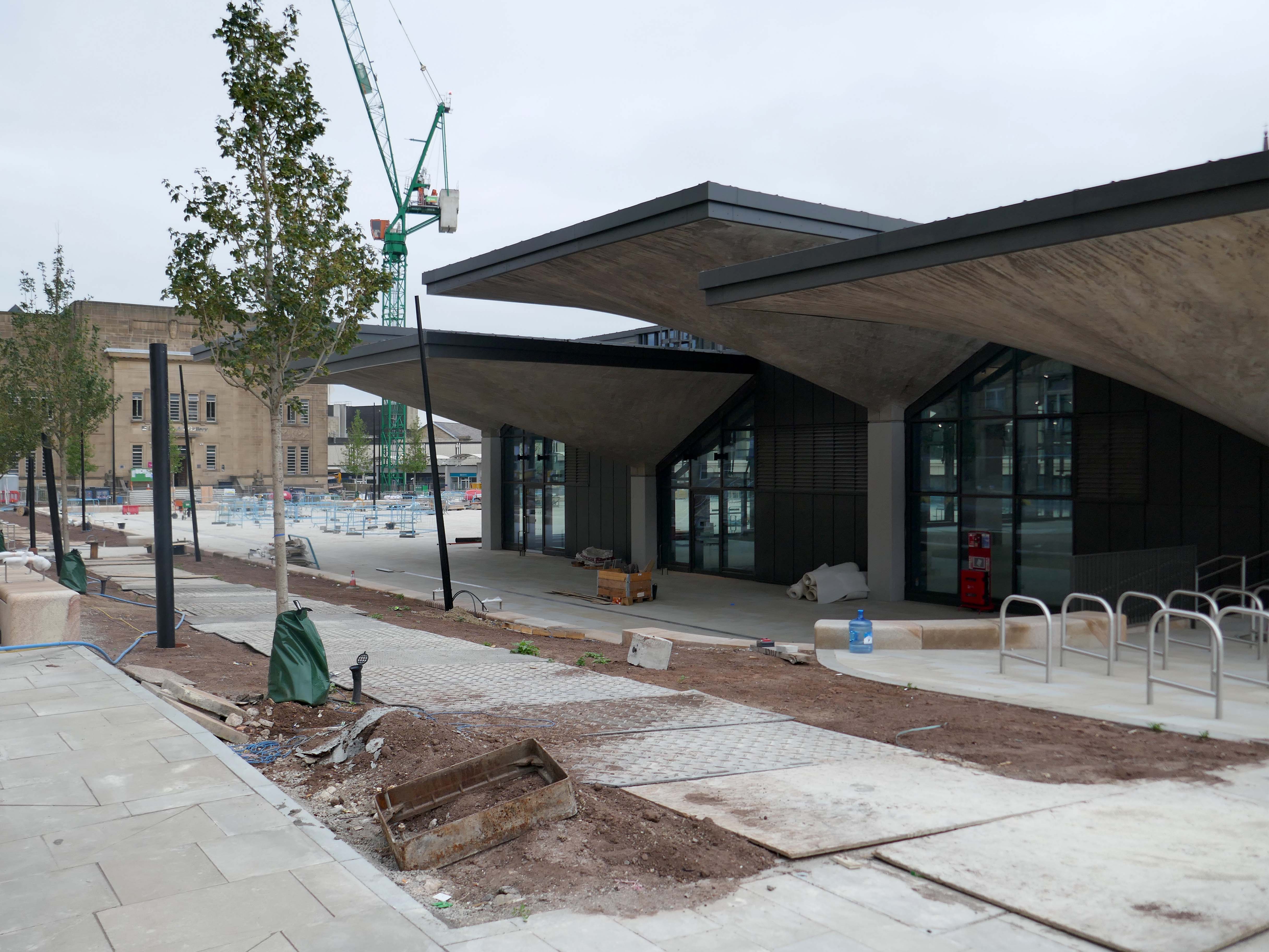
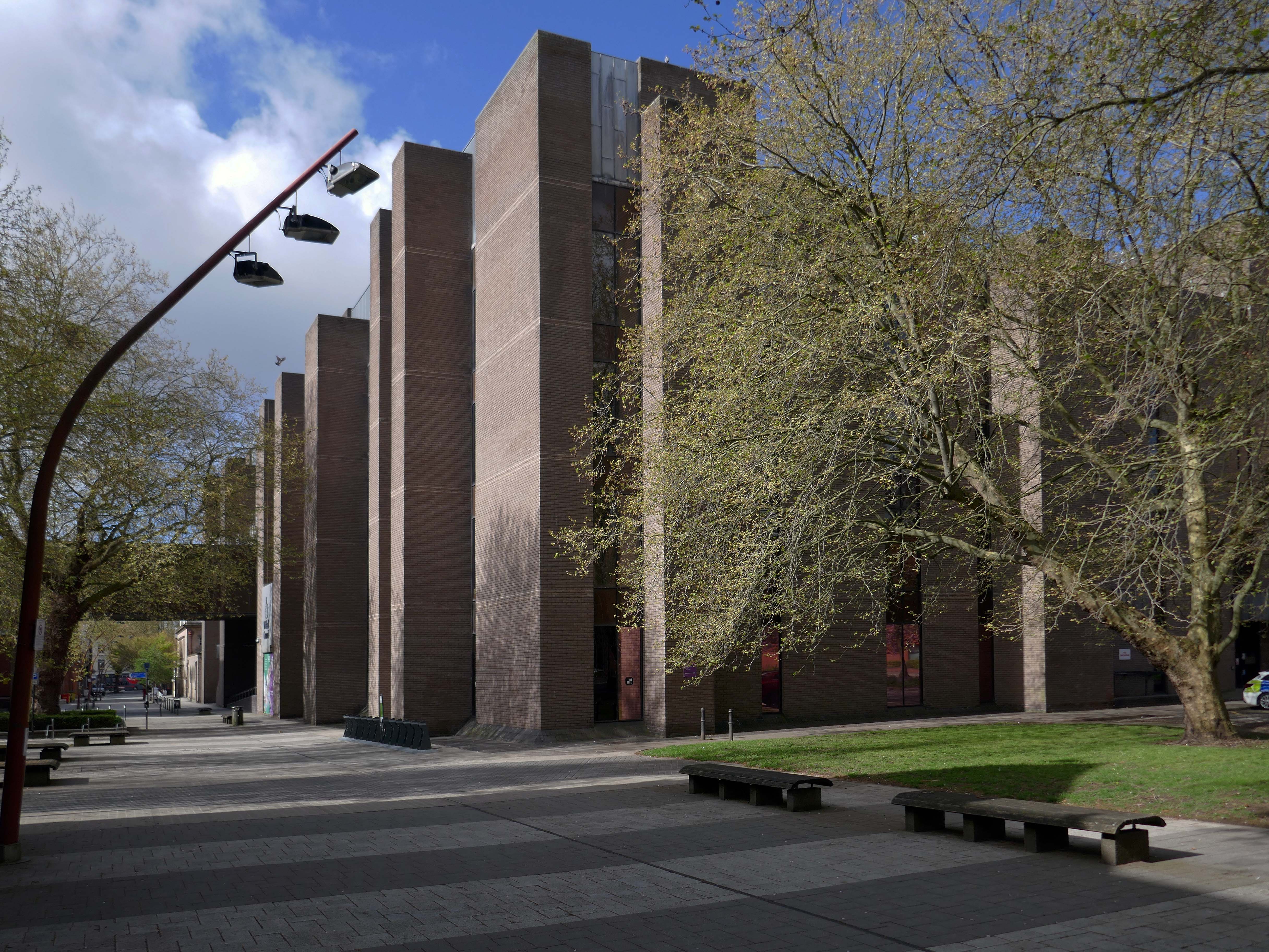
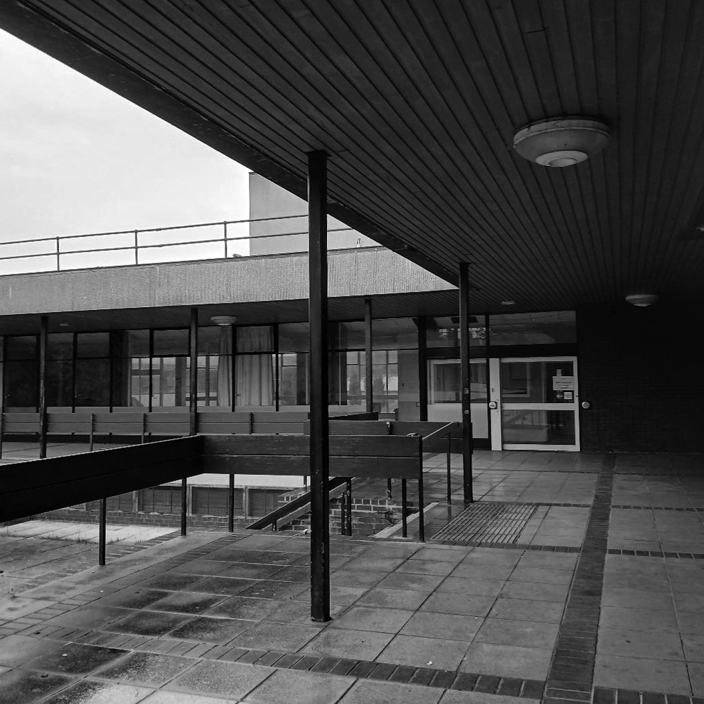
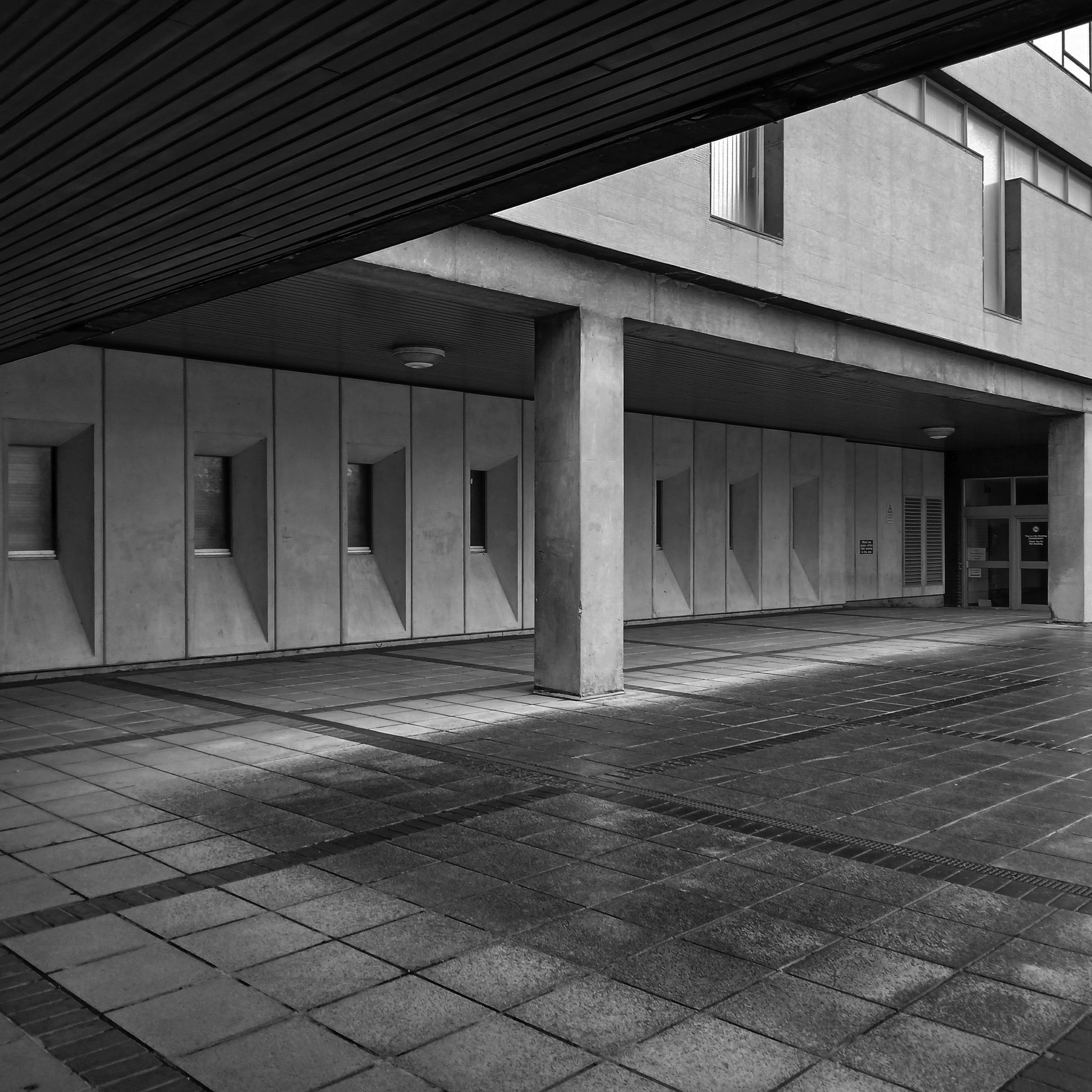
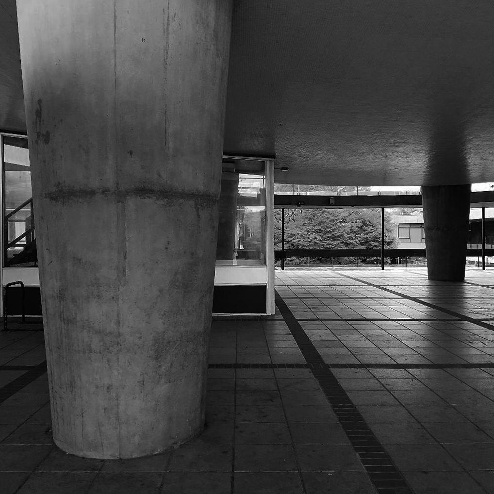
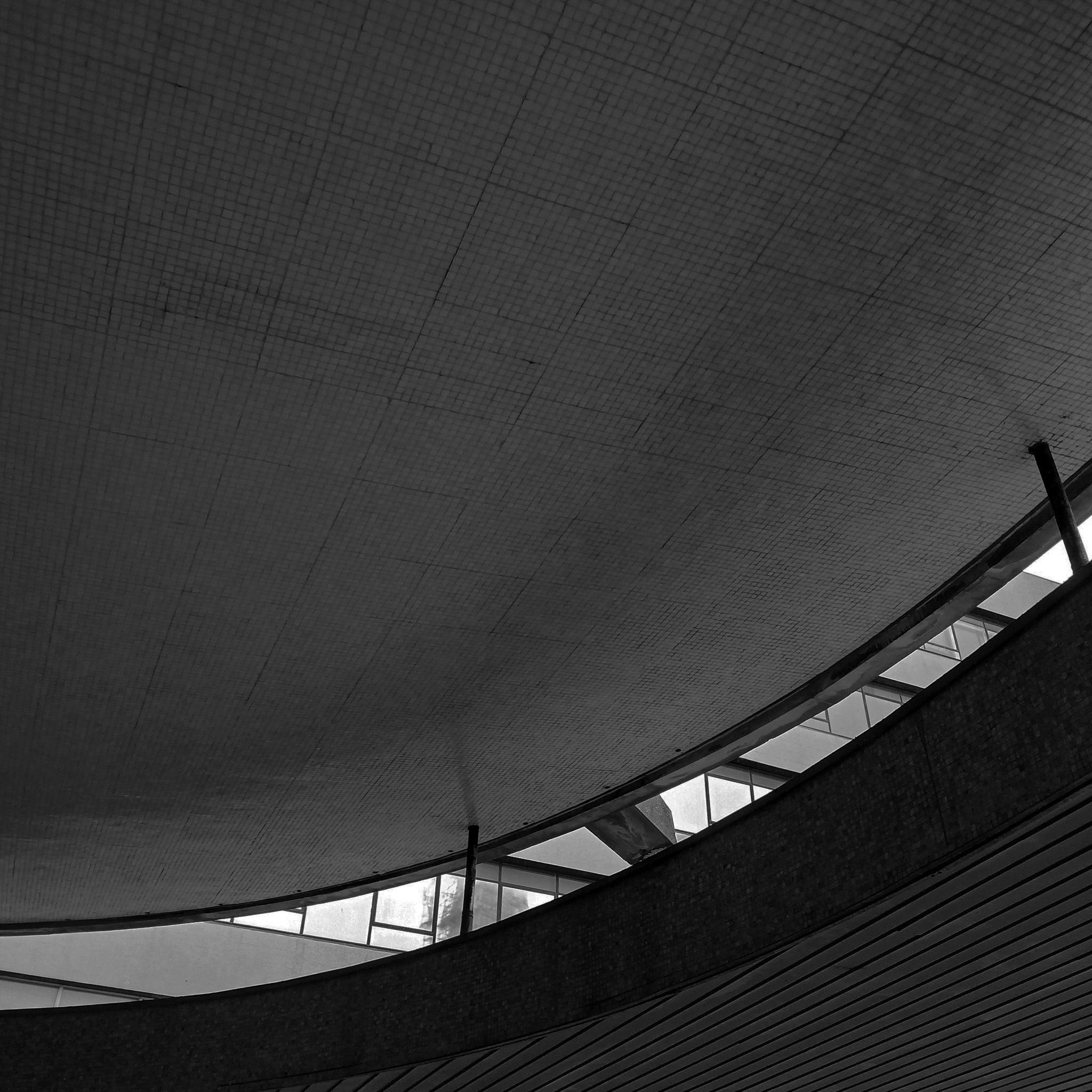
Saturday 25th July arriving in bright sunshine at the Bradford Interchange – architects WC Brown City Architect and RL Moorcroft BR 1971.
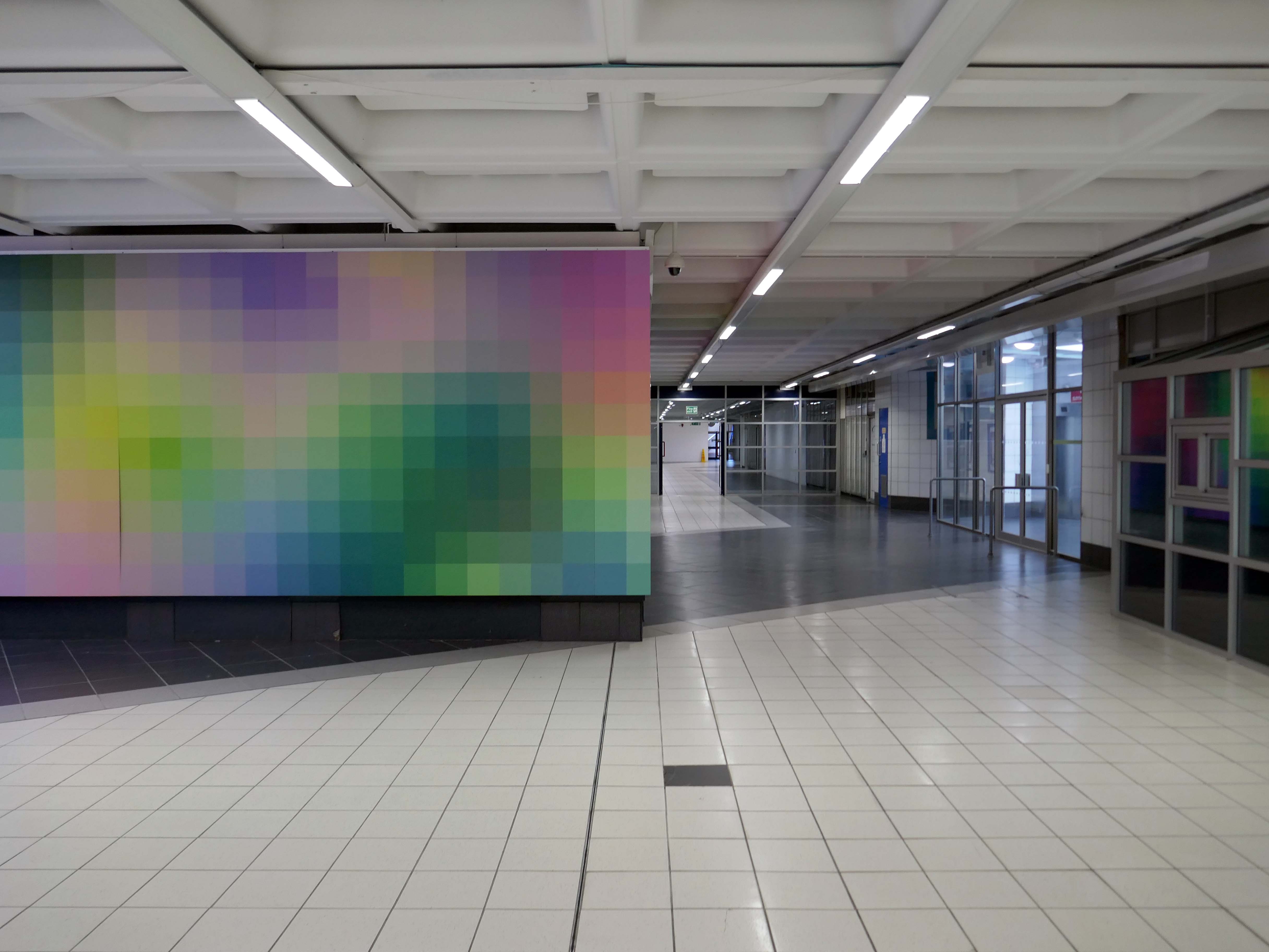
Which has been transformed for the City of Culture 2025 by Bigg Design, with their multicoloured panels.
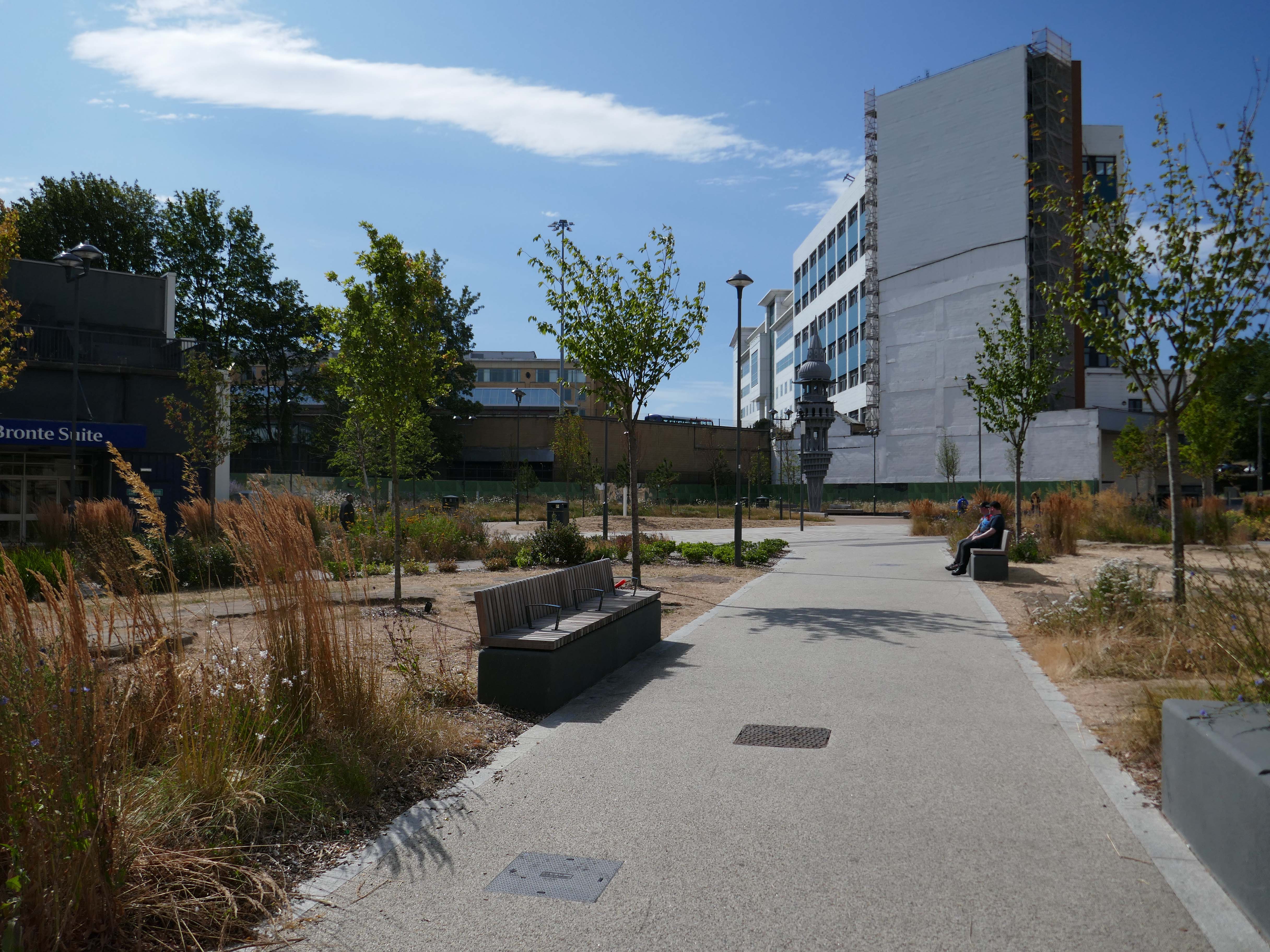
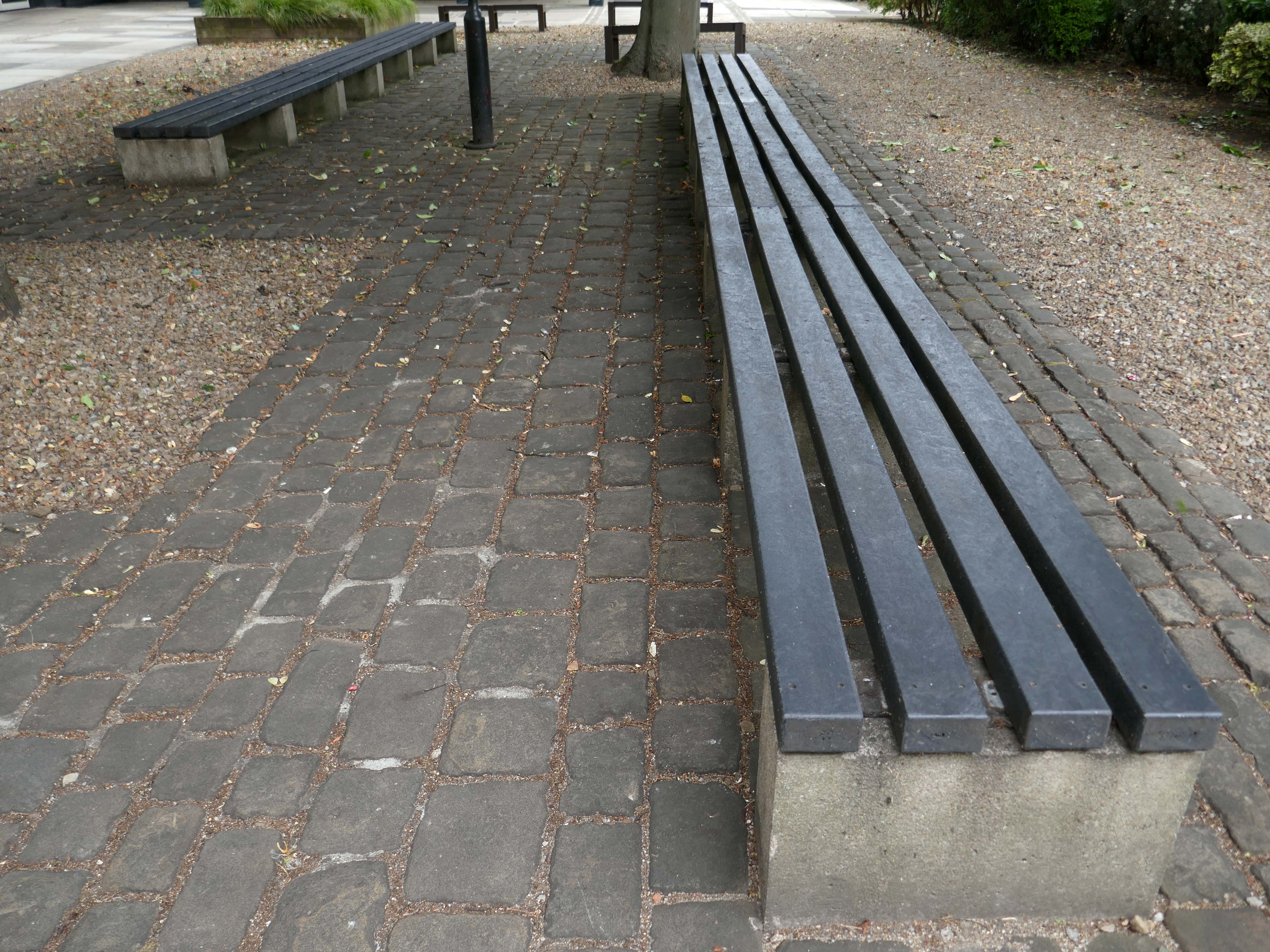
In addition there has been a transportation of the approach by Fereday Pollard, with the addition of seating in the newly landscaped plaza area.
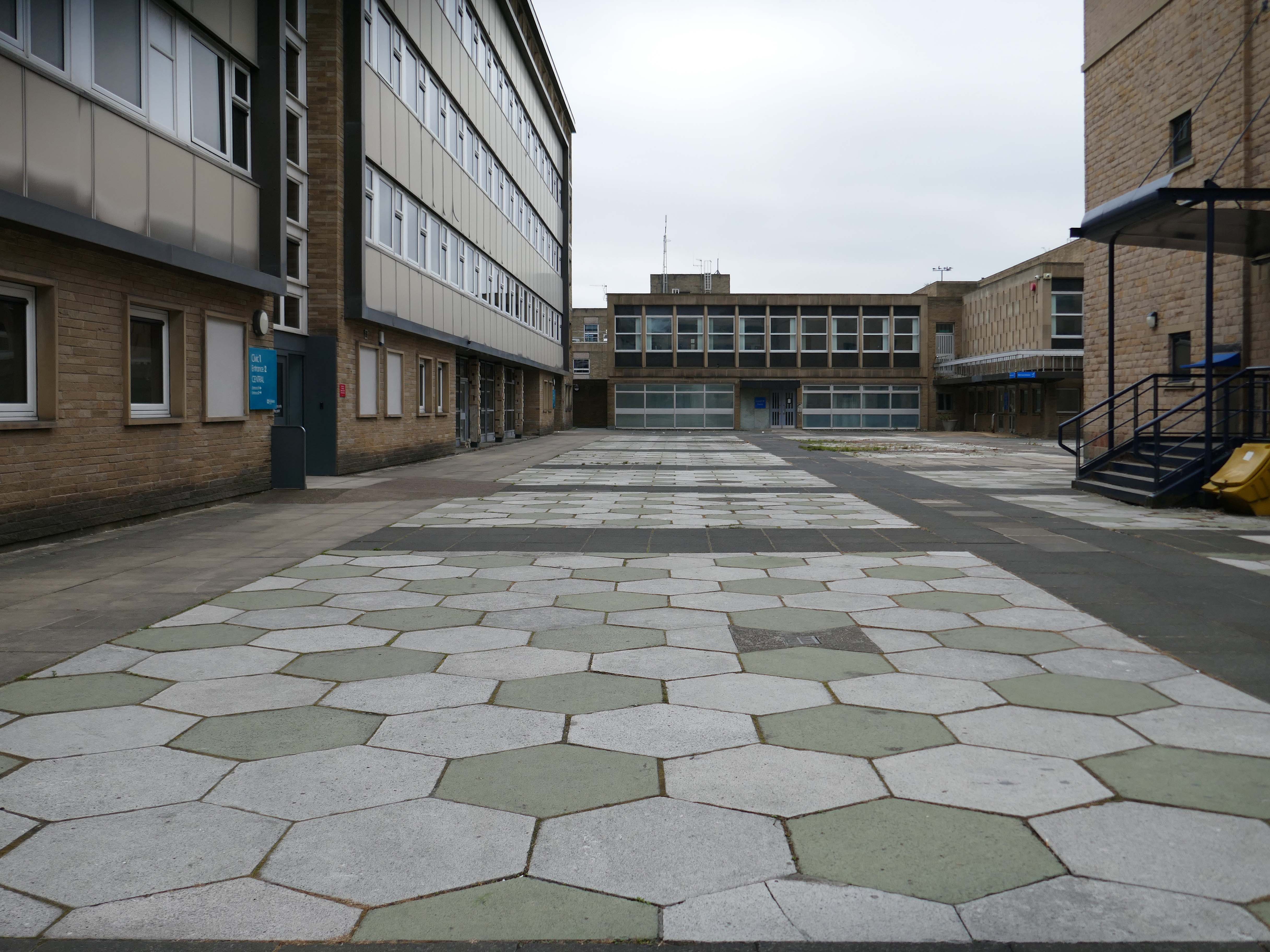
Moving into the city centre there have been changes in the area between the Bradford Hotel and the Town Hall, it’s now a freshly landscaped space especially for pedestrians.
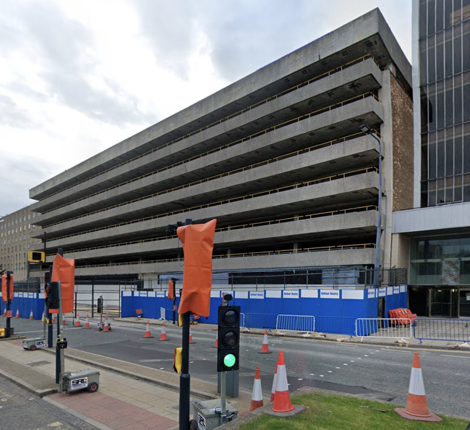
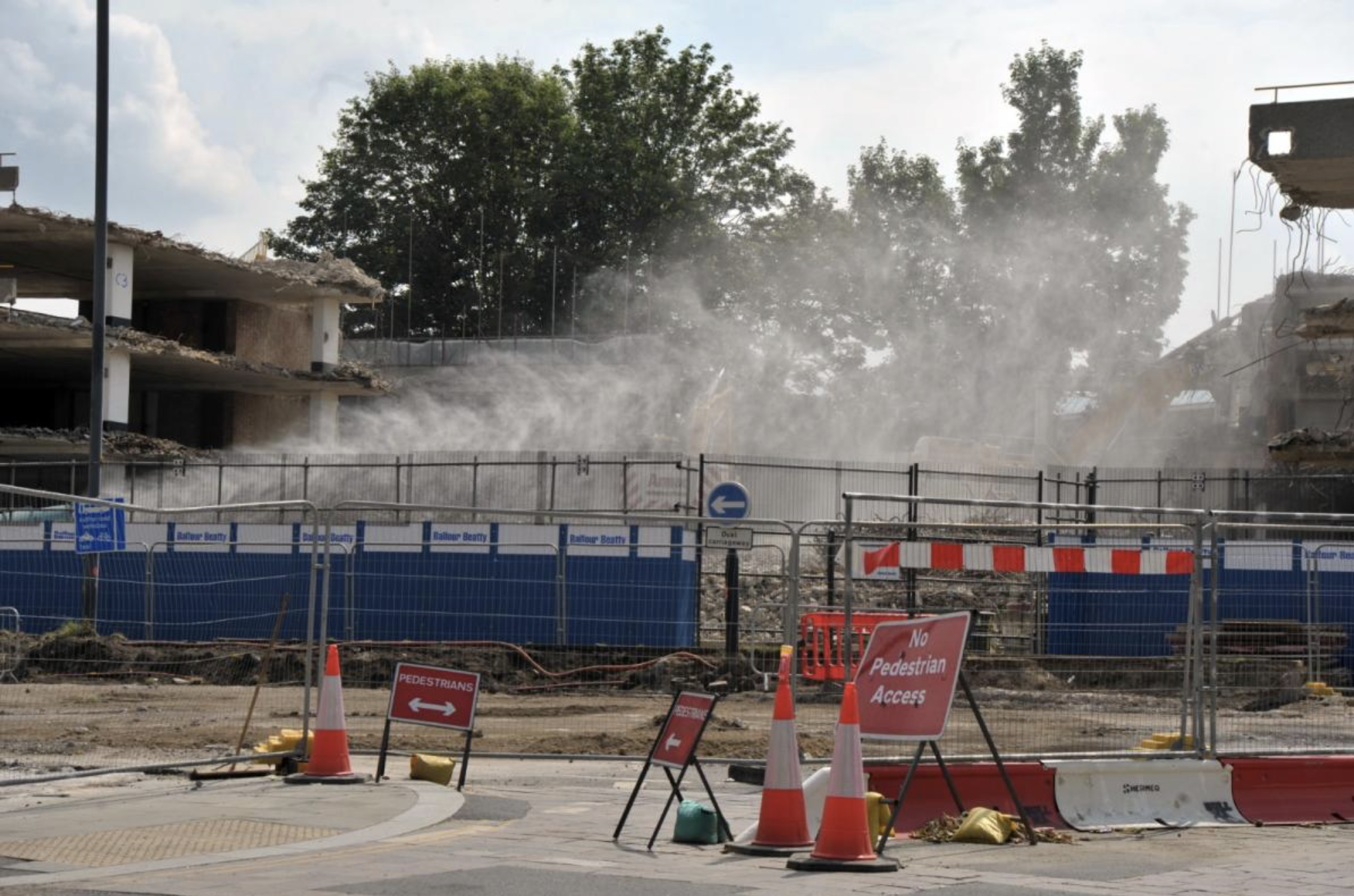
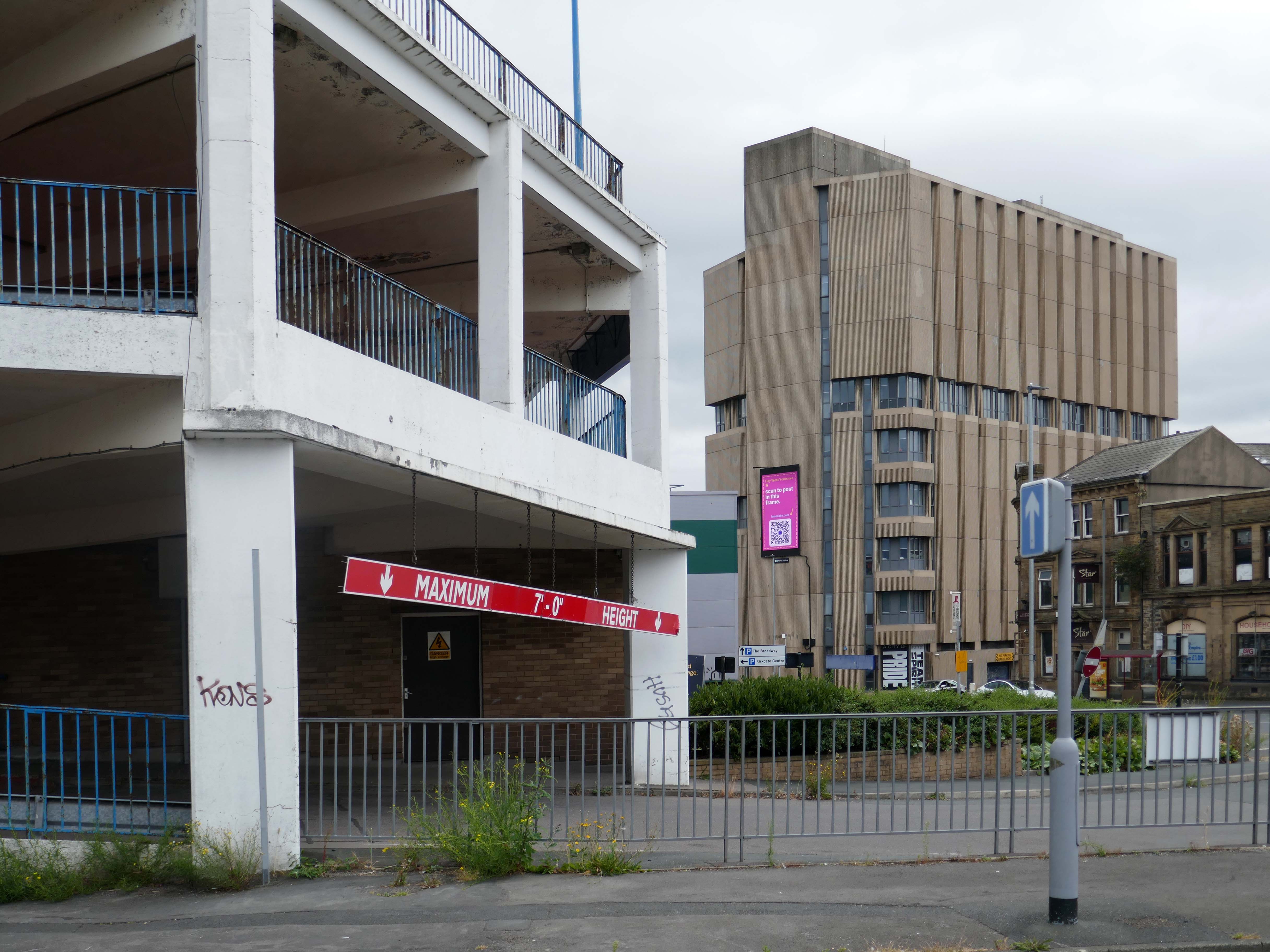
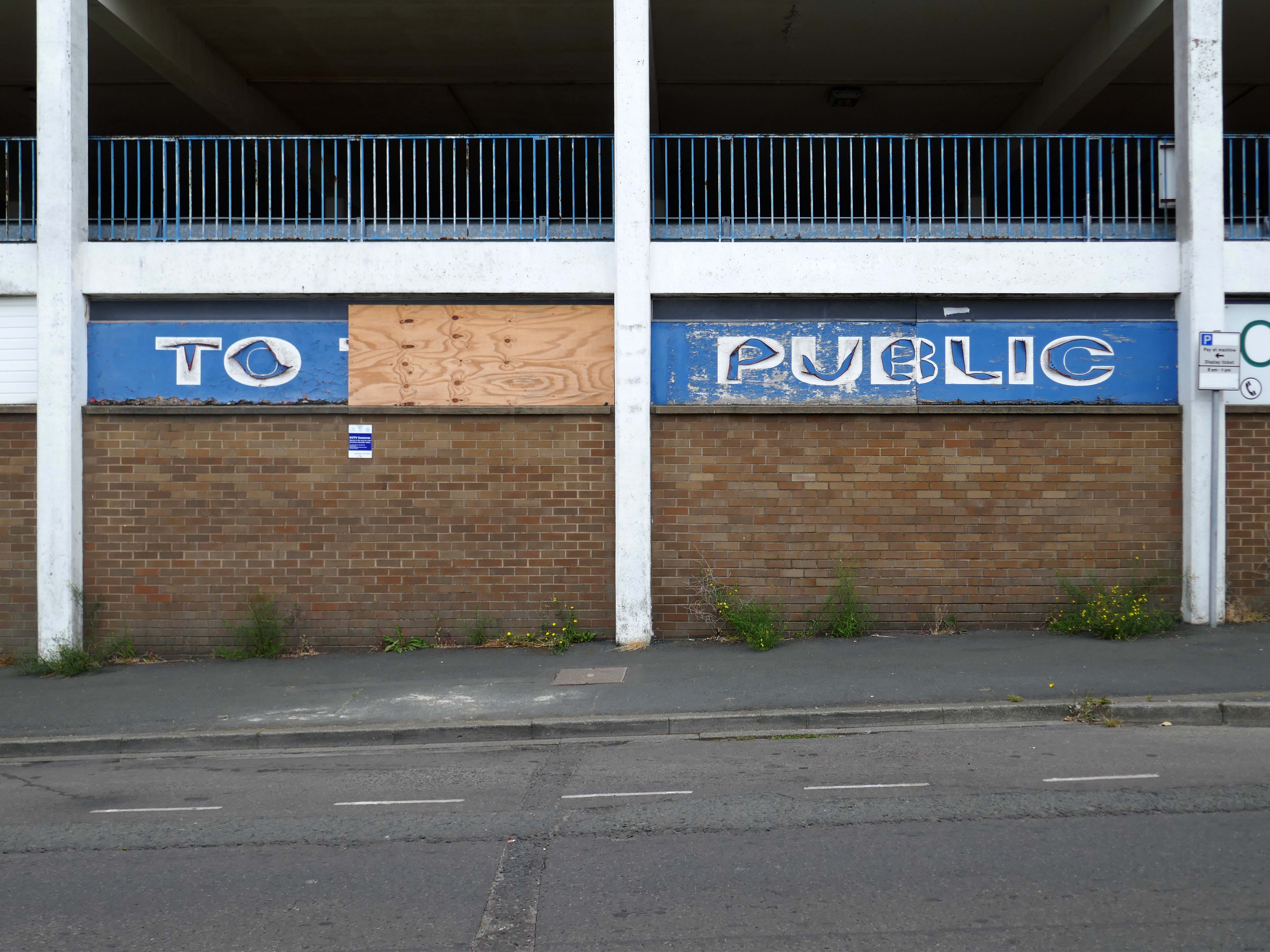
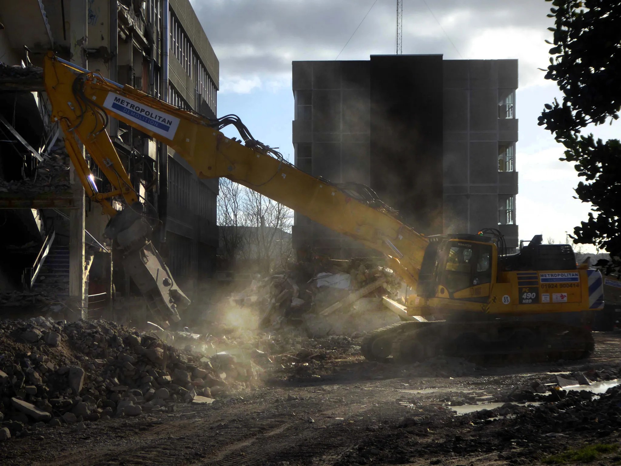
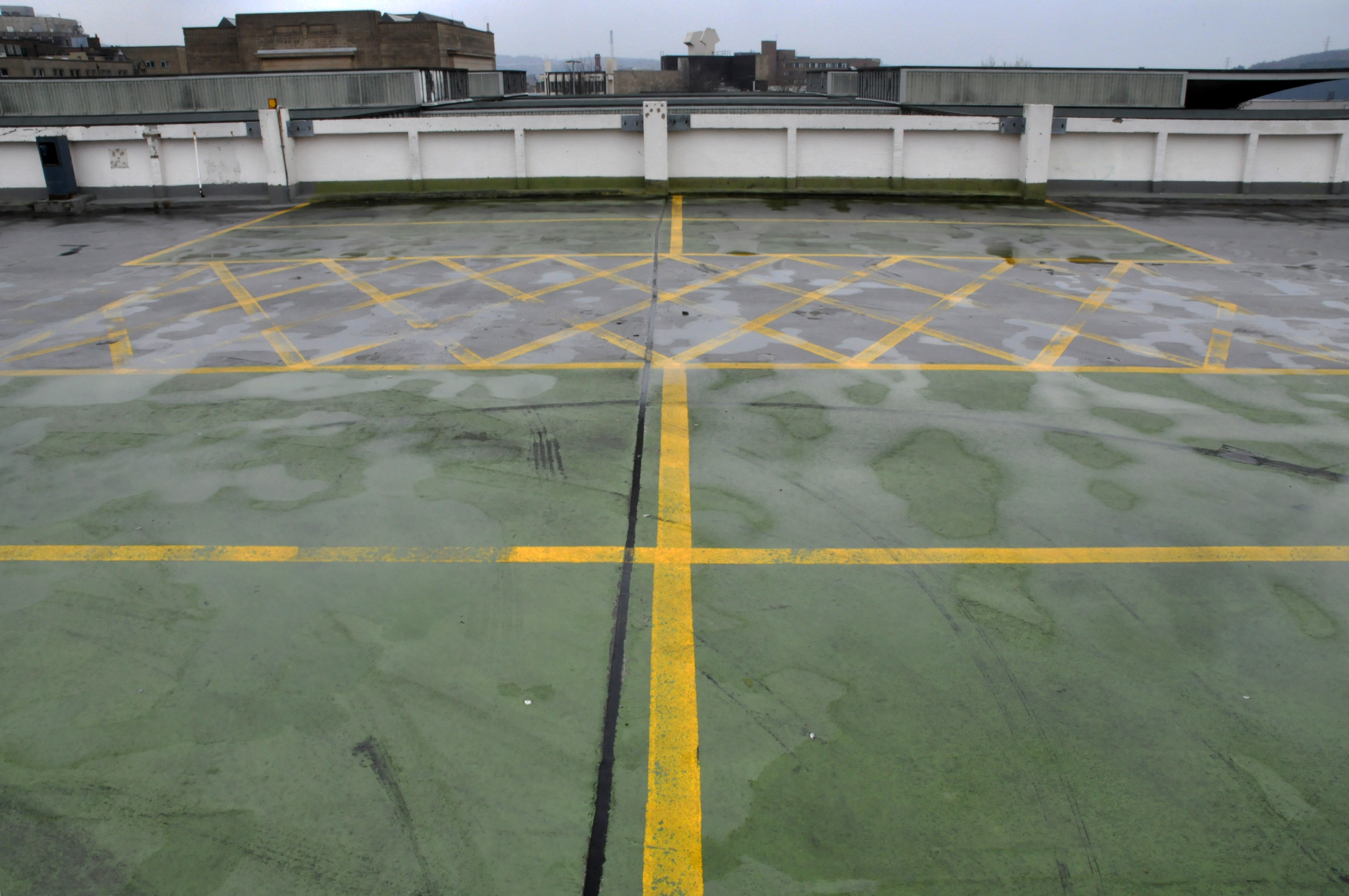
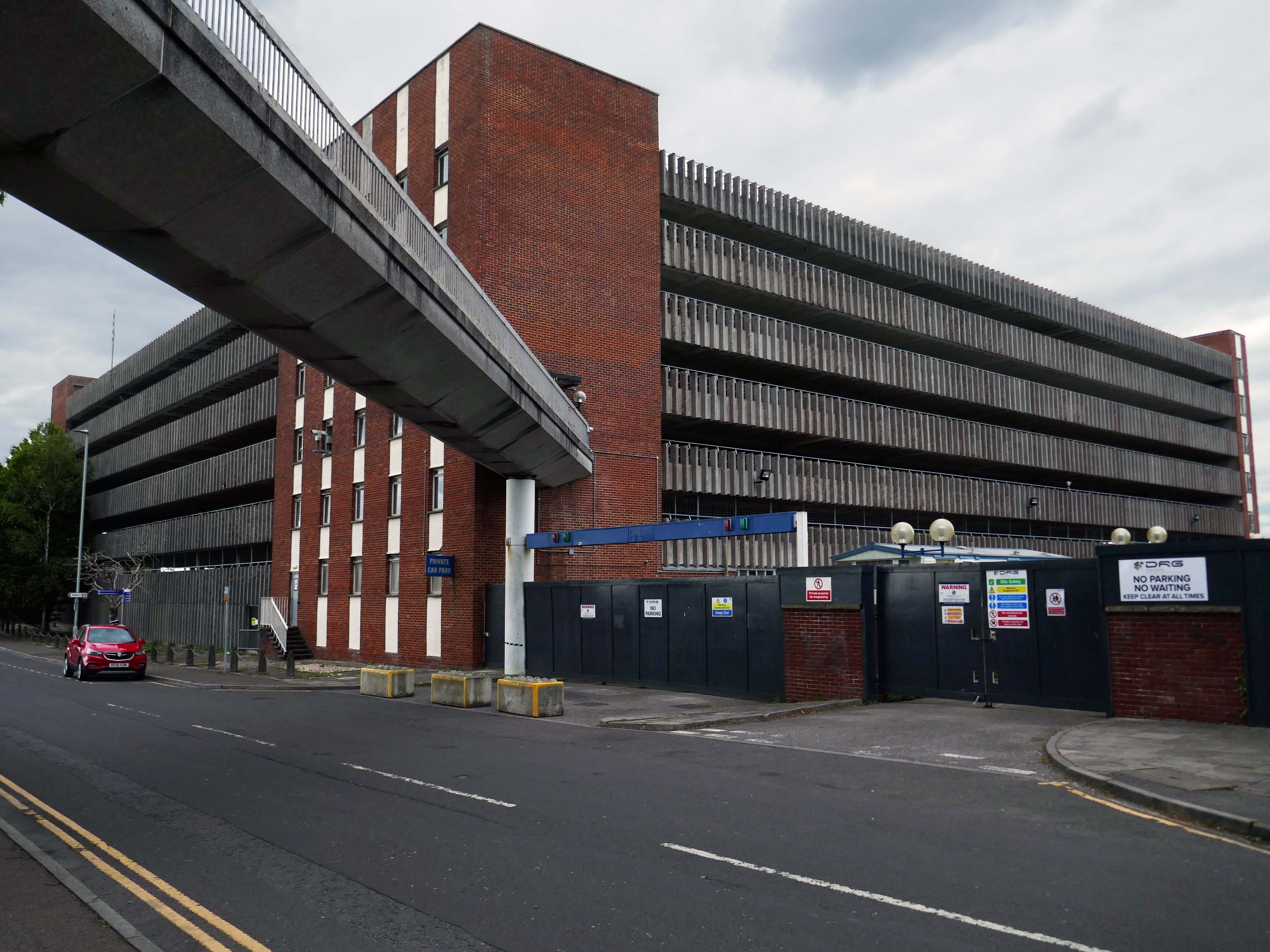
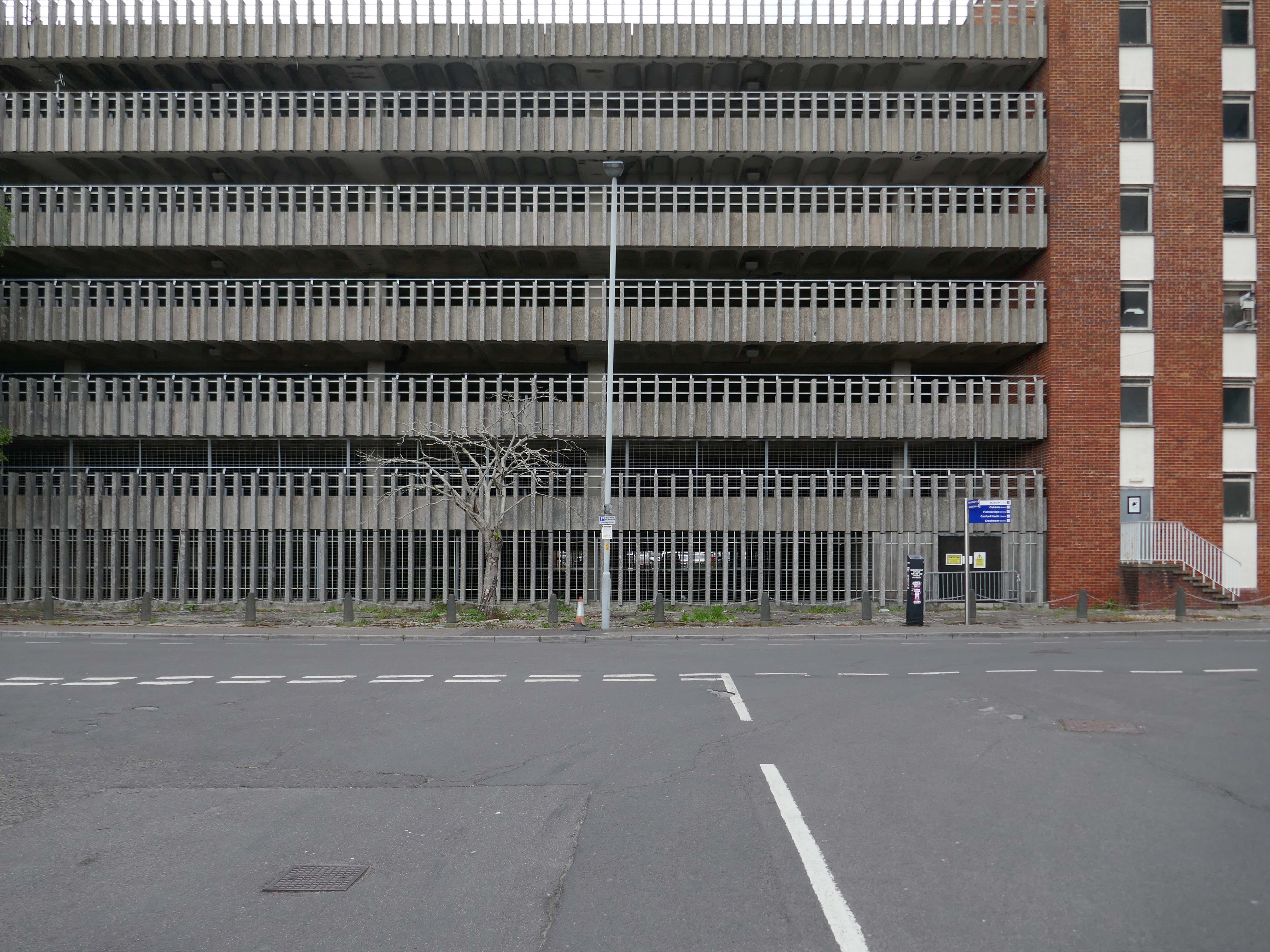
The NCP multi storey car park on Hall Ings has been demolished.
The demolition work is part of the Government-funded Transforming Cities Fund for Bradford.
Bradford Council, in partnership with the West Yorkshire Combined Authority, is bringing forward a flagship programme of forward-thinking transport schemes, alongside major public space enhancements, that will help us shape and drive forward Bradford’s future regeneration in the city centre and beyond.
Providing an accessible, attractive and cleaner alternative to car journeys is at the heart of the Leeds City Region Transforming Cities Fund, a major new programme of transport infrastructure investment secured as part of the West Yorkshire devolution deal. The programme, which is being delivered by the Combined Authority in partnership with local authorities, will be funded through £317 million from the Department for Transport plus local match funding up to £140 million.
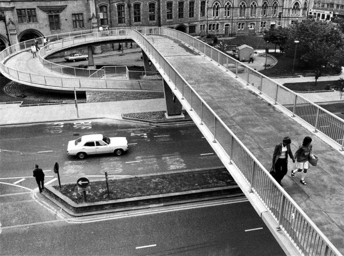
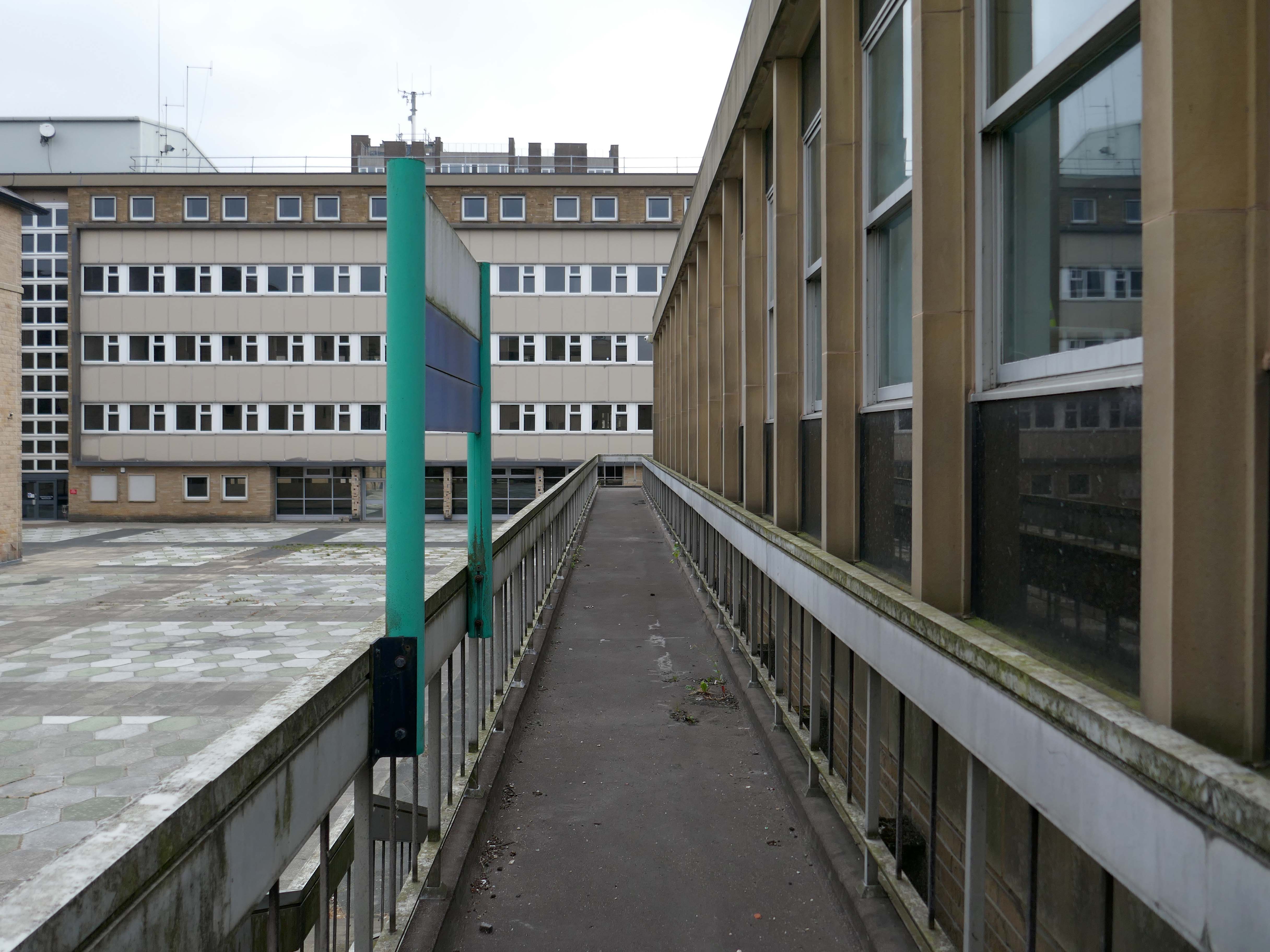
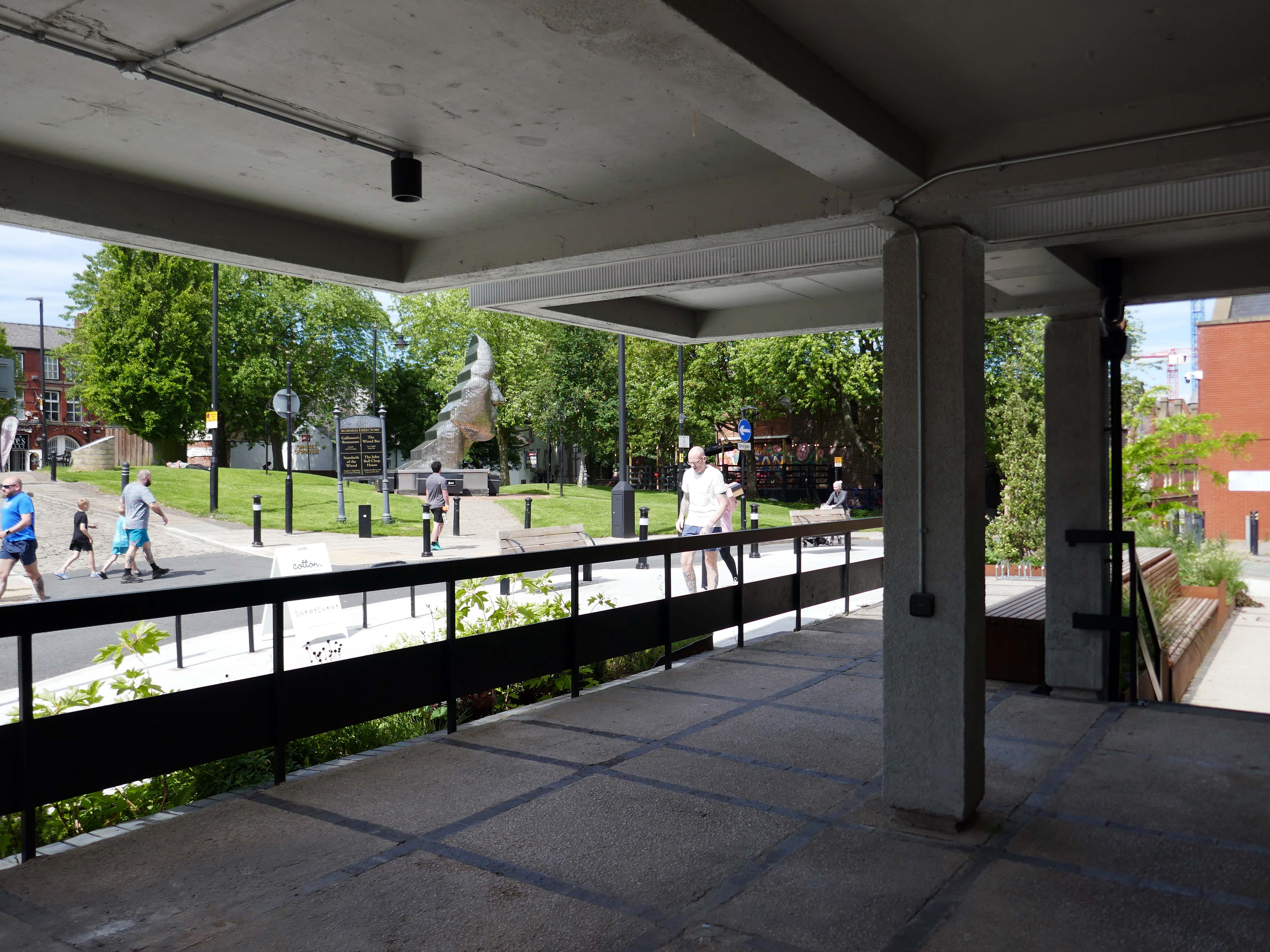
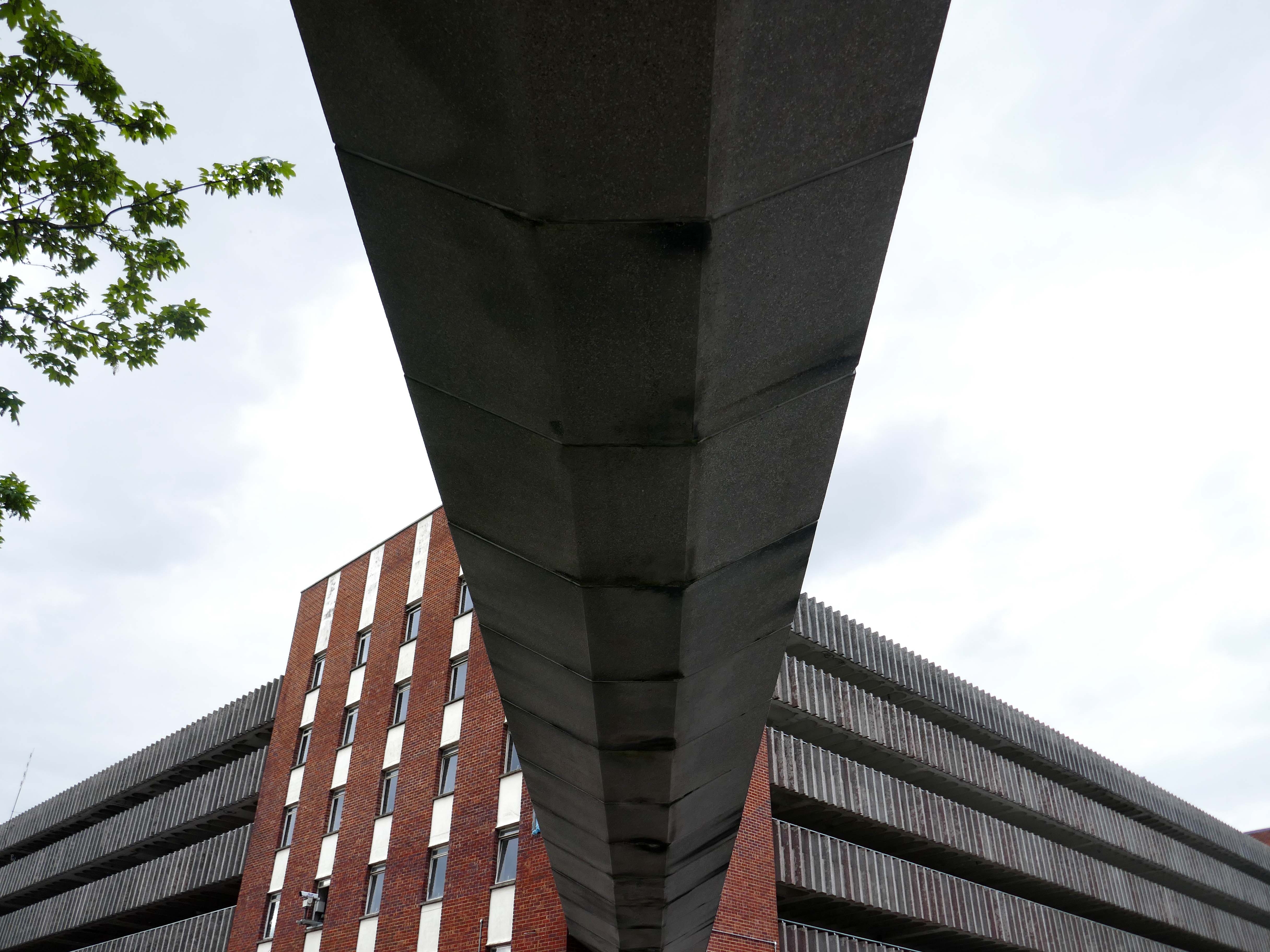
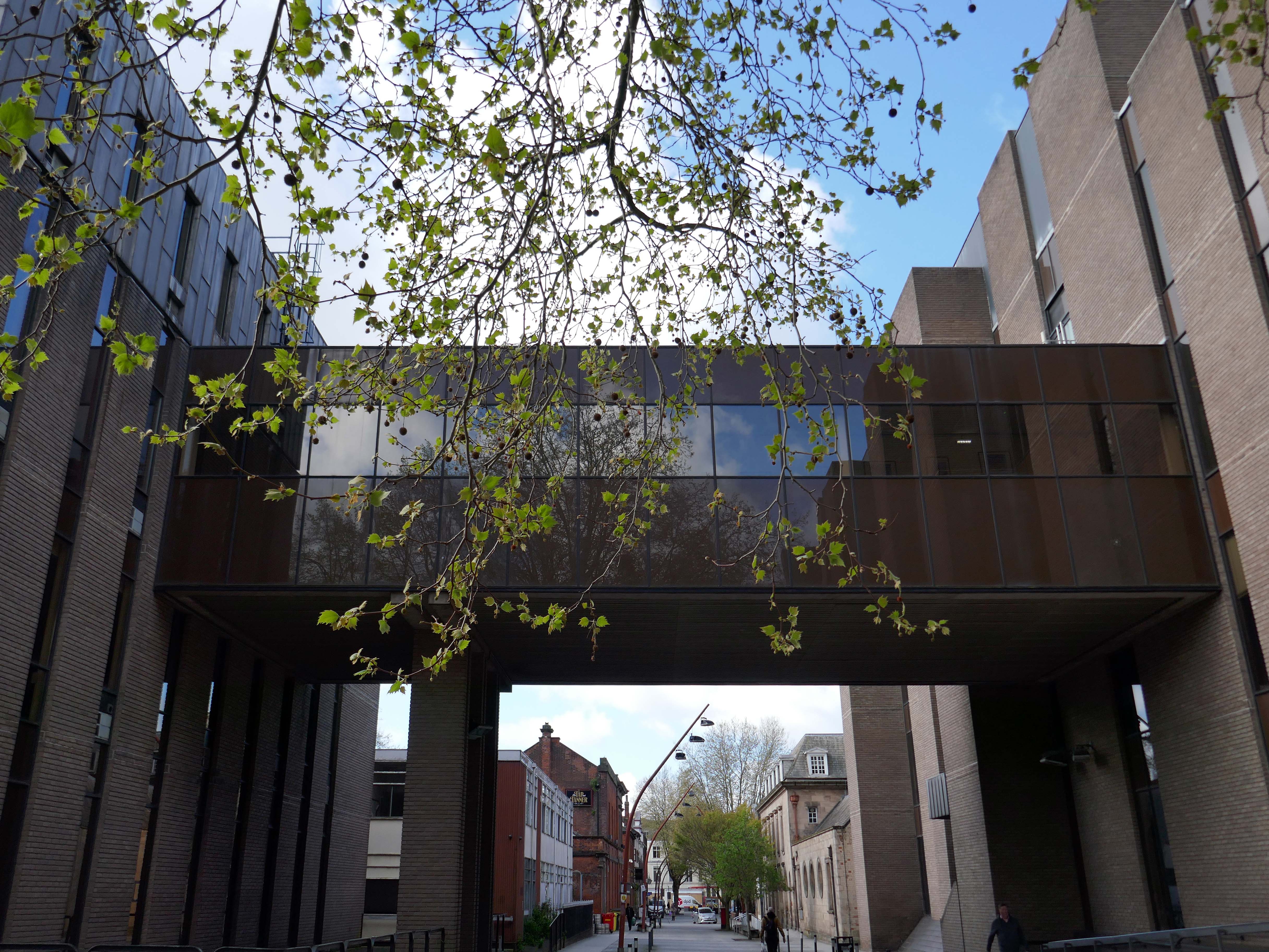
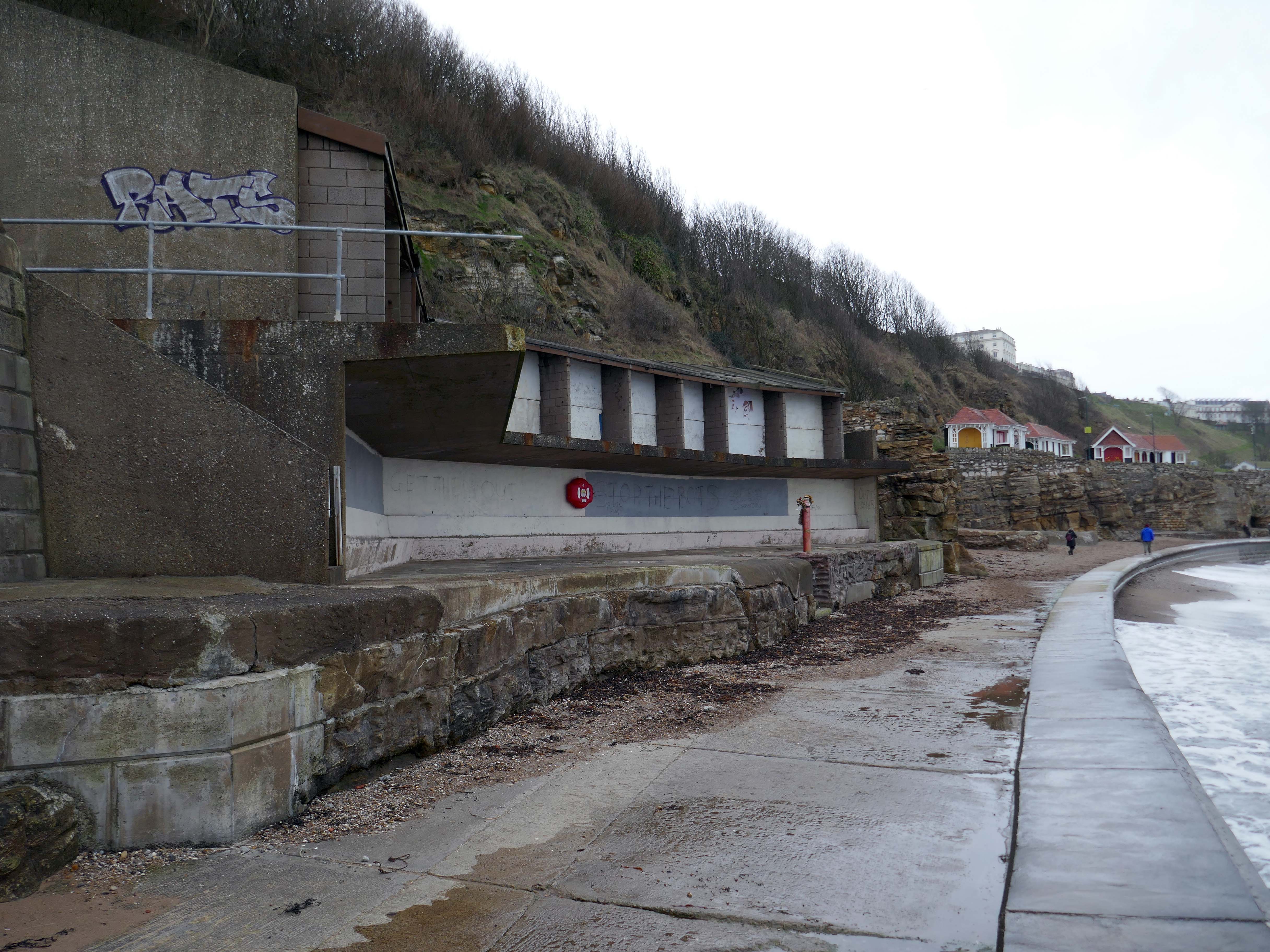
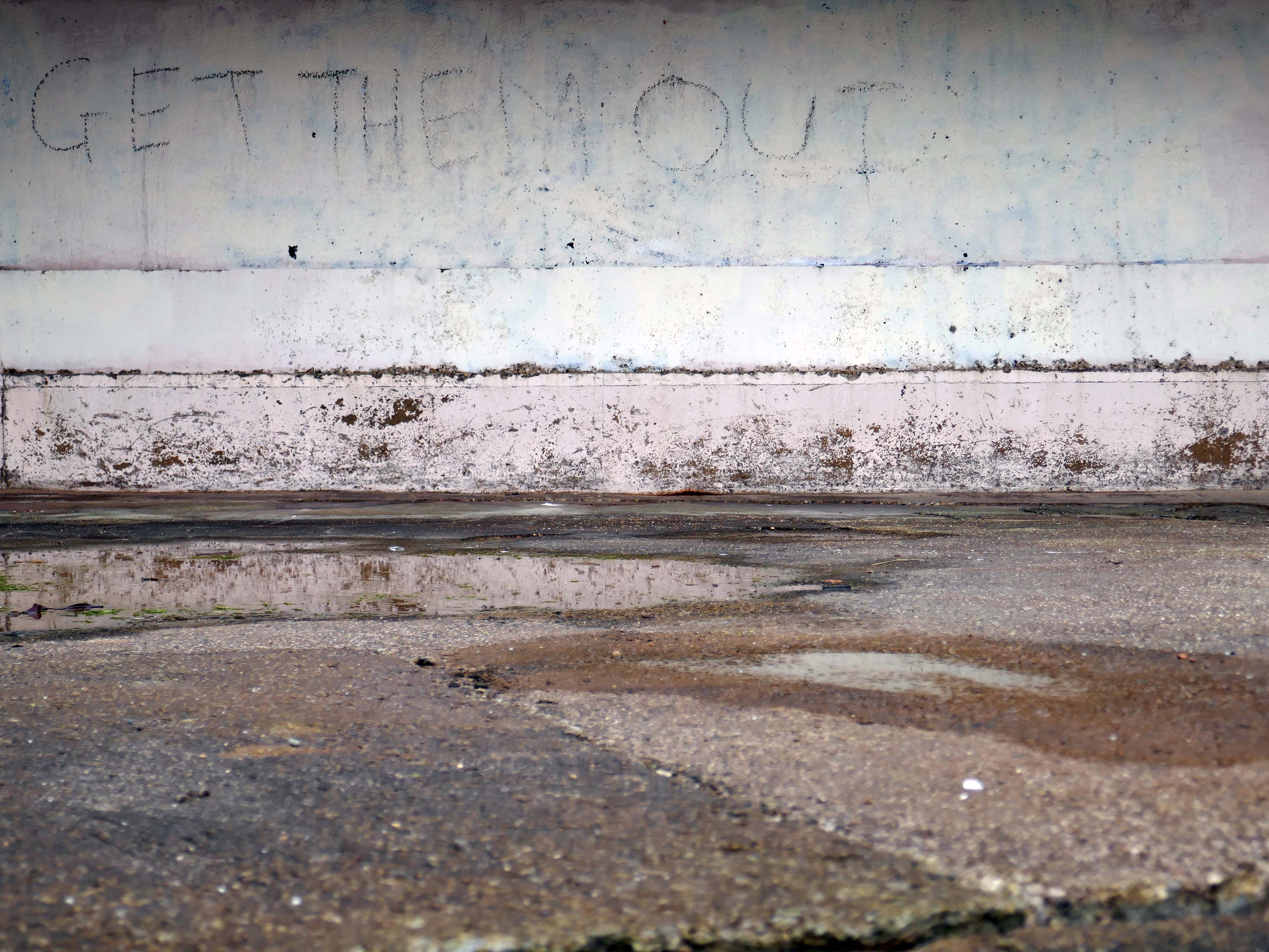
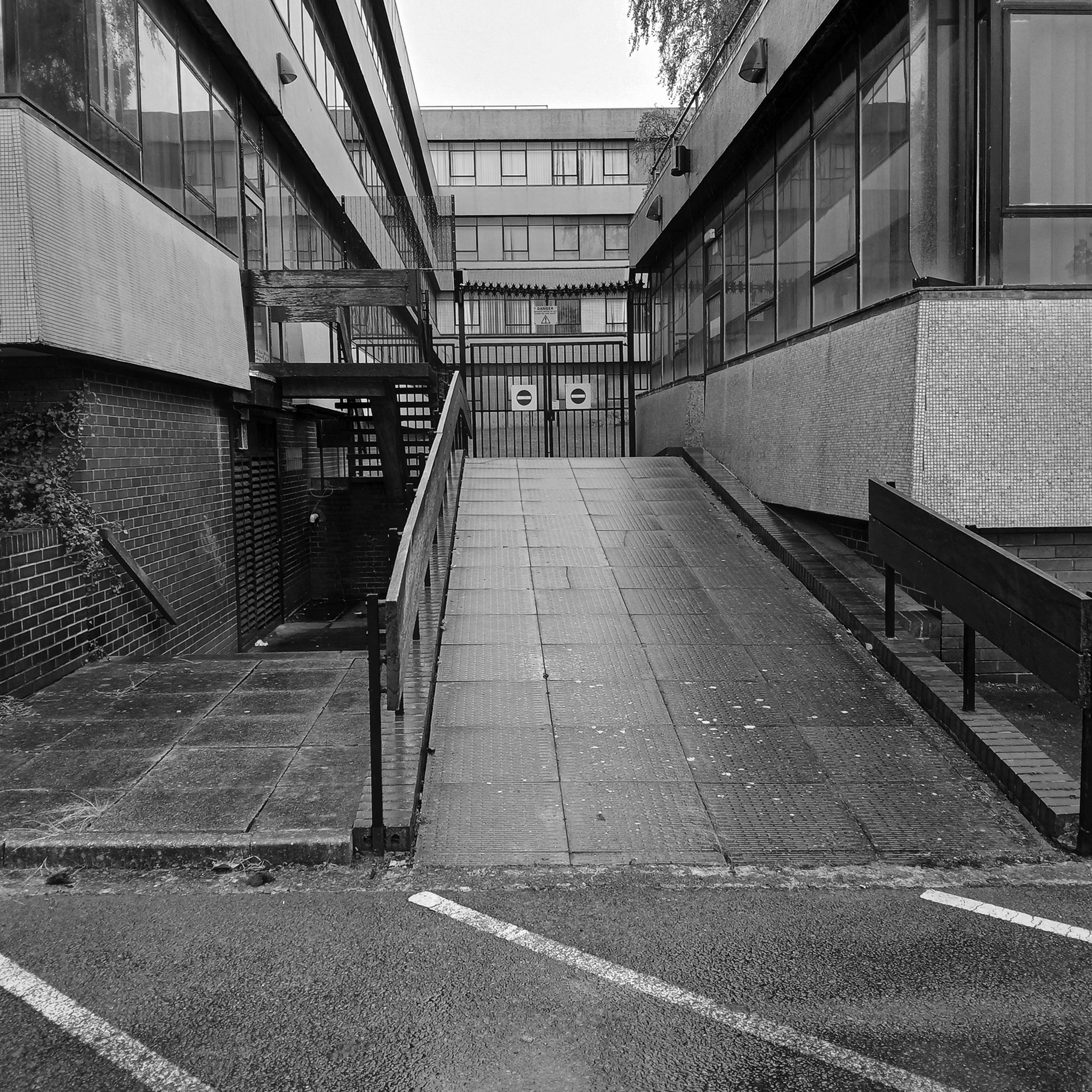
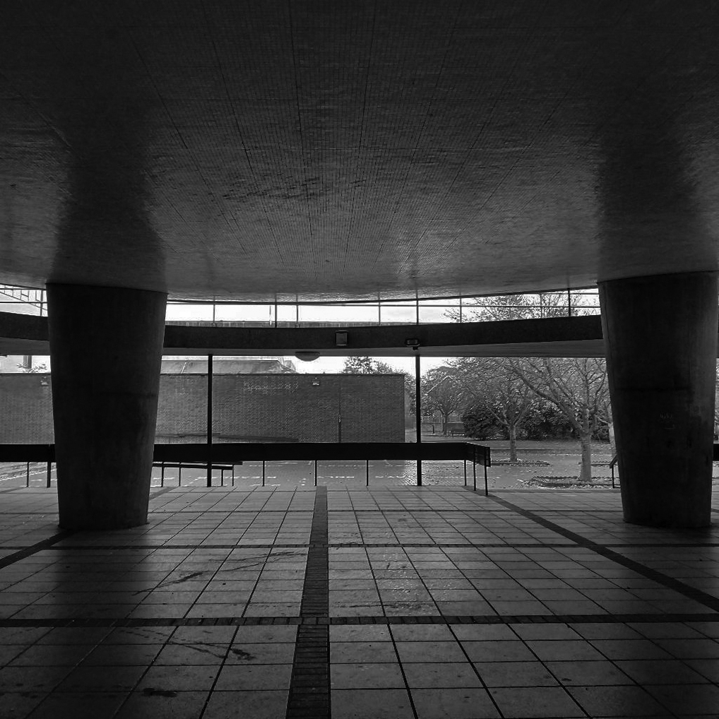
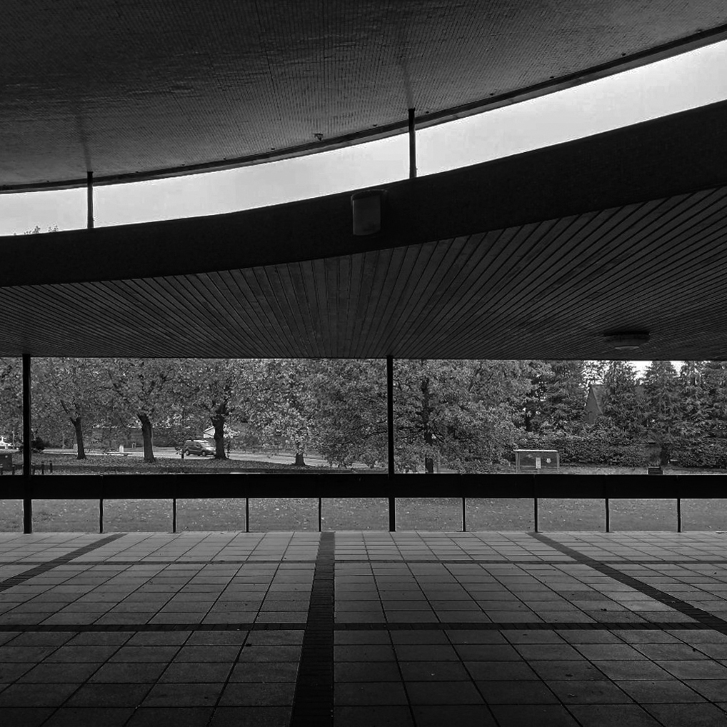
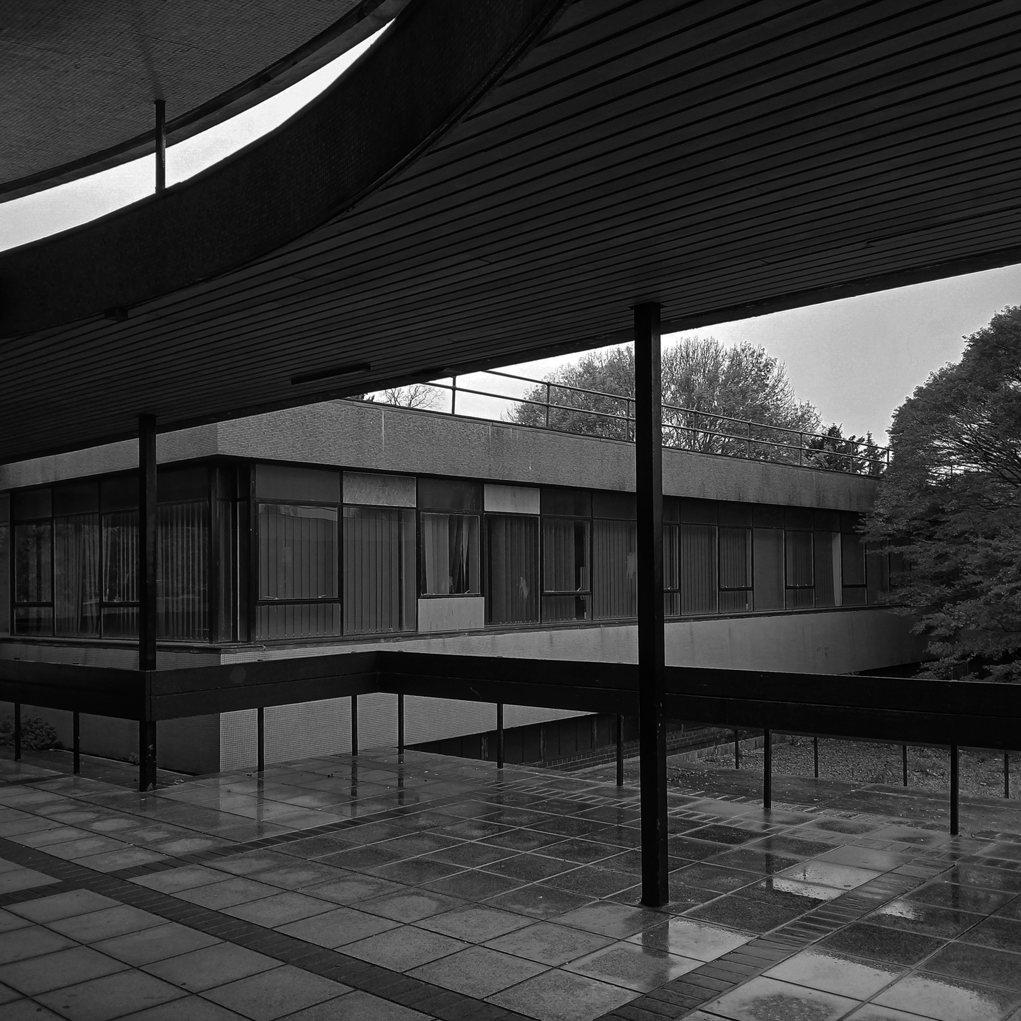
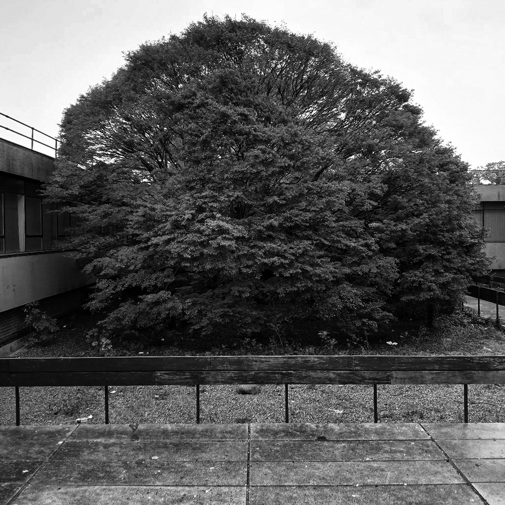
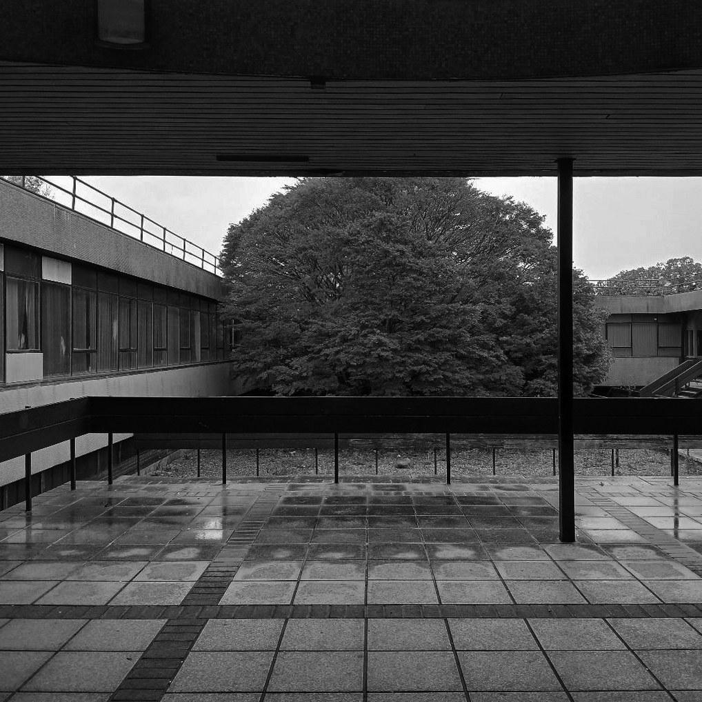
The area was once traversed by this elegant raised walkway.
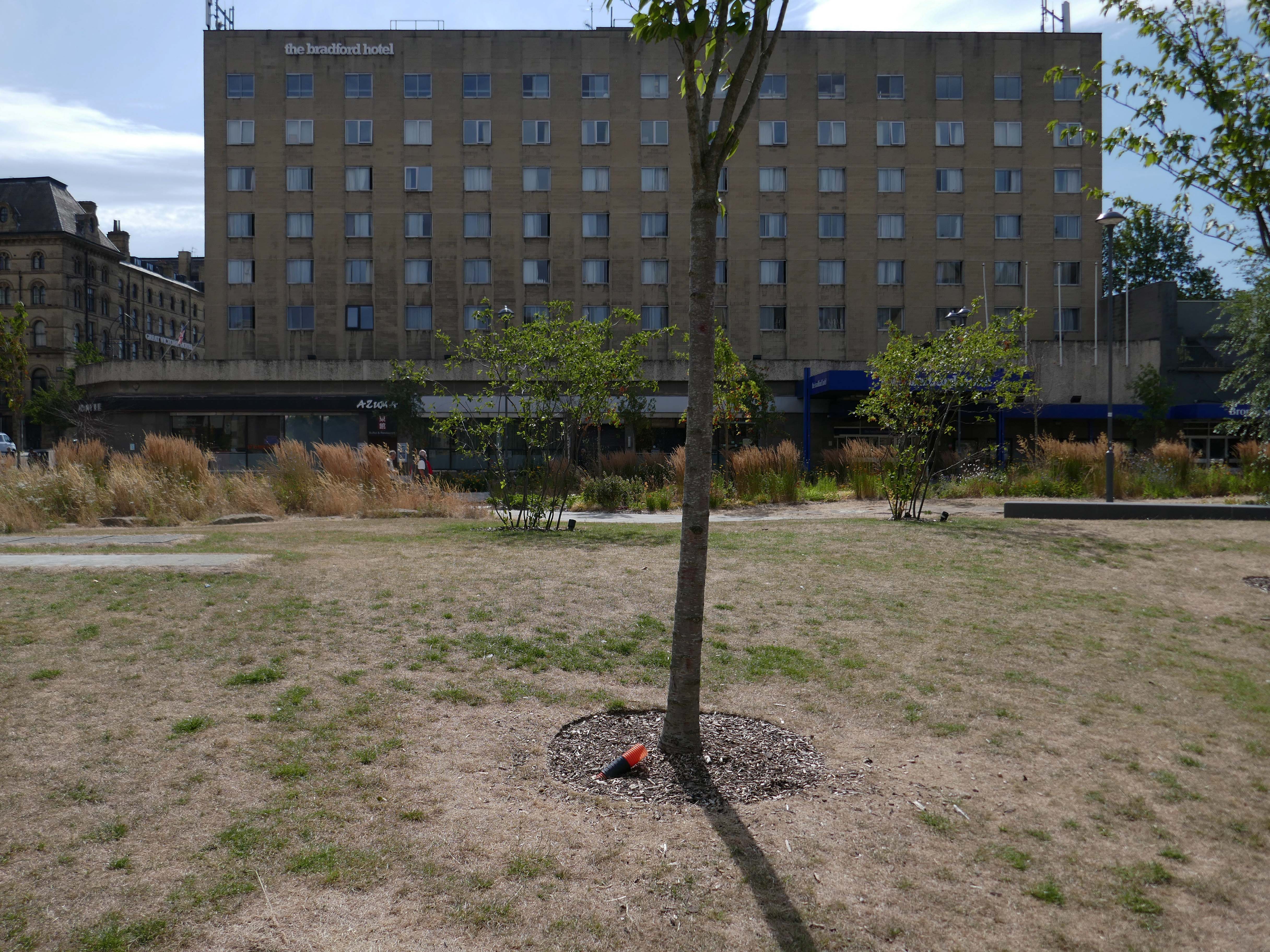
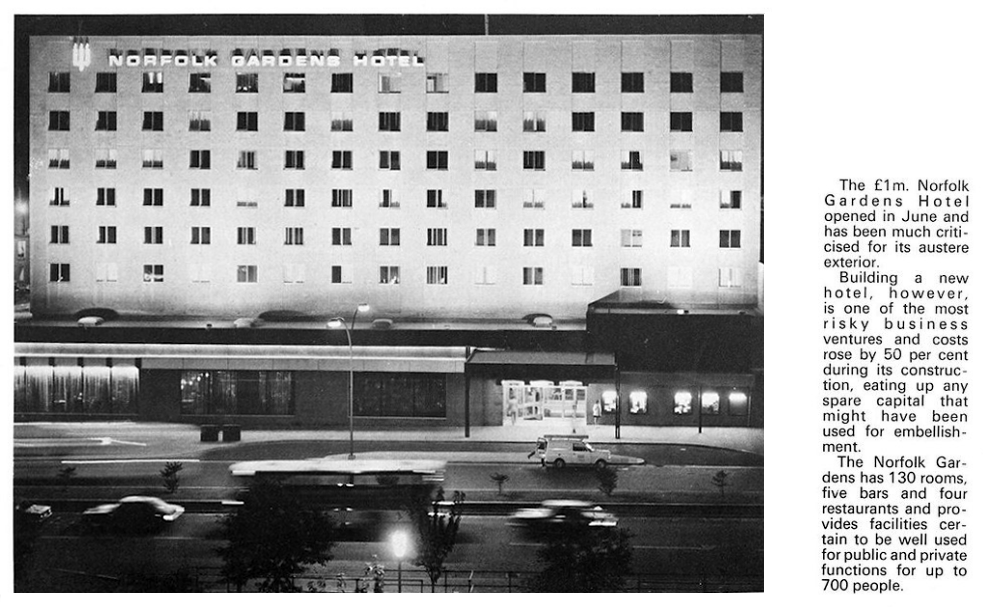
The Bradford Hotel remains resolutely unmoved, recently it has been used as an Asylum Hotel, unsure that this is still so.
Located in the heart of central Bradford, The Bradford Hotel provides an elegant refuge in the midst of the bustling city.
Originally opened as the Norfolk Gardens Hotel, the hotel was completed in 1972 and opened in June of that year.
Architects – William Walker Partnership.
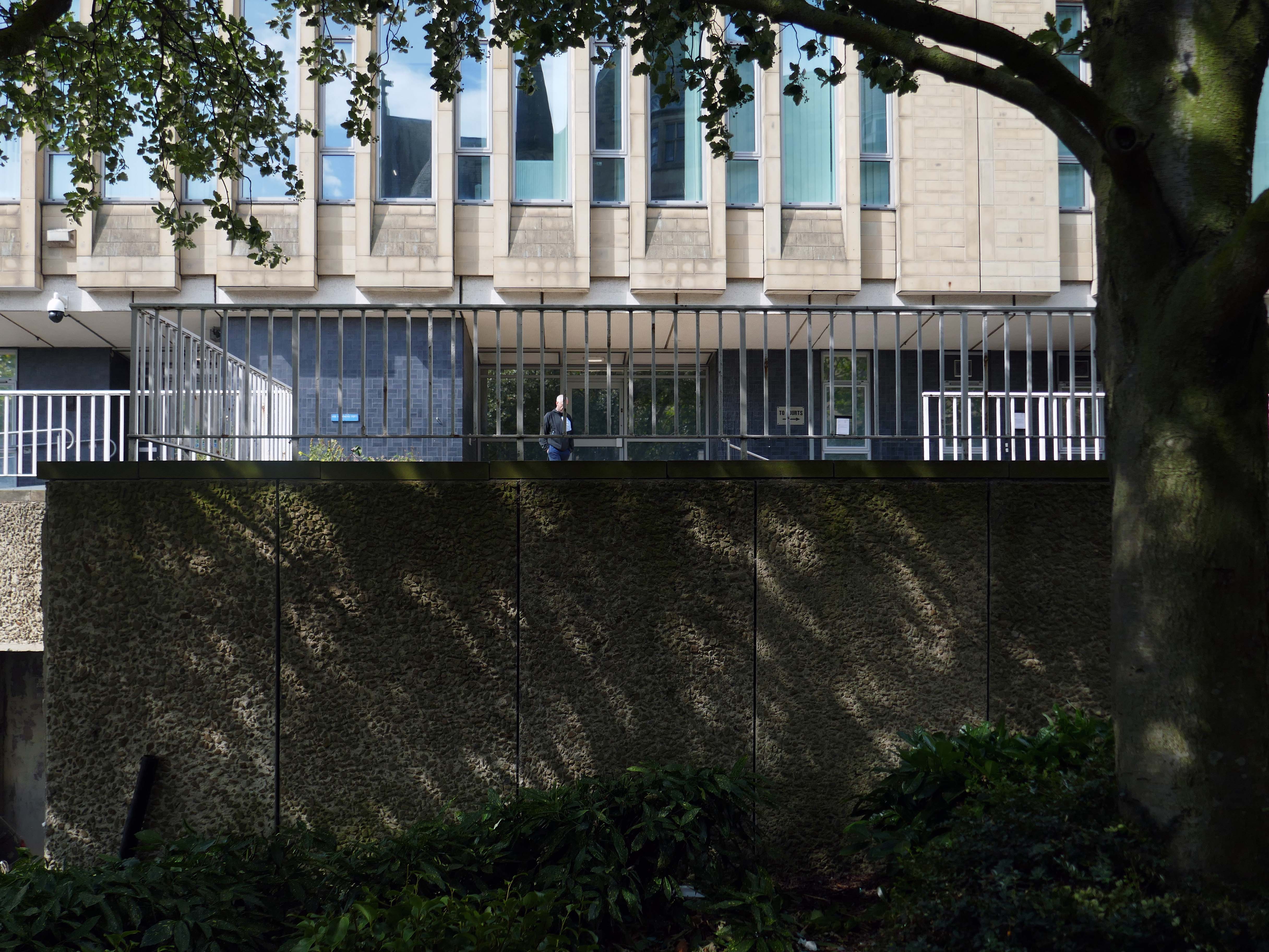
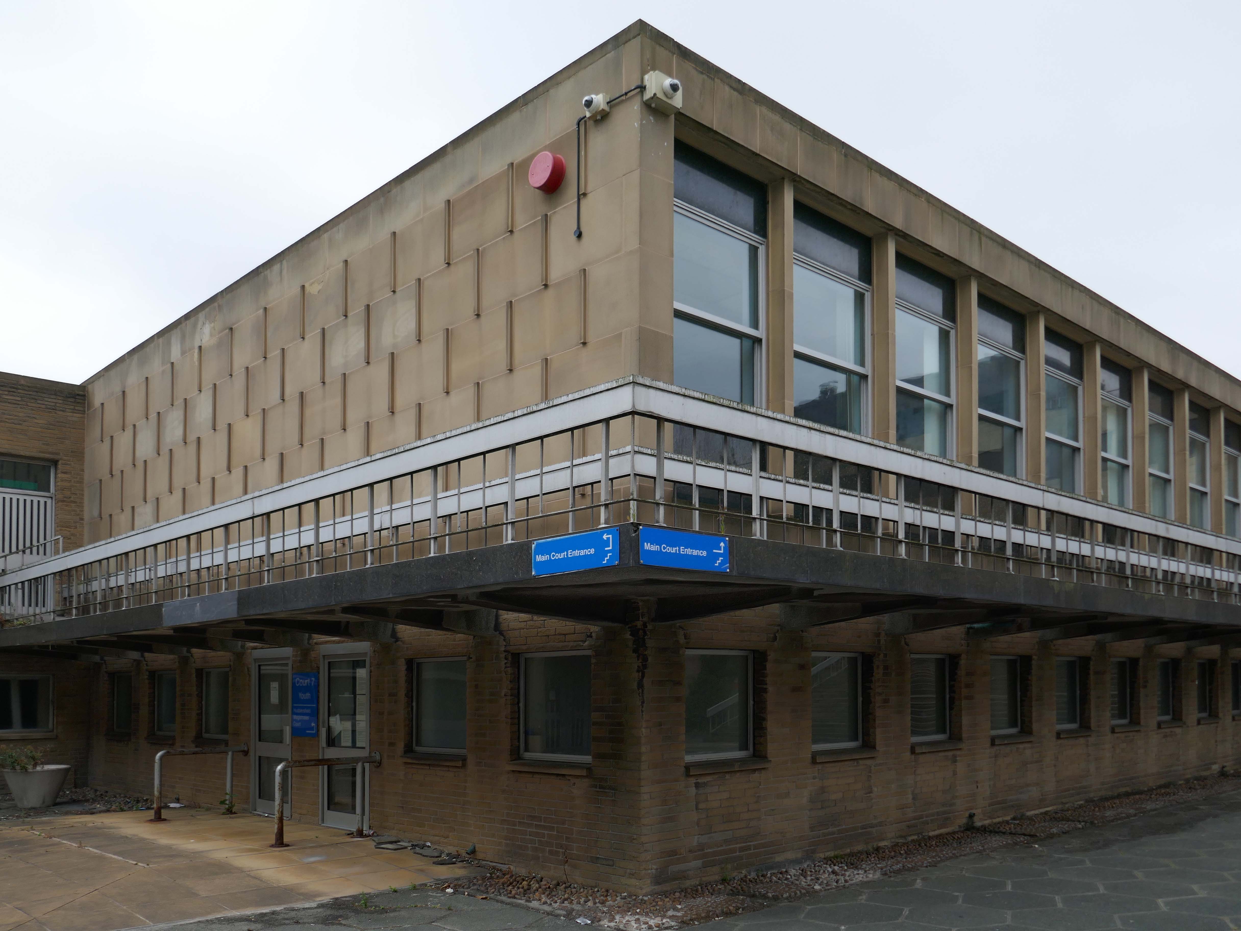
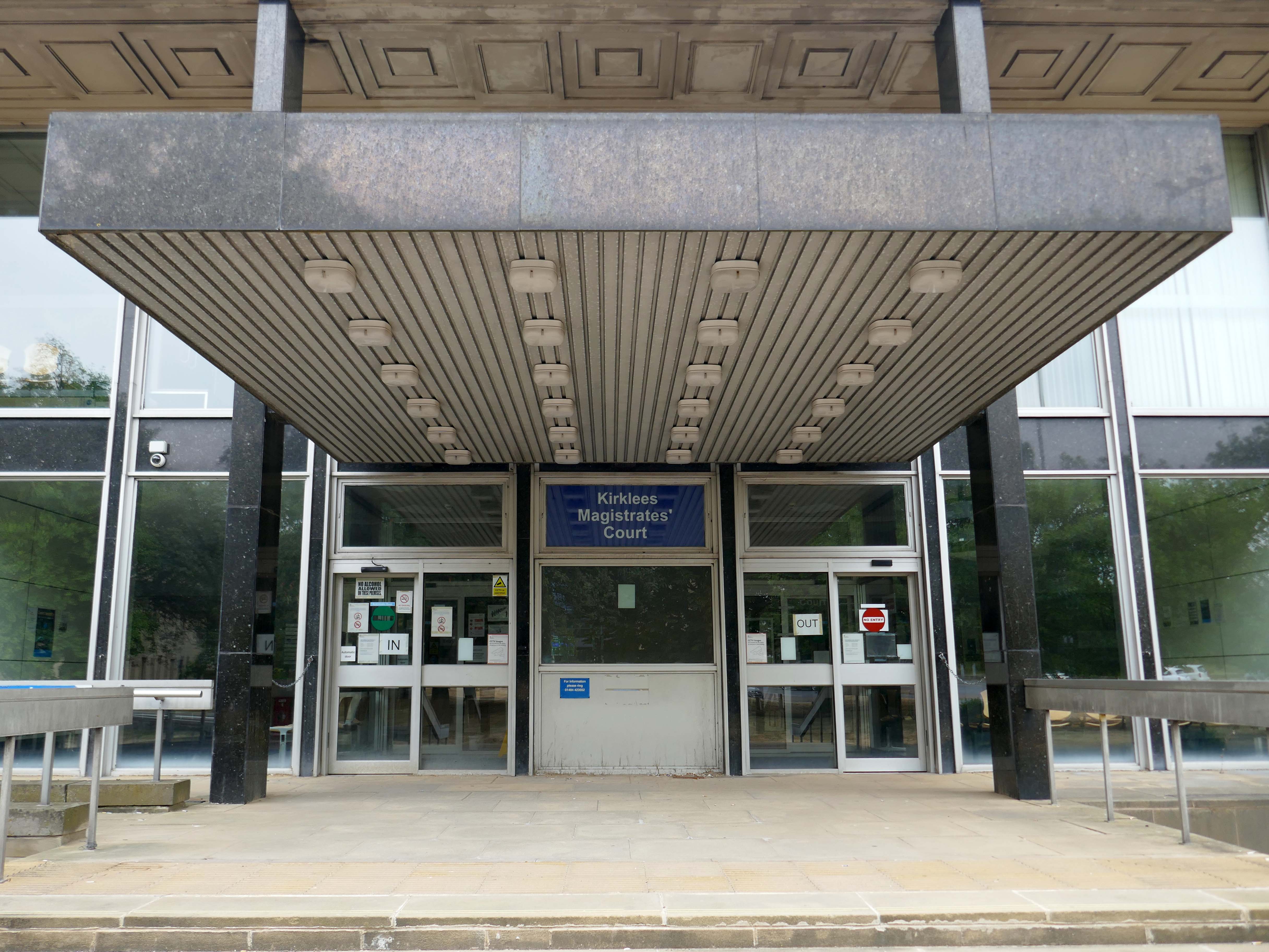
Adjacent is the Magistrates’ Court 1972.
City Architect WC Brown.
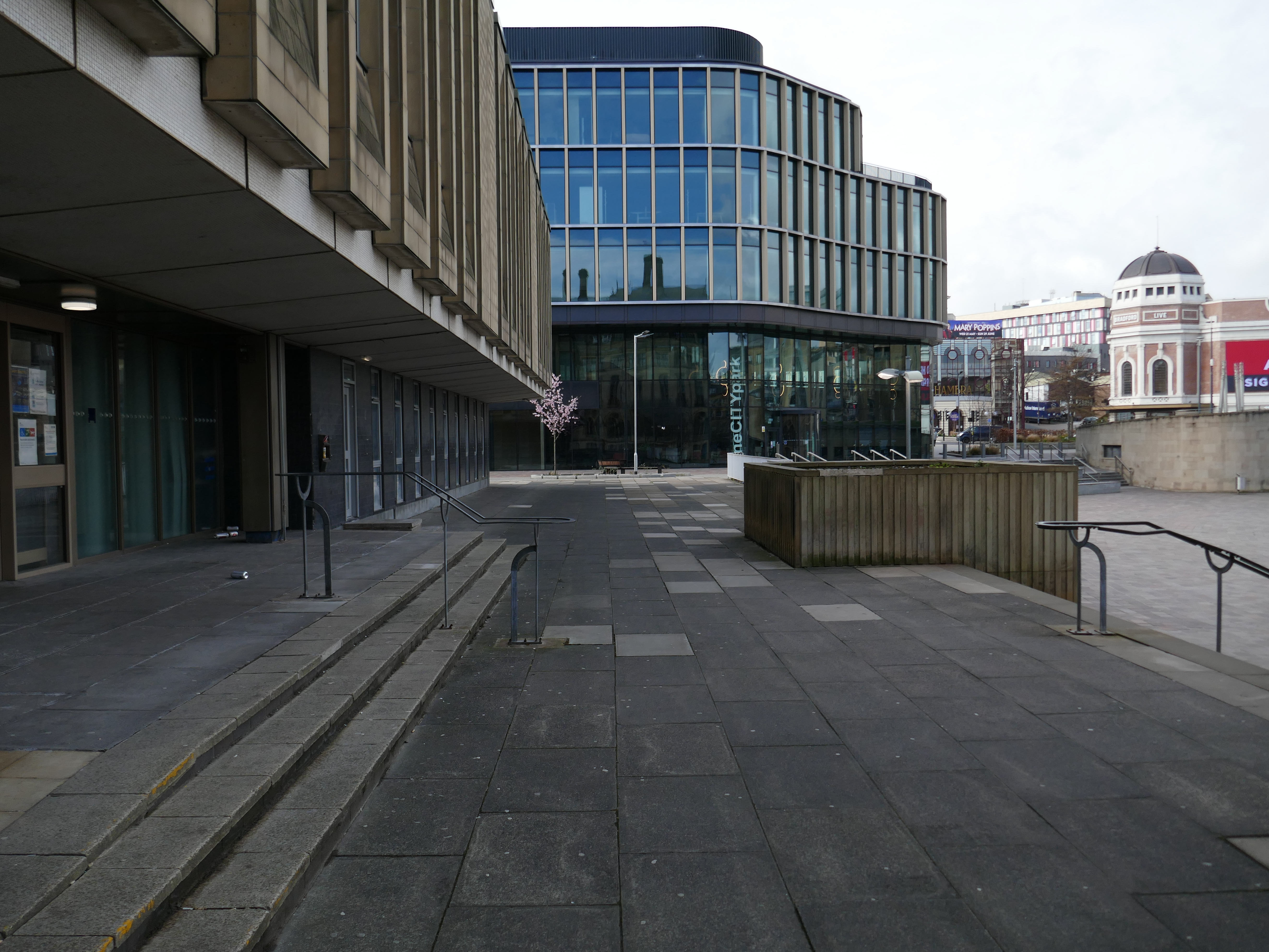
With a view through to One City Park 2024 Sheppard Robson.
One City Park in Bradford, England, draws attention with its striking architecture. The building’s curved design and forward-thinking concept create significant interest. For Sheppard Robson Architects, sustainability and the needs of people were paramount in the design. The facade of the complex features 1,700 glassfibre reinforced concrete elements from Rieder, making a distinctive design statement. The sandstone-coloured concrete components serve as both an architectural feature and a key element in creating a sustainable, visionary work environment.
One City Park has been built on the site of the old Police Station opened in 1974 and demolished in 2010.
The area was once the centre of Will Alsop’s 2003 masterplan.
Which three years later are somewhat diluted:
The latest images of the scheme for the Bowl are generally disappointing and at the risk of a bad pun, the lake is now a watered-down version of Alsop’s vision.
Philip Veitch – of local practice Waller and Partners.
The Norfolk Gardens landscaping has opened up a fresh toward the Central Library 1965.
Architect – City Architect WC Brown with project architects G Sunderland and KLS Glen.
The Exchange of 1976 by Trevor H Anson PSA Architect.
Turn right around to take a look at the rear of the Ice Arena.
In January 1966 Mecca Leisure Limited opened the ice rink in Bradford under the name of the Silver Blades Ice Rink, it was reputed to be “The finest rink in the world”, with coloured lighting in the barriers, sparkling chandeliers over the ice, and a plush bar and restaurant.
The resplendently dressed skaters were entertained with organ music. The opening gala at the rink had performances by British skaters who had just returned from the World Championships, they included Sally Anne Stapleford, John Curry and ice dancers Bernard Ford and Diane Towler.
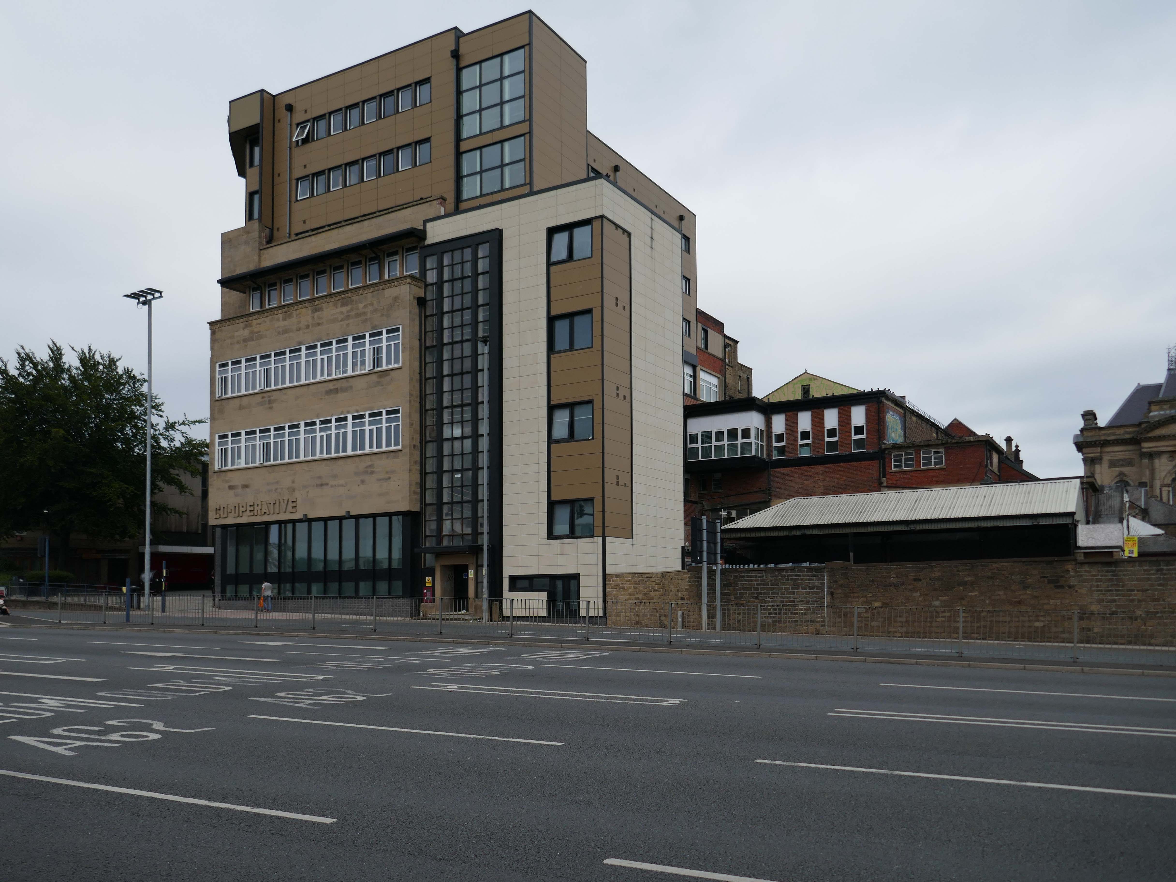
Architect W A Johnson worked for the Cooperative Wholesale Society from 1899 until 1950. He was heavily influenced by the German architect Erich Mendelsohn after 1930, evident in his embrace of the International Modernist style. Johnson travelled widely in Germany and Holland, and Mendelsohn’s Schocken store in Stuttgart 1928 is quoted as being a particular inspiration for the Bradford Co-op.
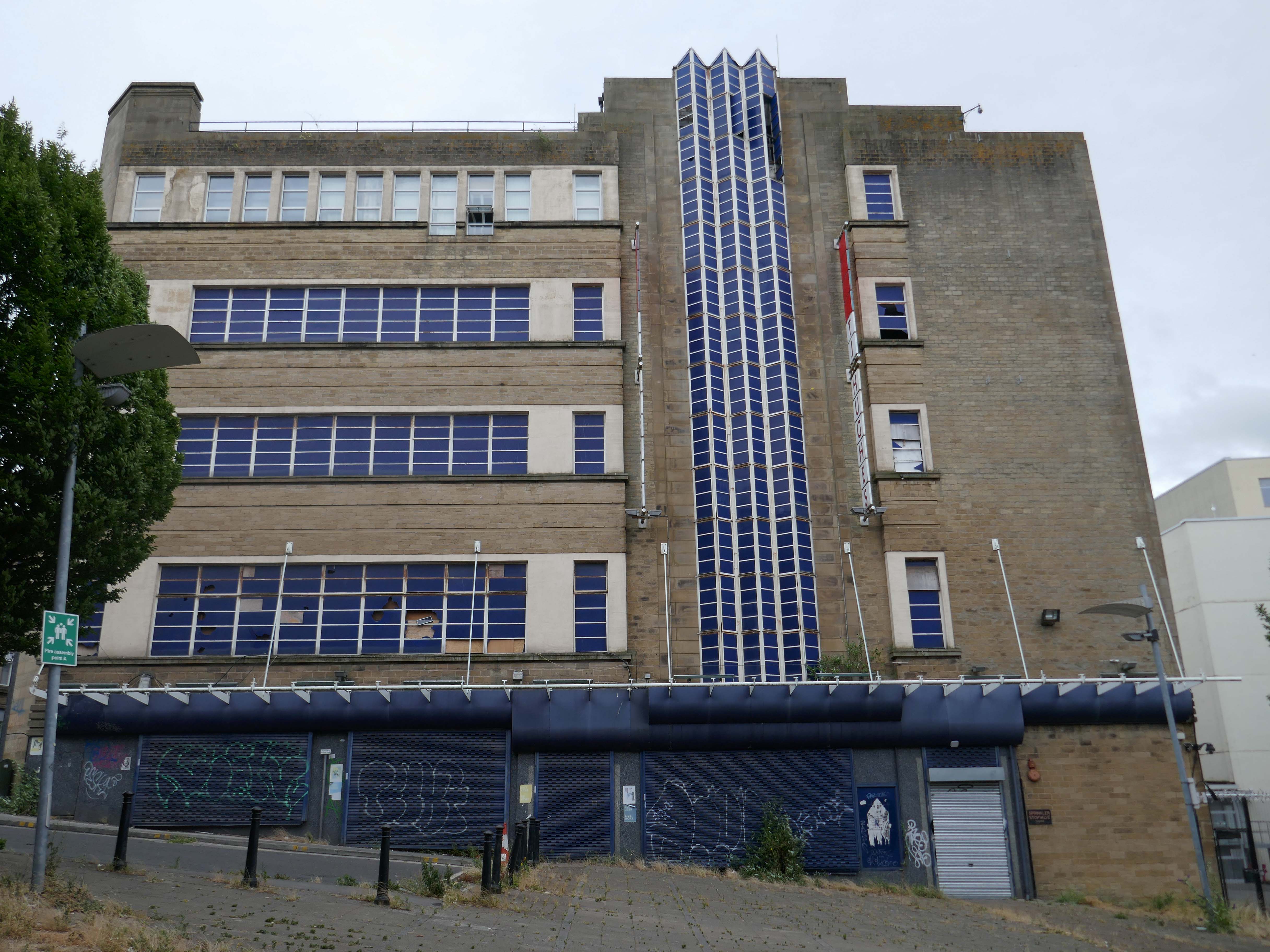
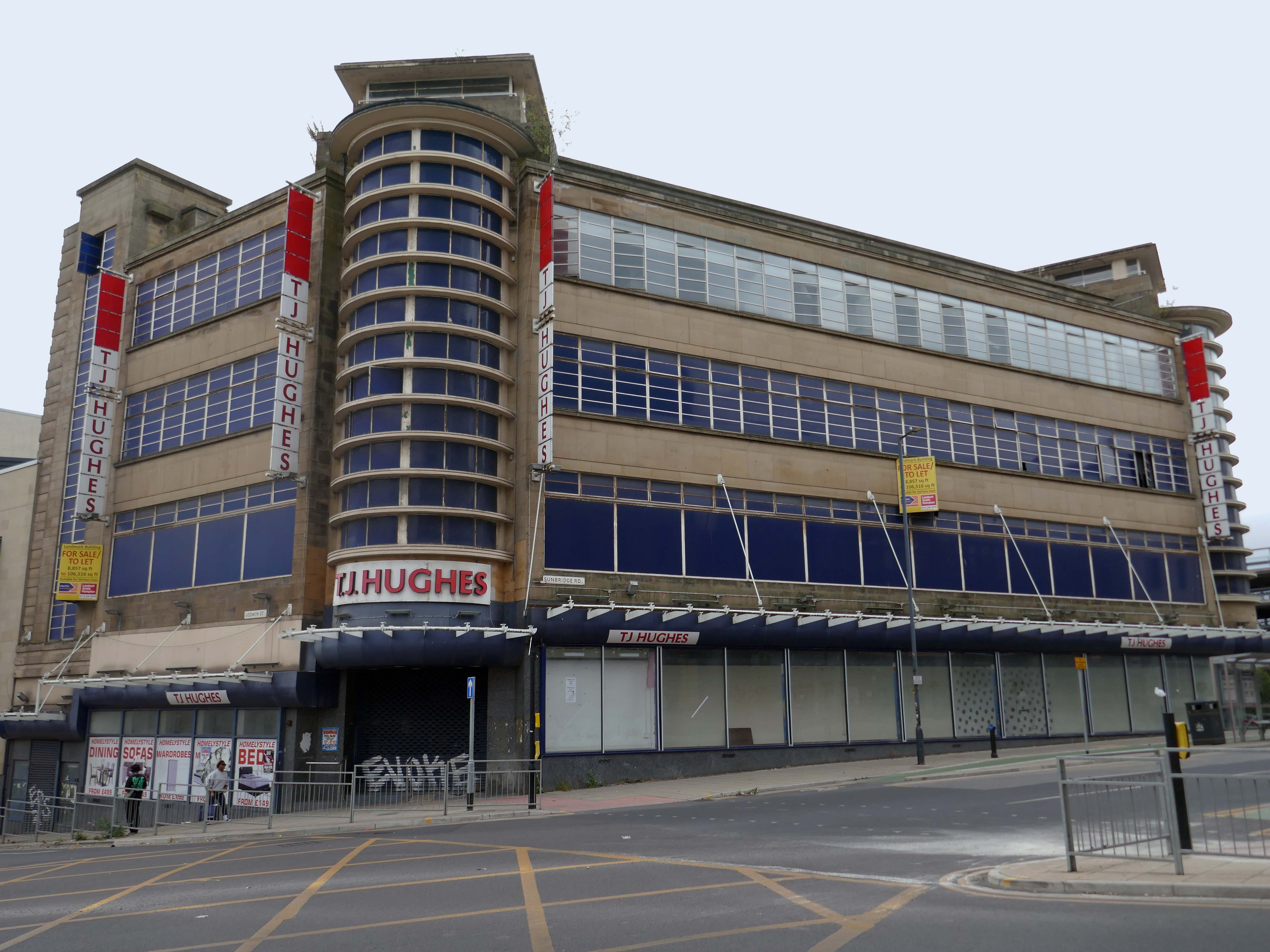
Sunwin House had been – one of the most modern and stylish looking shops in Britain, when it was built in 1936, according to The 20th Century Society.
But the charity warned that the building, whose architectural style was inspired by Germany’s Bauhaus art movement, had stood empty for nearly 15 years and was in danger of creeping neglect.
Sunwin House, which was most recently used as a TJ Hughes department store after the firm went into administration in 2011, is one of 10 buildings featured on The 20th Century Society’s risk list for 2025.
The Freehold of Sunwin House, 65 Sunbridge Road, Bradford has been sold to a Bradford based investment company who have plans to refurbish the whole building principally based off a Retail/ Emporium use.
The building was purchased by Legal and General from the Co-operative Wholesale Society in 2005 subject to a lease to T J Hughes, who ceased trading in 2012. Following Administration, and the release and separation from the former Godwin Street Annexe, the original 95,000 sq ft Grade II Listed Store became an independent asset in 2017.
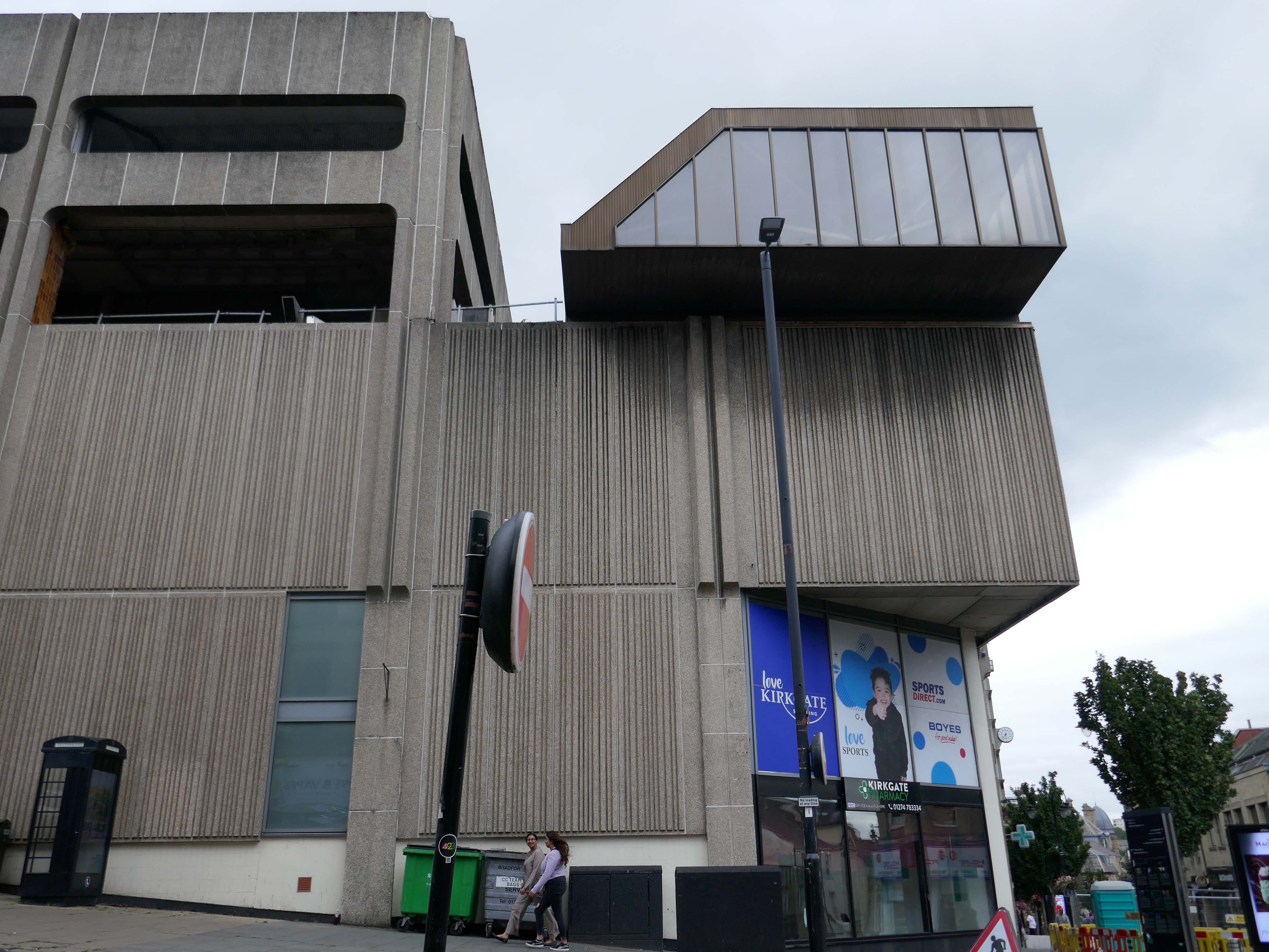
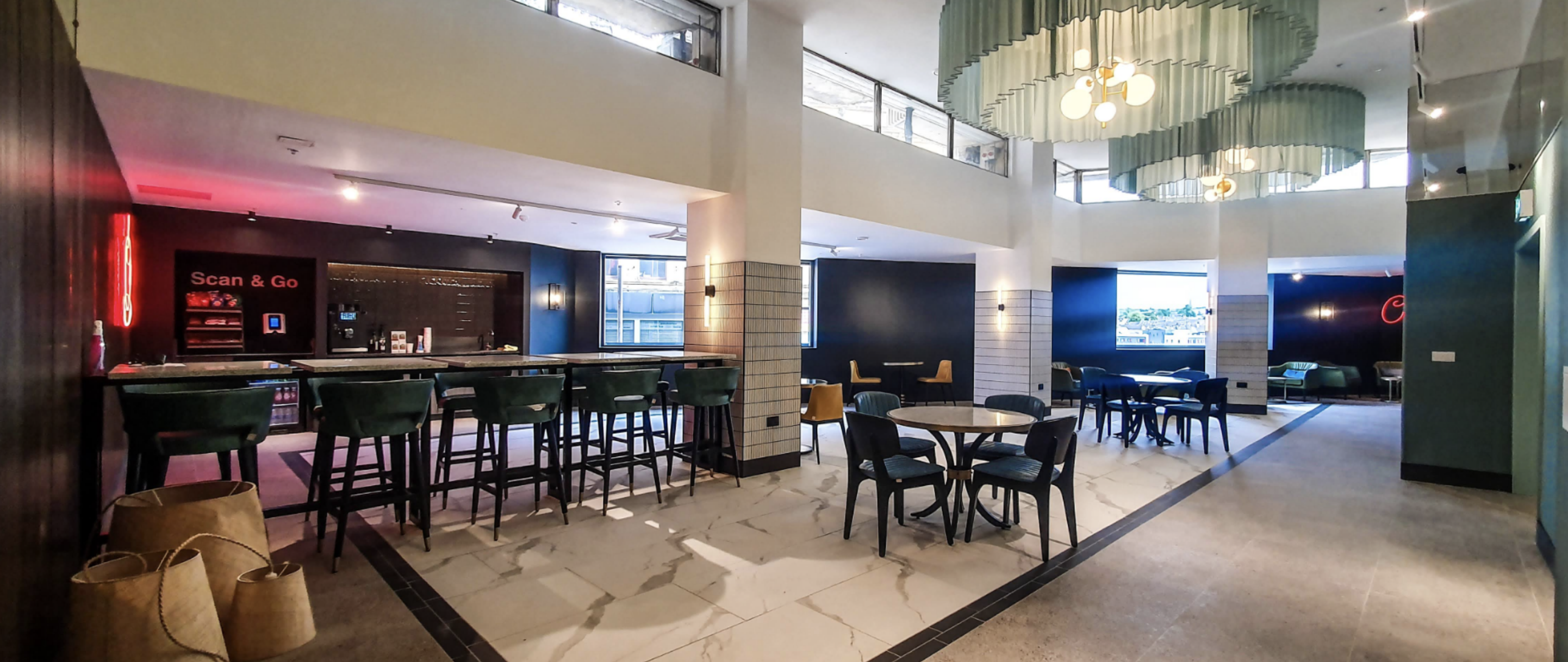
A stride away is the now closed Kirkgate Centre and Market – John Brunton and Partners 1975.
Demolition work will begin later this year to make way for the recently approved City Village development, comprising up to one thousand new homes, with the aim of creating a stronger, more welcoming, and sustainable future for Bradford.
Some residents have welcomed the changes, with the Kirkgate Centre previously described as a blight on the landscape. But others, like Barbara, lament the loss of the places they knew and loved.
Every time you go anywhere something has gone missing. Some of the changes are alright, some of them I think they could do without.
In 1979, the building won a European award from the International Council of Shopping Centres.
But the Historic England report described its design as mundane and repetitive.
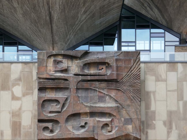
The William Mitchell concrete reliefs housed in the market are to be conserved along with the Fritz Steller tiles.
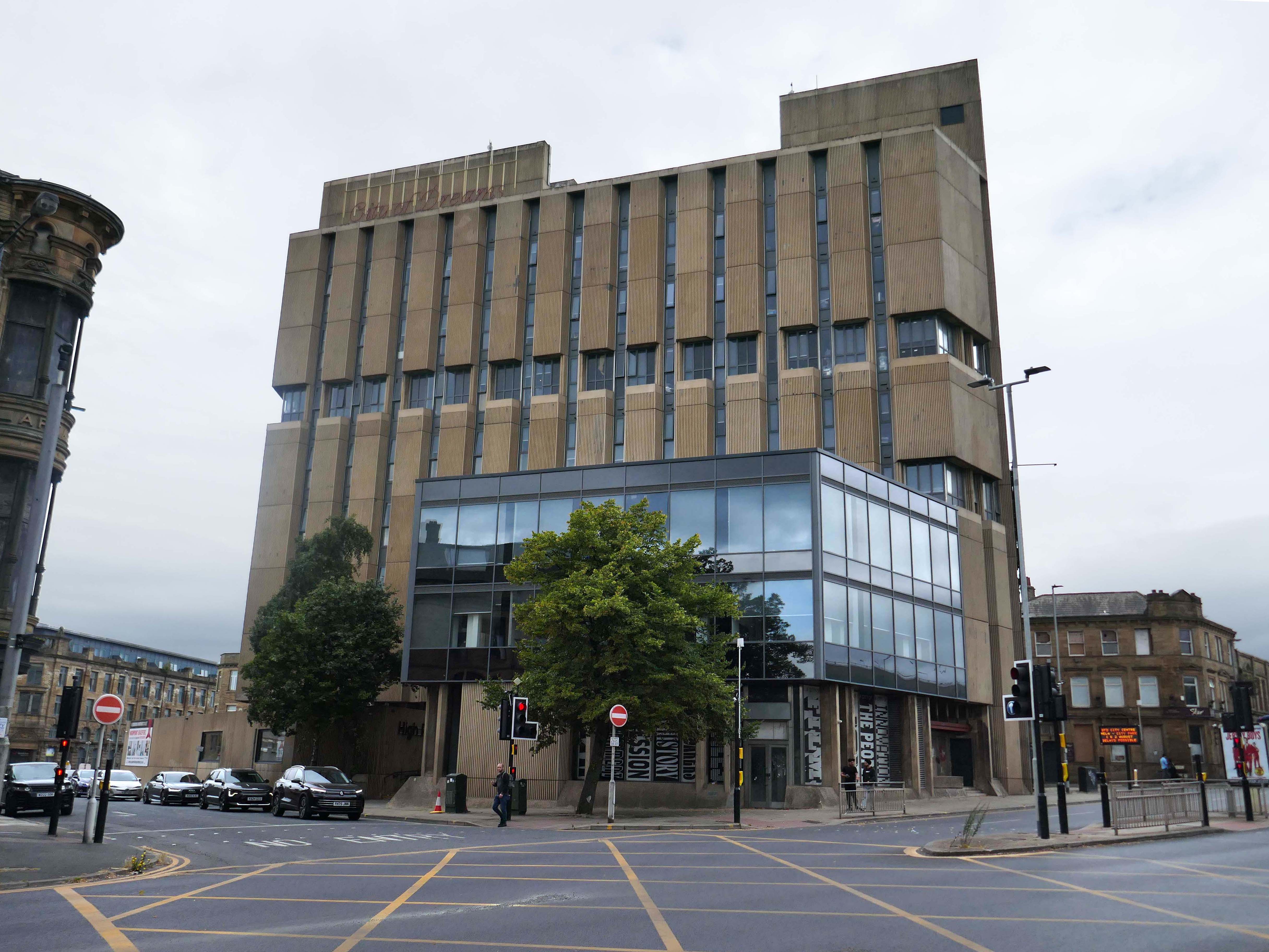
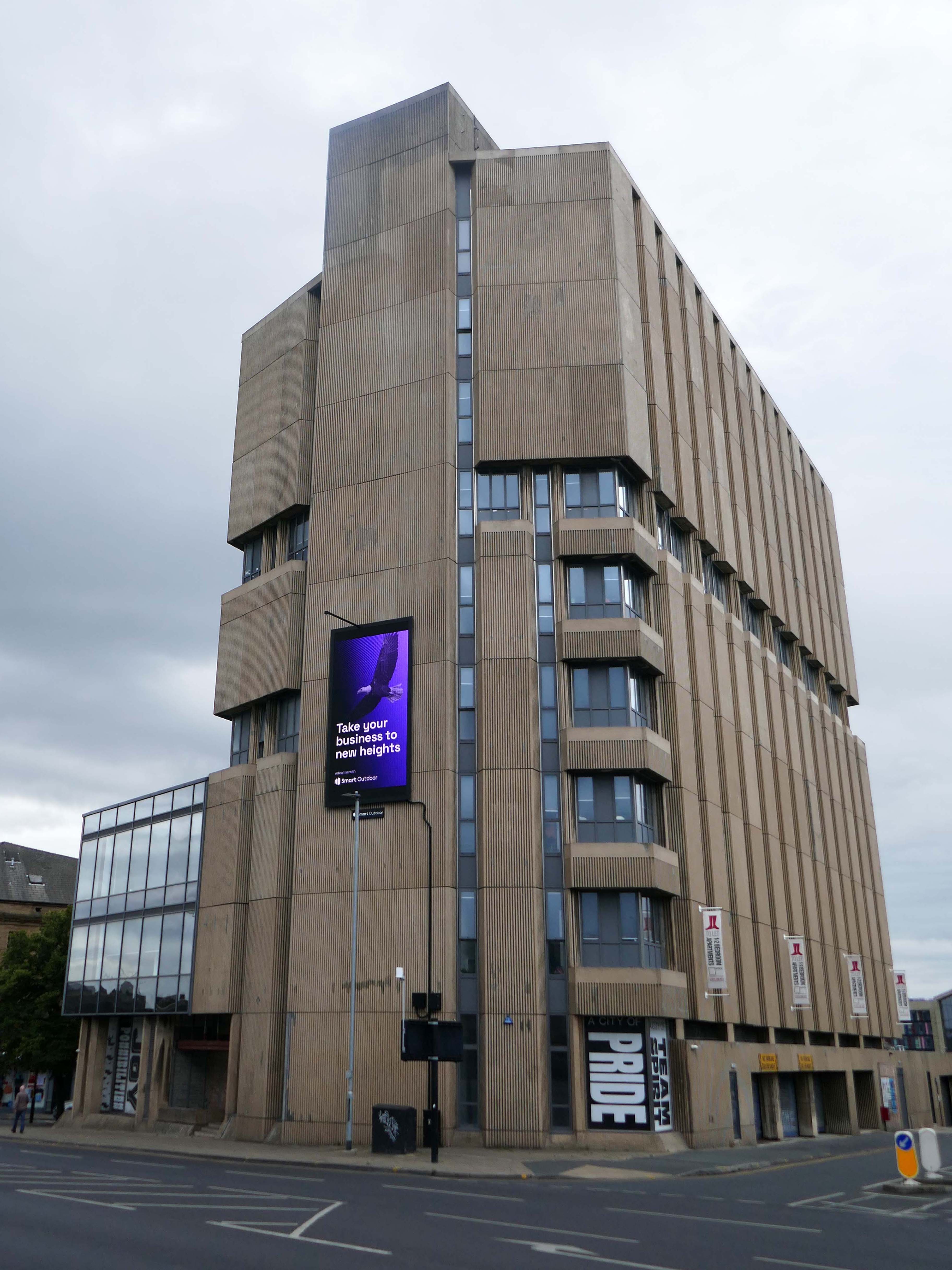
Higher up the hill John Brunton’s Highpoint has survived the call for demolition.
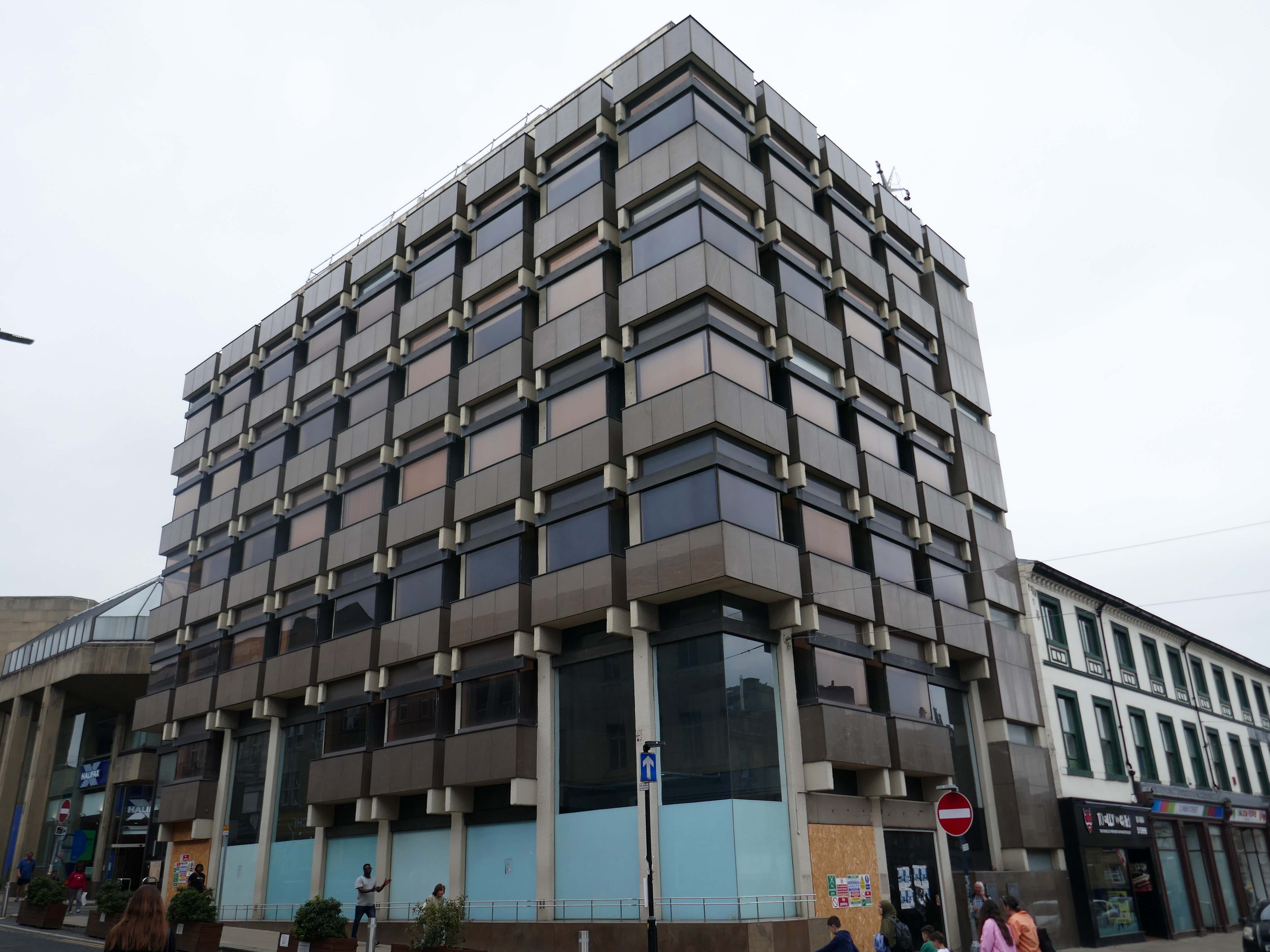
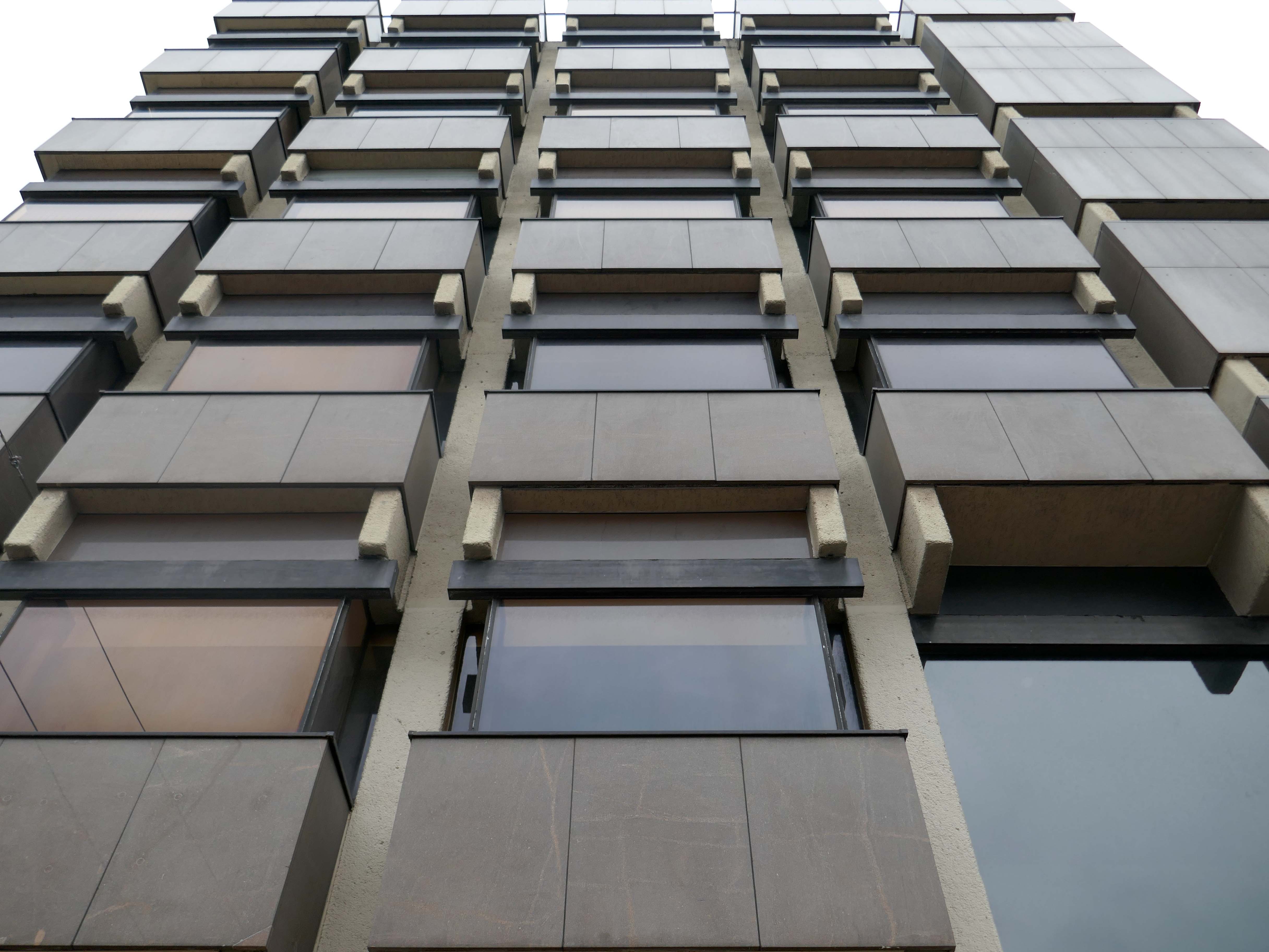
The derelict former headquarters of Yorkshire Building Society, on one of the highest parts of the city centre, looms over the city centre, and to many people is the city’s ugliest building.
It is now home to an innovative residential apartment complex with a community at its heart, which embraces ideas of sustainability, preservation, and rejuvenation that will bring a new lease of life to this abandoned landmark.
A tower block in Bradford likened to a structure from sci-fi movie Blade Runner has been named as the best brutalist building in the country.
Built in the 1970s, High Point, the former headquarters of the Huddersfield and Bradford Building Society, was recently converted into eighty seven flats as part of a £12m regeneration scheme.
National newspaper The Telegraph named the building top of its brutalist list – ahead of the Barbican, in London, Bristol’s Clifton Cathedral and Preston bus station.
Si Cunningham, who chairs Bradford Civic Society, said it remained one of the city’s
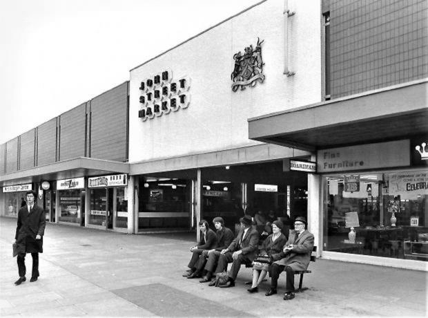
Highpoint’s neighbour the Oastler Centre is closed and awaiting demolition.
The Oastler Shopping Centre, formerly known as the John Street Market contained 176 stalls comprising a retail area, with an additional twenty three external shops and twenty seven storerooms. The cafes and stalls within the centre were various food, clothing and craft shops with some of the cafes and stalls having been in business since the 1960s.
The original outdoor open-air market was renovated to an indoor market in the early 1970s to make economic improvements to the upper side of the city centre and was named for the abolitionist Richard Oastler.
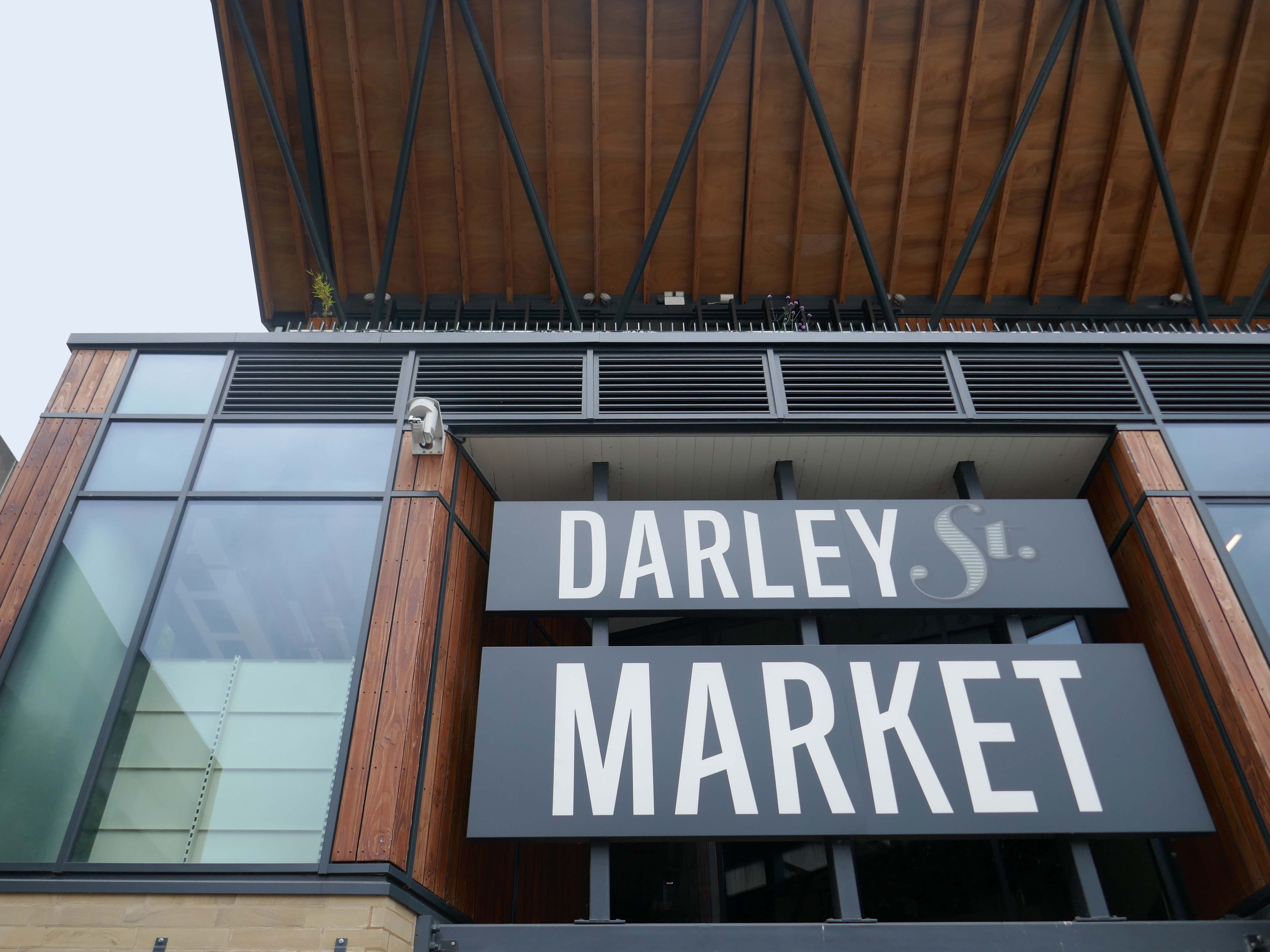
As part of the Bradford’s regeneration projects in line with the successful UK City of Culture 2025 bid, the Oastler Centre was scheduled to be demolished in late 2023 to make way for the new Darley Street Market.
The Oastler Marker had its final day of trading on 28 June 2025.
The centre along with the nearby Kirkgate Market will be demolished and replaced with green space, housing and new commercial spaces in line with the new Darley Street Market and planned City Village, an area of green space nearby the site.
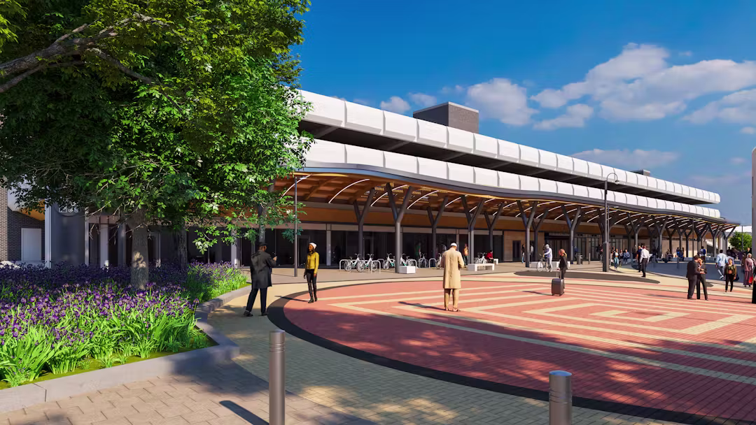
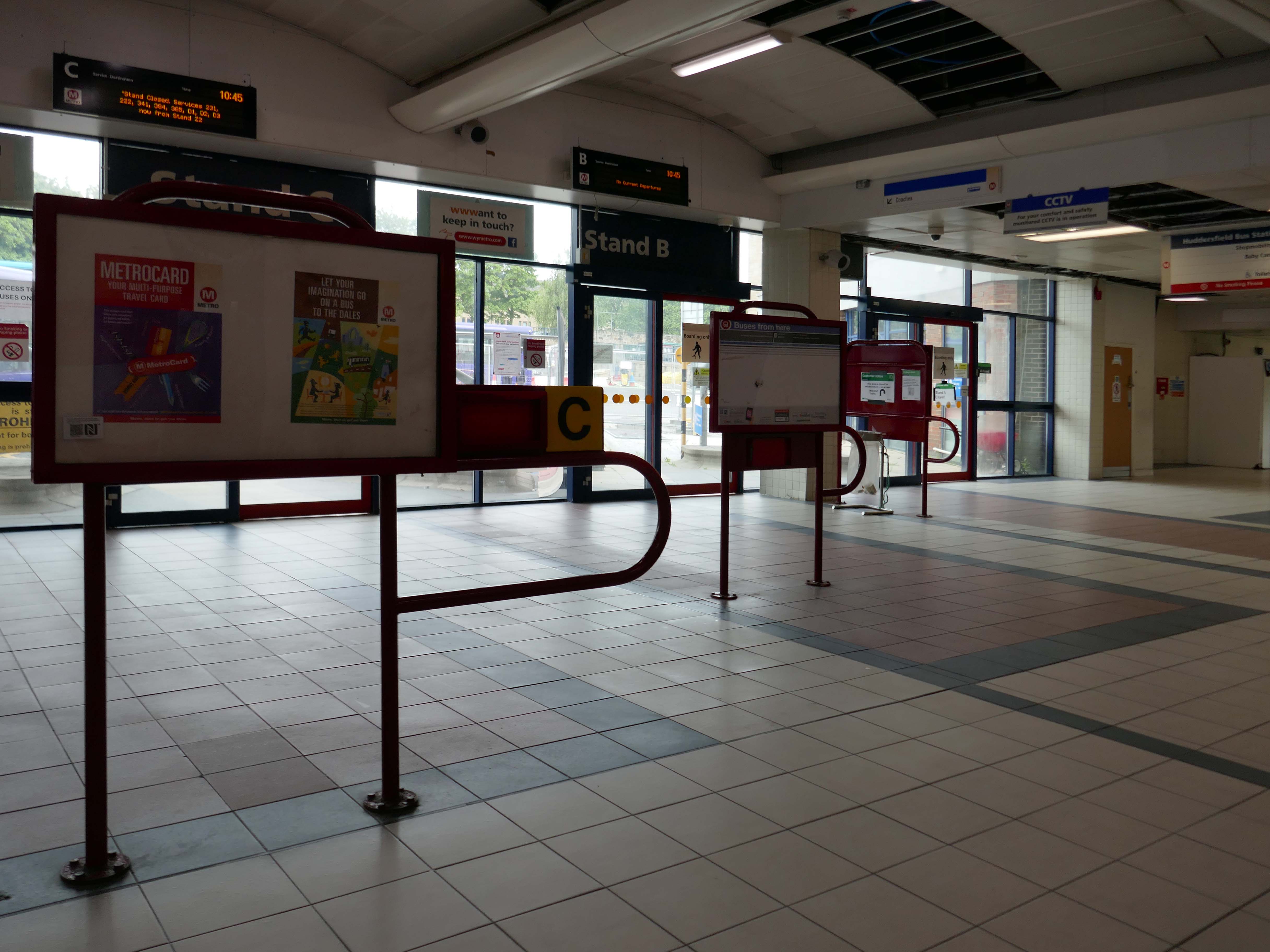
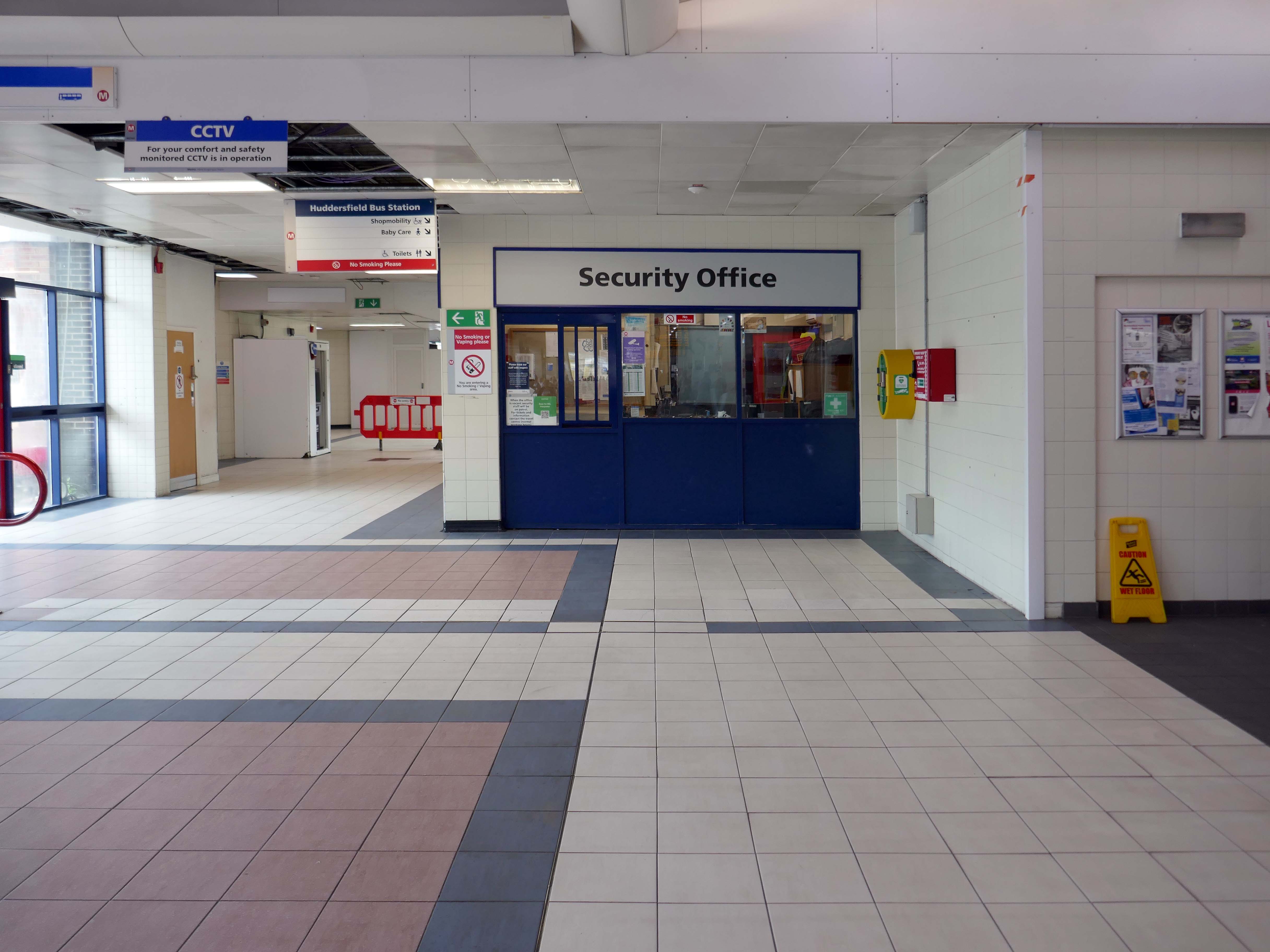
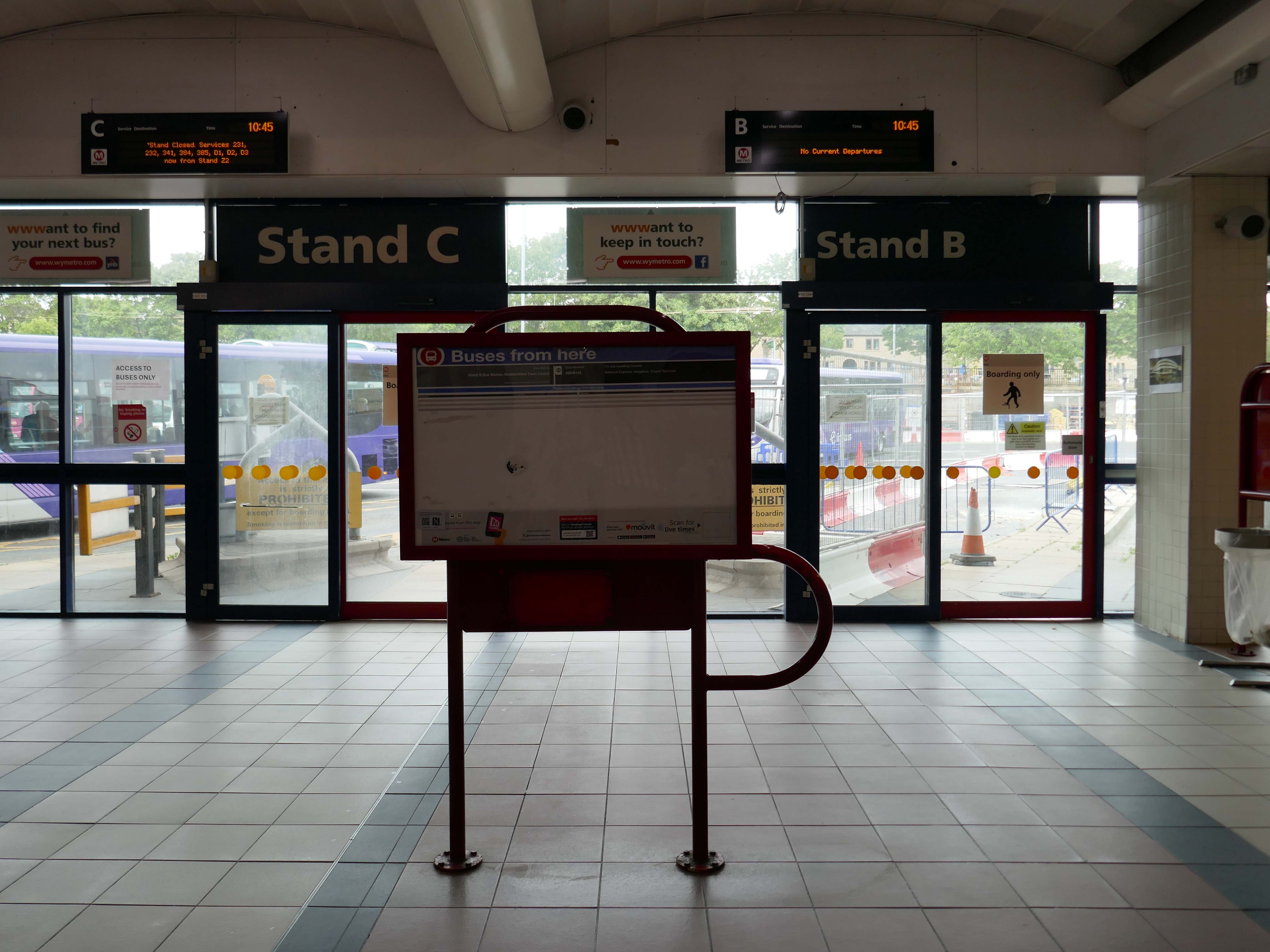
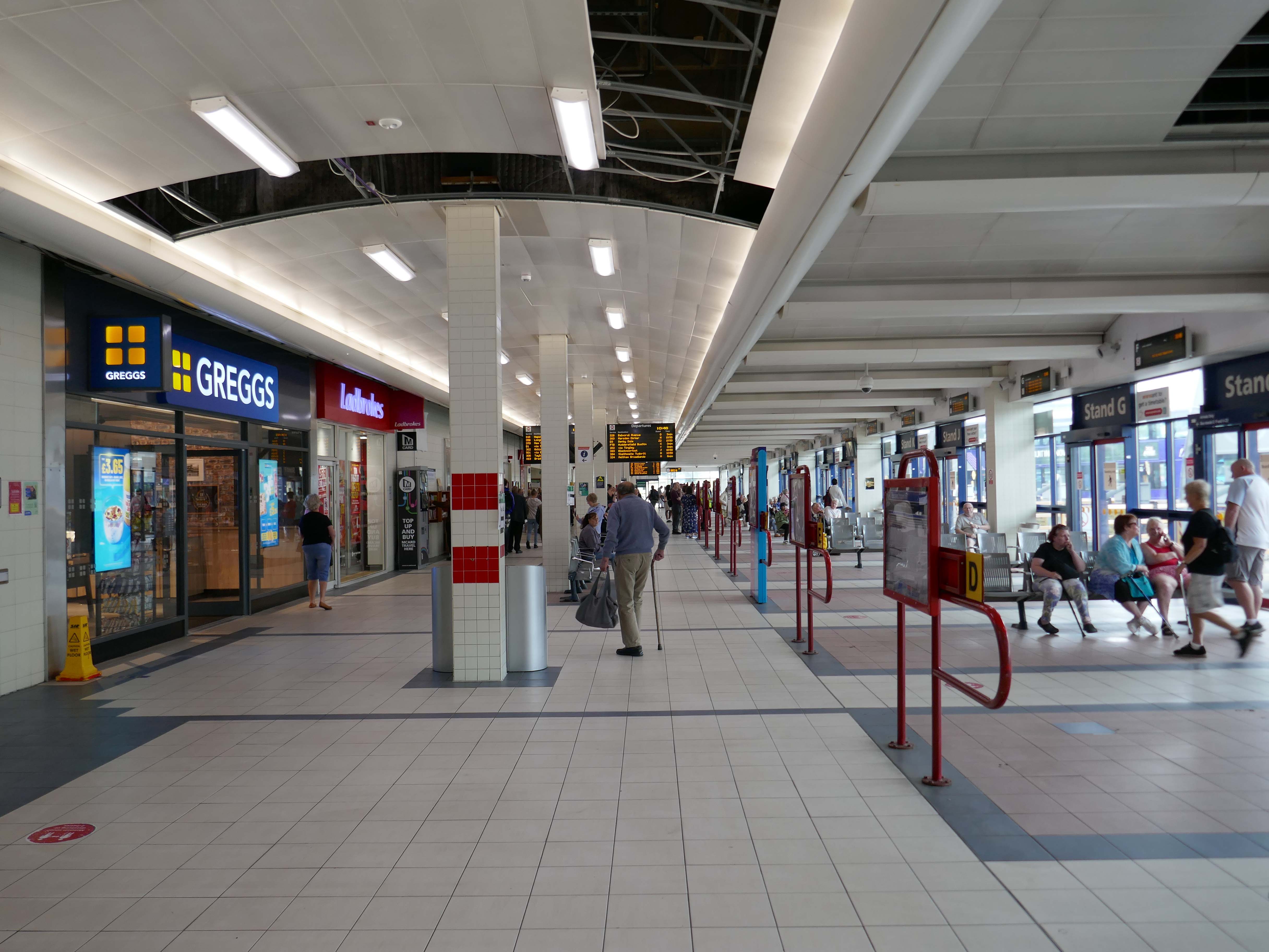
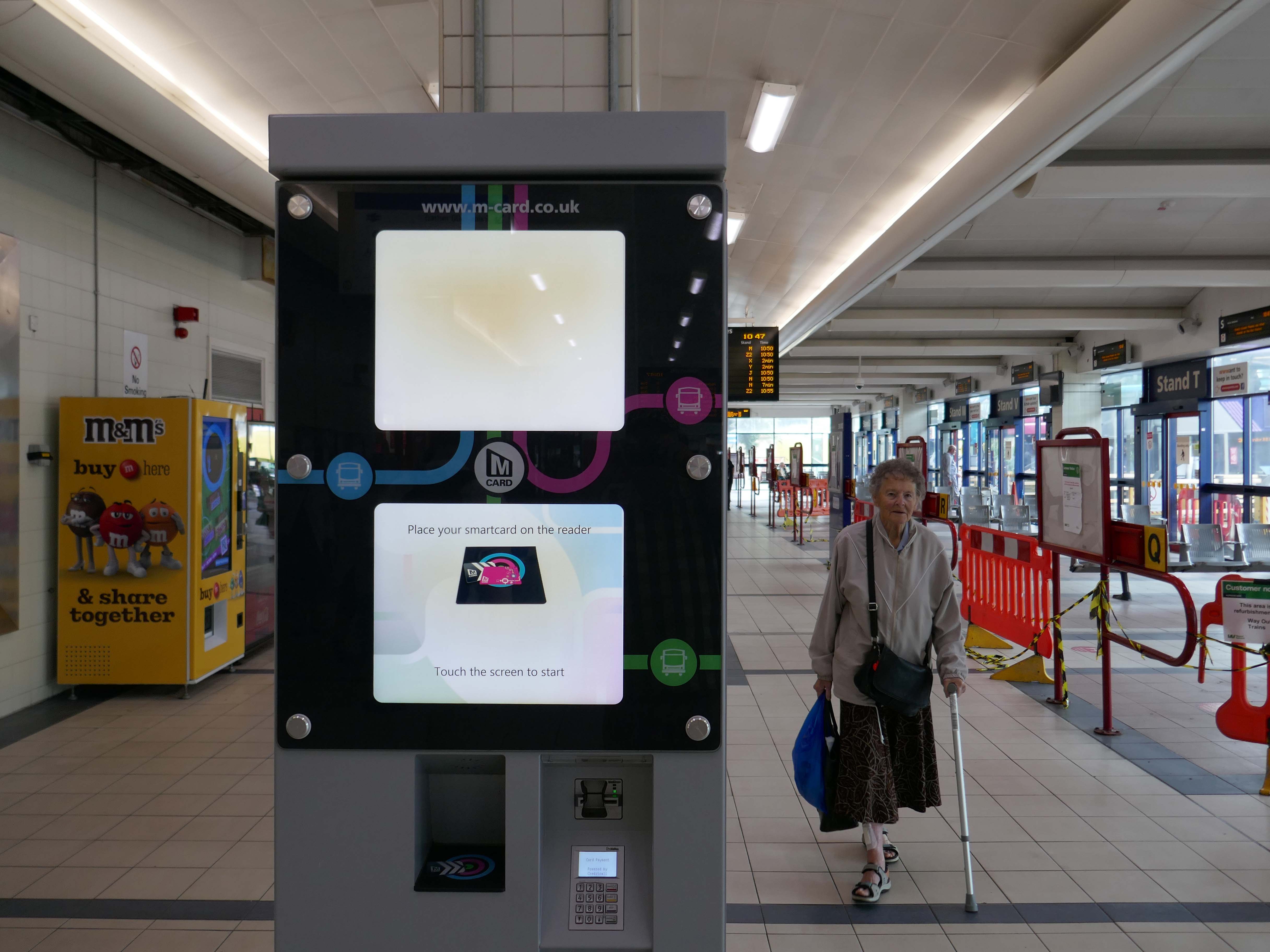
We are transforming Huddersfield Bus Station into a fully accessible facility.
Work is underway on the £28 million facility, which is funded by the West Yorkshire Combined Authority and Kirklees Council.
I was informed by the seriously erudite Christopher Marsden, that the bus station and car park were the work of Derek C W Vane: Borough Architect 1972-1974.
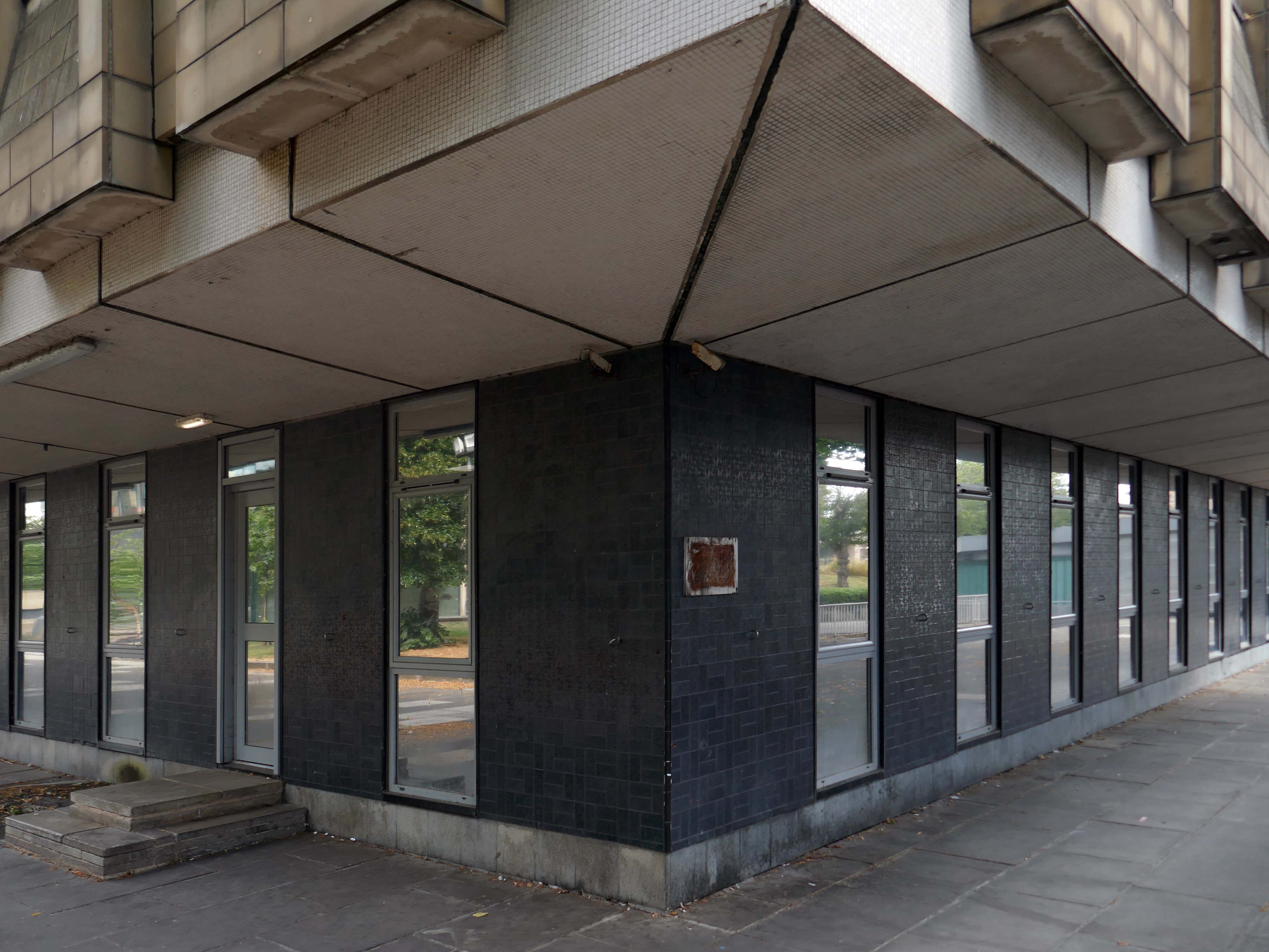
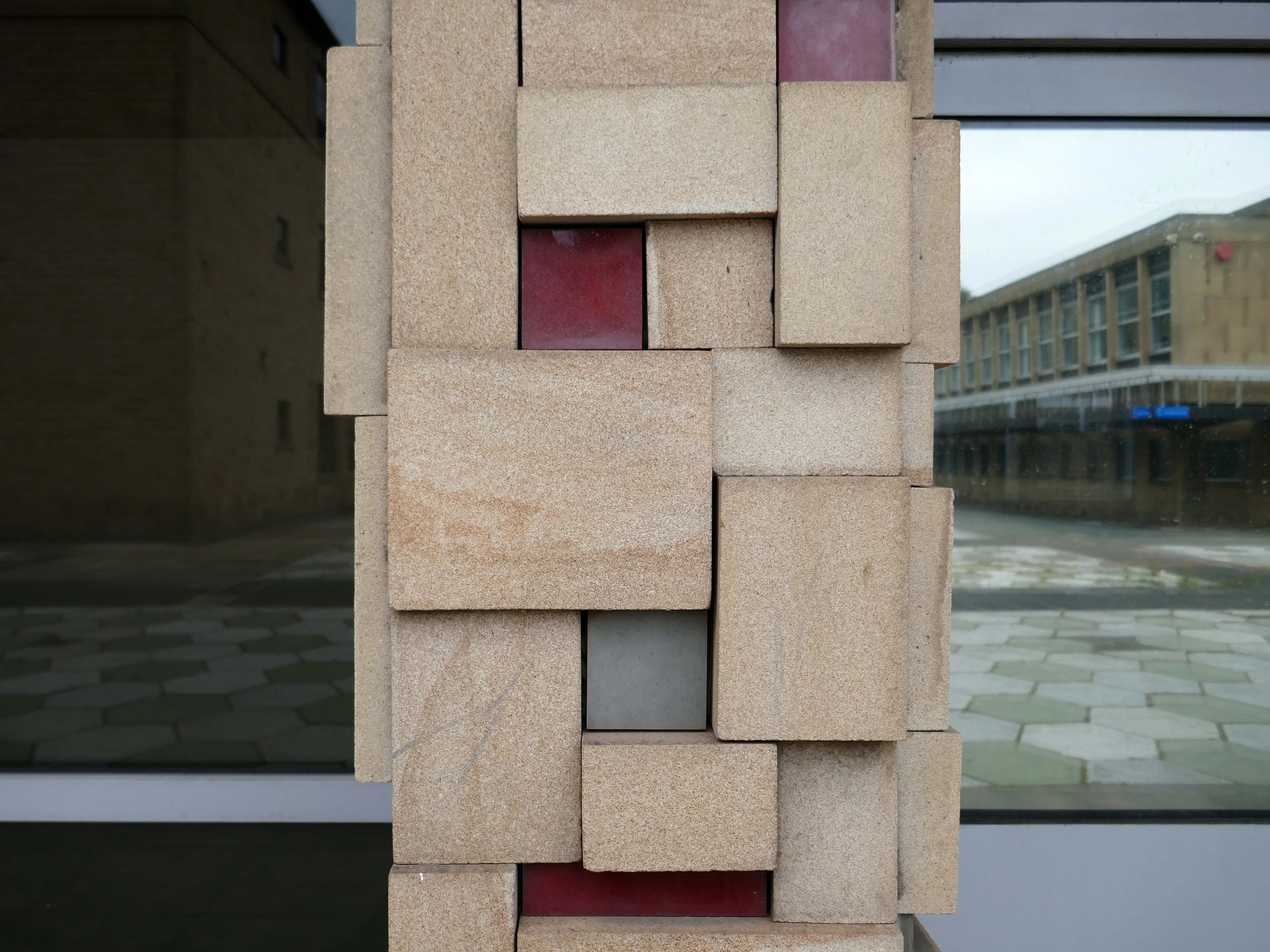
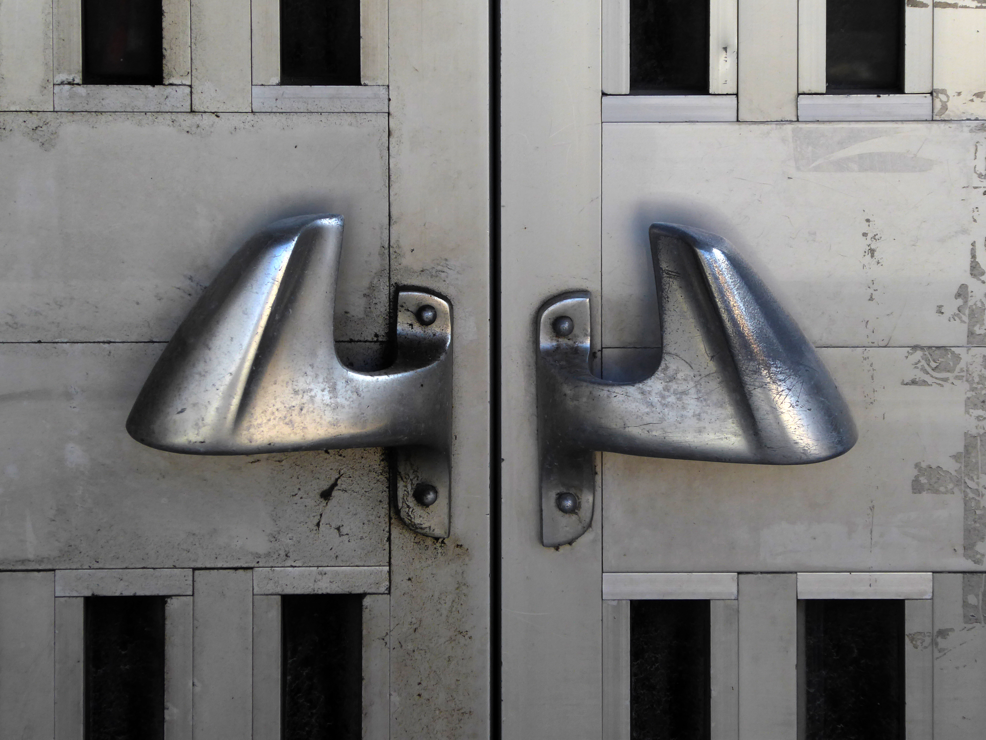
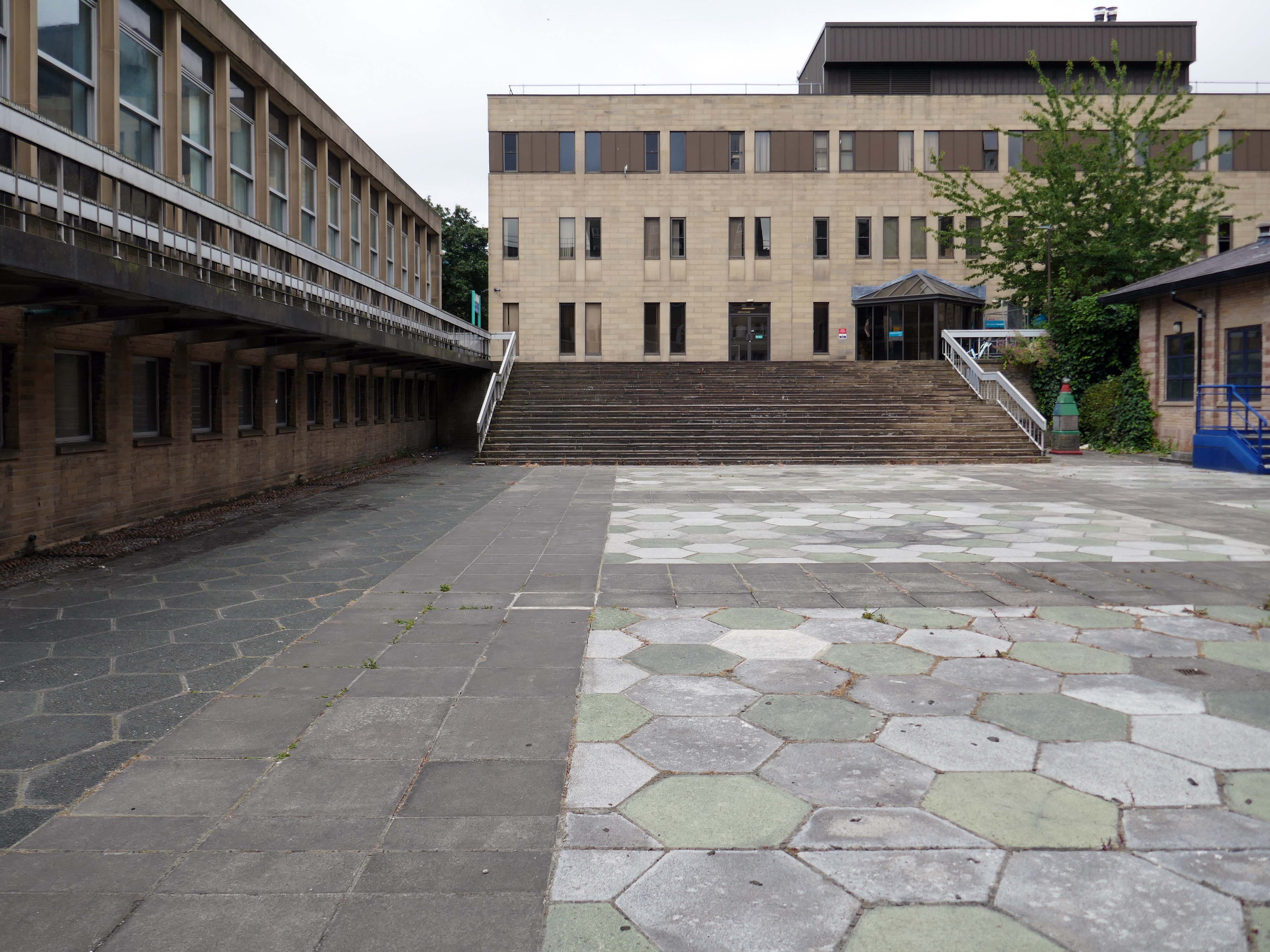
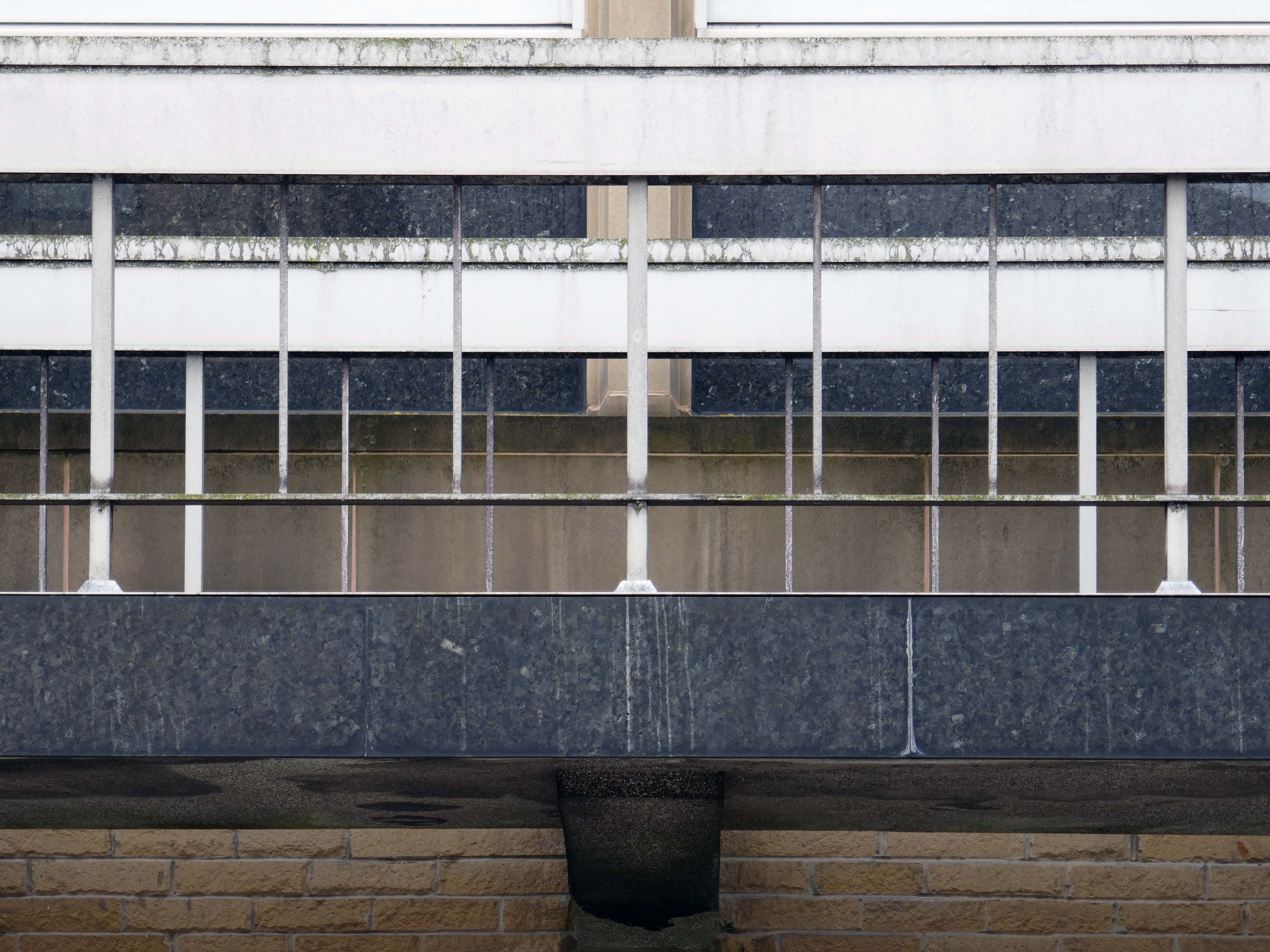
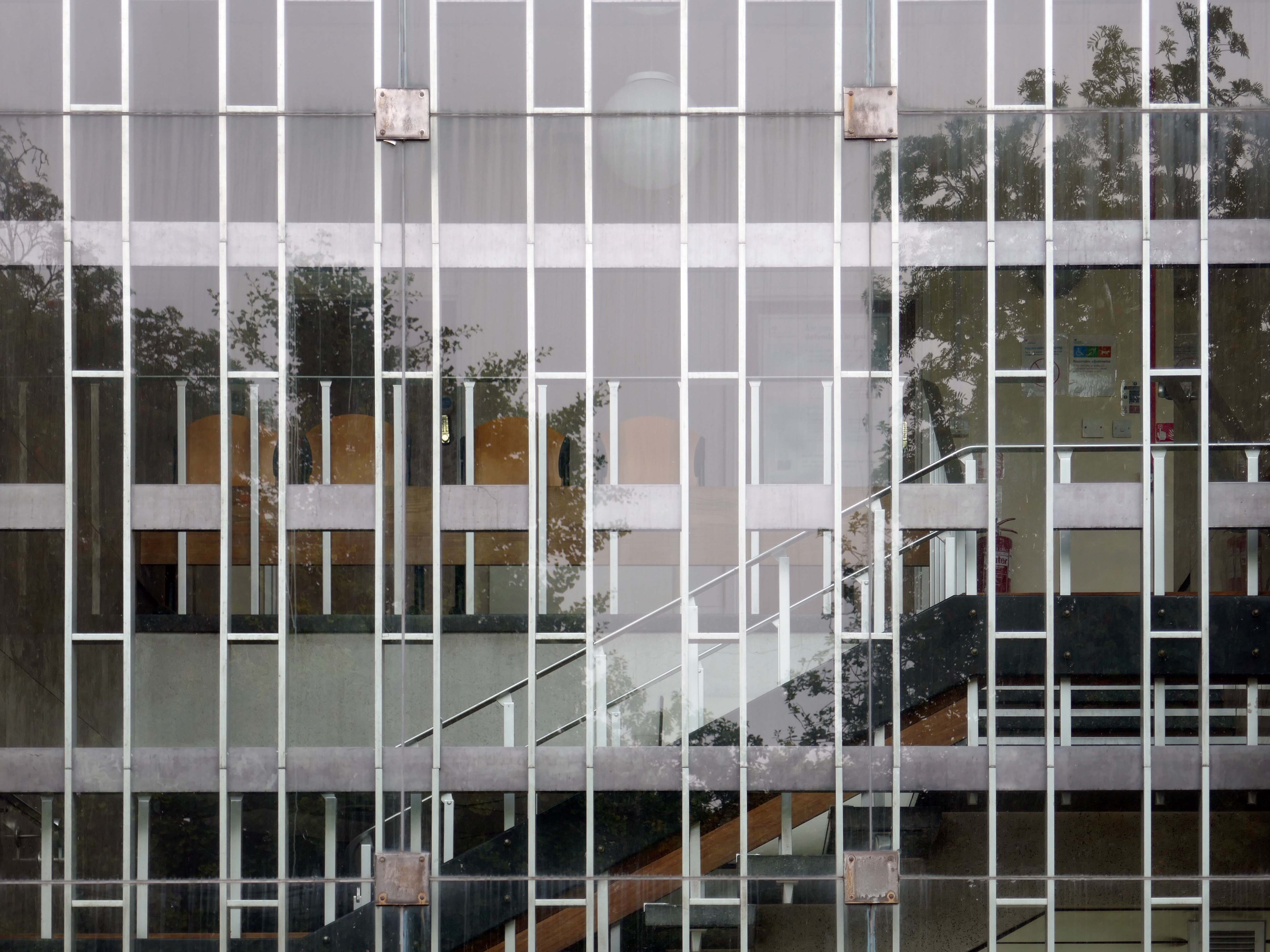
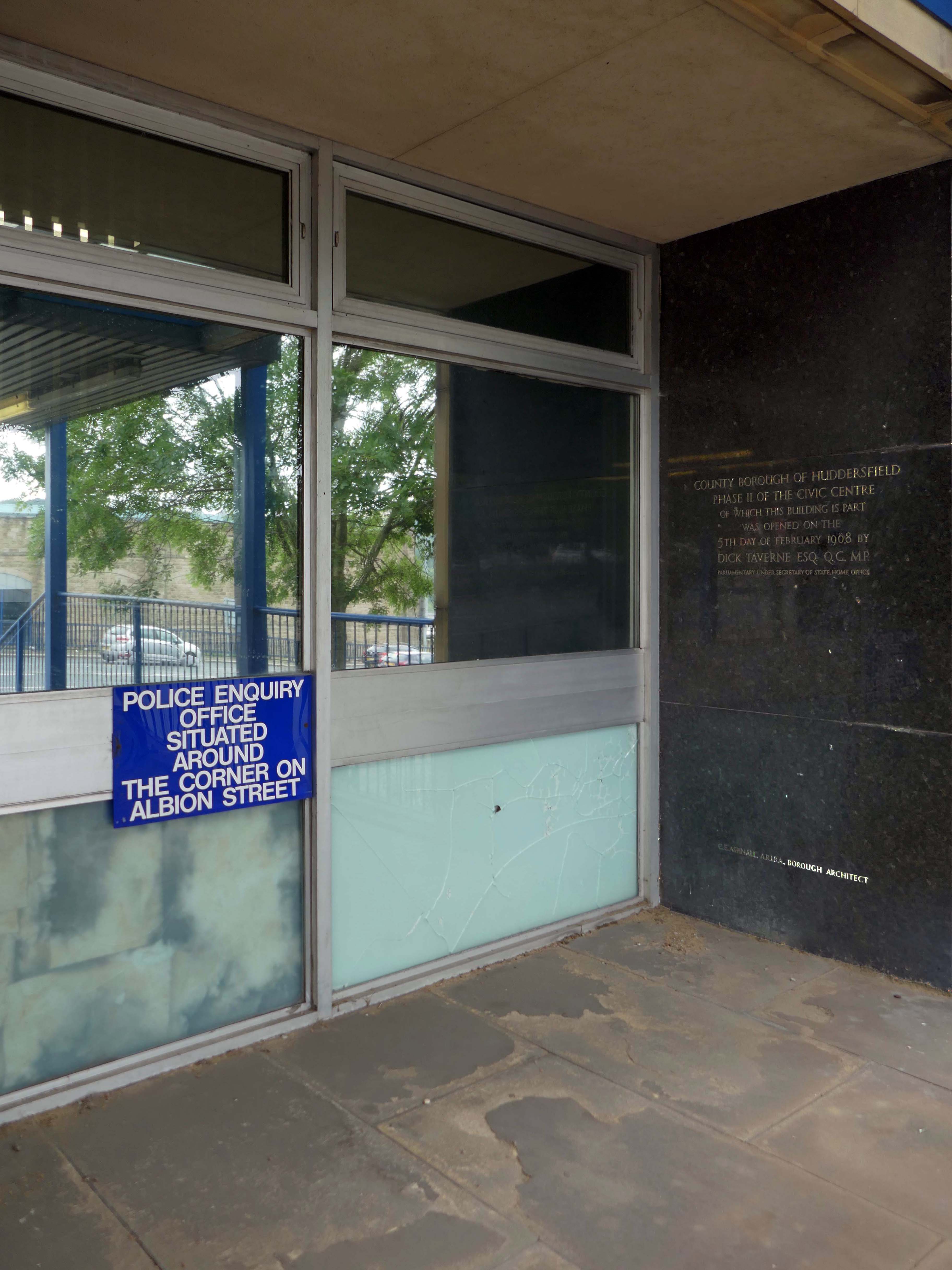
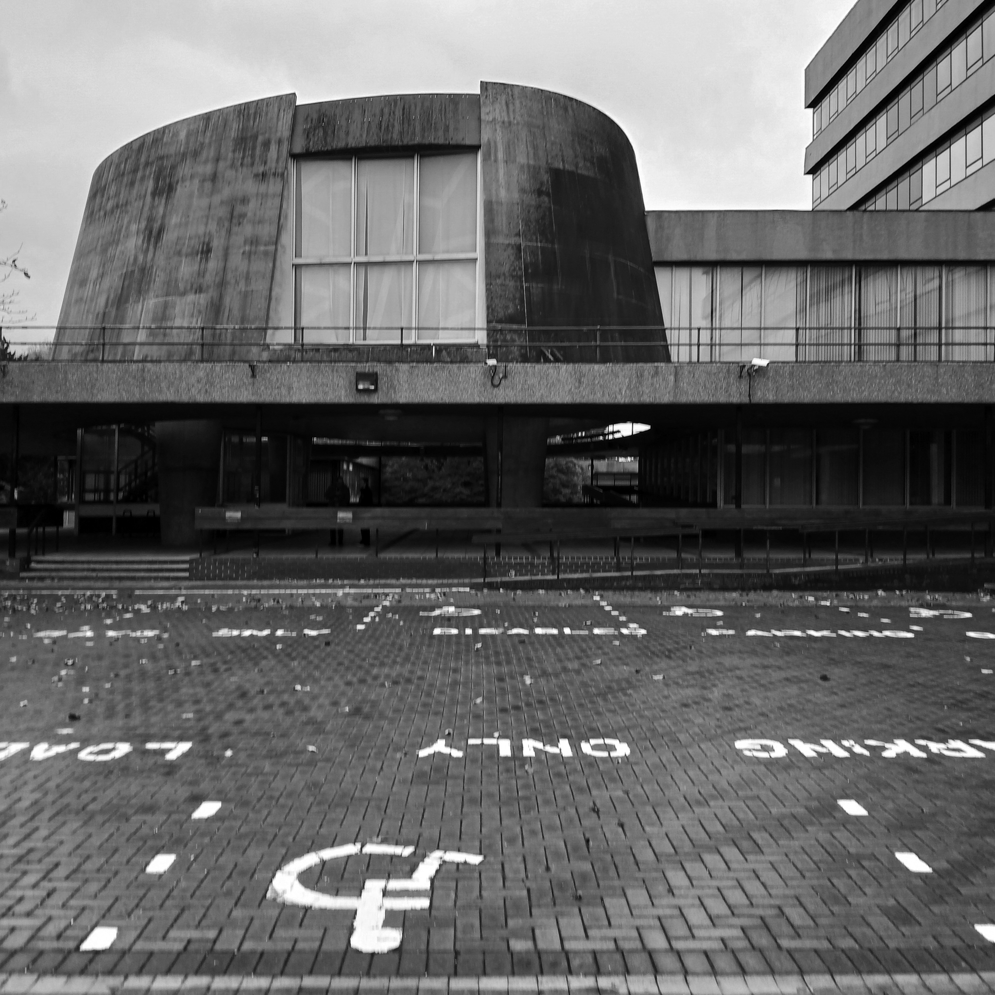
We then cross over the road to the Civic Centre, with its gold leaf facade, and the perennially empty piazza, which along with the Magistrates’ Courts and Police Station, was the work of the Borough Architects team – led by Charles Edmund Aspinall.
Exsilite panels set in the stone faced columns – a brand name for a synthetic, moulded, artificial marble.
Exsilite is made by fusing grains of silica and pigments to form a slab that simulates onyx marble.
Exsiliteis a Latin word meaning – spring/leap/burst forth/out, leap up, start up, bound; emerge into existence.
It is to be note that the doors and distinctive handles from the Courts to the Piazza have been removed.
The Police Station is to be vacated on completion of the new Police Station.
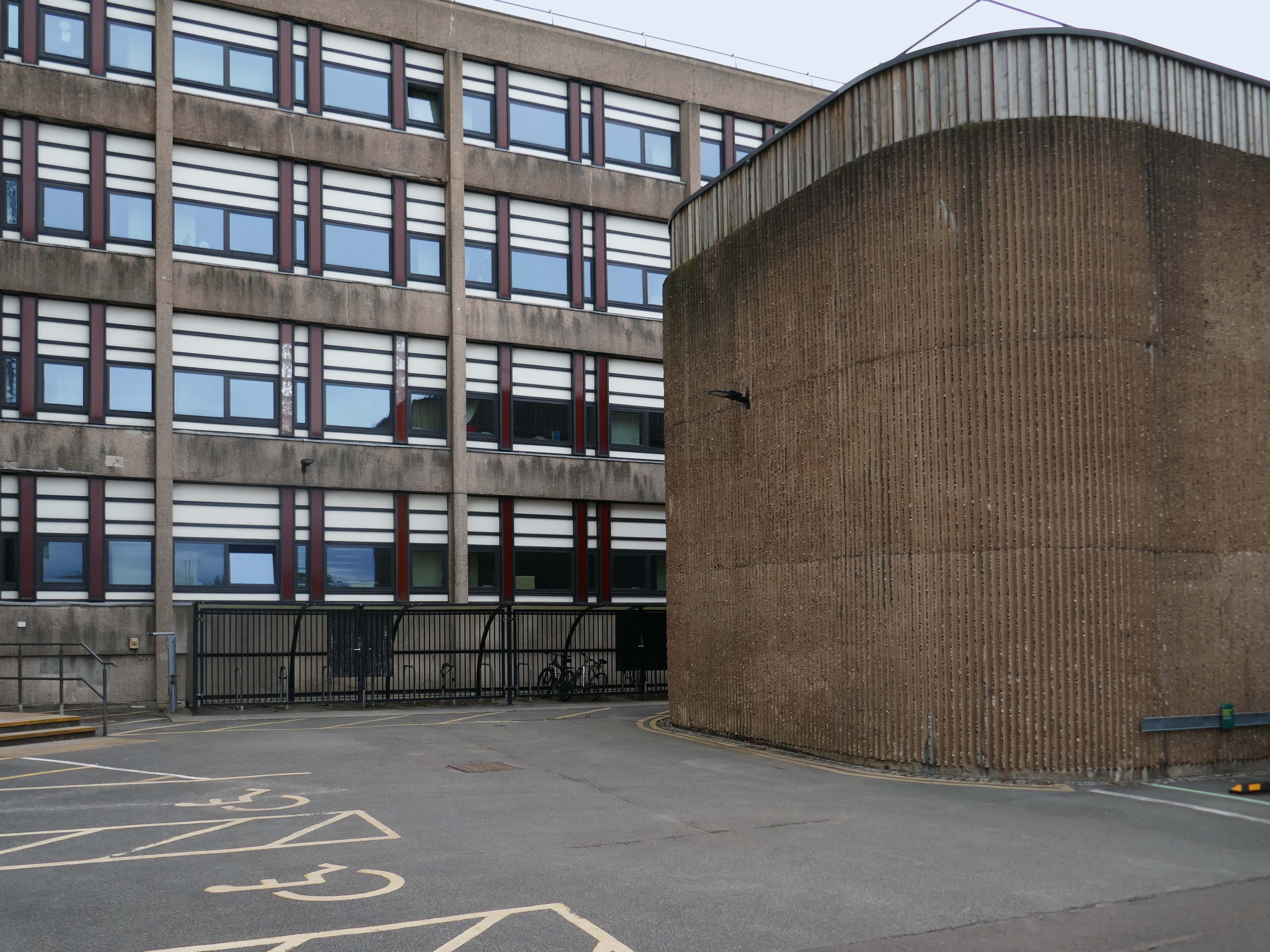
Next to the curved and ribbed concrete wall, concealing an electrical sub-station.
Further on down the road the former Co-operative store 1936 JW Cropper.
On opening day, the Examiner said the Co-op gave:
The town of Huddersfield a store that is entirely modern in design and equipped on the most up-to-date lines-a store of which the townspeople generally, and co-operators in particular, can be proud.
It has subsequently been seriously disabused by insensitive refurbishment and extension.
We cross over to view the access road to the service area of the market – now closed.
It was formerly topped off by a multi-storey car park – since demolished.
Then onward to the Grade II Bath House at Broadbent’s Engineering in Huddersfield.
1955, by Abbey Hanson architects – designing architect Andrew Buck, project leader Geoffrey Rowe.
The building is a very rare, possibly unique example of a purpose built bath house for foundry workers
* Its continuing function as a bath house has preserved its original purpose in both its layout and its fixtures and fittings as well as its design
* The design of the building manifests inspiration from both W Dudok and Frank Lloyd Wright, and achieves a high standard of accomplishment in its interpretation of contemporary architectural influences
* The use of local stone for external walls distinguishes it from brick built pithead baths of similar style, and the imaginative use of finishes lends further distinction
* The interior survives almost entirely intact, with original wash basins, shower and tap fittings, lockers, floor and wall surfaces, doors and light fittings.
One of Huddersfield’s hidden architectural gems has been transformed into an attractive and unusual gallery-cum-coffee house and restaurant, destined to become a popular public space for meeting, eating and art appreciation. But among the attendees at a special unveiling event there were men who remembered its original function – as a bath house where scores of foundry workers could shower away a day’s grime.
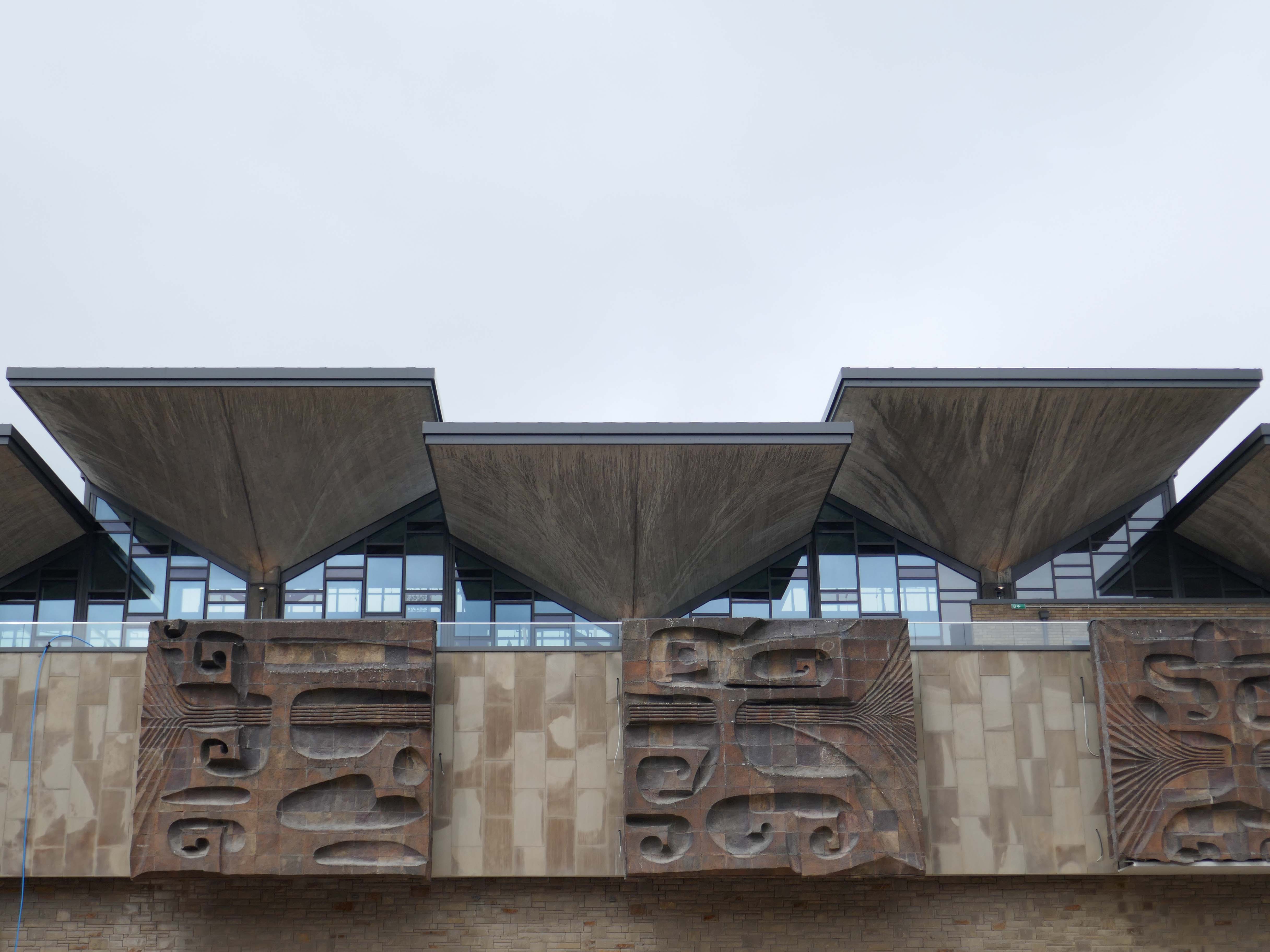
Up around the the bend and here we are at the Grade II listed Queensgate Market, 1968-70 to the designs of the J Seymour HarrisPartnership, with Leonard and Partners as consultant engineers.
Another feature of Huddersfield Market which sets it apart from other post-war market buildings is its incorporation of works of art. Fritz Steller was a German-born refugee architect who had settled in Stratford-upon-Avon. He pioneered the production of large scale ceramic art, having been interested in the use of a wide variety of materials in sculpture. The development company Murrayfield had a policy of incorporating public art into their schemes, and the project manager of J Seymour Harris, the architects for the Huddersfield development, was Gwyn Roberts, a friend of Steller. One of the Borough Councillors at Huddersfield was Clifford Stephenson, an enthusiast for public art and particularly for modern ceramic sculpture. This combination led to the appointment of Steller to produce designs for the new market hall. The size of the panels necessitated the construction of a special kiln for their firing, and experimental mixes for the composition of the clay which was resistant to acid rain and chemicals.
Straight ahed to the service entrance at the rear of ThePiazza.
The council wants to demolish the Piazza buildings as soon as possible.
Phase 3 was originally to be the Queen Street plot but Greenhead College’s plans for a new education building on the site failed to secure Government funding. Since then the council has been looking at alternatives – including a hotel, residential or offices – but now believes a new multi-storey car park could be the best way forward.
Phase 5 was to have been a £90 million events and concert venue with a multi-storey car park attached but that is no longer affordable. A review of the venue is underway and the council now thinks a “flexible multi-purpose” venue is the way forward. It would have a fully-seated capacity of 1,200 or 2,000 with a standing floor and seated balcony.
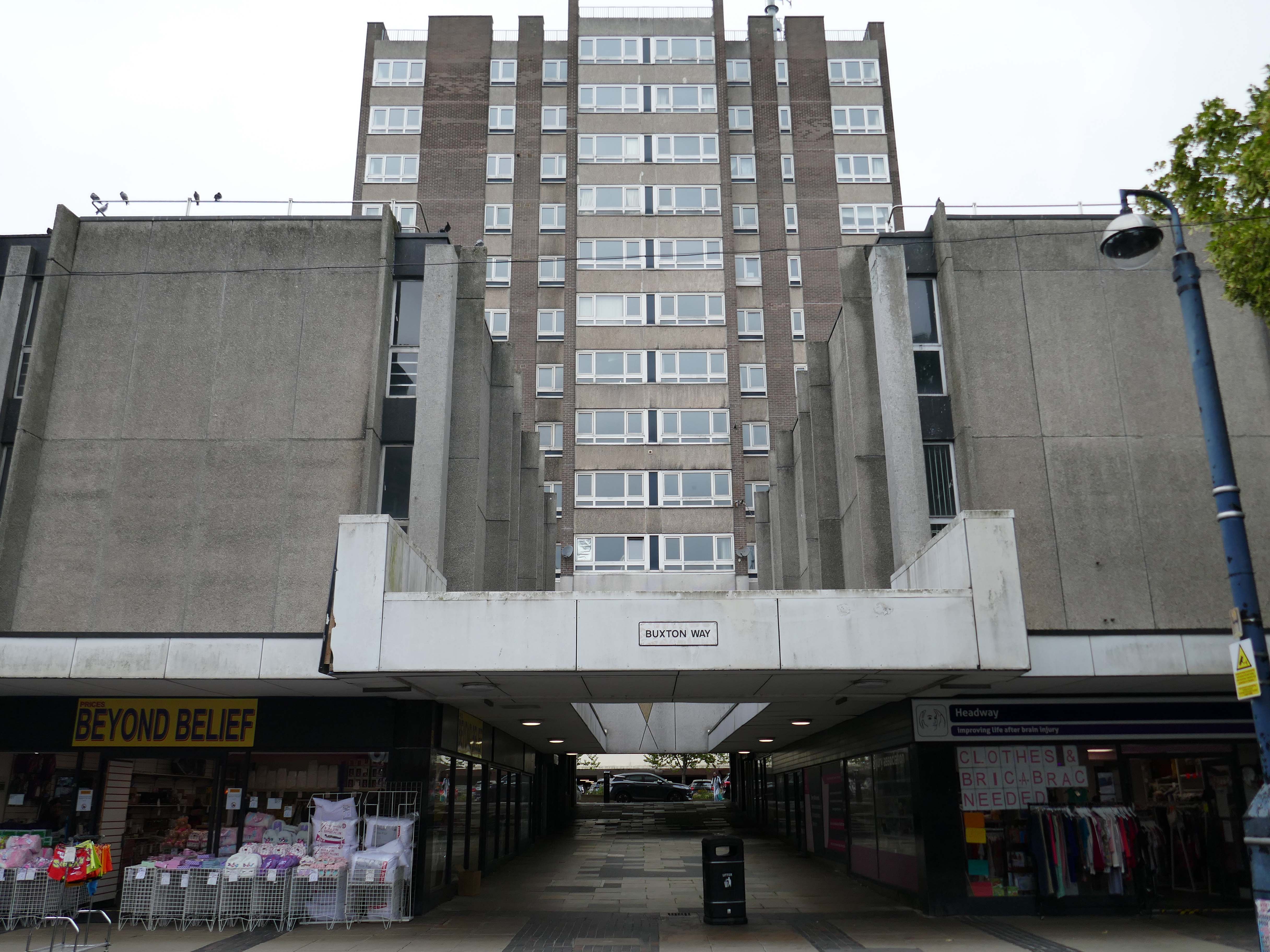
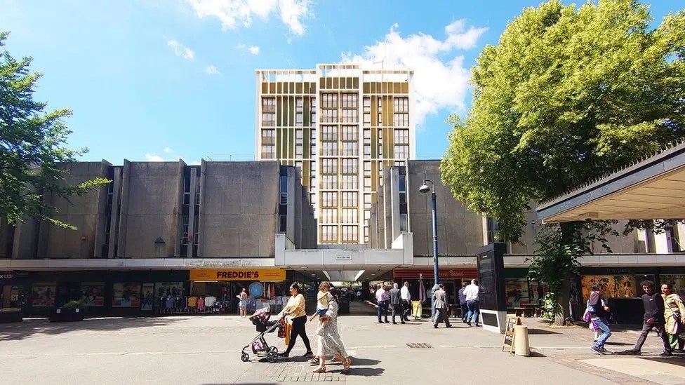
Turning our back on the market and away to Buxton House 1968.
Kirklees Council’s plans for the £16 million re-development of a Huddersfield town centre block of flats have collapsed.
Buxton House, between New Street and Albion Street, failed to meet modern fire safety standards and the council moved tenants and bought out owners and leases, pending a full-scale refurbishment.
Planning permission was granted in July 2024 to re-model the tower block to create forty one, one and two-bedroomed flats along with five studio flats with construction set to start in November 2025.
However, it has now been revealed that the council has failed to find a contractor and the scheme is on hold indefinitely.
The flats are part of a larger retail development by Bernard Engle & Partners.
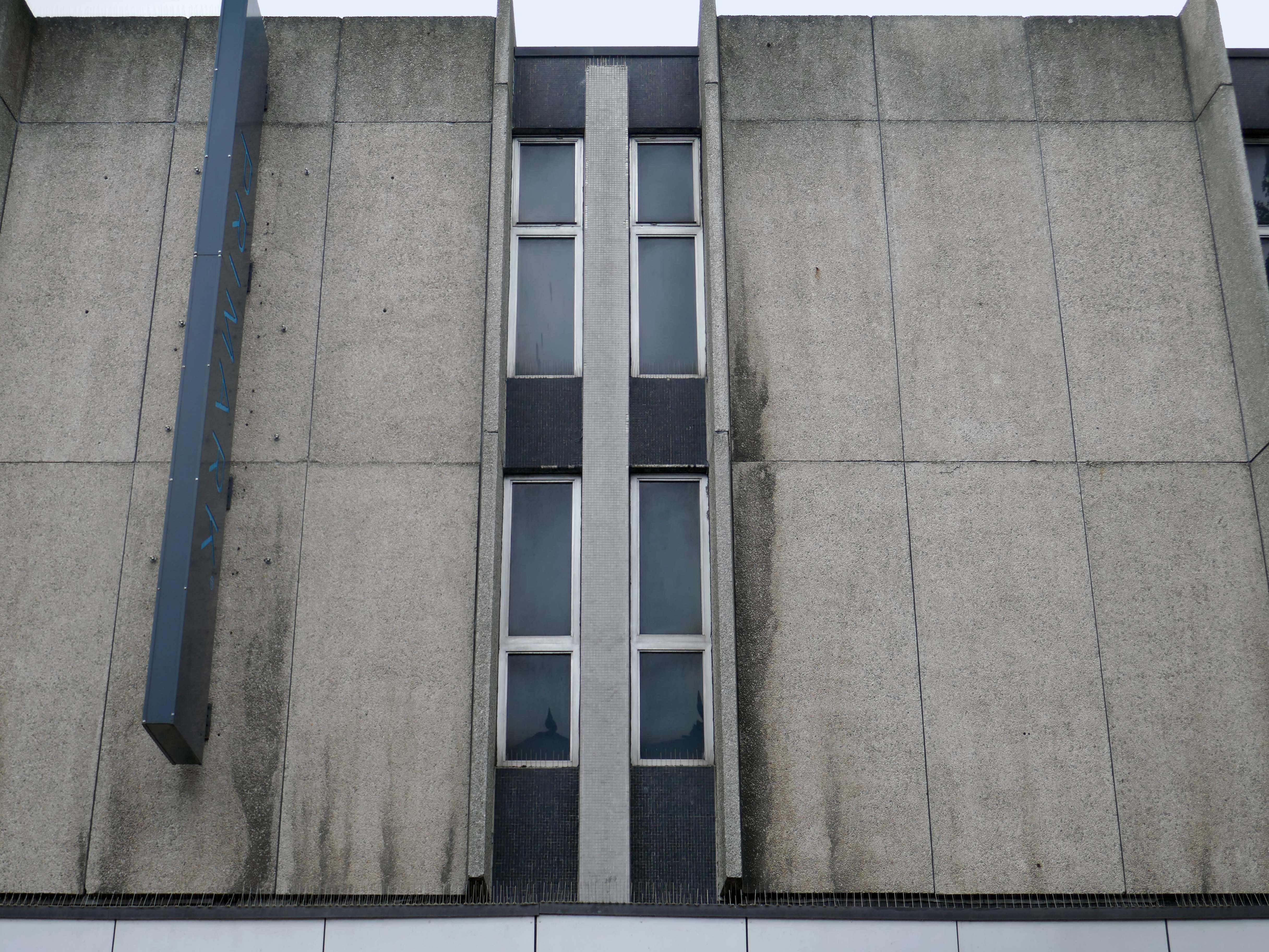
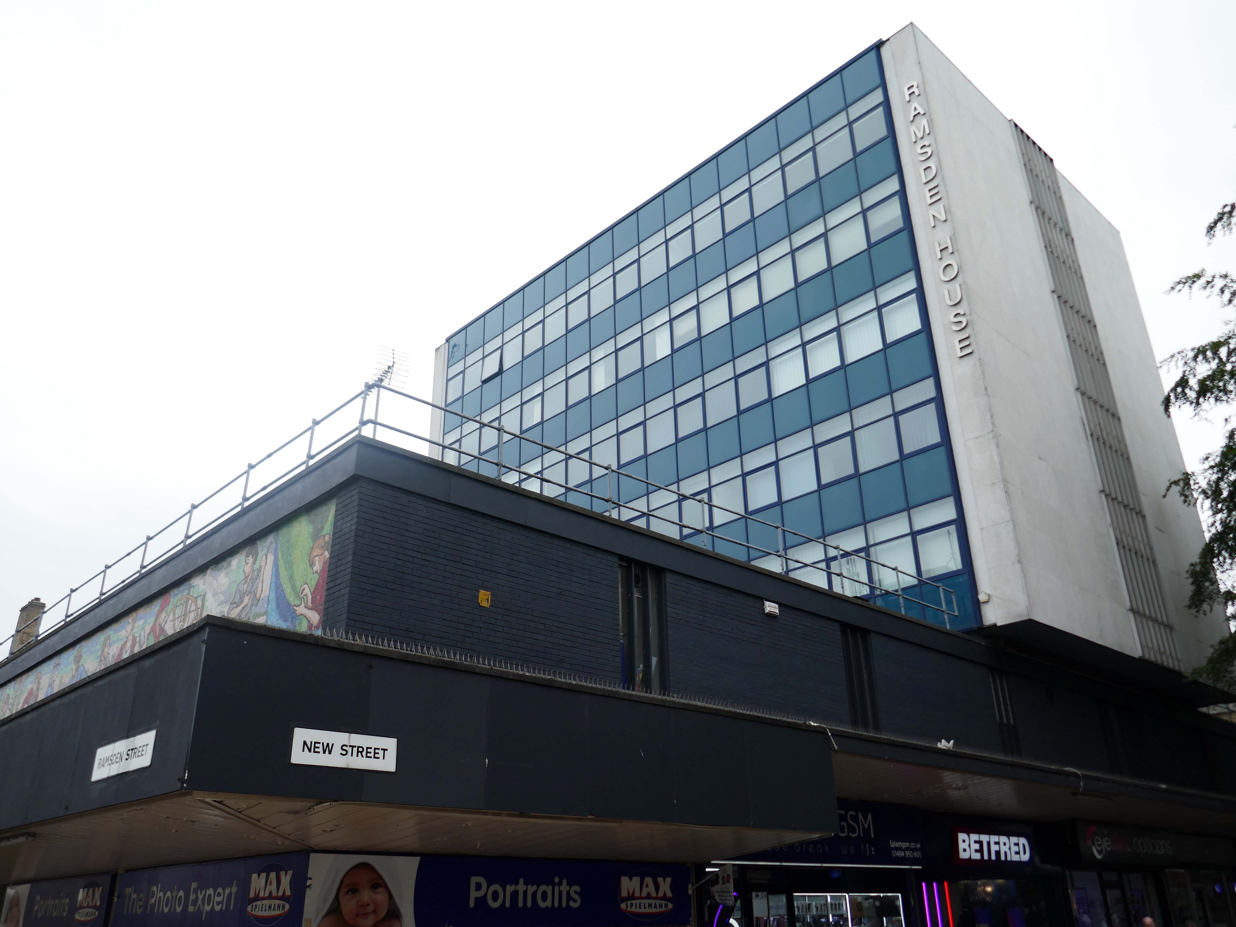
Across the way Ramsden House a slab on a podium, part of the Murrayfield Redevelopment 1968 J Seymour Harris Partnership.
This block was the first and only phase of four that’s still intact. It’s a slab and plinth project with underground servicing marble finishes and two art mosaics that relate to the town. The Ramsden Street elevation mosaic depicts ‘Development of the woollen industry from a cottage craft to the beginning of the industrial revolution’ designed by Huddersfield artist, Harold Blackburn.
Princess Street bears ‘Facets of the Local Scene’ by Mural Consultants Ltd.
Across the way Whitfield’s Department Store 1963 Ralph Hudson.
The longstanding furniture & piano dealers, Whitfield’s expanded from numbers five and seven with this six6 storey tower.
Influenced by a tour of modern European retail premises the company chairman supplied the architect with photos of ideas.The glossy metallic finish reflects the excitement of the notion of an Ercol show room on the fourth floor and G-Plan on the fifth. Pianos were on the first floor and TVs & radio and their servicing were in the basement. Welcome to stylish living sixties style!
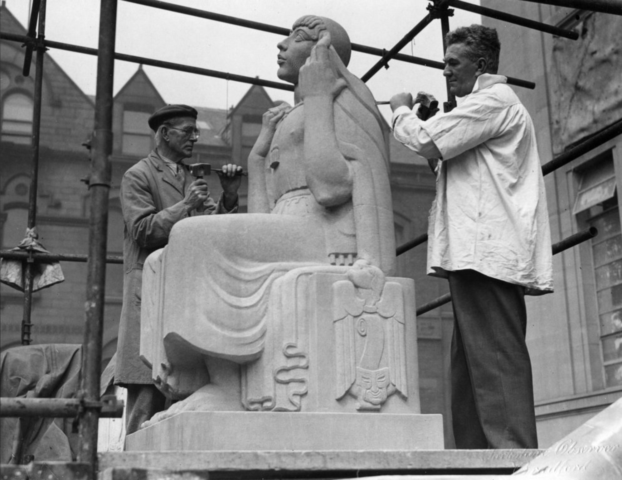
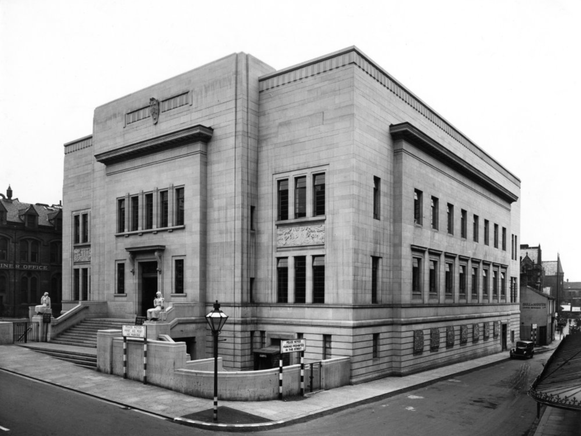
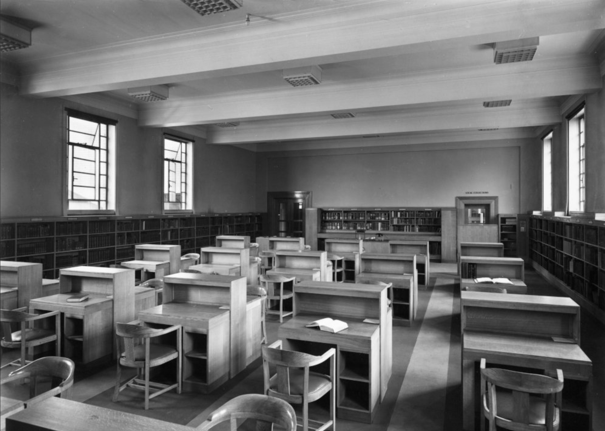
Public Library 1940 Architect: EH Ashburner&James Arthur Woodford.
James Woodford at work – on the right, sculpting figure representing the Spirit of Literature
Reference Library.
Image – Charles Pickard 1940.
The food hall and library is due to open in summer 2026 but more problems have been uncovered with the former library and art gallery which will become the new museum. Internal works are underway and more asbestos than expected has been found and an extra £1 million has been needed to pay for removal.
The council has also found several other “significant issues” that also needed to be resolved.
It could be mid-2029 before the museum is ready to open.
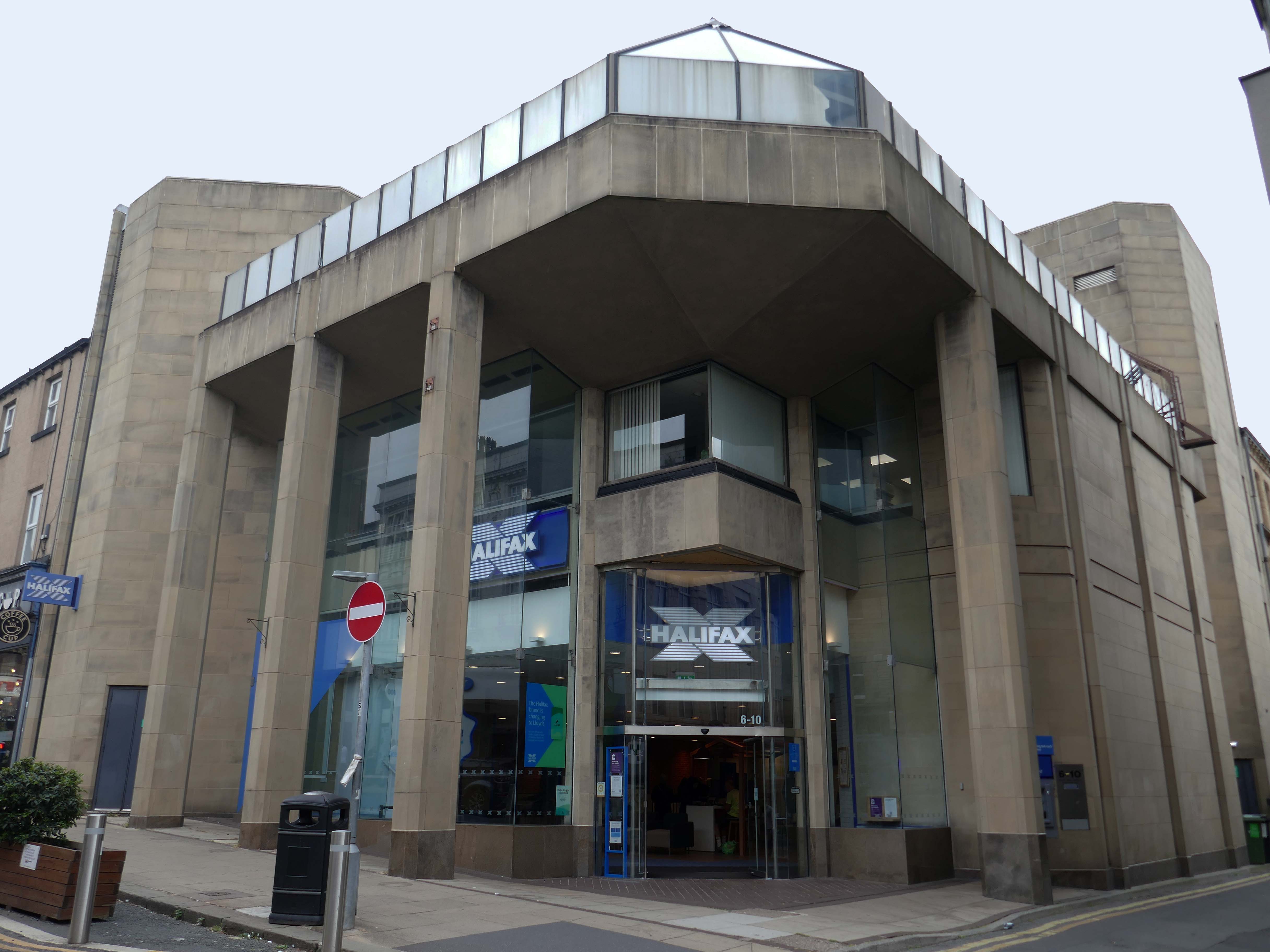
Off we go to the MidlandBank – then HSBC then not a bank at all, 1970 Peter Womersley with Roger Shaw of Kitson & Partners.
Next door the Halifax Building Society 1981 Abbey Hanson Rowe.
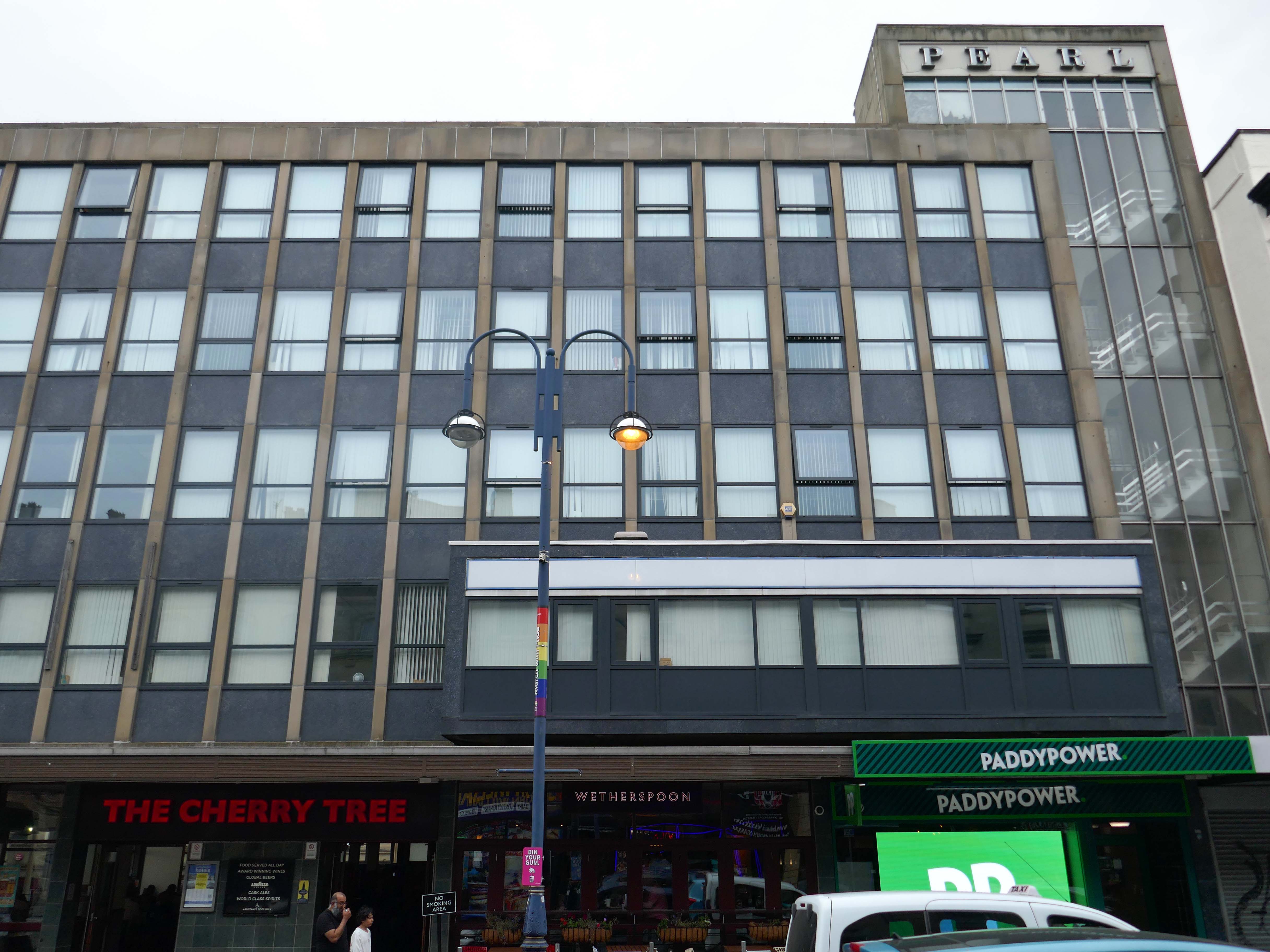
back to the main drag and the Pearl Assurance Building 1963 Elsworth Sykes & Partners.
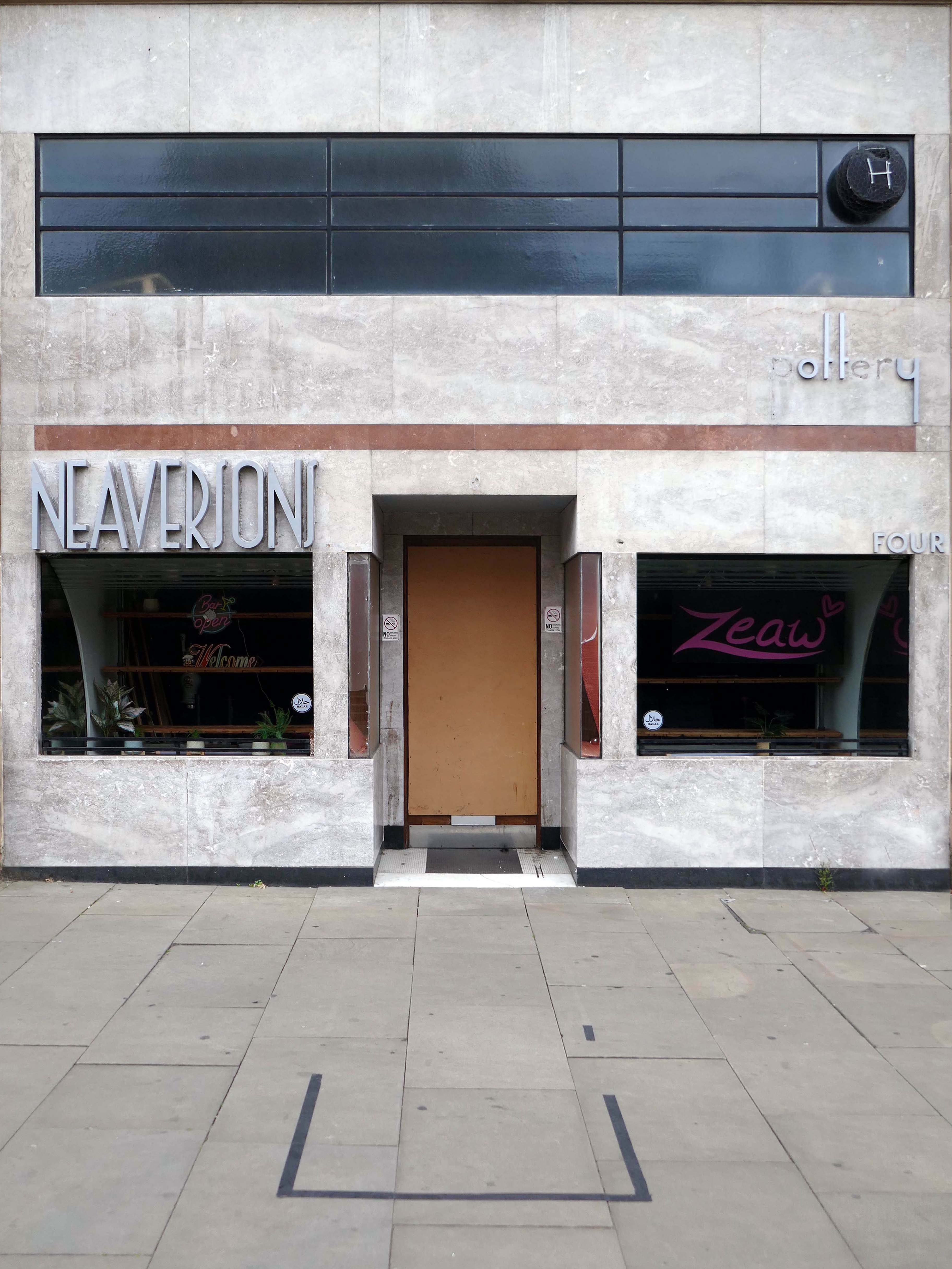
The nipping down the lane to Neaversons1935 with two Moderne fascia elevations by shop fitters Sharp & Law of Bradford, Grade II Listed as part of the Kirkgate Buildings.
Once selling bijou household goods, following occupation by several bars and cafes, currently empty.
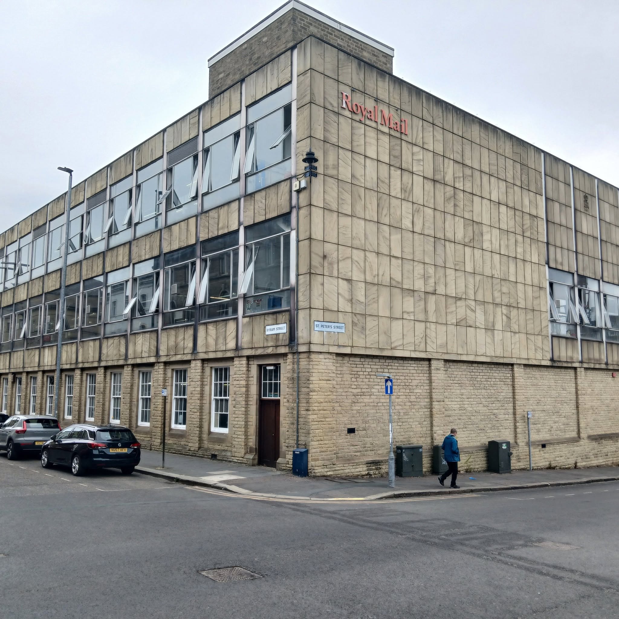
Finally just in time to catch the last post at the Royal Mail Sorting Office – Post Office extension 1968 Office of Public Works.
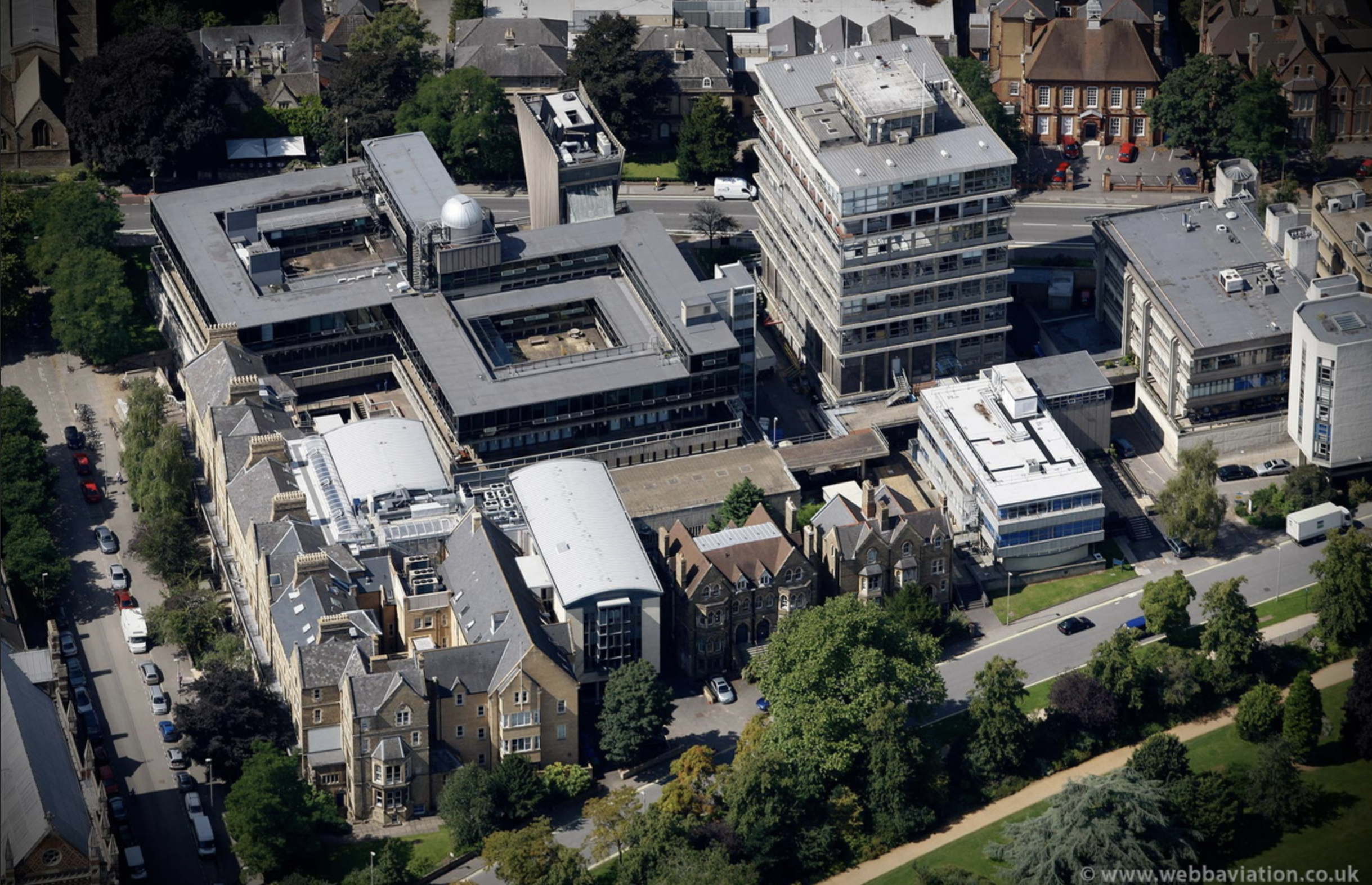
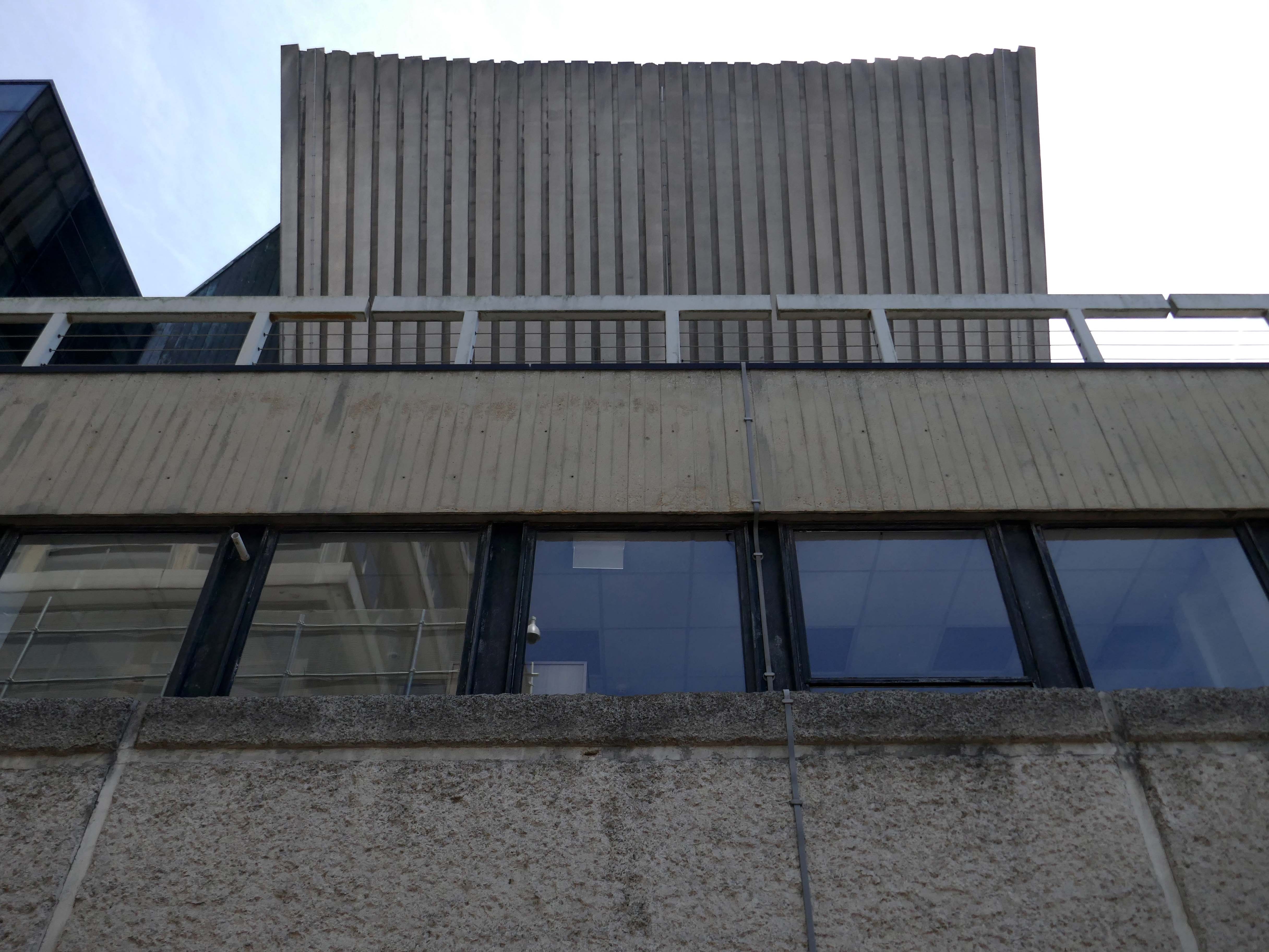
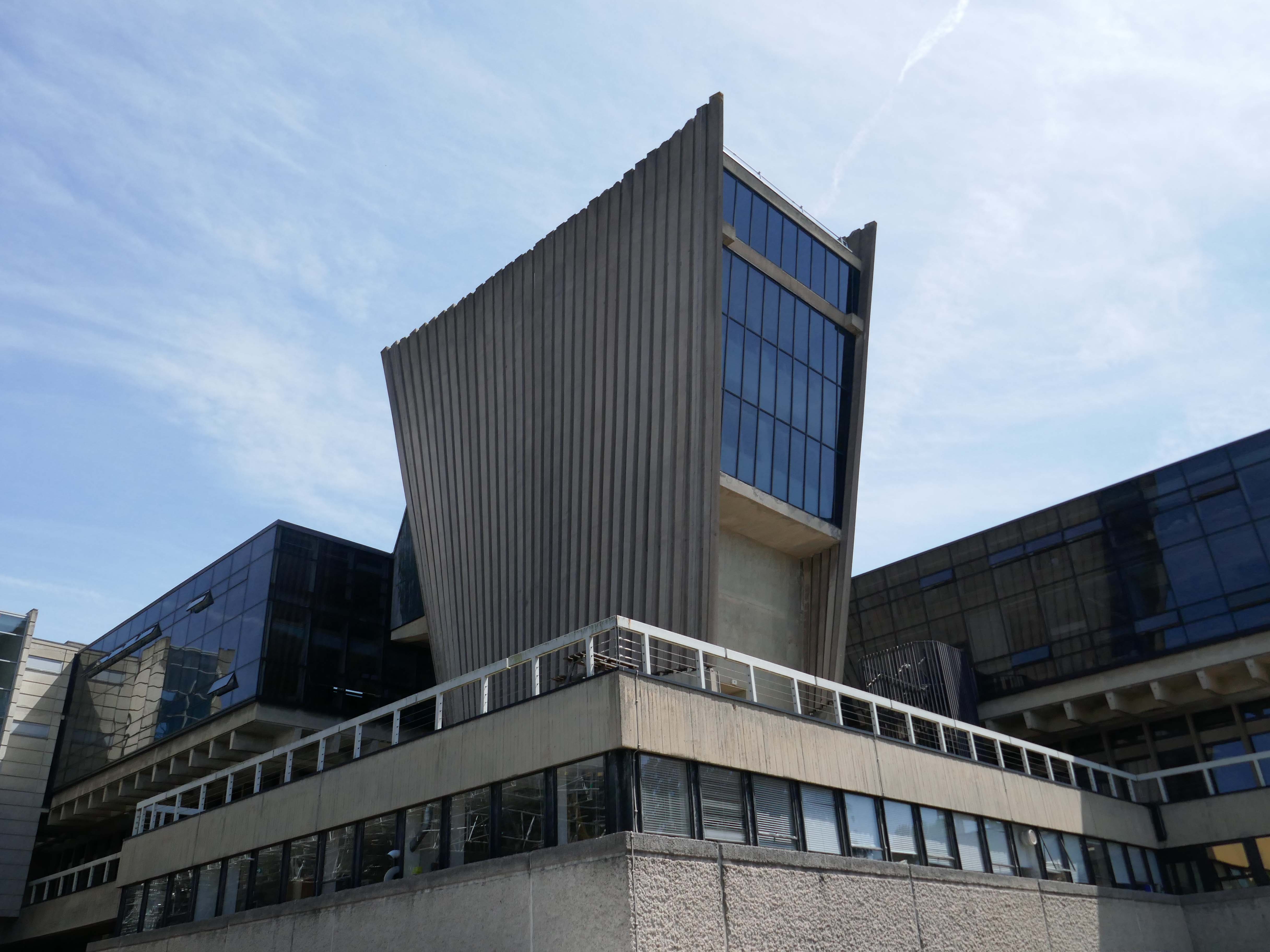
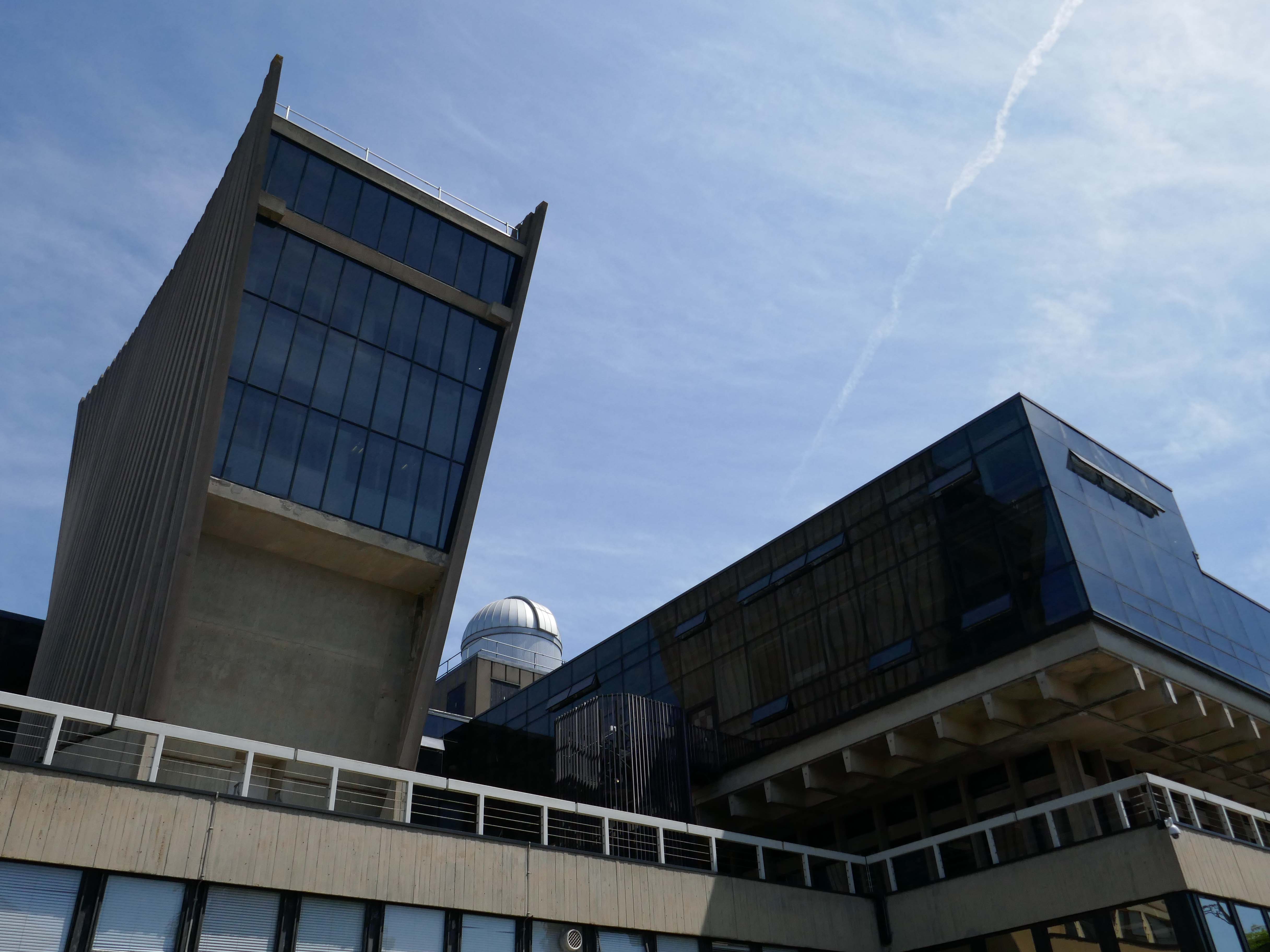
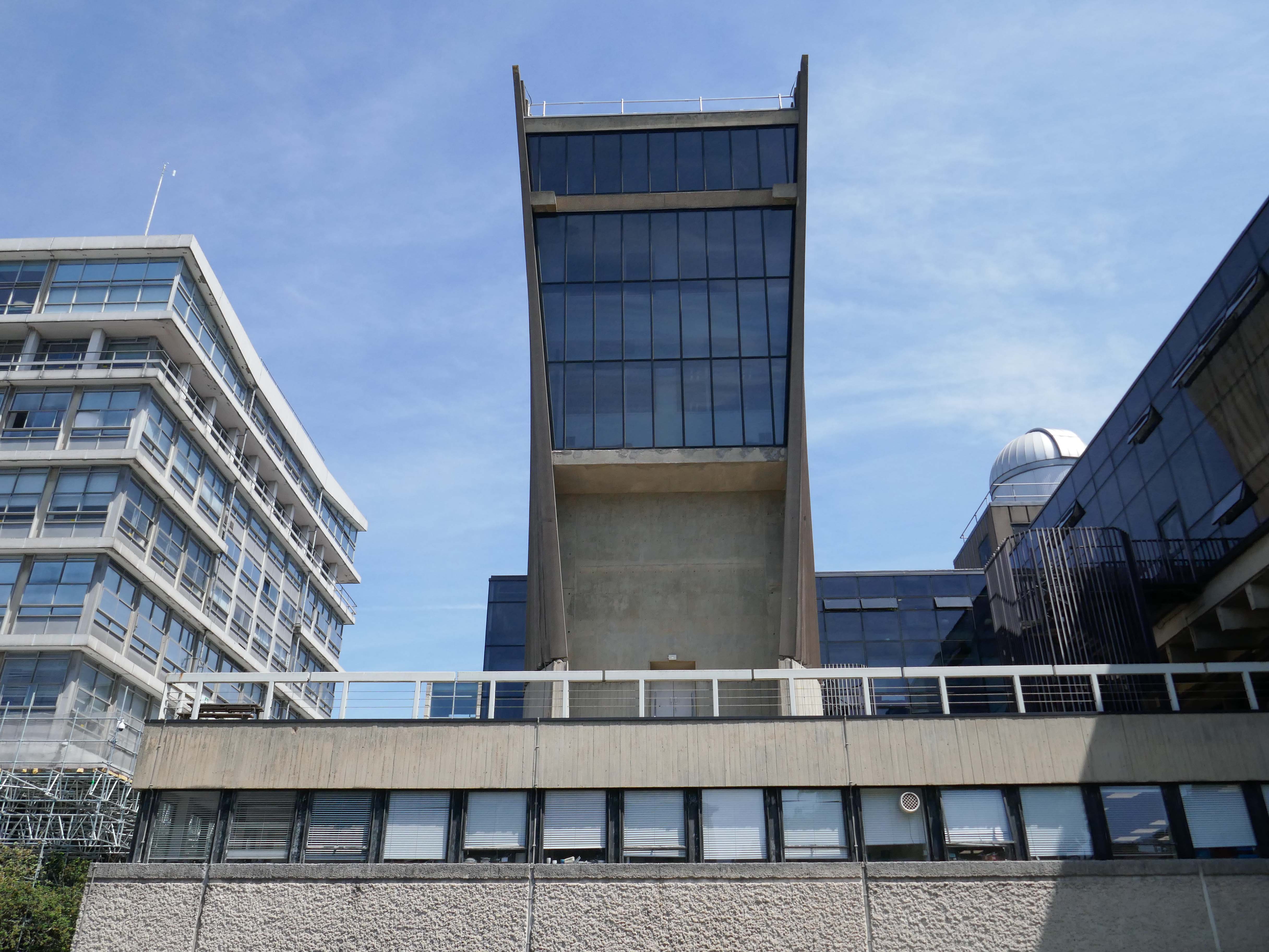
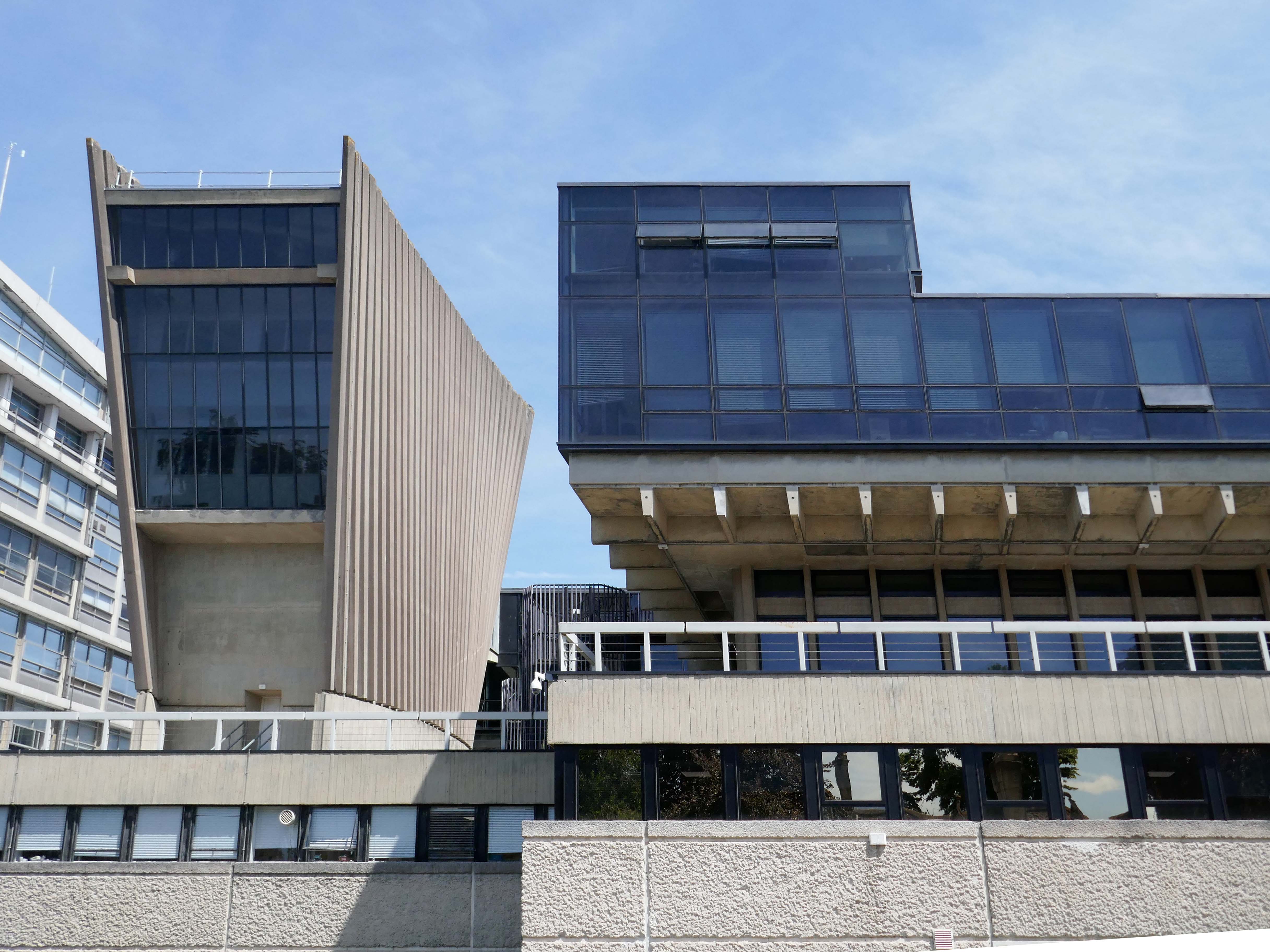
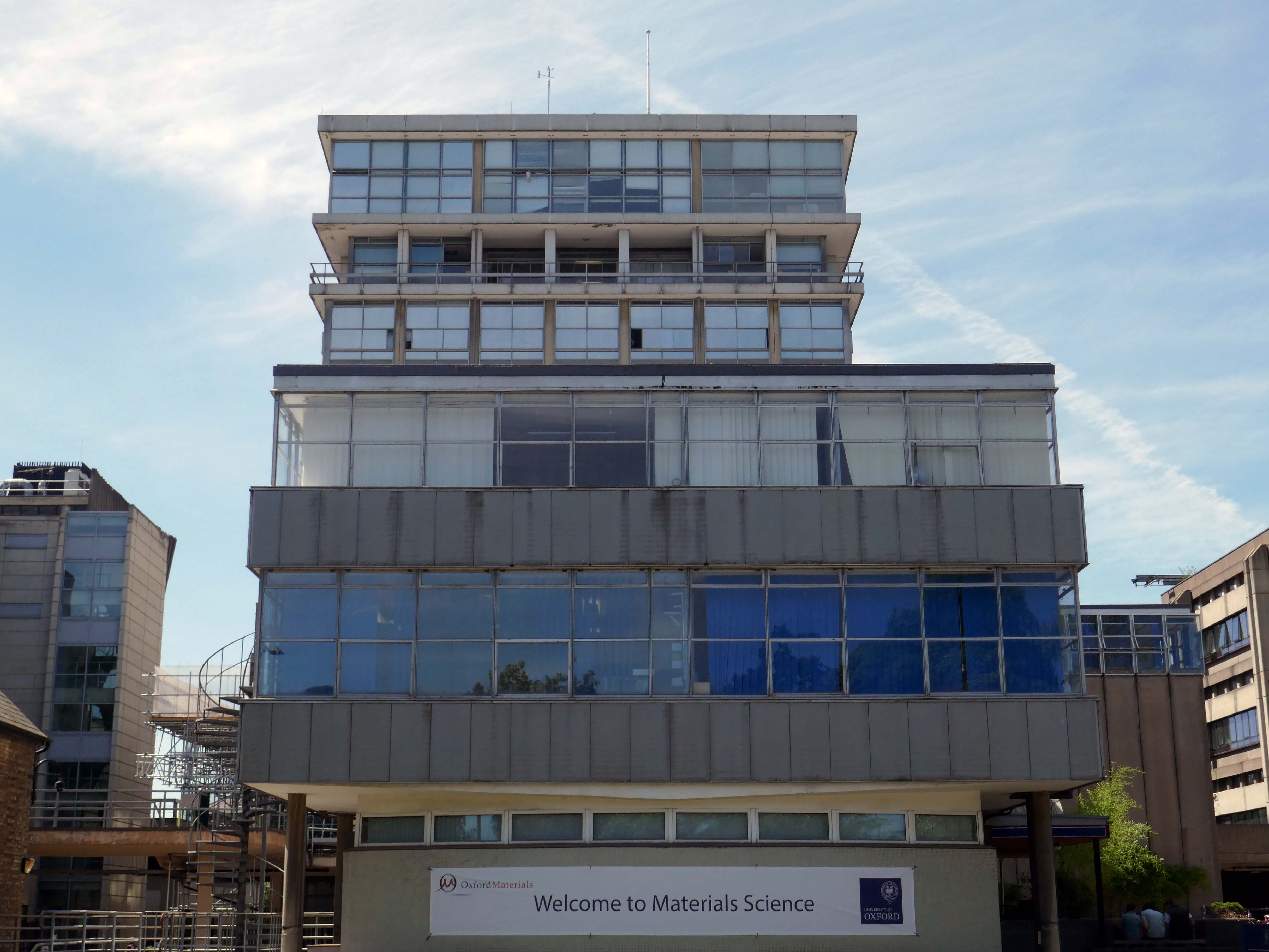
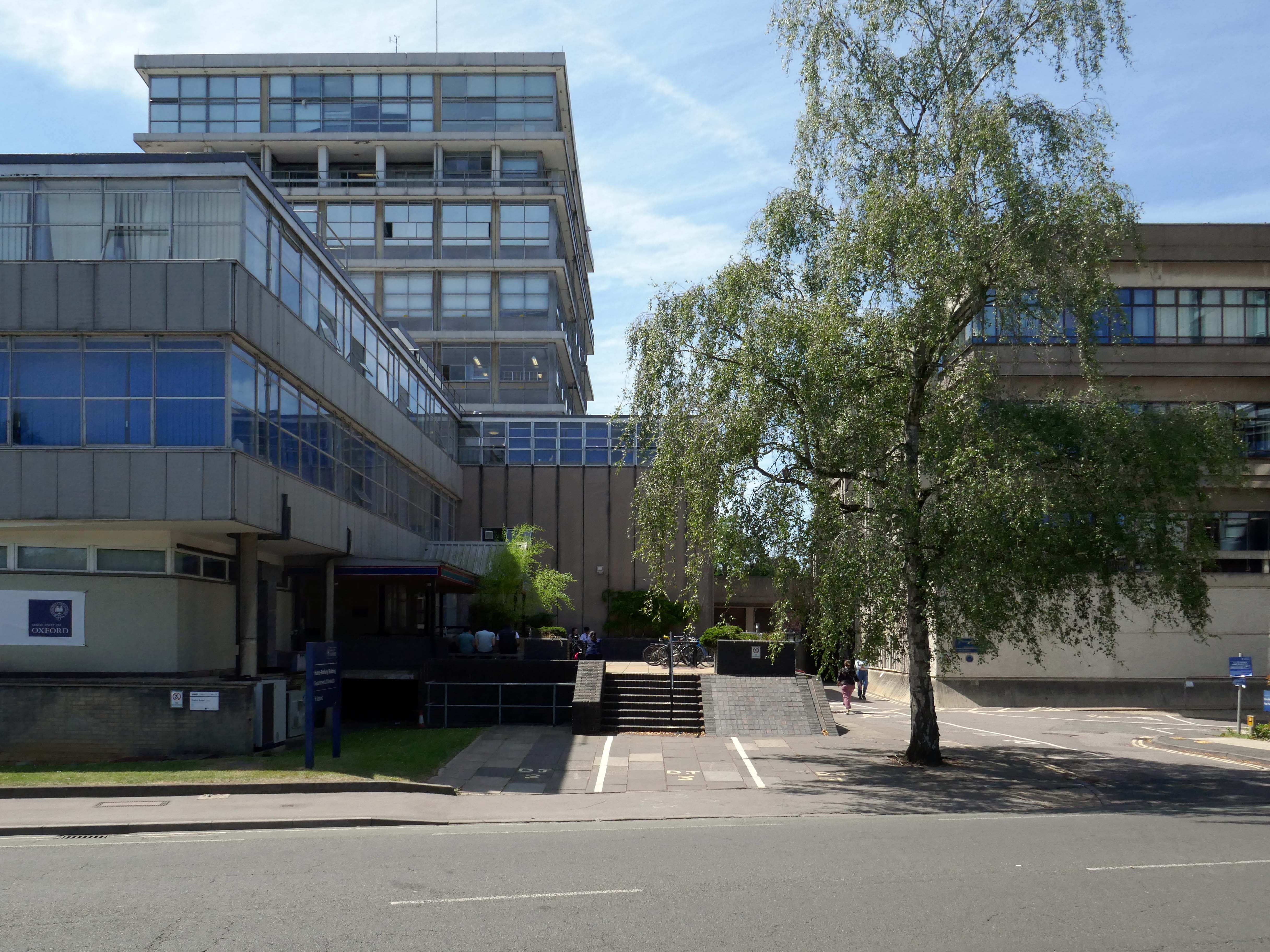
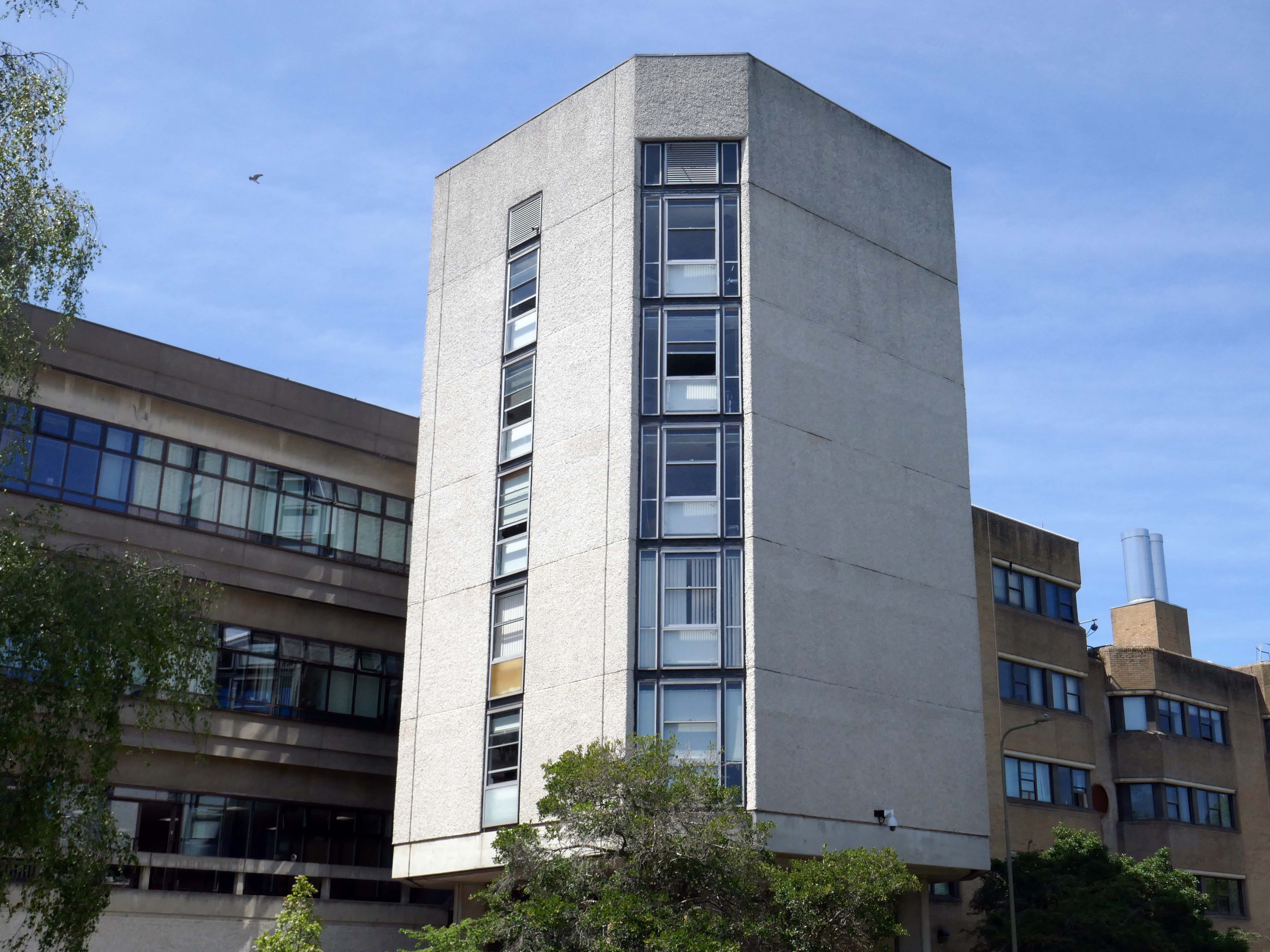
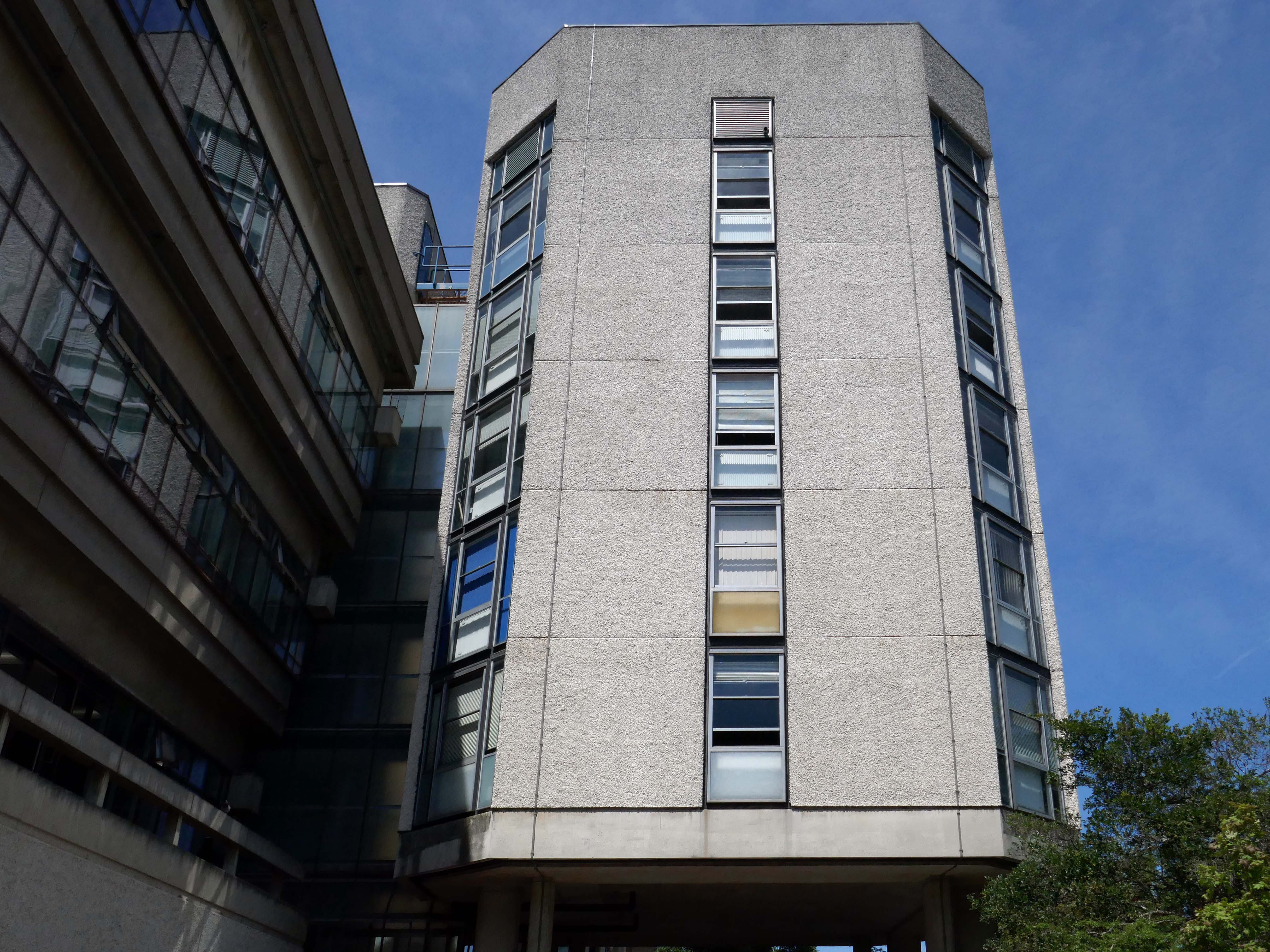
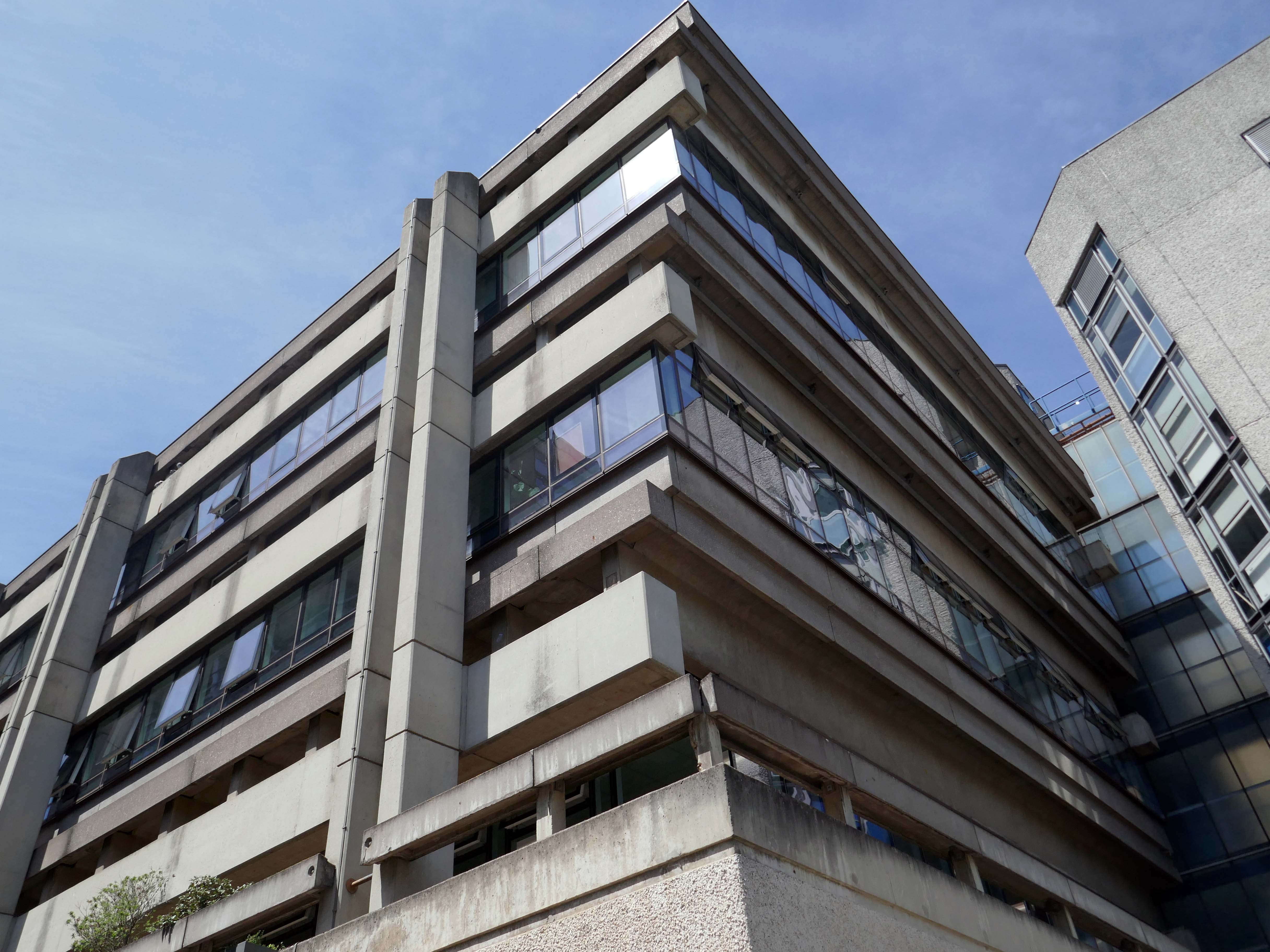
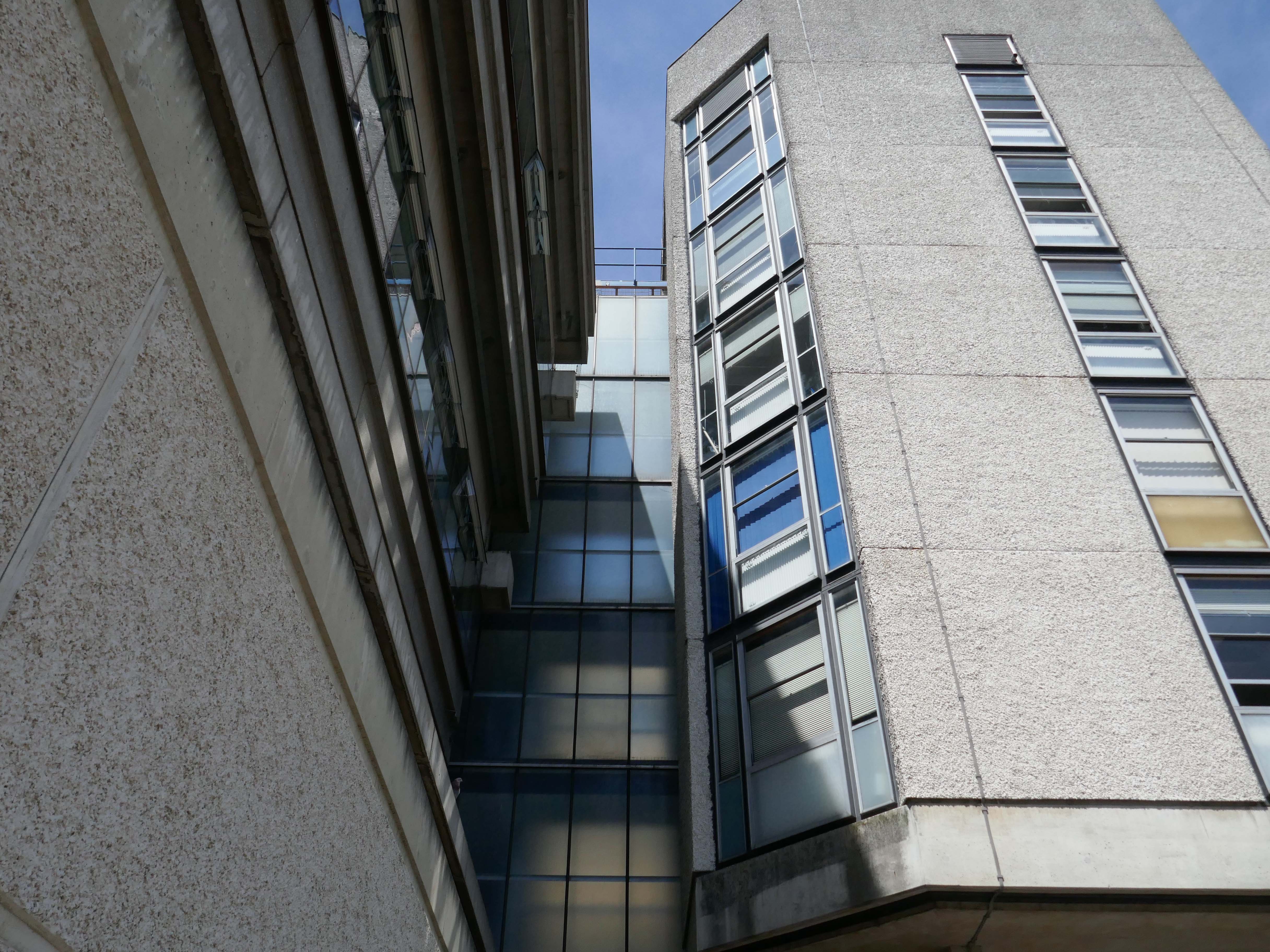
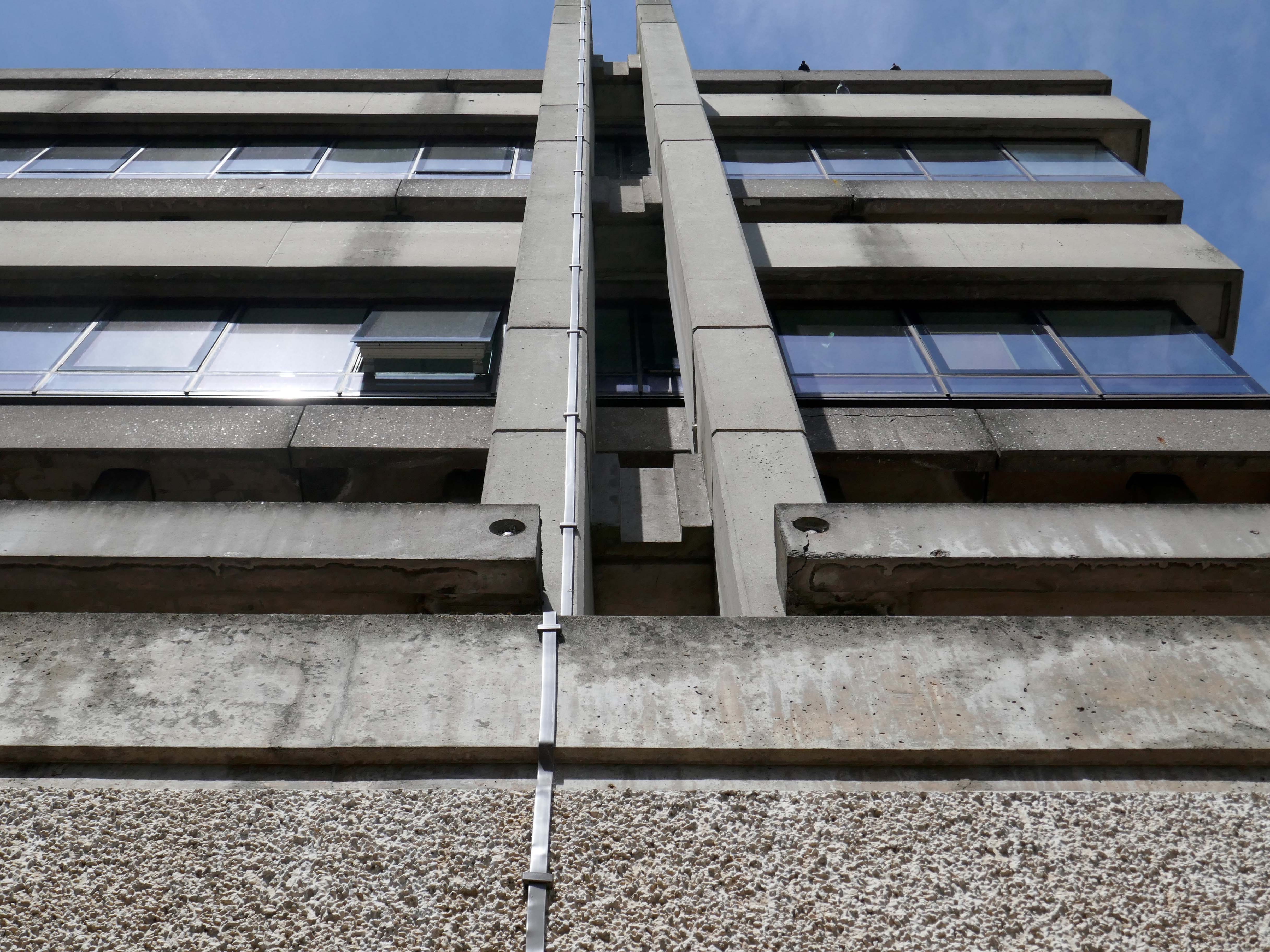
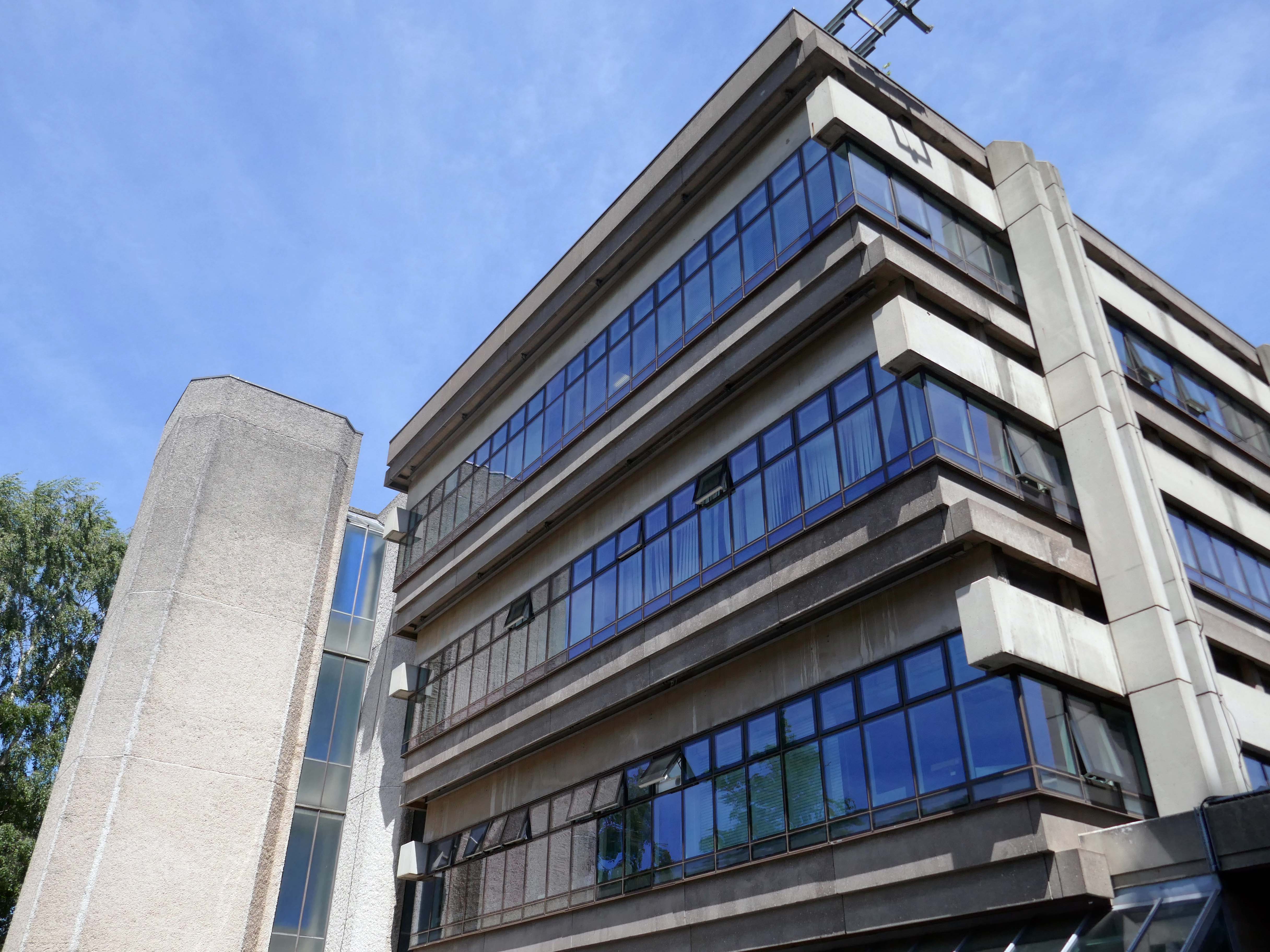
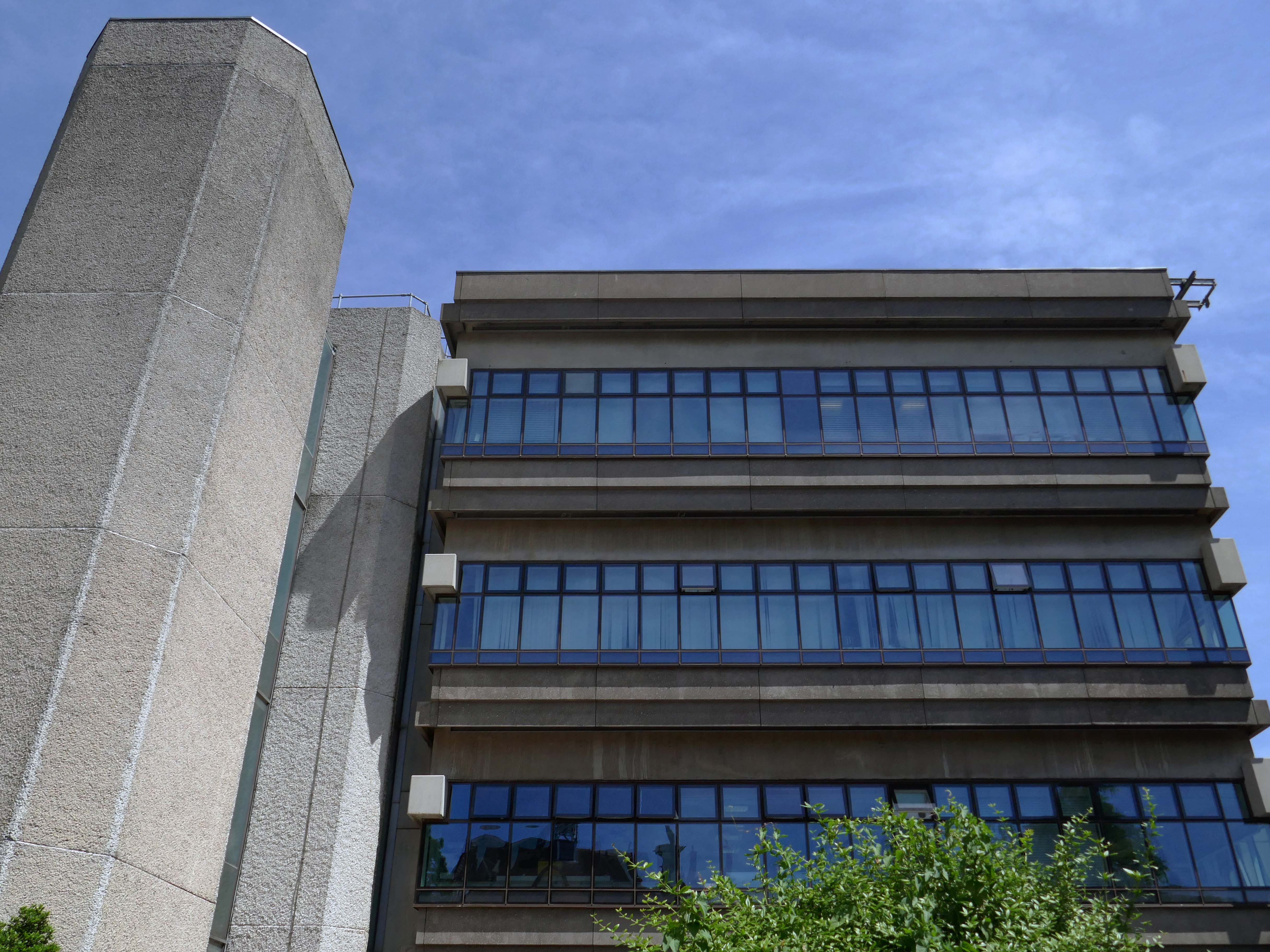
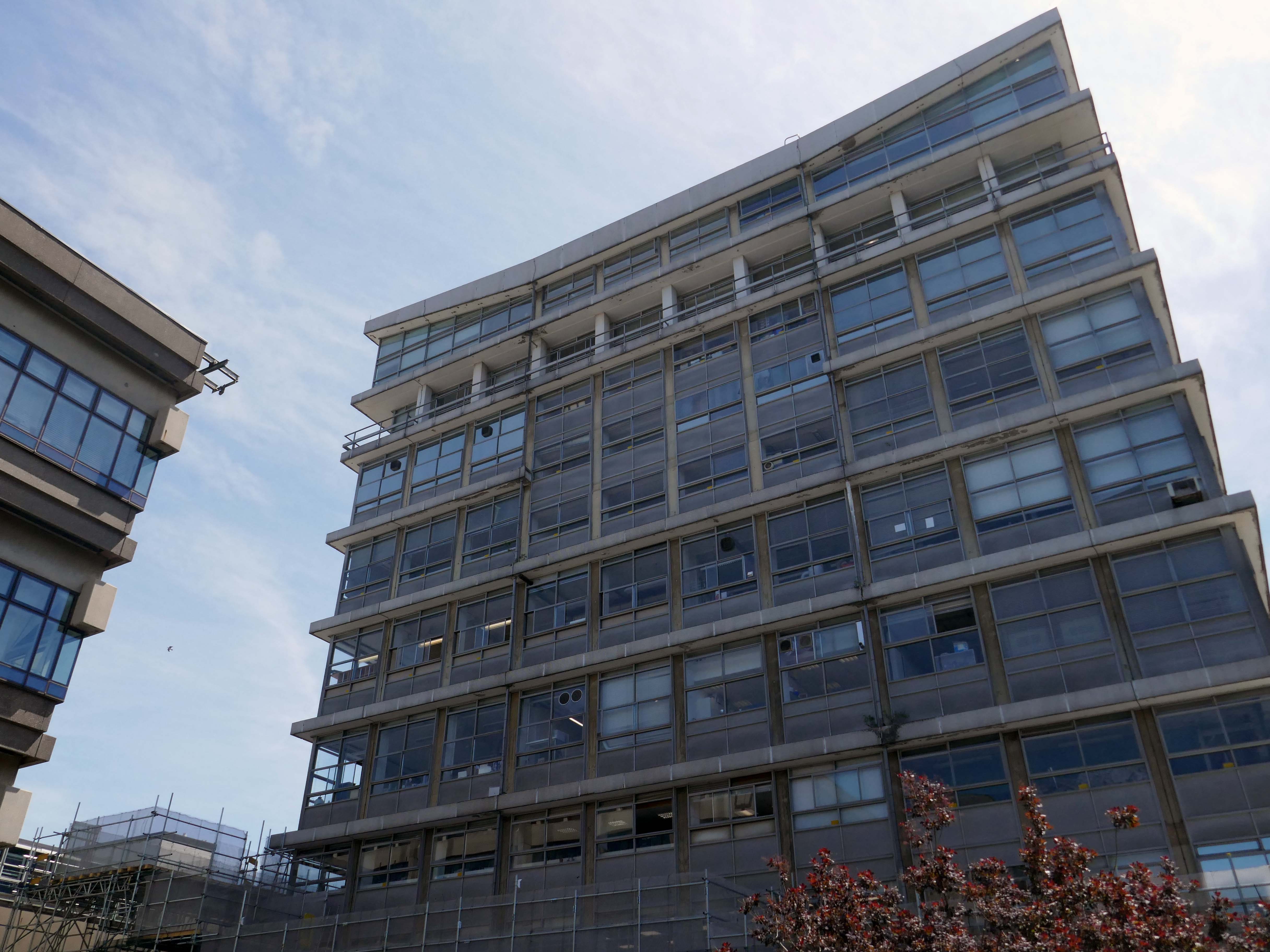
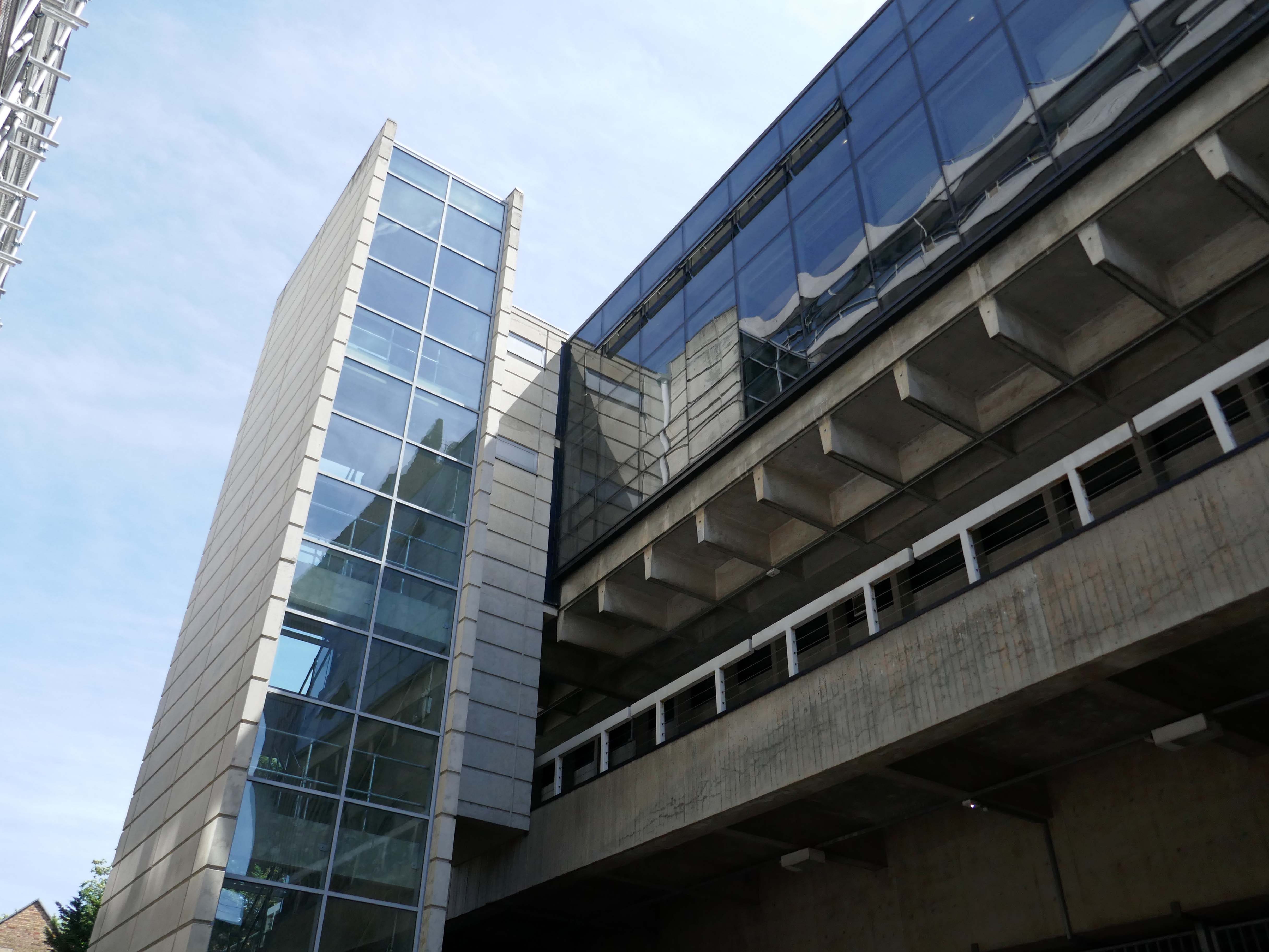
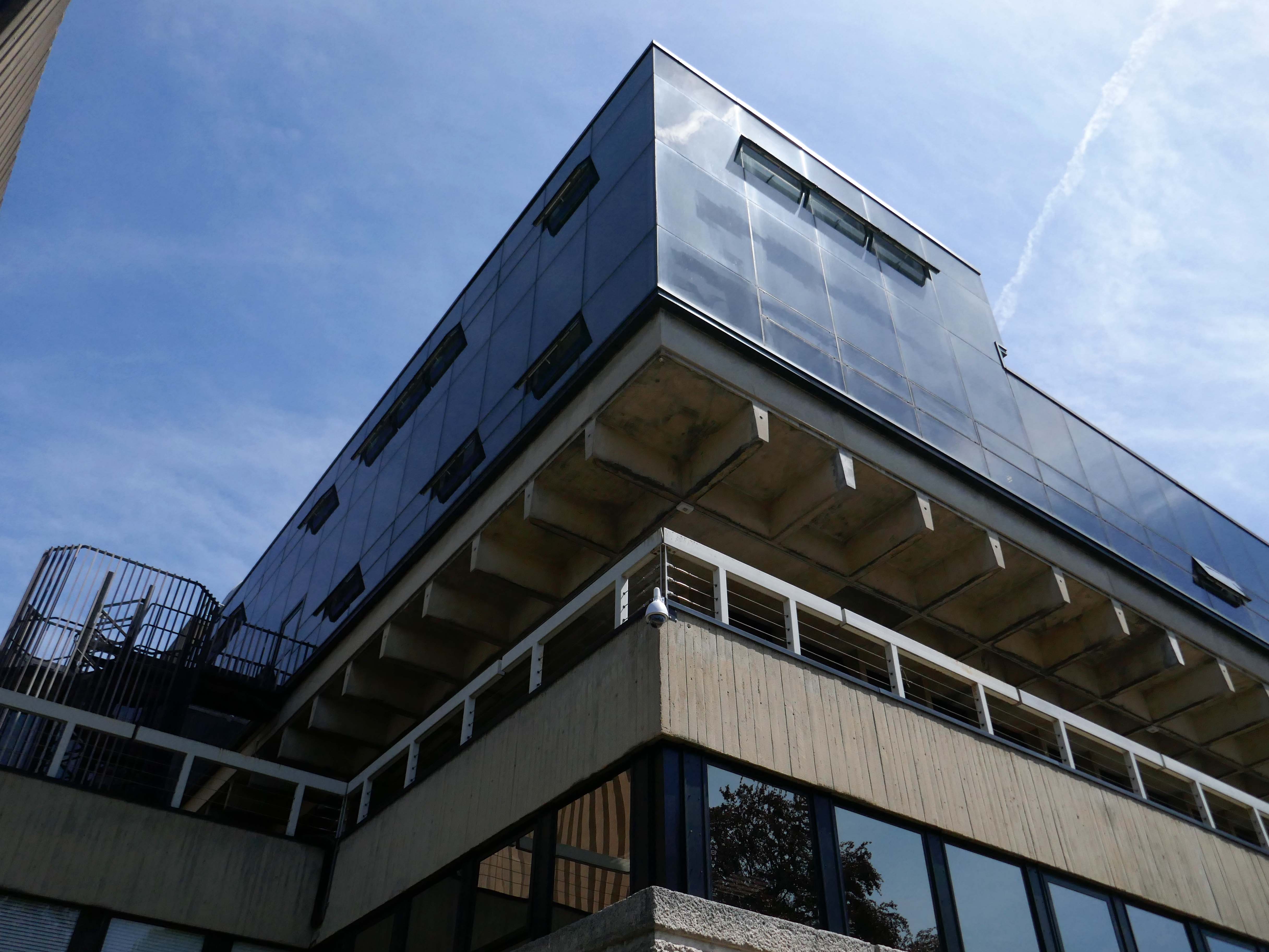
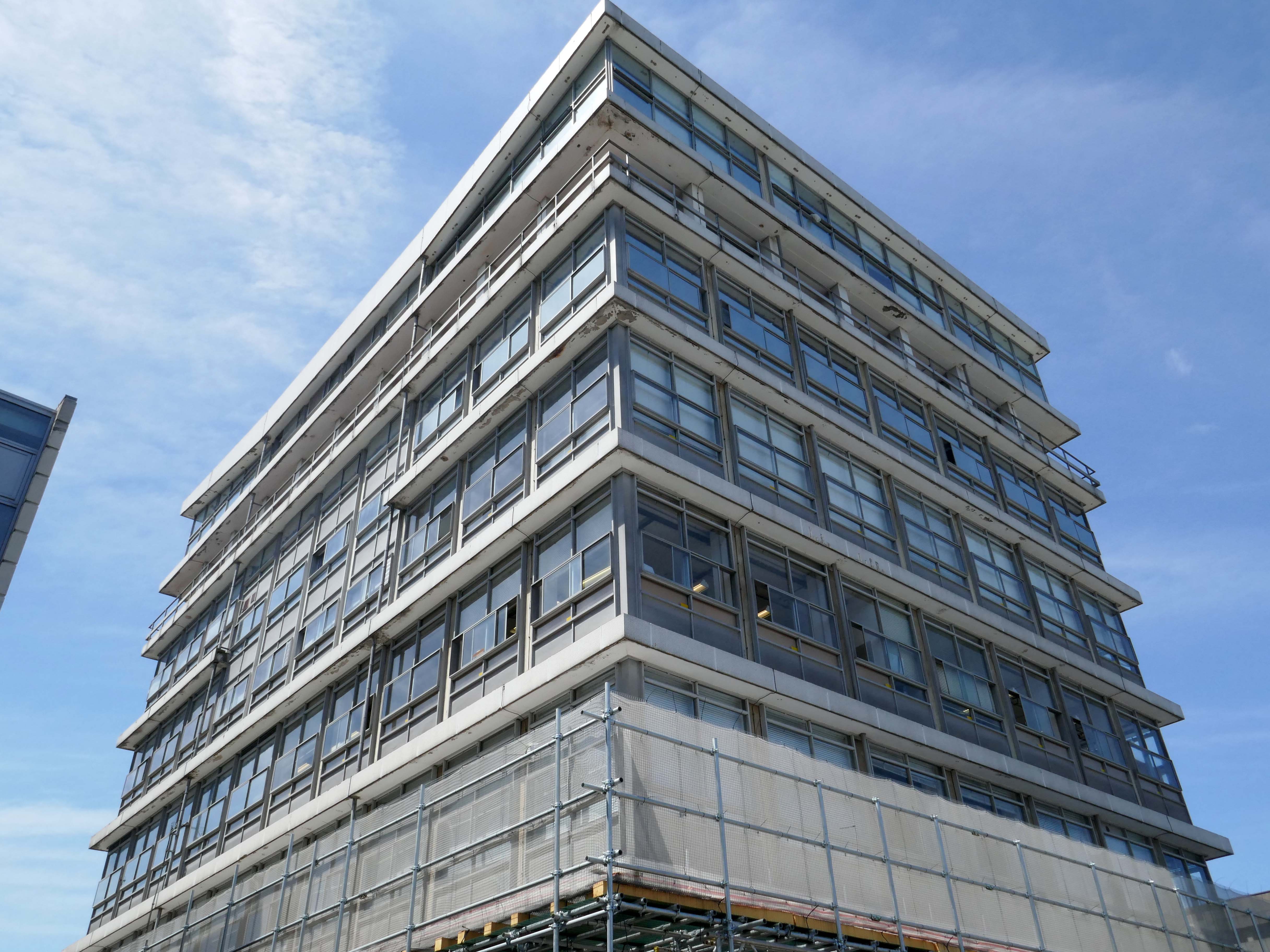
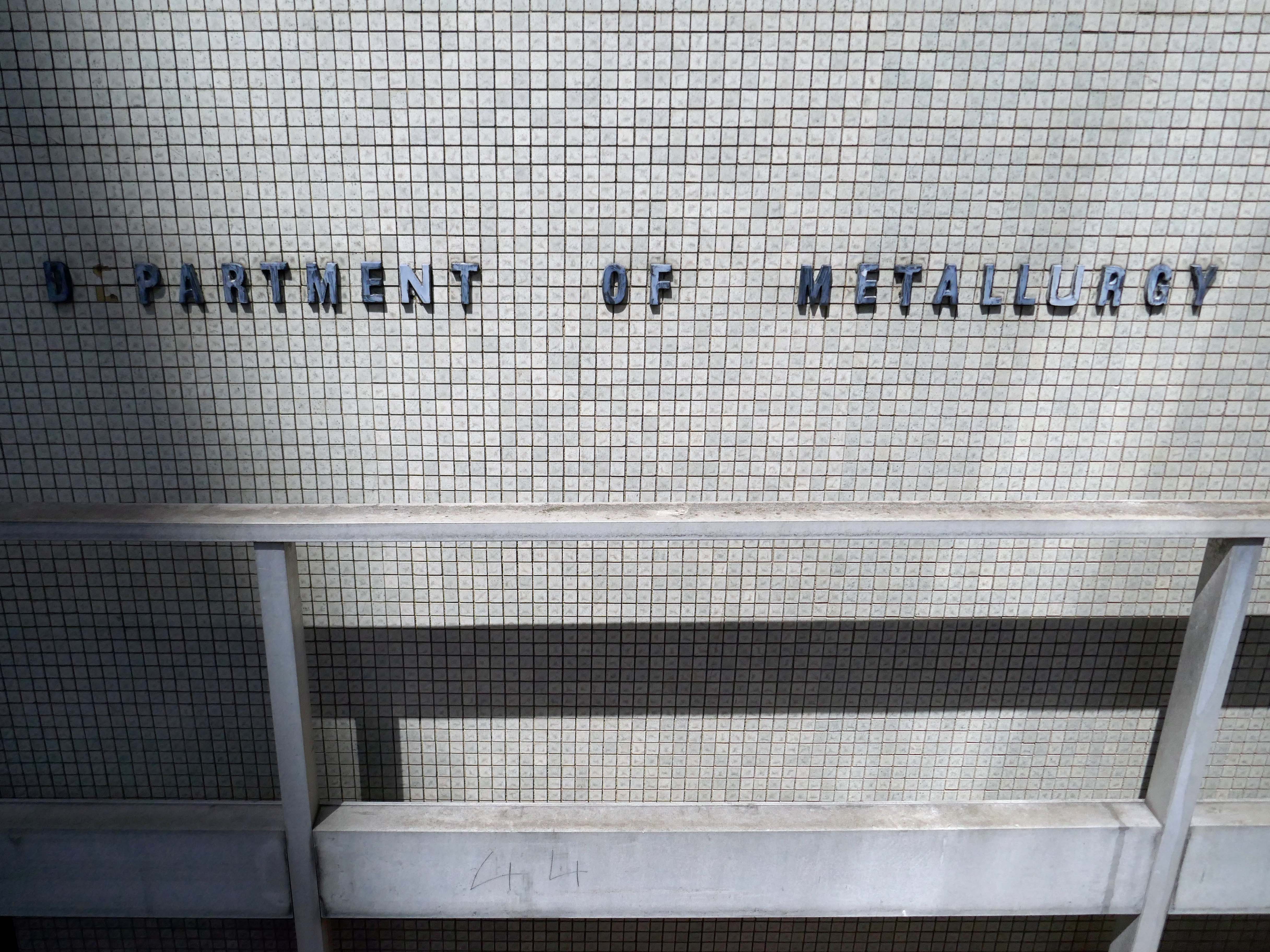
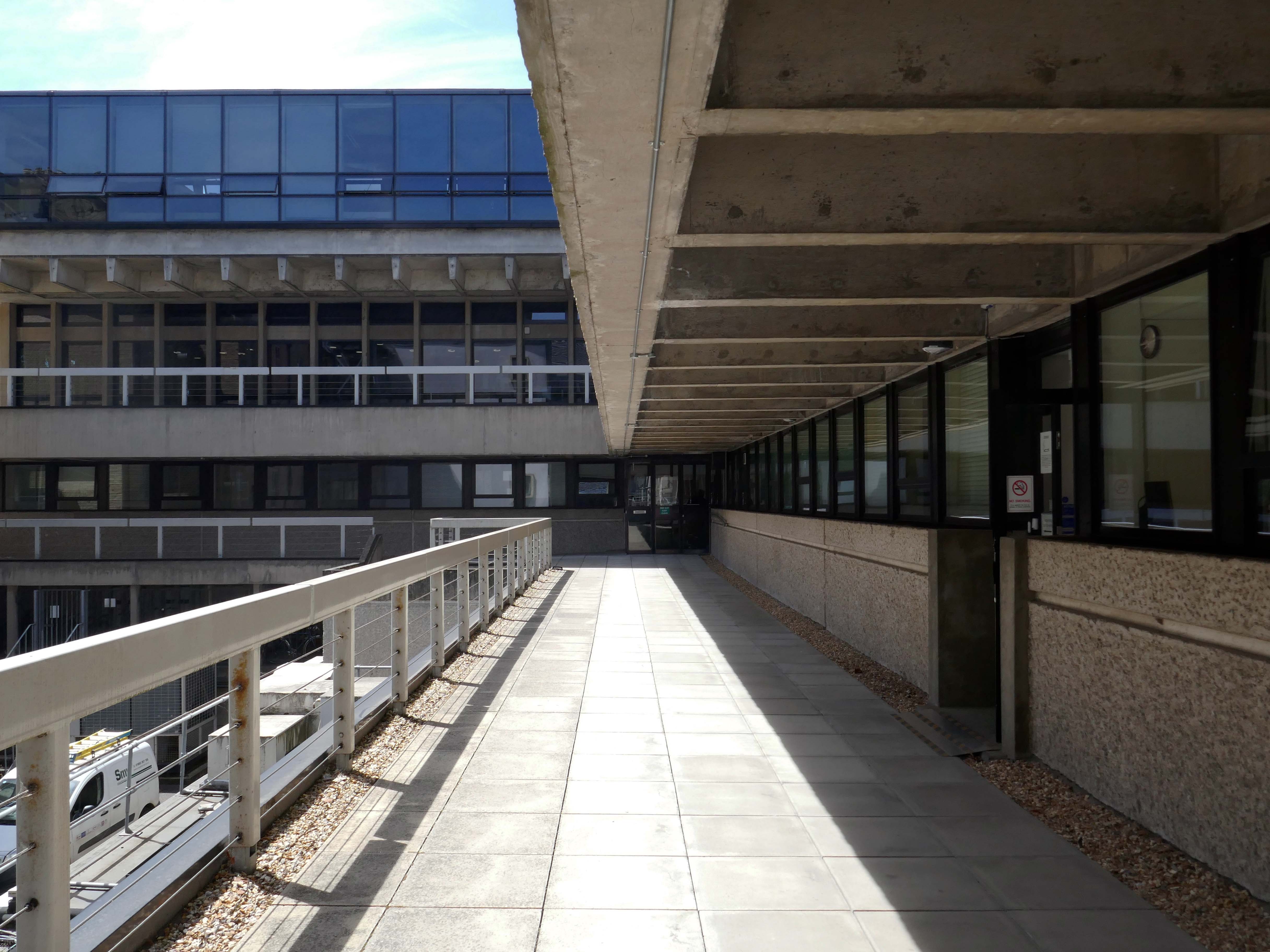
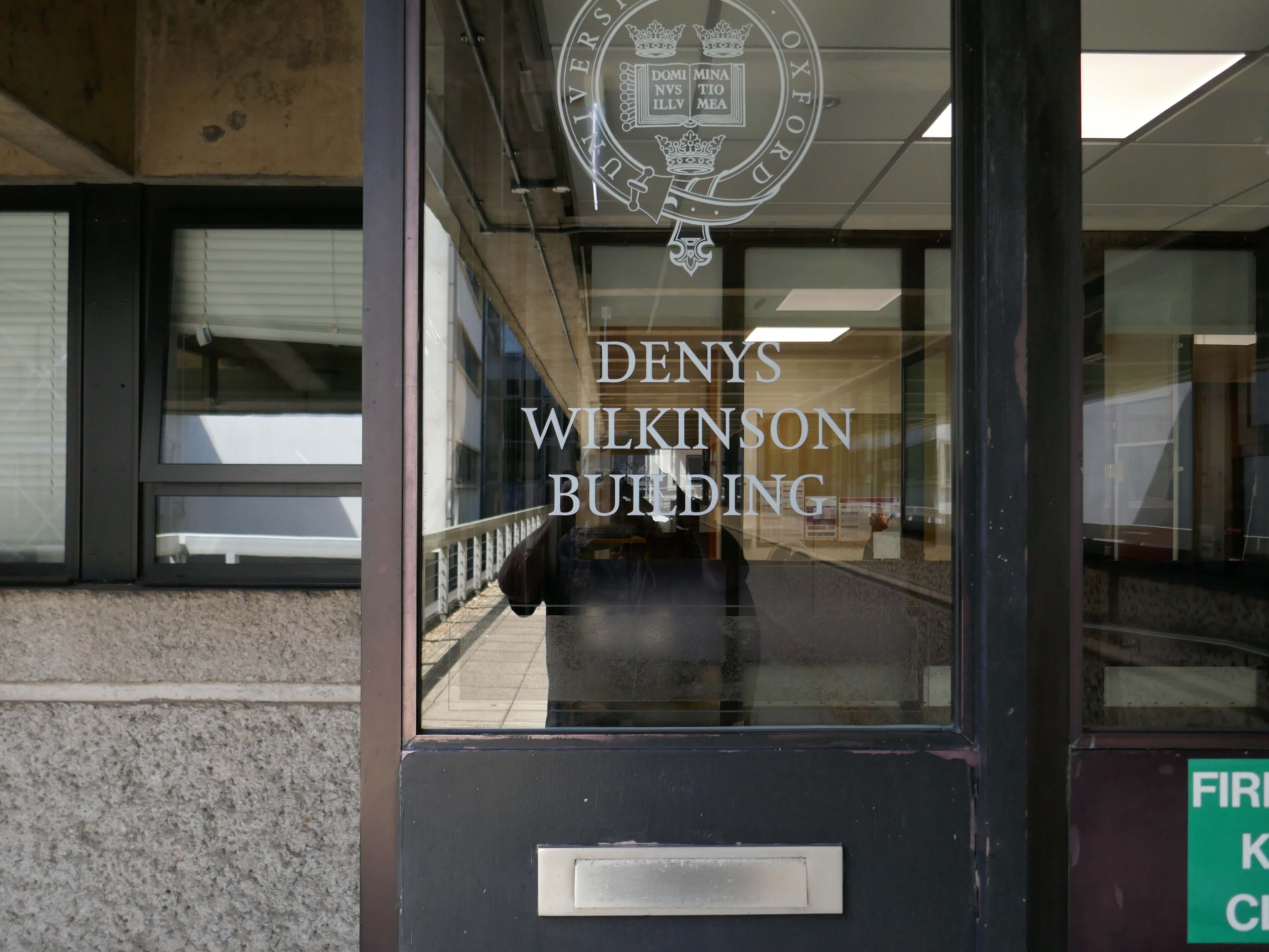
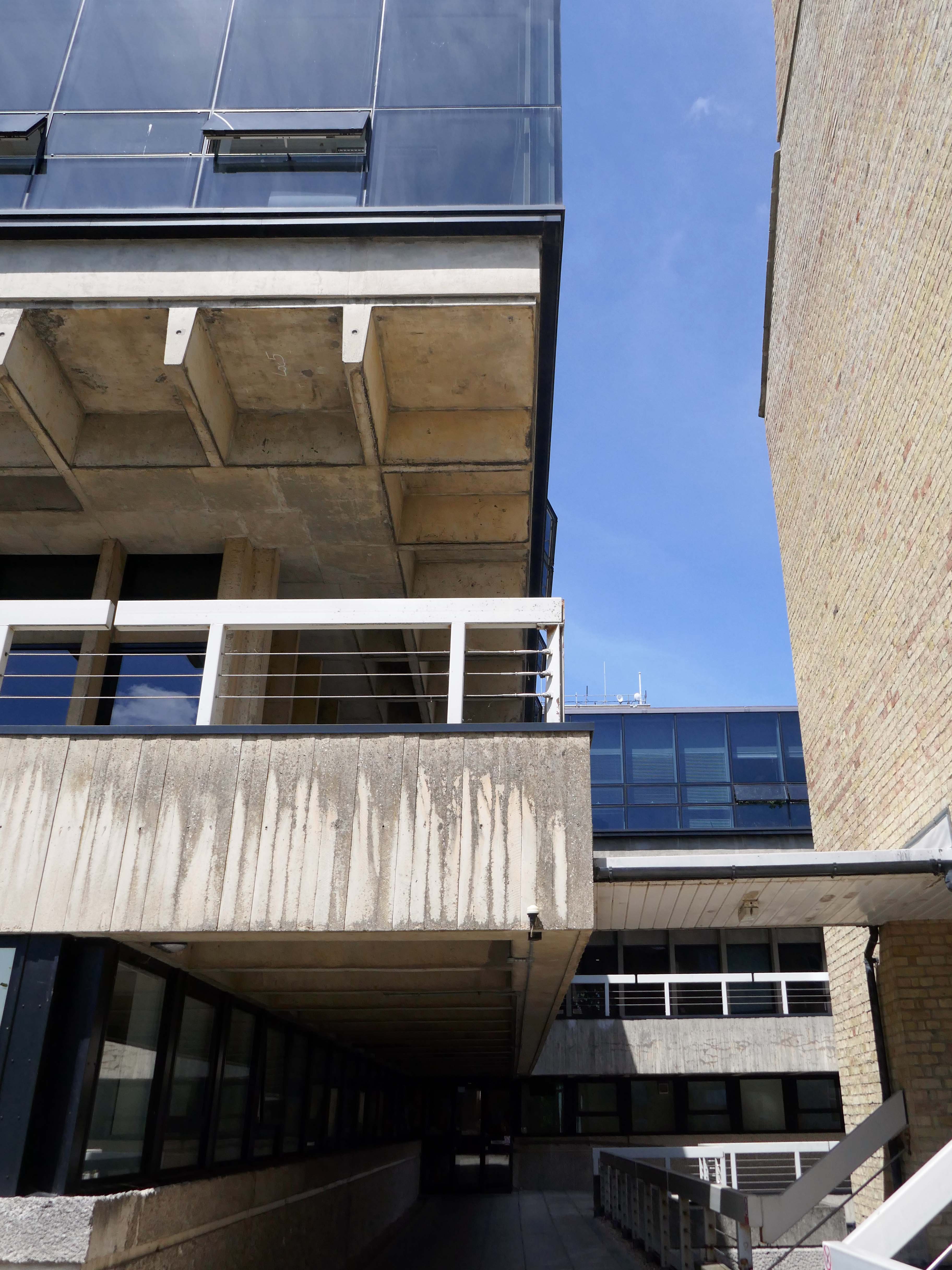
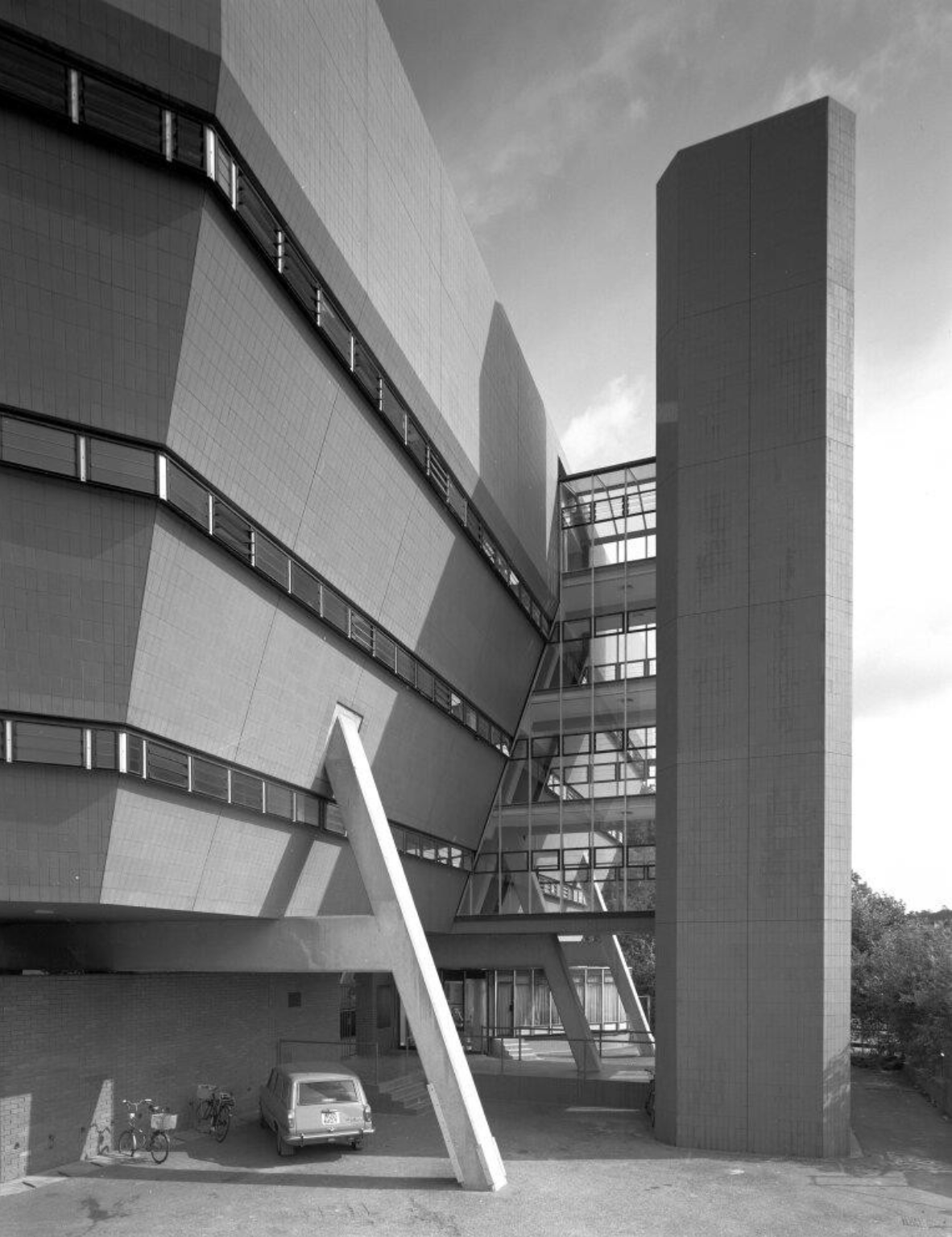
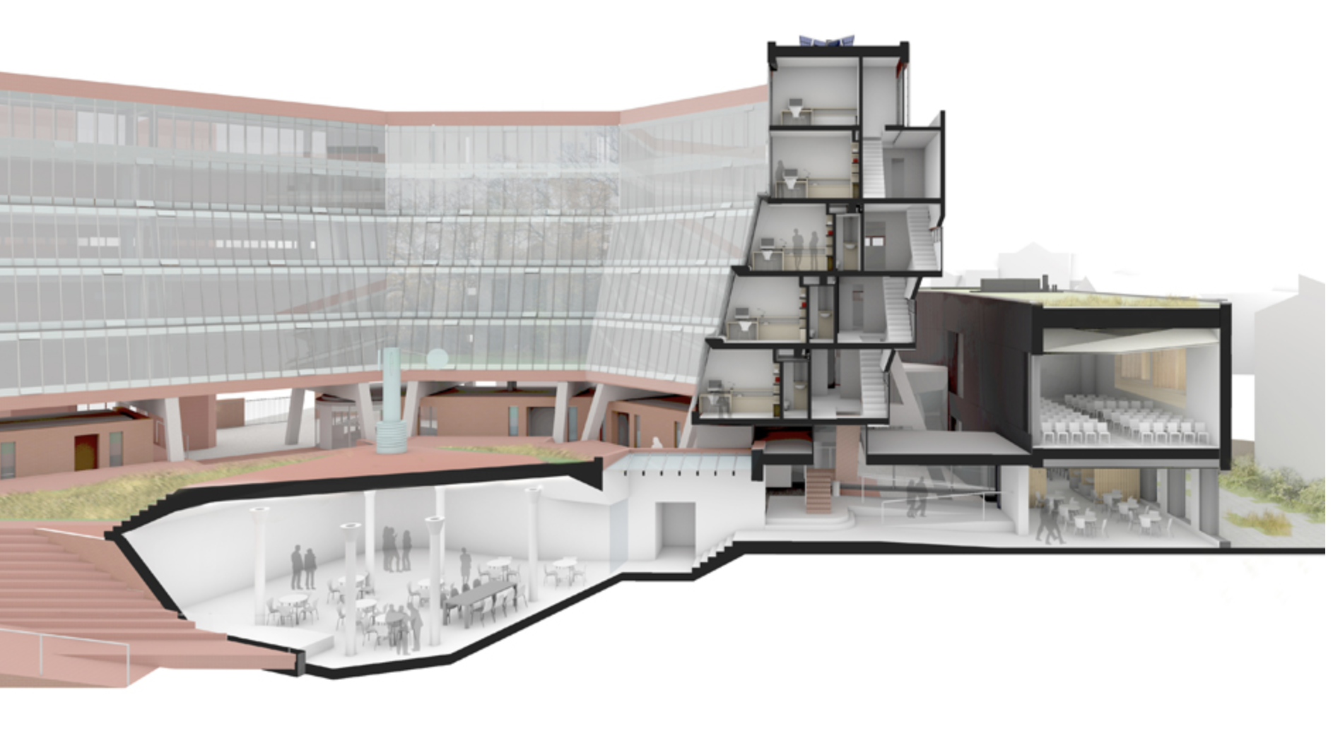
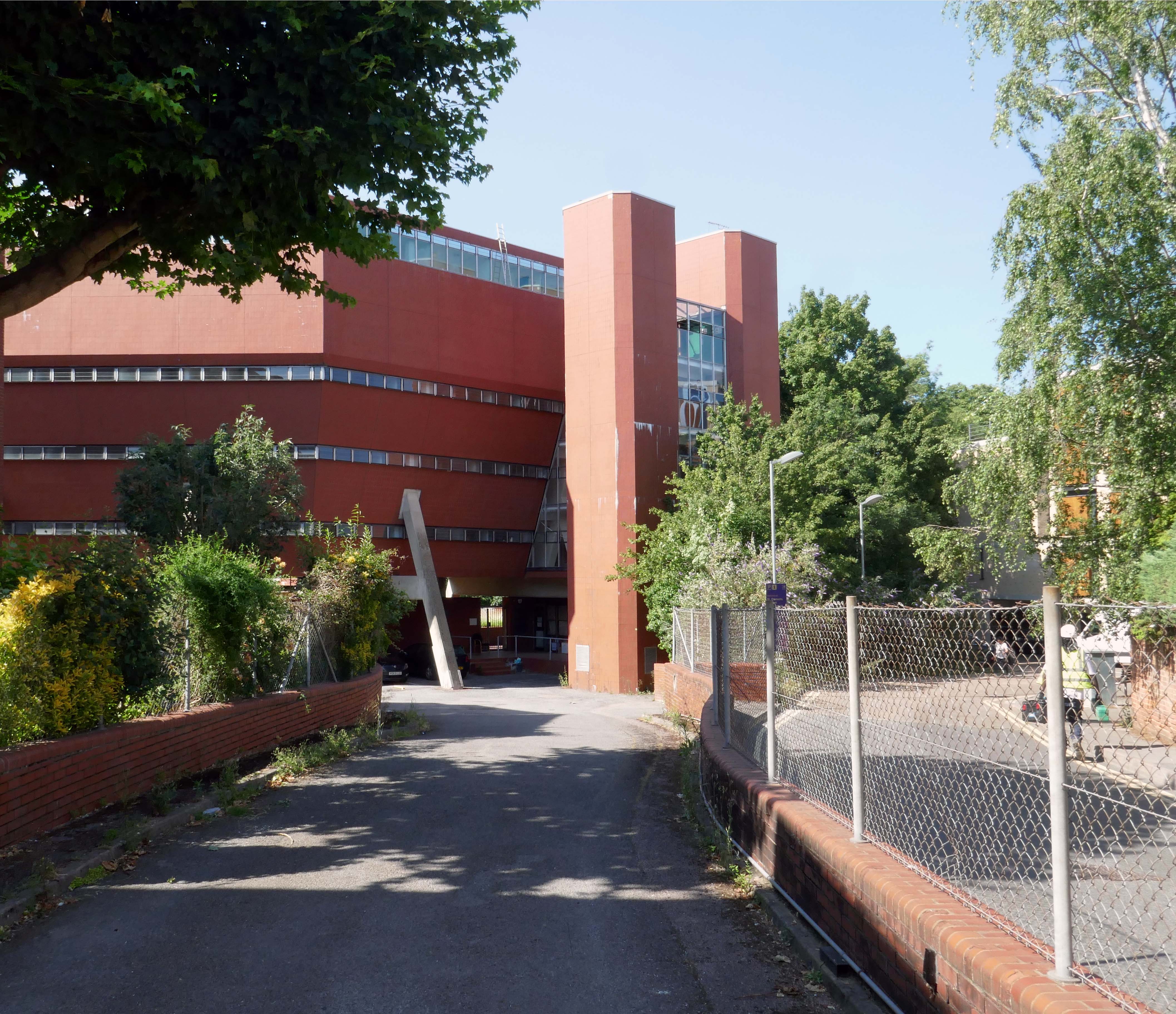
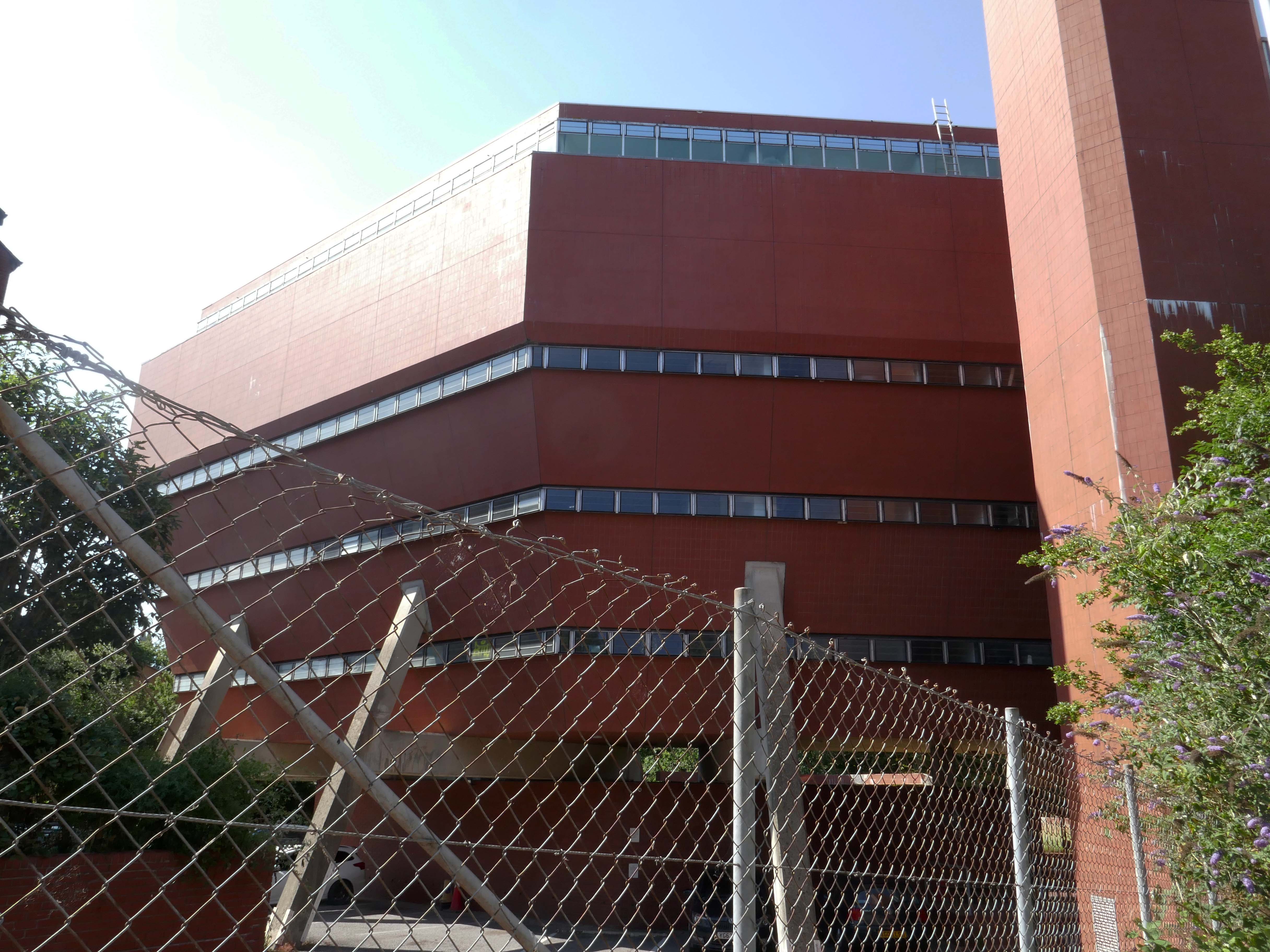
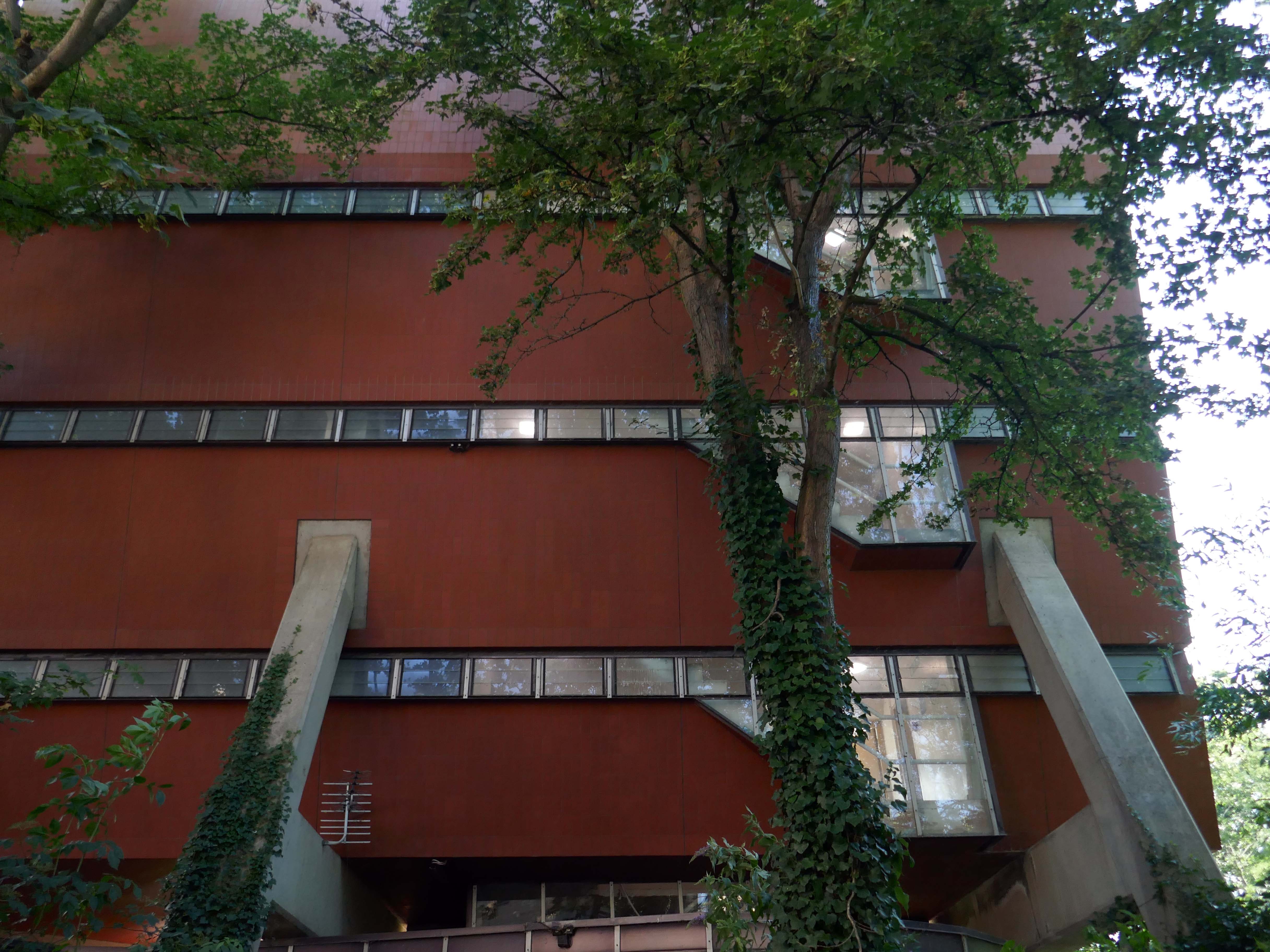
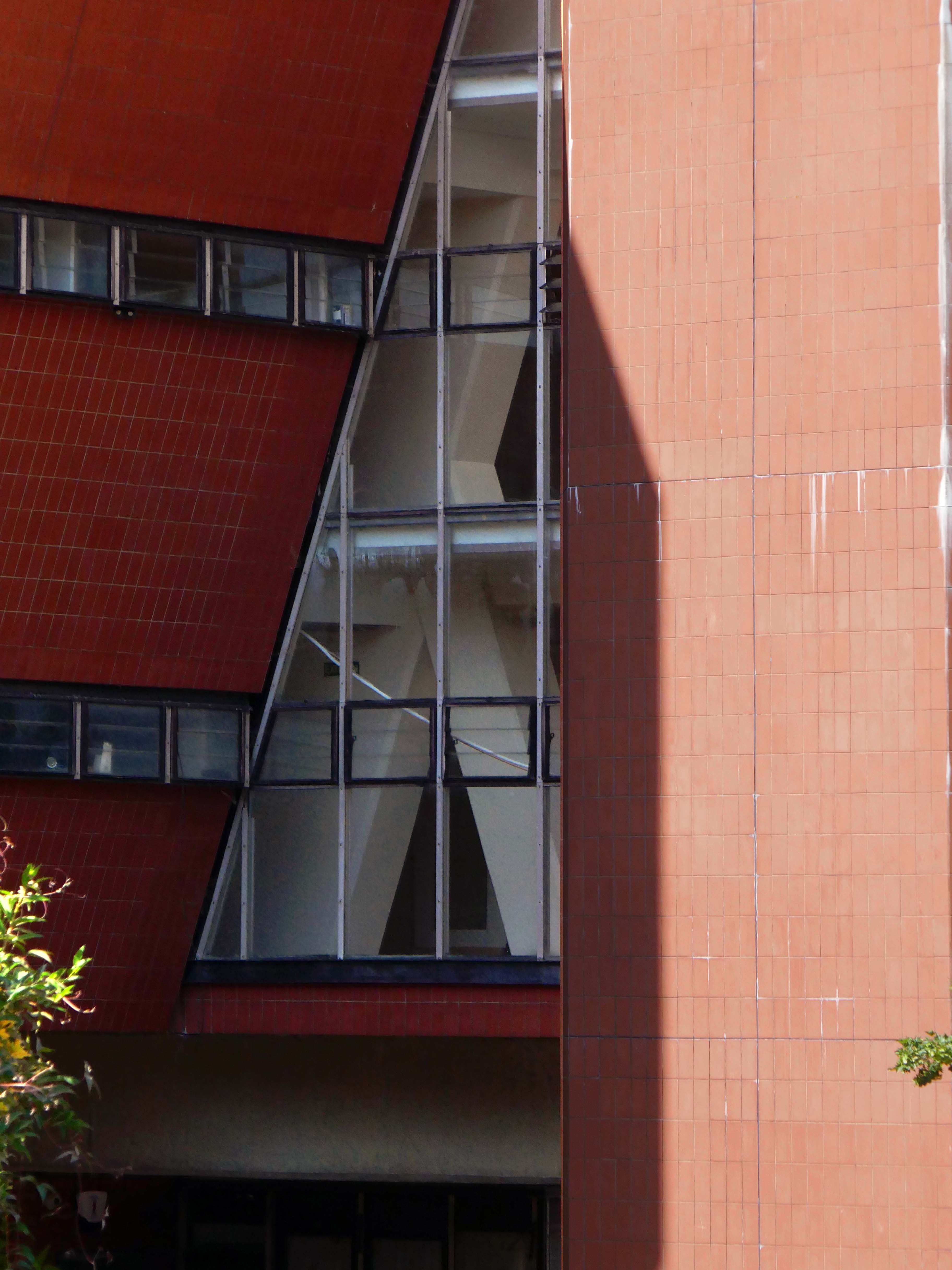
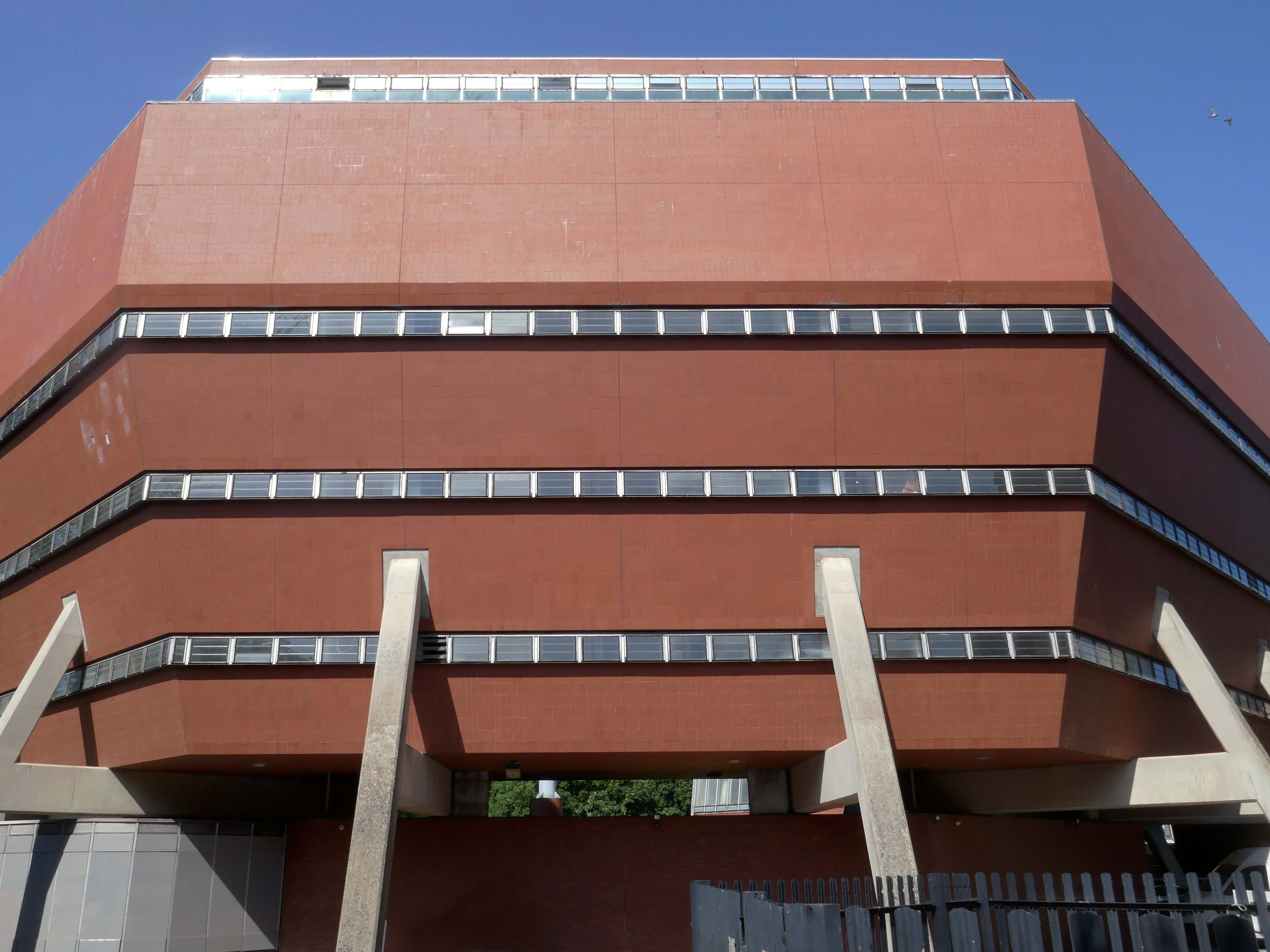
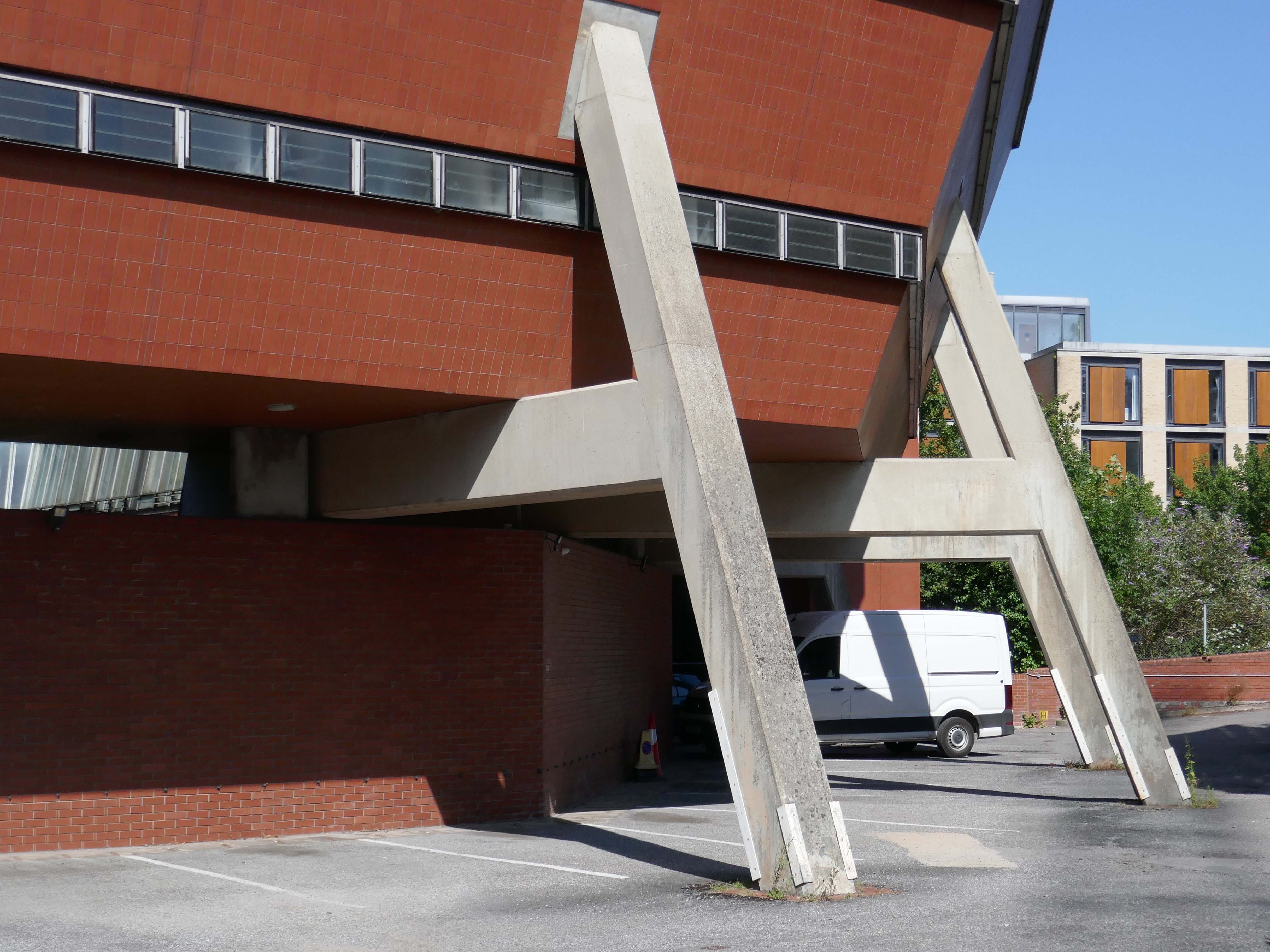
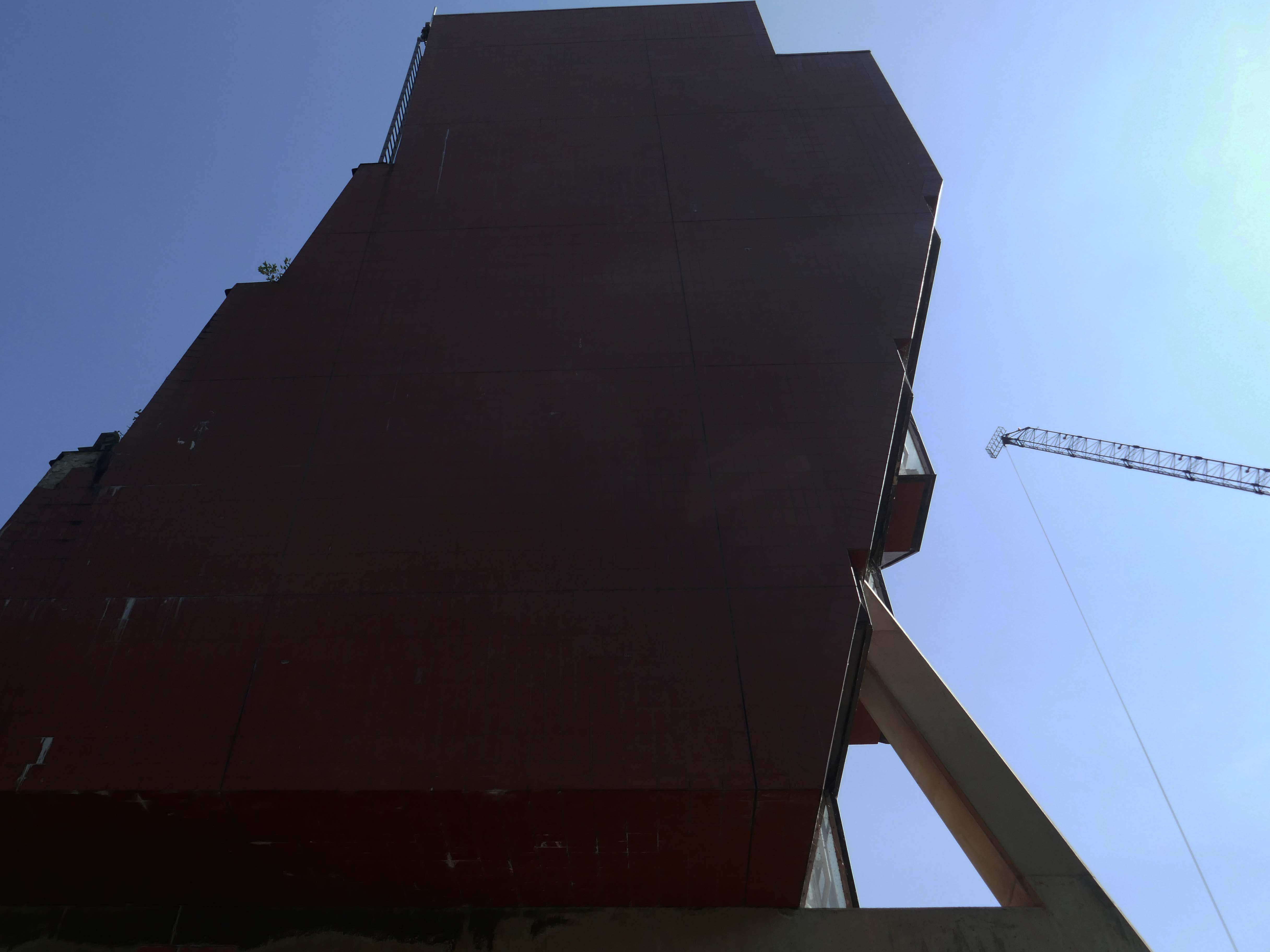
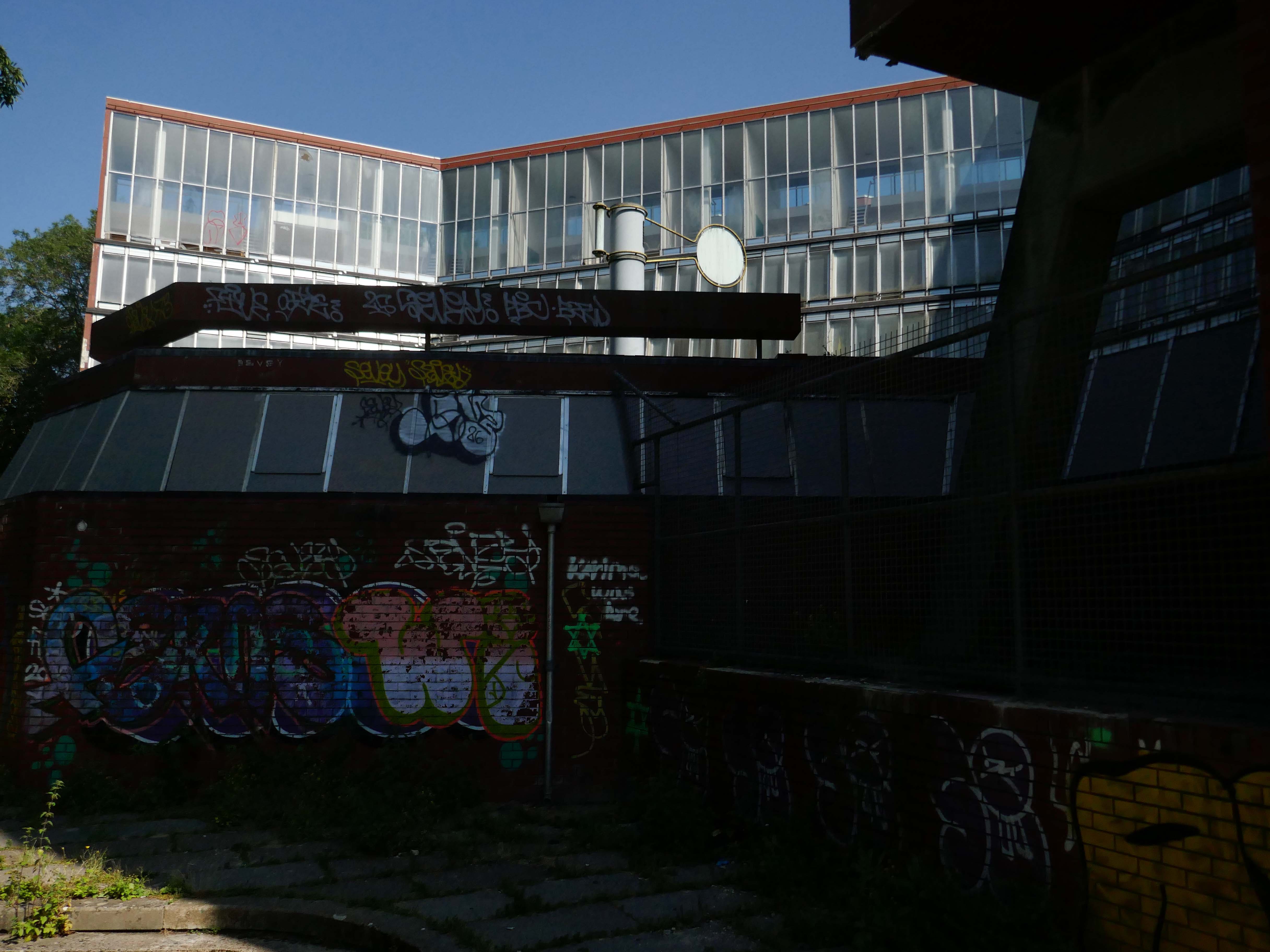
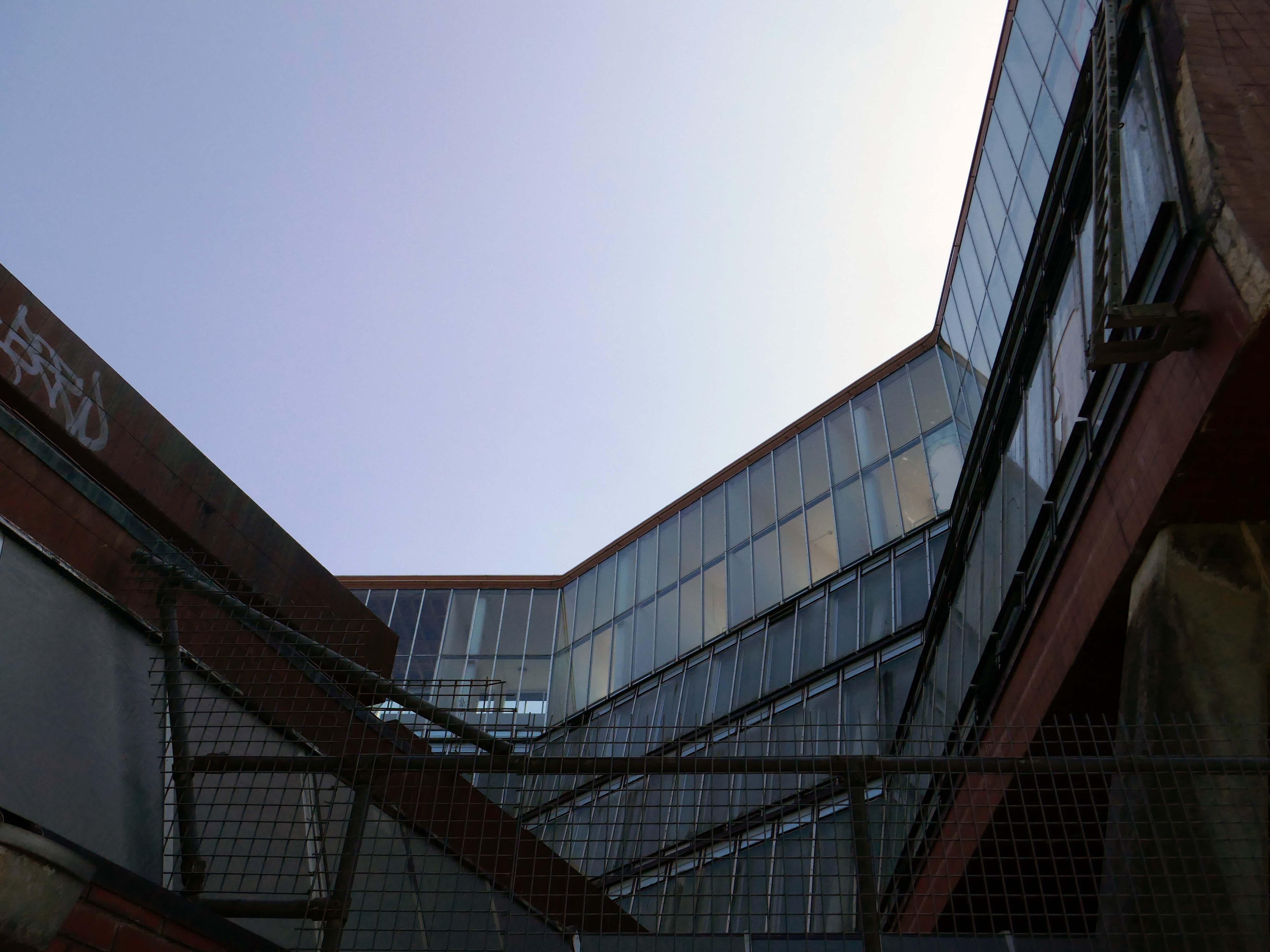
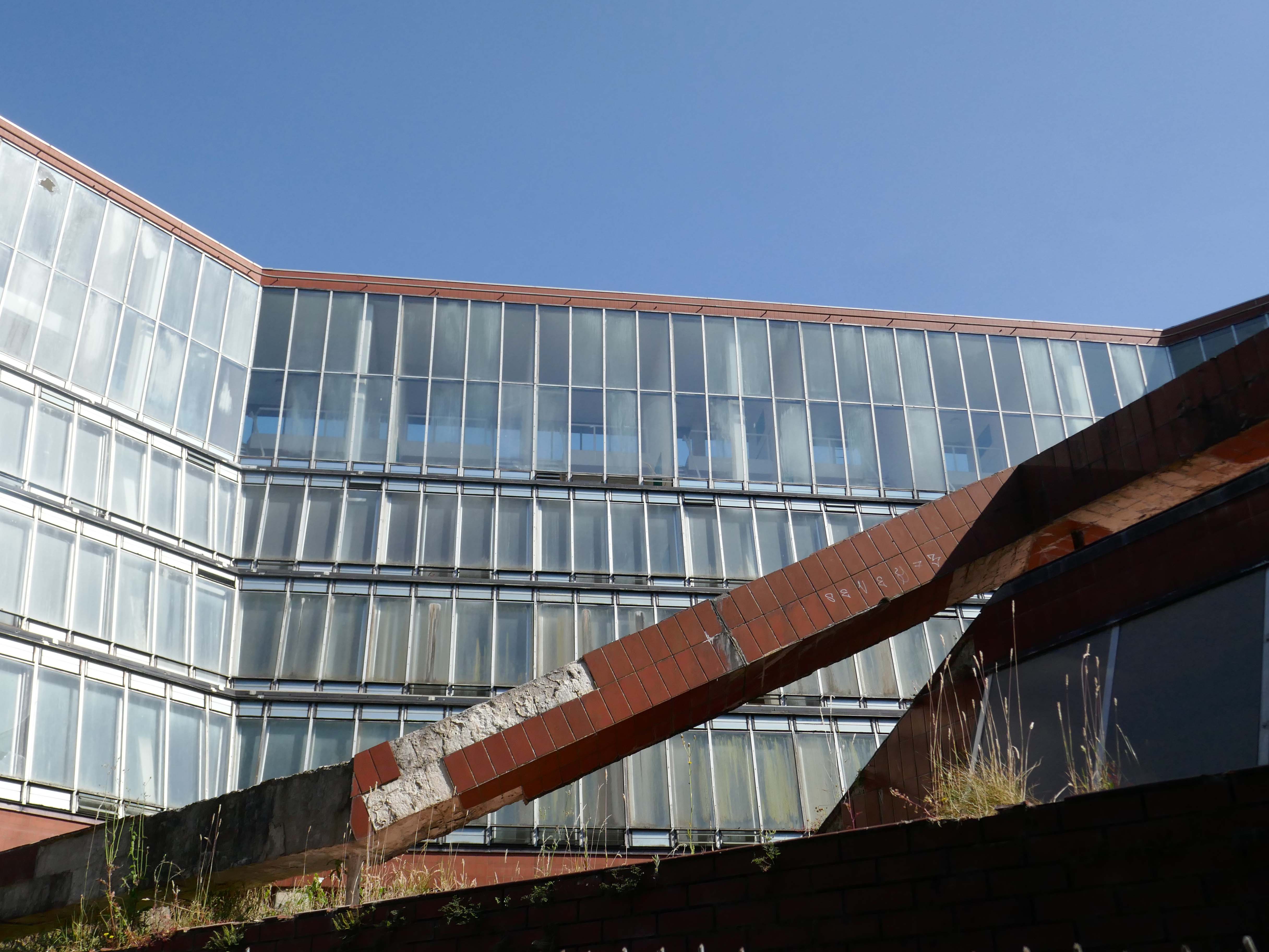
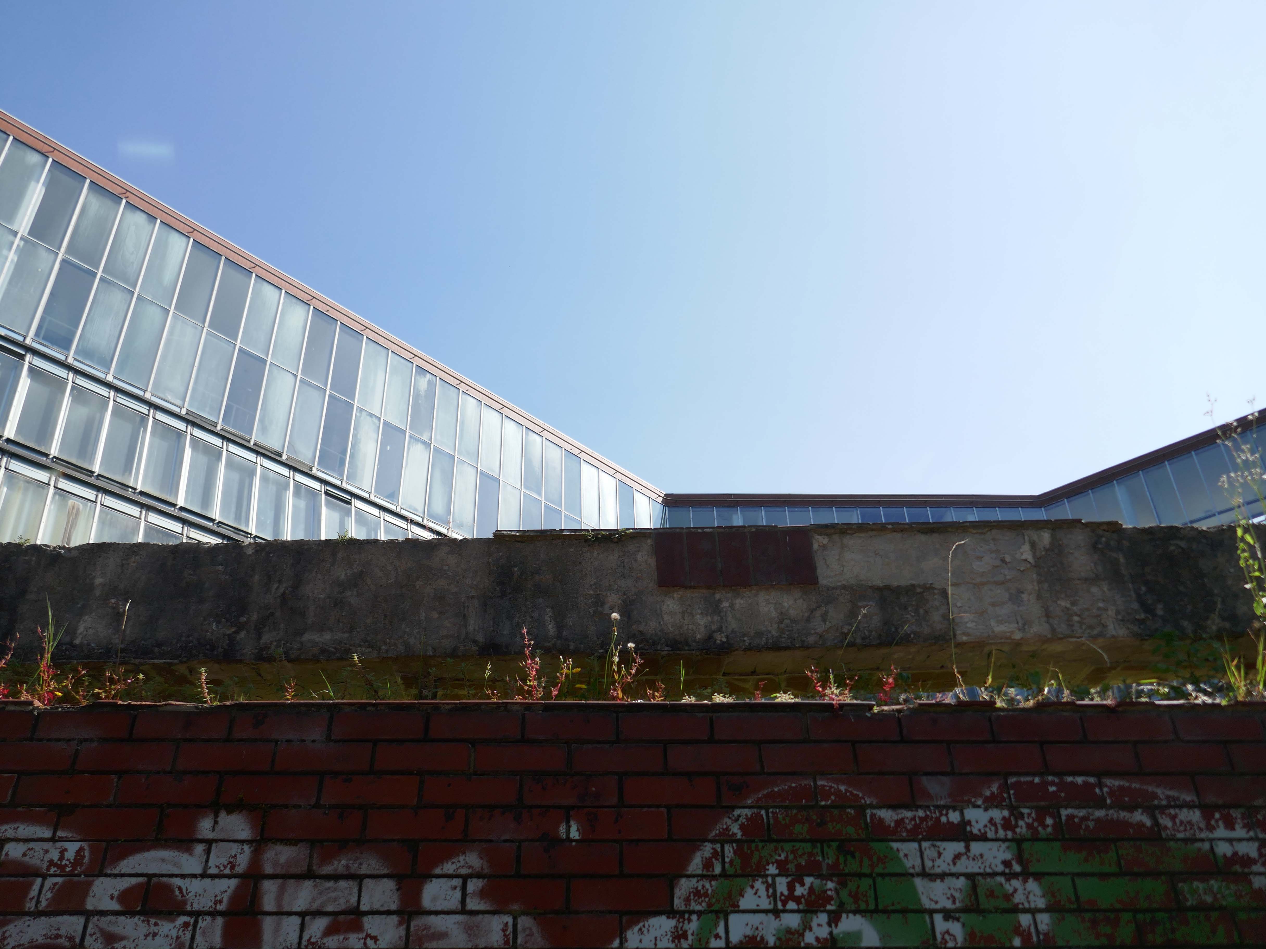
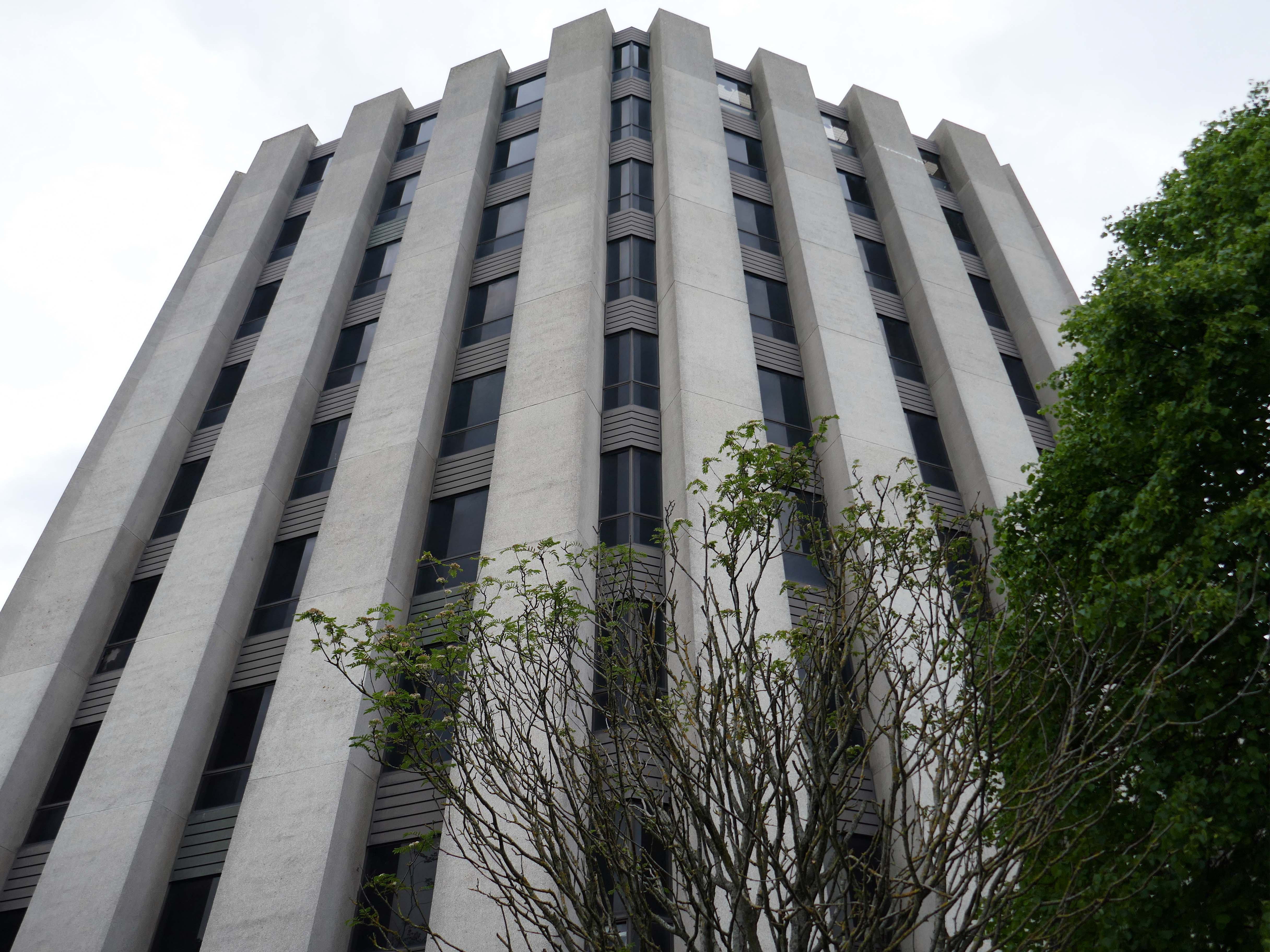
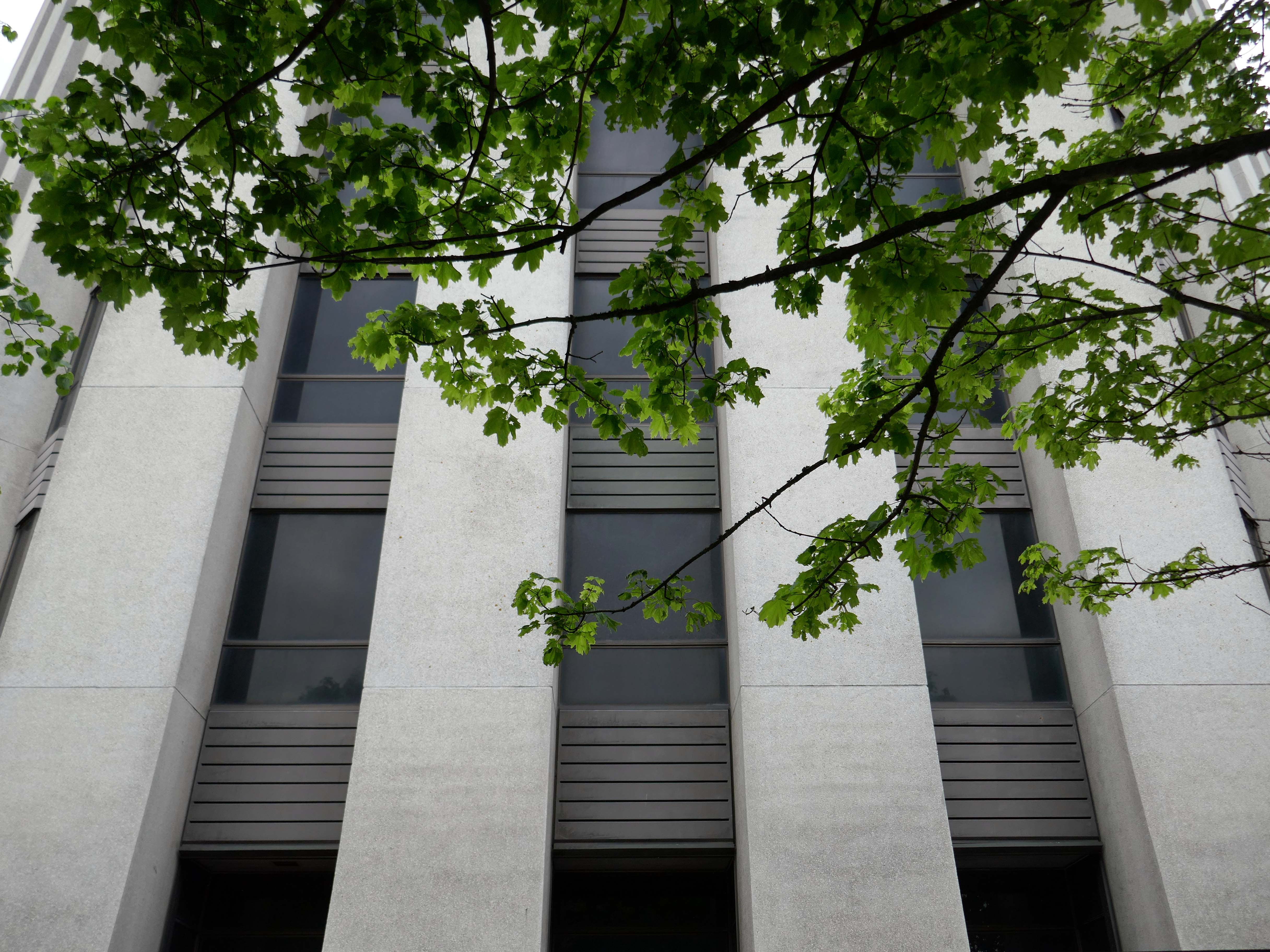
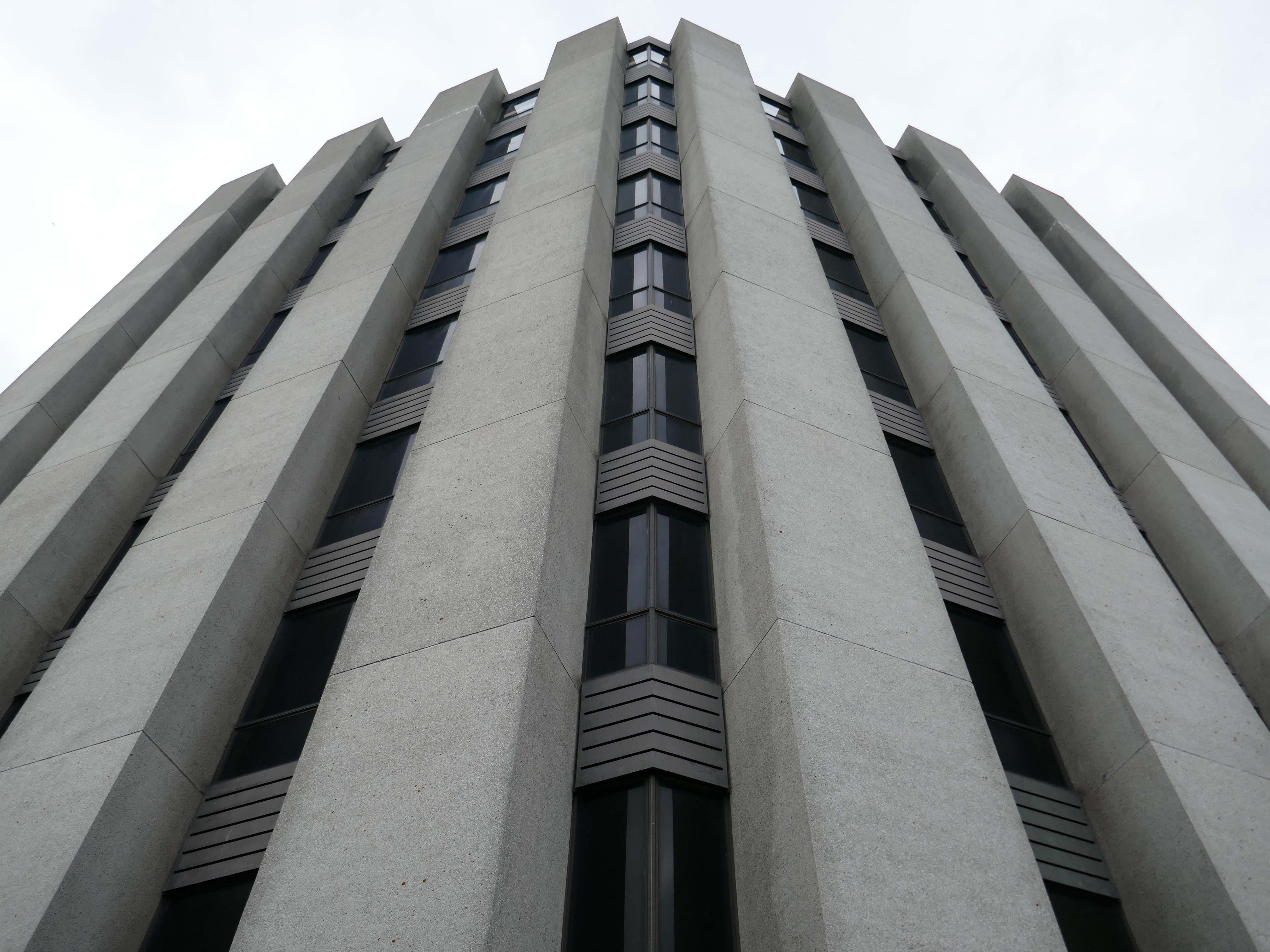
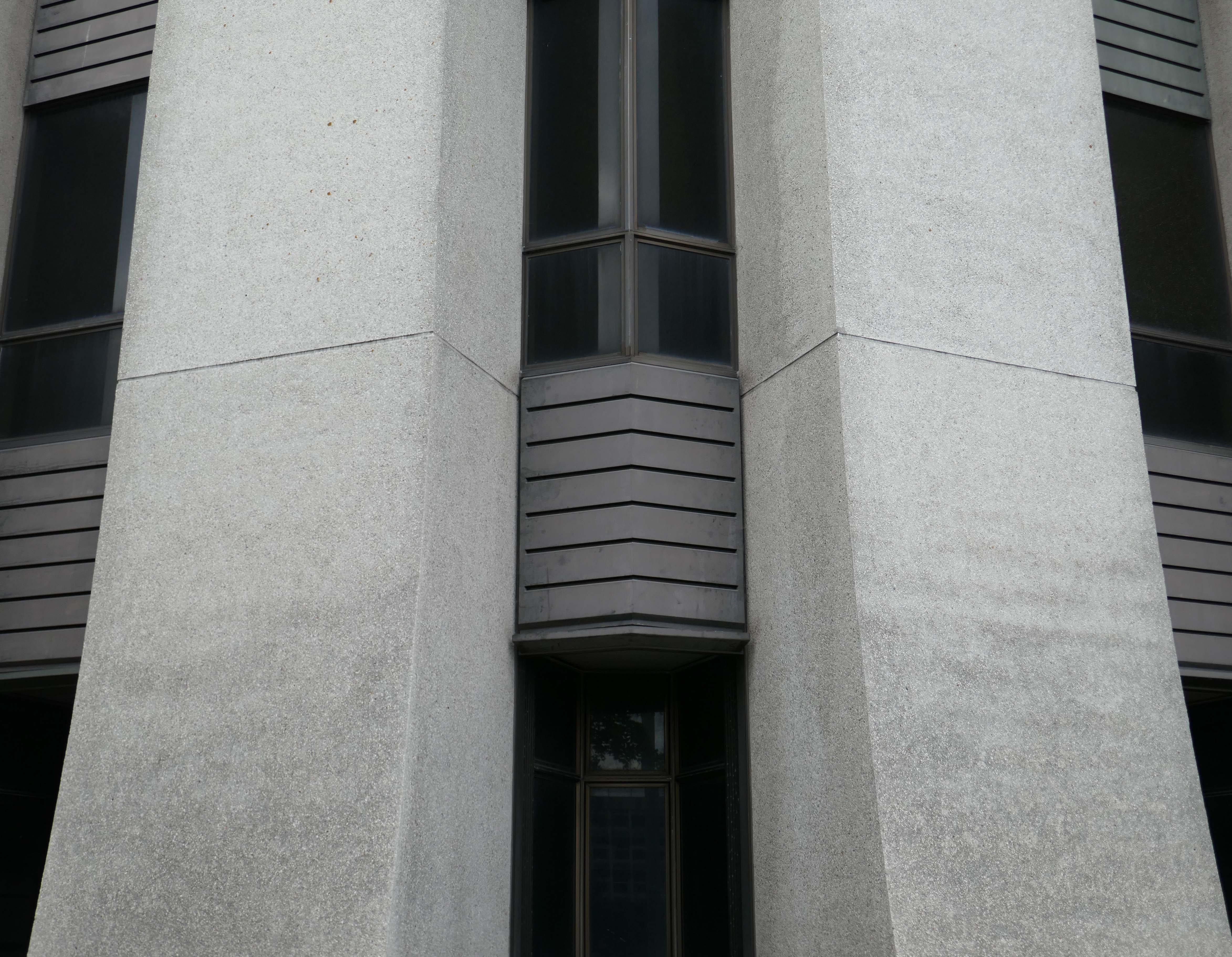
The Denys Wilkinson Building was designed by Philip Dowson at Arup in 1967.
The building houses the astrophysics and particle physics sub-departments of the Department of Physics at Oxford University, plus the undergraduate teaching laboratories. It was originally built for the then Department of Nuclear Physics and named the Nuclear Physics Laboratory. From 1988, the building was known as the Nuclear and Astrophysics Laboratory after the Sub-Department of Astrophysics moved from the University Observatory in the Science Area. On 21st June 2002, the building was renamed as the Denys Wilkinson Building, in honour of the British nuclear physicist Sir Denys Wilkinson, who was involved in its original creation.
Denys Wilkinson Building Oxford photo – Webb Aviation.
Department of Nuclear Physics, Oxford Arup Associates 1971 – Colin Westwood RIBA pix.
The University of Oxford is relocating its undergraduate physics practical teaching from the Denys Wilkinson Building amid concerns about the presence of asbestos at the ageing site.
From Michaelmas this year, some practical teaching labs will move to the former Biochemistry and Biological Sciences Teaching Centre, with the remainder moving by Michaelmas 2027. The Biochemistry and Biological Sciences Teaching Centre will be adapted for physics practical teaching. Around six hundred undergraduates currently take part in compulsory practical coursework in the Denys Wilkinson Building across the first three years of Oxford’s physics degrees.
A University spokesperson told Cherwell that the decision to relocate had been taken proactively to avoid the risk of a sudden building failure causing disruption later. The spokesperson added that the Denys Wilkinson Building:
Is being carefully managed through the later years of its usable life, adding that the building has some legacy issues, including asbestos.
Originally completed in 1967, the building had not been maintained and required significant repairs to the roof structure of the accelerator tower, which had suffered from prolonged water ingress.
All defects were identified through a hammer test survey and thorough visual inspection, the original concrete was broken out back to a sound substrate and was square cut to depth of 10mm, thus preventing featheredging of the subsequent repair.
Exposed reinforcement was mechanically wire brushed, and prepared using high performing and sustainable products from Sika. Treated with Sika Monotop 1010; a bonding primer and corrosion protection, followed by the application of Sika Monotop 4012; a concrete repair mortar, to the original surface levels.
This building has been assessed under the Planning – Listed Buildings and Conservation Areas Act 1990 as amended for its special architectural or historic interest. The asset currently does not meet the criteria for listing.
It is not listed – the Secretary of State for Culture, Media and Sport disagreed with Historic England’s recommendation for this case23rd July 2015.
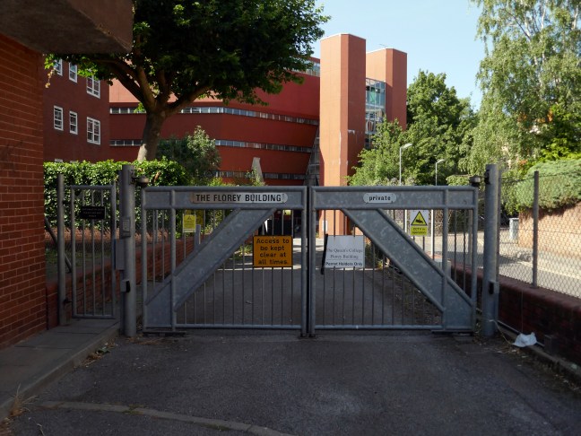
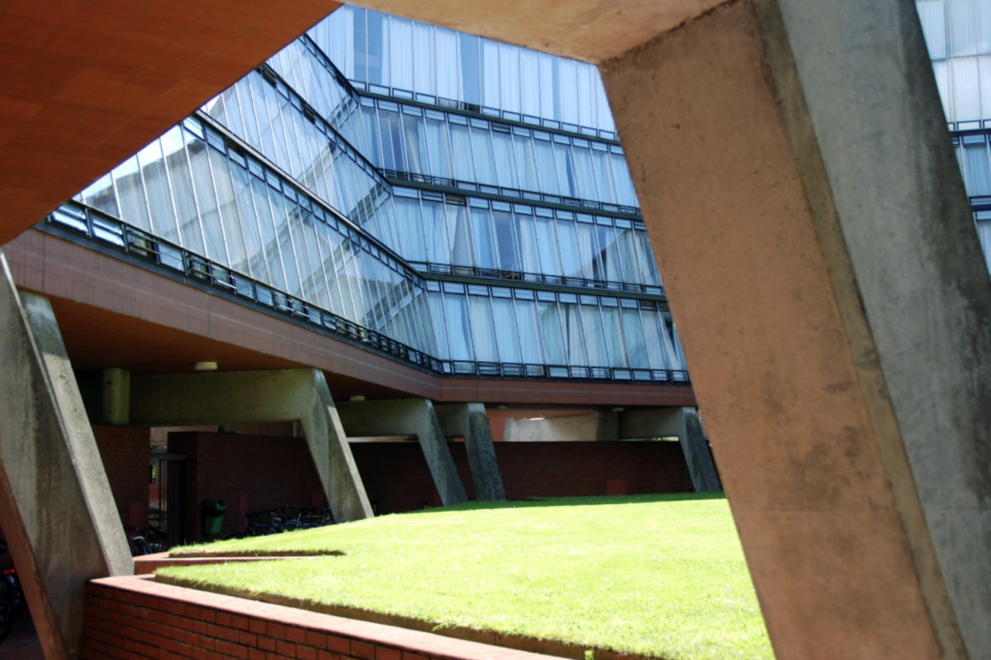
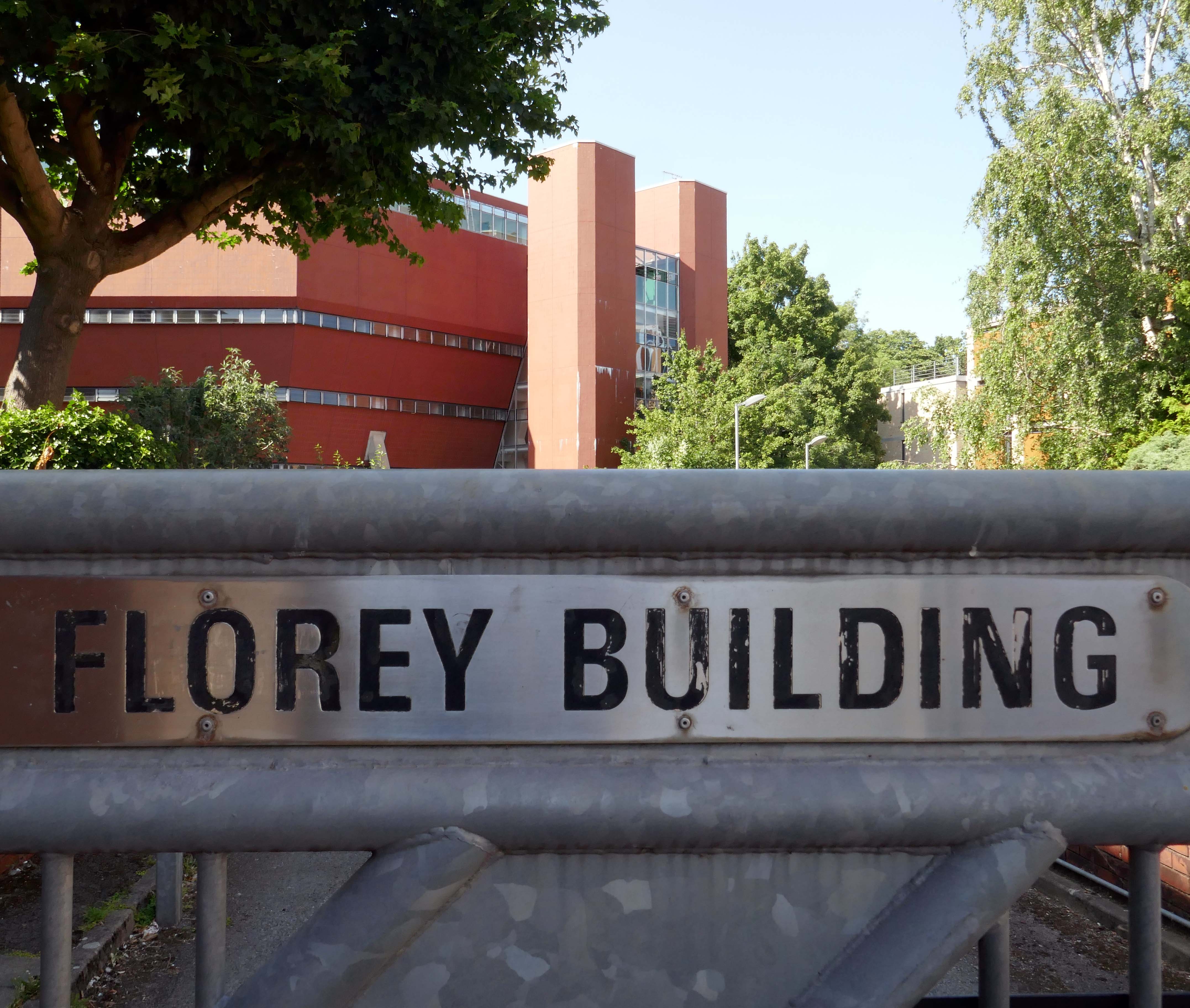
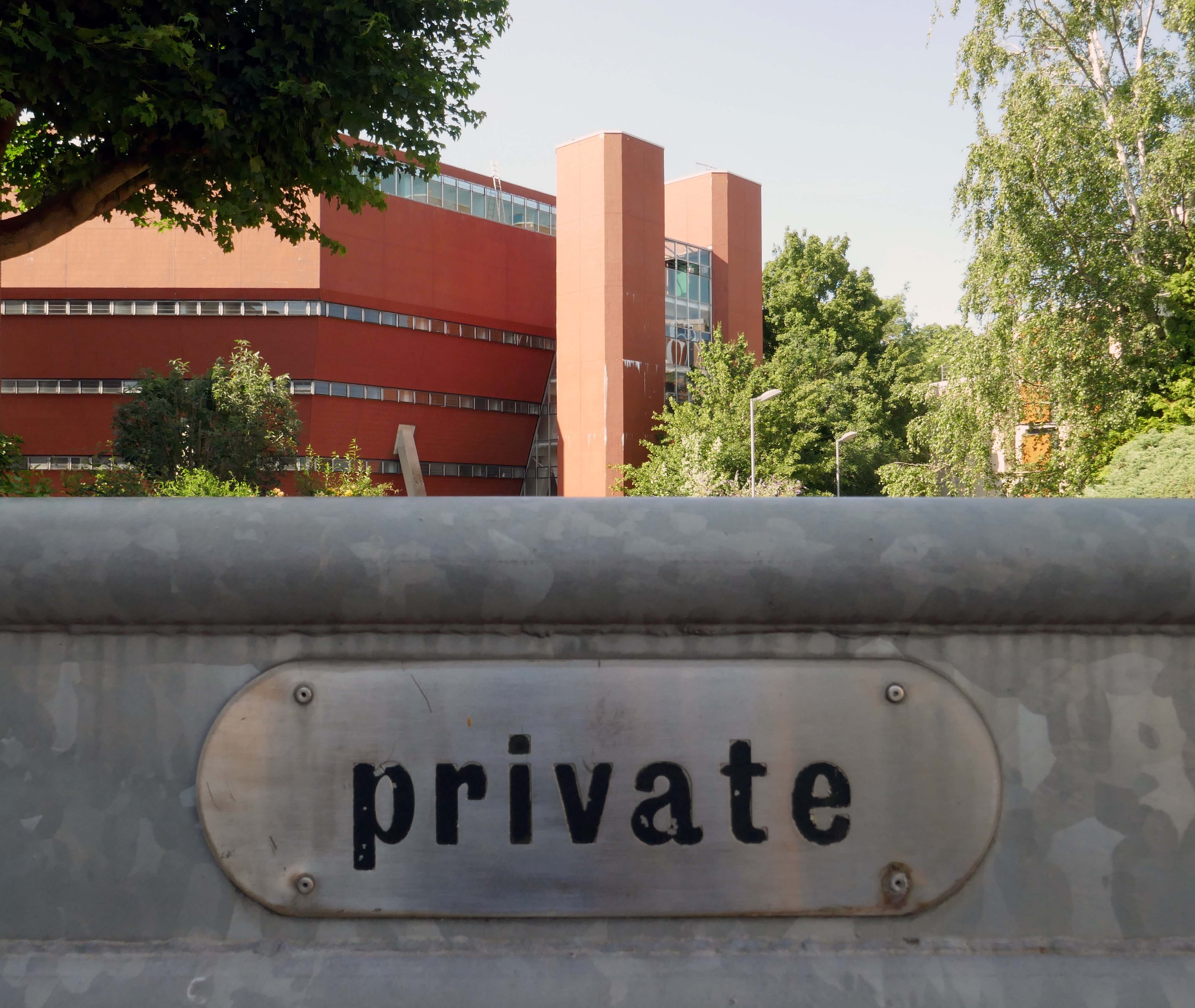
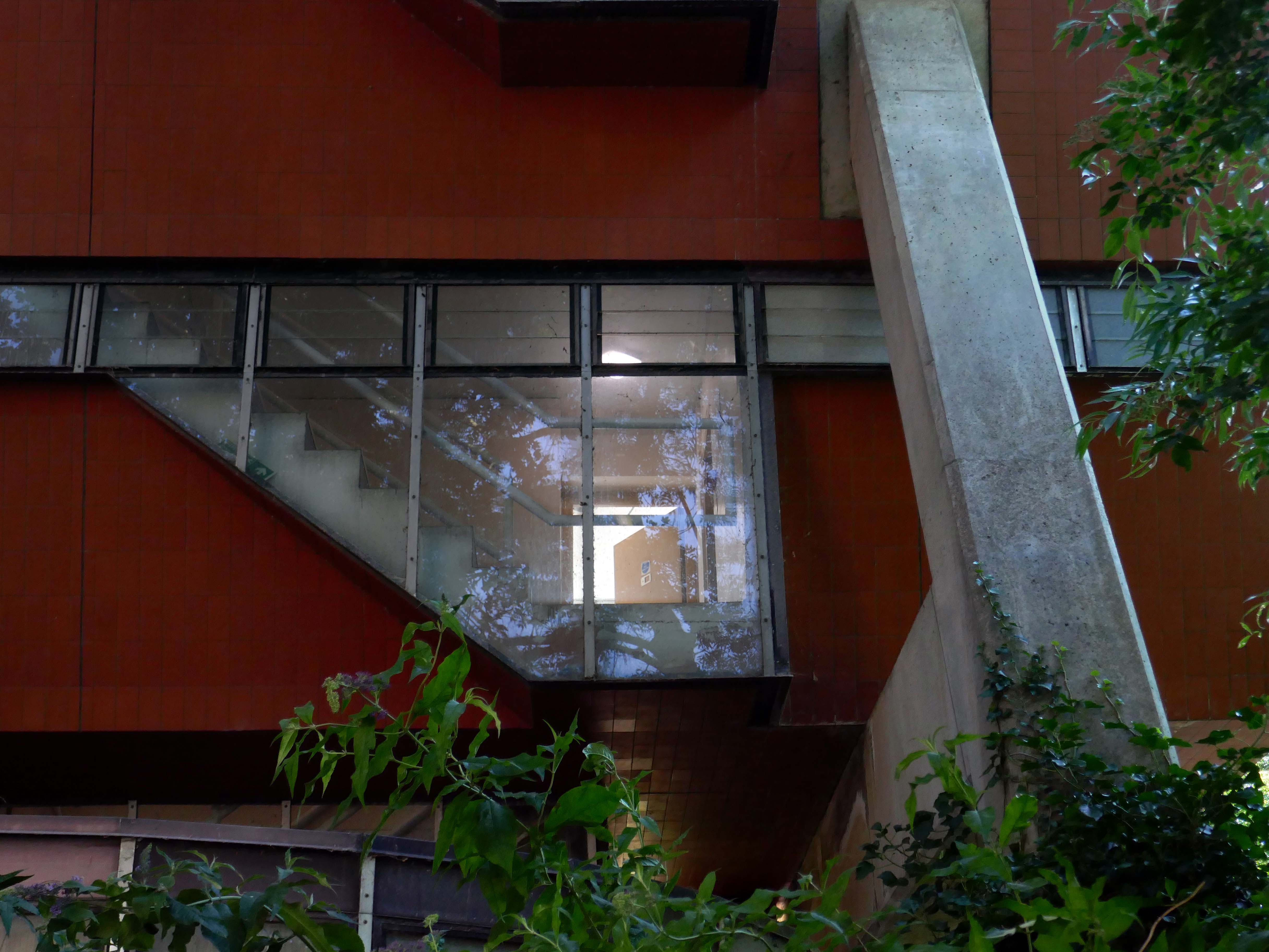
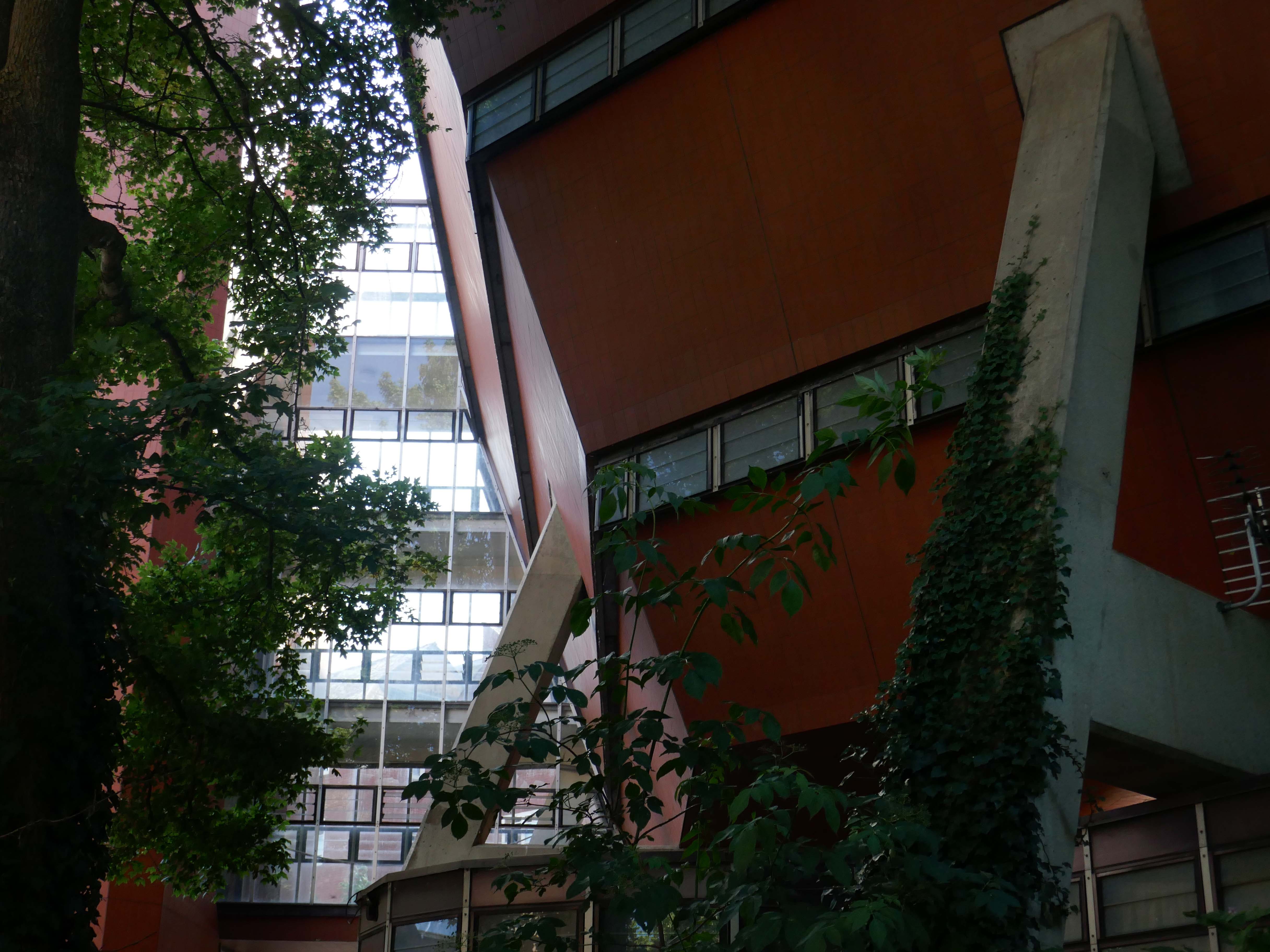
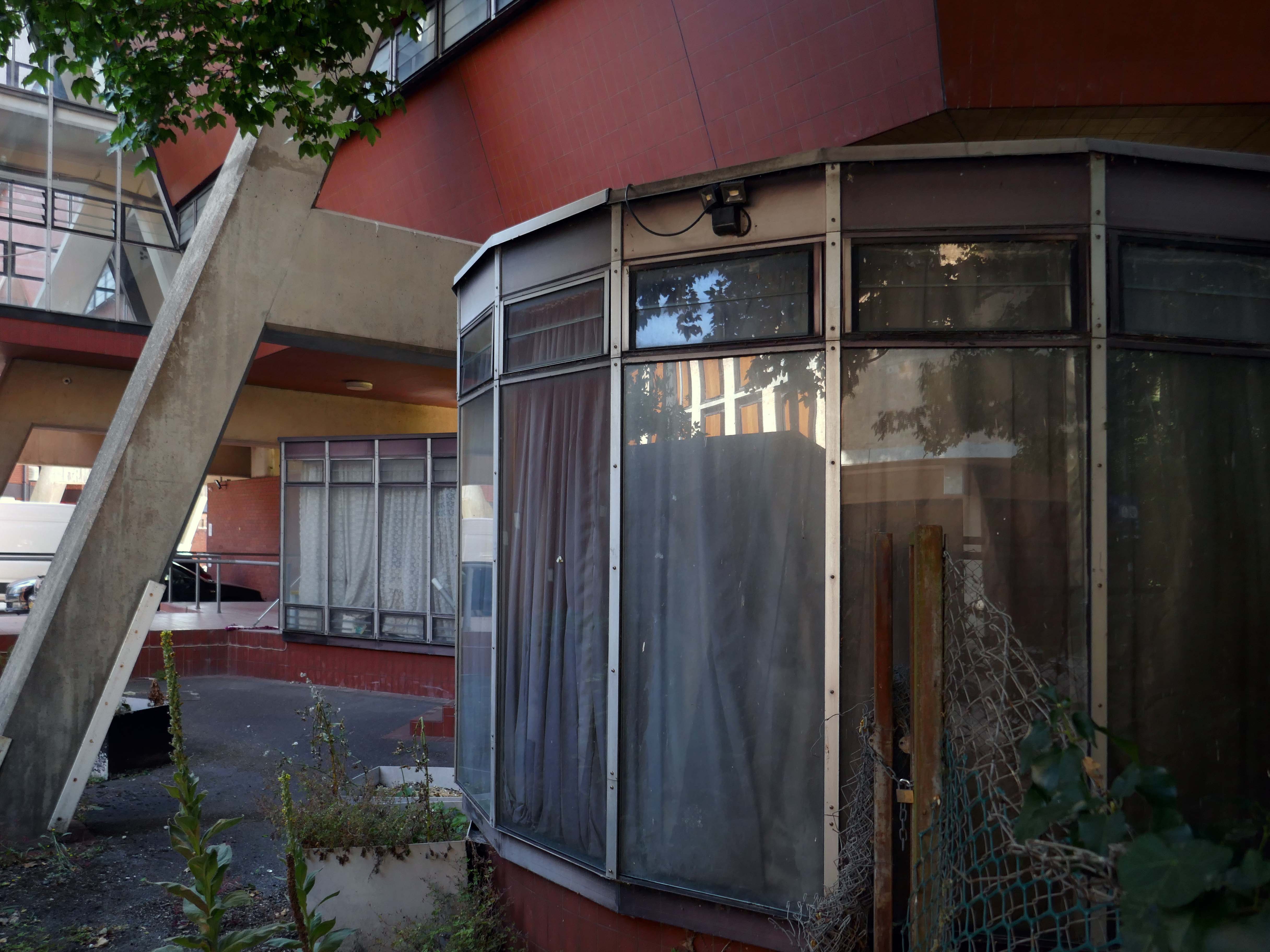
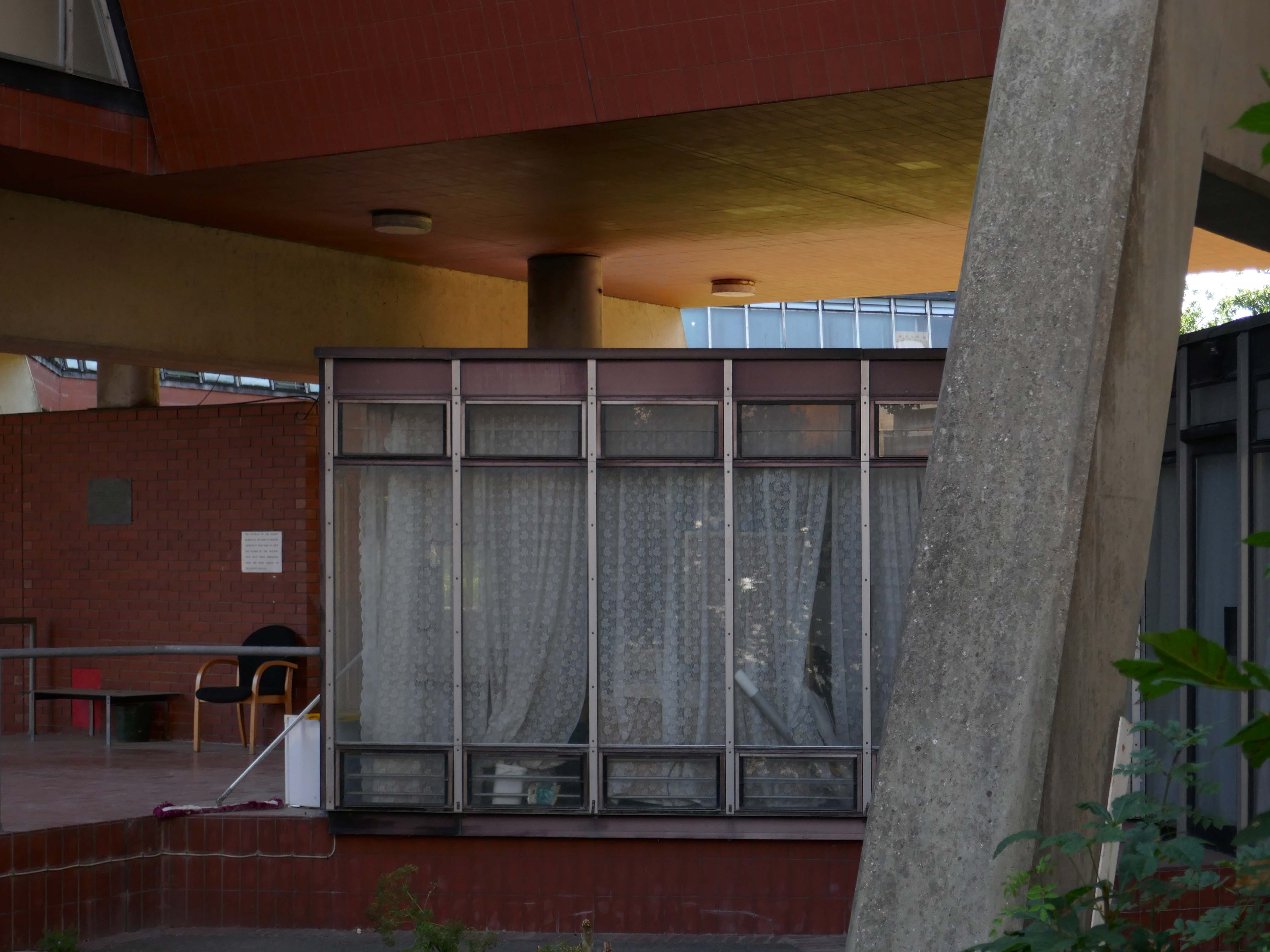
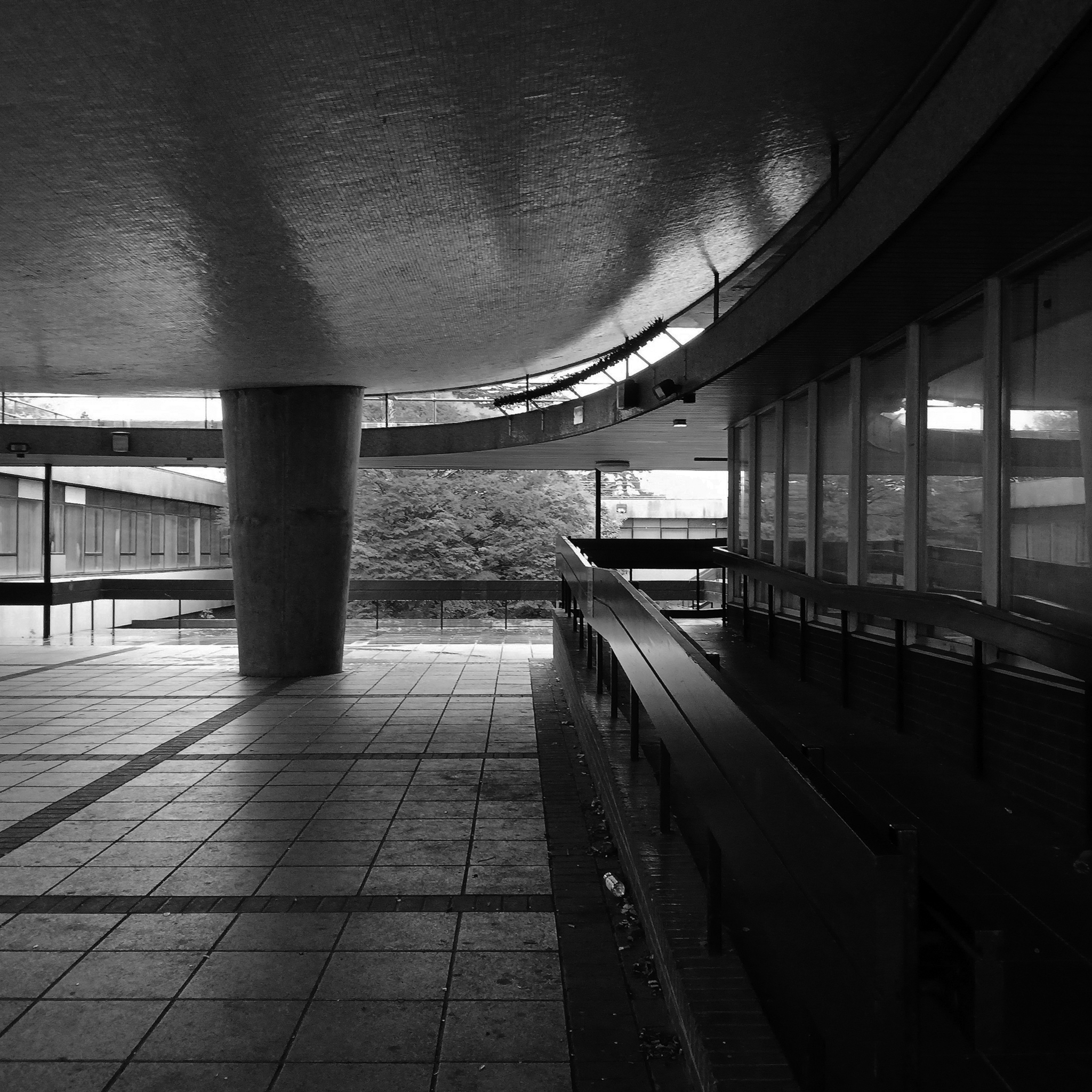
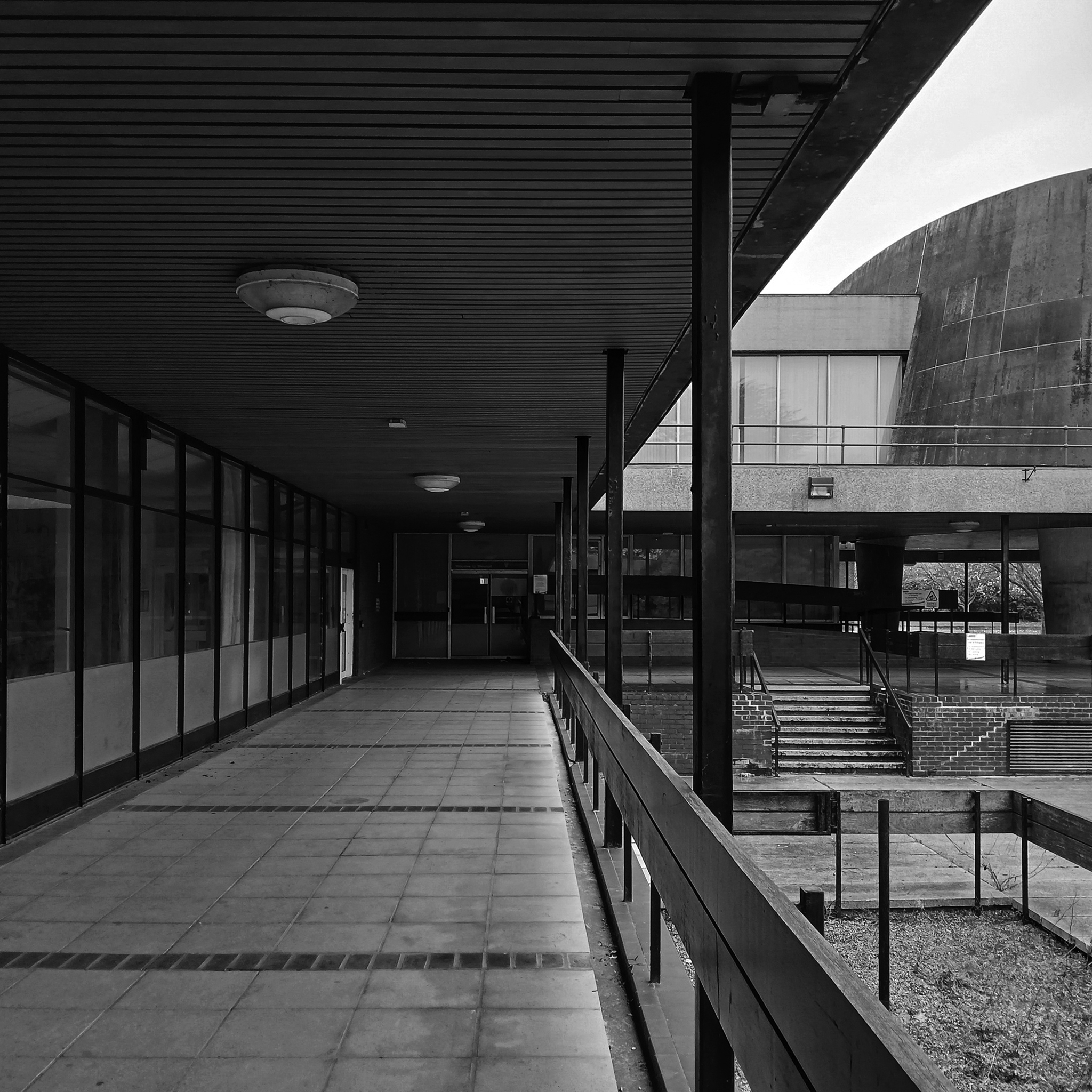
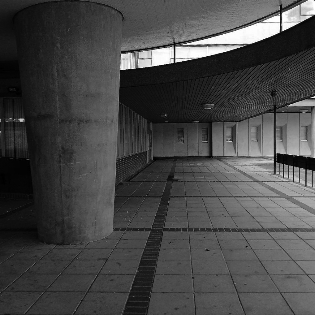
Designed by James Stirling and Partners in 1966-1967 for Queen’s College, Oxford, and built 1968-1971, with Roy Cameron as associate, and Frank Newby of F J Samuely and Partners as engineer.
RIBA pix 2005 Jeremy Harrison
Listed at Grade II* for the following principal reasons:
* as a highly significant work by Sir James Stirling, one of Britain’s foremost post-war architects;
* as the last of a triumvirate of university buildings that are without doubt amongst Stirling’s most significant works in England;
* as a highly creative re-working of a familiar formal language, executed with masterful handling of form and colour, characteristic of Stirling’s style;
* for the high degree of survival of the original plan form, fixtures and fittings, which have been little altered since the building’s completion, including but not limited to the bedrooms, porter’s lodge, and breakfast room;
* as a distinctive and popular piece of post-war university architecture.
On the day of my visit the building was secured and in a state of semi-dereliction, mothballed by the owners TheQueens College Oxford.
There have been plans and a competition for refurbishment:
Perhaps the most charismatic of James Stirling’s surviving buildings; the Florey Building is hugely admired worldwide for its boldness and heroism.
Despite some practical and infamous failings, the Florey has a cult presence in Oxford: a modernist’s riposte to a city defined by traditional architectural masterworks.
The Queen’s College Fellows seek a dedicated team who are inspired by Stirling’s exhilarating vision. The challenge: to use advances in technology to update the building, provide modern facilities and achieve exemplary energy design.
The competition has now concluded — 27th February 2014
The Queen’s College, Oxford is delighted to announce that the team led by Avanti Architects has won the design competition to update the Grade II listed Florey building, widely regarded as an emblem of modernism. Avanti will now work to develop their scheme for the project and determine construction priorities.
The plans however were poorly received:
Alas the proposal for Florey lets down the practice, the college and most importantly Jim Stirling and the Modernist corpus, with a design that all but wrecks the essence of this unique building.
Alan Berman – founding partner at Berman Guedes Stretton
These proposals must be thrown out and consigned with distaste to the dustbin as a gross violation of Stirling’s intentions.
If permitted, they would constitute the comprehensive betrayal, by alteration, of one of the internationally most important buildings of the 20th century.
Thomas Muirhead – Stirling’s friend and former colleague.
Furthermore there has been a history of criticism of the building:
At the official opening in 1971, the Queen Mother was rumoured to have said it was the ugliest building she had ever seen.
College bursar AA Williams described it as – a structure revolting and inhuman in its hideousness and defective in practically every aspect of its functioning.
Just a year later, students were complaining that it leaked, was noisy, too hot in summer, too cold in winter, they couldn’t stand up straight in the showers, and there were no baths.
Lord Florey, the pioneer of penicillin after whom the building is named put up the money, and was almost the architect’s sole supporter in the college.
This culminated in a legal battle, an intense dislike of the building throughout the college, a reluctance to spend anything but the minimum on maintenance, and decades later, to the possibility of demolition.
Oxford Mail.
So with little institutional love and a soupçon of general loathing, we are left with a Listed building in limbo.
Happily Leicester University are taking care to care for their Stirling building.
Tim Rushton and m’self were cycling from Fishguard to Aberystwyth, as we have in previous years, taking the train from Stockport and setting off on our way through Pembrokeshire and beyond. Modern pilgrims crossing the ancient pilgrim’s route.
This was the second day of our tour, from Aberteifi to Lllandysul.
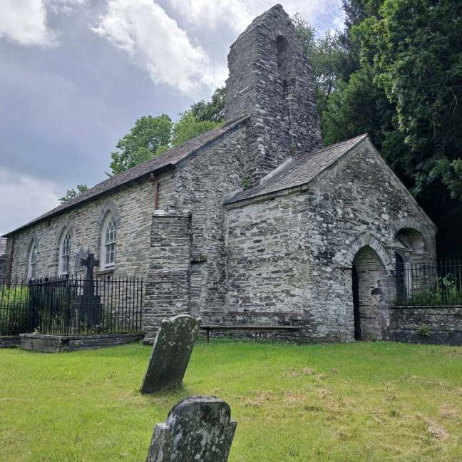
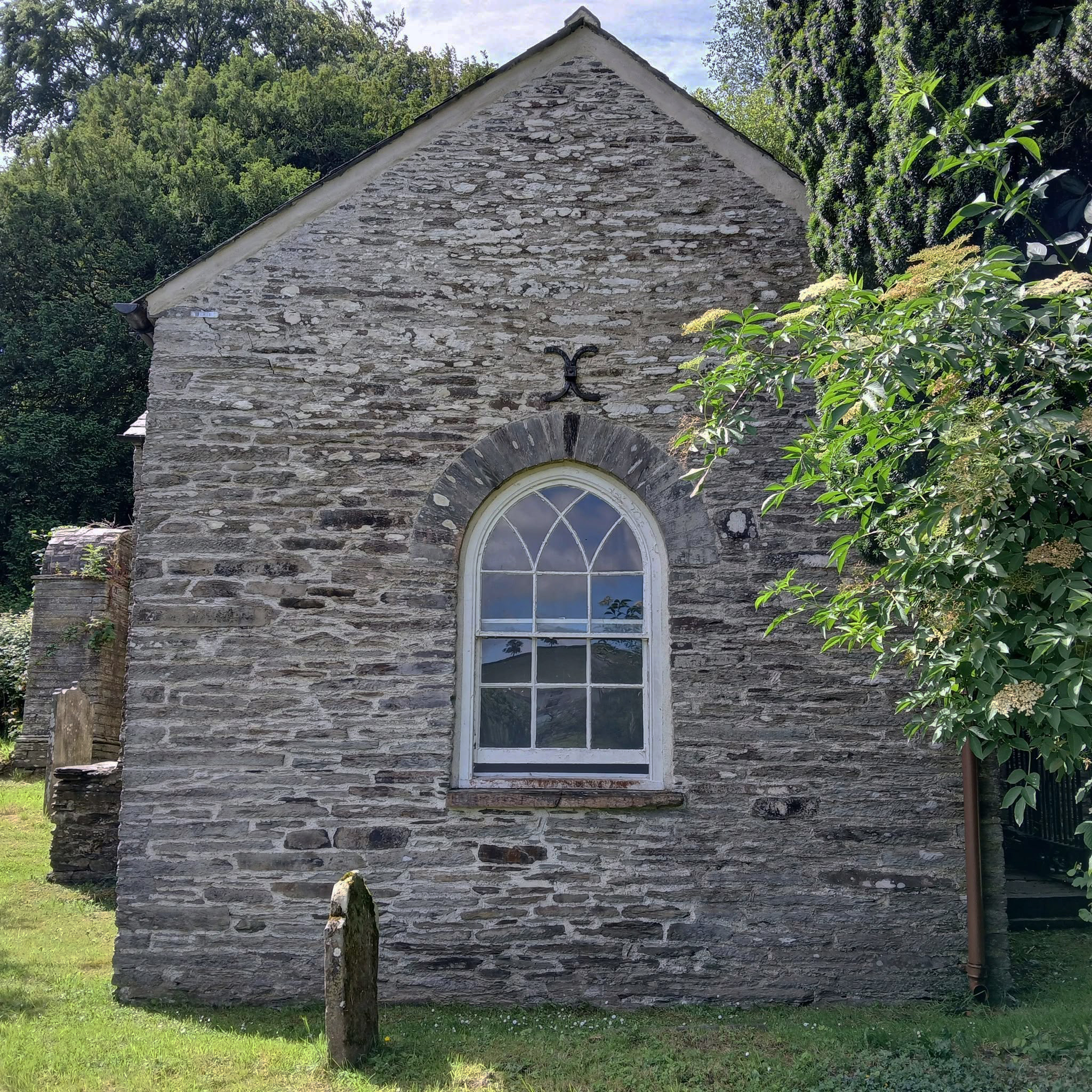
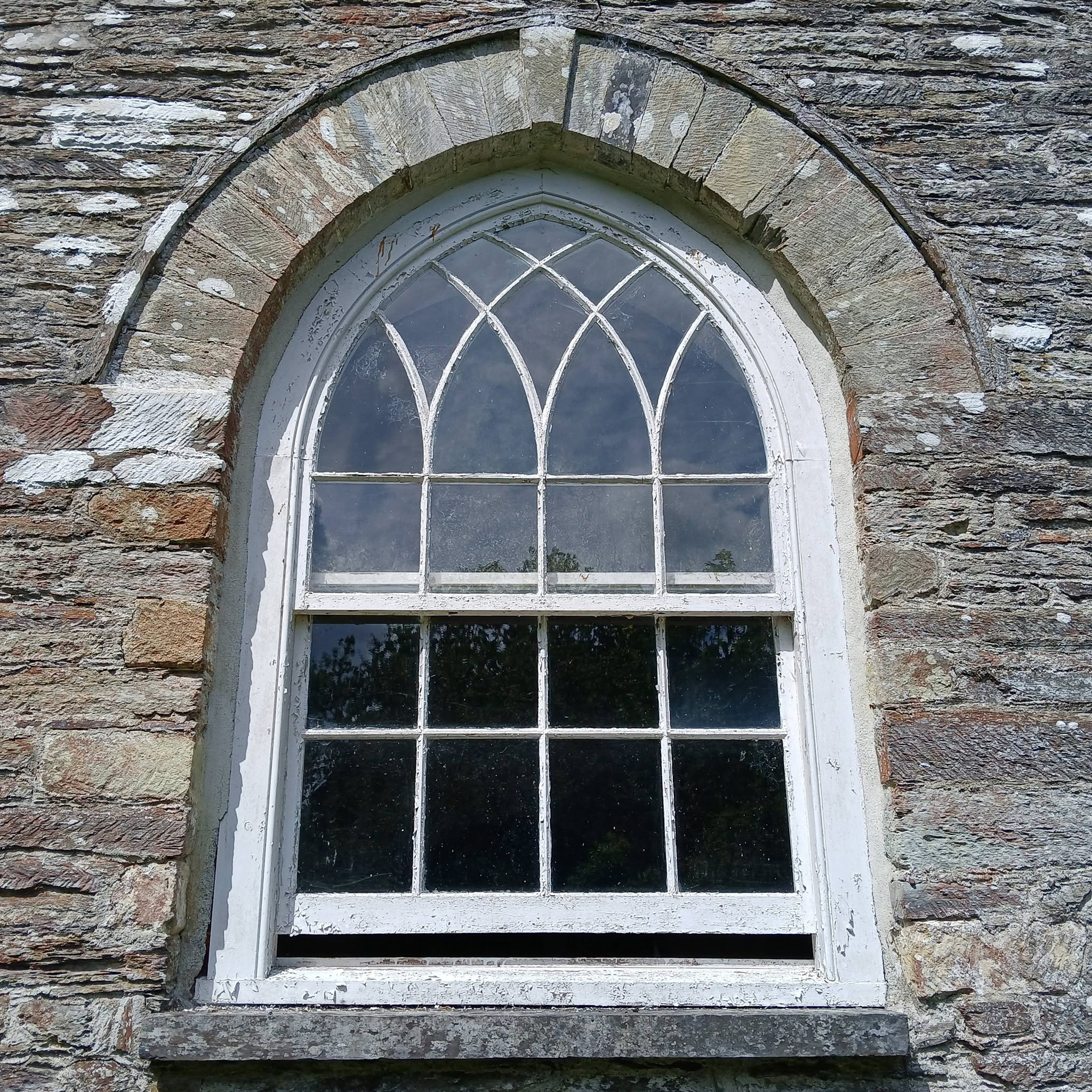
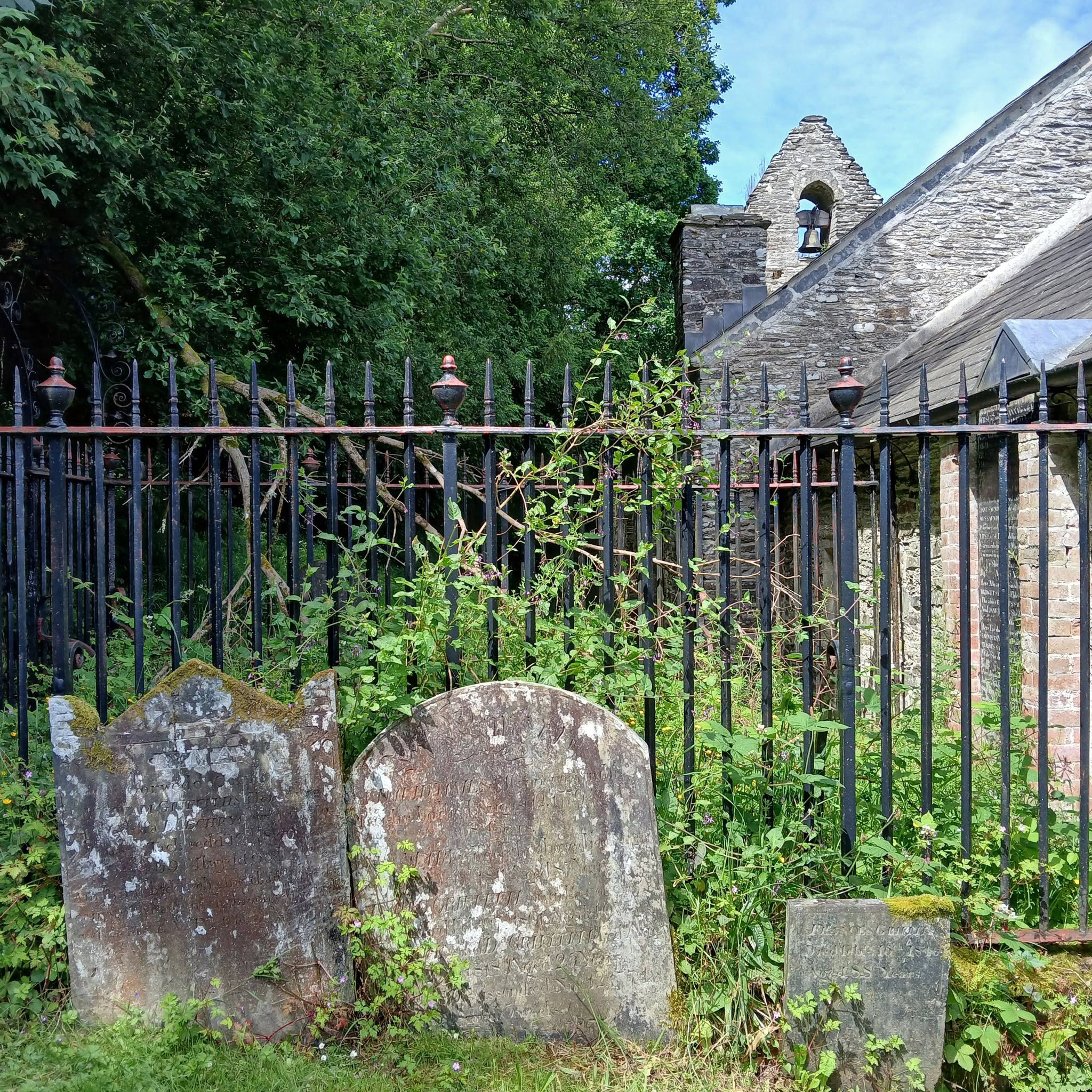
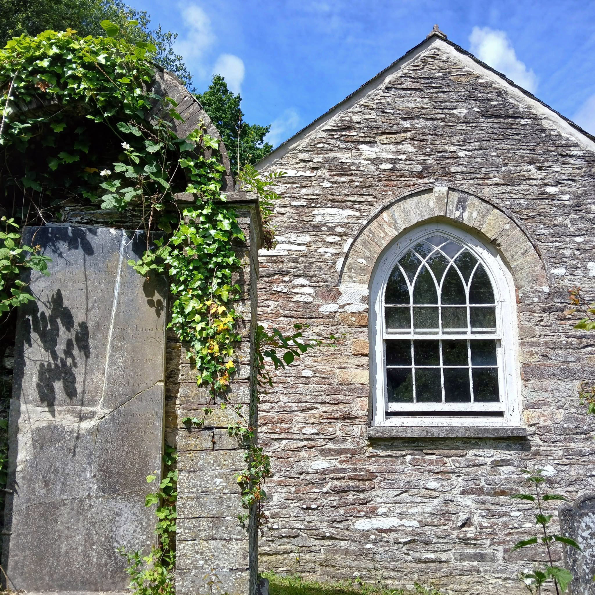
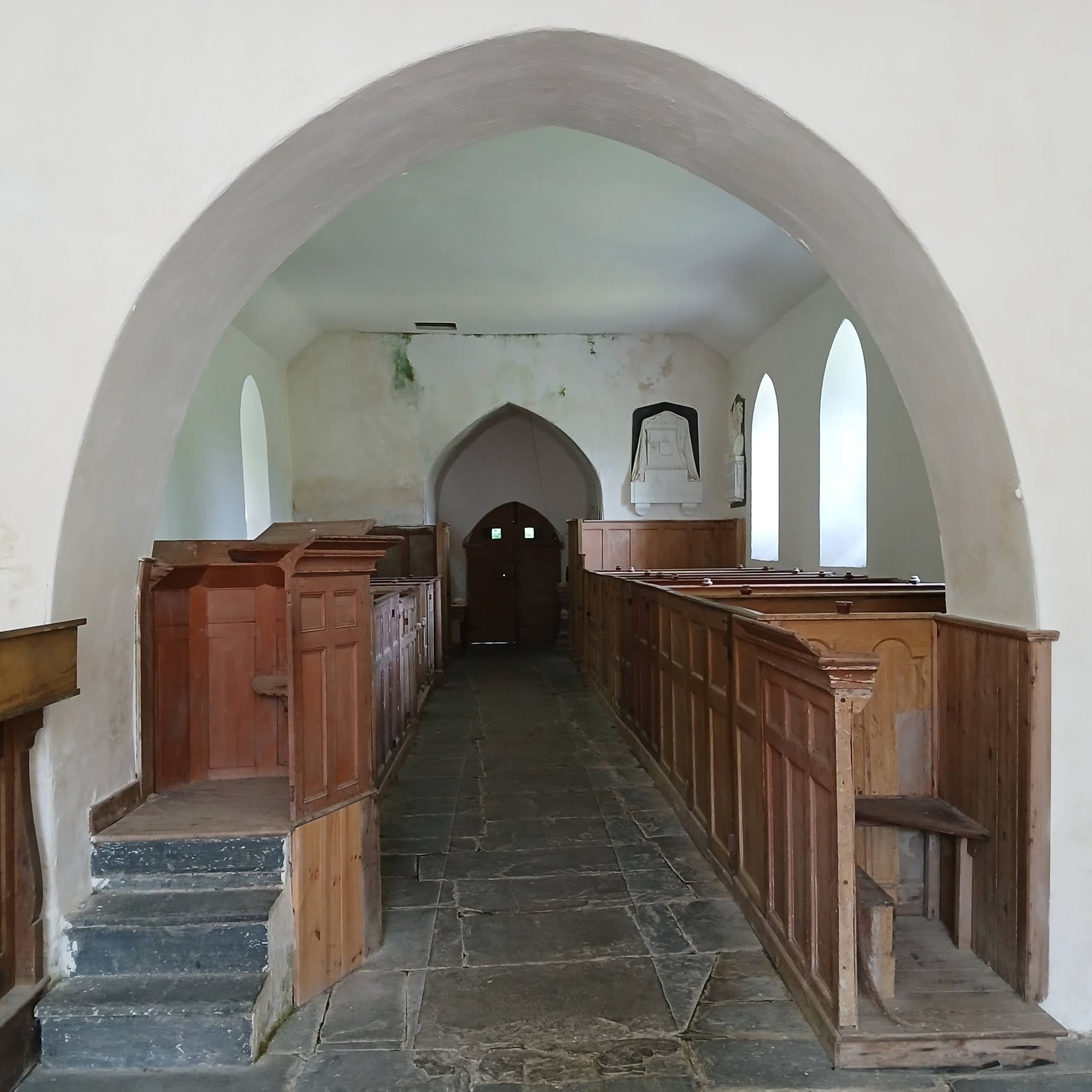
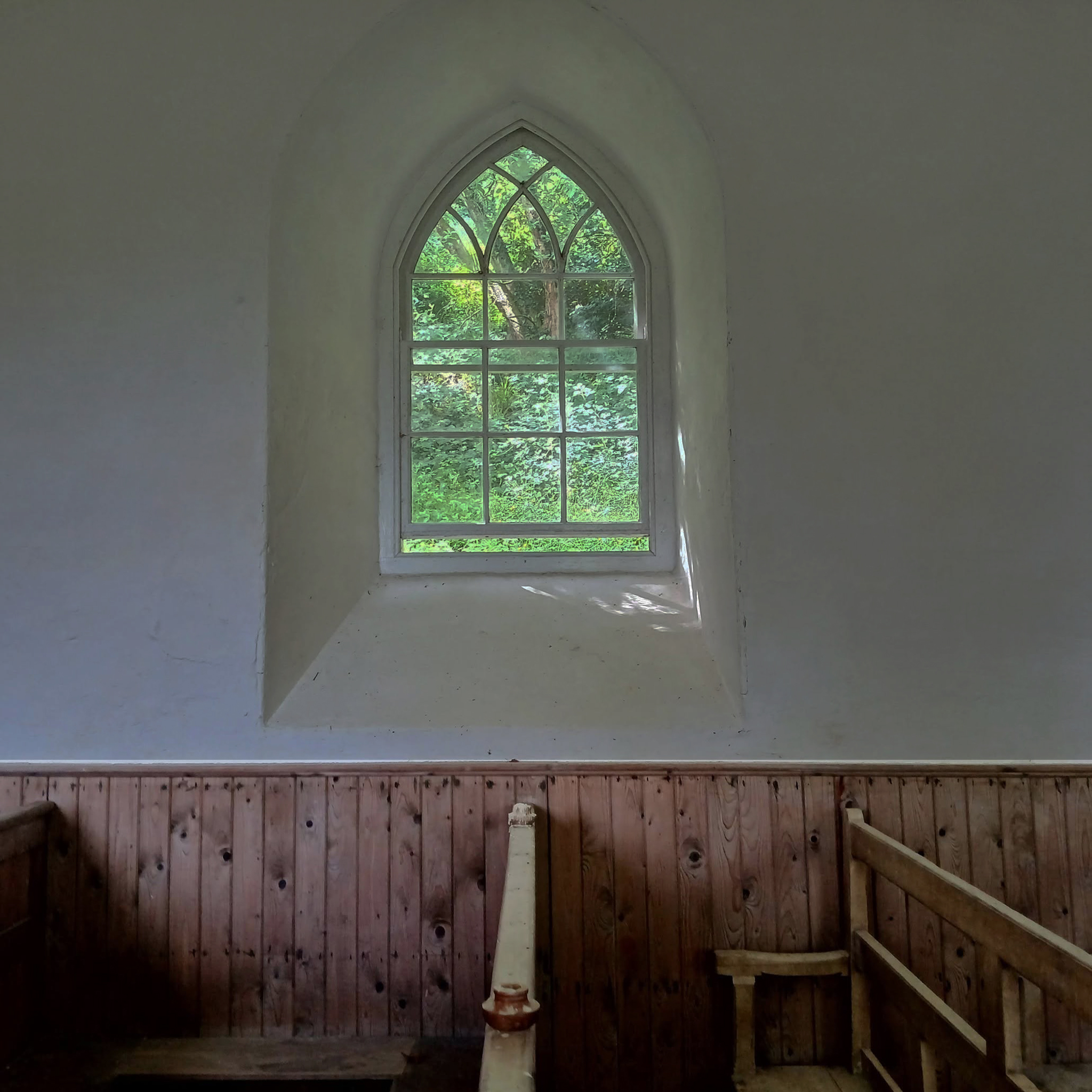
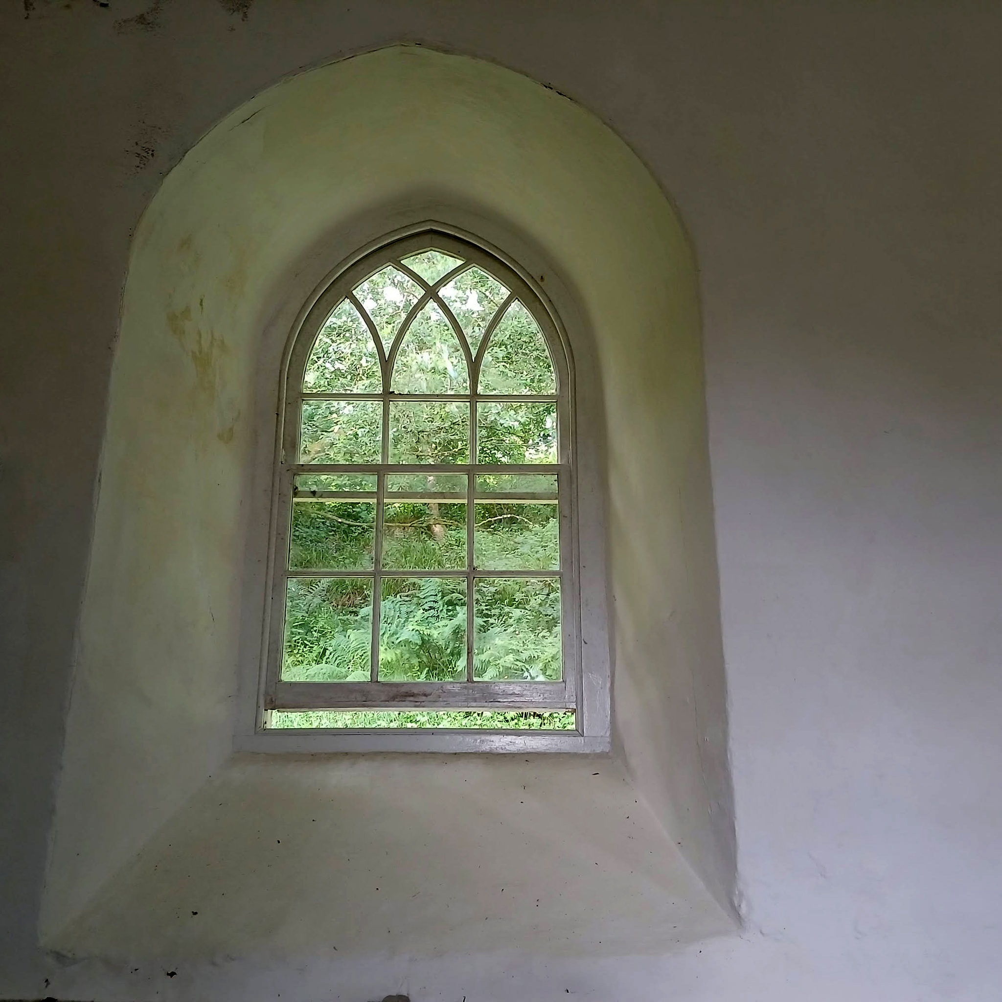
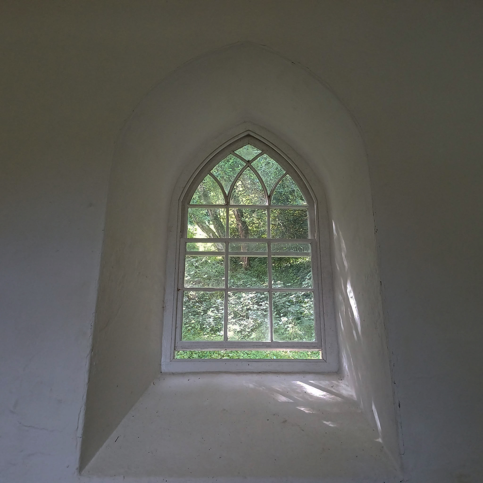
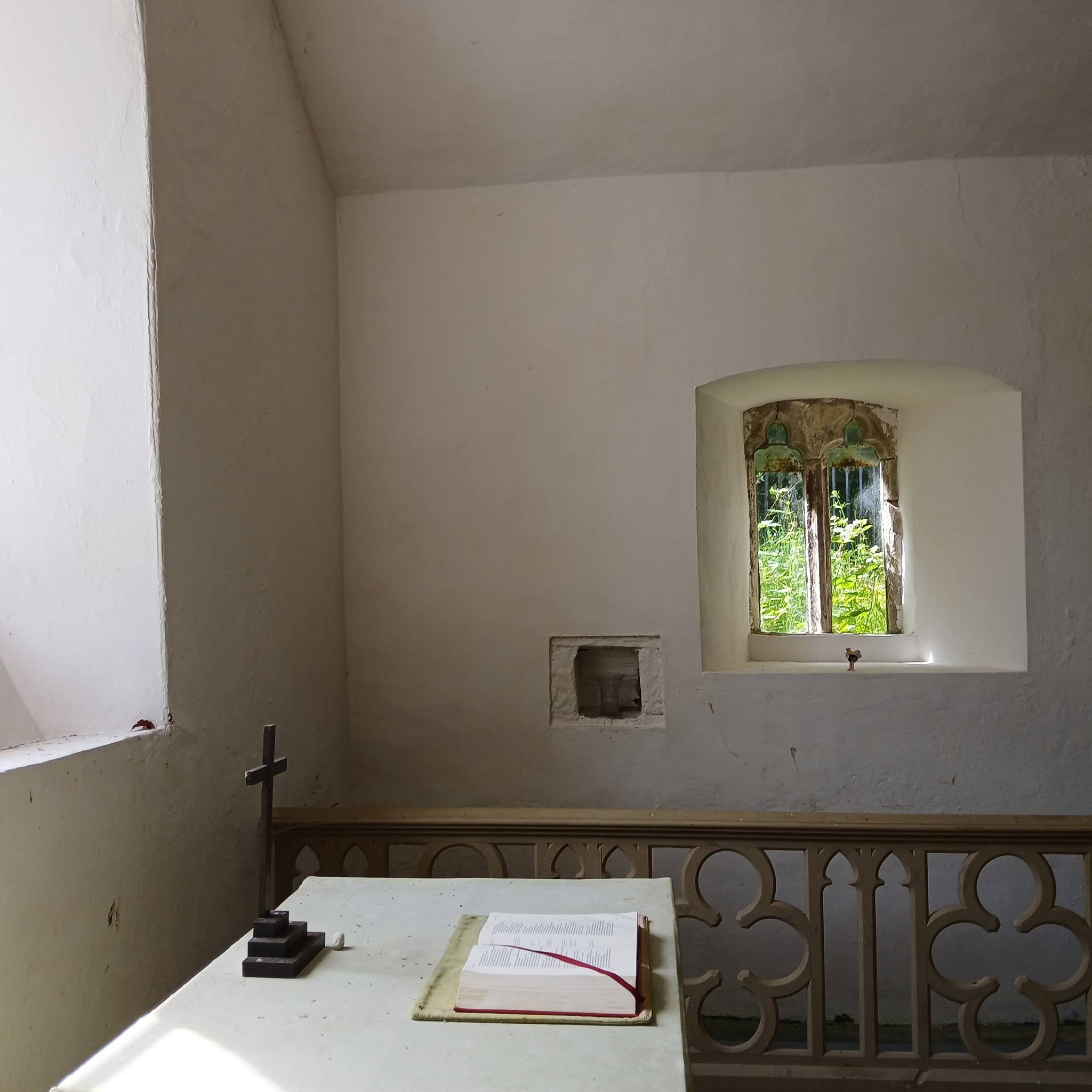
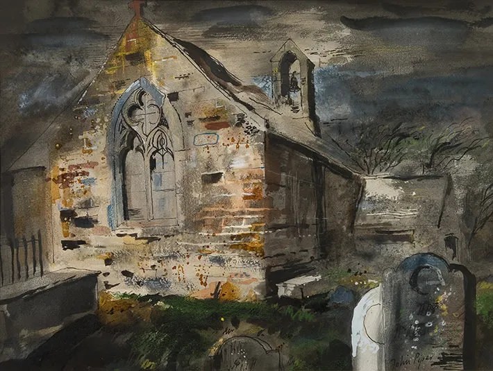
At the end of a long lane that follows the Afon Teifi we saw this low stone church, tucked beneath the rising landscape to the right.
We both share a love of architecture and vernacular churches in particular – Tim, illustrated below, has produced a book on Welsh Chapels.
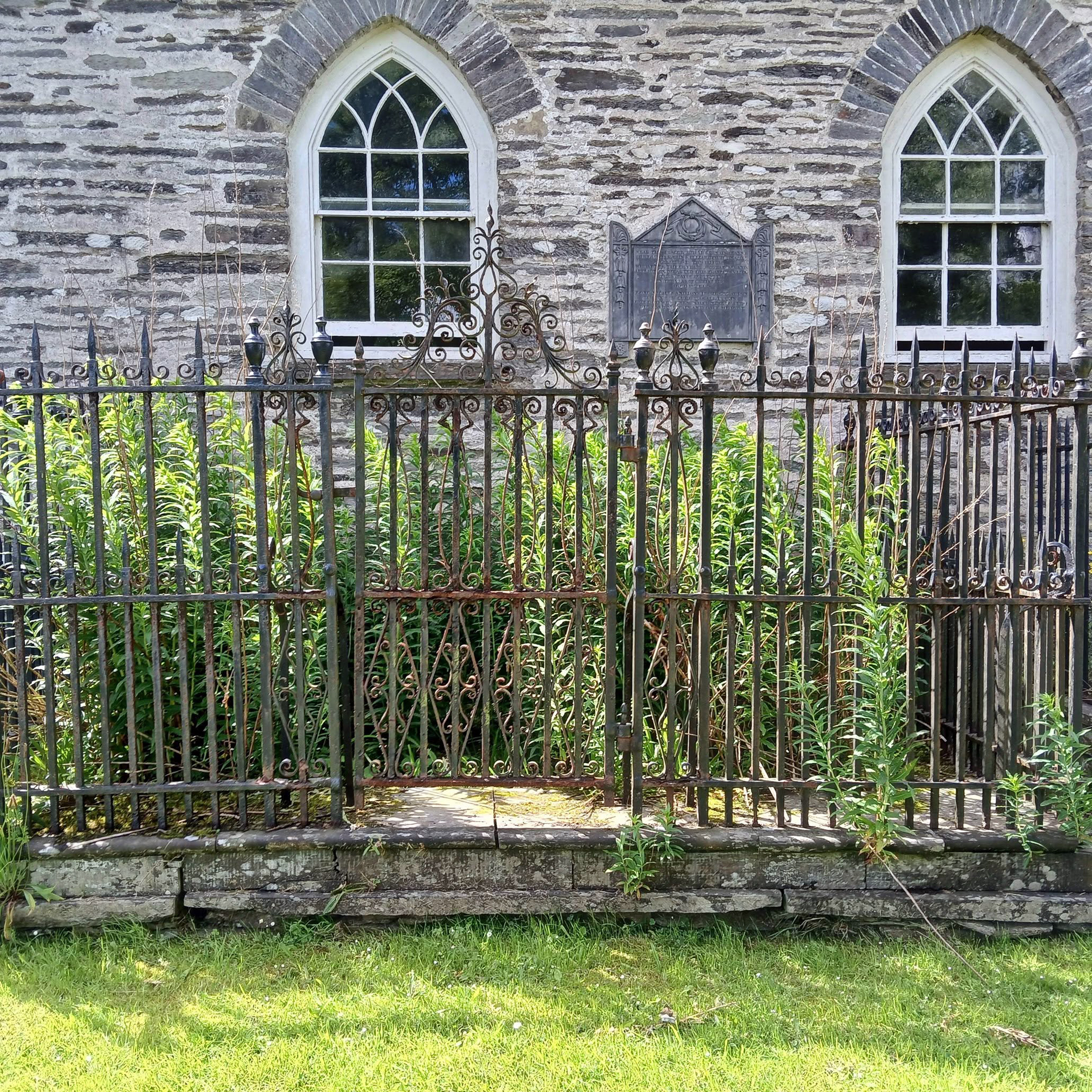
So we stopped to take a look around.
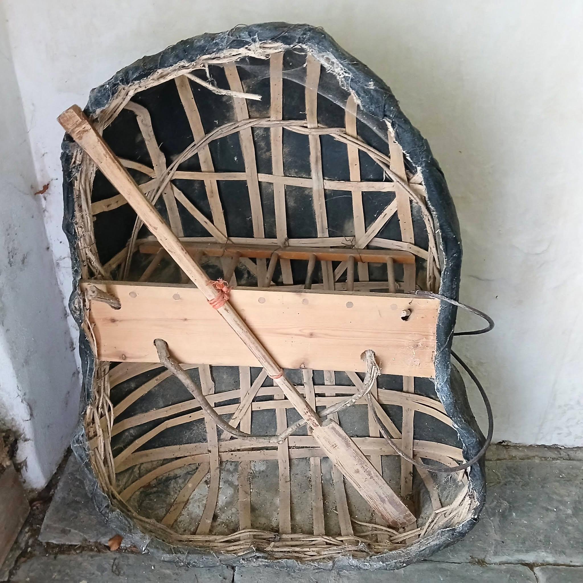
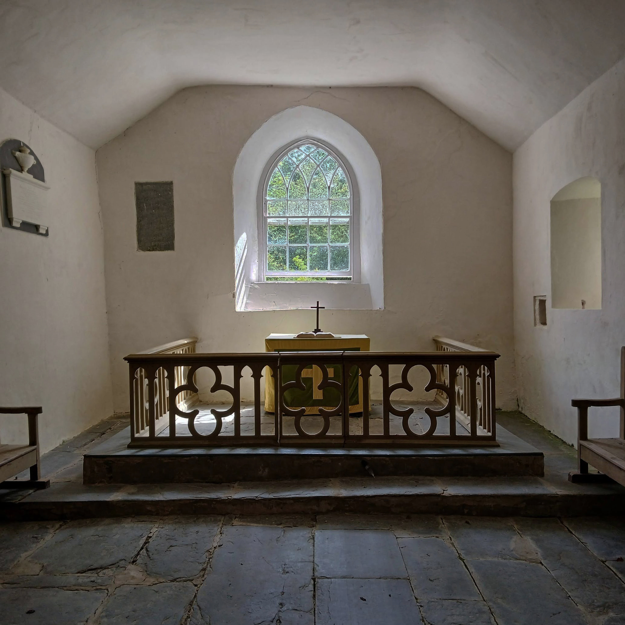
Old St David’s lies on the pilgrimage route to the cathedral of the same dedication and next to the Teifi River. Frequent flooding led to a new church being built on the other side of the river in the 19th century. It also explains why the church has its own coracle, which once ferried worshippers to and fro during a flood. Unfortunately, the church is still prone to flooding, most recently in September 2021.
This is a reproduction as the original was stolen.
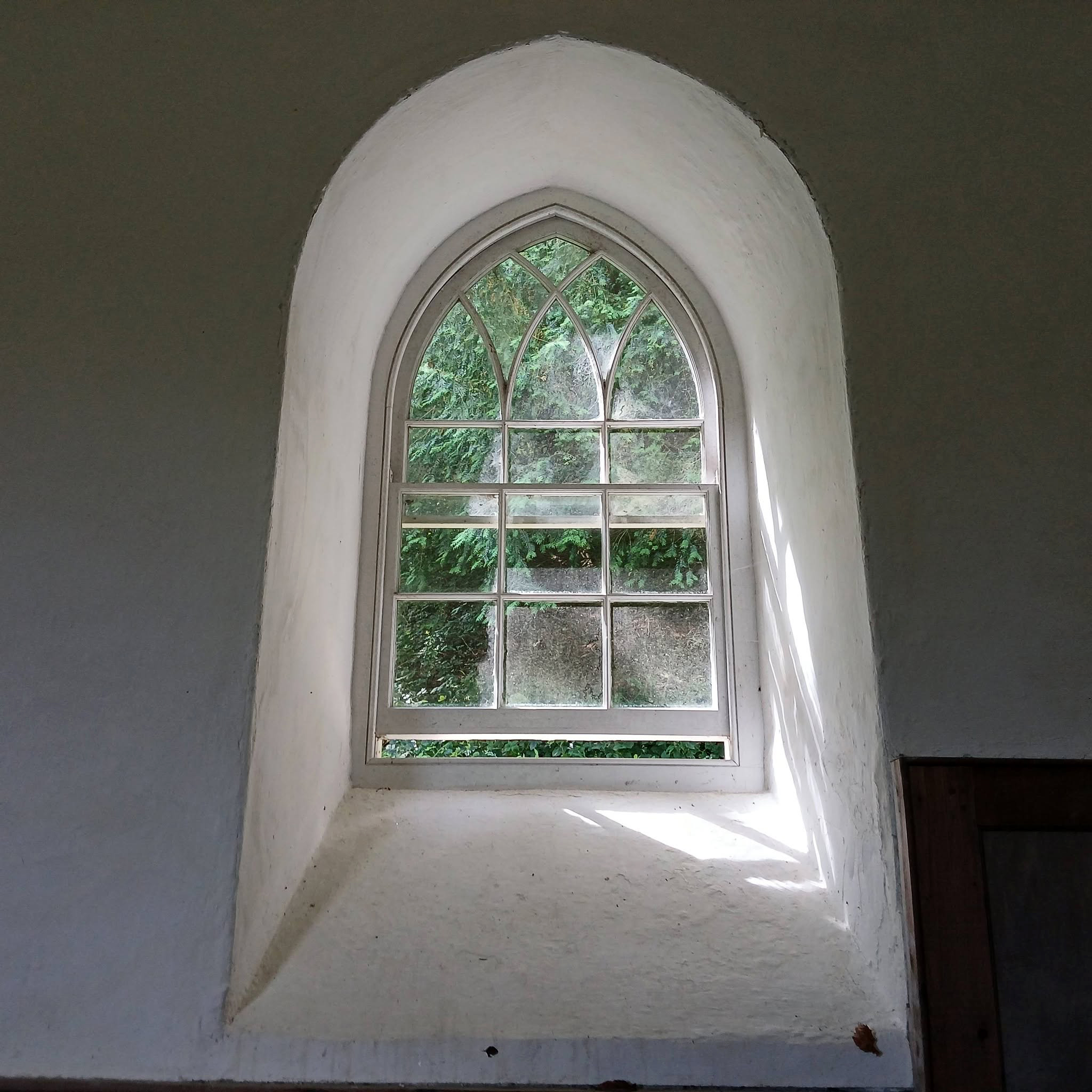
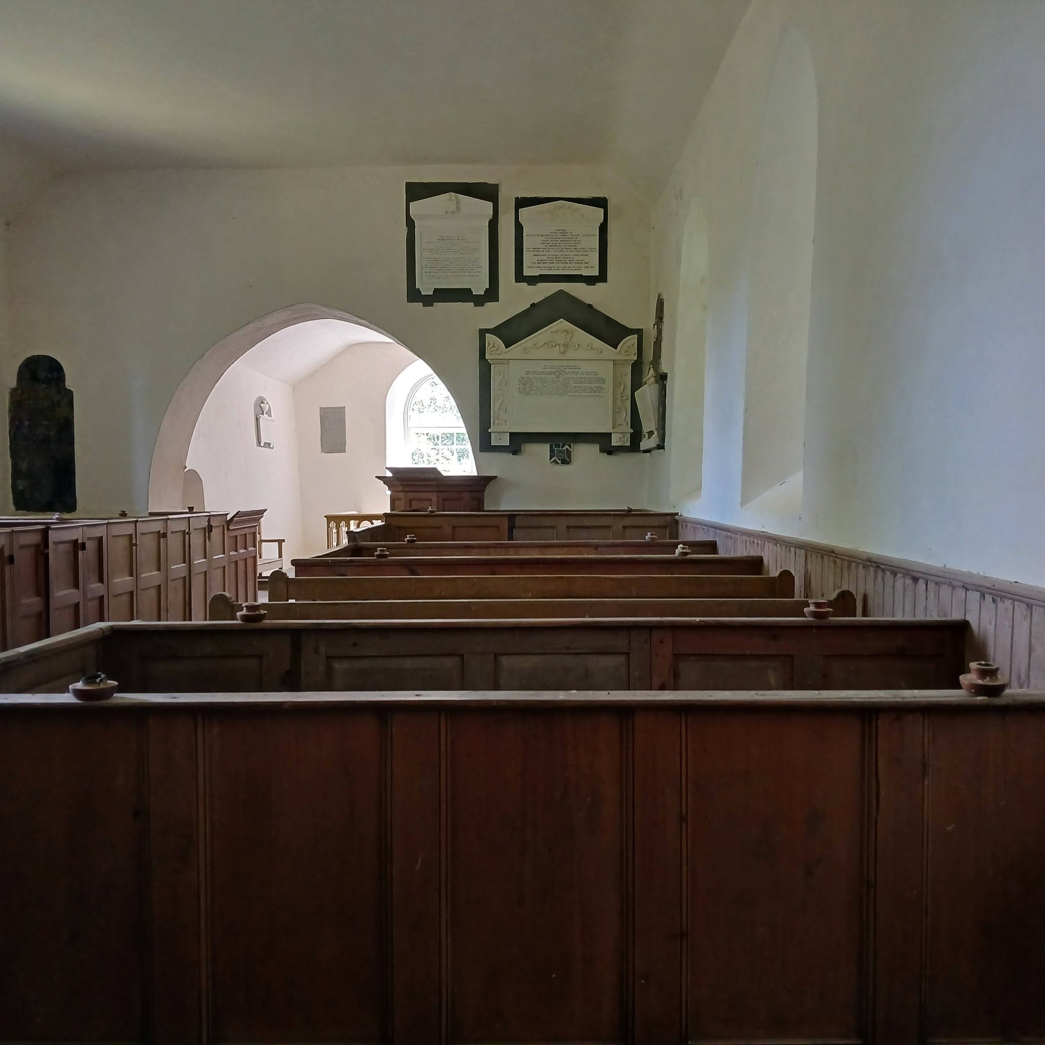
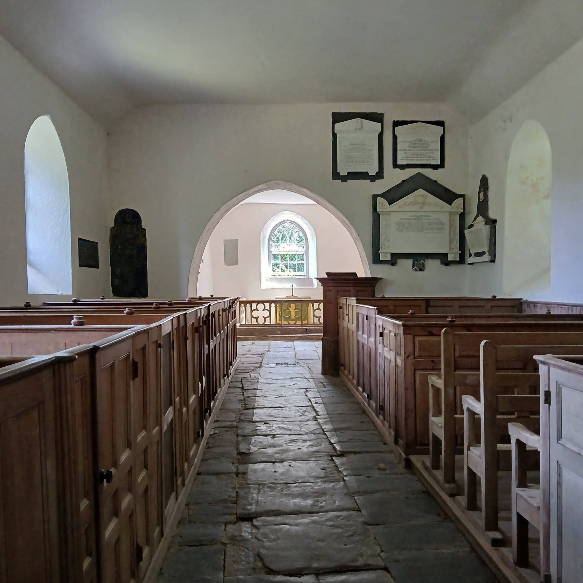
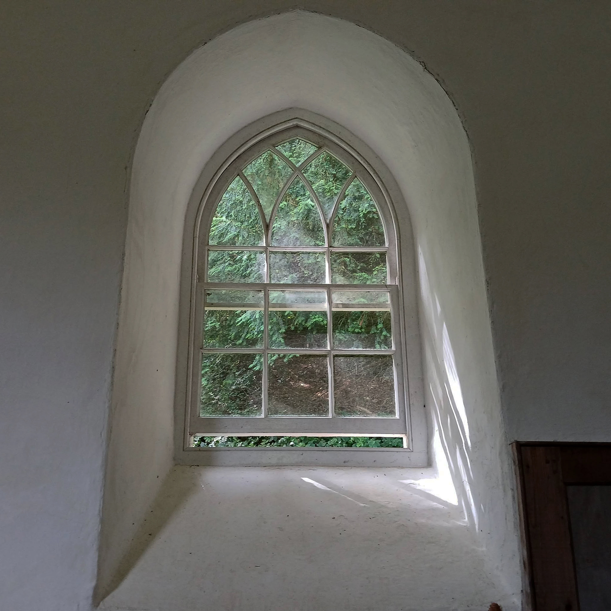
The church you see today is a 13th-century building, remodelled in 1847 to the elegant Georgian Gothick interior. This style was already out of fashion in more urban parts and by 1899, the church had fallen out of regular use.
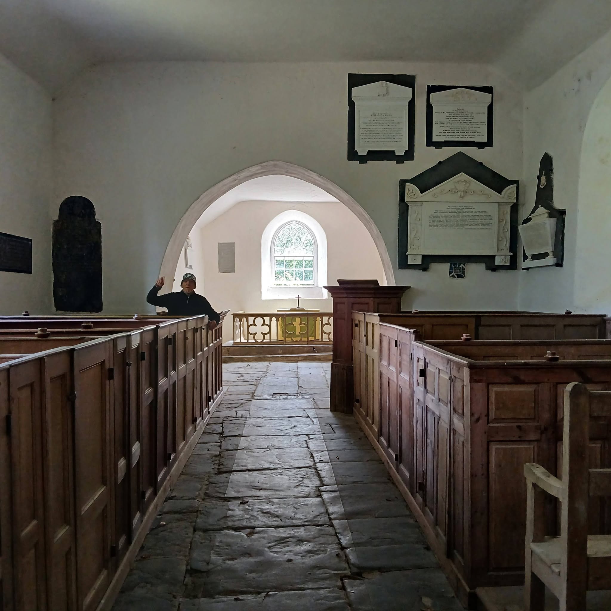
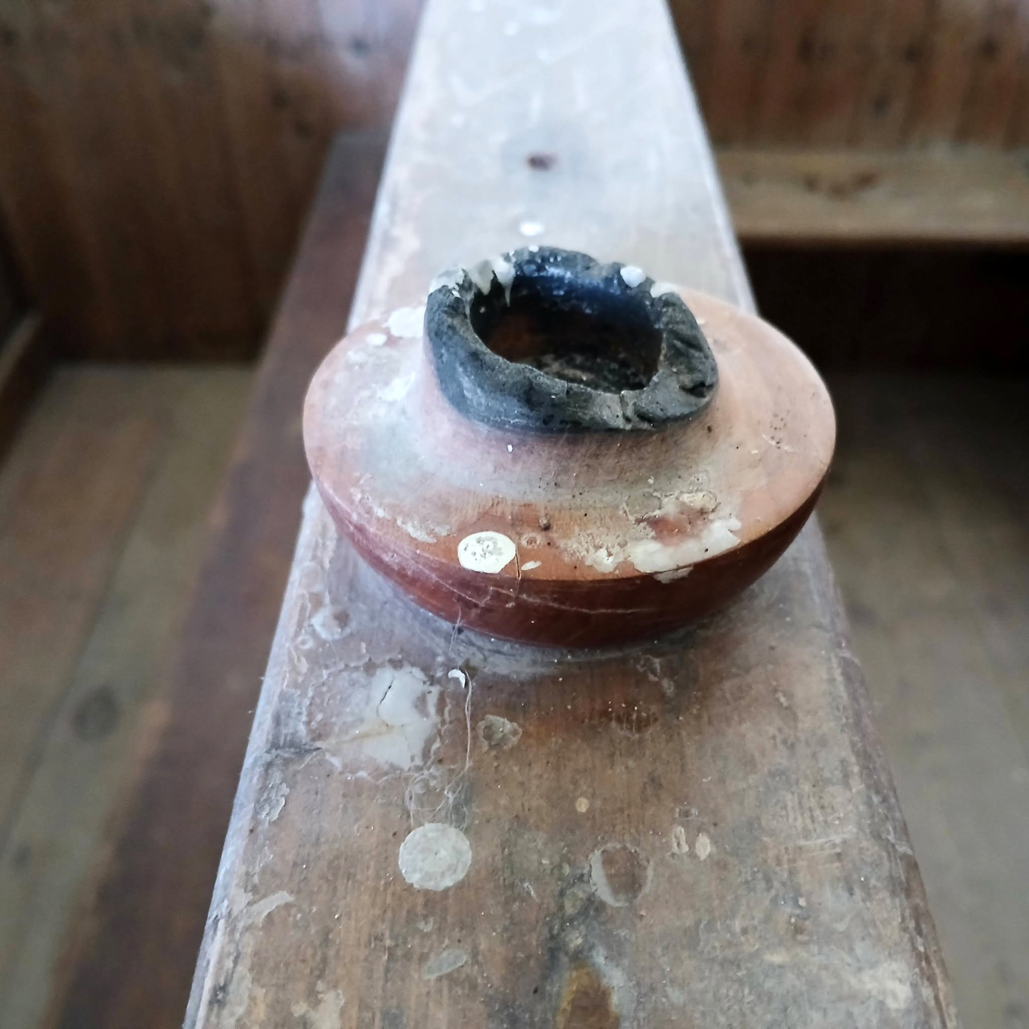
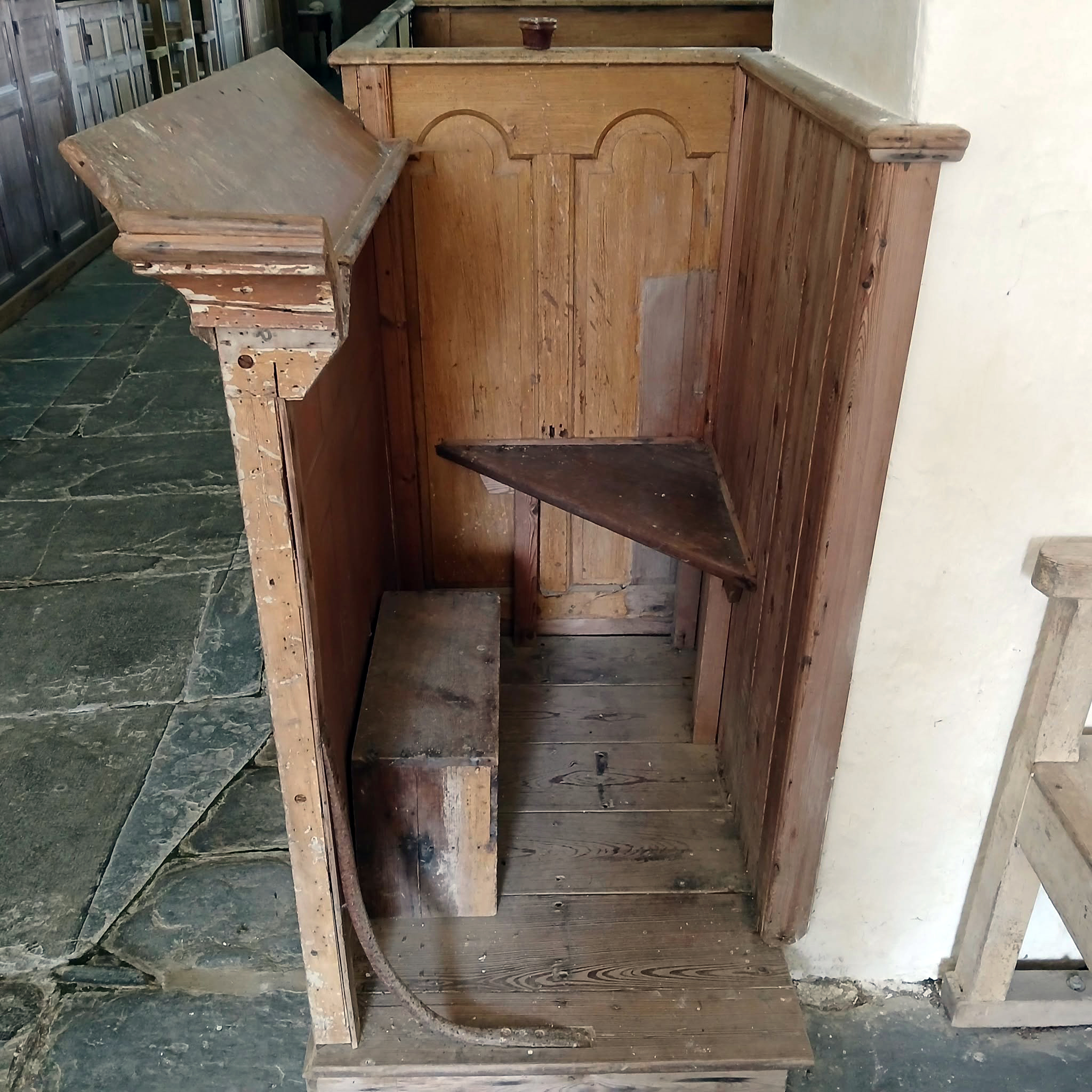
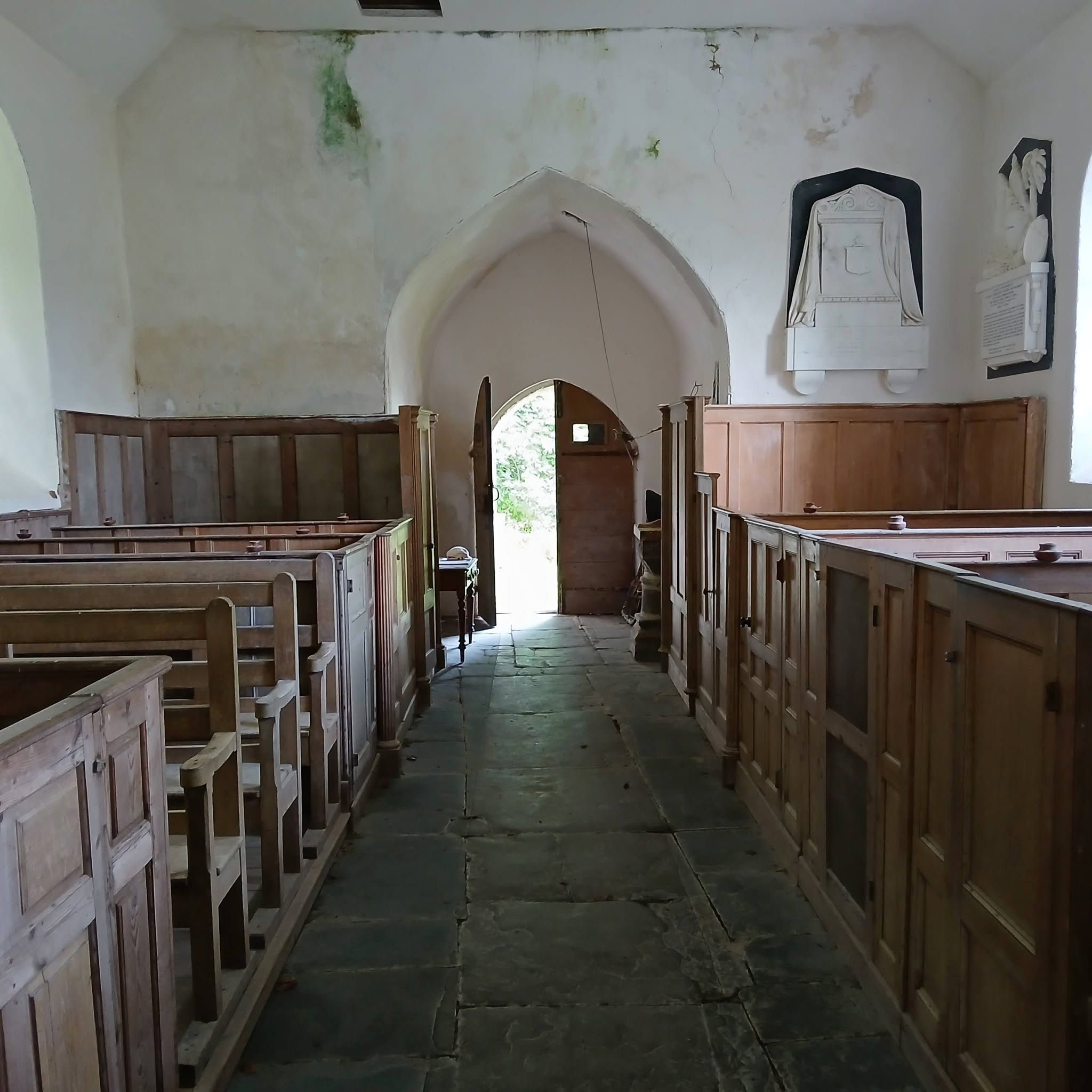
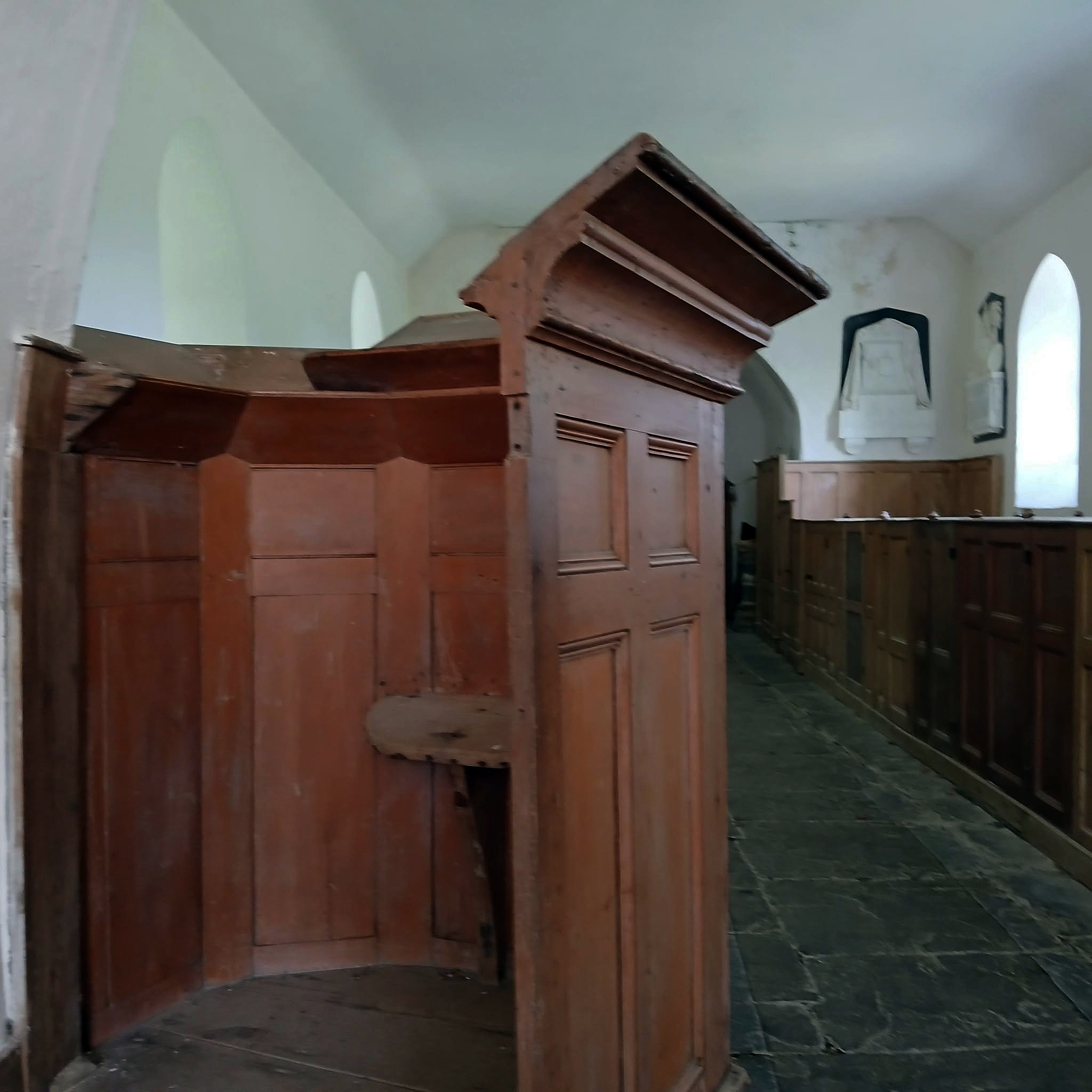
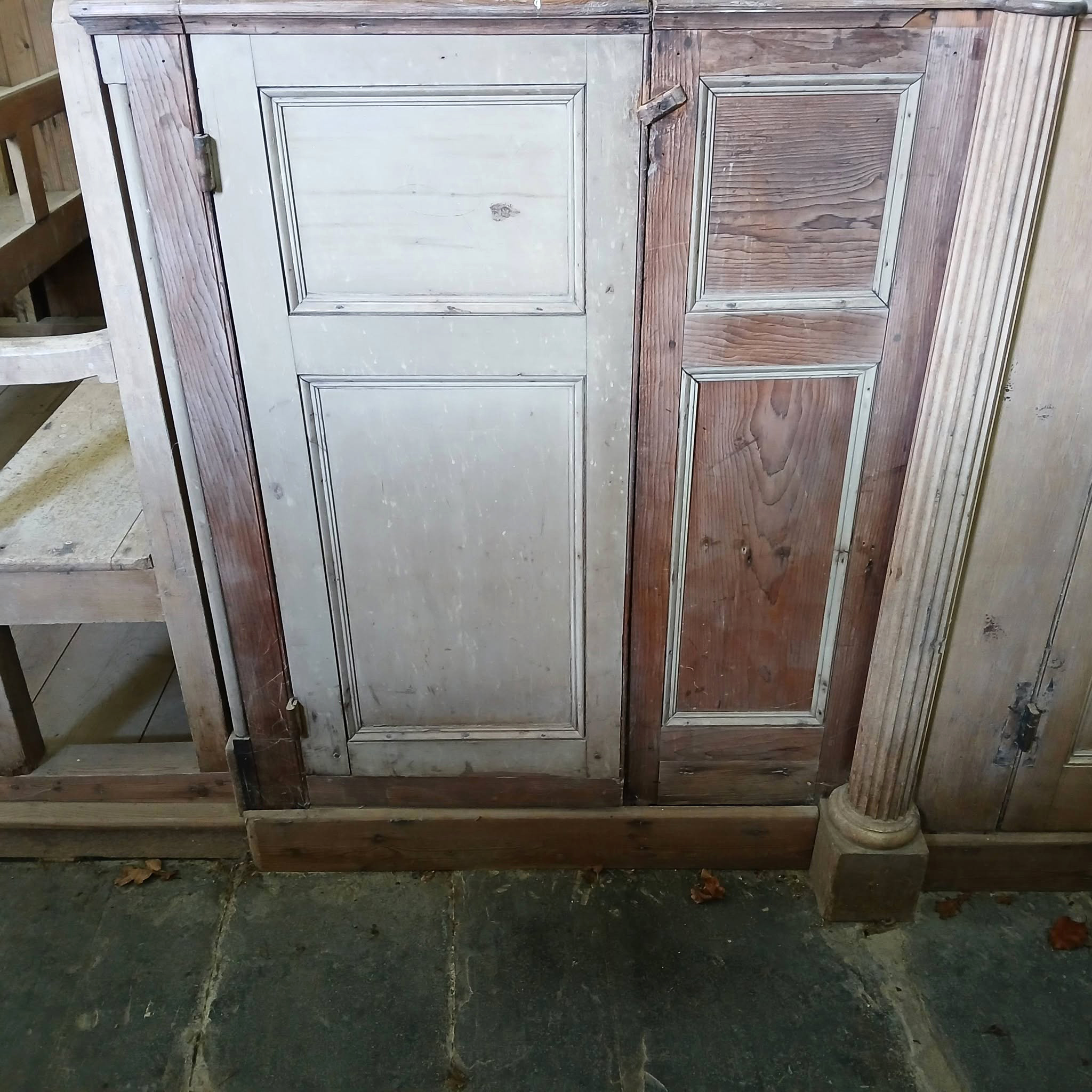
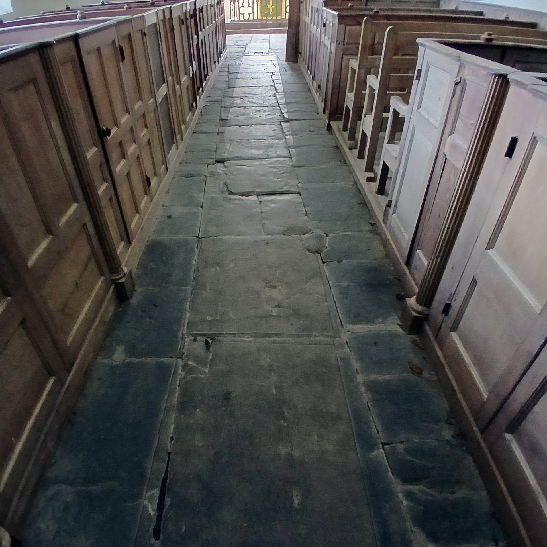
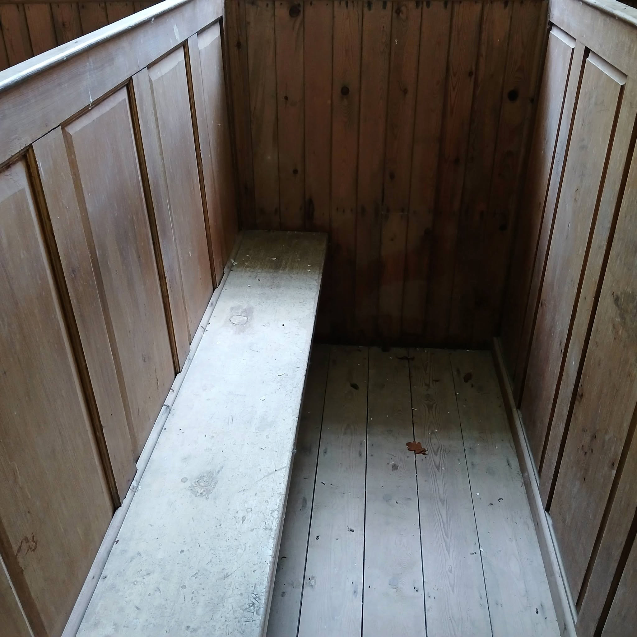
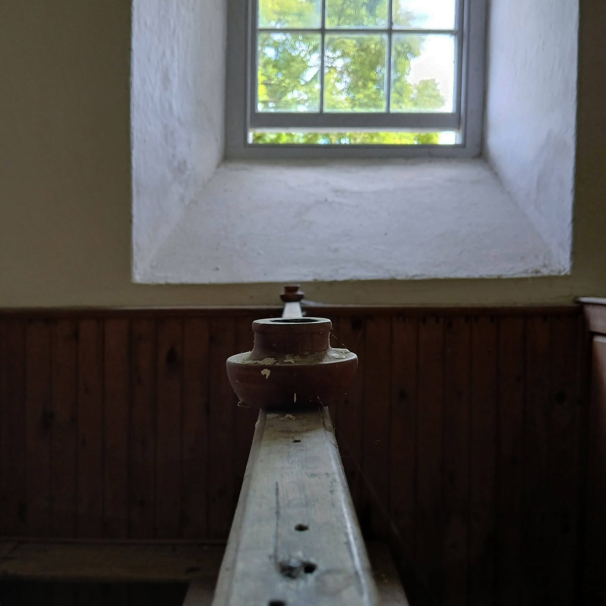
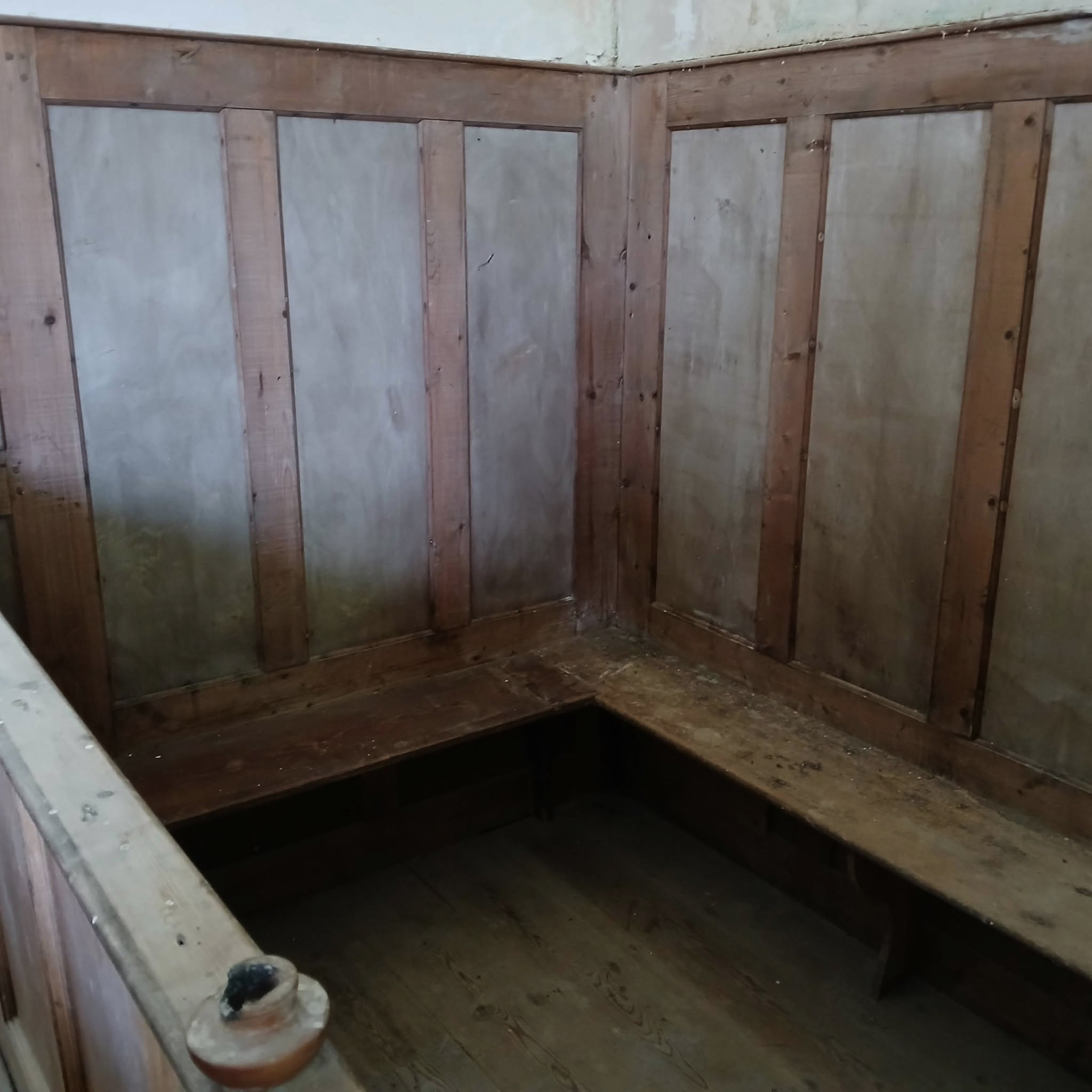
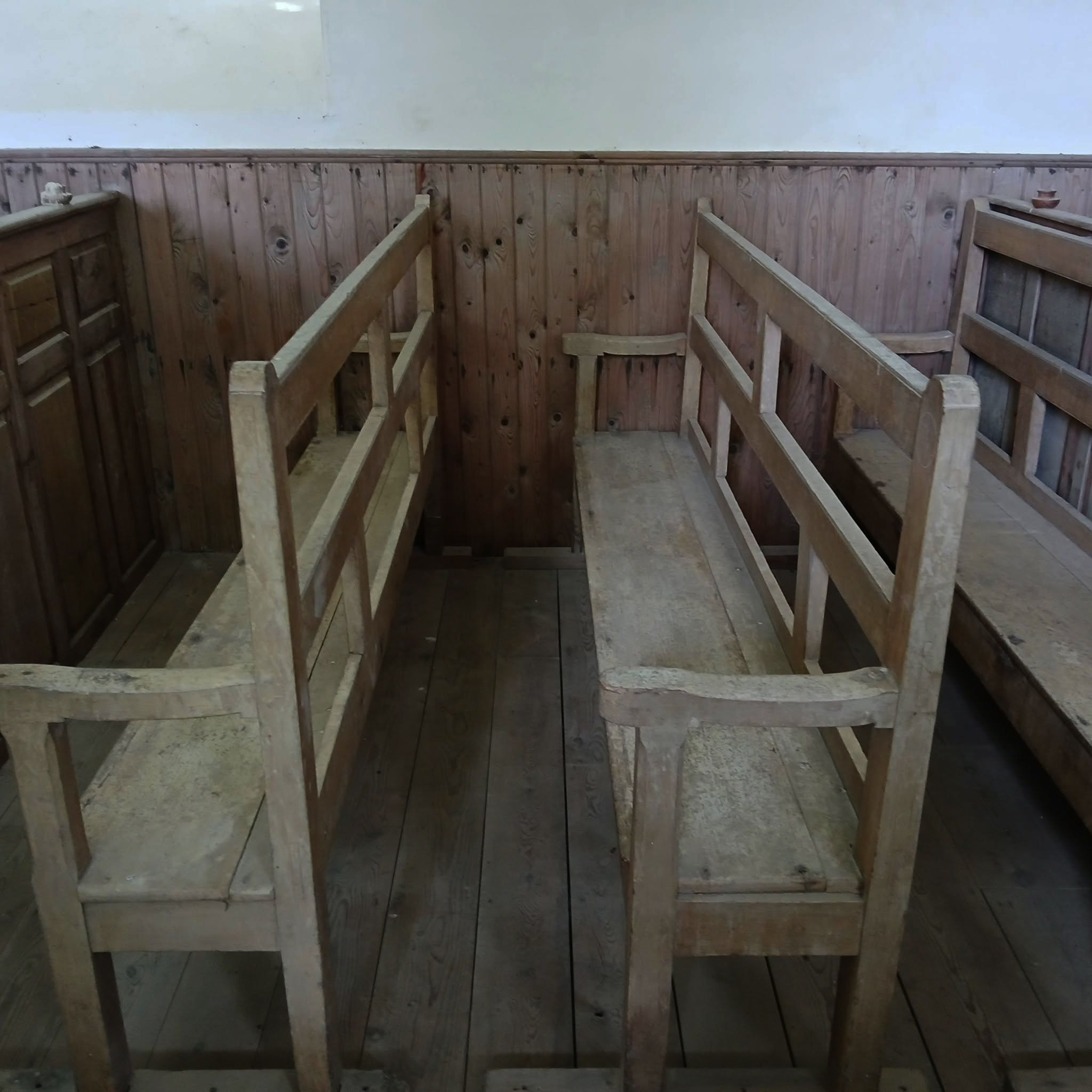
The nave walls are lined with a set of 18th-century box-pews; some have fluted columns, drawers with brass handles, and some even have their own fireplaces.
The square font, which you’ll find right inside the west porch, dates to the 13th century and is the only survivor from the early church. Its underside is fluted and its sides are carved with quatrefoils.
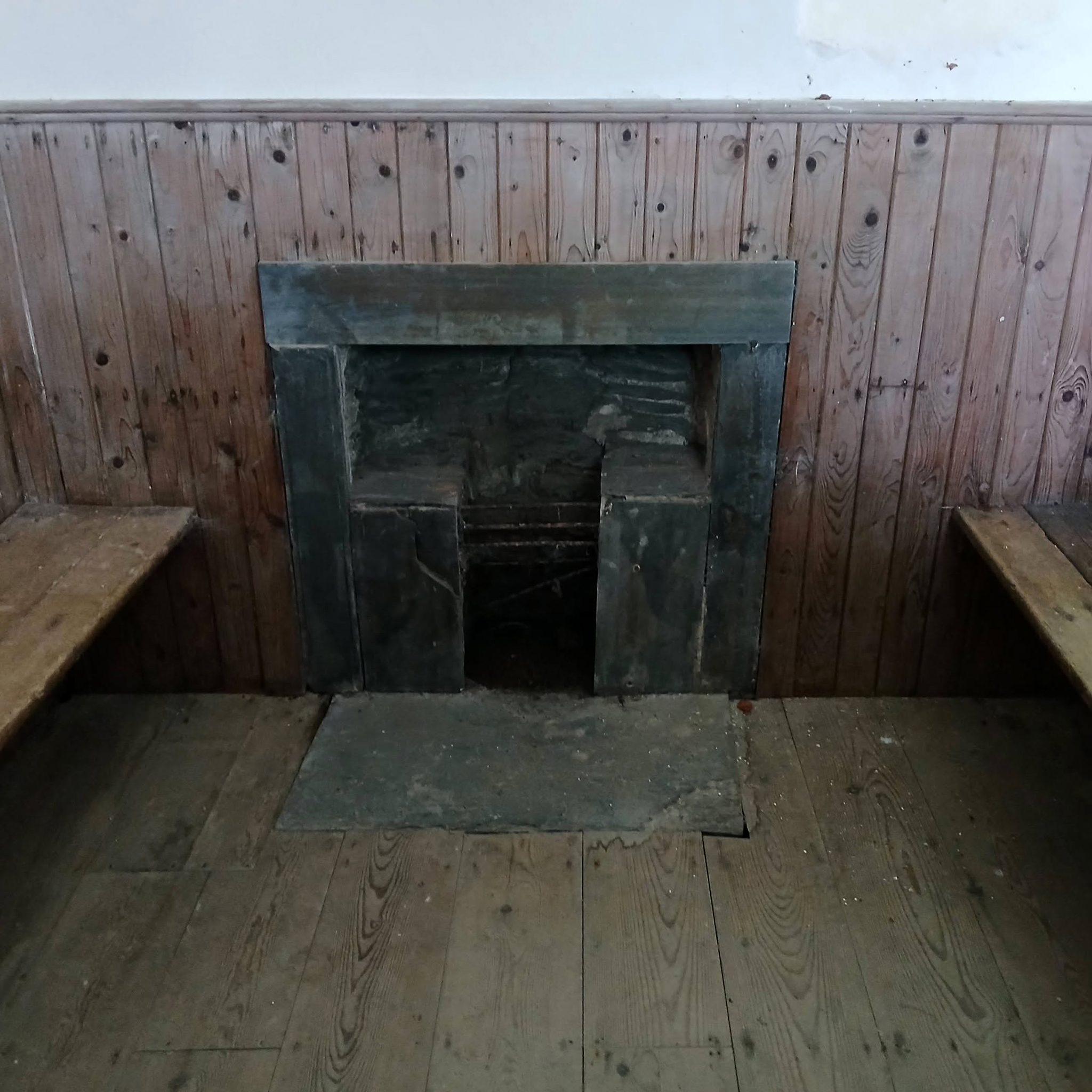
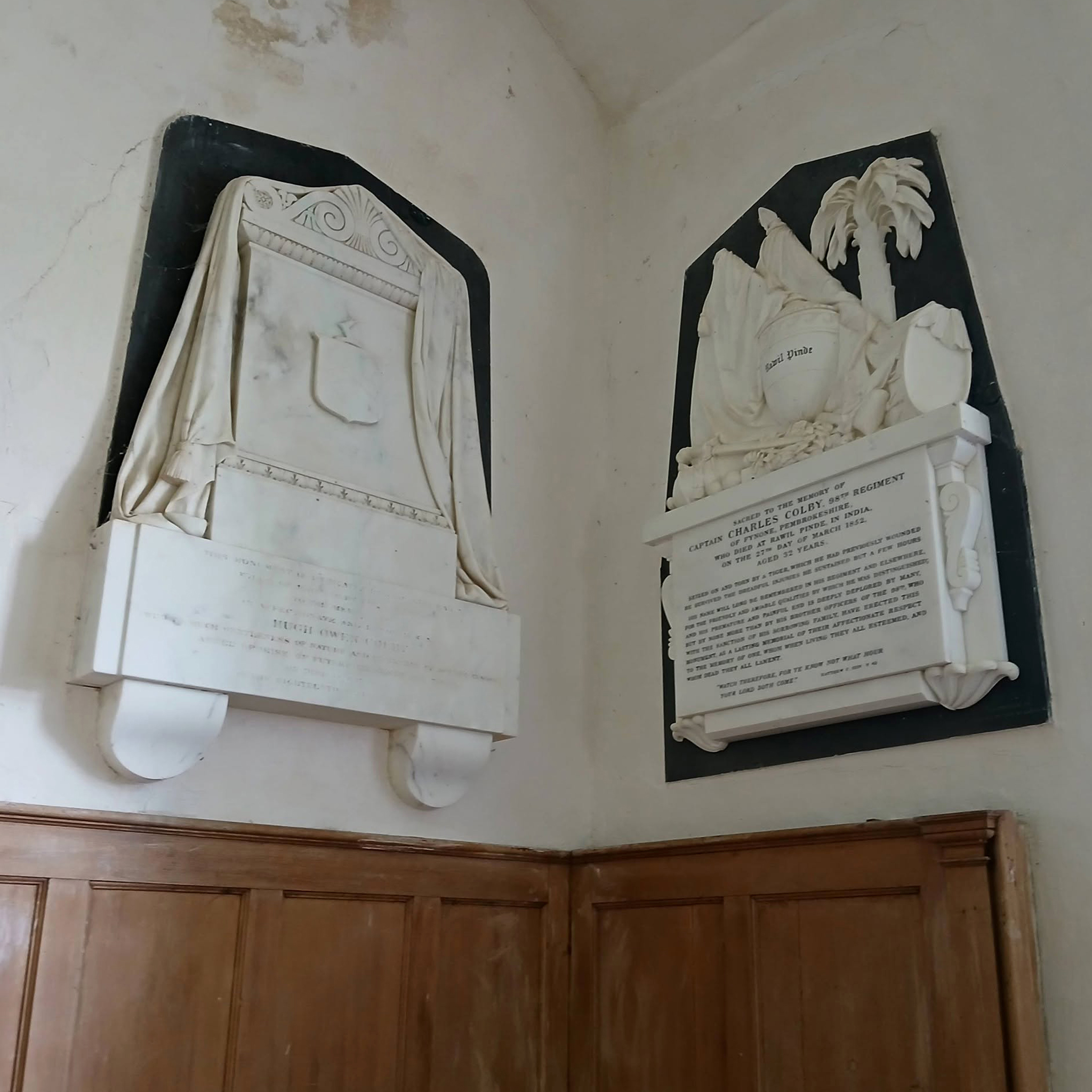
Don’t miss the memorial to Capt. Charles Colby, who was stationed to Rawalpindi – now in Pakistan in about 1850. On a day off, he went hunting on an elephant, and was unfortunately mauled by a tiger. His plaque bears an urn with the inscription ‘Rawil Pinde’ and a carved palm tree.
Many thanks to the Friends of Friendless churches for ensuring that the church remains open and maintained.
As a postscript – the appreciation of these wonderful Welsh churches must be due in part to John Piper.
Jerwood Foundation was recently alerted to a renewed recognition of John Piper’s painting The churchyard, in Jerwood Collection, after it appeared as an illustration accompanying an online article. The image was immediately recognised by a reader as depicting St Baglan’s Church, near Caernarfon, viewed from a familiar angle.
John Piper, a founding member of Friends of Friendless Churches in the 1950s, painted many historic churches across the UK. Although St Baglan’s has been under the charity’s care since the 1970s, this rediscovery offers a valuable insight into Piper’s early engagement with sites that would later become key rescue projects. The recognition helps to piece together the history of how some of the charity’s earliest churches were identified, recorded and preserved.
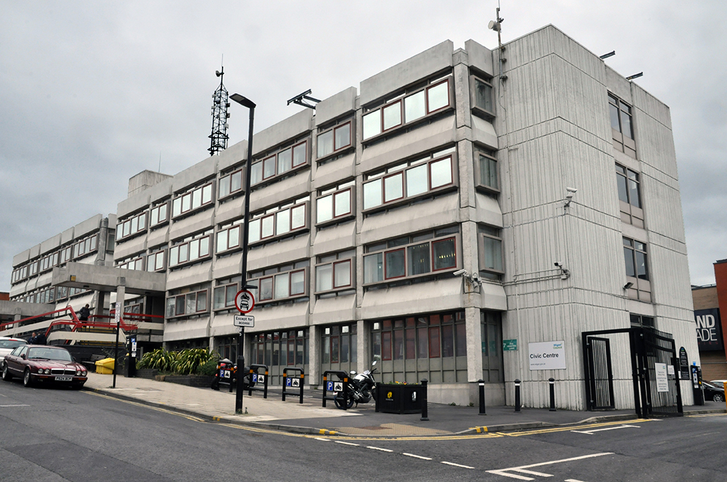
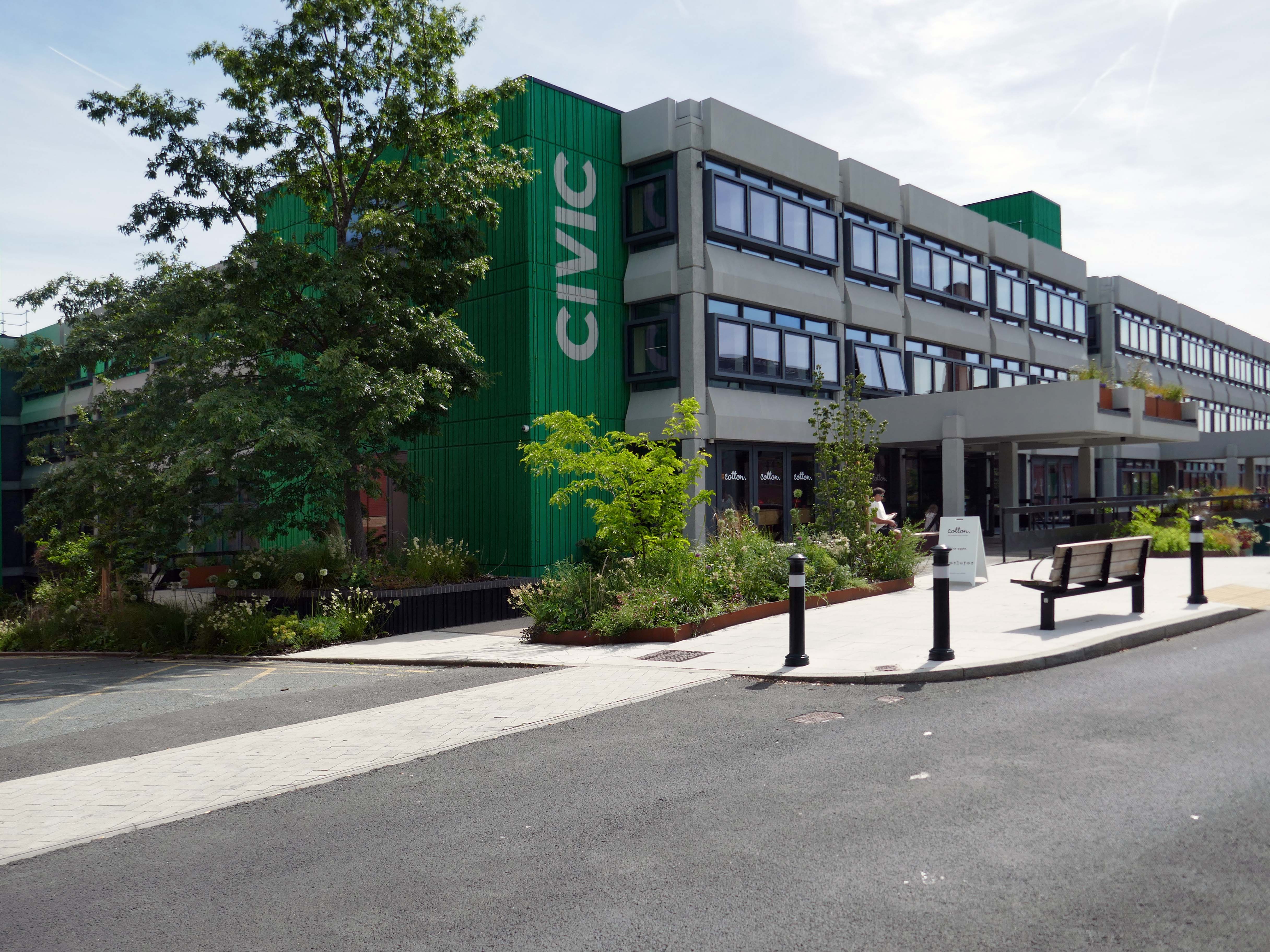
1971 built of a pre-cast concrete panel system, dour, on an awkwardly sloping site.
I beg to differ – what’s the opposite of dour?
So says the online Thesaurus – and I heartily concur, for the whole building has had a makeover and a half.
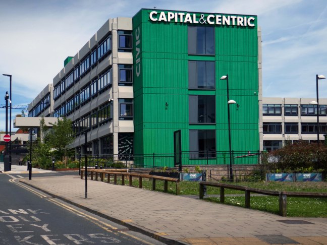
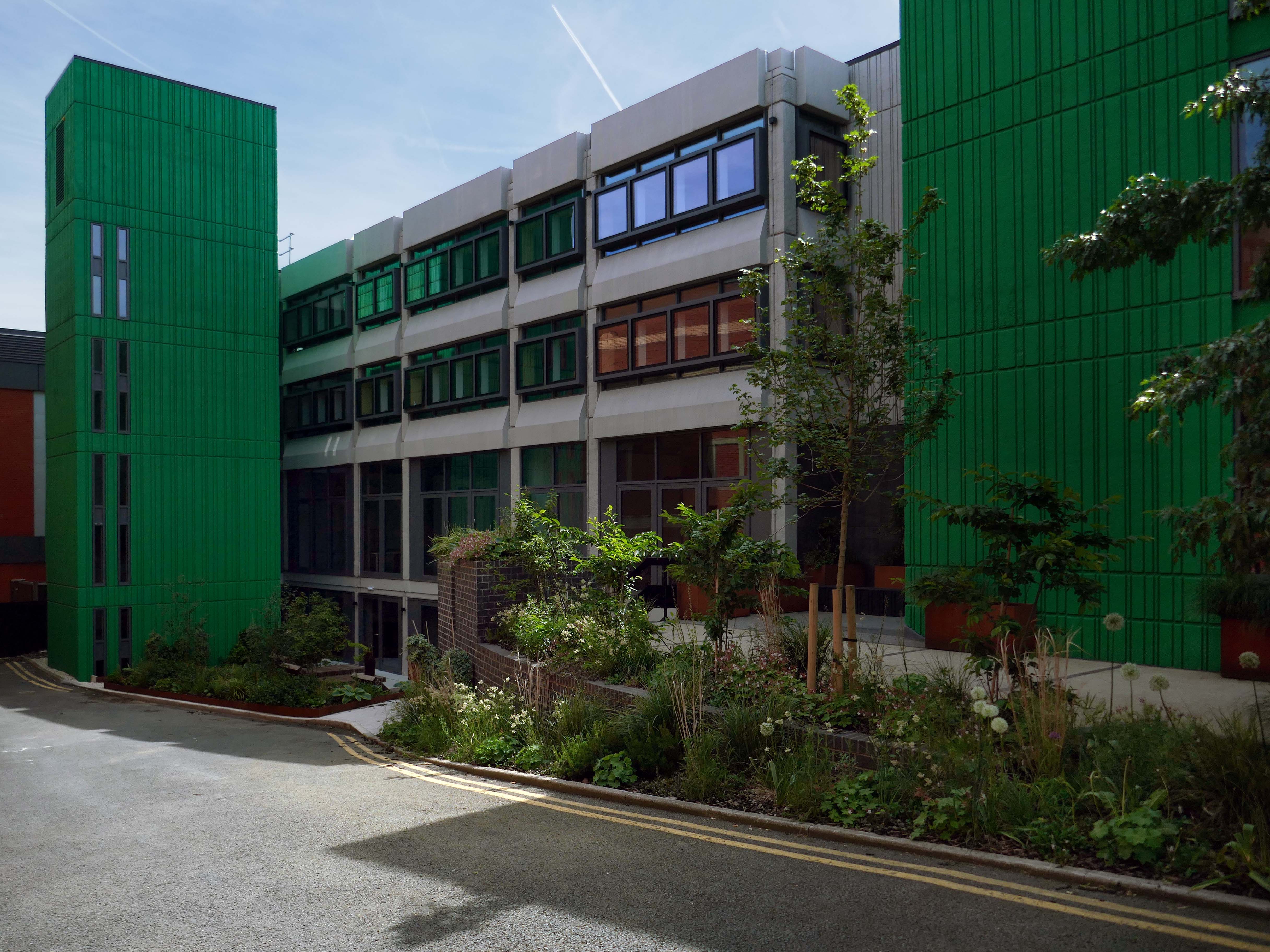
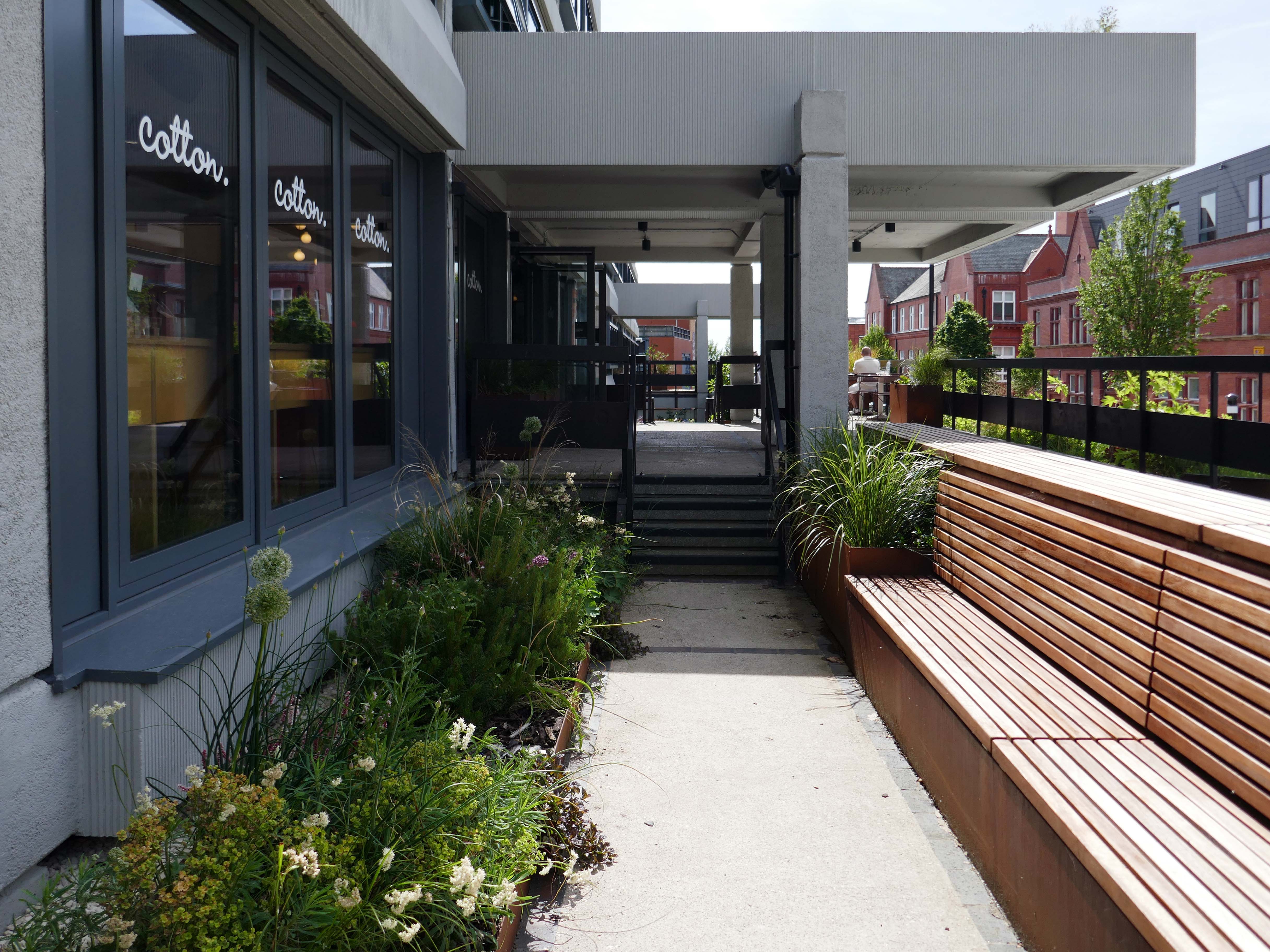
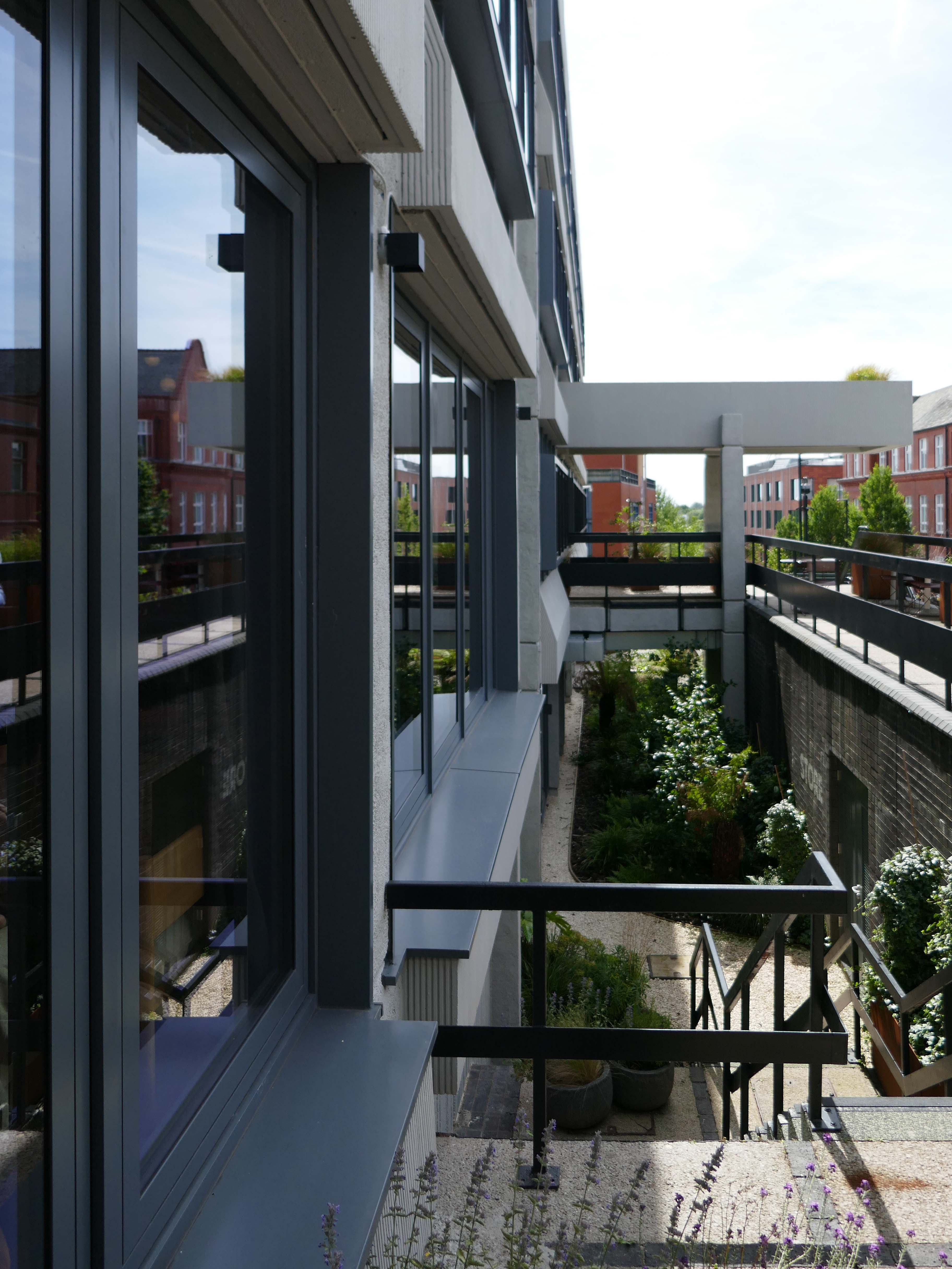
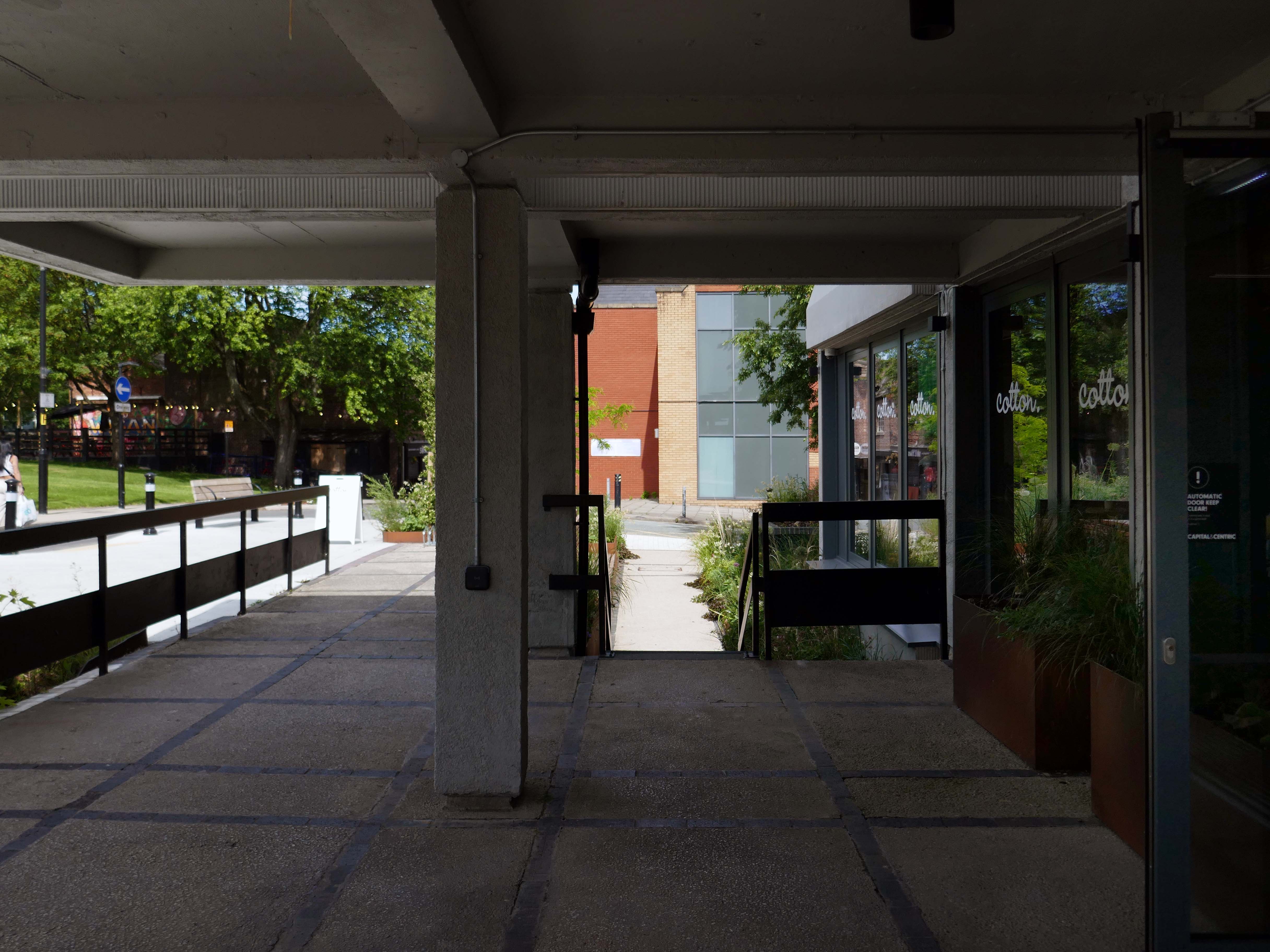
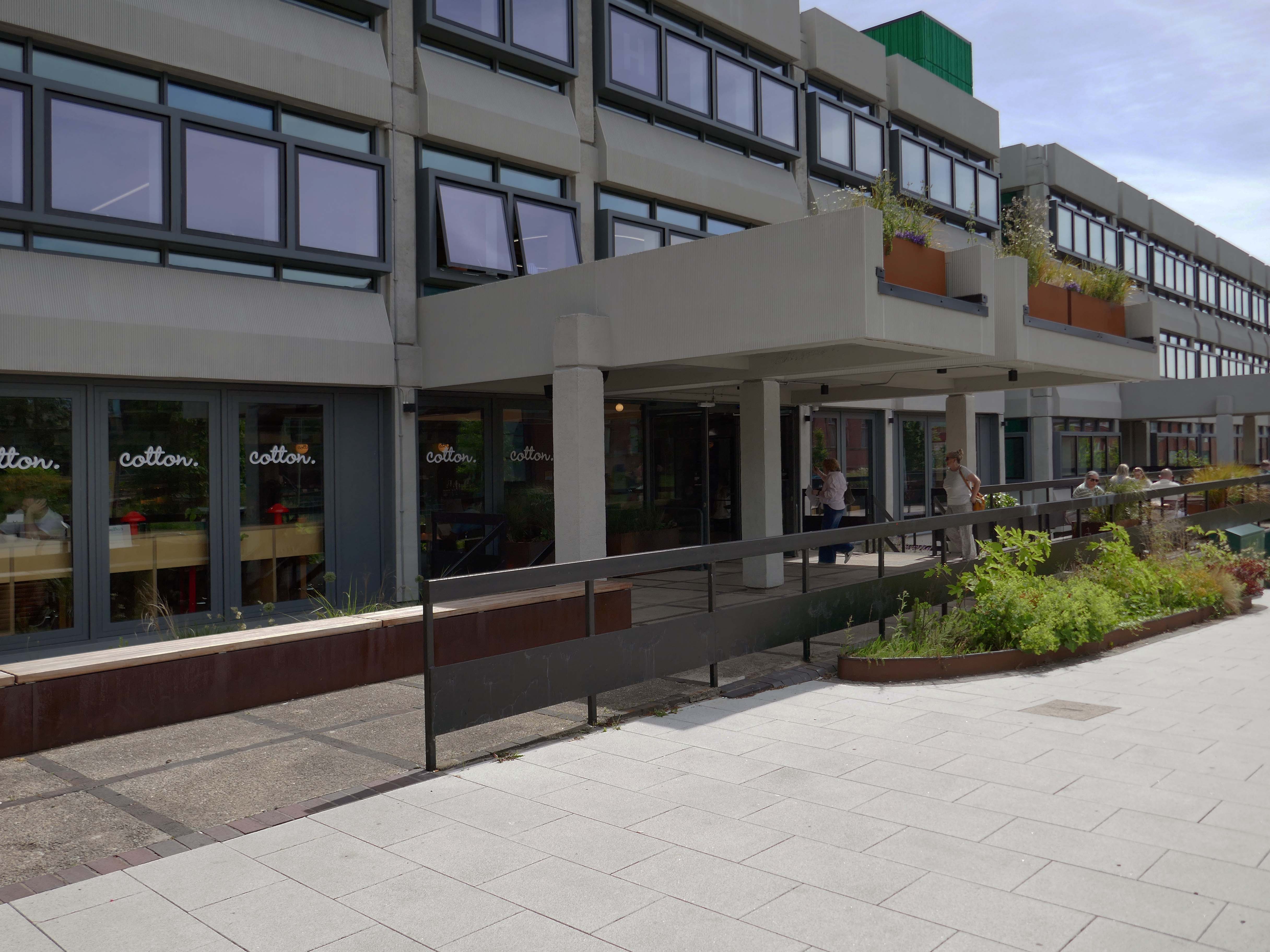
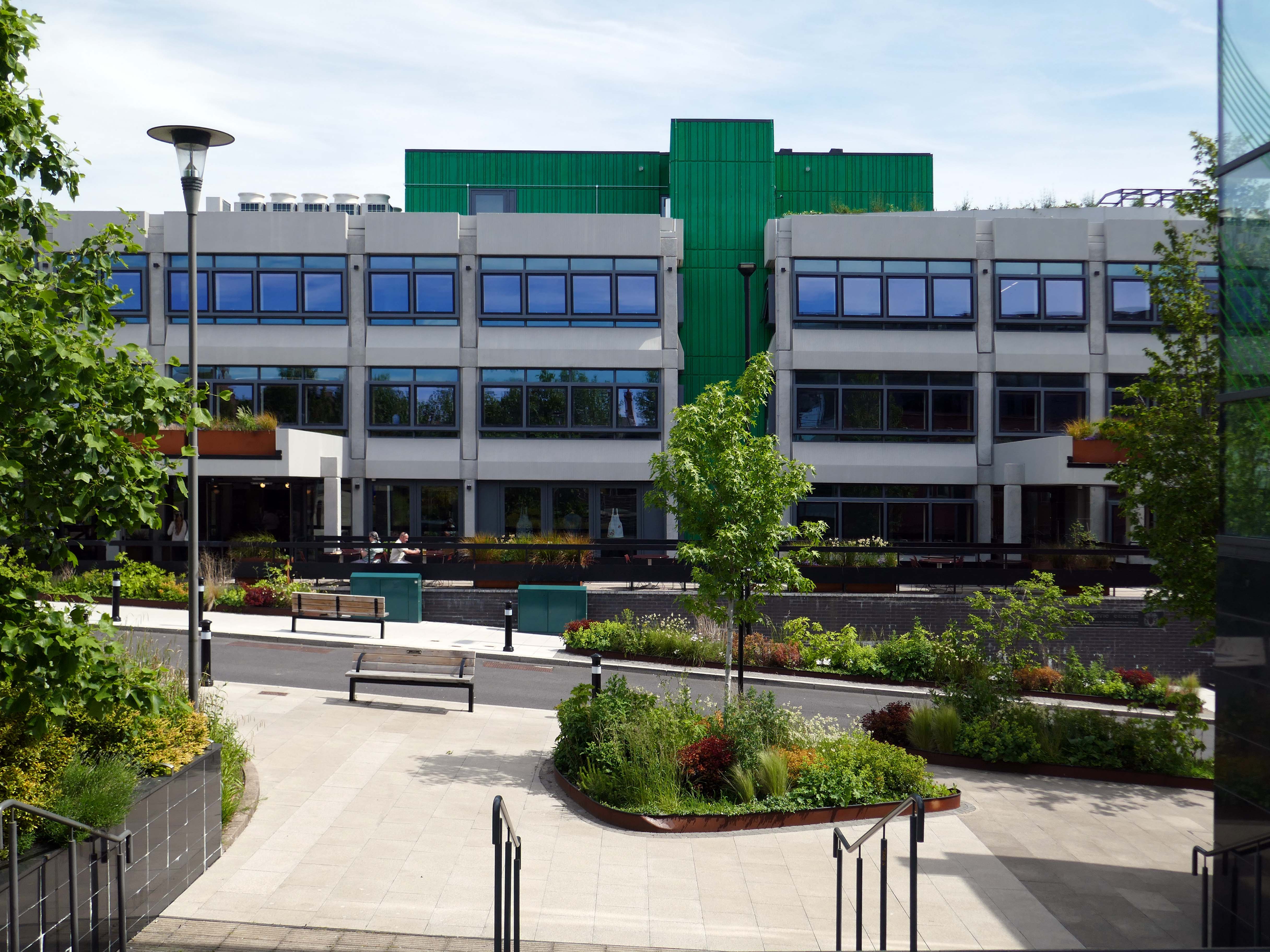
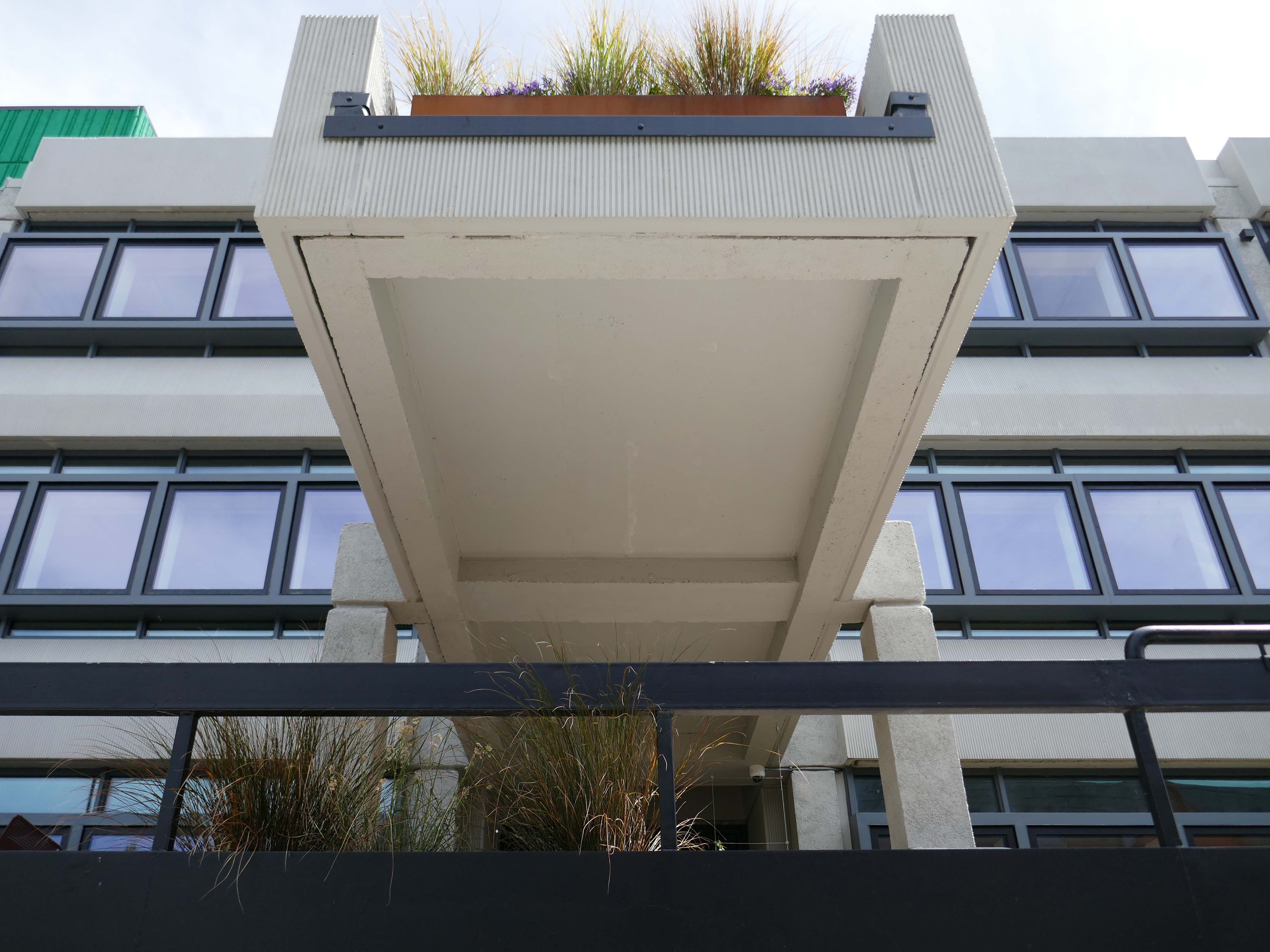
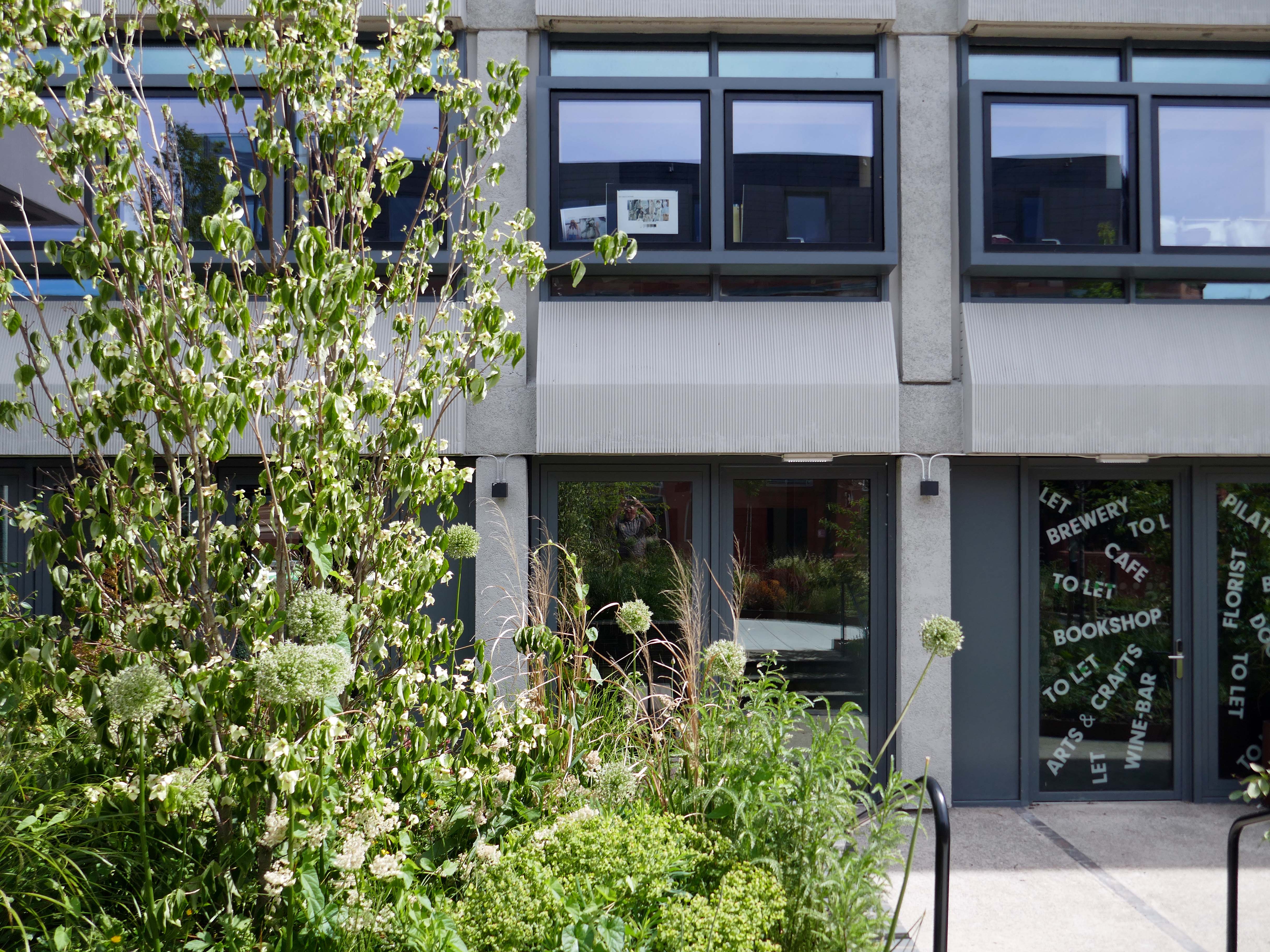
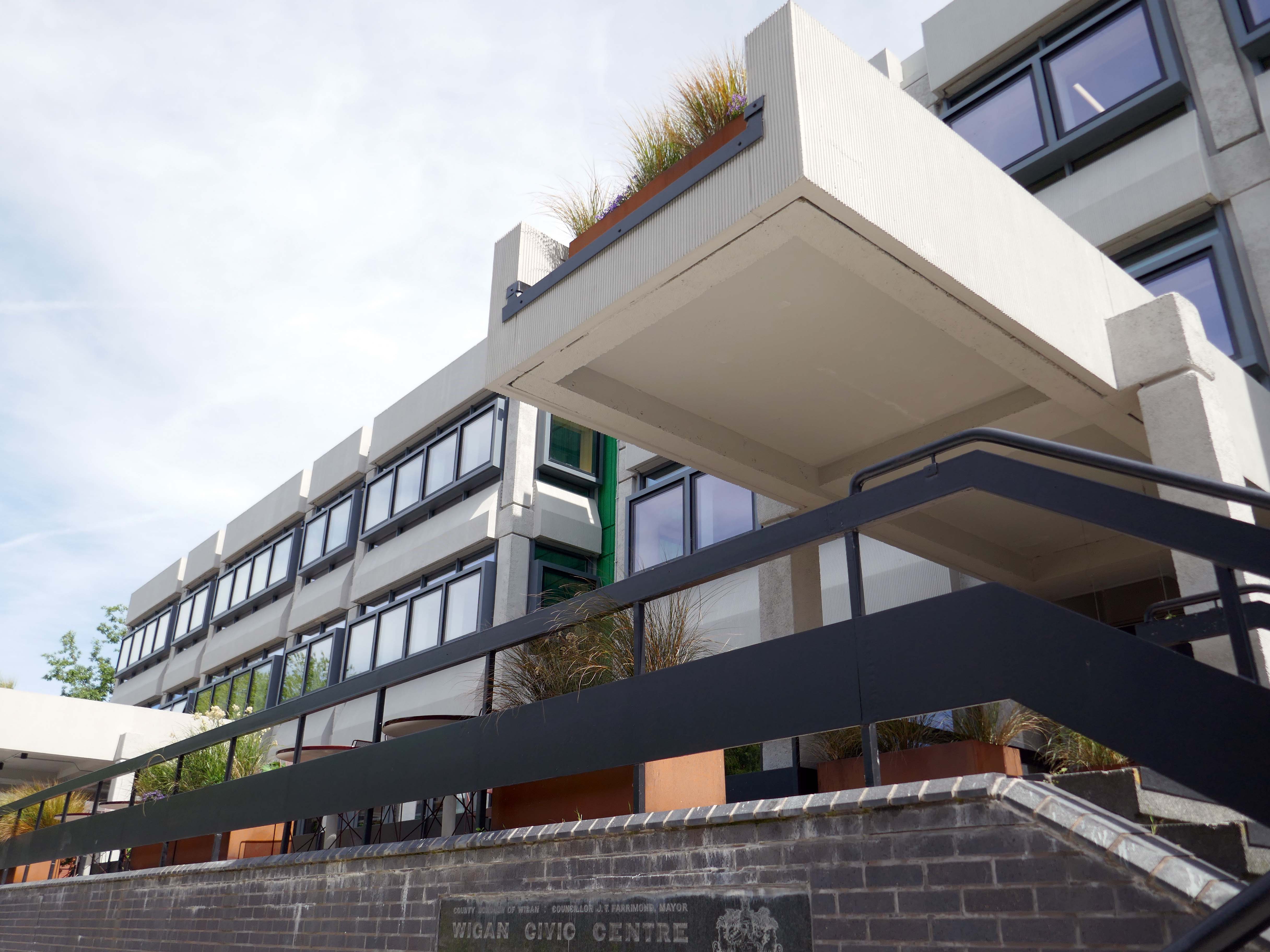
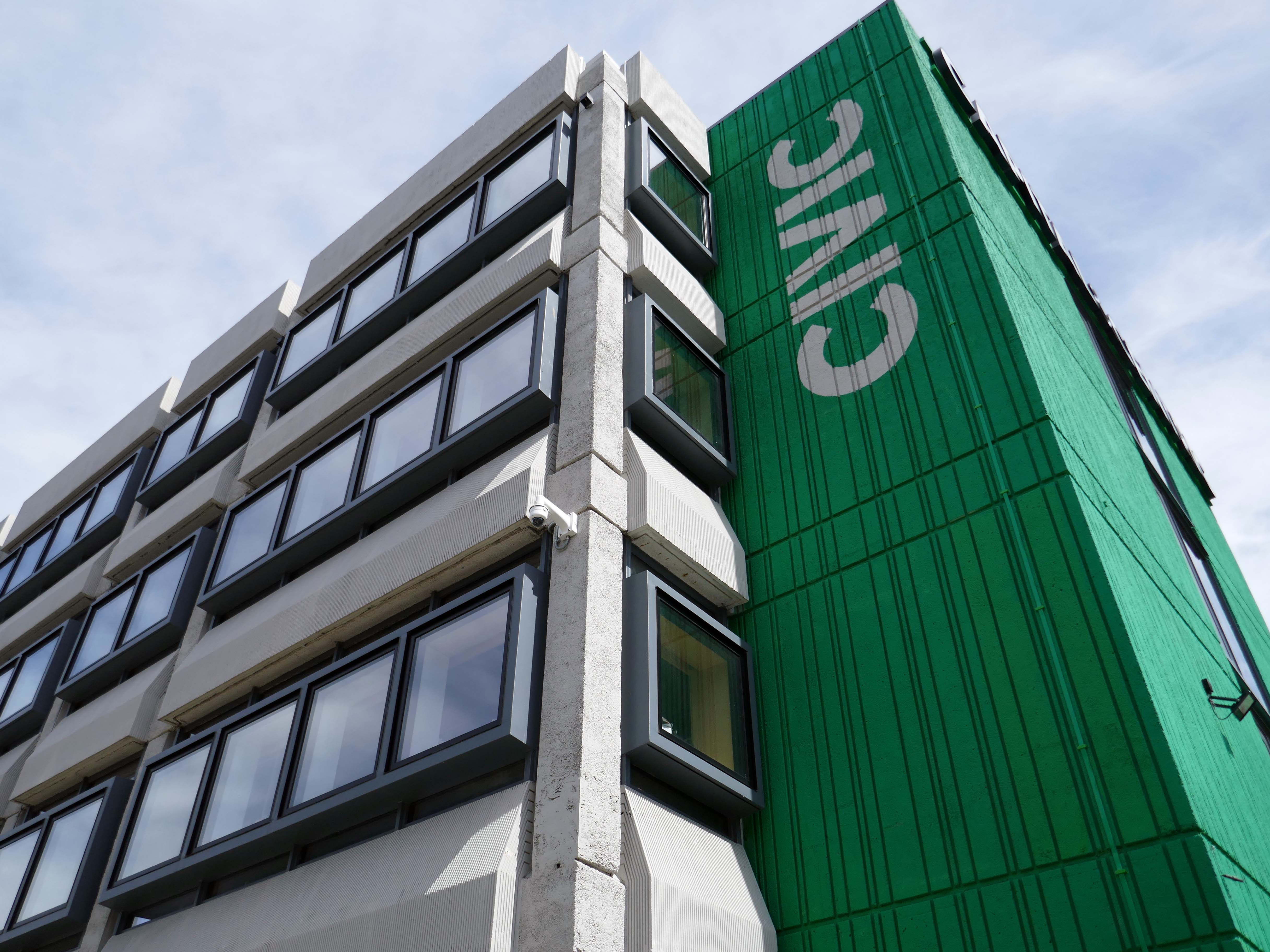
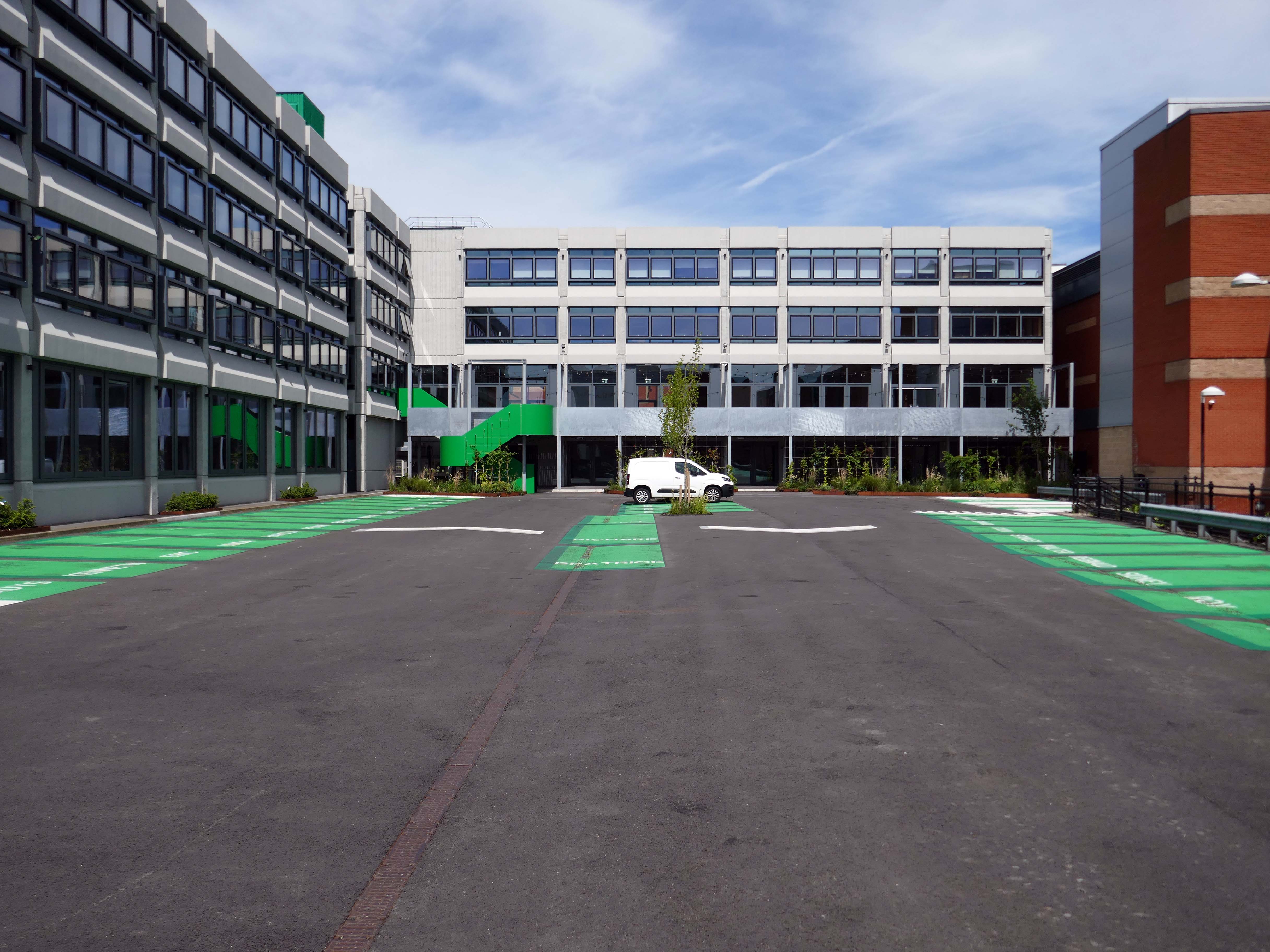
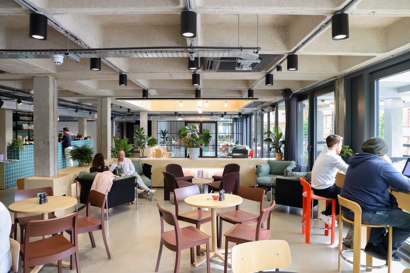
Civic is a super energy-efficient workspace in the centre of Wigan town centre. The BREEAM Excellent building has space for business of all sizes, from desks for solo start-ups, all the way to big open plan offices with their own front door.
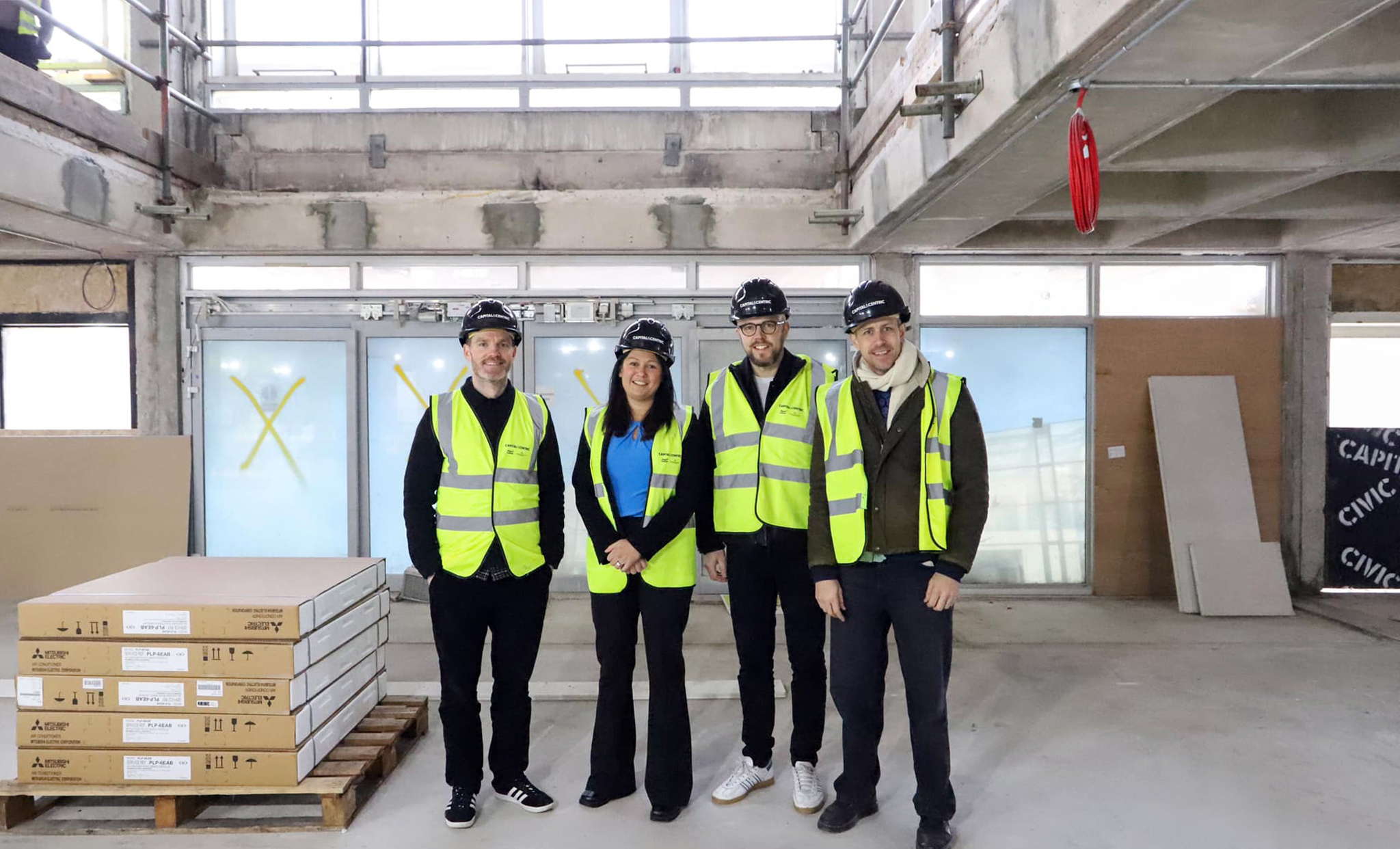
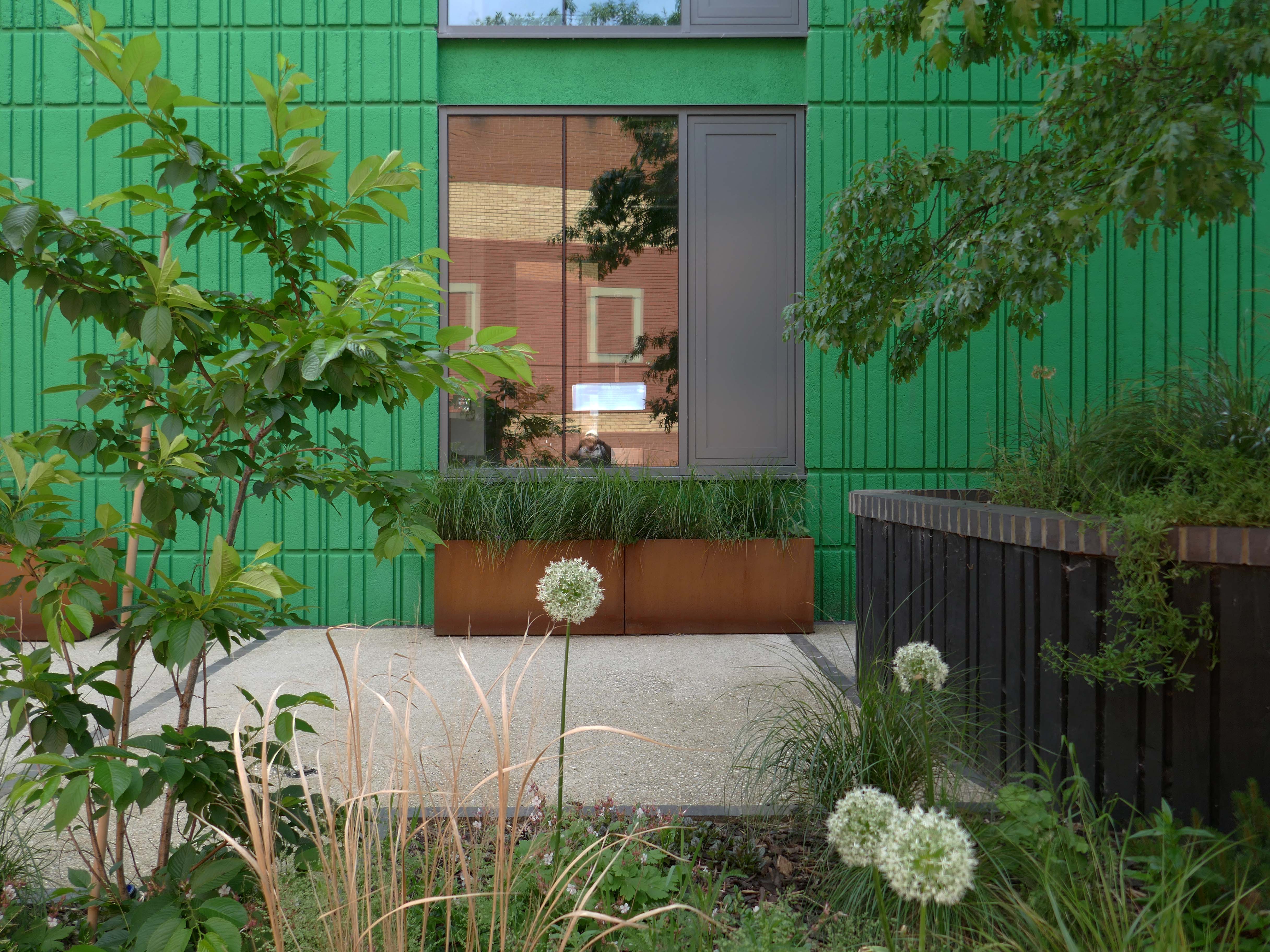
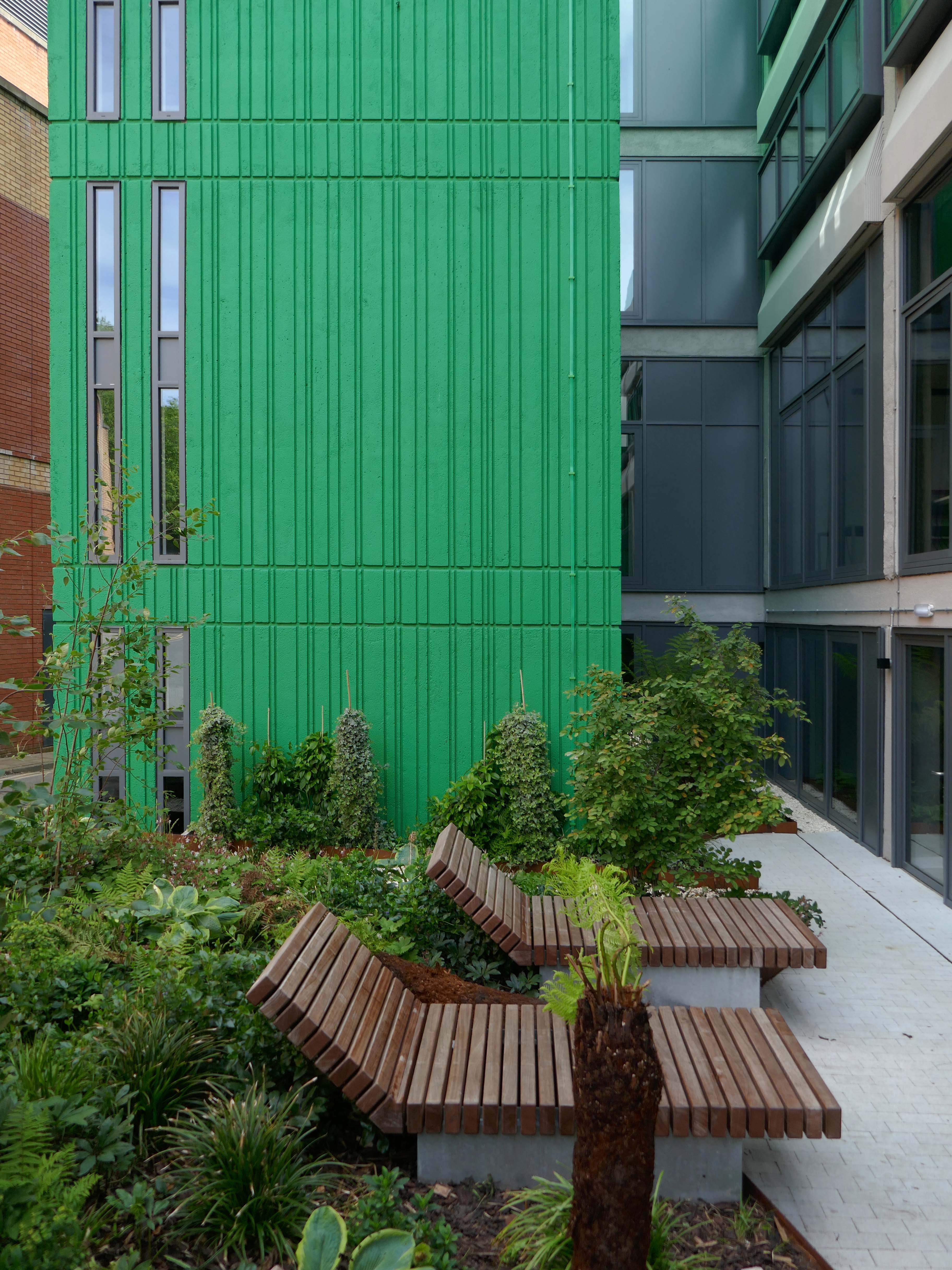
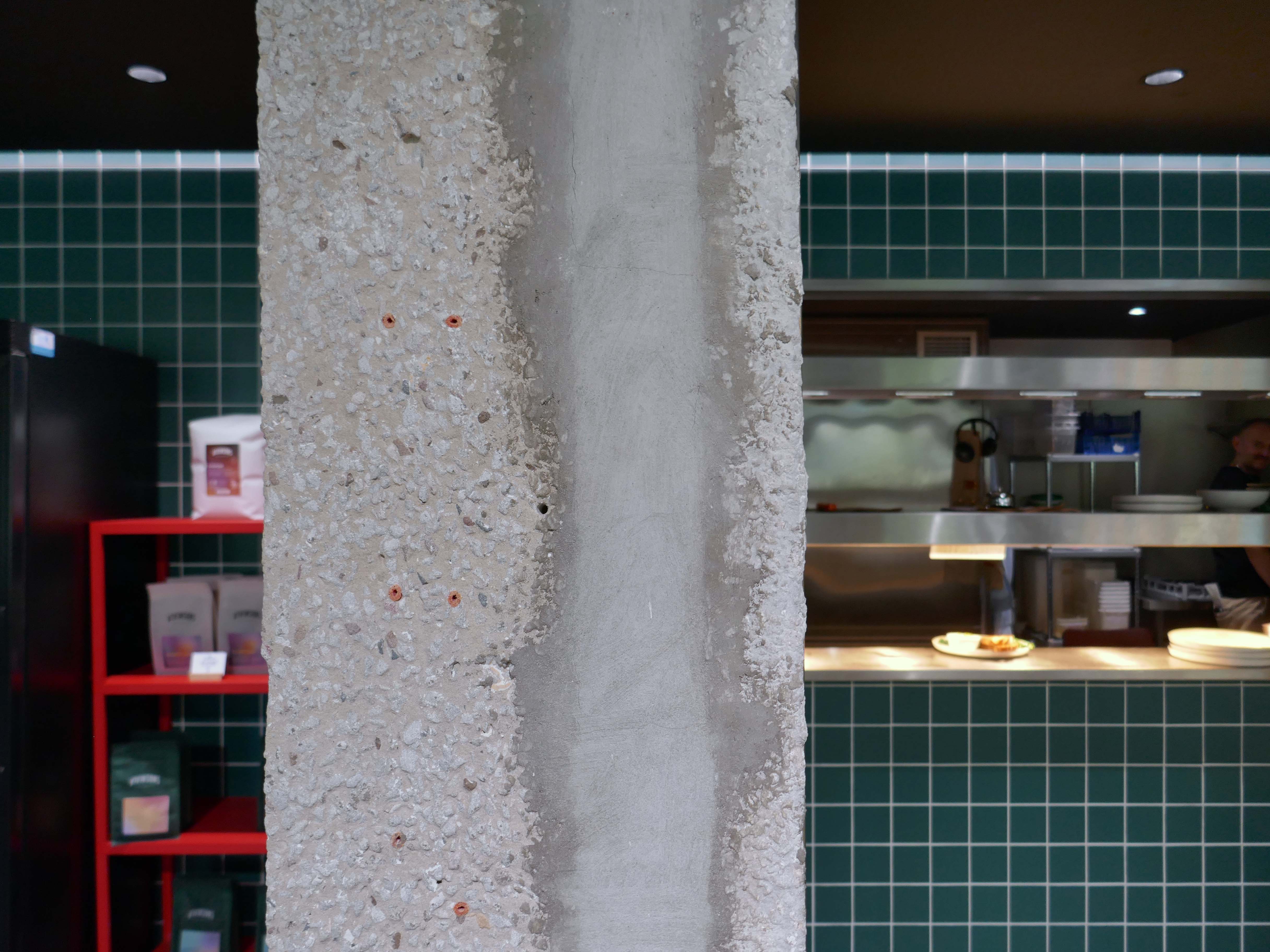
The brutalist beast has been lovingly restored by Capital&Centric to celebrate its architecture, with original waffle ceilings, corduroy concrete and stunning feature windows that flood the space with light.
It was great to visit and tour Wigan Civic Centre on Millgate, to see the inspiring work being done to create sustainable workspaces and amenities in the centre of our town. This development, alongside others taking place and planned across the North West, will help to revitalise our public spaces
With students, start-ups and professionals situating themselves elsewhere in Greater Manchester, Wigan town had been missing out on the economic and cultural vitality that high quality workspace brings. Civic’s transformation represents not just the overhaul of a tired concrete building, but a wider renewal of place and opportunity for Wigan.
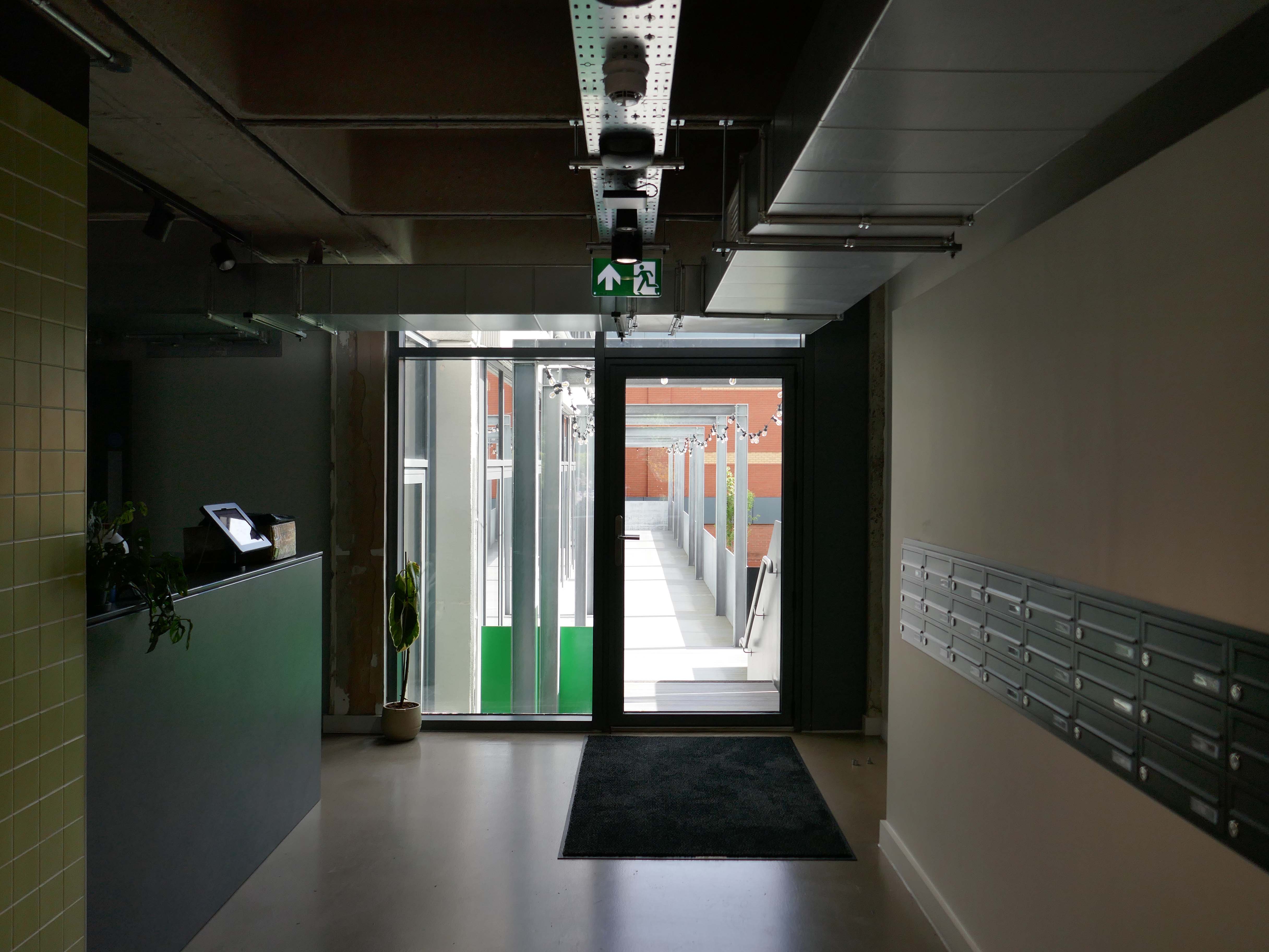
Working with Wigan Council and Capital & Centric, we completed the refurbishment of the 50,000 sq ft building that is Wigan Civic Centre. Delivering aspirational office accommodation to stimulate economic growth with the goal to create a lasting social impact in Wigan. In addition to exemplar market-leading workspace, amenities include a rooftop terrace, mini cinema, gym studio and co-working/coffee shop space.
Here’s the exterior.
Many thanks to the Cotton CaféBar for kindly allowing us in after hours.
Ultimately, civic stands as a symbol of optimism for Wigan, proving that intelligent commercial design can catalyse economic renewal, secure a sustainable future, and truly lift a town’s spirits, without erasing its history. It is a gold standard for the adaptive reuse of 20th-century landmarks.
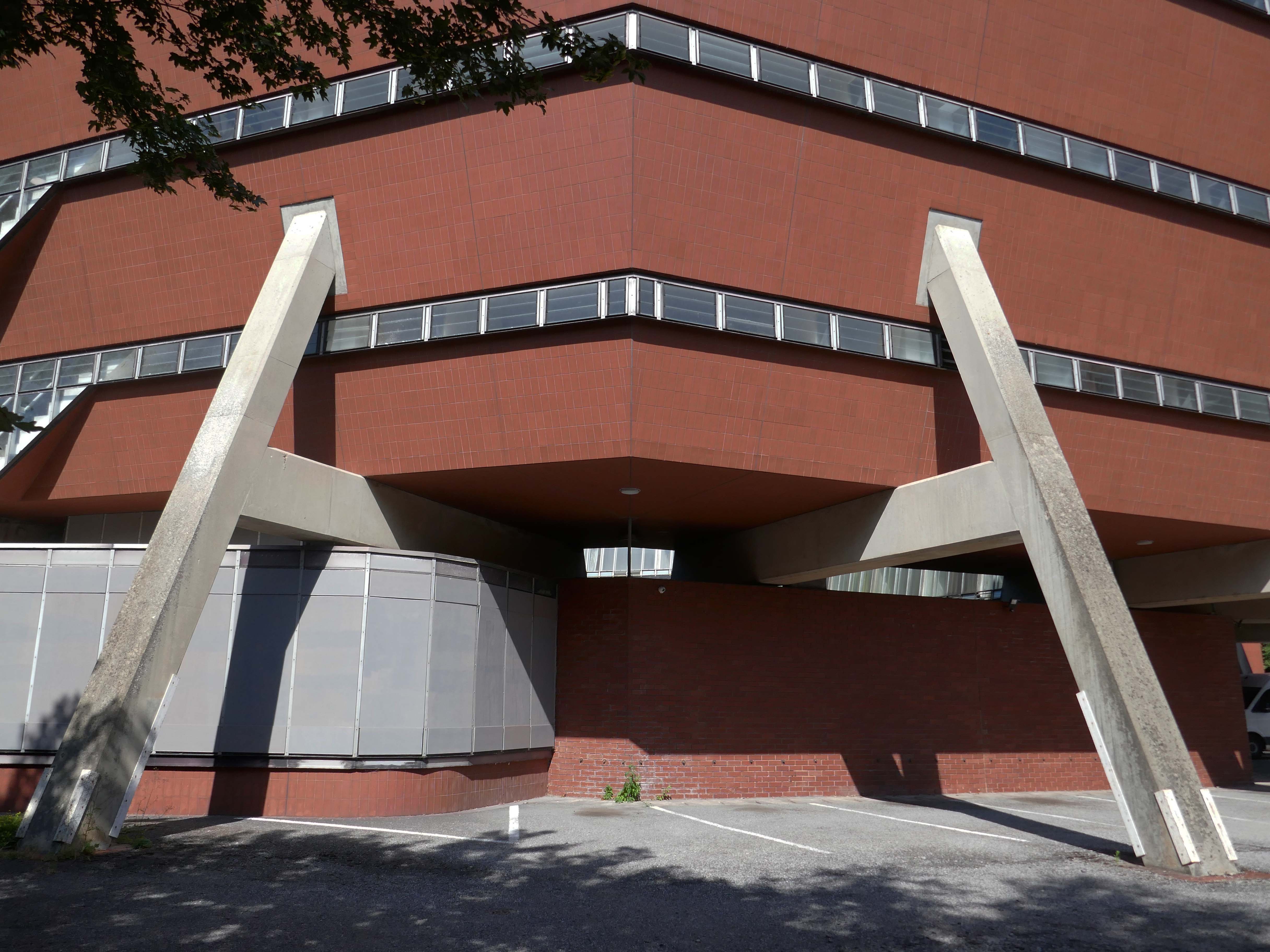
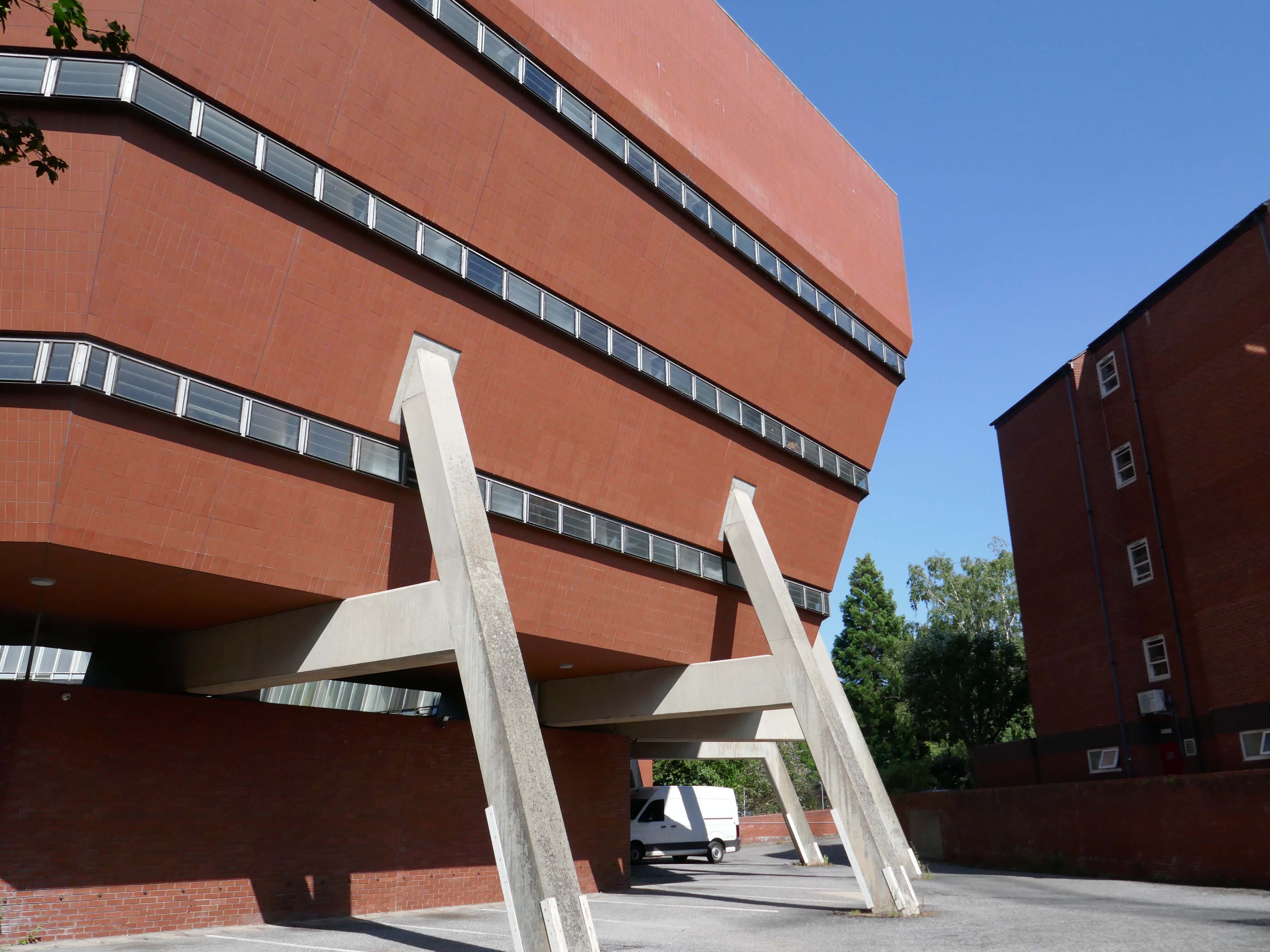
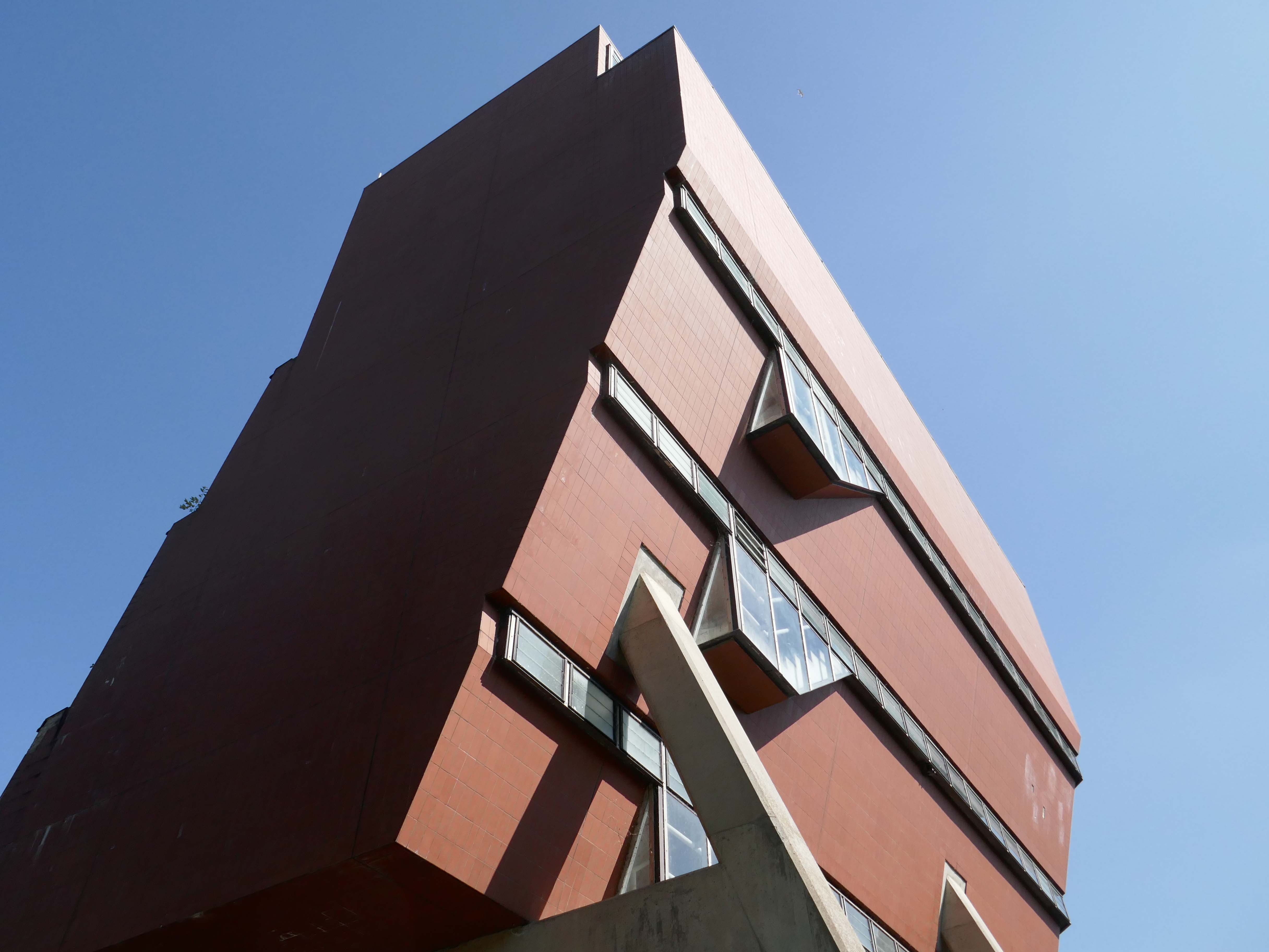
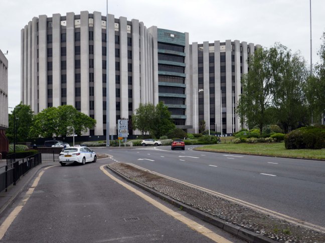
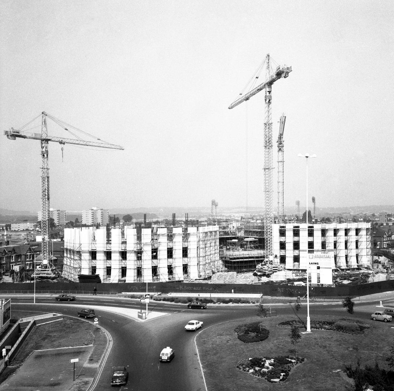
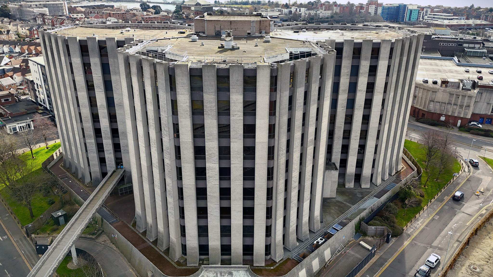
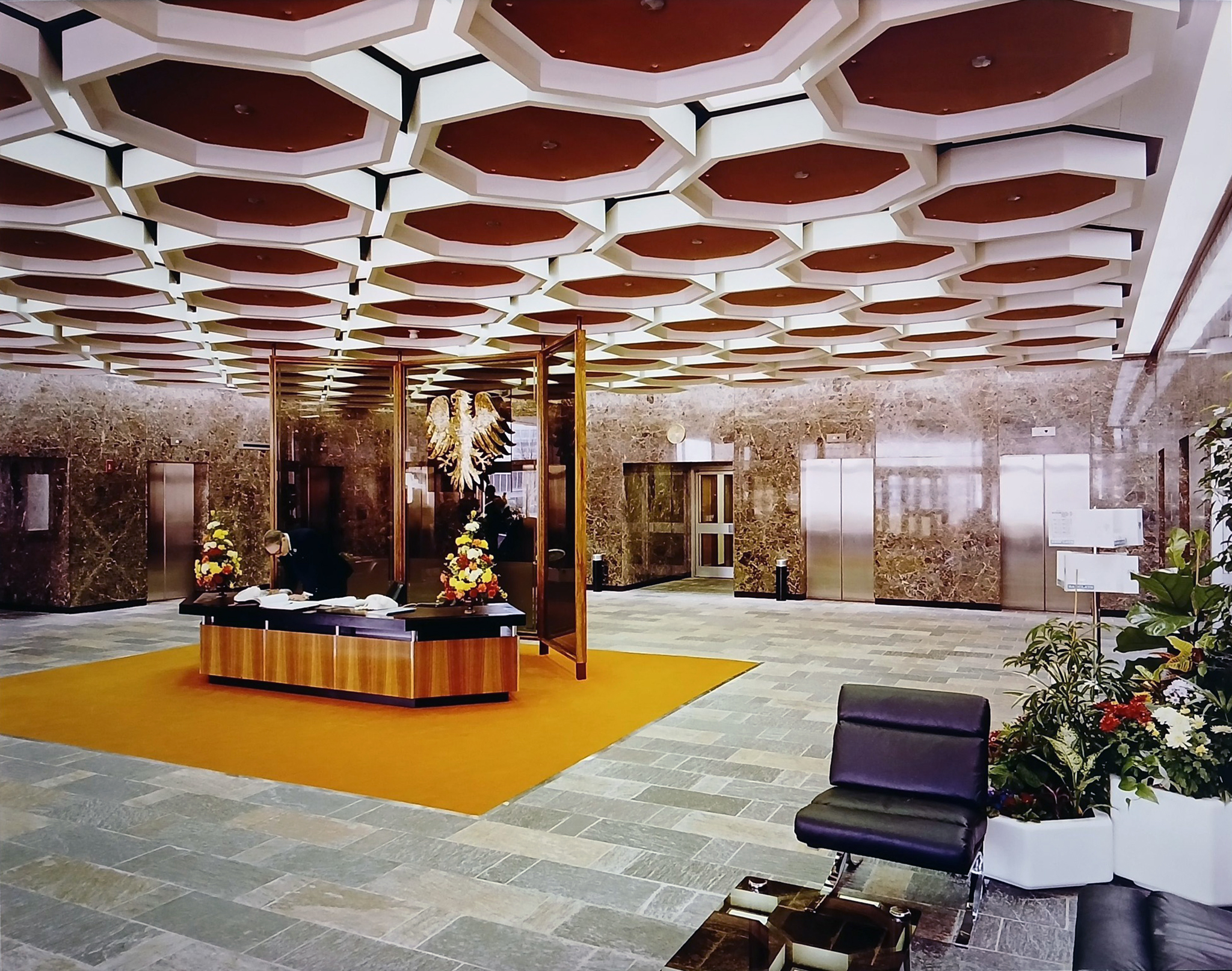
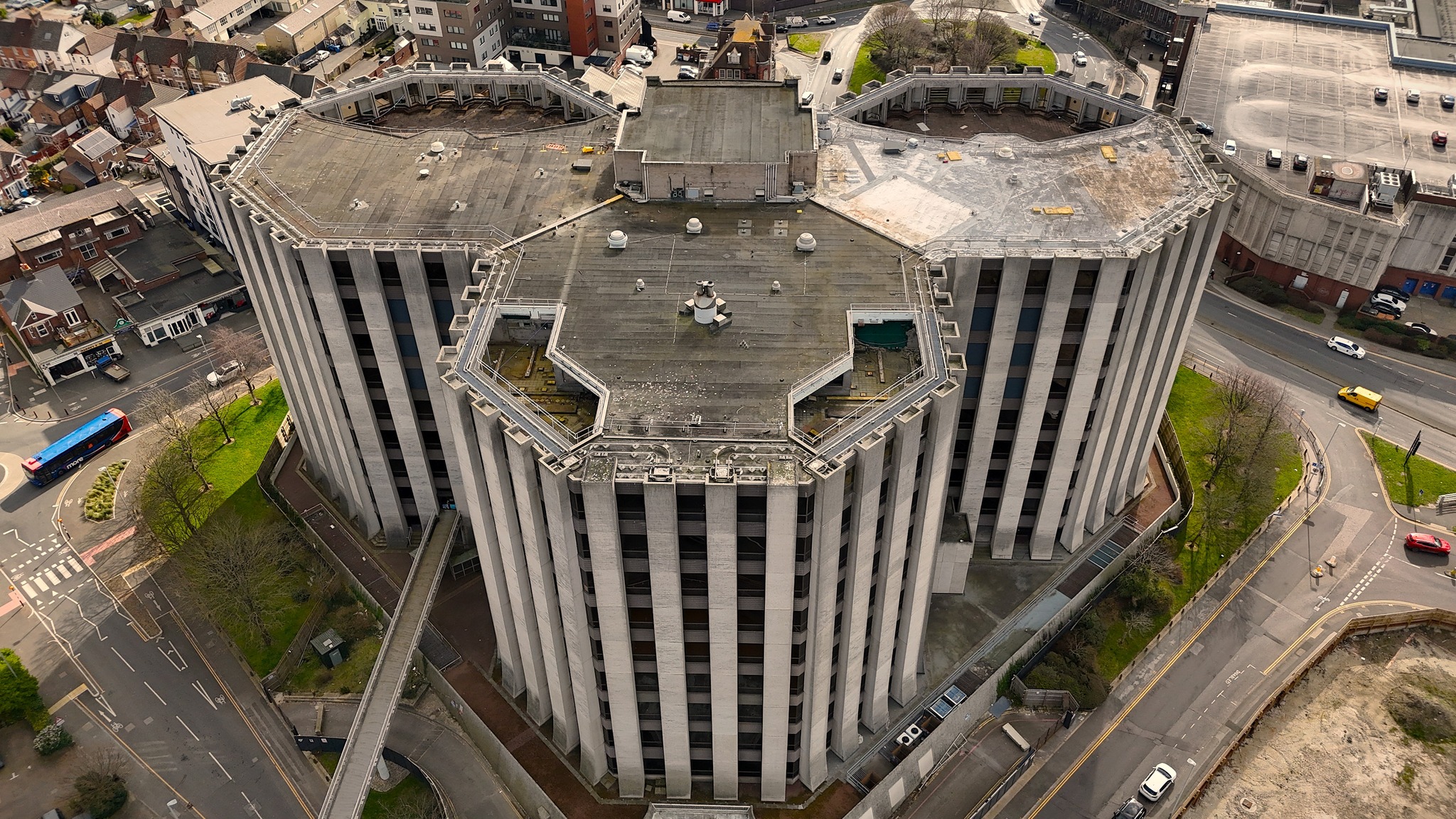
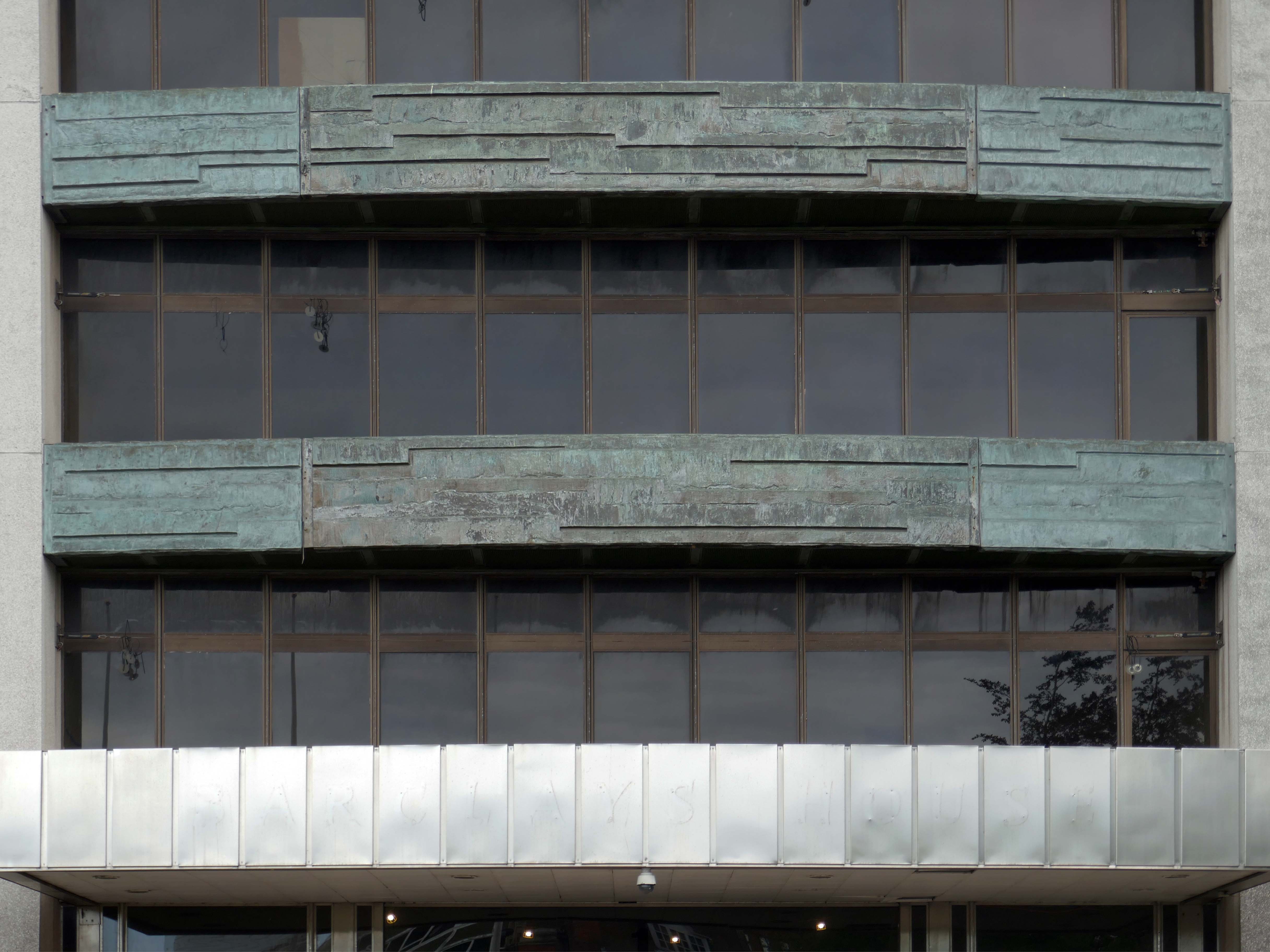
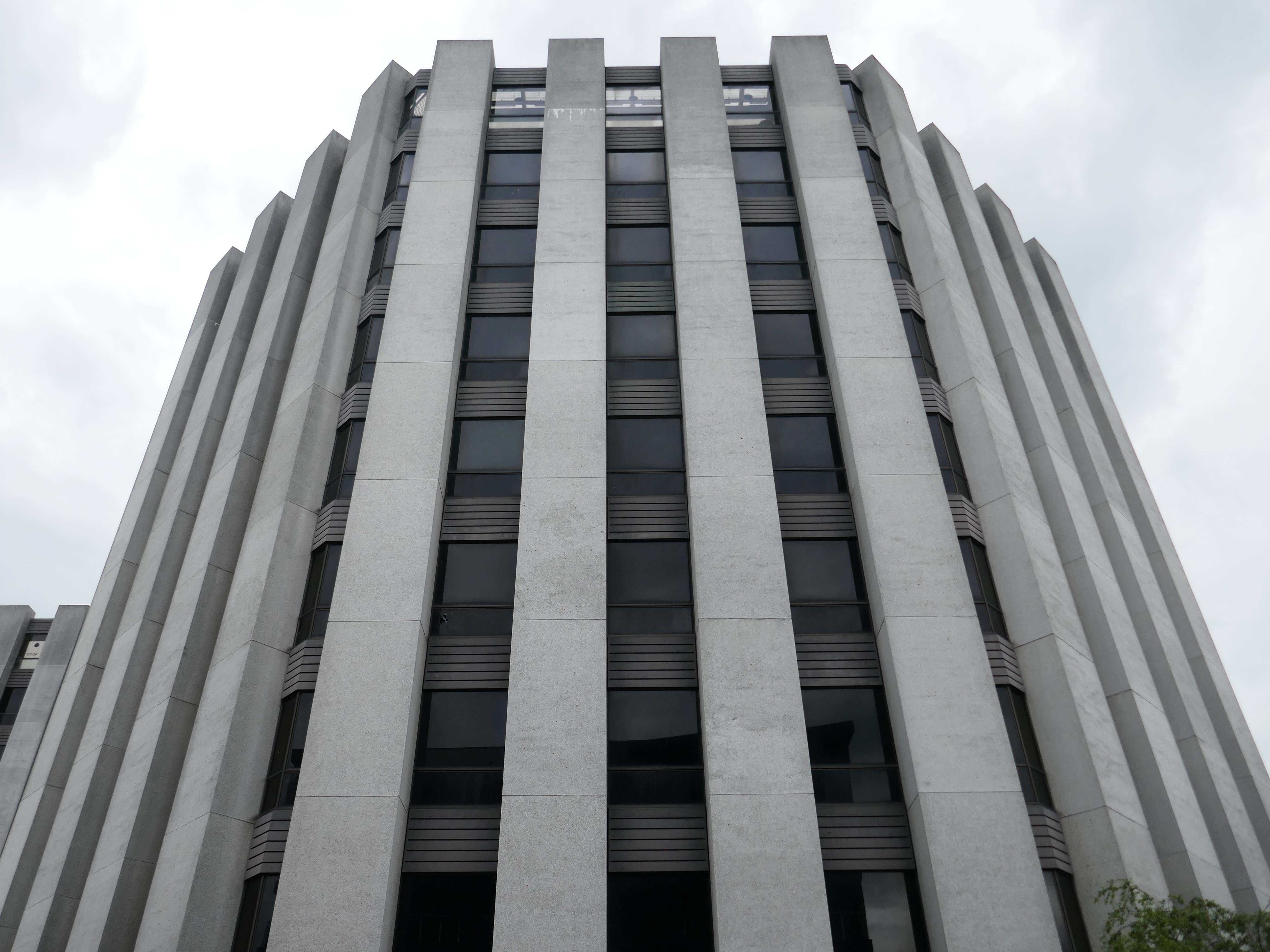
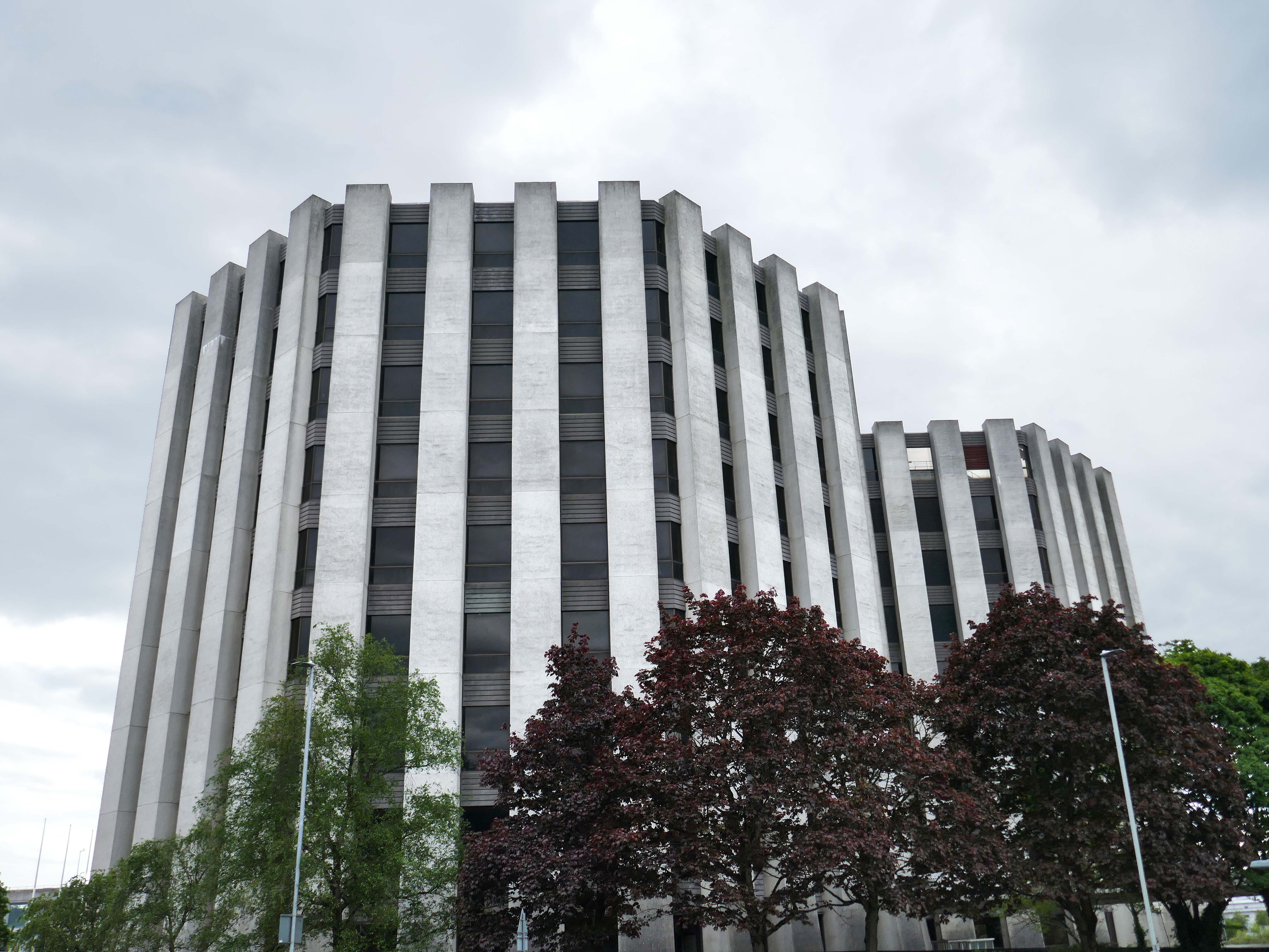
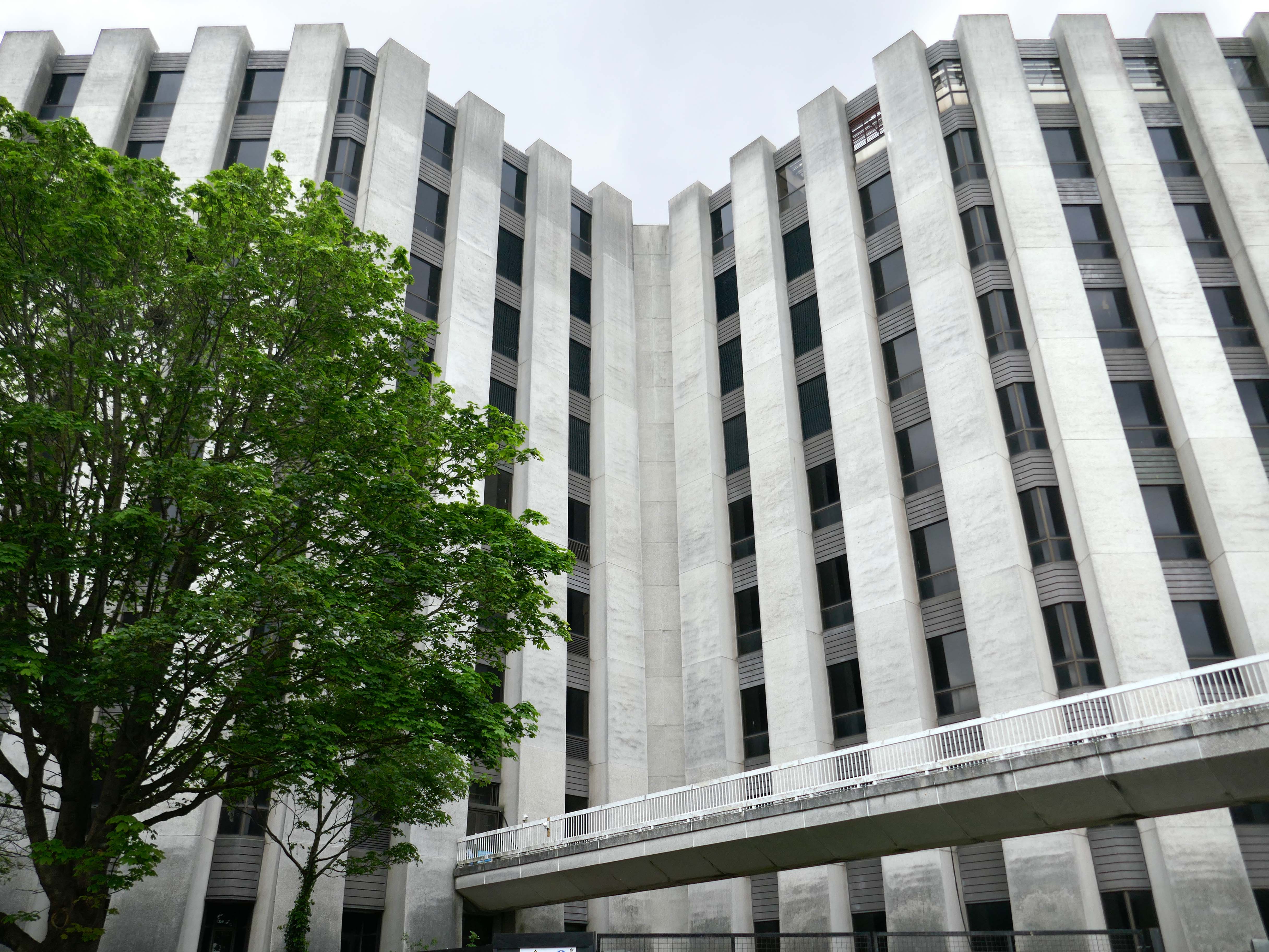
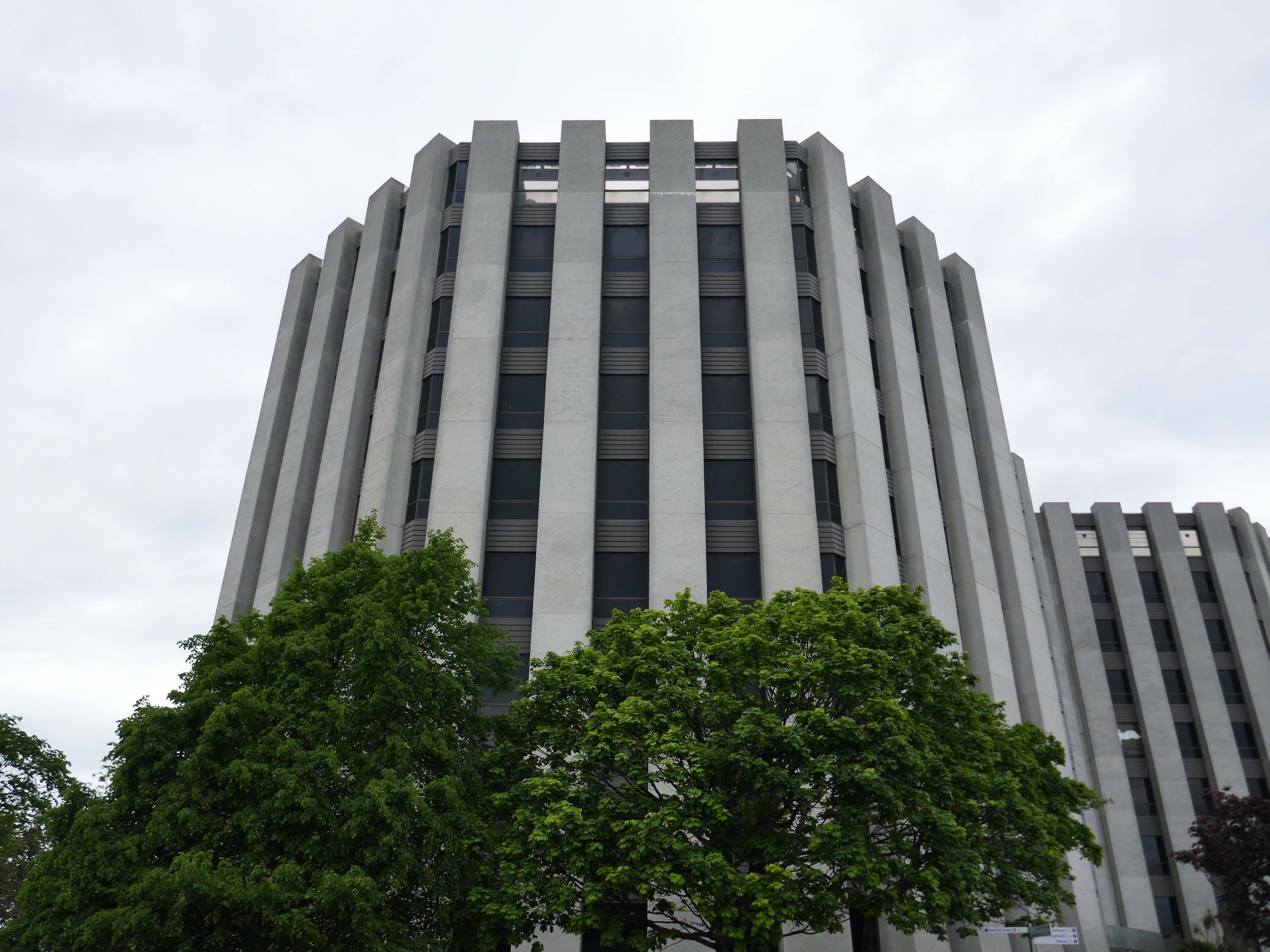
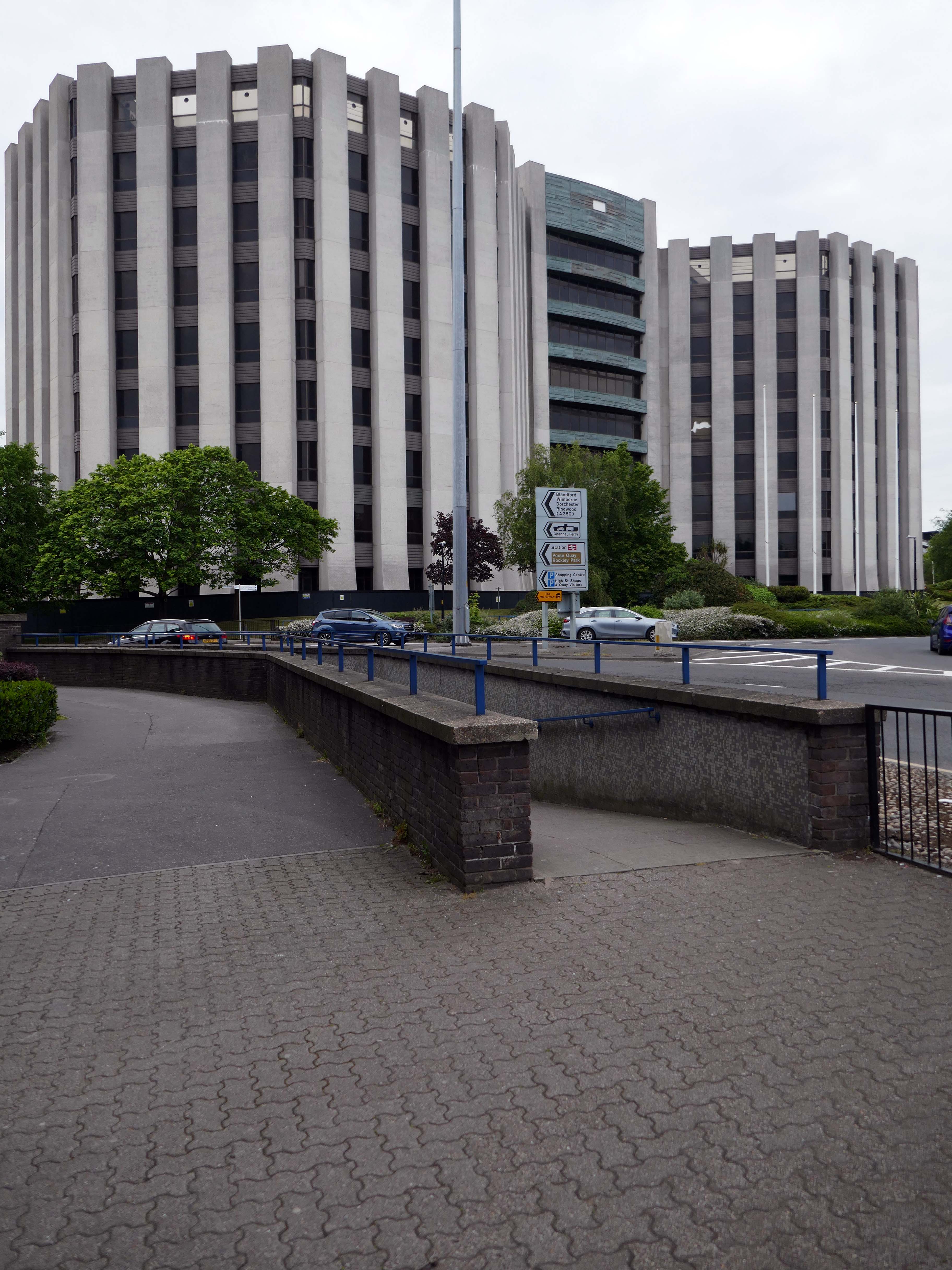
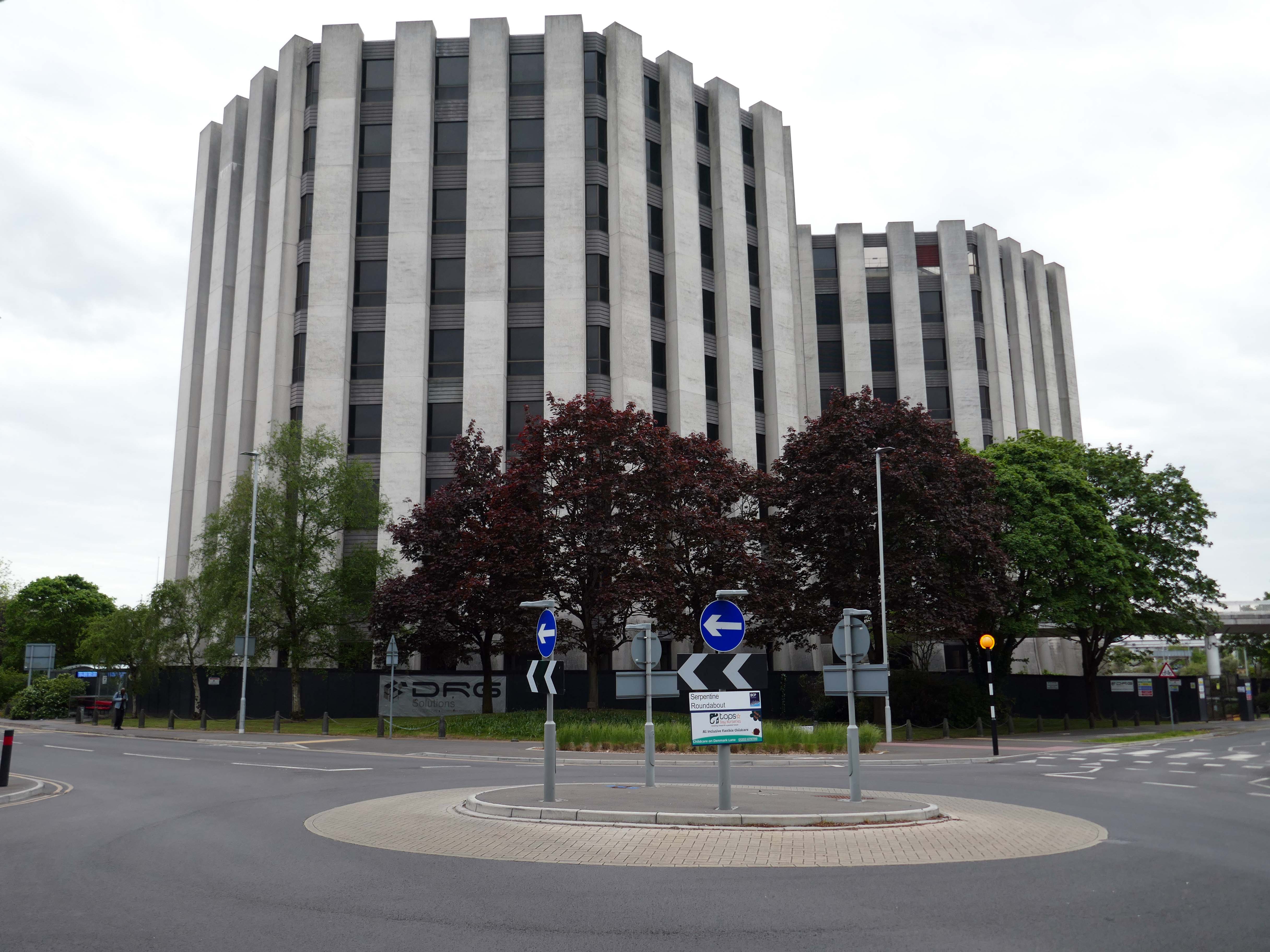
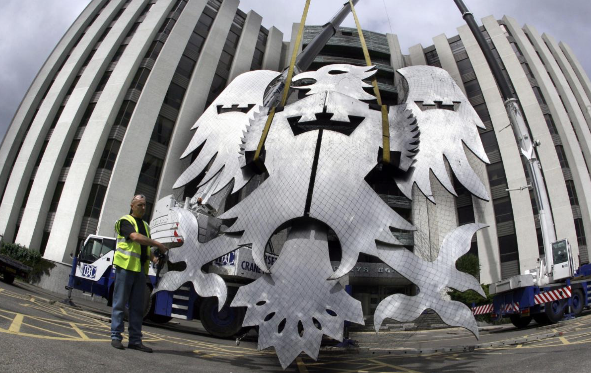
Barclays House was constructed by Barclays bank from 1972 to 1975 as part of a move to decentralise its offices from London.
The structure, was designed in the Brutalist style by architects Wilson, Mason and Partners. It consists of three main wings, each octagonal in plan, and dominates the town centre skyline.
Barclays first occupied the office in January 1976. The building’s basement is below sea level and is often flooded or damp, which prevented its use by the bank for storage. The structure has also sunk over time due to its significant mass
Barclays left the site in January 2022 and put the structure up for sale by sealed bid auction. The highest bidder was Bournemouth, Christchurch and Poole Council but they withdrew from the purchase in September 2022.
BCP offered £17 million, almost three times more than the next highest bidder, thought to be Fortitudo at £6.5 million, who wanted to demolish the structure and build three apartment towers.
In February 2023, boarding was put up around the building and the Bournemouth Daily Echo reported that a new buyer had been found. In November 2023, proposals for redevelopment to residential use were announced, 362 flats are proposed for the building.
Town hall planner Gareth Ball has given the go-ahead for VCRE Four Poole Limited to convert the historic building into a 362-bedroom apartment block.
No parking spaces will be available for the future residents, as noted by BCP case officer Mr Ball as being in accordance with the council’s rules. Instead, the development will come with 488 cycle spaces – or one space for every resident. The scheme will feature a gym, communal workspace, squash courts, a games room with table tennis, pool, video games, surfboard storage and a rooftop garden.
Barclays House was bought last year for £5.3 million, according to documents.
Here are the photographs I took in May 2026 – incorporating the multi storey car park.
But what of the future?
This recent ARC projectinvolves transforming the former Barclays building in Poole into 362 modern residential flats while preserving the existing building’s façade. This project focuses on revitalising a heritage landmark by repurposing it with innovative designs that offer easy access to public transport, exceed space standards for comfort and practicality, and create a strong sense of community through shared internal and external amenities.
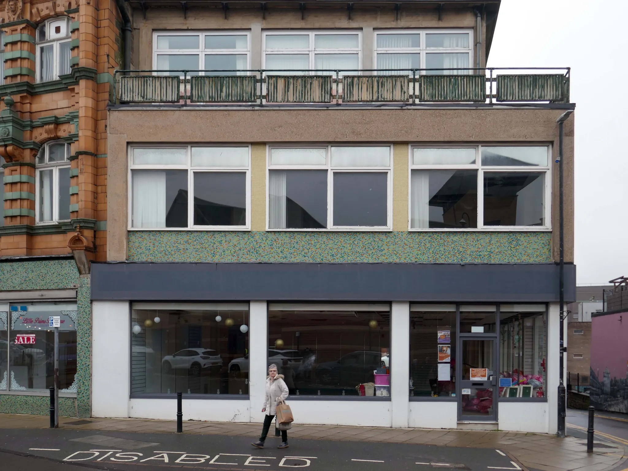
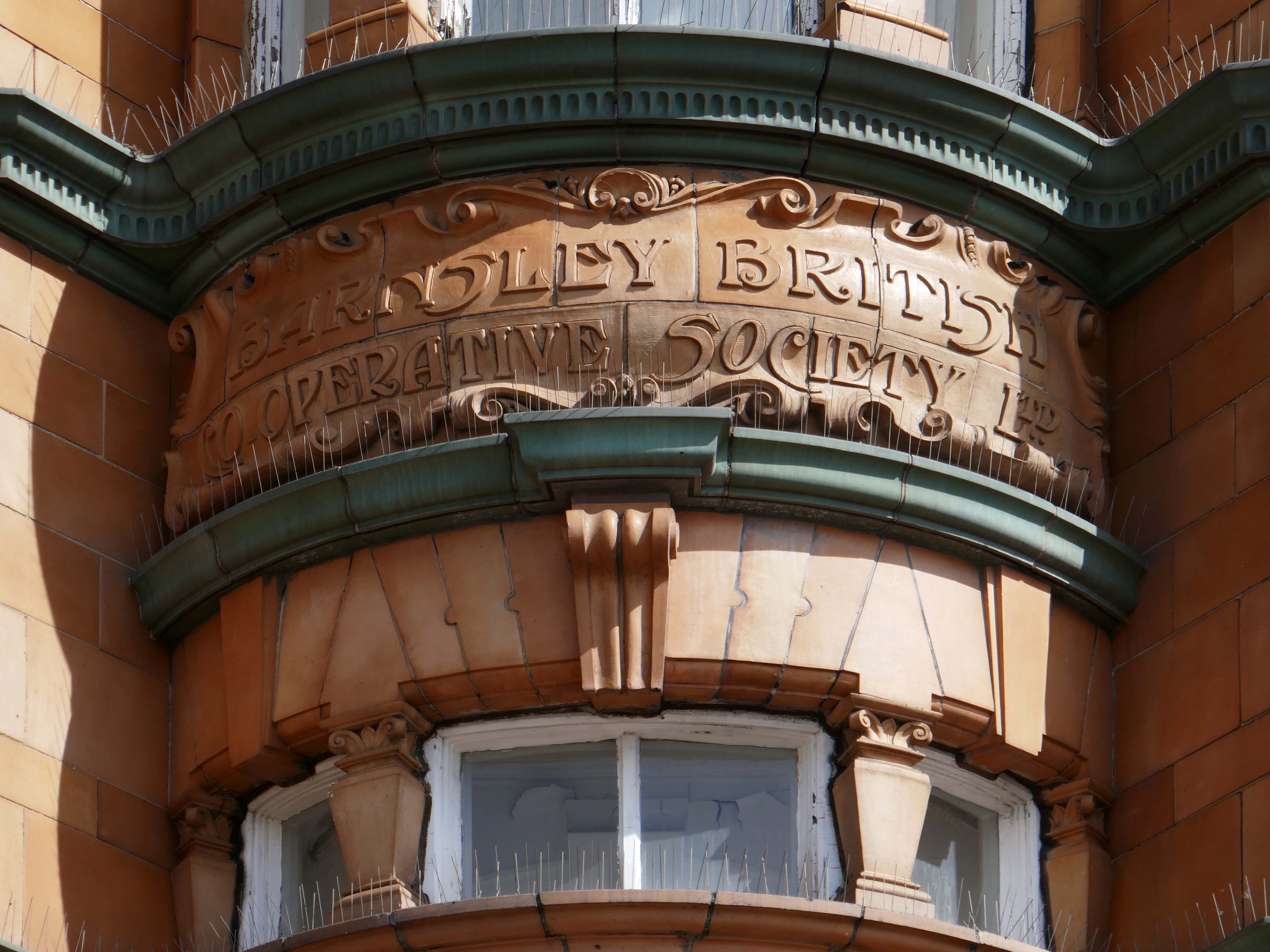
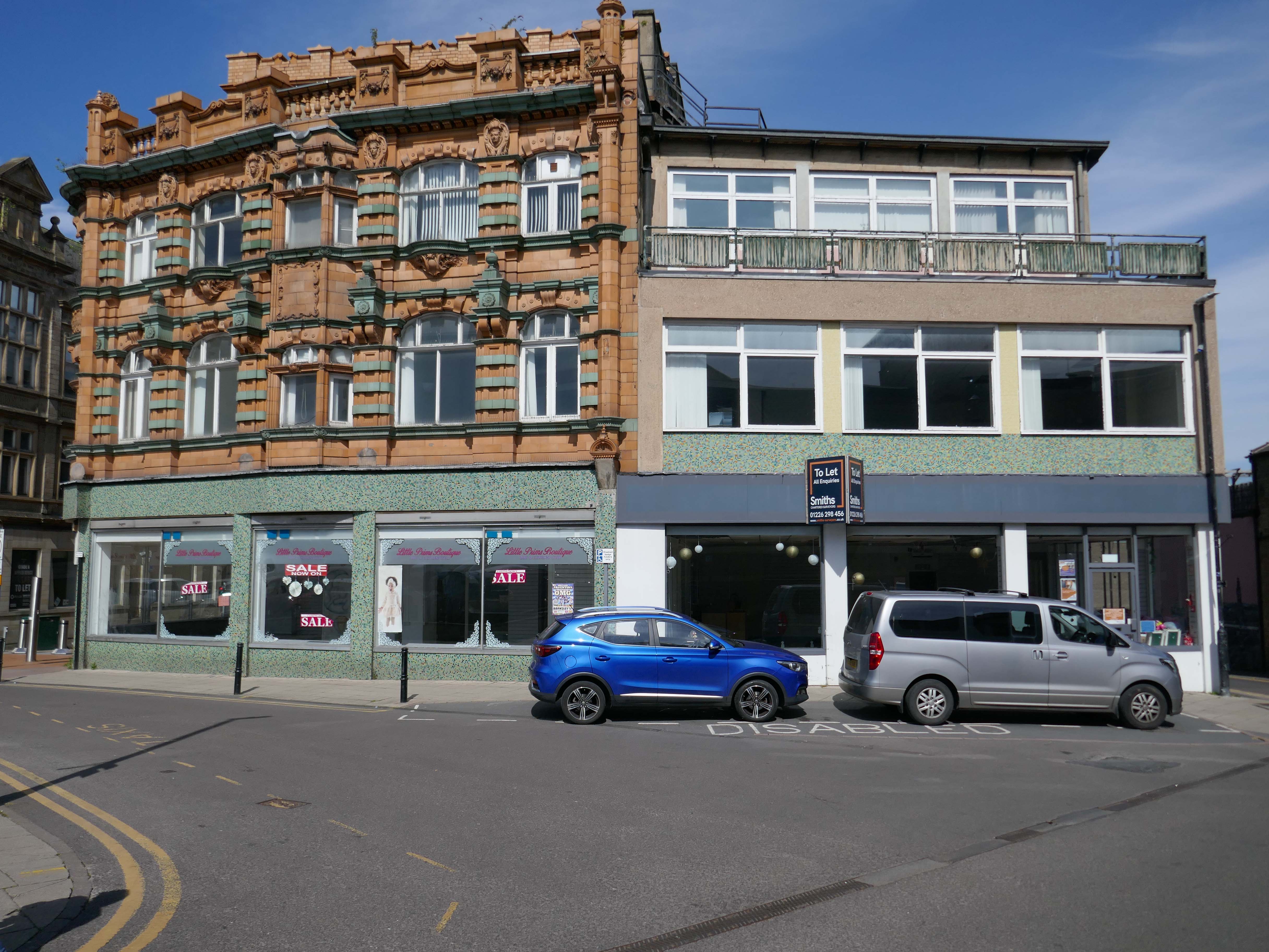
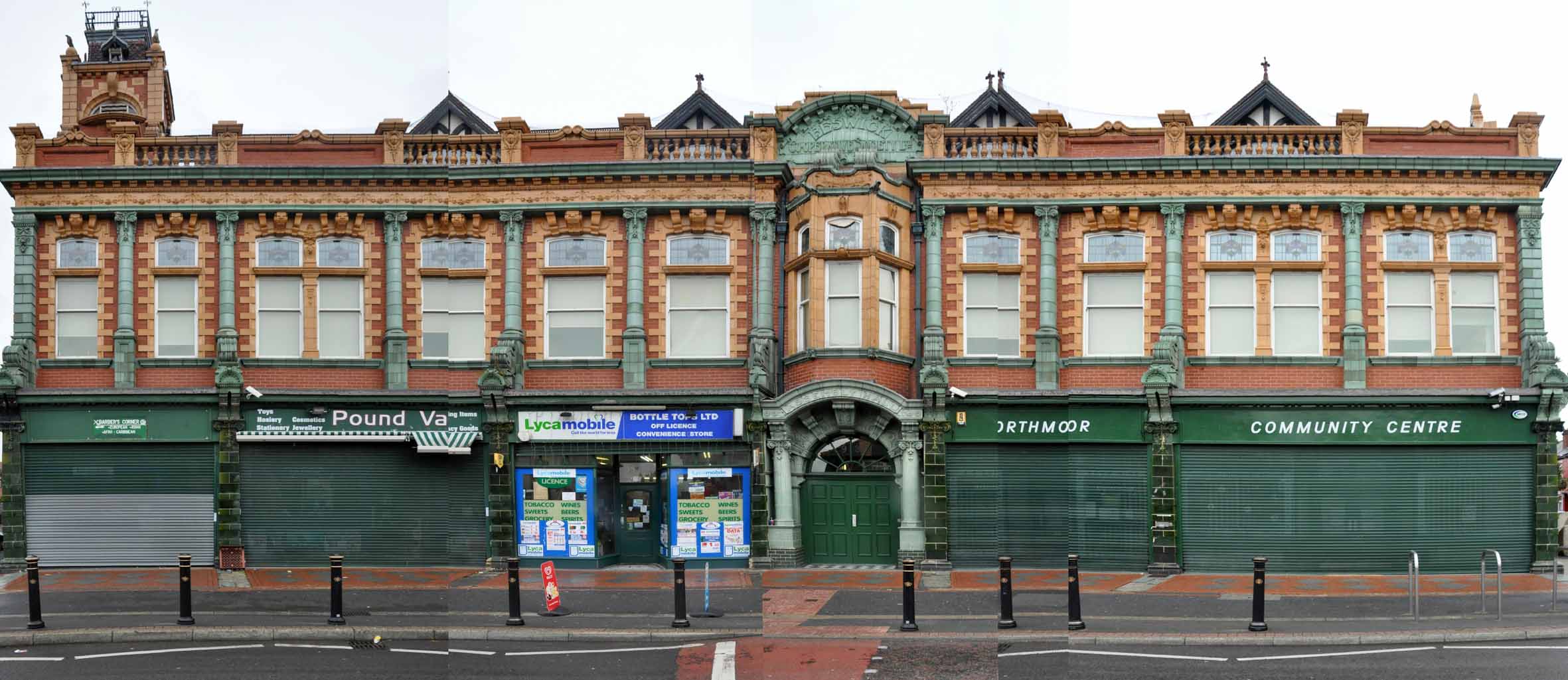
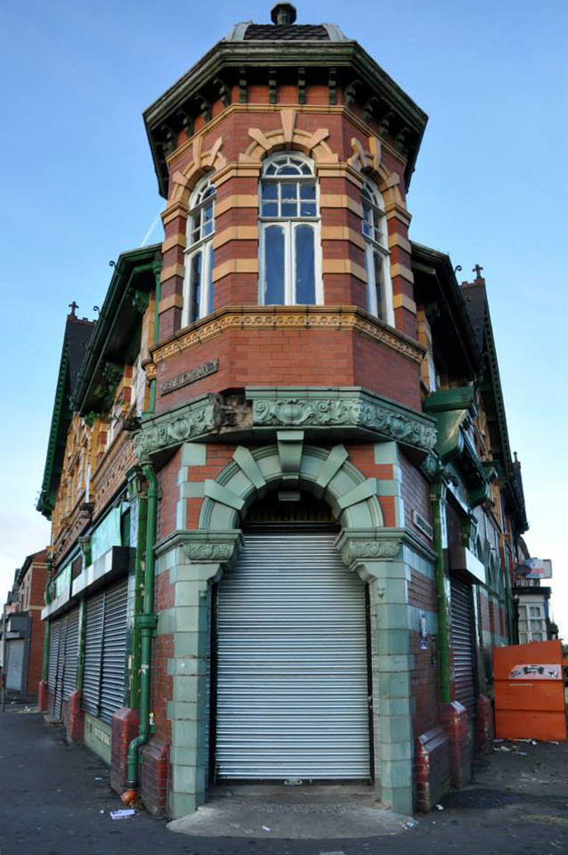
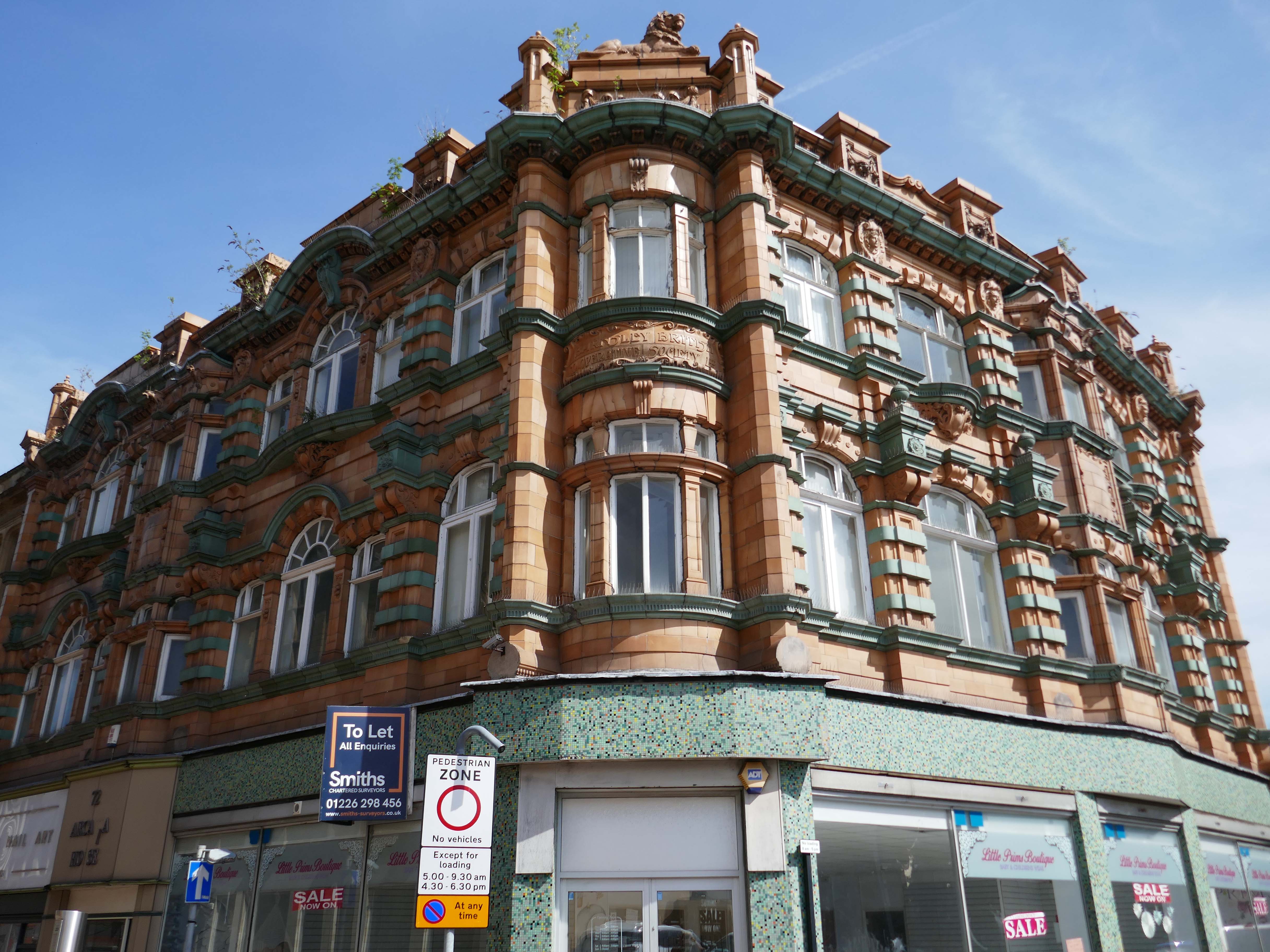
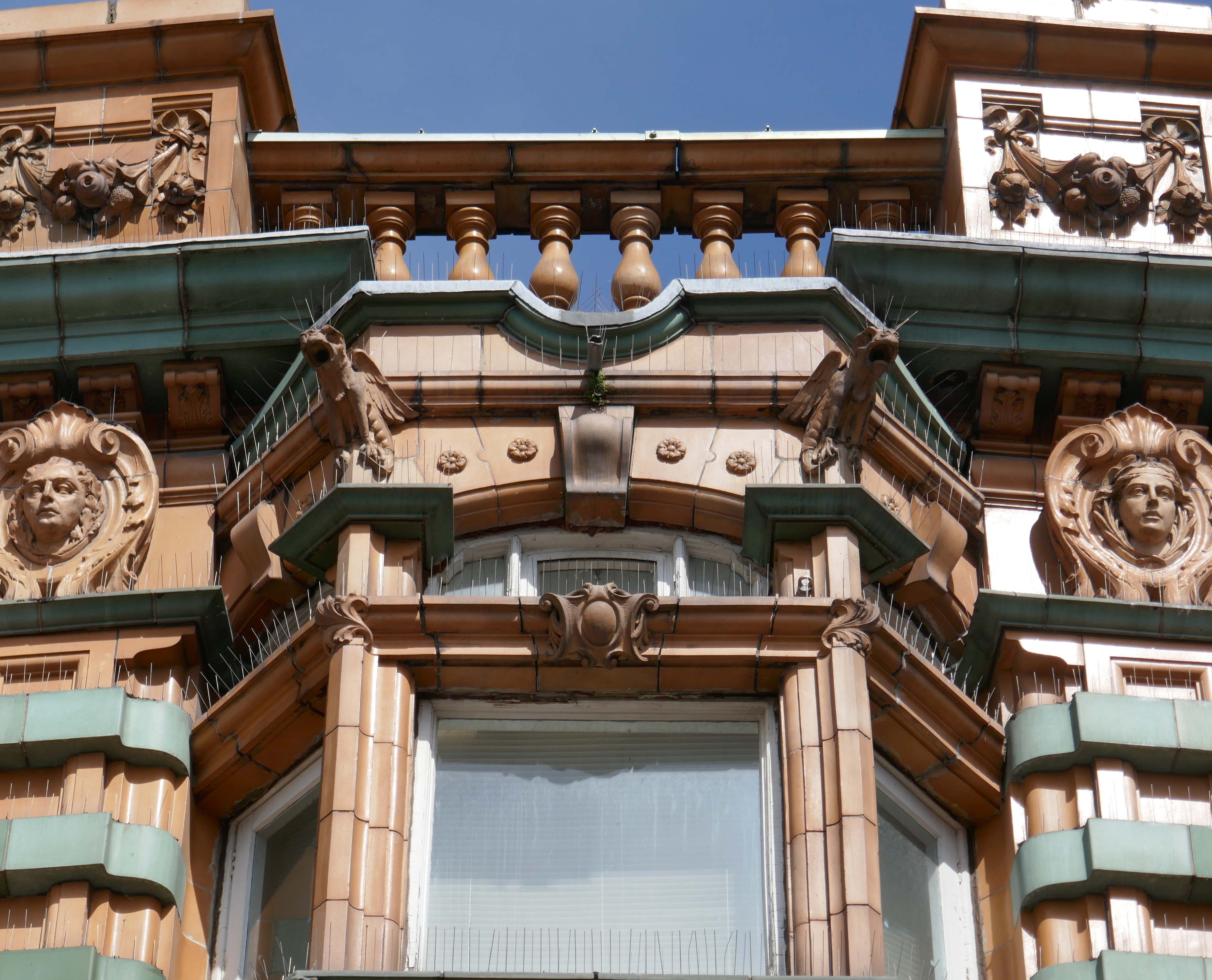
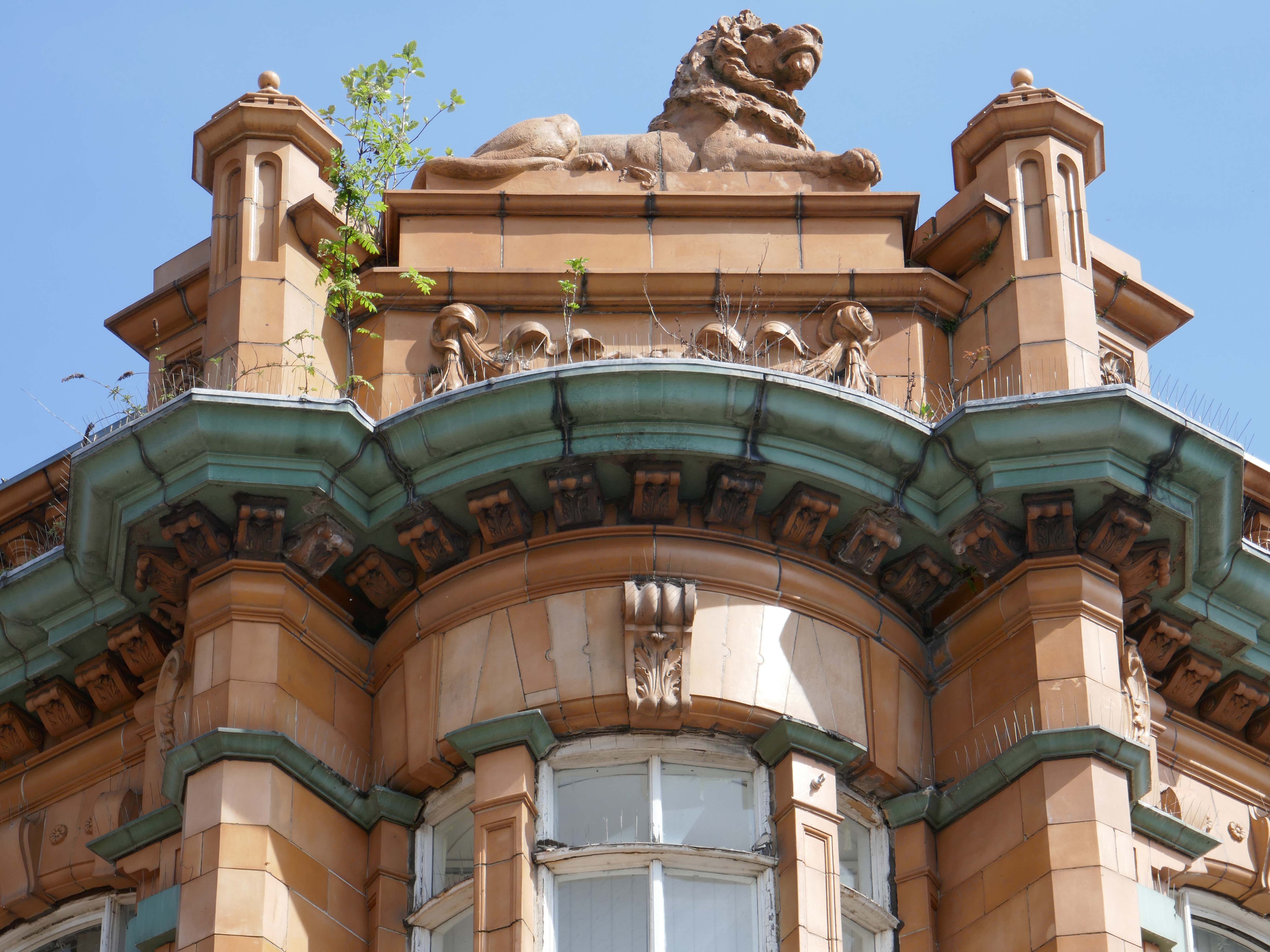
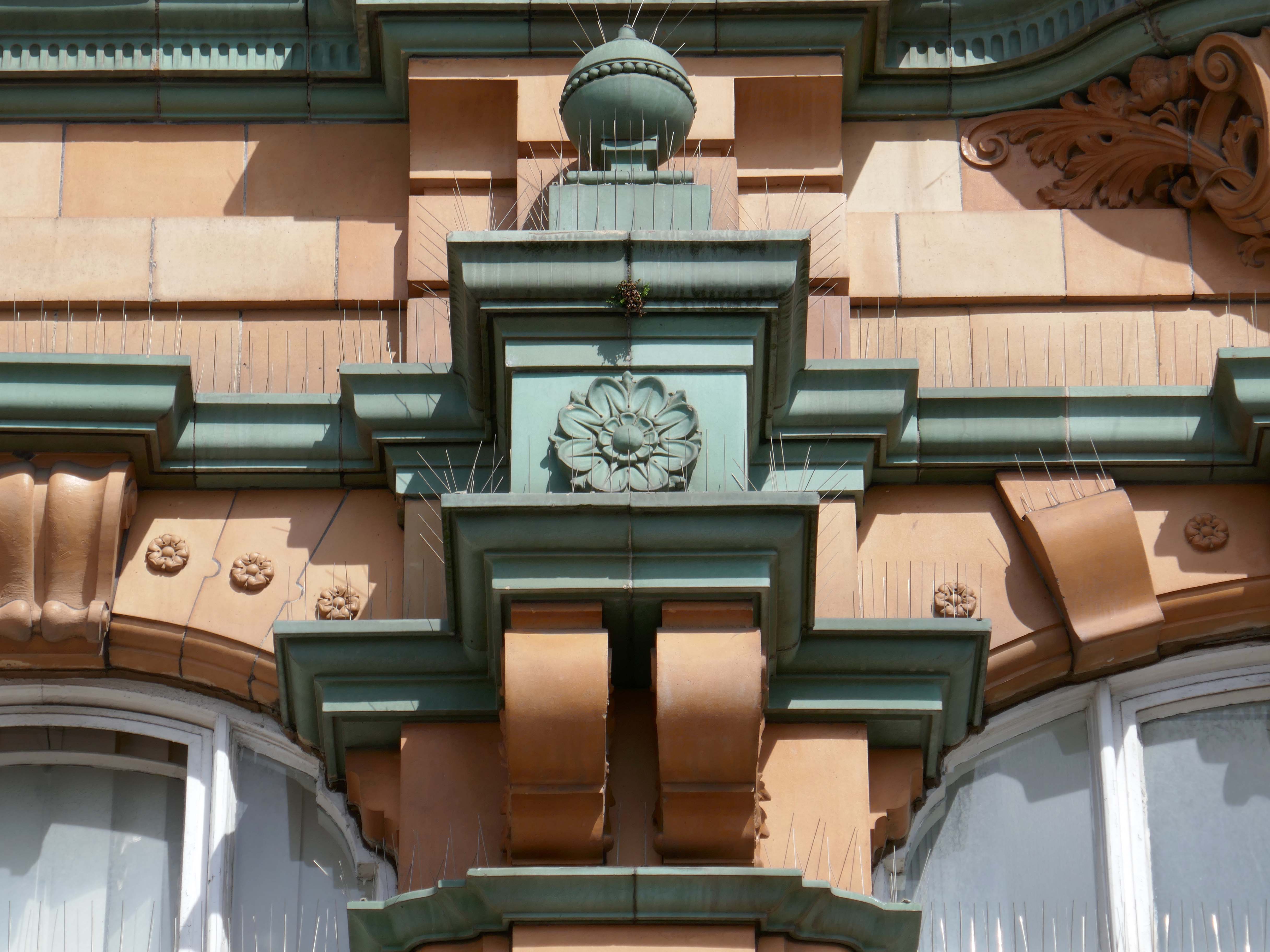
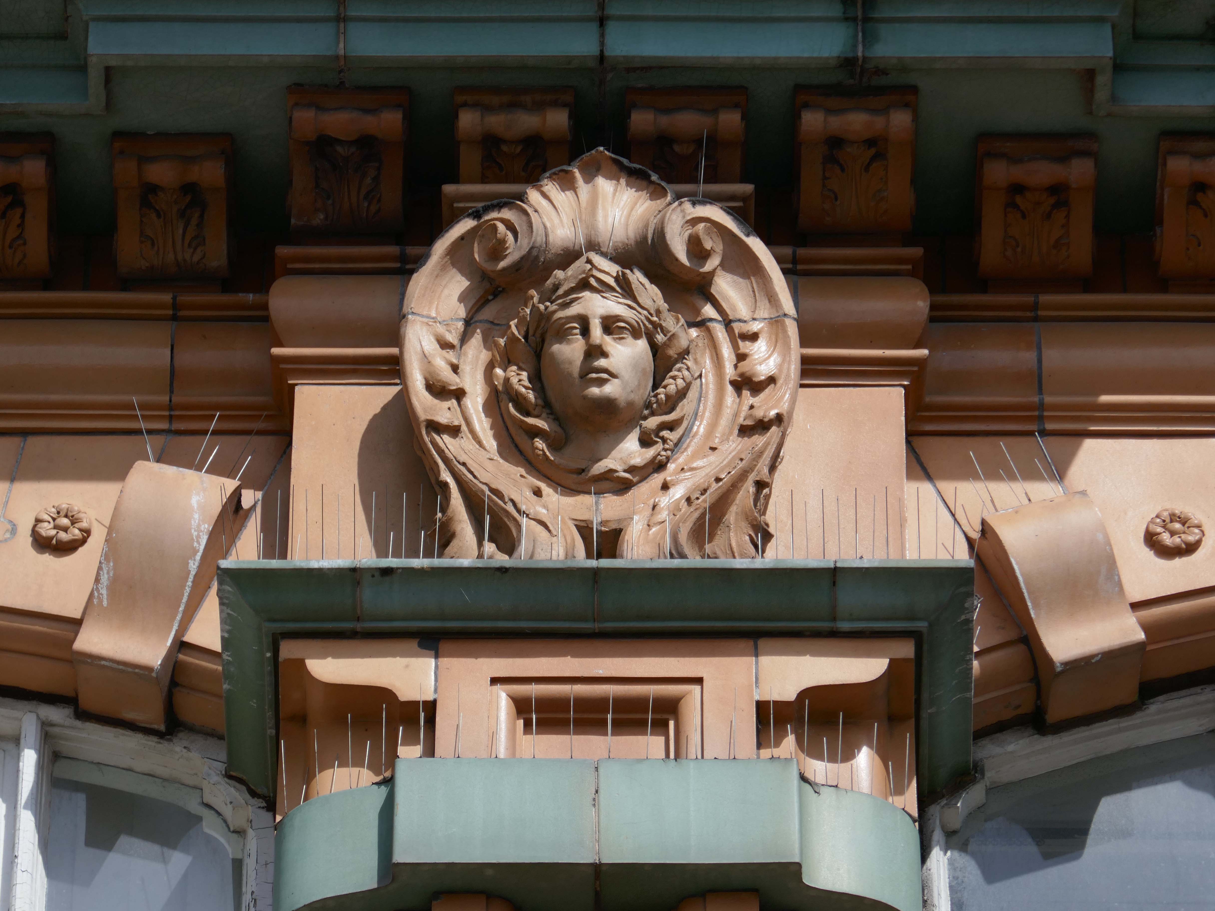
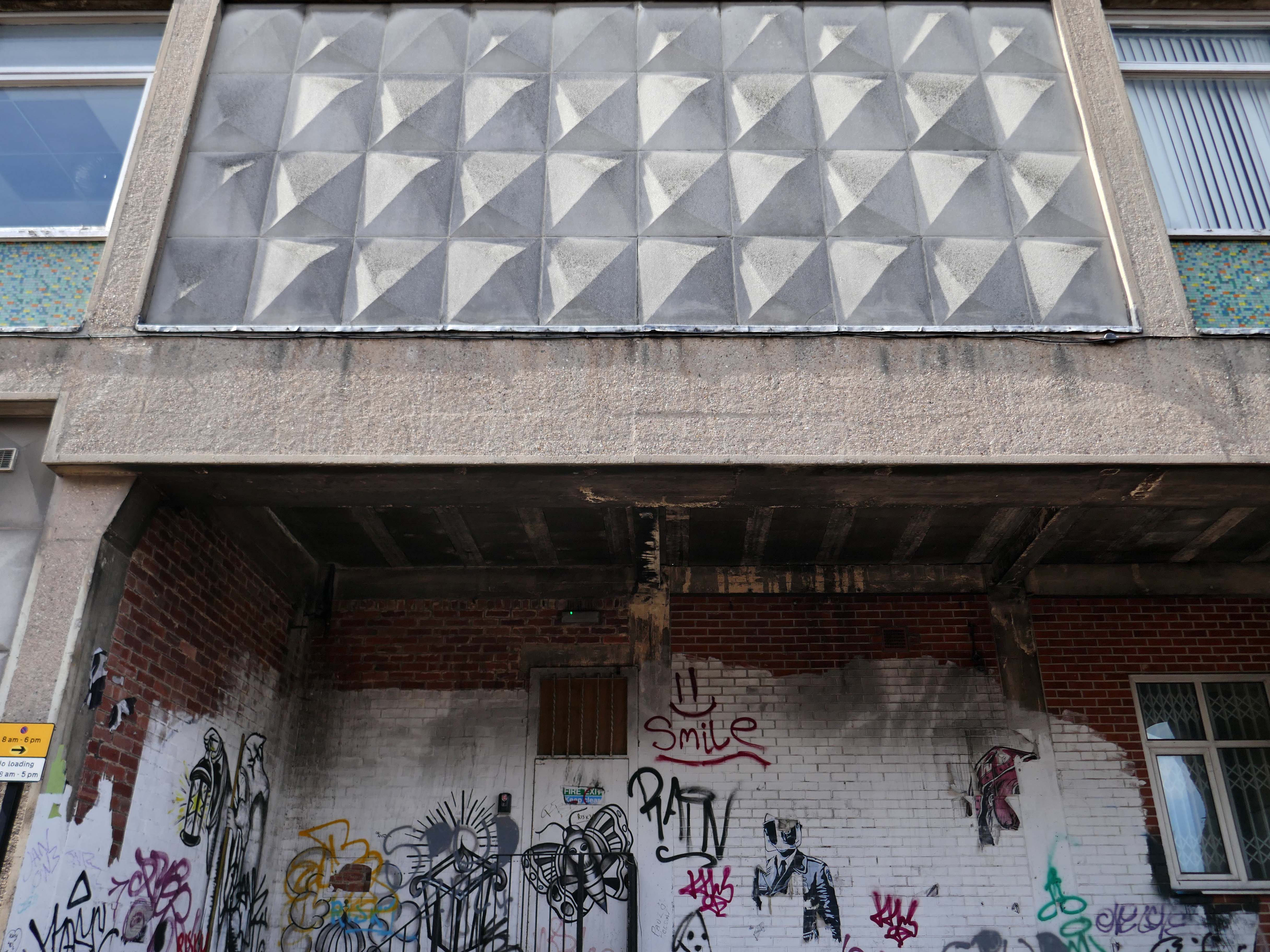
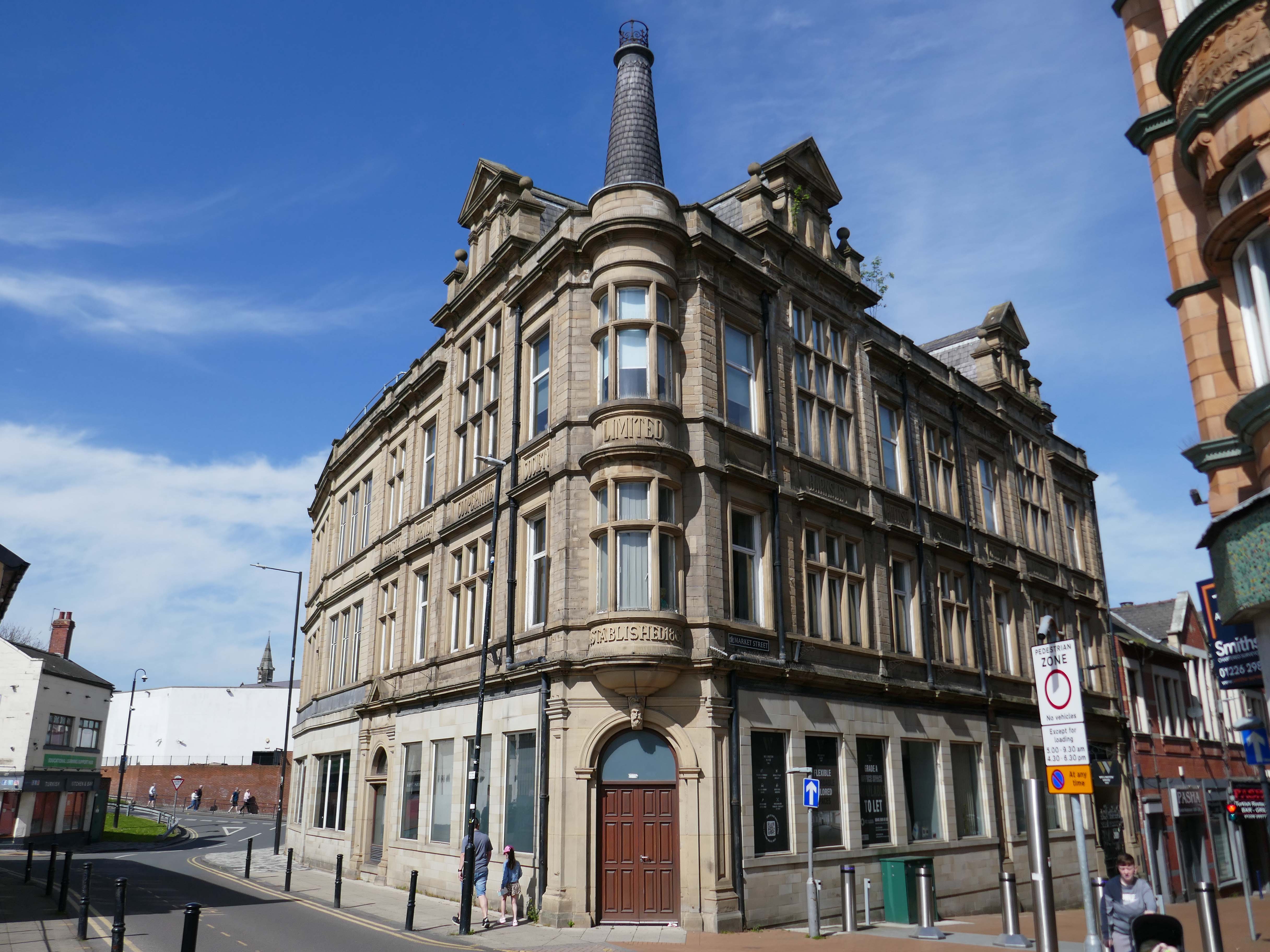
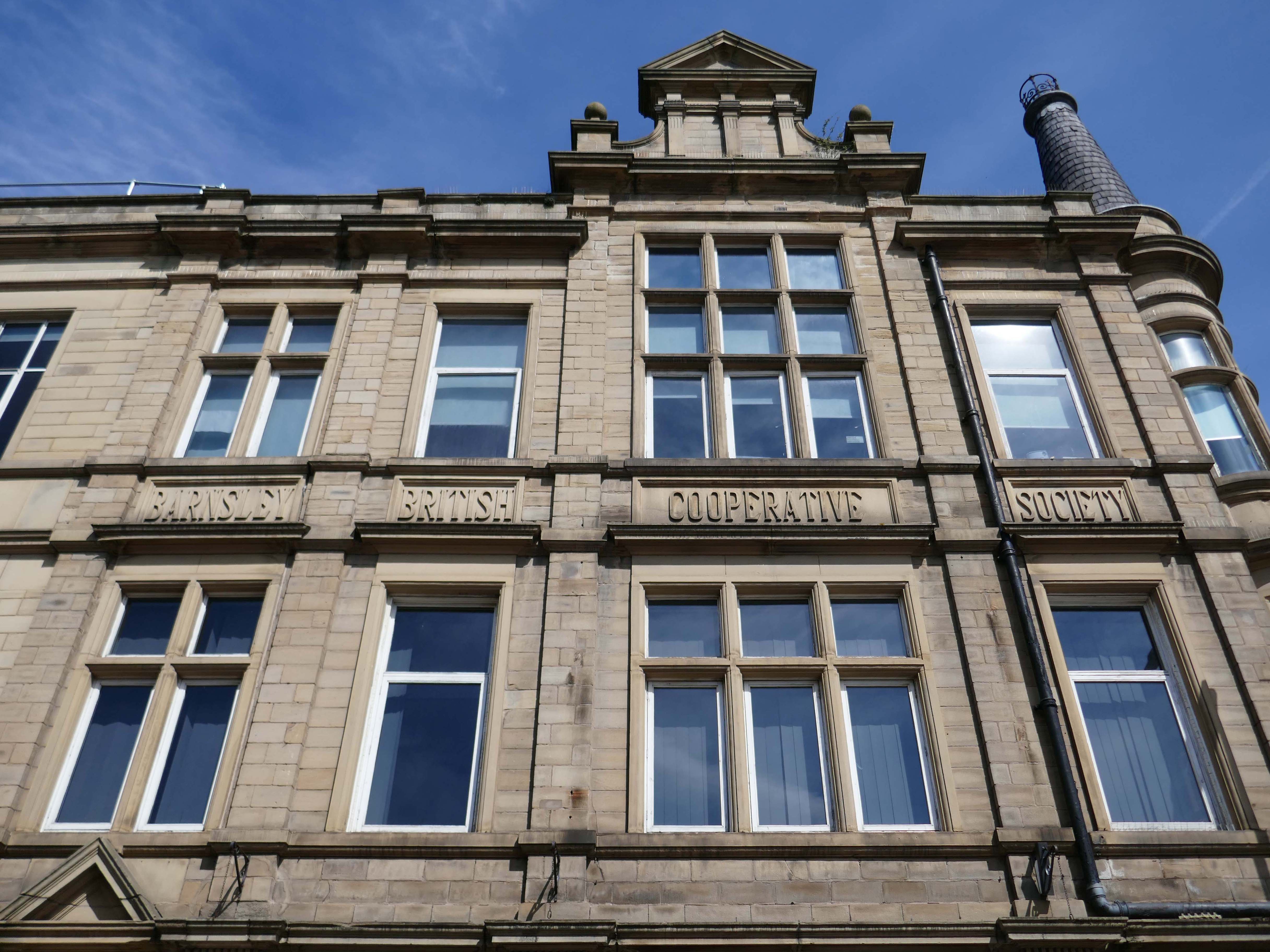
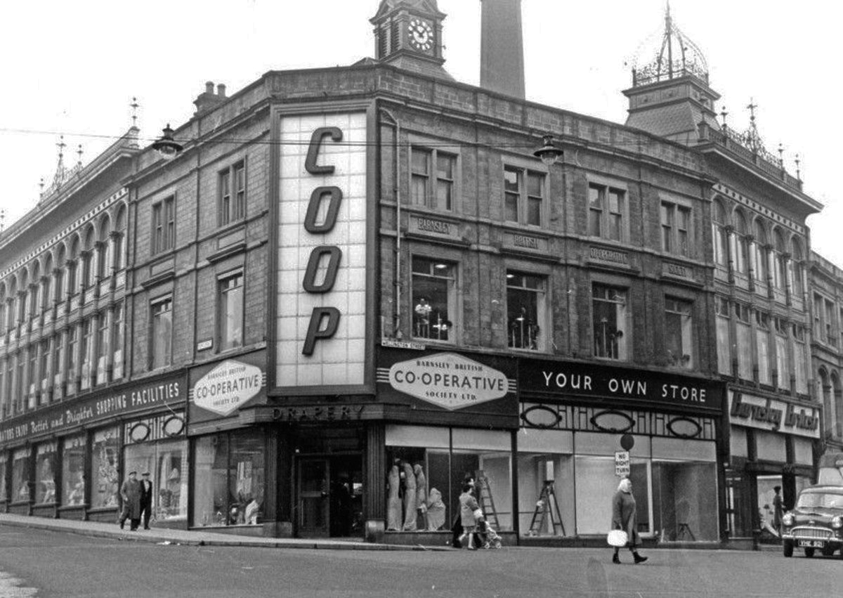
Subsequent observation and research revealed it to be an extension to a group of Barnsley Co-operative buildings.
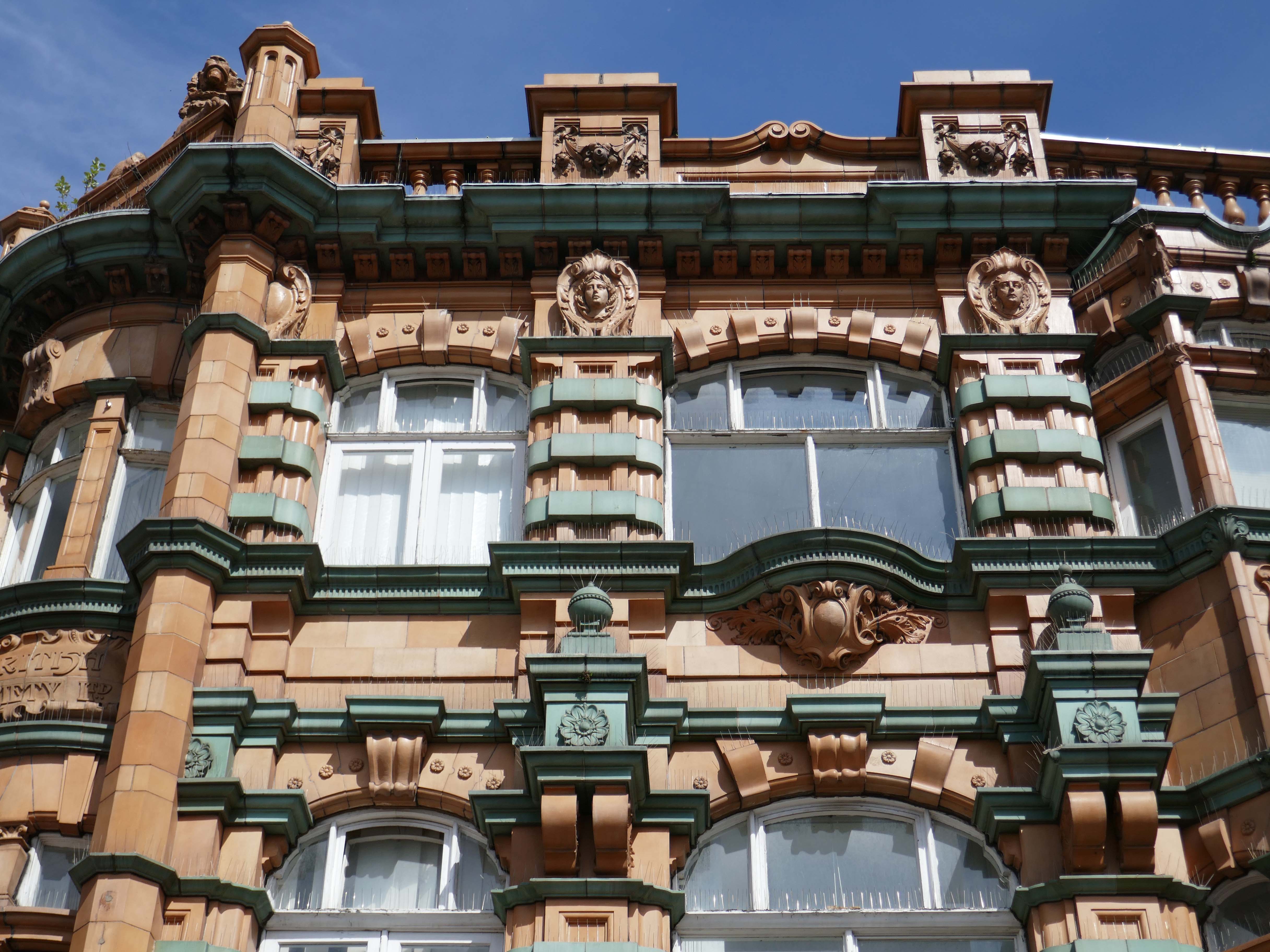
I should have noted that the building of 1910, was the work of architect Arthur Walshingham, the terracotta and green faience, very much in the style of Northmoor Road.
The building housed grocery and footwear shops, an elegant marble floored entrance hall, a restaurant and assembly room. Its original shopfronts were mahogany with metal sills on a granite base, the windows were divided by columns with green faience shafts.
In 2016 the Barnsley British Co-operative building, sited opposite the existing buildings, suffered a large fire and unfortunately had to be demolished due to safety concerns.
For more than a century it had been considered the place to shop in town. Many will recall it as the Co-op’s toy department where, every year, excited children would queue with mums and dads to meet Santa in his grotto at Christmas.
It closed in the 1980s.
In 1993 the plan was to turn the imposing Victorian Grade II listed building into a ’high class’ venue which it was anticipated would be aimed at a clientele in the 25-plus age group.
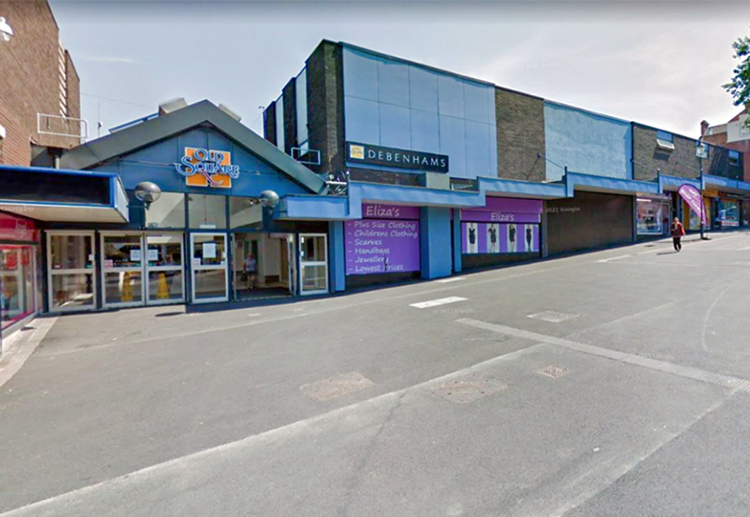
The name Walsall is derived from Walh halh, meaning valley of the Welsh, referring to the British who first lived in the area. Later, it is believed that a manor was held here by William FitzAnsculf, who held numerous manors in the Midlands. By the first part of the 13th century, Walsall was a small market town with a manor house; the weekly market was introduced in 1220 and held on Tuesdays. The mayor of Walsall was created as a political position in the 14th century.
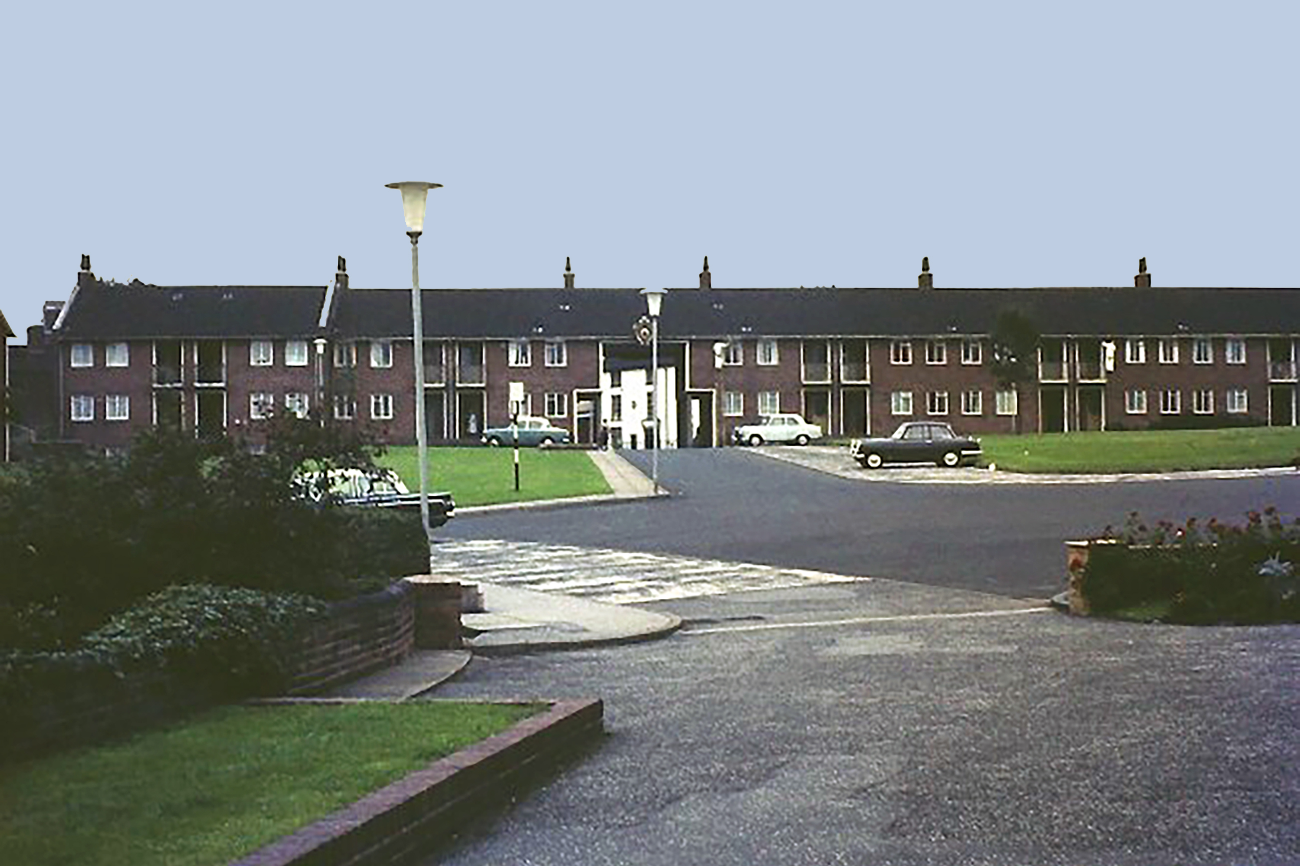
Significant developments also took place nearer to the town centre, particularly during the 1960s when a host of tower blocks were built around the town centre; however, most of these had been demolished by 2010.
The Memorial Gardens opened in 1952, in honour of the town’s fallen combatants of the two world wars. The Old Square Shopping Centre, a modern indoor shopping complex featuring many big retail names, opened in 1969.
Much of the reconstruction of the post-war period was quickly reconsidered as ugly and having blighted the town. In 1959, John Betjeman advised that with sensitive restoration the old buildings of the High Street could become:
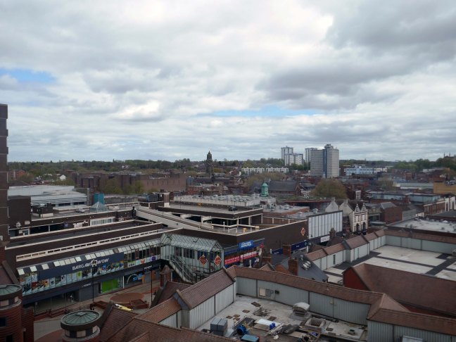
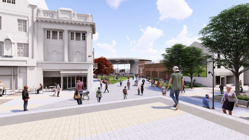
There is to be further demolition on the High Street, to open up the vista between the Bus and Railway stations.
In 2021 Walsall secured funding of £11.4m from the Future High Street Fund. With further investment from Walsall Council we are now delivering the early phases of the Town Centre Masterplan, through the Walsall Connected Gateway Project.
Approval has been granted to remodel the Saddlers Centre to create a more open and attractive arrival experience for train passengers whilst also opening up Park Street. Butler’s Passage, which has in the past been the centre of antisocial behaviour, will disappear as some of the buildings are removed to create a large open walkway, connecting the rail and bus hubs.
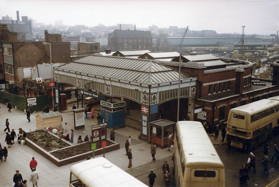
Former Railway station 4th March 1978 – photo by Walsall 1955
The station was about to be closed, demolished and replaced by a new Marks & Spencers and the Saddlers Centre.
The existing entrance to the railway station on Station Street.
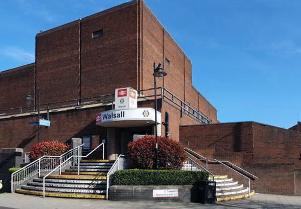
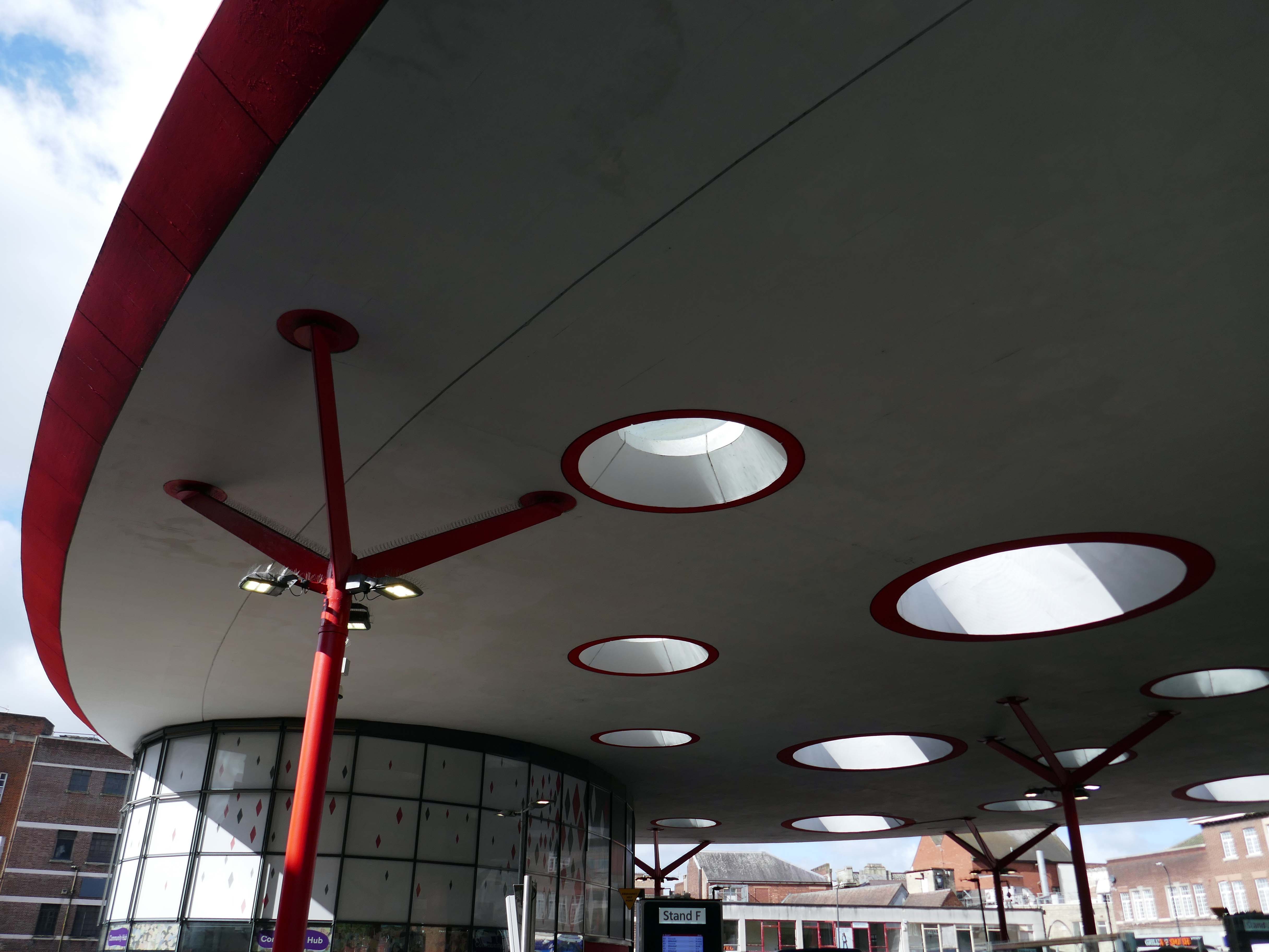
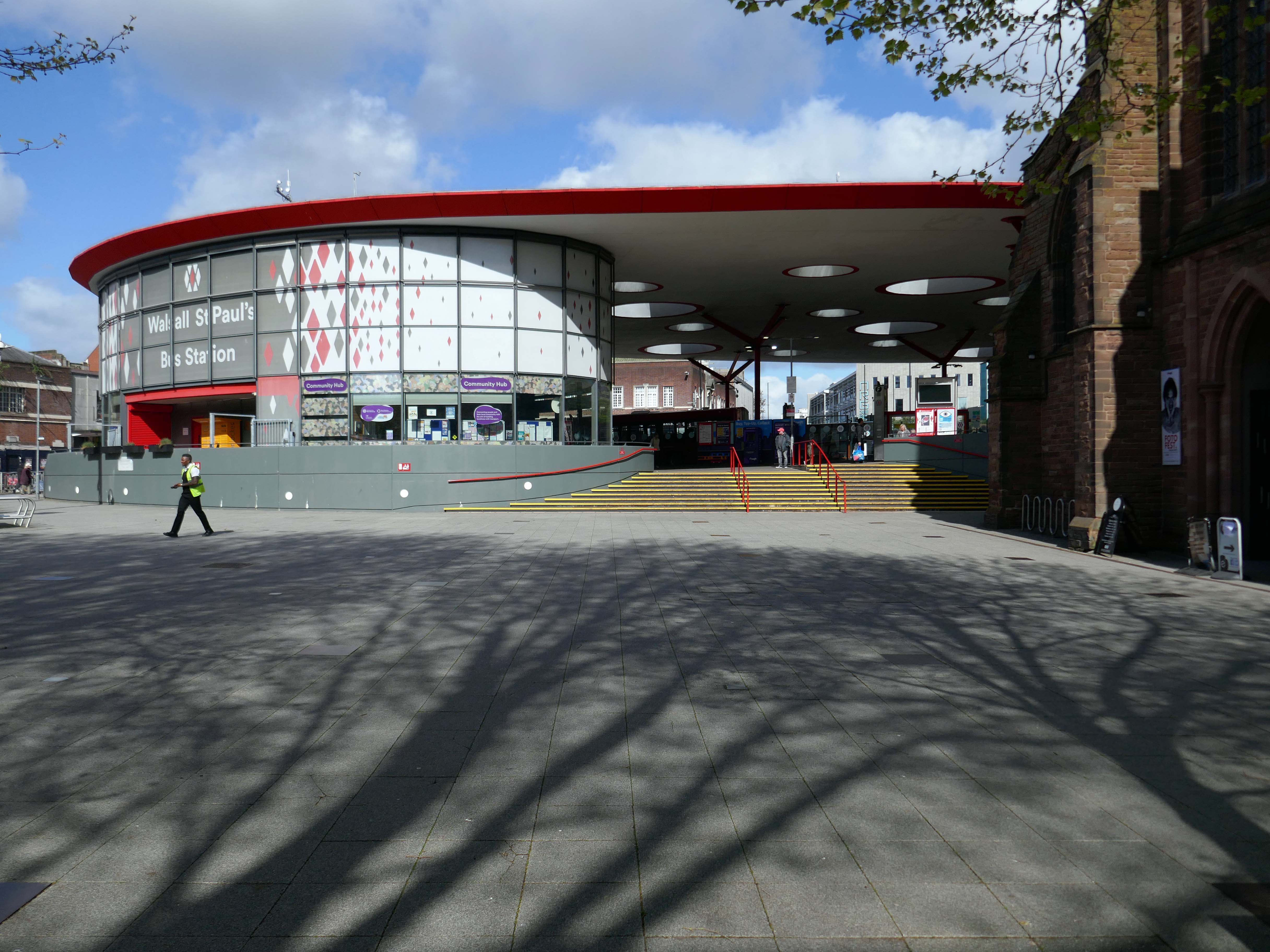
Let’s begin at the St Paul’s bus station or Hub – if you will, complete in September 2000.
The 1936 St Pauls Street bus station closed in February 1975, and was completely demolished, rebuilt and opened in August 1975.
Photo by: Walsall 1955
Allford Hall Monaghan Morris designed the building for Centro. The structural engineers were Atelier One, Shepherd Construction Ltd were the contractors, Watkins Dally were the landscape architects and Clark Smith Partnership were the civil engineers.
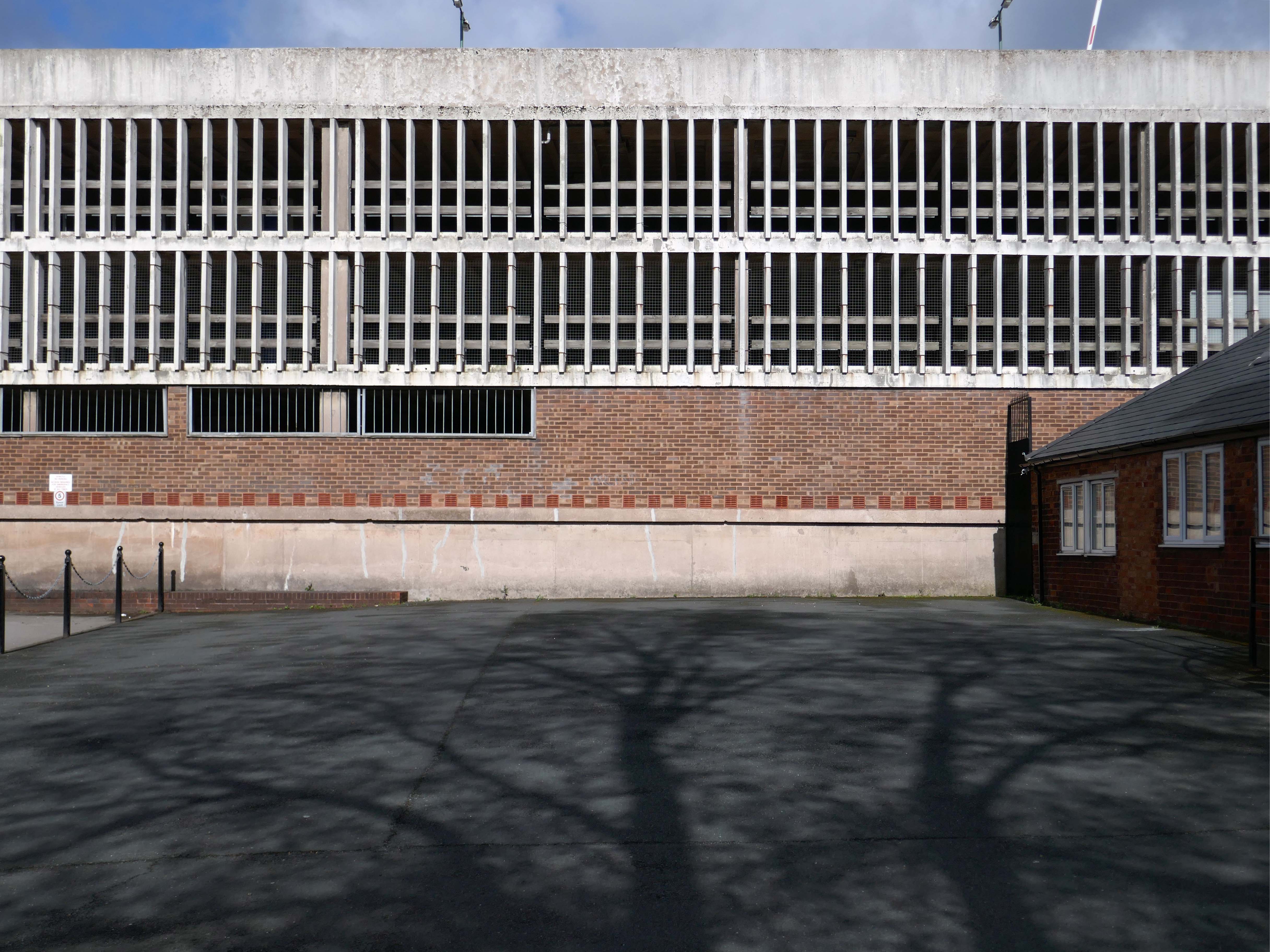
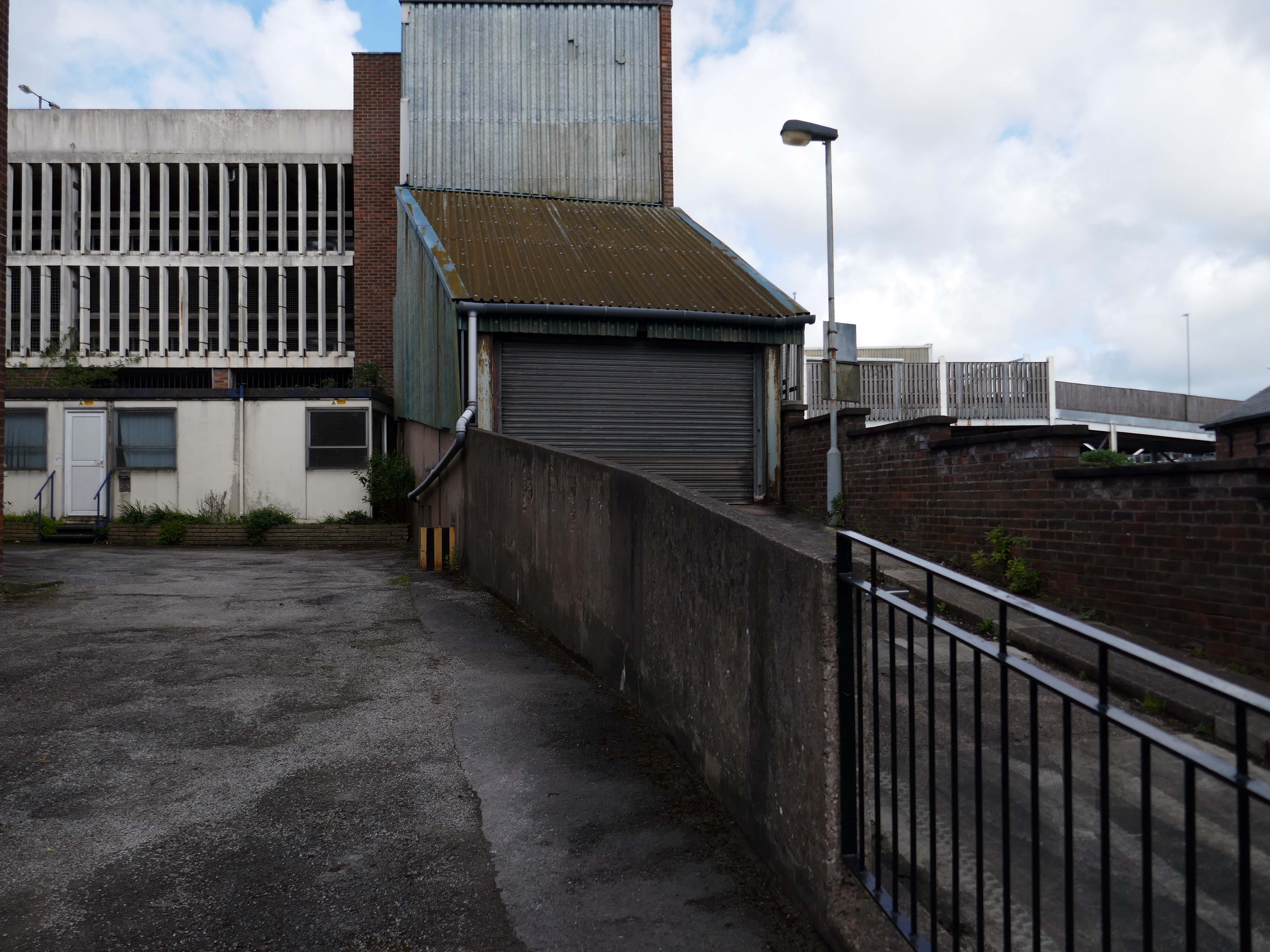
Next, a glimpse of Hatherton Road multi-storey car park.
Though it appears to be closed.
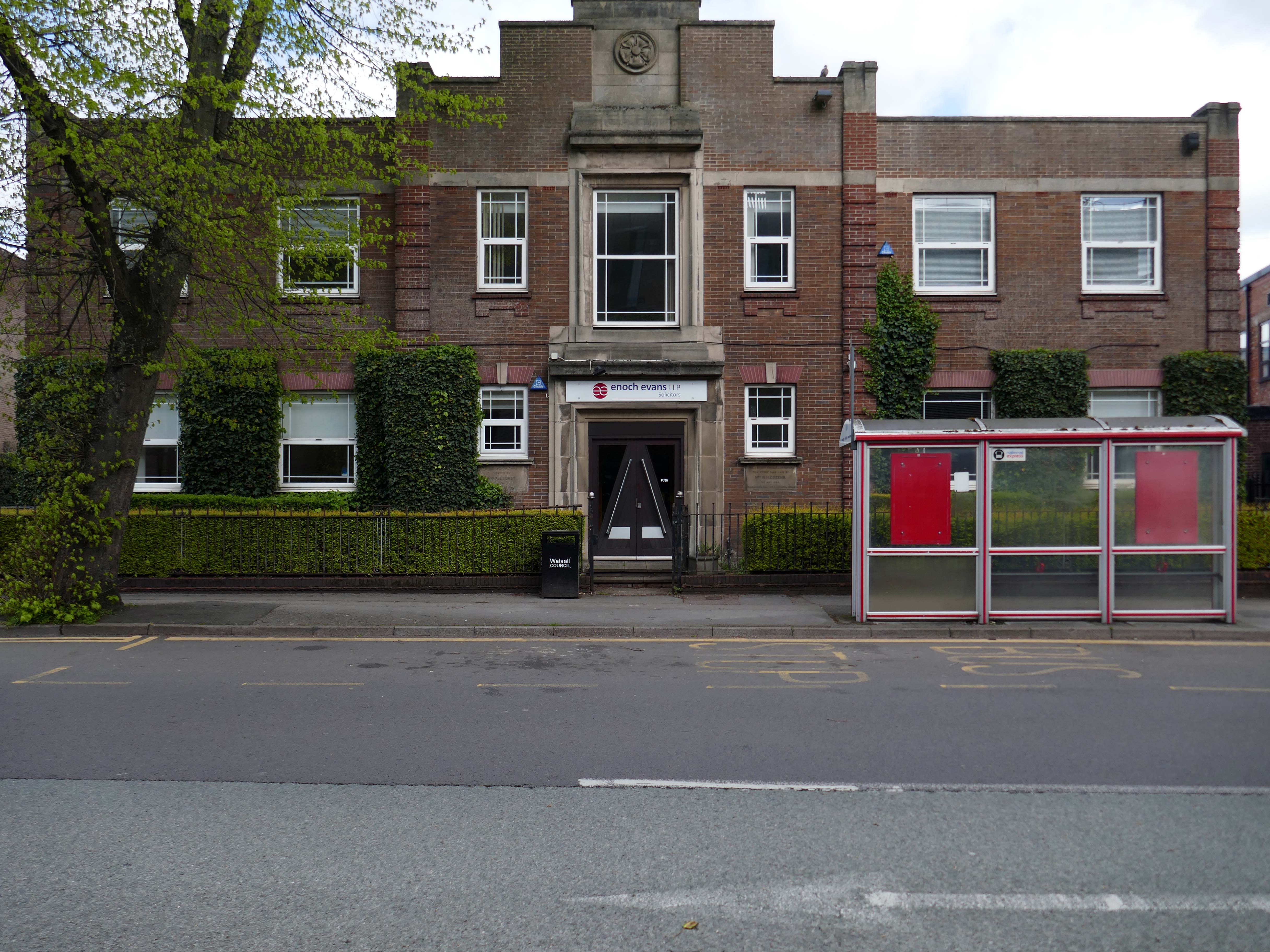
Adjacent to Enoch Evans Solicitors, their offices housed in one of the many imperious inter-war buildings dotted around the town.
Which faces onto the back of the Civic Centre.
Following the formation of the Metropolitan Borough, the new Civic Centre in Darwall Street opened in 1976, architect Stanley W Bradford Walsall MBC Director of Architecture.
Central roof garden.
Leaving the Civic Quarter on the left is the Imperial
The Imperial started life as an agricultural hall, constructed in 1868-69, and designed by the architect GB Nichols of West Bromwich. At that time, it was used for a variety of community activities including shows and dancing, it was also hired out to travelling film showmen. The main feature of the early building was a principal ground floor hall.
In June 1914, the Imperial was closed to allow for conversion to a cinema, designed by West Midlands-based architects Hickton & Farmer.
The Imperial was converted to a bingo club in 1968, and in 1996 it was converted into a pub, which closed in 2016.
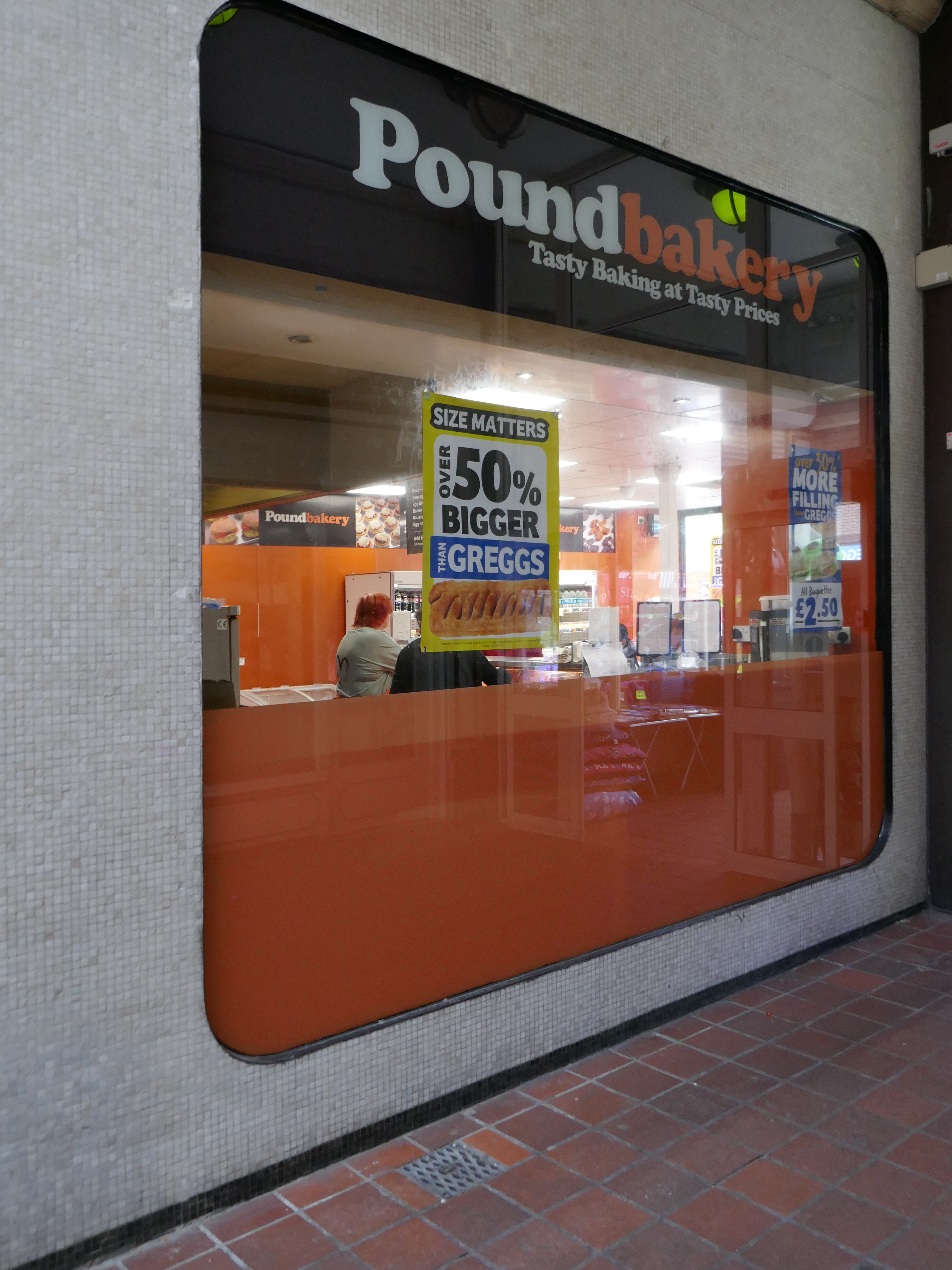
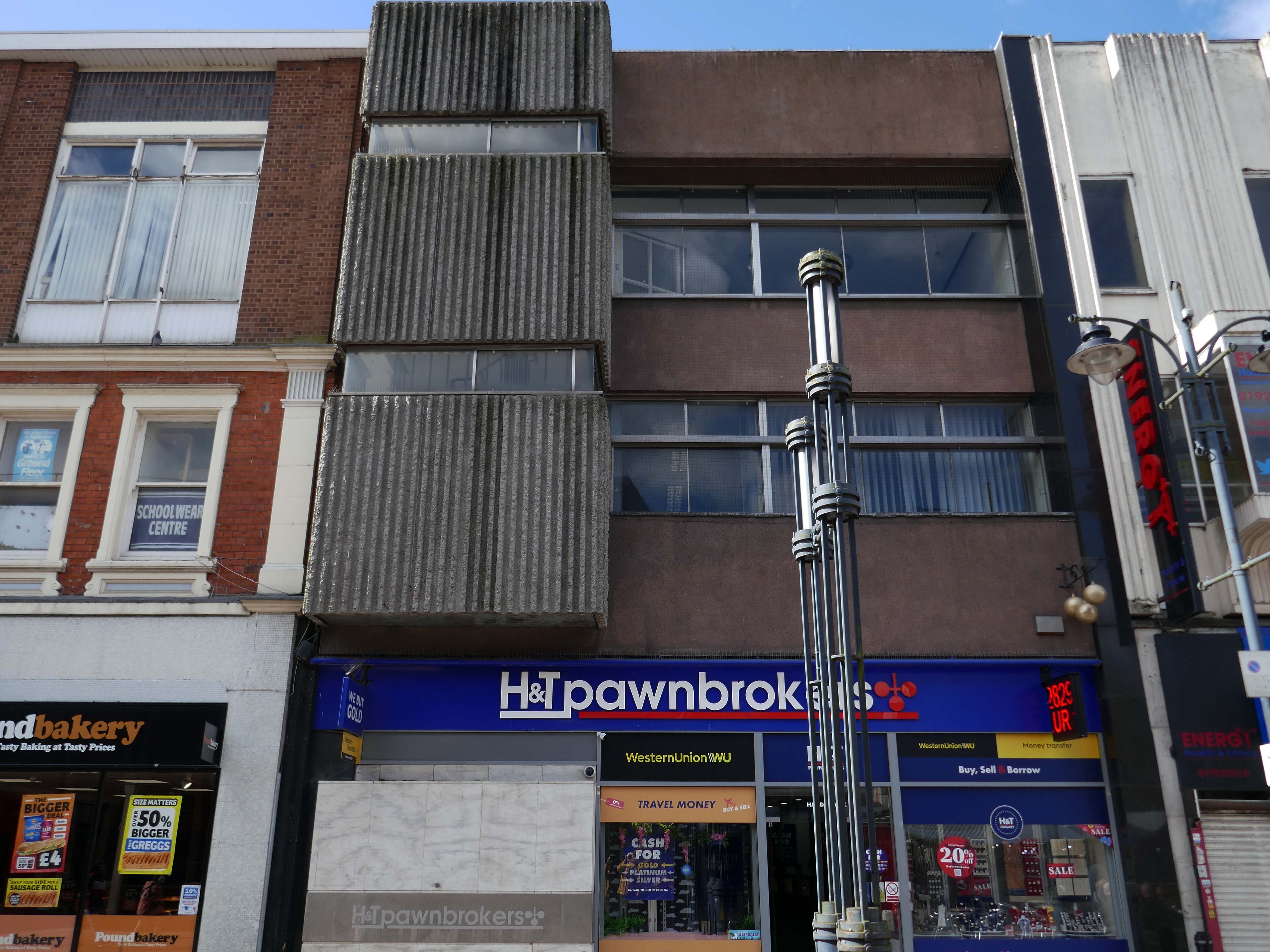
At the end of the otherwise period correct Victorian Arcade is a space age Pound Bakery.
Across the way a former Barclays Bank architects: John HD Madin & Partners.
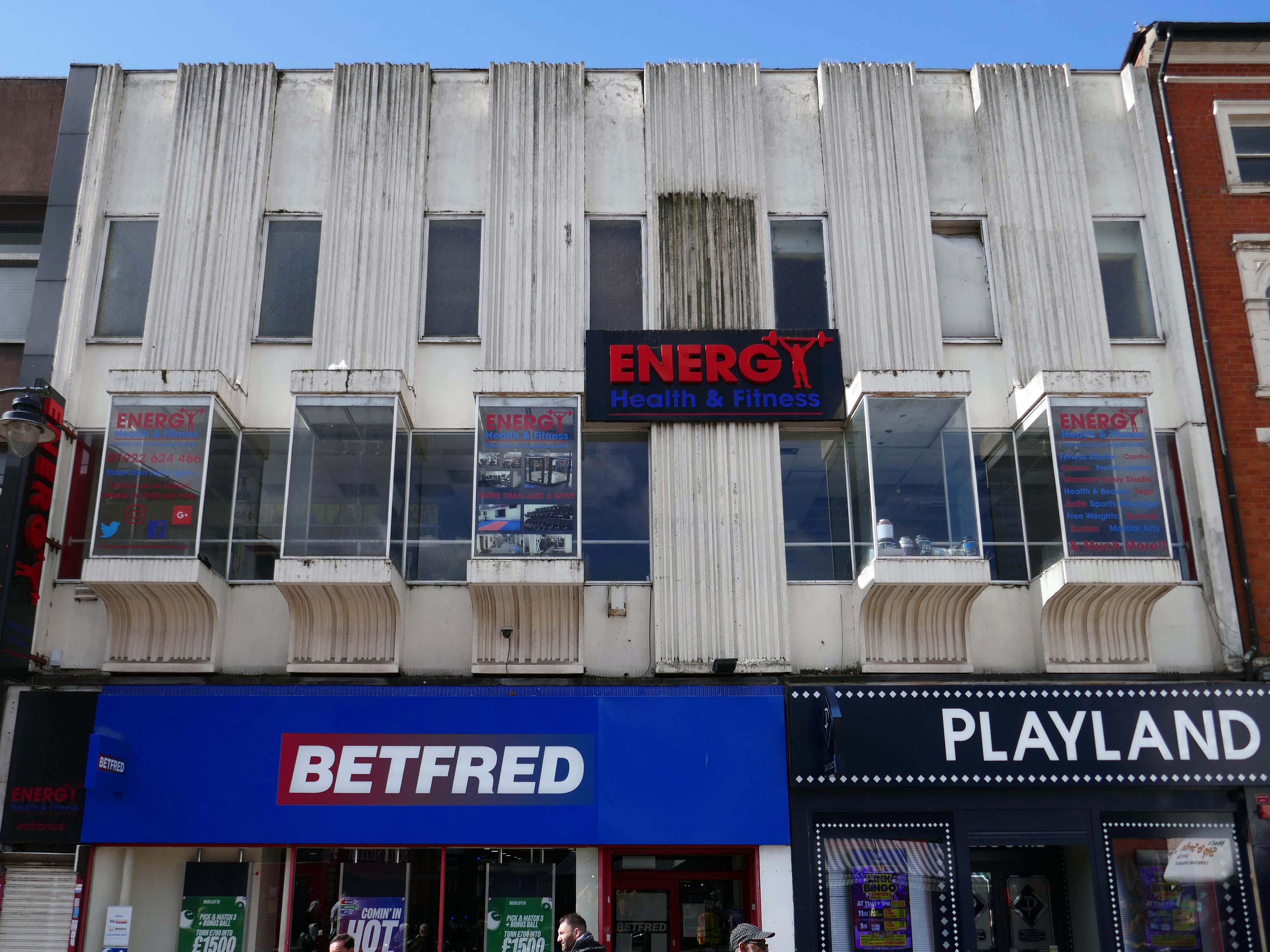
Next door an anomalous disco themed fascia.
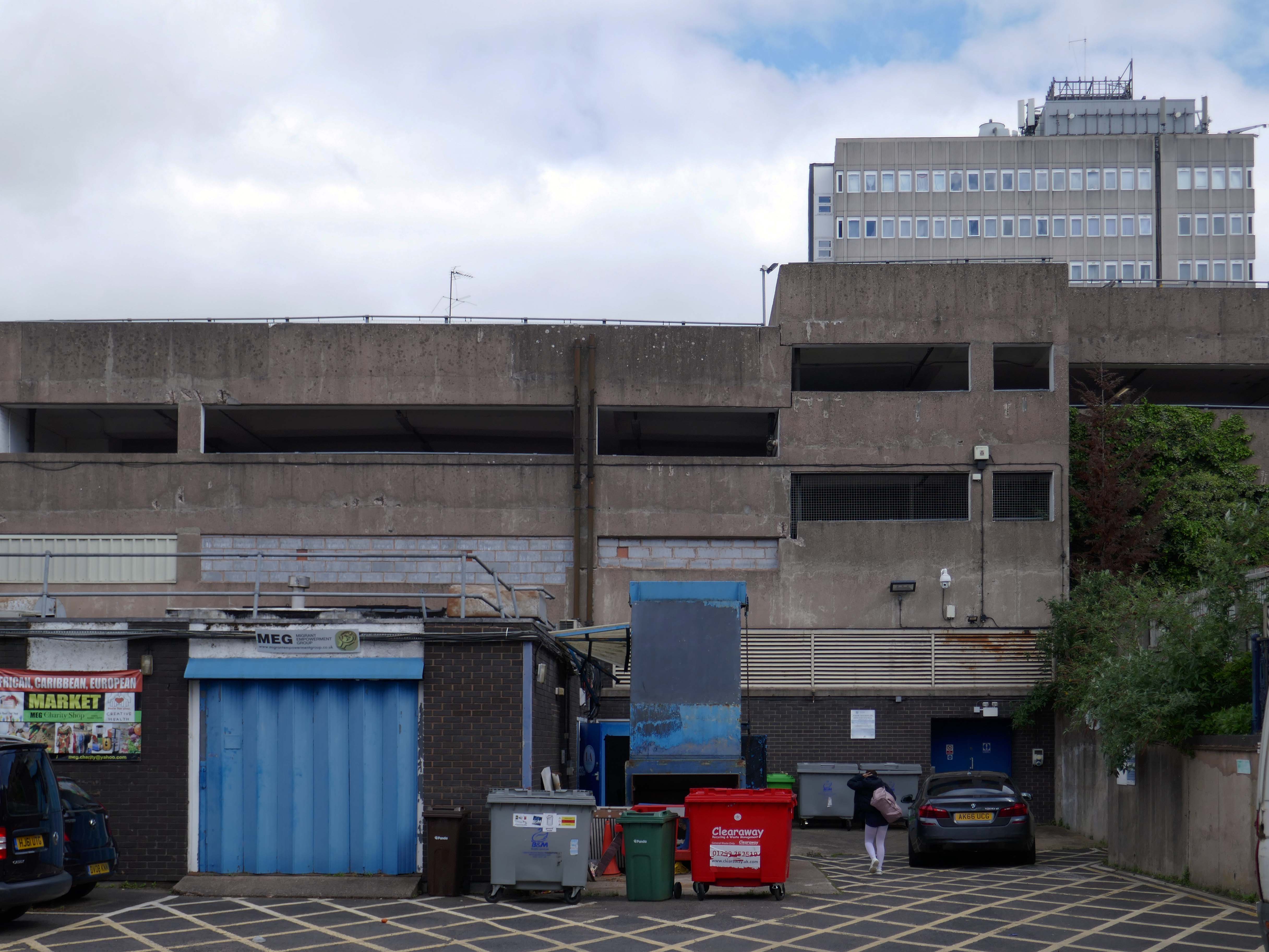
From here up the hill to the Old Square.
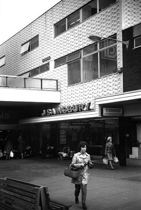
Sainsbury’s Old Square store in the early 1970s photo Will Parker.
The majority of the Shopping Centre was demolished in 2014.
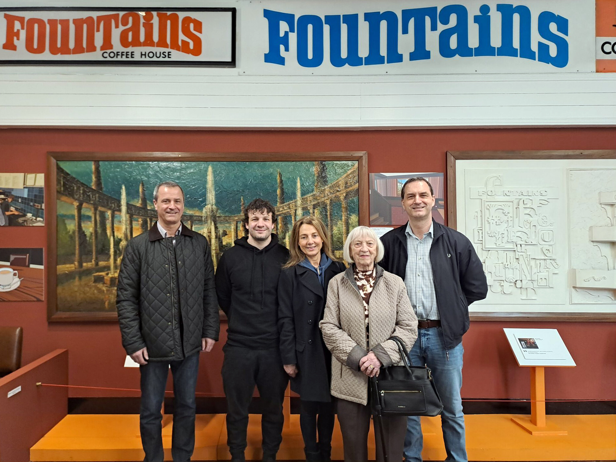
I remember when I was about fifteen in 1990, Coca-Cola were doing these yo-yos and if you went upstairs by the cafe, I think it was you could earn a gold coloured yo-yo. You just had to perform three tricks with it to earn one. I did walk the dog, the sleeper and I think it was around the world! Proud as punch with that I was. I know my uncle was Father Christmas for a few years on the bounce as well, when they used to have a grotto.
Dan Bracknall
These are the remnants.
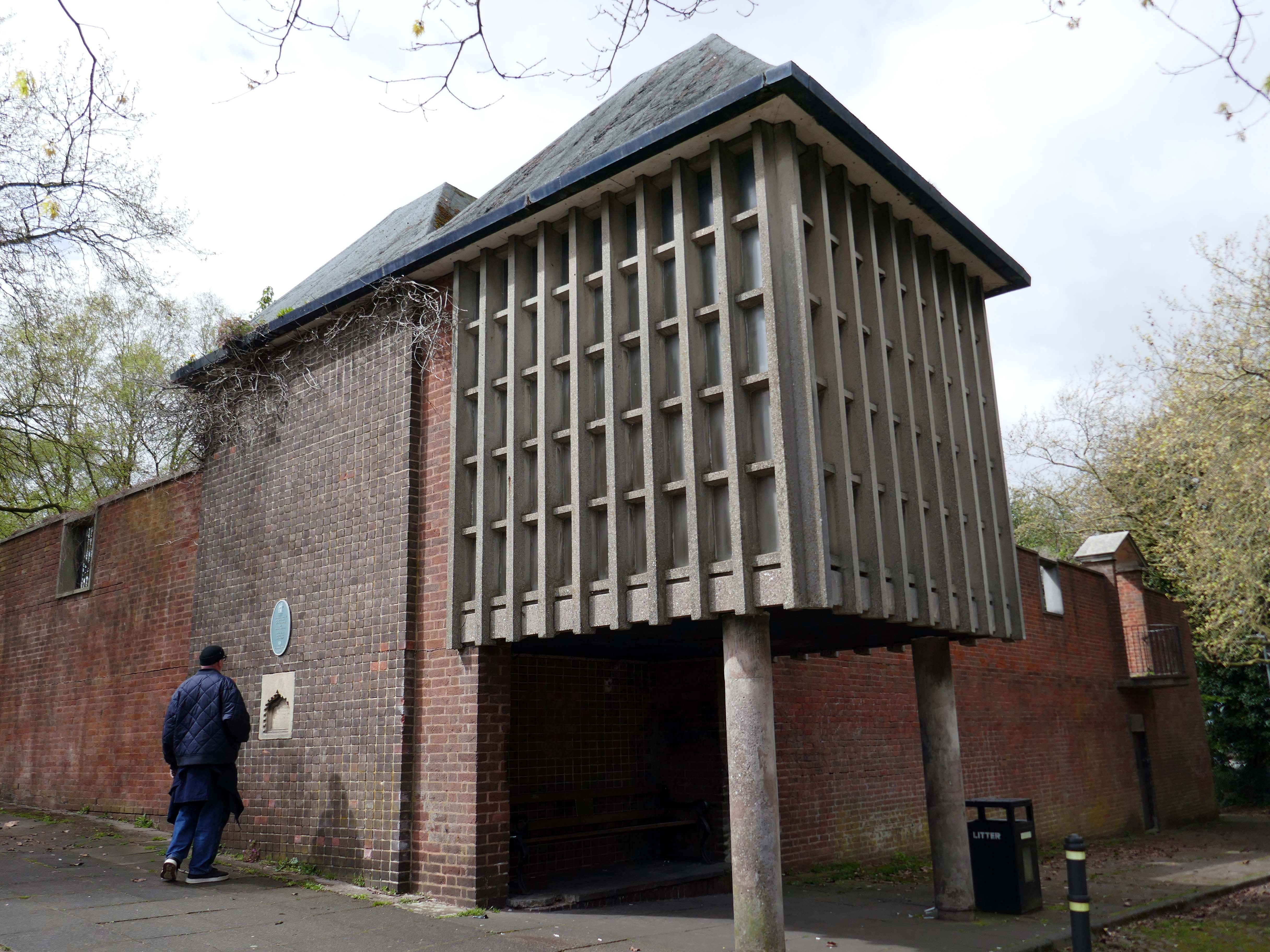
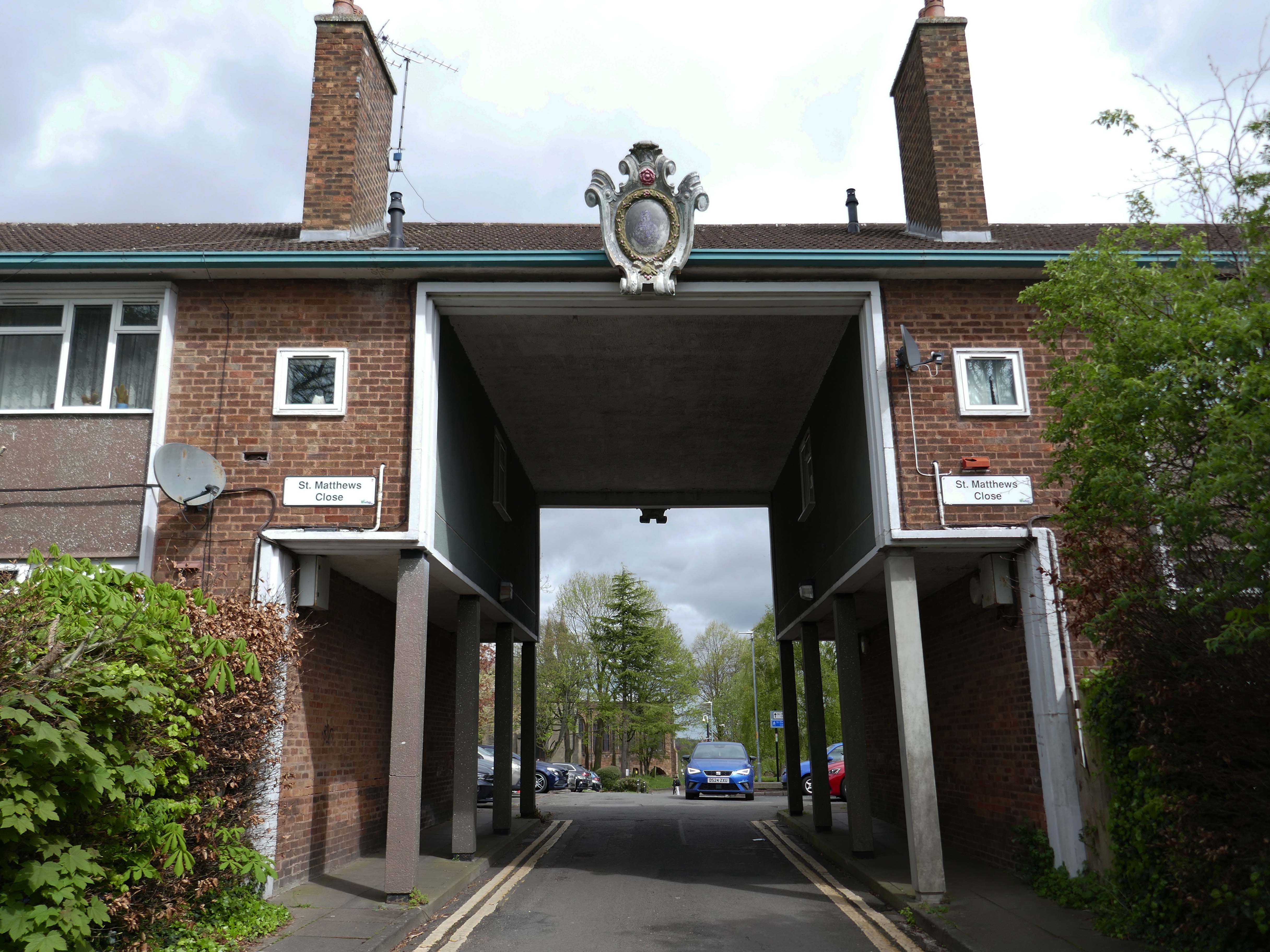
Ascending to the dizzy heights of the Grade II Listed Memorial Gardens 1953 by Geoffrey Jellicoe designed as a memorial to the dead of the two World Wars and said to mark a significant stage in the evolution of his principles of design.
Sir Geoffrey Jellicoe was one of the century’s greatest landscape architects. His contribution to landscape design has been described as equal to the 18th-century gardener Capability Brown. He was educated at Cheltenham College and then trained to be an architect at the Architectural Association. It was while at the AA that his interest in landscape was first kindled.
The second phase, comprising the building of the memorial chapel in the Memorial Garden, and the flats and Brotherhood or Church Hall to the south of the open space known as St Matthew’s Close, was completed c 1960
Of back down the hill onward to the Walsall School of Art.
Walsall’s art school’s history is a story of gradual growth and change, evolving from evening classes in a chapel to a modern art college. The Walsall School of Design and Ornamental Art, founded in 1854 as an evening class, operated from 1861 at the Goodall Street Baptist Chapel and eventually became the Walsall College of Art.
To celebrate Queen Victoria’s Golden Jubilee, the Walsall Science and Art Institute was opened in 1888 at Bradford Place. In 1897, it was transferred to the Town Council and renamed the Walsall Municipal Science & Art Institute. In 1926, the institute was renamed Walsall Technical College. Post-war demand led to the establishment of the Walsall and Staffordshire Technical College at Wisemore – now St Paul’s Street, in 1952. The Walsall College of Art officially merged with the College of Technology in 1992 to form Walsall College of Arts and Technology – now simply Walsall College. The college maintains strong historical ties to local industries, such as the leather trade.
Further on there’s an enormous Telephone Exchange comprising fifties and seventies buildings.
Across the way a large system built block on a podium base.
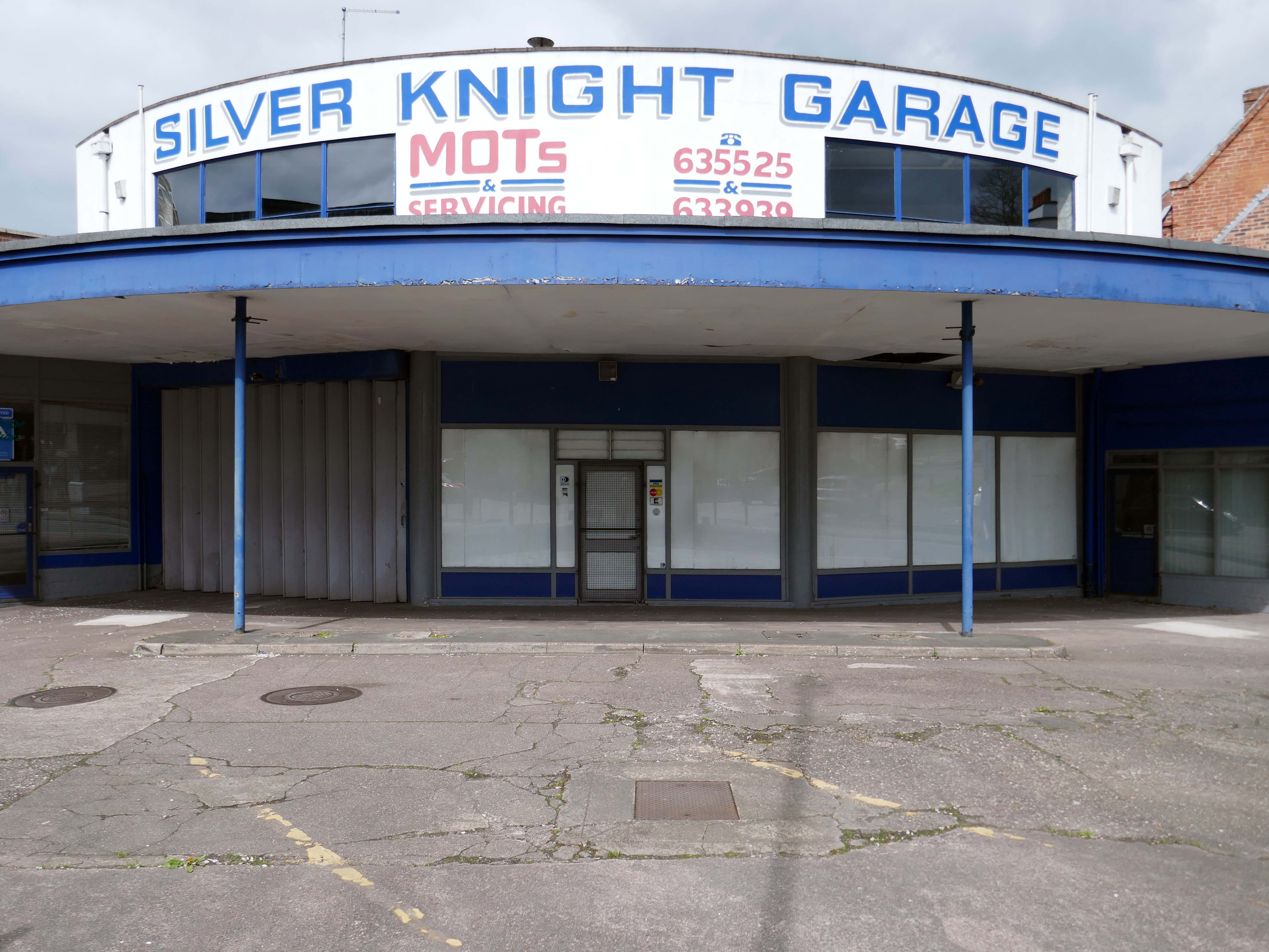
Standing on the corner where it has always stood the Silver Knight Garage.
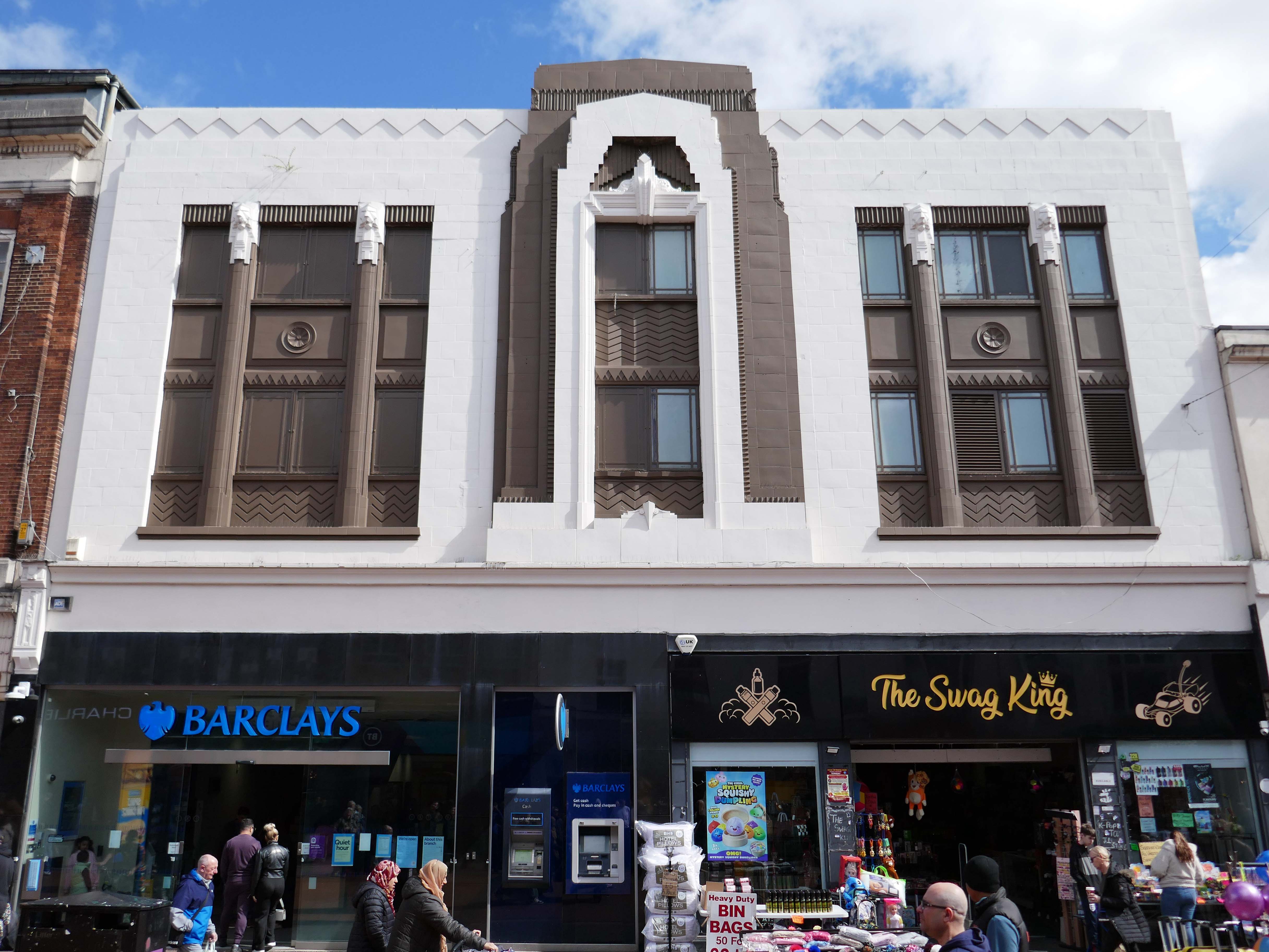
Heading back into the town centre, picking up on there’s a former Woolworths that looks like a Burton’s that thinks it’s a Barclays Bank, and also improbably a Swag King.
1933 by FW Woolworth Construction Dept – H Wimbourne
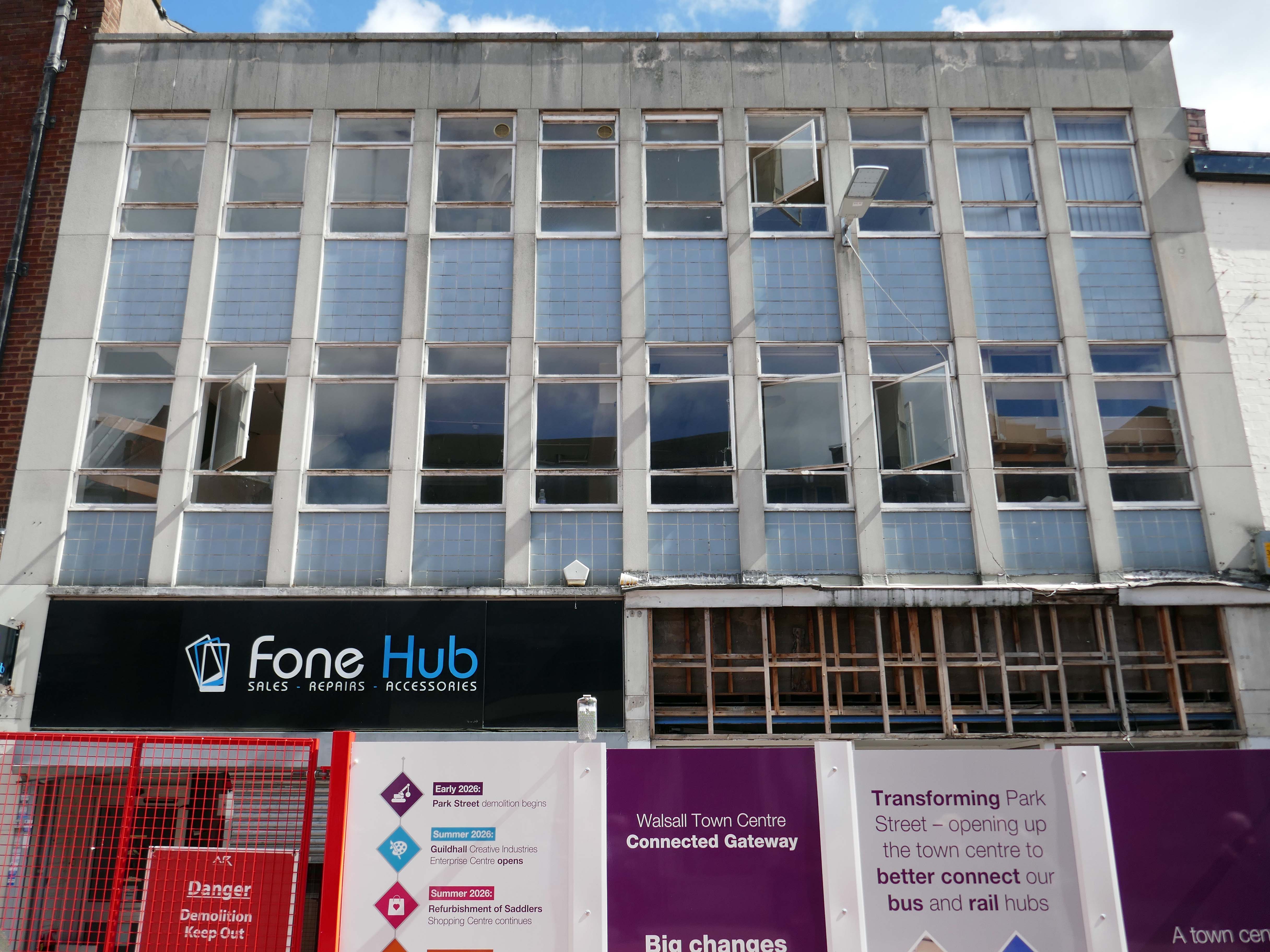
Next an indeterminate infill with pale blue panels and central pivoting metal window frames, soon to be demolished along with its neighbours, as part of the Connected Gateway Project.
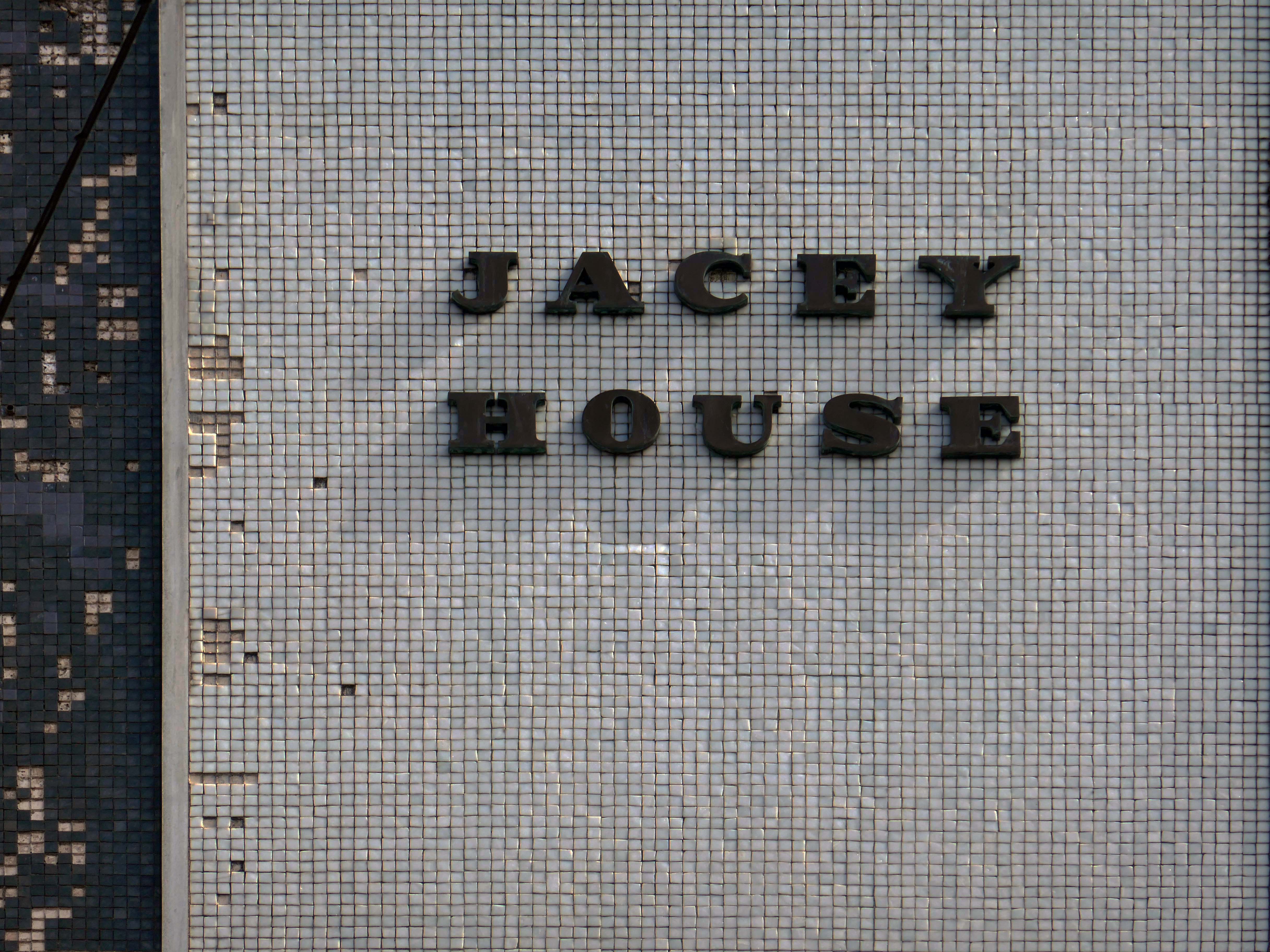
Possibly a former BHS – known as Jacey House.
Next up Park Place.
Ai says – notable features include Park Place Meats – a town centre butcher, and Park Place Shoe Repairs, which offers engraving and key-cutting services.
Here we are again, following visits in 2020 and 2023.
There has been some low level maintenance undertaken to almost secure the site, and someone from the Corporation has given the walls a coat of paint, subsequently undone by the local scrawlers.
Who knows what fate awaits them?
I shall endeavour to keep you posted with further posts.
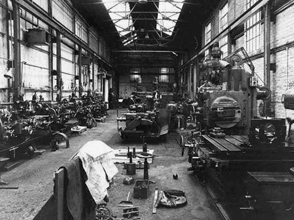
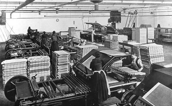
Manchester Guardian Printing Works owned by Taylor Garnett & Evans & Co. Ltd- a view of factory dated 1902.
Lithographic Printing Dept 1902.
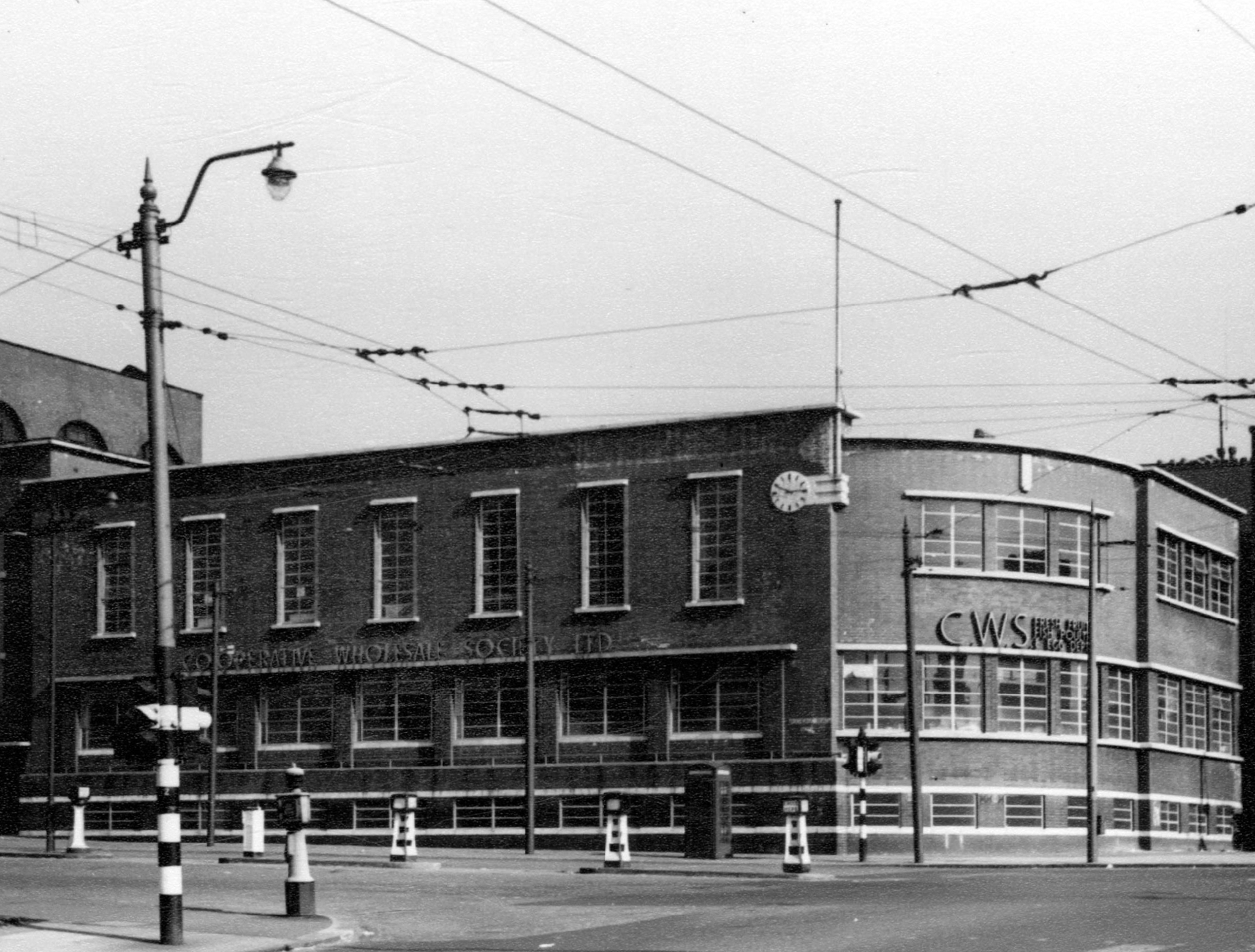
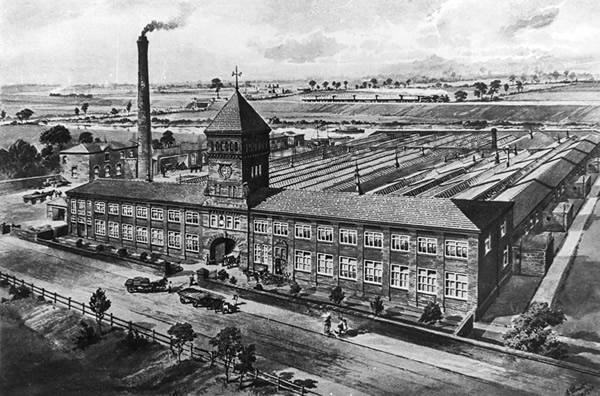
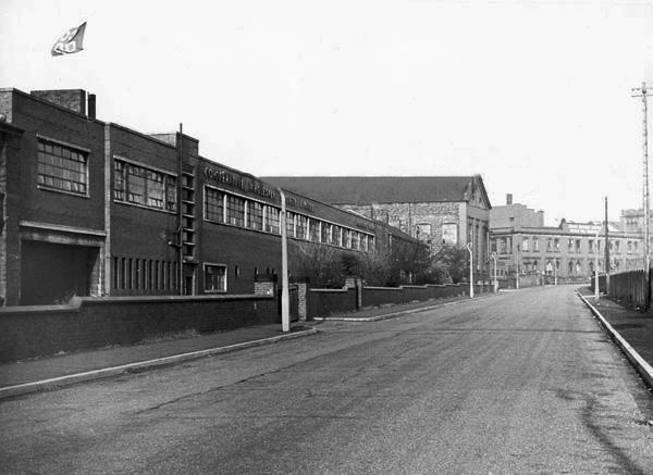
CWS Printing Works – formerly the Guardian Print Works showing a view from the road dated 1972.
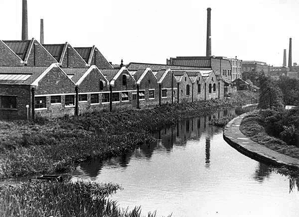
CWS Printing Works showing a rear view with canal in the foreground.
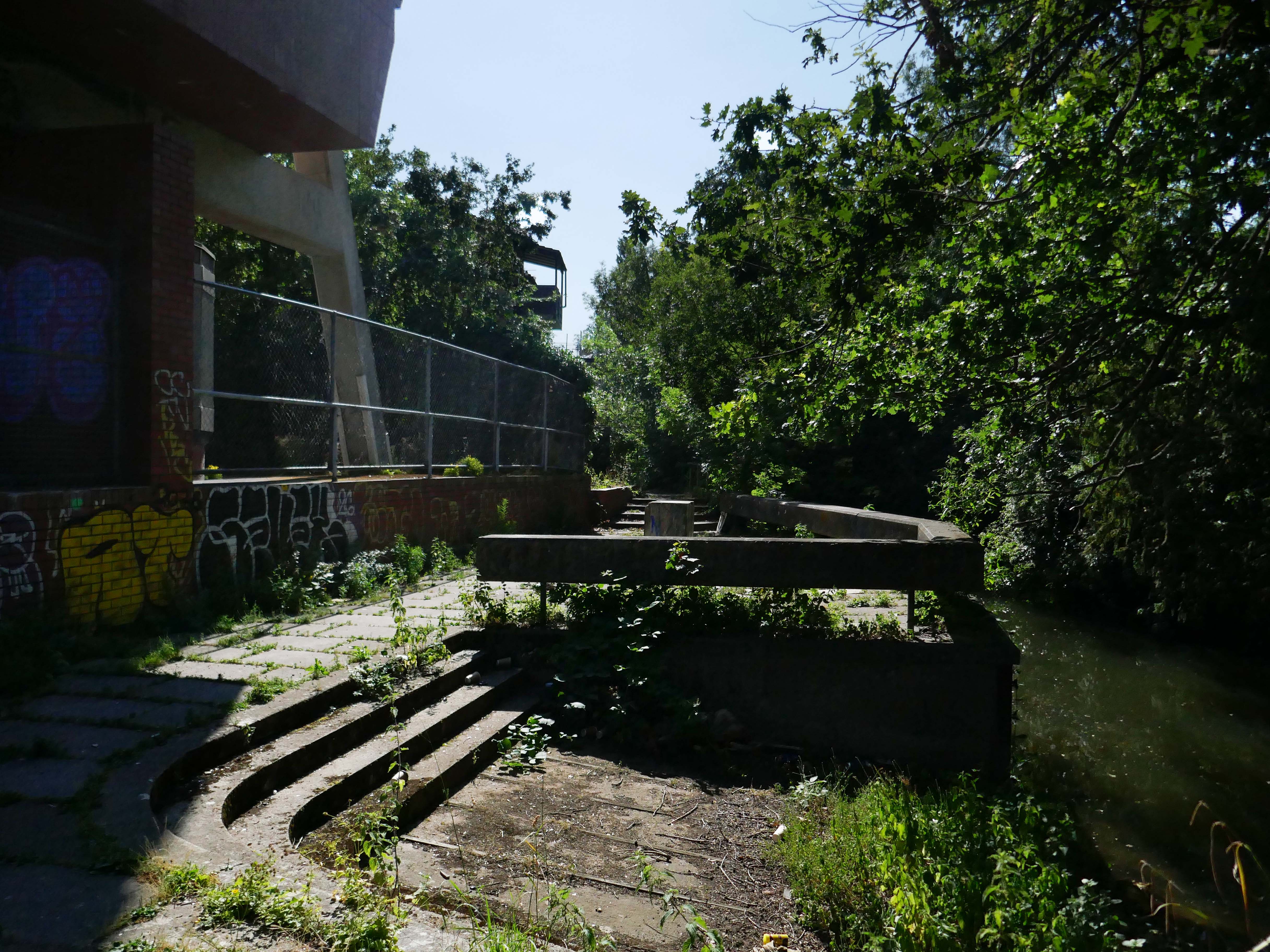
The Stockport Branch Canal was a five mile branch of the Ashton Canal from Clayton to Stockport.
An important cargo was the supply of grain to William Nelstrop & Company’s Albion Corn Mill at Stockport Basin.
In its early days there was passenger carrying on the Ashton Canal and one of the routes was between Manchester and Stockport.
Commercial carrying ceased in the 1930s but it lingered on into the 1950s’ as a barely navigable waterway. At one stage in the 1950s it was dredged but this improvement did not attract any traffic. Stockport Basin was the first section to be filled in but it was not until 1962 that the canal was officially abandoned by the British Transport Commission, who had been responsible for it since 1948.
It took many years to fill in and this was a disagreeable procedure for people living along its length.
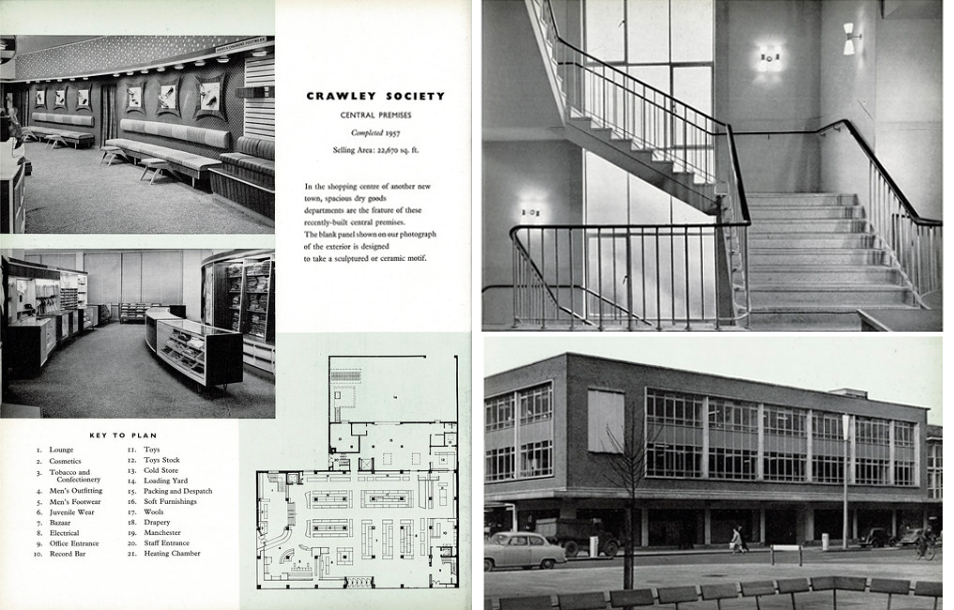
From a very lavish production, printed of course by the CWS’s own Printing Works at Reddish, is a description of the new flagship department store for the Crawley Co-operative Society that was opened in 1959. The elevations and facade are very much of their day, quite ‘Festival of Britain in style, and the store was a prominent feature of the planned New Town’s centre.
The wide variety of printed material which the CWS required, created a need that could not be met locally by a single source, another large print works was required in Longsight.
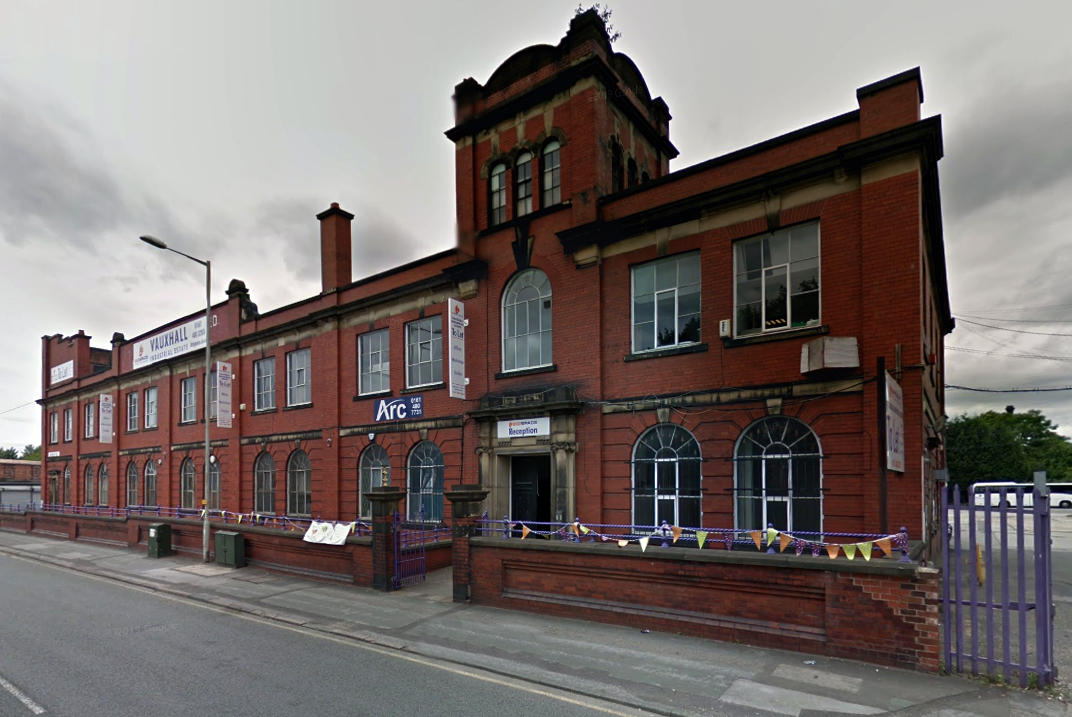
Craven Brothers Works 2008
1900 – Further growth prompted the construction of the Vauxhall Works at Reddish, near Stockport. The company kept the works at Osborne Street, Rochdale Road, with about 500 employees, open until 1920. The 1915 O.S. map shows Vauxhall Engineering Works with its south-east corner on Osborne Street, Collyhurst, and bounded on the north by streets of terraced houses and to the south by the L&YR Manchester-Normanton line.
The Developement of Reddish – quite a number of Manchester firms are prospecting the neighbourhood of Reddish, writes a correspondent, while Messrs. Heywood are about to erect electrical engineering works in Sandfold-lane, and Messrs. Rowley and Co, boiler-makers, are fitting works in the neighbourhood. Messrs. Craven Brothers, engineers, of Salford, have purchased 14-acres of land near the Reddish Station, on the estate of Mr. H. P. Greg, on which they intend to erect large engineering works.
The first sod was cut on Thursday afternoon by Mr. William Craven, in the presence of his brother directors in 1900.
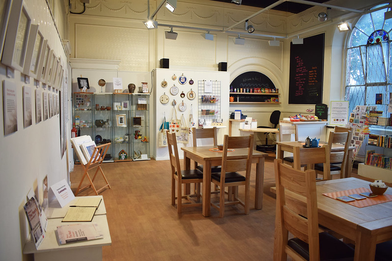
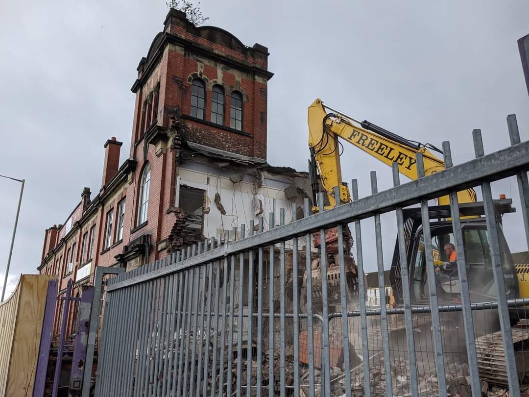
ARC began in 1995 at Greek Street, Stockport under the name of MAPS and moved to the Vauxhall Industrial Estate Craven Works building in early 1997. Arts for Recovery in the Community or ‘Arc’ was then launched in 2005. The Arc Centre in its current form, including gallery servung refreshments and public programme has been running since 2016.
Of course, we are sad to say goodbye to the old Craven Brothers factory and the Reddish community as our base. We are so grateful to the local residents and businesses who have supported us for so long. Please, don’t be strangers! We made the building our own over the years and take with us many, many great memories.
Looking to the future at Wellington Mill, we will have exclusive use of several rooms on the floor accessed via the A6 and Hat Works Museum shop. This will include a large art studio, ceramics studio, offices and storage spaces. We will also share the large cafe, events and retail space with the Hat Works museums team and work together to build a bigger audience for both organisations and hopefully a Stockport town centre creative arts hub.
And lo, it came to pass, from the onset of the Industrial Revolution to today, a whole world of work is dismantled. A transport infrastructure is literally filled in, and the former homes of industry demolished.
The CWS is no longer the global behemoth it once was, and print technology has changed beyond recognition.
With it goes a whole series of social relationships and identities bound up in shared occupations.
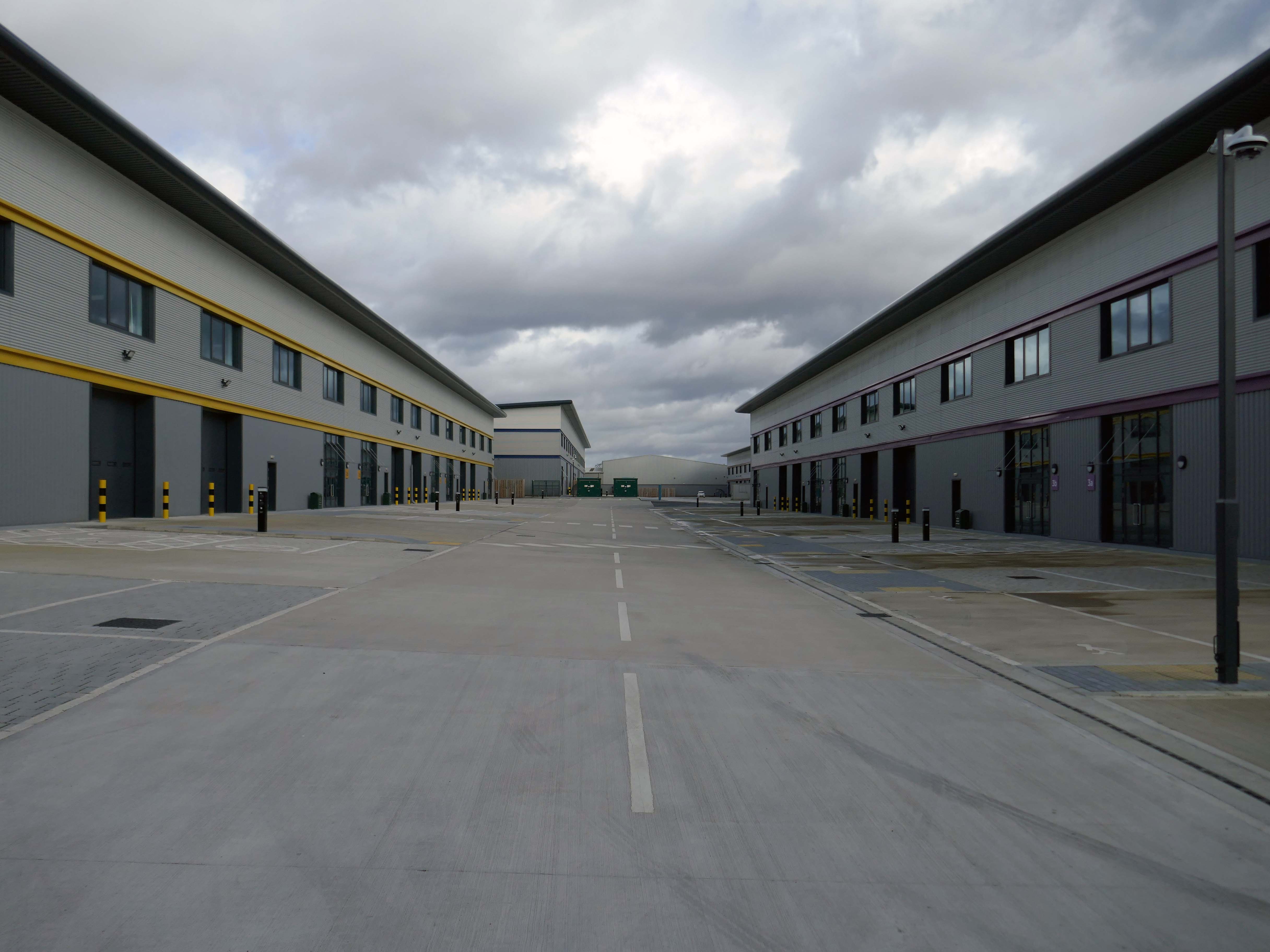
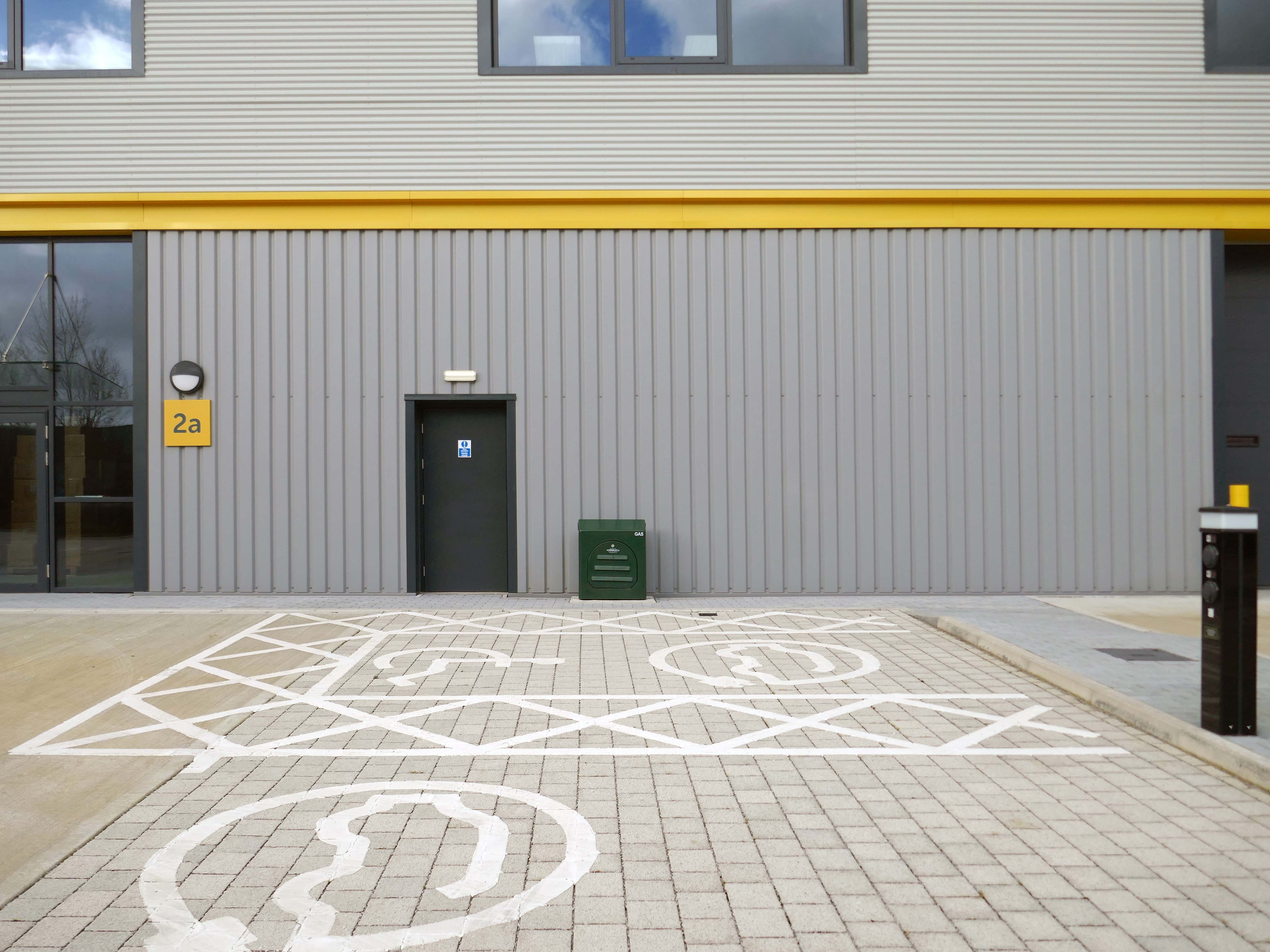
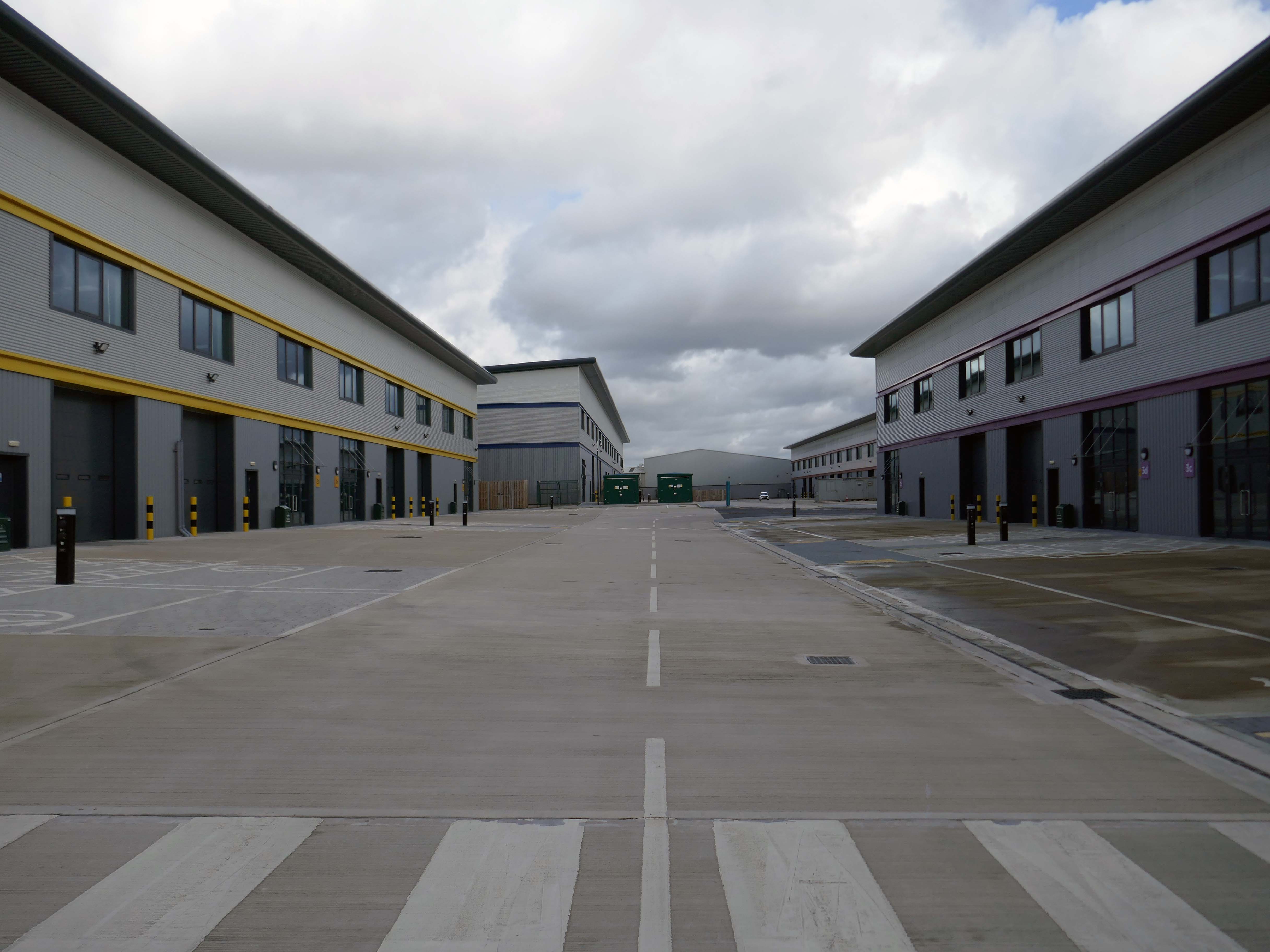
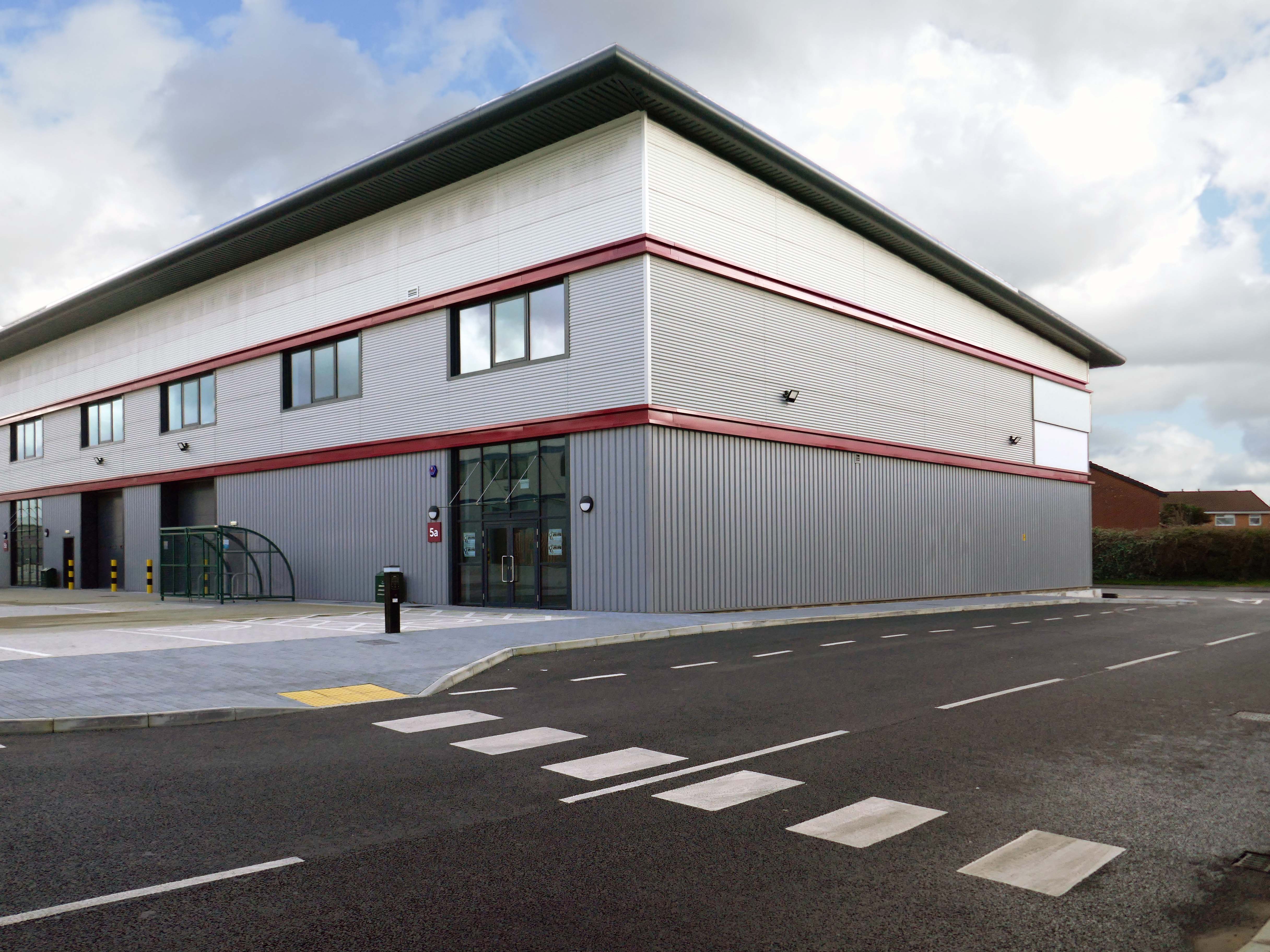
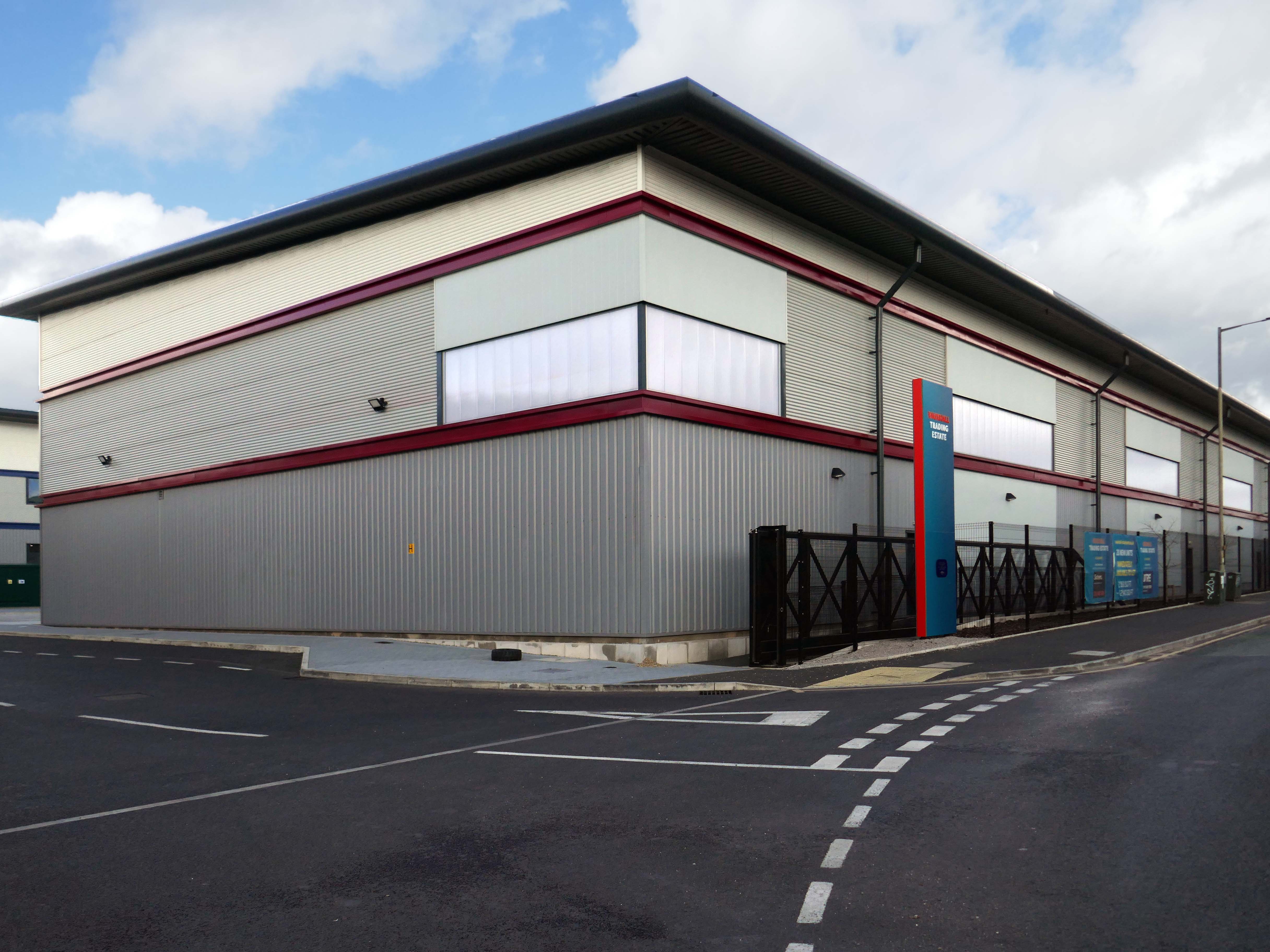
Our excavations at Vauxhall Industrial Estate, undertaken in advance of the redevelopment of the site by RECOM Solutions and Vauxhall Industrial Estate Ltd, revealed a number of features associated with the Craven Brothers’ Works. Two excavation areas were opened, targeted on features shown on historic mapping but no longer surviving: Area 1 in the north, targeting a small chimney and outbuildings adjacent to the machine shops; and Area 2 in the south targeting a chimney and part of the footprint of Building 3. In Area 1, the archaeological remains had been heavily truncated by the installation of chemical vats in the late 20th century after Craven Brothers closed; however, the foundations of the targeted outbuildings and the chimney were uncovered, as well as the remains of a railway track running alongside the machine shops, represented by in situ sleepers.
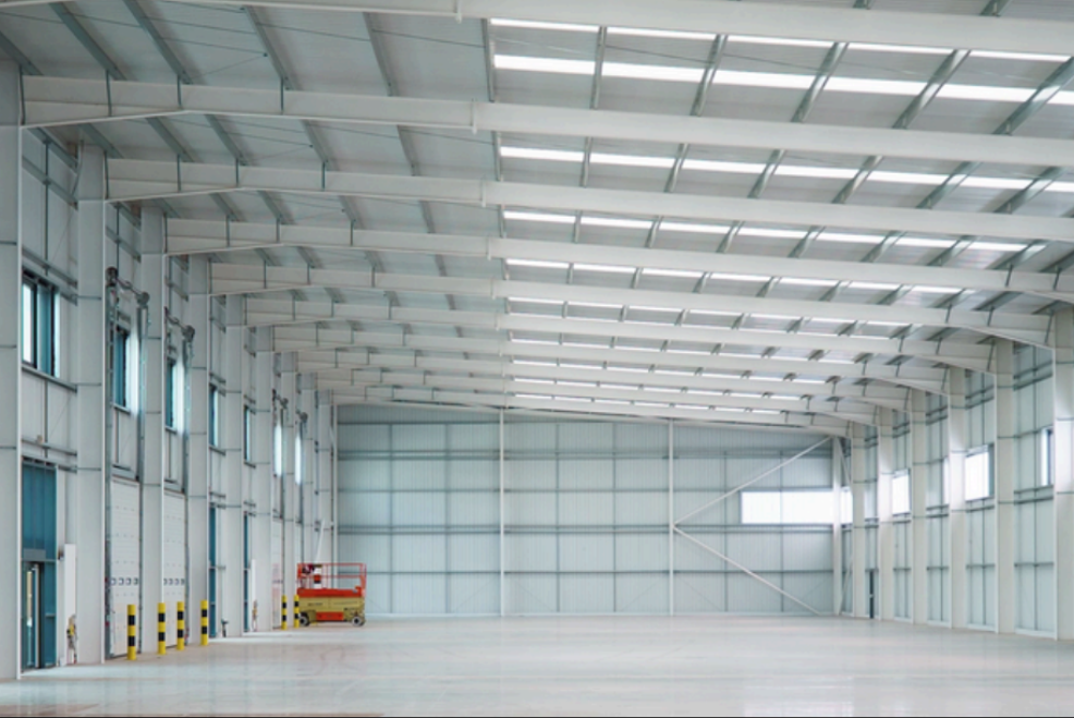
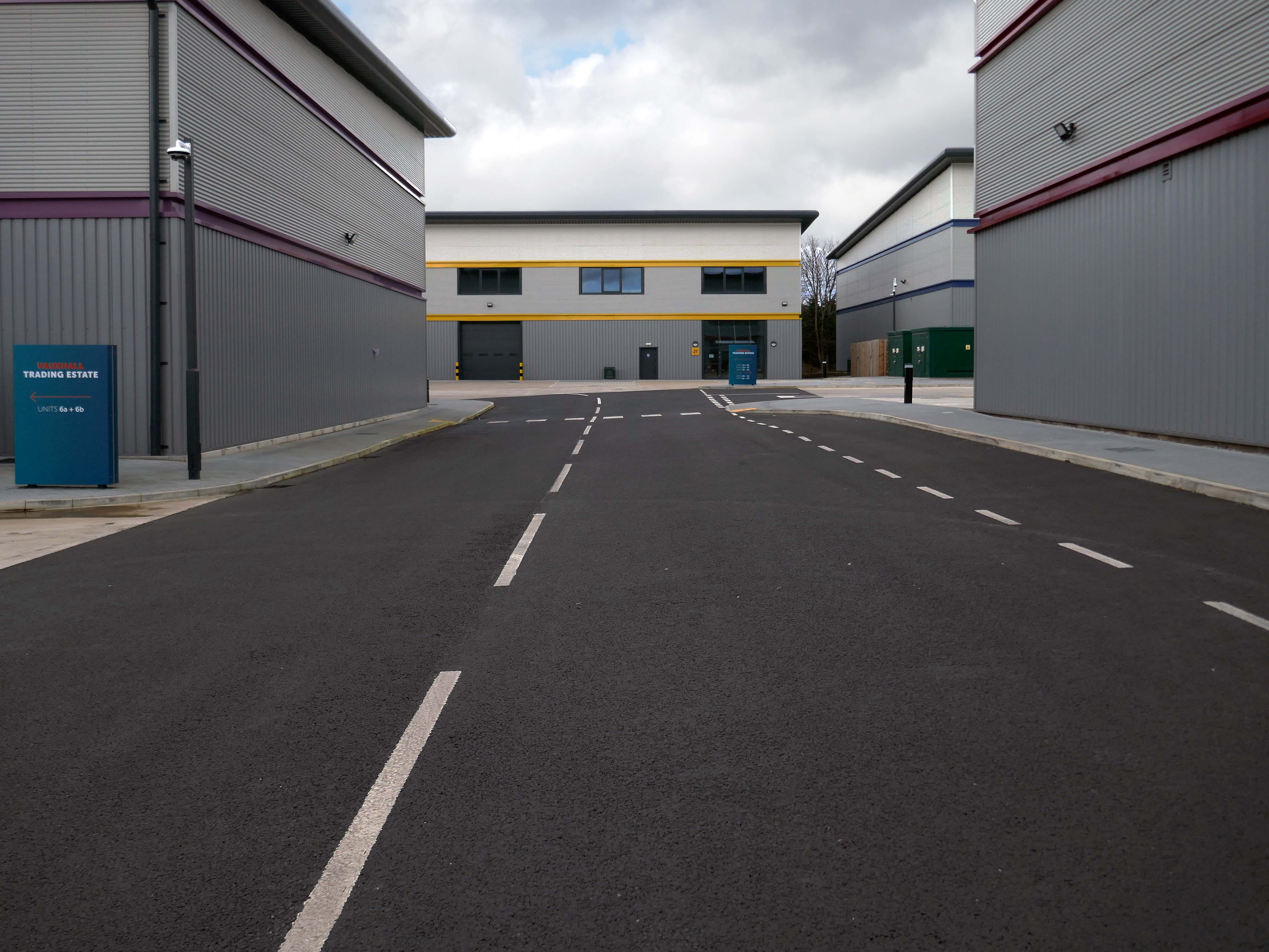
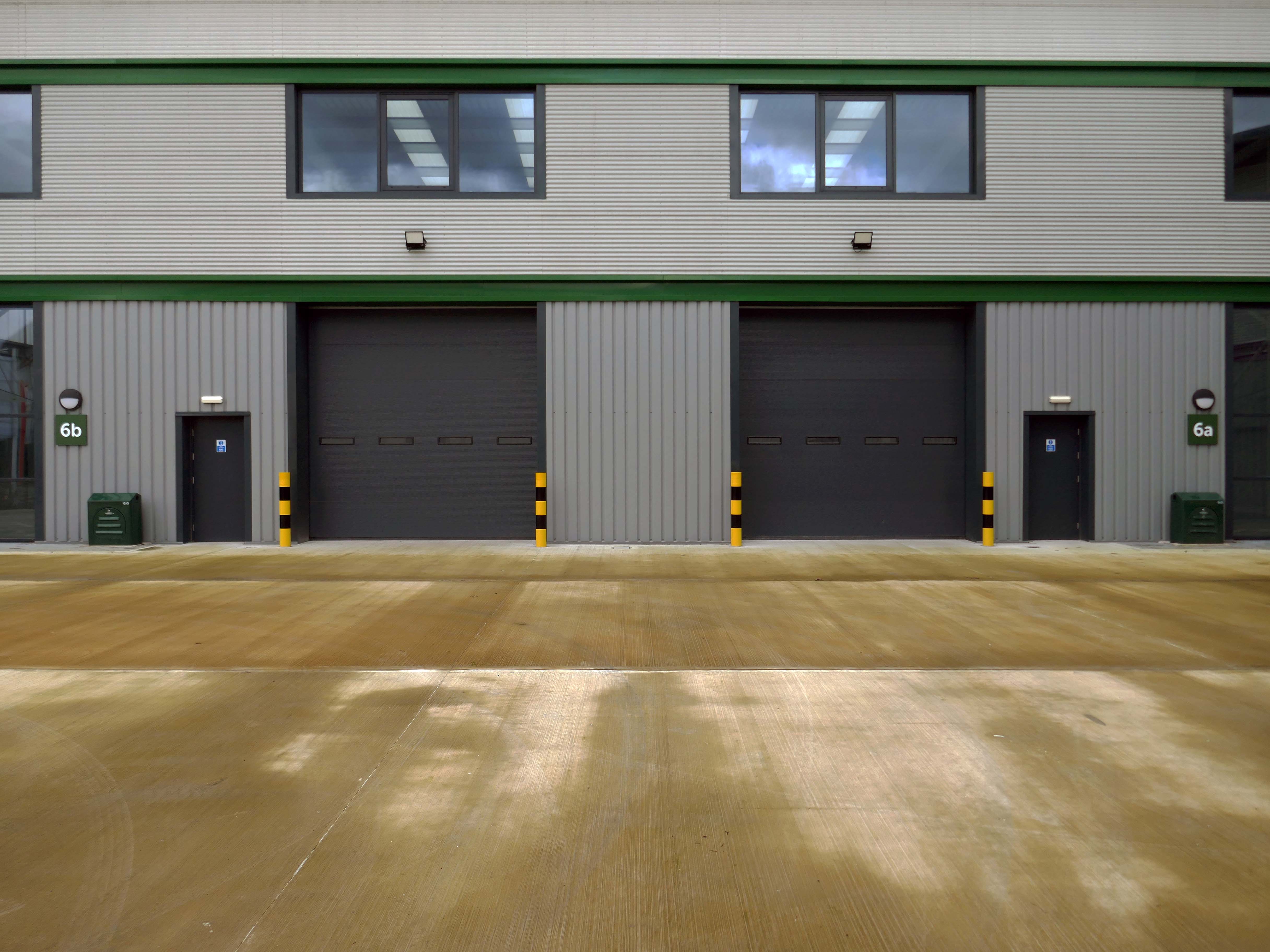
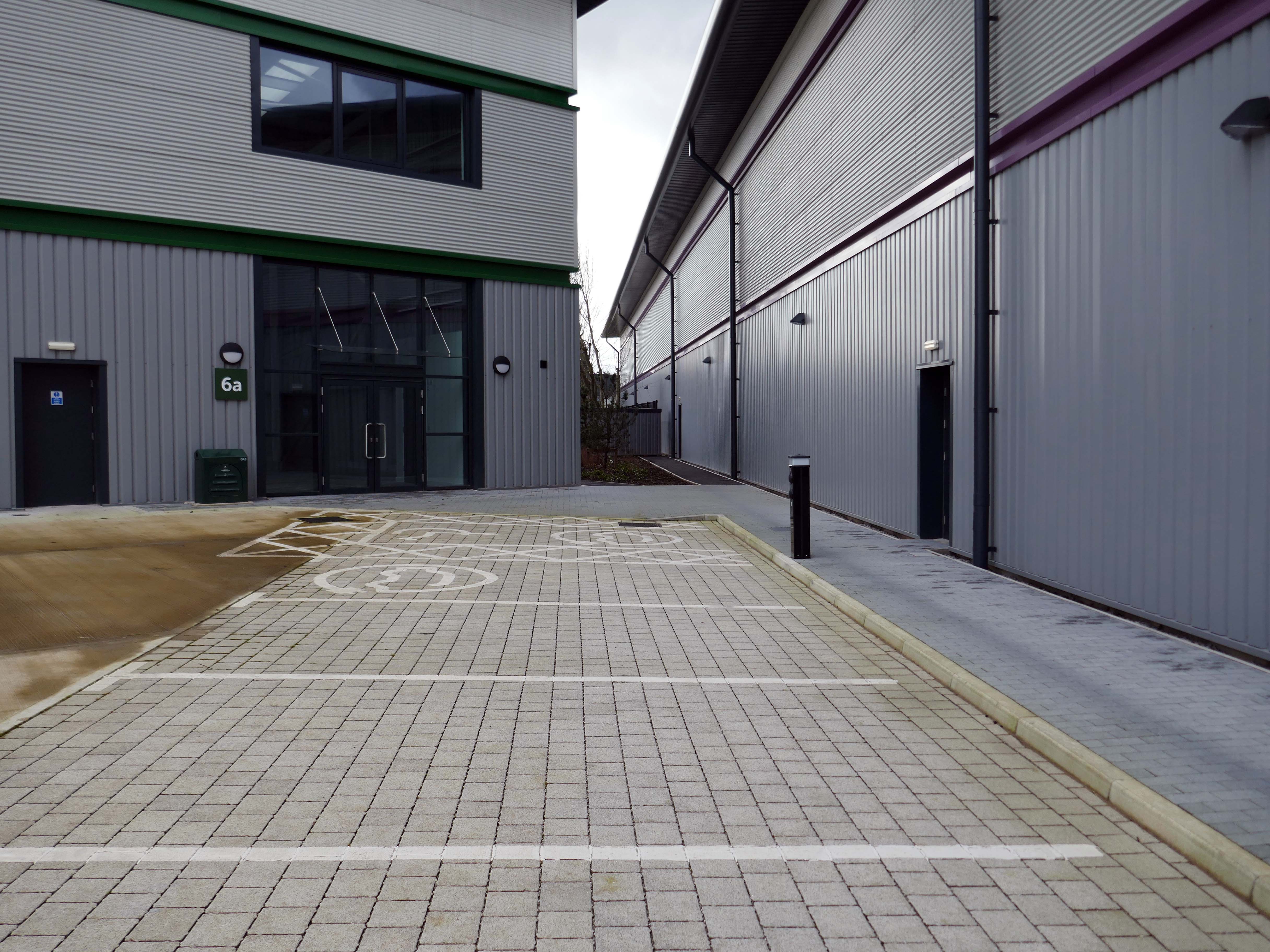
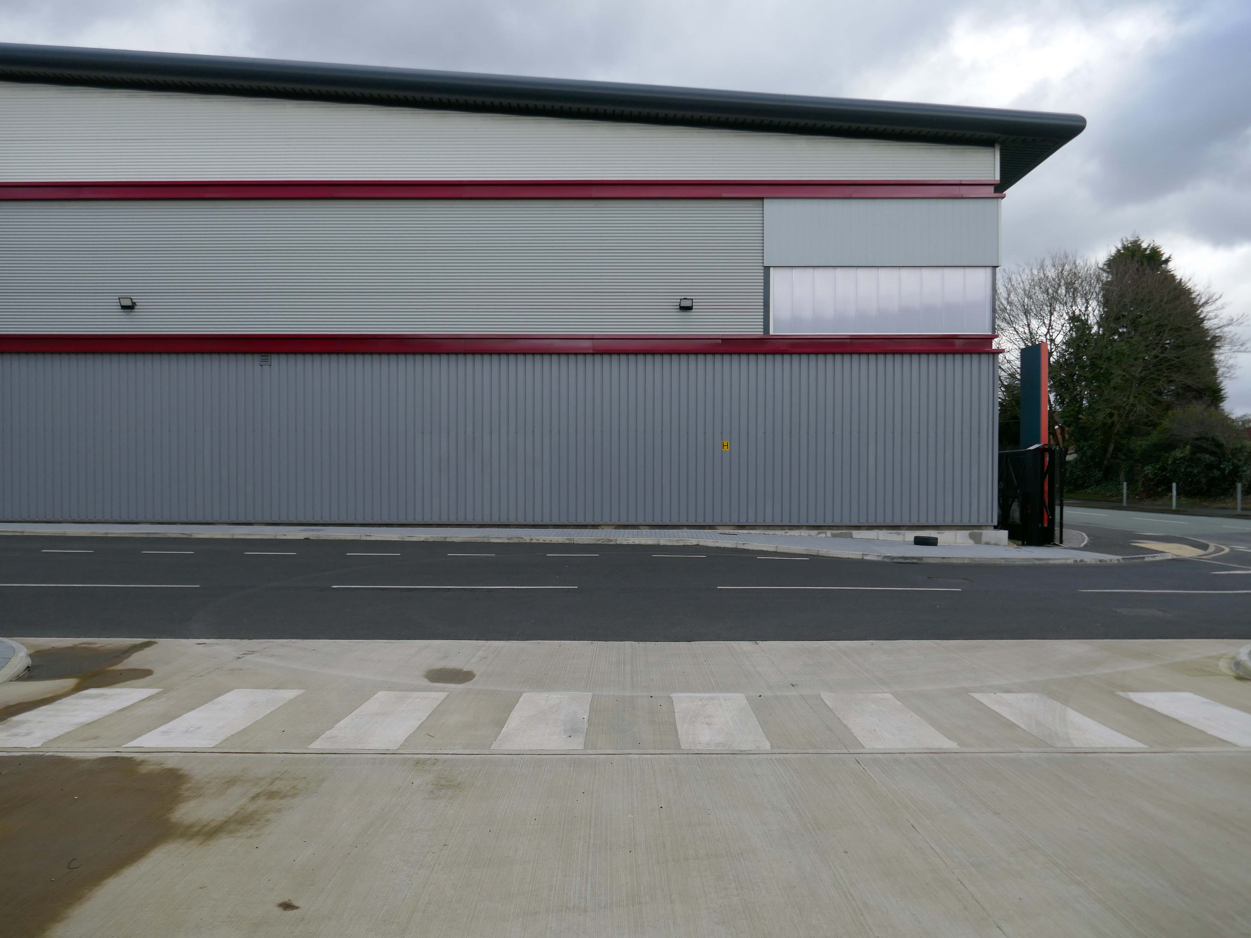
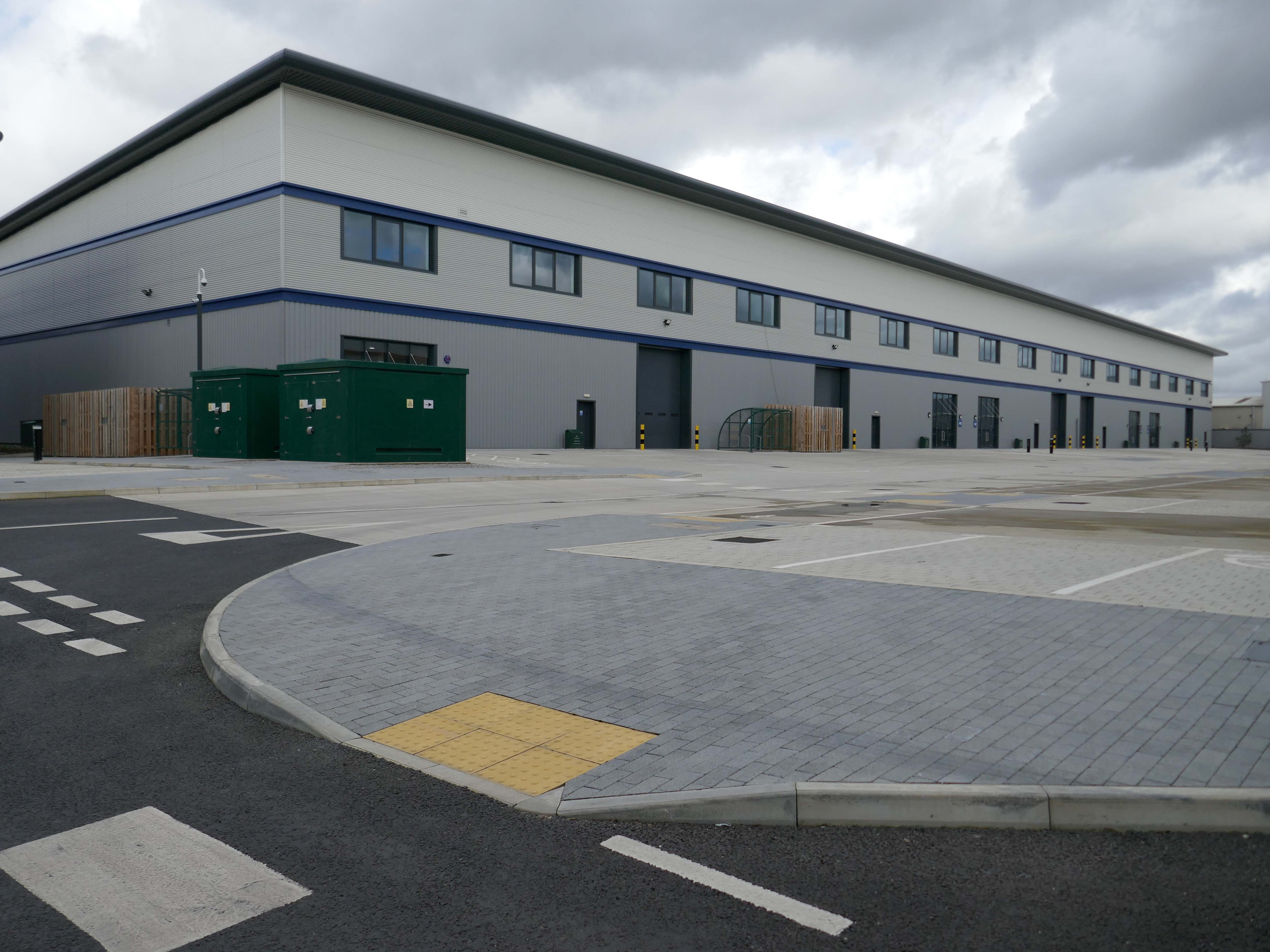
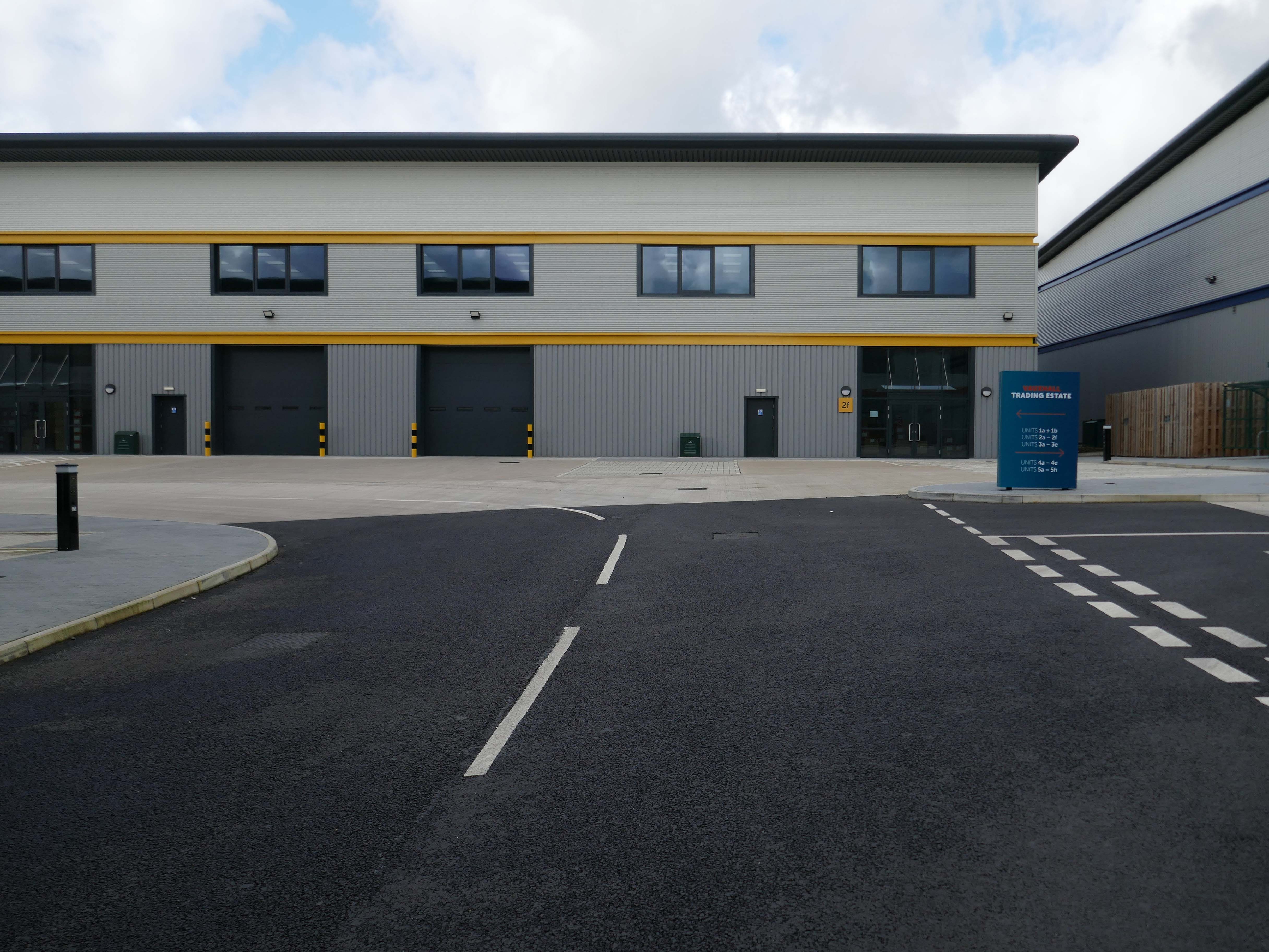
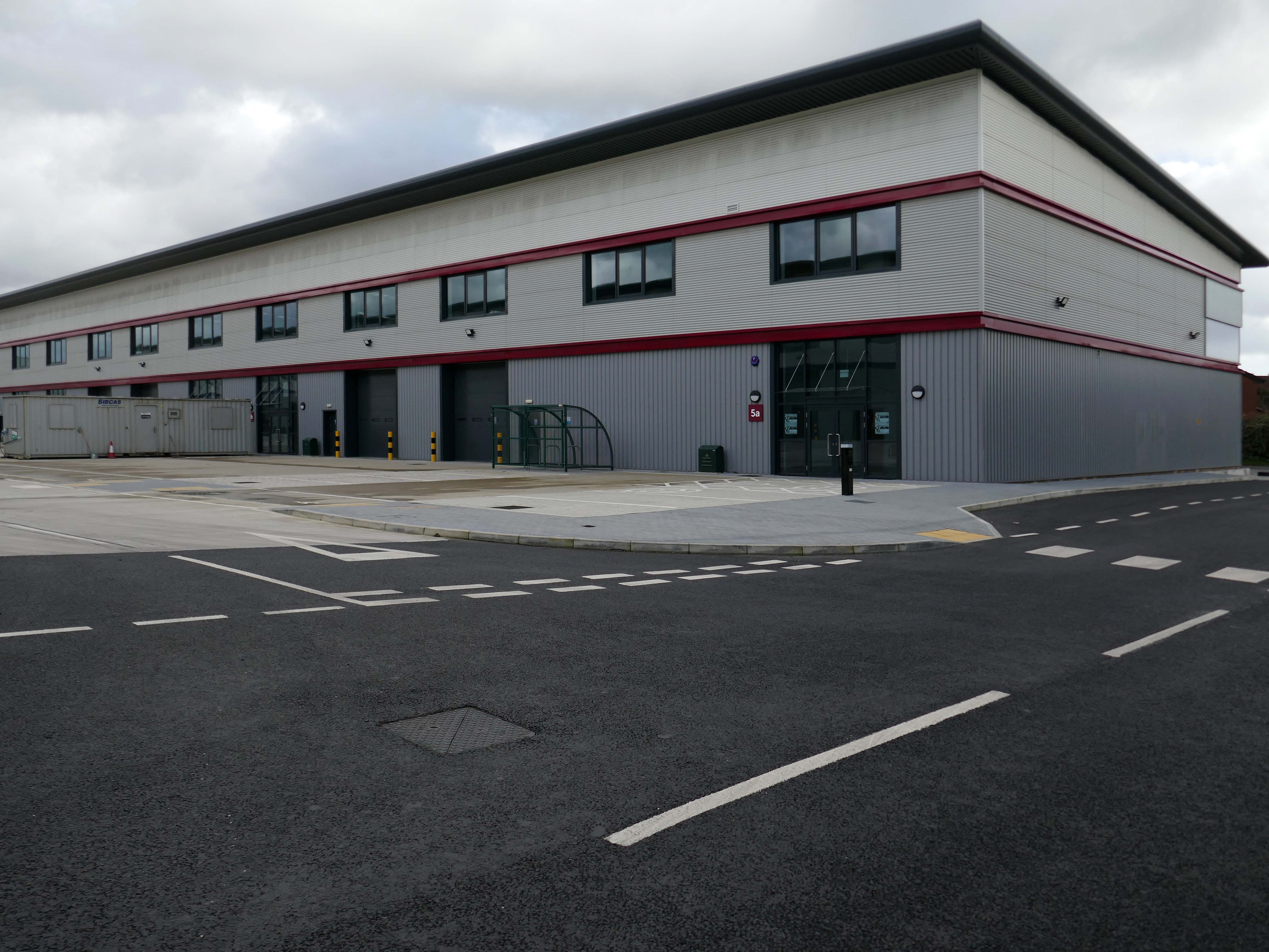
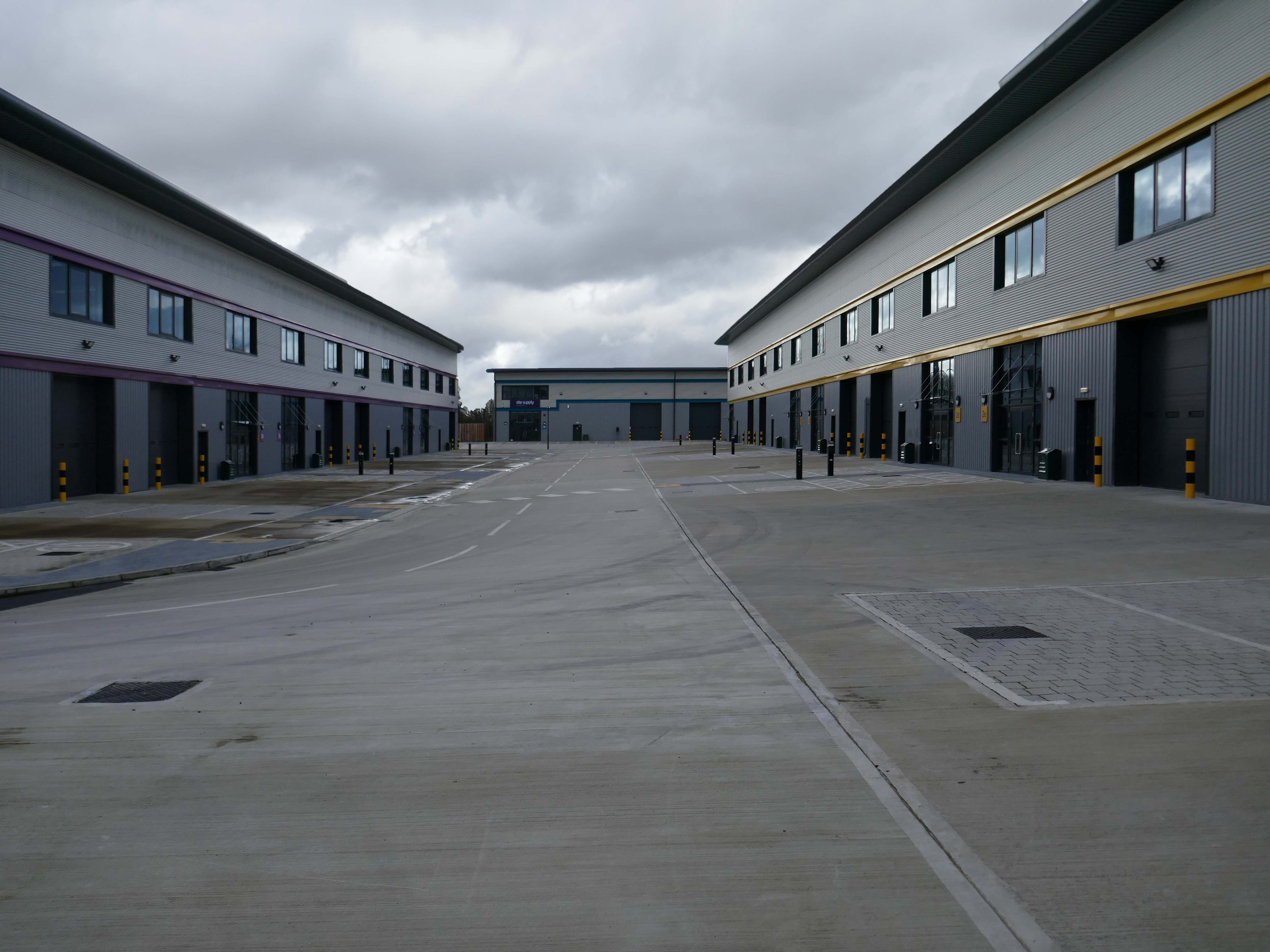
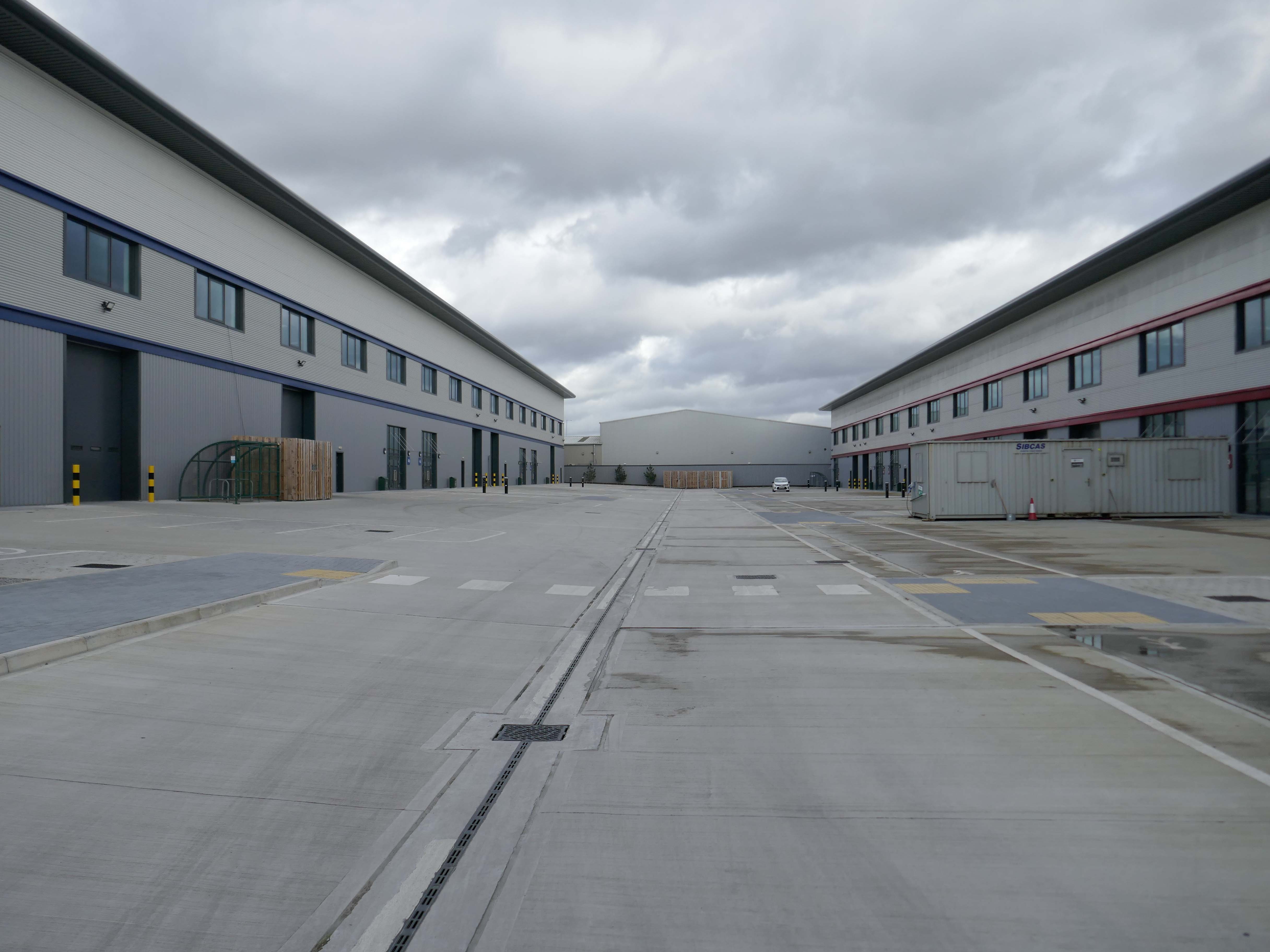
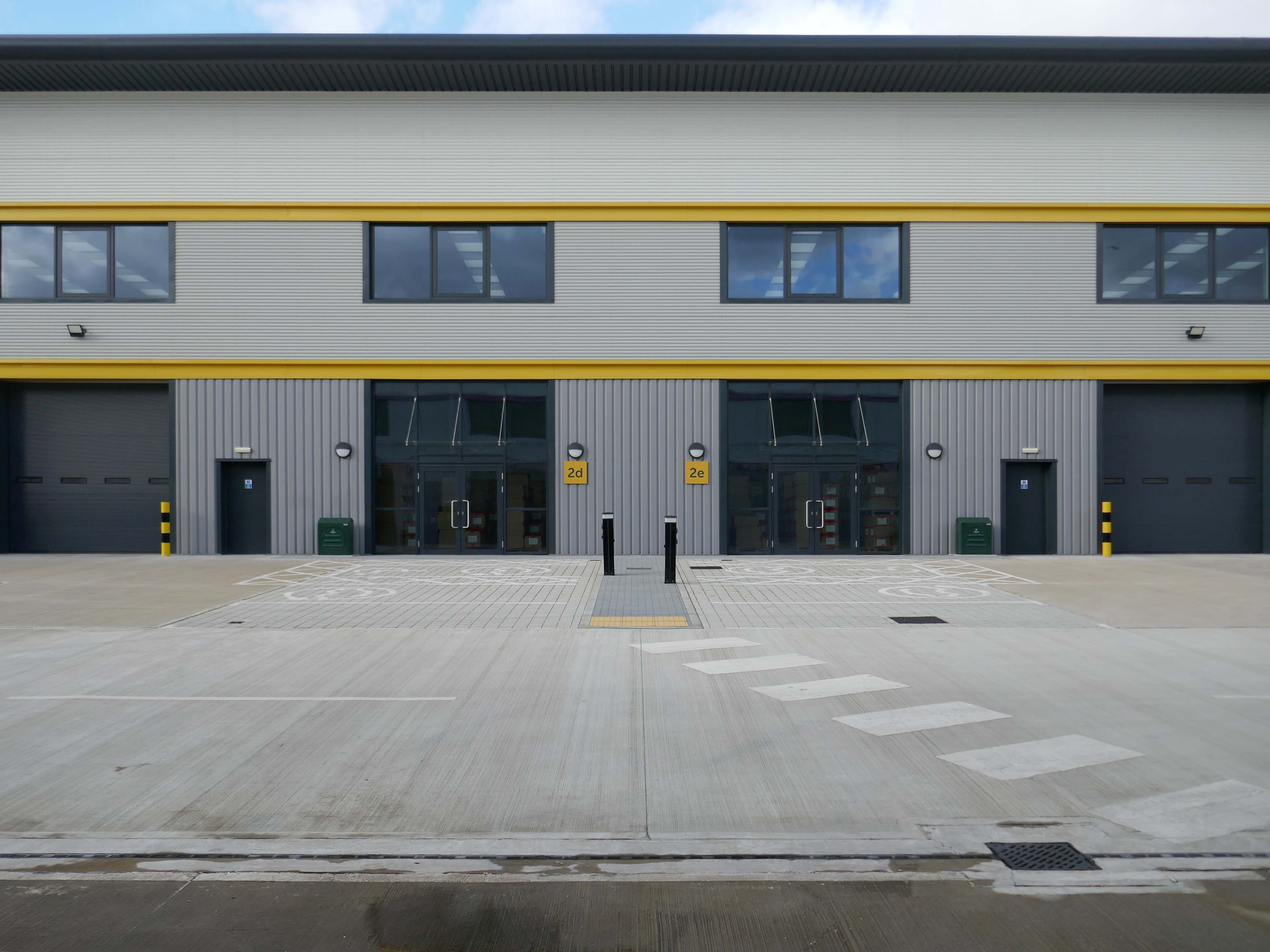
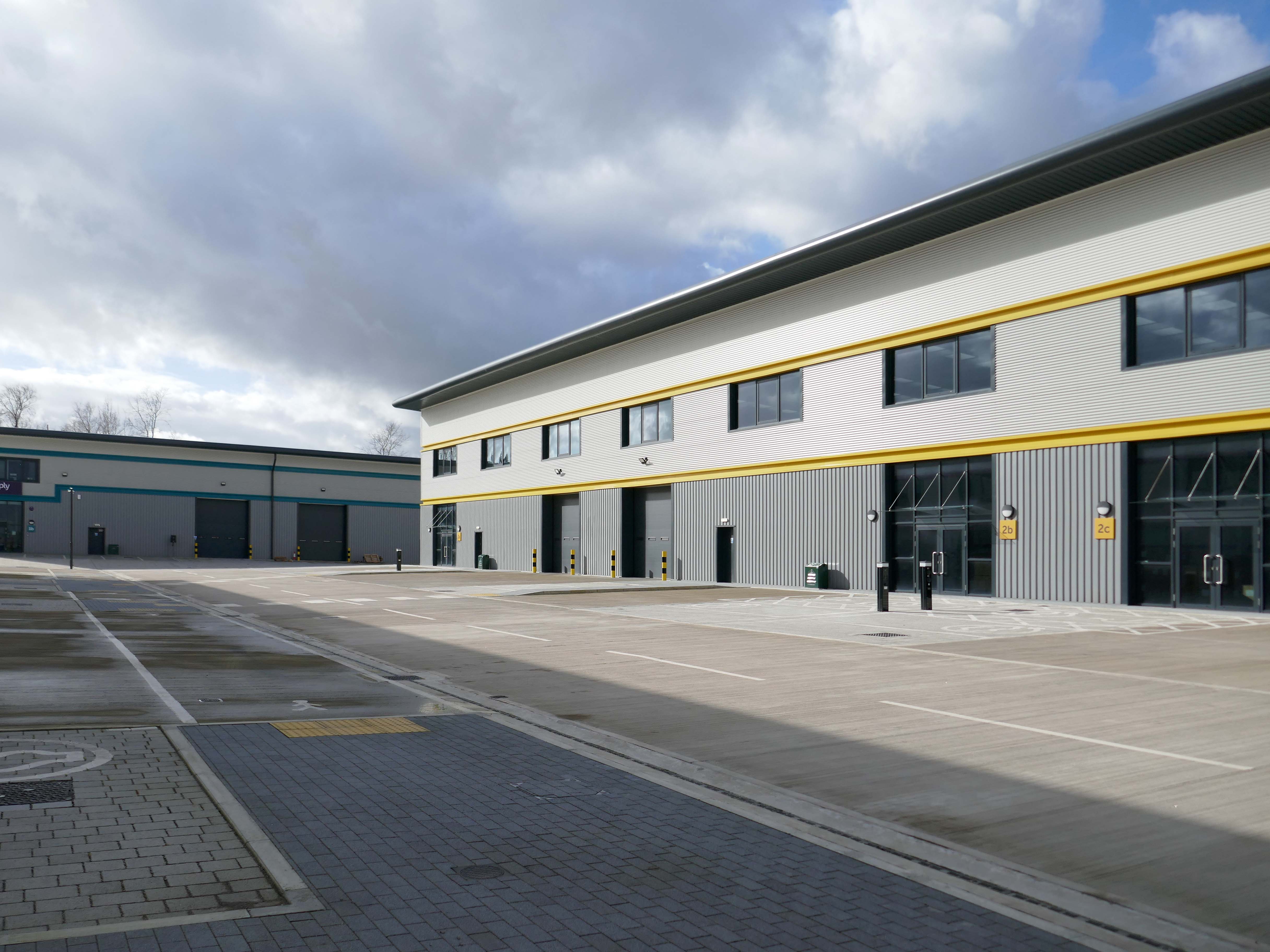
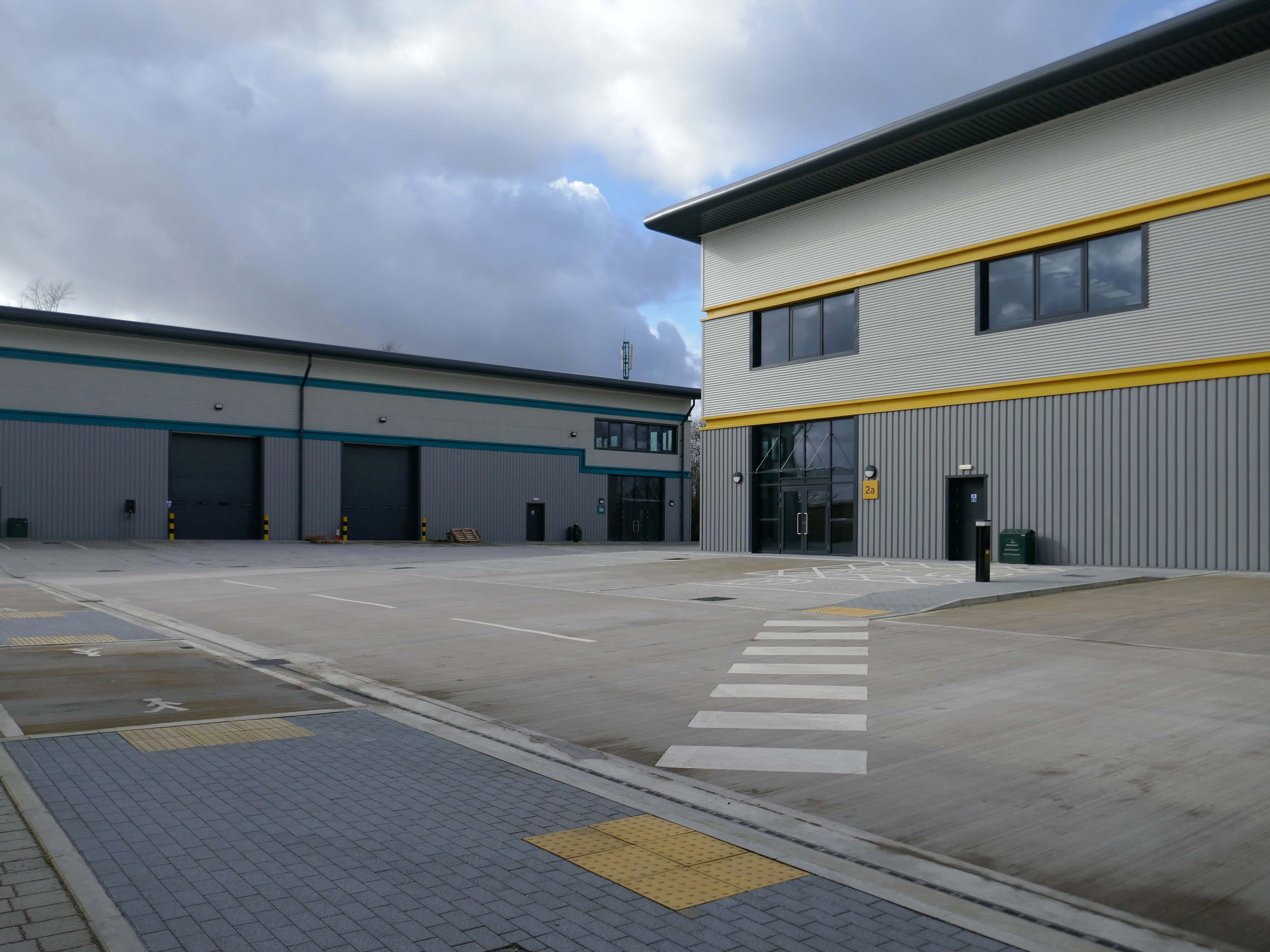
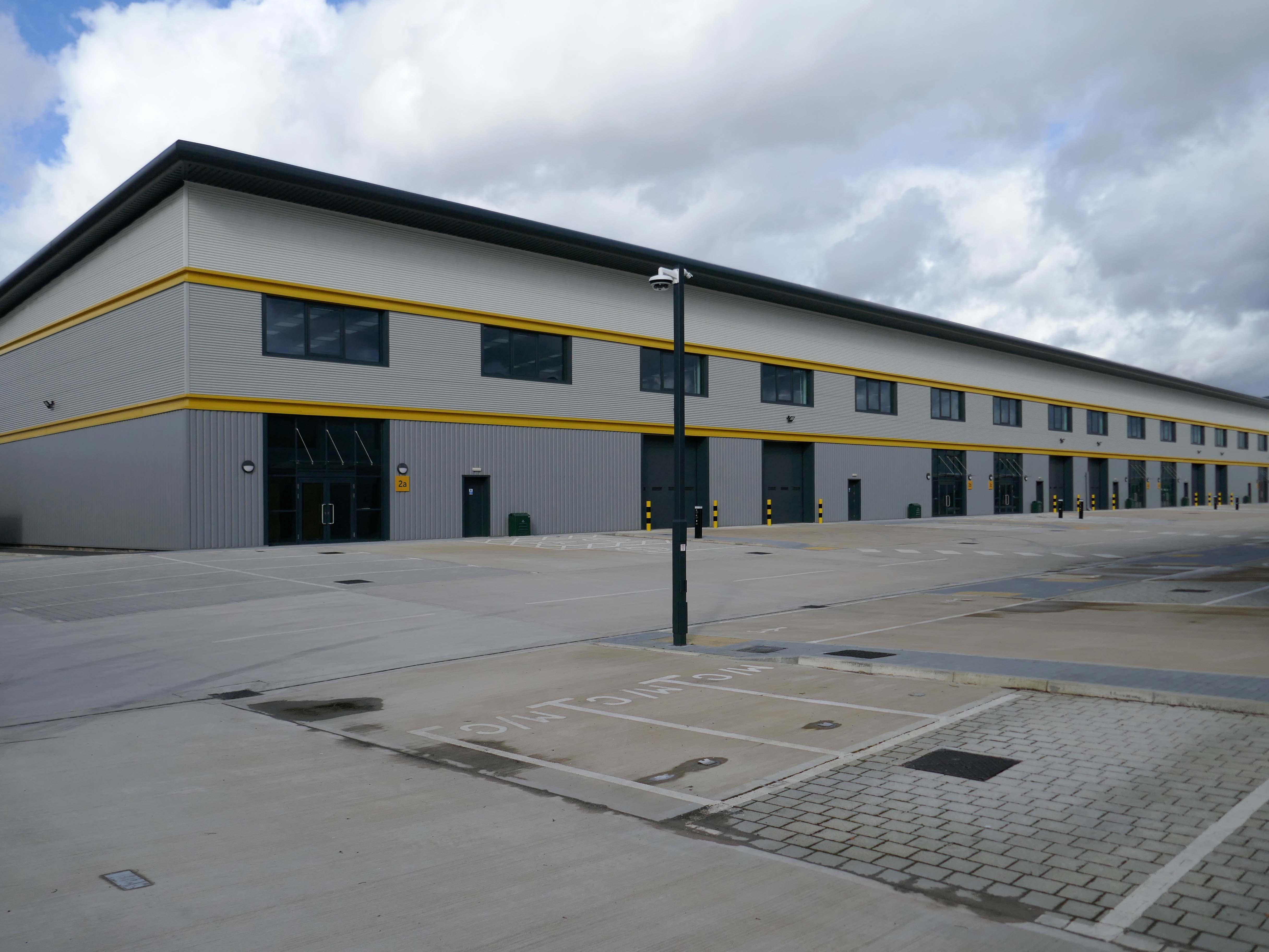
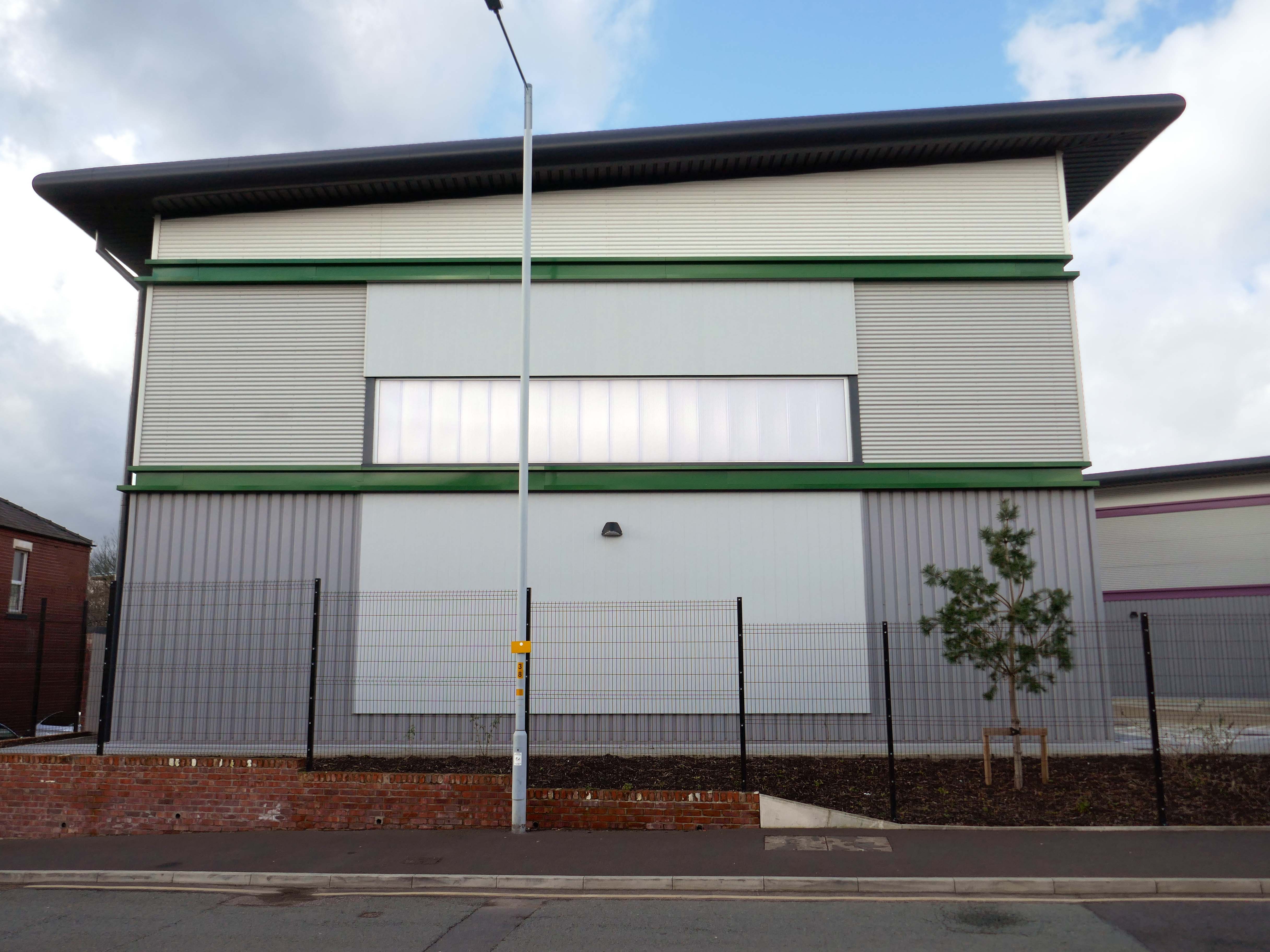
Vauxhall Trading Estate, formerly Vauxhall Industrial Estate, was a collection of dilapidated old industrial buildings, which have been demolished and new modern industrial units provided. RECOM provided project management services to demolish all previous buildings and prepare the site for the main contractor, achieve planning consent, enter a BAPA with Network Rail, tender and appoint the successful main contractor and then provide the Employer’s Agent service throughout the construction phase.
We worked with the design team to produce project specific Employer’s Requirements, ensuring that the client’s brief to provide high quality industrial units was delivered. We ensured the client’s interests were maintained throughout the project, making objective decisions that aligned with the client’s goals. In order to de-risk the project prior to entering into the main contract, we advised the client on what site investigations, enabling works and surveys needed to be undertaken. As the Employer’s Agent, we ensured that the conditions of the contract were adhered to, managing claims from the contractor,ensuring that the client’s position was protected.
Demolition works and embodied carbon created through construction works, is being offset against the sustainable energy created post occupation including: mix of air-source heat pumps and gas-fired radiant tube heating for heating and cooling, and photovoltaic solar panels installed on rooftops to generate green electricity for occupiers.
On Wednesday 21st January, I boarded the 9.33 for Blackpool from Platform 14 Manchester Piccadilly station.
10.35 the train terminated at Preston – thus far and no further.
Thinking on my feet, I legged it rapido to Preston Bus Station and just about caught the 68 bus to Blackpool.
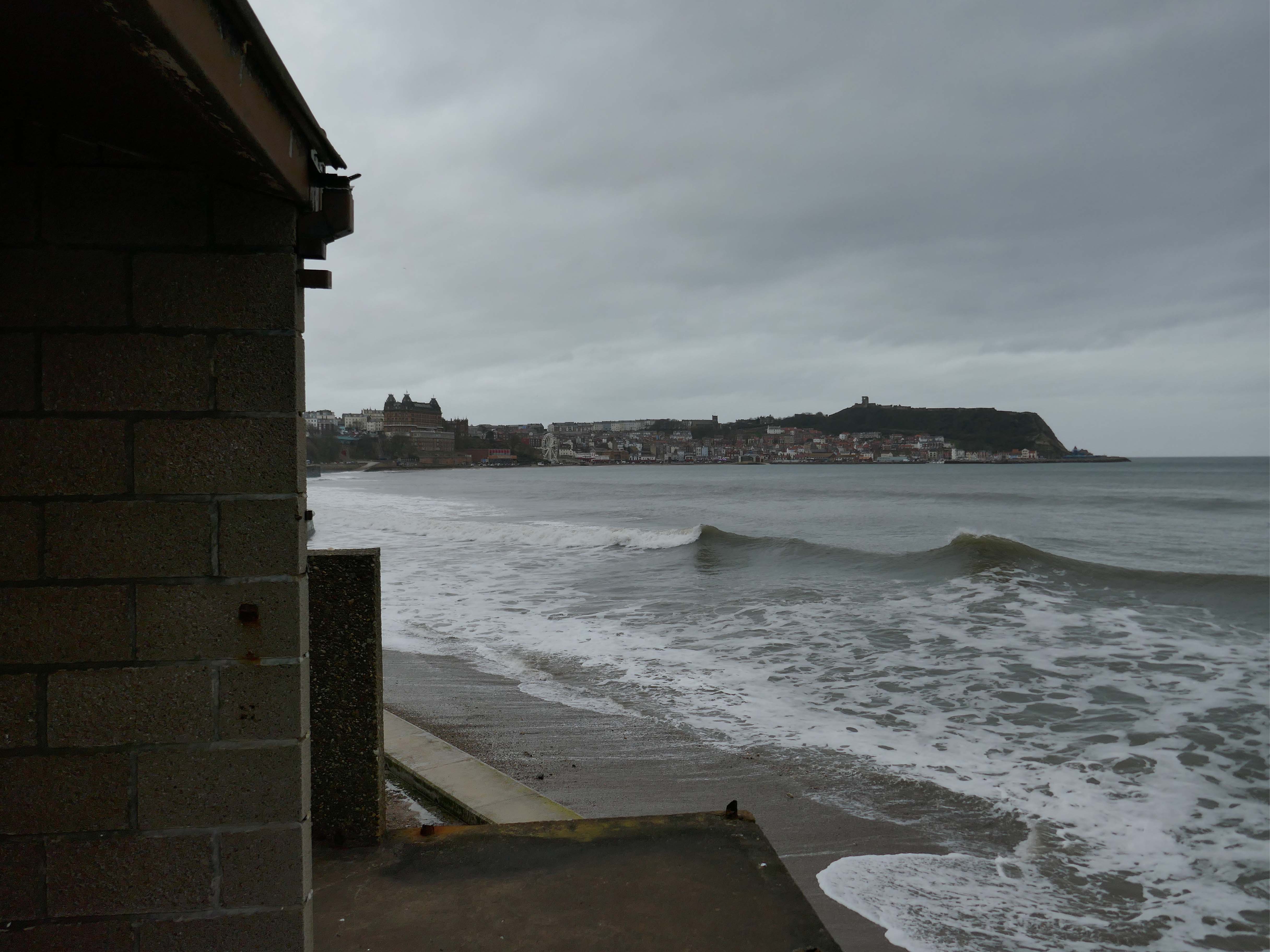
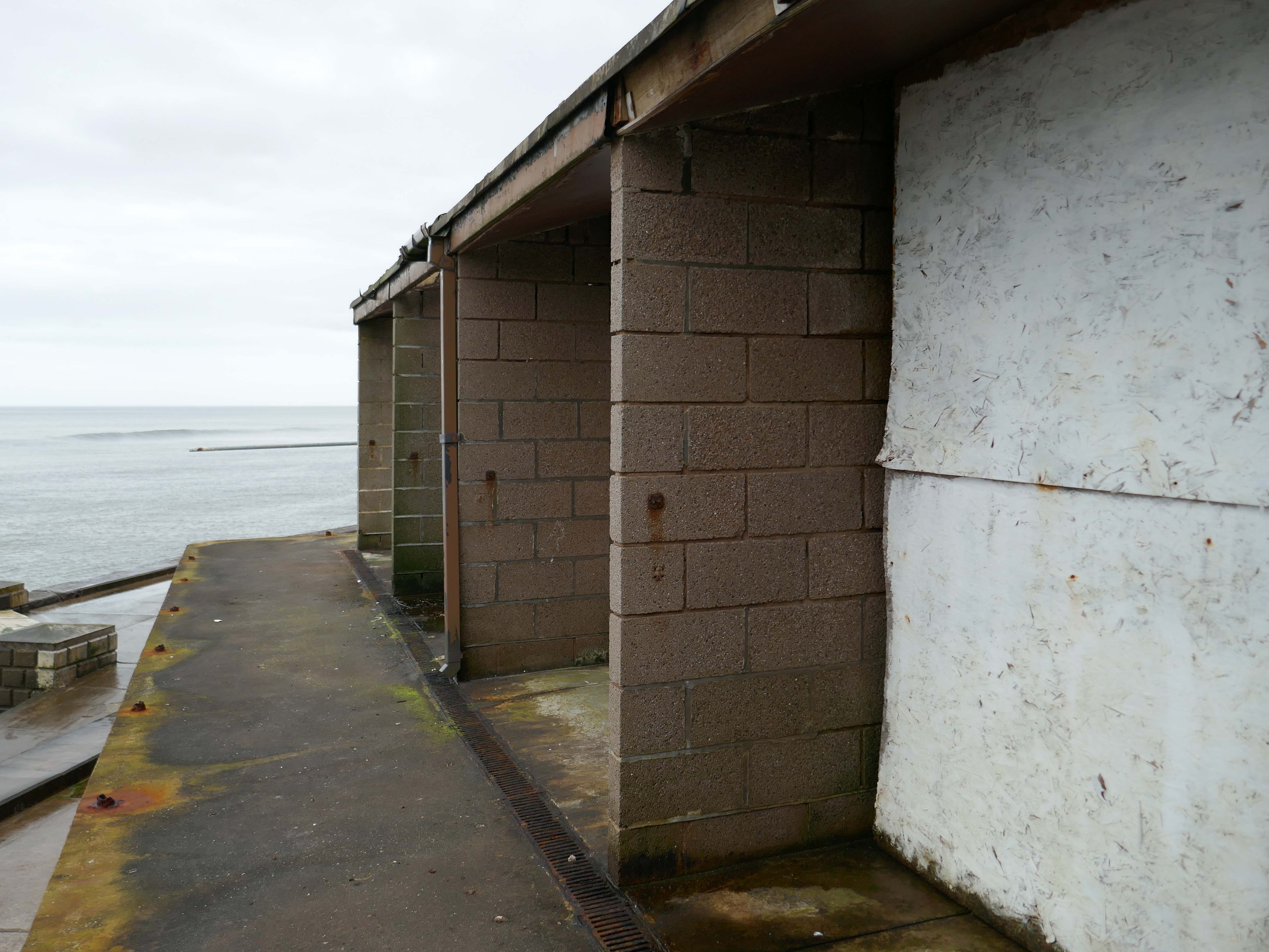
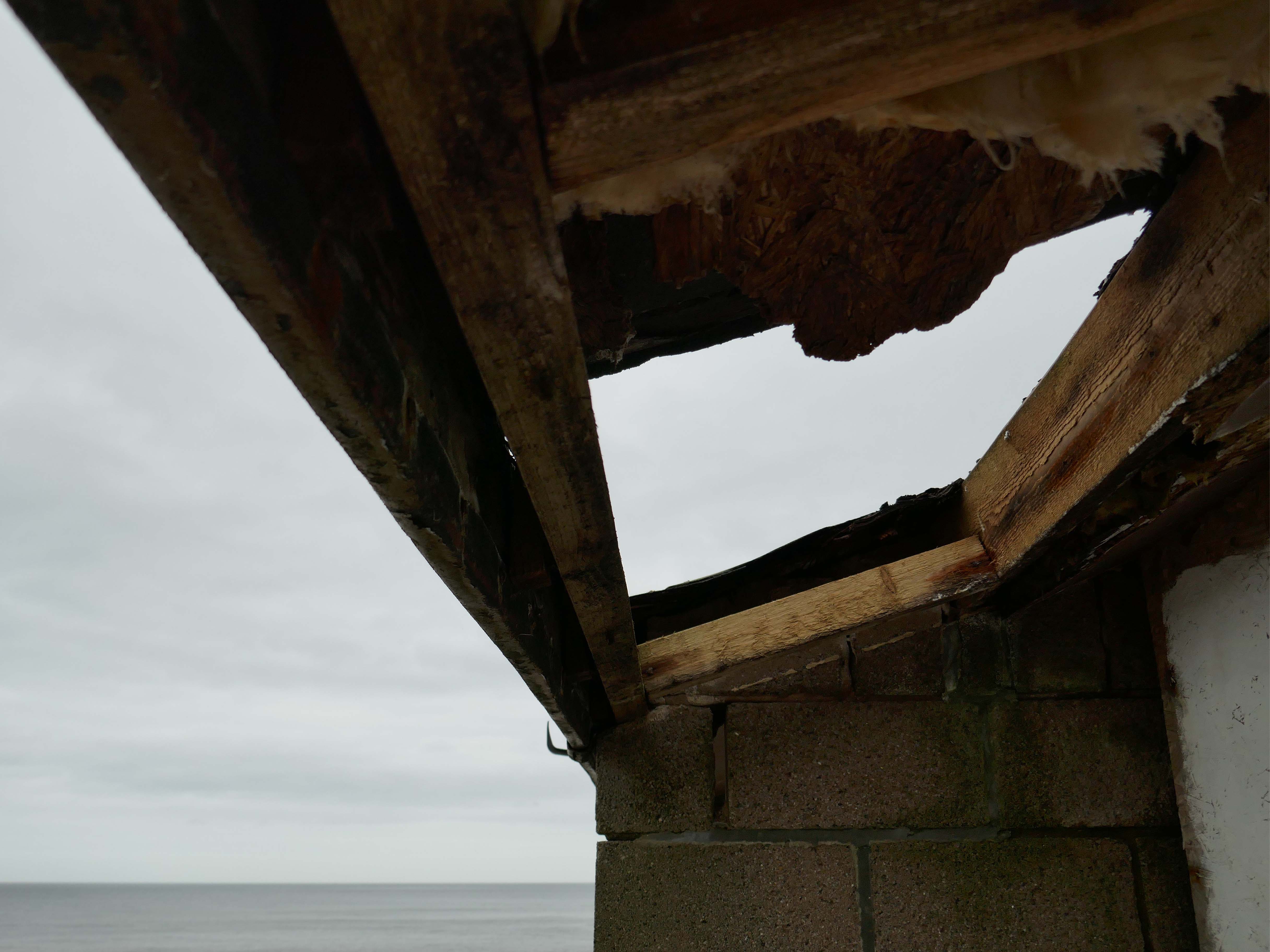
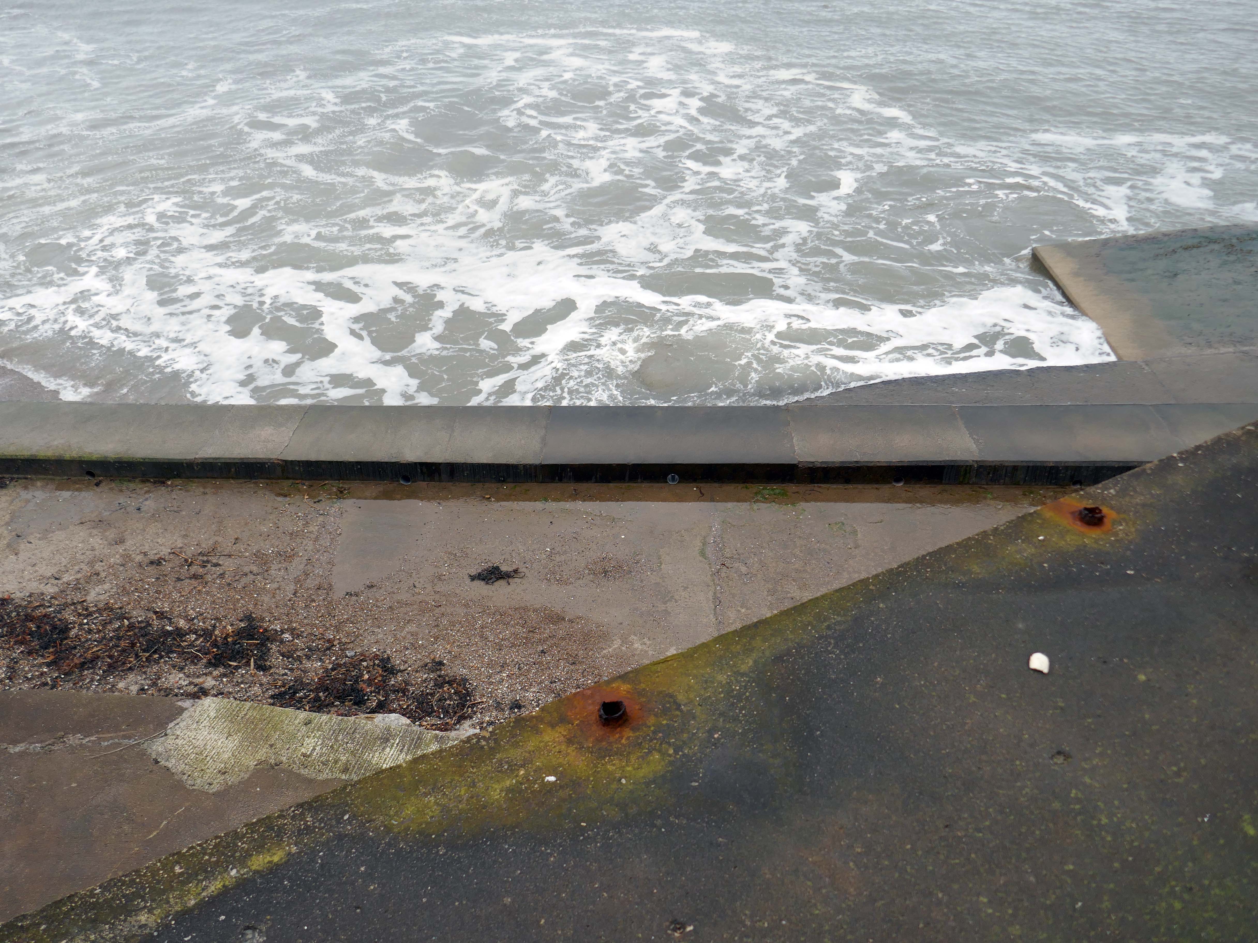
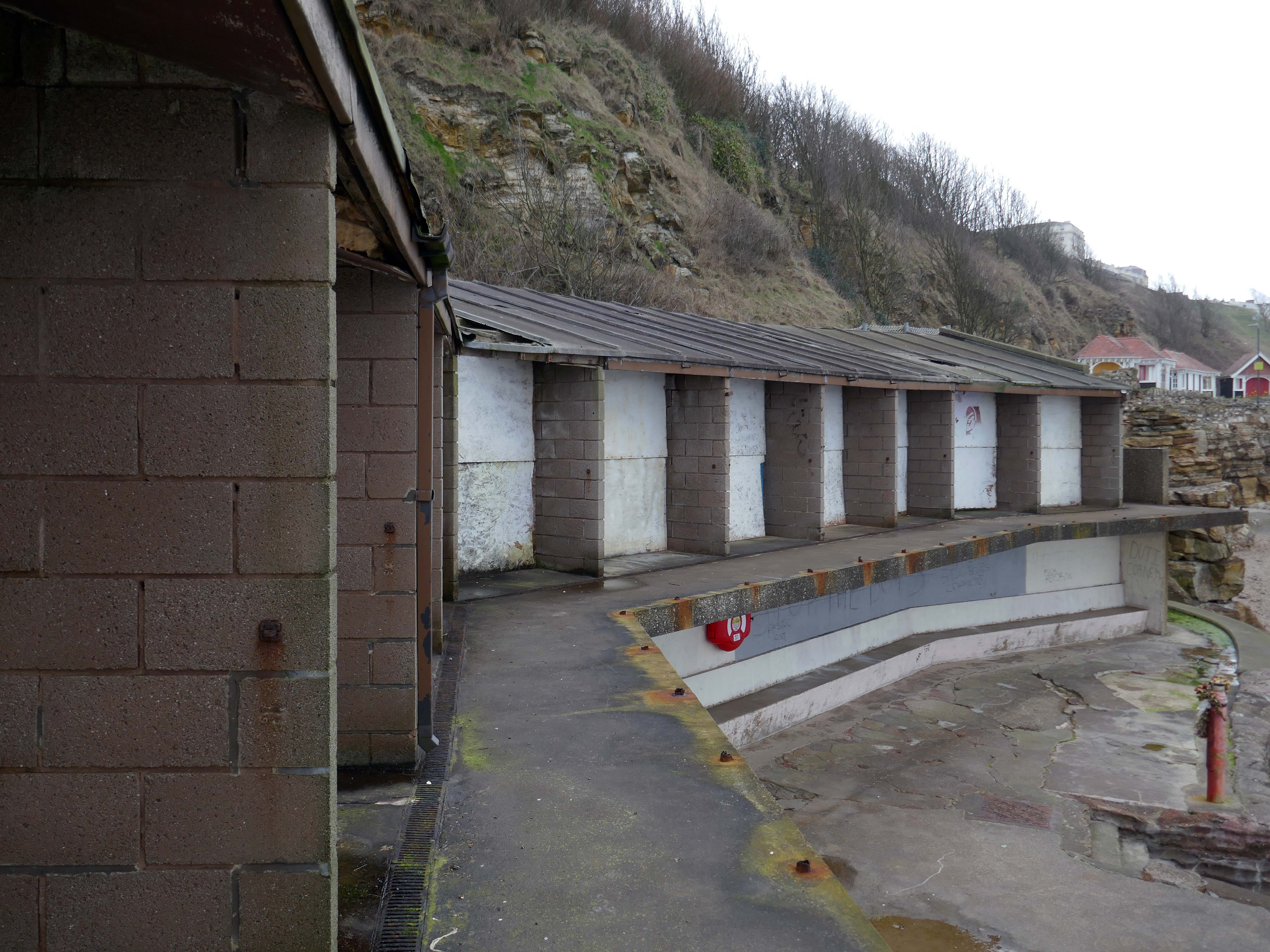
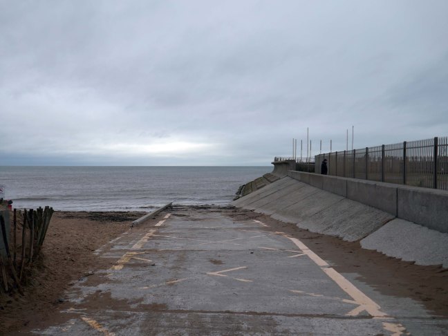
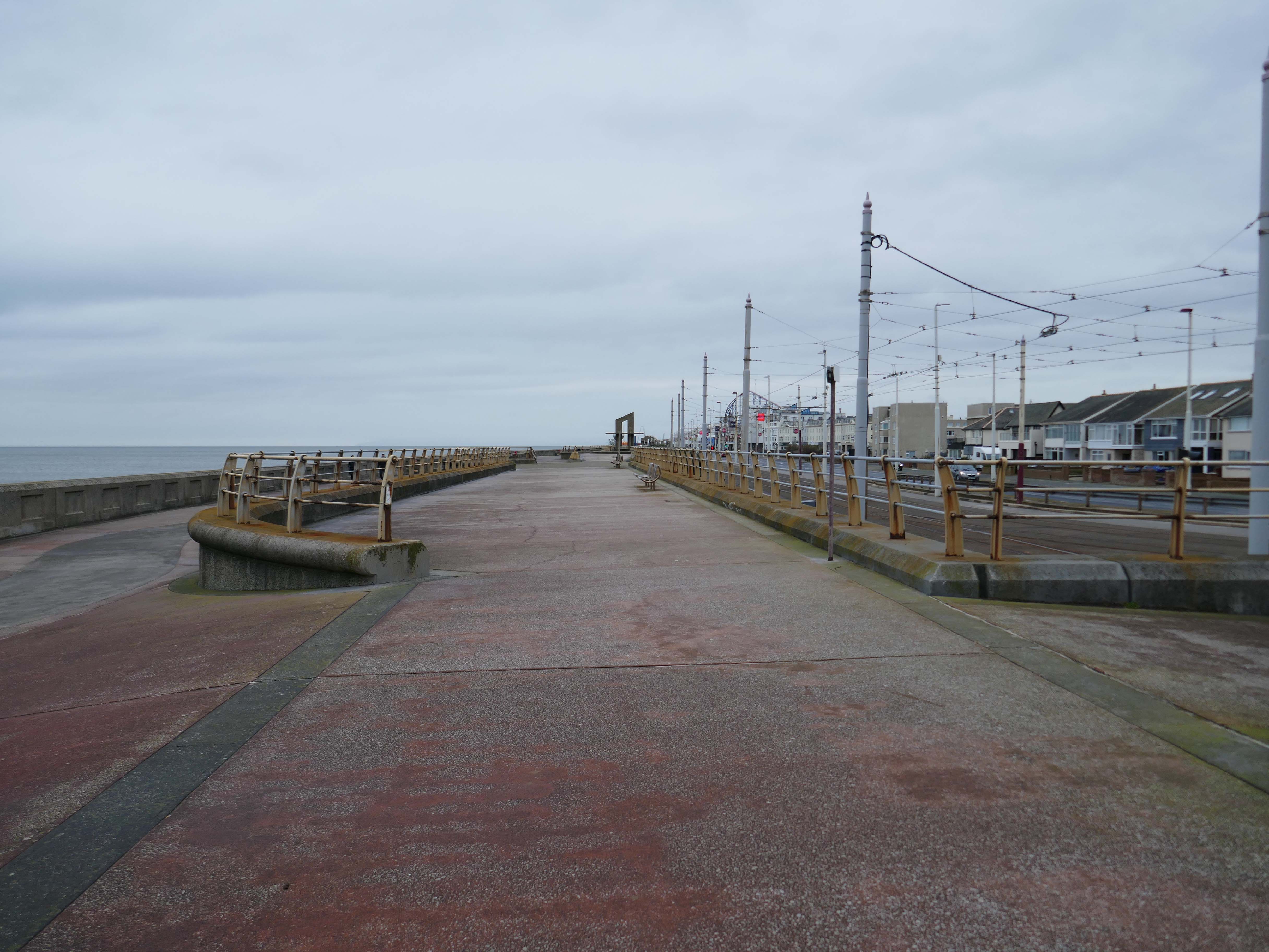
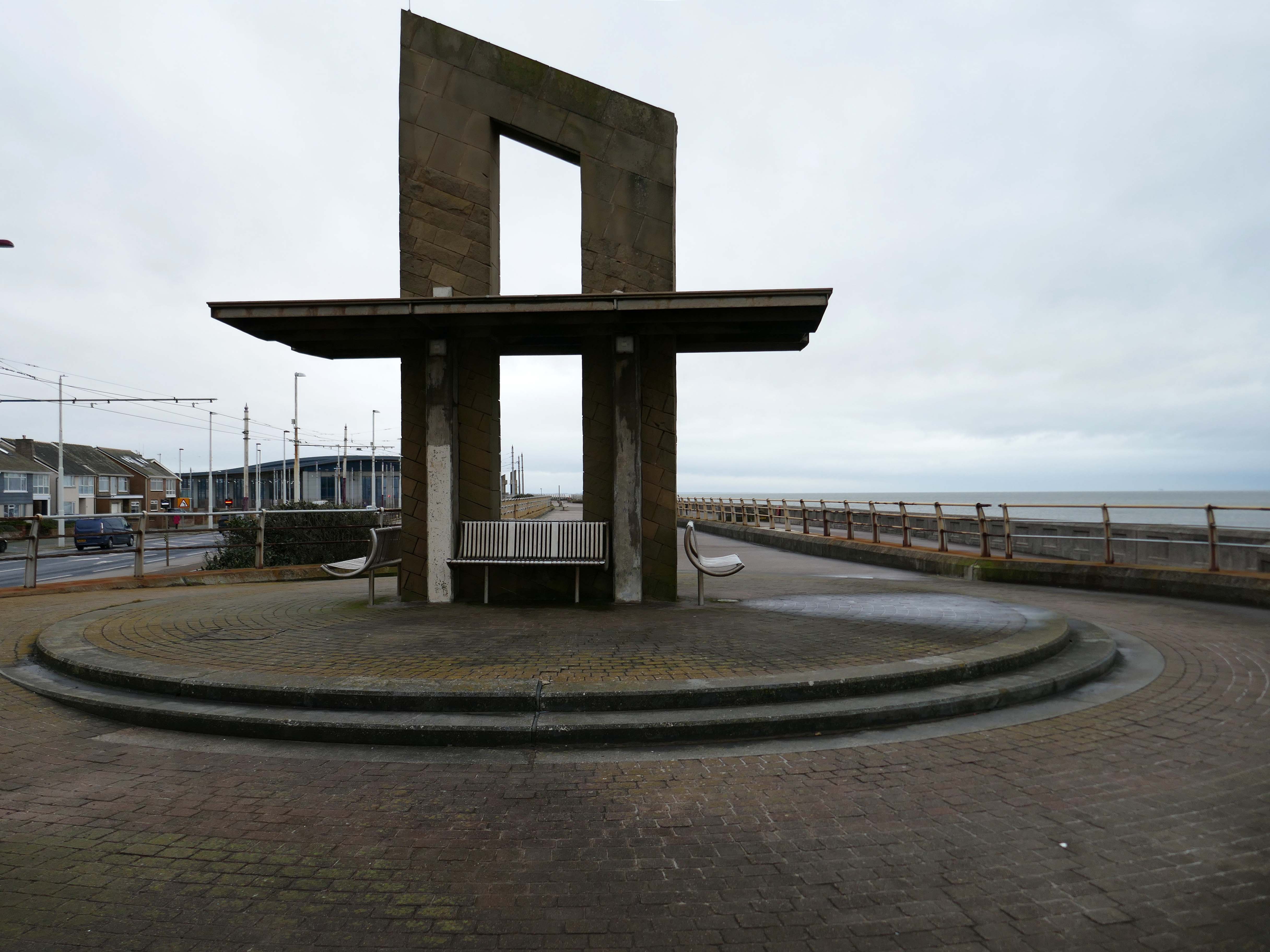
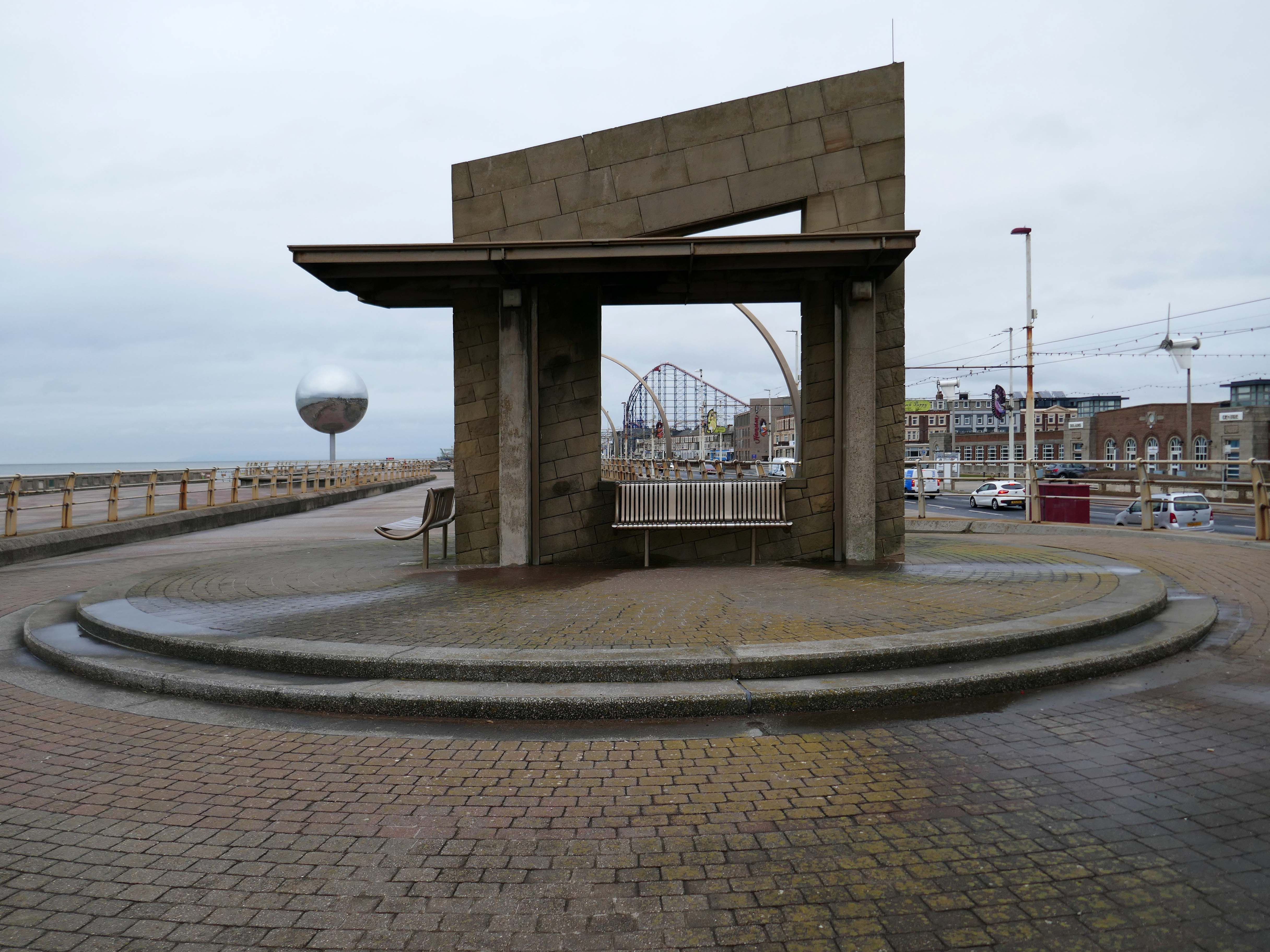
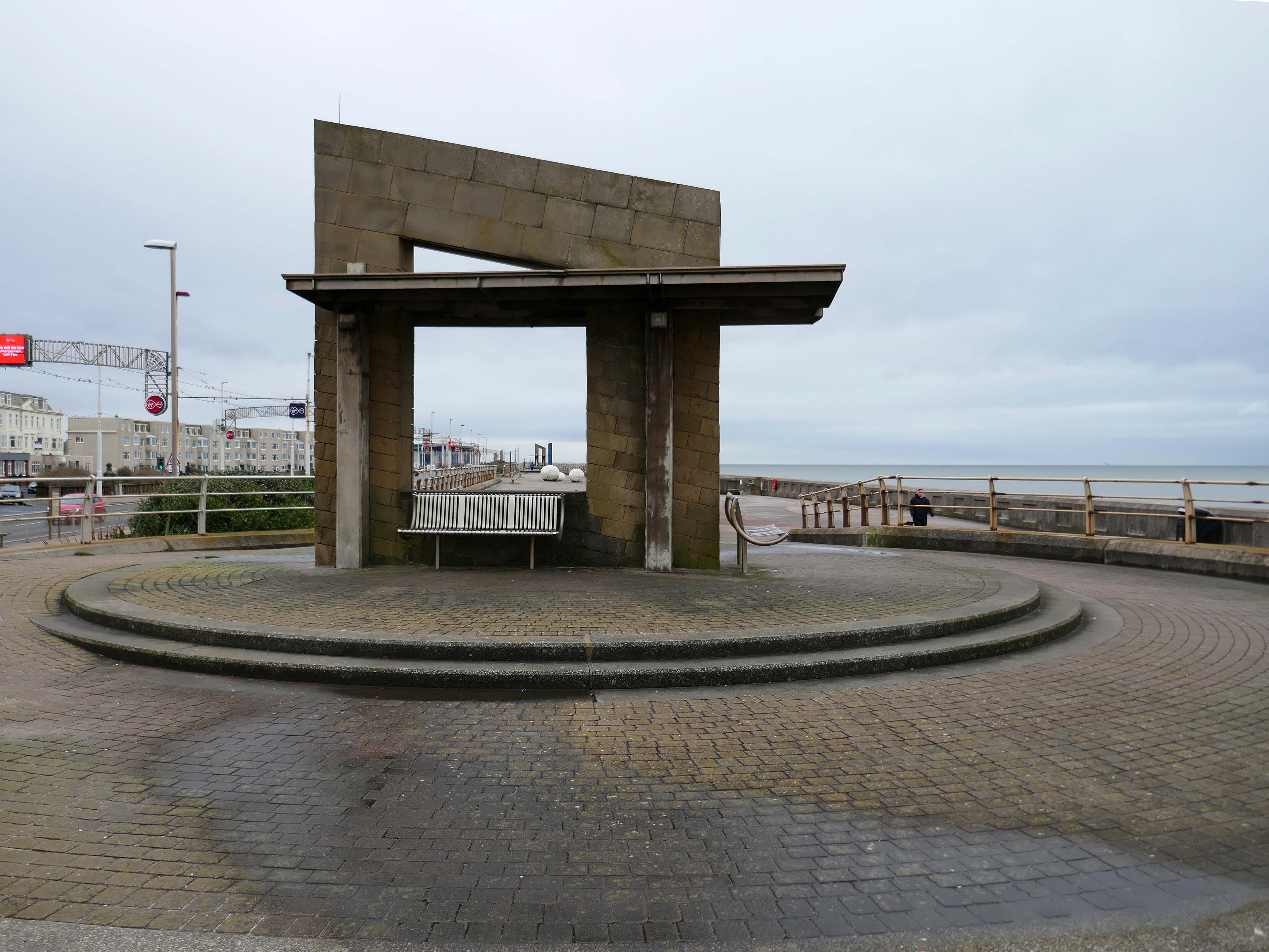
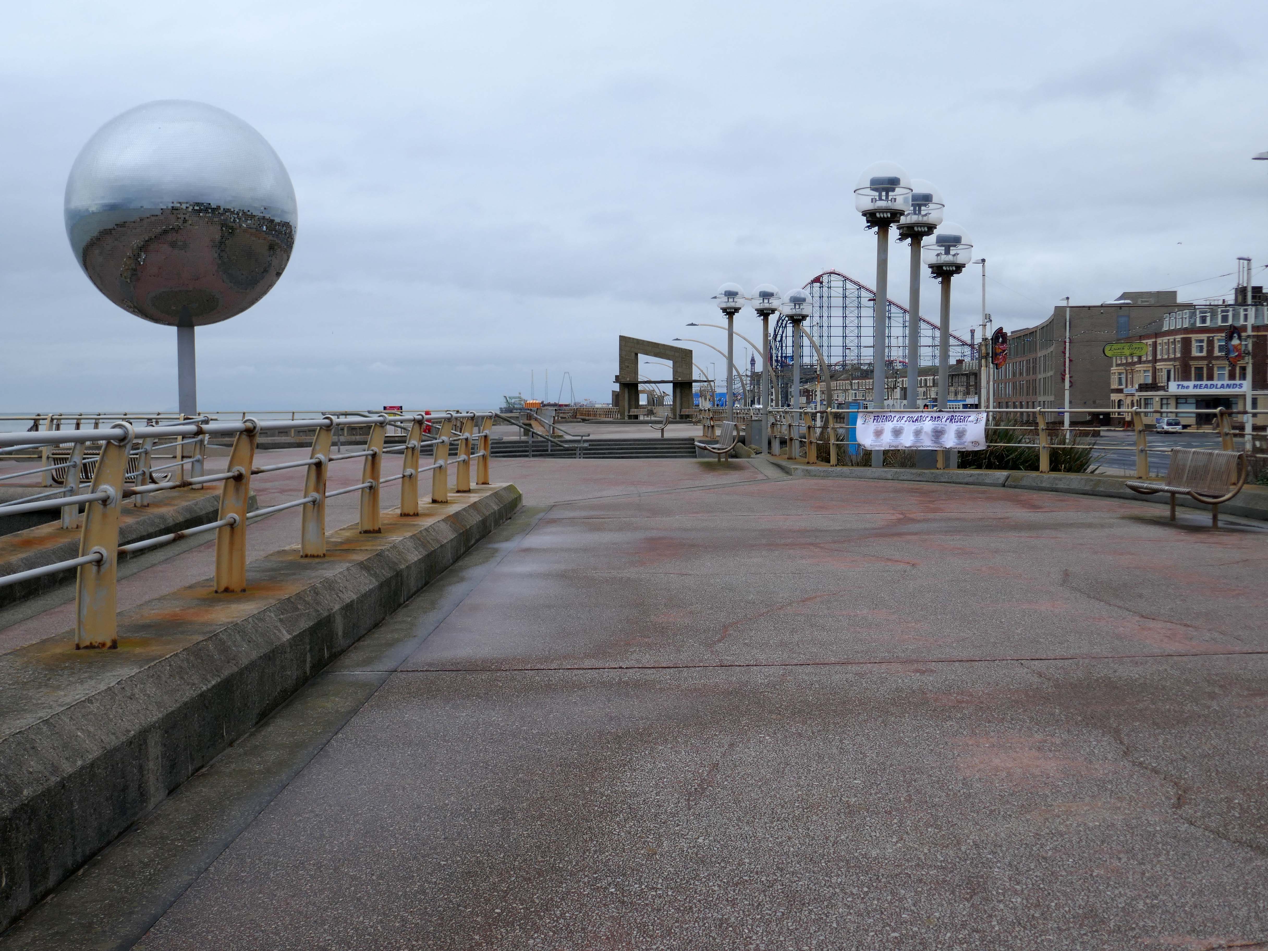
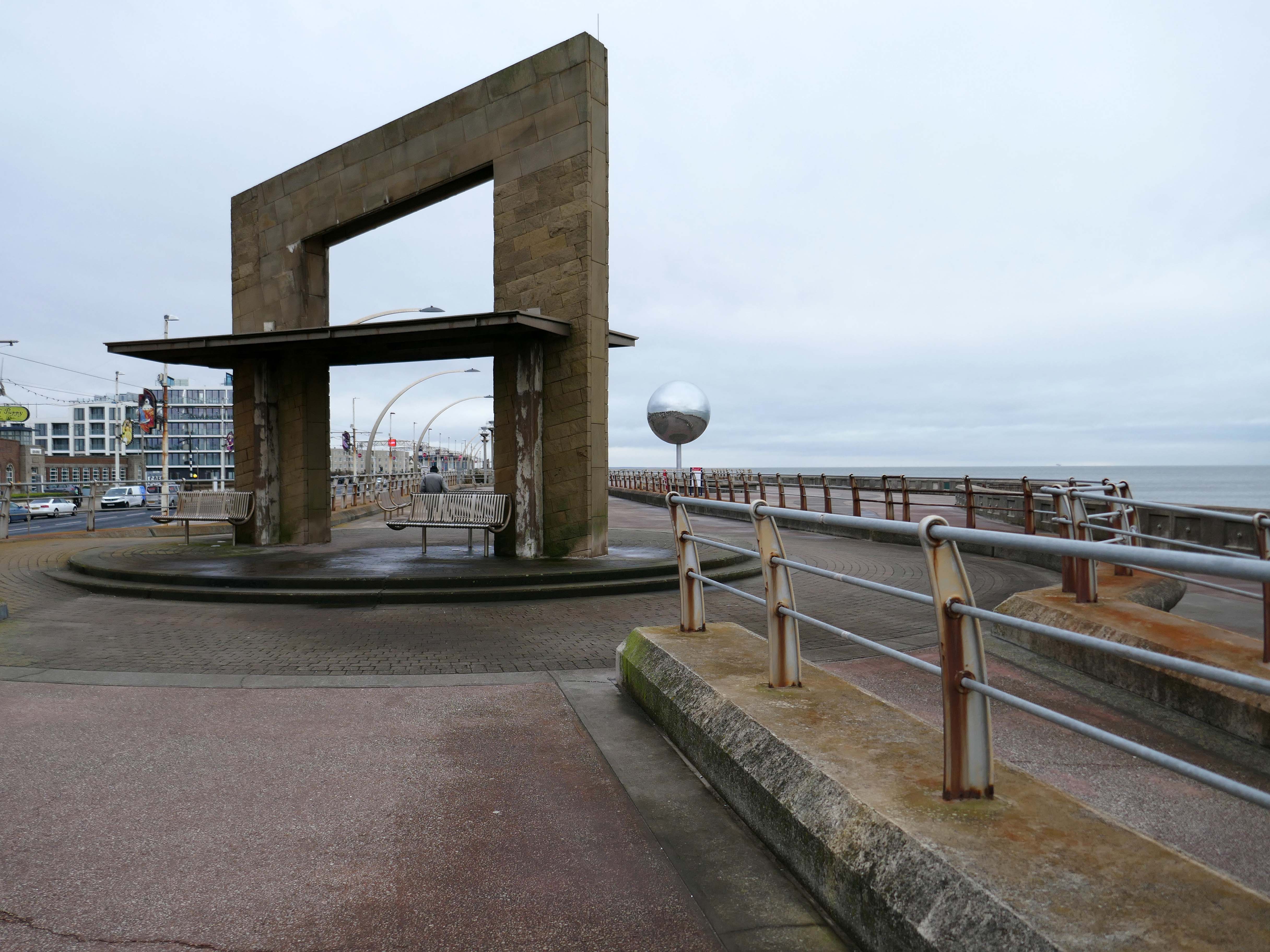
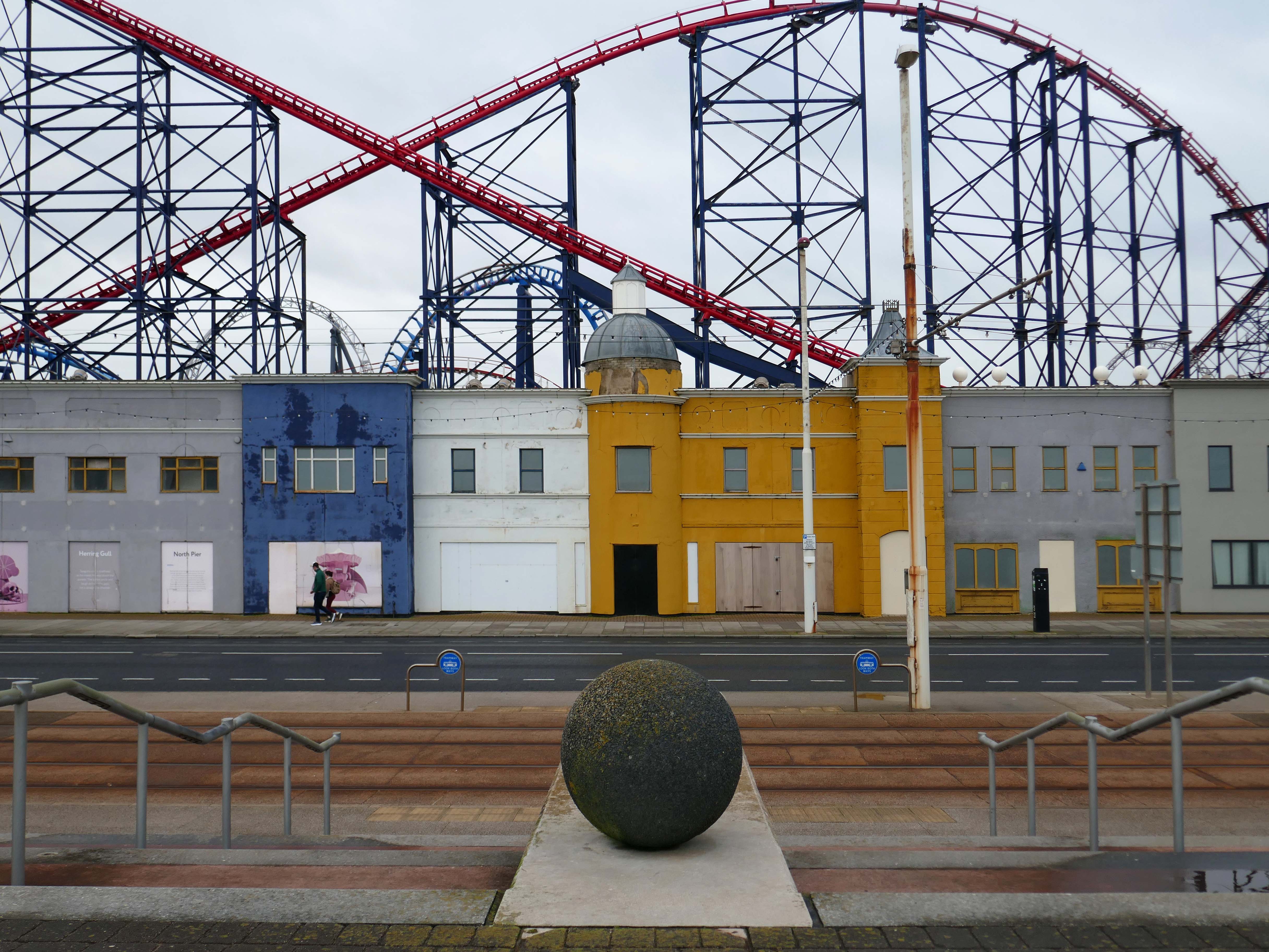
Already an hour or two behind time I elected to alight at Squires Gate, and take a walk along the South Promenade toward the town centre.
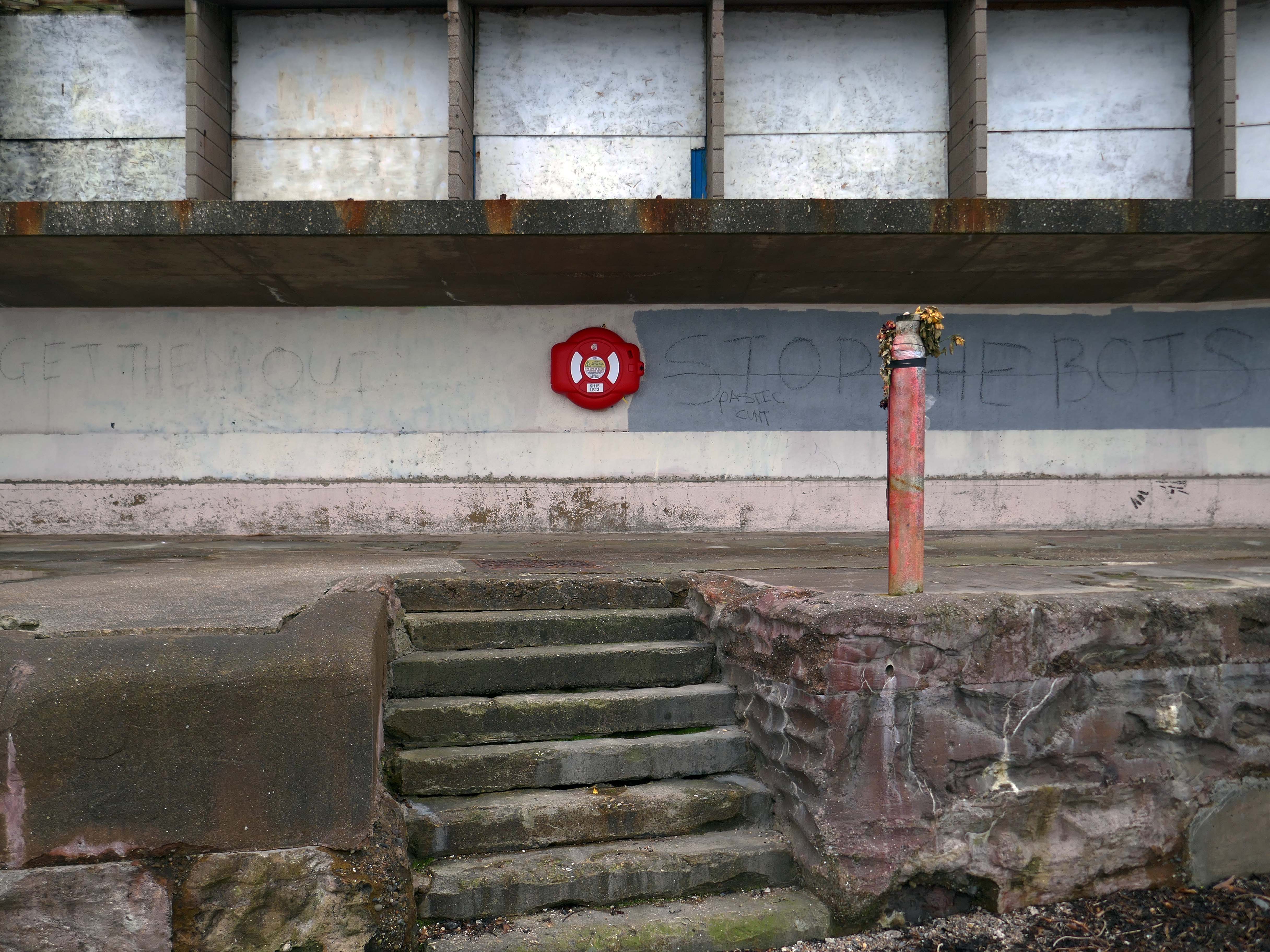
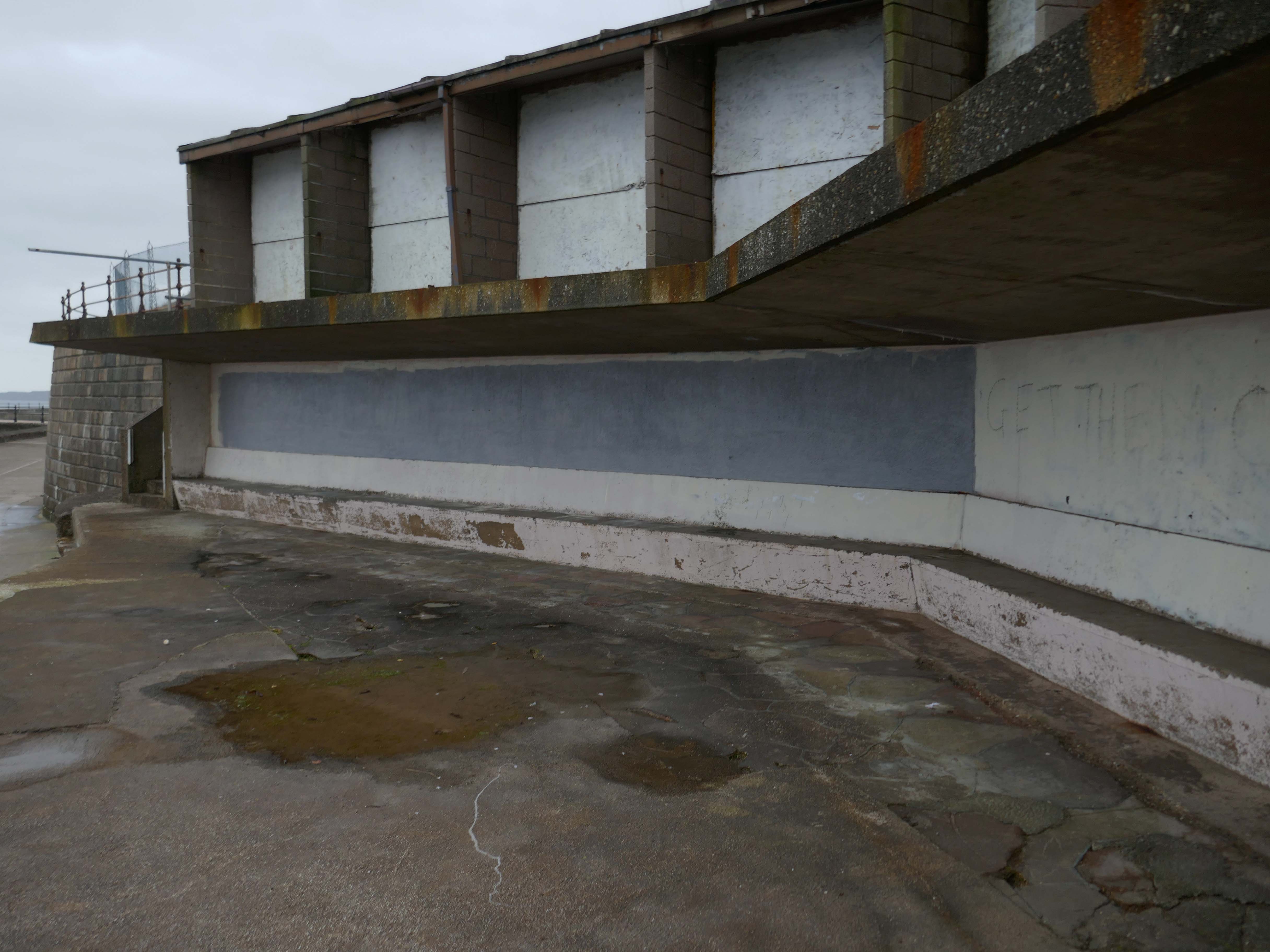
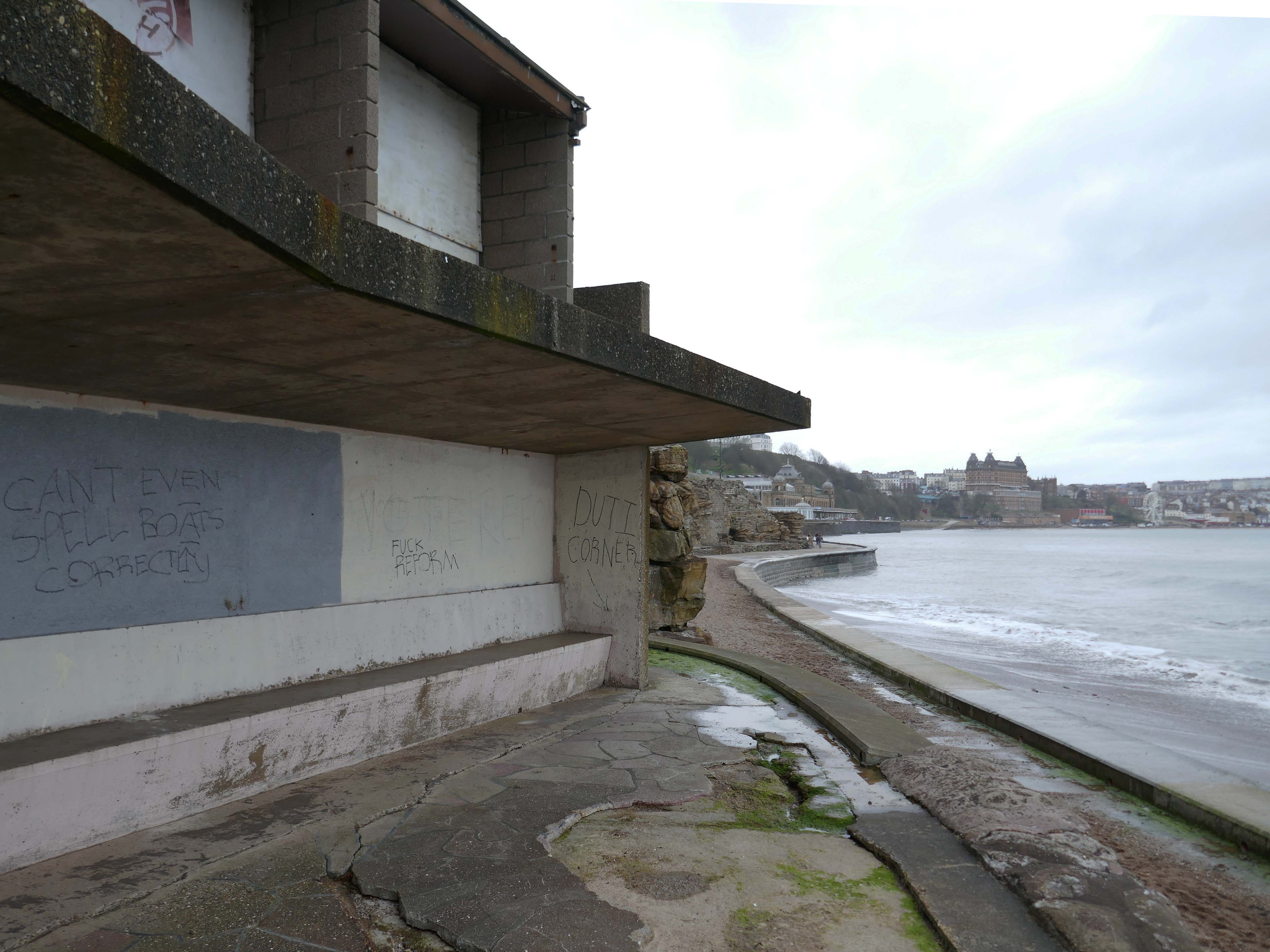
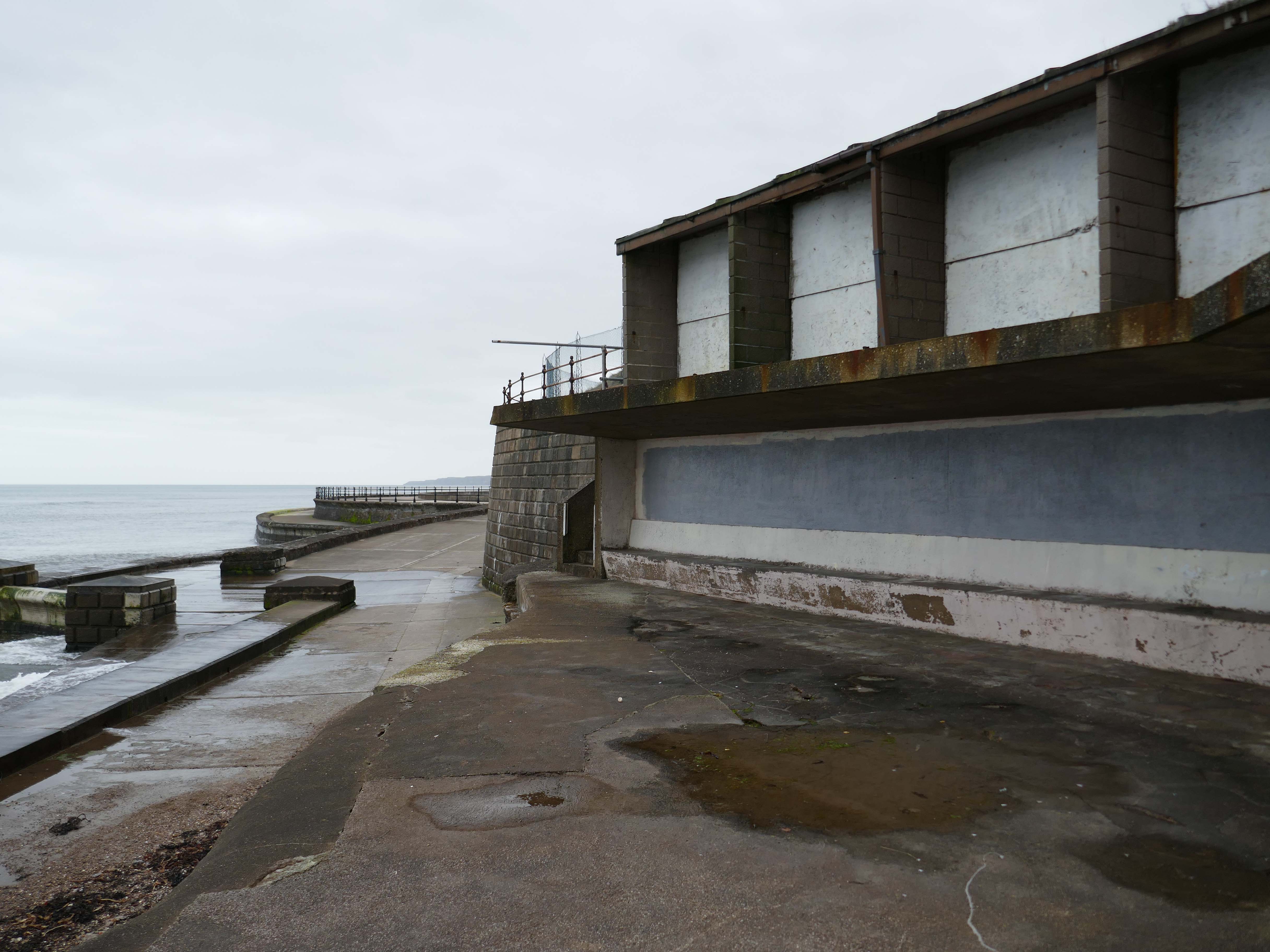
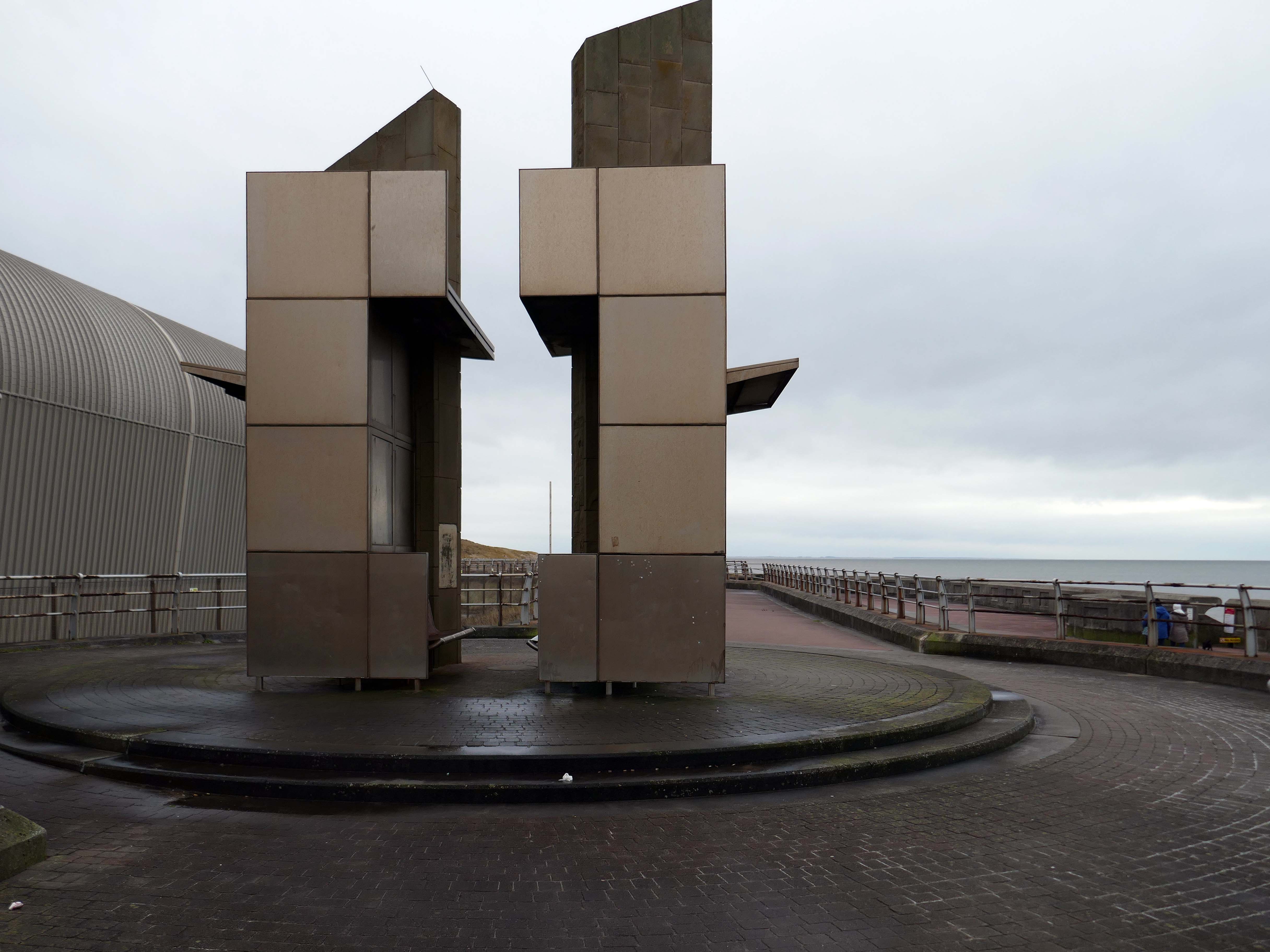
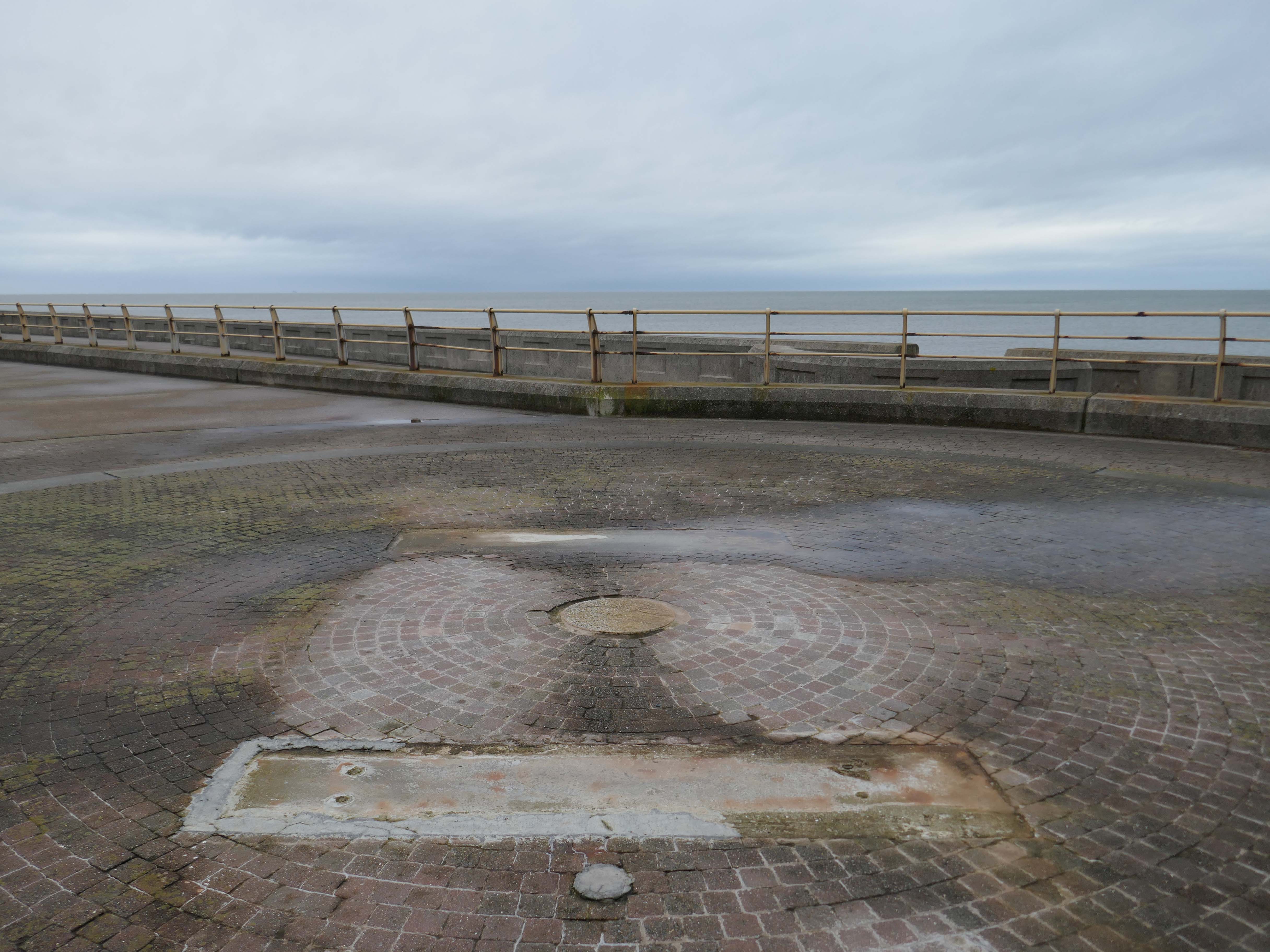
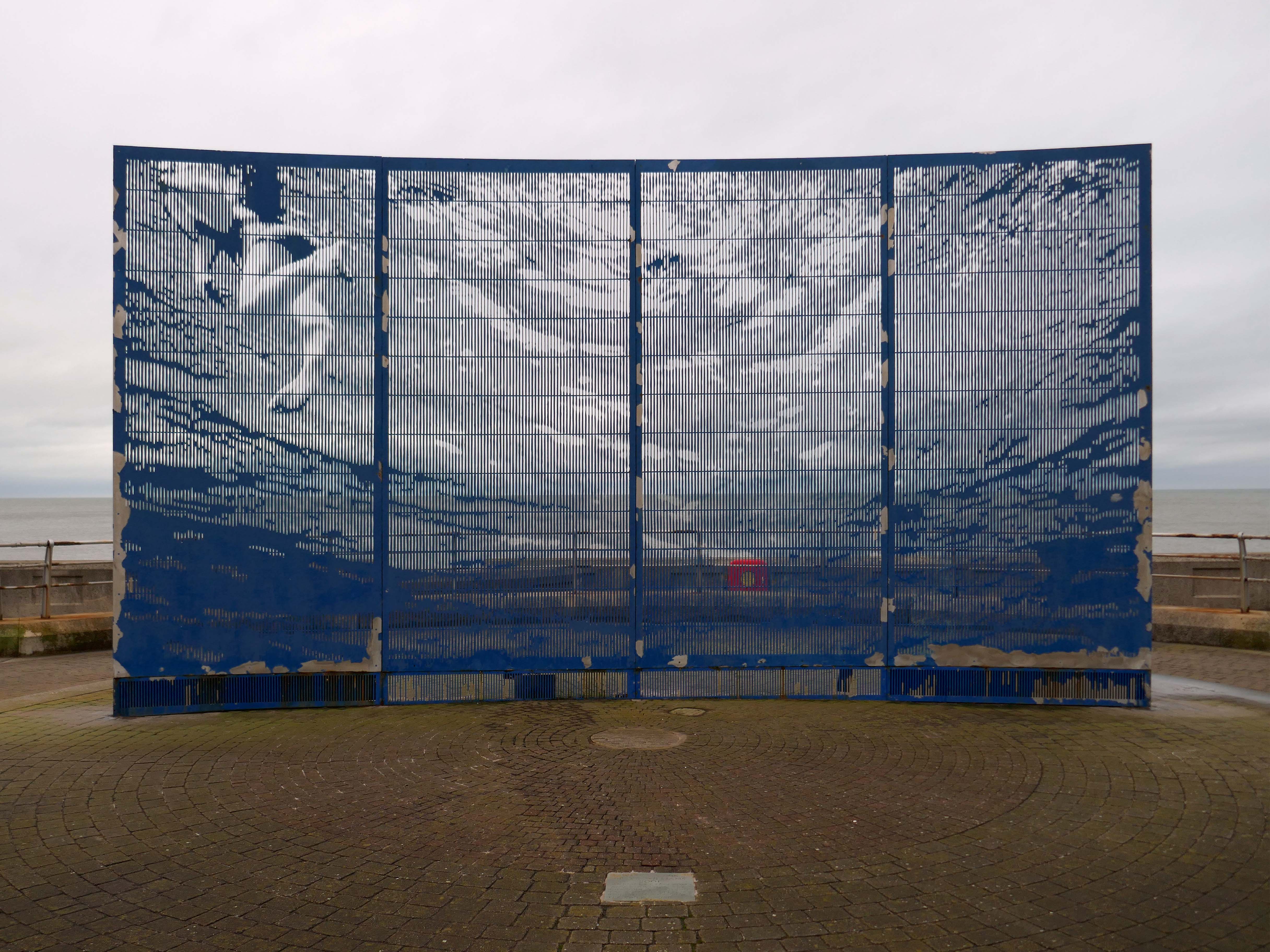
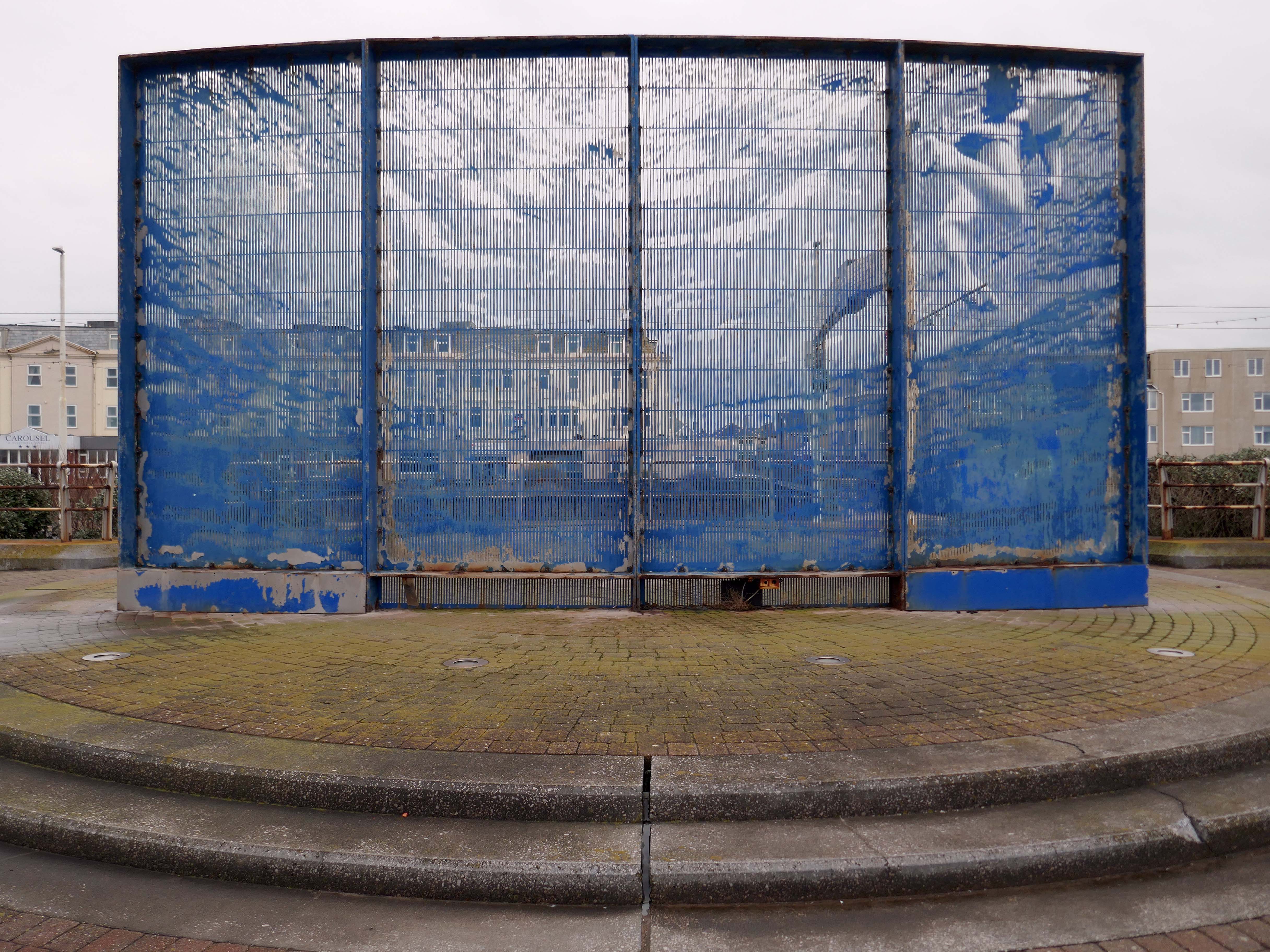
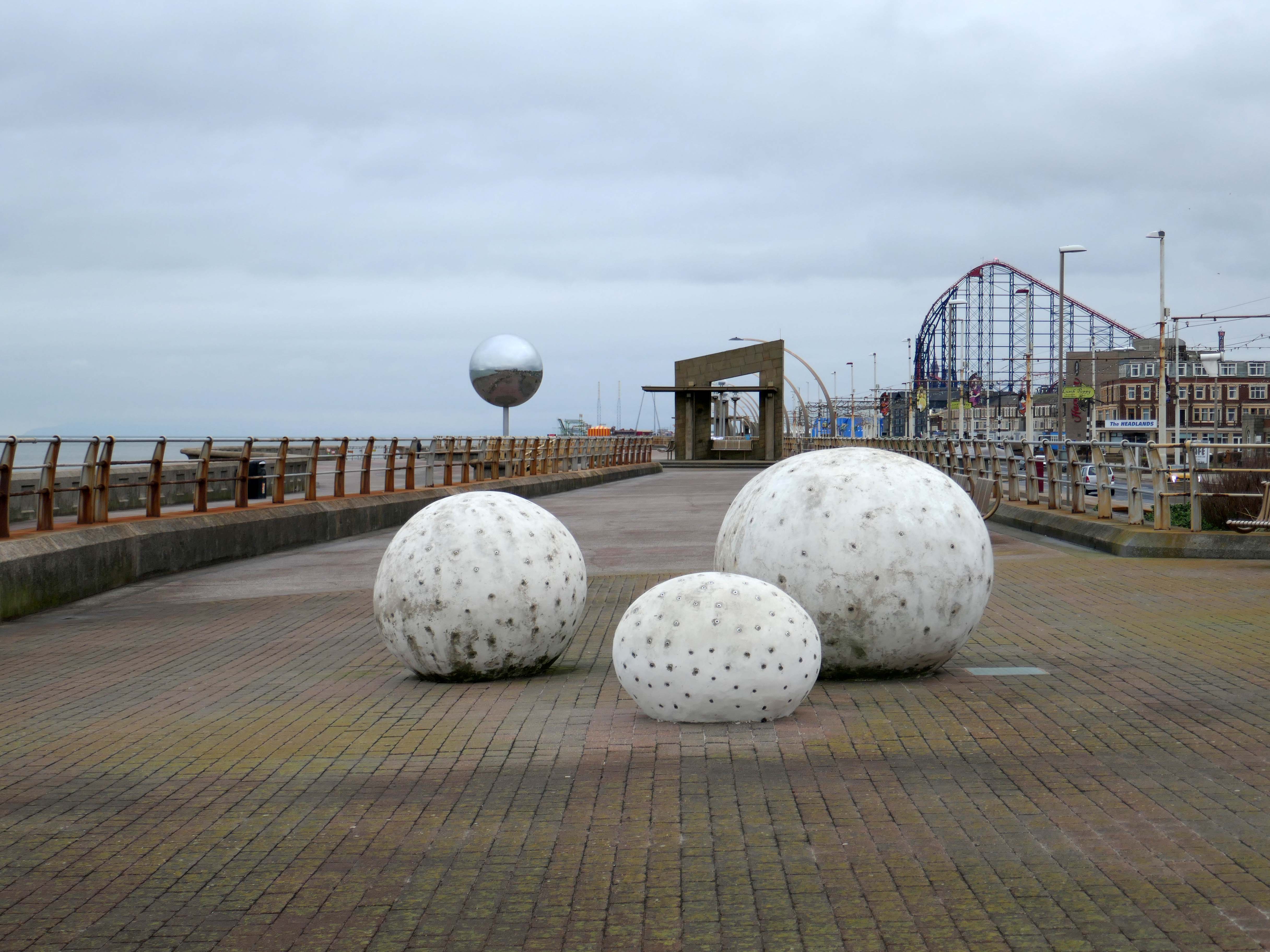
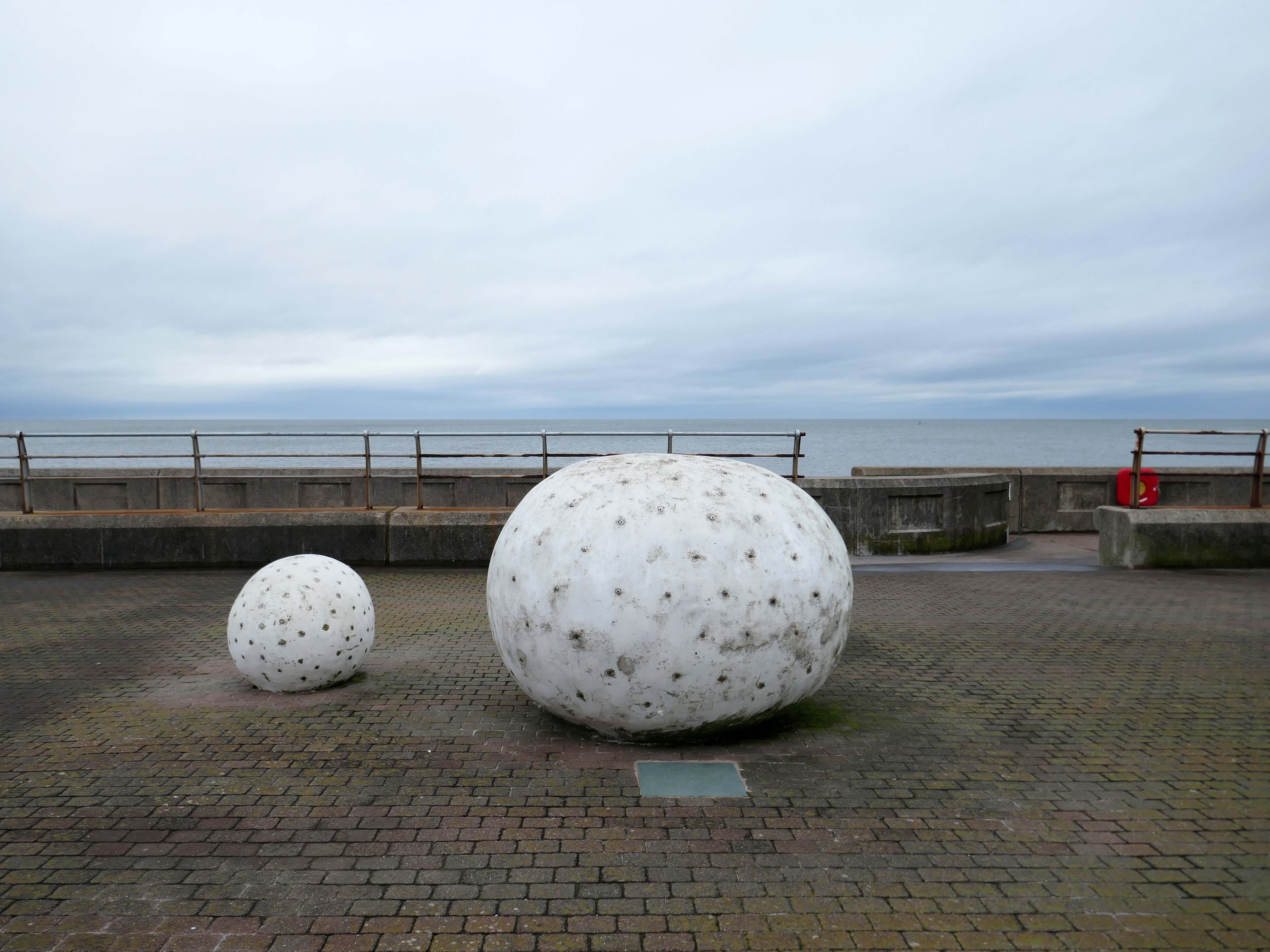
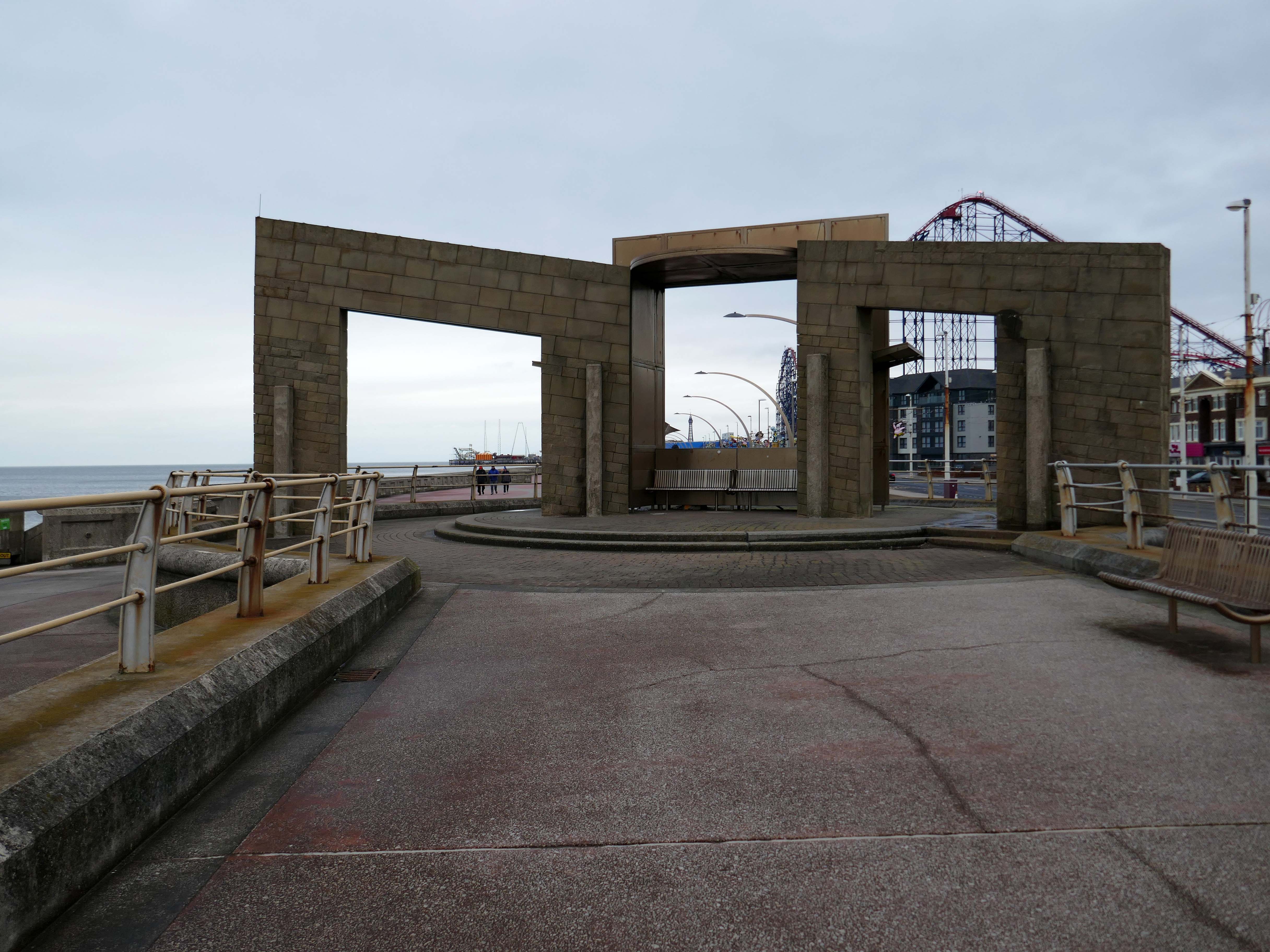
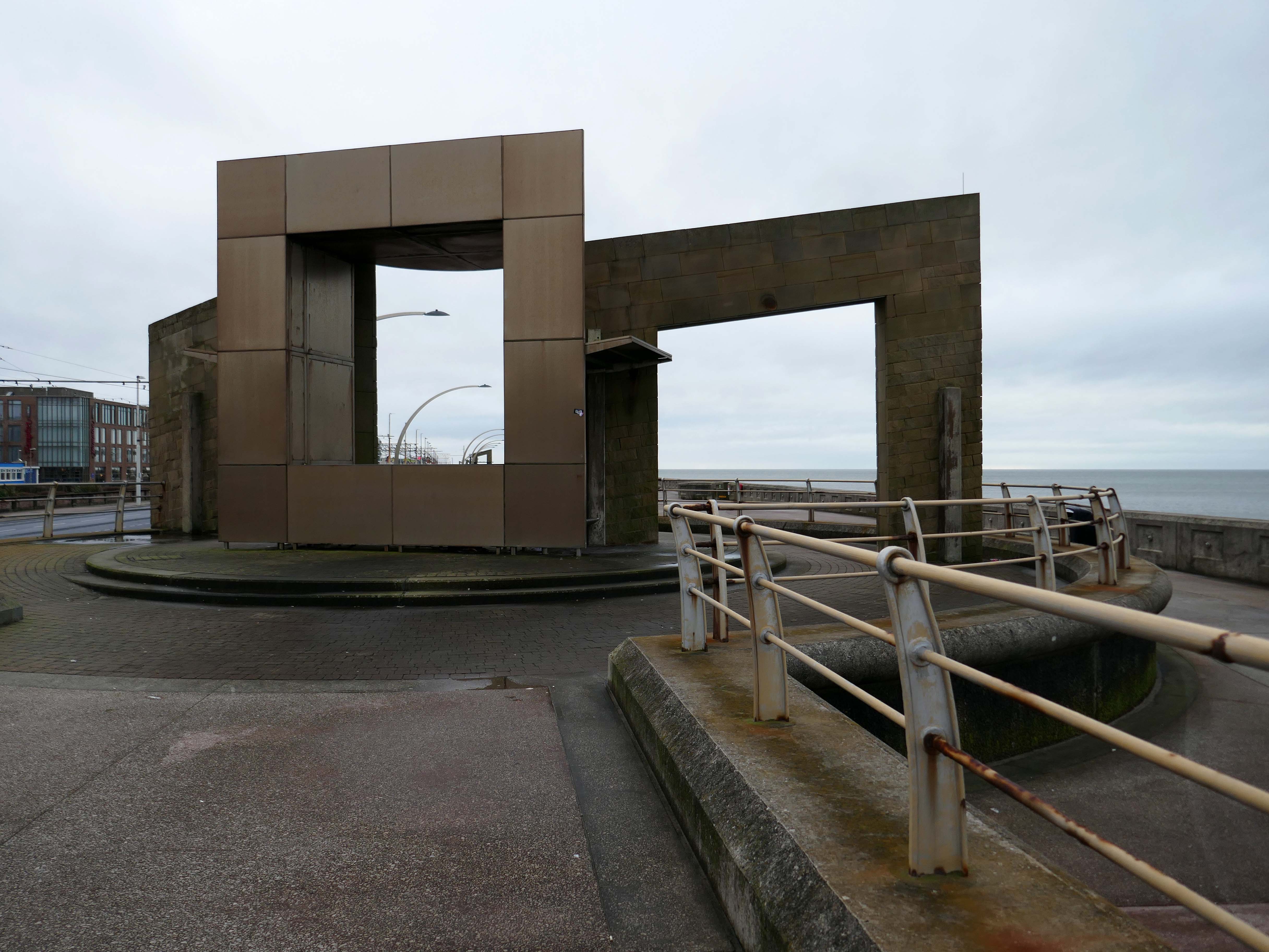
The promenade is home to a plethora of public art works and sculptural shelters.
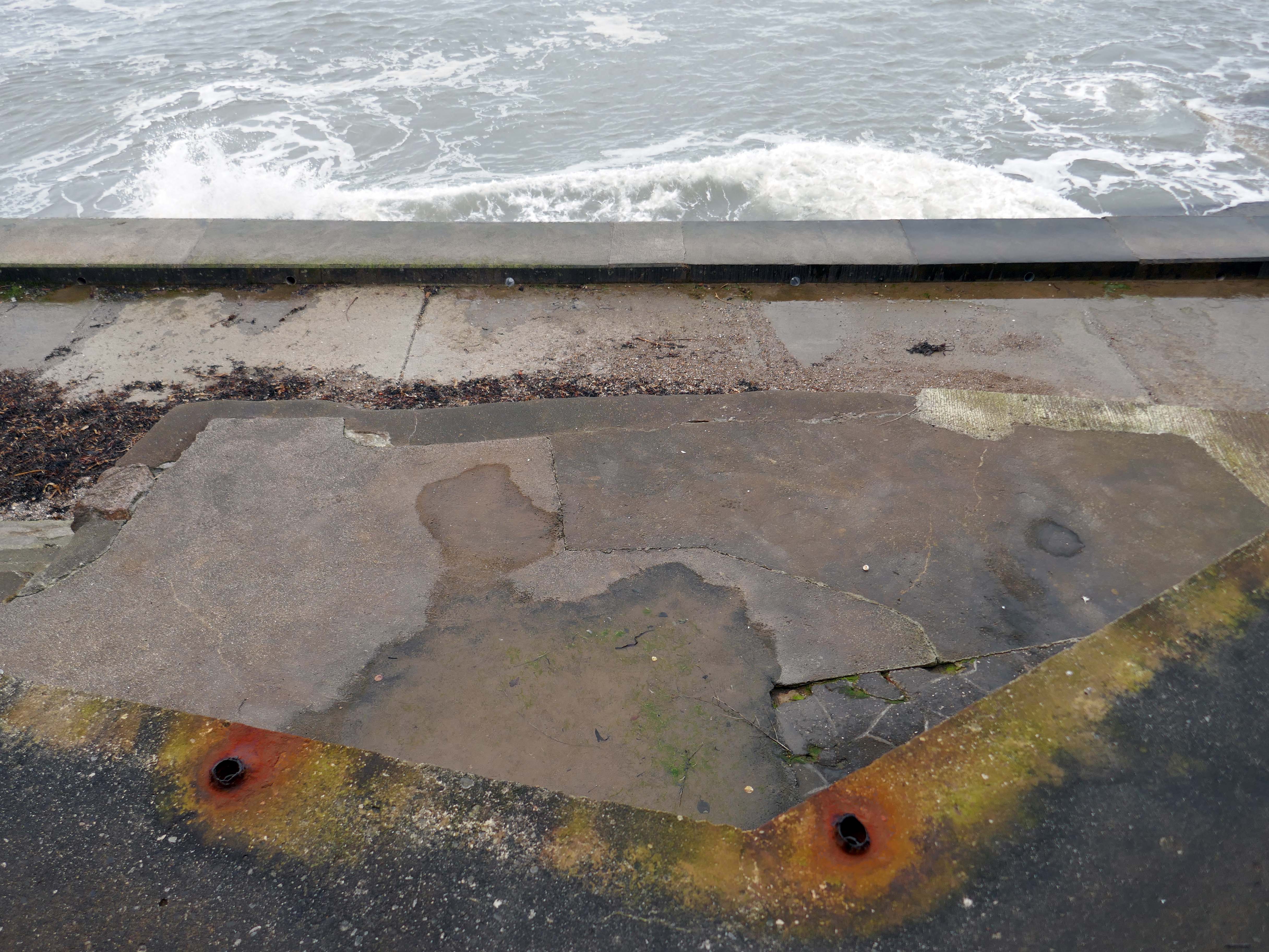
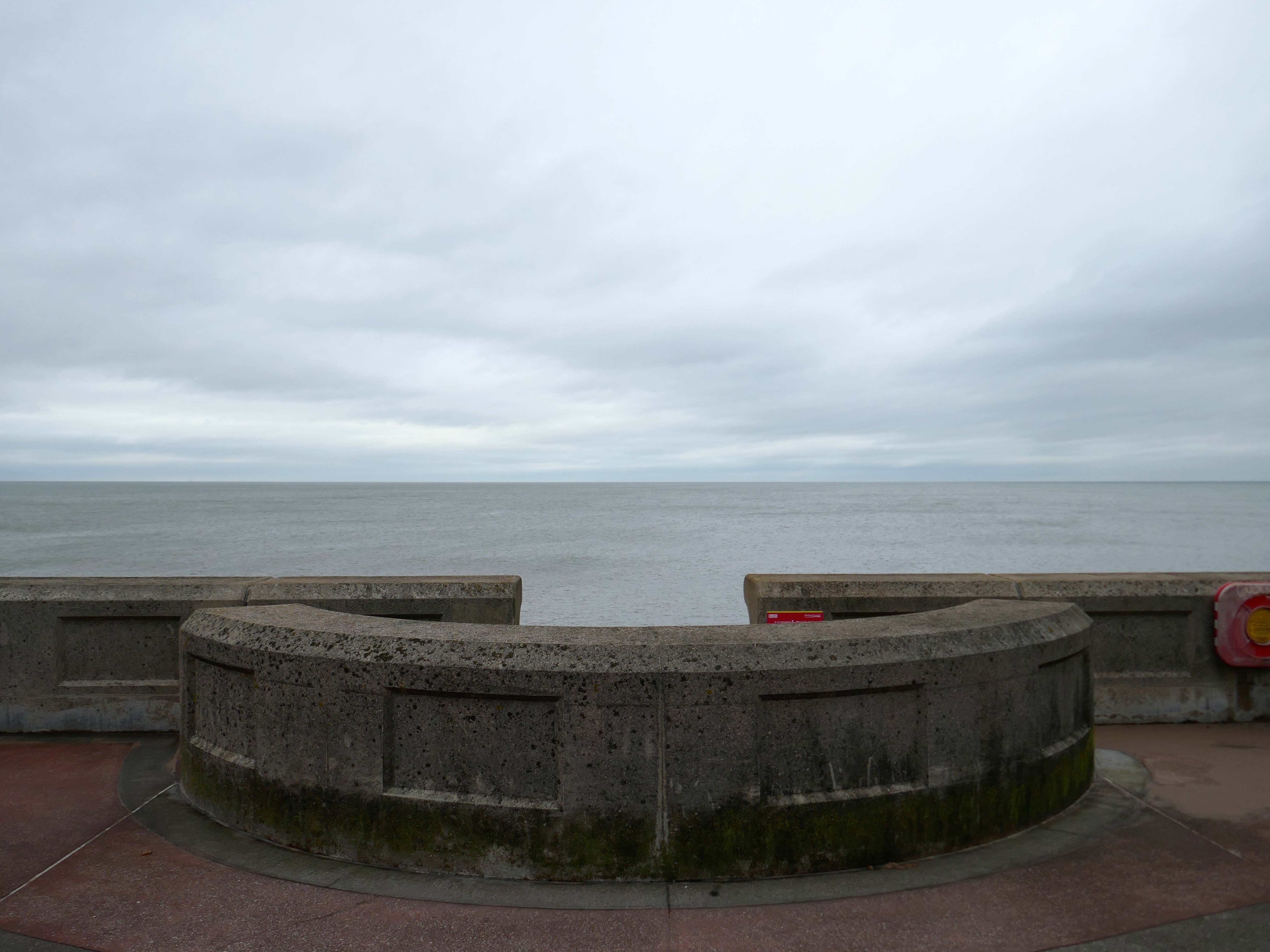
The Great Promenade Show originated from the major redevelopment undertaken by the then Department for Environment, Food and Rural Affairs to replace and strengthen the 2km long South Promenade’s seawall flood defences. This £20 million project entailed removing the existing Victorian promenade and replacing it with a new well-designed concrete promenade on two levels. The upper level was to incorporate ’roundels’ every hundred metres, on which it was intended to site specially designed features, including wind shelters and visual displays possibly representative of the history of Blackpool. A Millennium Lottery bid was made by the Council to this end, though a commitment to start building had to be made before the outcome of the bid was known. The bid was unsuccessful, but the sites for visual features along the new promenade remained, as did the Council’s commitment to occupying them. At this point, responsibility for managing the project shifted from the Council’s Technical Services Department to its Education, Leisure and Cultural Services Division.
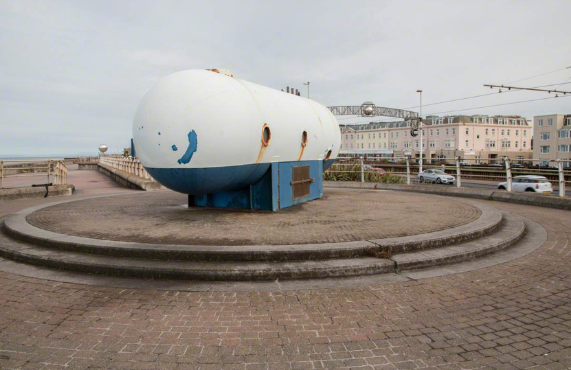
Like a sinister exhibit in one of Blackpool ‘s Victorian freak shows, the skeleton of a killer whale made from pulsating dark blue neon can be viewed through portholes within a metal tank like a decompression chamber.
The work was subsequently removed.
The structure has been on display for the public to enjoy for over 15 years and was deemed unsightly due to corrosion, which is why the decision was taken to remove it. PTSG Building Access Specialists Ltd planned the decommissioning and contract crane lift from start to completion.
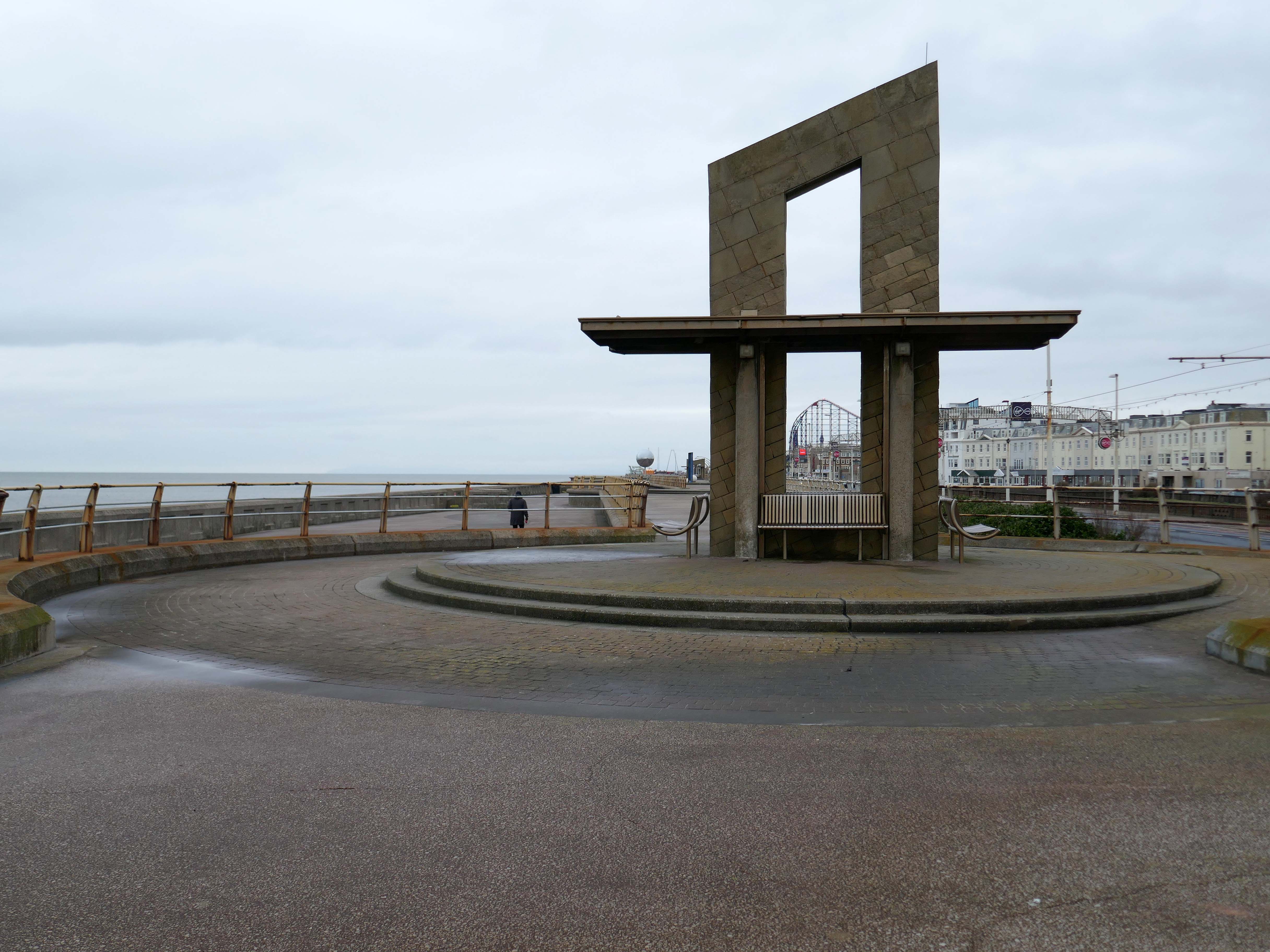
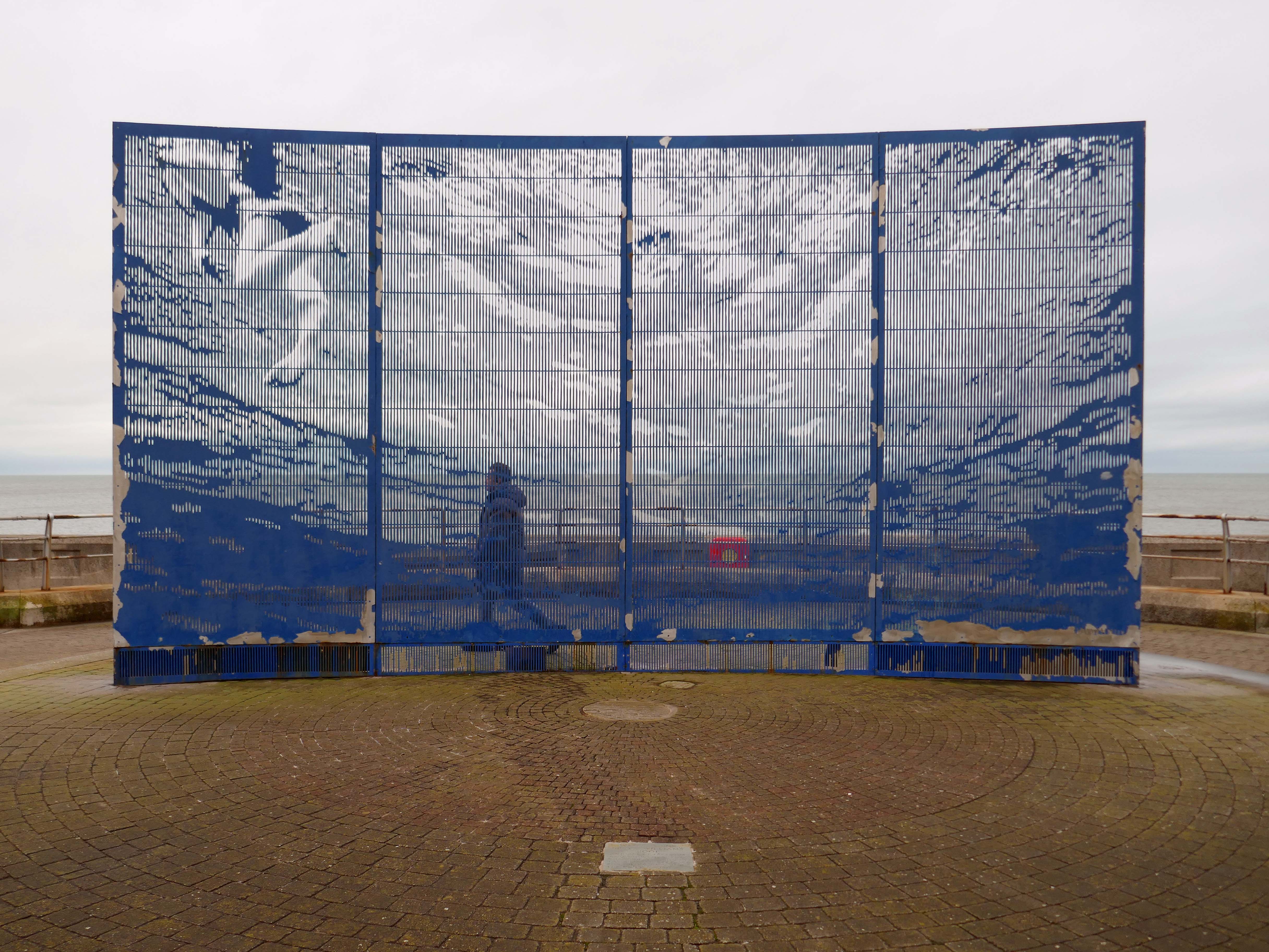
Designed to be viewed in motion from the adjacent tram track and road, the photographic image of a swimming child laser cut into an 8m long curved stainless steel screen gradually resolves and disappears again as the viewer moves past.
Glam Rocks by Peter Freeman
Inspired by Las Vegas and the Blackpool Illuminations, three large pebble-like modelled shapes glitter after dark, as hundreds of fibre optic light points on their surface slowly change colour and sparkle.
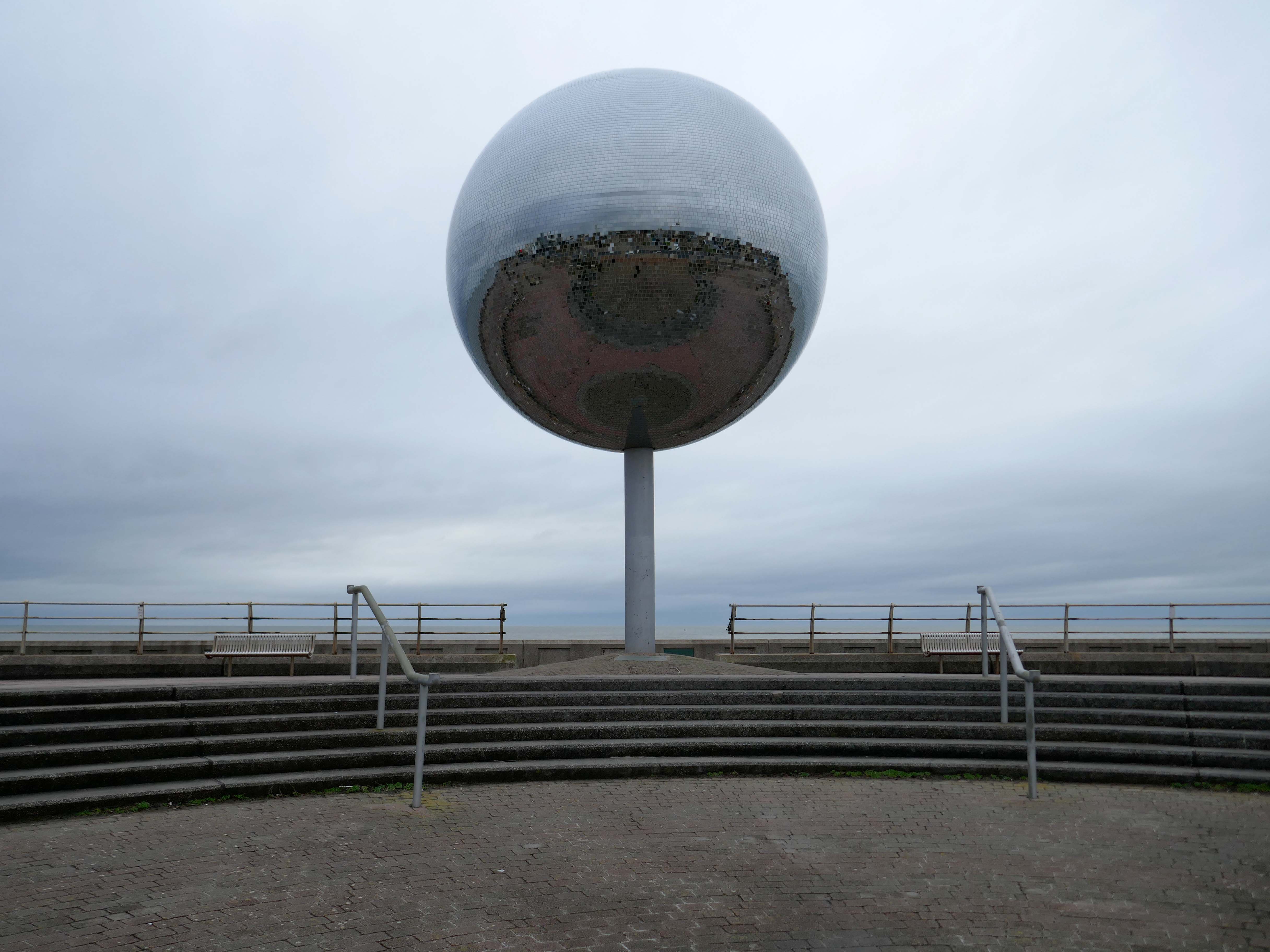
They Shoot Horses, Don’t They? by Michael Trainor and The Art Department
Blackpool is known as the “ballroom capital of Britain”. This rotating ball 6m in diameter, covered in almost 47,000 mirrors, has been claimed as the world’s largest mirror ball, and is named after the 1969 film about a depression era ballroom marathon in the USA.
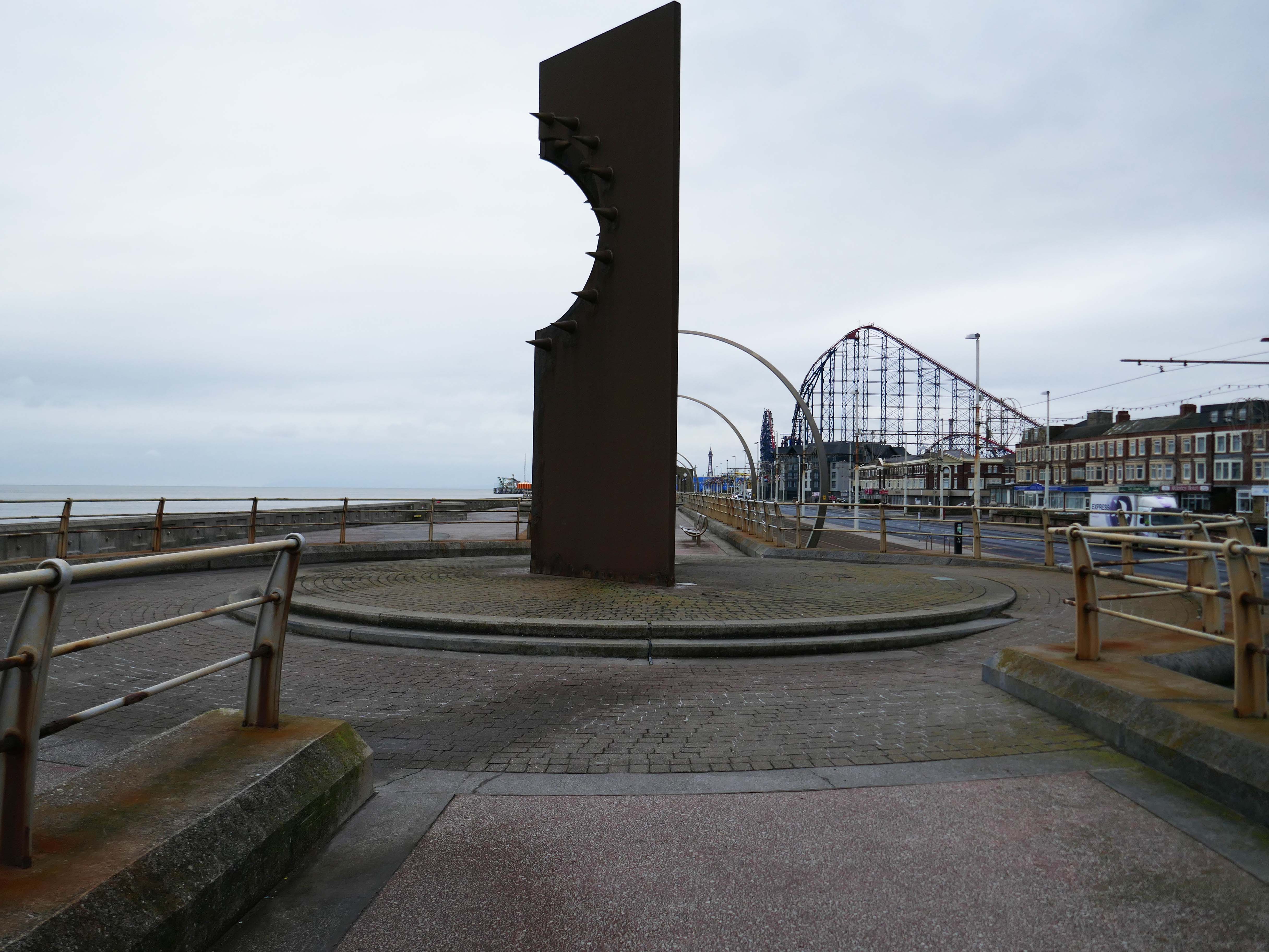
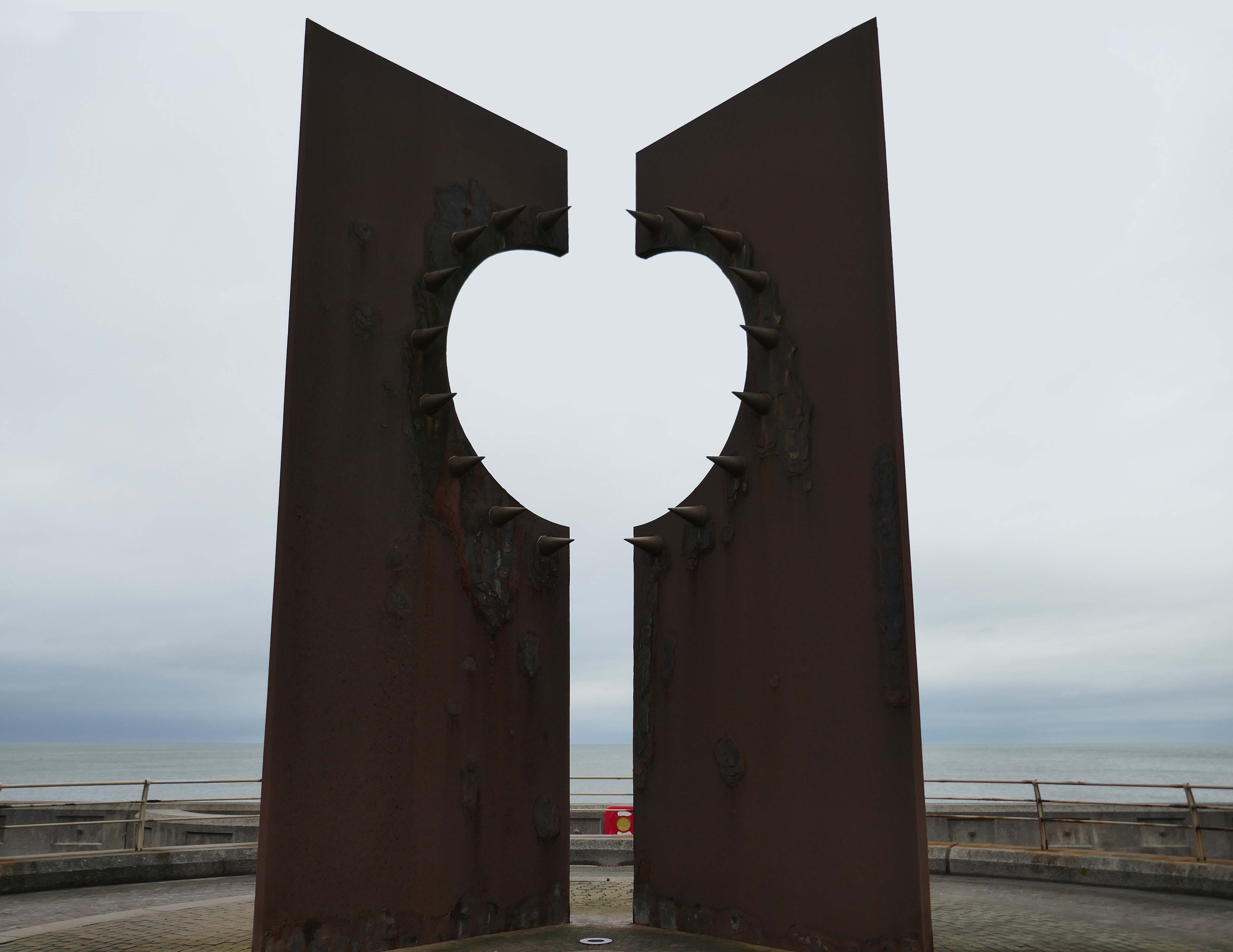
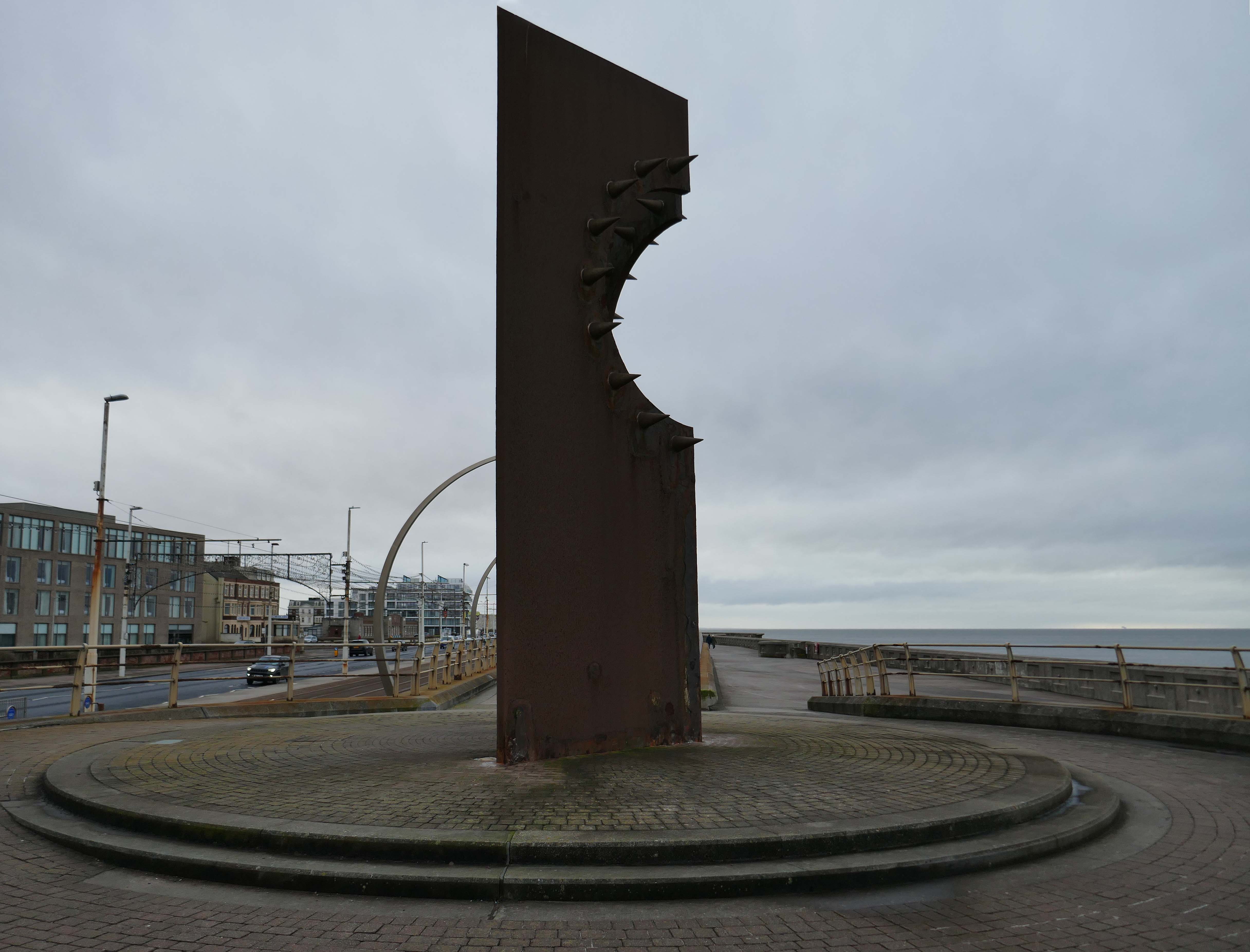
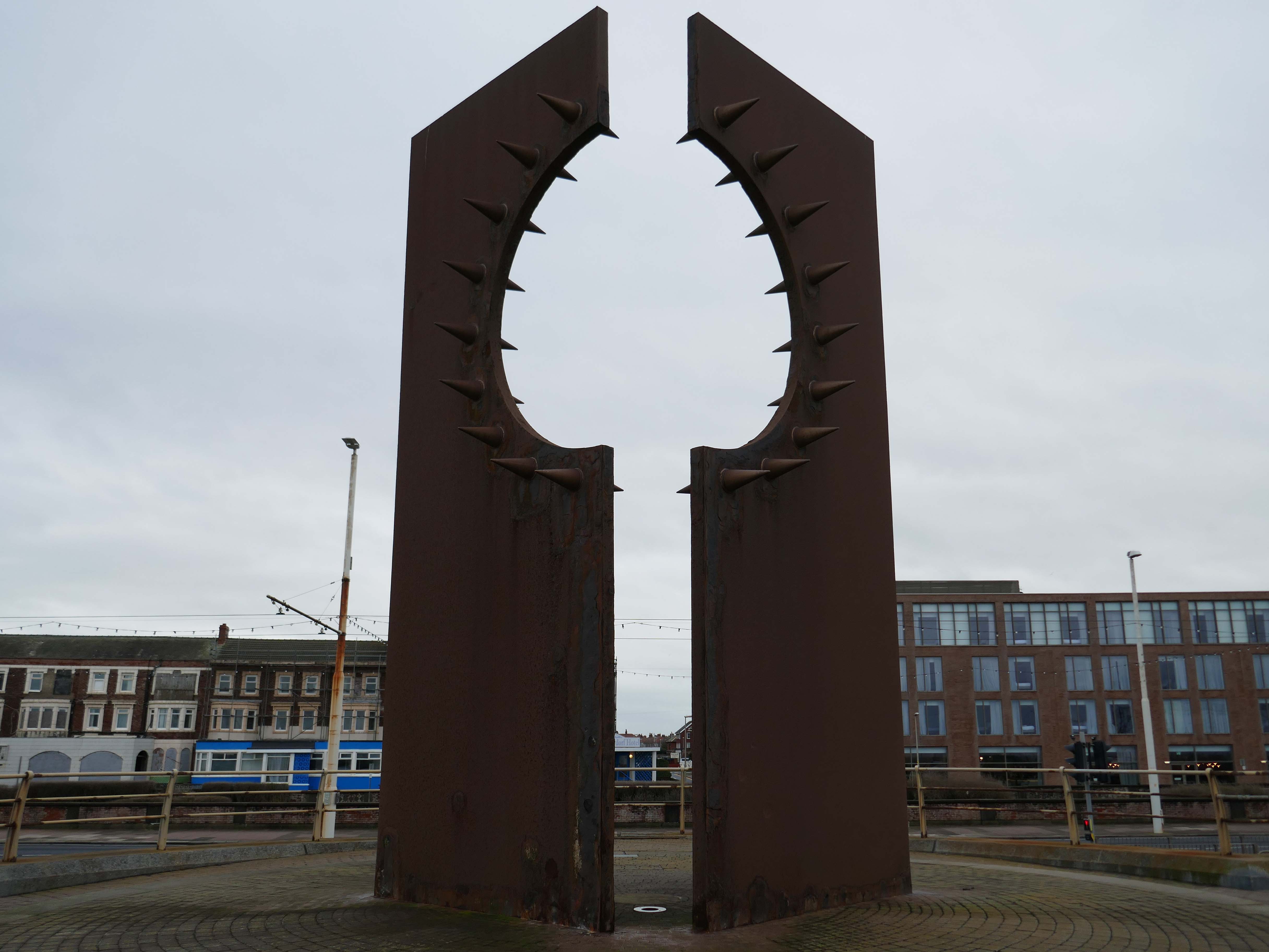
Desire by Chris Knight
An abstract sculpture 8m high, contrasting rusty corten steel with shiny stainless steel spikes, inspired by the town’s reputation as a destination for ‘dirty weekends’, and its hidden ‘fetish scene’. It casts the shadow of a spiky heart on the promenade.
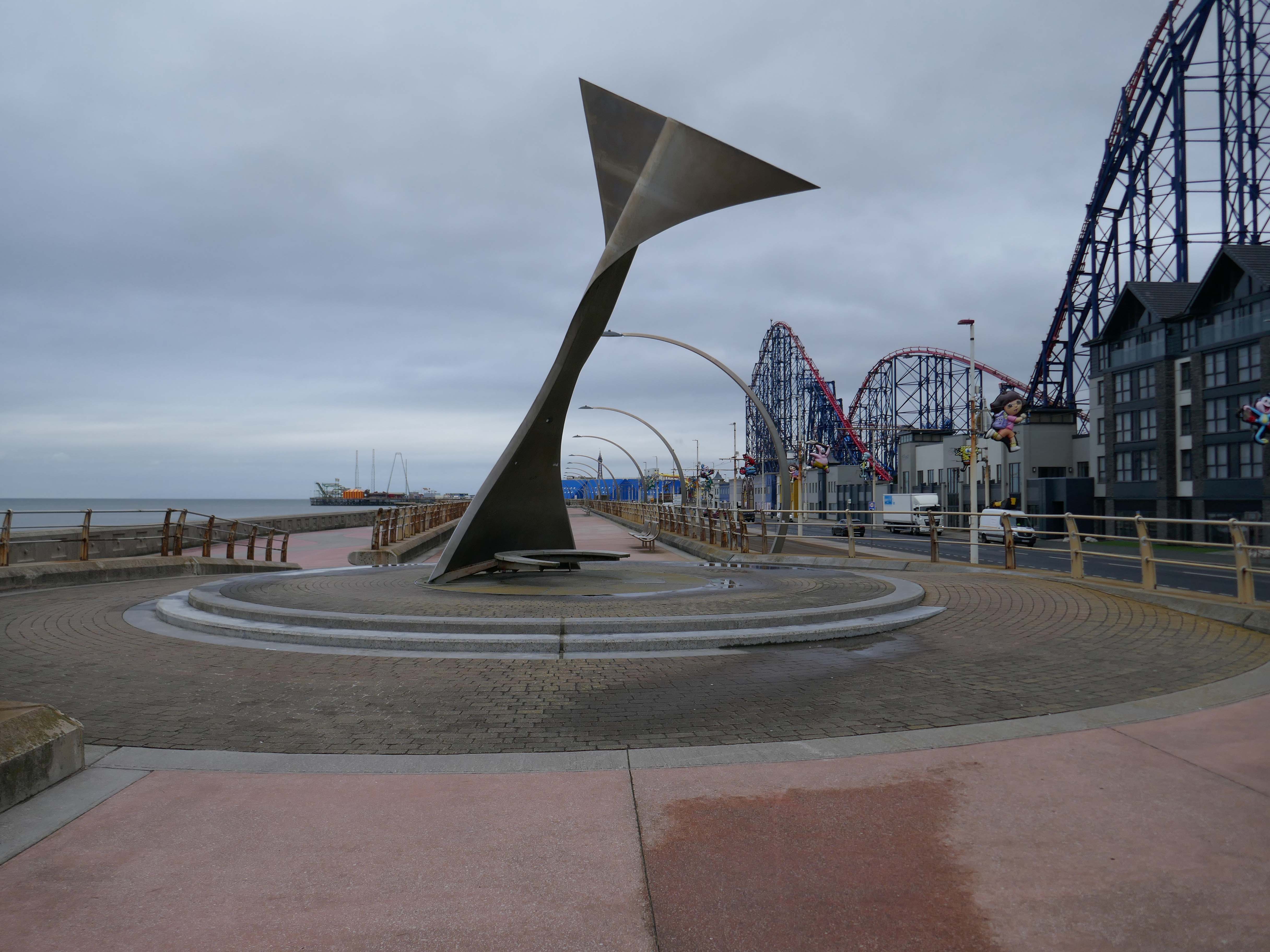
Swivelling Wind Shelters by Ian McChesney with Atelier One
Three 8m high, stainless steel shelters turn like weather vanes, keeping their occupants away from the prevailing wind. Designed by architect Ian McChesney, in collaboration with engineers Atelier One, the graceful sculptural form of the shelters, shaped like whales’ flukes, is structured like an aircraft wing, vibrating in strong gusts of wind.
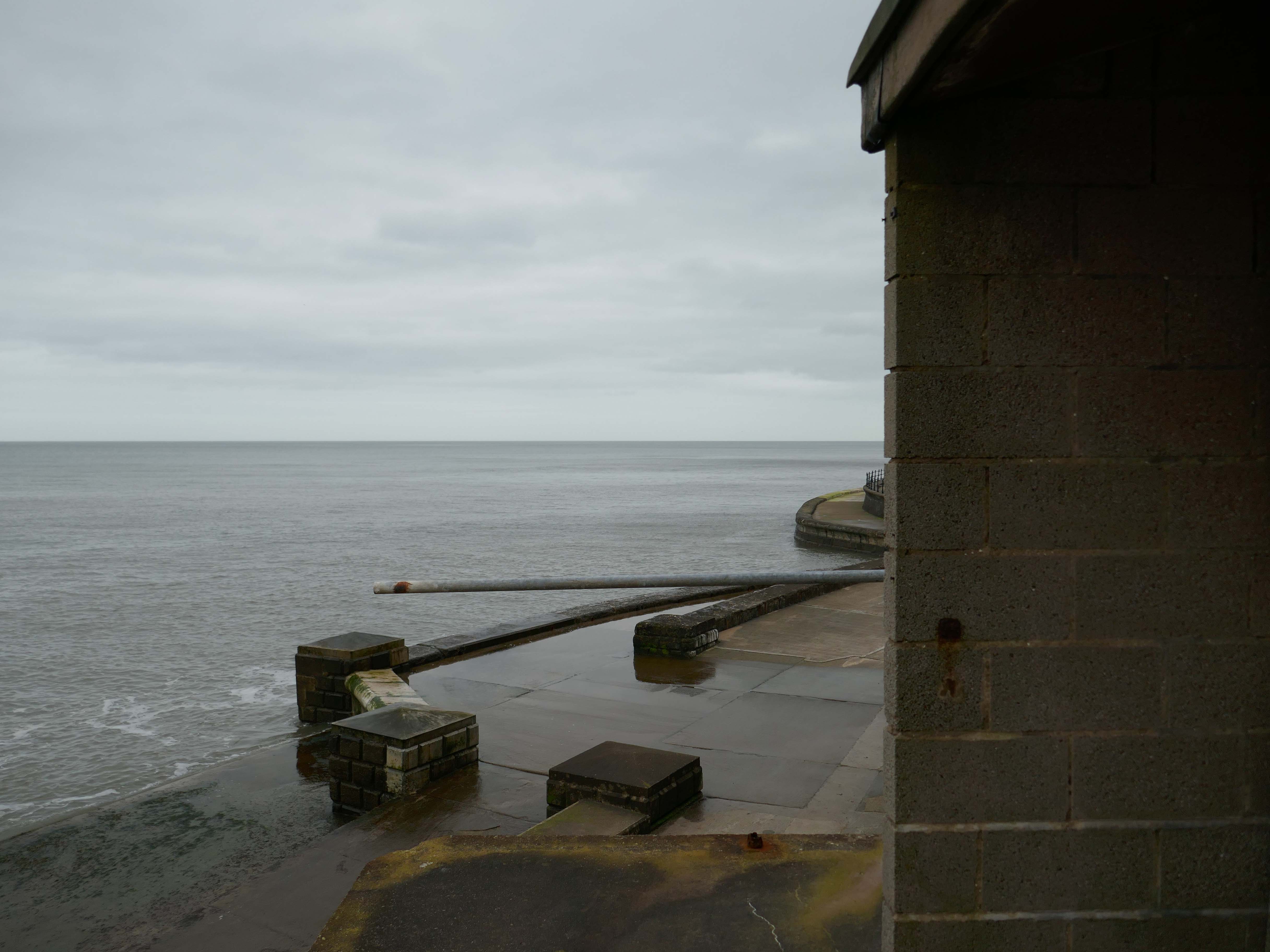
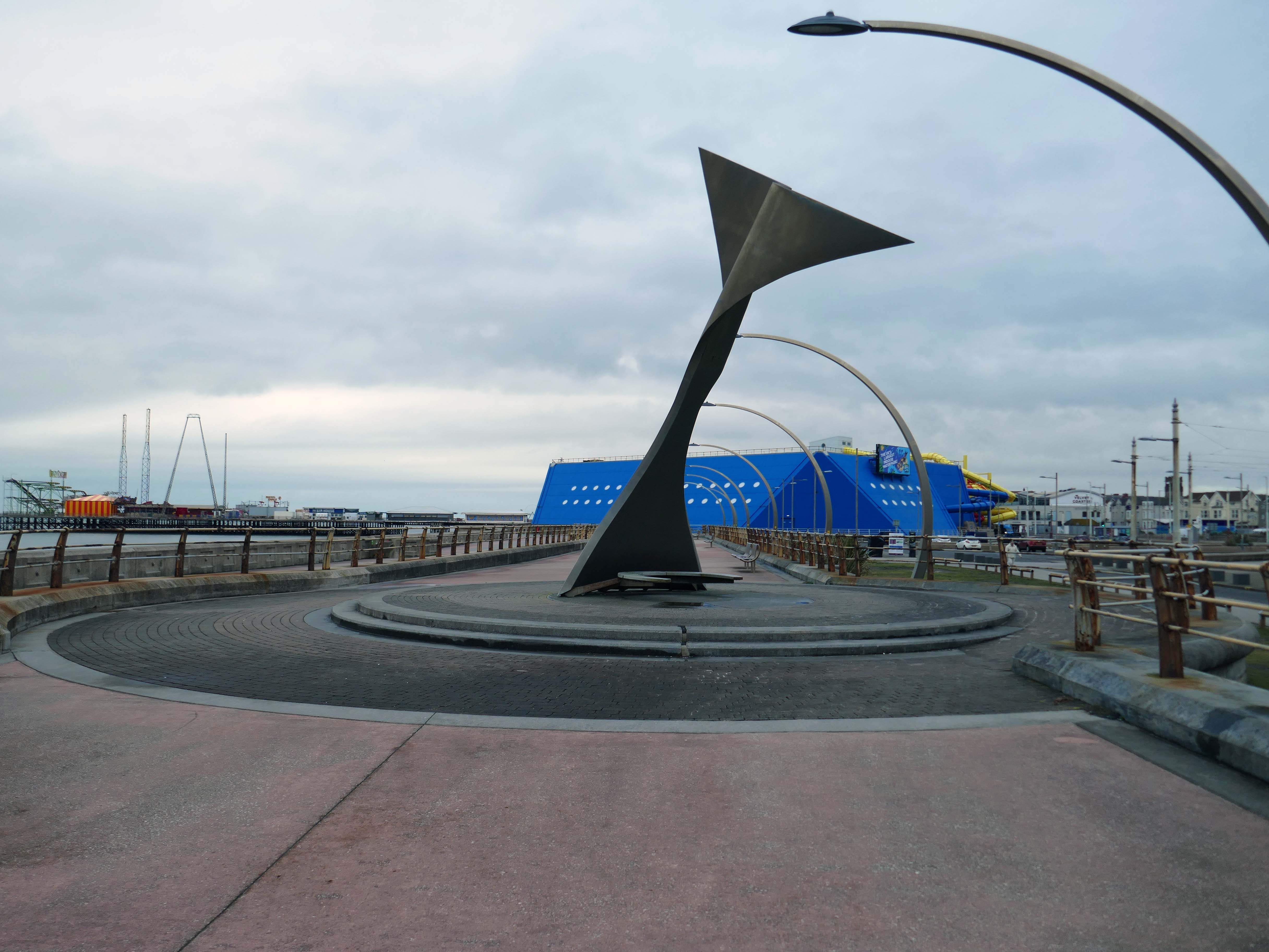
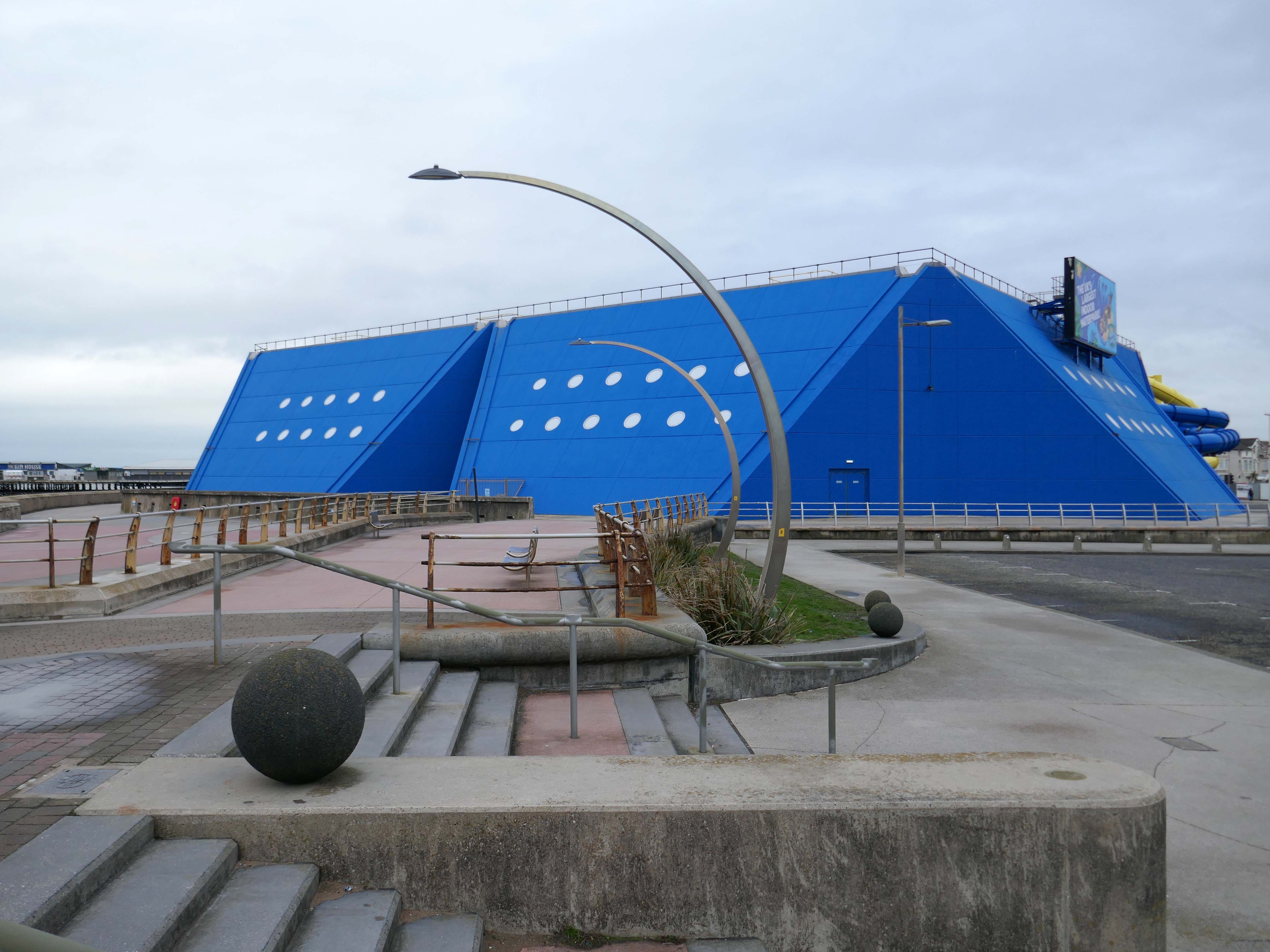
Sandcastle the UK’s largest indoor water park.
Sandcastle opened on 26 June 1986 on the site of the former South Shore Open Air Baths as a joint public/private partnership. Operation of the facility was taken back into Blackpool Council ownership in 2003. A significant investment in new attractions costing £5.5M was also agreed, which was delivered in two phases, with the second opening in 2006 on time and on budget.
In 2012, Sandcastle opened two new Aztec-themed slides, one with a chamber called ‘Aztec Falls’, and a toboggan-like slide called ‘Montazooma’.
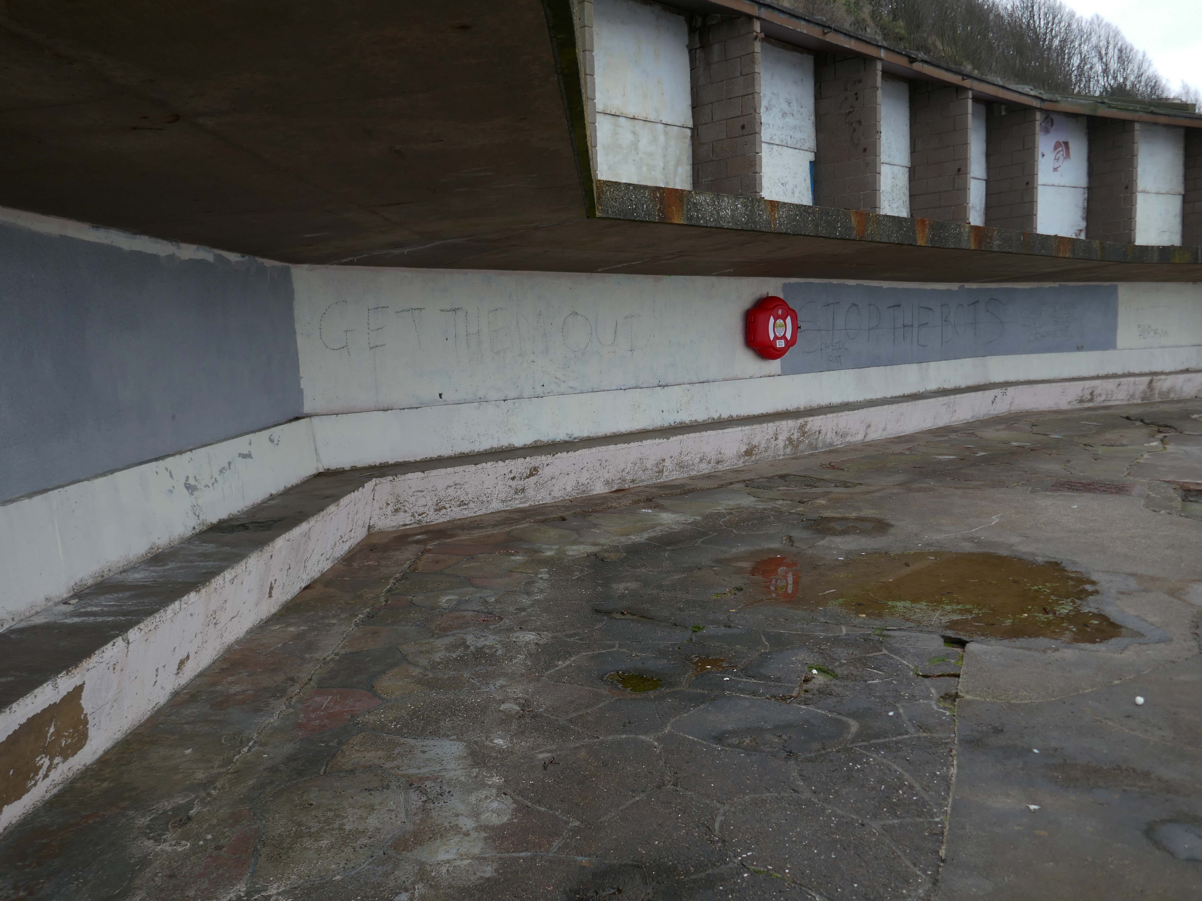
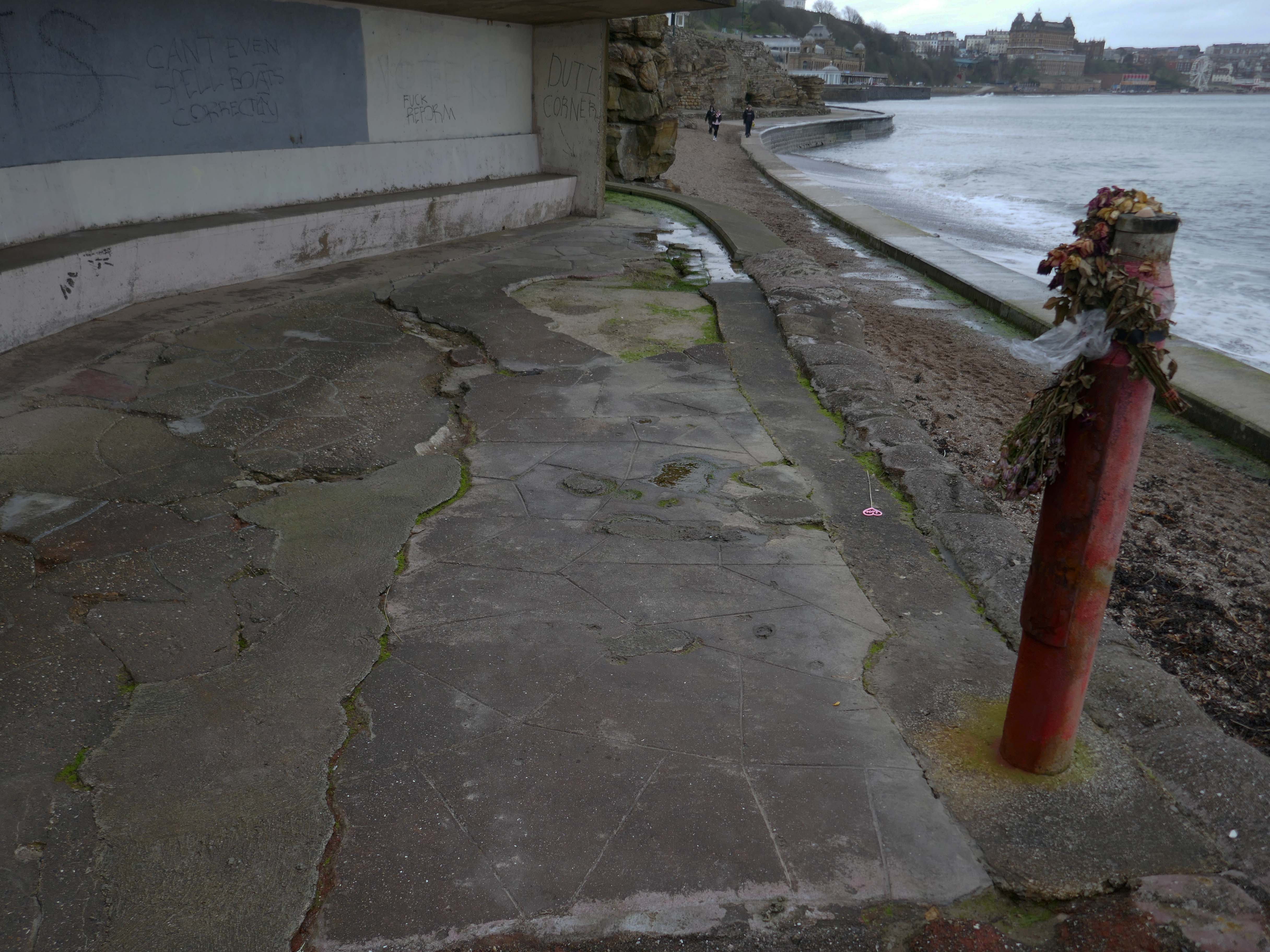
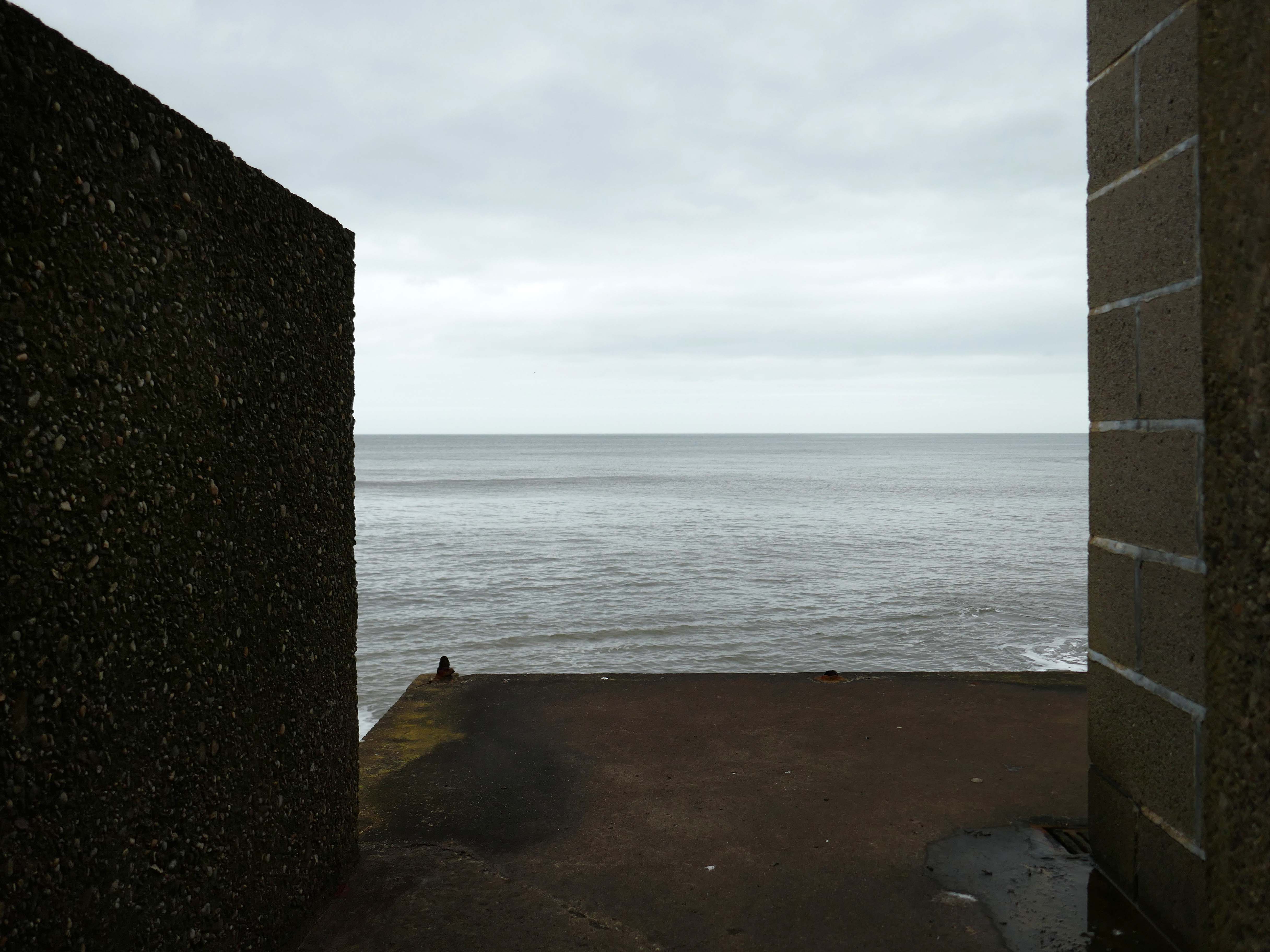
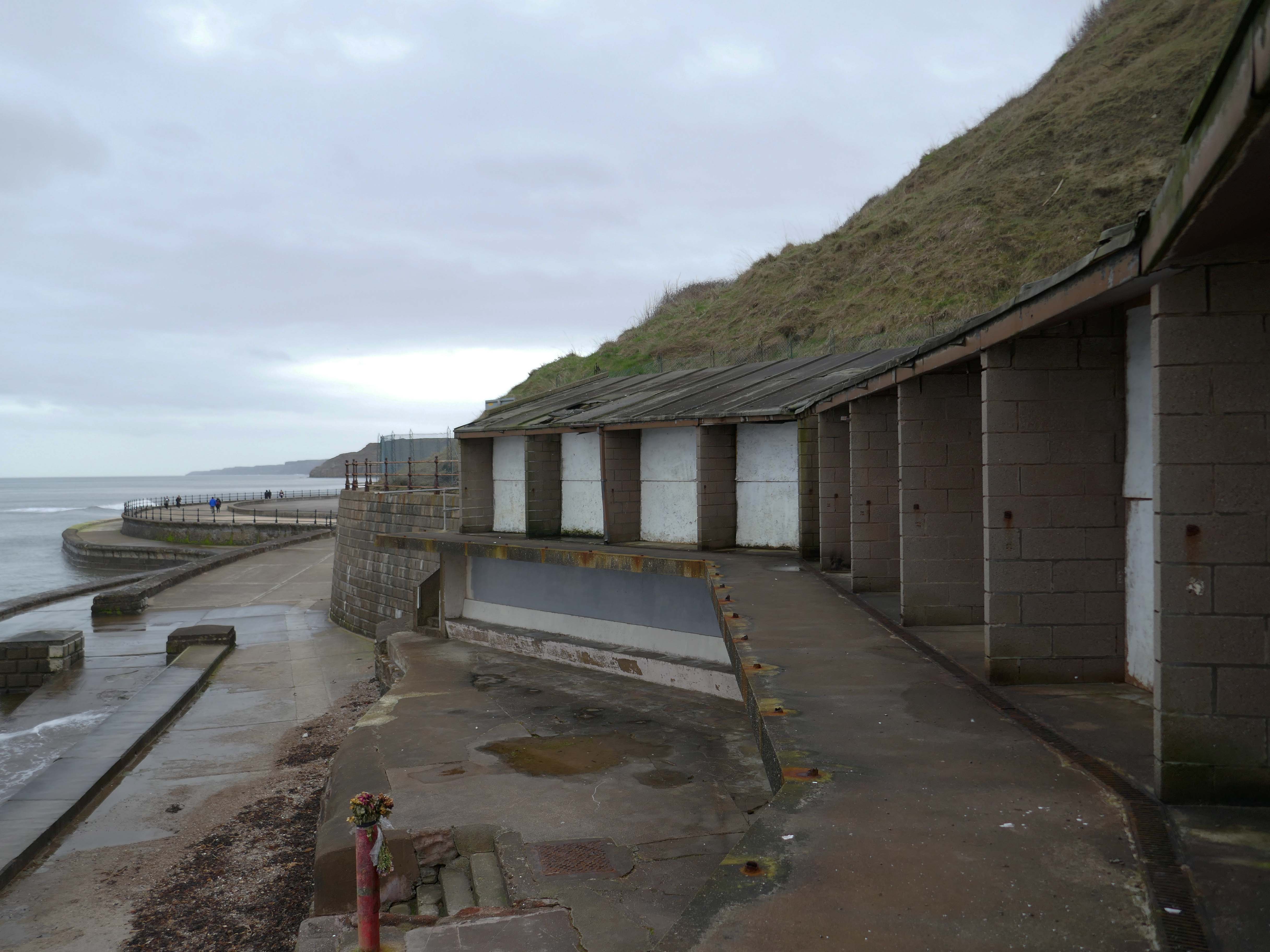
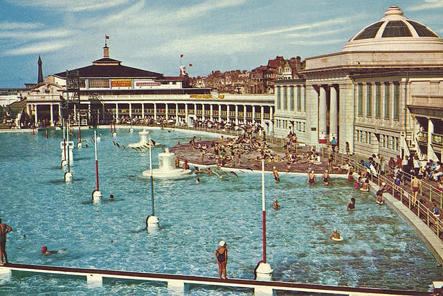
Situated adjacent to the South Pier at Blackpool was the open- air swimming bath. Elliptical in form, it was designed in the renaissance style of architecture, with white ivory terracotta, known as ‘Marmola’. It was said to be the largest and finest of its kind in the world and similar in design to the colosseum of ancient Rome.
Built at a cost of around £70,000, Designed by JC Robinson – Borough Architect, it was officially opened on the 9th June 1923, the same day as the first Blackpool Carnival, by the Mayor of Blackpool, Councillor Henry Brooks. The opening ceremony was followed by a short swimming exhibition in which Blackpool swimmer Lucy Morton took part. The following year Lucy was to win a gold medal in the 1924 Paris Olympics.
Sadly in 1983, following years of neglect and falling attendances, the bath was demolished.
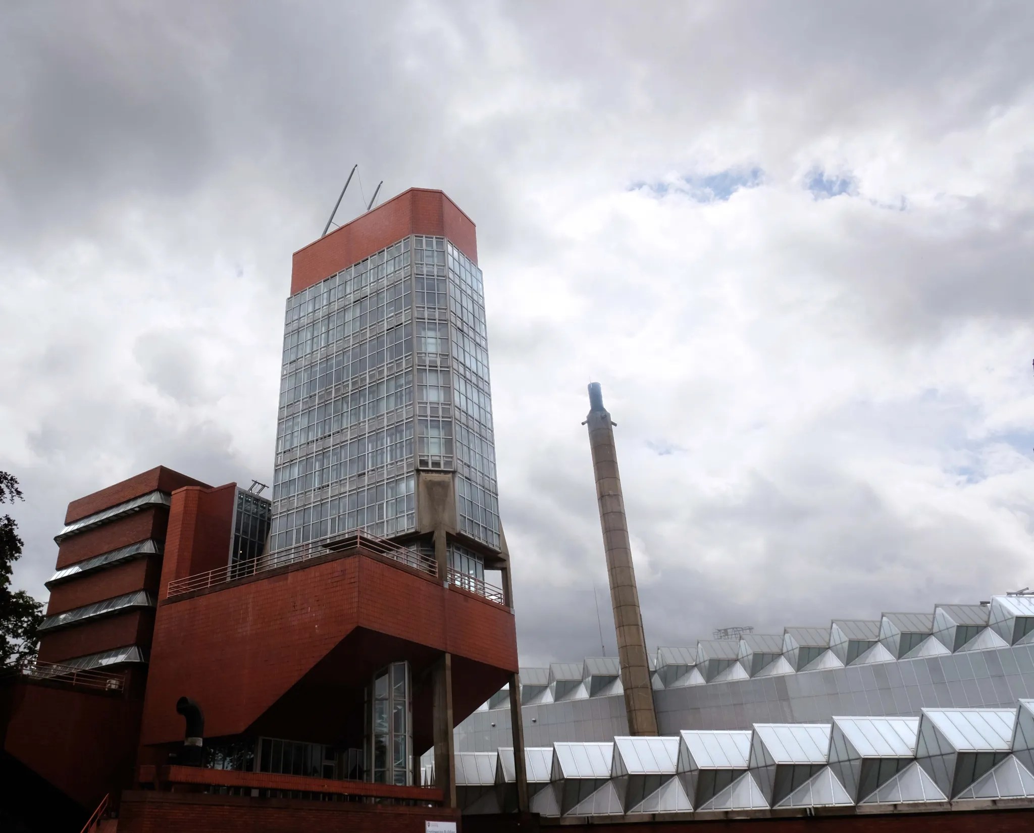
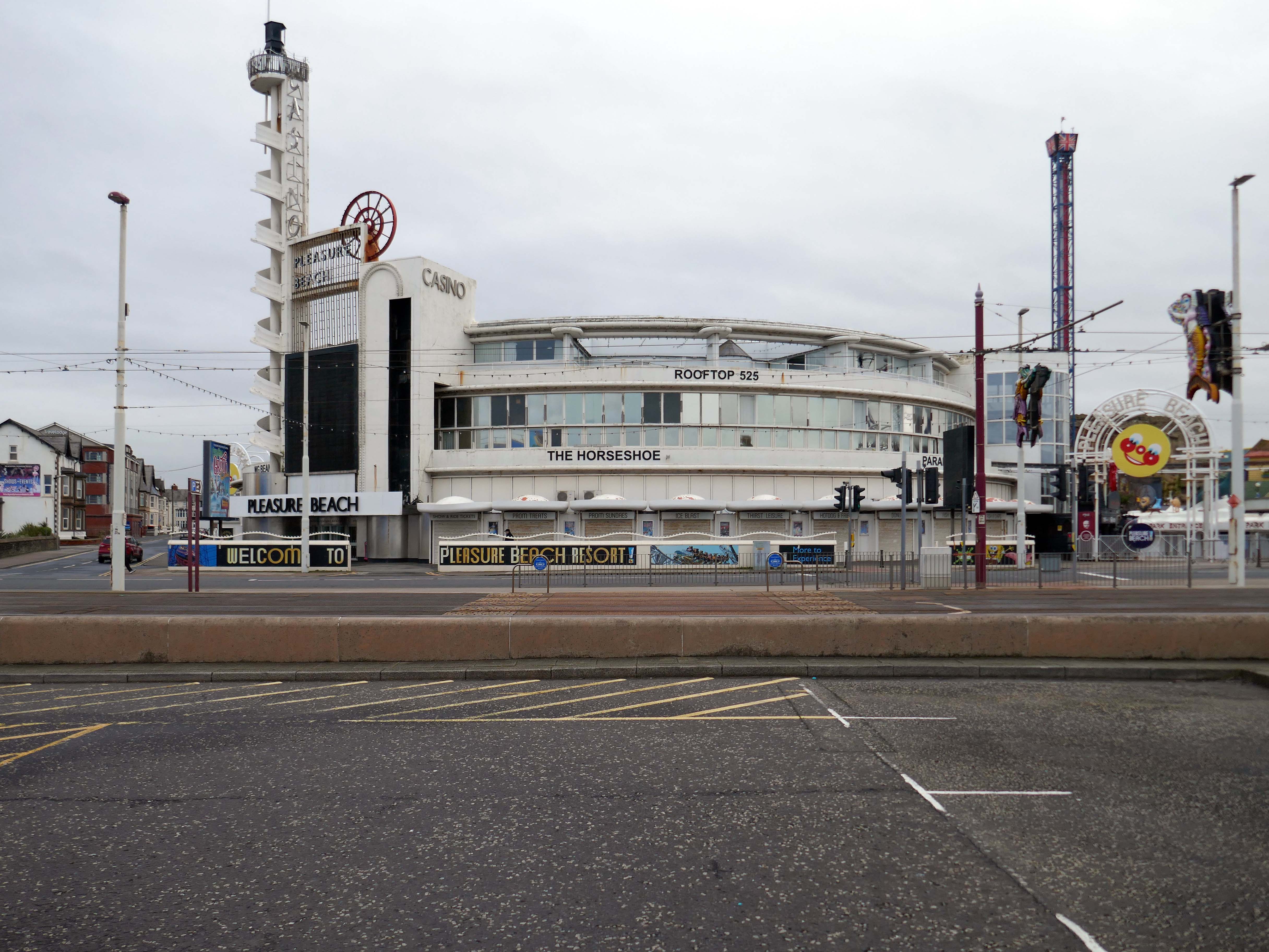
Built to the designs of Joseph Emberton for Leonard Thompson; restored and altered 1972 and 1977-9 by Keith Ingham. Reinforced concrete in the International Modern style. Circular plan, the circle broken by three principal projections marking the main entrance and foyer, the main exit and the main public stairs. The key to the plan were the central kitchens on the ground and first floors, serving (on the former) a number of restaurants and (on the latter) a banqueting room. Kitchens now on first floor only. The result is a sequence of intriguingly curved rooms; originally there was no public access to this inner core area or directly across the building, but this has now been provided. The basement contained stores, a billiard room and sports facilities, now in mixed use. Between ground and first floor is a mezzanine office range, with private flat over. Top floor built as roof garden, provided with a glazed curtain wall in c.1940 by Emberton and largely infilled as an extra floor in 1972.
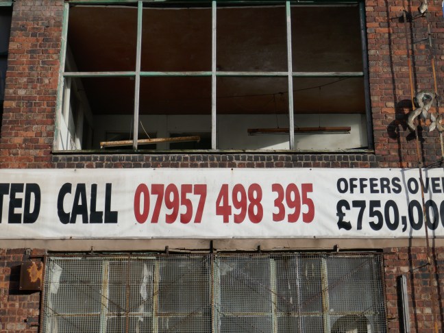
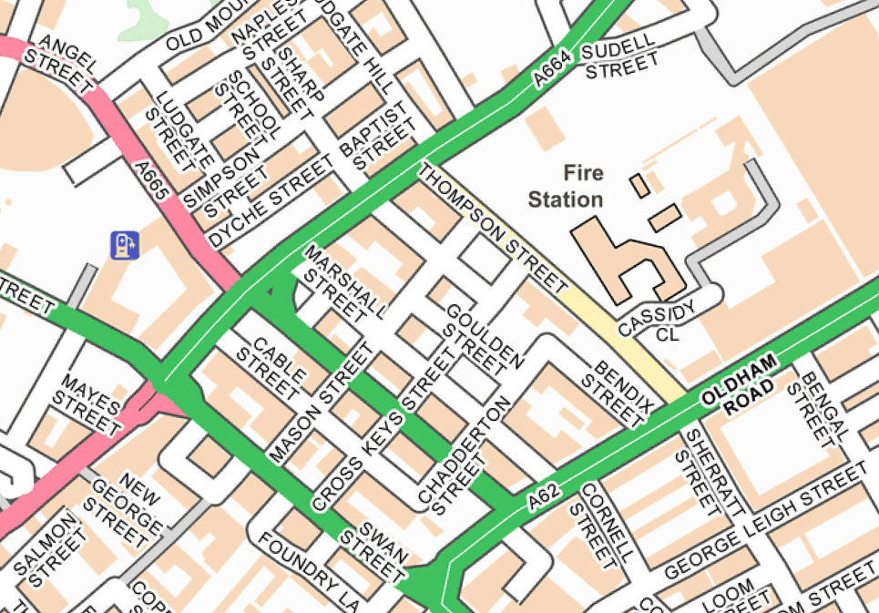
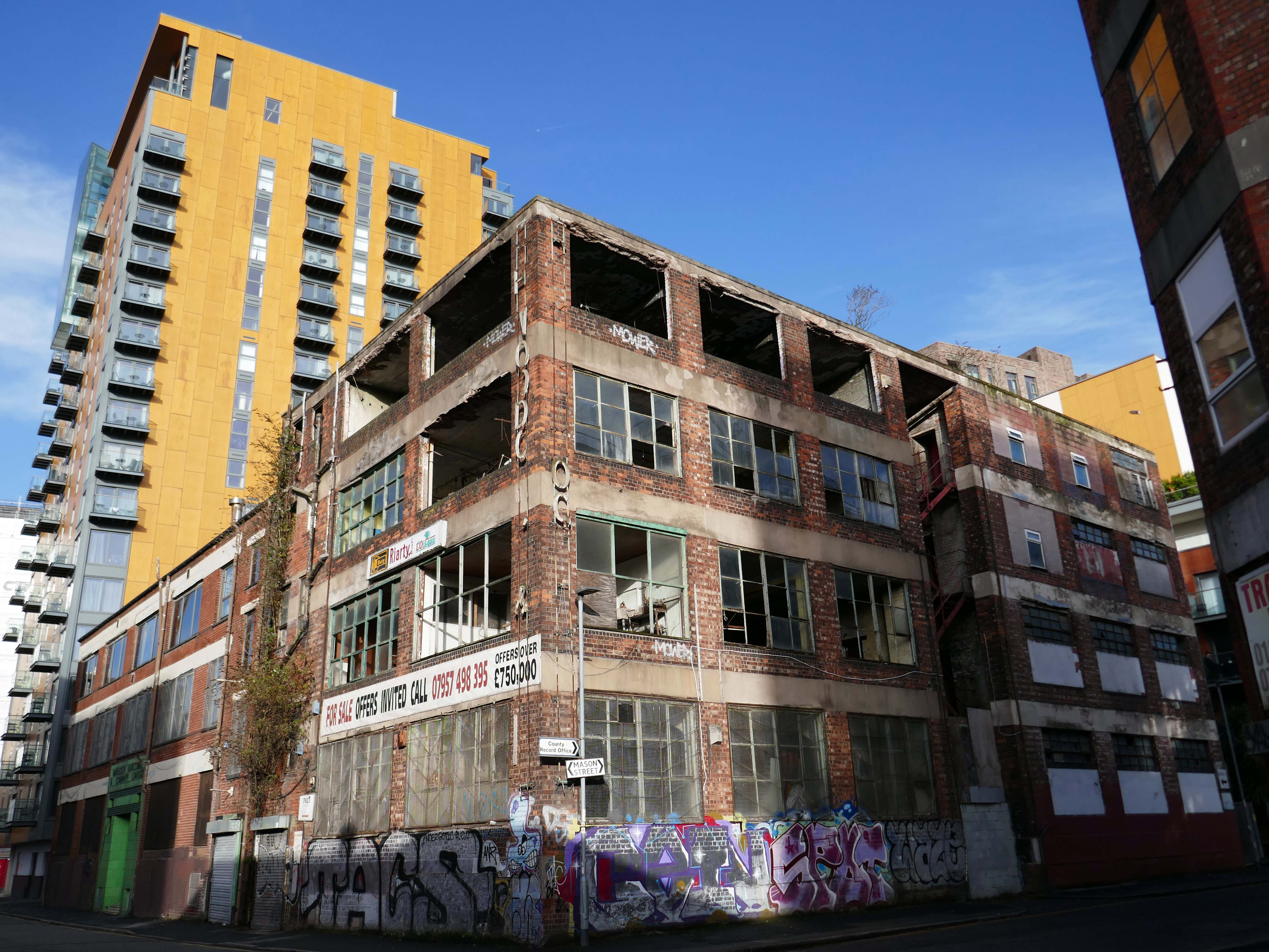
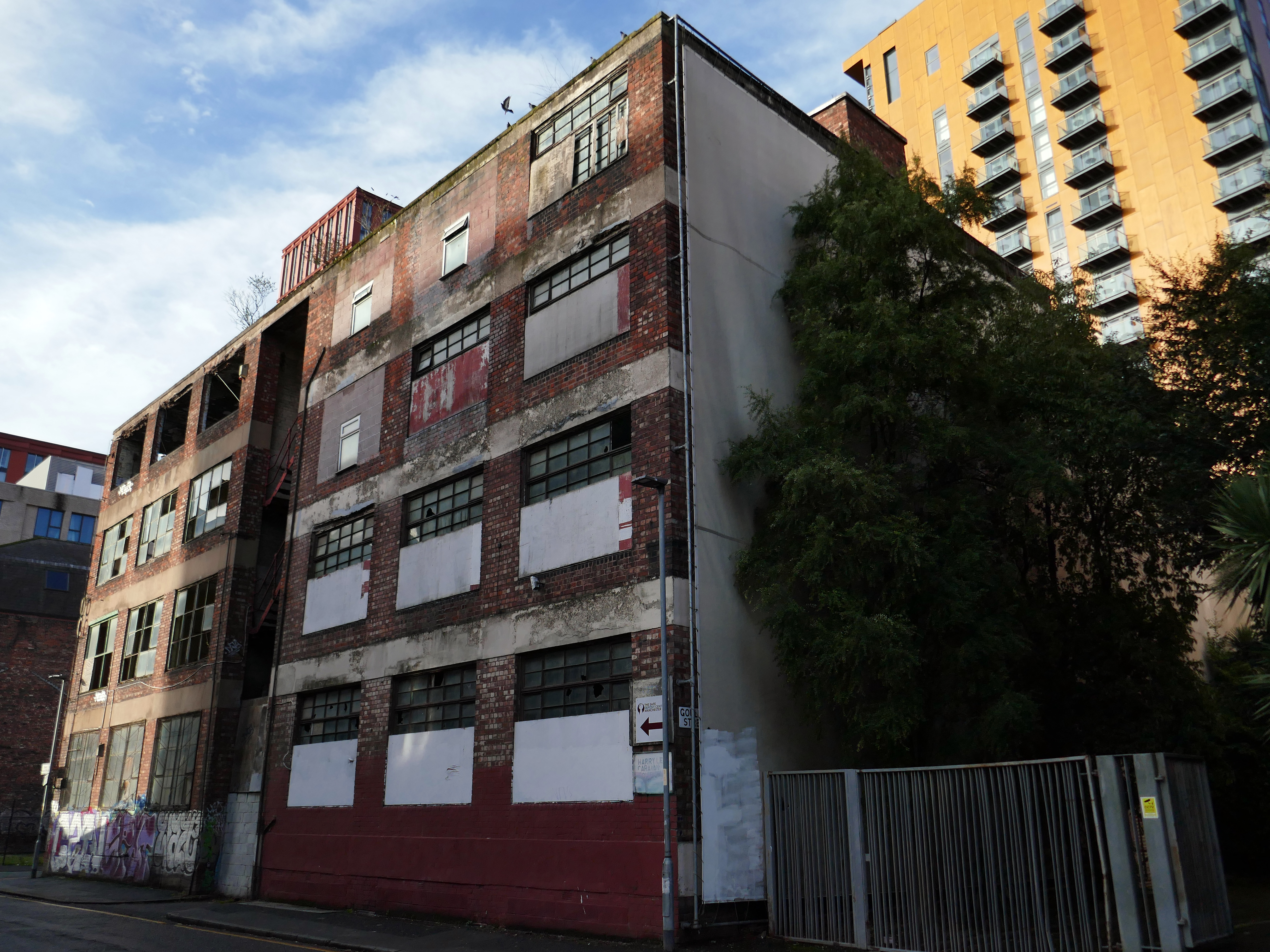
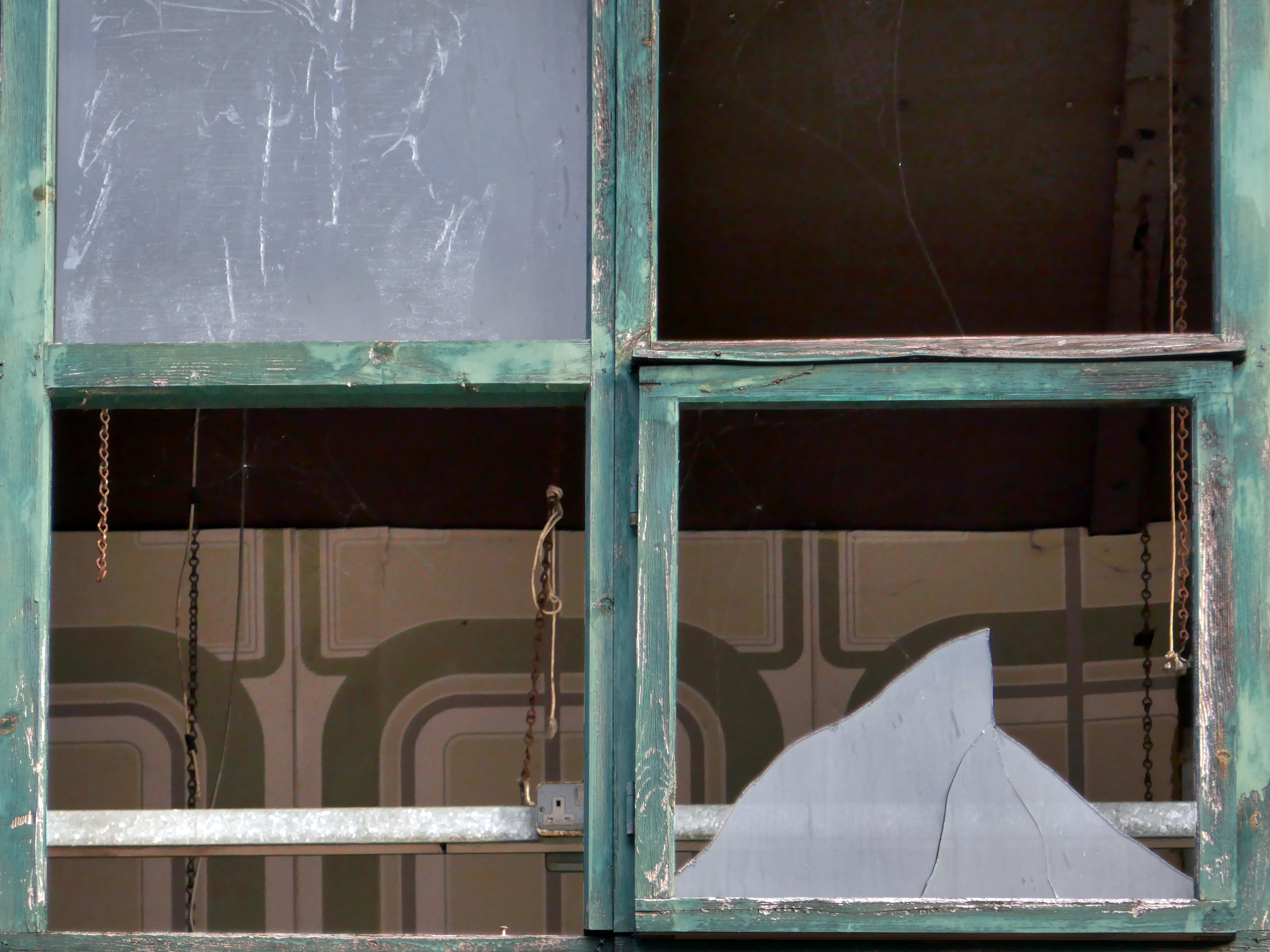
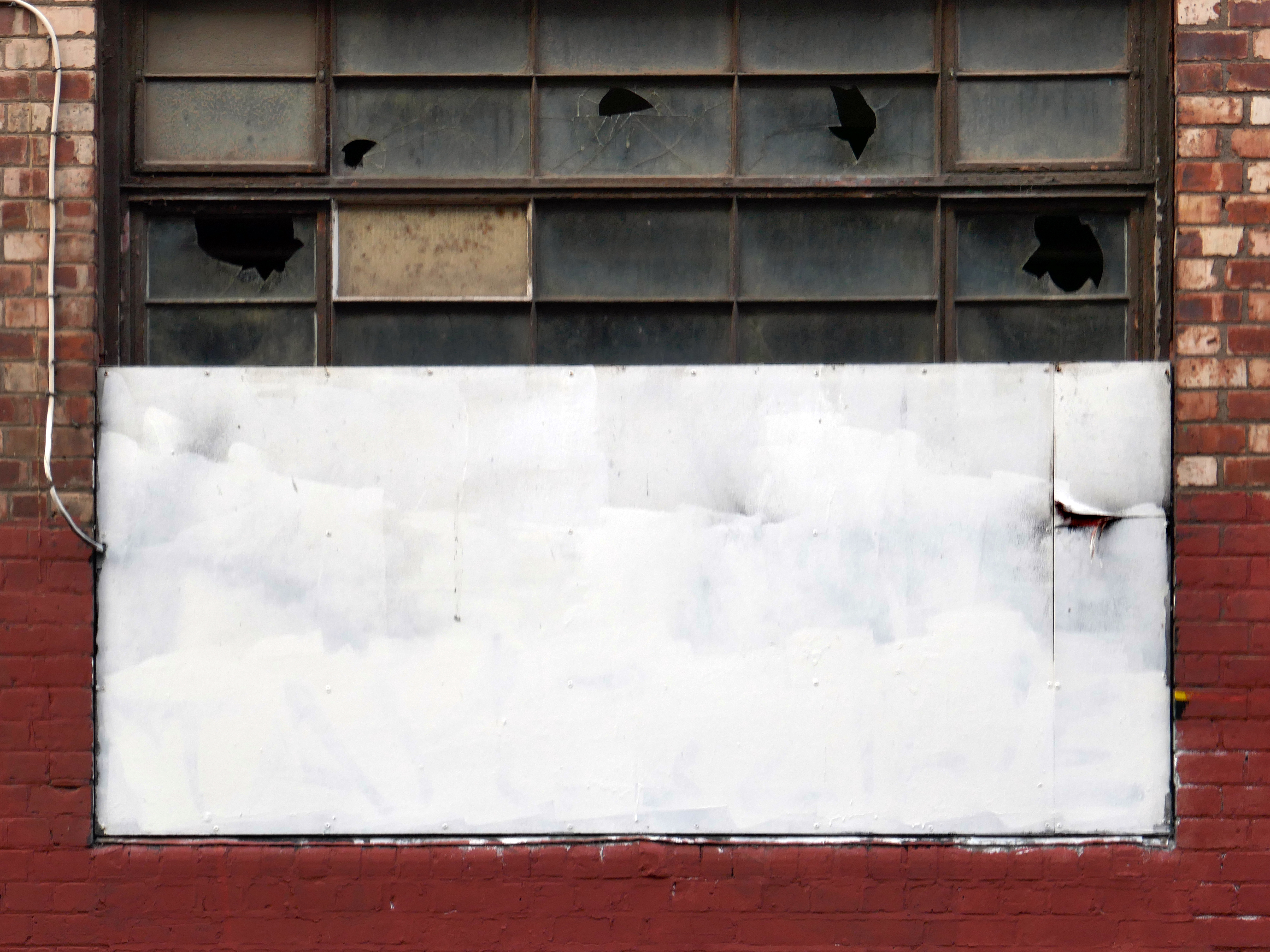
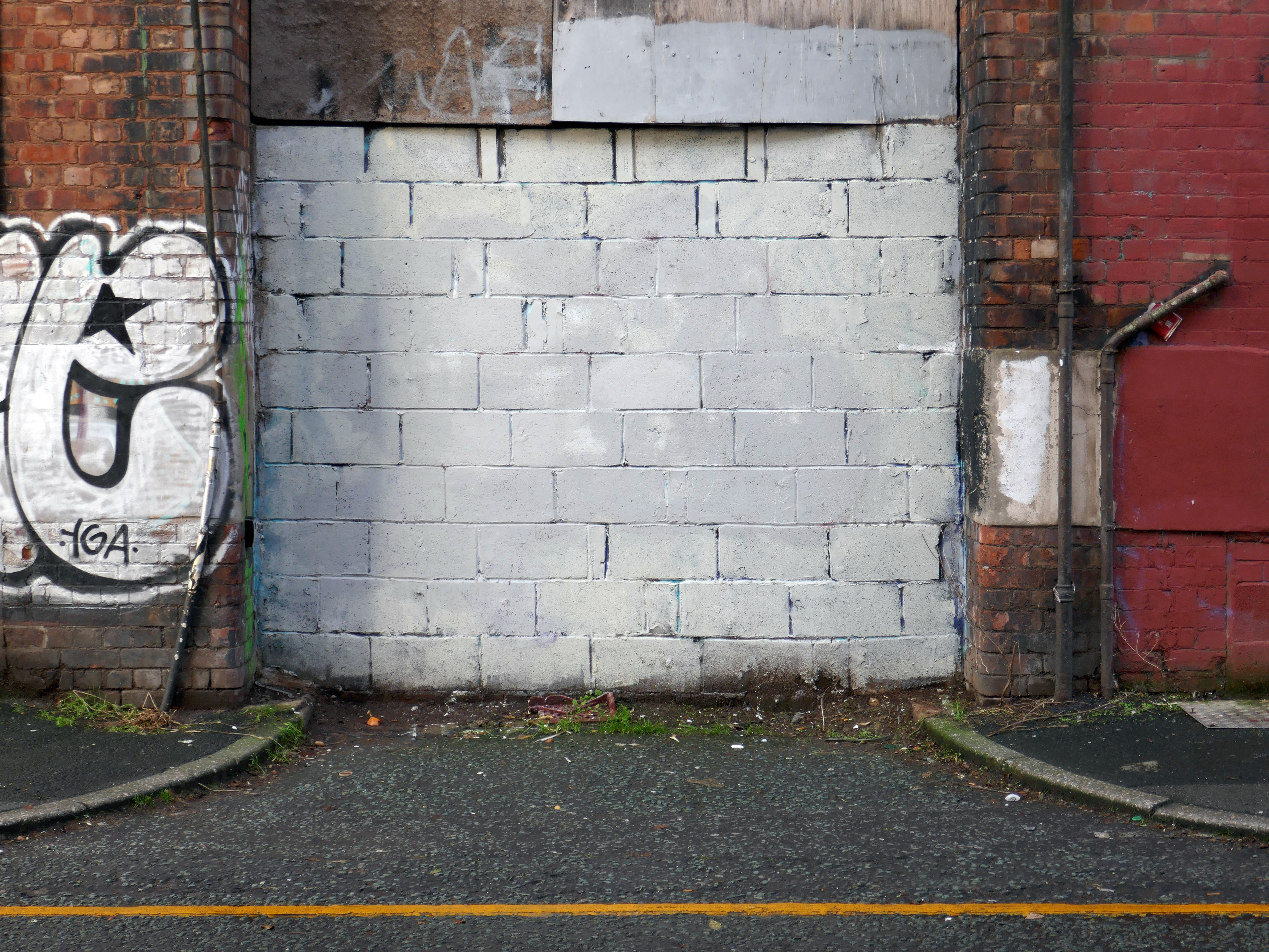
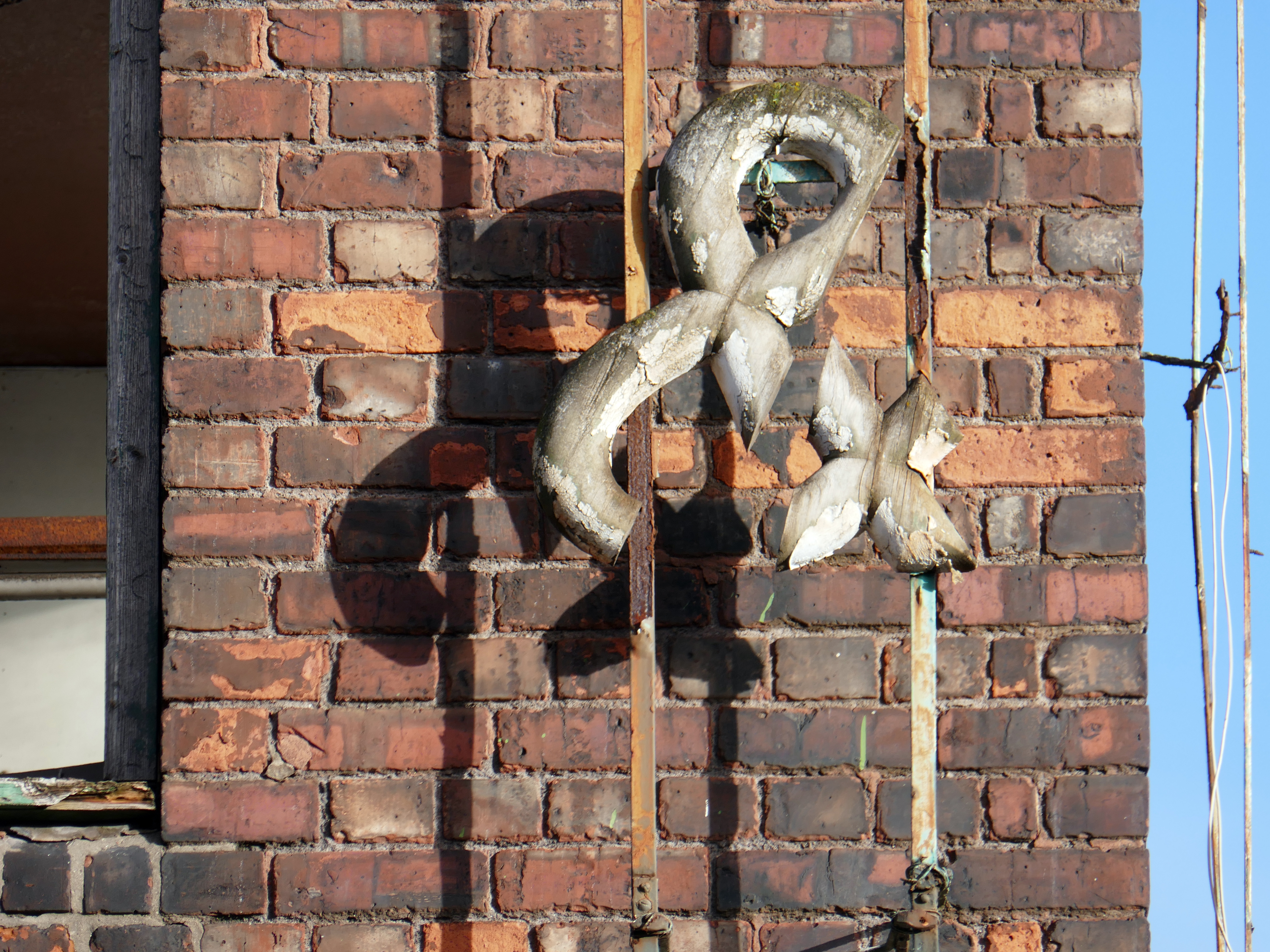
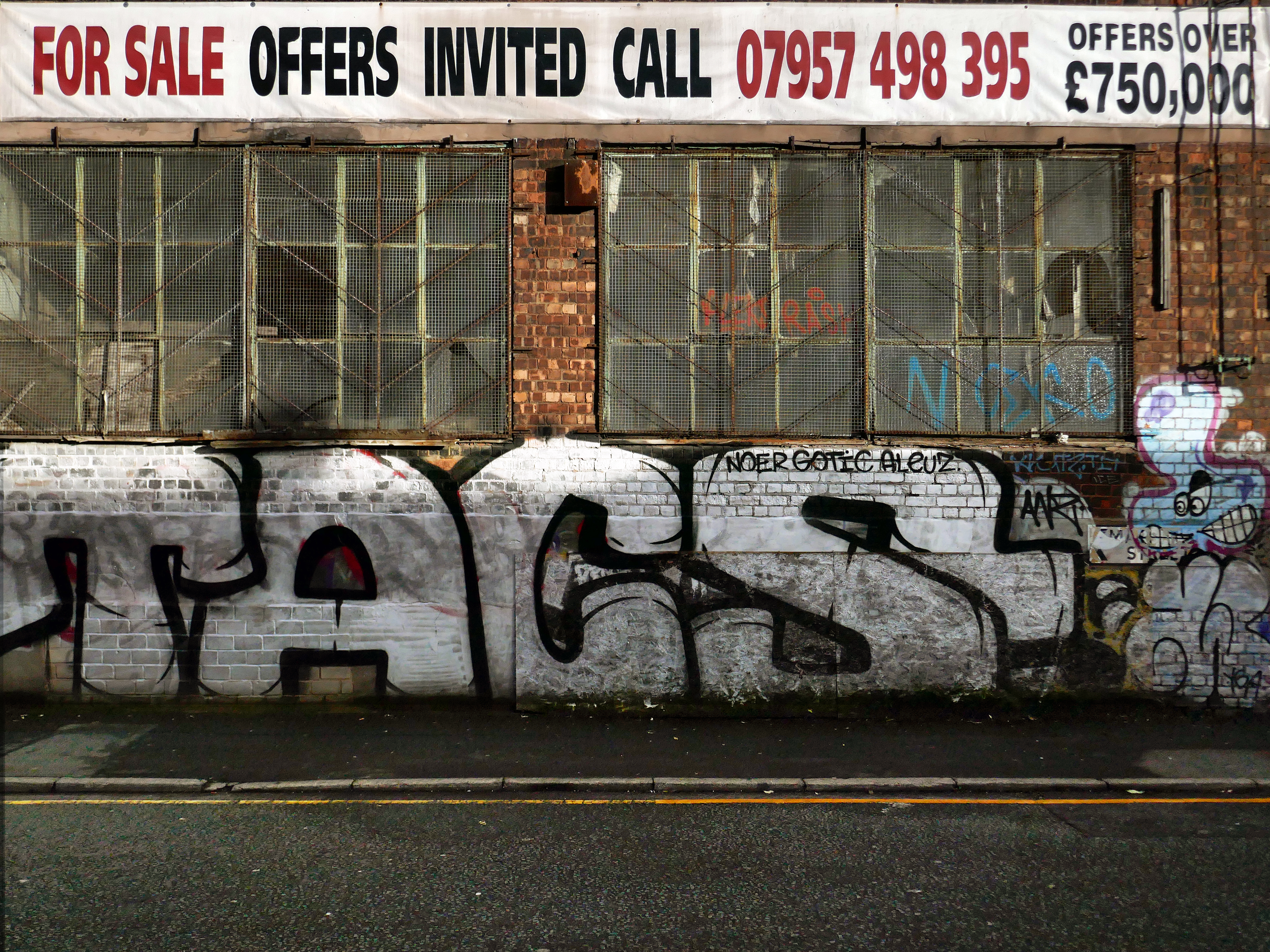
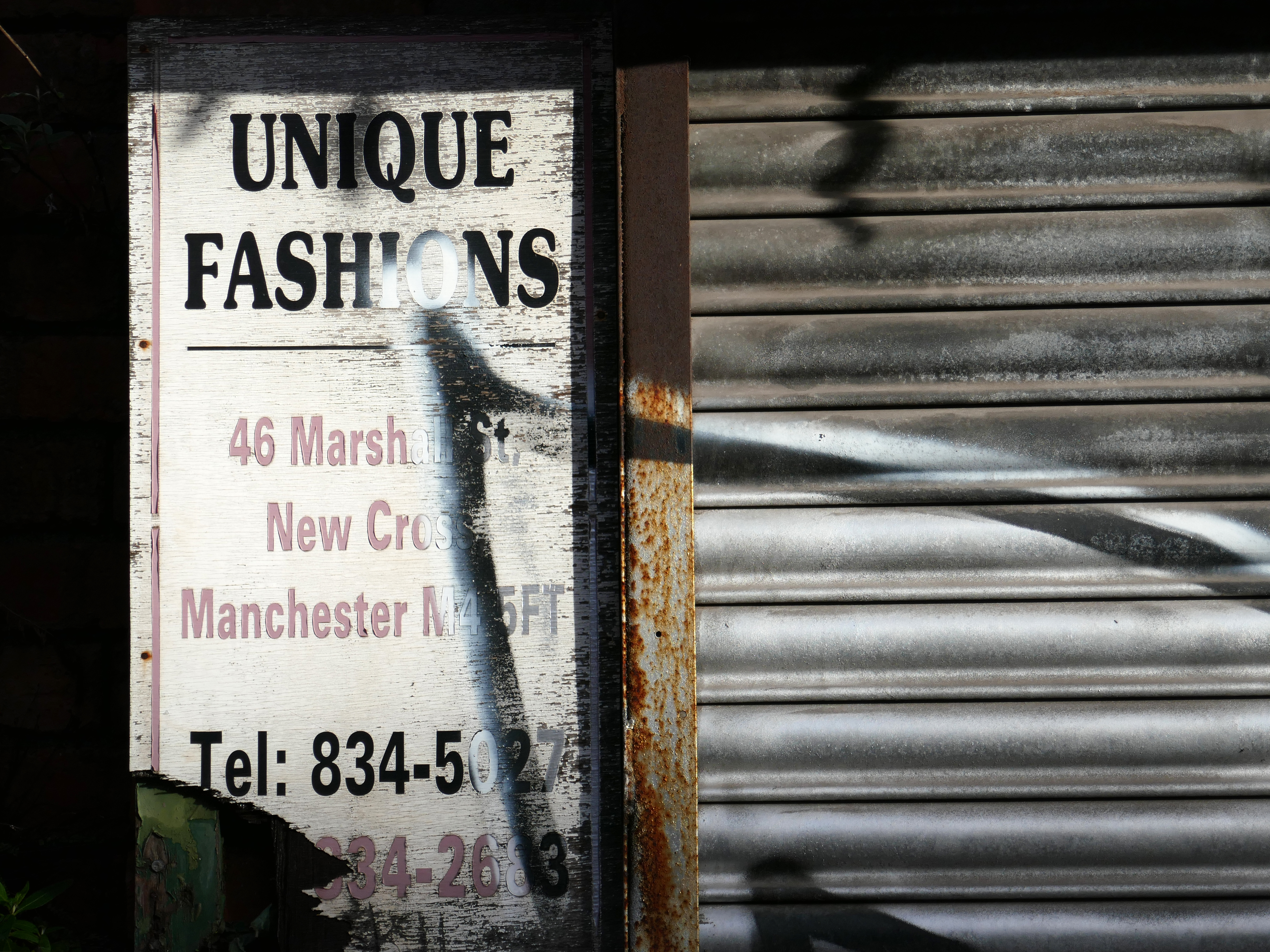
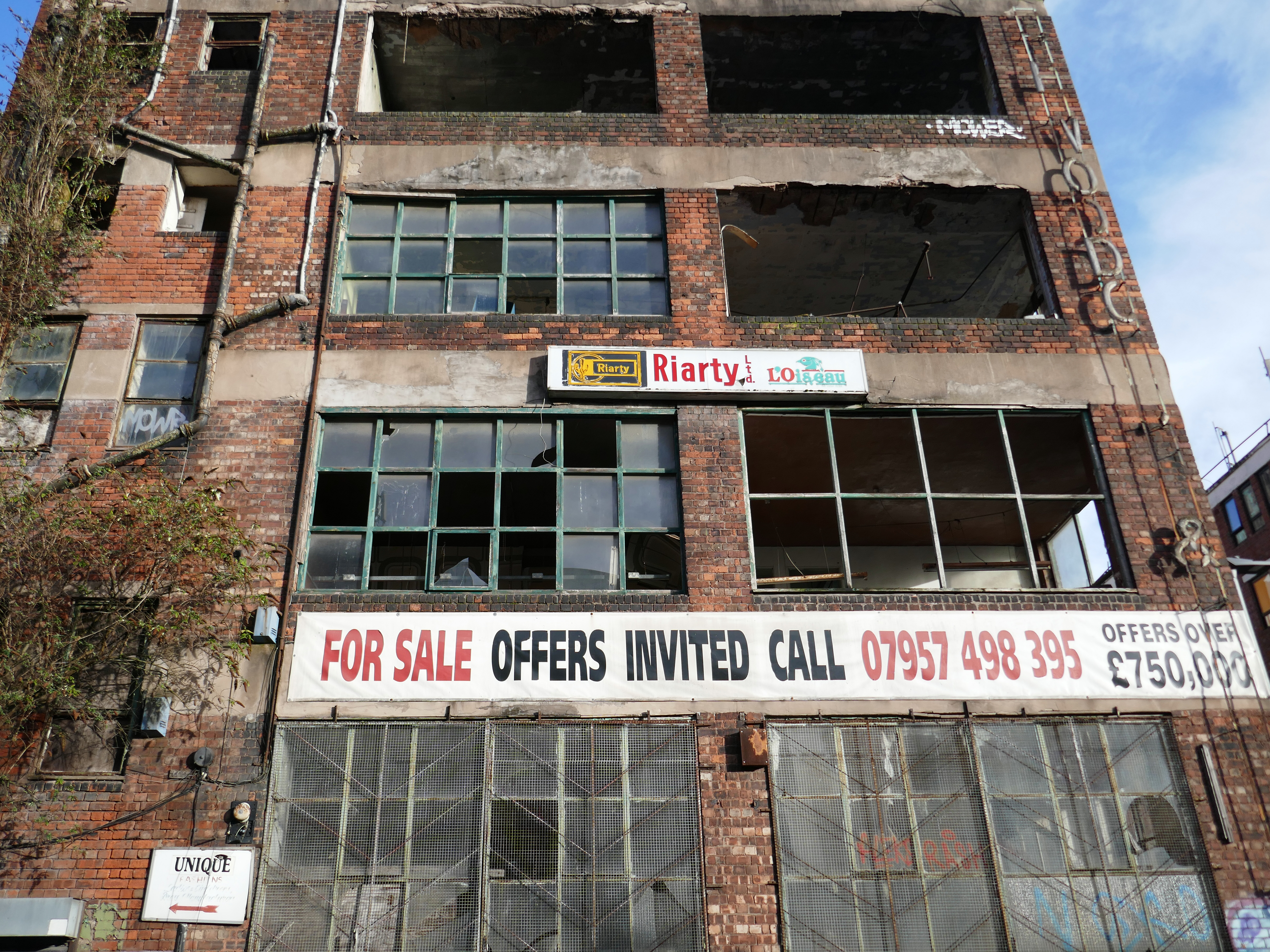
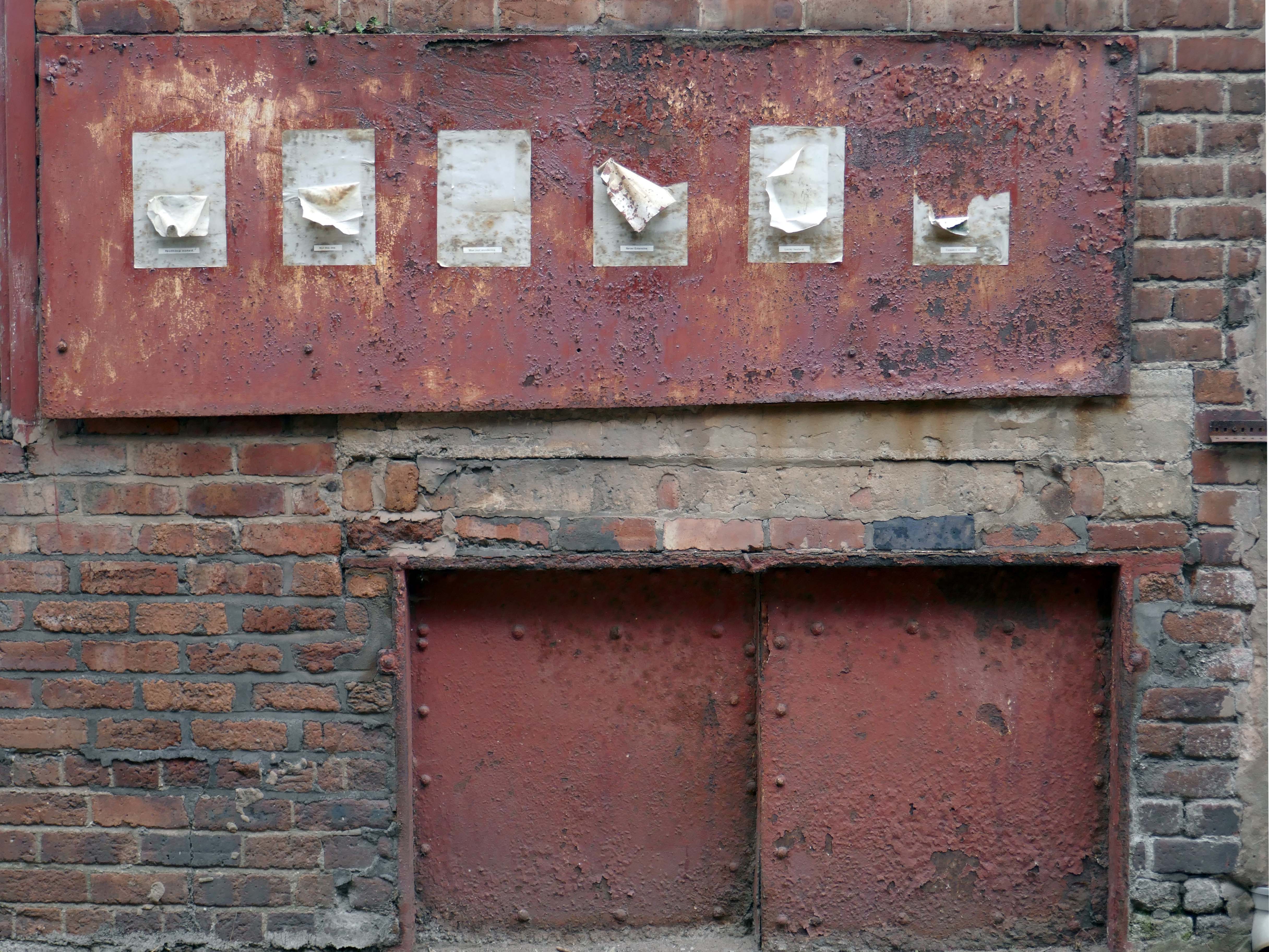
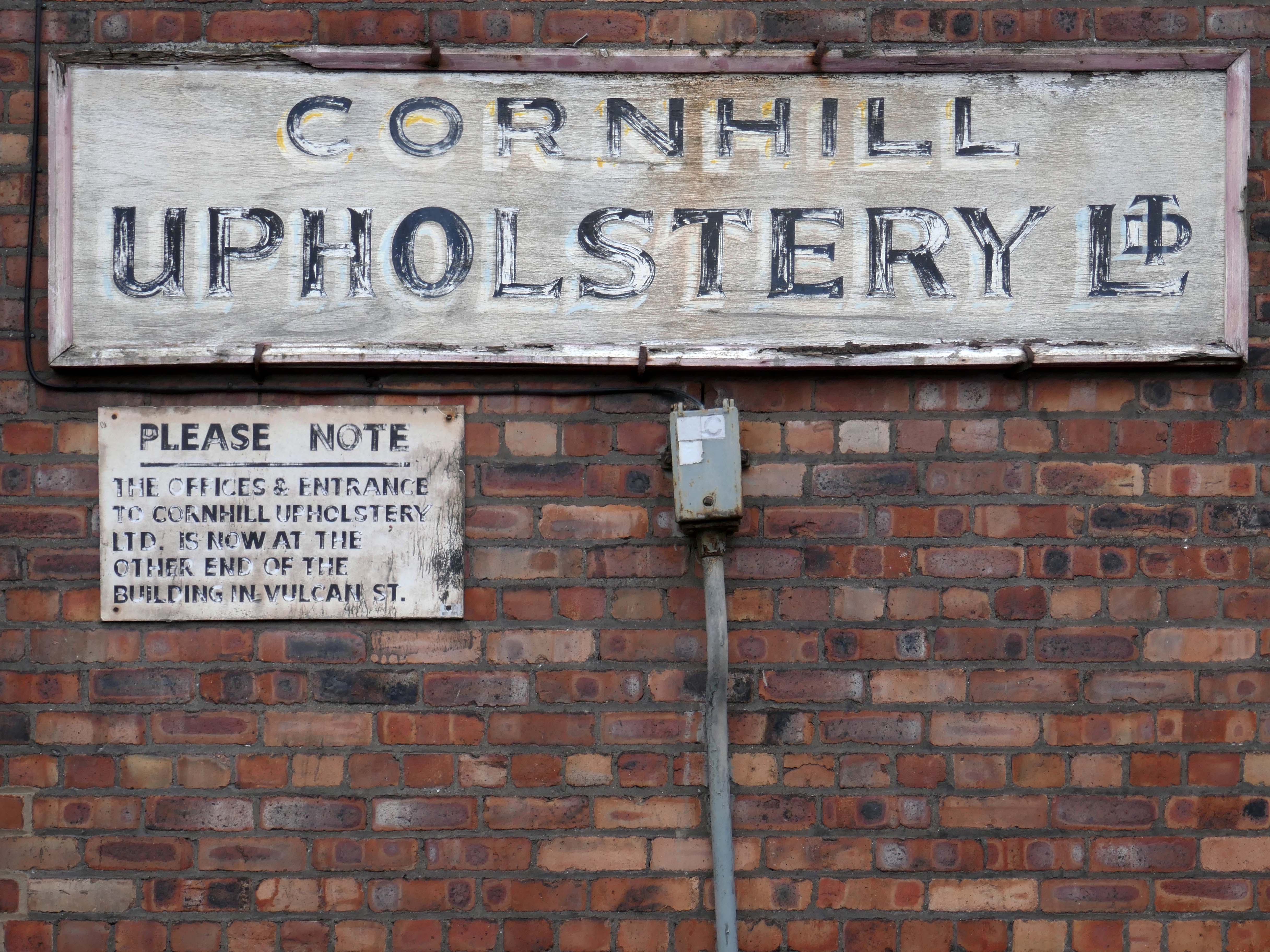
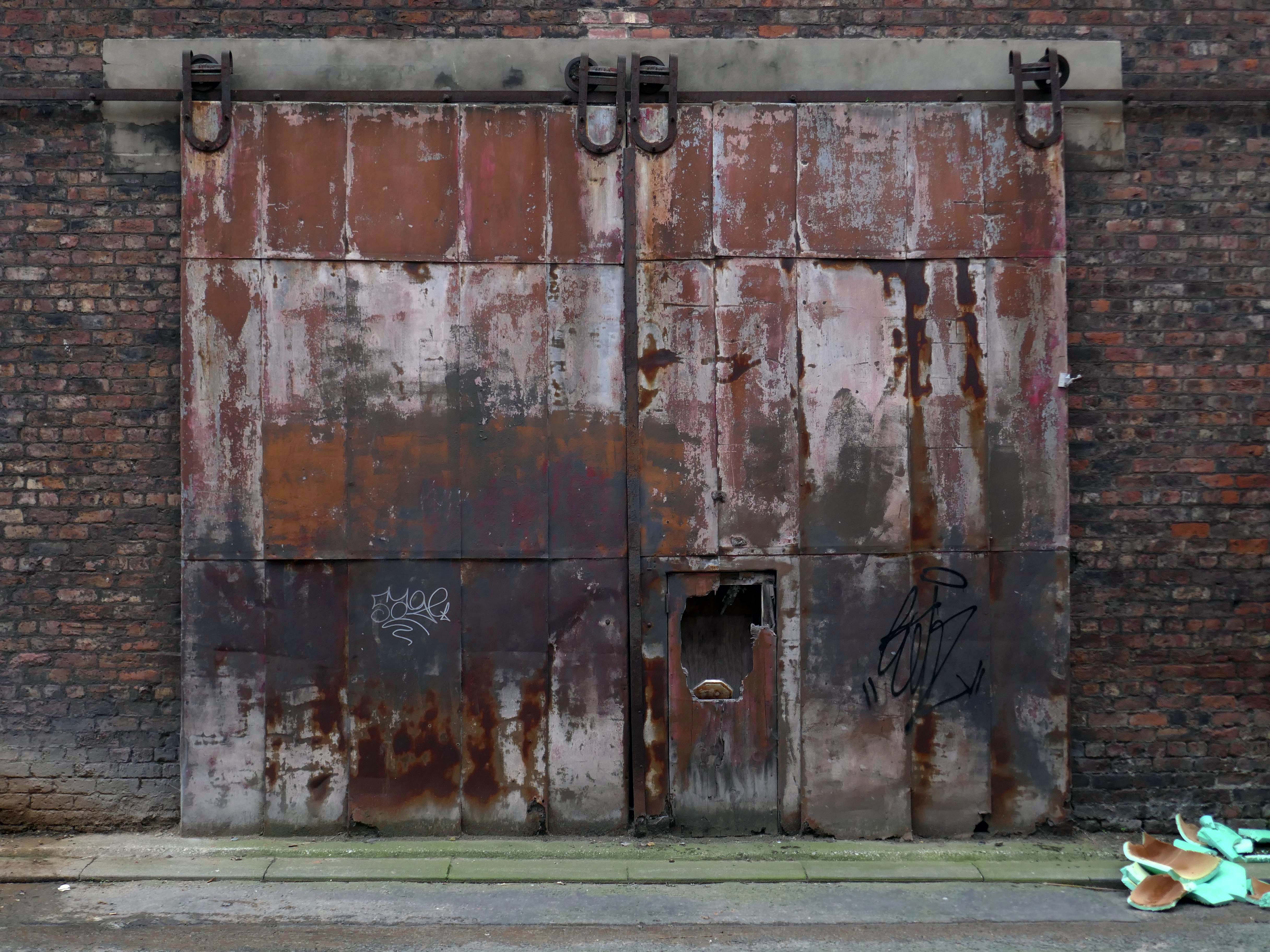
This building has always intrigued me, its sits amongst what was formerly the heart of Manchester’s Rag Trade. It is an area of signs and lost industry, the comings and goings having been and gone.
The surrounding buildings are gradually being refurbished or replaced, but somehow 46 Marshall Street is bucking the trend, though at some point someone somewhere will find over £750,000.
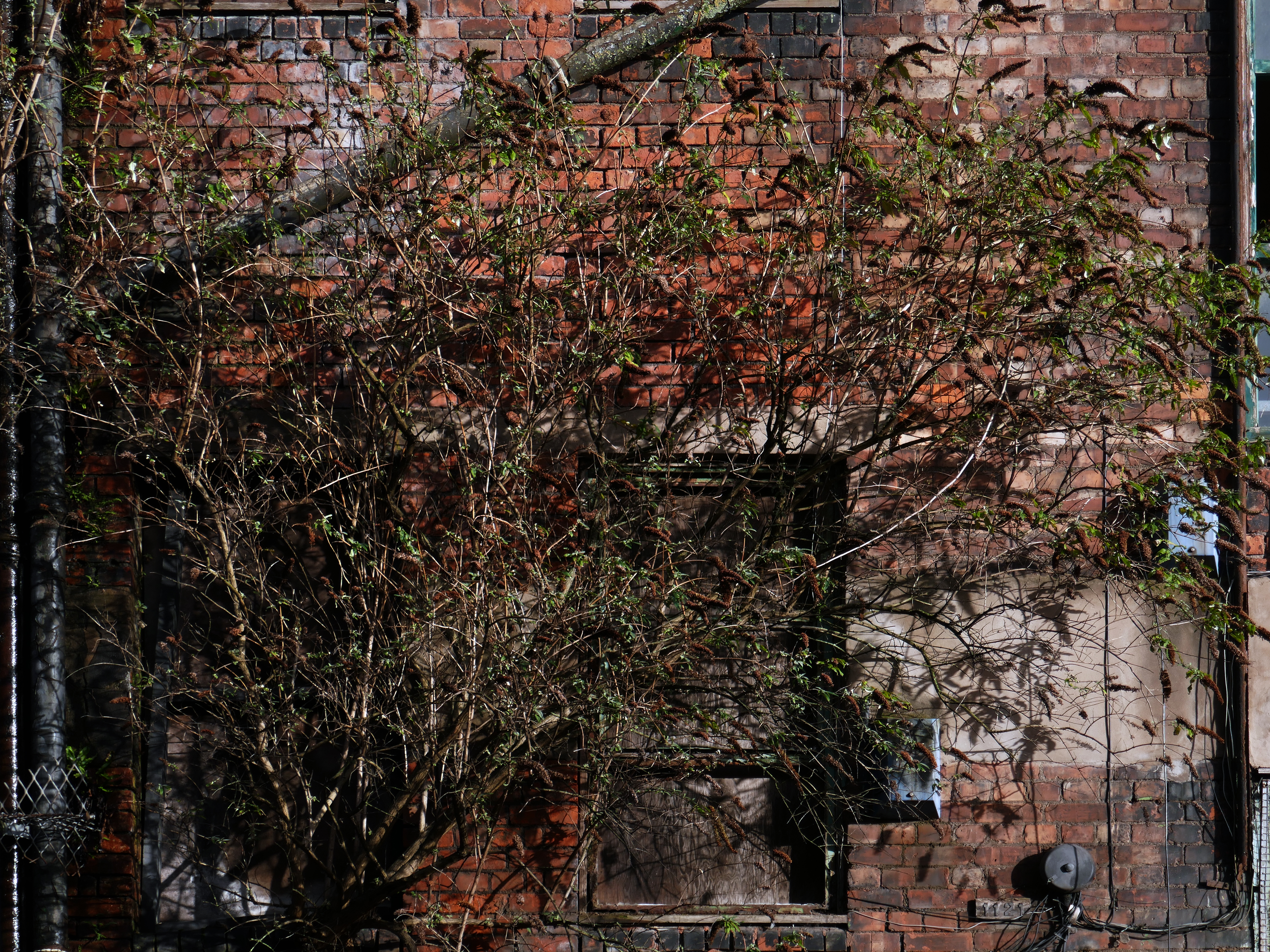
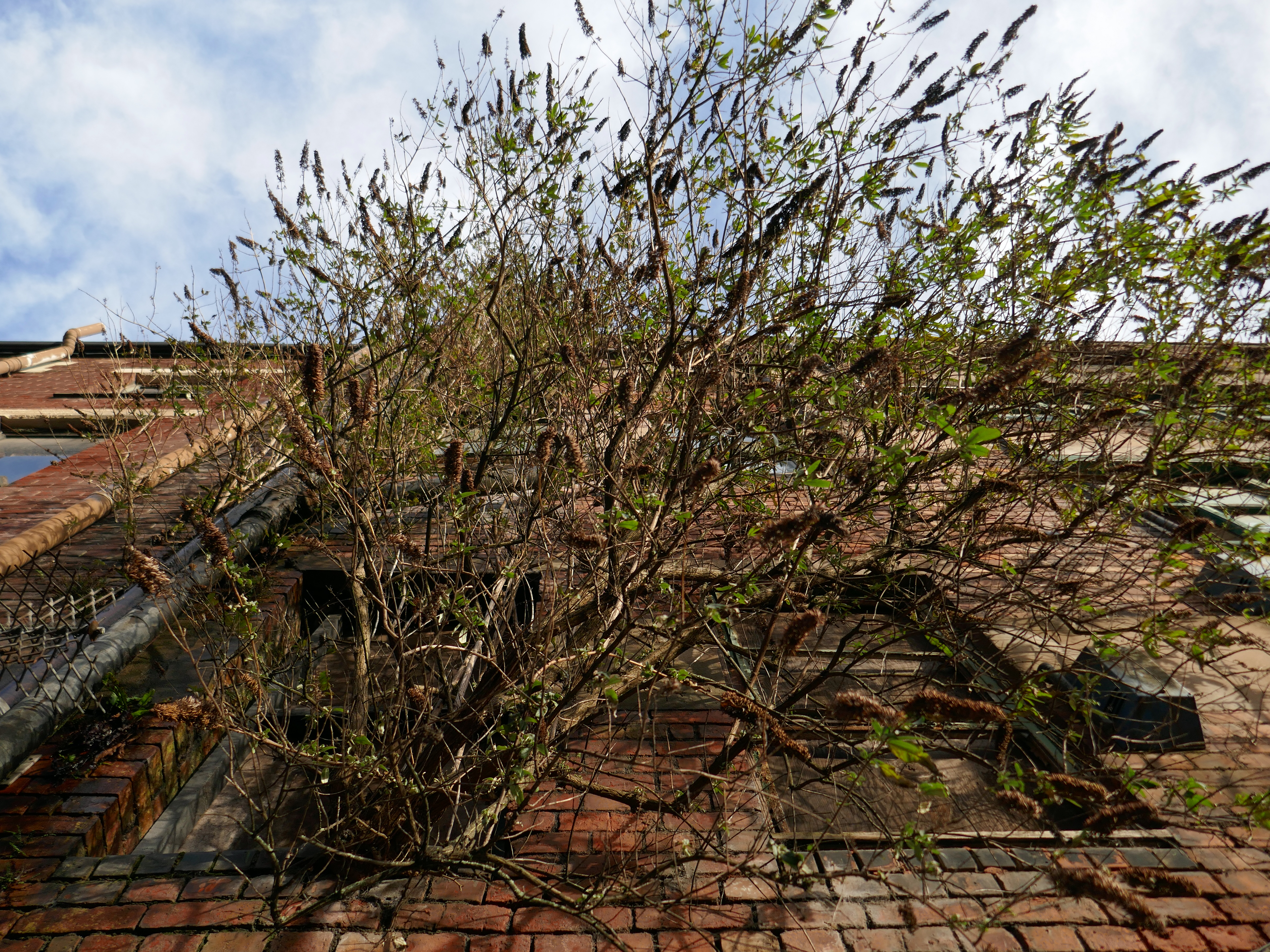
Gradually its wooden framed windows become the poked out eyes of its soul.
Light fittings hang limp and unlit, as the interior decor deteriorates.
The restless rust inhabits the lower metallic fenestration.
Block work blocks the blocked up entrances.
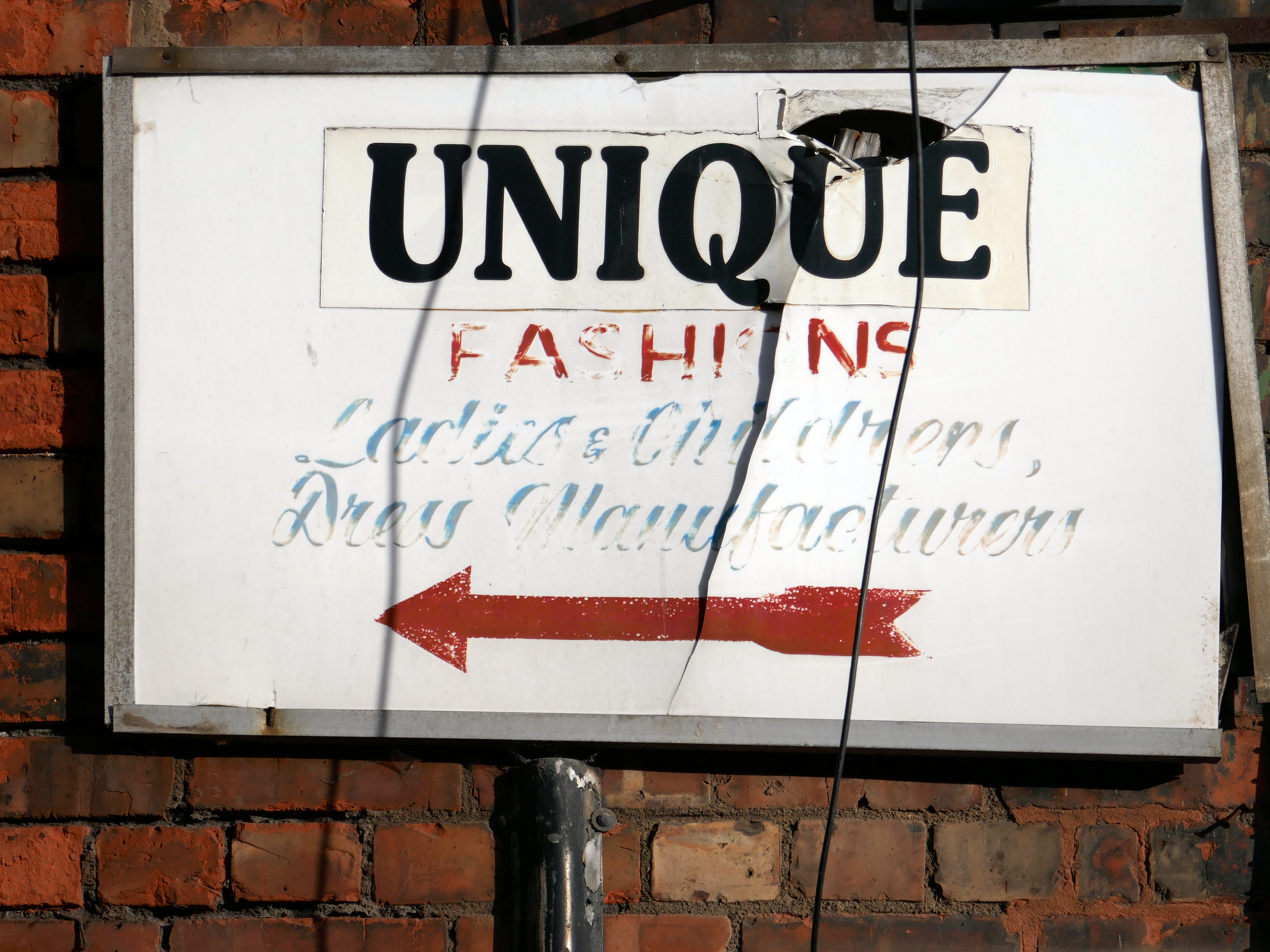
The ampersand can be traced back to the 1st century AD and the old Roman cursive, in which the letters E and T occasionally were written together to form a ligature.
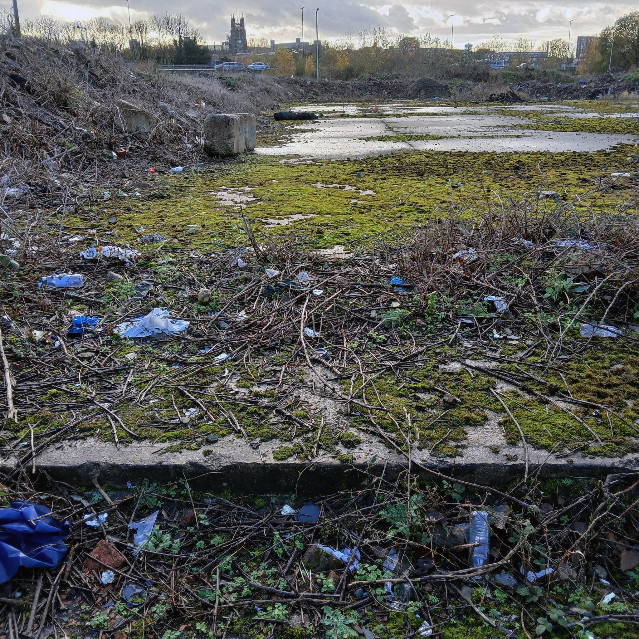
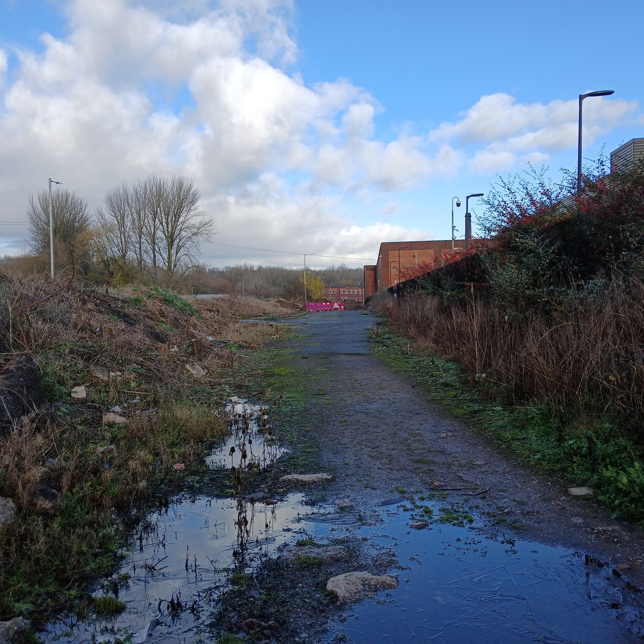
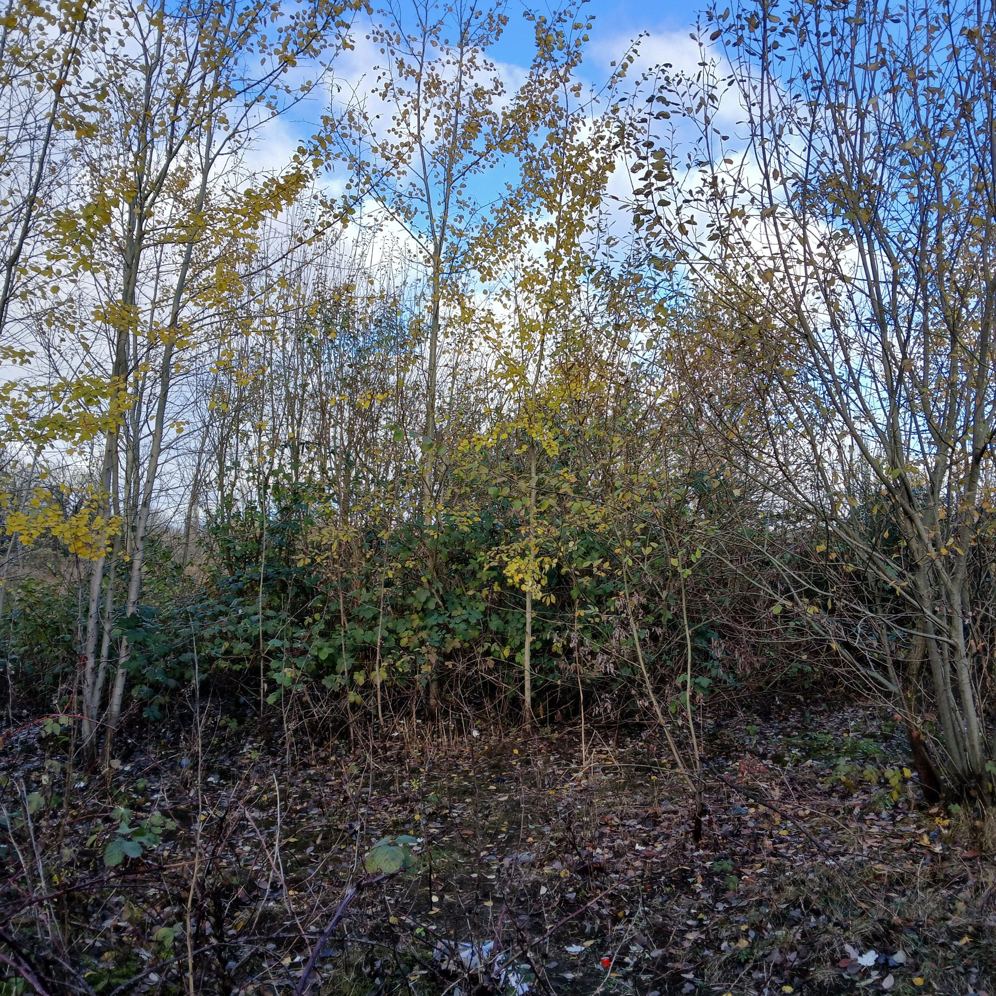
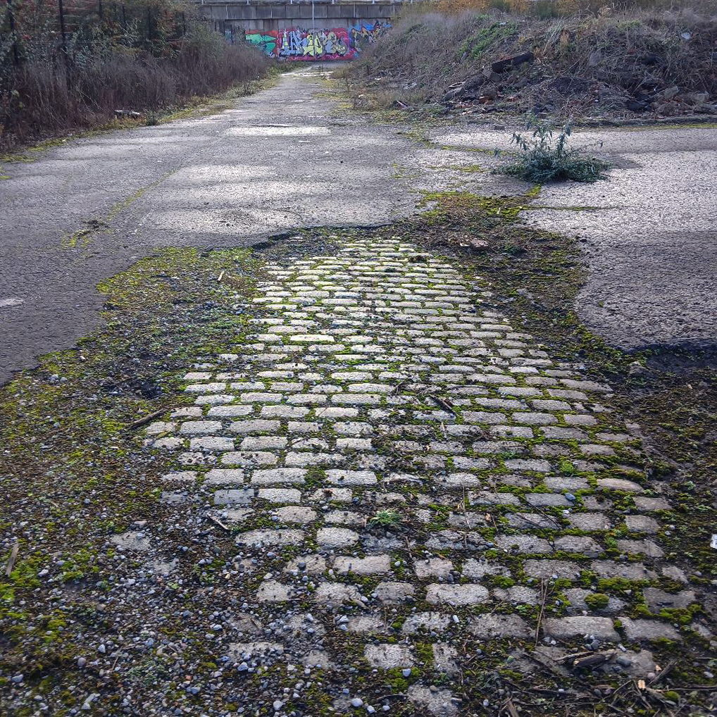
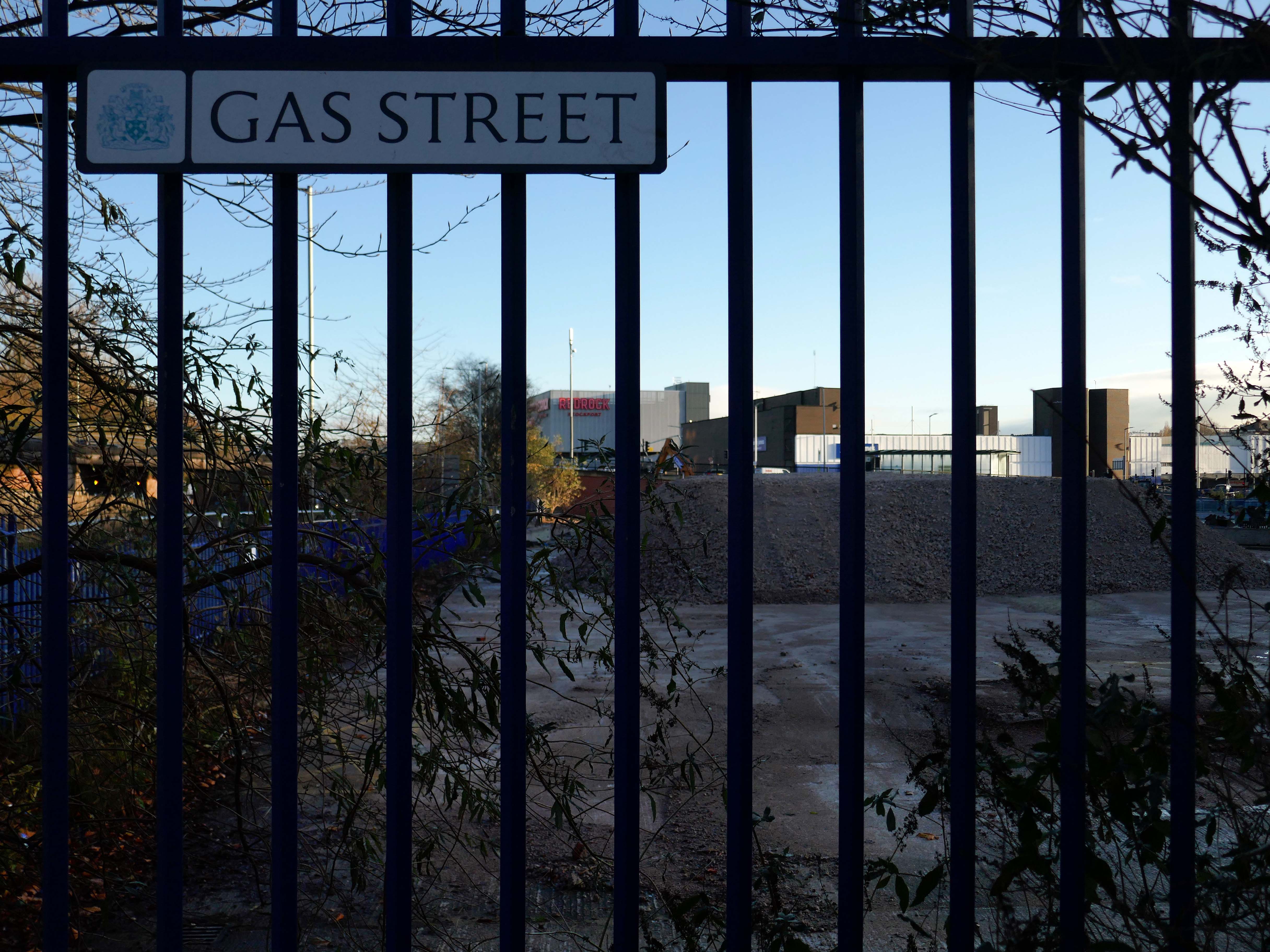
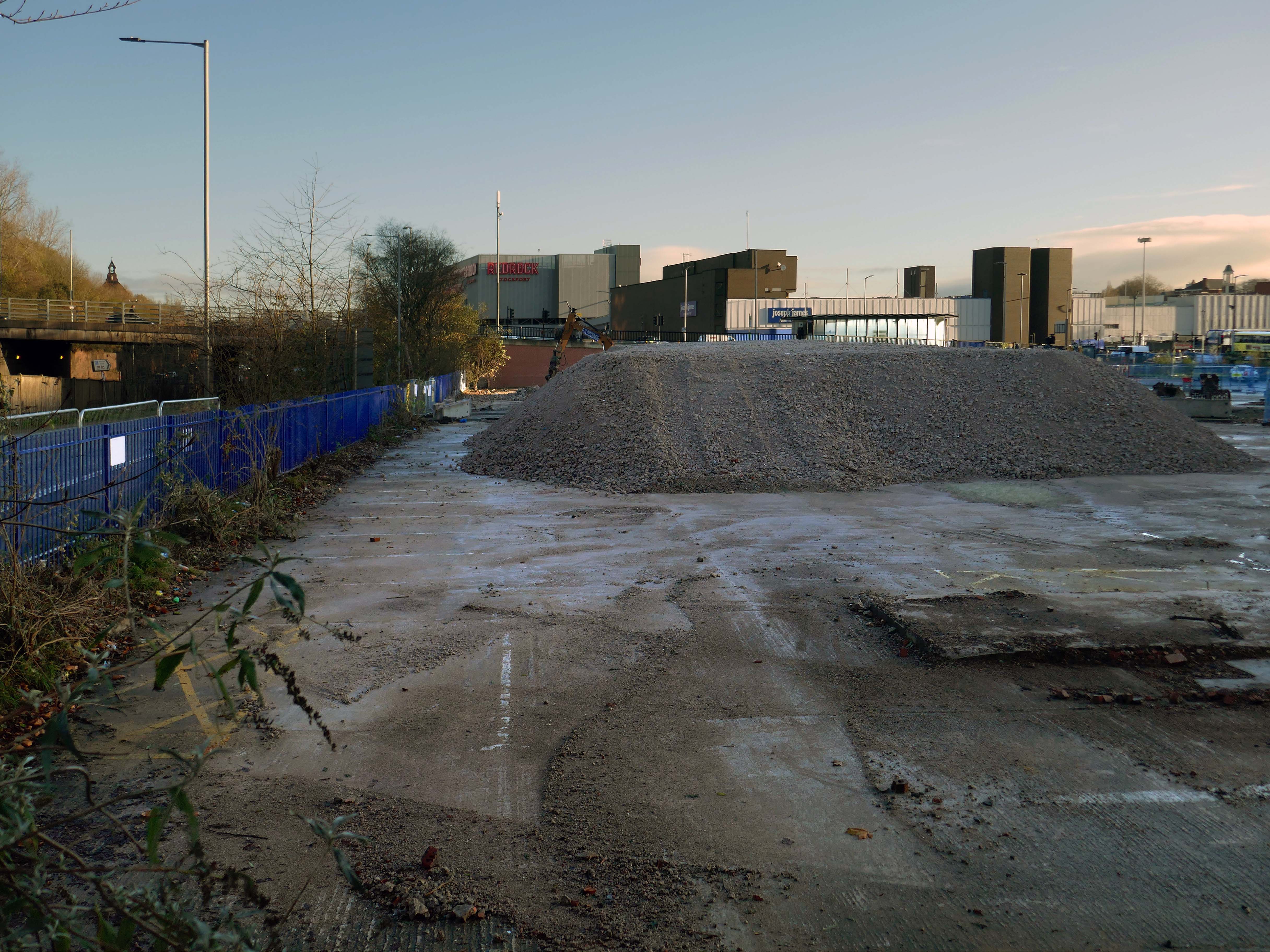
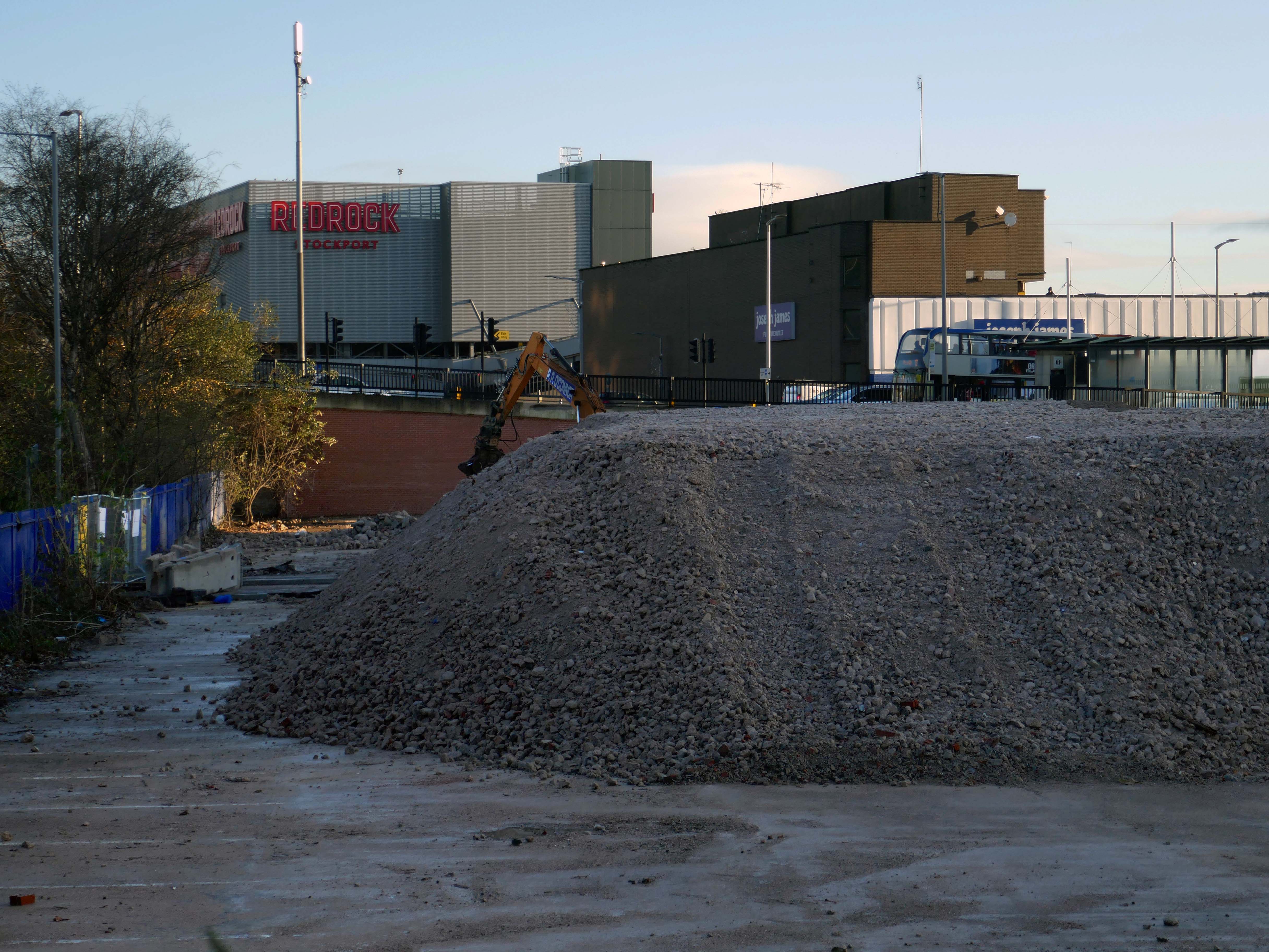
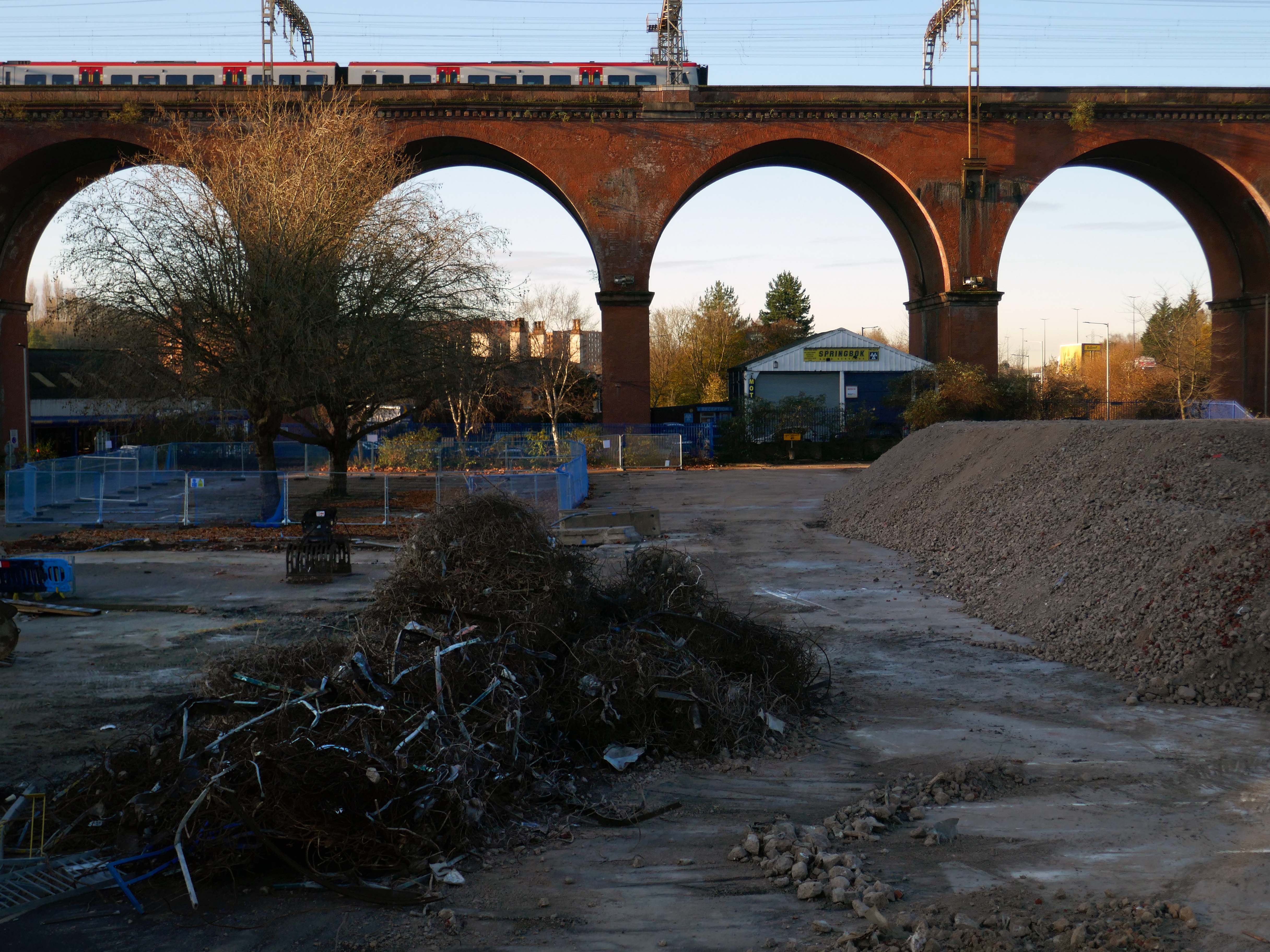
We can see the remains of the road system of this former industrial site, now colonised by brambles and greenery, the imposition of earth mounds and fly tipping.
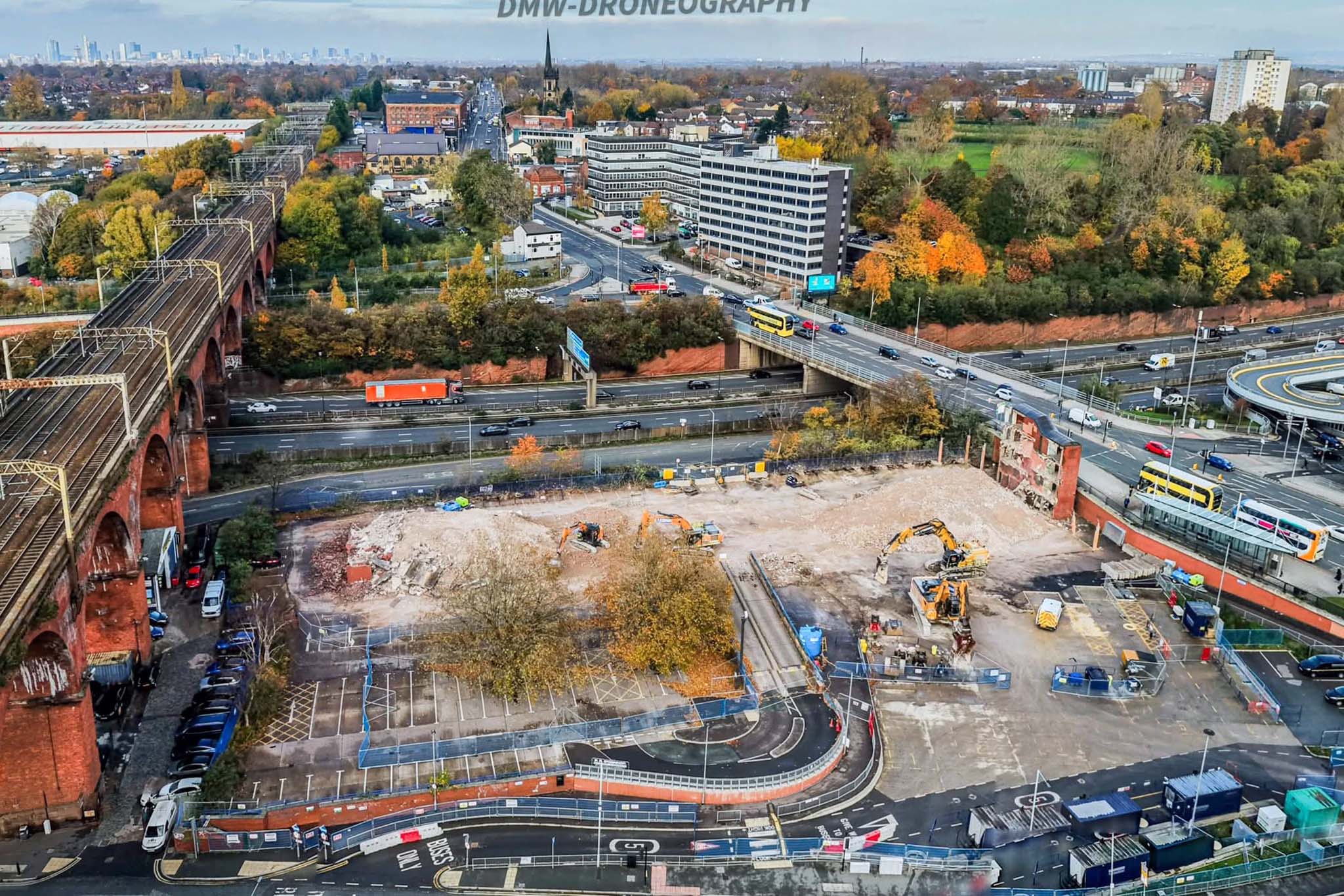
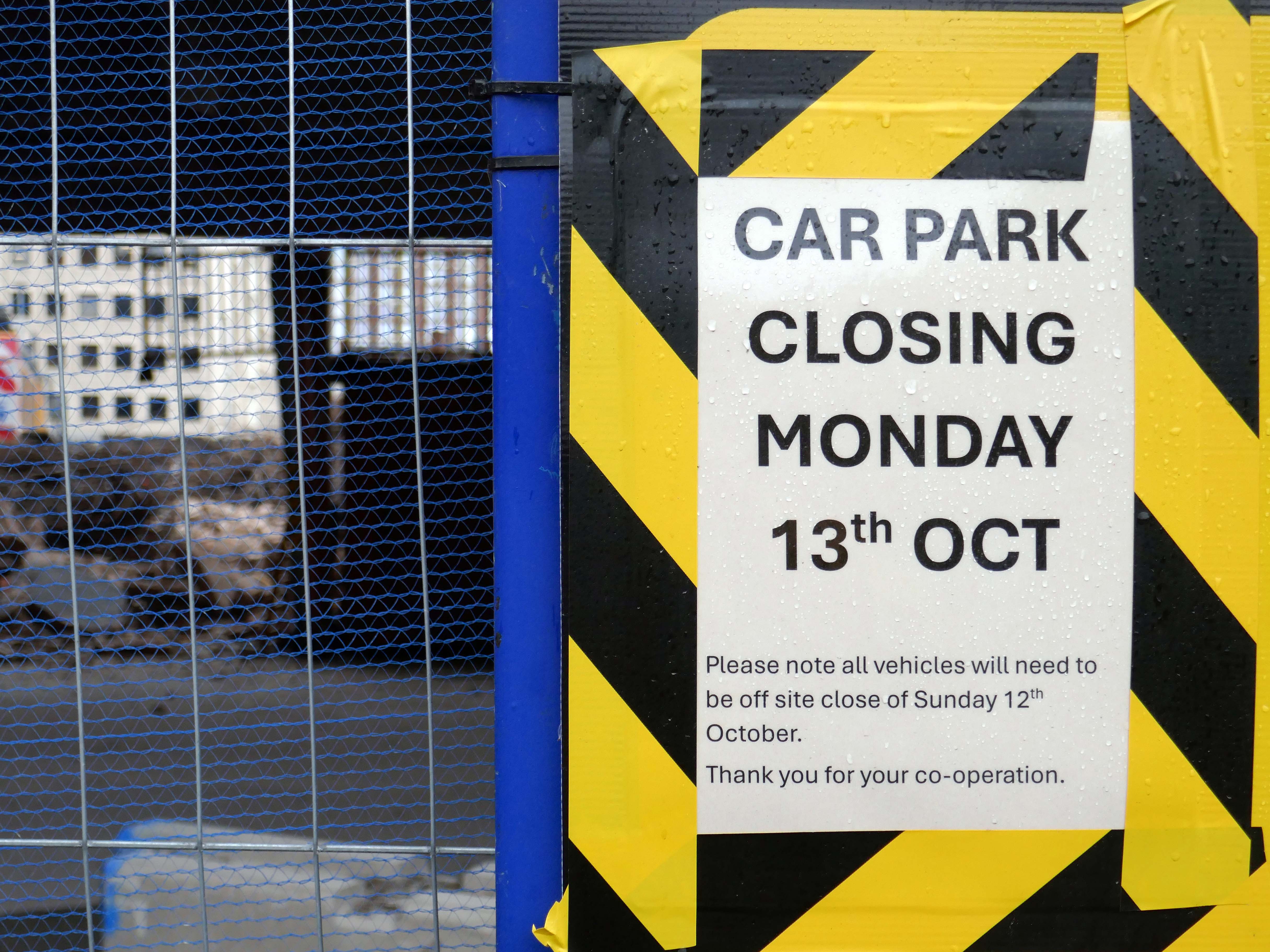
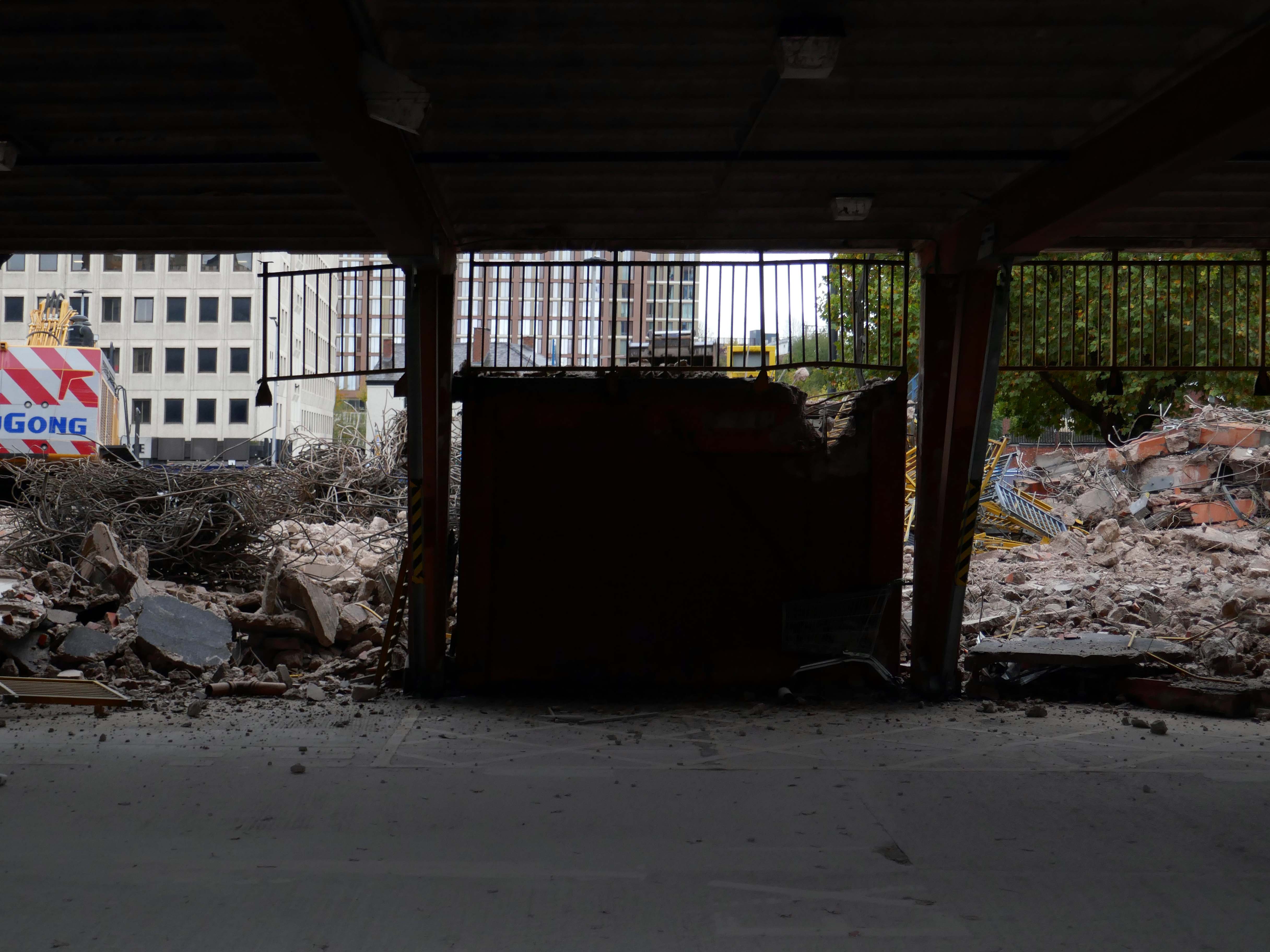
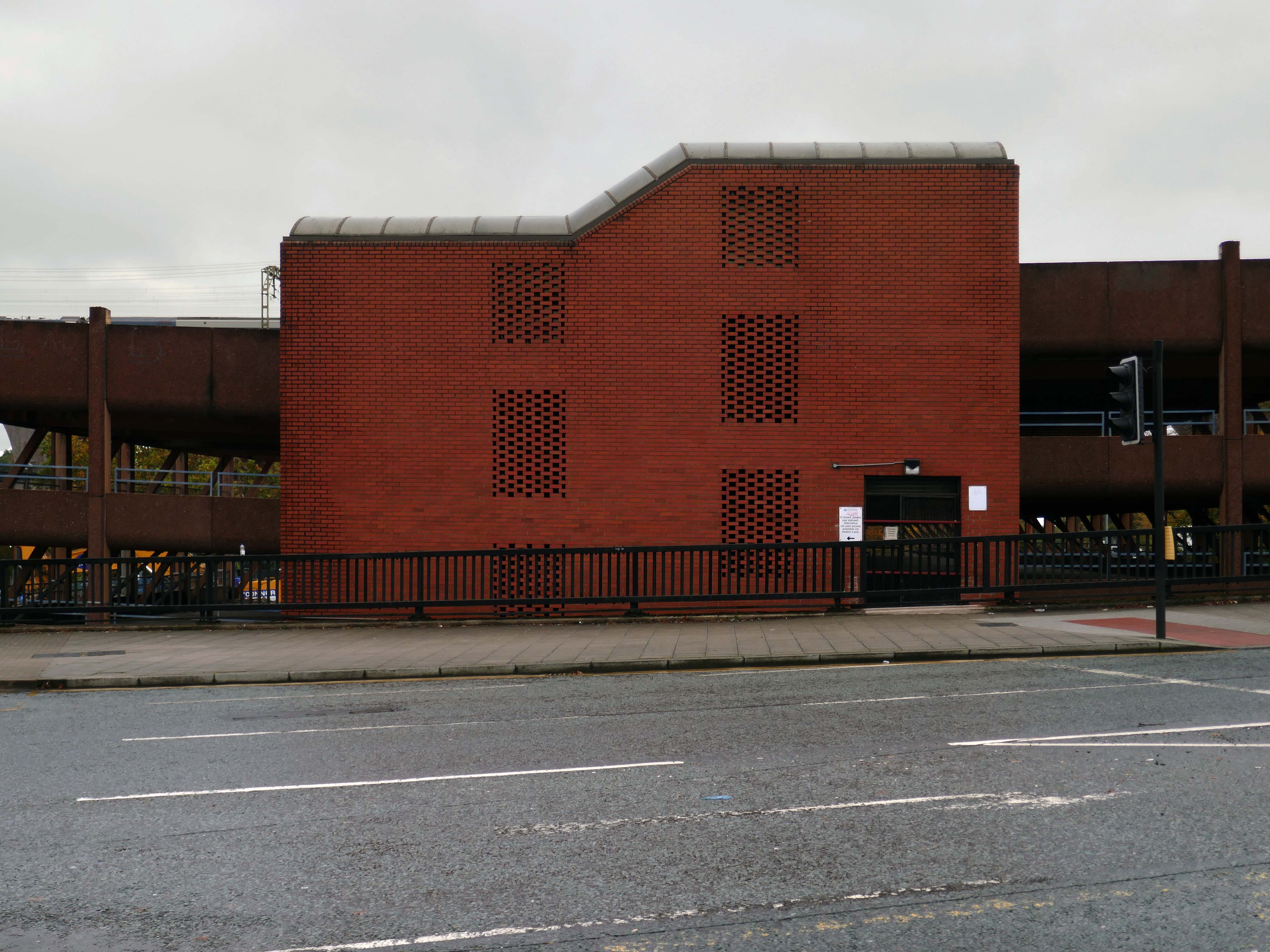
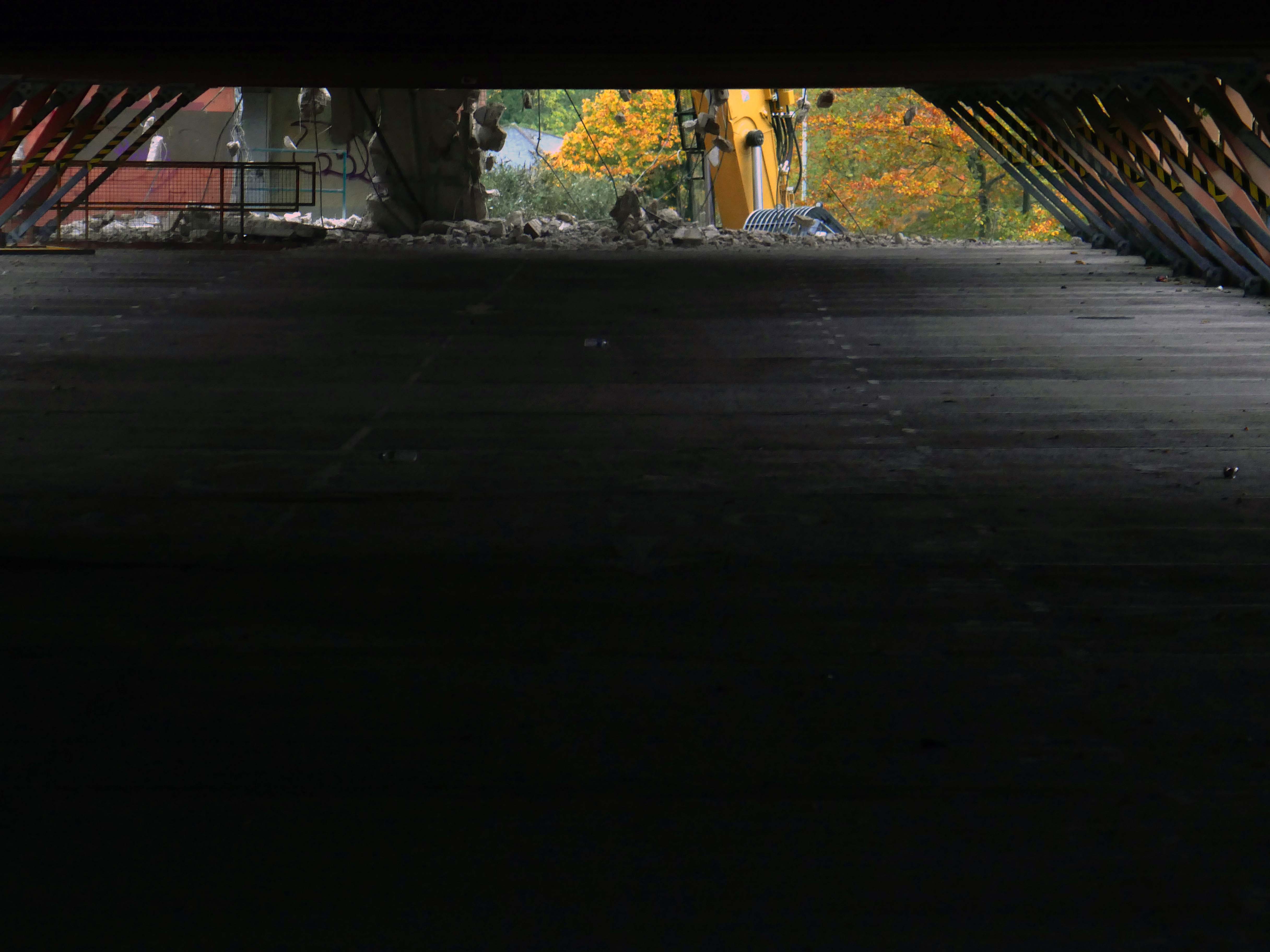
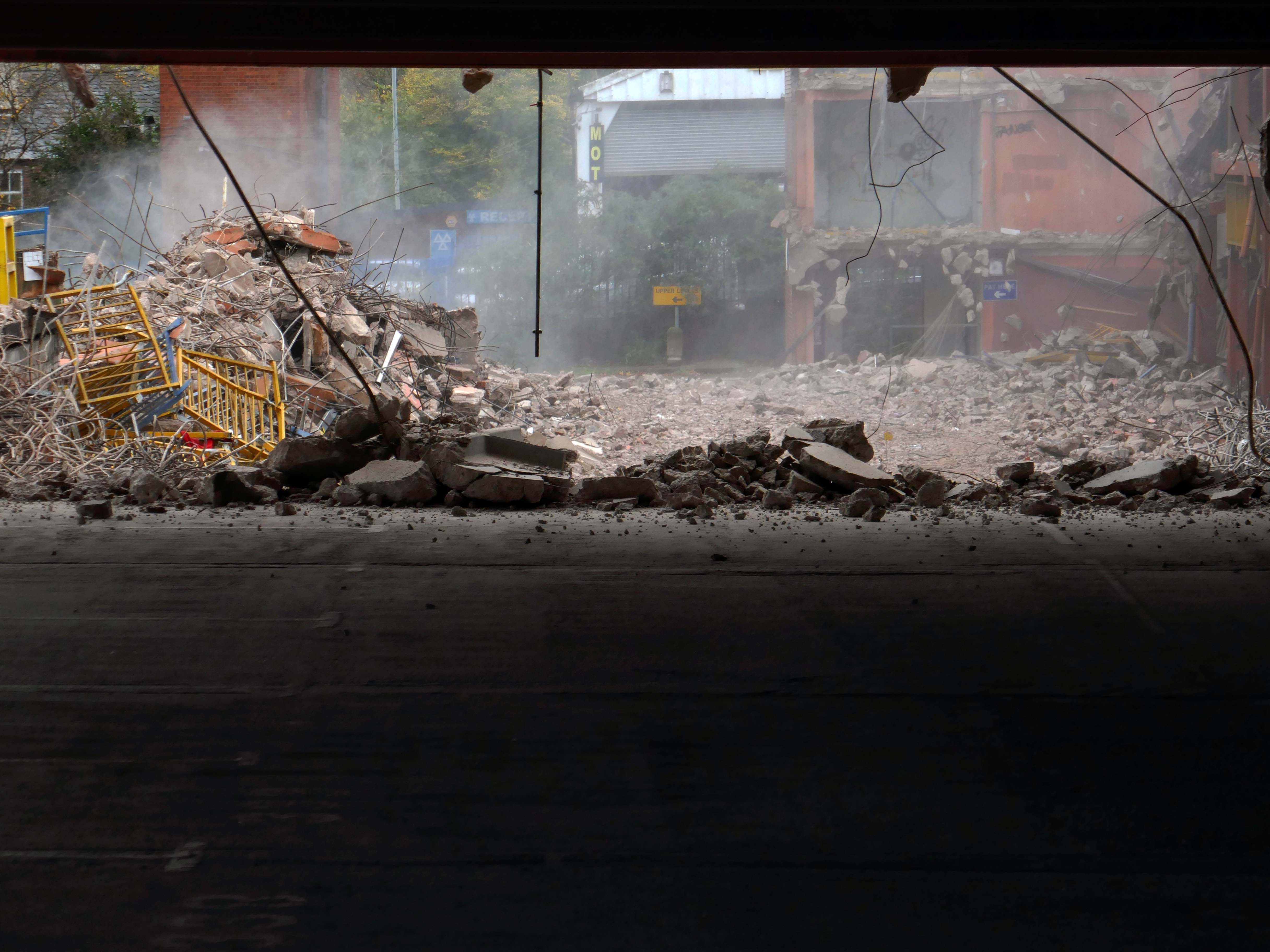
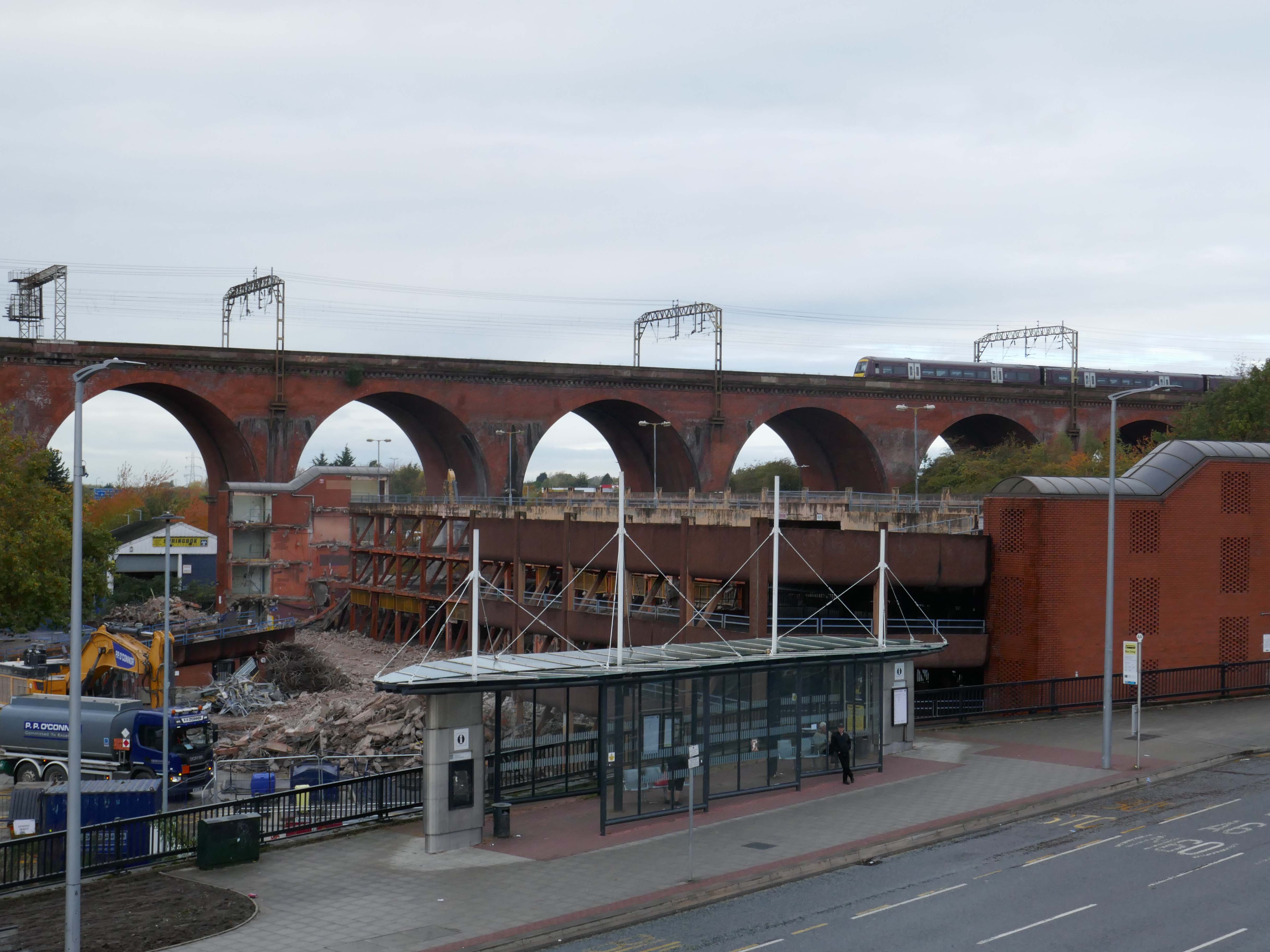
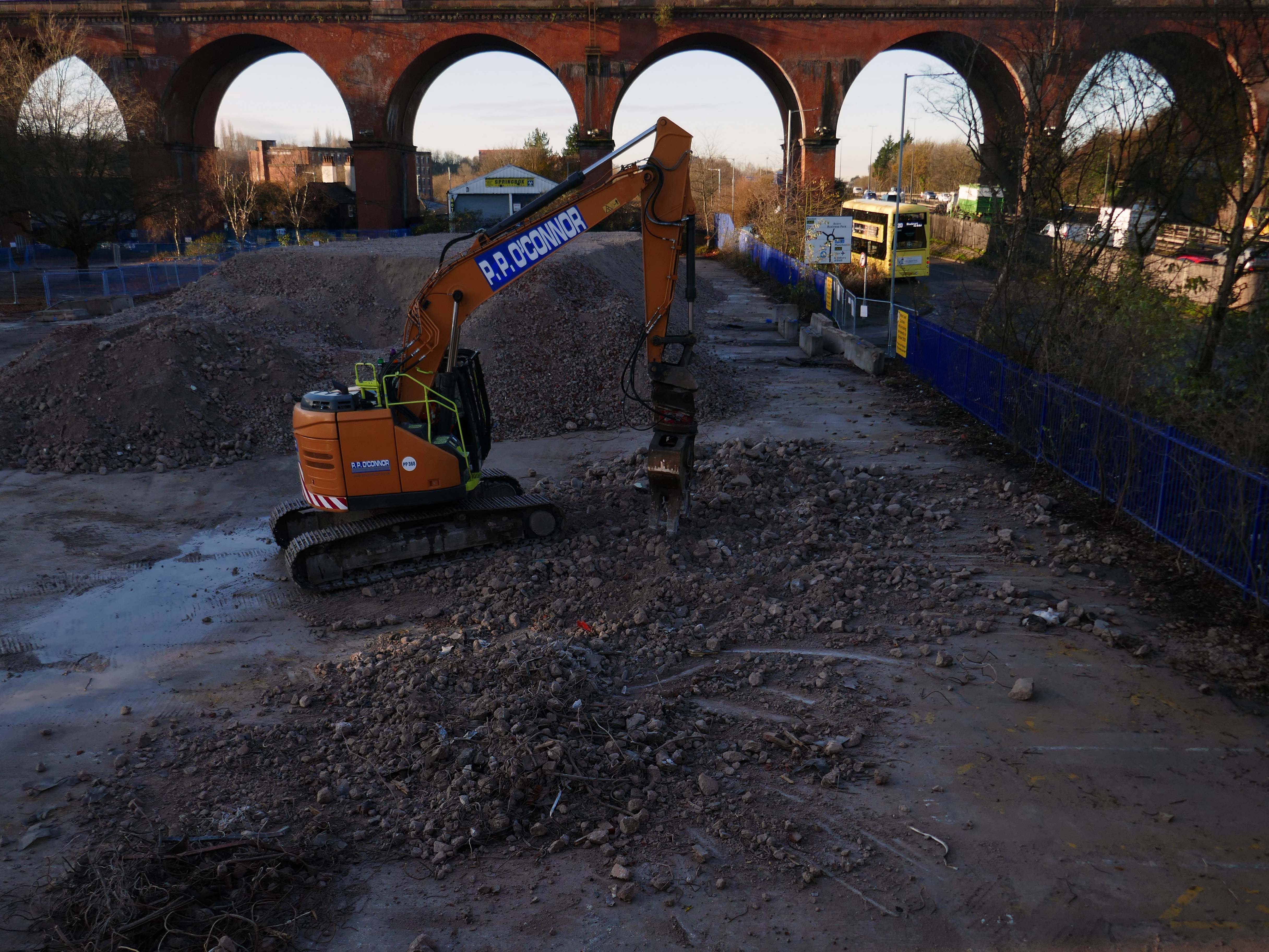
Heaton Lane car park is closed while demolition works take place.
Plans to demolish the car park were submitted by Stockport Council in September this year.
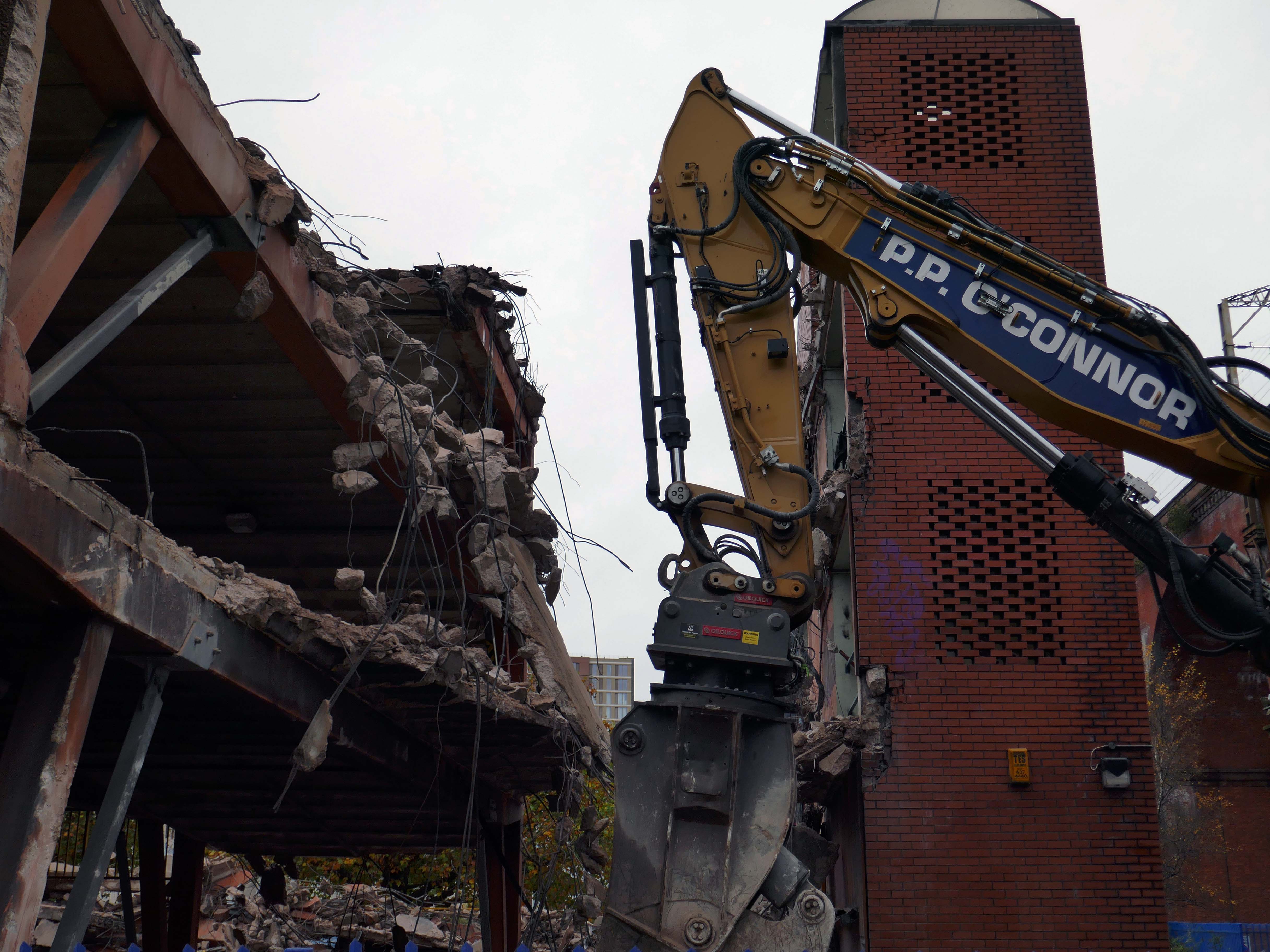
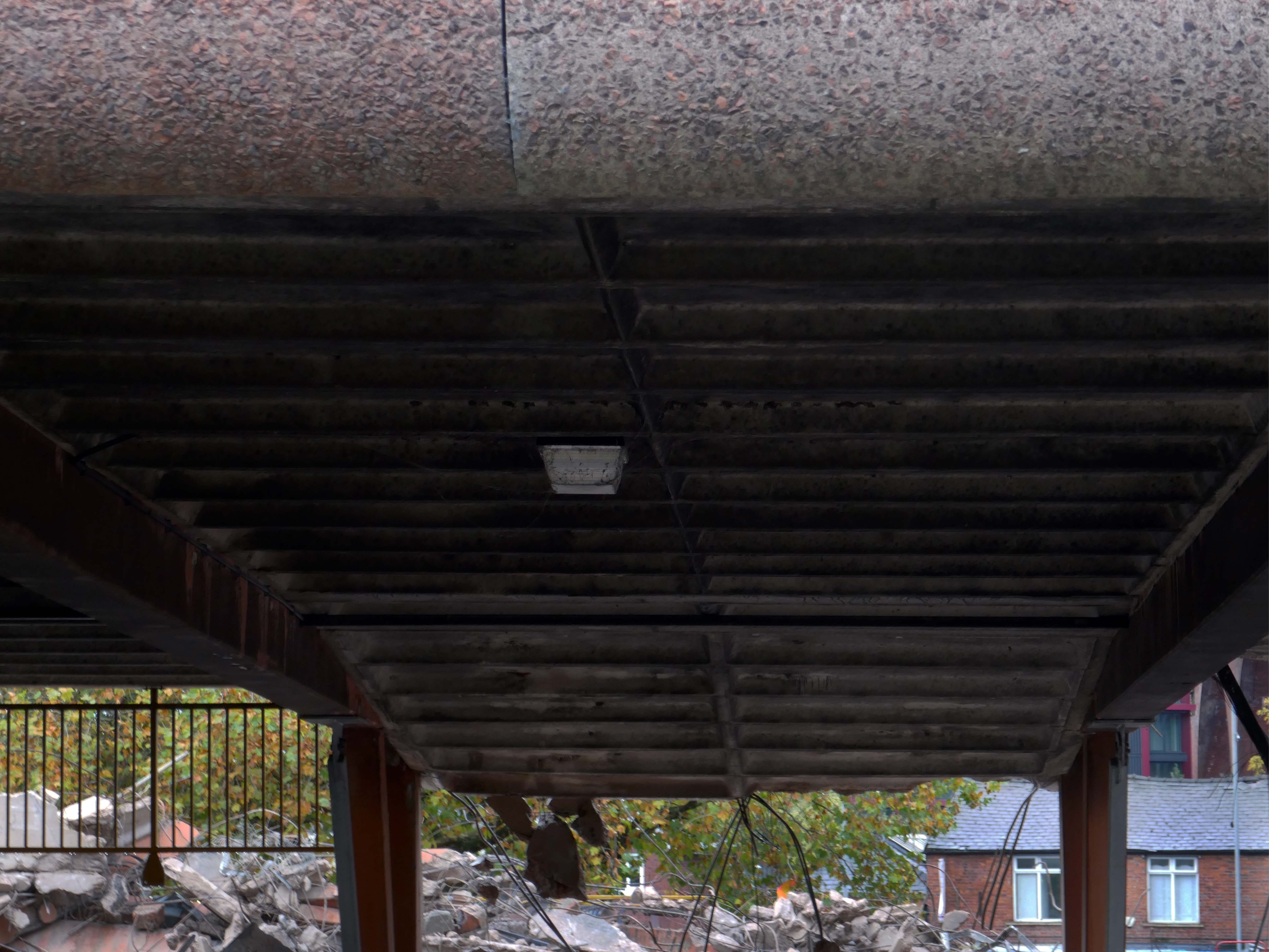
The plans propose removing the multi-storey car park down to ‘slab level’
The work itself will be carried out by removing floor slabs one by one from the parking bays, from the ground upwards. Contractor PP O’Connor has said it will take noise and dust into consideration when completing the works.
Dust suppression systems will be in place to minimise pollution.
Noise levels are not considered likely to be a nuisance, however the site manager will be able to review the demolition process if it’s deemed too high.
There car park is almost at the heart – on the edge of plans to regenerate the town centre.
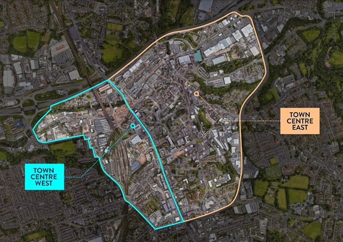
The Strategic Regeneration Framework for Stockport Town Centre West set out how up to 4,000 new homes and 1m sq. ft of new employment floorspace and 5,300 new jobs could be delivered across Town Centre West by 2035.
In order to assess the overall economic benefit of an expanded Mayoral development area Stockport Council have developed an SRF for Stockport Town Centre East. This SRF sets out an illustrative masterplan to guide the creation of Stockport’s new neighbourhoods and achieve comprehensive urban regeneration by 2040. Together the SRFs for Town Centre West and Town Centre East will guide the development of a total of 8,000 new homes alongside services and amenities. The development set out in the SRFs will drive a transformational impact on the Stockport economy.
The Corporation is expected to be established in early 2026. It will provide a single, focused body for local decision-making; engagement with stakeholders including government departments, public agencies; private sector landowners, and developers; and to drive investment across the public and private sectors to realise the shared vision for the regeneration of the Area.
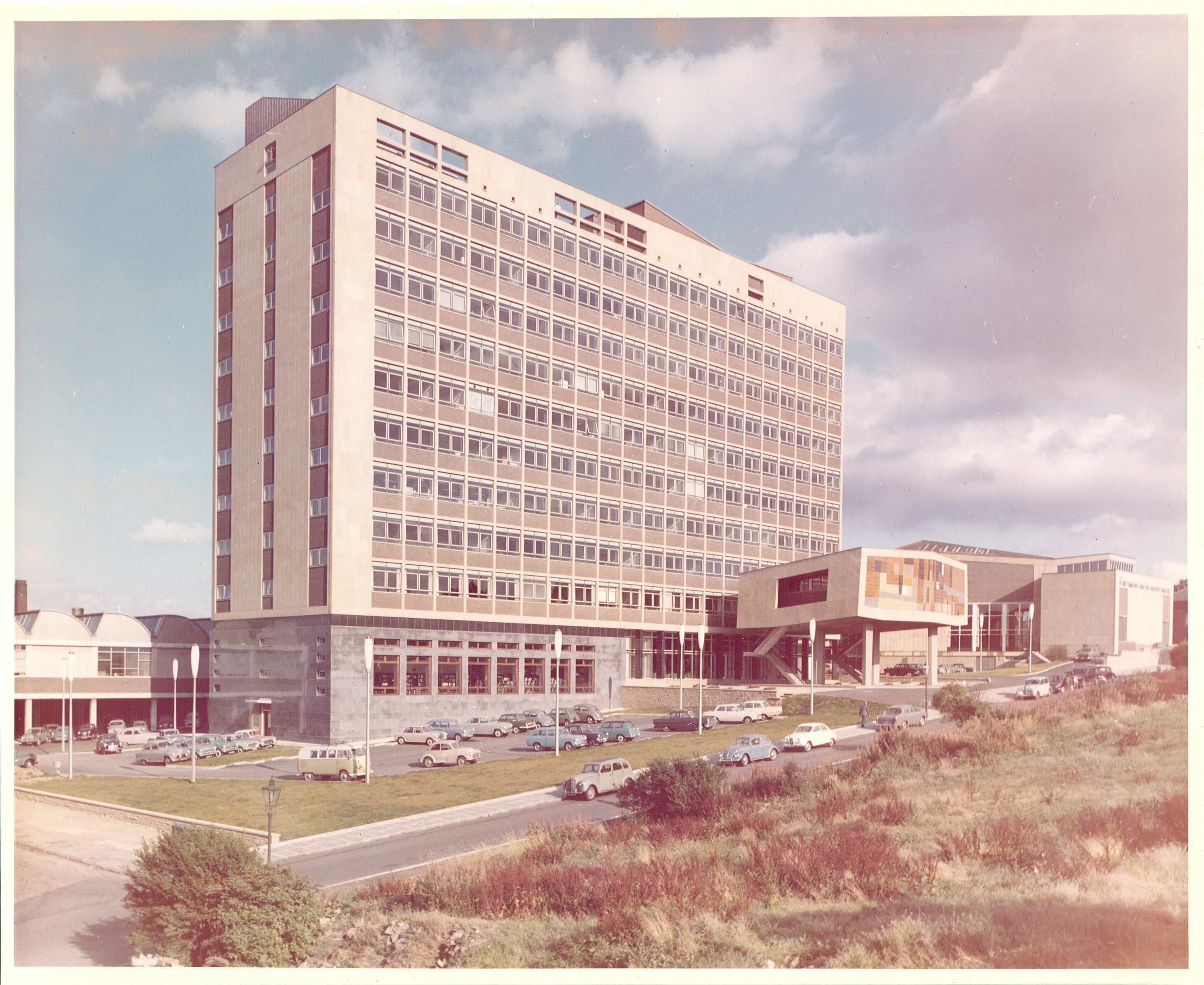
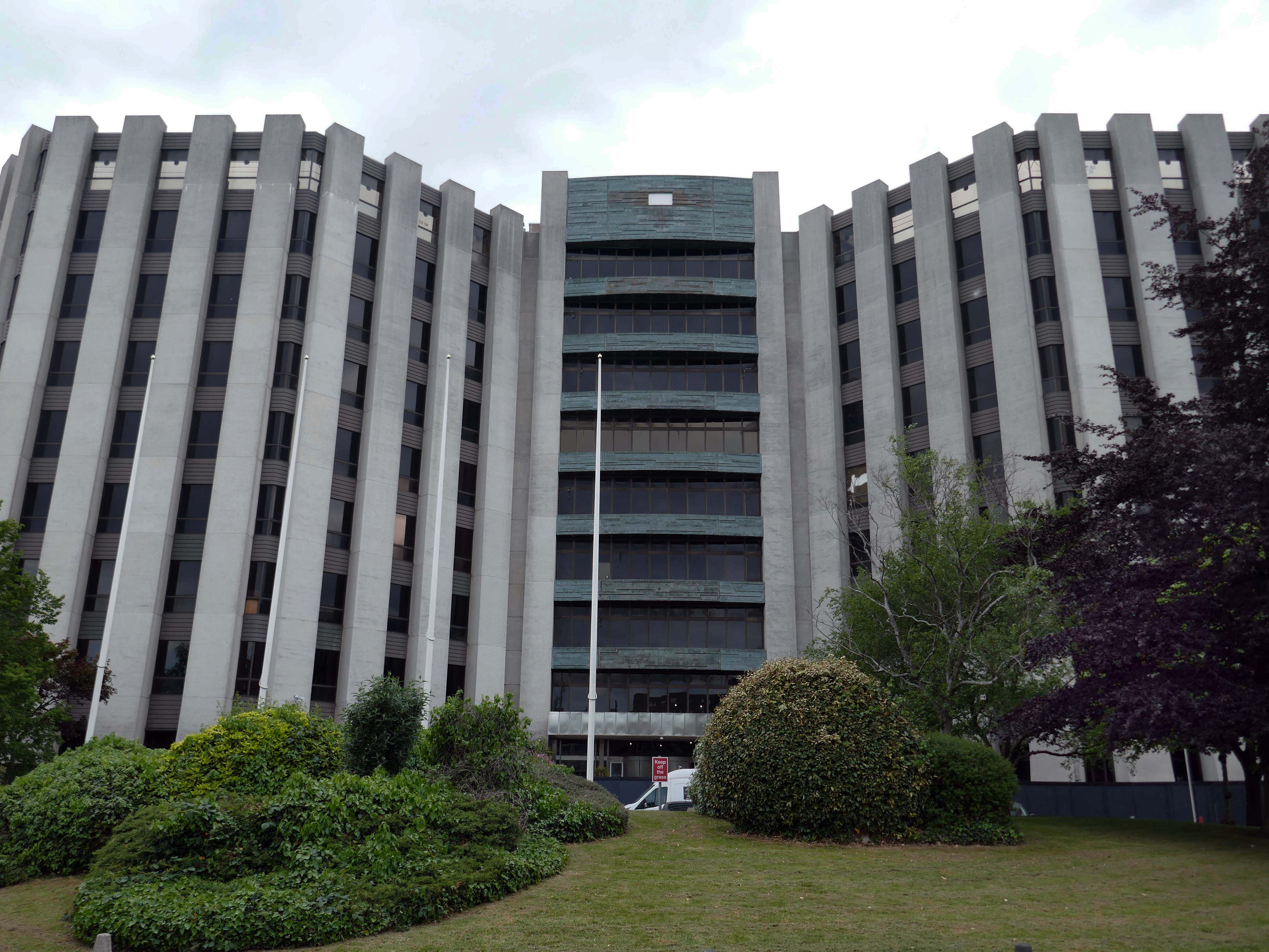
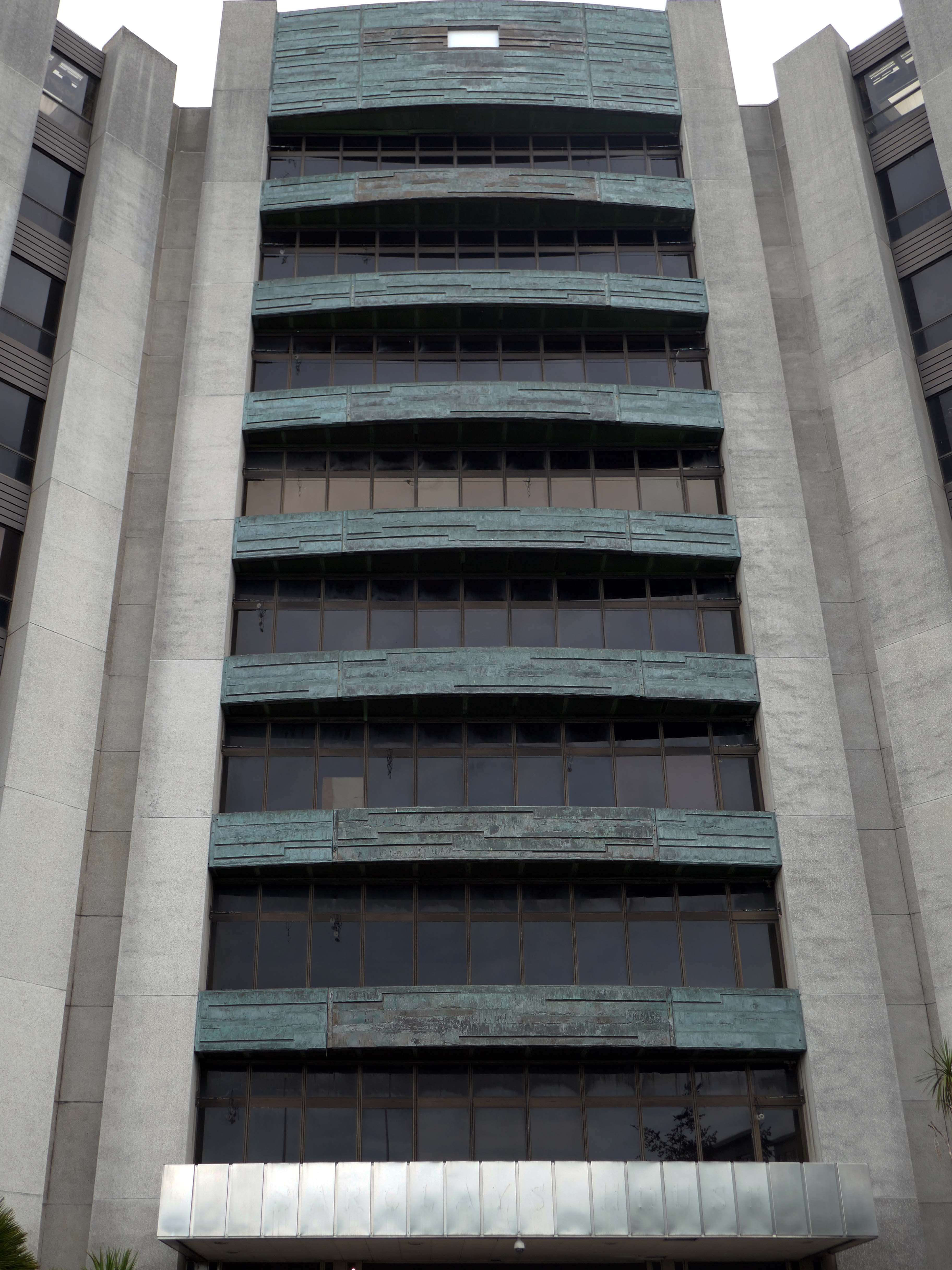
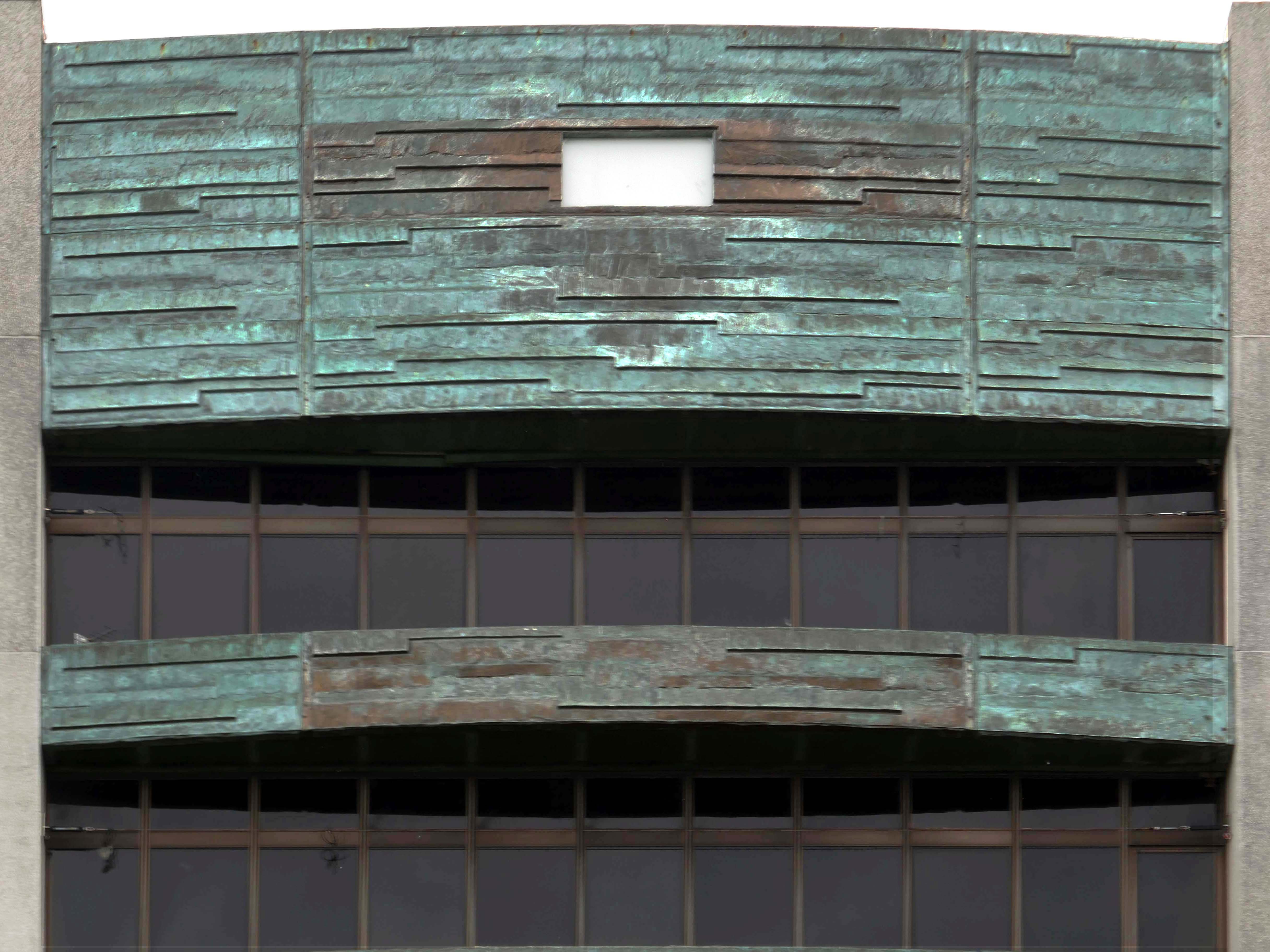
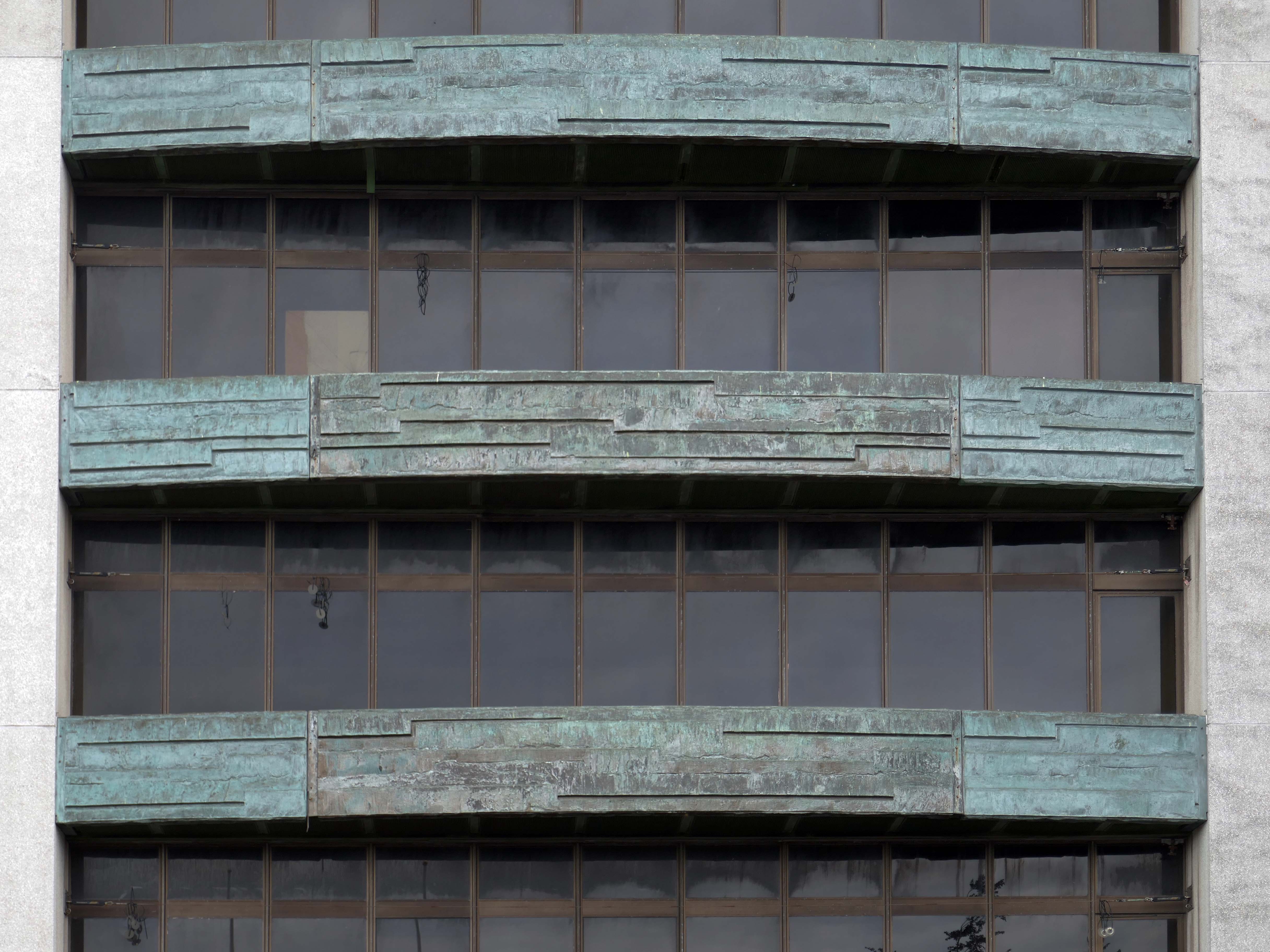
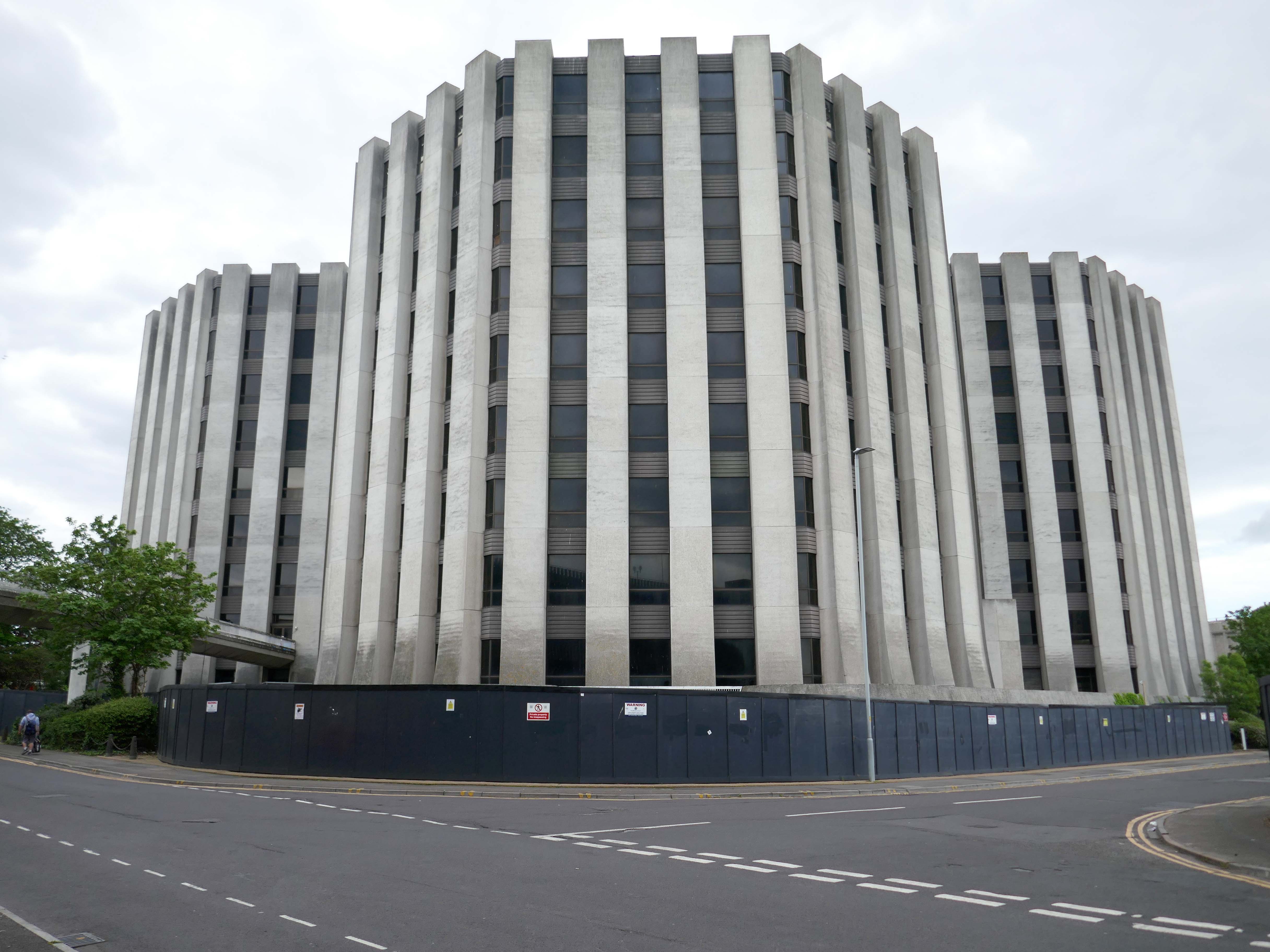
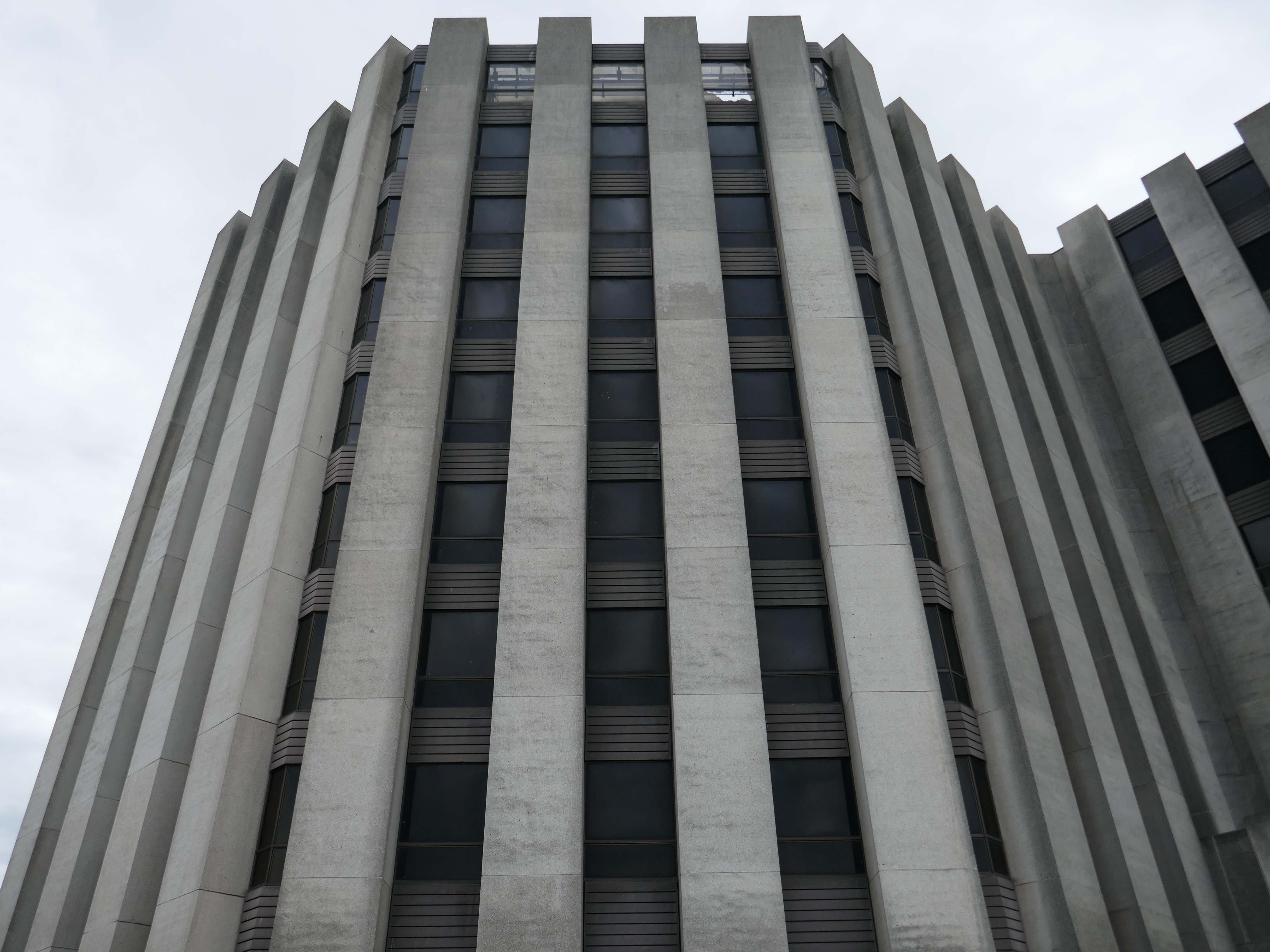
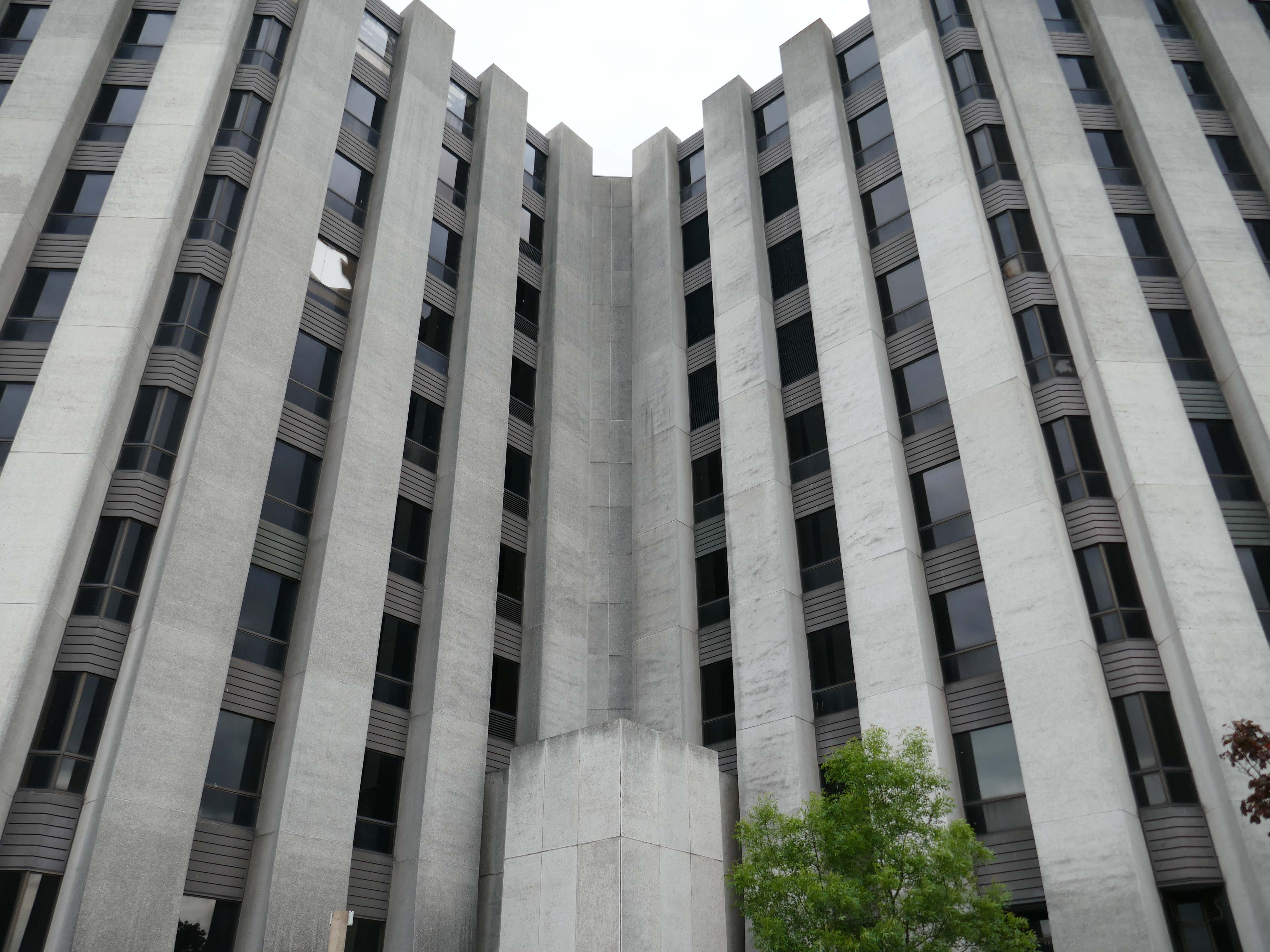
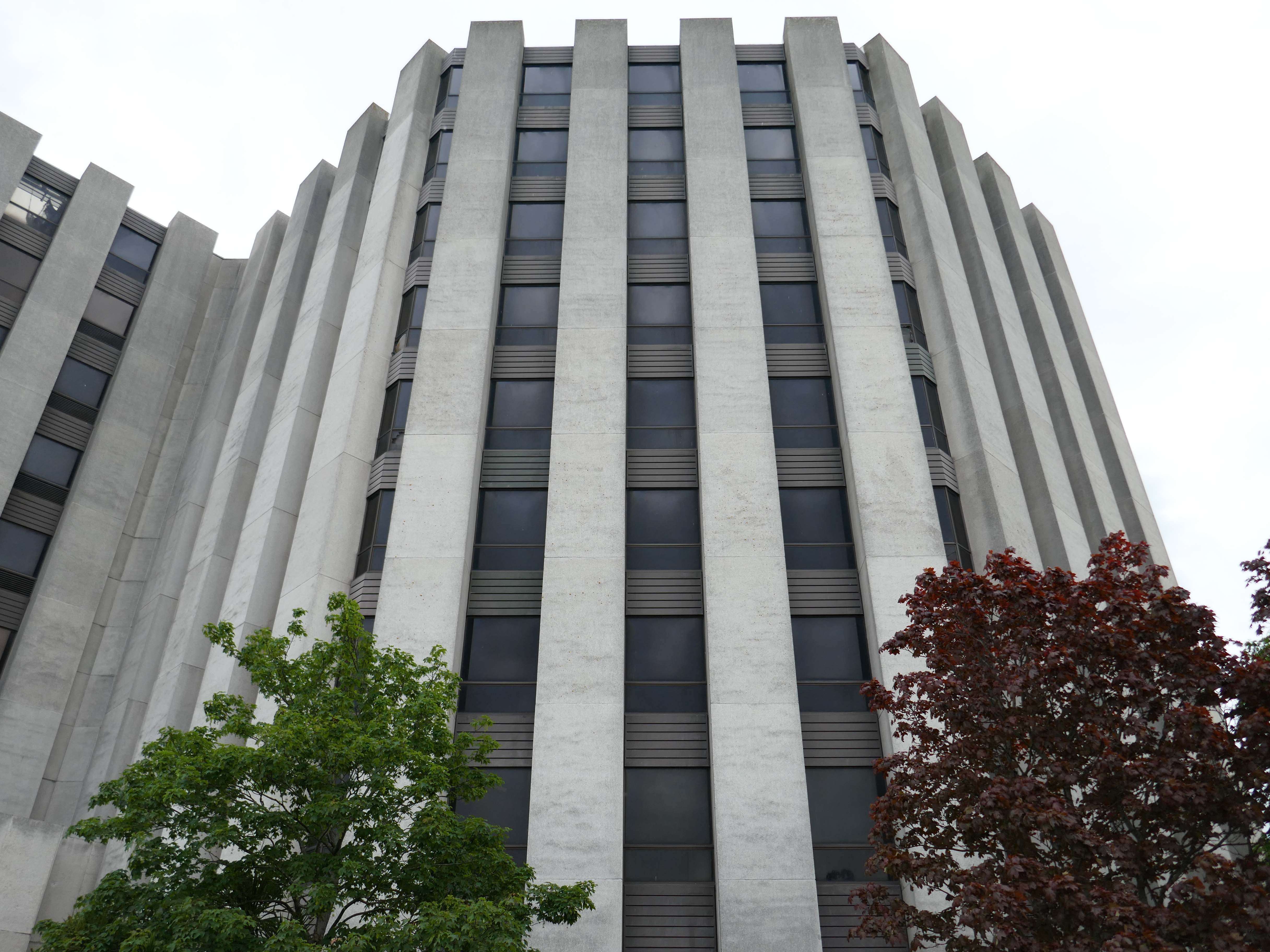
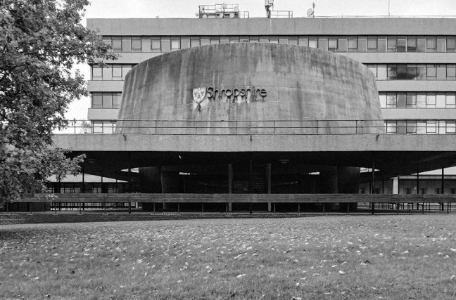
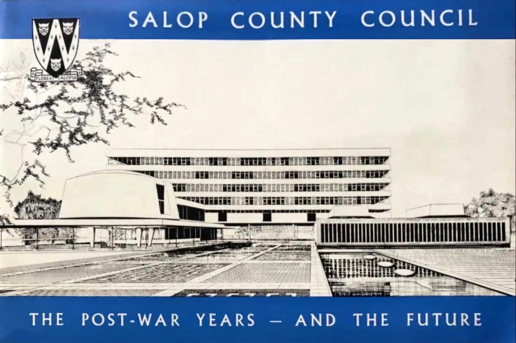
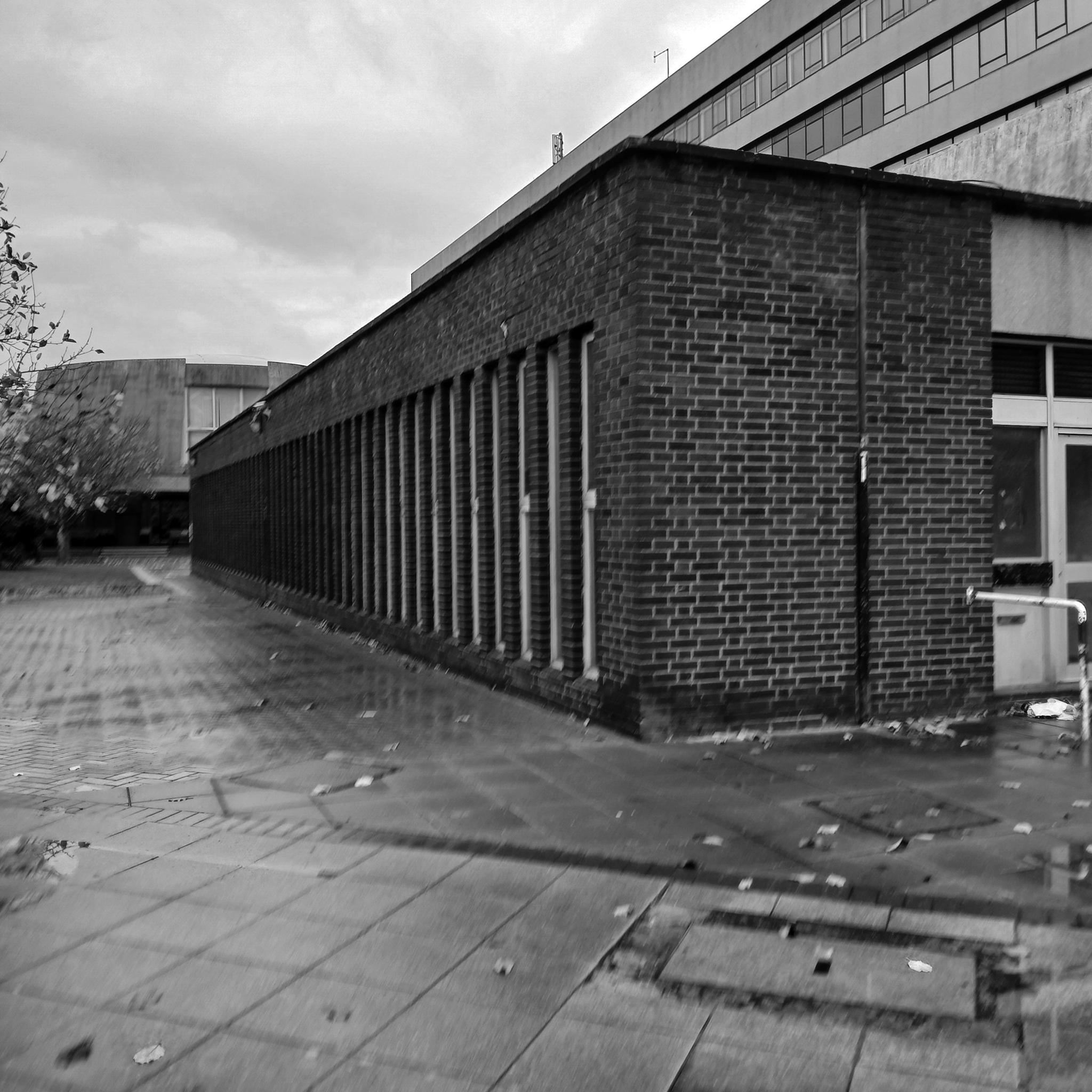
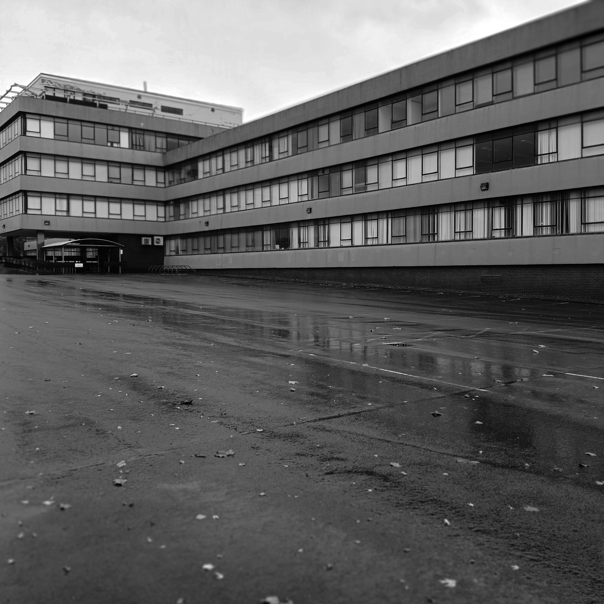
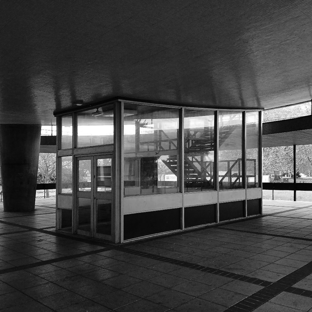
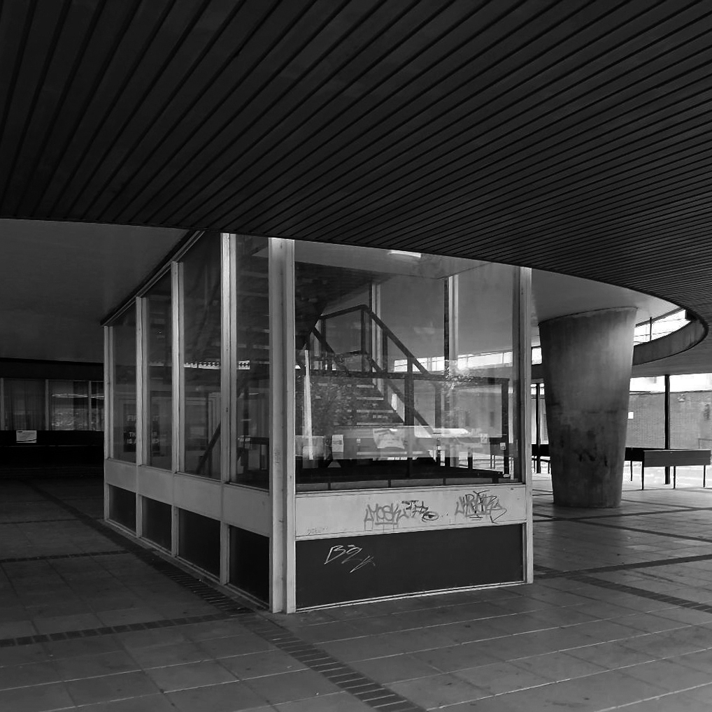
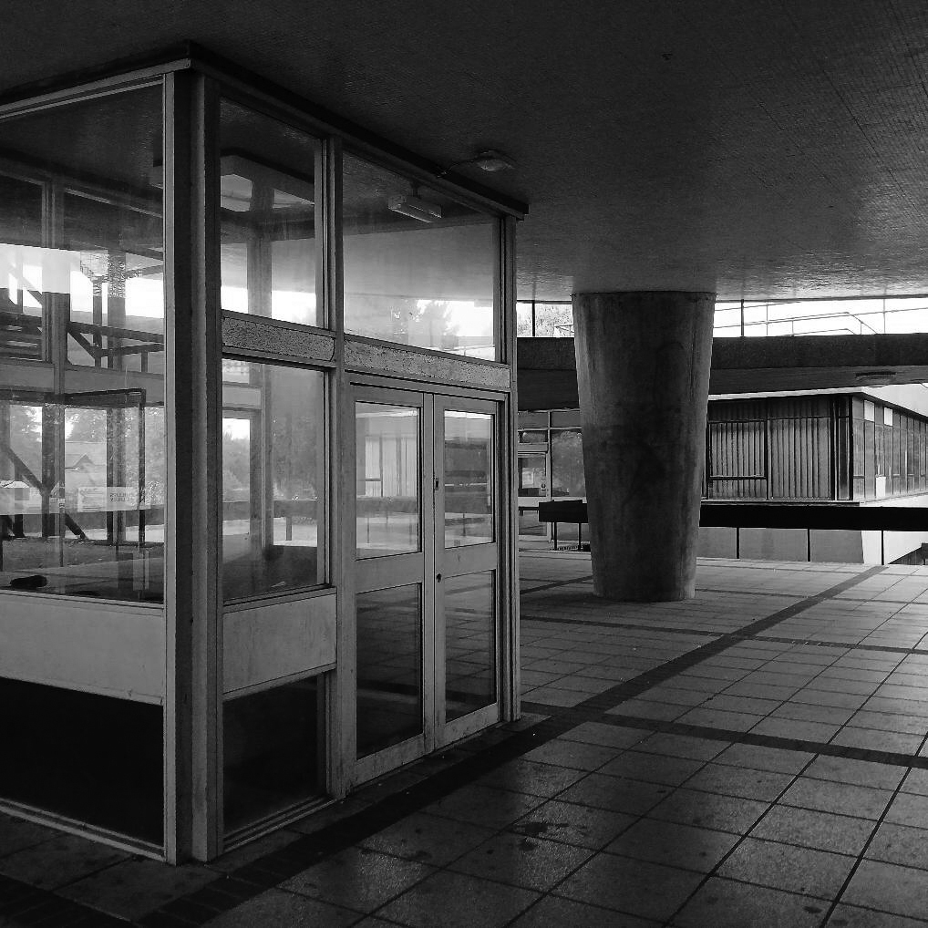
The foundation stone for the new building was laid by Sir Offley Wakeman, a former chairman of the county council, on 25 July 1964. It was designed by Ralph Crowe, the County Architect, in the Modernist style, built at a cost of £1.8 million and was completed in April 1966.
Having visited and snapped way back in June 2024, I returned in October 2025.
I had been asked to speak to the Shrewsbury Civic Society, regarding the history of Modernism in support of their campaign to save Shirehall.
The previous County Council were disposed toward demolition, the current administration are a little more circumspect.
Shropshire Council is considering a return to its former headquarters, less than a year after it moved out. The authority moved from 1960s-built Shirehall in Shrewsbury to the Guildhall in Frankwell, and said doing so would save up to £600,000 per year.
At a meeting on Wednesday, cabinet member for finance Roger Evans said the Liberal Democrats, who lead the council, had paused the demolition and sale of the land, and may retain parts of the building – but only if it could afford to do so.
“We would like to retain the council chamber and some of the associated buildings, but we do need to take account for the cost both in cash terms and in net zero terms,” he said. “What we have done is paused this decision and asked experts to look at it again, look at the whole site, do a reappraisal. The results are just now being recieved.
“I want to keep it as much as we can afford, both environmentally and cash-wise. Whether we can or not will depend, the council is strapped for cash.”
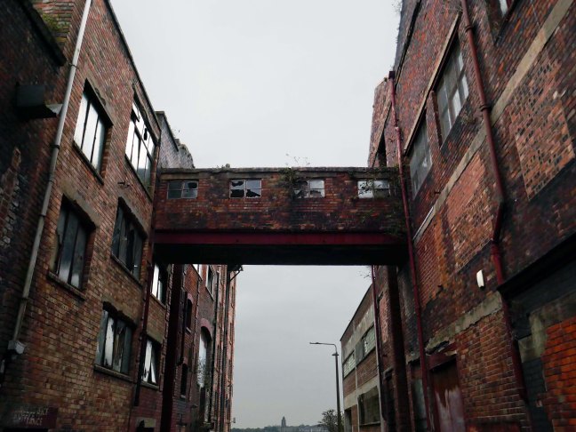
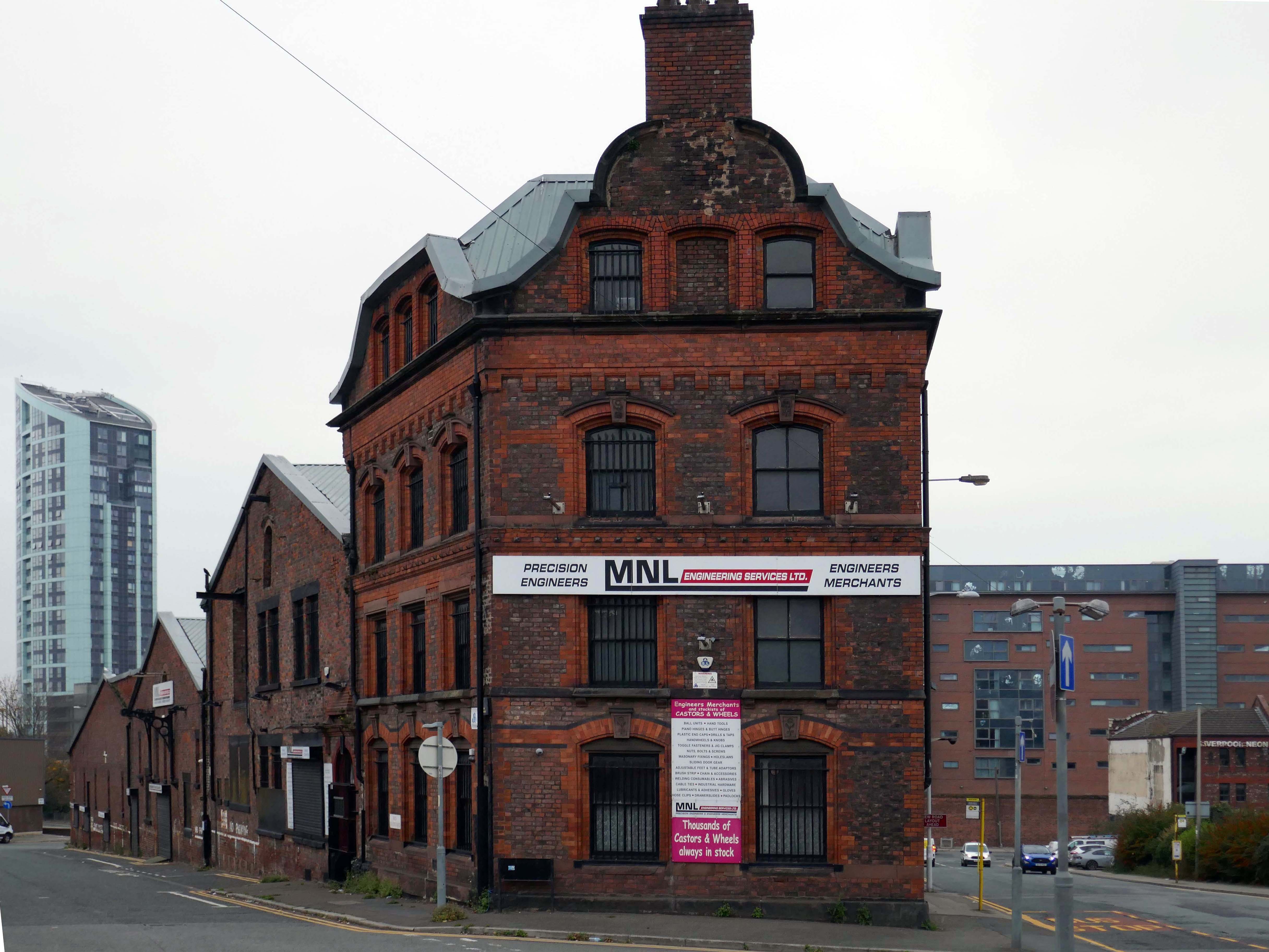
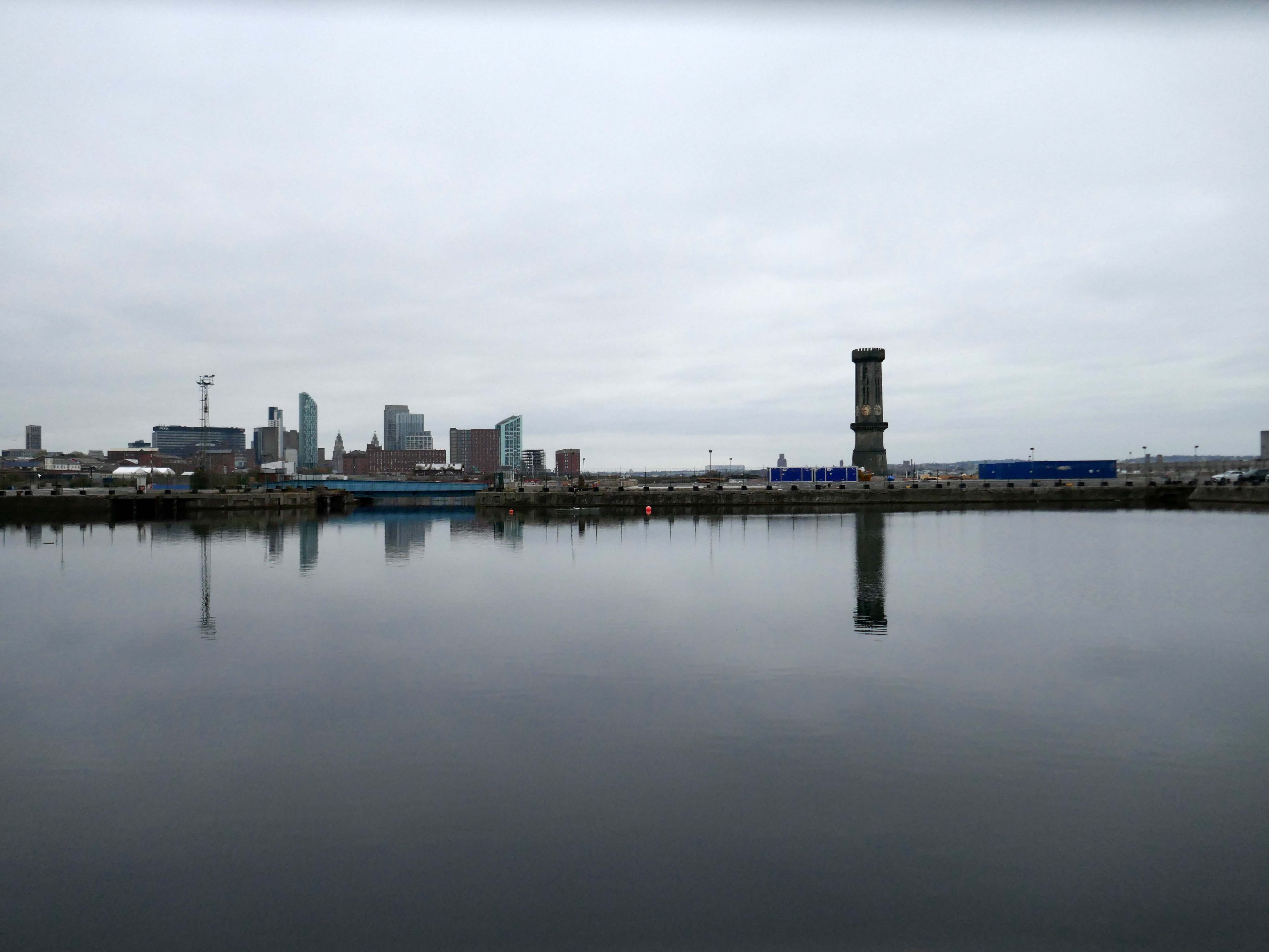
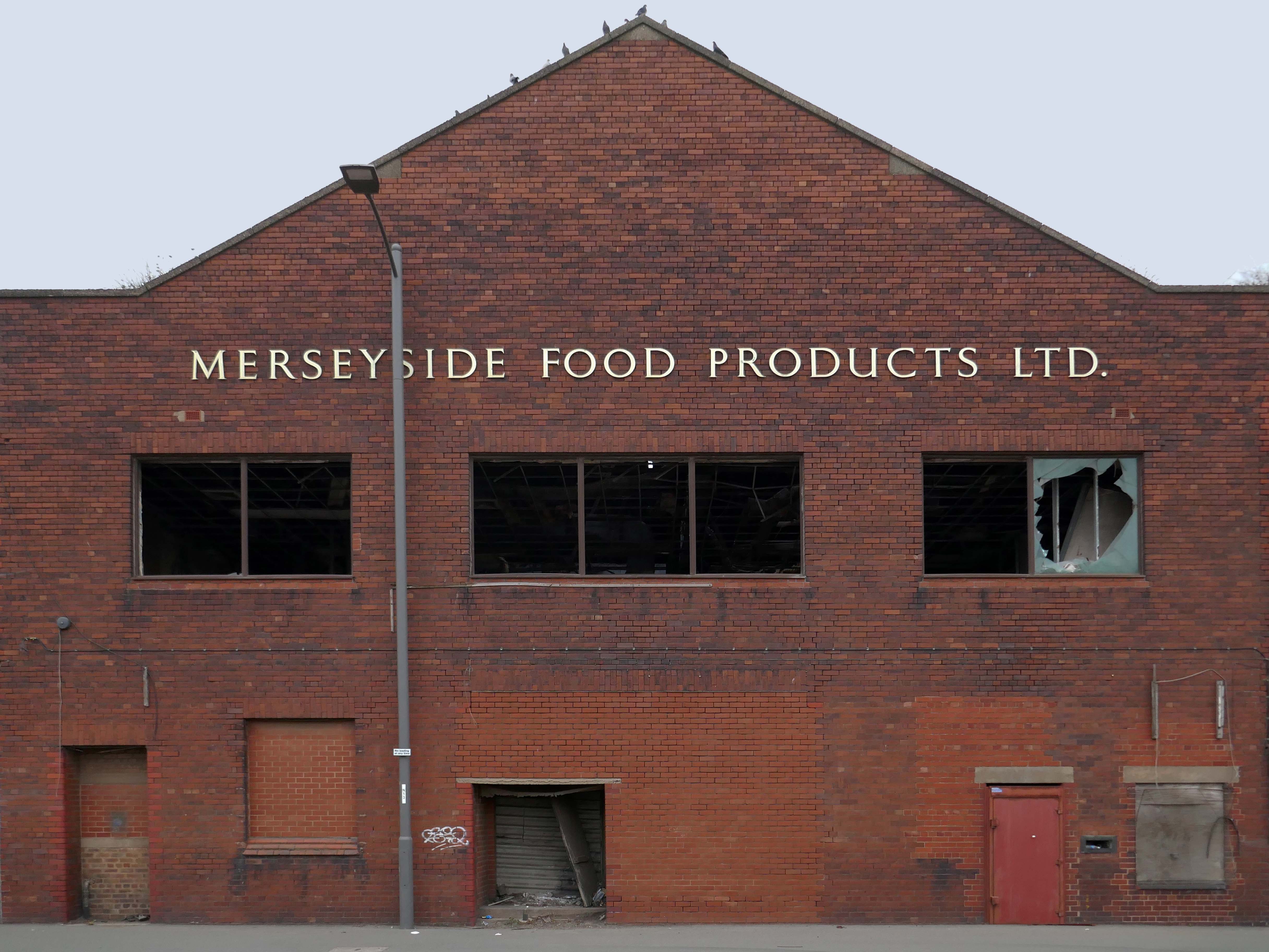
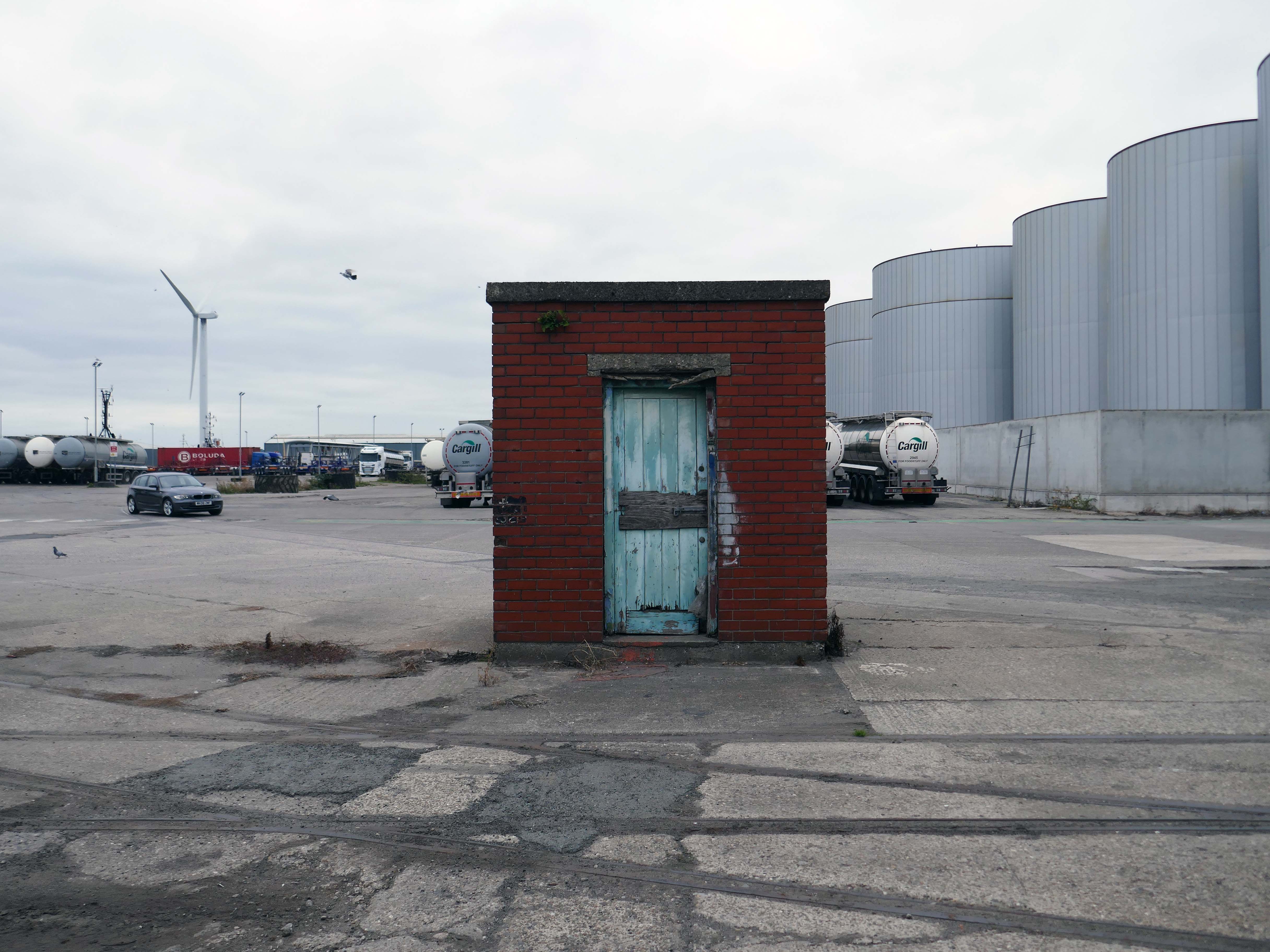
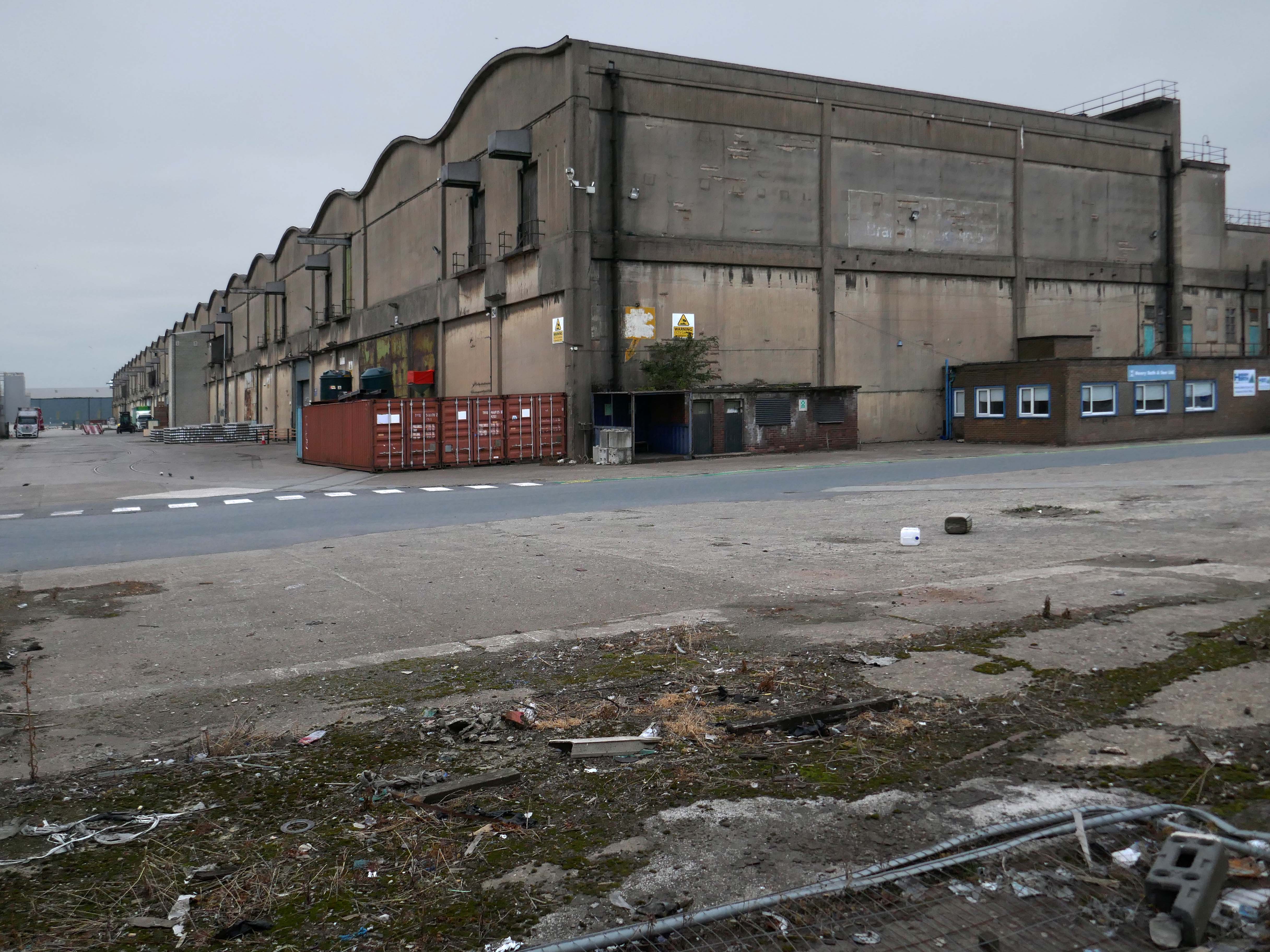
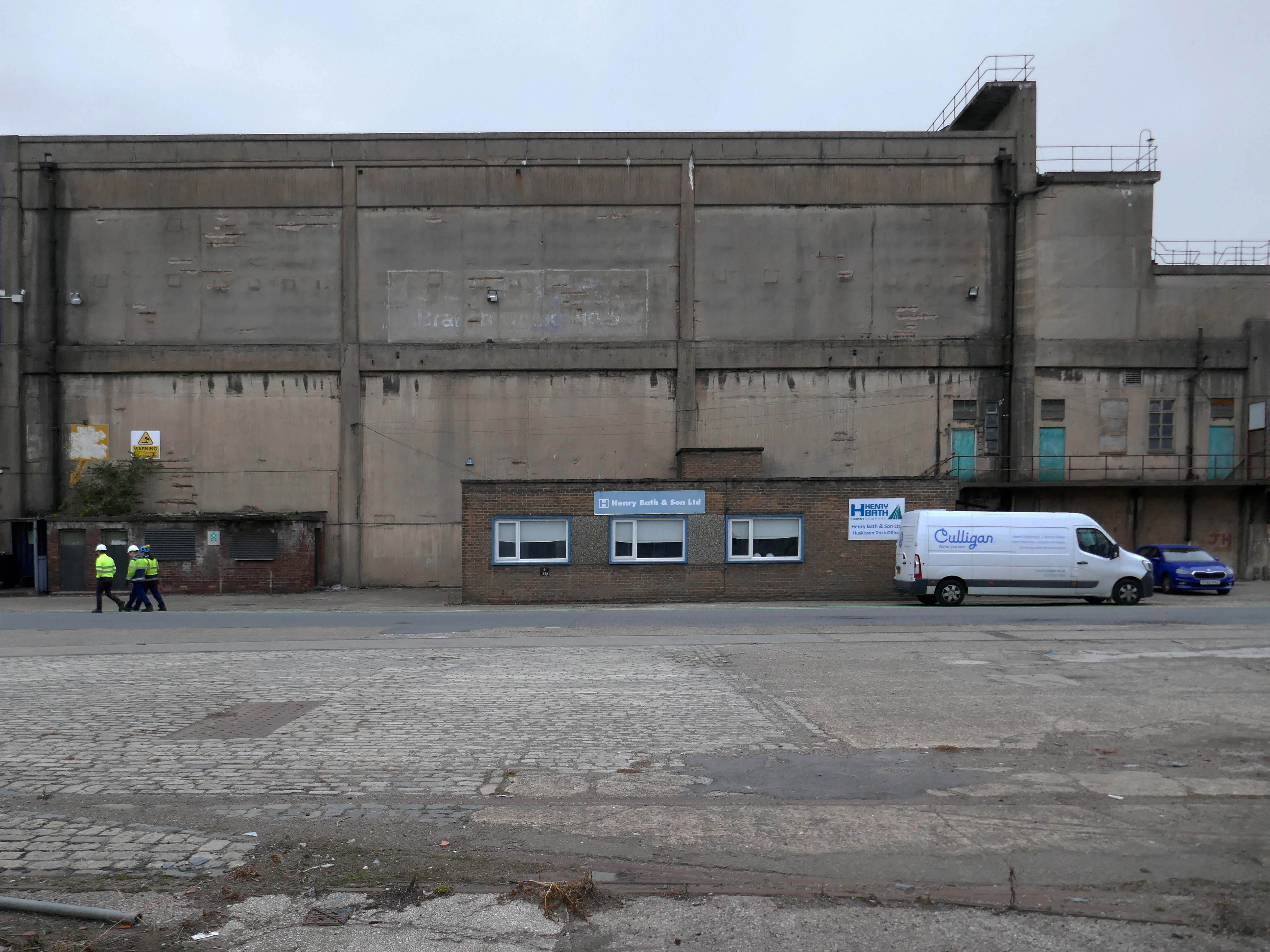
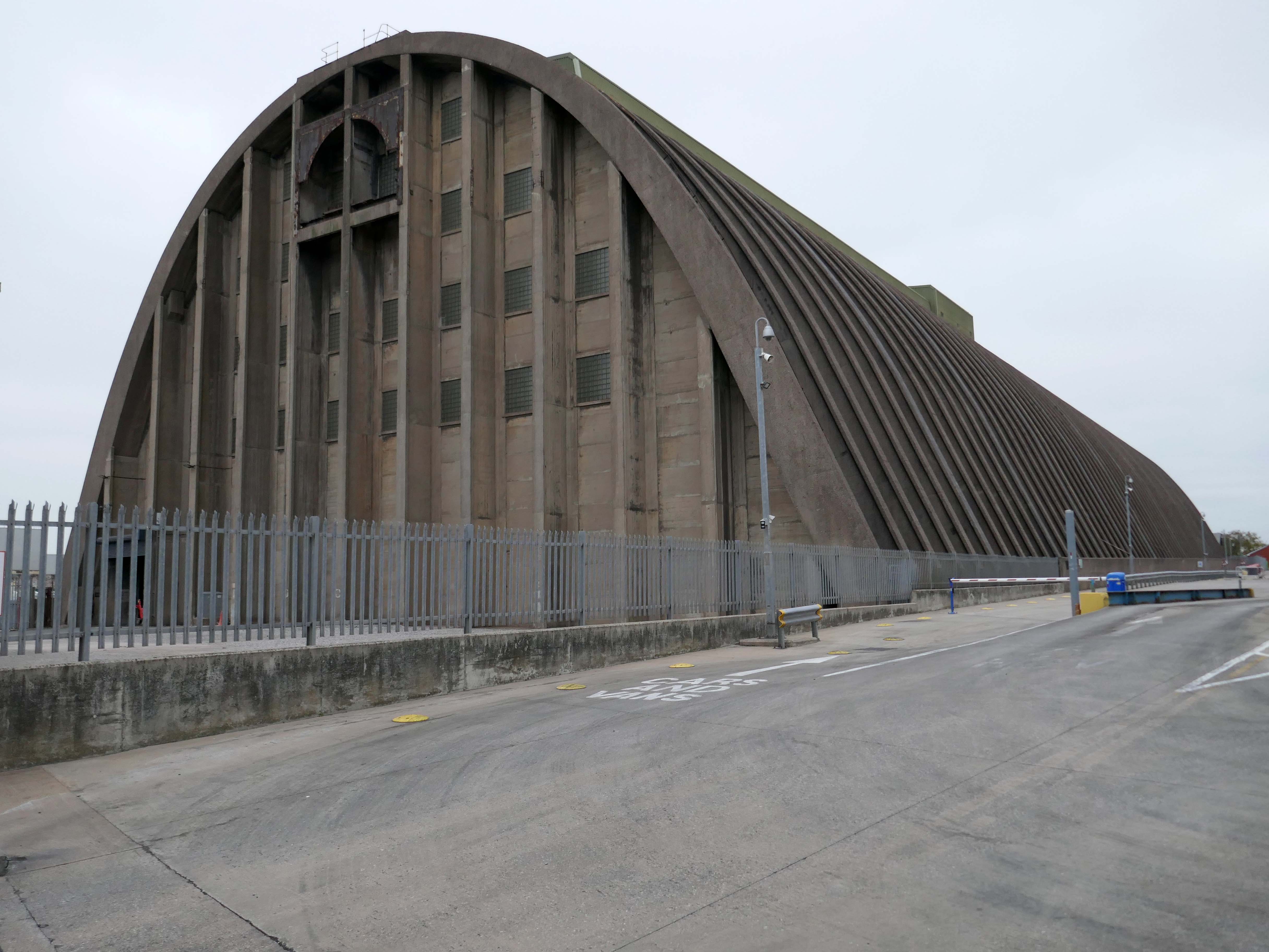
The days when a vast multitude of things came and went have been and gone.
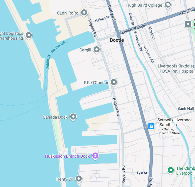
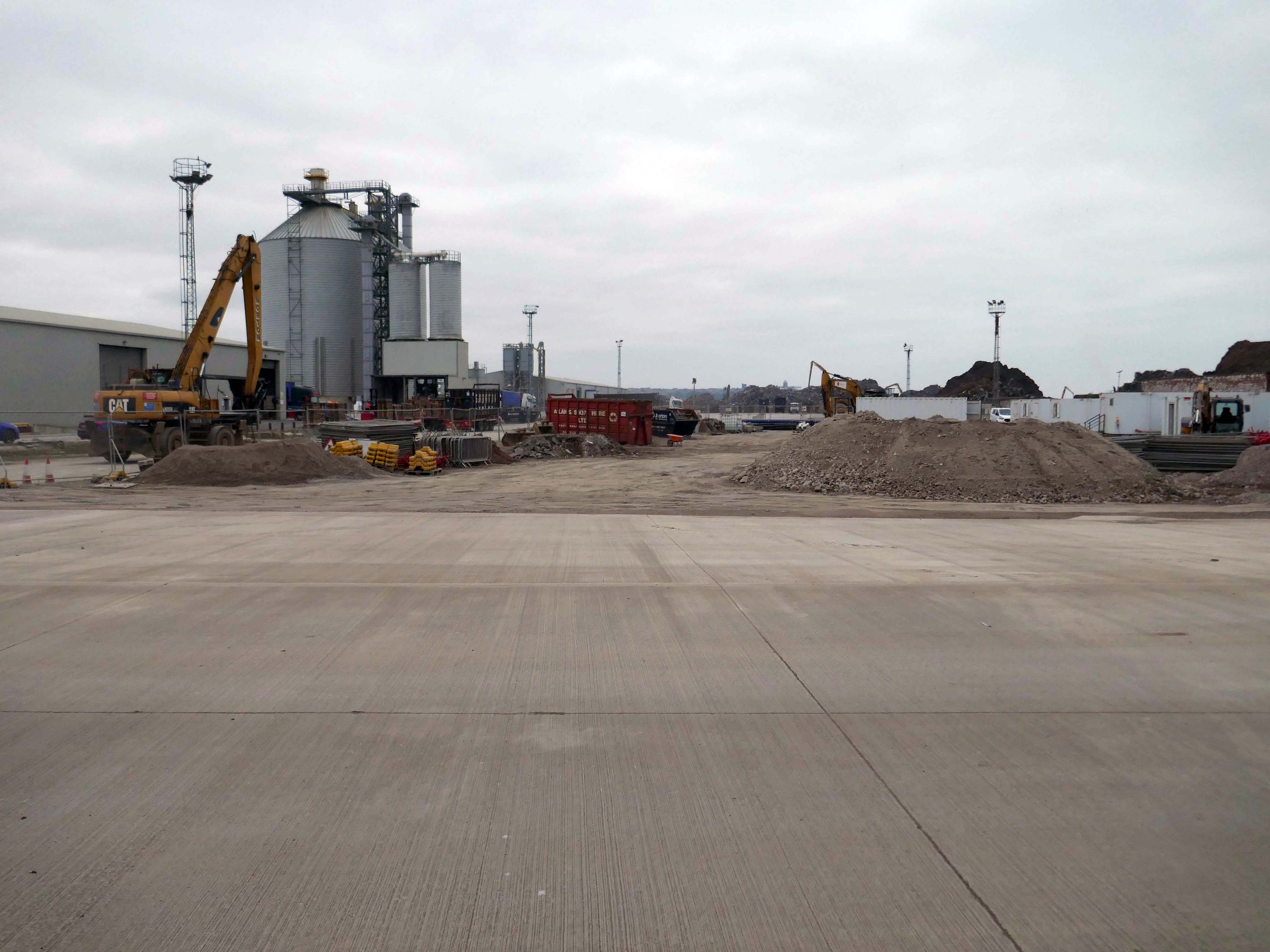
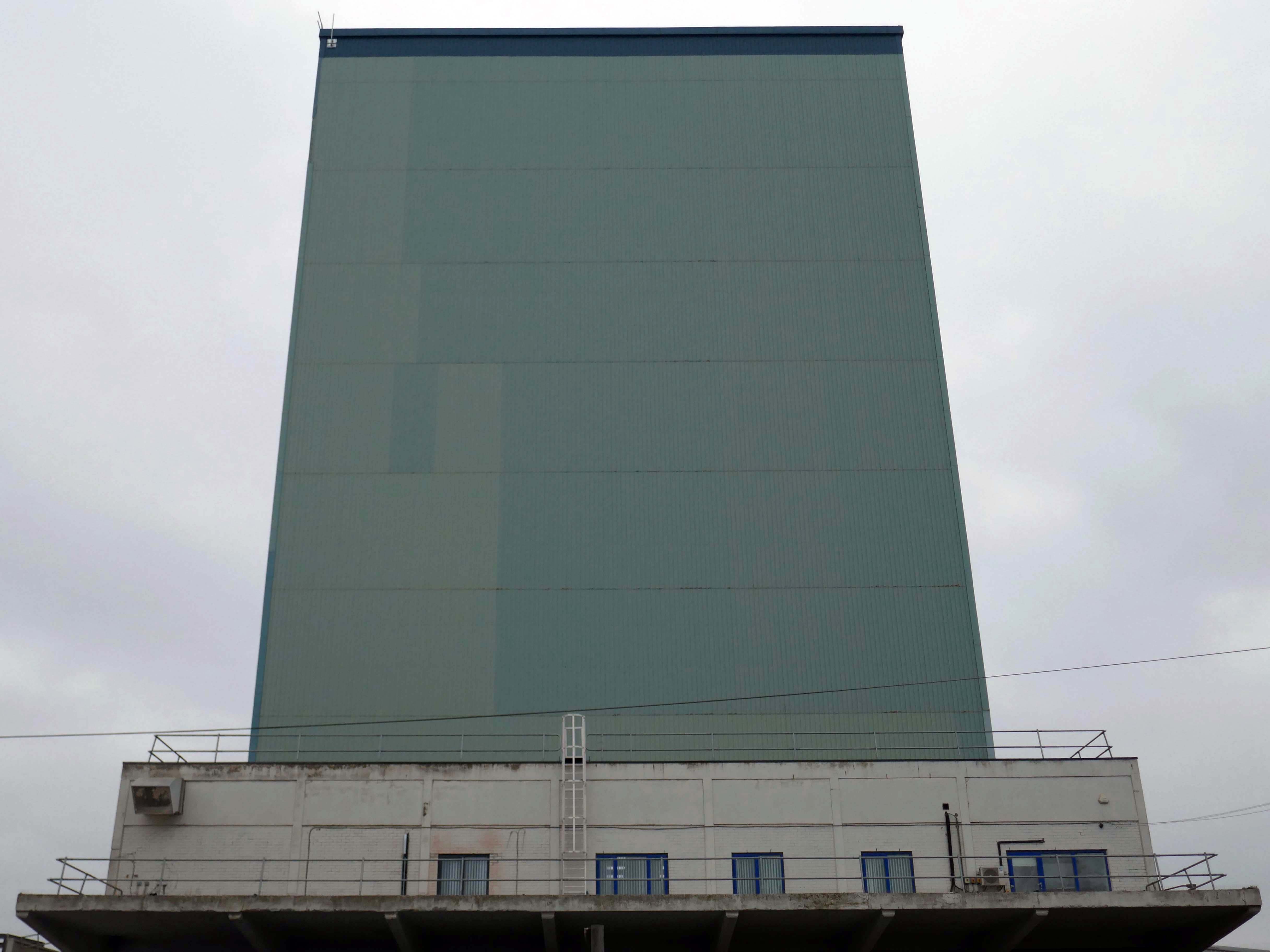
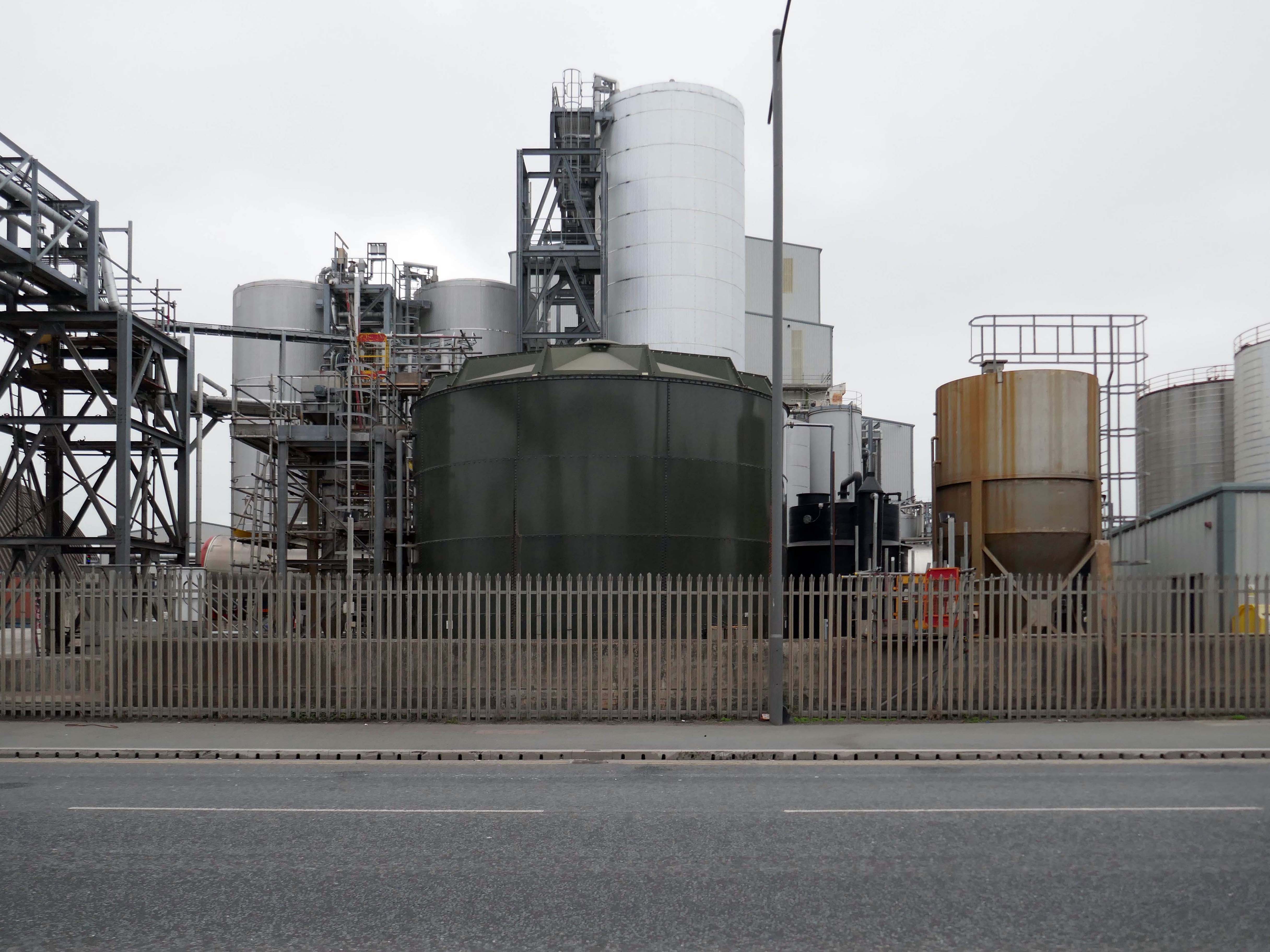
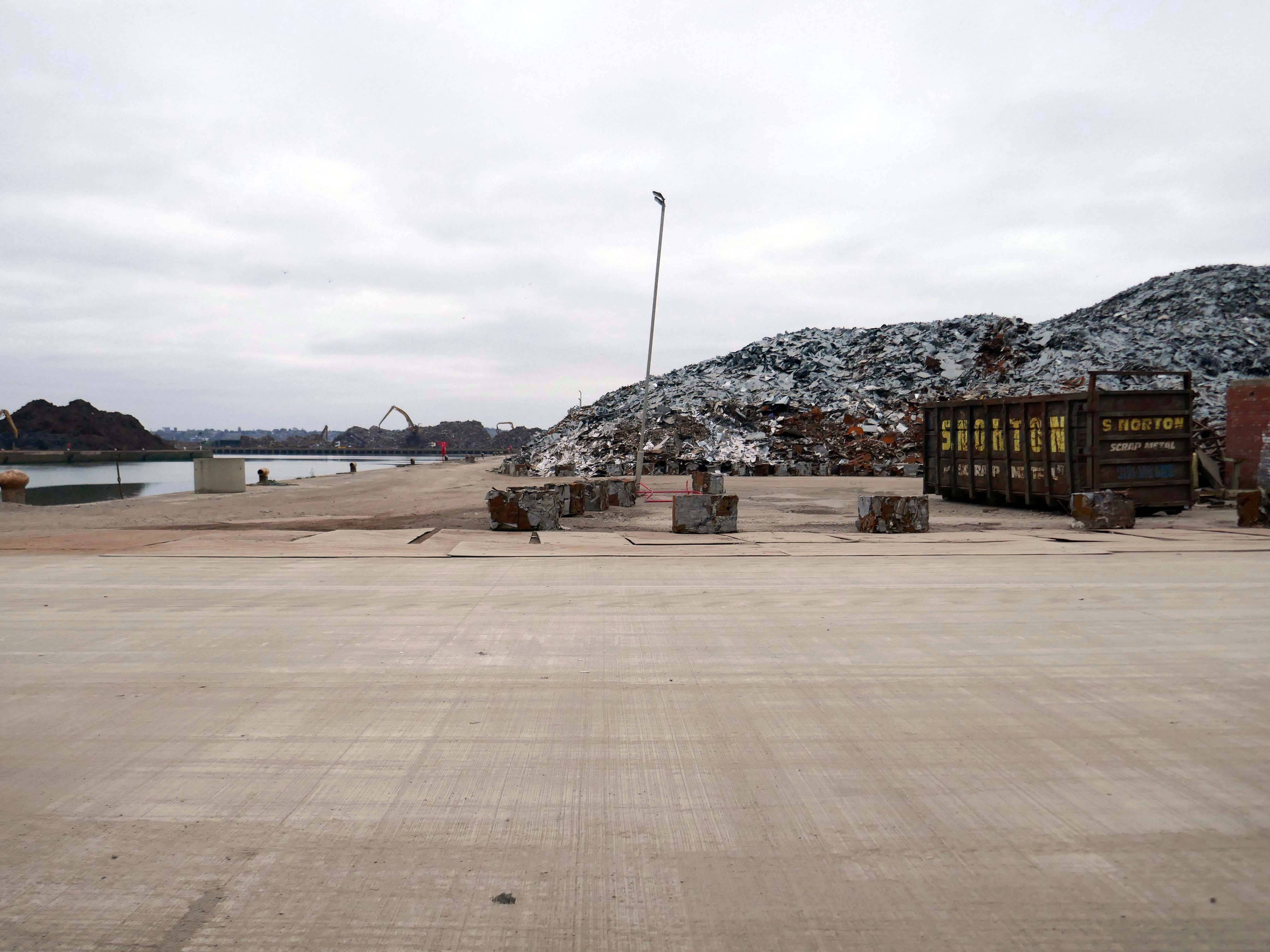
The docks as they were are no more.
Yet in 2023, the Port of Liverpool was the UK’s fourth busiest container port, handling over 30 million tonnes of freight per annum. It handles a wide variety of cargo, including containers, bulk cargoes such as coal, grain and animal feed, and roll-on/roll-off cargoes such as cars, trucks and recycled metals. The port is also home to one of the largest cruise terminals in the UK which handles approximately 200,000 passengers and over 100 cruise ships each year.
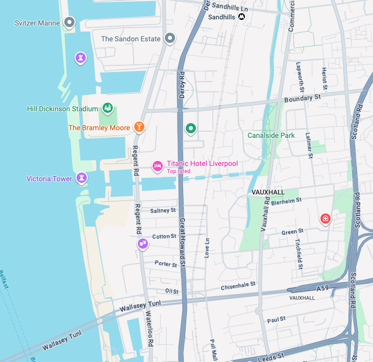
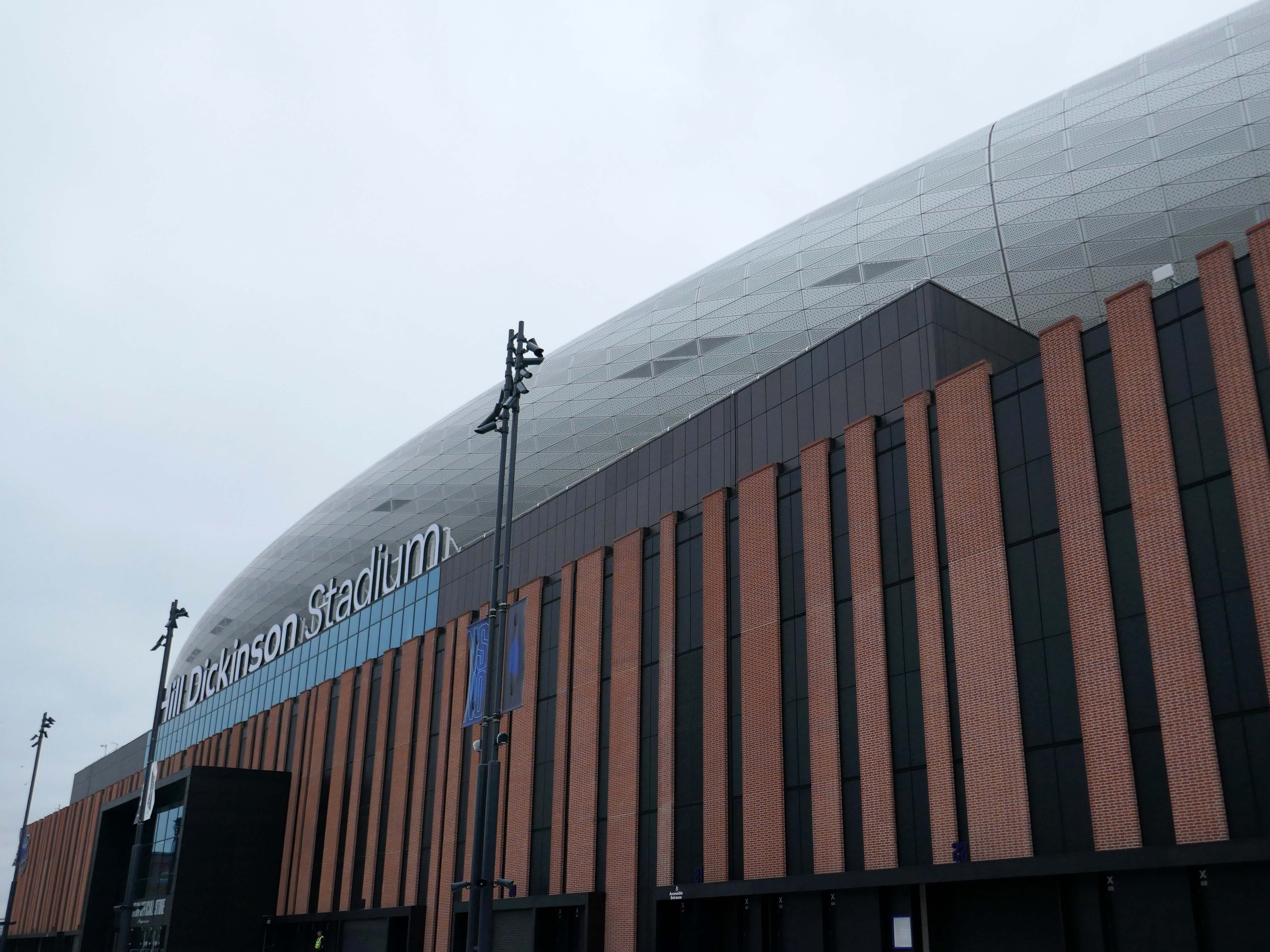
Now with the opening of the Titanic Hotel in the Stanley Dock and the arrival of the Toffees just up the road at the Hill Dickinson Stadium, the whole area is slowly being transformed into a destination, as they say in modern parlance.
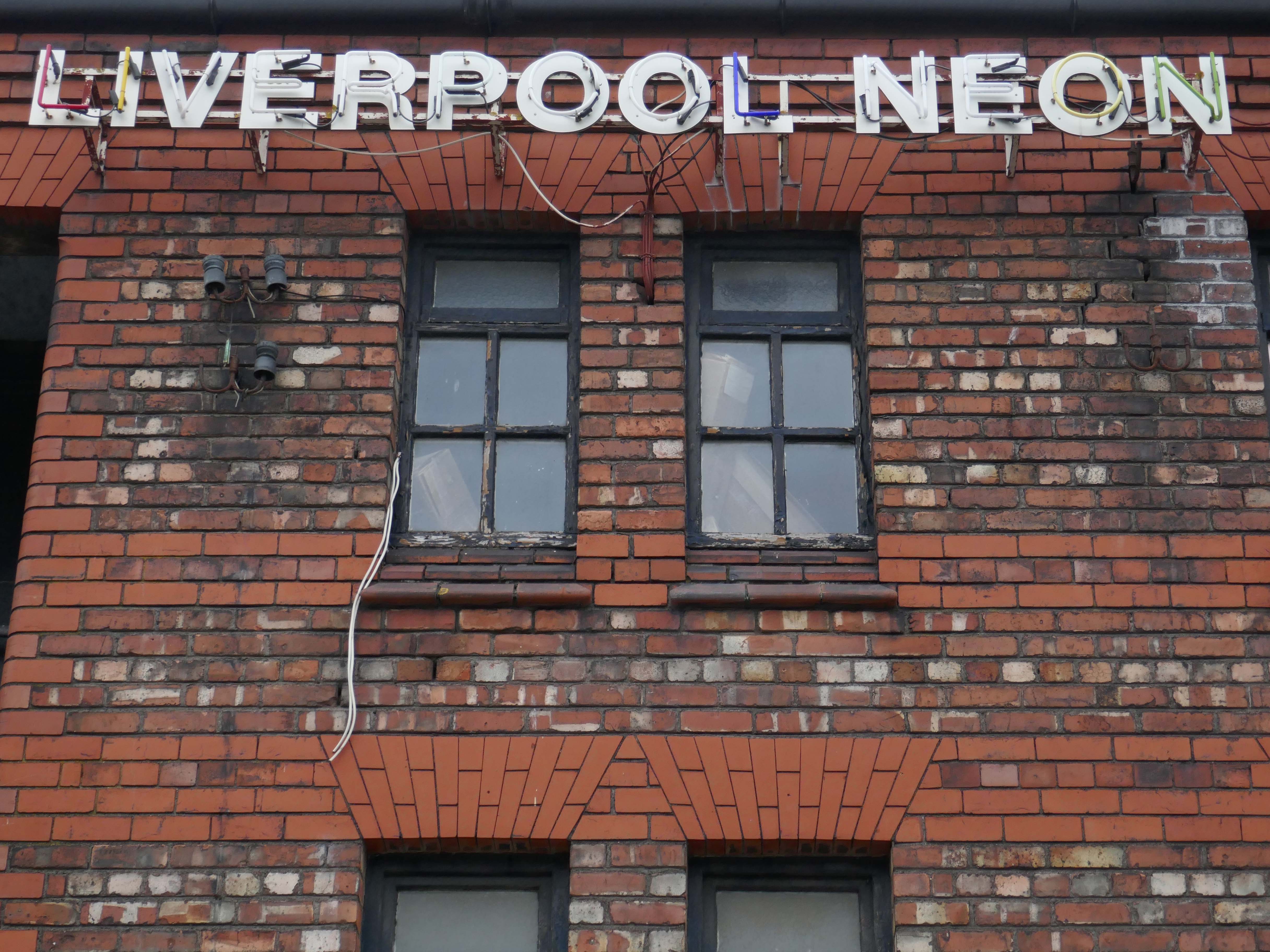
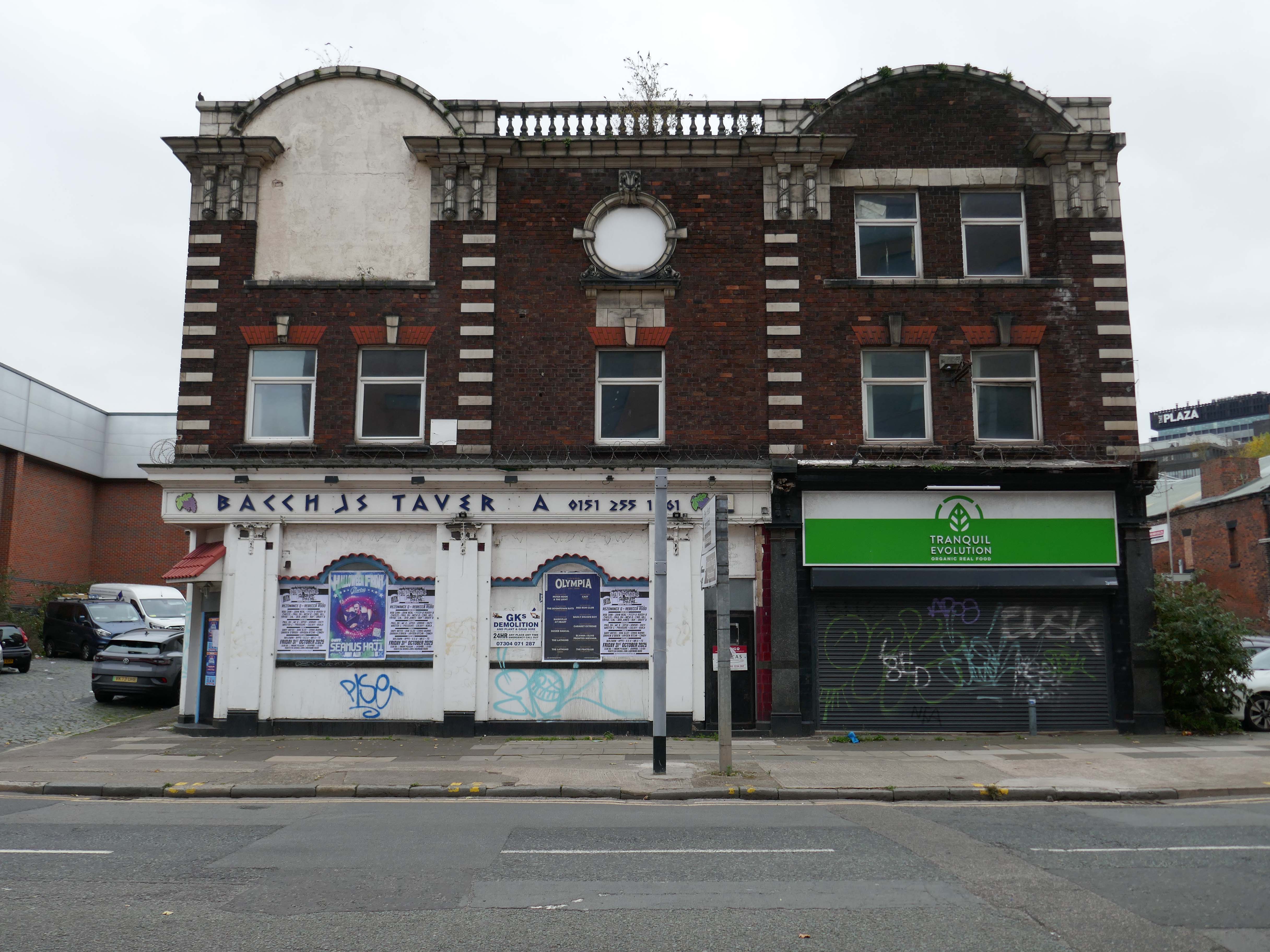
However much of the Industrial heritage remains in various states of disarray, used and possibly disabused, but hanging on in there.