Abbey Hey FC – Manchester

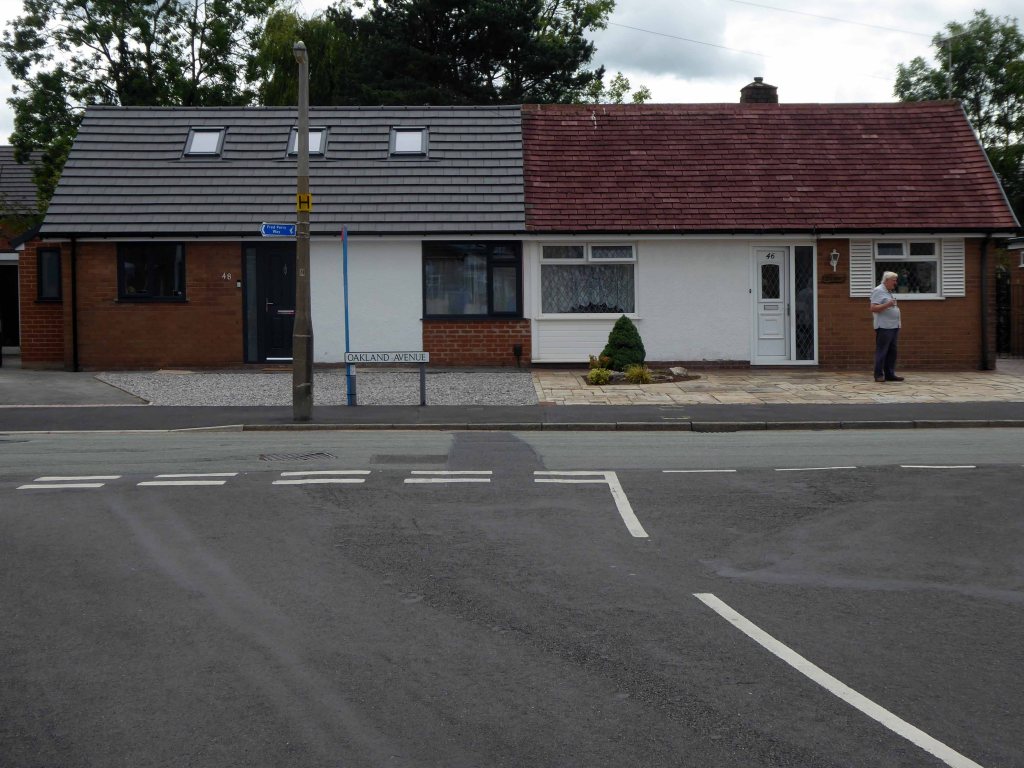
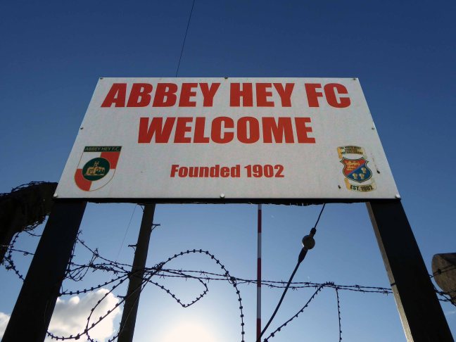
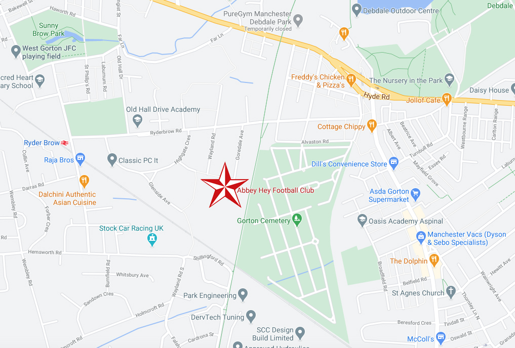
Abbey Stadium Goredale Avenue Gorton Manchester M18 7HD.

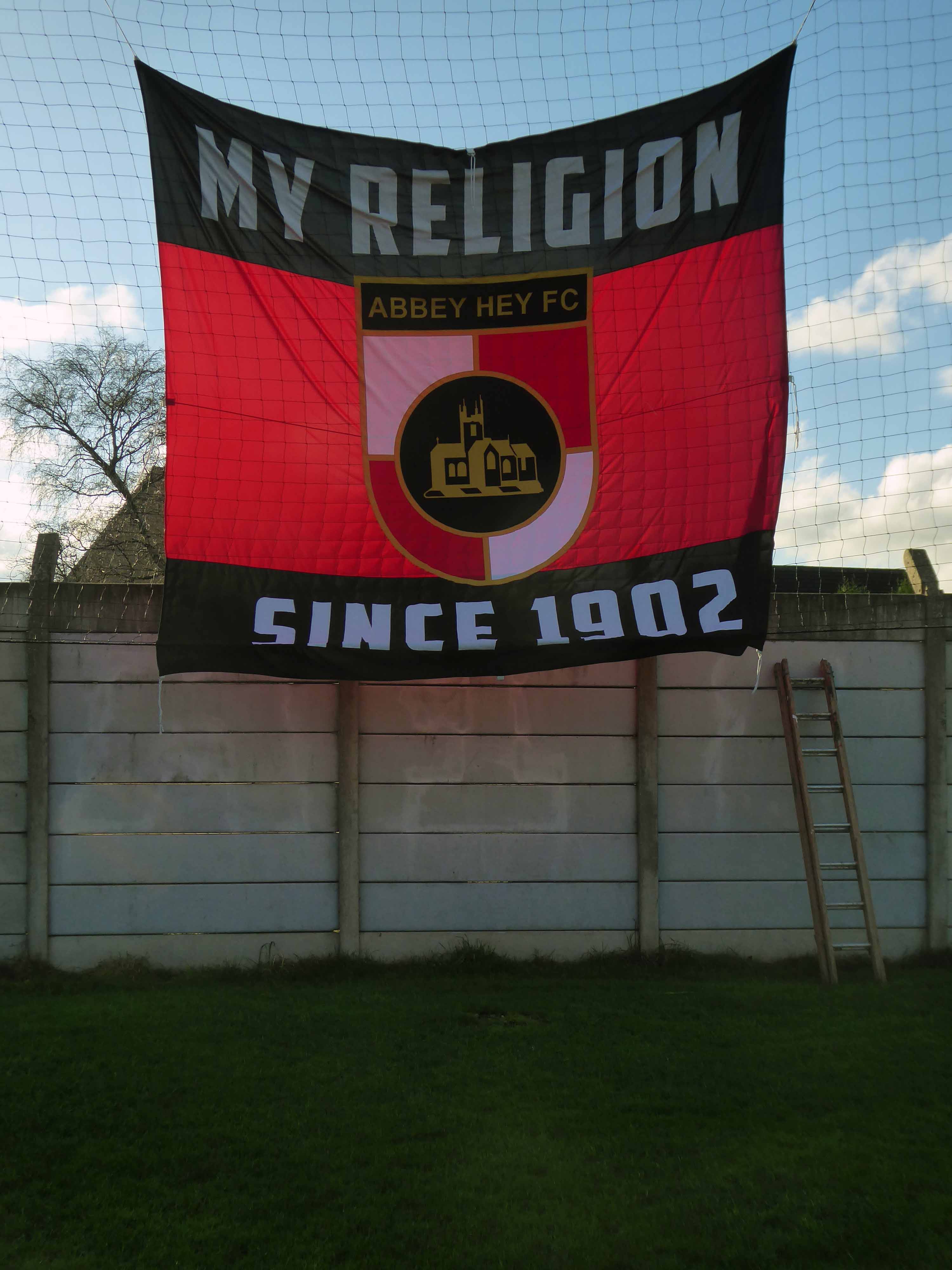
Abbey Hey FC was formed in 1902 in the Abbey Hey district of Gorton, some three miles away from the centre of Manchester. During their formative years and through the two World Wars, the club was disbanded and reformed on a number of occasions. Starting in the Church Sunday Leagues, they progressed through the Manchester Amateur Leagues during the intervening years but the club really came into it’s own in the 1960s after it took in the players of the Admiralty Gunning Engineering Department following it’s closure.

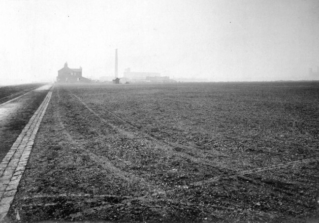
In 1978 with the club decided to apply for a position in the Manchester League, this meant that the club had to find an enclosed ground suitable for playing their home games. The nearest ground available at the time was in Chorlton at Werburghs Road.

In 1984 the club at last had their own home, improvements to the ground could only have been achieved by the hard work and dedication of the committee, who not only raised the money to carry out the improvements but also carried out 90% of the work themselves.

Promotion to the 1st Division meant that the club had to install floodlights. True to form, they designed, ordered, erected and wired them within a couple of months. The biggest job during the ground improvements was the building of the new clubhouse and dressing rooms. Planning permission was given with the majority of work once again being carried out by the club’s own members.

Abbey Hey FC History

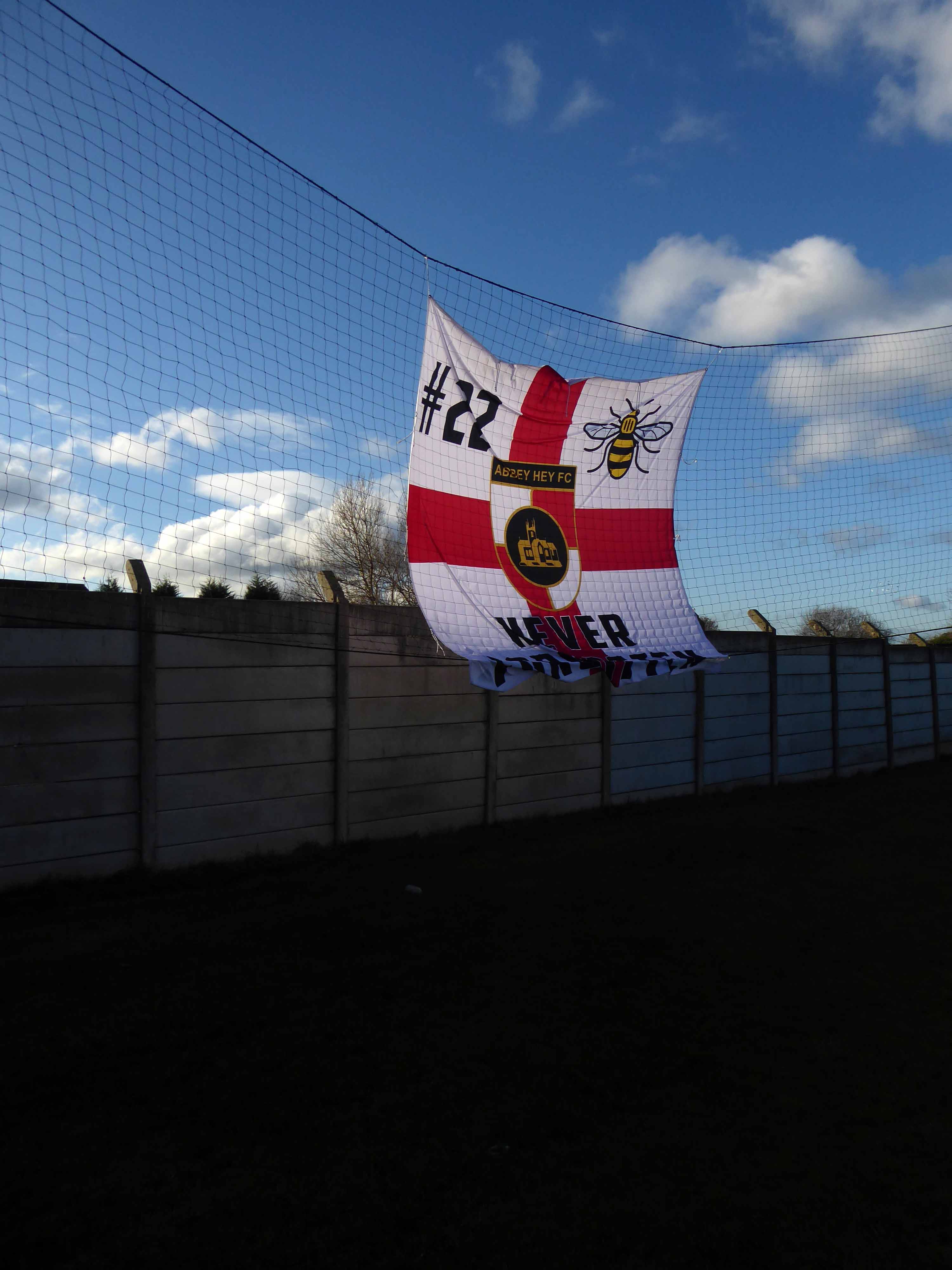
This is a story of persistence and commitment from members, managers and players – keeping a viable non-league football team alive at the centre of a Community.

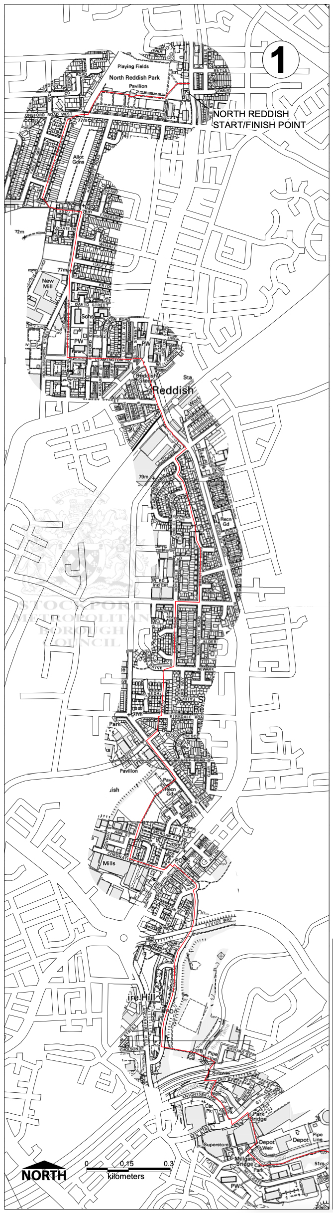
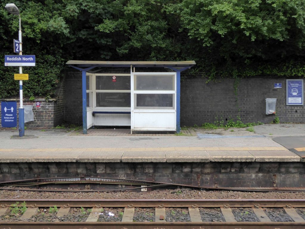
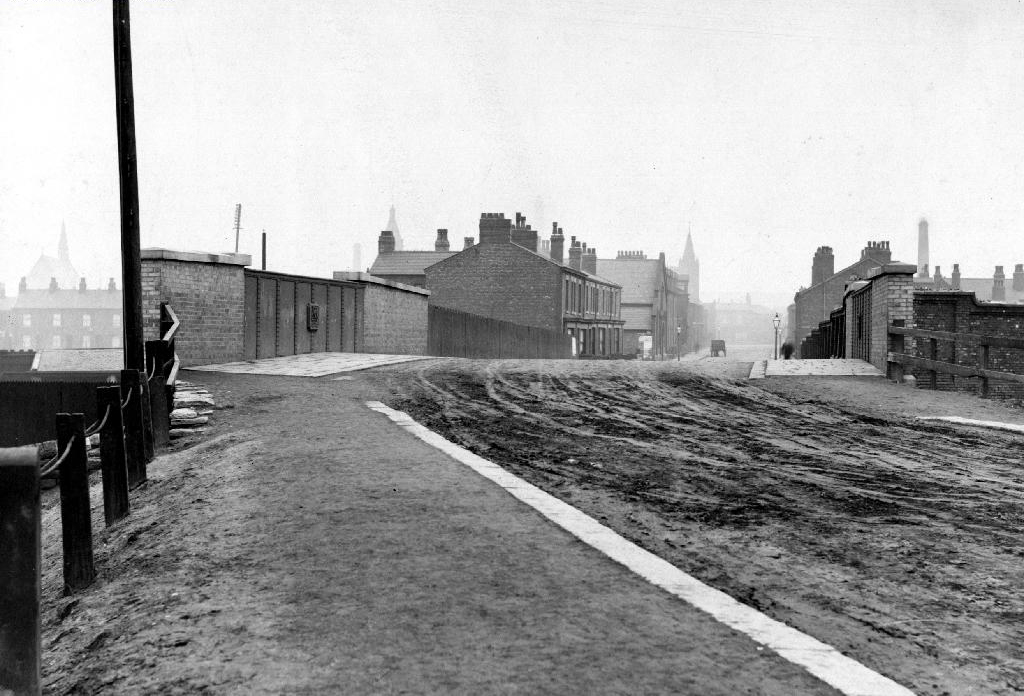
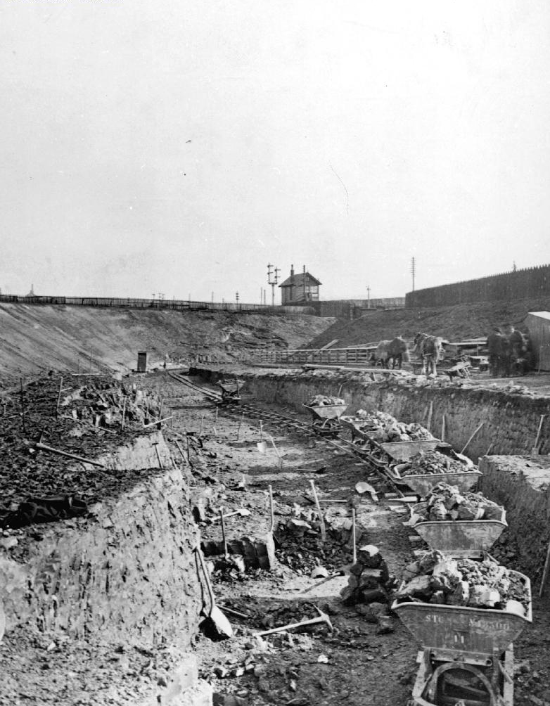
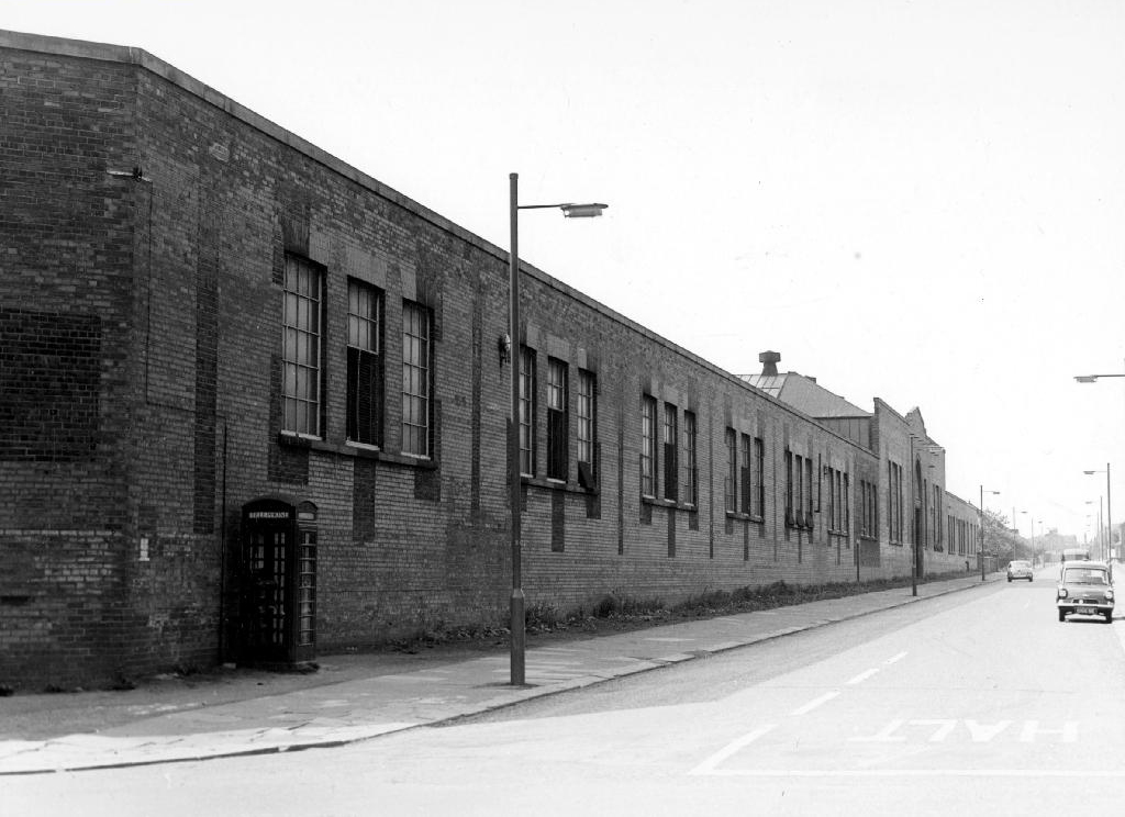
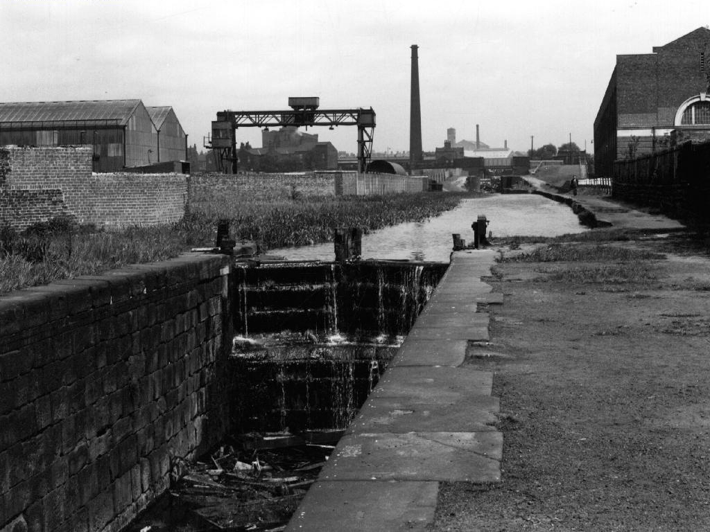
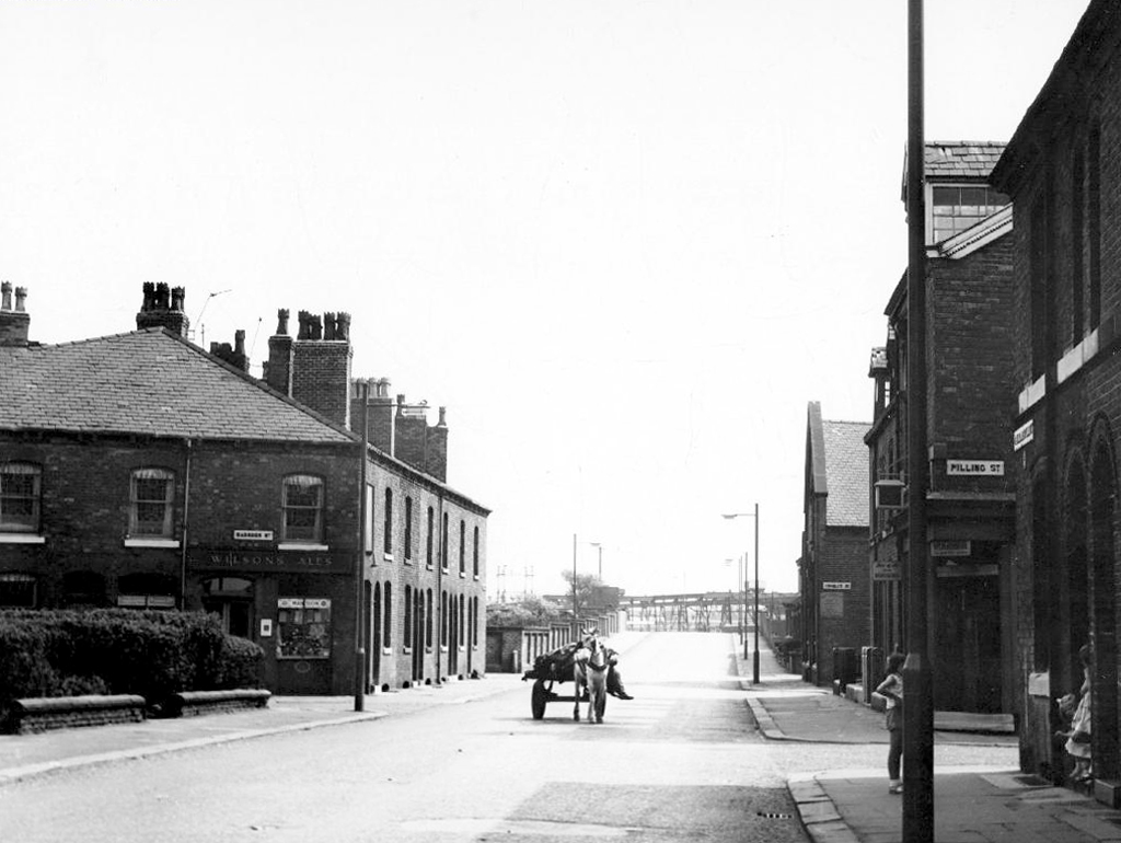
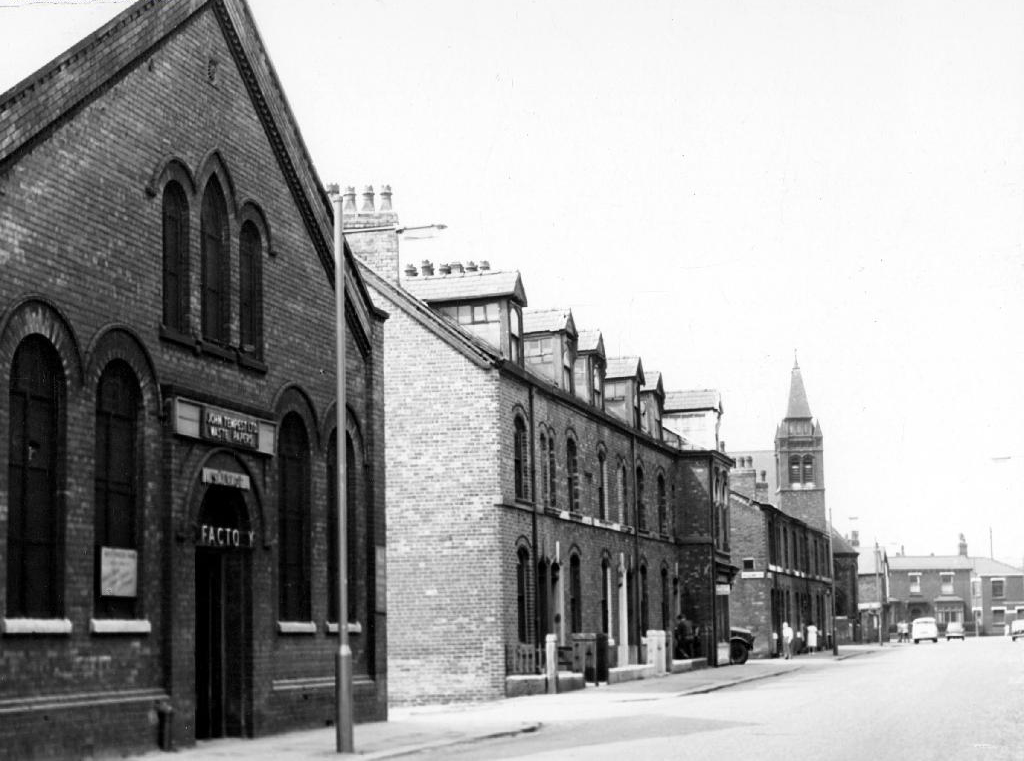
I have cycled by here for years, along the Fallowfield Loop – and worked down here in the Seventies when the rail link was still extant.
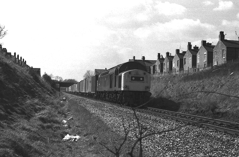
PhotoNeil Ferguson-Lee via Robert Todd and Levy Boy.

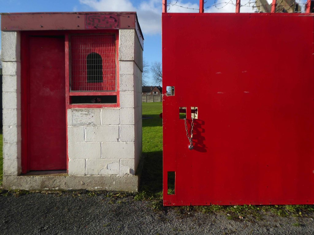
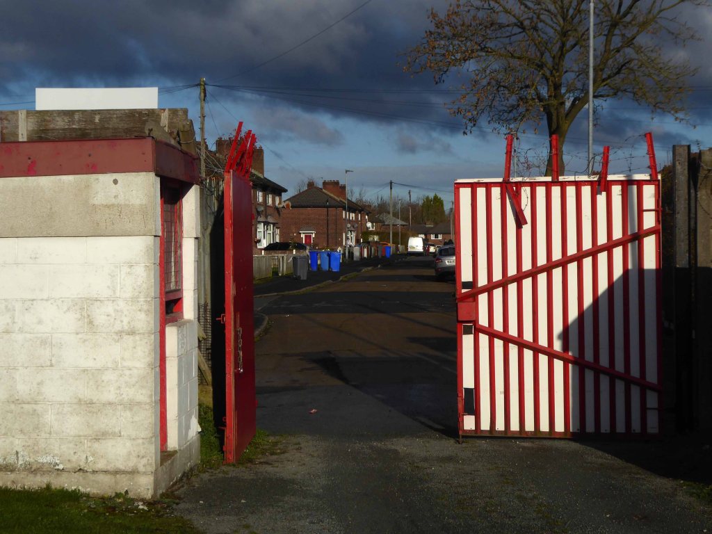
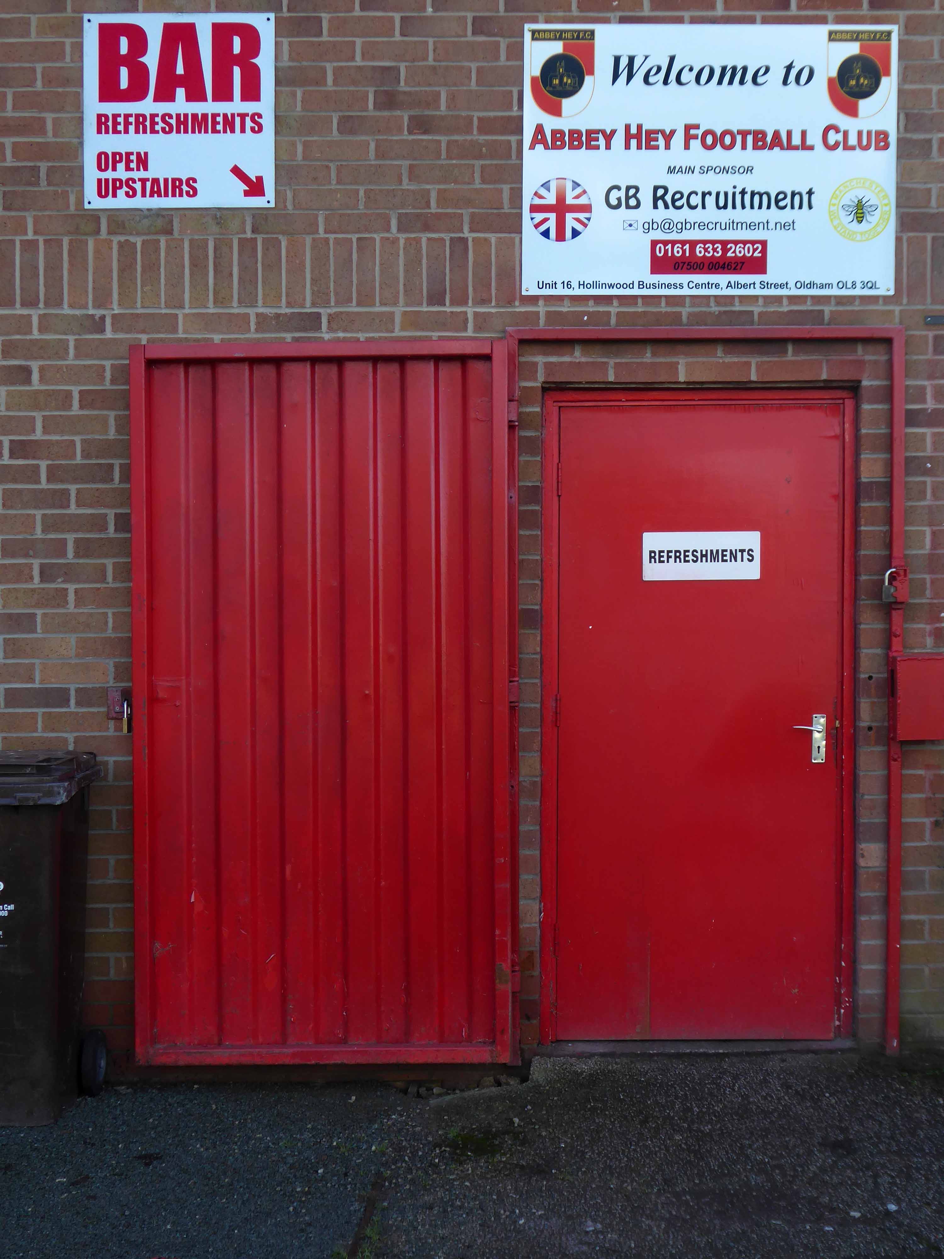
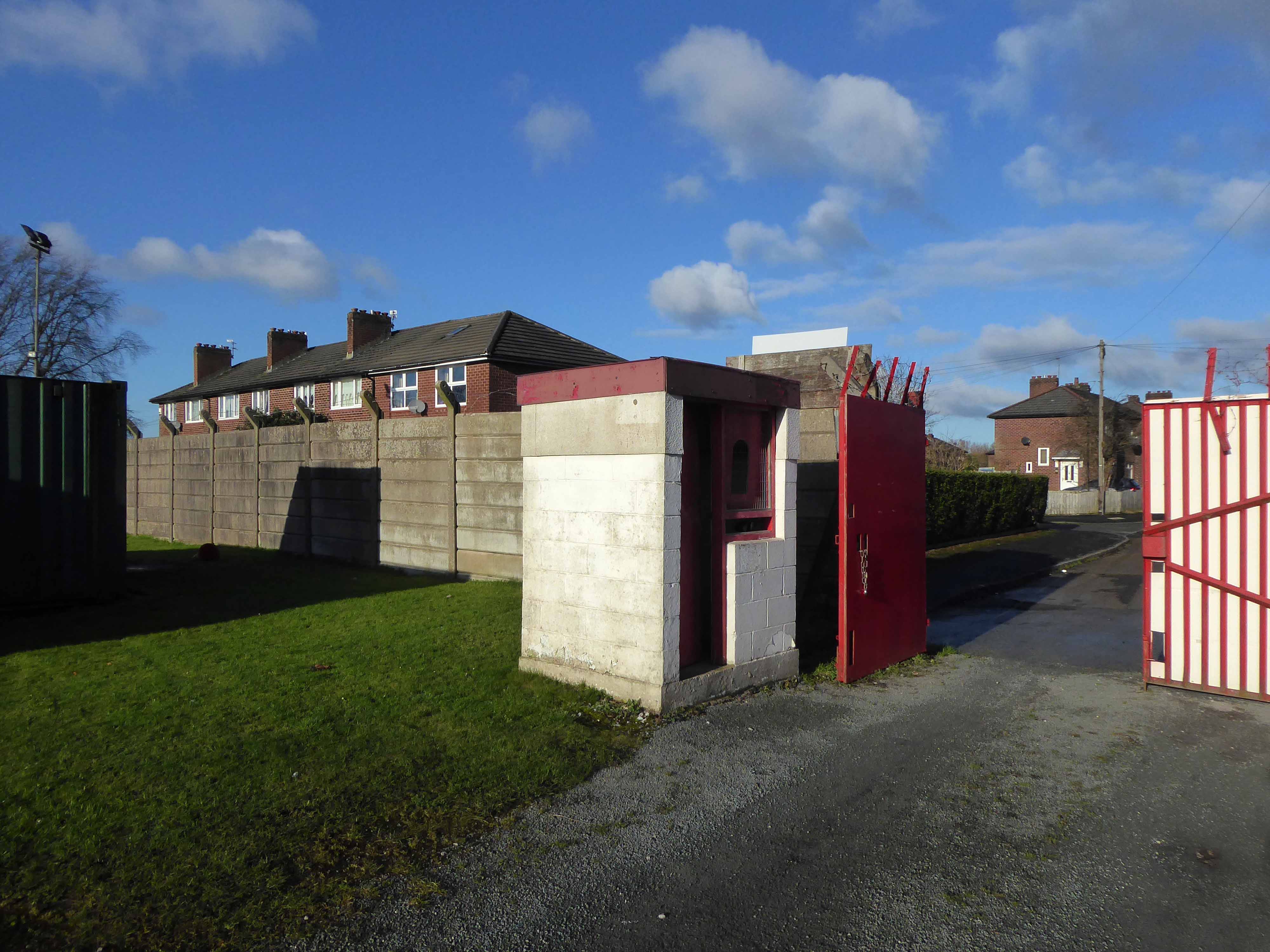
So today seeing the gates open, I decided to take a look around the ground – many thanks to groundsman Simon for taking the time to stop and chat.

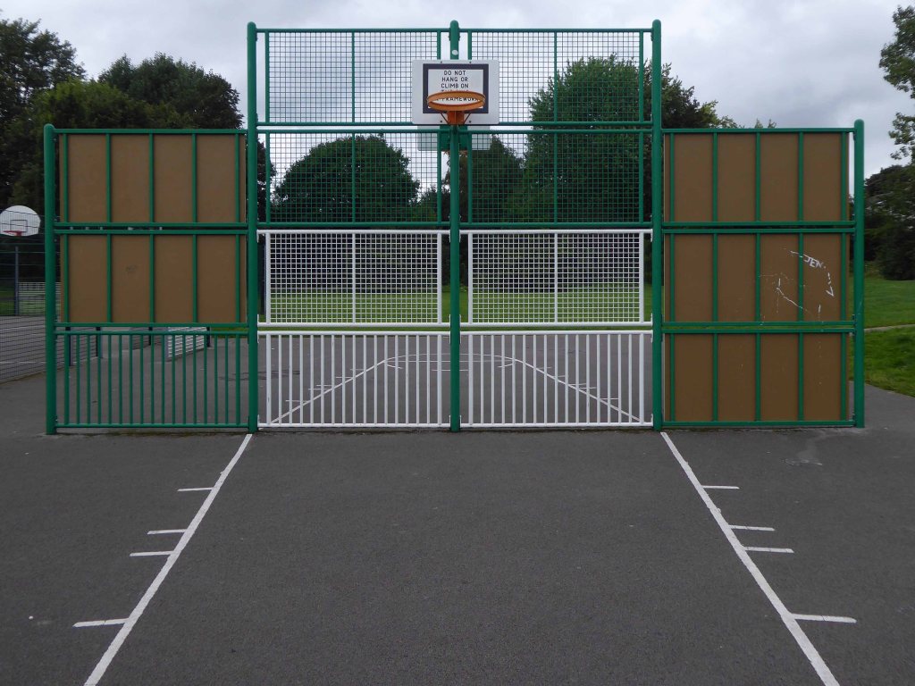
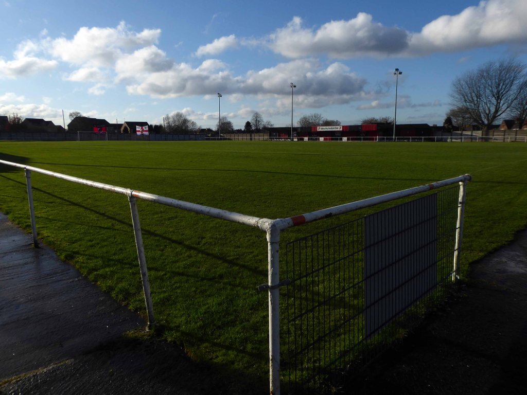
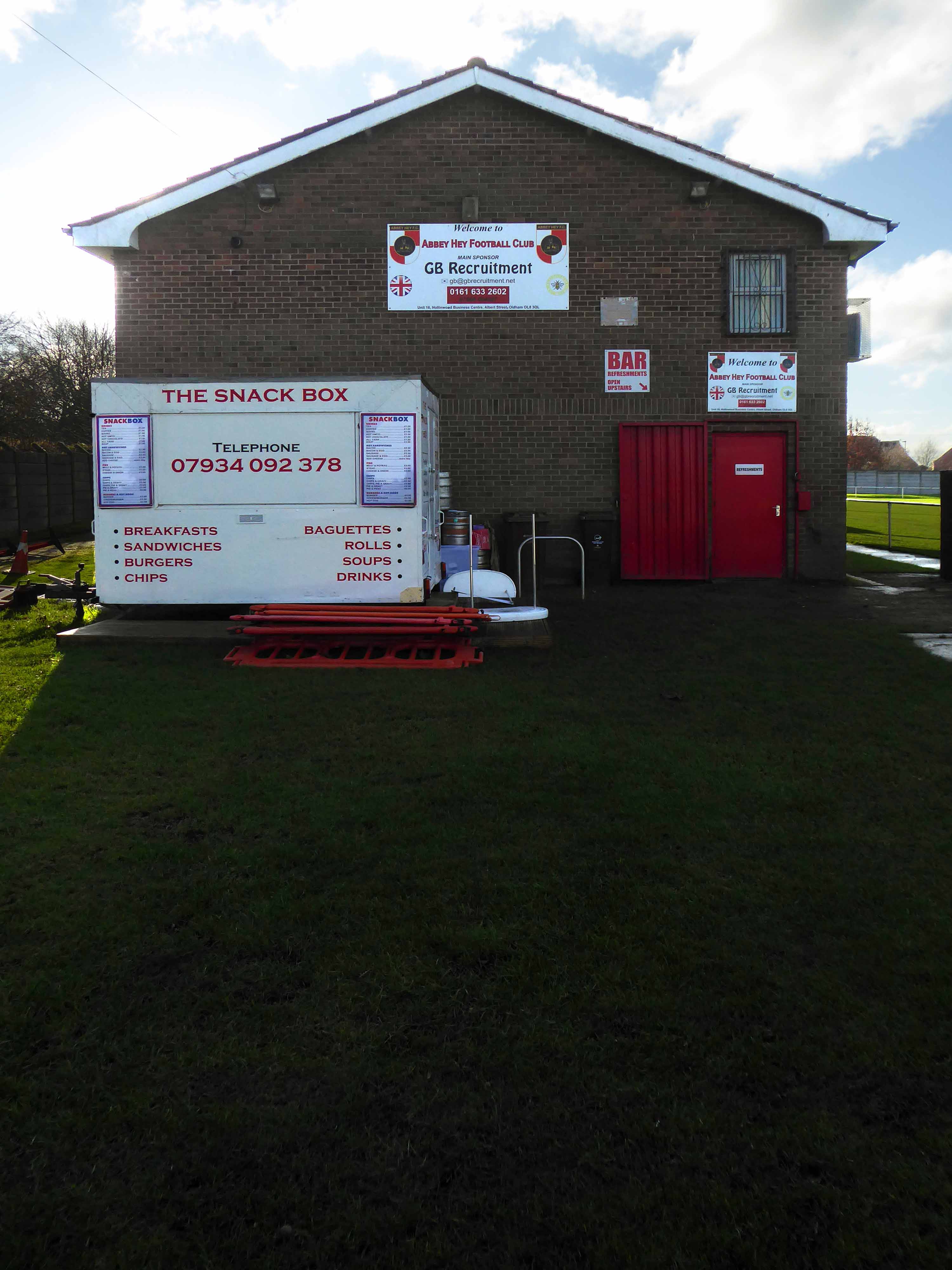
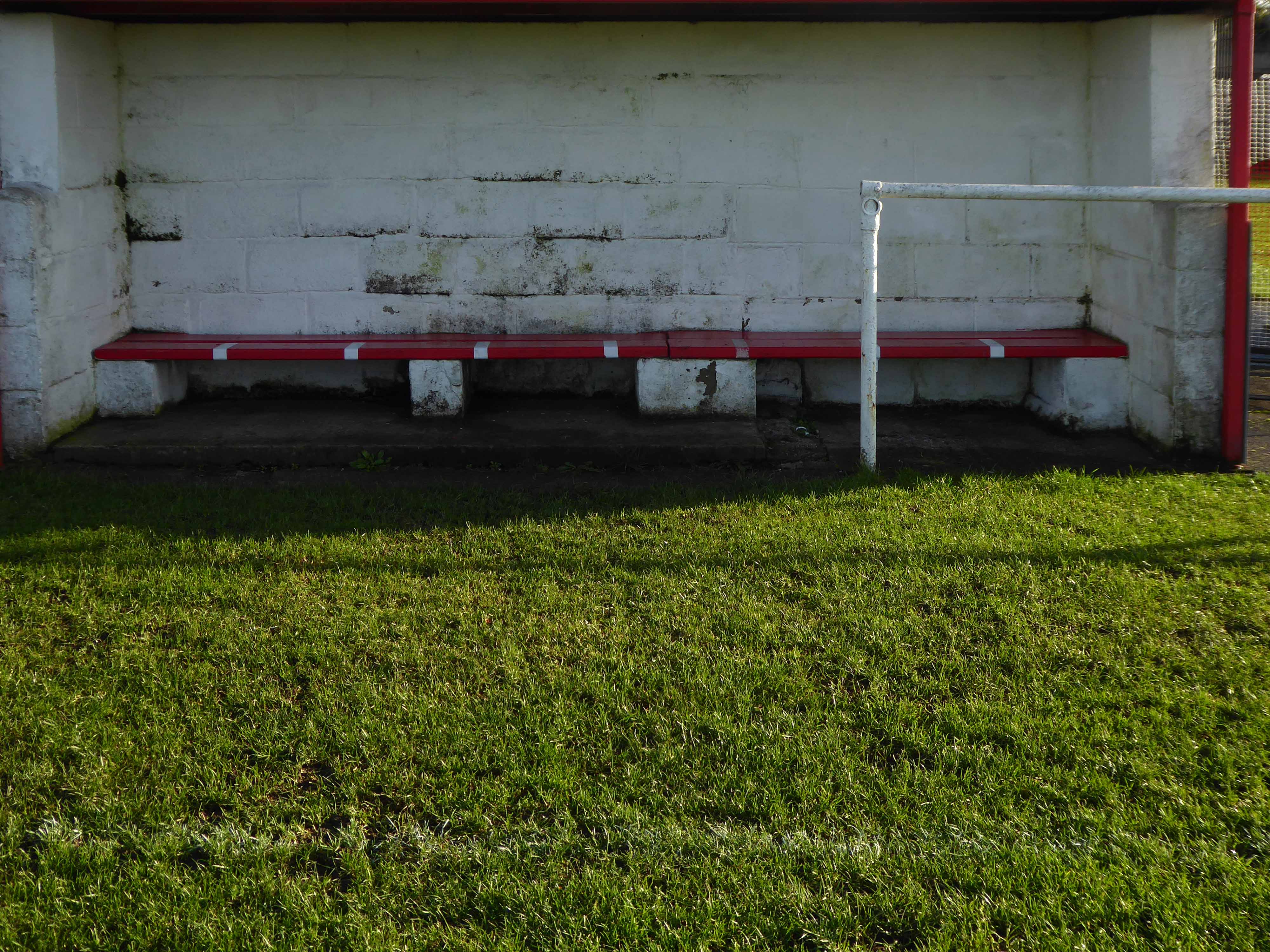
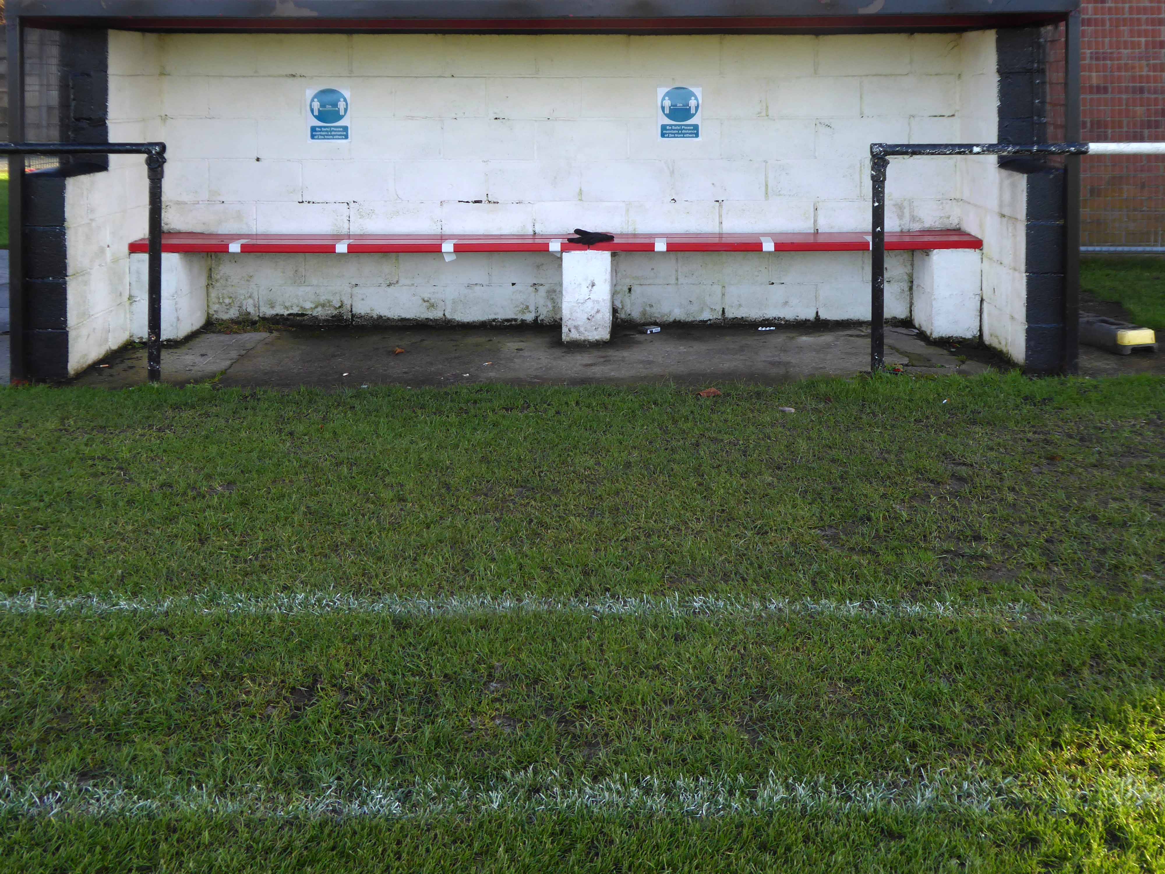
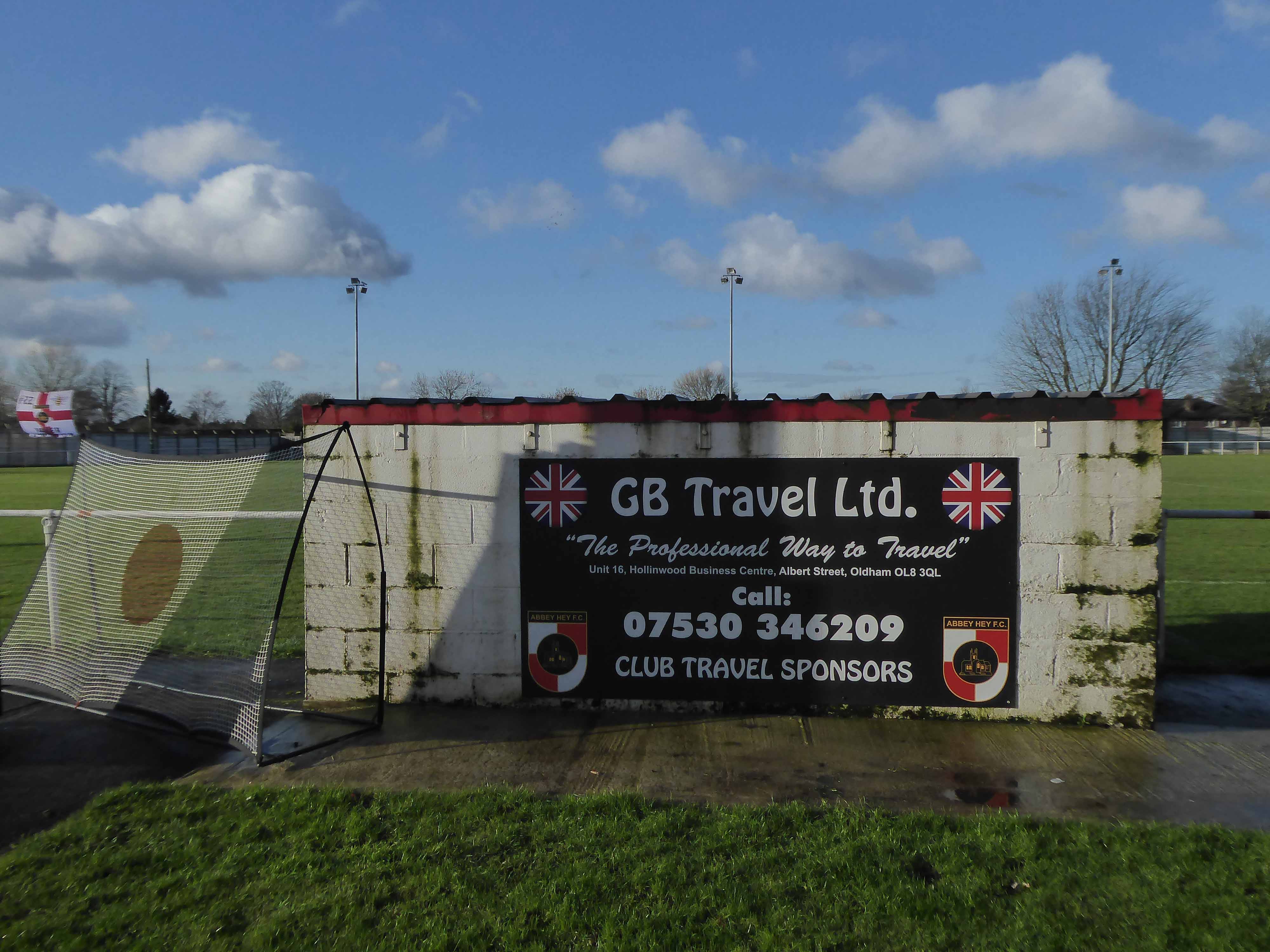
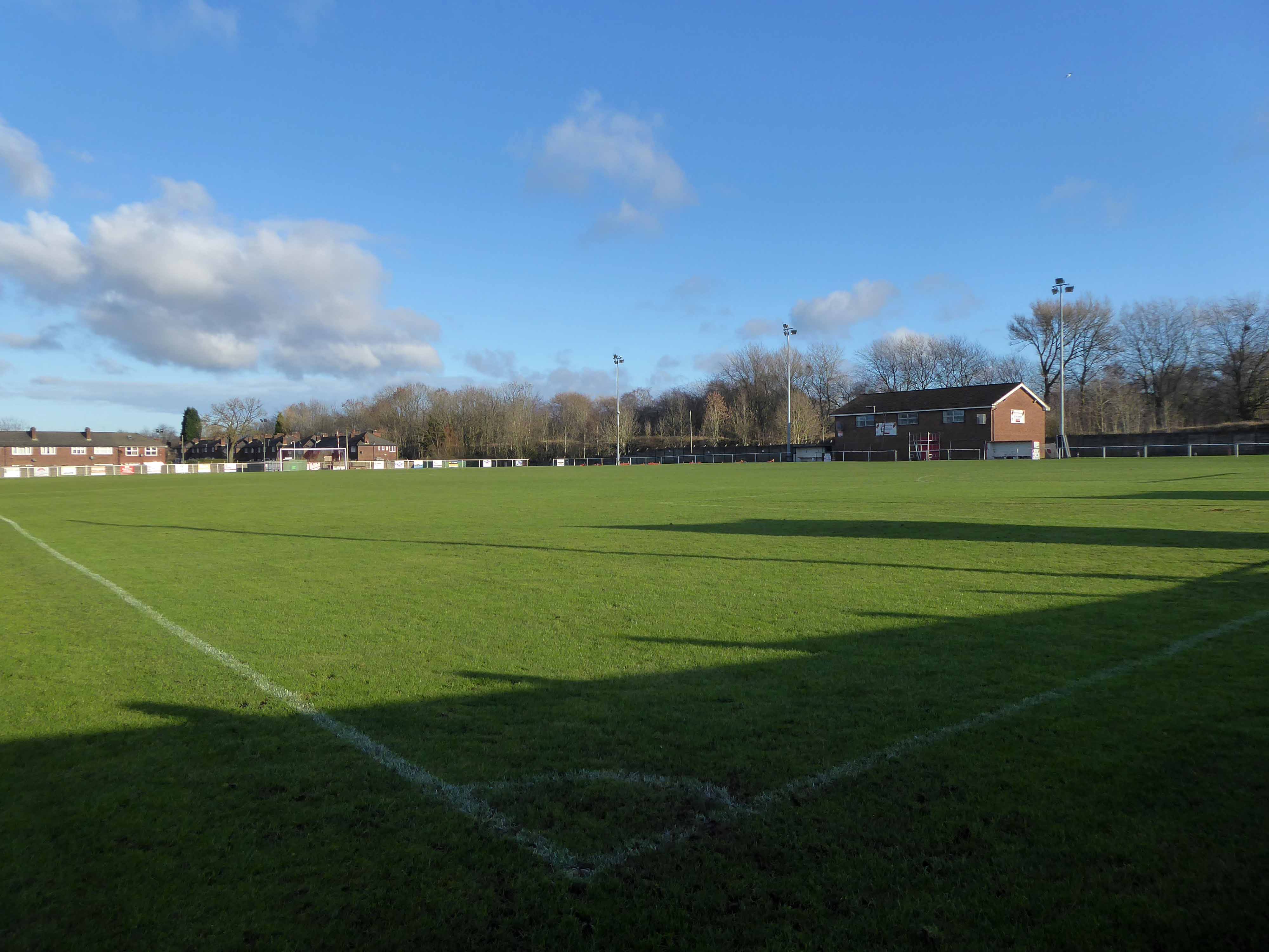
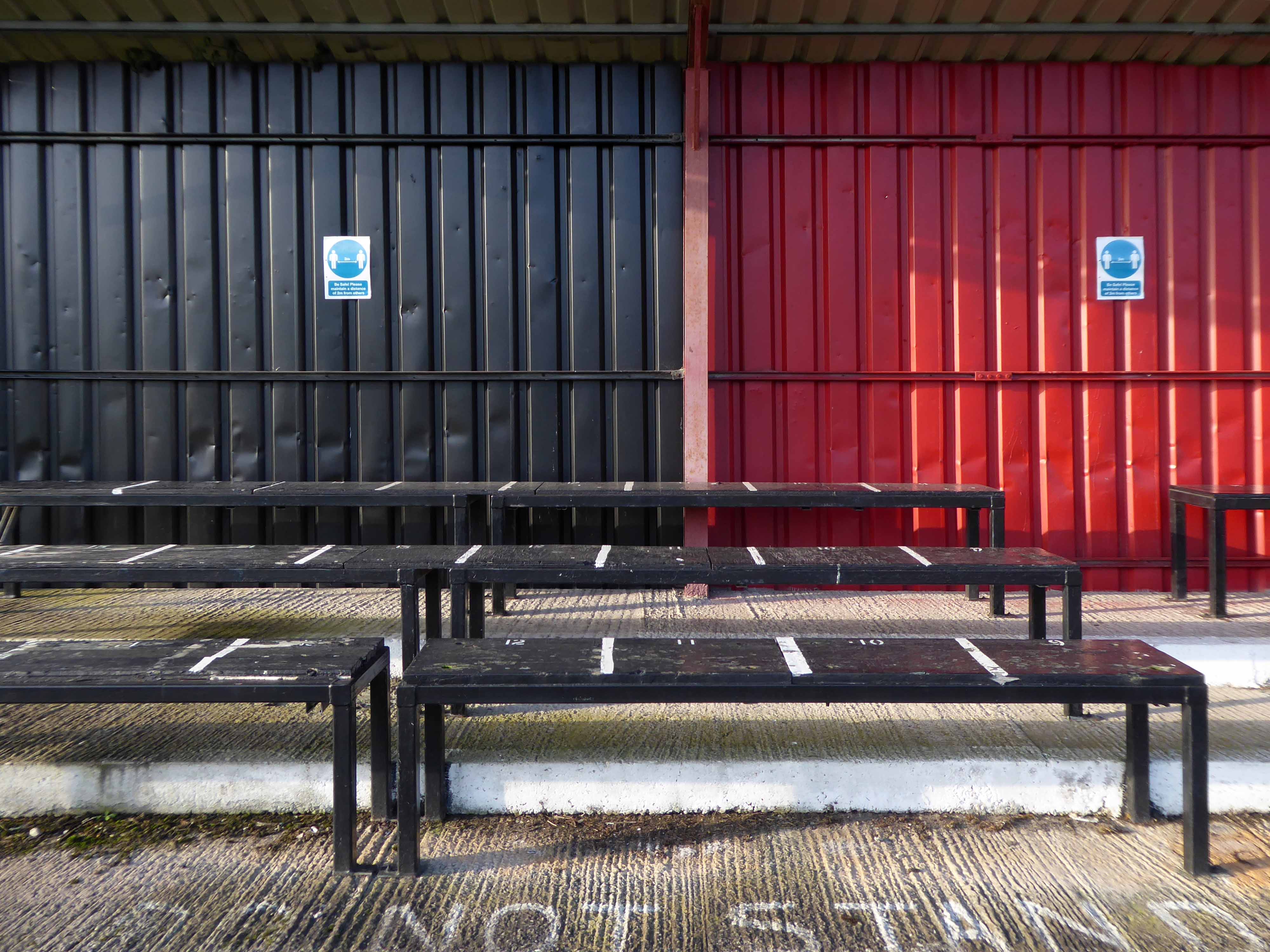
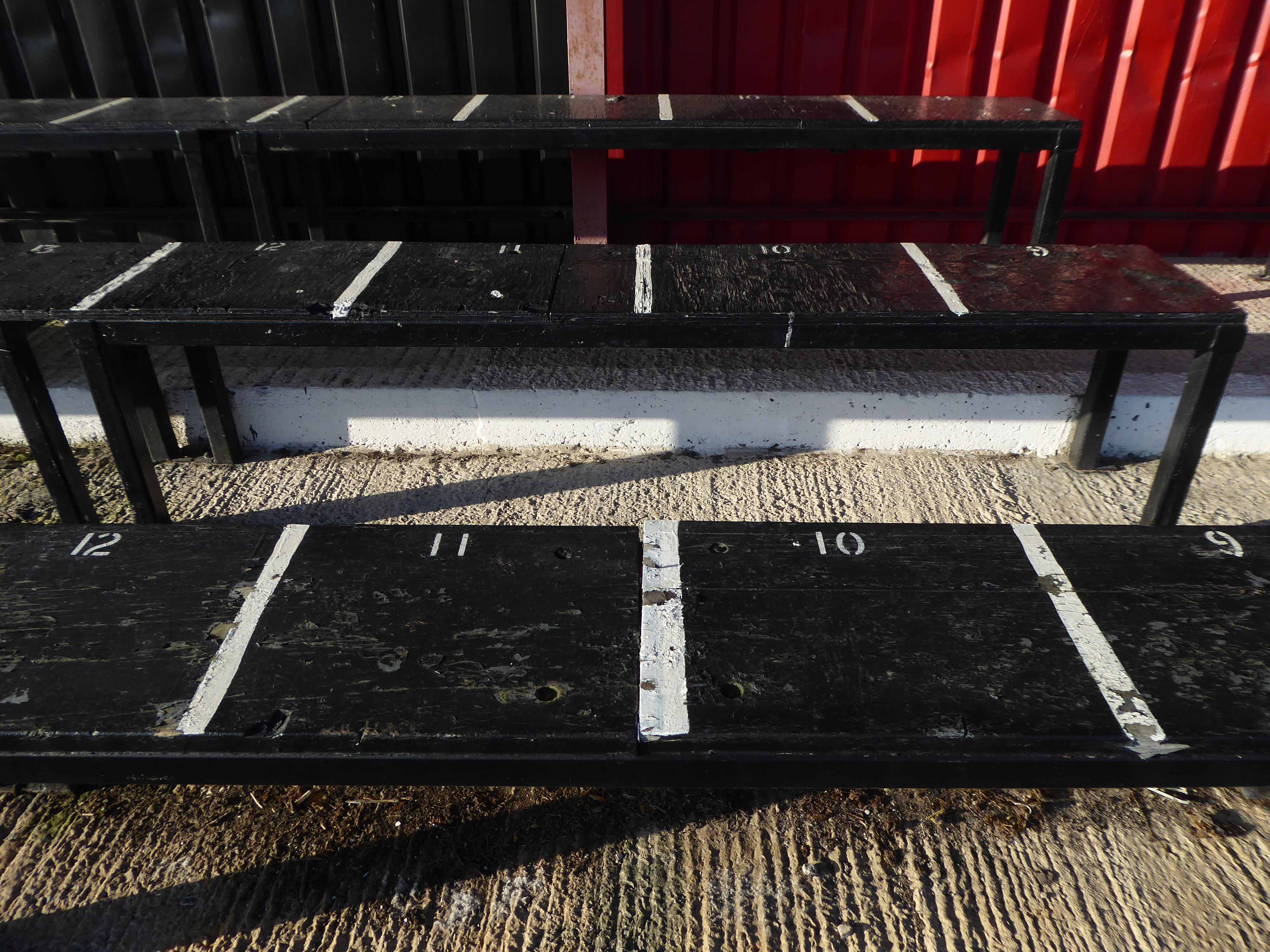
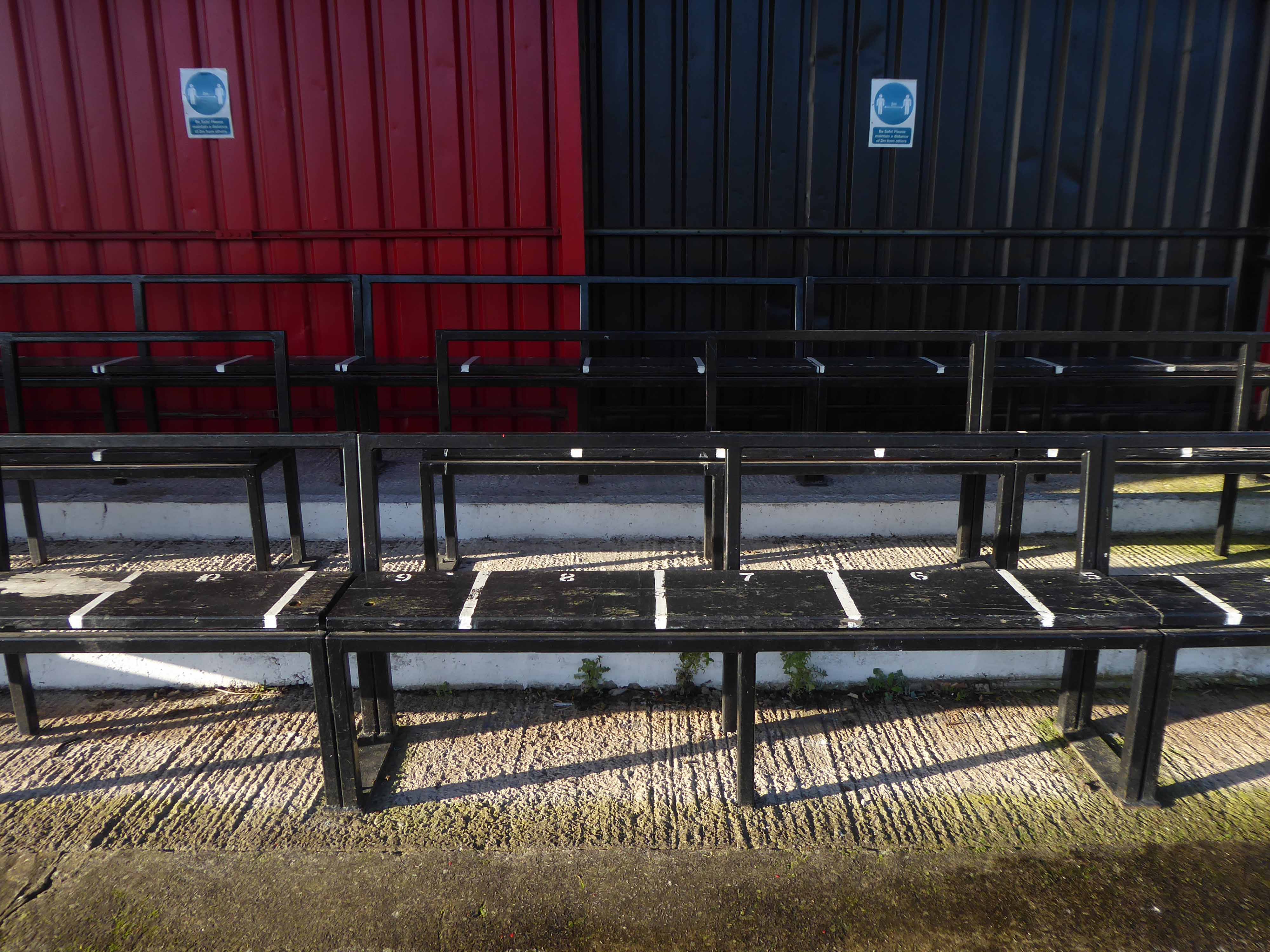
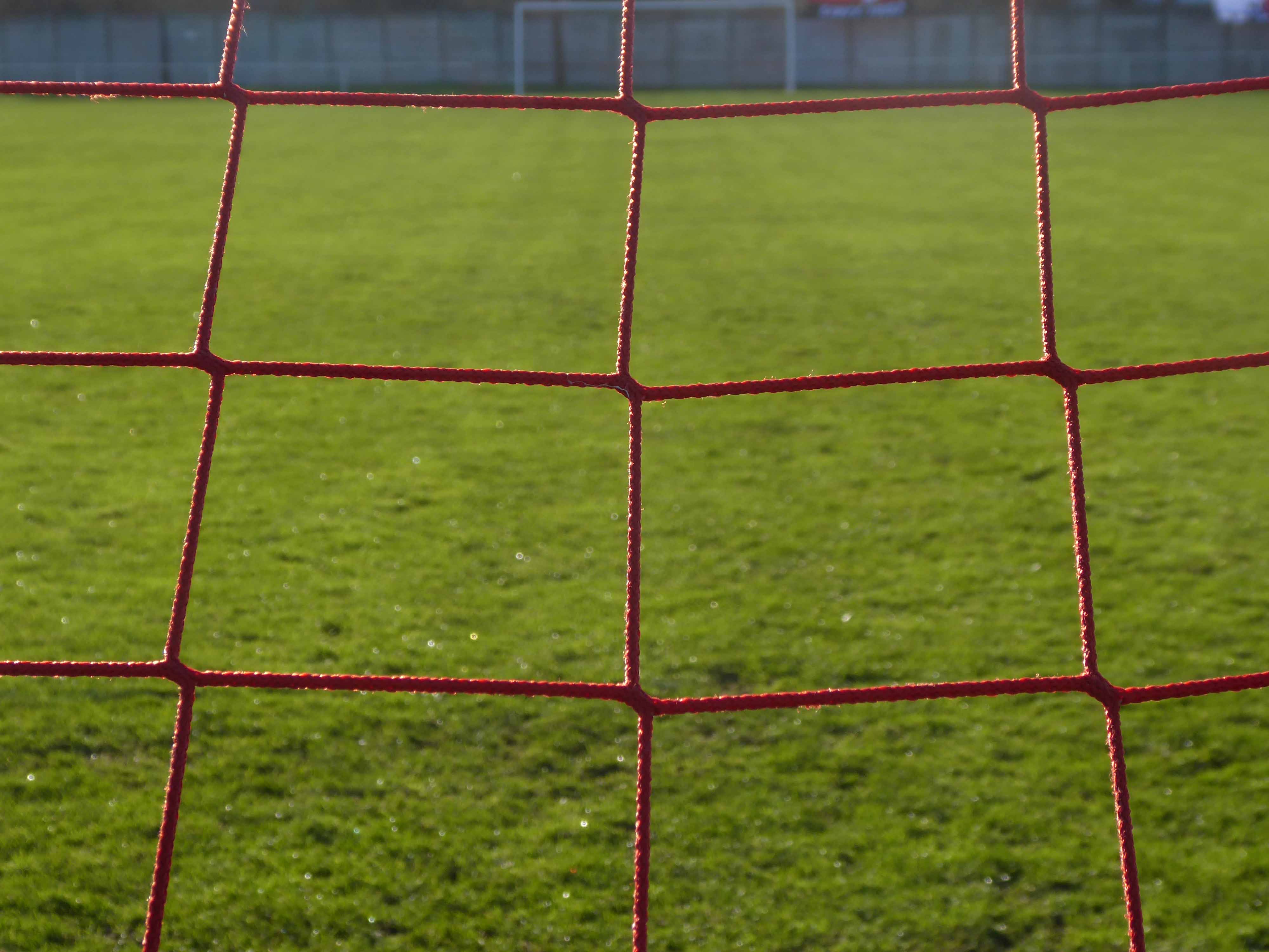
Everything is spick and span, the playing surface in excellent nick, and all the stands seat and fences standing smartly to attention, having had a fresh coat of paint.

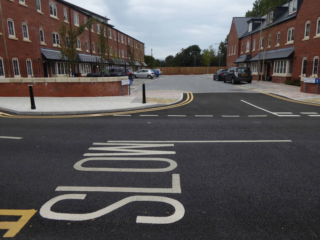
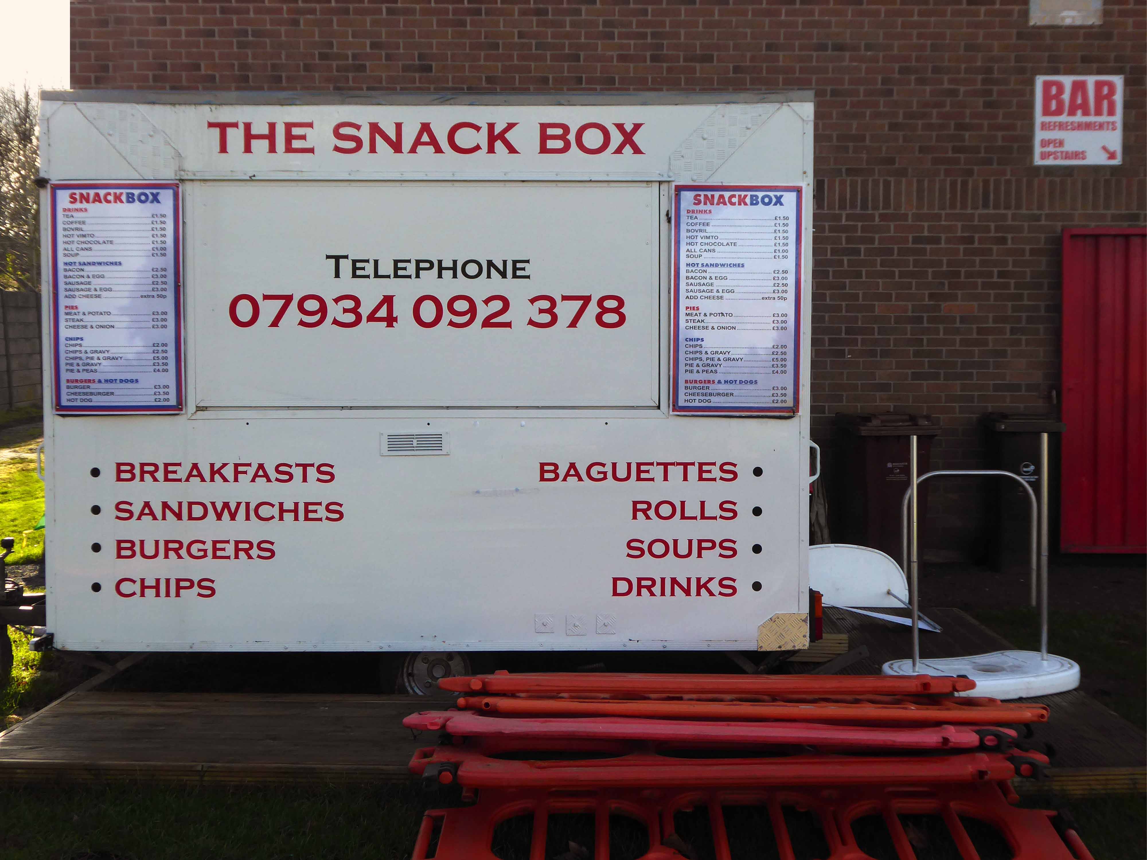
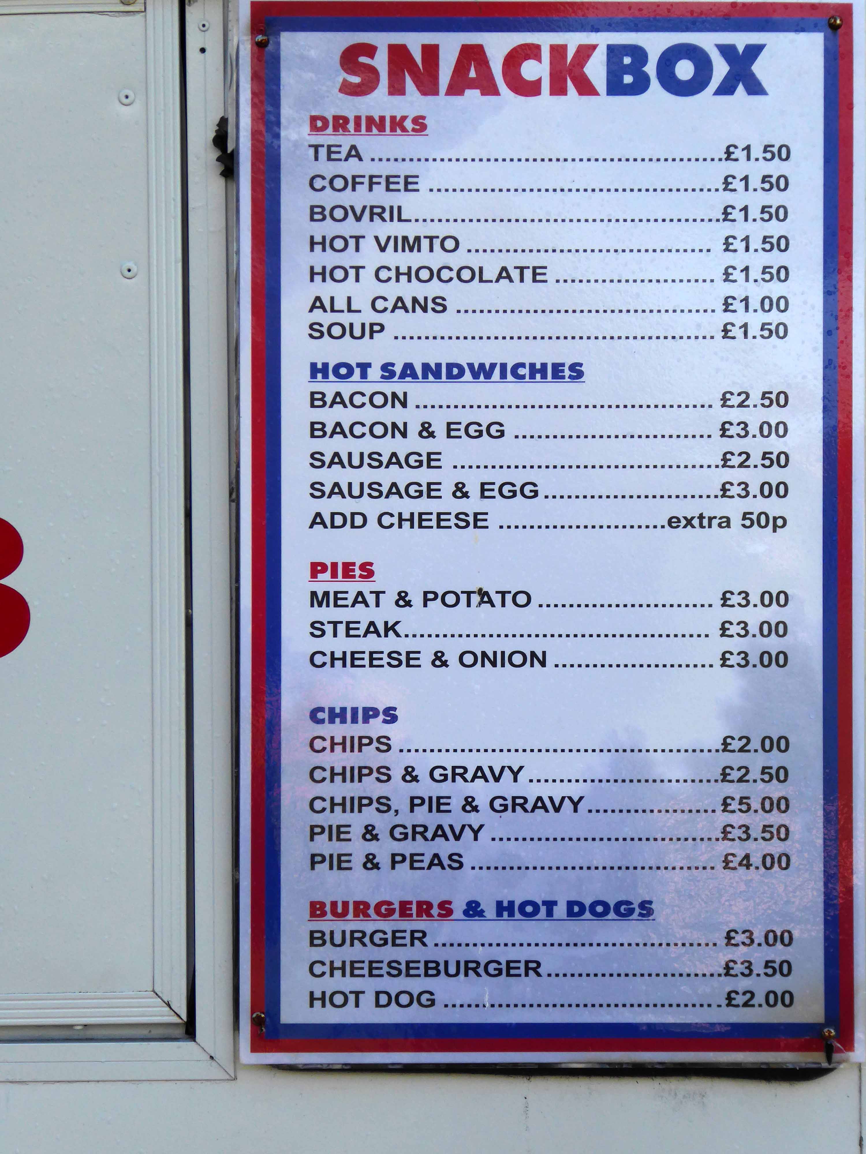
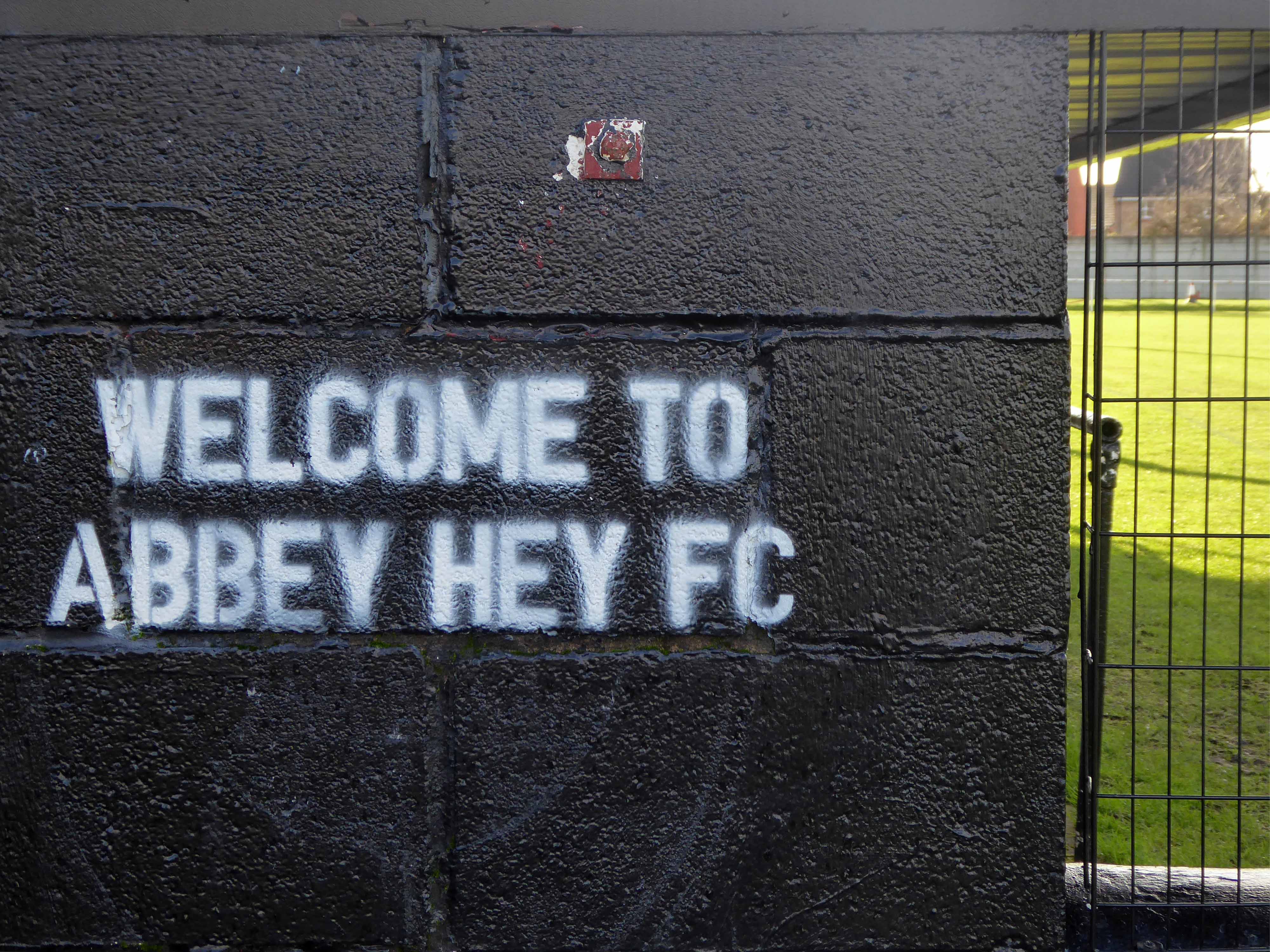
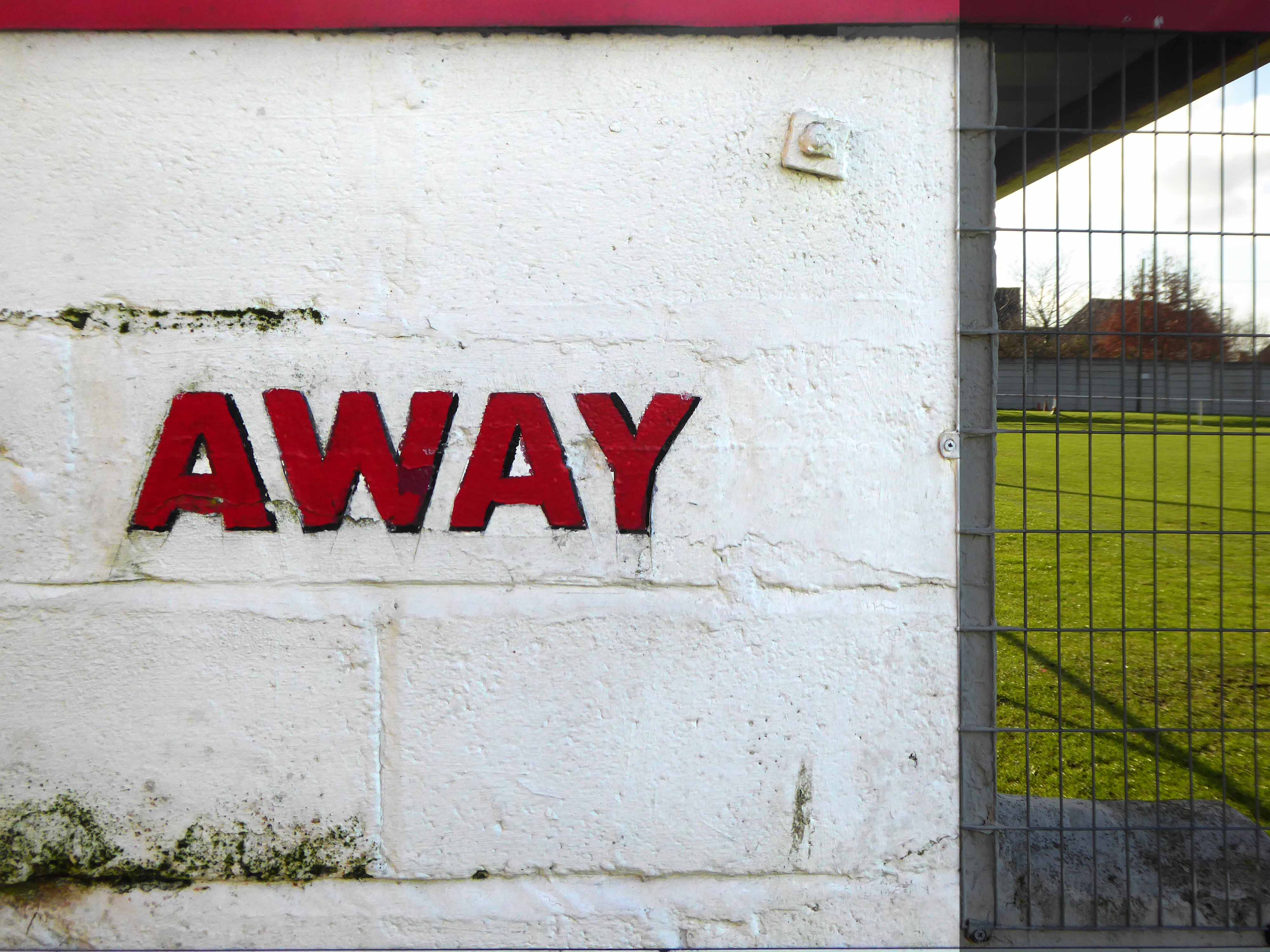
So let’s take a look around:

I’ll be back to watch a match, just as soon as the rules and regulations allow!

Fred Perry Way – Stockport to Reddish

The third and last leg, starting from the confluence of the Tame and Etherow where the Mersey begins.

Passing the remains of the railway bridge carrying the Cheshire Lines through to Tiviot Dale Station.

Over the river and beneath the terminal pylon.

Along Penny Lane beside Lancashire Hill flats.

Across Sandy Lane into Coronation Street.

Once a rare sight on our roads the ubiquitous SUV reigns supreme on our suburban streets – the level of UK car debt currently stands at £73 Billion.

We weaved in and out of the highways and byways of South Reddish.

Through Unity Park where the goals are lower than low.

The hoops are higher.

And the bowls are rolling.

Past the perfect Platonic bungalow.

Taking the well worn path betwixt and between the houses.

Crossing open country.

Encountering exotic planting worthy of the French Riviera.

Noting the voguish transition of the local semi-detached housing from white to grey and the now familiar sight of the Range Rover in the former front garden.

The reverse of a roadside sign can often be far more interesting and attractive than the obverse face.

Reddish South Station sustained by the once a week parliamentary train, on the Stockport to Stalybridge Line, coincidentally the only time, as a goods guard, I ever worked a passenger train, was along here, one Christmas long ago.

We stopped at Denton, a request stop, the seasonally boozy passenger gave me a fifty pence tip.

George’s – where I bought a bag of chips on the way back, great chips, friendly and safe service with a smile.

Houldsworth Working Mens Club designed by Abraham Henthorn Stott forming part of the model community developed by the late-C19 industrialist Sir William Houldsworth, which included cotton mills, workers’ housing, school, church and a park.

Church of St Elisabeth 1882-3, by Alfred Waterhouse one of the finest Victorian churches in the country – both of the buildings are Grade II Listed.

Over the way the former Victoria Mill, converted into apartments.

With adjoining new build.

We faithfully followed the signs, noting a change from blue to green.

Somewhere or other we went wrong, our luck and the signs ran out, we instinctively headed north, ever onwards!

Traversing the Great Wall.

Mistakenly assuming that the route ended or began at Reddish North Station that’s where we landed.

Back tracking intrepidly along the road we found the source of the Fred Perry Way.

In the North Reddish Park – where tennis can still be played today albeit with a somewhat functionalist net, on an unsympathetic surface.

Journey’s end.

To forget, you little fool, to forget!

D’you understand?

To forget!

You think there’s no limit to what a man can bear?

Fred Perry Way – Stockport To Hazel Grove

Second time around – having once cycled the whole way in 2009.

I’ll do anything twice or more – so here we are again, this time on foot.

Let’s start at the very beginning, a very good place to start – in the middle, the section from the town centre to Hazel Grove.

Maps are available here for free – we declined the offer, deciding to follow signs instead, many of which were missing or rotated, the better to misinform and redirect – such is life.

We are mostly lost most of the time, whether we like it or know it or not.

We begin at the confluence of the rivers Mersey and Goyt – which no longer seems to be a Way way, the signs having been removed, and proceed down Howard Street, which seems to have become a tip.

The first and last refuge for refuse.

Passing by the kingdom of rust – Patti Smith style.

Passing under the town’s complex internal motorway system by underpass.

Where help is always handily at hand.

Whistling past the graveyard – the site of the former Brunswick Chapel where one and hundred and fifty souls lay lying.

Onward down Carrington Road to Fred’s house.

Through Vernon Park to Woodbank Park – with its heroic erratic.

Almost opposite the entrance to the museum, now set in shrubbery, are the foundations, laid in September 1860, of what was to be a forty metre high Observatory Tower. Despite a series of attempts, funds for the tower could not be raised and the ‘Amalgamated Friendly Societies of Stockport’ eventually had to abandon the idea.

Historic England

Out east and passing alongside the running track.

Lush meadows now occupy the former football field, twixt inter-war semis and the woodland beyond.

Out into the savage streets of Offerton where we find a Buick Skylark, incongruously ensconced in a front garden.

The only too human imperative to laugh in the face of naturalism.

We have crossed over Marple Road and are deep in the suburban jungle of mutually exclusive modified bungalows.

Off now into the wide open spaces of the Offerton Estate – the right to buy refuge of the socially mobile, former social housing owning public.

People living on Offerton Estate have been filmed for a programme entitled ‘Mean Streets’ which aims to highlight anti-social behaviour in local communities.

MEN 2007

The next thing we know we’re in a field, a mixed up melange of the urban, suburban and rural, on the fringes of a Sainsbury’s supermarket filling station.

We cross the A6 in Hazel Grove and here for today our journey ends

Ignoring the sign we went in the opposite direction.

As we reach the edge of Mirrlees Fields – the site of the only Fred Perry laurel leaf logo emblazoned way marker.

The Fields are currently designated as a green space and are not available for residential development. But MAN would like to overturn this designation for over one third of the Fields.

MAN Energy Solutions UK is the original equipment manufacturer of Mirrlees Blackstone diesel engines.

Before the Blackstone MAN came in 1842 – the fields were all fields.

To be continued.

Ten Acres Lane – Manchester

Ten Acres Lane 1904 running south from Oldham Road – not quite crossing under the Ashton and Stalybridge Railway.

I was propelled by the vague memory of an Ashton Lads football match way back in the 1970s – my dad Eddie Marland managed the team in the Moston and Rusholme League.

There was land given over to recreation from 1900, the area is famed for its links to the inception of Manchester United and almost but not quite became home to FC United.

The Recreation Grounds in 1900.

To the left of the inter-war housing in 1963.

So I took a trip back in time along the lane – courtesy of the Local Image Collection.

In 1896 the area was largely farmland.

Baguley Fold Farm – occupying land adjacent to the Medlock Valley.

Farm Yard Tavern closed in 1917 a Rothwell’s pub supplied from Heath Brewery on Oldham Road.

This was an area dominated by the Rochdale Canal and criss-crossed with rail links.

The canal bridge 1904.

Construction work 1920.

These transport links and the proximity to the Manchester city centre inevitably lead to industrial development on a huge scale.

Tootal’s Mill on adjoining Bower Street.

CWS warehouse and works corner of Briscoe Lane.

Mather And Platt’s adjoining the Rochdale Canal.

The area was also home to Jackson’s Brickworks.

There was a Co-op shop.

Going going gone St Paul’s Church seen here in 1972.

Victorian terraces and inter-war social housing – homes for a large industrial work force.

Many of the sights and sites above are still extant though their appearance and uses have changed along with the times. Manchester inevitably continues to from and reform for good or ill.

Sadly the old Rec the Moston and Rusholme League and my dad are all long gone – though it’s just as well to remember them all fondly, as we travel through our familiar unfamiliar city.