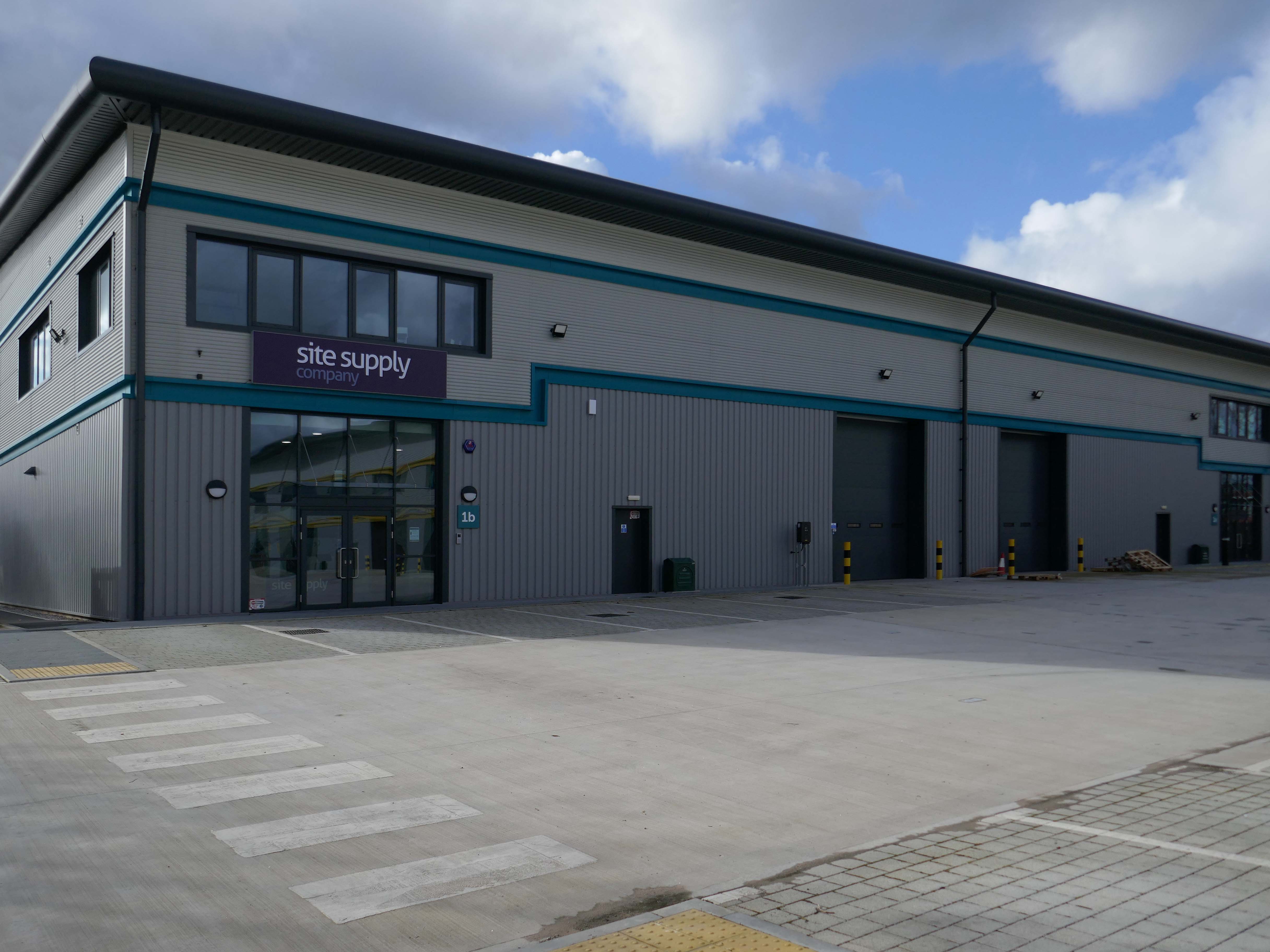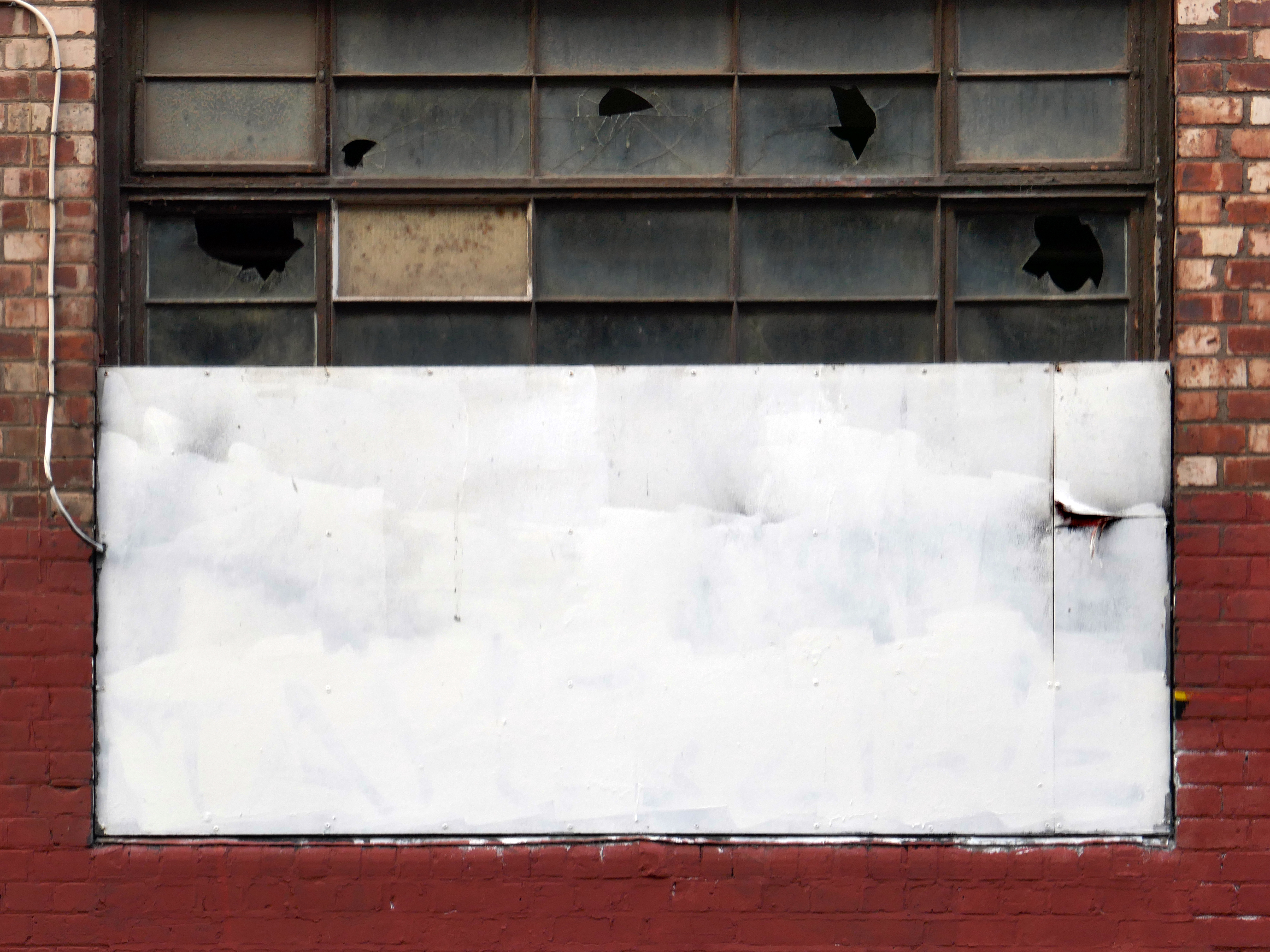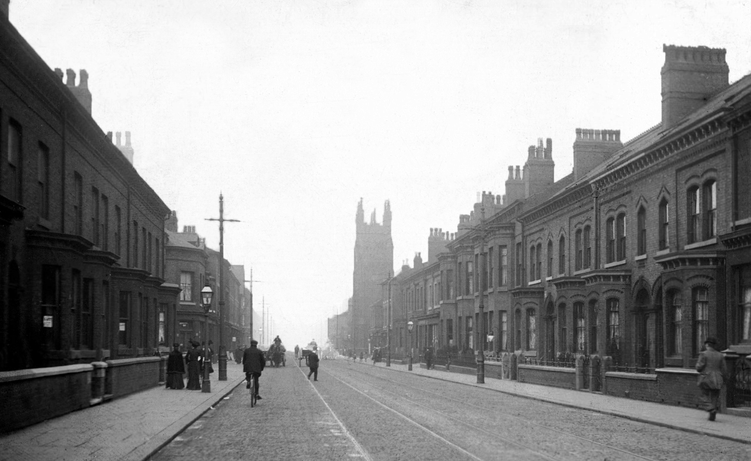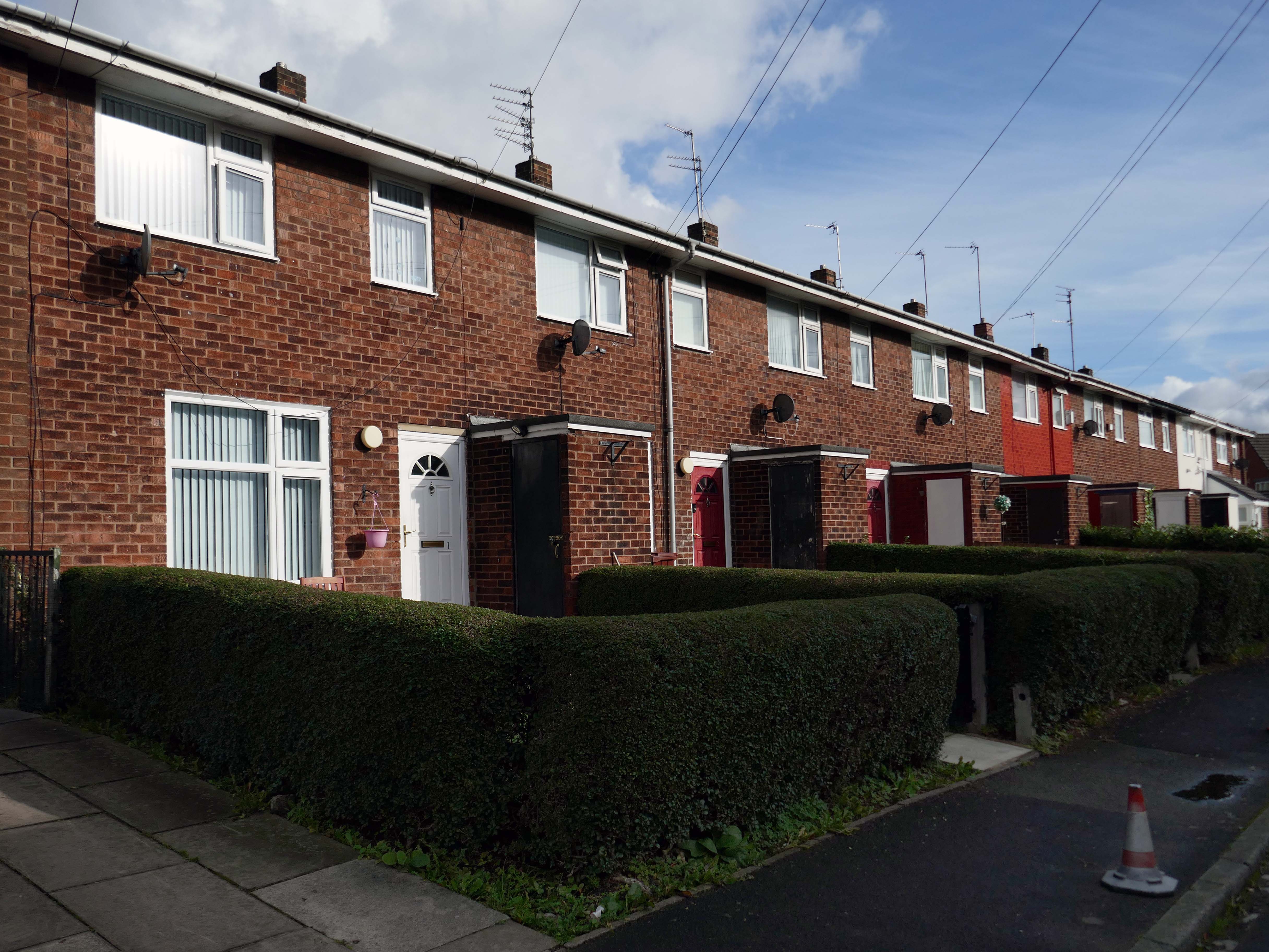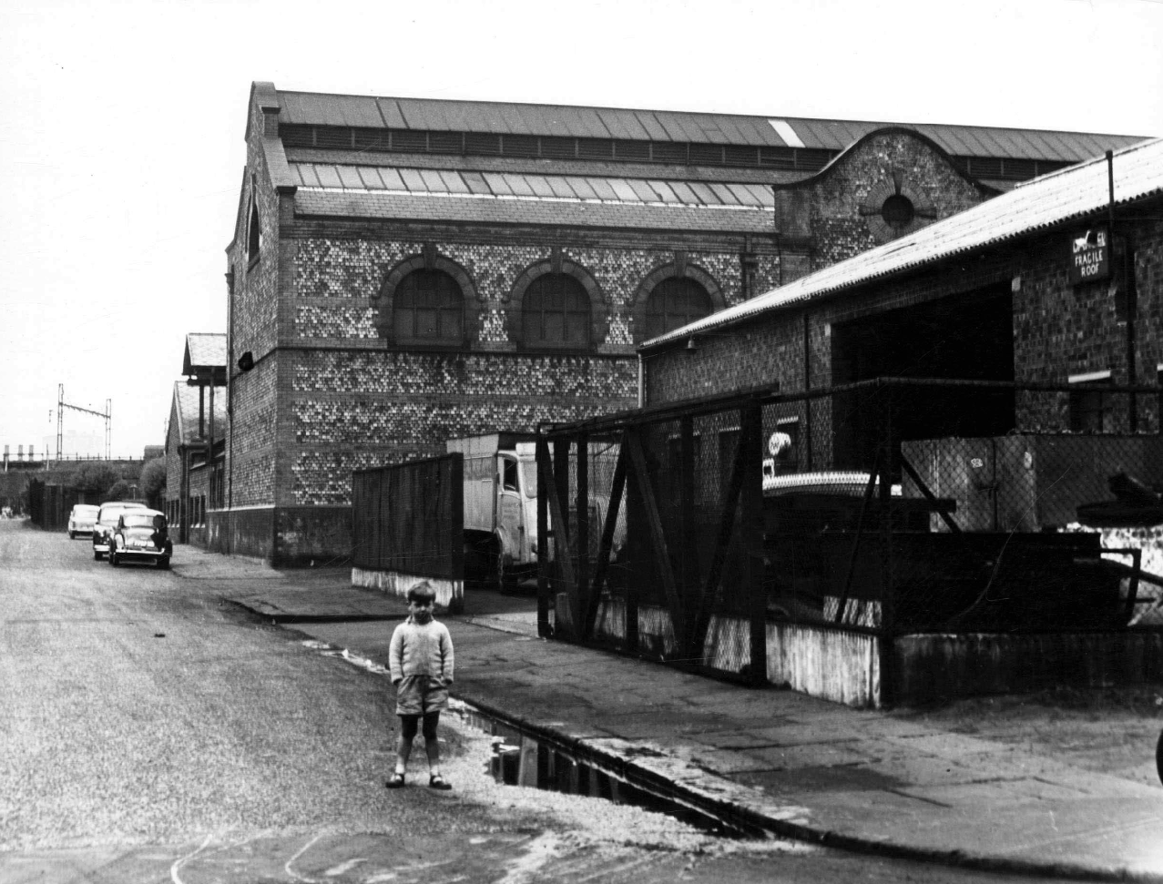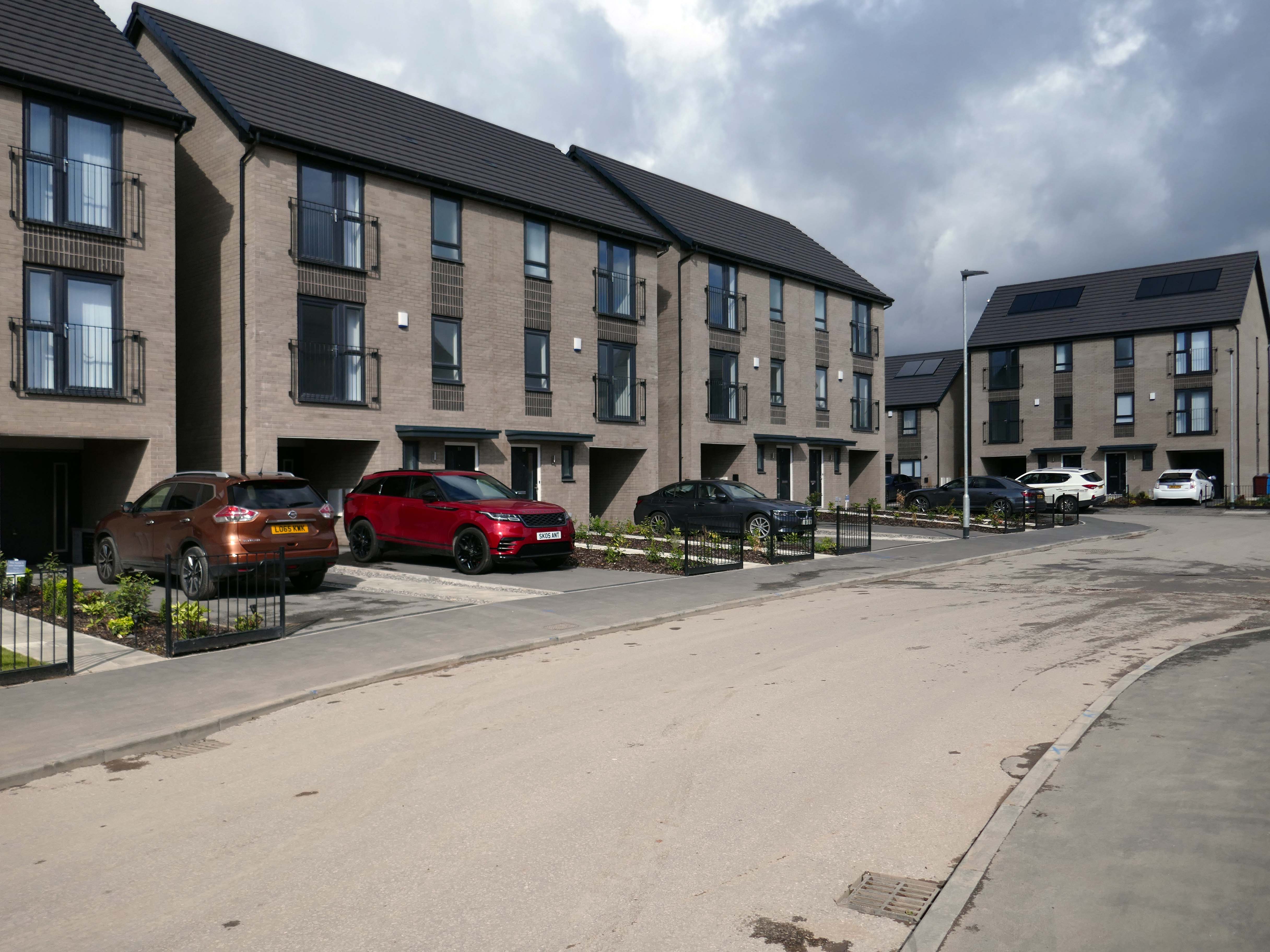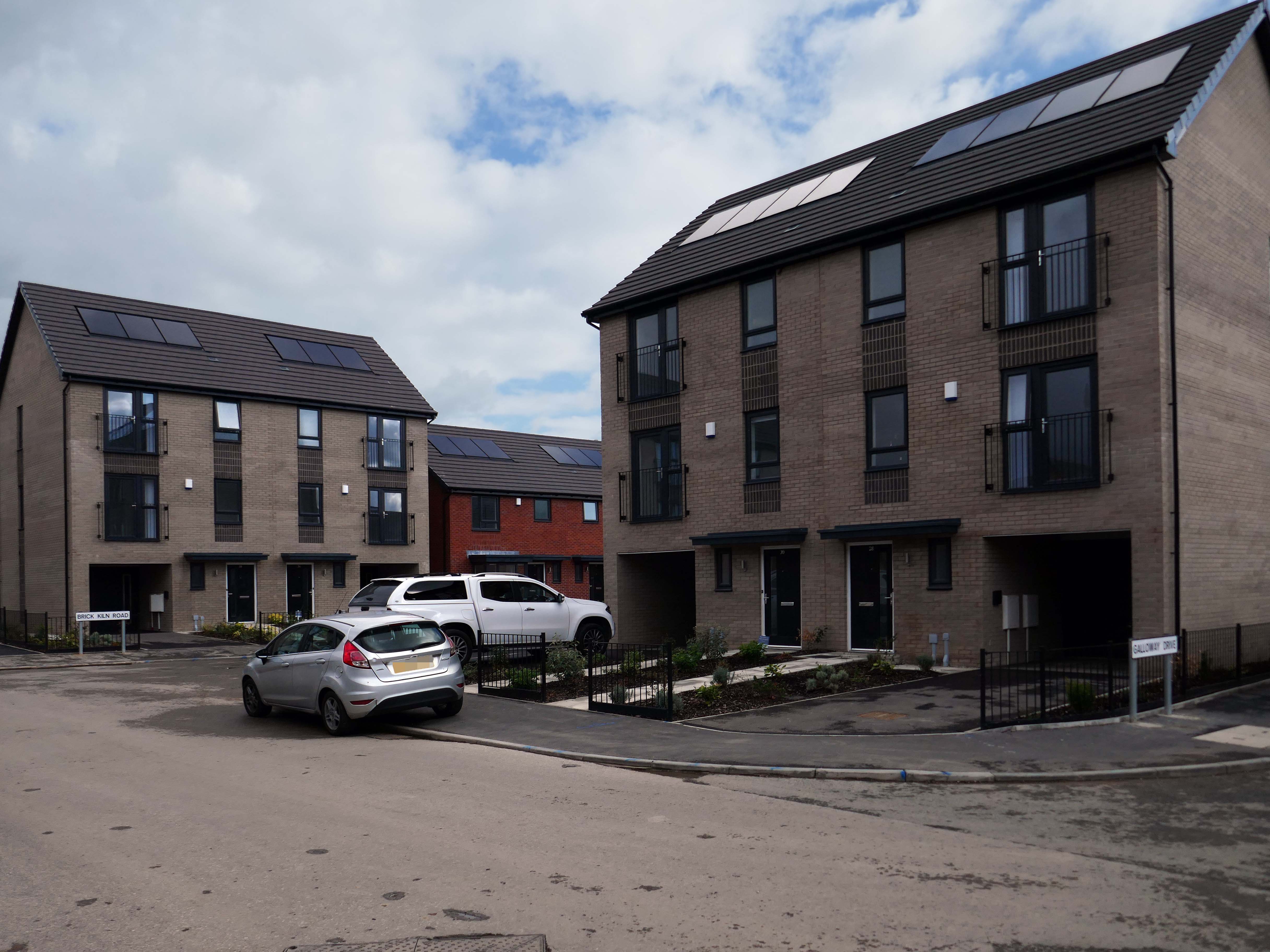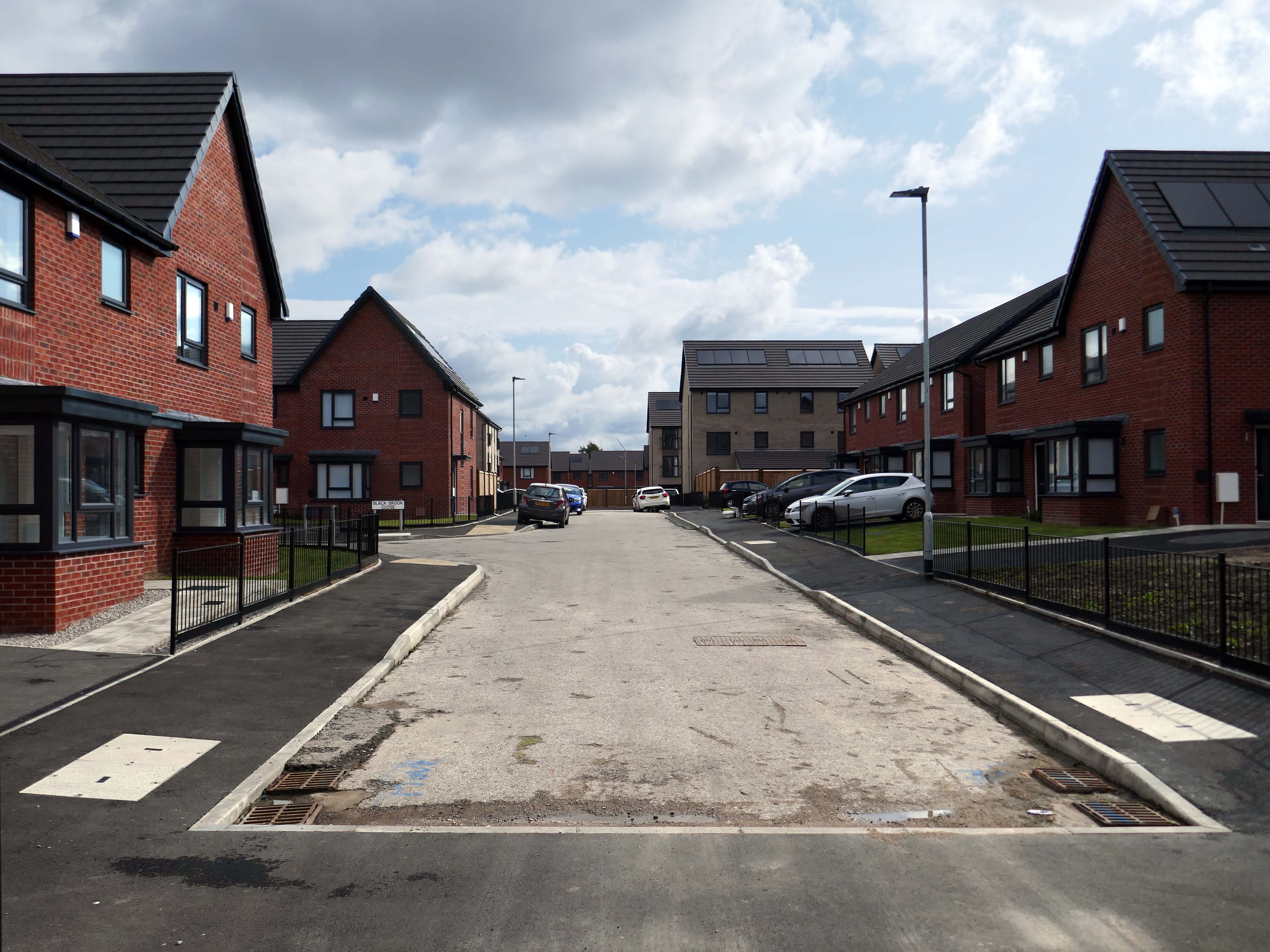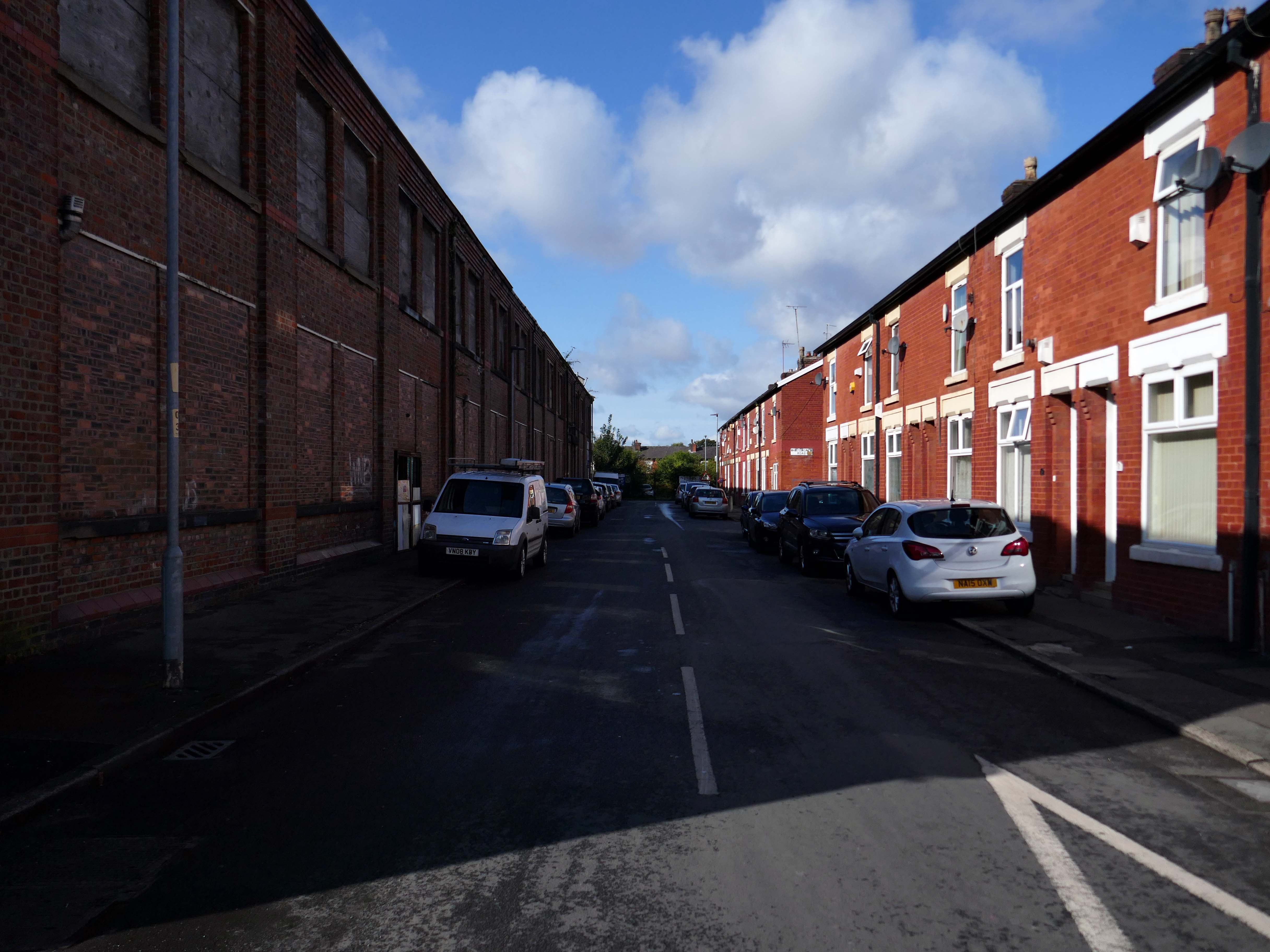
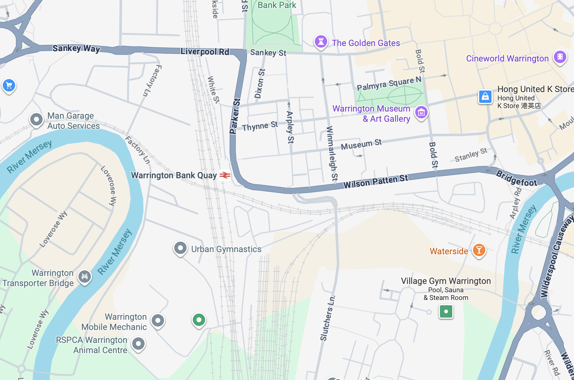
It’s a sunny day in May and we begin at Warrington Bank Quay station.
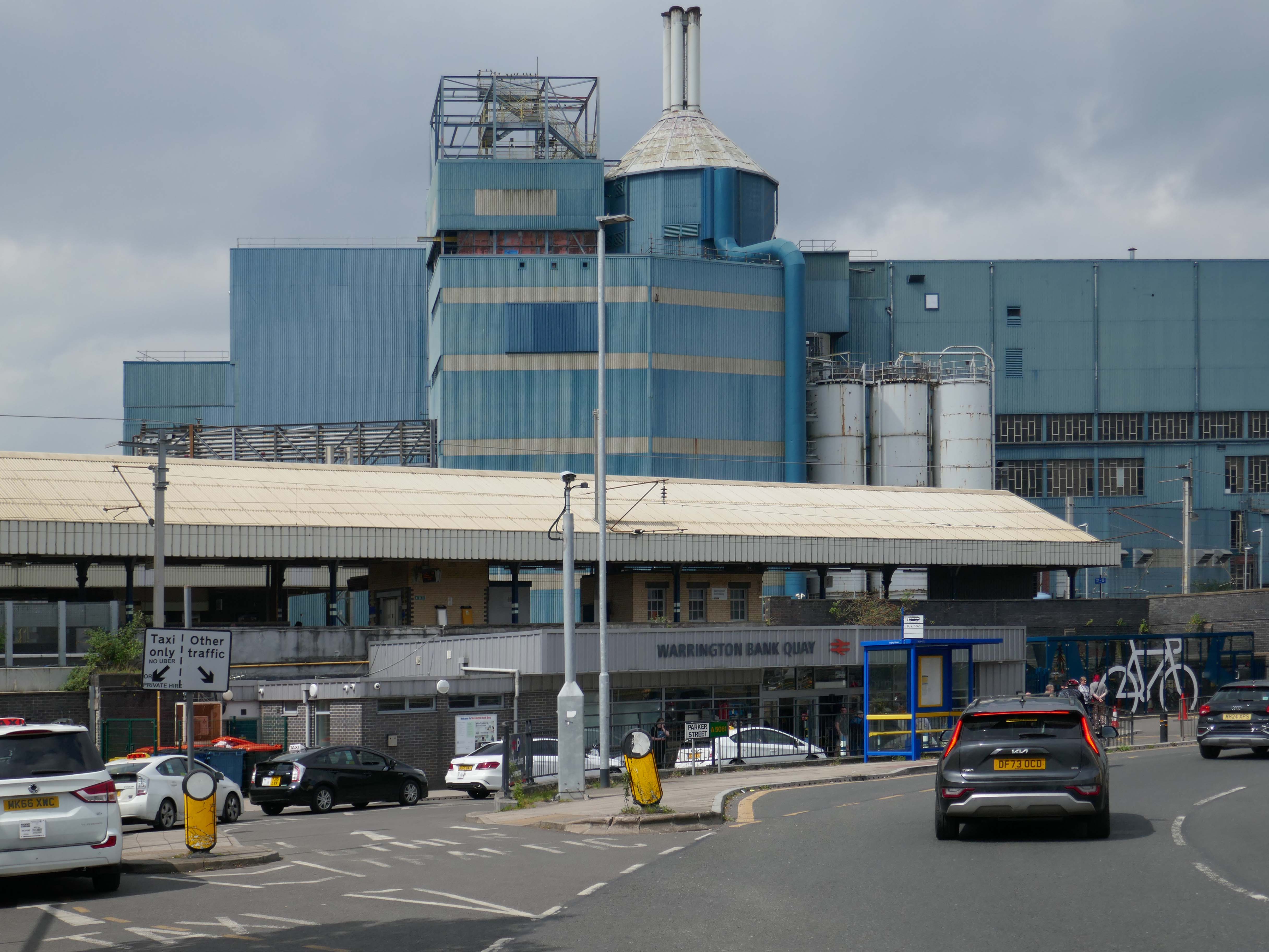
The first Warrington Bank Quay station opened on 4 July 1837.
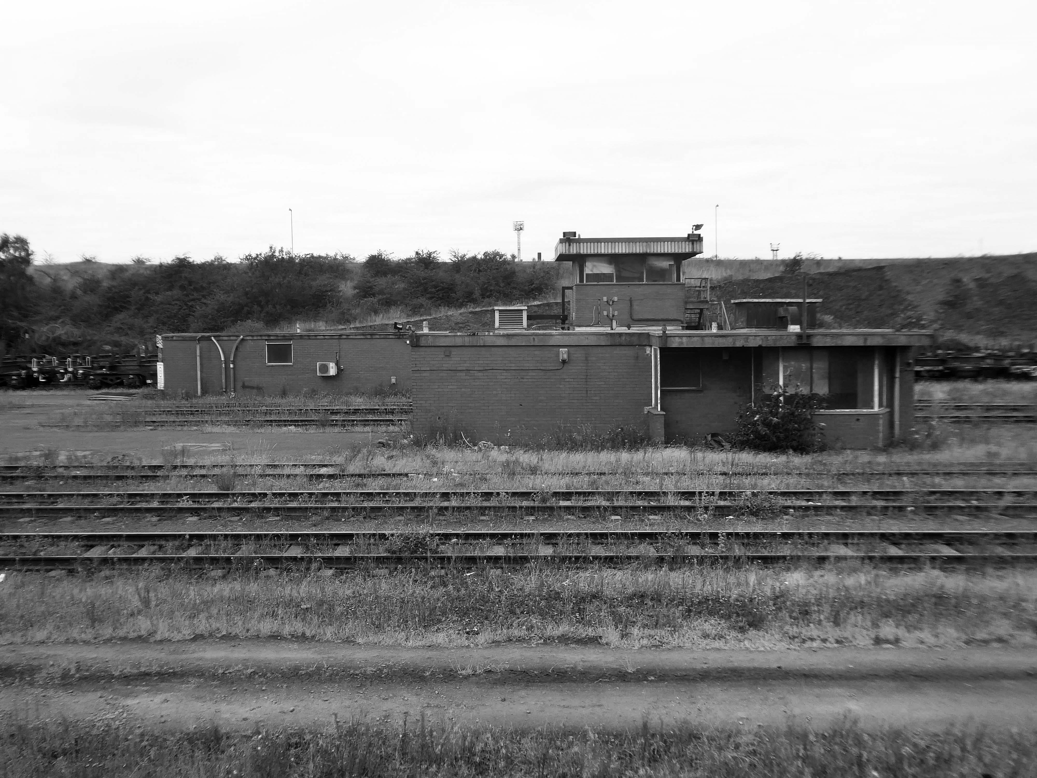
The station was rebuilt when the line was electrified in 1973, a new power signal box covering an extended area was built east of the station for the electrification.
In 2009 a new entrance hall was completed, with a travel centre/ticket office and a shop.
The buffet on the London bound platforms was modernised.
The station was once operated on a split level.
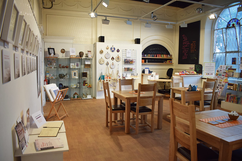
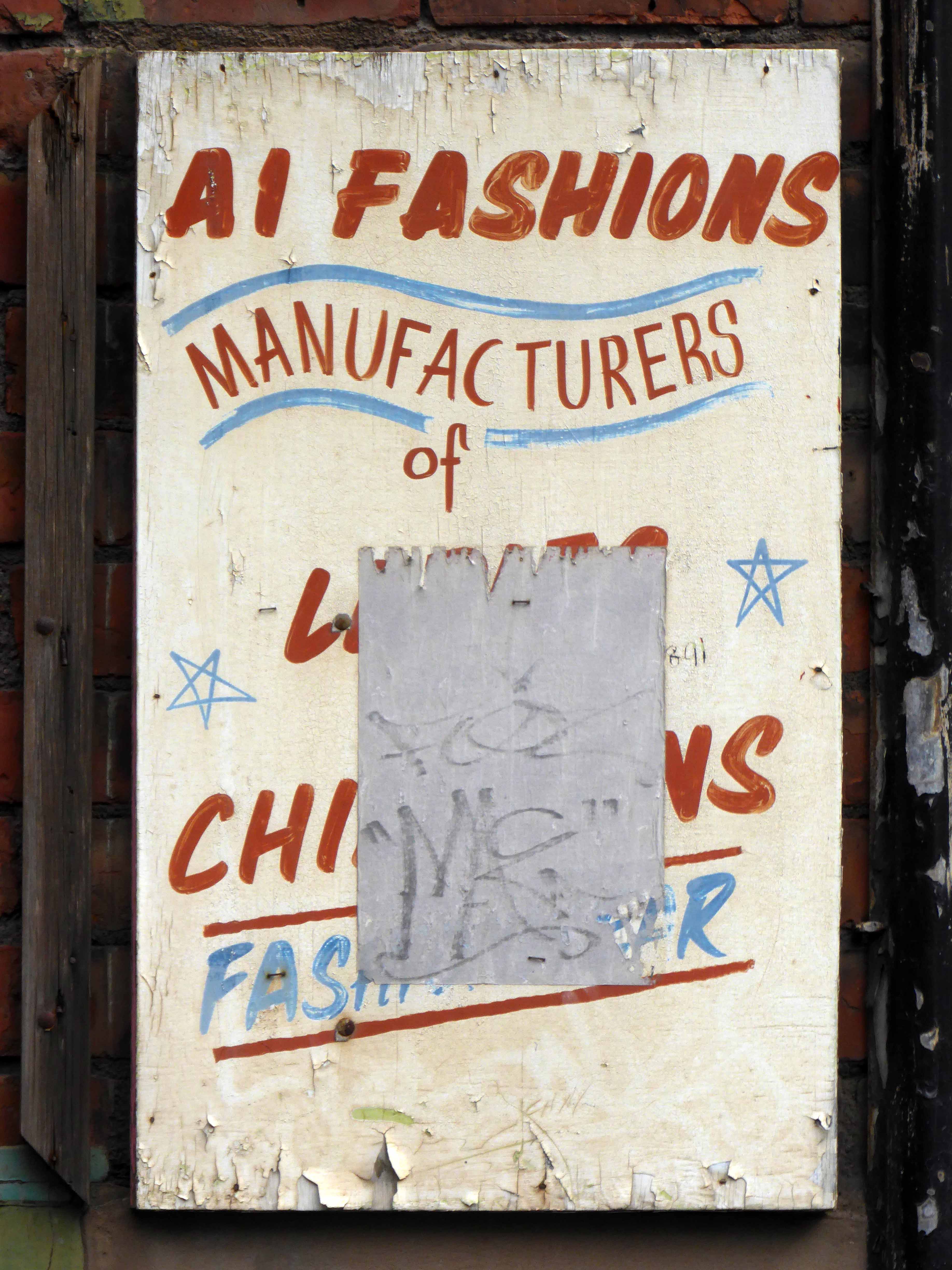
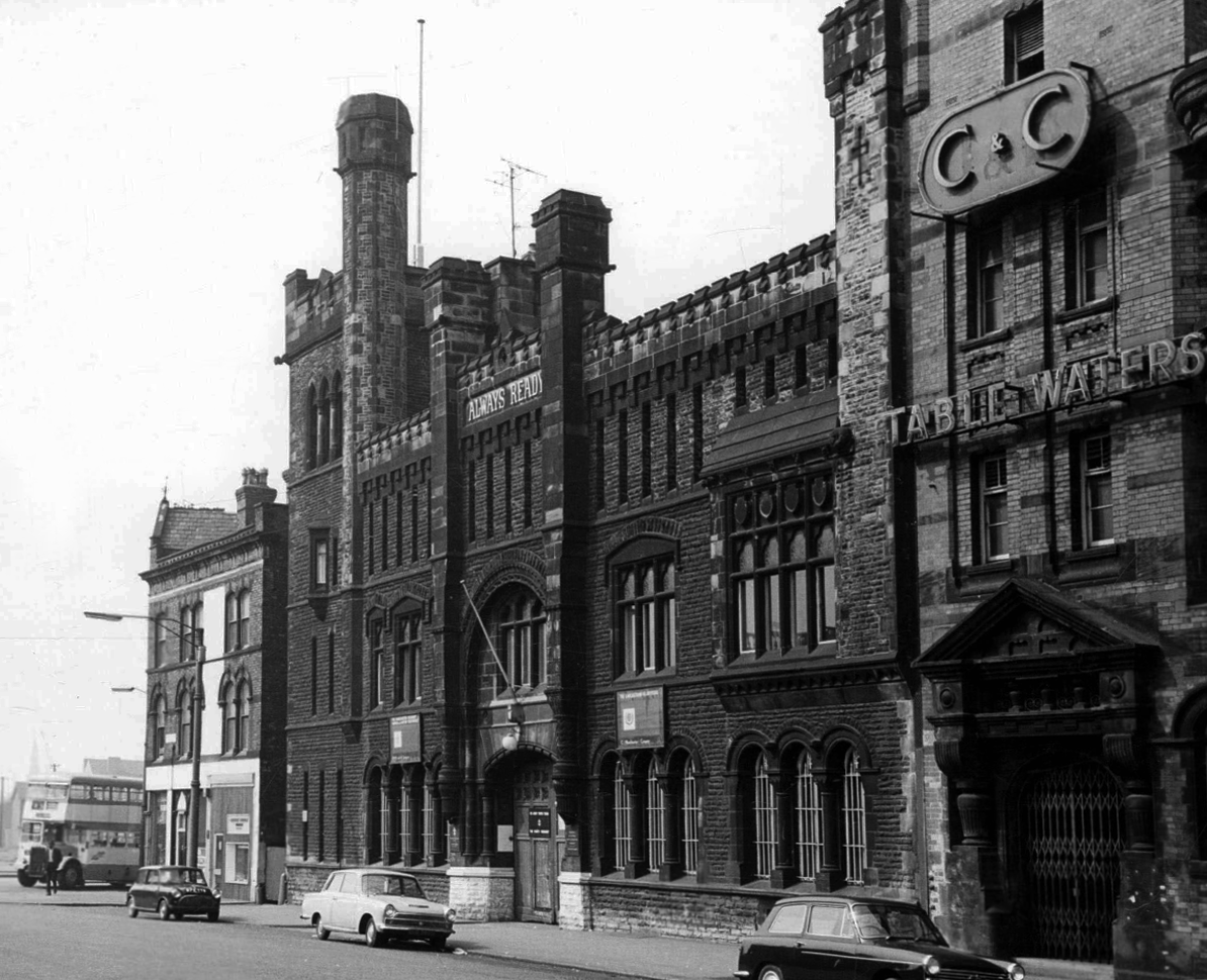
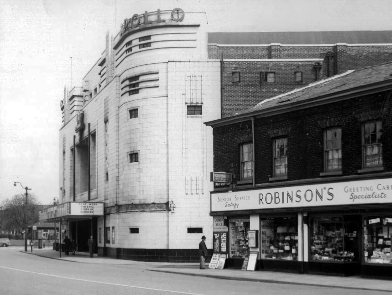
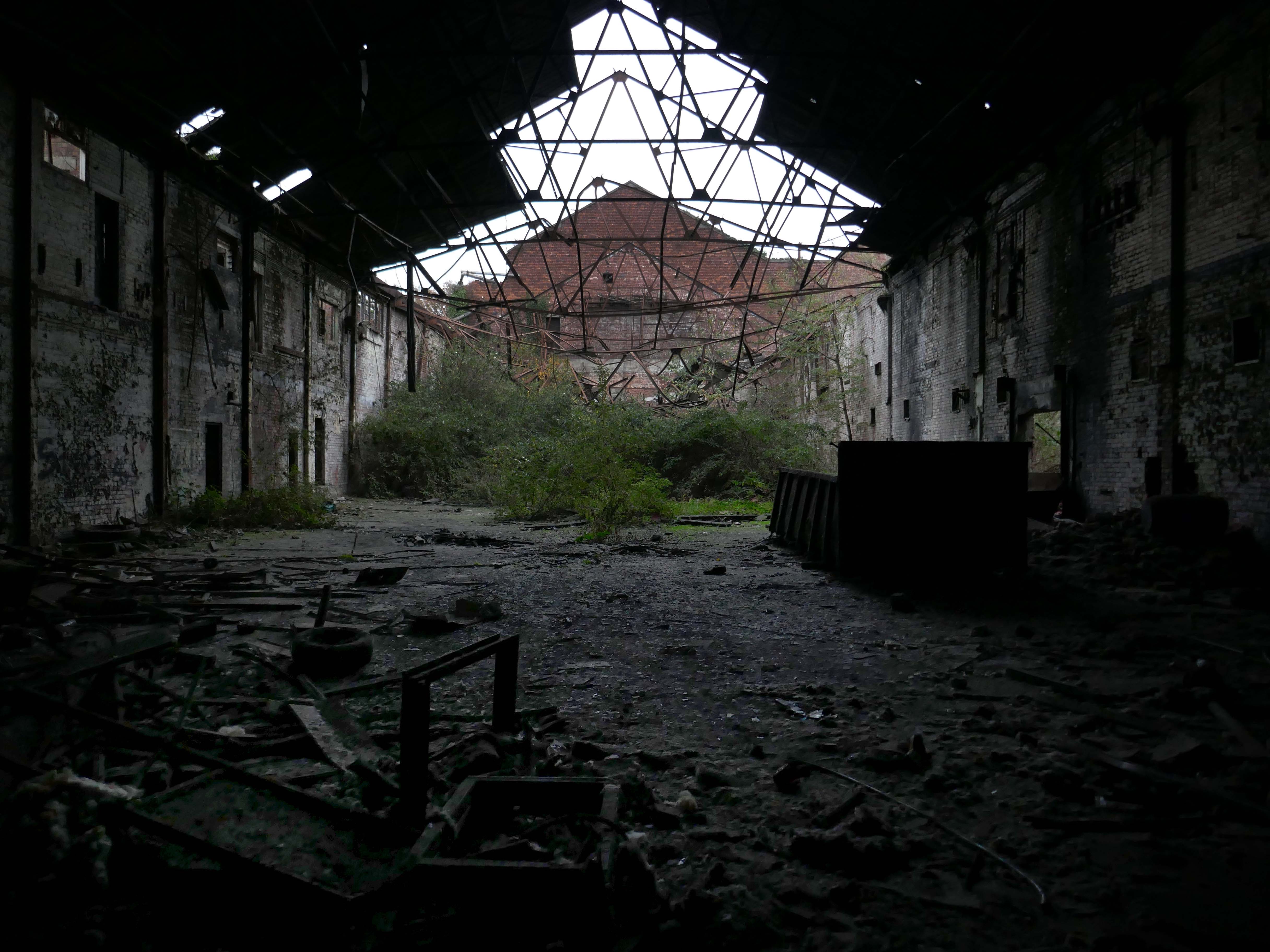
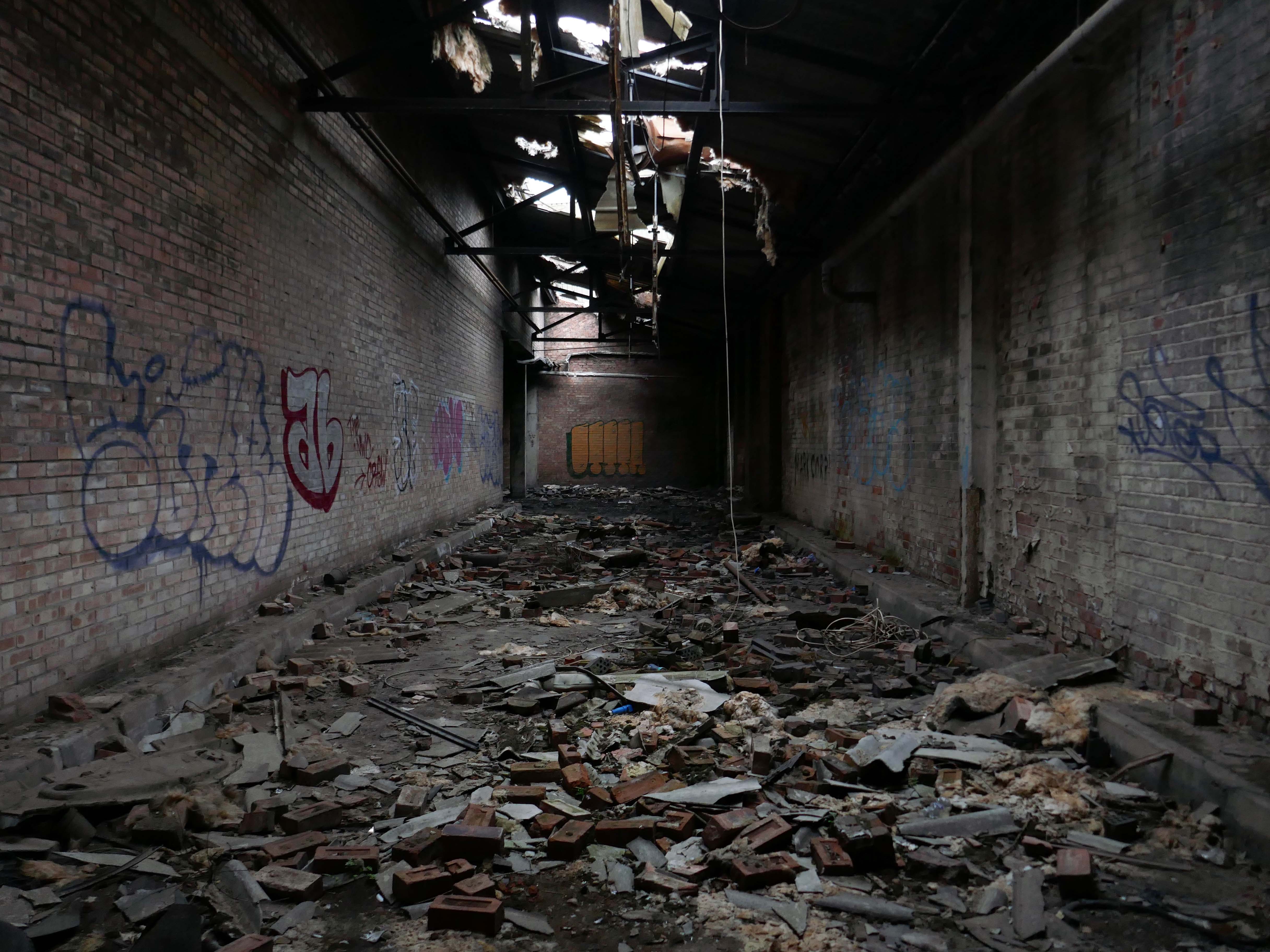
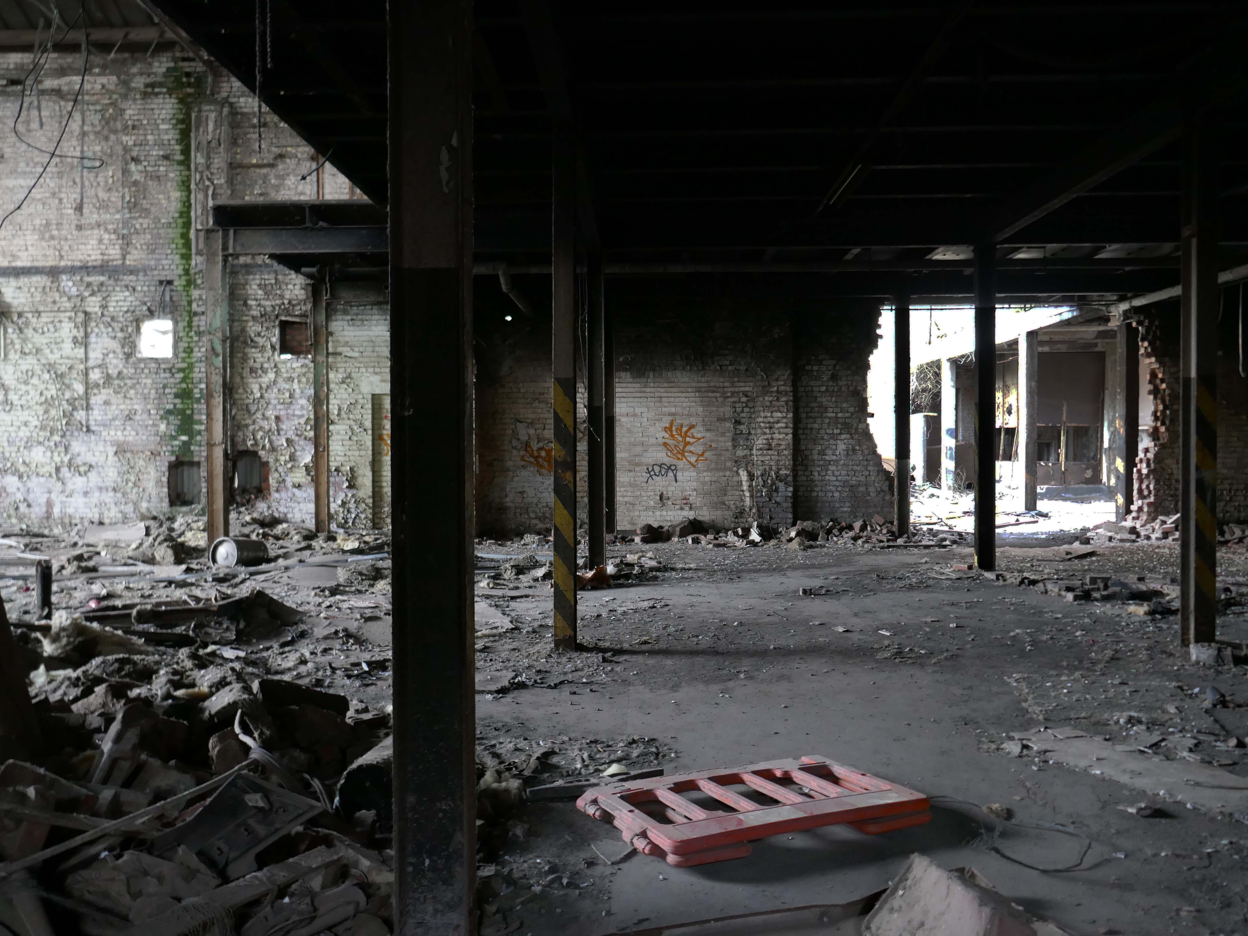
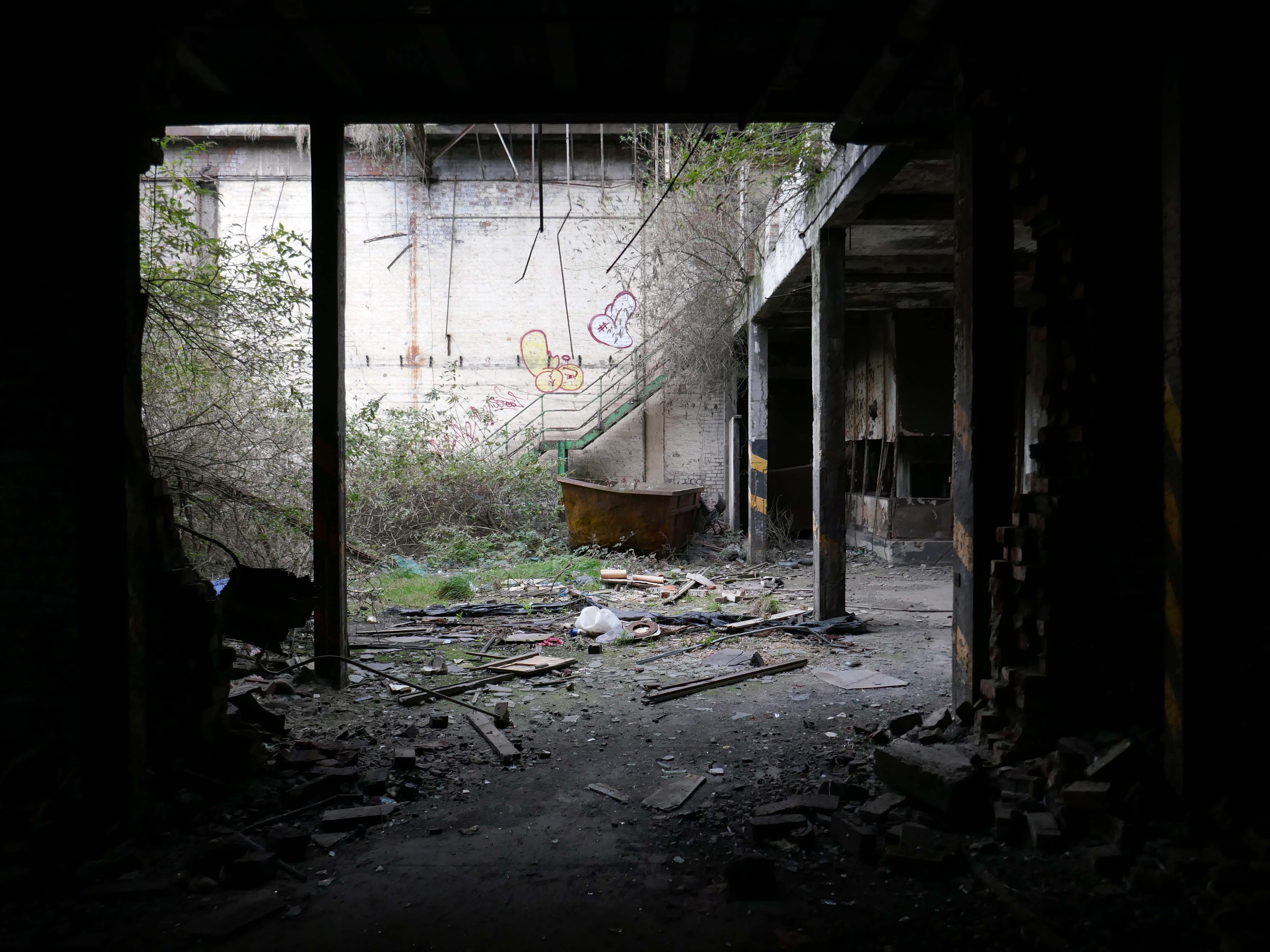
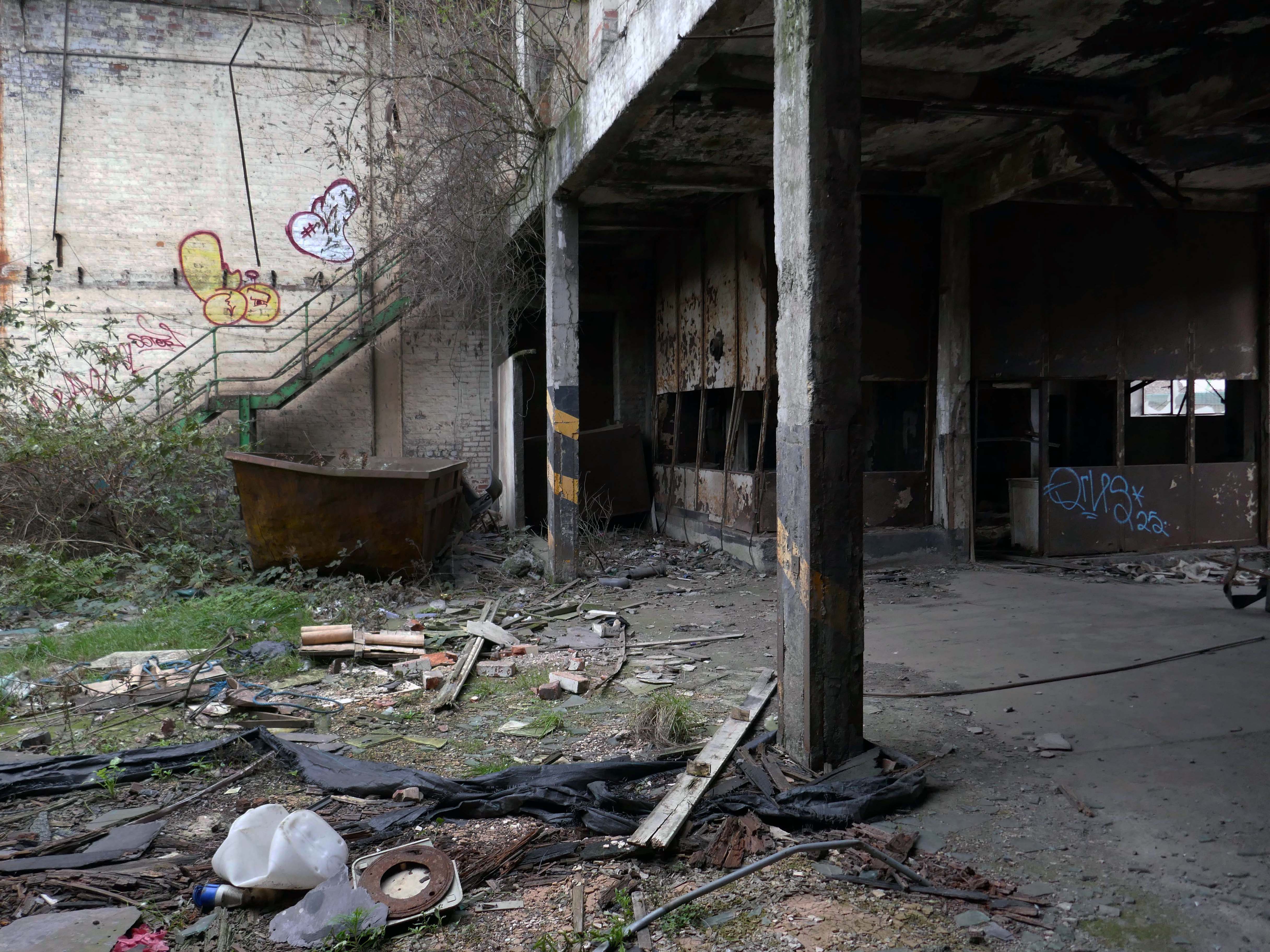
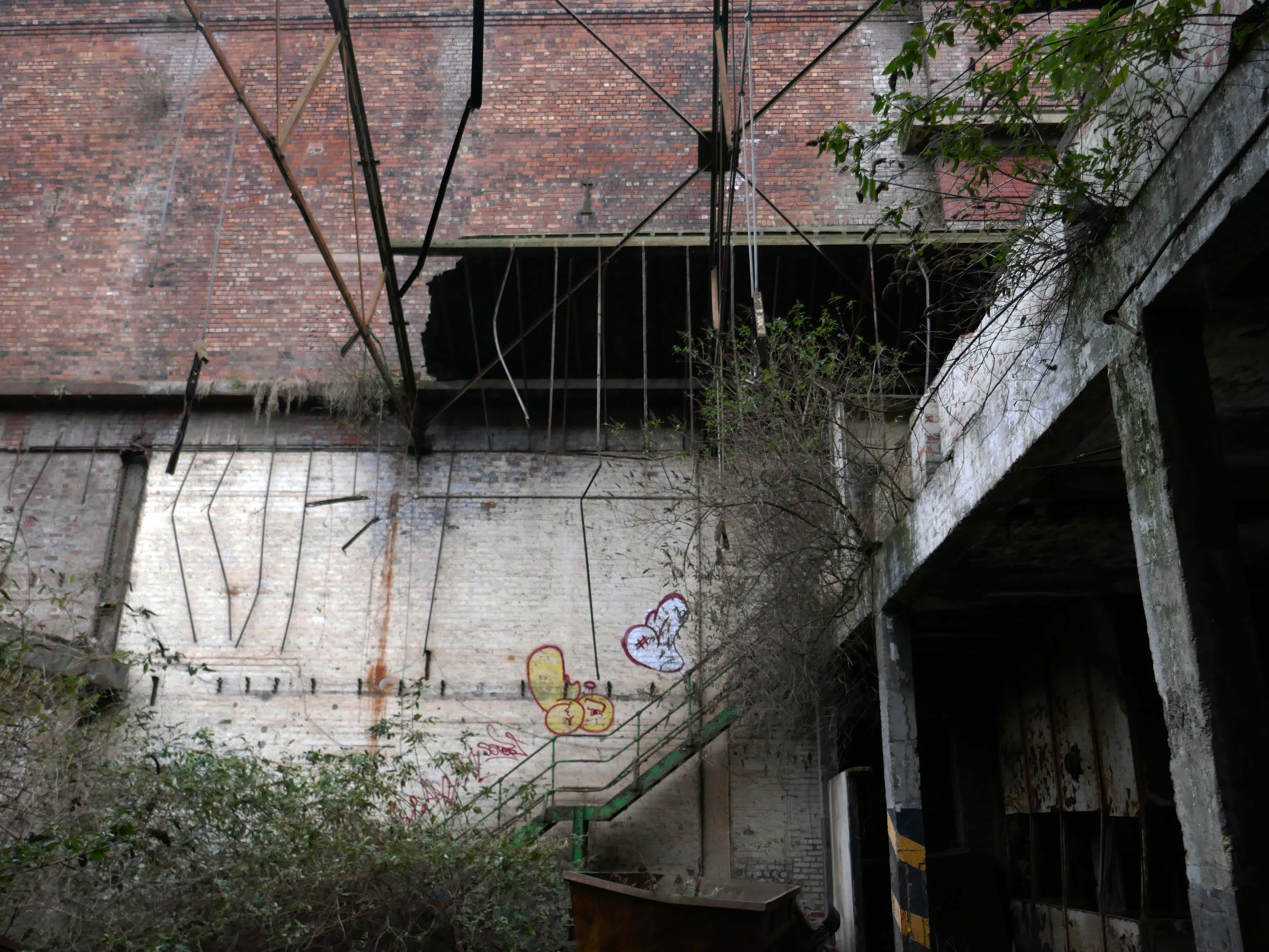
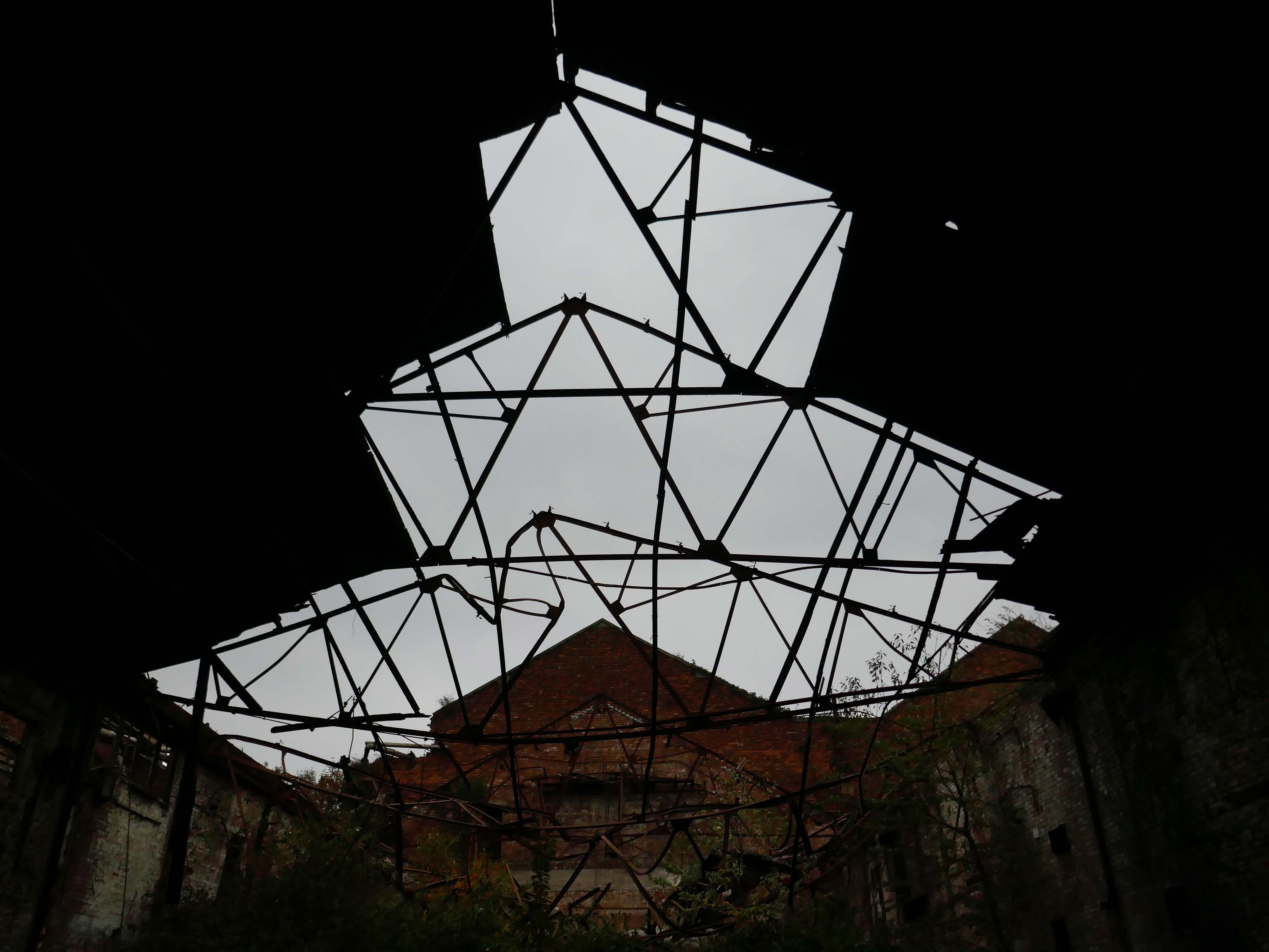
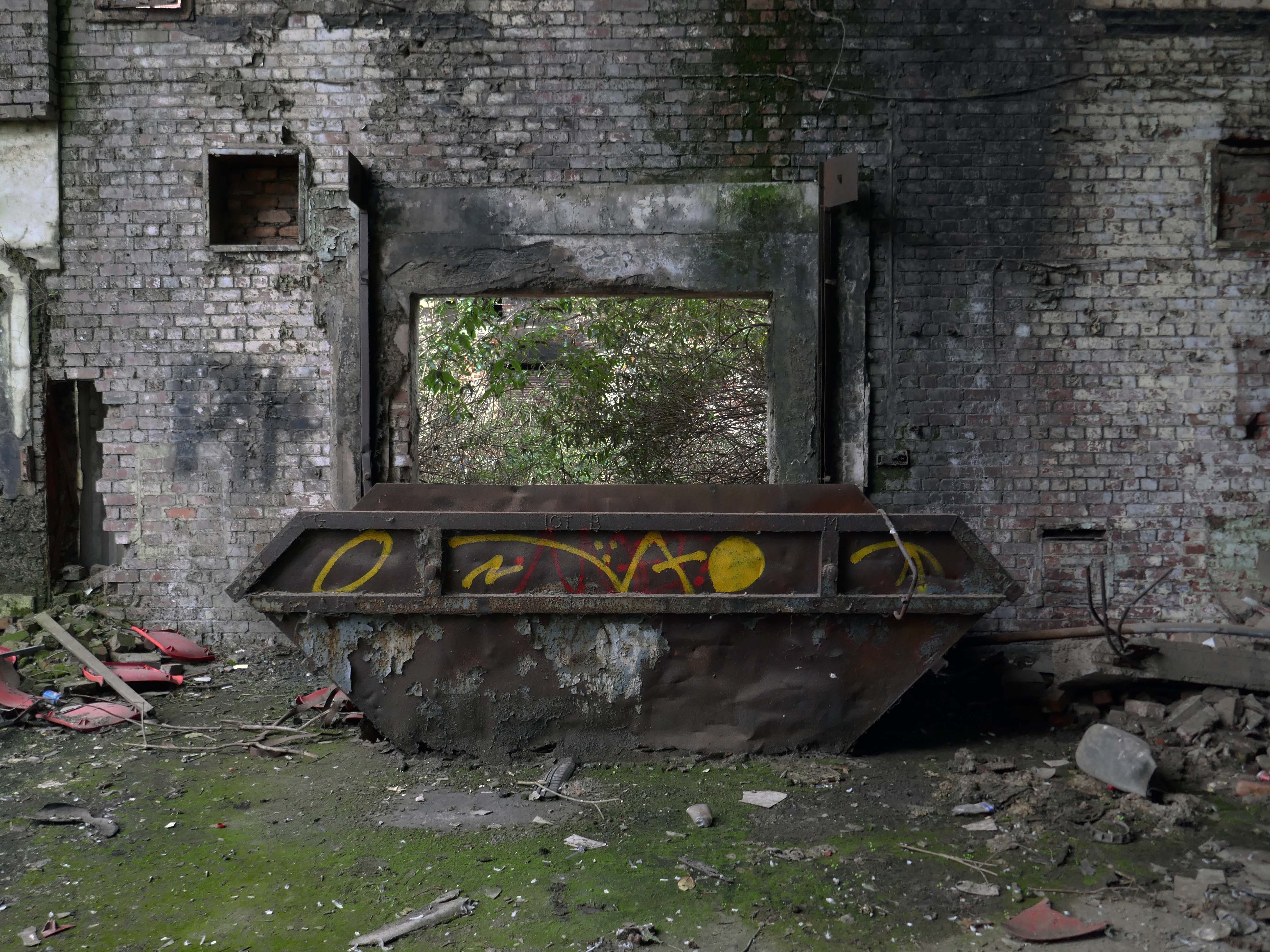
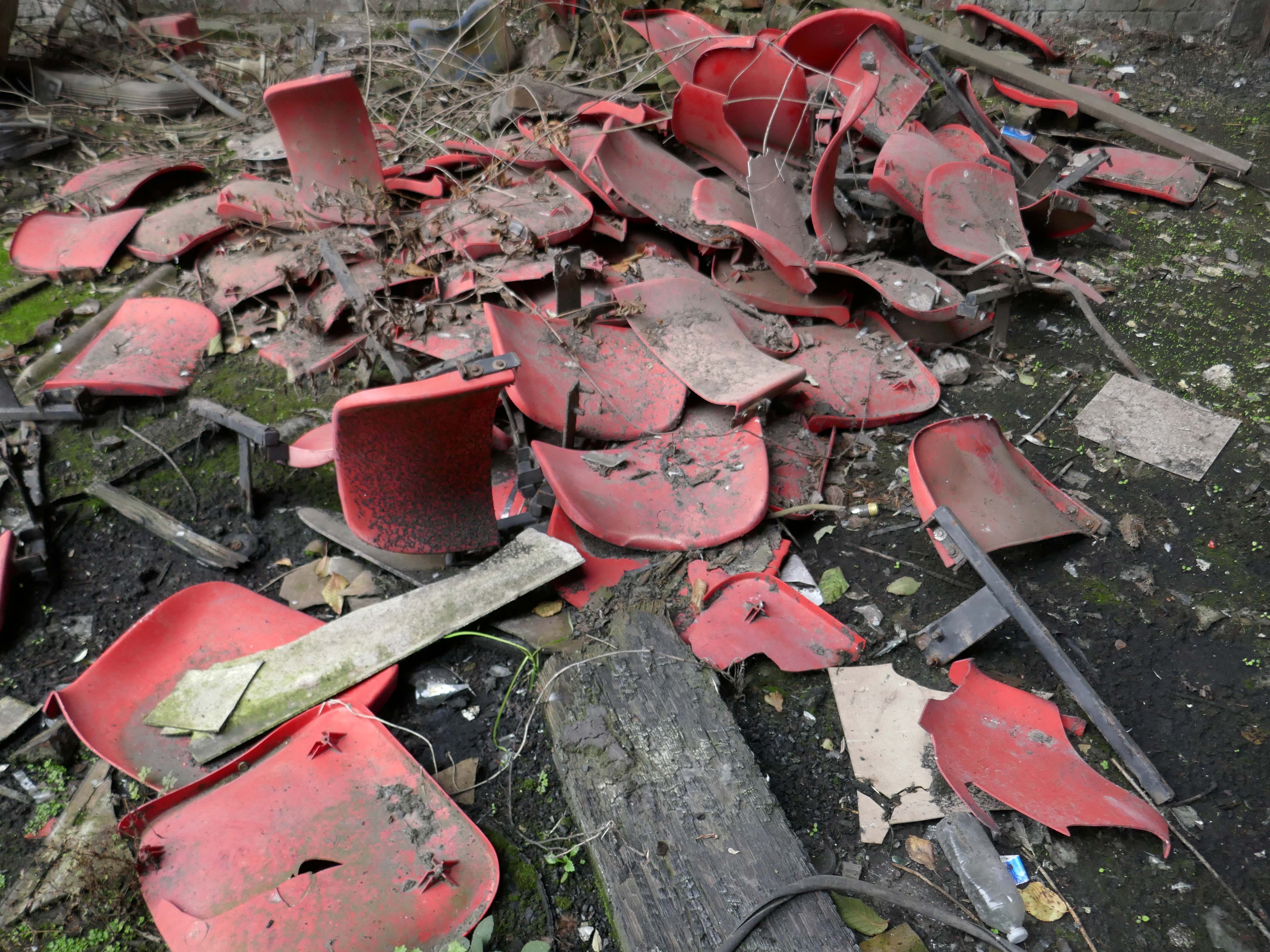
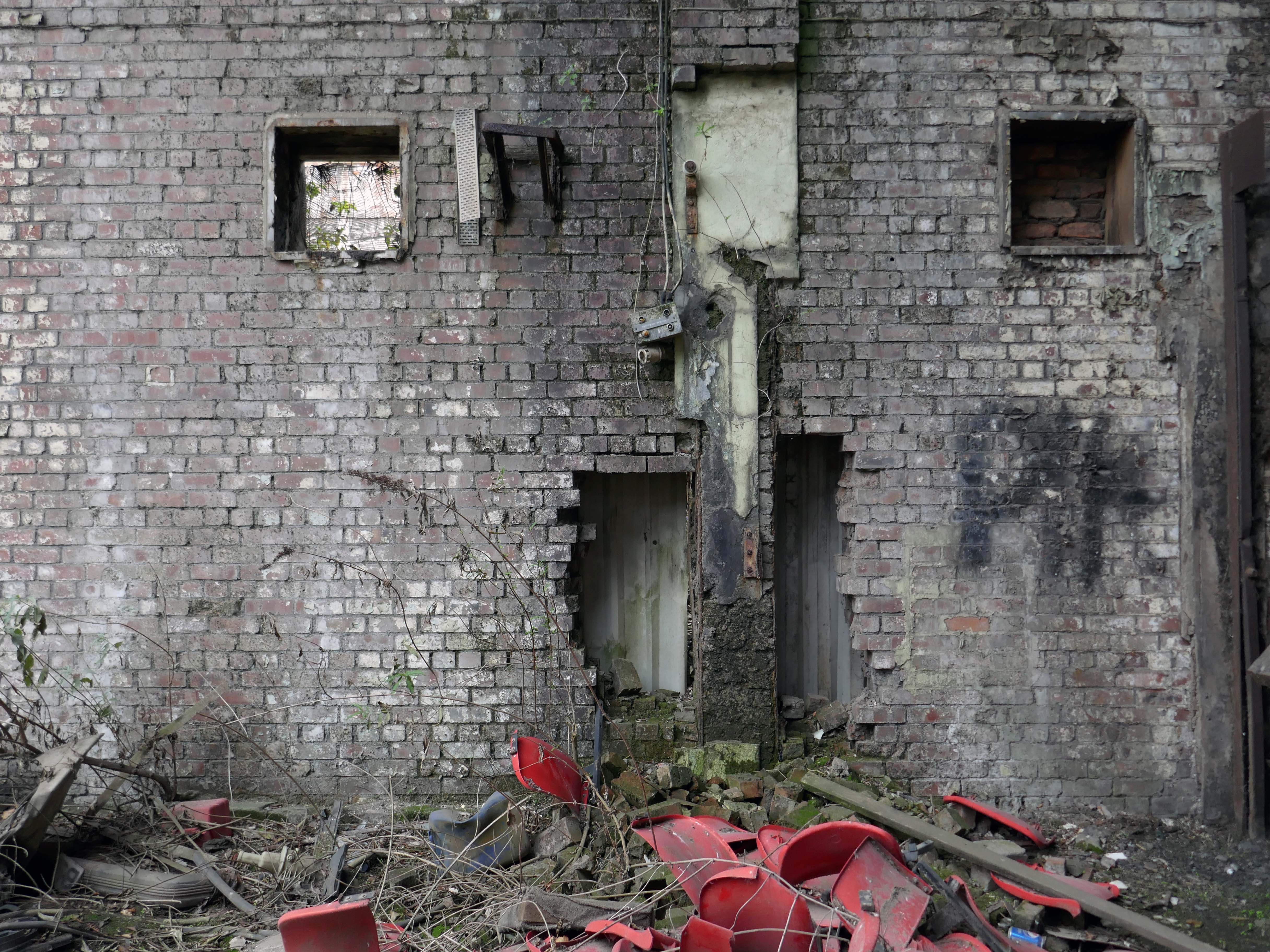
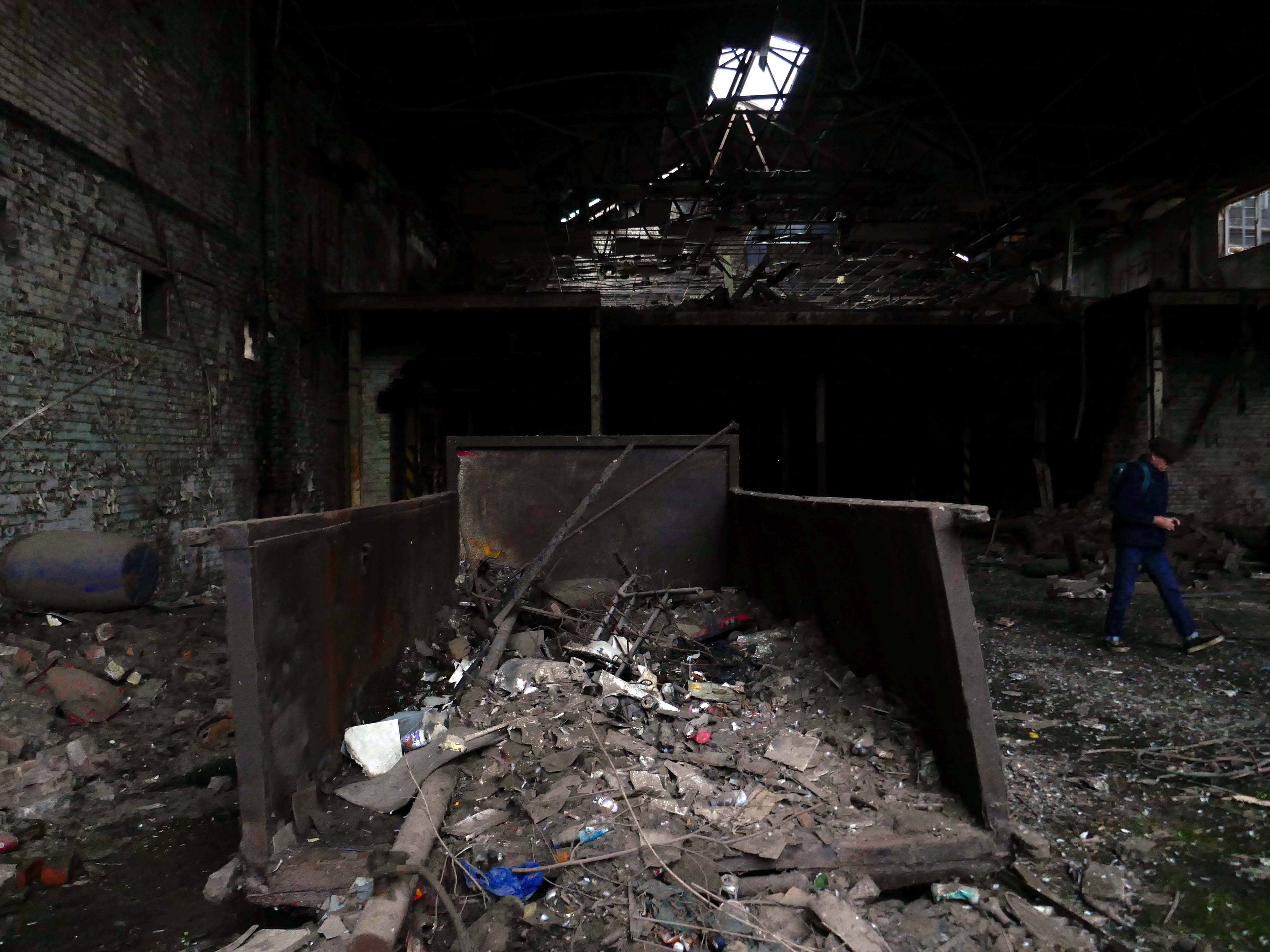
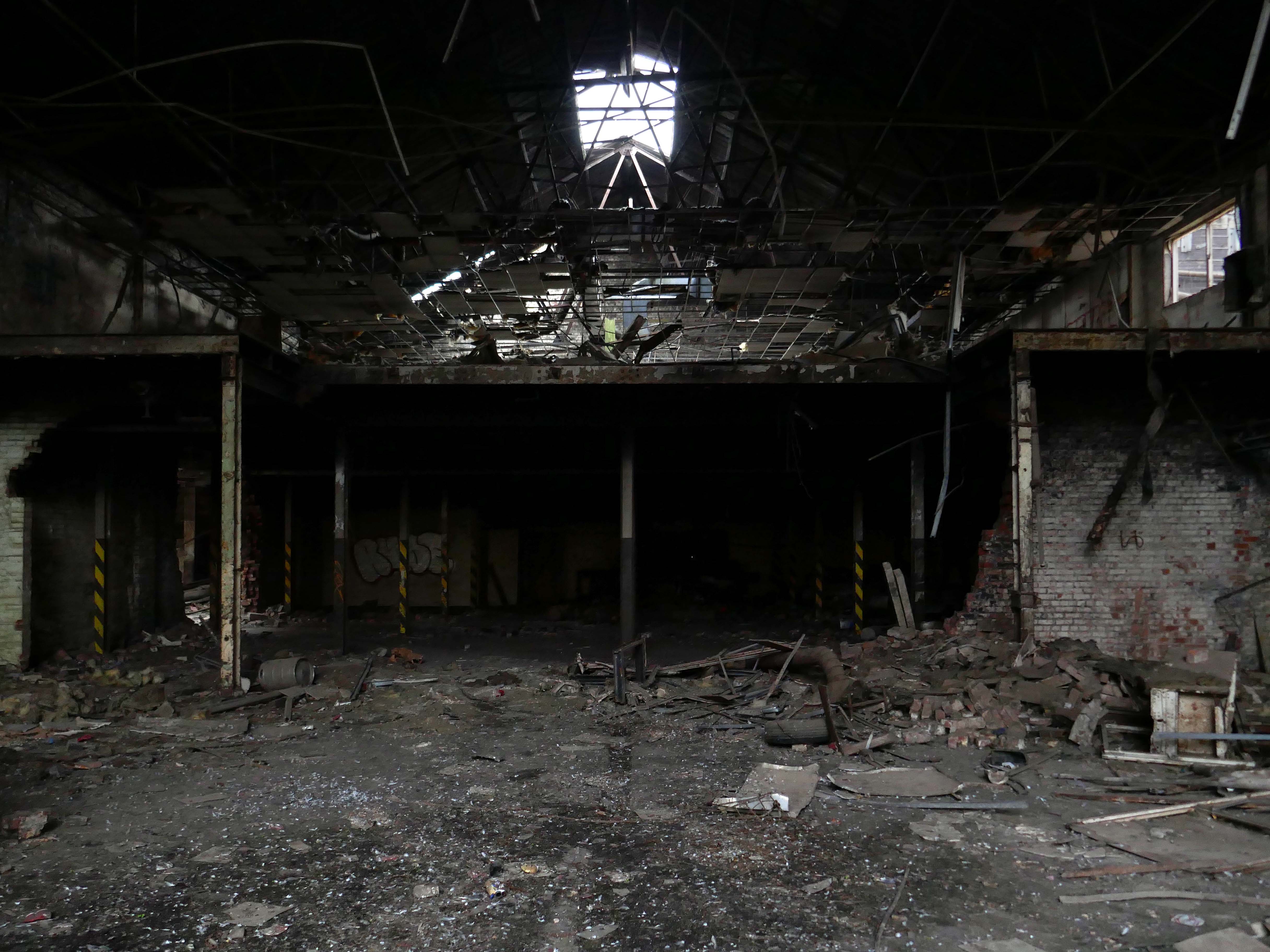
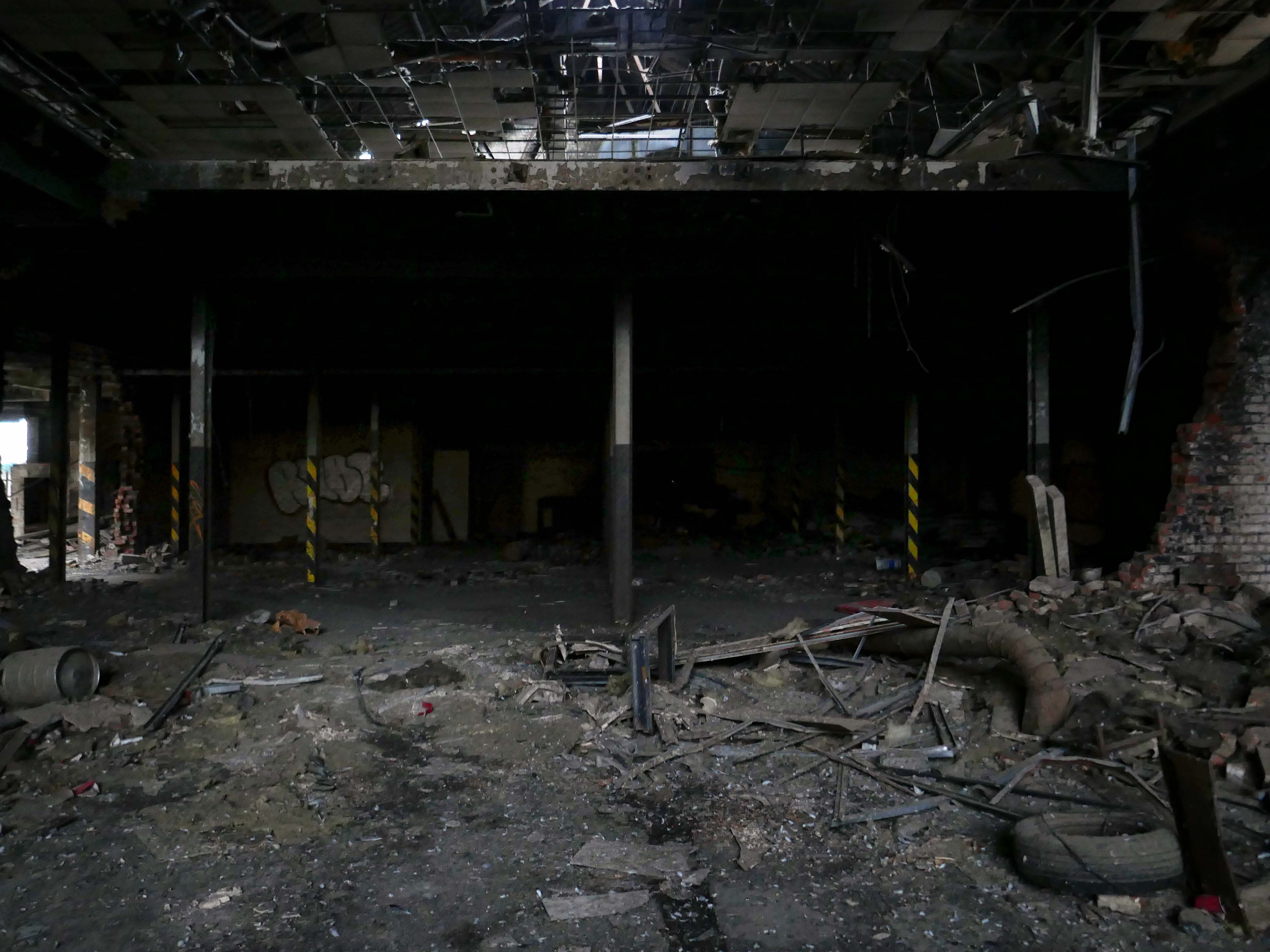
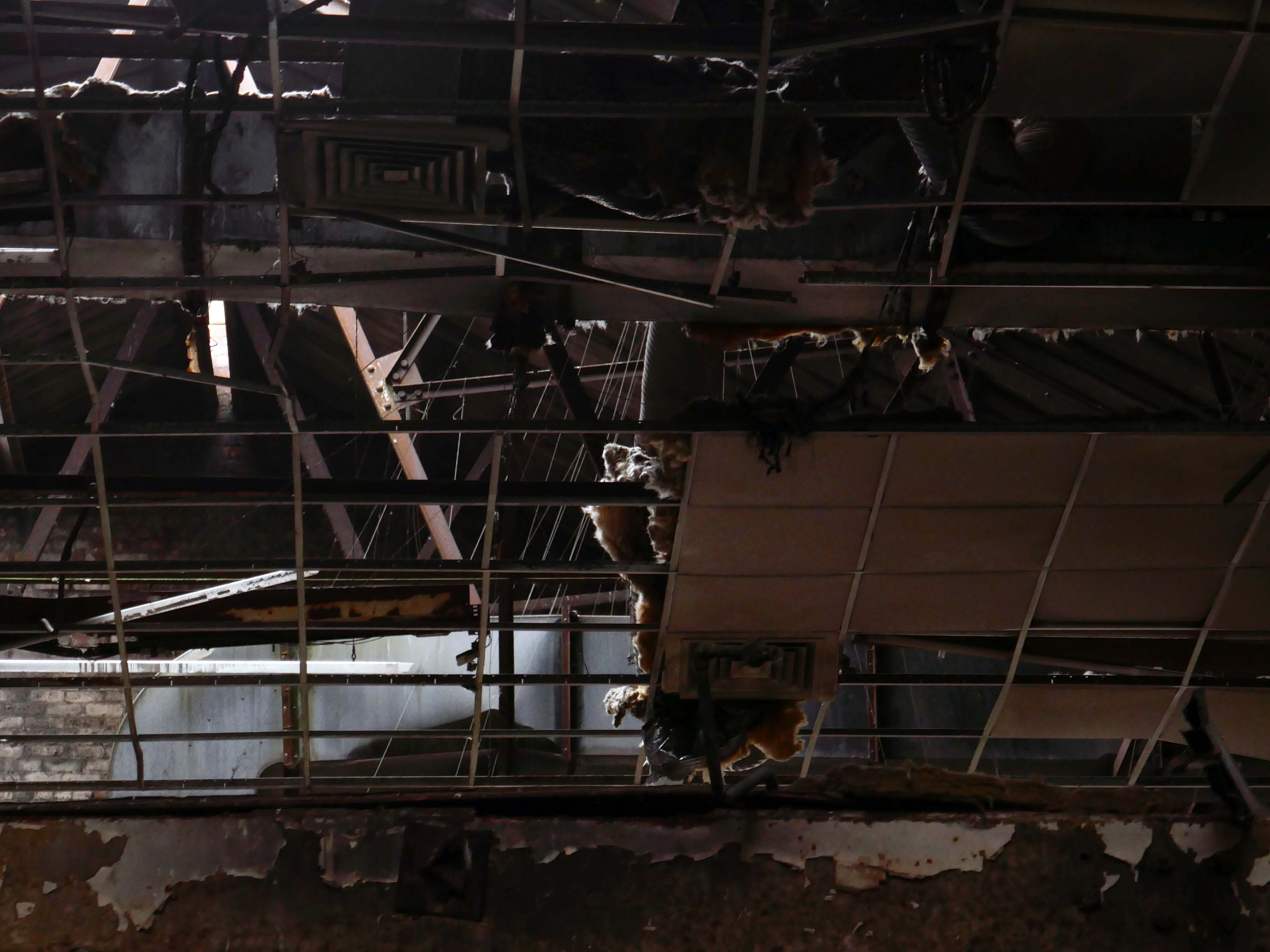
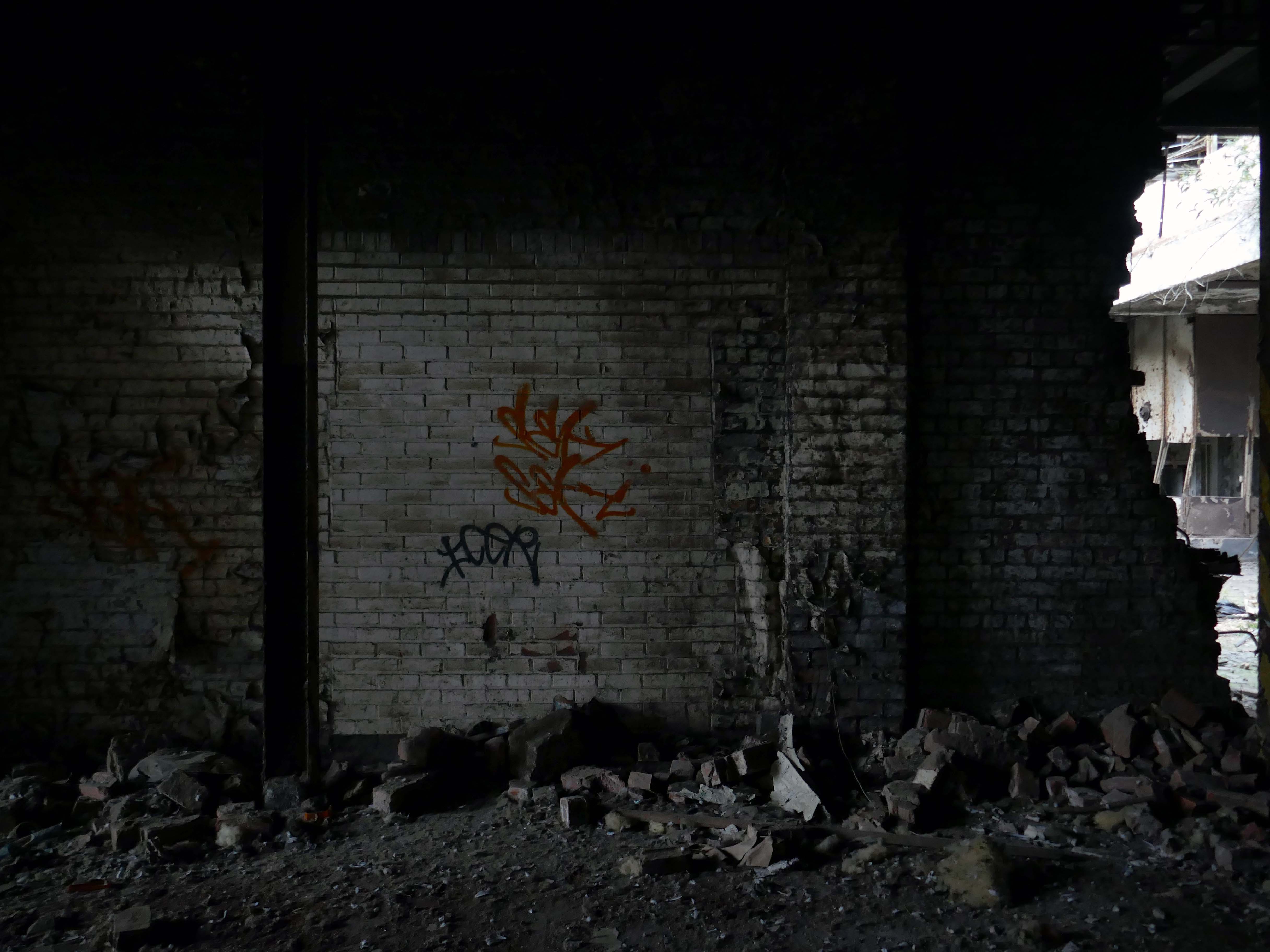
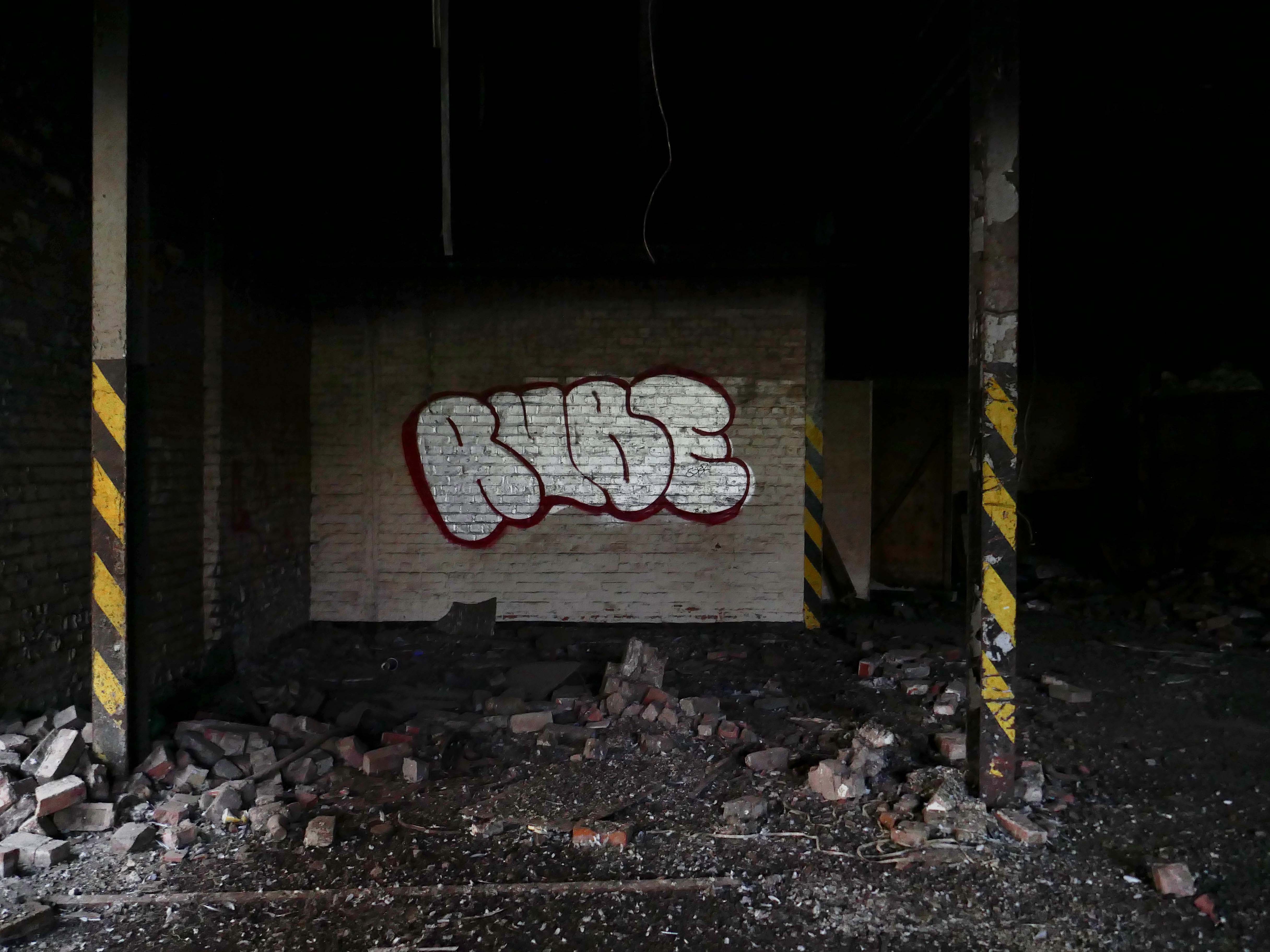
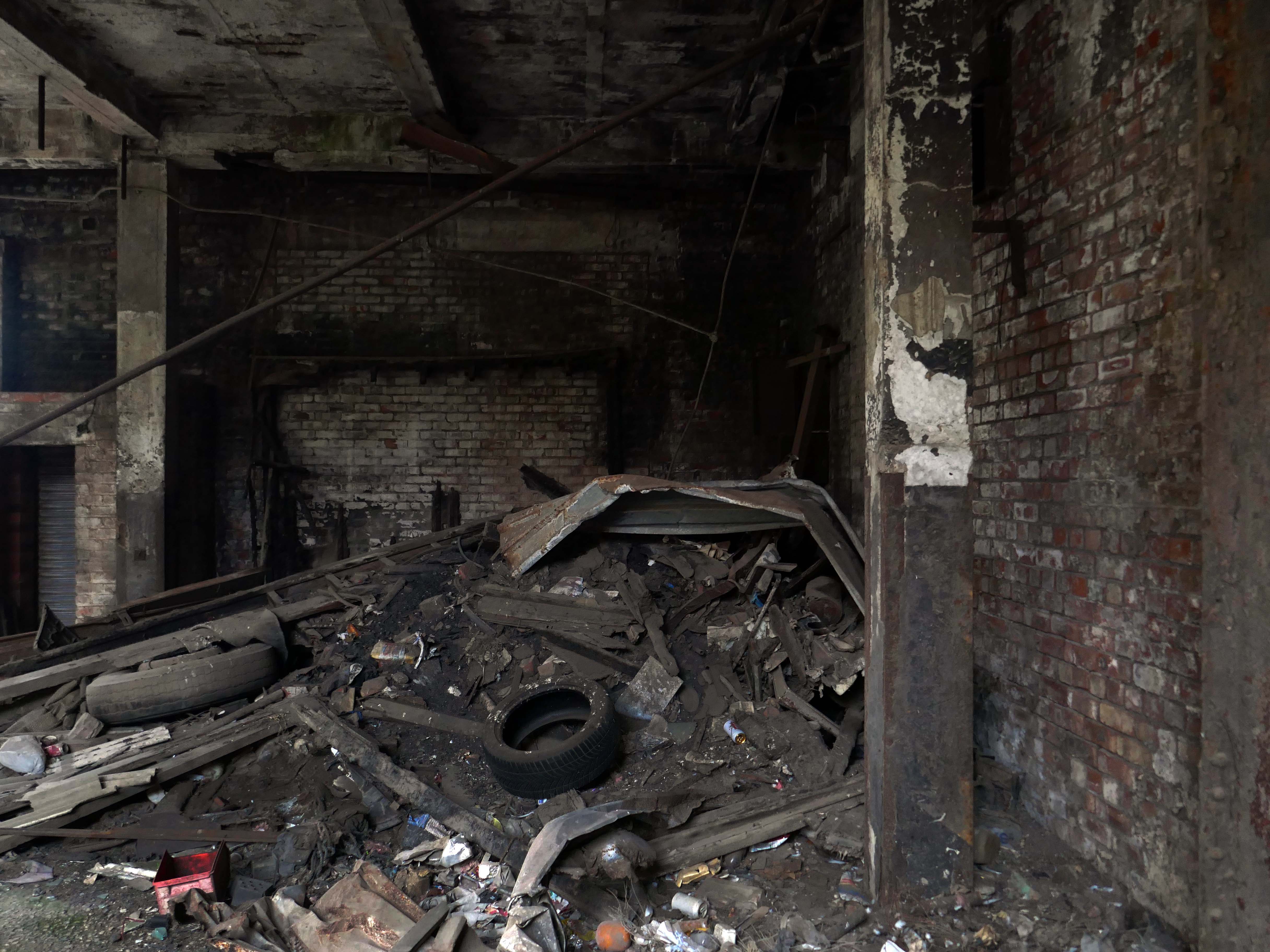
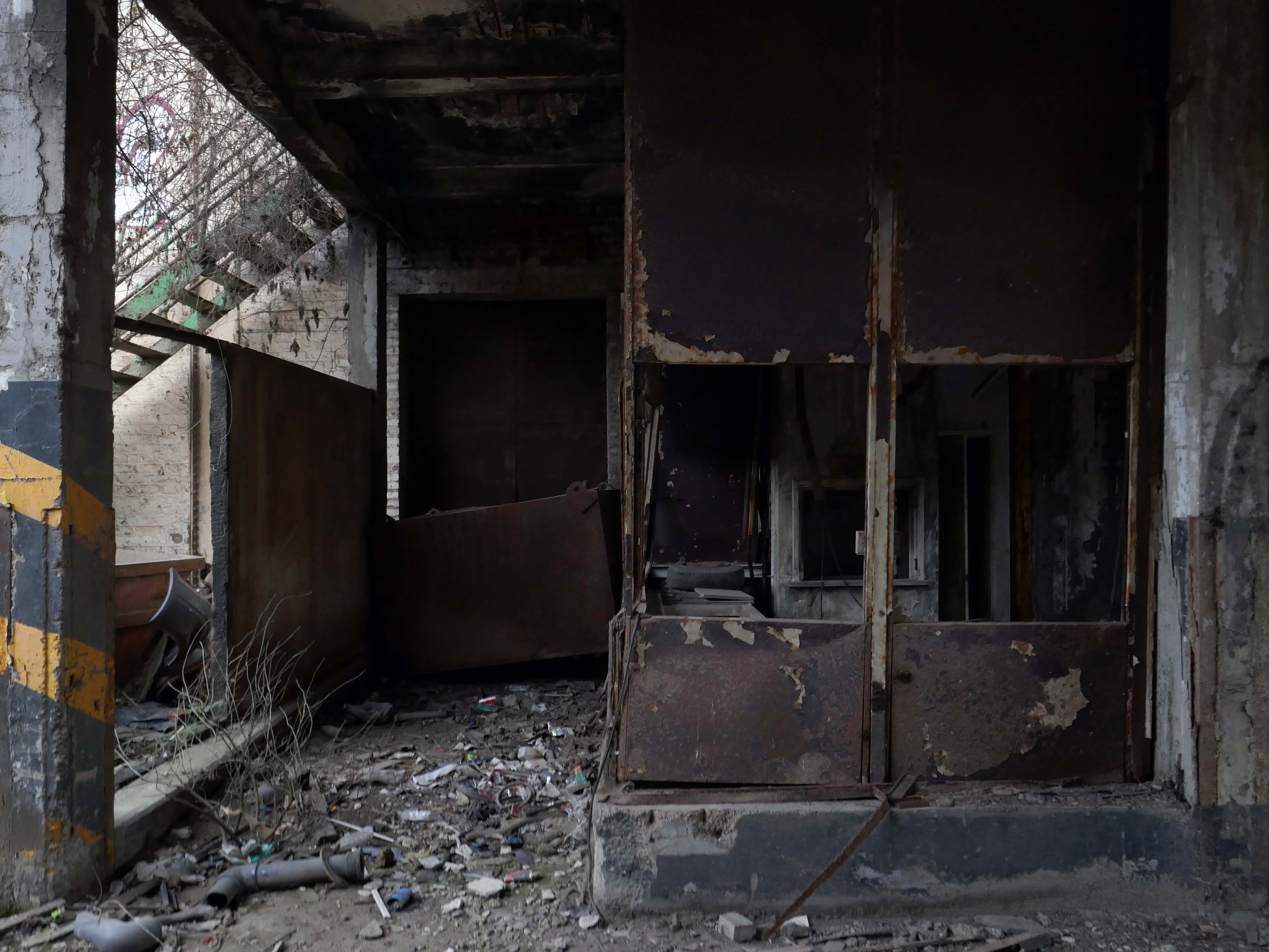
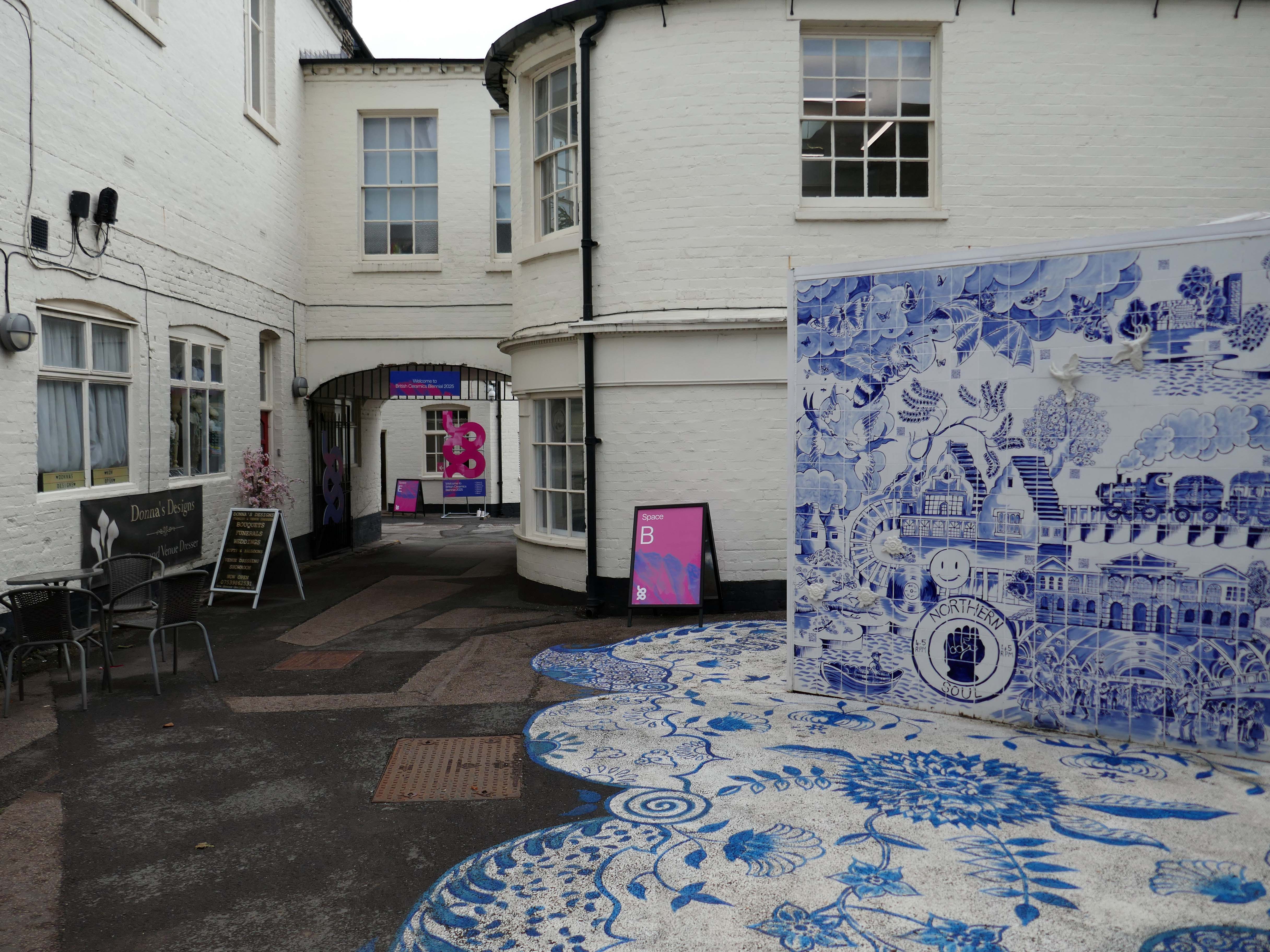
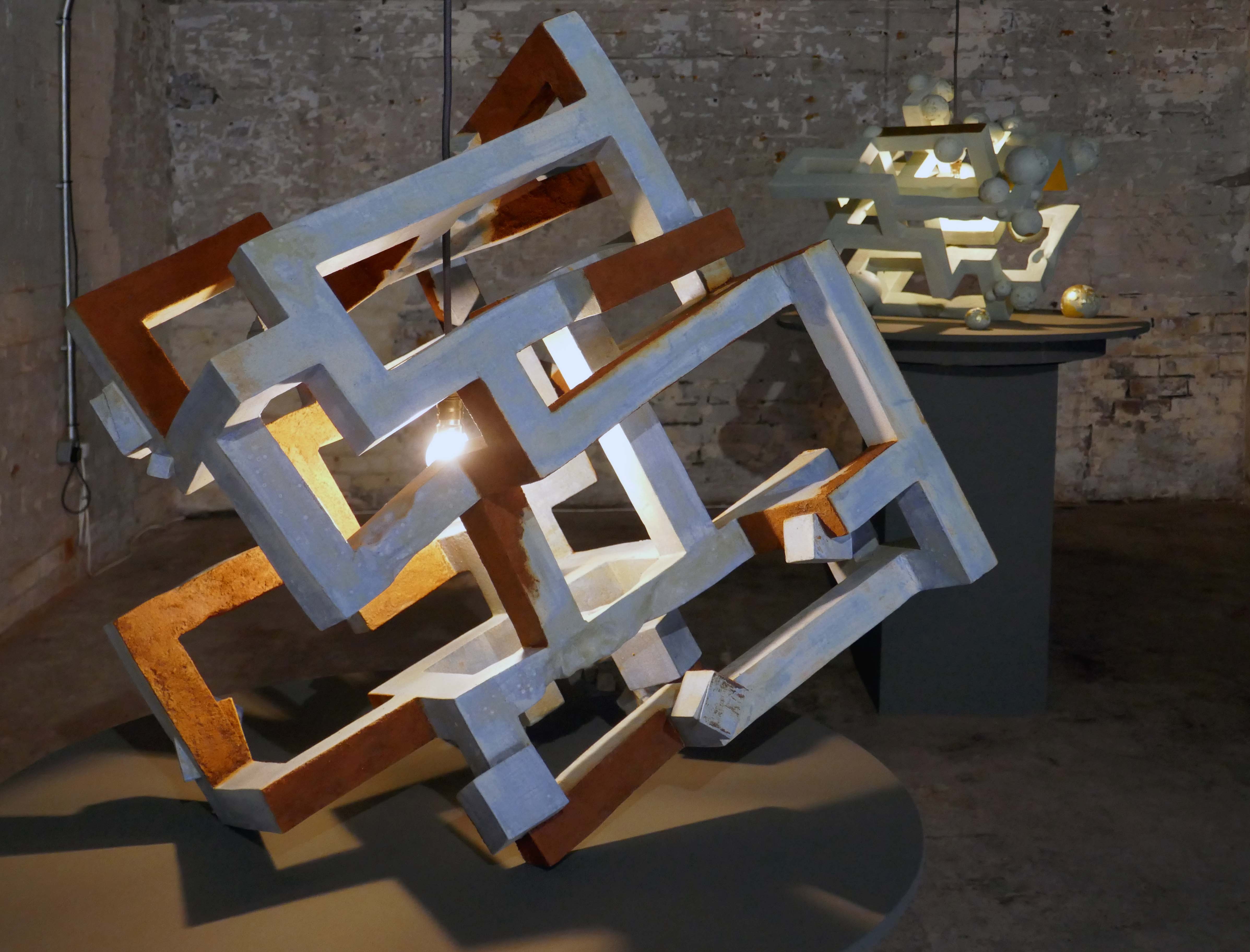
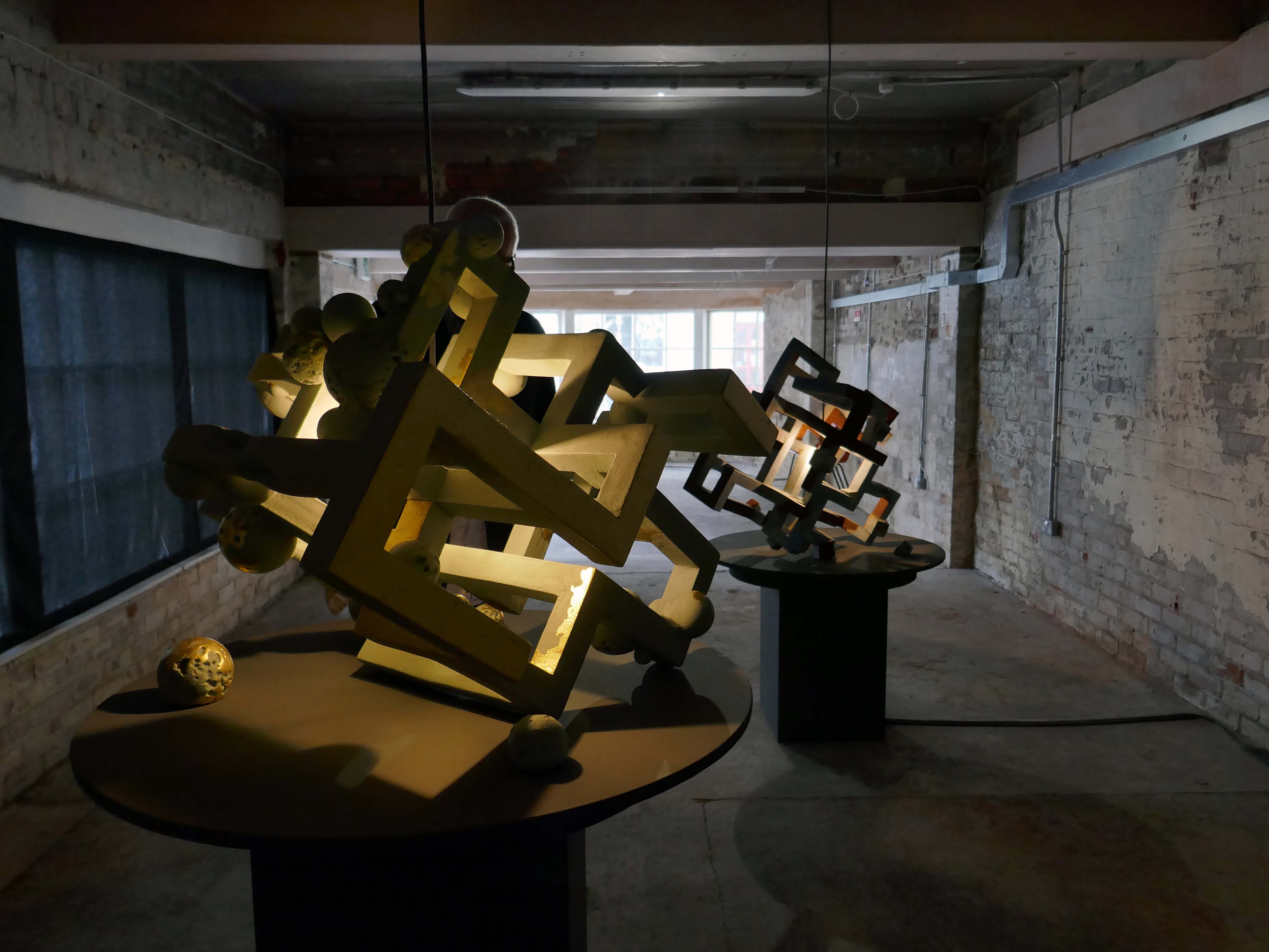
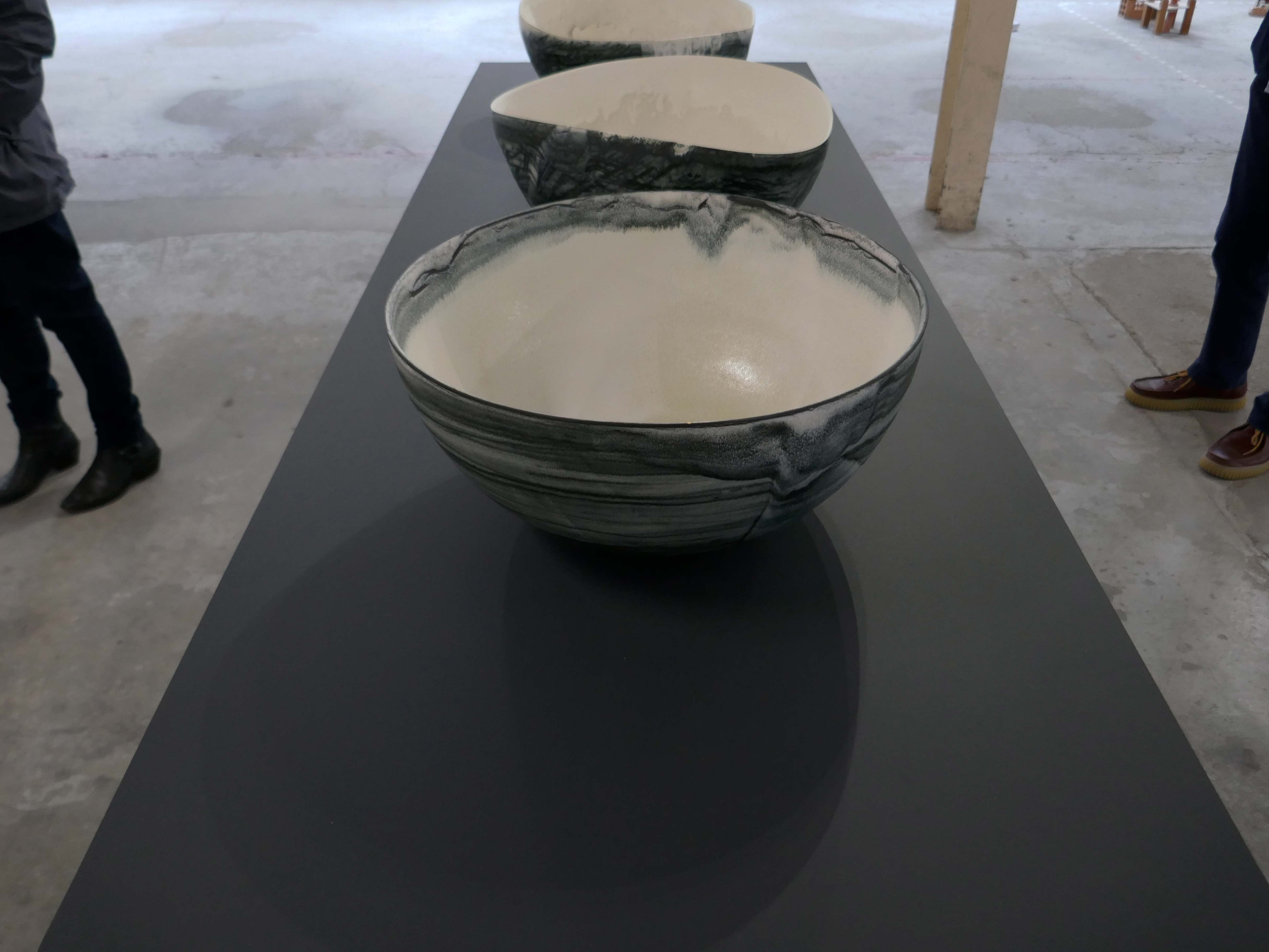
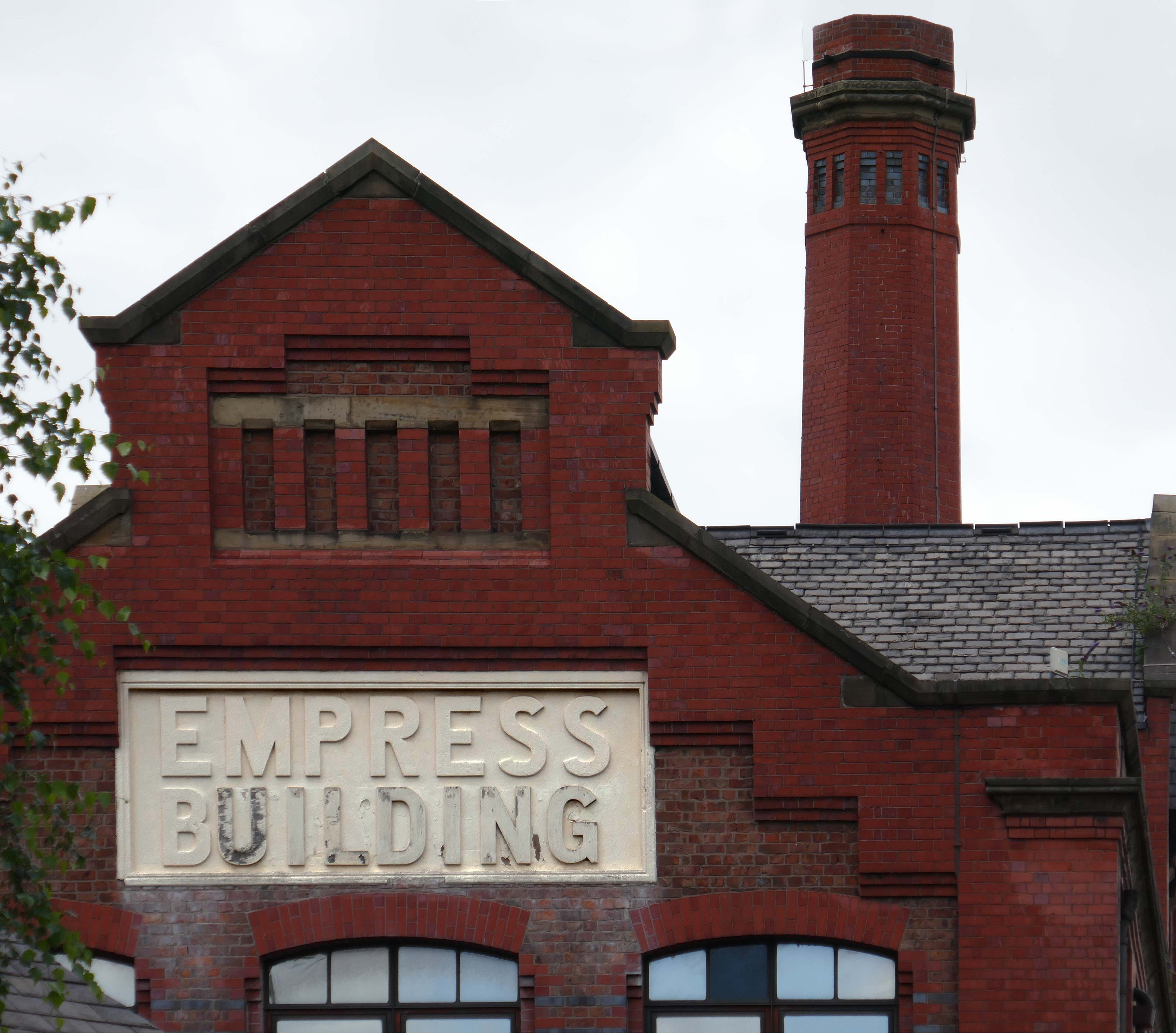
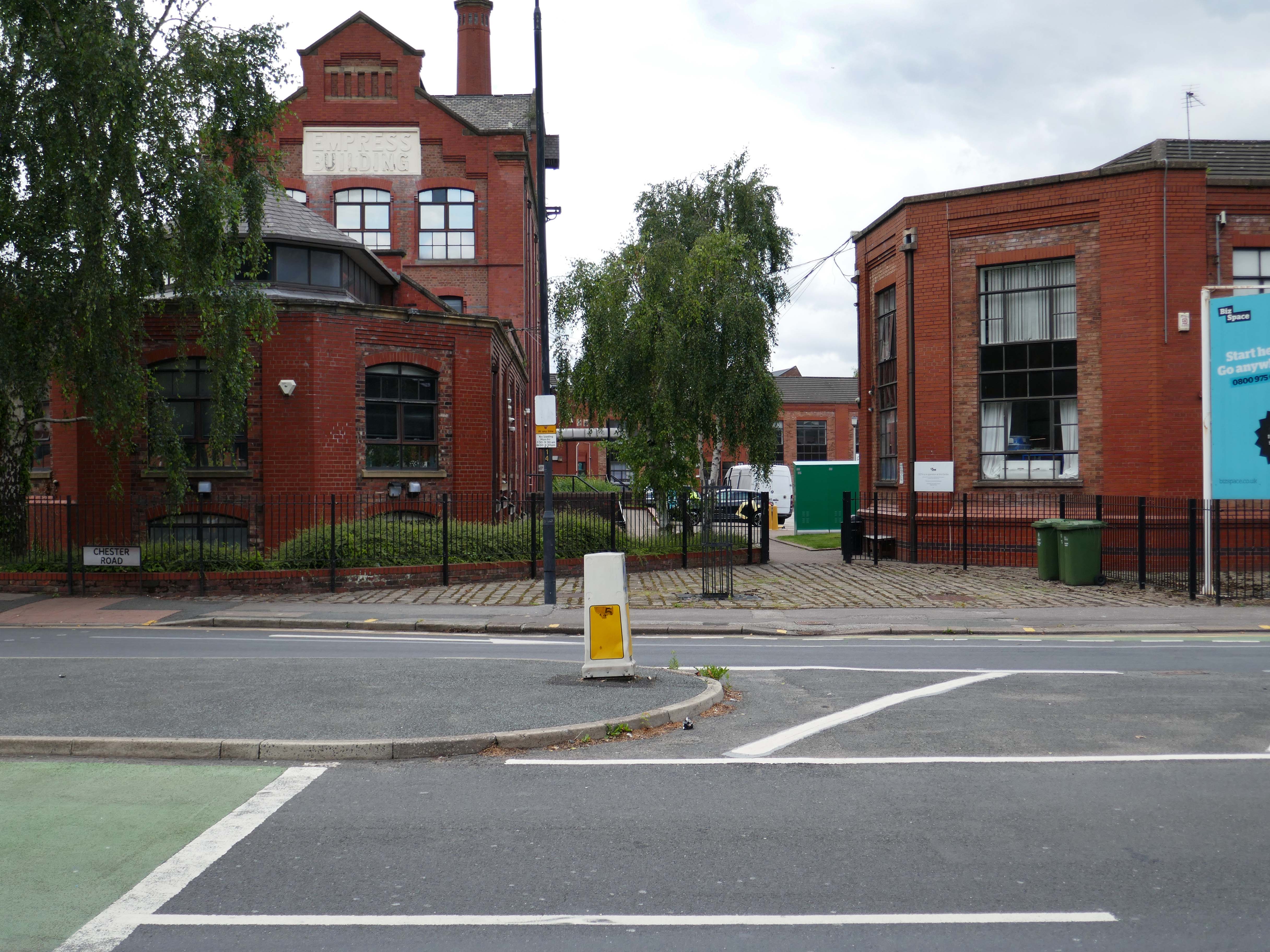
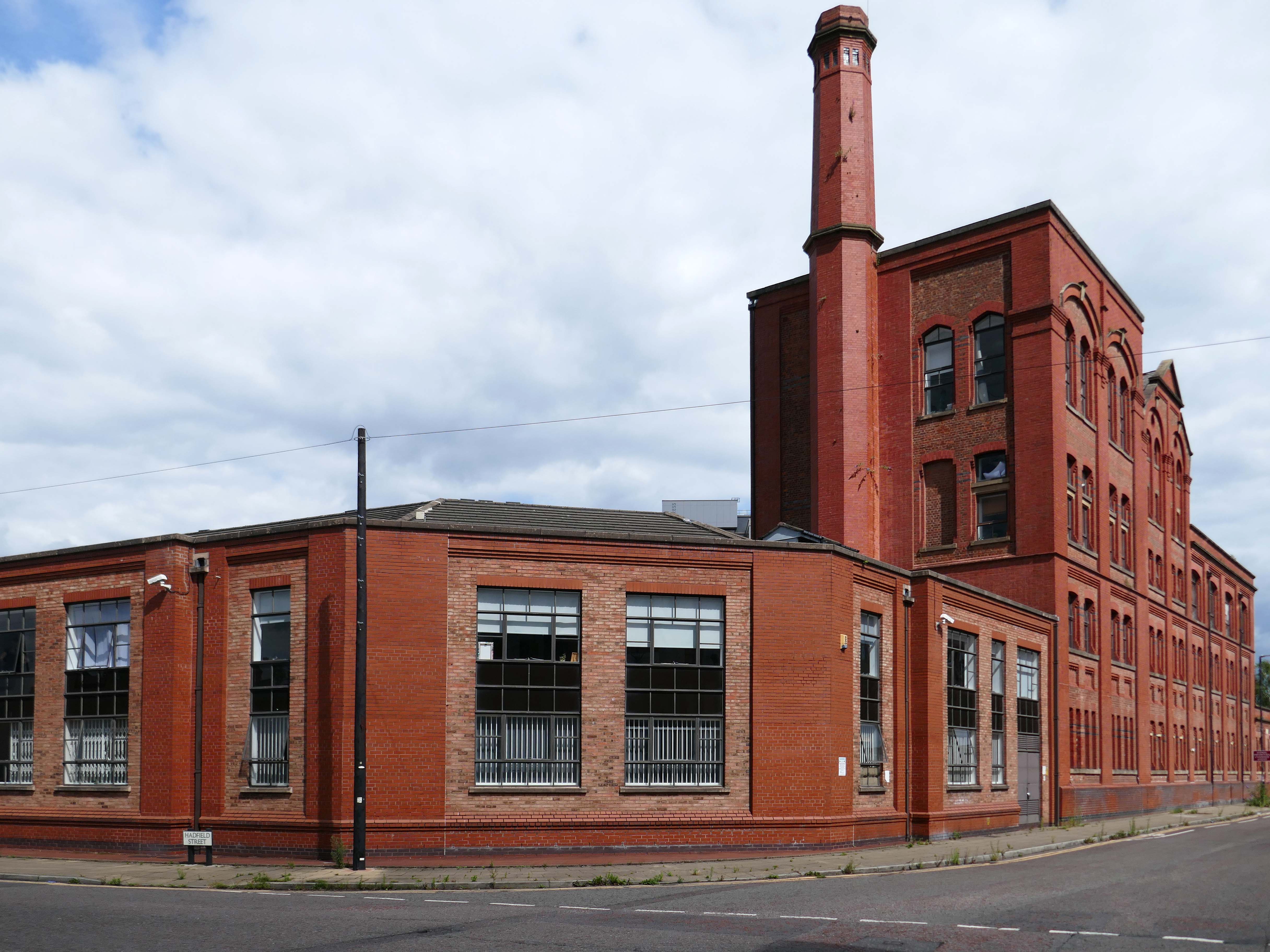
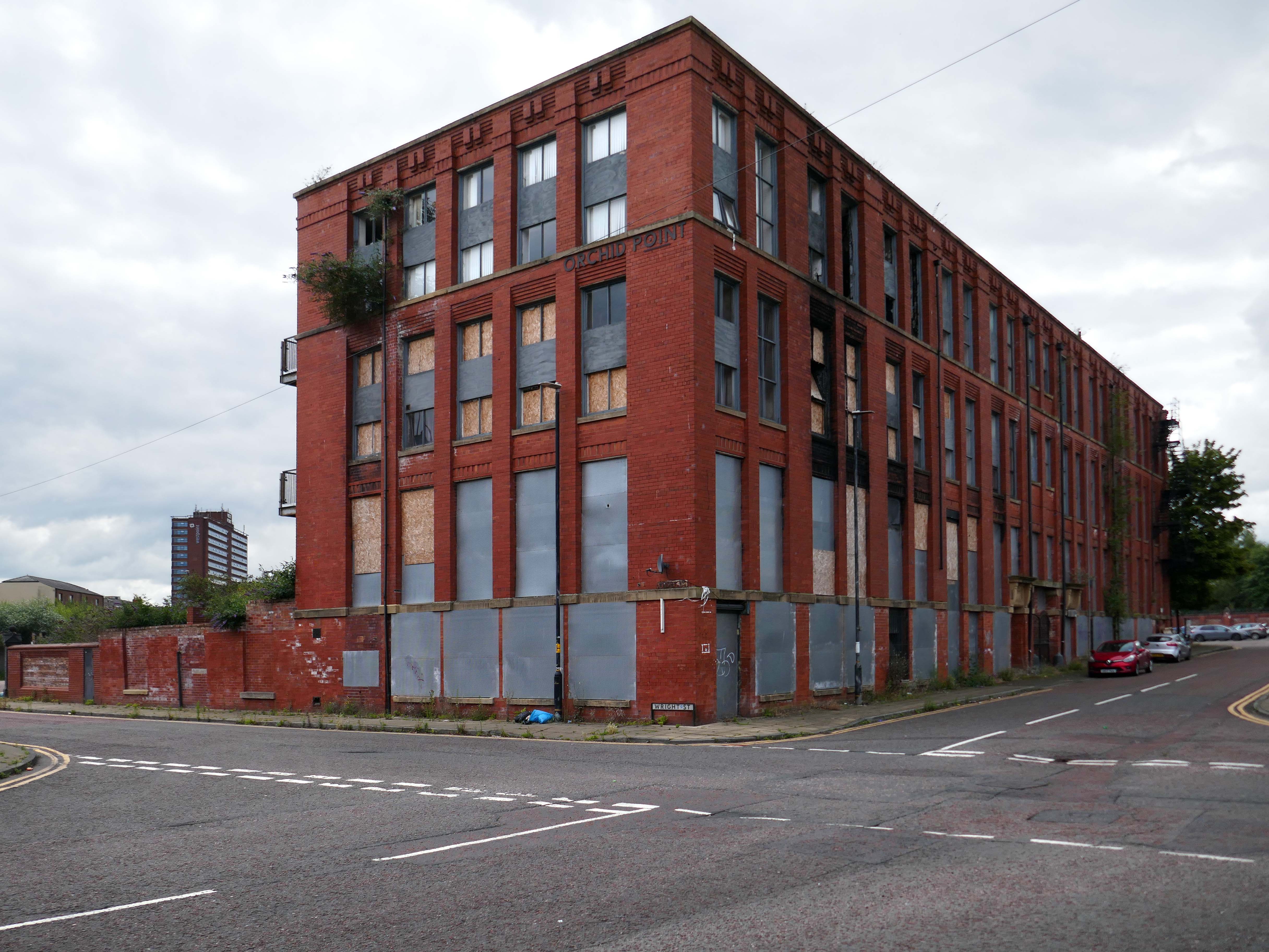
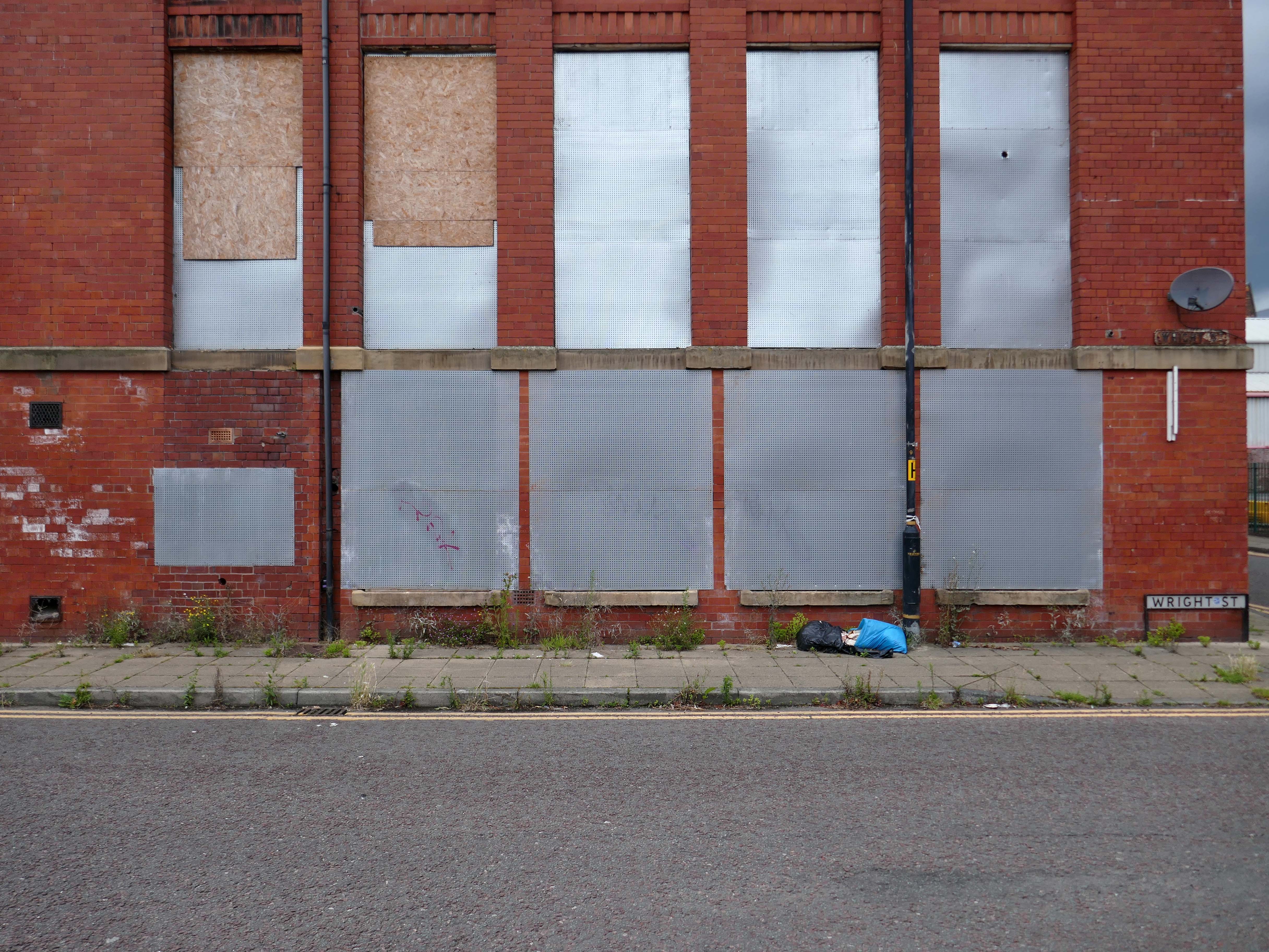
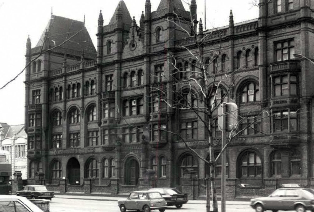
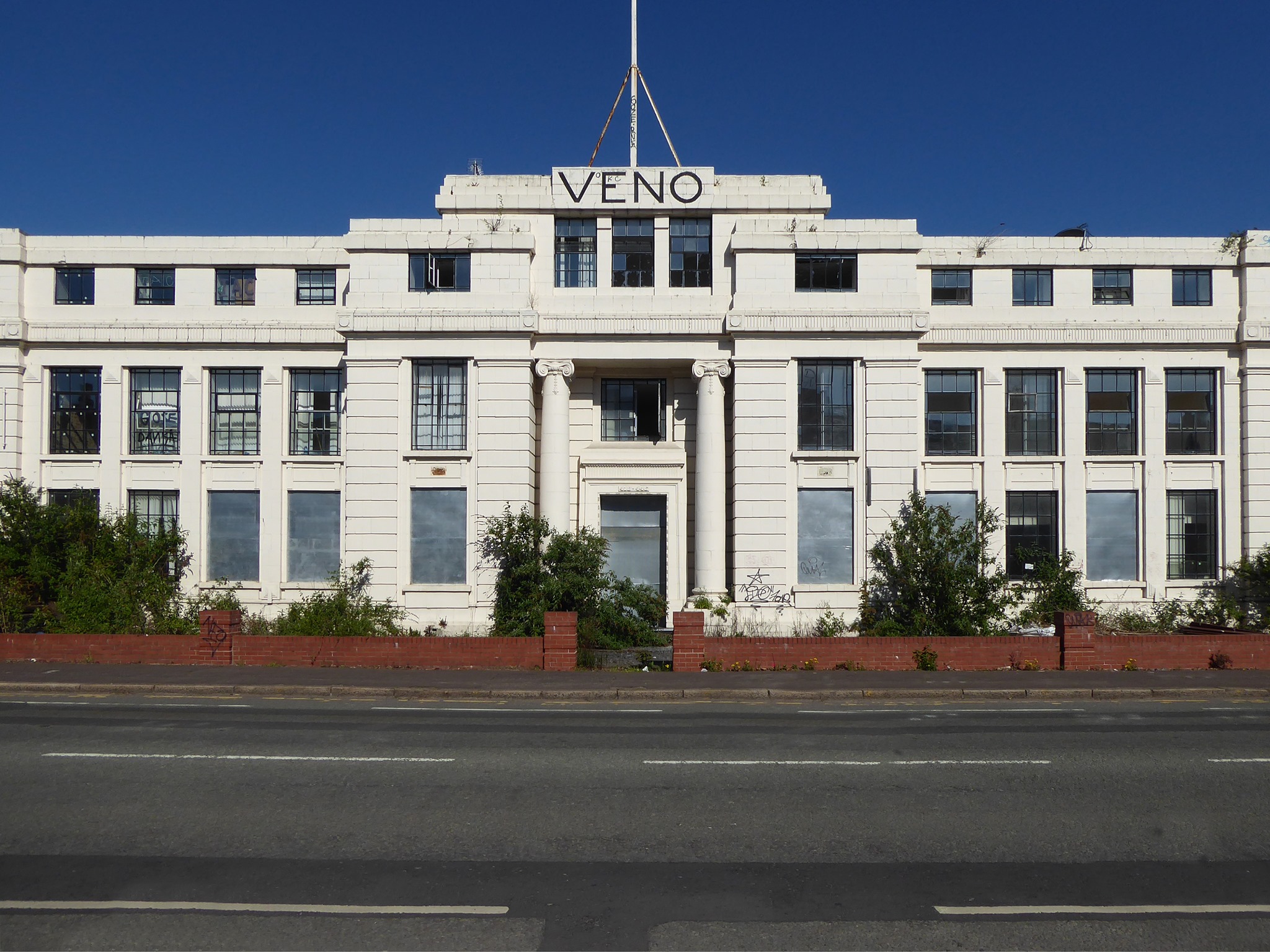
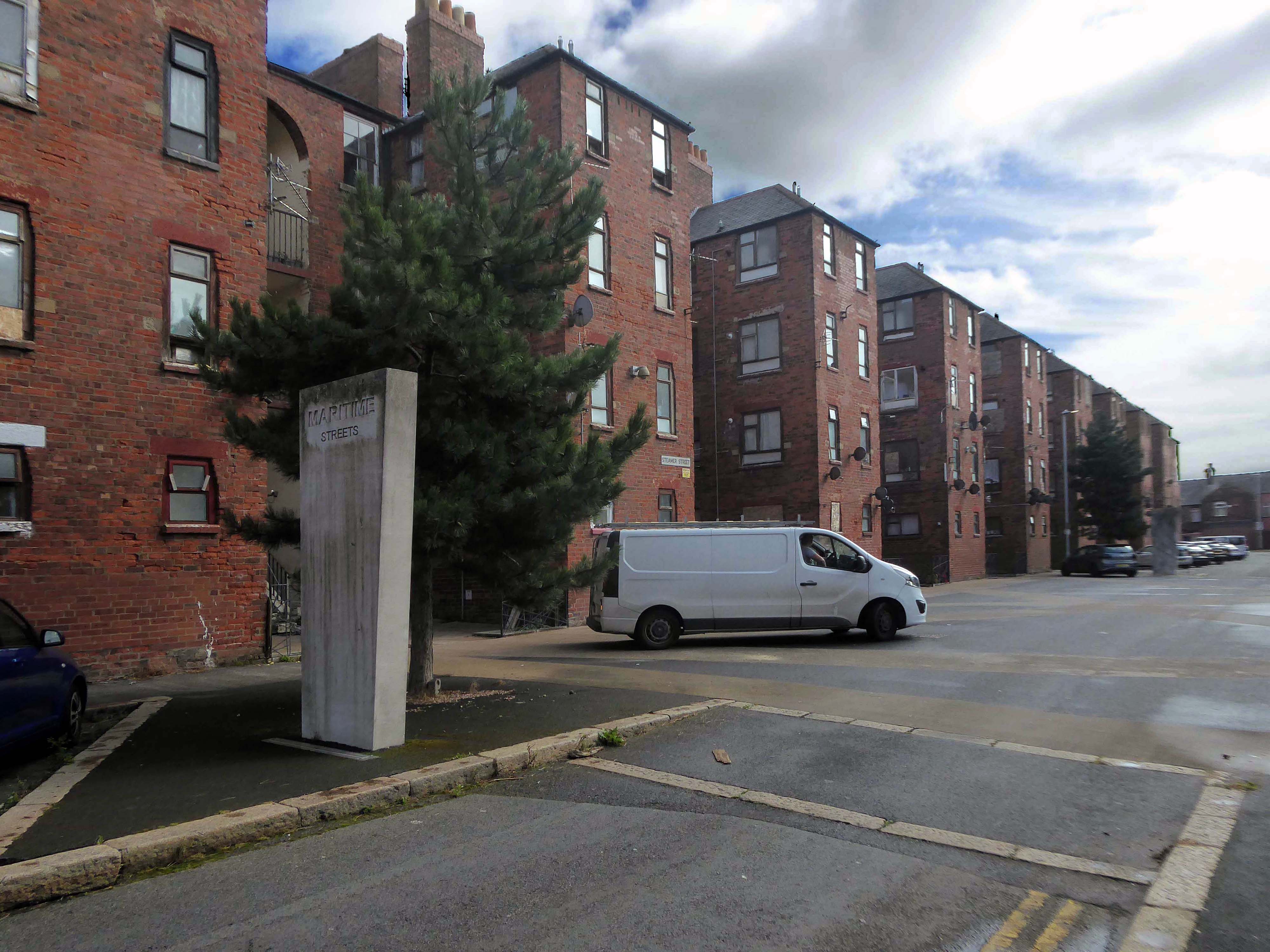
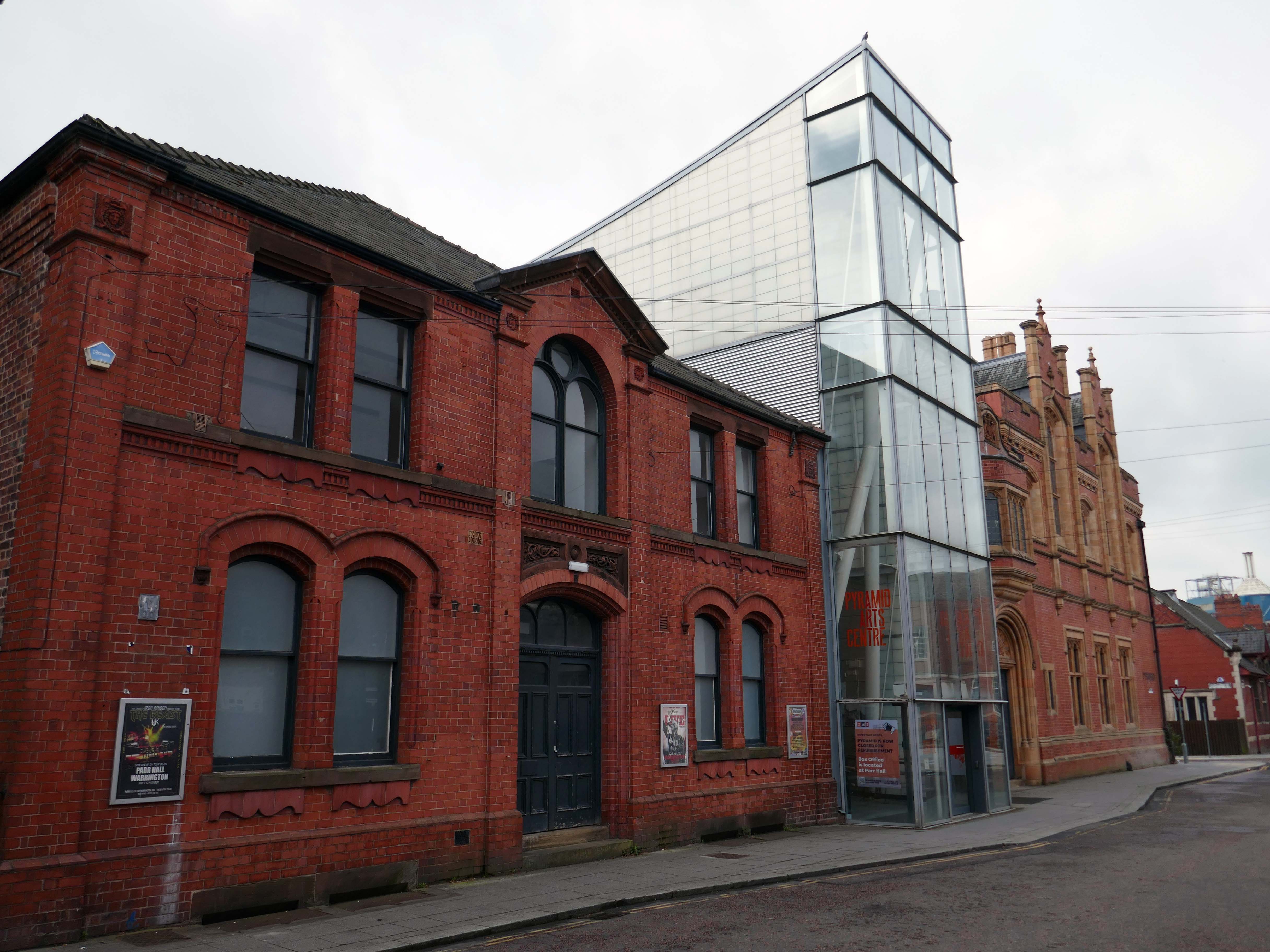
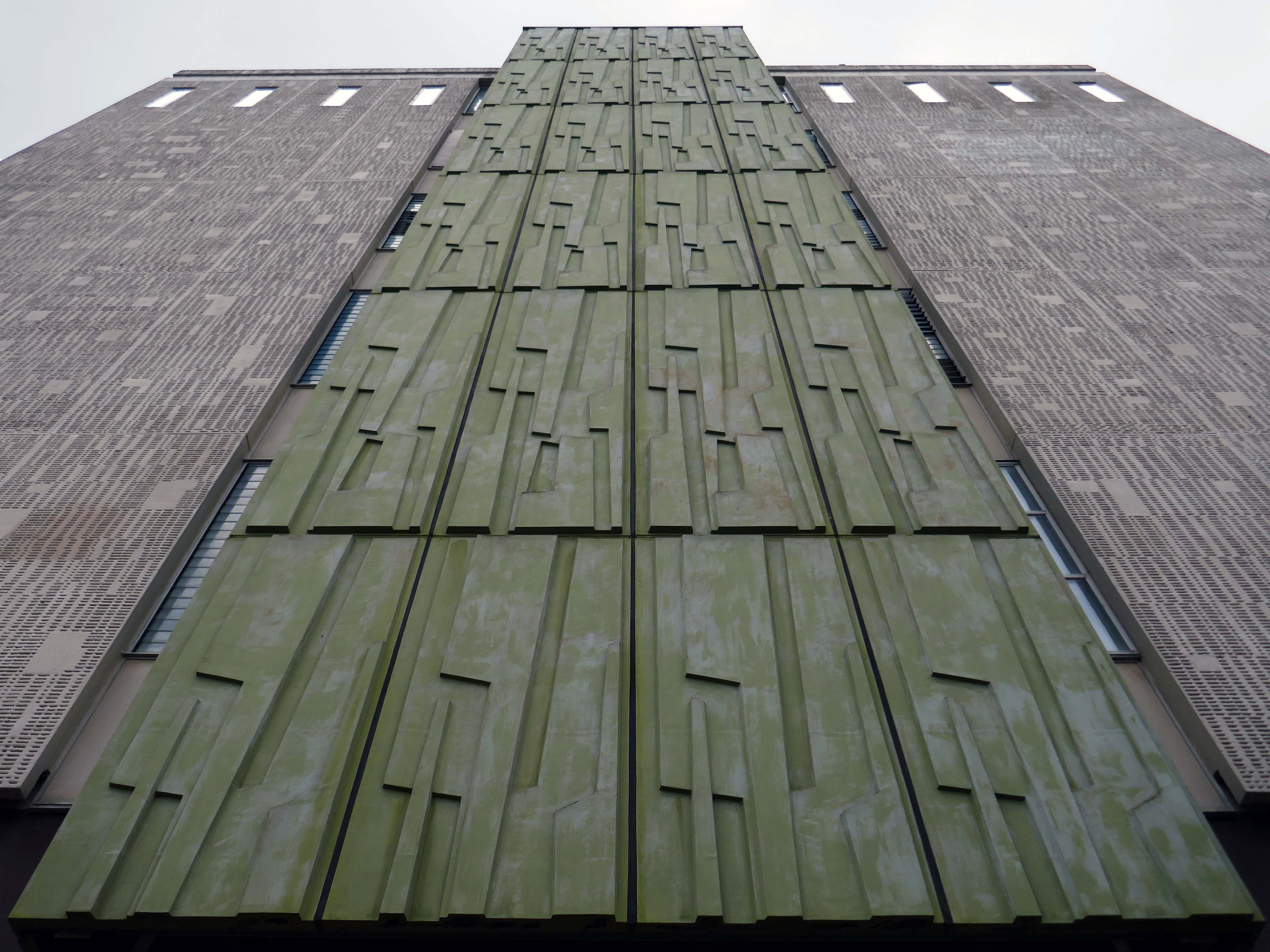
Next onwards to the Pyramid Arts extension 2002, a reworking by Studio BAAD of the former County Court and Inland Revenue Offices 1897-8 by Sir Henry Tanner.
Studio BAAD Ltd started winding up proceedings for a Creditors Voluntary Liquidation in April 2021 and the company was dissolved on 21 July 2021
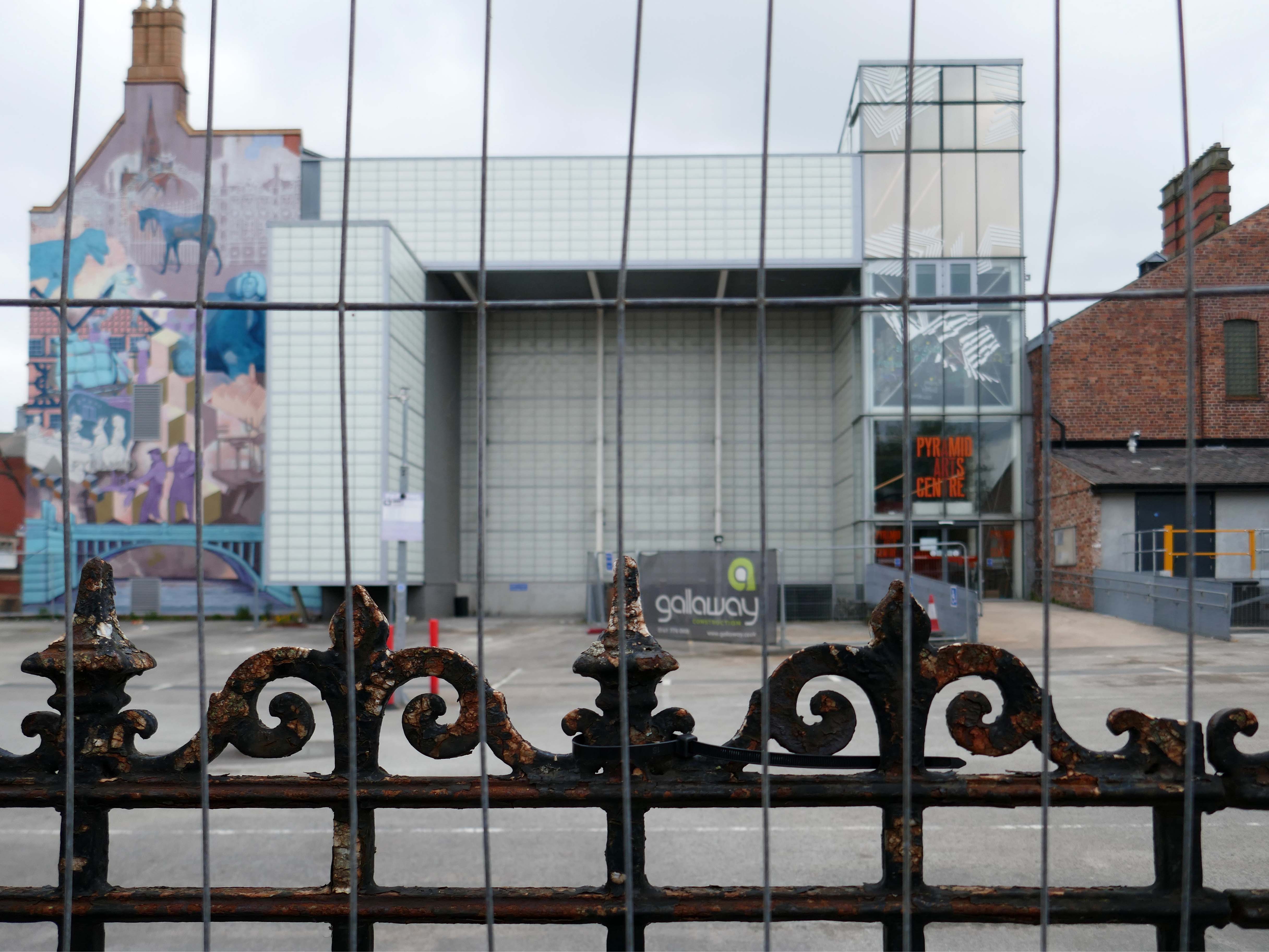
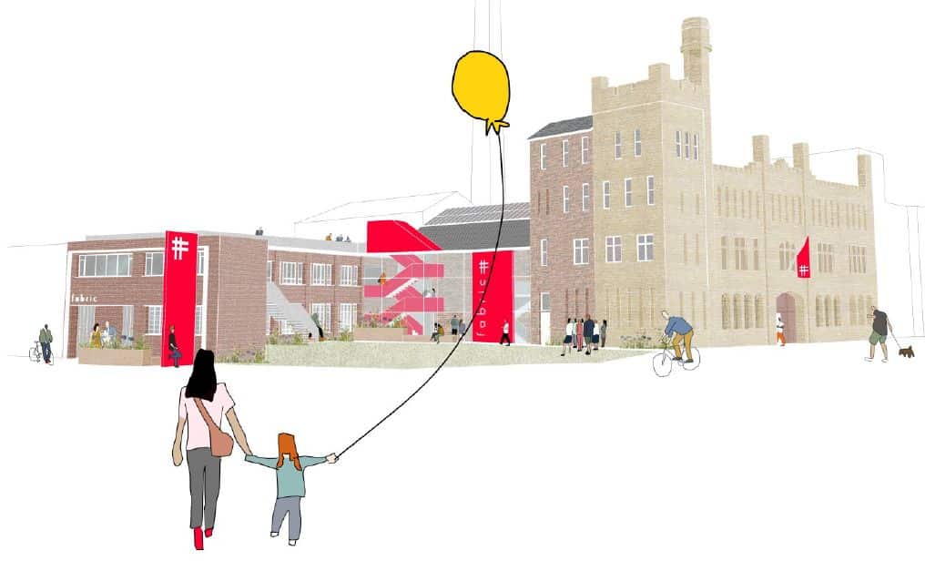
The centre is currently closed – work began on the redevelopment, which has been funded by a £5 million grant from the Government, in July 2024.
The project aims to make the building more modern, accessible and fit for the future.
The redevelopment includes the addition of a new café and bar area while the Exhibition Hall will become a bigger capacity venue.
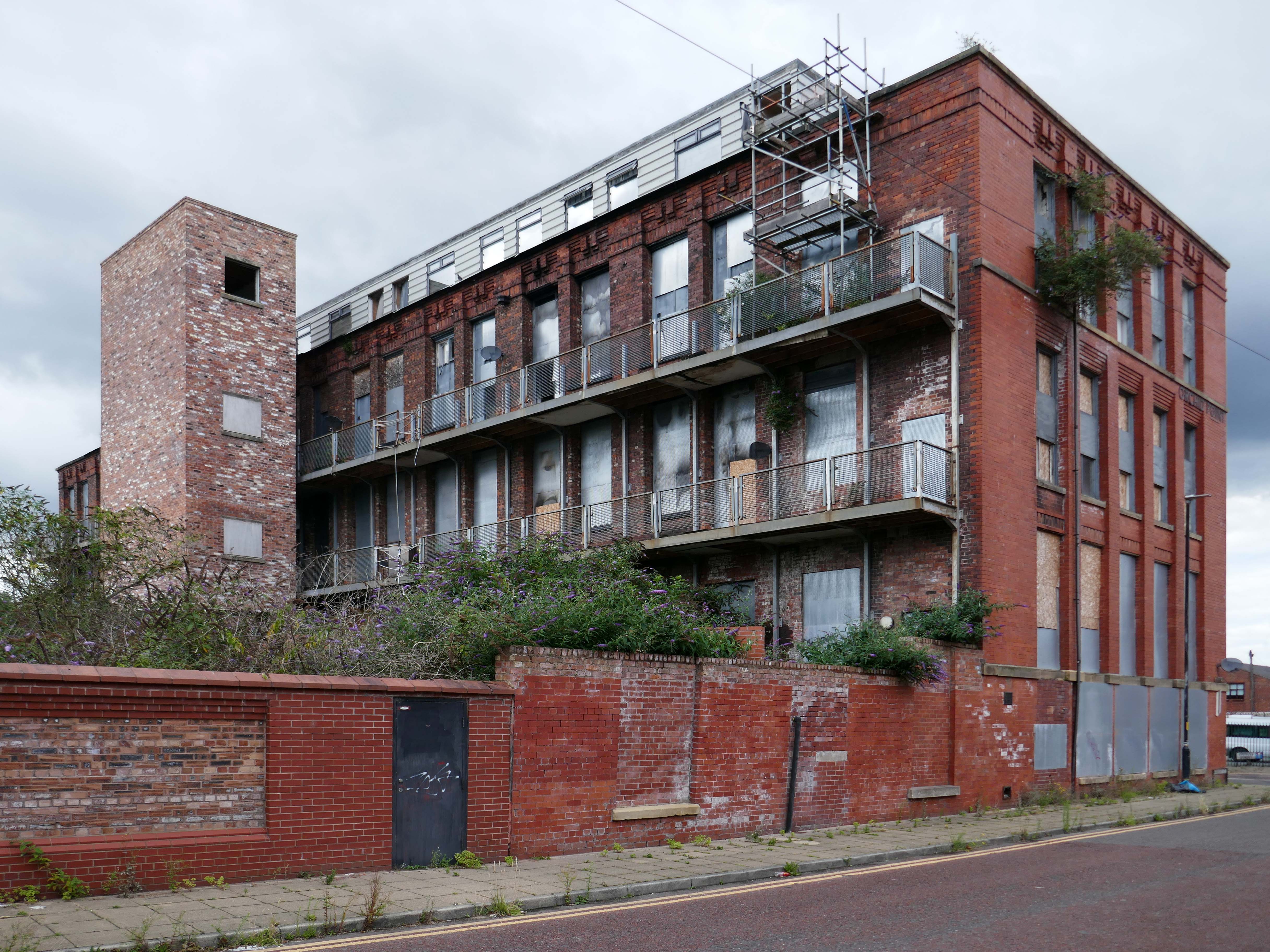
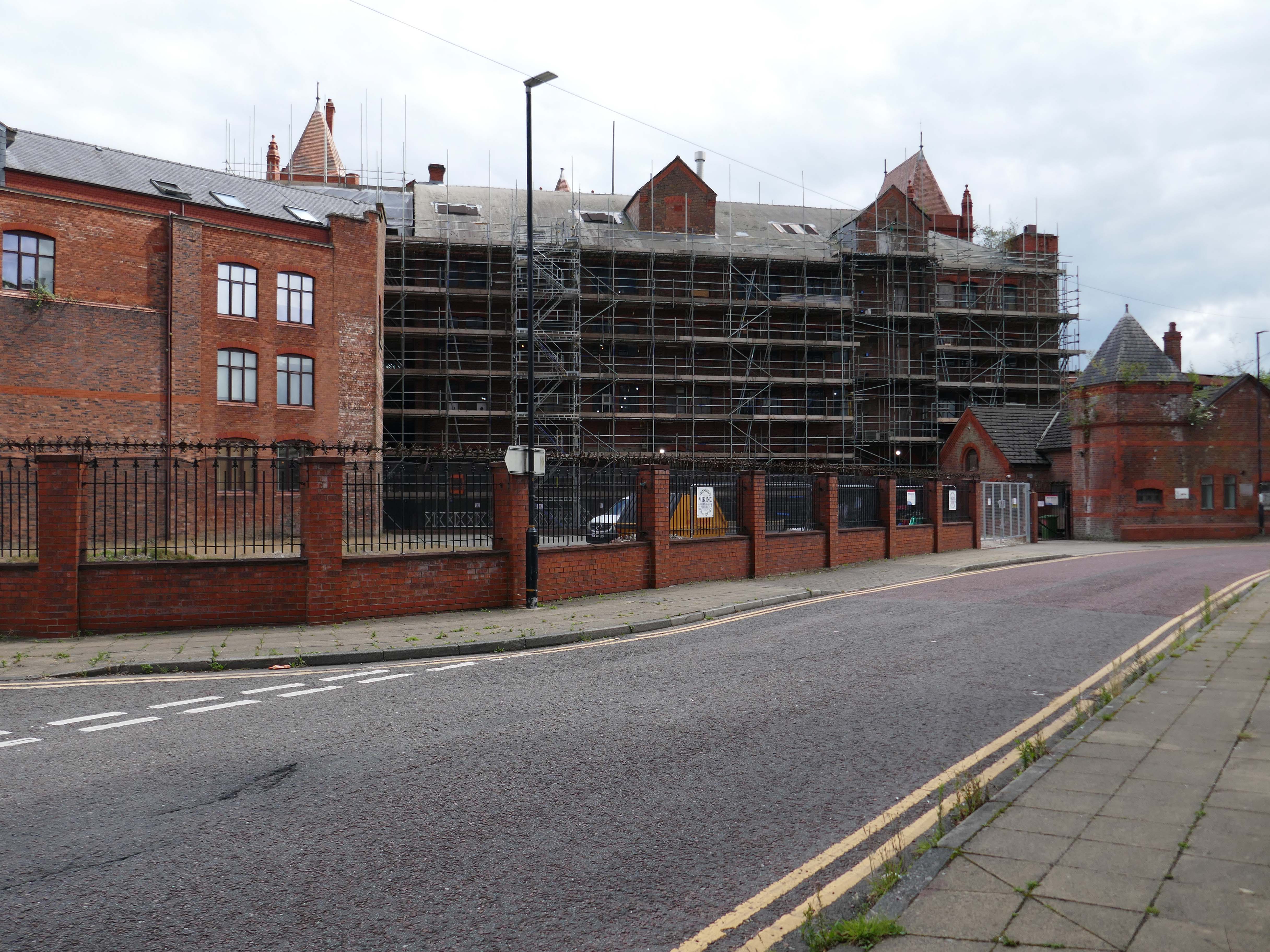
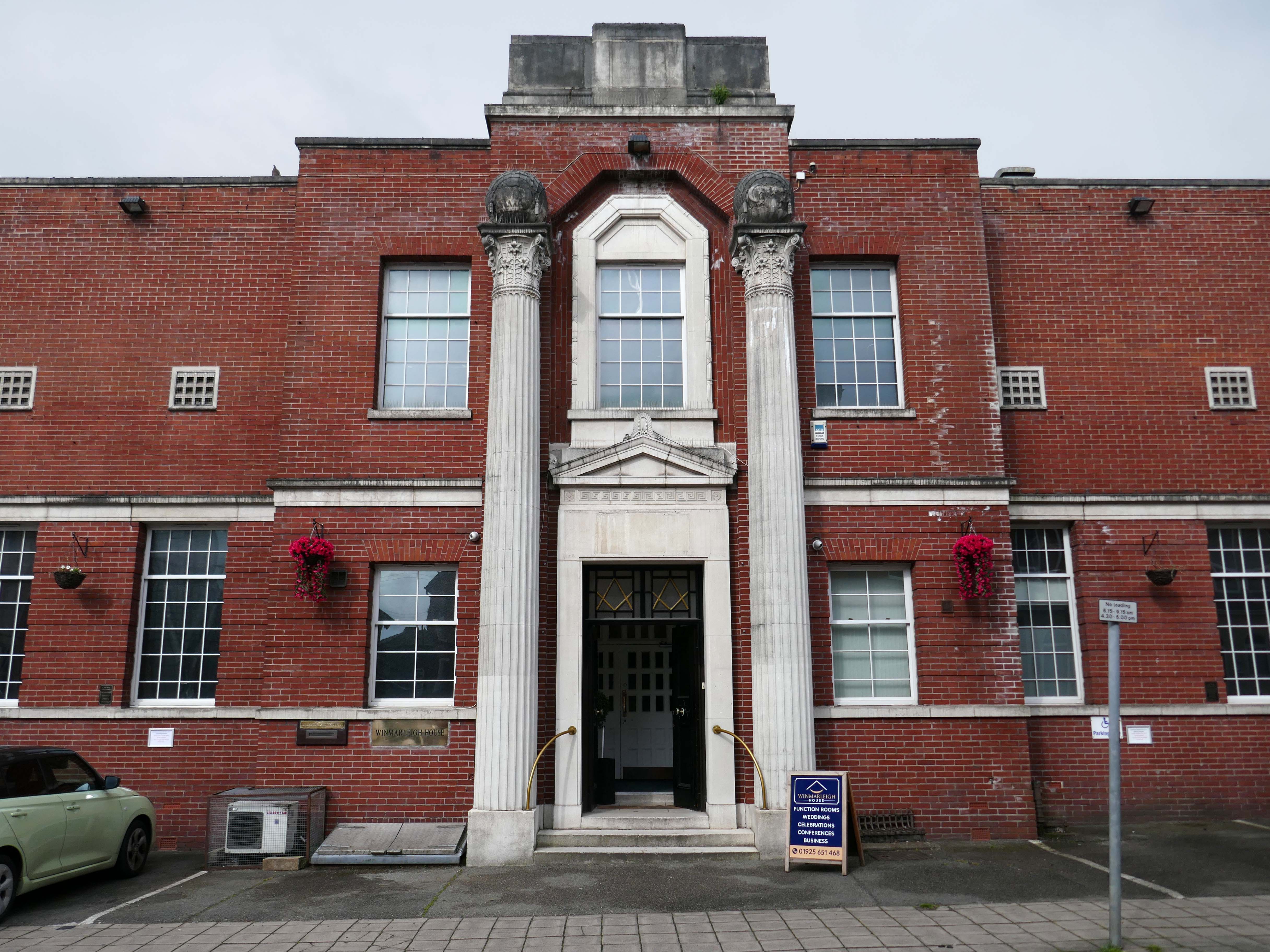
Across the way the Masonic Hall 1932-33 Albert Warburton.
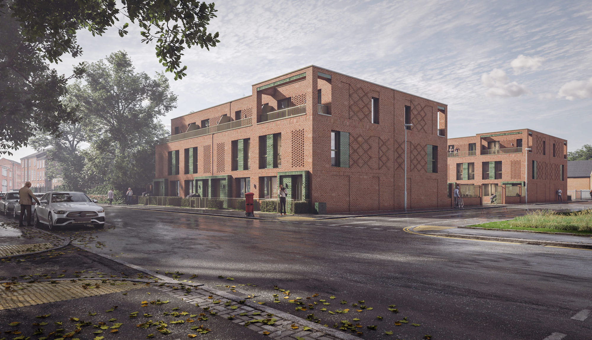
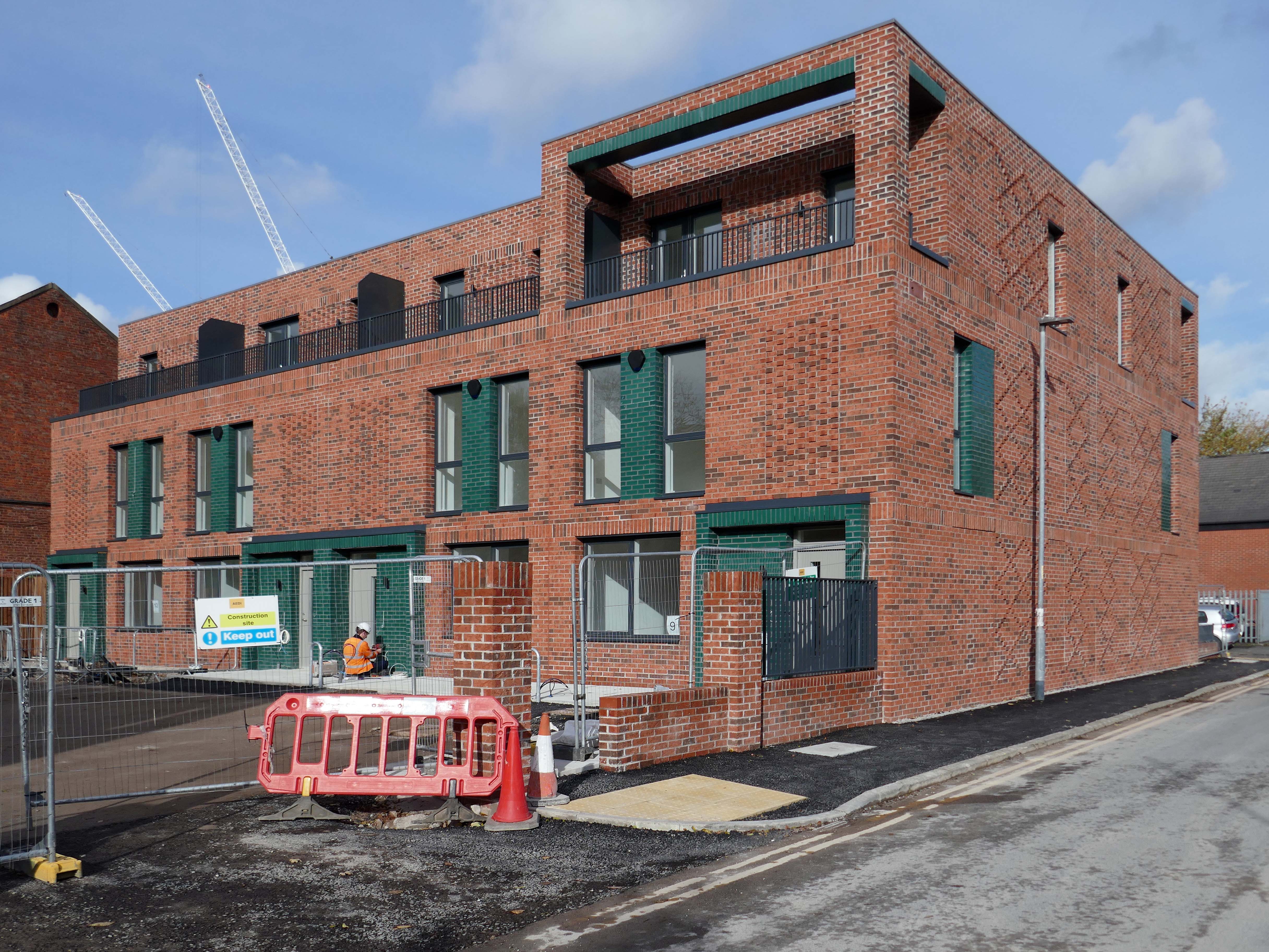
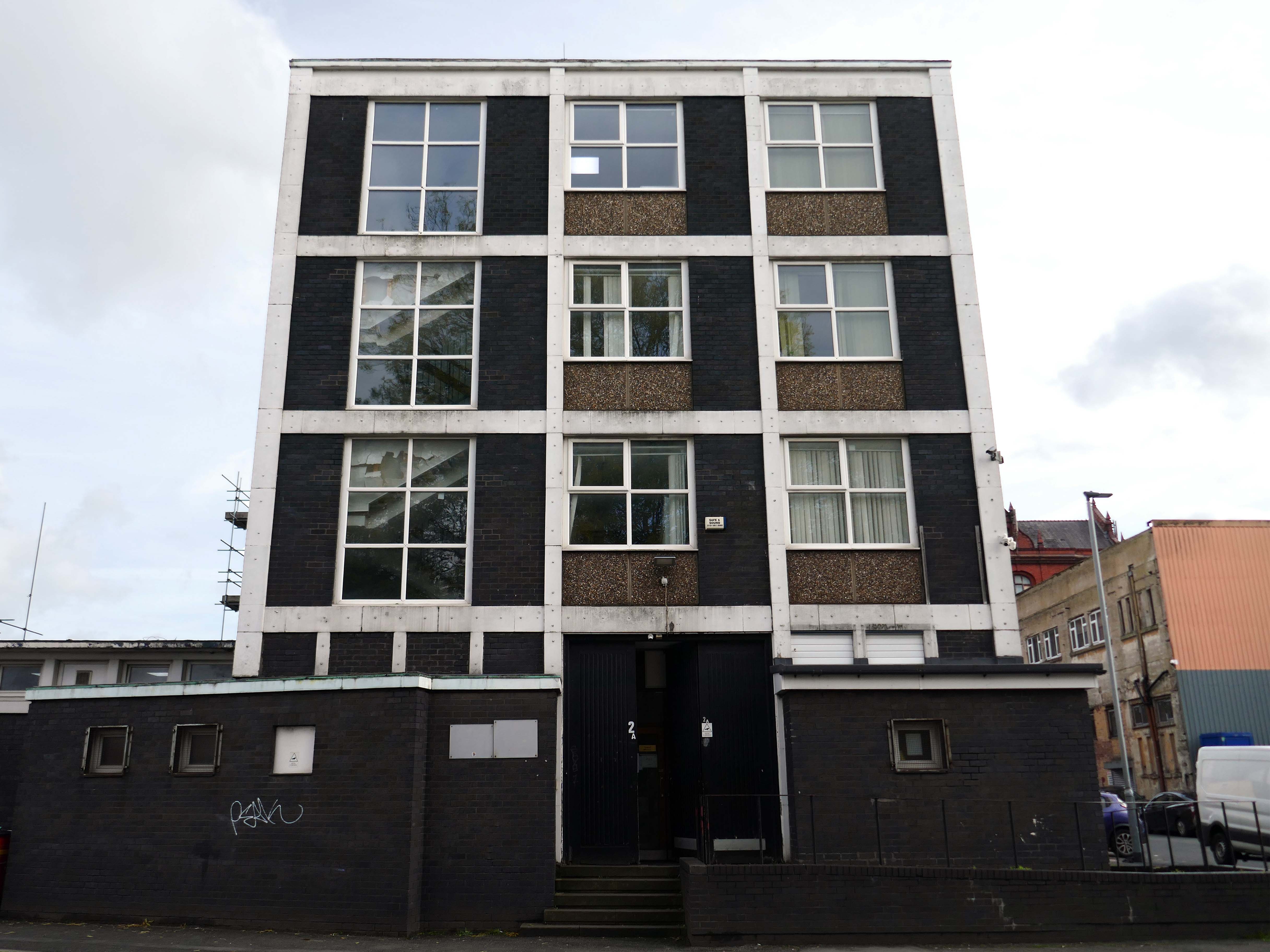
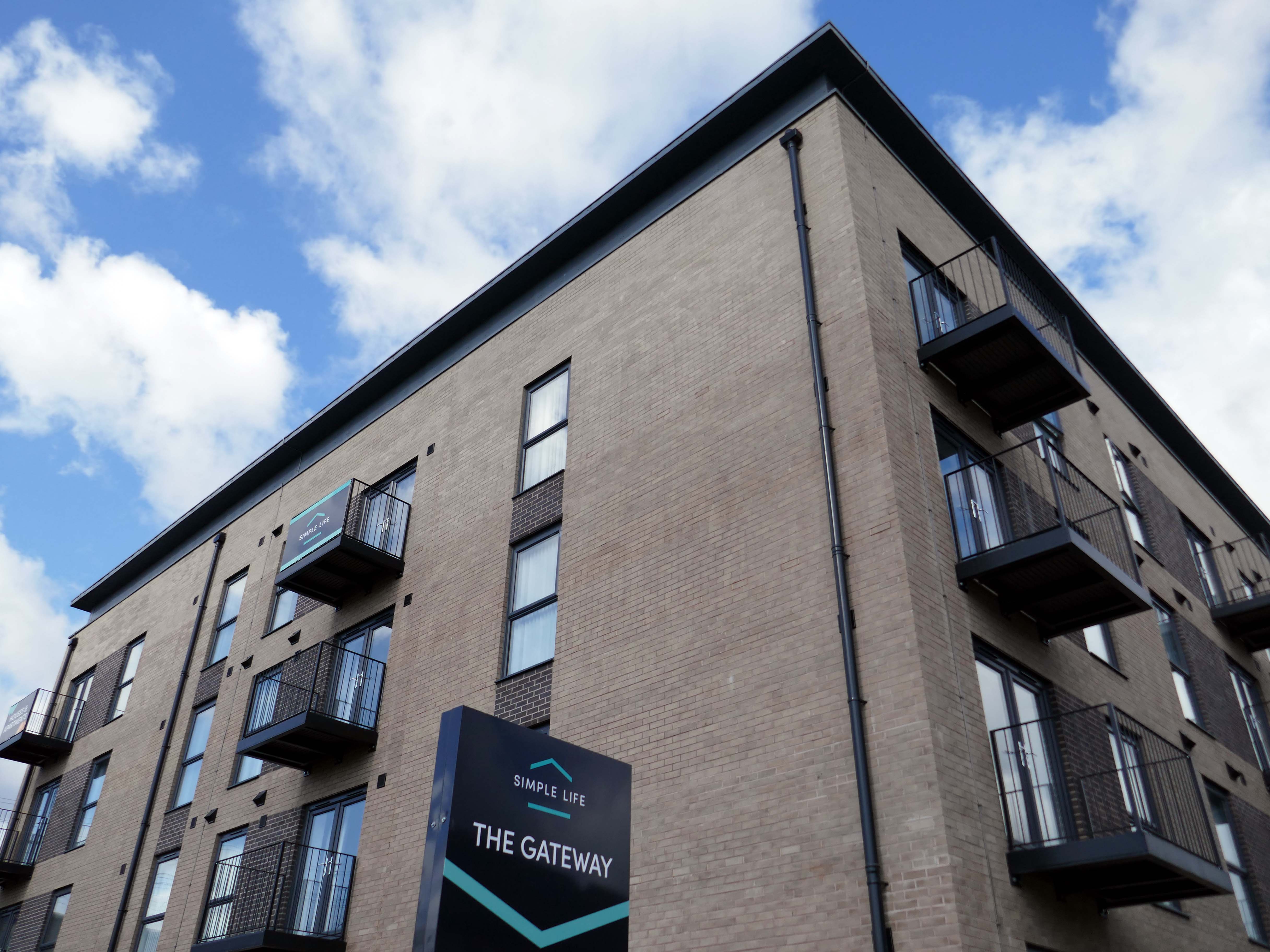
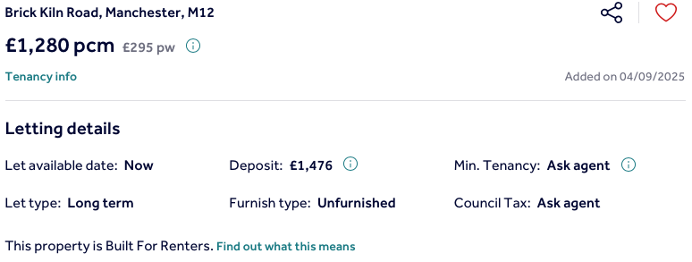
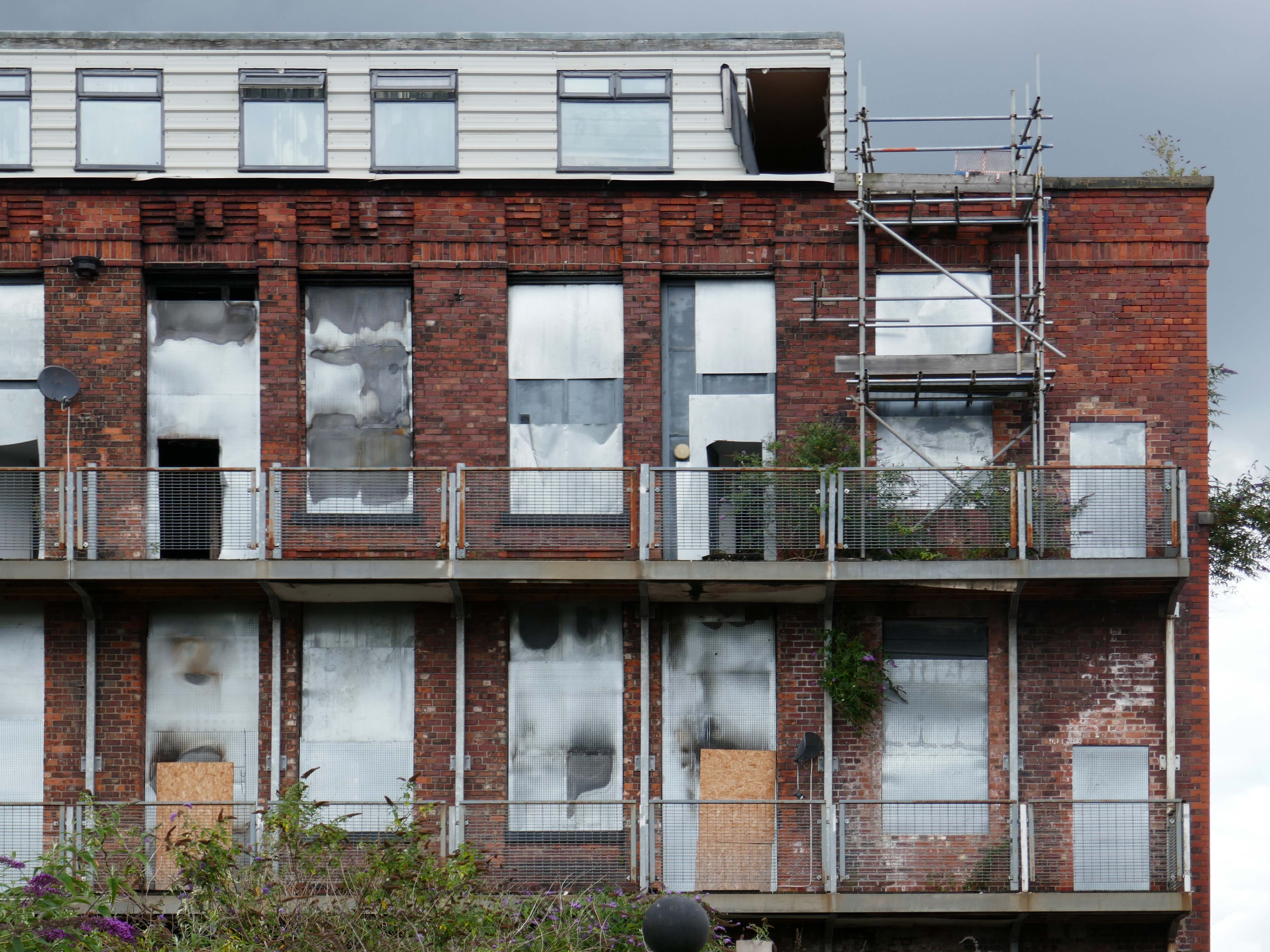
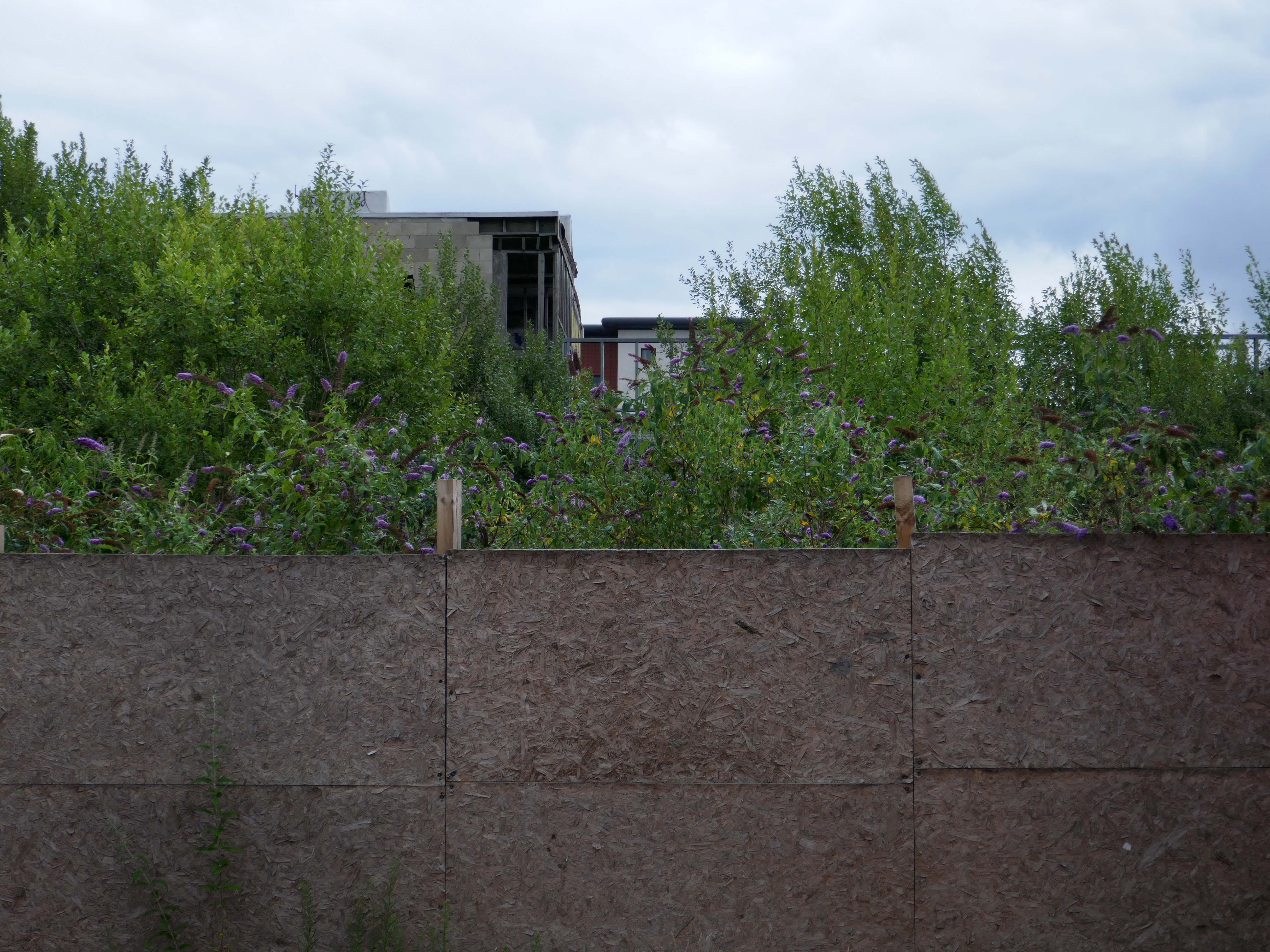
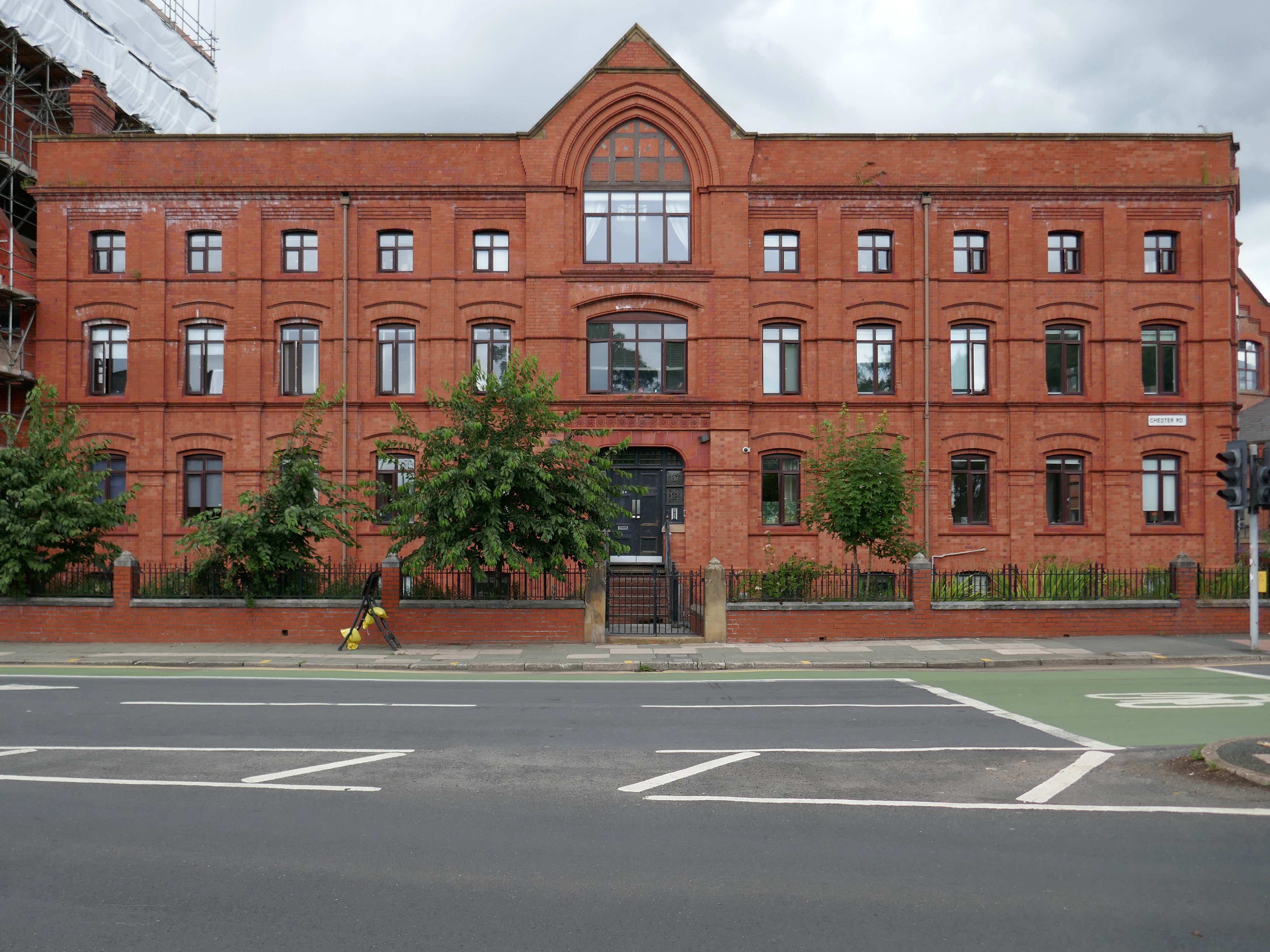
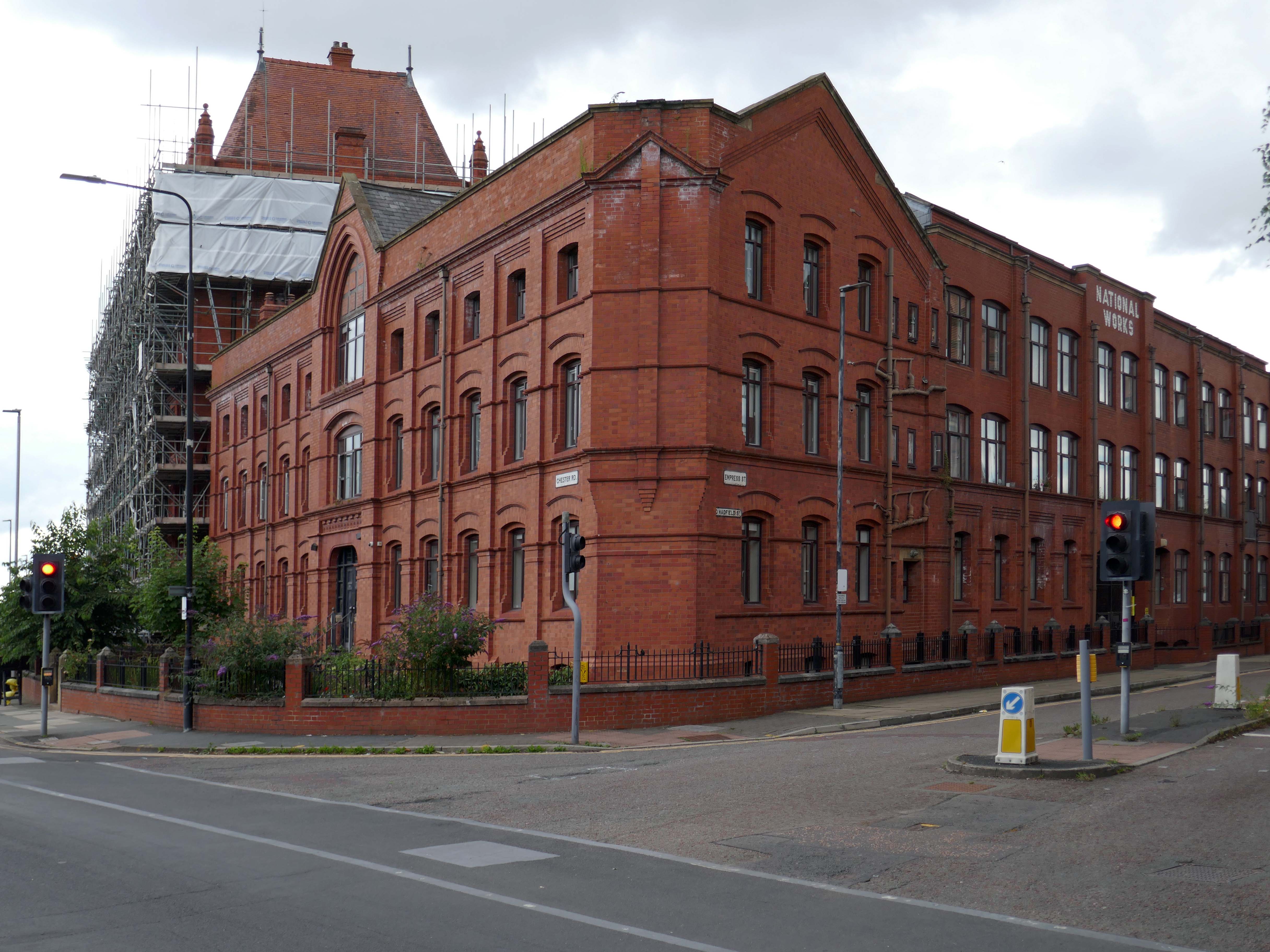
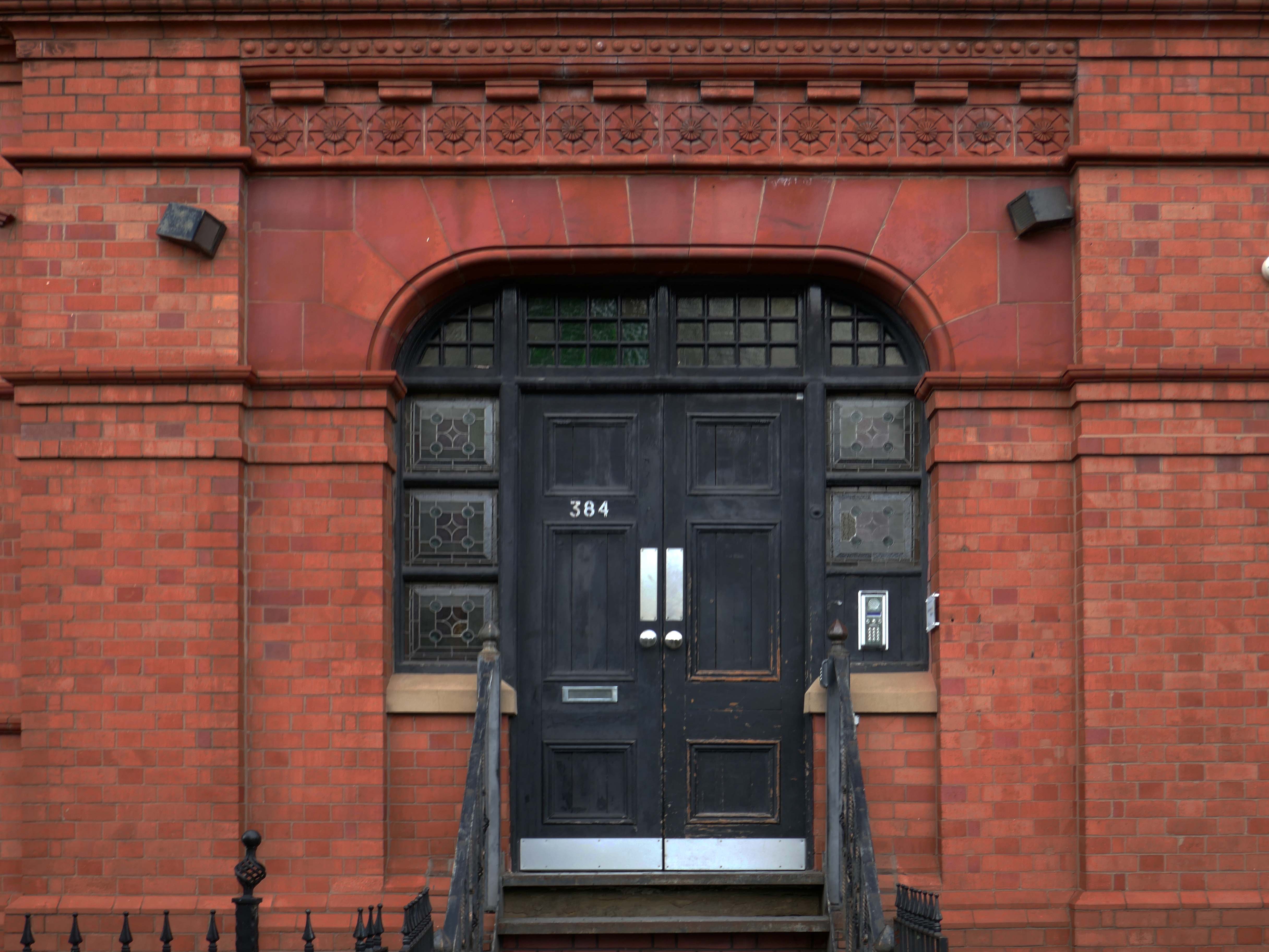
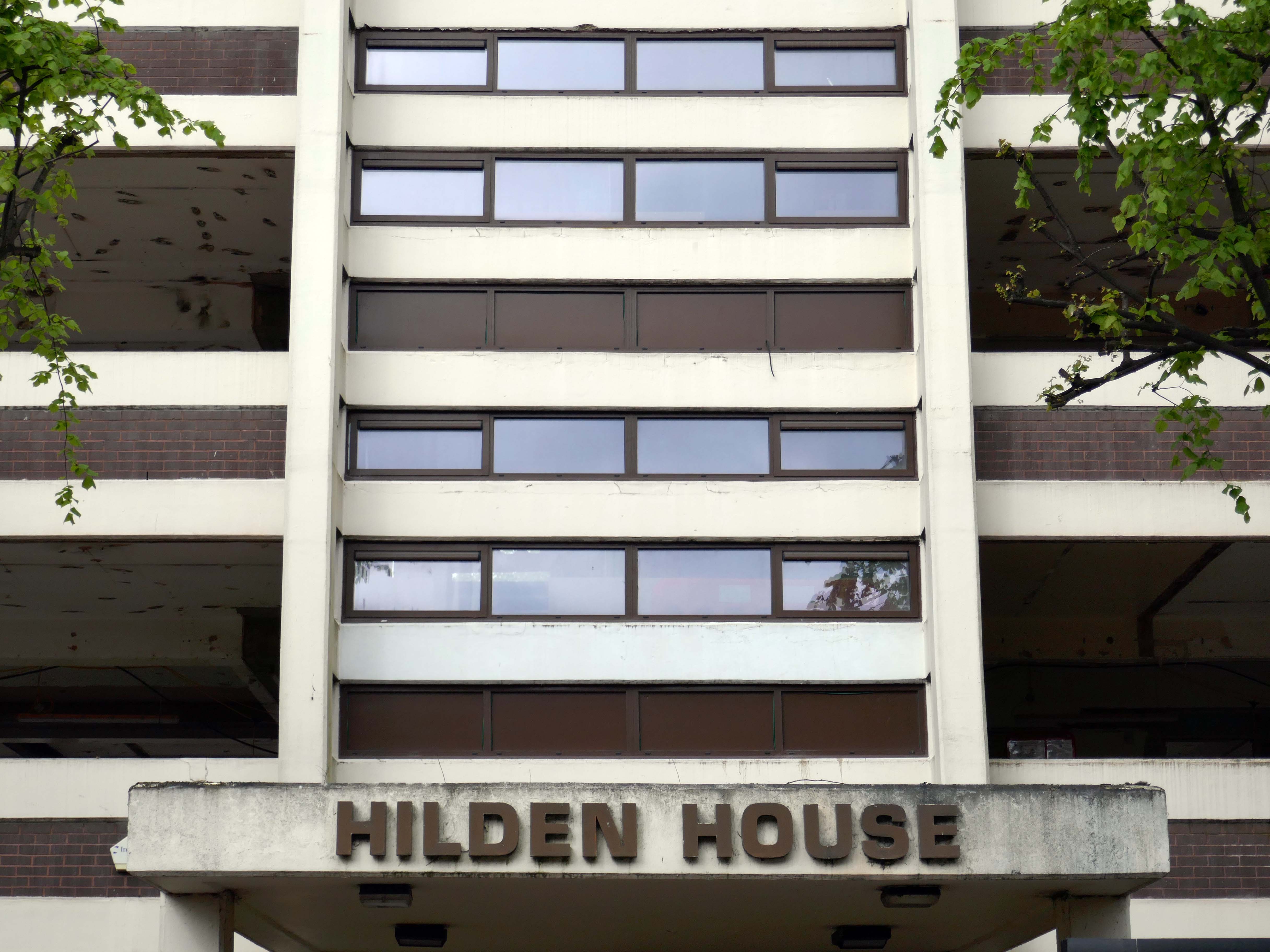
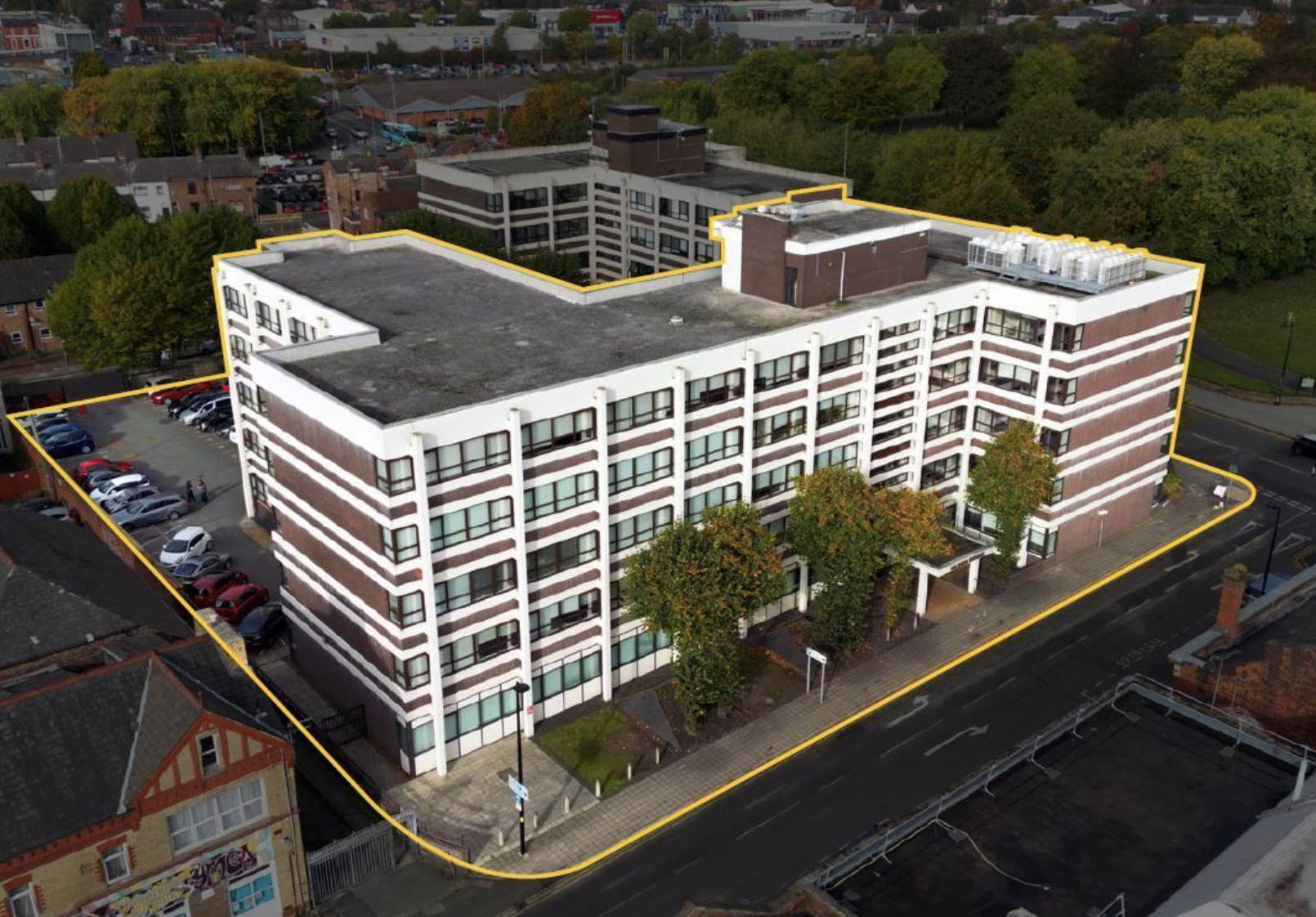
Further along to Hilden House a former Department of Works and Pension building, currently undergoing a transformation into a residential block.
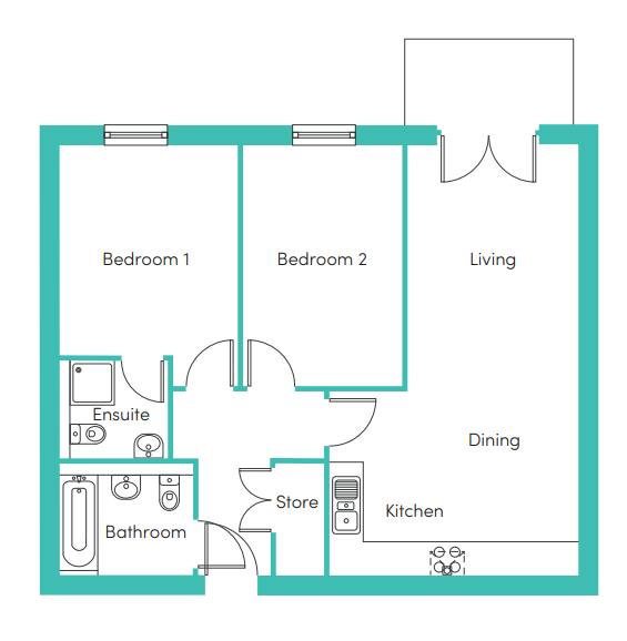
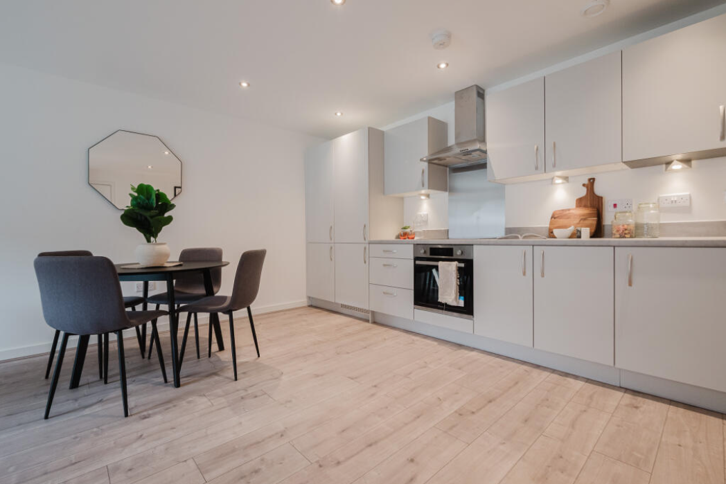
The £18m office to residential reset of the 52,400 sq ft building will offer a mix of one- and two-bedroom apartments in plans now approved by the local authority.
Caro Developments, working in tandem with architect Falconer Chester Hall, hopes to start construction later this year.
According to a planning statement submitted on the developer’s behalf by Savills, once complete, the five-storey block will offer residents a concierge service, a gym and wellness facility, a resident’s lounge, and a co-working area.
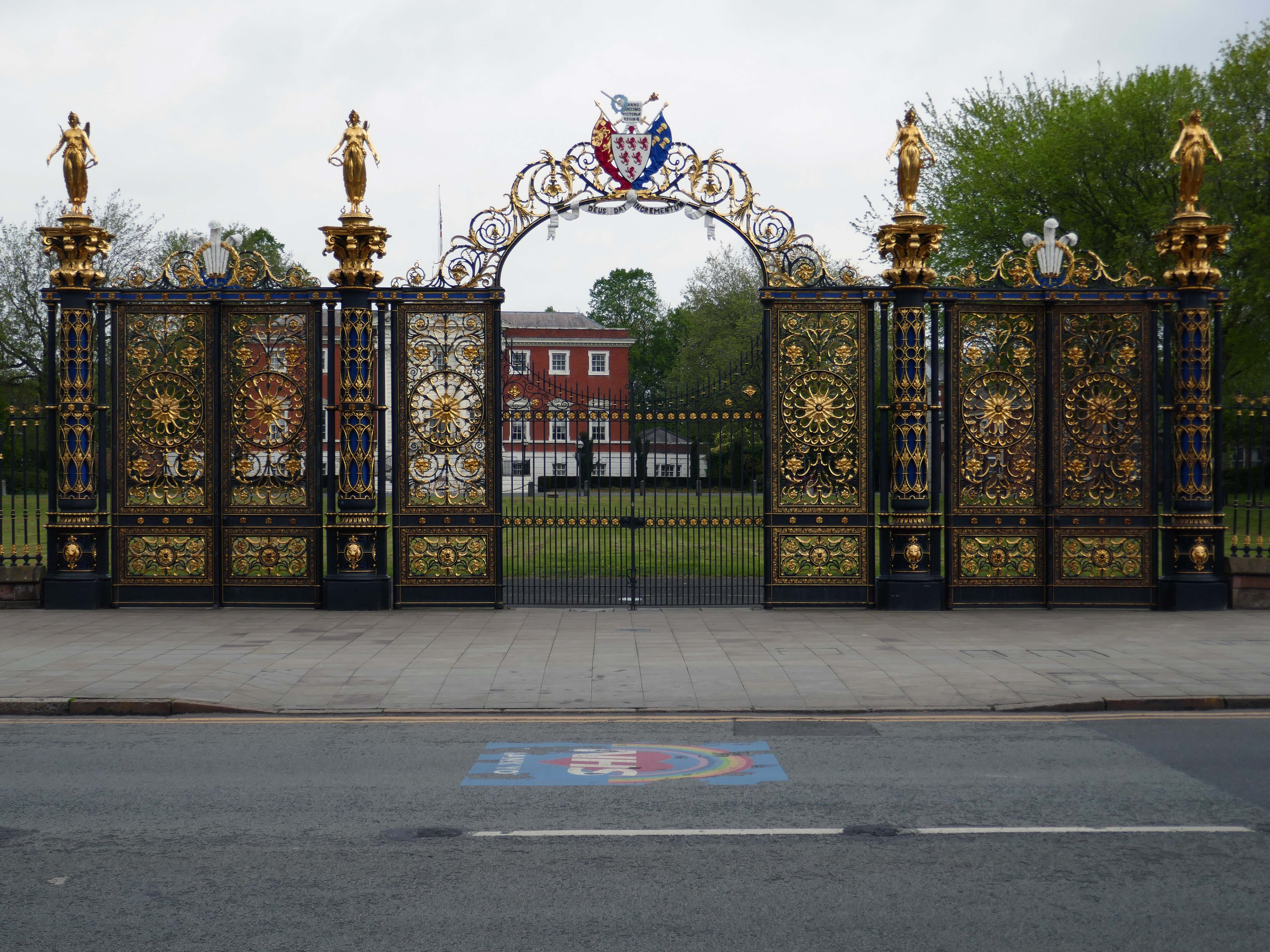
Way out of period but a notable Warrington landmark are the Golden Gates designed in 1862.
The gates were made for the International Exhibition of 1862, and then intended for Queen Victoria’s Sandringham home in Norfolk. Coalbrookdale found it hard to find a buyer for such grand gates, so Frederick Monks, one of the town’s earliest councillors, was able to buy and bring them to Warrington to stand at the front of the town hall lawn. Monks also presented the cast iron Cromwell statue, designed by John Bell, to Warrington in 1899.
The Golden Gates are Grade II* Listed, along with the gate piers and the lamps which line the driveways at either side of the town hall
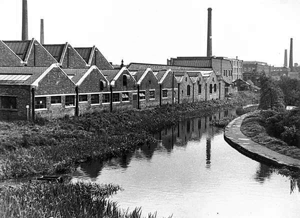
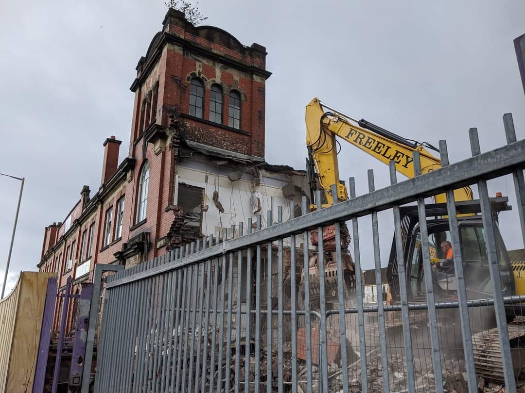
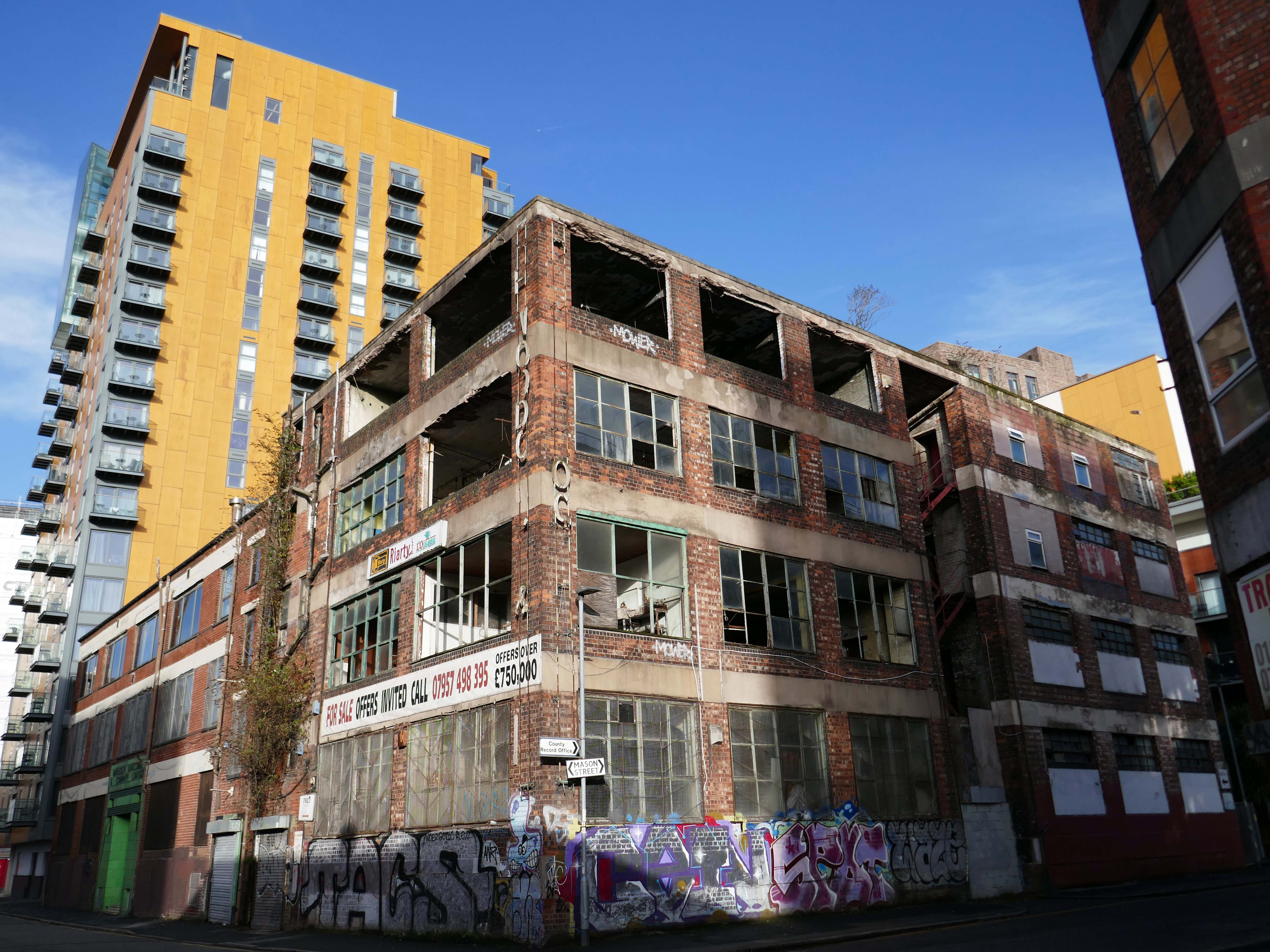
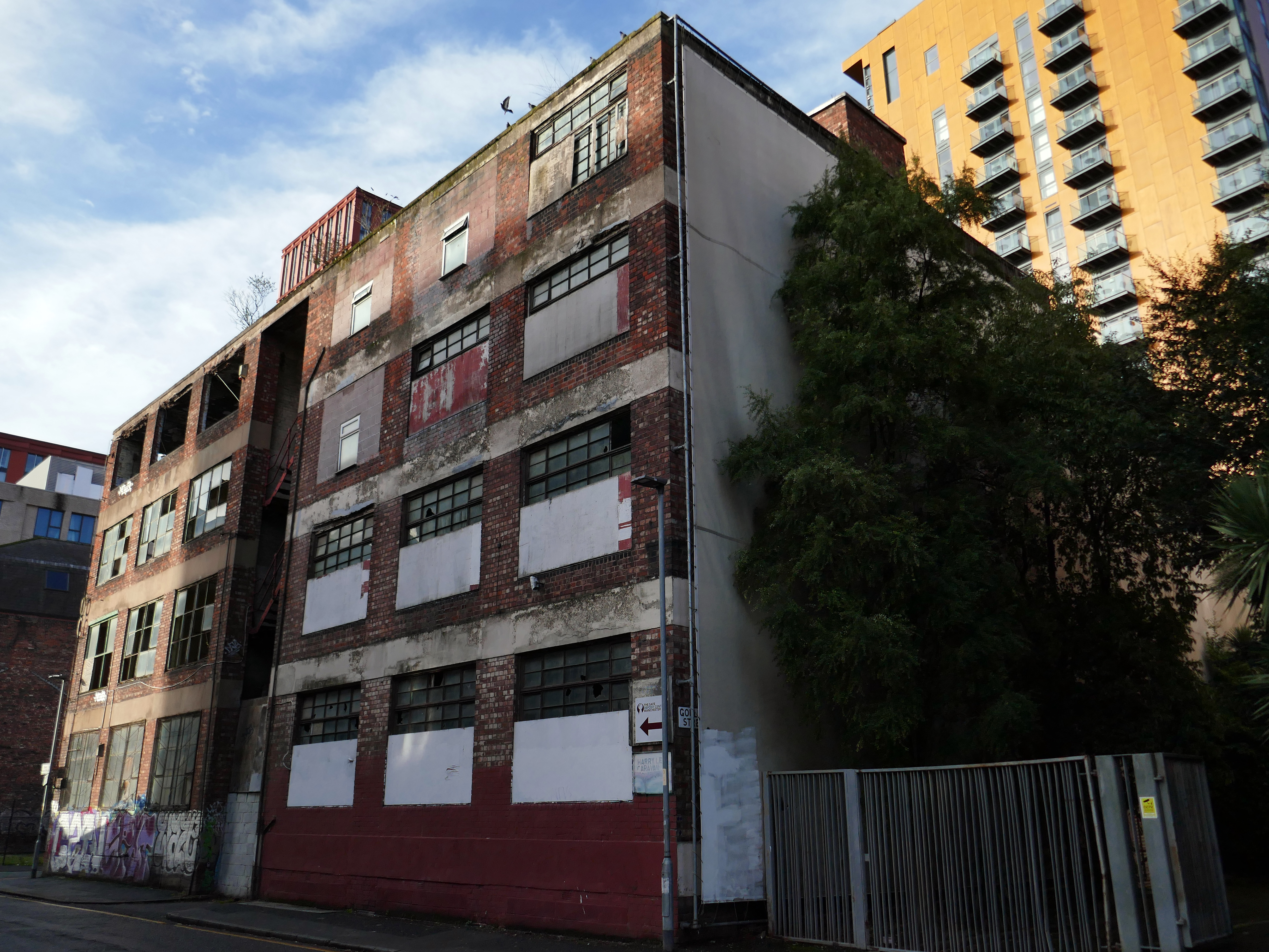
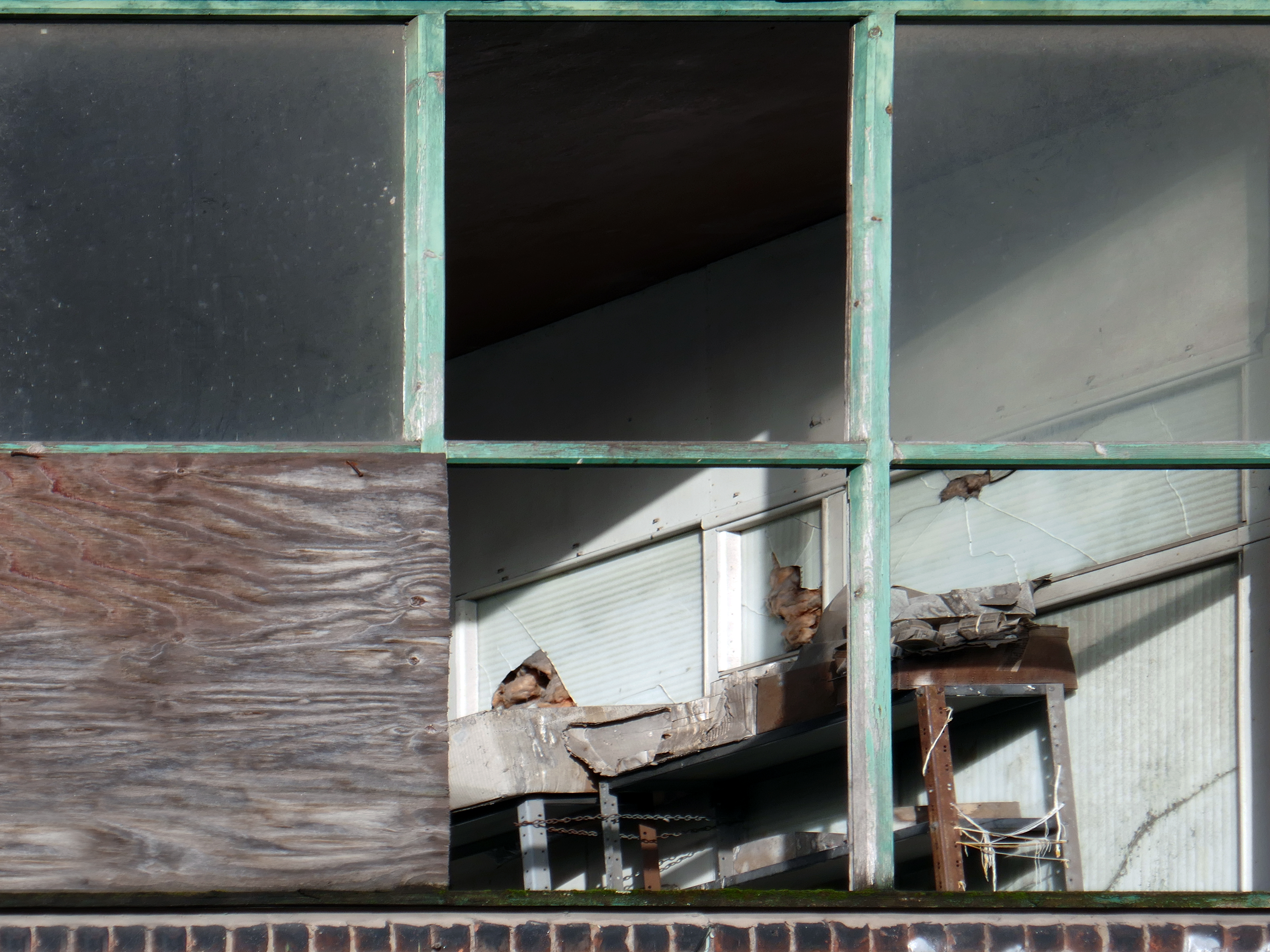
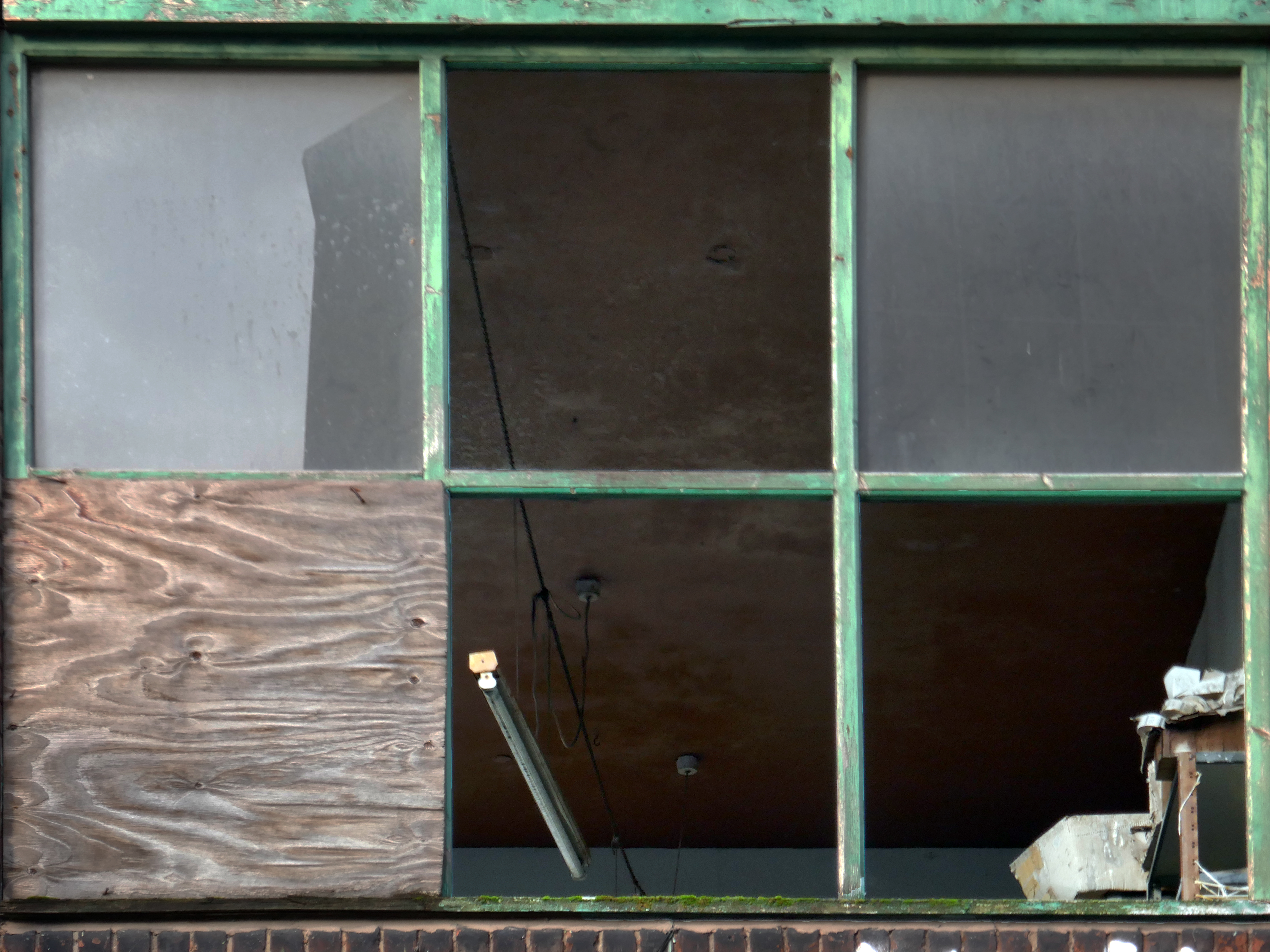
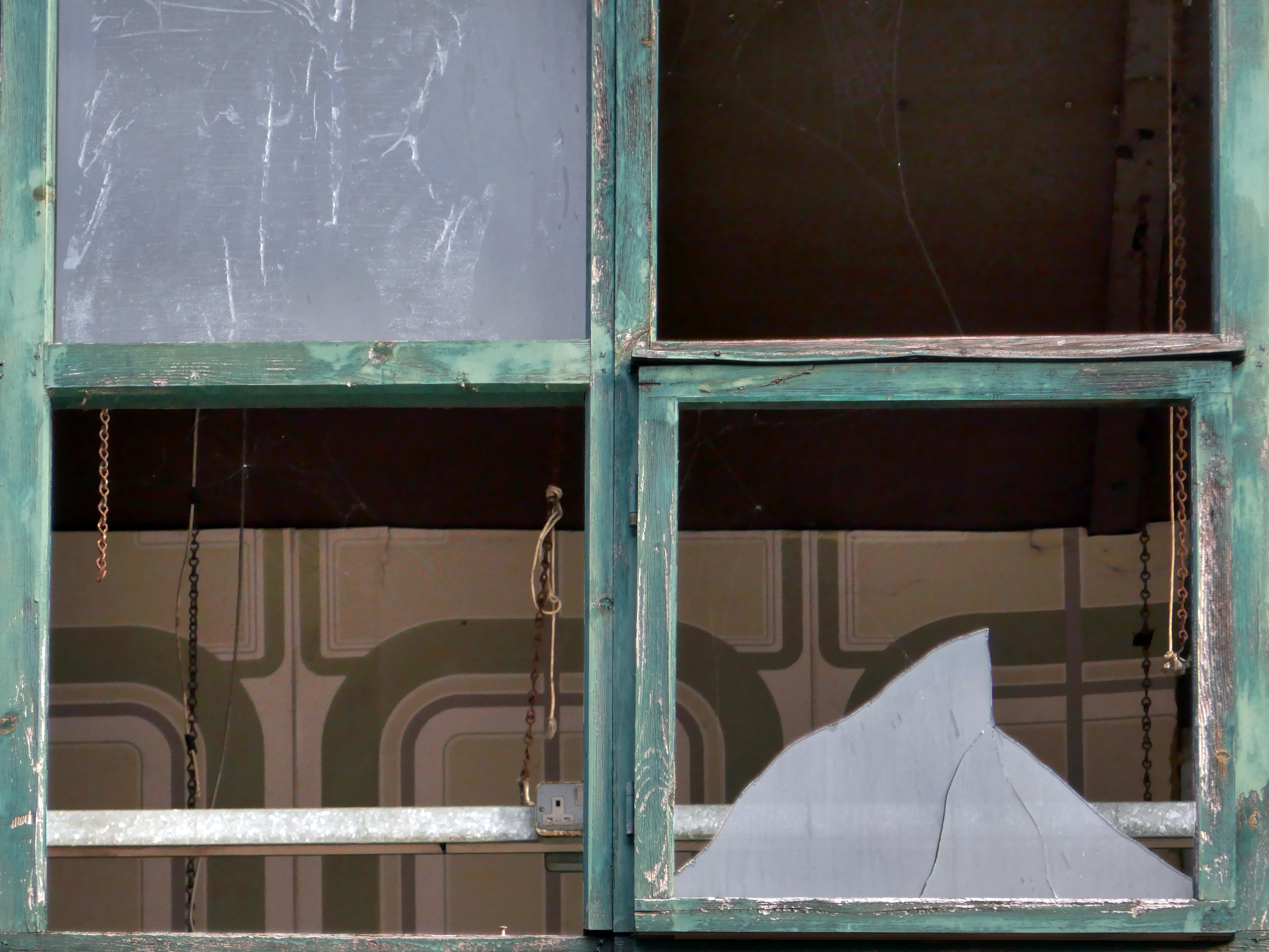
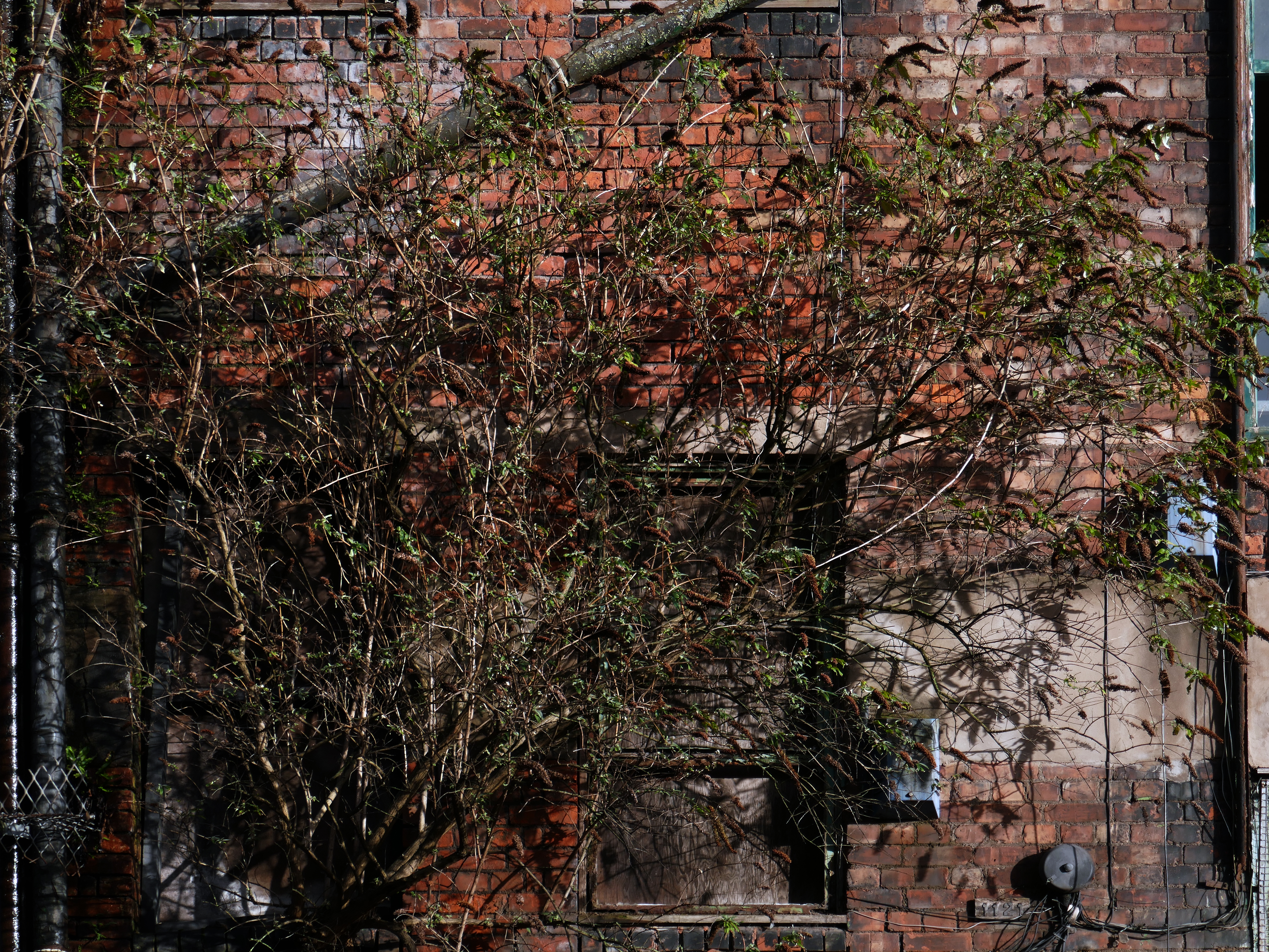
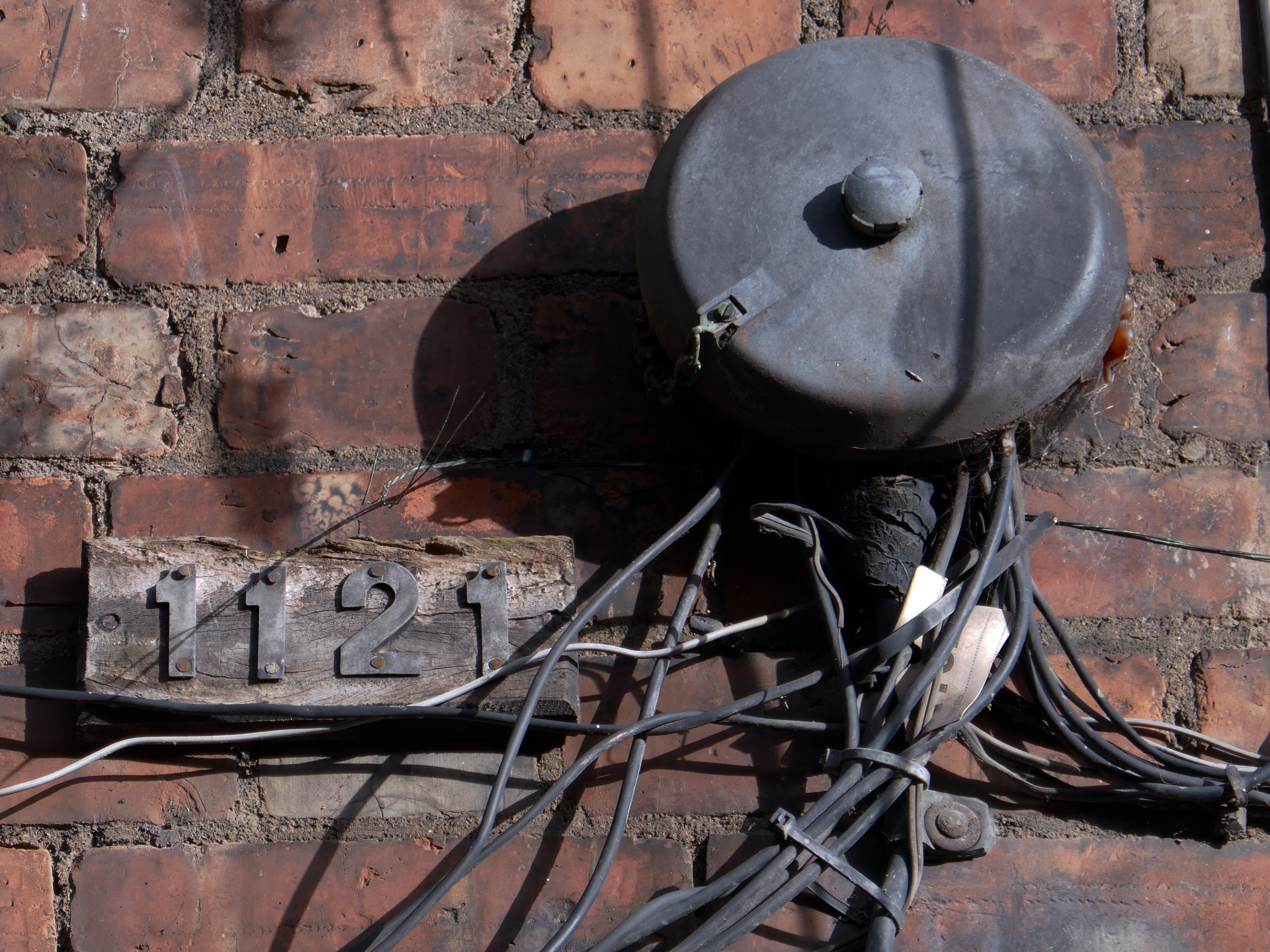
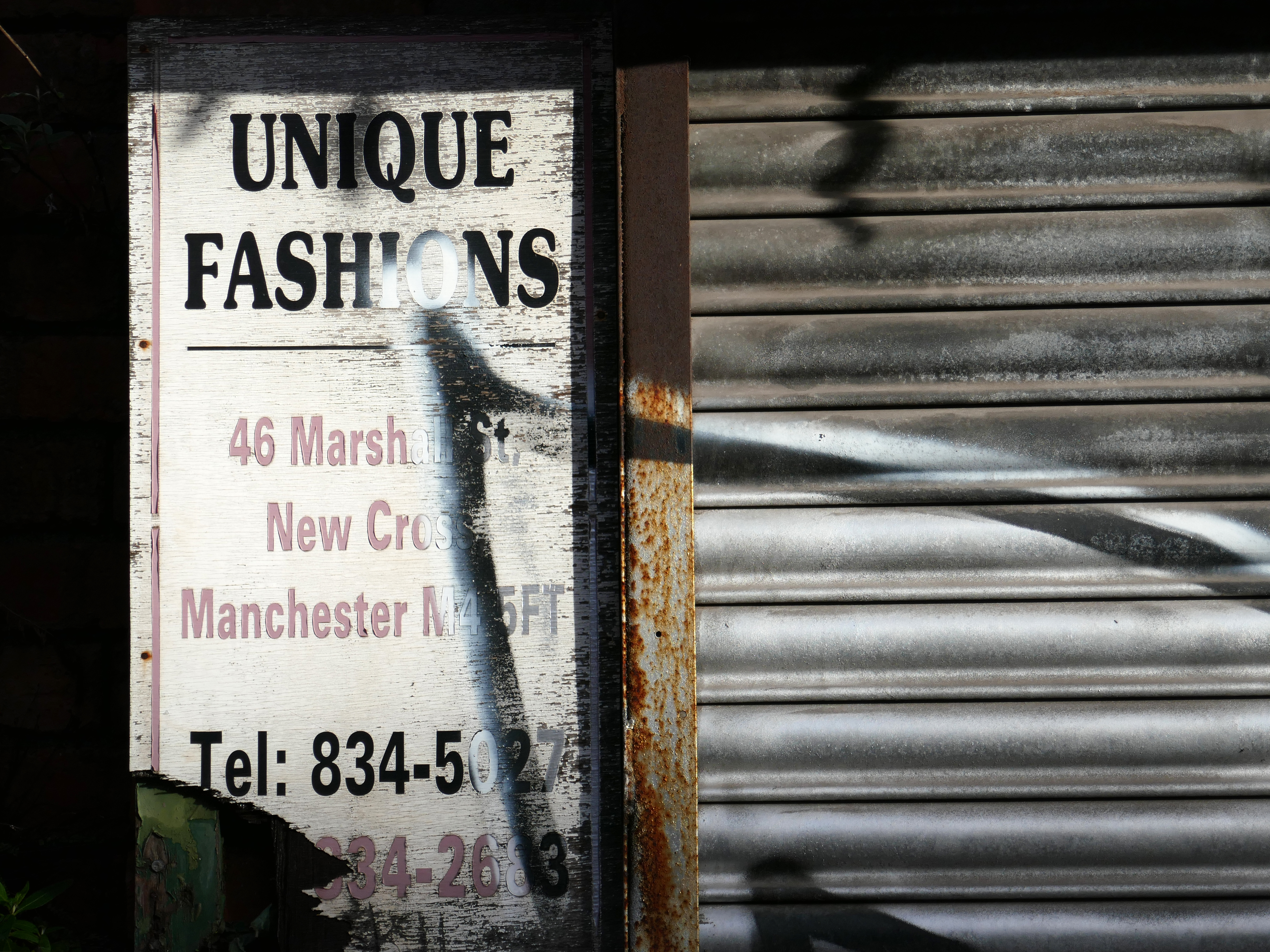
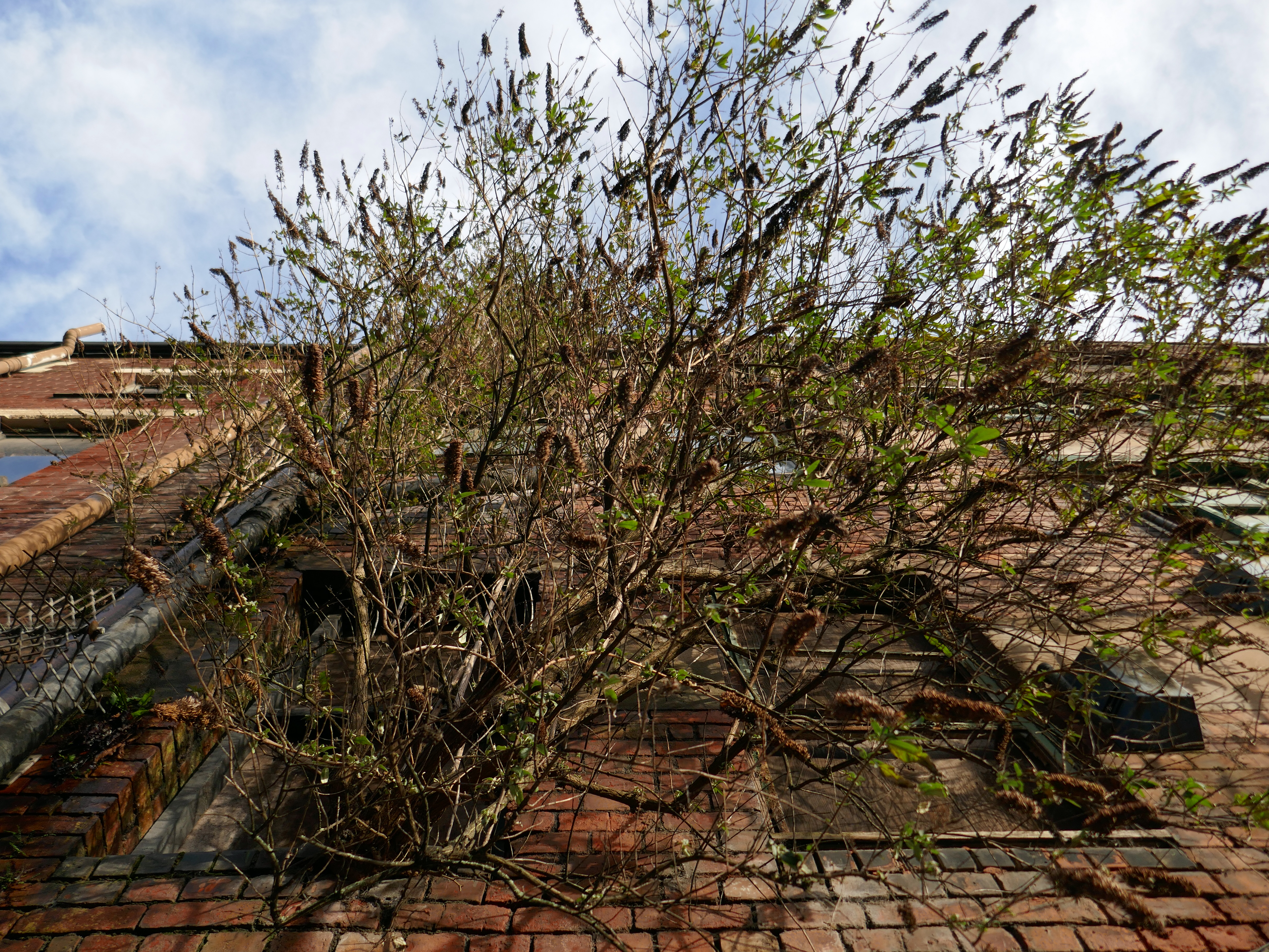
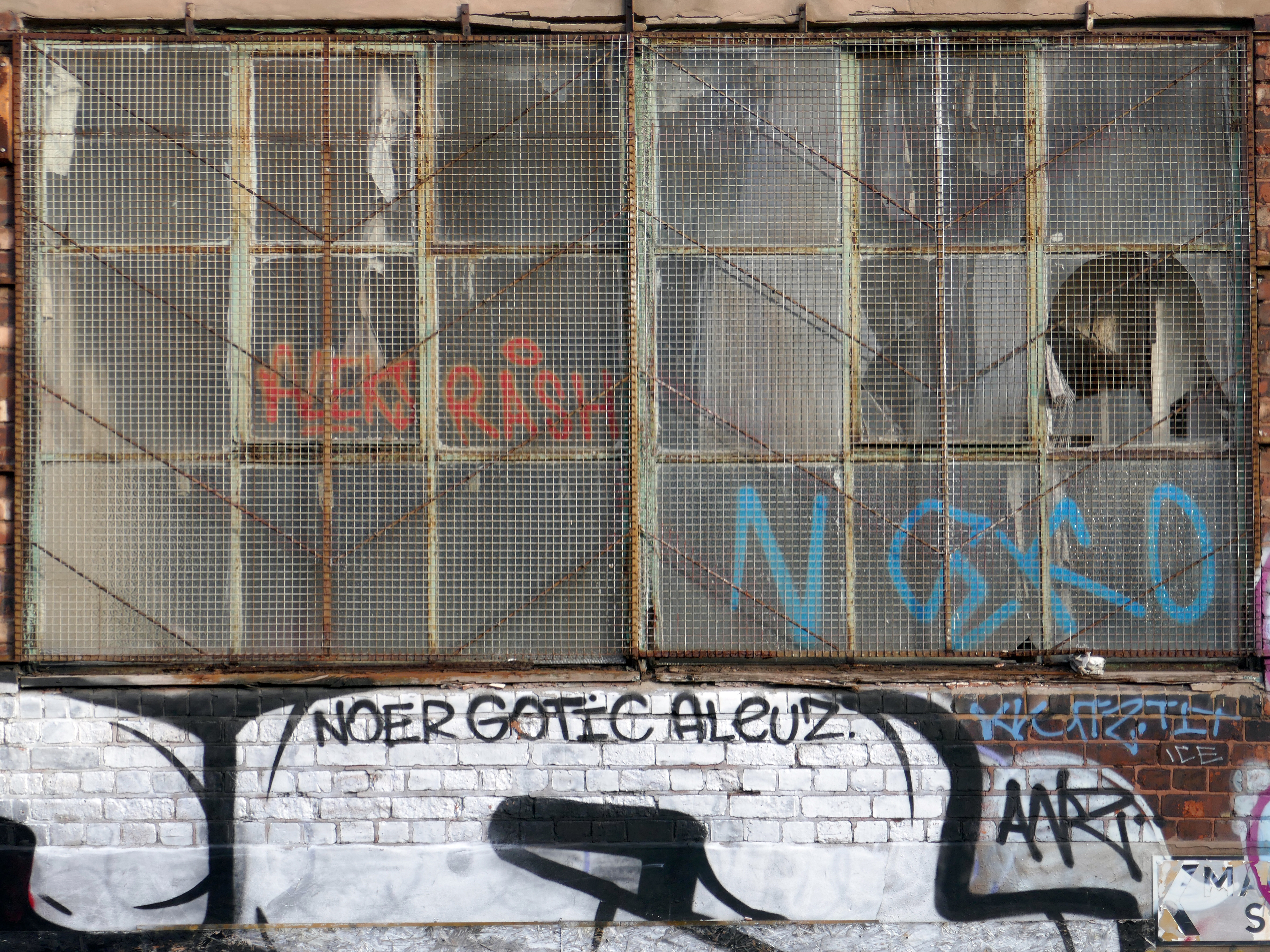
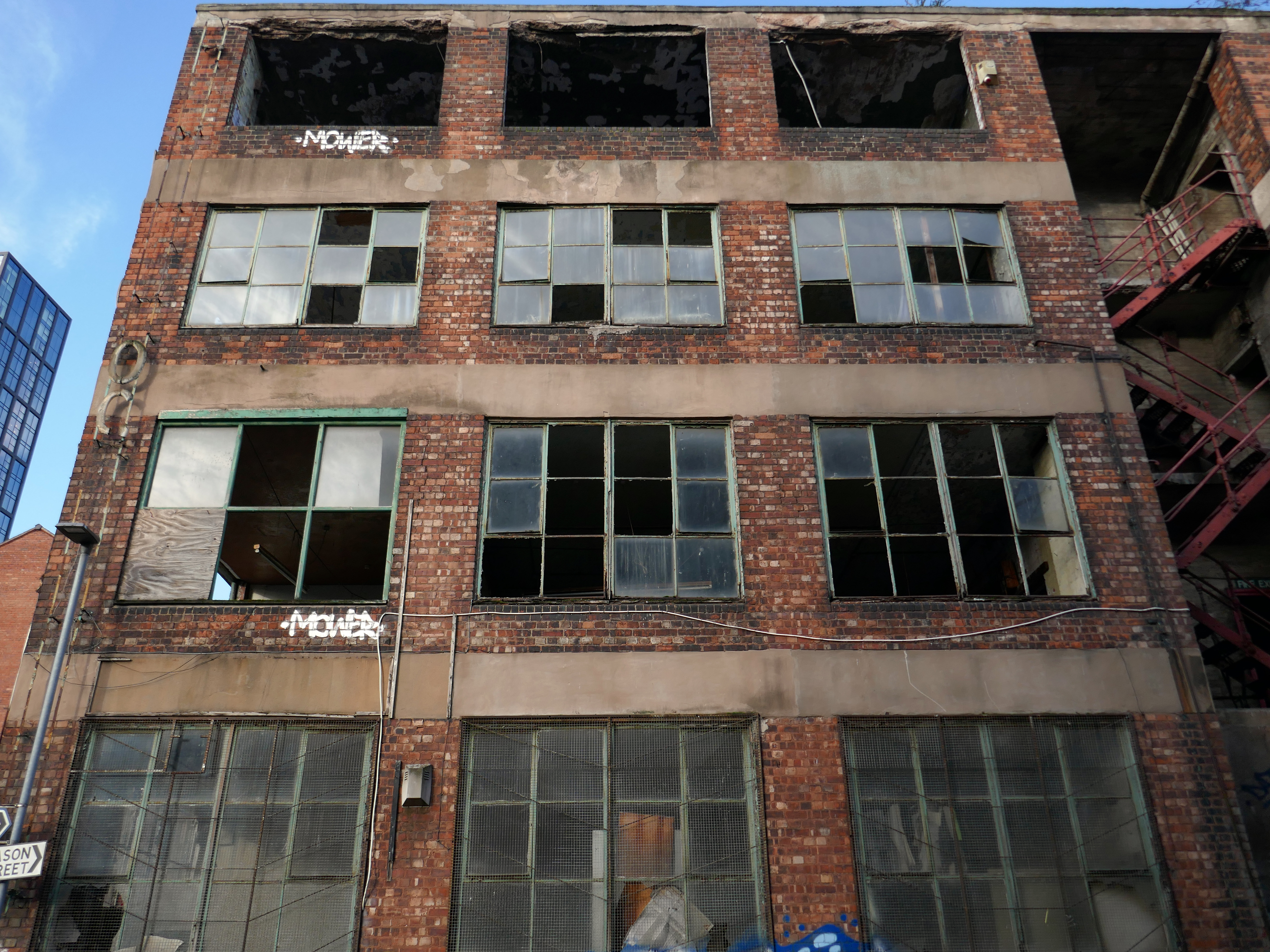
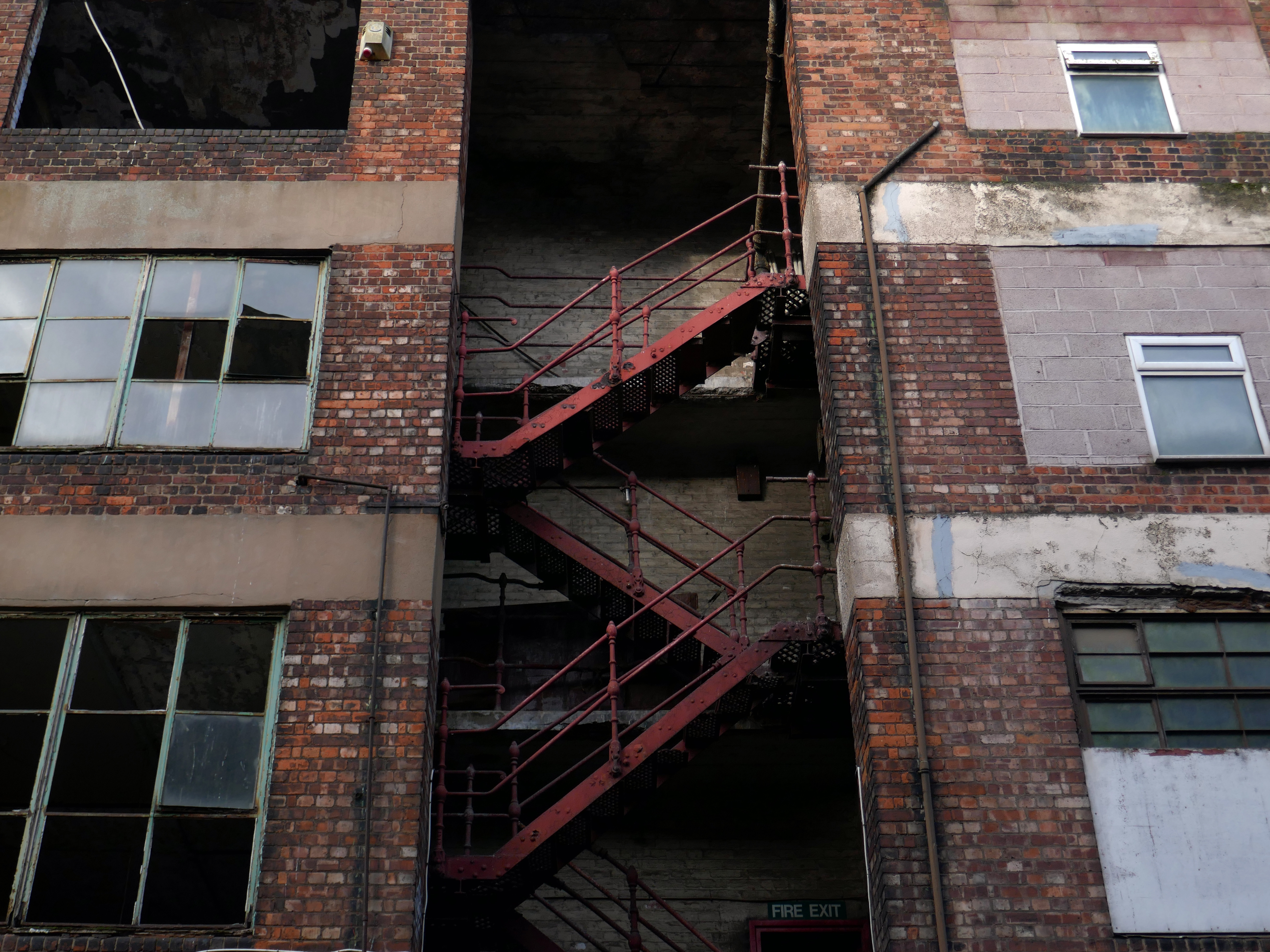
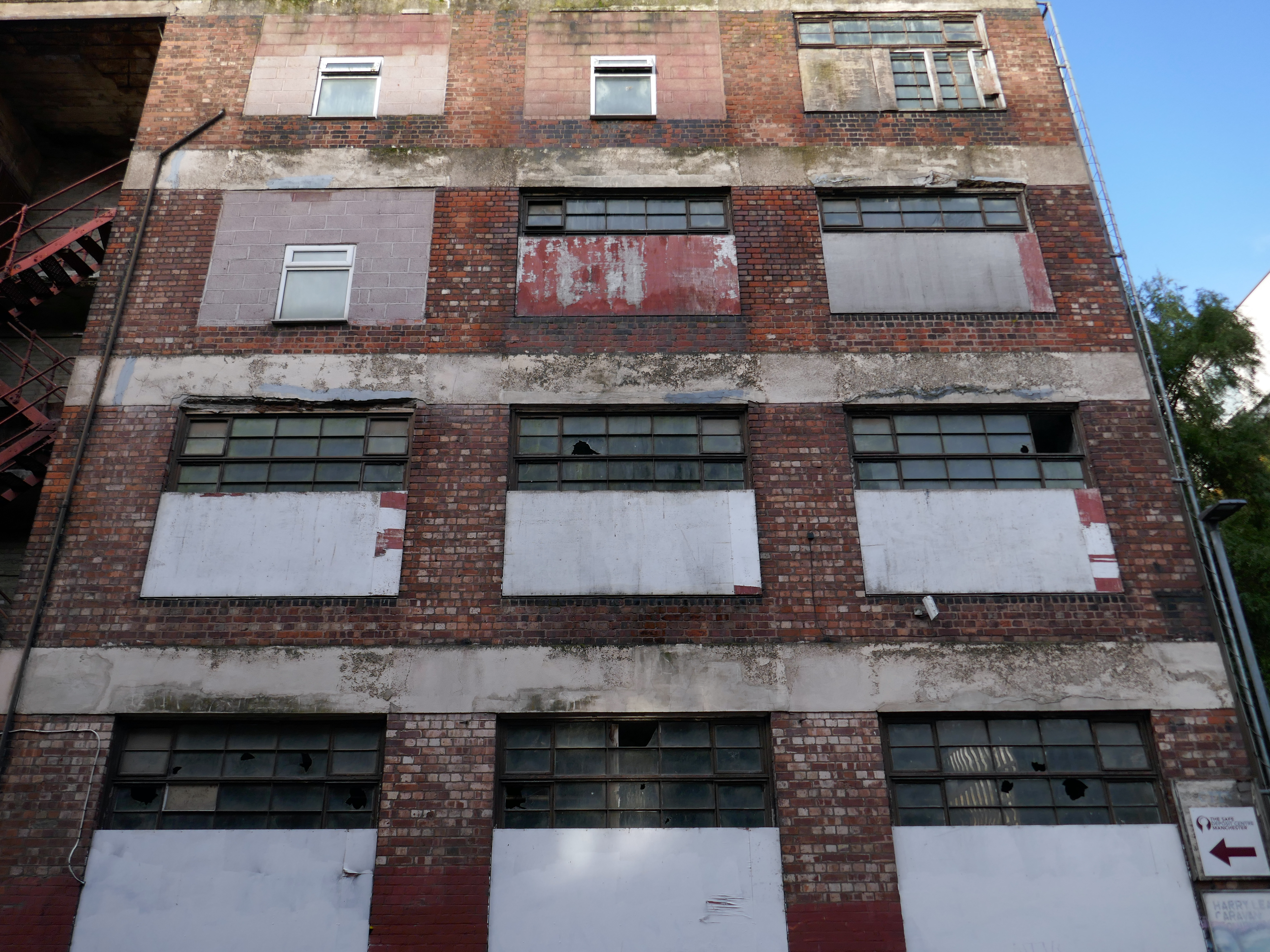
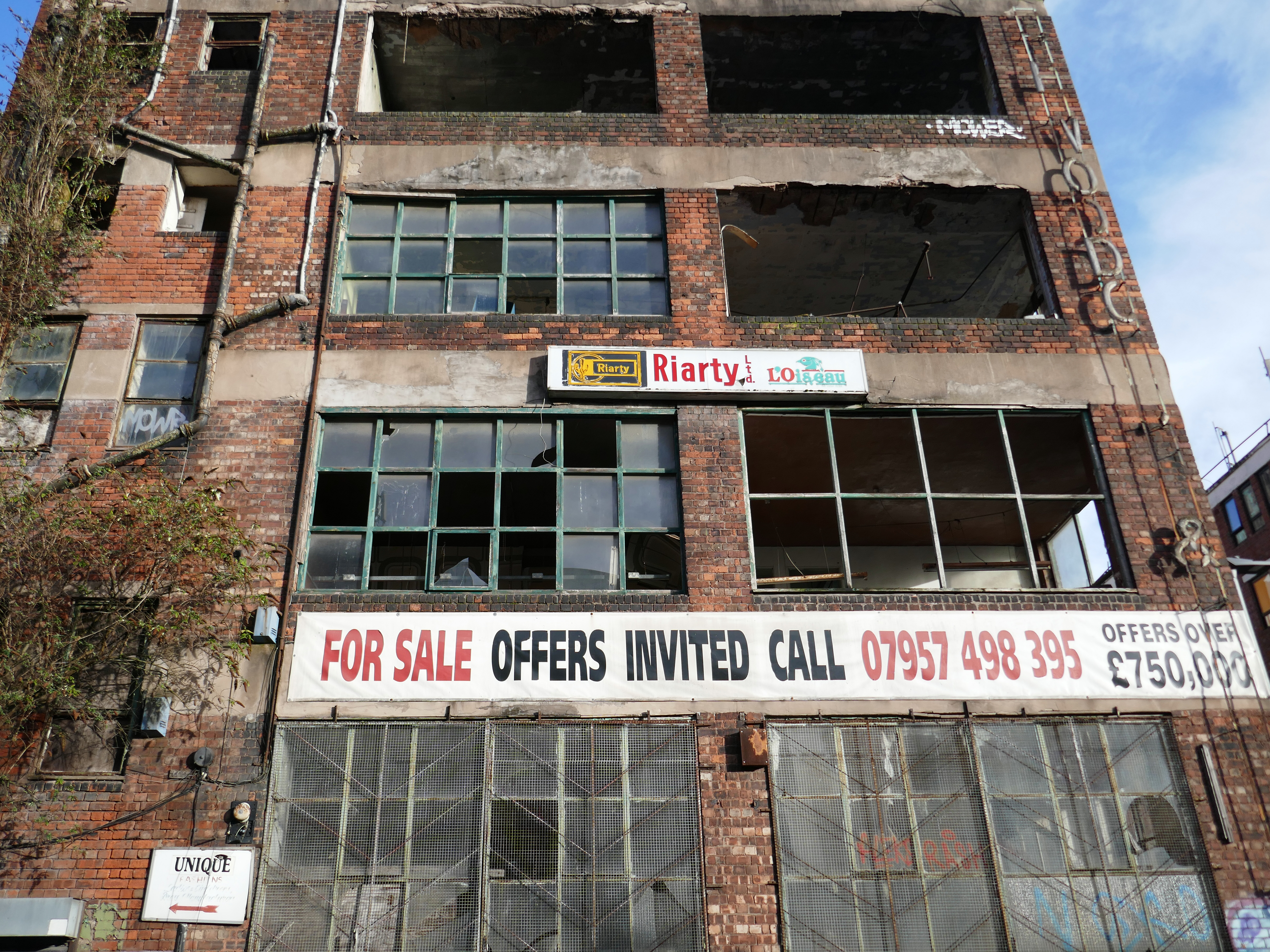
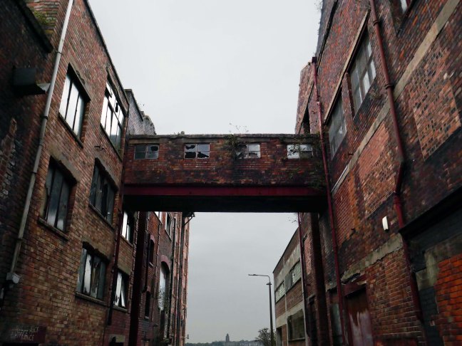
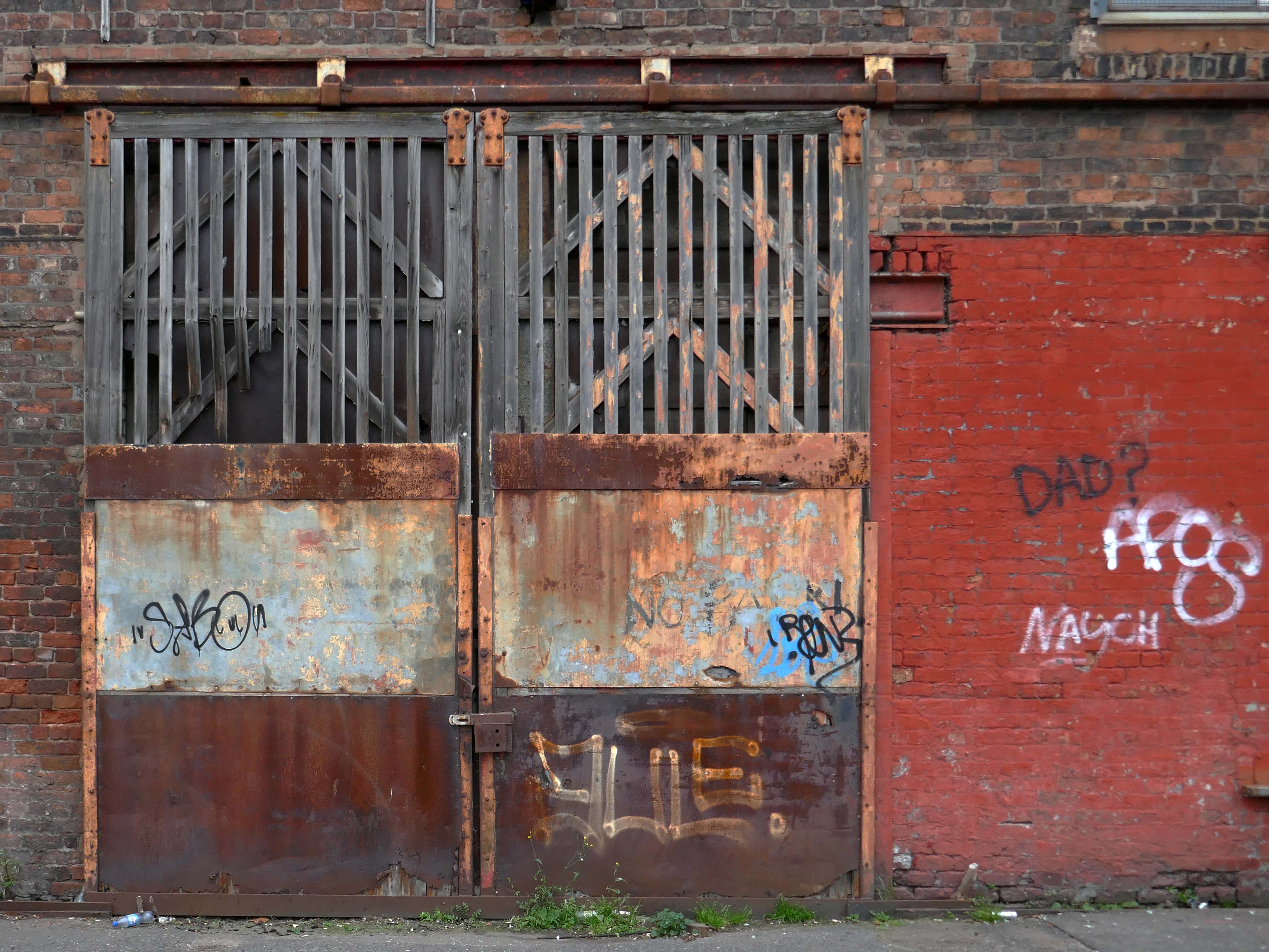
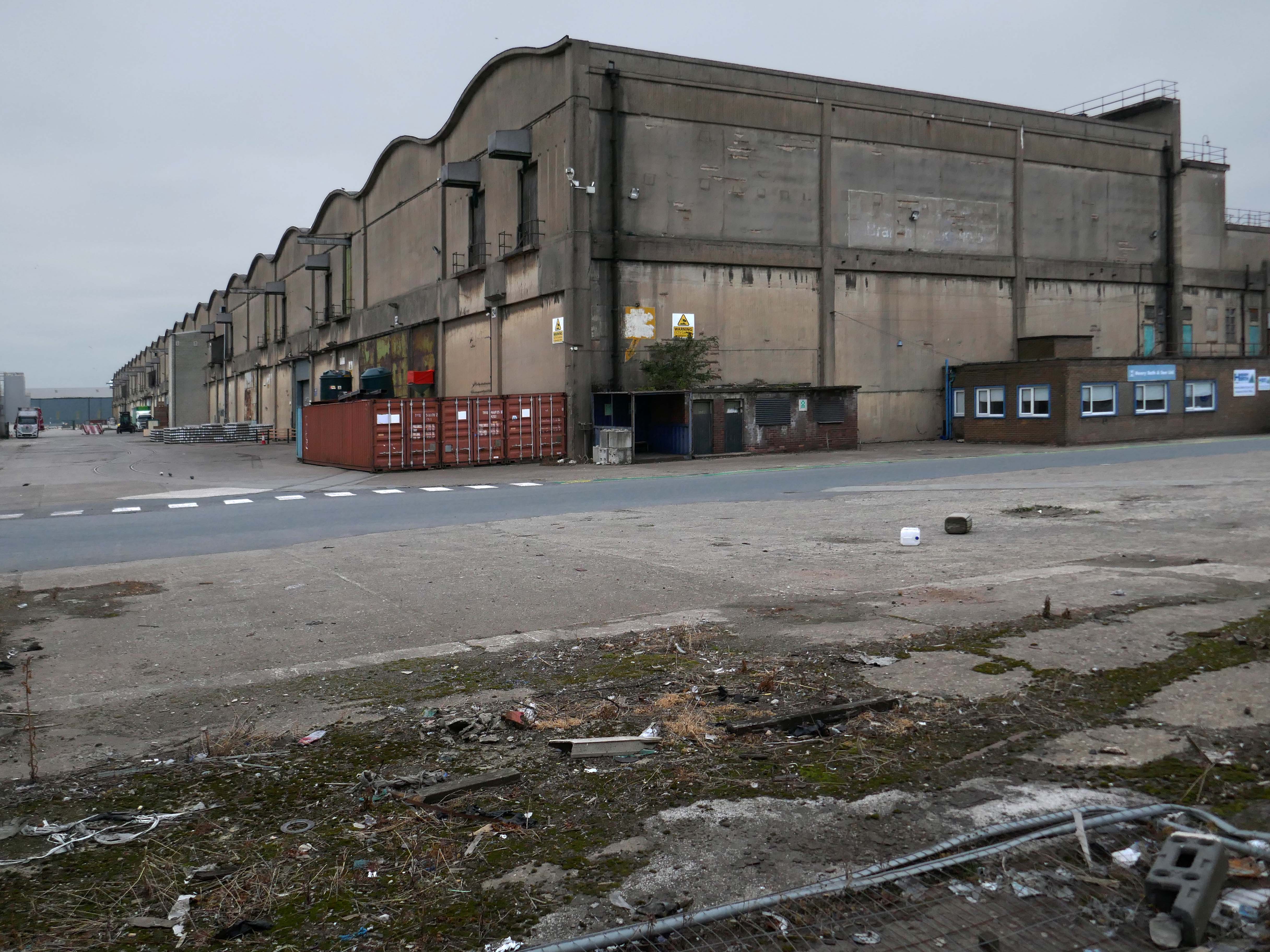
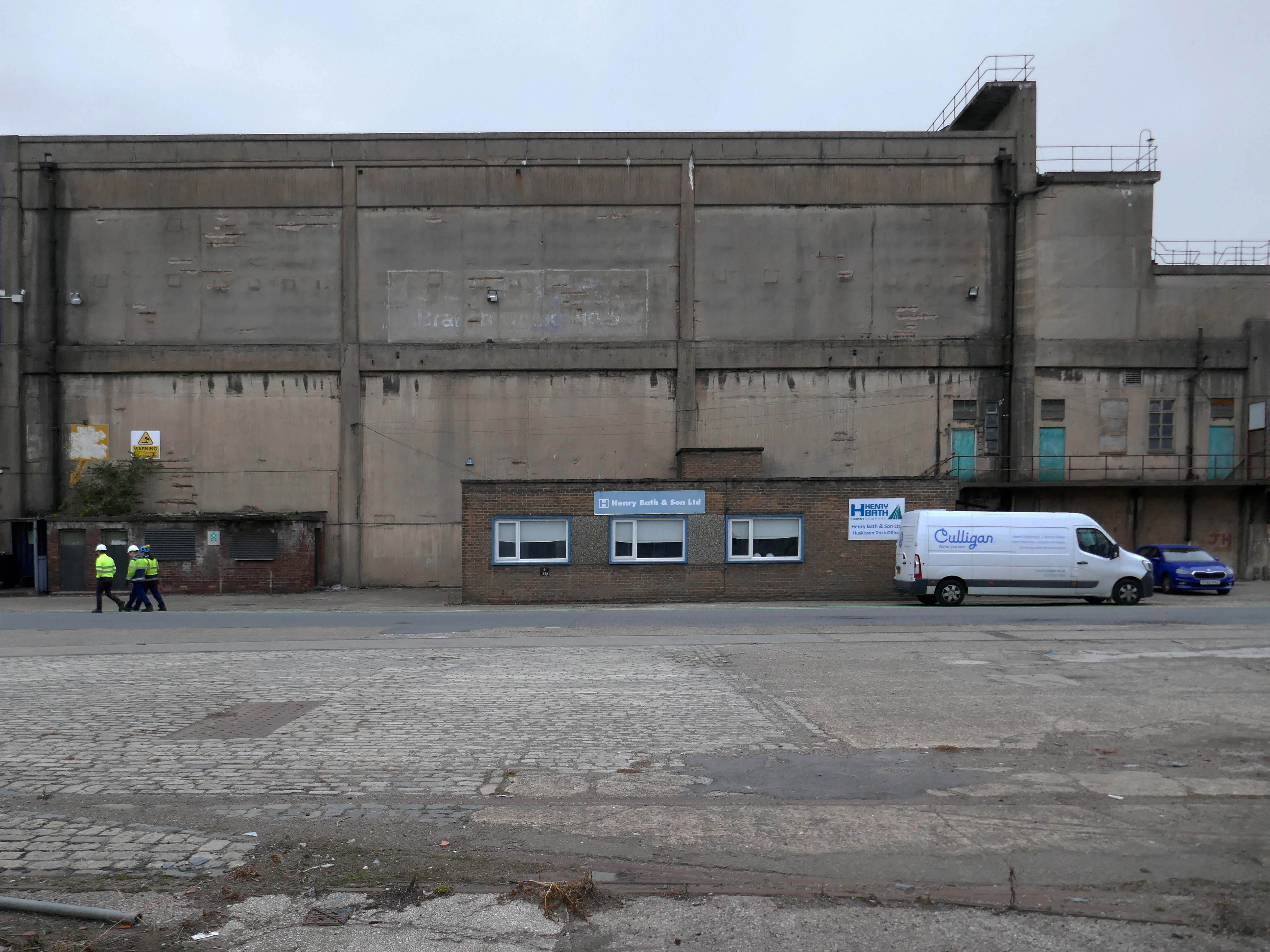
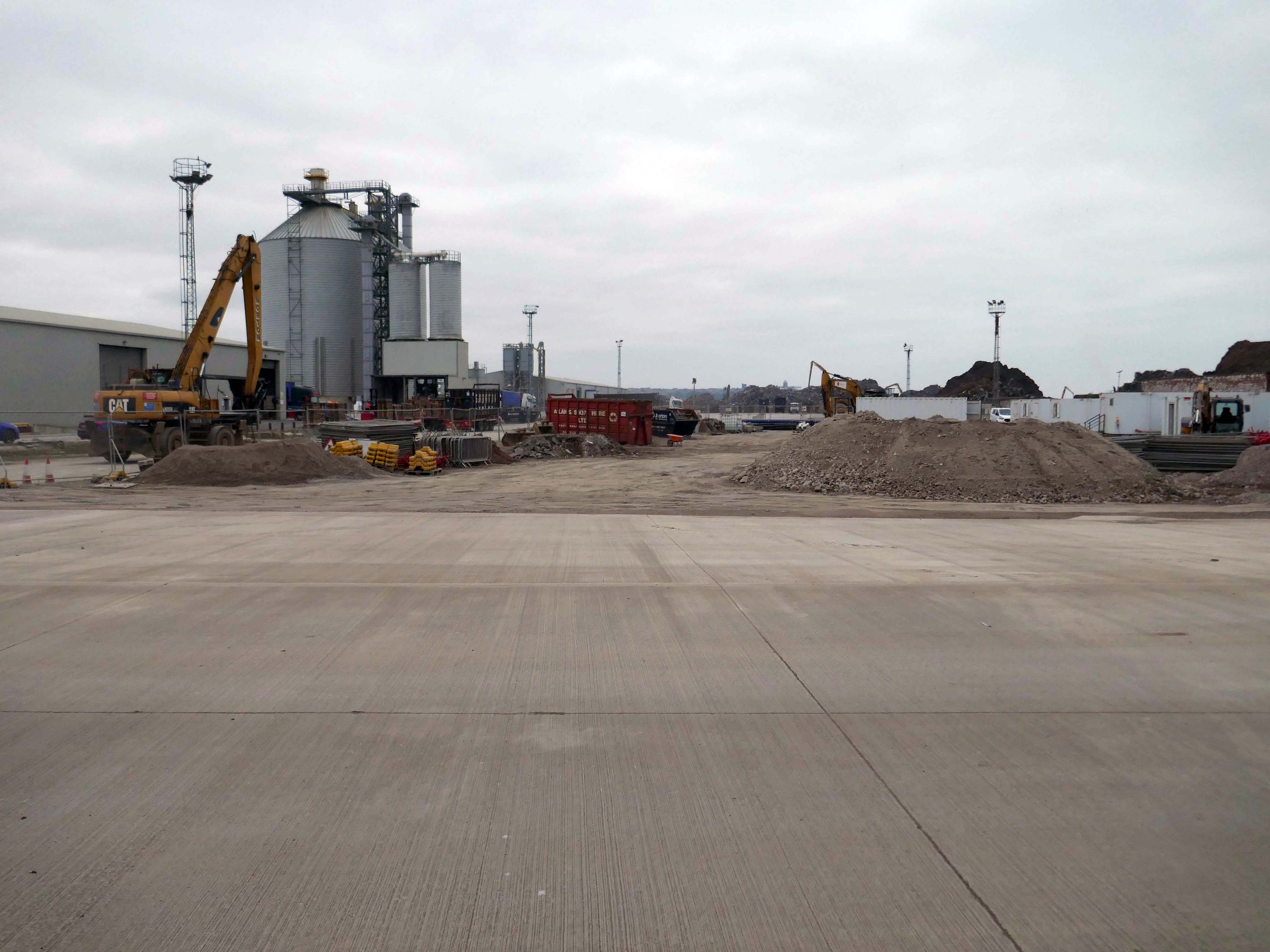
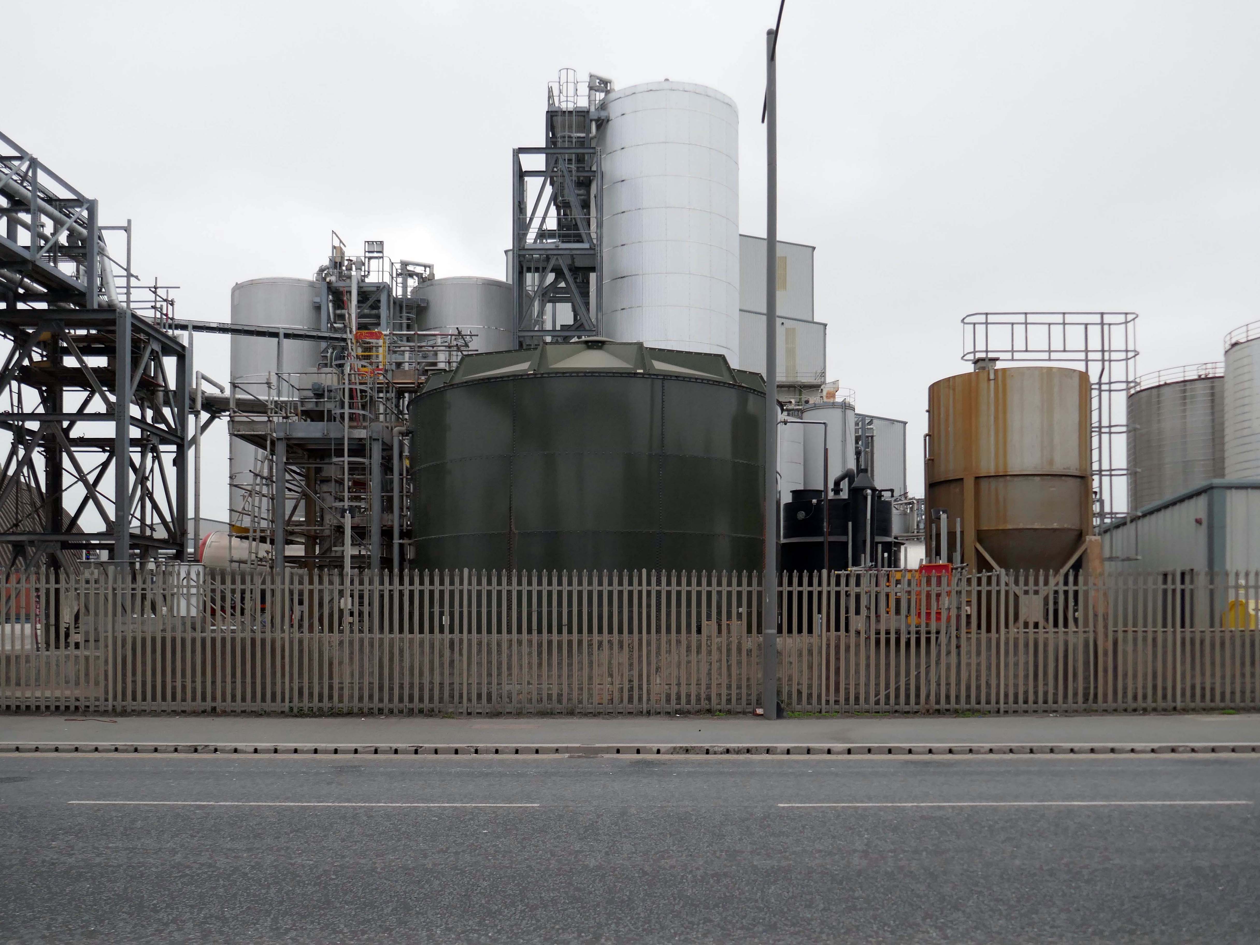
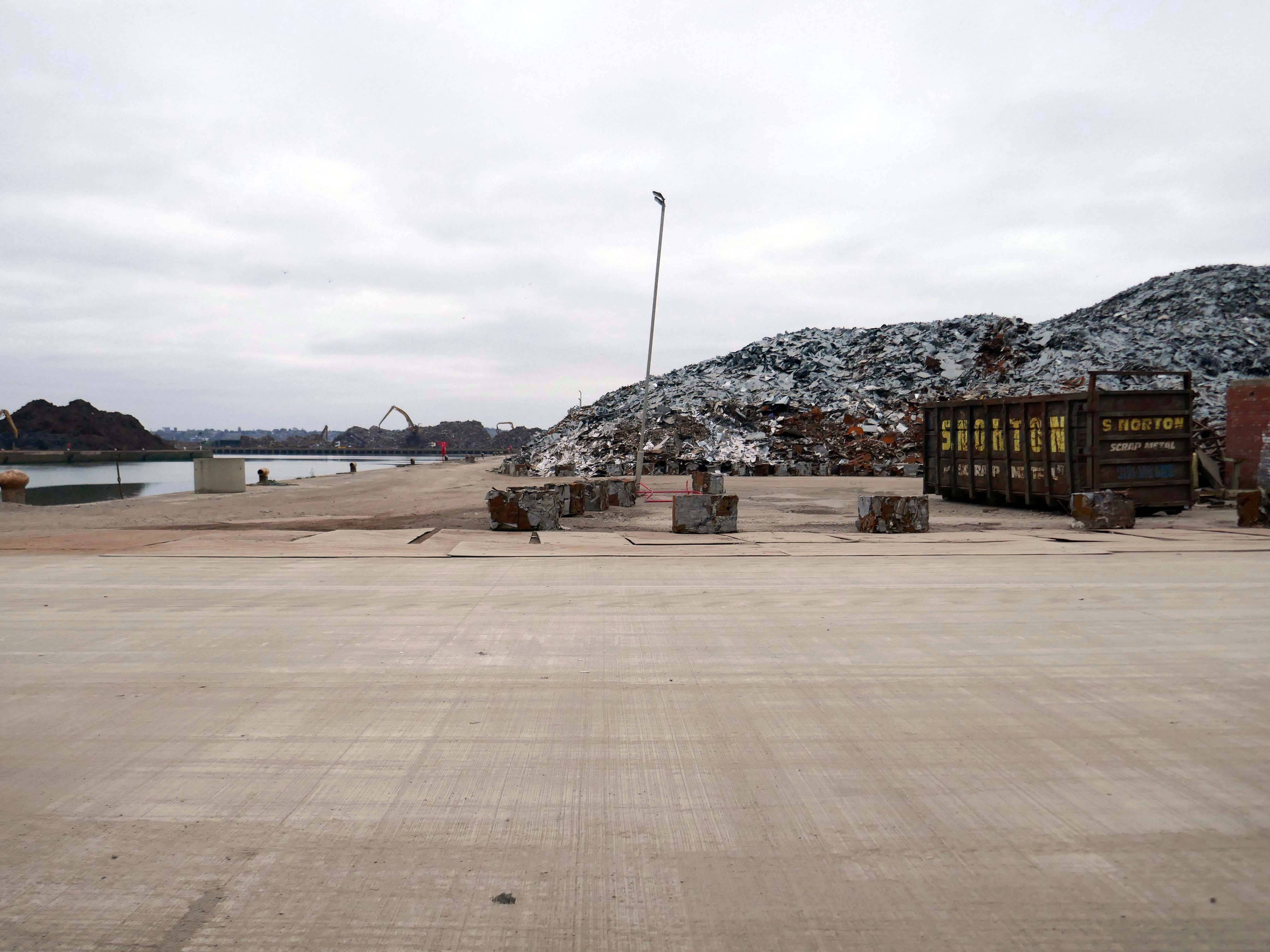
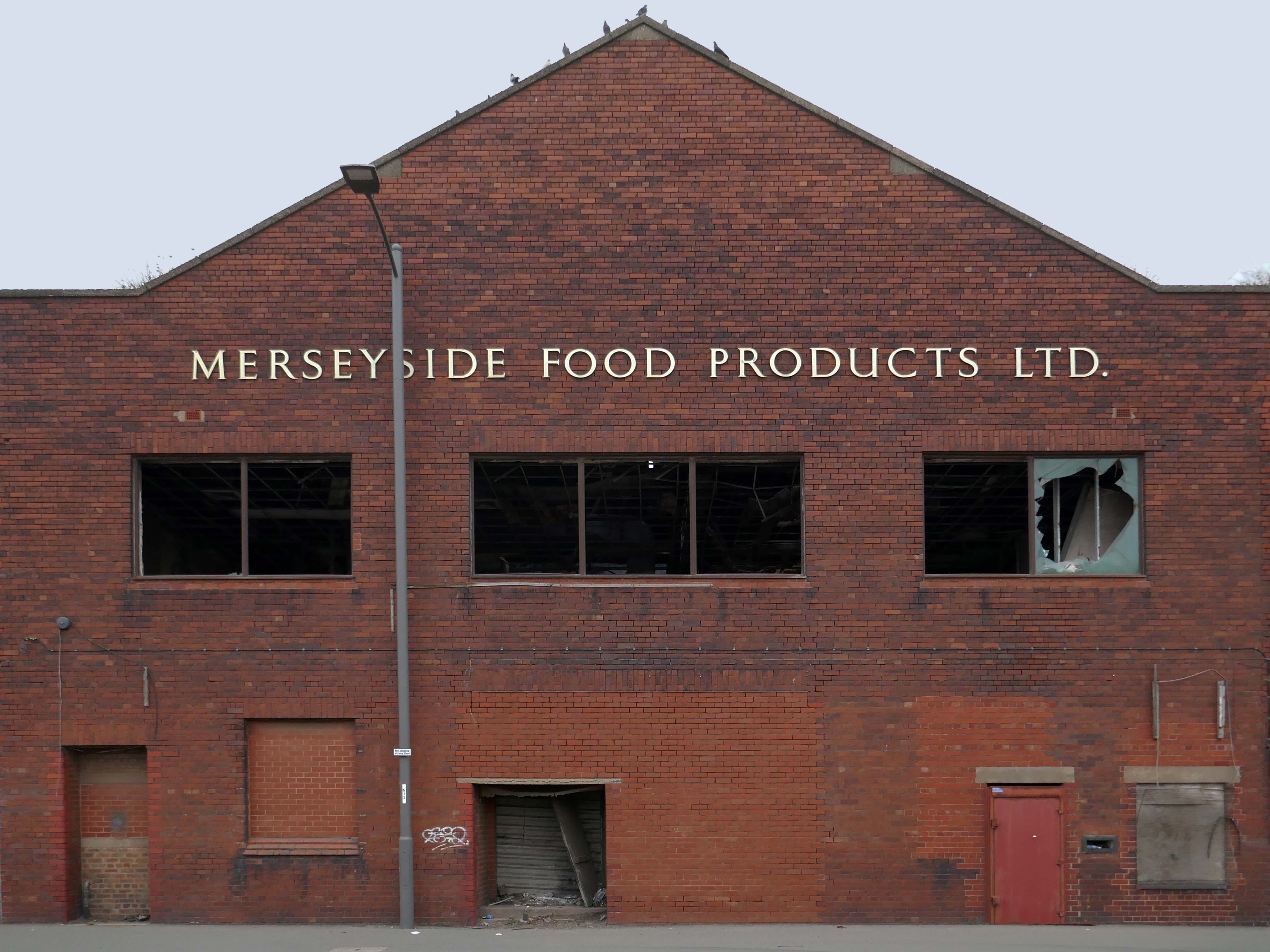
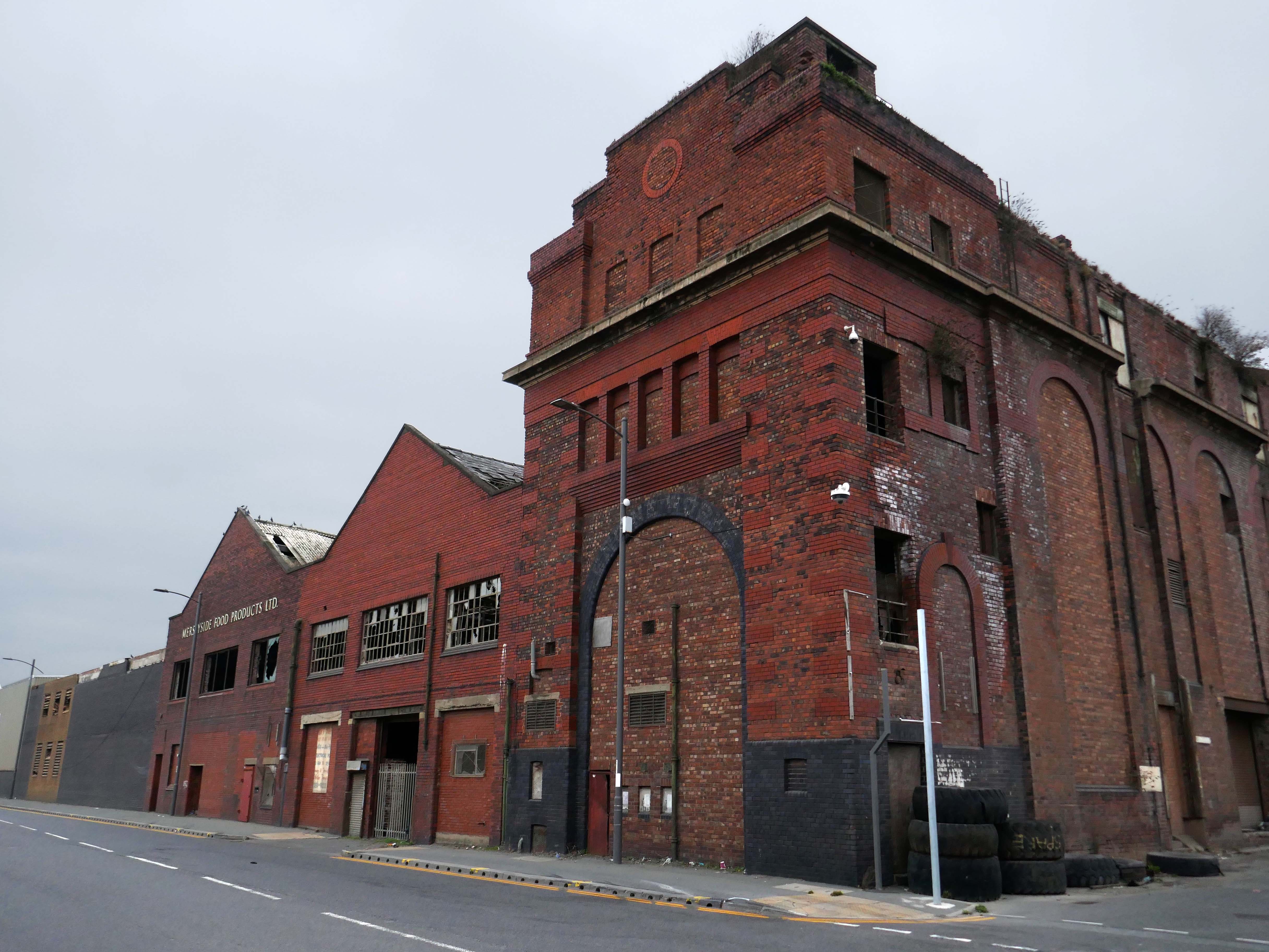
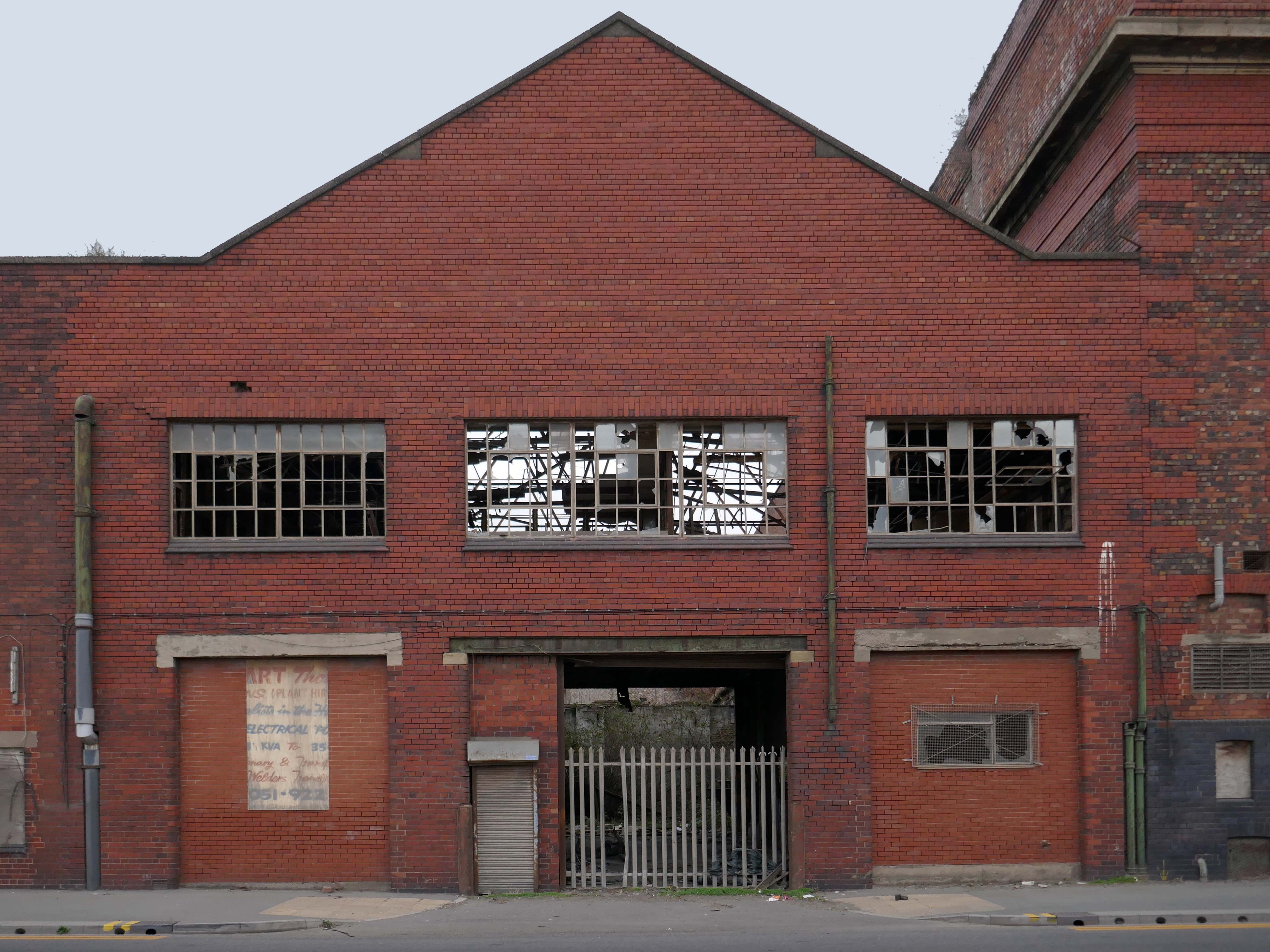
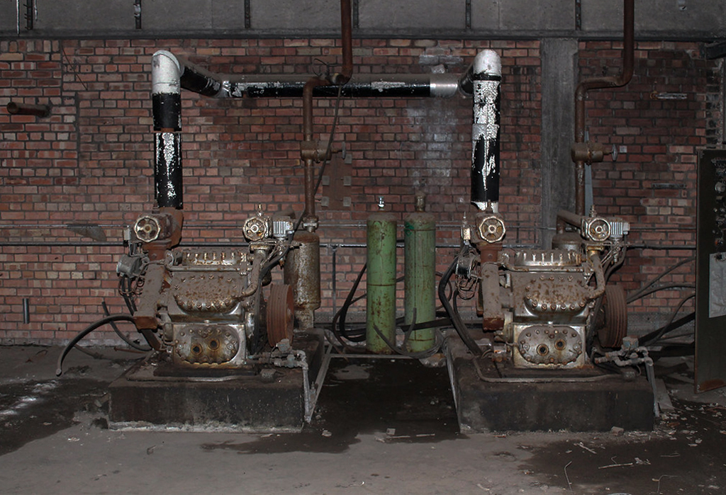
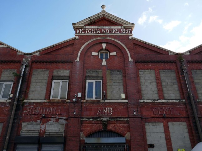
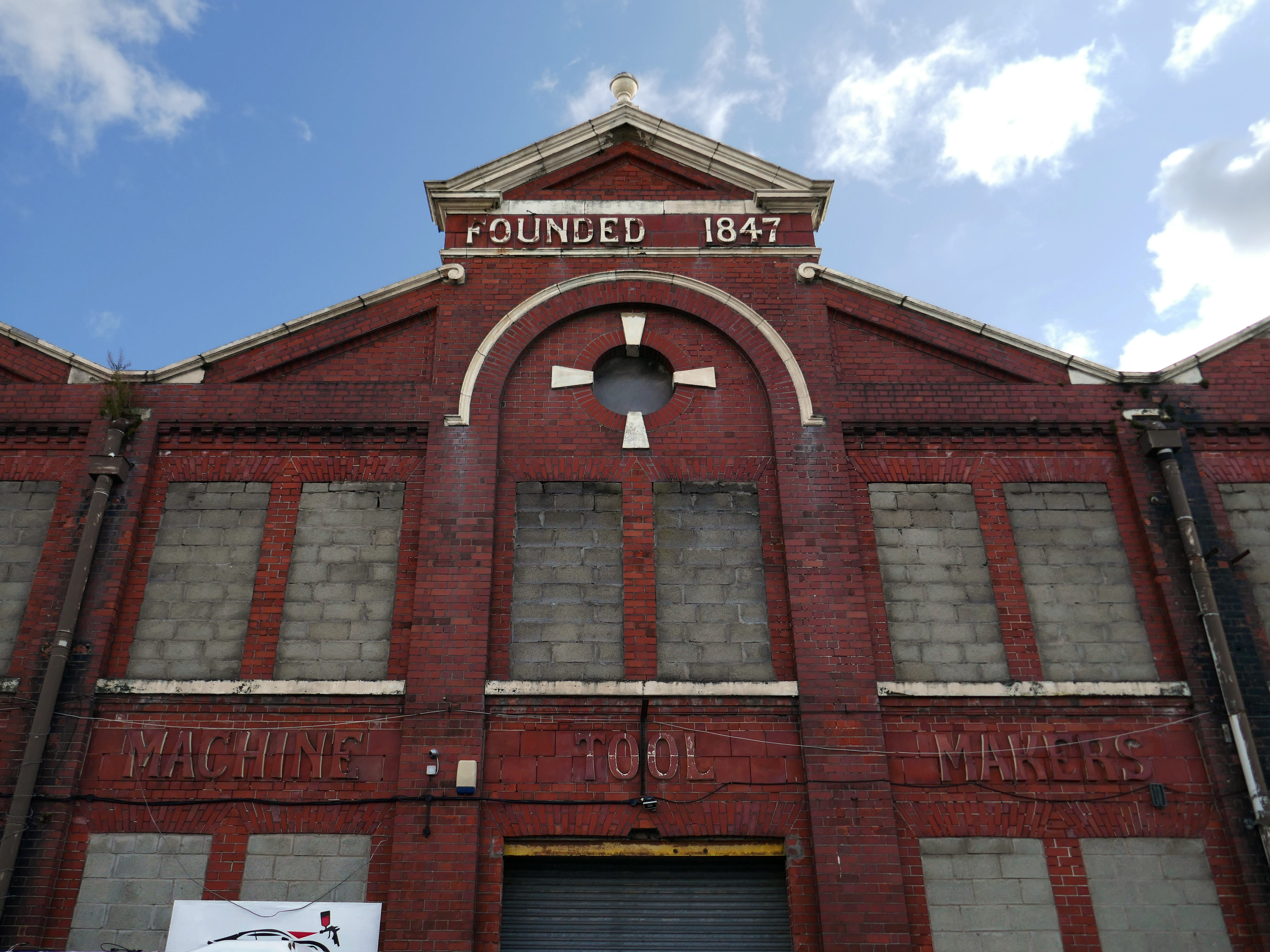
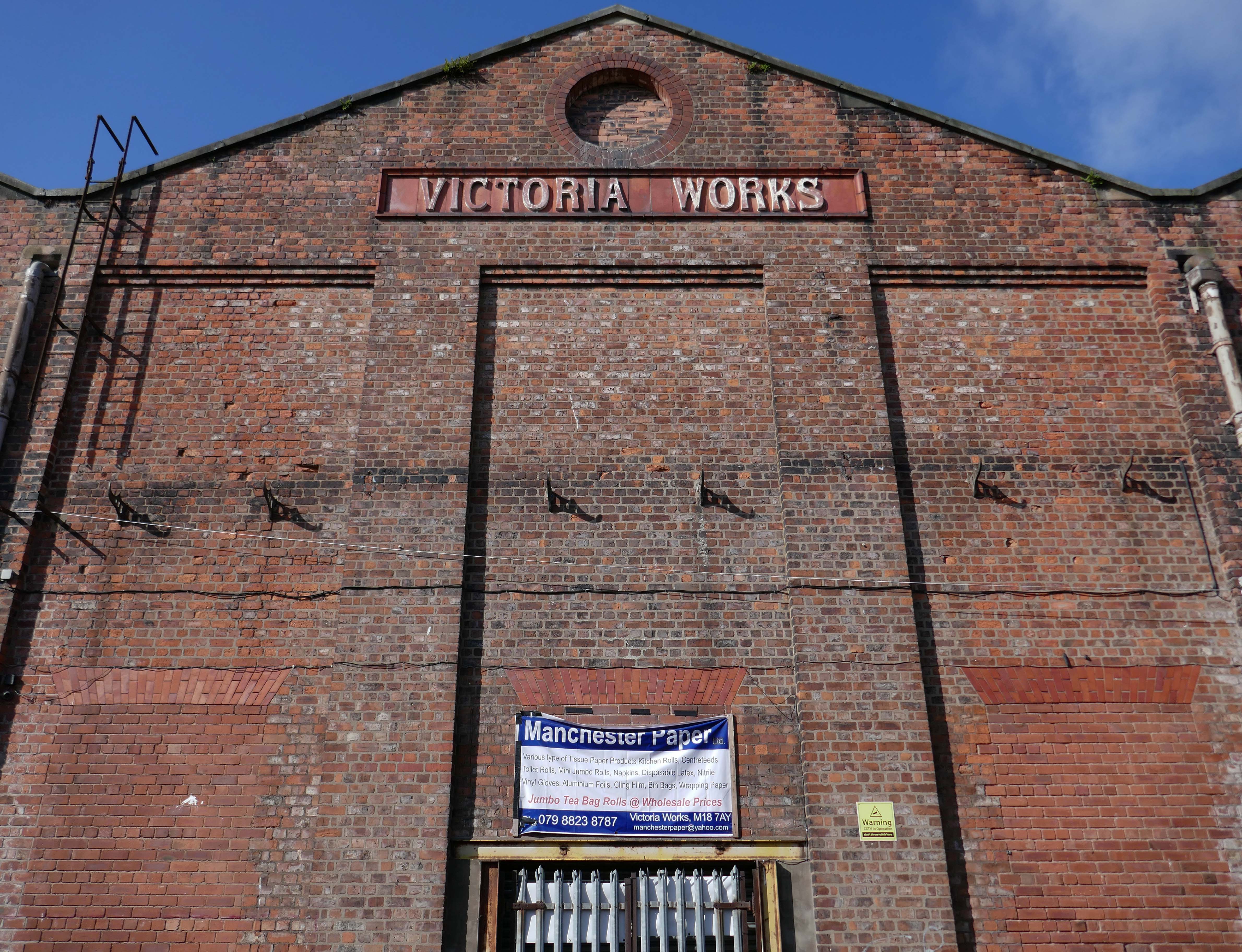
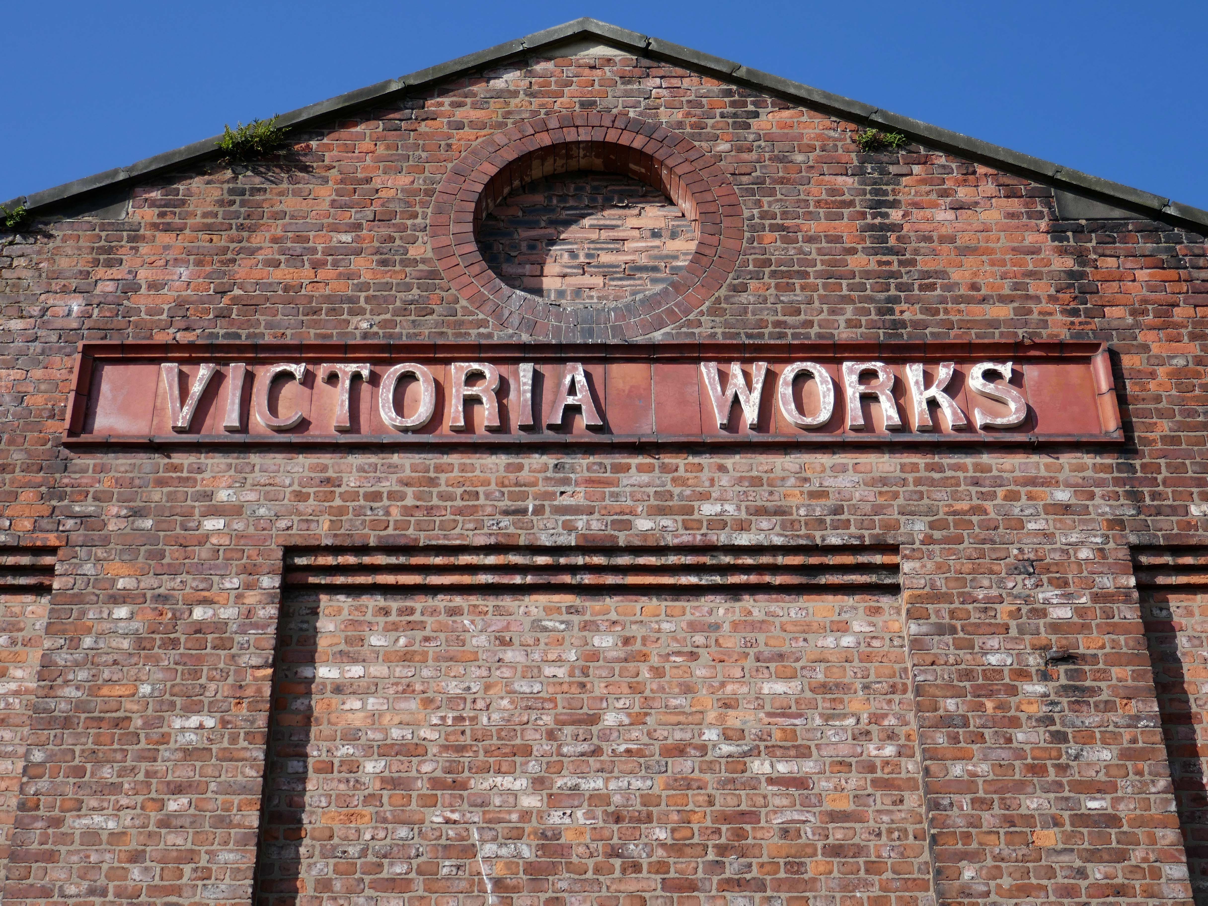
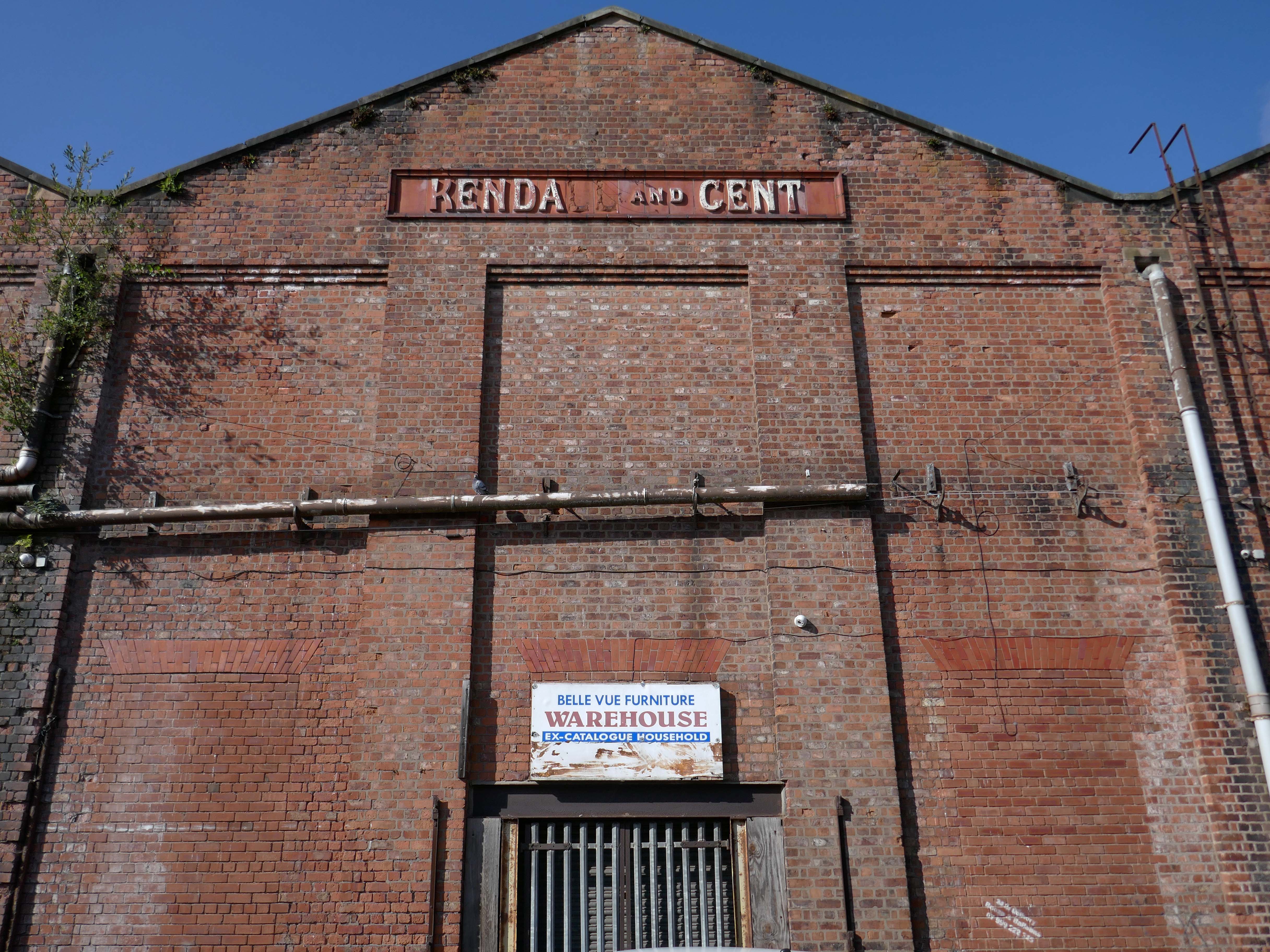
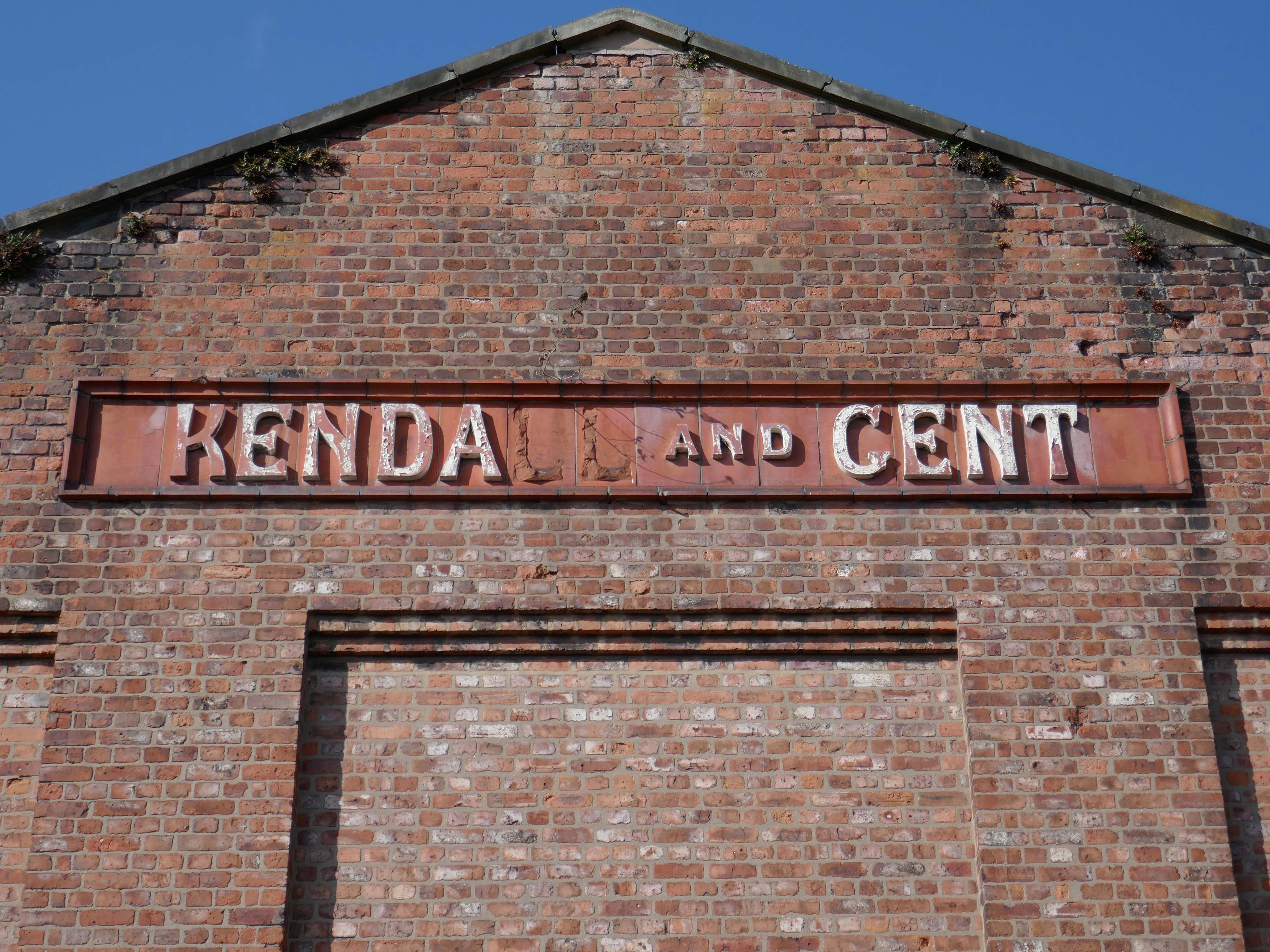
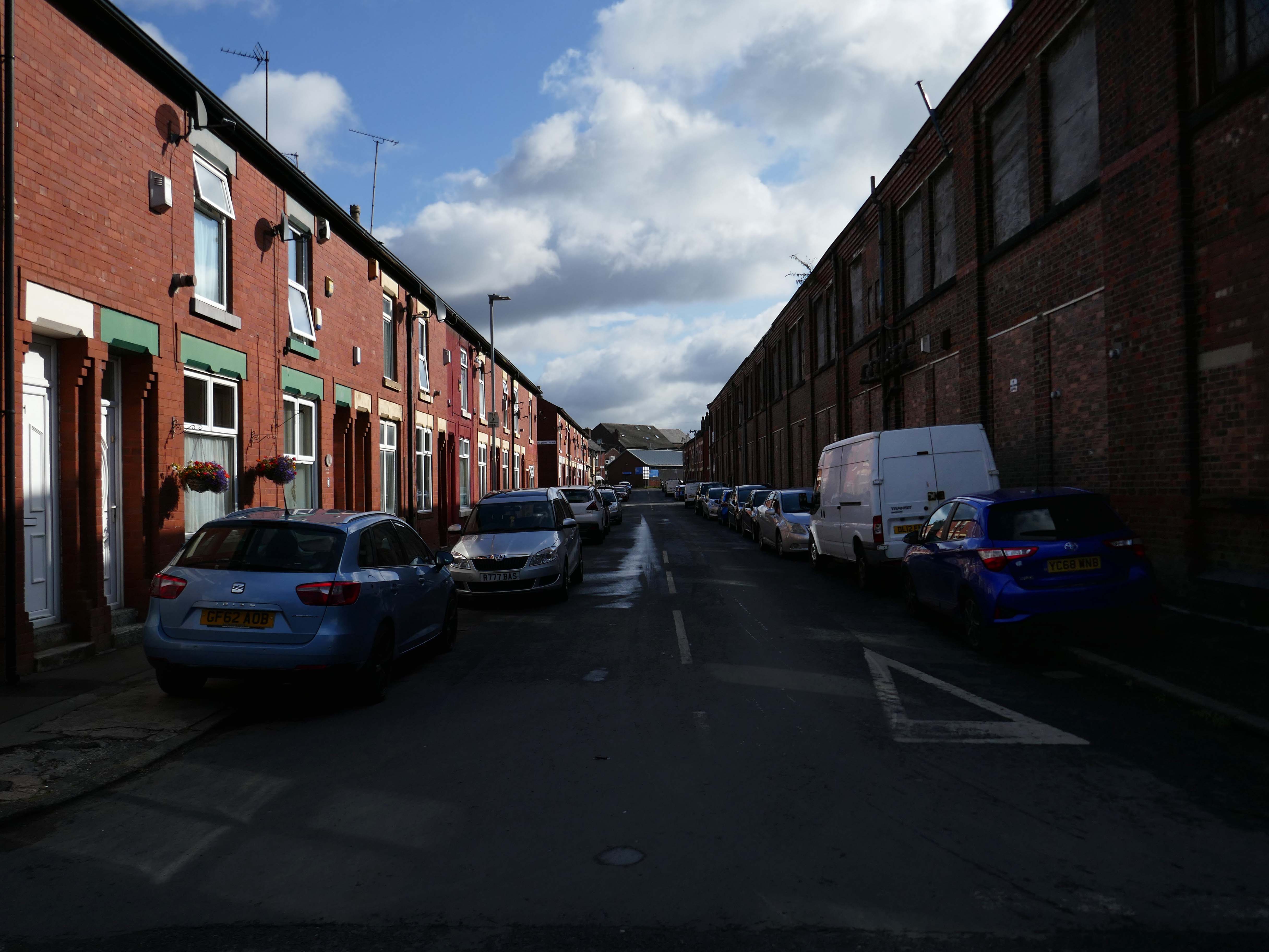
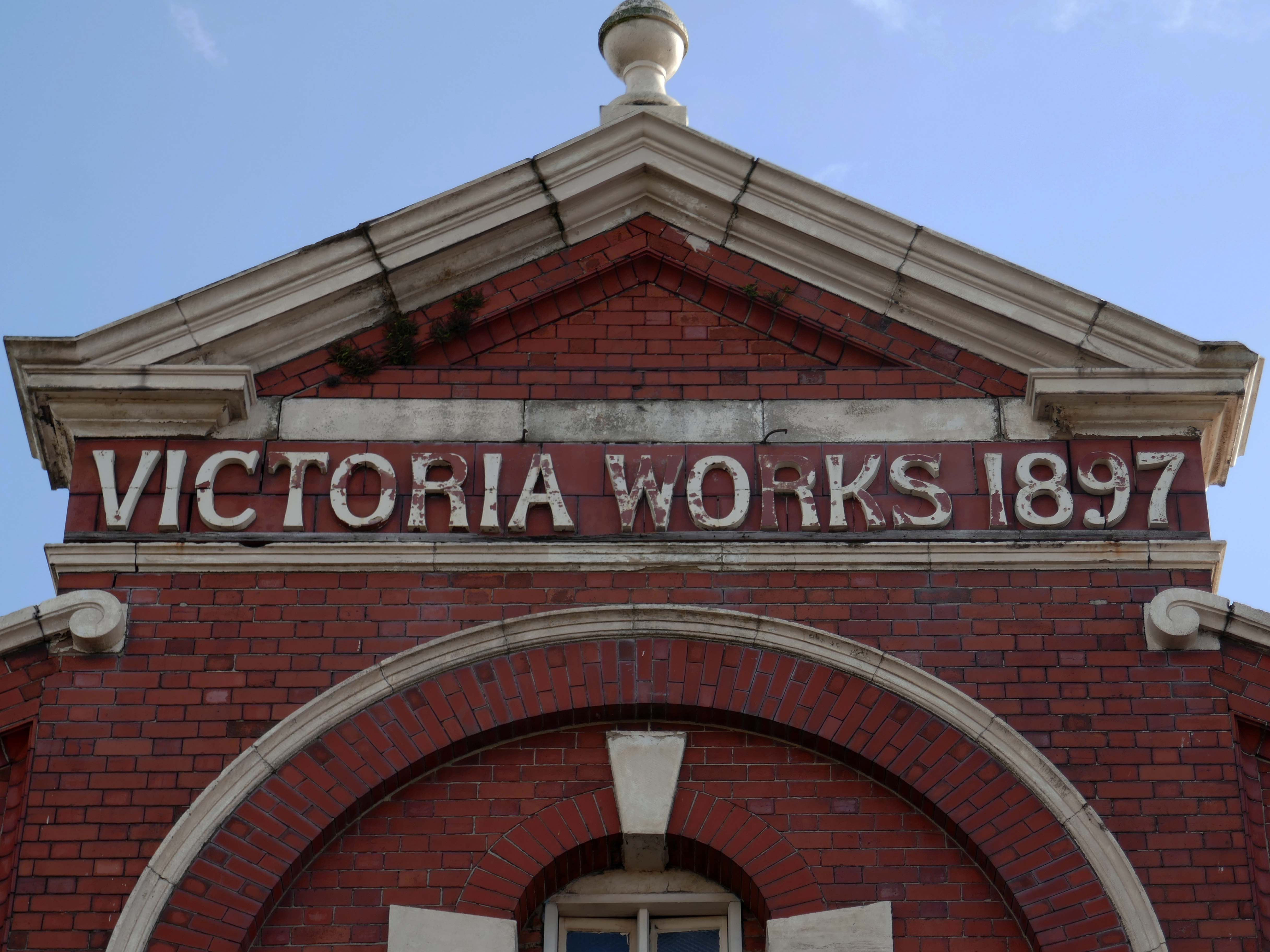
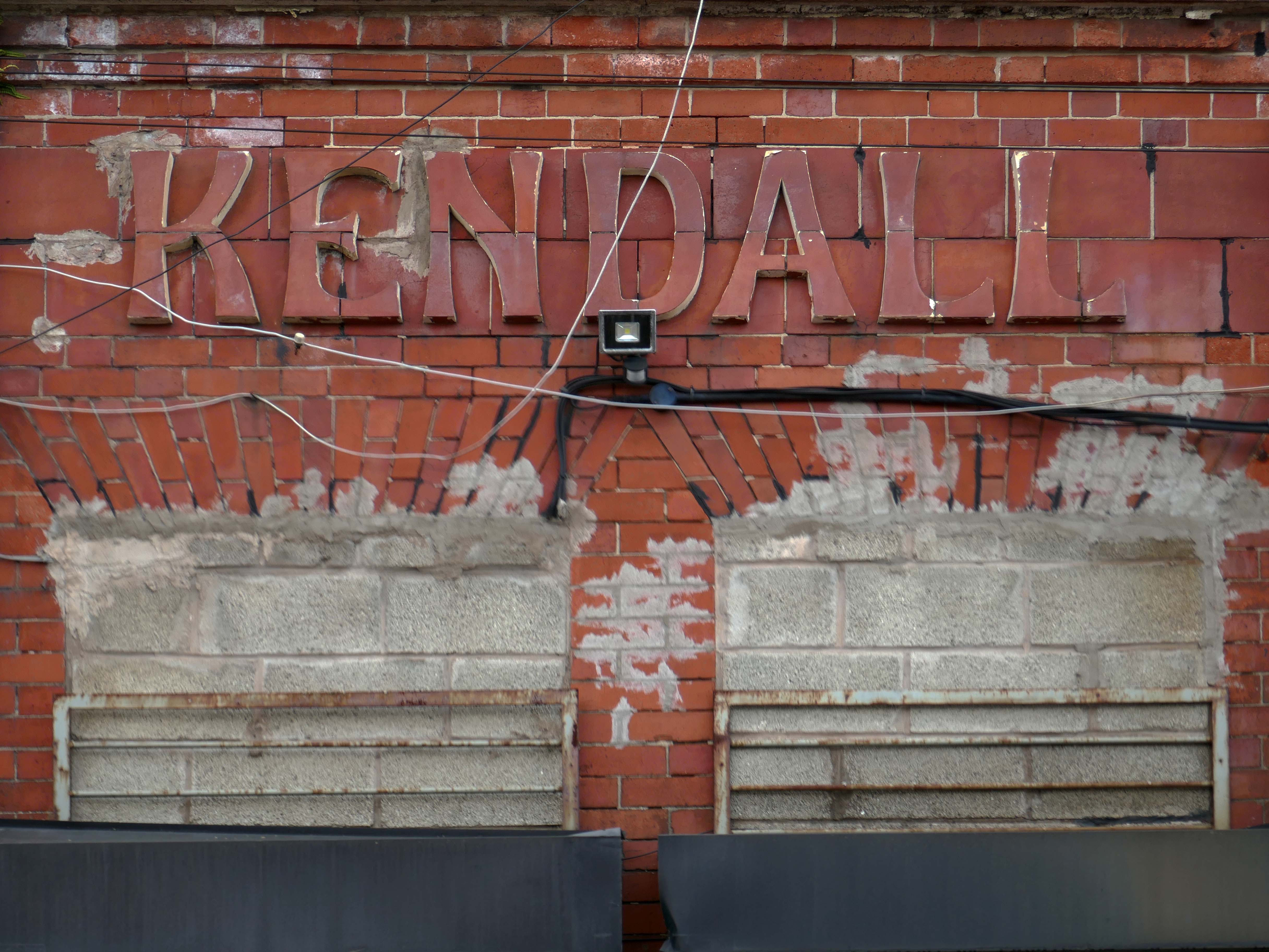
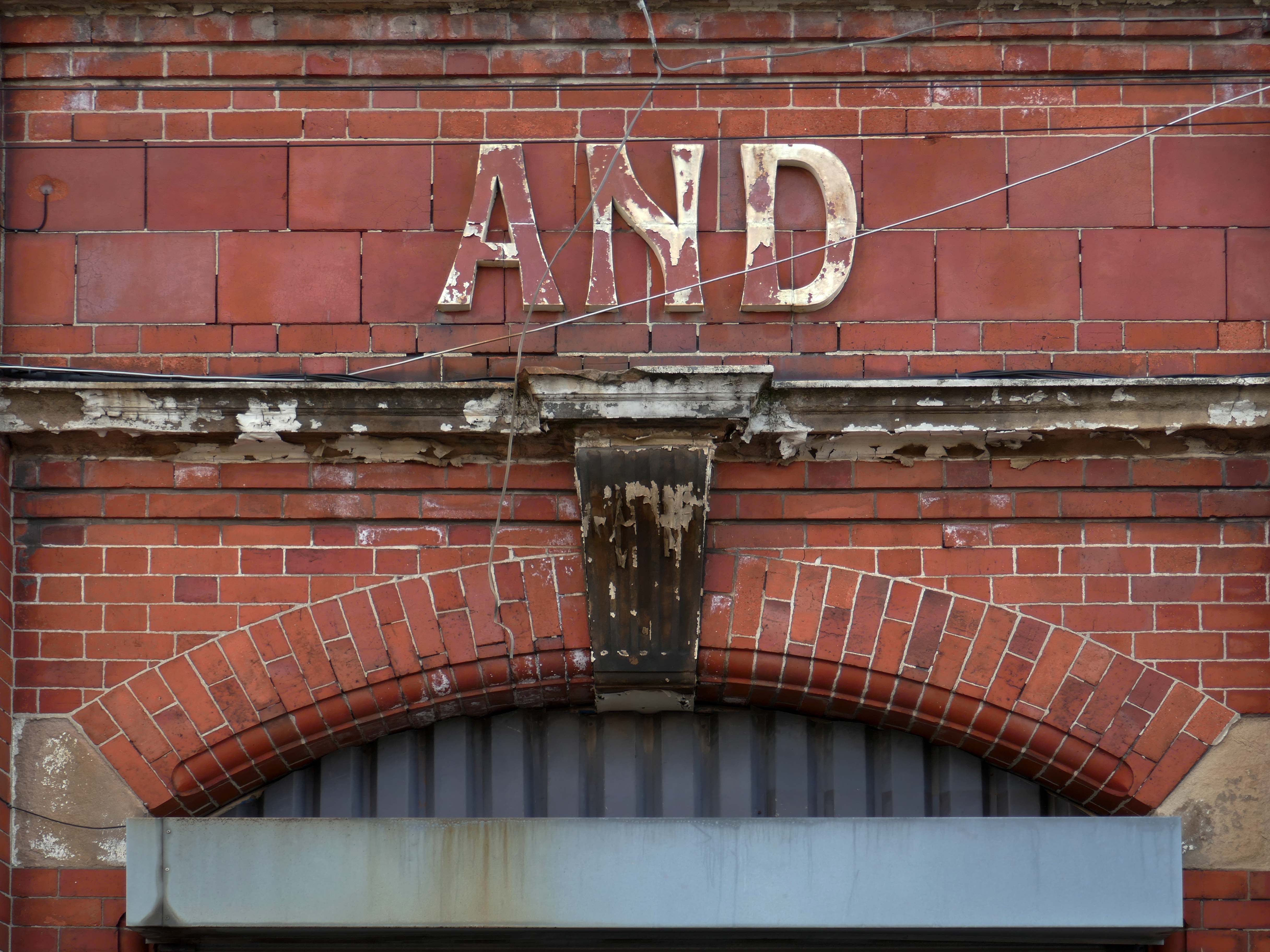
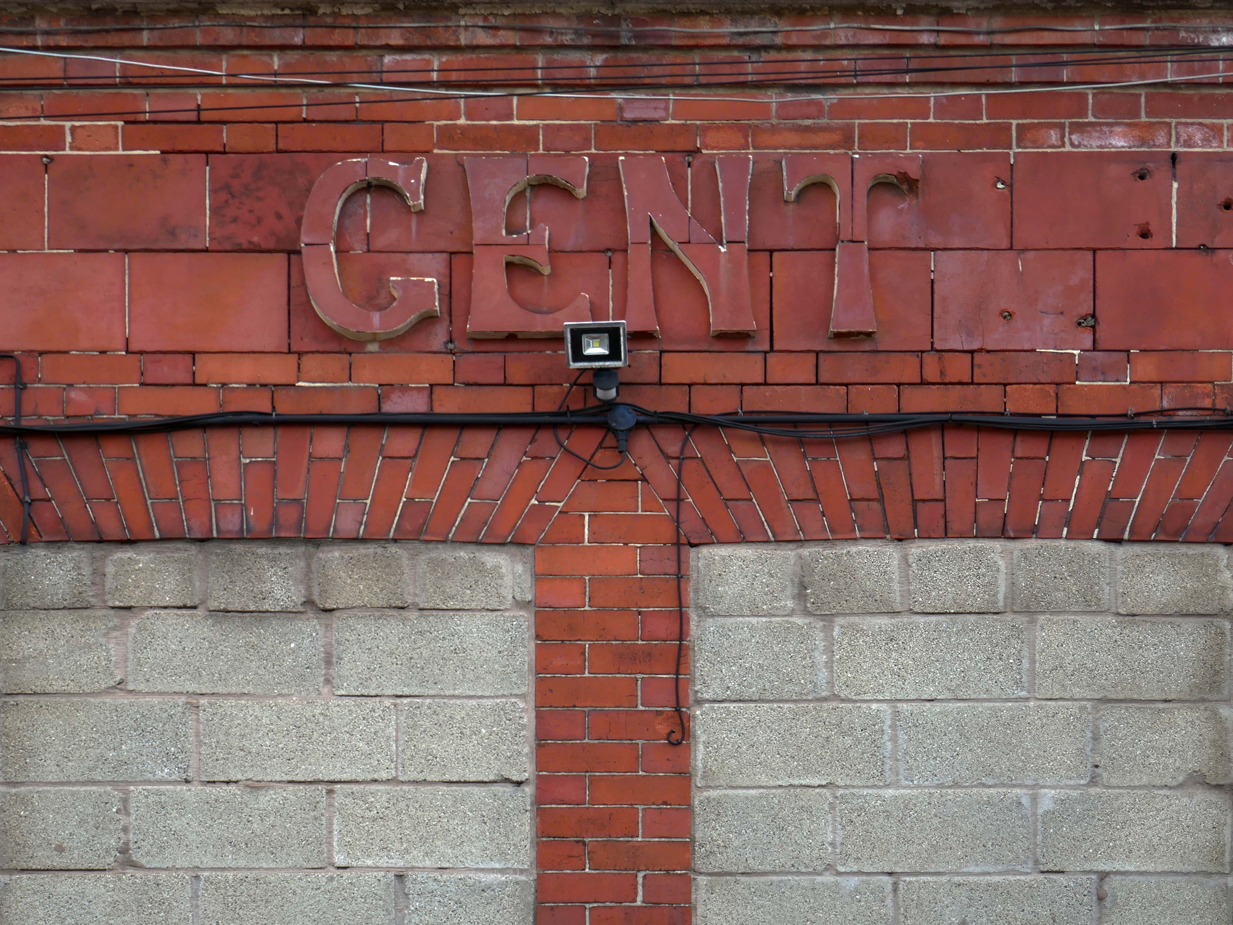
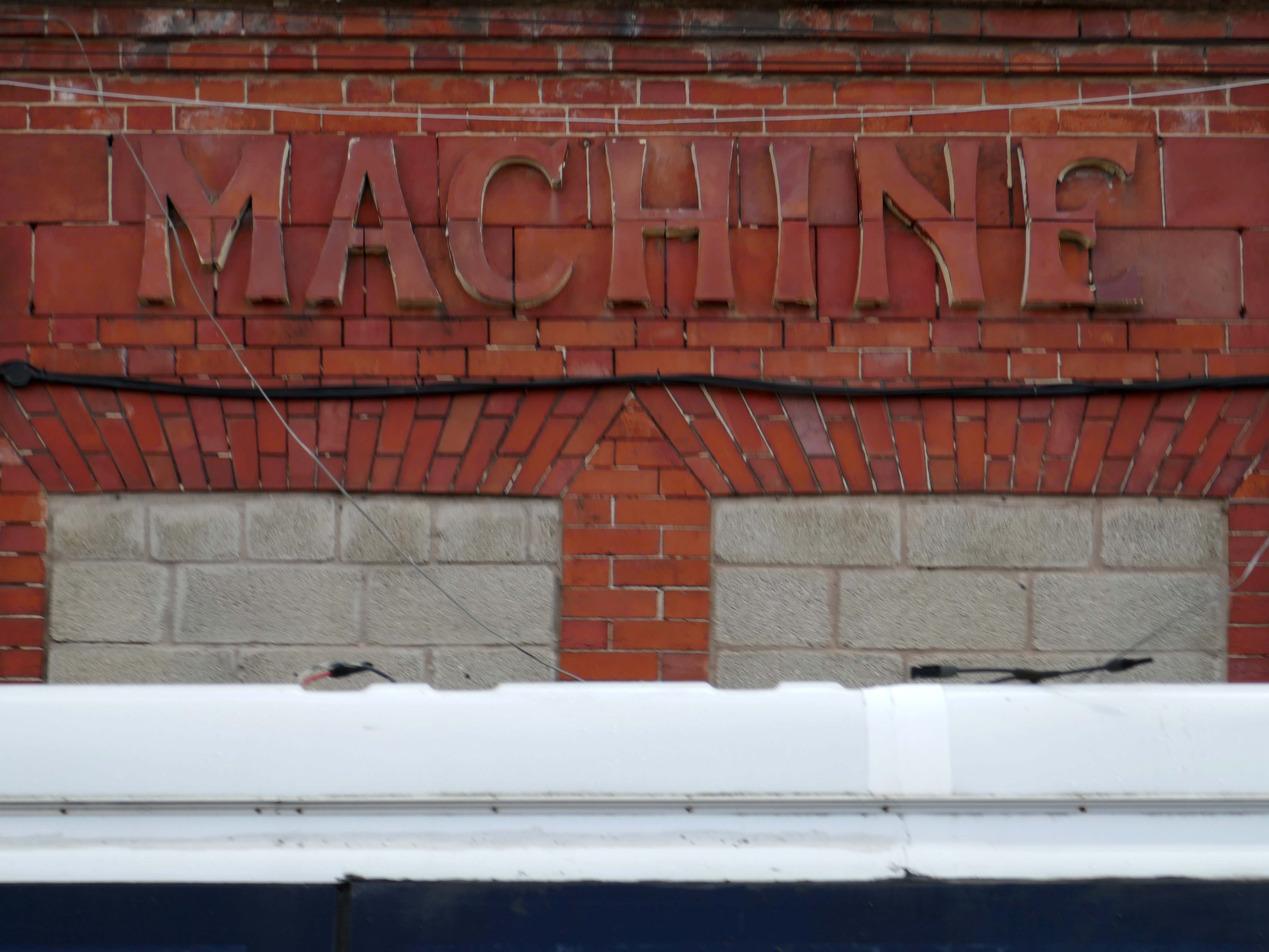
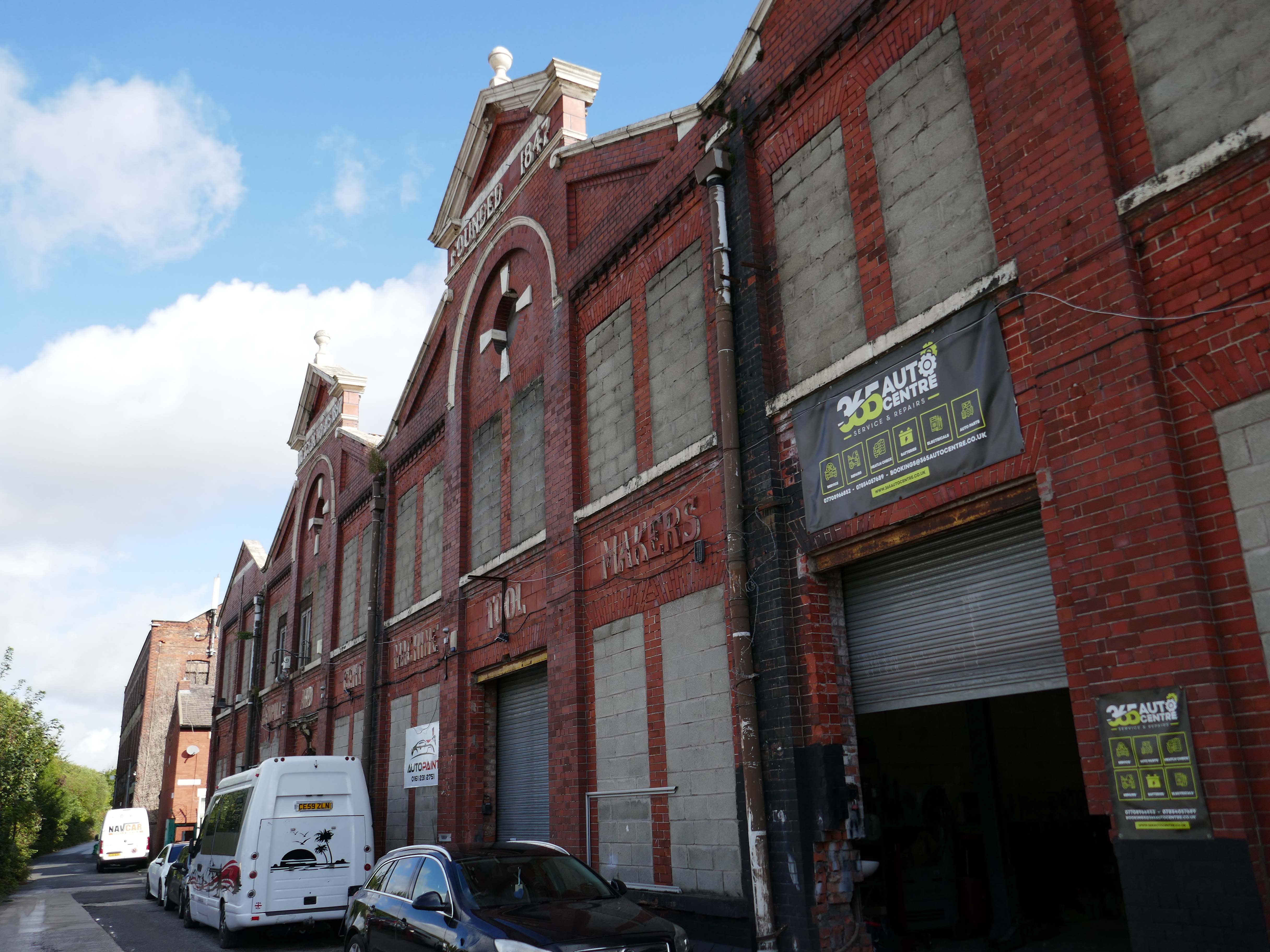
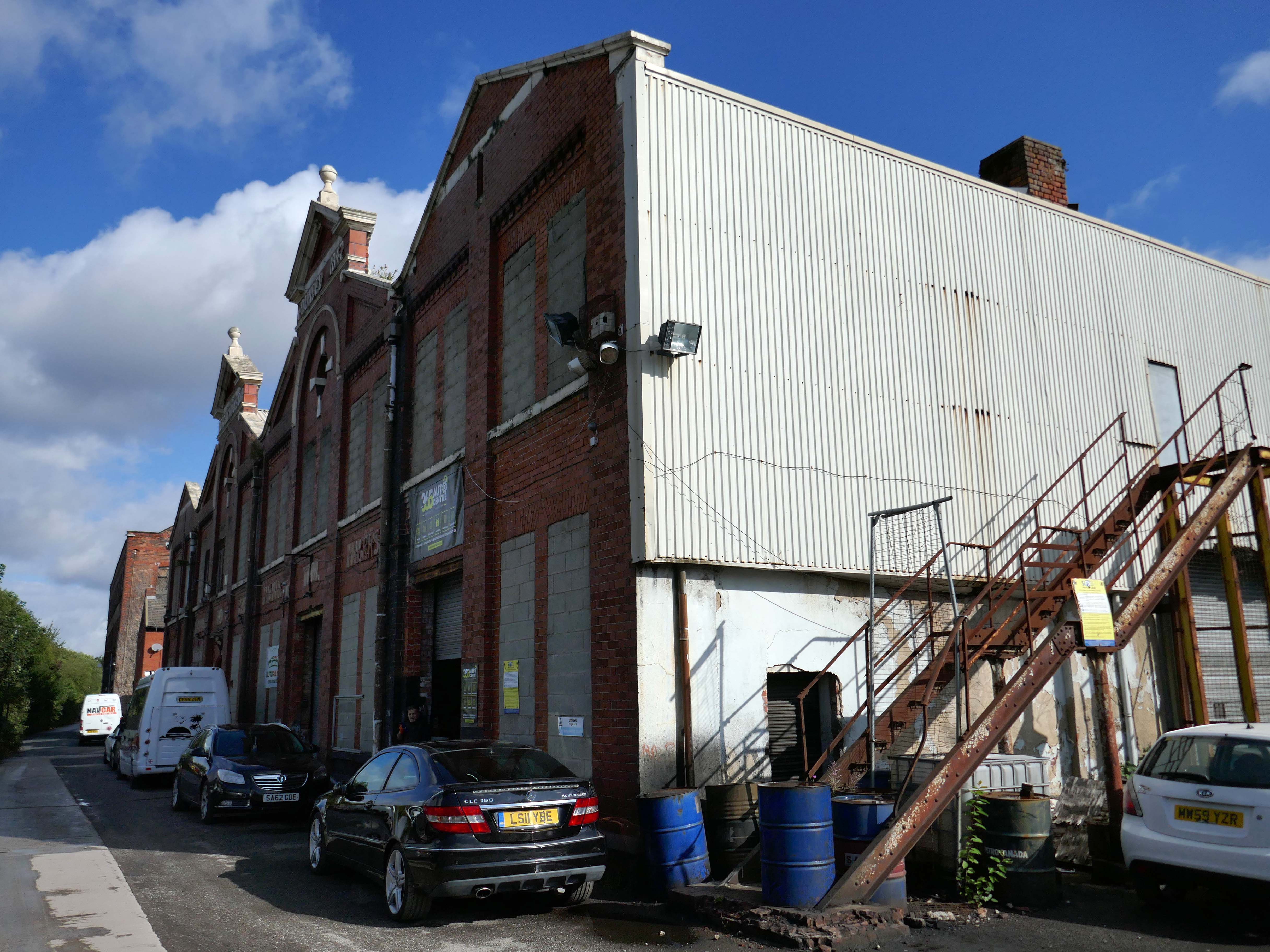
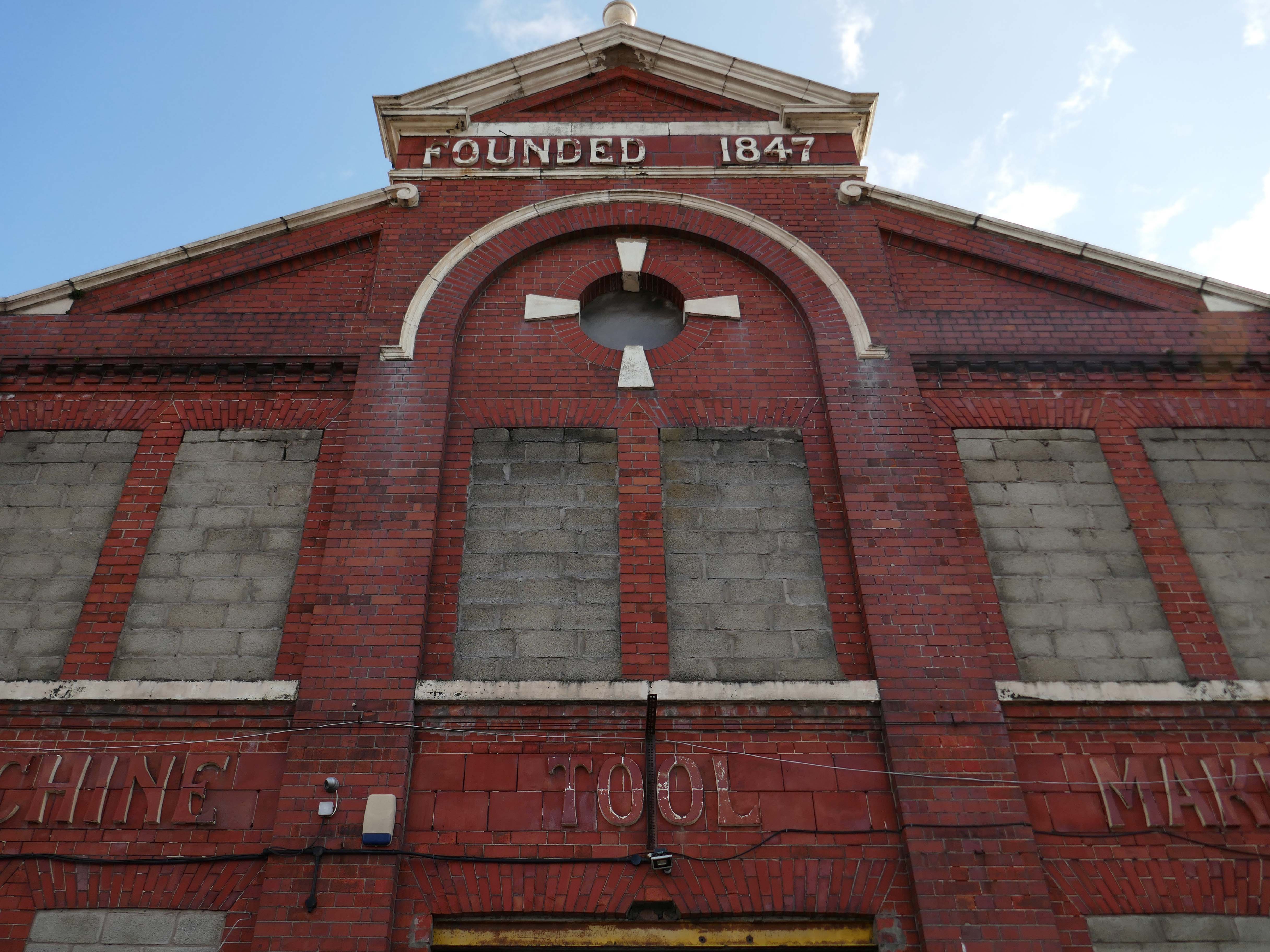
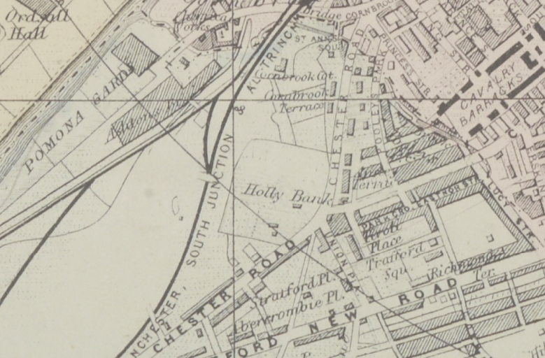
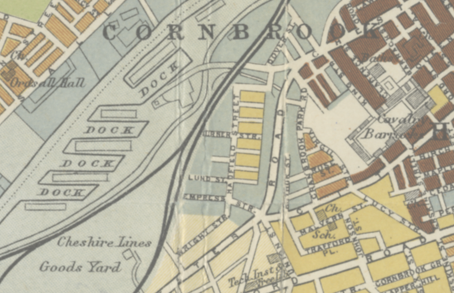
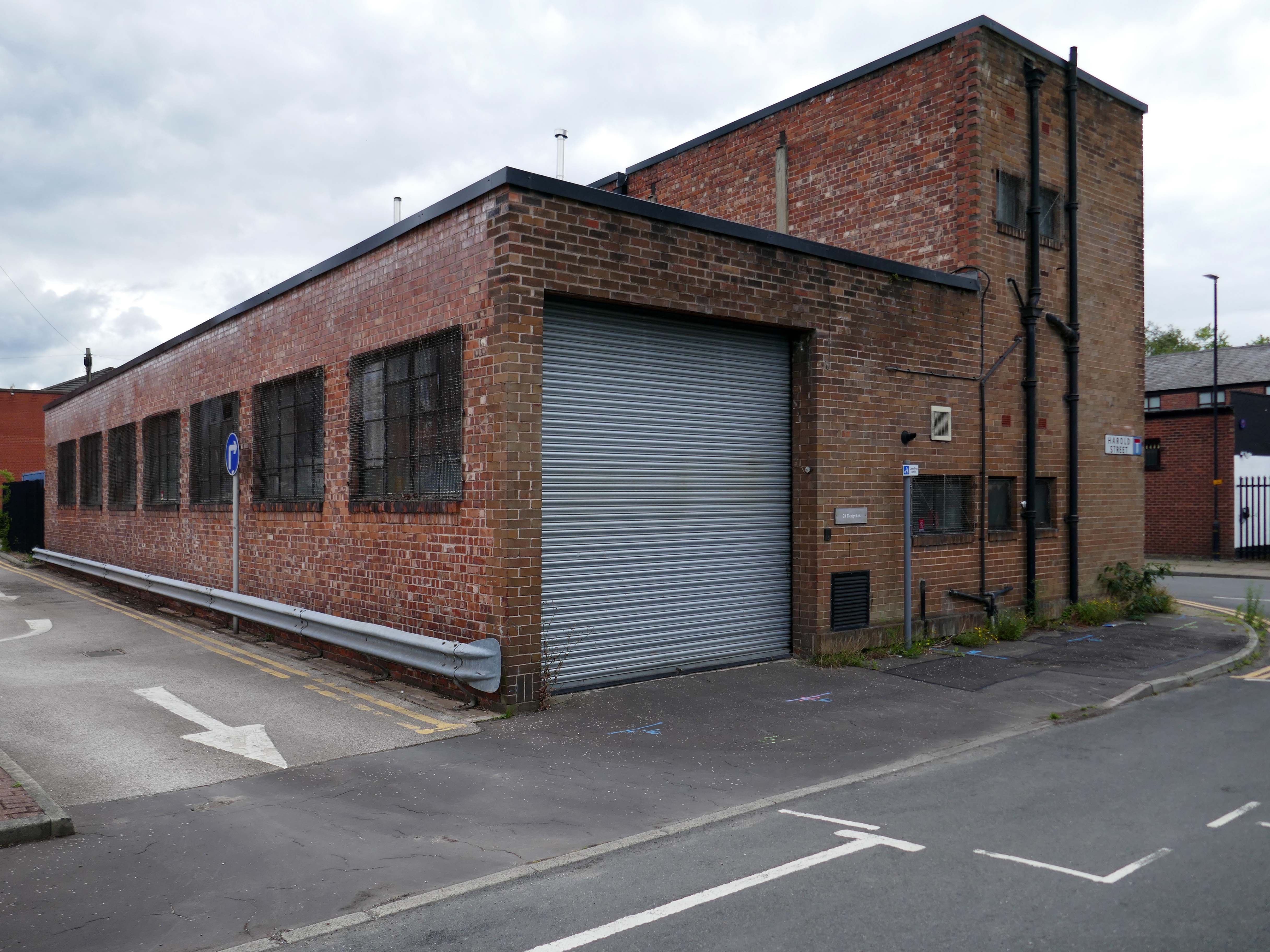
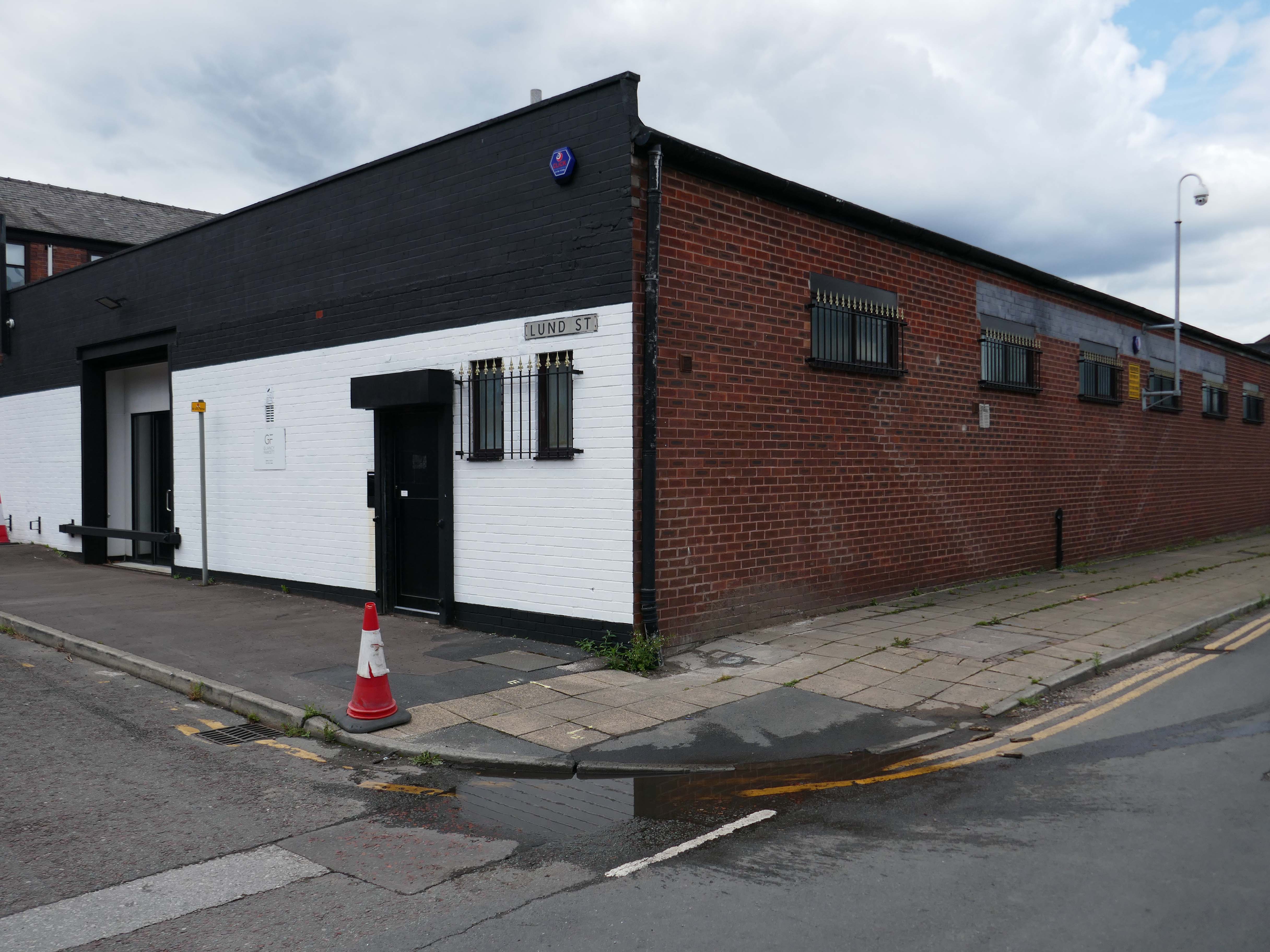
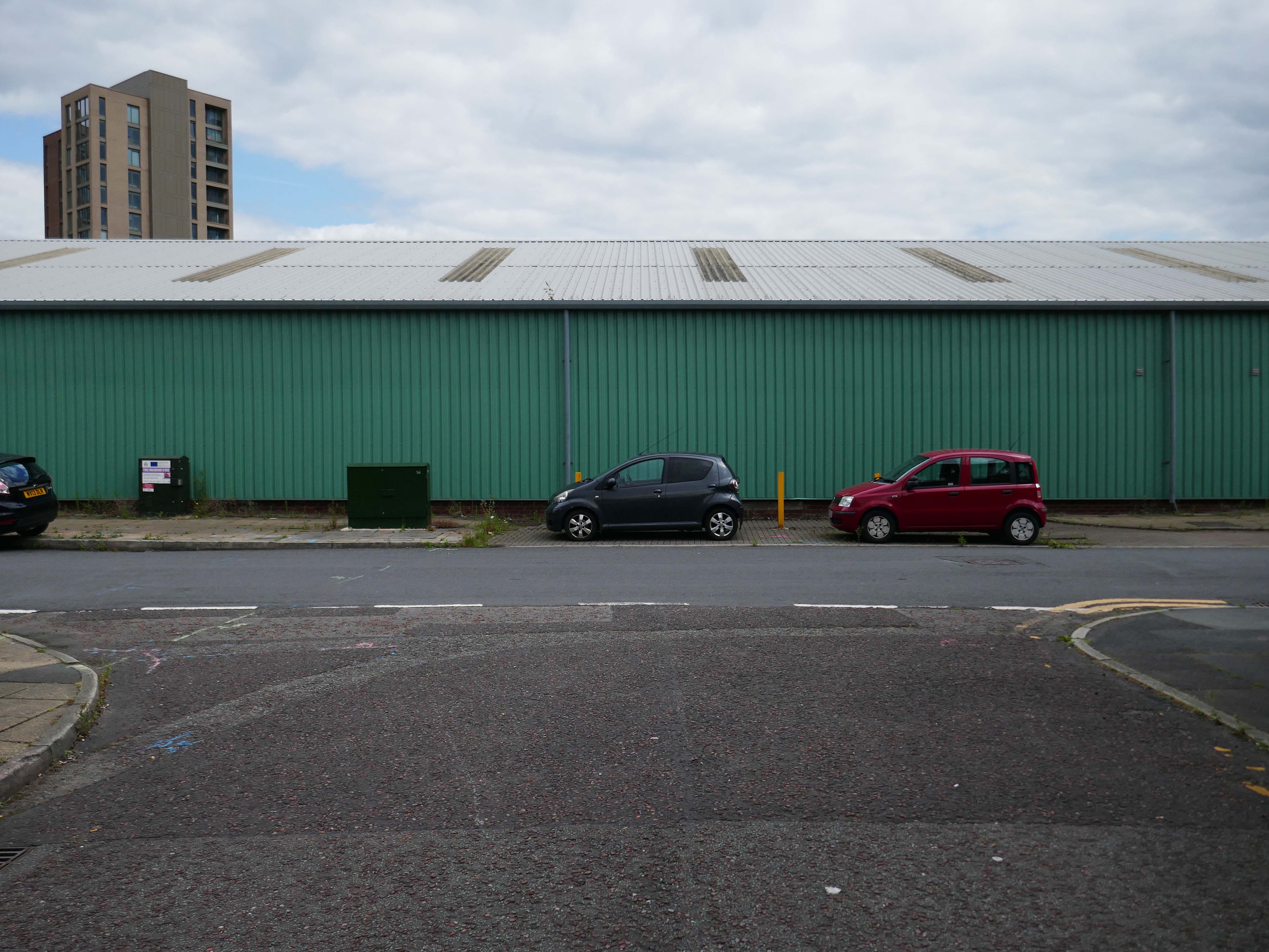
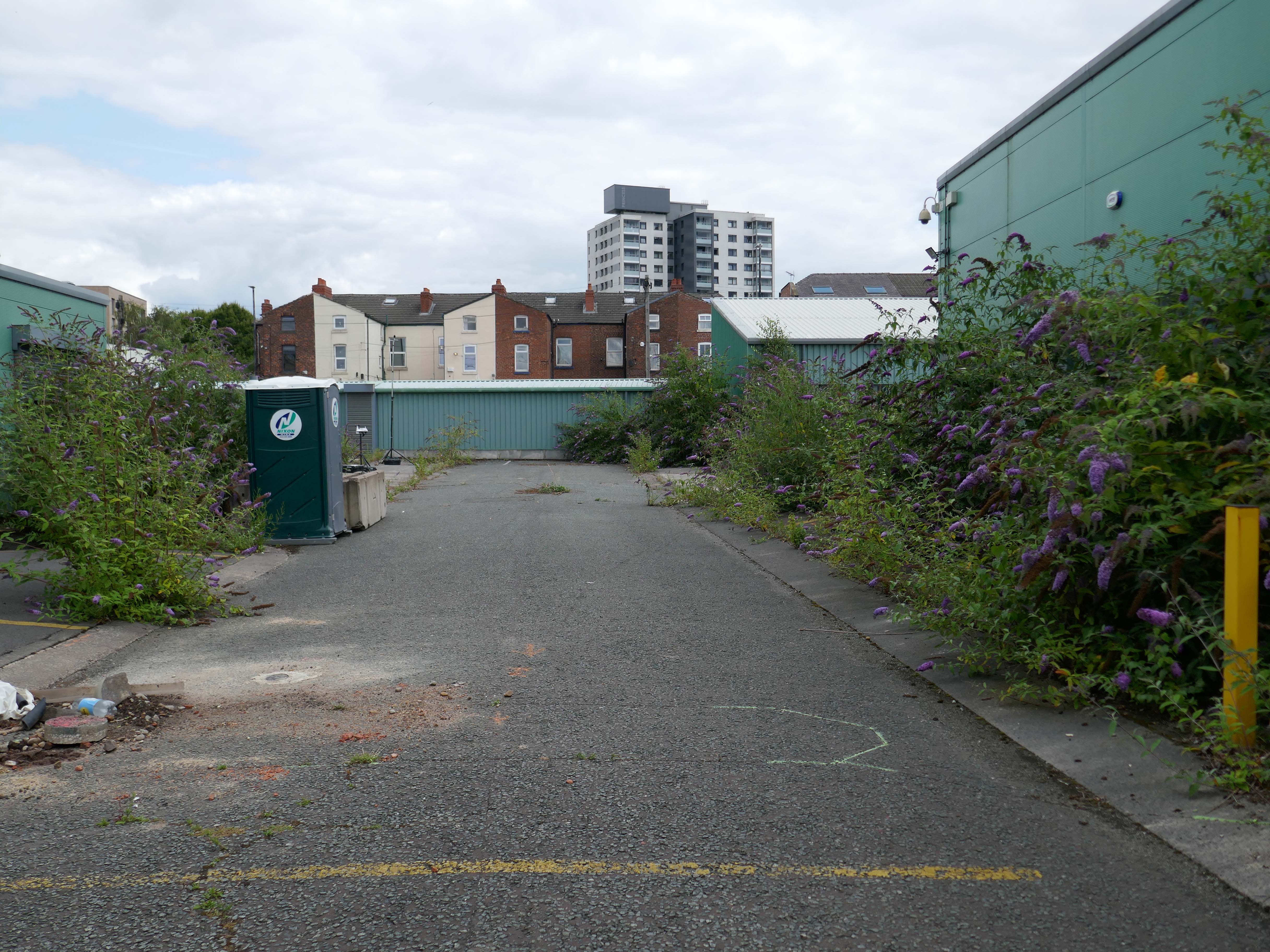
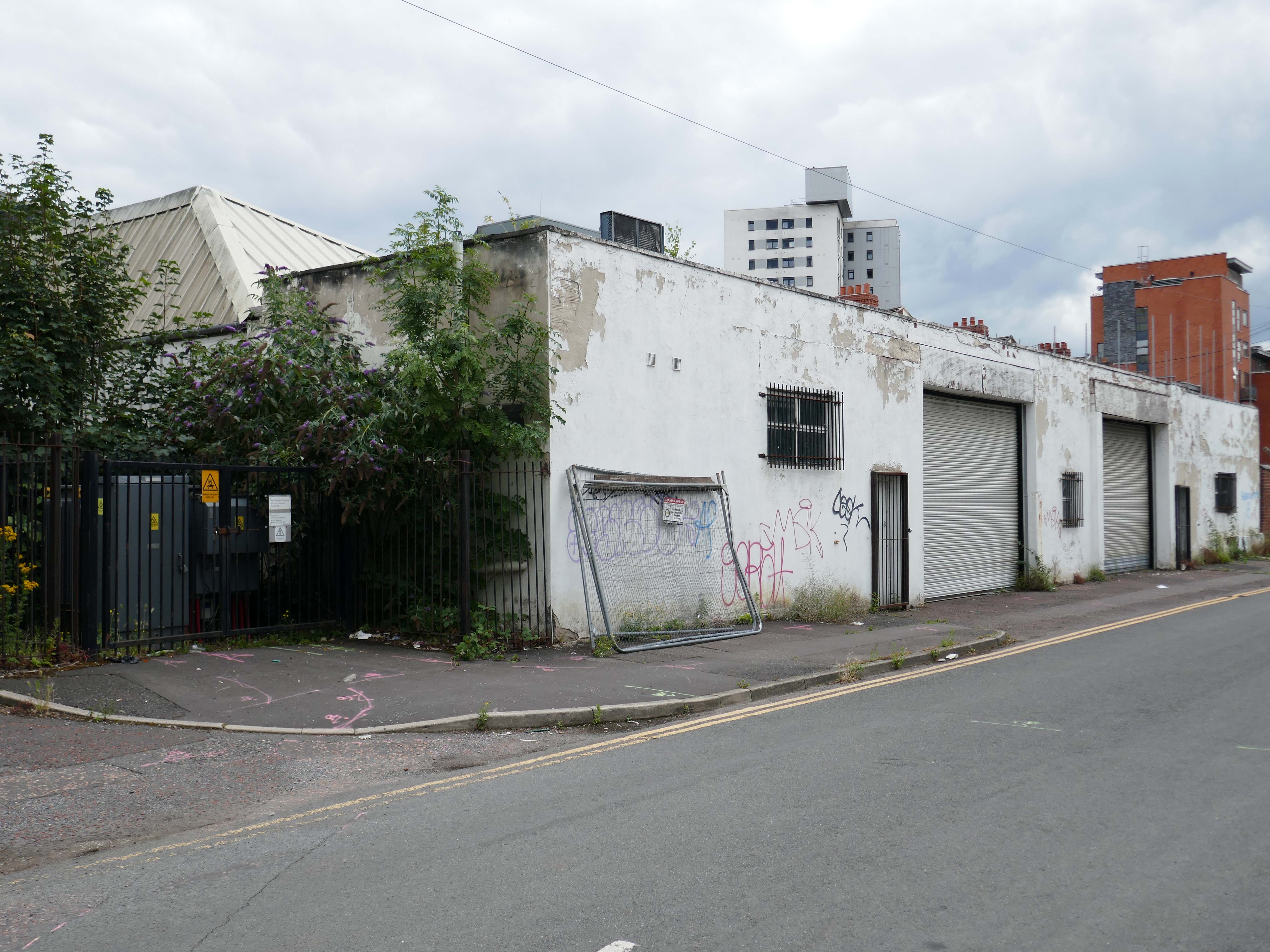
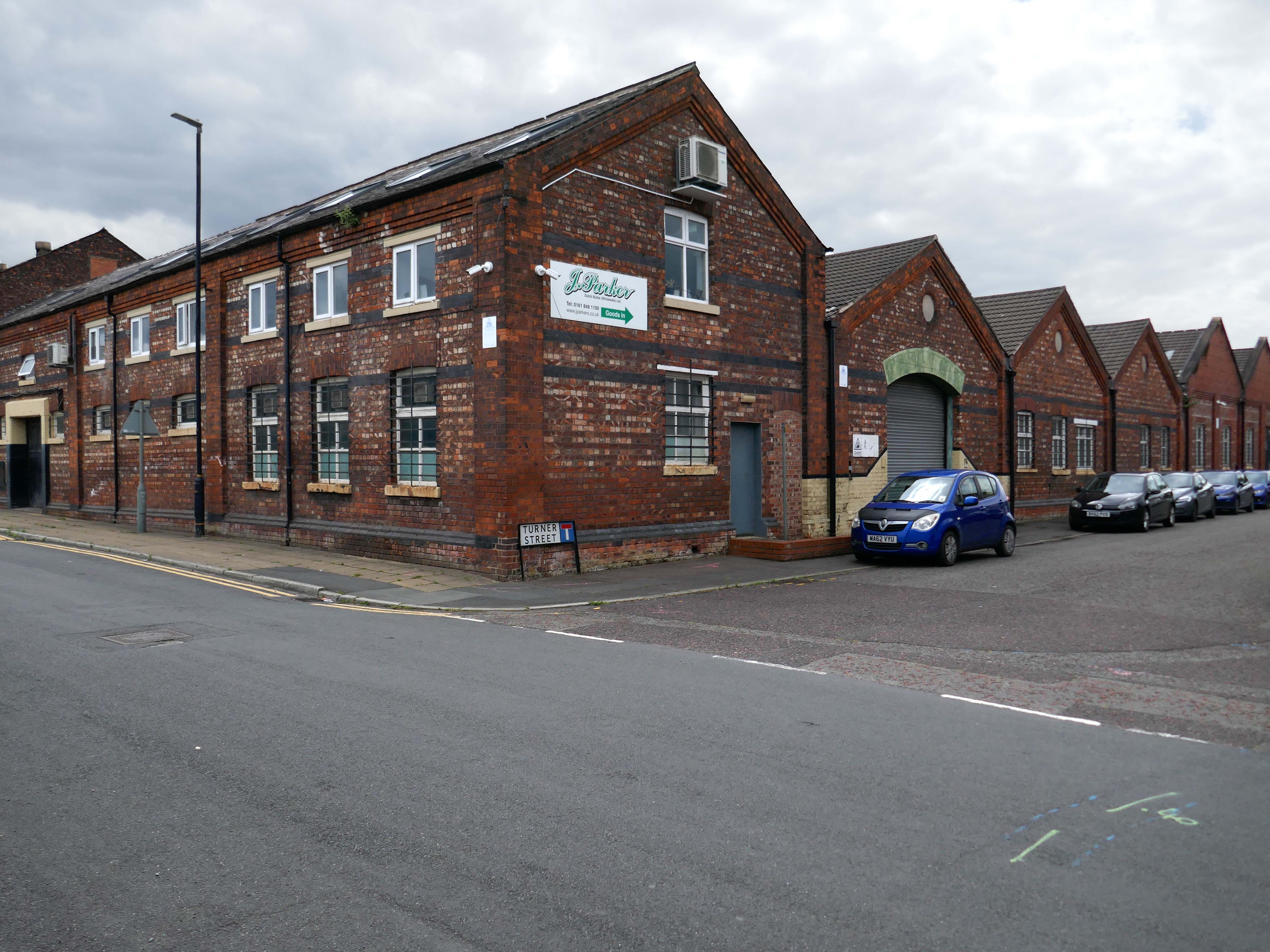
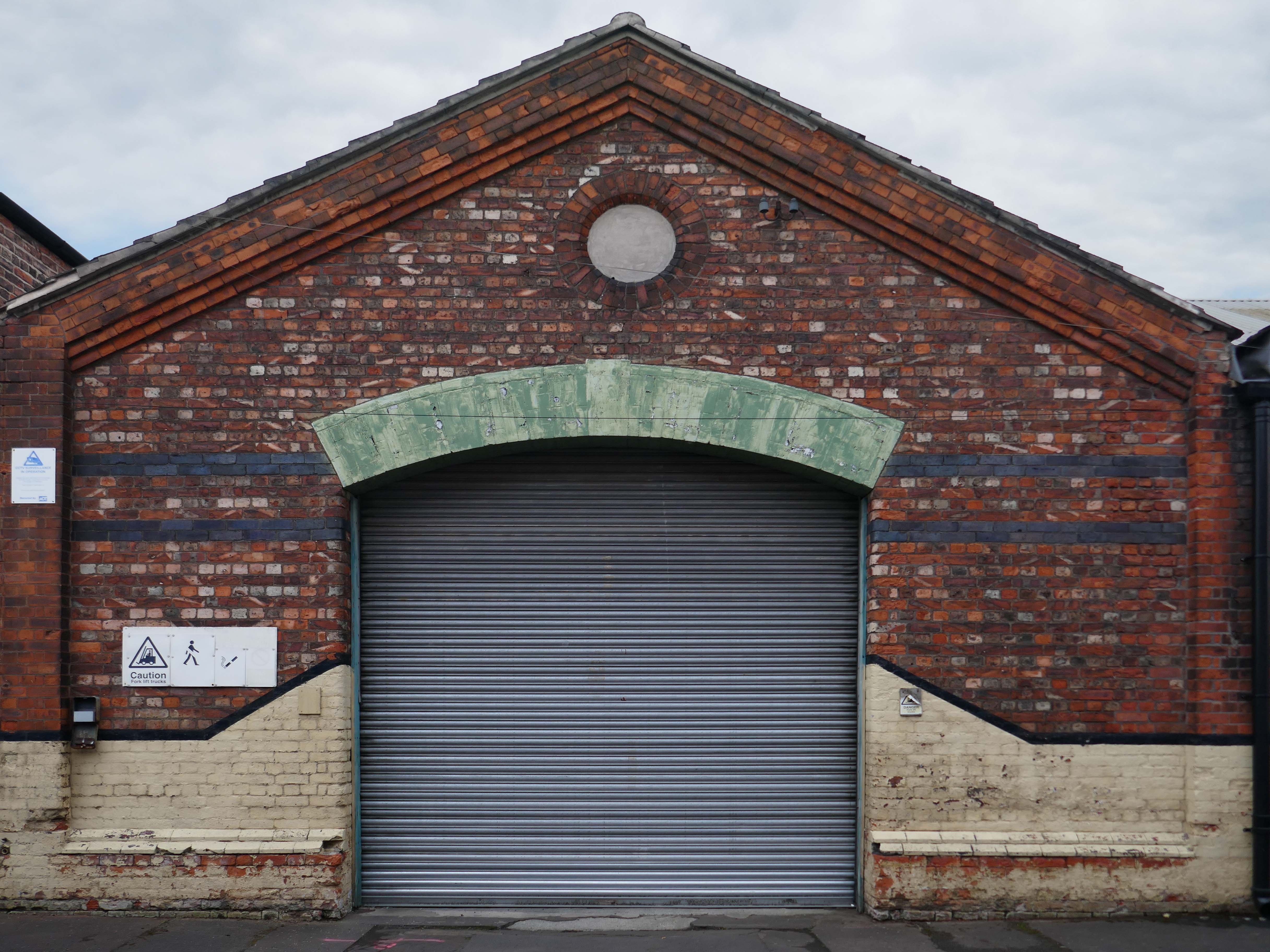
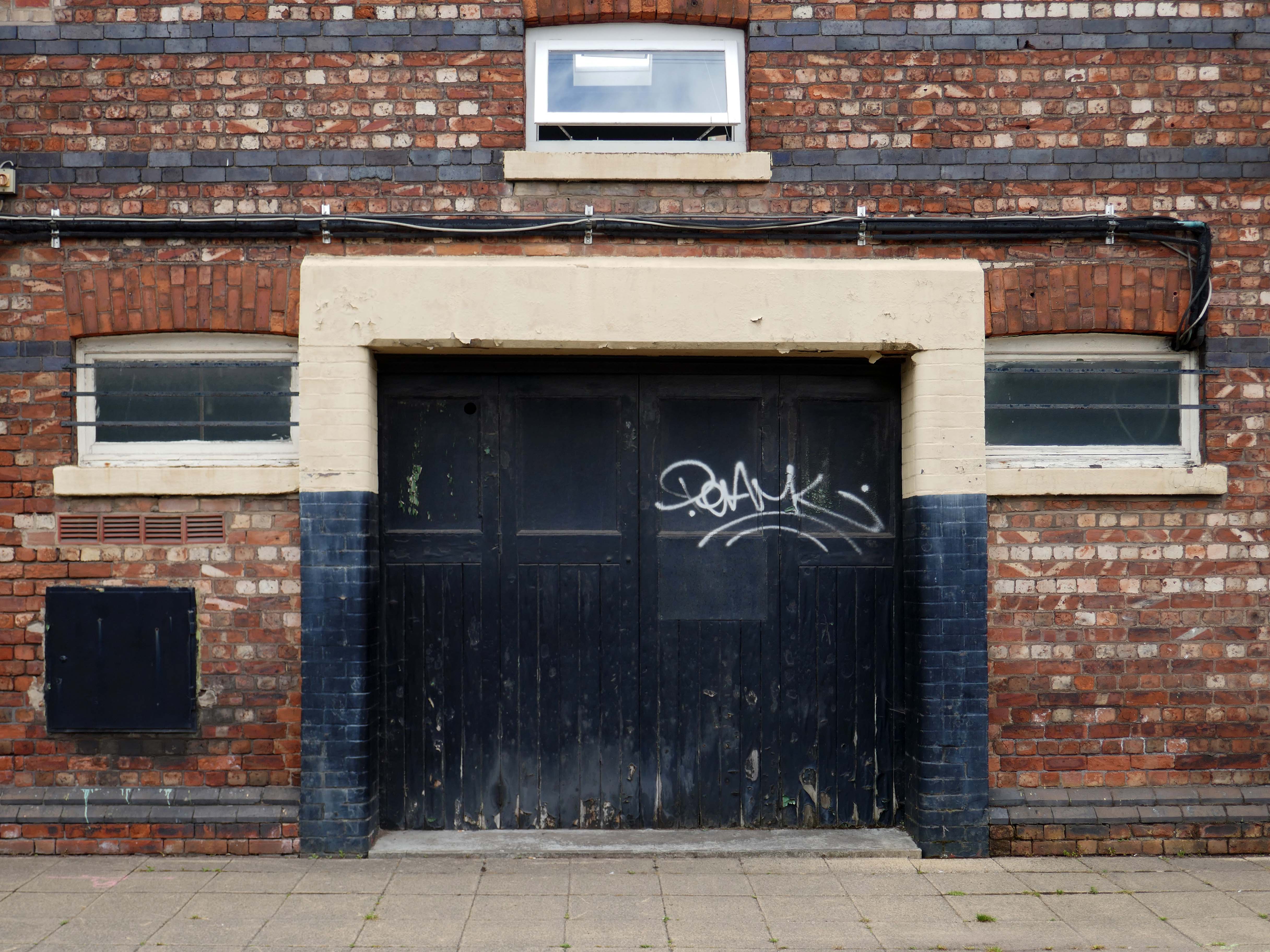
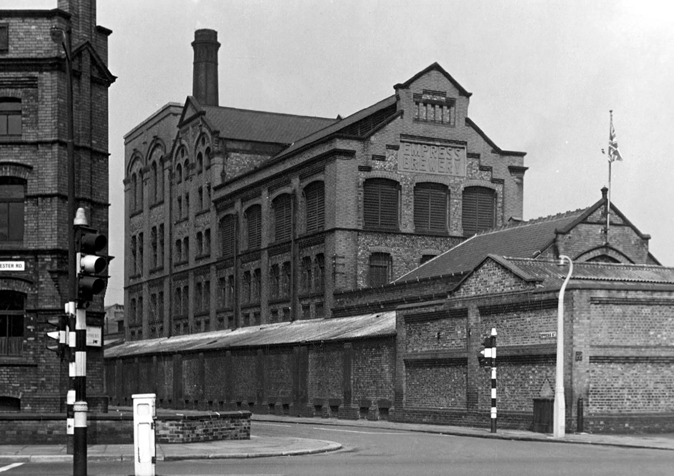
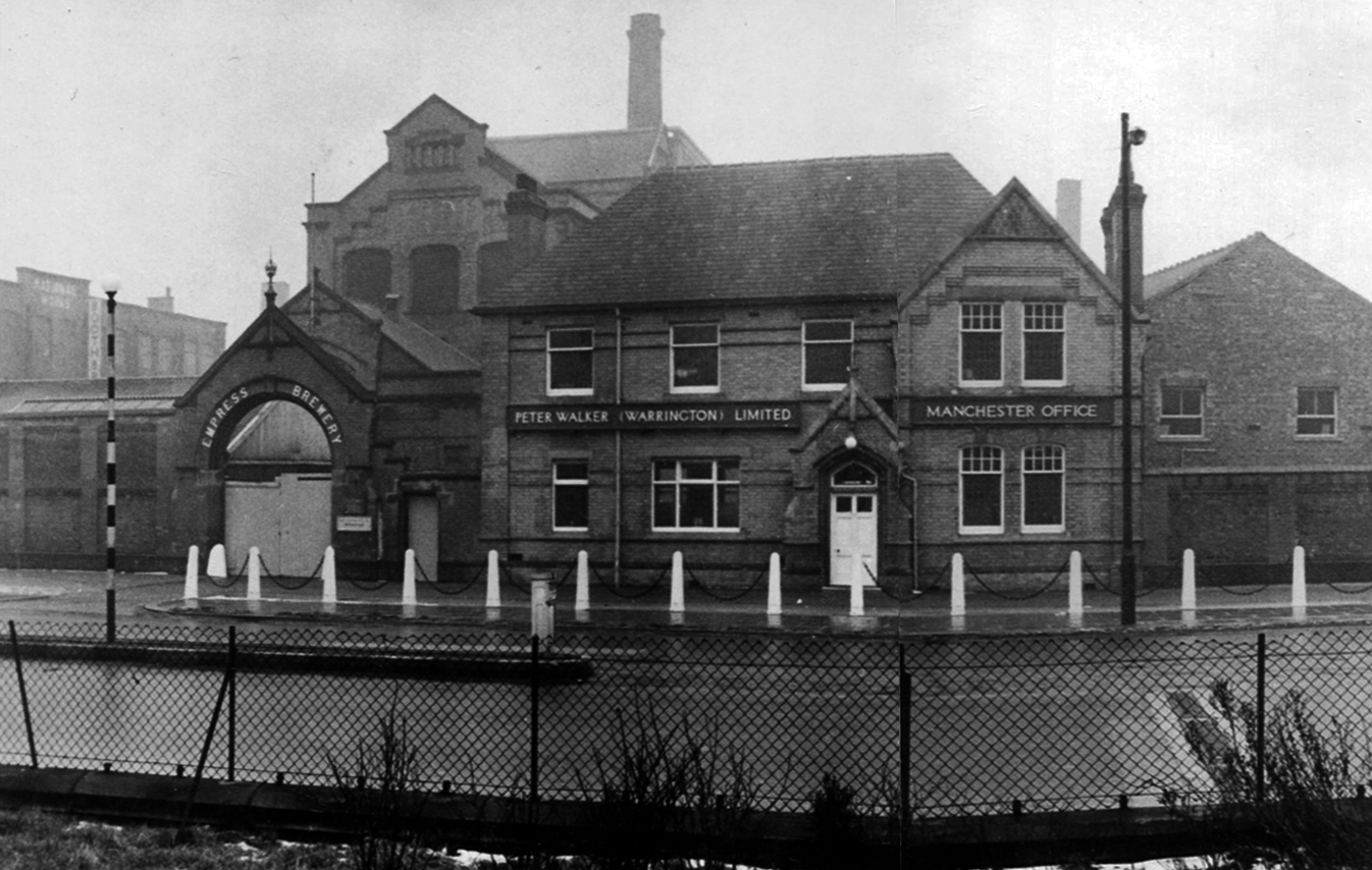
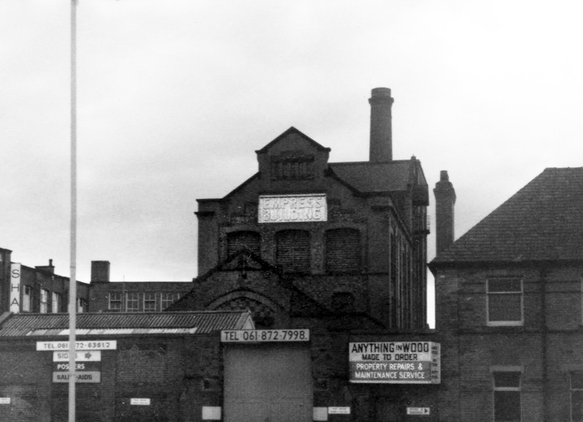
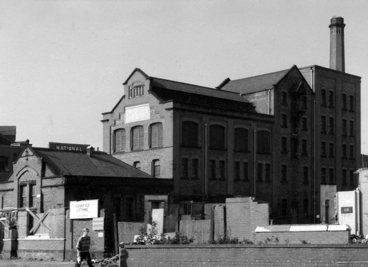
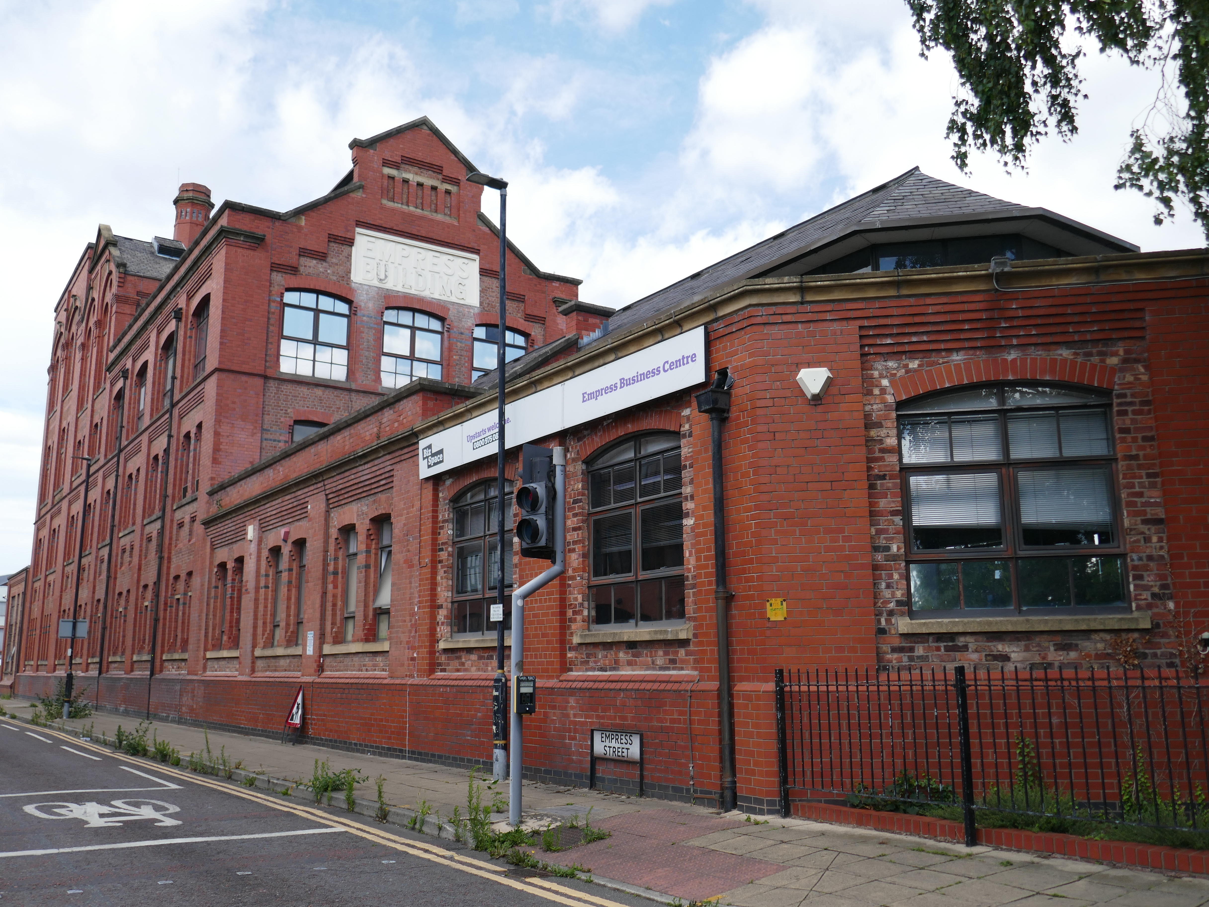
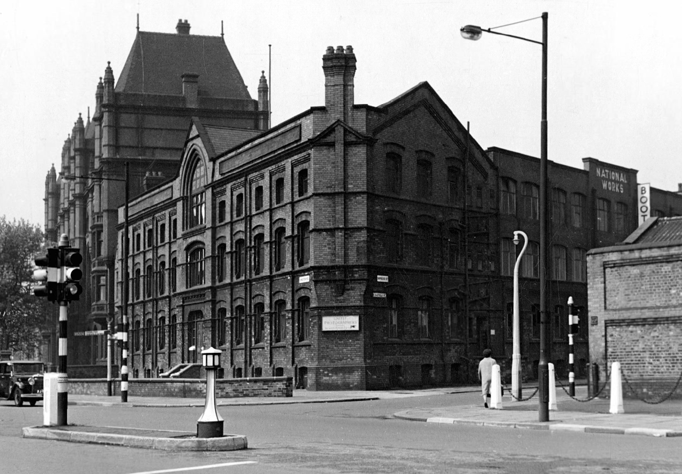
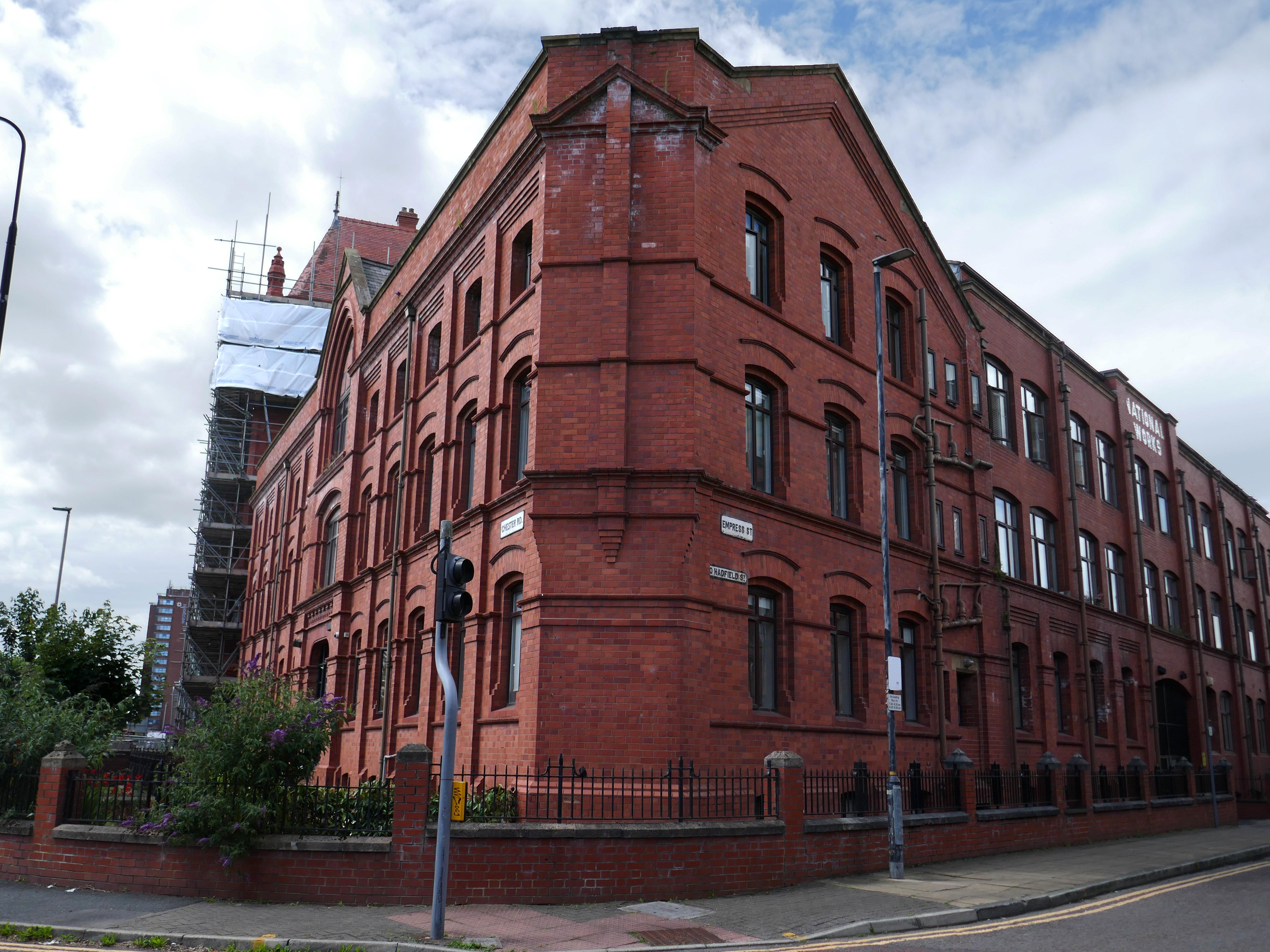
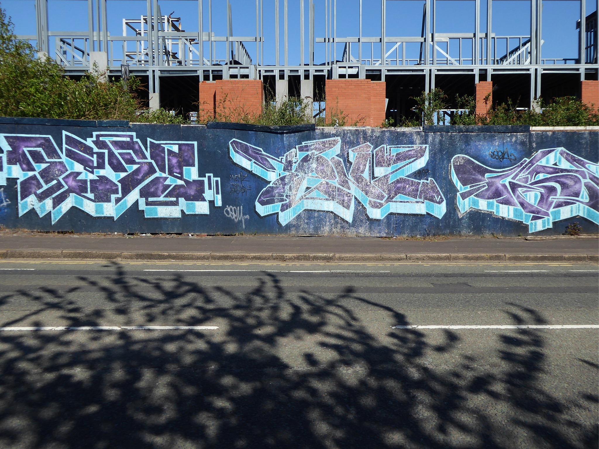
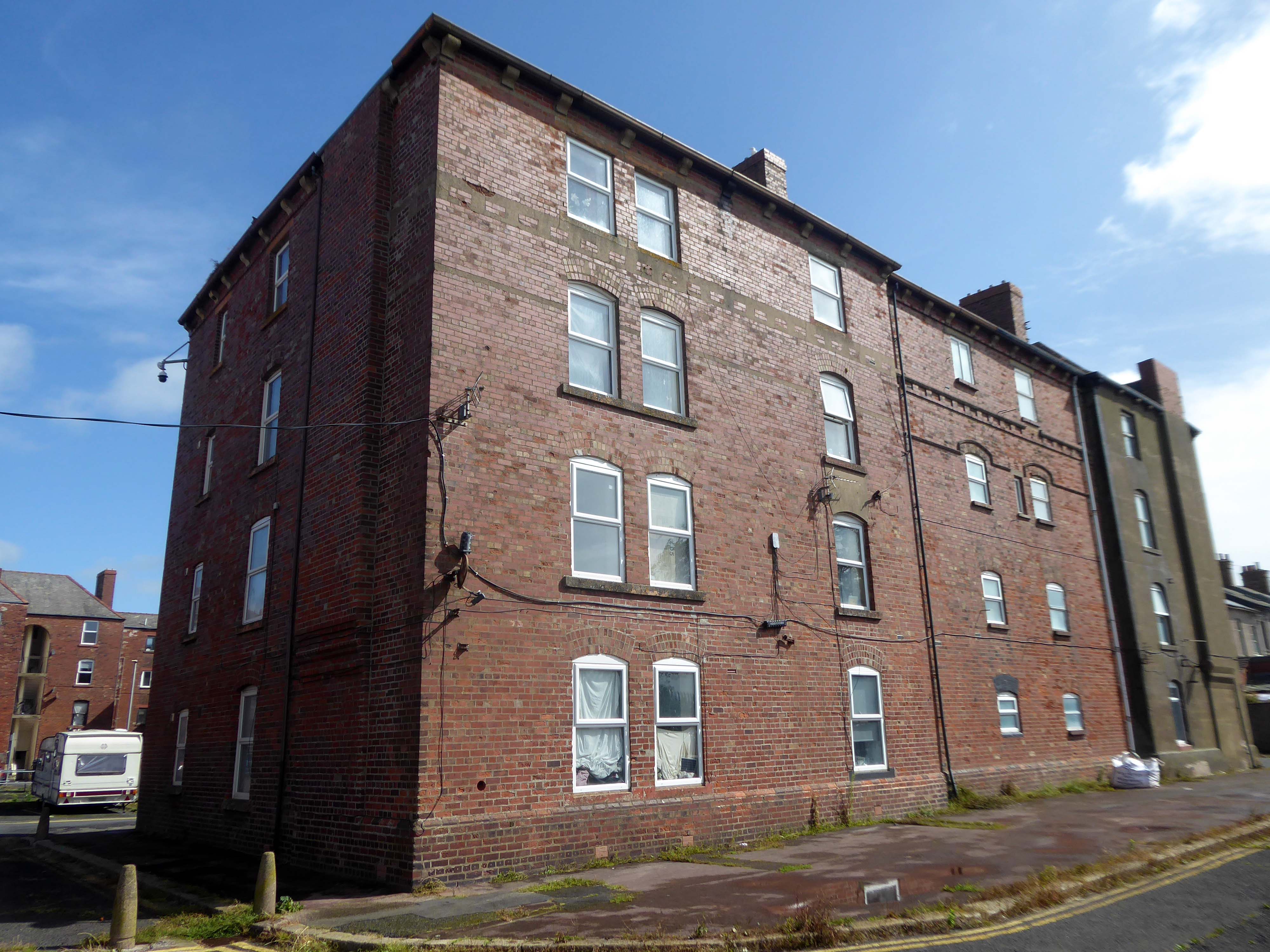
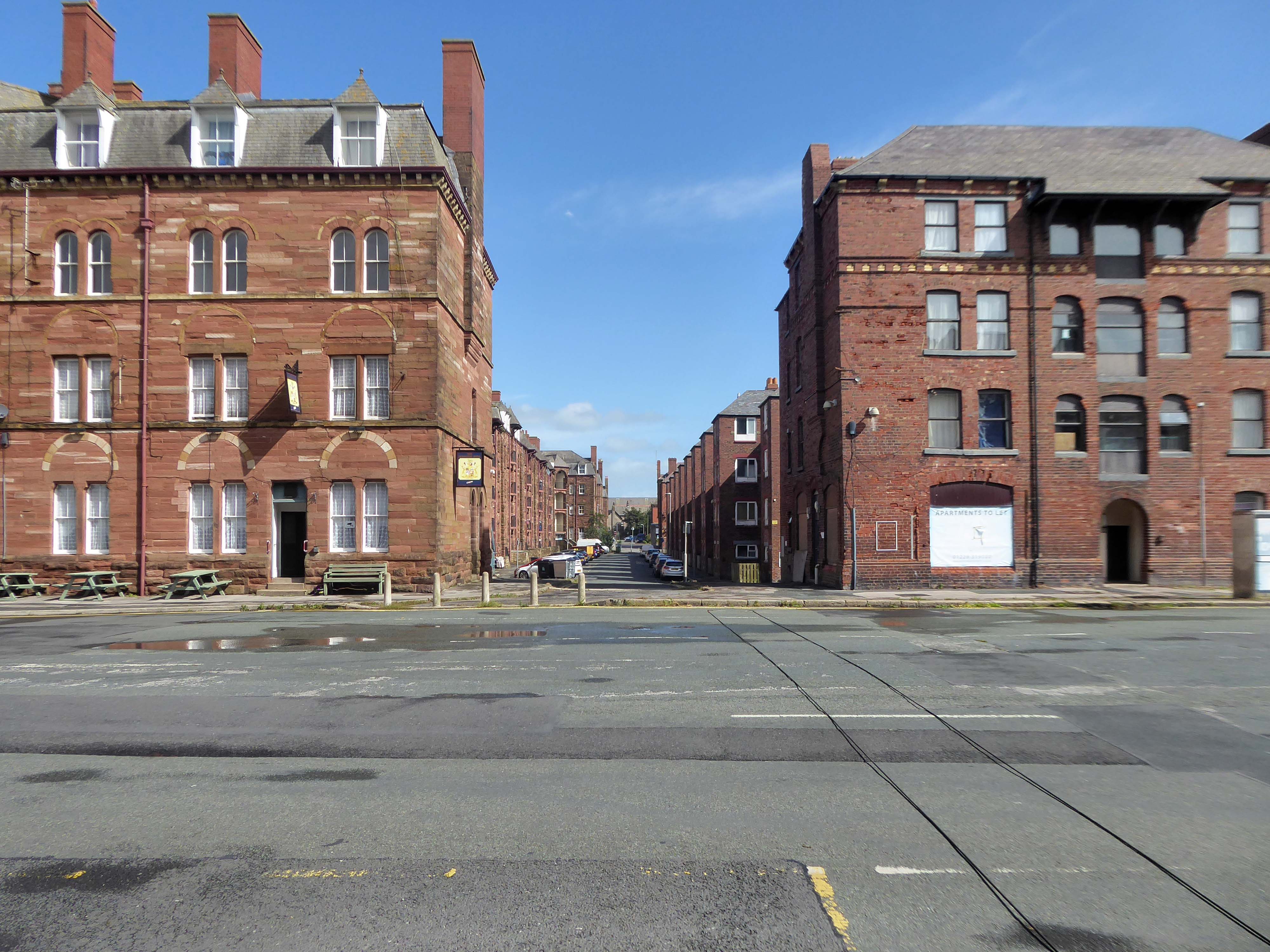
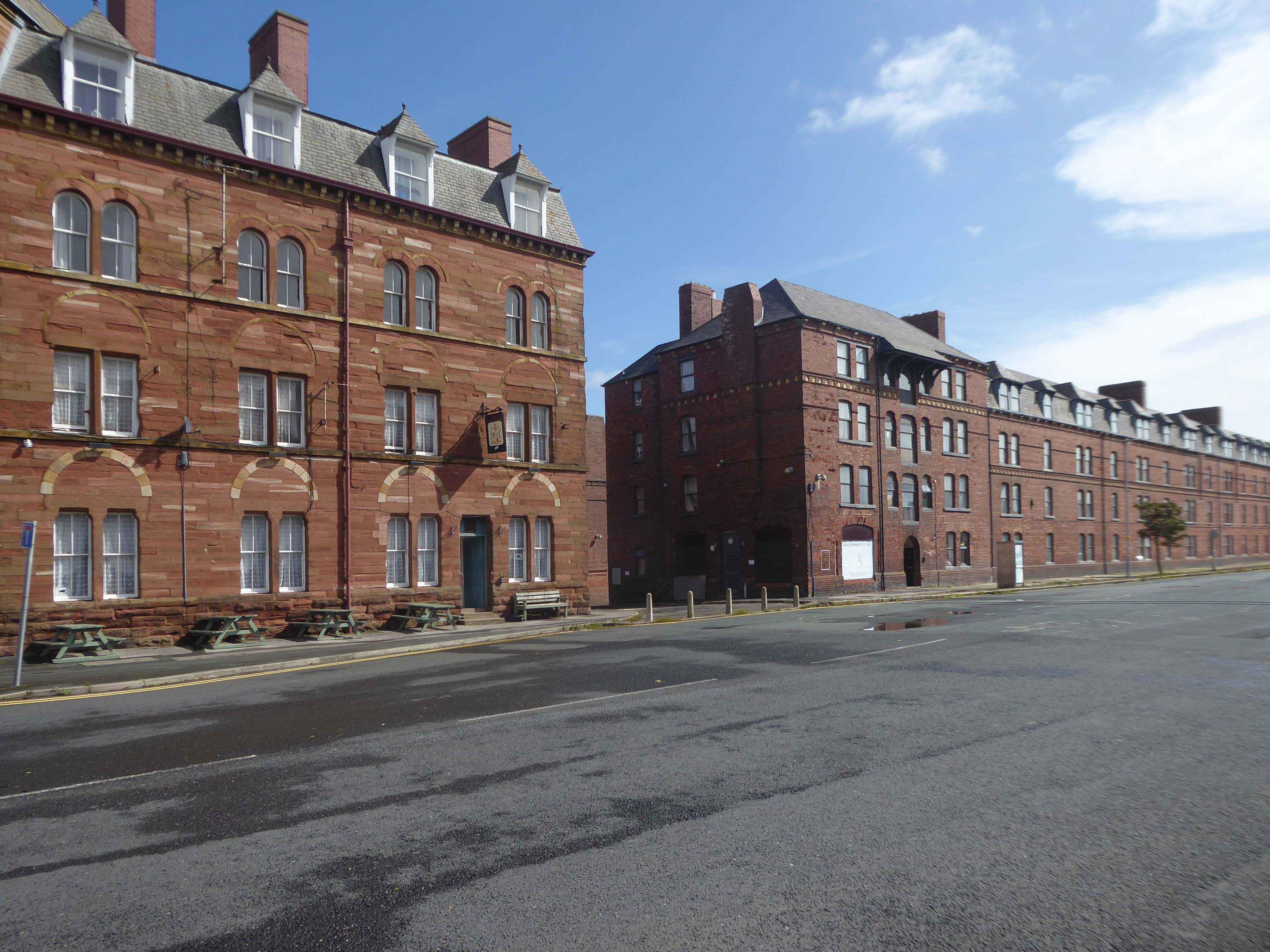
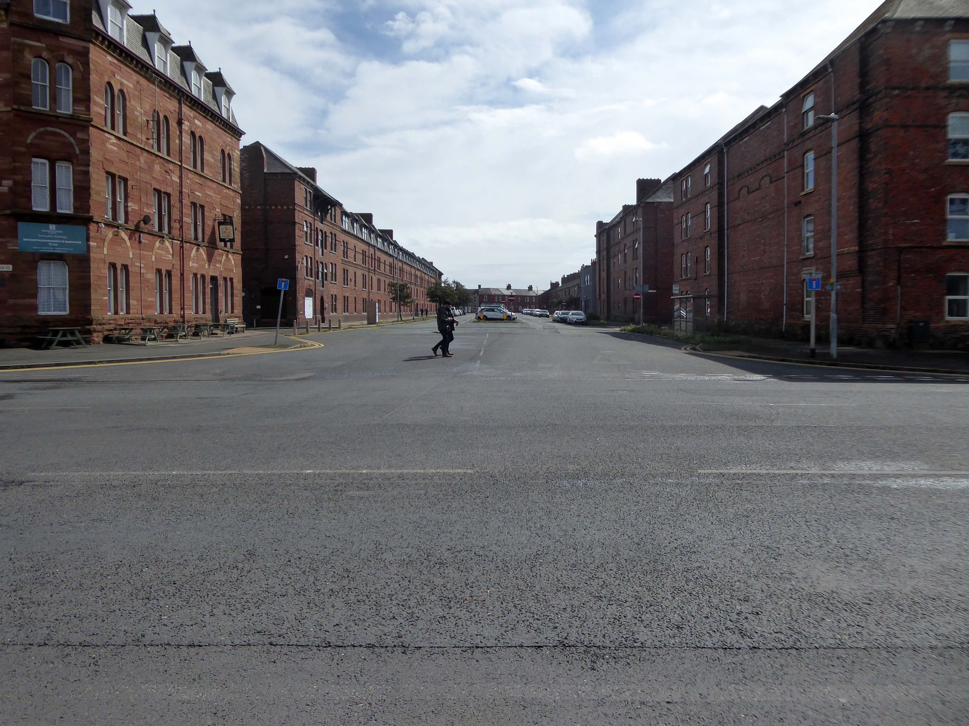
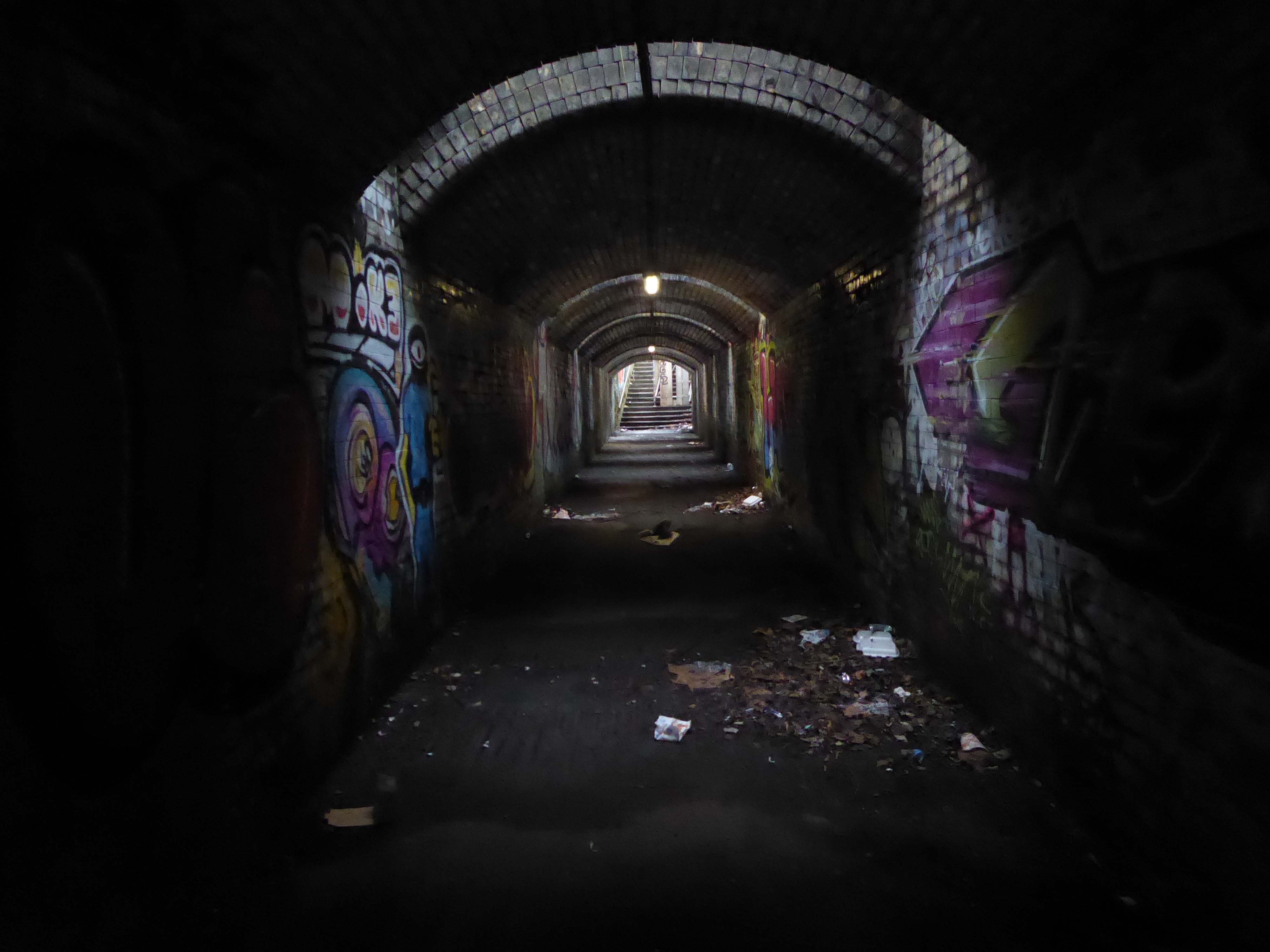
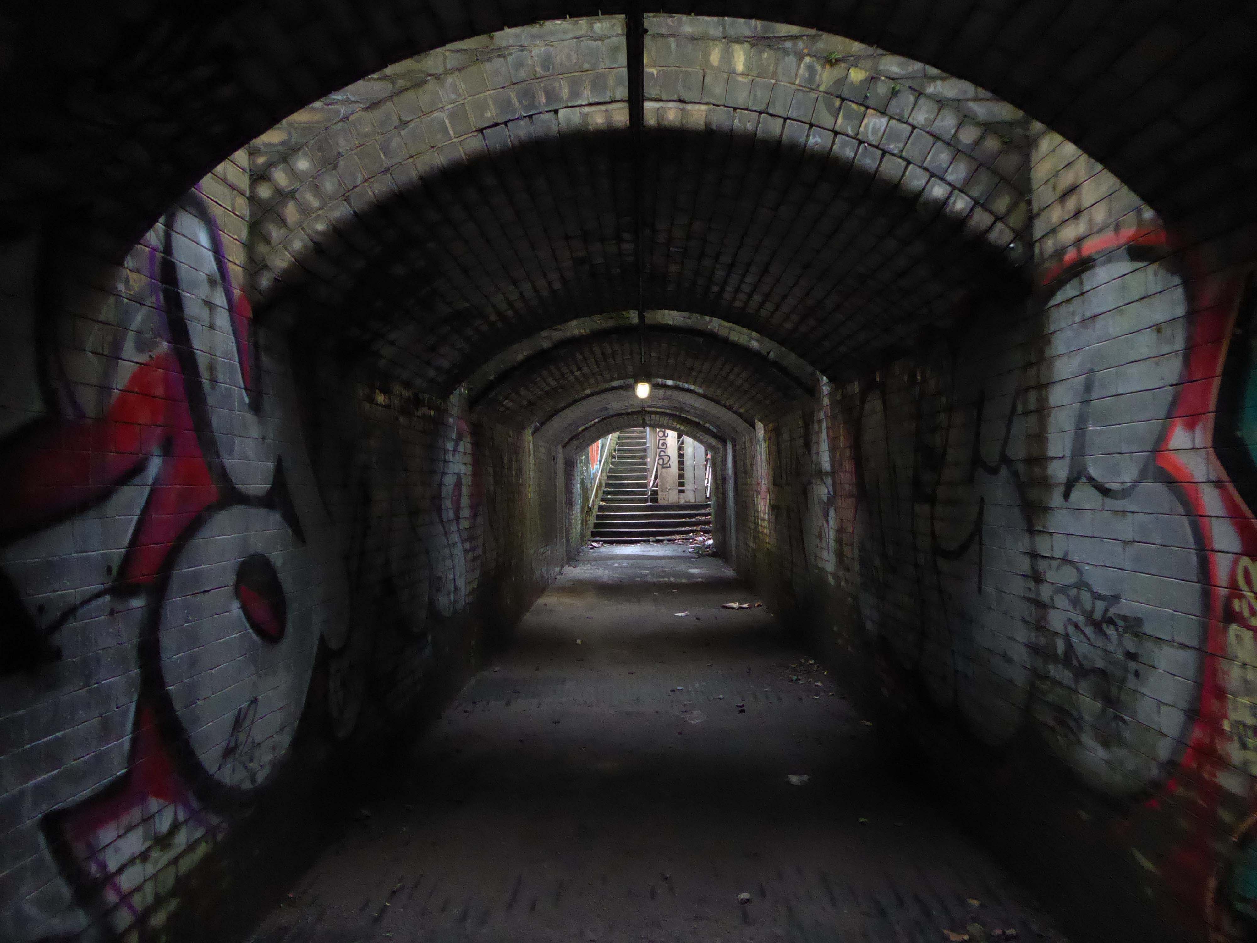
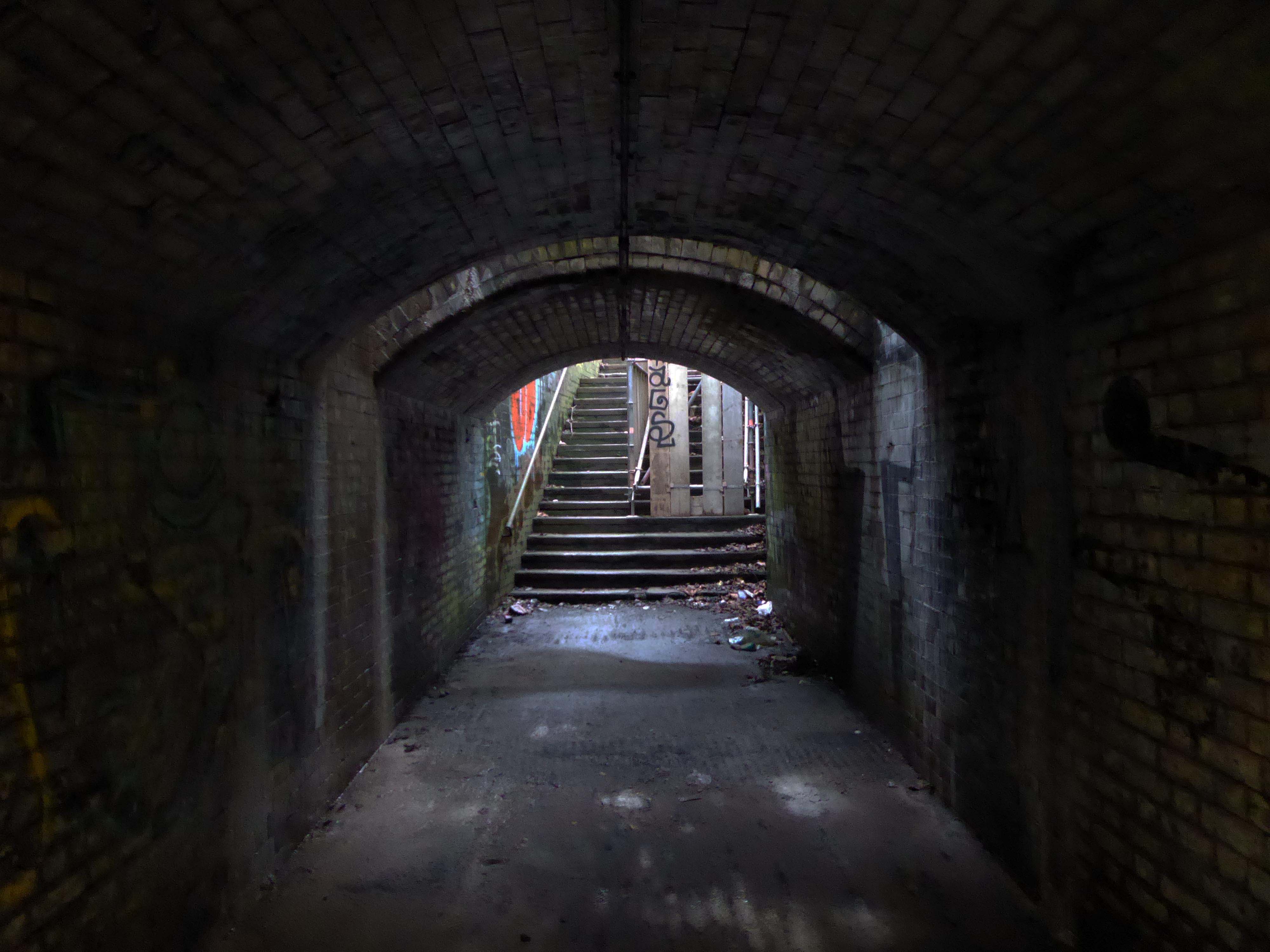
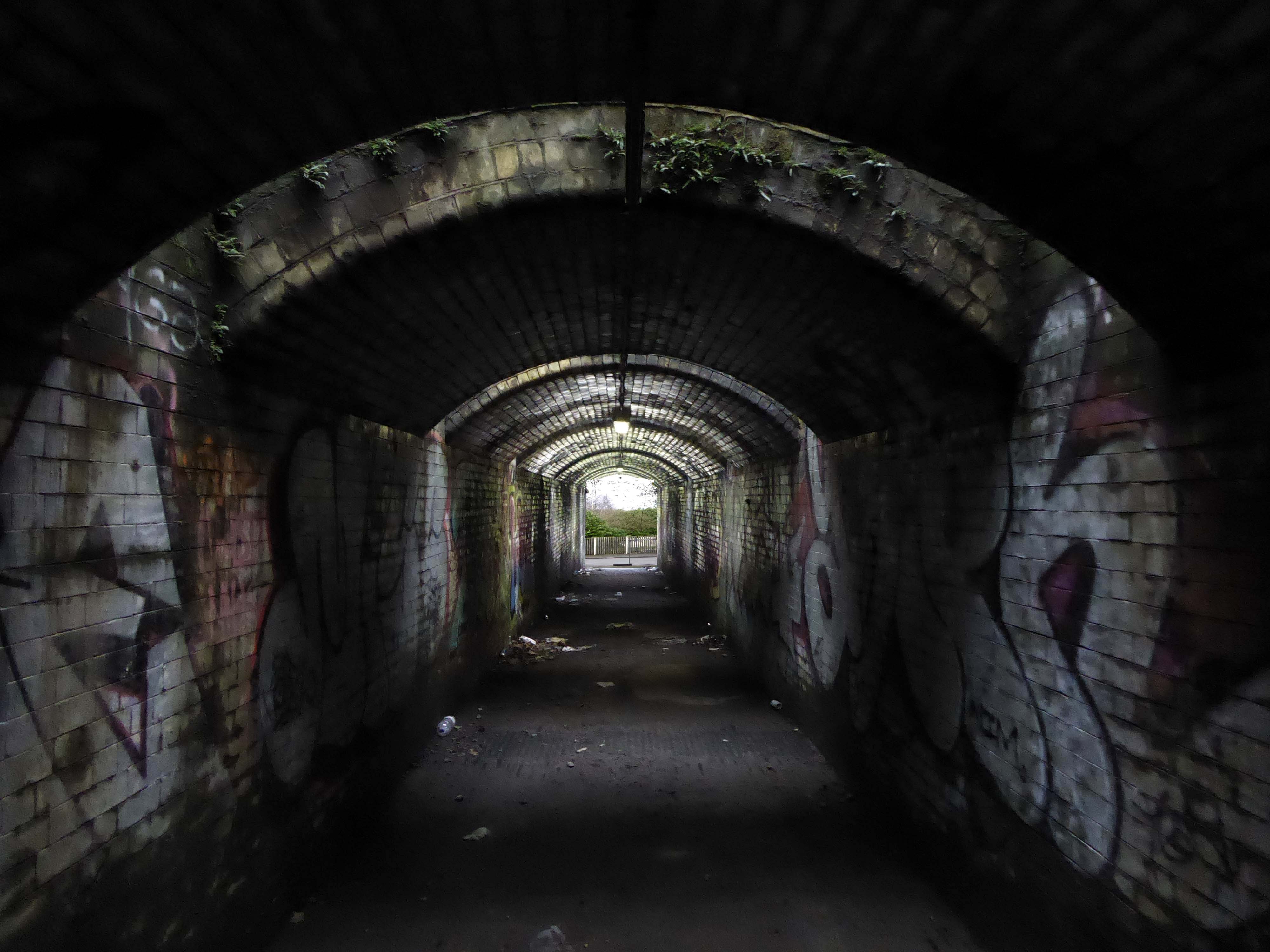
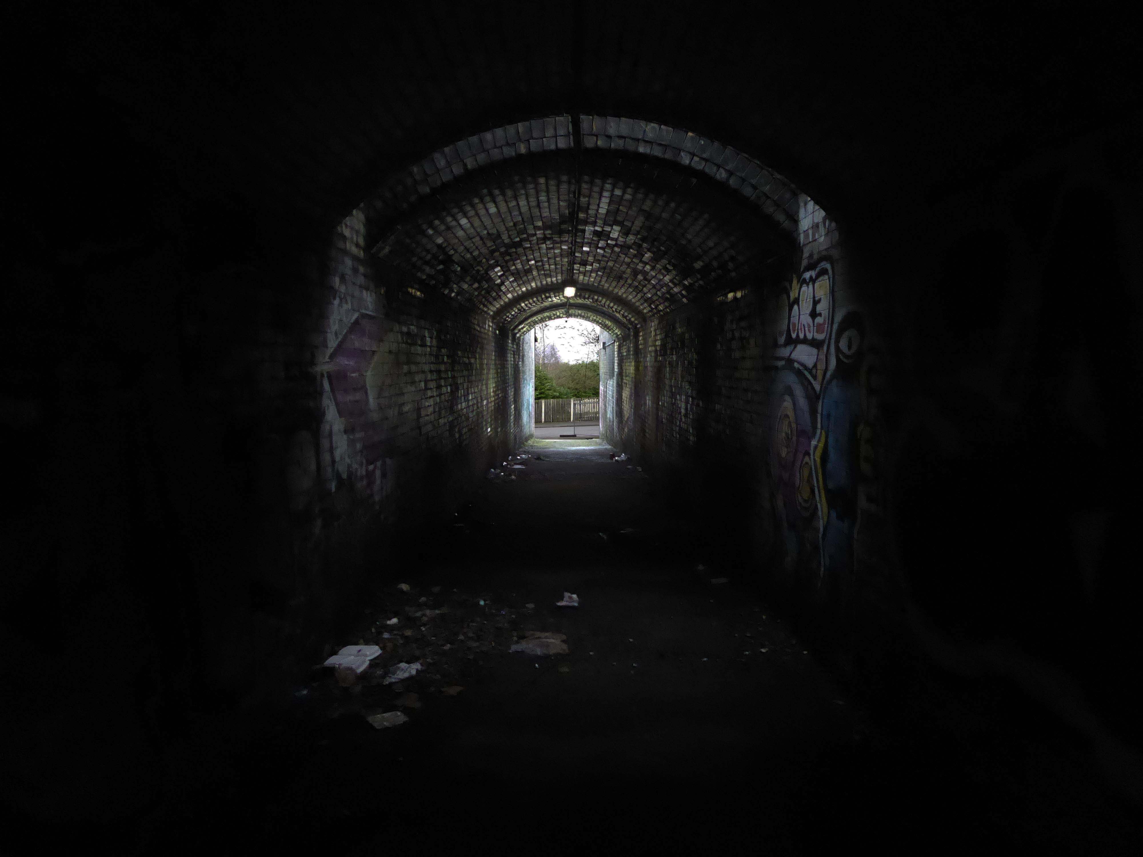
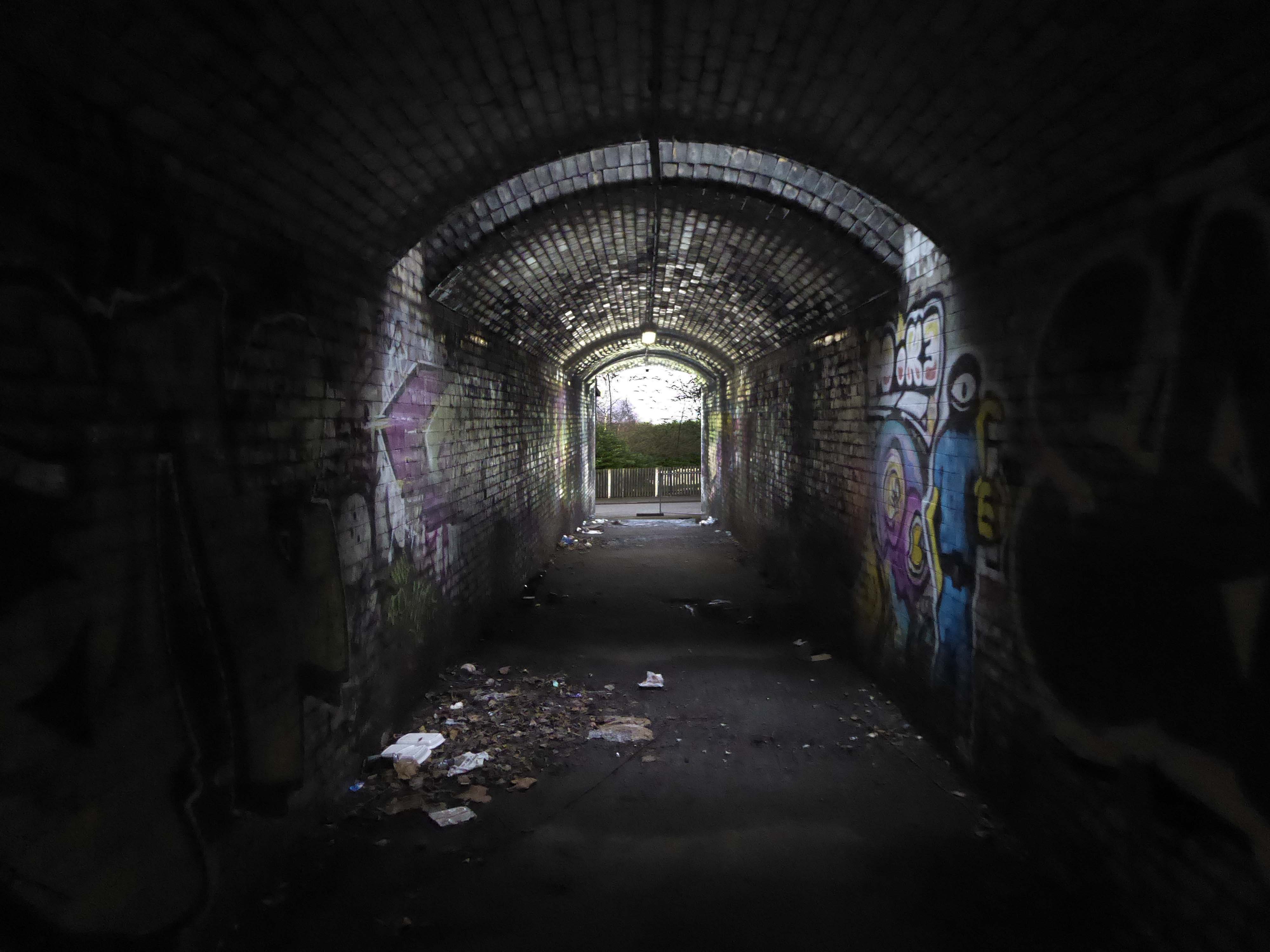
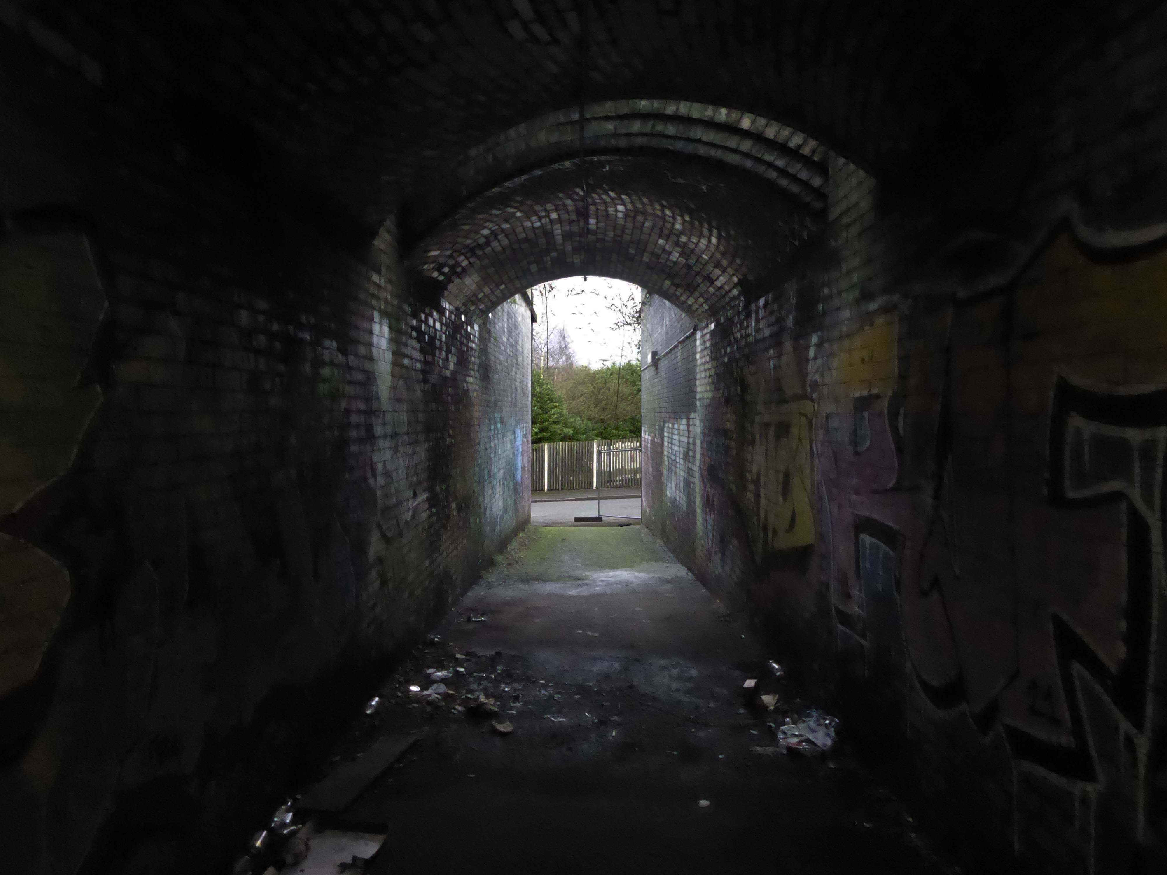
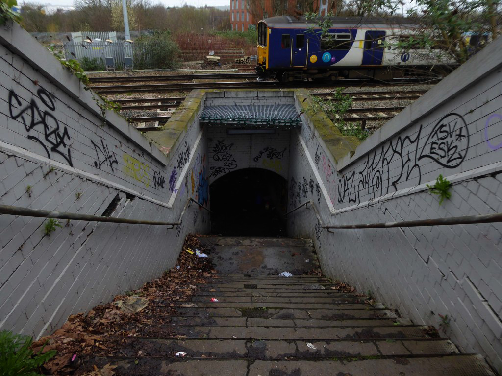
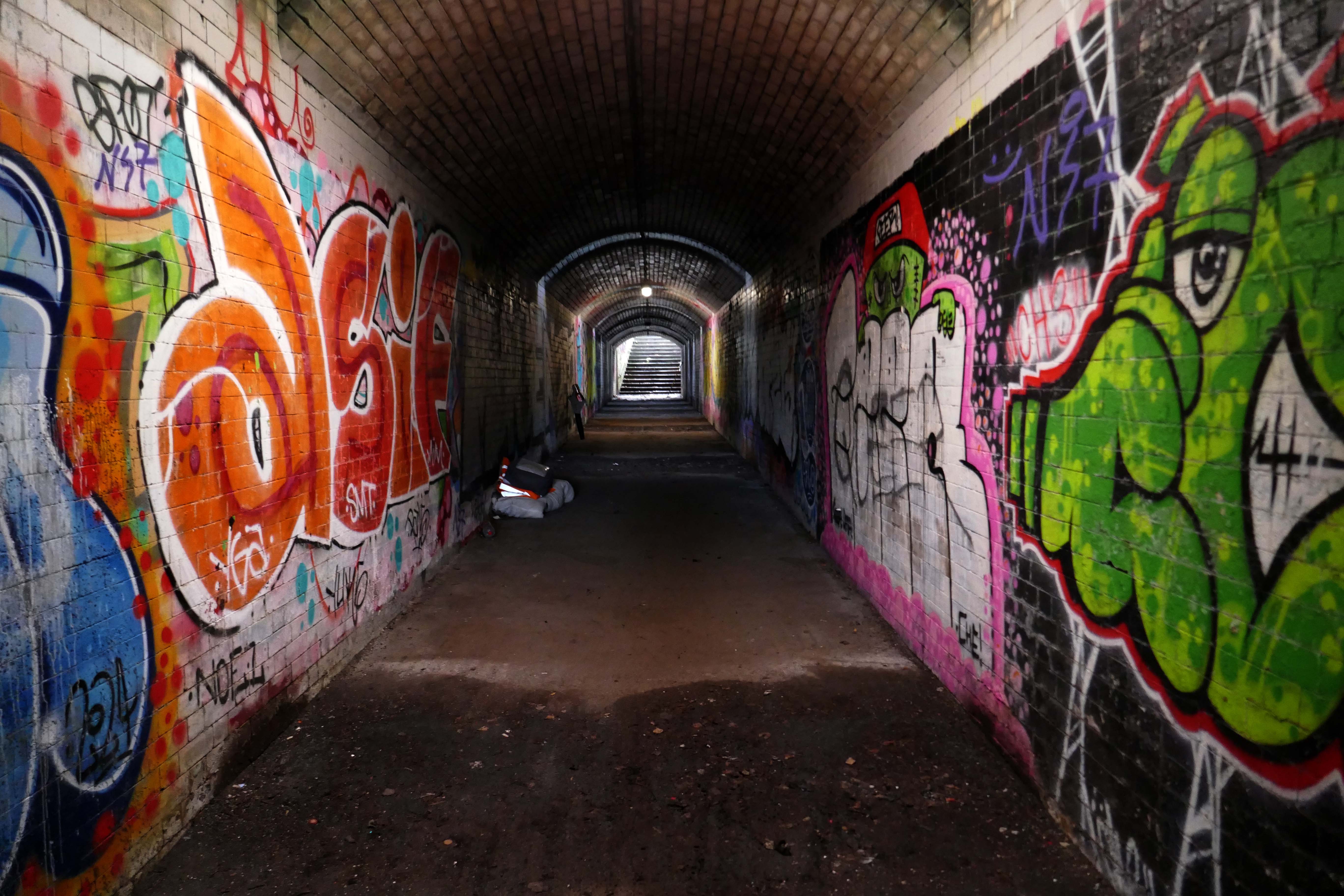
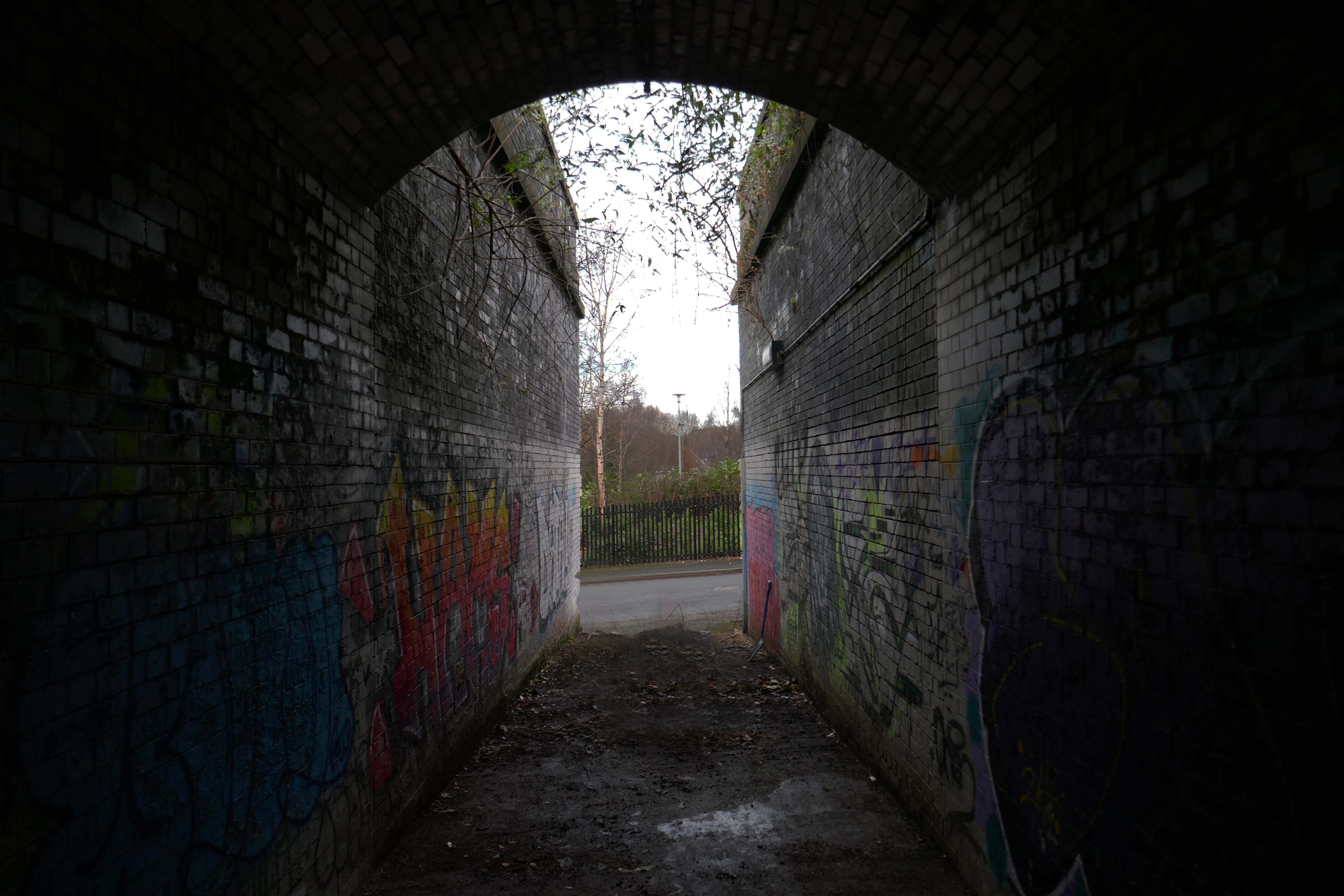
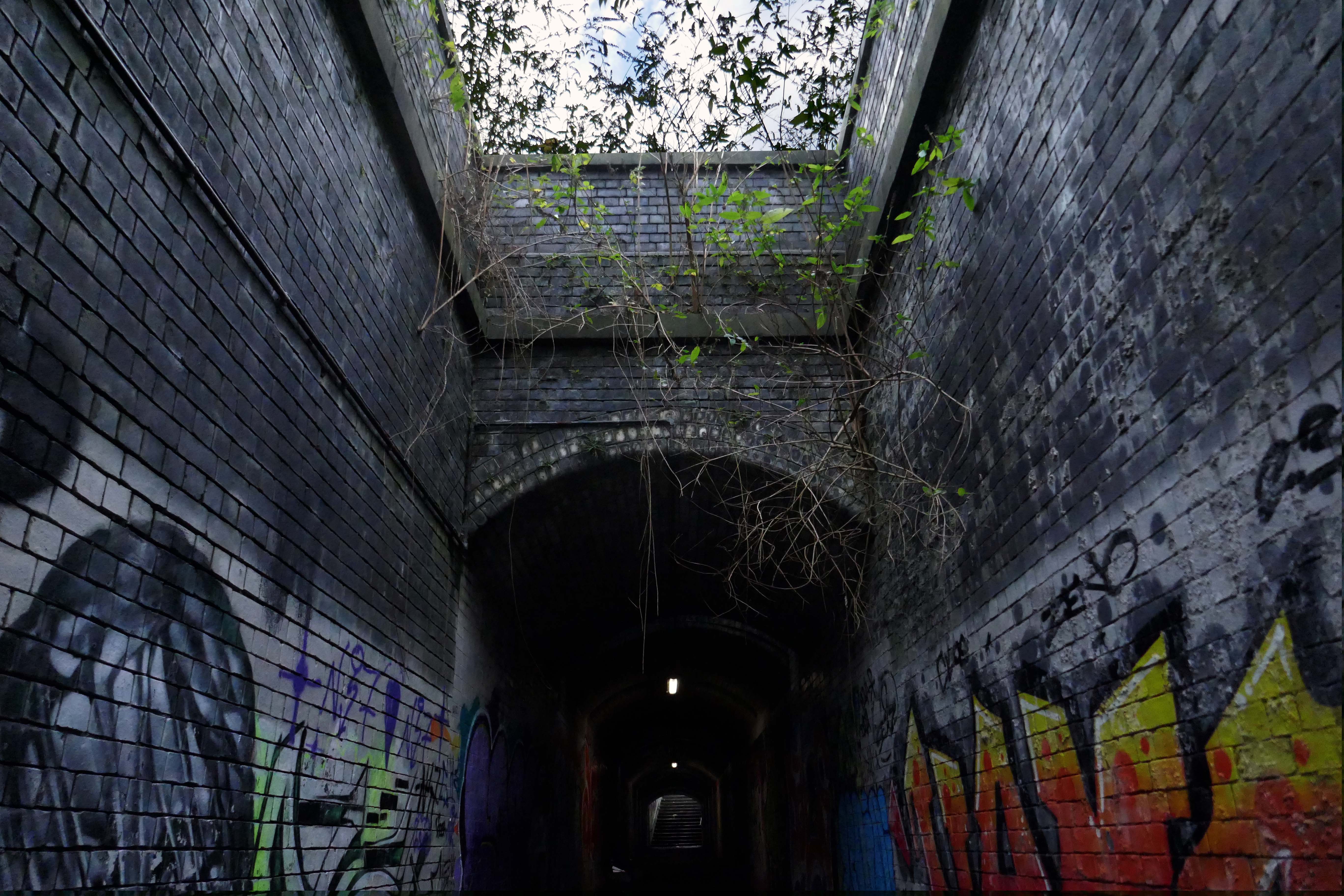
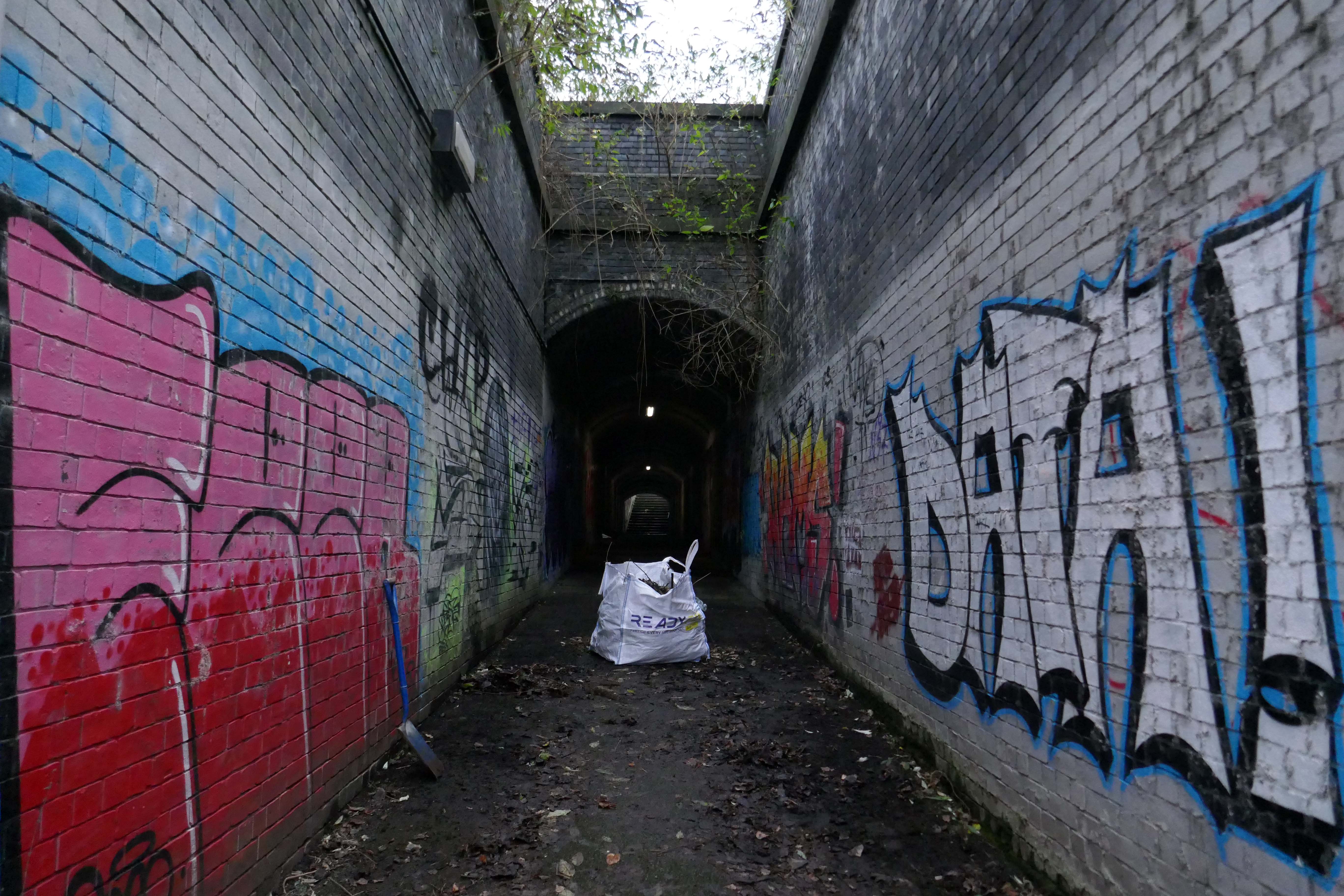
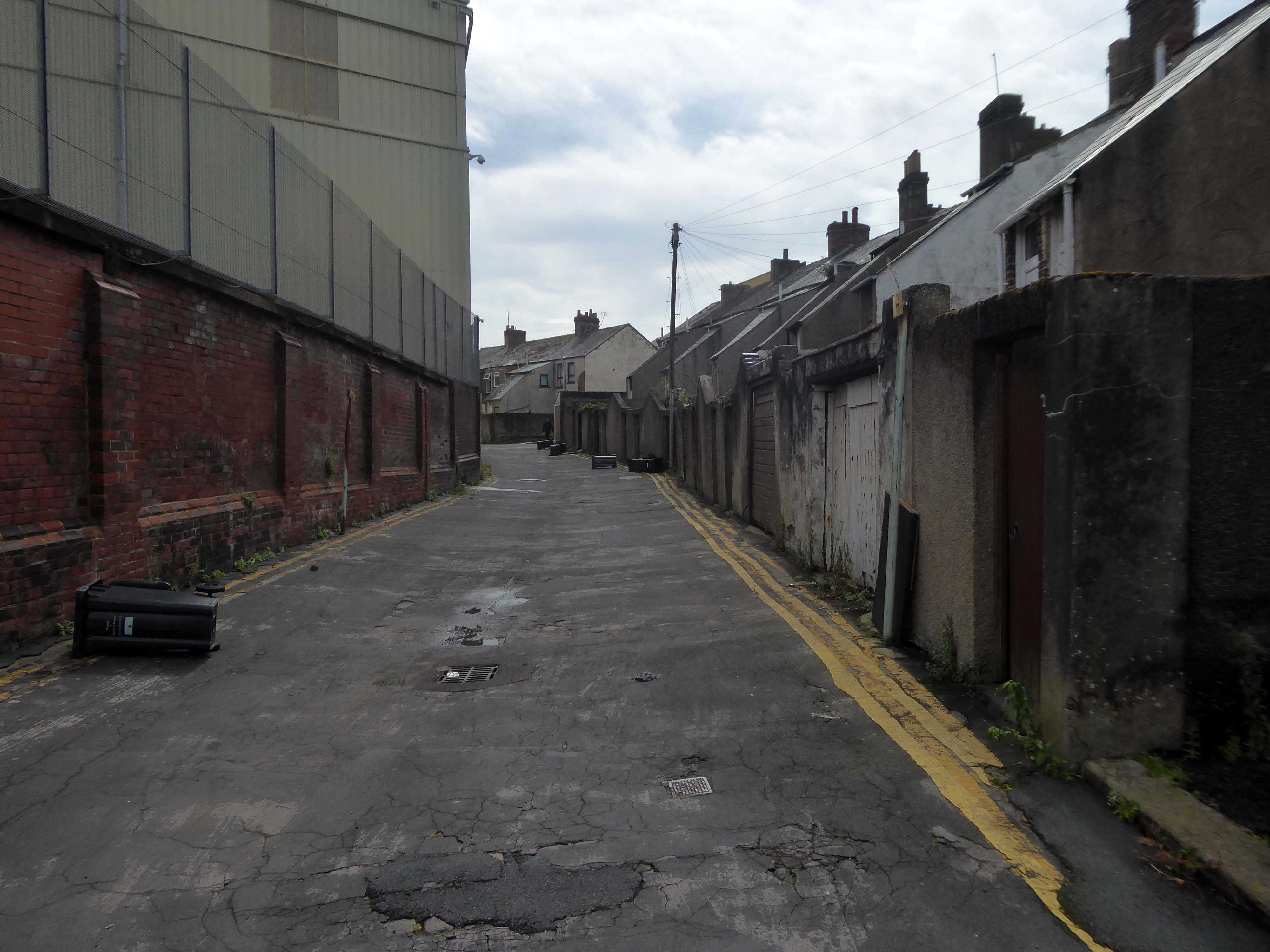
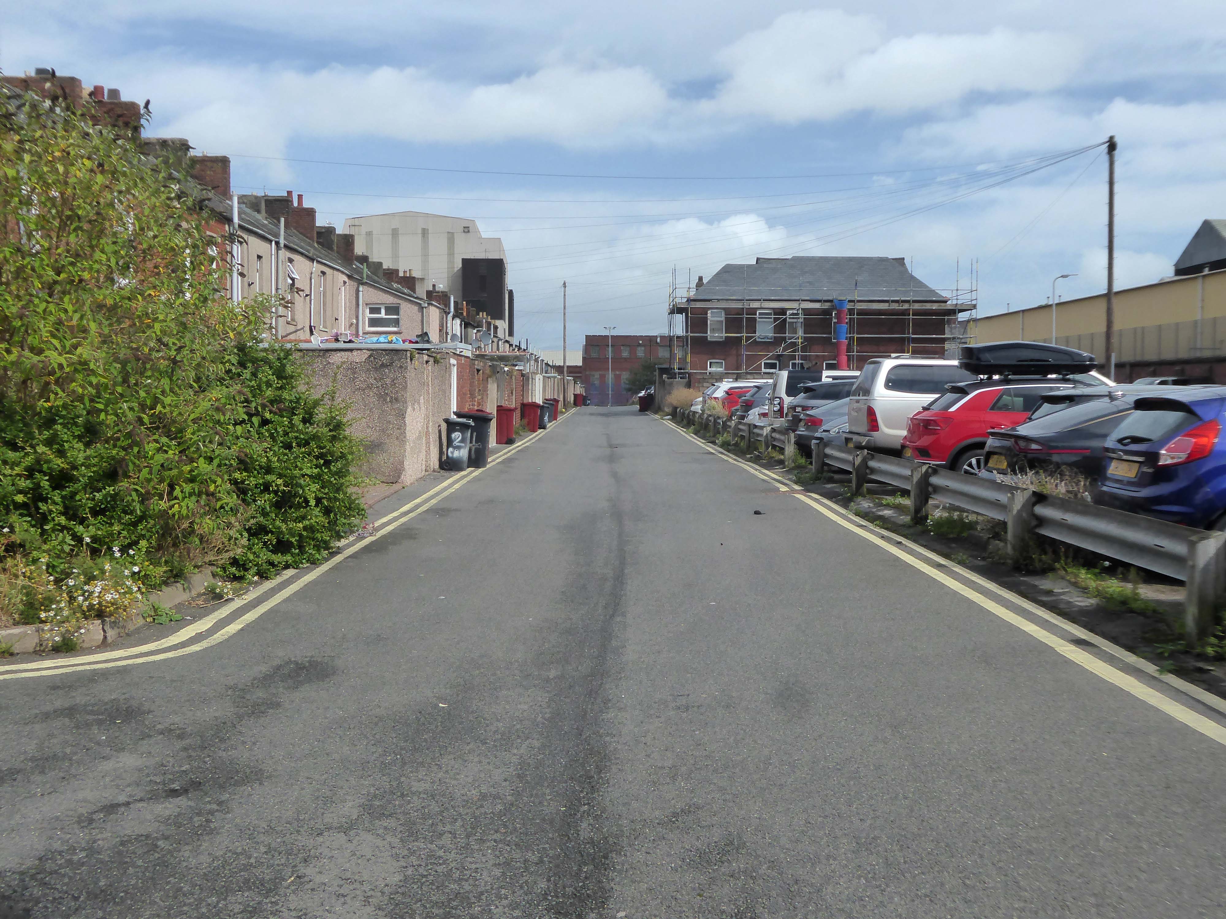
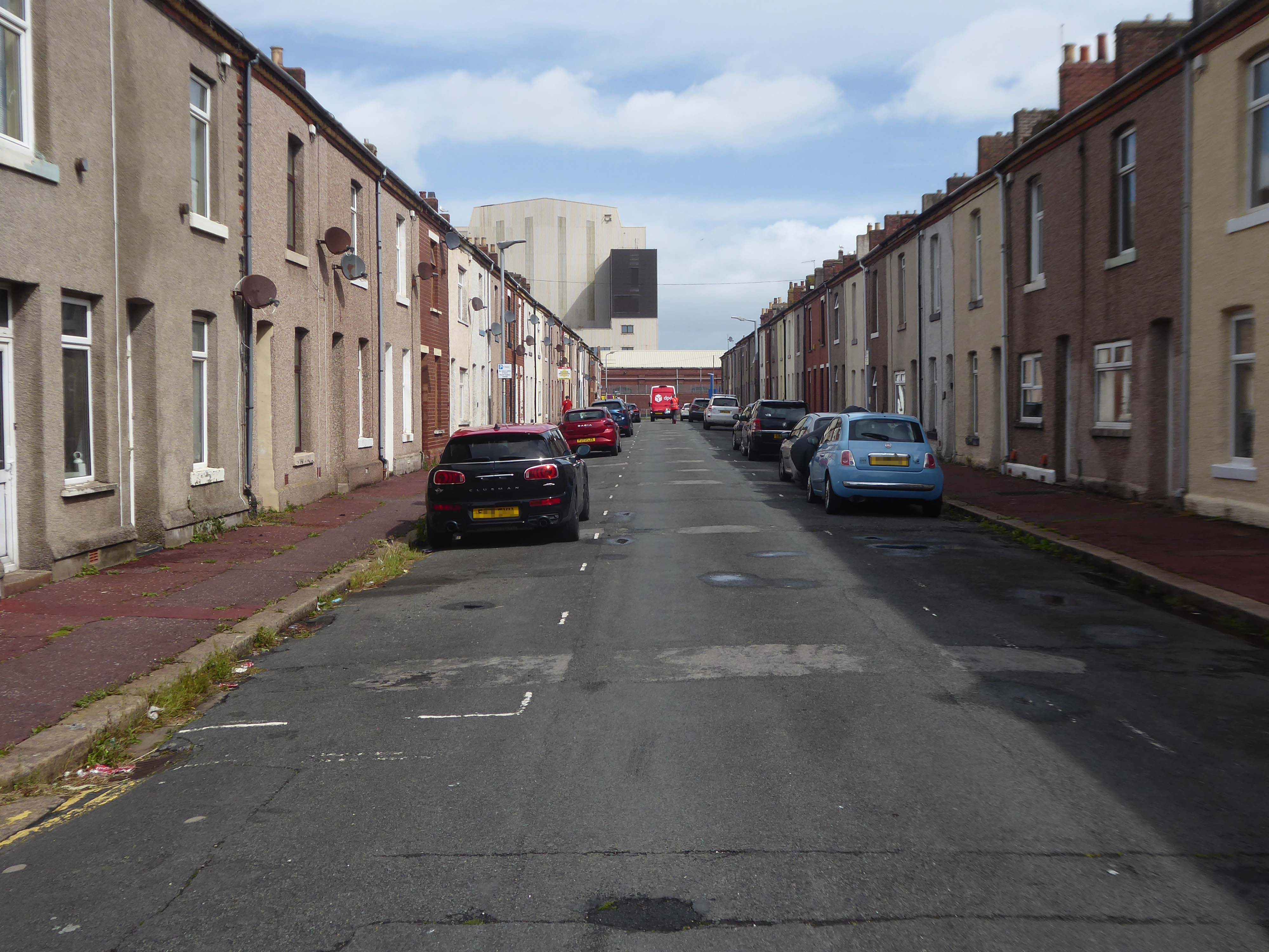
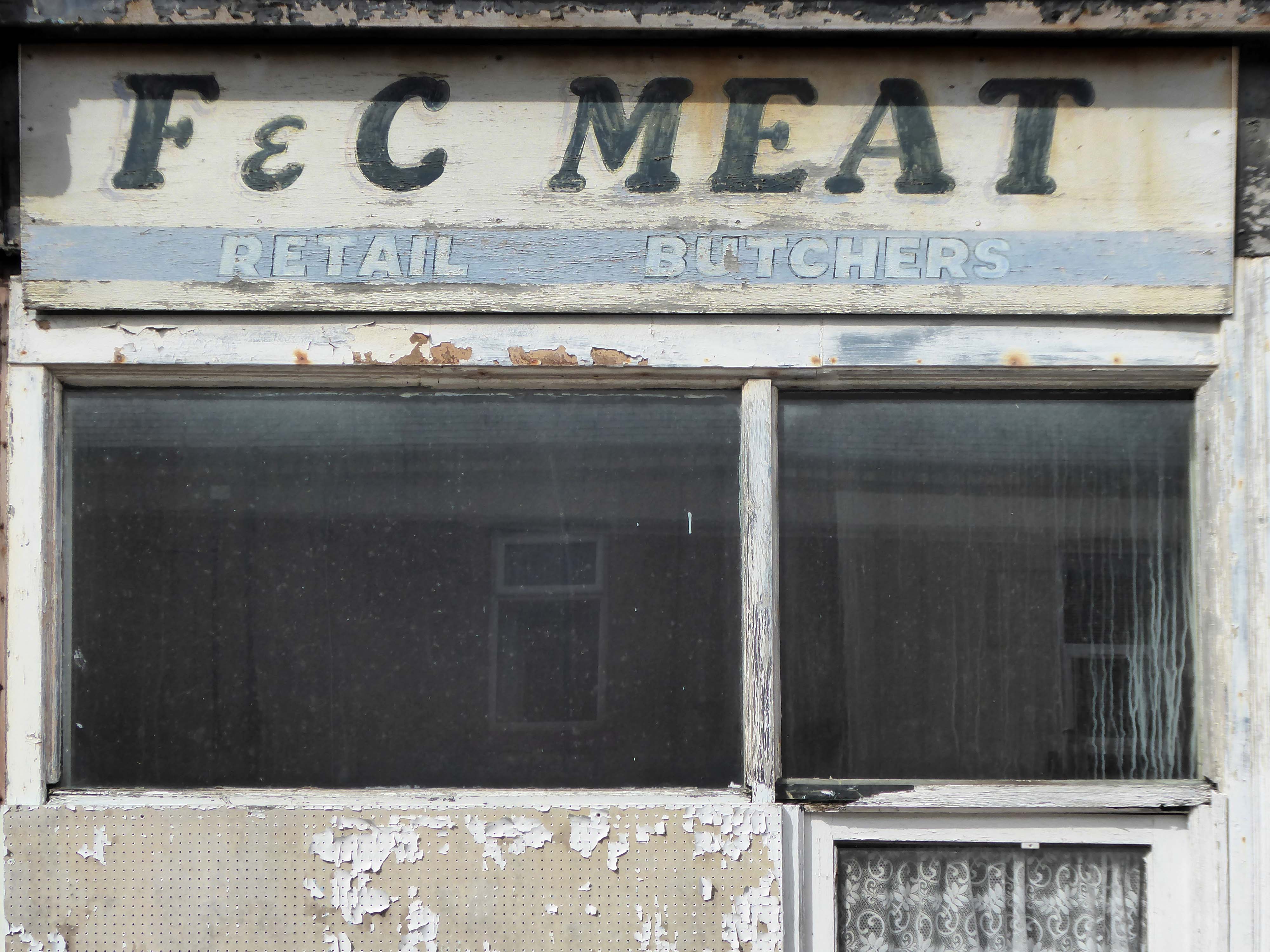
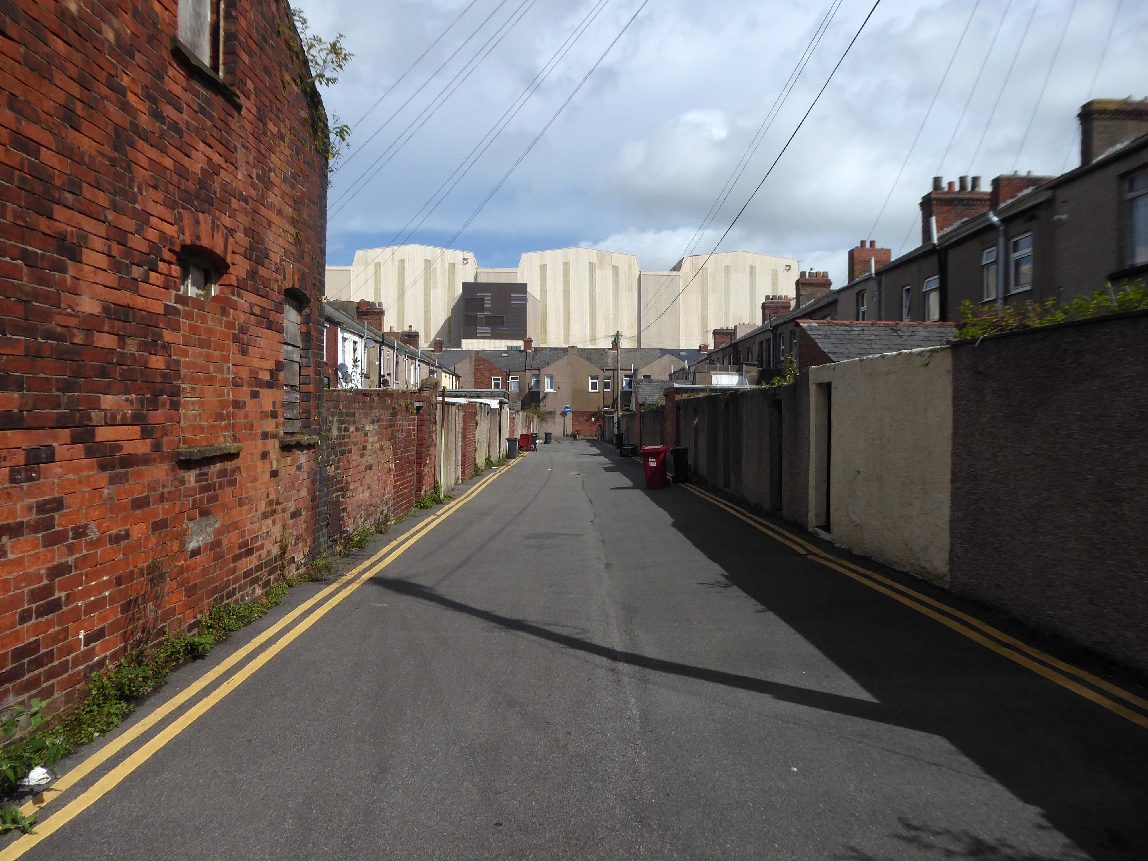
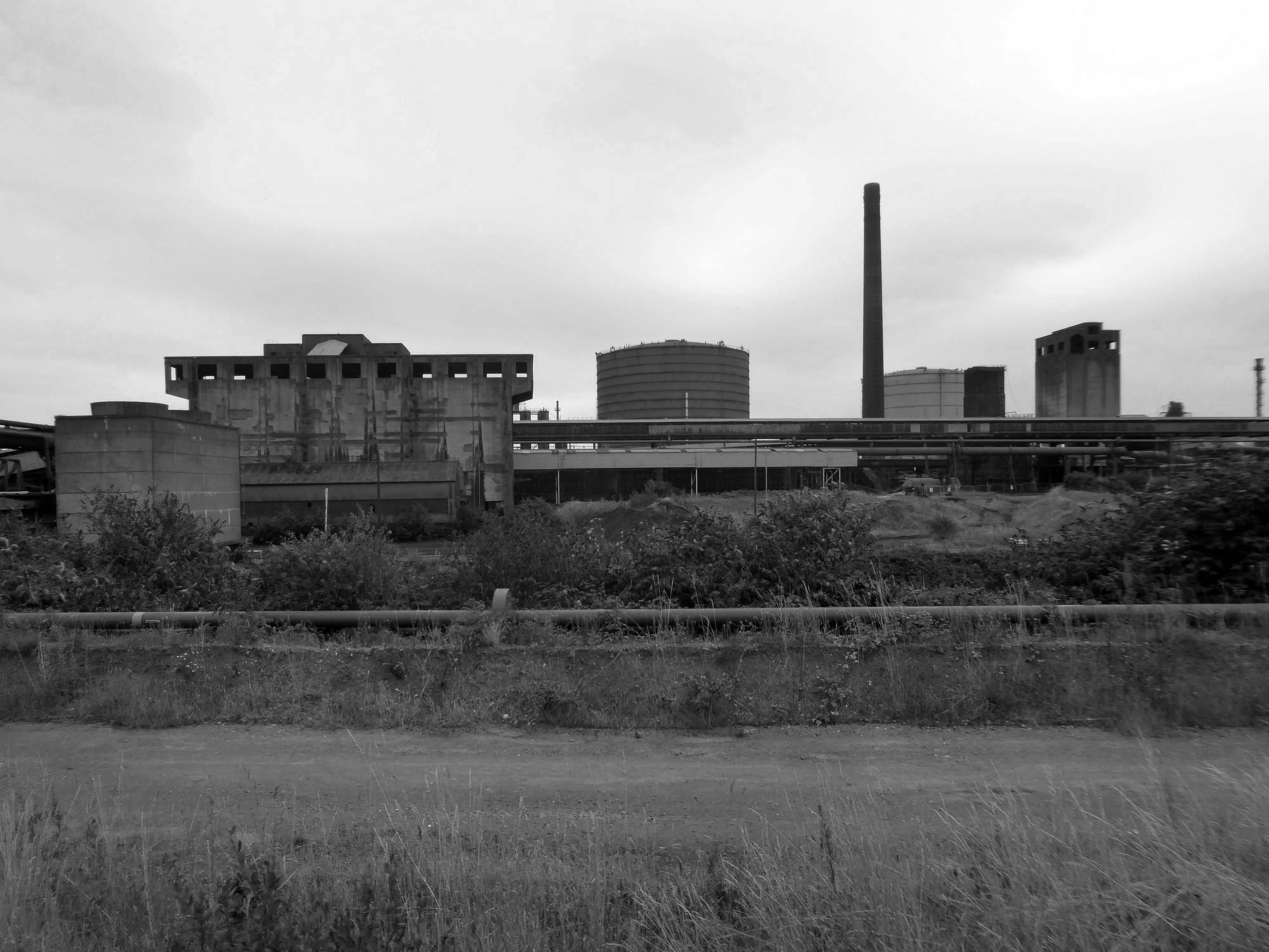
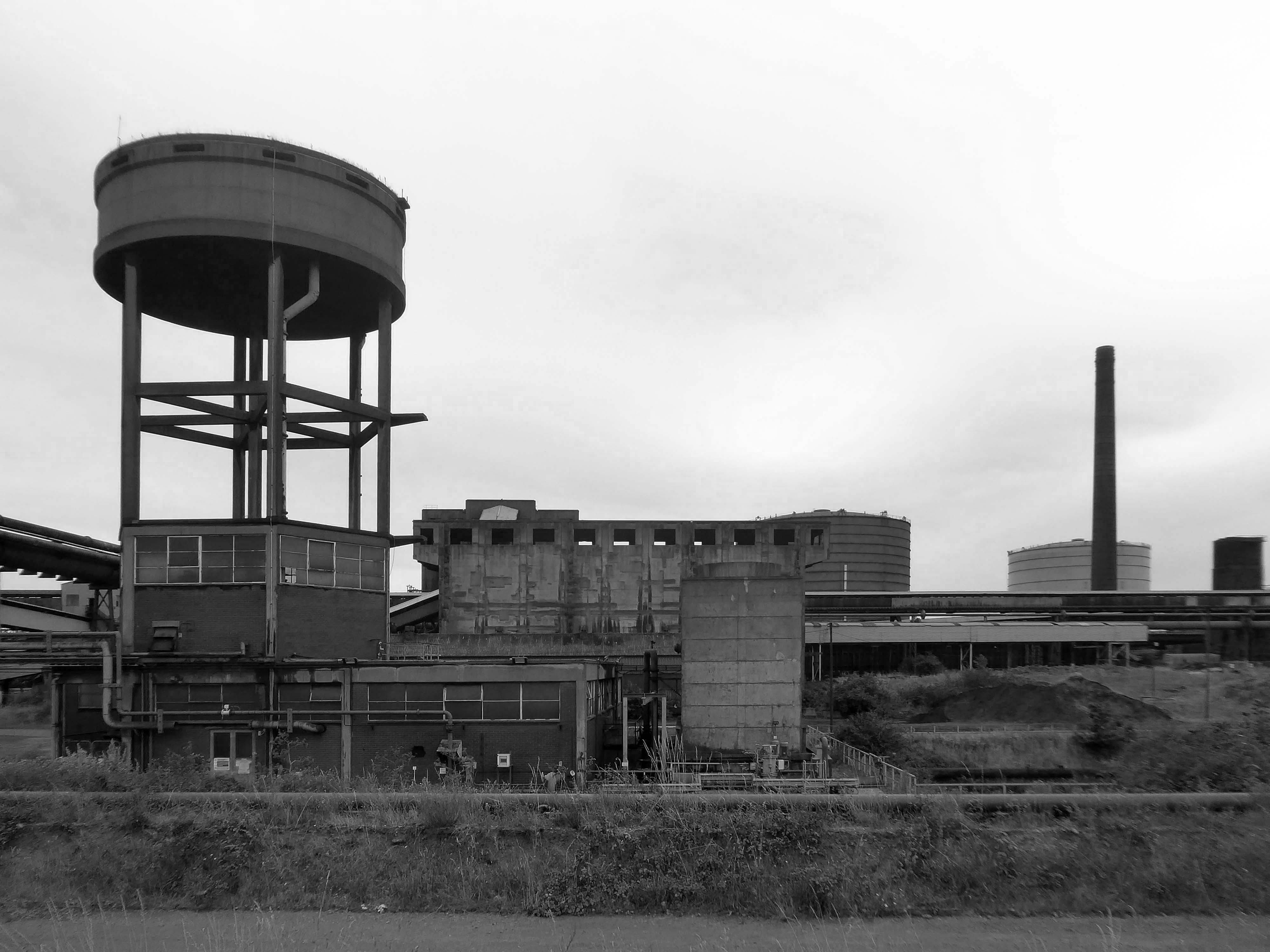
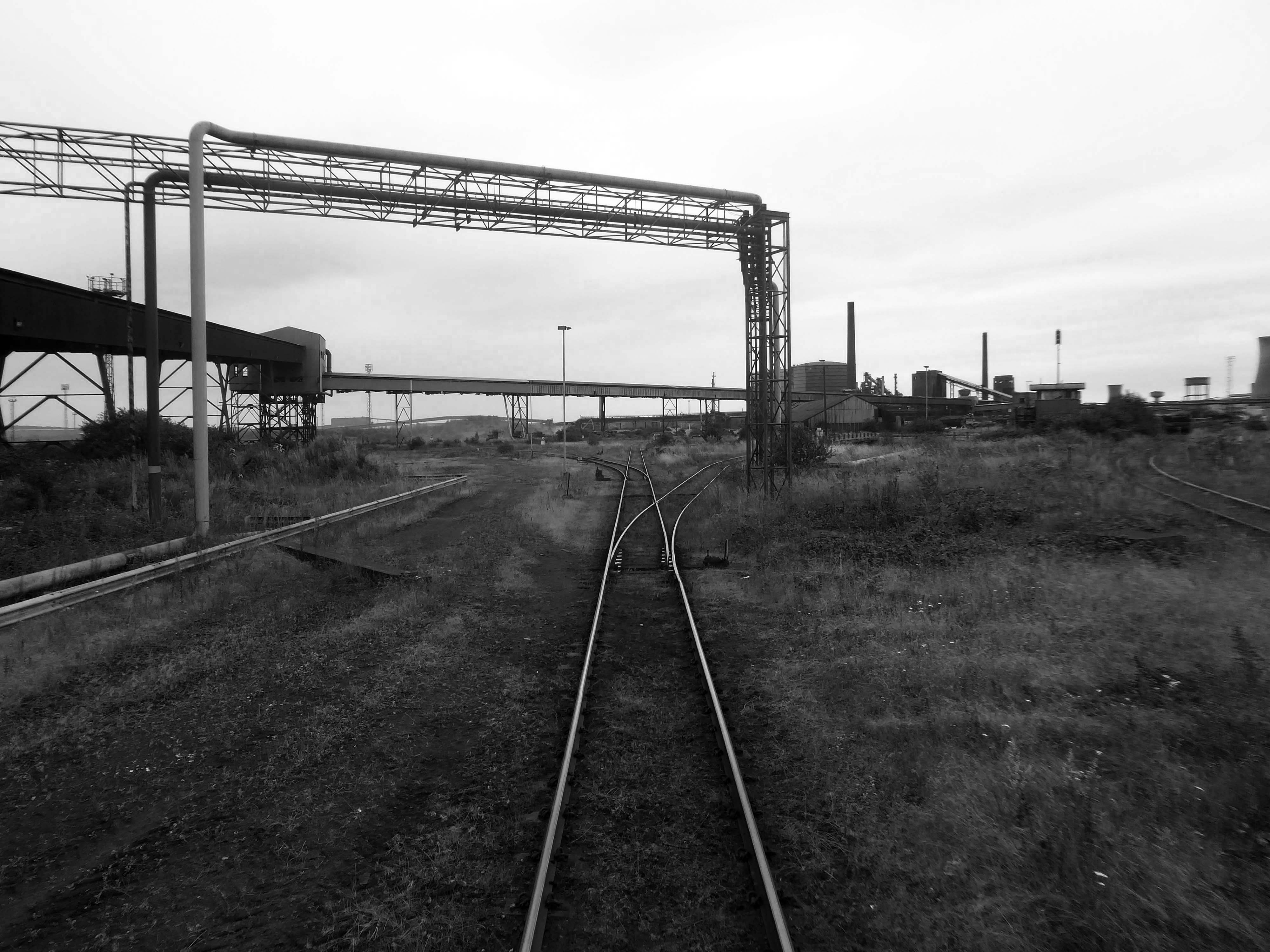
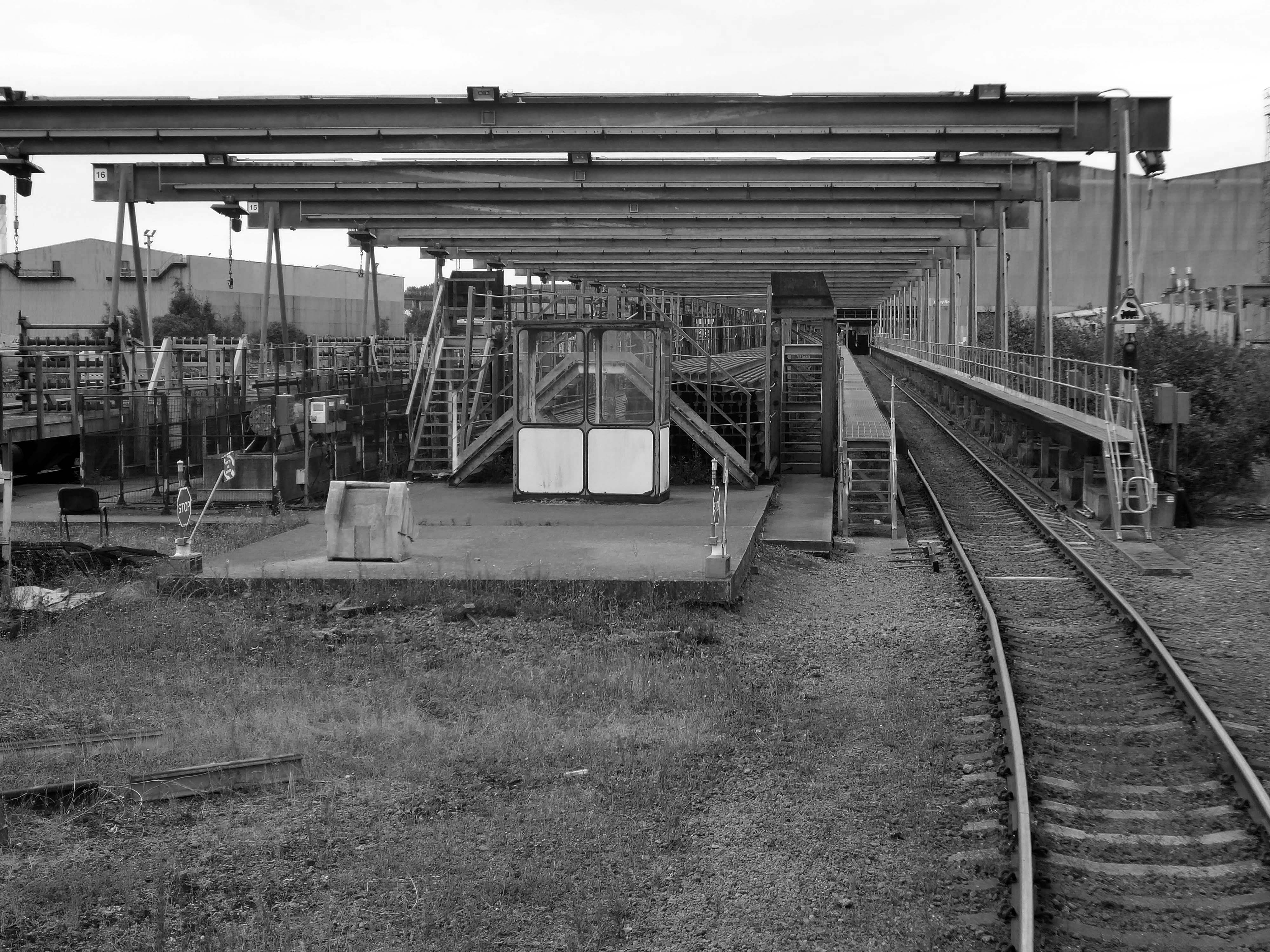
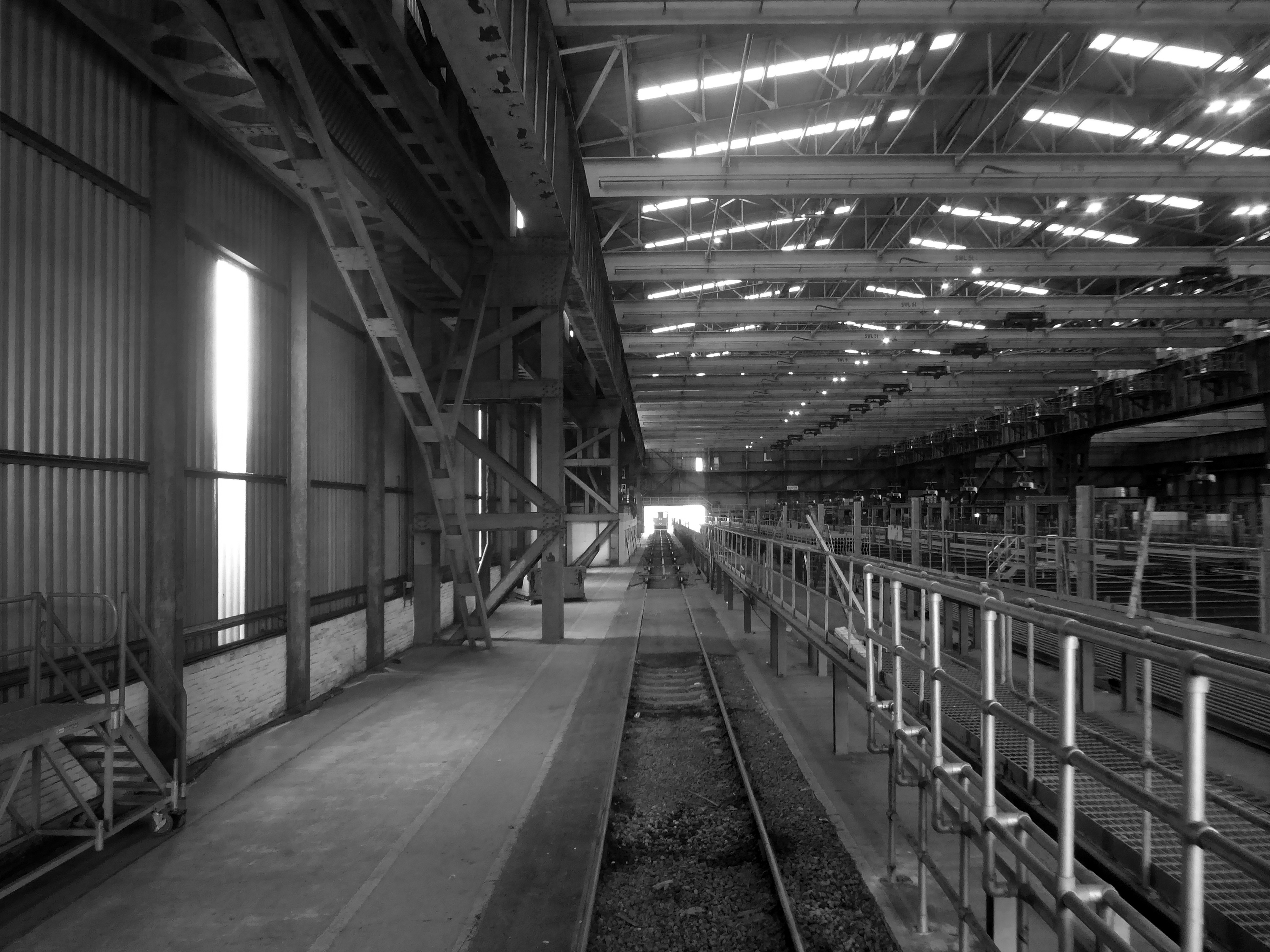
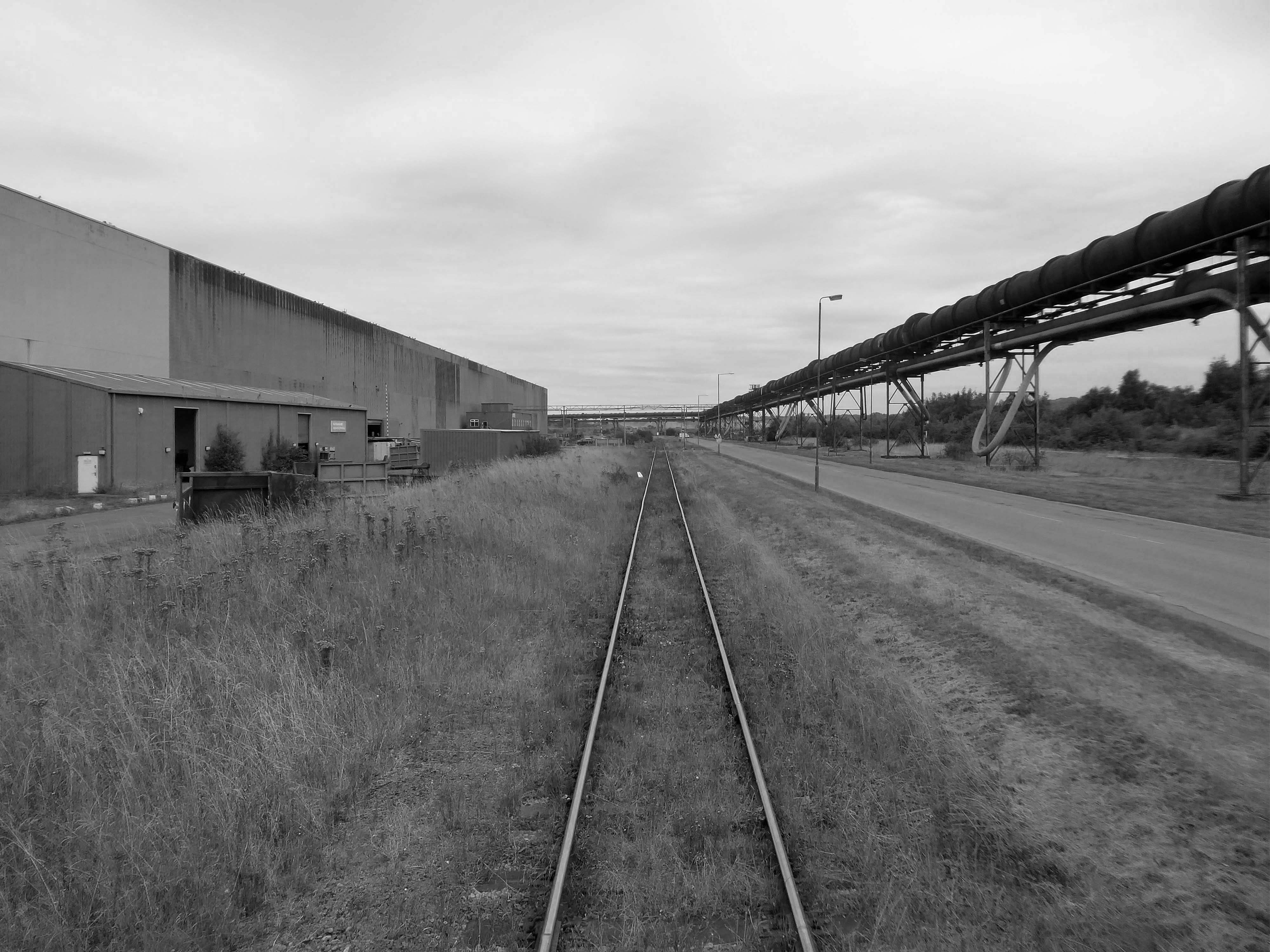
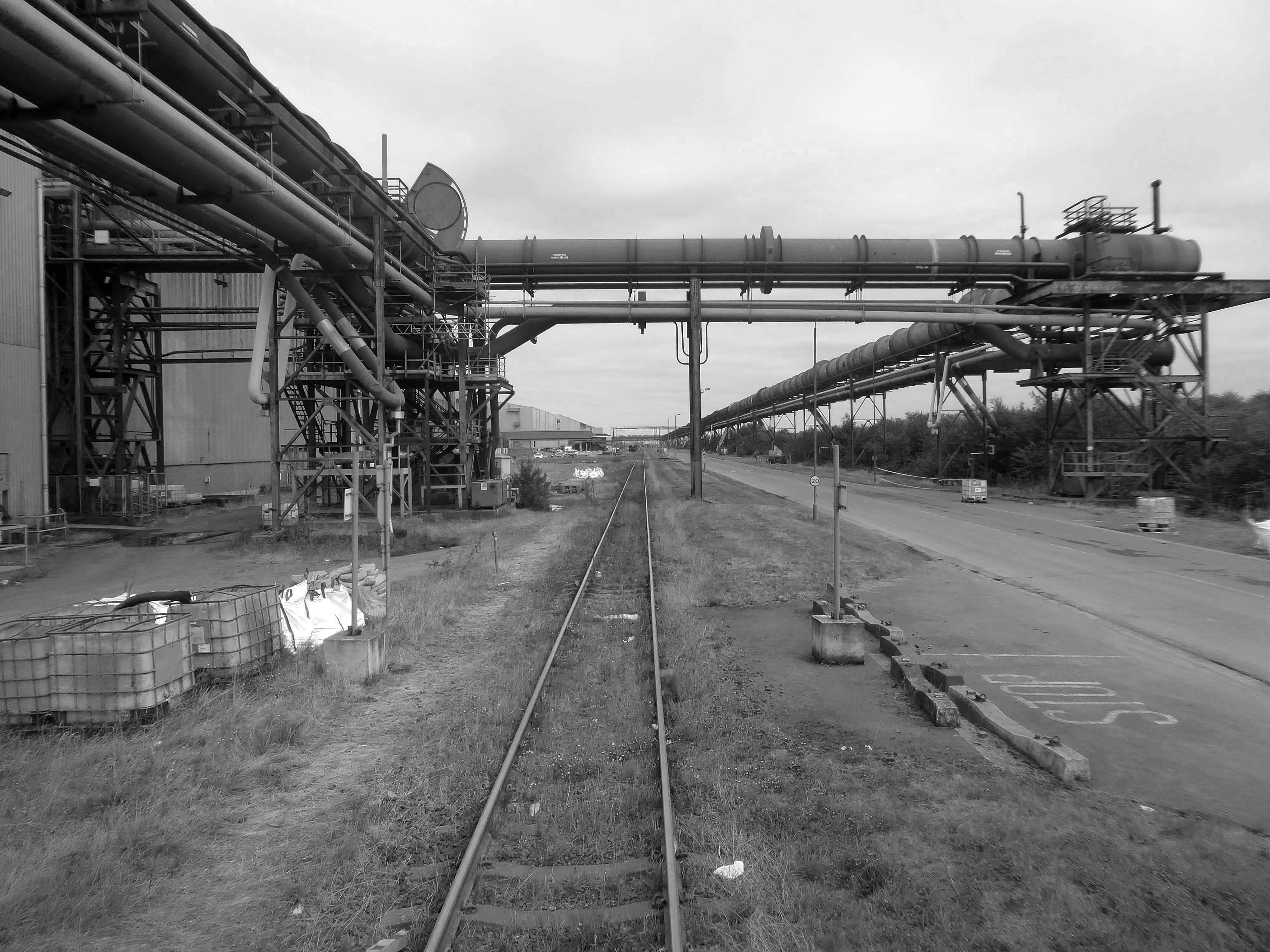
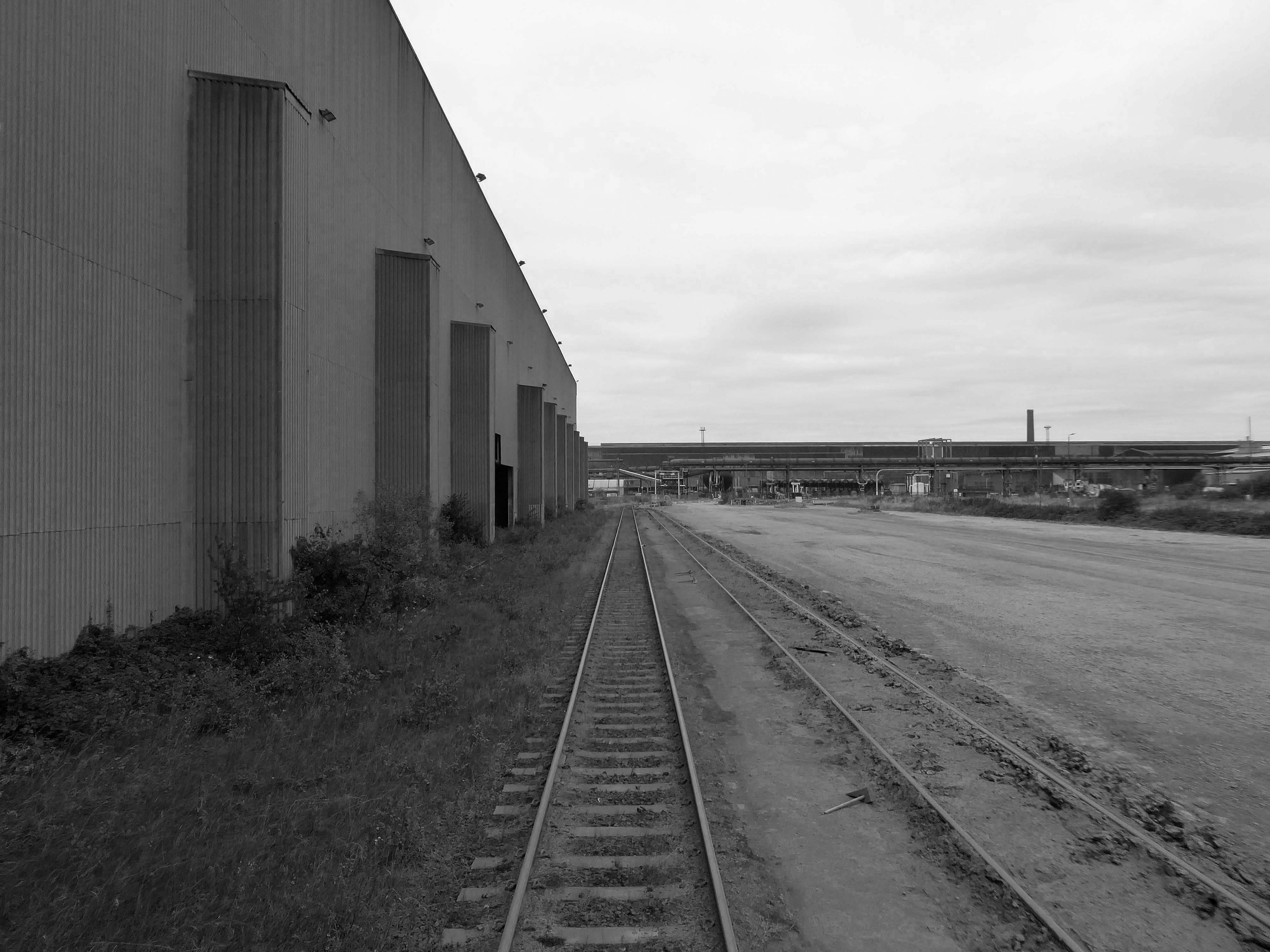
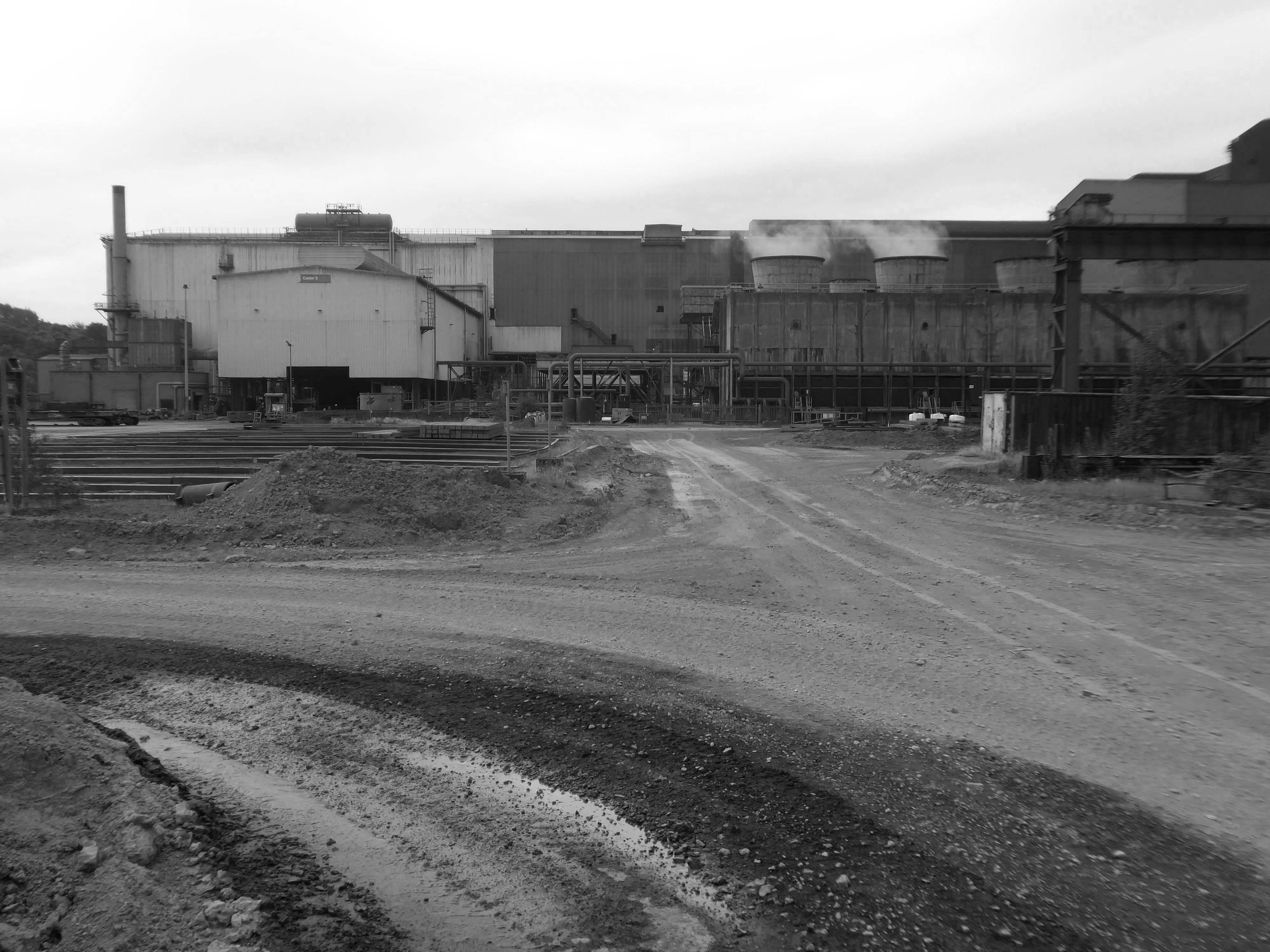
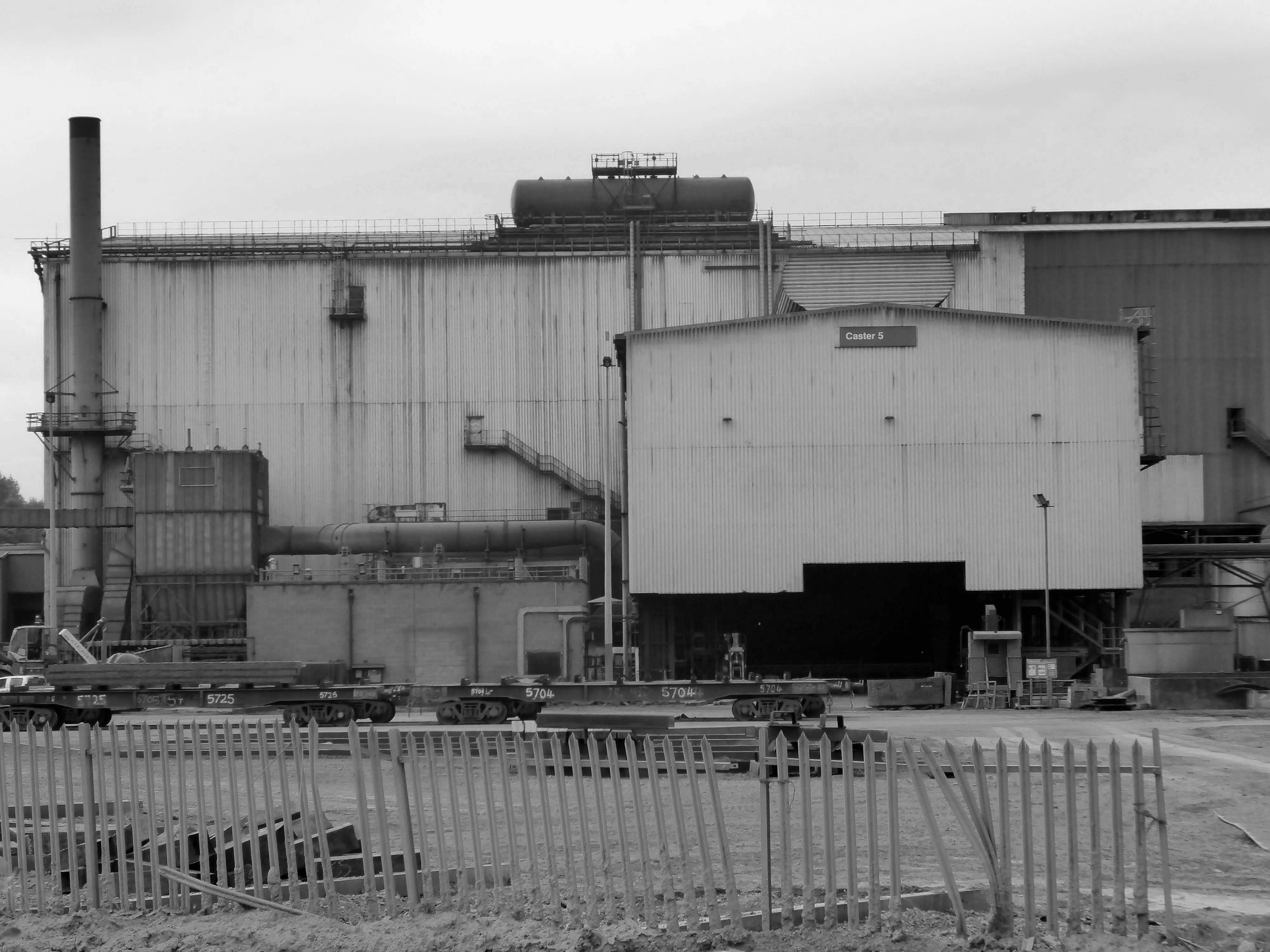
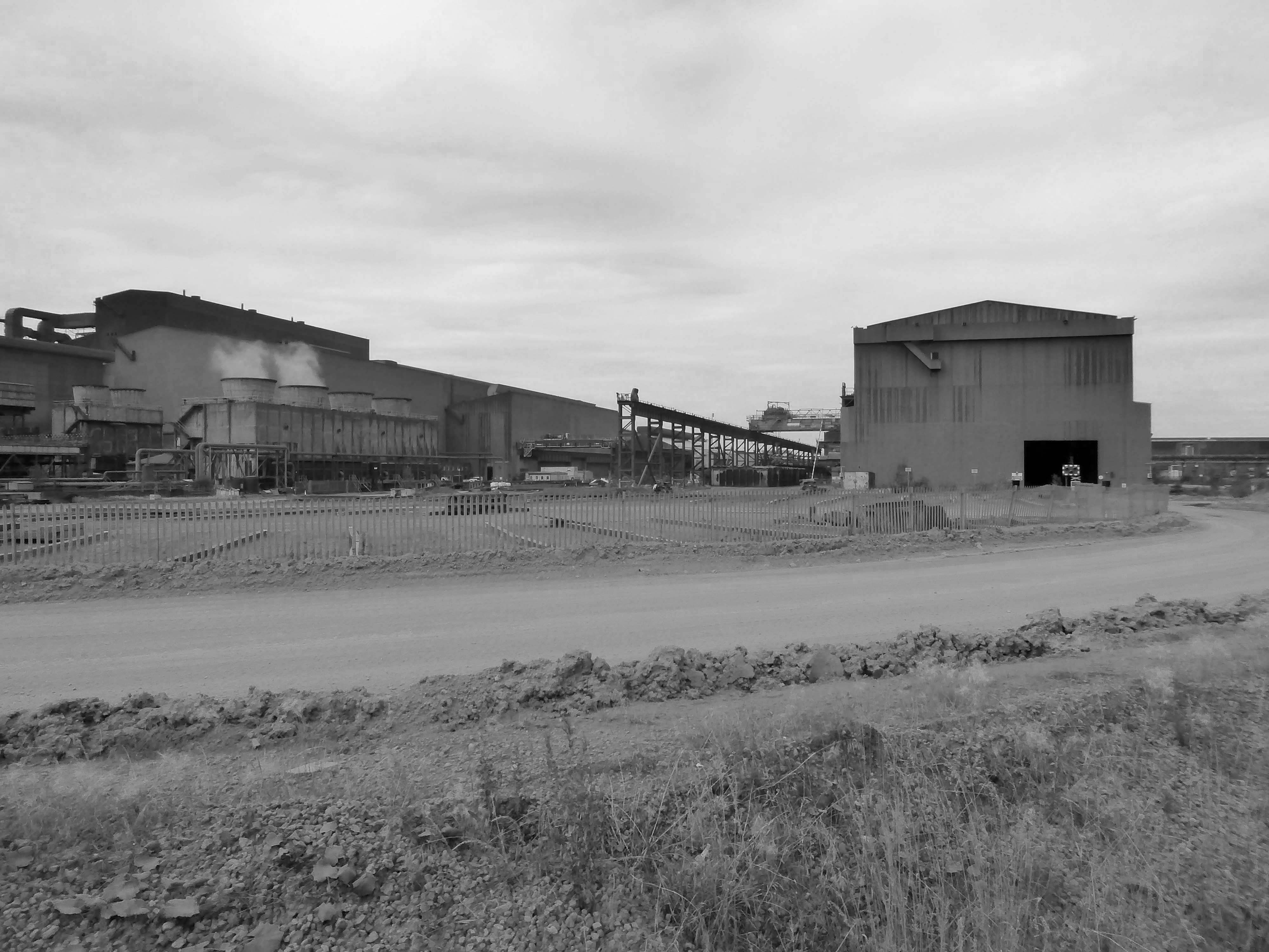
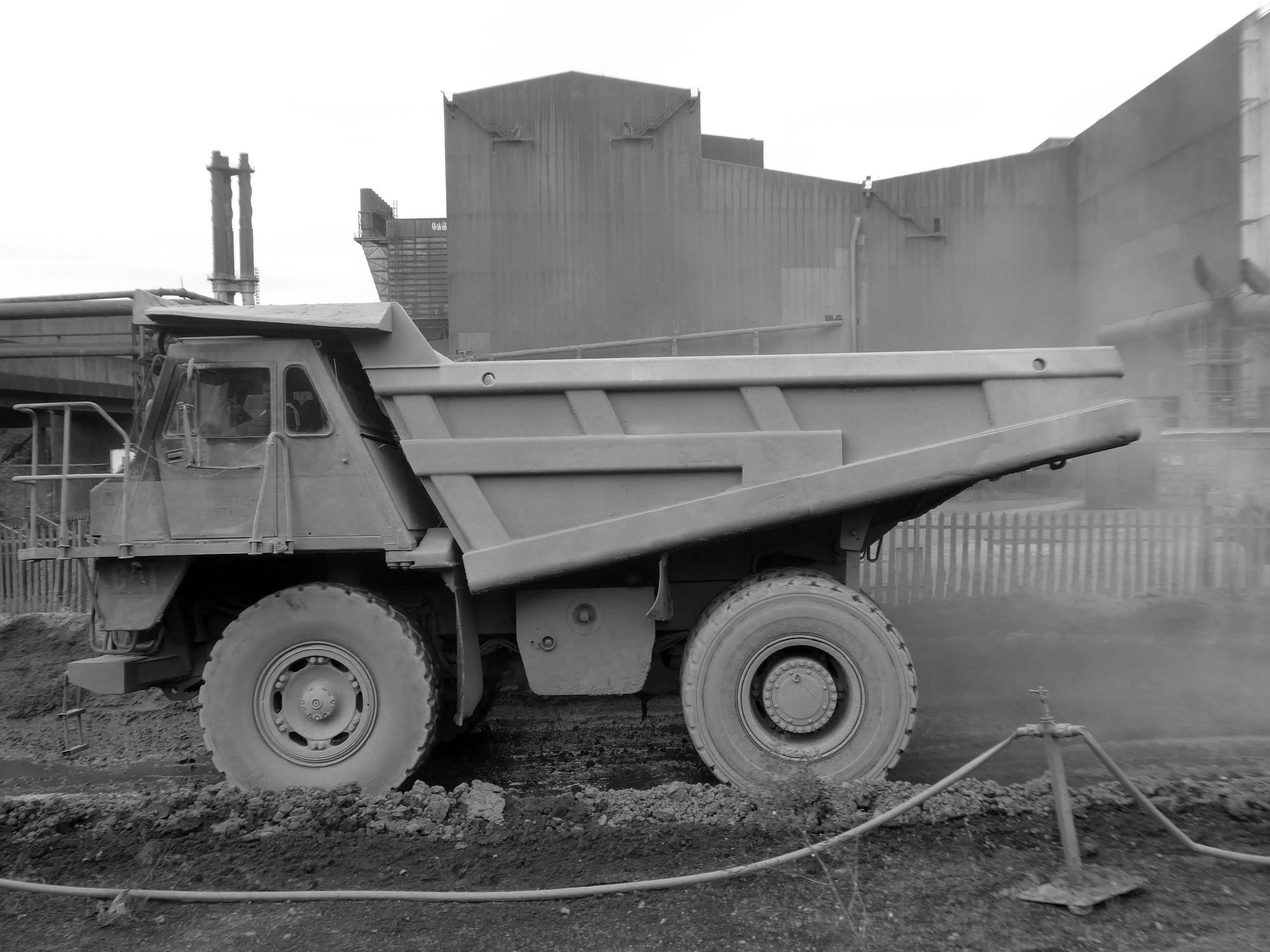
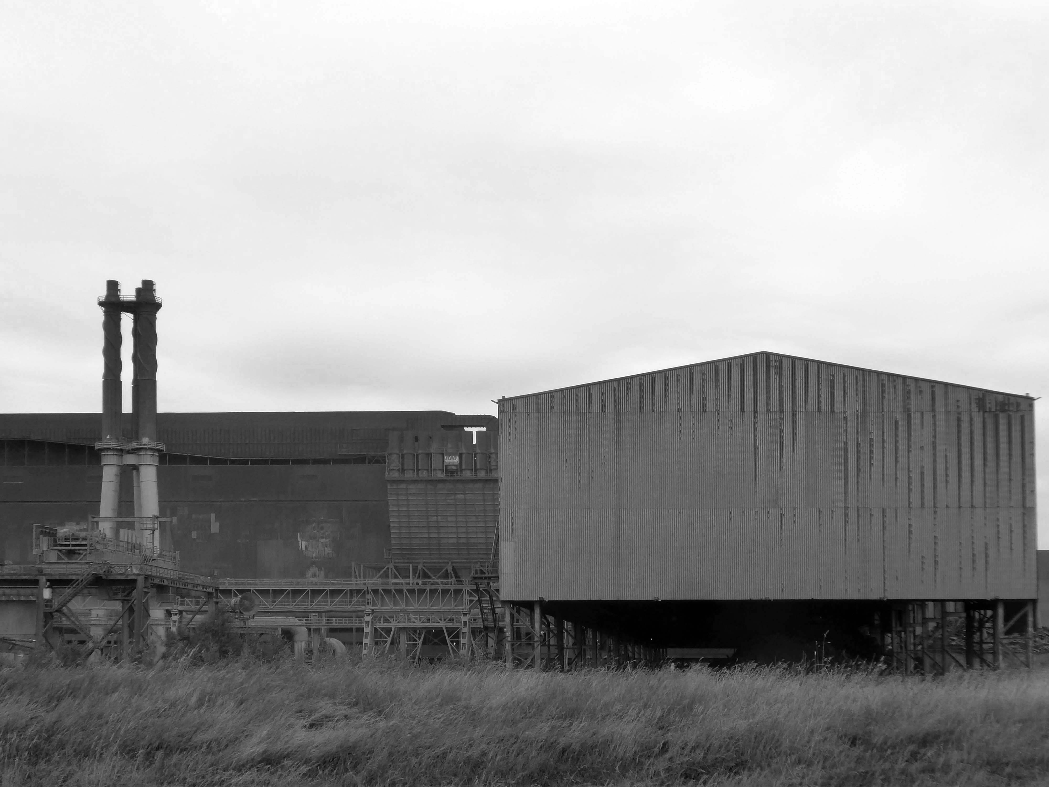
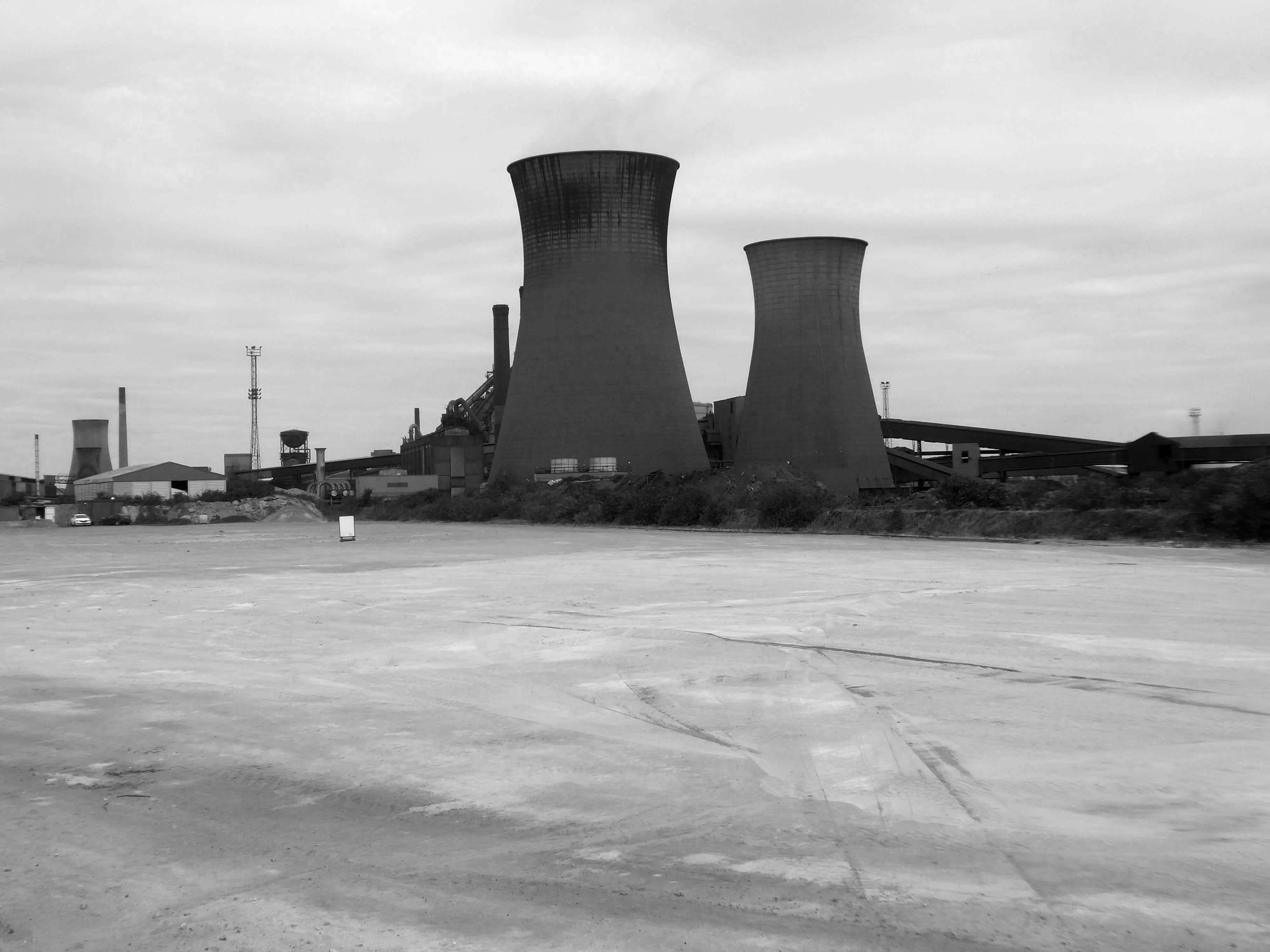
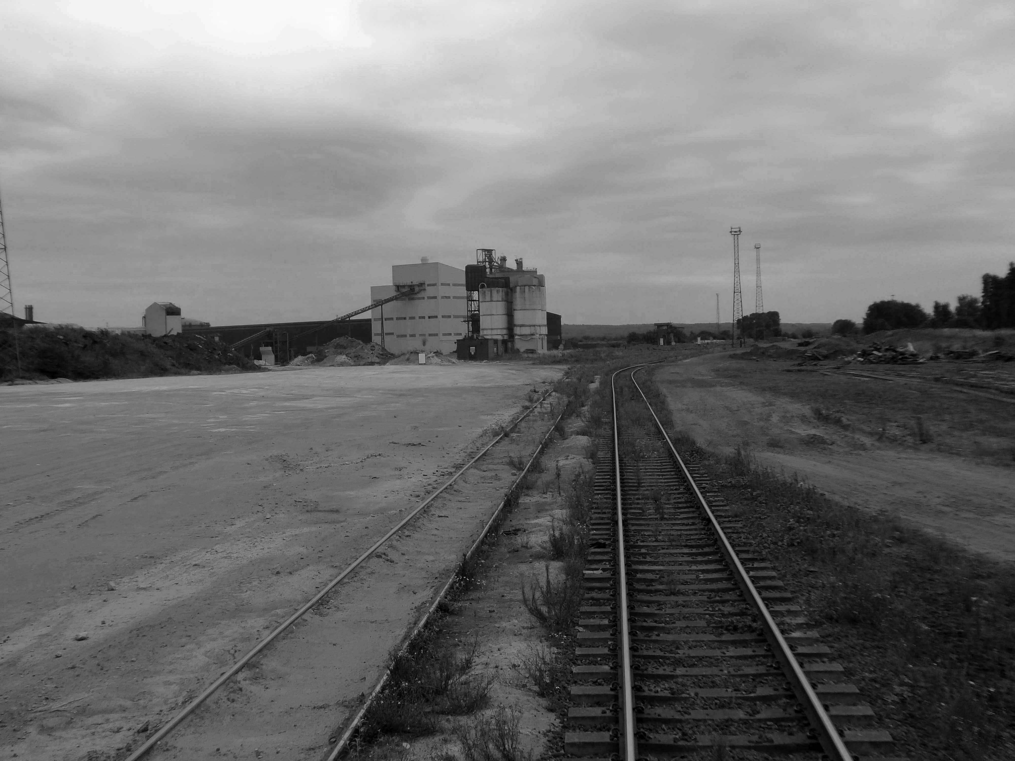
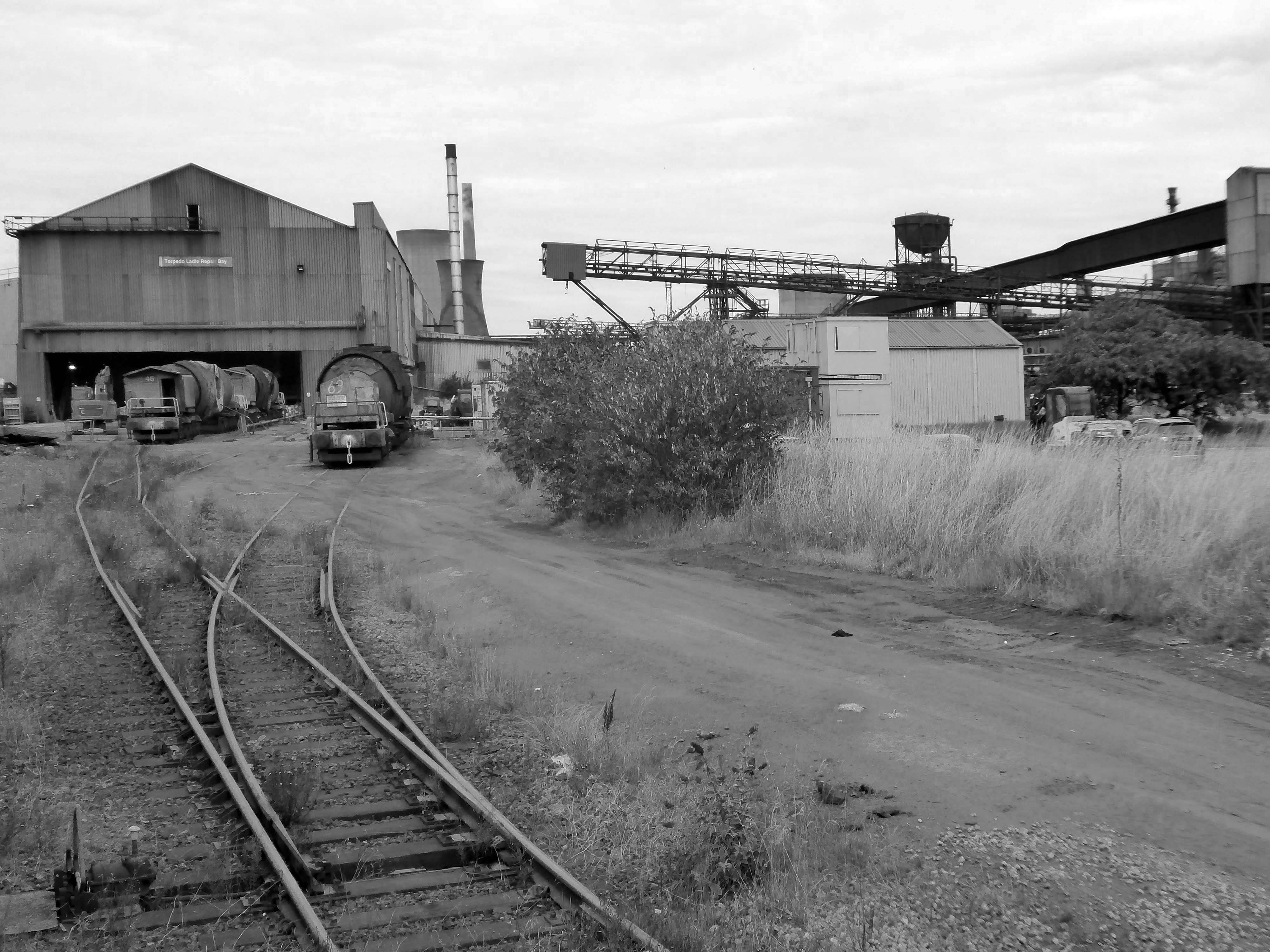
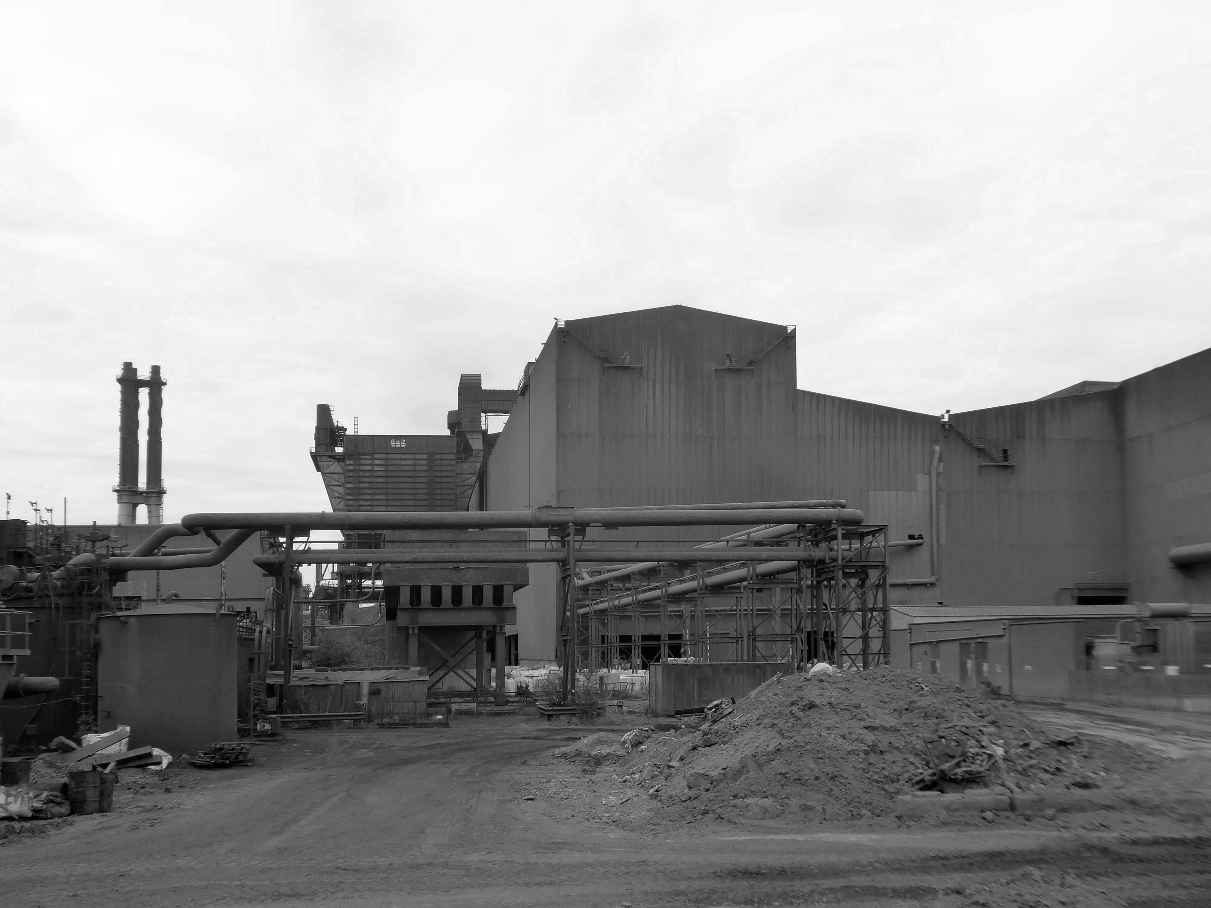
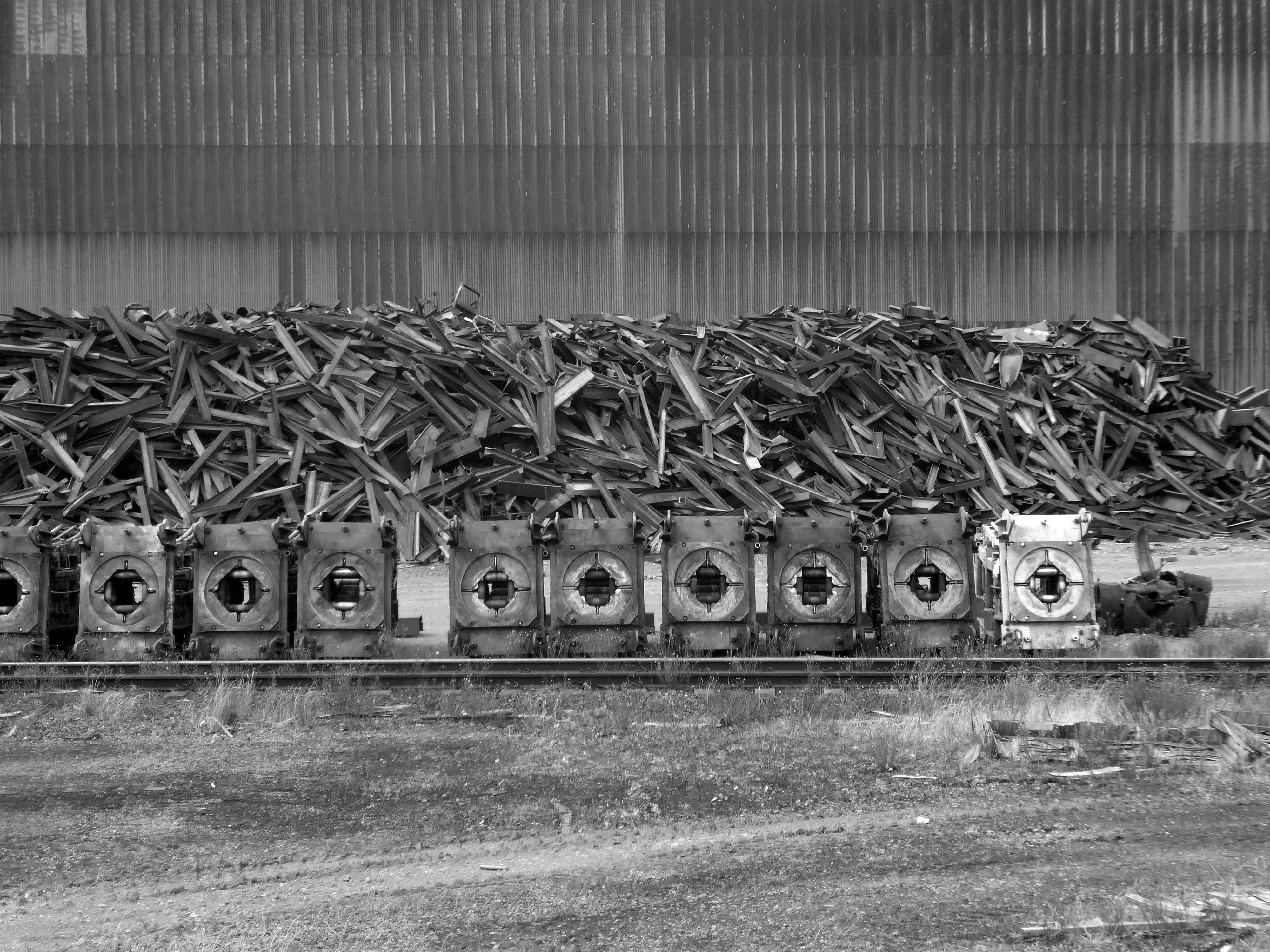
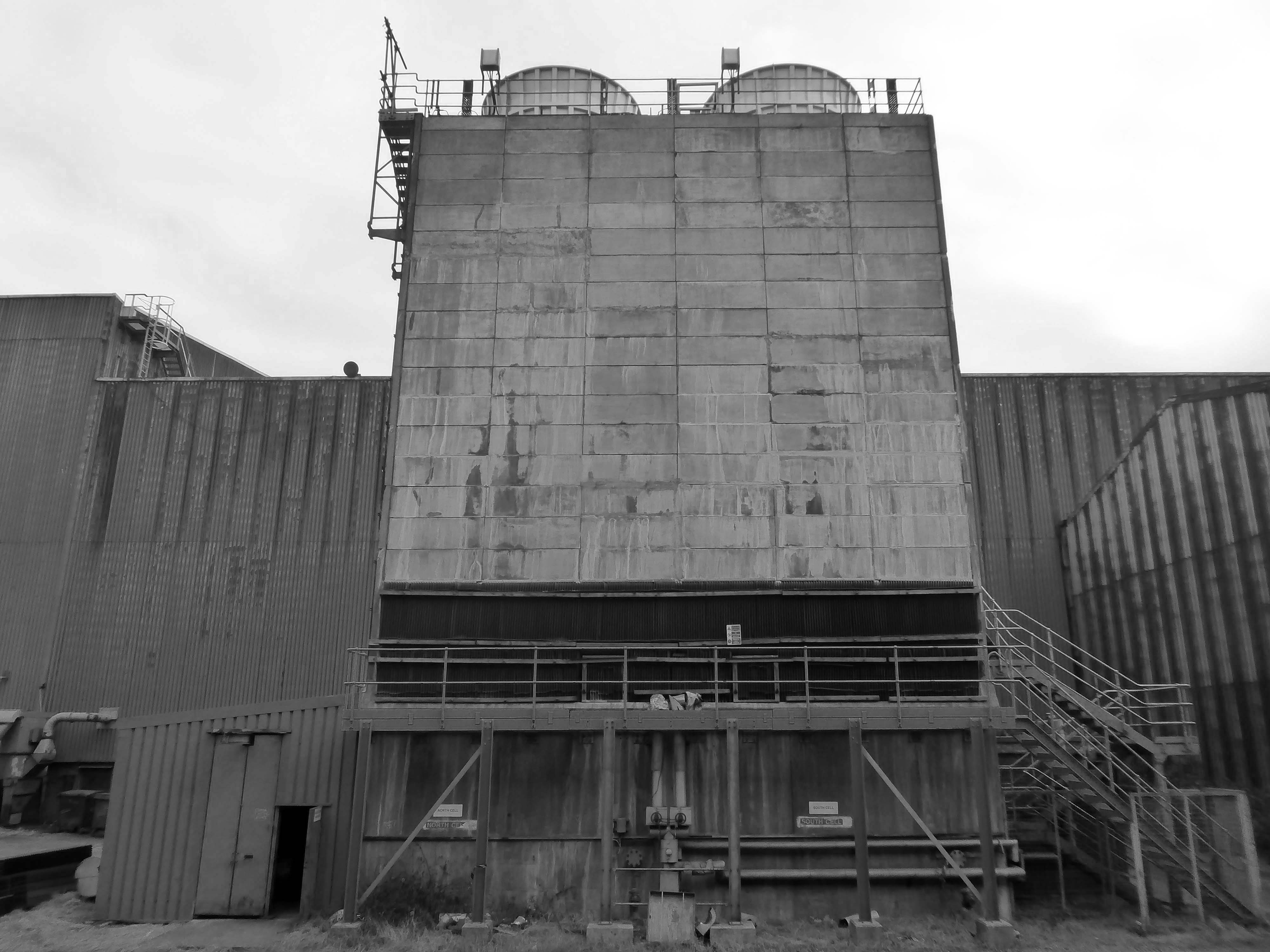
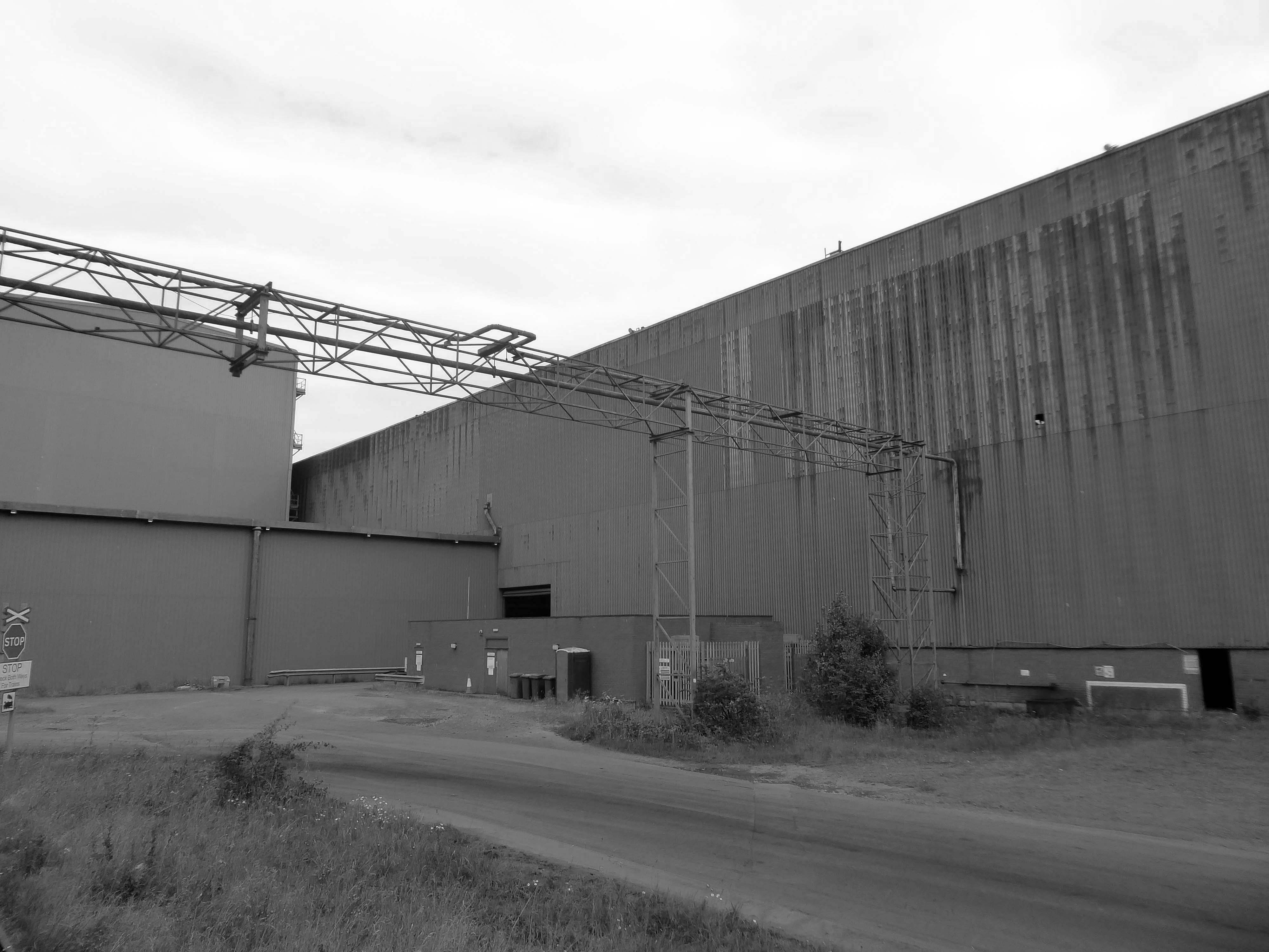
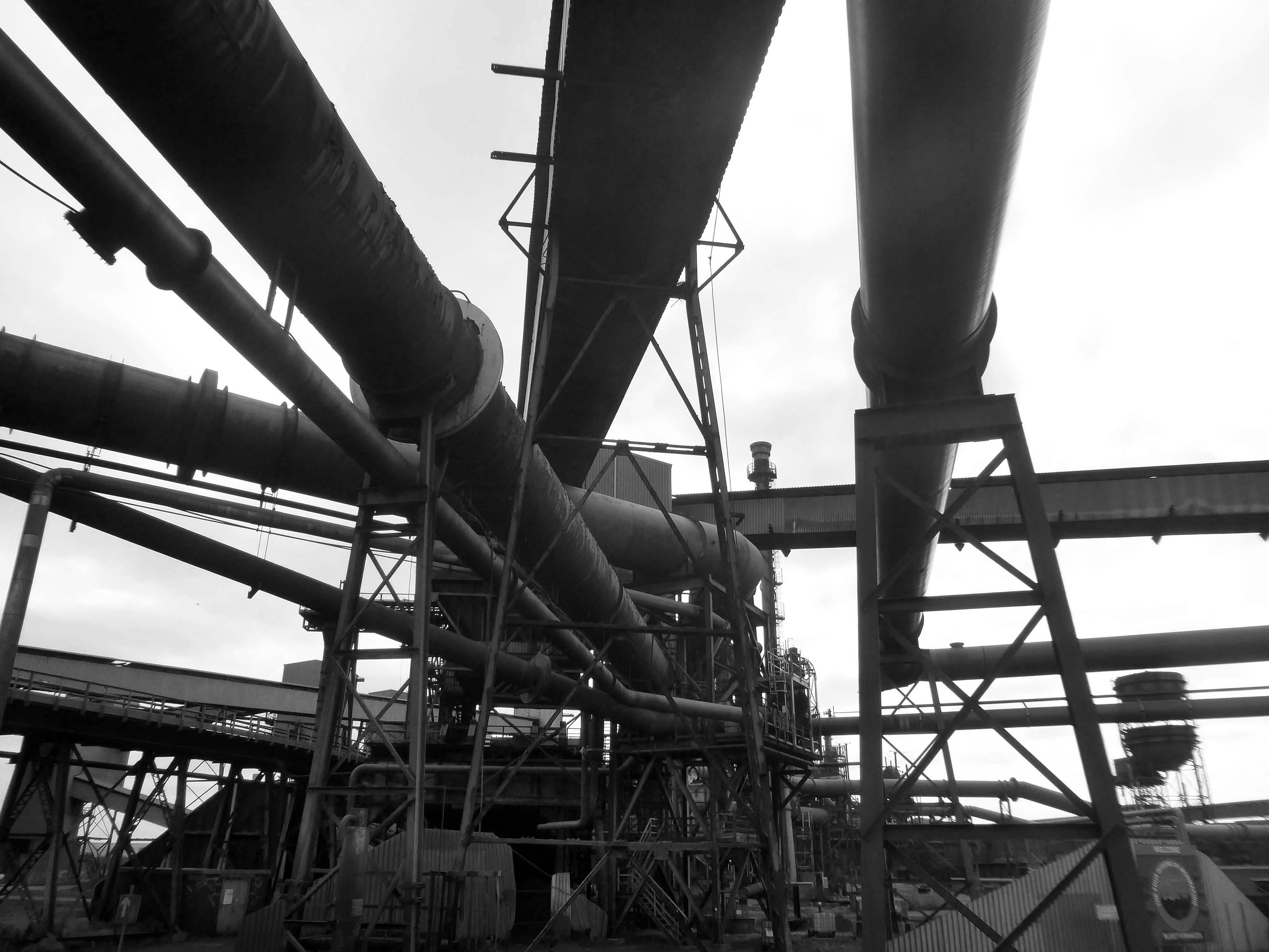
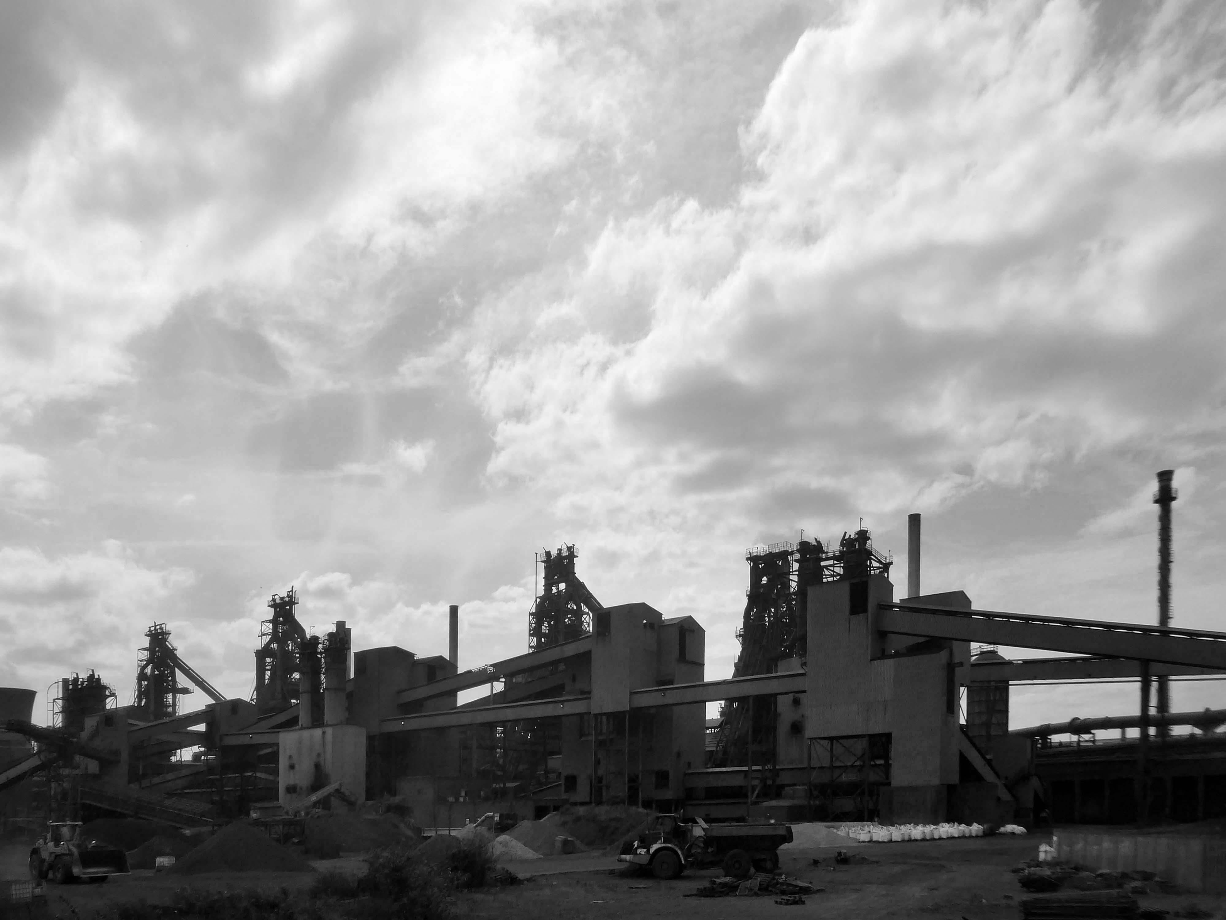
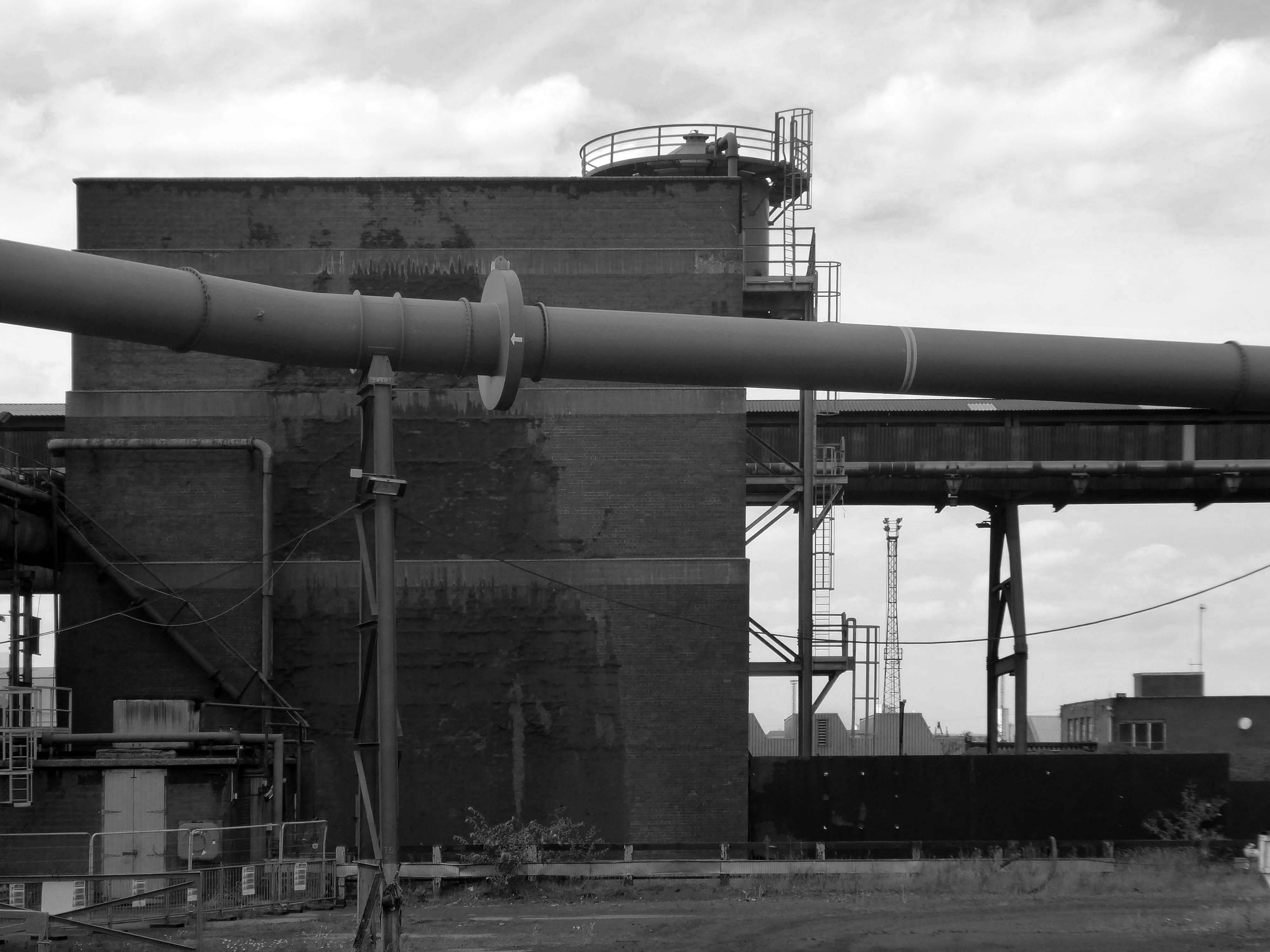
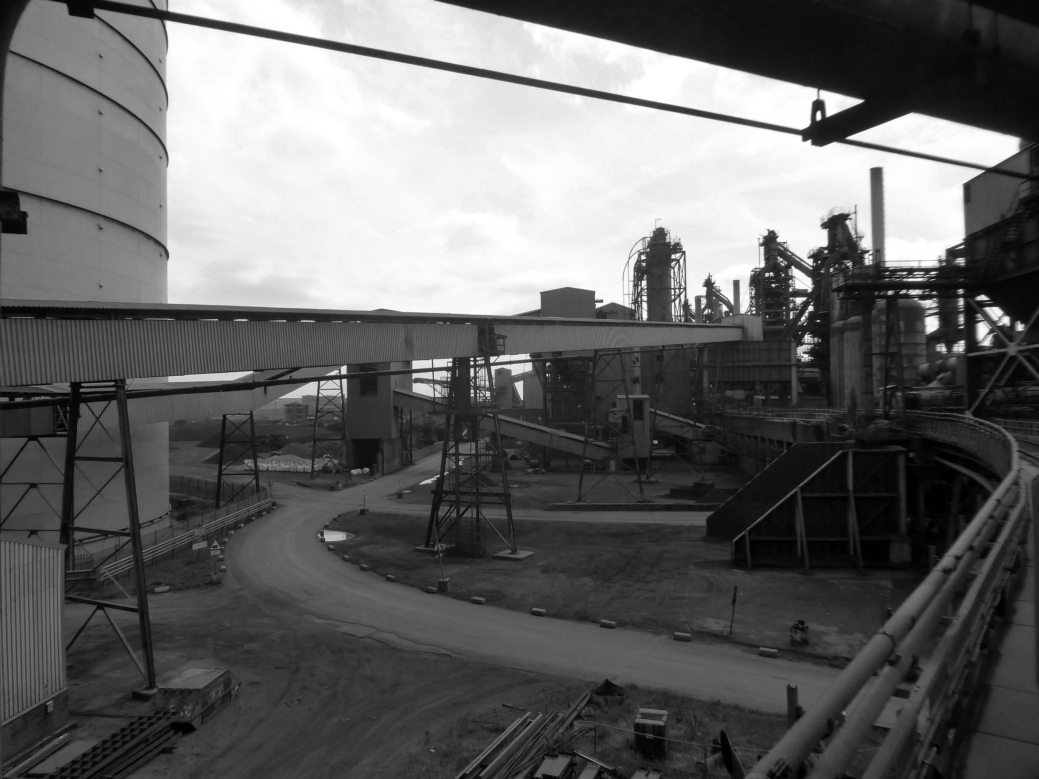
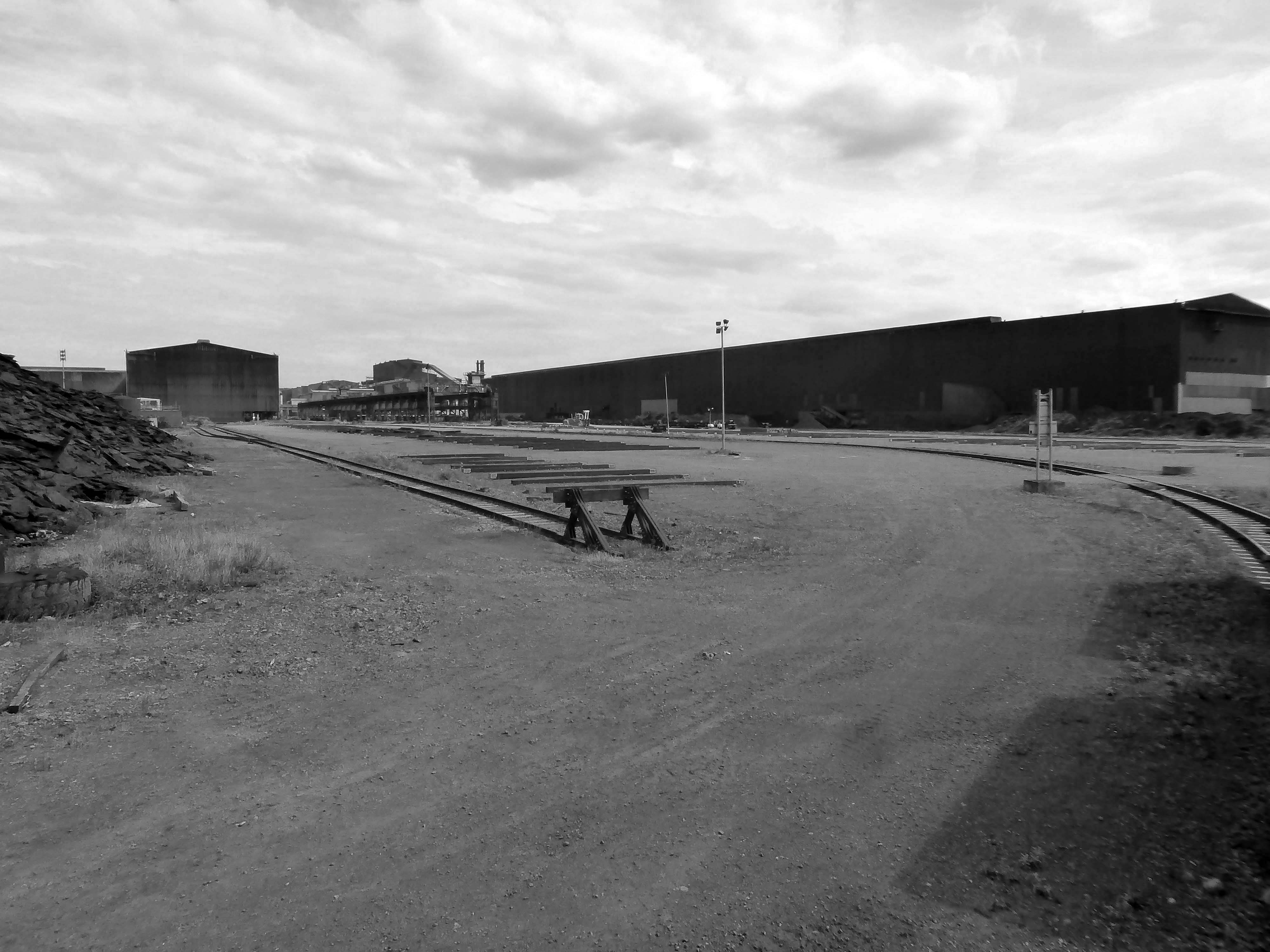
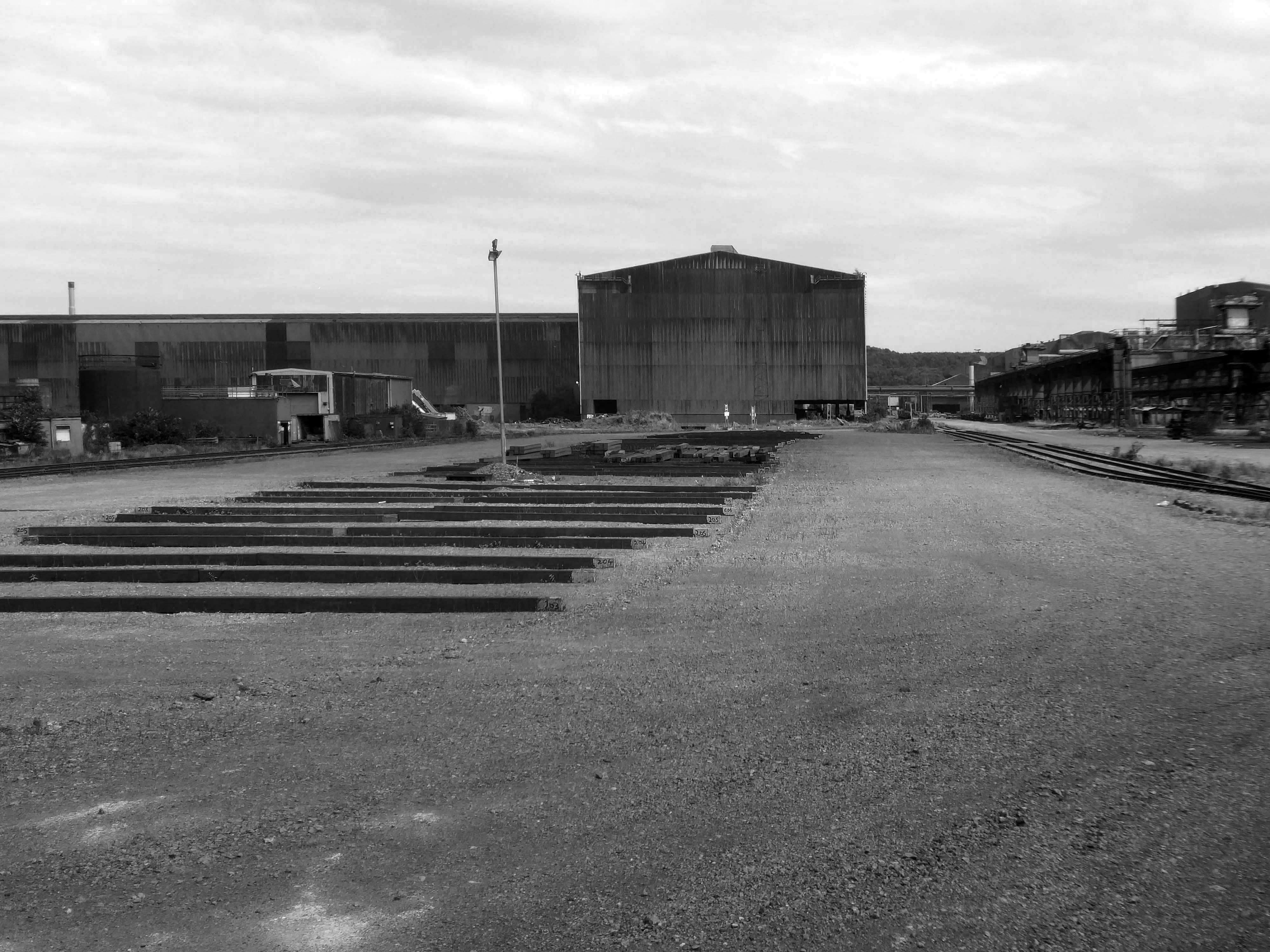
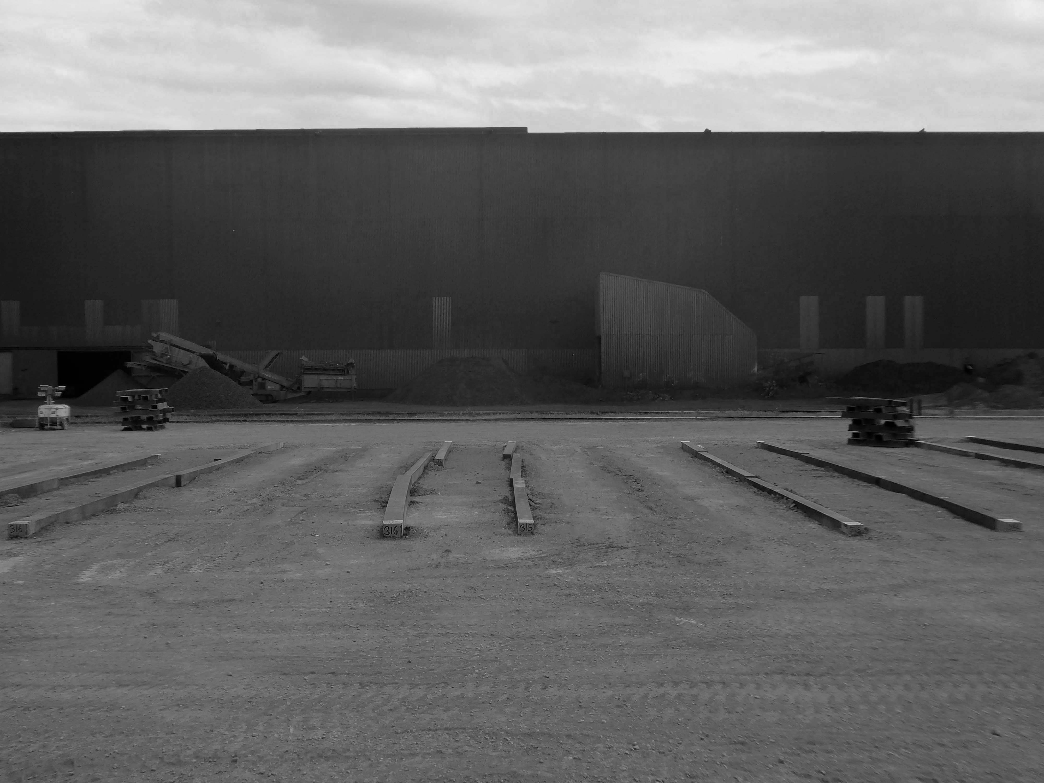
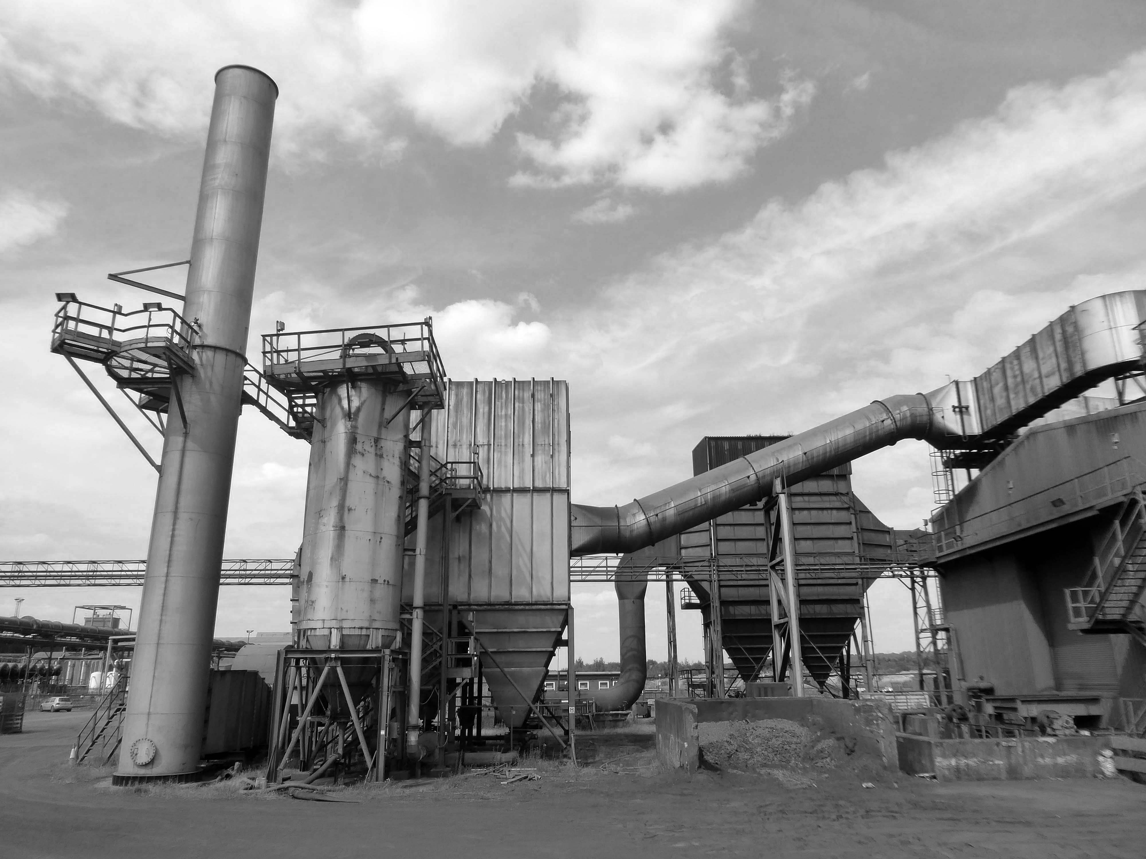
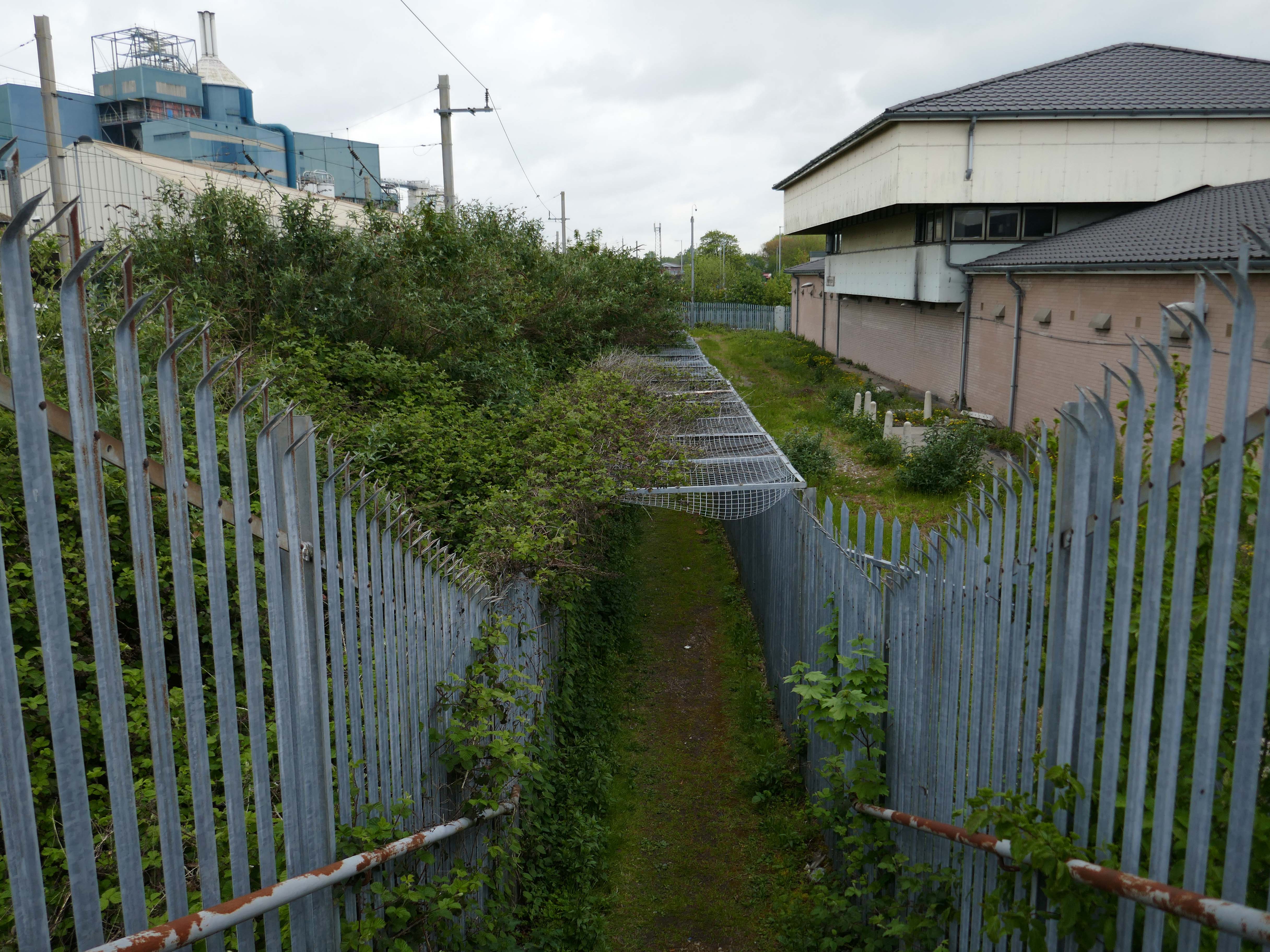
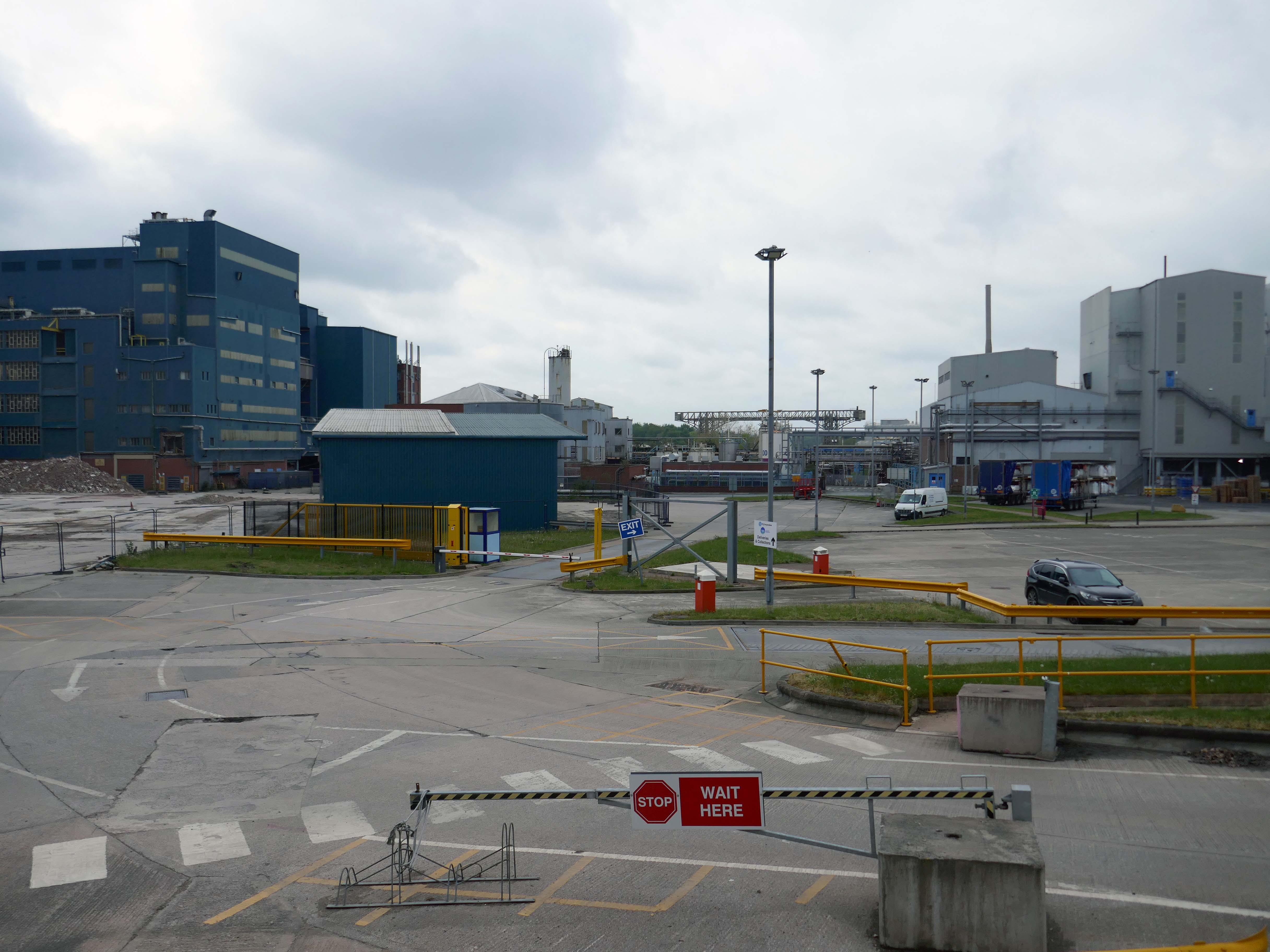
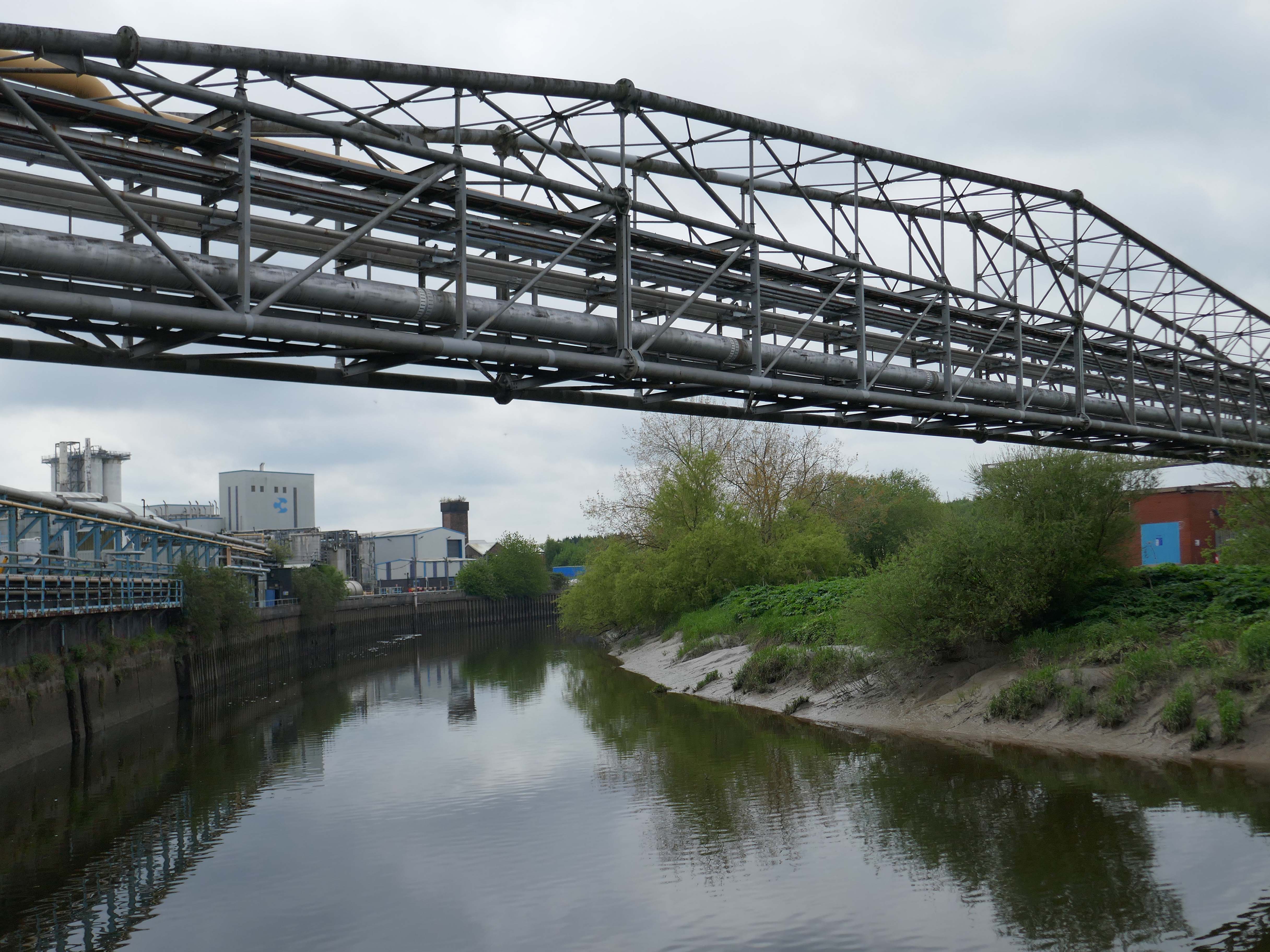
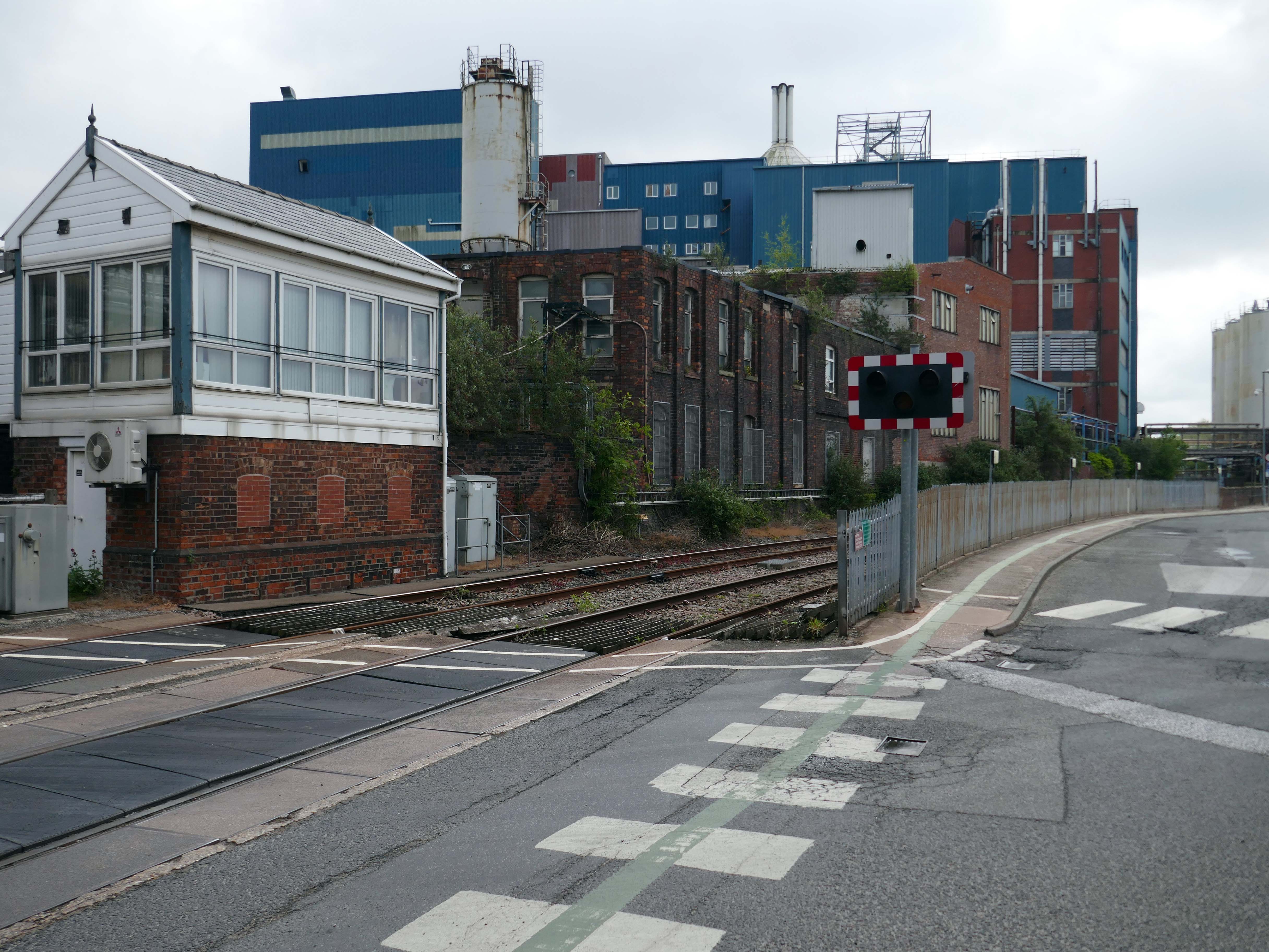
Up the road now to the Soap Works – first views from across the railway tracks.
Then over the bridge.
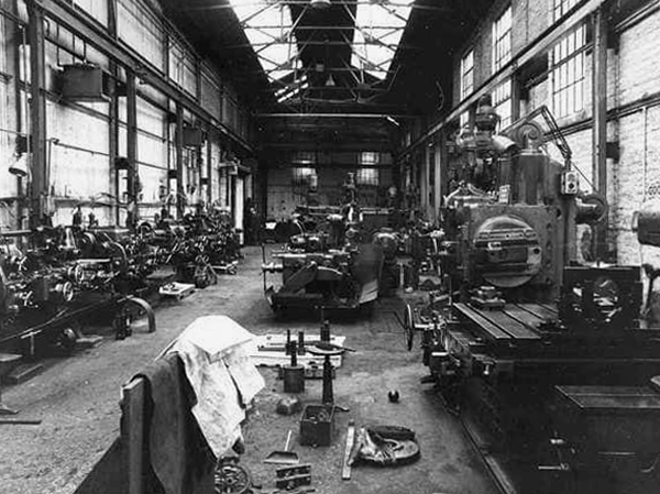
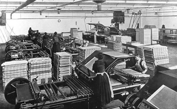
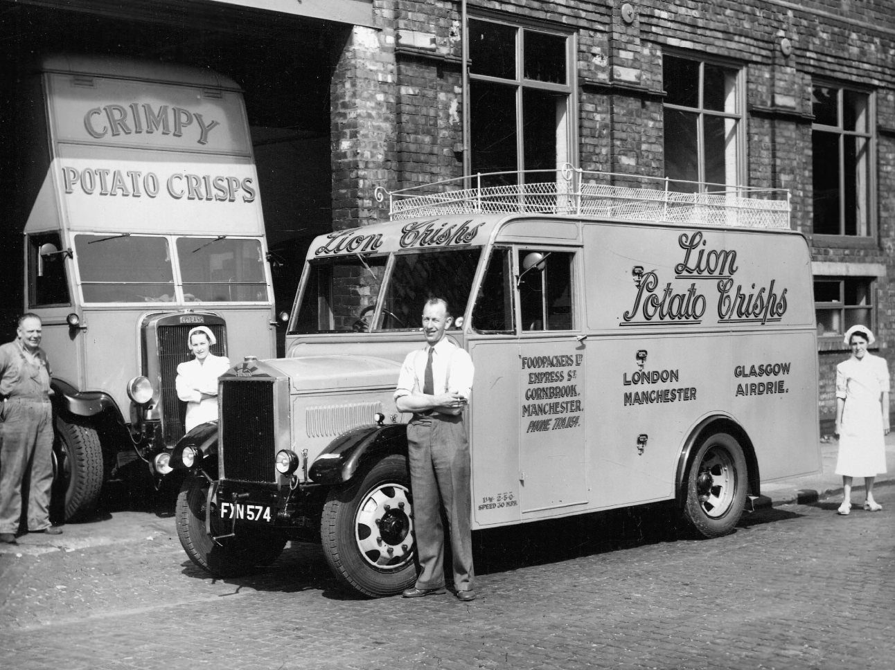
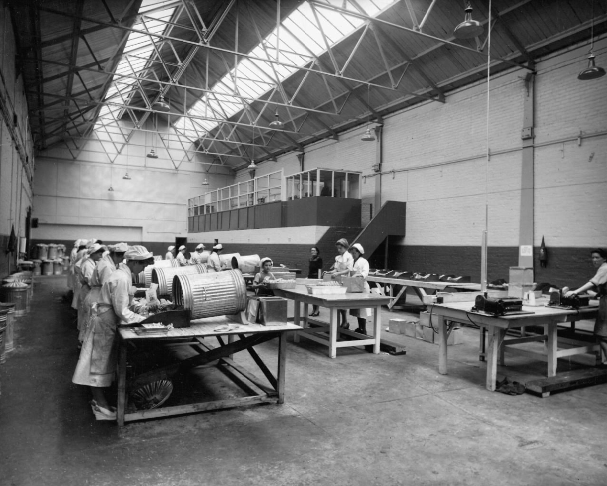
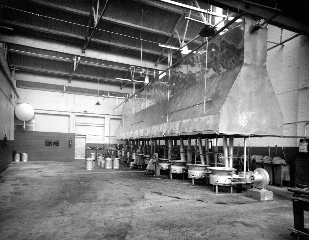
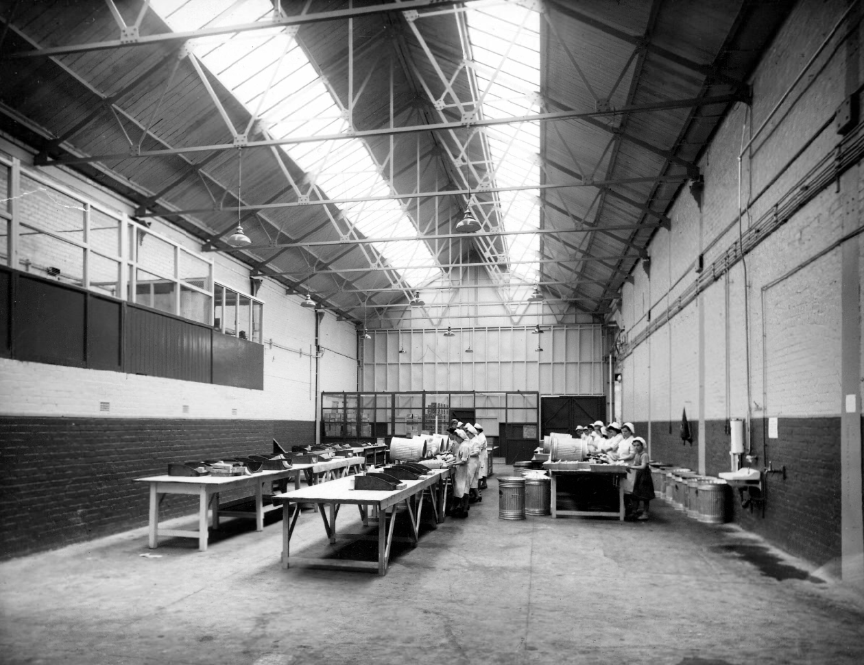
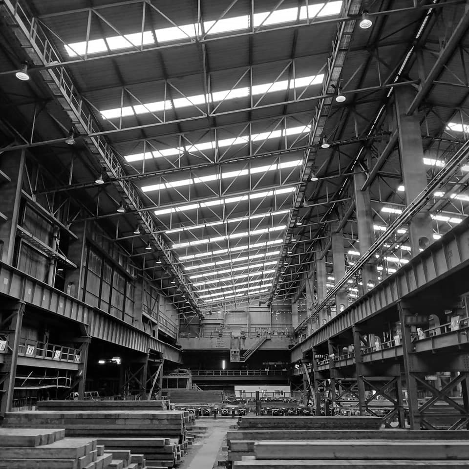
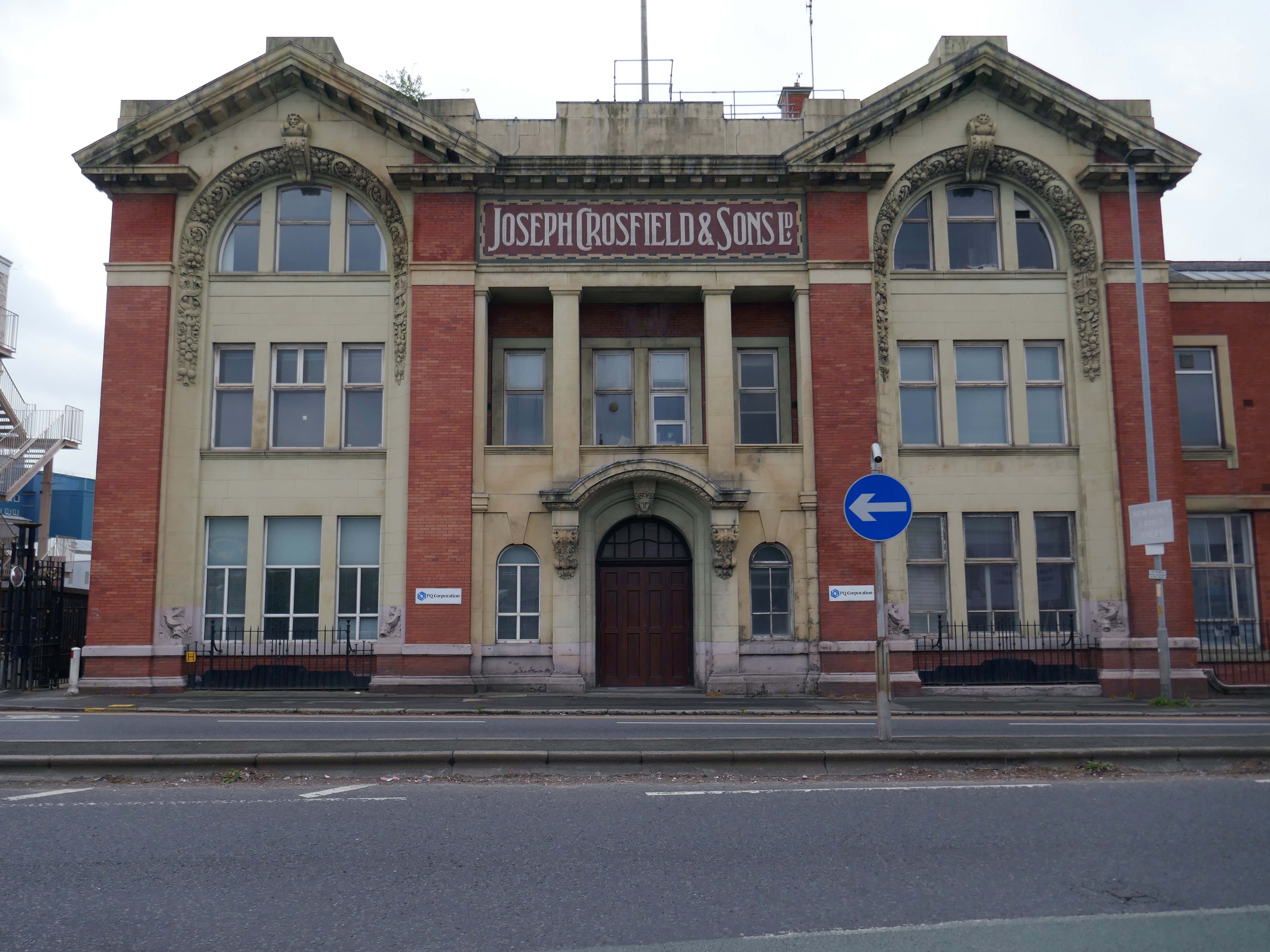
Joseph Crosfield was born in Warrington, the fourth son of George Crosfield and his wife Ann née Key. In 1814, Joseph’s apprenticeship having finished, at the age of 21 he decided to establish his own soap making business in Warrington.
In 1911 the company was purchased by Brunner, Mond & Company and 1919 it was absorbed into Lever Brothers. From 1929 Crosfield was a subsidiary of Unilever. In 1997 its Warrington speciality chemicals division that made ingredients for detergents and toothpastes was acquired by ICI and in 2001, Ineos Capital purchased the company. The name Crosfield was finally lost as it was renamed Ineos Silicas. In 2008 Ineos Silicas was merged with PQ Corporation, with the new company retaining the name of PQ Corporation.
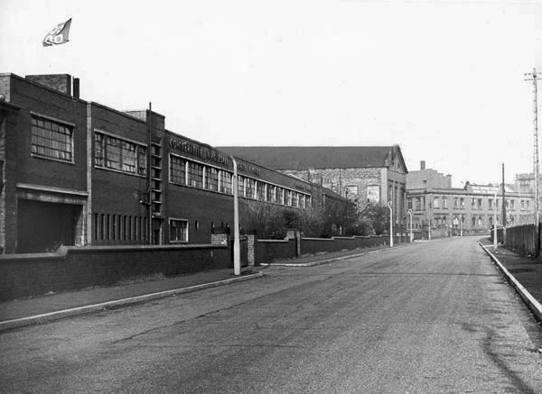
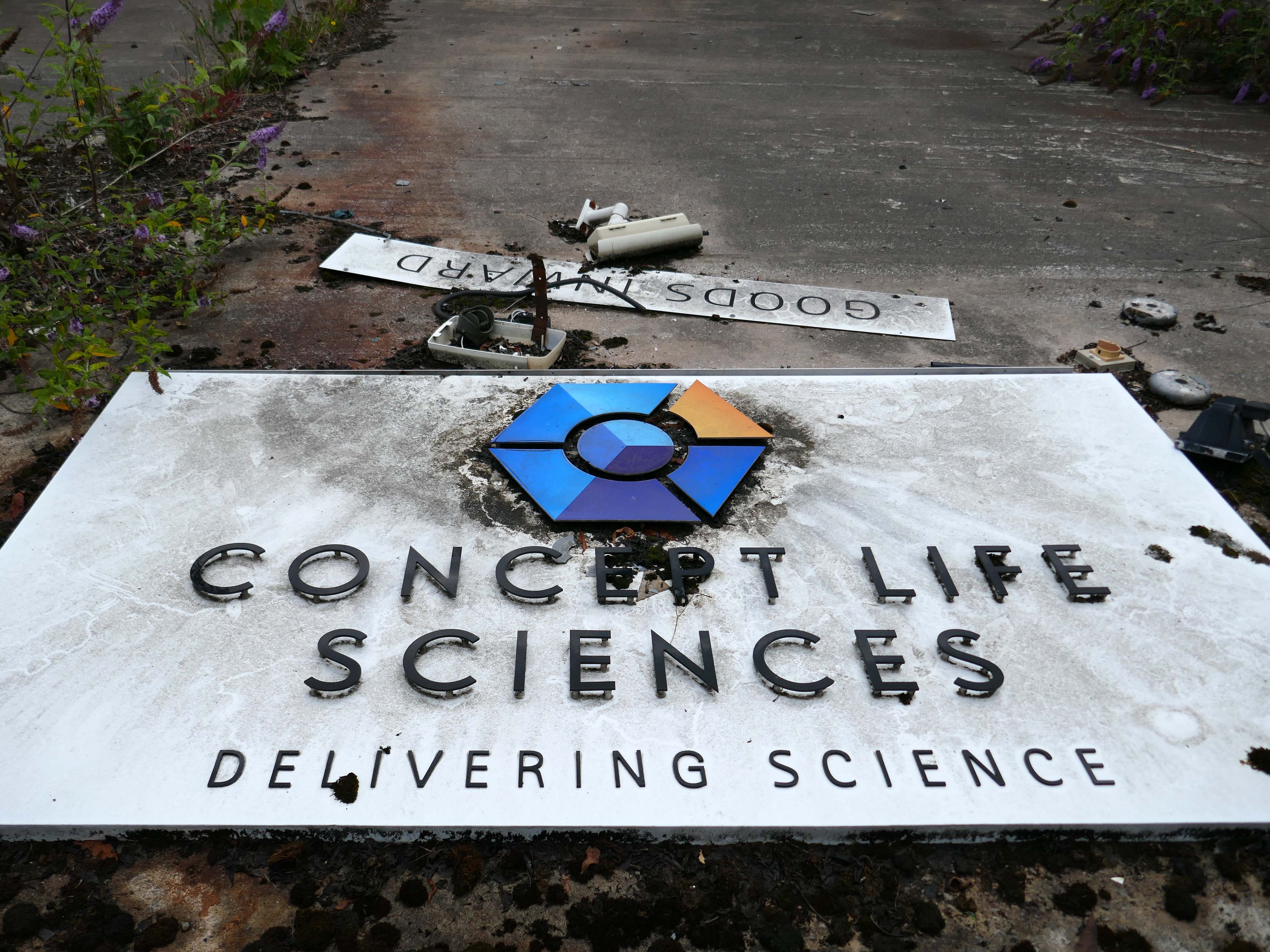
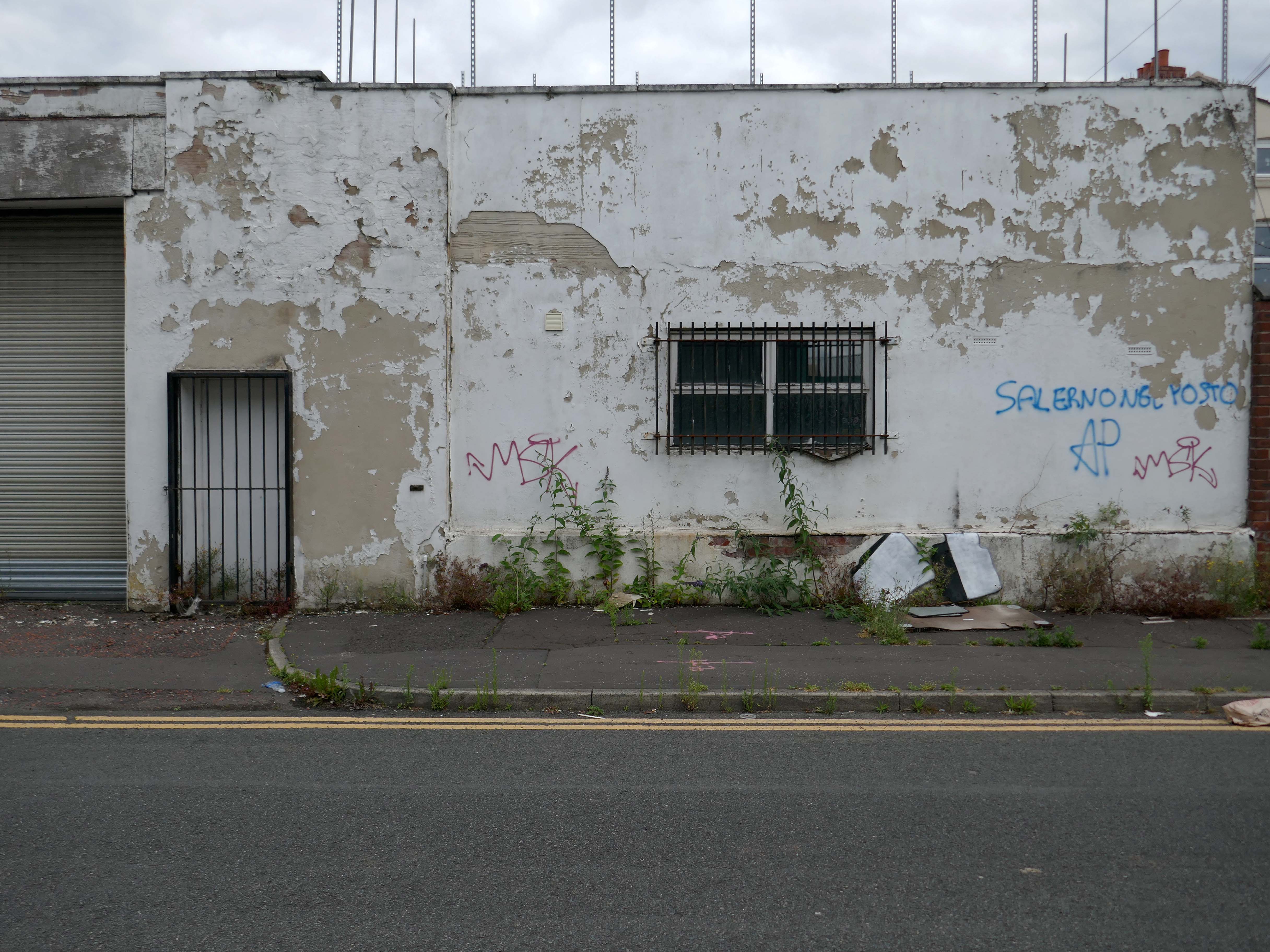
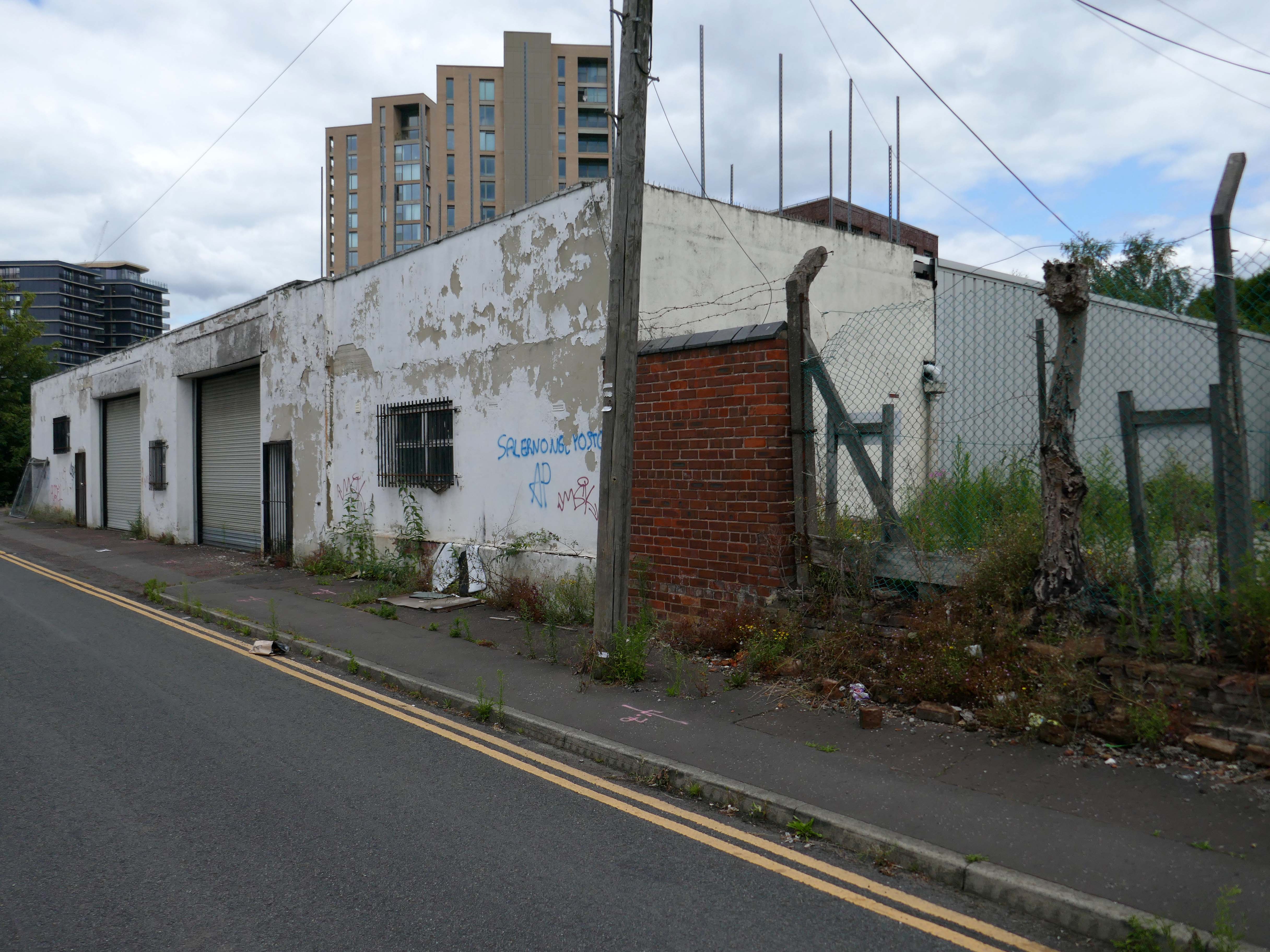
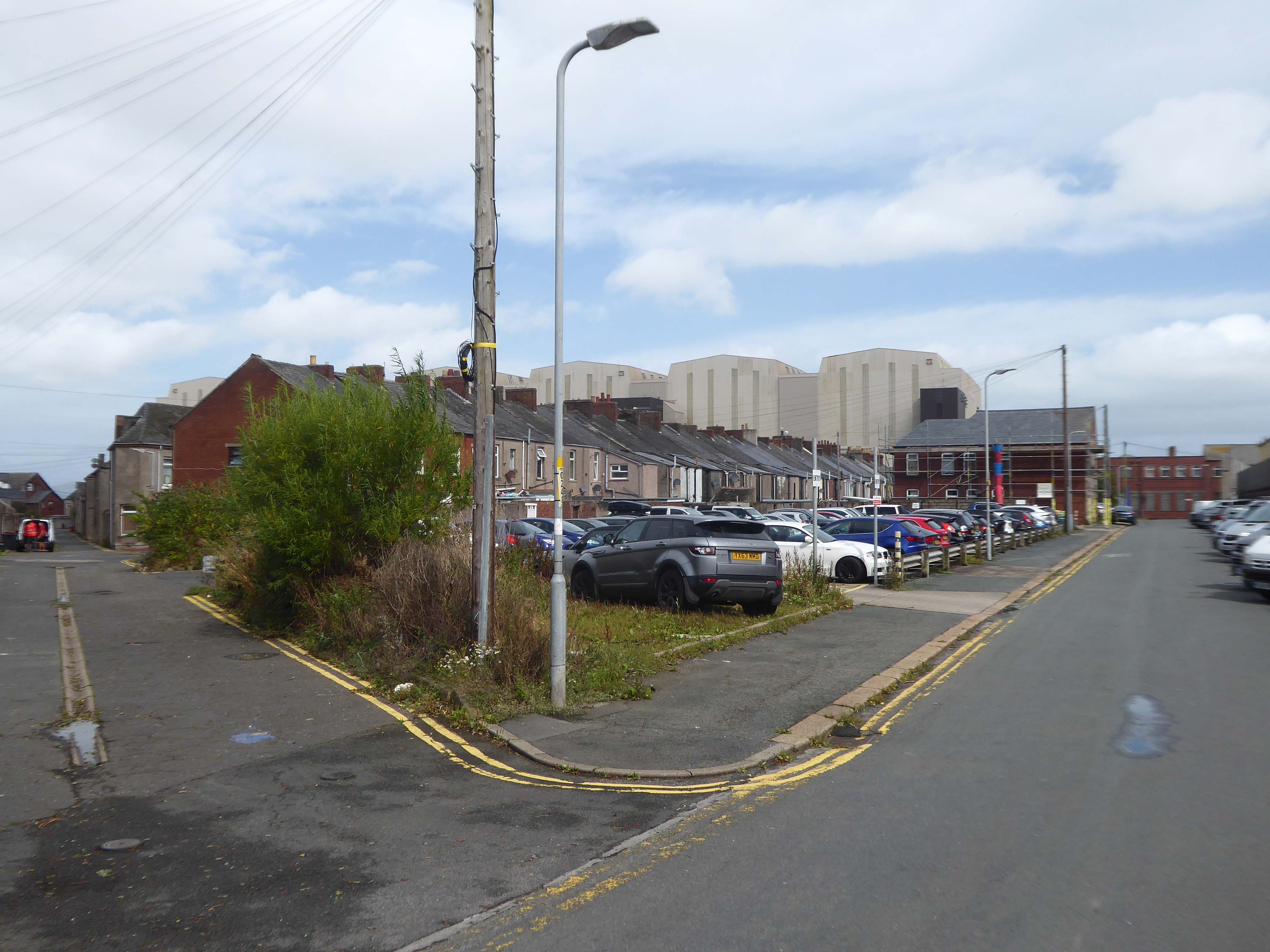
The Crosfield’s factory closed for good in October 2020.
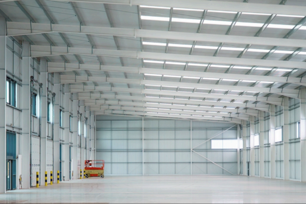
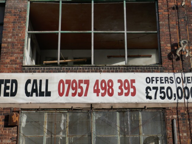
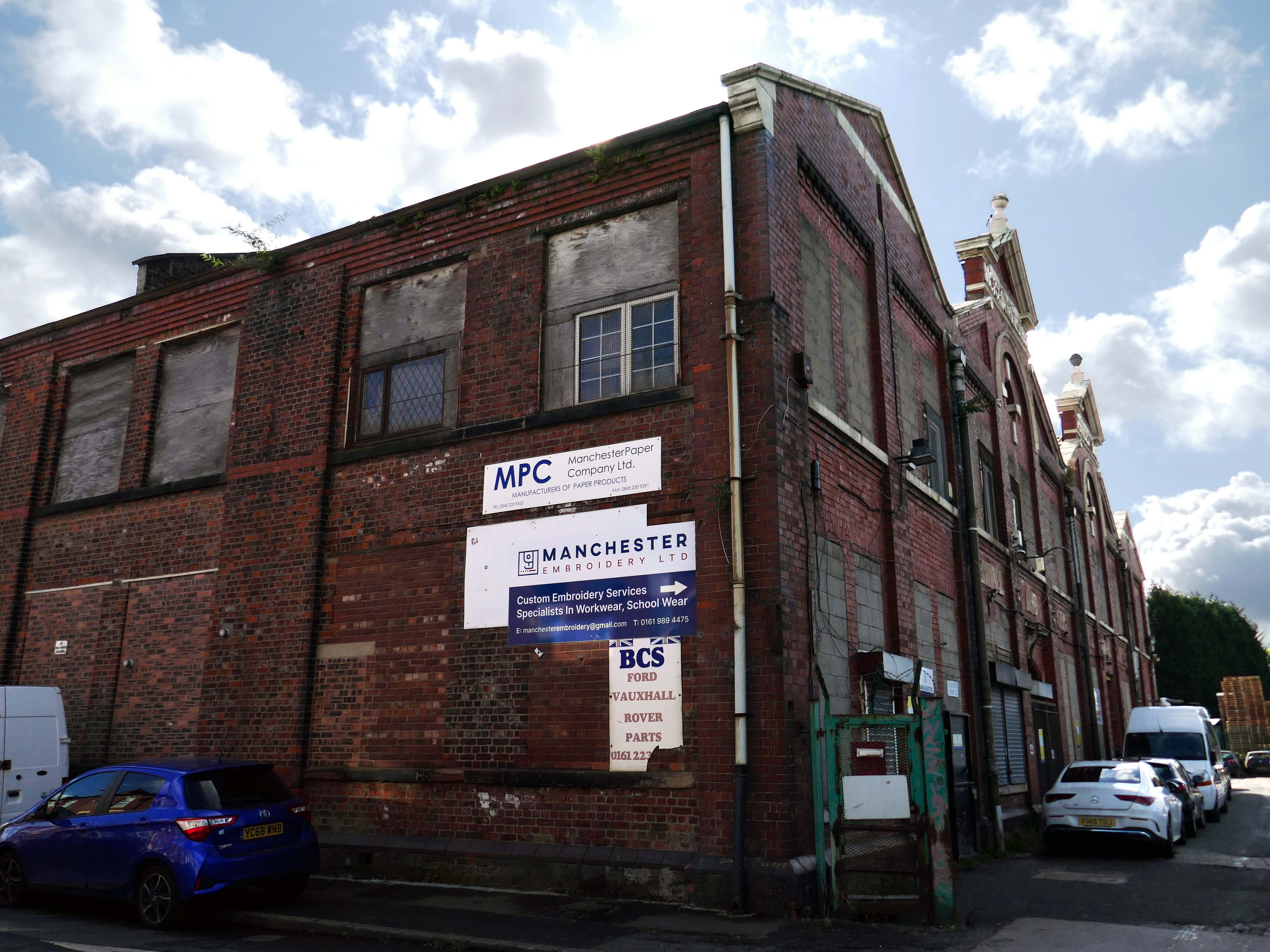
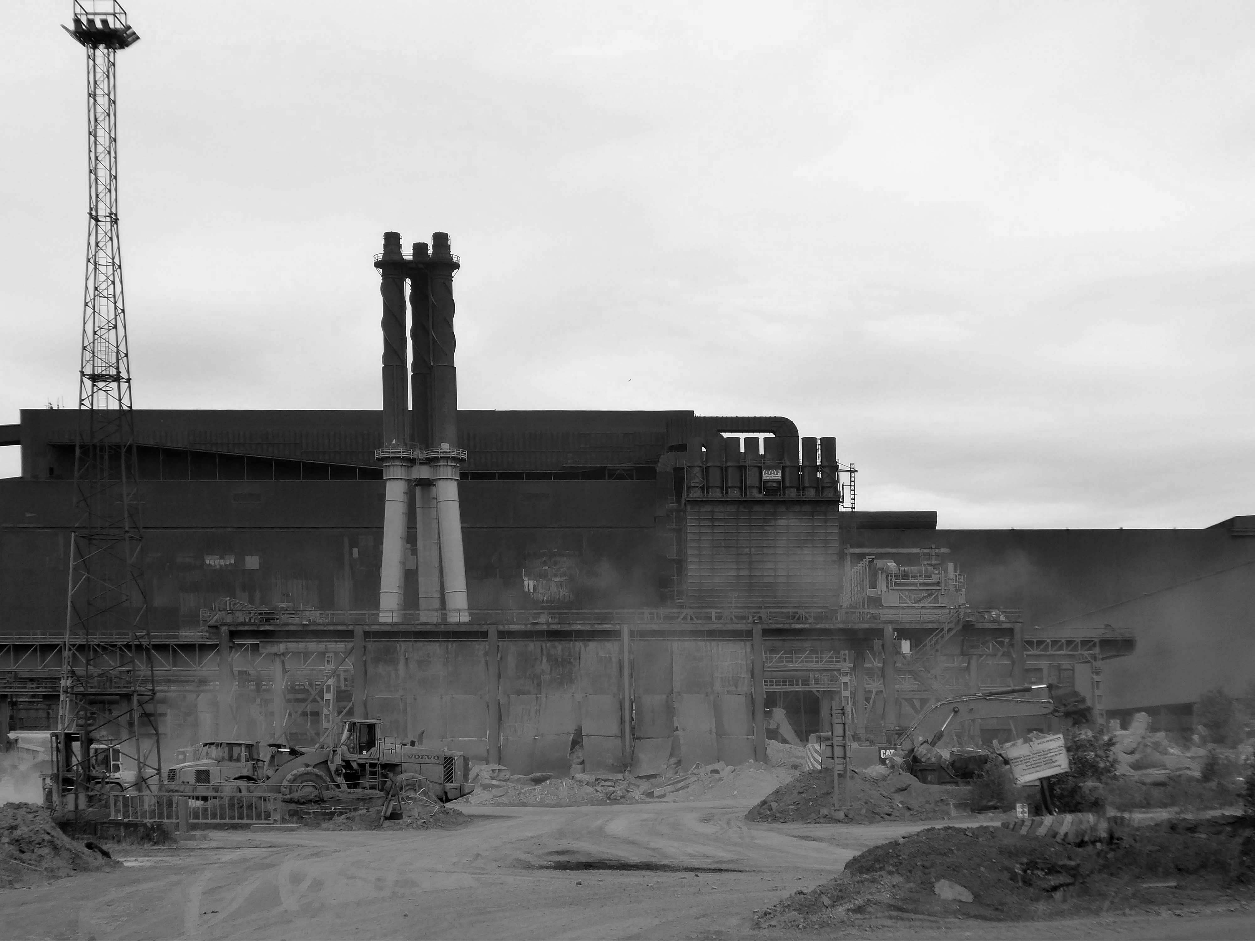
Dante FS Group formally acquired four acres of the site this month for an undisclosed fee from EcoVyst.
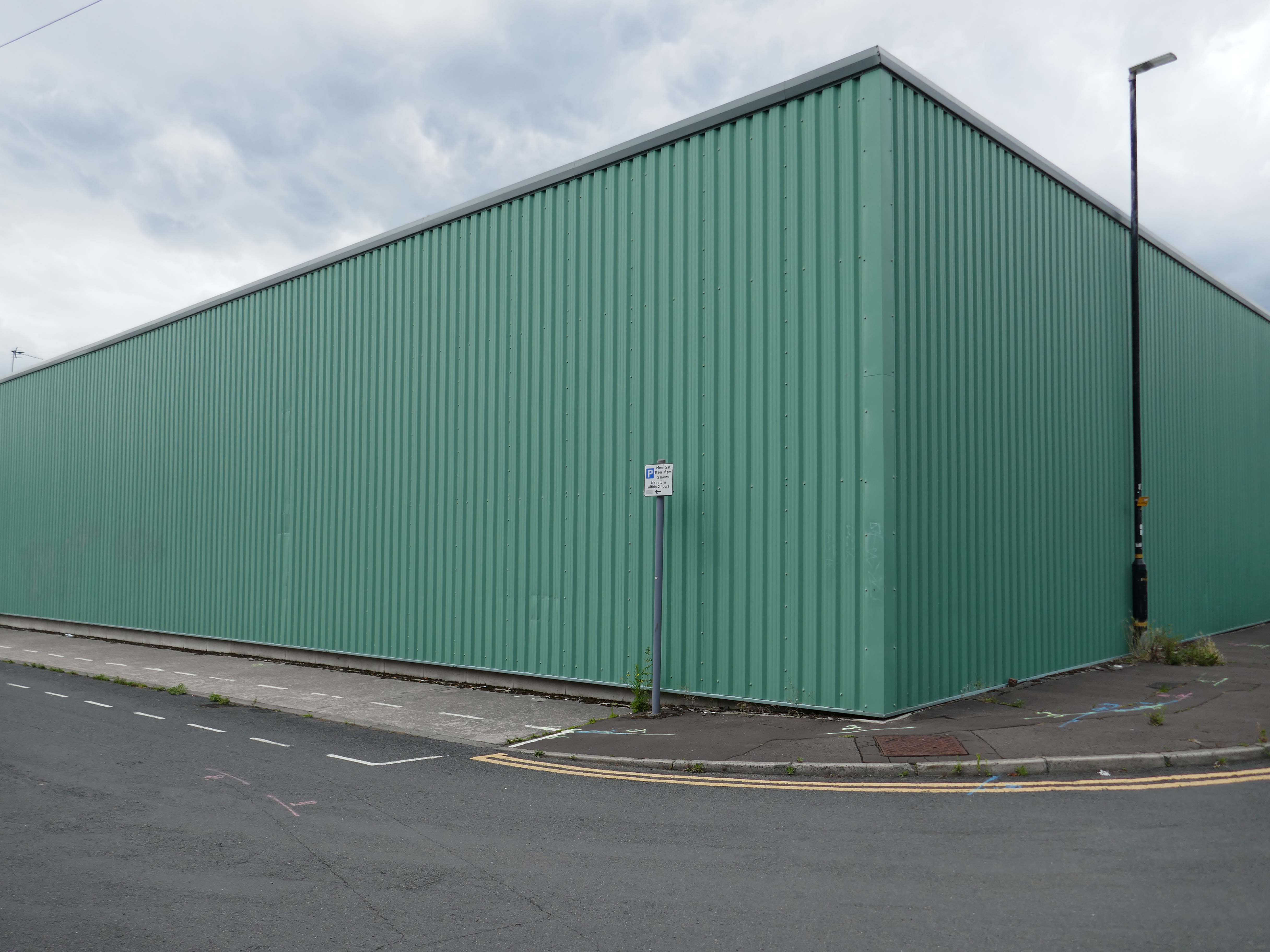
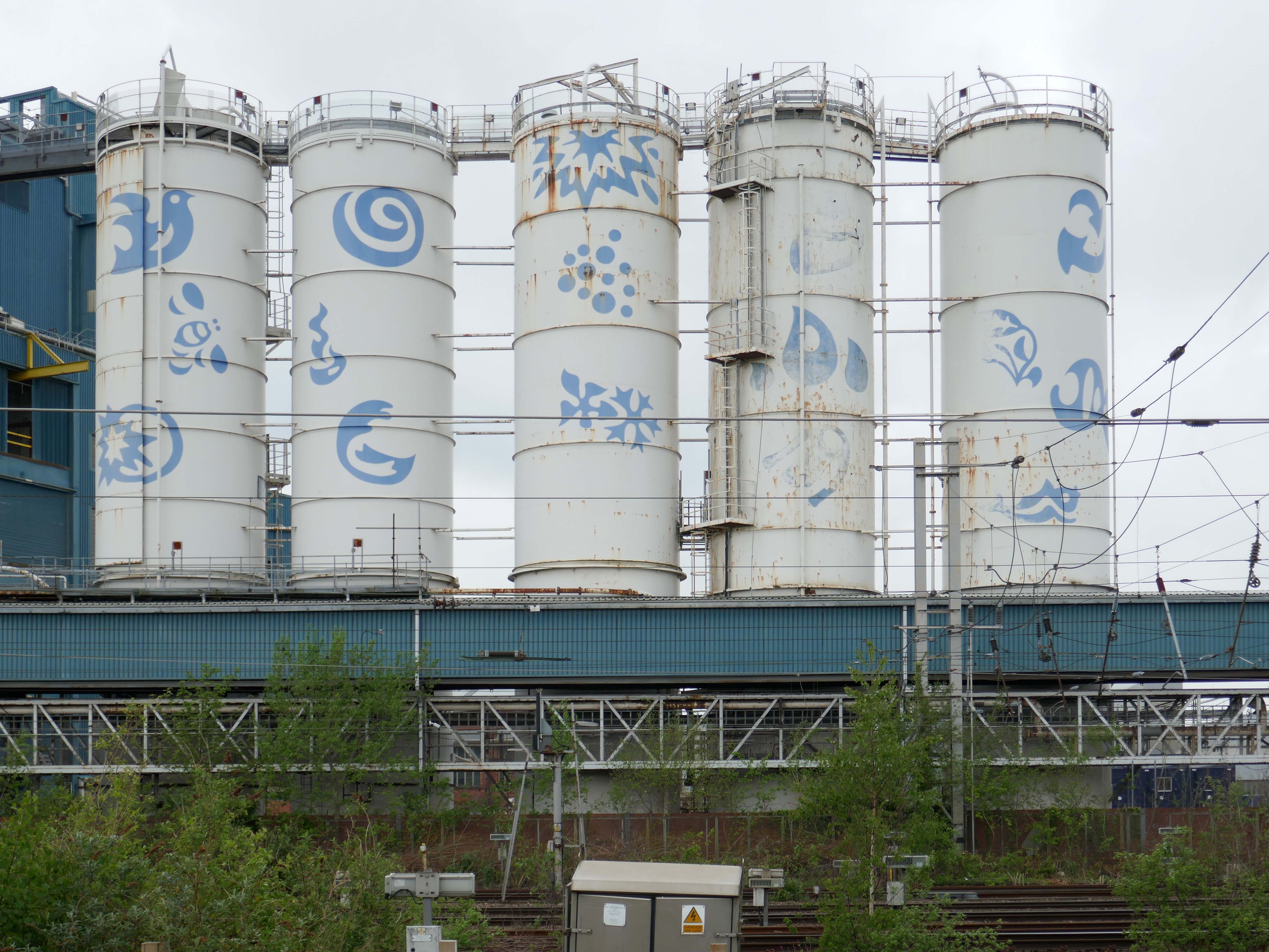
The latter firm will continue to operate from sections of the site, as will PQ Corporation, with Dante buying land closest to the train station, including the visible blue buildings and white Unilever tanks.
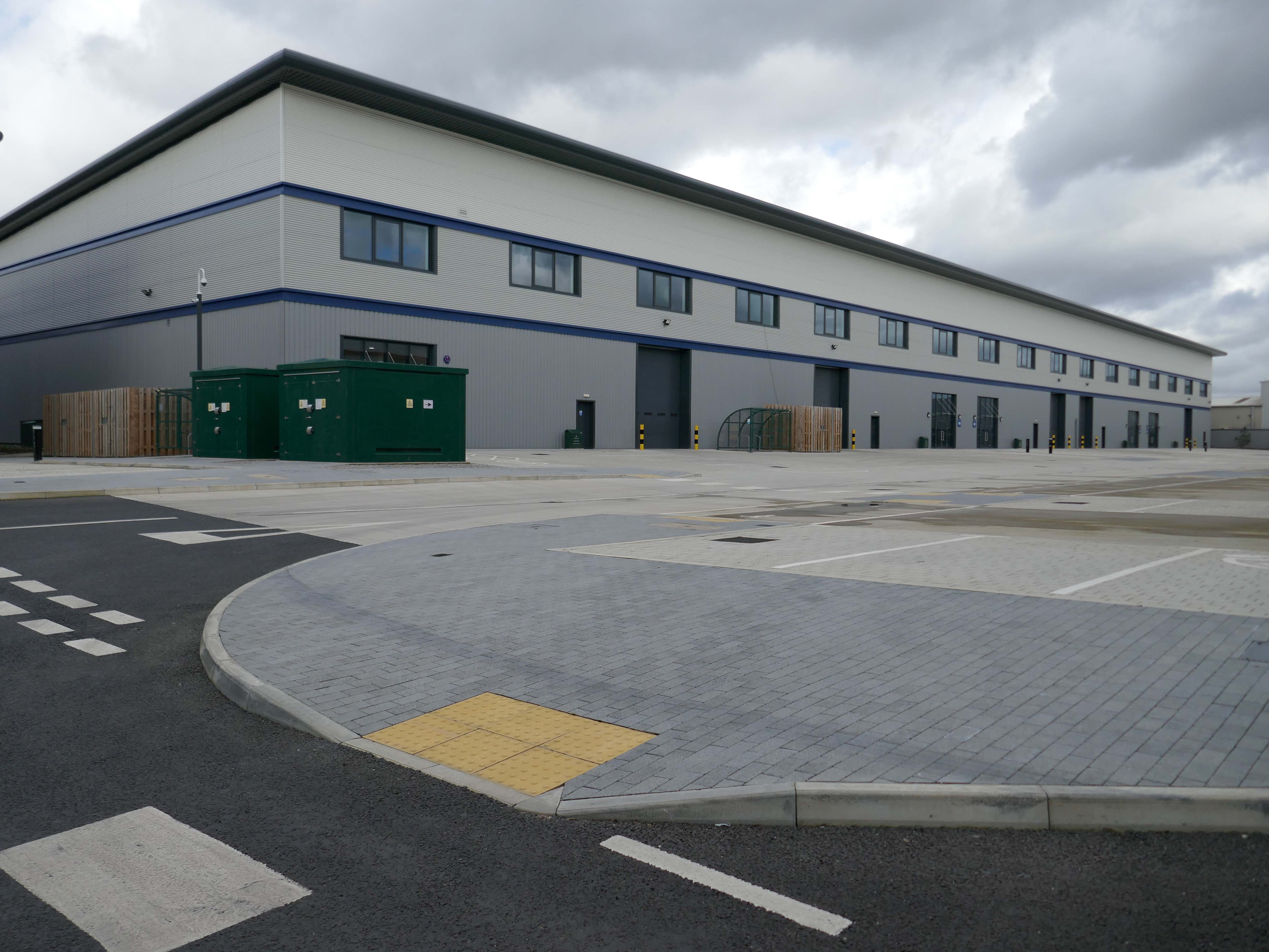
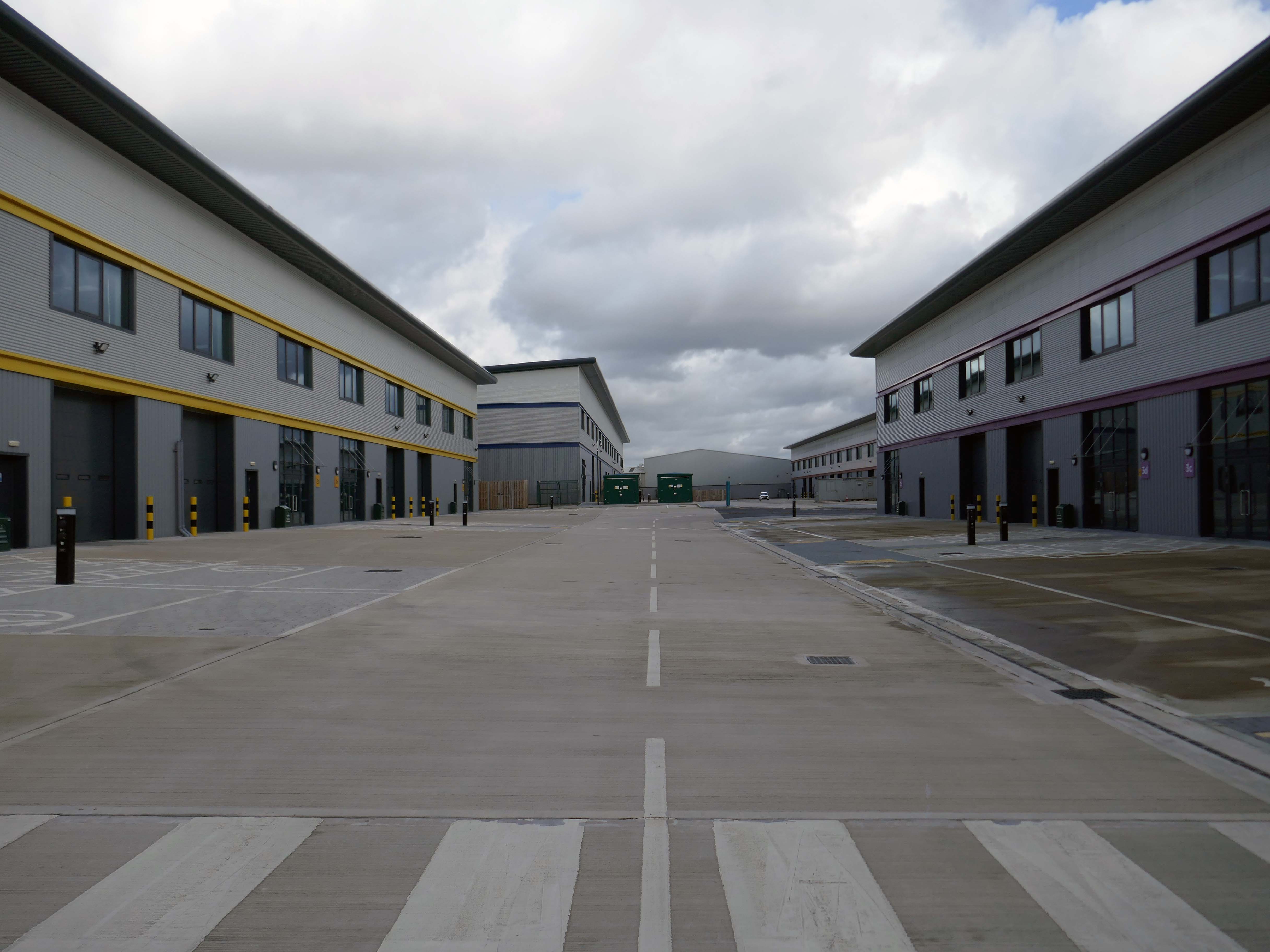
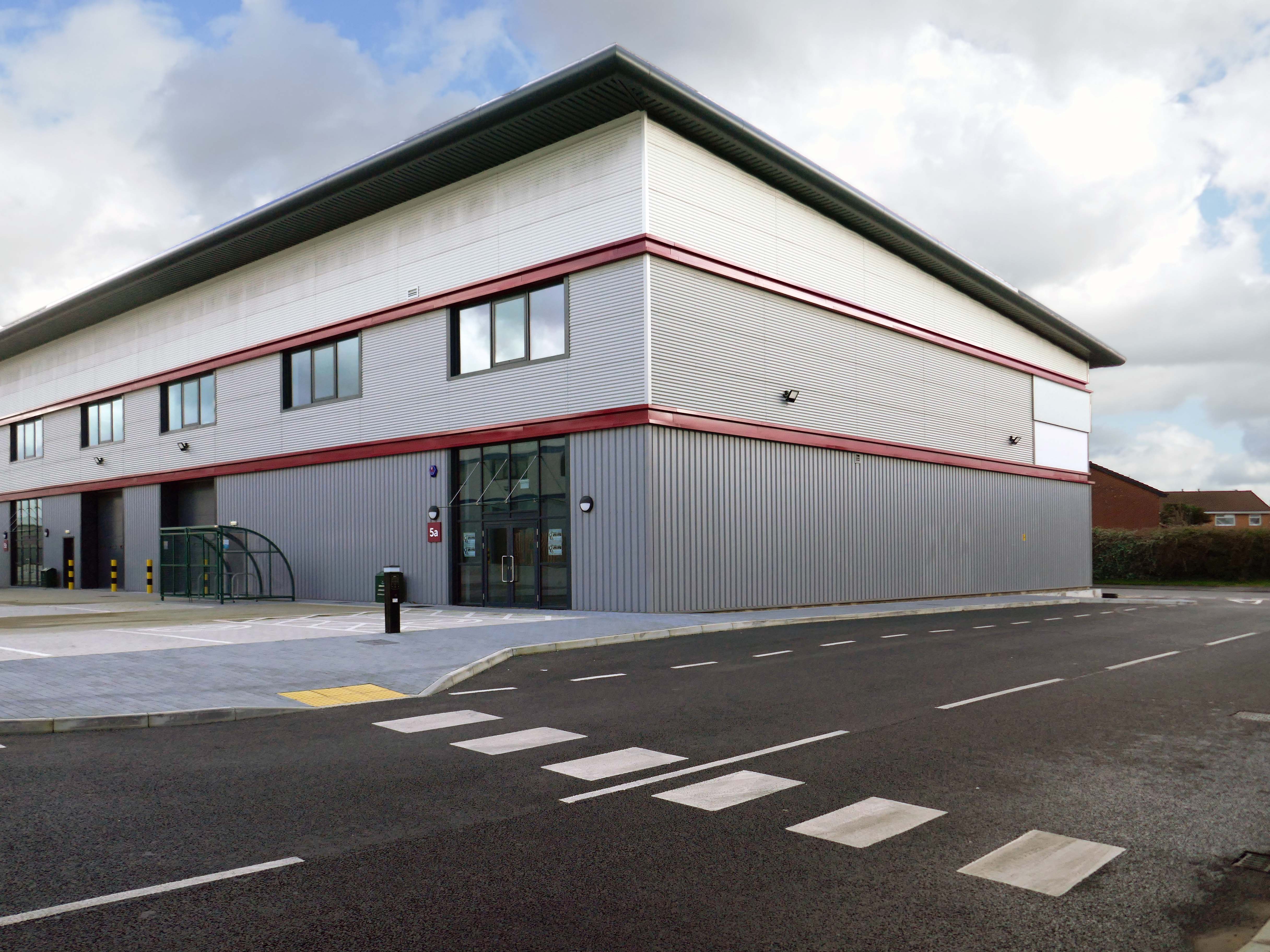
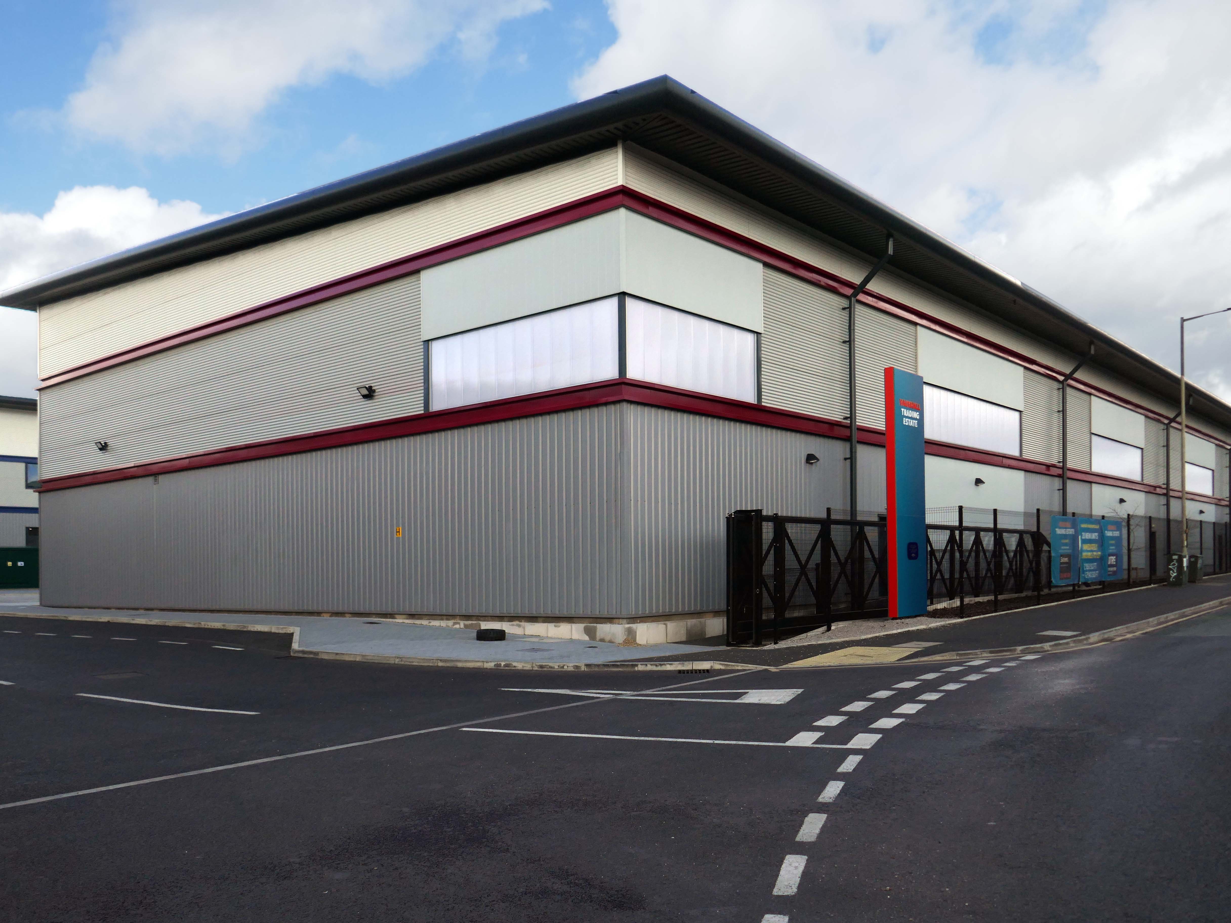
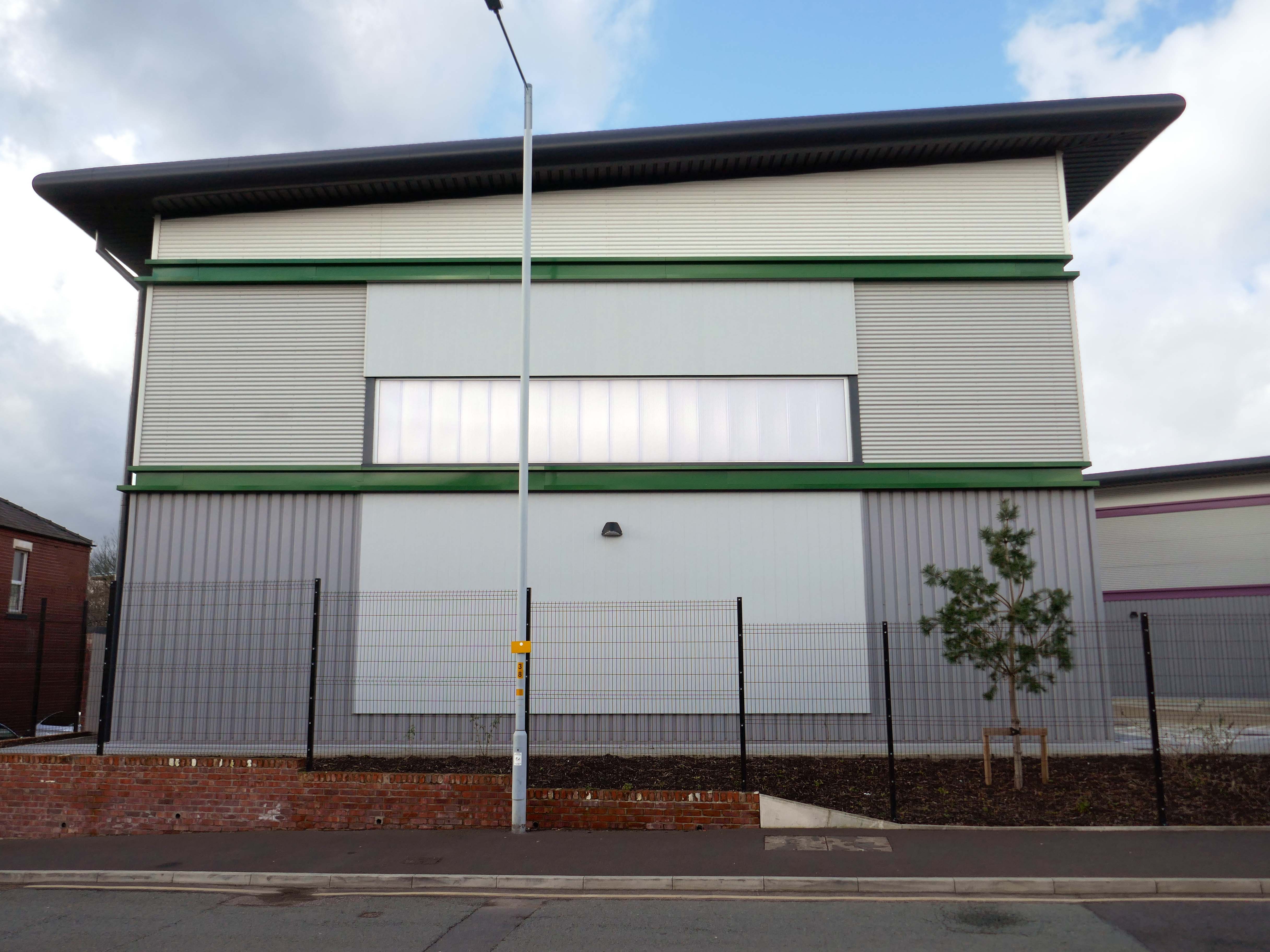
Renamed Platform at Bank Quay, the ‘next-generation, state-of-the-art modular data centre’ is ‘set to power the UK’s growing AI economy’ and bring high-tech jobs to the town.
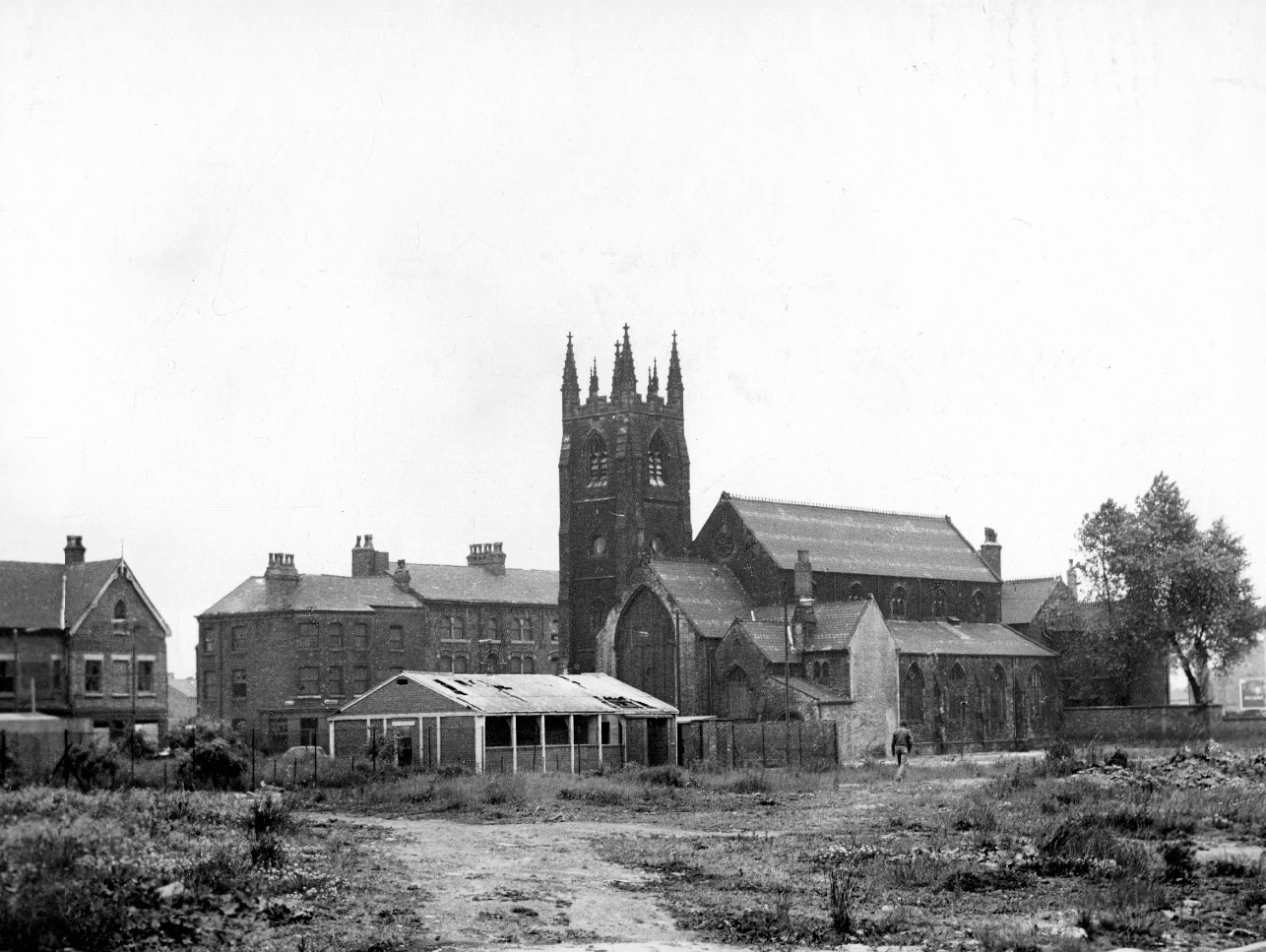
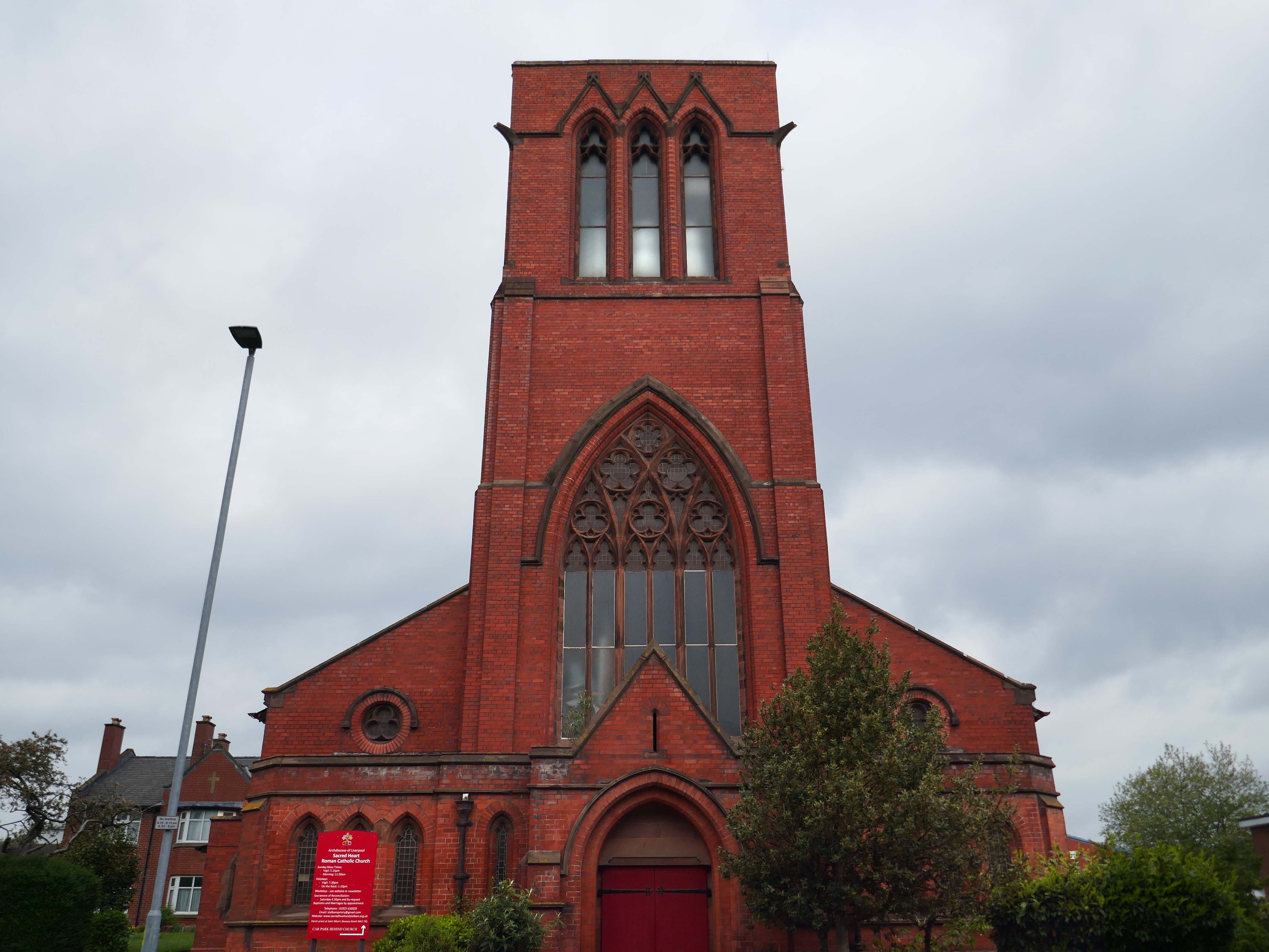
Across the way the Scared Heart RC Church 1894 Sinnott Sinnott and Powell.
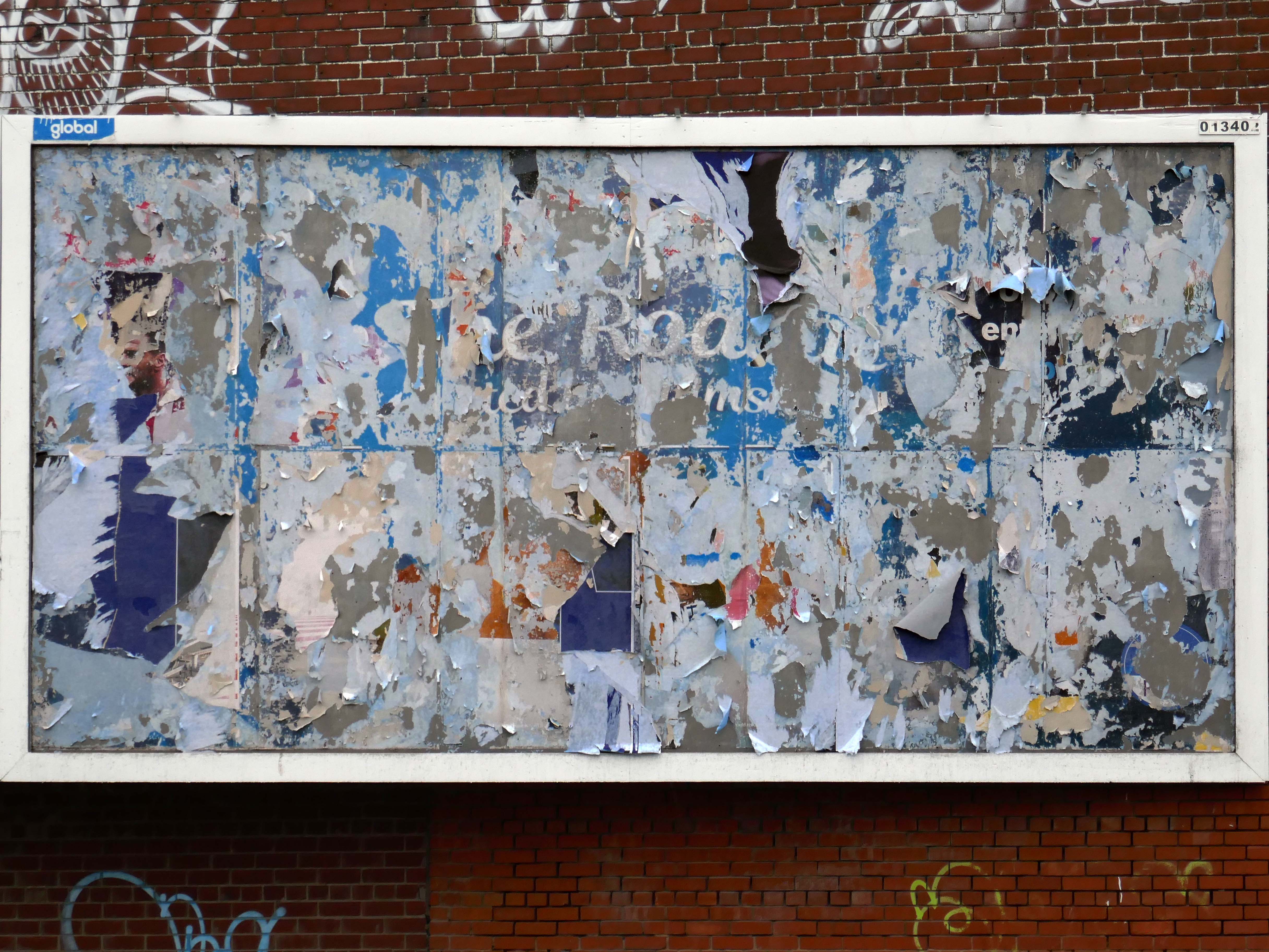
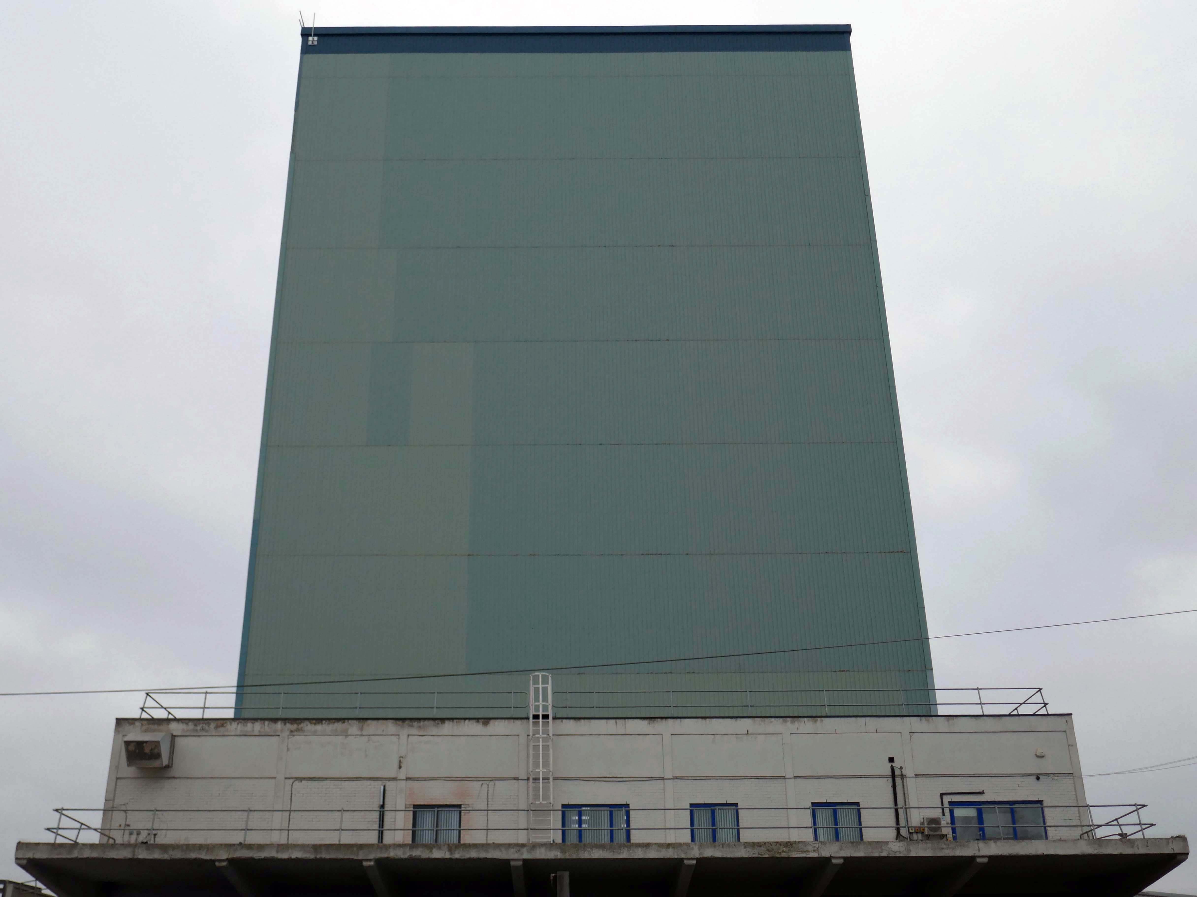
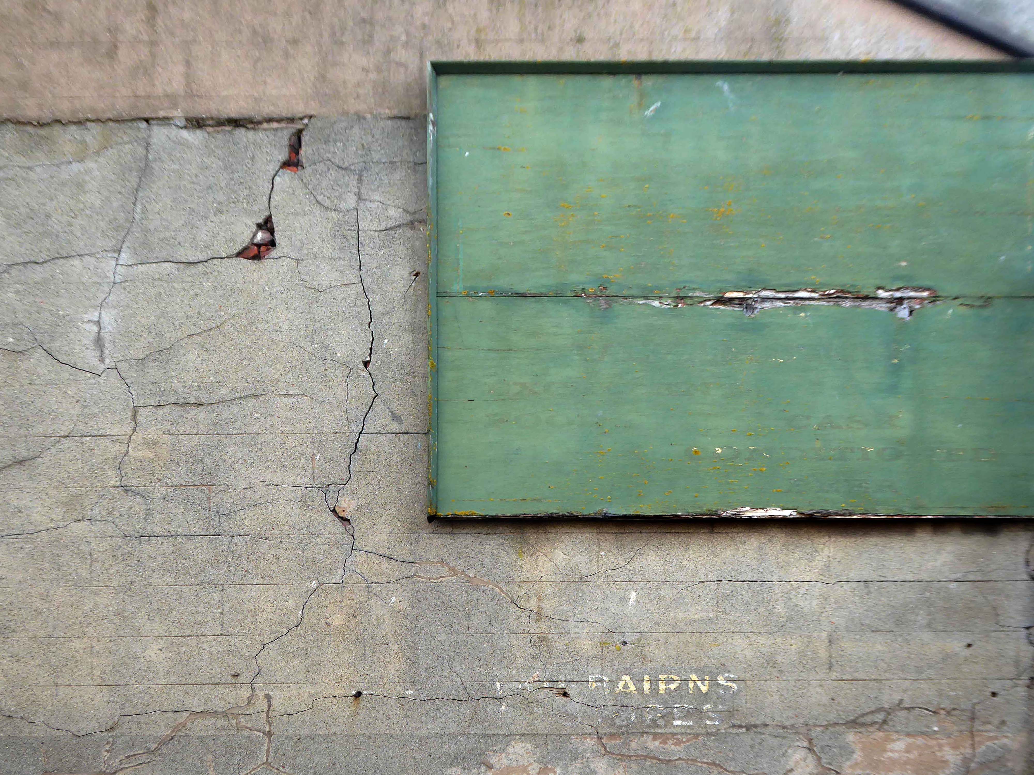
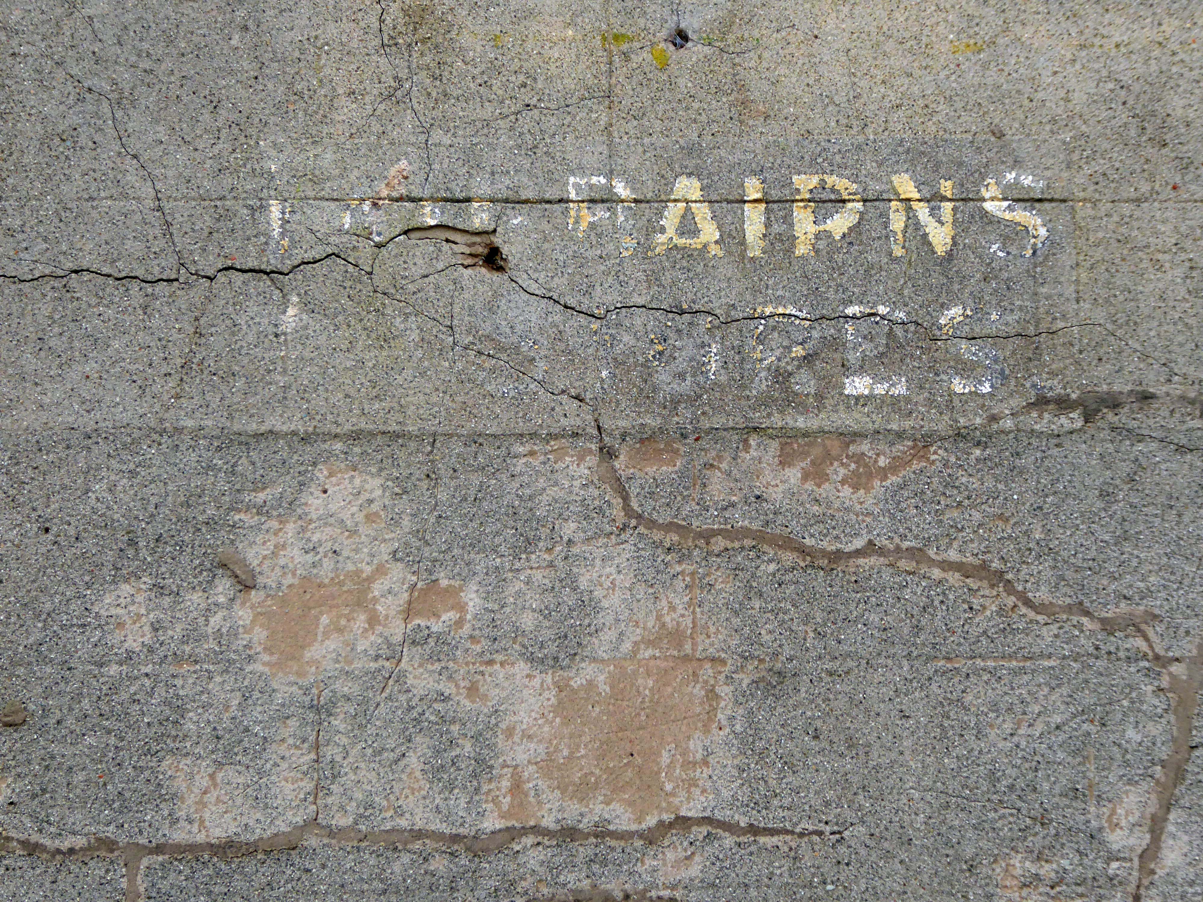
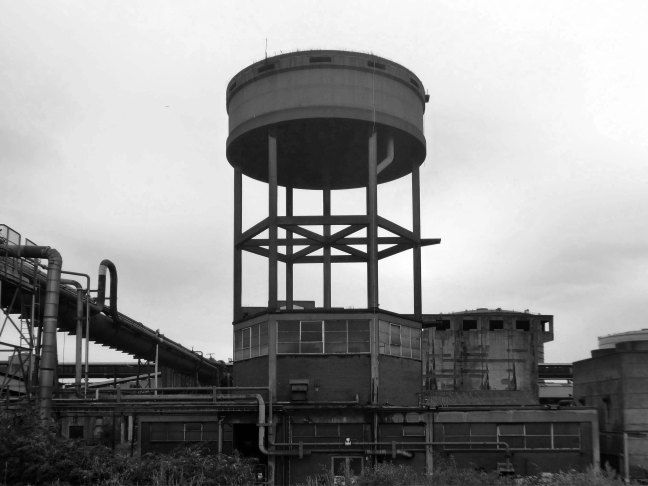
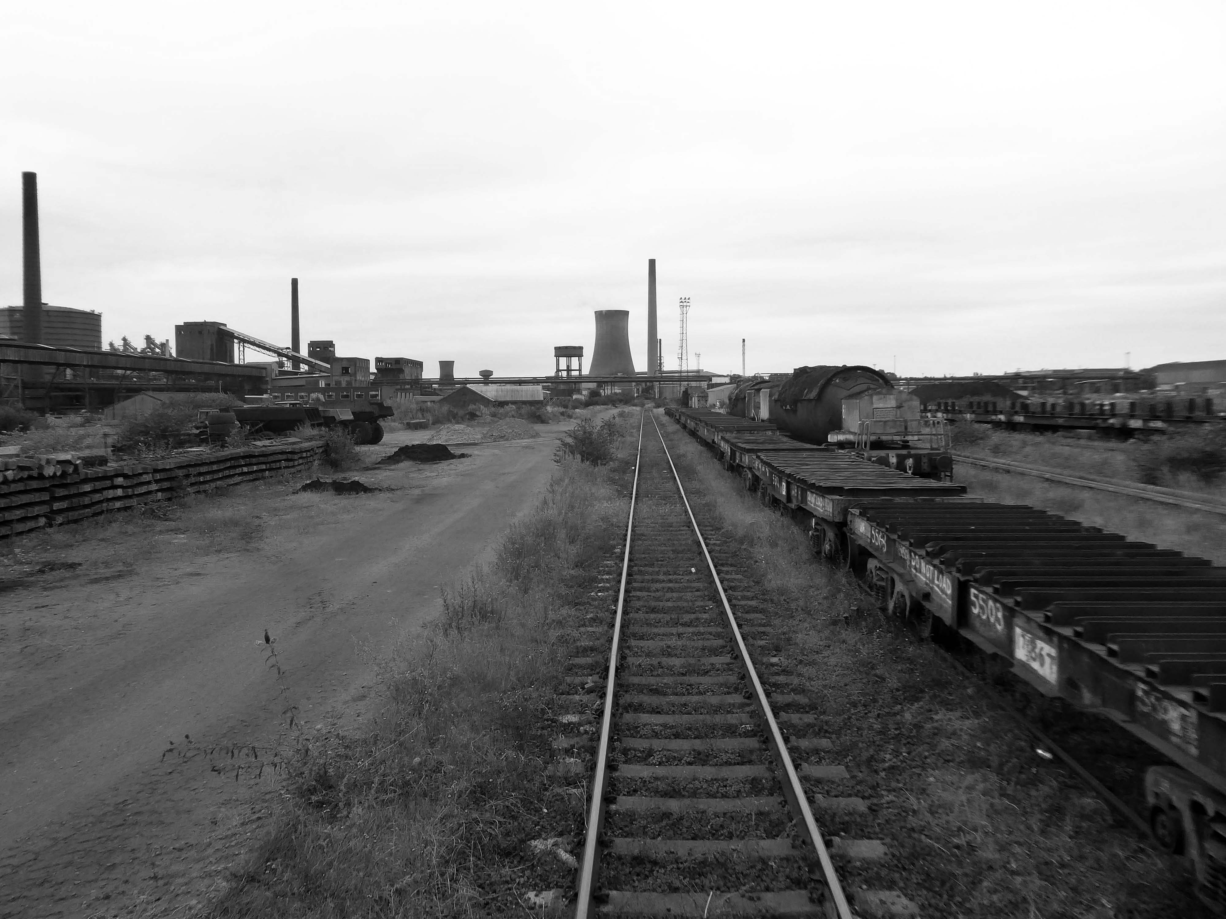
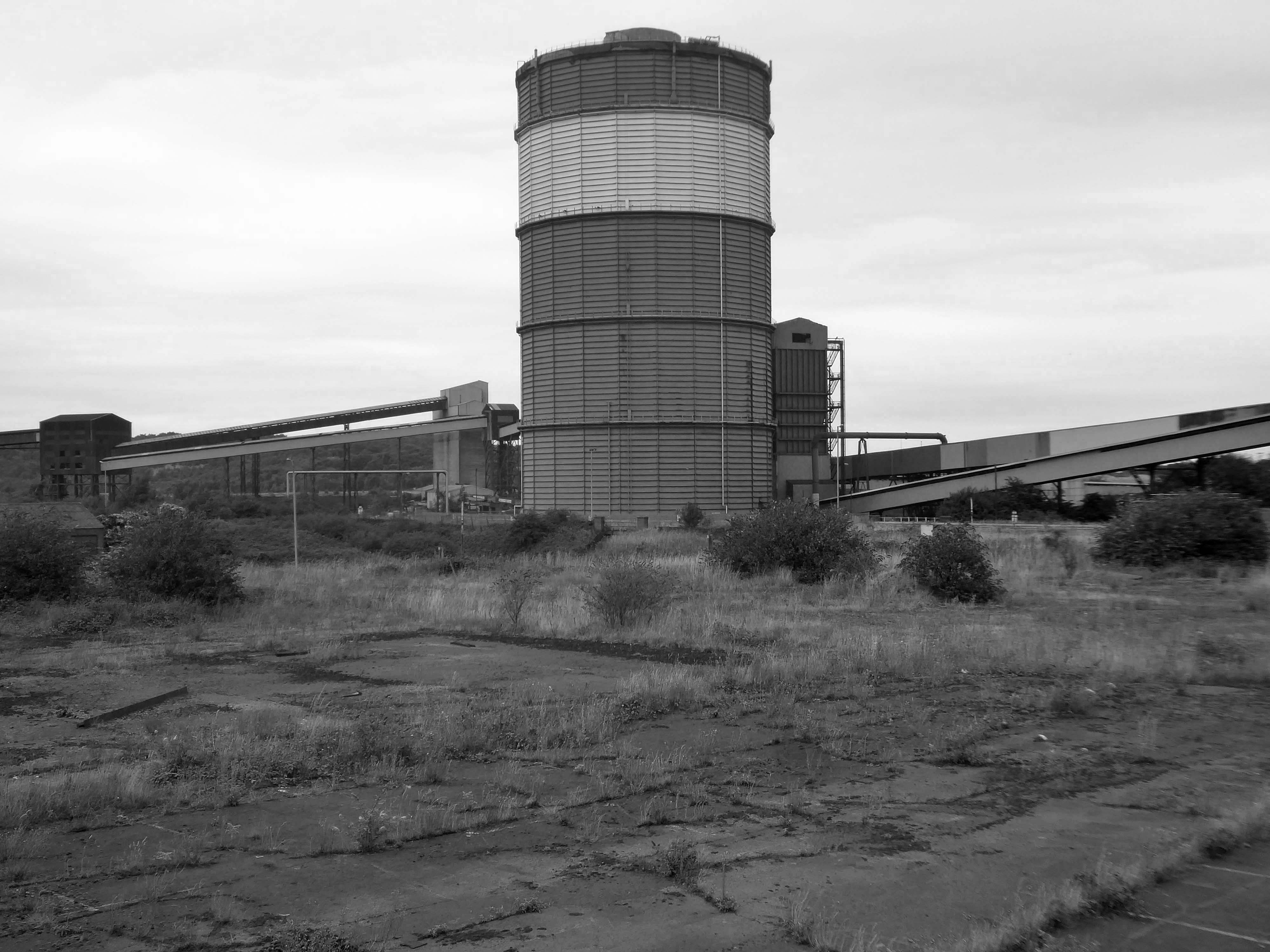
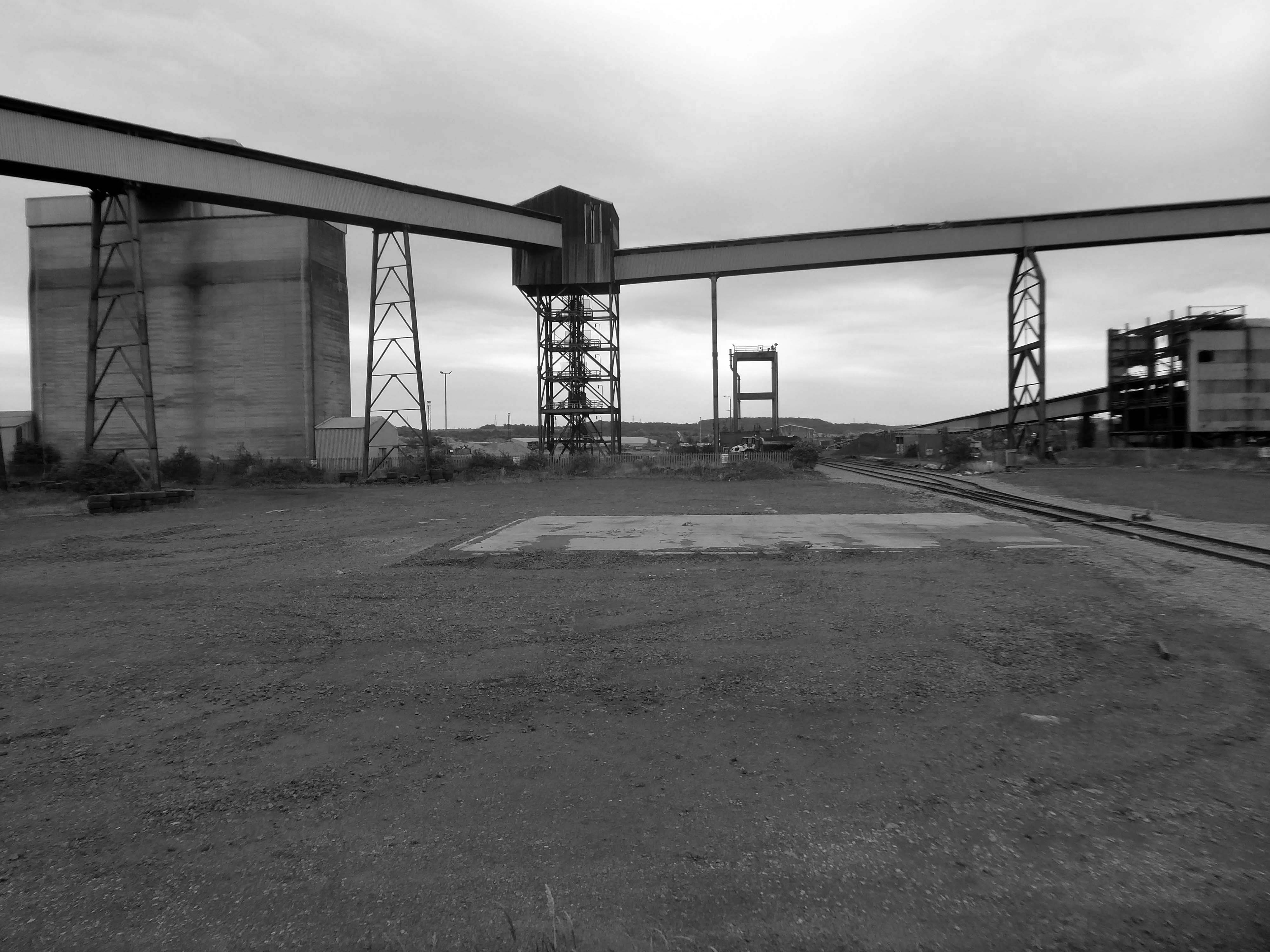
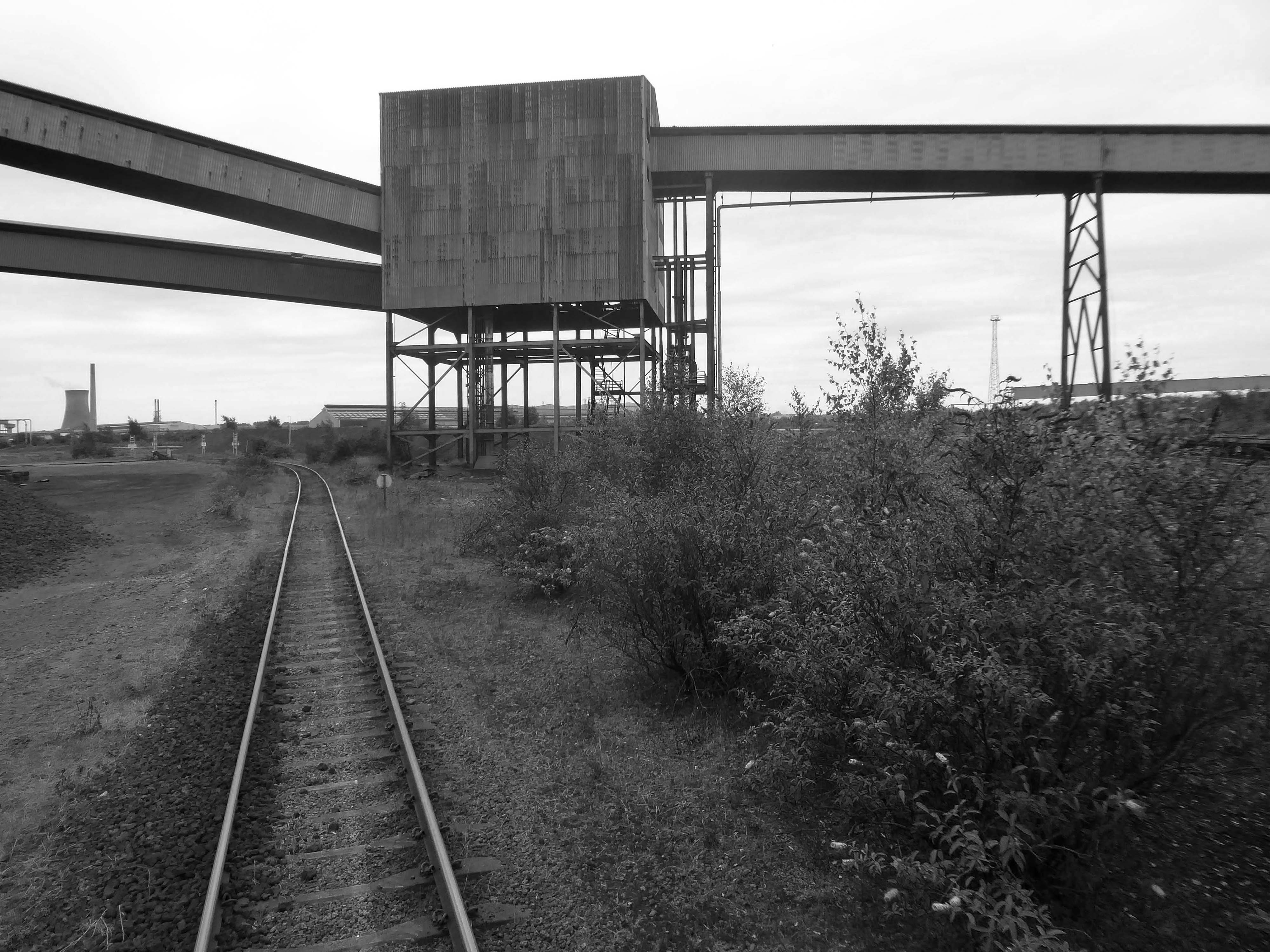
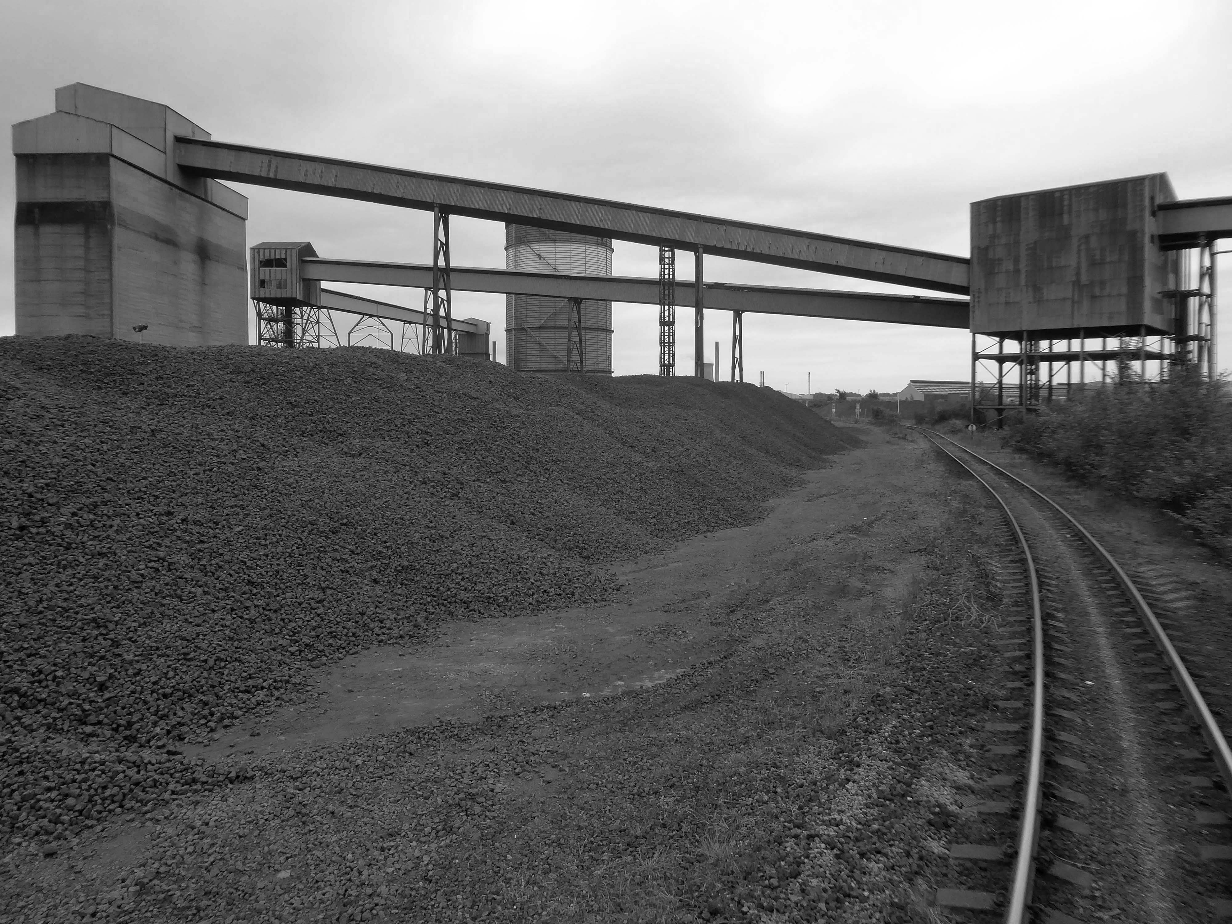
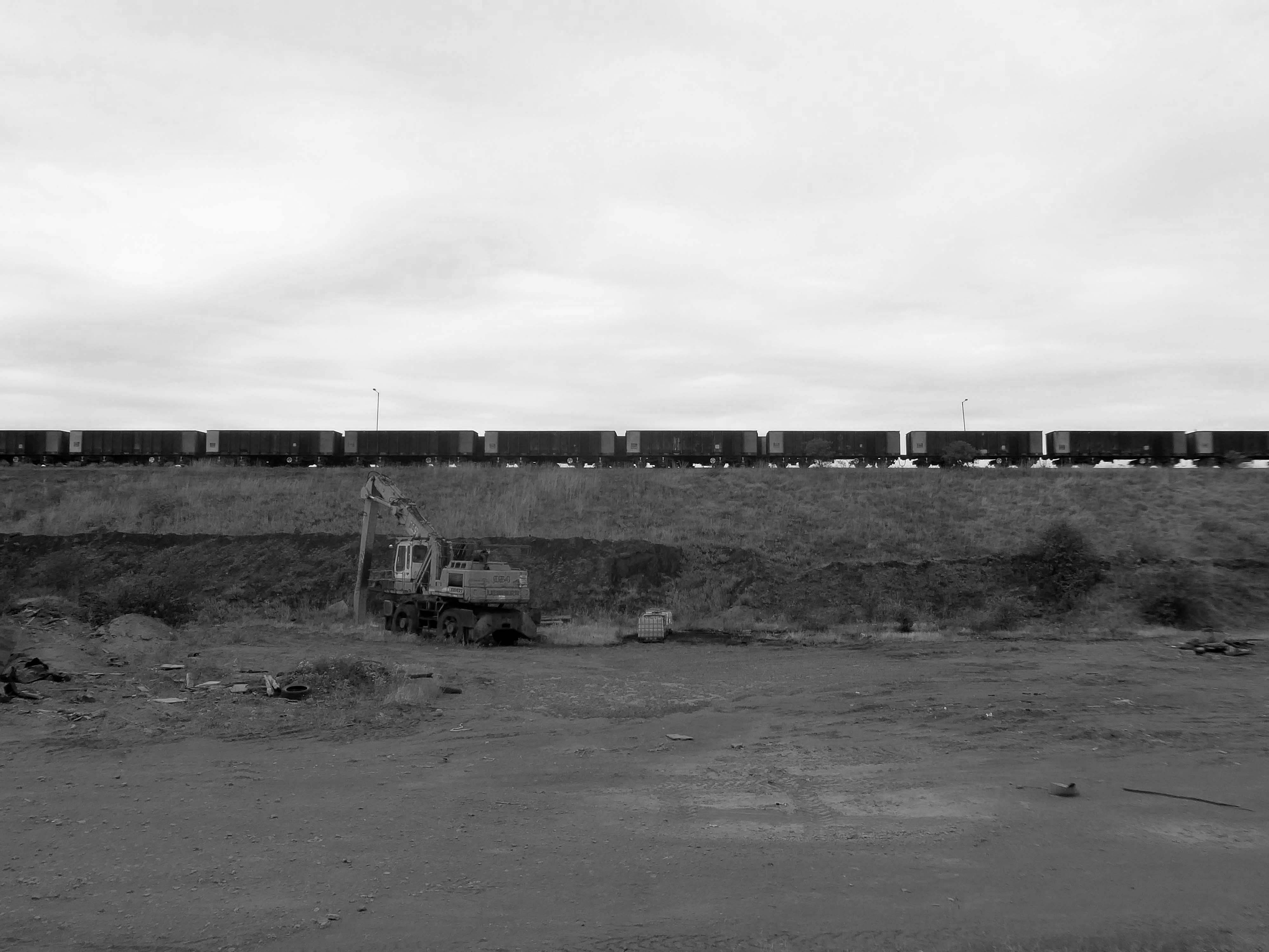
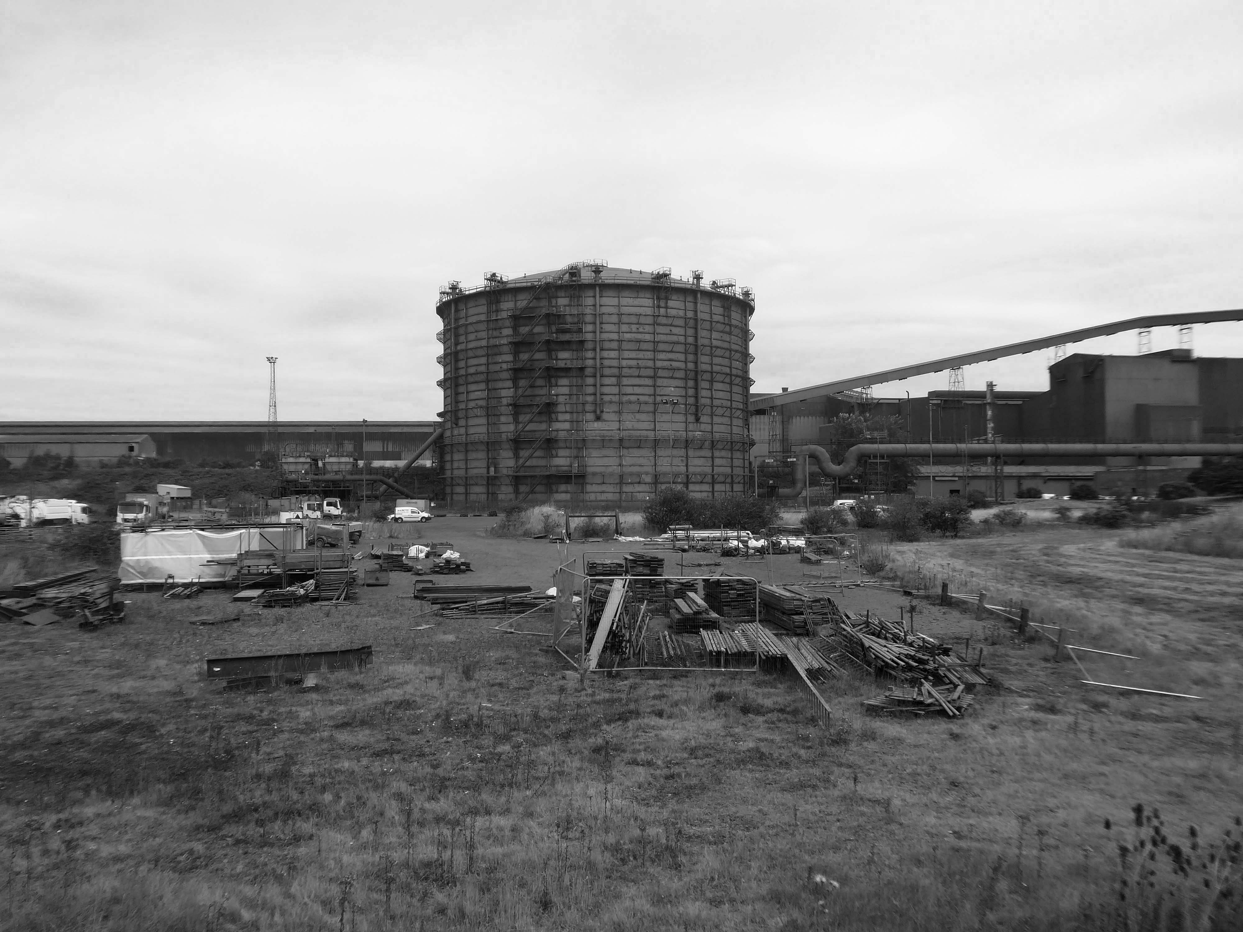
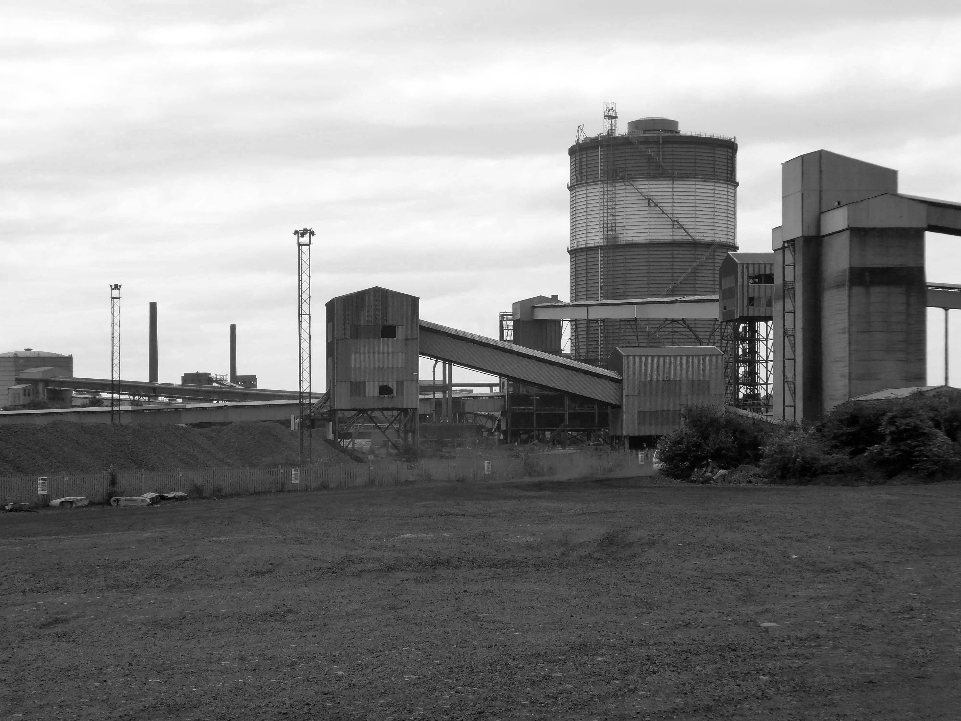
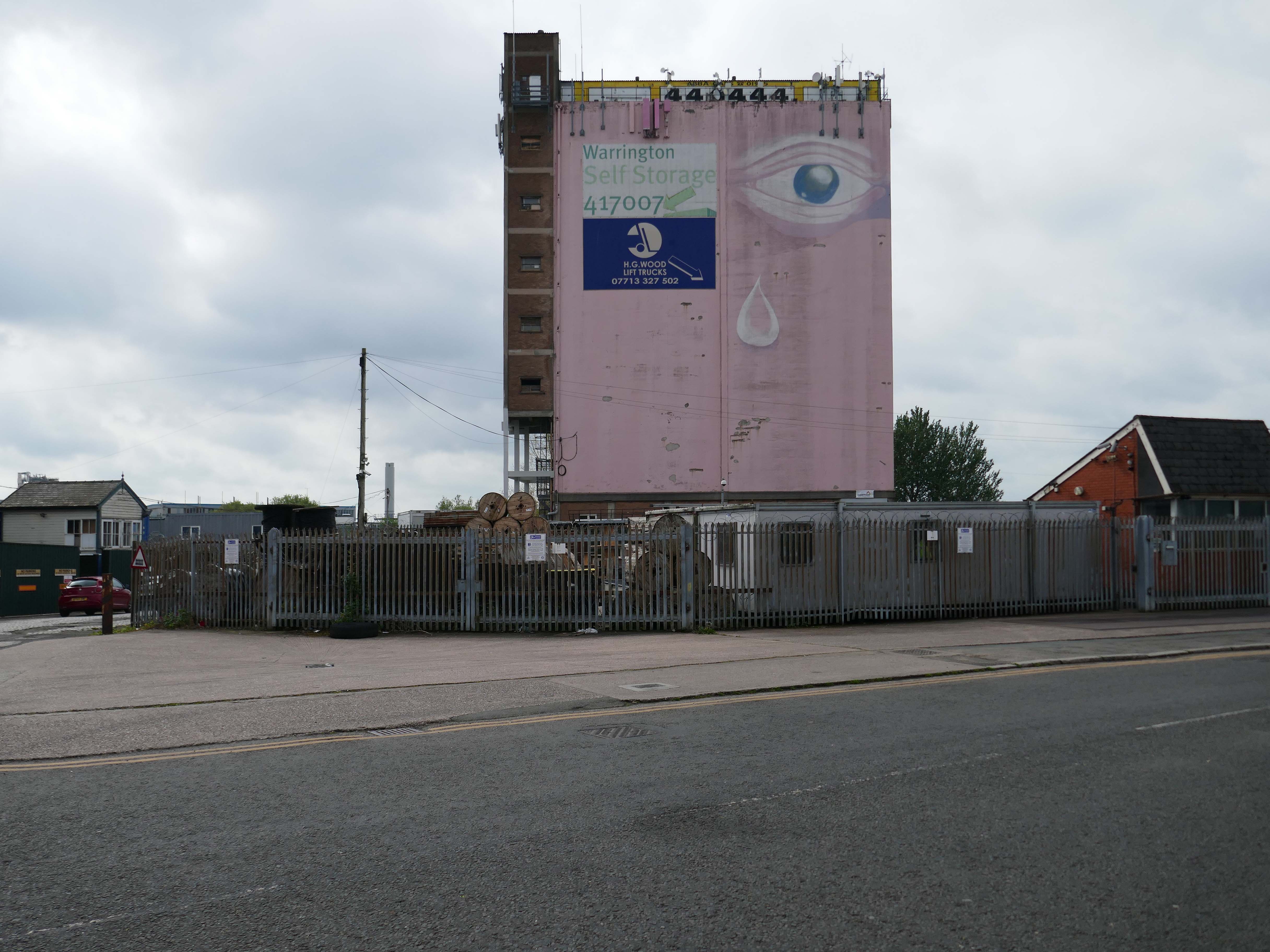
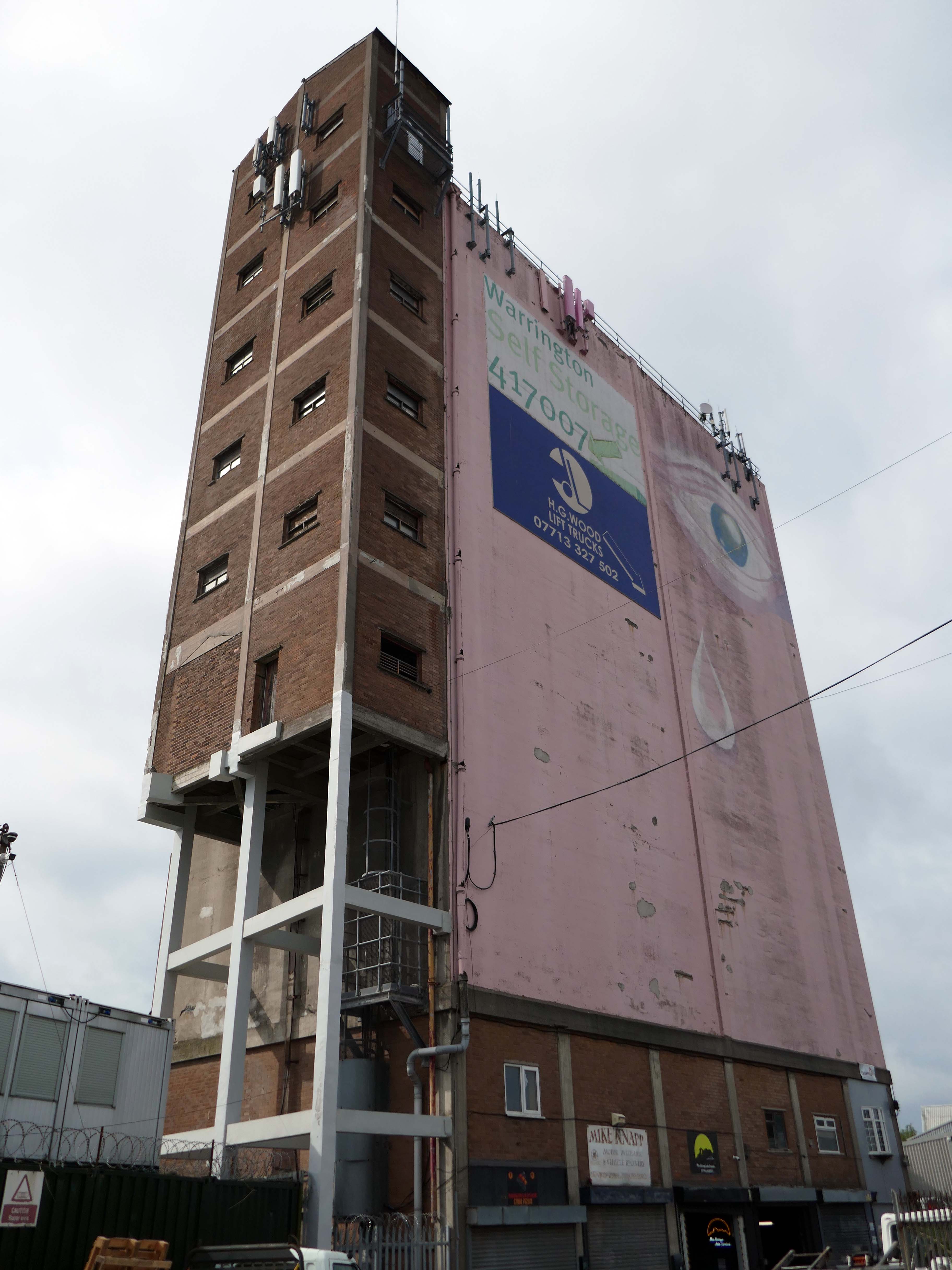
We now approach the Pink Eye roundabout where we may view the Pink Eye Silo.
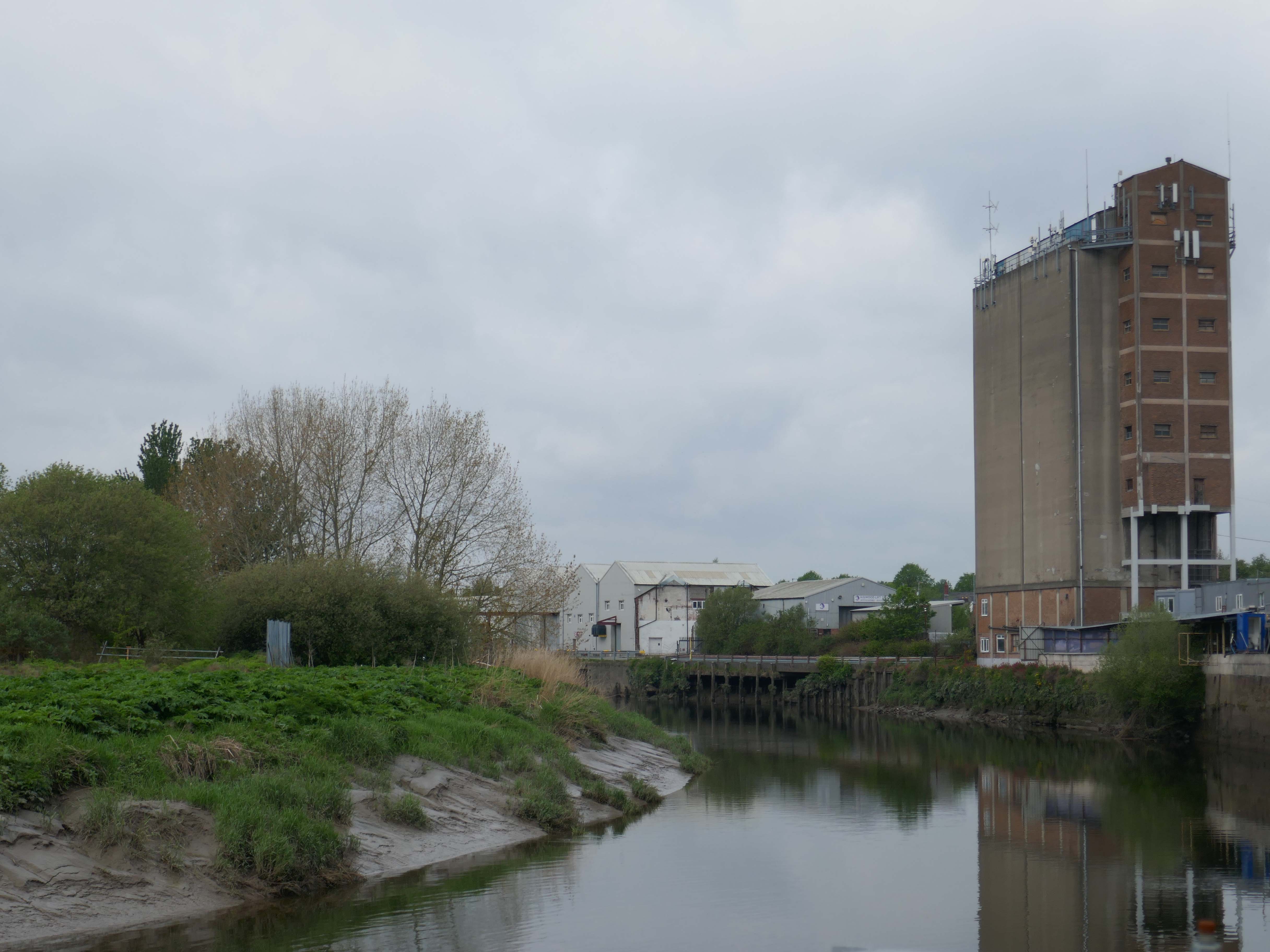
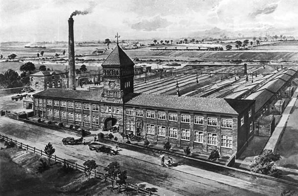
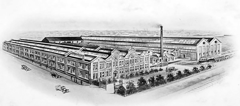
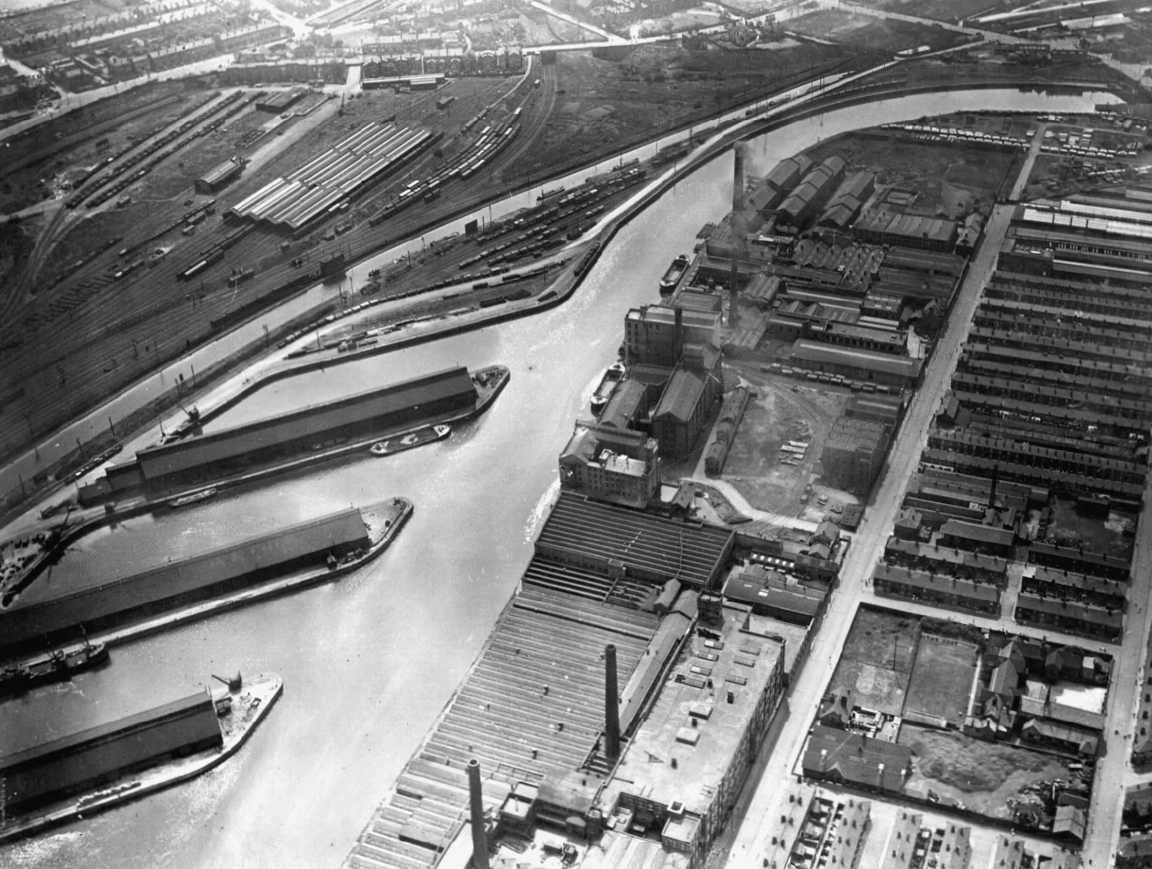
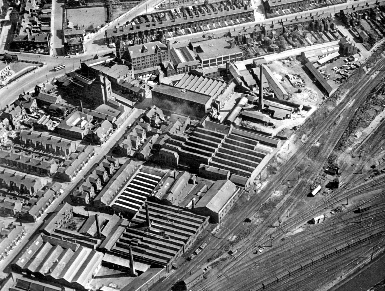
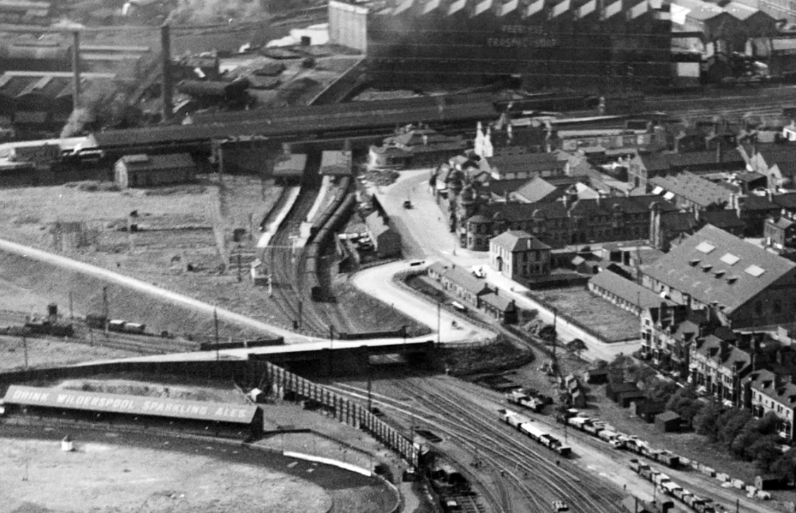
Middle right this Aero Photo of 1928 shows a much larger mill complex.
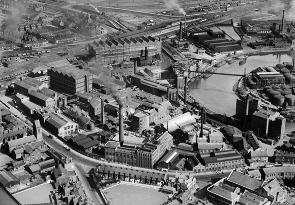
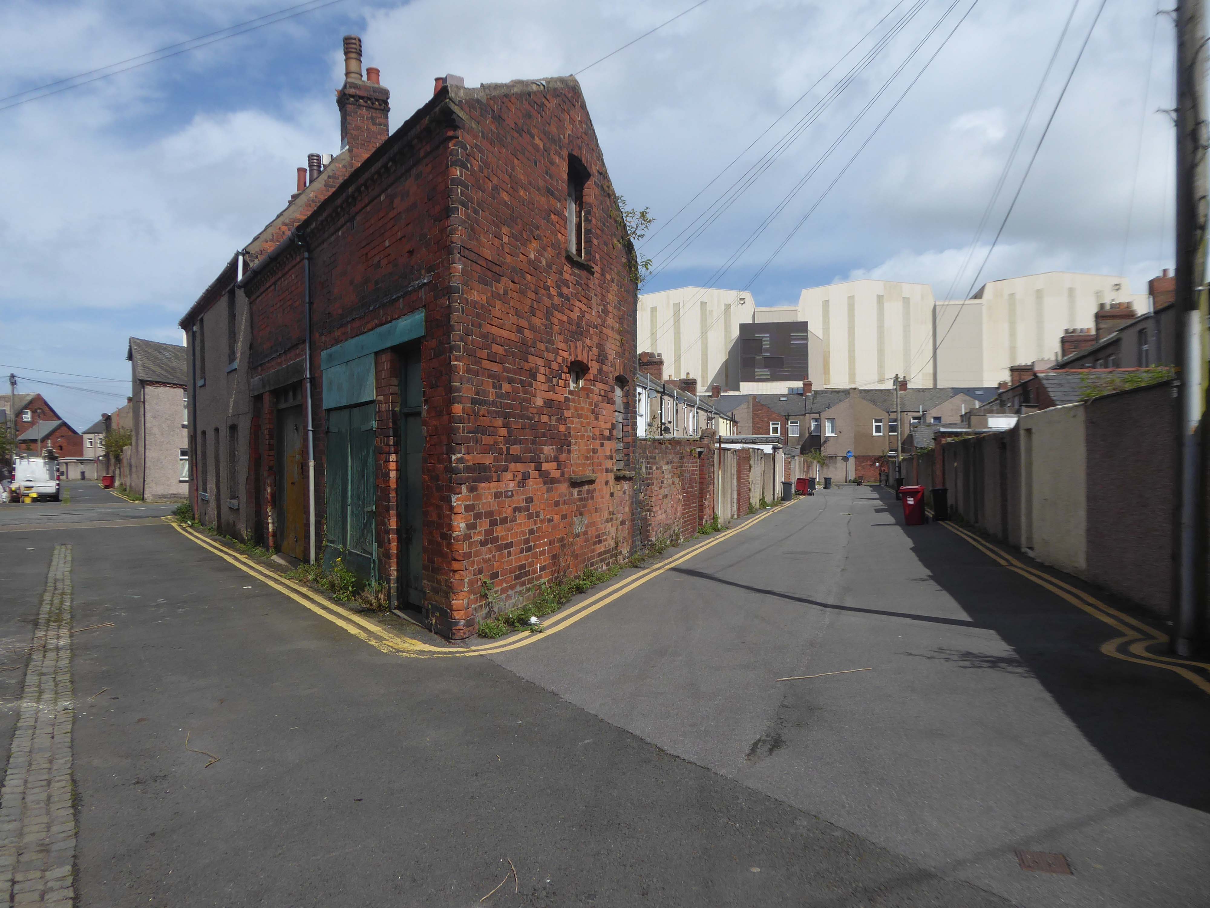
Also the site of an older bridge – later replaced by a pipe carrying structure.
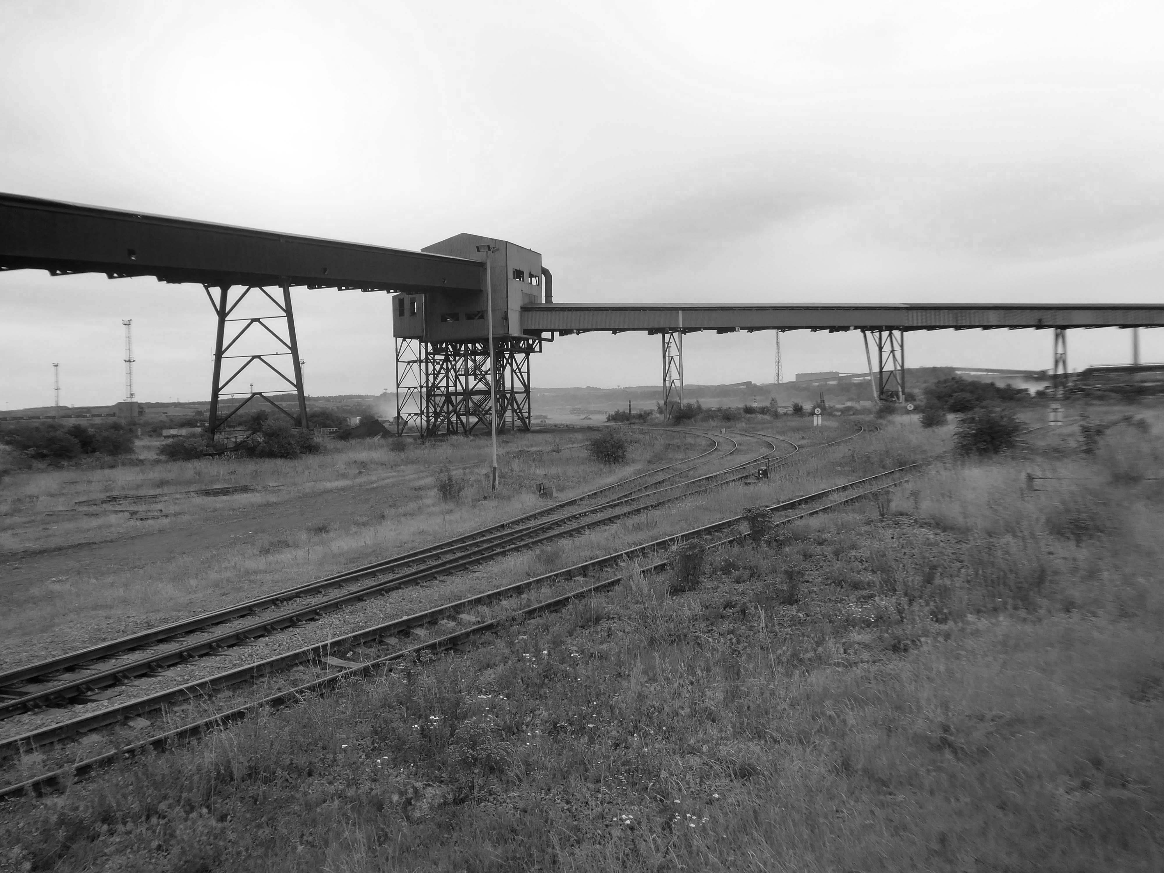
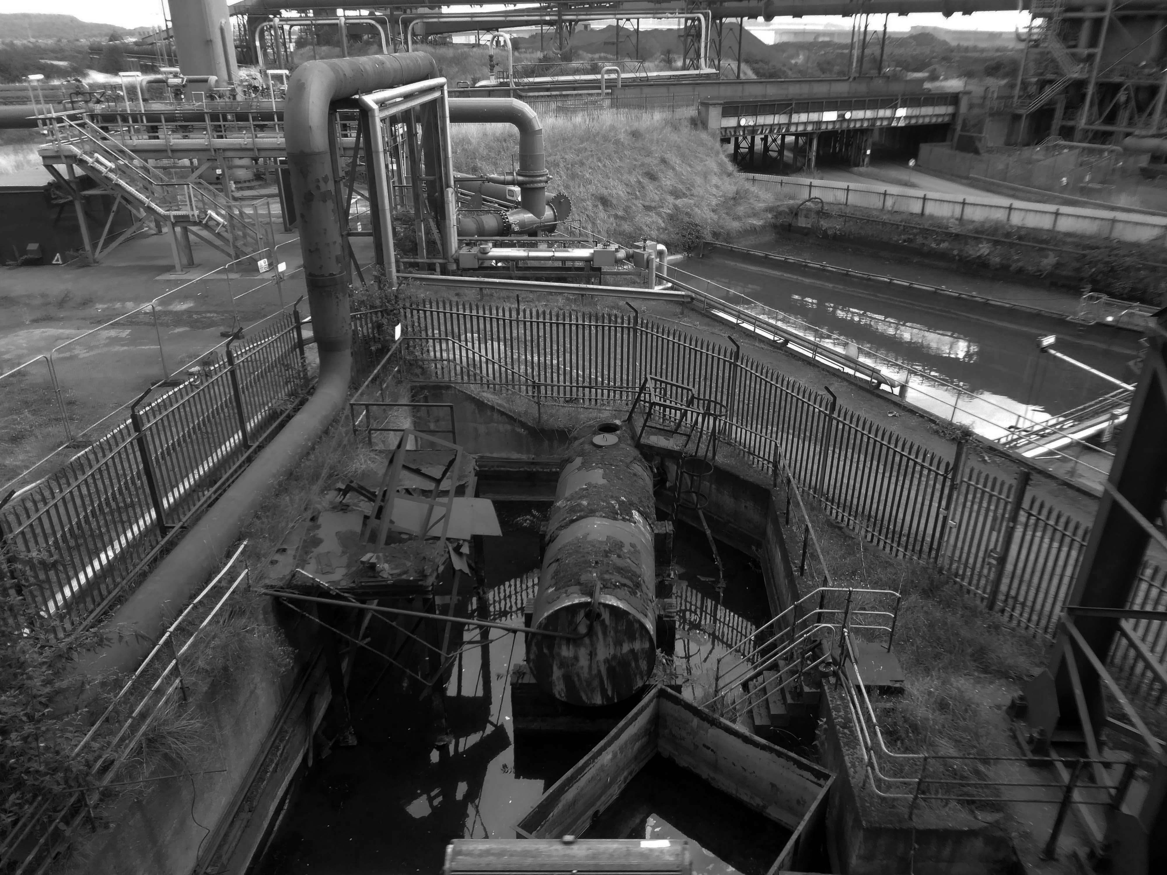
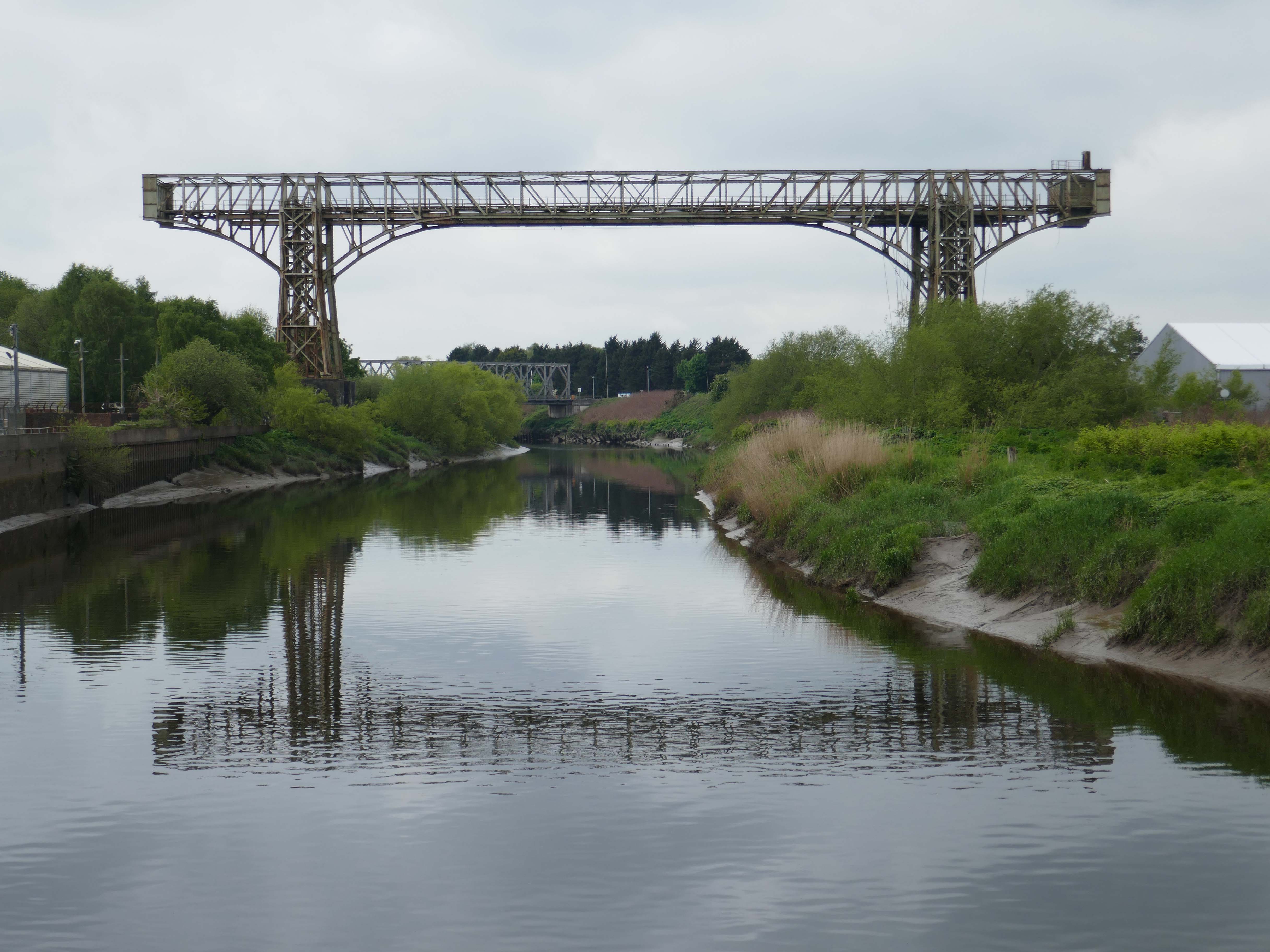
We then follow the riverside green line path twixt Soap works and Mersey, heading toward the Transporter Bridge.
The route explained by the indispensable Friends of the Warrington Transporter Bridge.
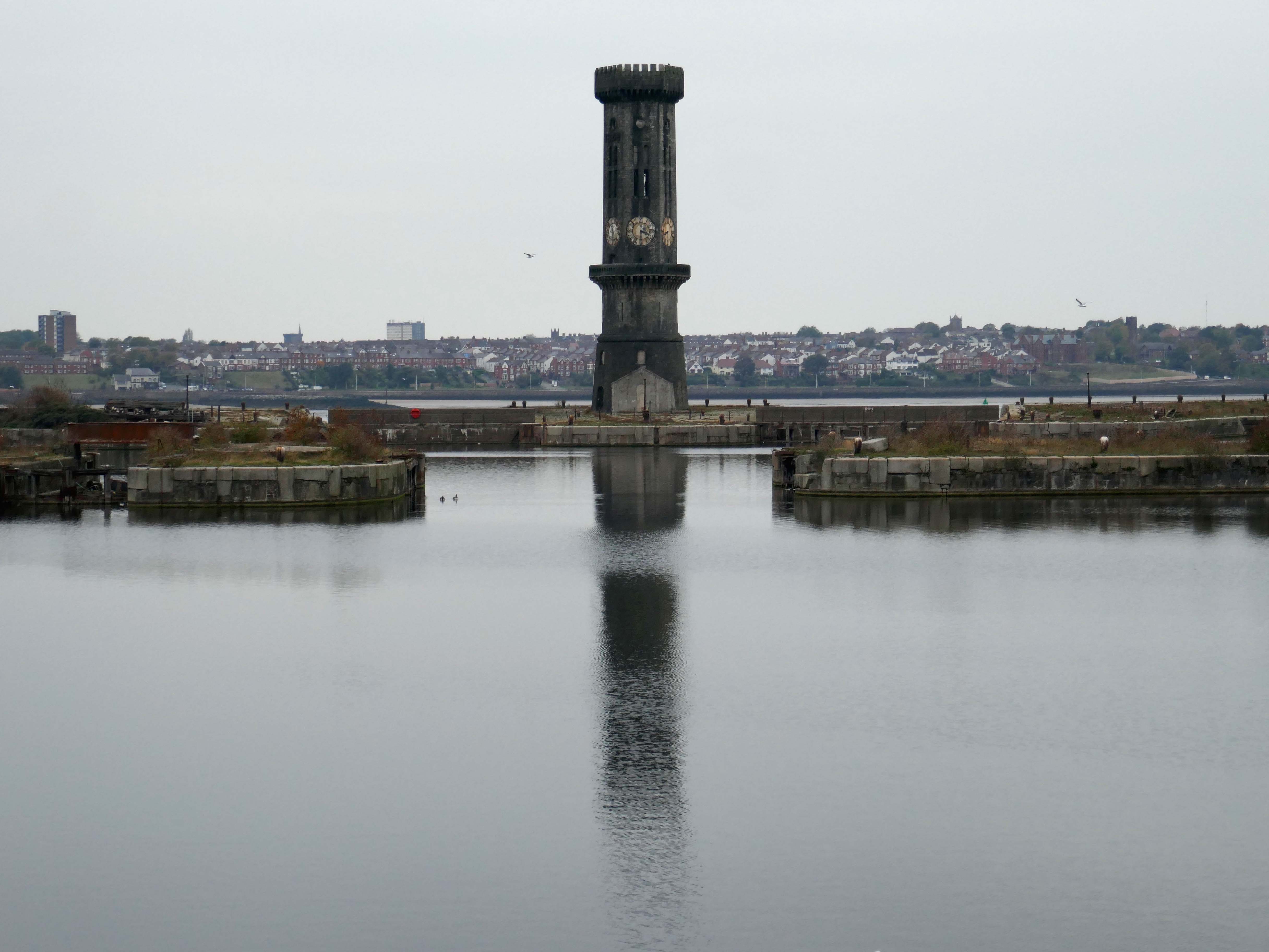
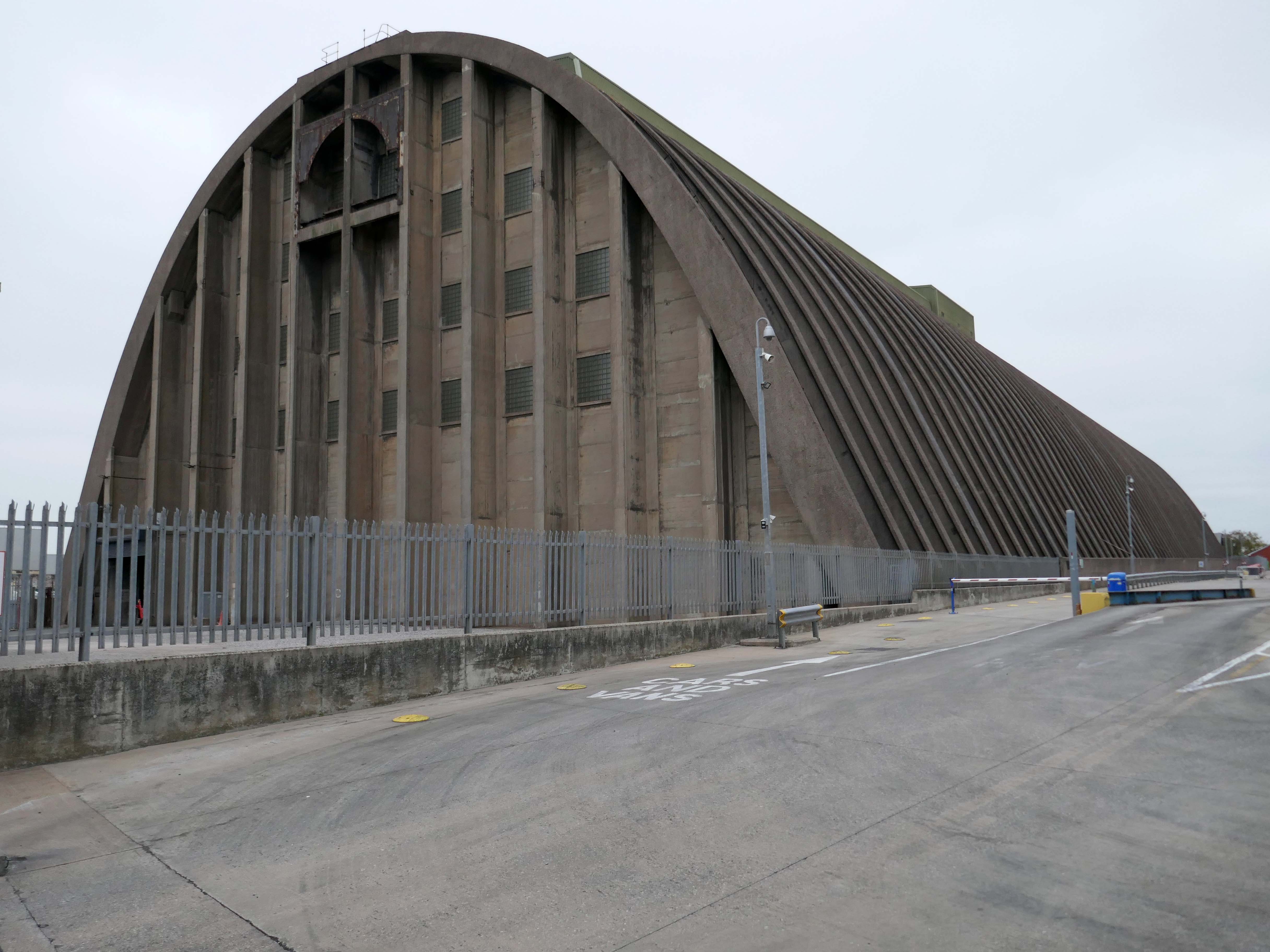
Warrington Transporter Bridge aka Bank Quay Transporter Bridge or Crosfield’s Transporter Bridge across the River Mersey is a structural steel transporter bridge with a span of 200 feet.
It is 30 feet wide and 76 feet above high water level, with an overall length of 339 feet.
It was commissioned in 1916 and, although it has been out of use since about 1964, it is still standing. It was designed by William Henry Hunter and built by William Arrol and Co.
The Transporter Bridge was built to despatch finished product from the cement plant that had been built on the peninsula. It was originally designed to carry rail vehicles up to eighteen tons loaded weight.
The bridge was converted for road vehicles in 1940, and was certified to carry loads of up to thirty tons in 1953.
This was my first visit in 2017 – recorded on Modern Mooch.
Highlight on any day out anywhere is the discovery of arcane British Rail typography.
There’s a brief history of Freightliner history right here.
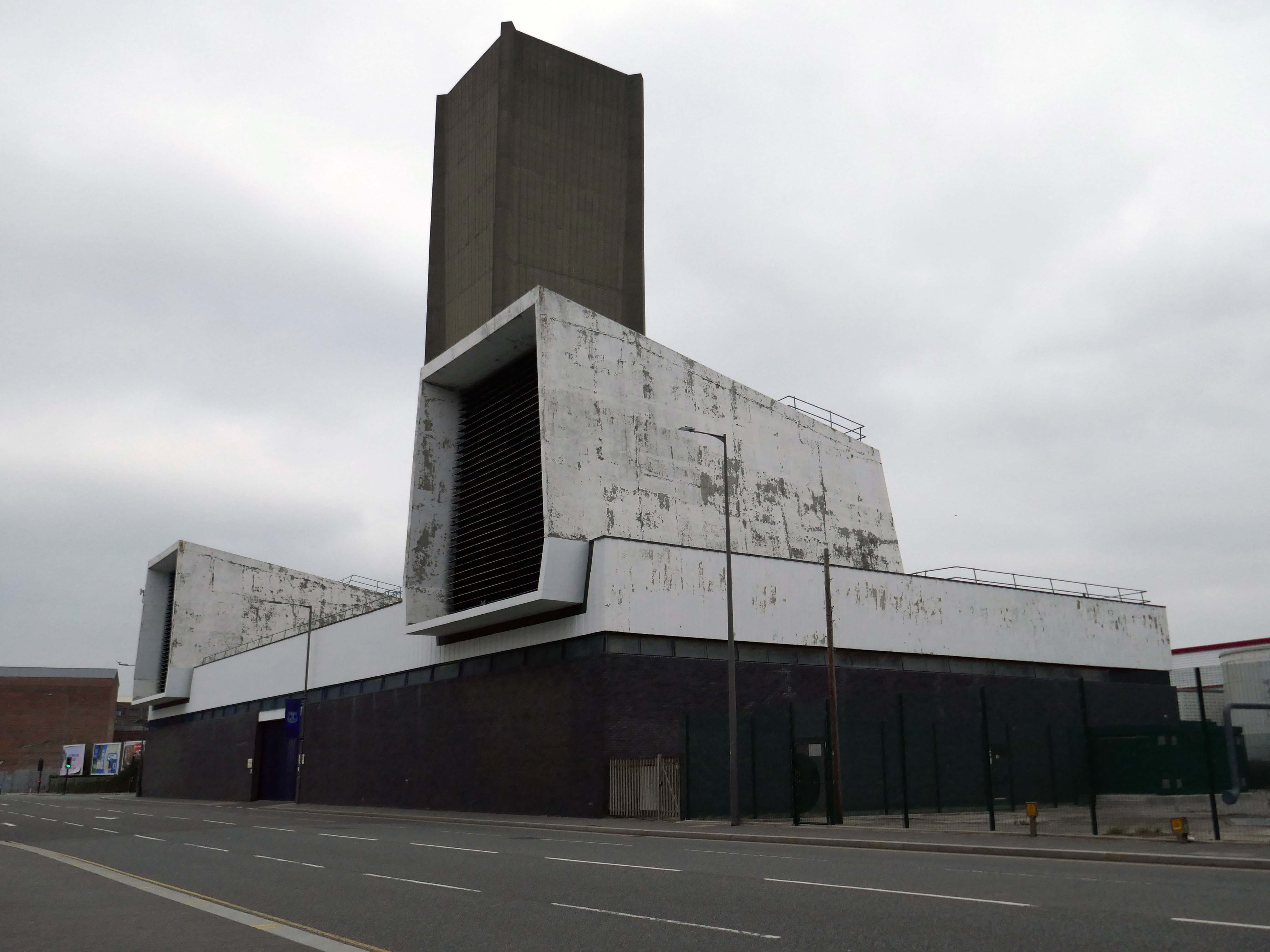
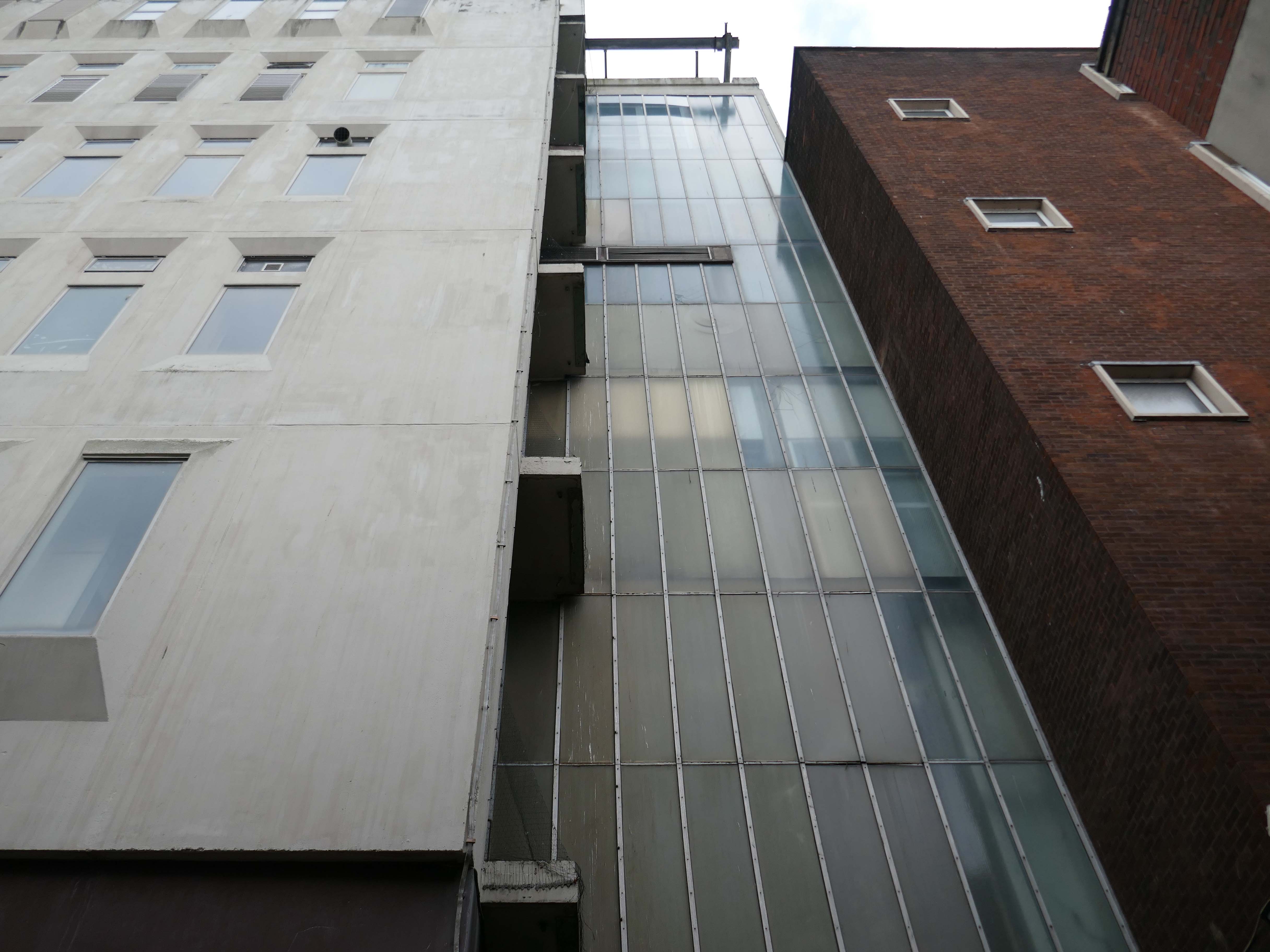
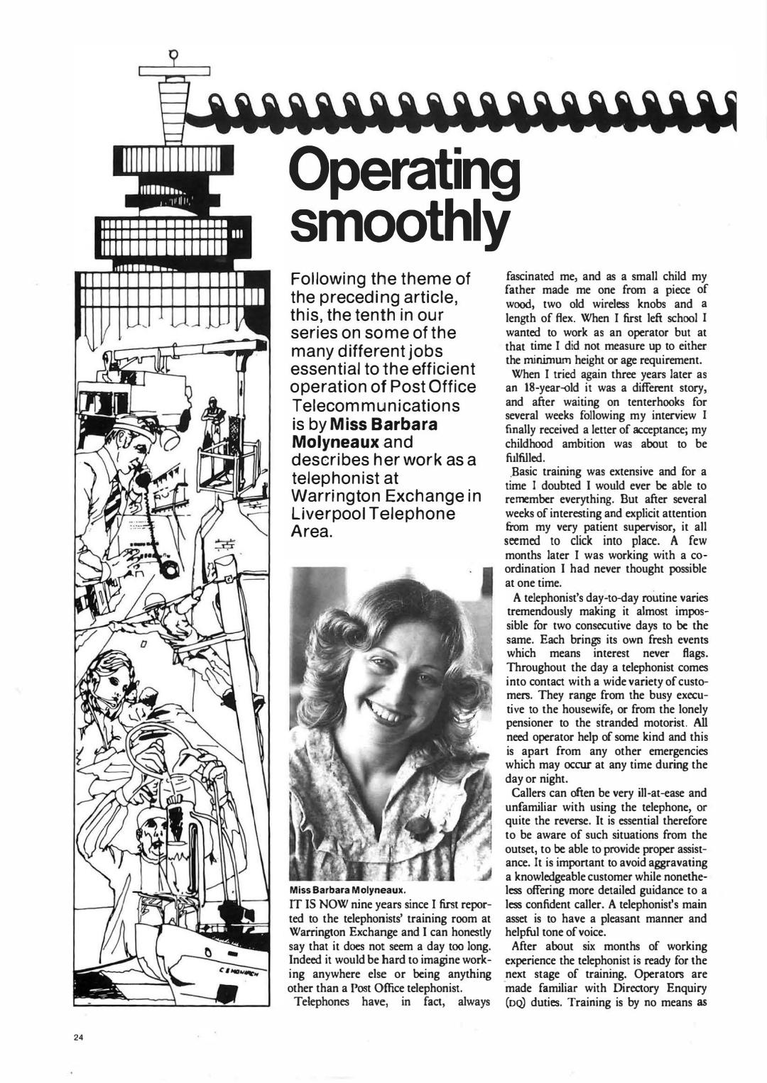
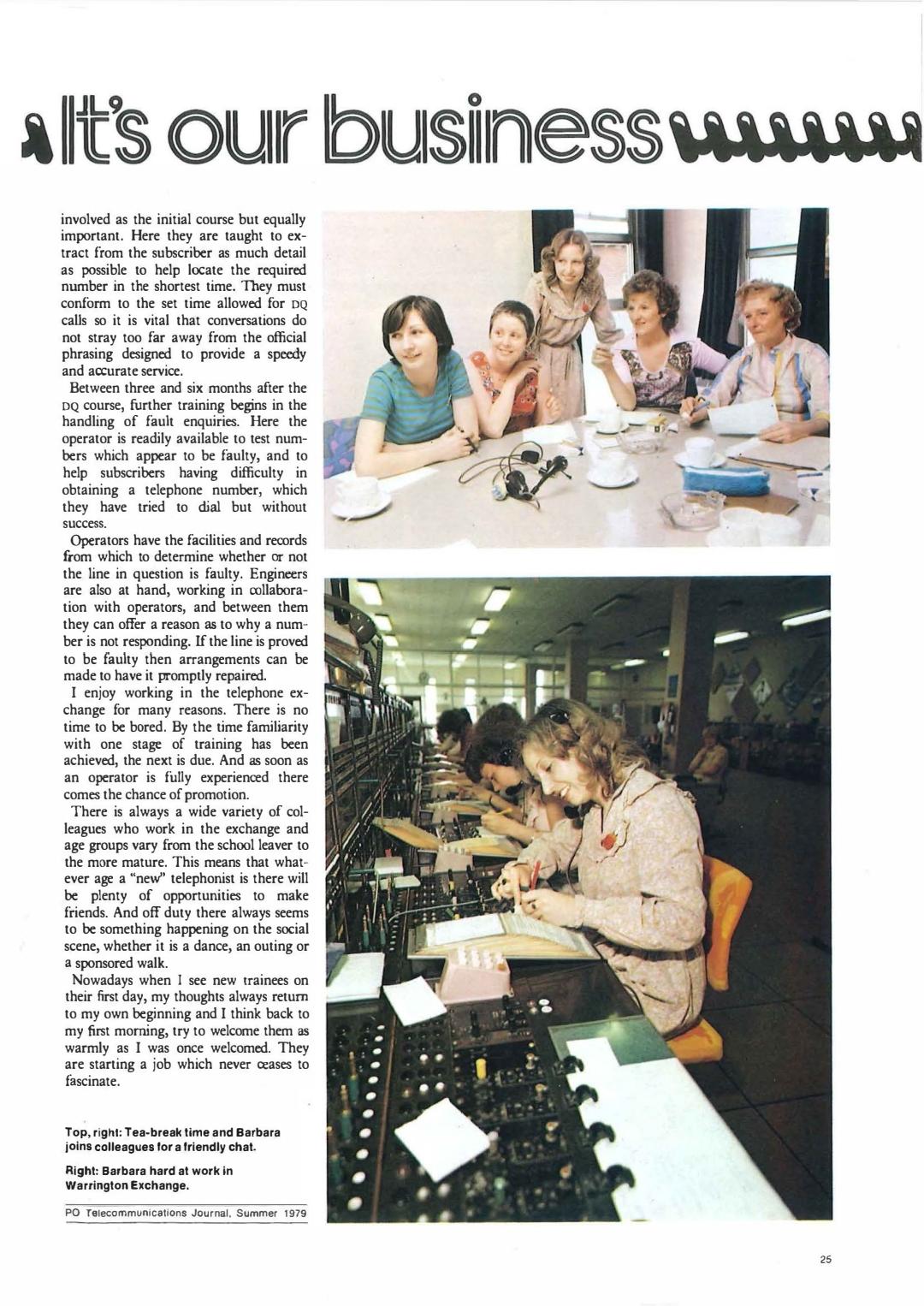
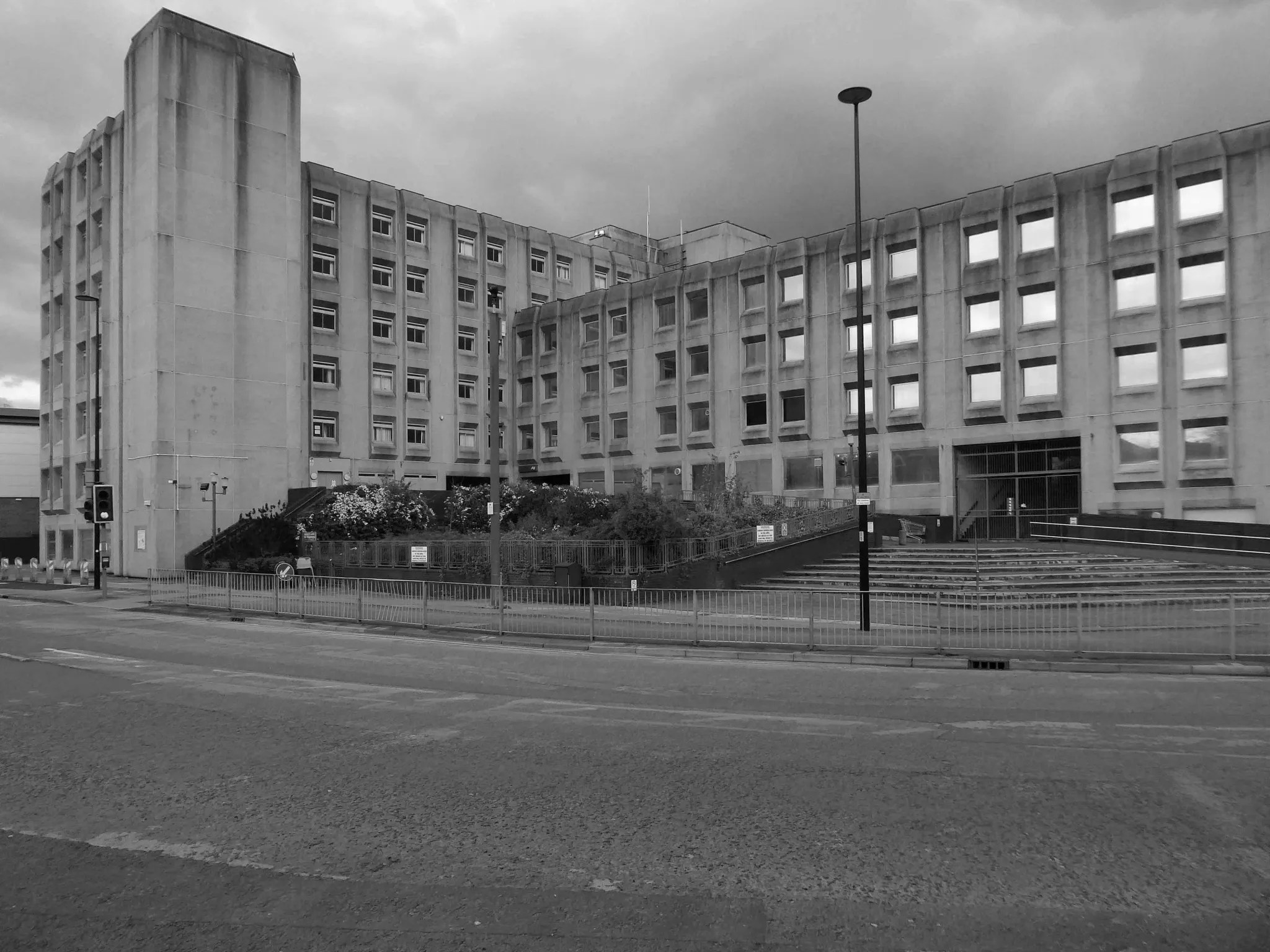
Back now to Bank Quay and off to the Telephone Exchange.
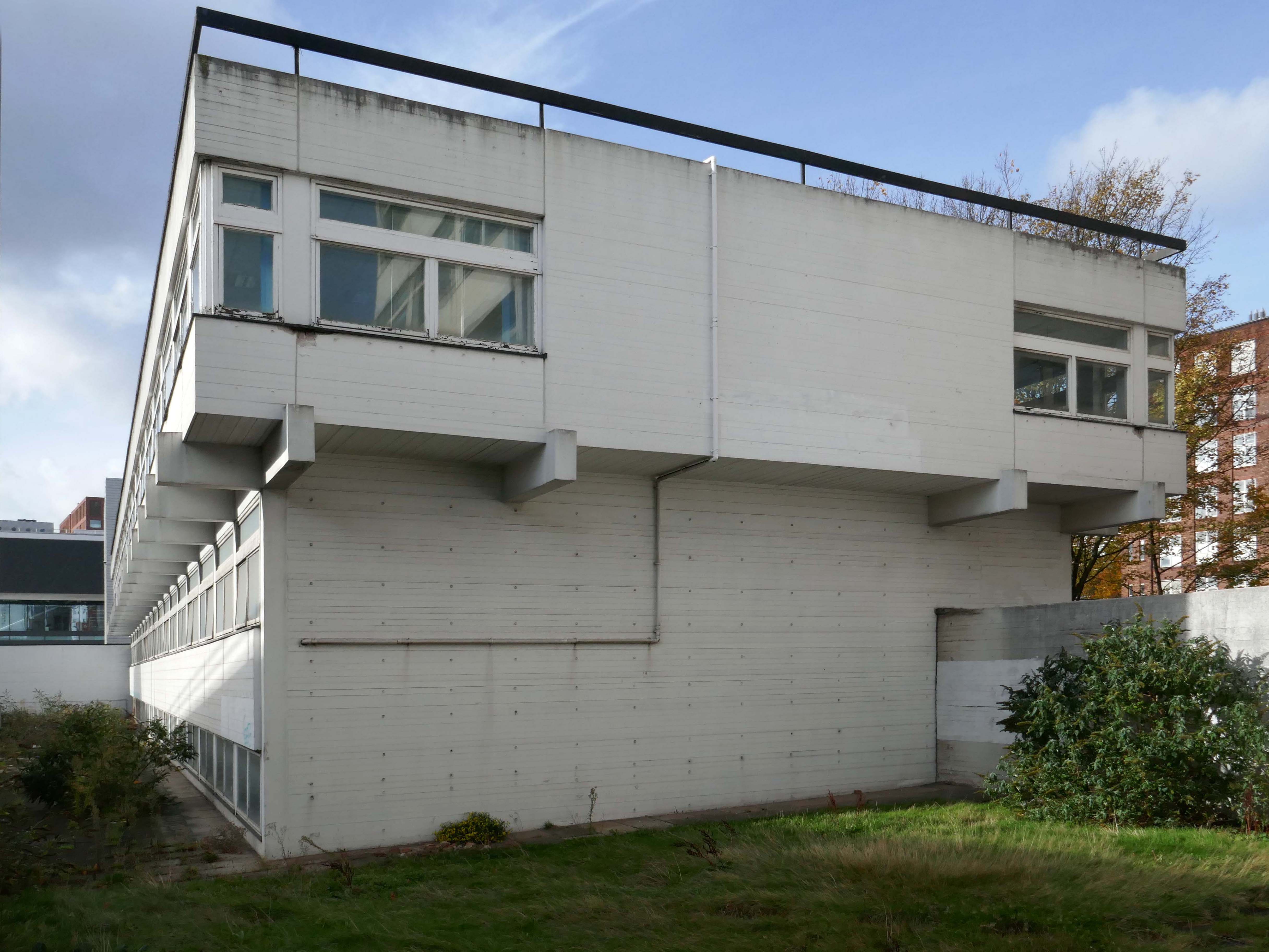
This is the 1969 building designed by the MODBW, Reginald Norman Dixon with lead architect P Clinton.
Linked to the 1955 building designed by John Onslow Stevens.
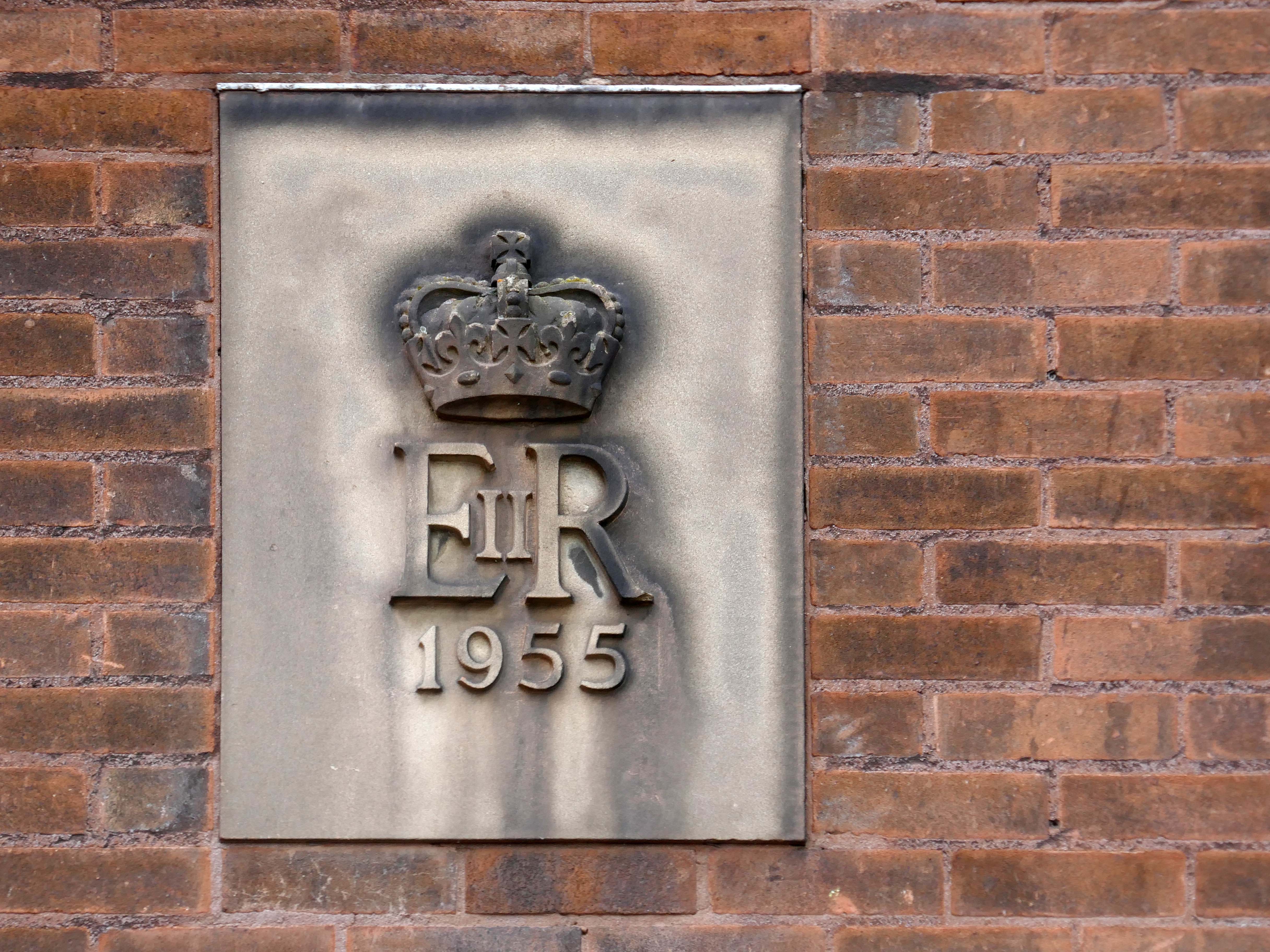
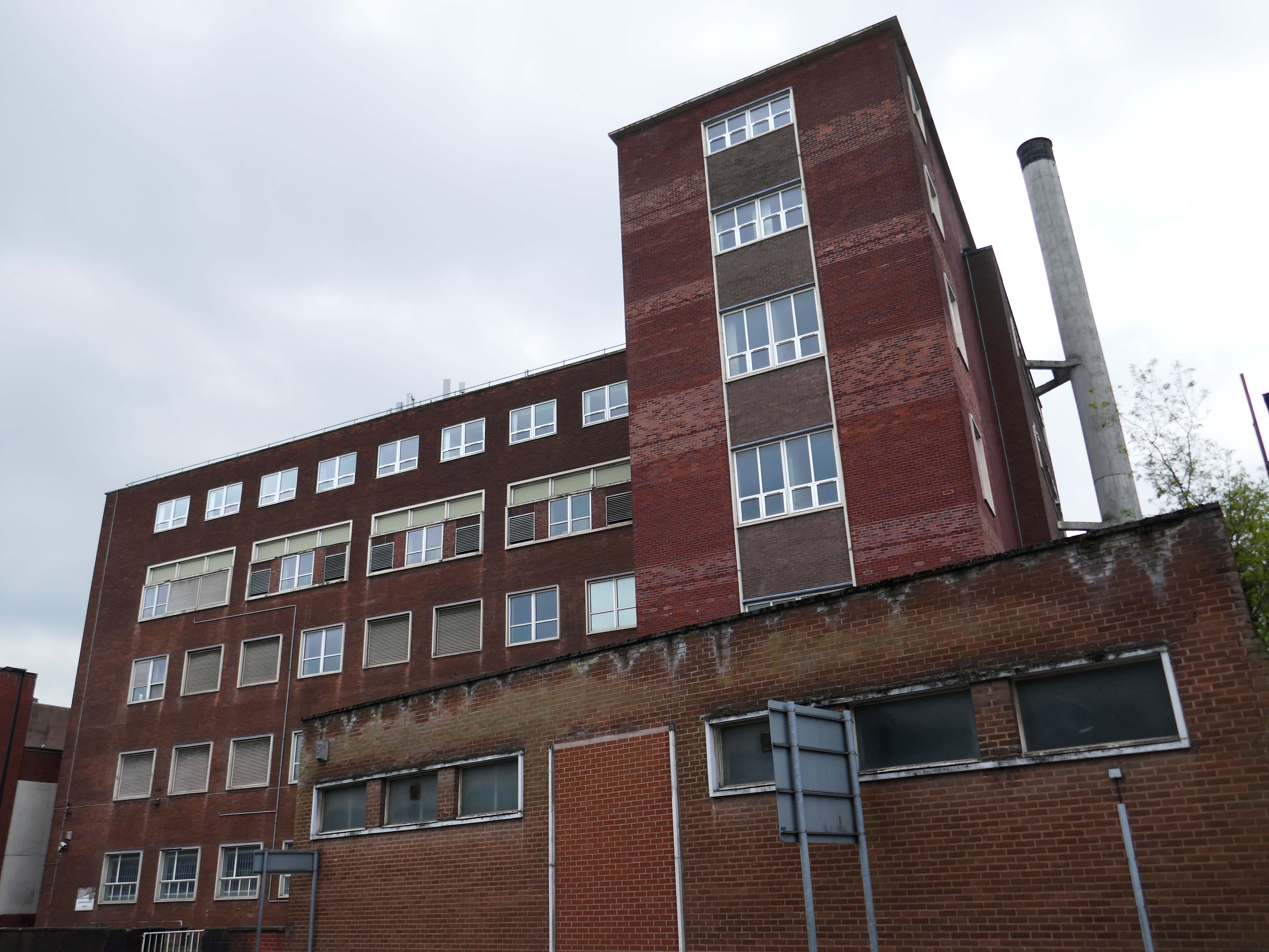
Biggest thanks to Lisa Kinch who can be found over on Instagram, for all her informative research into telephone exchanges.
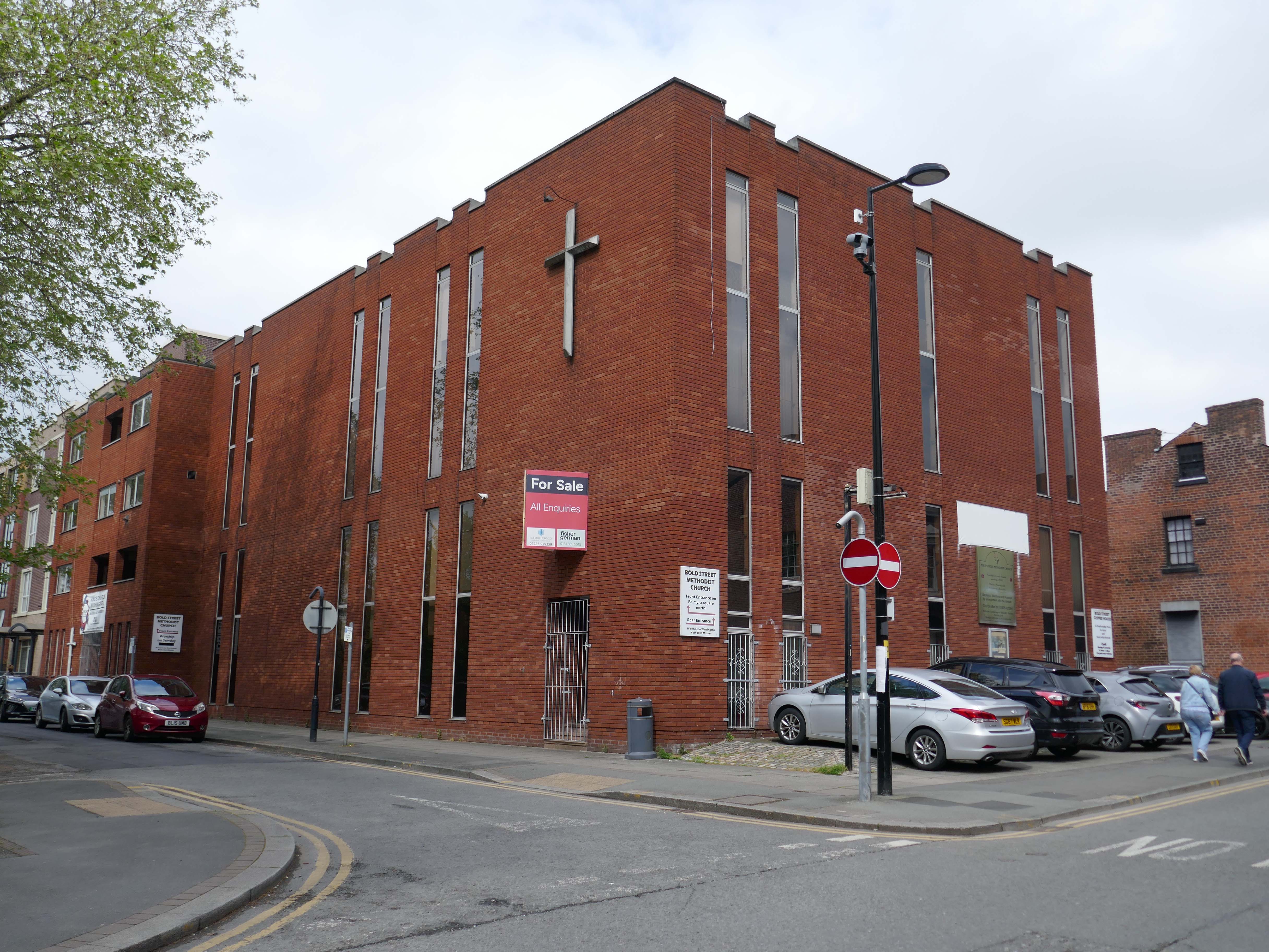
Toward the town centre and we pass the Bold Street Methodists Church – 1973-75.
Currently closed and for sale.
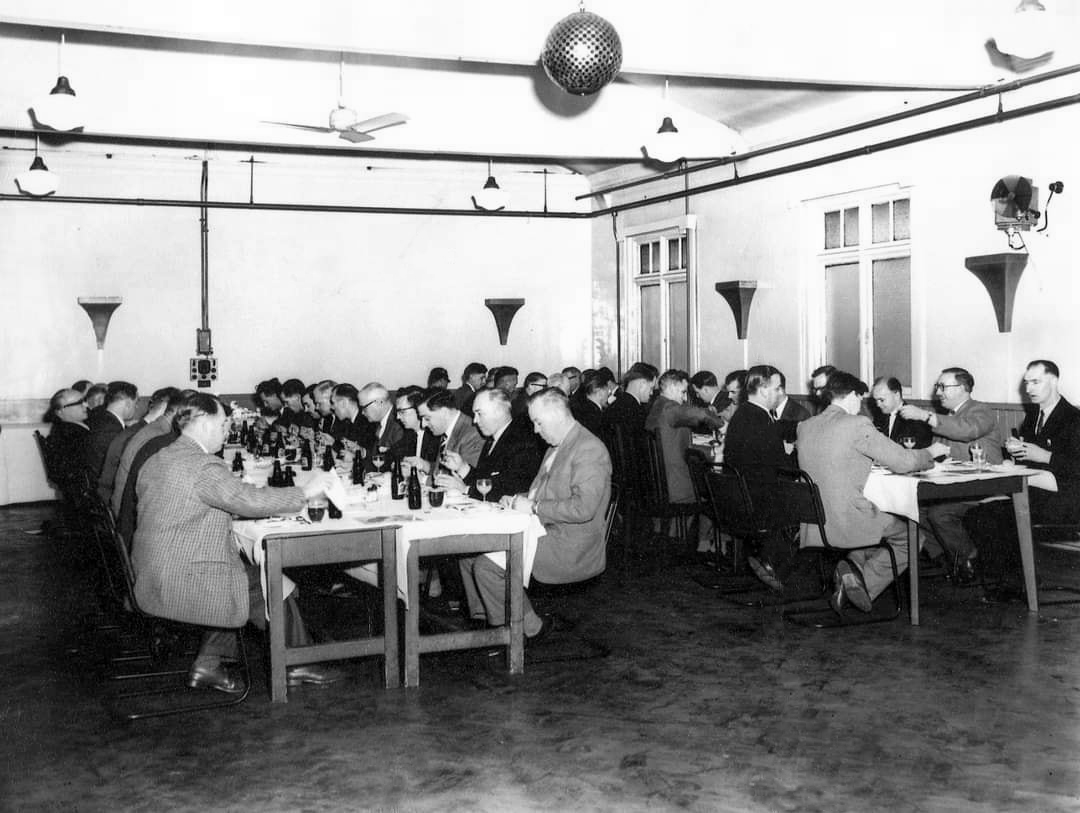
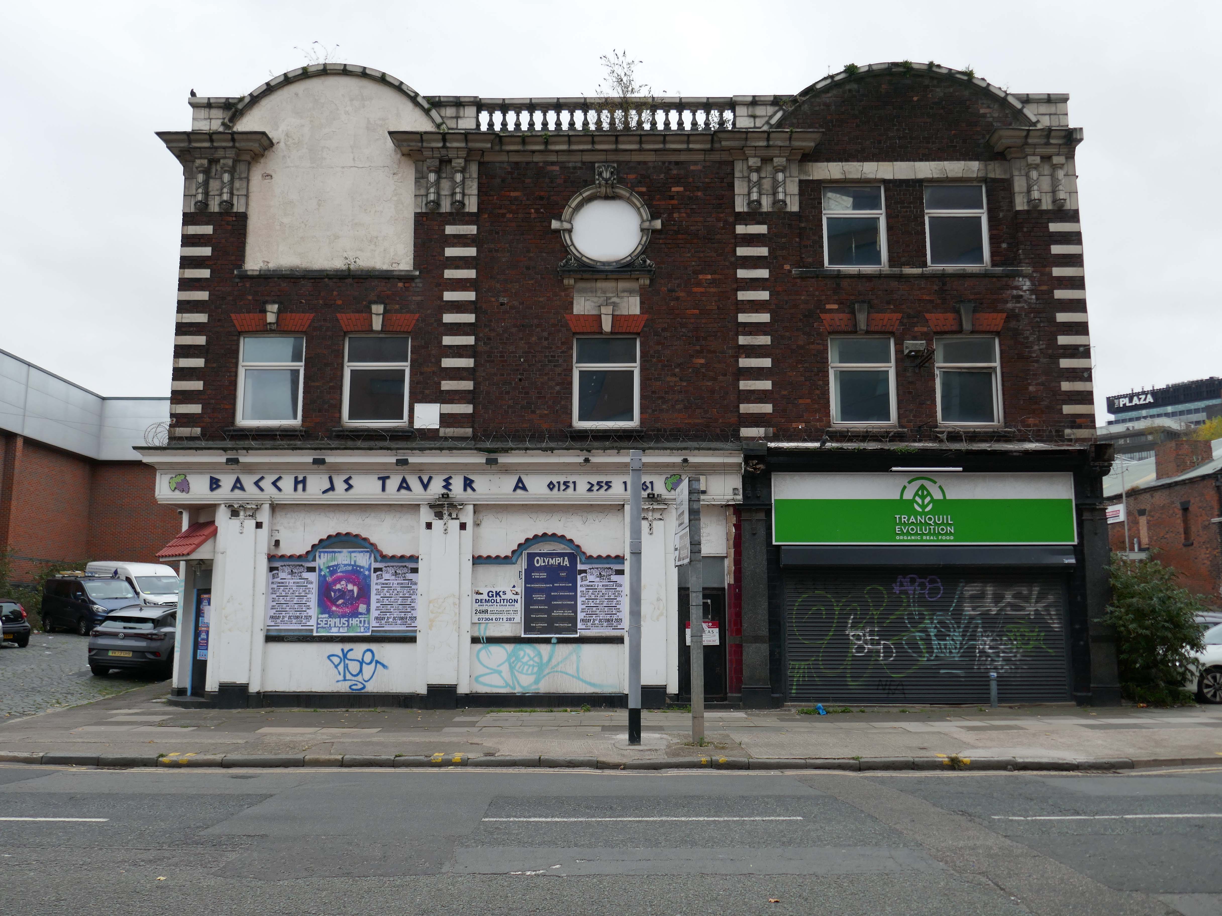
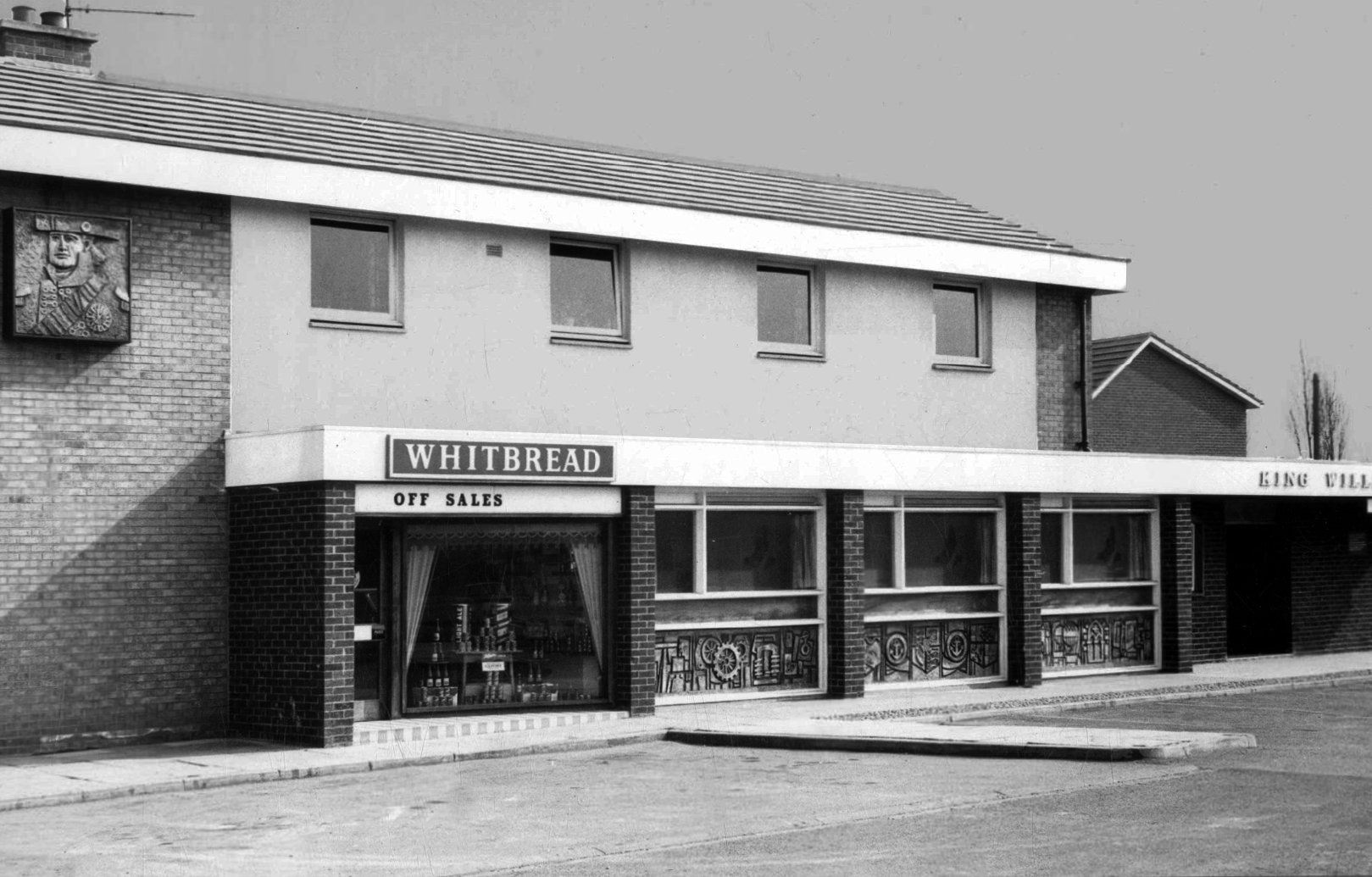
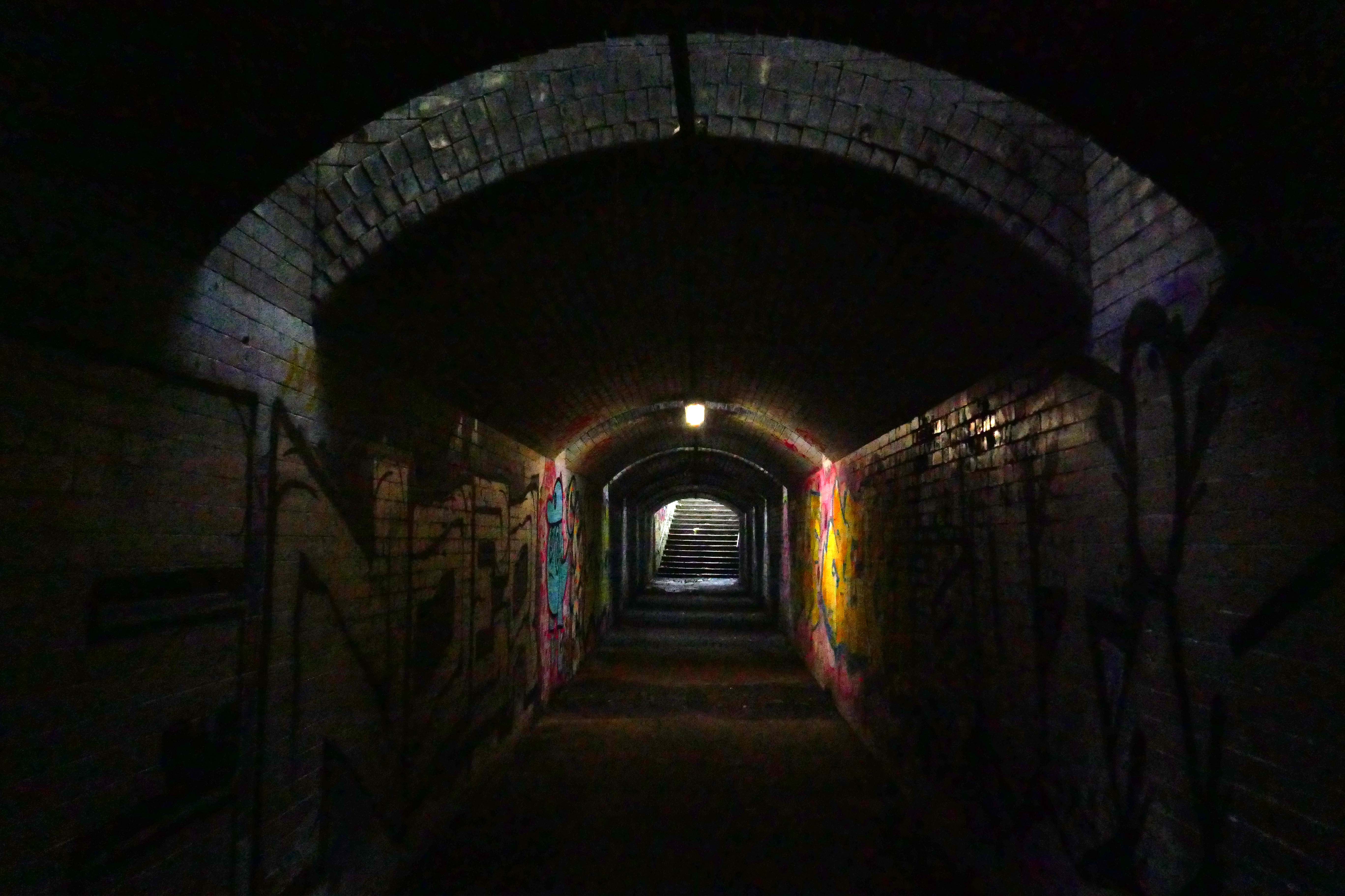
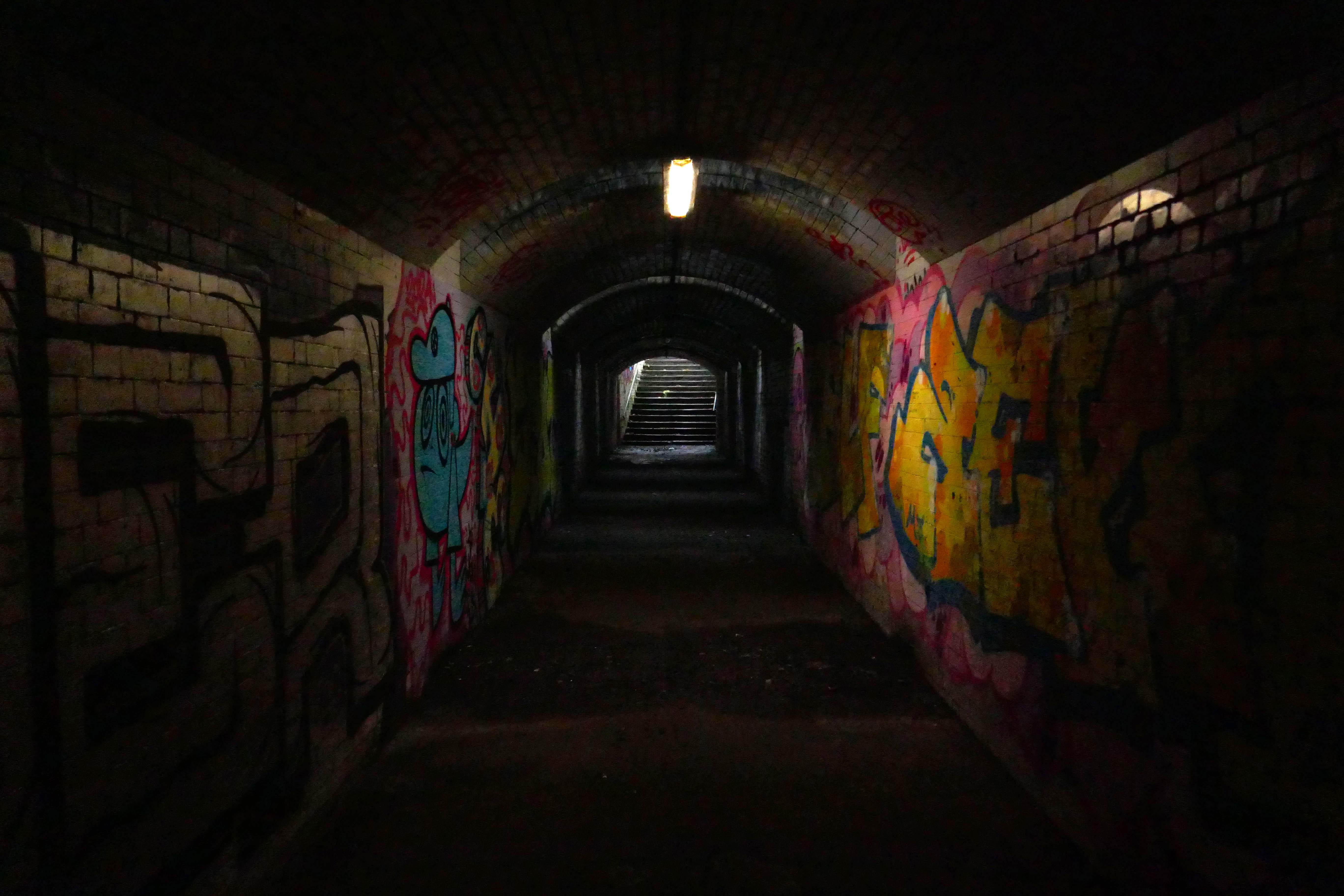
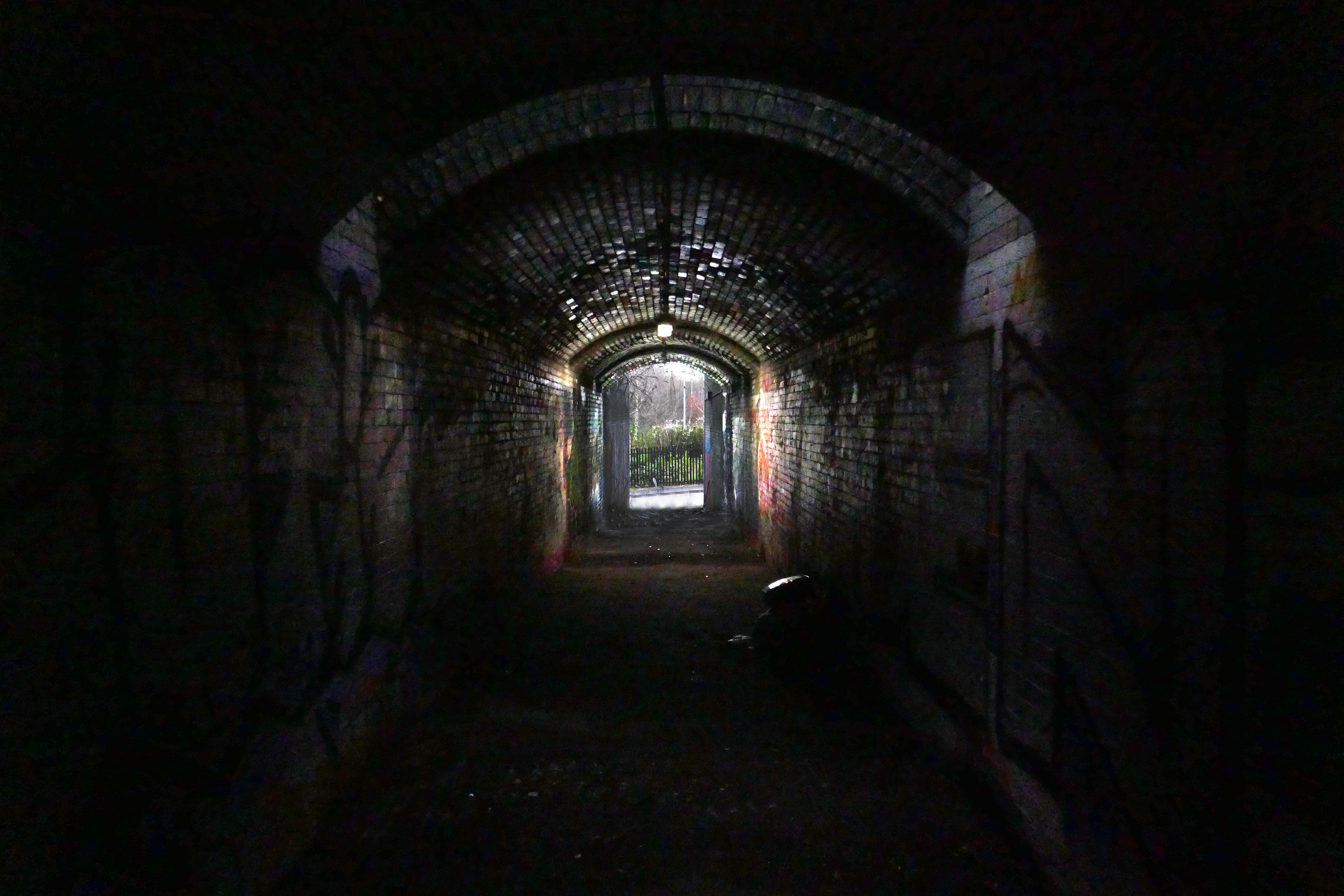
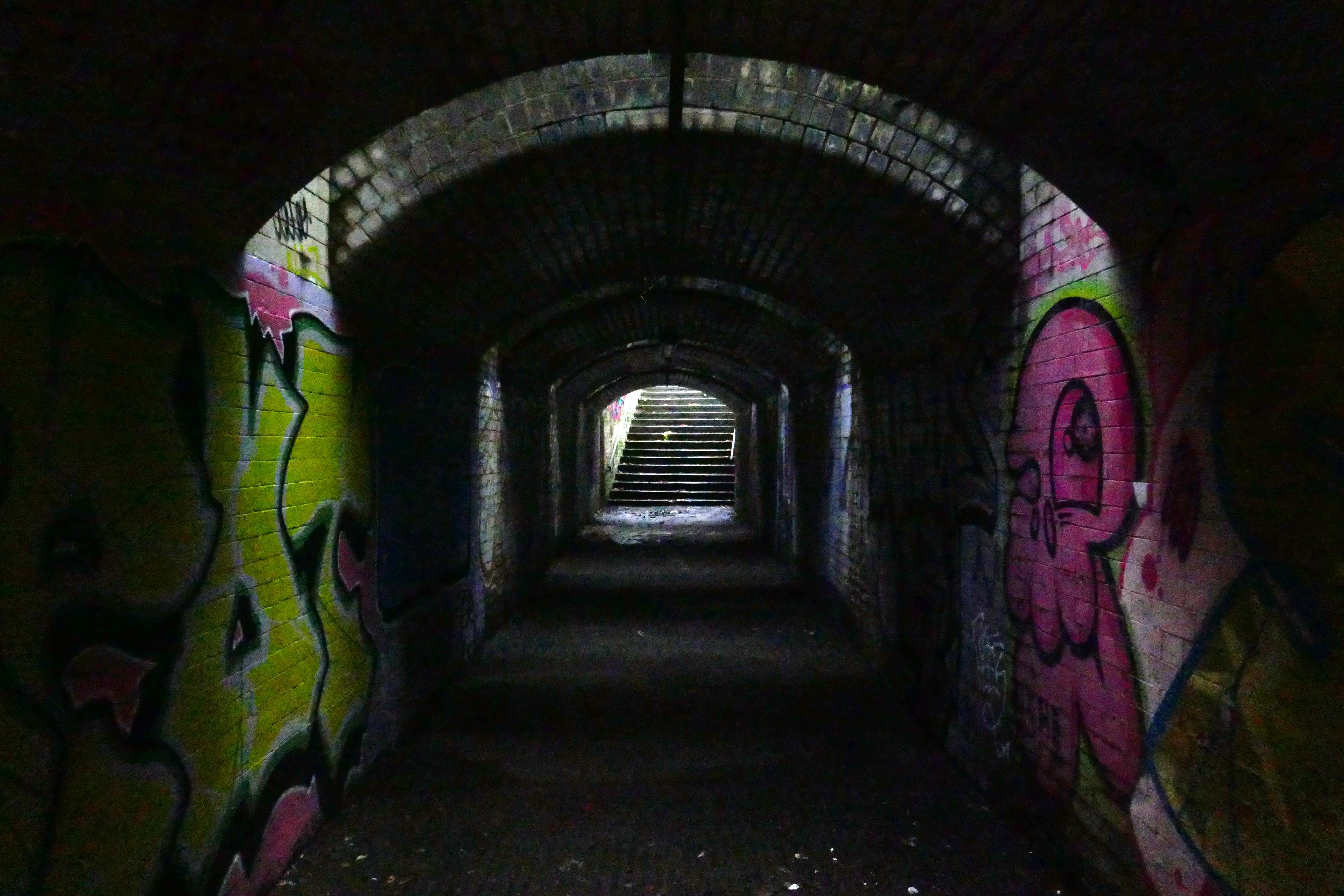
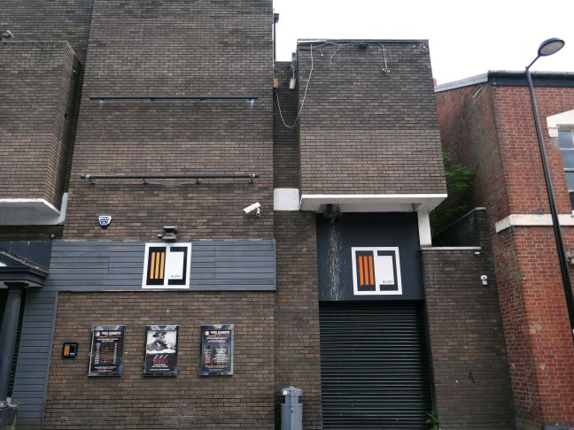
Thence to the Block 1 nightclub.
Medicine night club early 2000s.
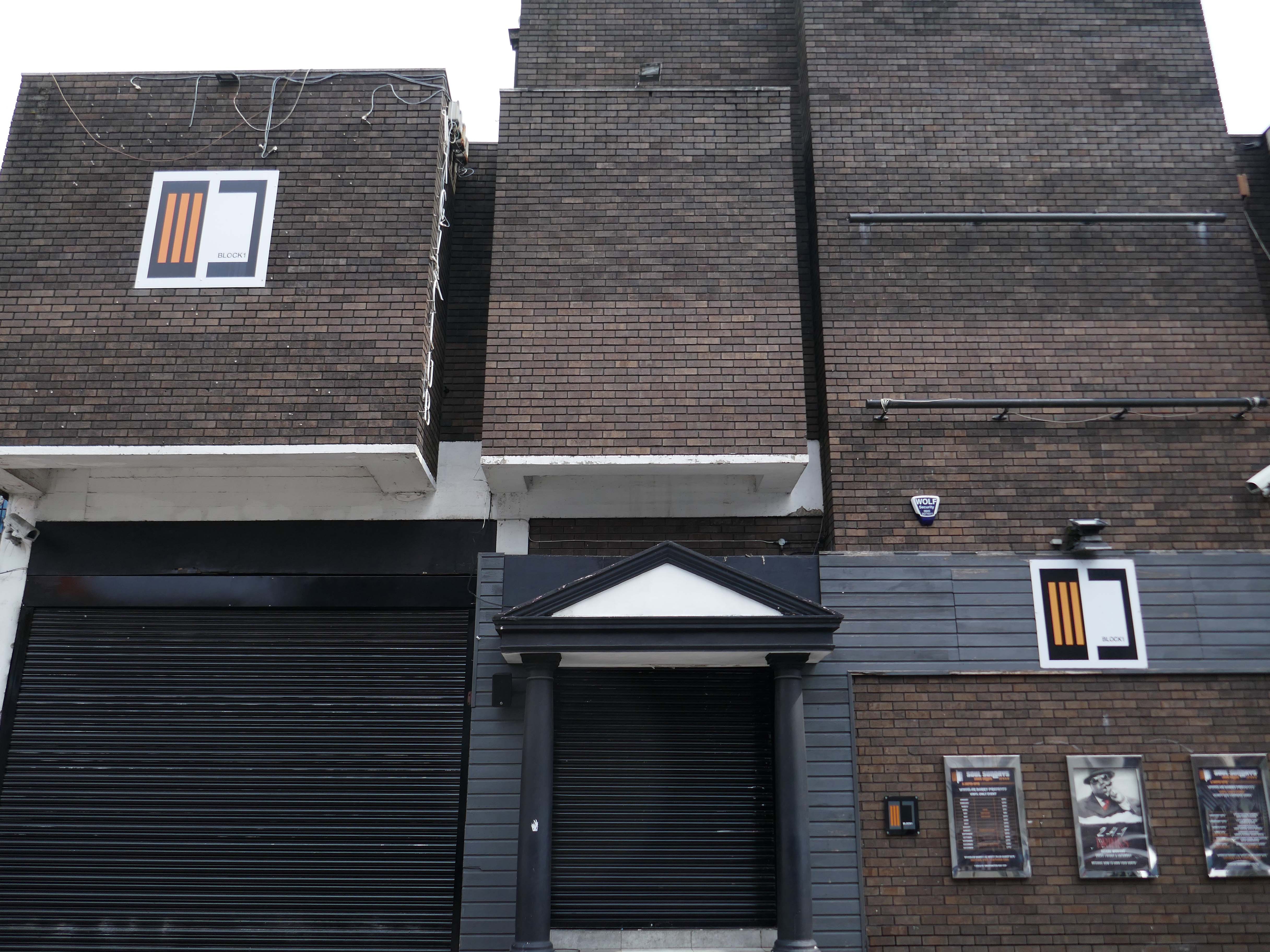
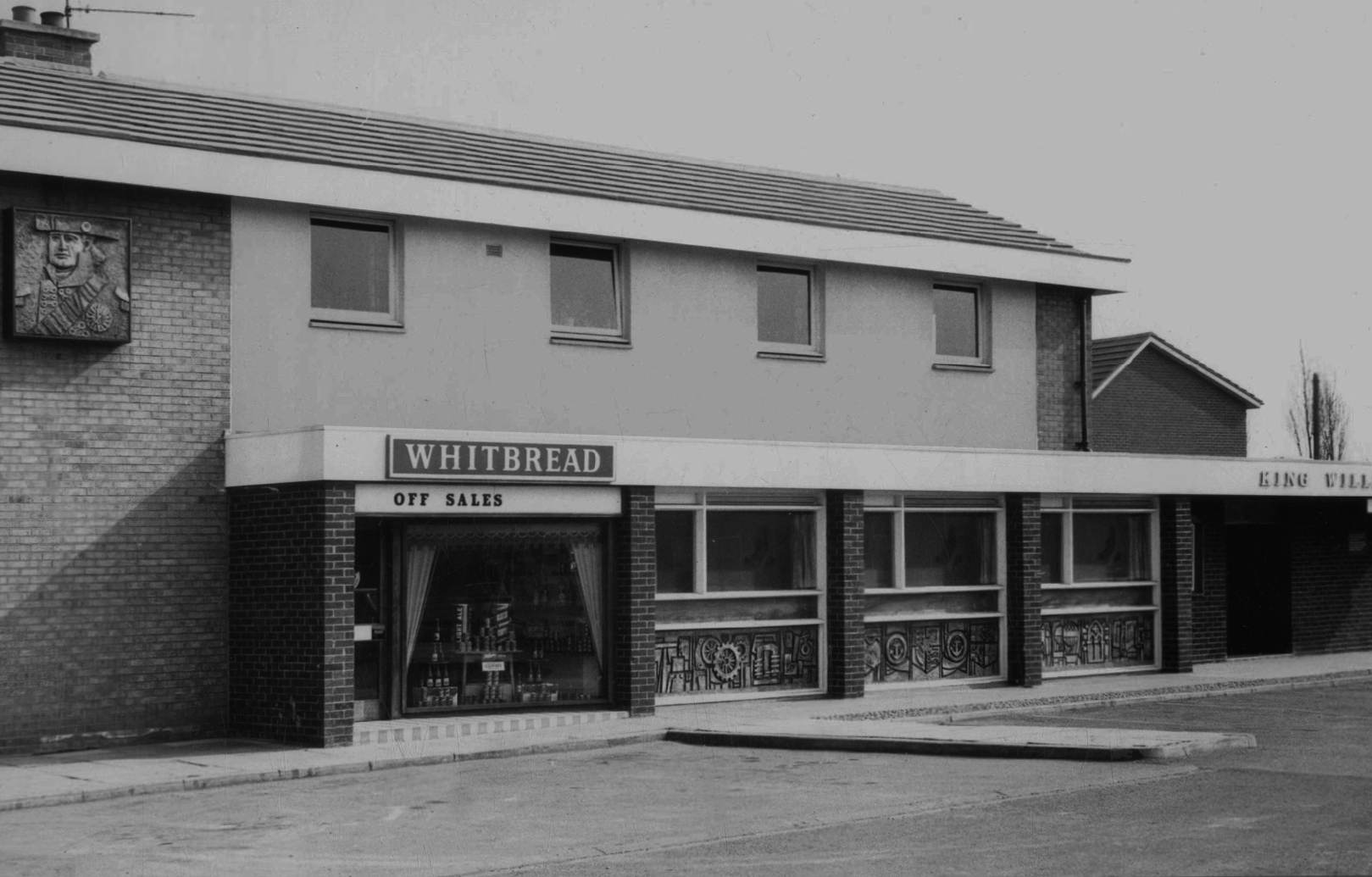
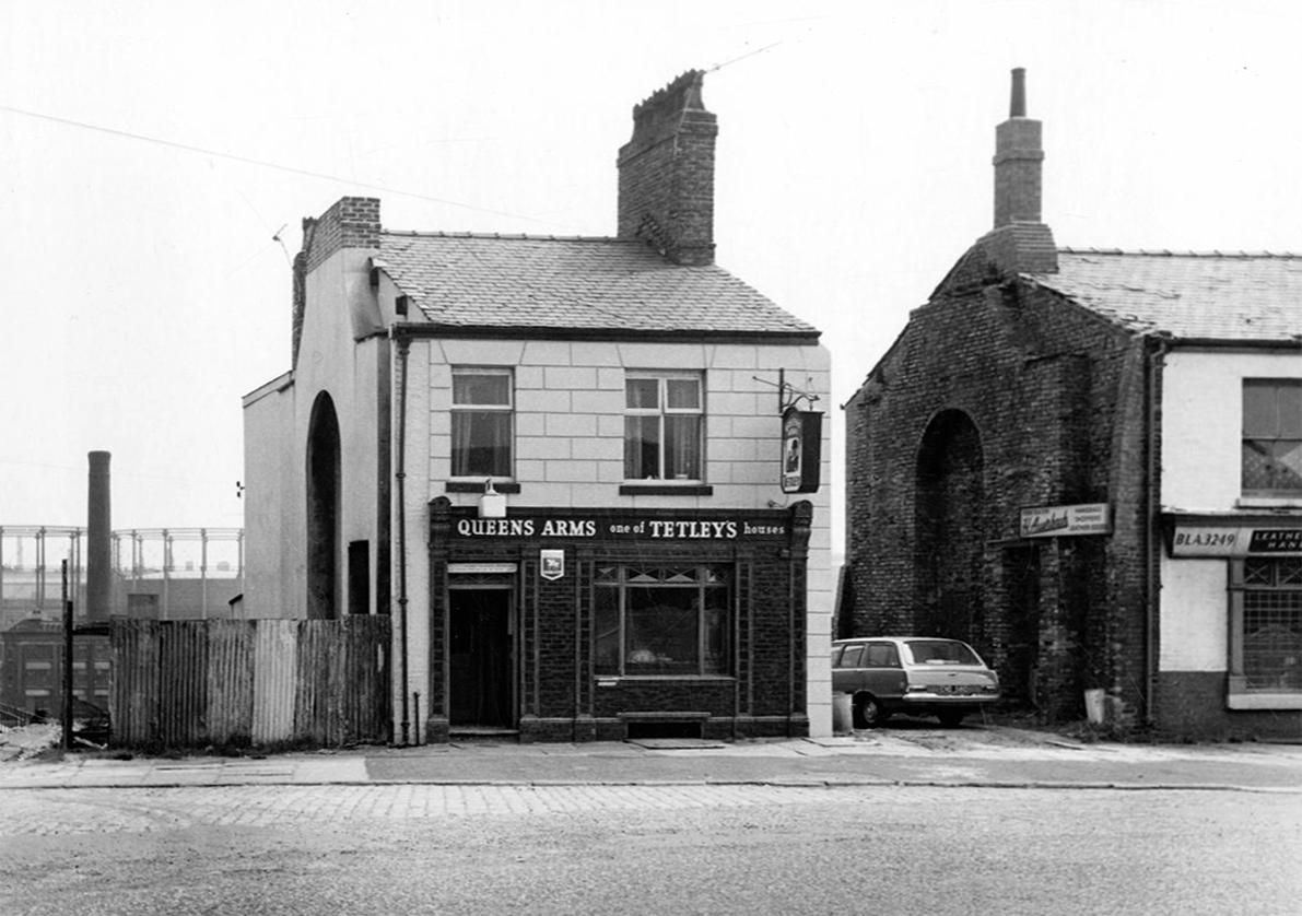
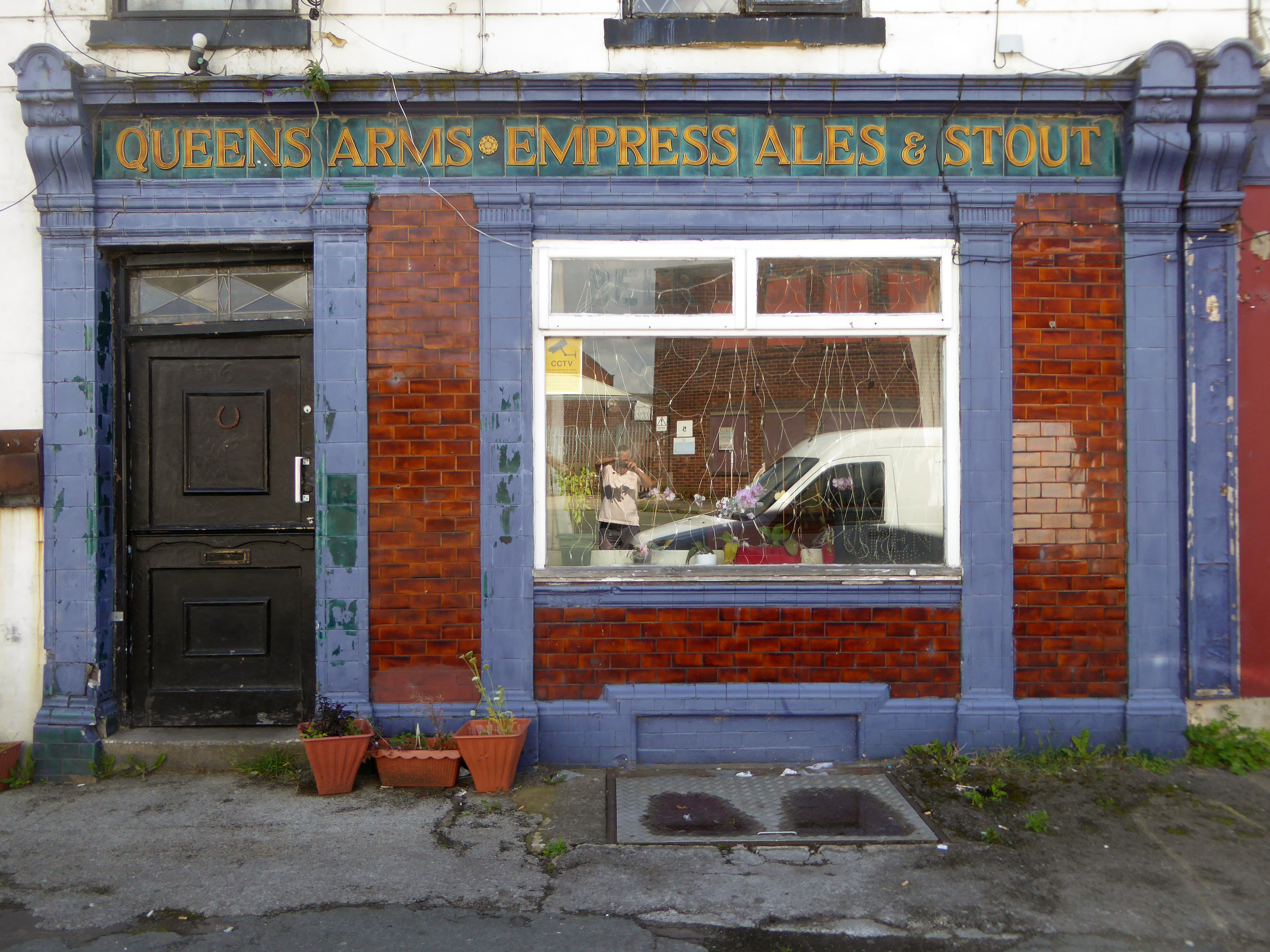
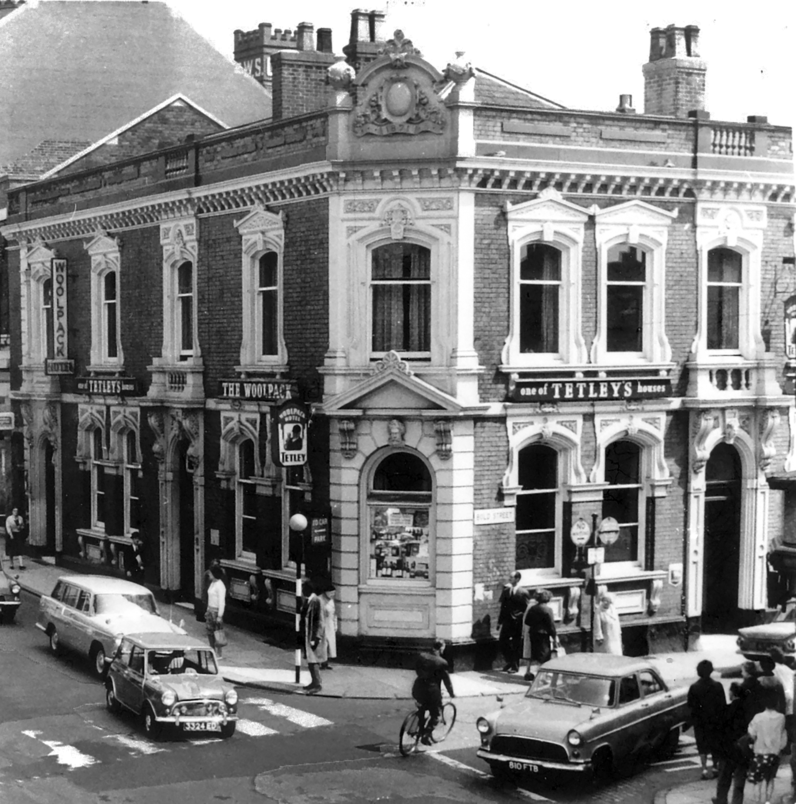
Originally a Tetley’s house named The Woolpack.
Got served my first pint in there, I was only 14.
Karl Beckett
Coming down those stairs, I slipped and the heel came off my boot, I’d only had one drink – loved those boots.
Sue Duncan
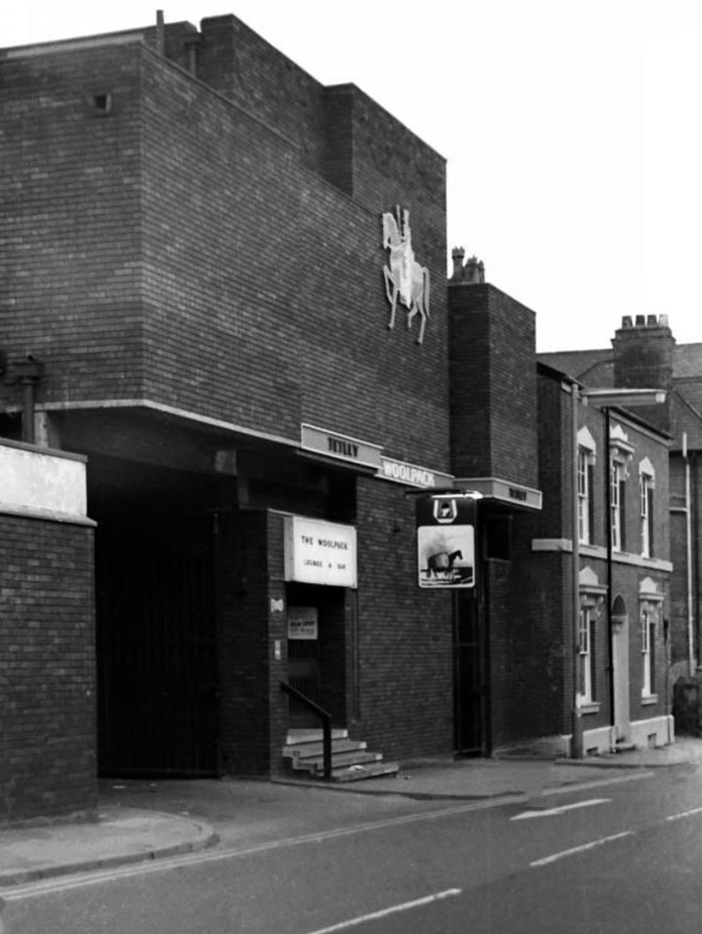
This was the original Woolpack on the site.
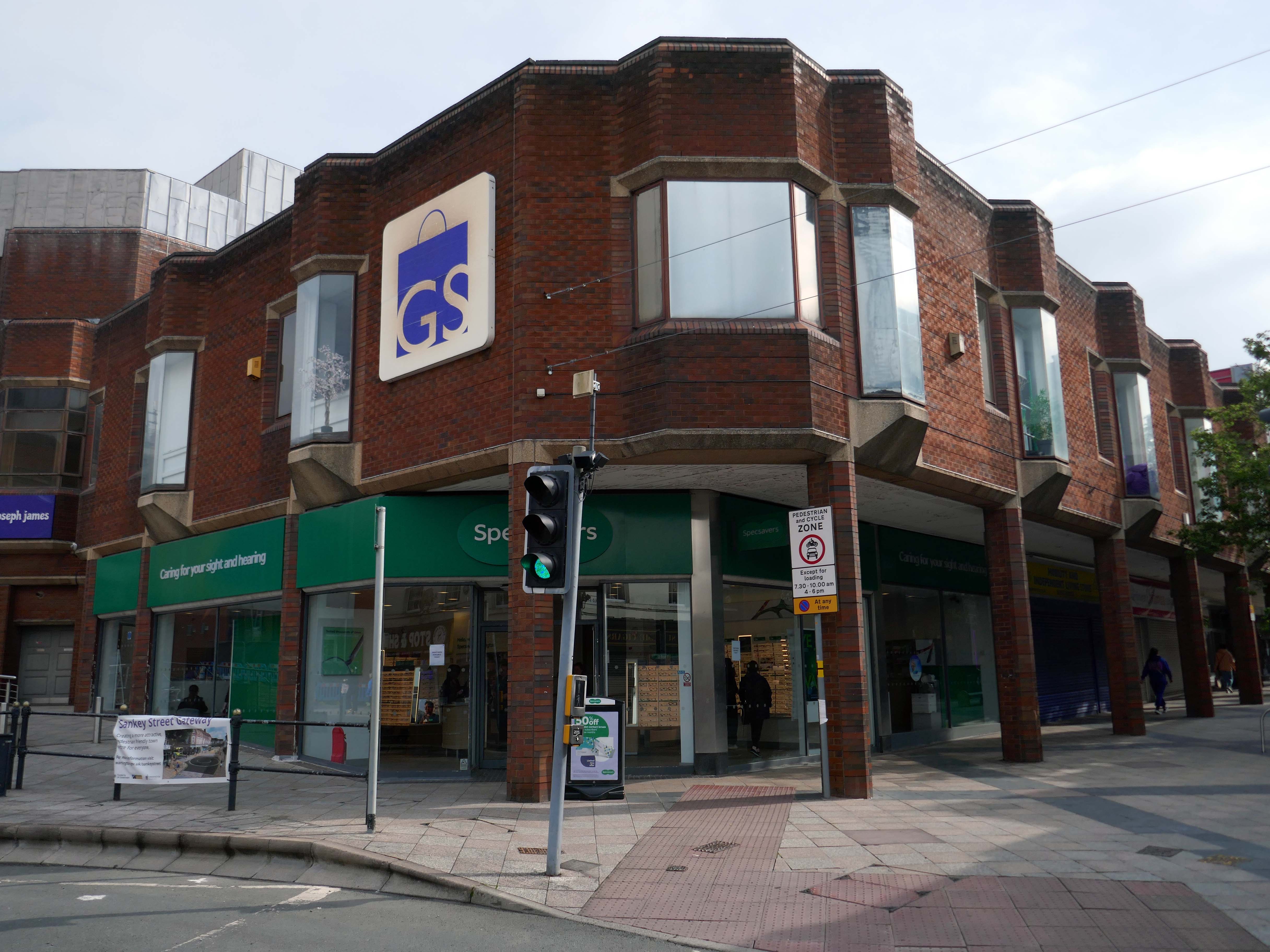
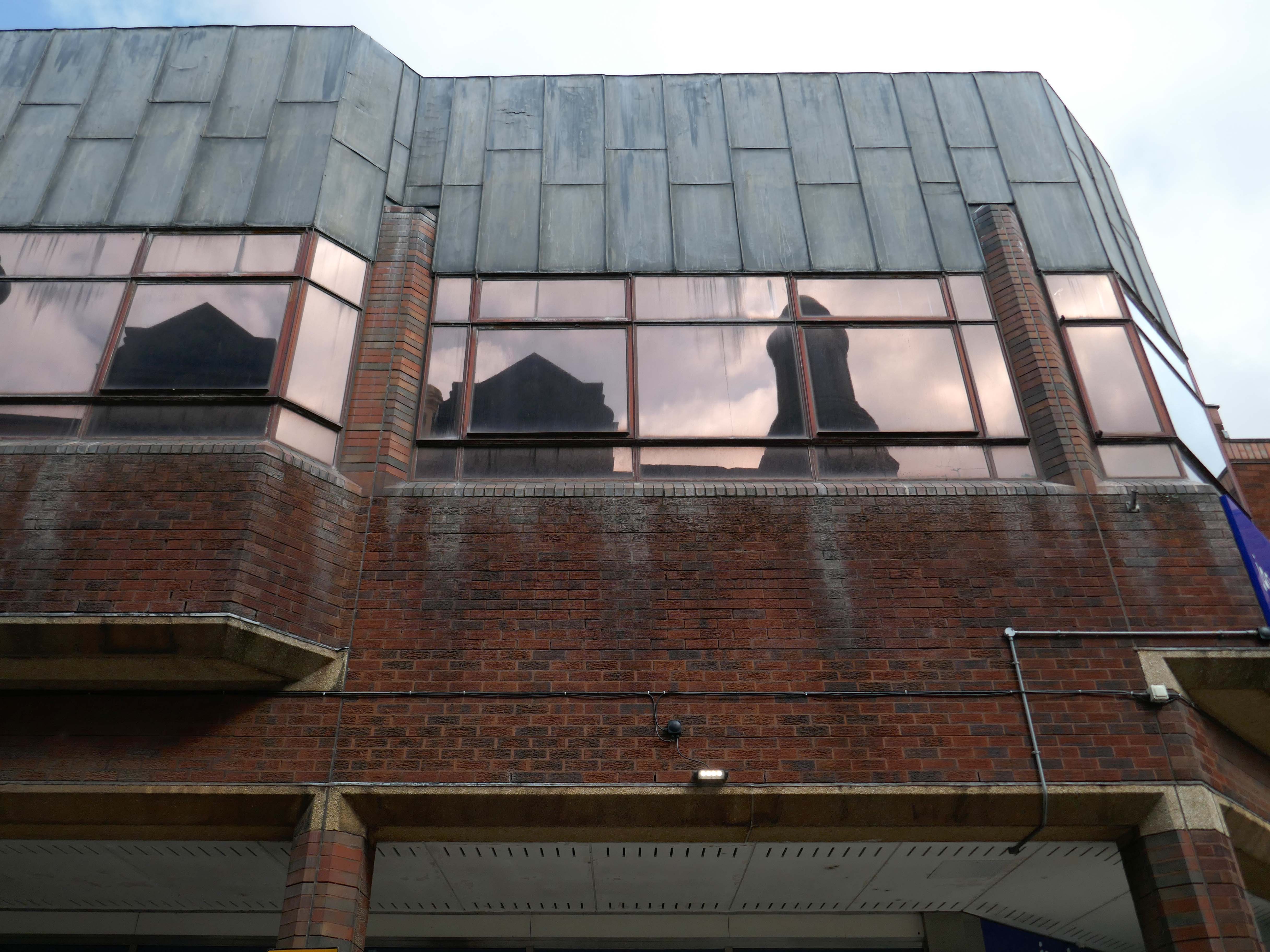
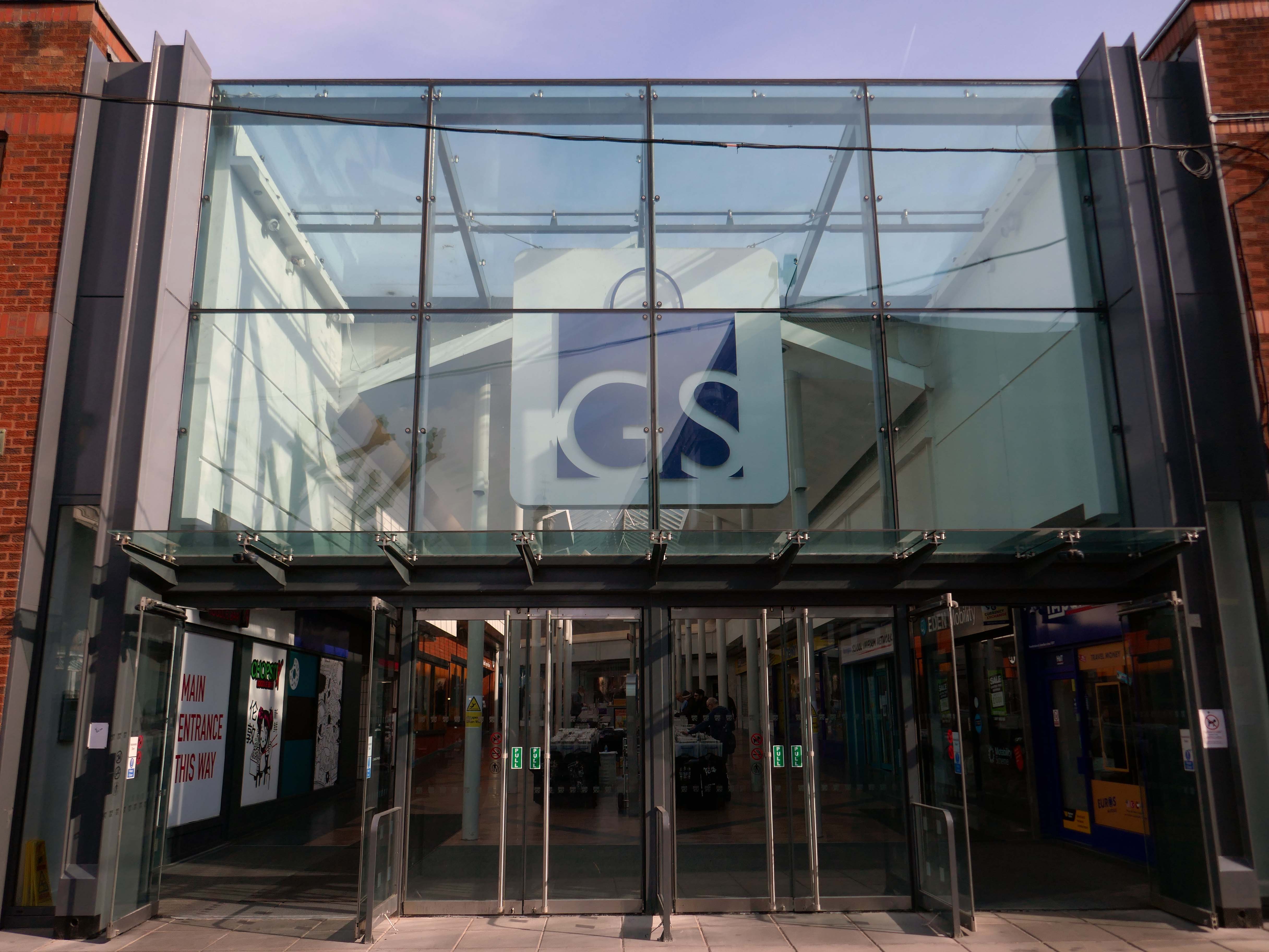
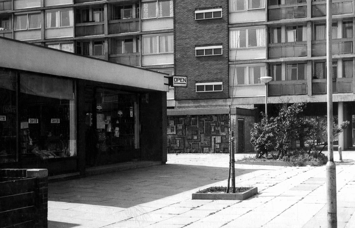
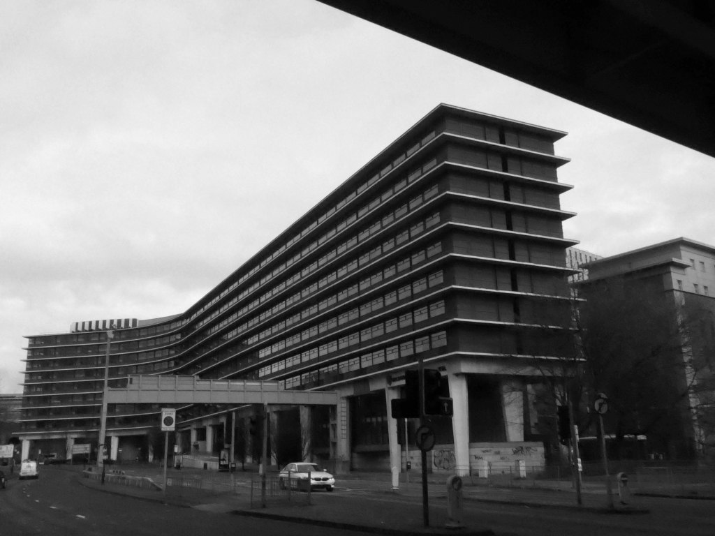
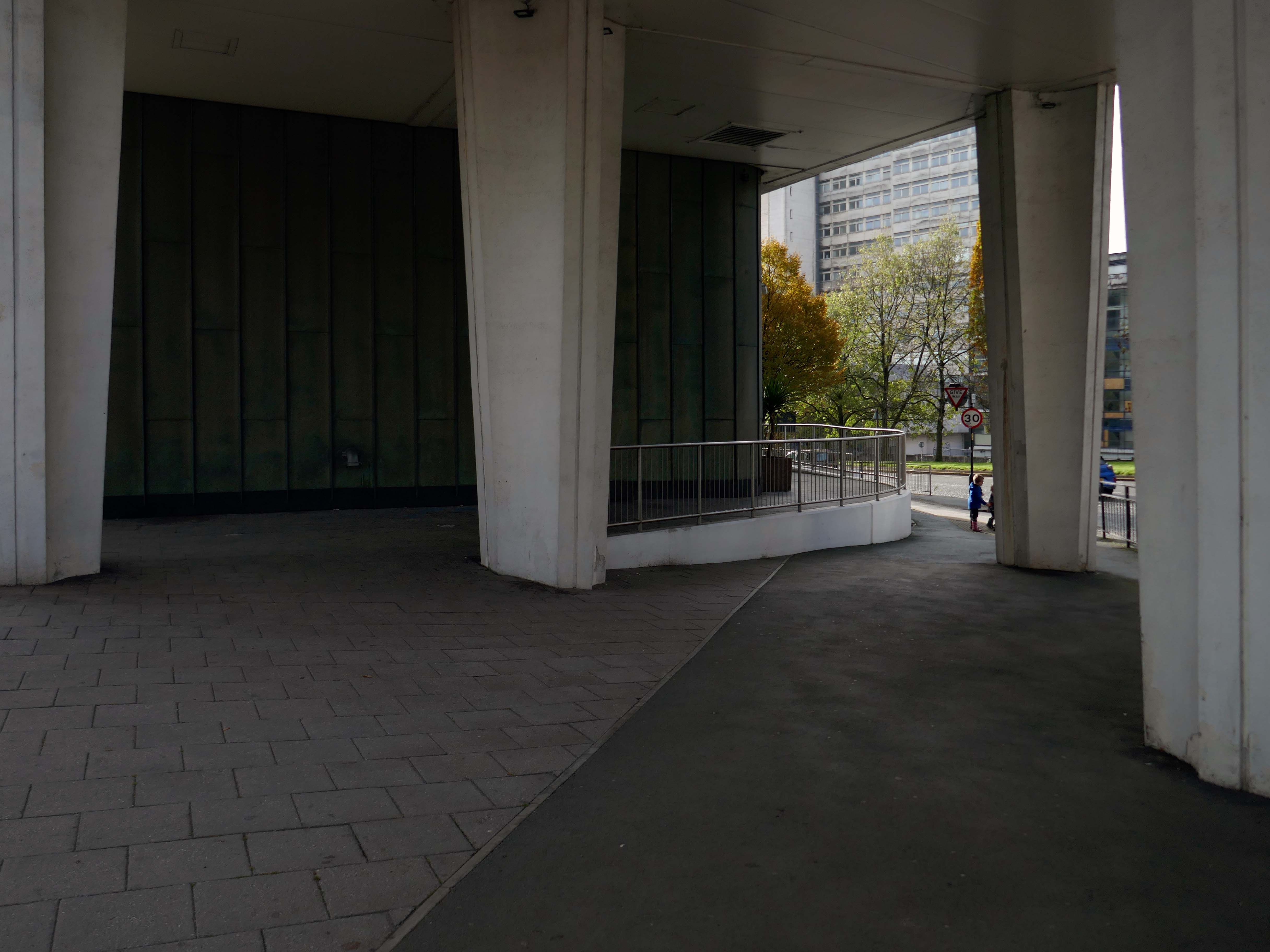
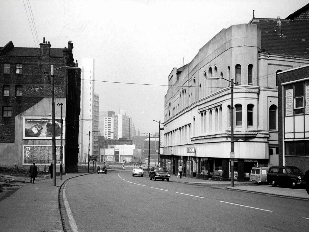
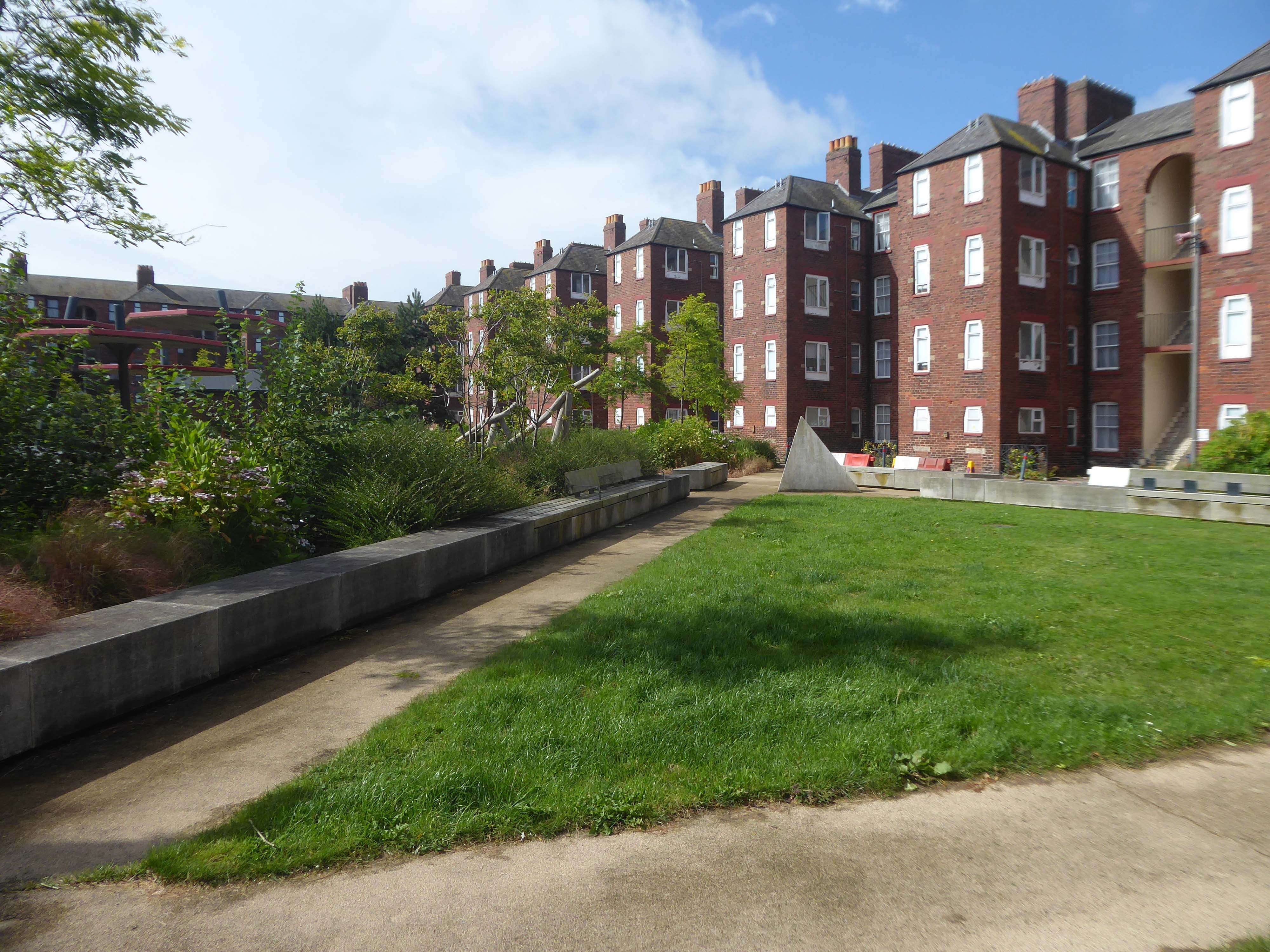
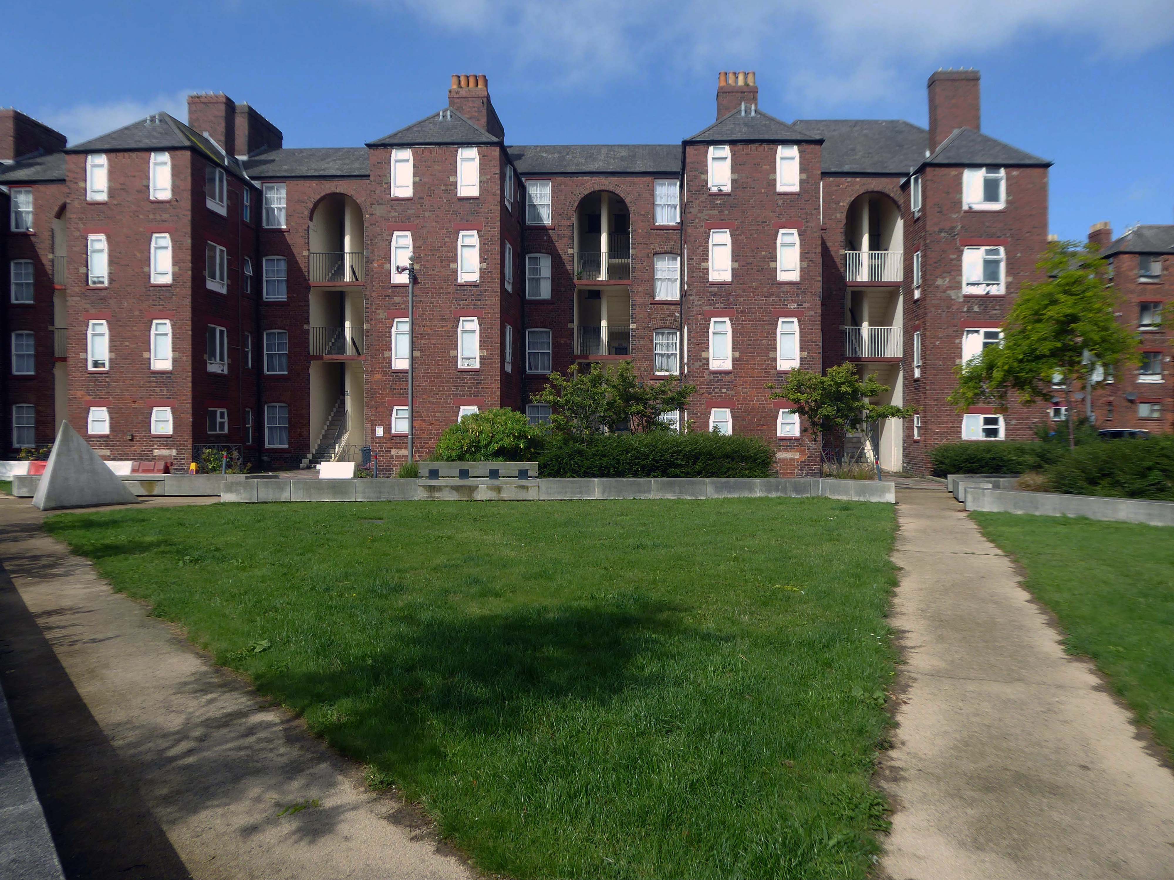
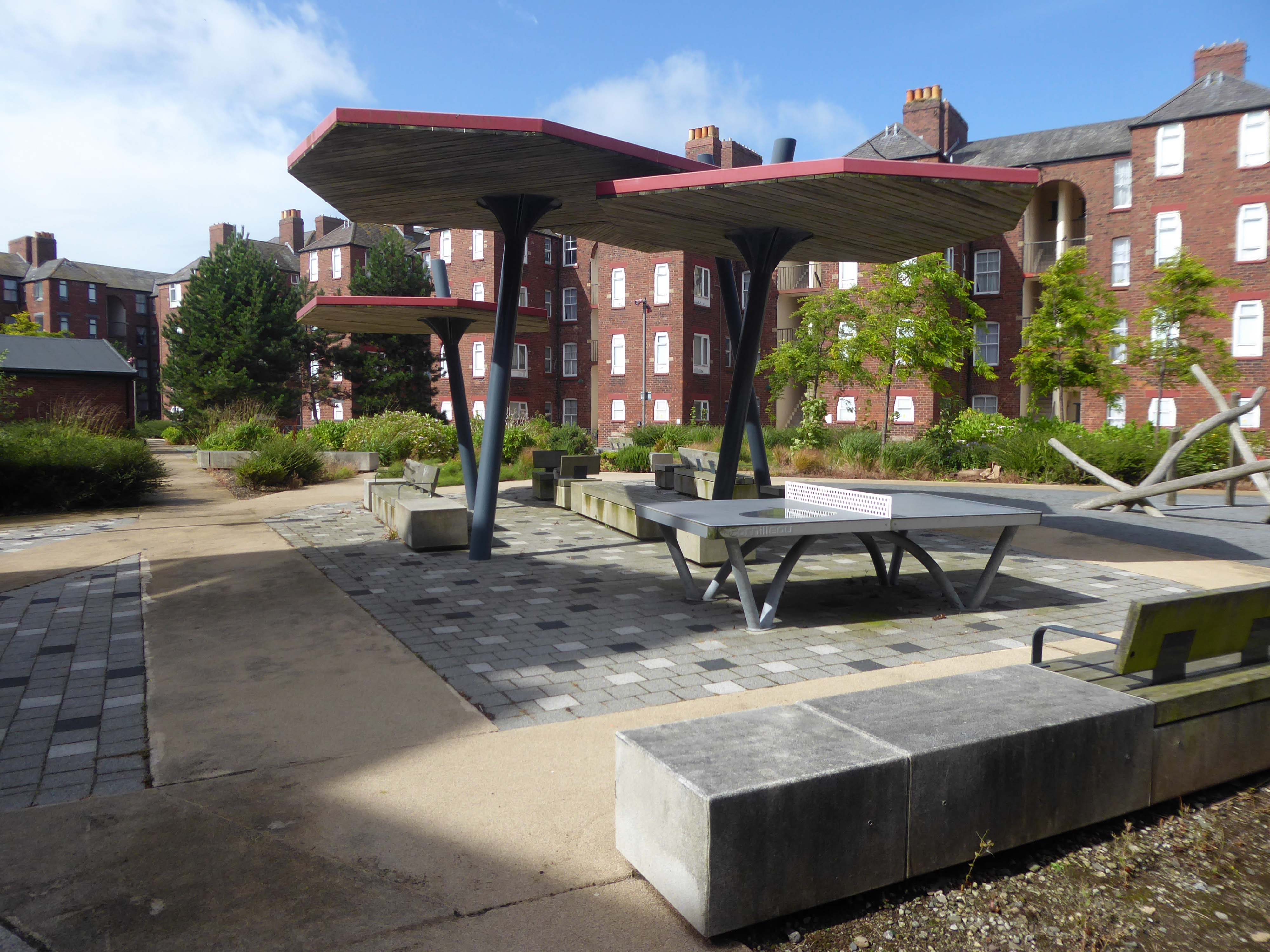
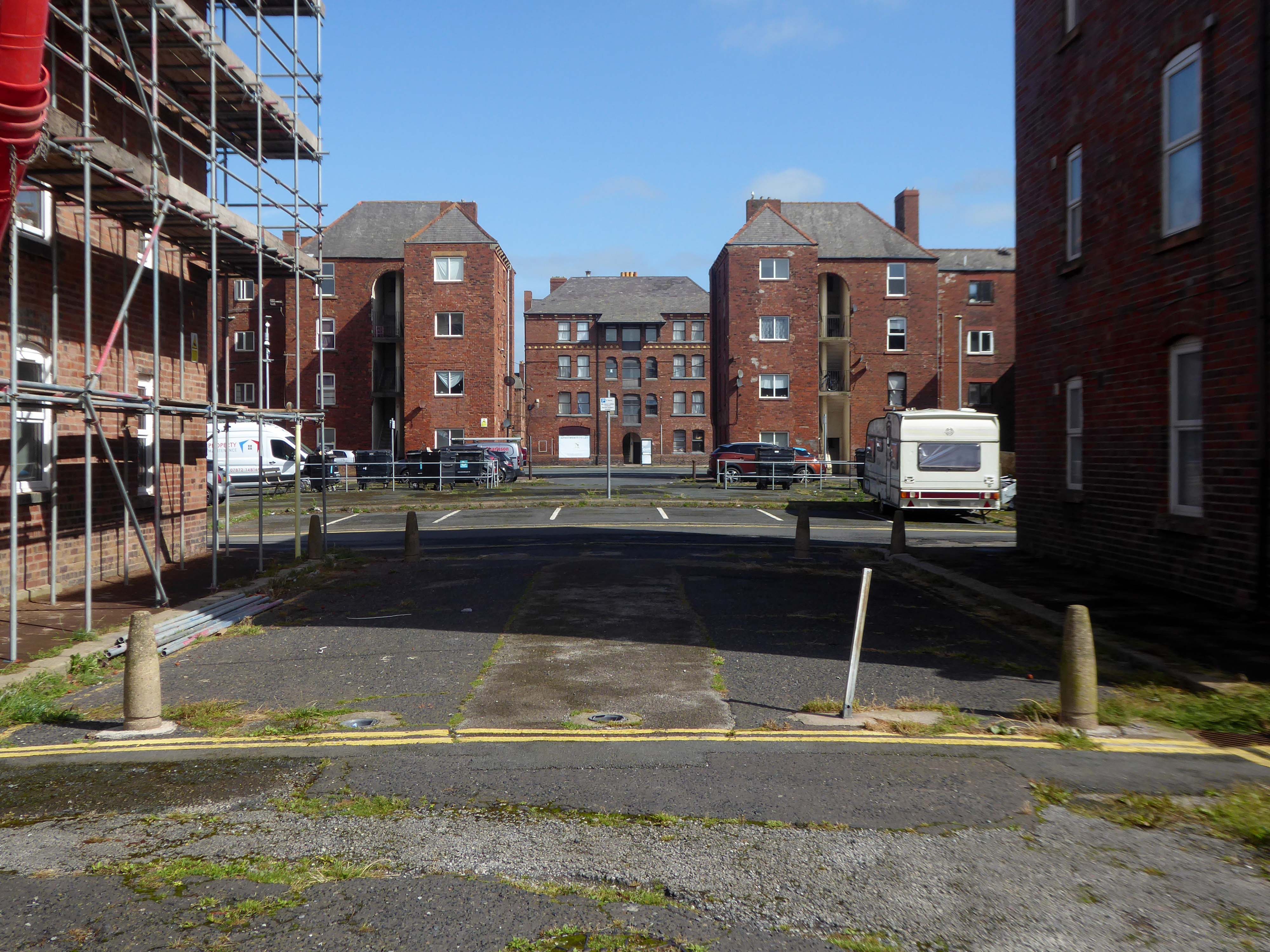
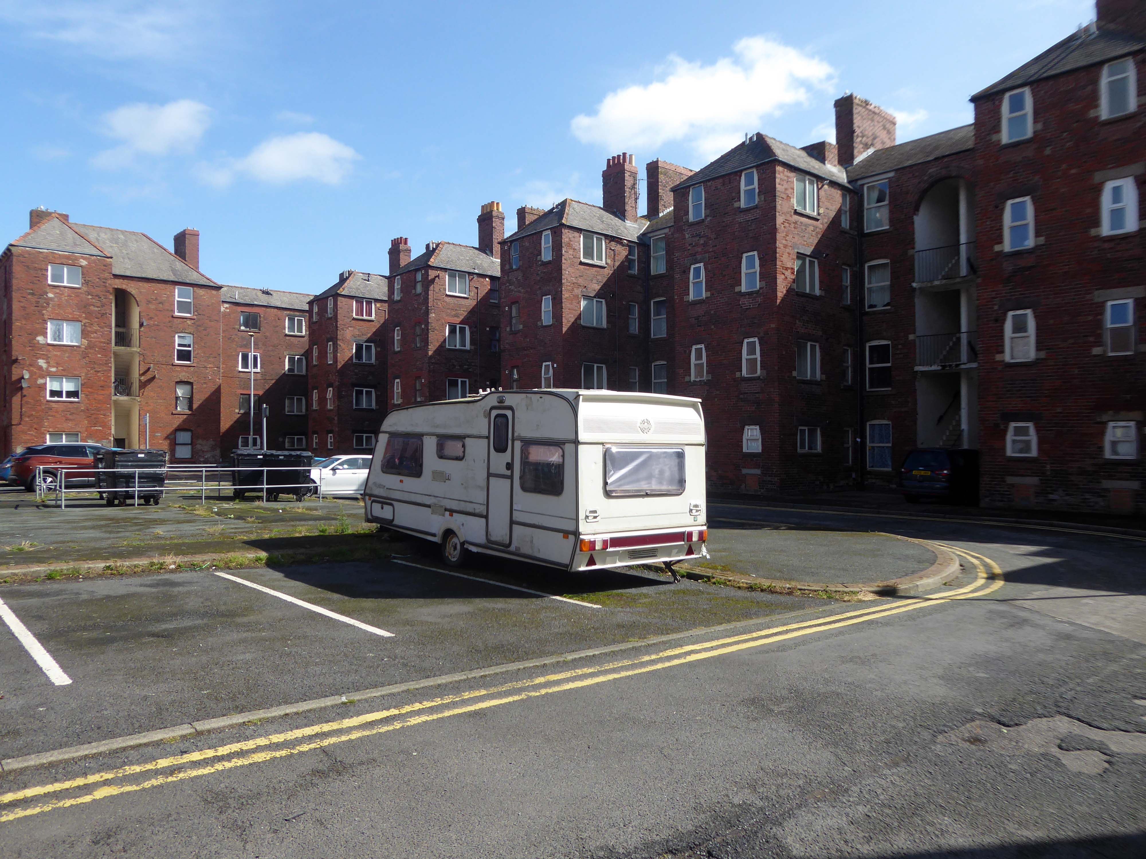
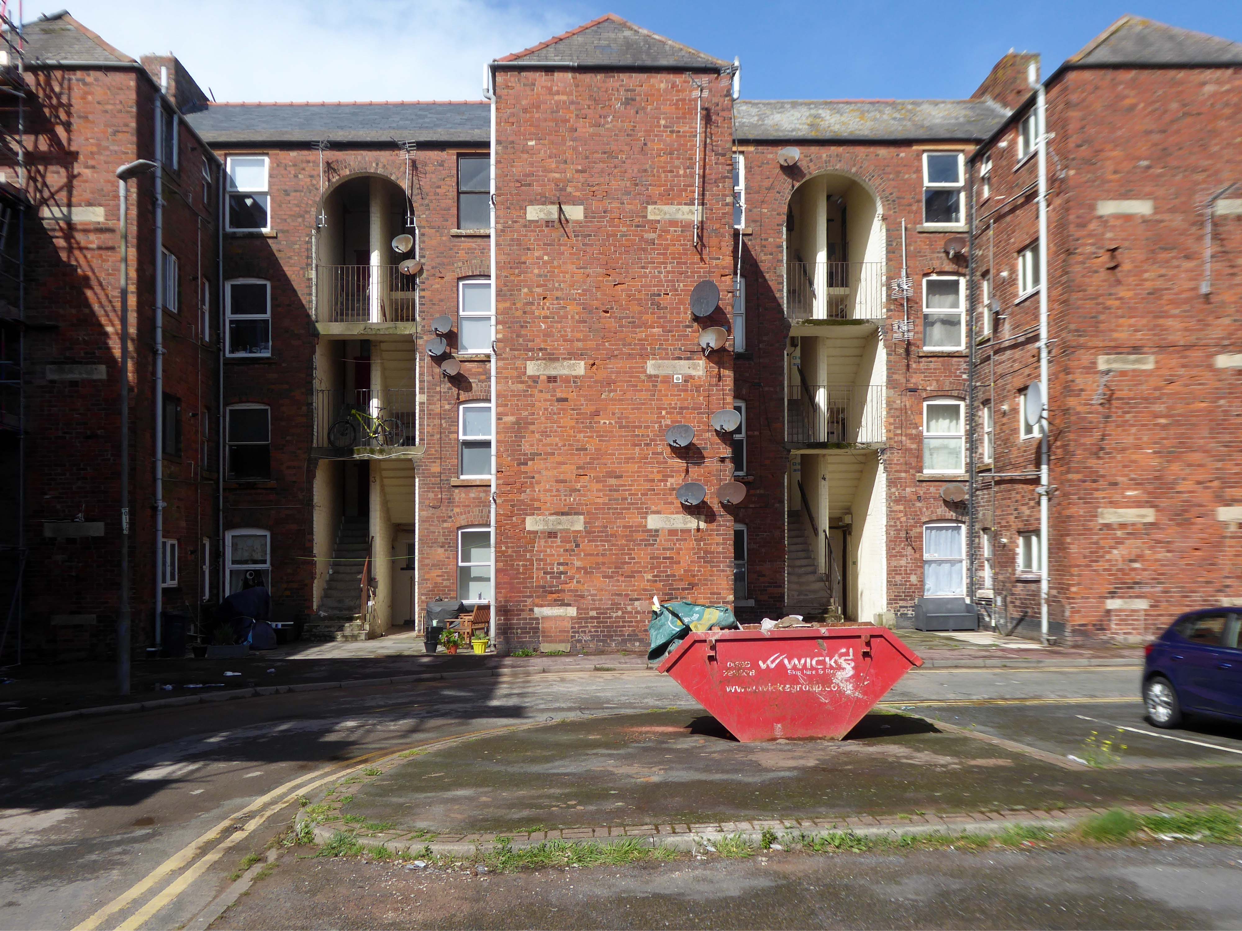
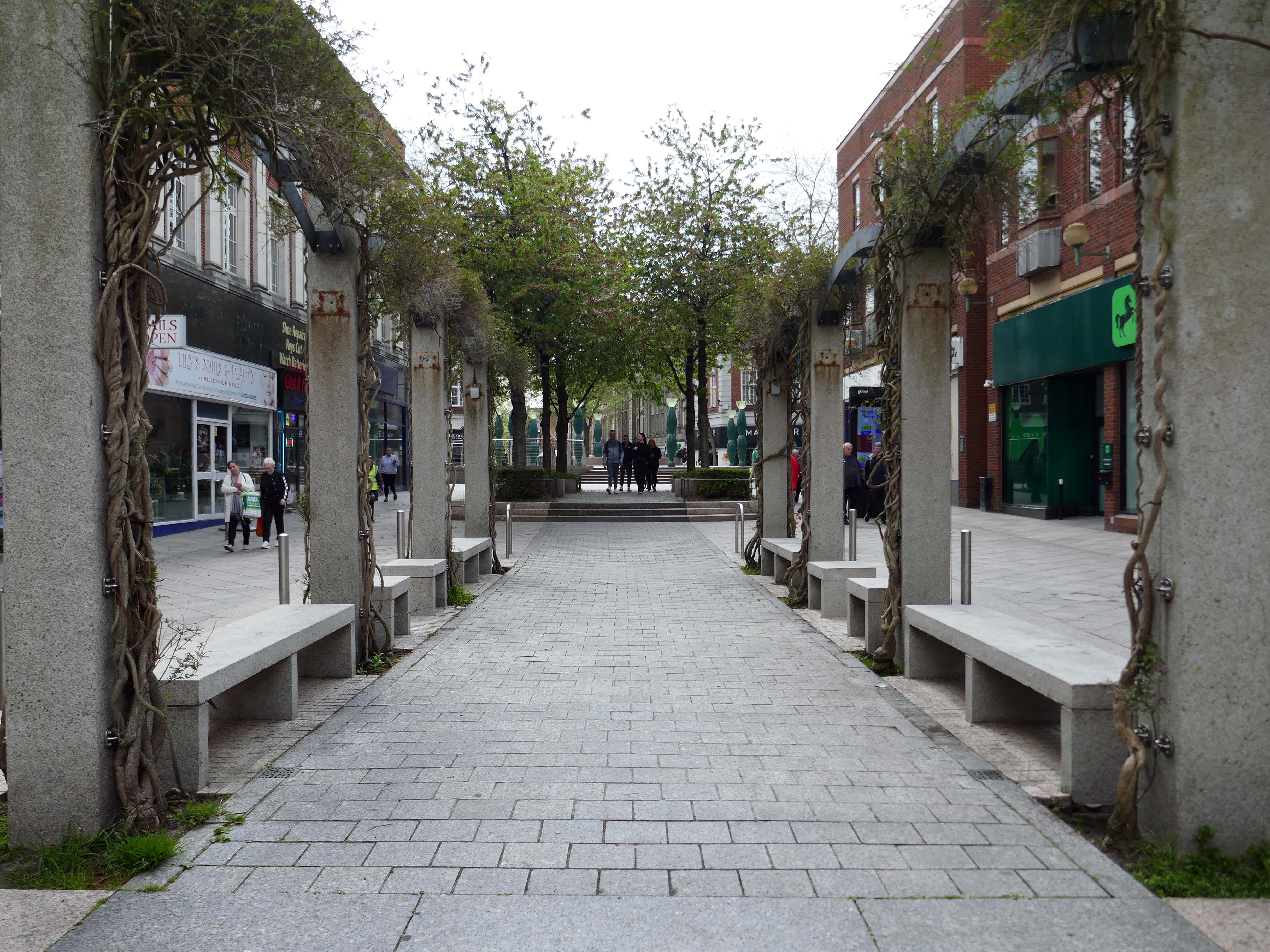
Much of the town centre is dominated by the Golden Square shopping centre.
Designed in 1974 by Ardin and Brookes and Partners, since enlarged.
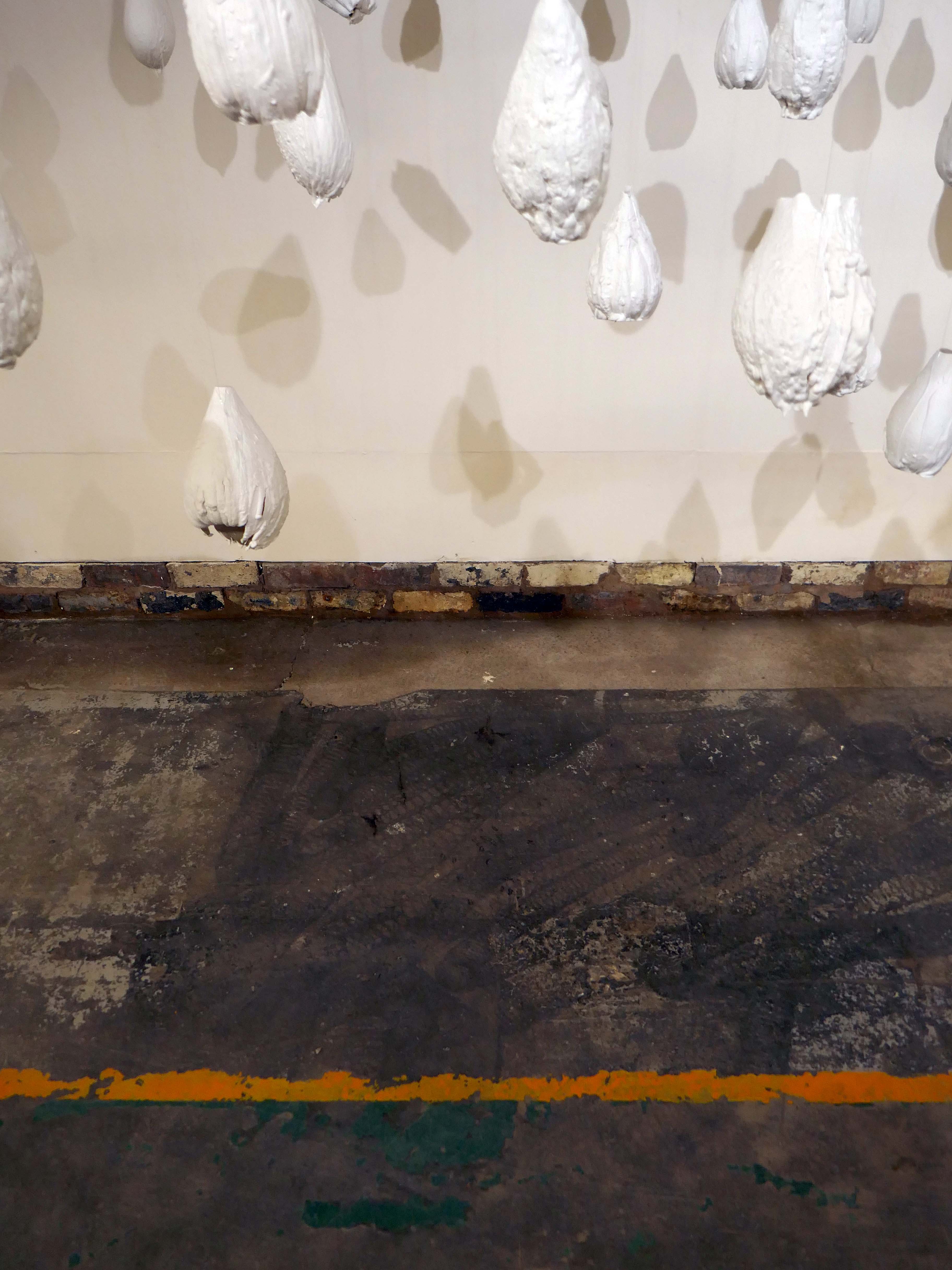
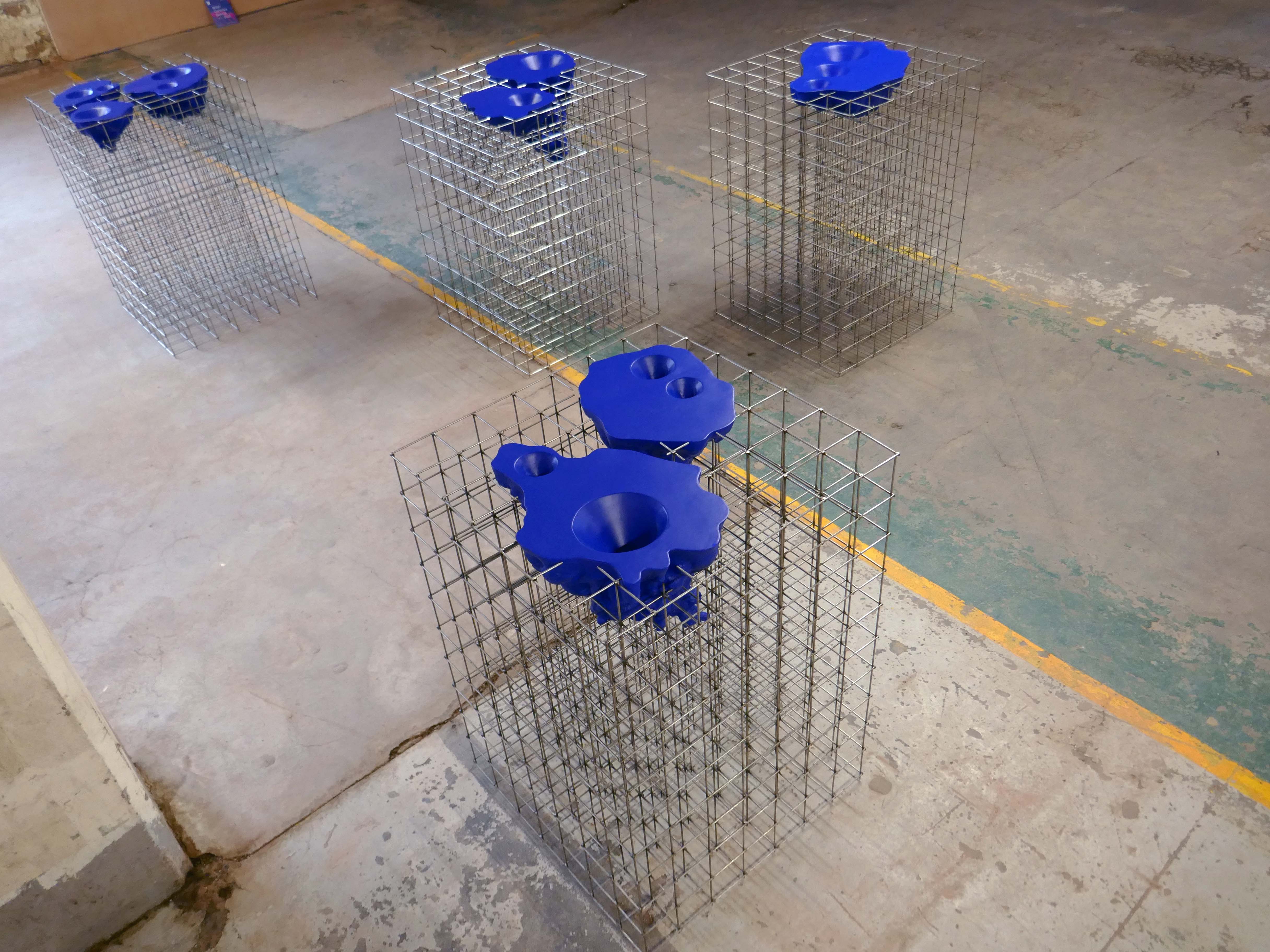
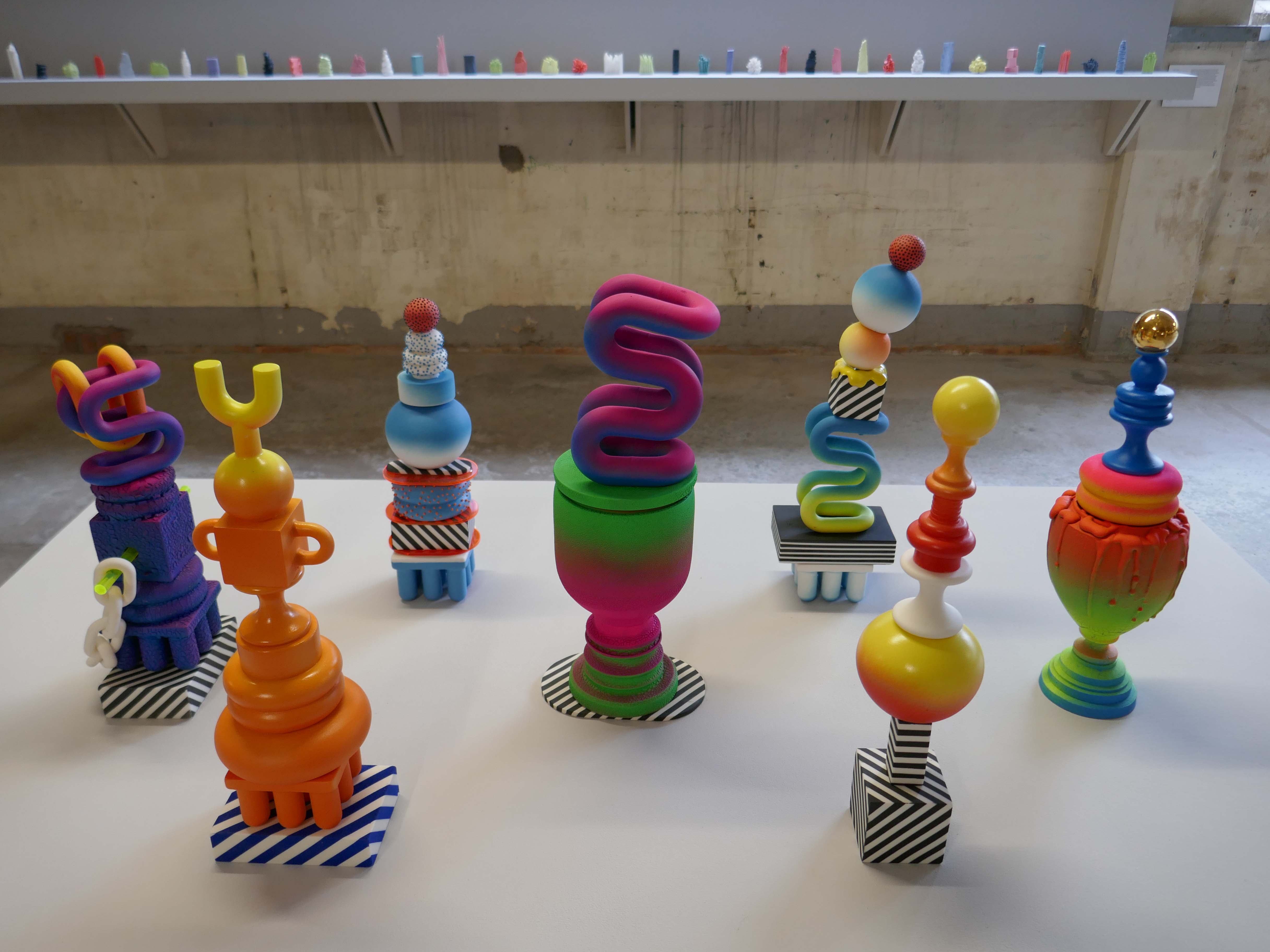
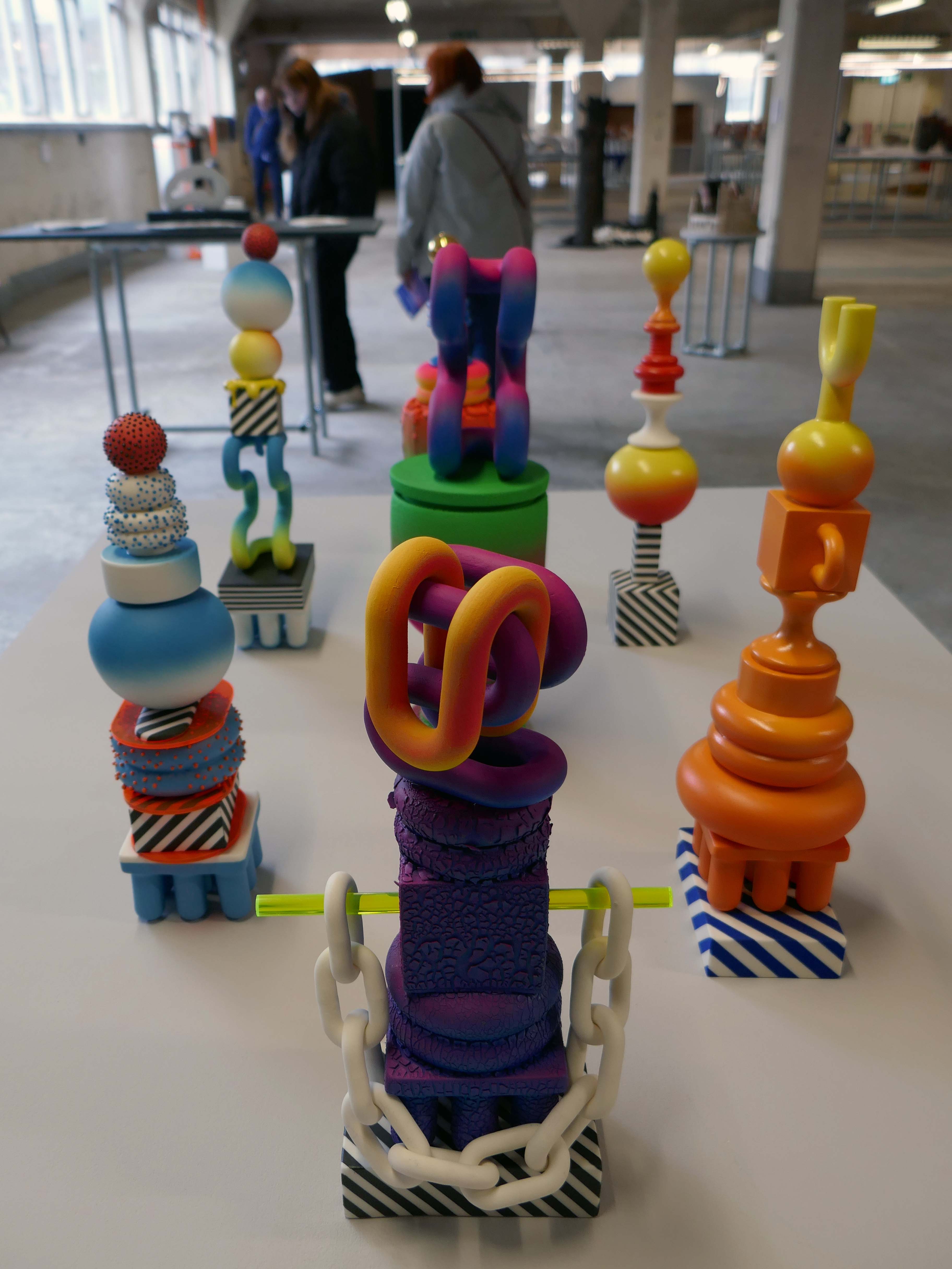
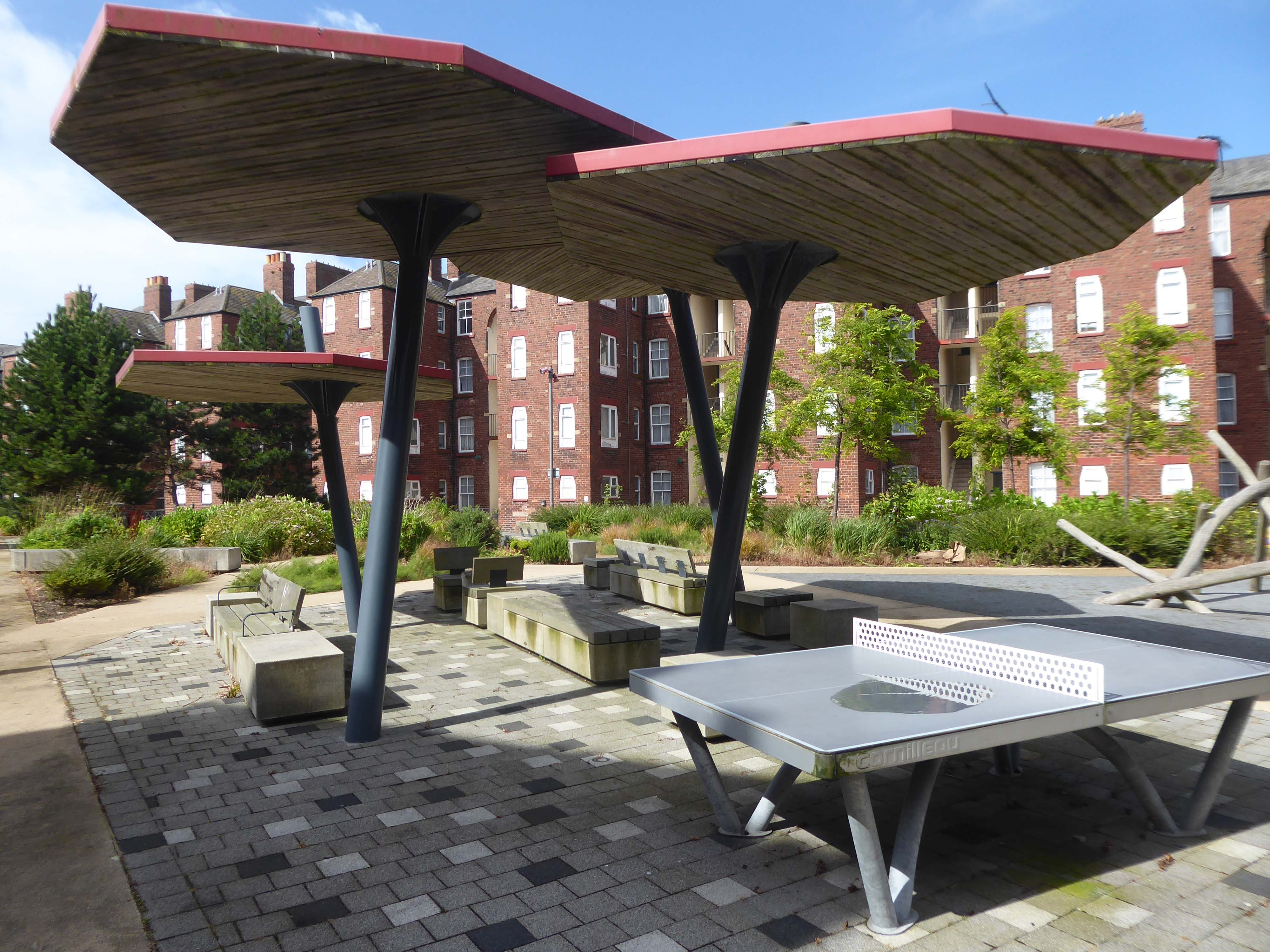
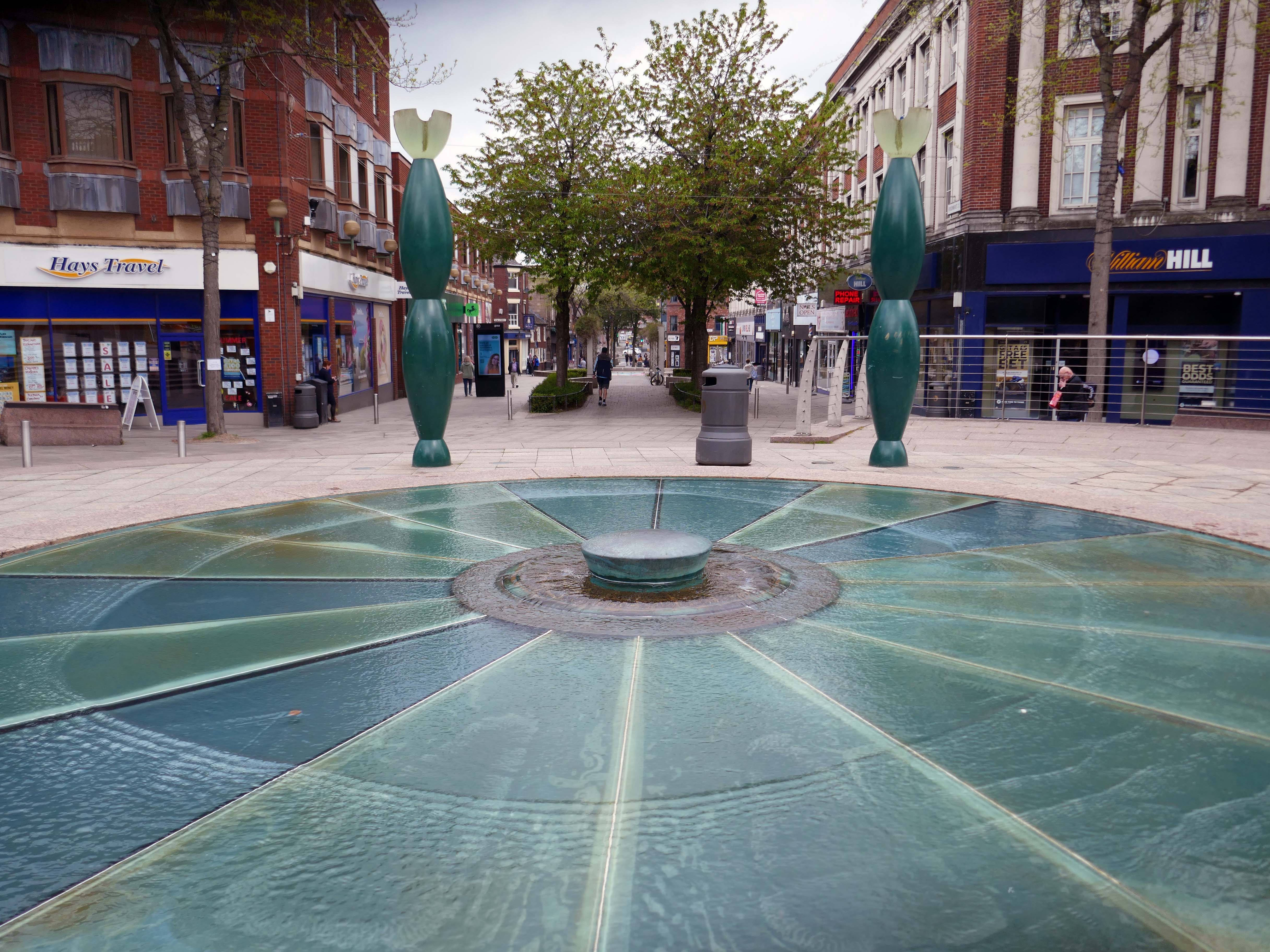
There is also extensive pedestrianisation and hard landscaping on the surrounding streets, carried out in 2002 by Landscape Design Associates with sculptural works by Howard Ben Tre.
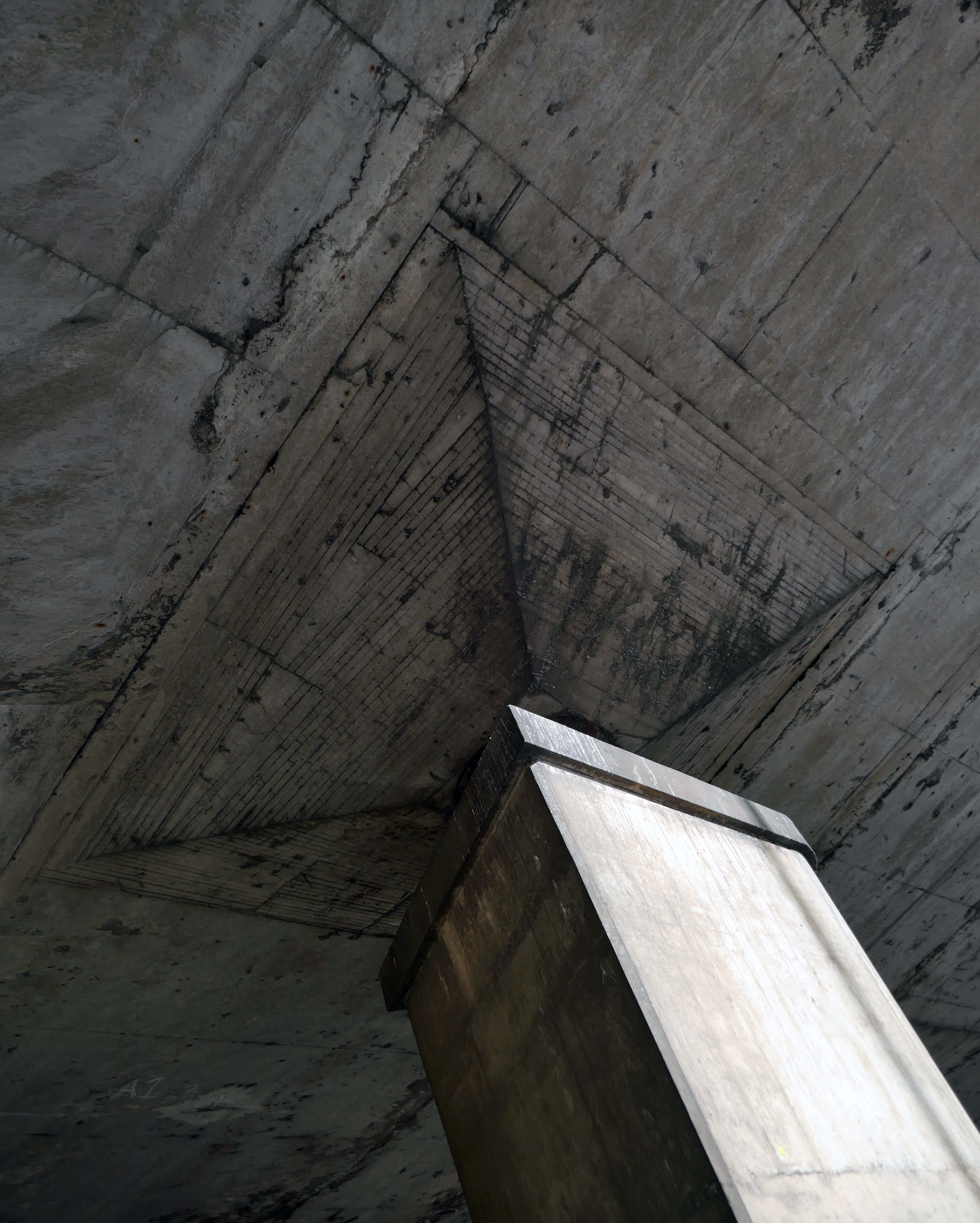
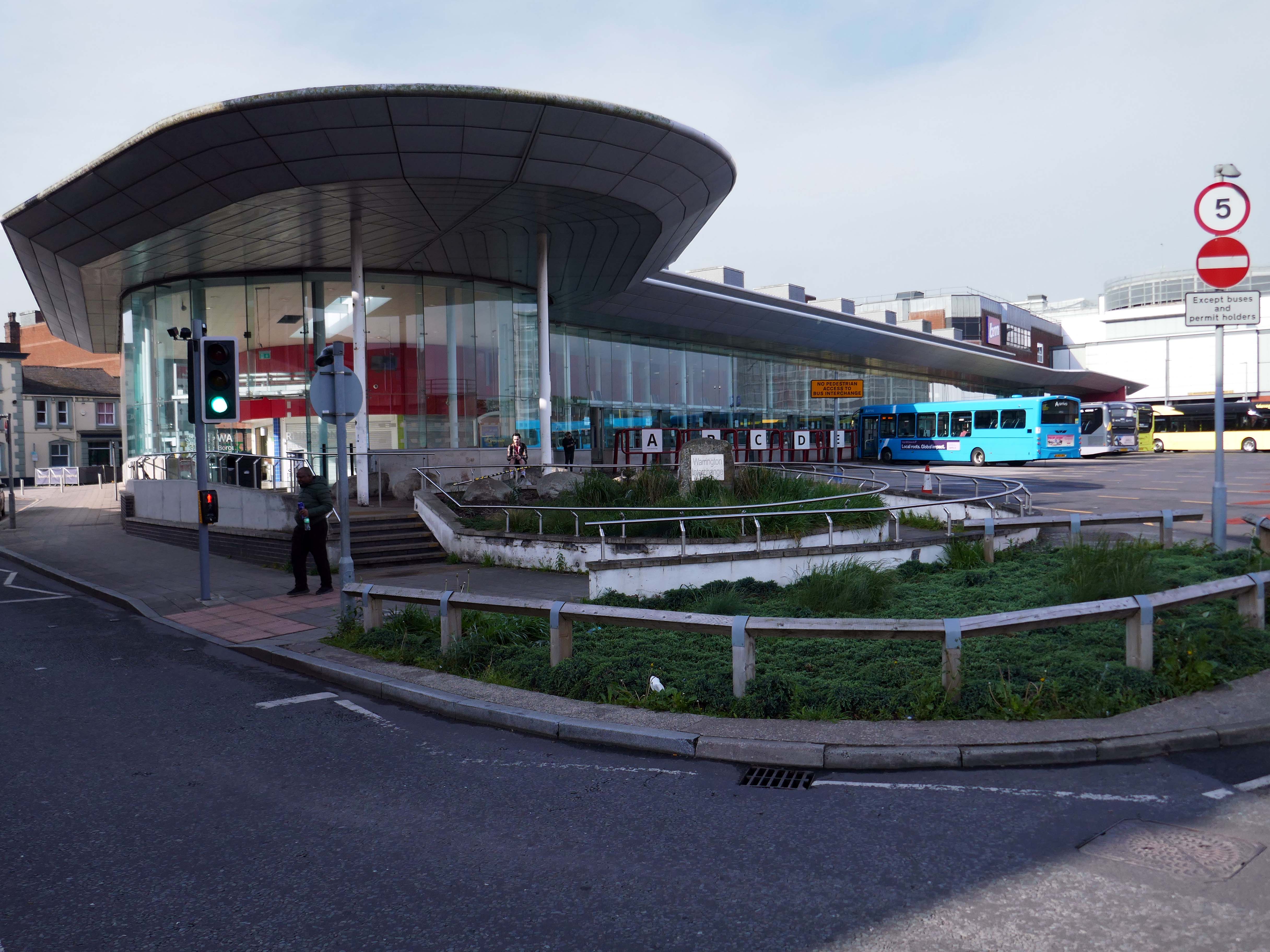
Finally to the Bus Station which used to look like this:
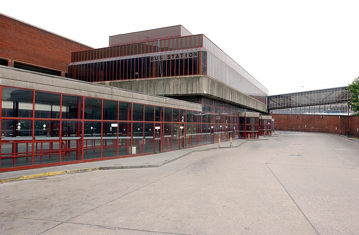
Until it became an Interchange and looks a lot like this.
Warrington’s new bus interchange was opened on 21 August 2006. From 1979, bus users travelled from a facility on Golborne Street, but it was very unpopular due to its very dreary appearance.
Though the final word must go to an absent friend.
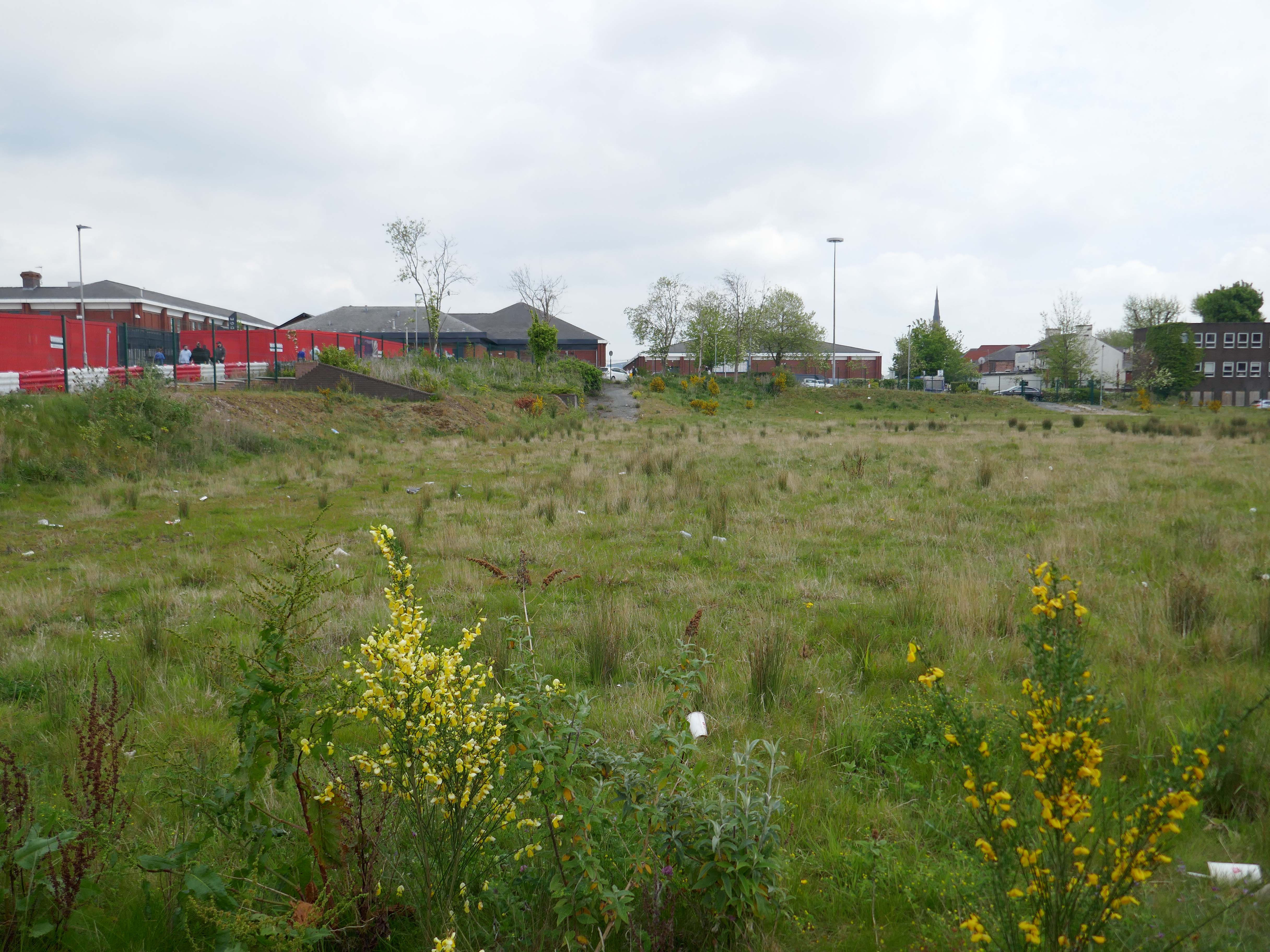
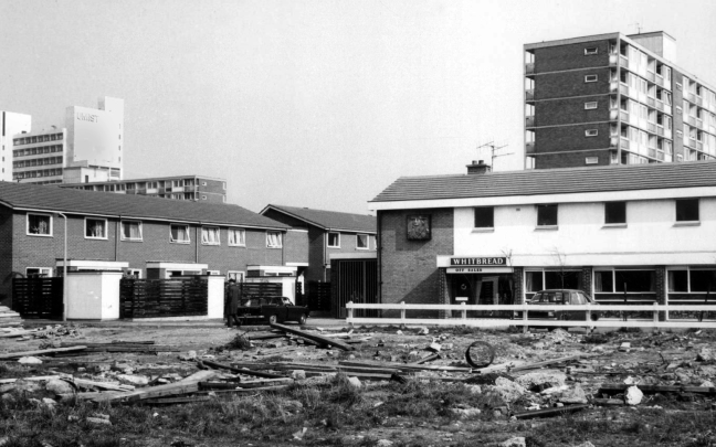
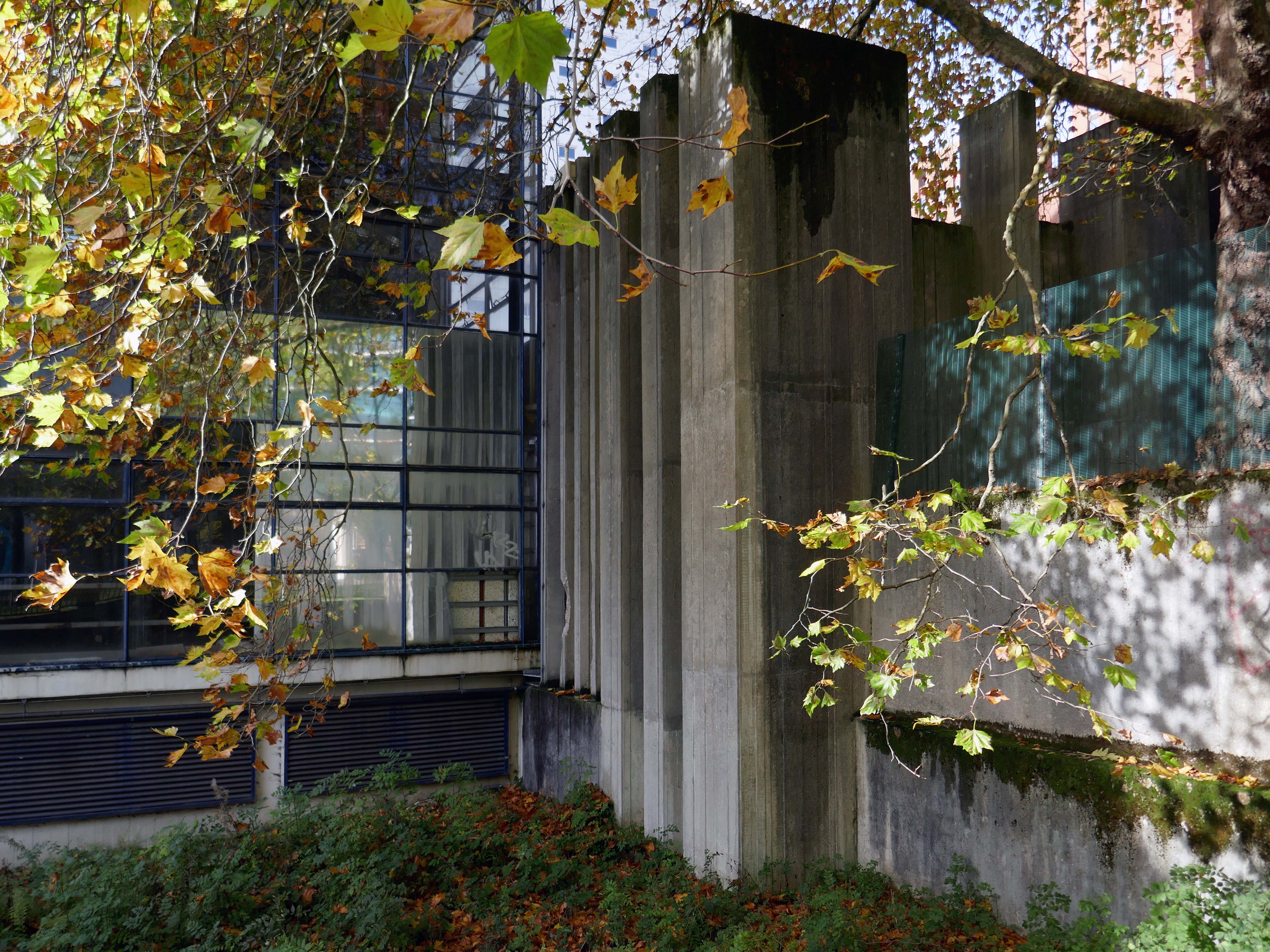
Where once the New Town House stood.
Built in 1976 to house the Warrington & Runcorn Development Corporation.
Visited by myself the Modern Mooch in 2021
Nobody actually likes brutalist buildings.
They just pretend to like them to make themselves look cool, it’s like craft beer and food that comes in tiny portions.