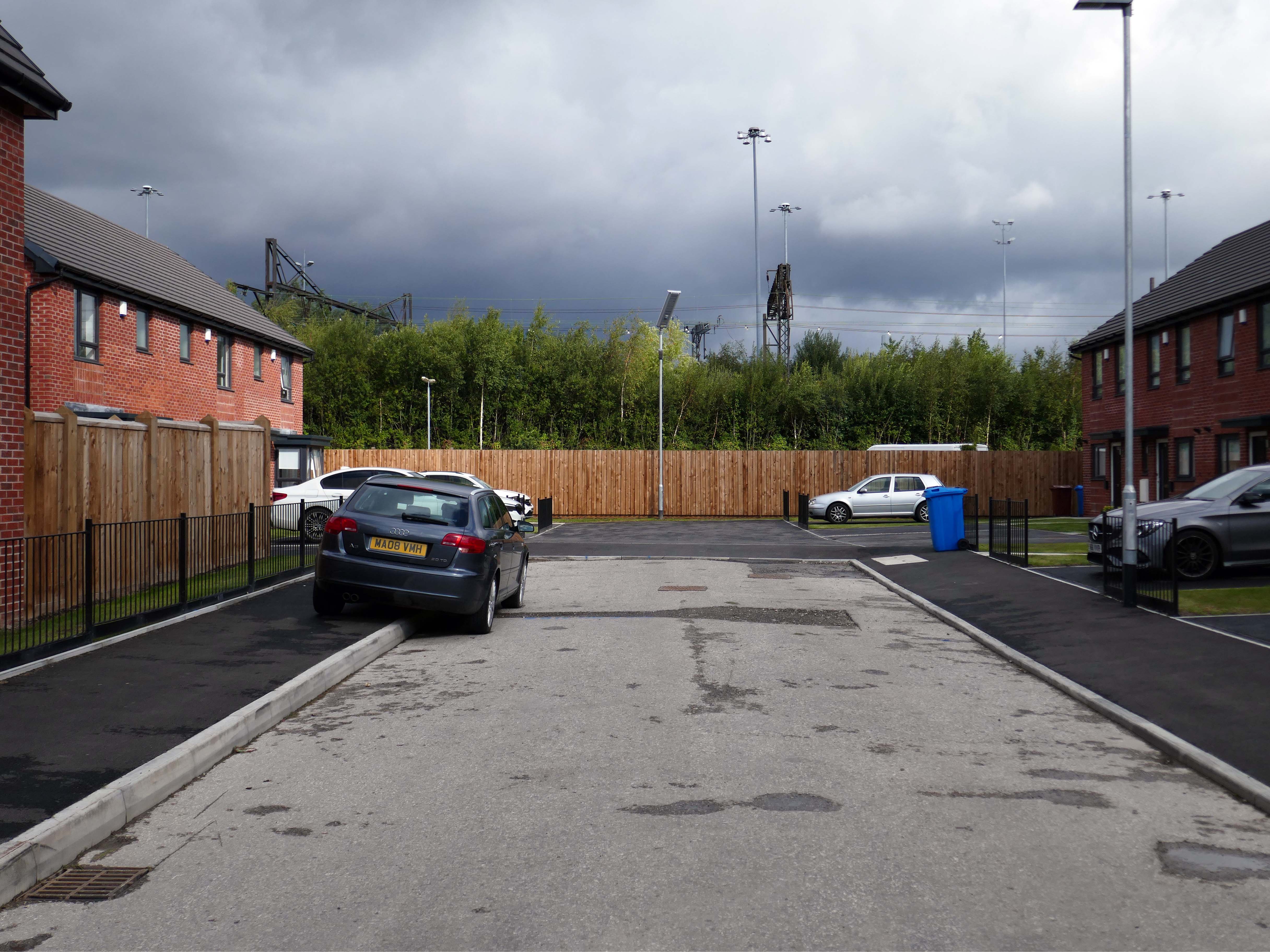
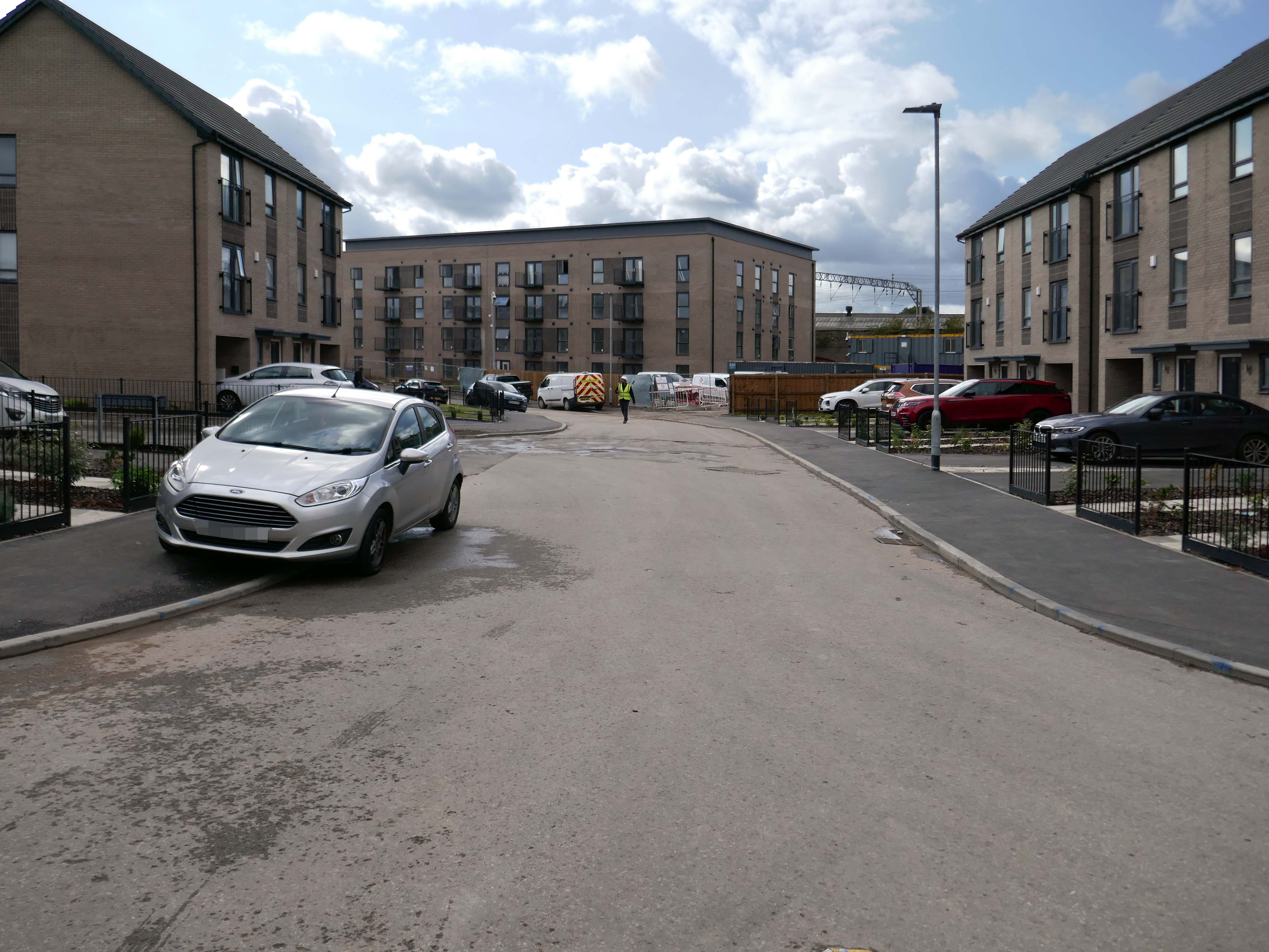
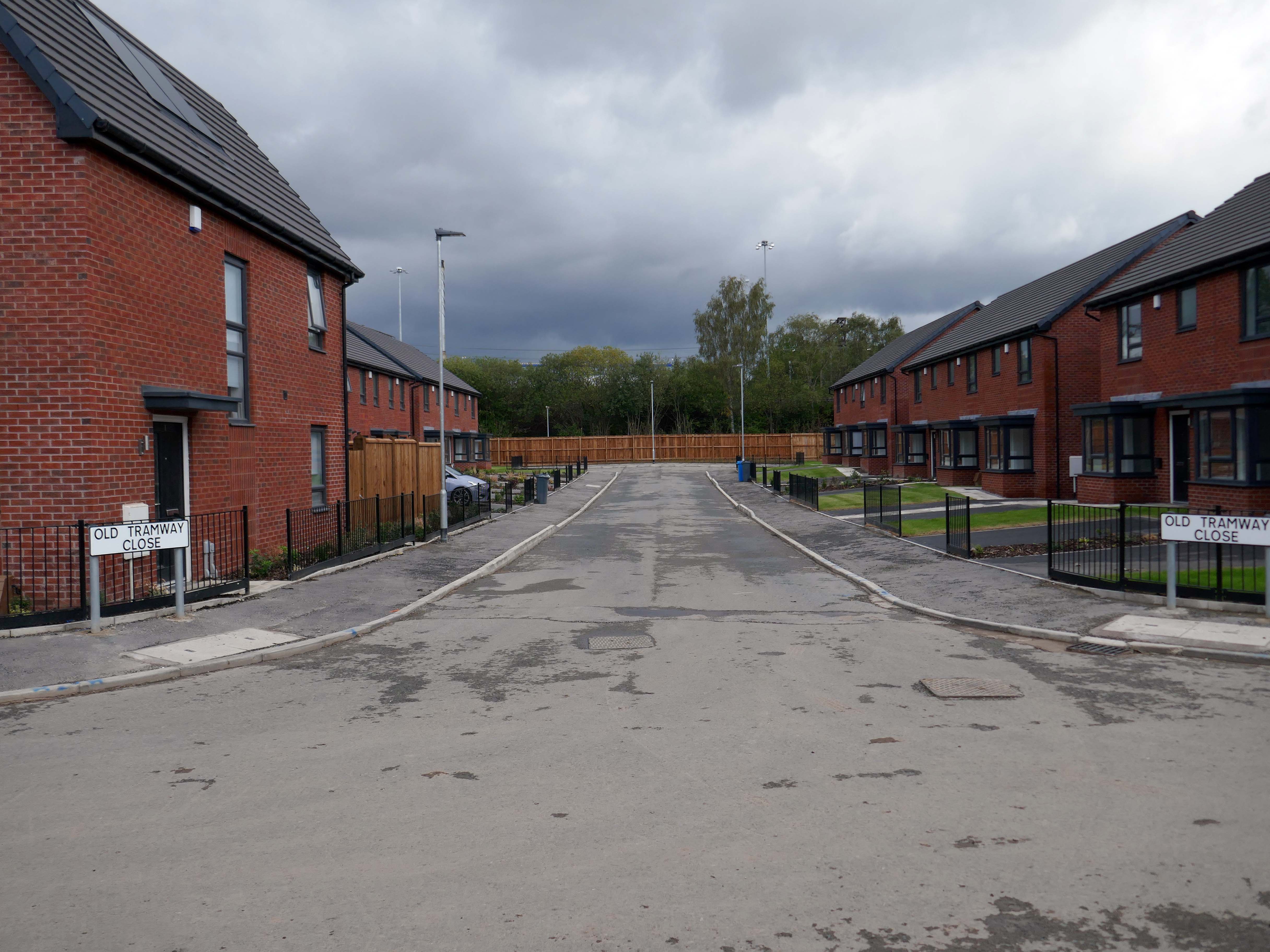
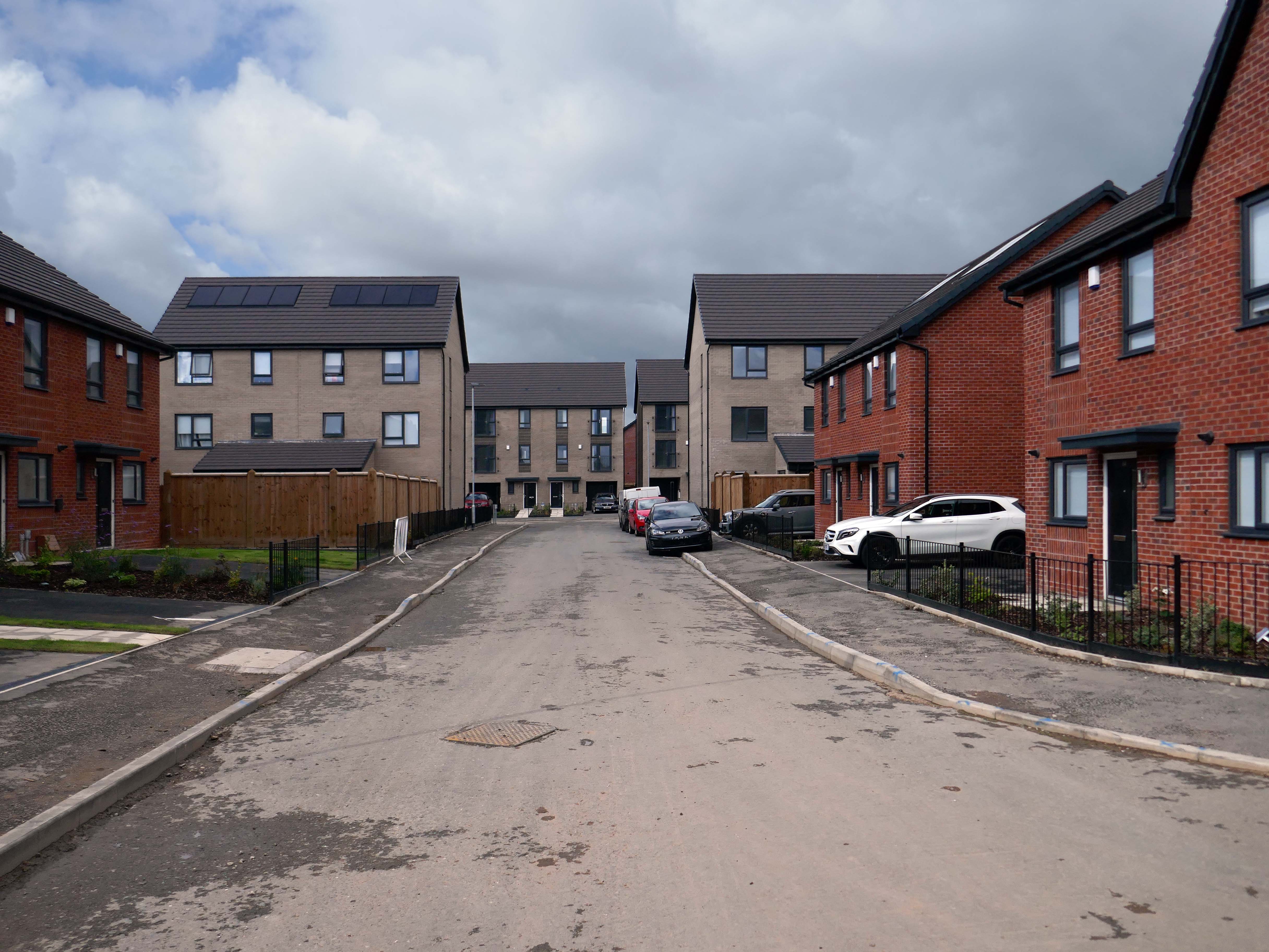
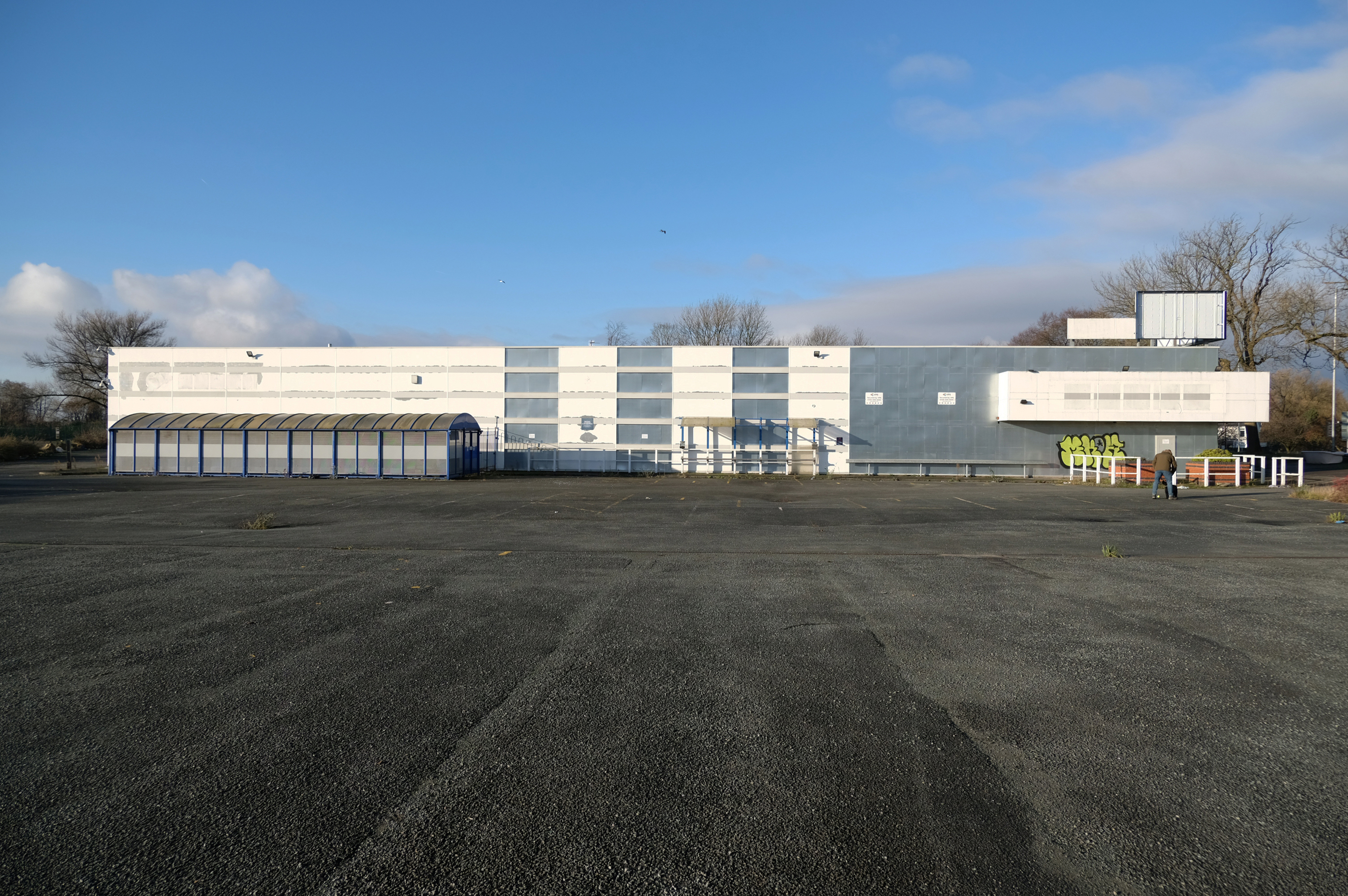
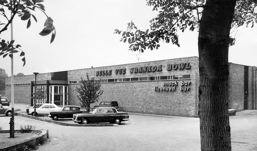

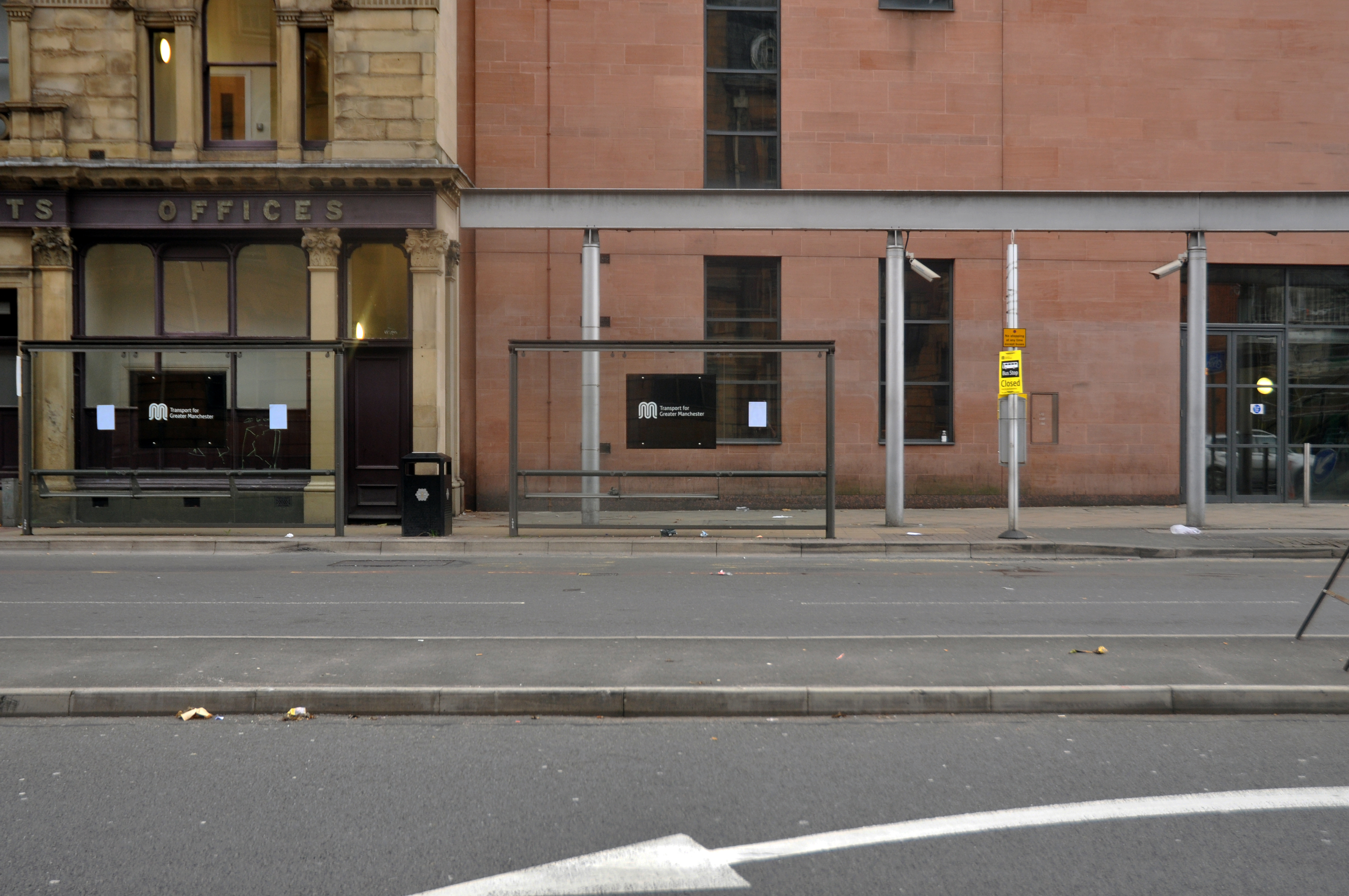
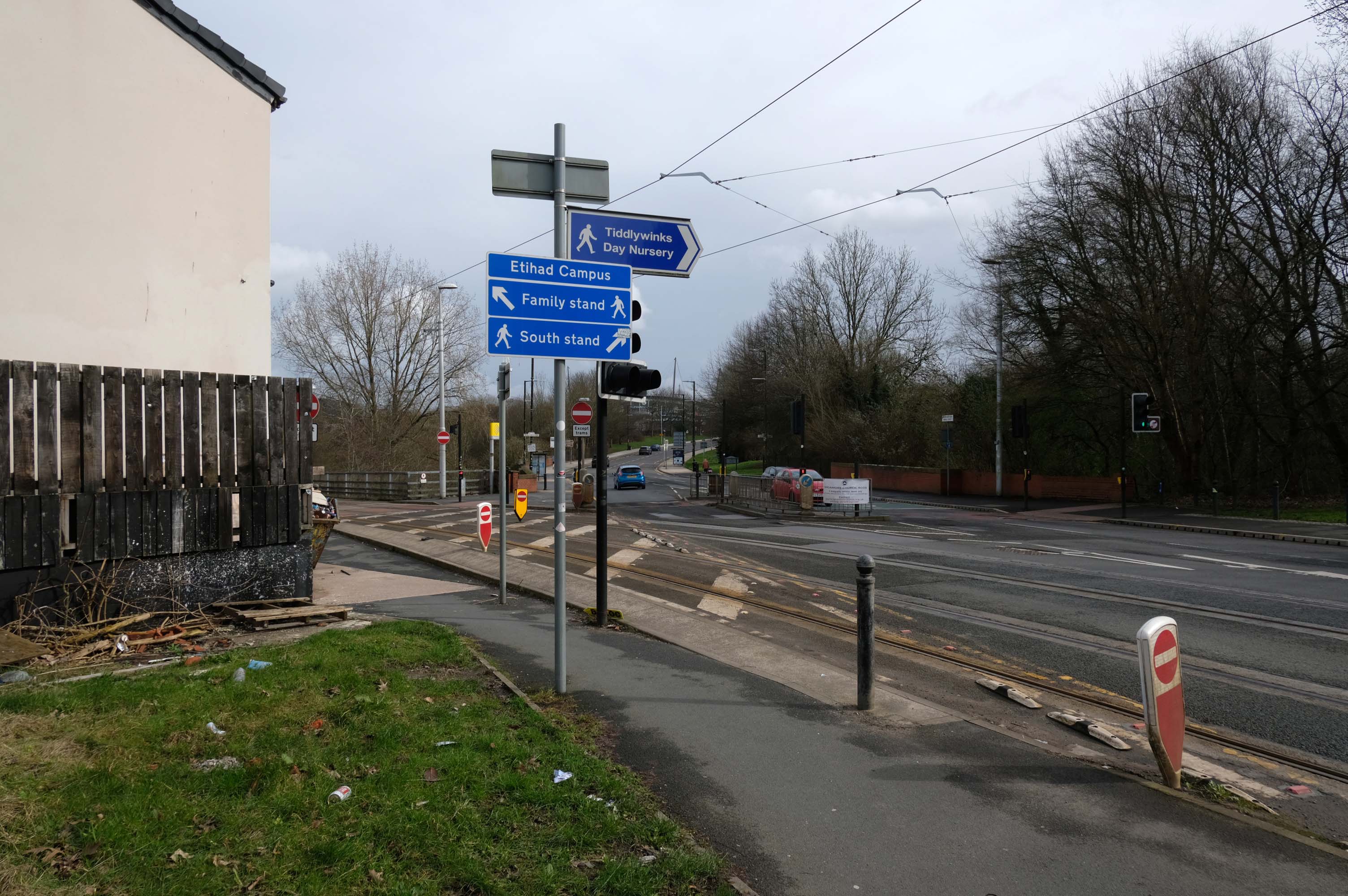
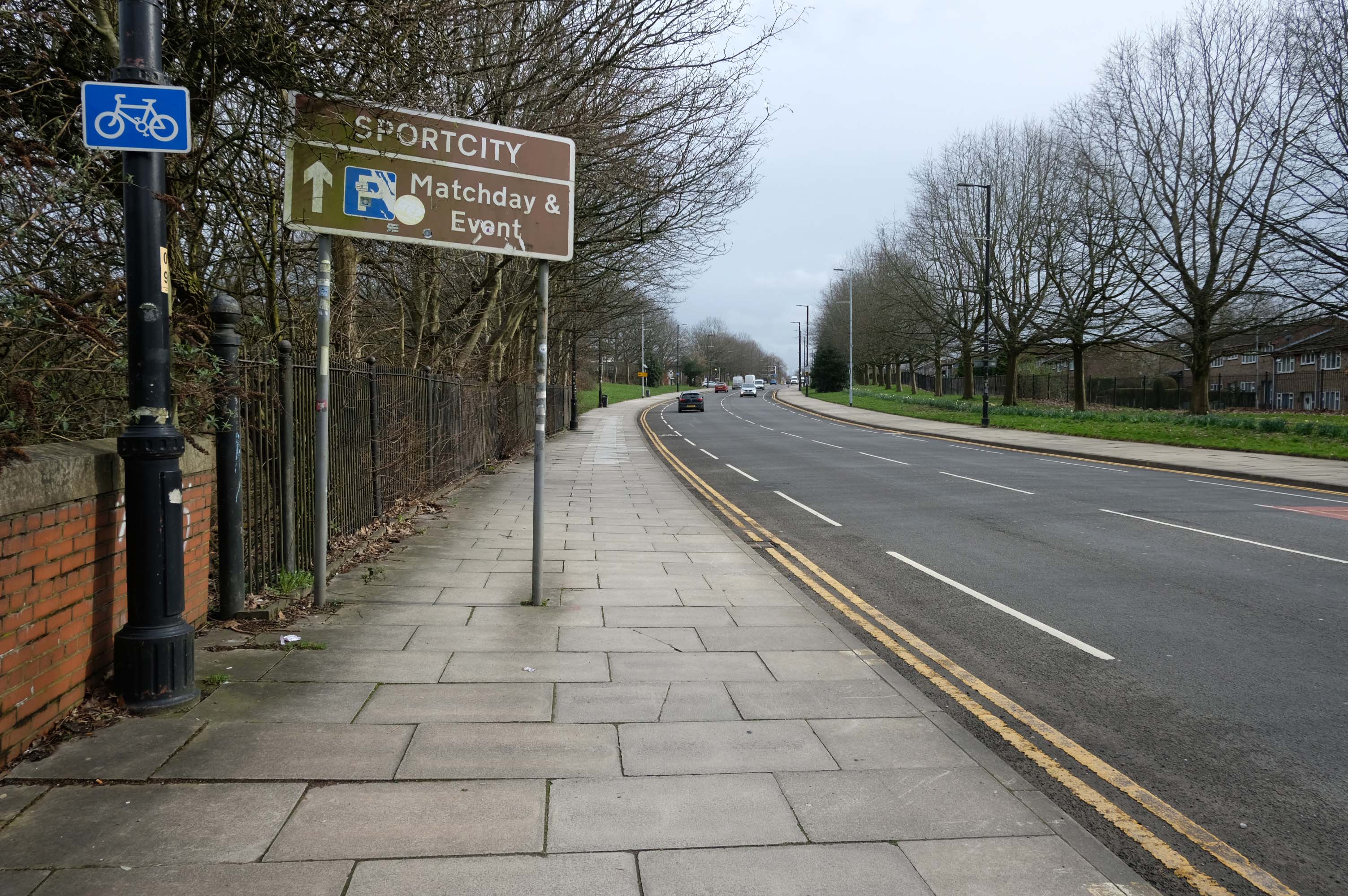
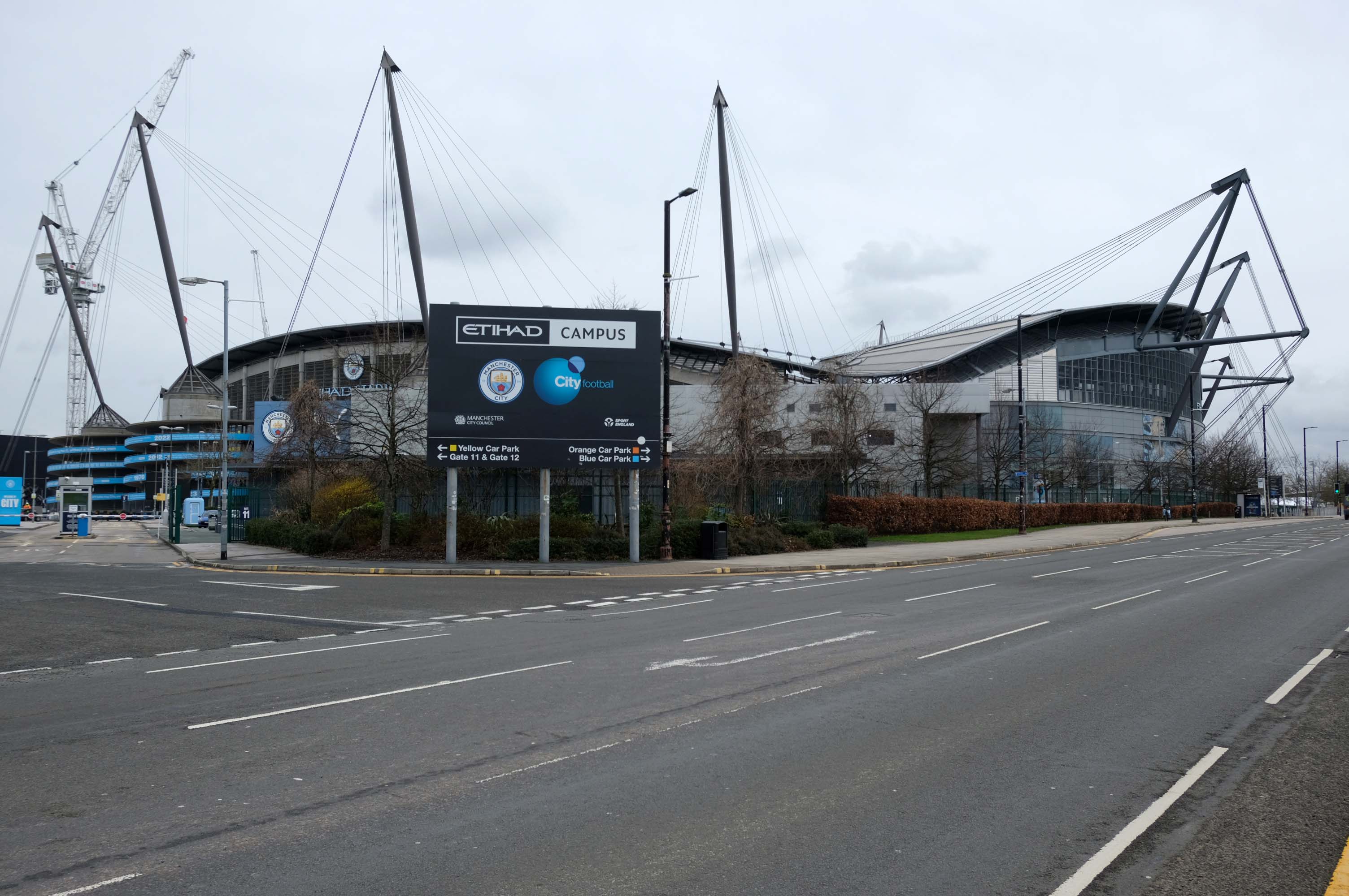
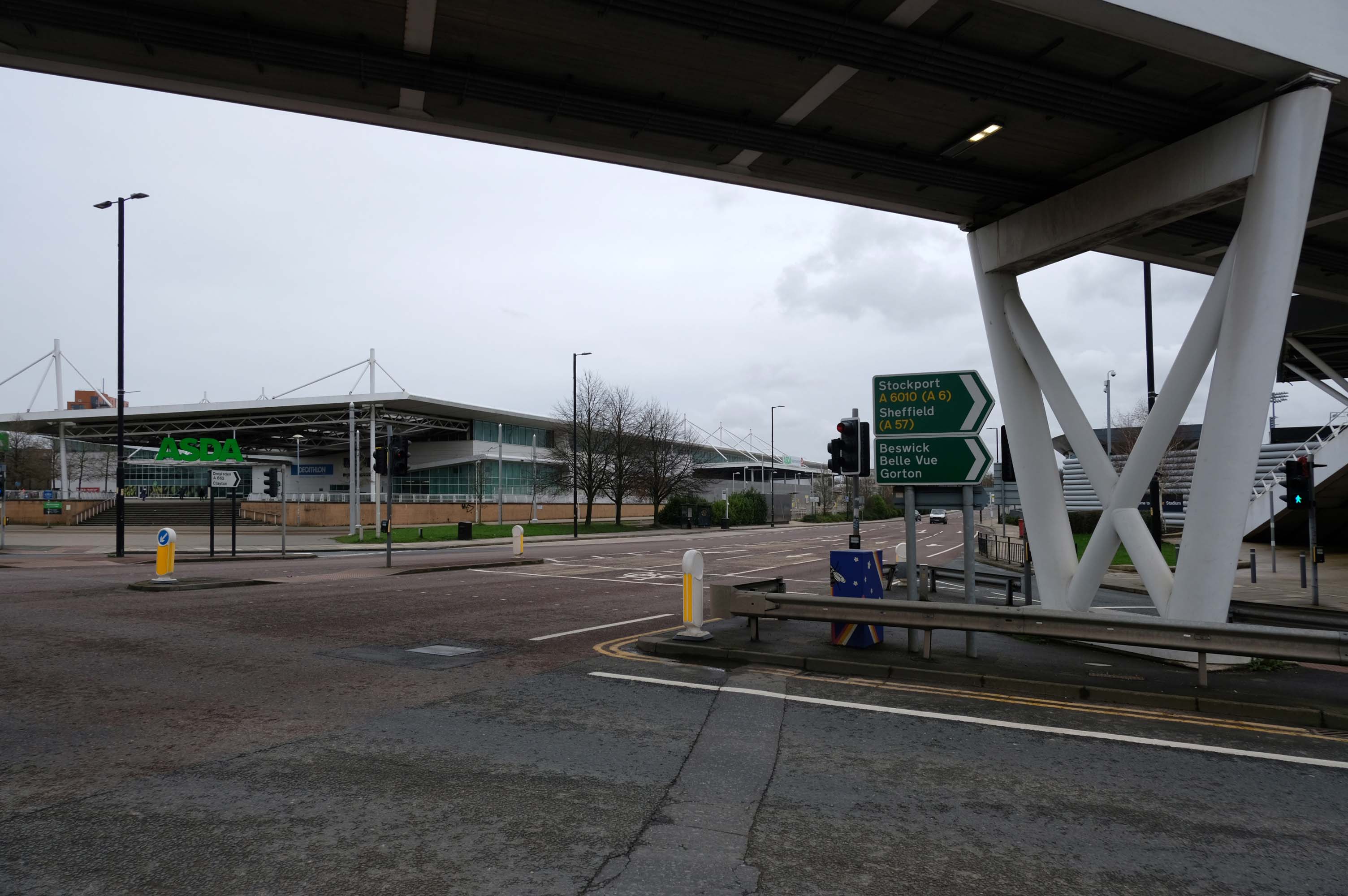
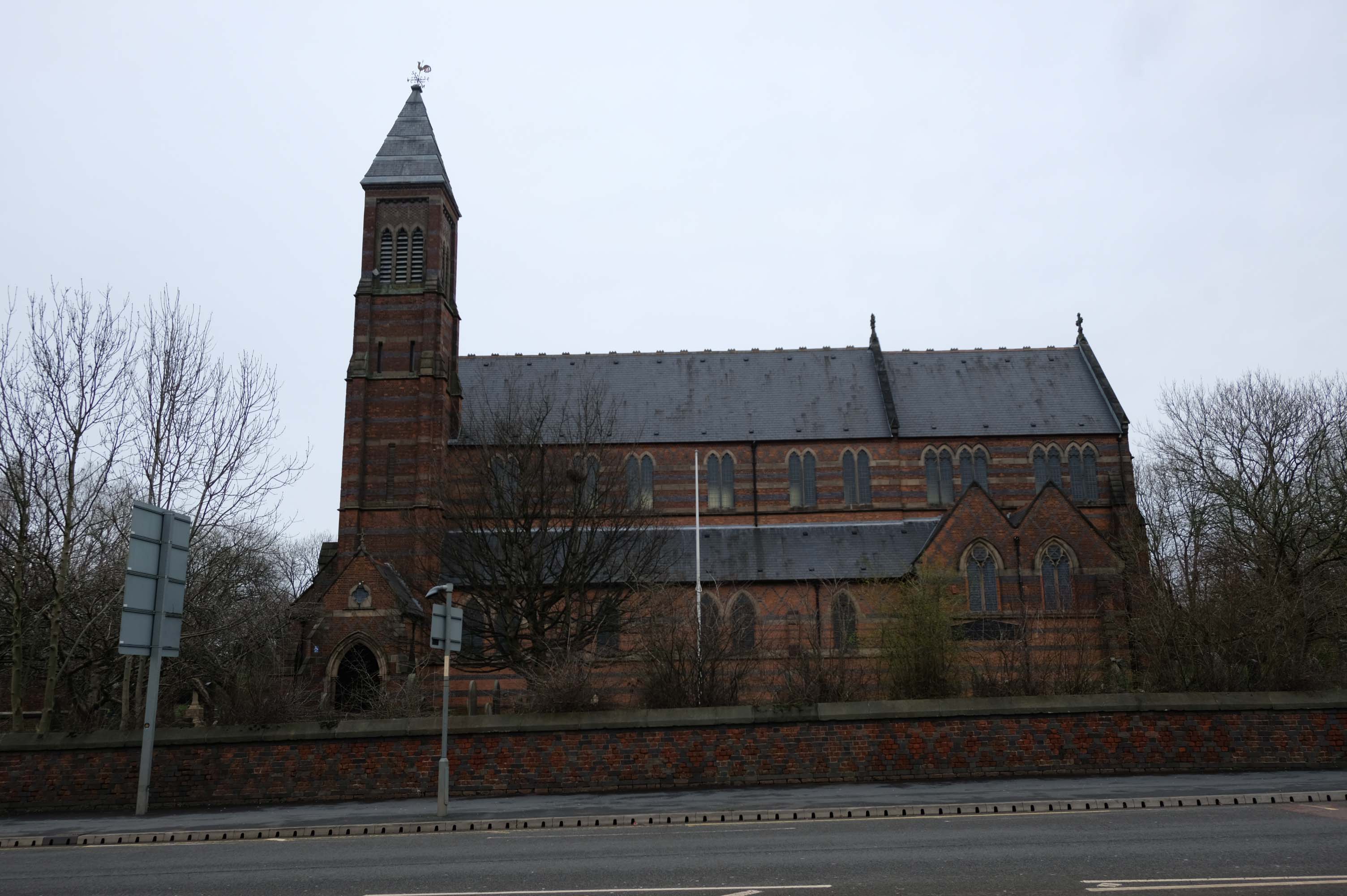
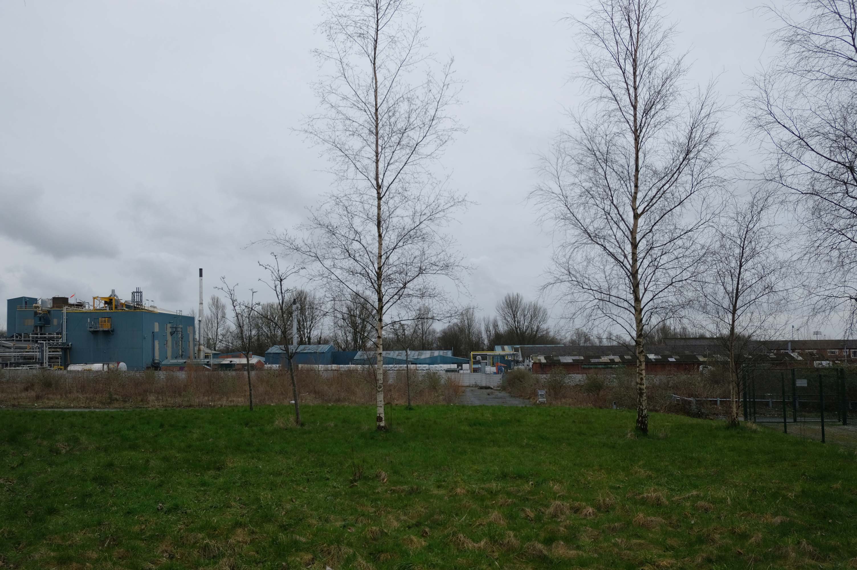
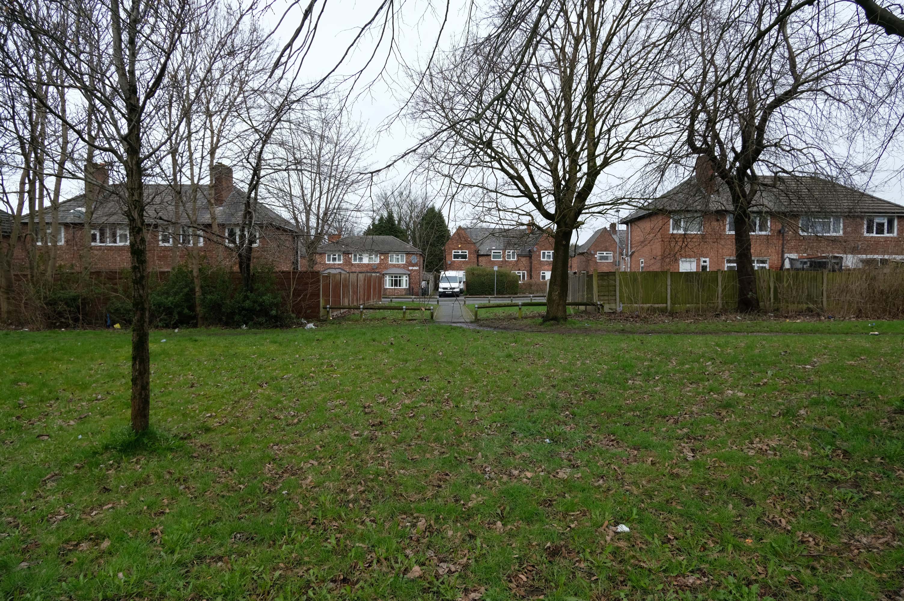
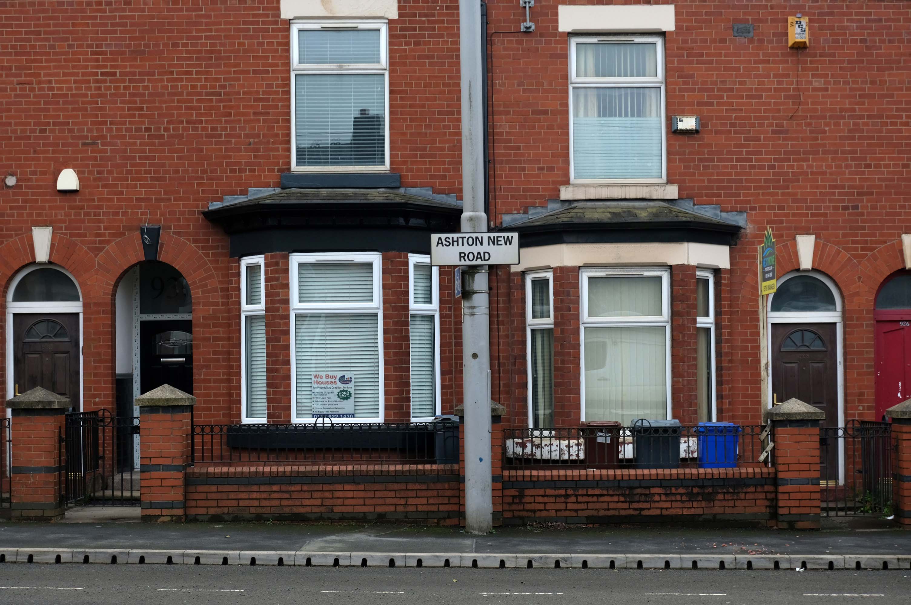
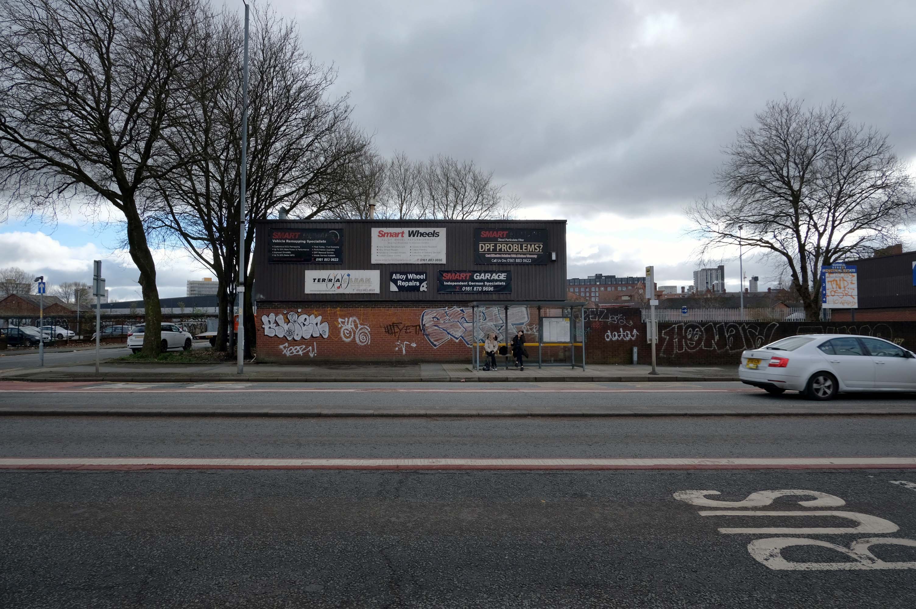
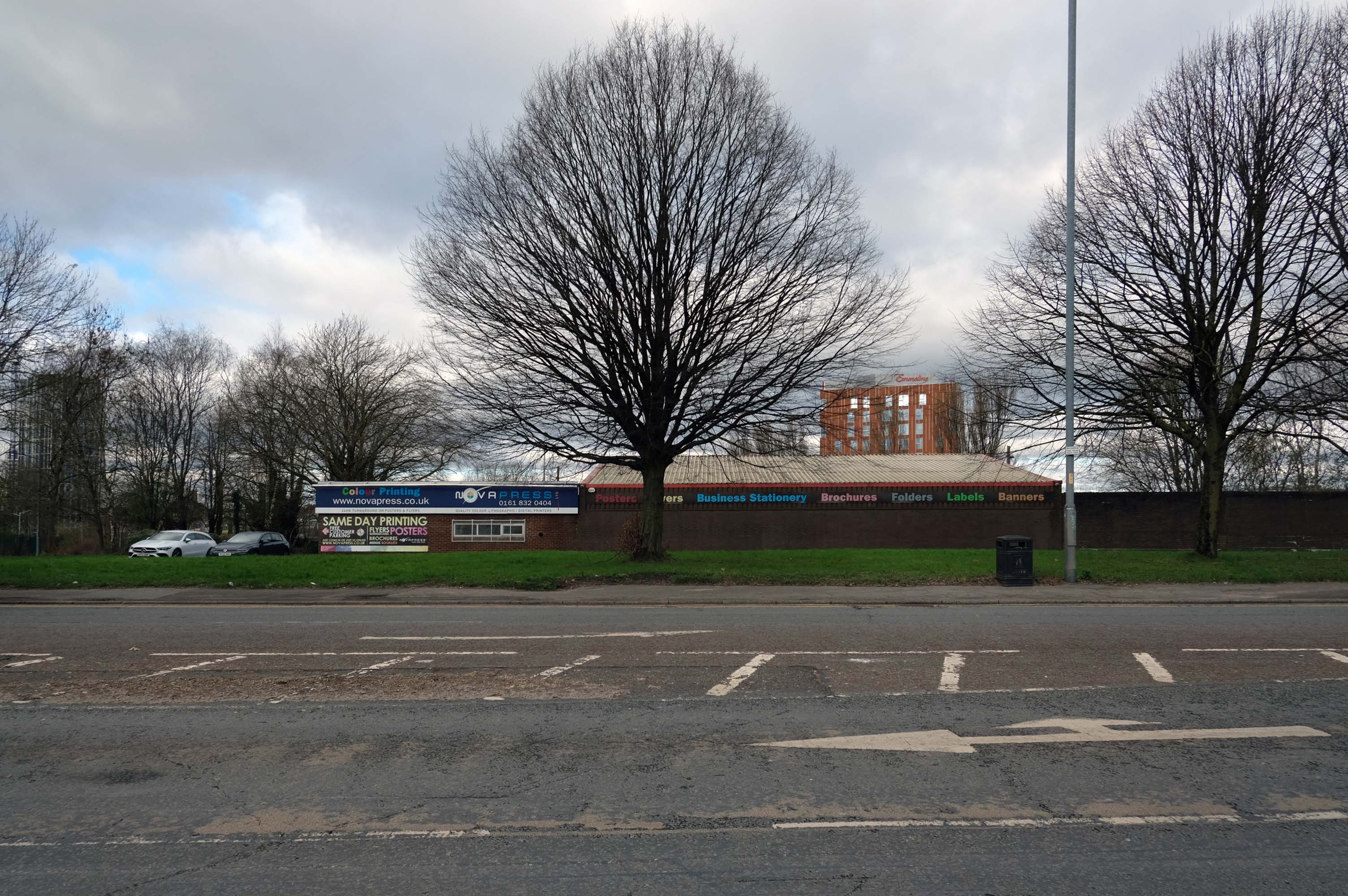
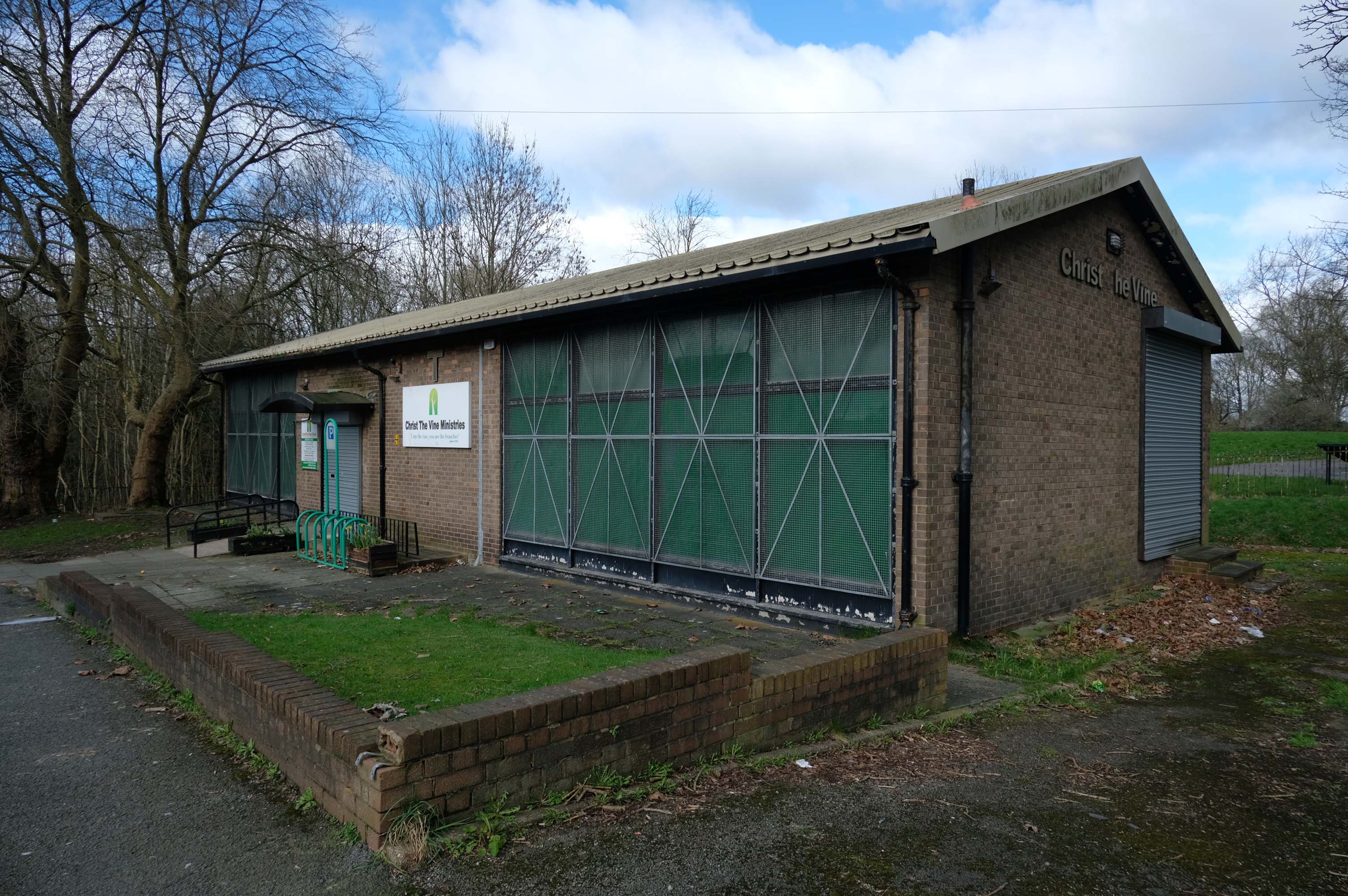
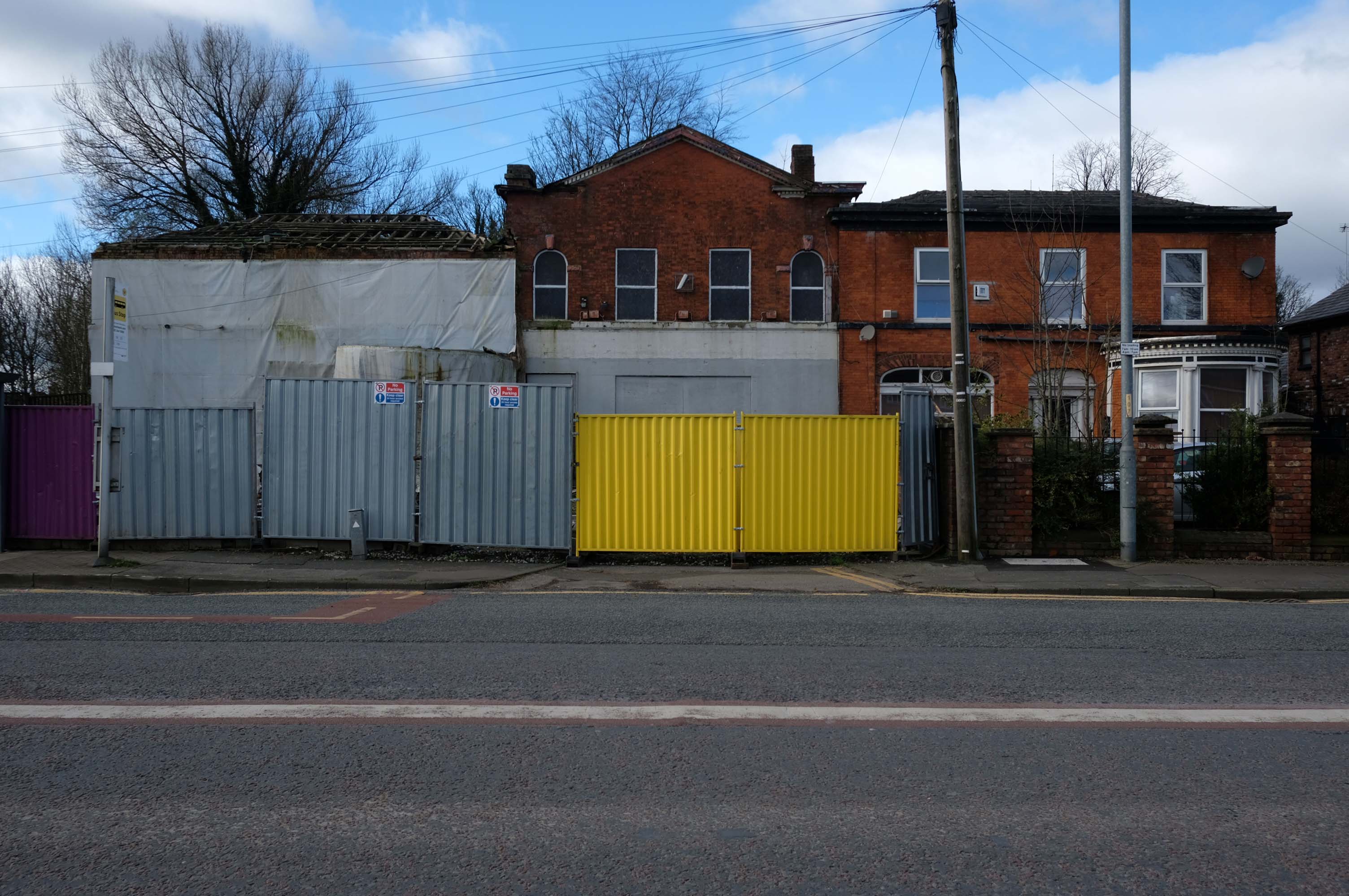
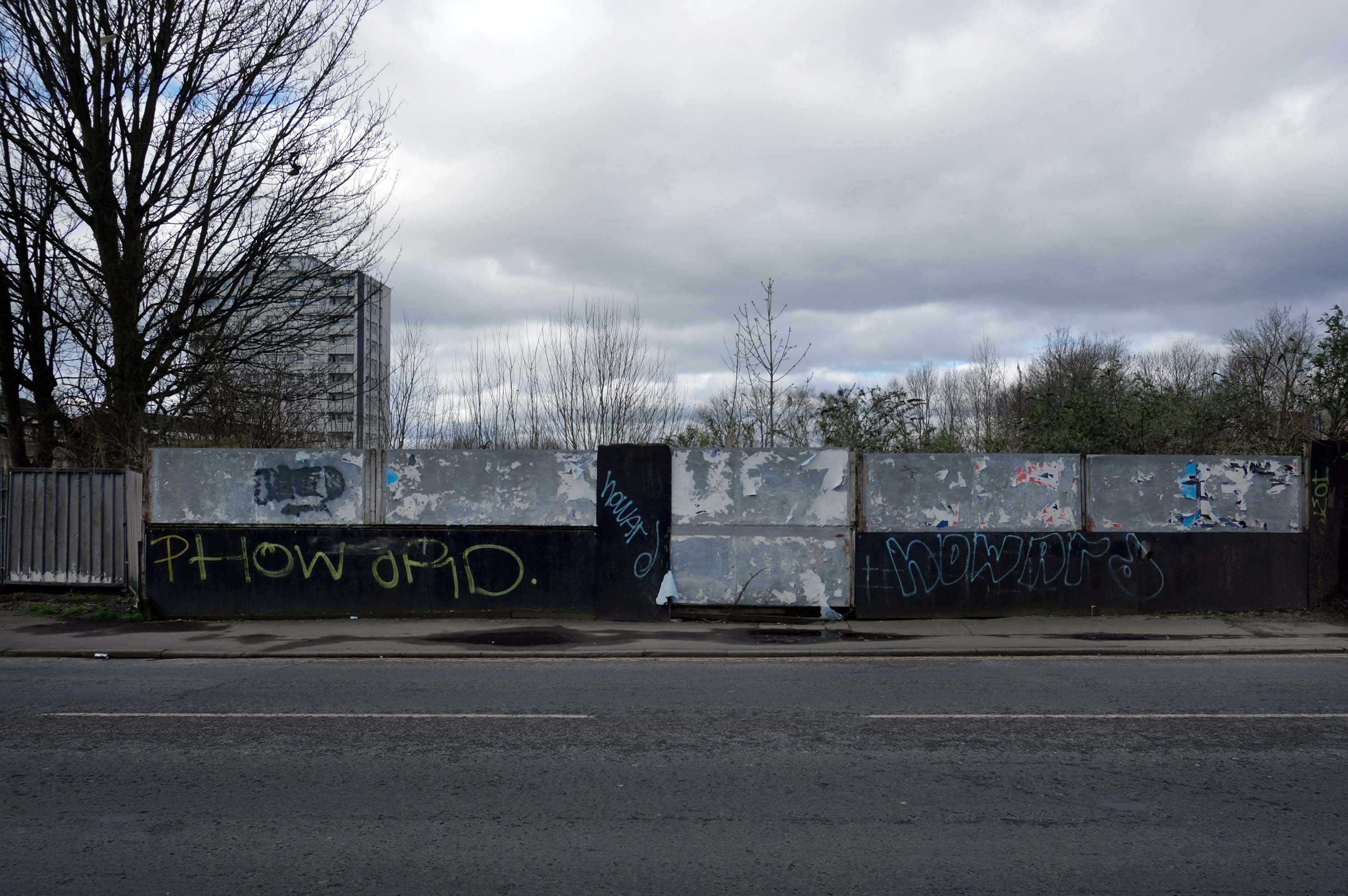
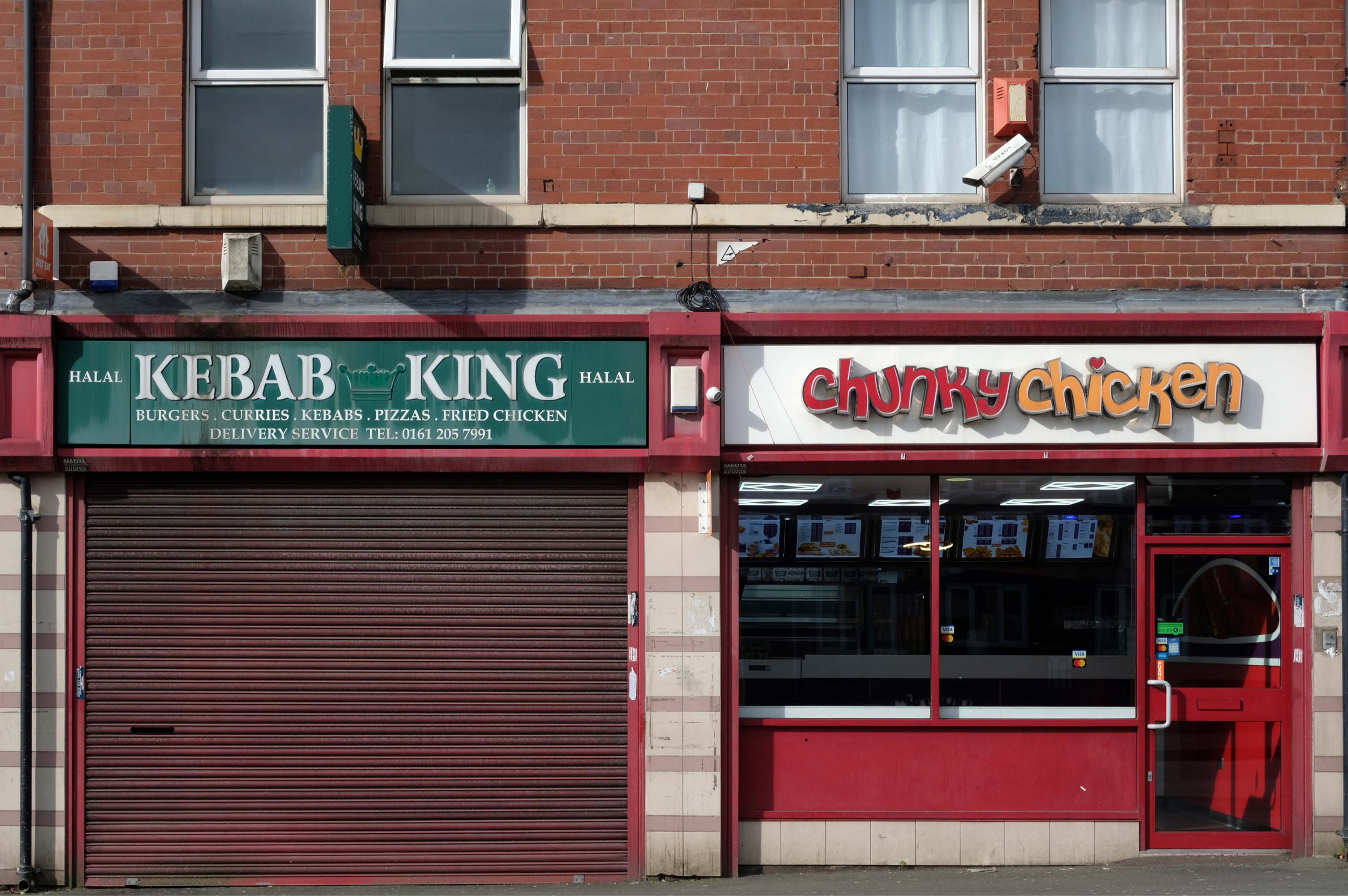
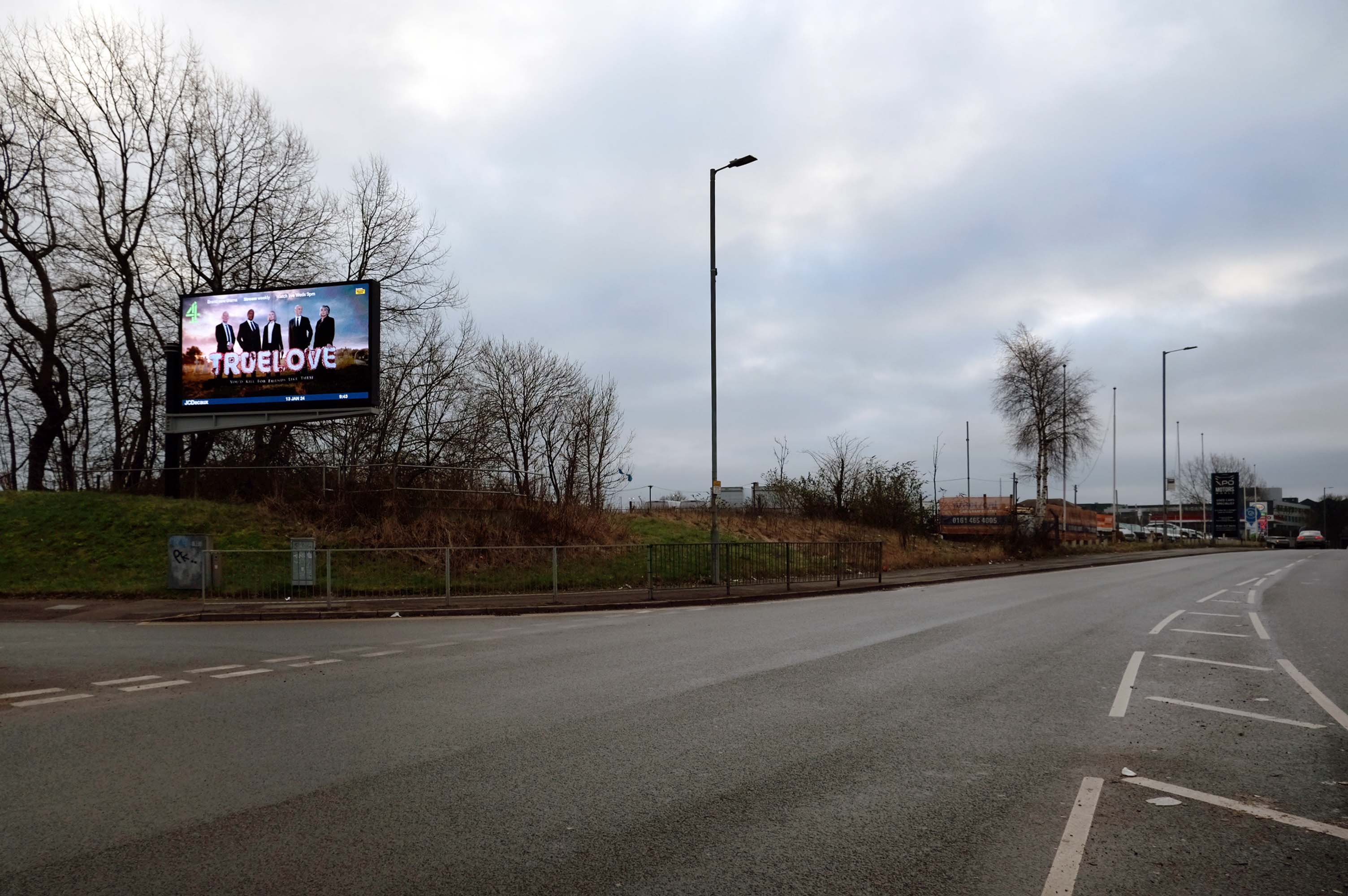
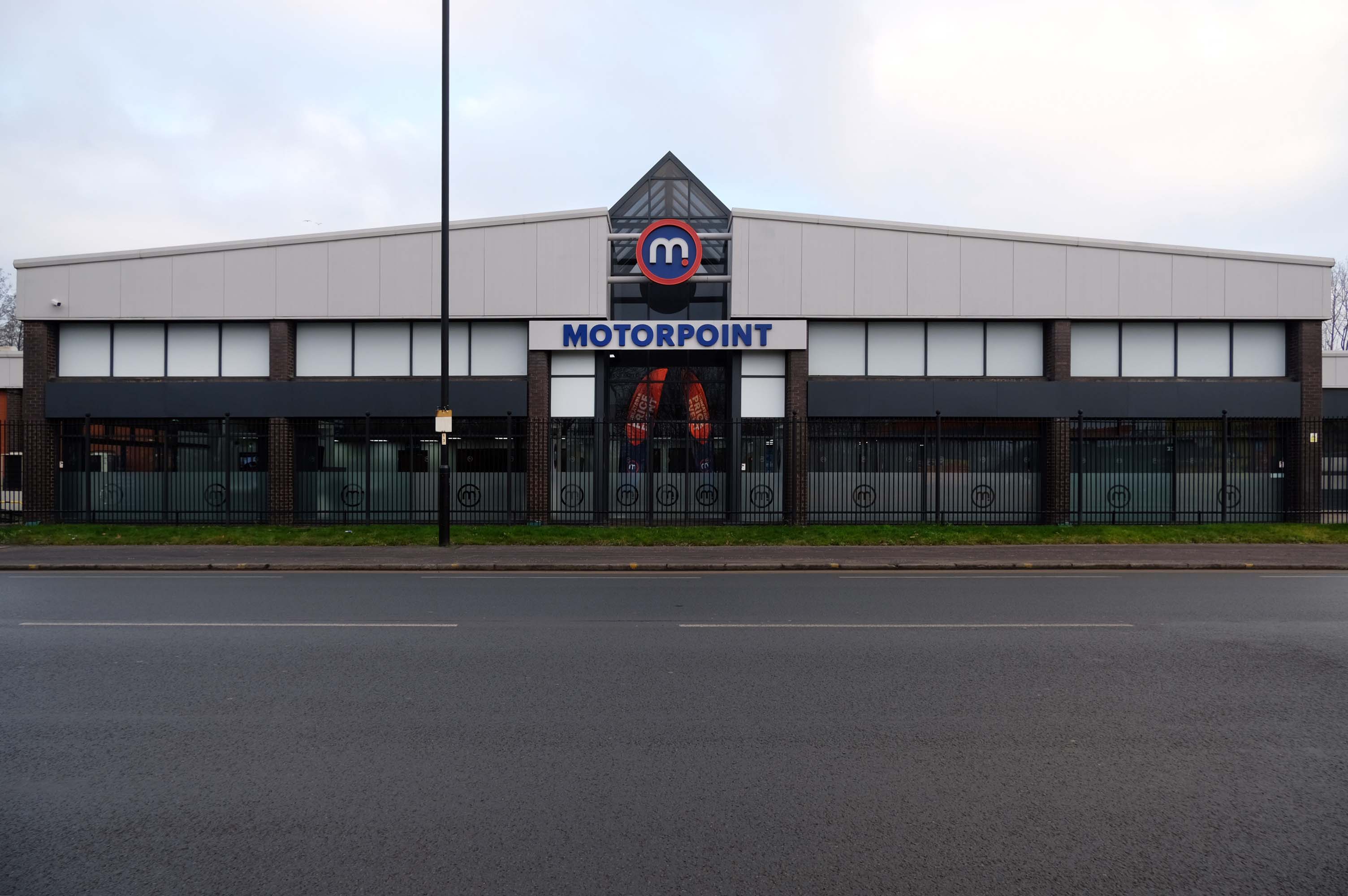
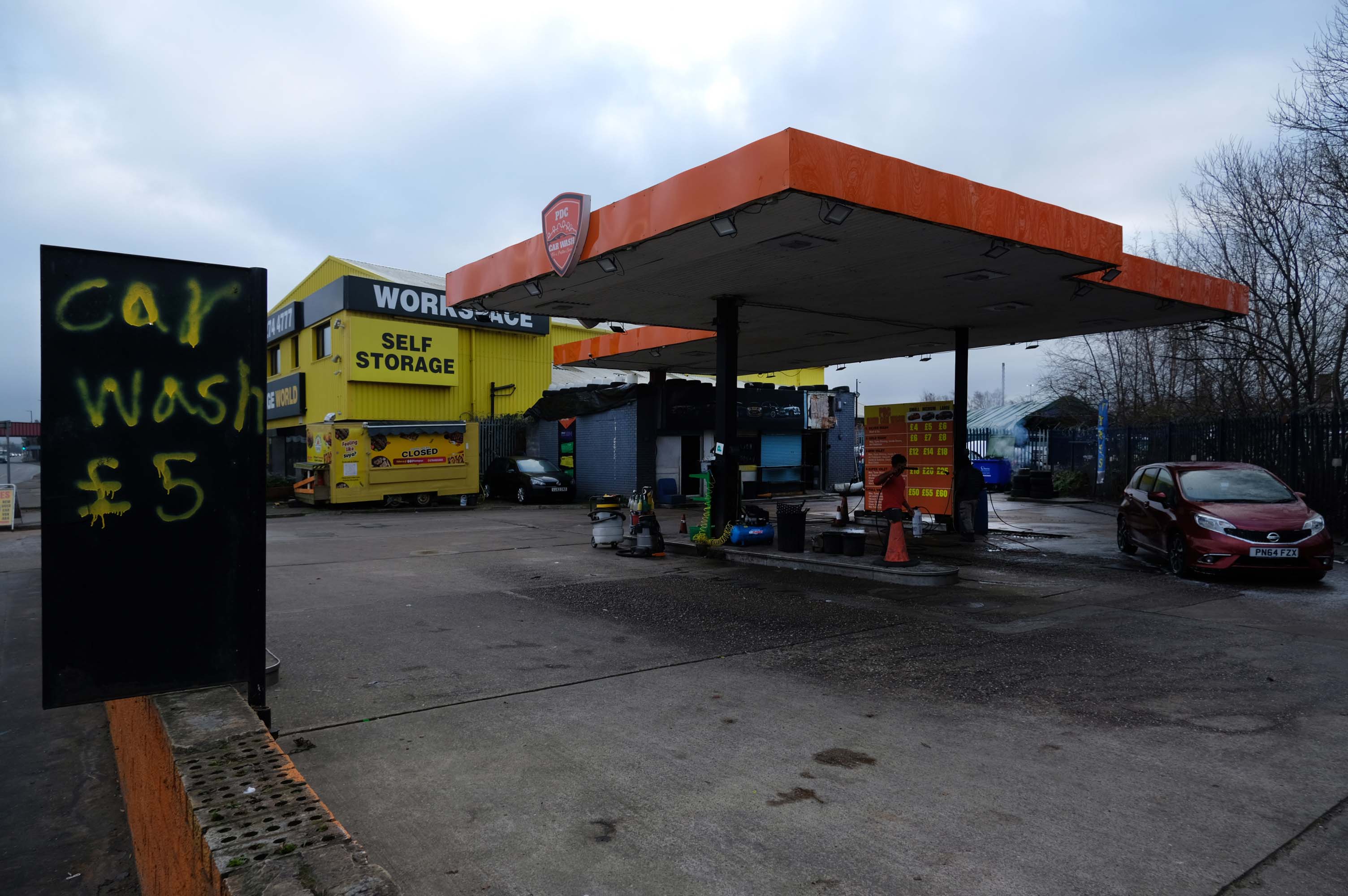
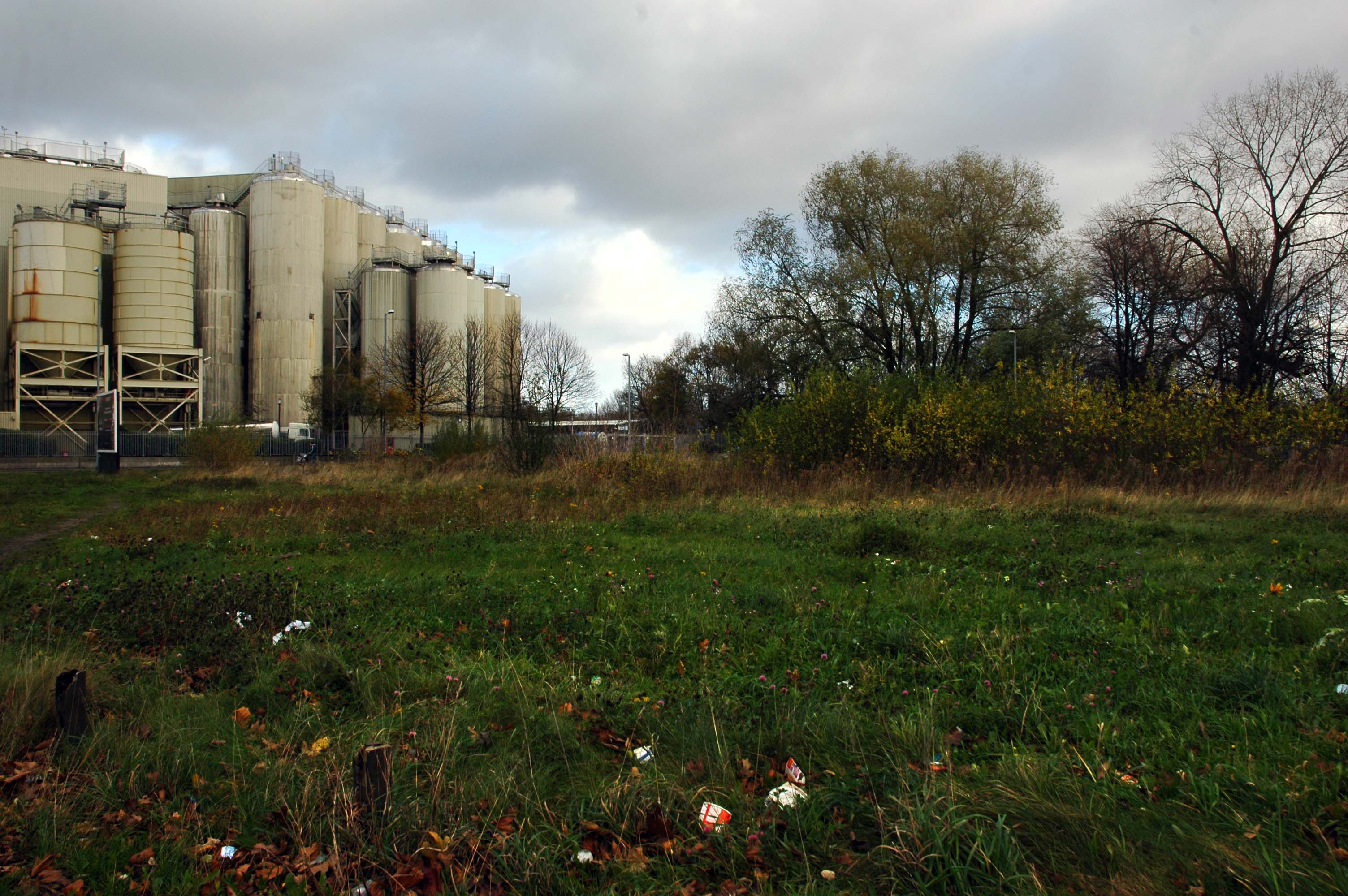
I have been here before recording the history ofManchester City FC on this site.
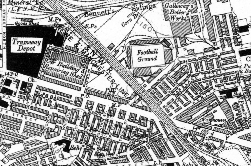
A football stadium surrounded by railways, roads, homes and industry.
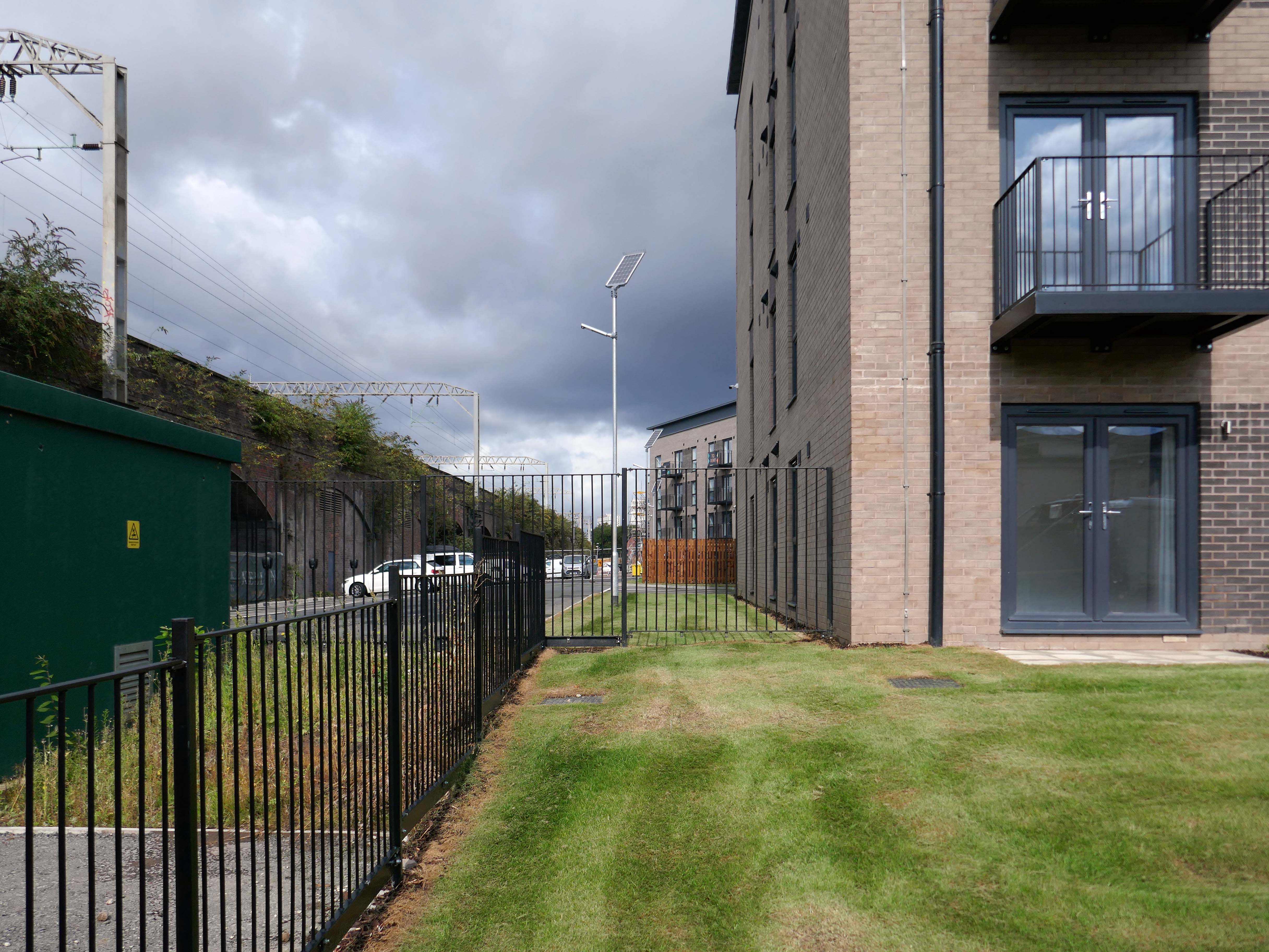
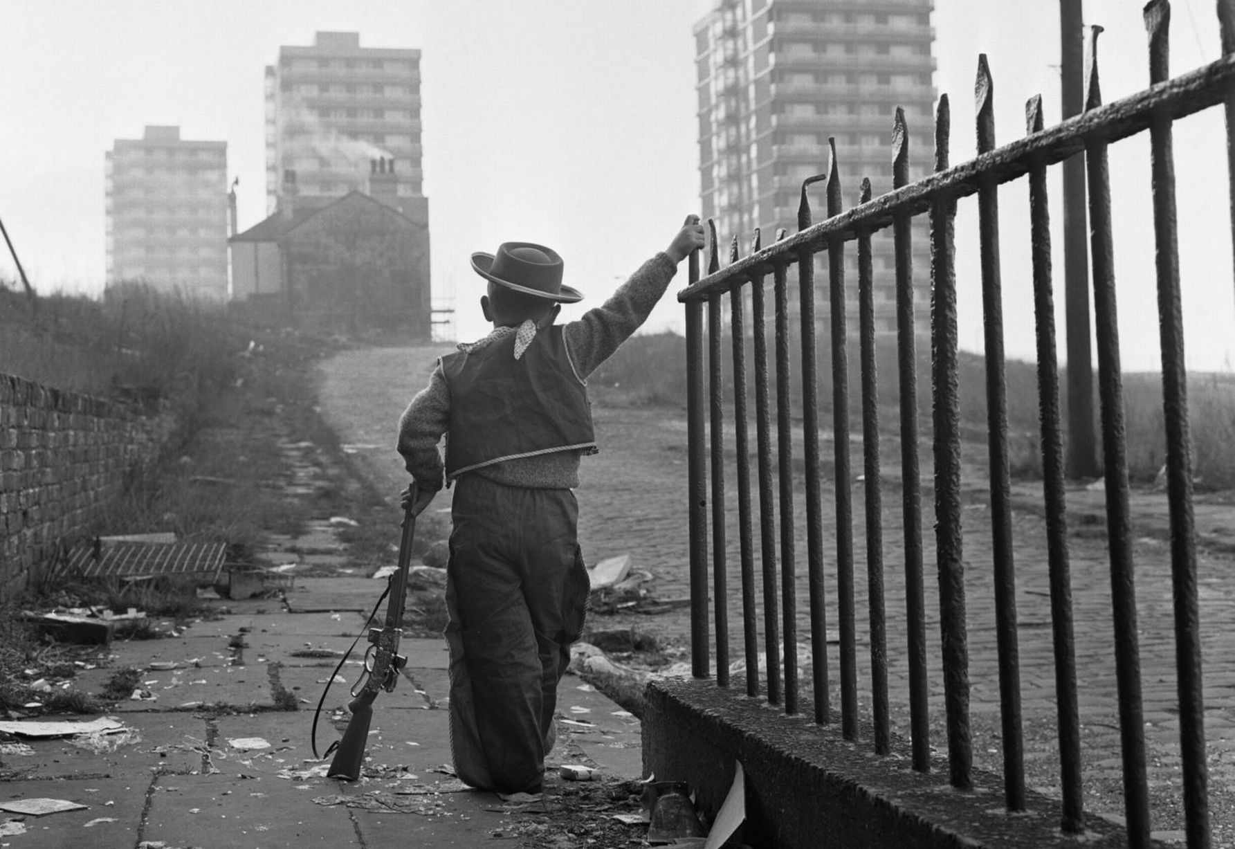
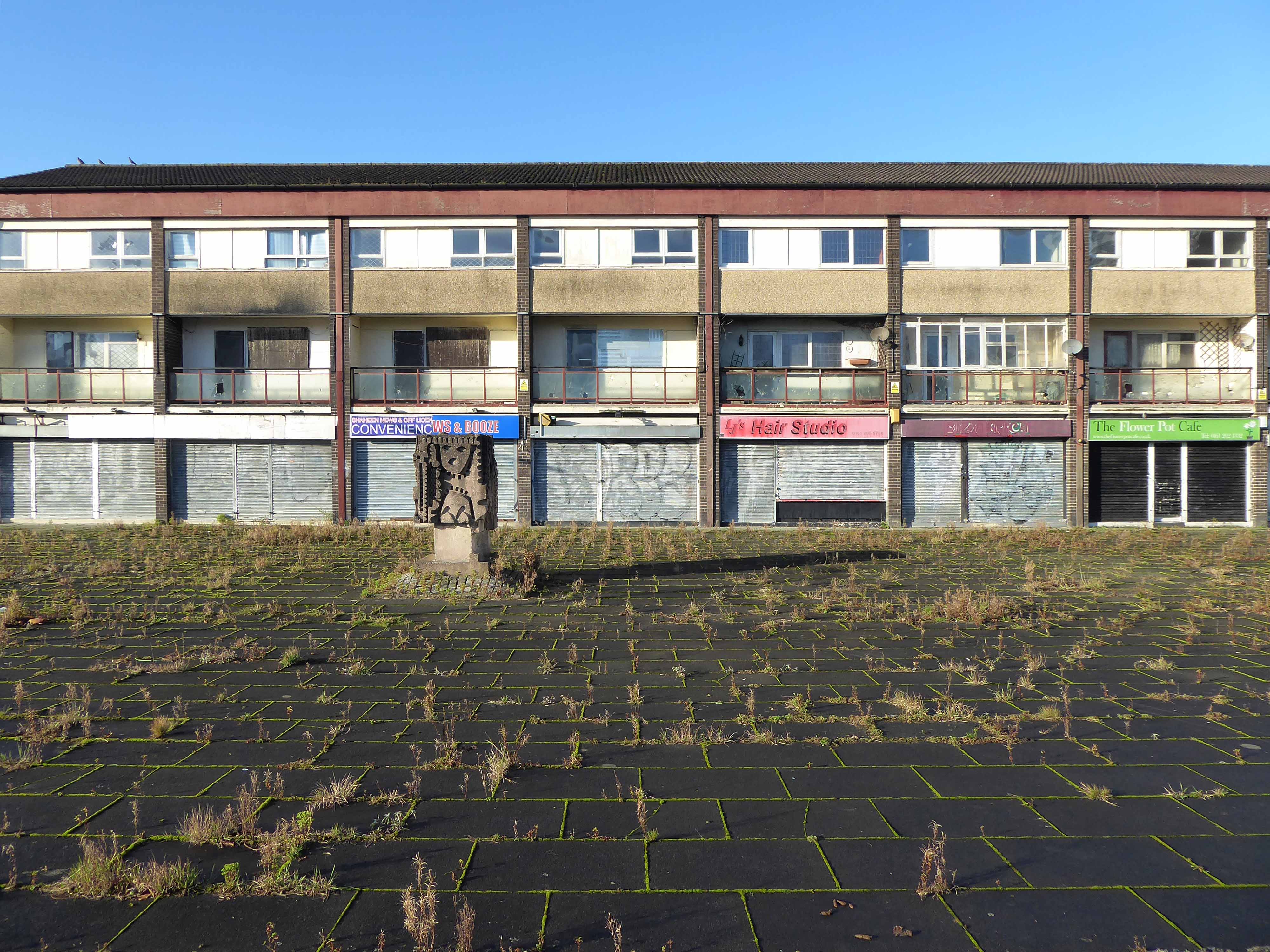
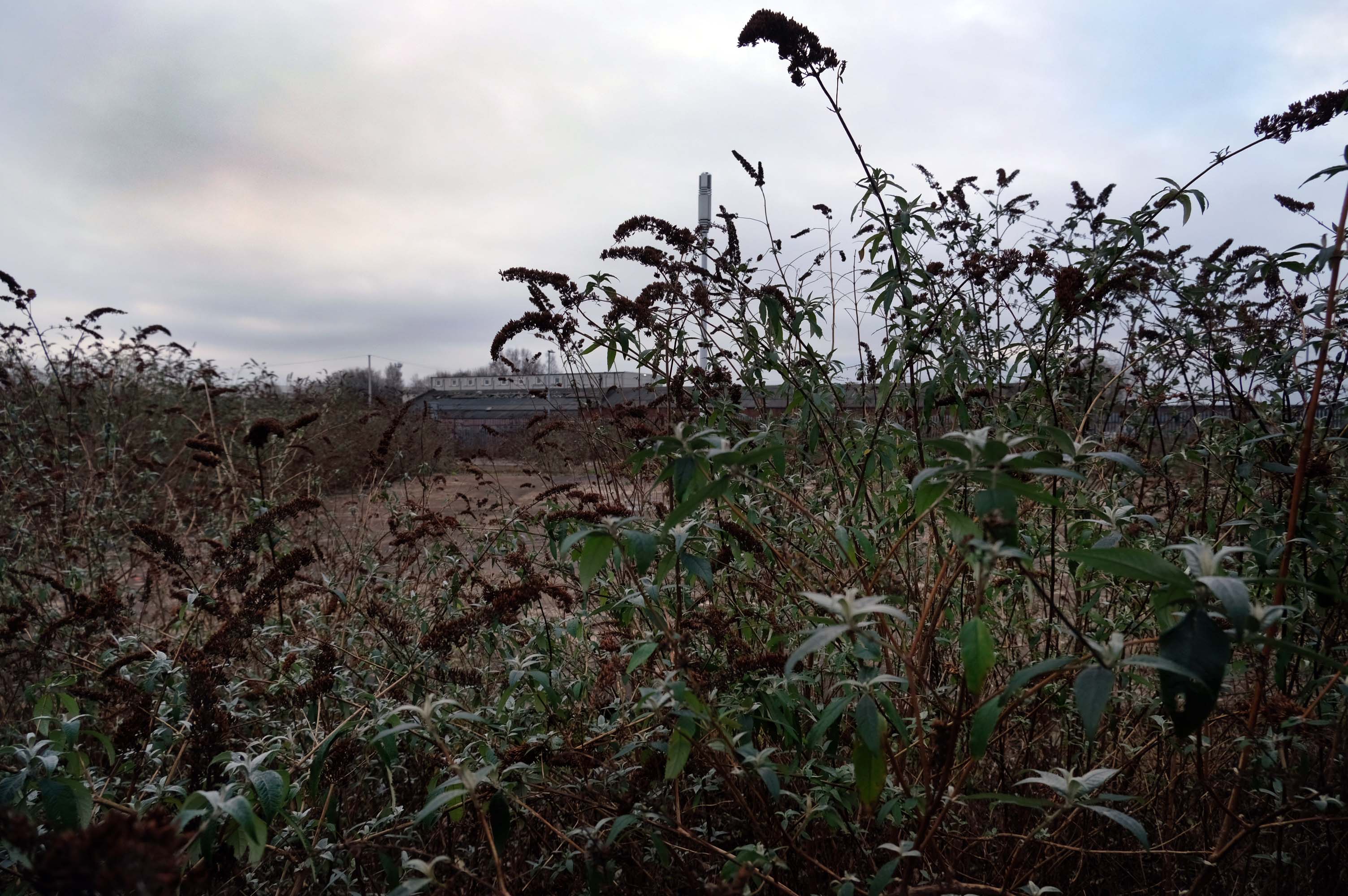
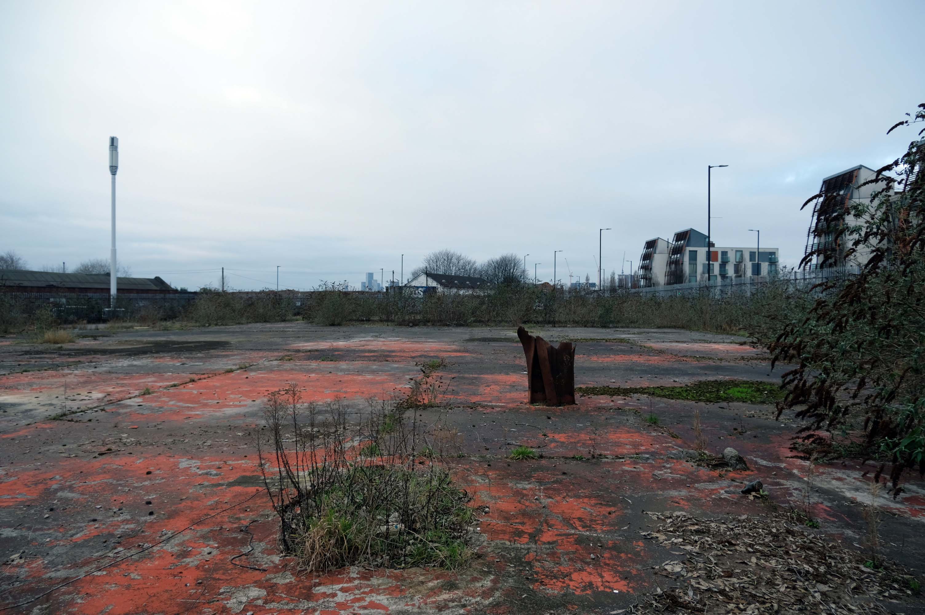
The area is now much changed, though the railways and roads remain, the homes are in a state of flux.
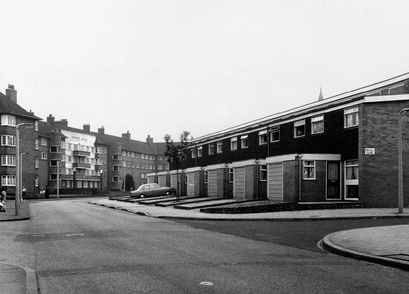
Local Image Collection: Bennett Street with Heywood House 1972 – photo Anne Jackson.
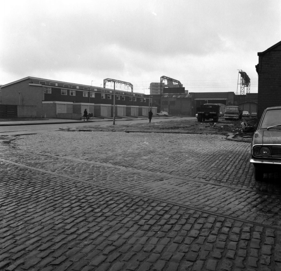
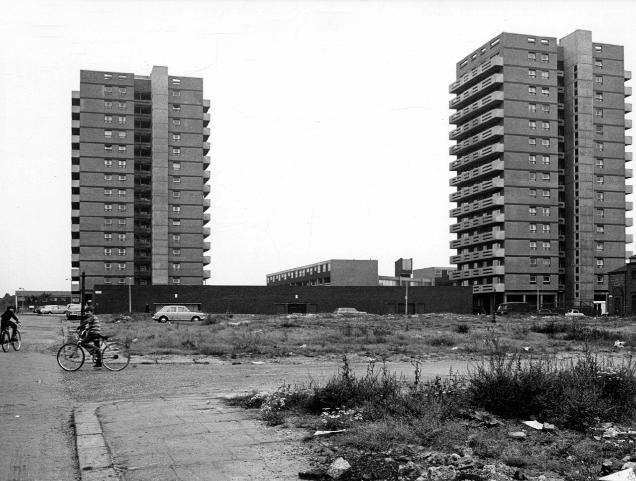
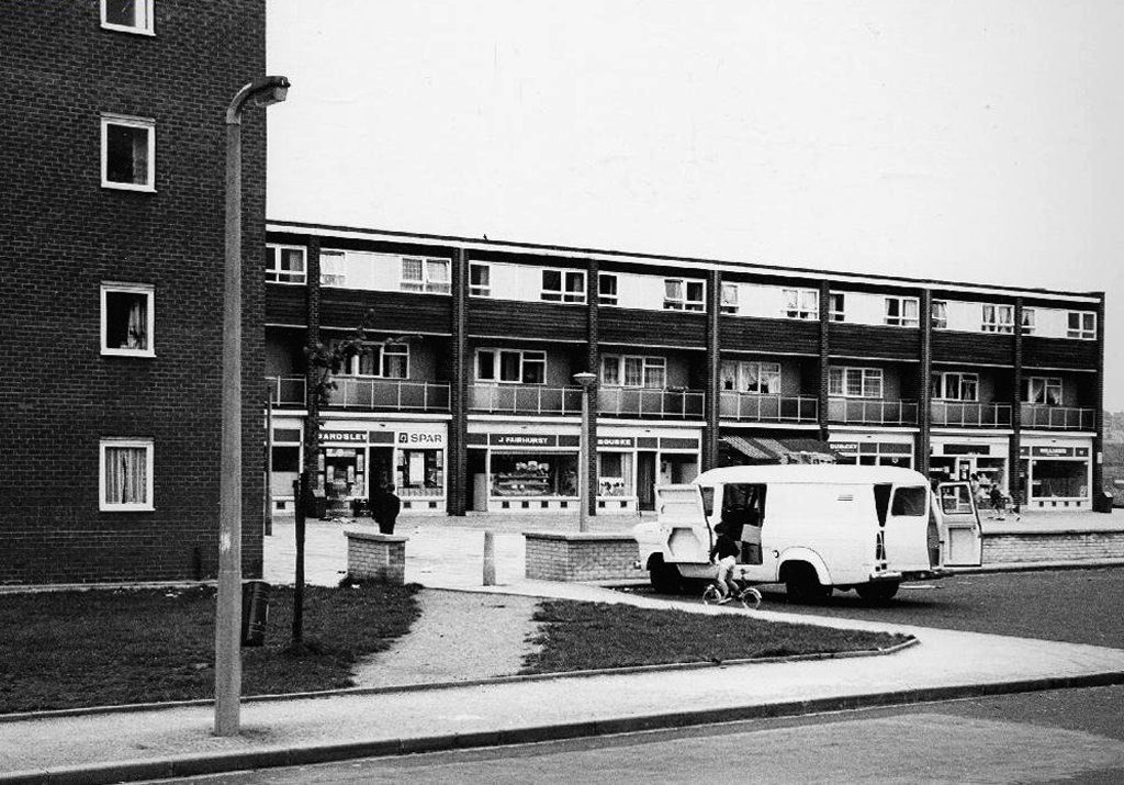
Local Image Collection: Wenlock Way flats taken from Bennett Street – Photo Ben Garth 1972
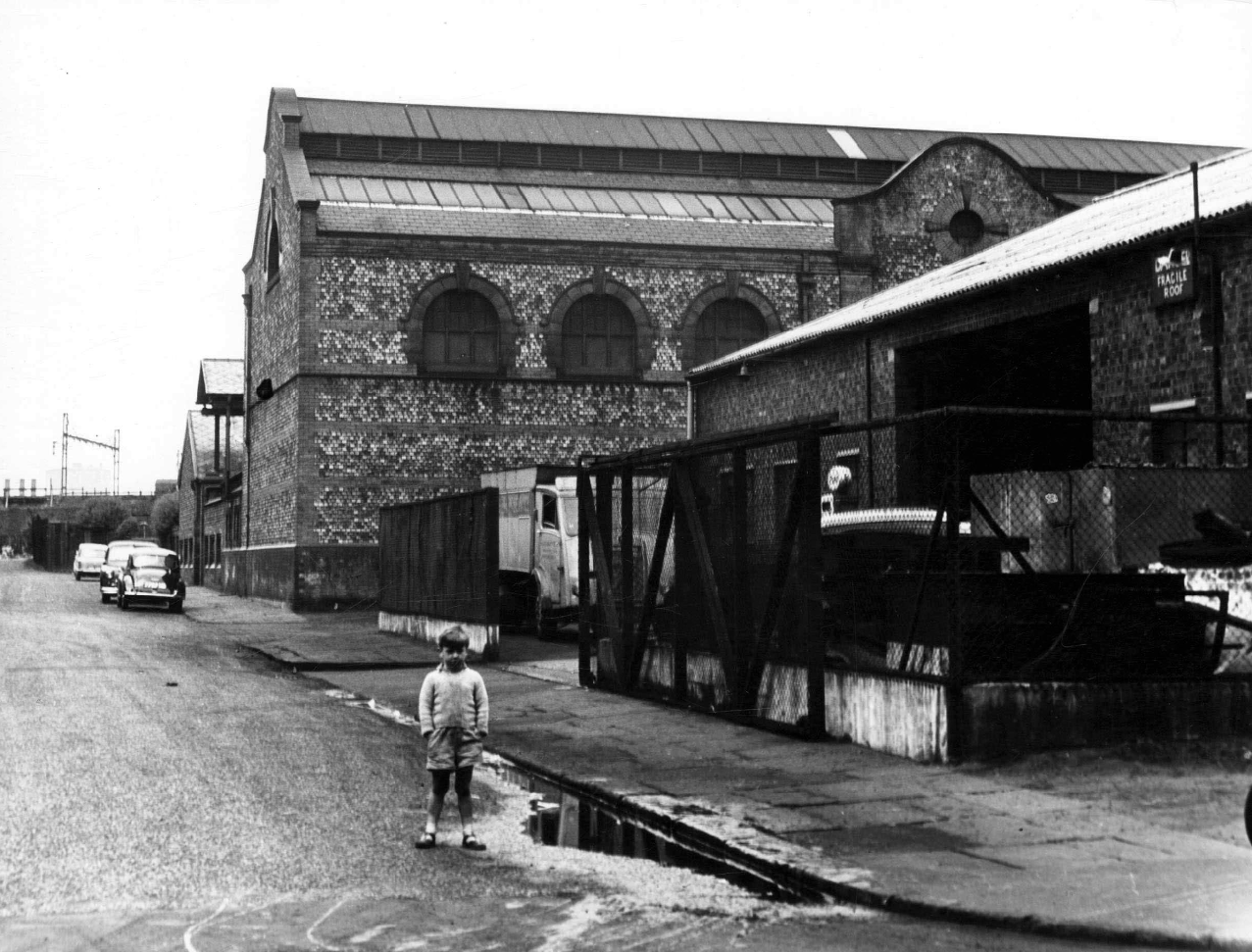
Local Image Collection: Matthews Street from Bennett Street 1964 – Photo Thomas Brooks
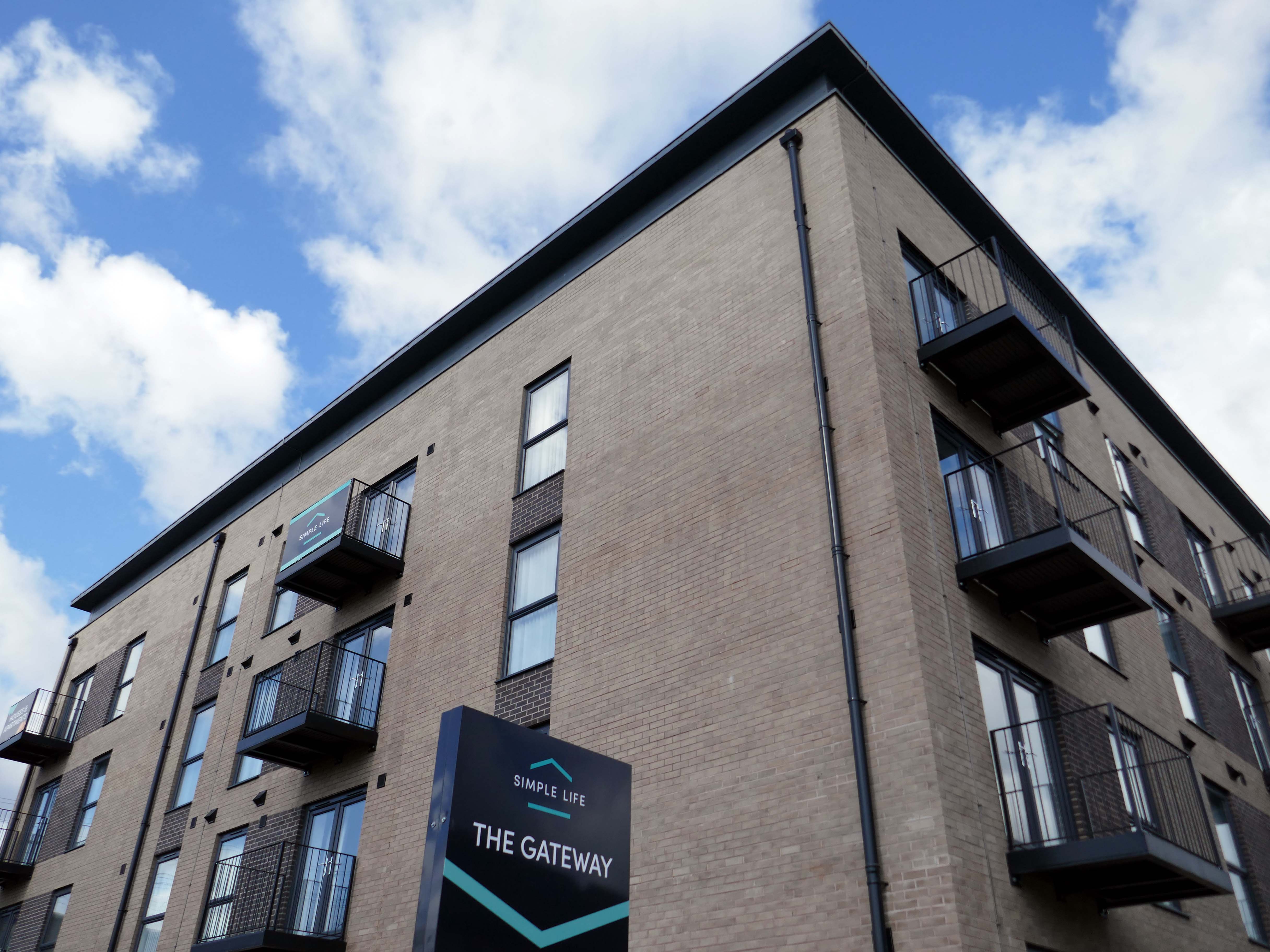
The Gateway to the Simple Life is here.
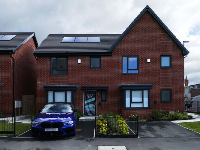
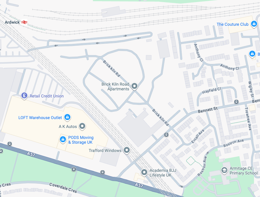
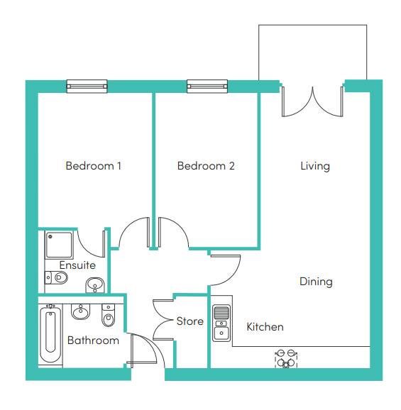
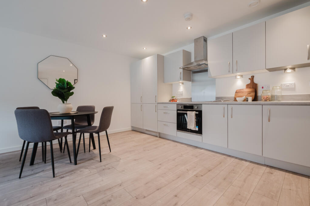
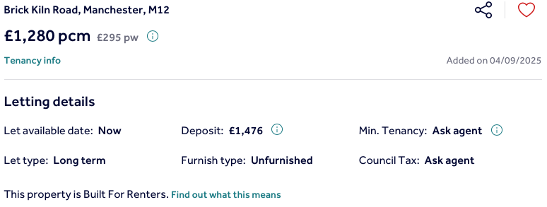
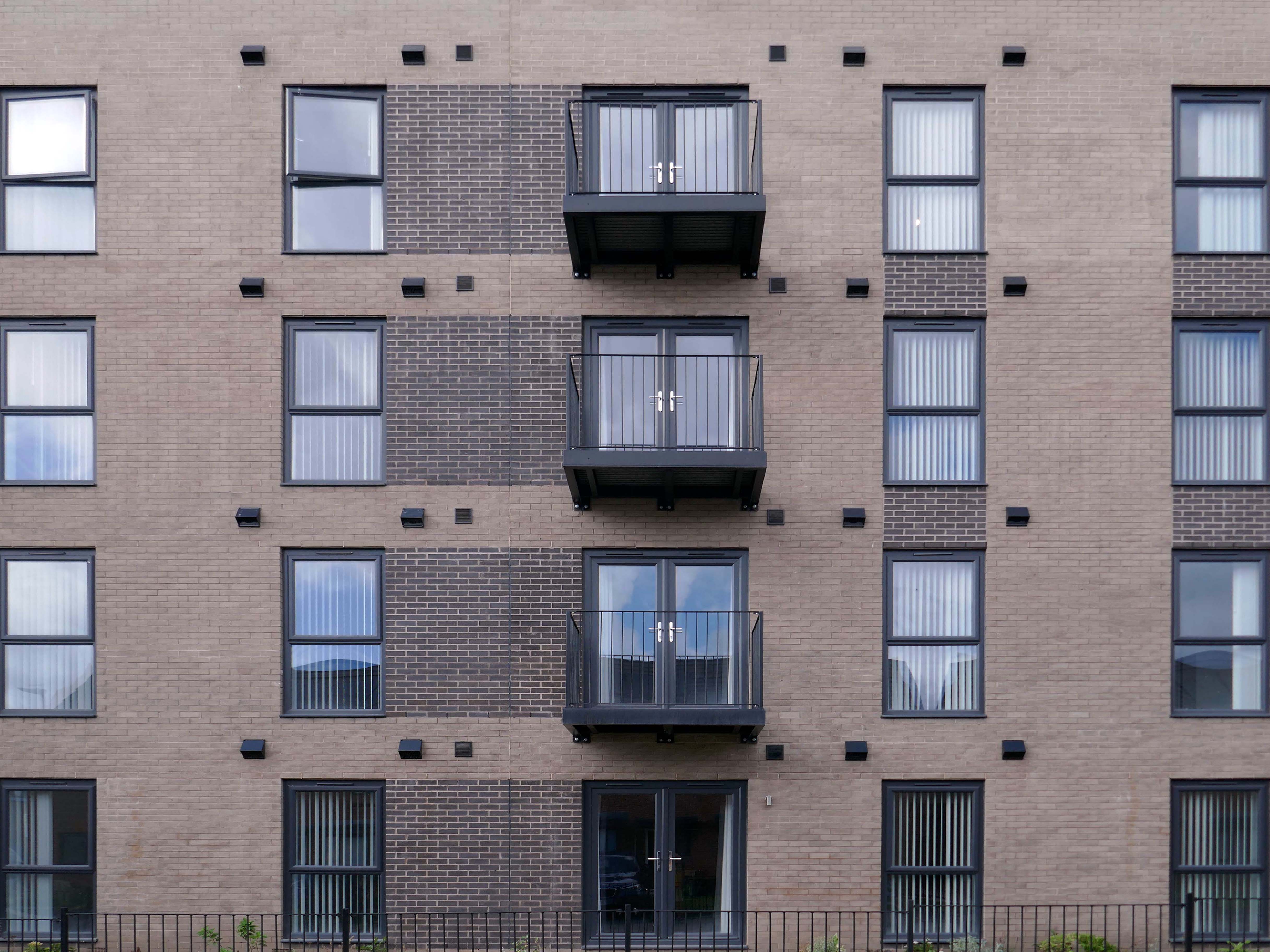
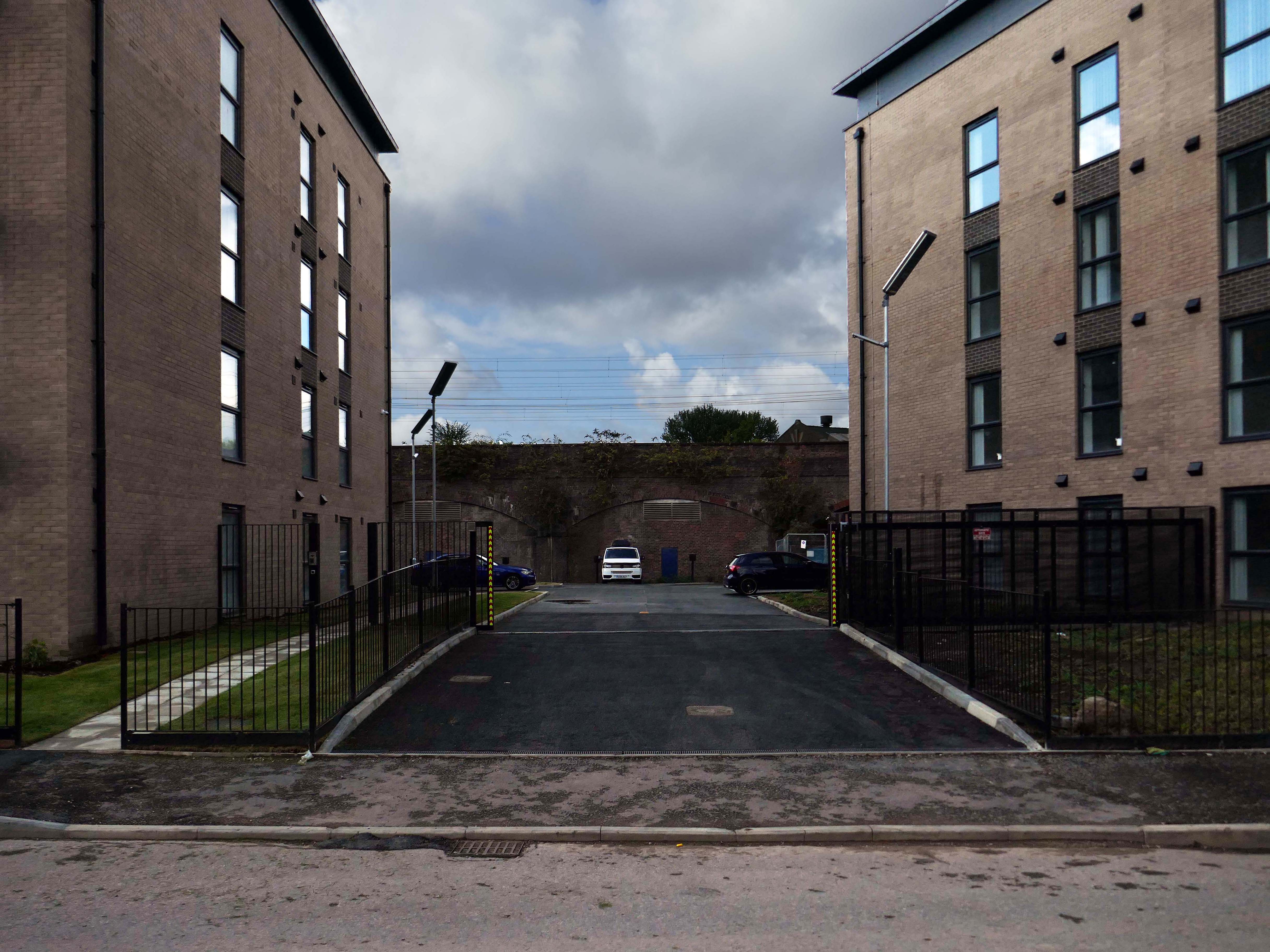
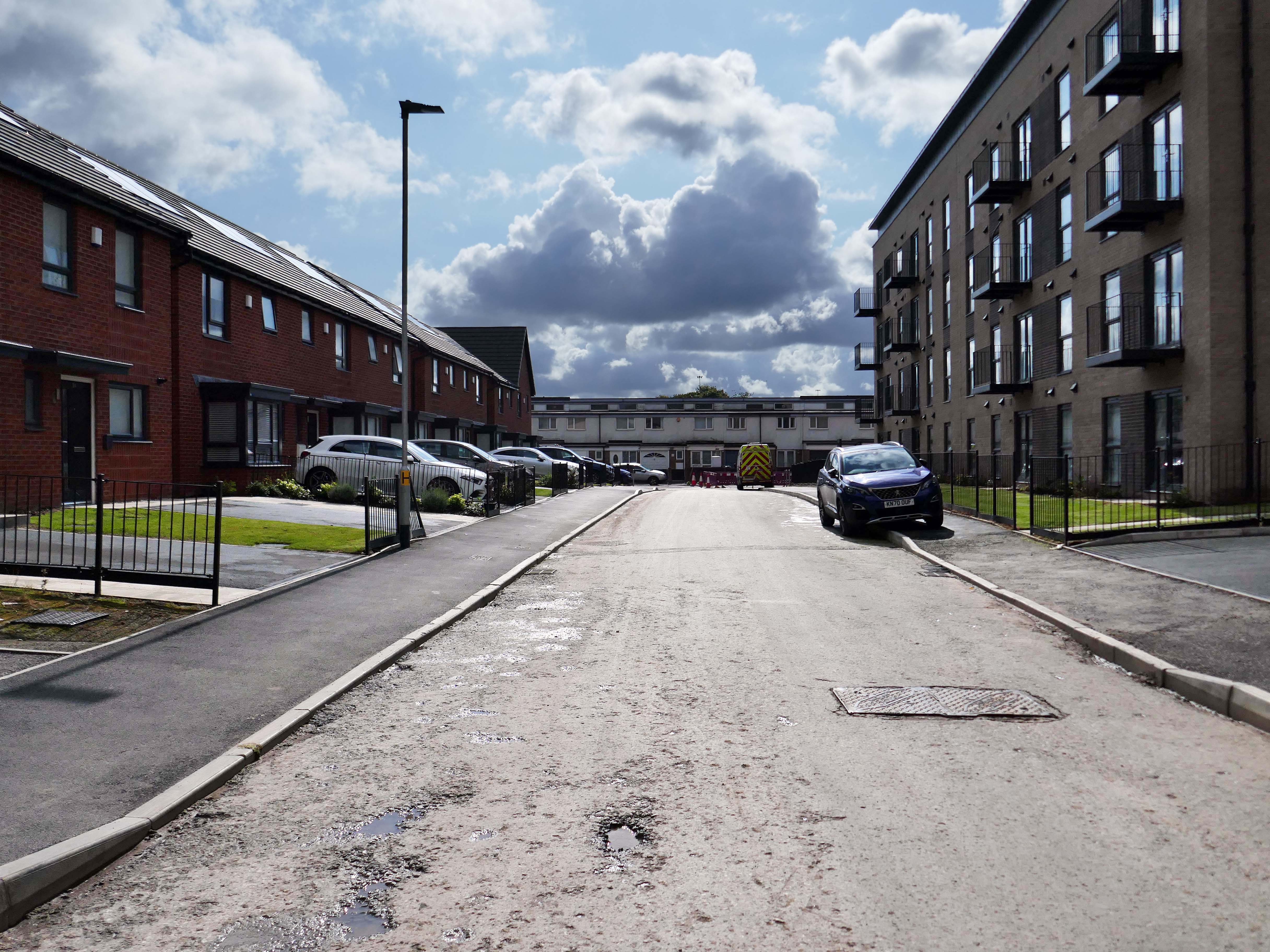
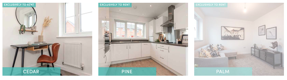
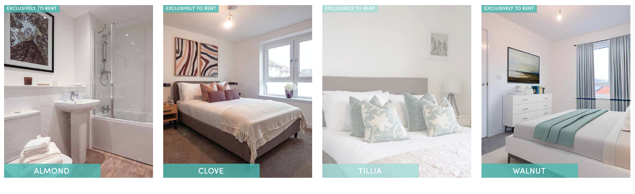
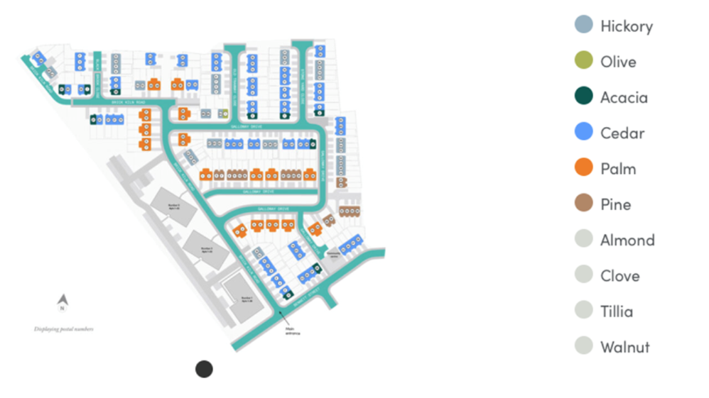
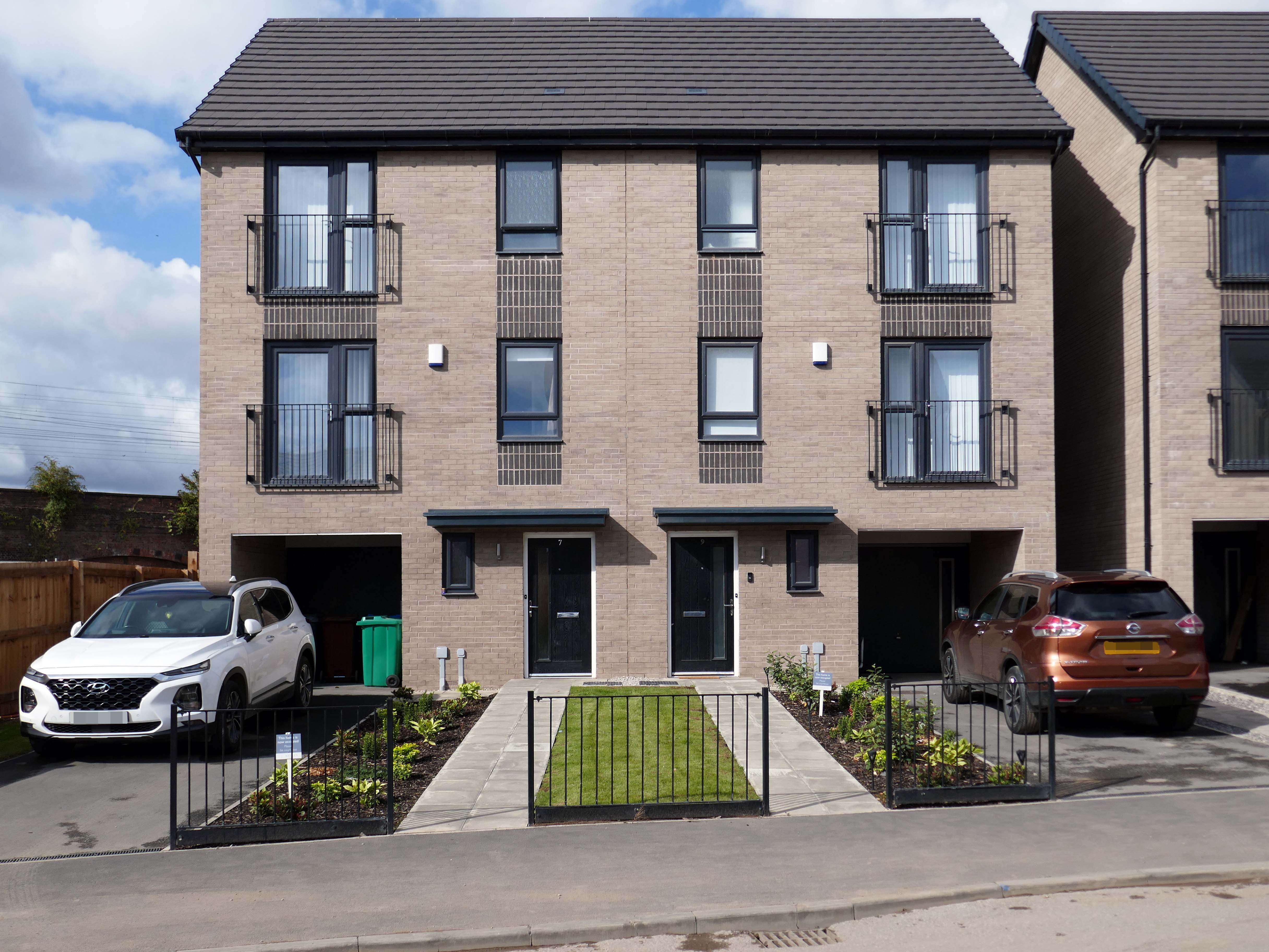
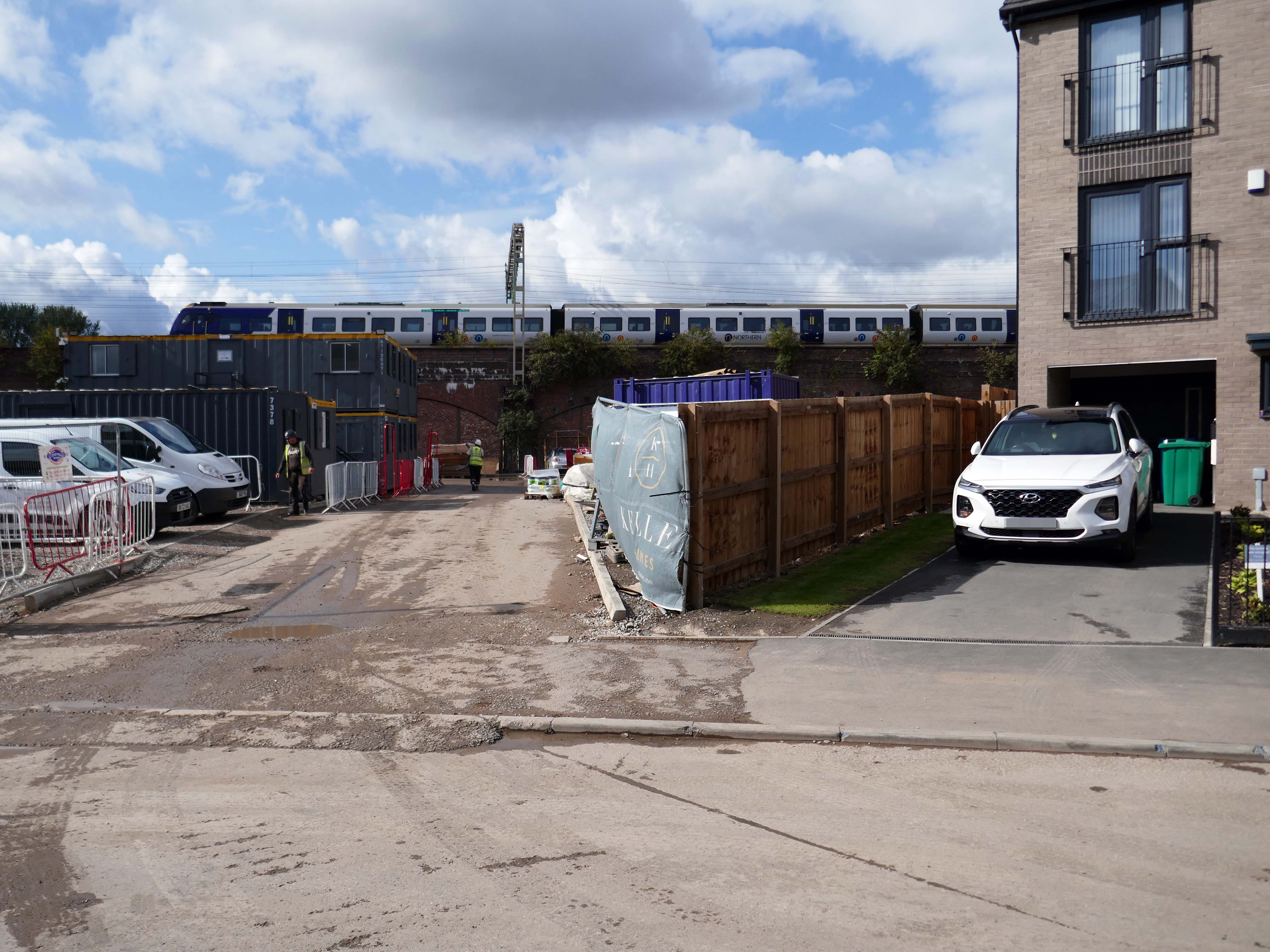
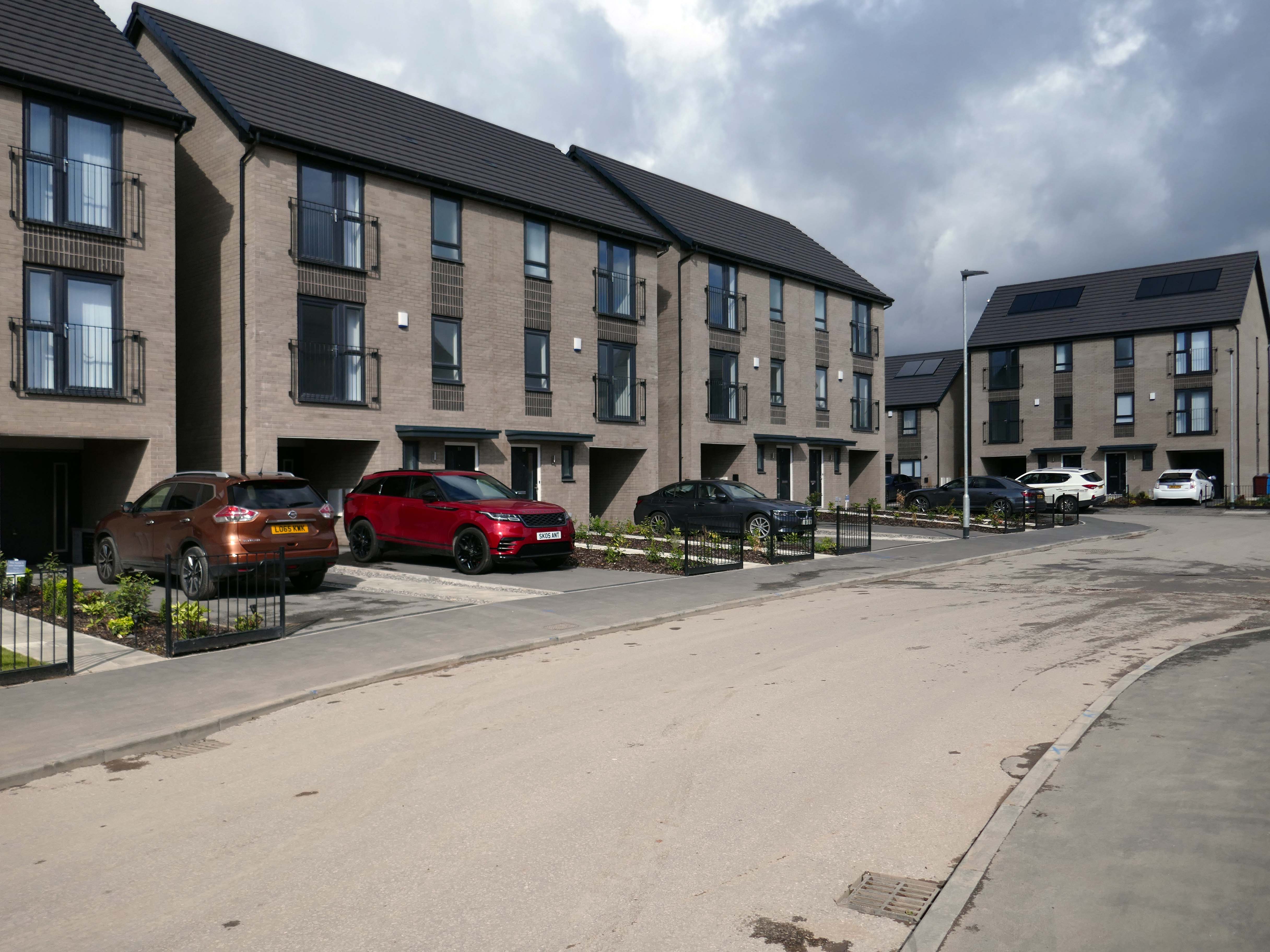
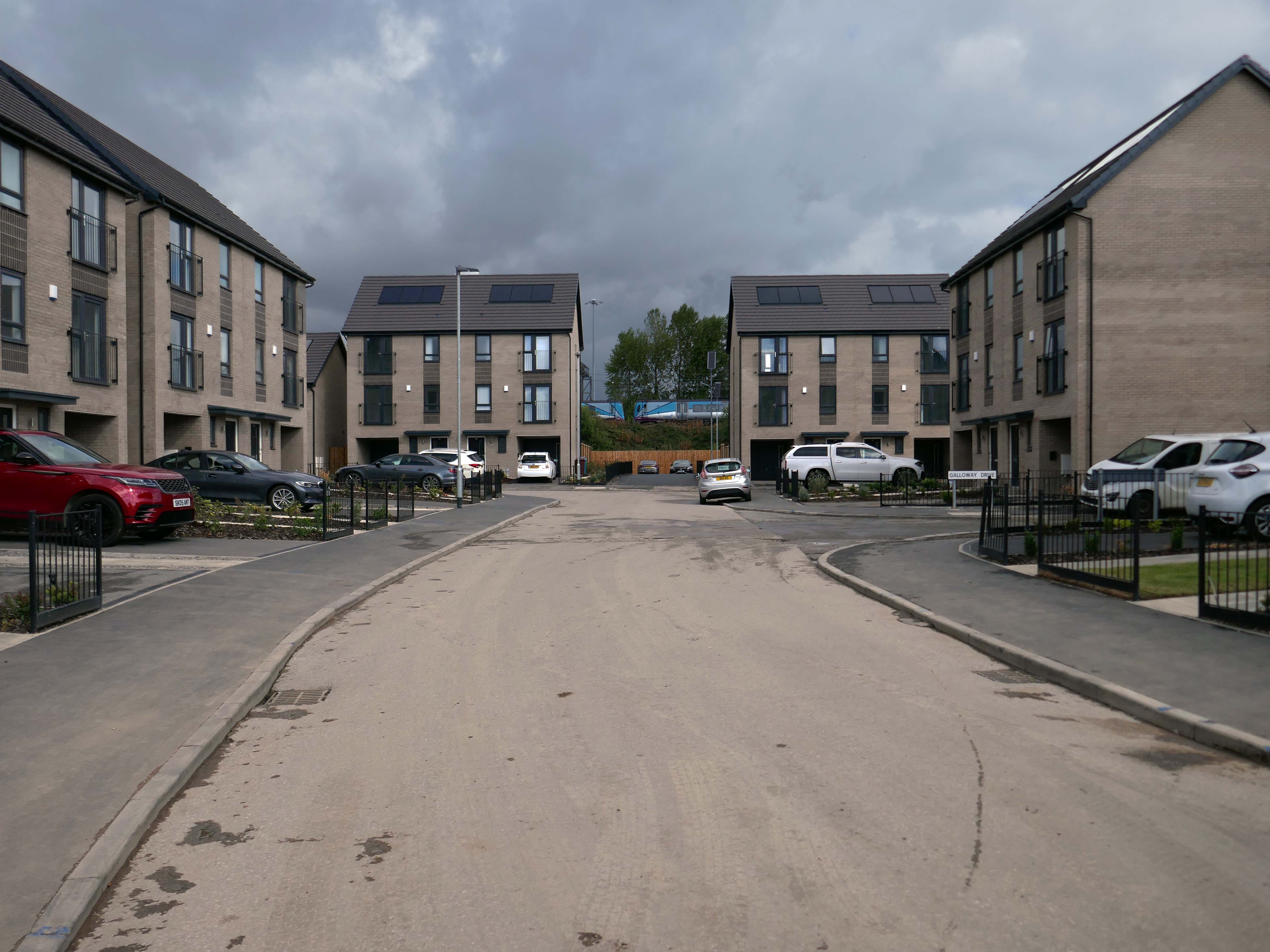
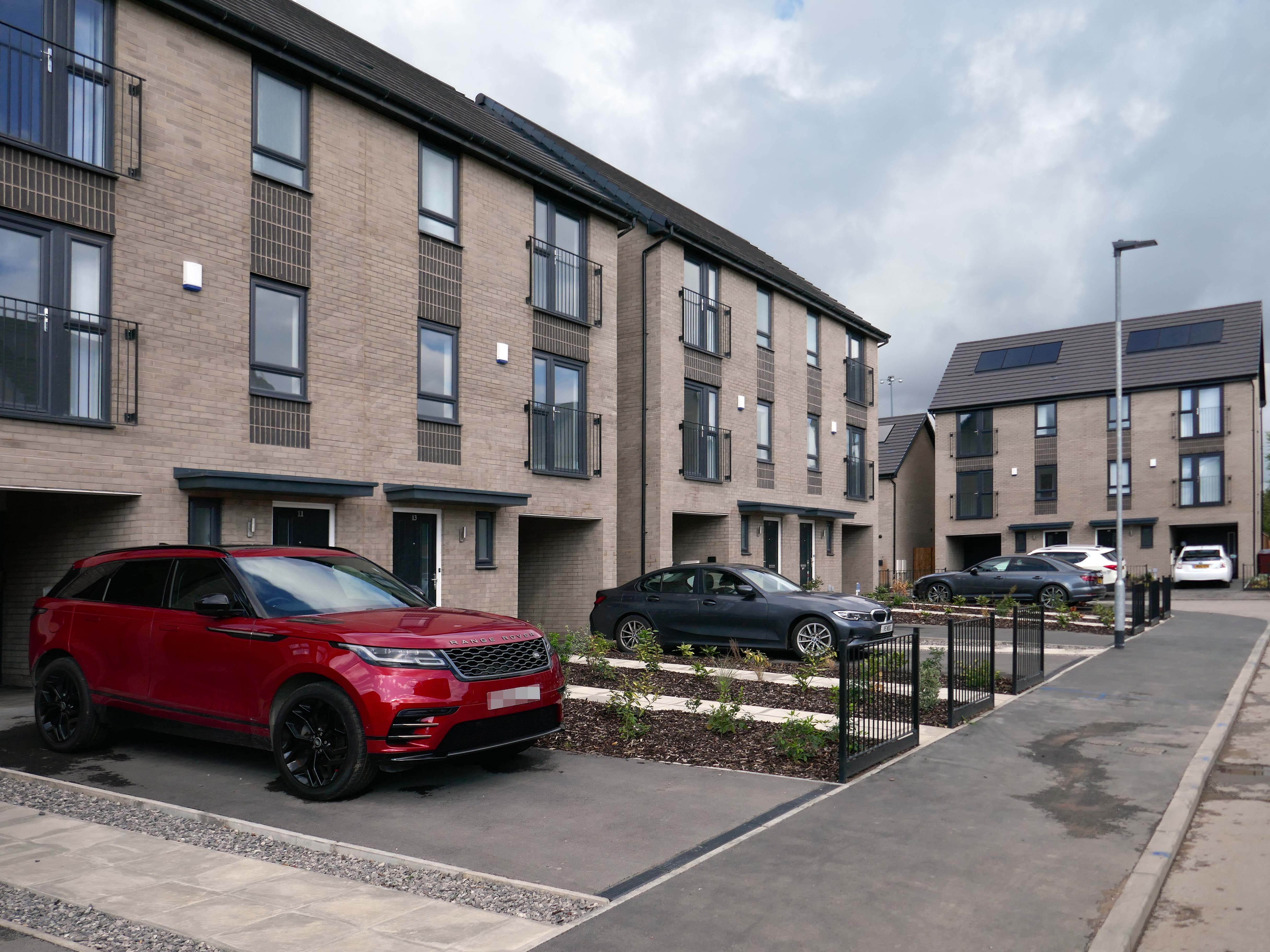
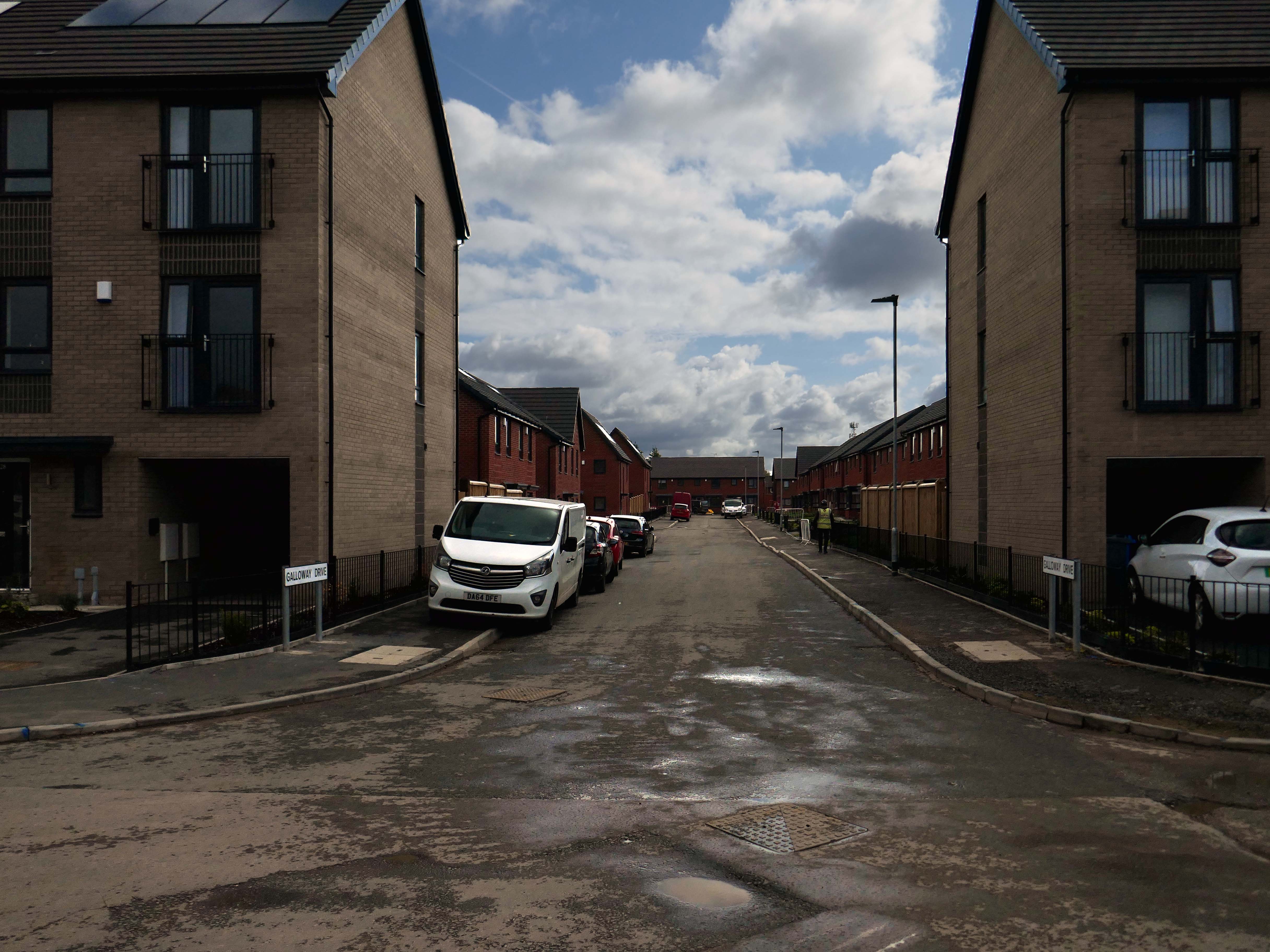
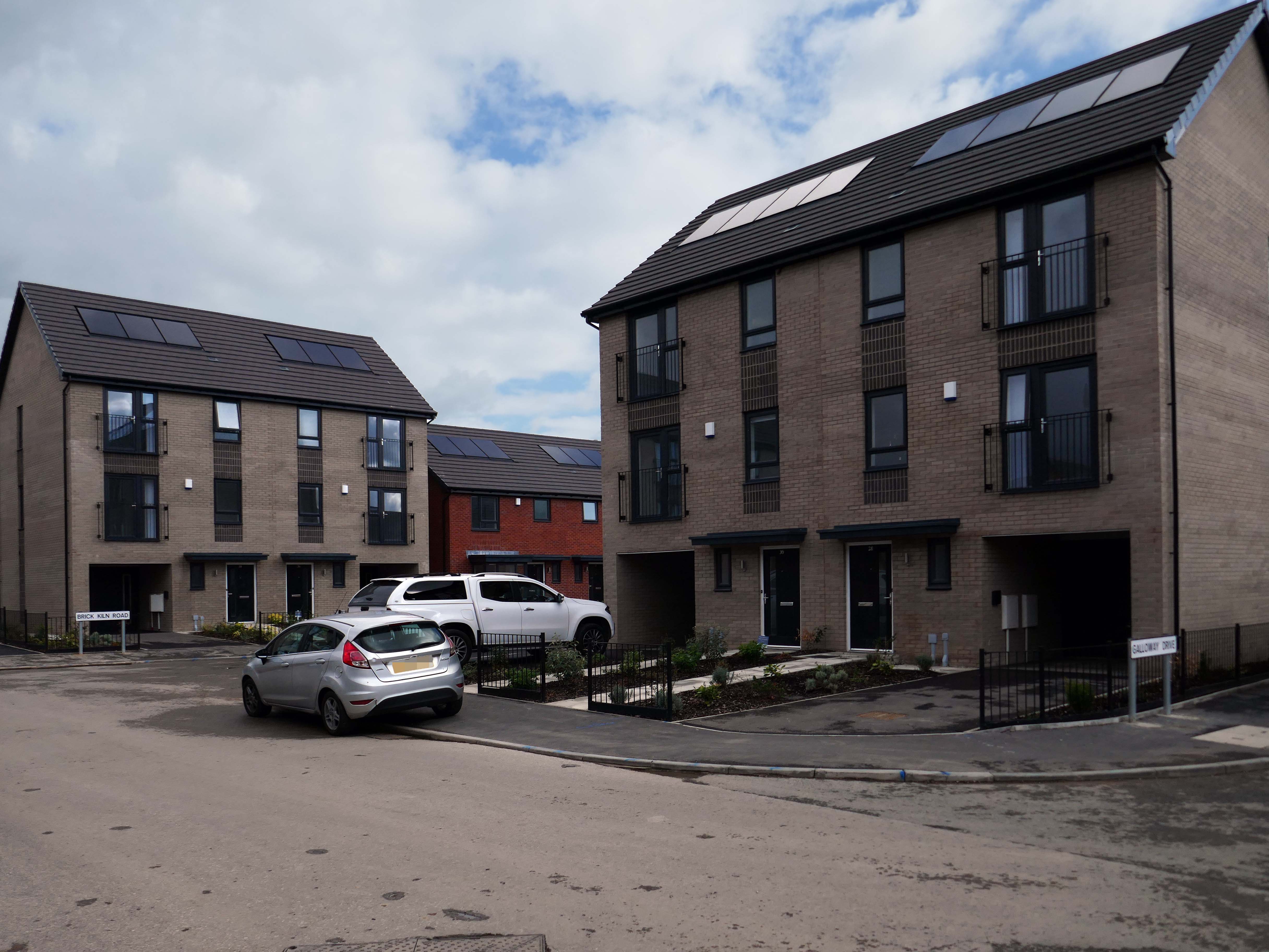
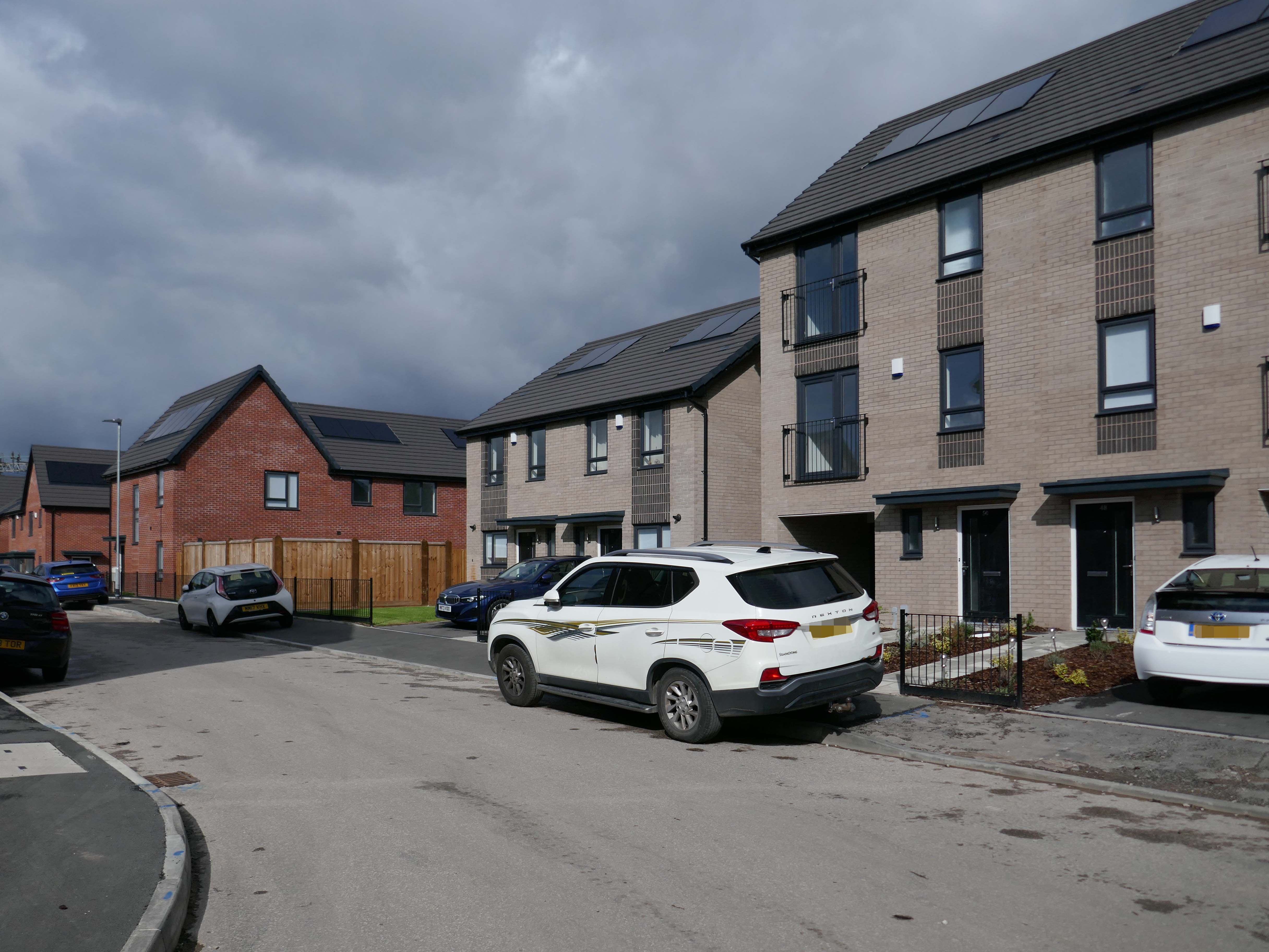
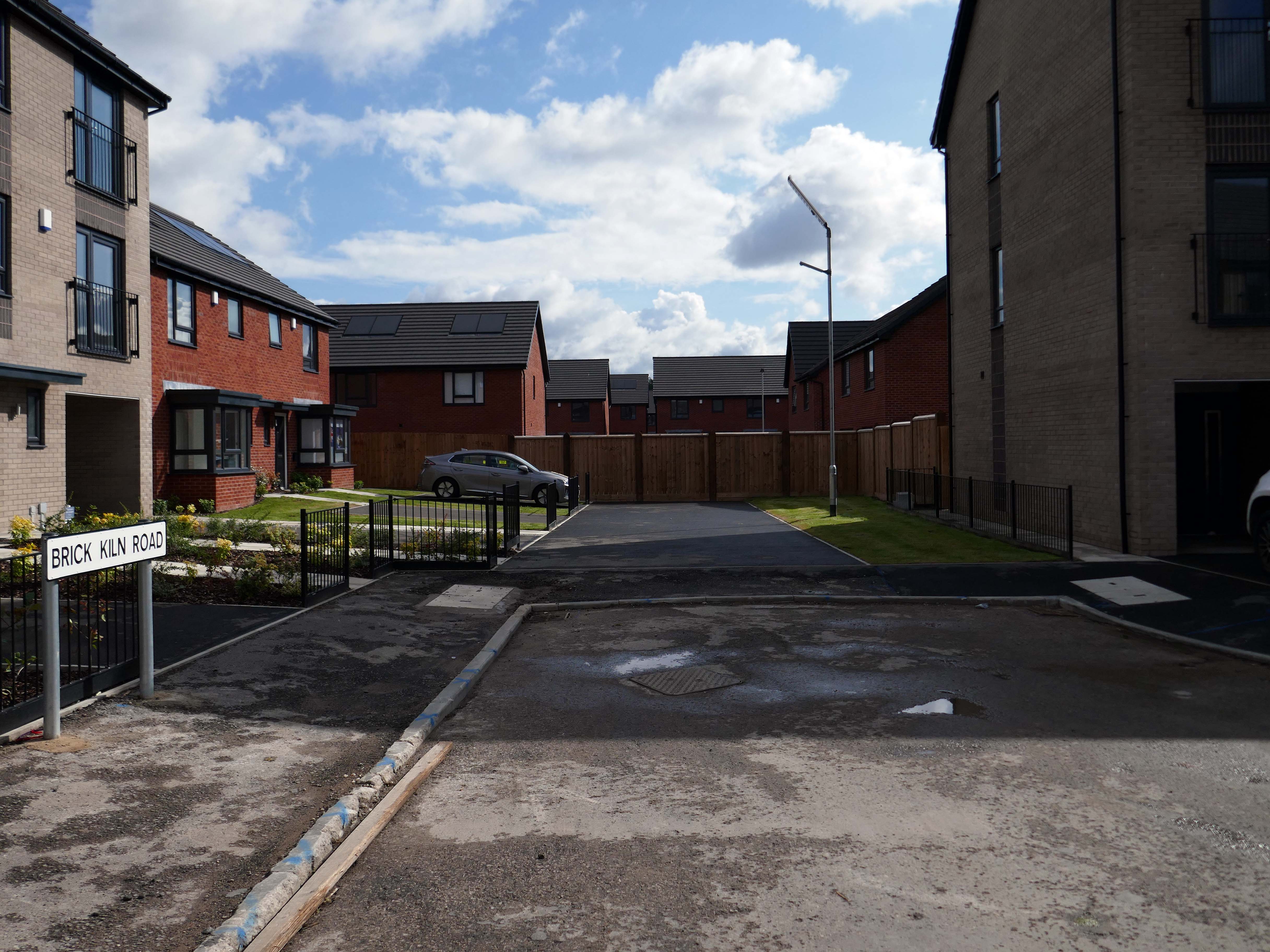
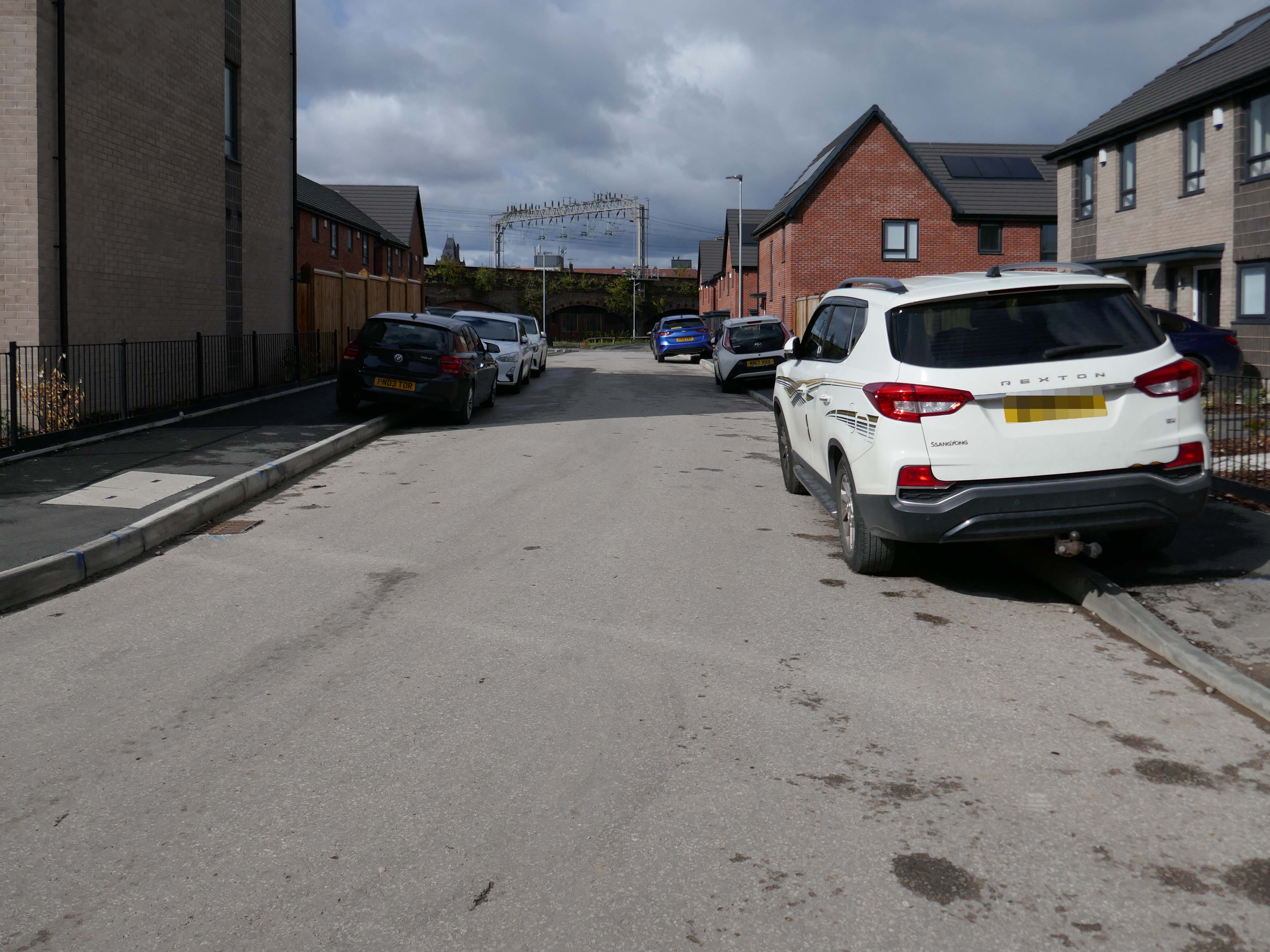
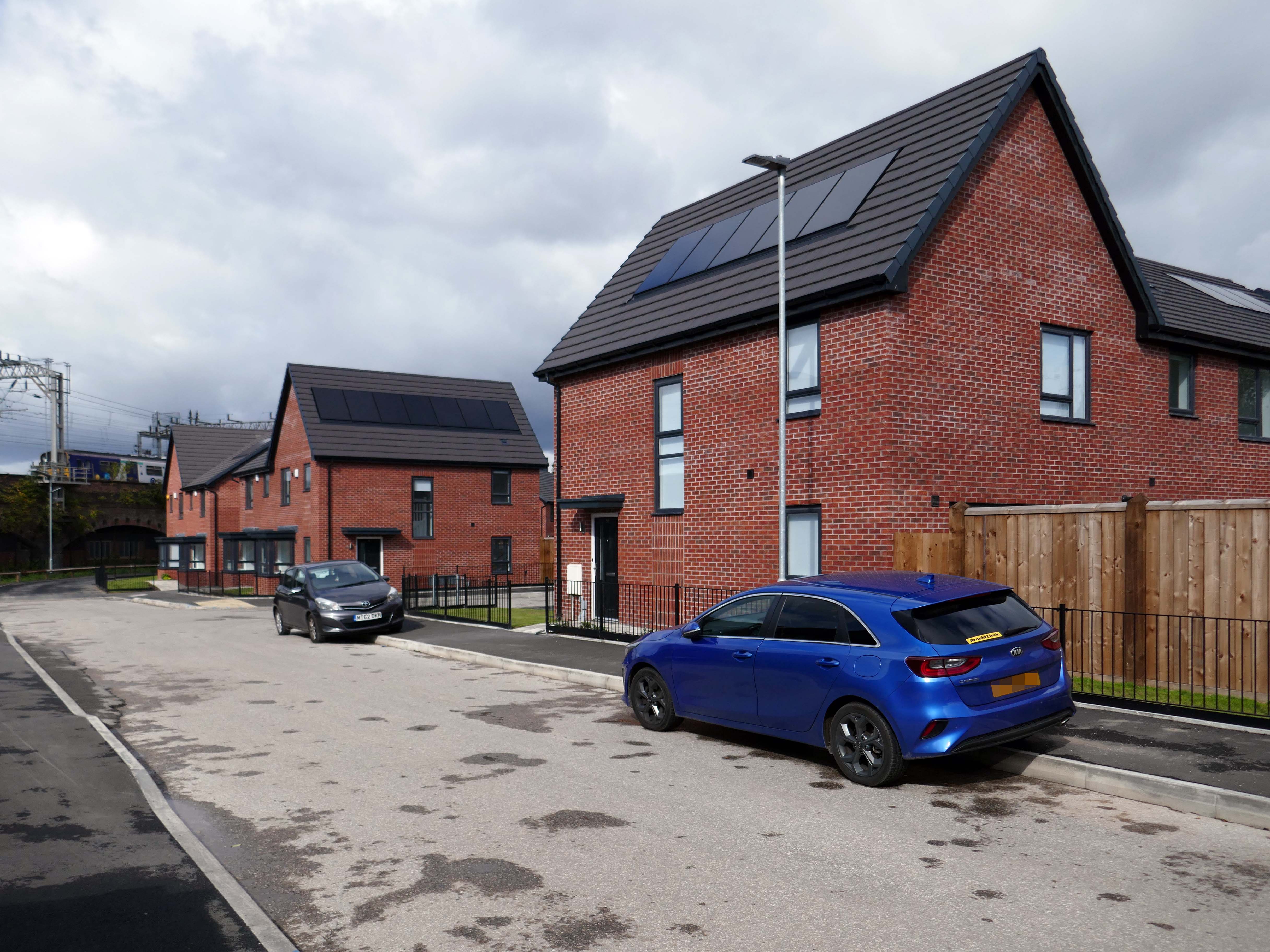
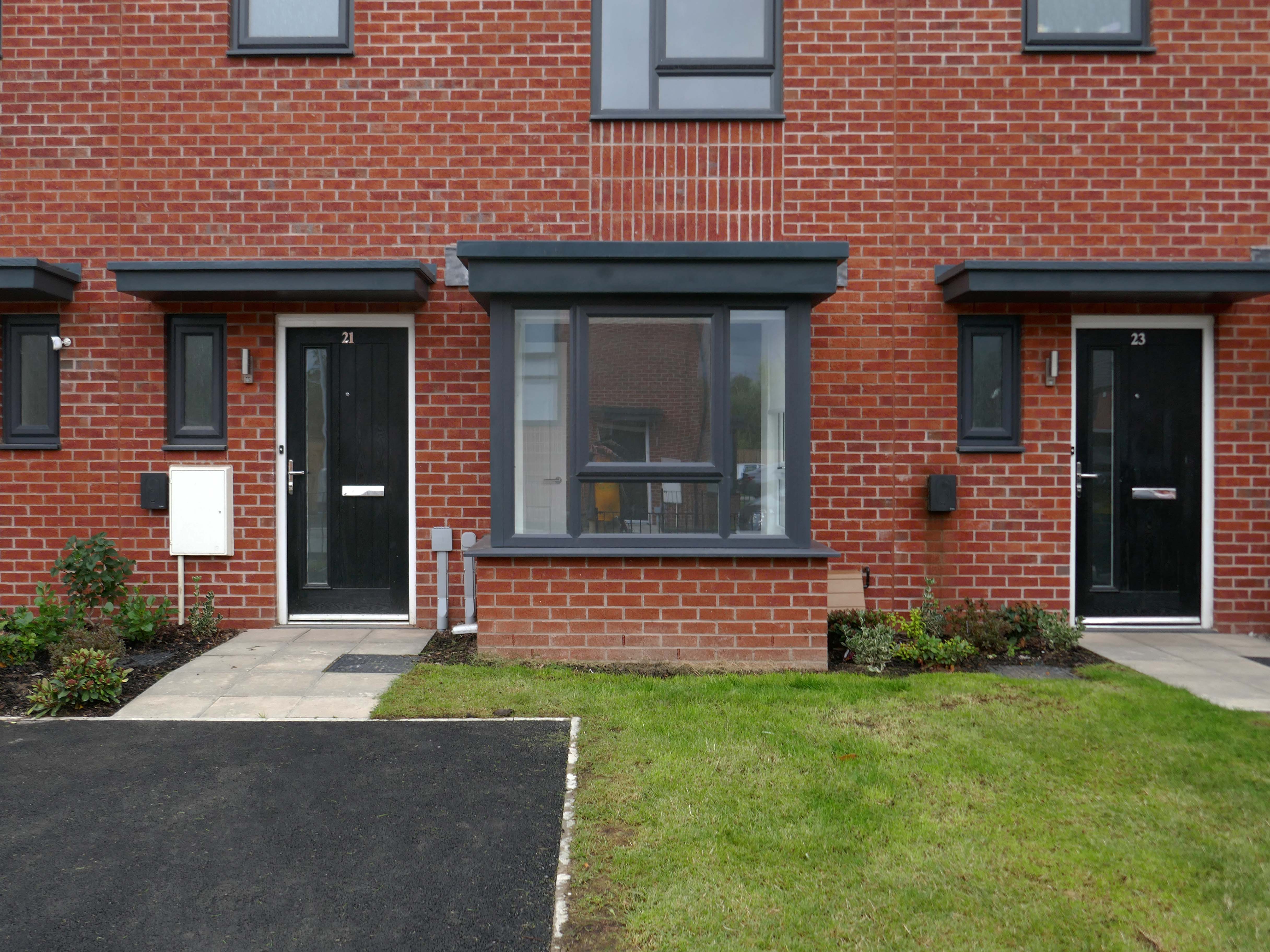
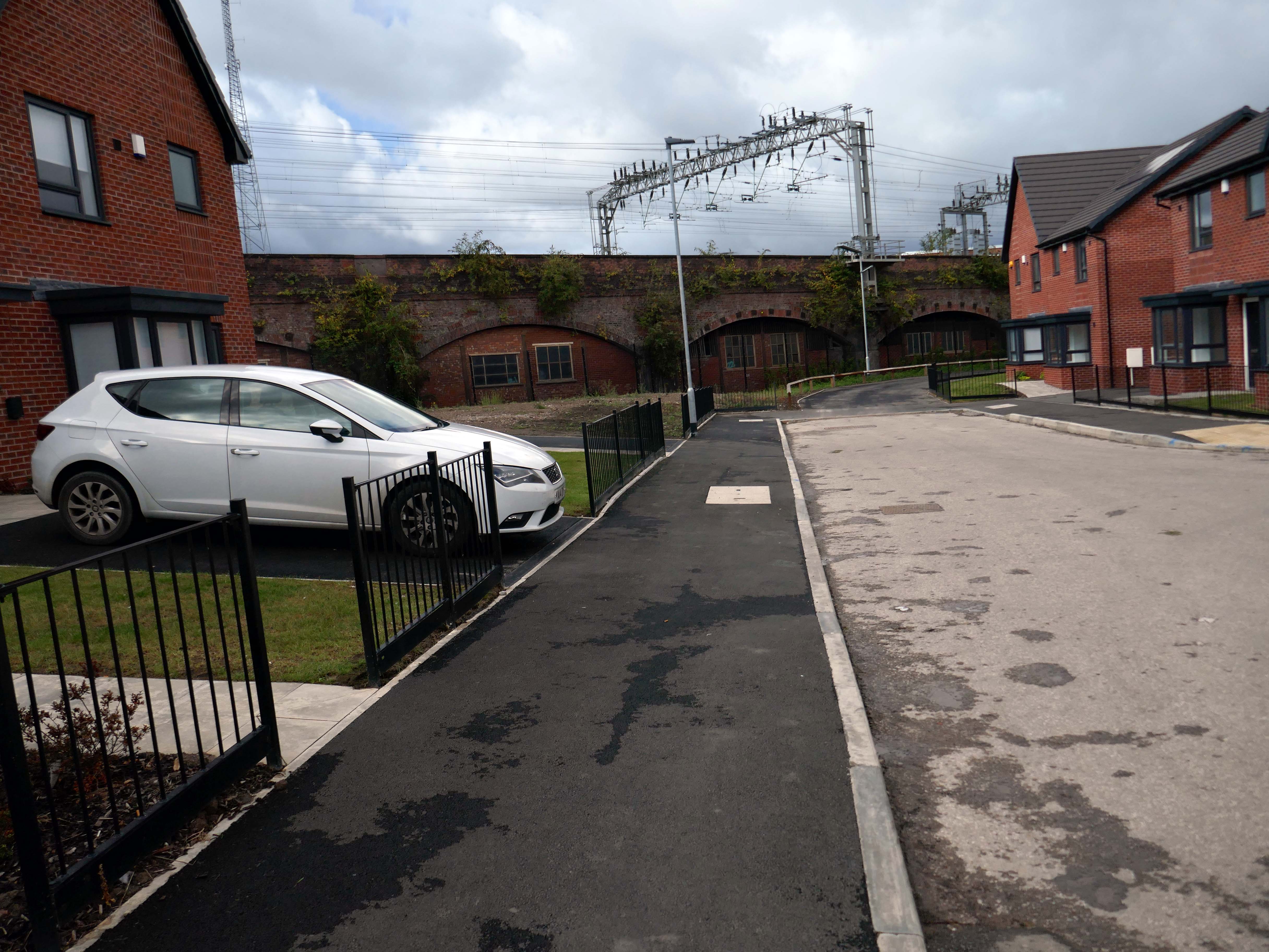
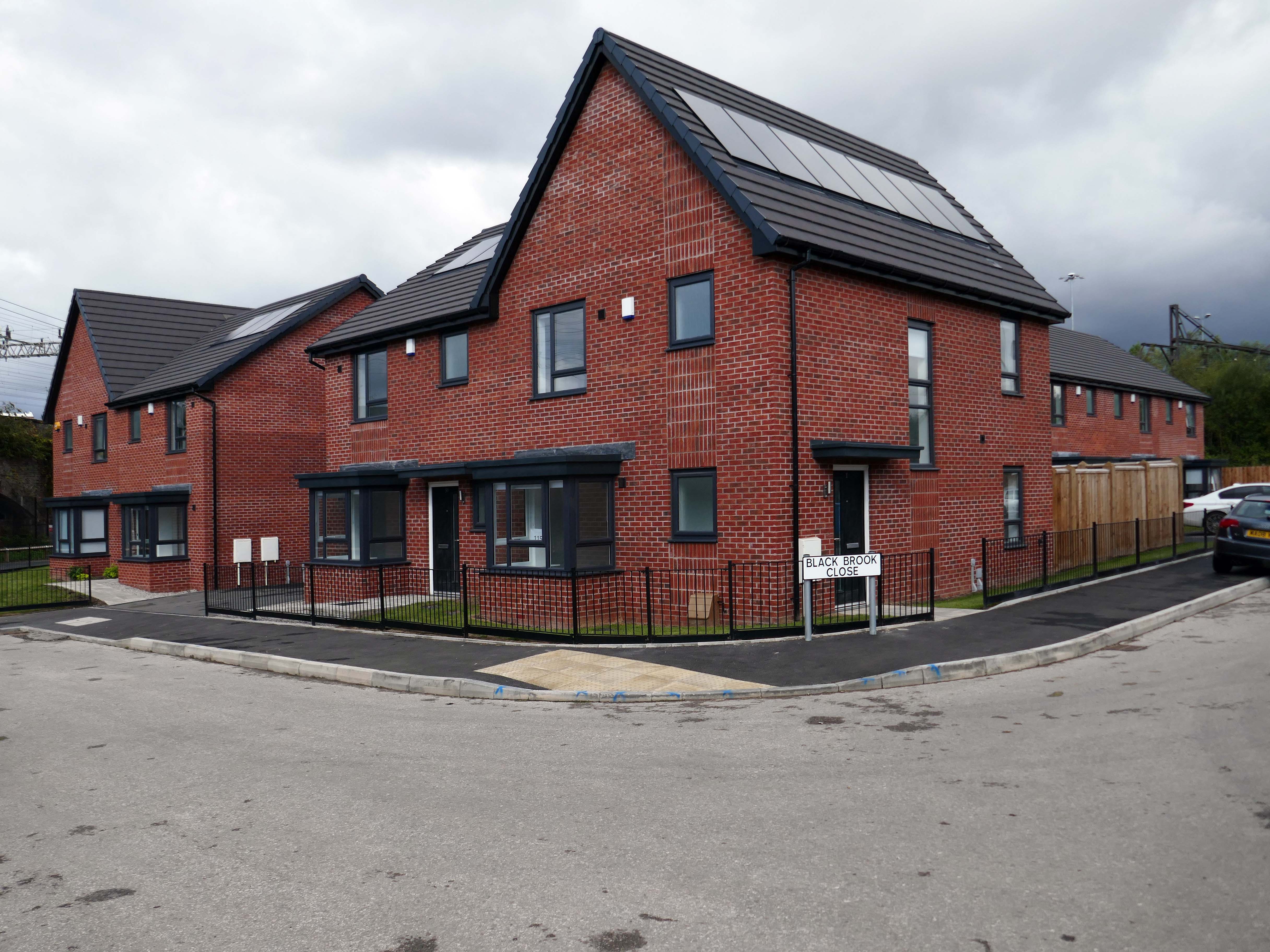
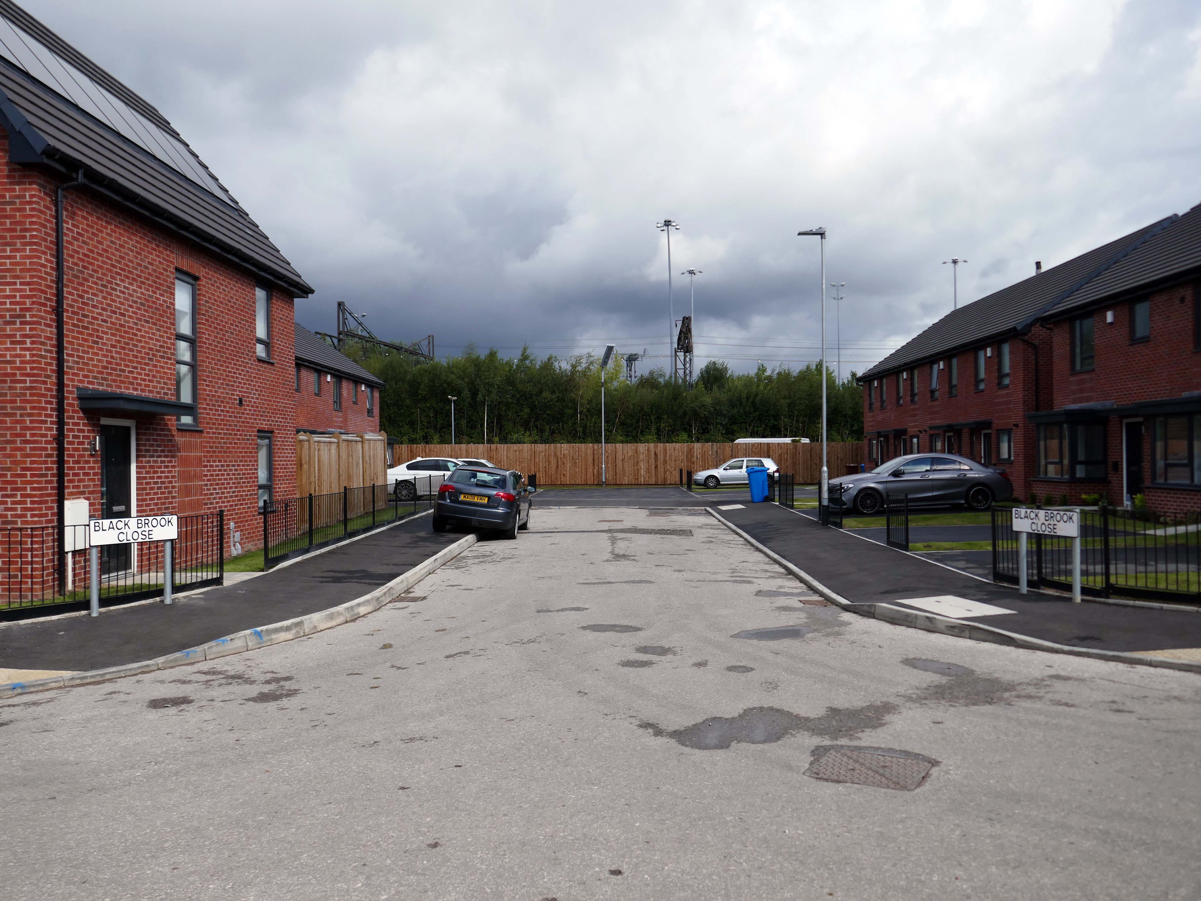
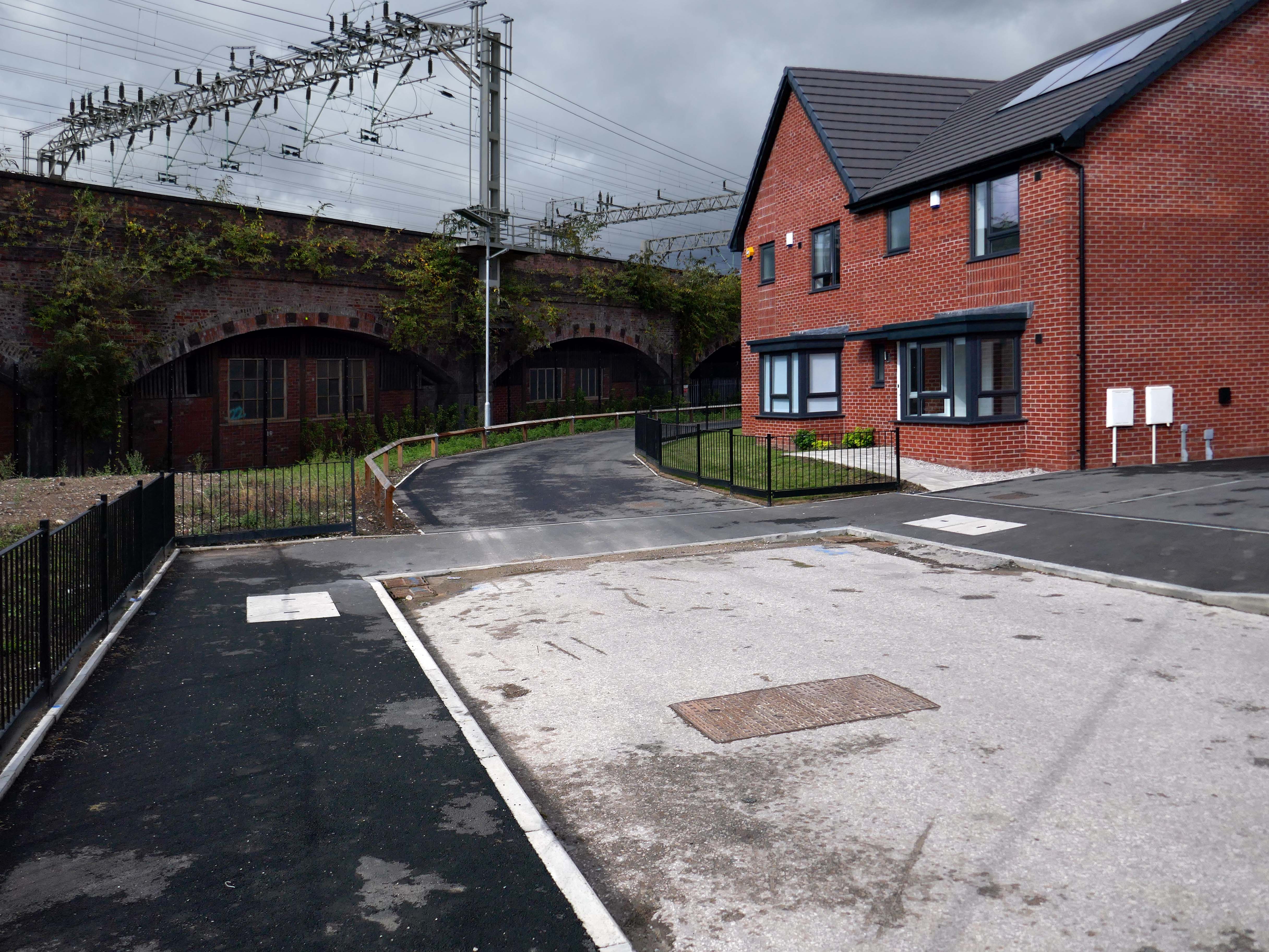
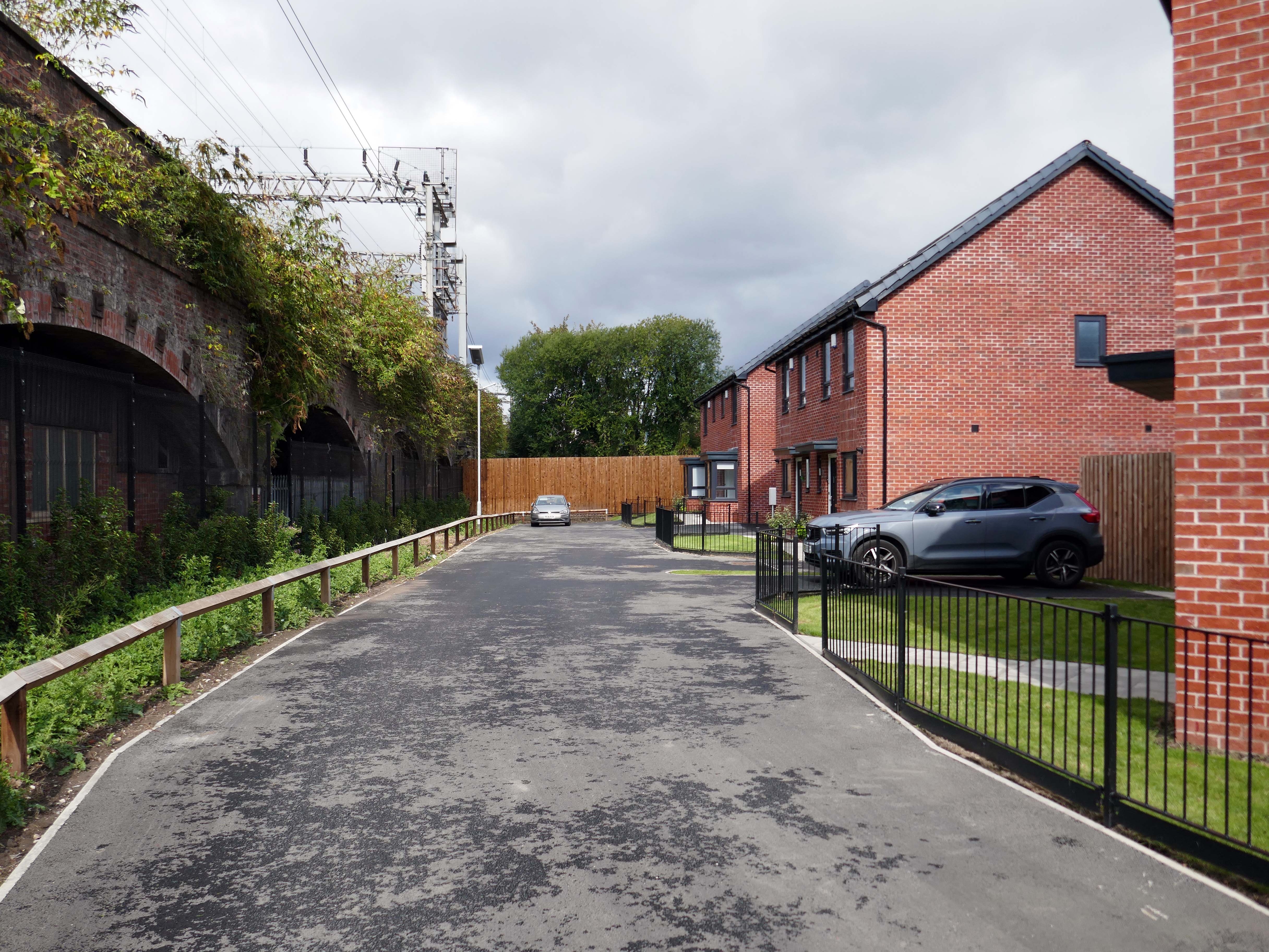
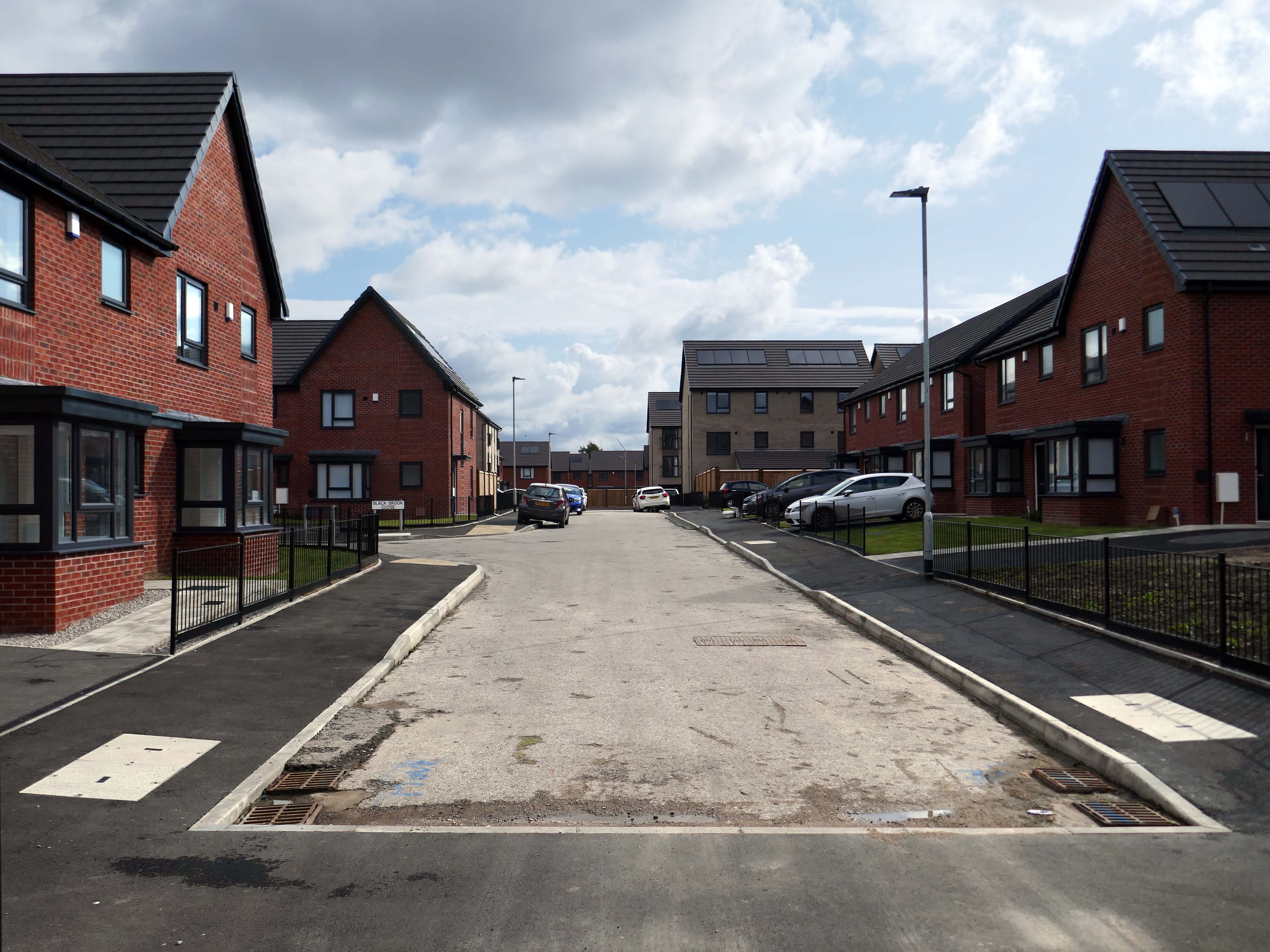
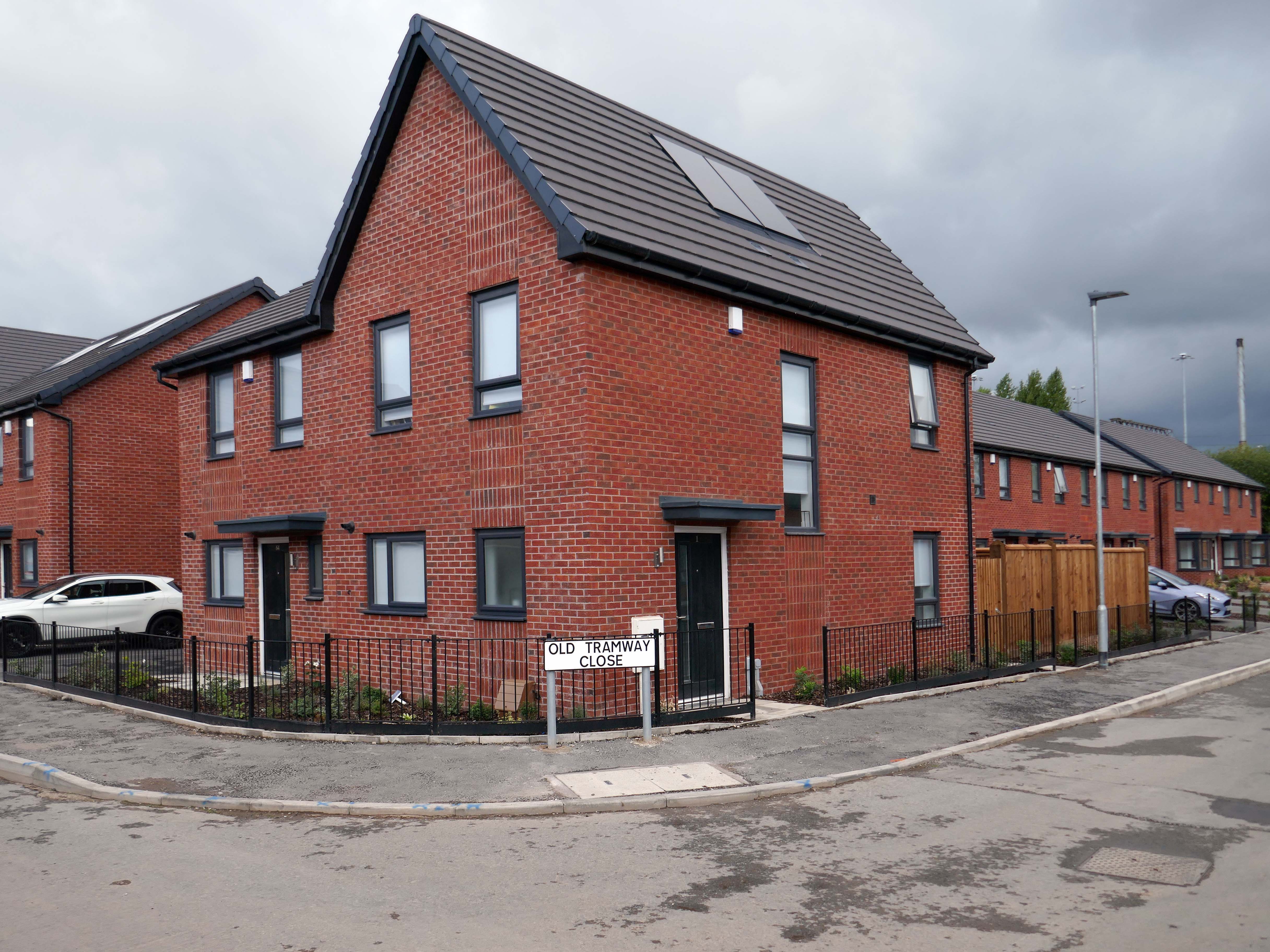
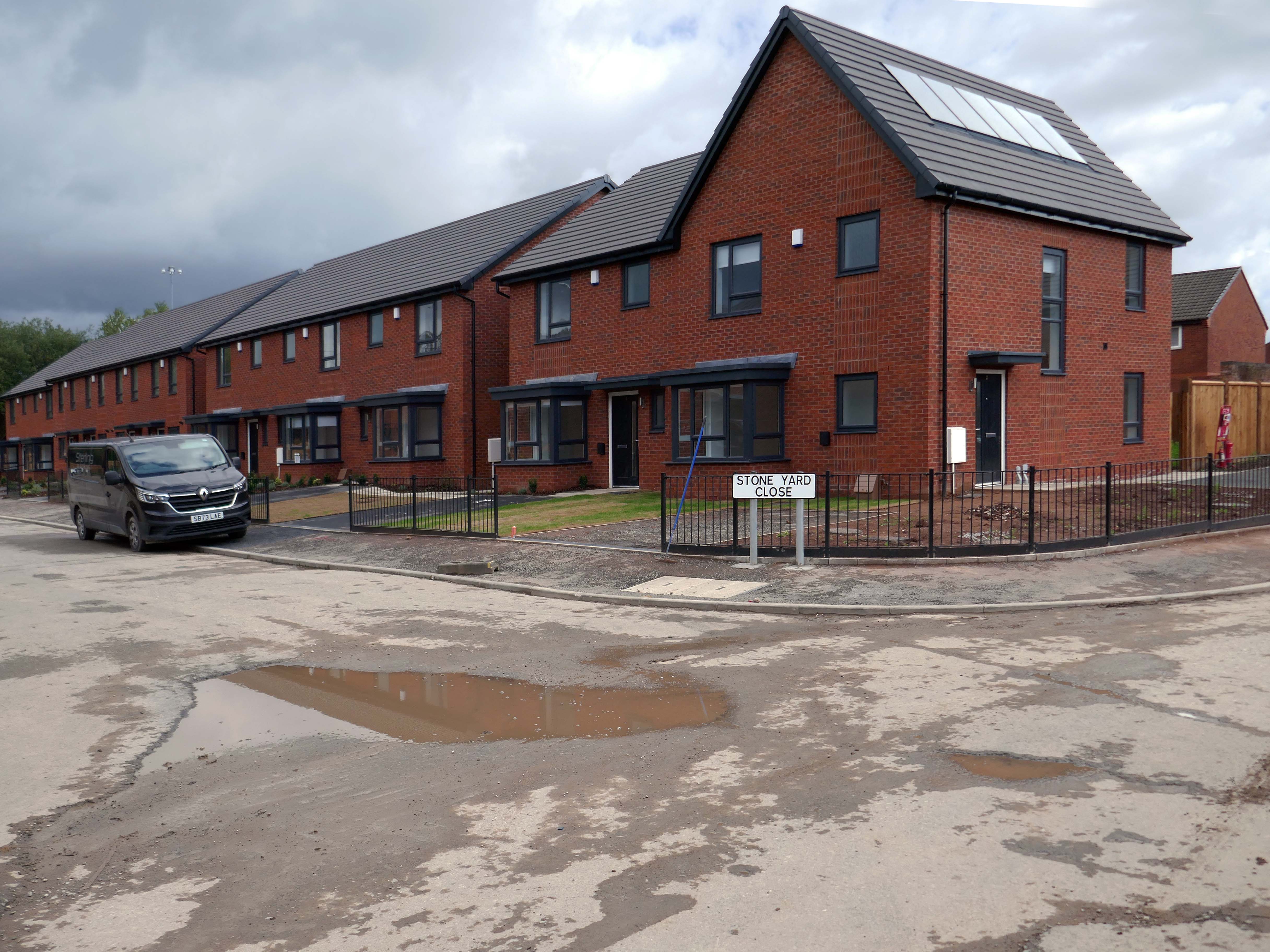
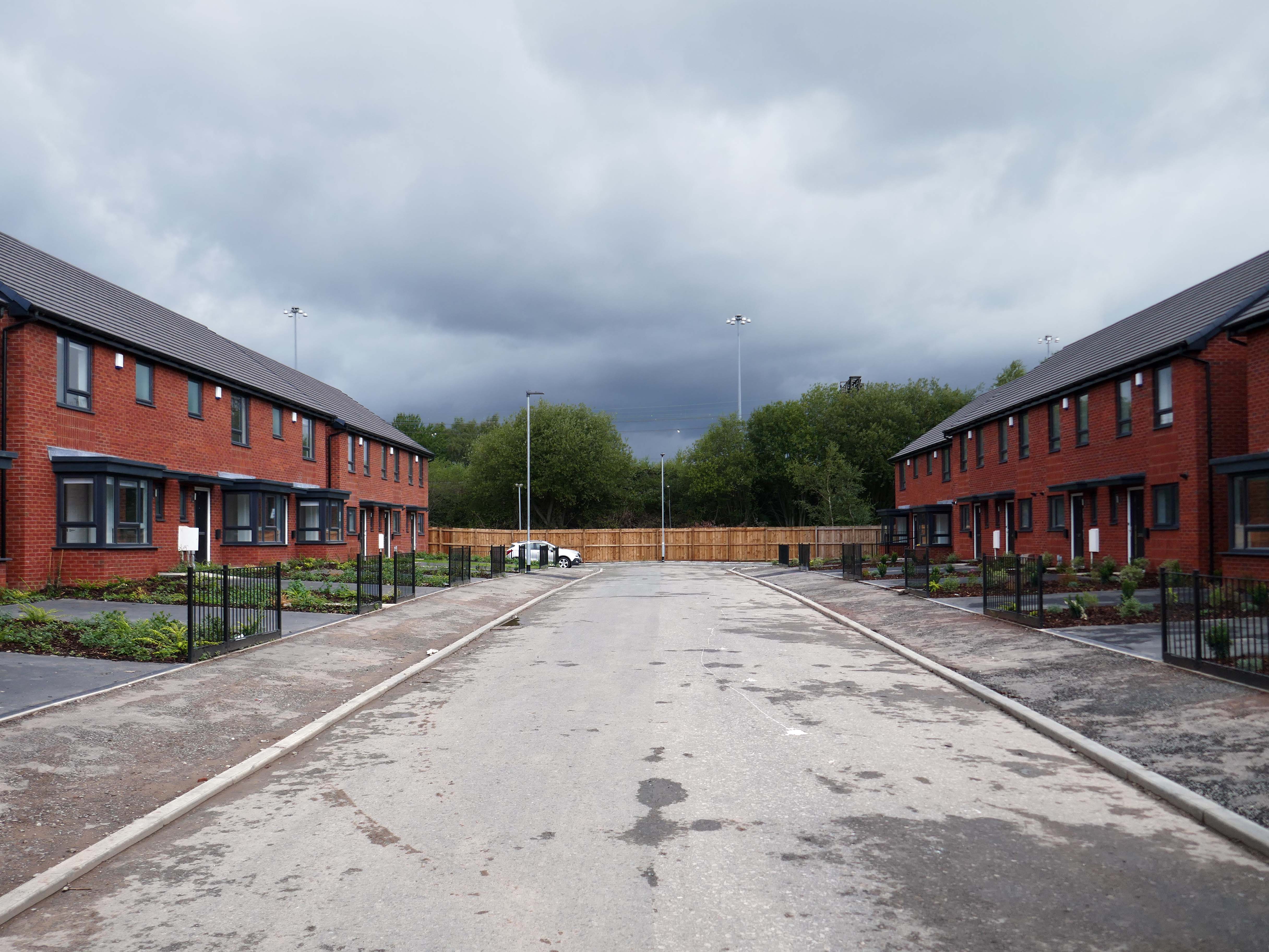
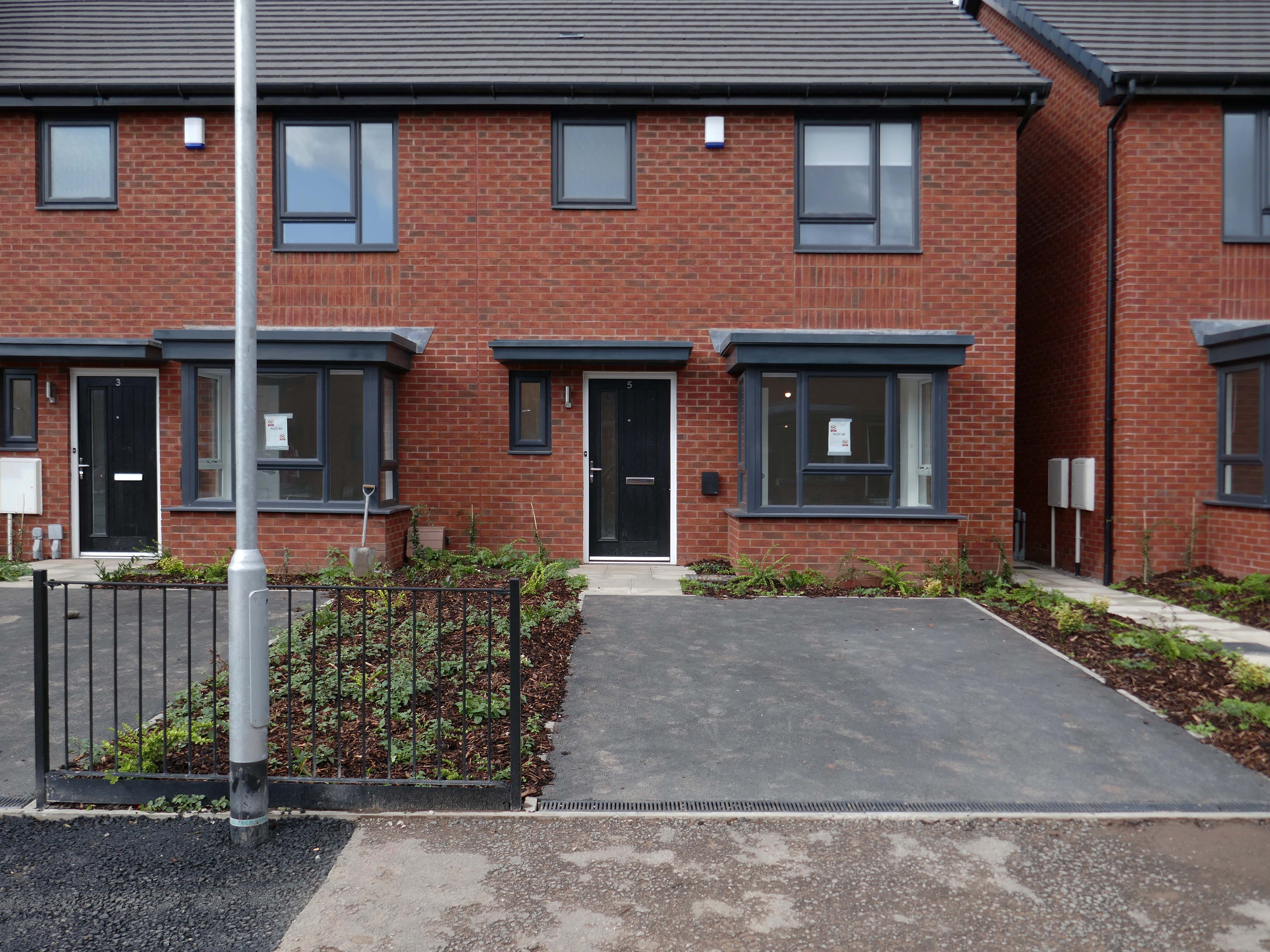
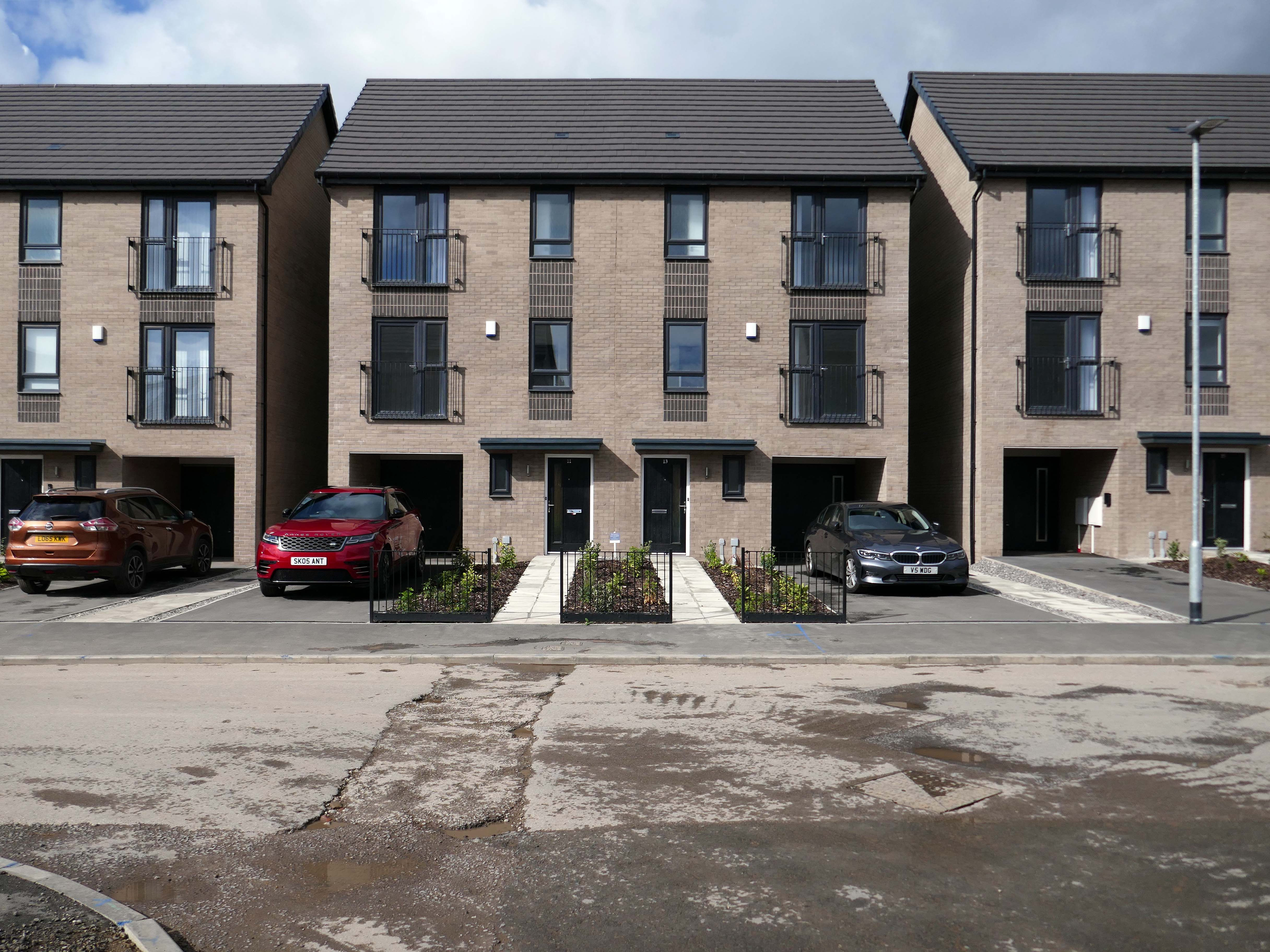
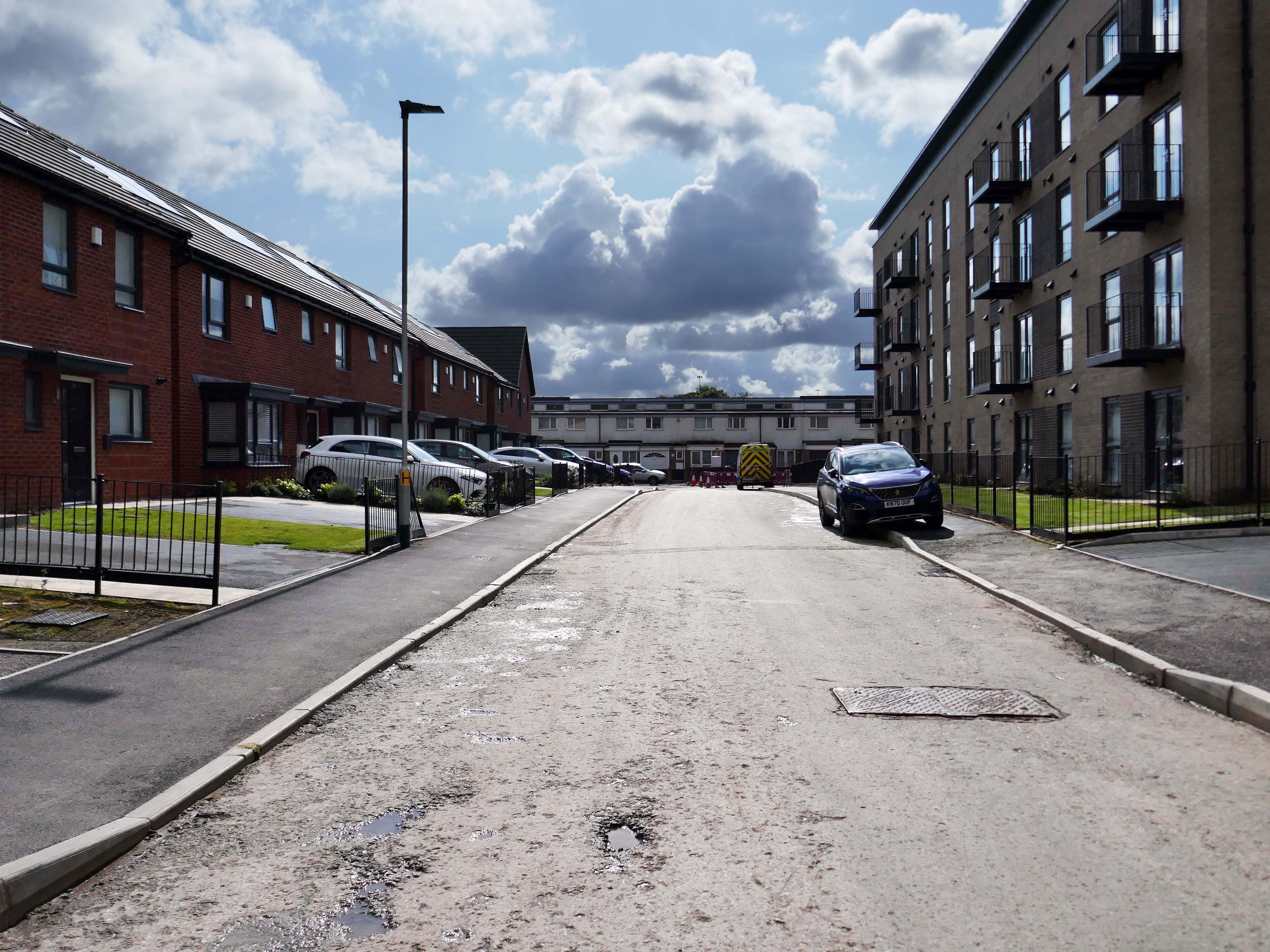
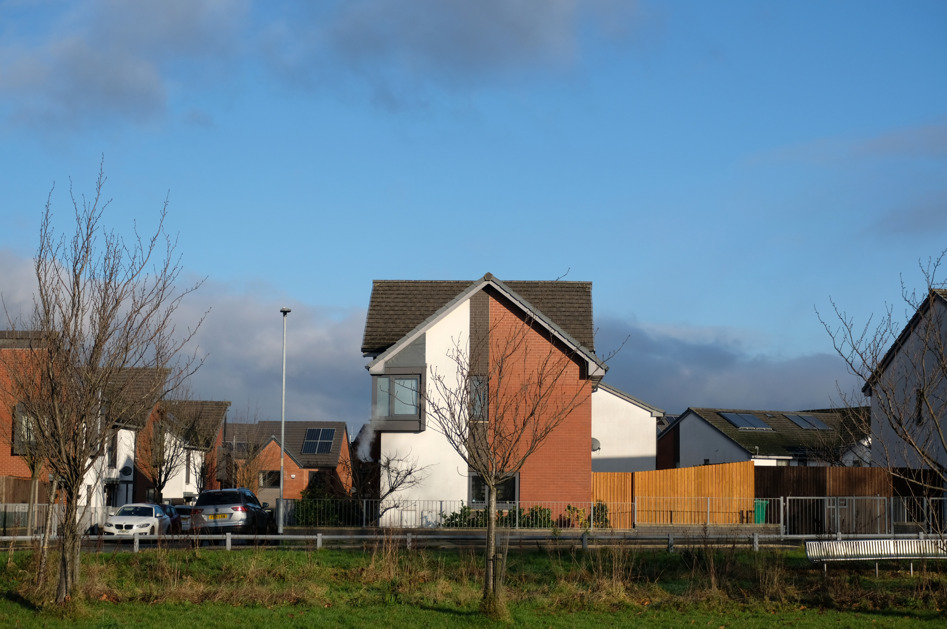
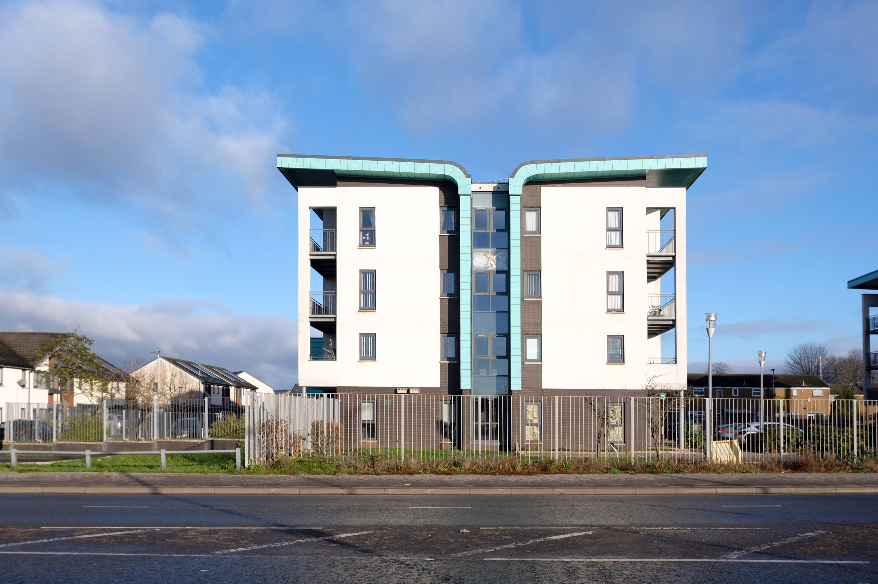
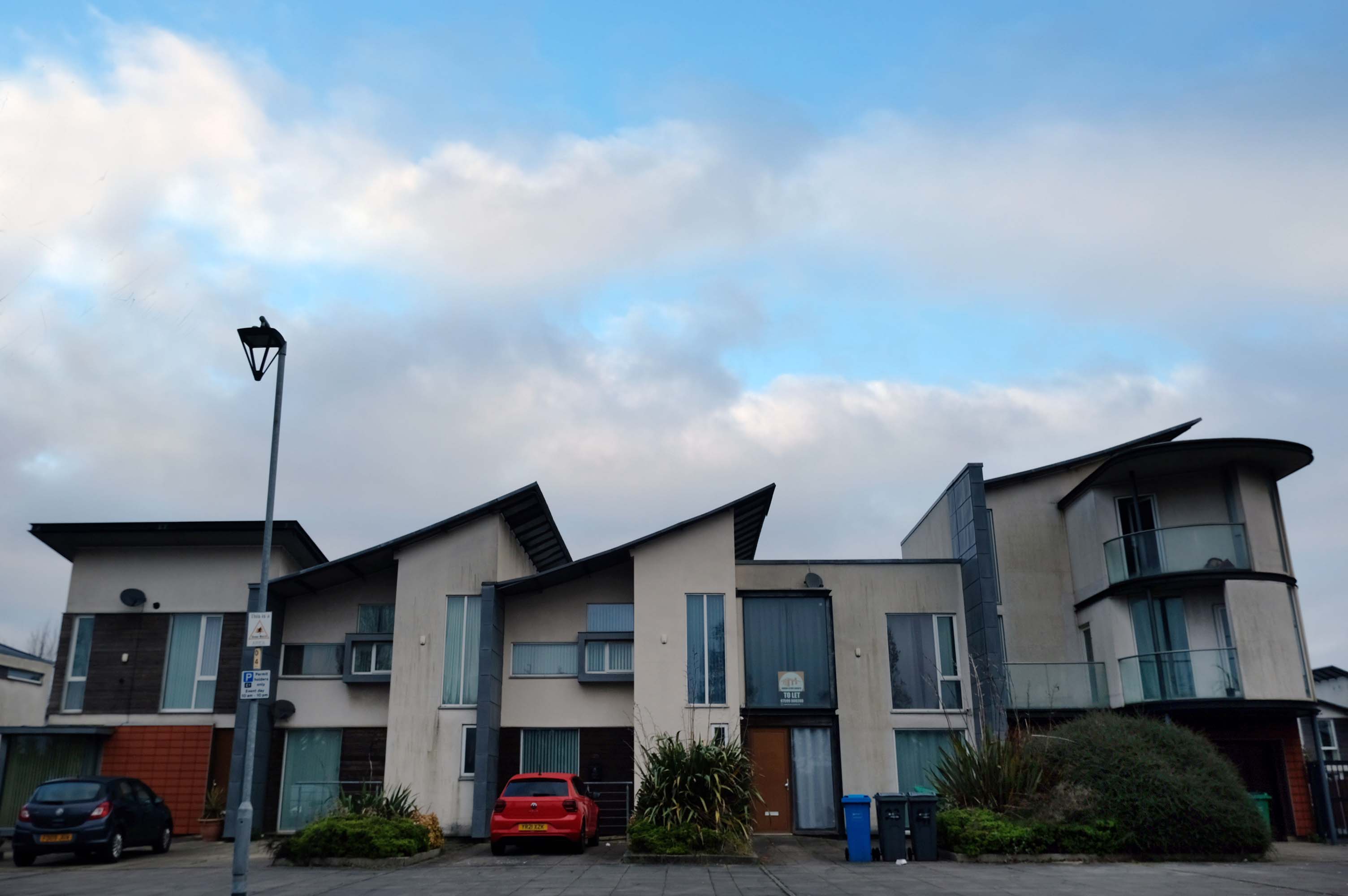
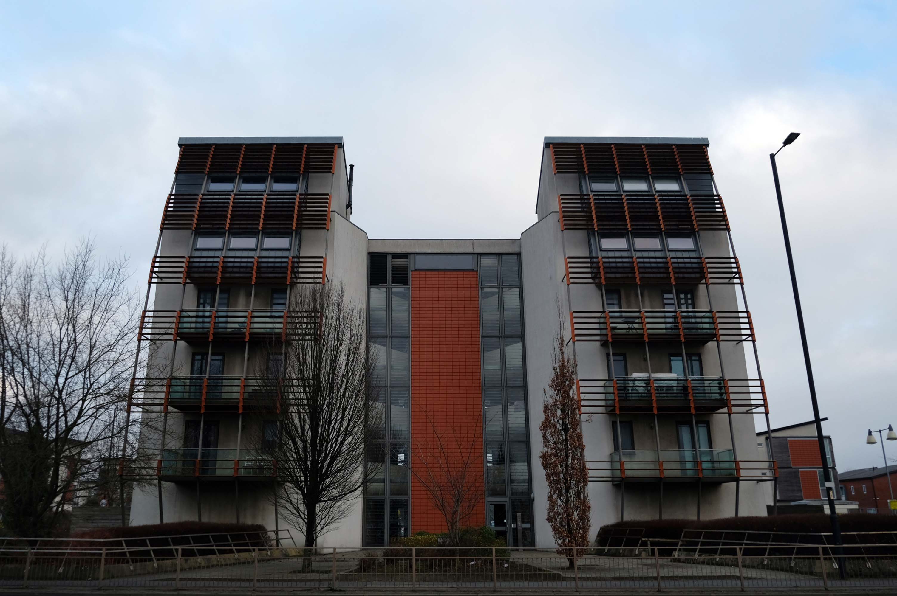
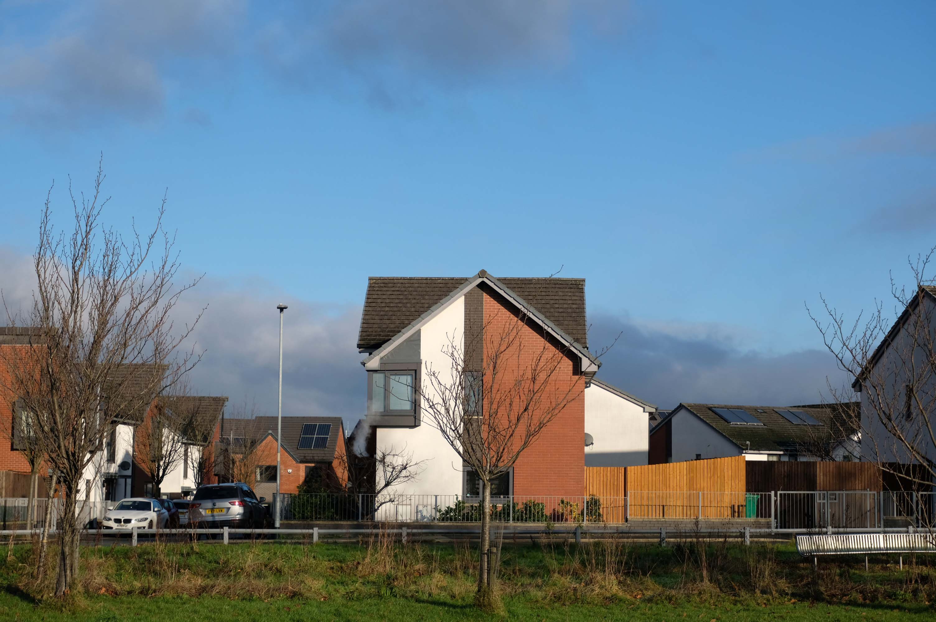
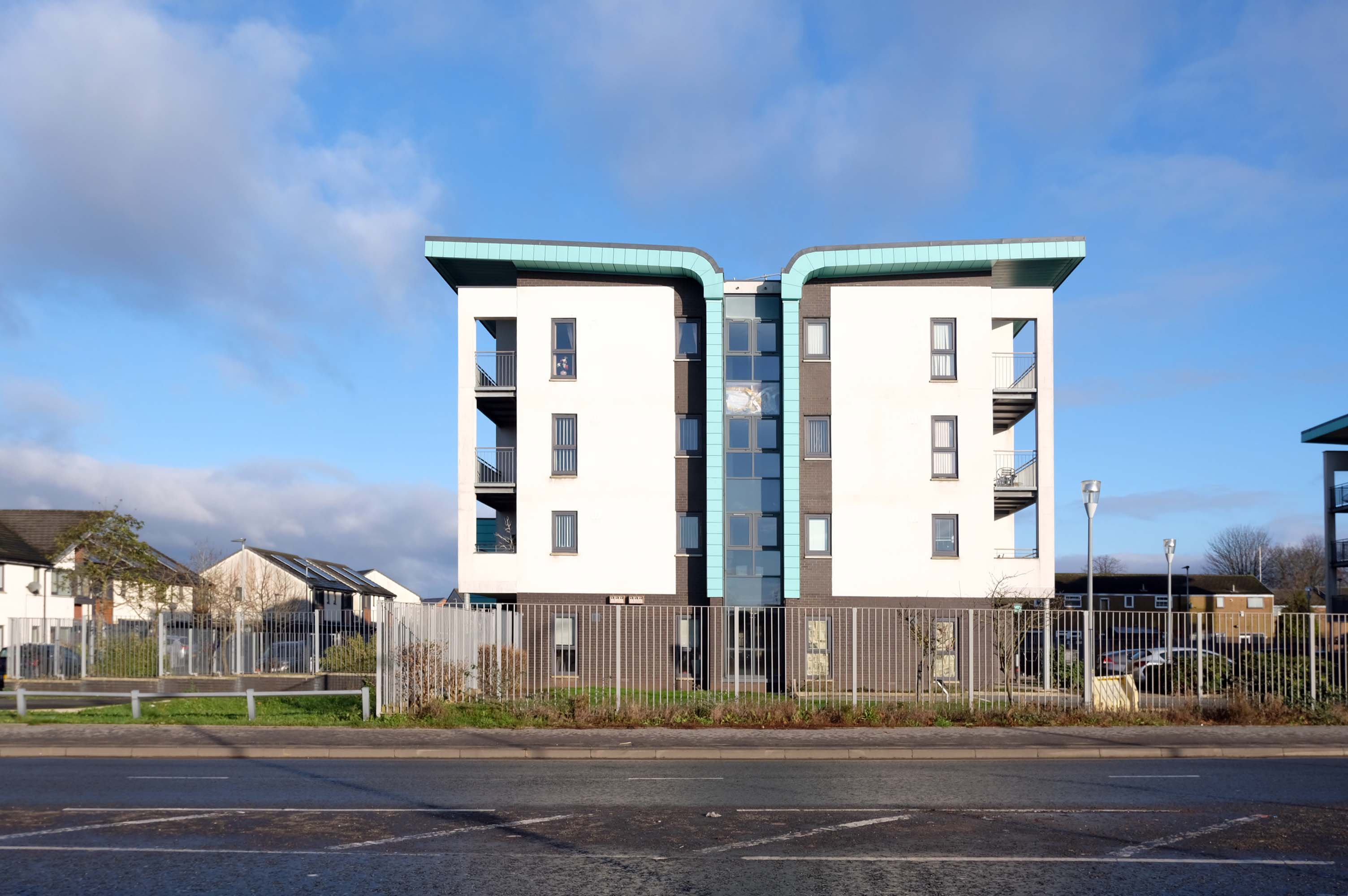
Situated in Ardwick, one mile outside of Manchester’s vibrant city centre, The Gateway is a distinctive development offering a collection of homes and apartments to rent.
Enjoy living in the prime location of Manchester’s bustling city centre, where there is a vast range of employment opportunities, cafes, bars and restaurants. All year round, you can benefit from various fun days out with events and activities available on your doorstep.
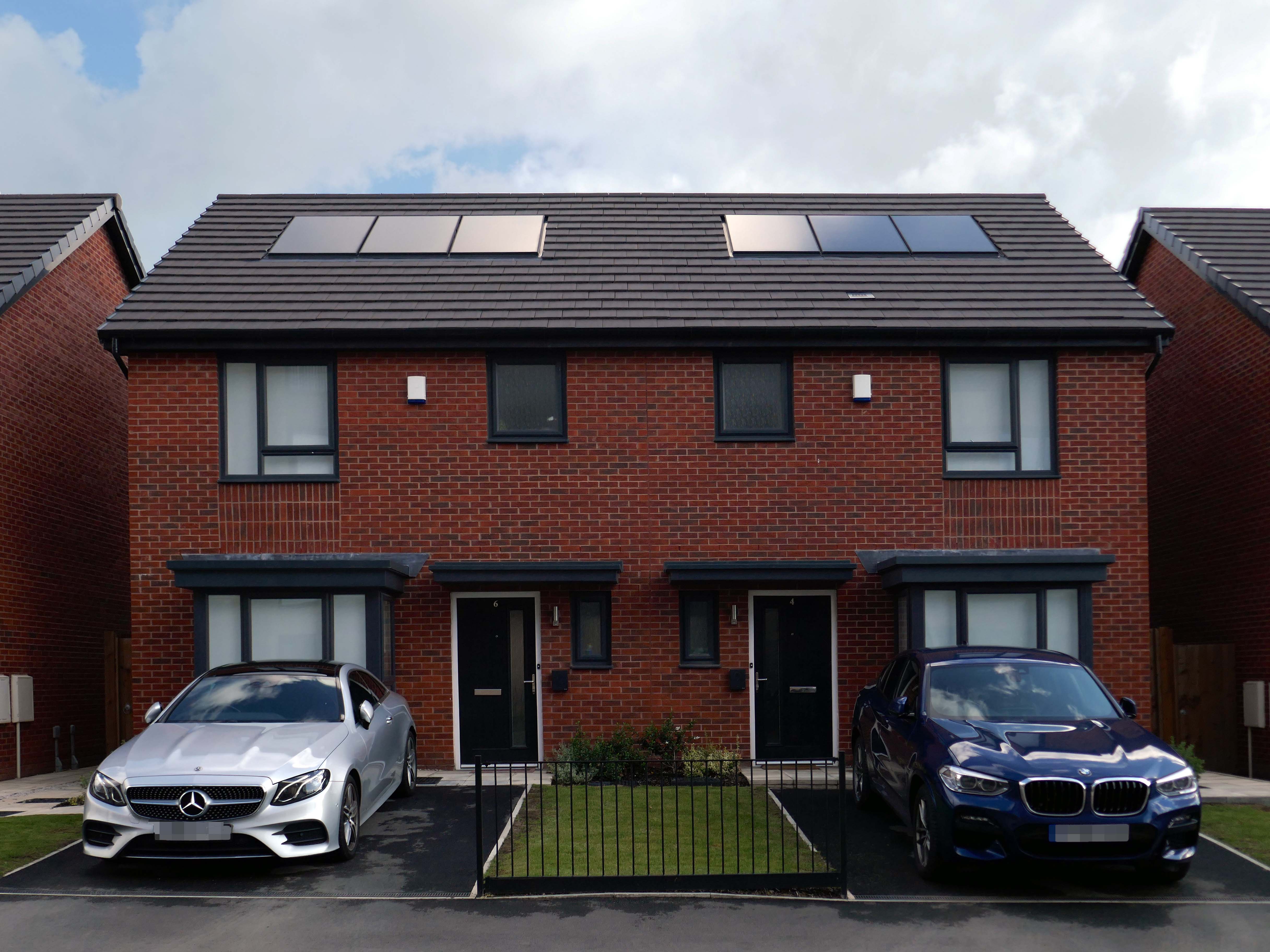
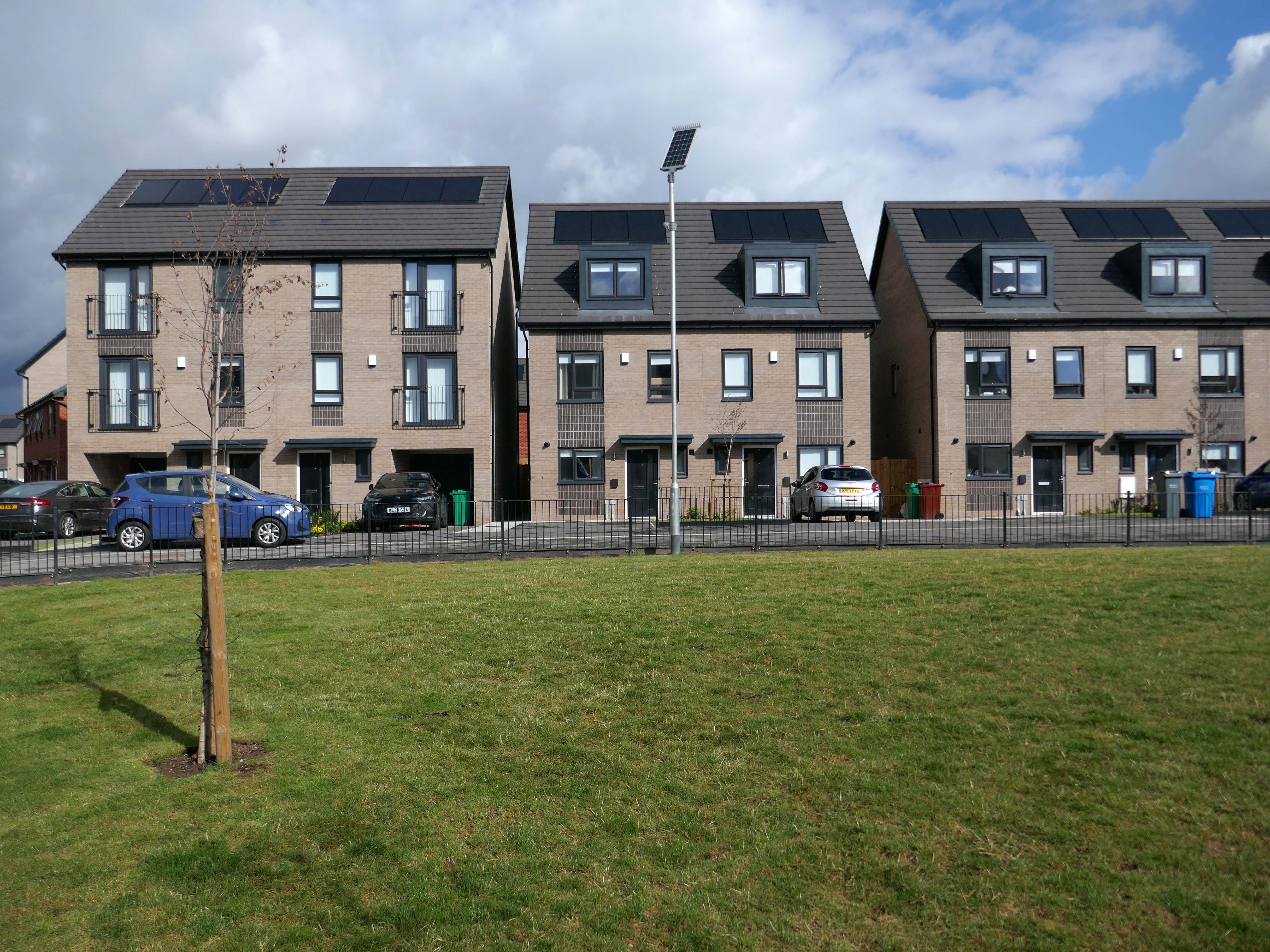
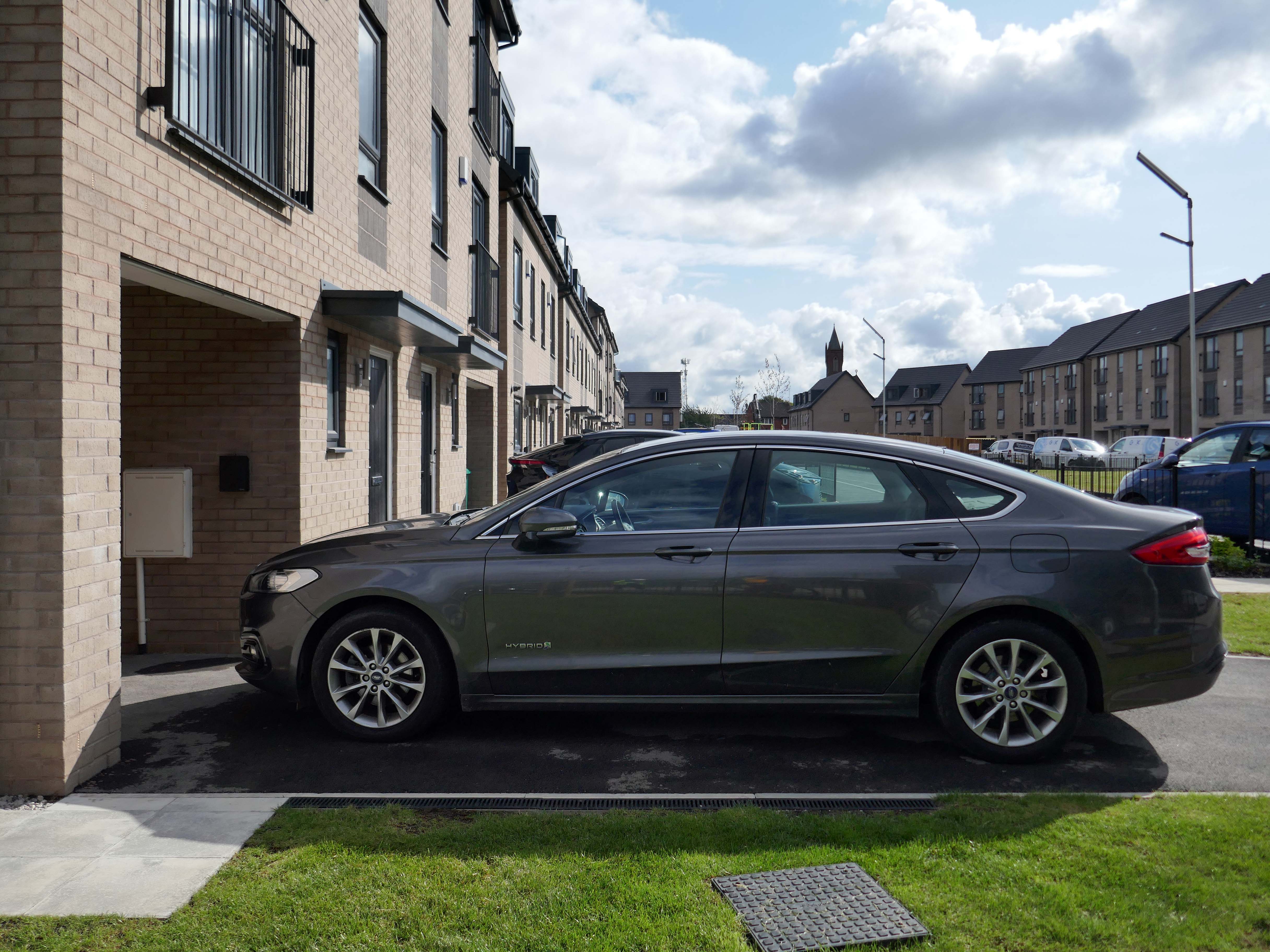
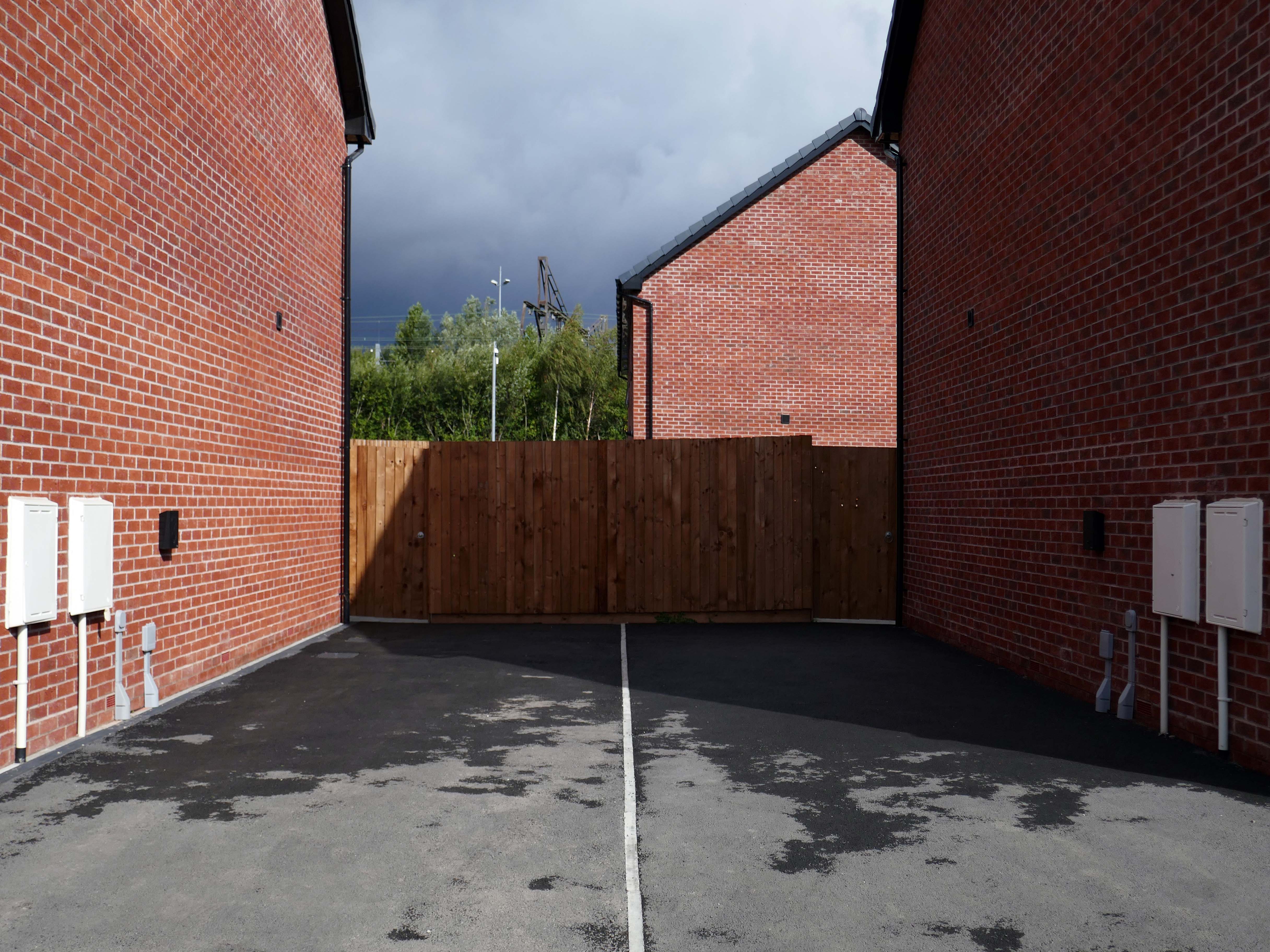
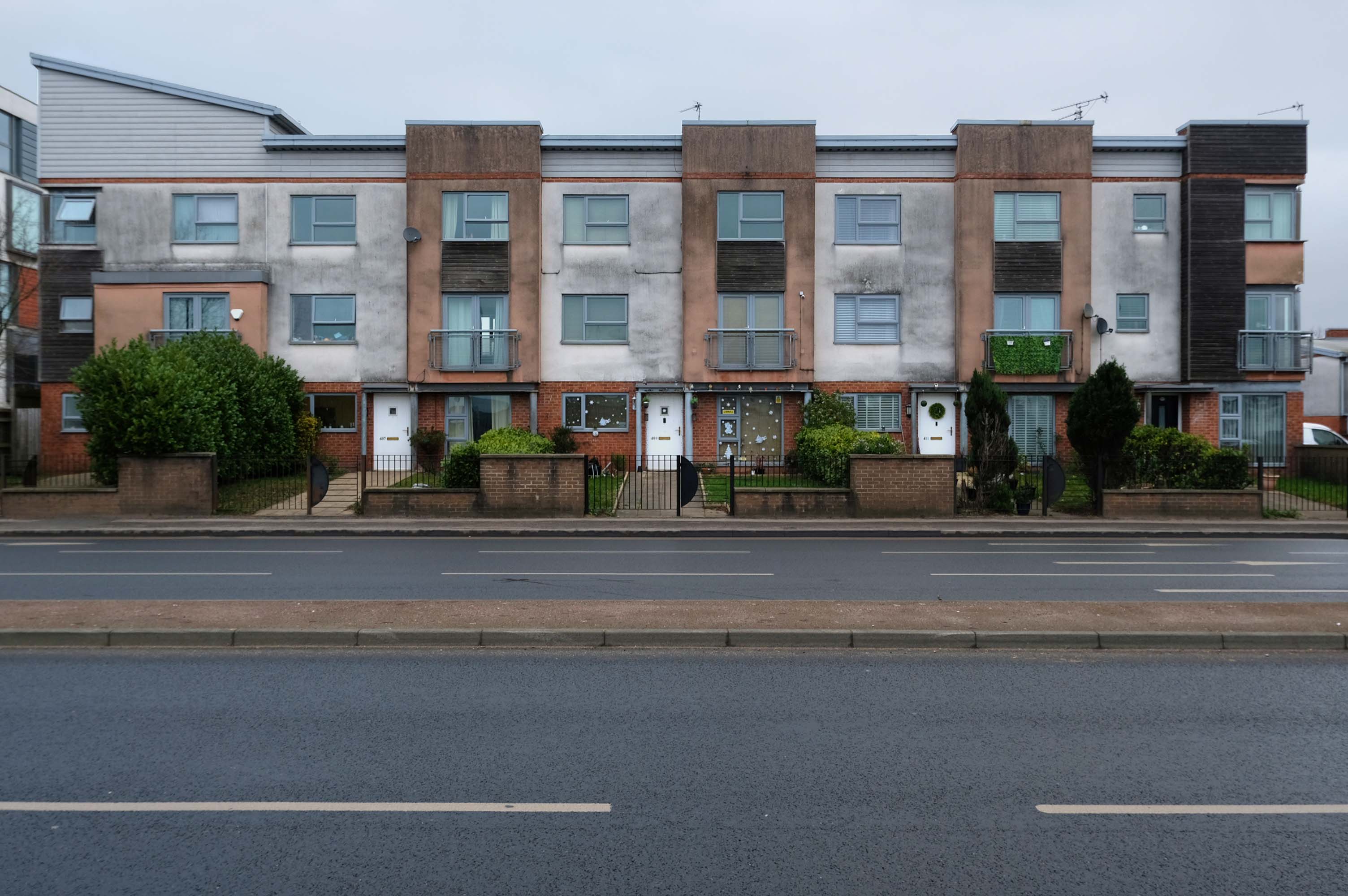
In addition to the apartments there is a mixed development of terraced, detached and semi-detached homes.
We pride ourselves on building places you can call your forever home, knowing it won’t be sold from beneath your feet. We offer renters a whole new experience which brings together the best of both worlds – all the perks of a private rental with the added excitement for customers at the start of a development to choose their own plot and watch it being built.
With home ownership becoming unaffordable for some and an unappealing lifestyle choice for others, we meet the need for a high quality home which still feels secure in the long term.
This was a world of heavy and light engineering, which reached in a broad swathe across Greater Manchester, from Stockport to Cheetham Hill and beyond.
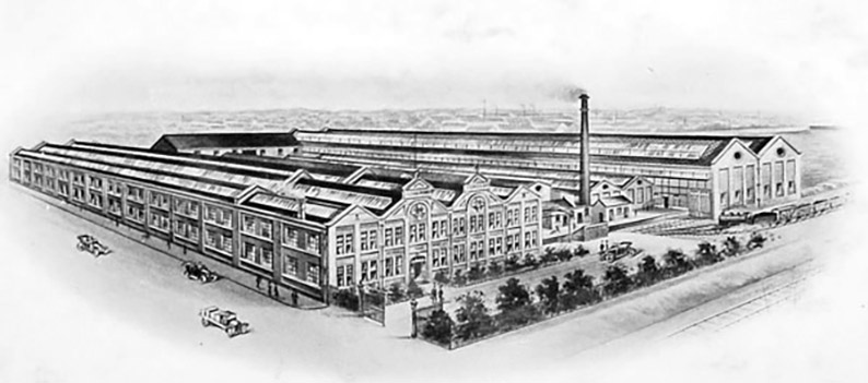
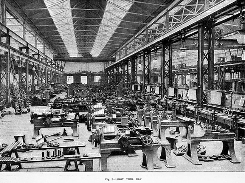
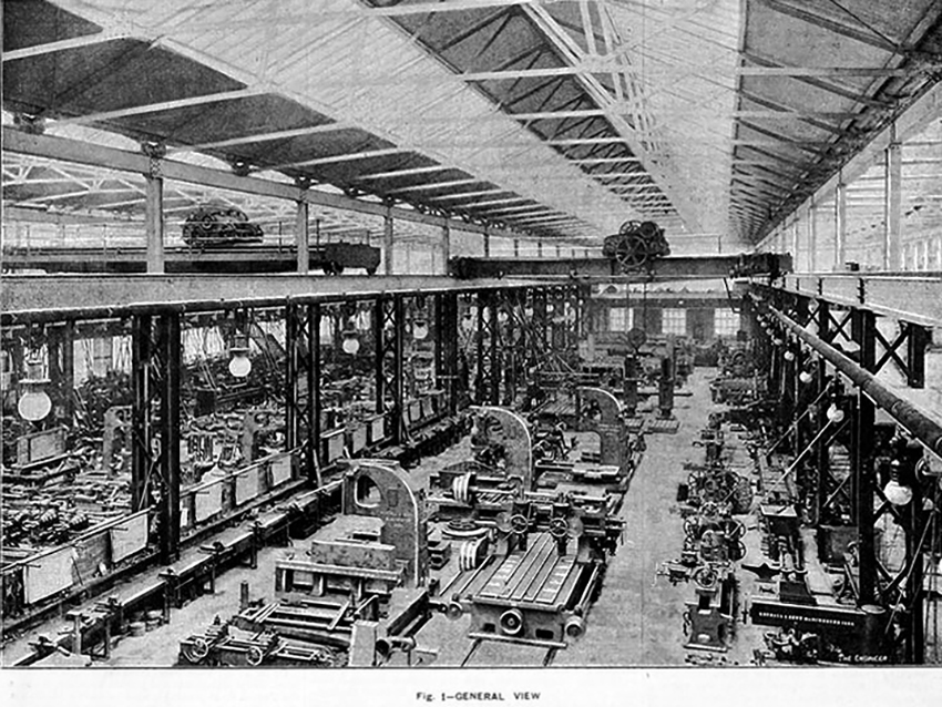
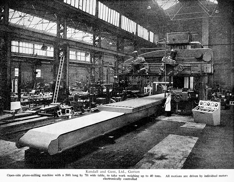
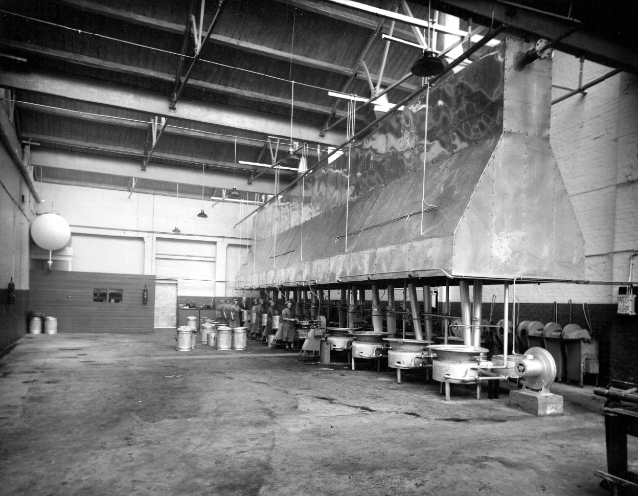
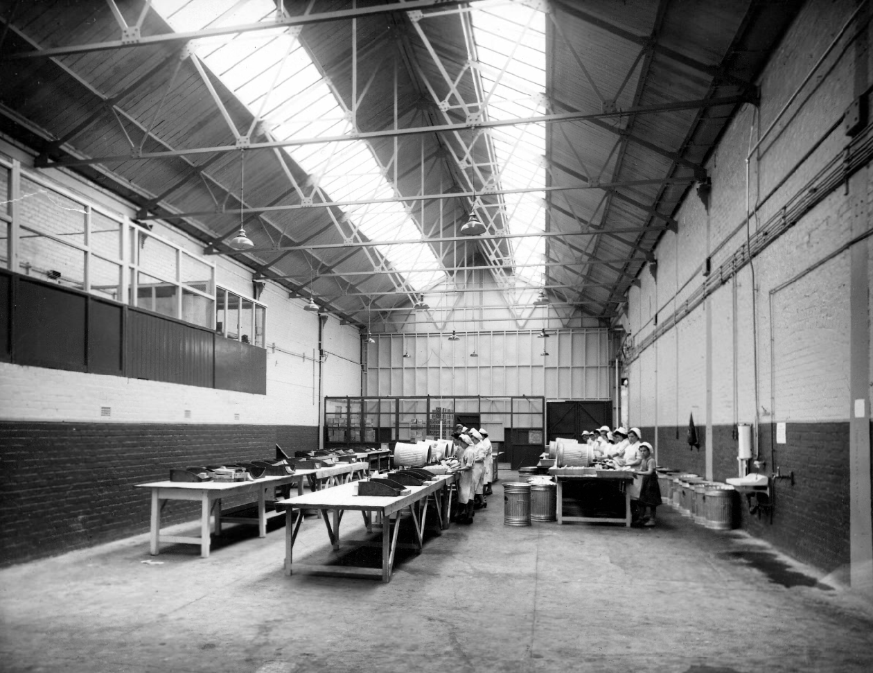
This is the Gorton Works – illustrations taken from Graces Guide.
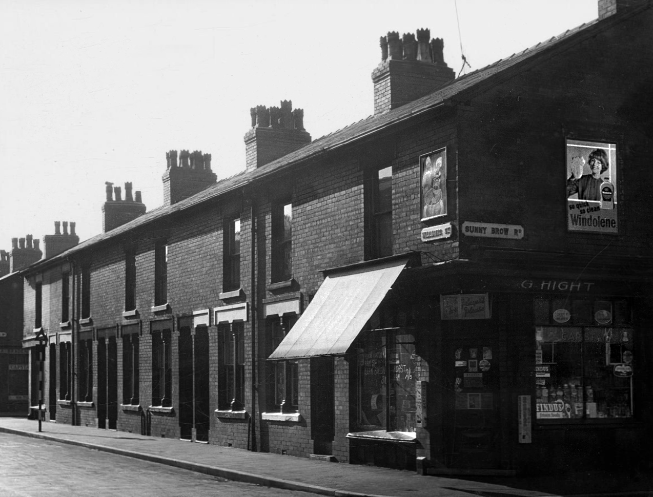
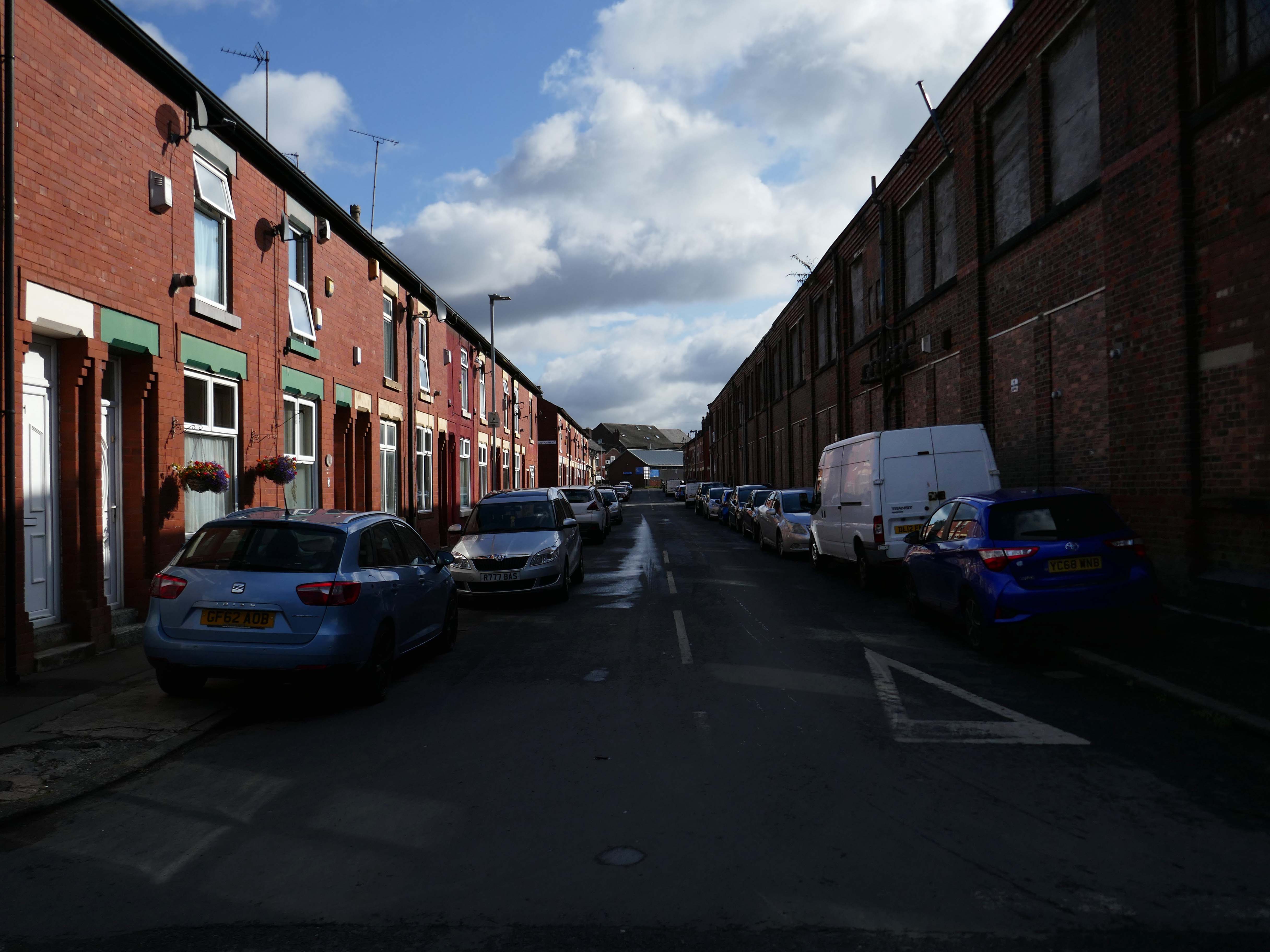
This was a world of terraced houses and corner shops, side by side with the local works.
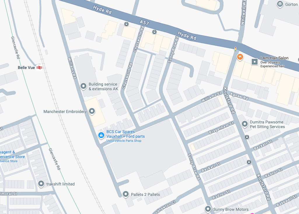
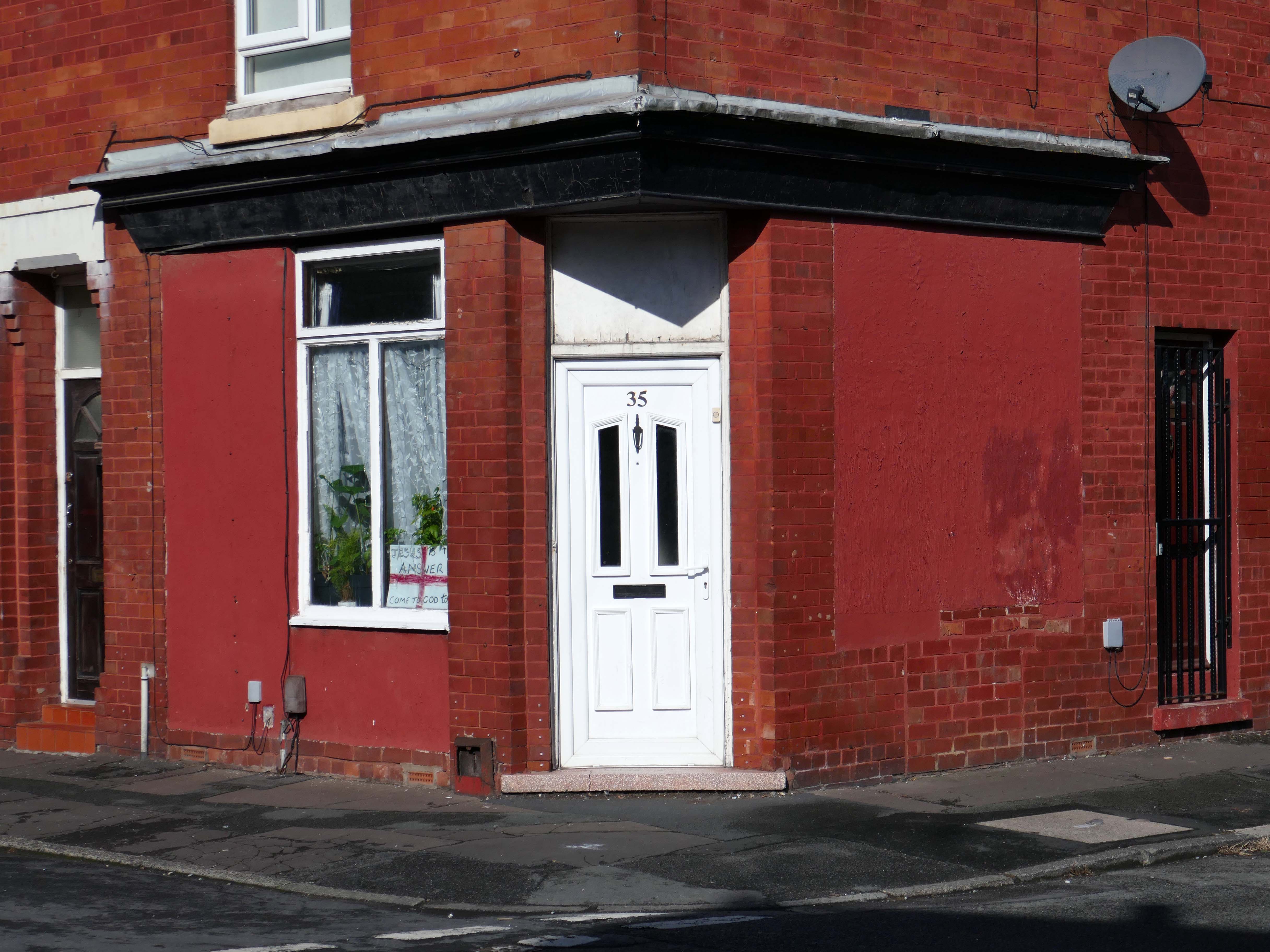
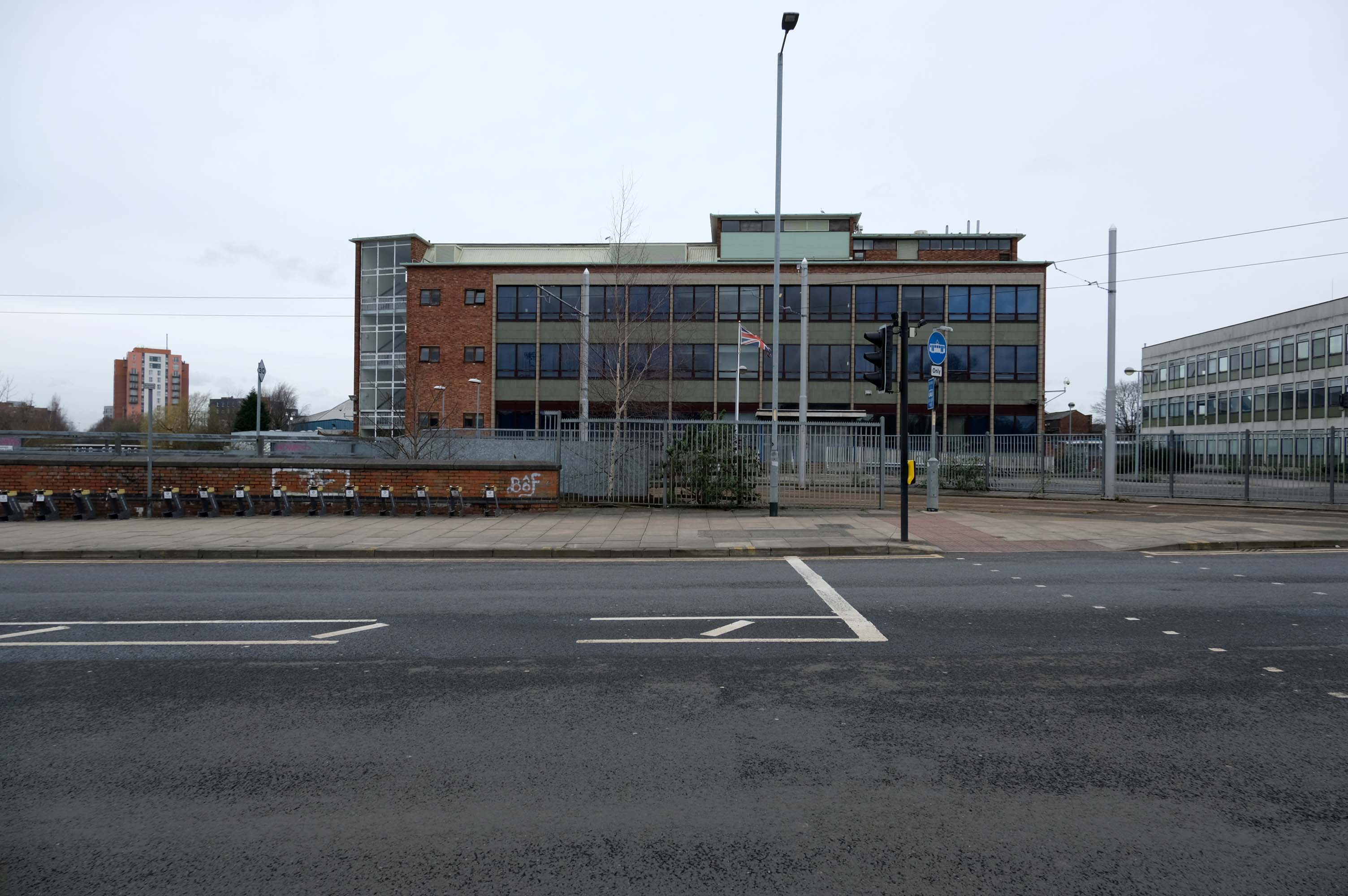
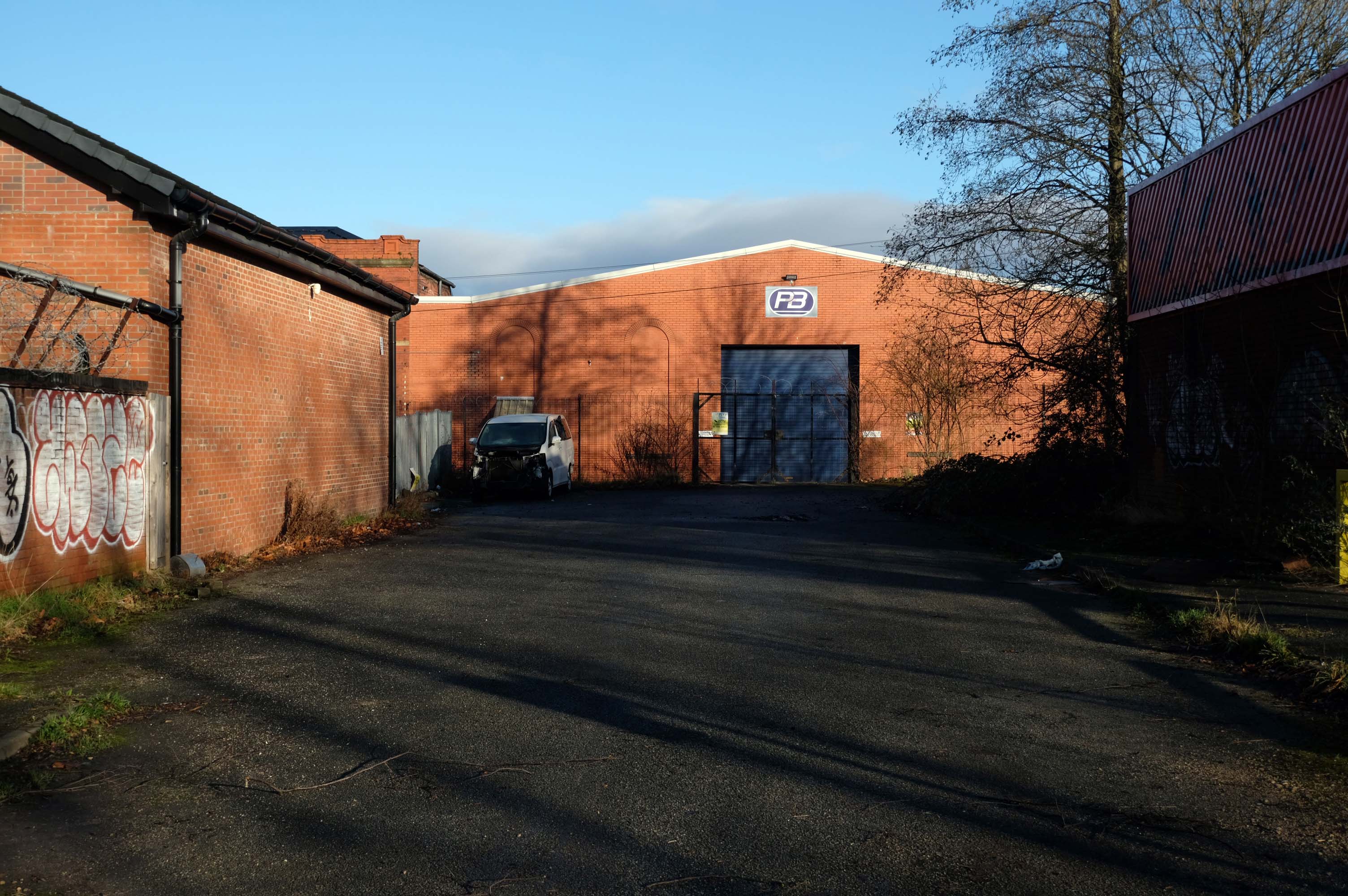
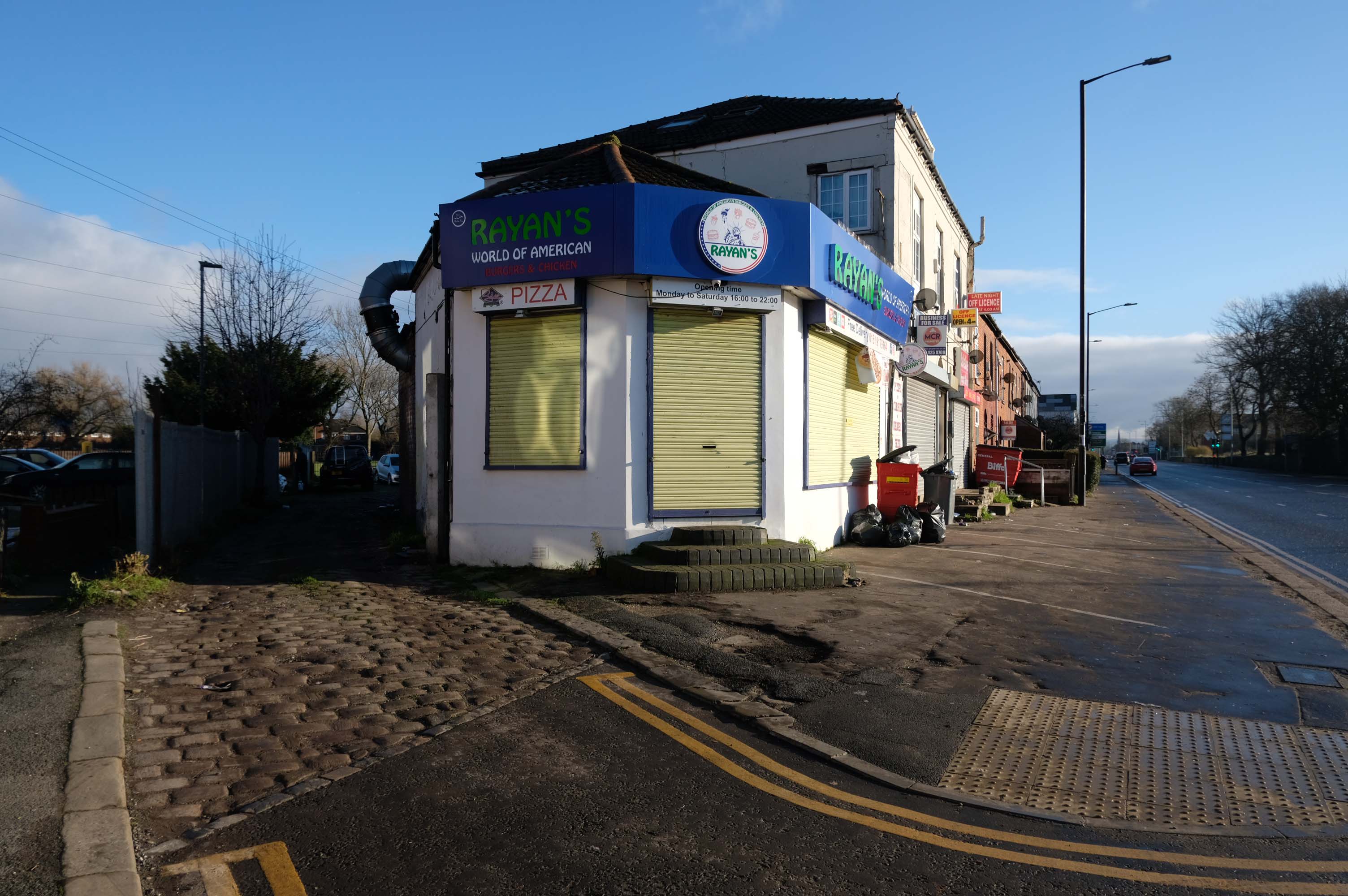
This is that corner of Williams Street and Sunny Brow Road today.
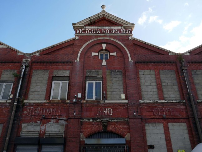
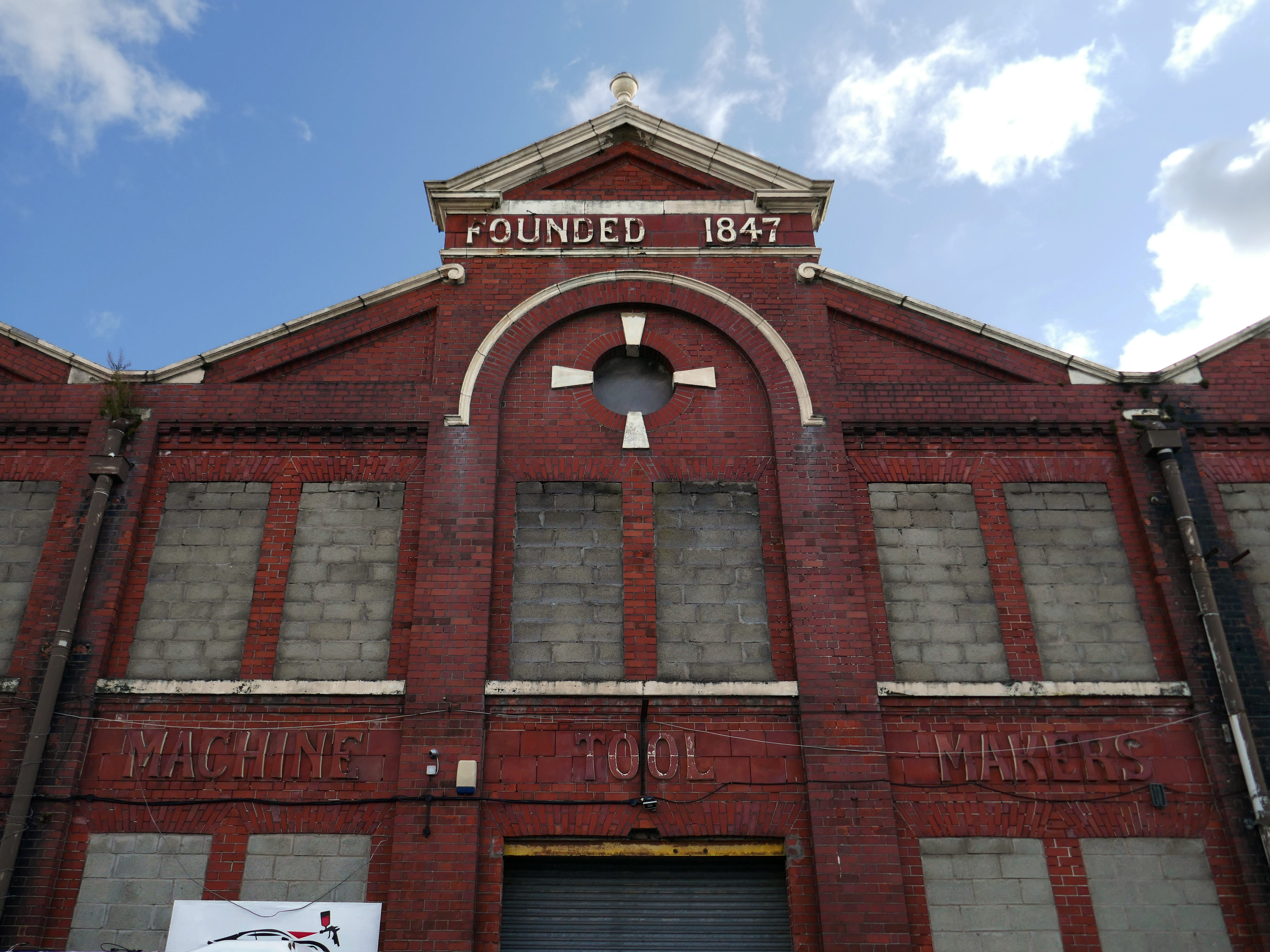
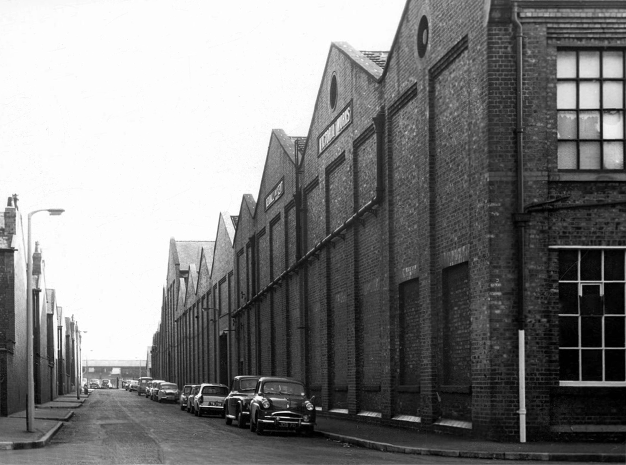
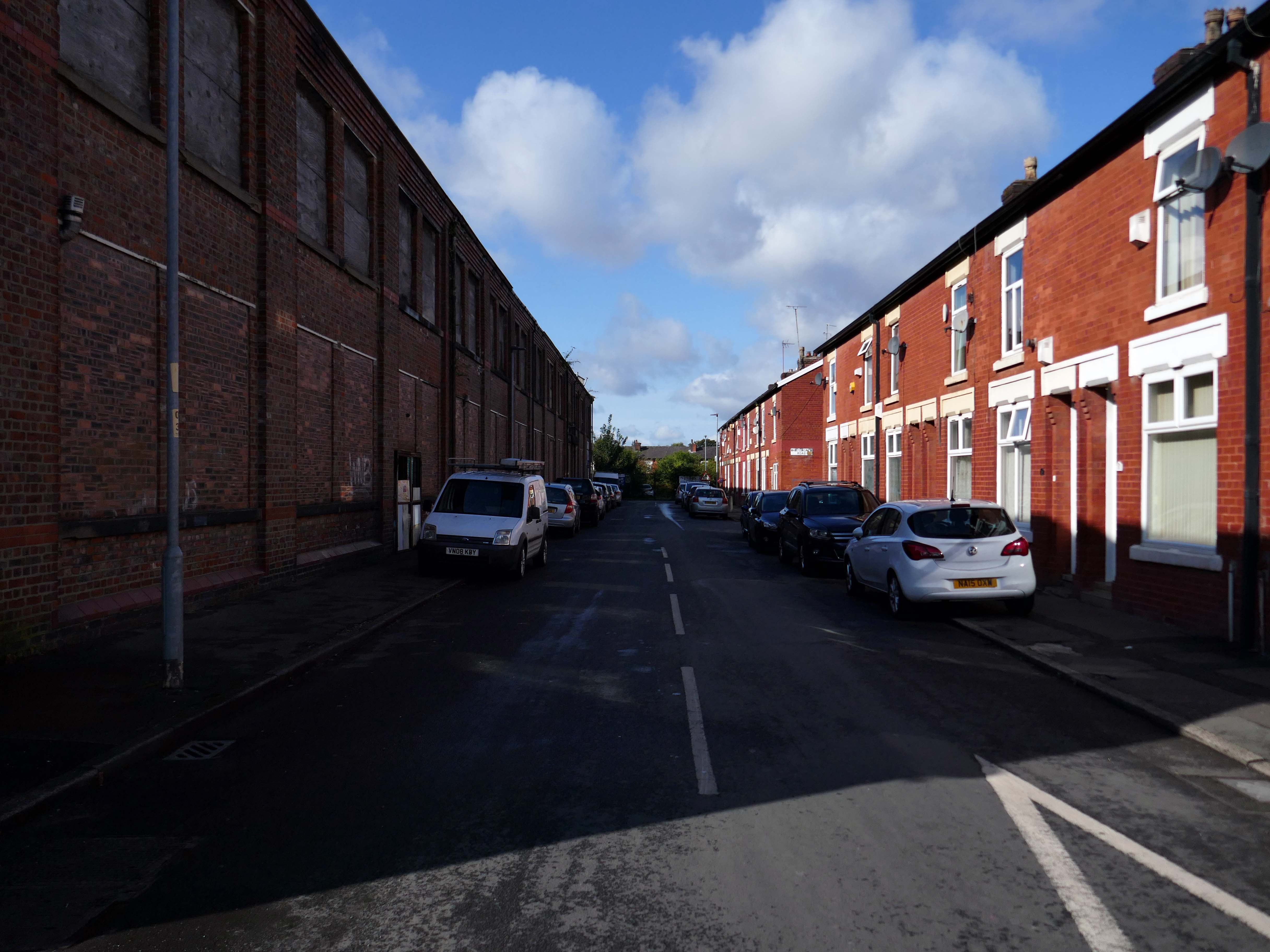
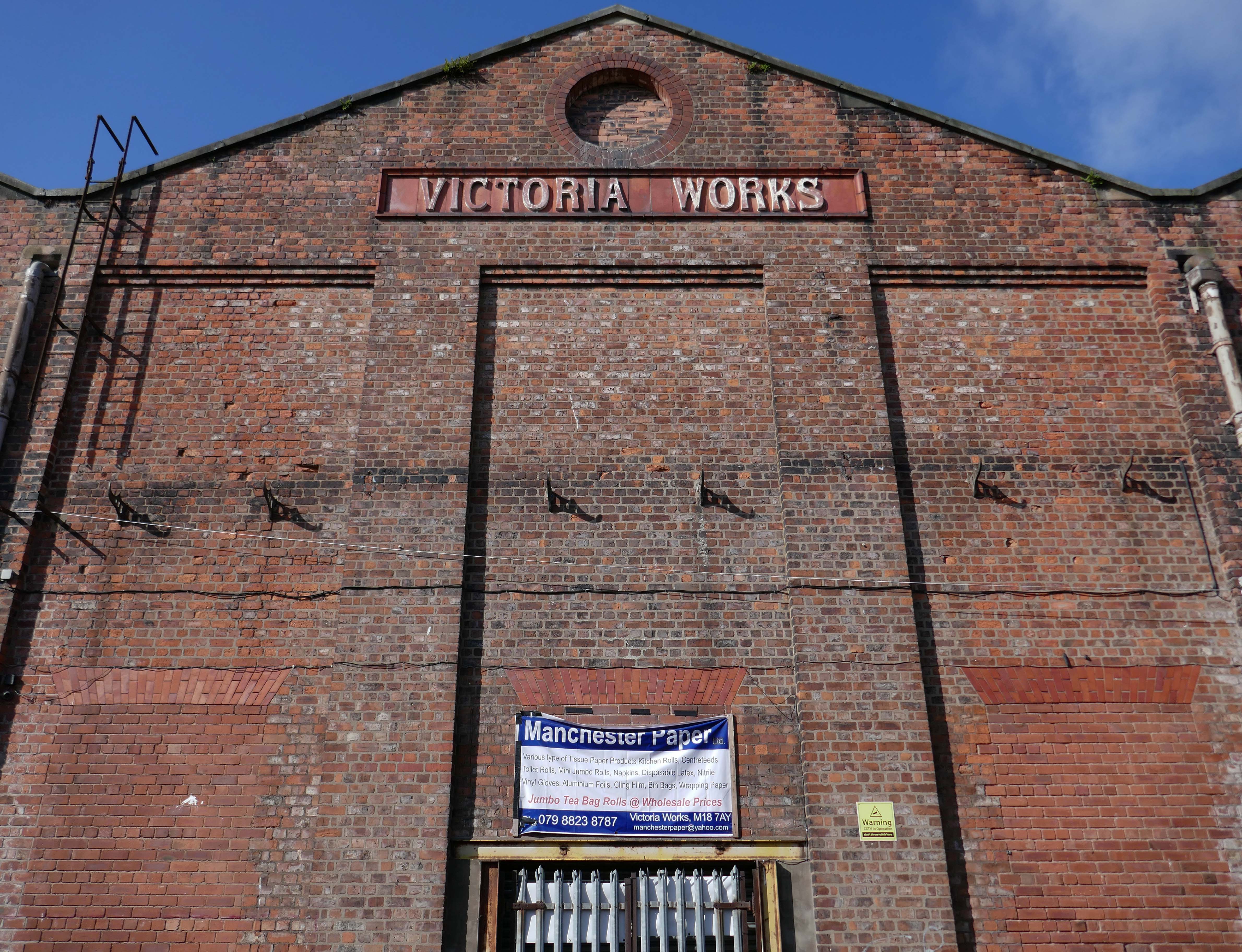
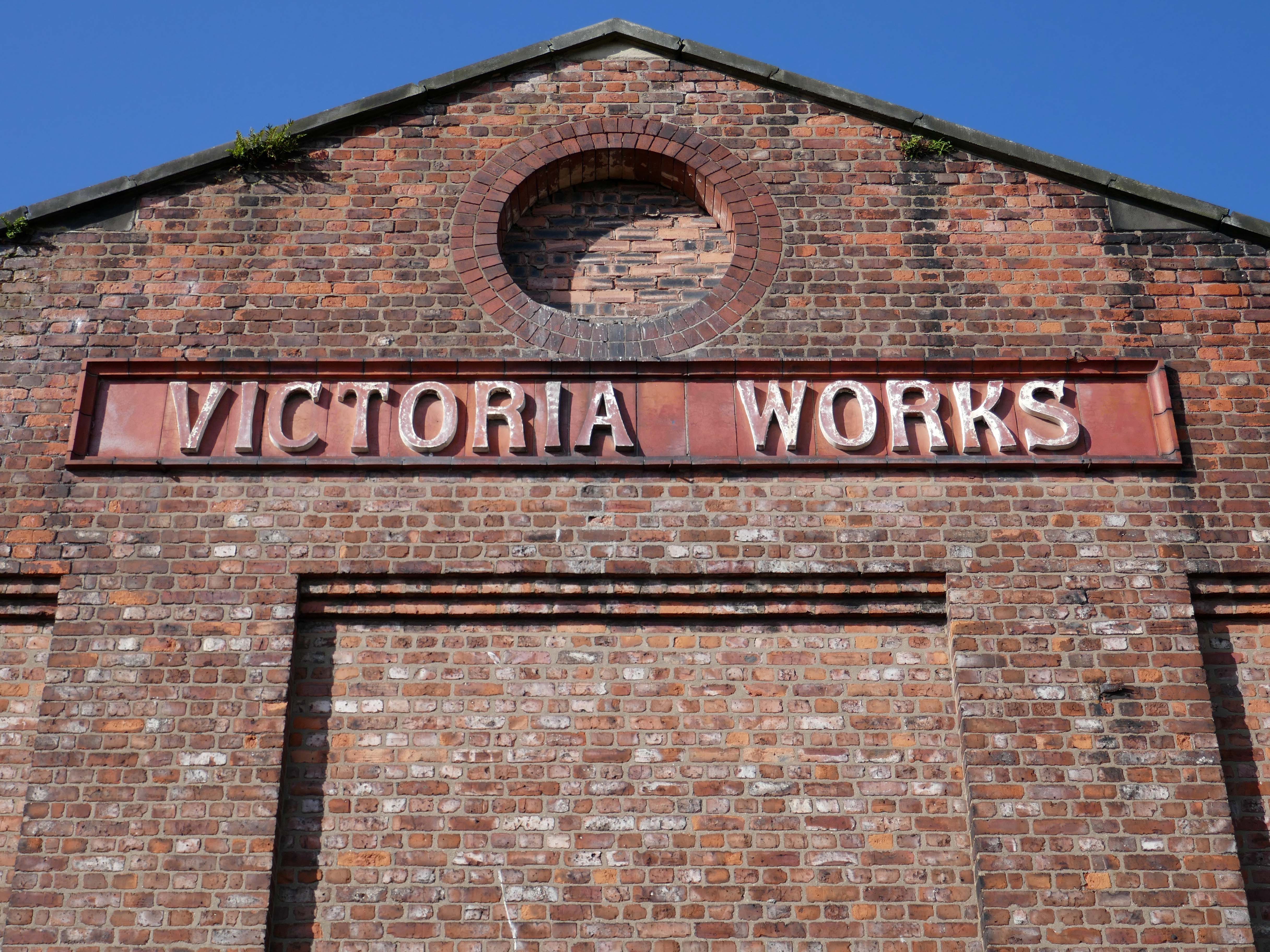
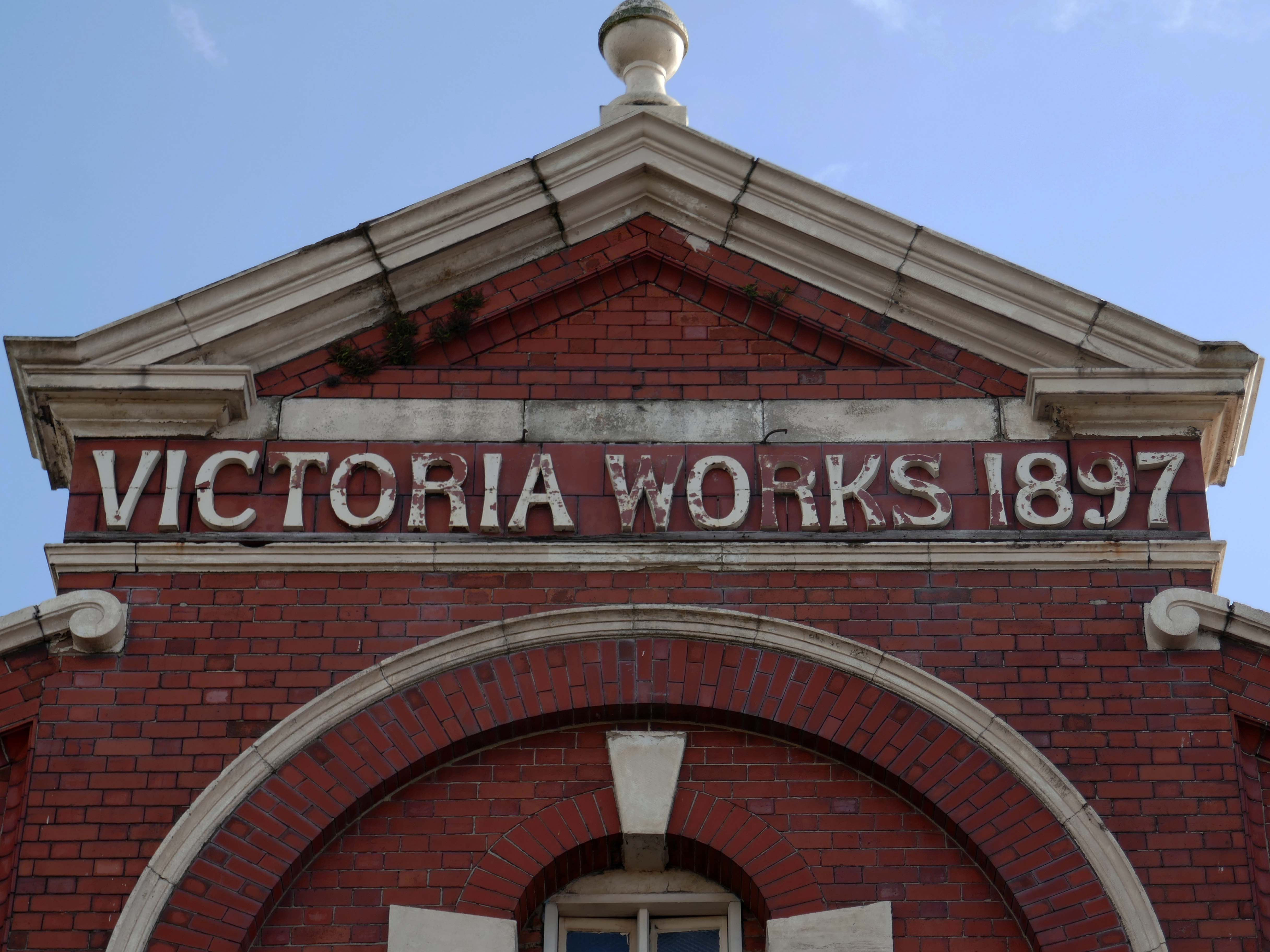
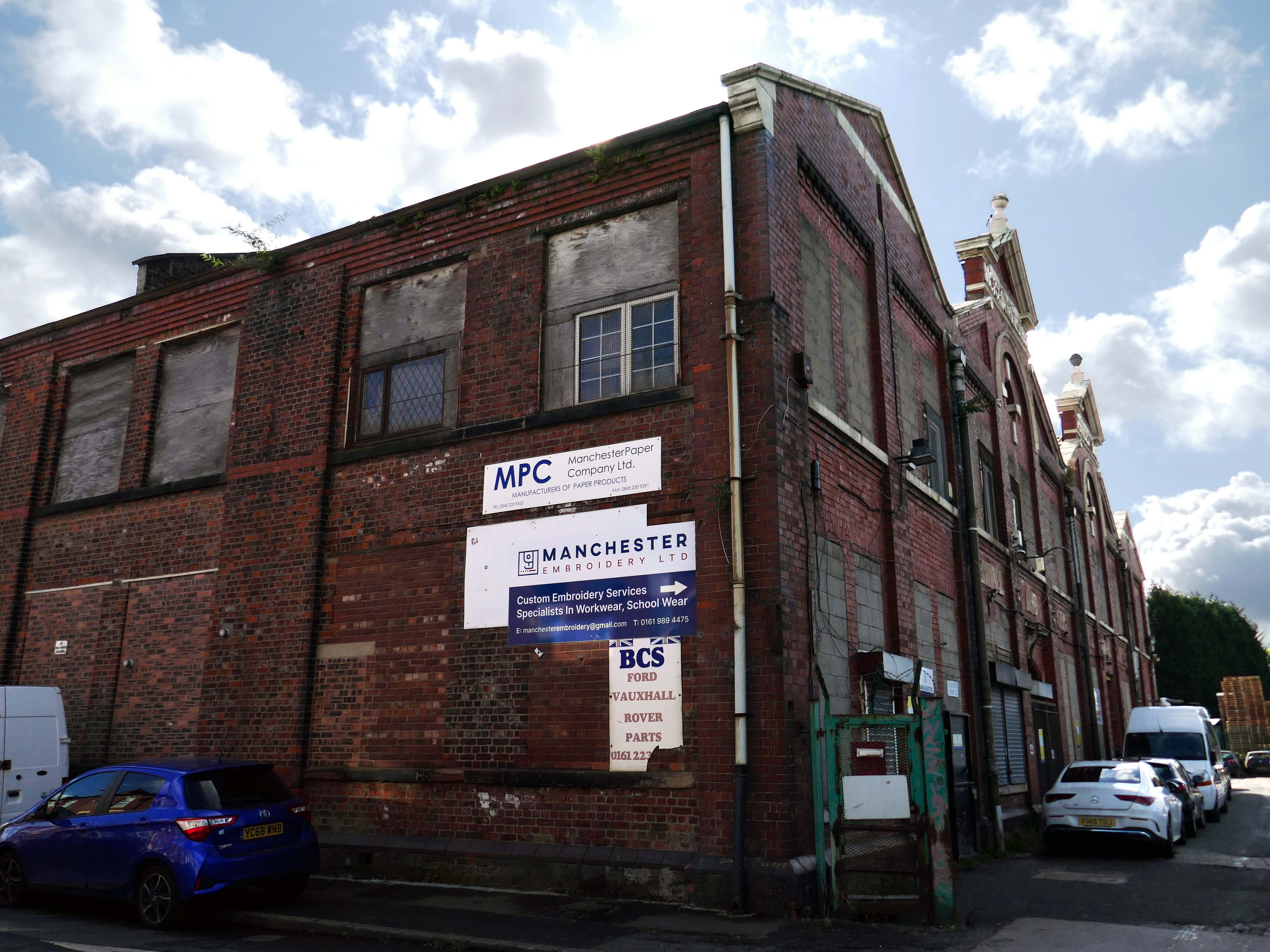
Victoria Works Sunny Brow Road.
Victoria Works Williams Street
Victoria Works Williams Road
Manchester’s engineering industry has subsequently been seriously diminished.
The building became a base for toilet paper manufacturing and distribution.
But the metal beat goes on in both Wolverhampton and Florida.
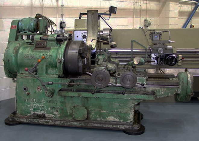
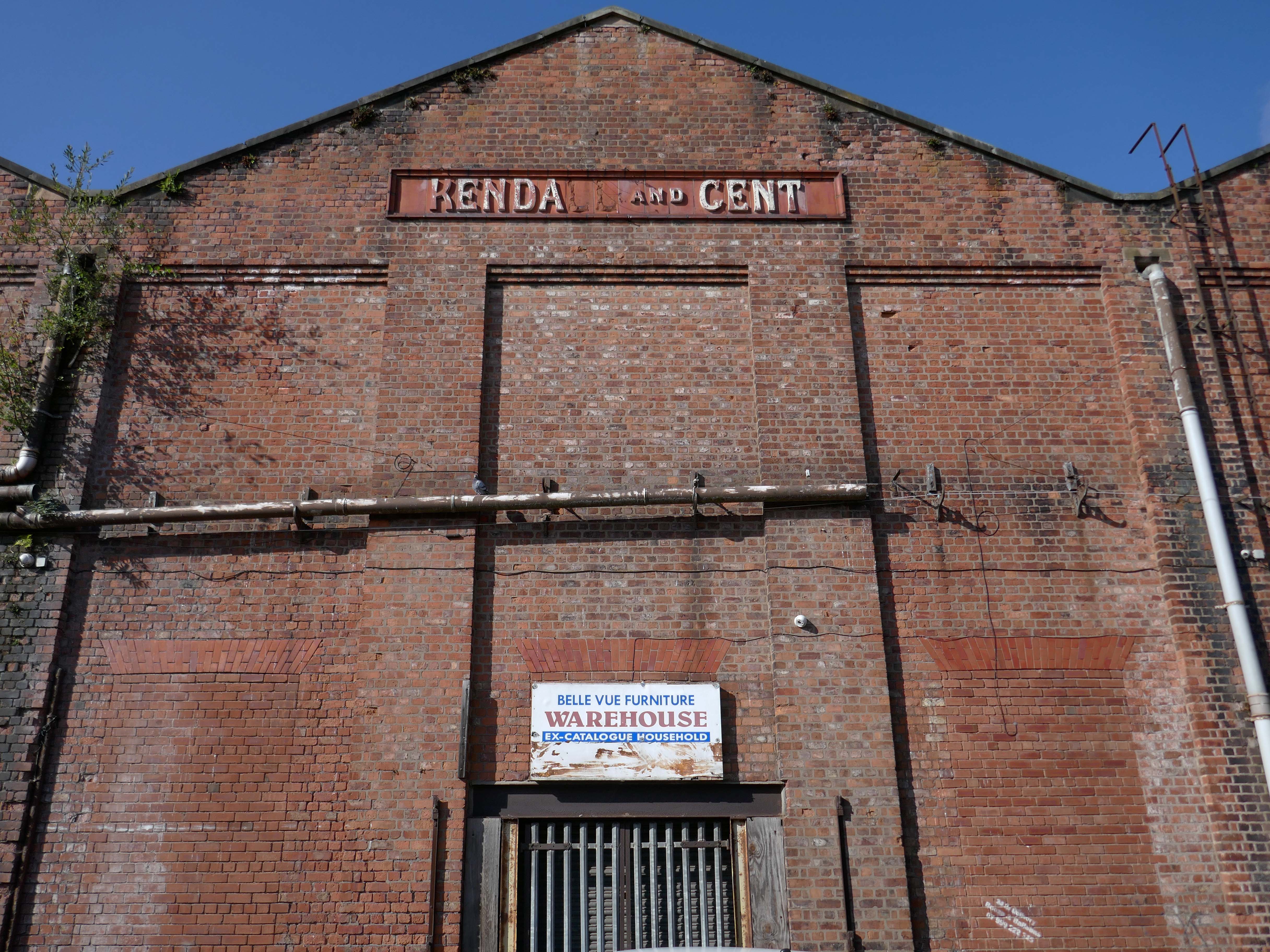
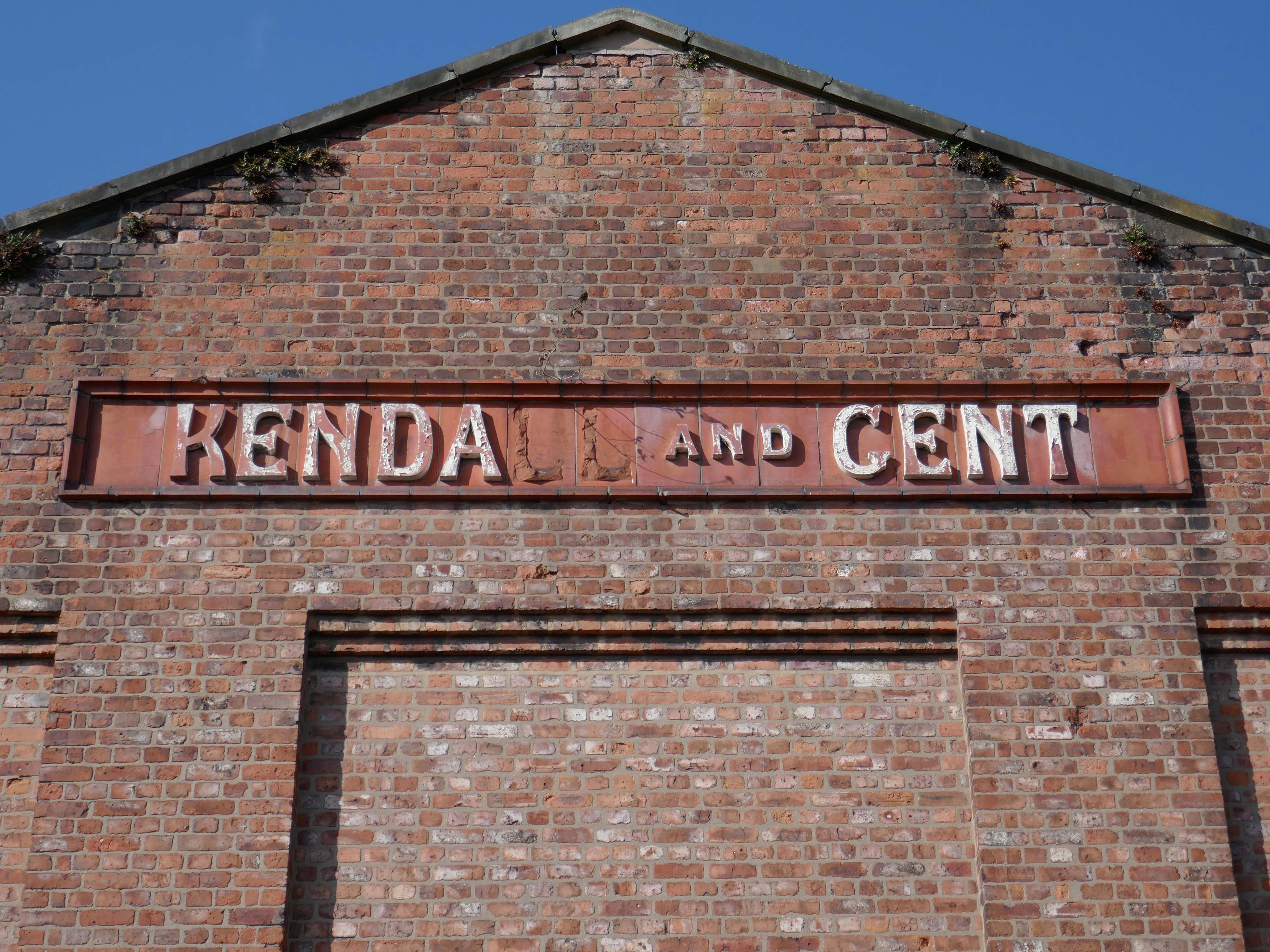
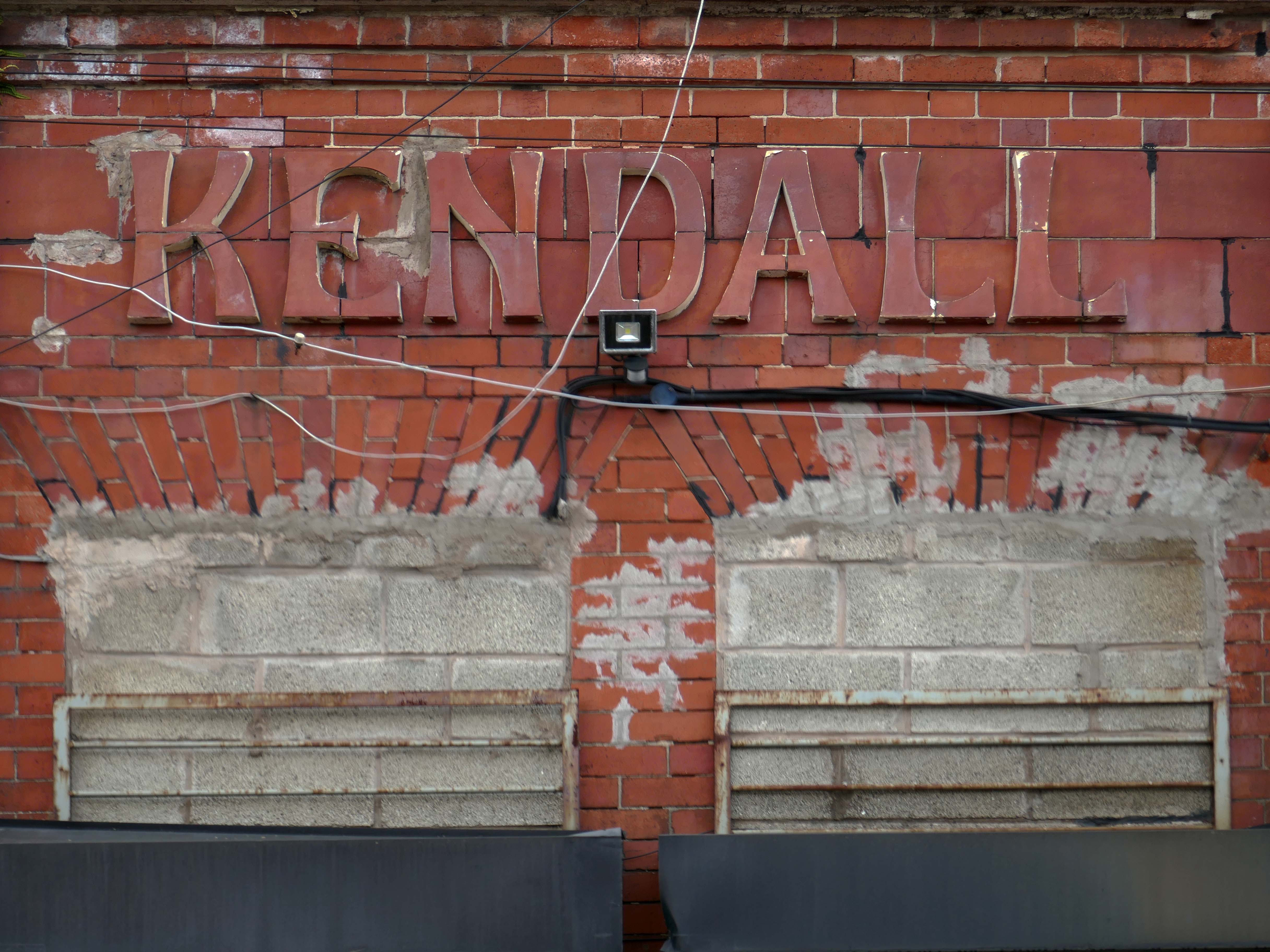
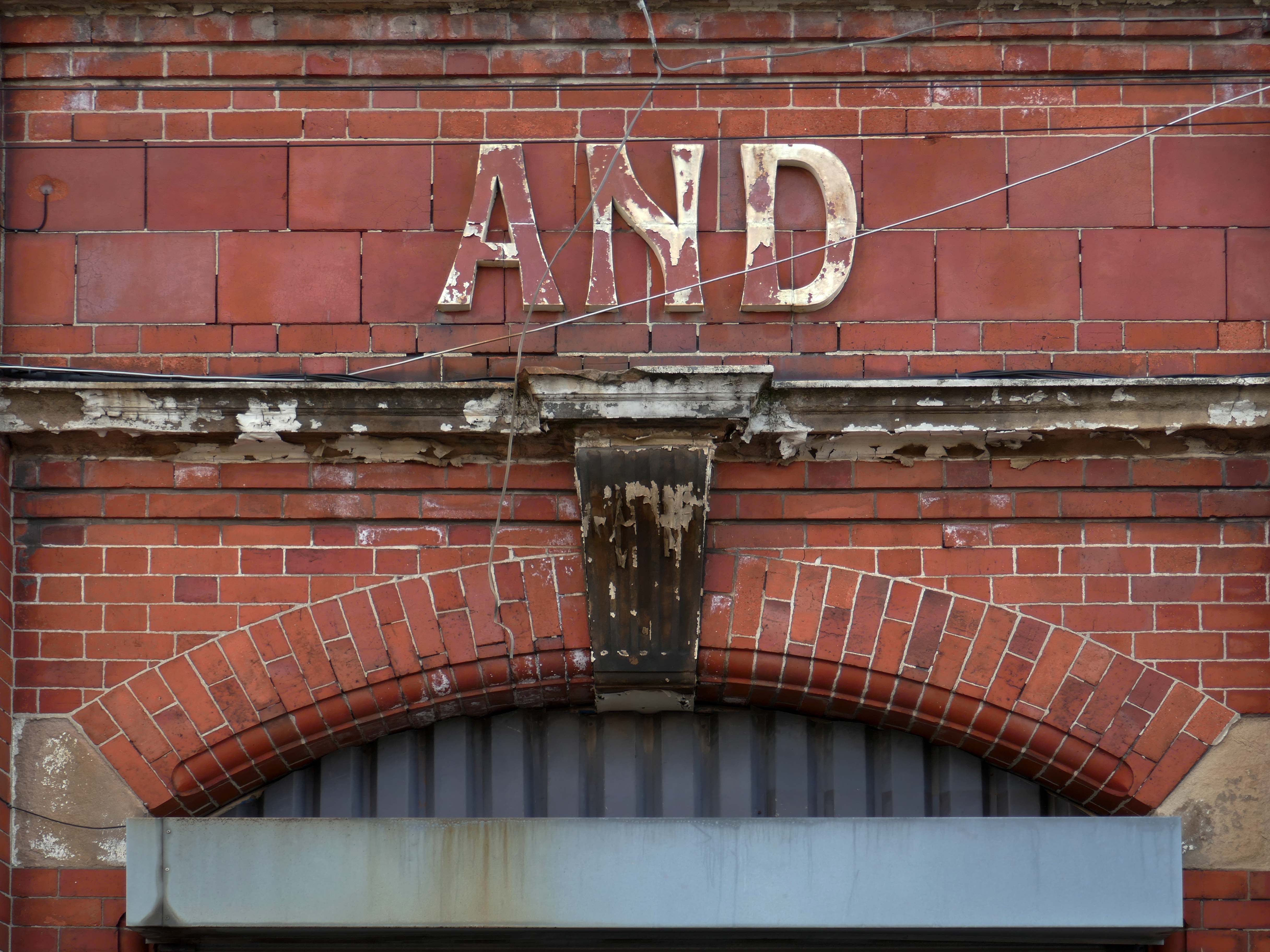
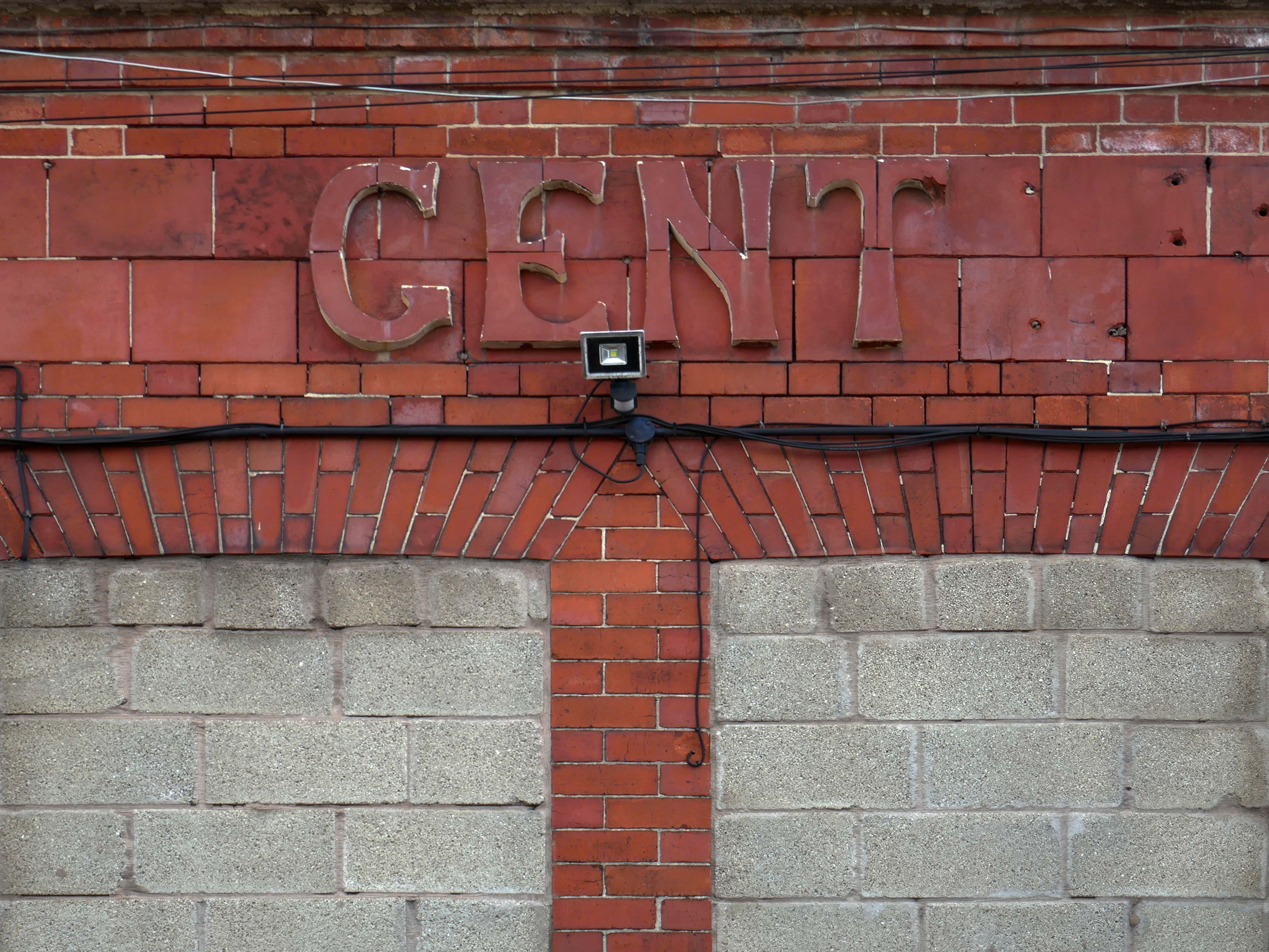
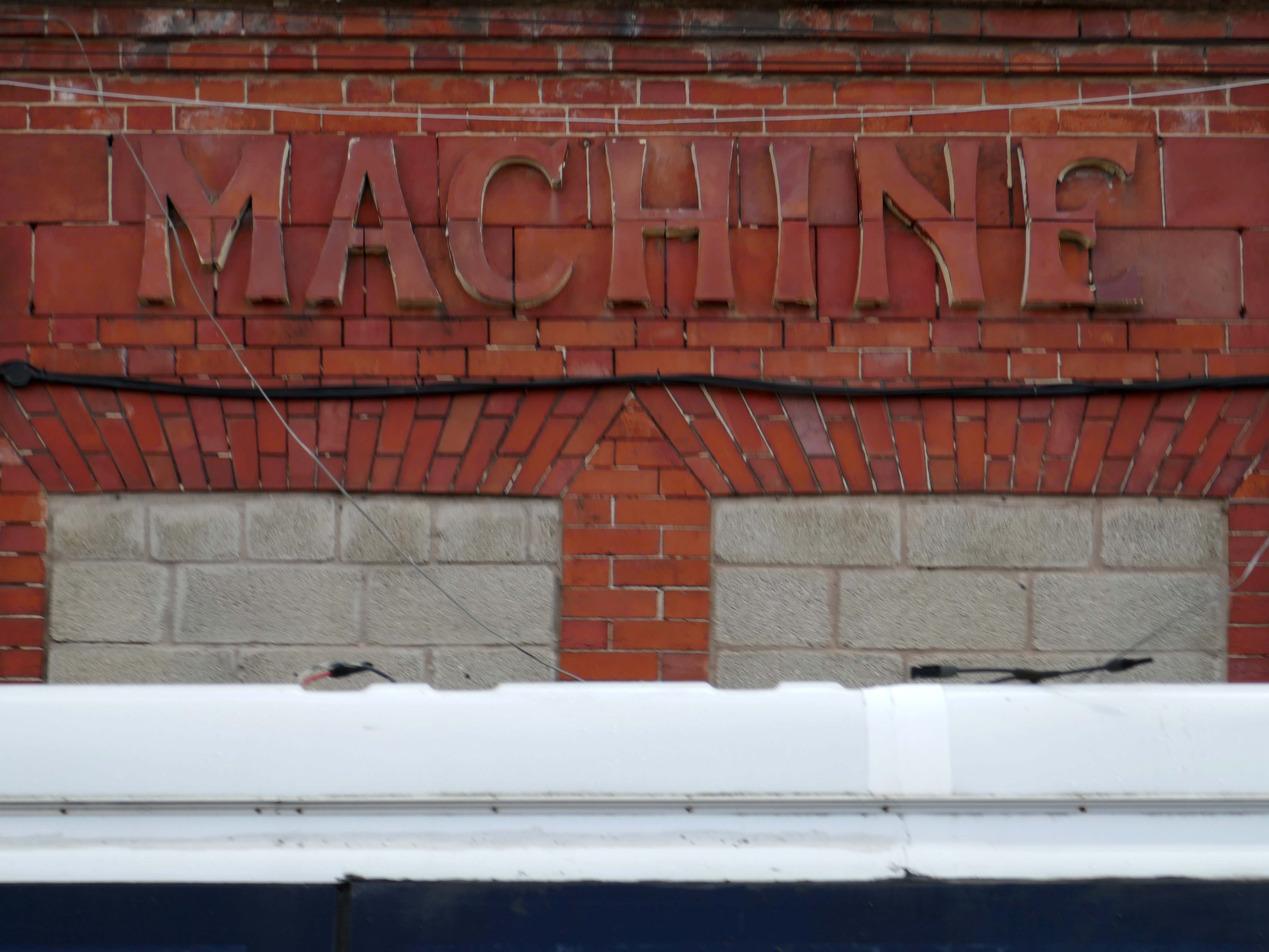
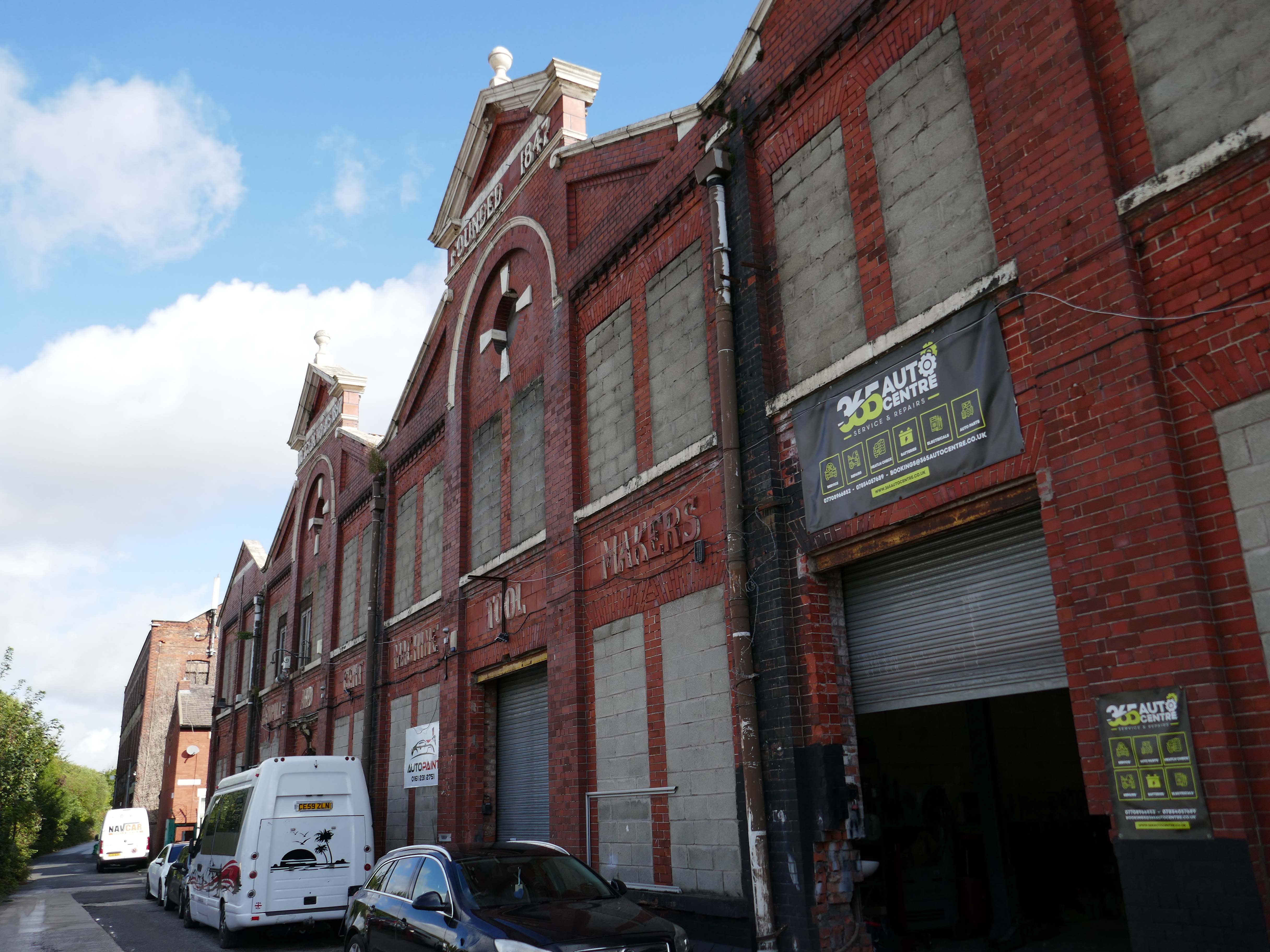
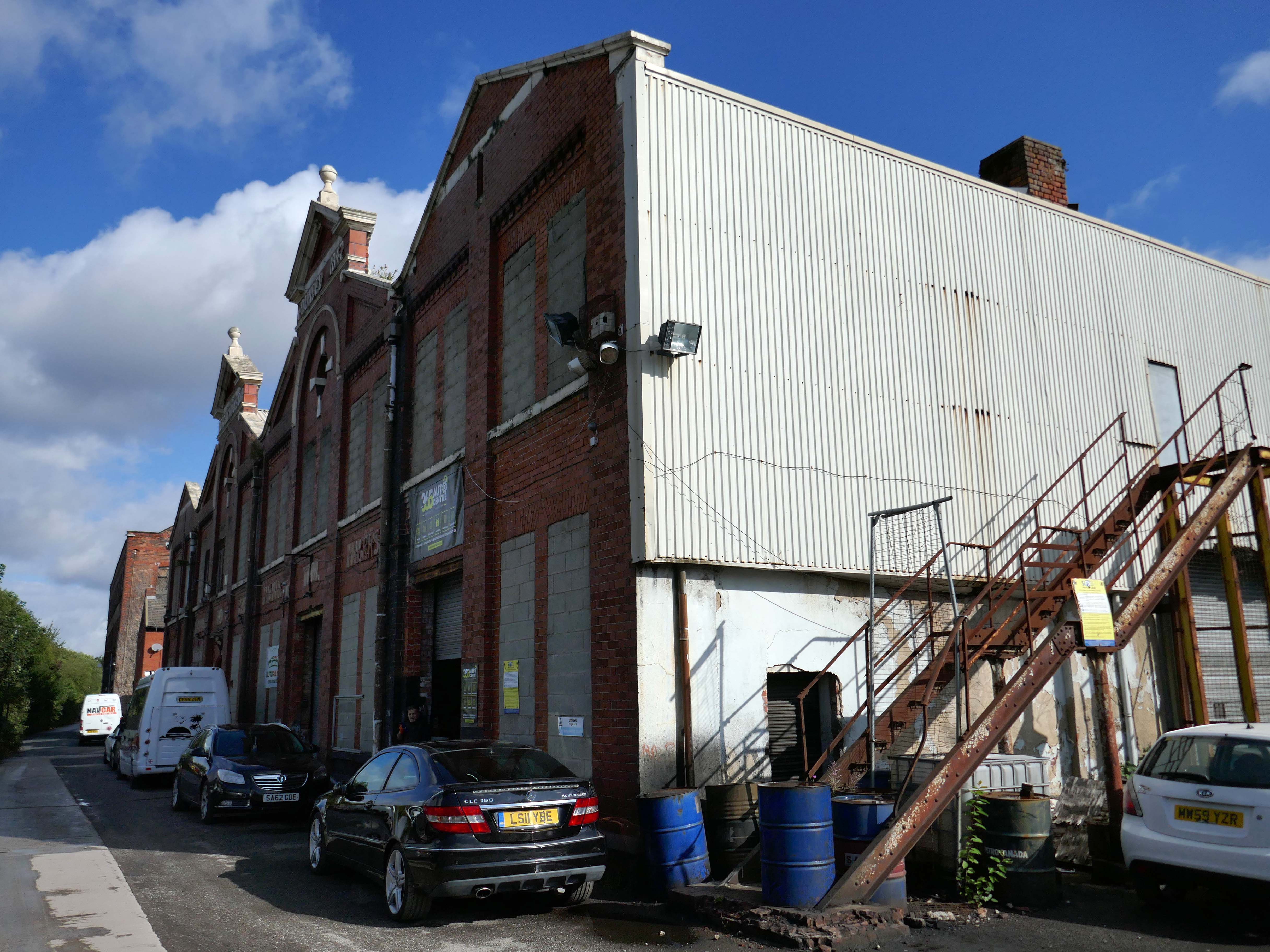
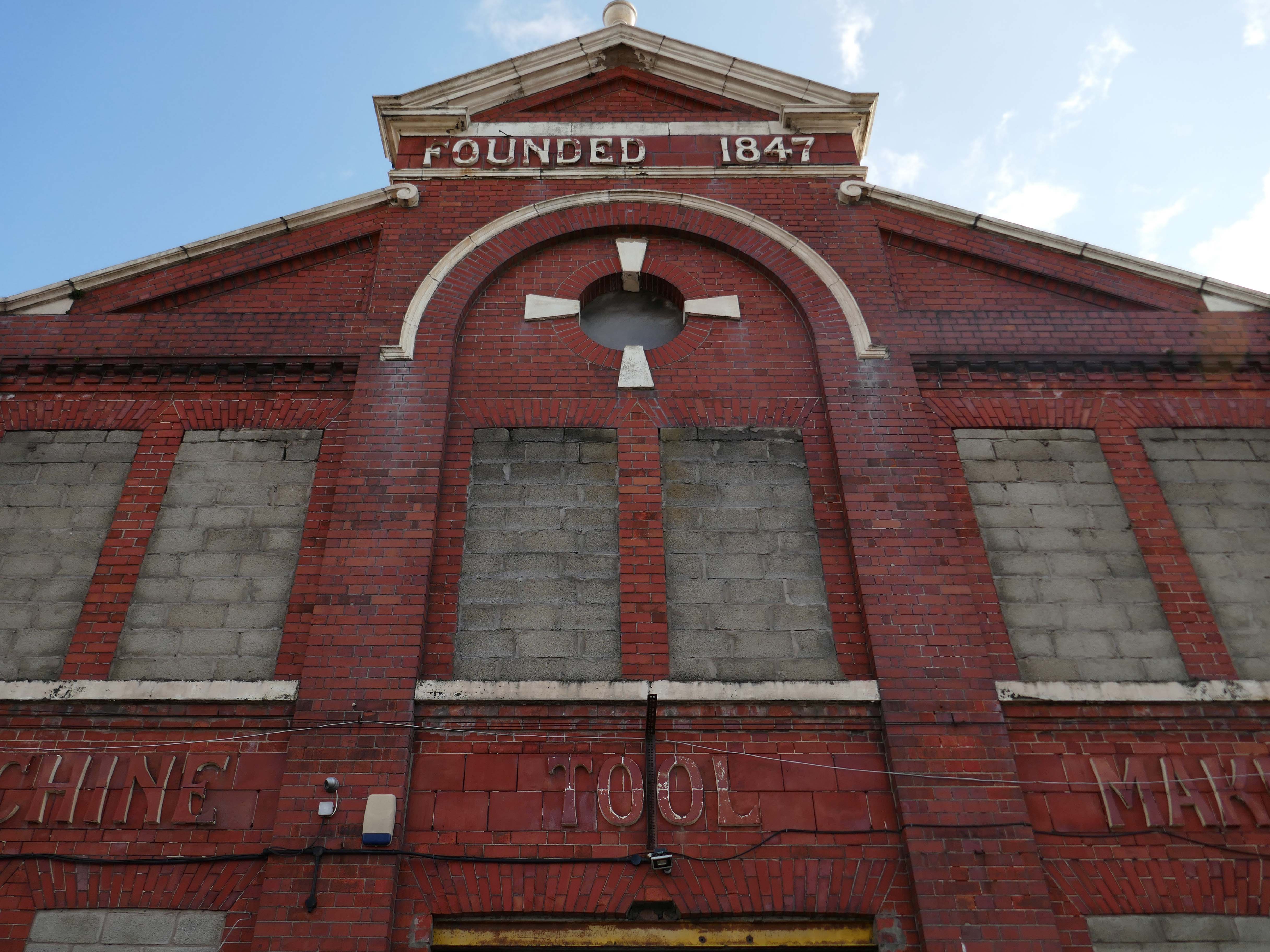
Originally formed in 1847, Kendall and Gent enjoyed many years as one of the biggest machine tool manufacturers in the UK, producing many large machines which are still in production today. Many of the tangential threading machines are still used in pipe, bolt and stud threading.
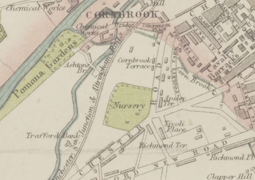
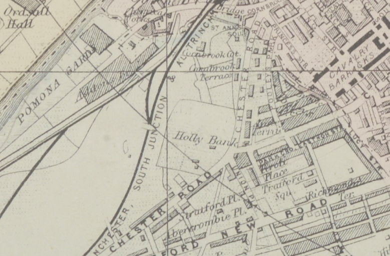
In 1870 the street pattern has yet to be established, between the South Junction railway and Chester Road. The area is occupied by a Nursery. Pomona Gardens sits beside the river, and the Corn Brook is clearly visible. To the right are the Hulme Barracks, closed and demolished in 1914.
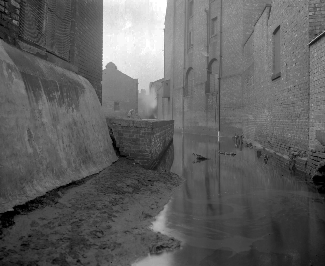
Corn Brook Textile Street 1947
In 1884 there is new housing to the right of Chester Road.
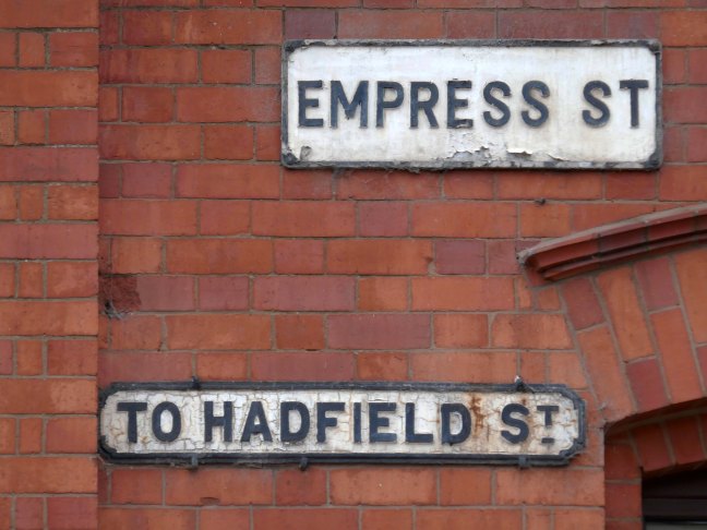
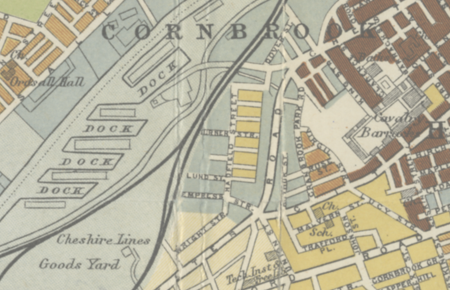
In 1904 the Pomona Docks have been established and the are around Hadfield Street fully developed.
Pomona Docks 1923
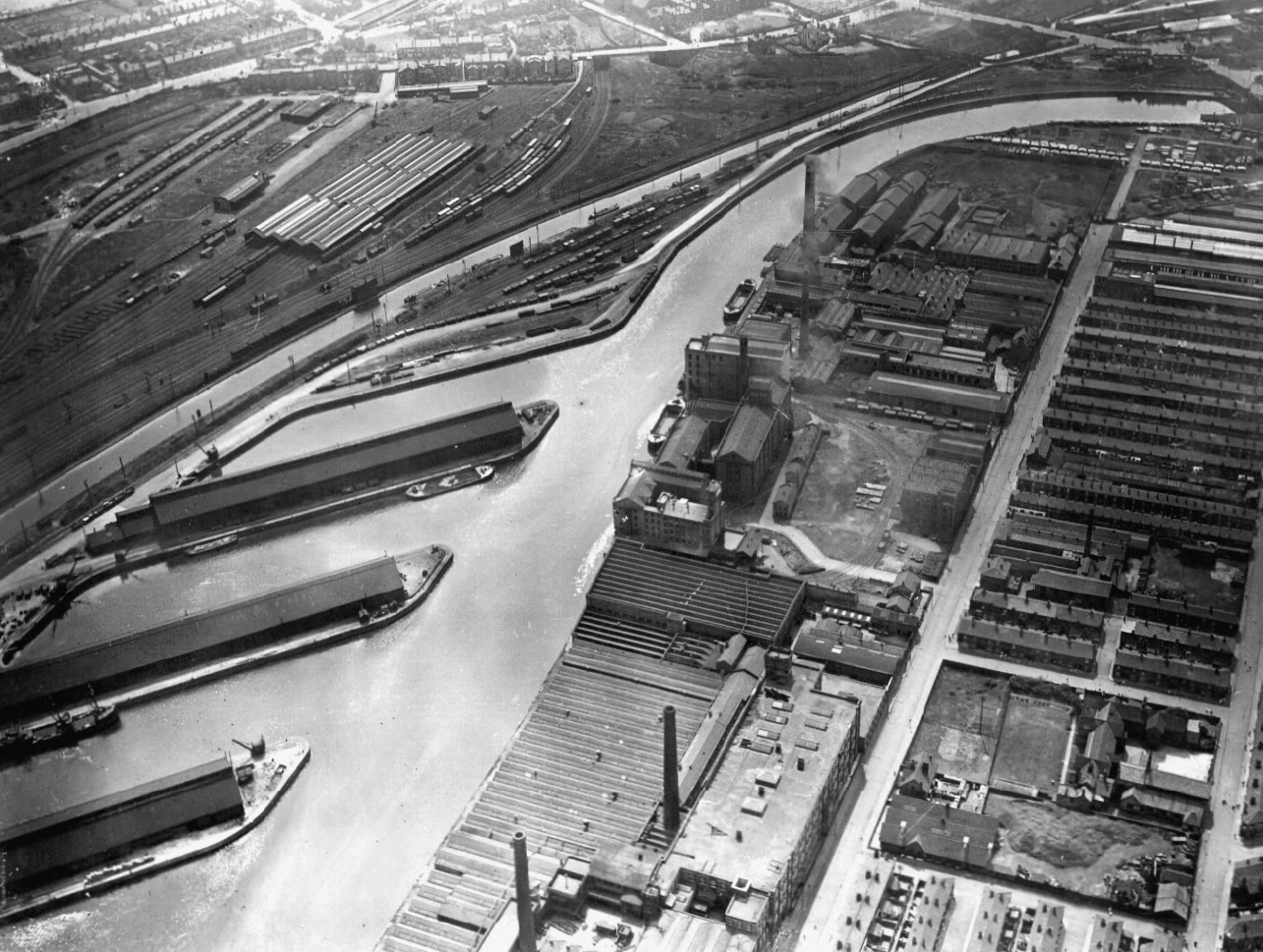
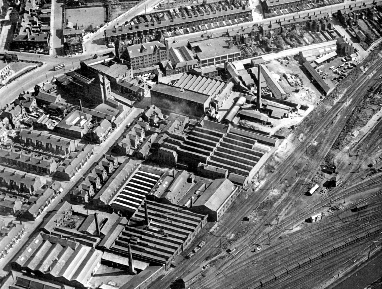
This is an aerial view from 1930, there area is now a dense network of streets to the north of Chester Road, transport infrastructure, housing and industry sit side by side.
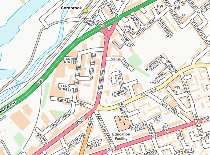
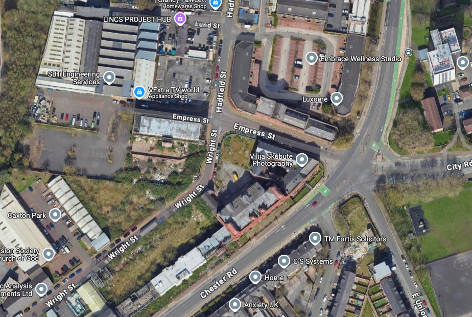
2025 the street pattern is still extant – but what has survived?
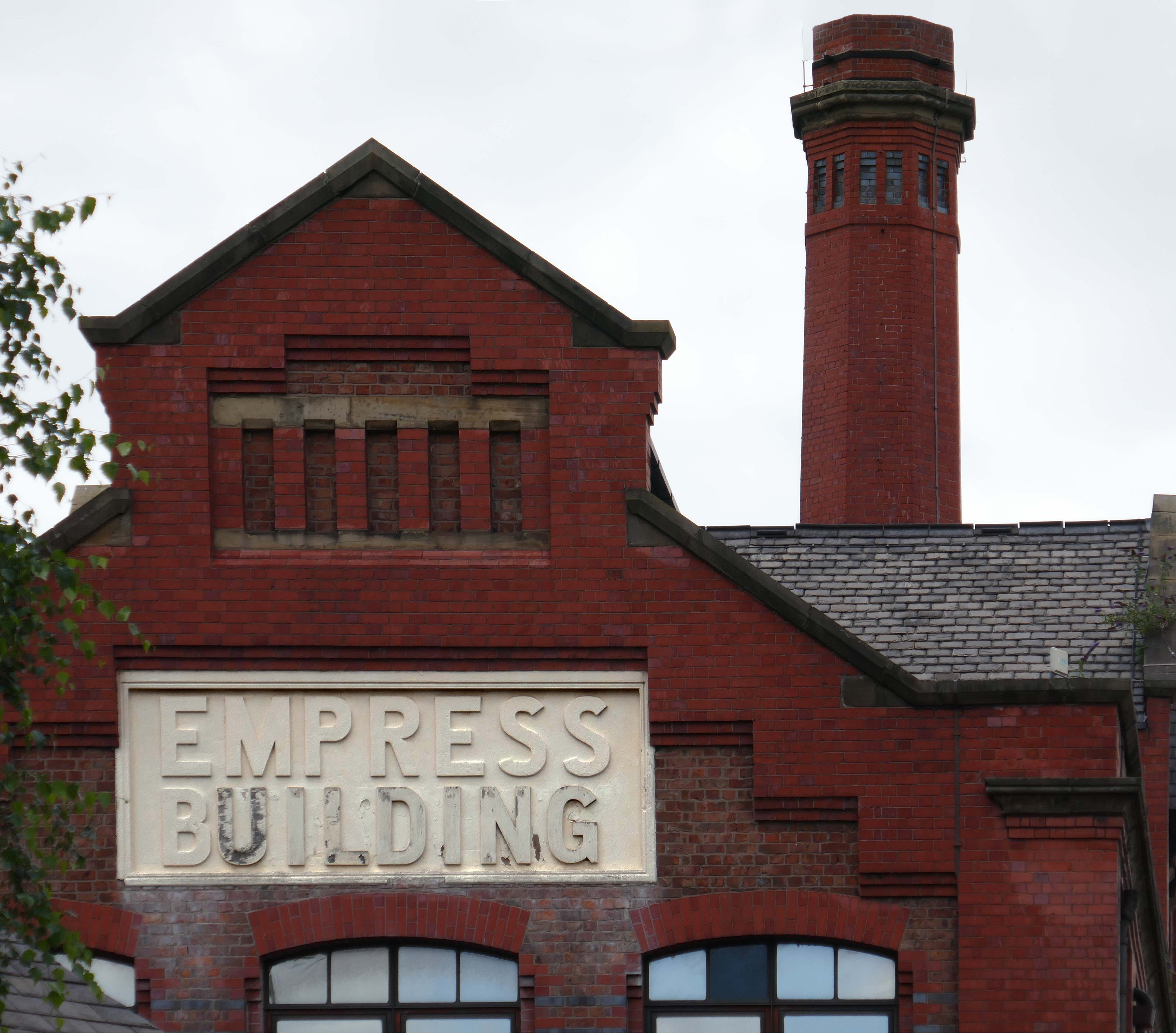
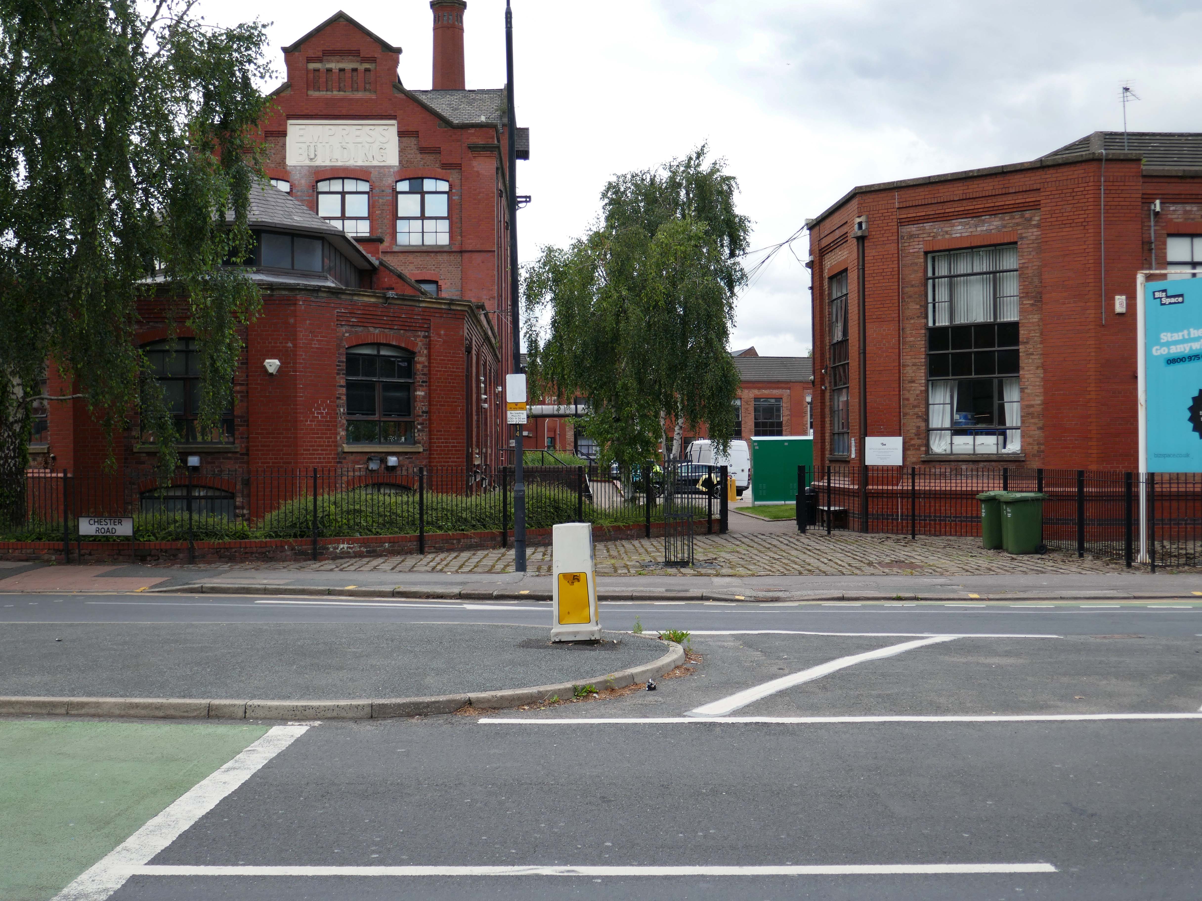
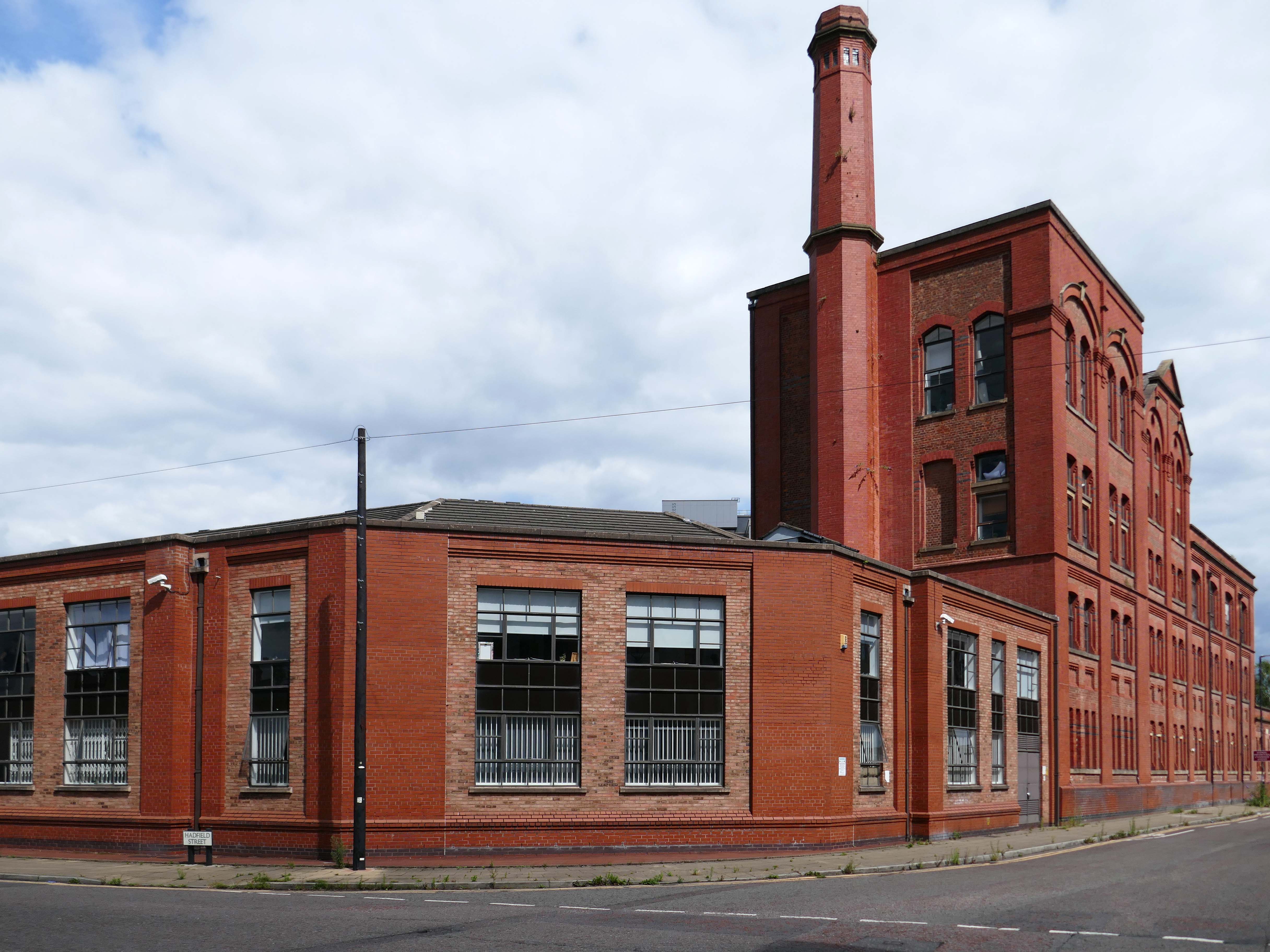
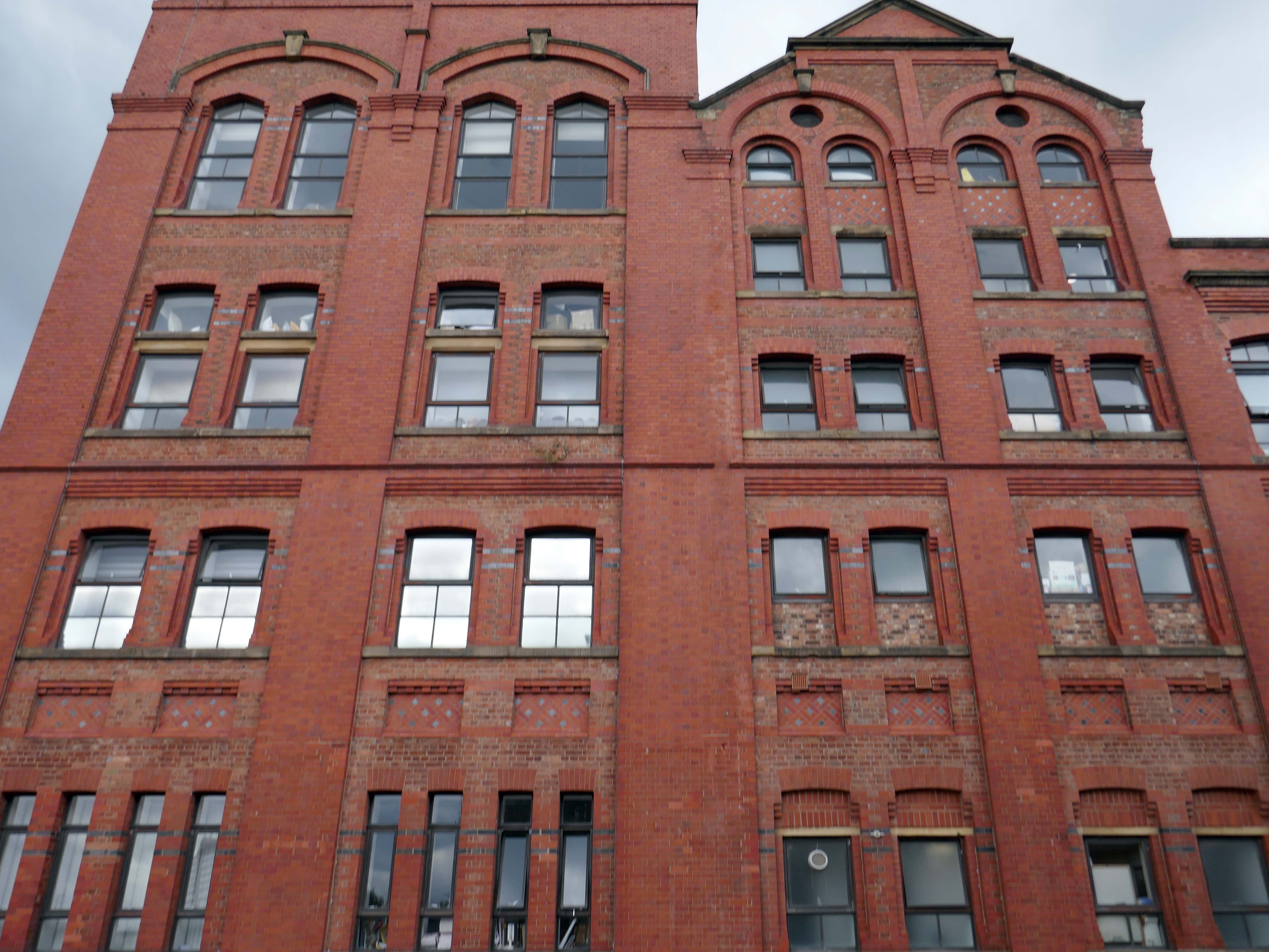
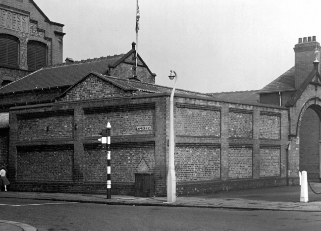
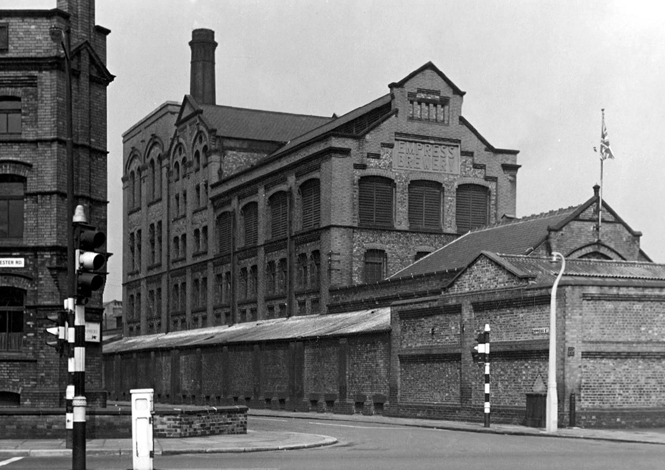
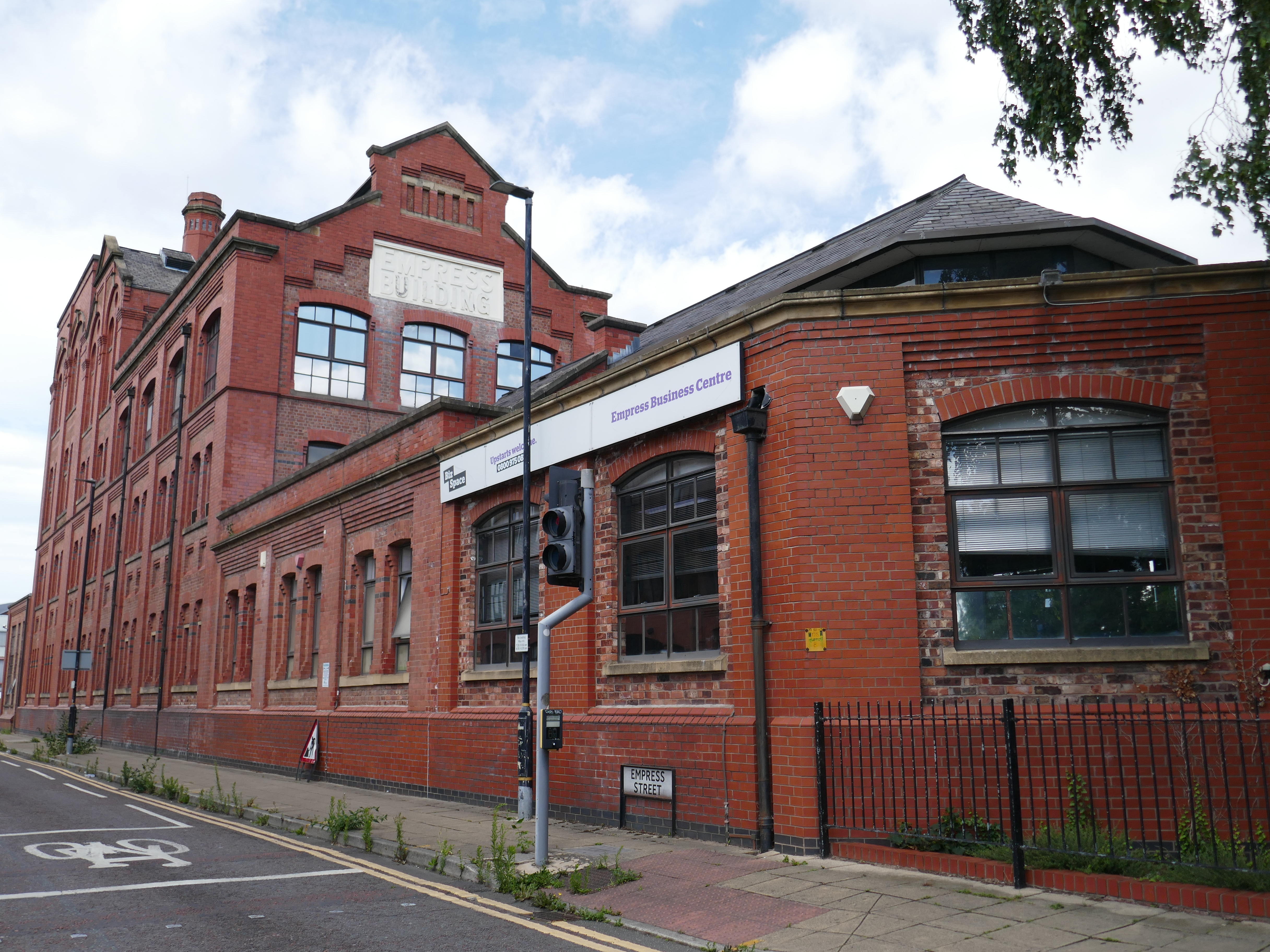
The Empress Brewery as seen on the previous Chester Road post.
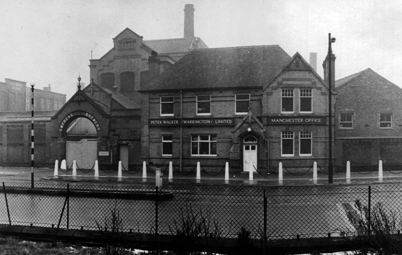
The Empress Brewing Company was established by Charles Dawes in c. 1880, the brewery closed in 1955.
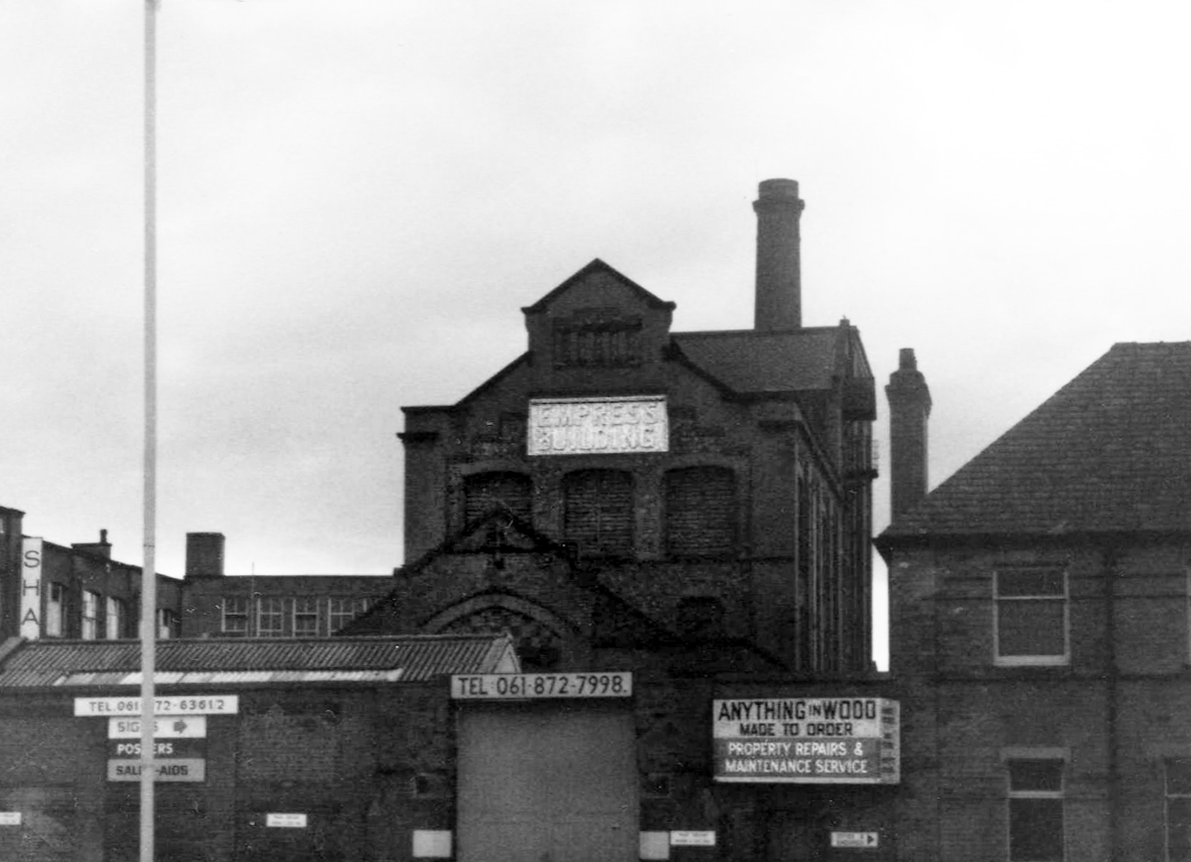
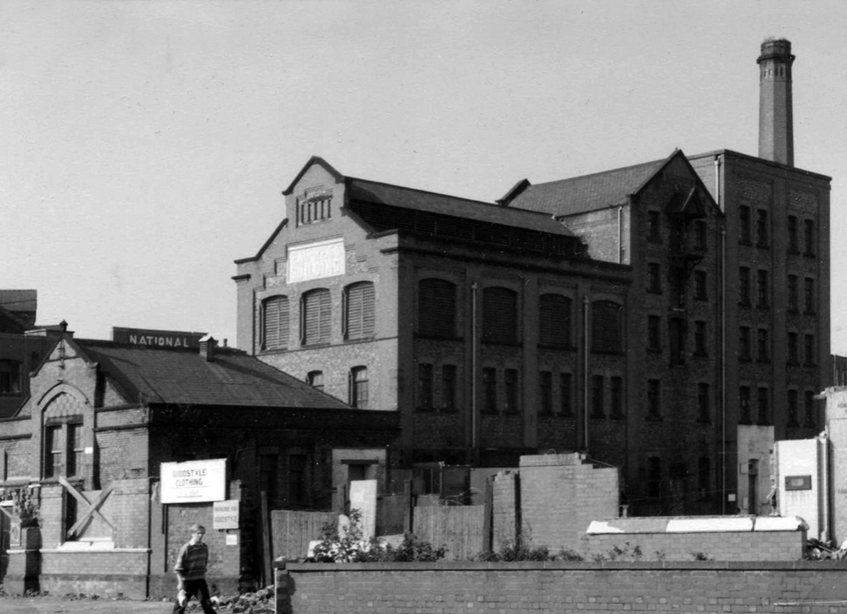
The building was converted into offices in 1992 as part of the development of the Empress Business Centre, which saw new office and business units built to form a courtyard.
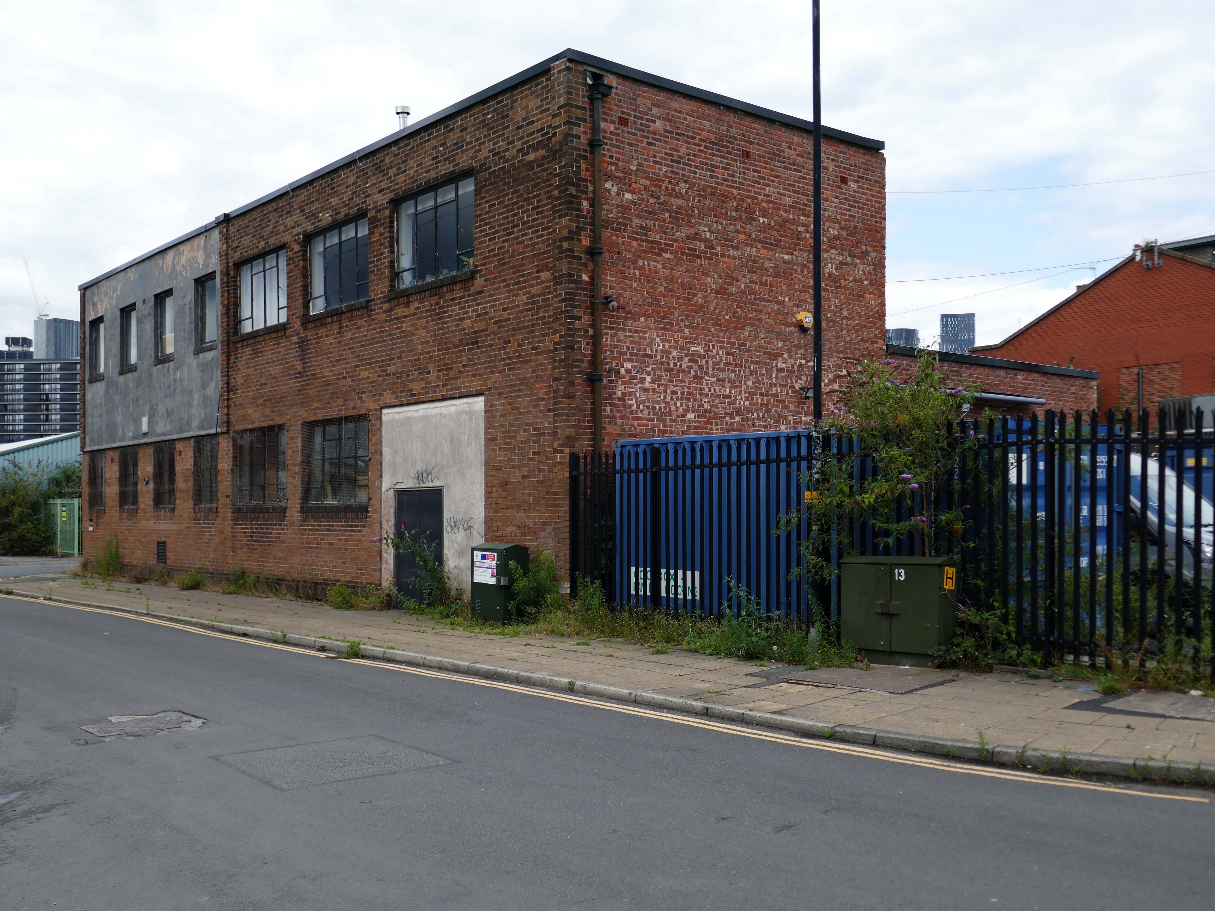
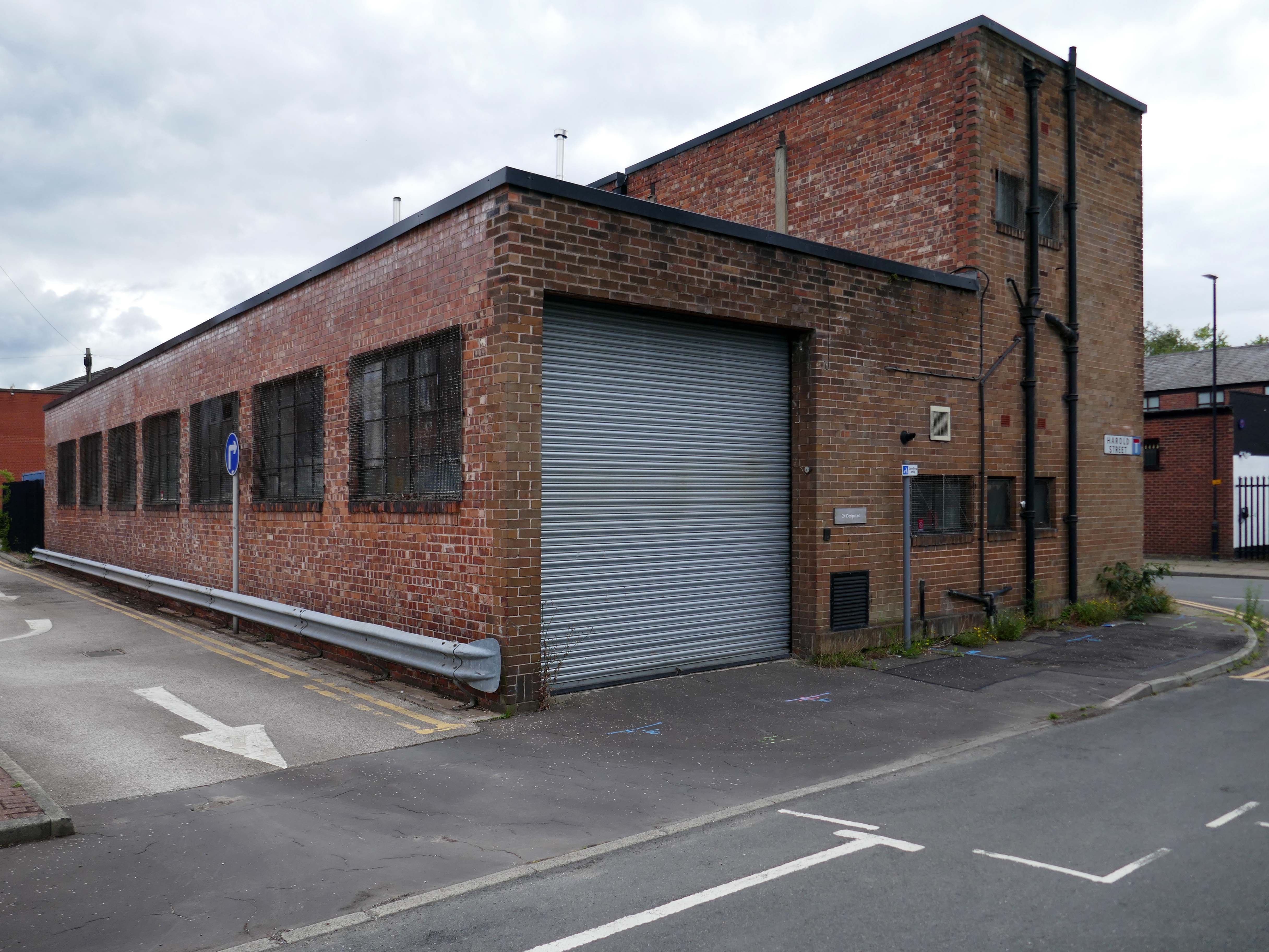
24 Design Ltd Hadfield Street – an exhibition design and build practice, working extensively within the museum and heritage sector.
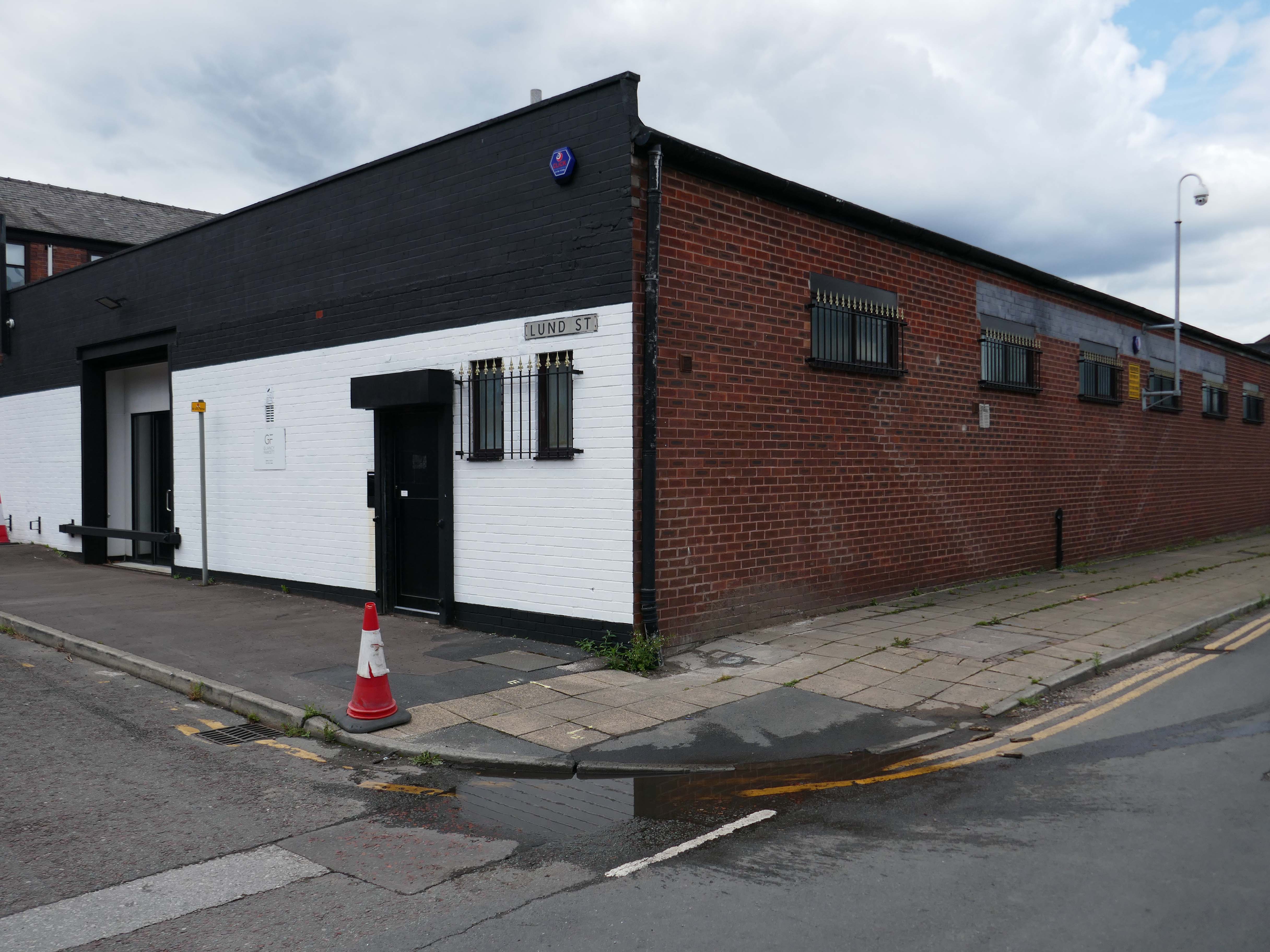
Glancy Fawcett Lund Street, A project-based, luxury lifestyle supplier delivering exquisite homeware for superyachts, residences and private jets.
Concept Life Sciences Hadfield Street, your trusted partner from concept to clinic. We are your integrated drug discovery and development partner for complex challenges, renowned scientific knowledge, and strategic execution across all modalities from small molecule and biologics to cell and gene therapies.
They seem to have left the building.
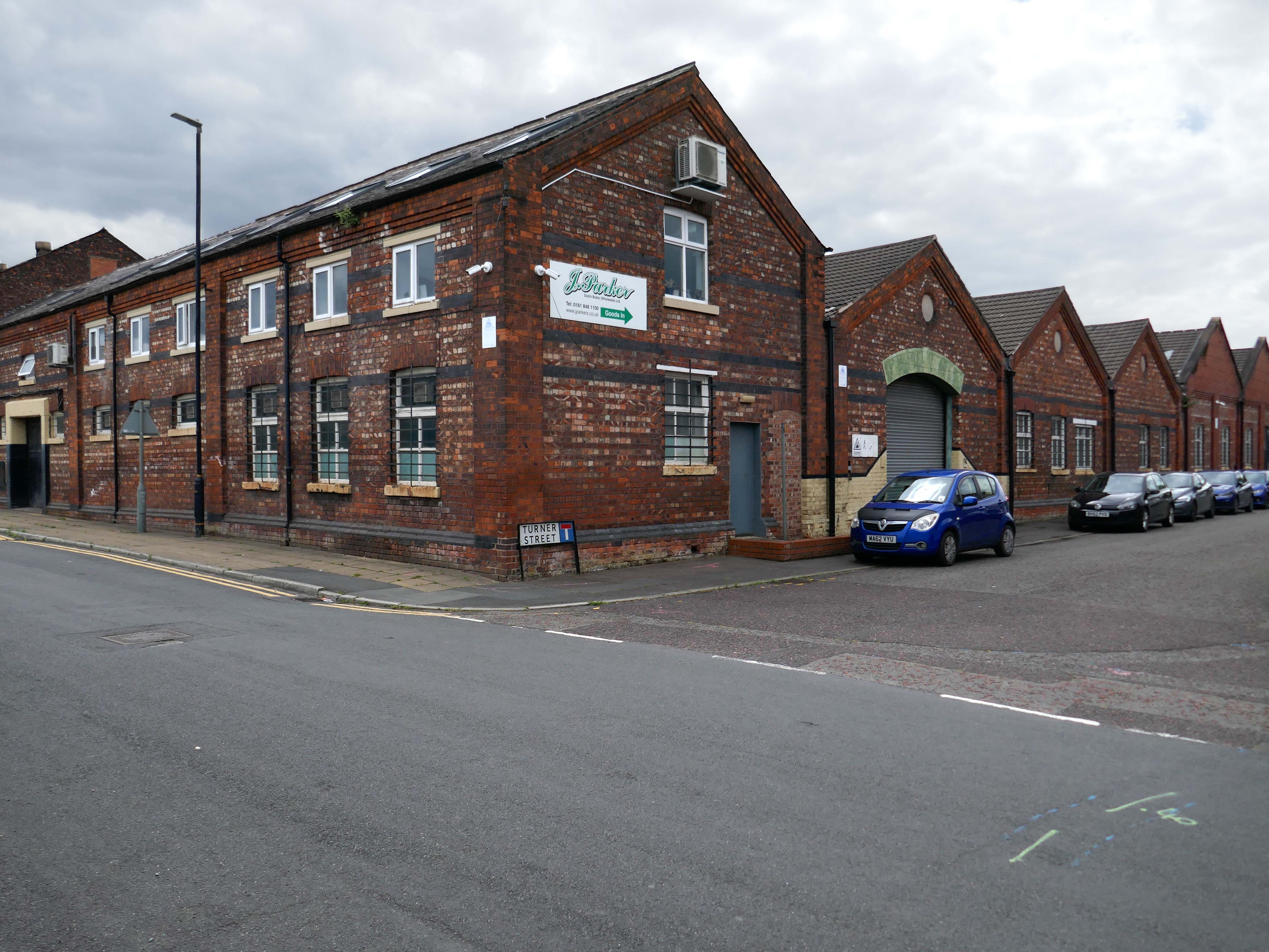
J Parker‘sLtd Hadfield Street, Dutch bulb importers – competitive prices across all our garden plant and bulb ranges, huge range, unbeatable prices, established 1933.
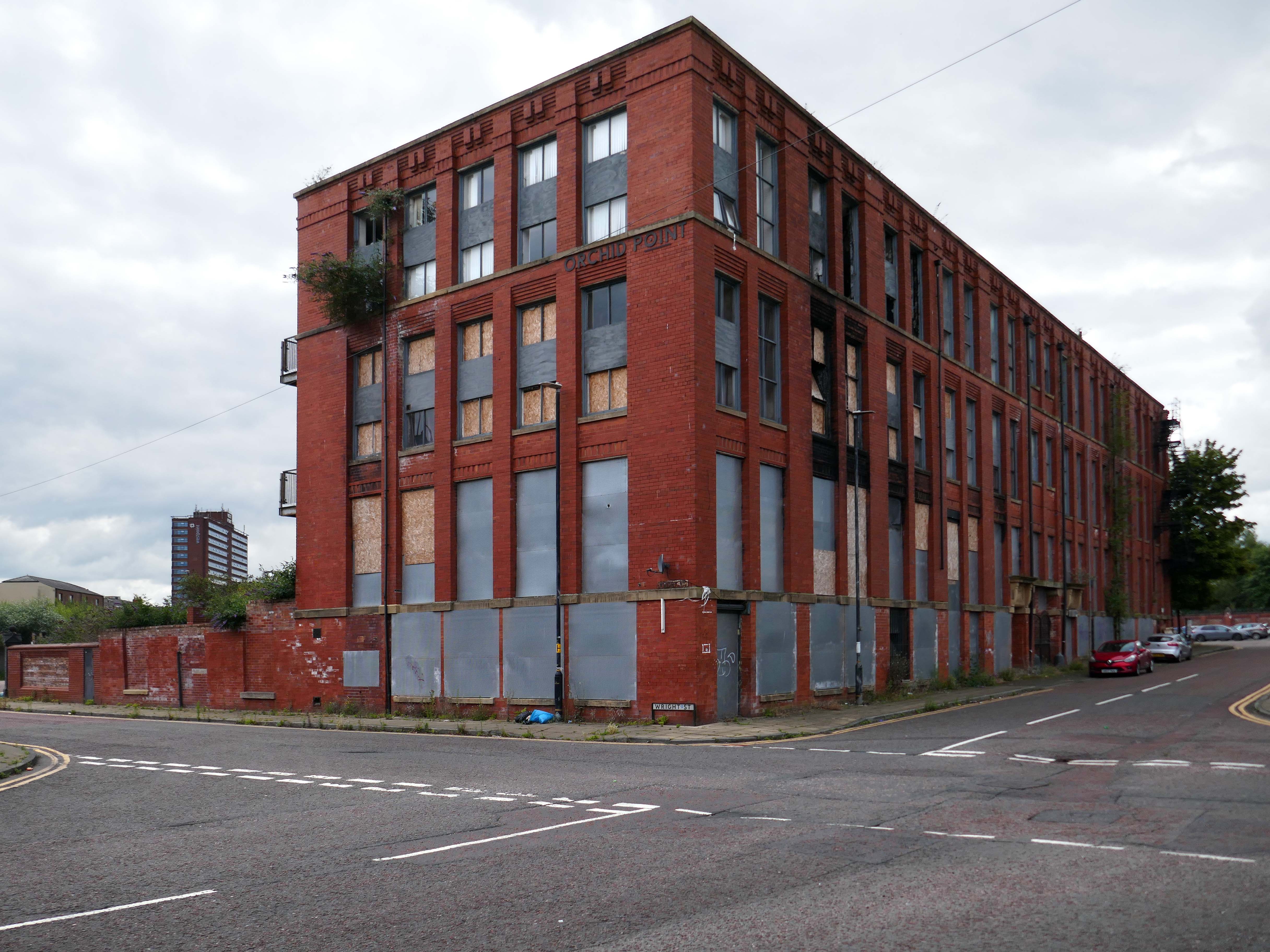
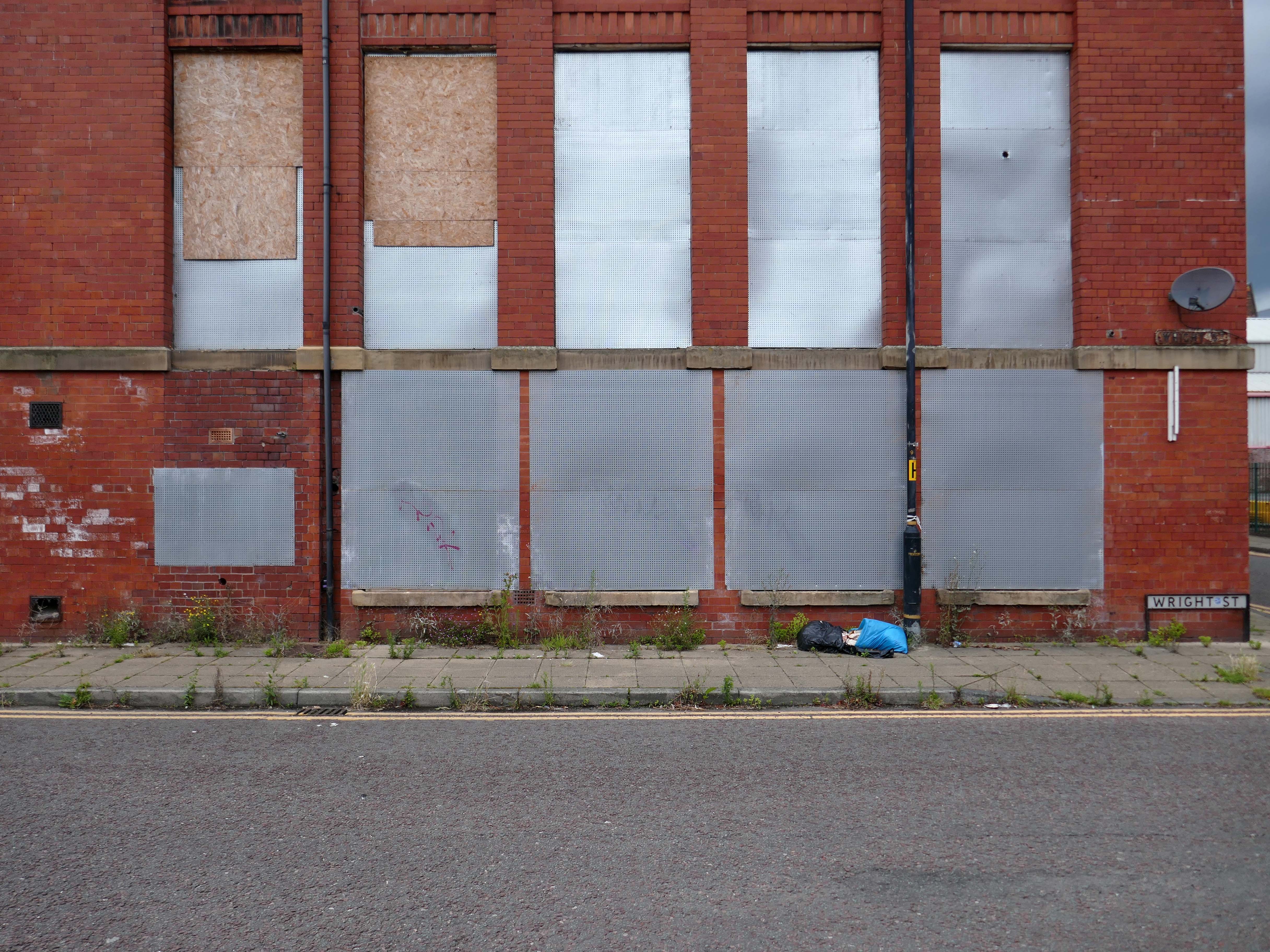
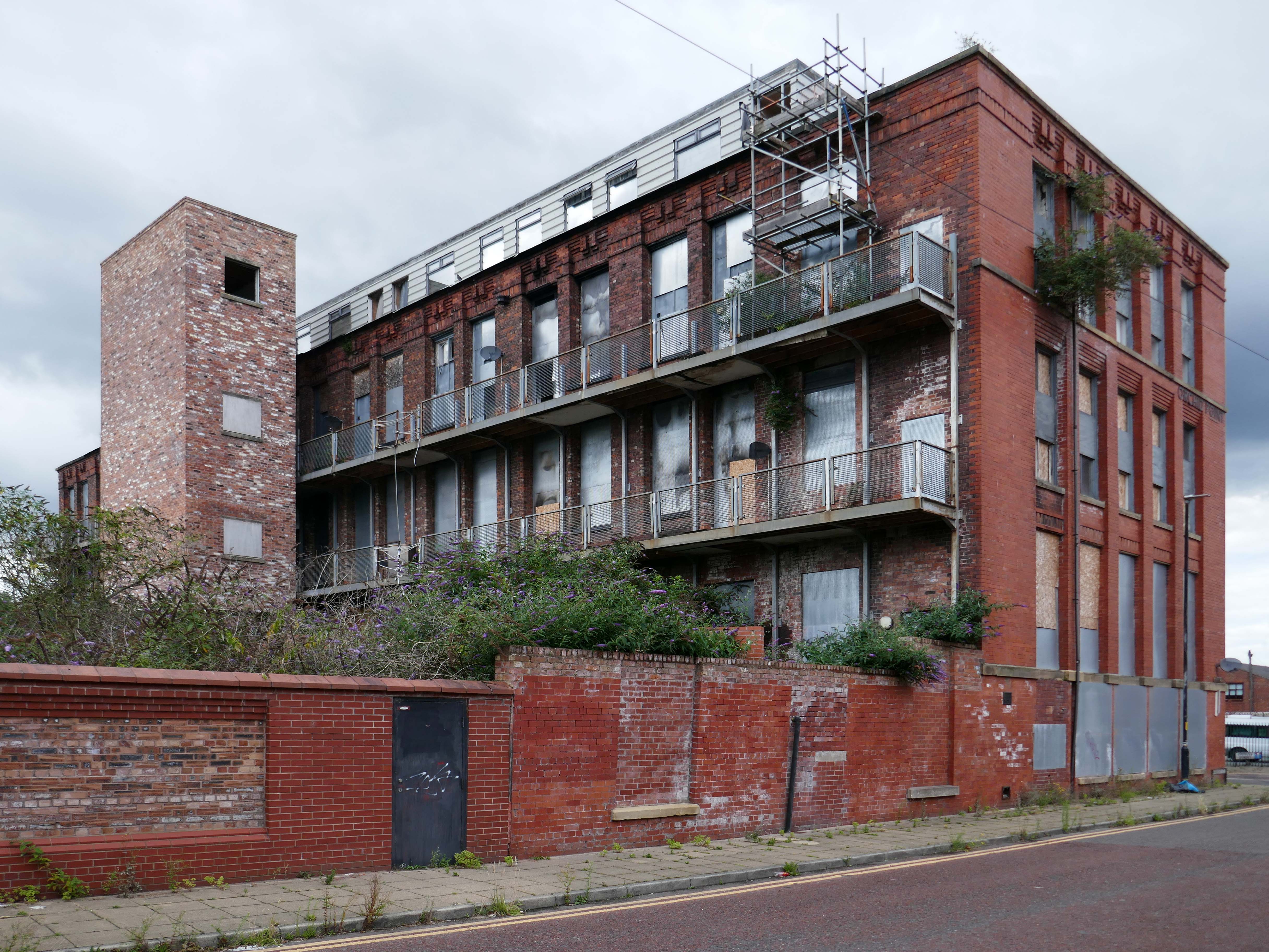
Empress Mill latterly Orchid Point Empress Street.
Built between 1903 and 1909, it echoes the industrial character of the larger industrial buildings on Chester Road and Empress Street. The property is listed as a smallware factory in the occupation of Woolf & Higham manufacturers of small wares, upholsterers’ trimmings, worsted bindings, woven venetian ladder tapes, cotton and linen venetian blind webs, spindle bandings, window blind cords, carpet bindings, bed laces. The works is shown on the Ordnance Survey of 1955 as an Engineering Works – Printing Machinery.
Local Heritage List
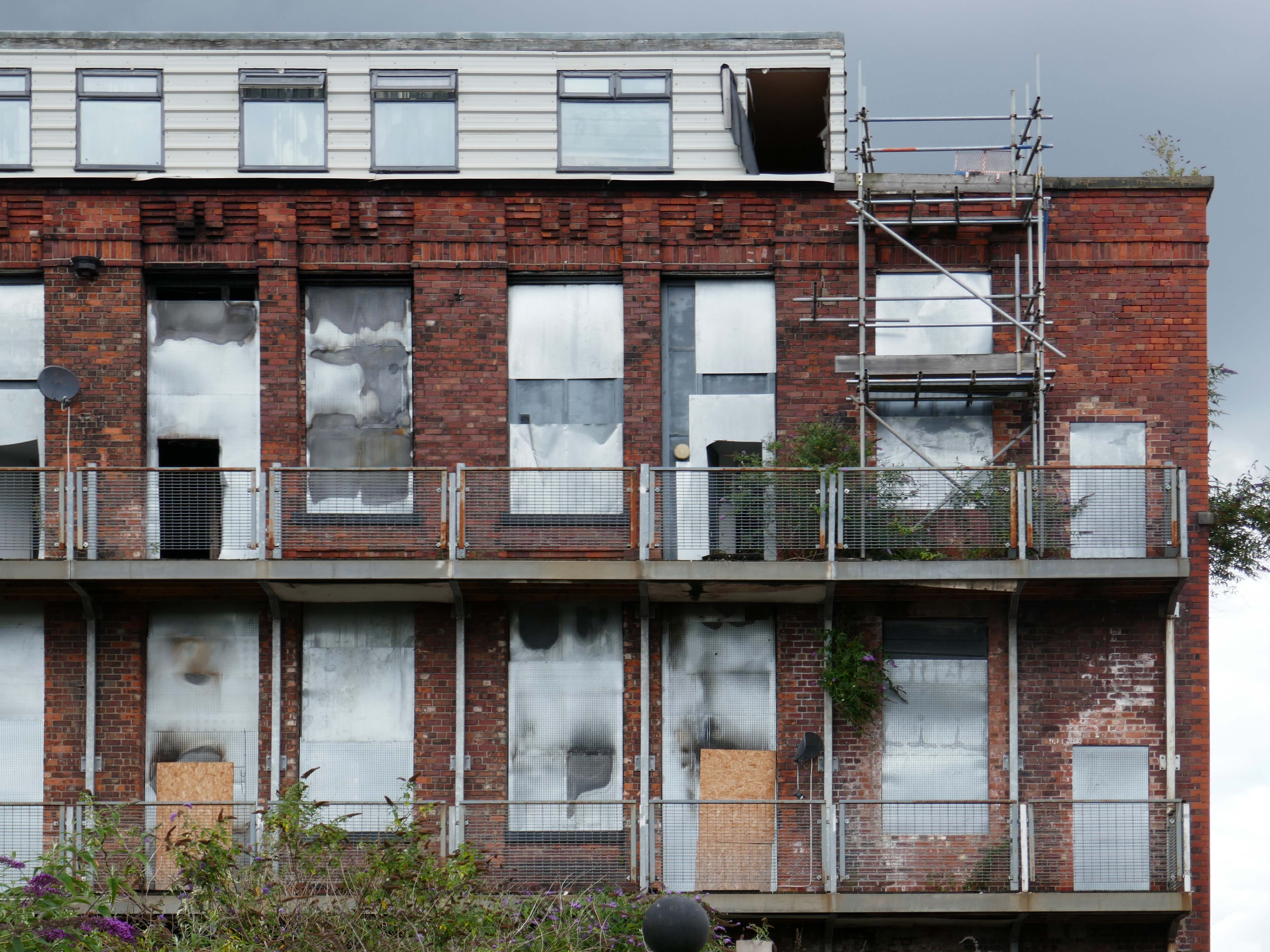
In 2011, FreshStart Living purchased the building, alongside others nearby, as part of a £9 million development ‘breathing new life’ into this corner of Old Trafford with 116 one and two-bedroom apartments. But, on the inside, leaking roofs, mould, exposed electrical wires and a dodgy gas connection paint a completely different picture.
Not long after purchasing it, we discovered the entire building was being powered by a generator.
Empress Mill was turned into an apartment block as part of a development called Orchid Point. It is understood some residents were allowed to move in twelve years ago, but these residents were asked to move out after a number of years due to safety issues.
On February 20th 2023, the Empress Mill was one of a number of buildings described as unsafe and unsecure by Trafford Council.
The emergency services were called to Empress Mill at 5.15am on Friday. Ten appliances from across the region, including specialist appliances called a stinger and a scorpion, attended the abandoned mill turned apartment block off Chester Road and firefighters battled the blaze into the afternoon.
Officers from Trafford Council have taken firm action to put a stop to anti-social behaviour at a vacant block of flats in the Old Trafford area.
Drug addicts and thieves have descended on Aura Court since much of it was closed in August 2020 by Greater Manchester Fire Service due to a decaying non-compliant fire escape.
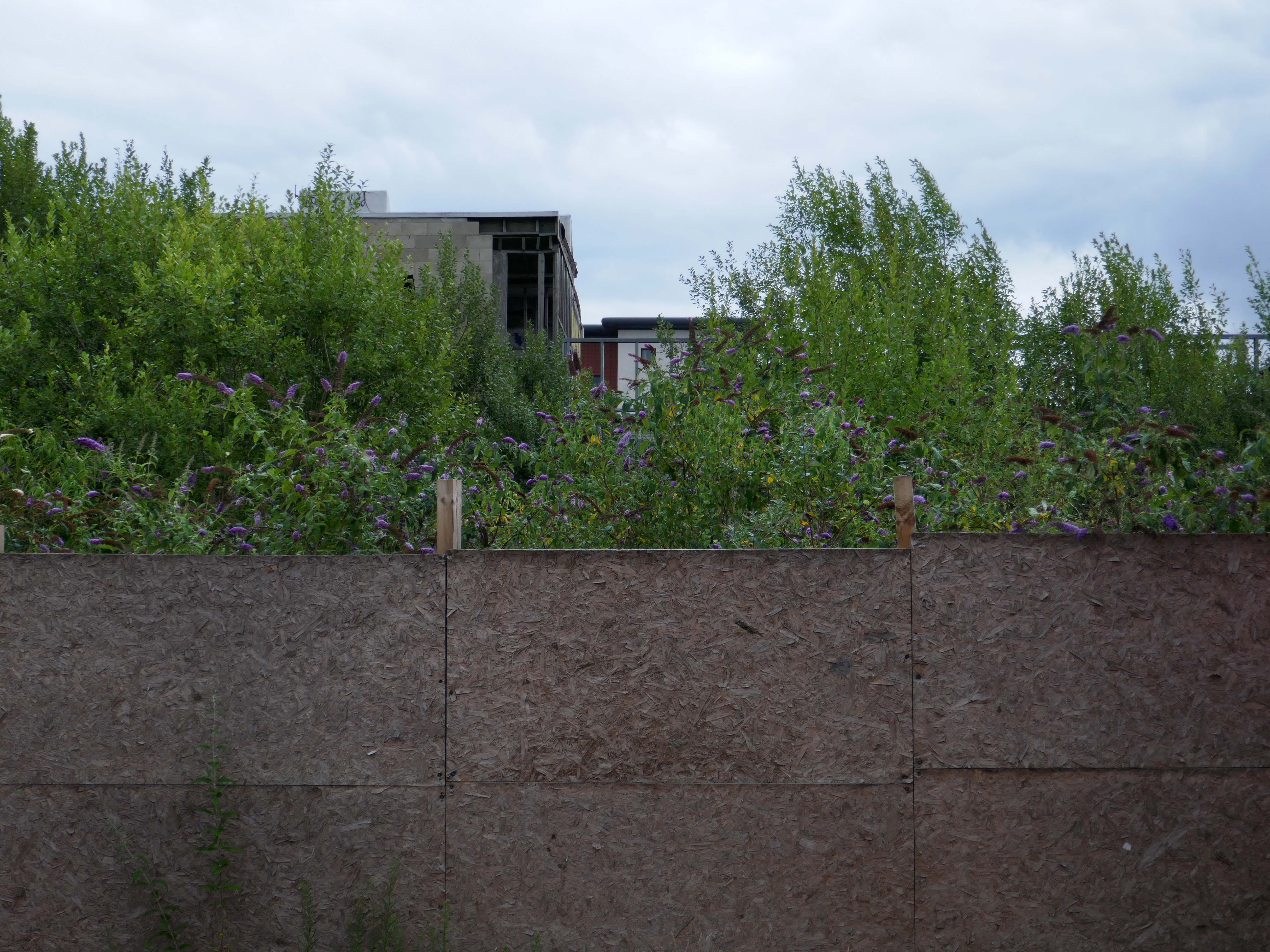
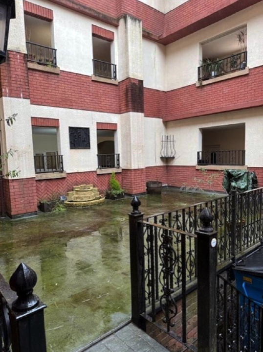
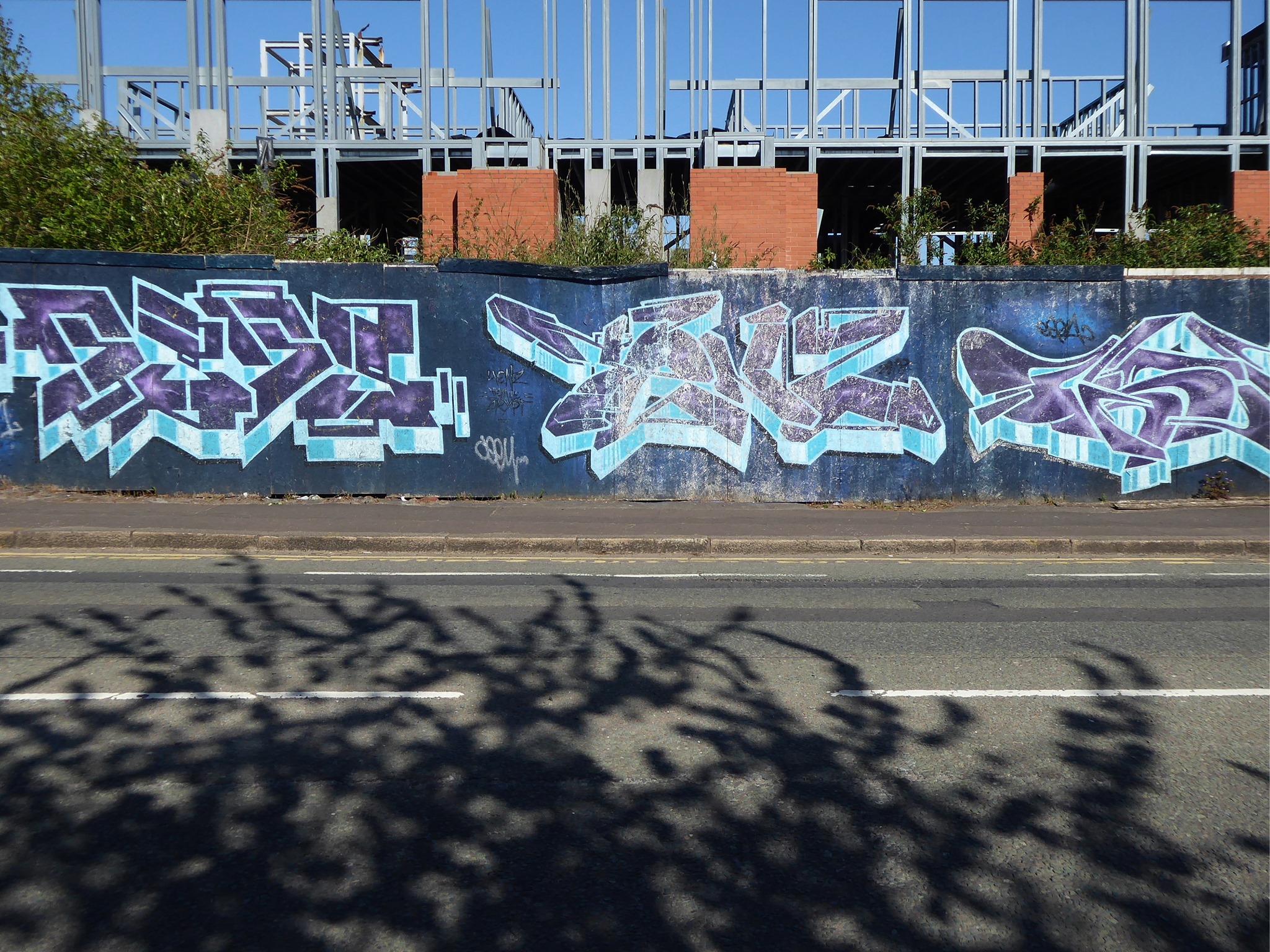
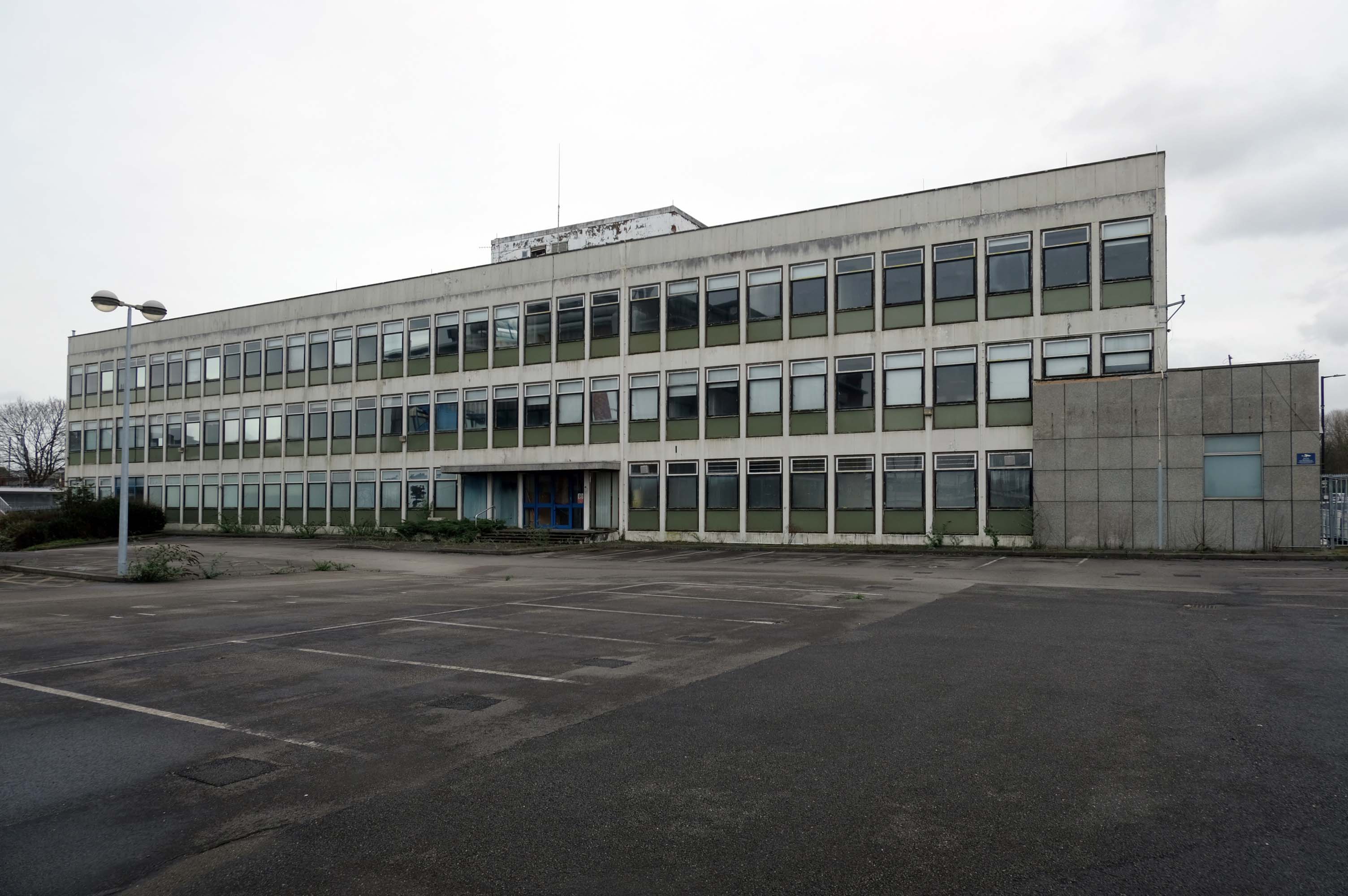
The site along with Venos and Progress House is up for sale.
A rare development opportunity in Central Manchester with excellent access to Manchester City Centre Close to Salford Quays, Old Trafford Football and Cricket Grounds along with White City Retail Park The total site covers an area of approximately 2.10 Acres, historic planning consents granted on the site for in excess of 200 flats plus additional commercial accommodation.
Duckworth’s specialised in the manufacture of concentrated soluble essences, essential oils and colours supplied to the aerated water trade – local ‘pop’ men. They were leaders in the field, supplying flavours and essences around the world and developing products tailored to specific markets.
Duckworth & Co was acquired by Cargill Flavor Systems Ltd in 2003, the company vacated the Chester Road premises in 2006.
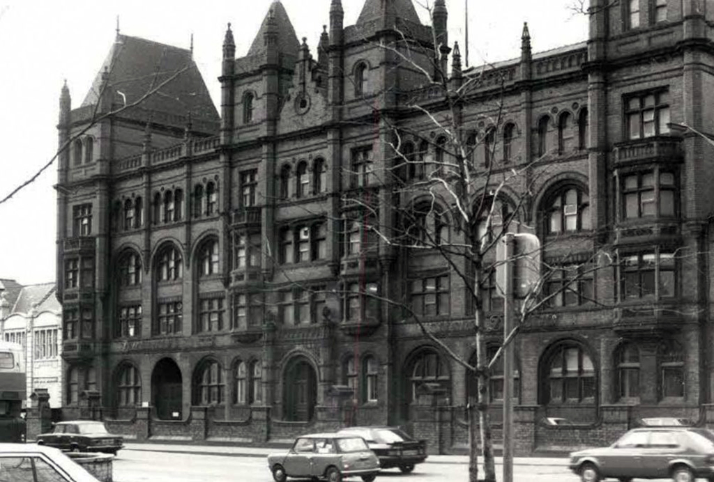
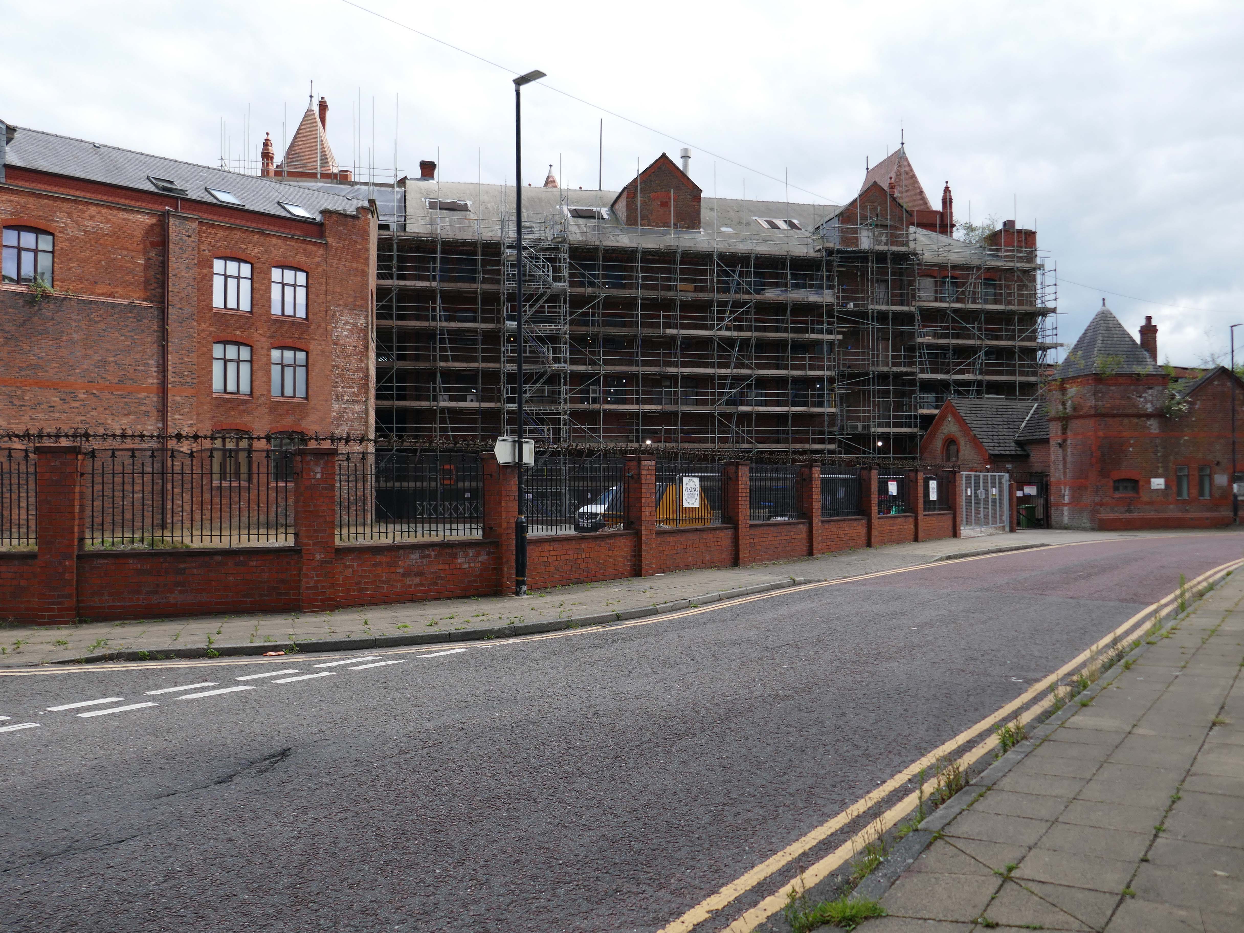
After buying the building in 2007 for a reported £3.6m, the Church of Scientology planned to re-open the building by either 2010 or 2011.
Leaders of the religious group have submitted a new application to carry out external and internal works. A design and access statement written on behalf of the church by NJSR Chartered Architects proposes a comprehensive revamp of the building.
The overall aim of the project is the refurbishment and conversion of the Duckworth Essences Building into a place of religious study and worship.
Walking from Cornbrook toward Stretford along Chester Road – which is one half of my Tram Trip to Altrincham
There is a cluster of former industrial buildings around Empress Street.
First up is the Empress Brewery.
The Empress Brewing Company was established by Charles Dawes in c. 1880, although the company was sold to William Henry Fulford in 1884, who had recently sold the Monarch Brewery in Salford. Fulford was based at the Empress Brewery on Clarence Street in Manchester, but had relocated to new premises on 383 Chester Road. These had been built in 1889 and operated initially as the Old Trafford Brewing Company, but the name had changed to the Empress Brewery Company by 1895. The company acquired a number of breweries and associated licenced house during the early 20th century, however, in 1929 it was taken over by Peter Walker and Son. The brewery closed in 1955.
The building was converted into offices in 1992 as part of the development of the Empress Business Centre, which saw new office and business units built to form a courtyard.
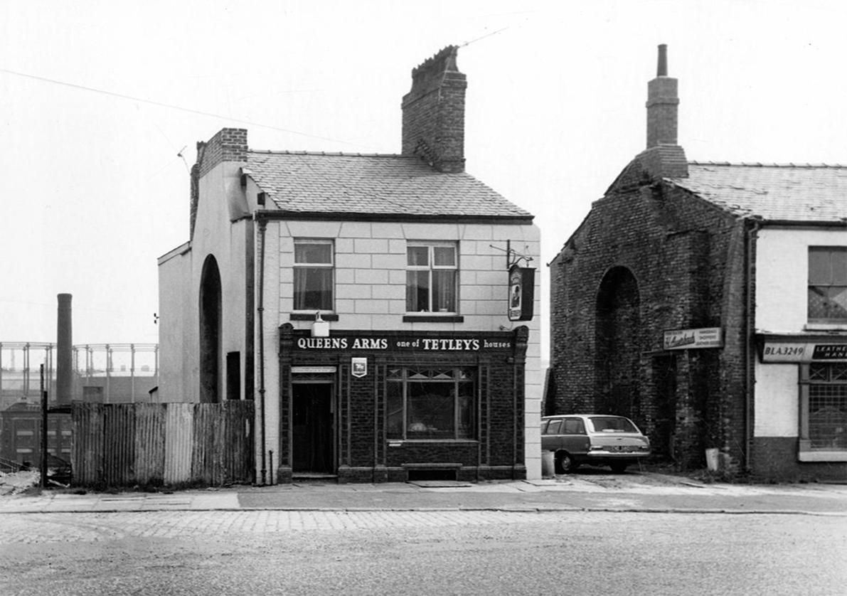
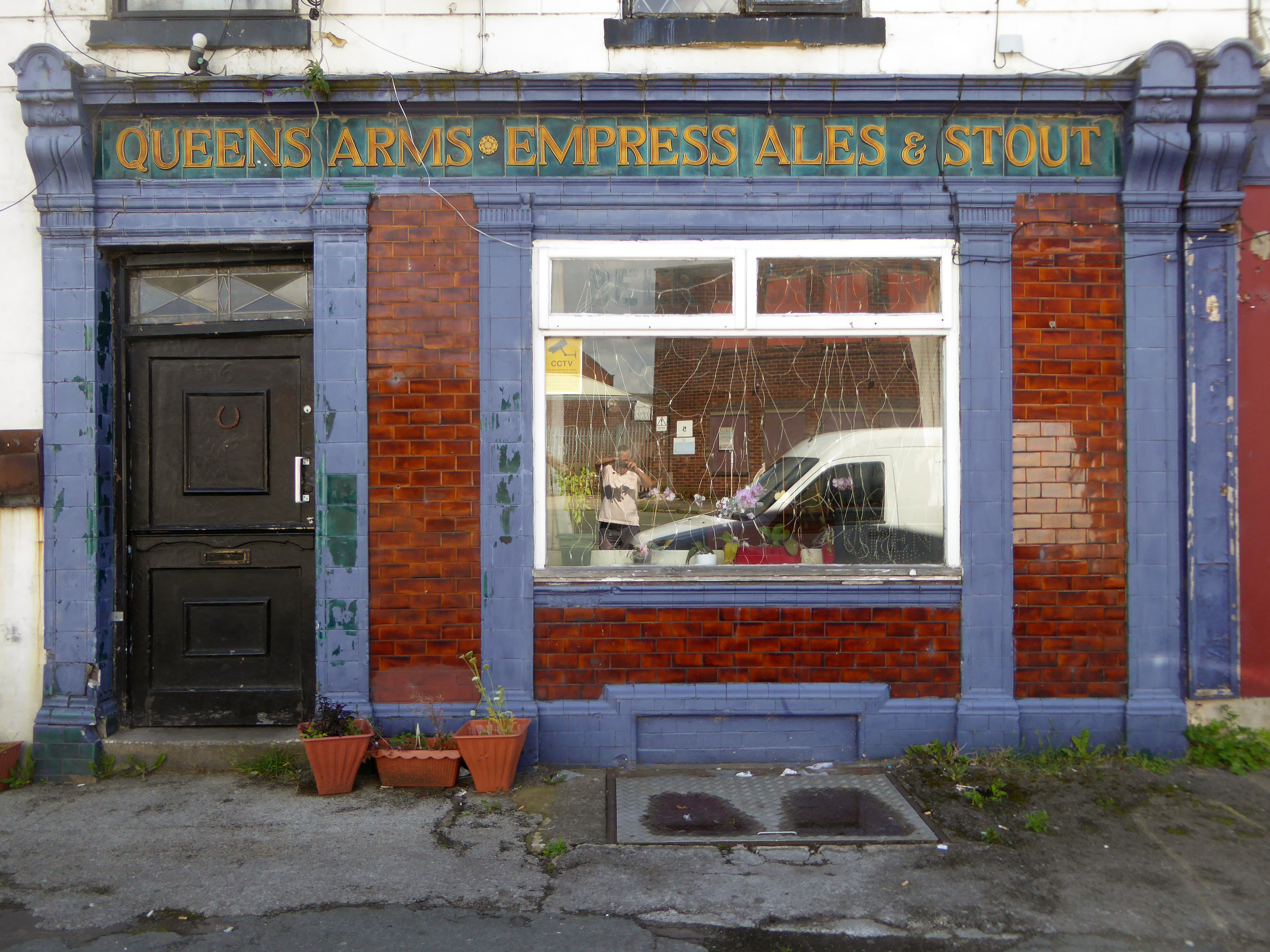
Including the Queens Arms on Honey Street Red Bank, one of the first independent real boozers back in the 1980’s, subsequently it has seen various uses last seen on my Collyhurst Circular walk.
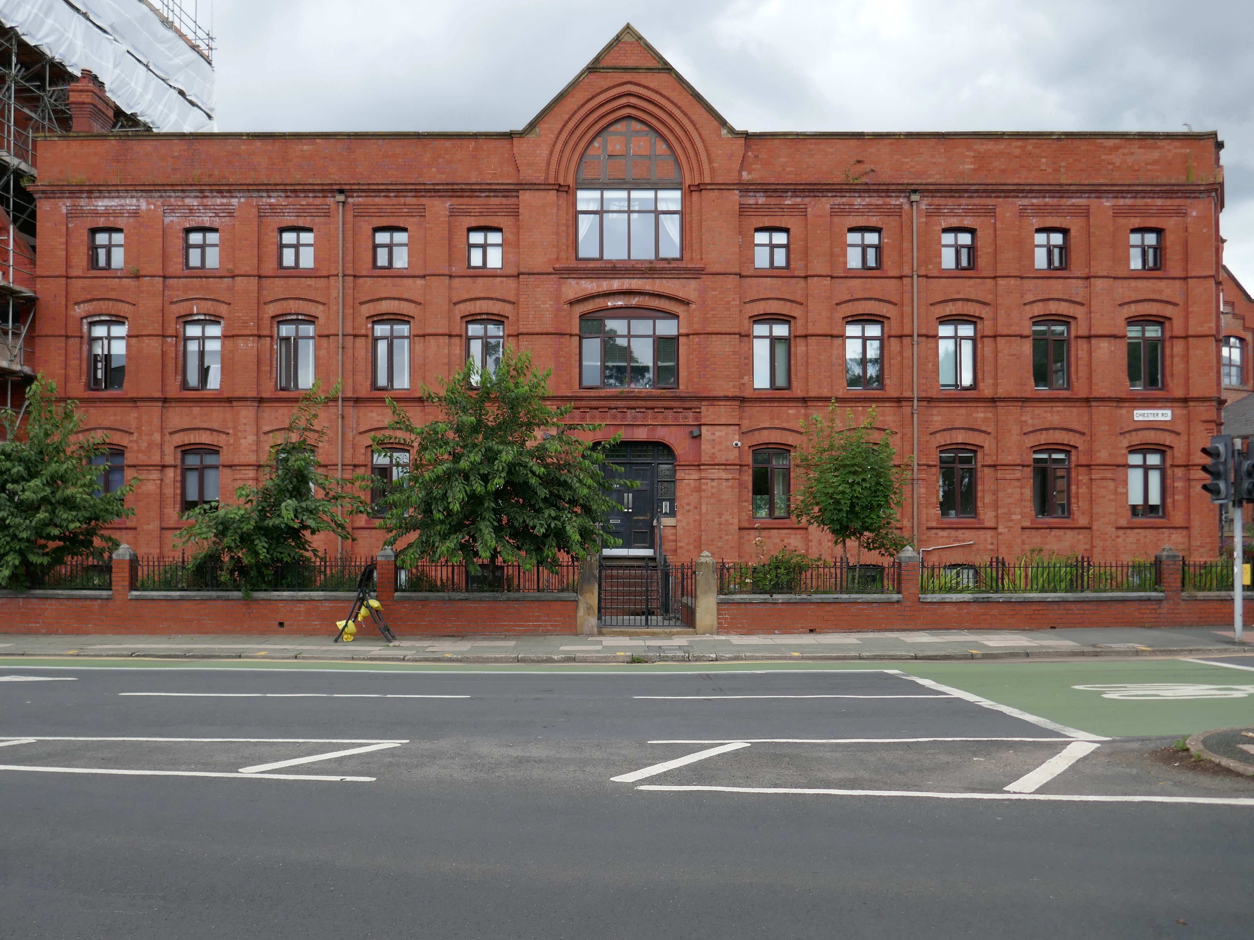
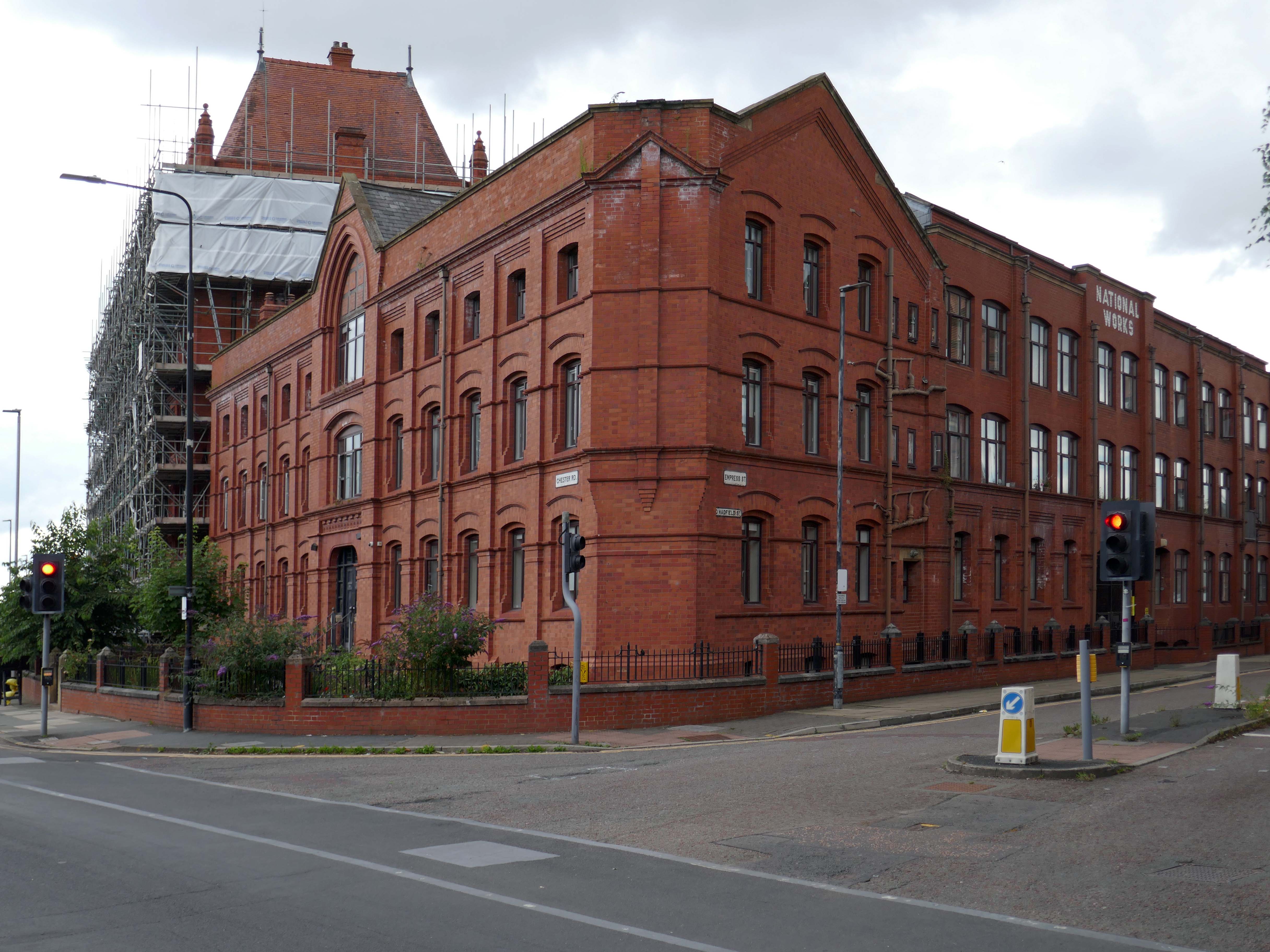
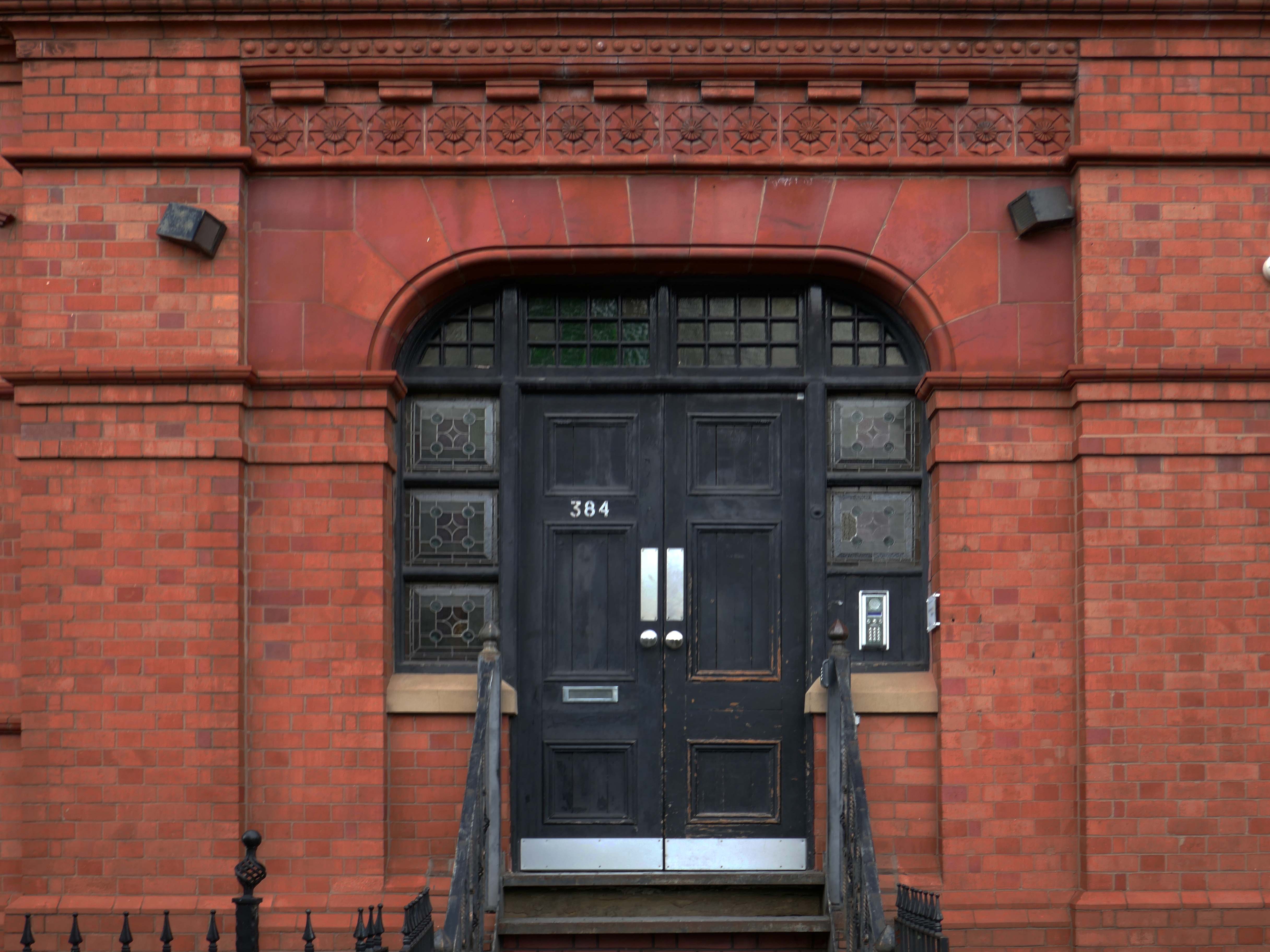
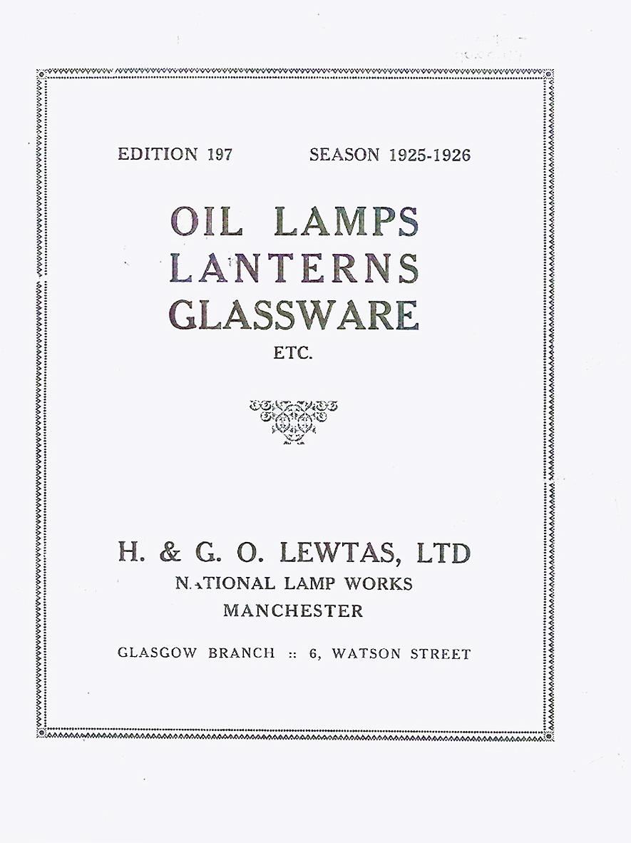
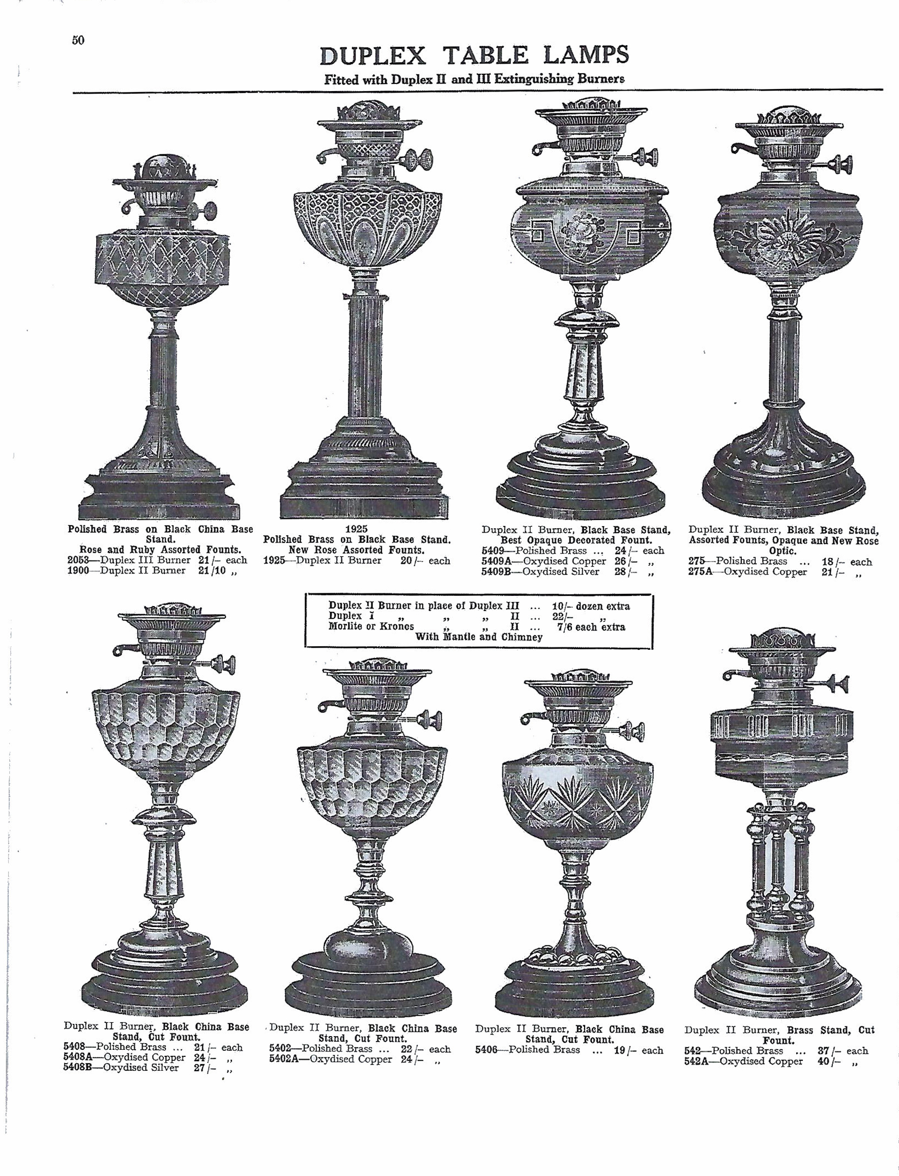
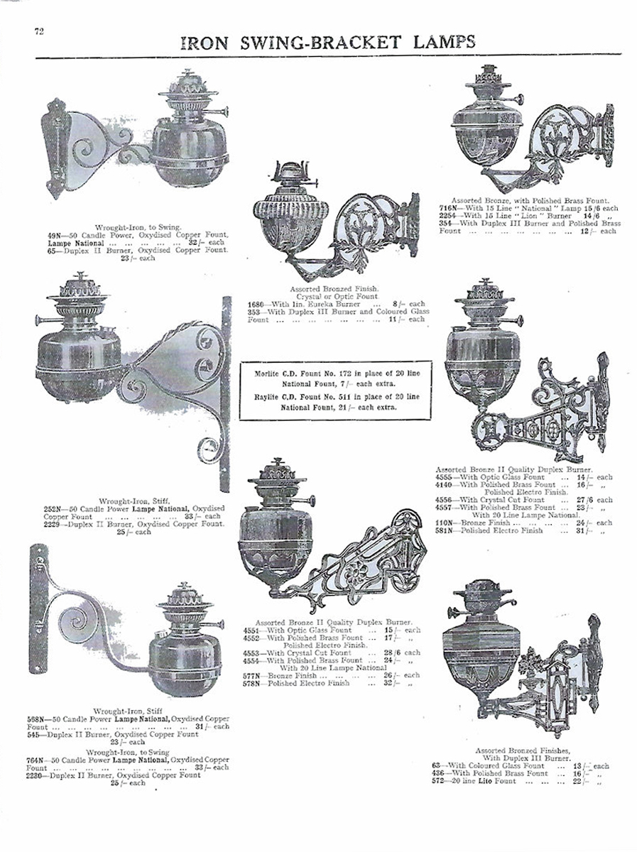
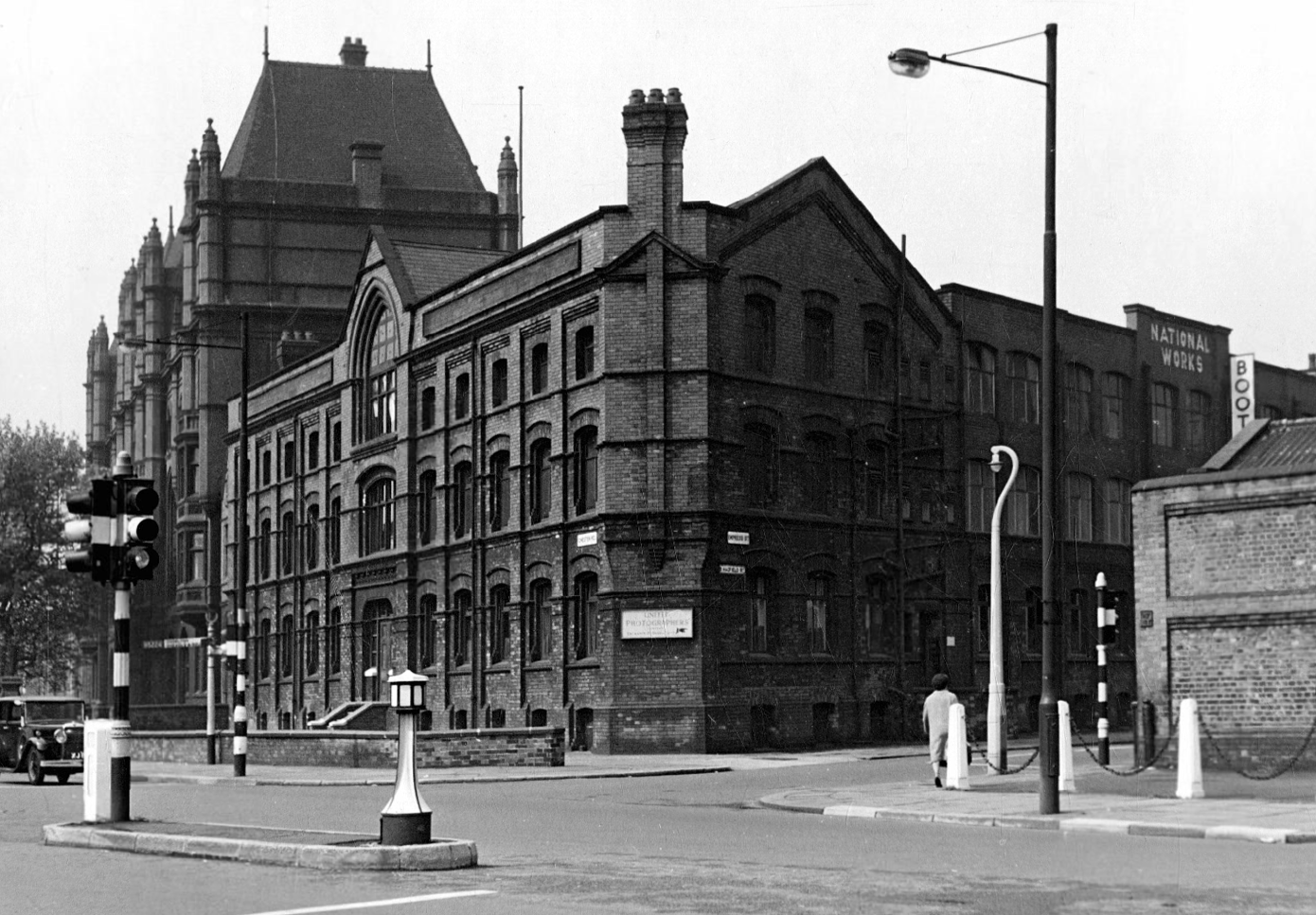
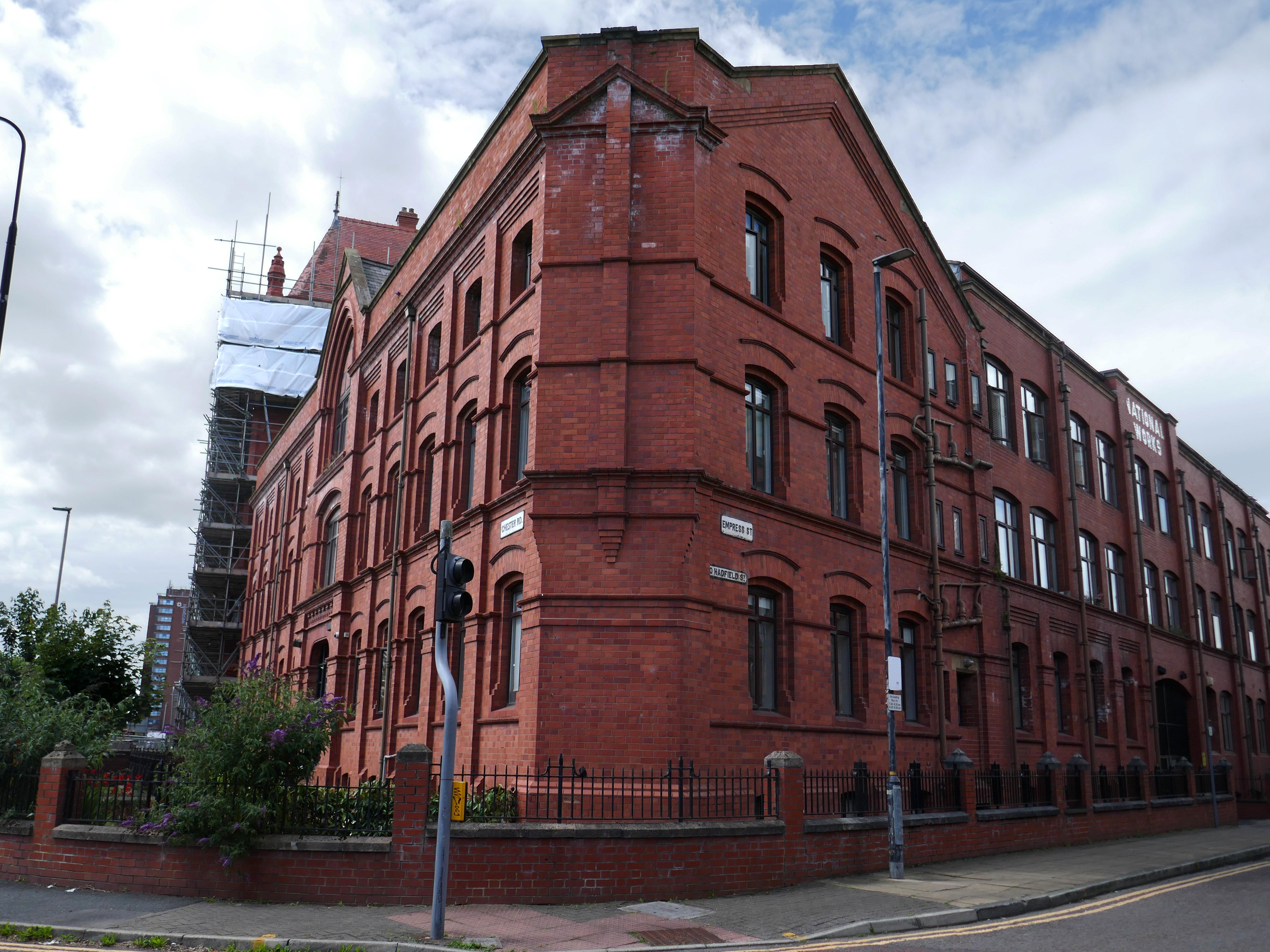
The development of the site can be traced from the sequence of Ordnance Survey 1:2500 maps. The First Edition of 1893 shows the site as undeveloped. The First Revision map of 1908 shows 384 Chester Road to have been developed, and the site of the National Works to have been occupied by an open-fronted L-shaped range along the western and southern sides, with a detached rectangular building in a central courtyard. It is possible that these buildings all formed part of 384 Chester Road, listed as being occupied by H, G & O Lewtas, lamp manufacturers, in Slater’s trade directory for 1911. The Second Revision map of 1922 shows the early building to have been subsumed by the current building.
1961 Local Image Collection
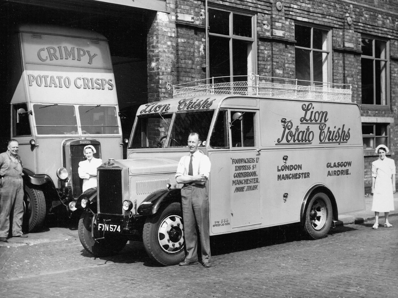
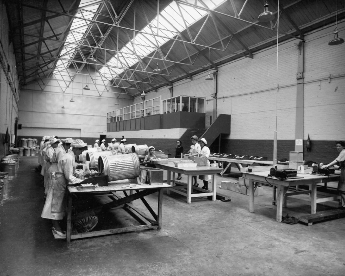
Later the home of Lion Foodpackers Ltd and Crimpy Crisps.
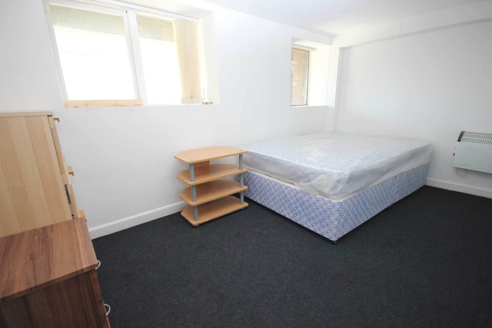
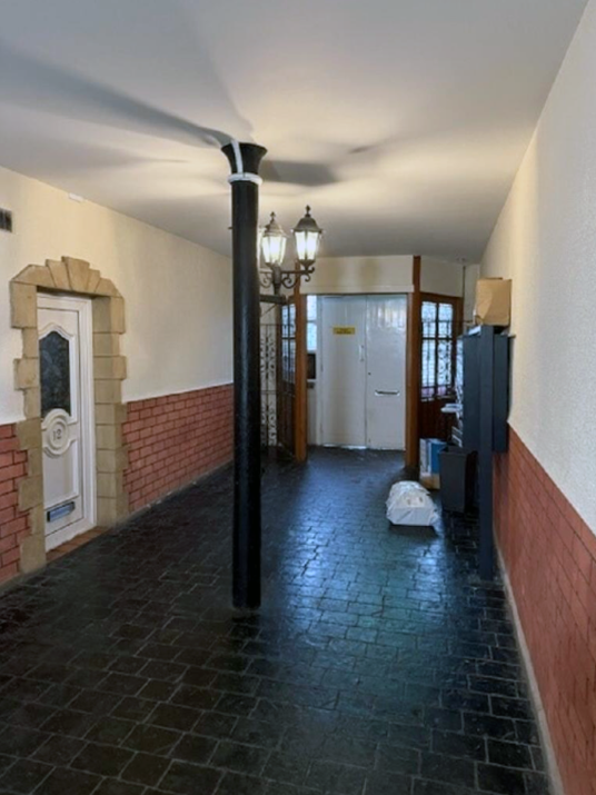
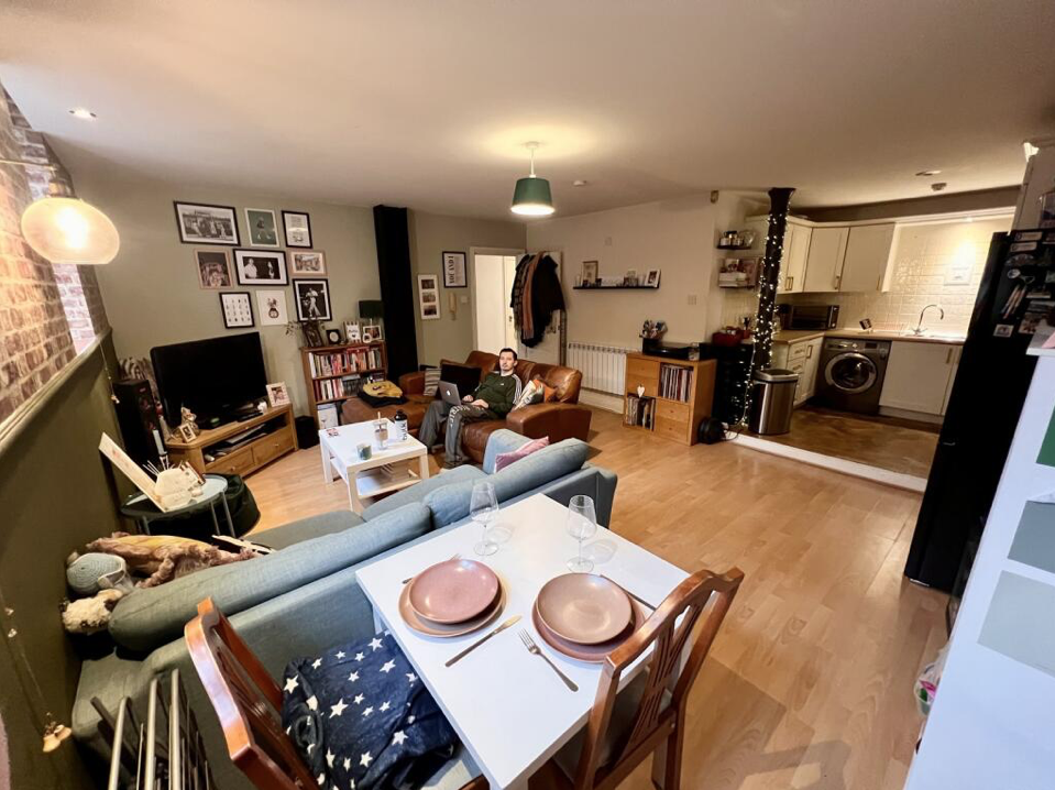
Situated on the lower ground floor of a gorgeous, red brick, landmark building, this 2 double bedroom apartment merits further inspection. A good size living room opens on to a good fitted kitchen. It also has a great, spacious shower room. It also benefits from a parking space, although a great attraction is the location, being just 1 mile from Deansgate and the City along with being 10 minutes walk to a Metro station.
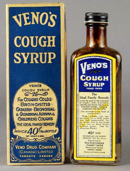
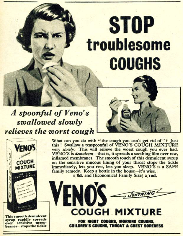
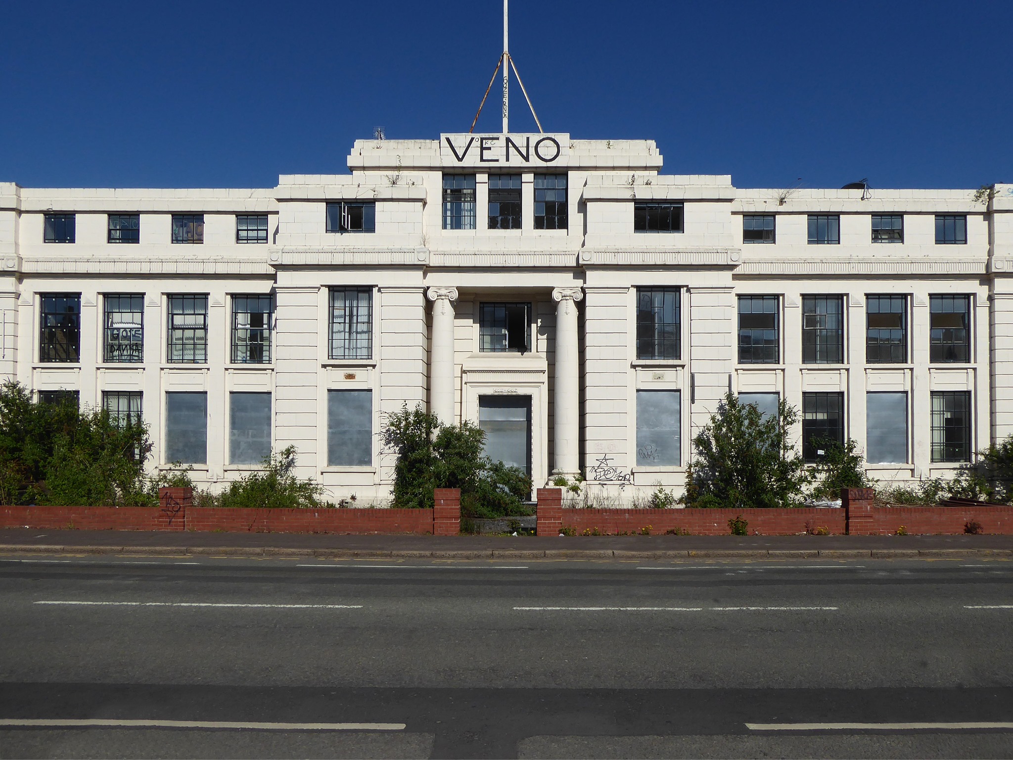
Then we have the Veno’s Building, which was once a pharmaceutical company founded by William Henry Veno. He established a company in the US before returning to Britain and founded the Veno drug Company in Manchester in 1898.
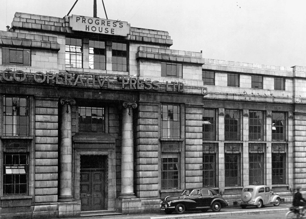
In 1925 the company was sold to Beecham Estate and Pills Ltd. In the 60s the building was under the name Progress House and was home to the Co-Operative Press Limited, later to become Trafford Press.
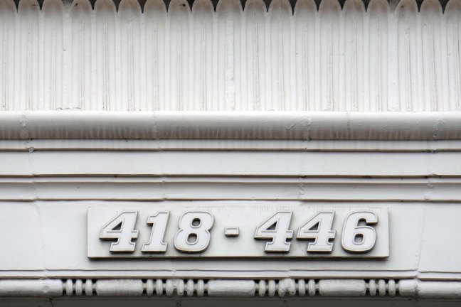
Rare sighting of a Profil aka Stymie Bold Italic hyphen.
Designed by brothers Max and Eugen Lenz and first cast by Haas in 1947.
The front elevation was originally in red brick, with a later faience facade applied.
Veno’s a stalled and cursed development. In 1925 William Henry Veno sold his company for £500,000, a decision he later rued. He sought to enhance his million pound fortune but lost everything through speculative investments and the 1929 Depression. He shot himself at his home during a fit of impulsive insanity.
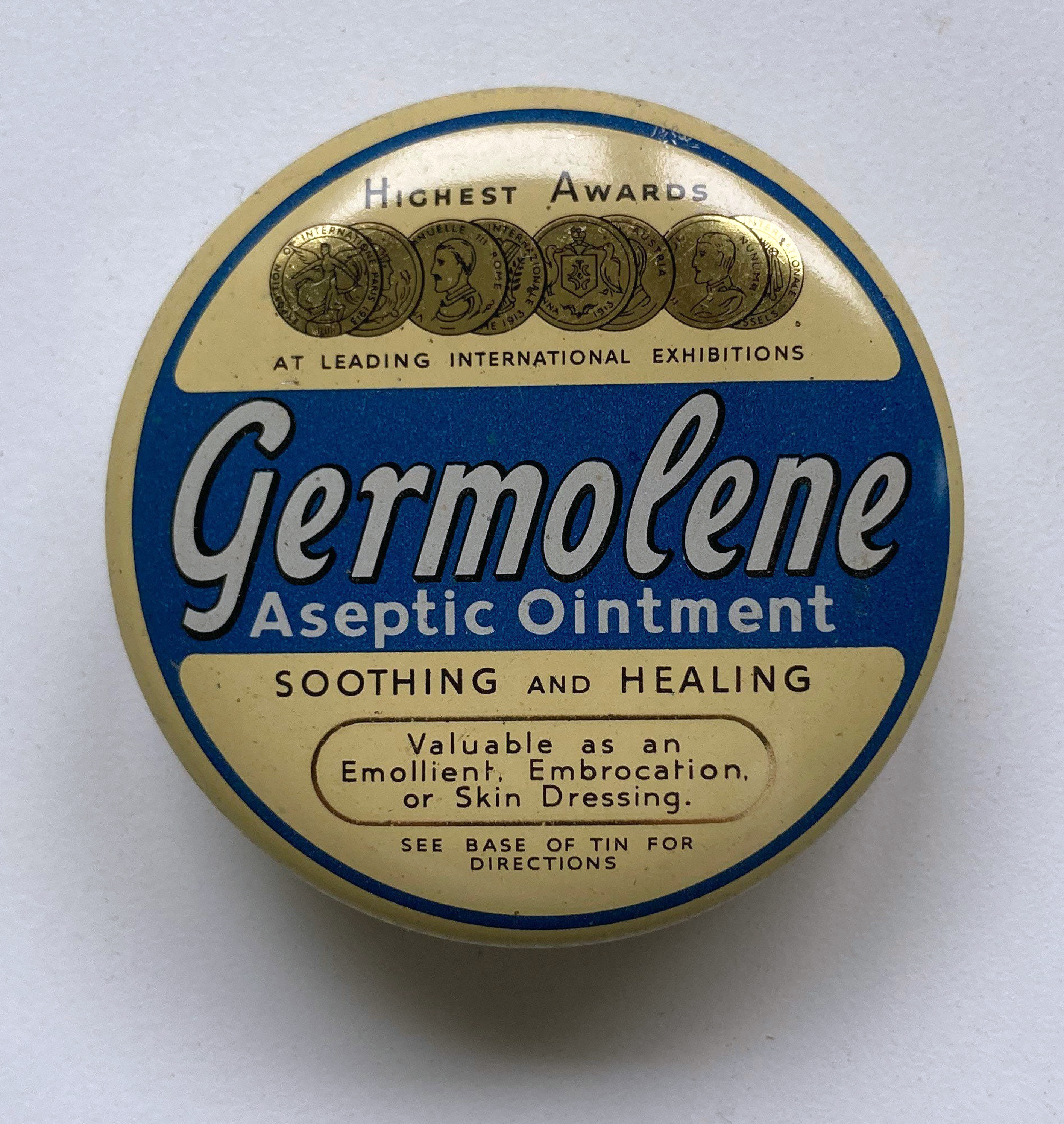
It was also the home of Germolene, a thick antiseptic ointment with a distinctive pink colour and scented with oil of wintergreen
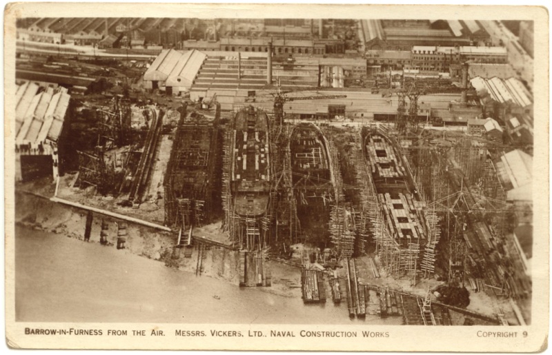
Following the rapid growth of the town of Barrow-in-Furness, the construction of the Furness Railway following the discovery of deposits of iron ore in the Furness peninsular, and the development of industries using iron as a raw material resulted in many commissions for the practice – the population of Barrow doubled between 1851 and 1861, and doubled again in the next decade.
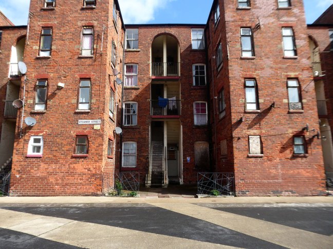
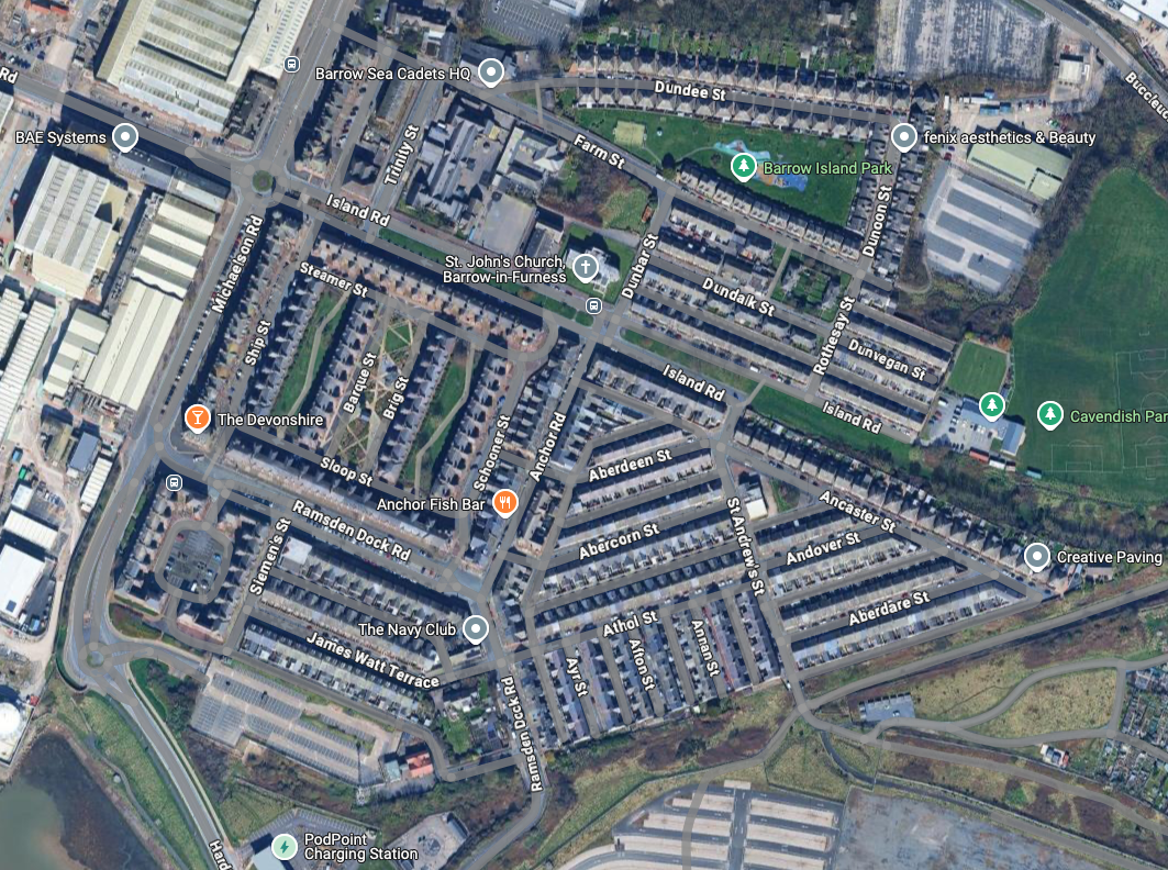
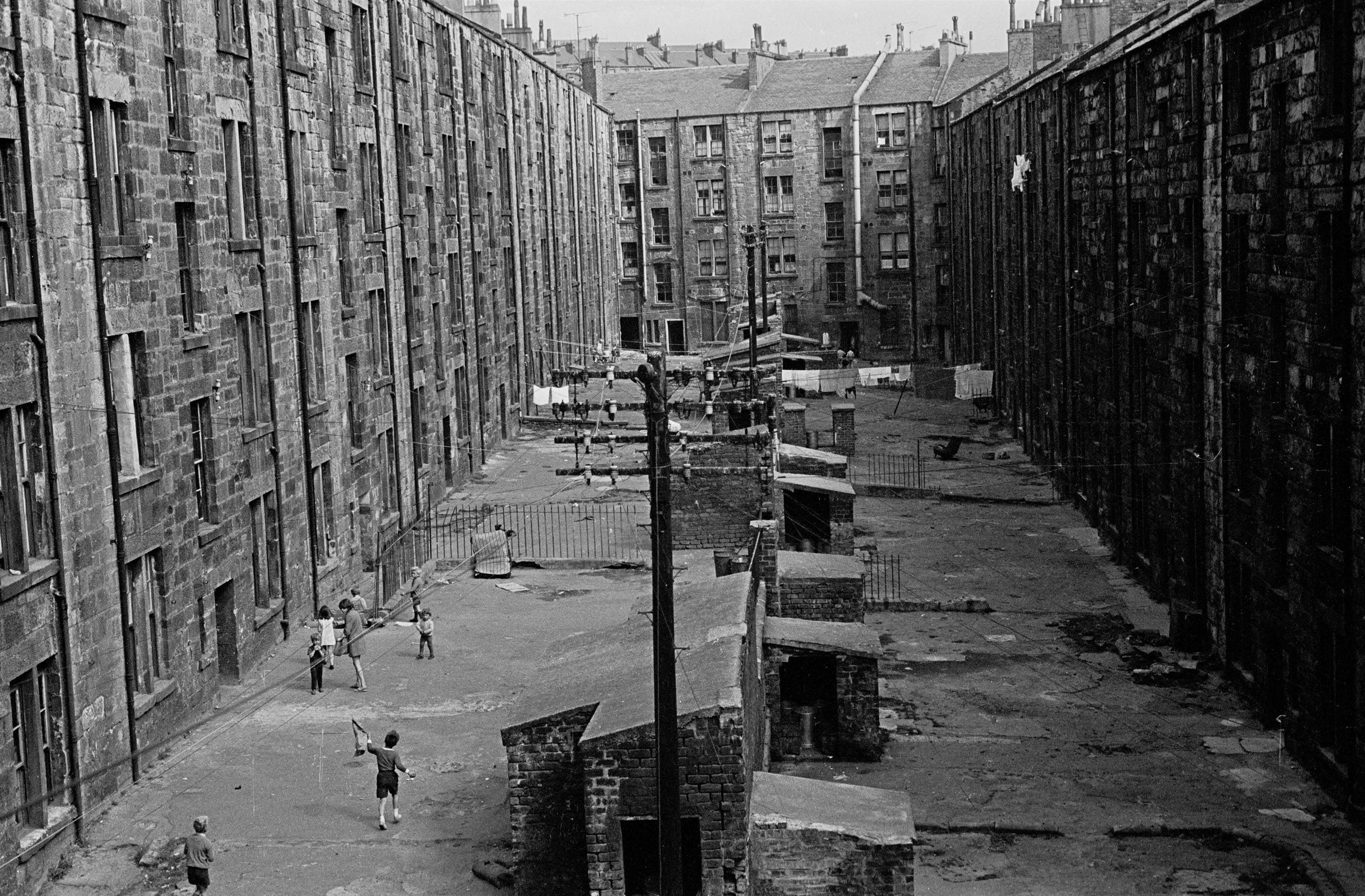
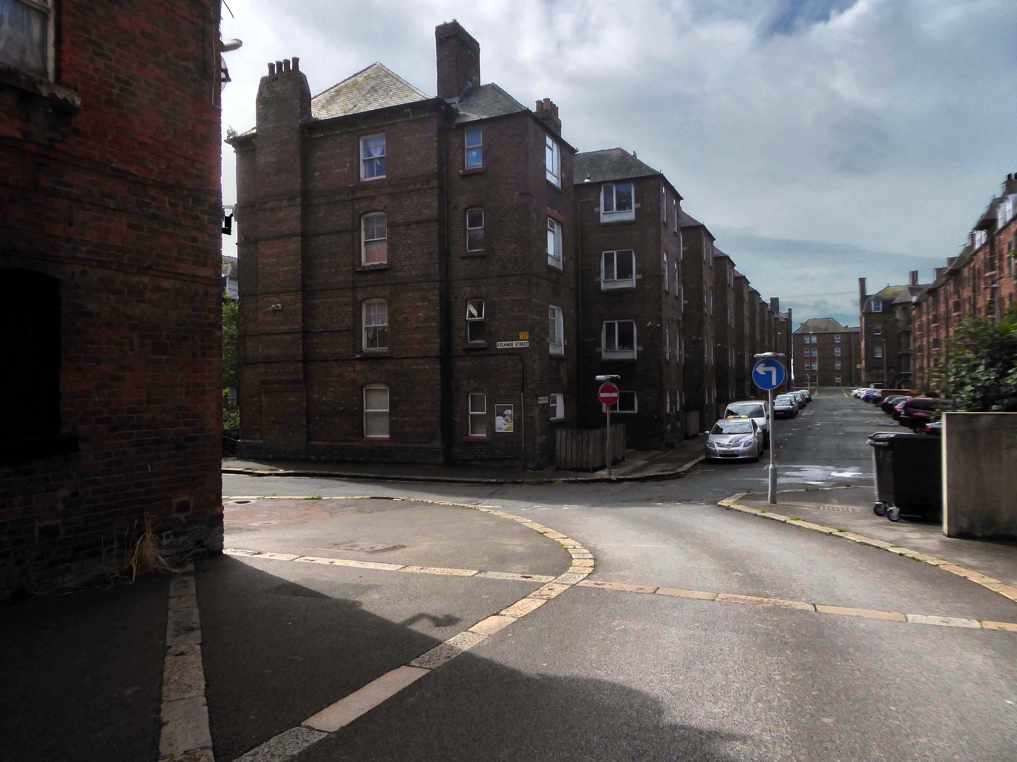
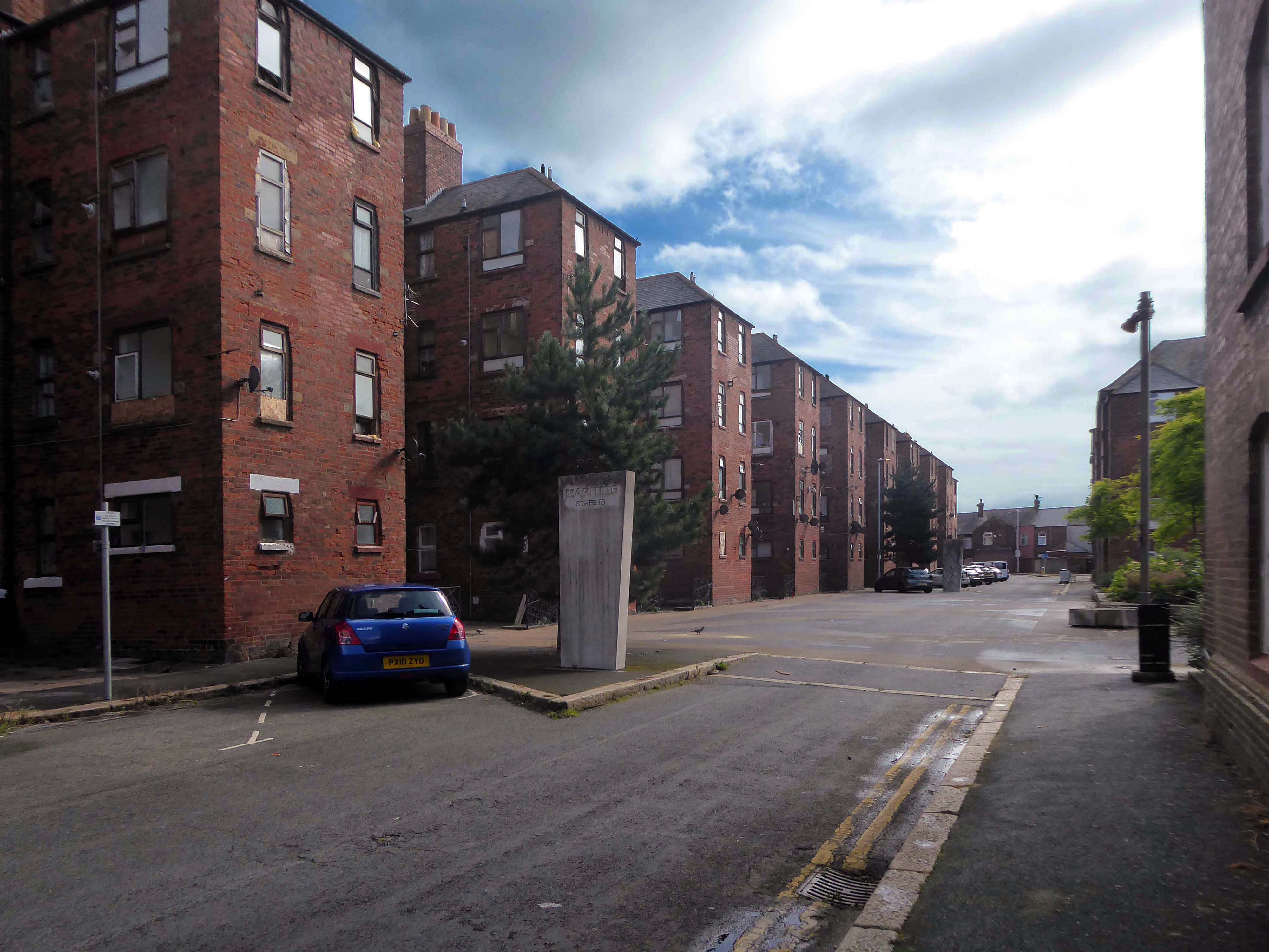
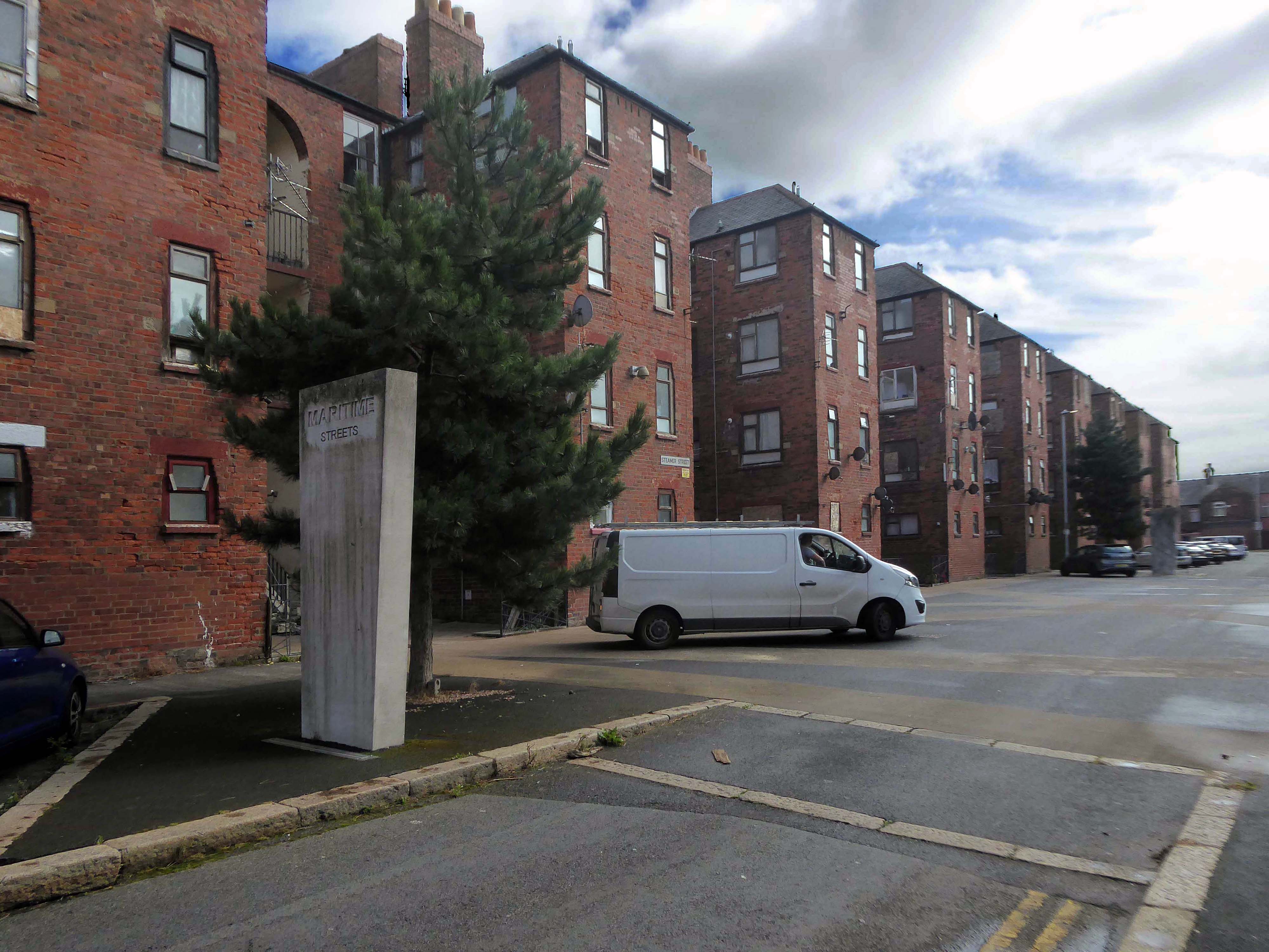
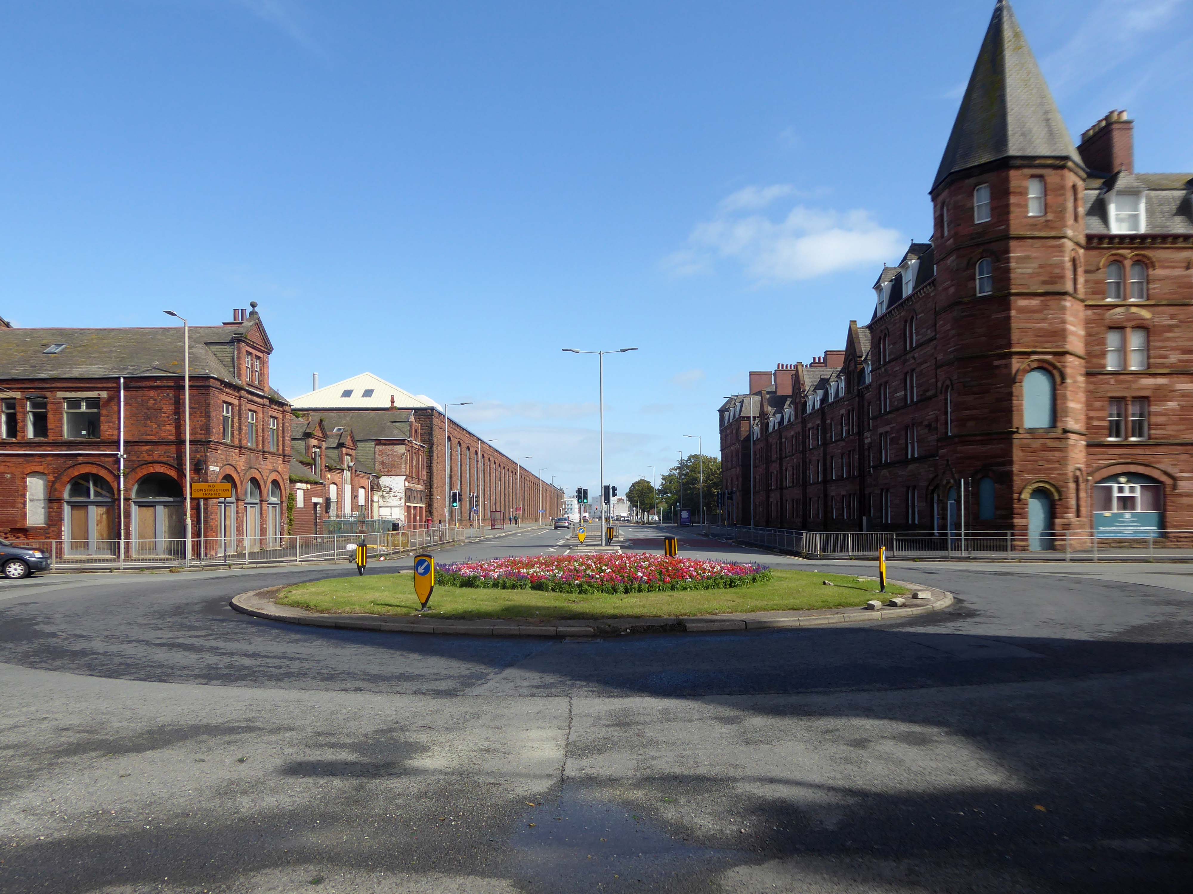
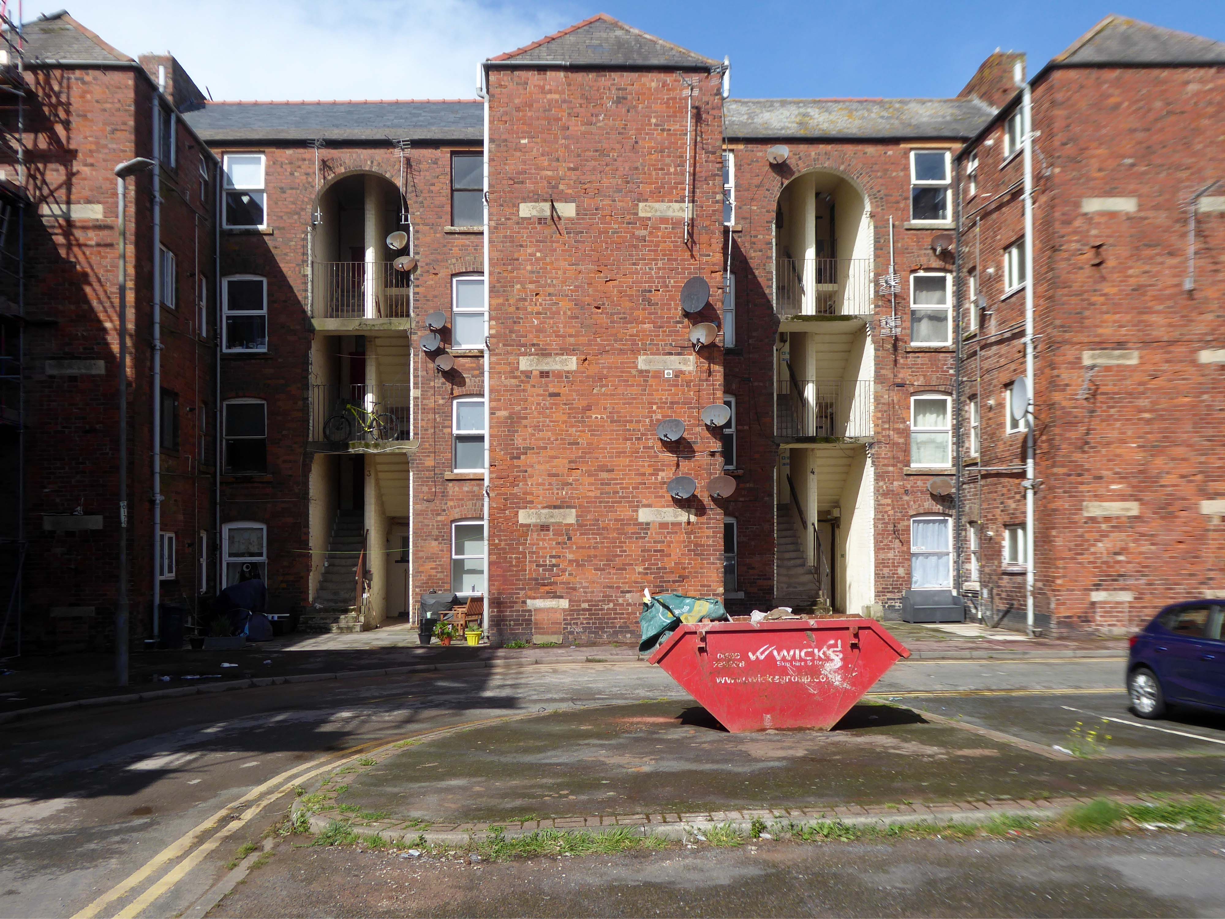
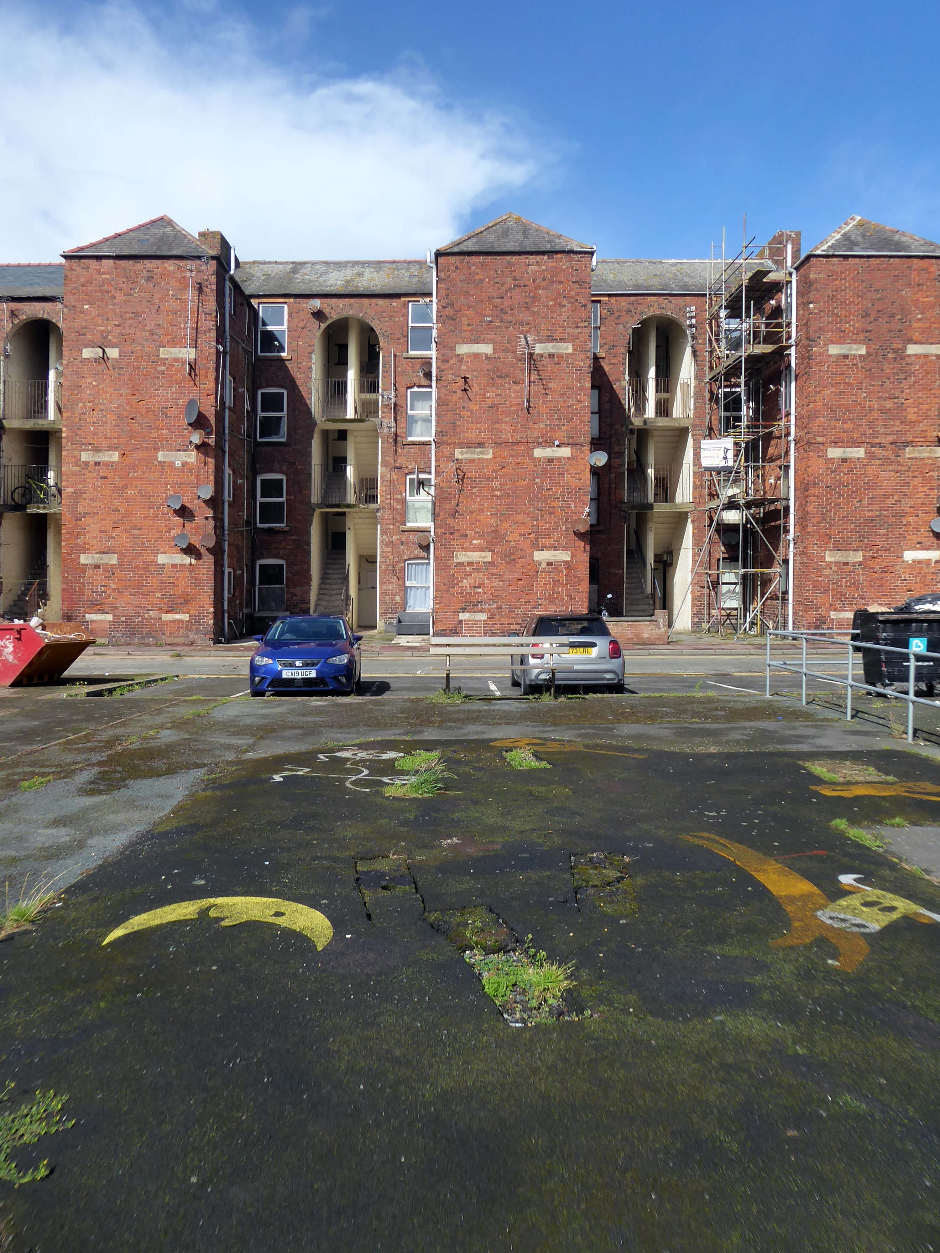
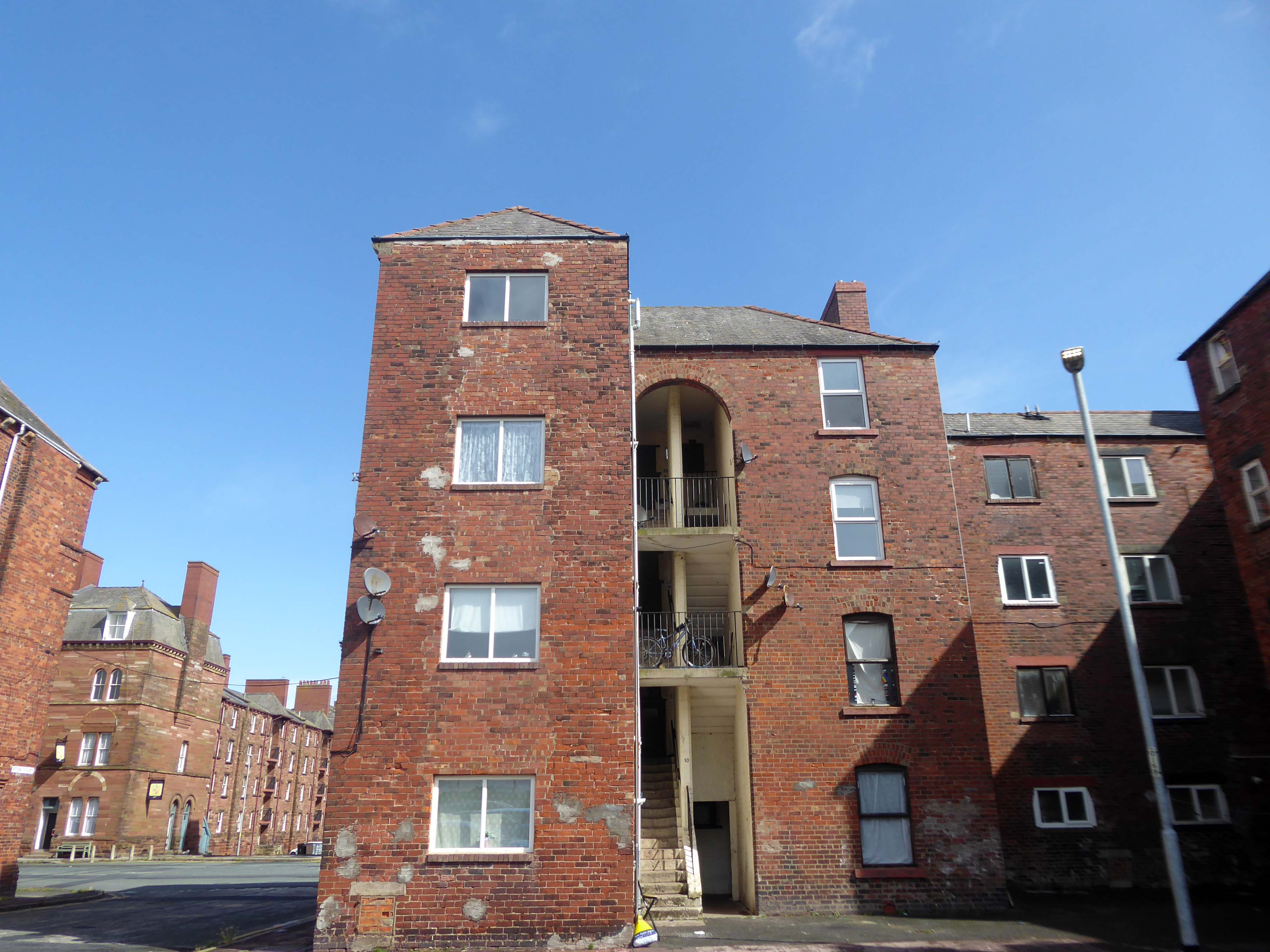
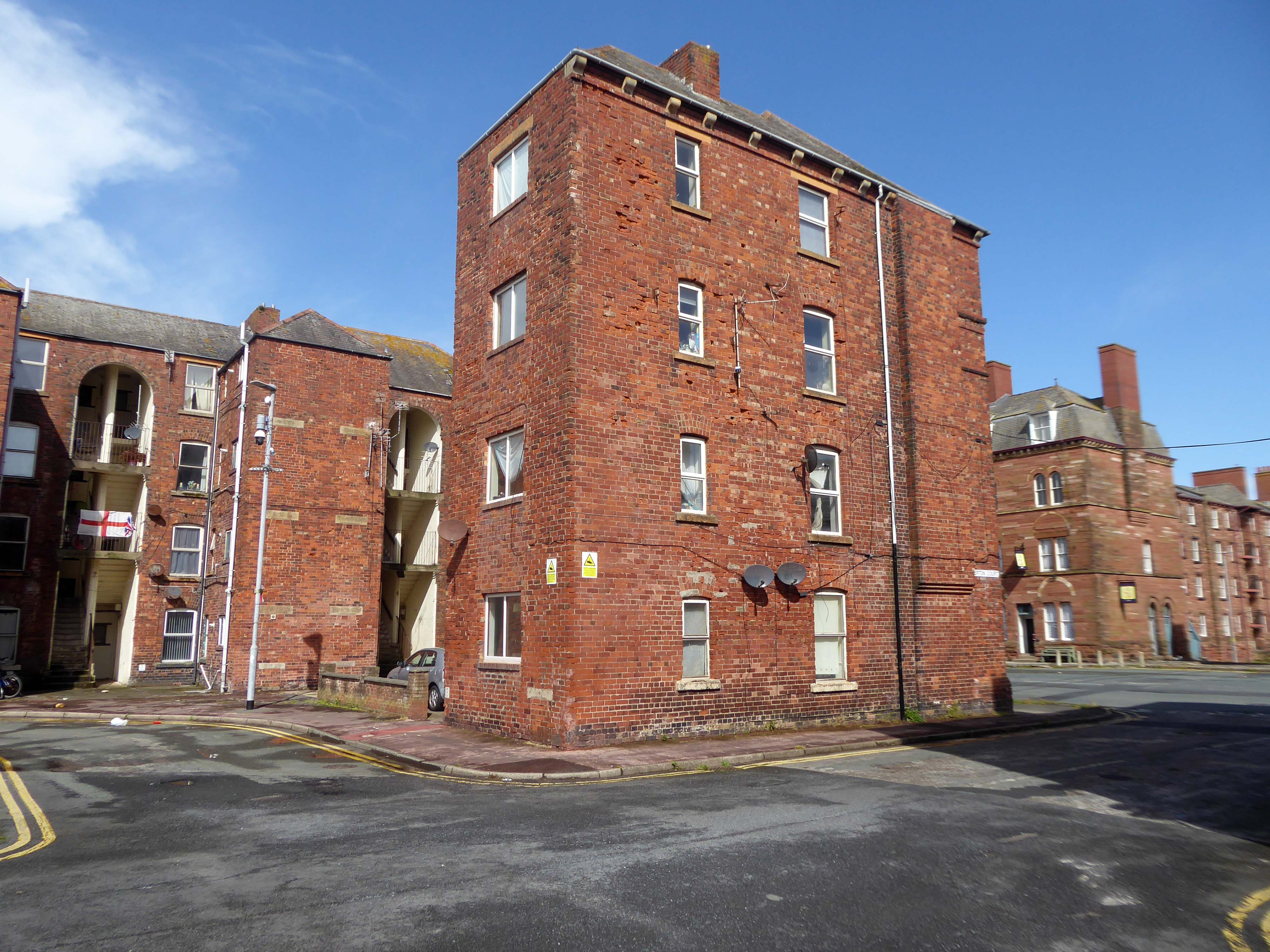
There’s a tight knit group of roads, where the housing is redolent of Scottish tenements.
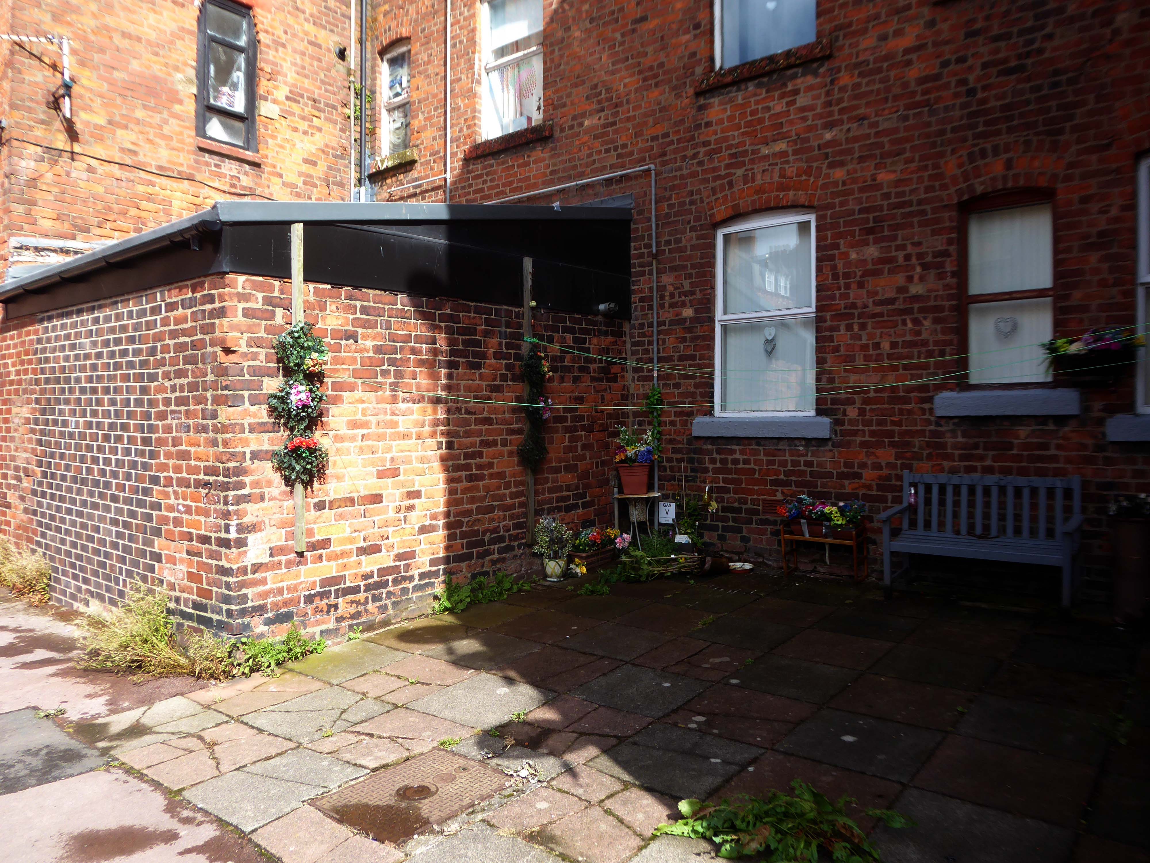
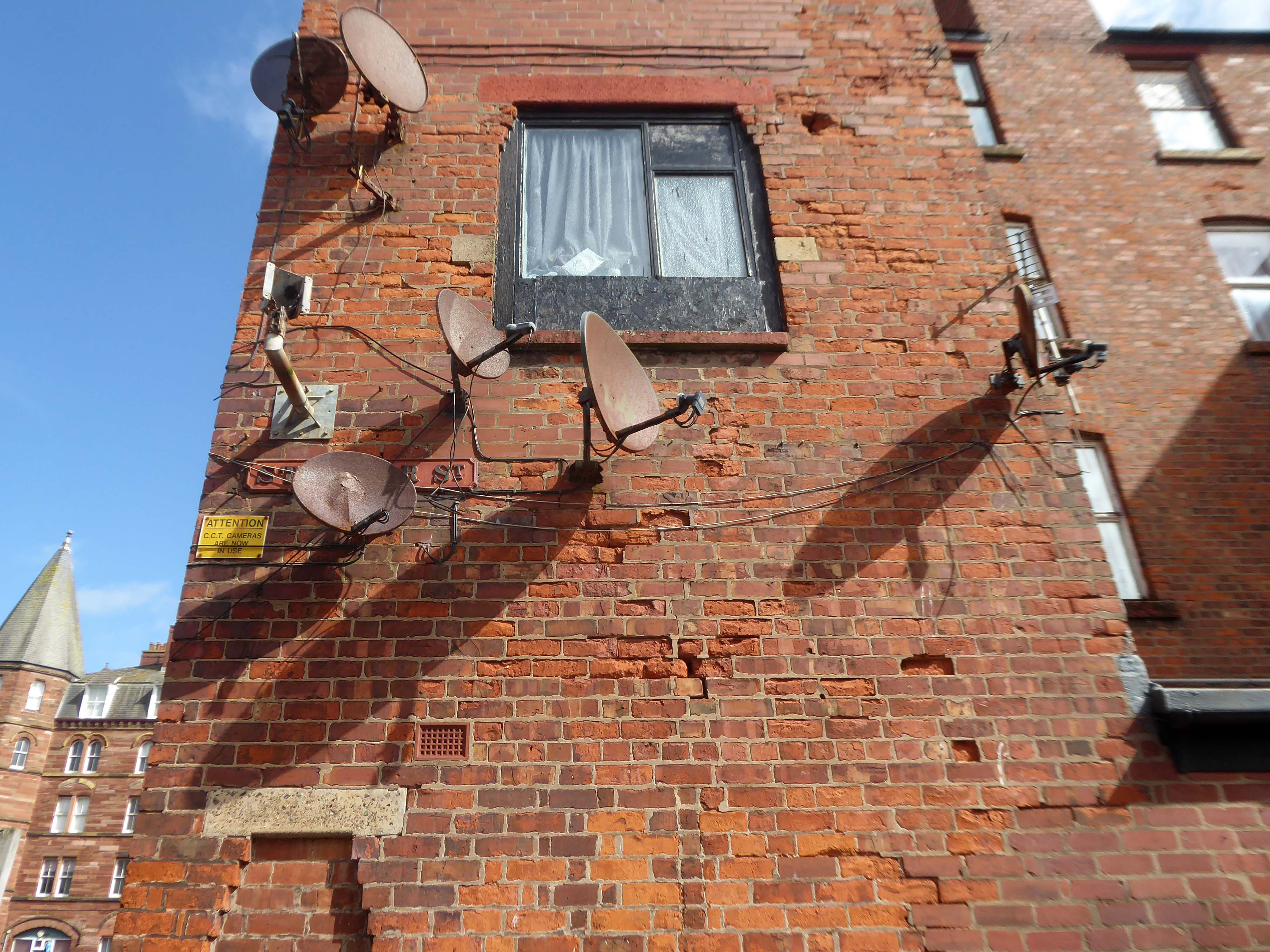
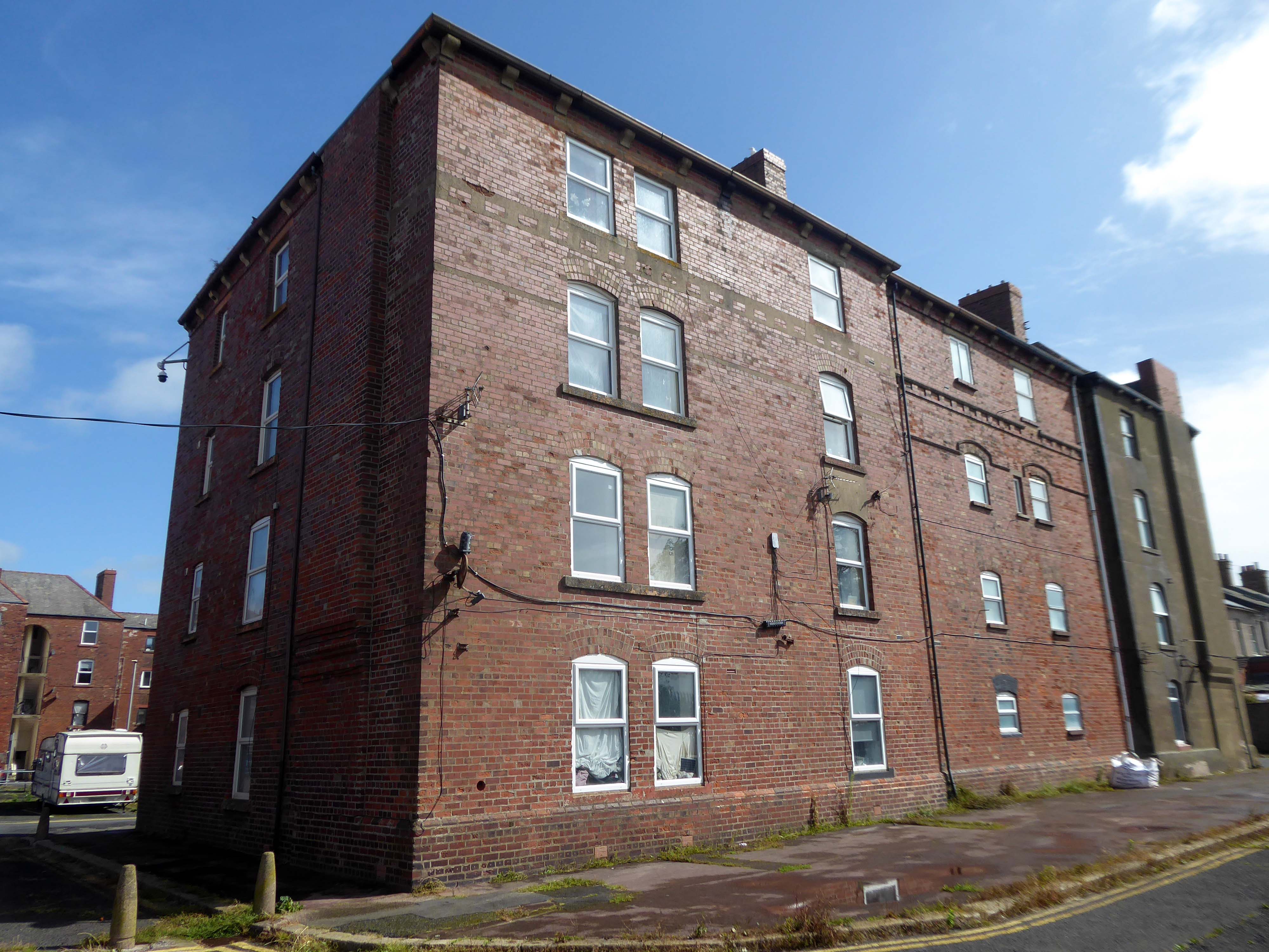
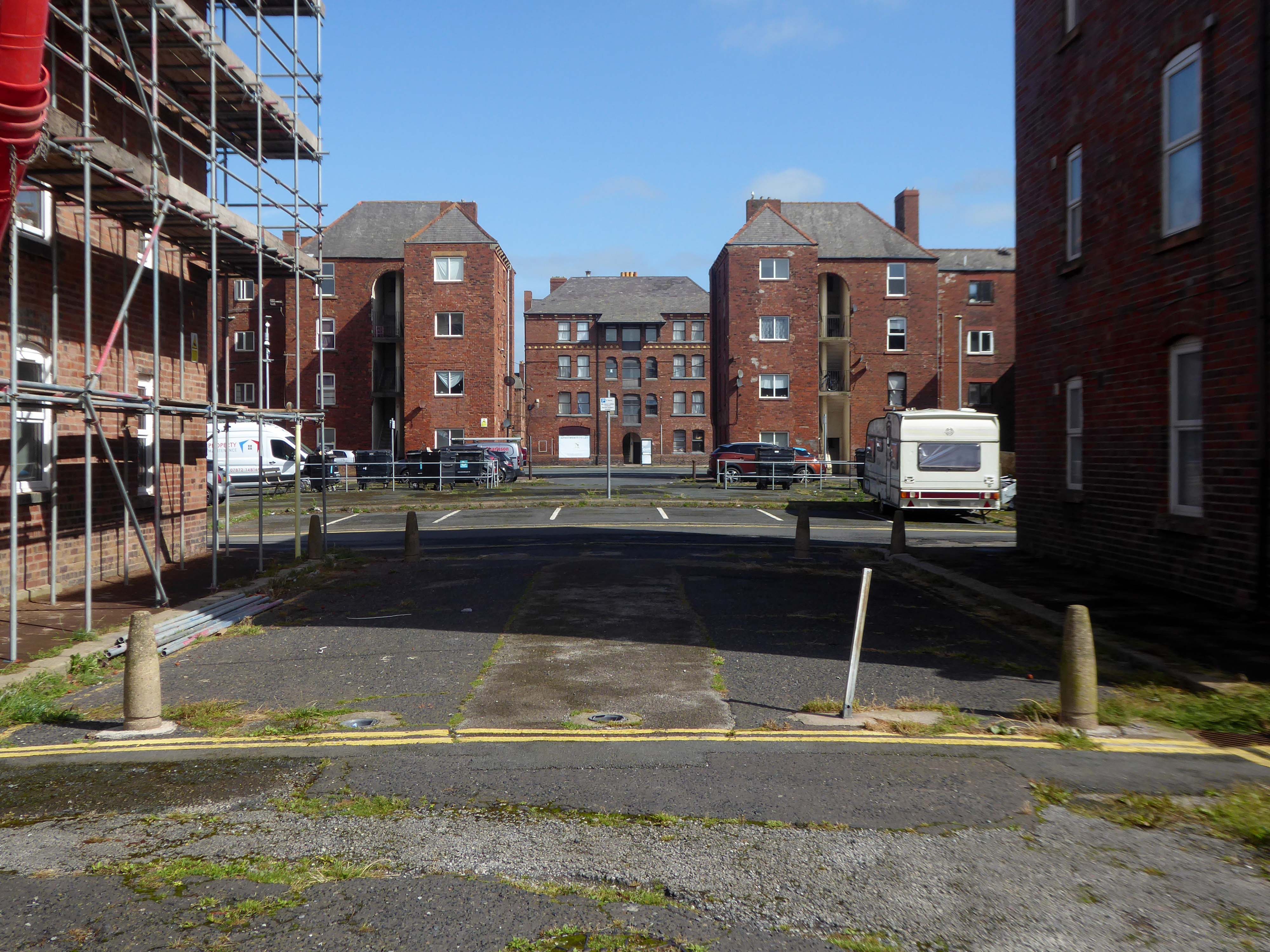
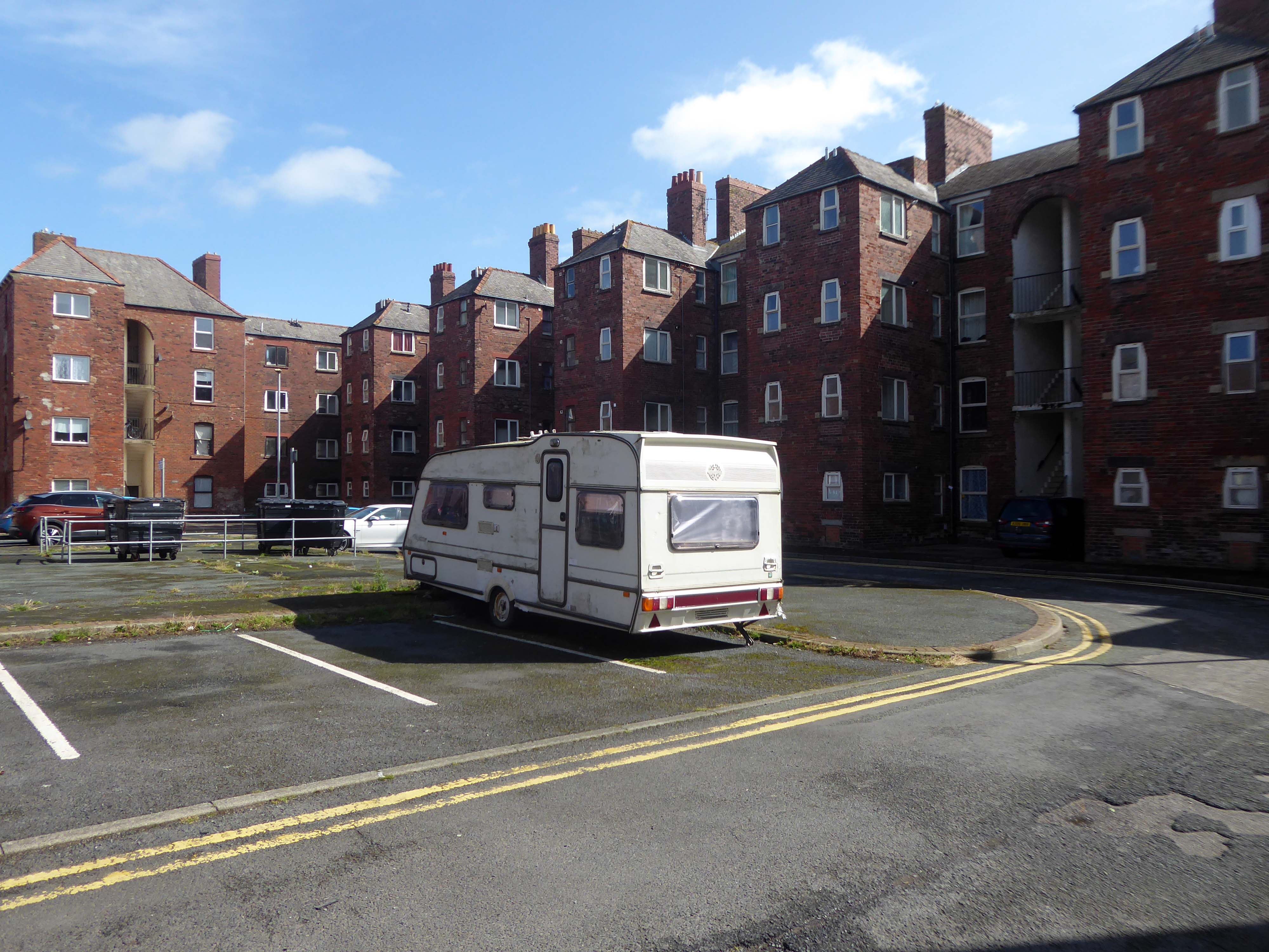
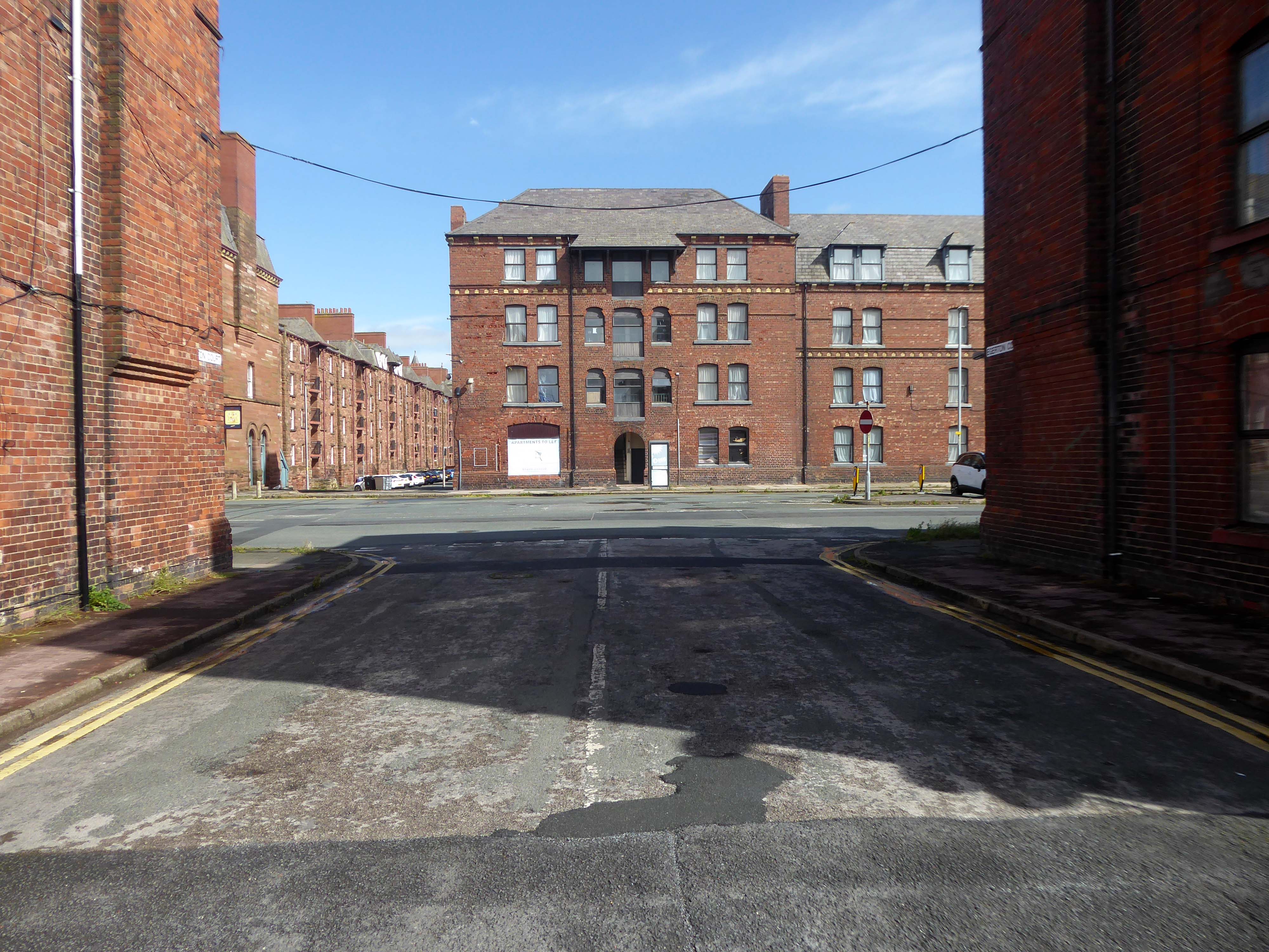
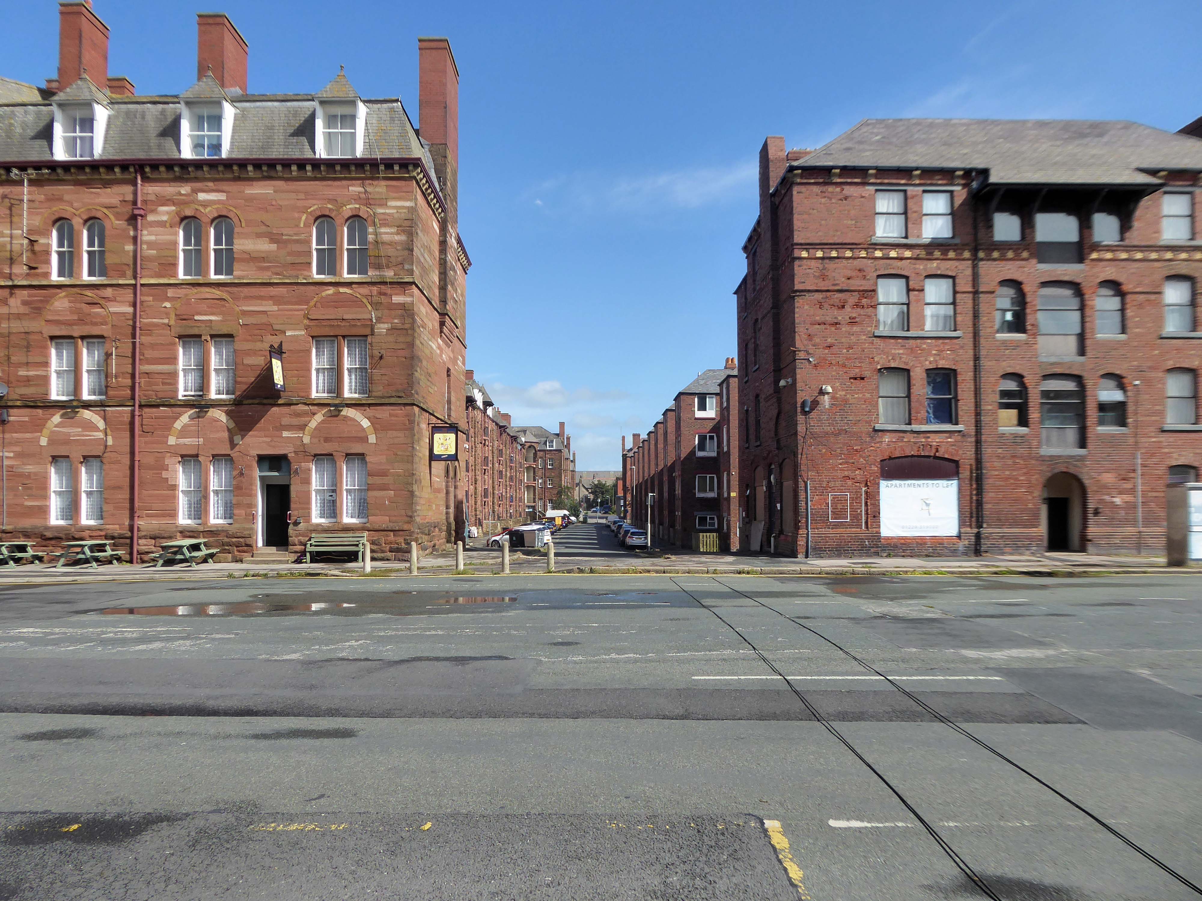
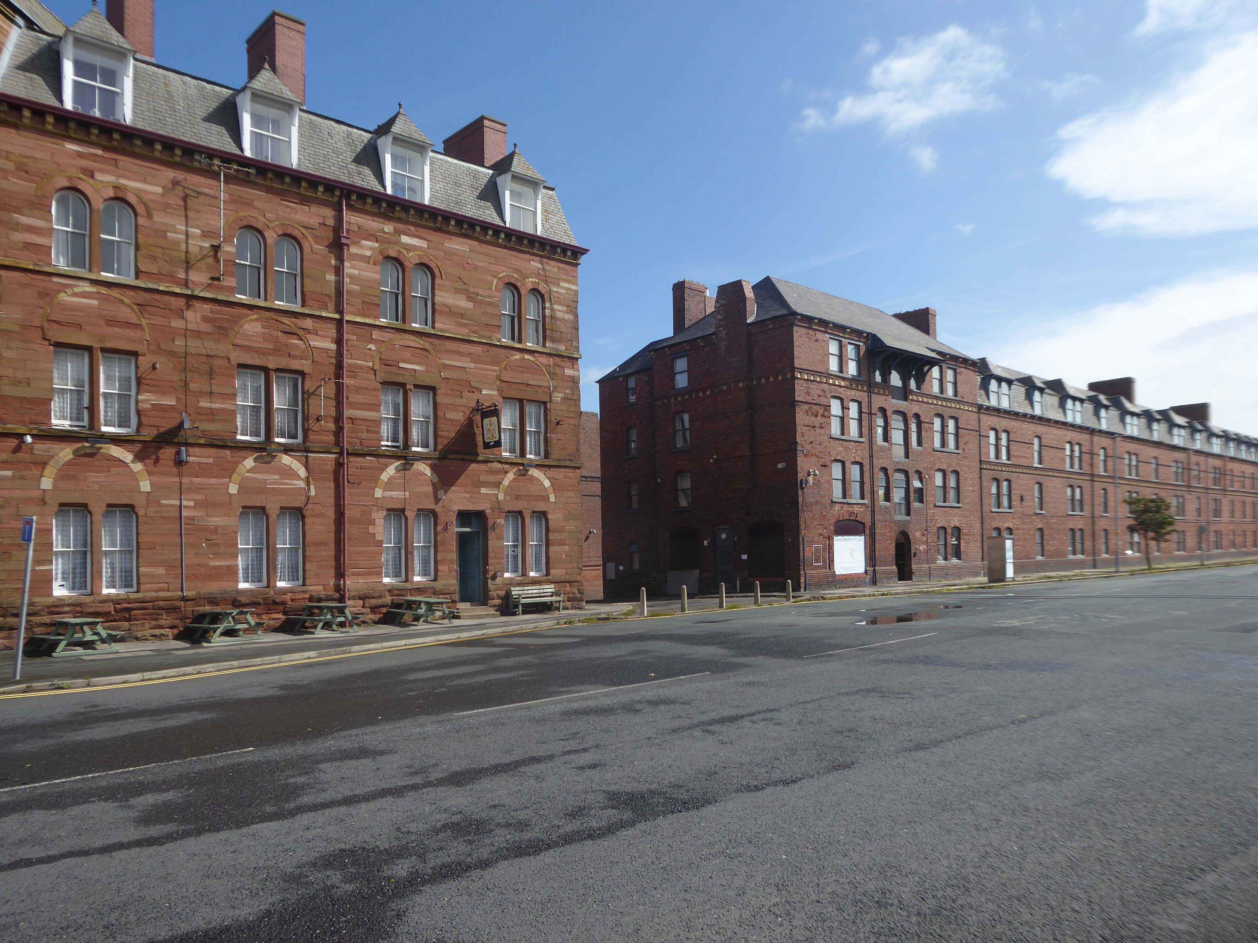
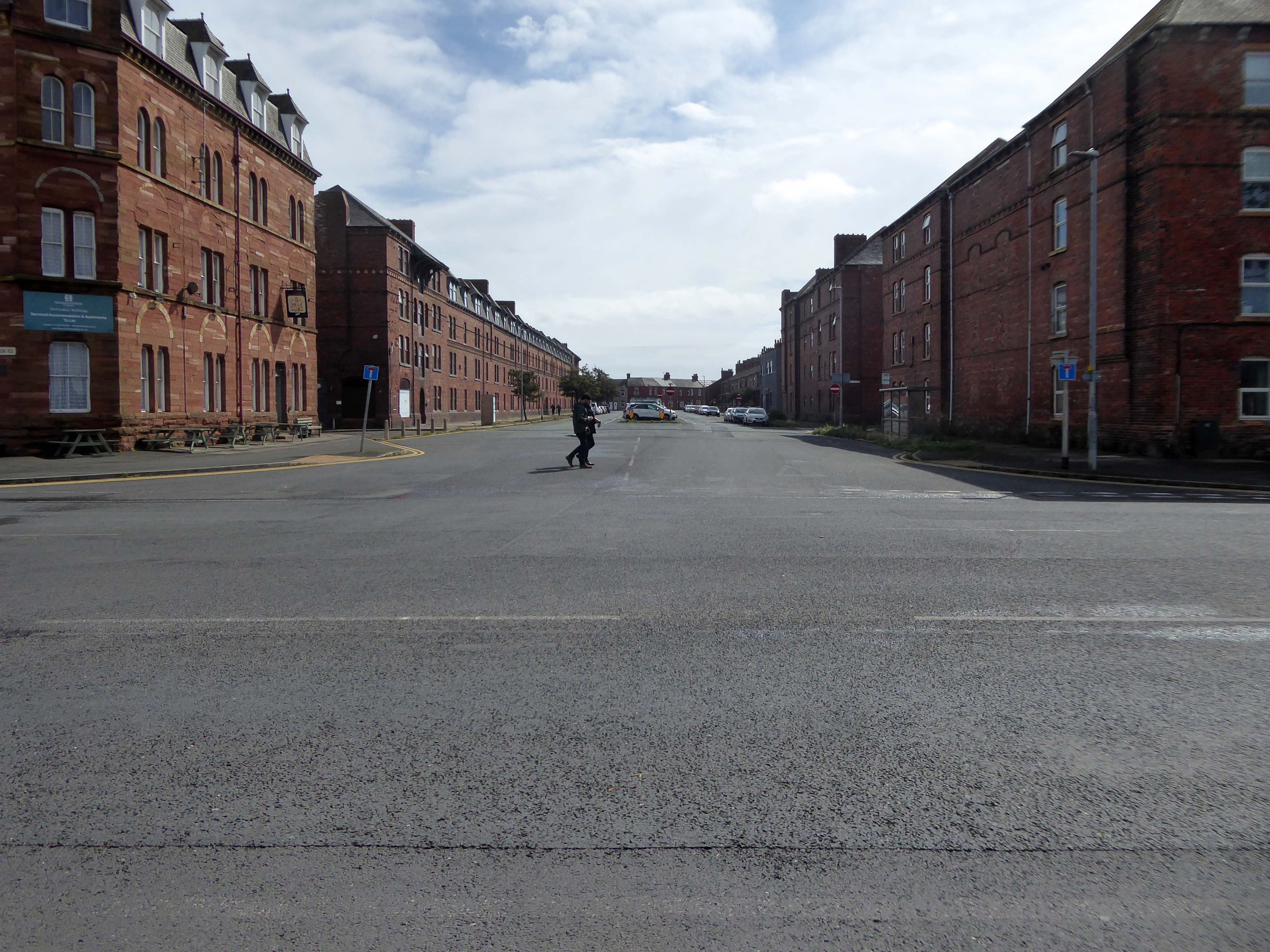
These are the Ship Street Tenements brick built in 1881-84, for the Furness Railway Company, they are Grade II Listed.
Architects Paley and Austin of Lancaster, the main contractors Smith and Caird of Dundee.
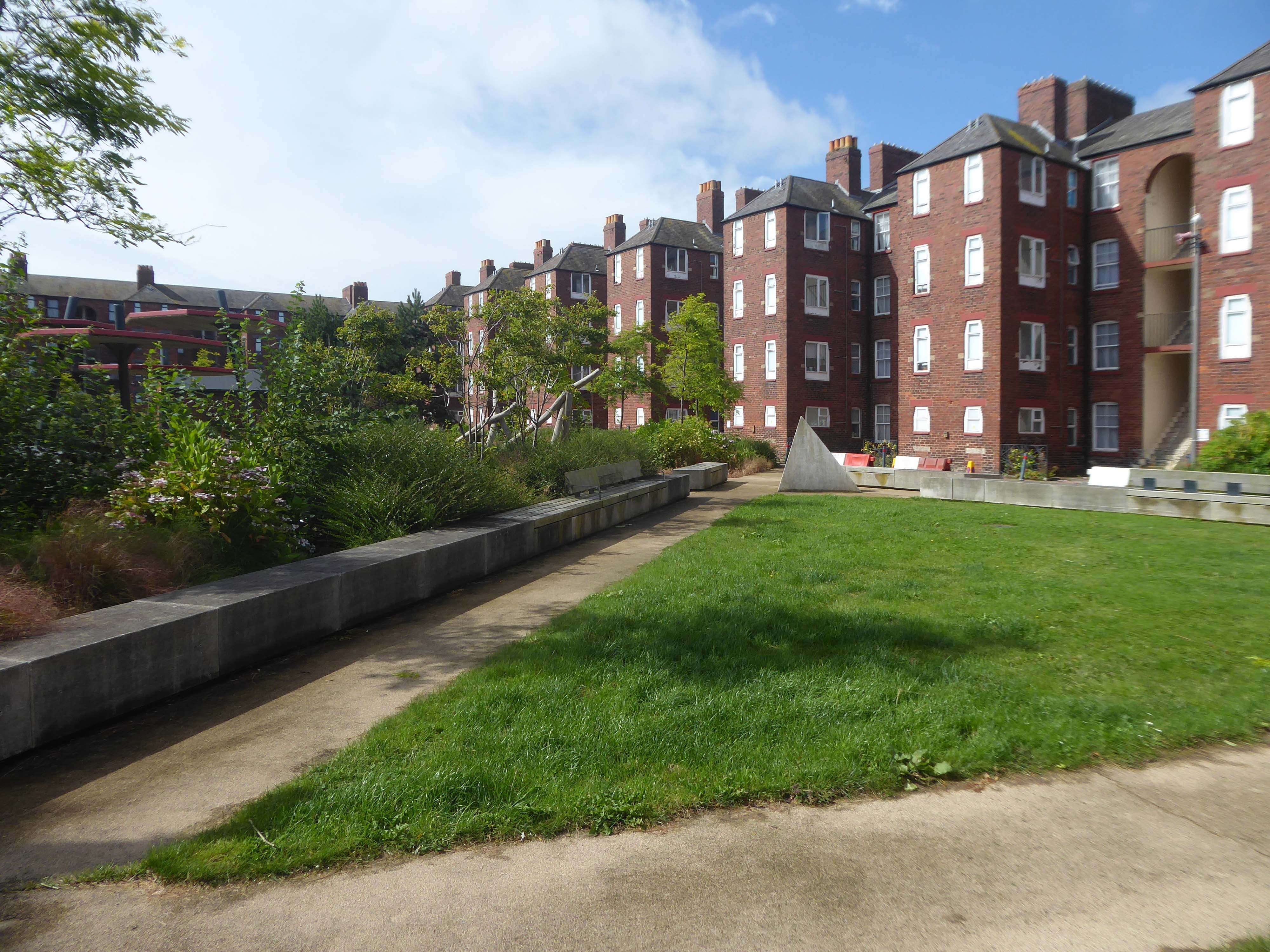
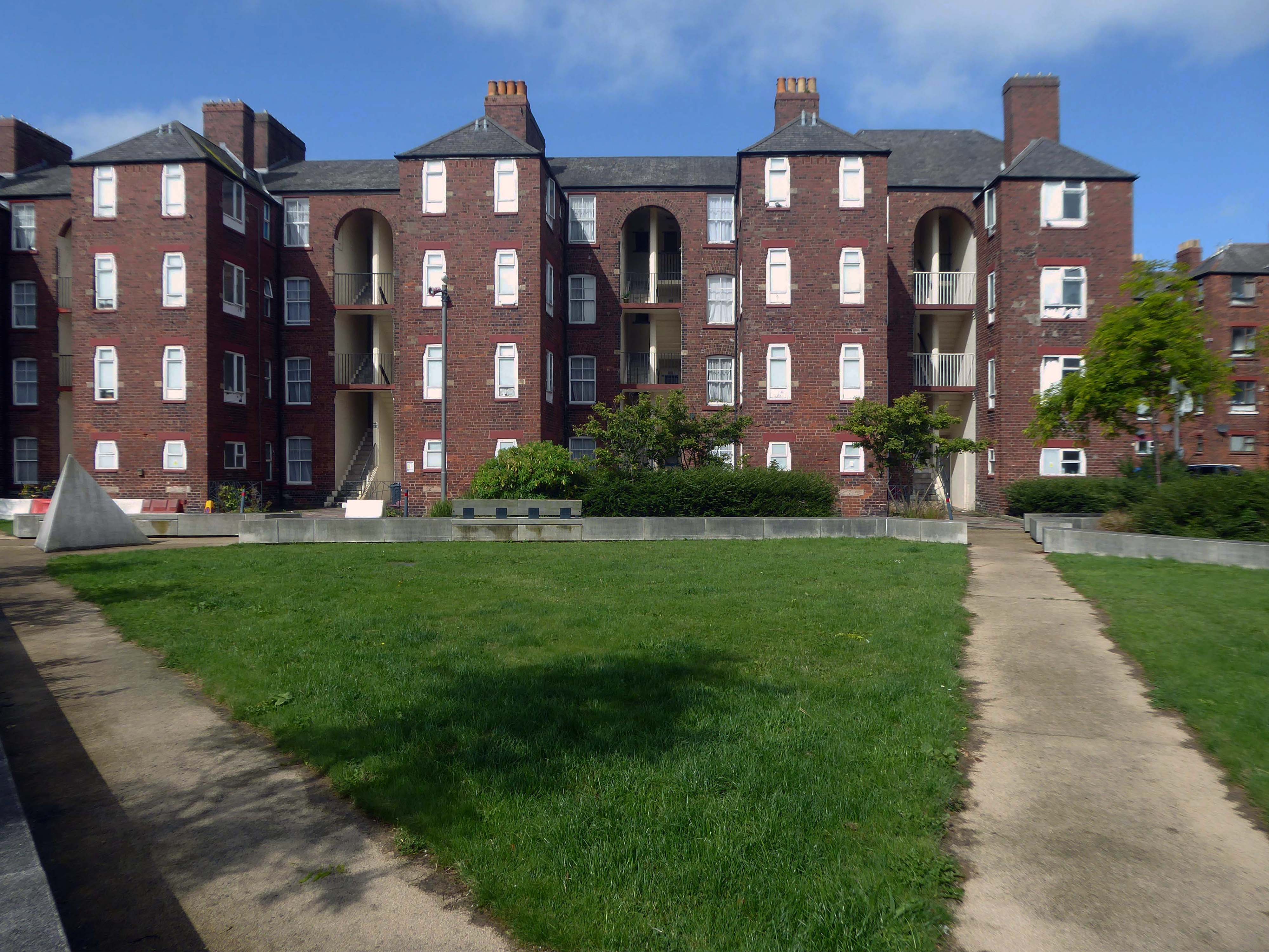
They provided accommodation for the families of employees in the Furness Railway Company’s nearby shipbuilding works, they consist of two identical four-storey blocks of nine tenements, making eighteen tenements in total.
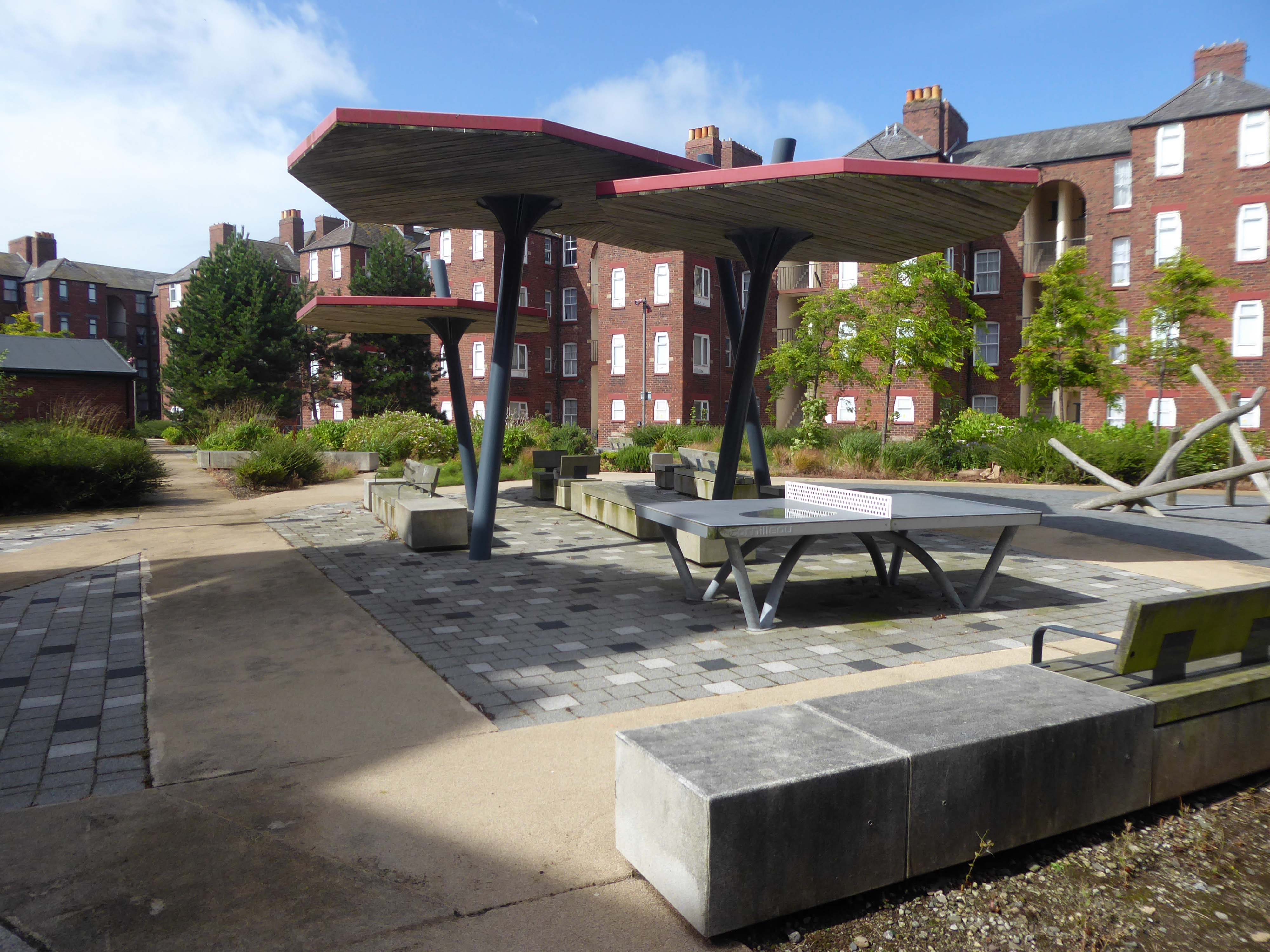
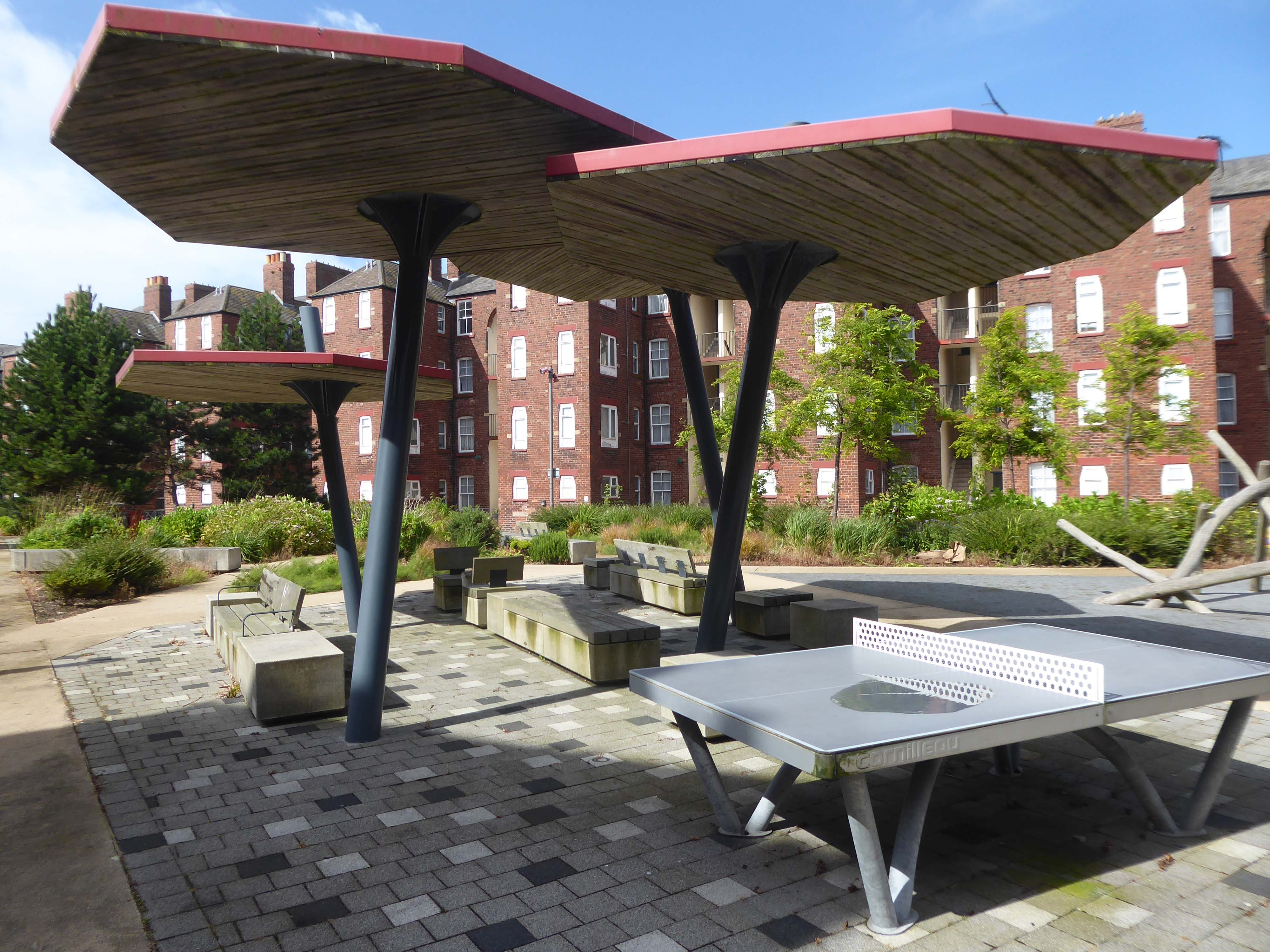
The area has been revitalised and improved in recent years and rebranded.
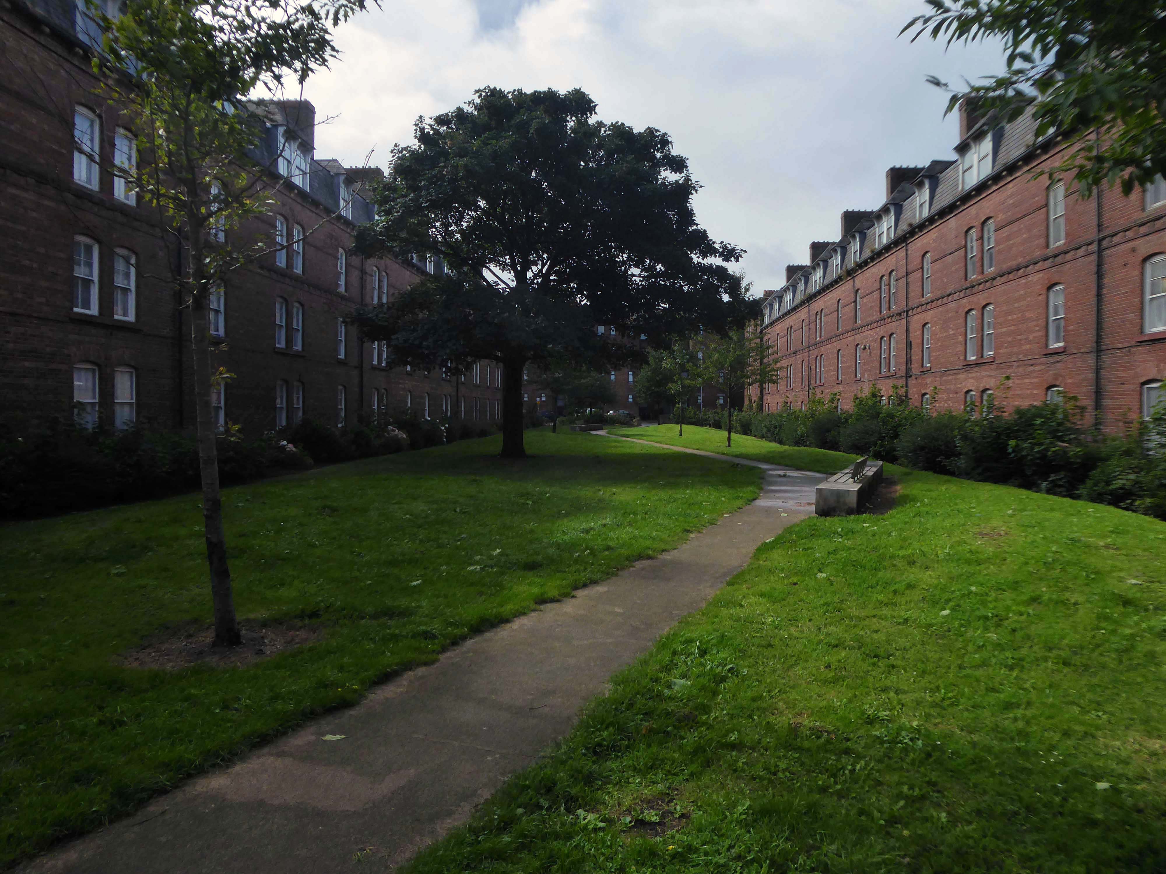
This beautiful and inviting public realm has acted as a catalyst for renewal of this neighbourhood in Barrow-in-Furness. The inspirational scheme won the award for Best Commercial Landscape Design at the Northern Design Awards in 2017 as well as winning the Adding Value Through Landscape award at the Landscape Institute Awards 2018 and it’s easy to see why.
The newly named Maritime Apartments are now advertised for short stays, demonstrating the increased desirability of the neighbourhood. Lisa Hart Pearce, Manager of Maritime Apartments has said: “The new landscape has transformed Maritime Streets, not only visually but holistically. People now have a happy, modern, green space to enjoy; full of colour and beauty. There is no doubt in my mind that the wellbeing of the local community has been positively encouraged by the regeneration of the area and I hope it will continue through generations.”
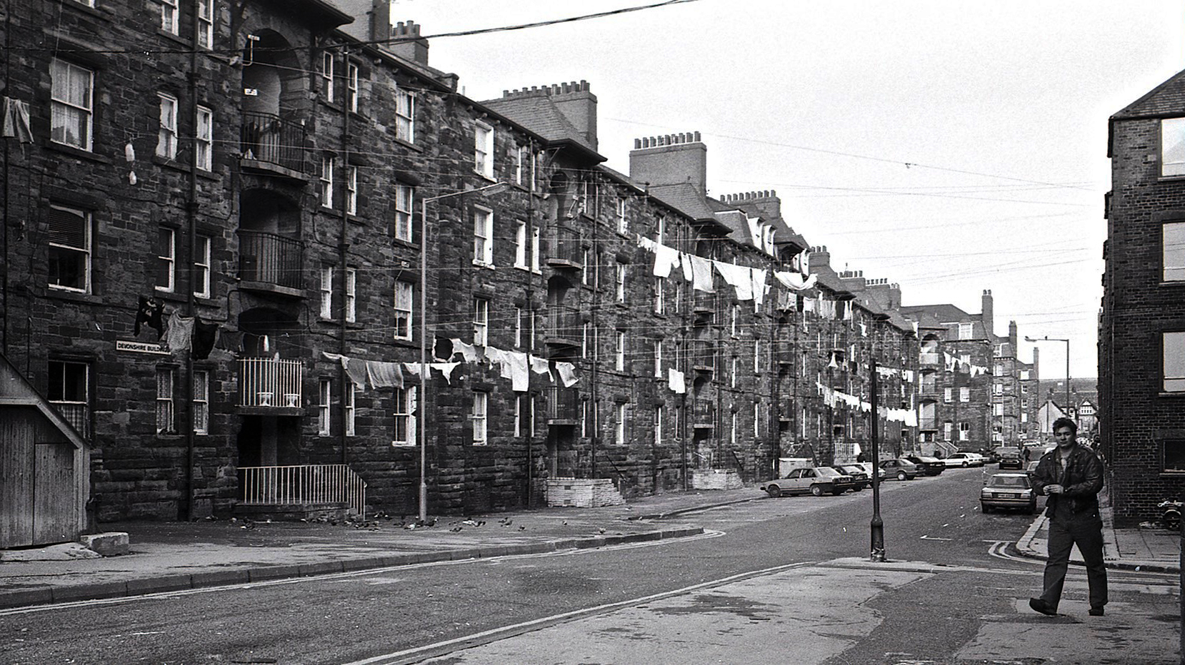
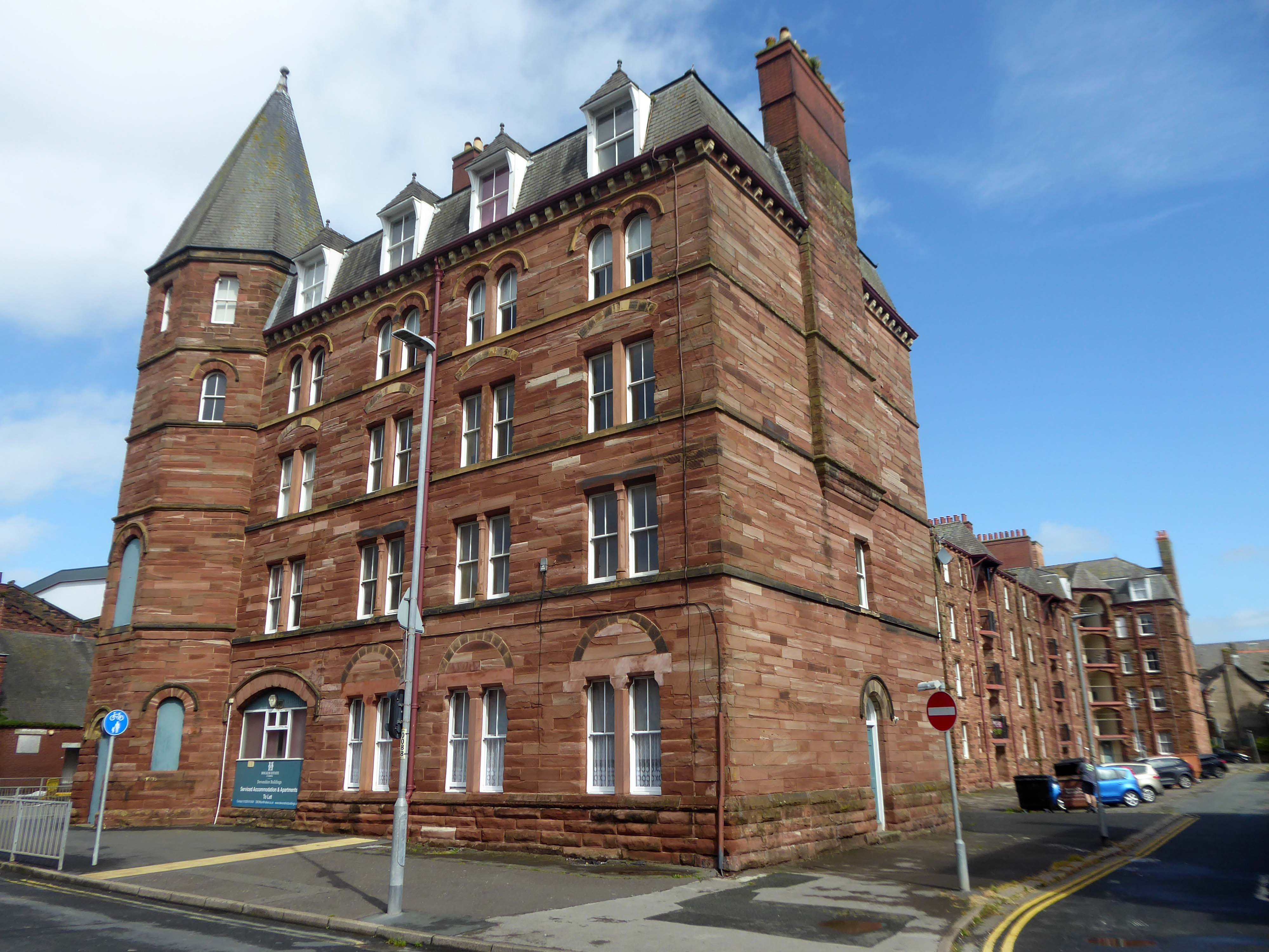
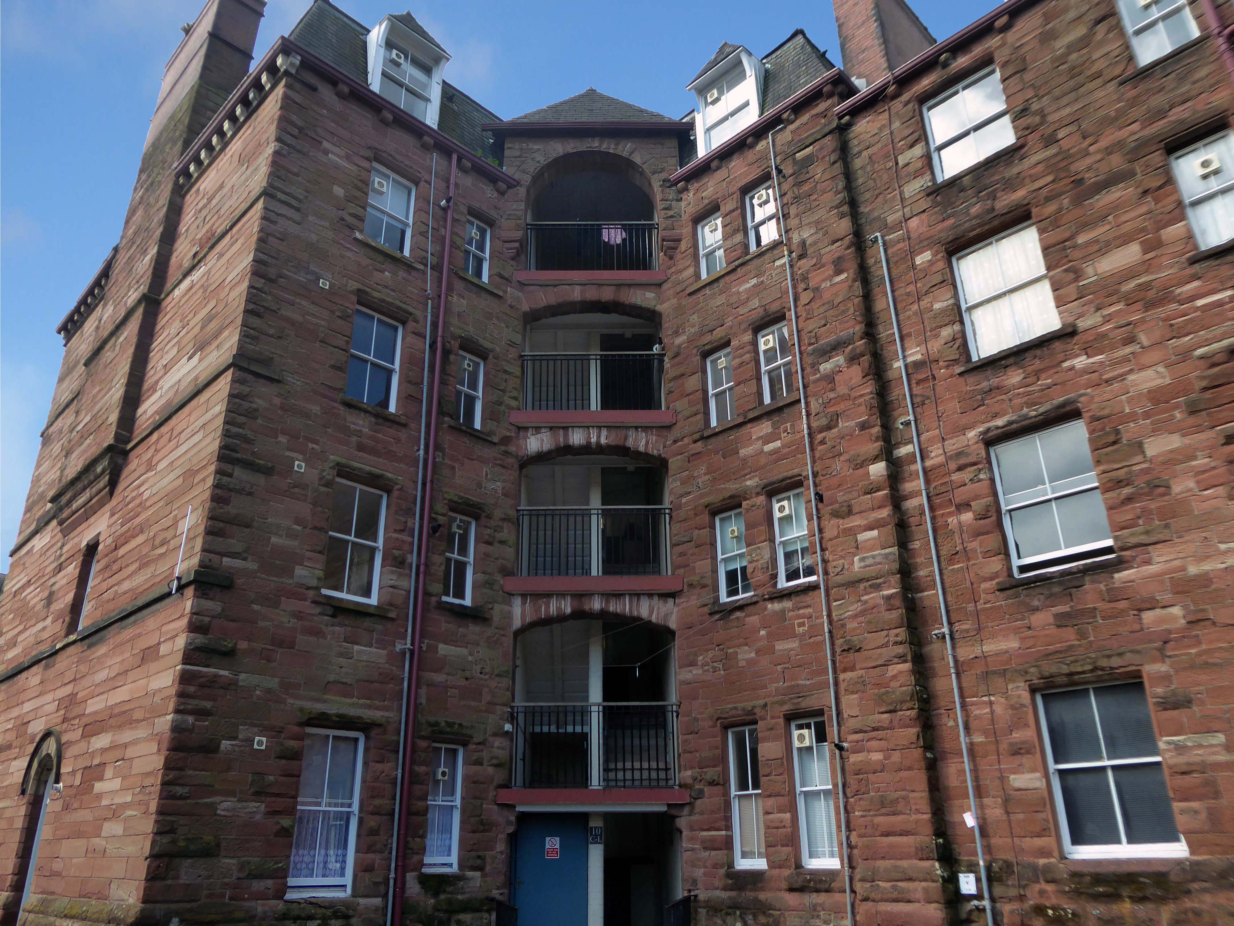
Next door are the adjacent sandstone Devonshire Buildings of old, constructed in the 1870s for the Barrow Iron Ship Building Company, by the Duke of Devonshire at a cost of £50,000, to house local shipyard workers, and recently refurbished by Holker Estate.
The buildings are currently for sale for offers in the region of £4,950,000.
Having once provided homes for the traditional shipbuilders, they now offer lets to the employers of BAE Systems.
Home to our pioneering Submarines Academy for Skills and Knowledge, Barrow-in-Furness is a hub for learning and innovation. We’re not just building the next generation of nuclear submarines here. We’re developing the next generation of engineering talent.
We’re always looking for talented individuals to join our team in Barrow-in-Furness. Whether you’re looking to start your career, or you’re an experienced professional looking for a new challenge, we might have a job for you.
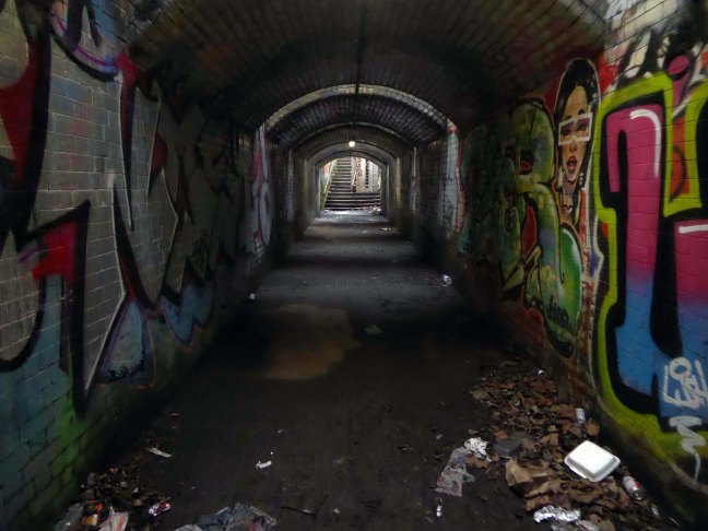
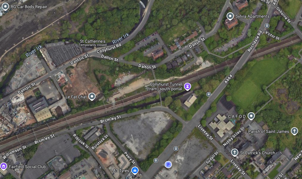
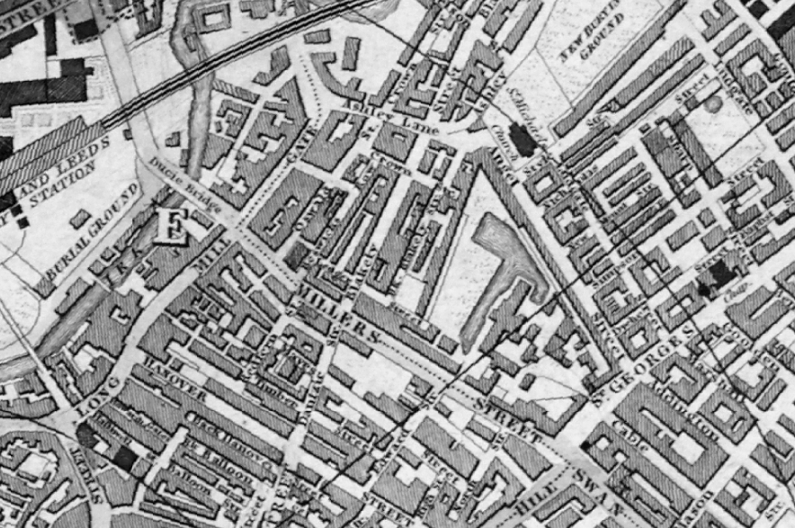
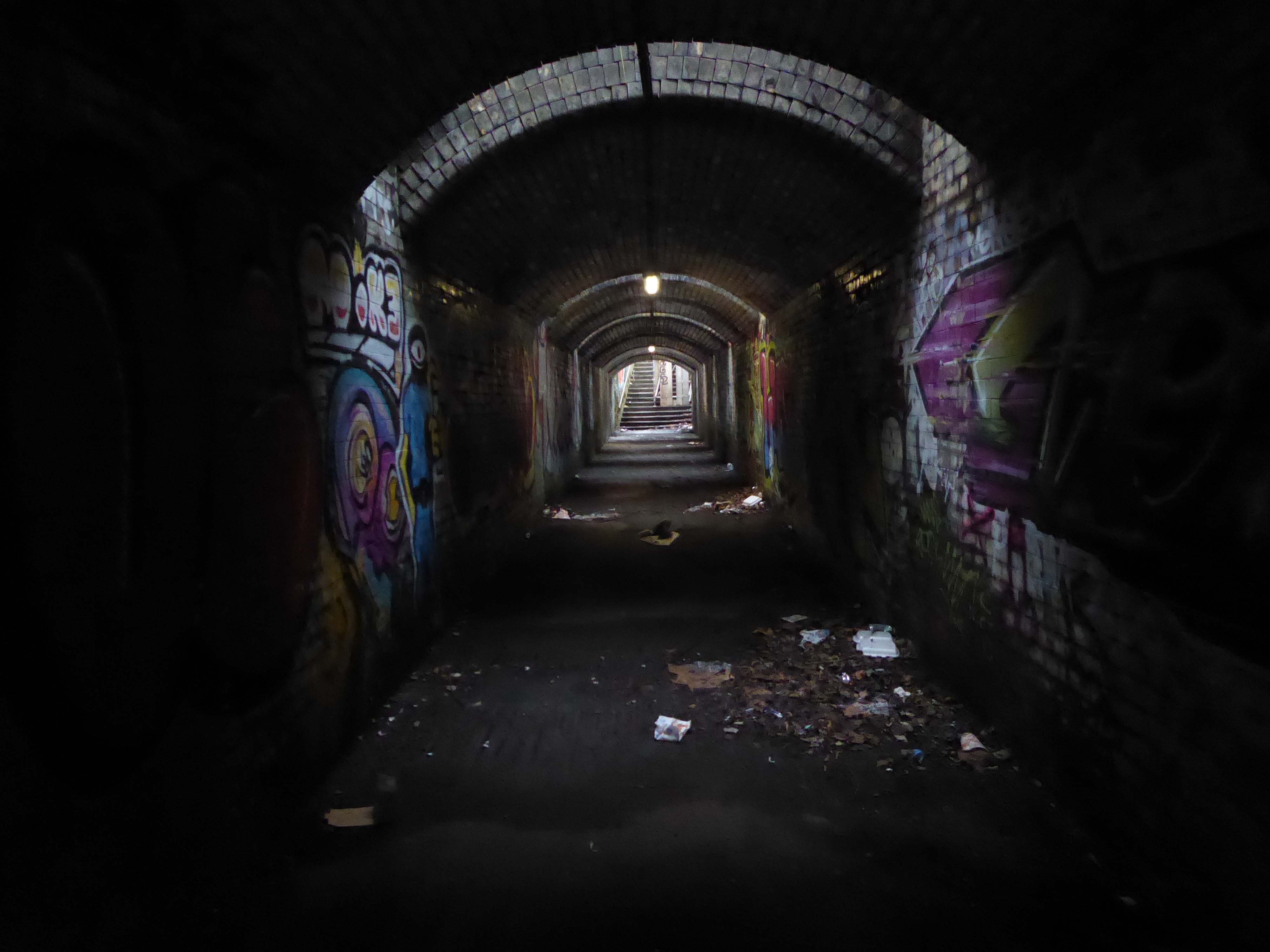
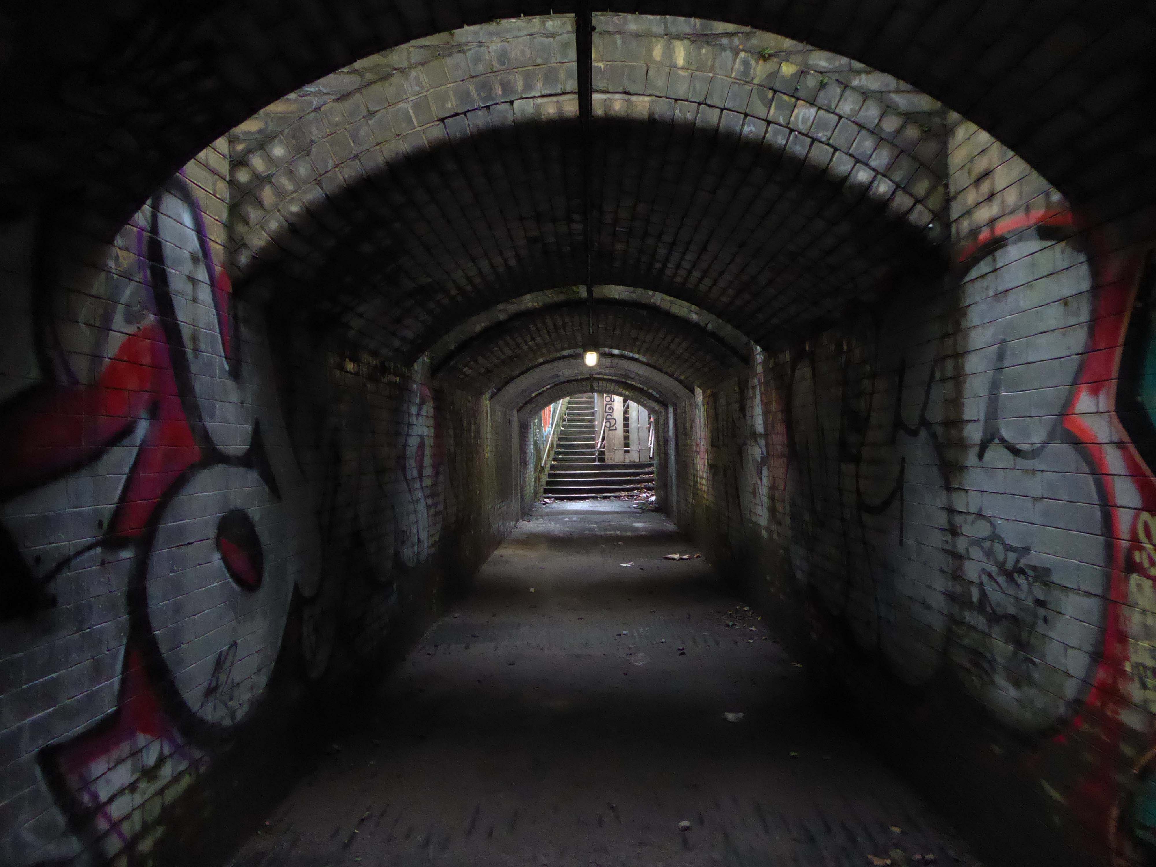
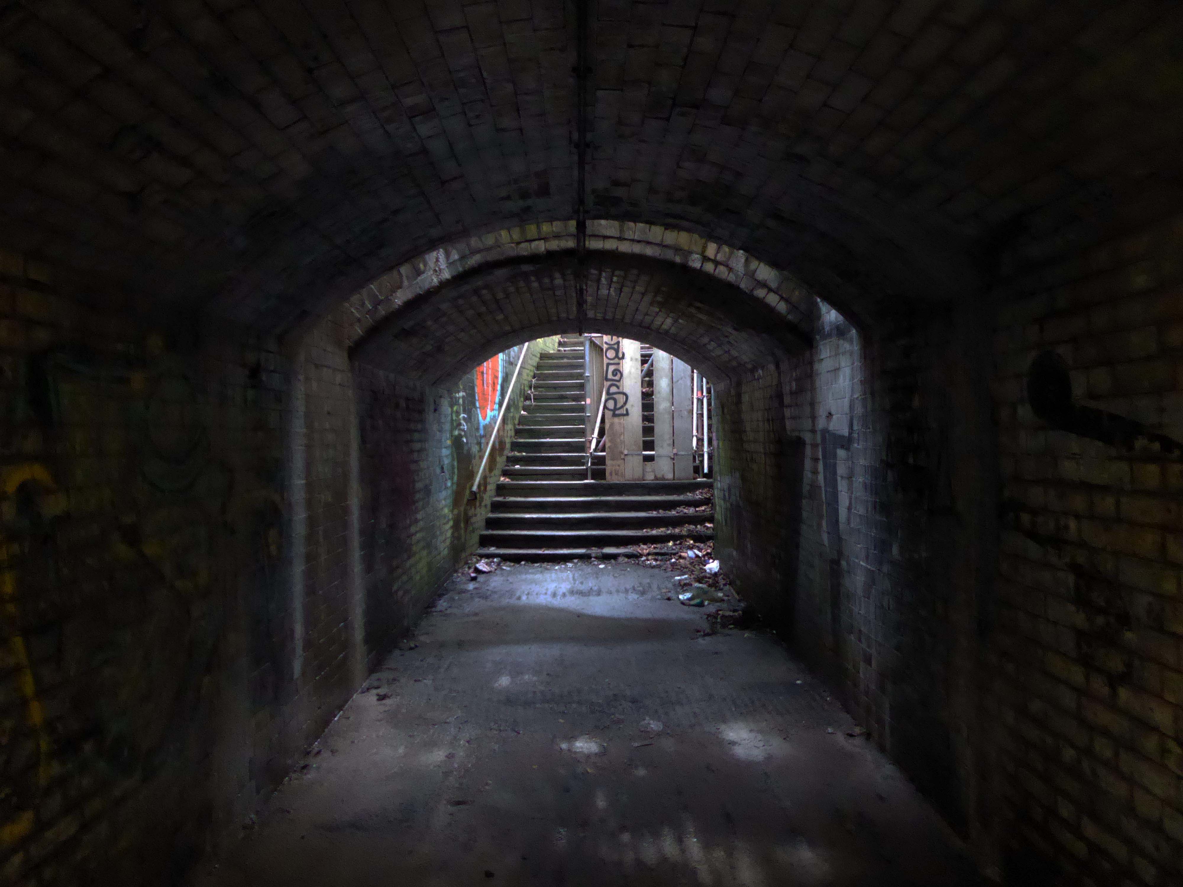
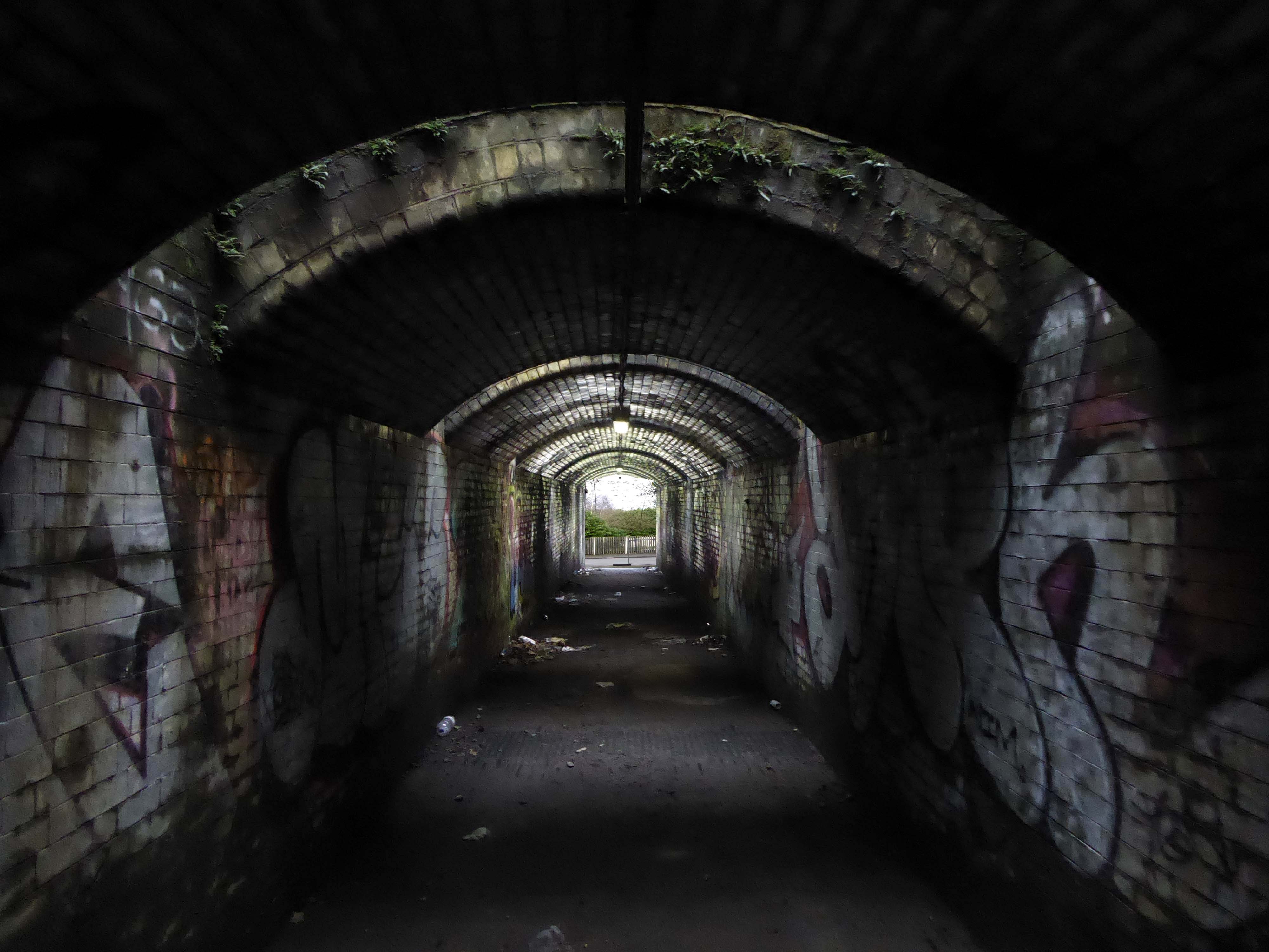
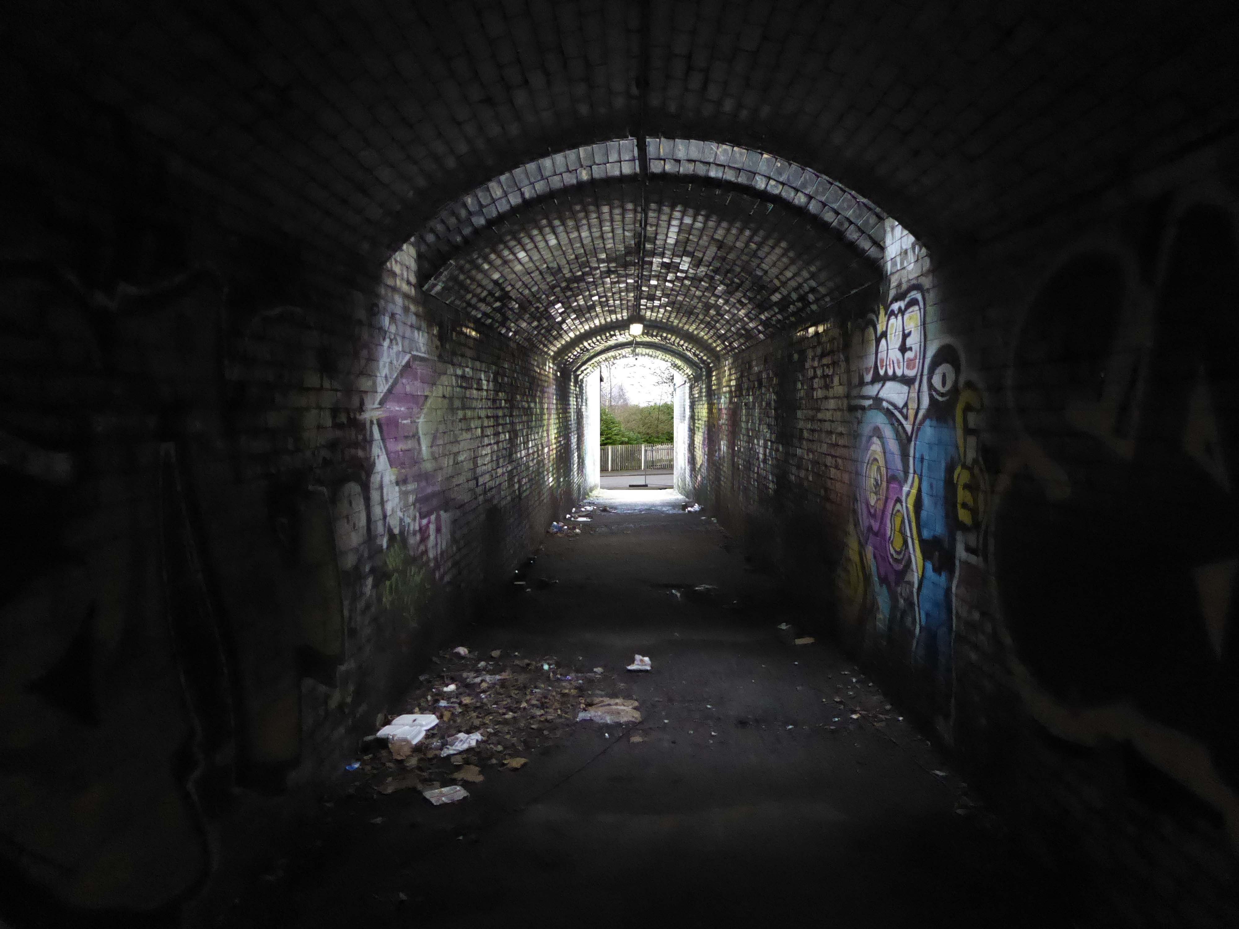
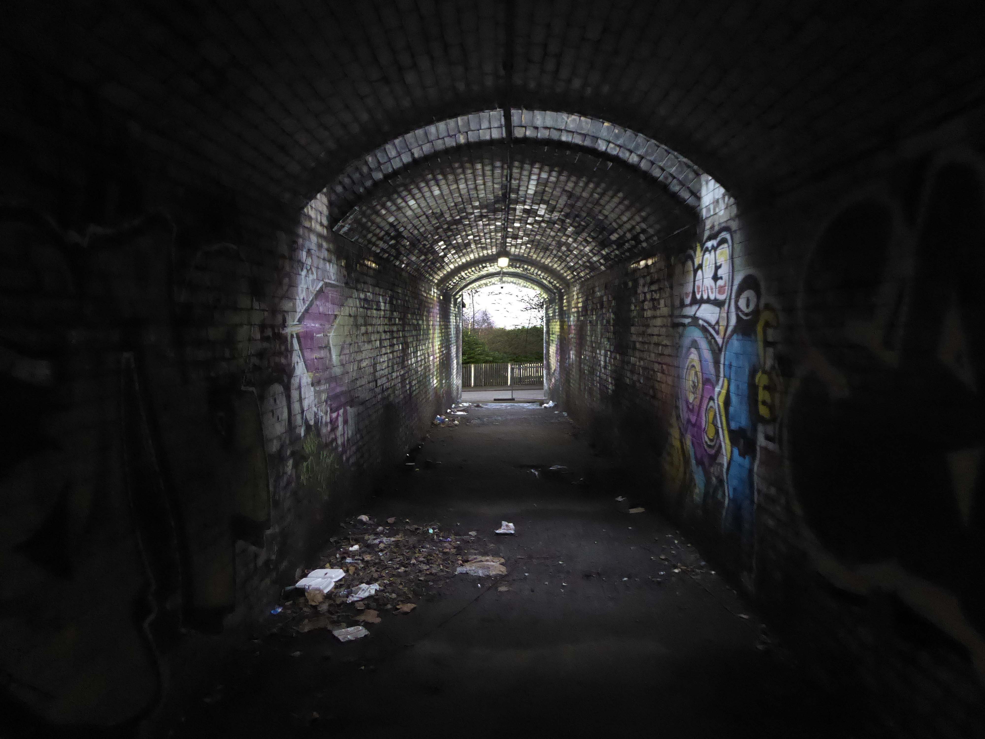
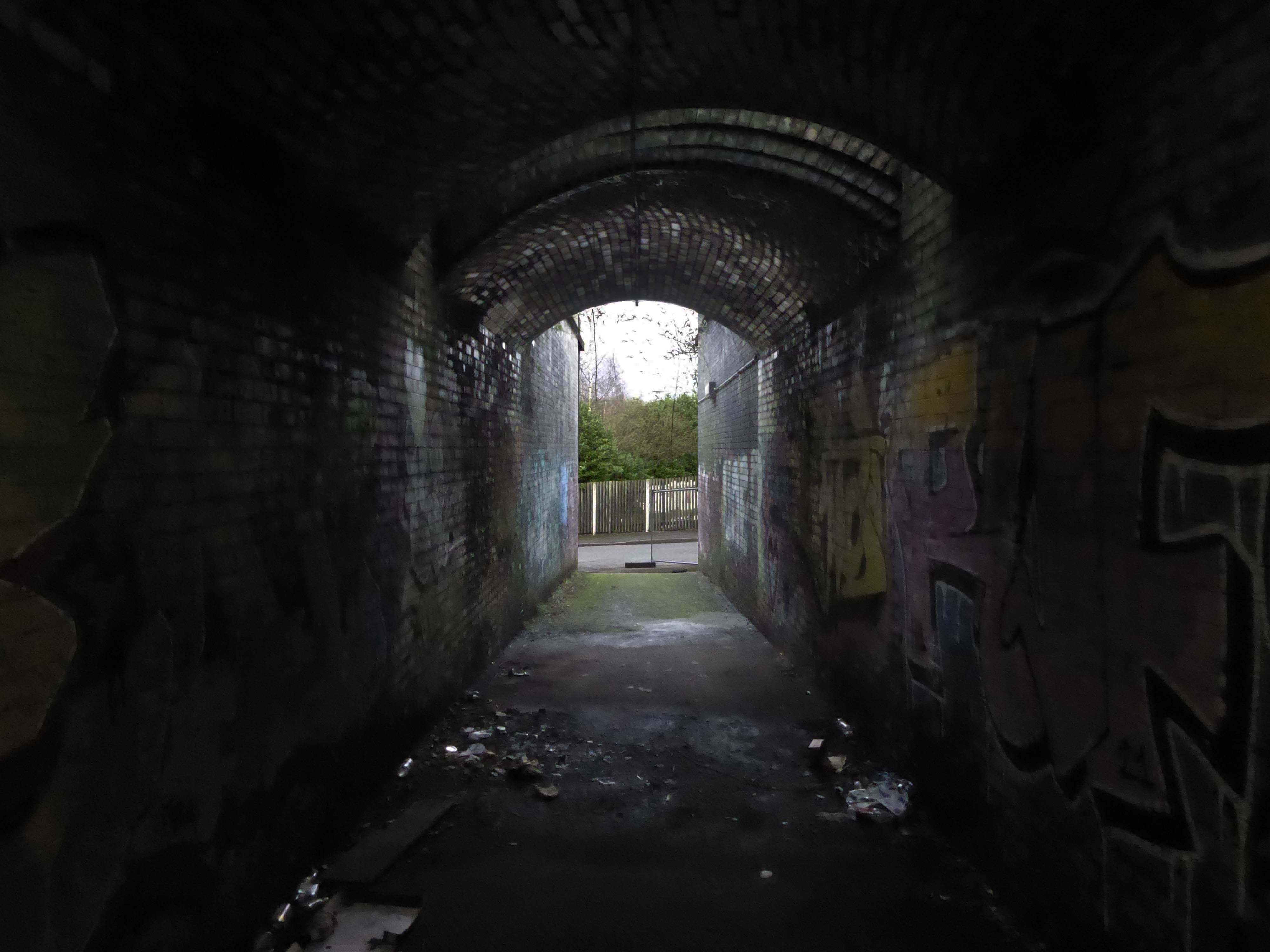
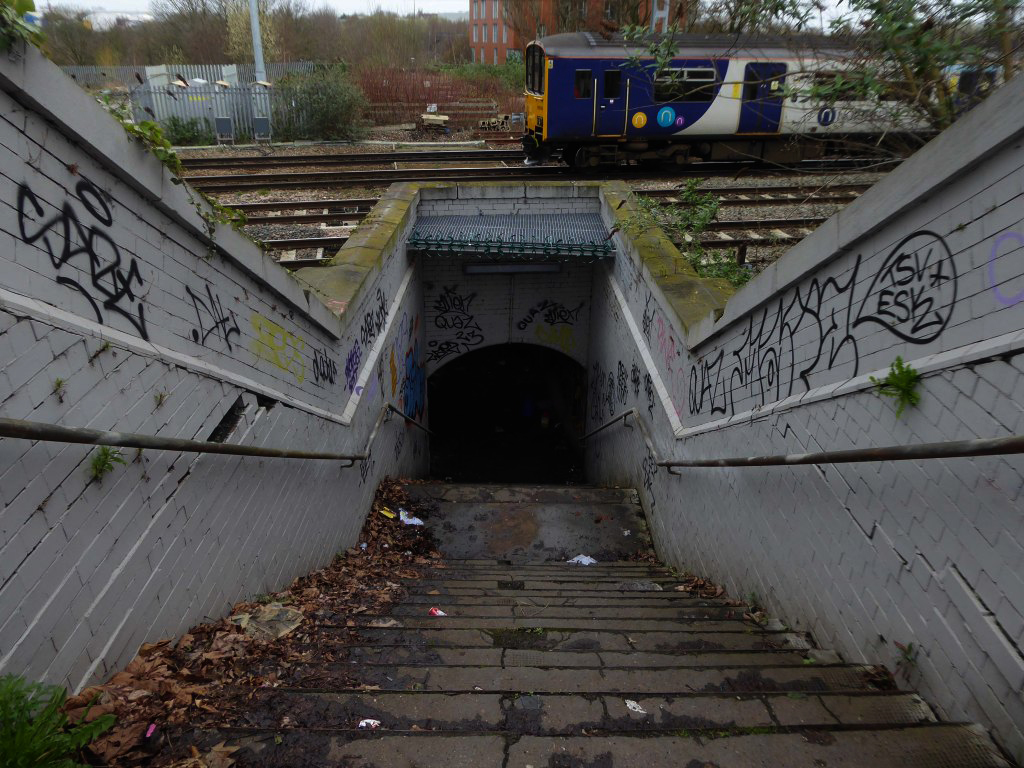
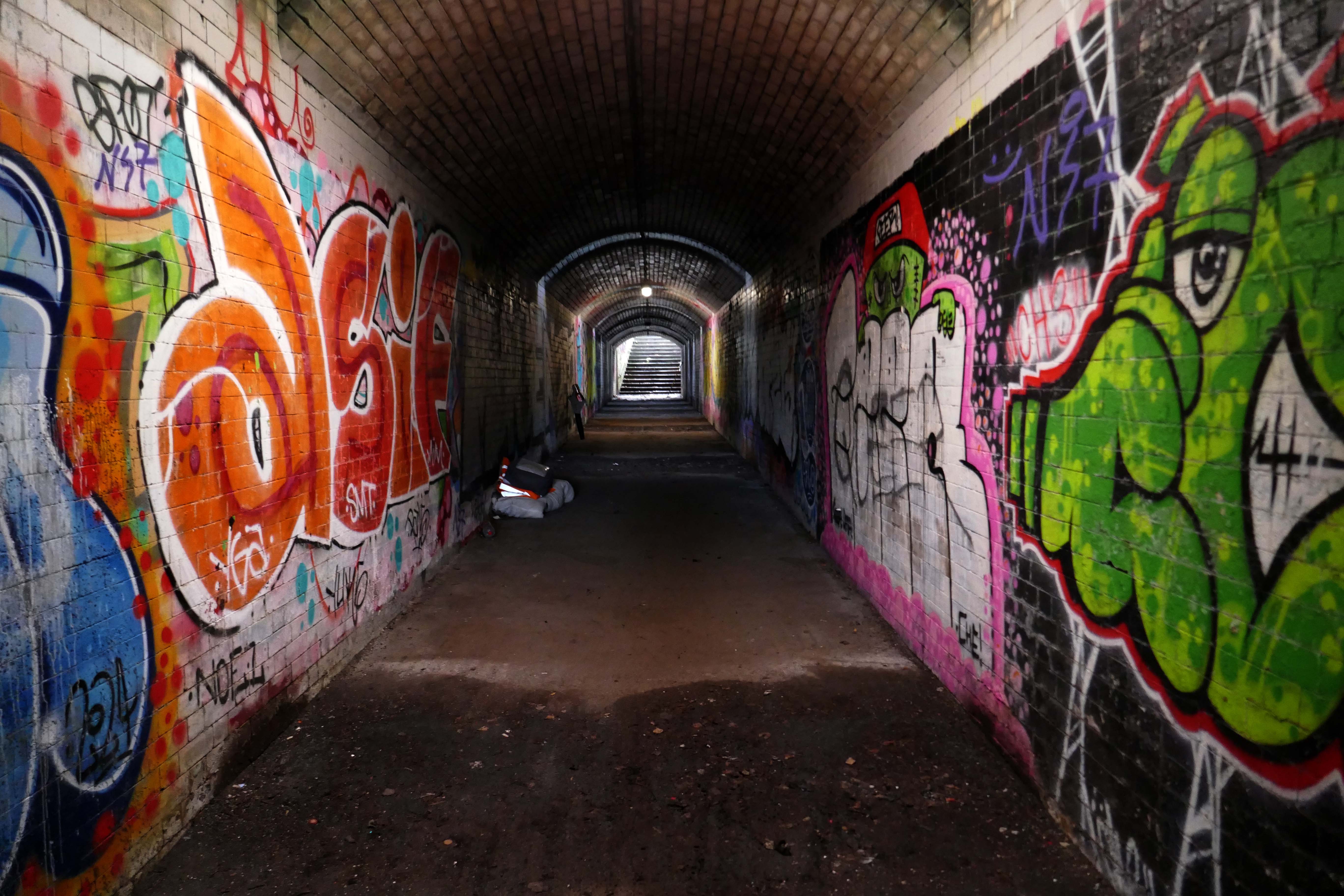
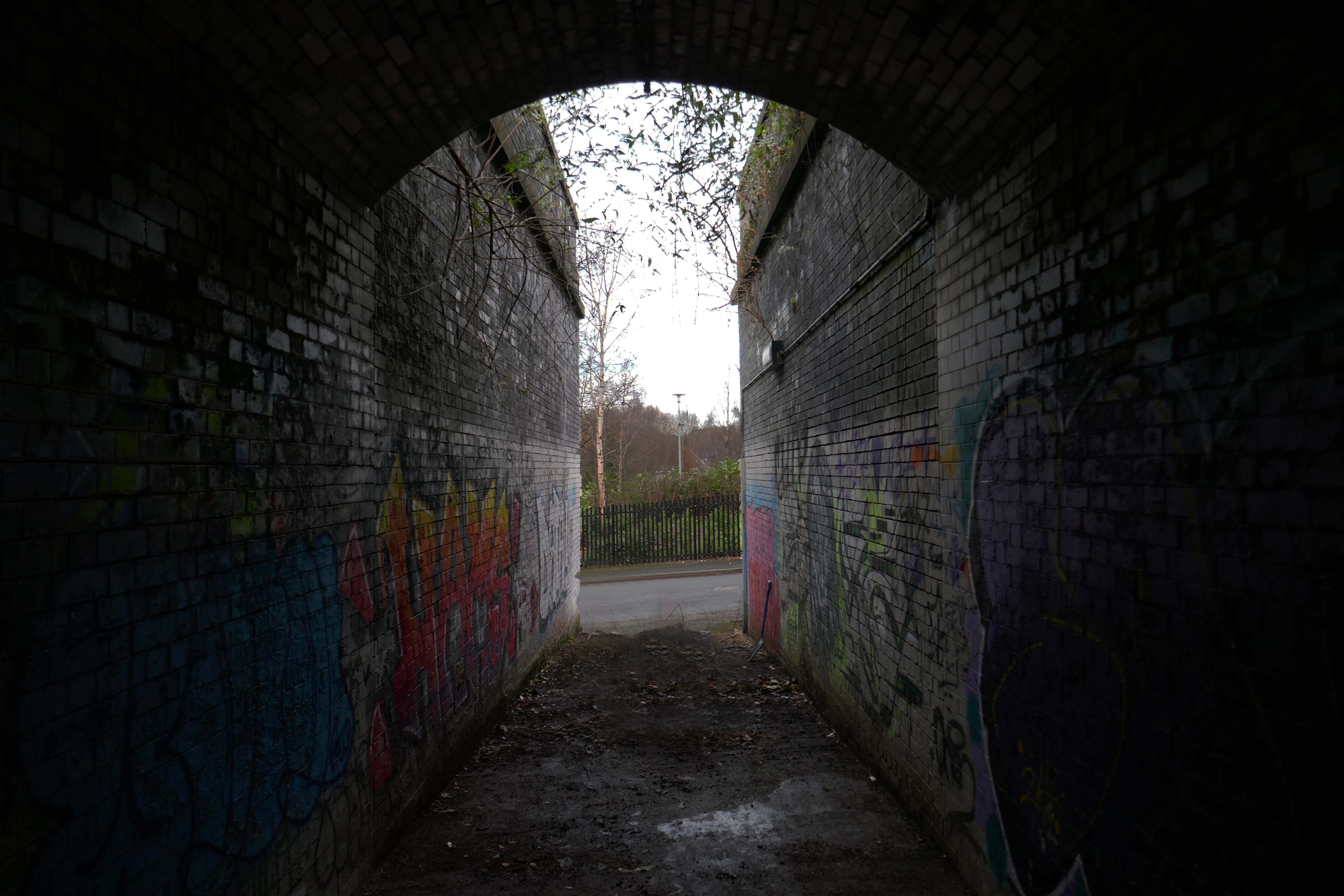
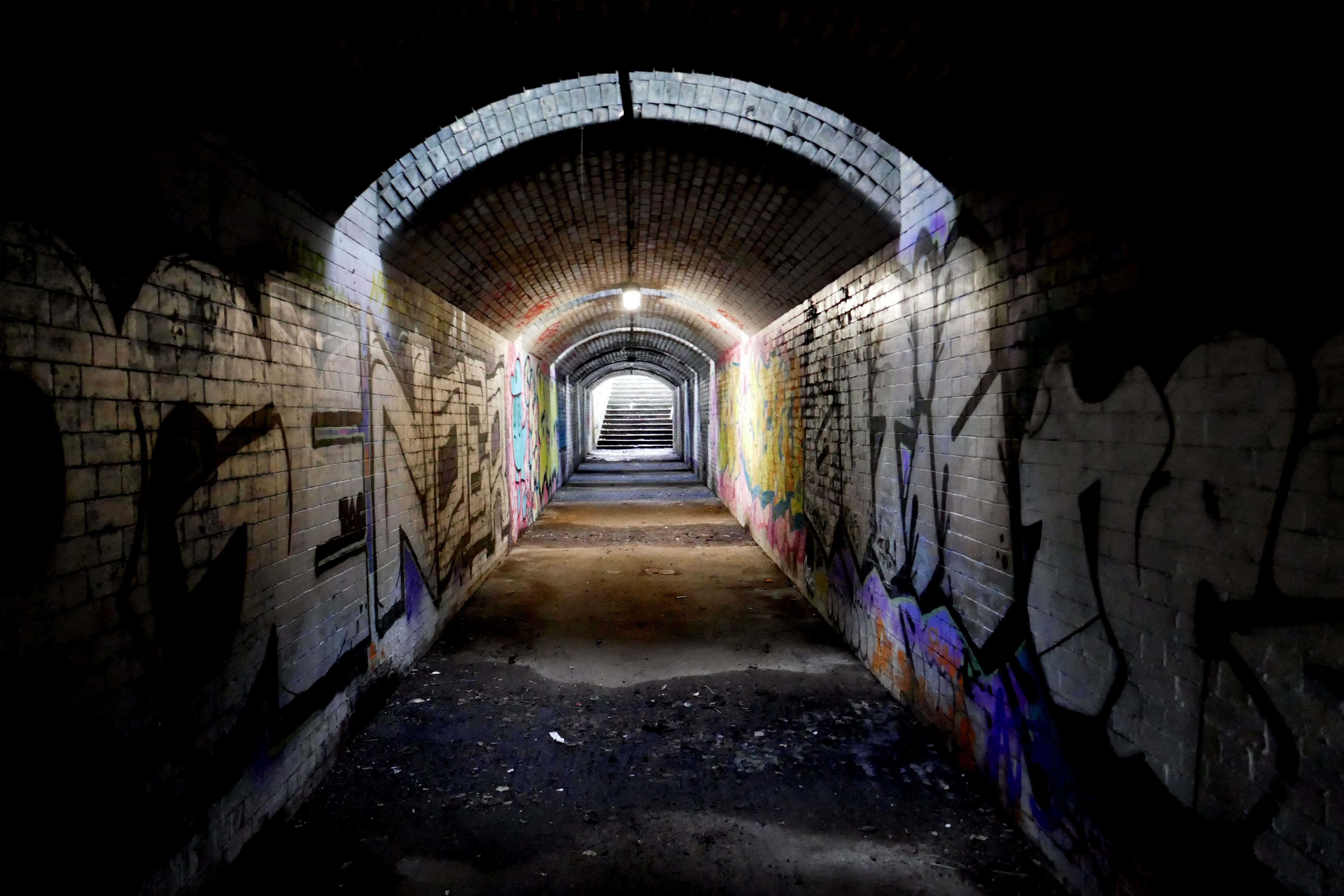
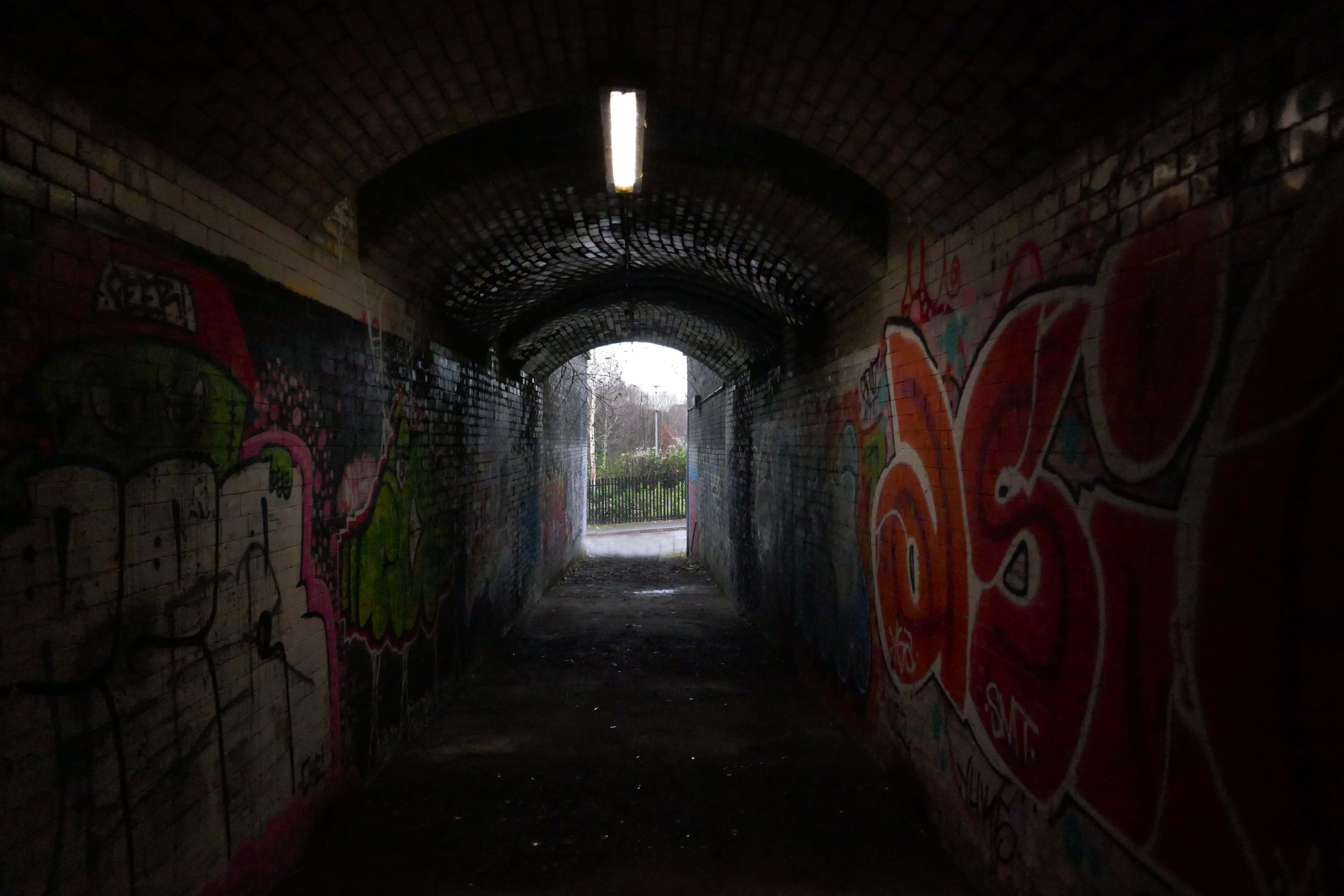
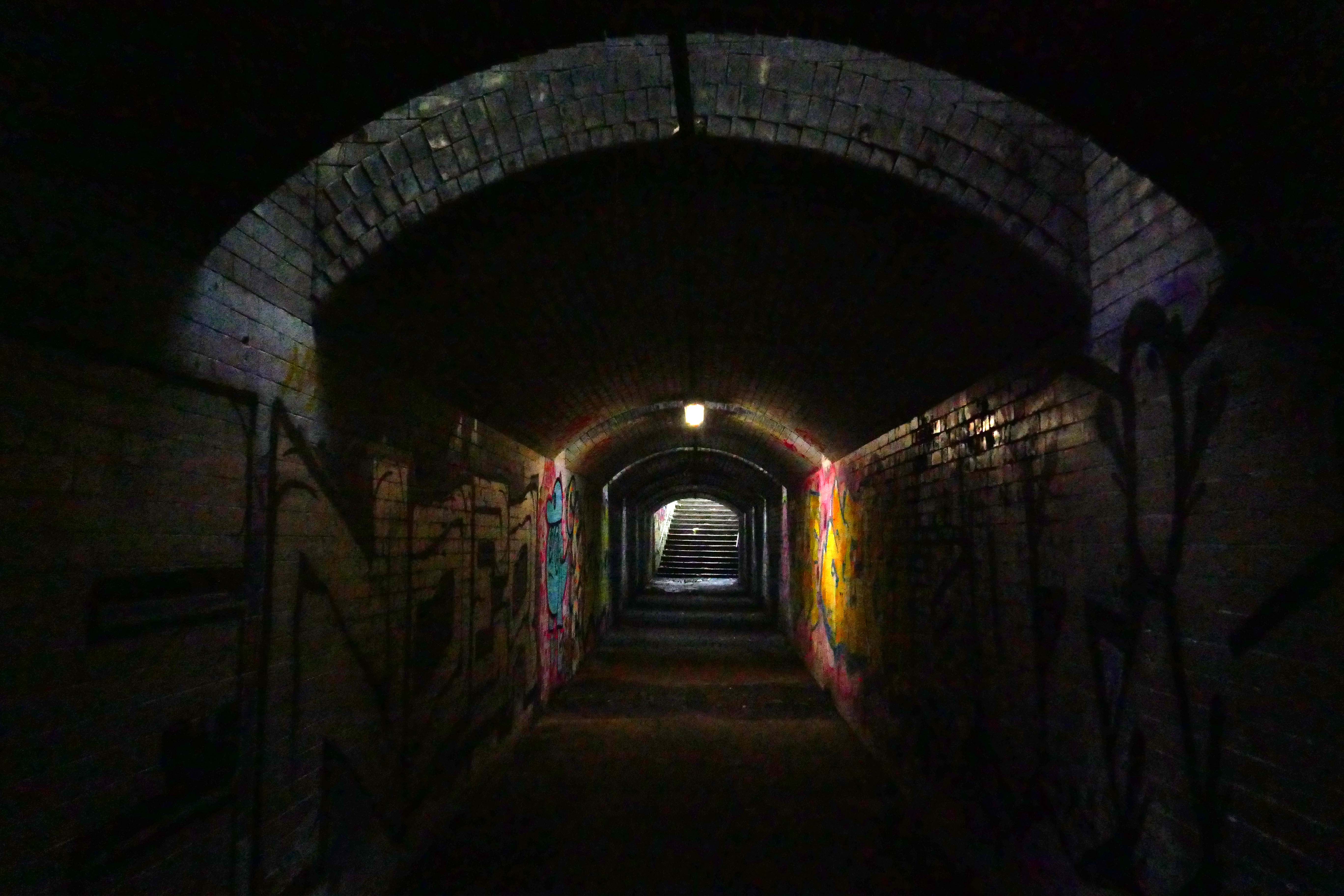
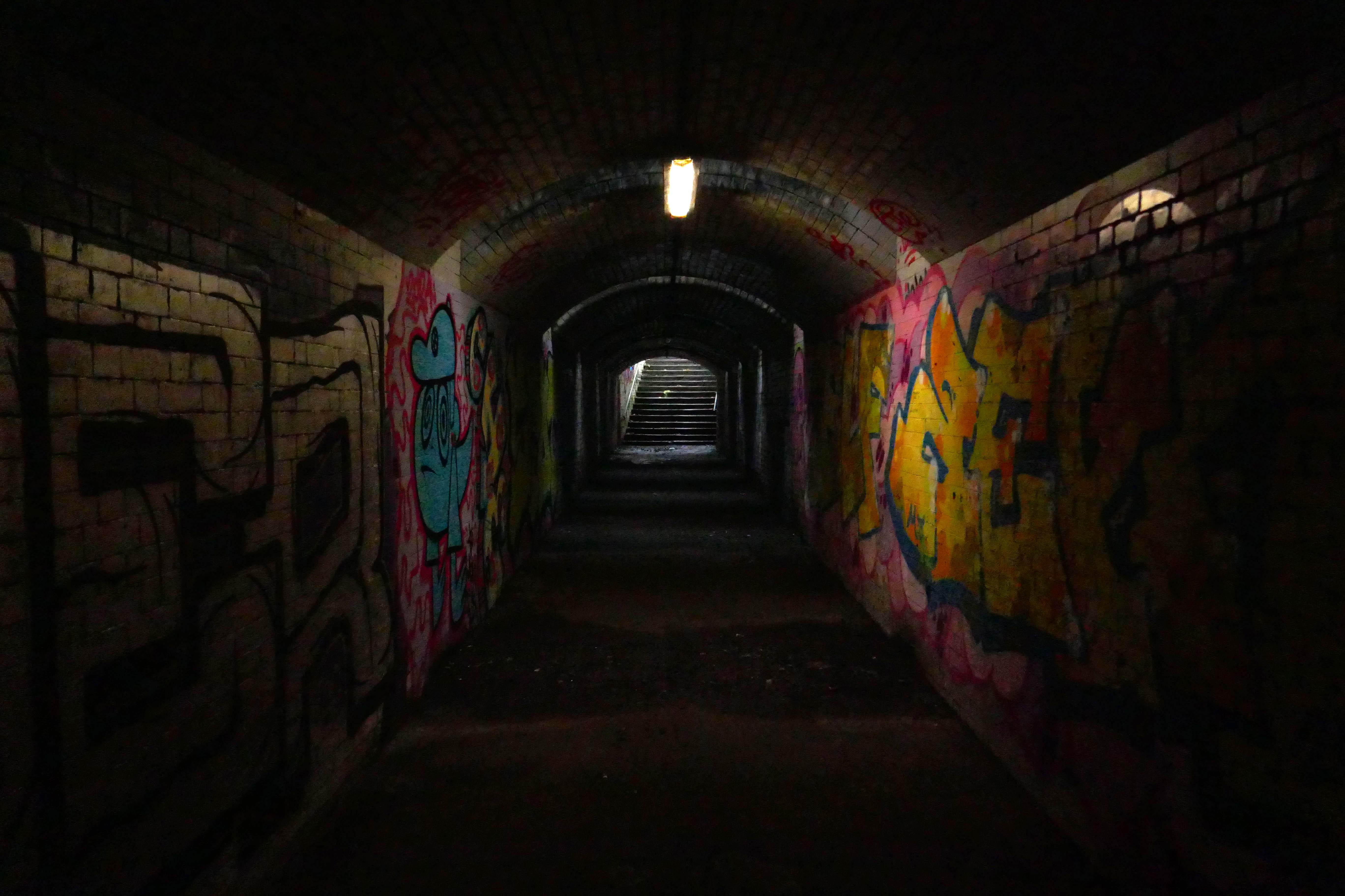
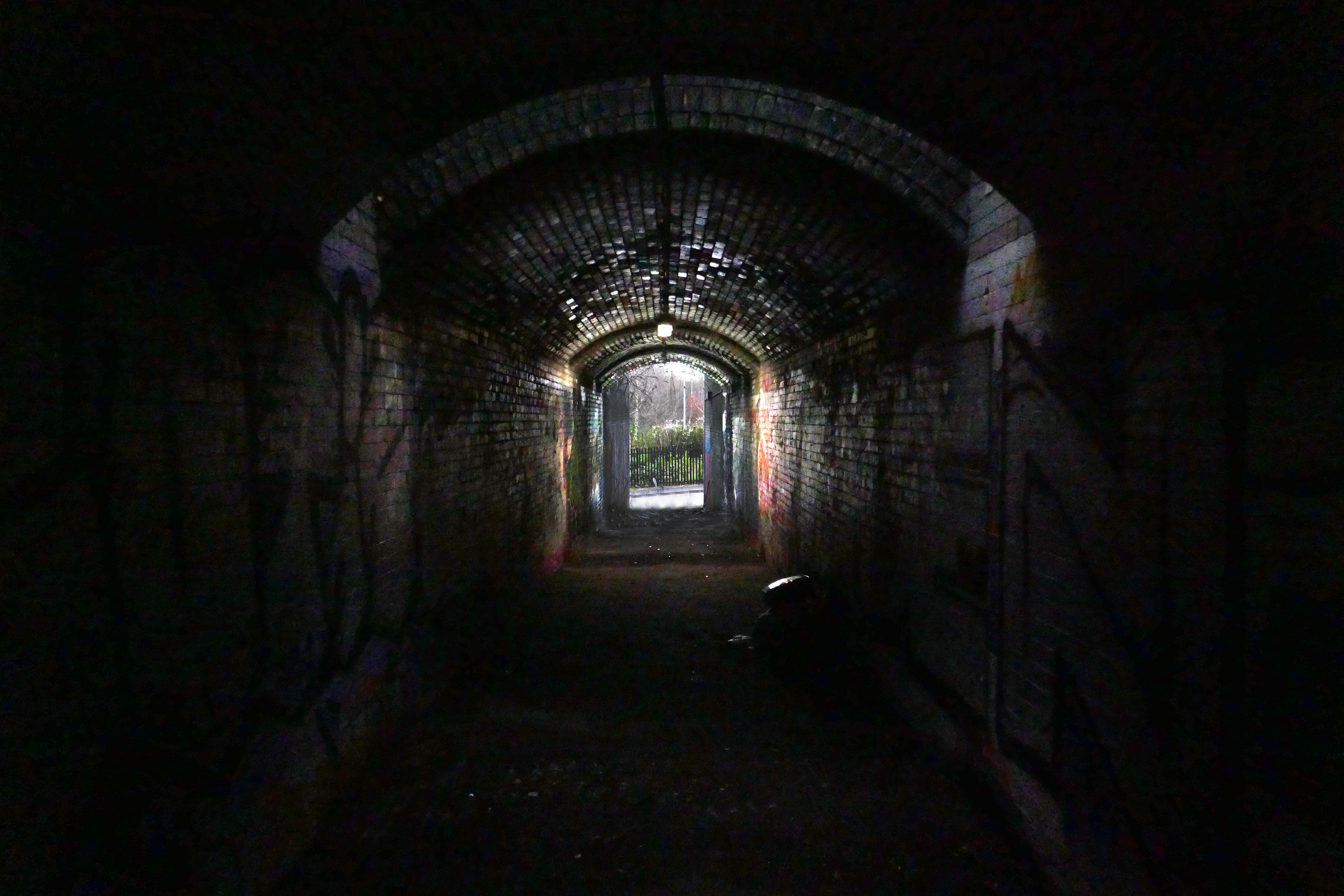
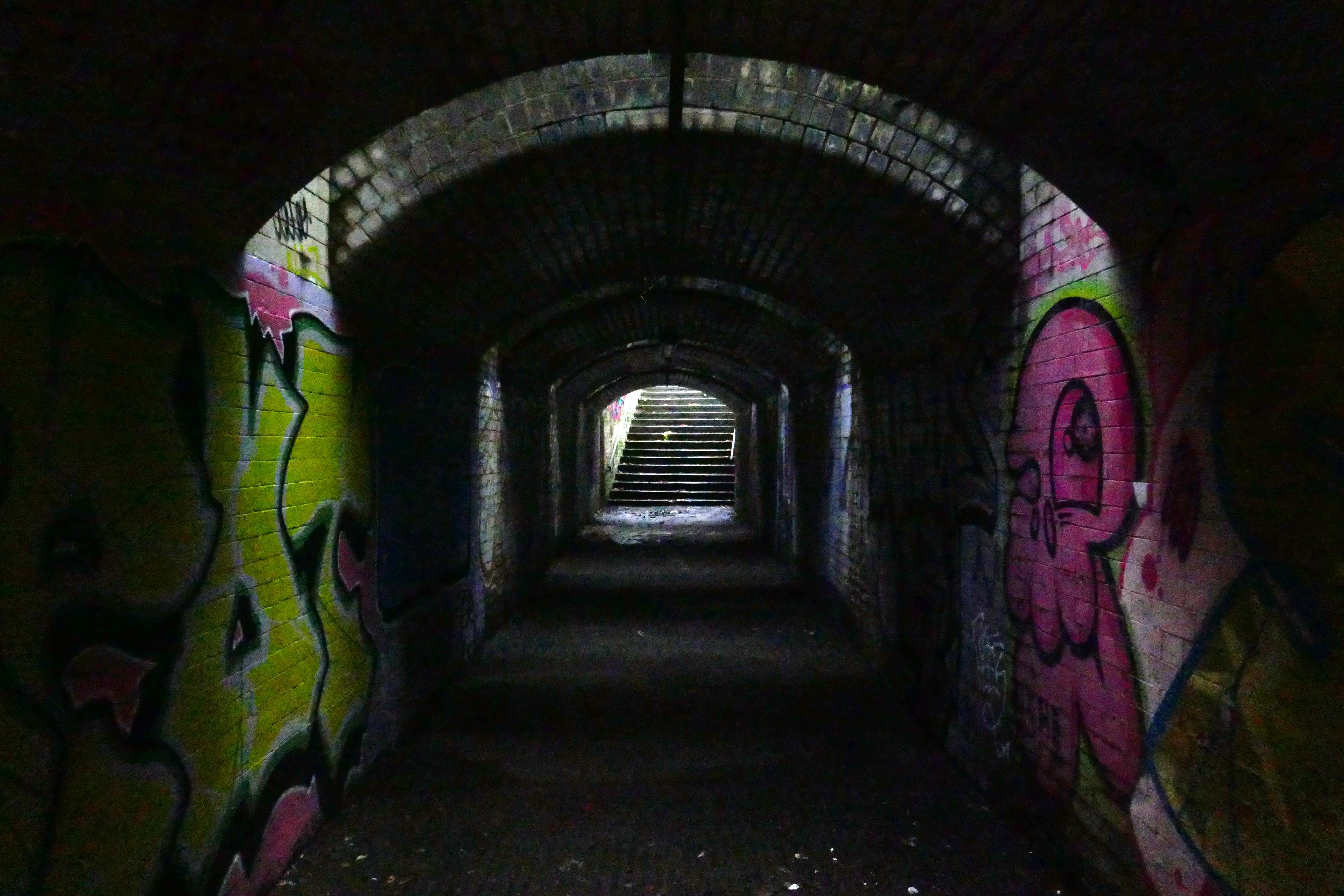
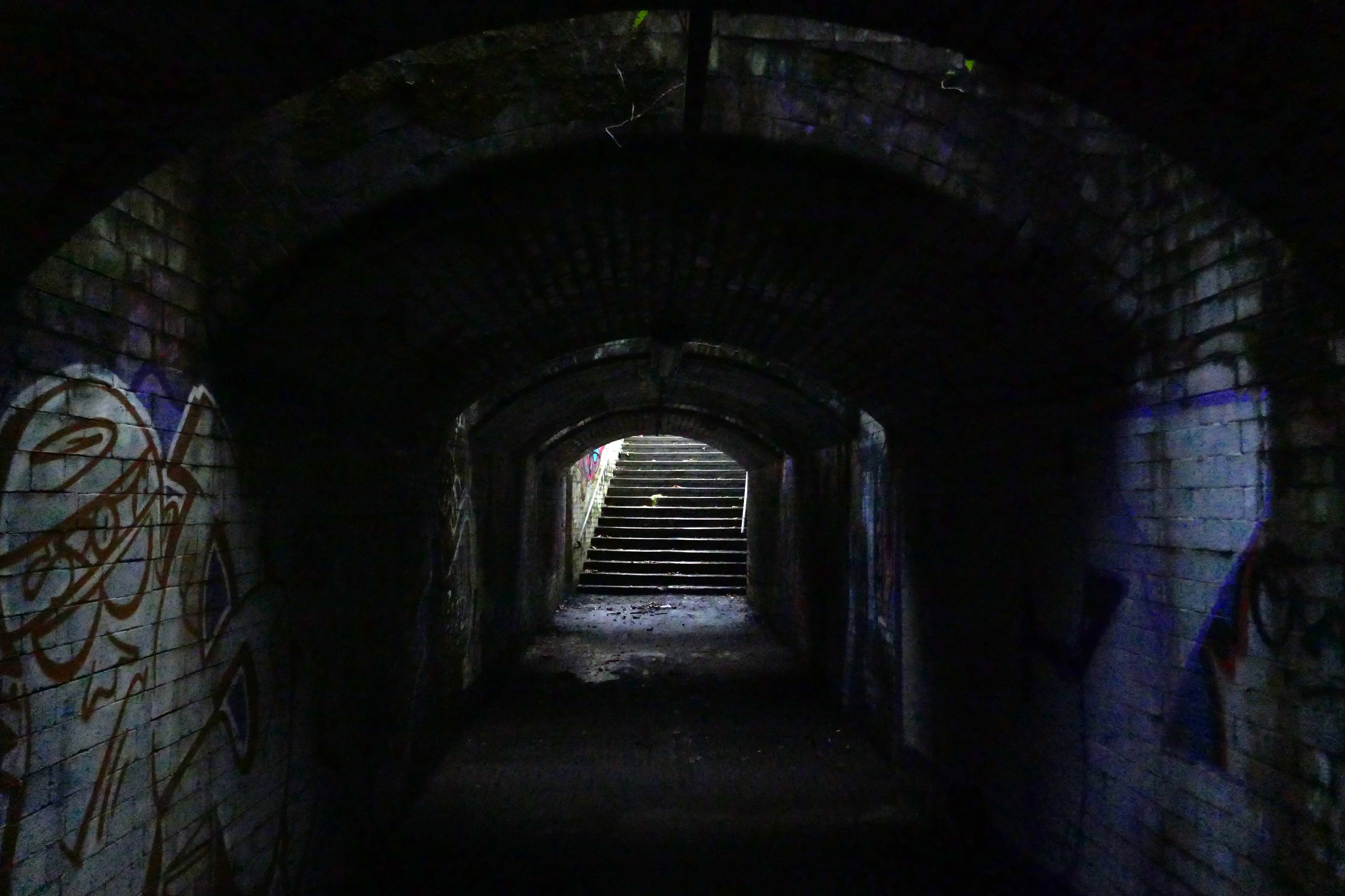
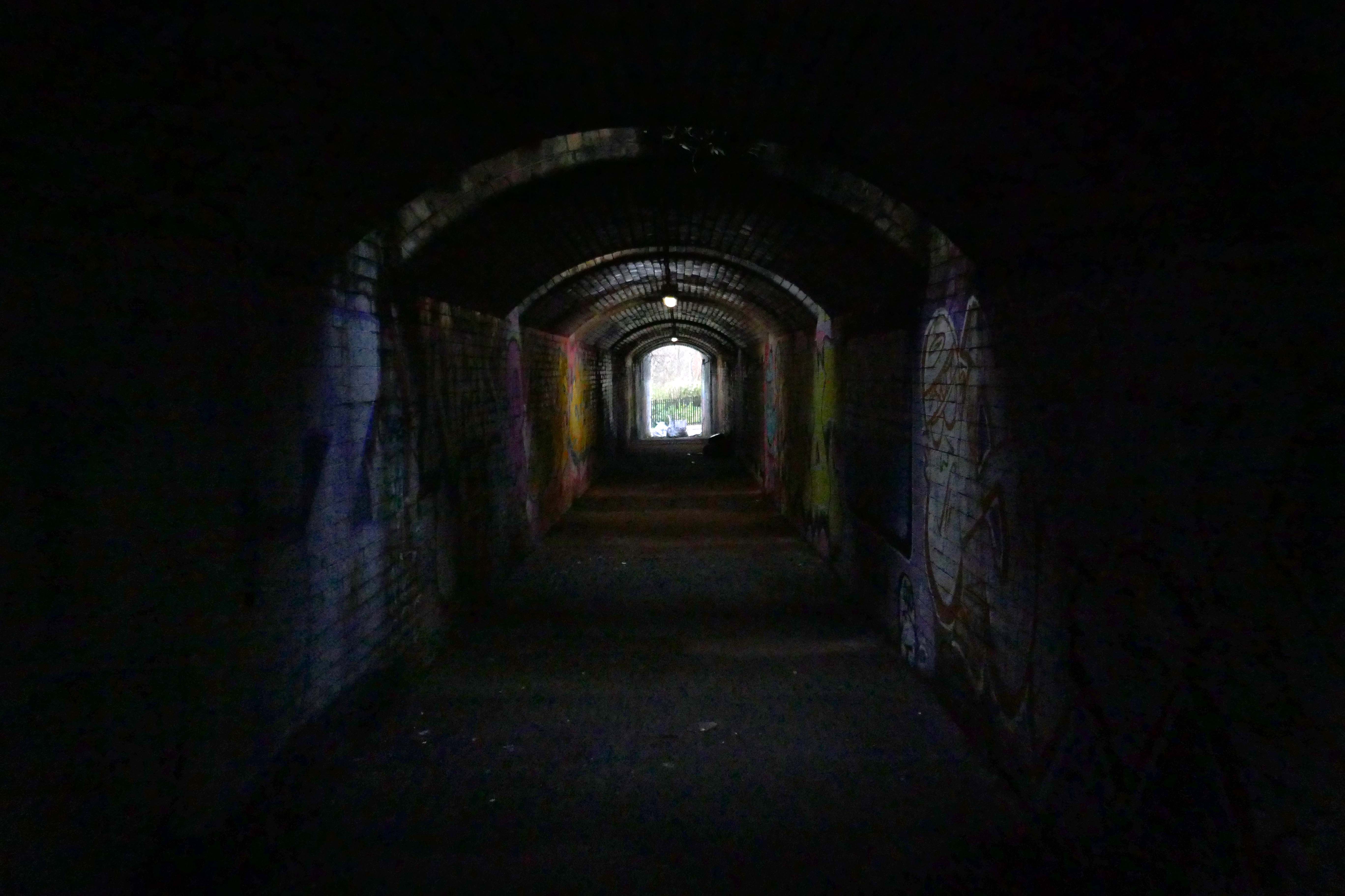
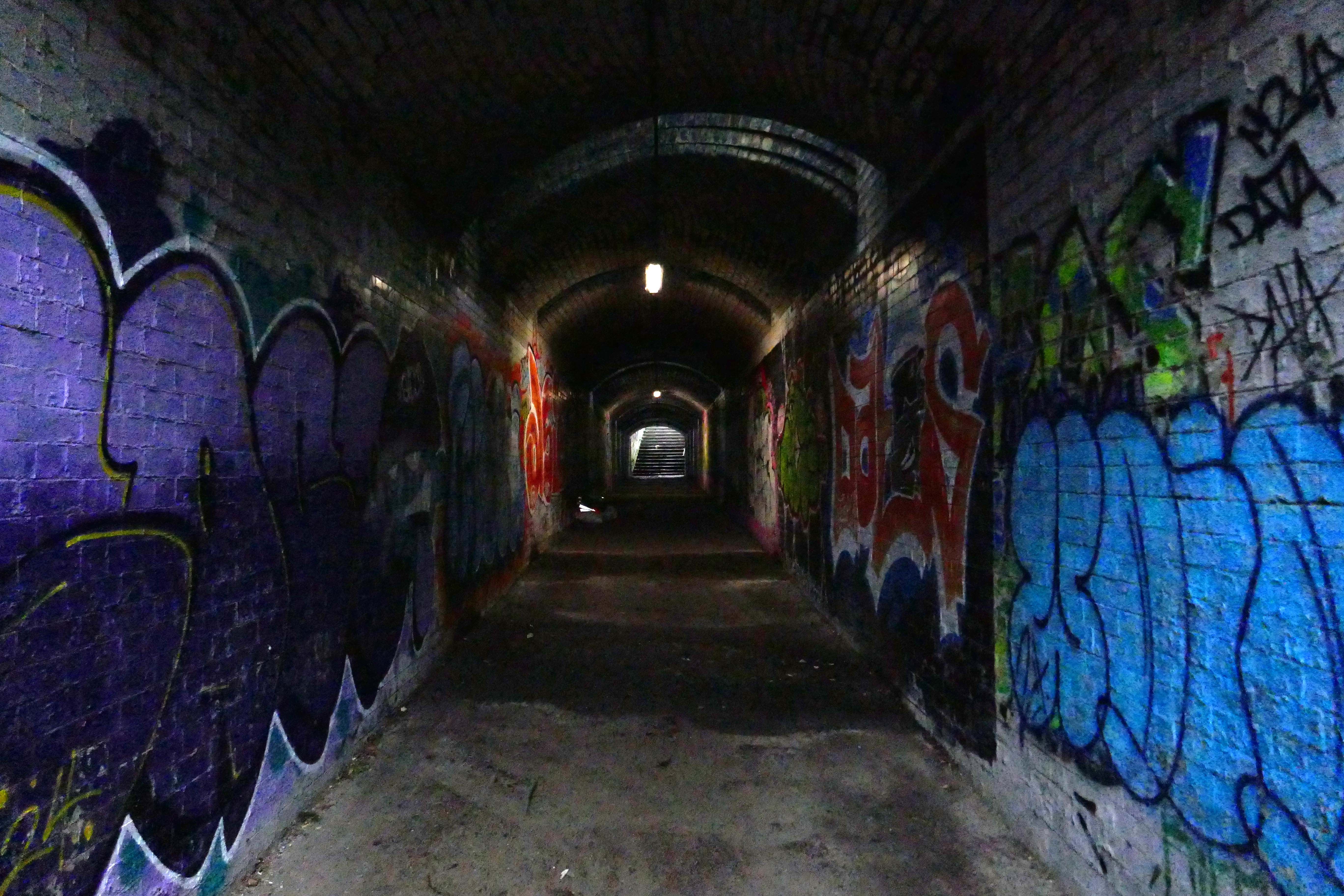
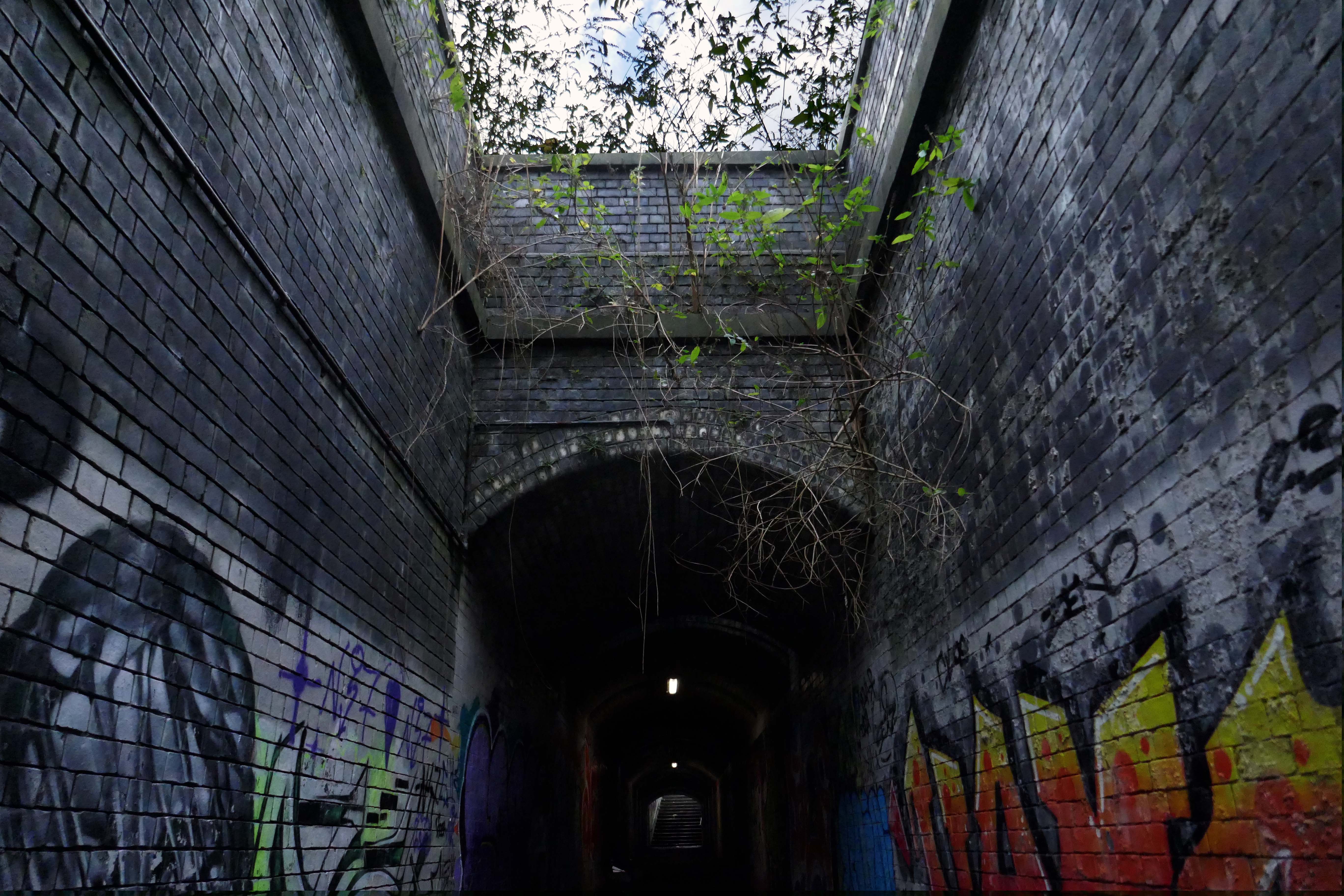
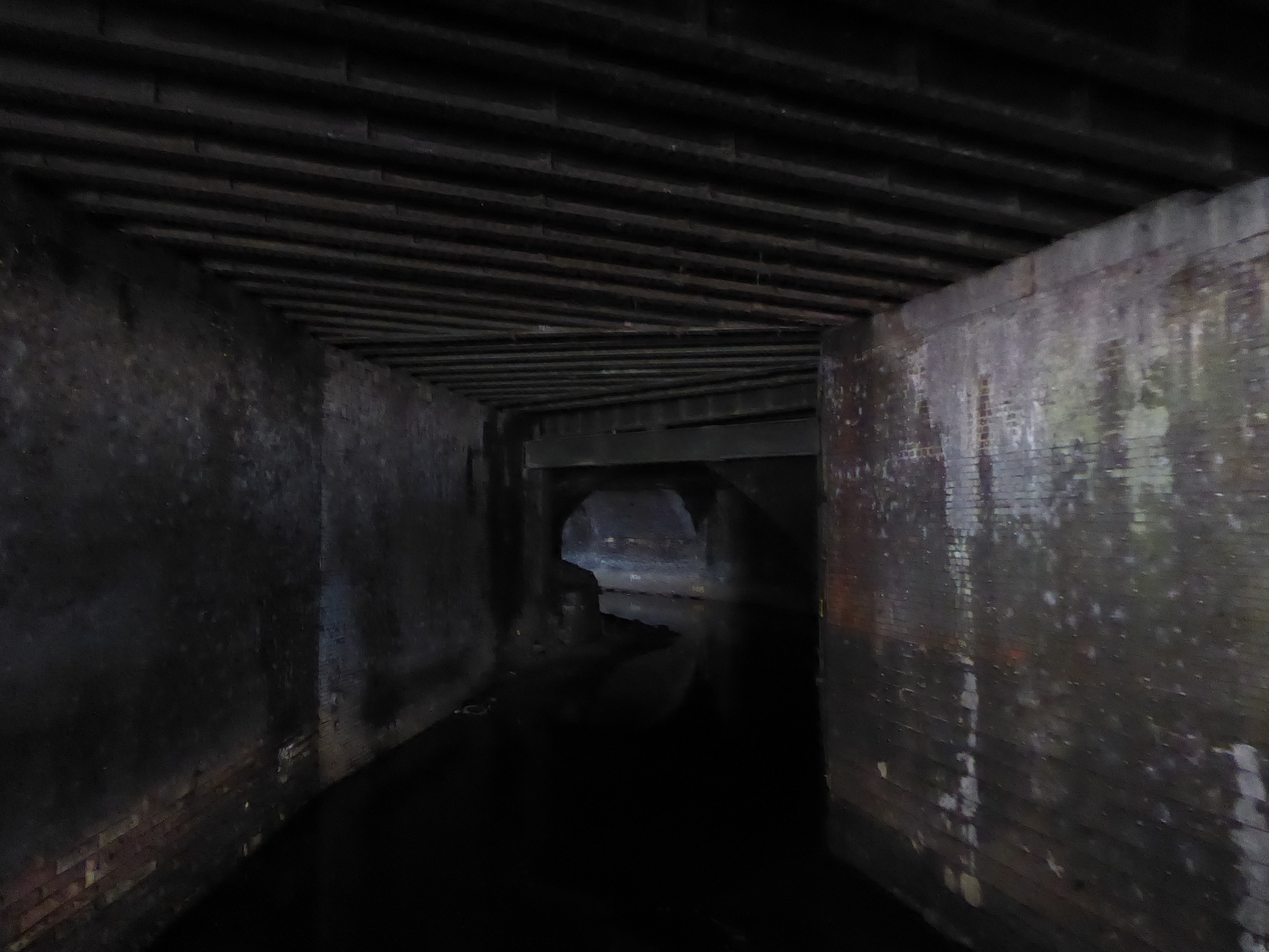
Passing between Dalton Street and Bromley Street is a pedestrian underpass, subway or tunnel.
Beneath both the Bury and Rochdale tram lines.
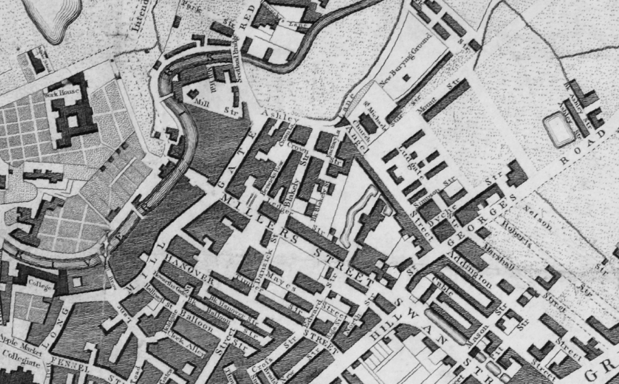
Once upon a time in 1807, it wasn’t there at all.
Then in 1848, it was there, as the L&Y had established a rail route.
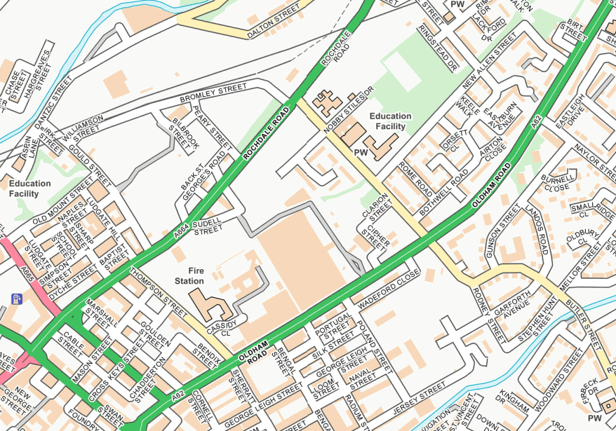
Studying historical maps, we can see the development of dense patches of housing, matching the city’s industrial growth, this is followed by a thinning of housing up to the present day – matching the city’s industrial decline.
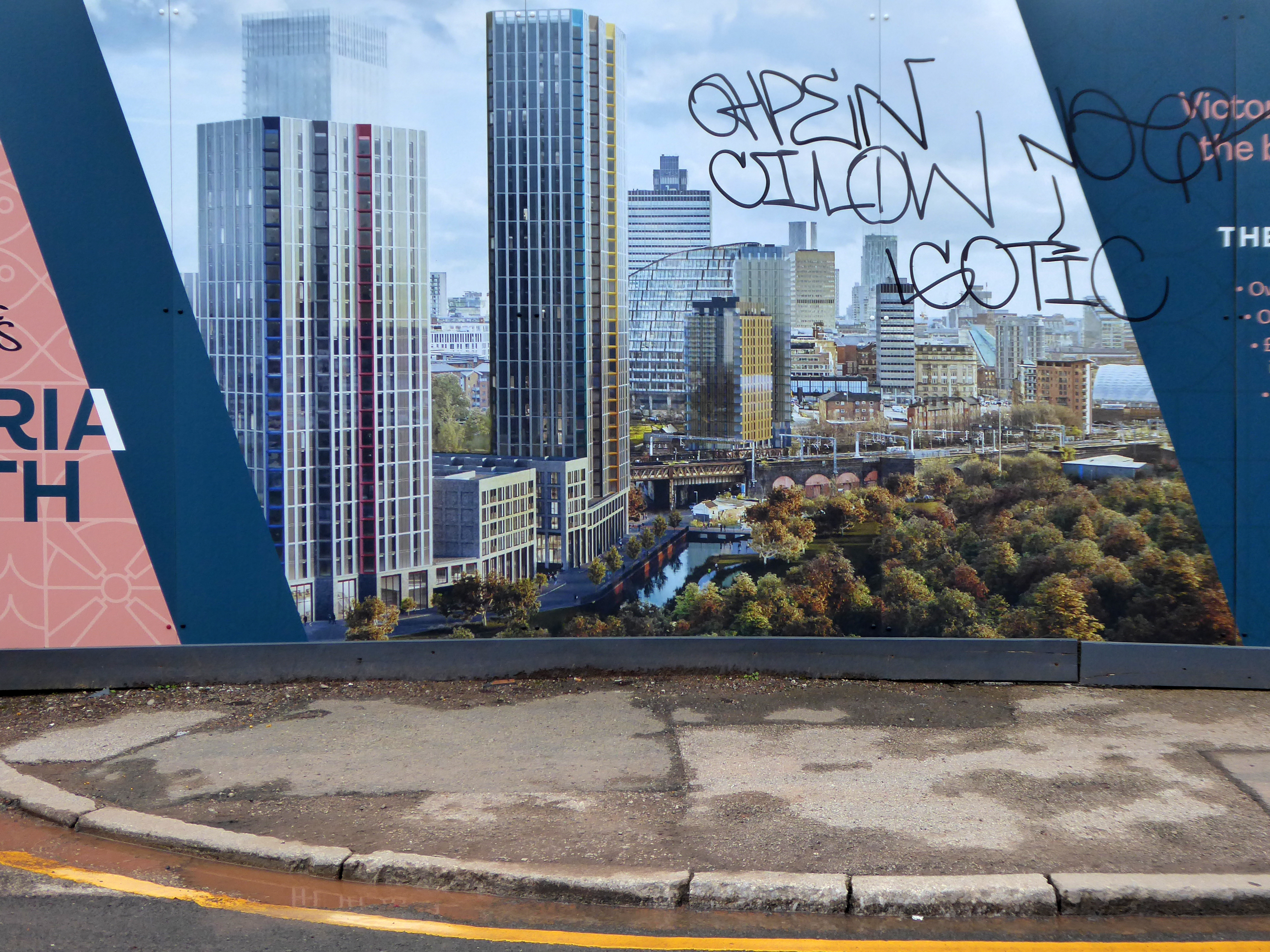
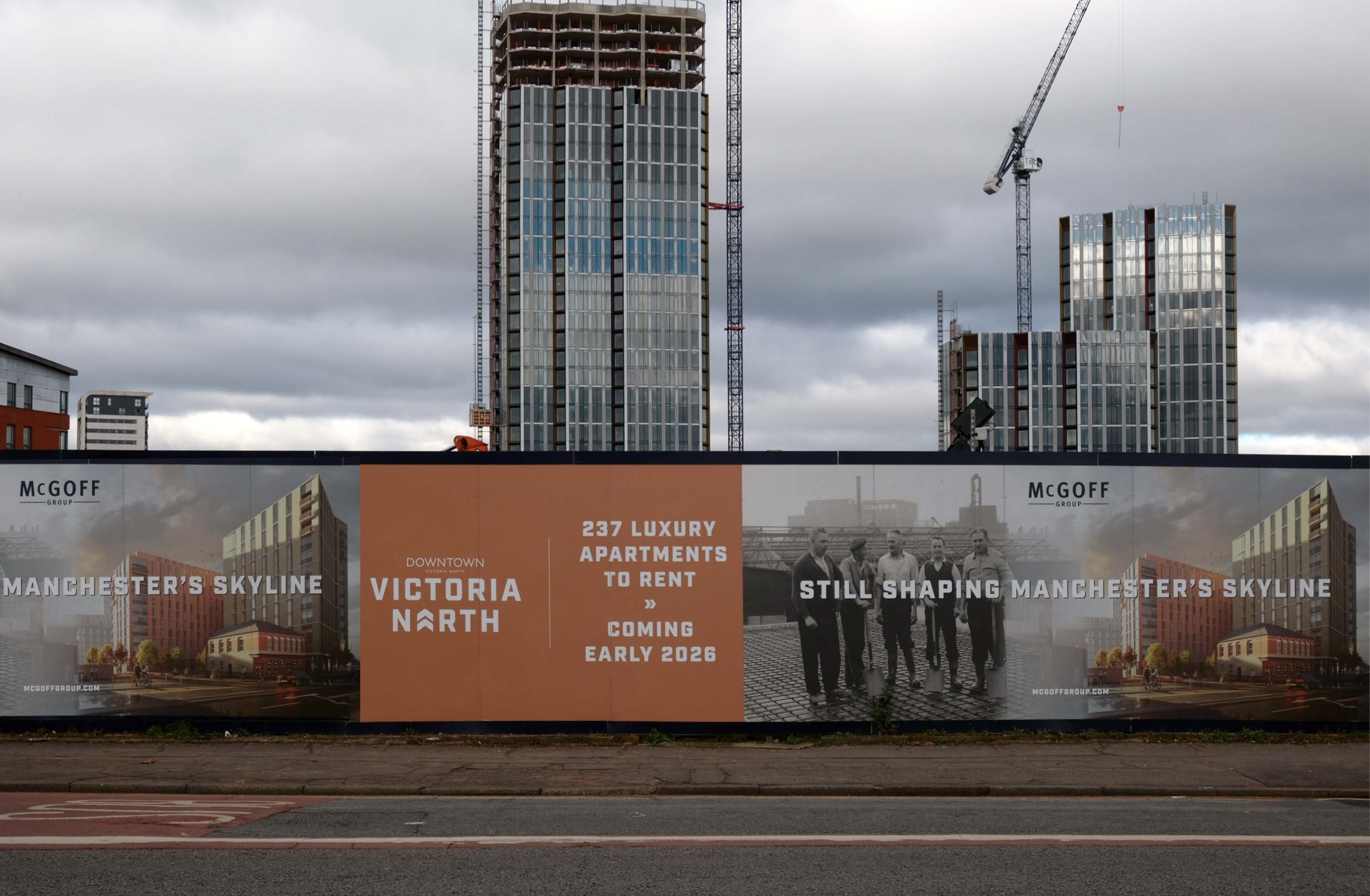
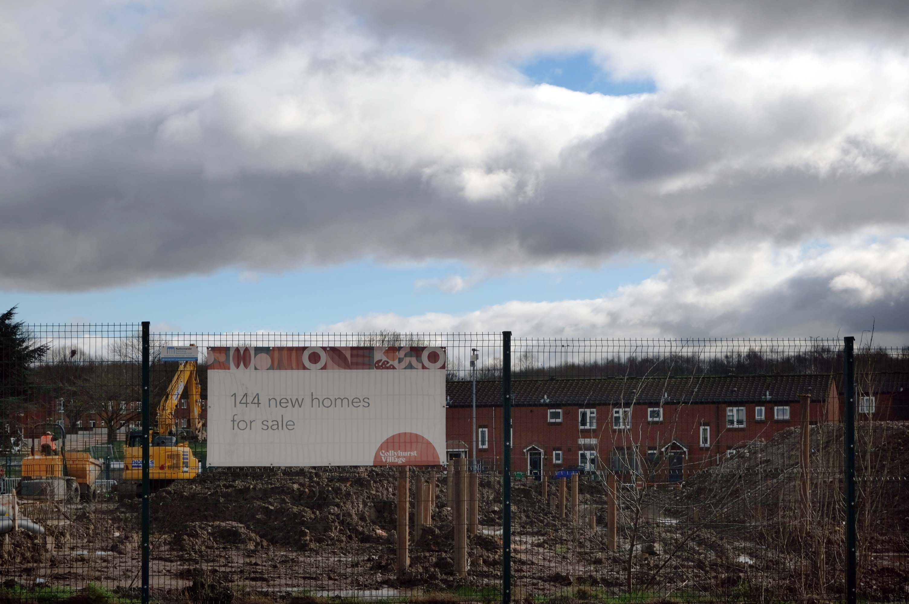
There is yet another twist in the tale, as the development of Collyhurst Village and Victoria North, are adding another layer of housing history.
I have walked this area for several years now, recording the relentless but gradual change.
Including the pedestrian underpass, subway or tunnel.
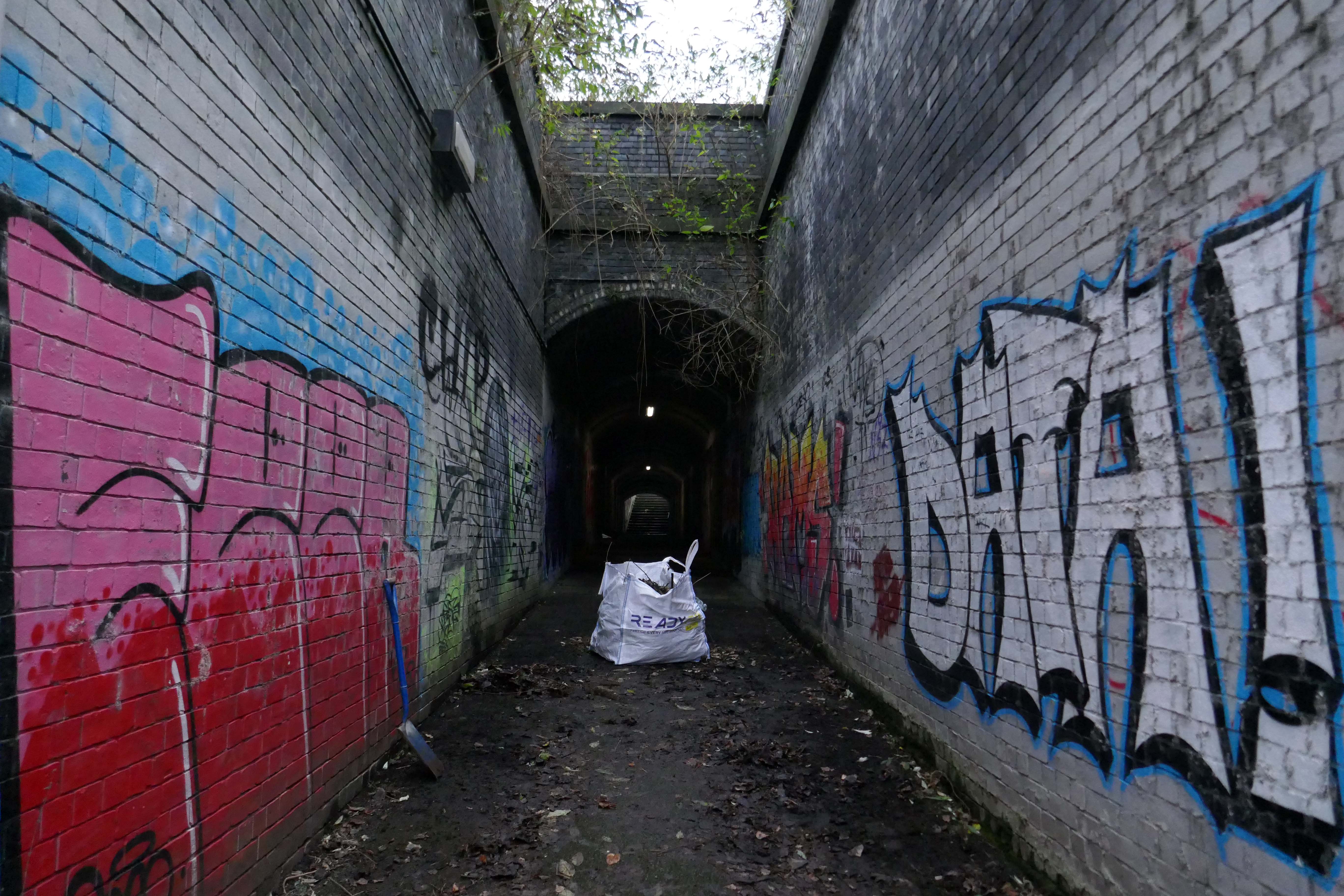
On my most recent visit there were works cleaning the pedestrian underpass, subway or tunnel.
I began walking when quite young, then like Felix, I kept on walking, walking still.
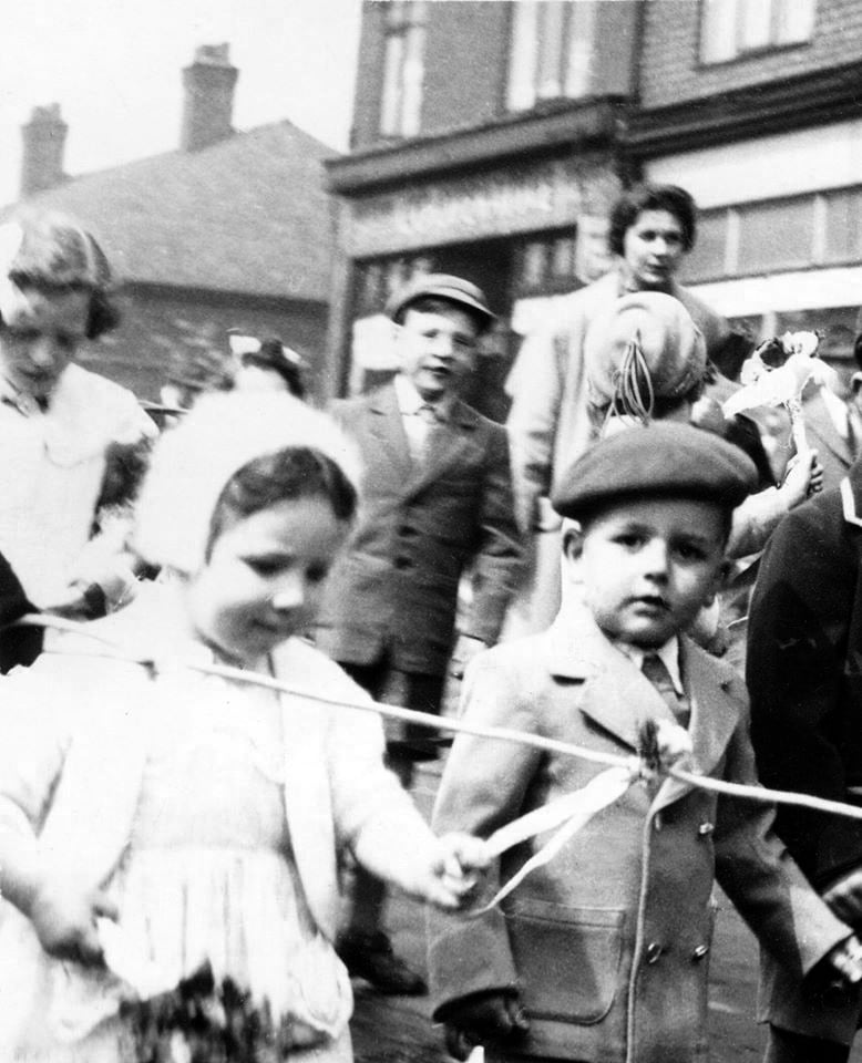
The photograph was taking during the Whit Walks in 1958 – aged three, I was engaged in religious pilgrimage, as we know there are many reasons for walking, this is but one.
I was fortunate to grow up at a time when youngsters were permitted to roam freely, less traffic, less anxiety, gave me access to a wider axis of exploration.
The photograph would have been taken I assume, by my mam, on the Brownie 127. When aged nine I wandered alone through the local woods and exposed twelve frames of 44mm 127 film, the prints are long gone, yet I remember each of the photographs and locations clearly.
I went to school, then I didn’t, then I went to Art School, eventually becoming a teenage Constructivist, tutored by Jeffrey Steele, a leading light in the British Systems movement.
The rigidity of the grid, symmetry and orthogonal framing have stayed with me.
Then I went to work for a very long time indeed, then all of a sudden I didn’t. Taking early retirement aged 59 some ten years ago, subsequently taking to the roads, streets and hills of Britain in search of nothing in particular.
In recent years there has been a rapid development in the culture of walking, theories, films, guides, songs and literature. I am fully cognisant of such, yet believe at heart that walking can be free of such baggage, we can stride unhindered, atavistic and carefree/less.
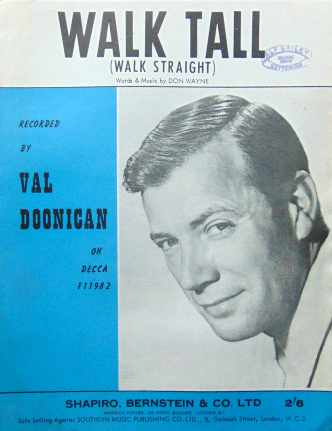
Walk tall, walk straight and look the world right in the eye.
Getting lost is about the unfamiliar appearing.
In my own small way, I have become part of that baggage, having been asked to lead a walk around Stockport by the the modernist neé Manchester Modernist Society.
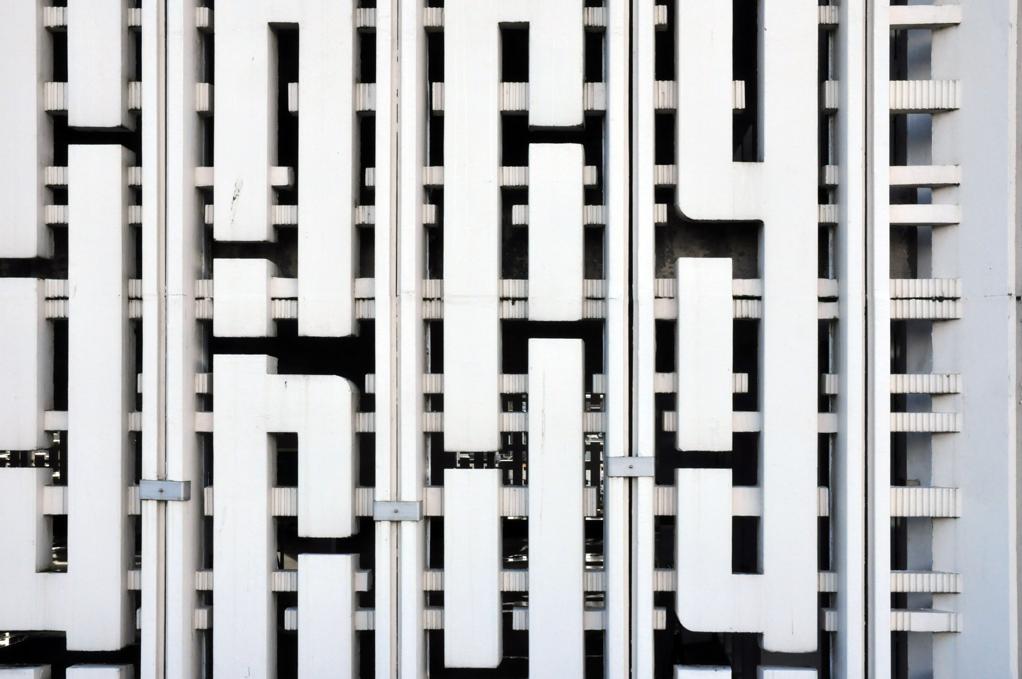
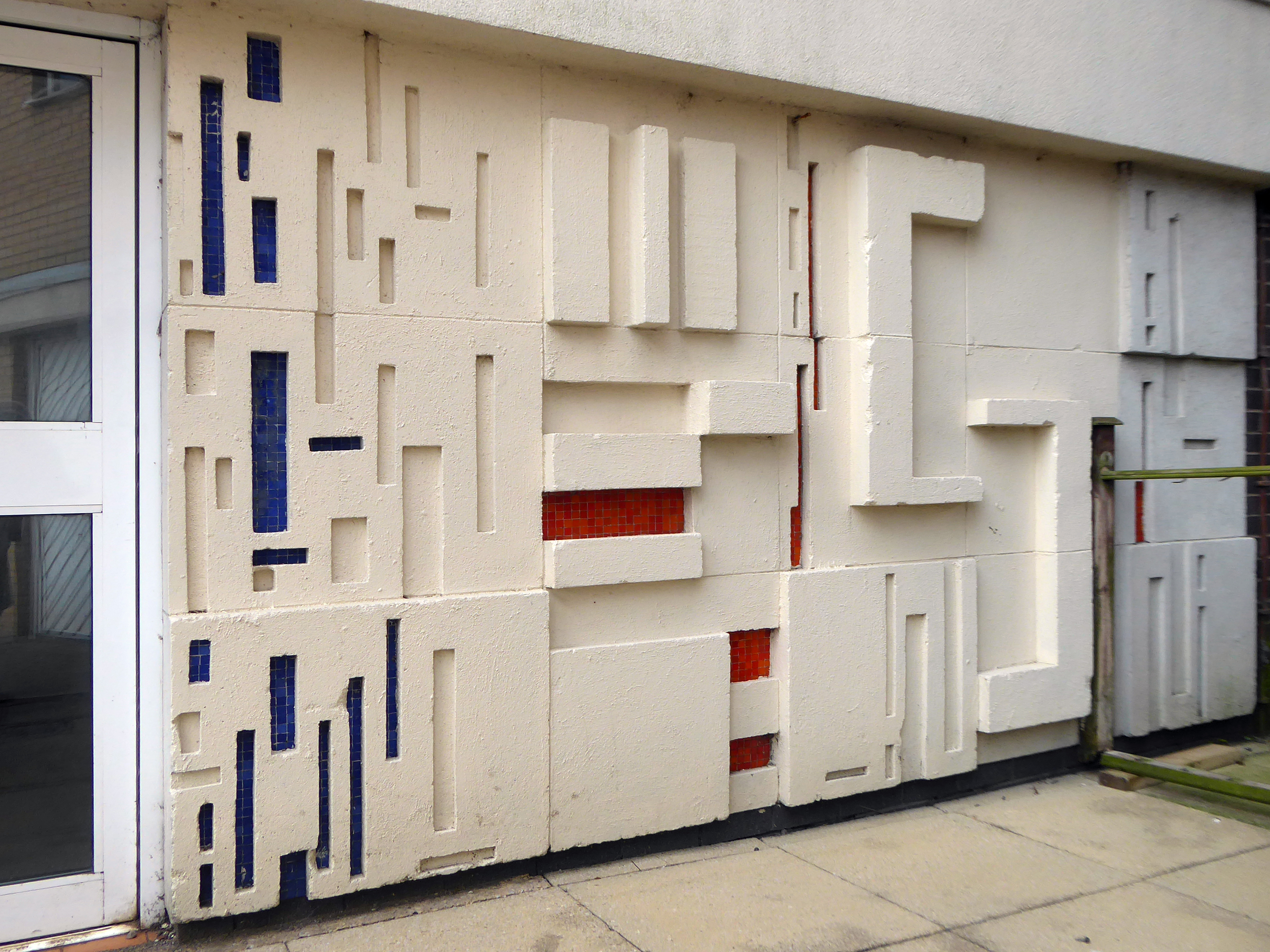
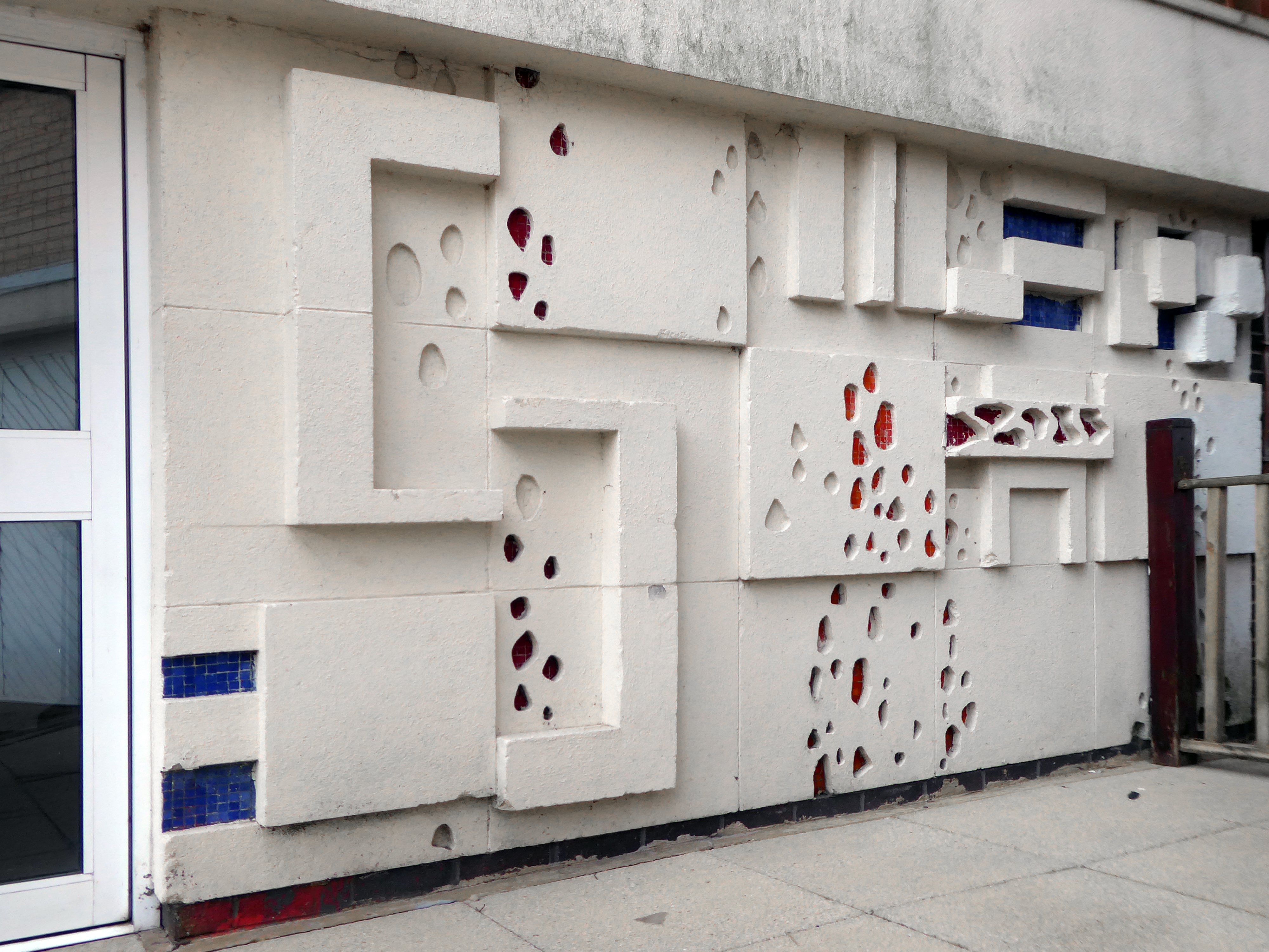
The photograph depicts Alan Boyson’s concrete screen wall, attached to the former Cooperative super store designed by Philip Andrew. The two worked to gather on the Hull Cooperative store, which is adorned by Alan’s huge Three Ships mosaic.
Philip was a childhood friend of Alan Boyson and it was Alan’s father, manager of the Marple Co-operative Society, that recommended Philip for an apprenticeship job in 1951 to the chief architect at the CWS in Manchester HQ.
In preparation for the tour, I visited the town’s Local Heritage Library and read extensively from serendipitous charity shop finds.
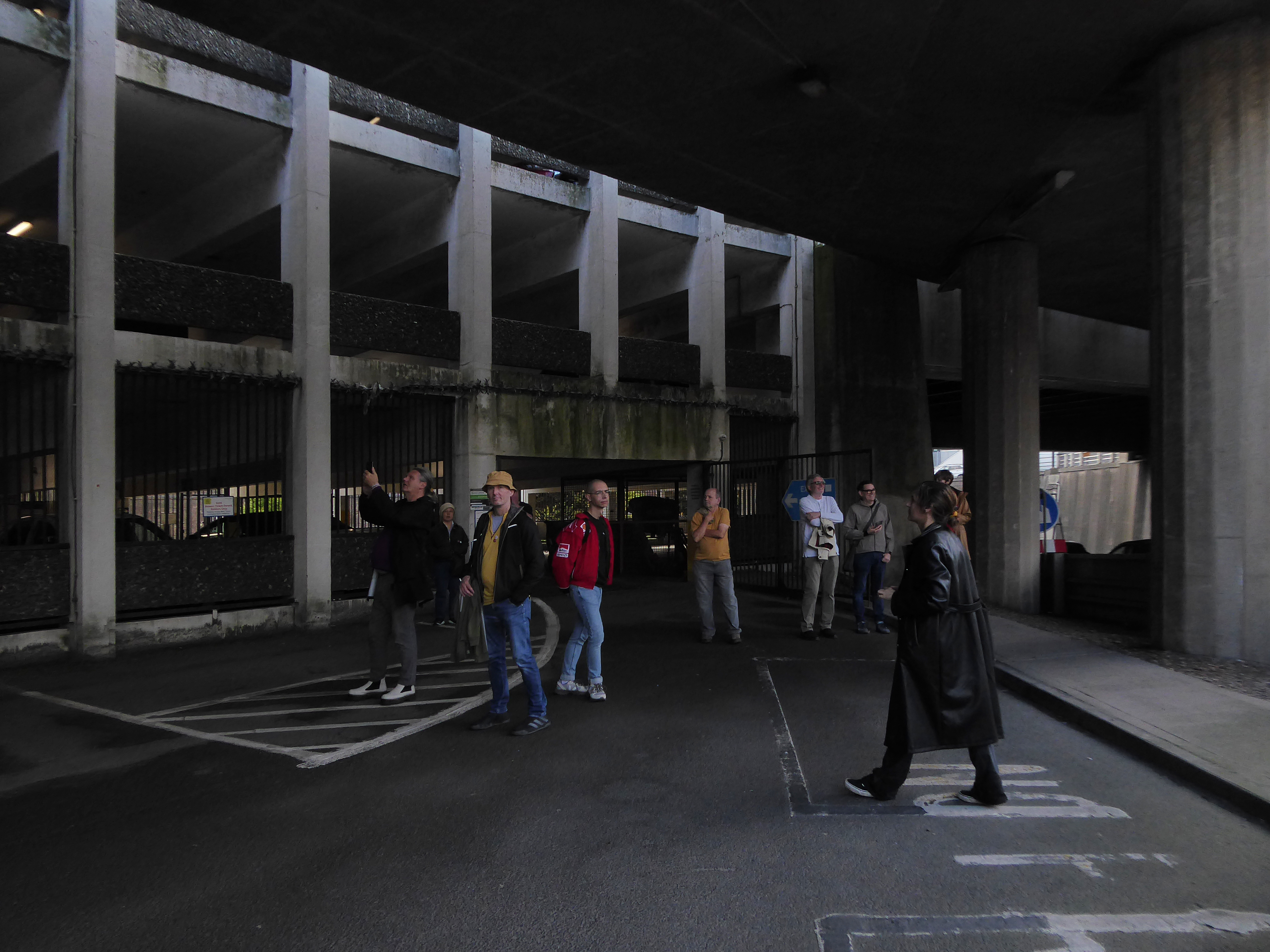
The two hour route was designed around an economy of distance and elevation, allowing time for others to take in, what may be for them unfamiliar surroundings. A group of around twenty or so folk became sociable and engaged, with a suitably concise and apposite contribution from myself. There are those who busied themselves taking snaps along the way, chatting amiably or simply gazing in amazement.
The service building above the former Debenham’s store.
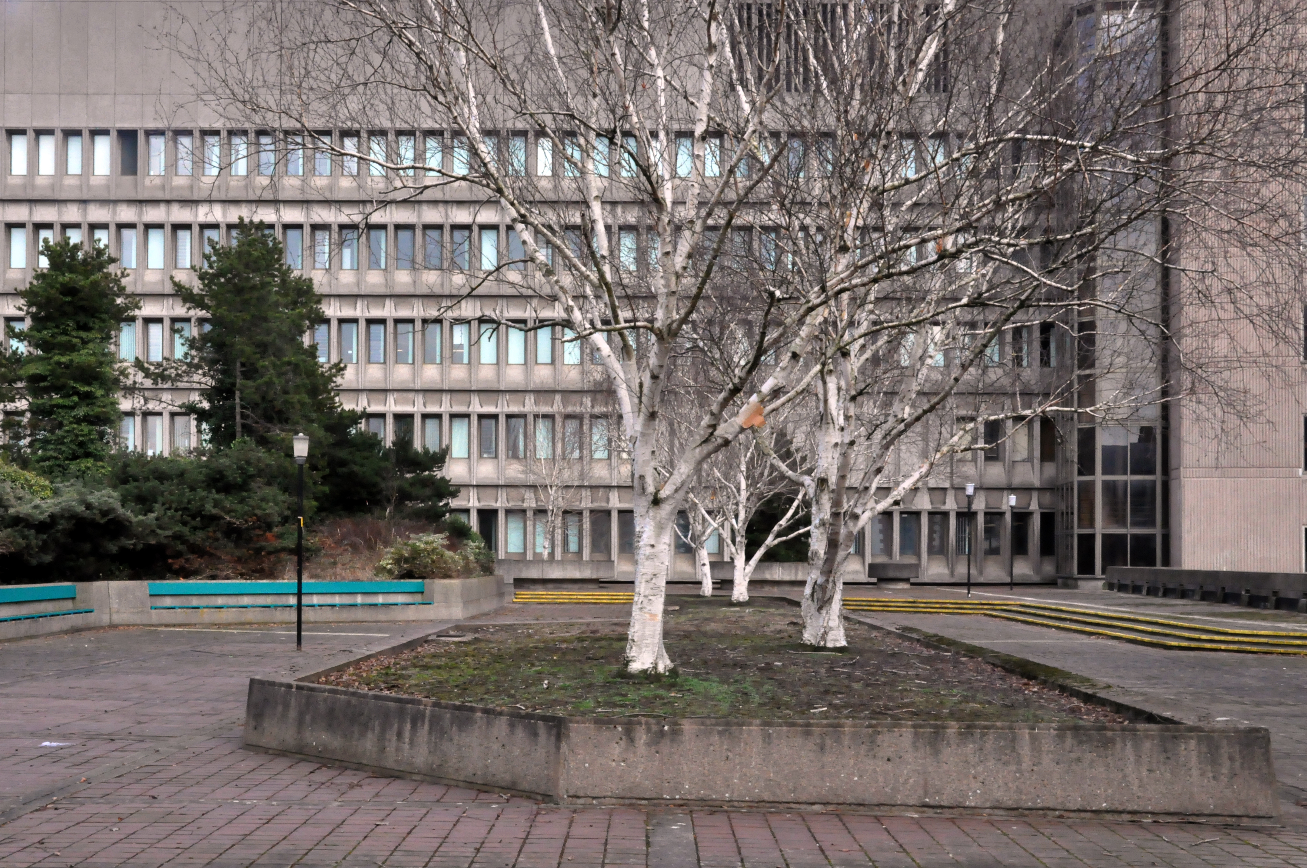
Famed as an imaginary TV police station, this civic building is a civic building I simply can’t resist. I return on a regular basis to wander and snap. This is an open public space that seems little loved and has few visitors.
From then onwards I have been taking folks on Modernist Mooches on a regular basis, two or so a month, during the less inclement times of year.
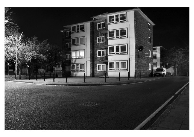
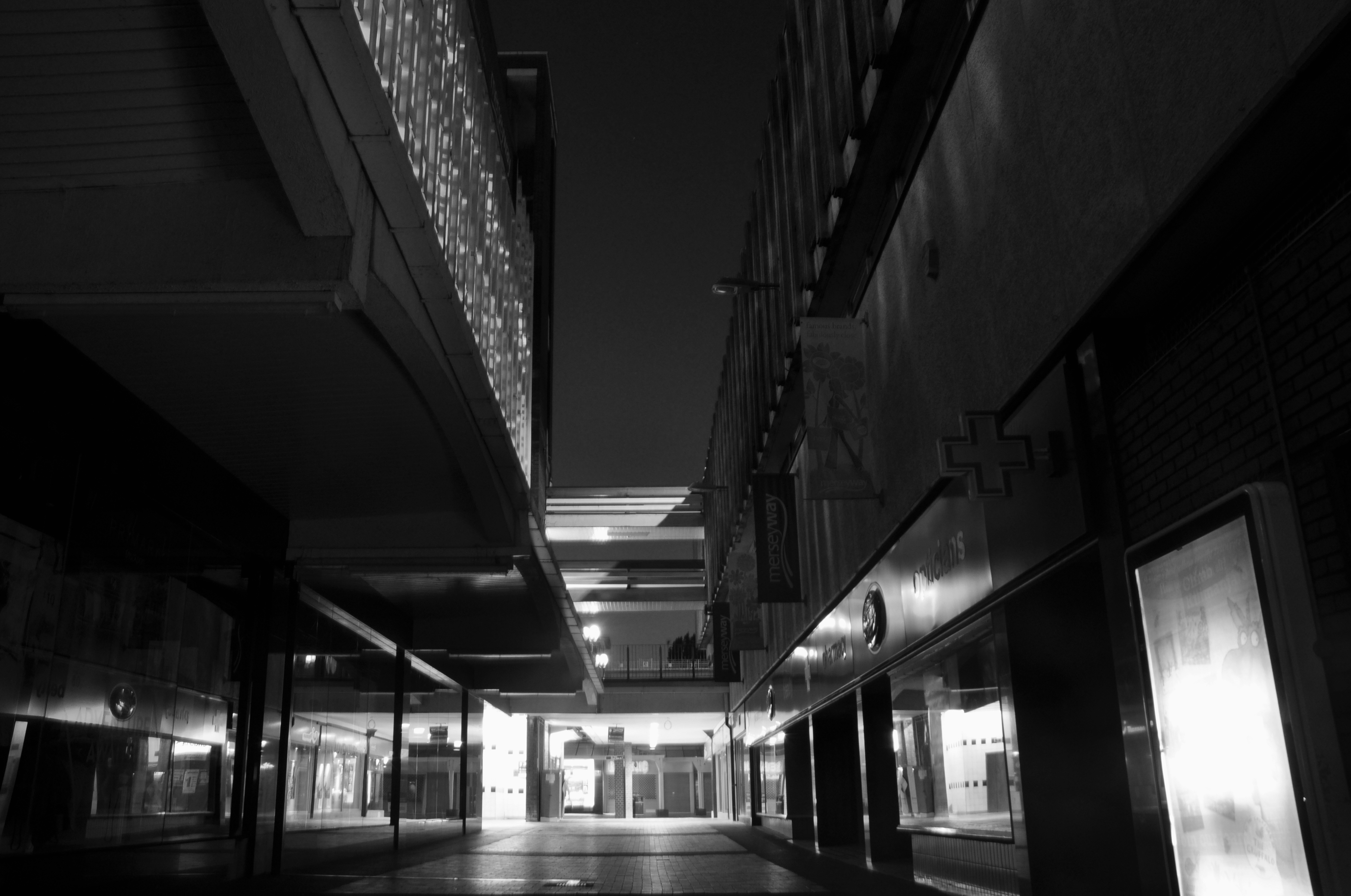
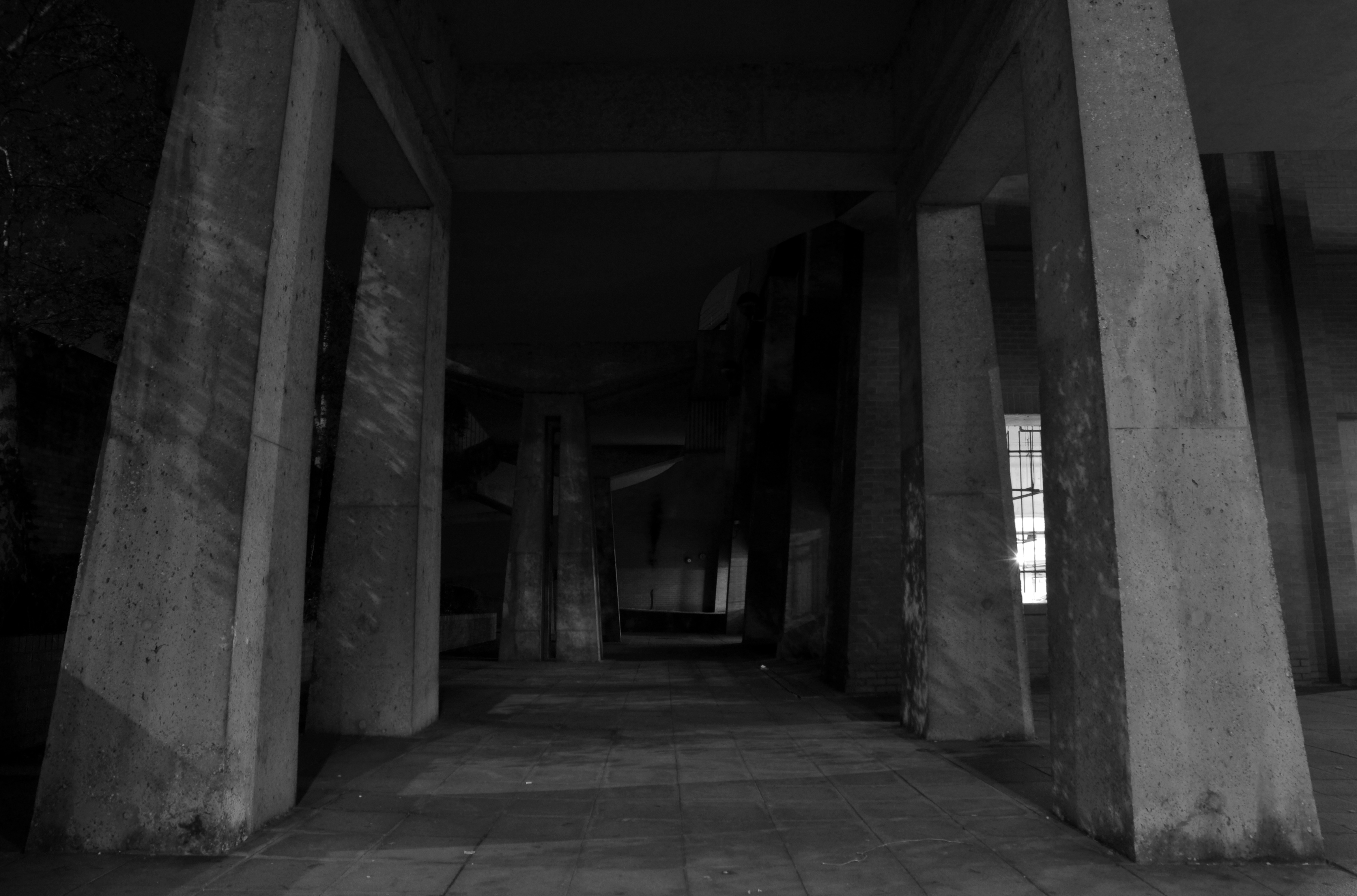
At about the same time I was asked to exhibit my photographs in Stockport, I chose to mooch about at night. Walking around an almost deserted town, avoiding the glare of streetlights, there is a mild frisson to be about when nobody else is about. The air feels different, exposures are longer, the almost waking world feels arrested, by the low available light.
My local shopping centre and as such part of my weekly walking and shopping life.
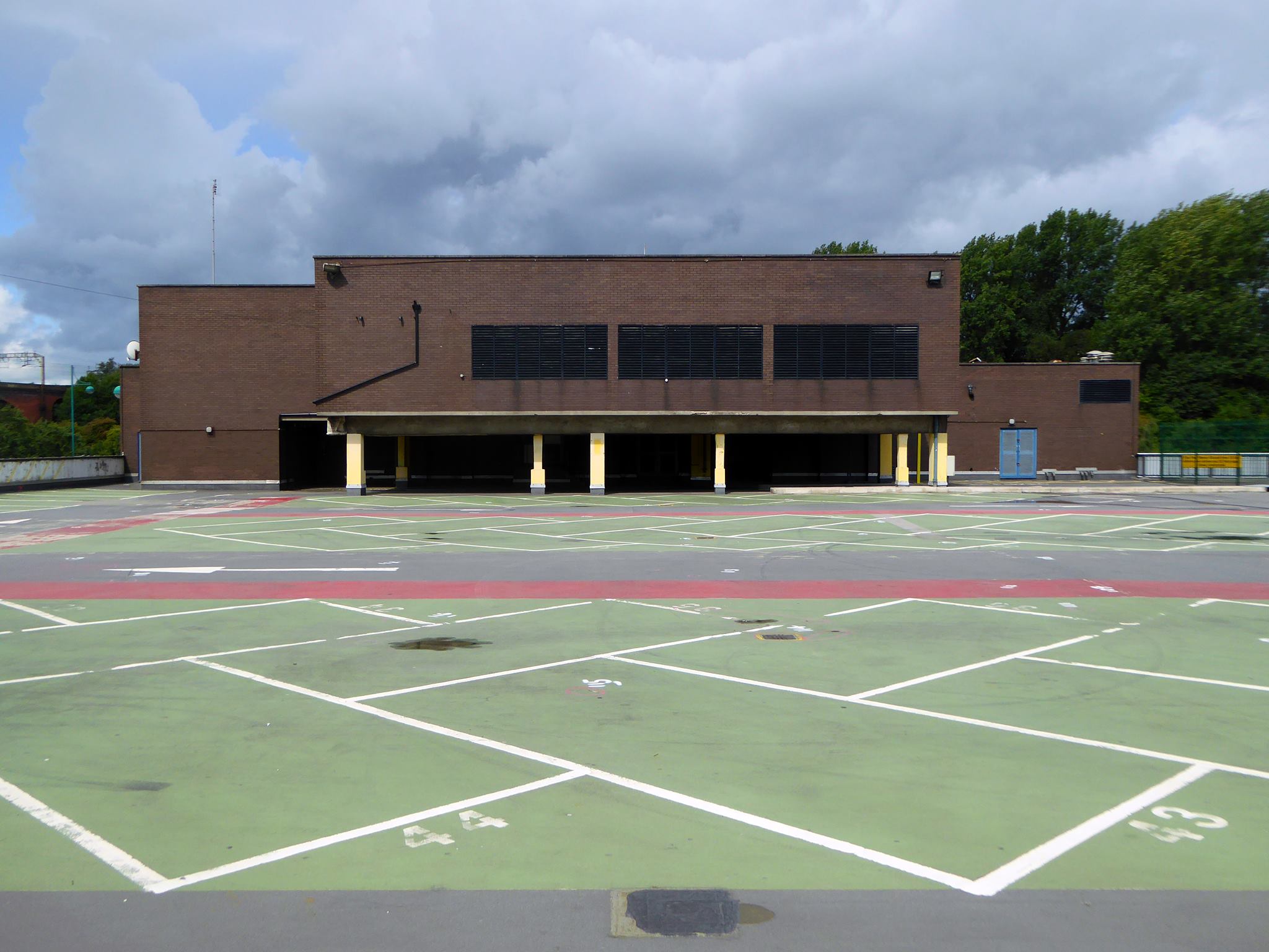
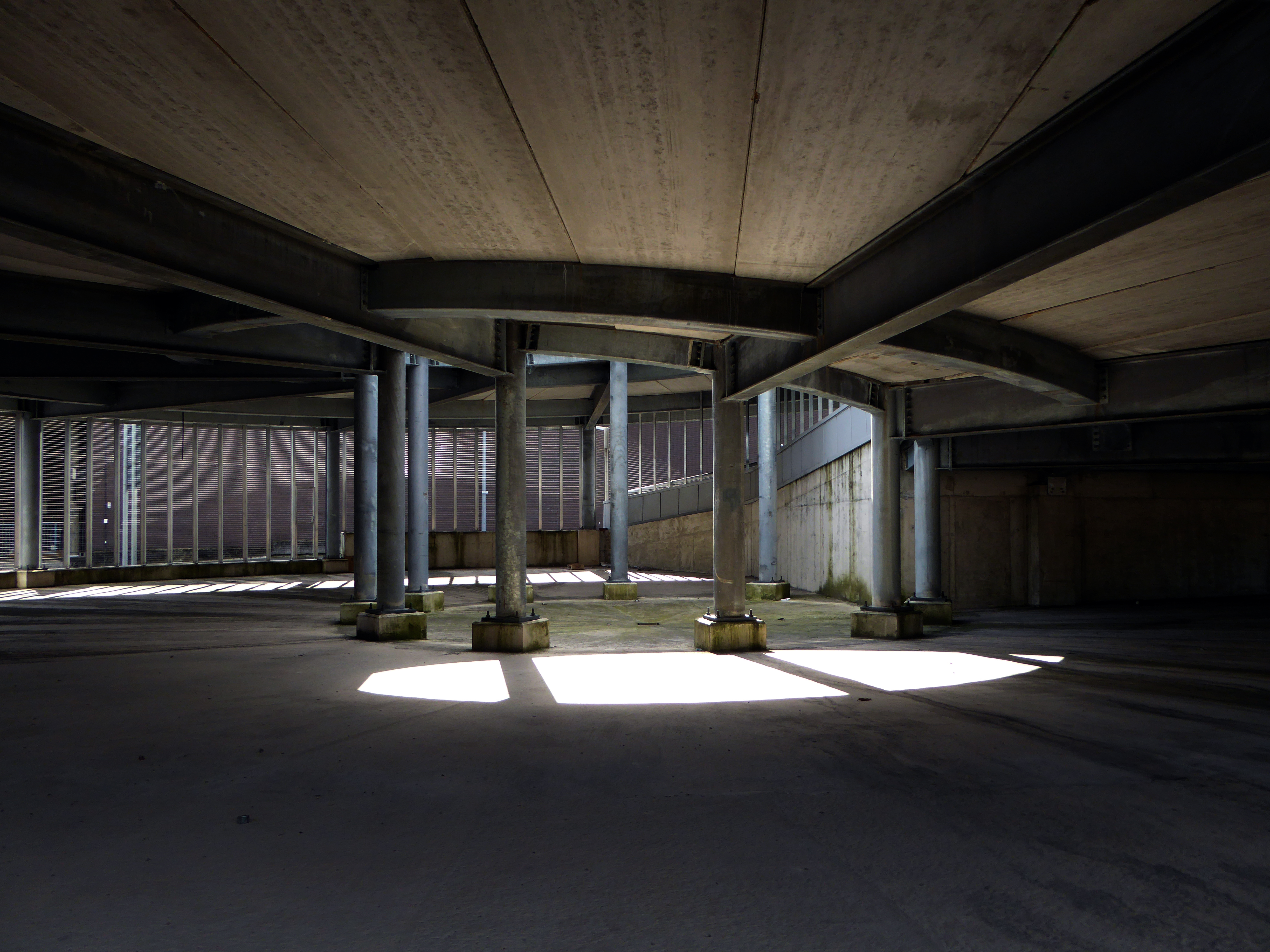
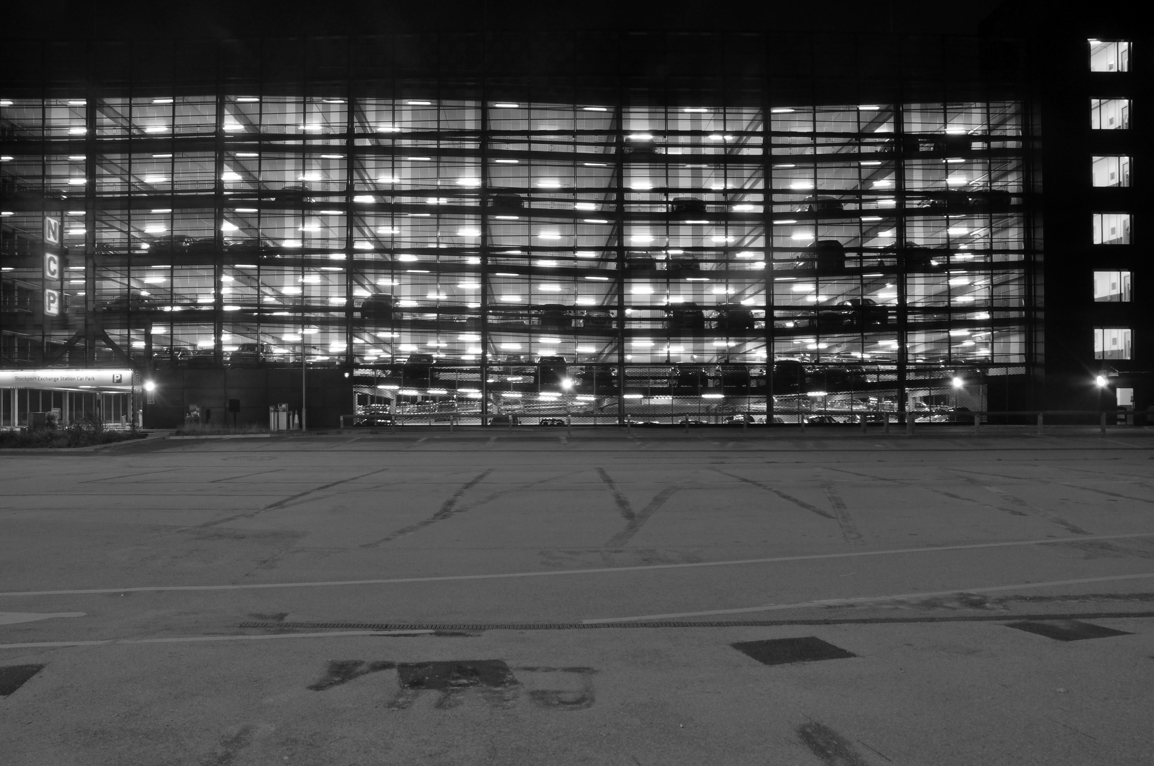
NCP Car Park located on Stockport Station approach.
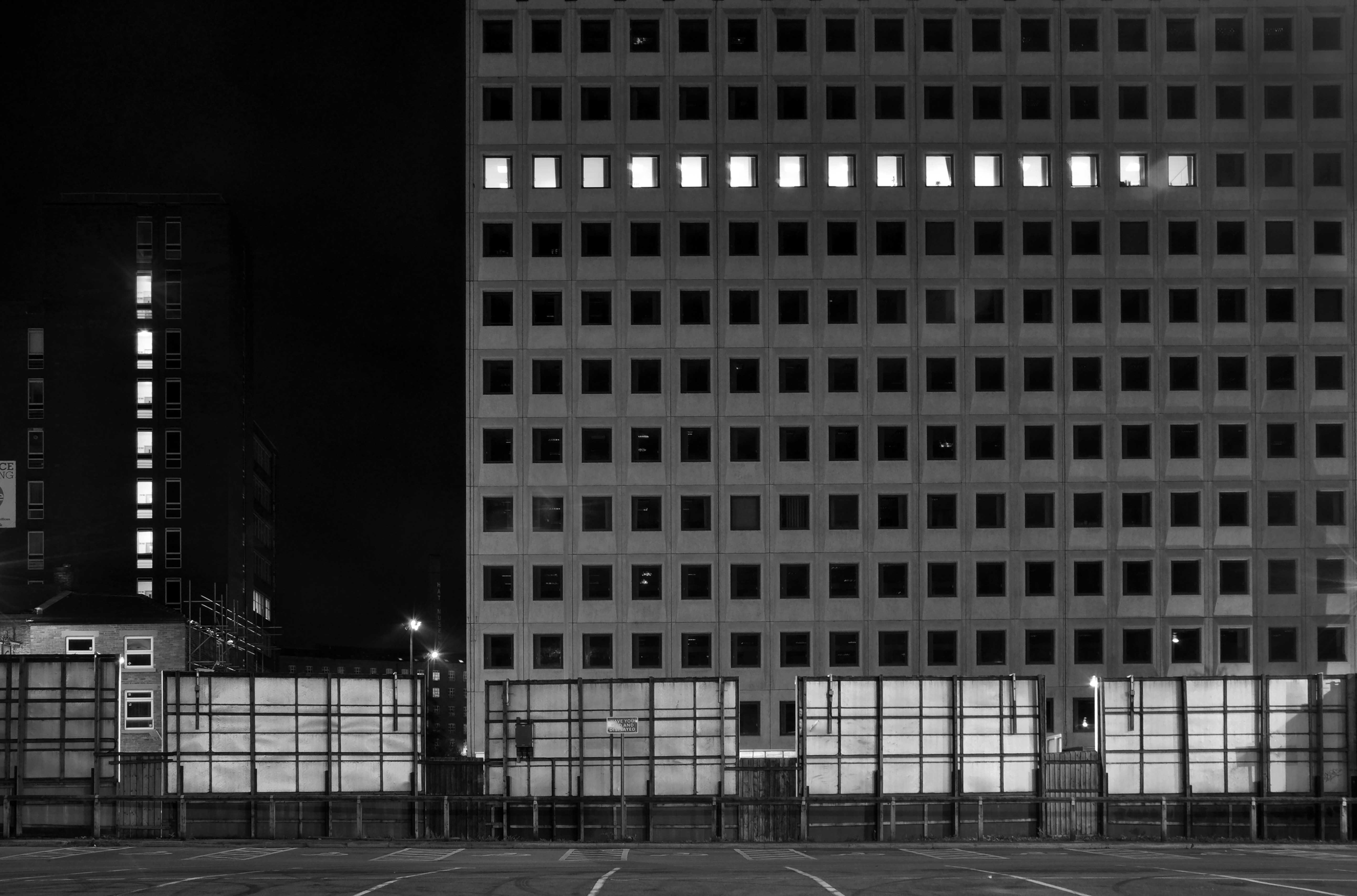
Regent House
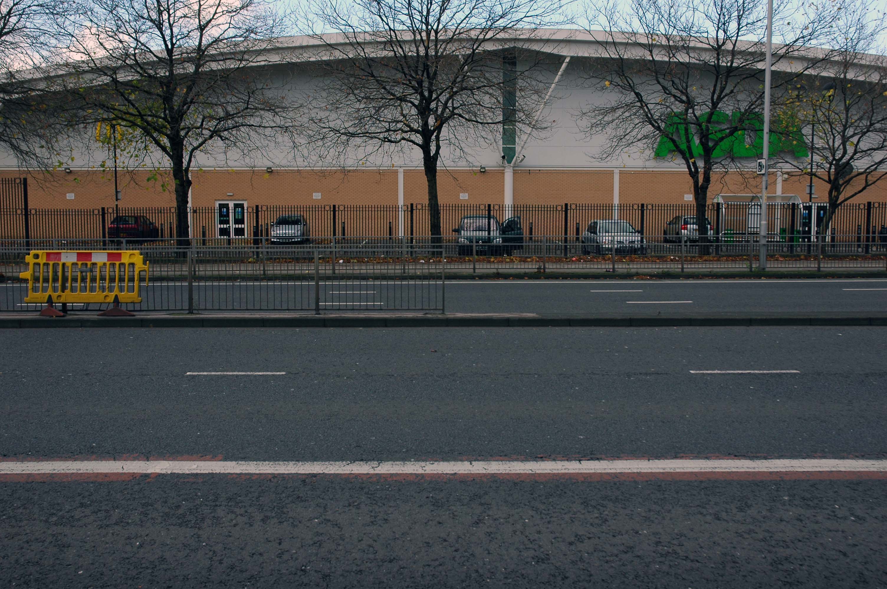
Asda superstore
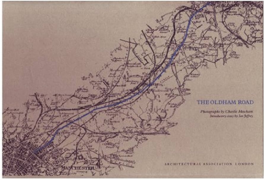
I found a copy of Charlie Meecham’s book Oldham Road in a charity shop.
Inspiring me in 2014, to walk in mostly straight lines, though often as not zig zagging along the main arterial roads of Manchester.
Taking pictures on Sunday mornings, in order to avoid traffic, mildly amused to be ignoring the primary function of the routes.
This is one of the more familiar roads, having walked up and down several times over several years. It was to have been an extension of the Mancunian Way, forming a trans-pennine motorway. Much of the property lining the route was cleared in preparation, it was never built, and for years a strange semi-deserted ambience hung over the A57.
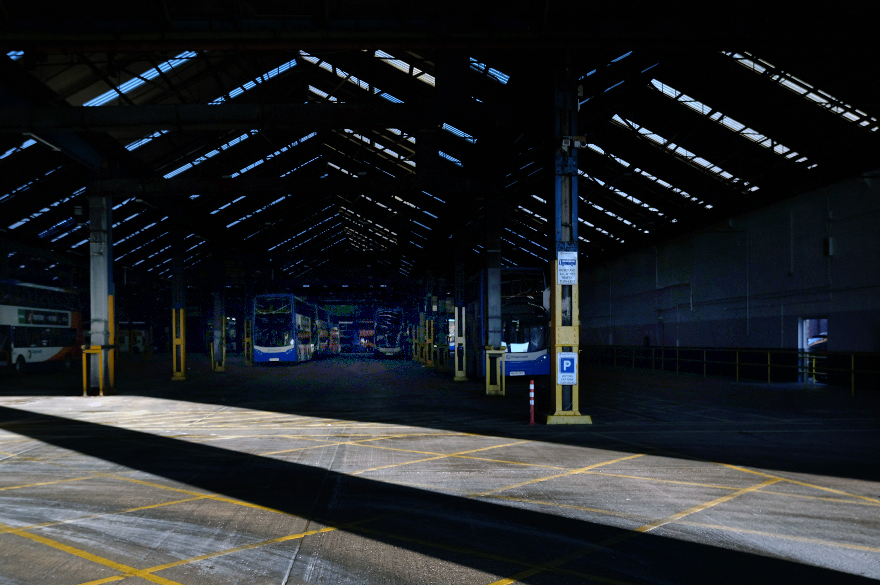
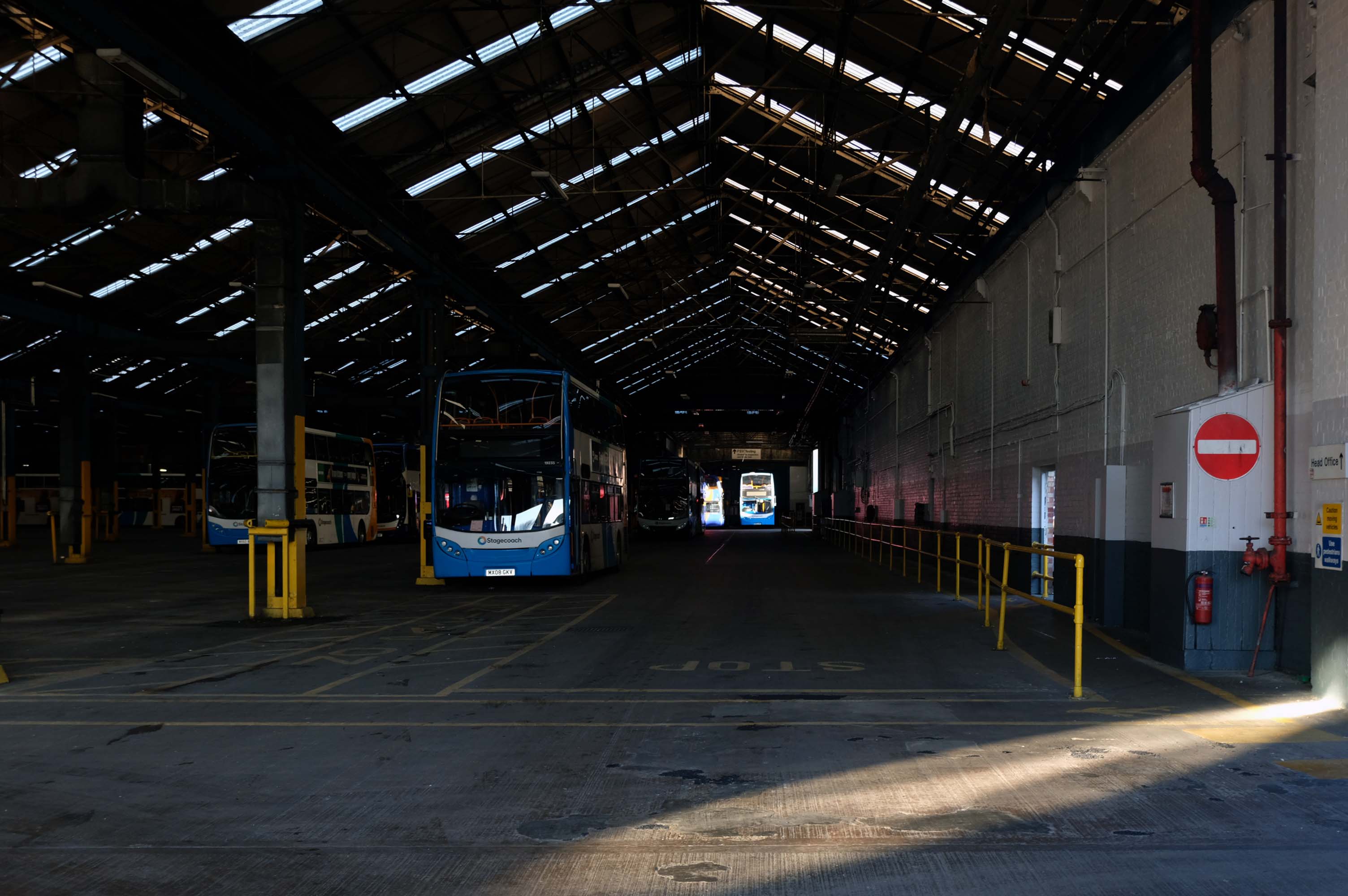
Bus Depot
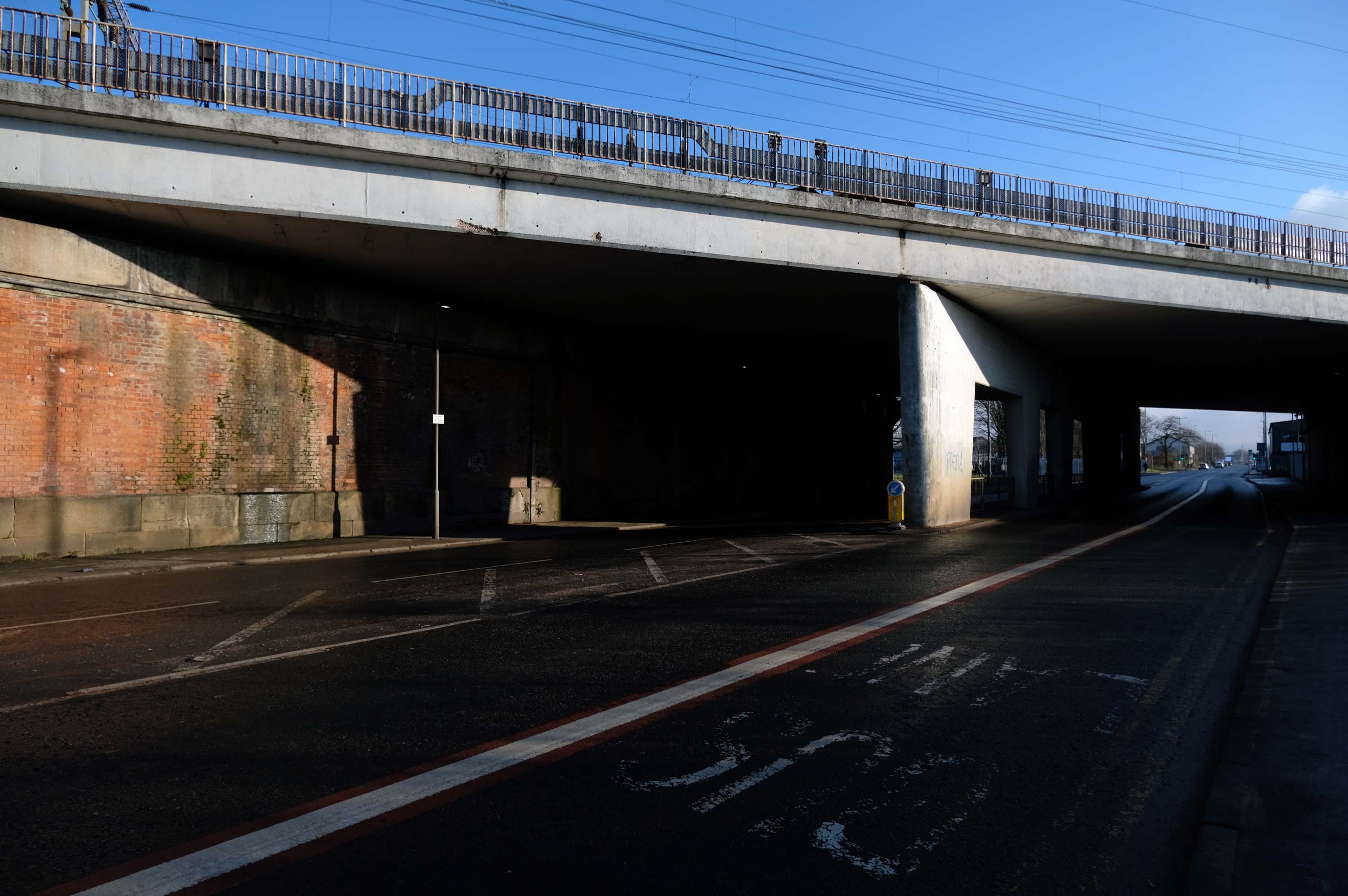
Railway Bridge
The car showrooms which later became an African Evangalist church.
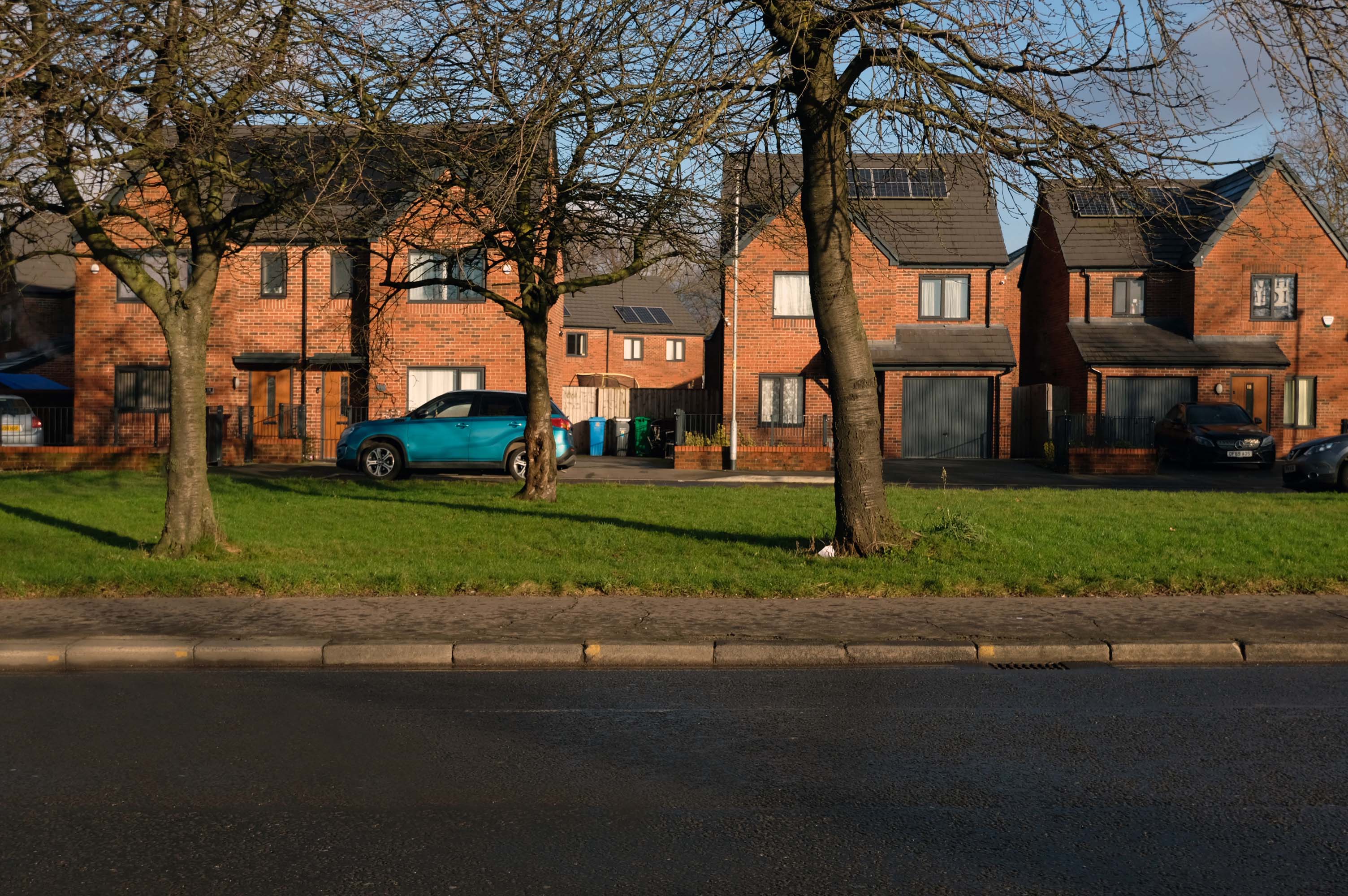
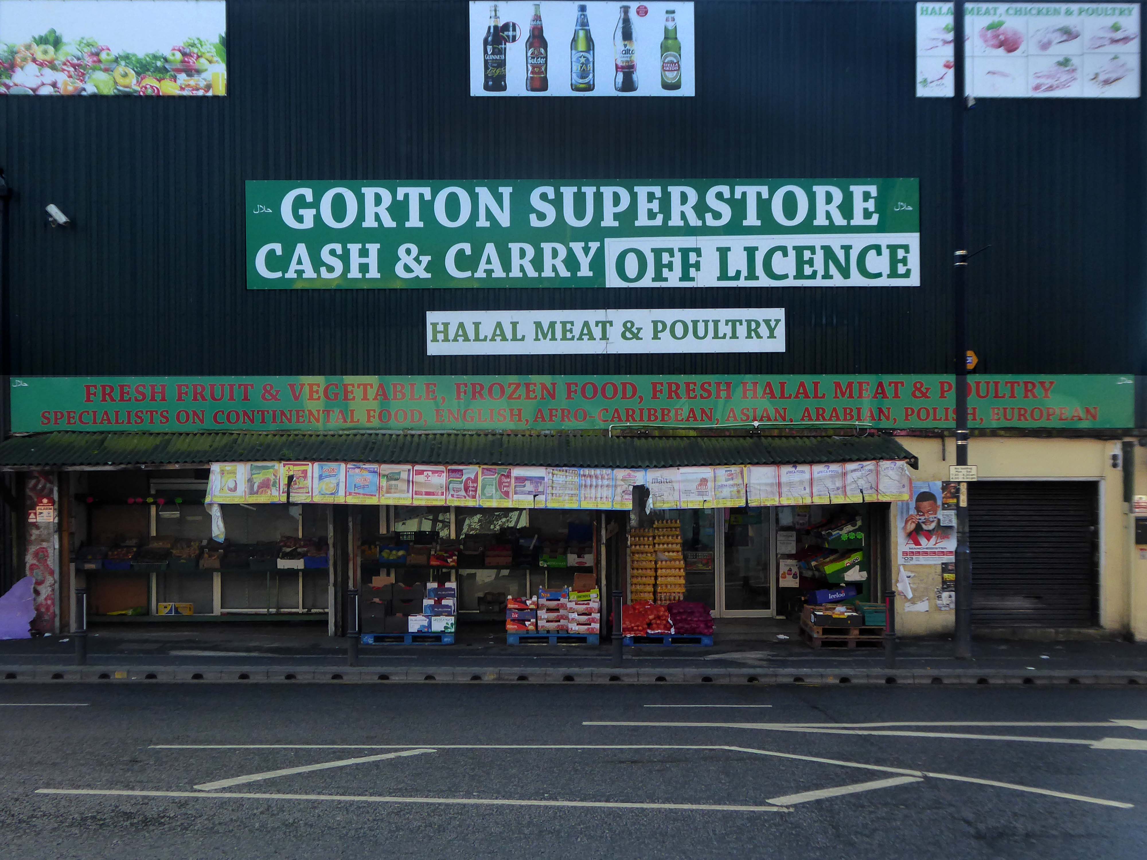
Having cleared away both Victorian and Sixties housing, new architectural forms arose in West Gorton.
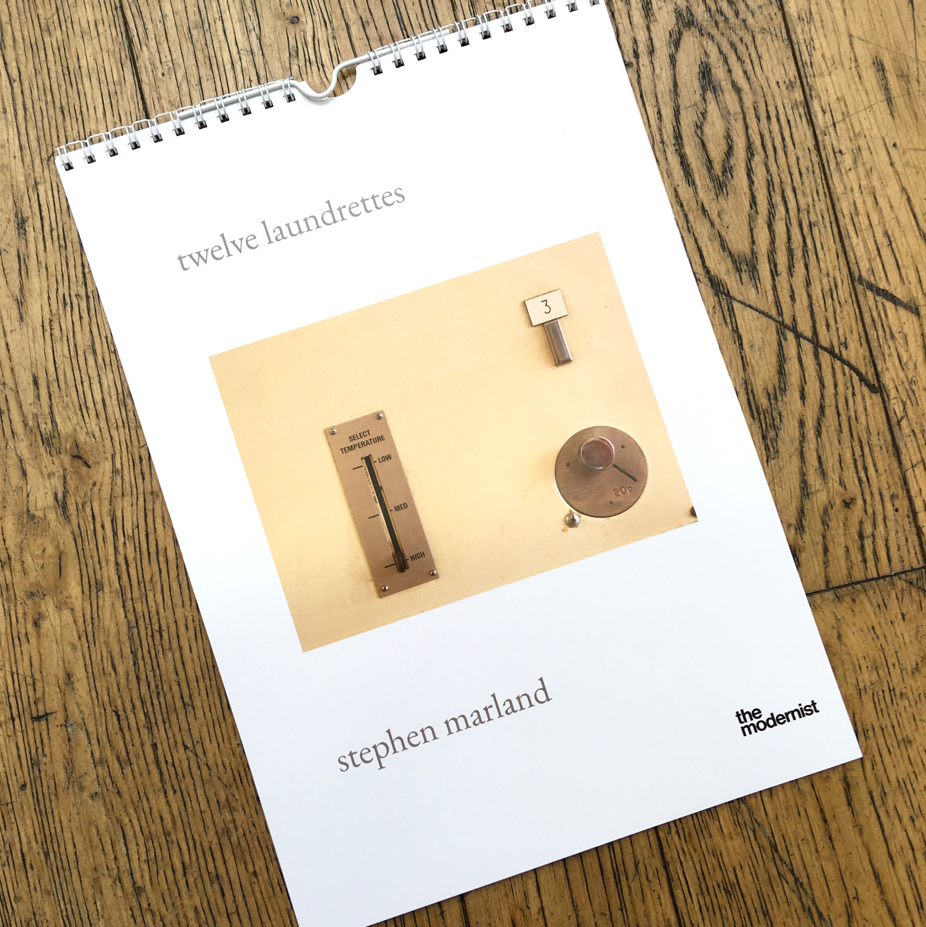
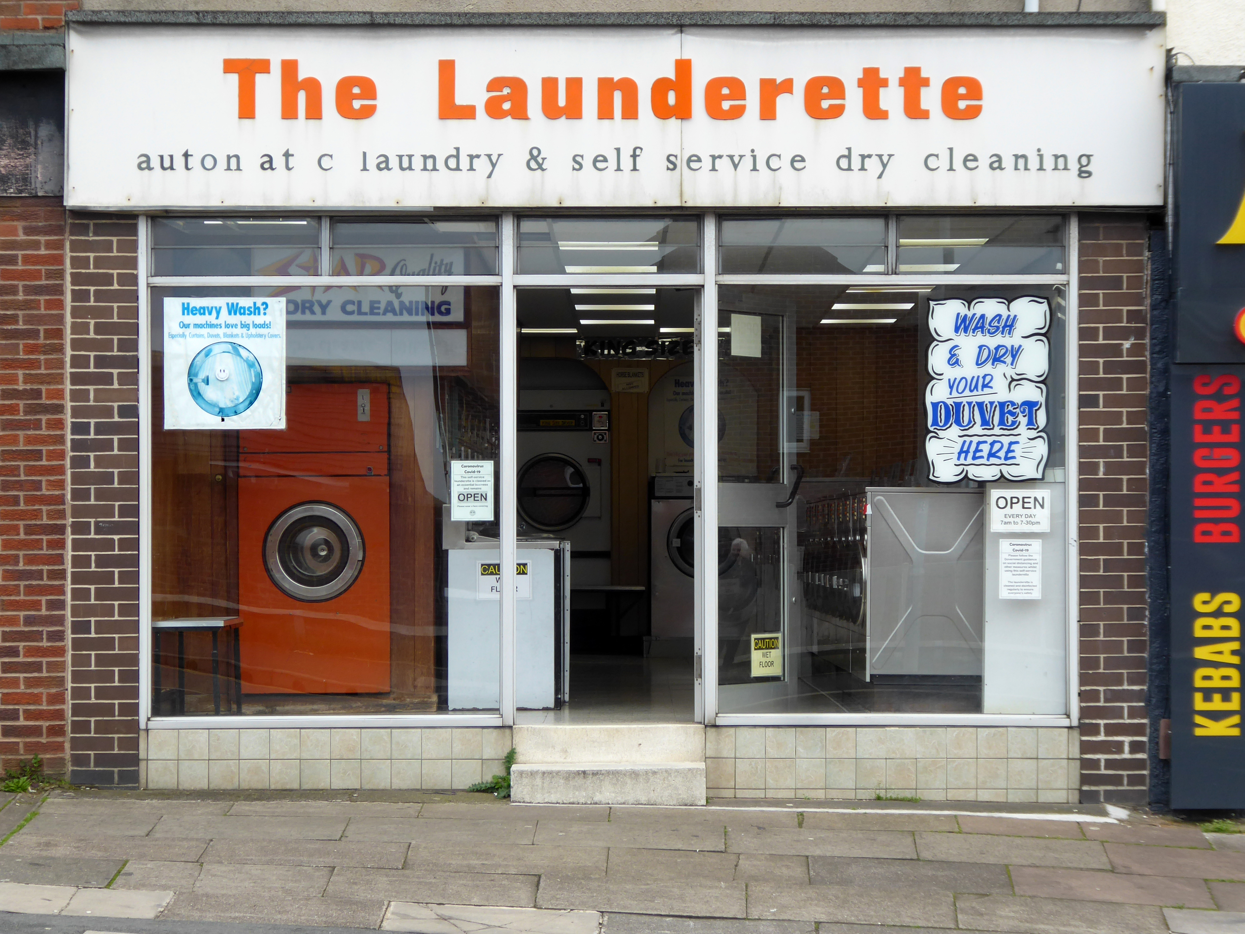
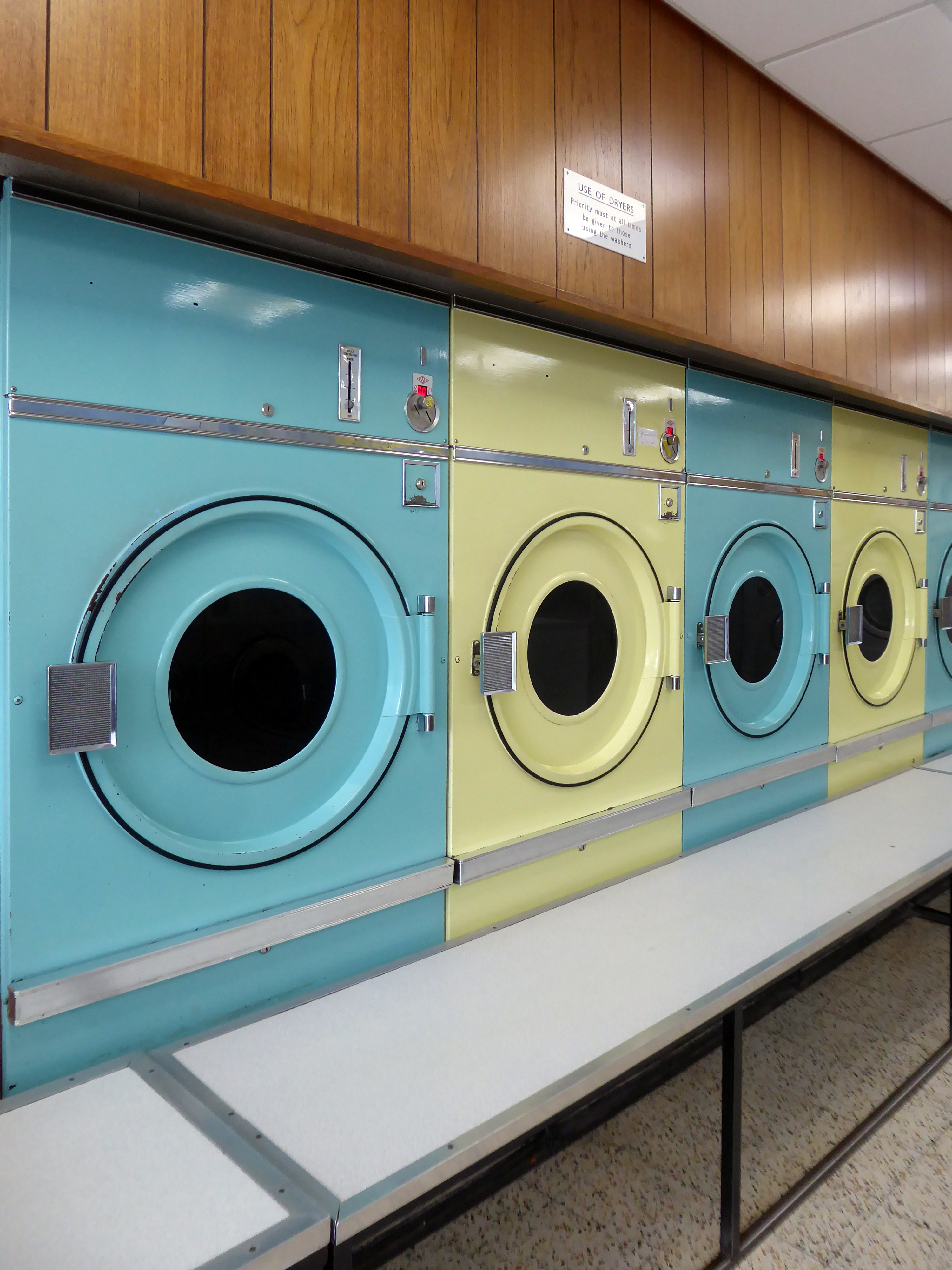
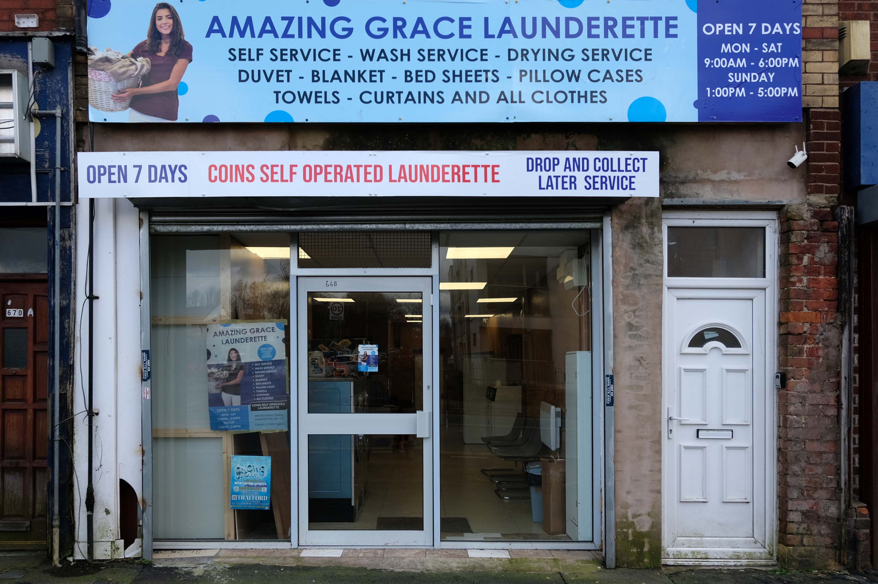
Now, everywhere I go, I see launderettes – so arriving in Hanley with time on my hands, wandering around I found this exemplary example.
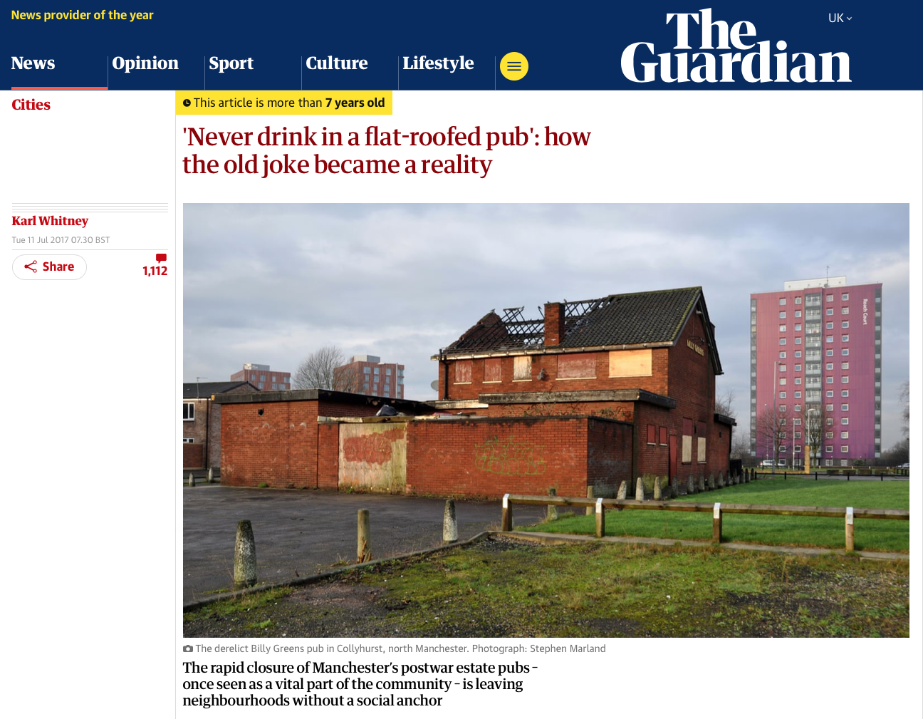
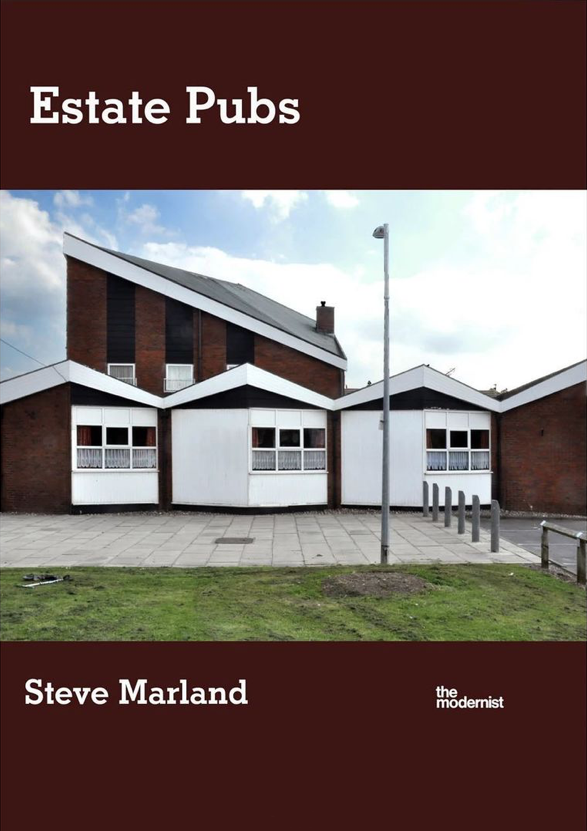
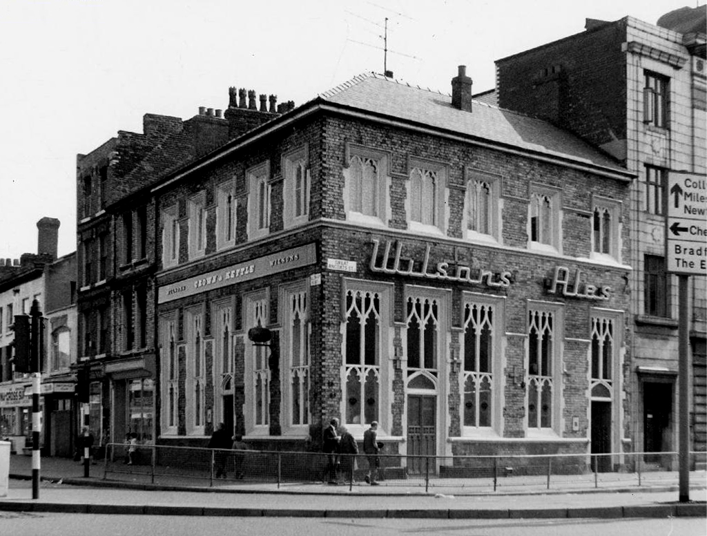
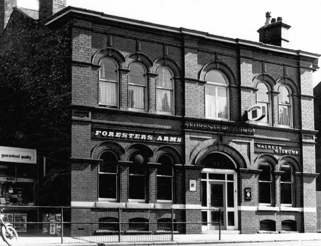
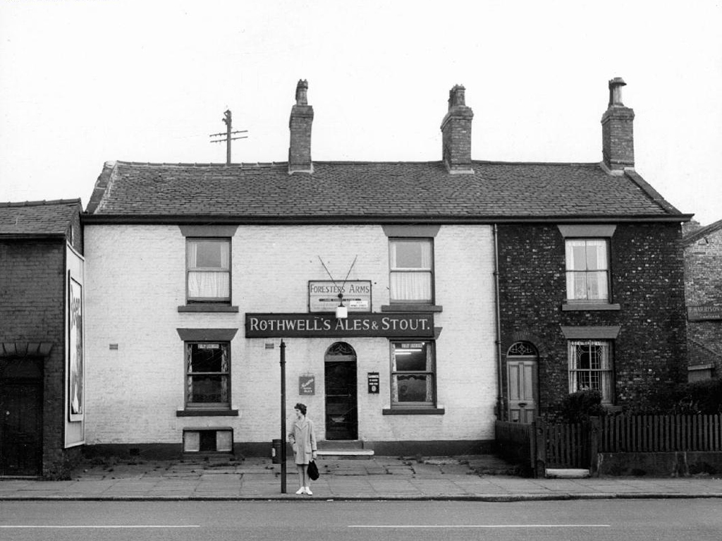
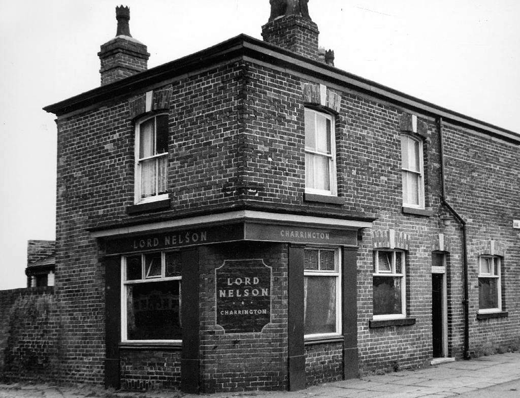
Having a blog entitled Manchester Estate Pubs, the national media became interested in my photographs. I had spent quite some time, wandering around in search of this endangered architectural typology.
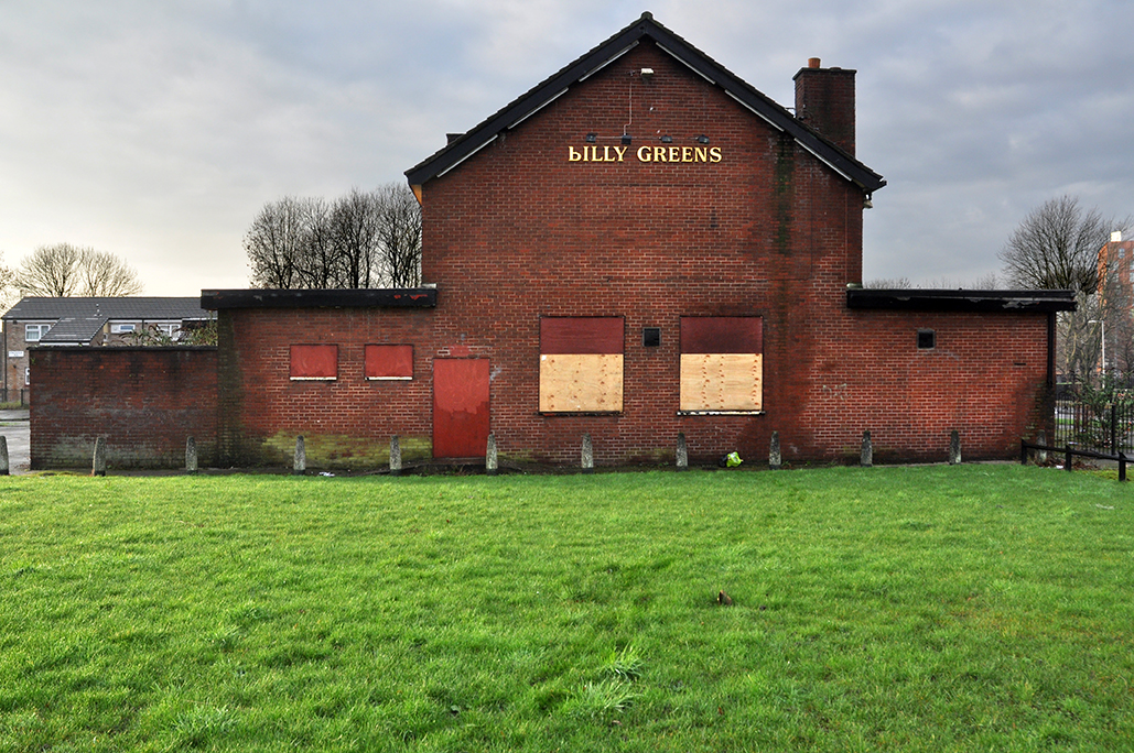
This was Billy Greens in Collyhurst, named for a local boxer, now demolished.
Which in turn became the second modernist calendar.
Followed the following year by fish and chip shops.
So building a vocabulary for my mooching, discovering yet another chippy, laundry, pub, Burton’s, telephone exchange, glazed stairway or underpass.
These things find you, yearning for some small amount of attention and affection.
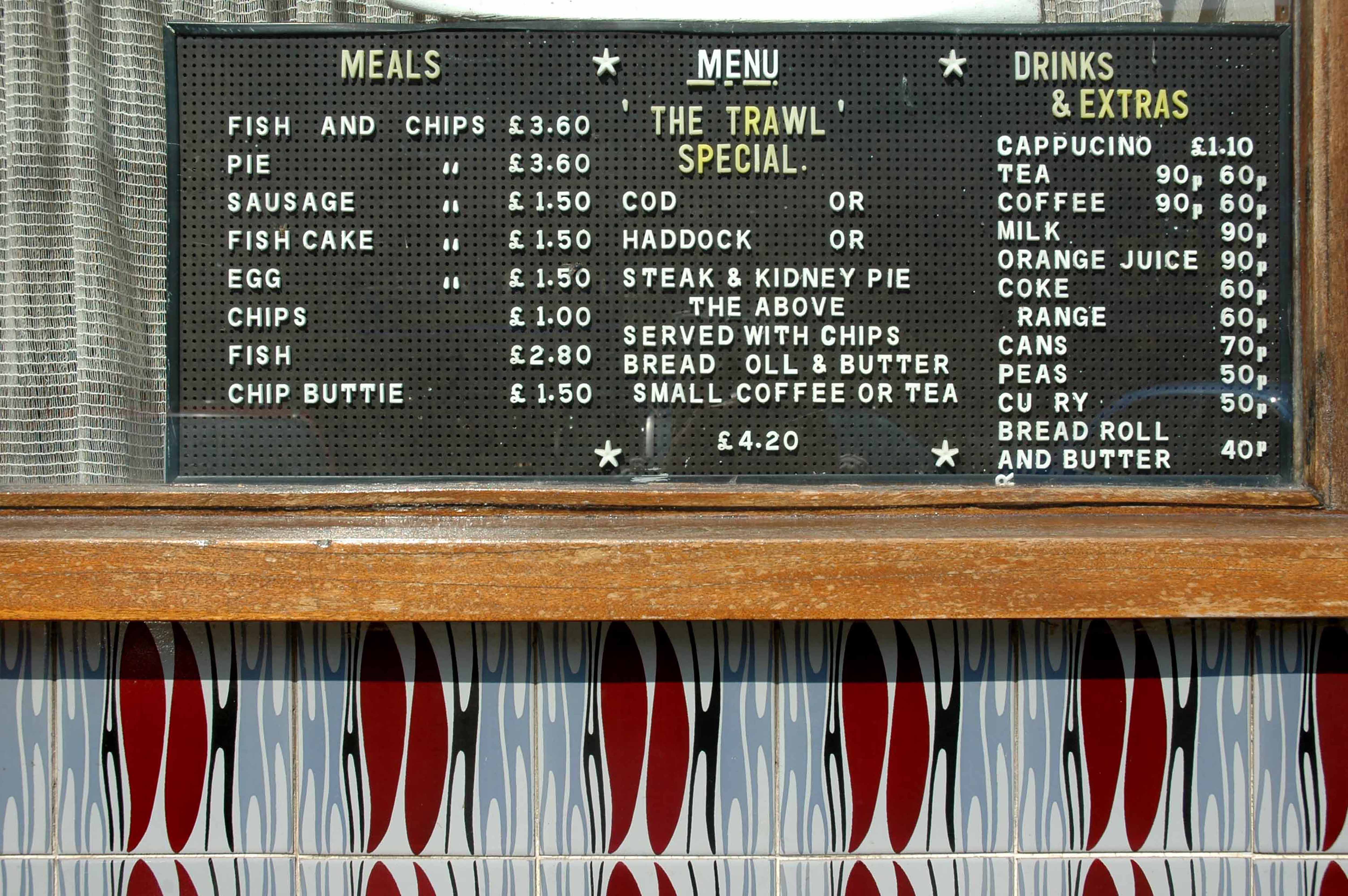
The Trawl – my favourite peg board menu, my favourite Bridlington chippy.
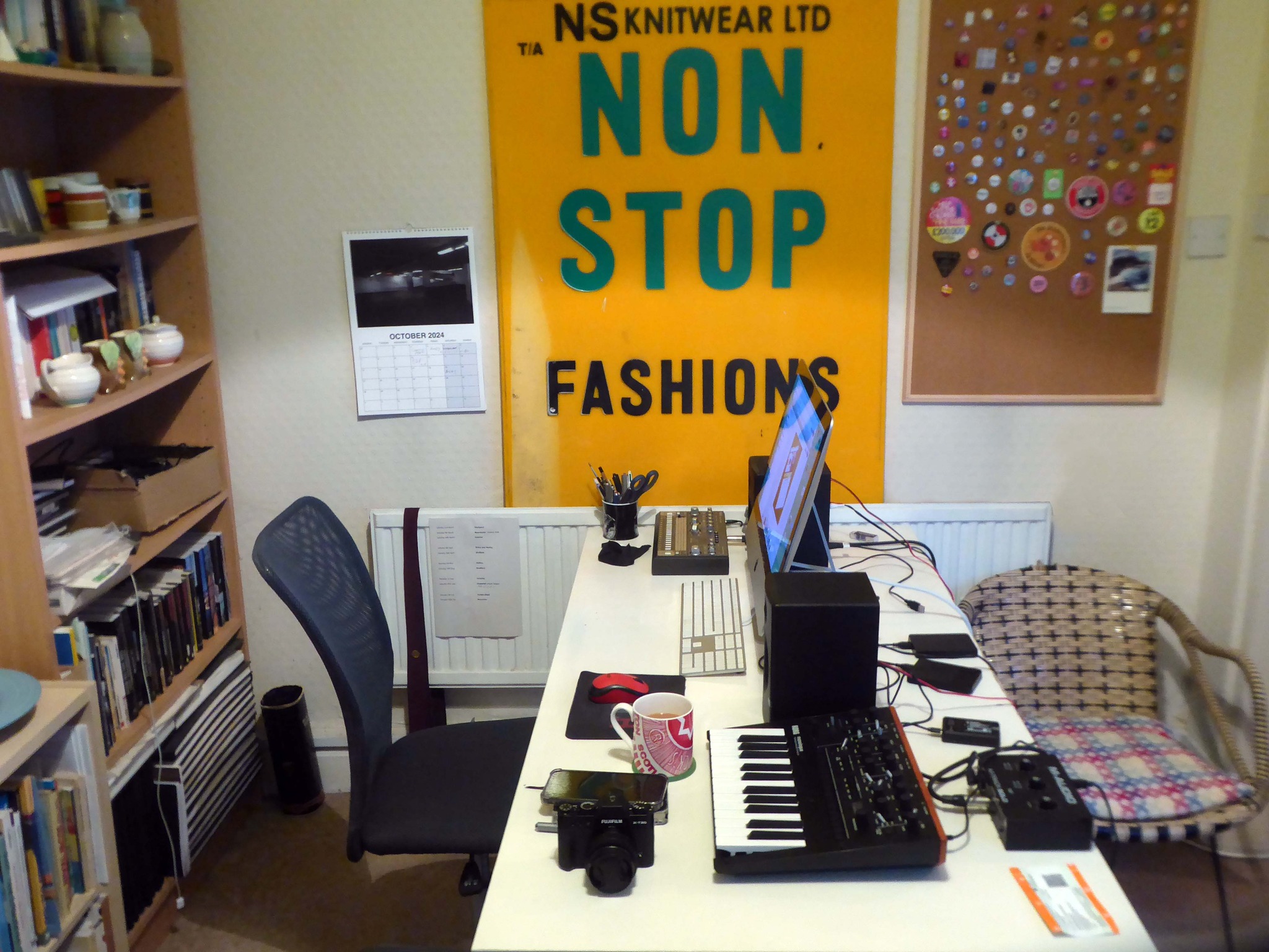
We are now coming to the end of the car park year – seen here on the wall of my command centre.
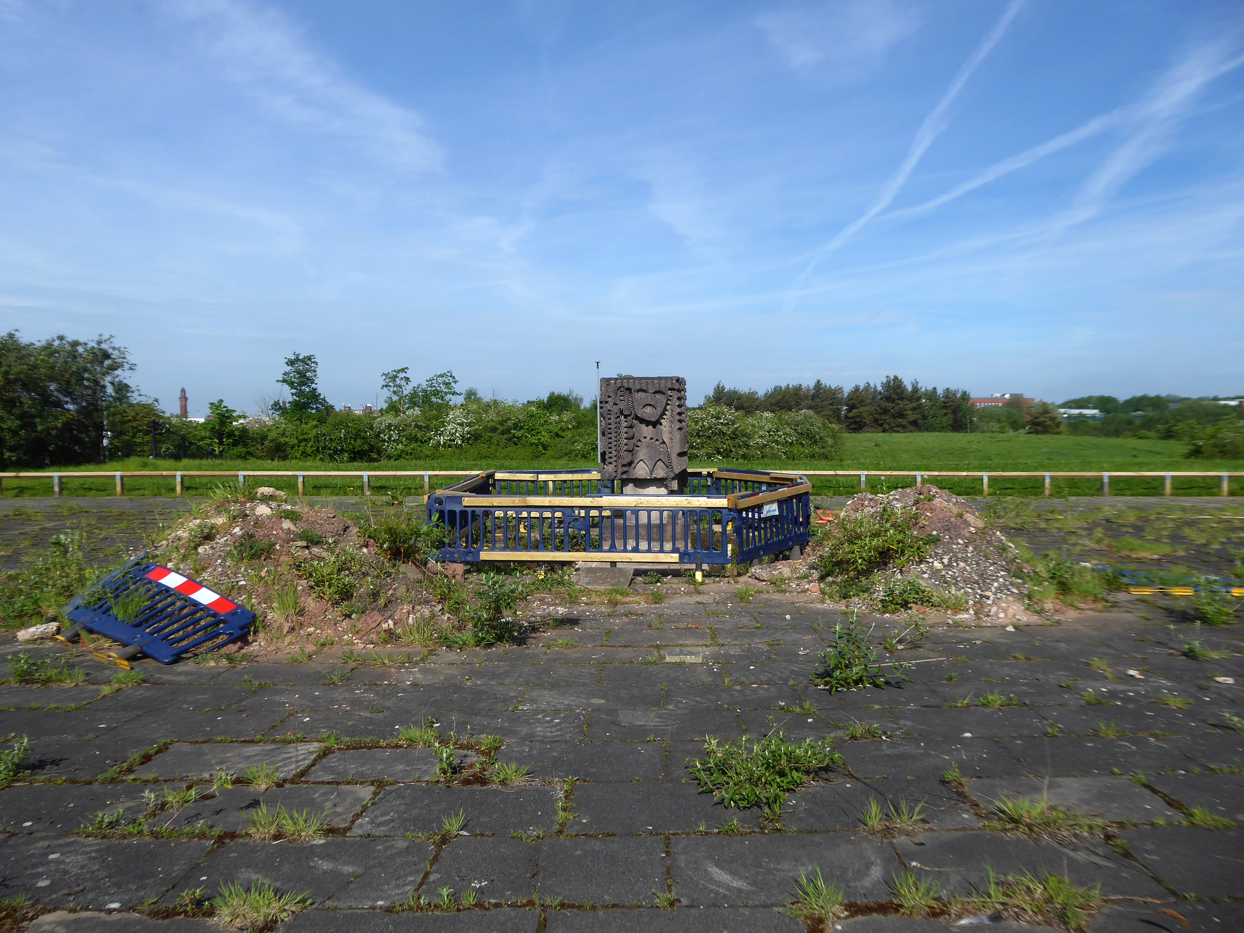
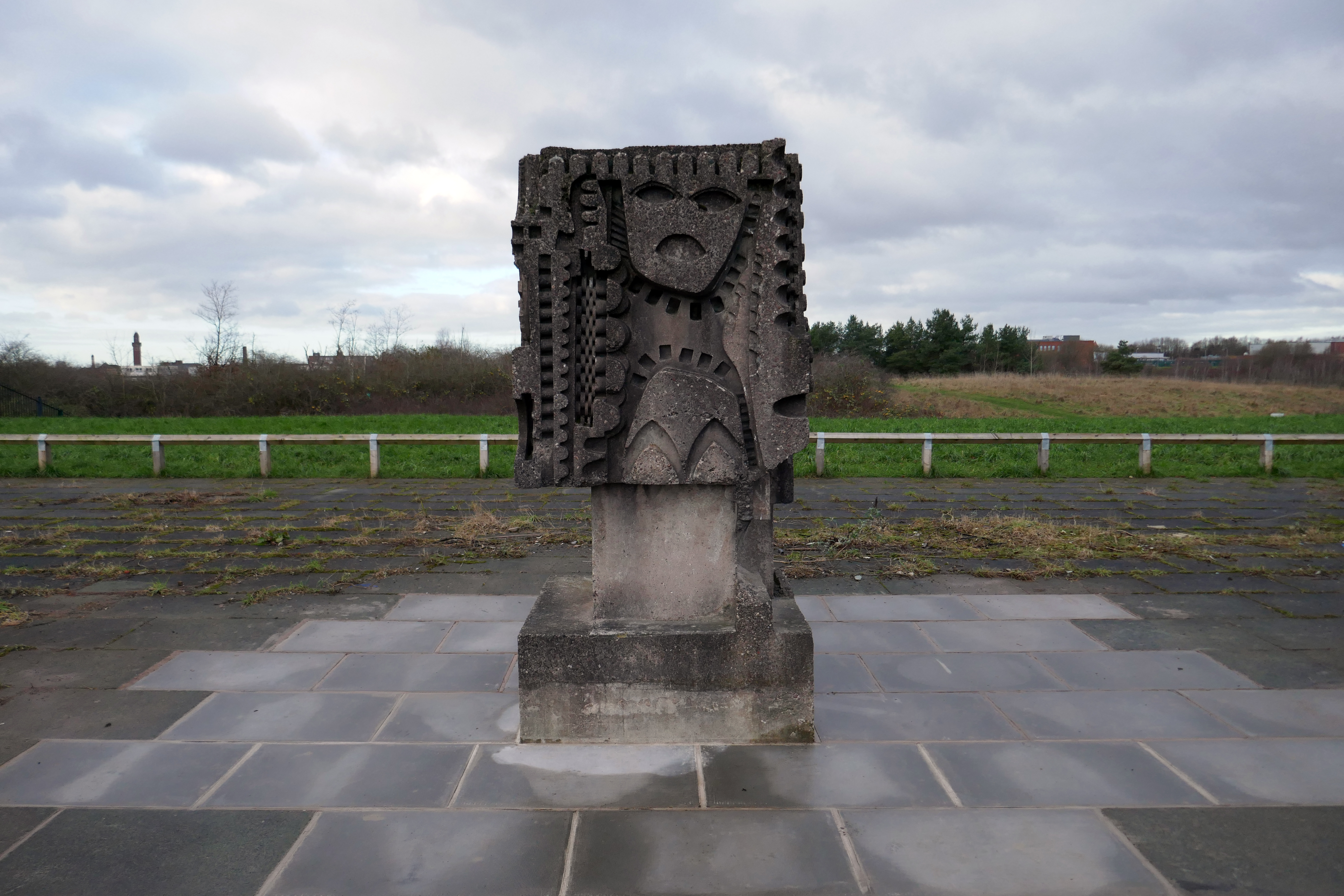
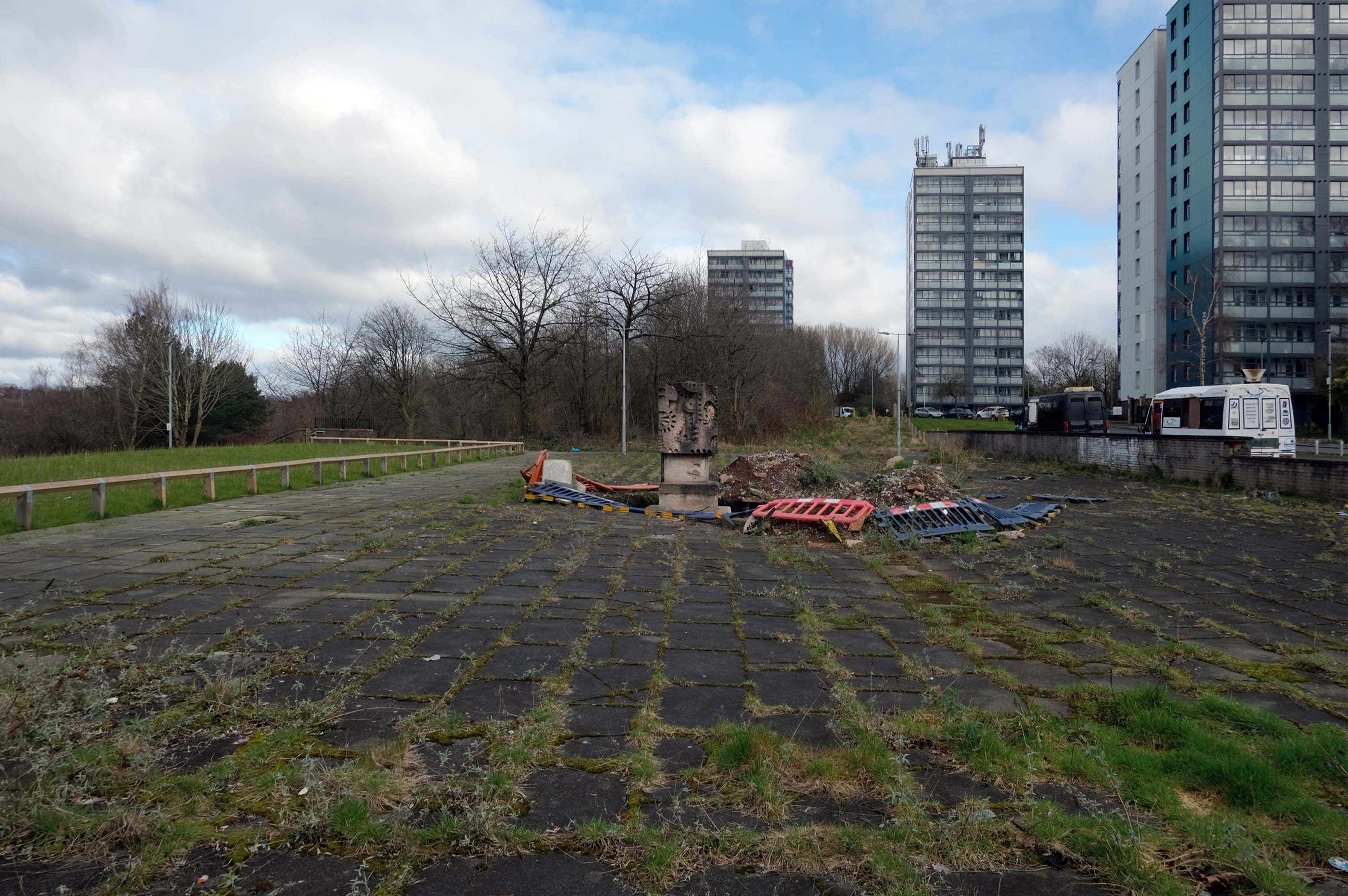
Home to William Mitchell’s Totem, the homes long gone and the Council pledged to move the totem too.
The state of play this week, the detritus removed and the base filled in, repaved and safe for a while.
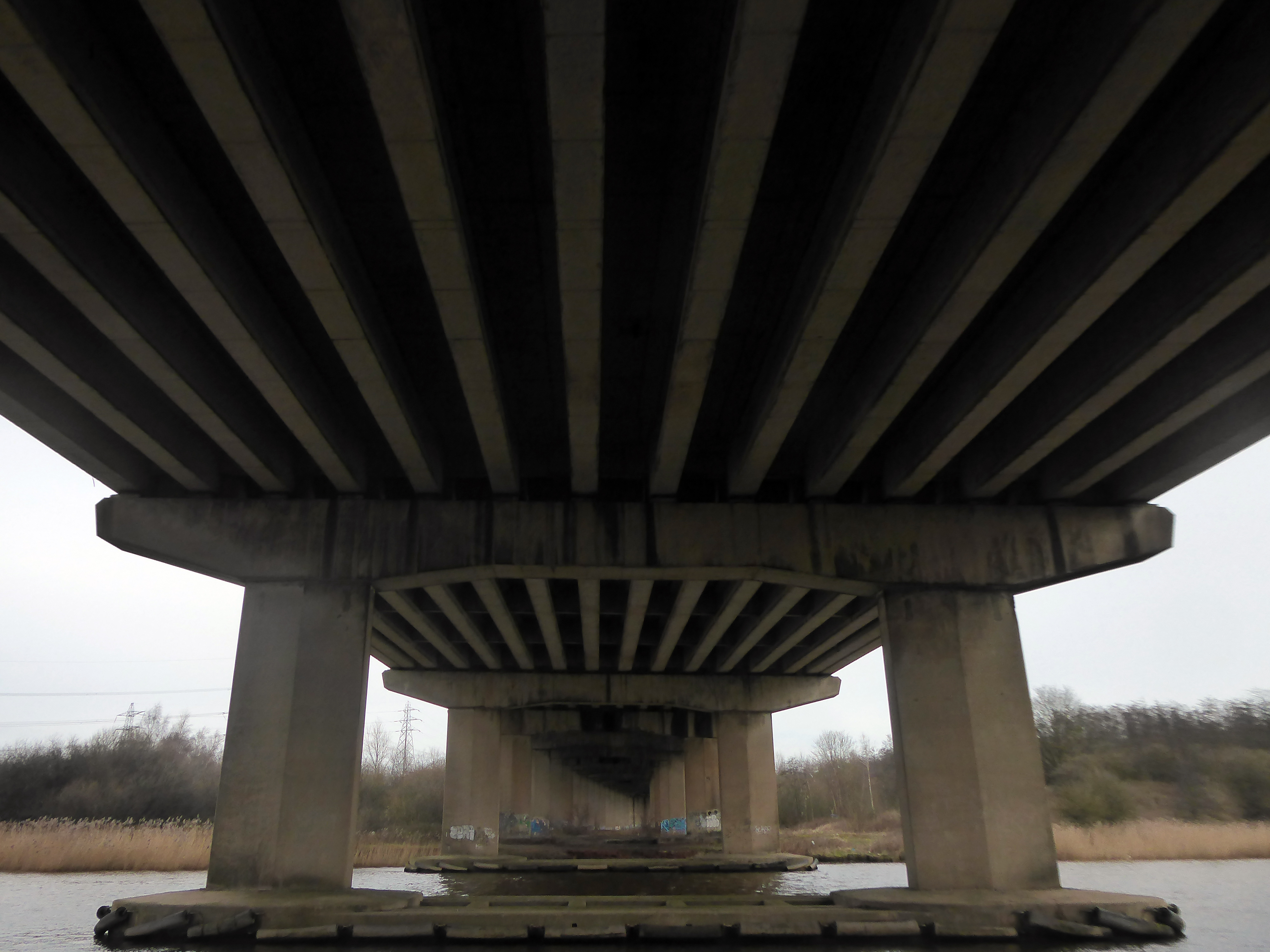
Off now to the Weaver Valley another day another river, passing under Weaver Viaduct
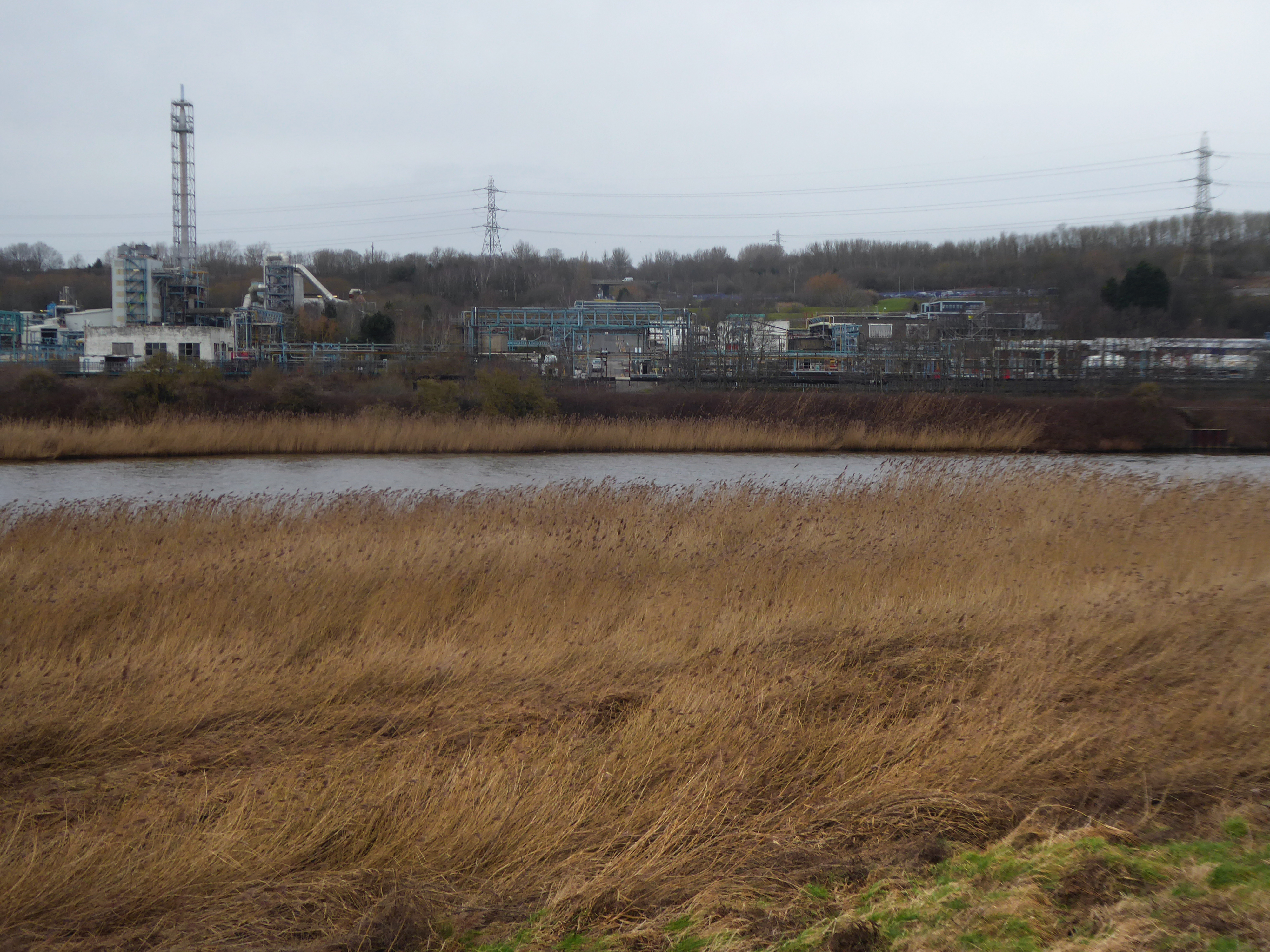
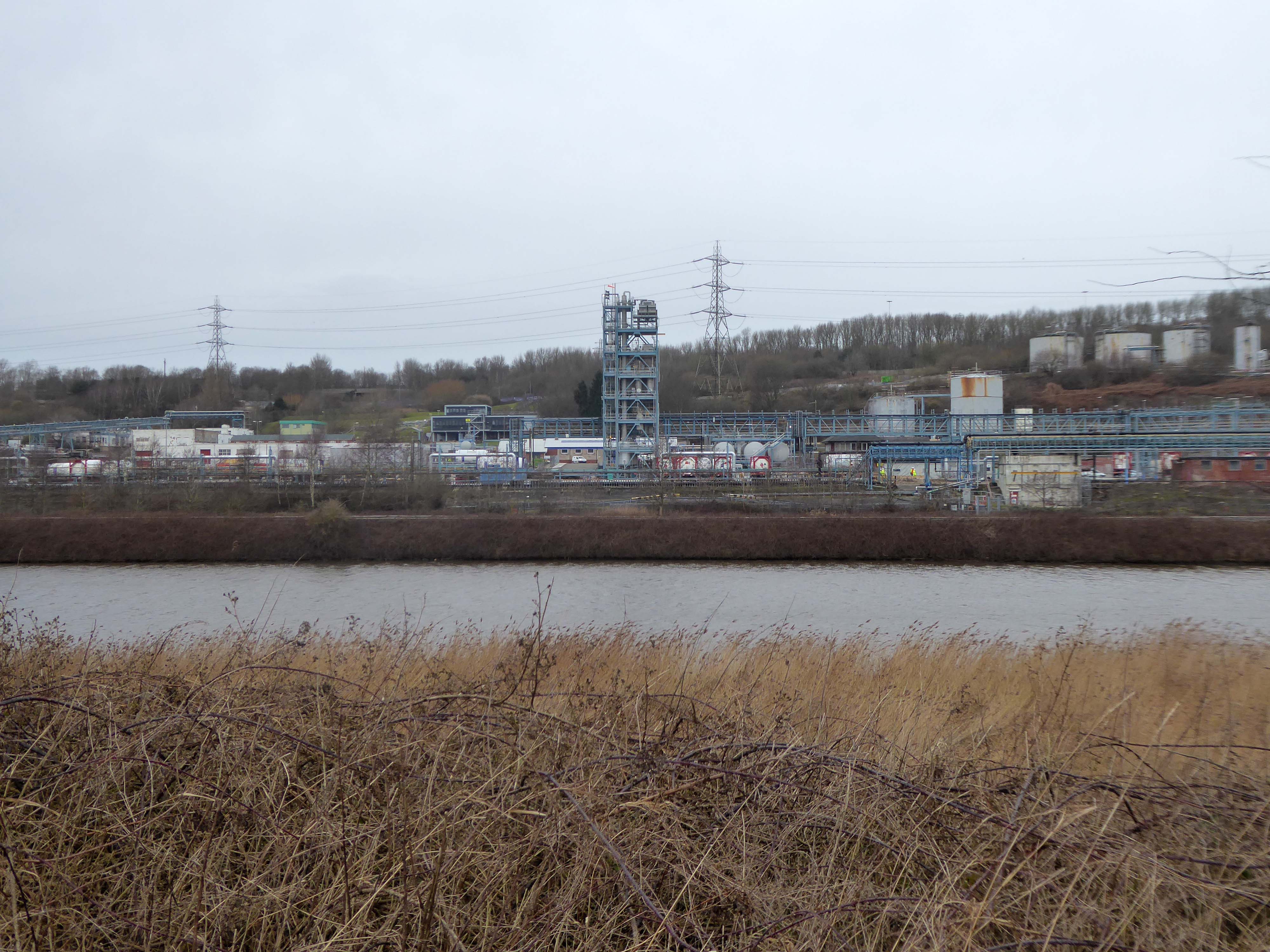
The looking toward KouraGlobal – leader in the development, manufacture, and supply of fluoro products and technologies, opened a new HFA 152a production facility at their Runcorn site in the UK.
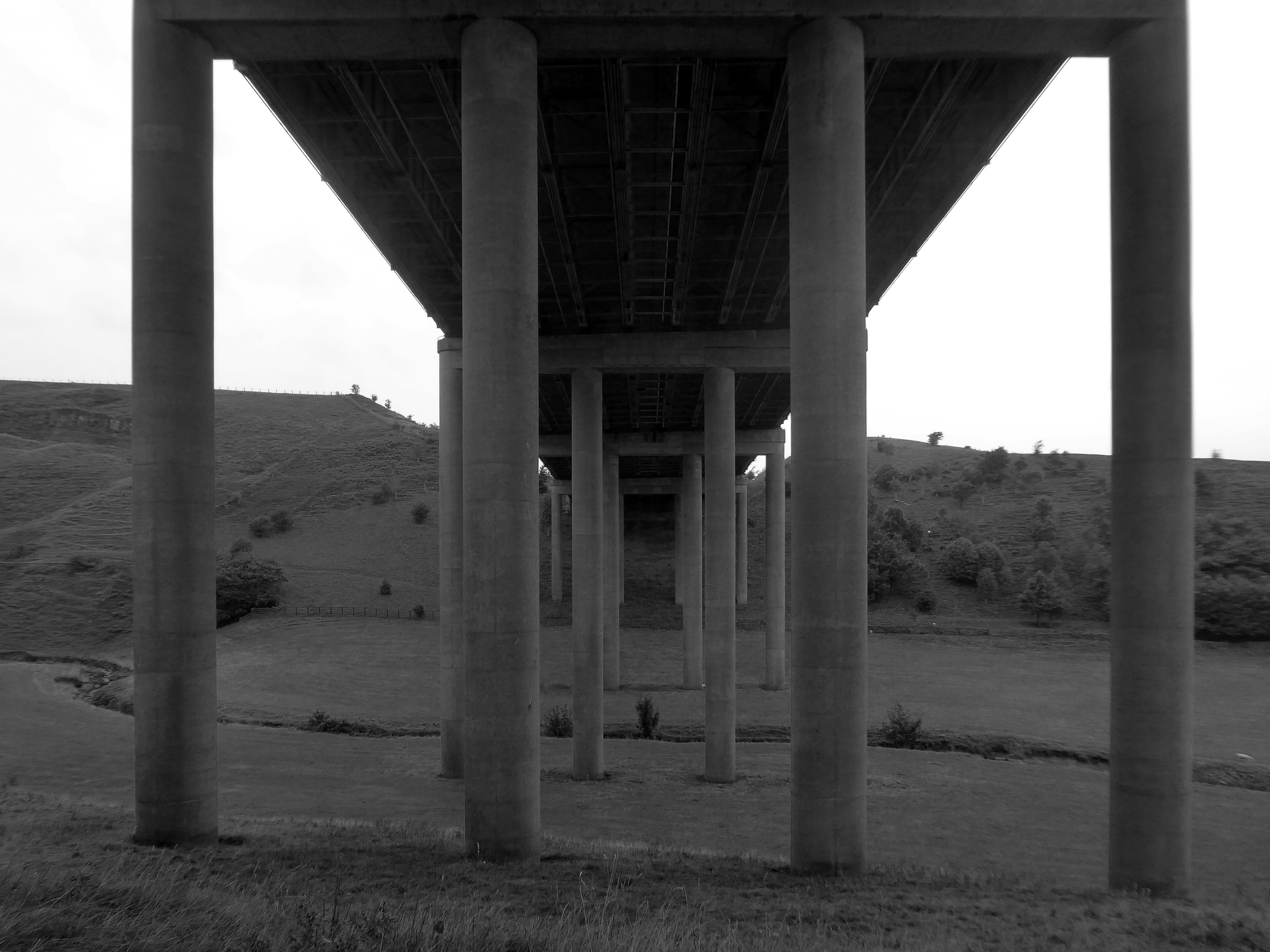
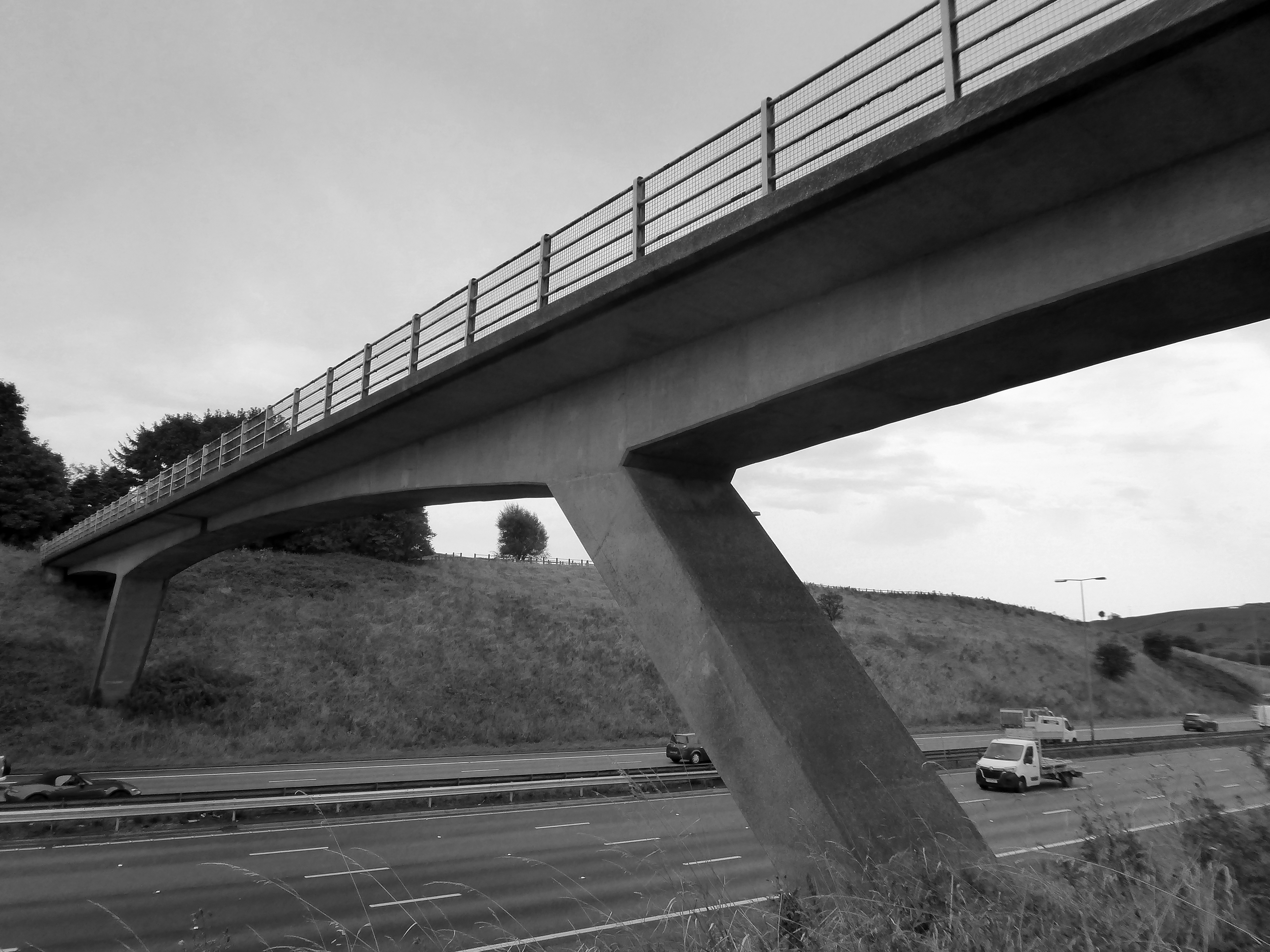
Further rural Modernism as we pass under and traverse the M62, whilst walking around the Piethorn Valley
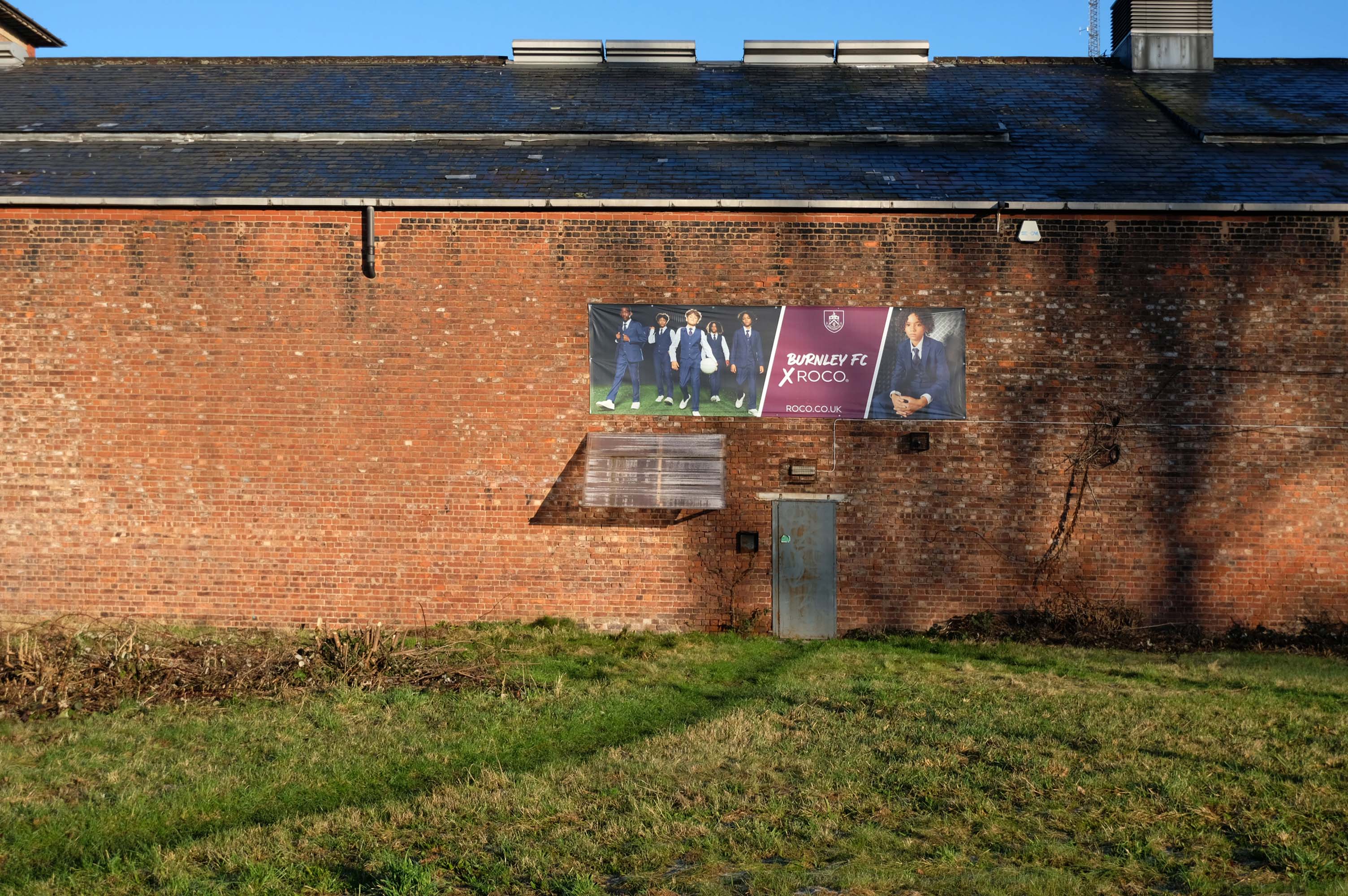
The newest of the Modernist Mooches was to Burnley where we visited the Keirby Hotel.
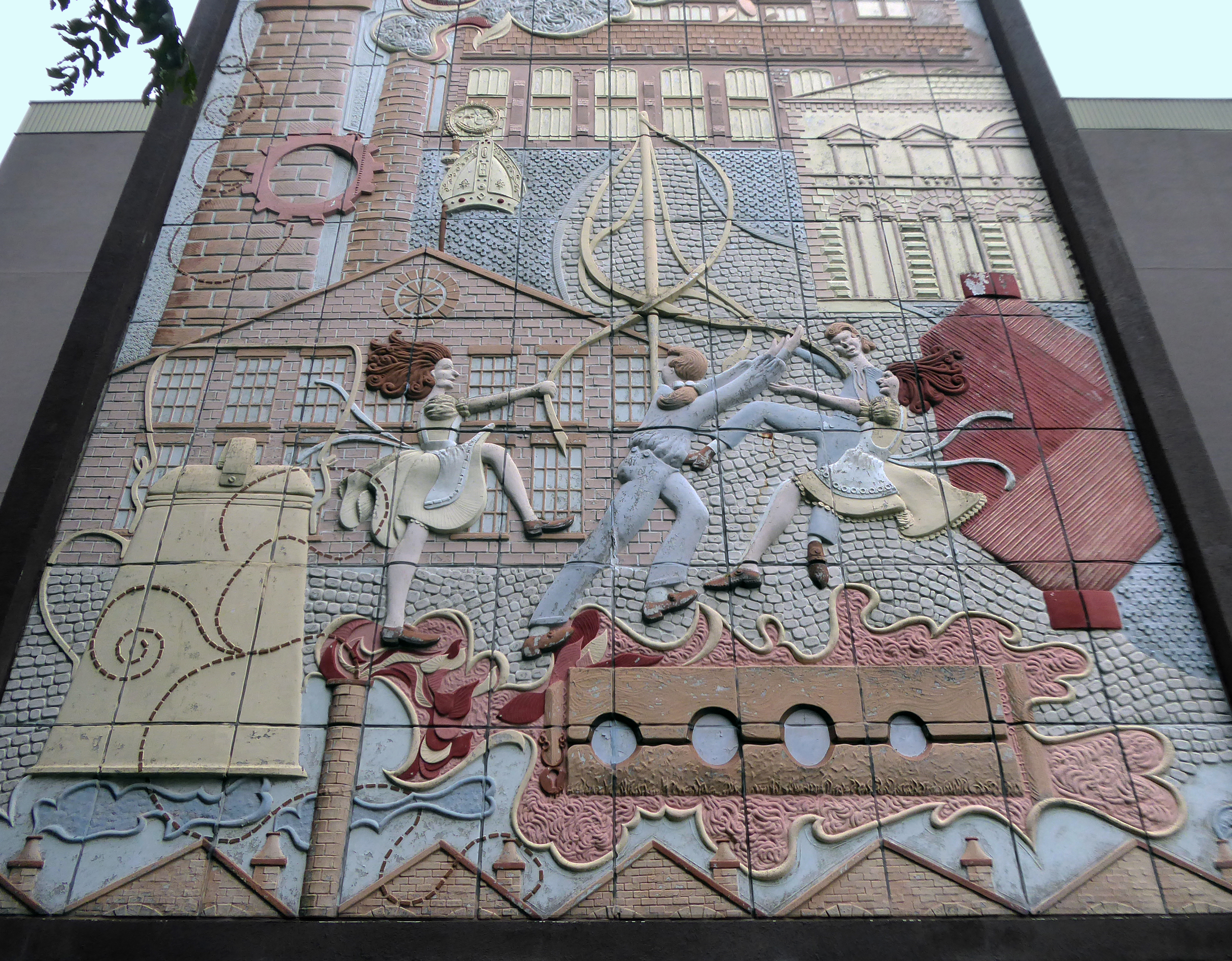
The former GUS Offices with a mural by Diane and William Morris.
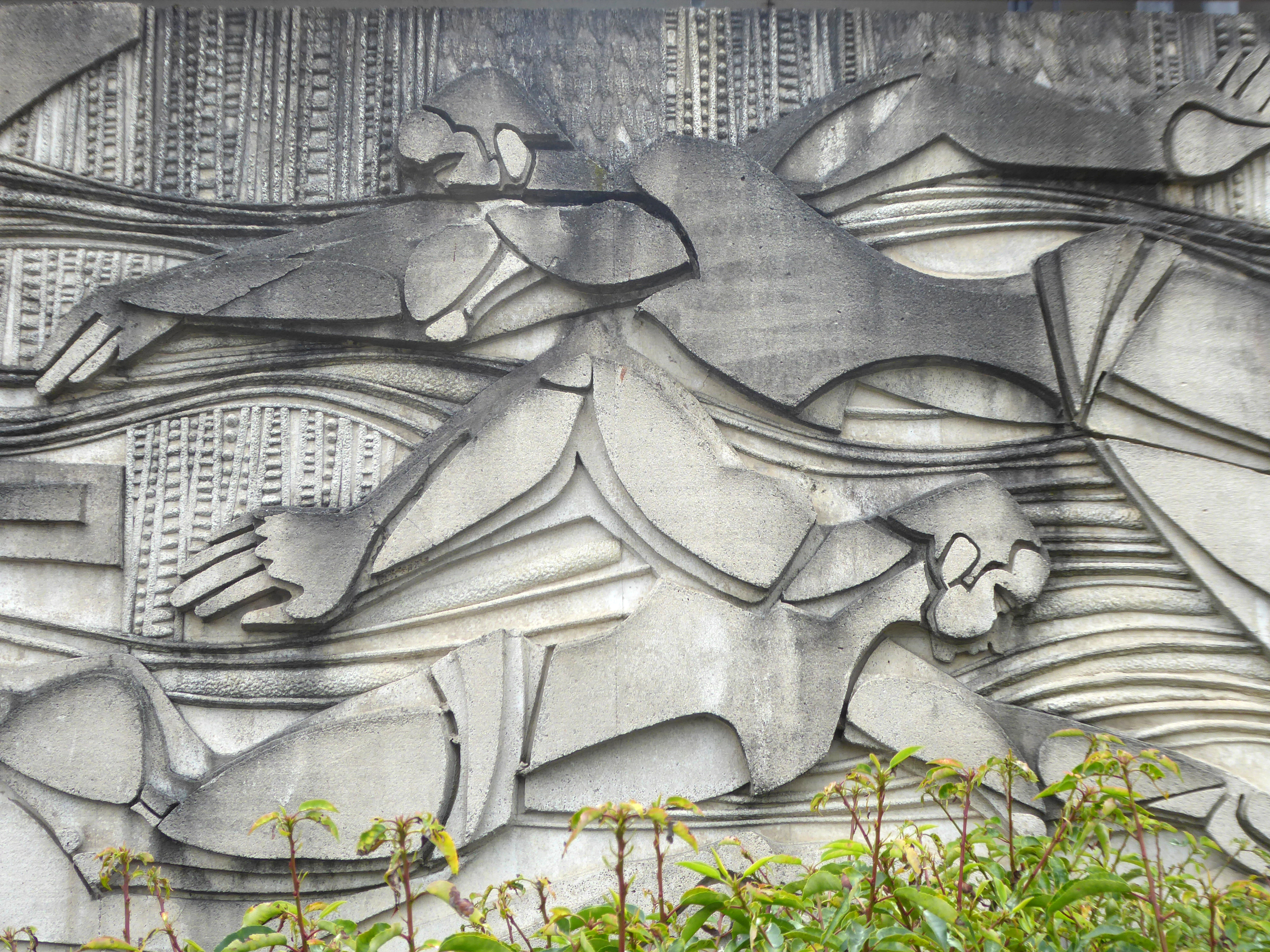
Plus the Charles Anderson concrete relief at the Crow Wood Hotel.
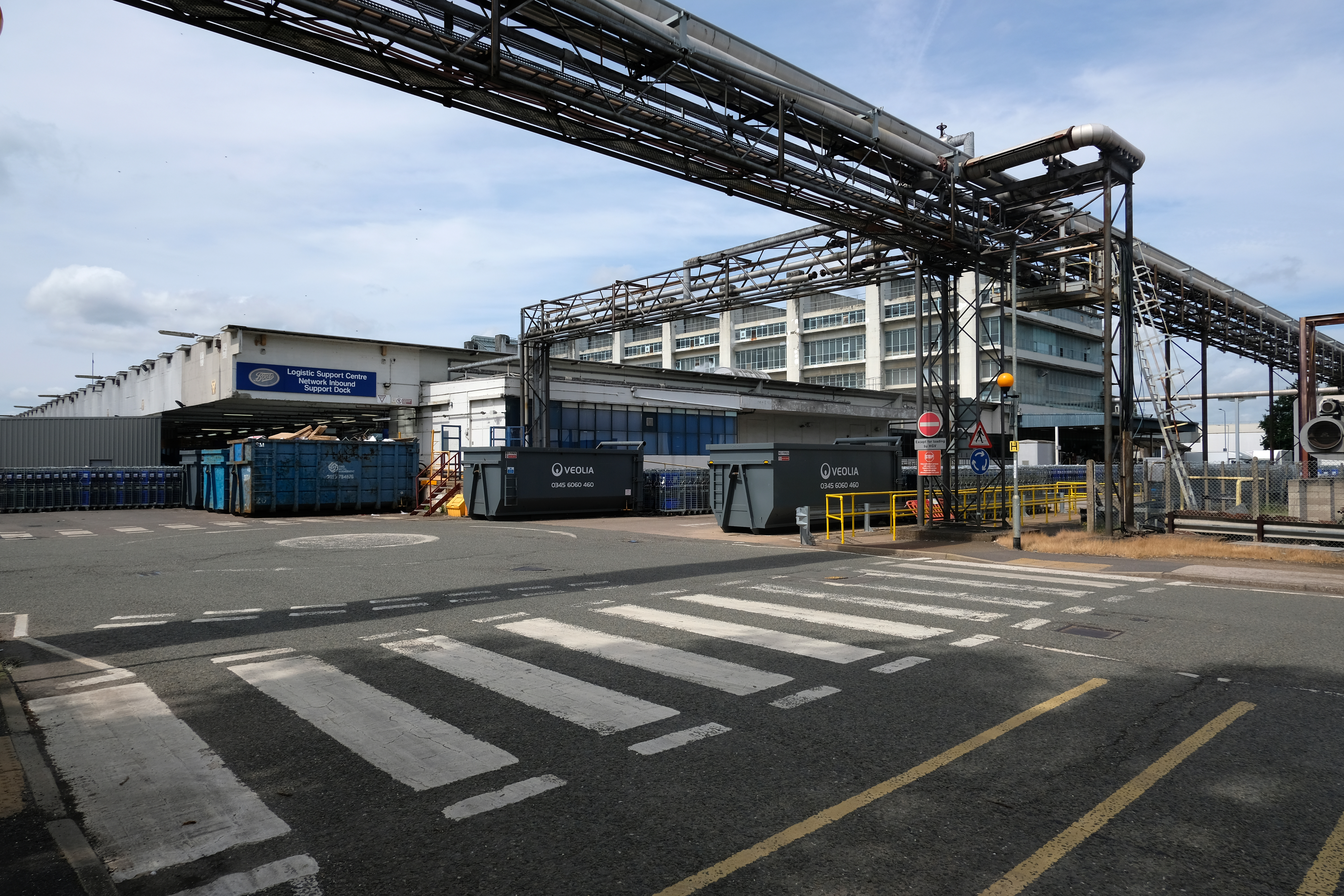
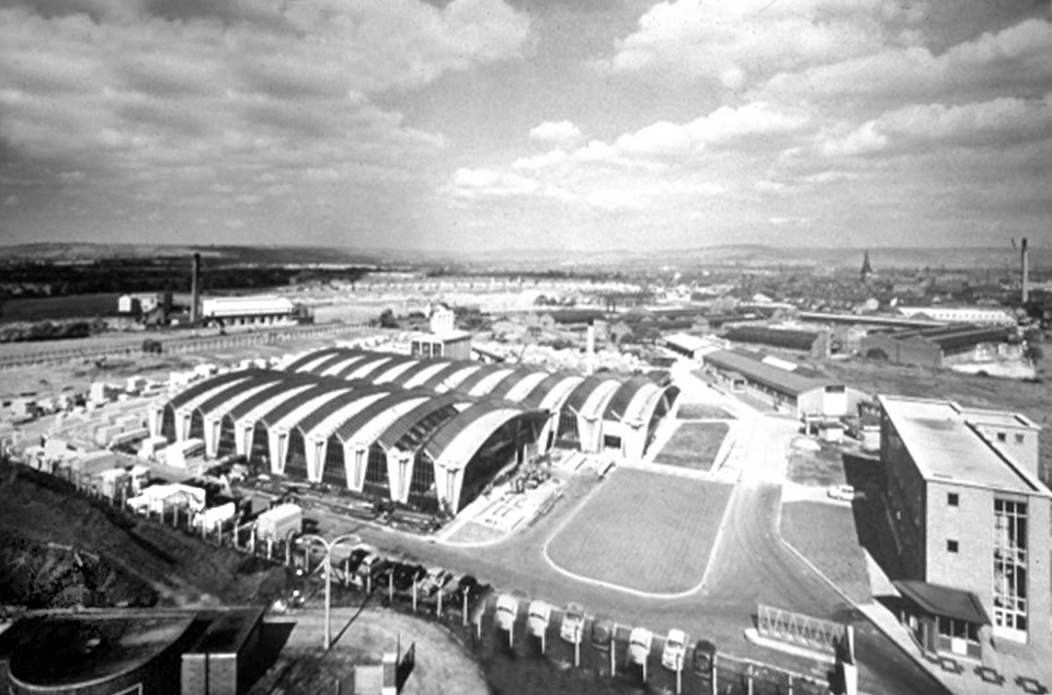
Finally a little light relief – a visit to the Boots factory in Nottingham.
Having innocently board a bus outside the station with a Boots head code , I alighted within the factory gates. Then innocently walking around taking snaps, unheeded until the men in the van stopped me in my tracks.
Who are you, what are you doing?
I am the Modern Moocher going about my business – well it turns out this was not permitted and I was red carded by the earnest security guards and asked to leave forthwith. Suitably rebuked, I politely bade them farewell and headed for the gates.
Far, far away from the mad, rushing crowd, Please carry me with you. Again I would wander where memories enfold me, There on the beautiful Island of Dreams.
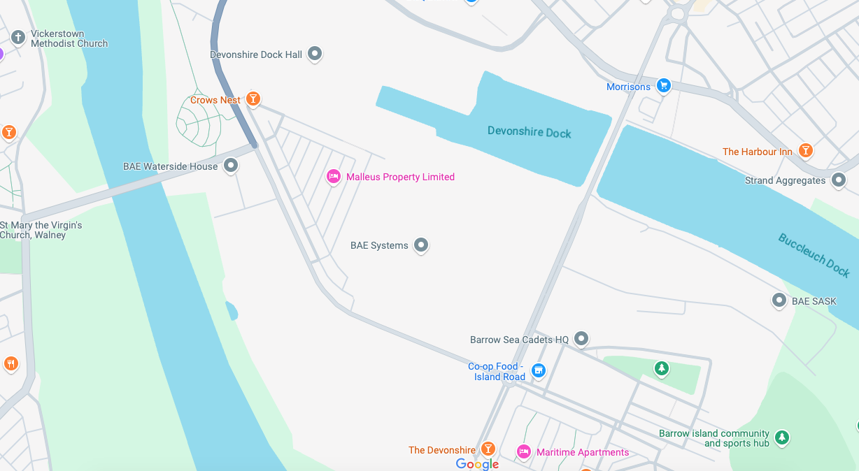
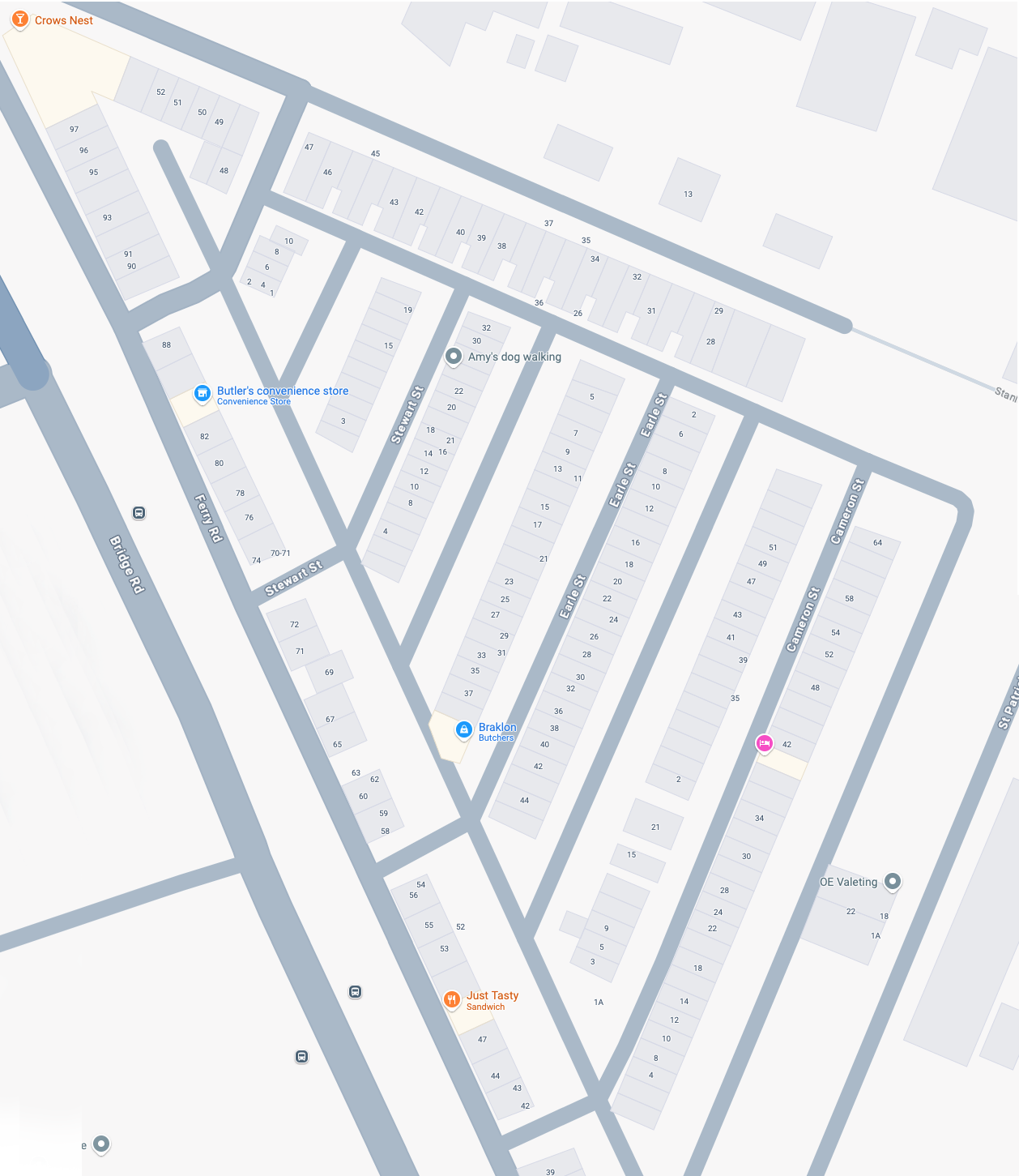
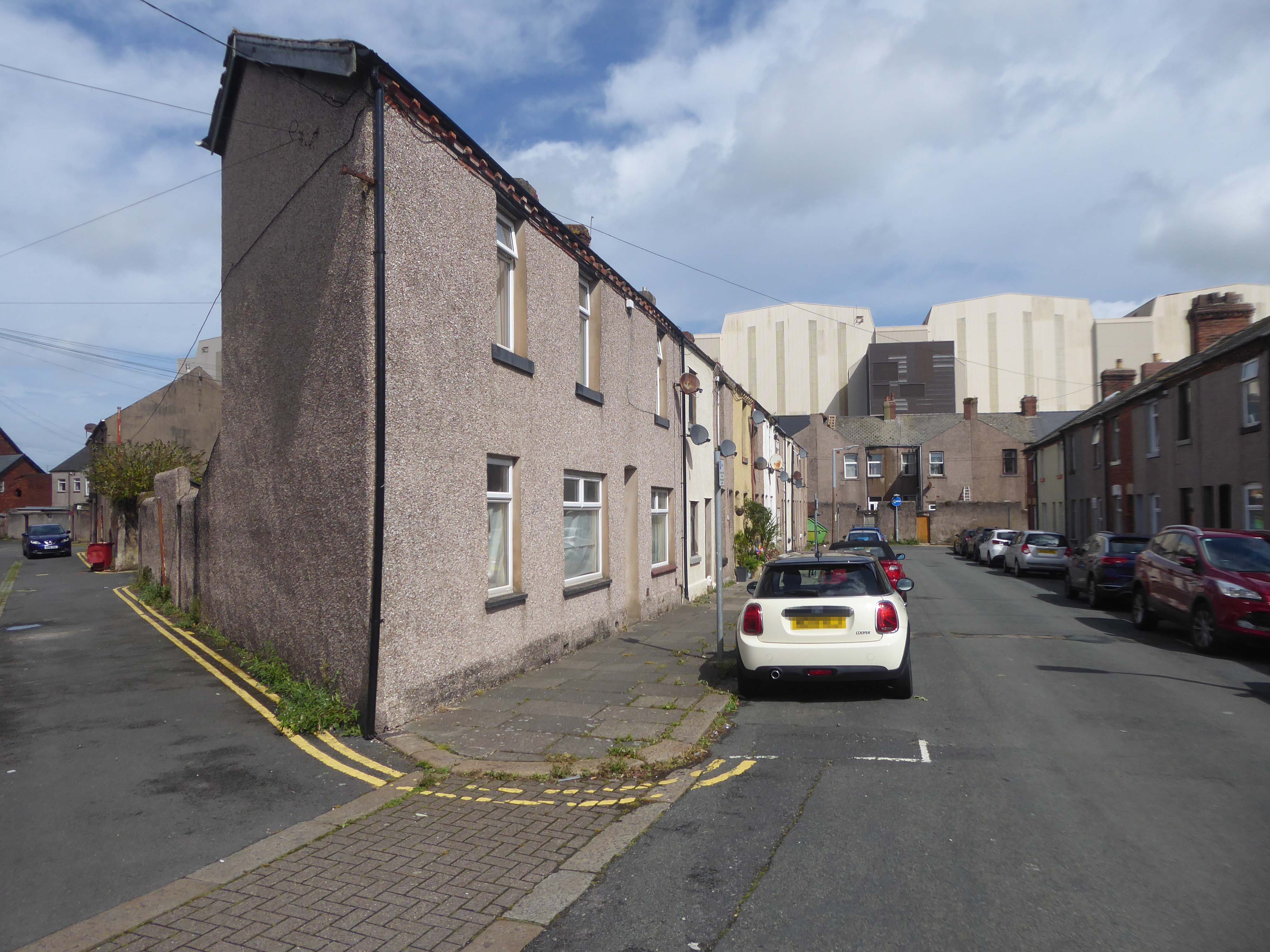
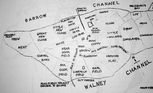
At the northern end of Barrow Island lies the Ferry Road Triangle. Covering an area formerly known by the field names, Crow Nest, Great New Close, Little New Close, Moss, Cow Park and Middle Park; the Ferry Road area has always been known as the Triangle, because the shape of the estate is truly a triangle.
I had arrived in Barrow in Furness and taken to wandering the streets, hastily in search of nothing in particular.
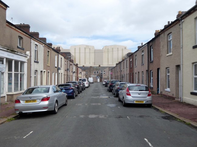
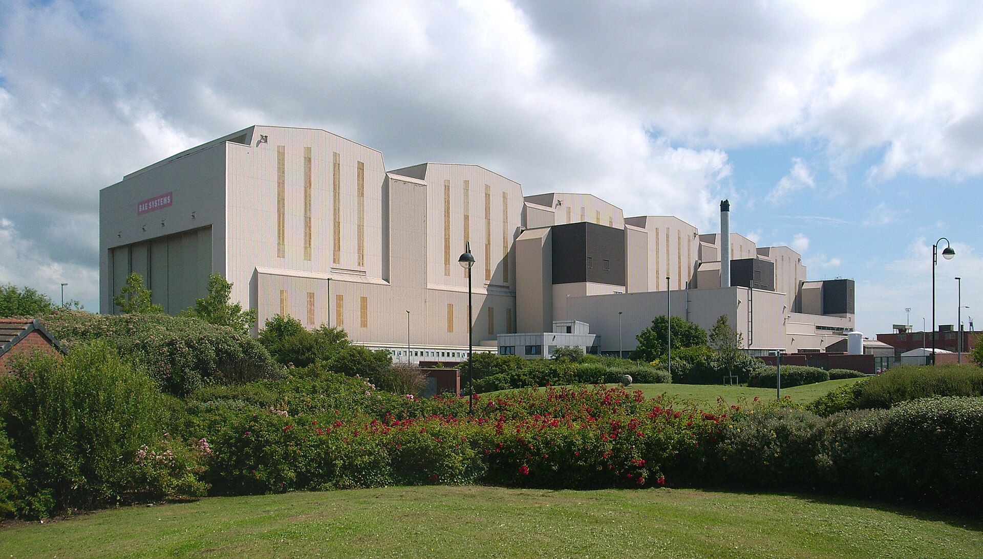
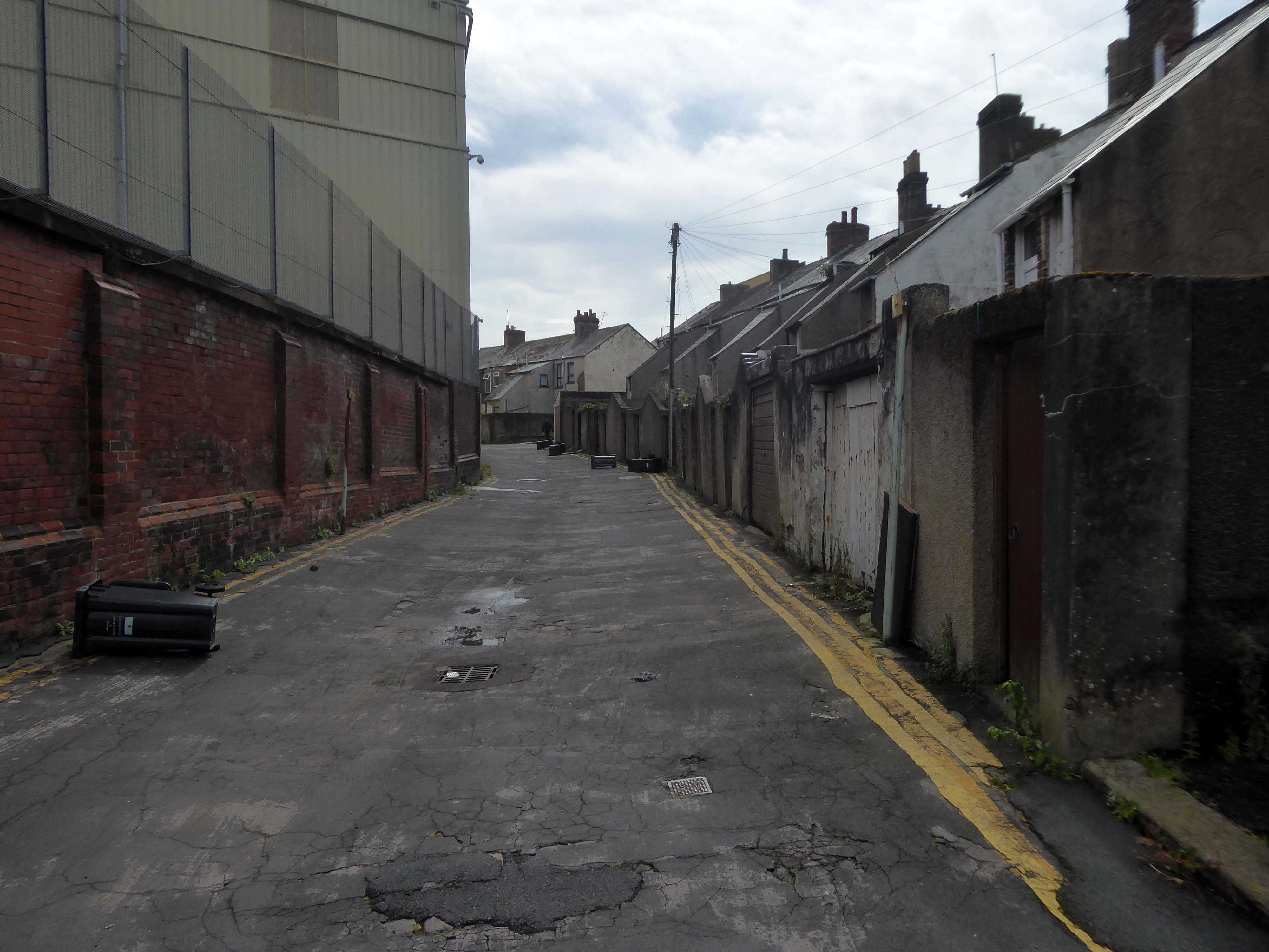
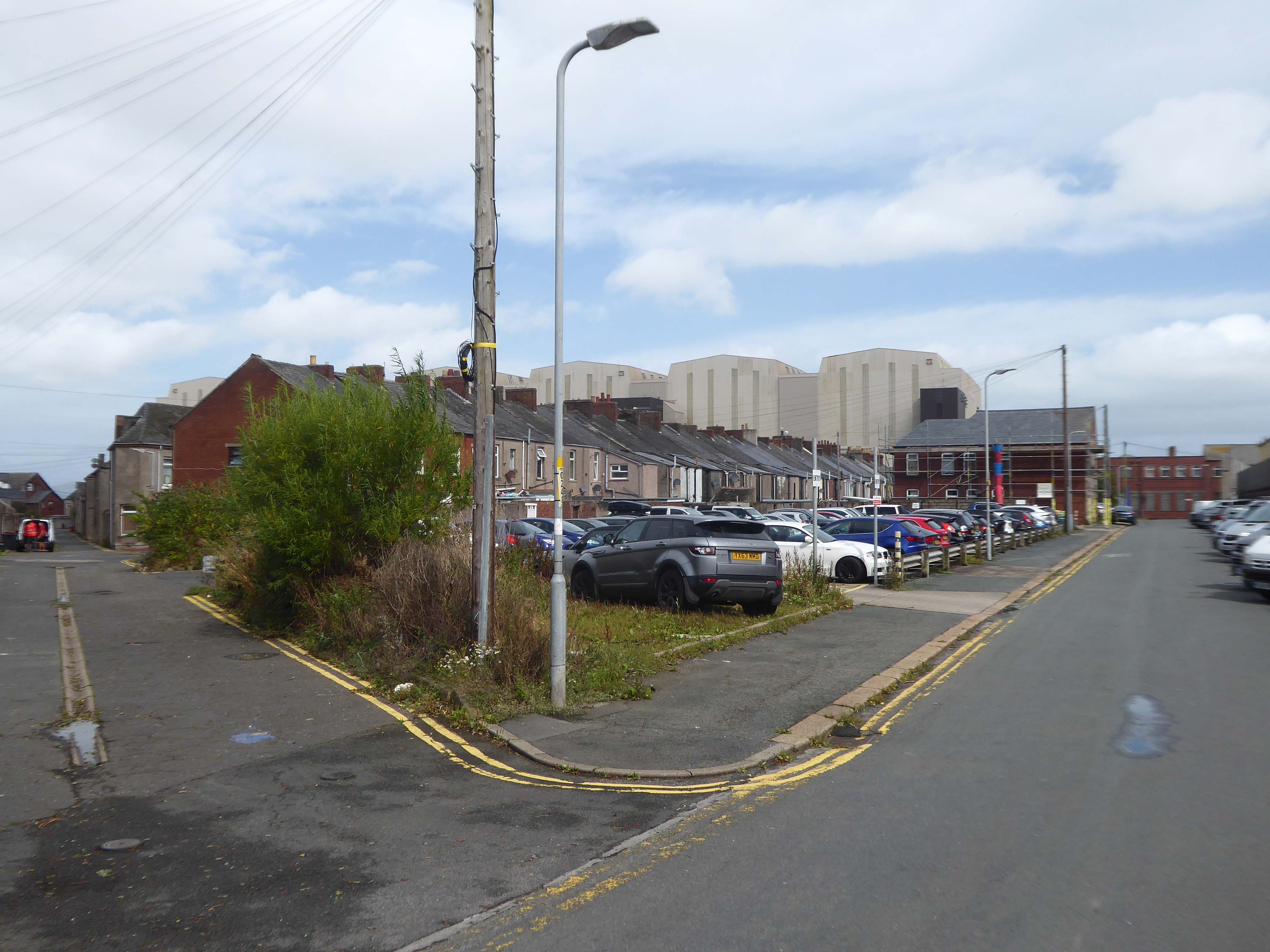
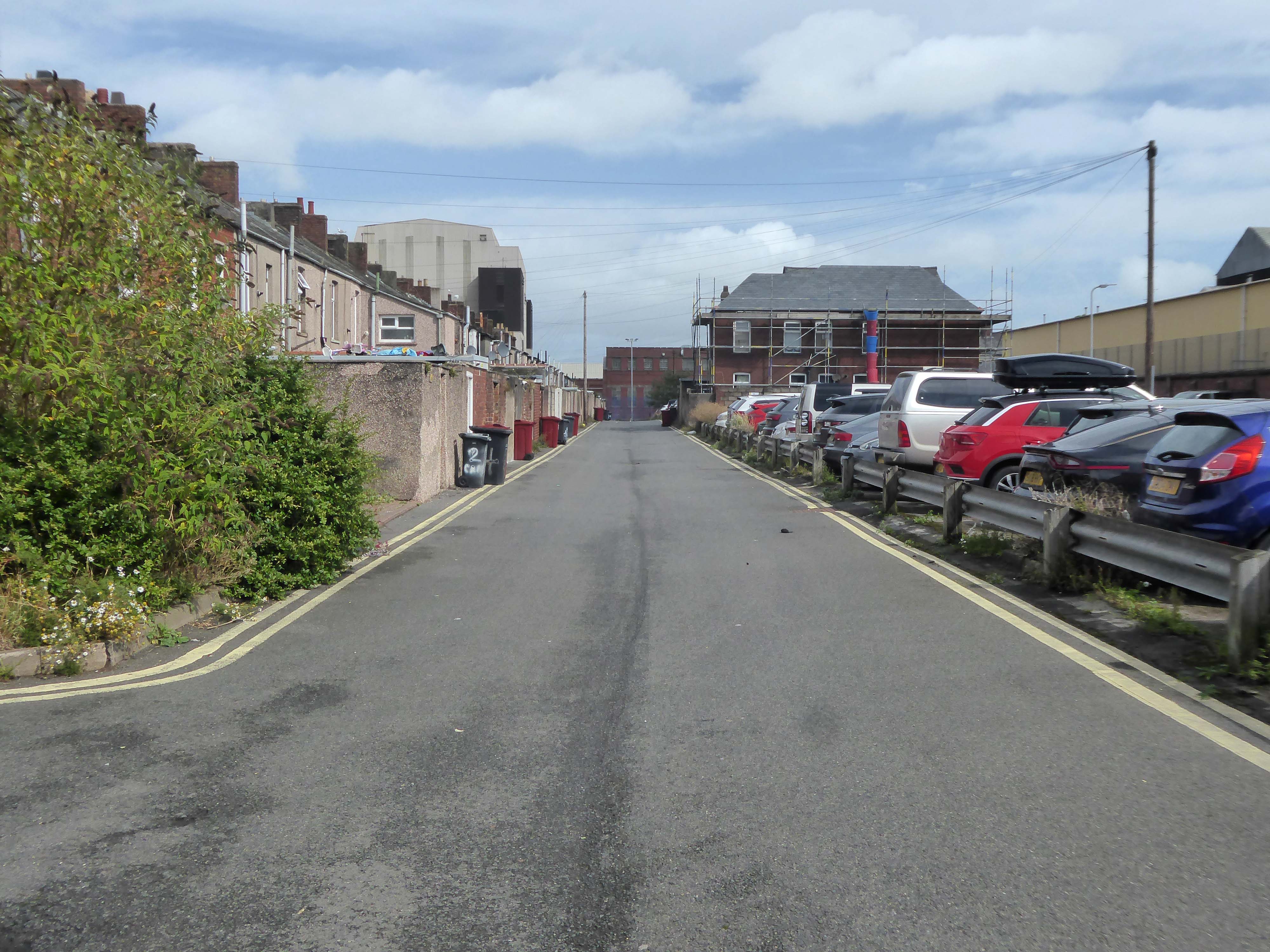
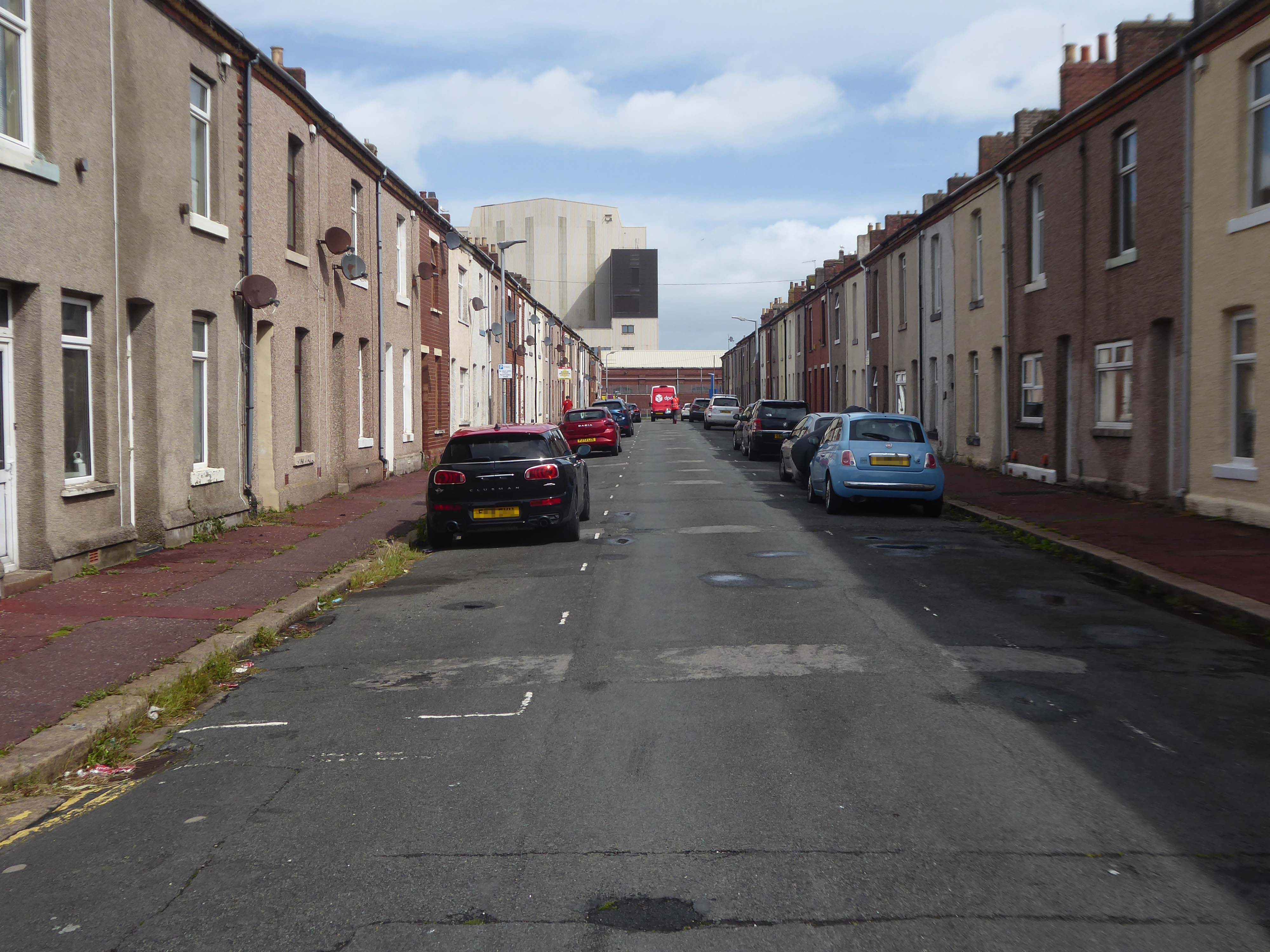
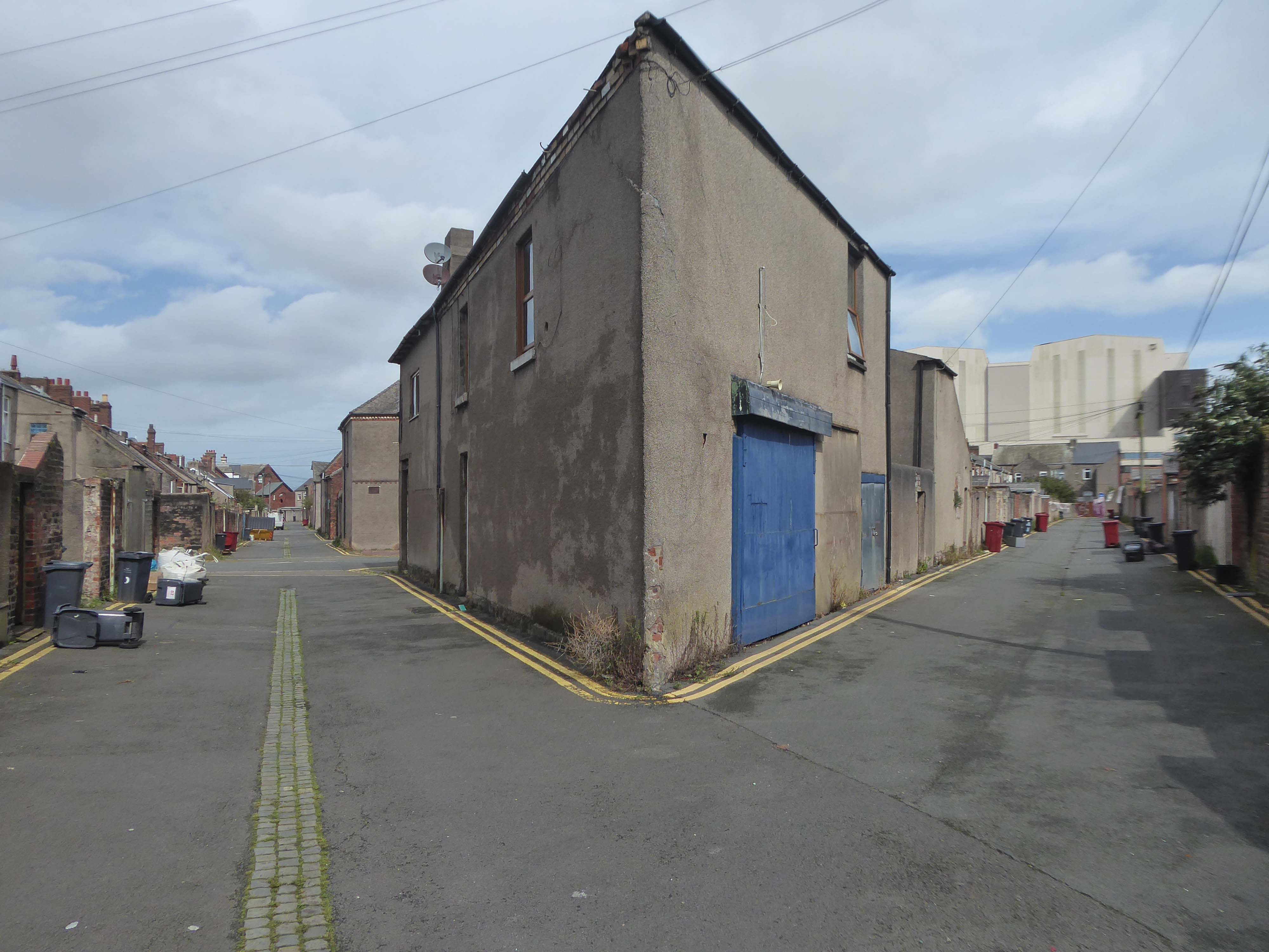
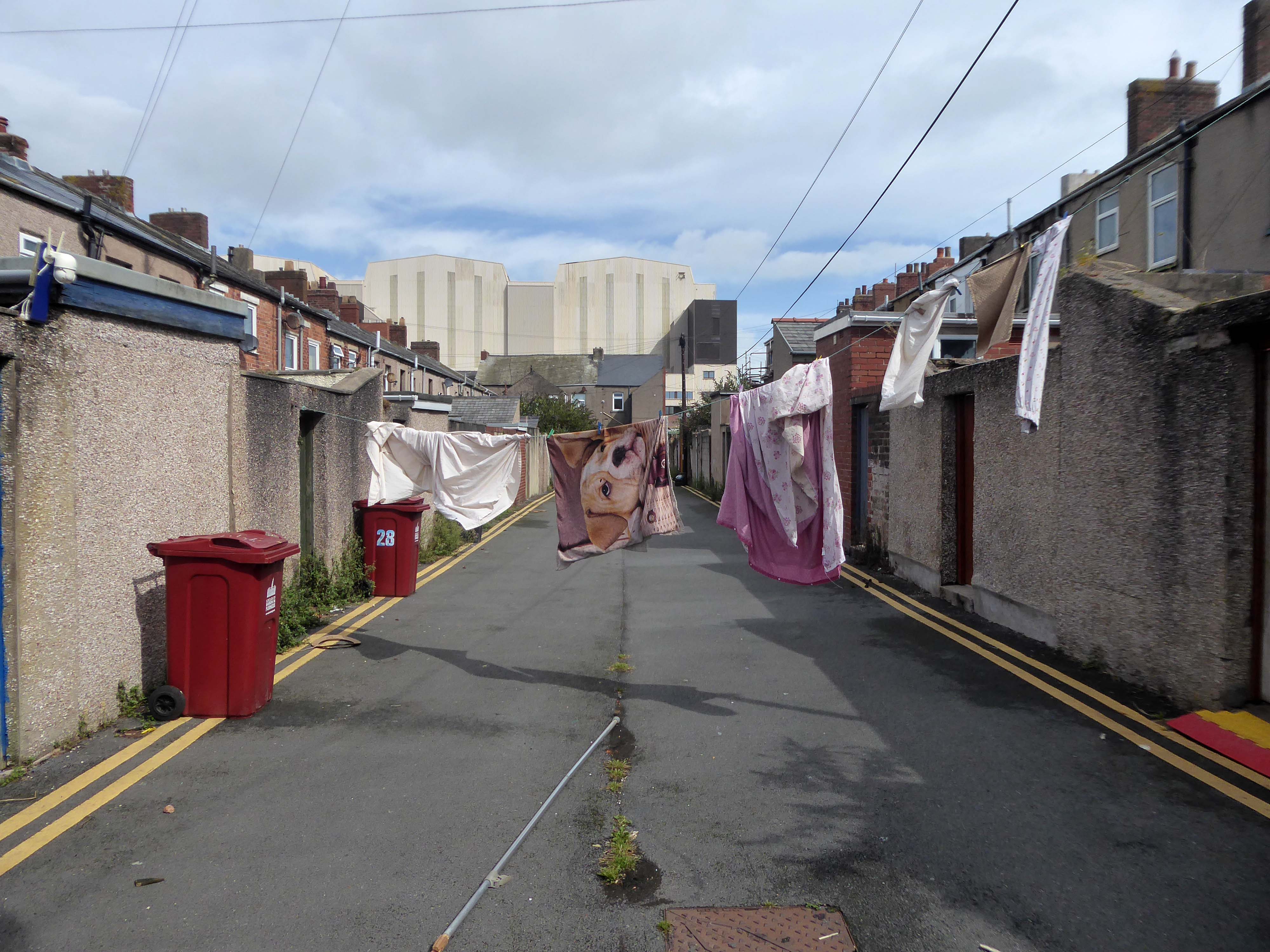
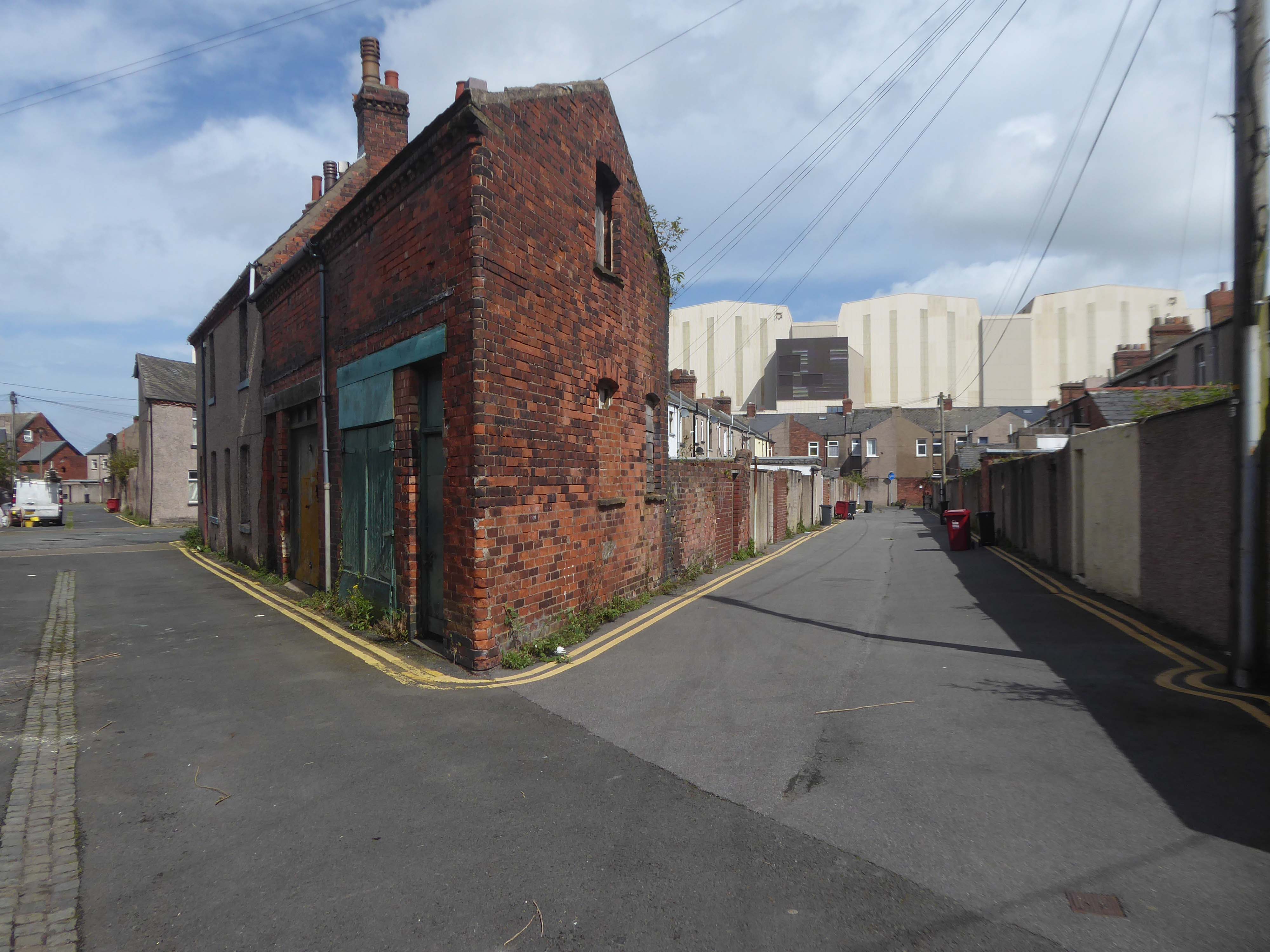
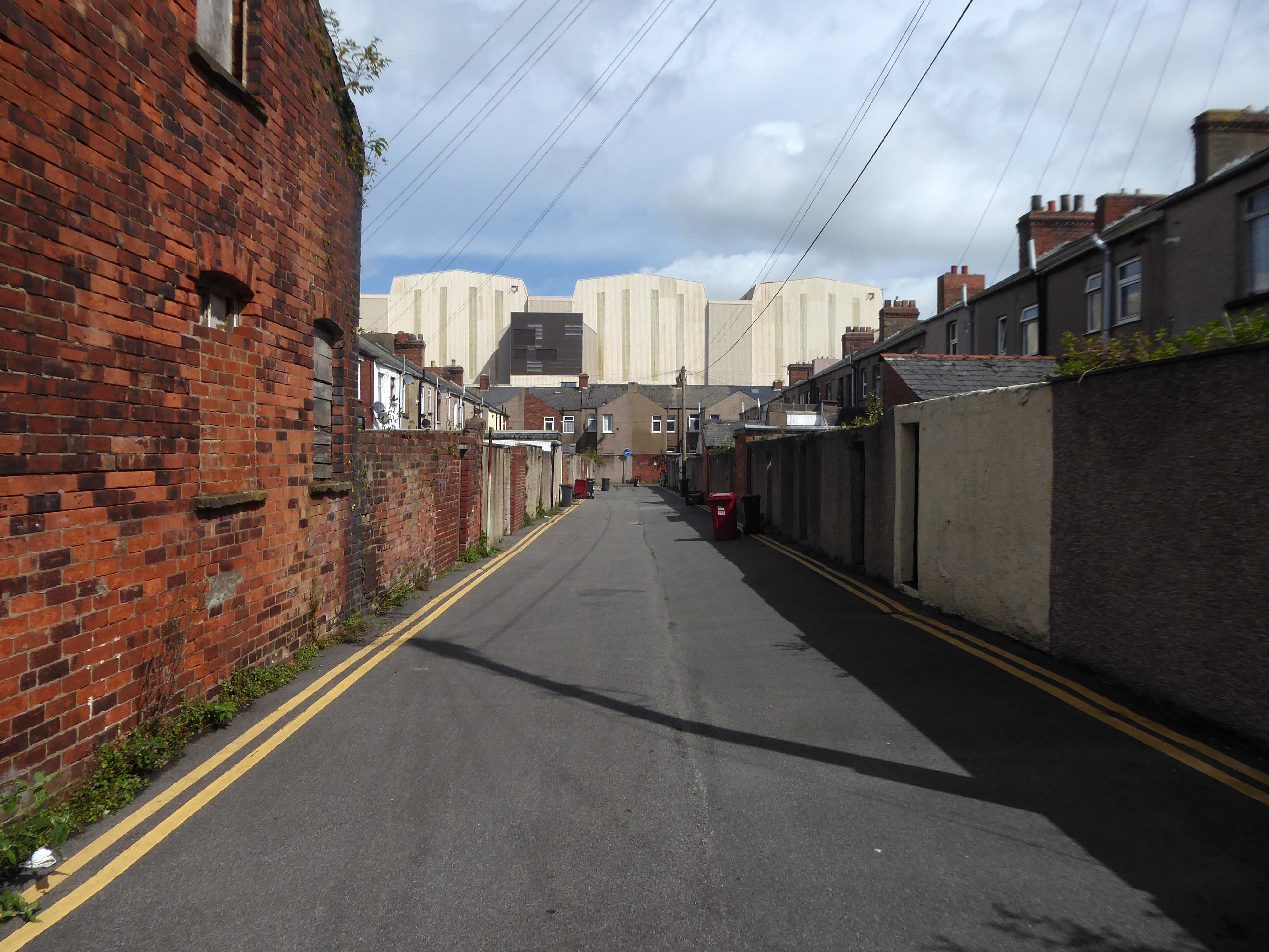
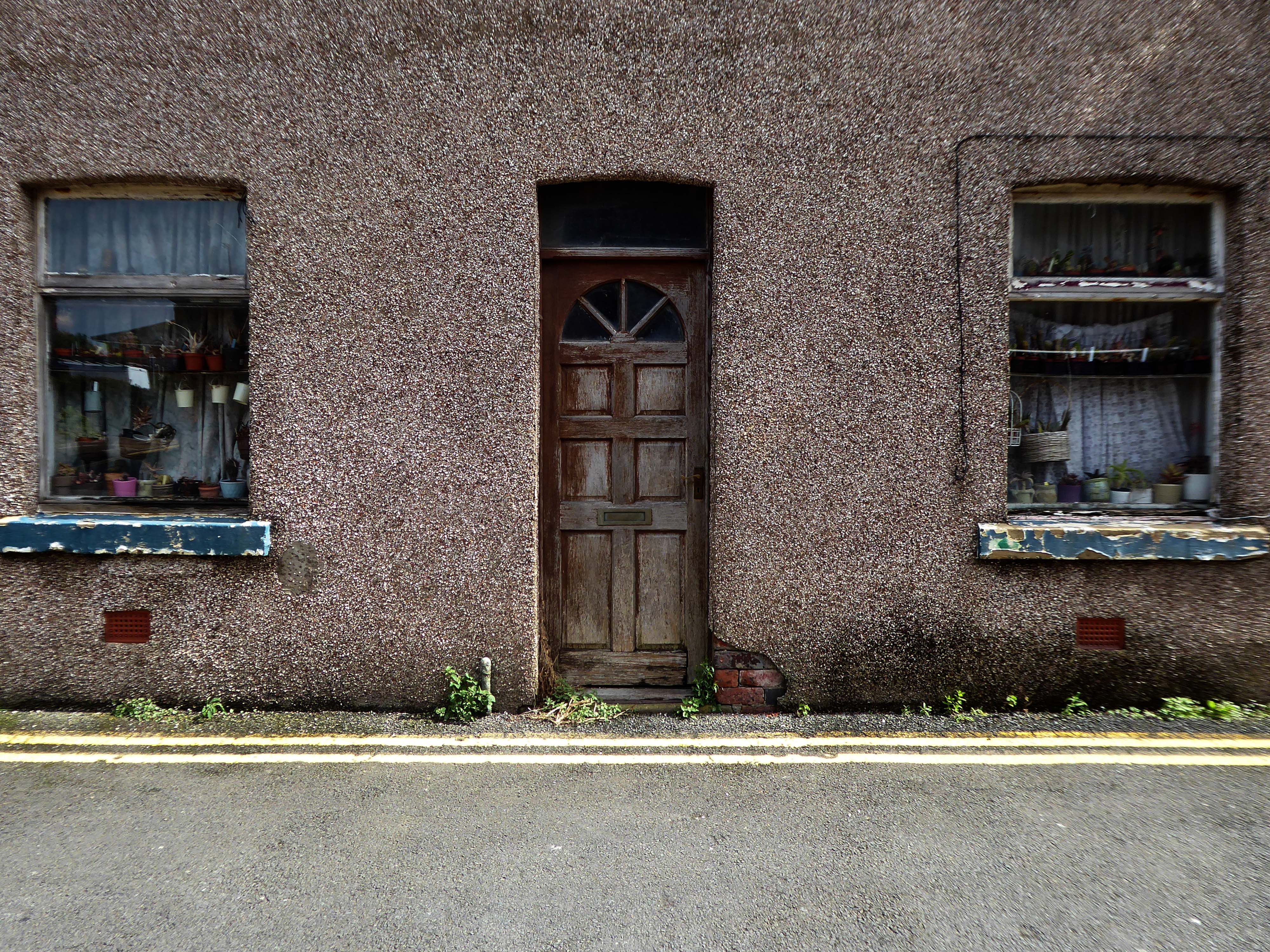
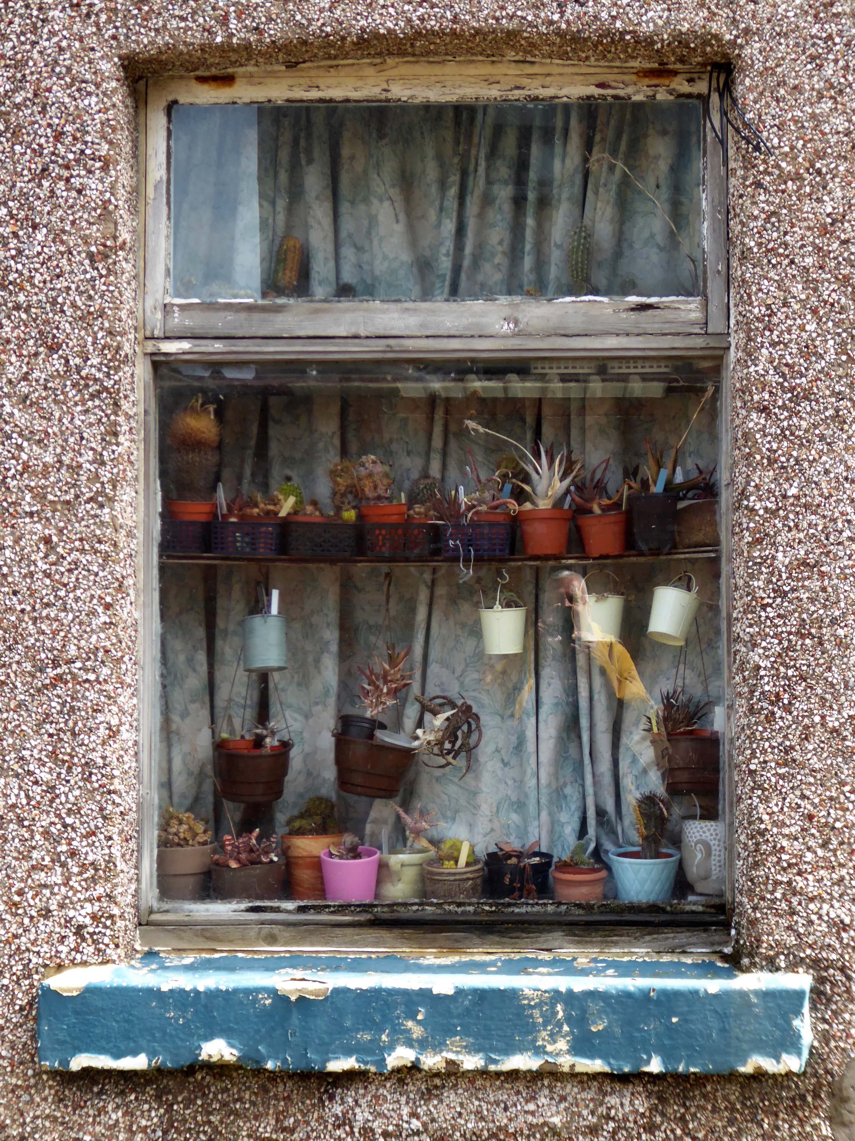
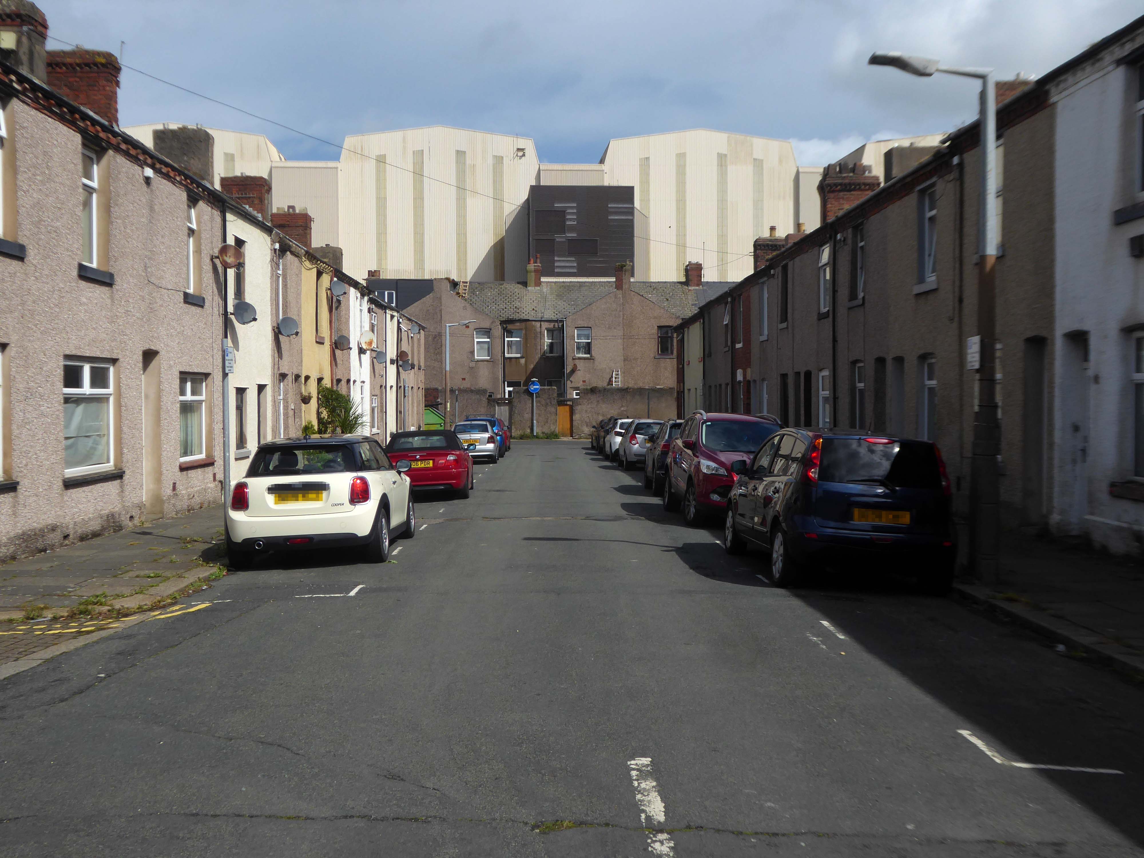
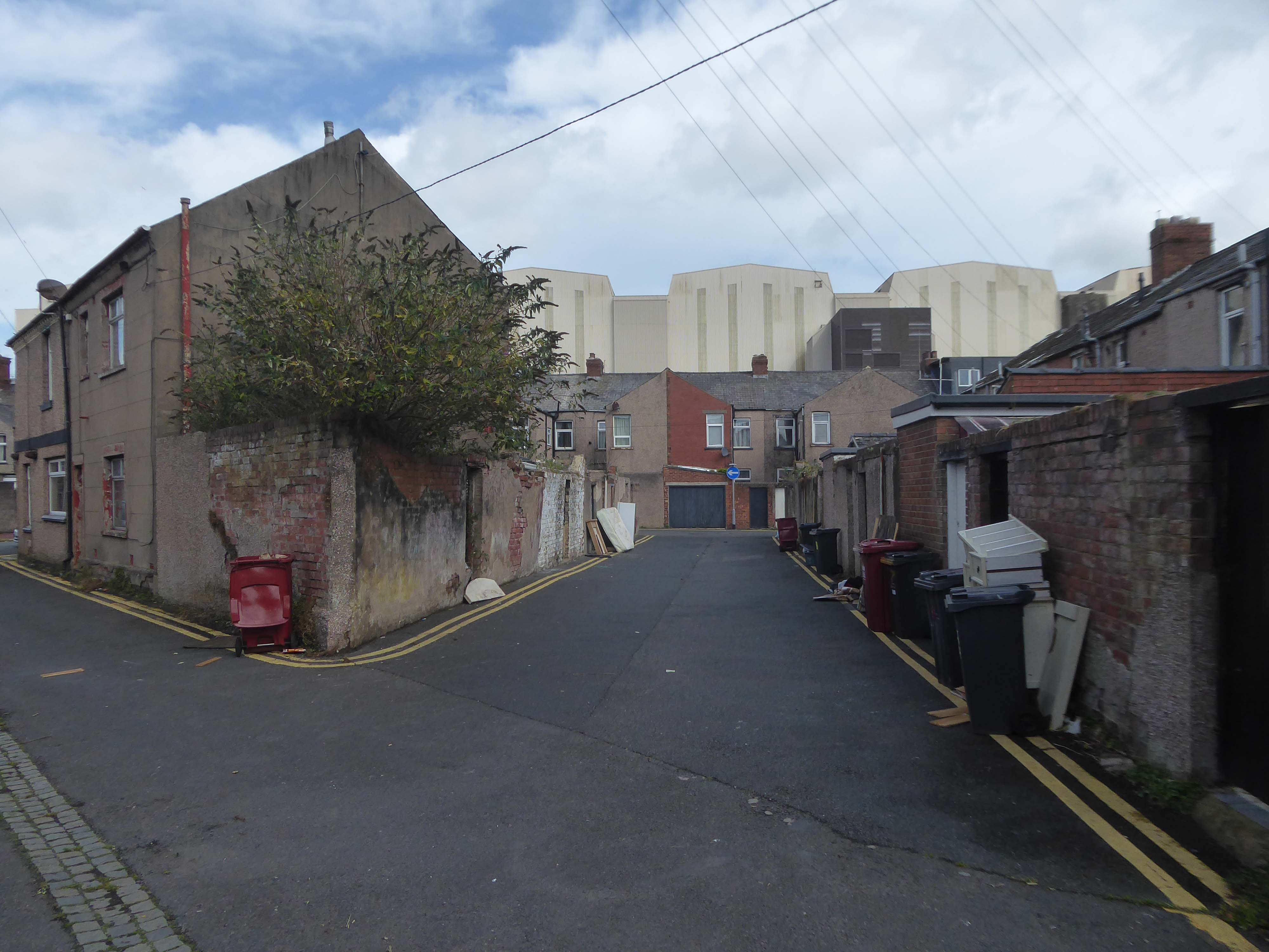
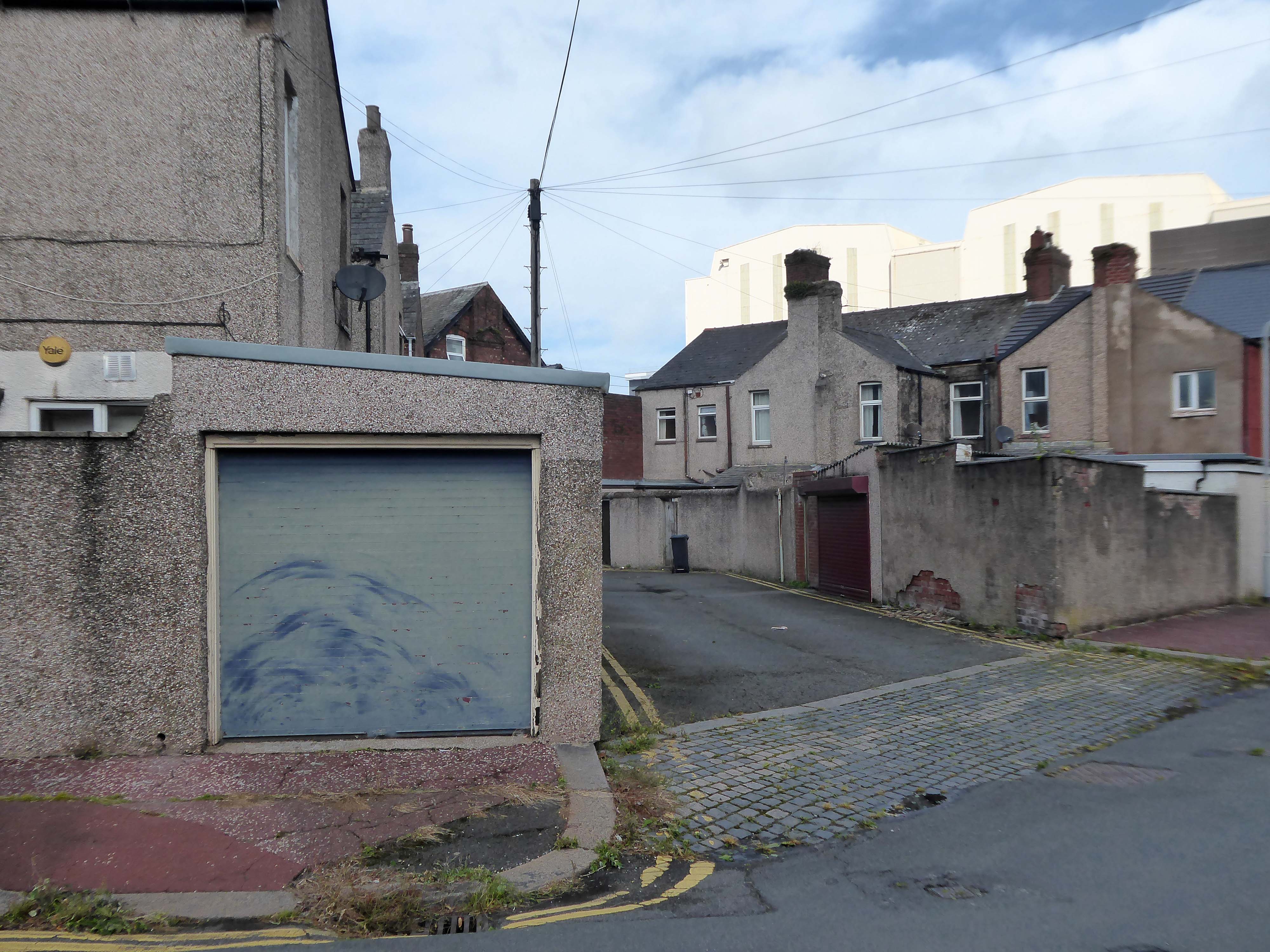
I came upon a neat triangle of terraced housing, which abutted the huge BAE Systems sheds.
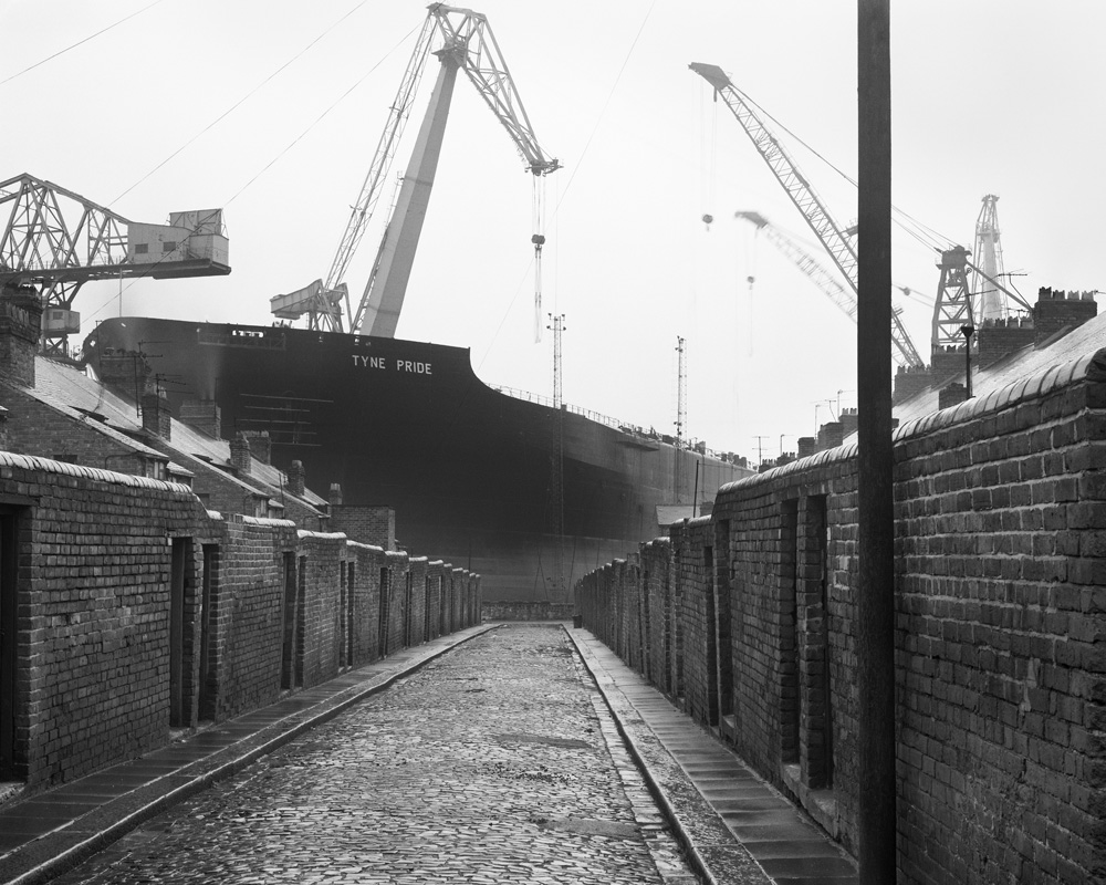
The collision of scale created by the low lying domestic buildings, and the gargantuan industrial nuclear submarine homes, immediately put me in mind of Chris Killip’s photographs.
He had recorded the last days of a dying industry, whilst the BAE contracts represent a long term lifeline to a once dying town.
The Ministry of Defence has awarded £3.95 billion of funding to BAE Systems for the next phase of the UK’s next-generation nuclear-powered attack submarine programme, known as SSN-AUKUS.
The funding follows the AUKUS announcement in March by the leaders of Australia, the UK and the United States. This will eventually see Australia and the UK operate SSN-AUKUS submarines, which will be based on the UK’s next generation design, incorporating technology from all three nations, including cutting-edge US submarine technologies.
Having started early design work in 2021, the £3.95bn funding will cover development work to 2028, enabling BAE Systems to move into the detailed design phase of the programme and begin to procure long-lead items. Manufacture will start towards the end of the decade with the first SSN-AUKUS boat due to be delivered in the late 2030s.
It has been said of Barrow: A rich mineral district was the cause, a railway was the effect, and an important manufacturing town the result.
The dramatic growth of Barrow-in-Furness in the late 19th and early 20th Centuries was fuelled by the ready availability of Furness iron ore. Significant investments were made in developing the town to exploit this resource. The various ironworks, steelworks, foundries, shipyards and docks required a huge influx of population to support them. This in turn led to the rapid building of rows of good quality mass-produced terraced housing for the workers, and substantial sandstone villas for the management.
I stopped to chat with a local lad – I had thought Barrow to be a hard town, he thought not.
There’s not much trouble, though we have hard times – how so?
The Tories – now my kids have all got jobs for the next twenty years.
There were no reported crimes in June 2024
Devonshire Dock Hall is a large indoor shipbuilding and assembly complex that forms part of the BAE Systems shipyard.
Constructed between 1982 and 1986 by Alfred McAlpine plc for Vickers Shipbuilding and Engineering, DDH was built on land that was created by infilling part of Devonshire Dock with 2.4 million tonnes of sand pumped from nearby Roosecote Sands.
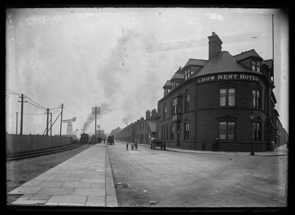
Opened in May 1888 it was described by the Barrow News as one of the best-appointed hotels in Barrow. From this start, Walton Lee, elected Town Councillor in 1886 envisaged an estate for the workers literally within spitting distance of their workplace.
A section of Career of Evil was filmed at The Crow’s Nest.
Barrow shipyard’s Devonshire Dock Hall, The Crow’s Nest pub, Barrow Island streets, including Stanley Road and Stewart Street, and Michaelson Road Bridge, all featured in episode one of Career of Evil on Sunday night.
This video provides a refreshing and inspiring insight into the steel manufacturing industry and the people who make it happen.
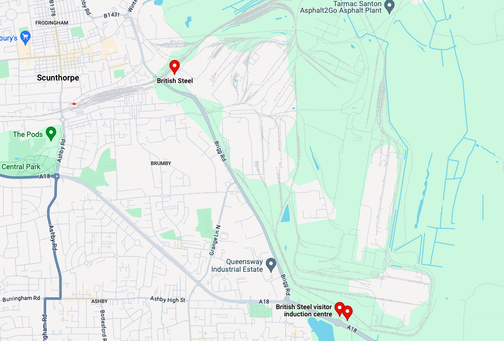
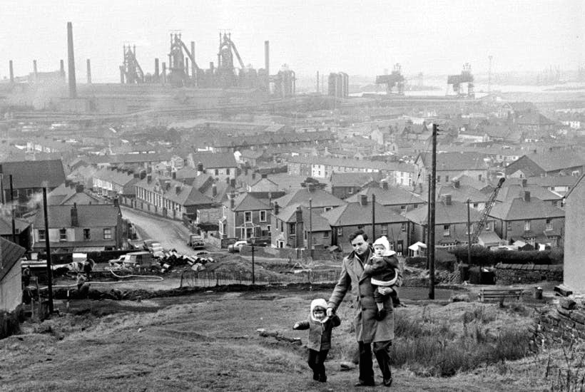
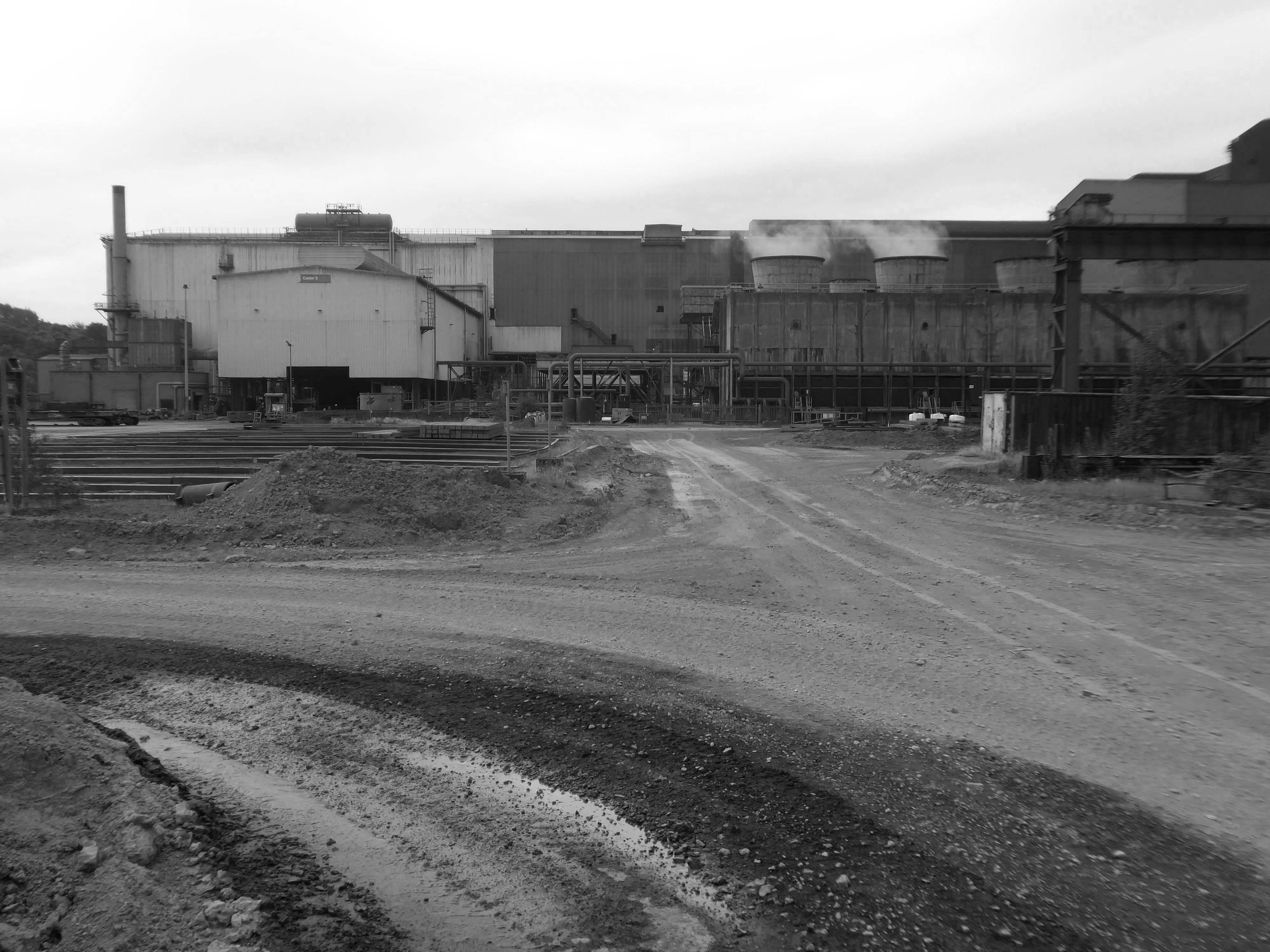
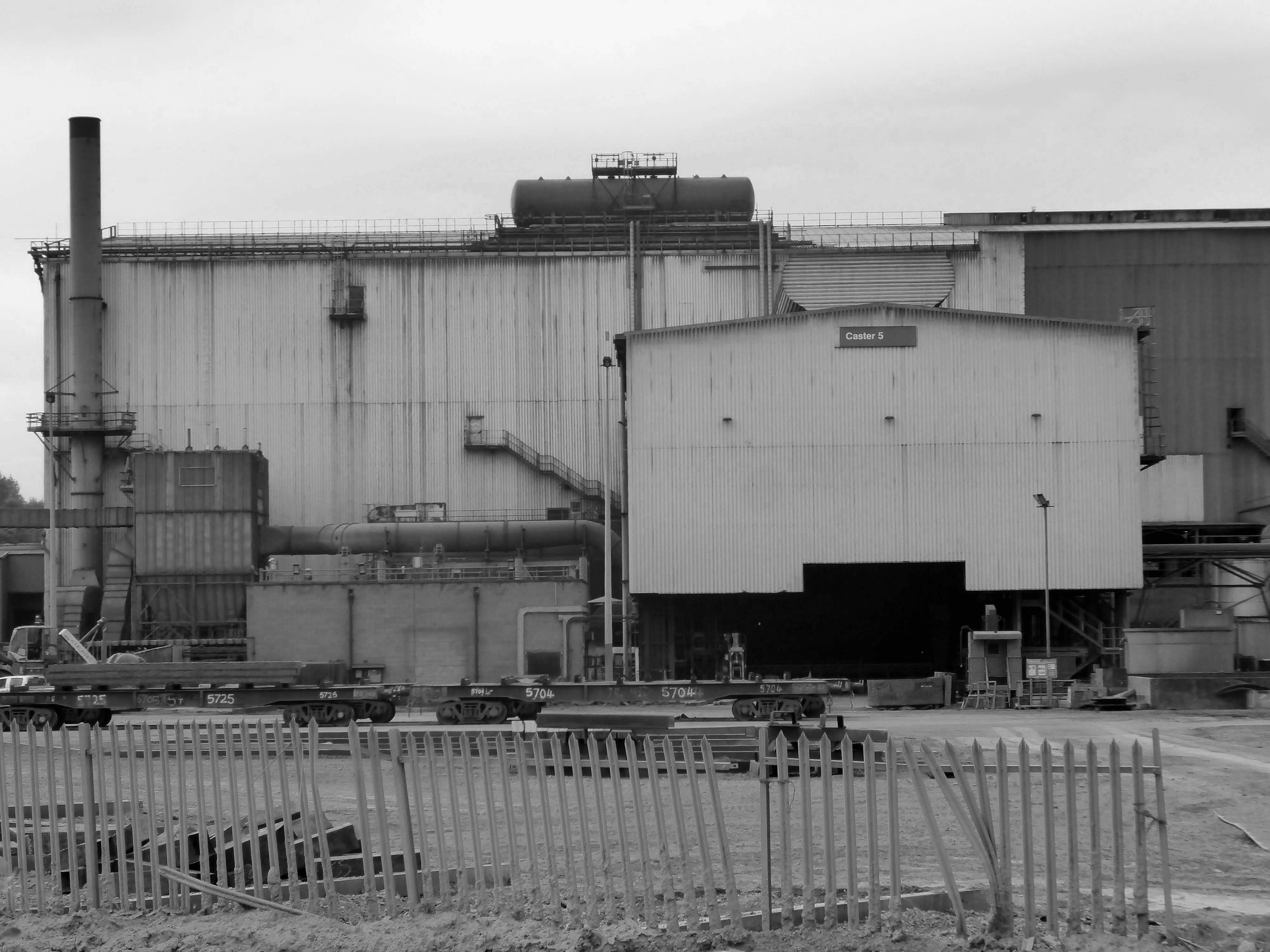
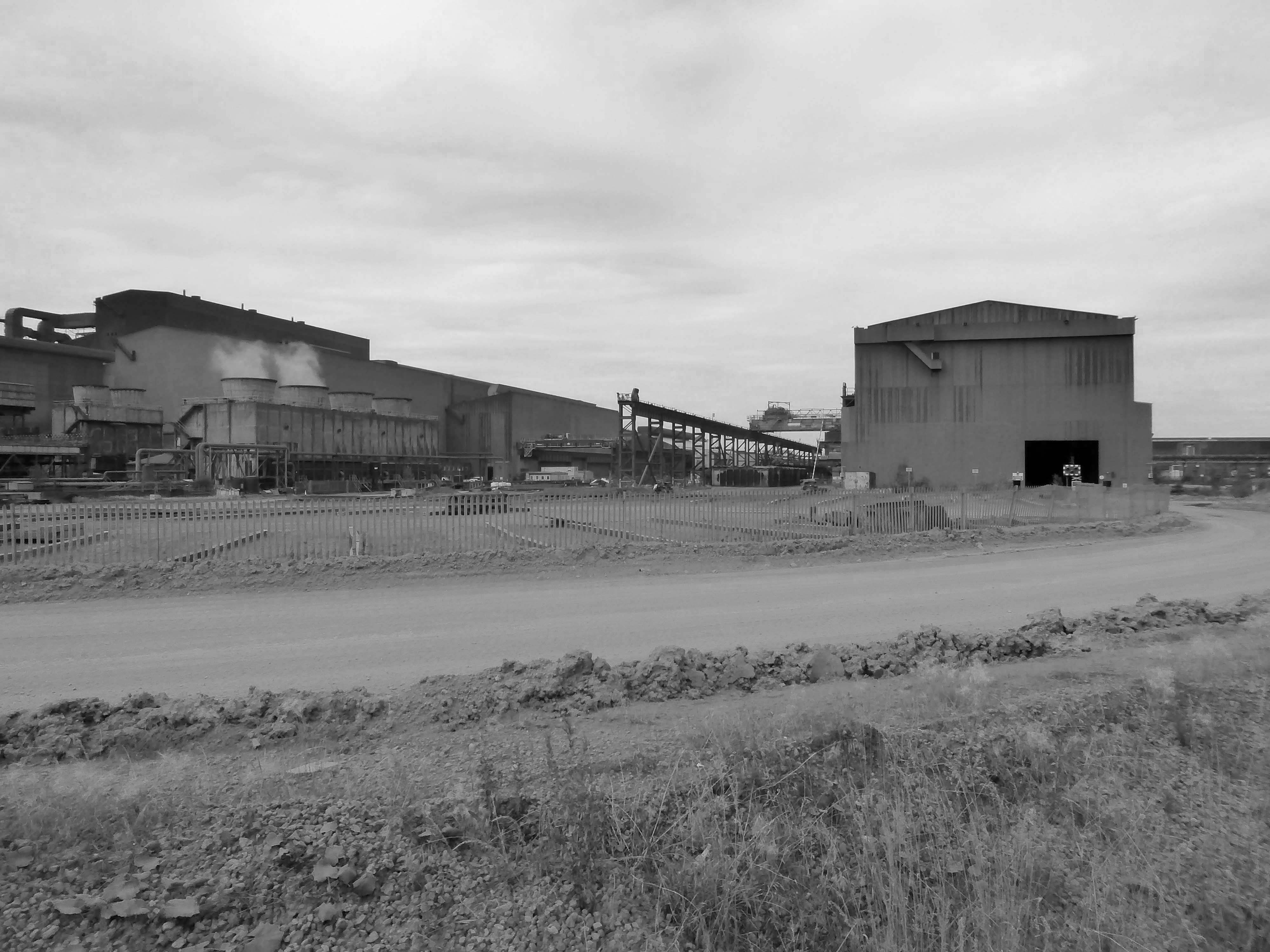
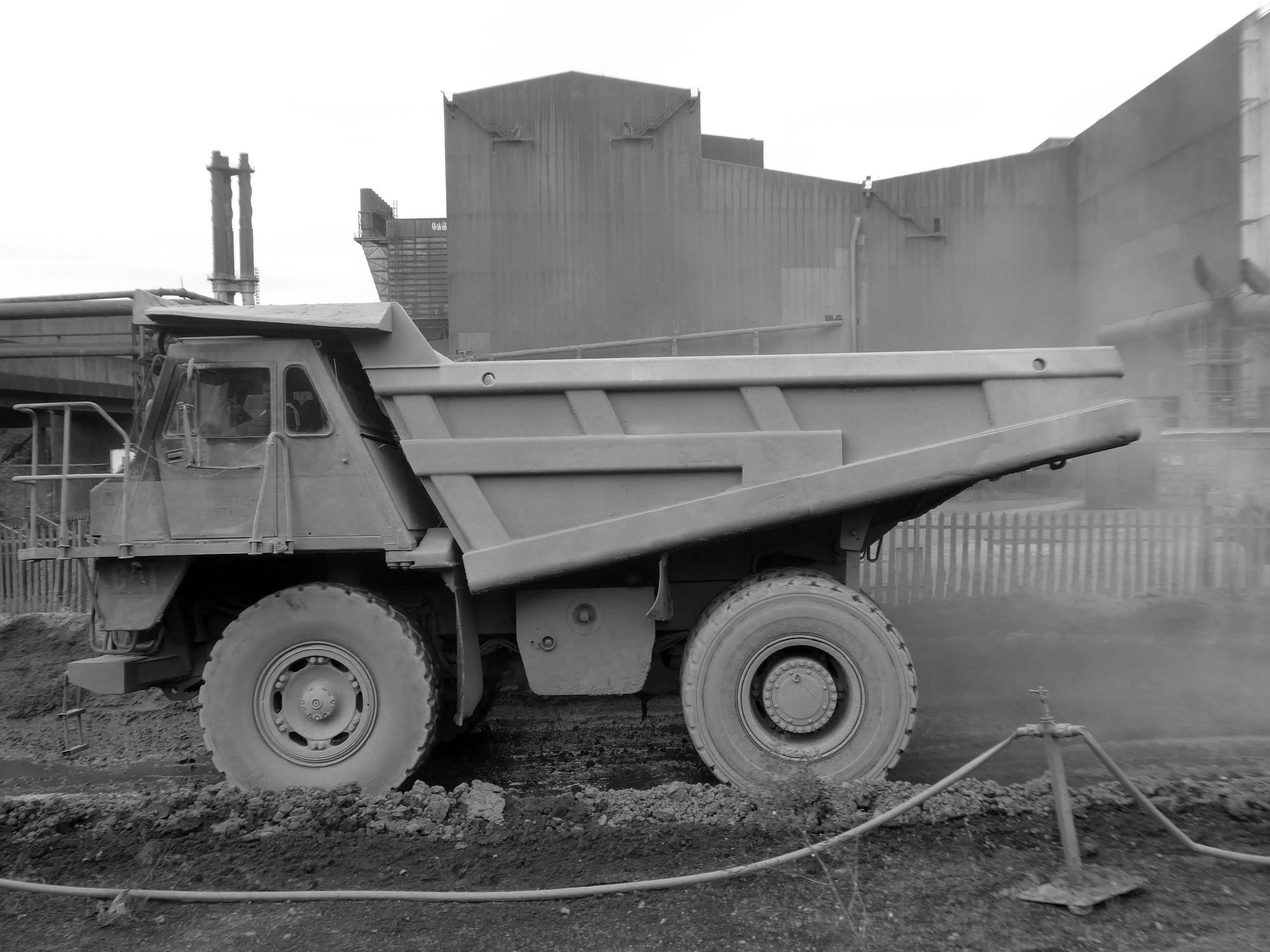
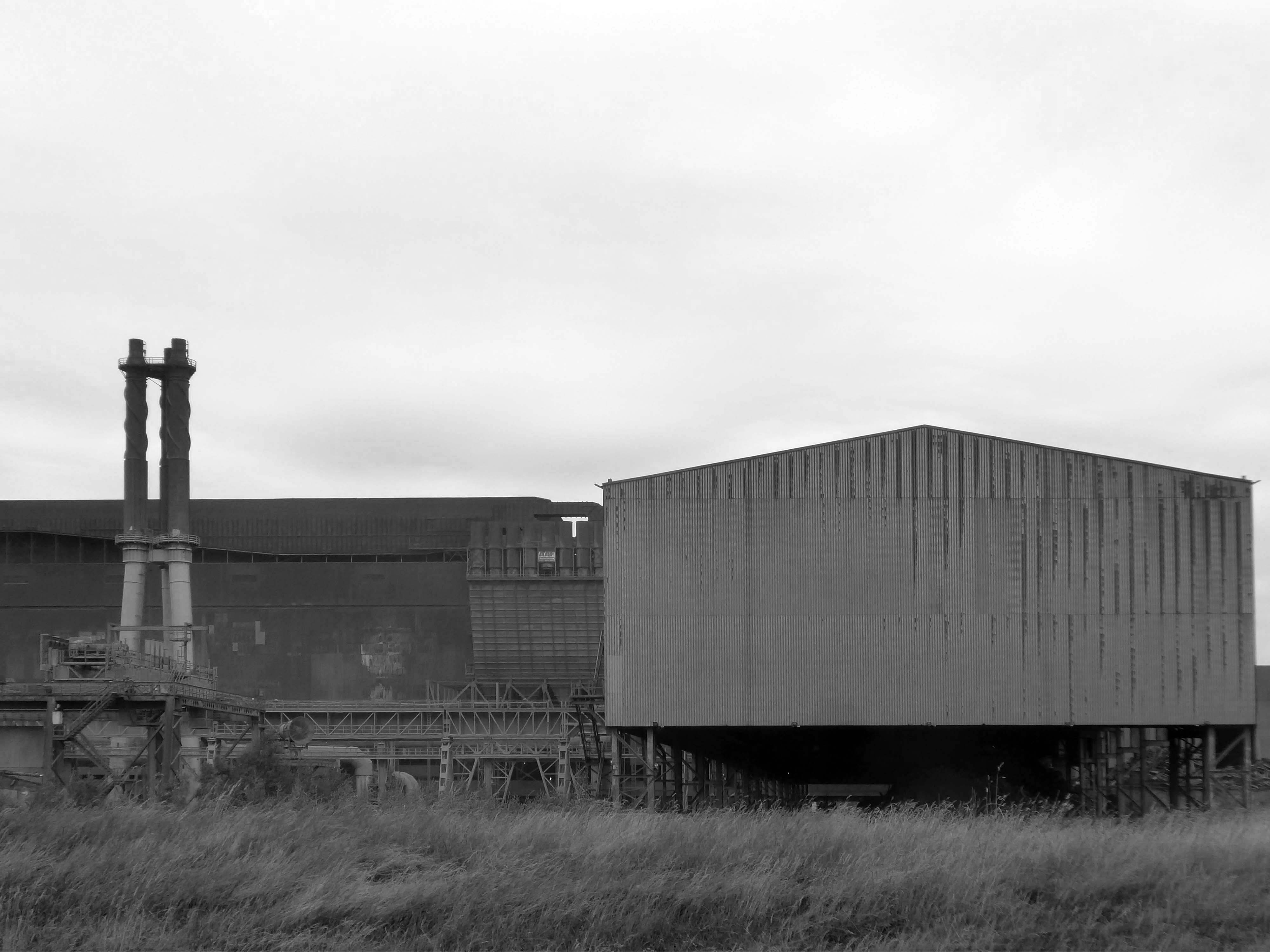
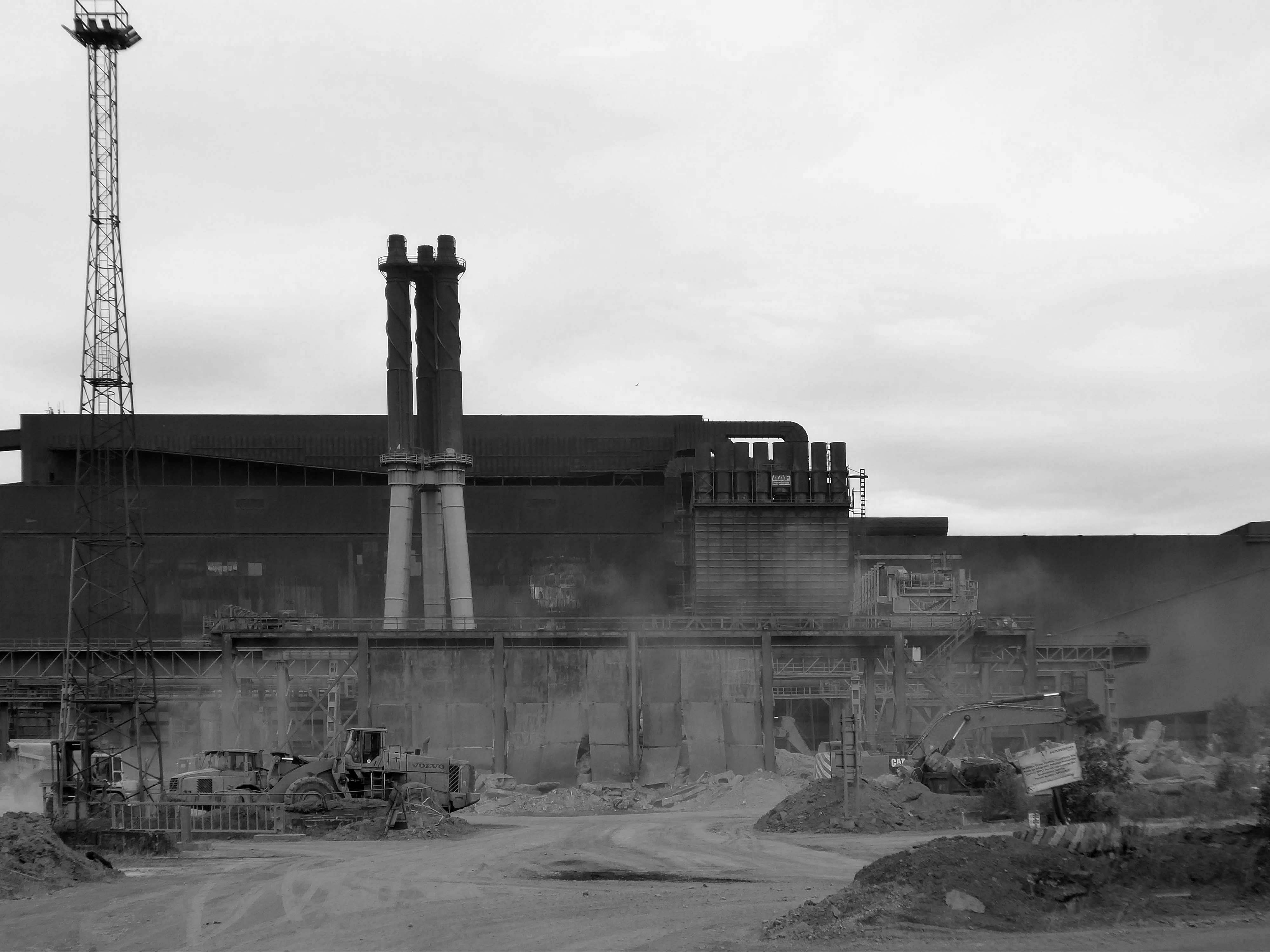
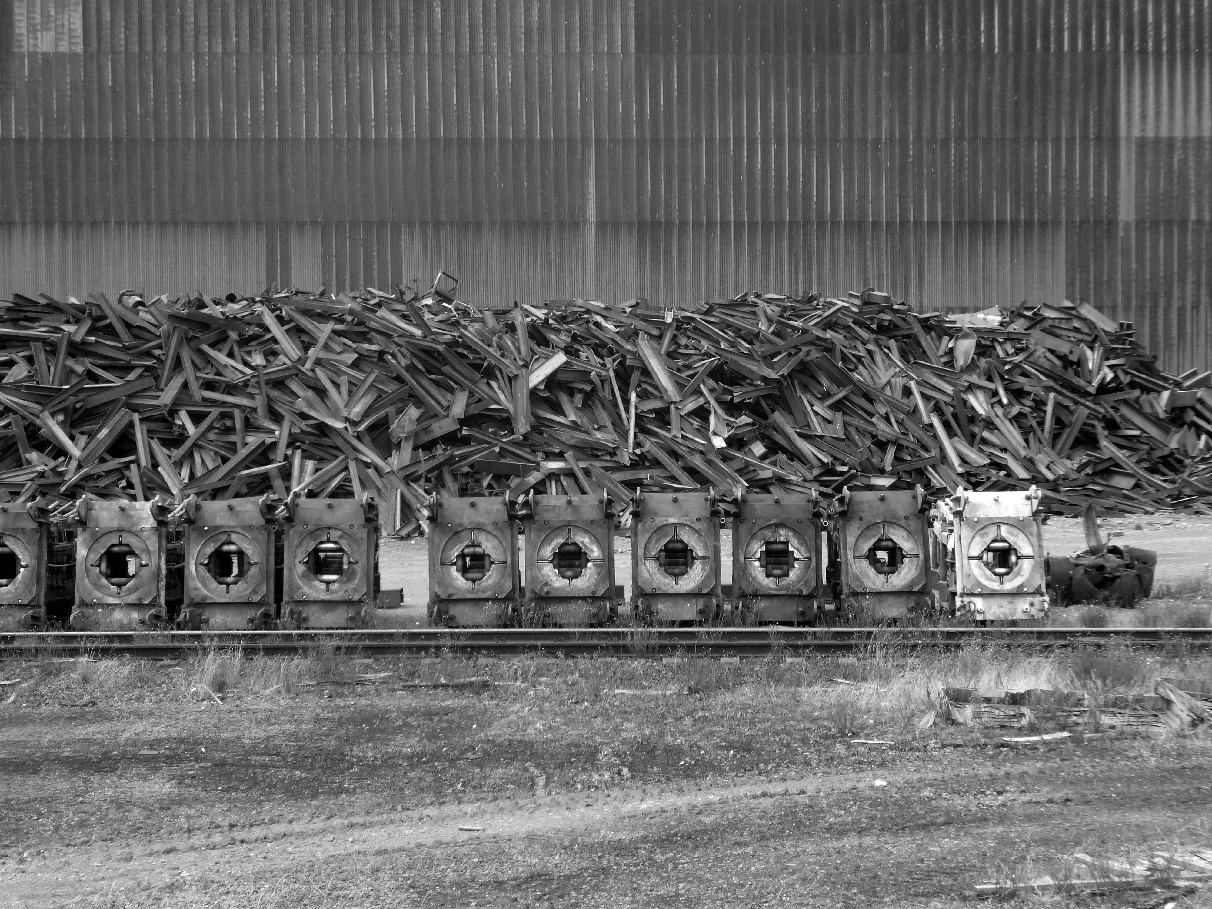
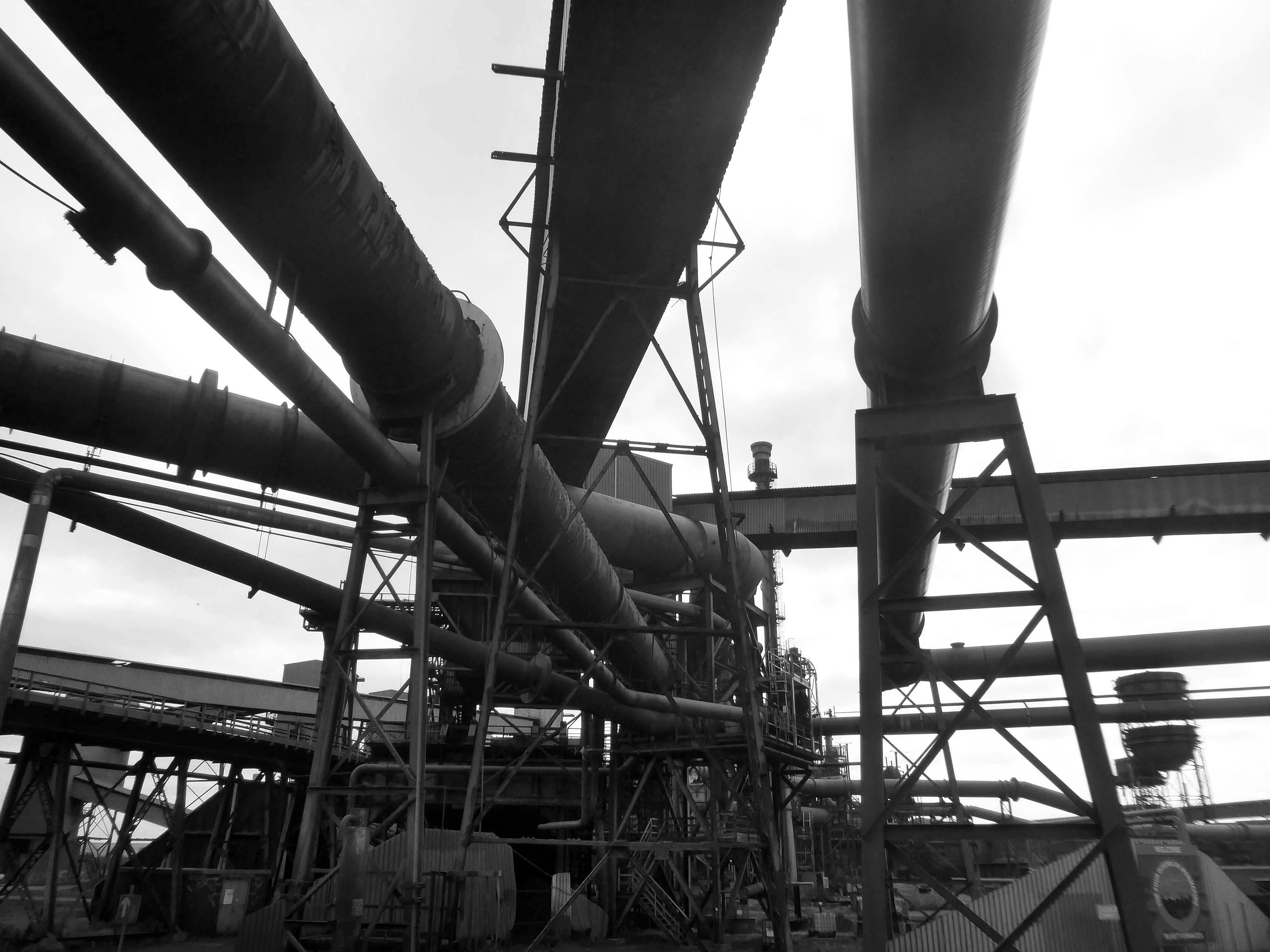
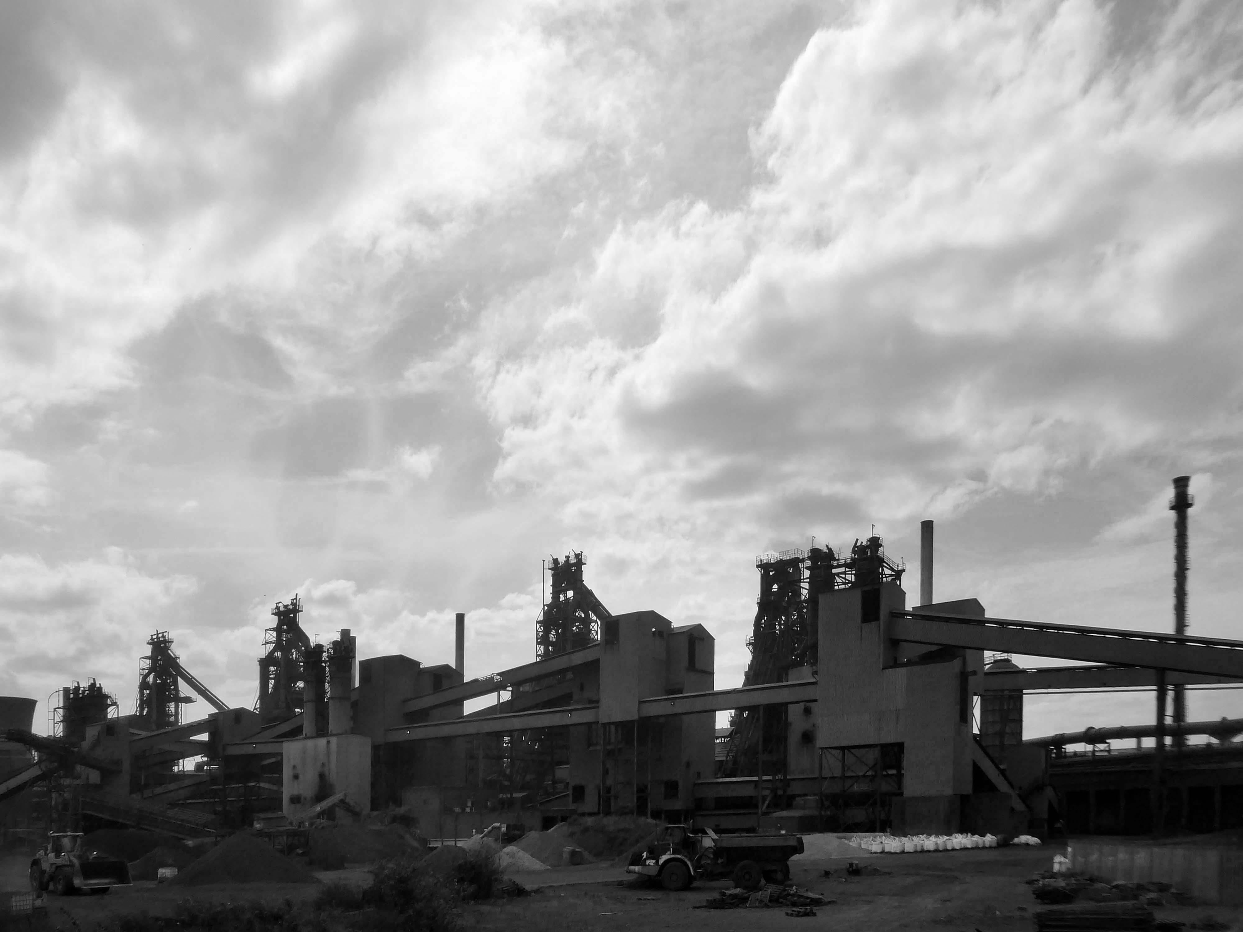
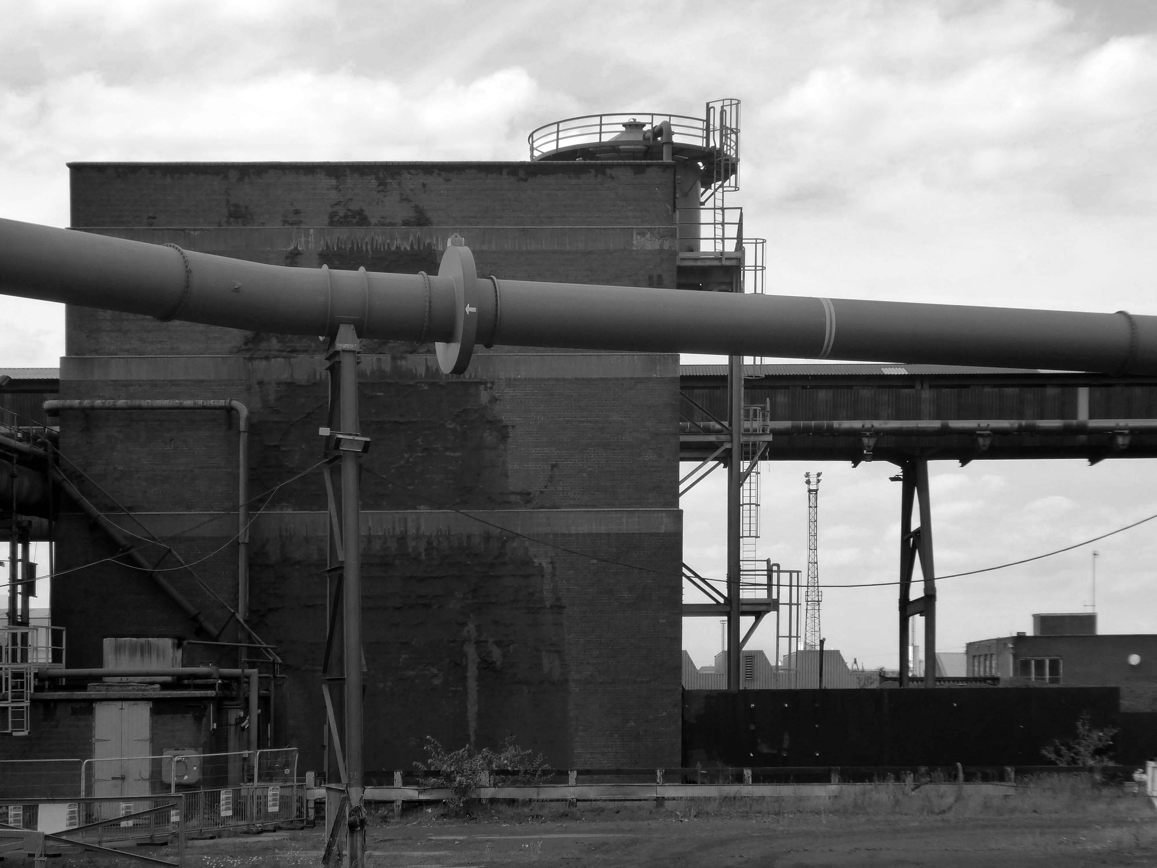
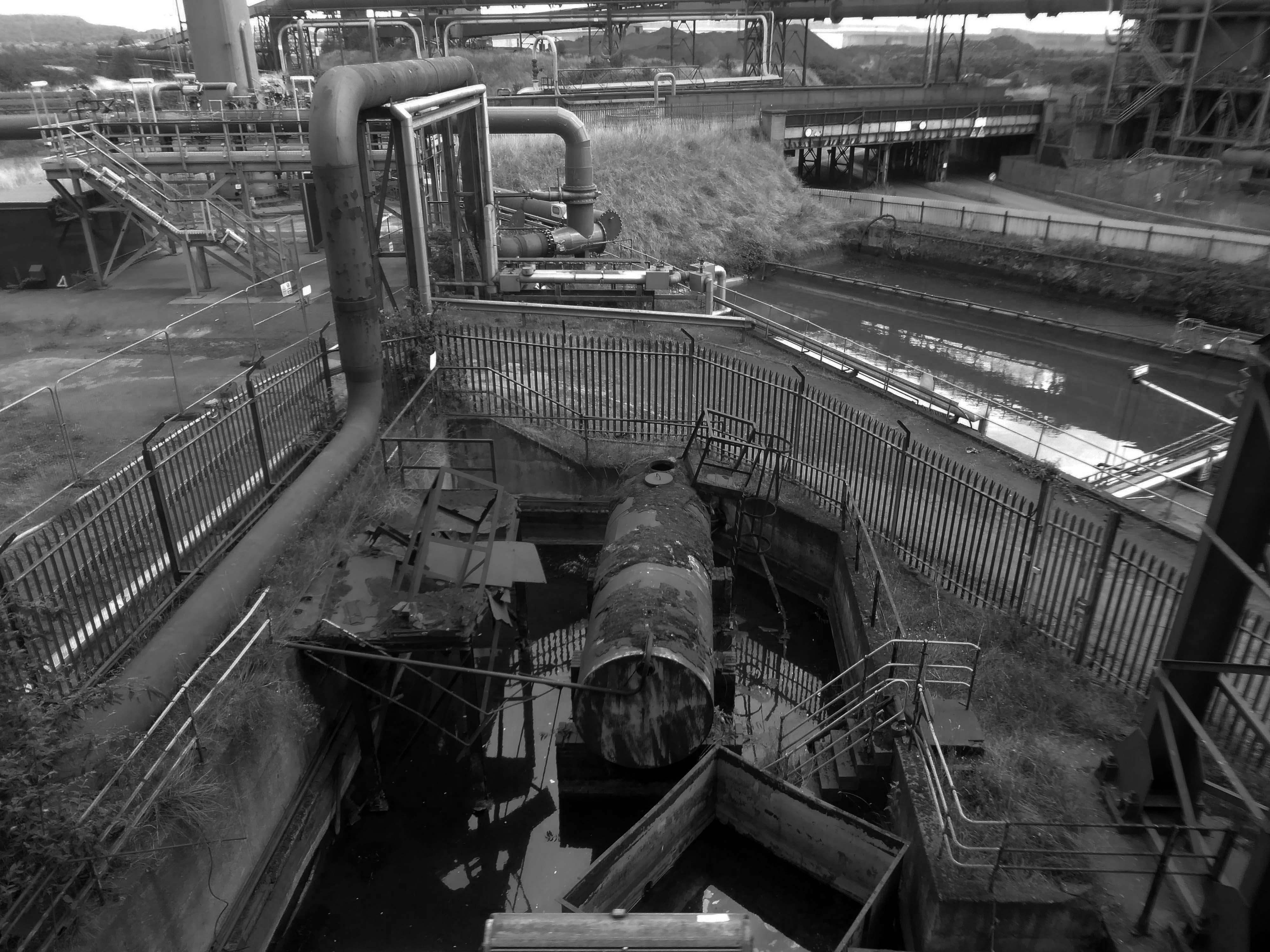
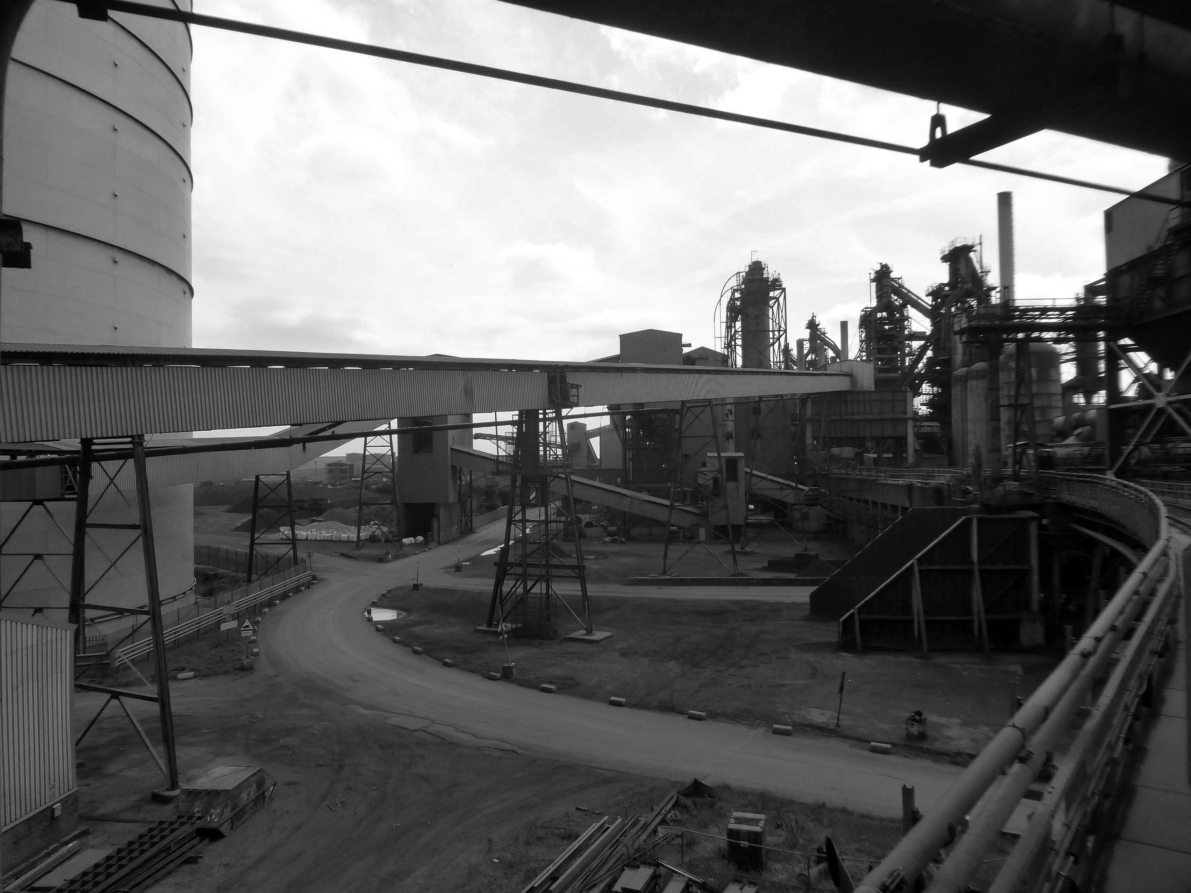
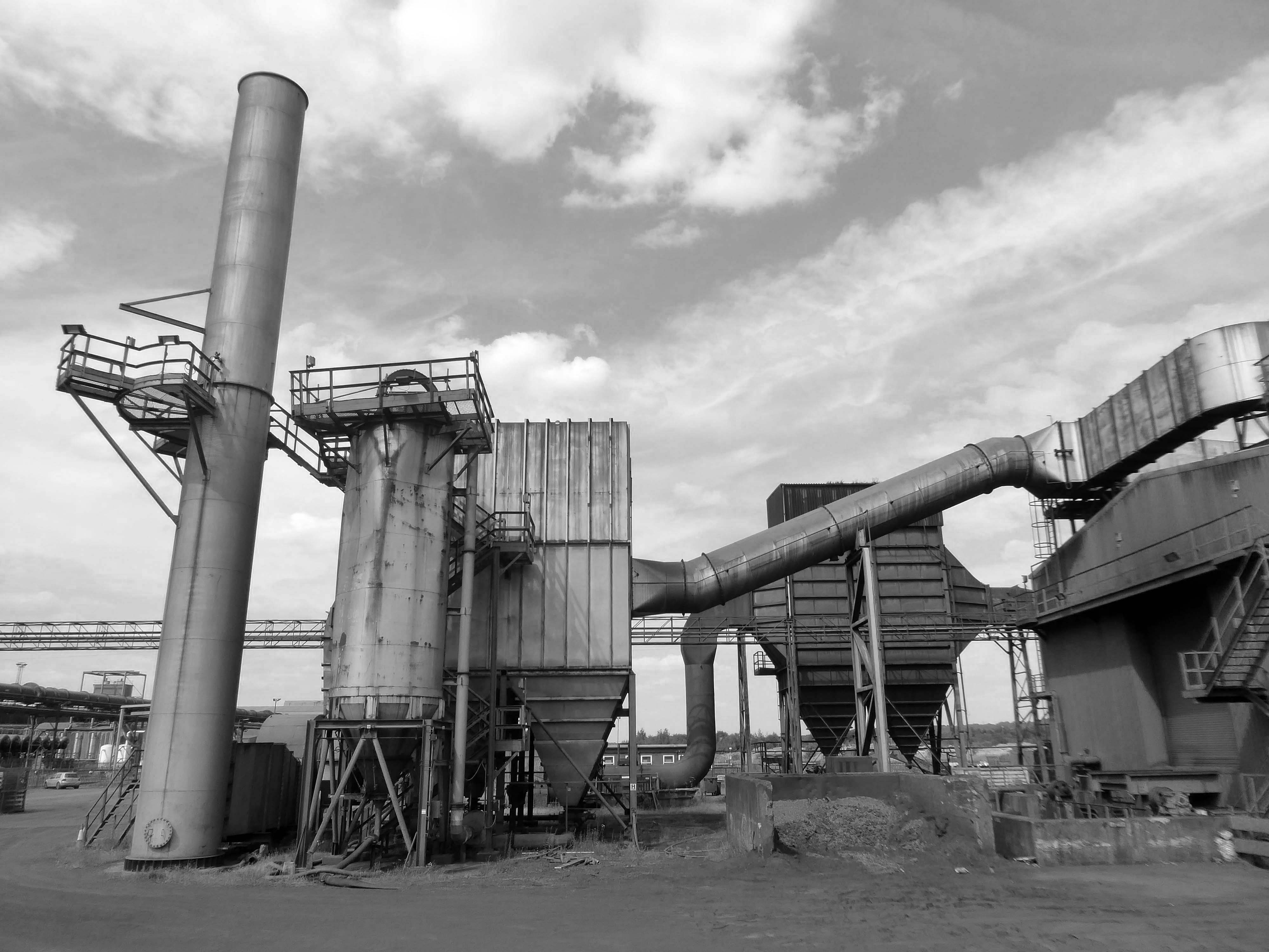
The Iron and Steel Industry in Scunthorpe was established in the mid 19th century, following the discovery and exploitation of middle Lias ironstone east of Scunthorpe.
In 1967 three works became part of the nationalised British Steel Corporation.
Following privatisation in 1988, the company together with the rest of BSC became part of Corus in 1999, in 2007 becoming Tata Steel Europe. In 2016 the long products division of Tata Steel Europe was sold to Greybull Capital with Scunthorpe as the primary steel production site.
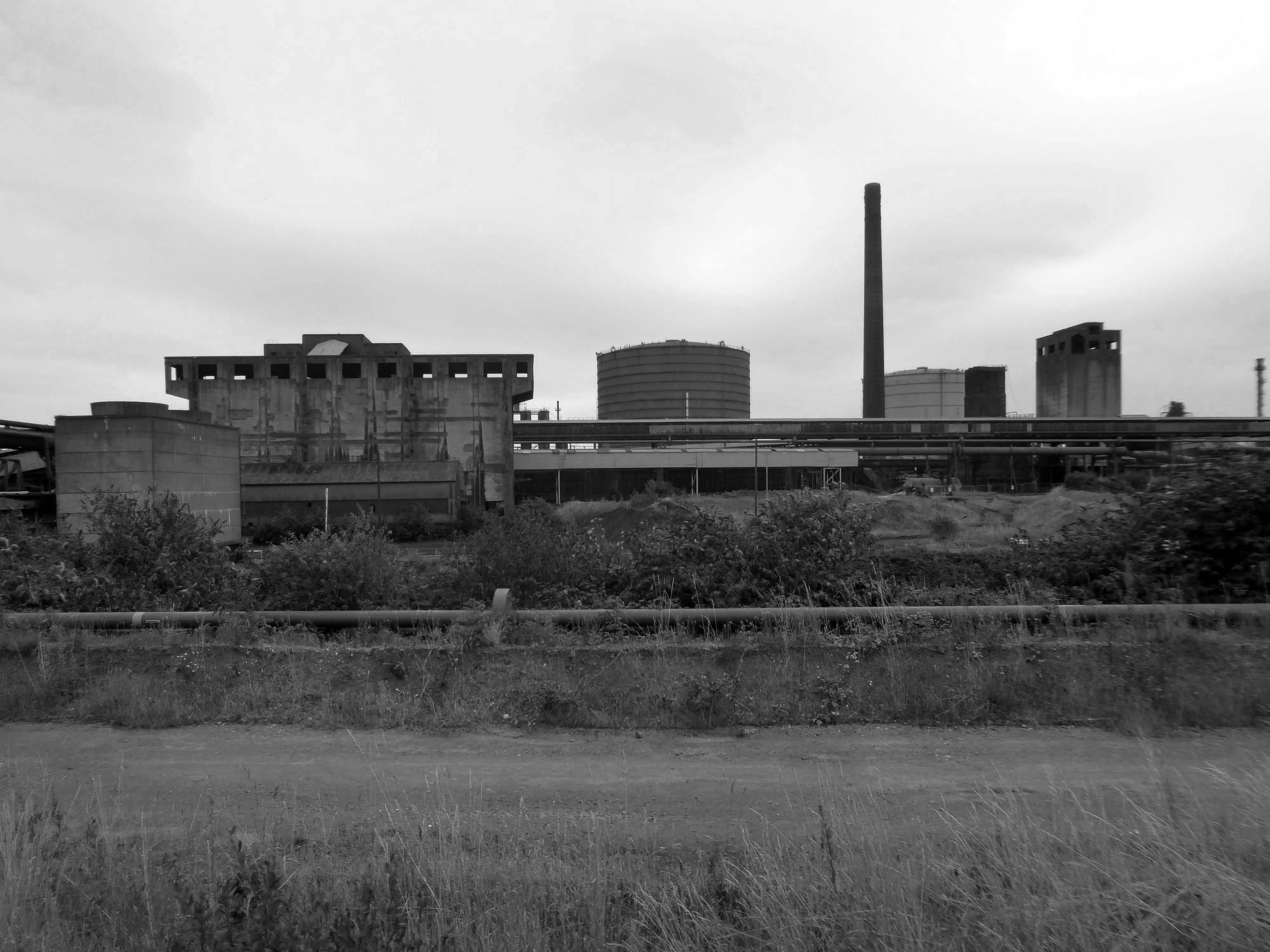
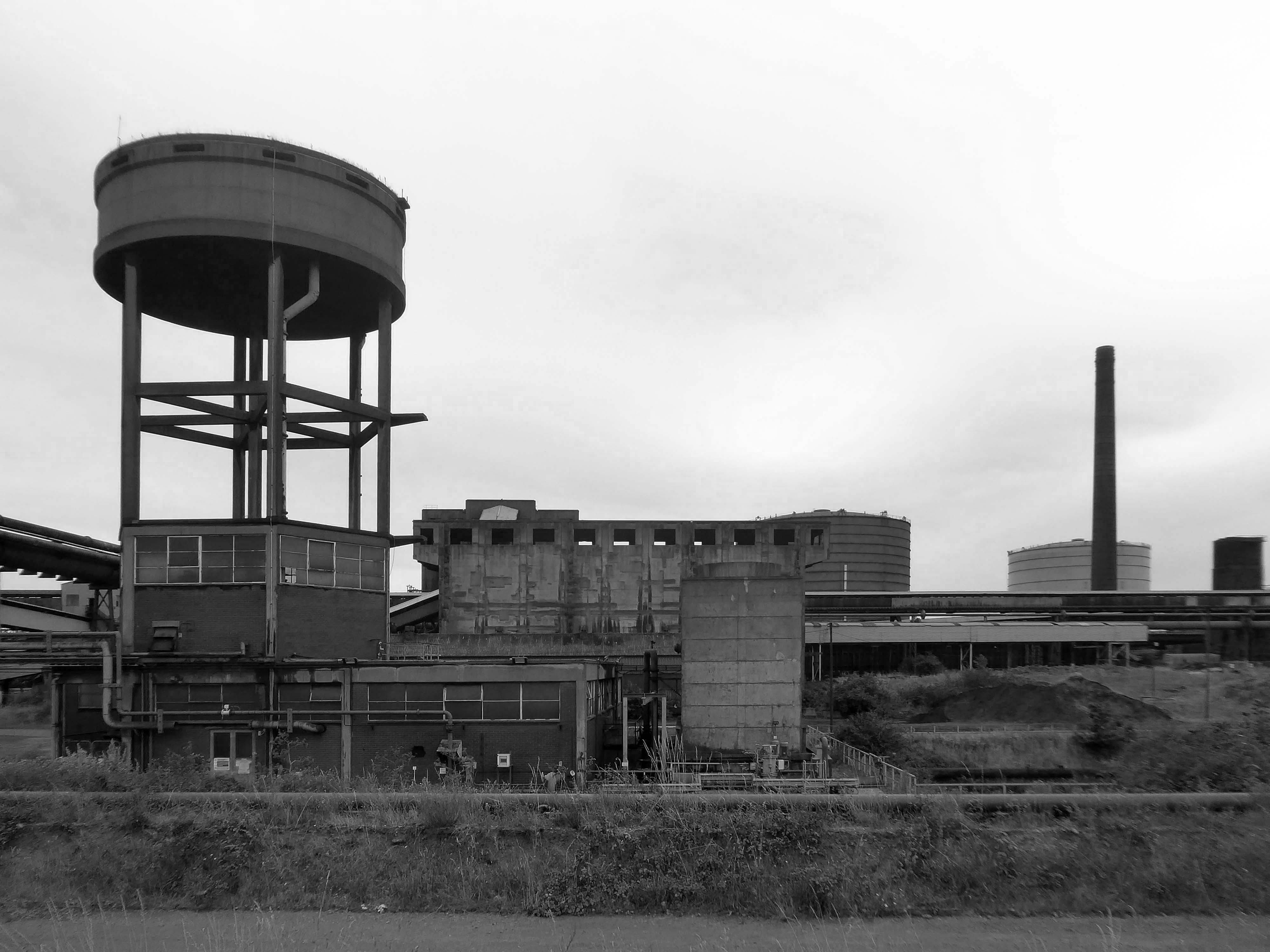
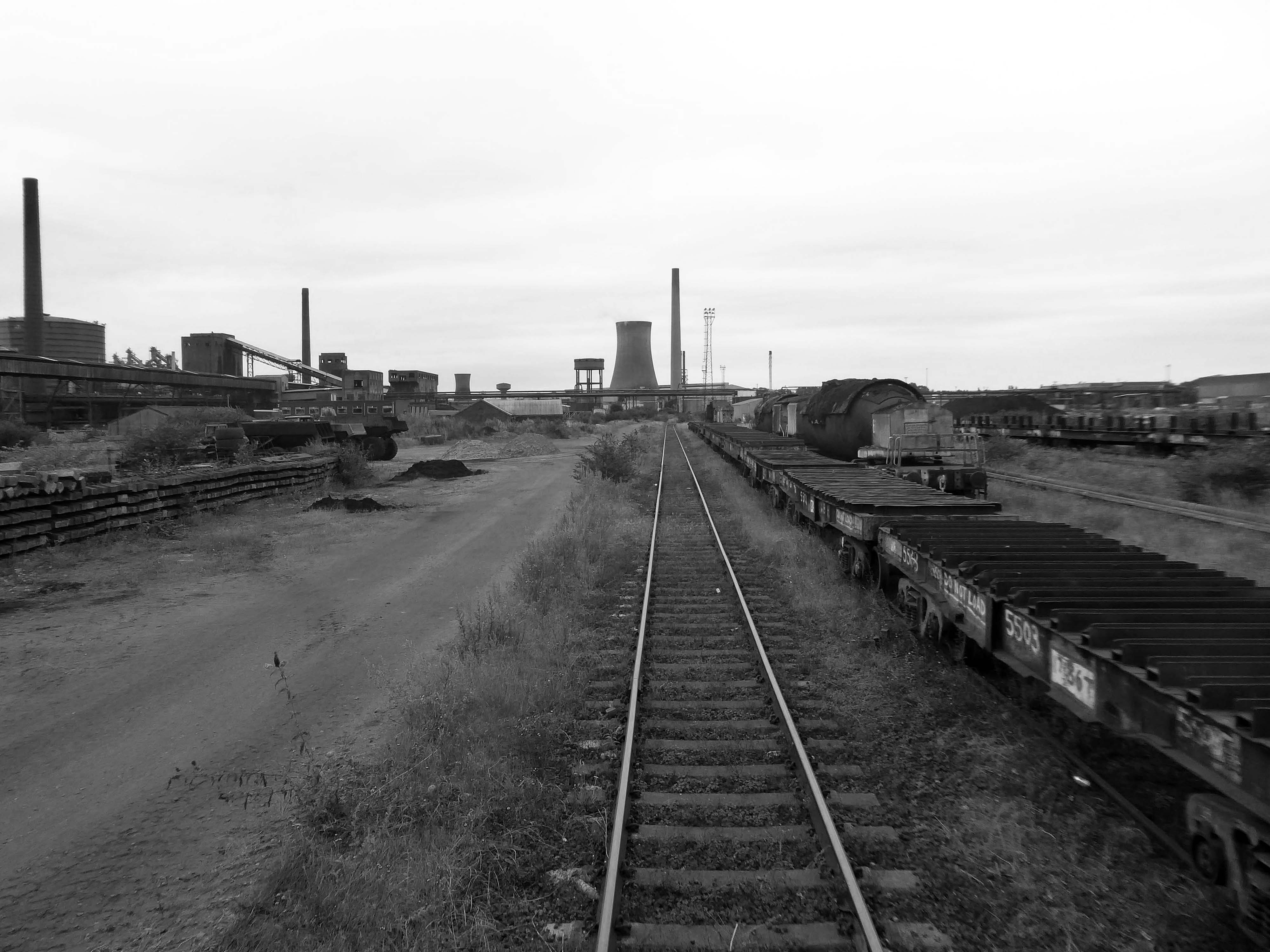
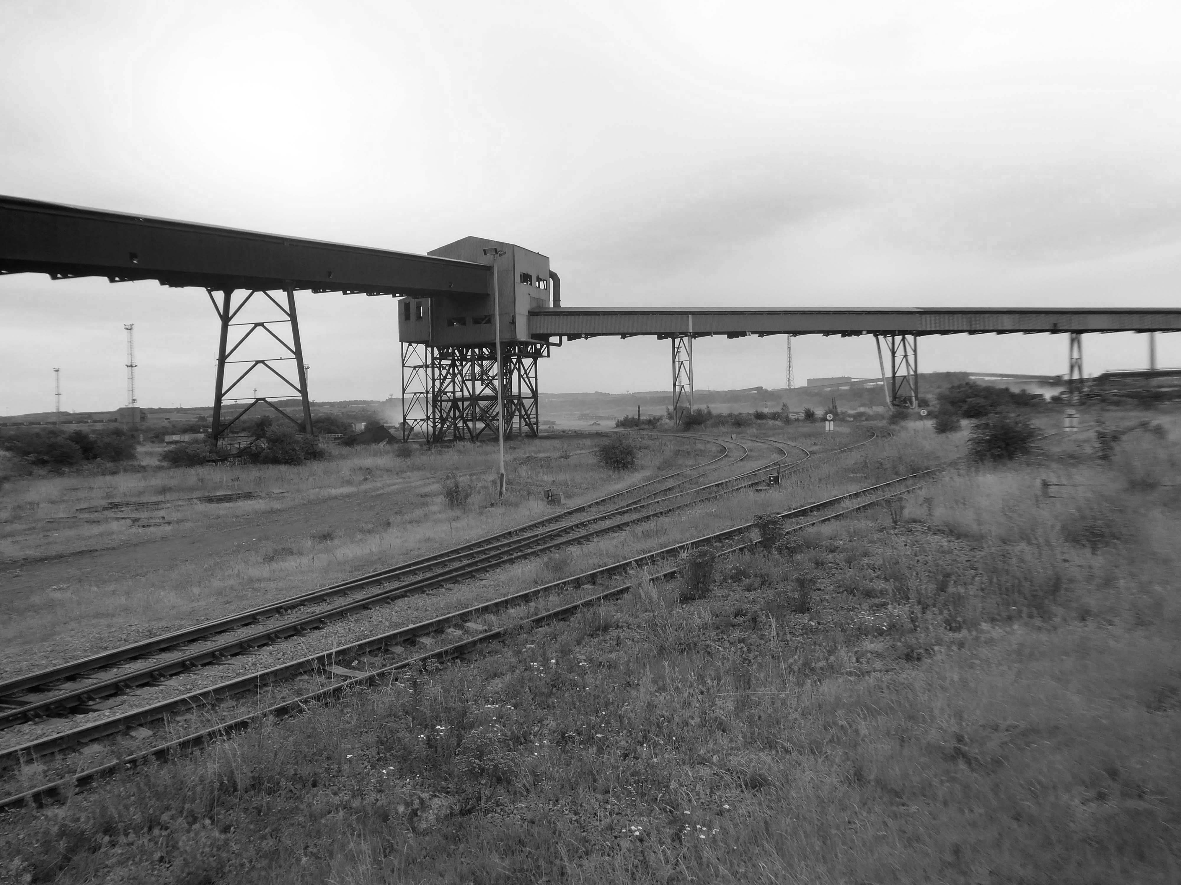
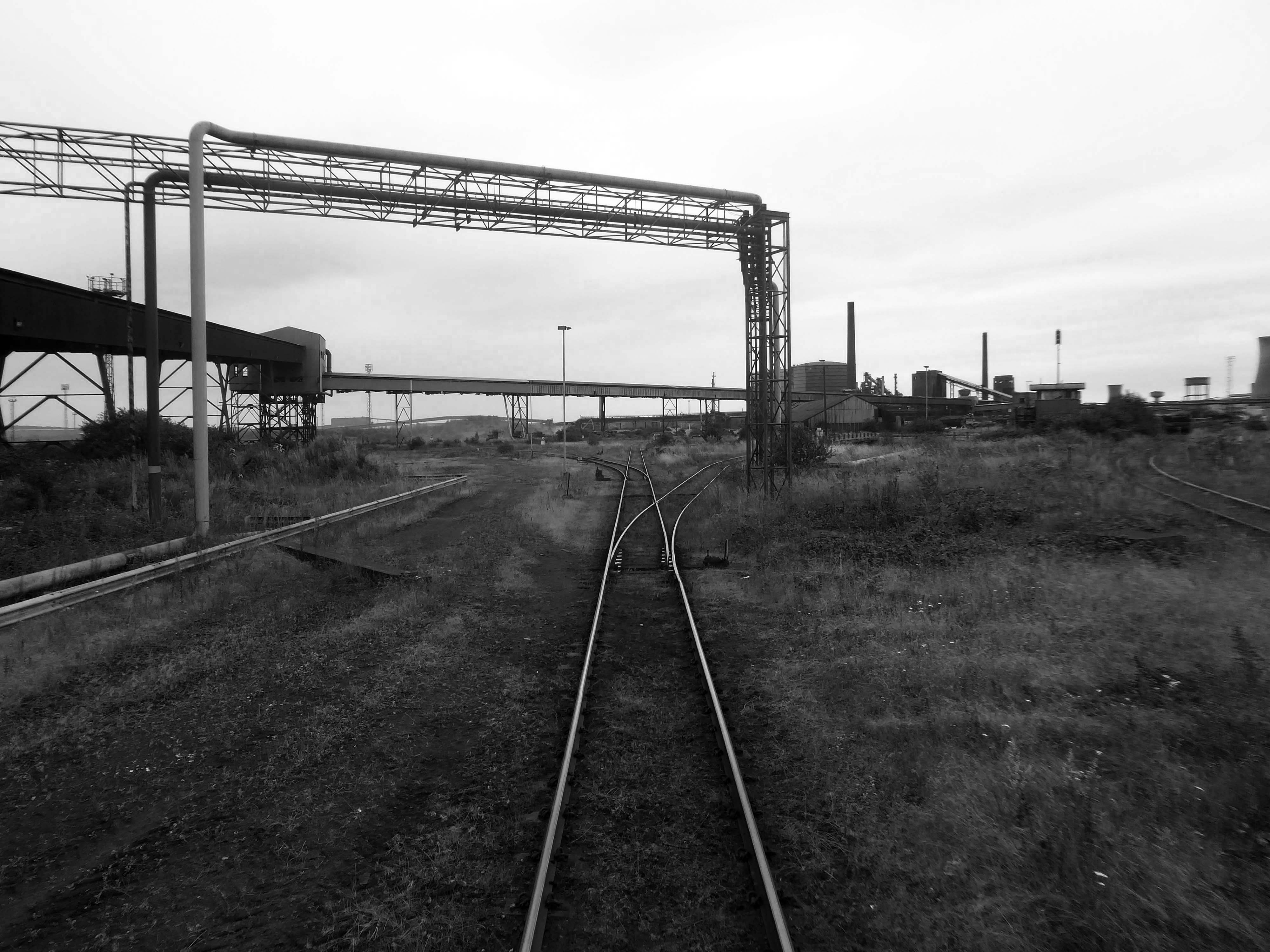
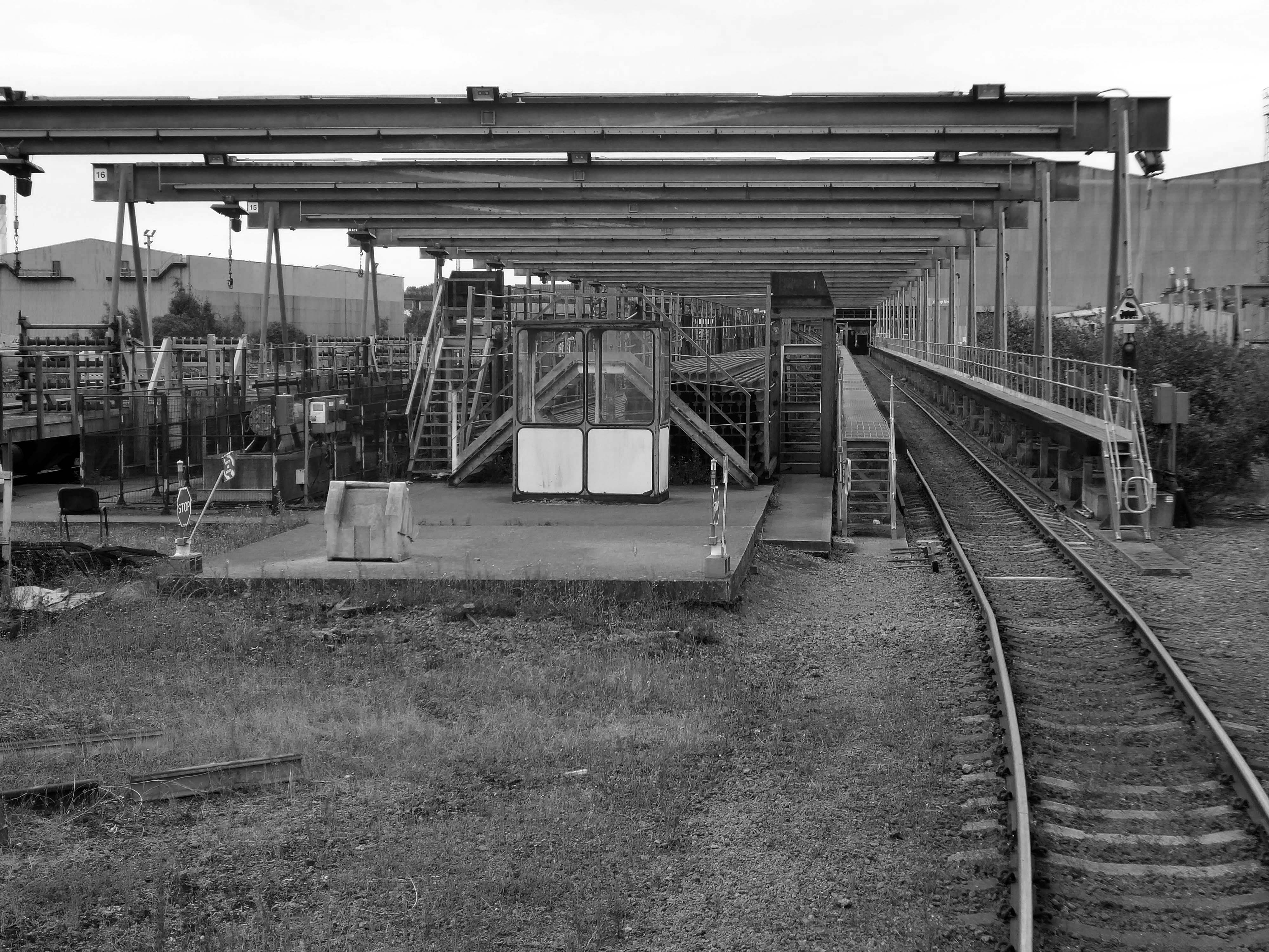
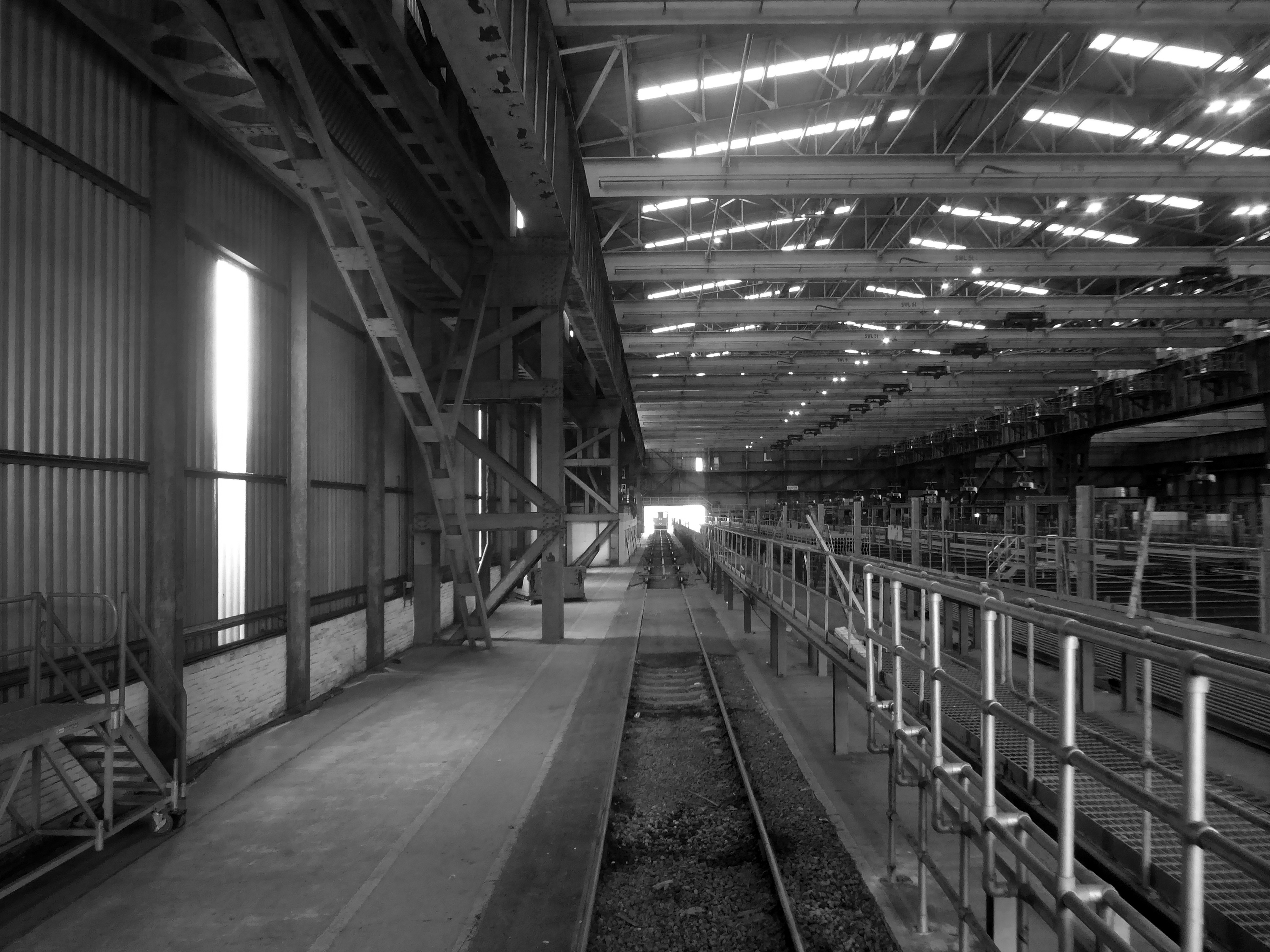
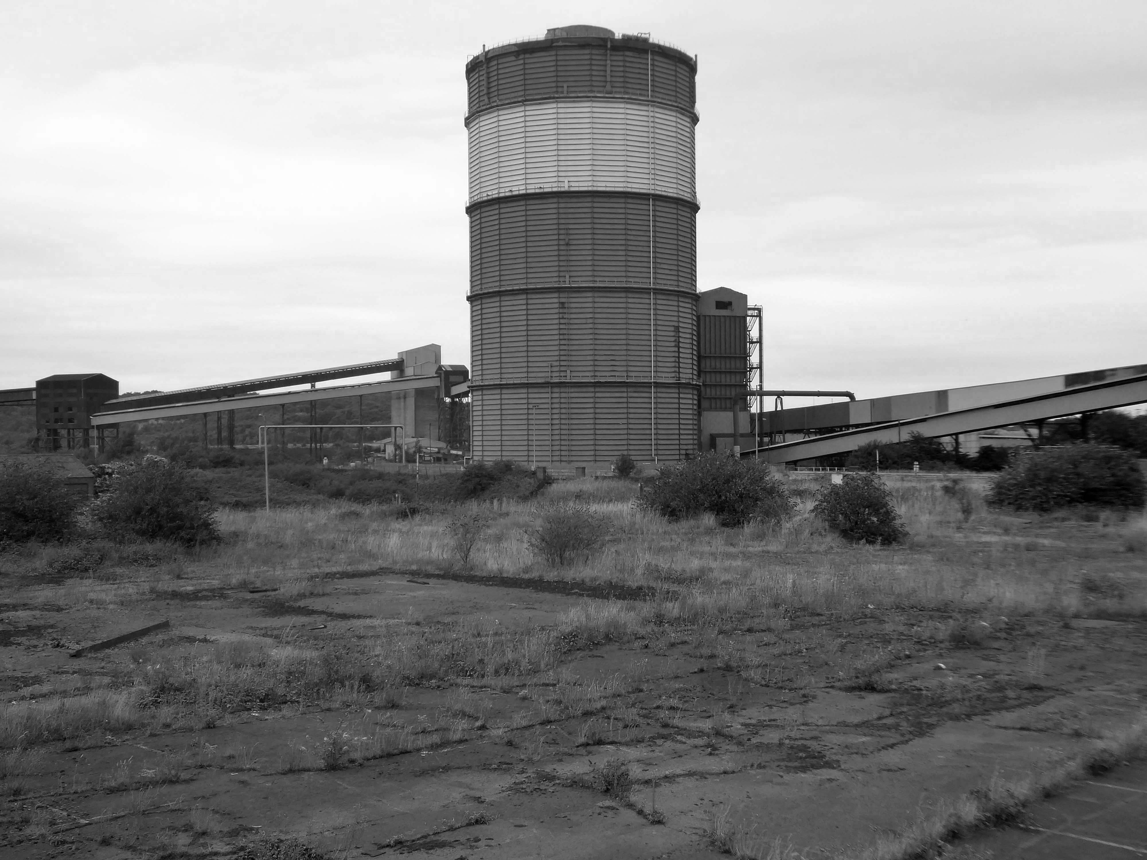
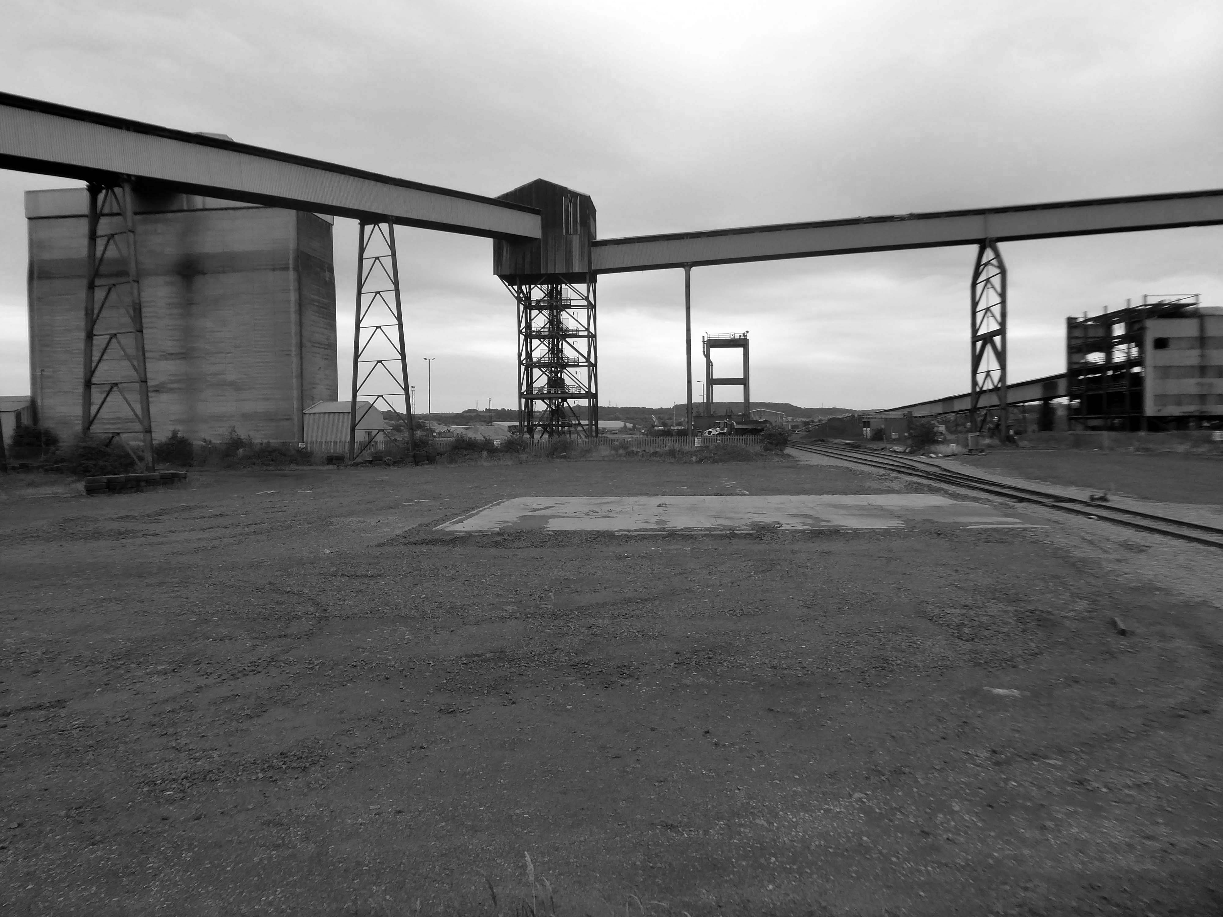
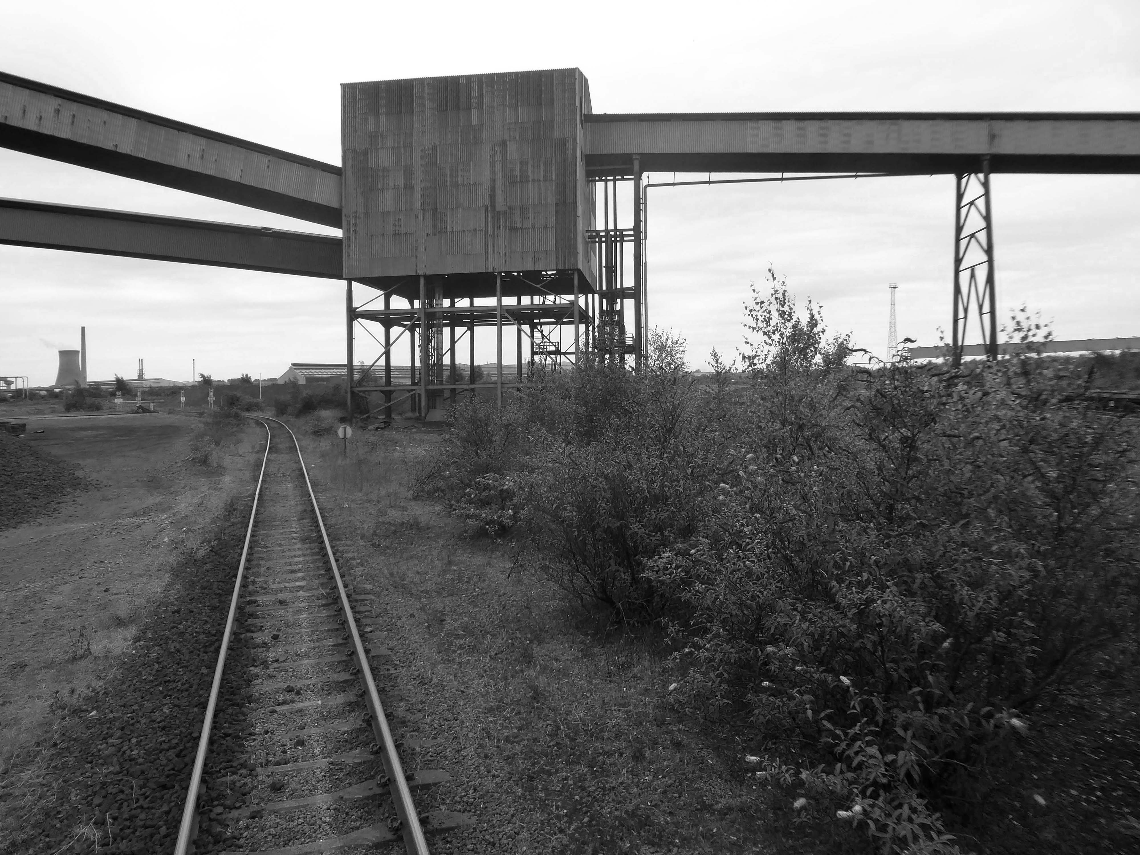
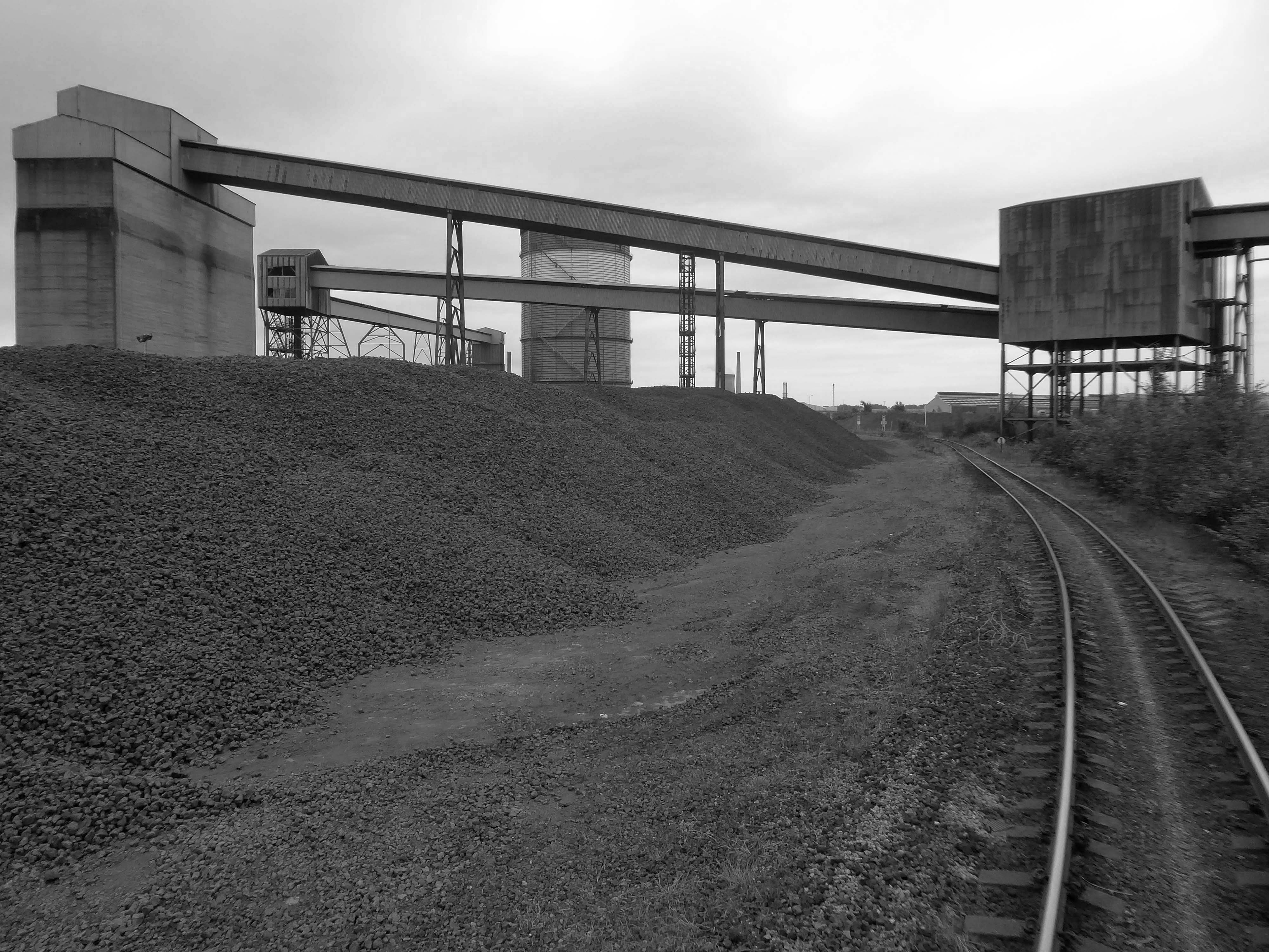
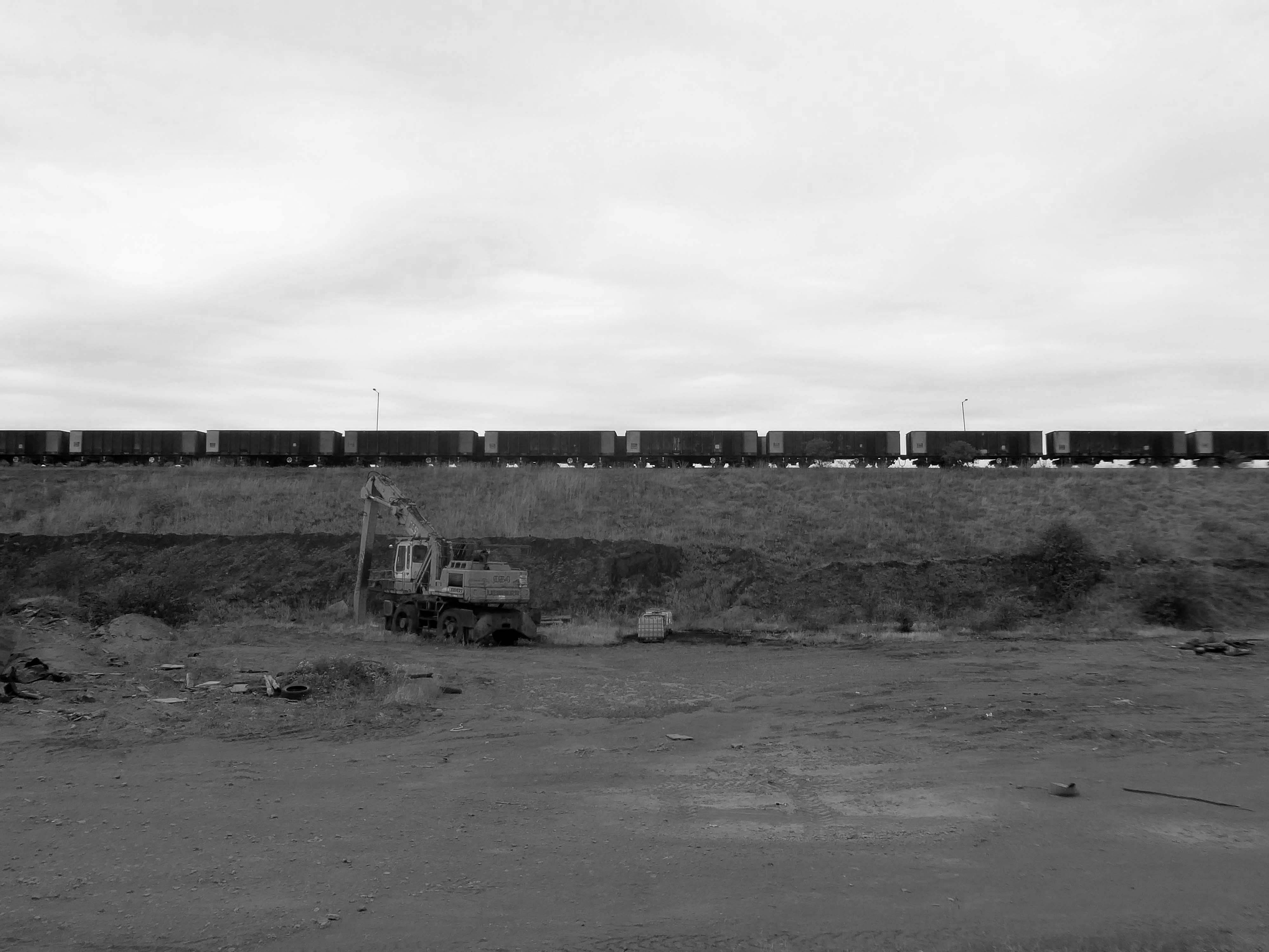
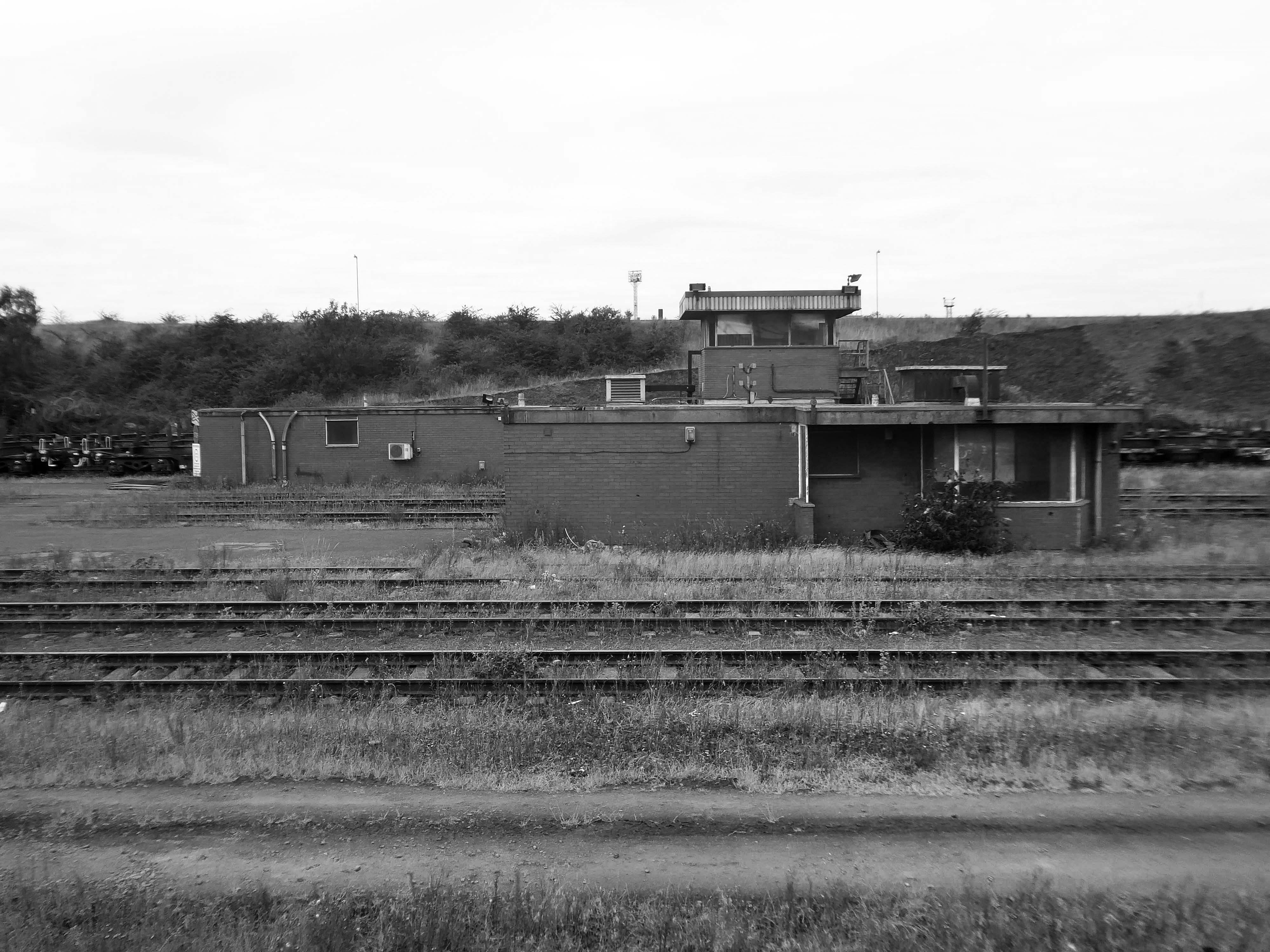
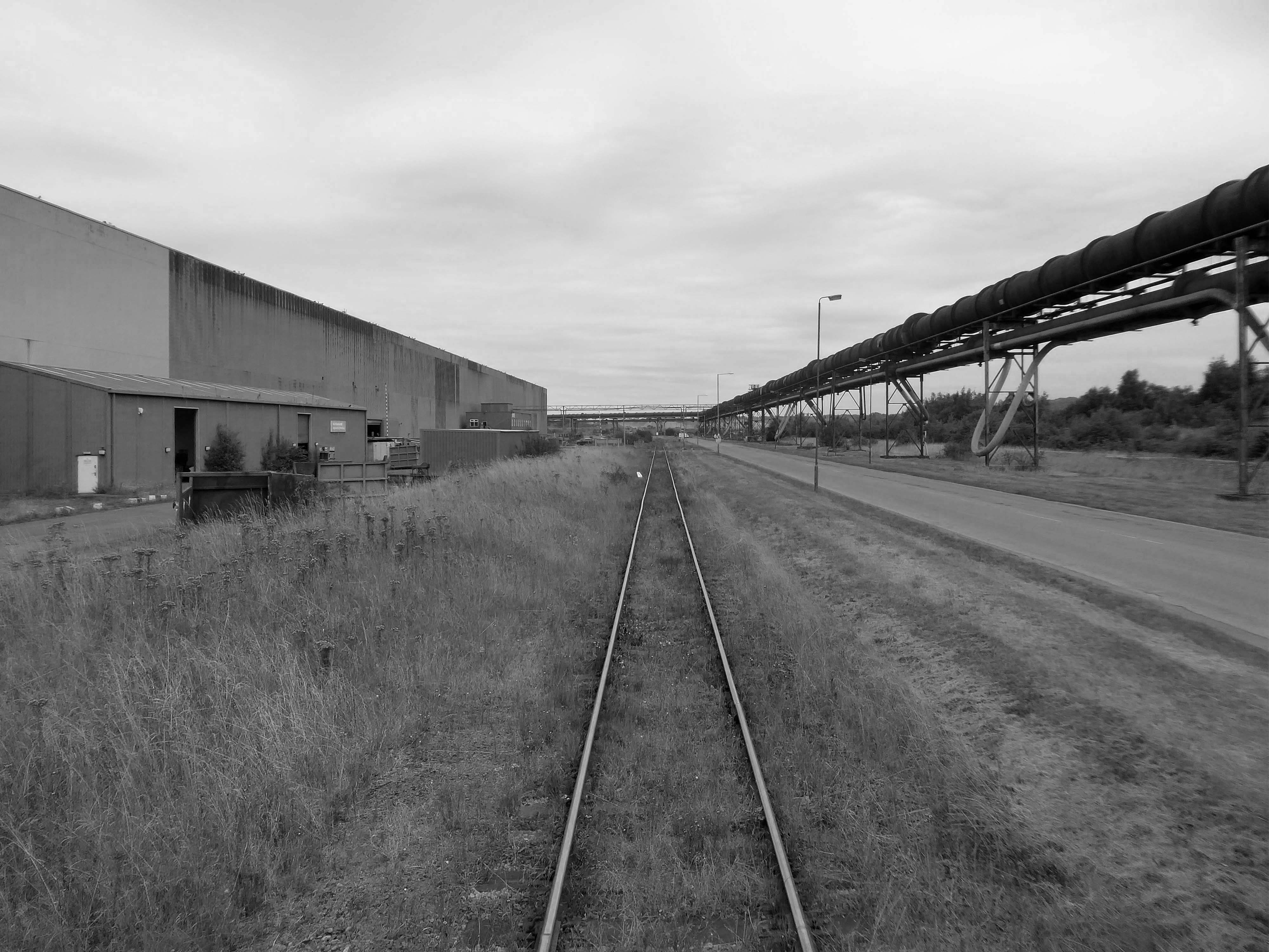
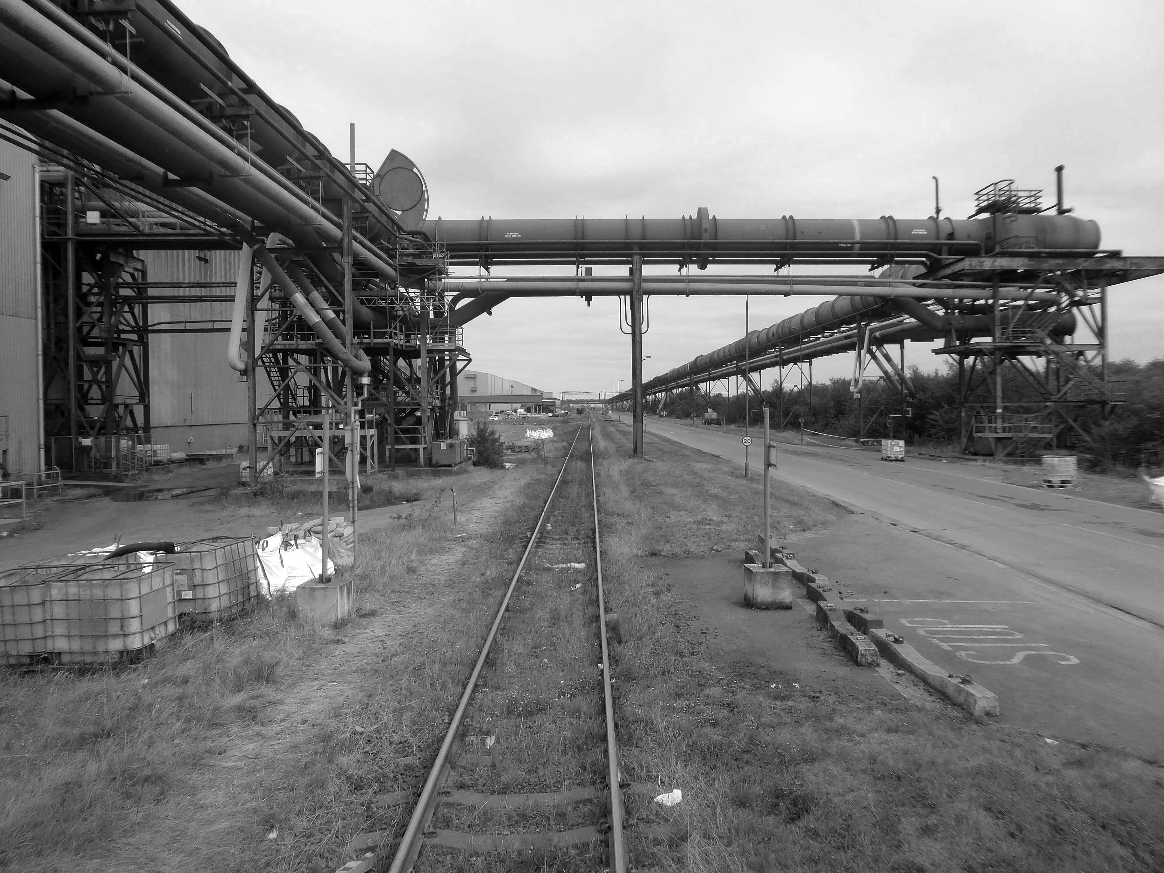
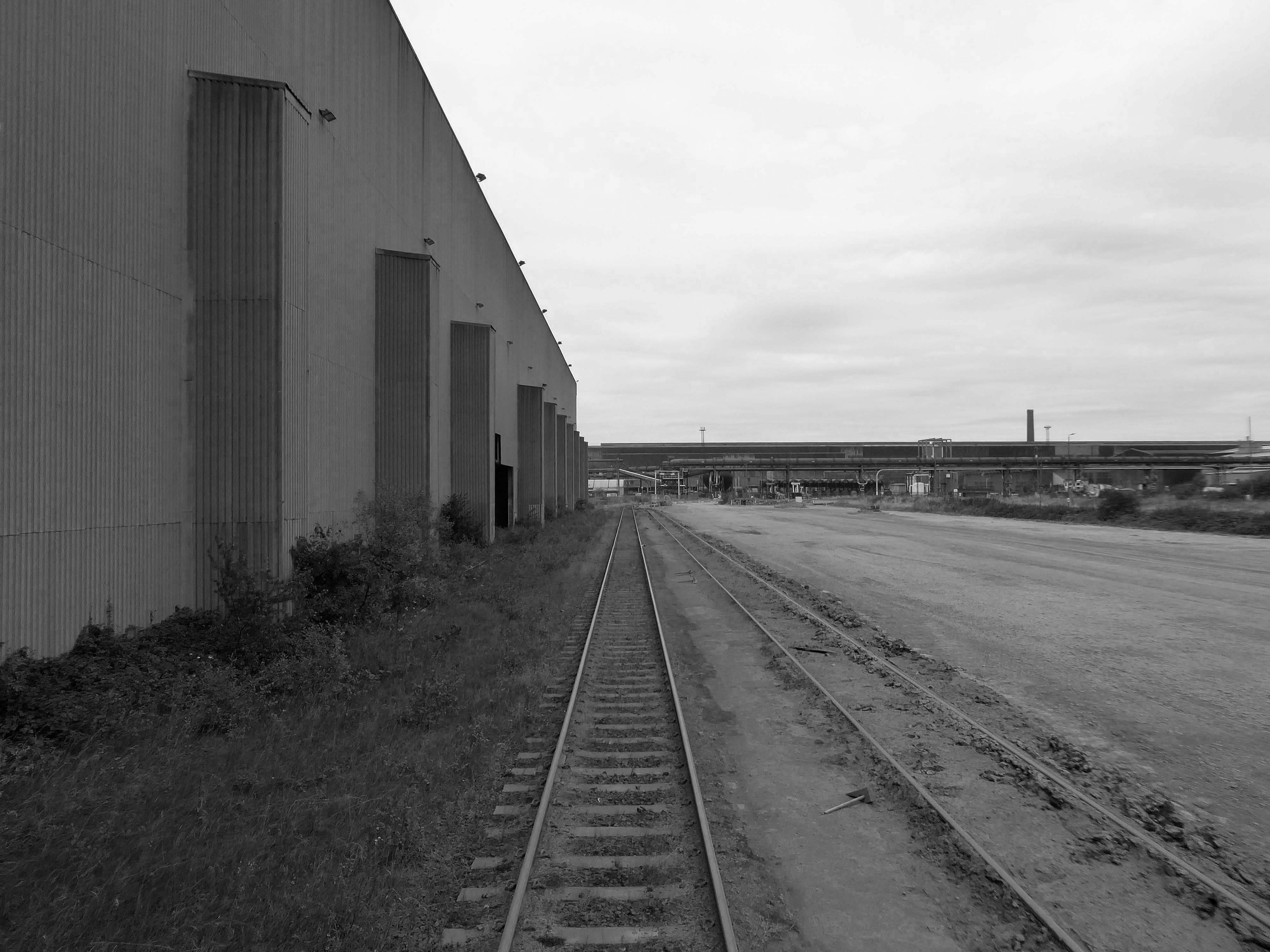
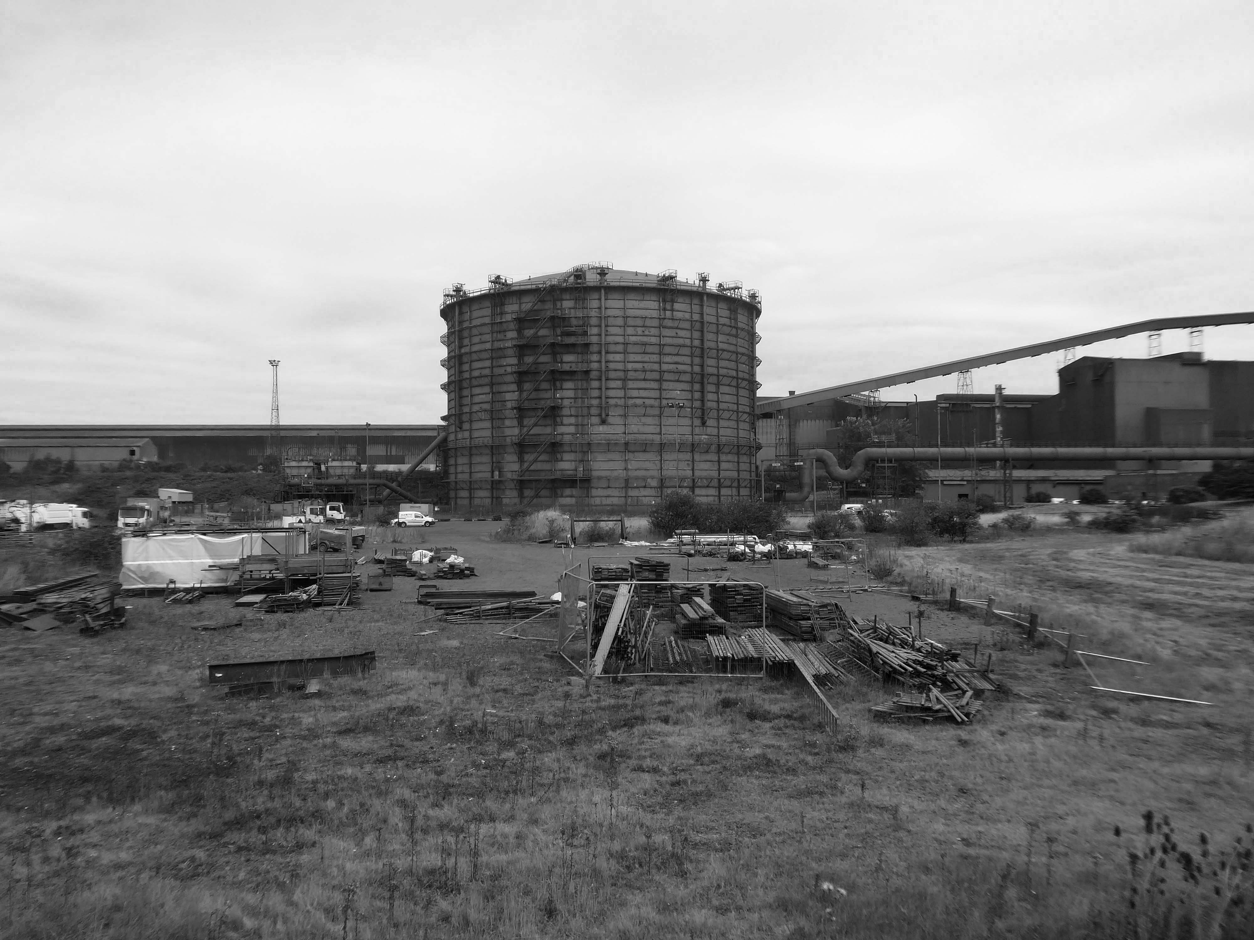
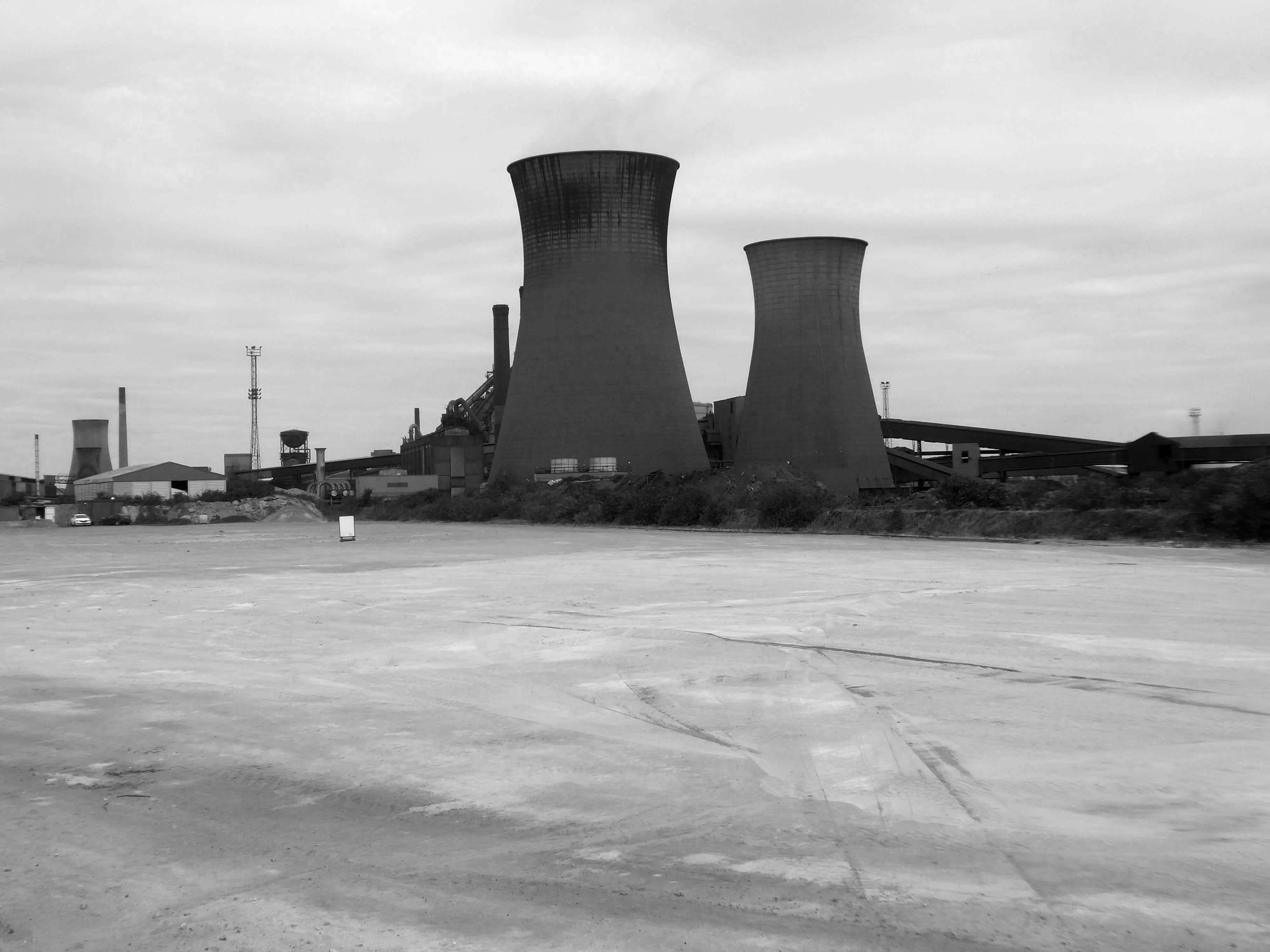
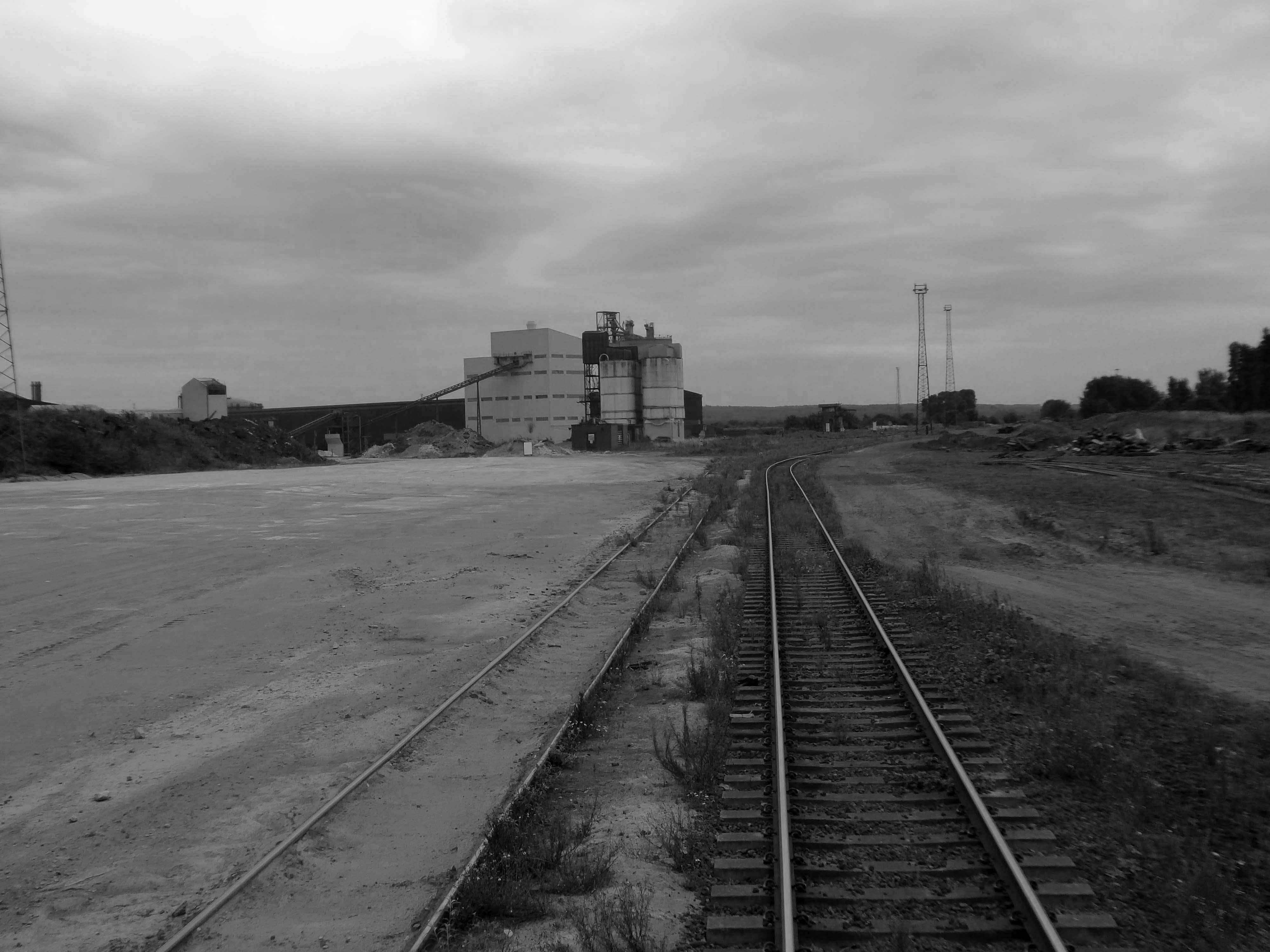
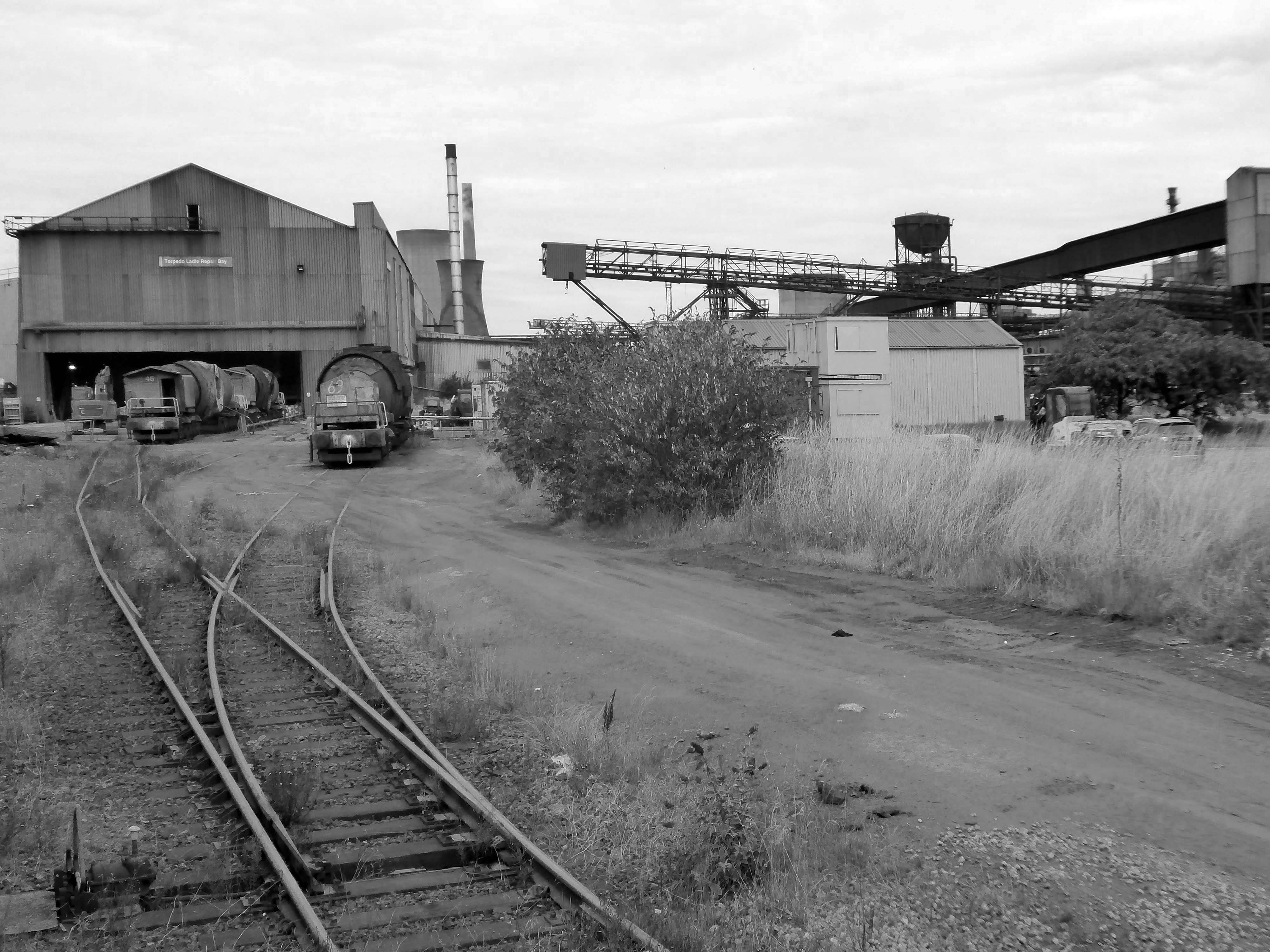
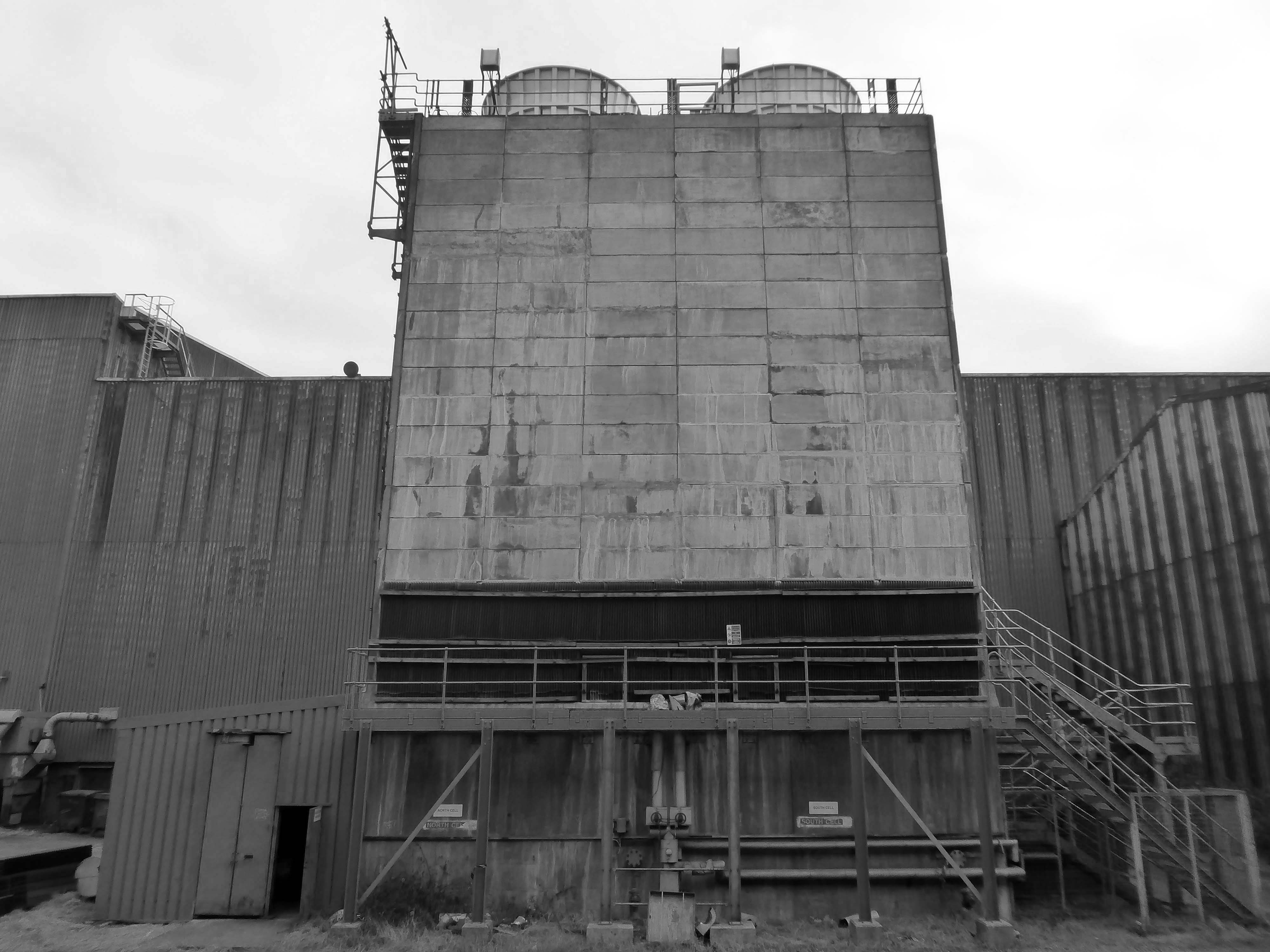
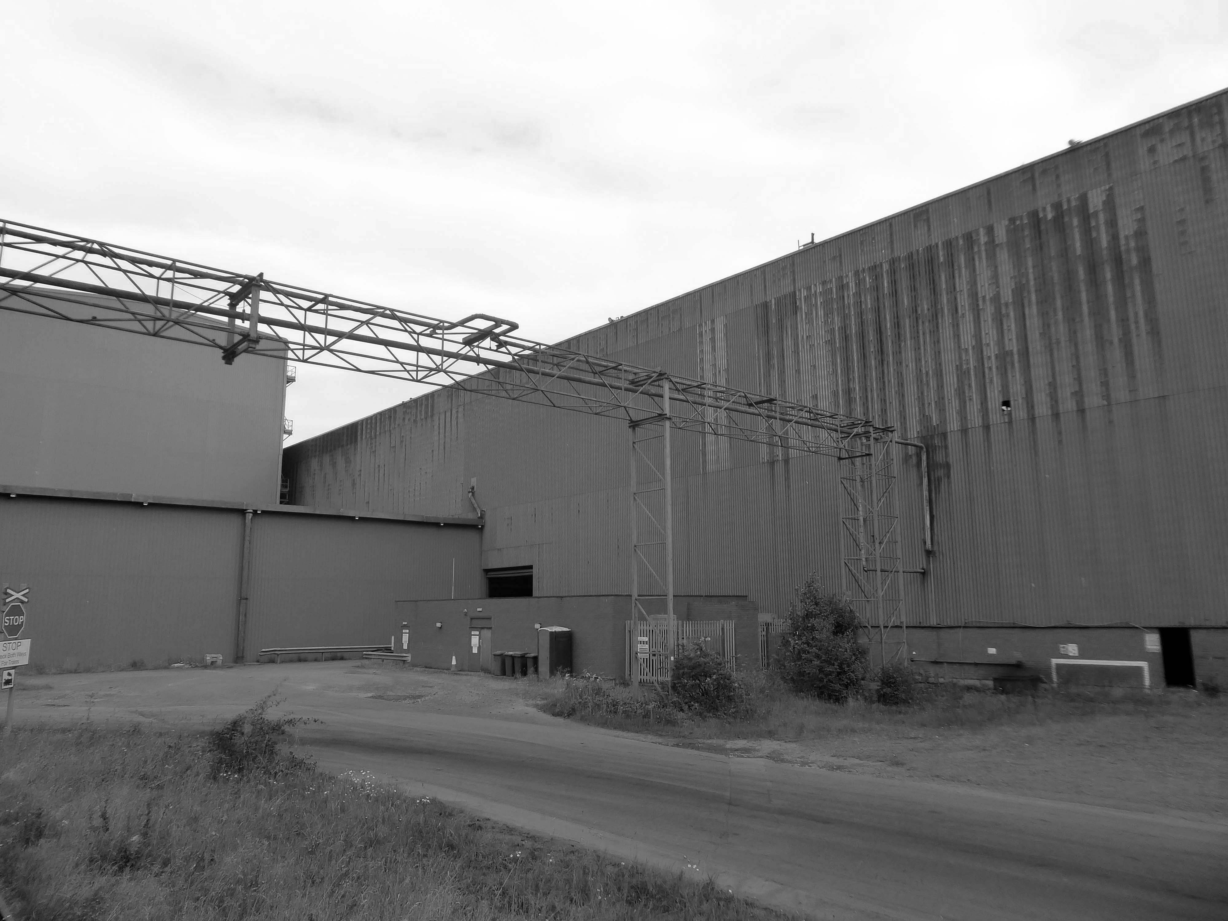
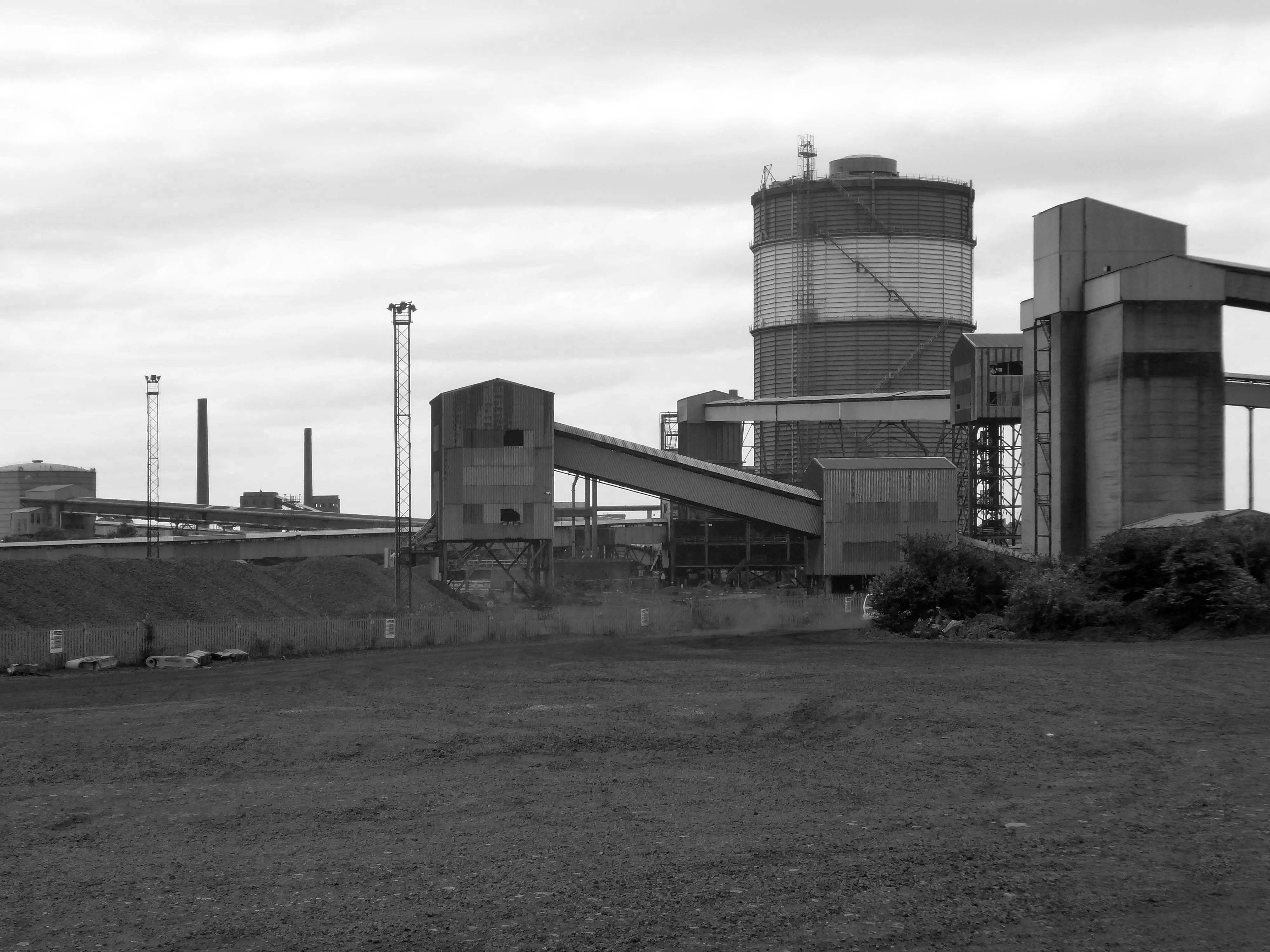
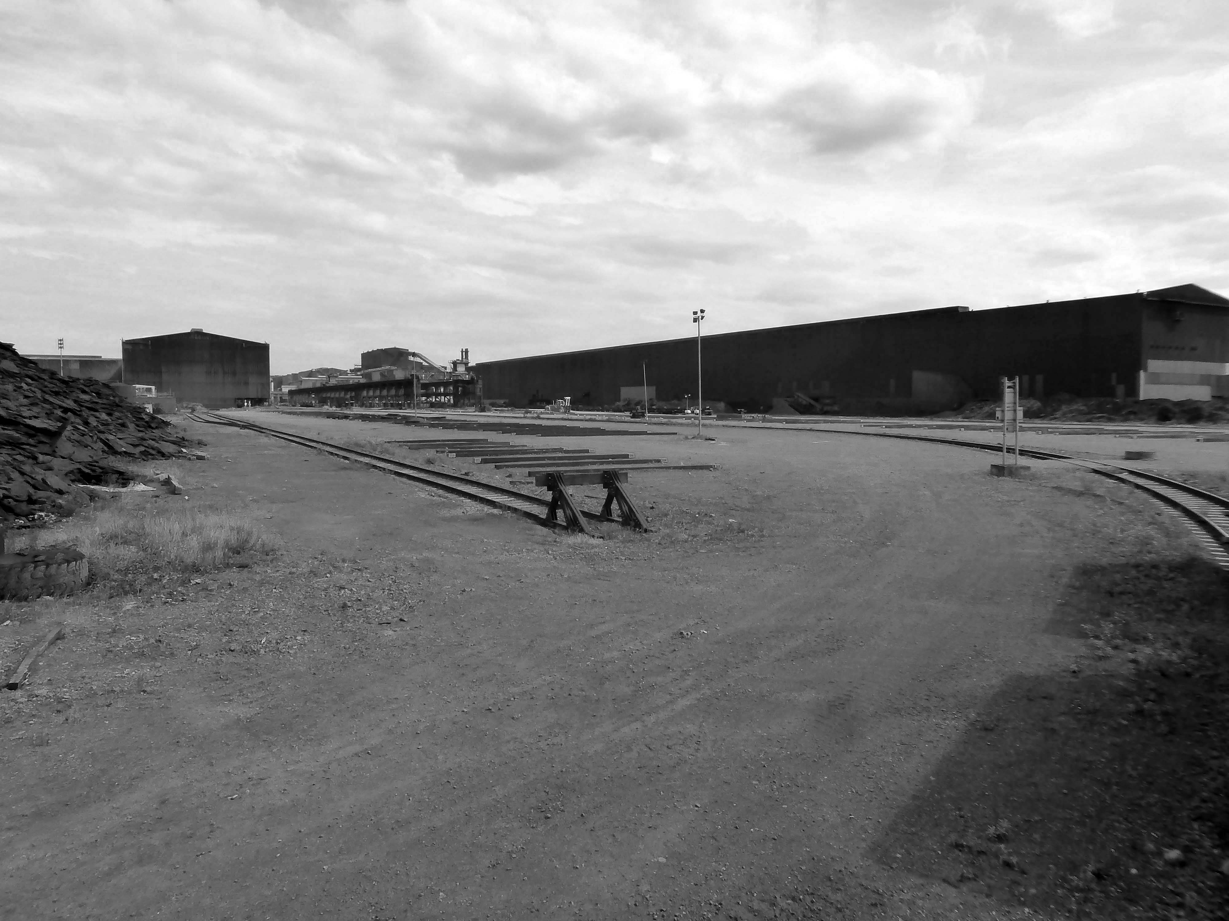
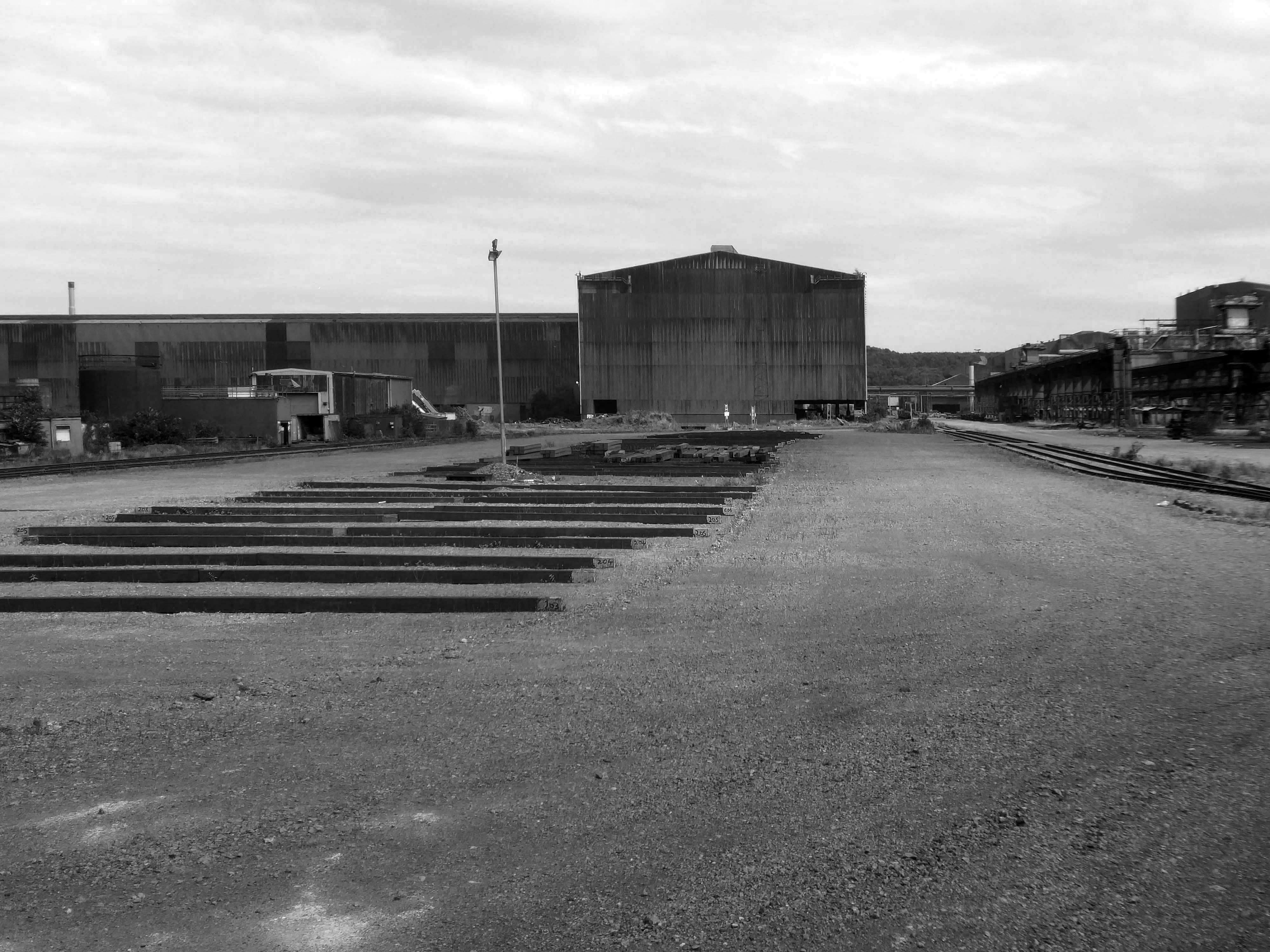
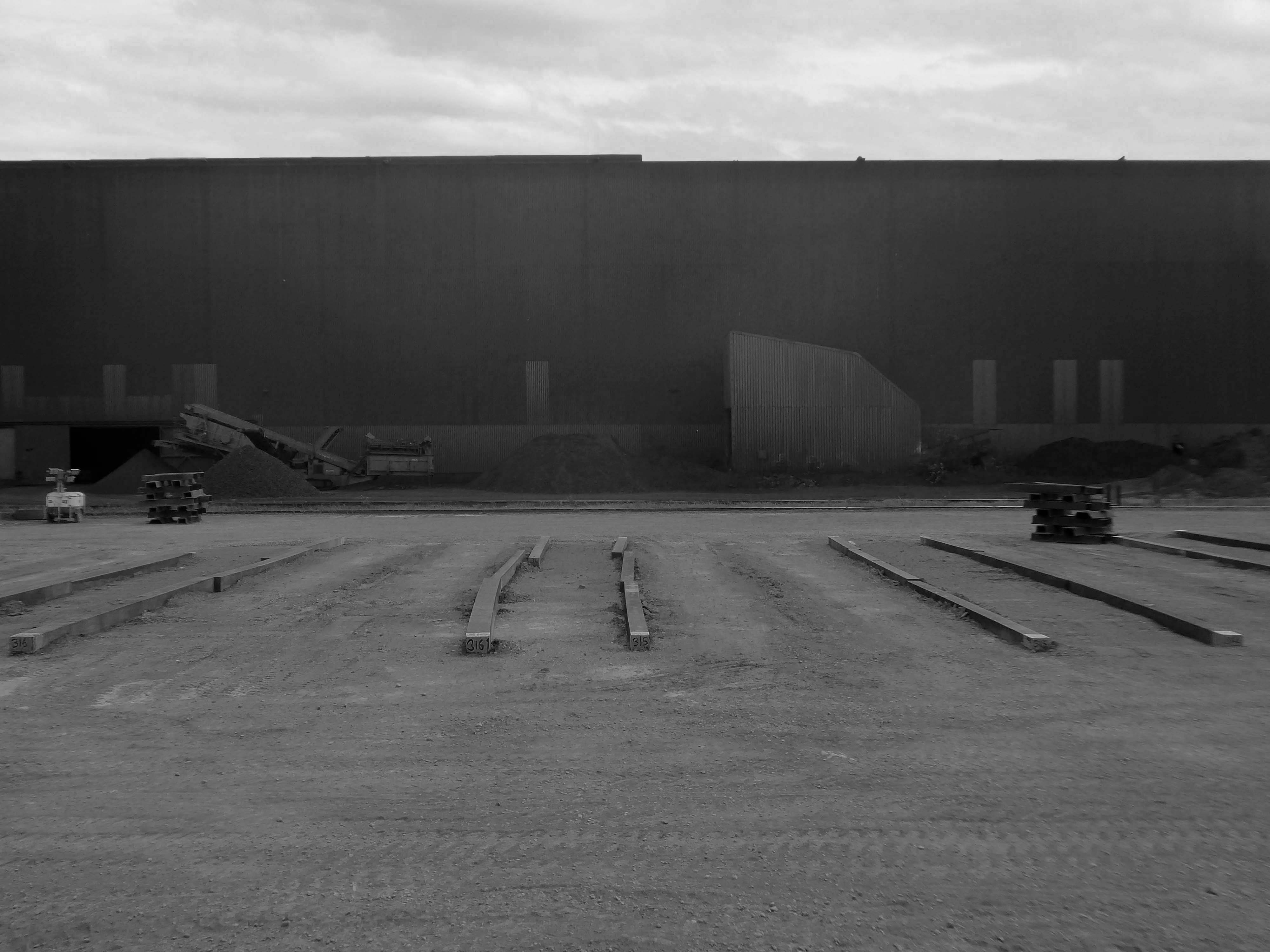
I took a brake van trip on the Appleby Frodingham Railway, touring the site’s network of working rail which encircles the works.
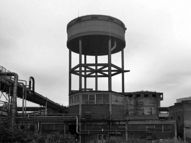
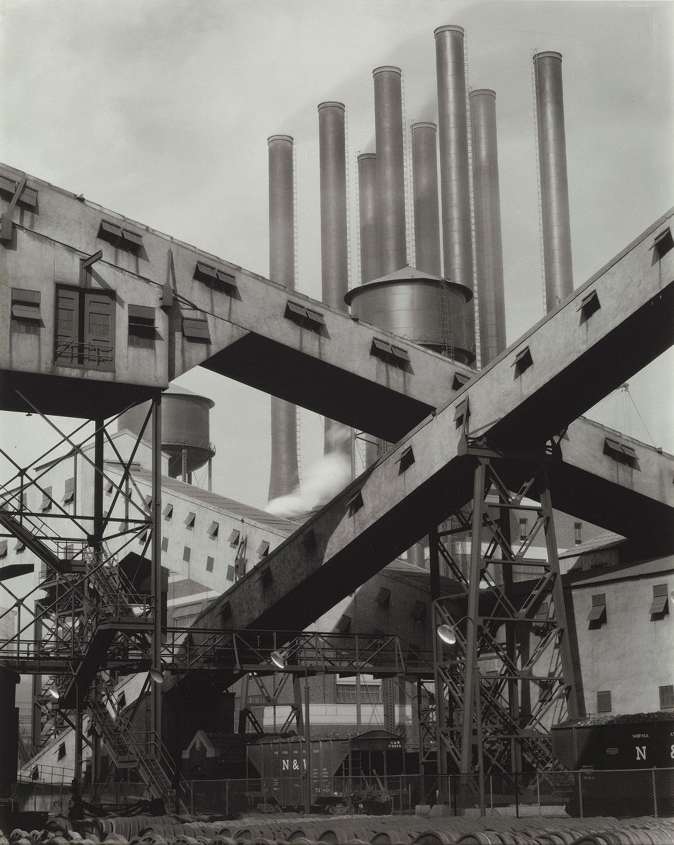
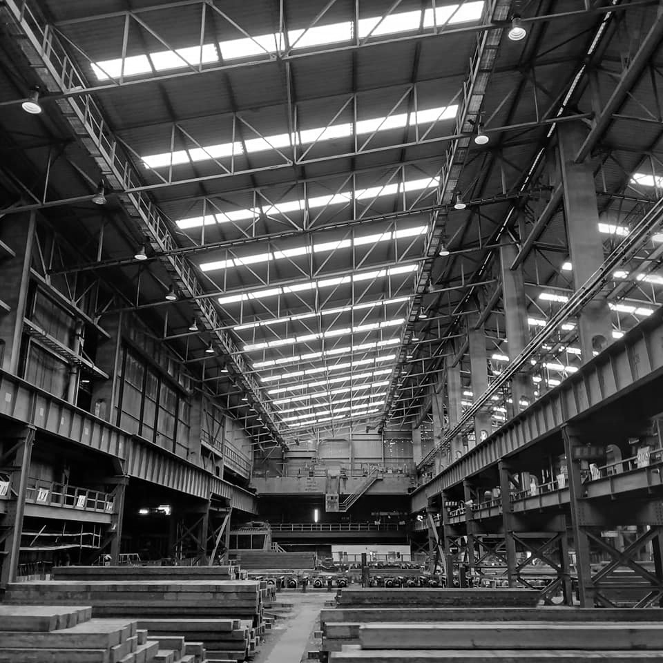
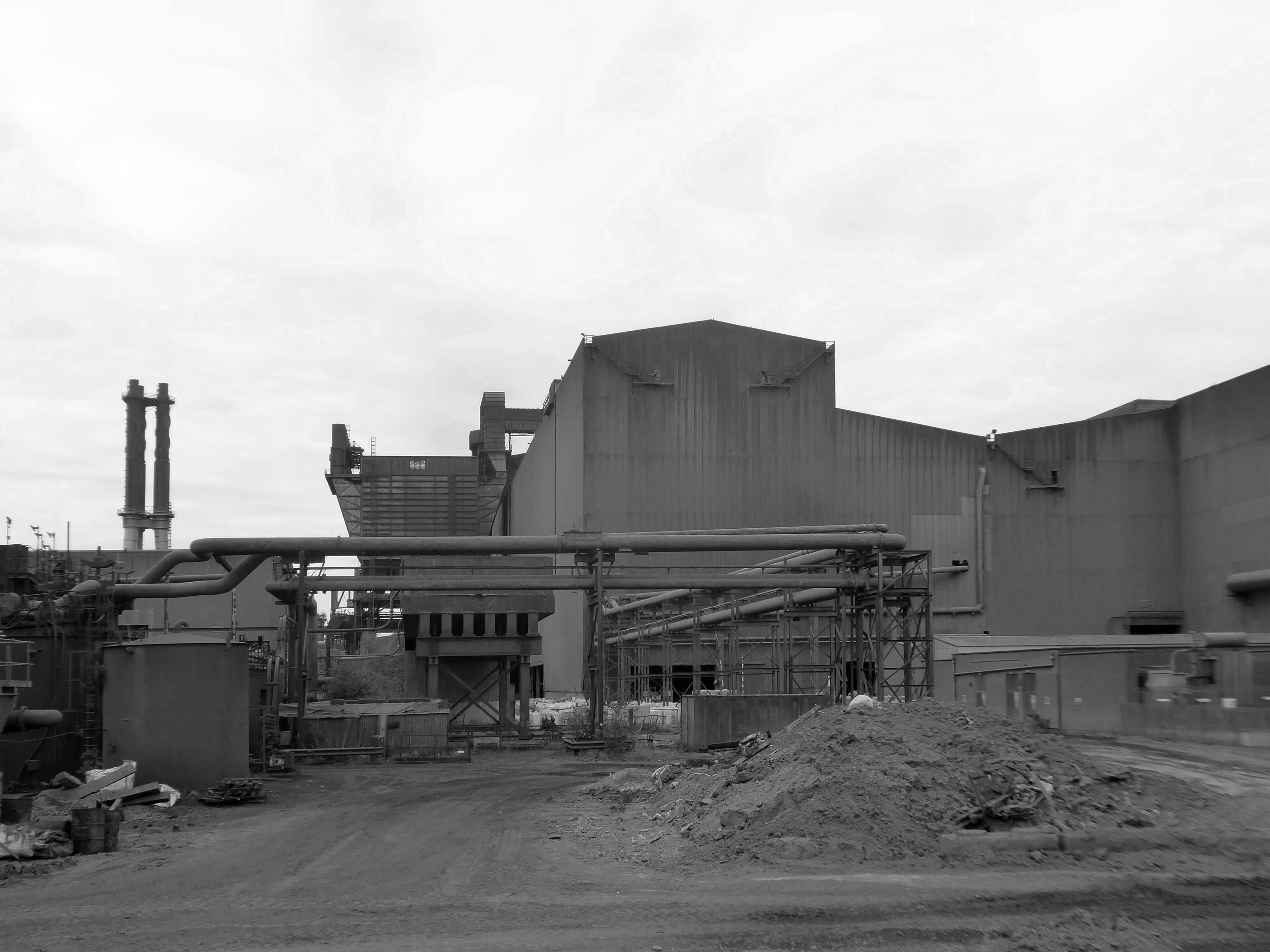
Very much in the spirit of Charles Sheeler’s Ford River Rouge Plant photographs, I was enthralled by the mass of massive buildings and their attendant infrastructure.
This is architecture on the grandest scale, the main furnace house being higher than St Pauls Cathedral.
The Ferodo Factory was founded in Caernarfon in 1962, and officially opened by Princess Margaret.
However, the Ferodo Factory faced a significant setback in April 2001, when a lengthy industrial strike by the Transport and General Workers Union members began.
The strike lasted for an astonishing two and a half years.
Following the strike, the Ferodo Factory underwent a change in ownership. Bluefield Caernarfon Ltd acquired the site in 2007/08, with plans for redevelopment and revitalization. However, these plans did not come to fruition, and the factory’s buildings gradually fell into disrepair.
The site was identified as a potential location for a multi-million pound North Wales prison. This development would have created numerous job opportunities and breathed new life into the area.
Plans for this proposed redevelopment where rejected.
An appeal was launched in 2023 to find ex-strikers, in order to invite them to the premiere of a documentary to mark the 20th anniversary of one of Britain’s longest industrial disputes.
The hard-hitting film, Y Lein: Streic Friction Dynamics – The Line: Friction Dynamics Strike, has been made by Dïon Wyn, the grandson of one of the strikers, Raymond Roberts, who was determined the historic injustice should never be forgotten.
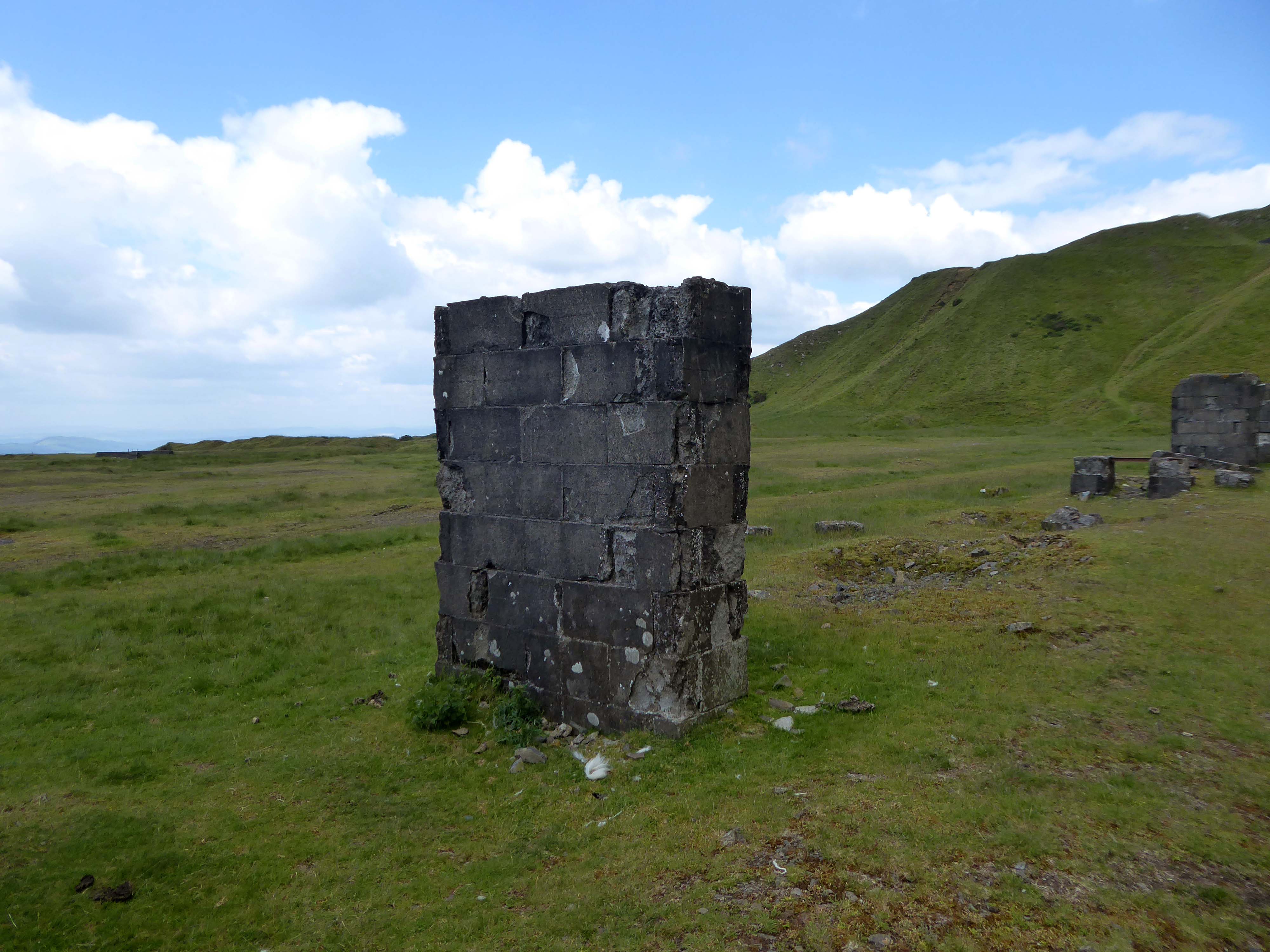
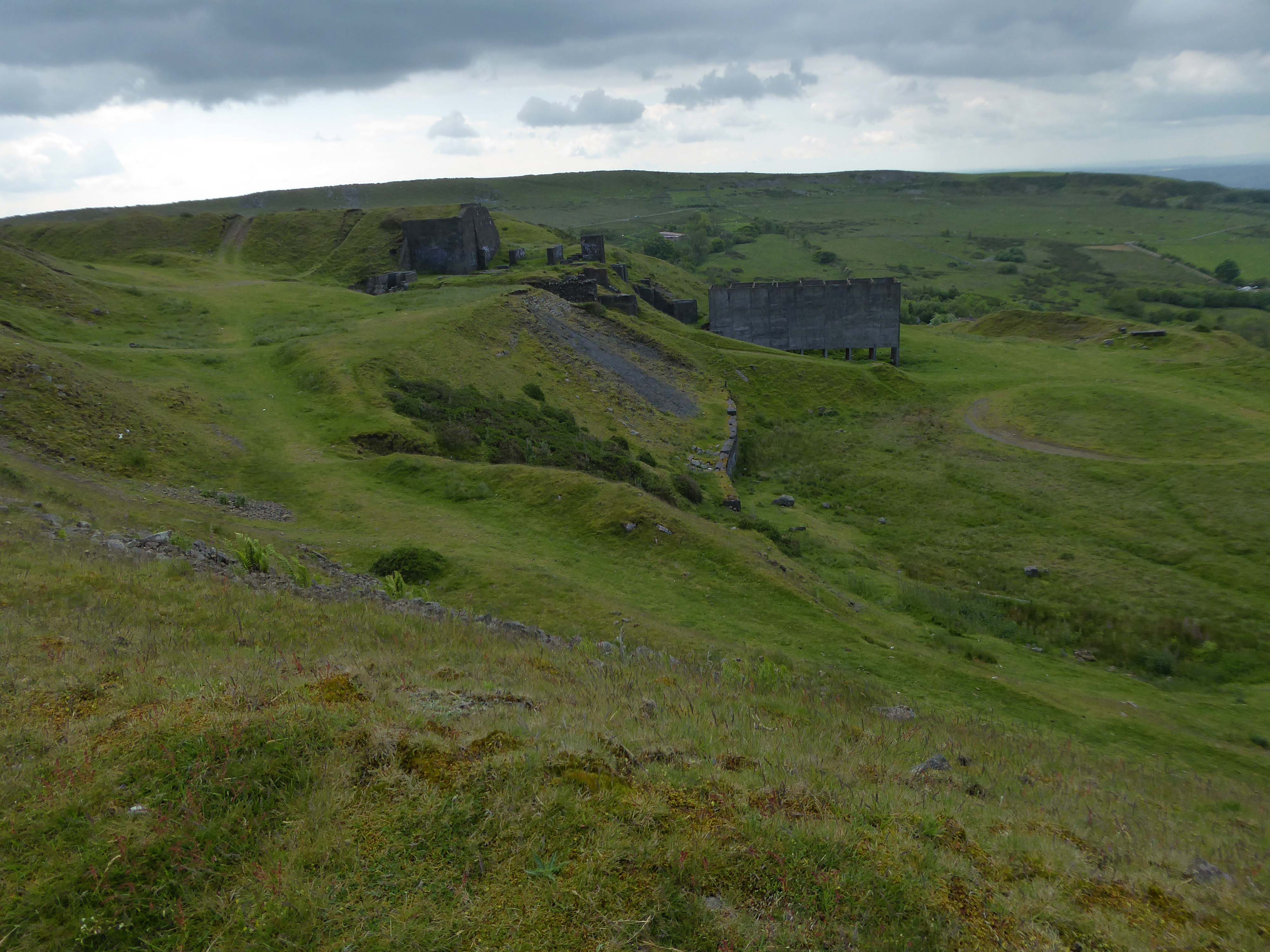
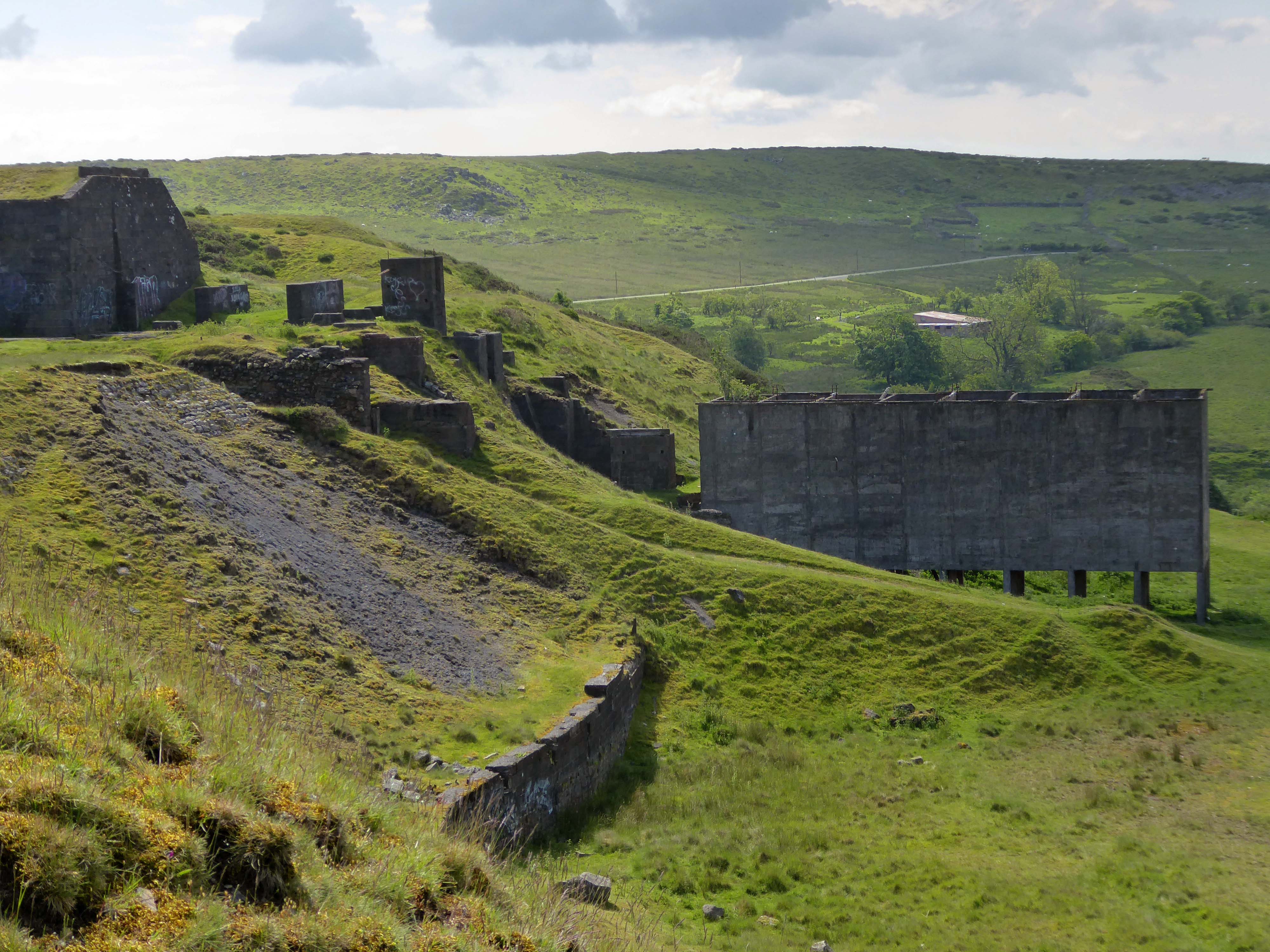
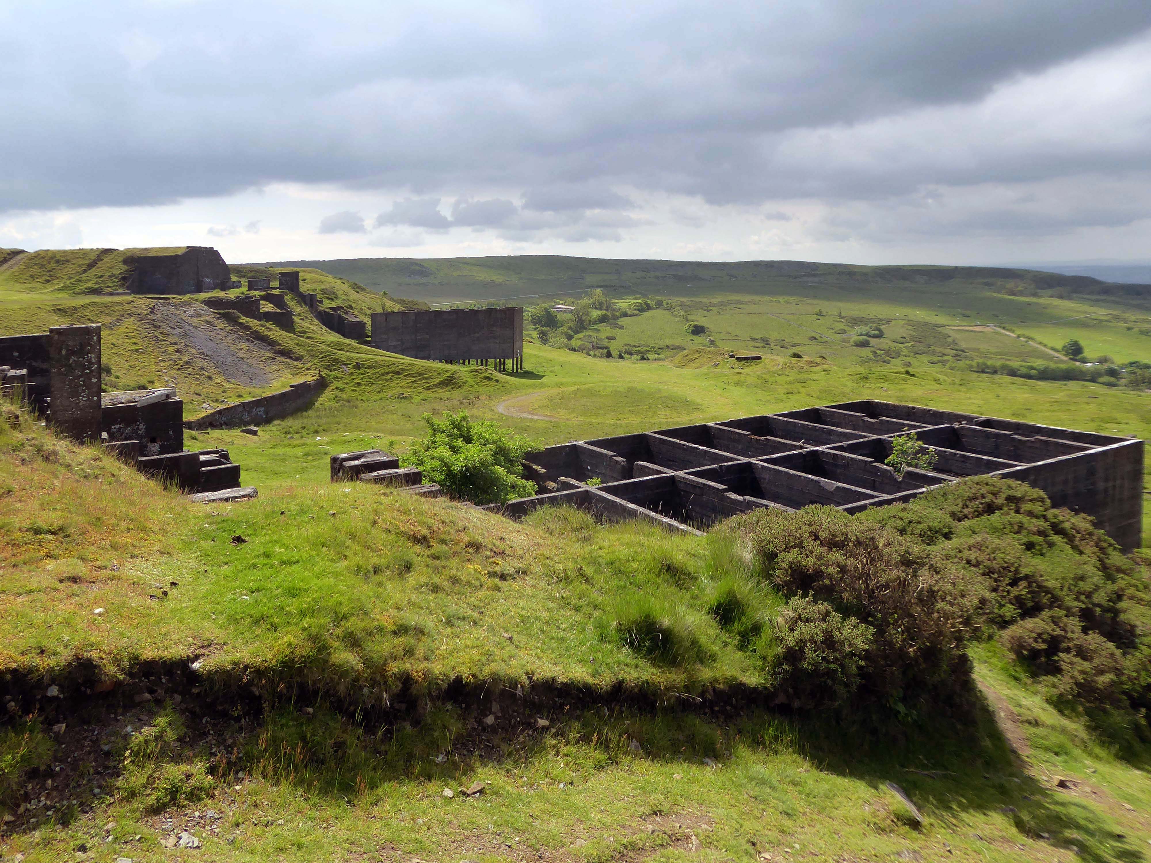
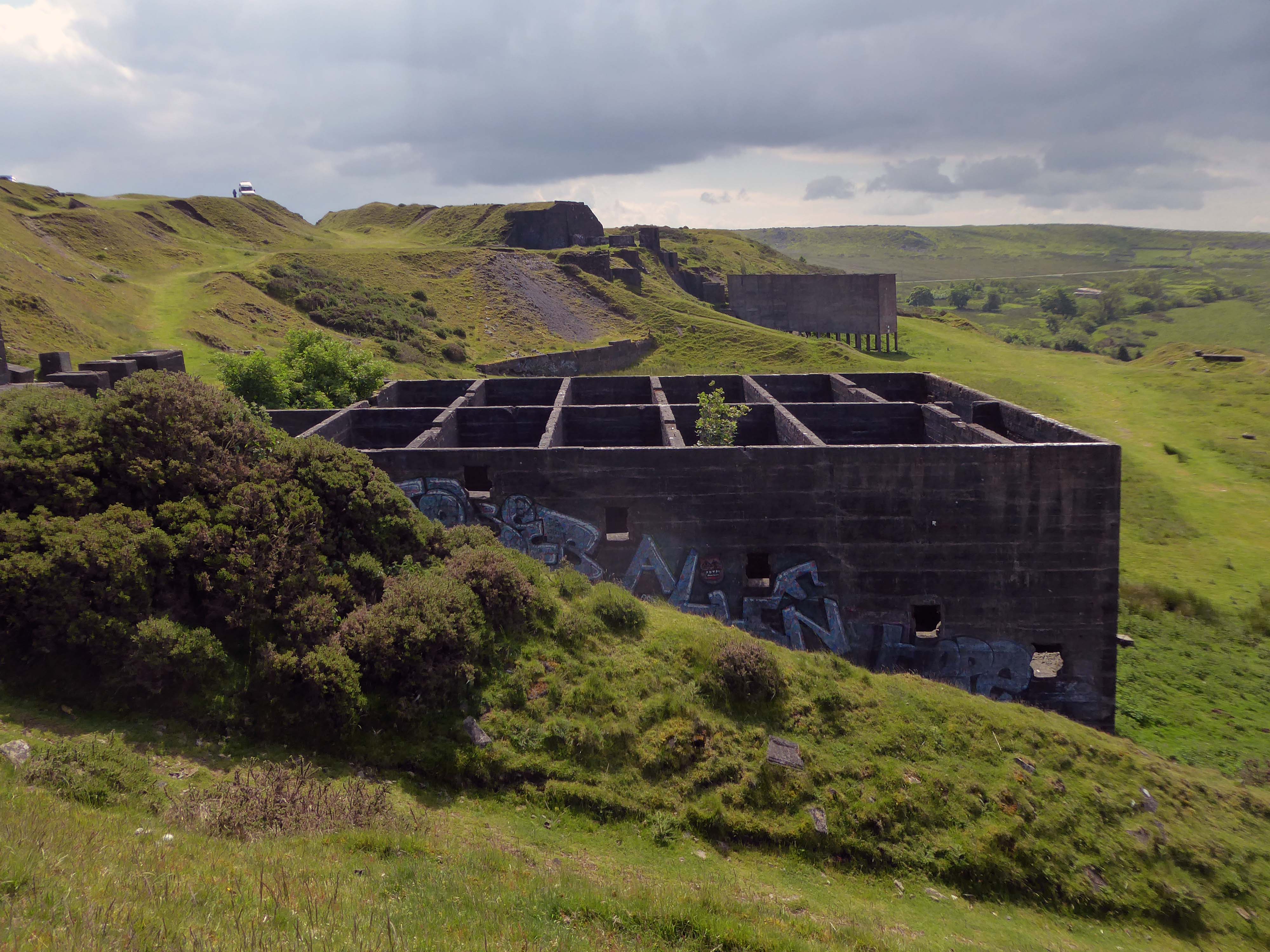
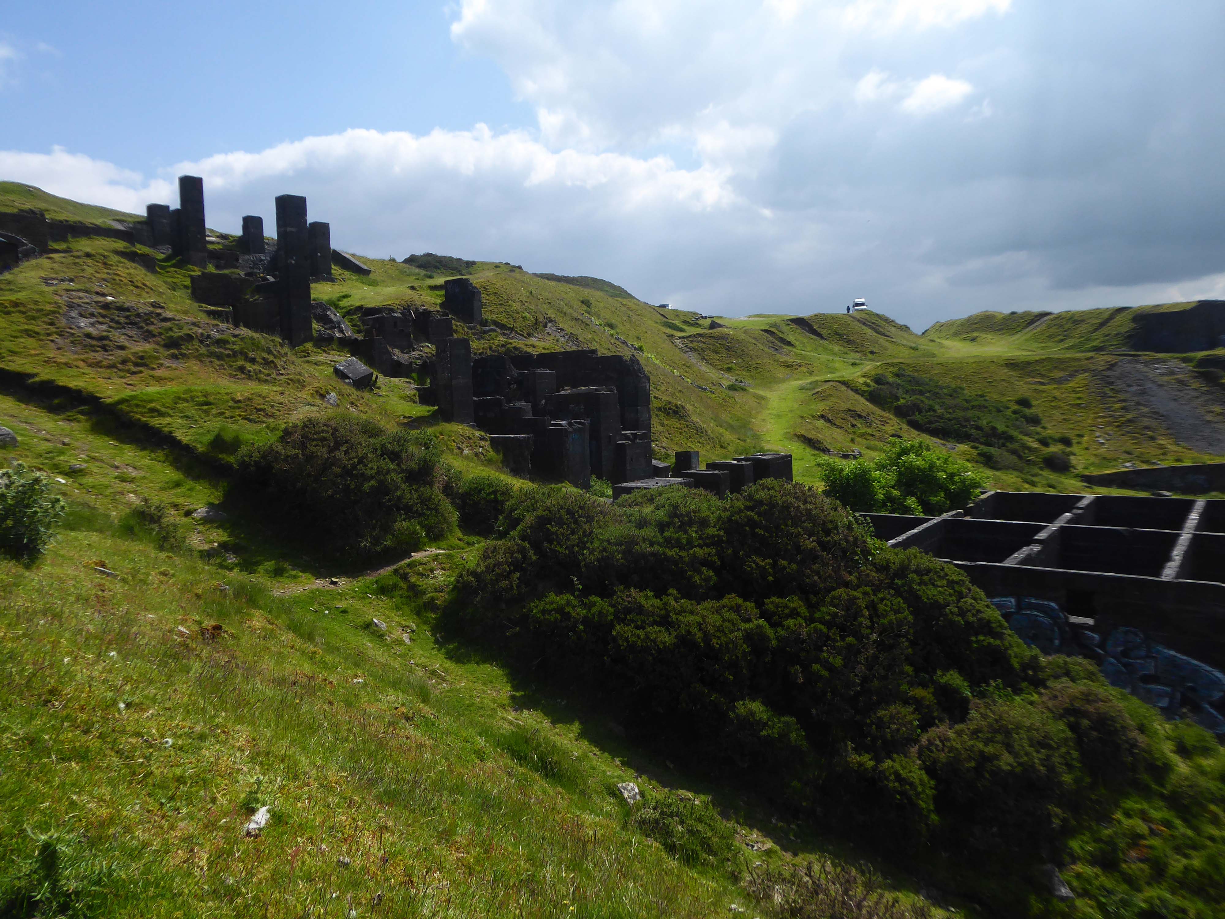
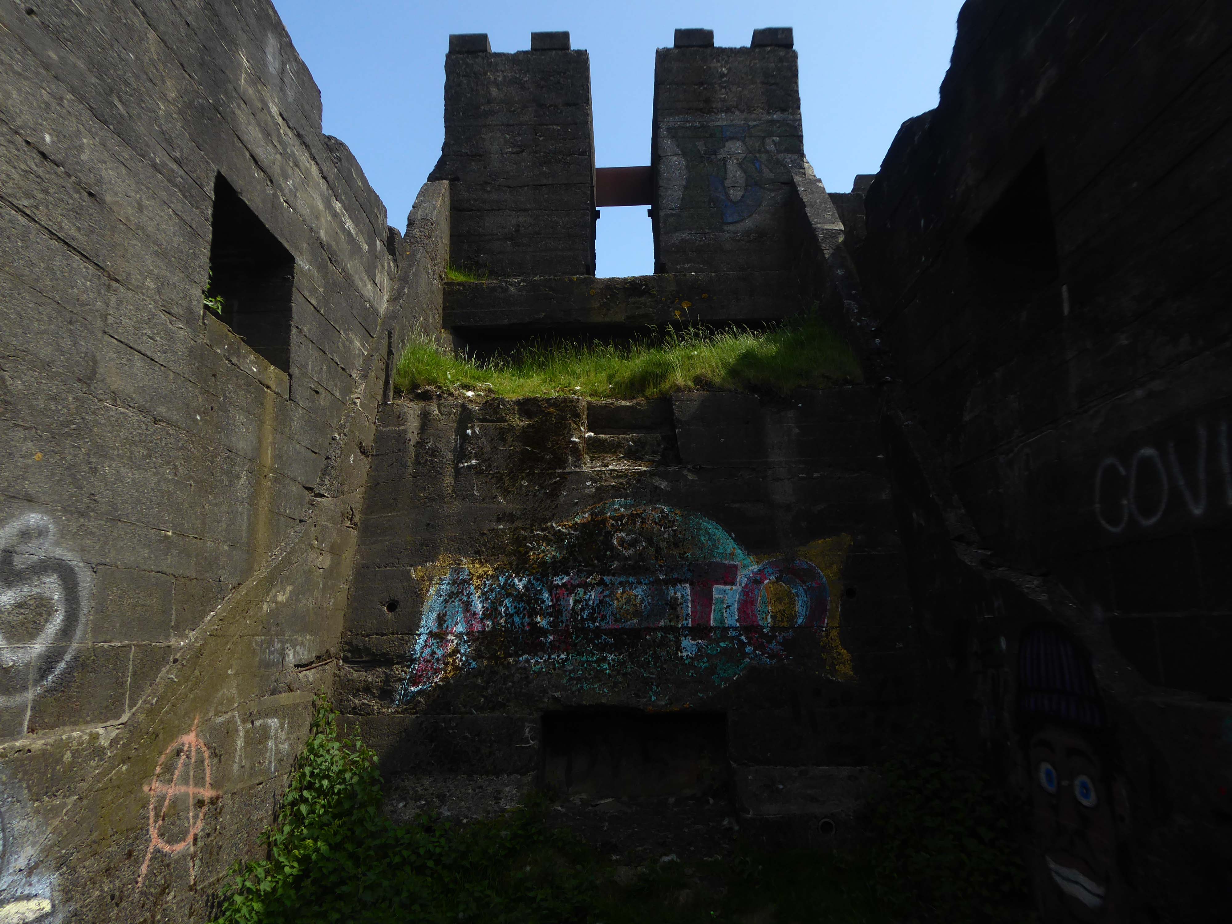
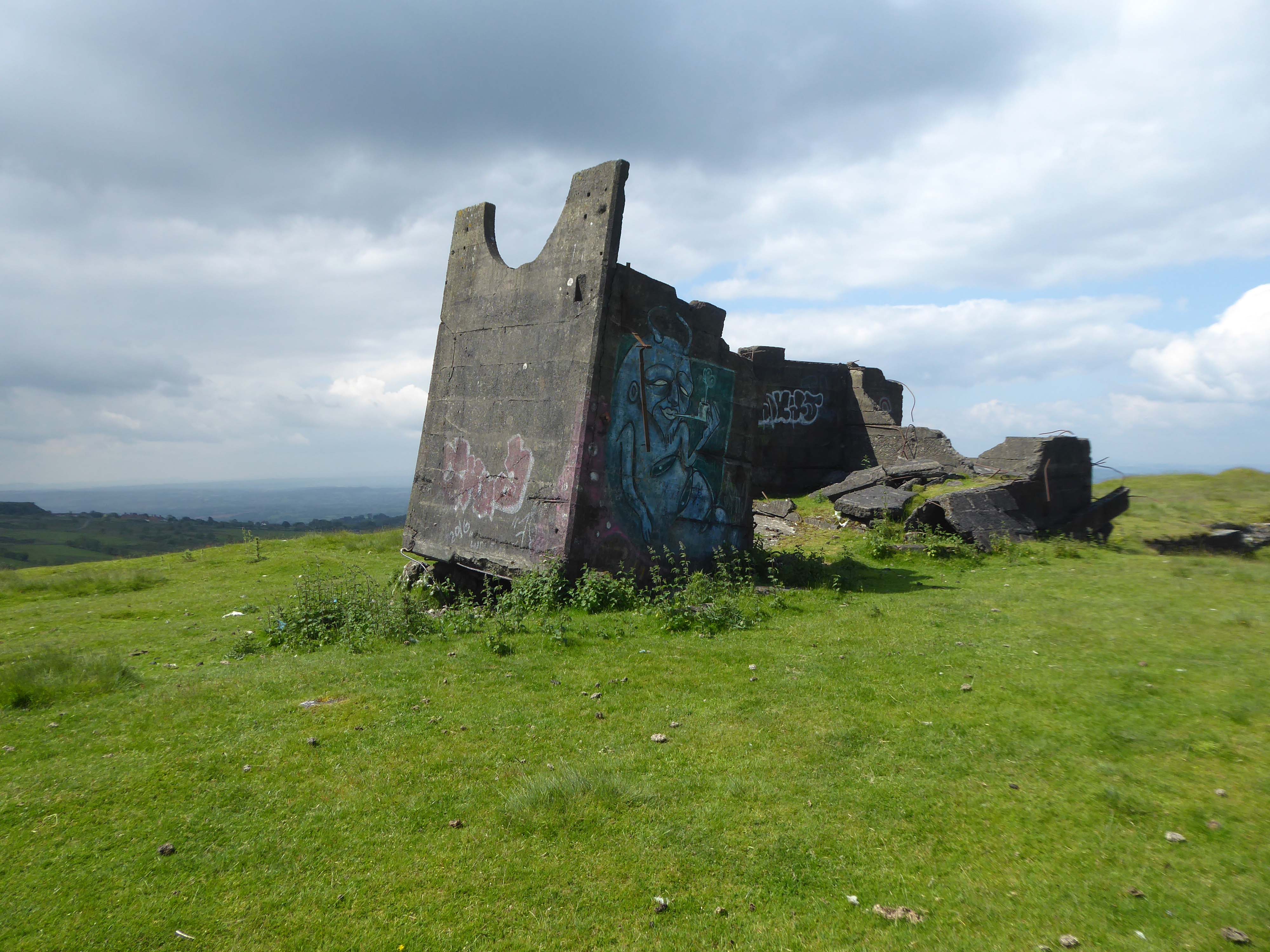
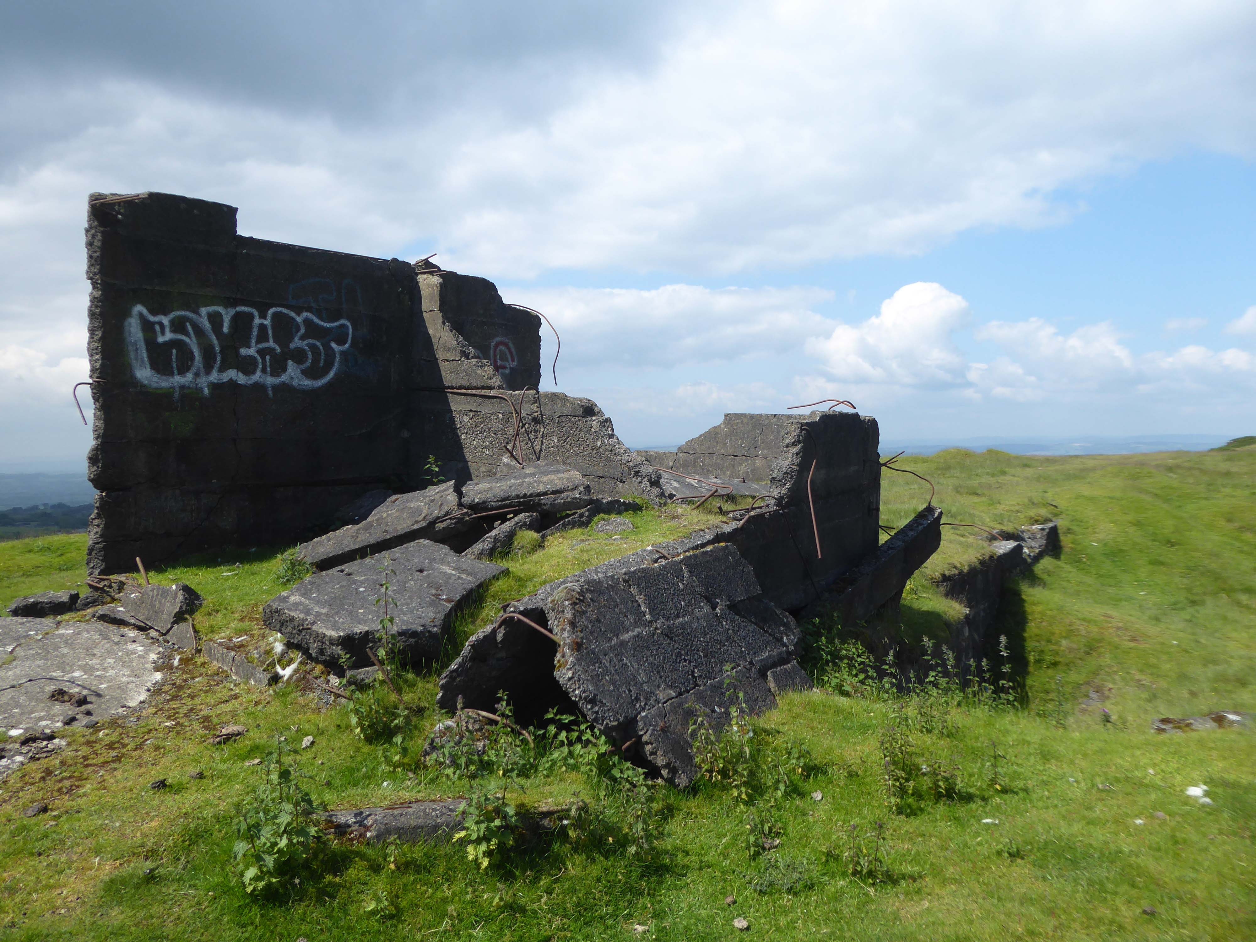
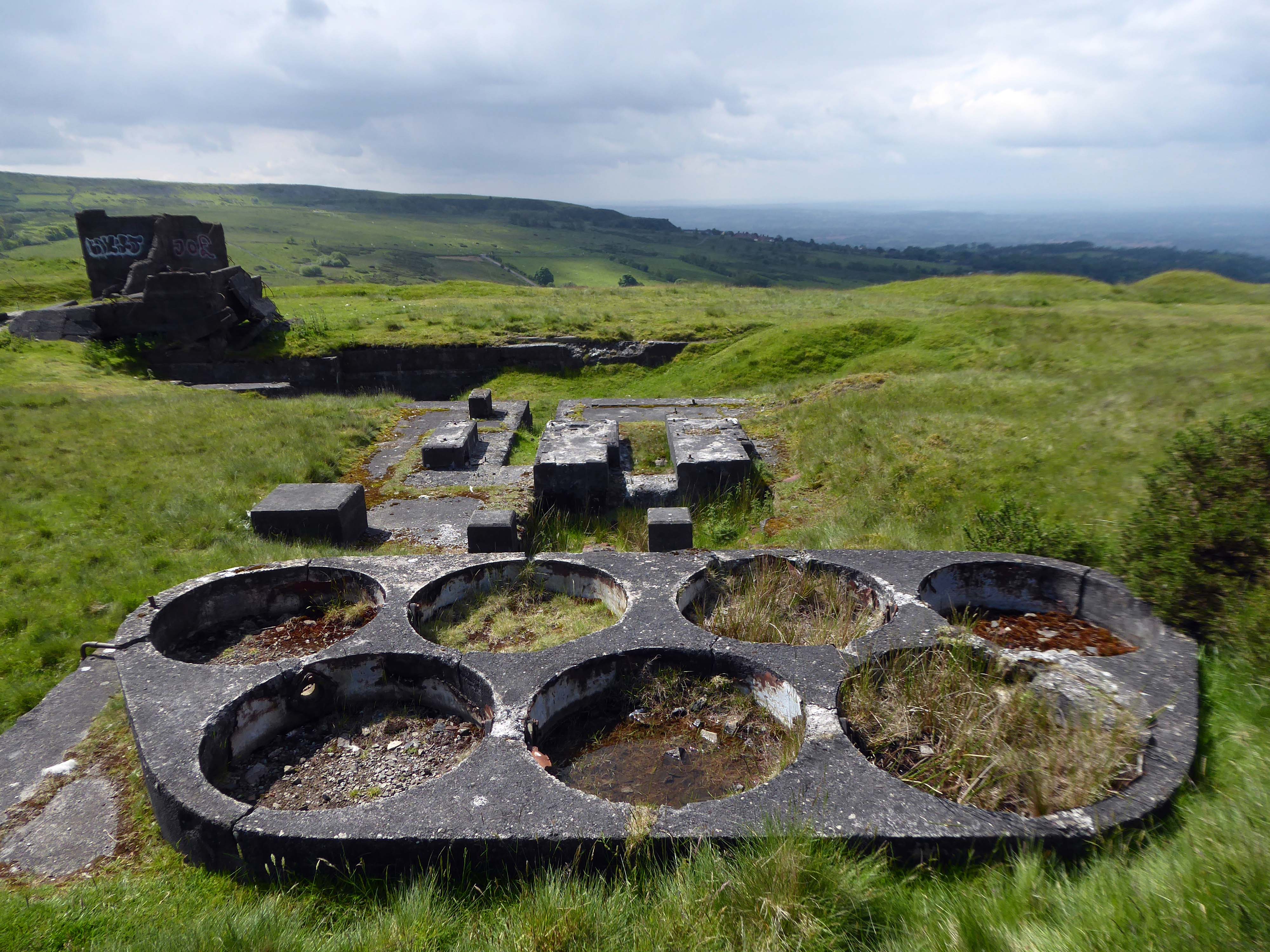
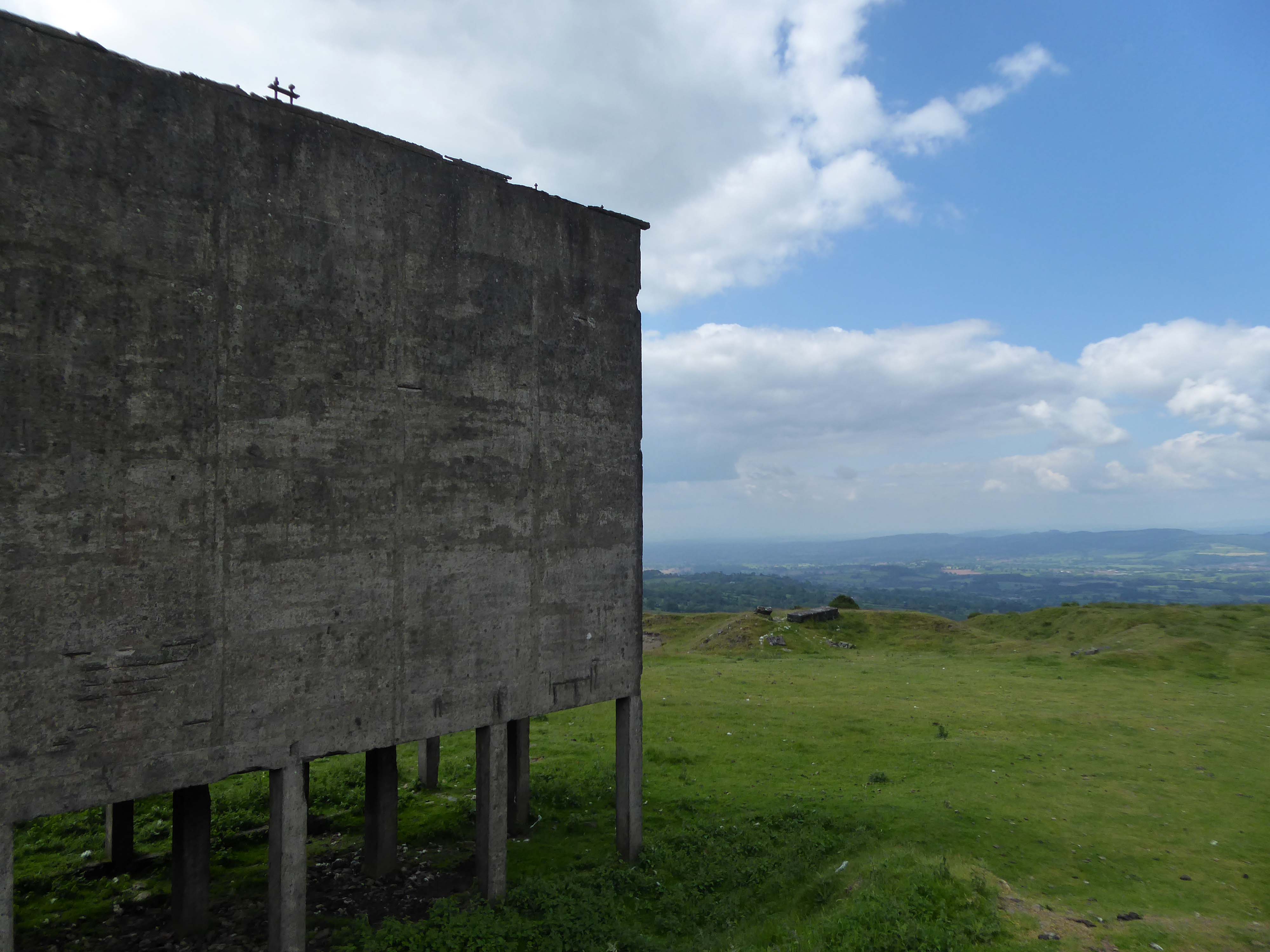
Titterstone Clee is the third-highest hill in Shropshire rising at the summit to 533 metres – 1,749 ft above sea level.
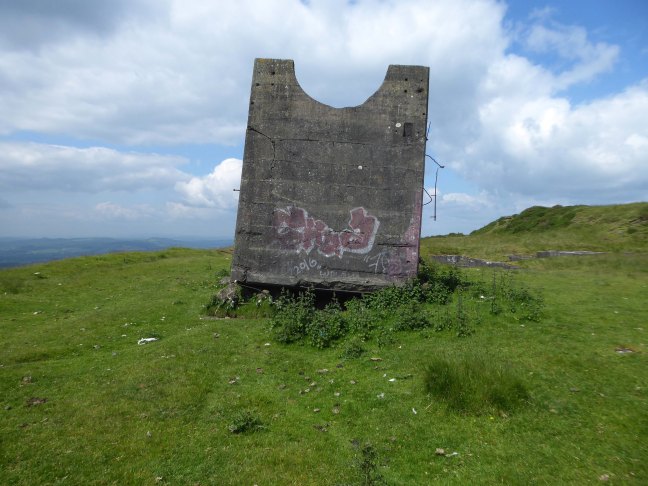
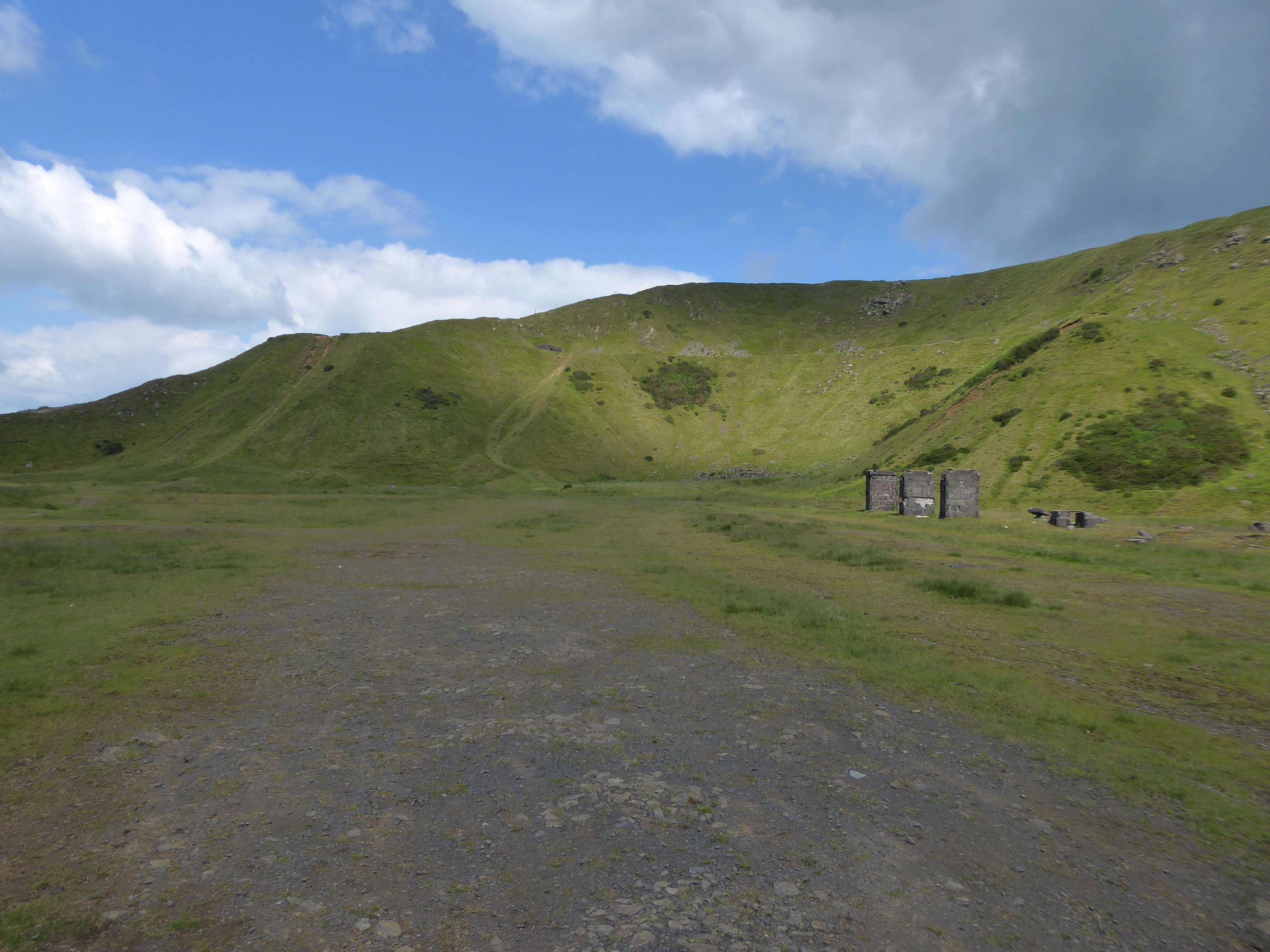
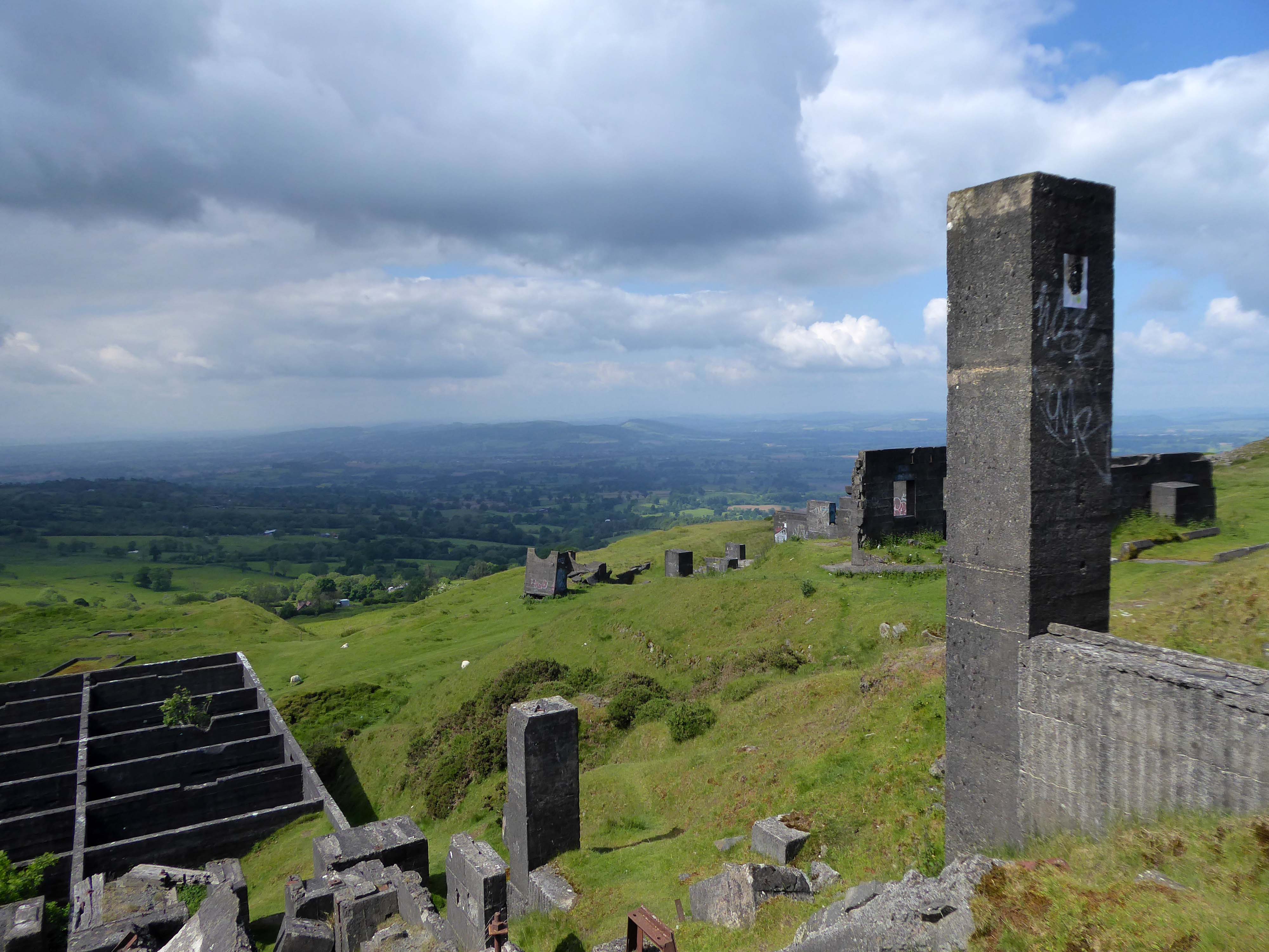
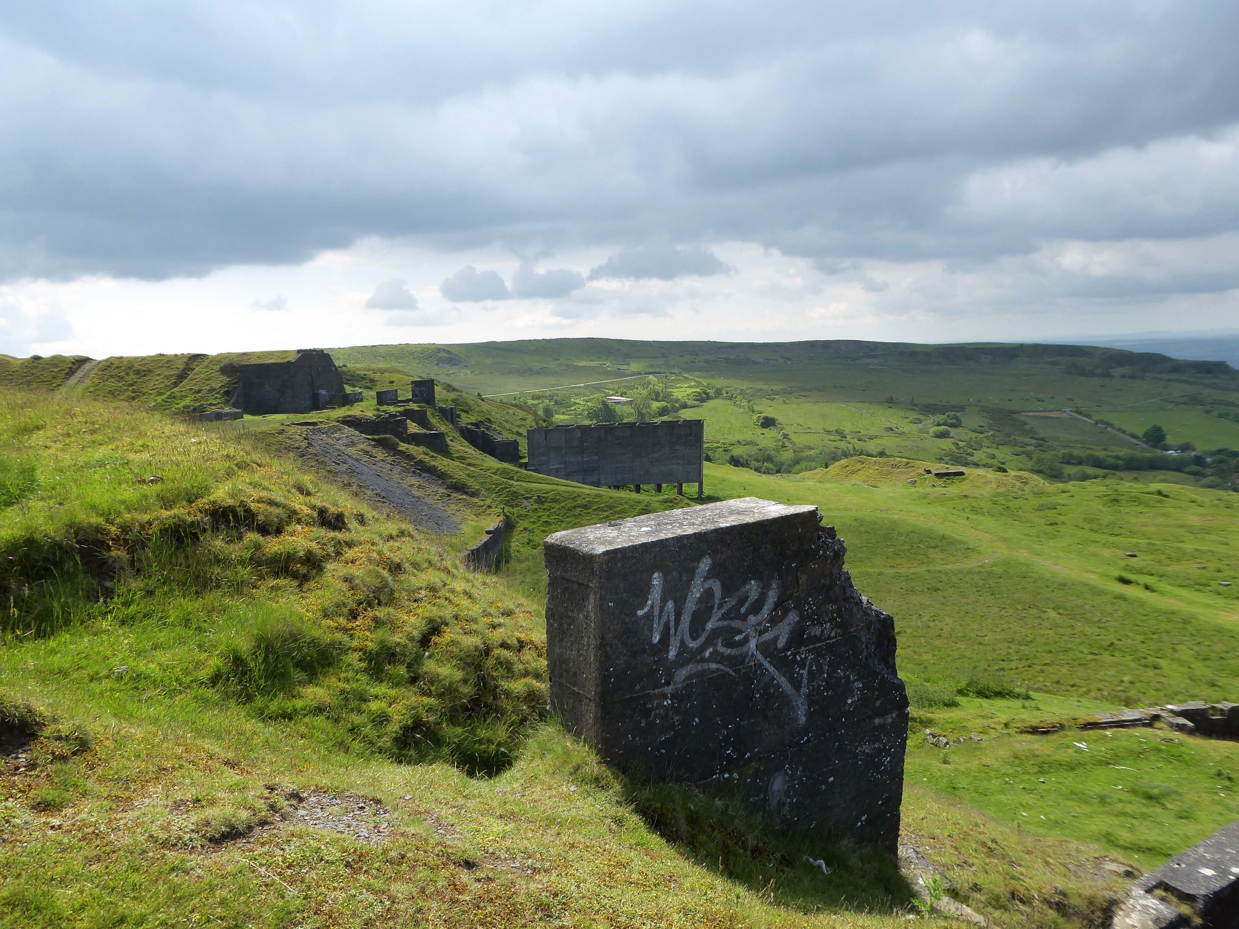
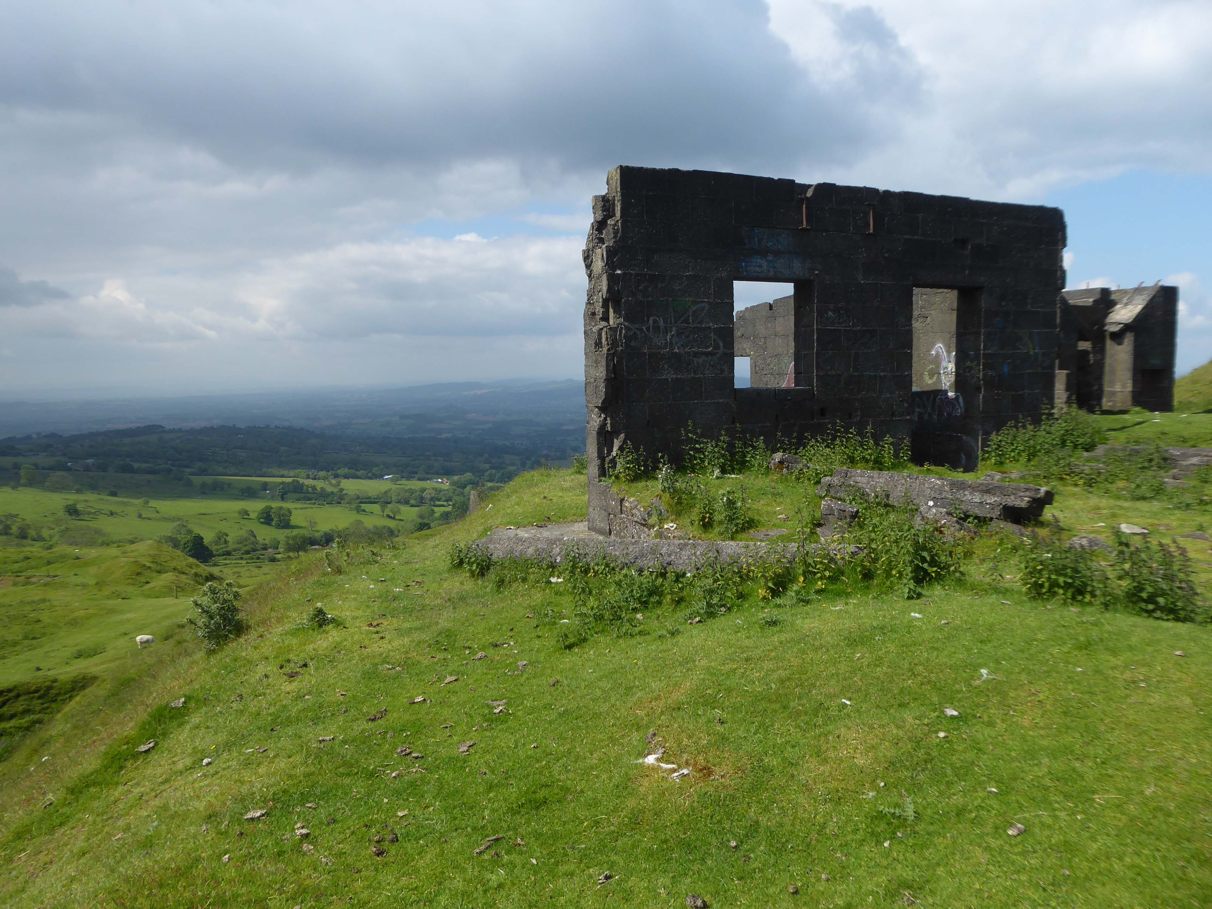
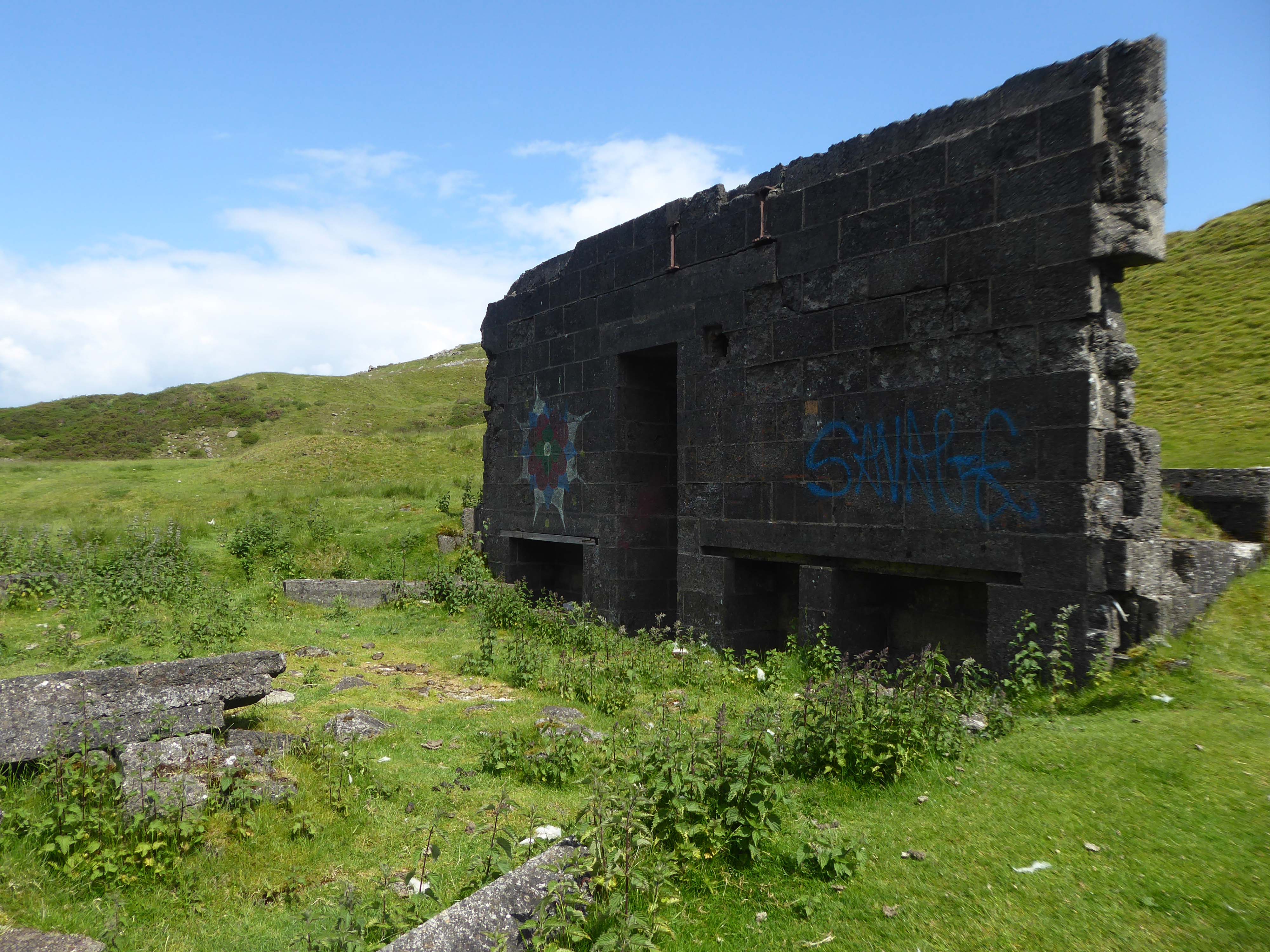
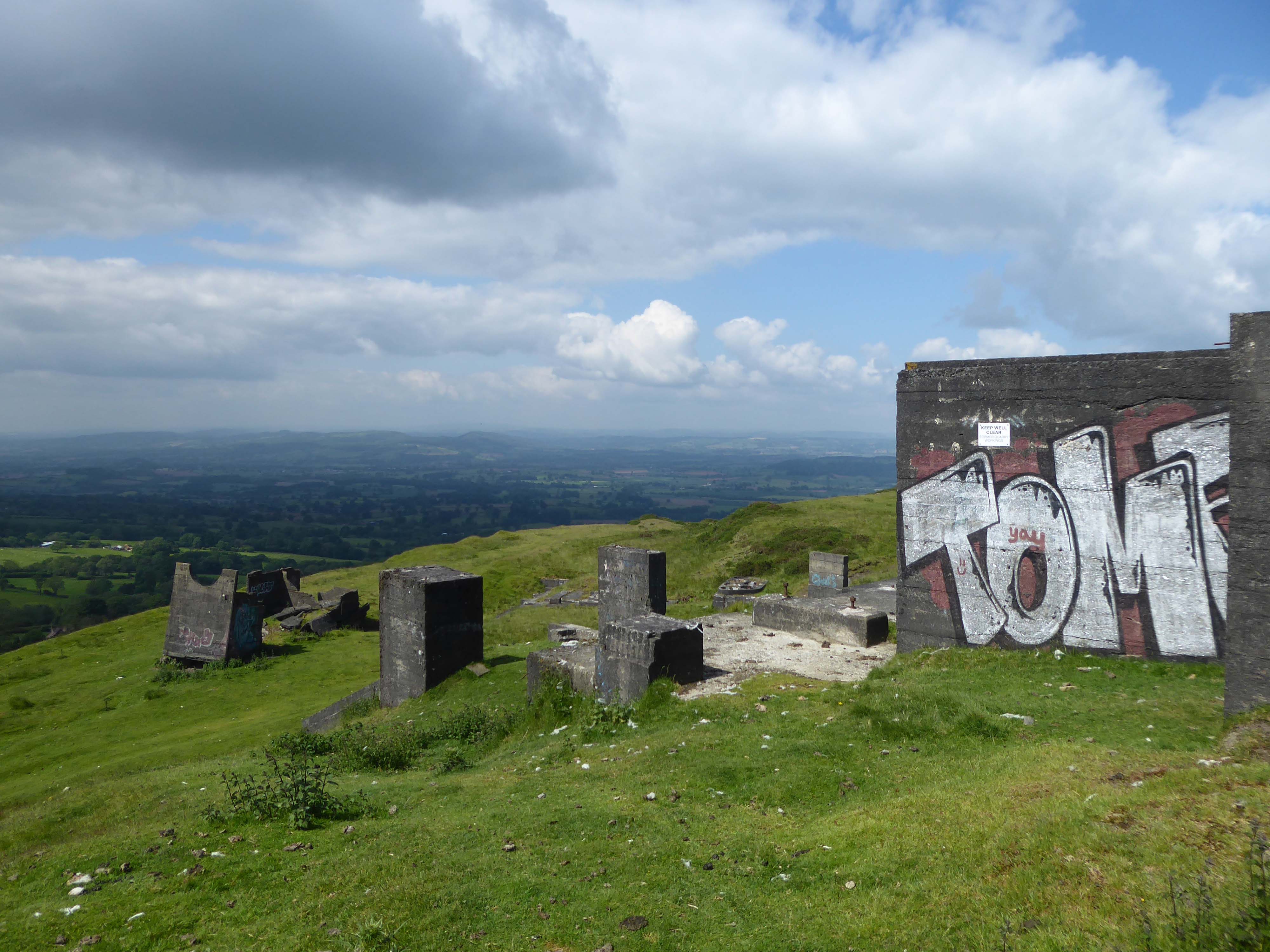
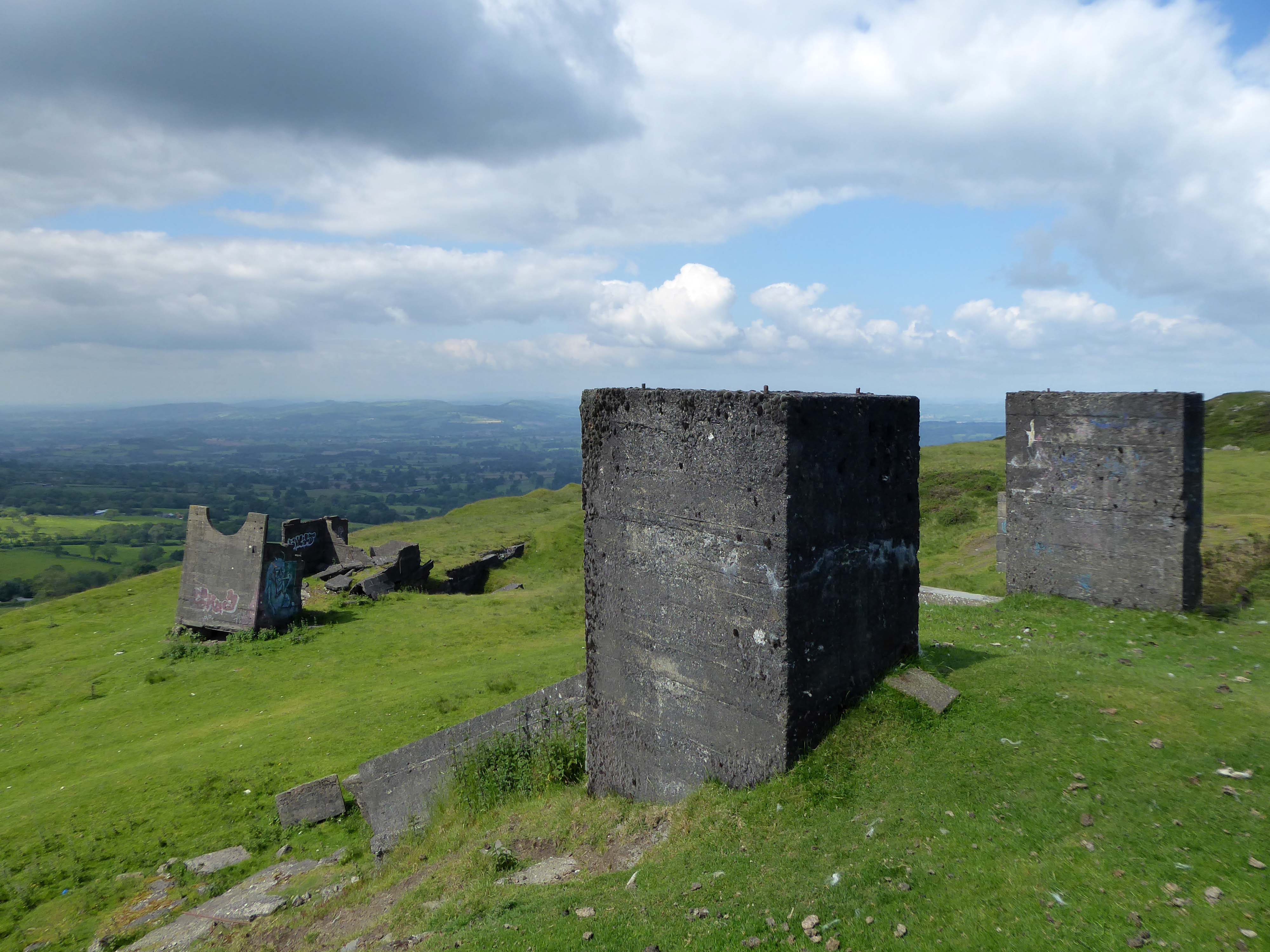
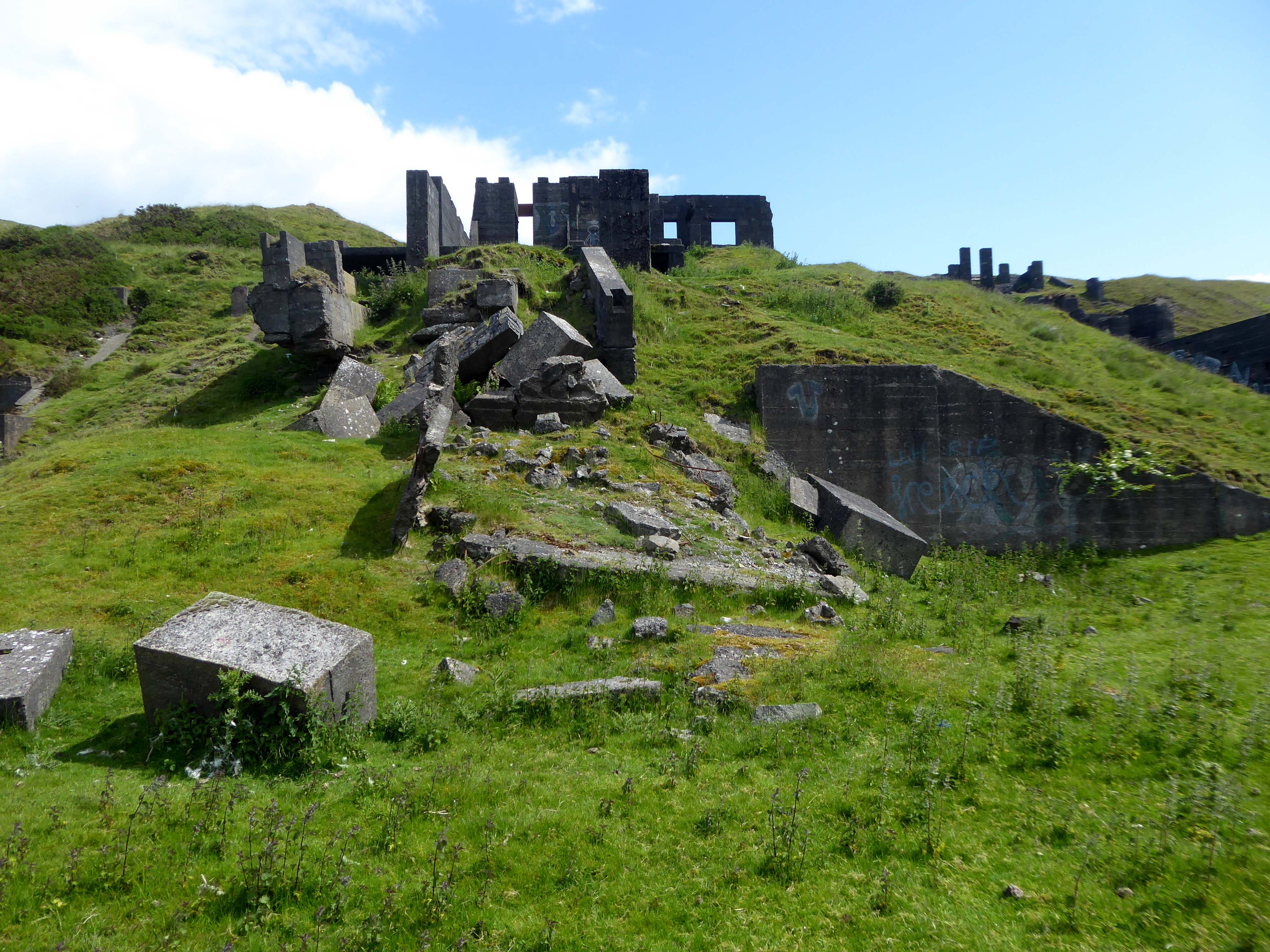
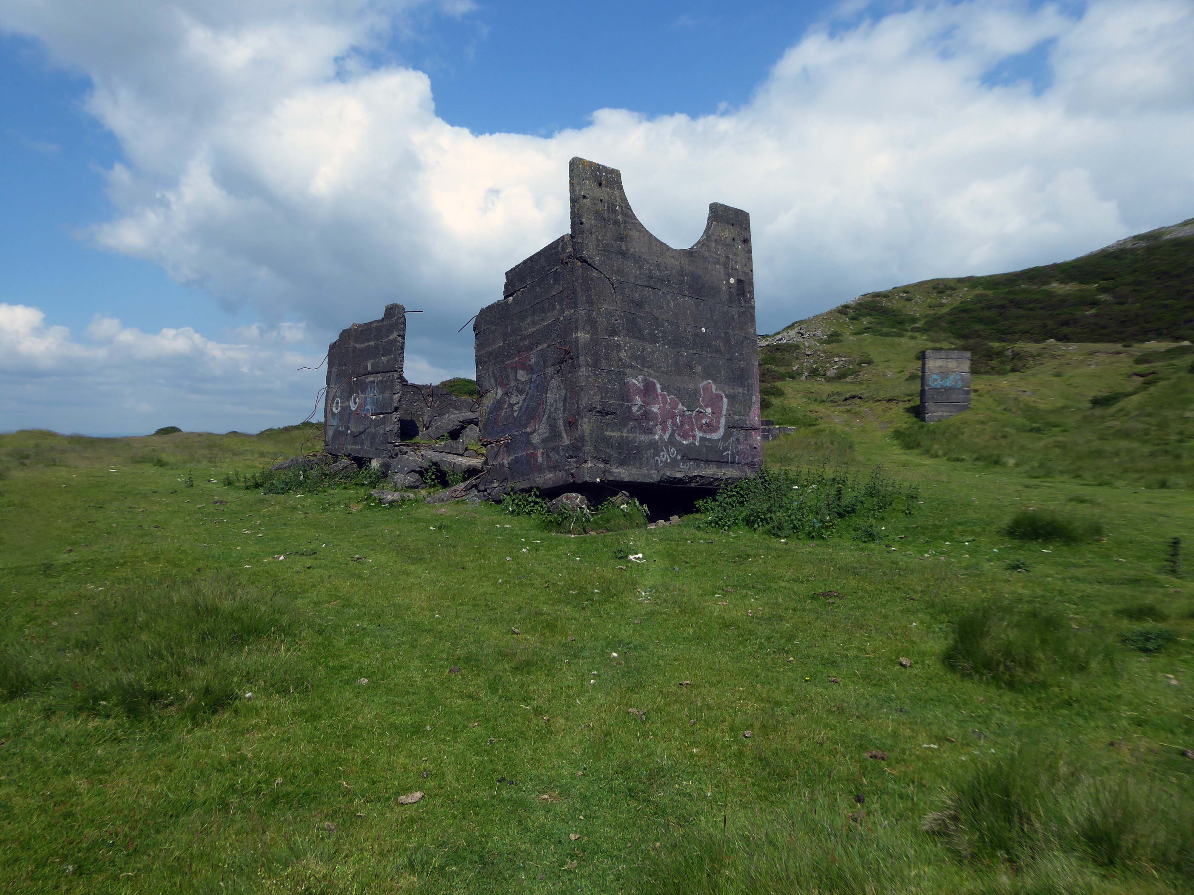
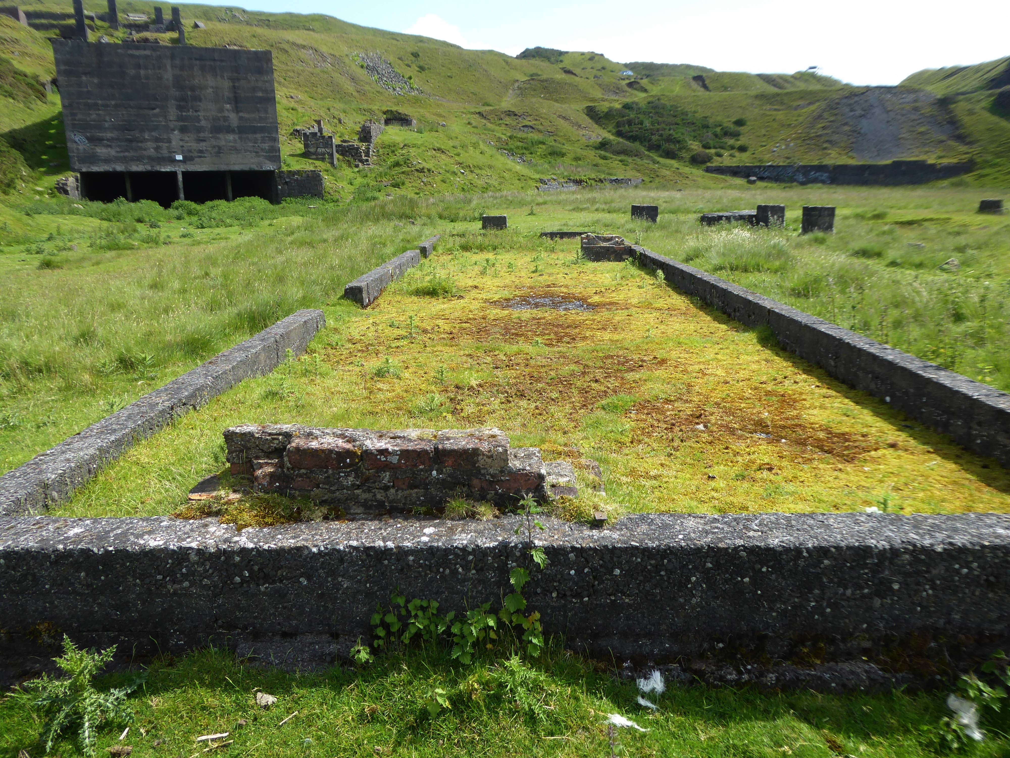
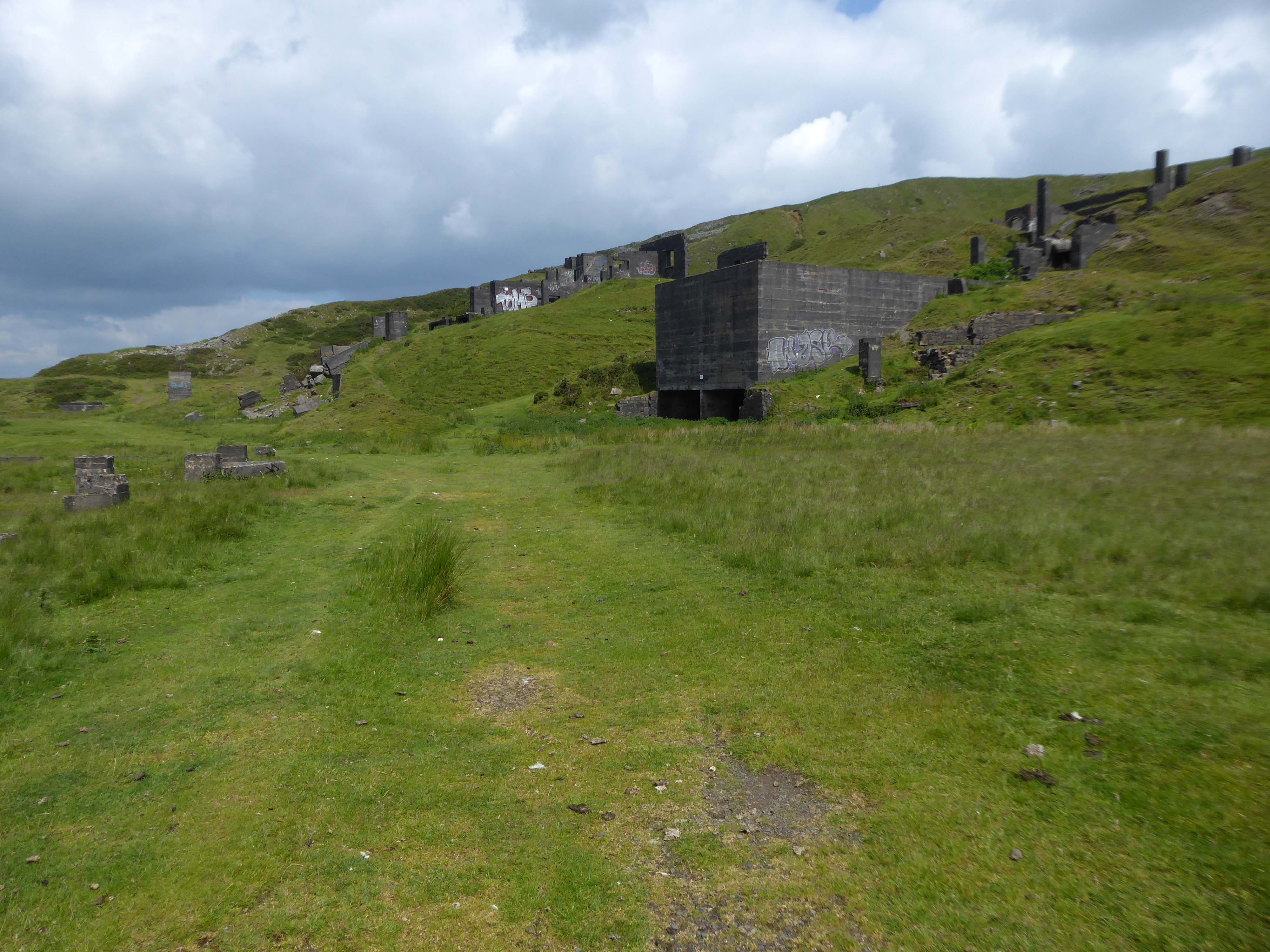
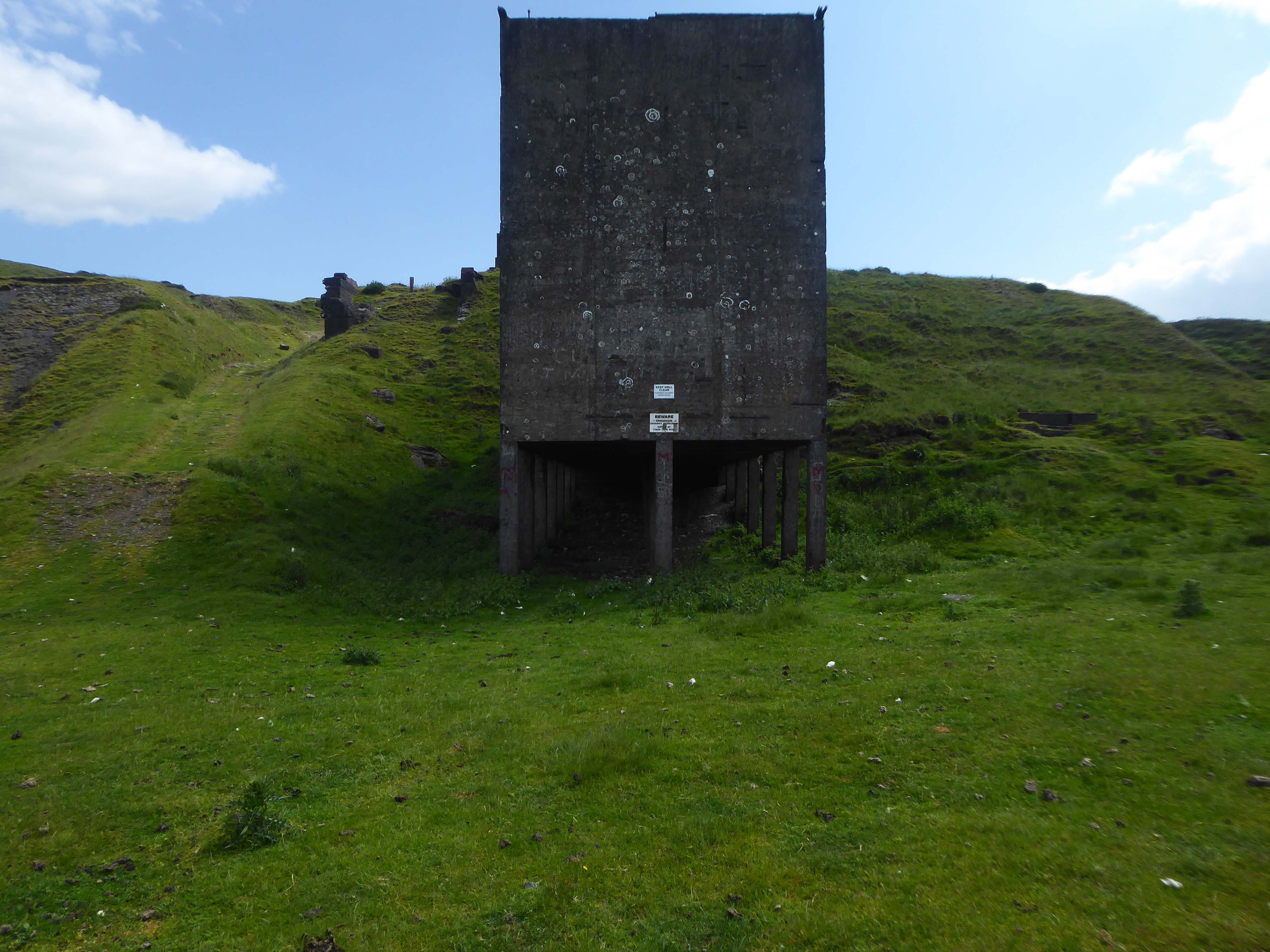
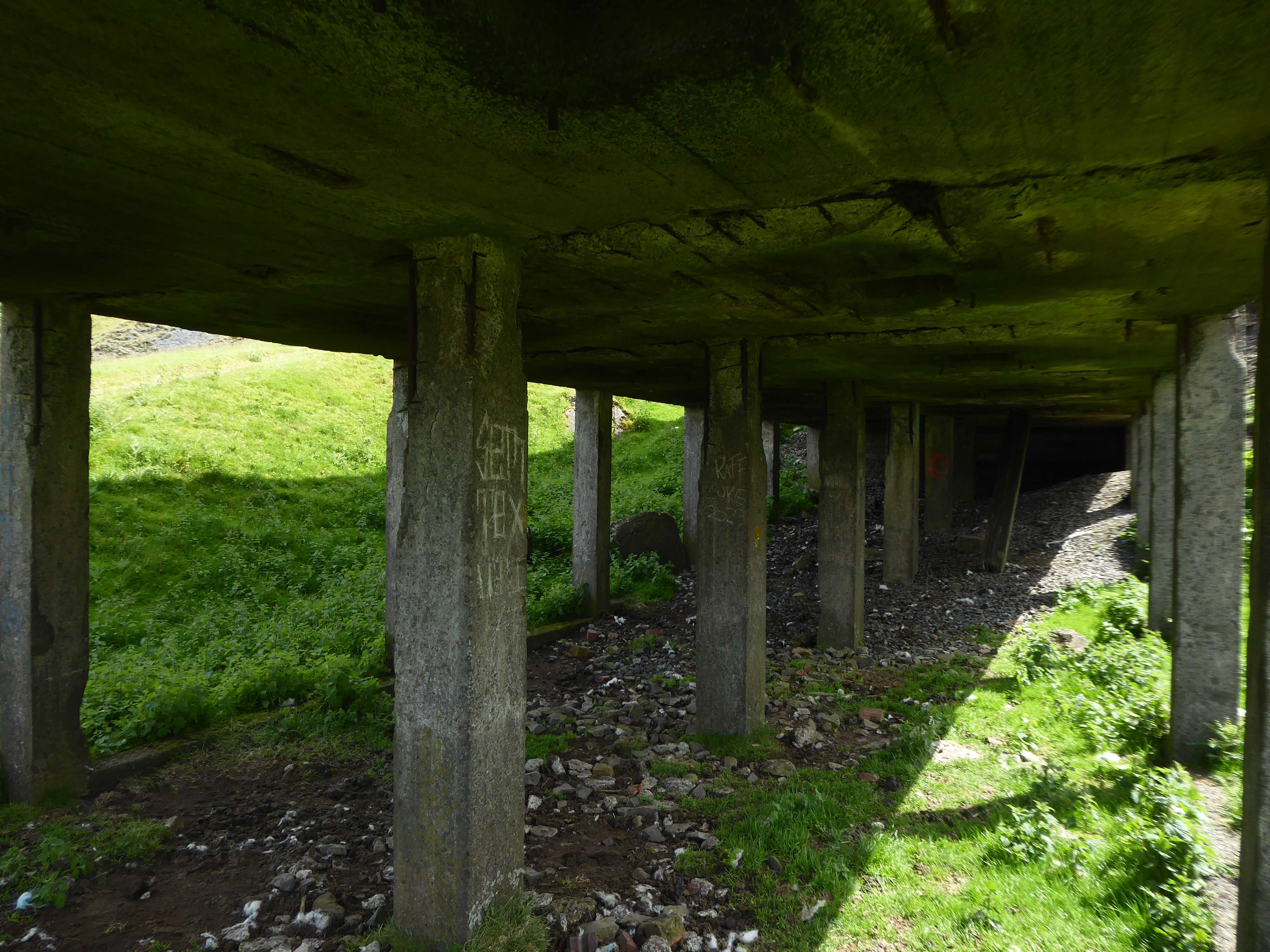
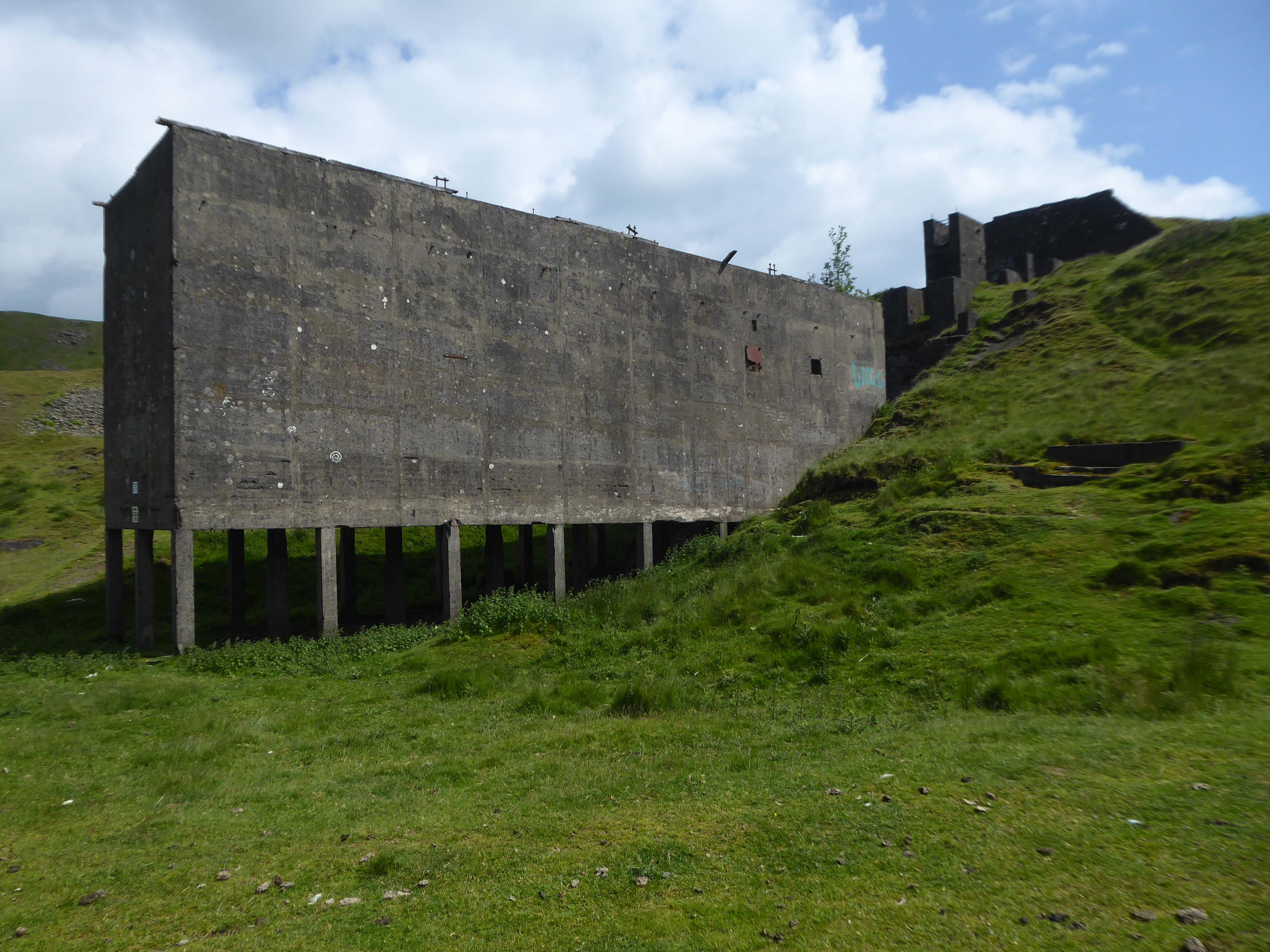
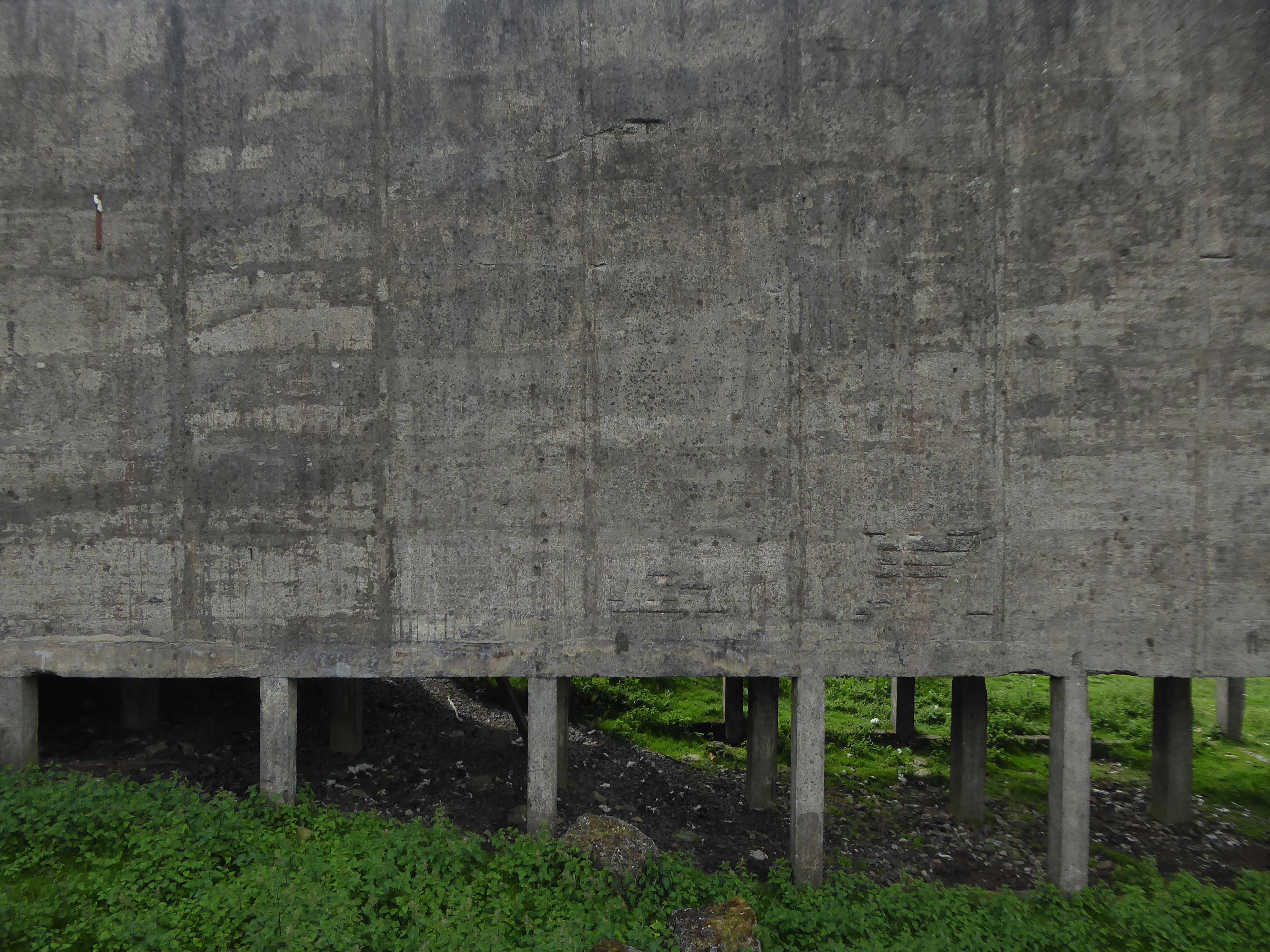
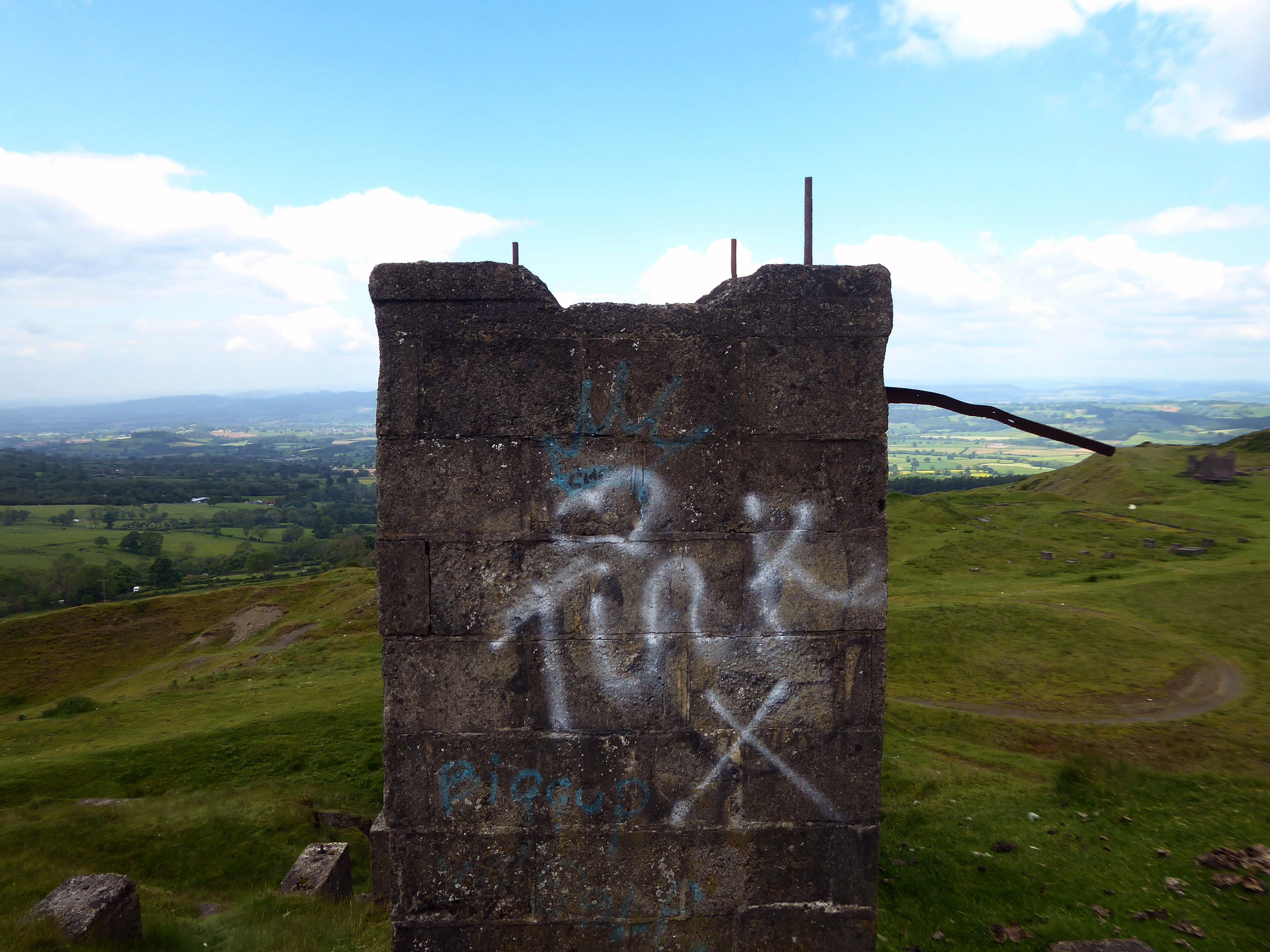
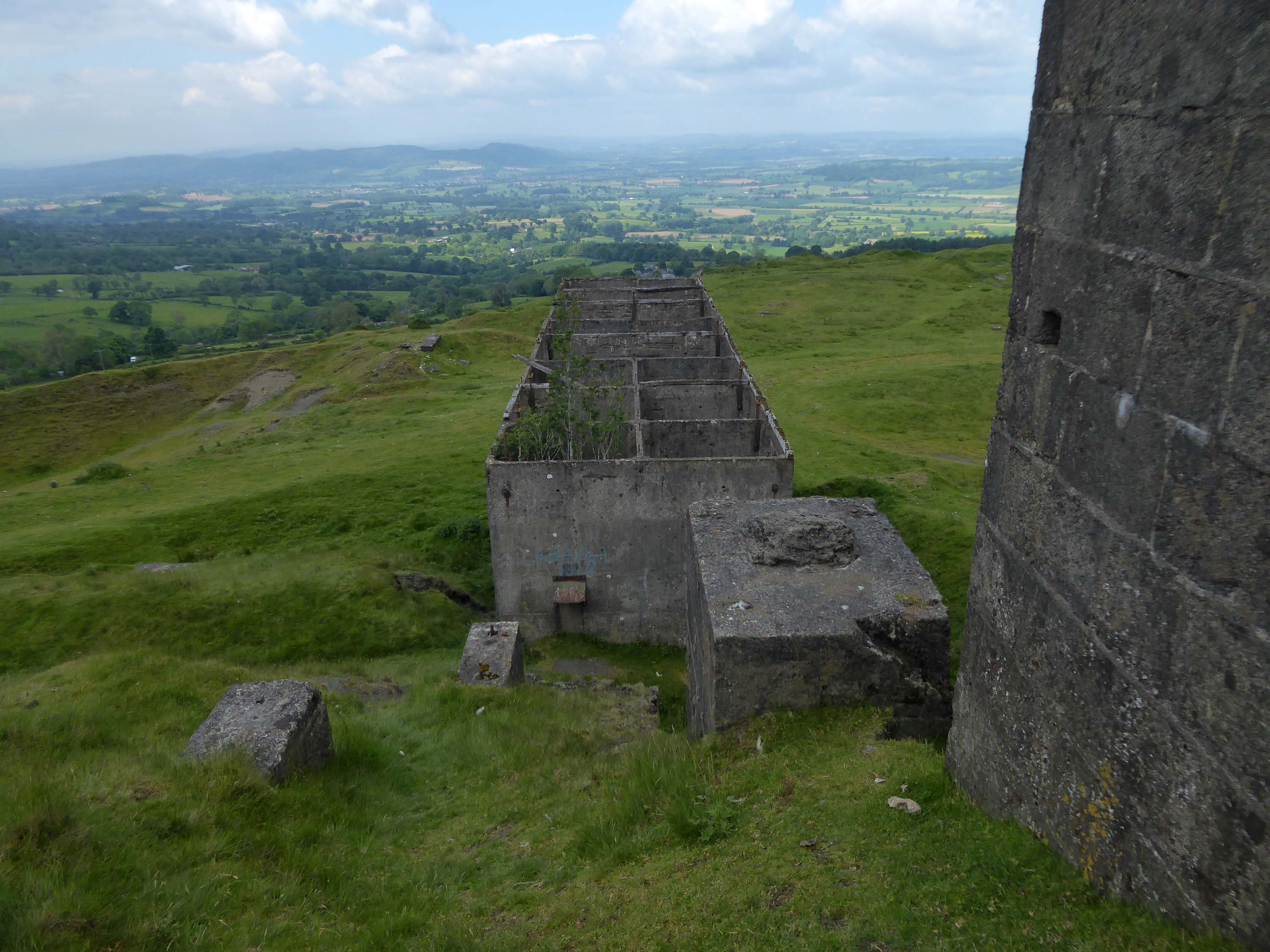
Most of the summit of the hill is affected by man-made activity, the result of hill fort construction during the Bronze and Iron Ages and, more recently, by years of mining for coal and quarrying for dolerite, known locally as dhustone, for use in road-building. Many derelict quarry buildings scattered over the hill are of industrial archaeological interest as very early examples of the use of reinforced concrete.
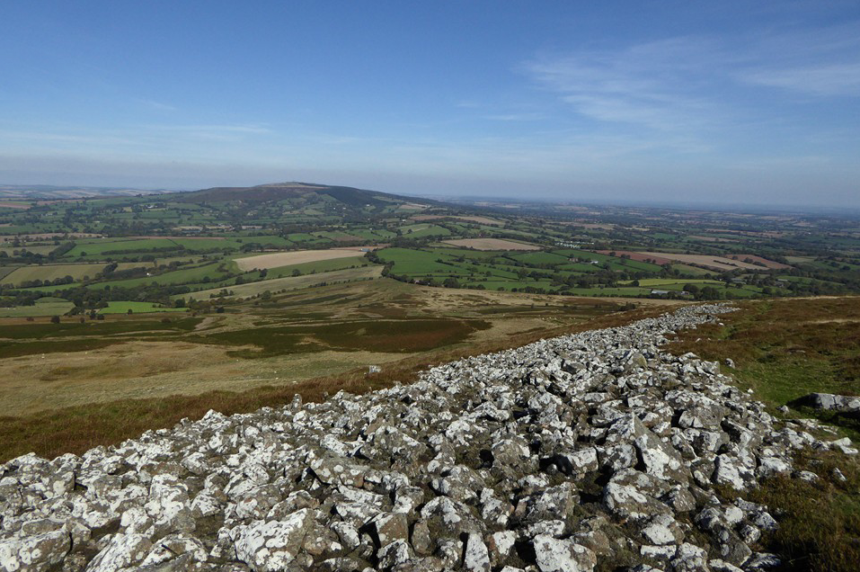
Near the summit trig point are the remains of a Bronze Age cairn, dating back up to 4,000 years and indicating that the summit was a likely ceremonial site. Although partly destroyed by quarrying, Titterstone Clee’s Iron Age hill fort is enclosed by a huge boundary earthworks.
It is of note that the walls of the fort are made up of stone blocks, instead of earth banks.
This is Oldham Road Manchester – this also Memory Lane.
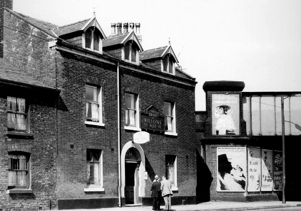
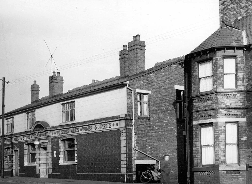
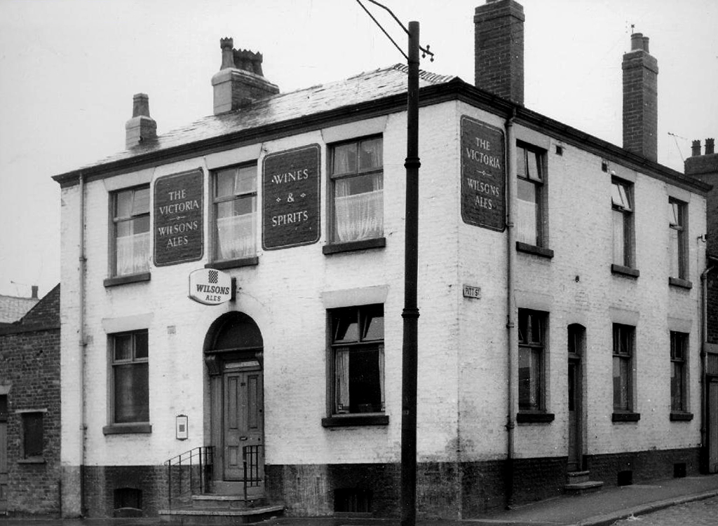
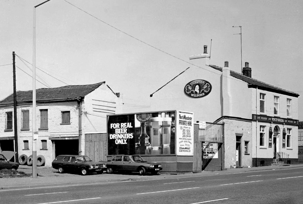
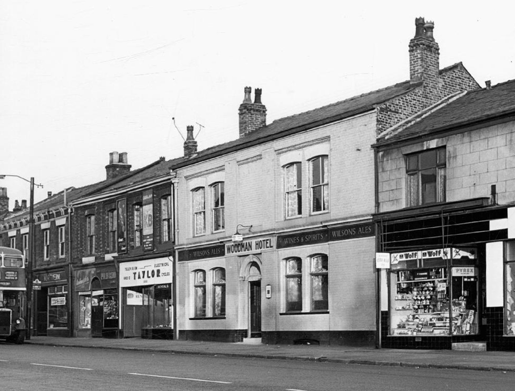
Walking from the city centre to Failsworth I noted the absence of public houses, some long since demolished, some now serving other purposes – very few open selling beer.
Many of the breweries no longer trading.
Much of this the consequence of changing economic circumstances, the decline in manufacturing and subsequent serious absence in regular drinkers.
I do remember the huge Winston Churchill relief in the Room and R100 Airship wooden panelling in the lounge. Also of note were the ornate plater work ceilings and pendulous lighting, much damaged as the pub awaited restoration.
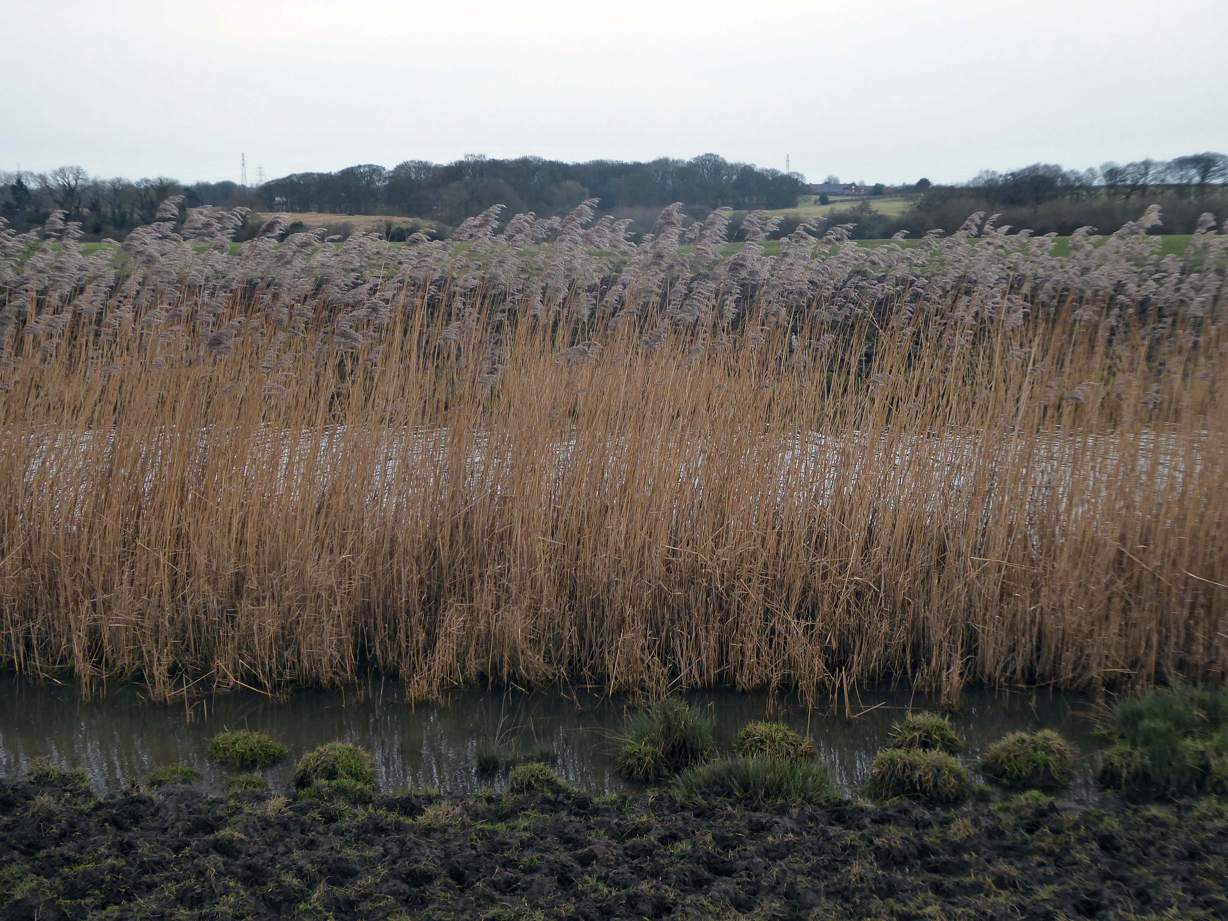
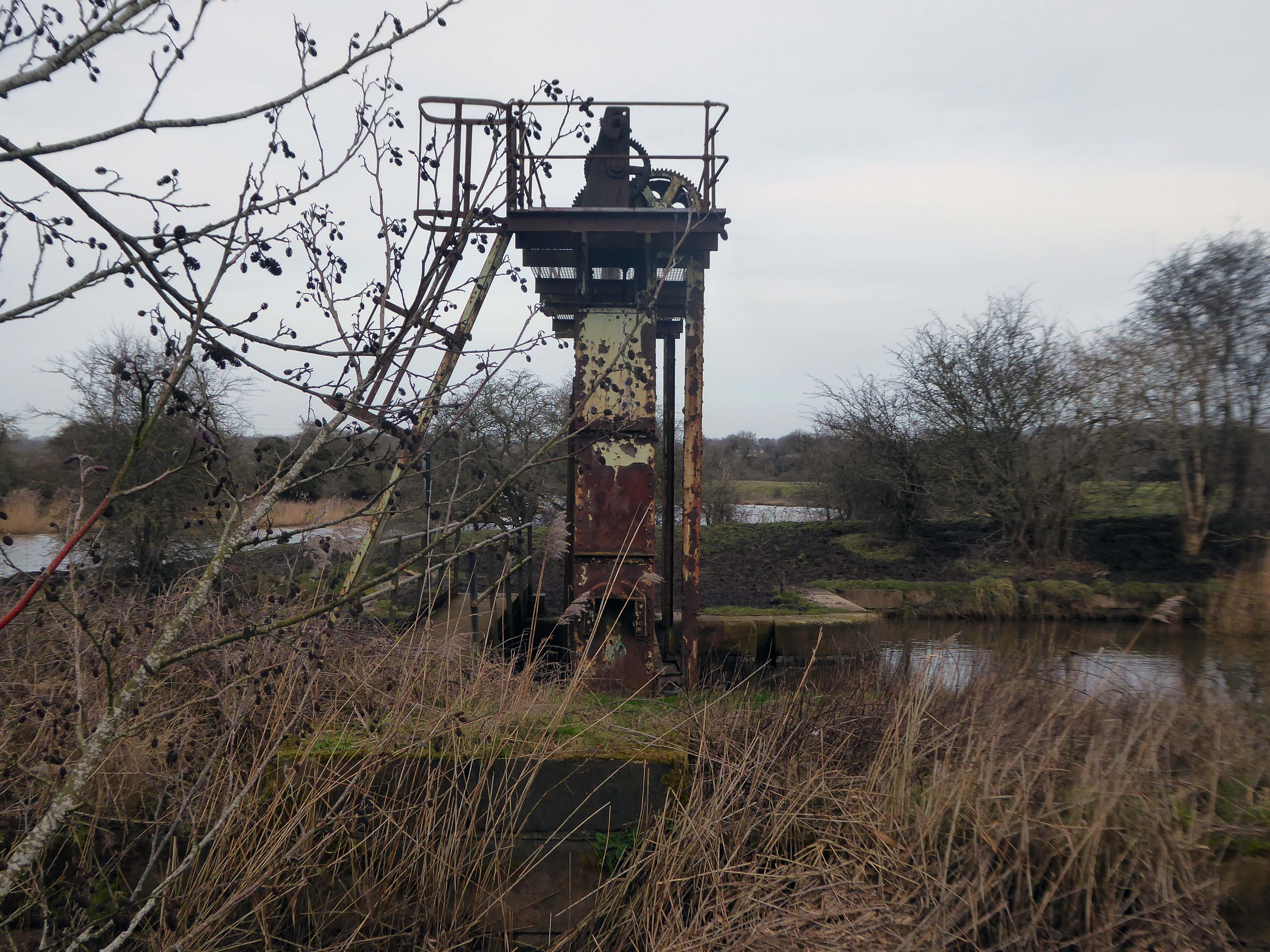
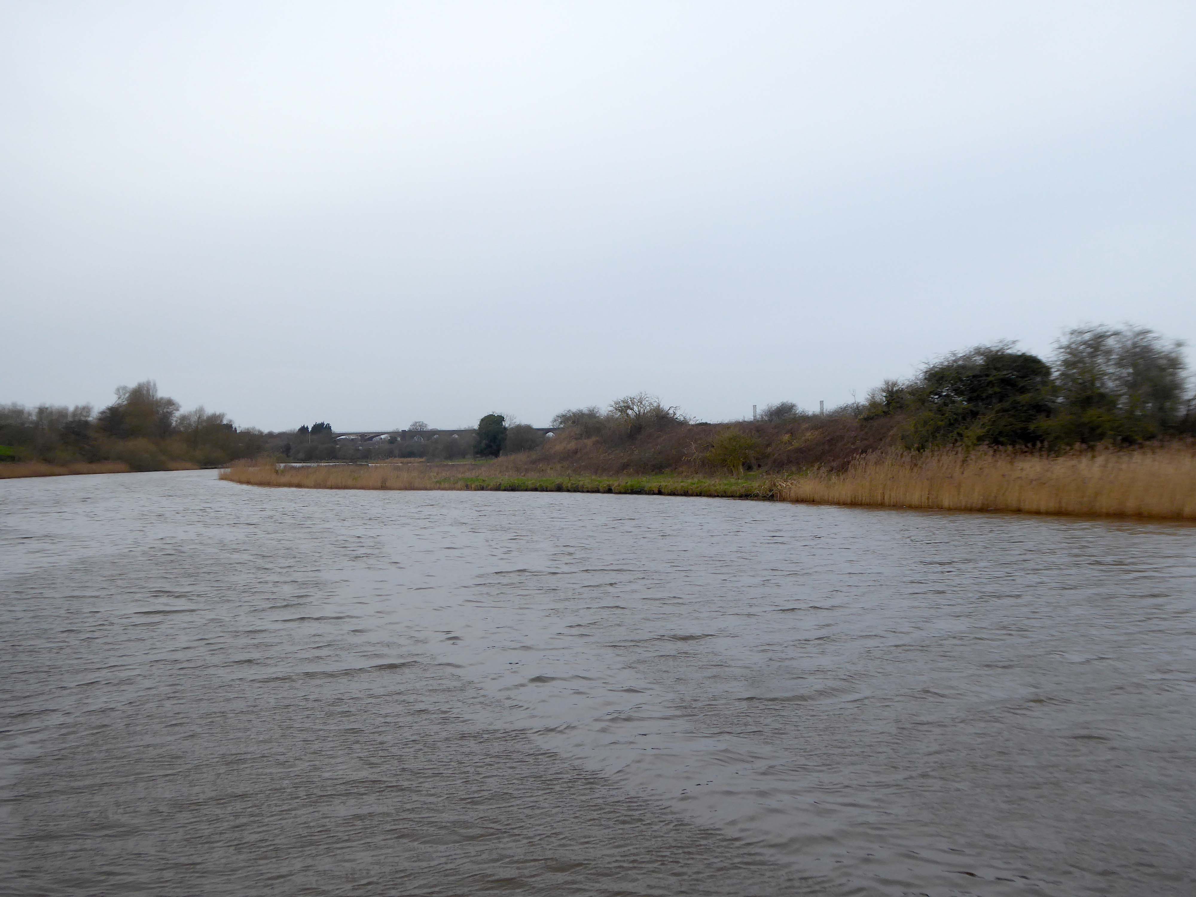
Along with my almost lifelong friend Mr Tim Rushton – I took a trip along a short stretch of the River Weaver, walking from east to west.
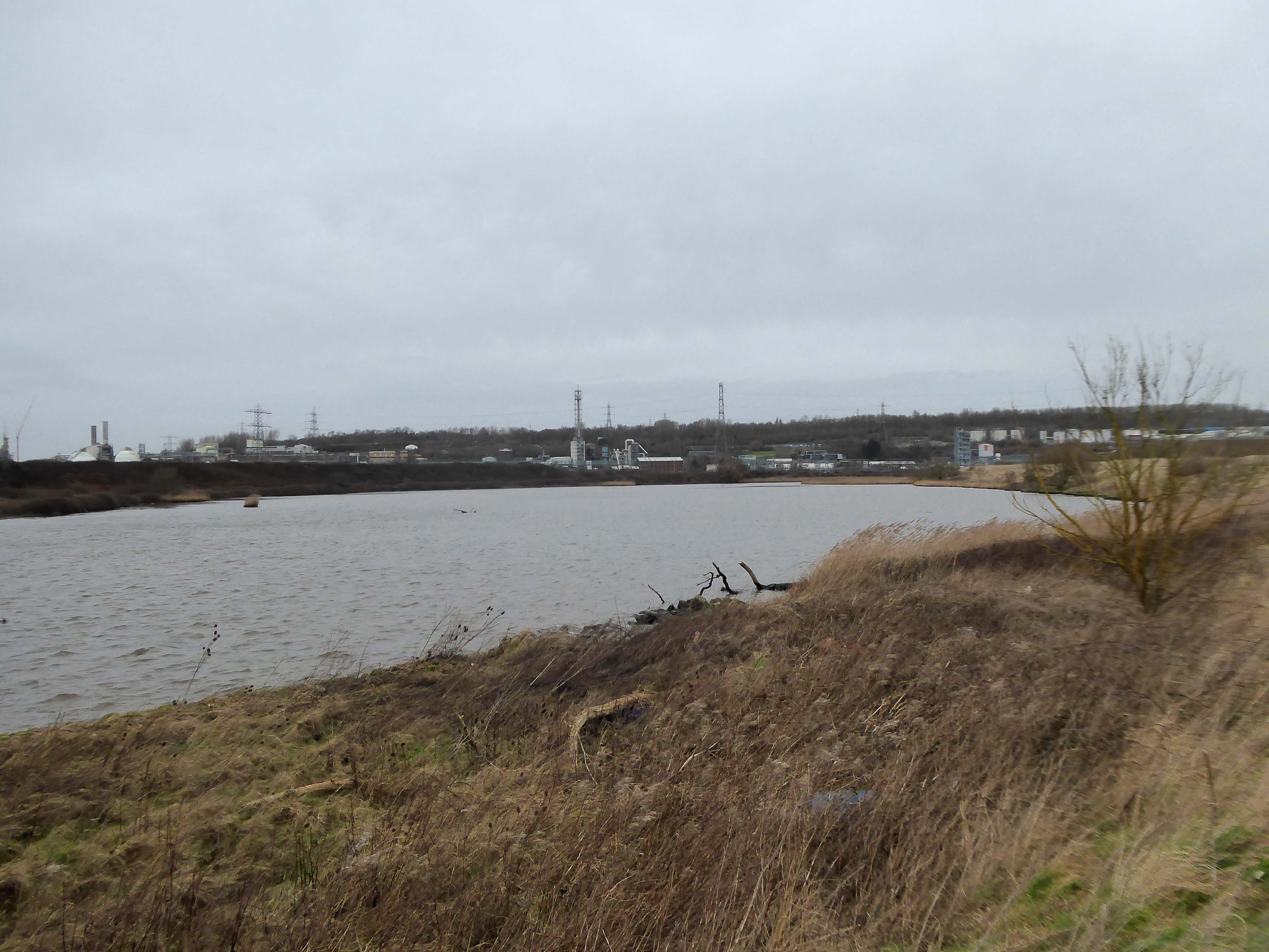
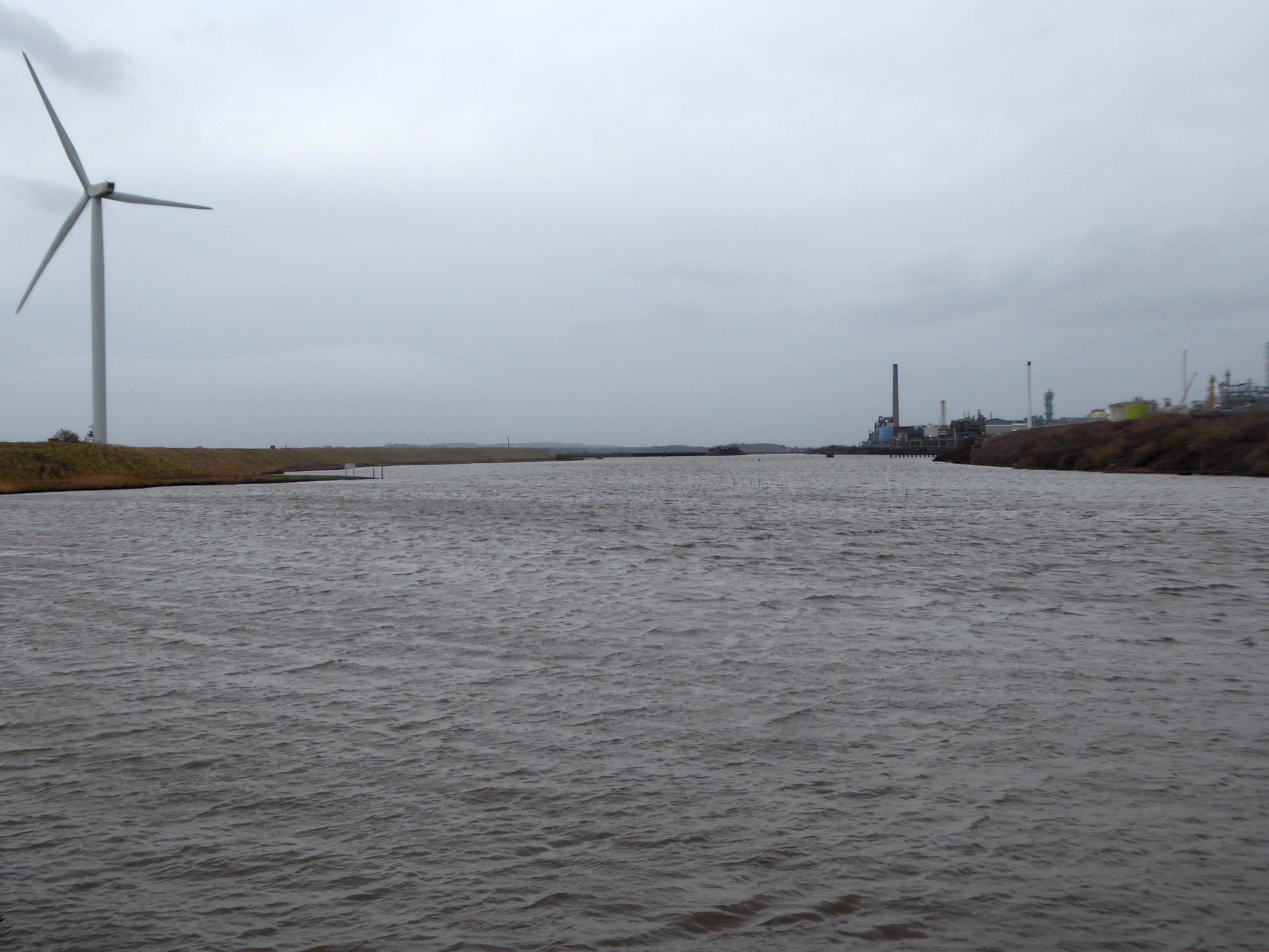
River Weaver – rising on the boundary between the counties of Shropshire and Cheshire and then flowing 45 miles north to reach the Irish Sea estuary of the River Mersey to the west of Runcorn.
Below Winsford, the course of the river has been altered several times, by the construction of cuts and locks, to enable small ships to trade on it. The river formerly joined the River Mersey at Weston Marsh, but since the construction of the Manchester Ship Canal, begun in 1887, it has flowed into the canal, from where surplus water enters the Mersey by the Weaver sluices, just upstream of the junction. The tidal river section below Frodsham has been bypassed by the Weston Canal since 1810 and is no longer navigable, as Frodsham Lock is derelict.
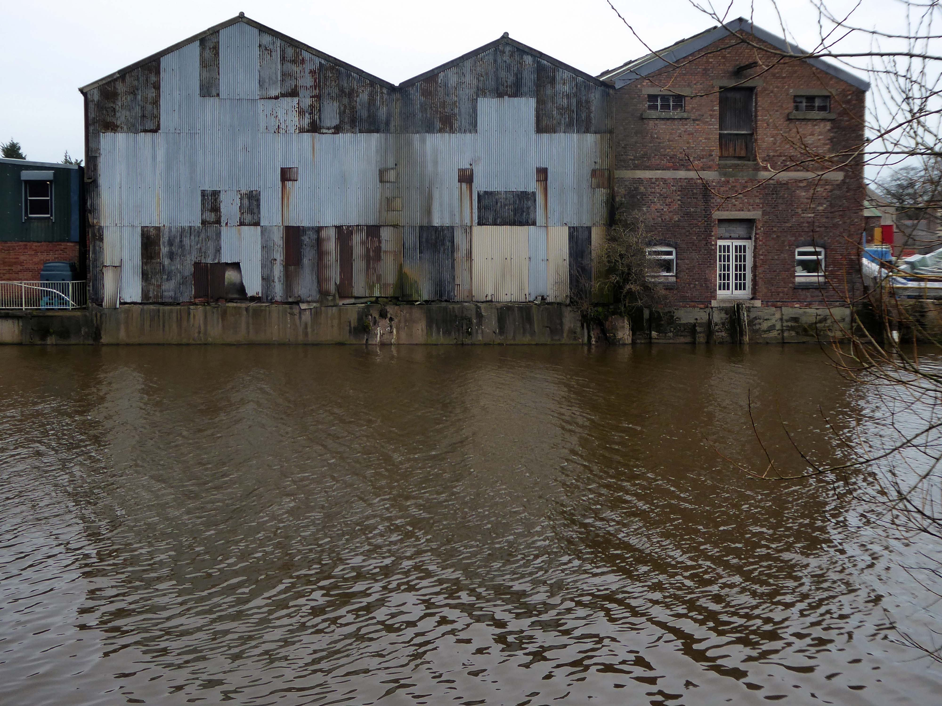
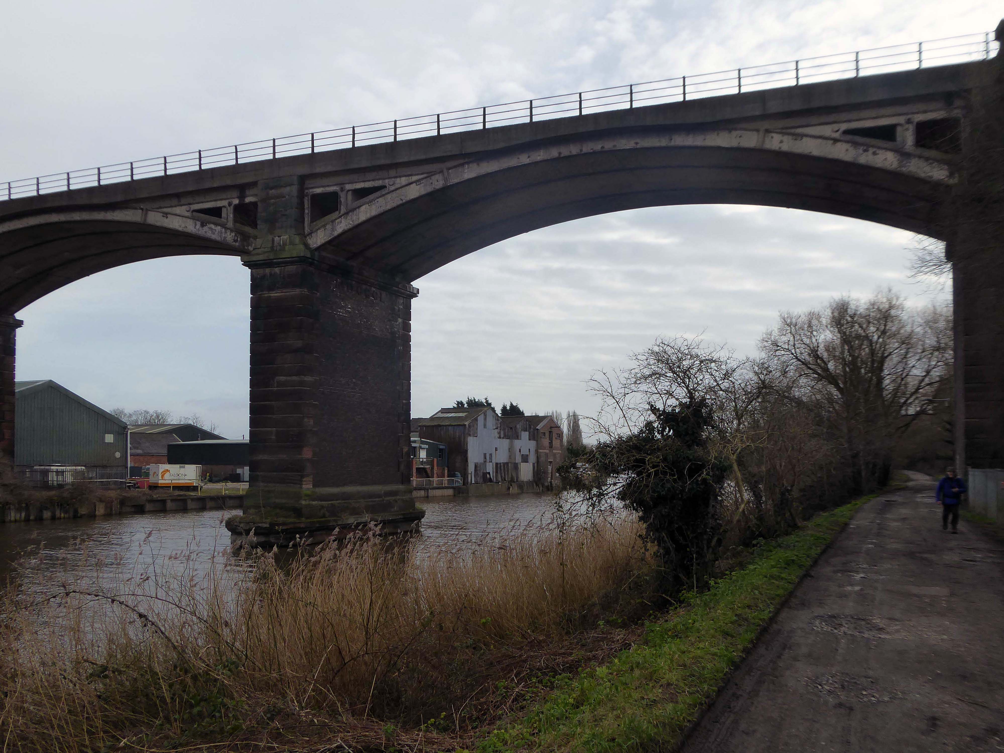
Railway viaduct over River Weaver and adjoining land by A Rendel Engineer and Thomas Brassey, contractor 1848-1850 – for Birkenhead Lancs & Cheshire Junction Railway Co.
Red sandstone, brown brick and cast iron, two segmental-arched iron spans of circa thirty metres over river; two round arches on west bank and twenty one on east bank. Piers to iron spans are rusticated tooled ashlar; the other spans have rusticated voussoirs, pier faces and quoins and rock-faced spandrels with brick reveals, cornice to iron-span piers, plainer imposts to others.
Top of central pier to river modified to take mid C20 concrete track bed.
Weaver Viaduct is one of the outstanding features of M56 and its design was approved by the Royal Fine Arts Commission. The three-quarter mile of elevated motorway and approach embankments over the River Weaver and Weaver Navigation Canal opened on 21 February 1971.
Design was by Husband and Co of Sheffield – acting for Department of Environment, who also supervised the project.The contractor was Christiani Shand with a tender price of £3,146,387 in March 1968.
Work began in April 1968 – the eventual cost was put at £3.5 million.
Thirty two 125-foot concrete 100-tonne beams were put into place in July 1970; the concrete beams were made by Matthews & Mumby of Windmill Lane Denton.
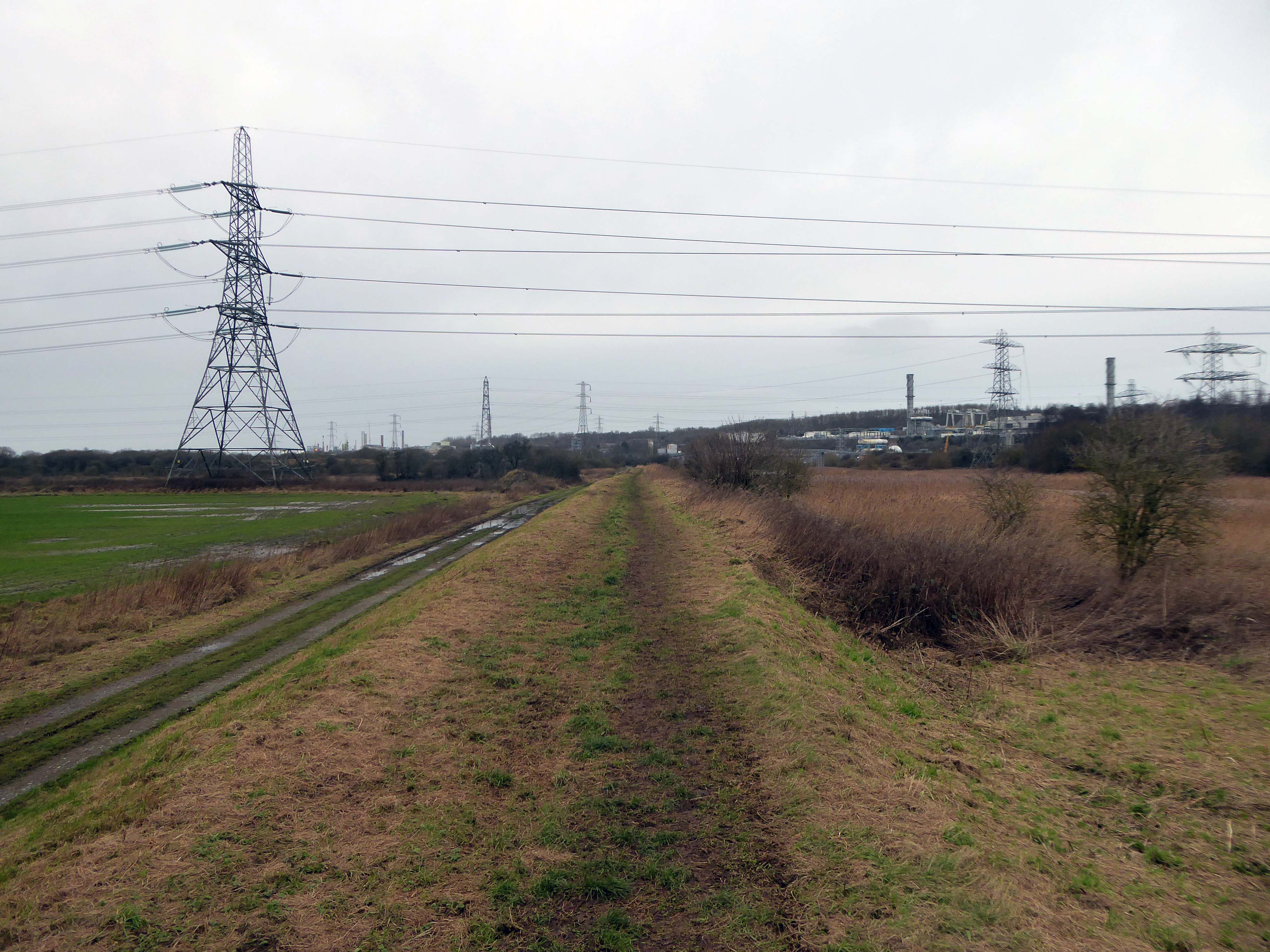
High-VoltageFrodsham Substation – Rock Savagepower station
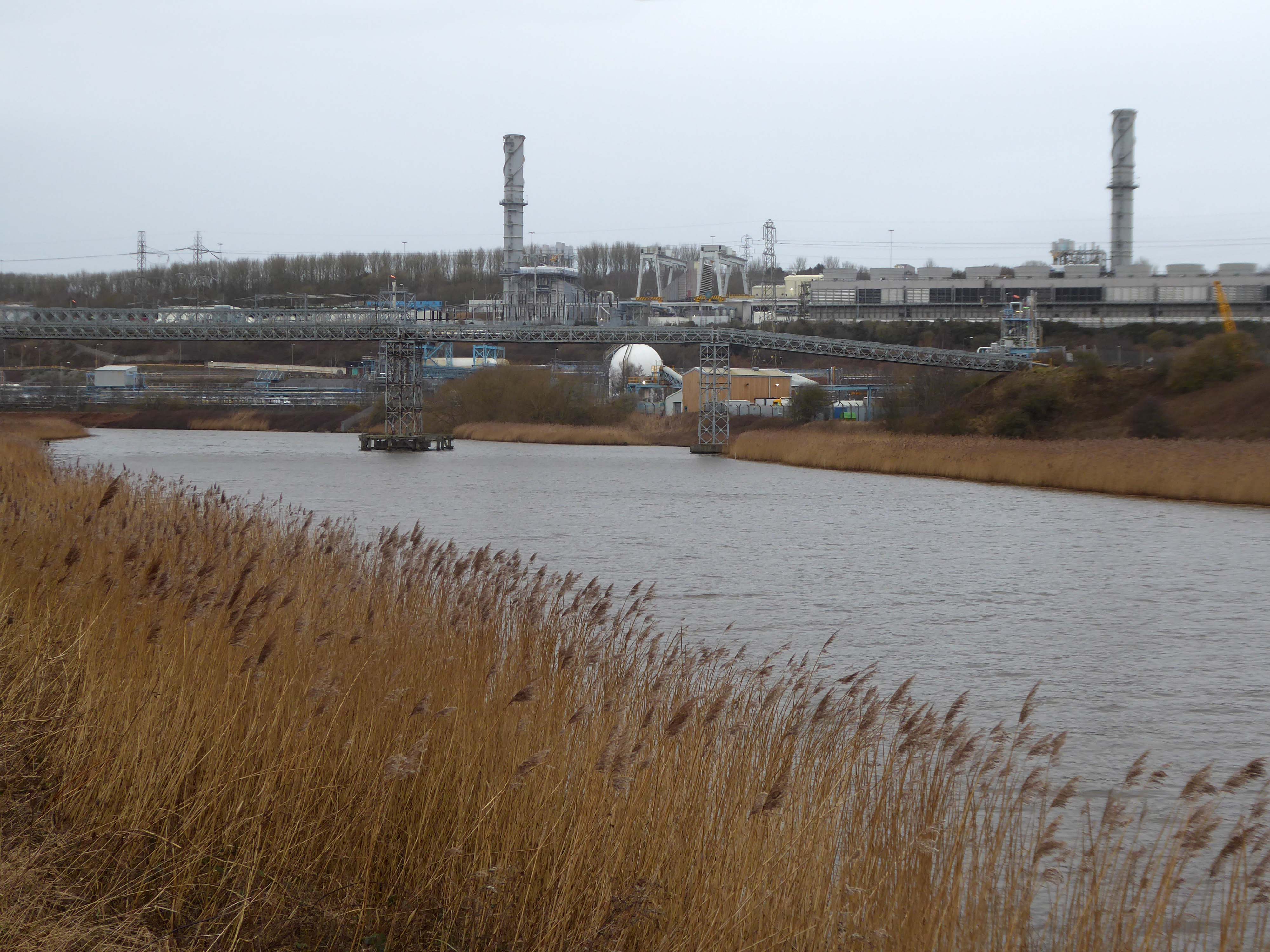
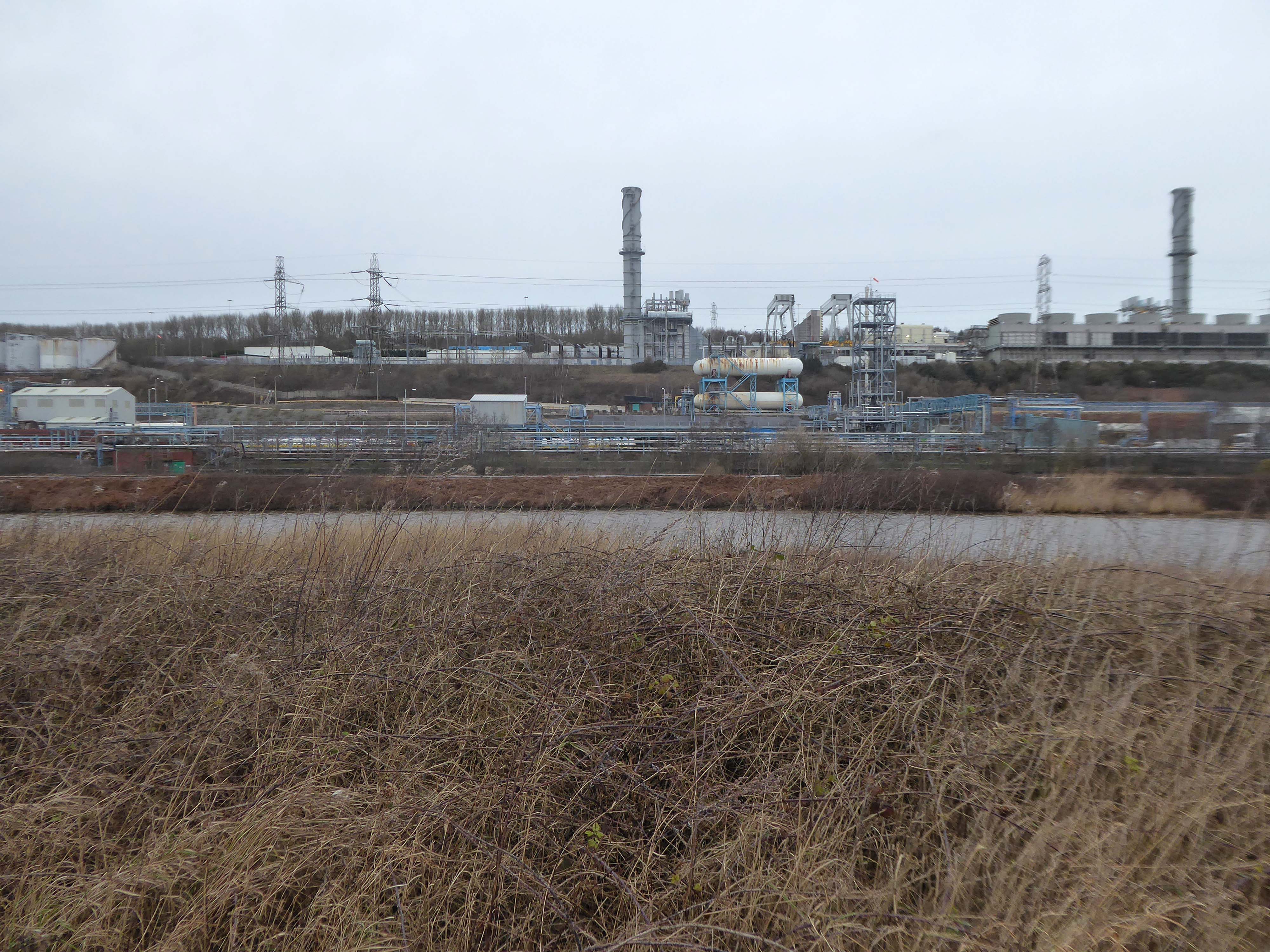
Rock Savage Power Station is an 800 MWe gas-fired power station.
It was opened by Queen Elizabeth II on 31 July 1998, and owned by InterGen, a company that is now jointly owned by Ontario Teachers’ Pension Plan and China Huaneng Group, it cost £375m.
It sponsors the Runcorn Jets baseball club, the Highfield Male Voice Choir and the Weston Angling Club.
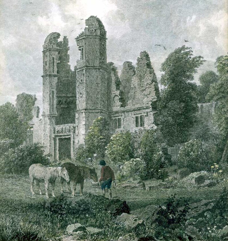
The name comes from the nearby ruined Elizabethan mansion – Rocksavage.
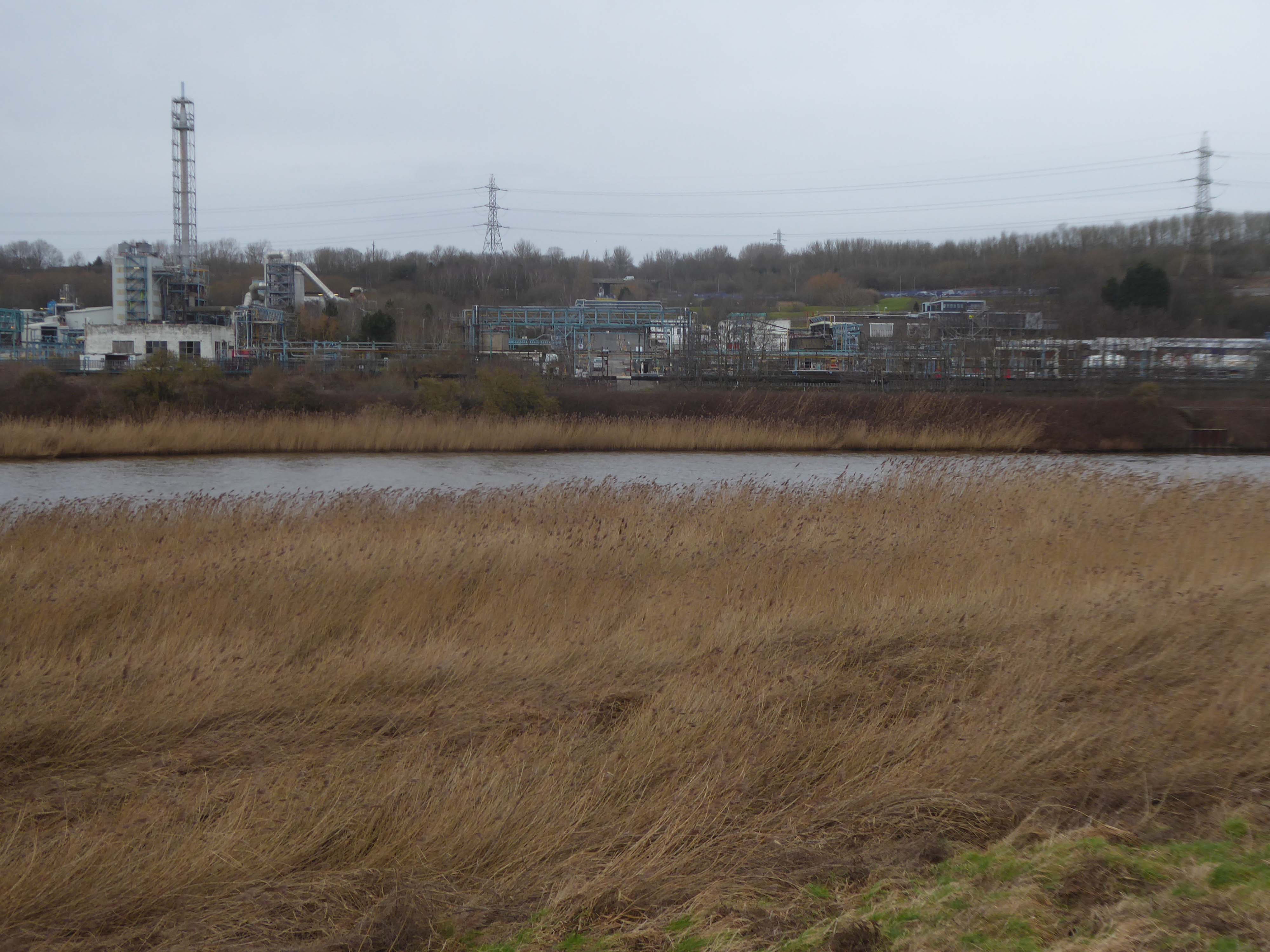
KouraGlobal – leader in the development, manufacture, and supply of fluoro products and technologies, opened a new HFA 152a production facility at their Runcorn site in the UK.
Chiesi, the international research-focused pharmaceuticals and healthcare group, signed a commercial agreement to use the new low carbon footprint medical propellant for inhalation product development and clinical trials in 2019.
Britain from Above 1948
Ineos Chemical Complex formerly ICI Rocksavage Works on the banks of the River Mersey River Weaver and Manchester Ship Canal in Runcorn formerly ICI works of Rocksavage and Castner Kelner Works which produced fluorcarbons such as aerosol propellants dry cleaning solvents and chlorine UK January 2007
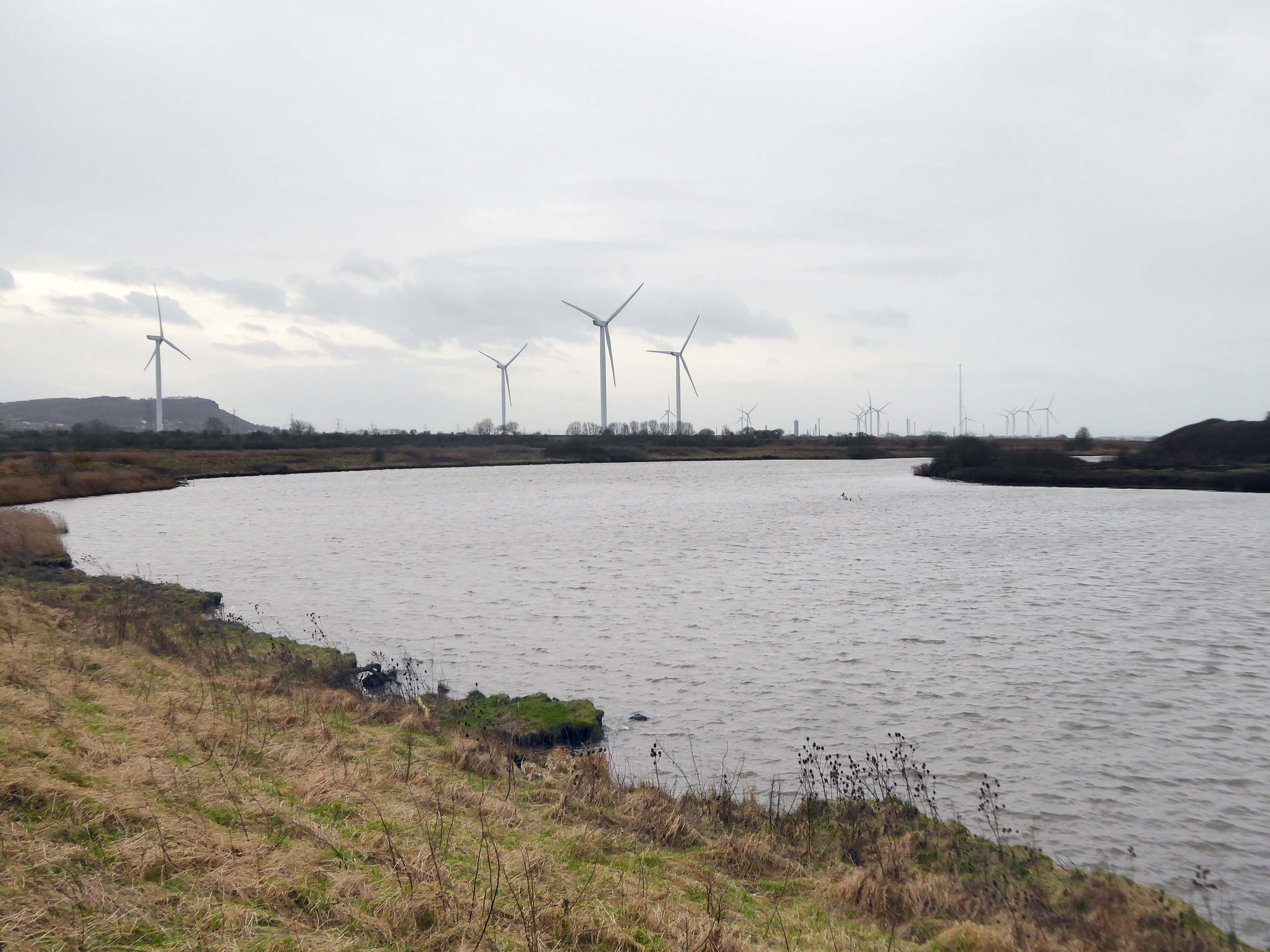
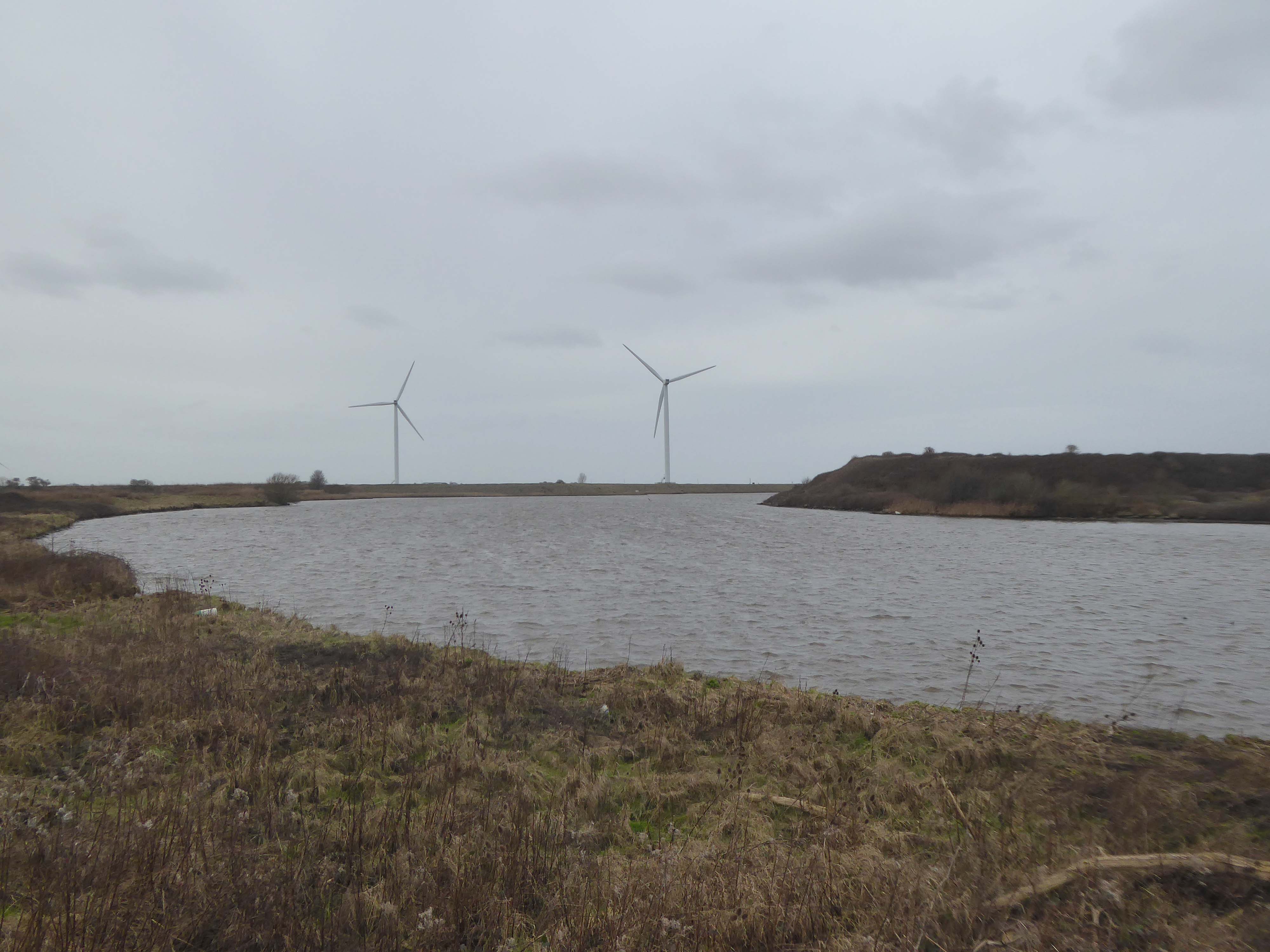
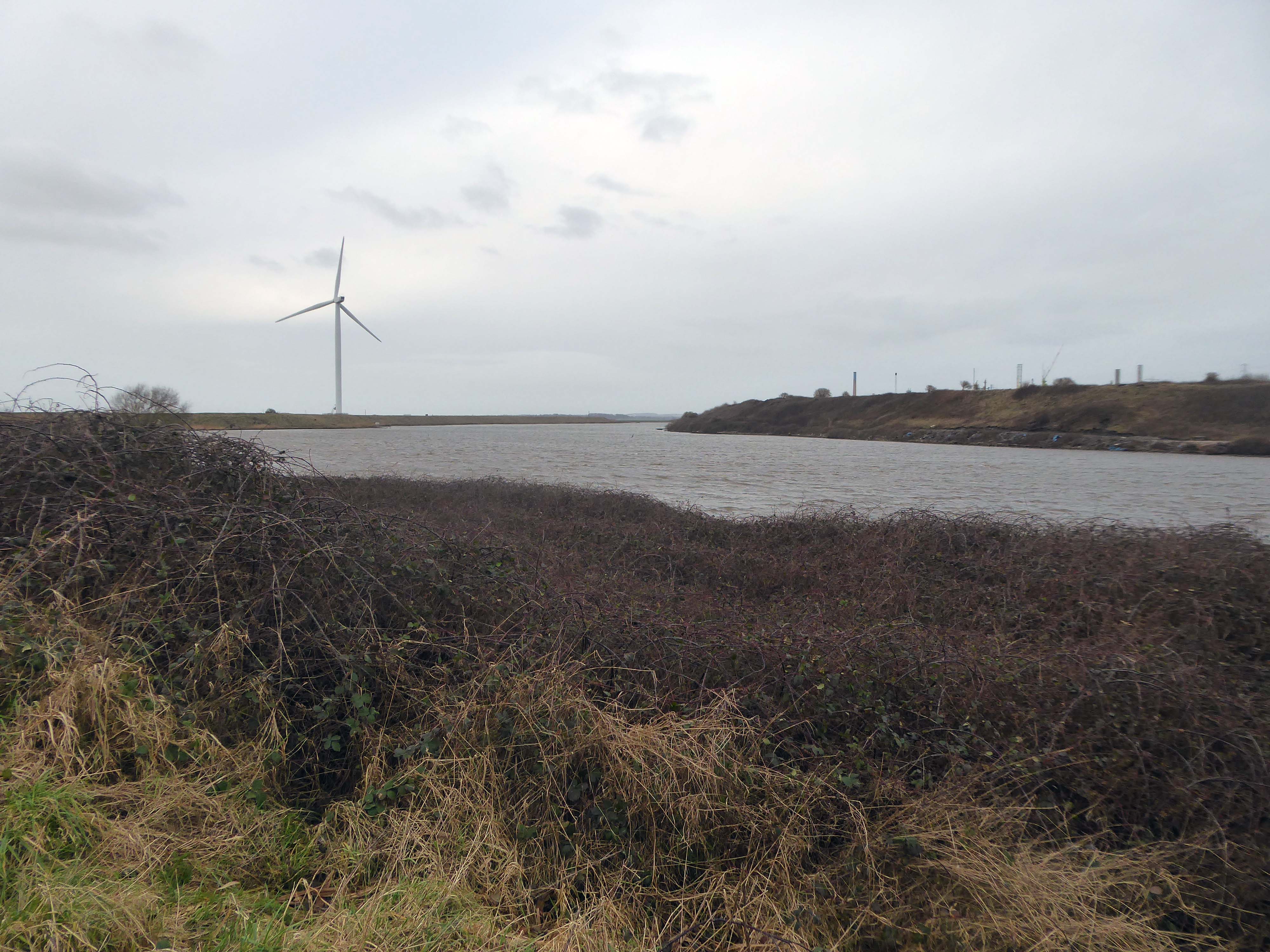
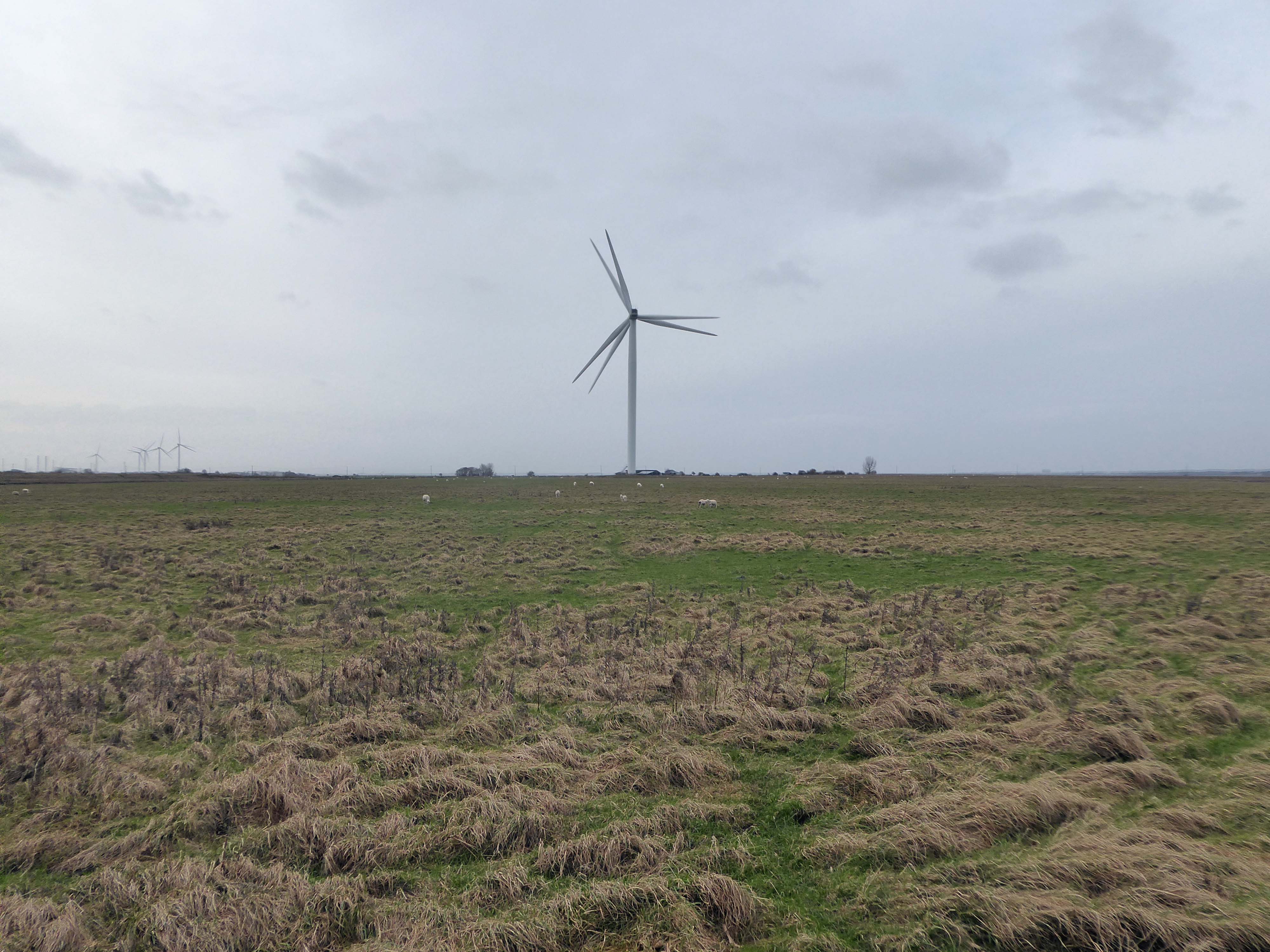
Frodsham Wind Farm is one of England’s largest onshore generating stations, and the largest in the Cheshire region, with an installed capacity of more than 50 MW. Construction of the wind farm began in March 2015 and became fully operational in February 2017.
The Masonic Hall has an extension of 1967 by Hadfield Cawkson Davidson & Partners
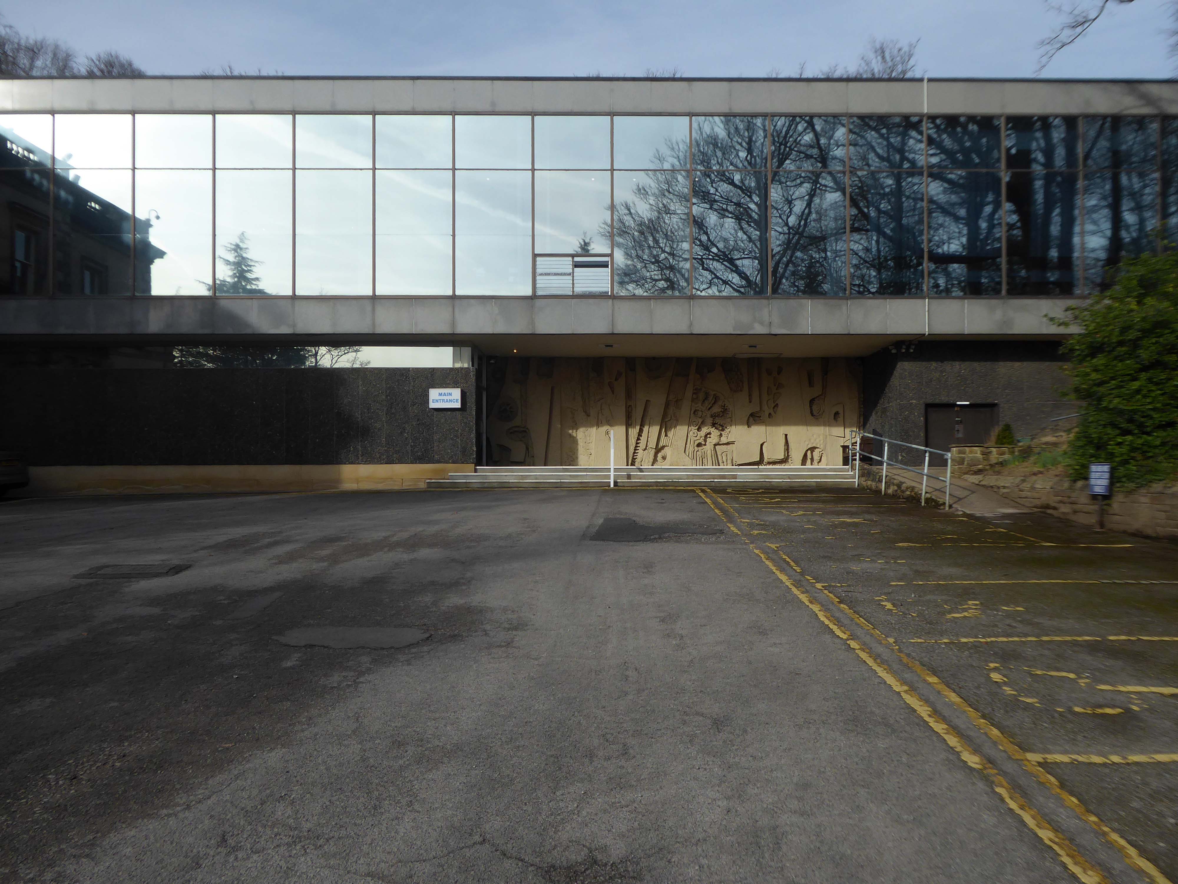
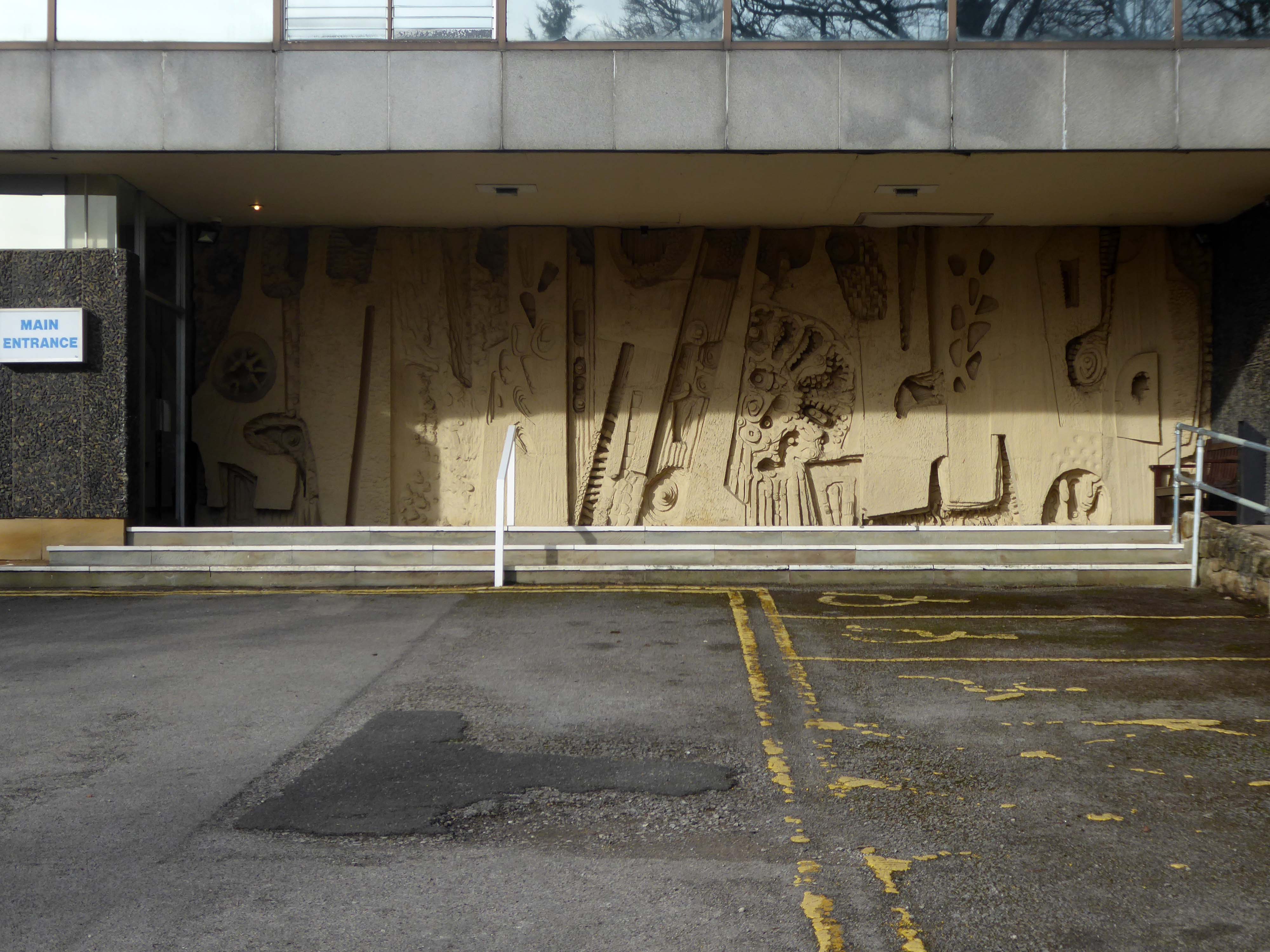
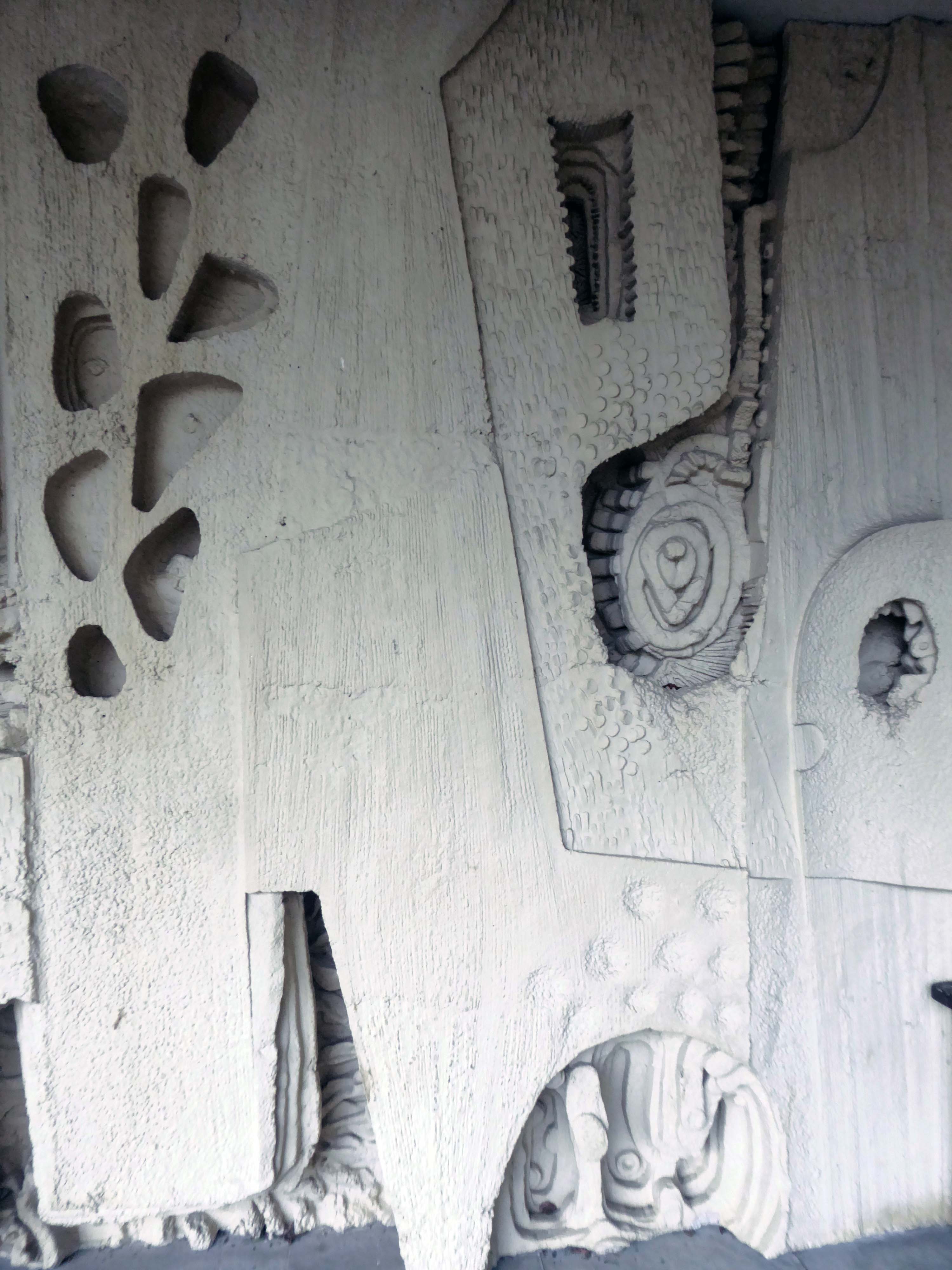
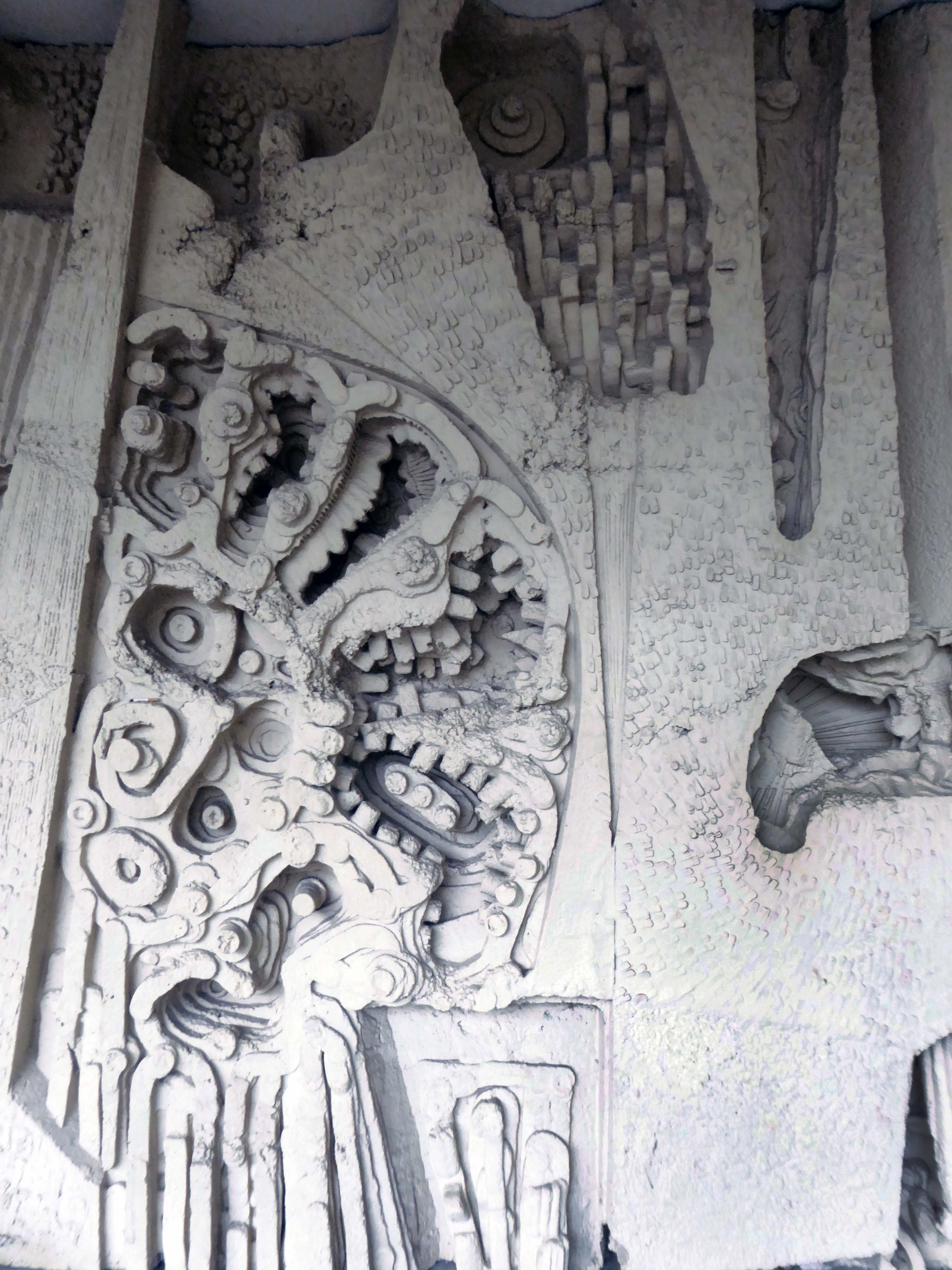
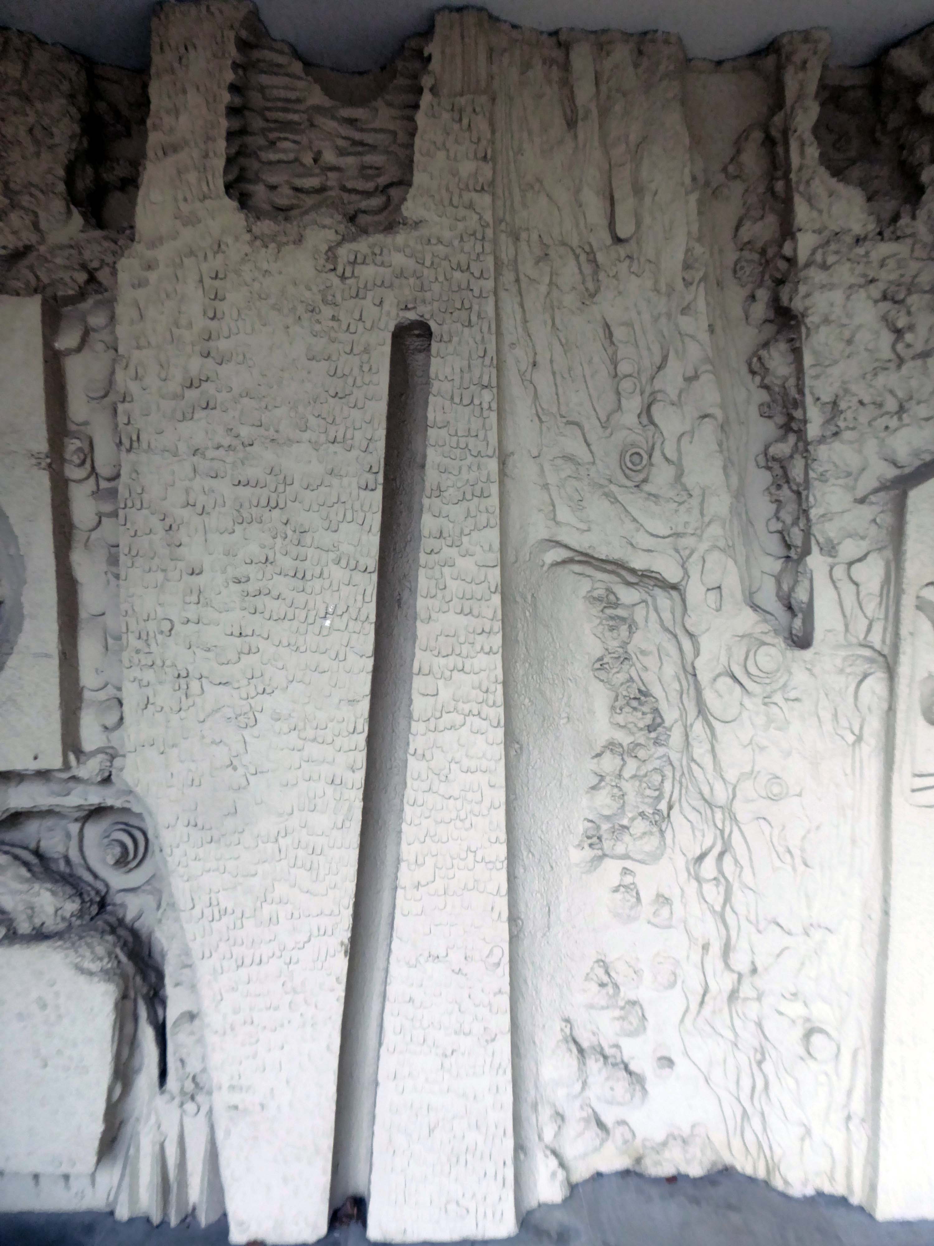
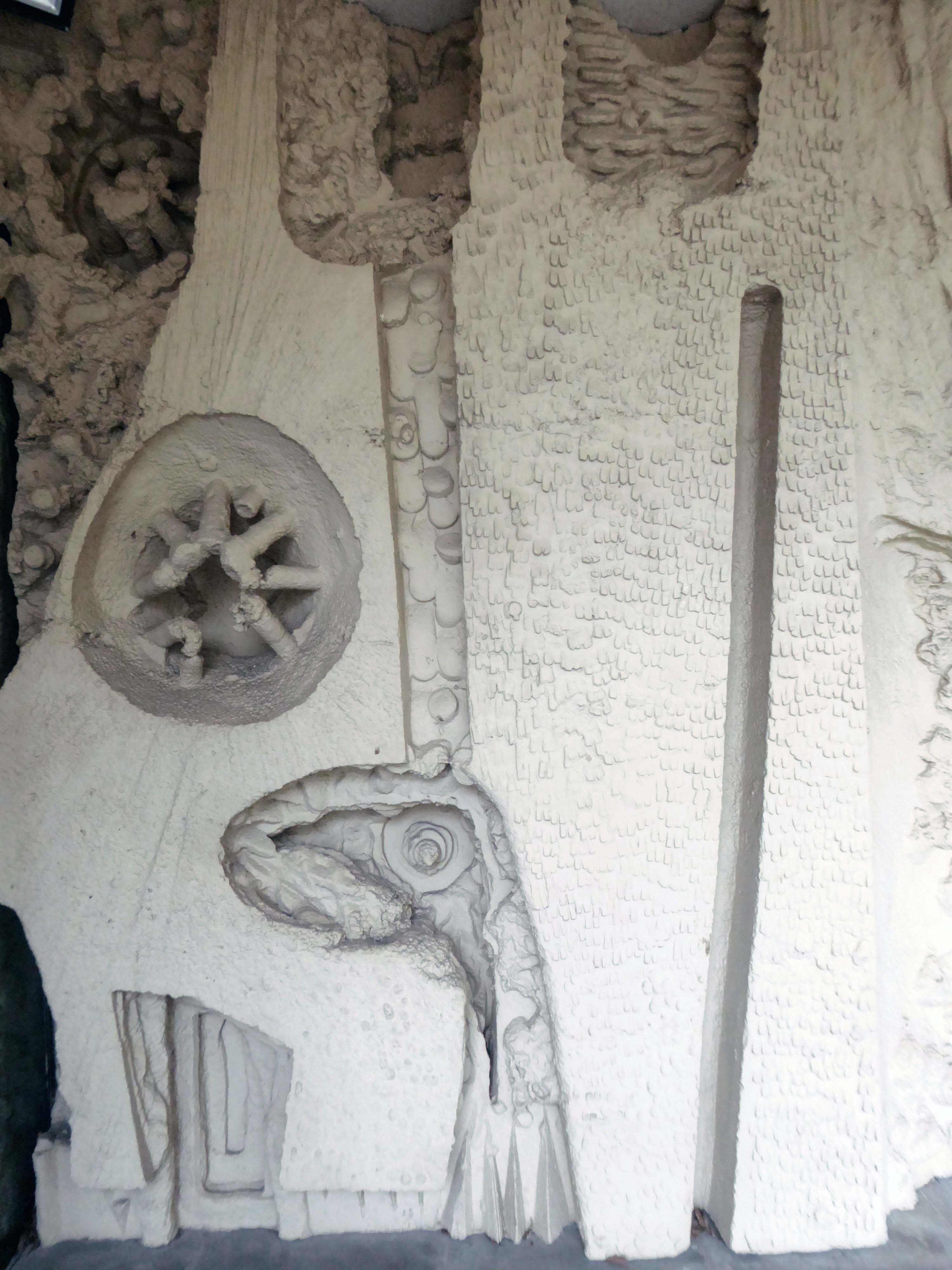
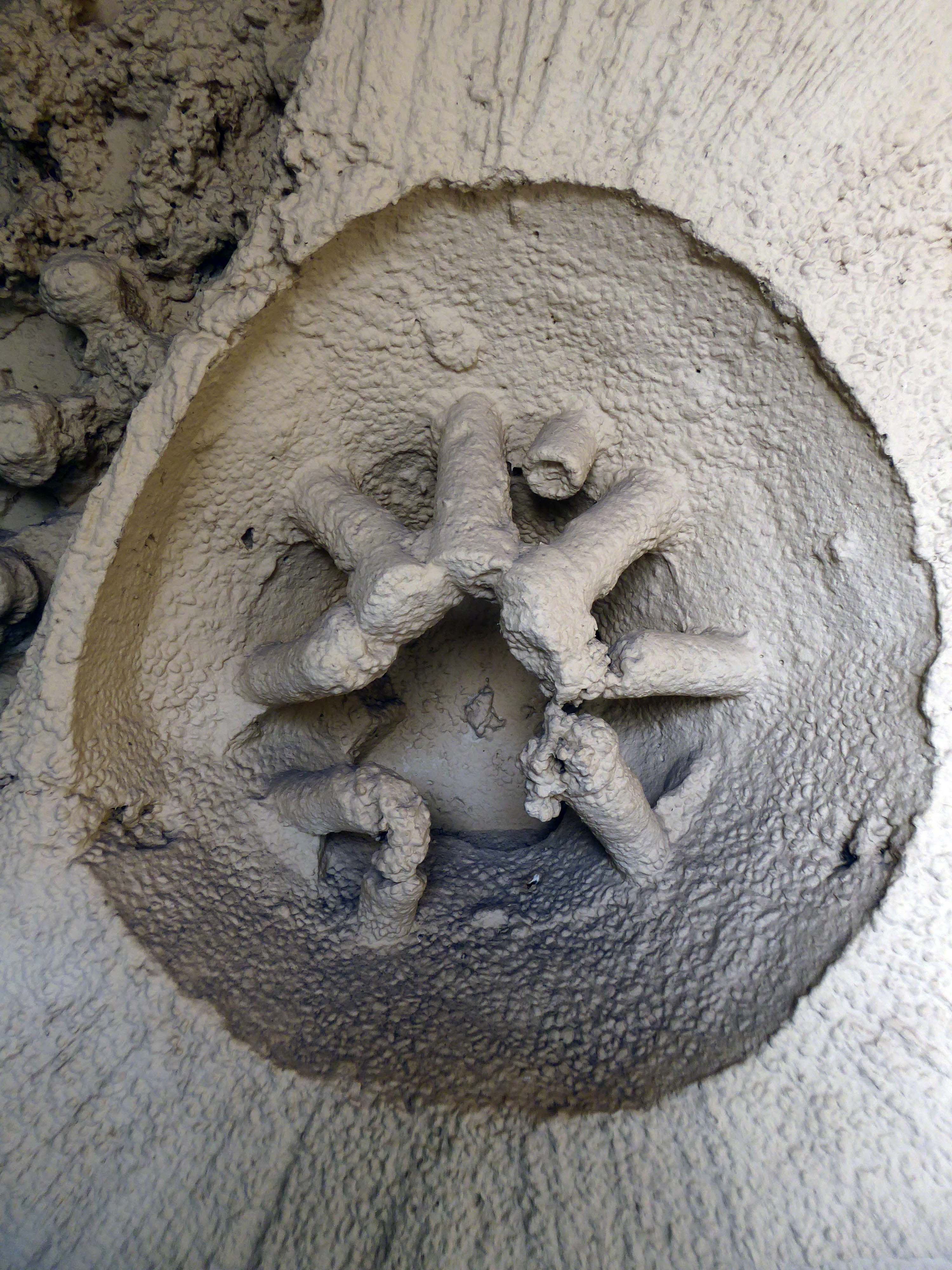
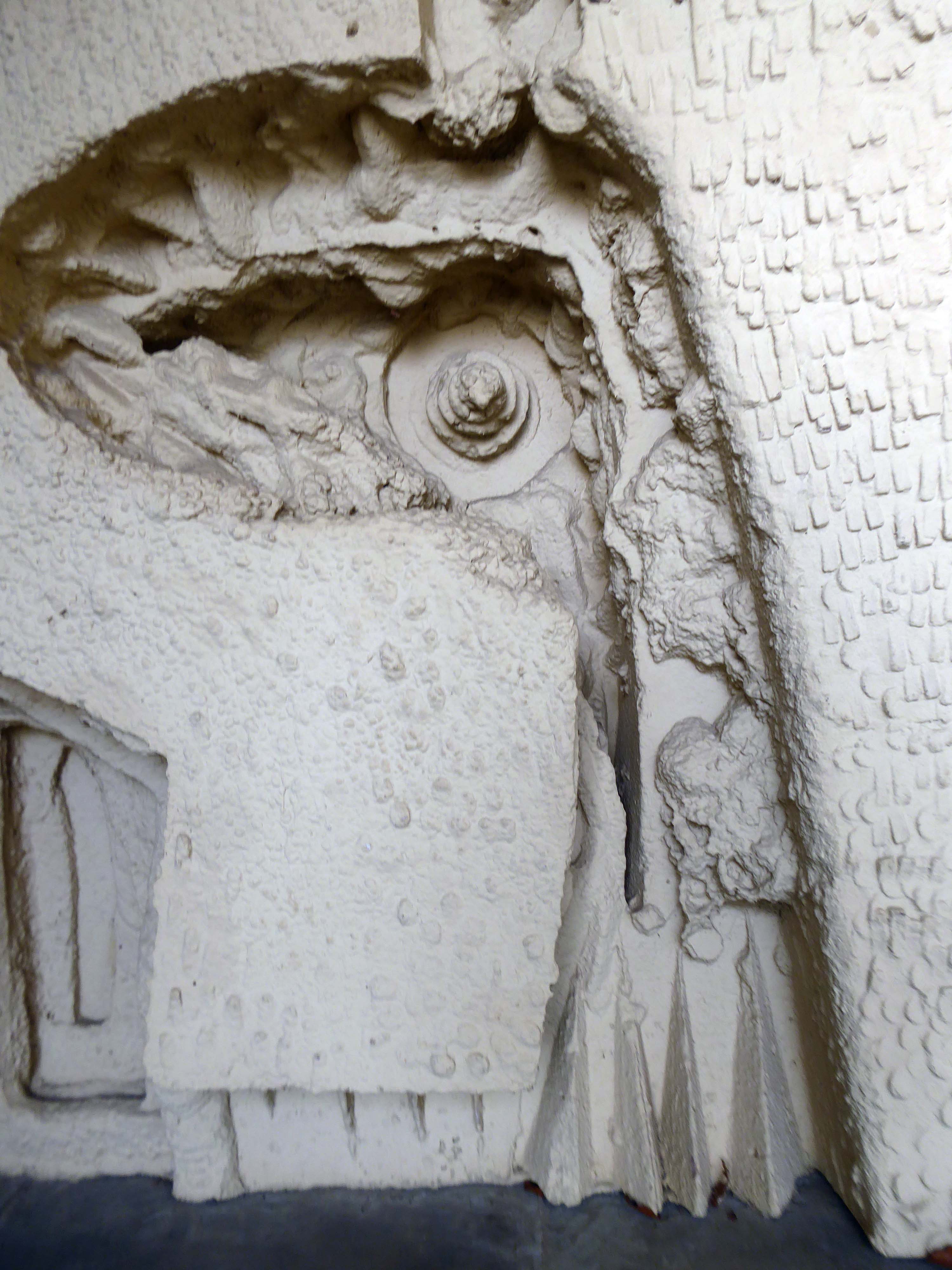
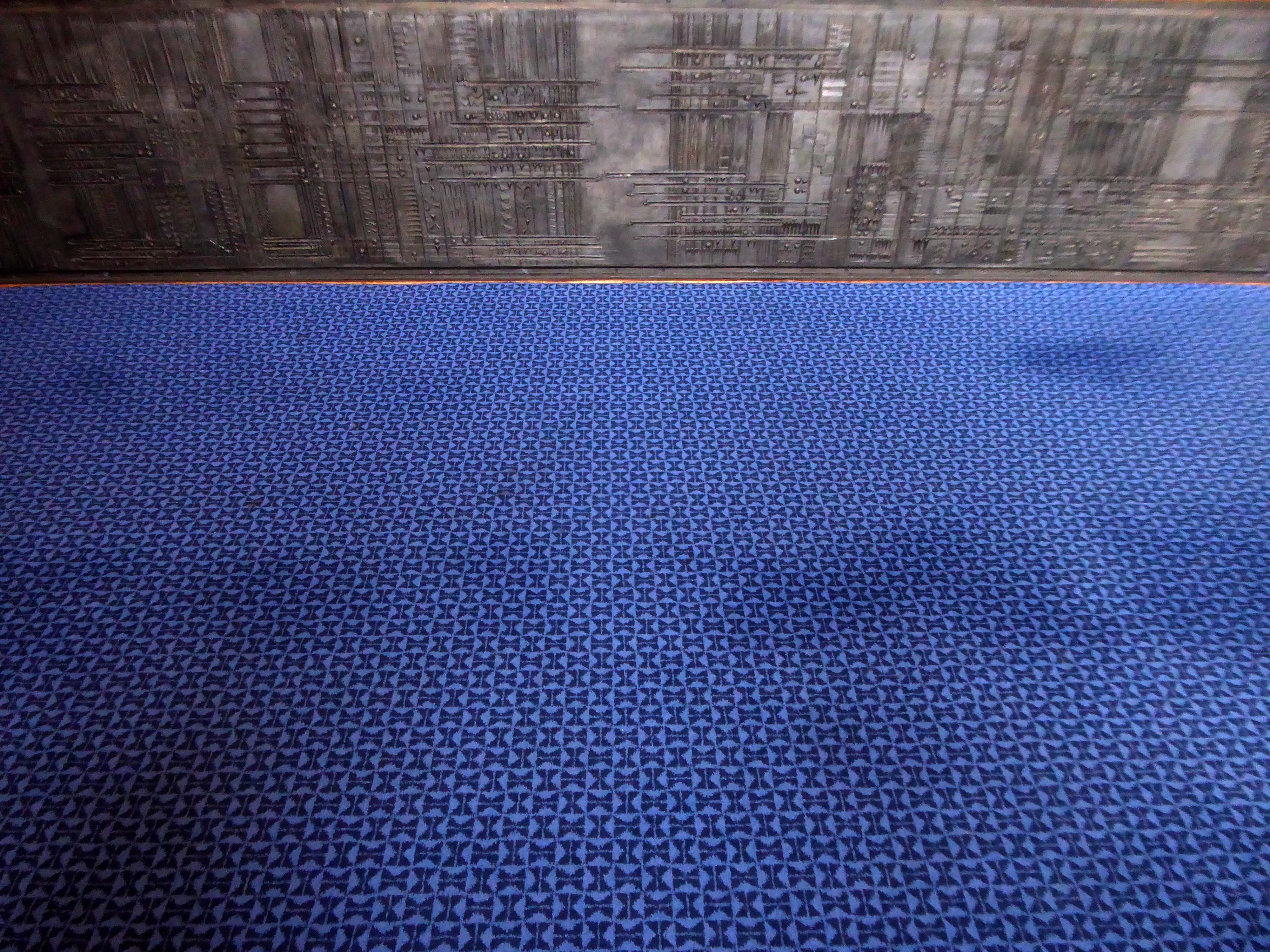
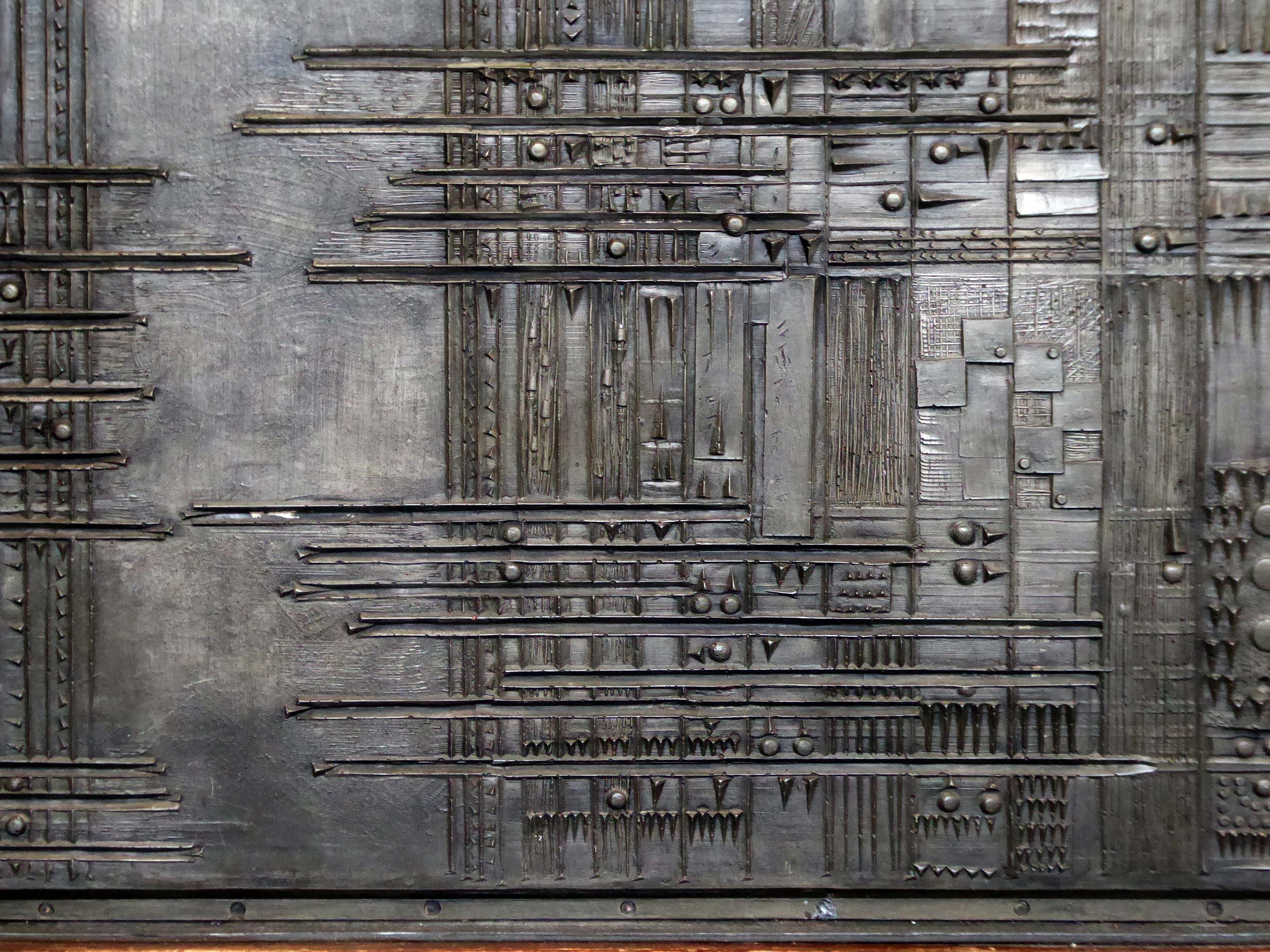
The Masonic Hall has an extension of 1967 has a concrete mural by William Mitchell.
Symbolising the turmoil and chaos of the outside world, contrasting with the order of the Masonic Temple – a Freemason told me so.
I thought to propose the idea that this may well be a false dichotomy – then thought I’d better not.
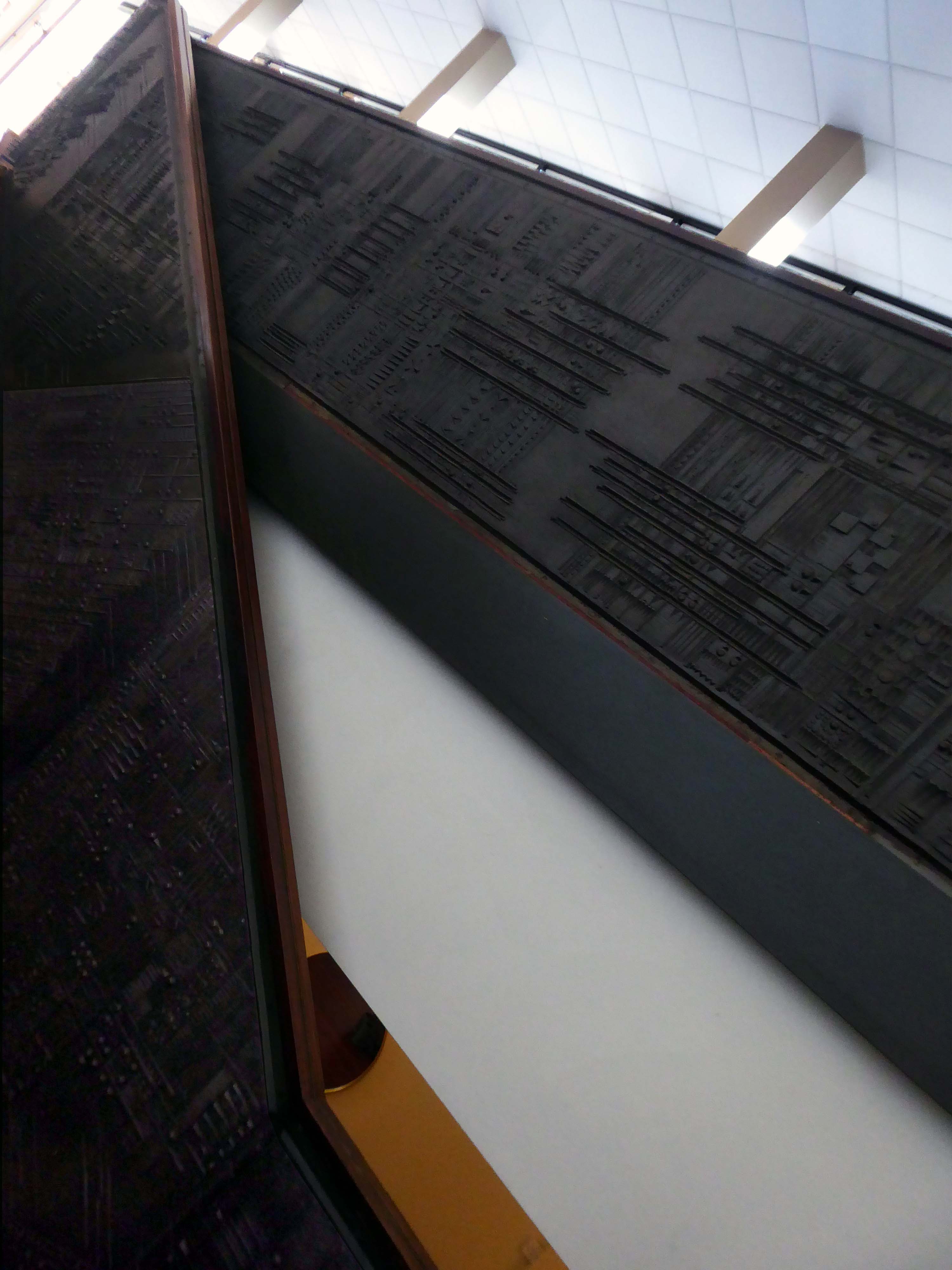
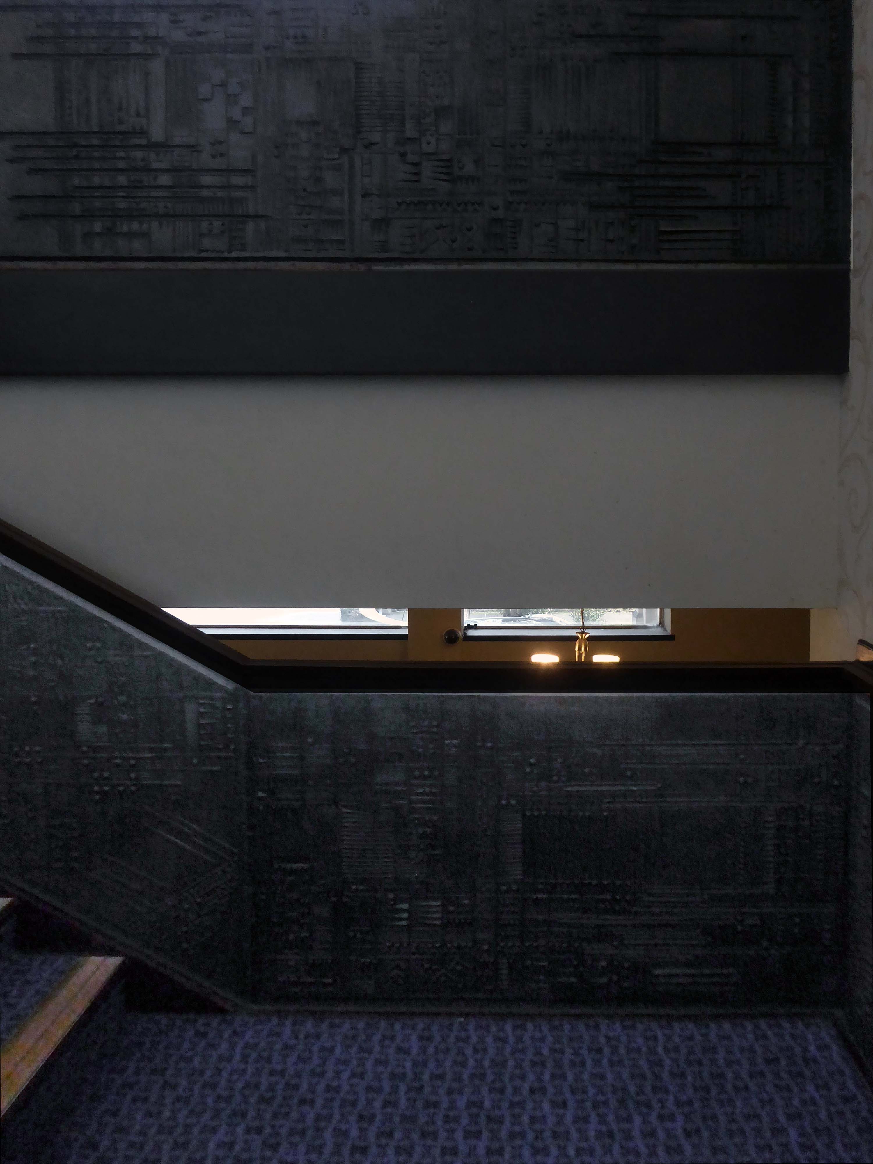
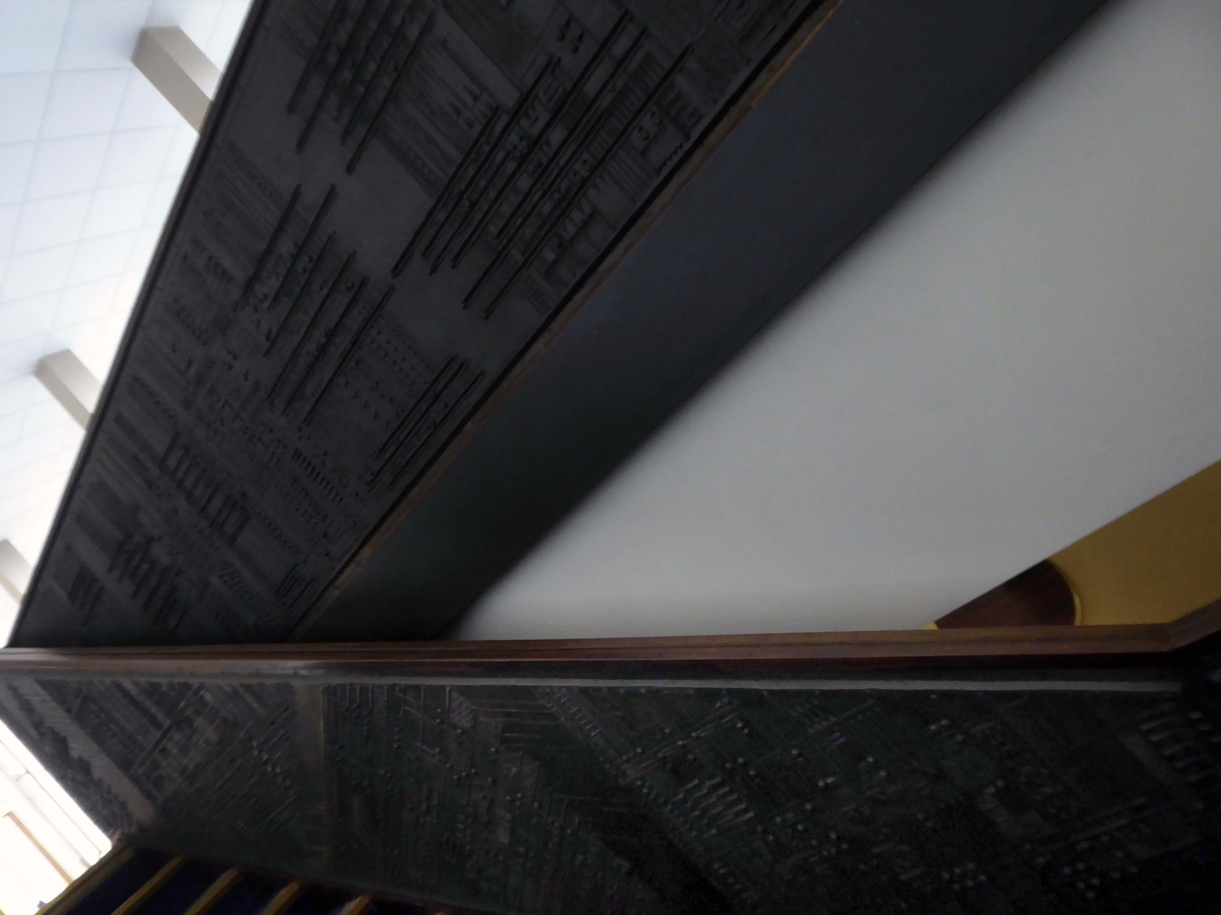
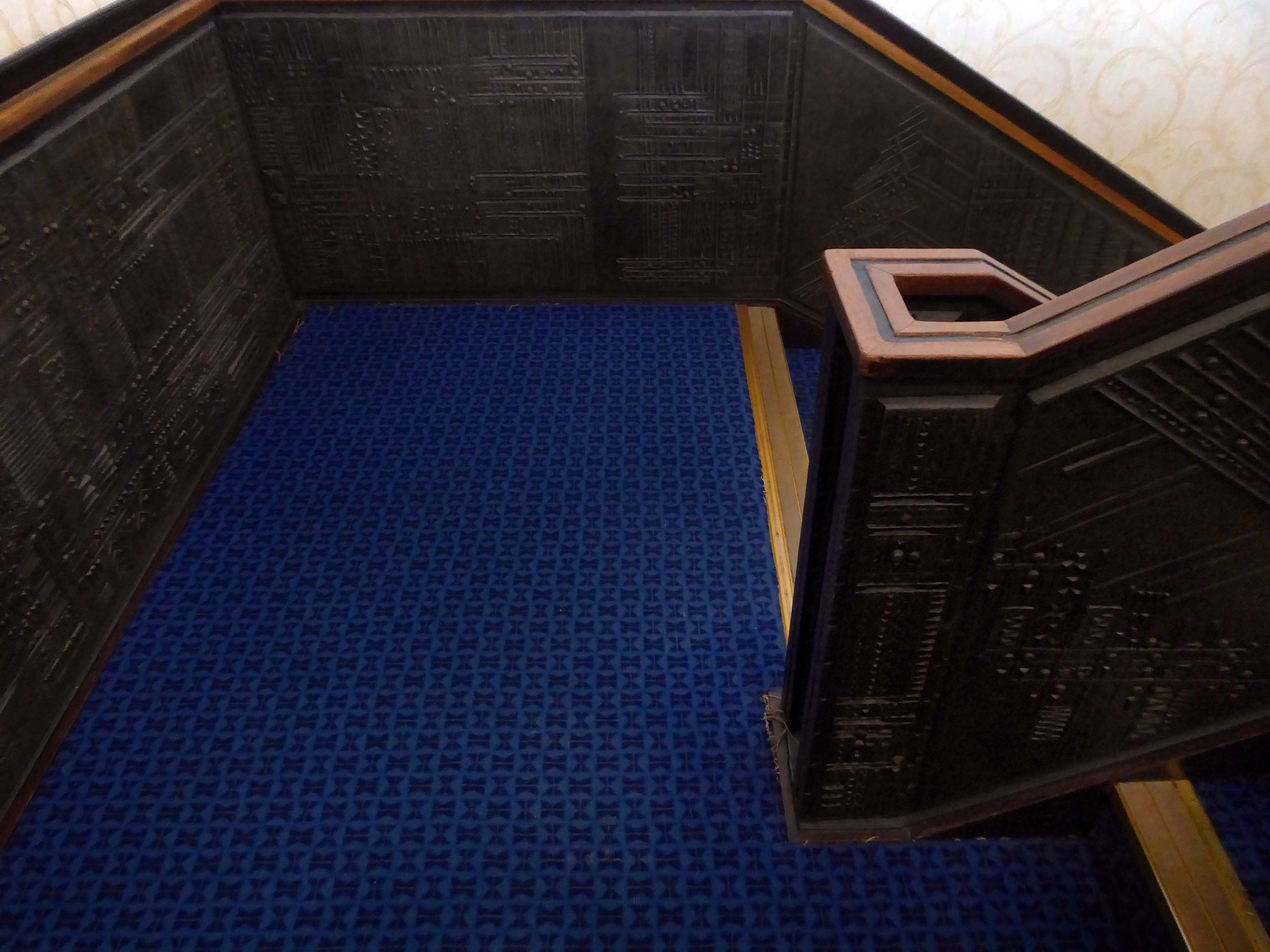
These are the constituent panels.
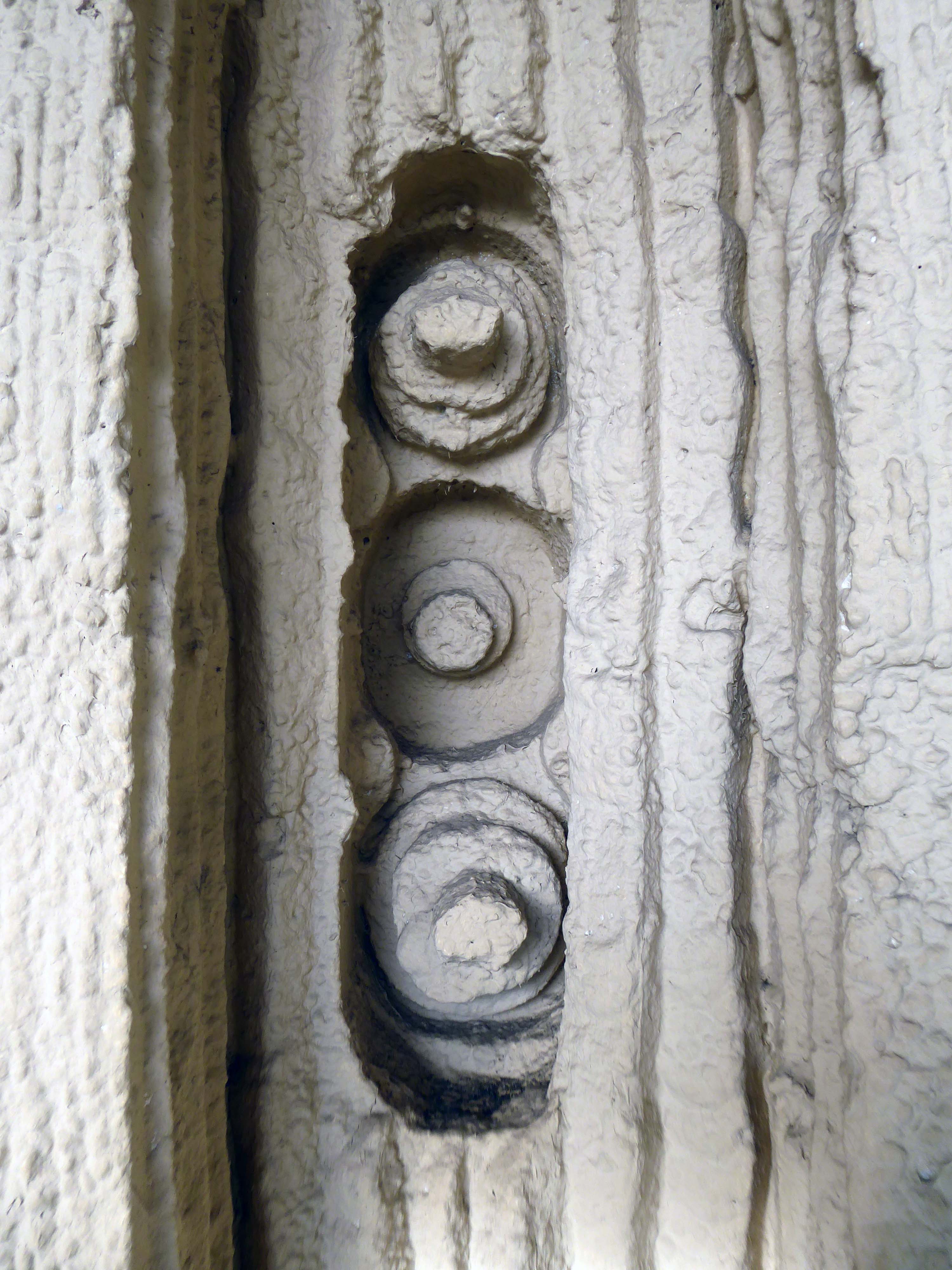
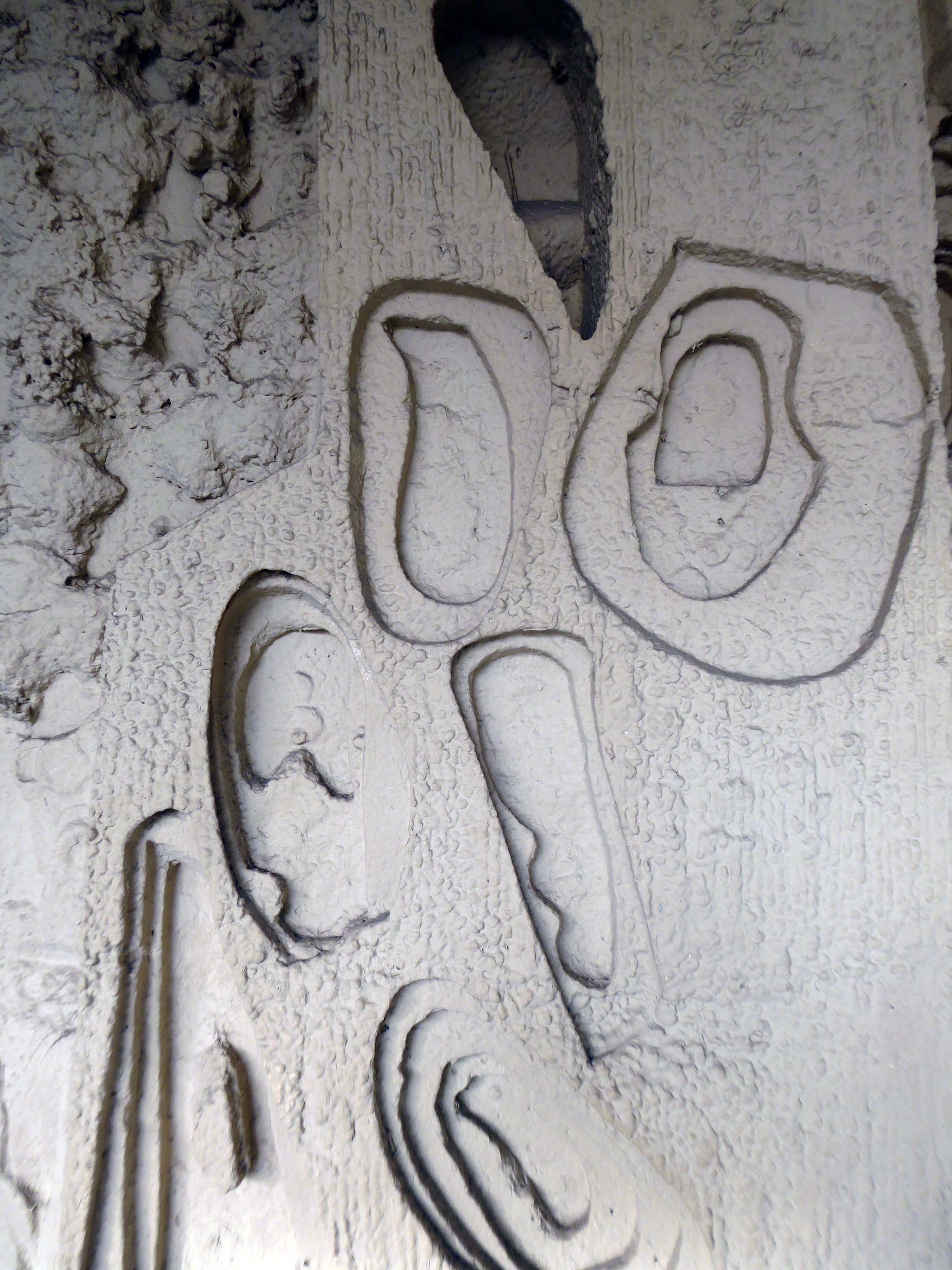
These are the details.
Having been asked to speak to the Sheffield University Alumni Women’s Group – on the subject of Modernist Sheffield, I had easy access to the interior space.
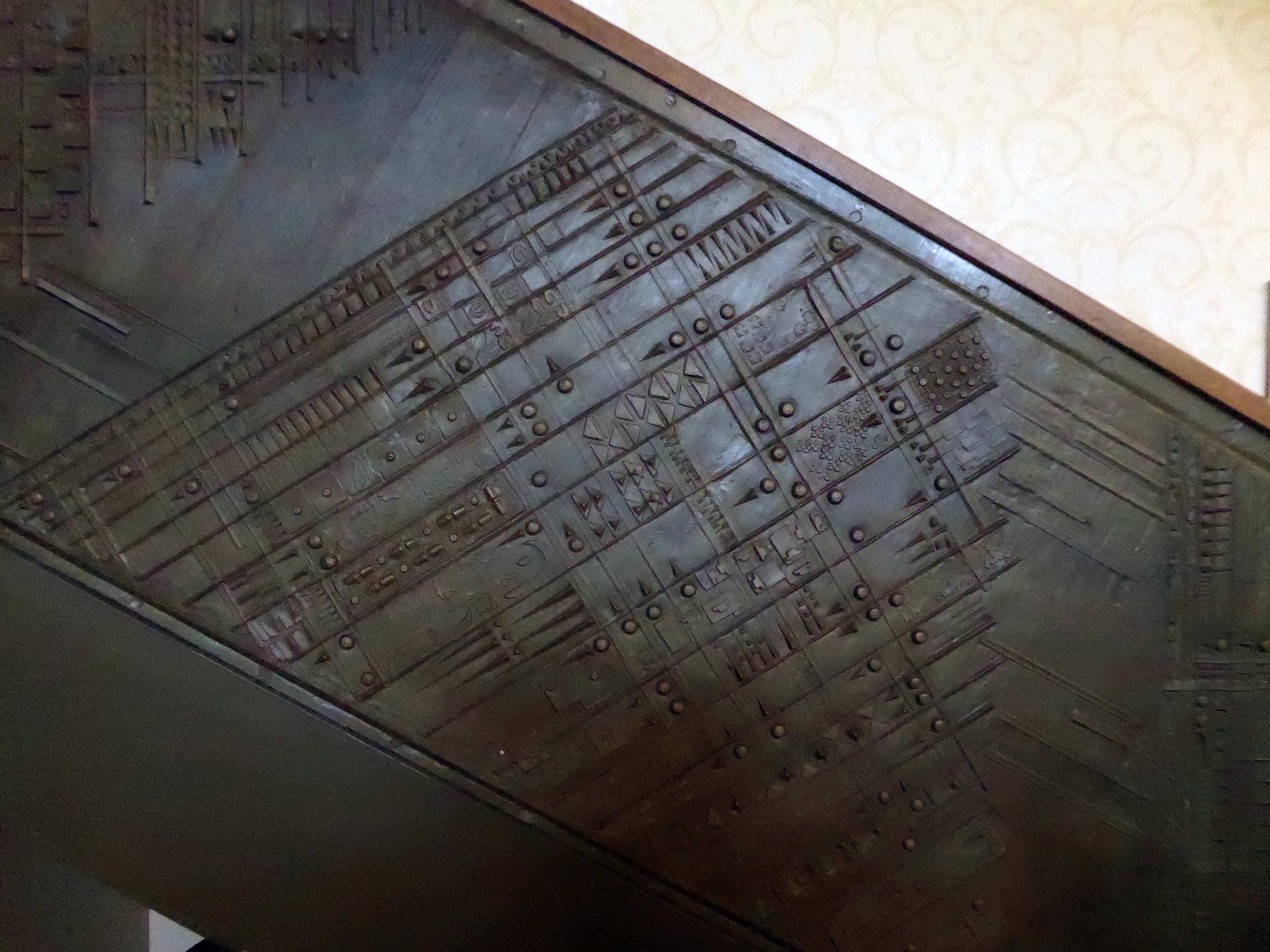
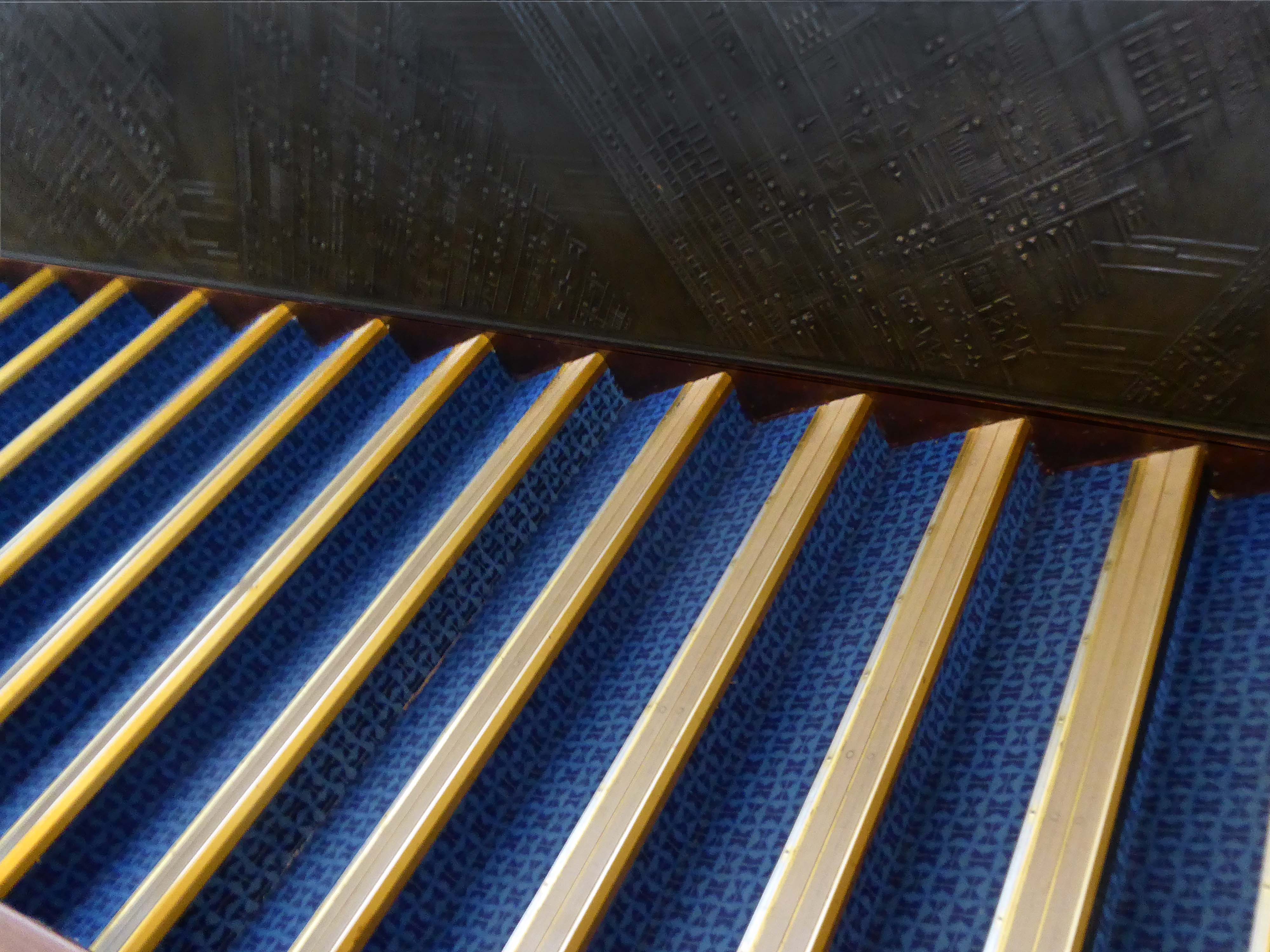
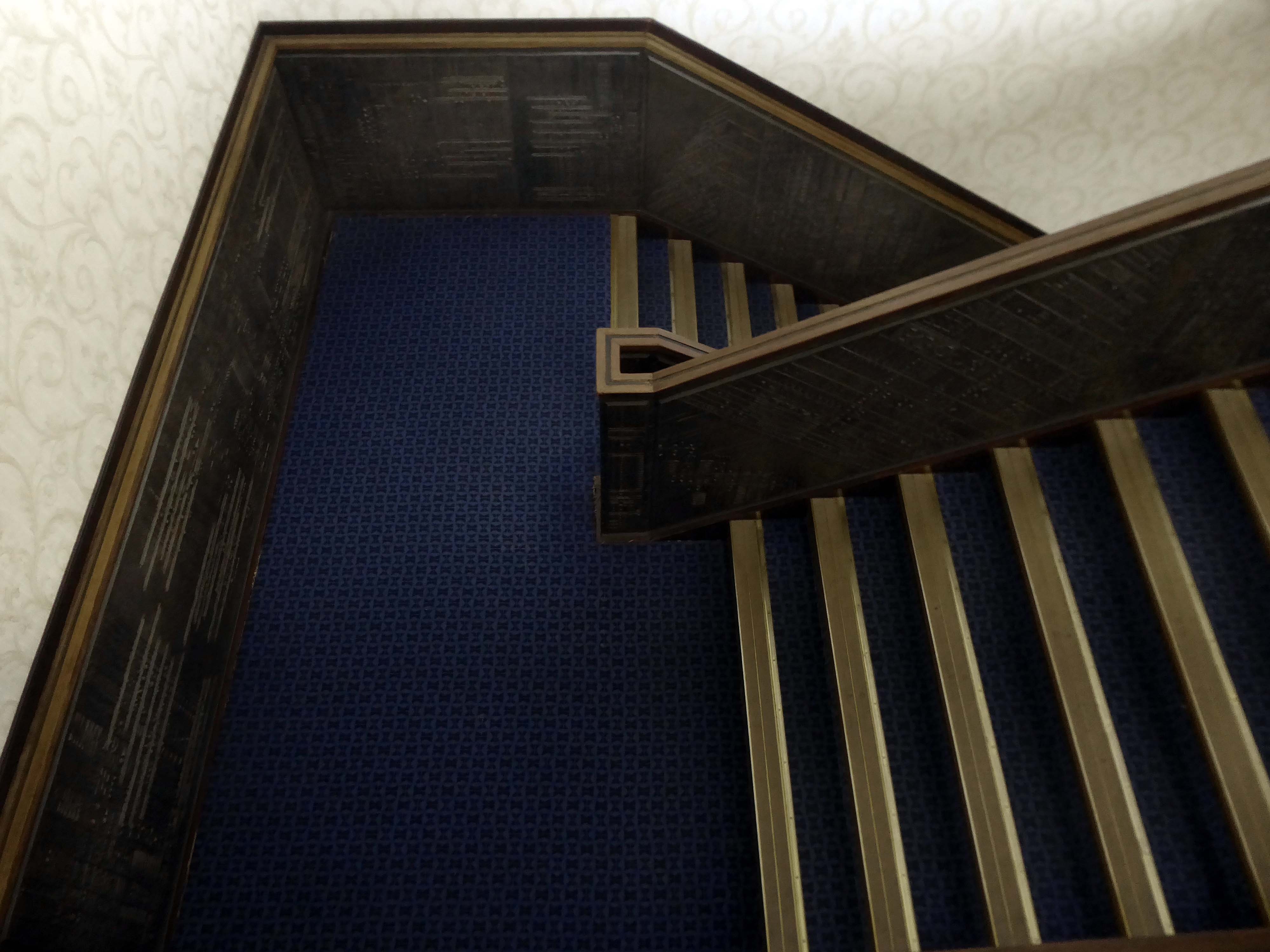
I was ever so excited to discover these decorative panels on the stairway – I assume that they are also the work of William Mitchell.
Nobody knew.
The Masonic Hall is now a venue in addition to being a Masonic Hall.
Vickers was a successful miller who invested his money in the railway industry. In 1828 he garnered control of his father-in-law’s steel foundry business, formerly Naylor & Sanderson, and renamed it Naylor Vickers & Co. He went on to be Alderman and the Mayor of Sheffield and was the first President of the Sheffield Chamber of Commerce before he died in 1897.
The A5103 is a major thoroughfare running south from Piccadilly Gardens in Manchester city centre to the M56 in Northenden. The road is two-lane dual carriageway with a few grade-separated junctions. It is used by many as a link to the airport and to the motorway network south.
The road starts at Piccadilly Gardens where it meets the A6. It heads along Portland Street – at one time it ran along the parallel Mosley Street, past fast-food outlets and off-licences and then meets the A34 Oxford Street. It multiplexes with that road north for 200 yards into St Peter’s Square and then turns left into Lower Mosley Street, initially alongside the tramlines and then past the former Manchester Central station, now a conference centre with the same name. The road becomes Albion Street and goes over the Bridgewater Canal and under the railway line east of Deansgate station. The road then meets the A57(M) Mancunian Way at a roundabout interchange. This is where most of the traffic joins and leaves.
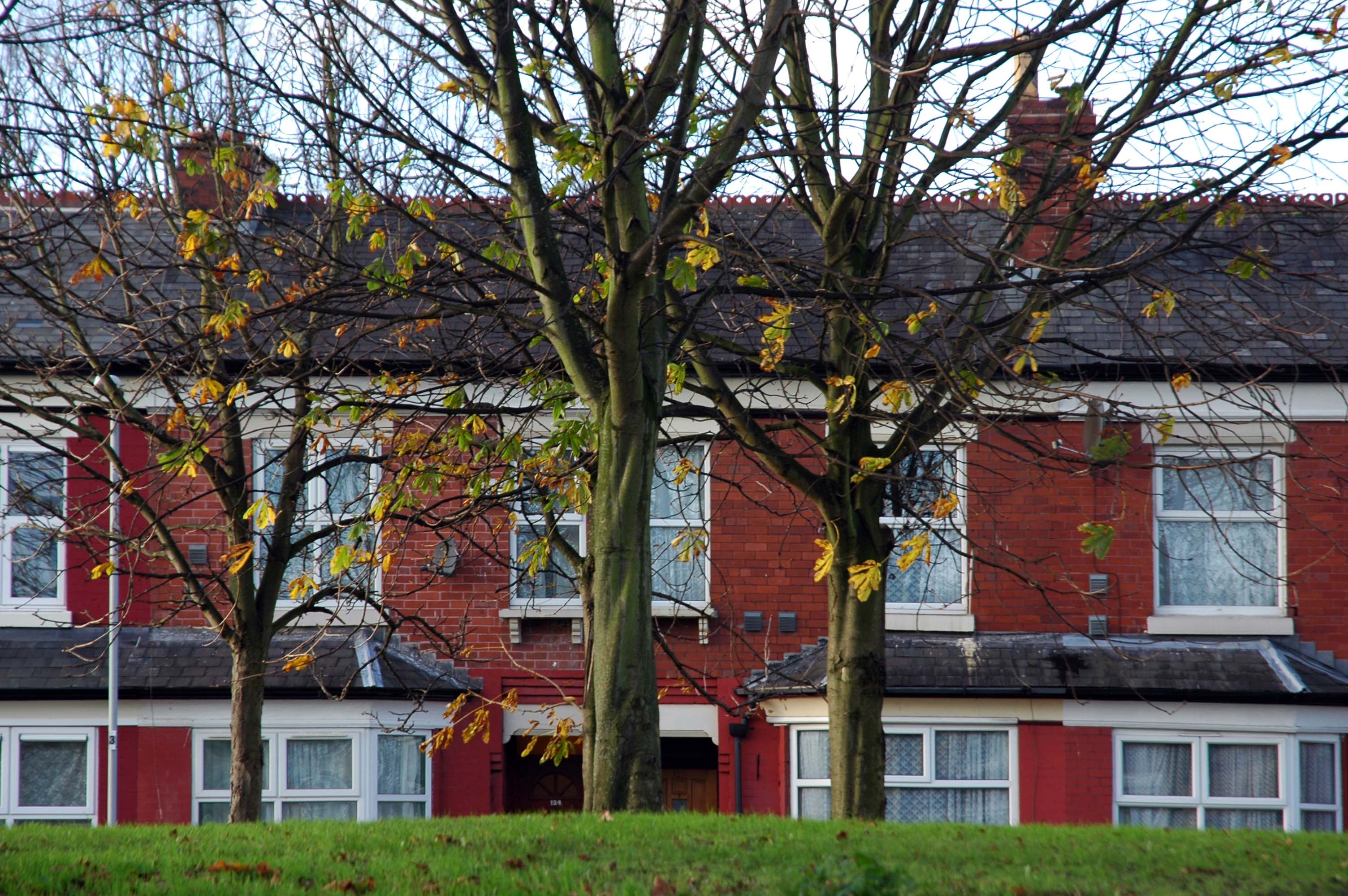
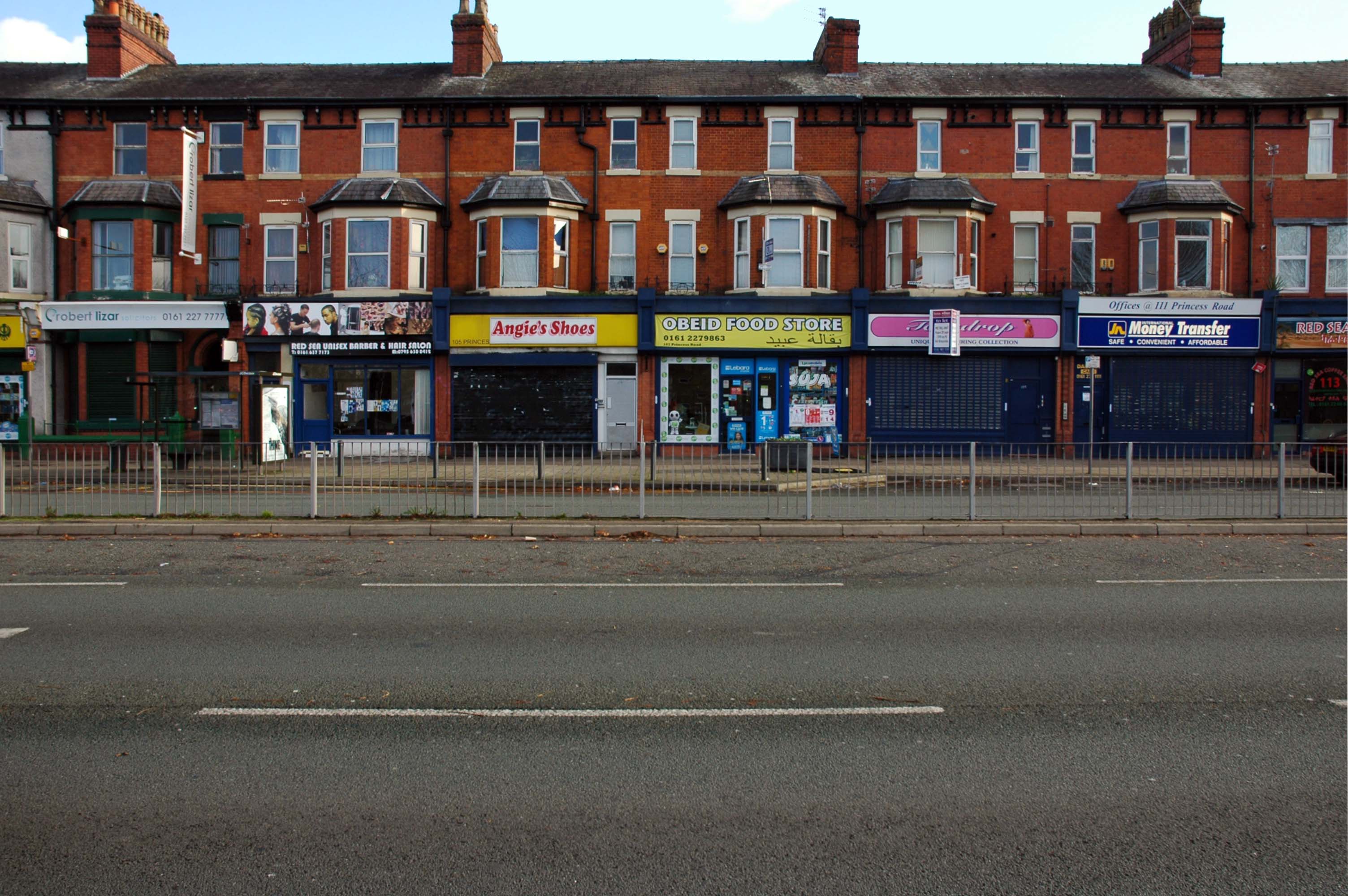
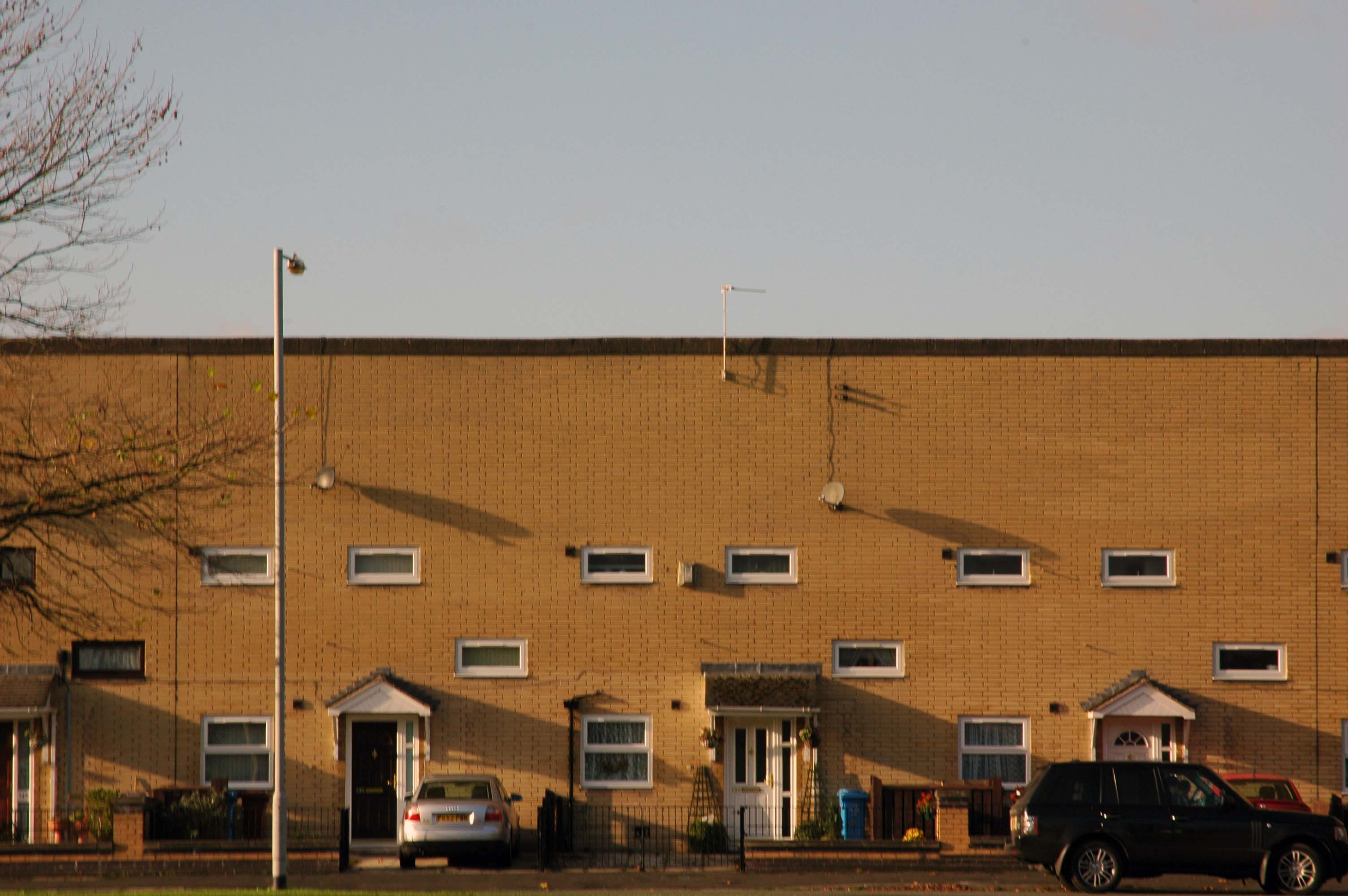
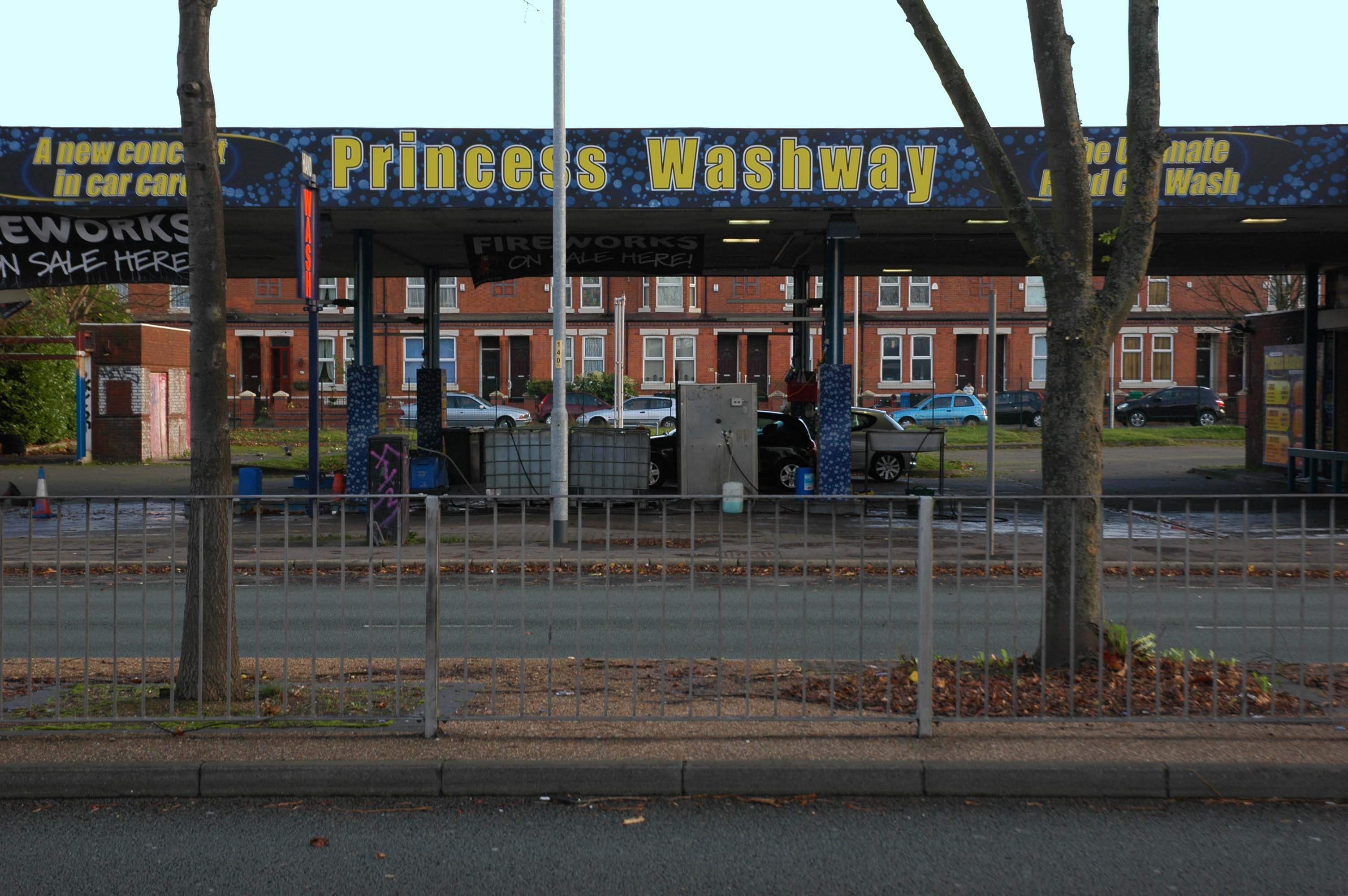
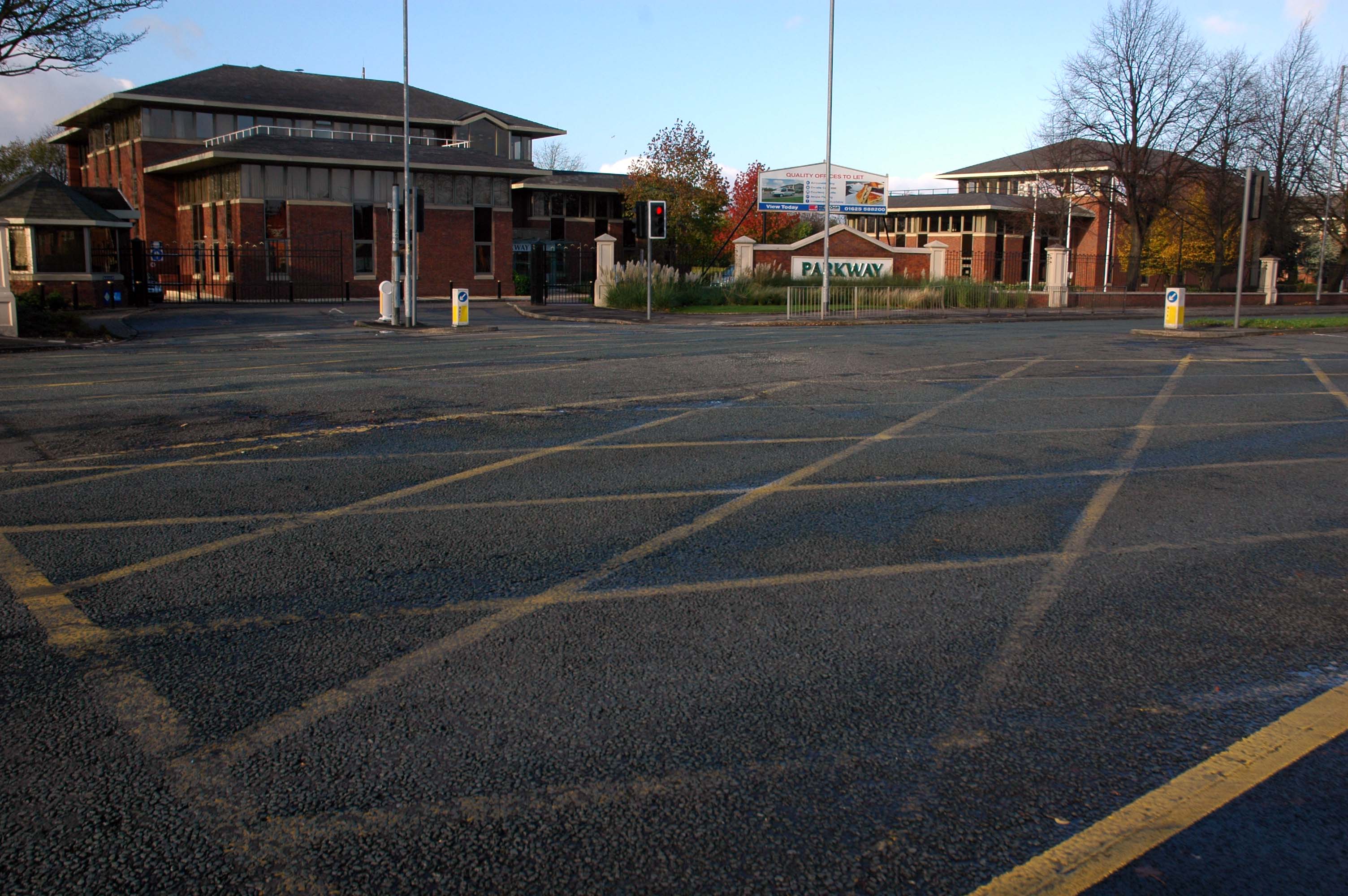
The road is now 2×2 dual carriageway with the name Princess Road. It passes under the Hulme Arch, a grade-separated junction with the A5067, with an unusually large central reservation. This is presumably because of the proposed plans from the 1960s of a motorway. However, after passing under the junction, there are innumerate sets of traffic lights, with the B5219, the A6010 and the A5145, as well as many other unsigned roads. There are also many speed cameras set at 30 mph.
The road picks up pace as we exit the sprawl of South Manchester and the road becomes Princess Parkway, with a 50 mph speed limit. We cross the River Mersey and almost immediately hit the M60 at J5.
Except for the Manchester City Centre section – which was numbered A5068, this road did not exist on classification in 1922. Princess Road was built in 1932 to serve the new southwestern suburbs; initially it ran between the B5219 and A560 and was numbered B5290, with the road later extended north into the A5068 on the southern edge of the city centre and renumbered A5103.
The northern extension through Hulme initially followed previously existing roads, so followed a zigzag route. As part of the road’s upgrade and the reconstruction of Hulme in the 1970s the road was straightened and the original route can no longer be seen. The A5068 was severed around this time with the construction of the A57(M) and the A5103 took on its city-centre section, taking it to the A6.
The A6 is Britain’s fourth longest road. Its route varies greatly from the lower lands of the South East, though the Peak District, right though the heart of Manchester city centre, then onwards towards Preston. It then goes though the historic city of Lancaster before skirting the Eastern fringe of the Lake District before ending in Carlisle, bang on the start of the A7.
North from Stockport towards Manchester, the A6 was a wide, four lane road, but still 30 mph, which usually flowed pretty well. According to Mudge, it looks like it has now been massacred by bus lanes and red paint. Shame. We meet the A57 from the east, just south of the city centre, and multiplex until we reach Mancunian Way, the A57 heading off as a short urban motorway, the A6 heading into the city centre via London Road/Piccadily, where it loses its number and vanishes. It would have gone straight down Piccadily/Market Street to meet Deansgate, and then across the River Irwell into Salford, and up Chapel Street, where the number reappears. Market Street has been pedestrianised for years, so the A6 has long ceased to be a through route.