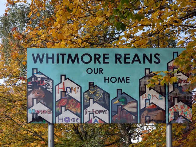
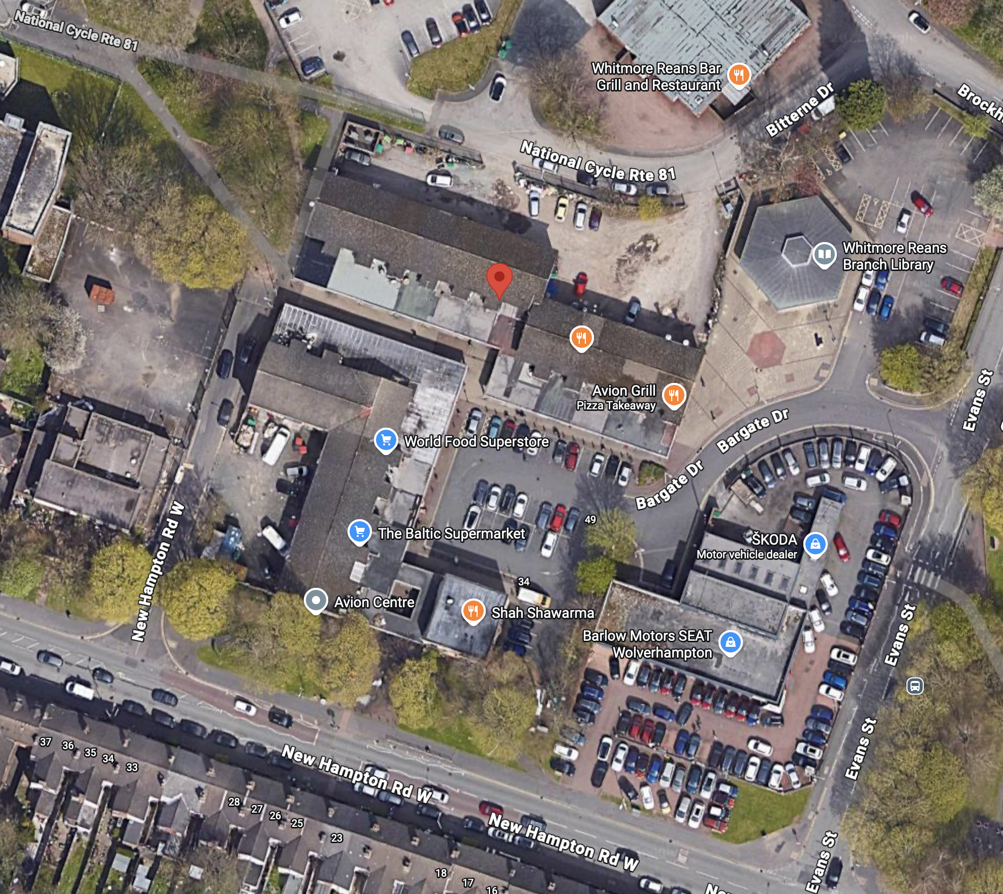
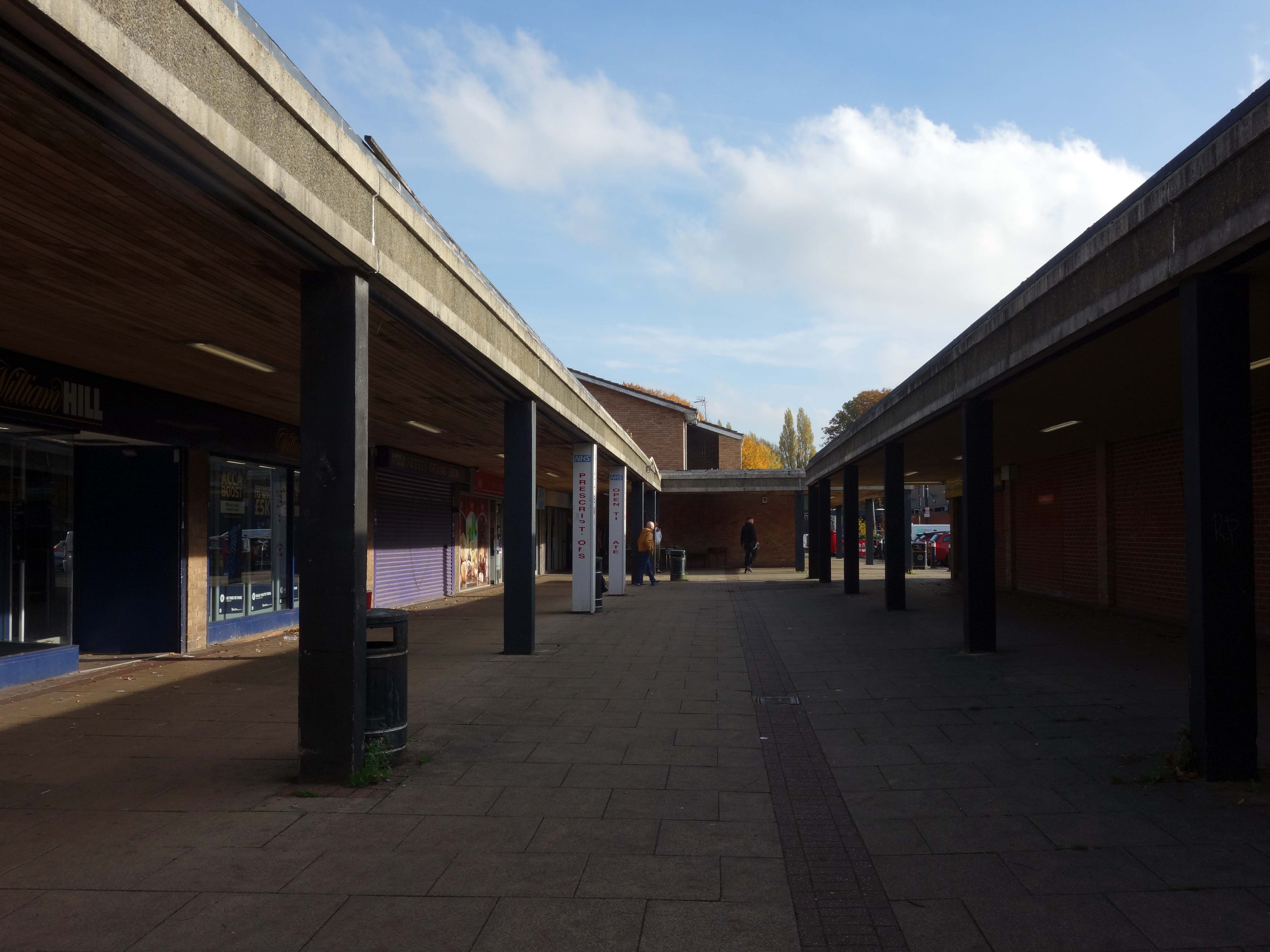
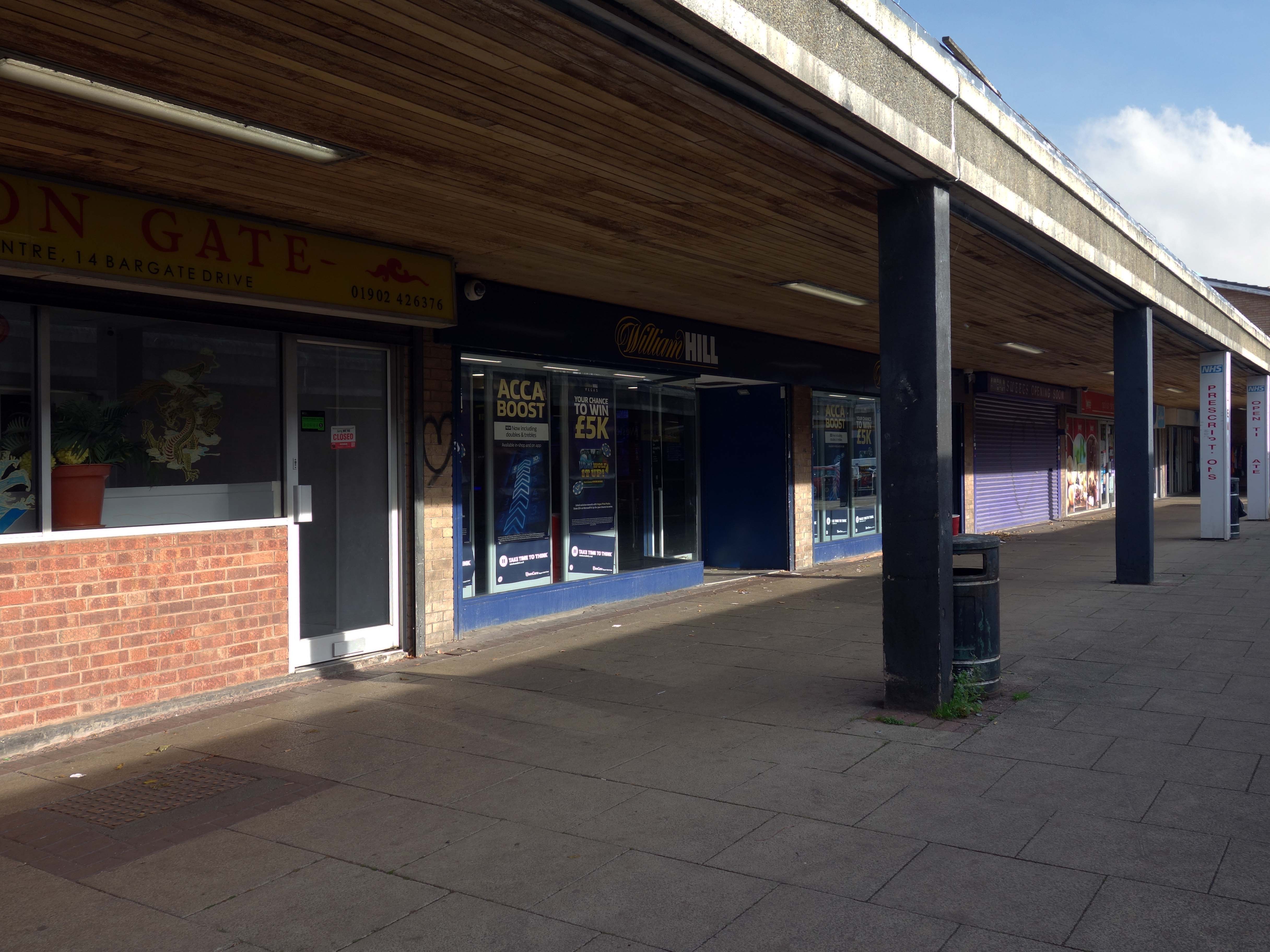
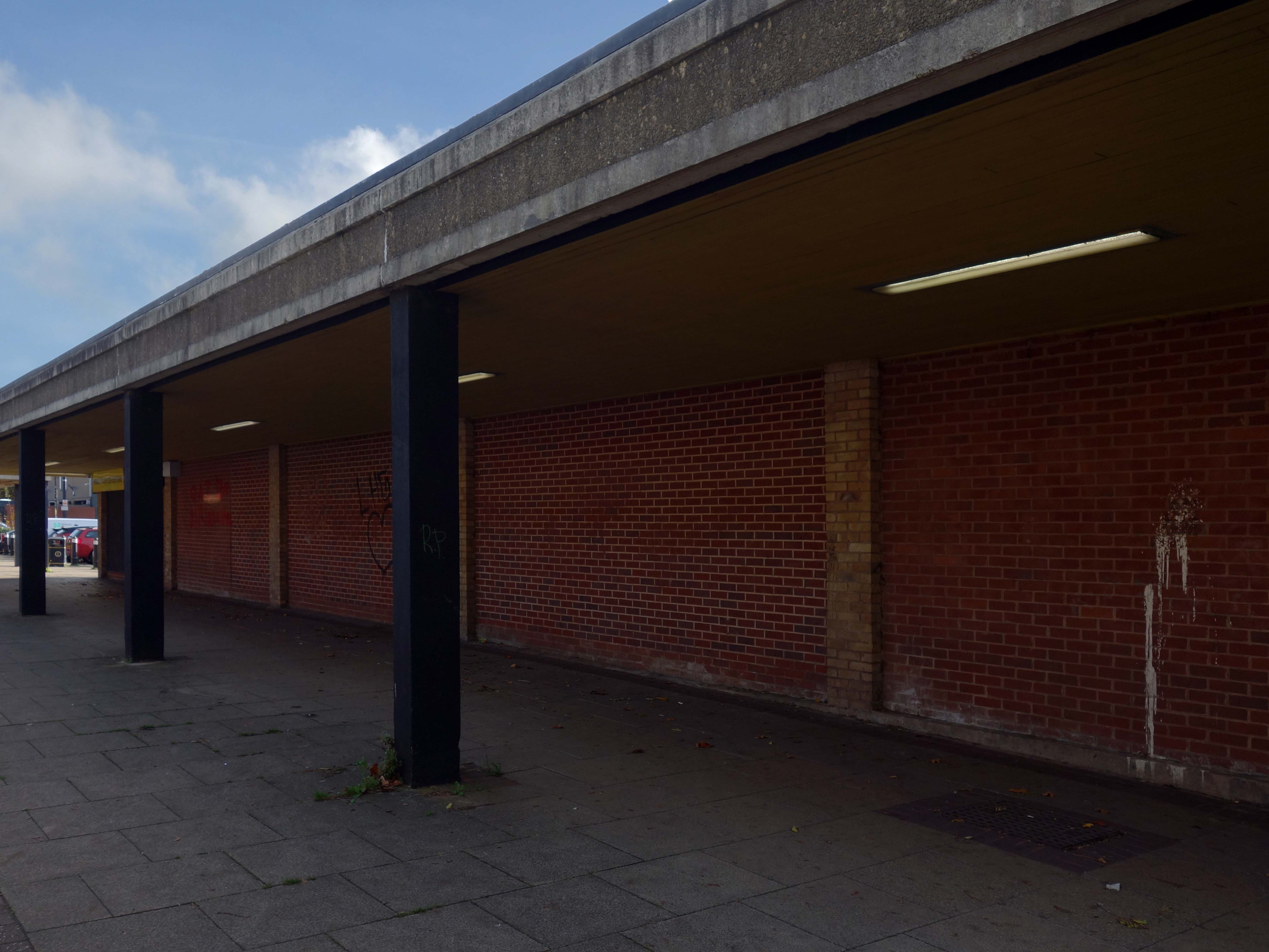
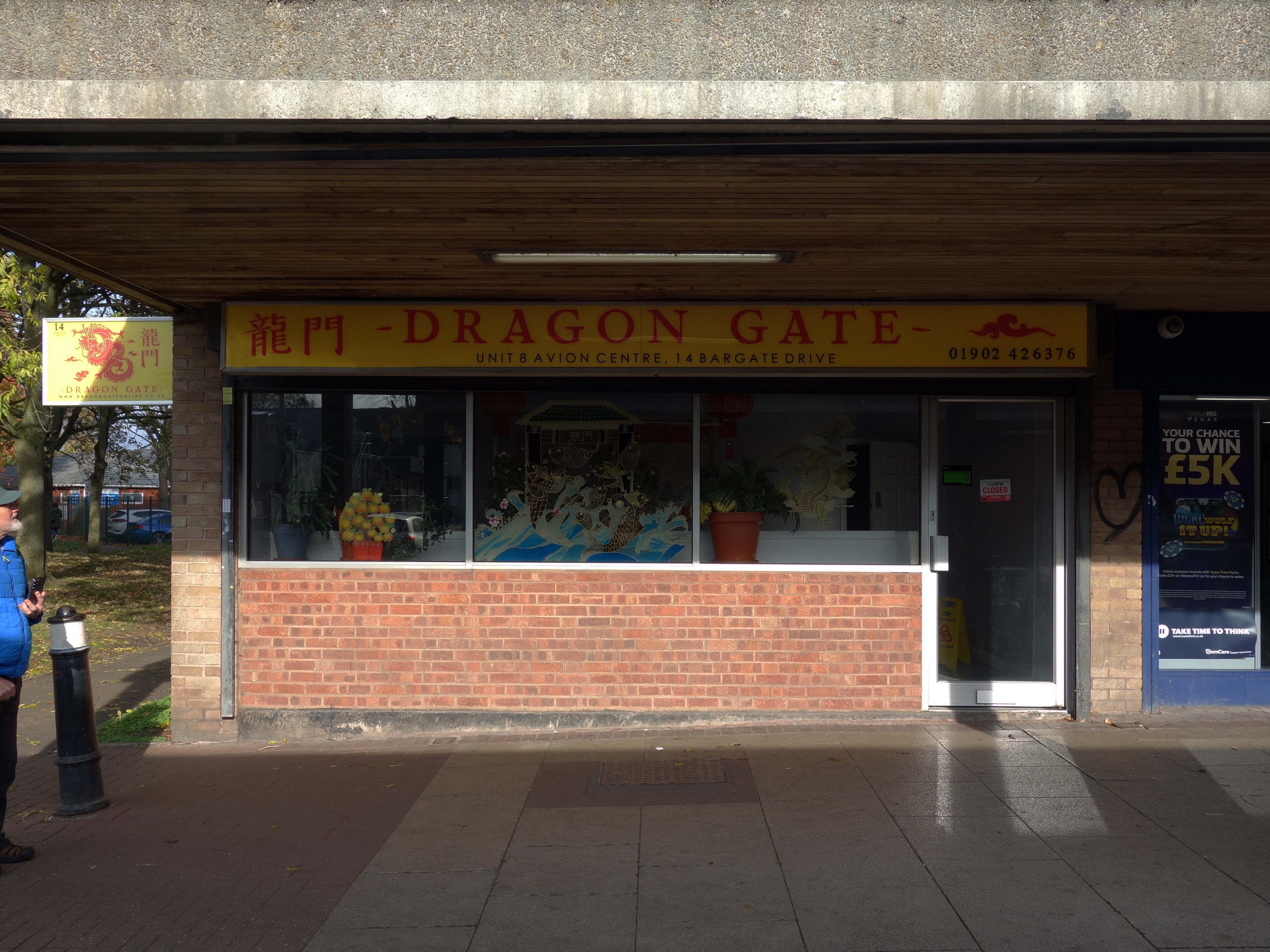
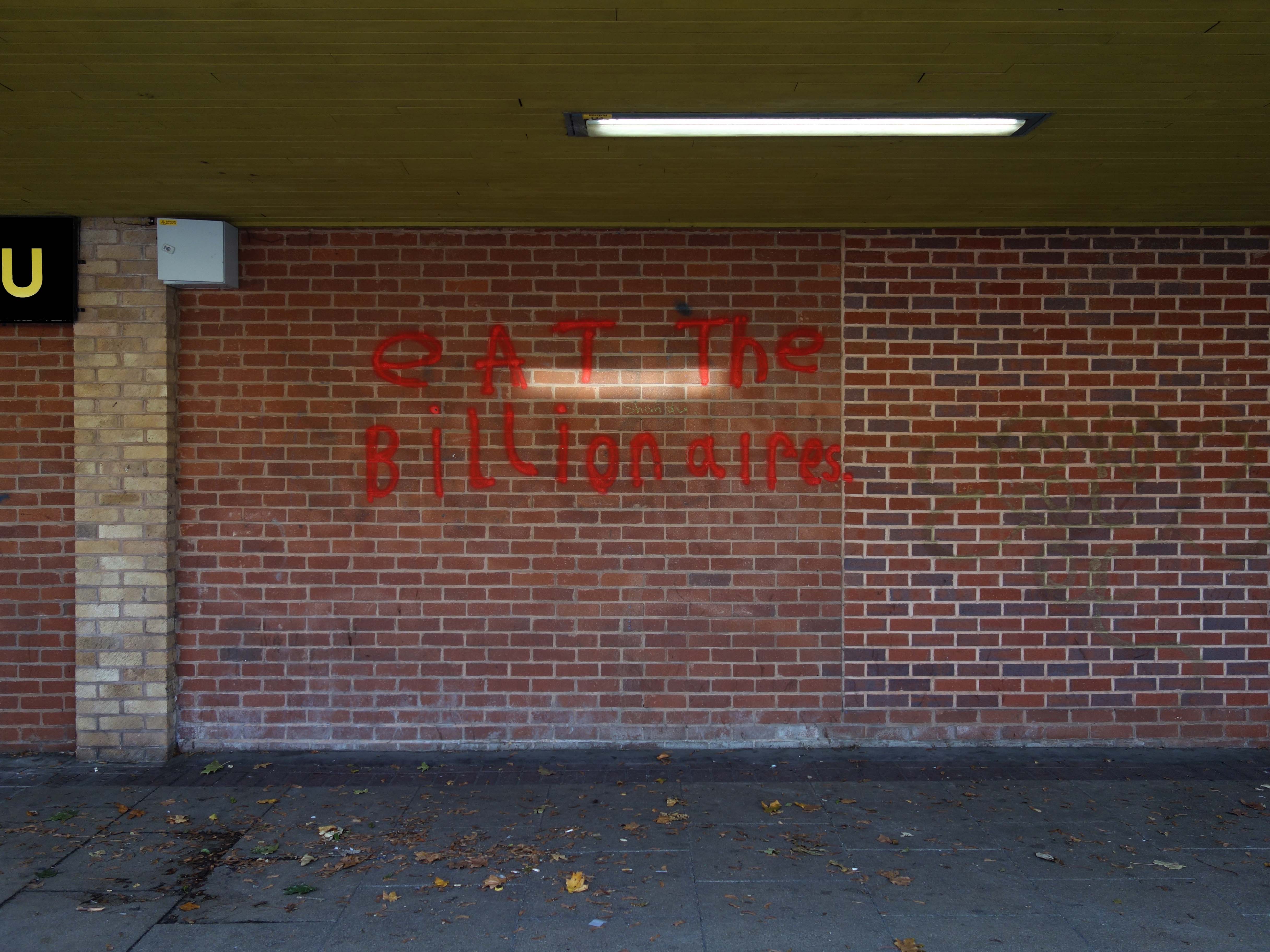
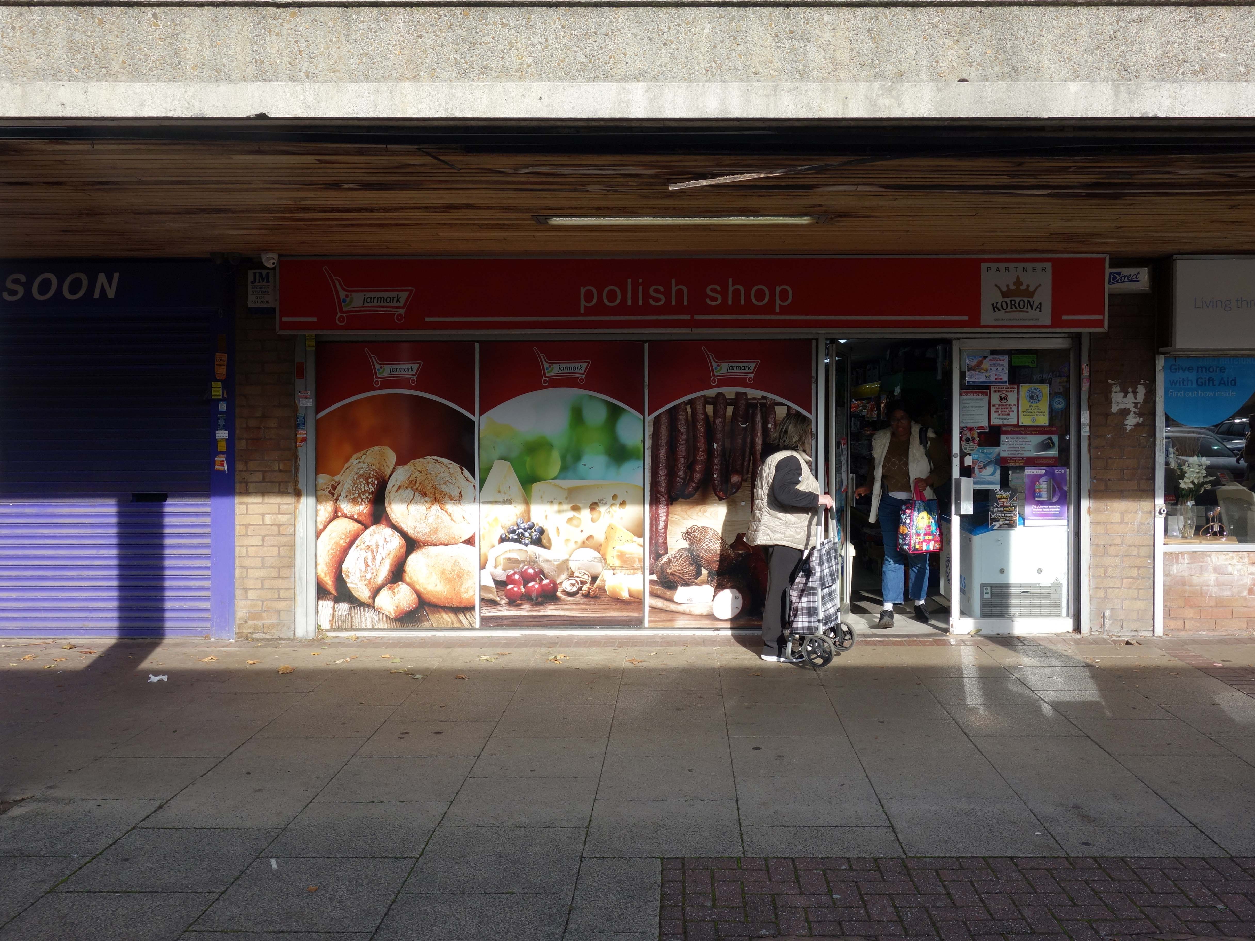
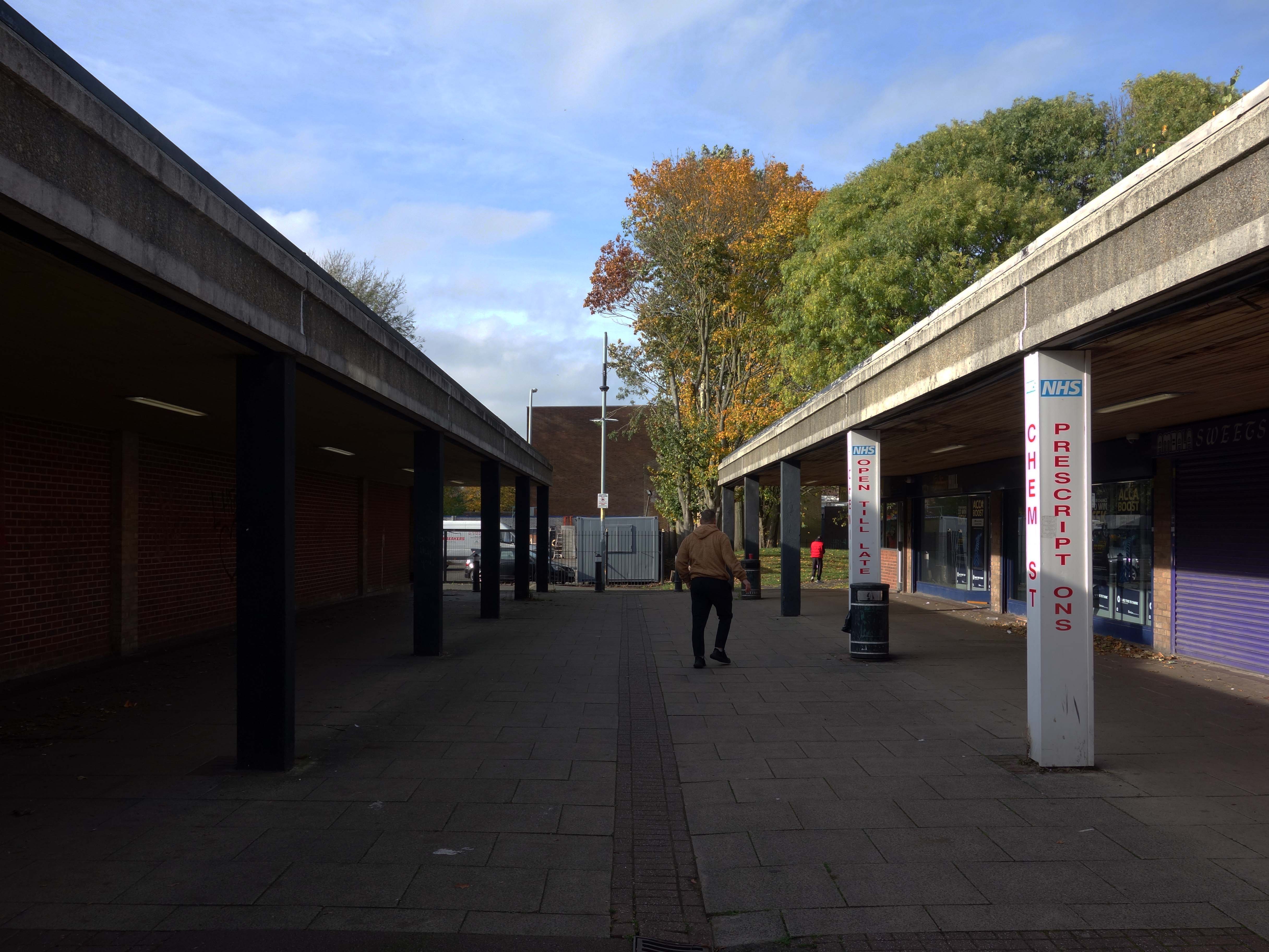
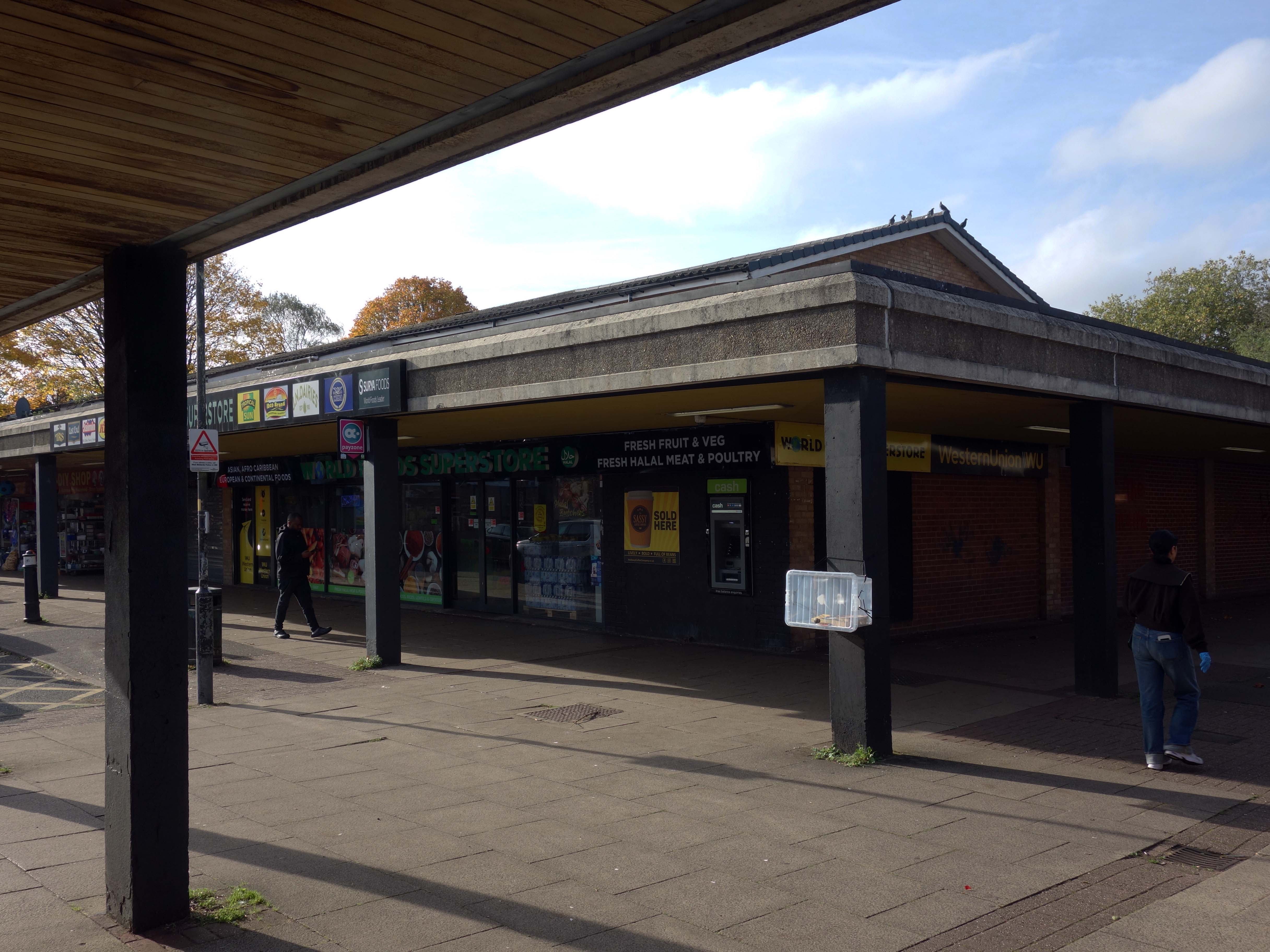
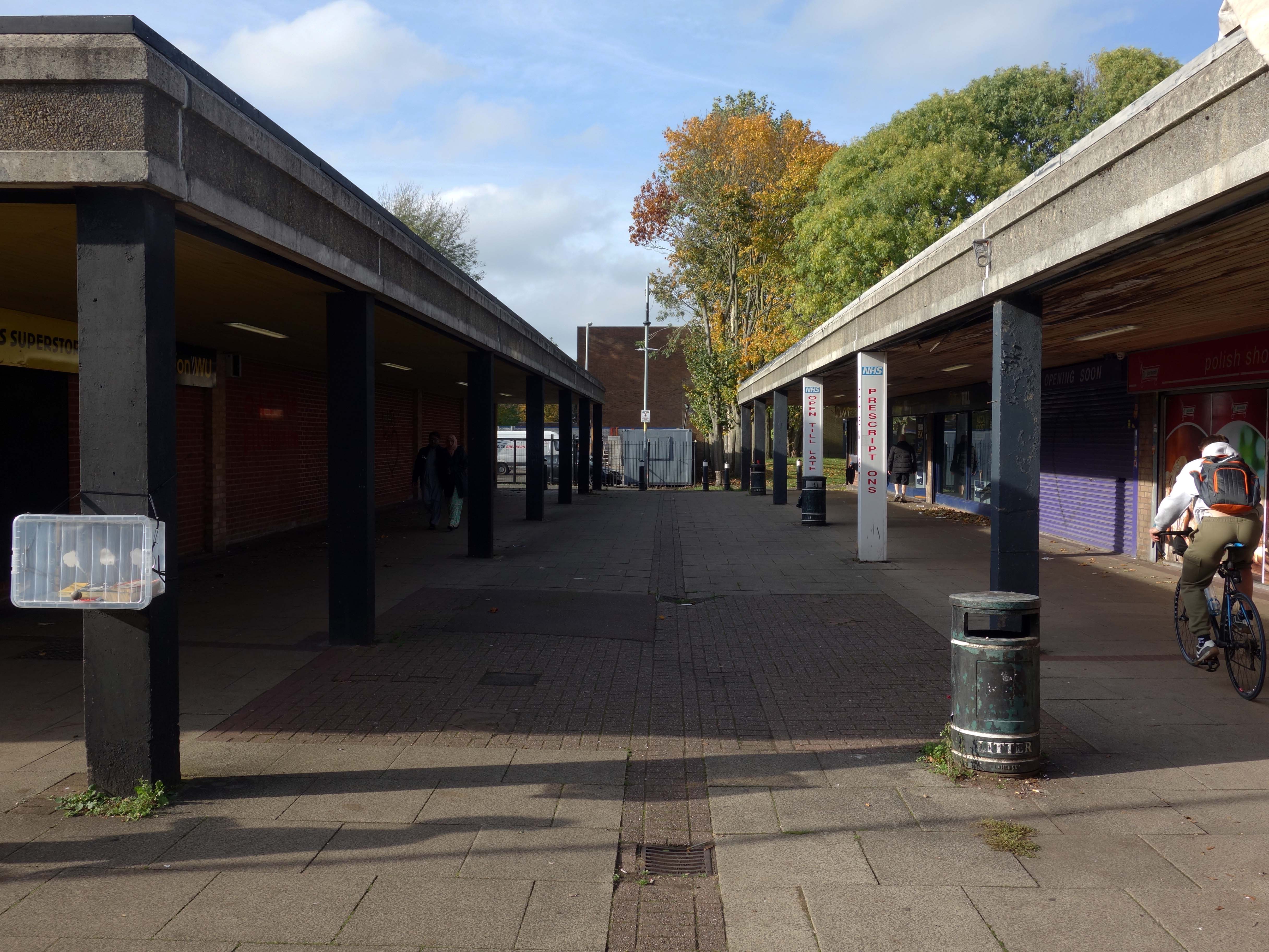
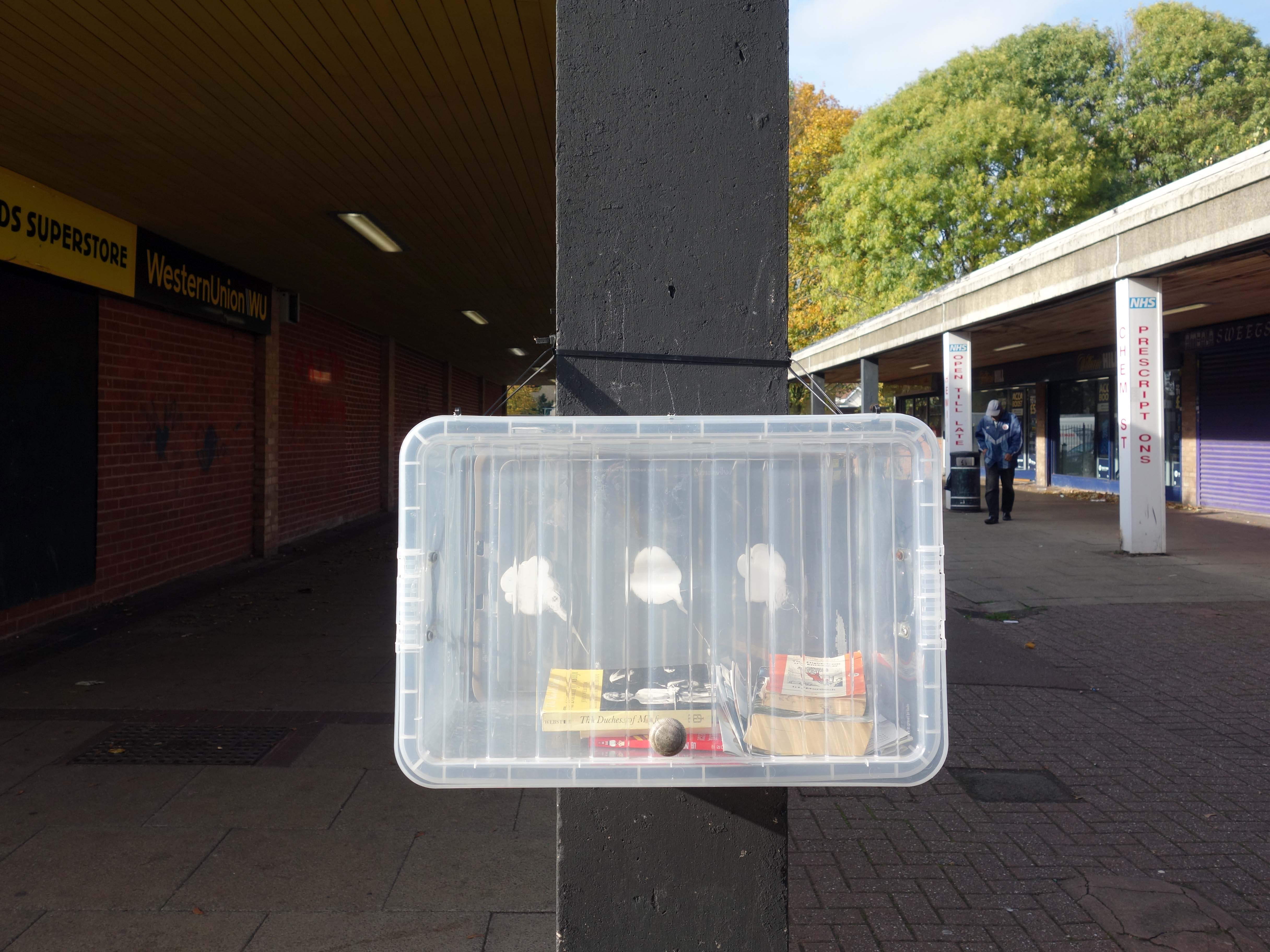
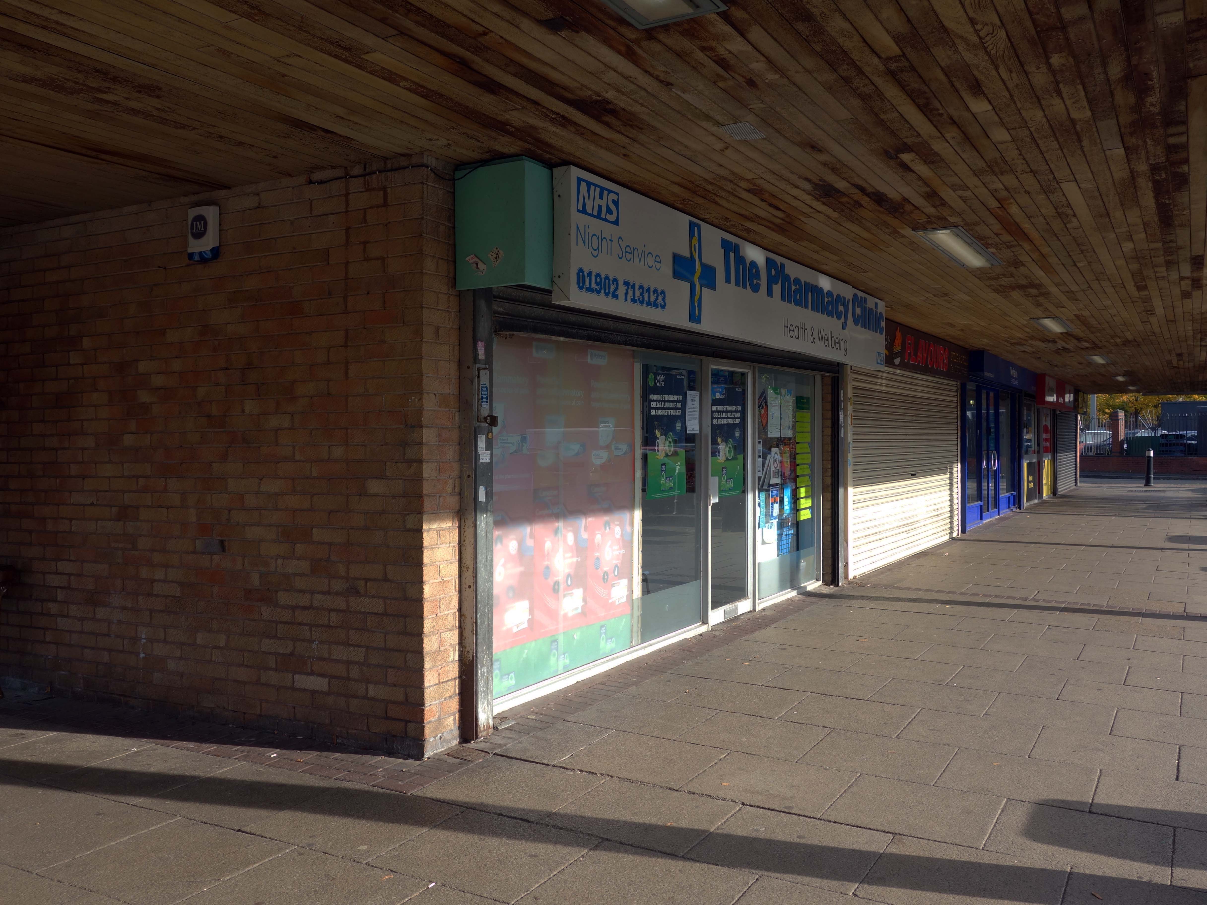
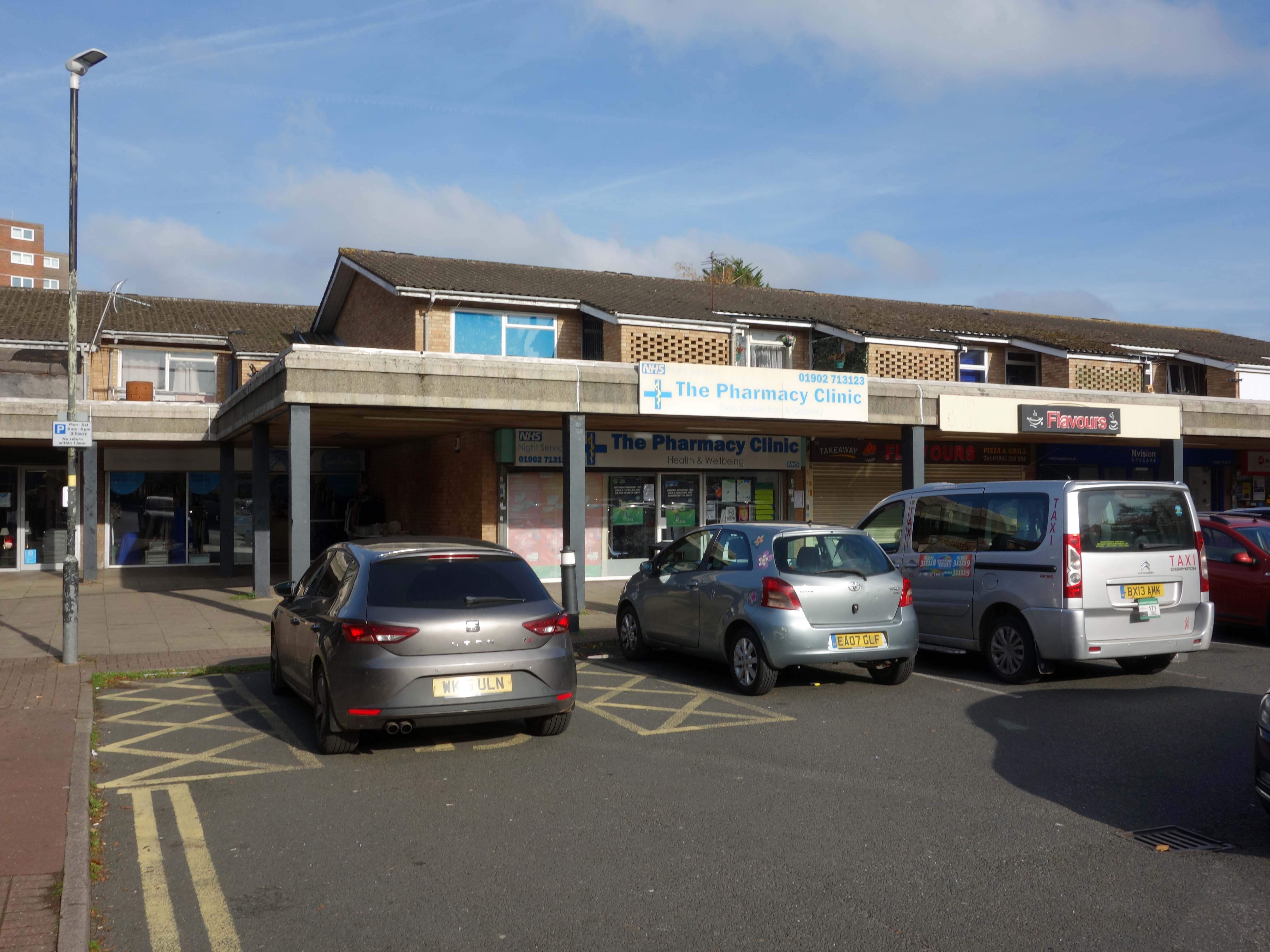
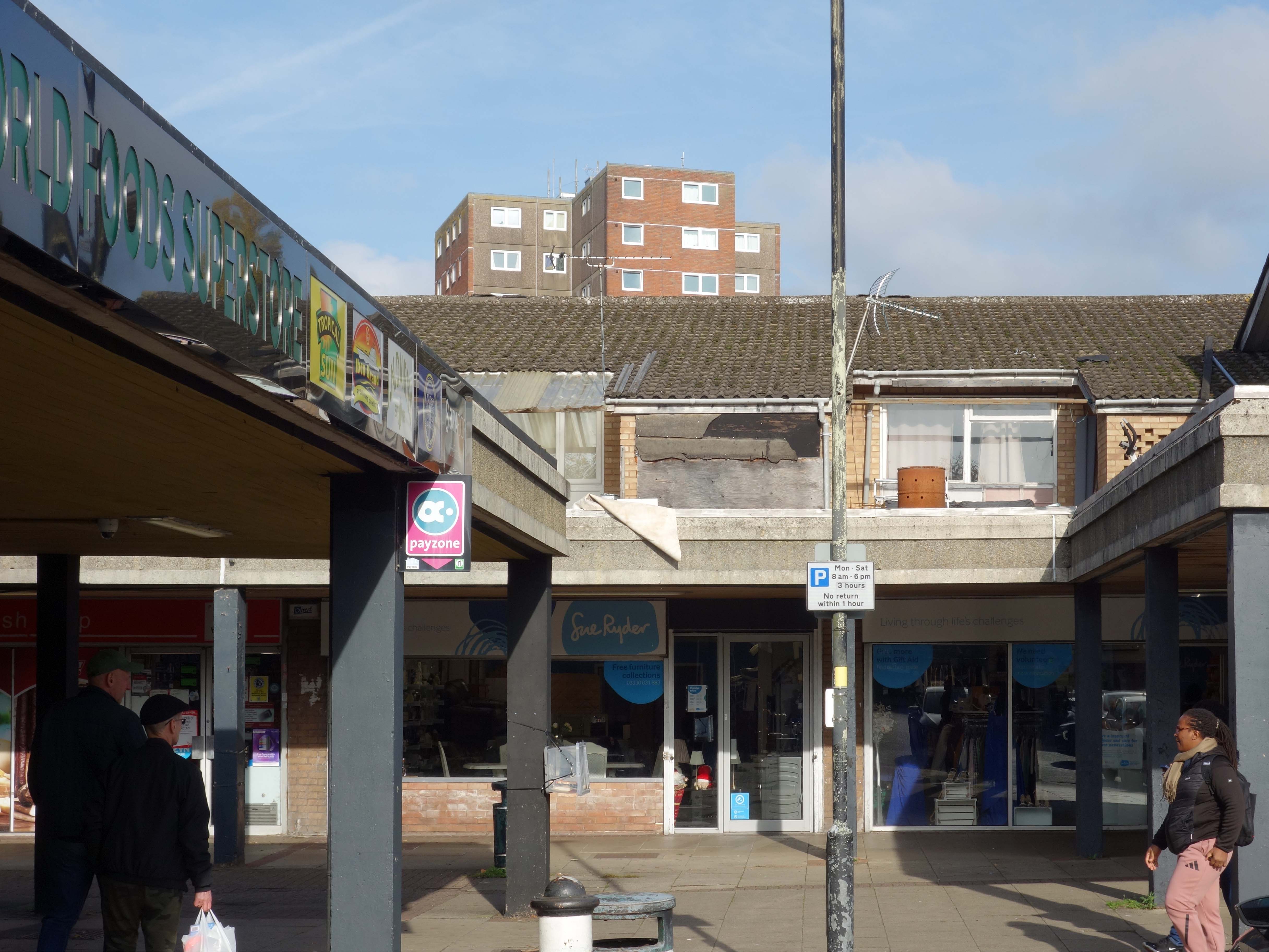
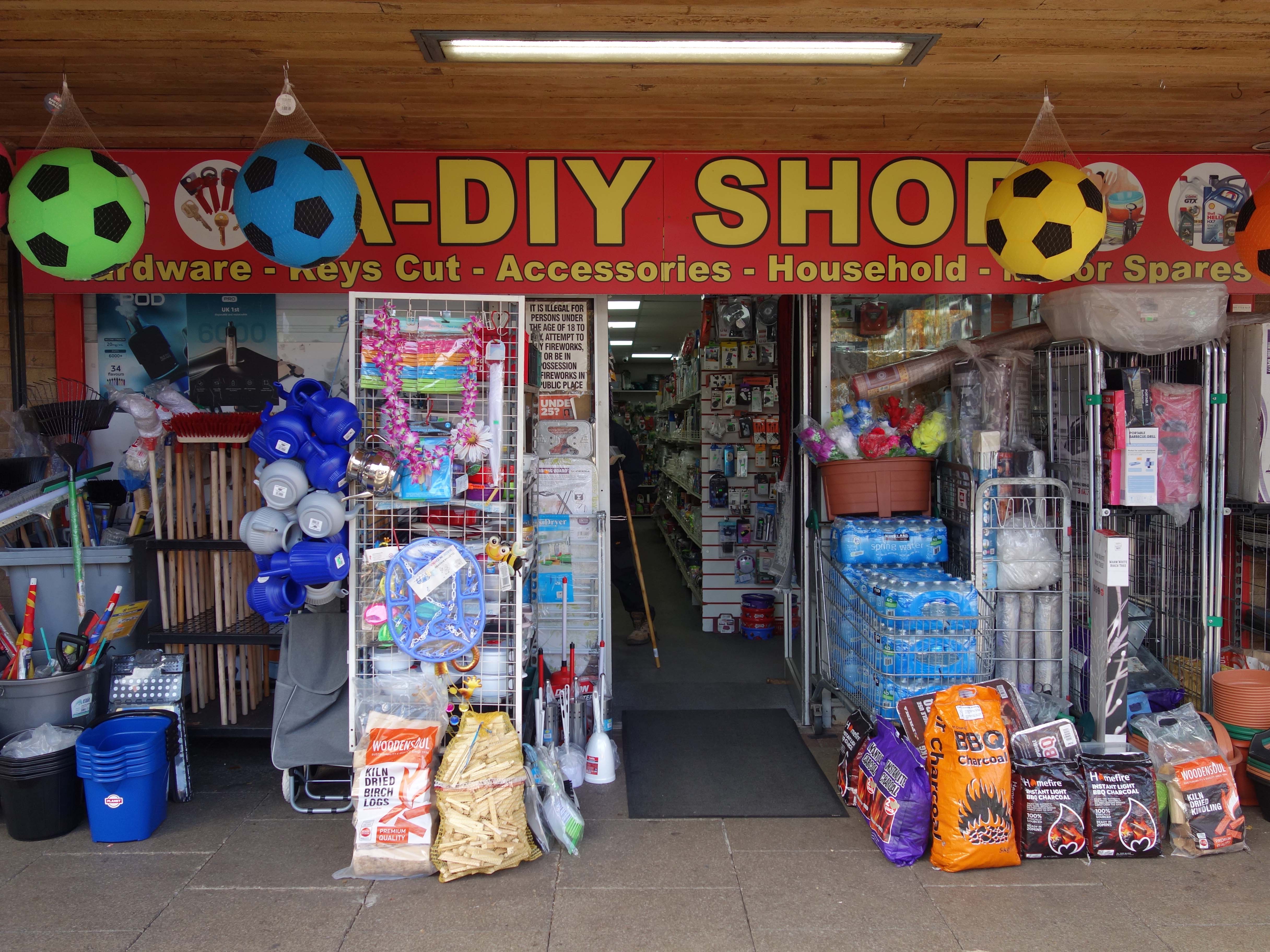
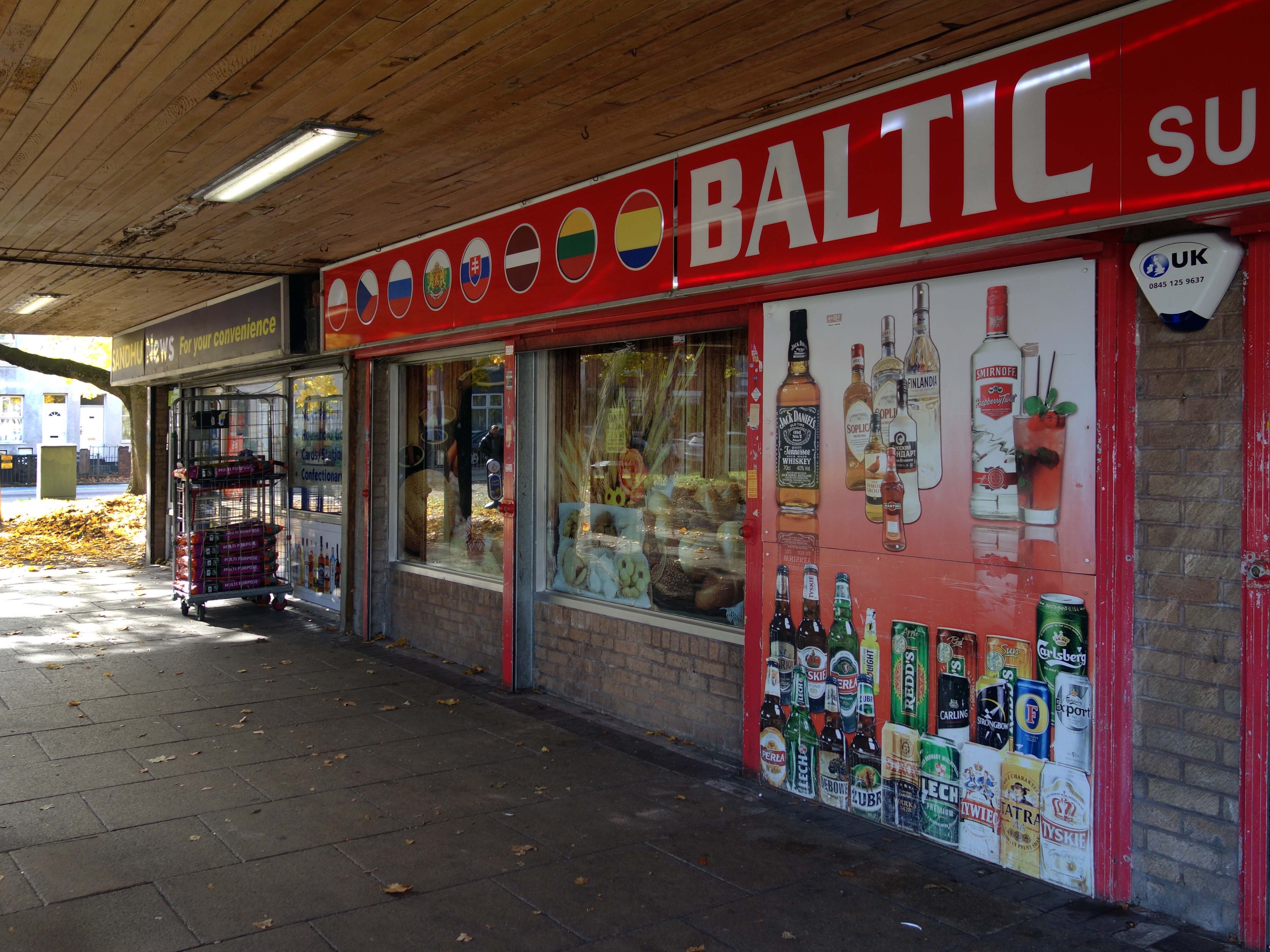
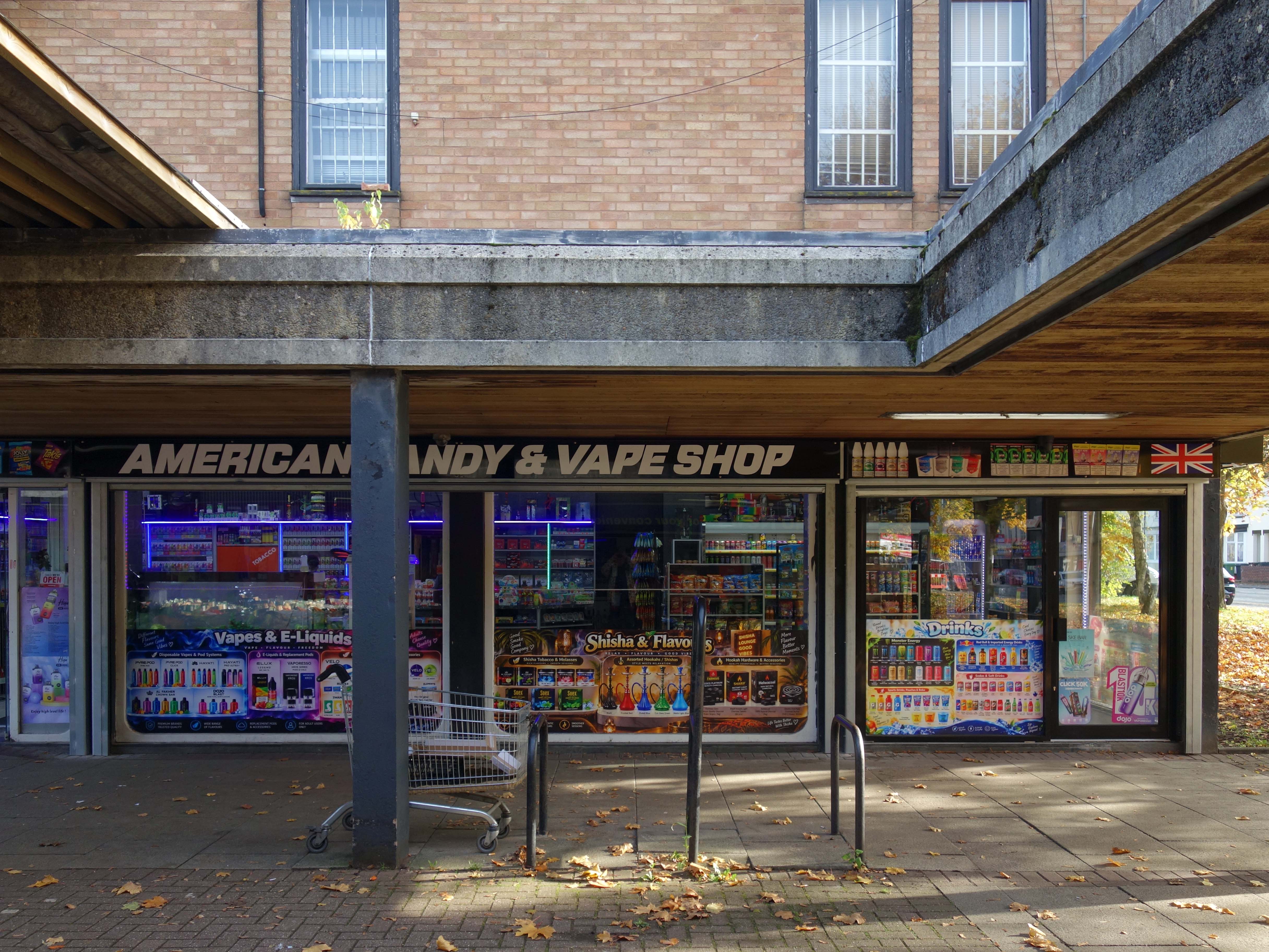
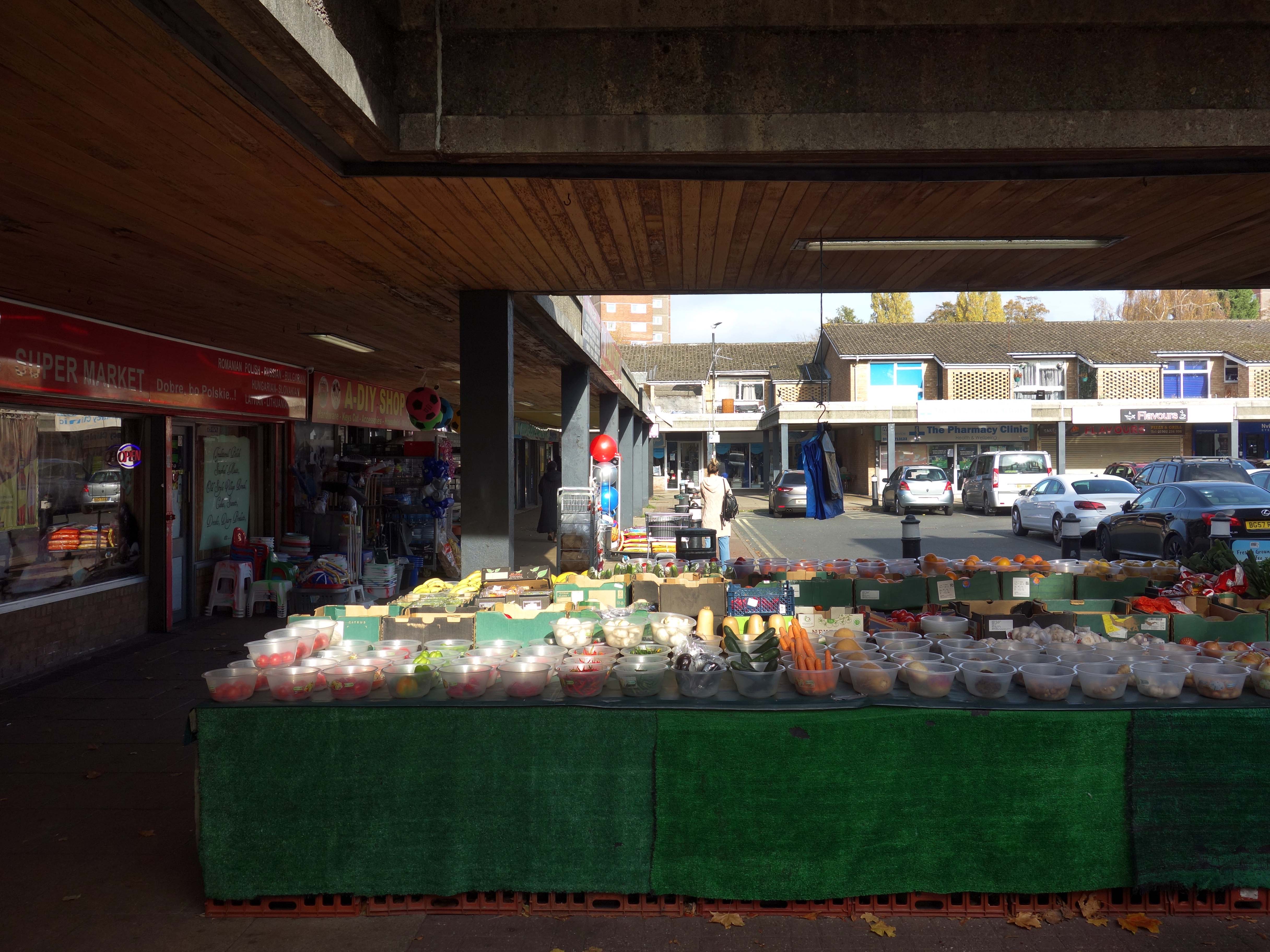
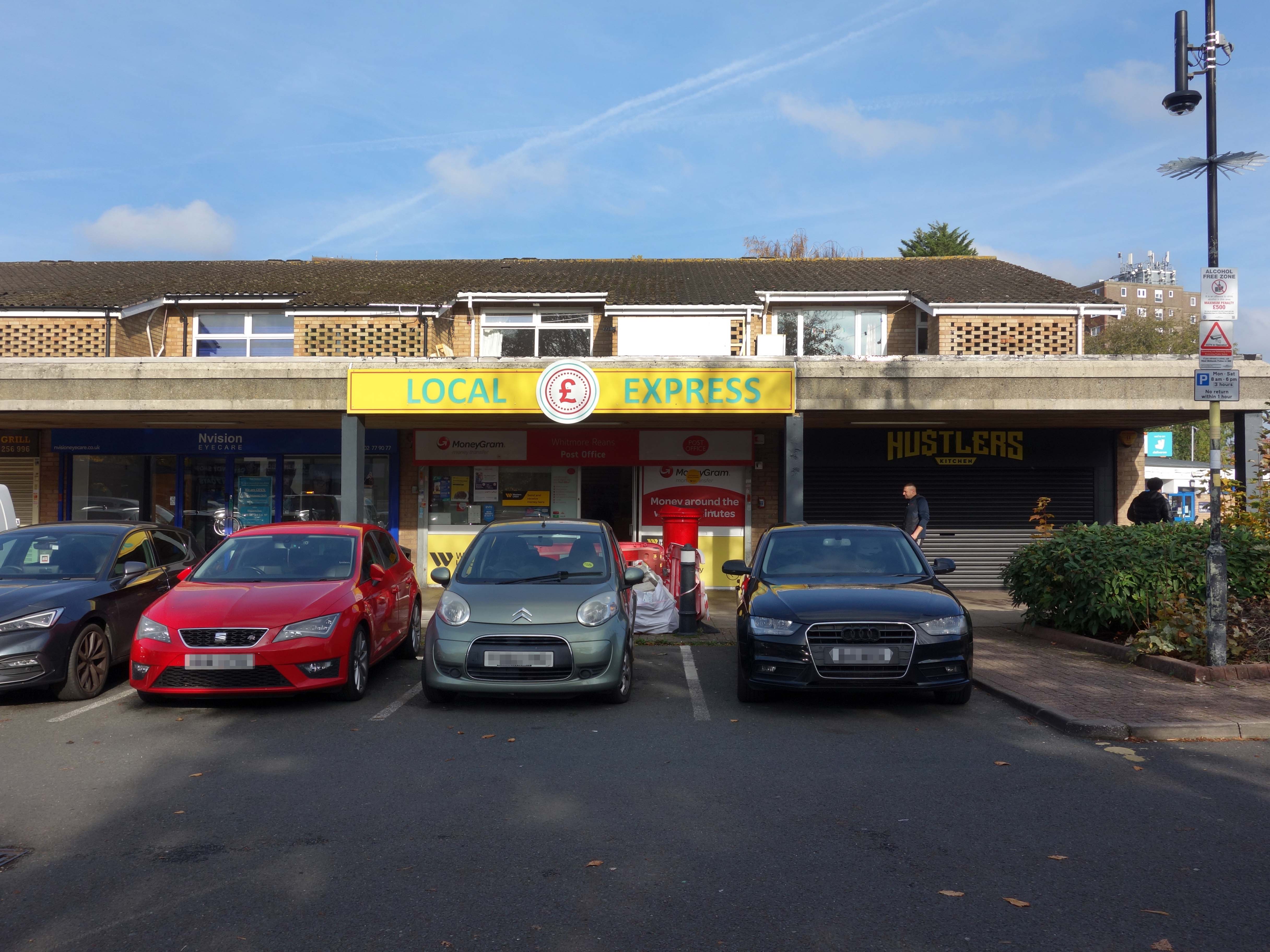
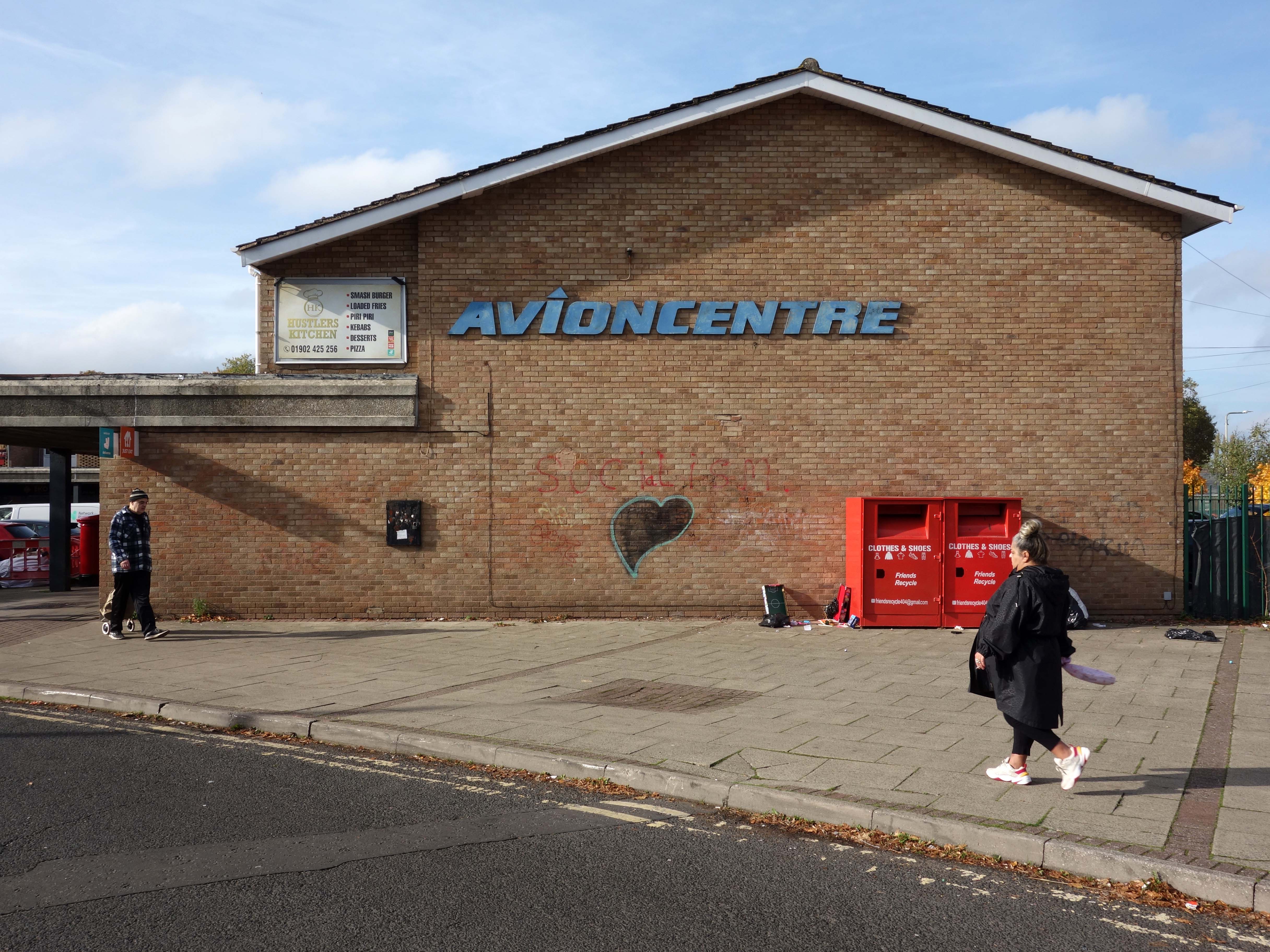
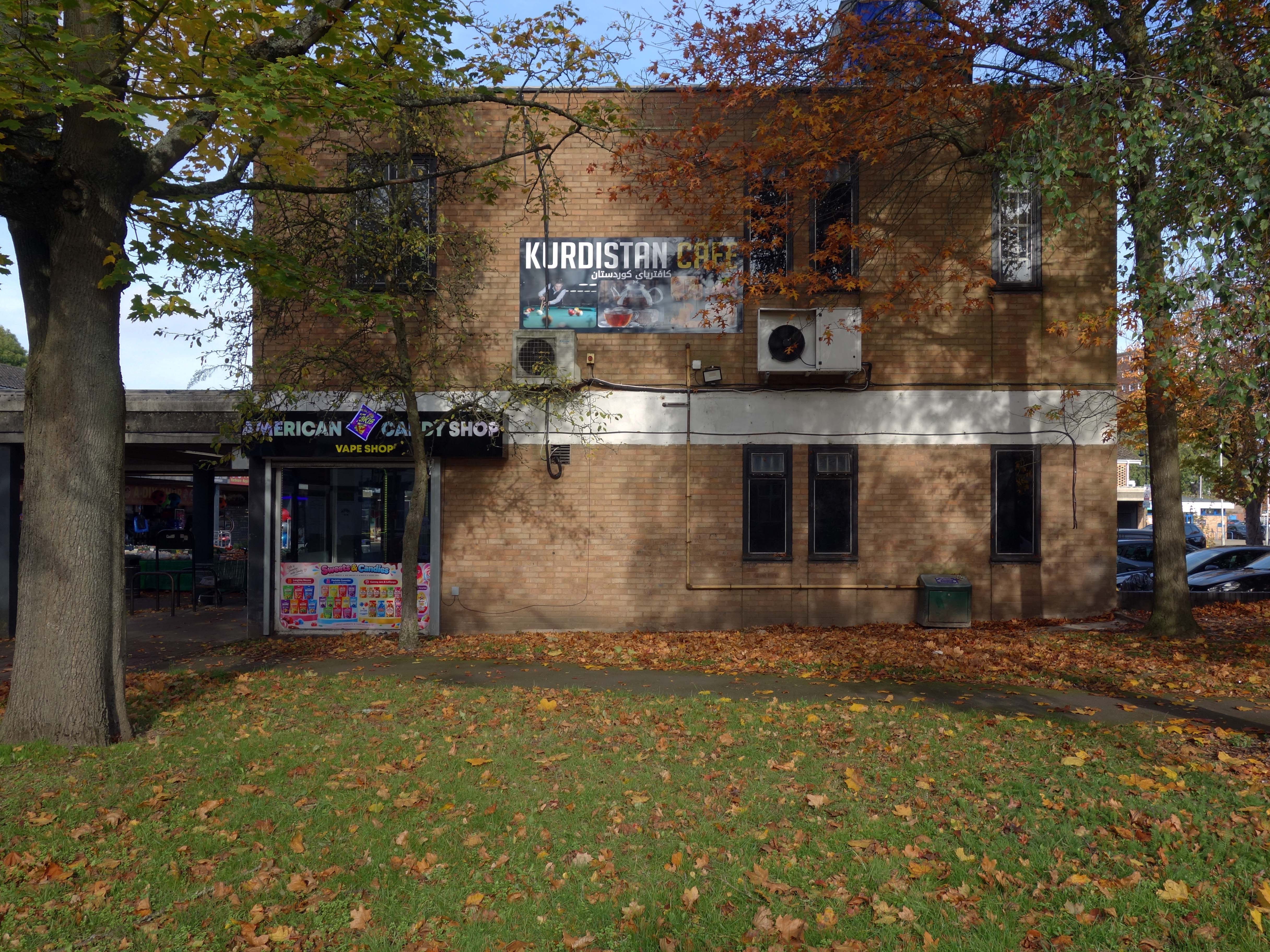
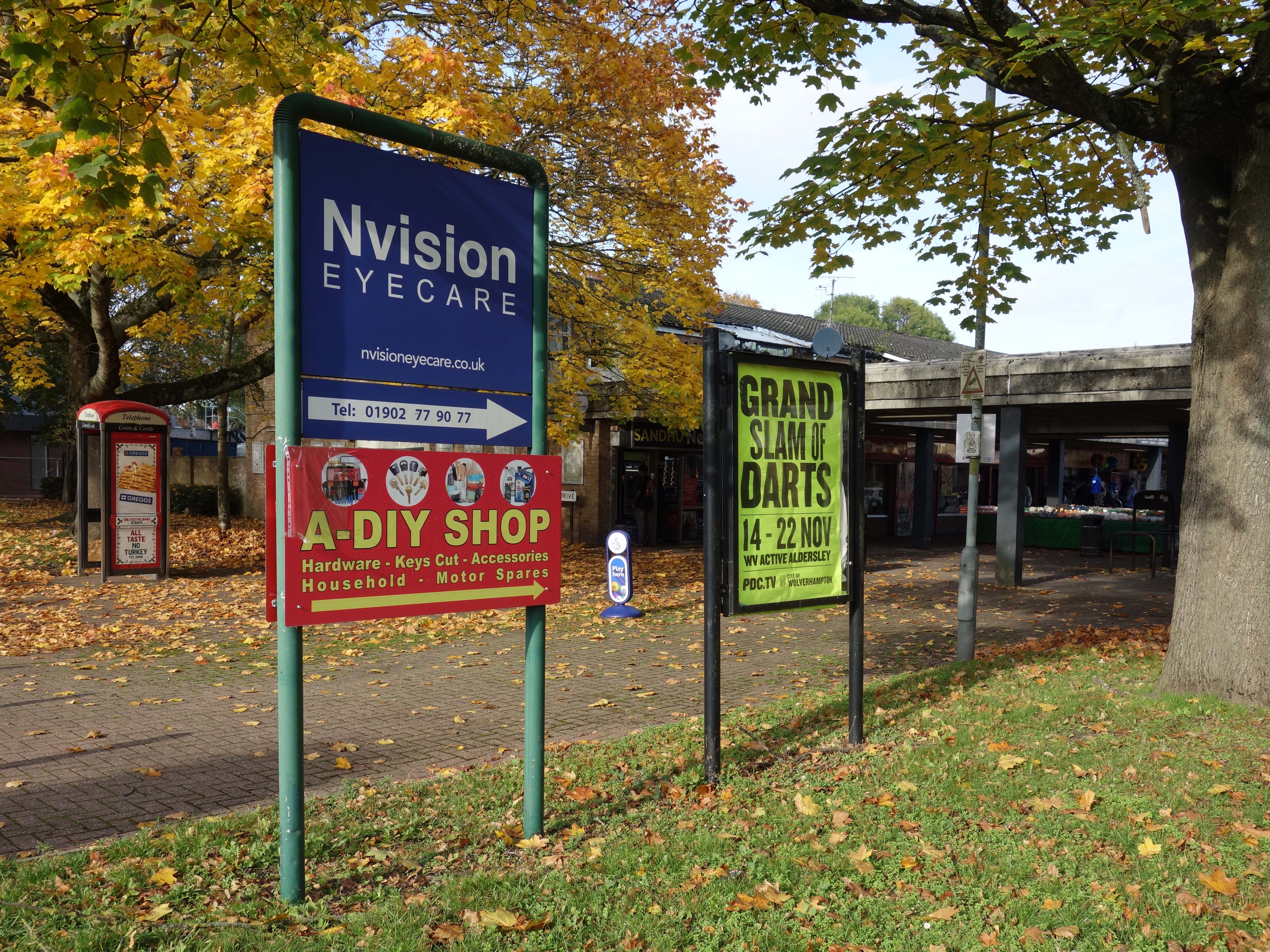
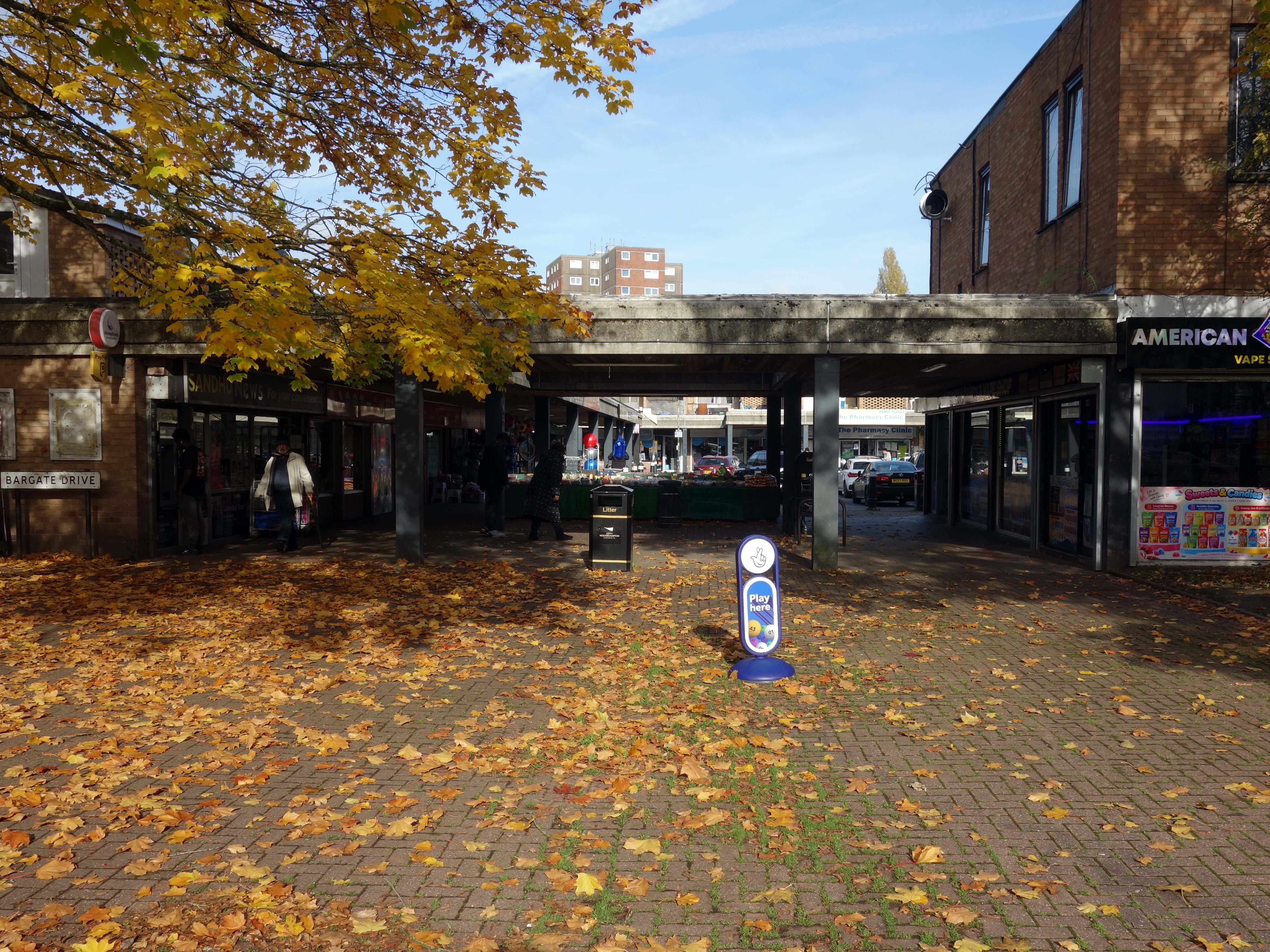
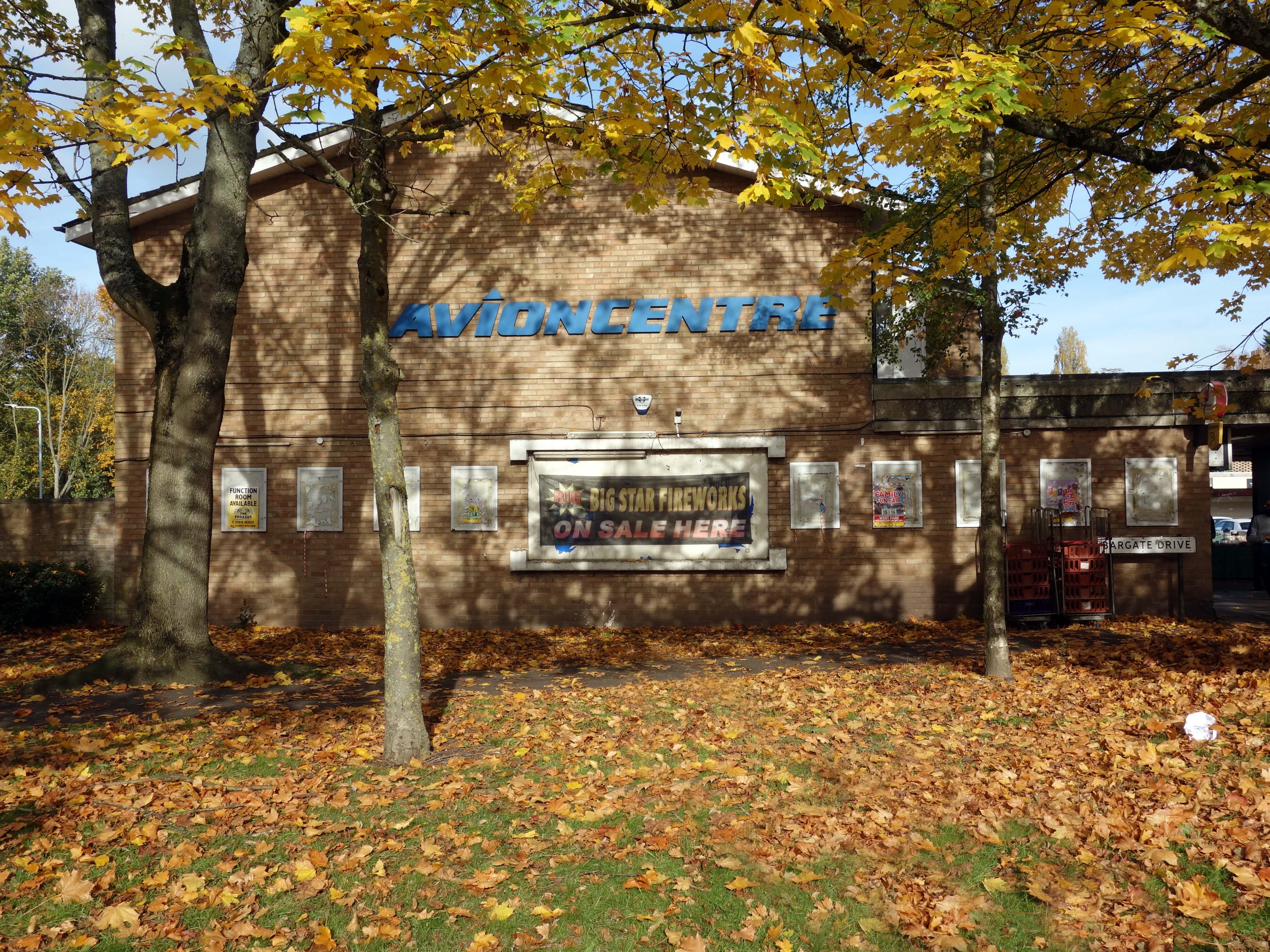
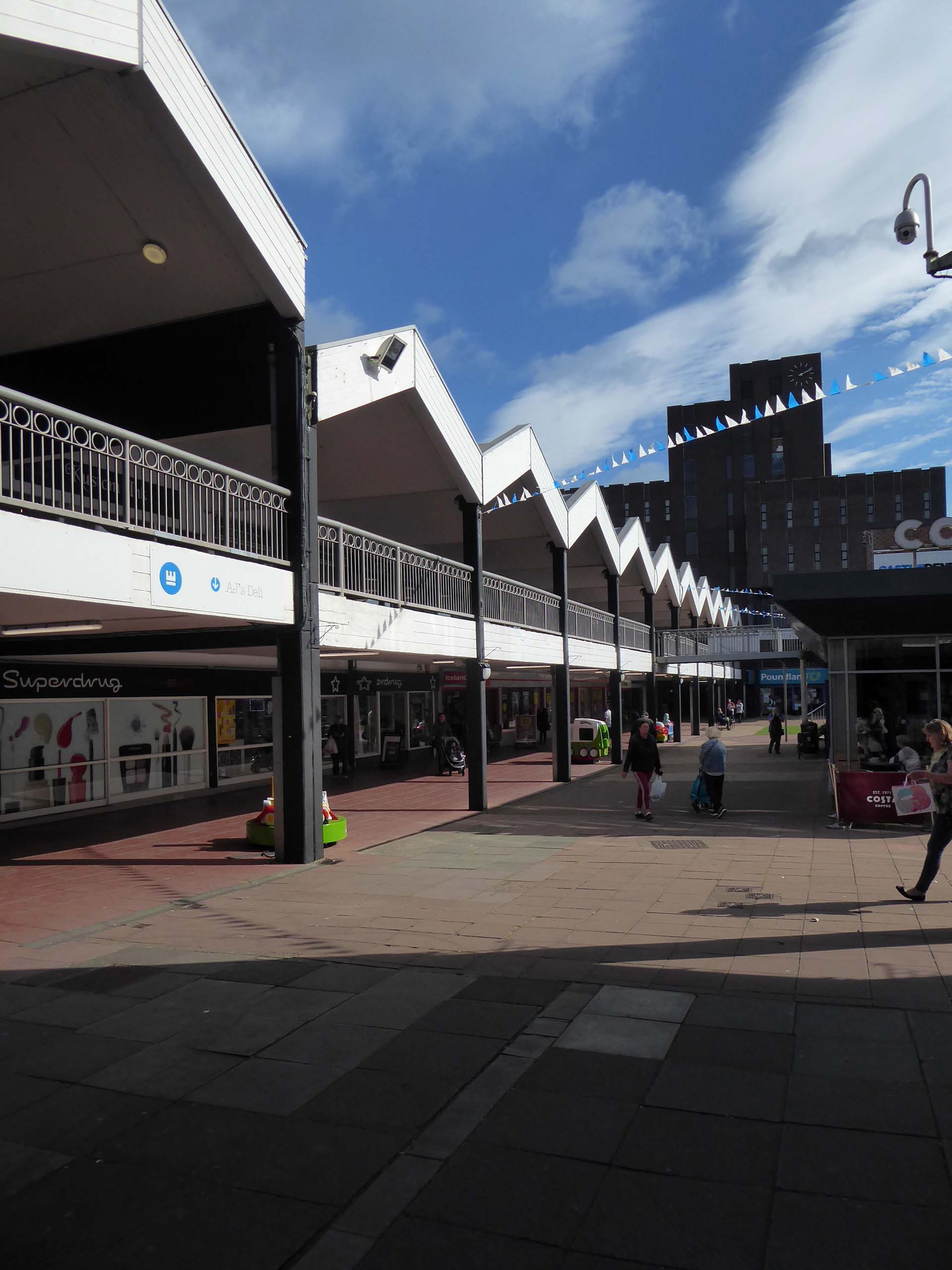
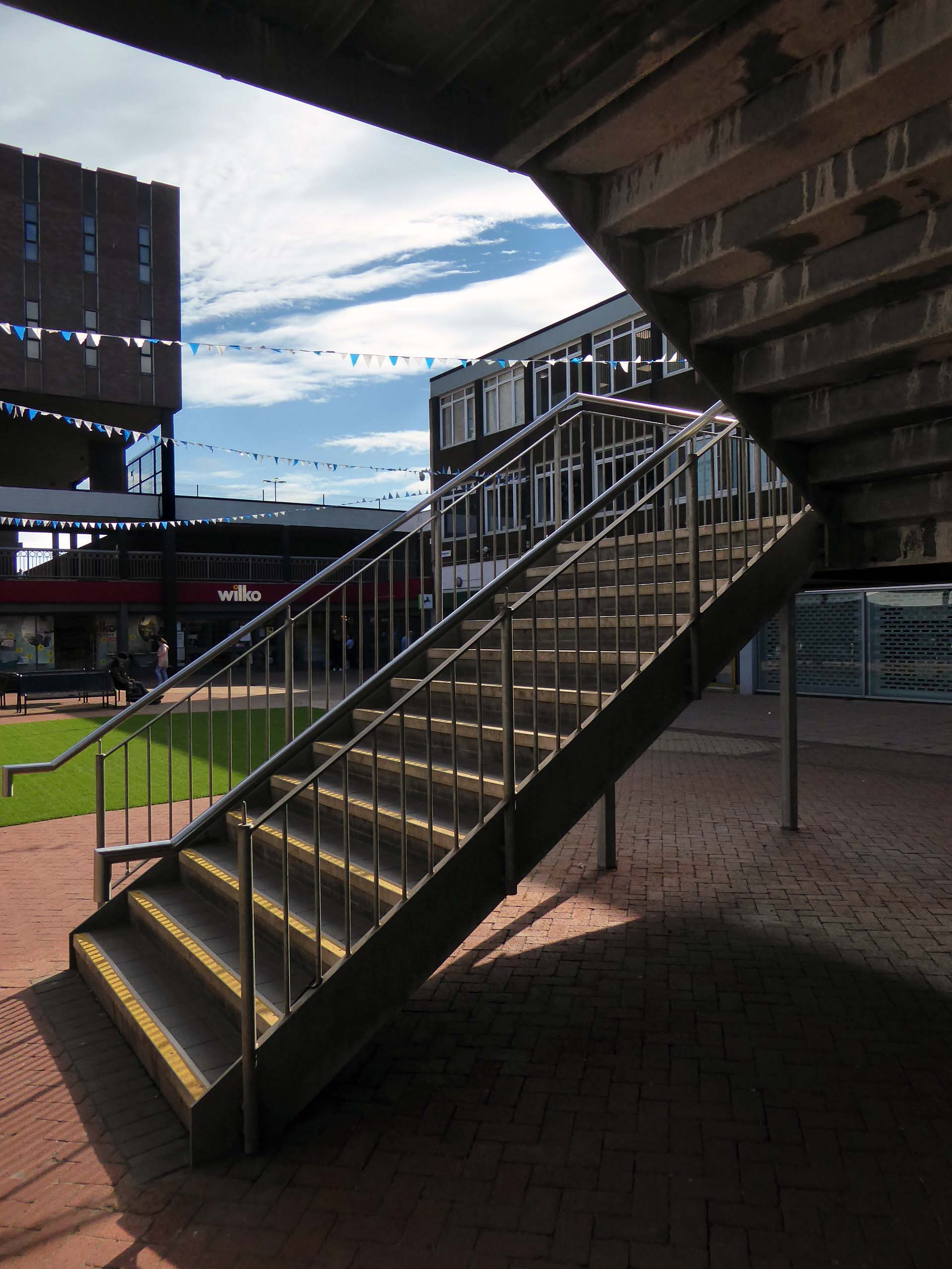
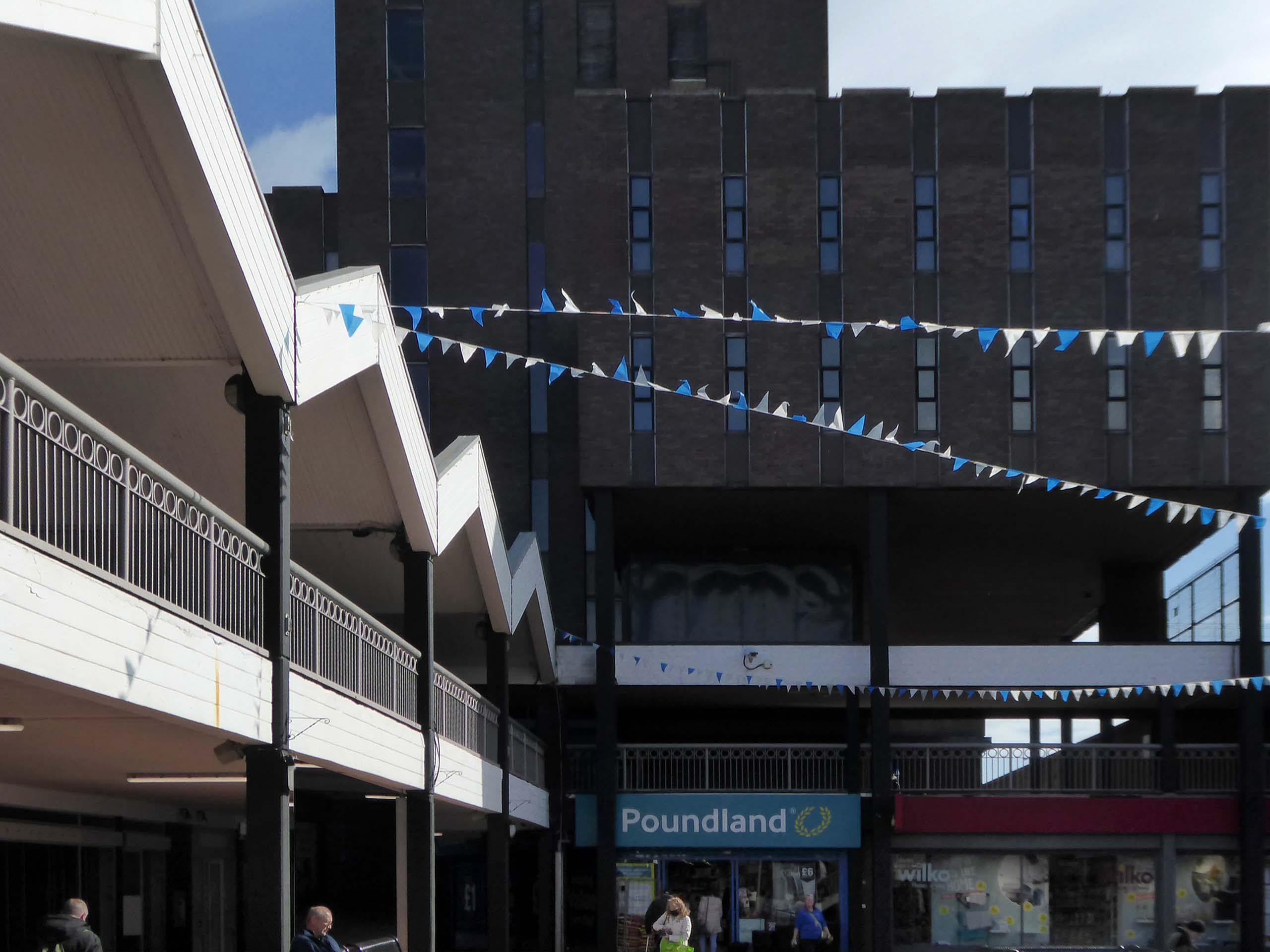
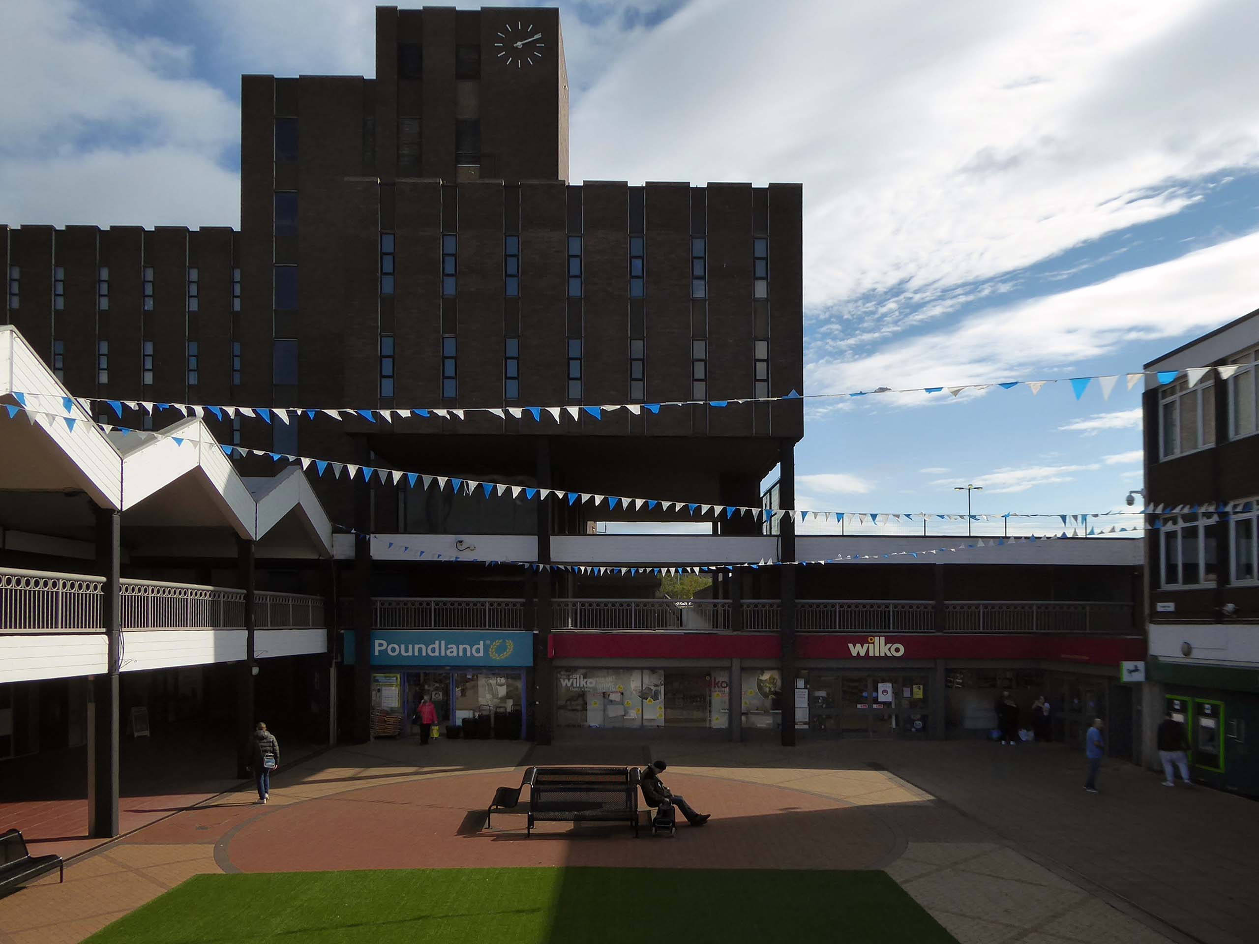
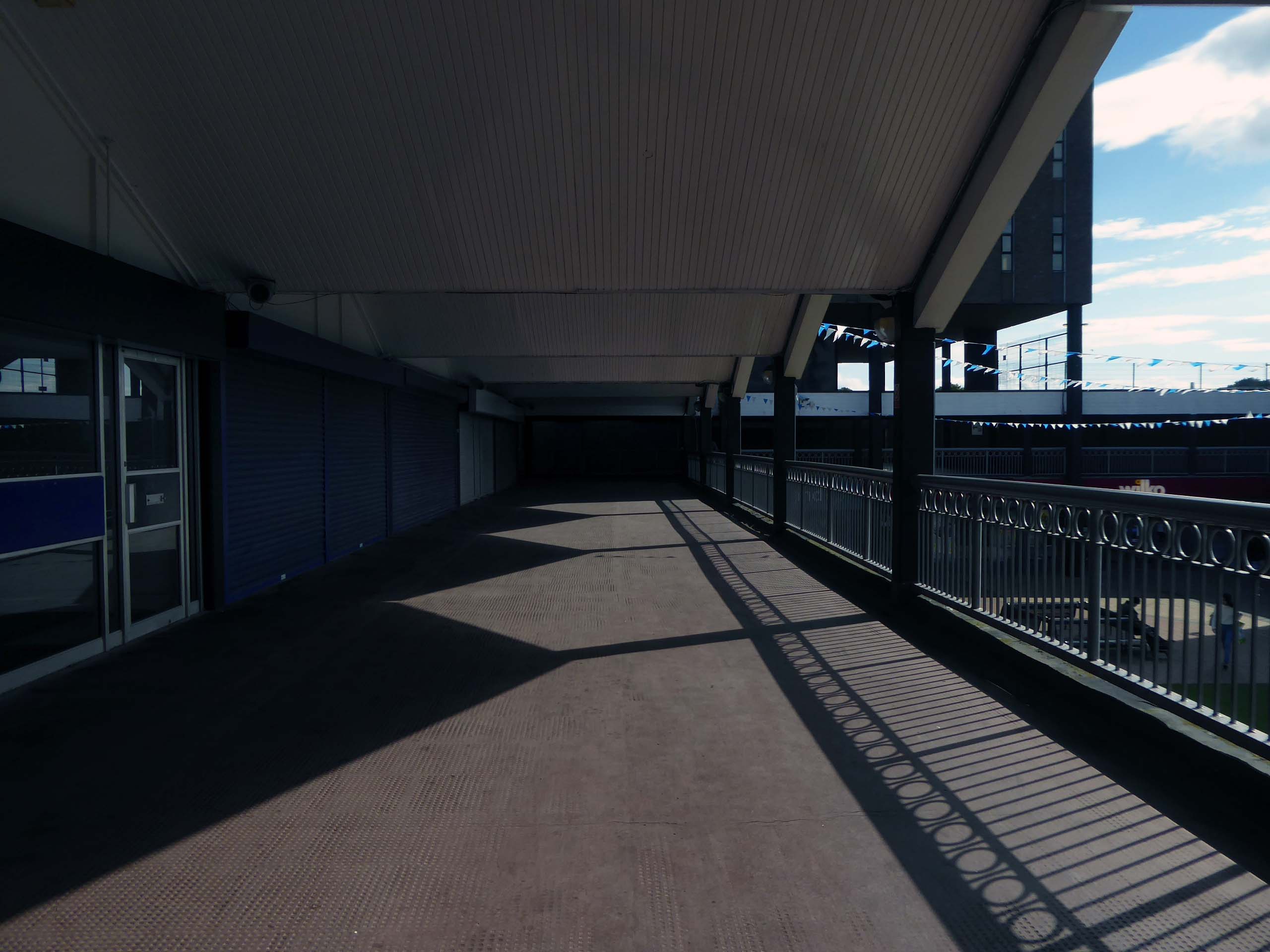
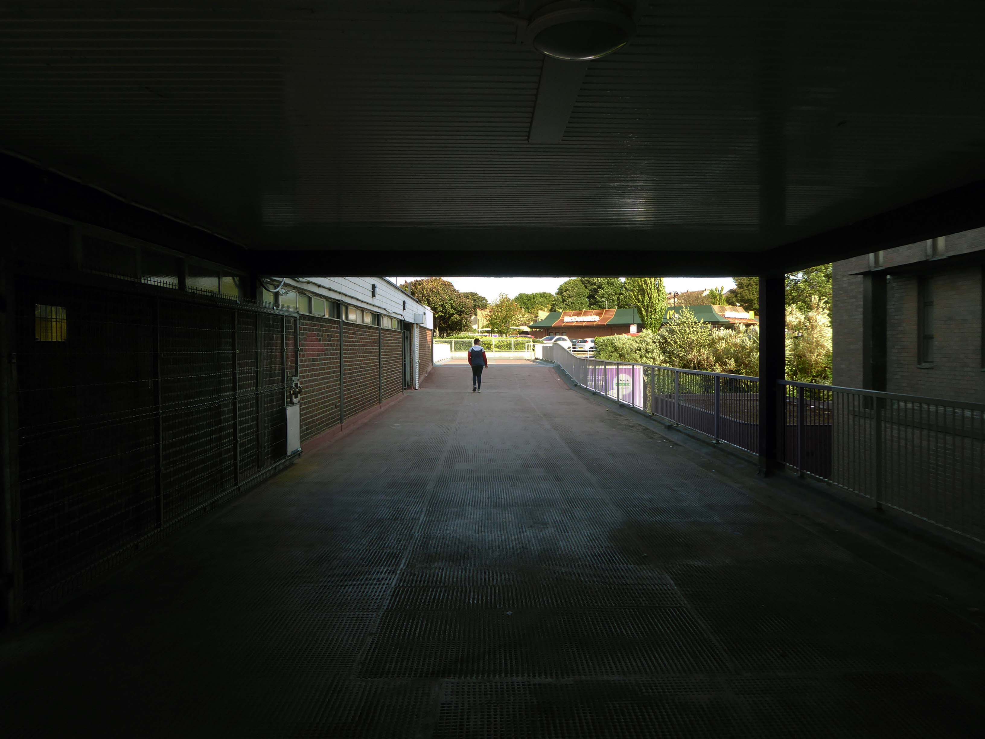
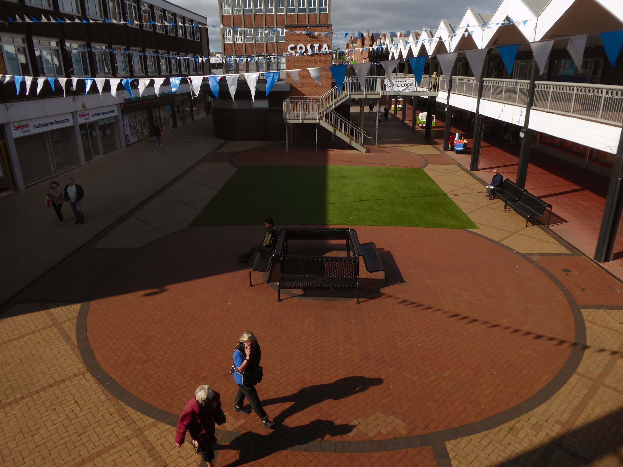
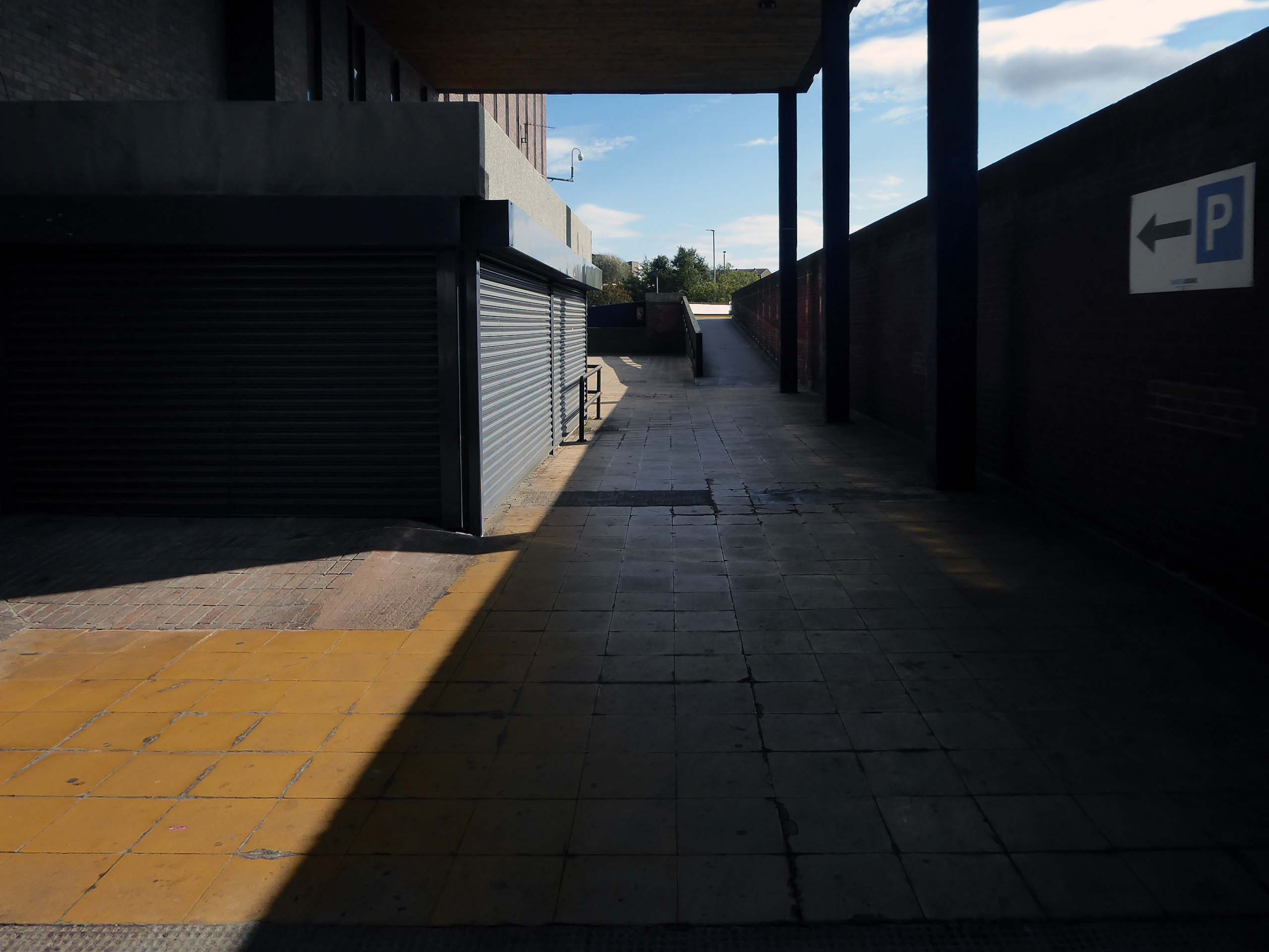
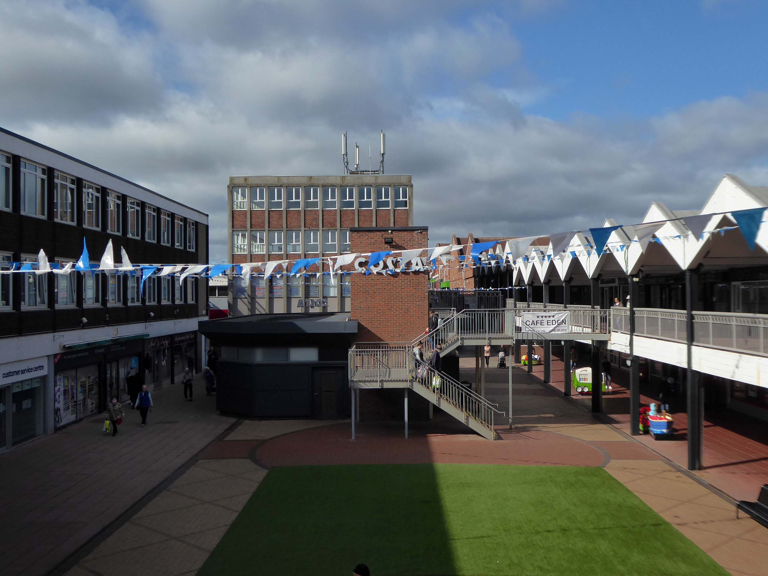
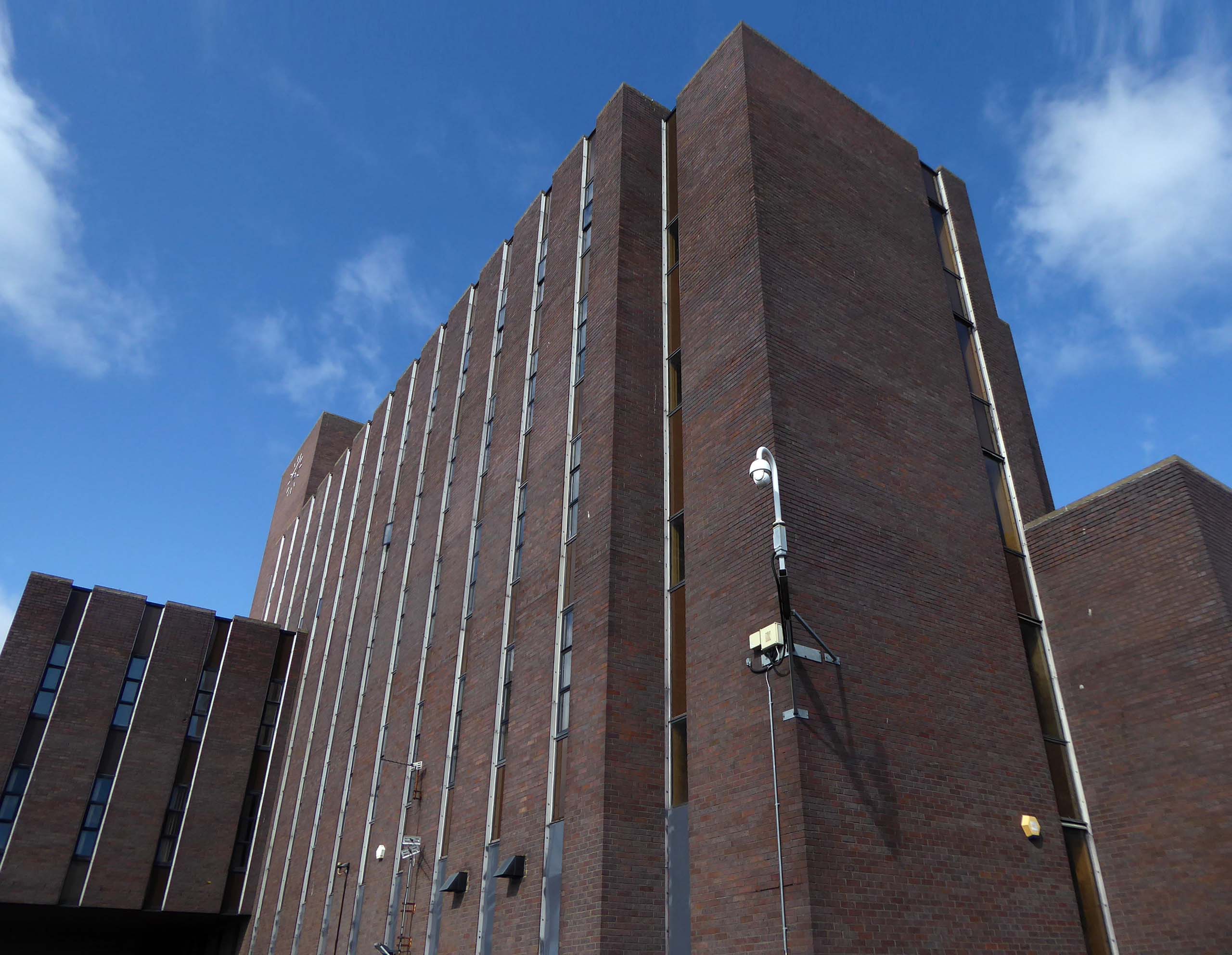
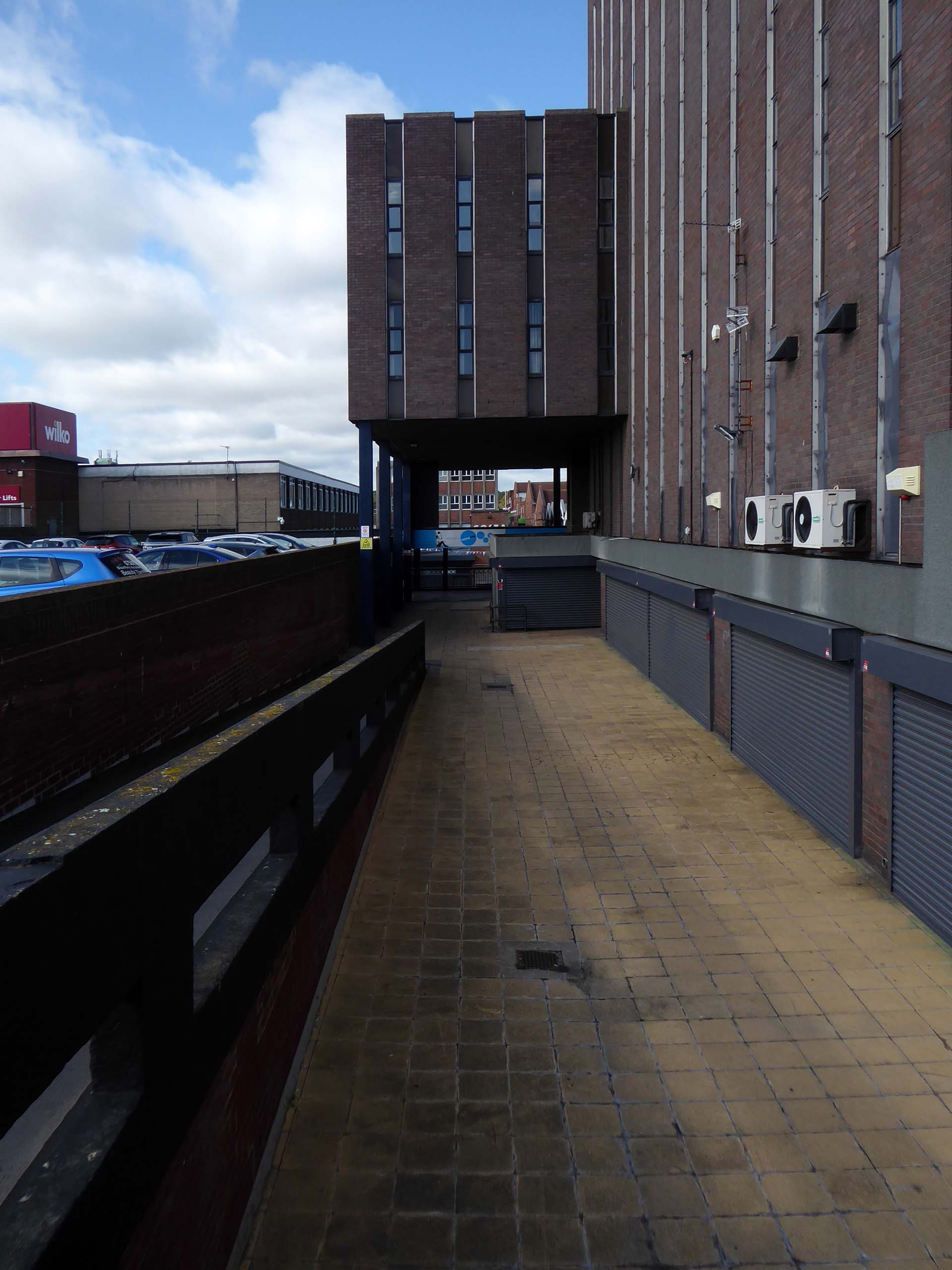
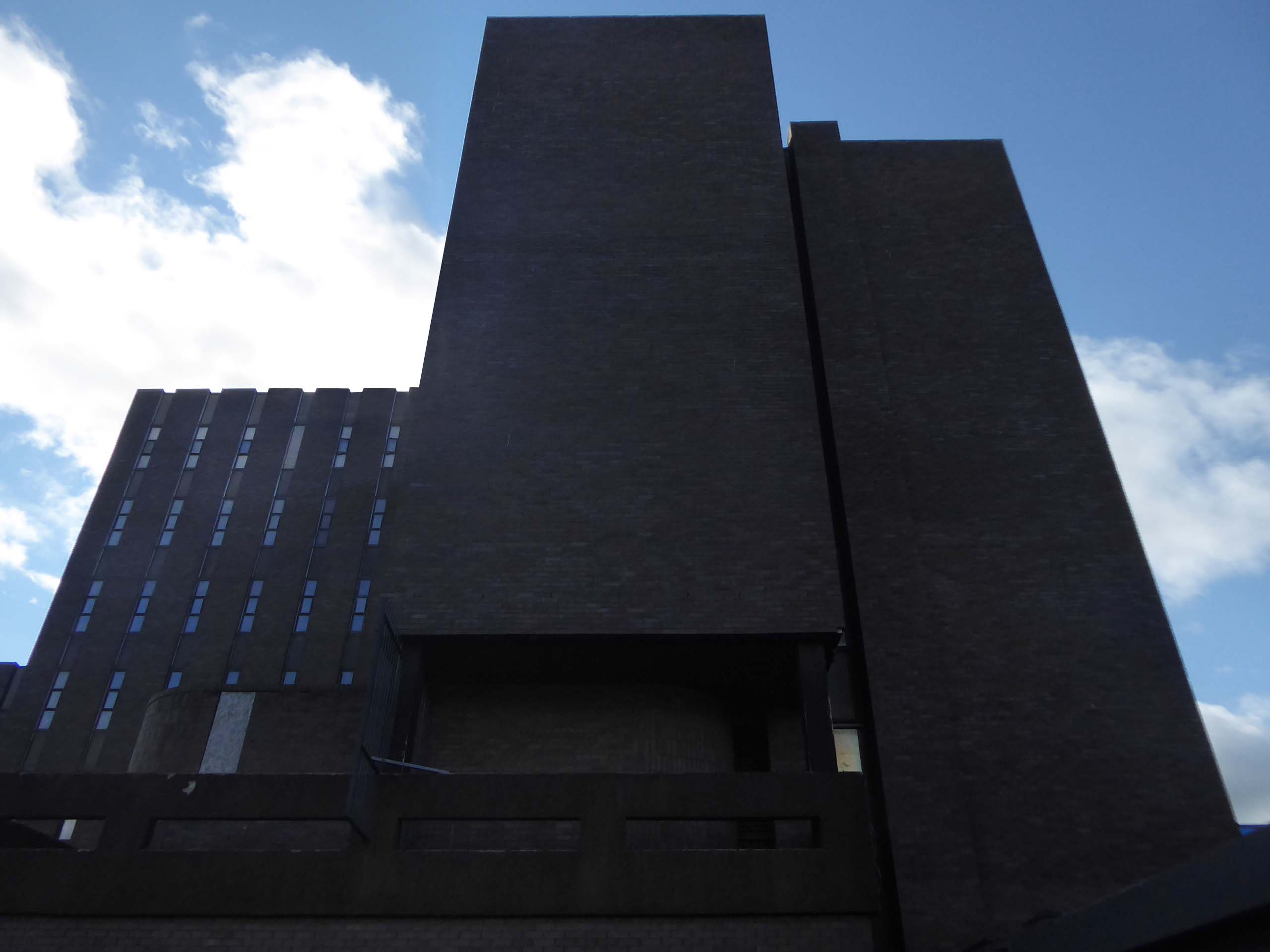
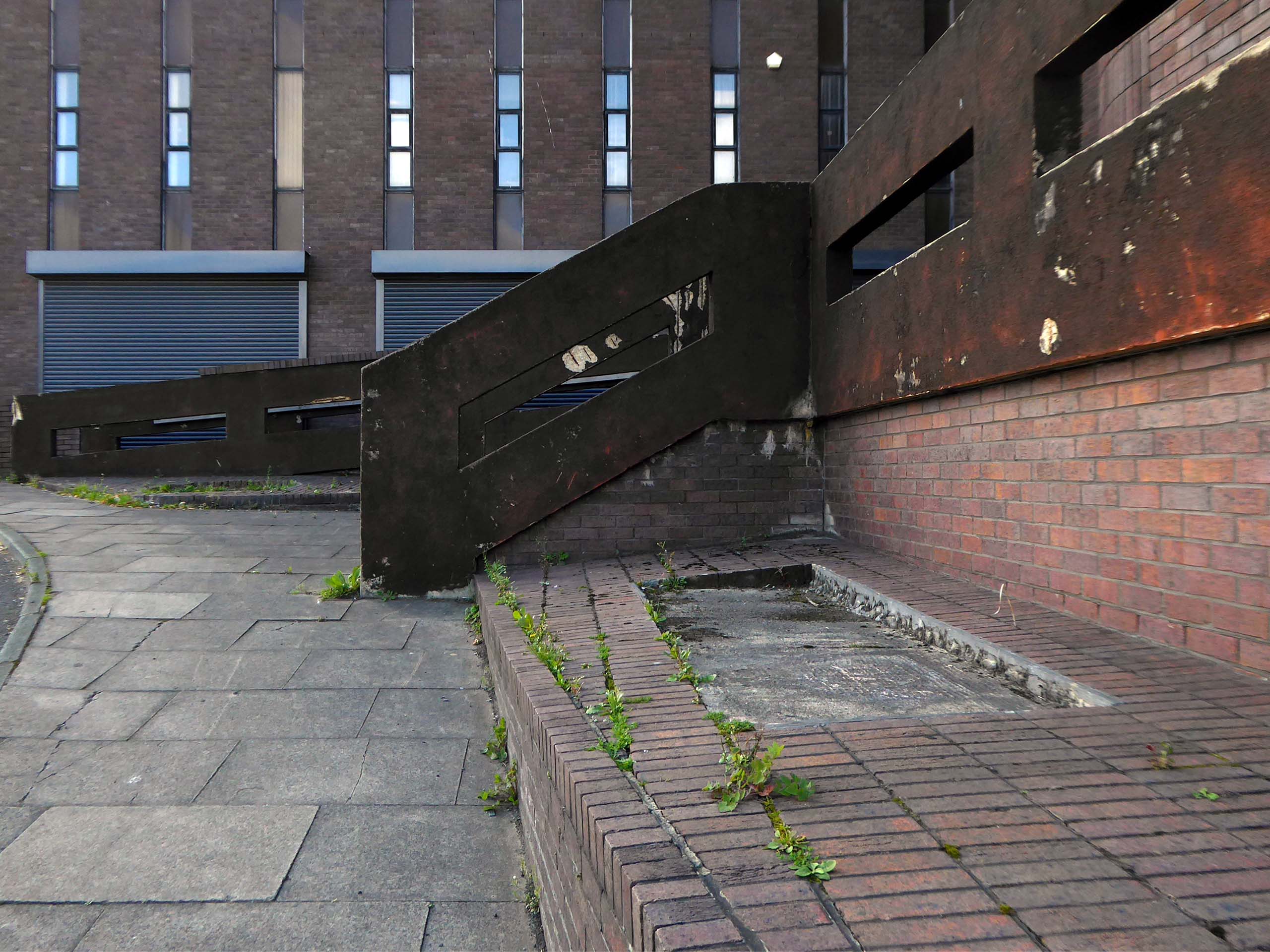
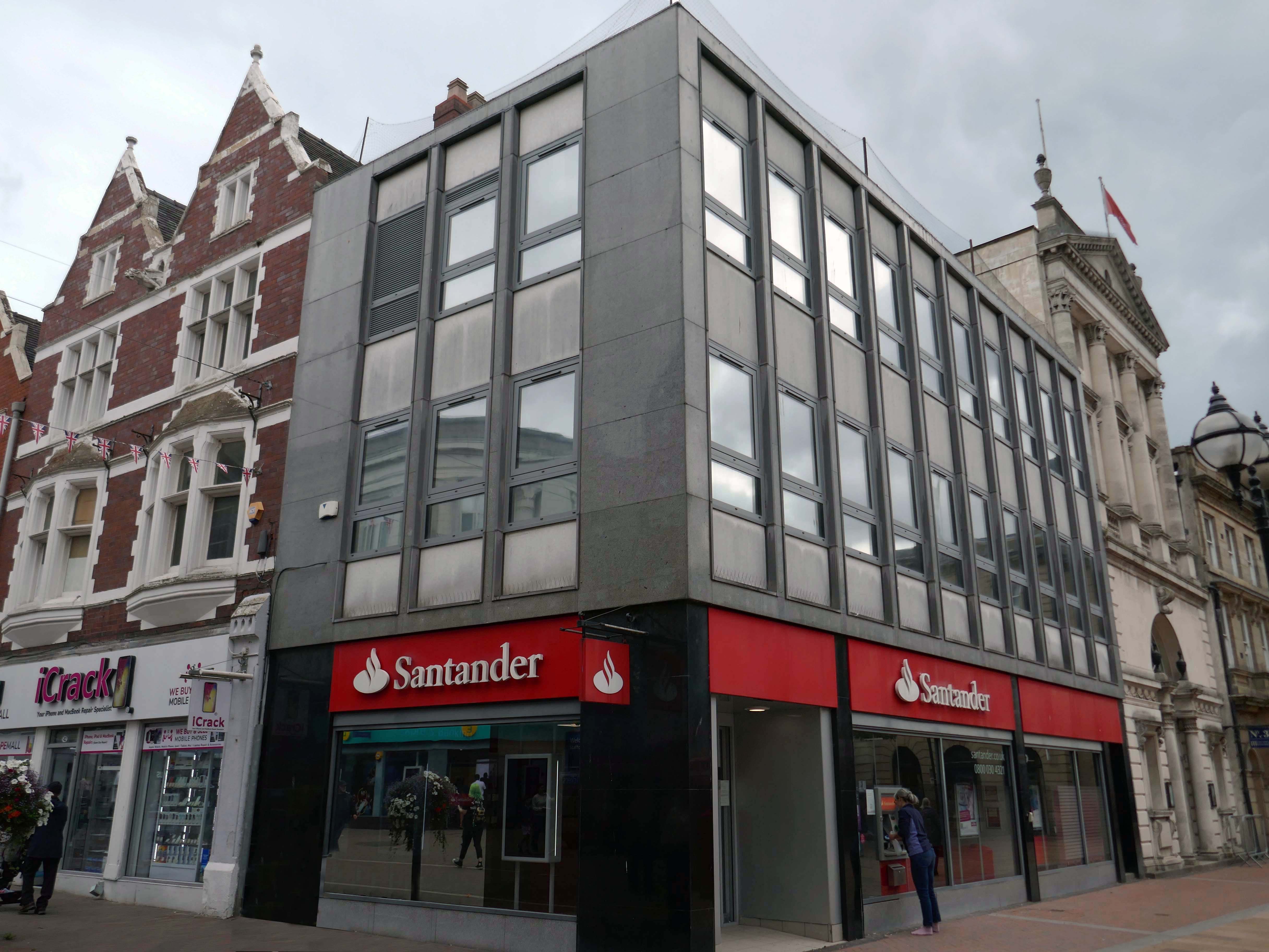
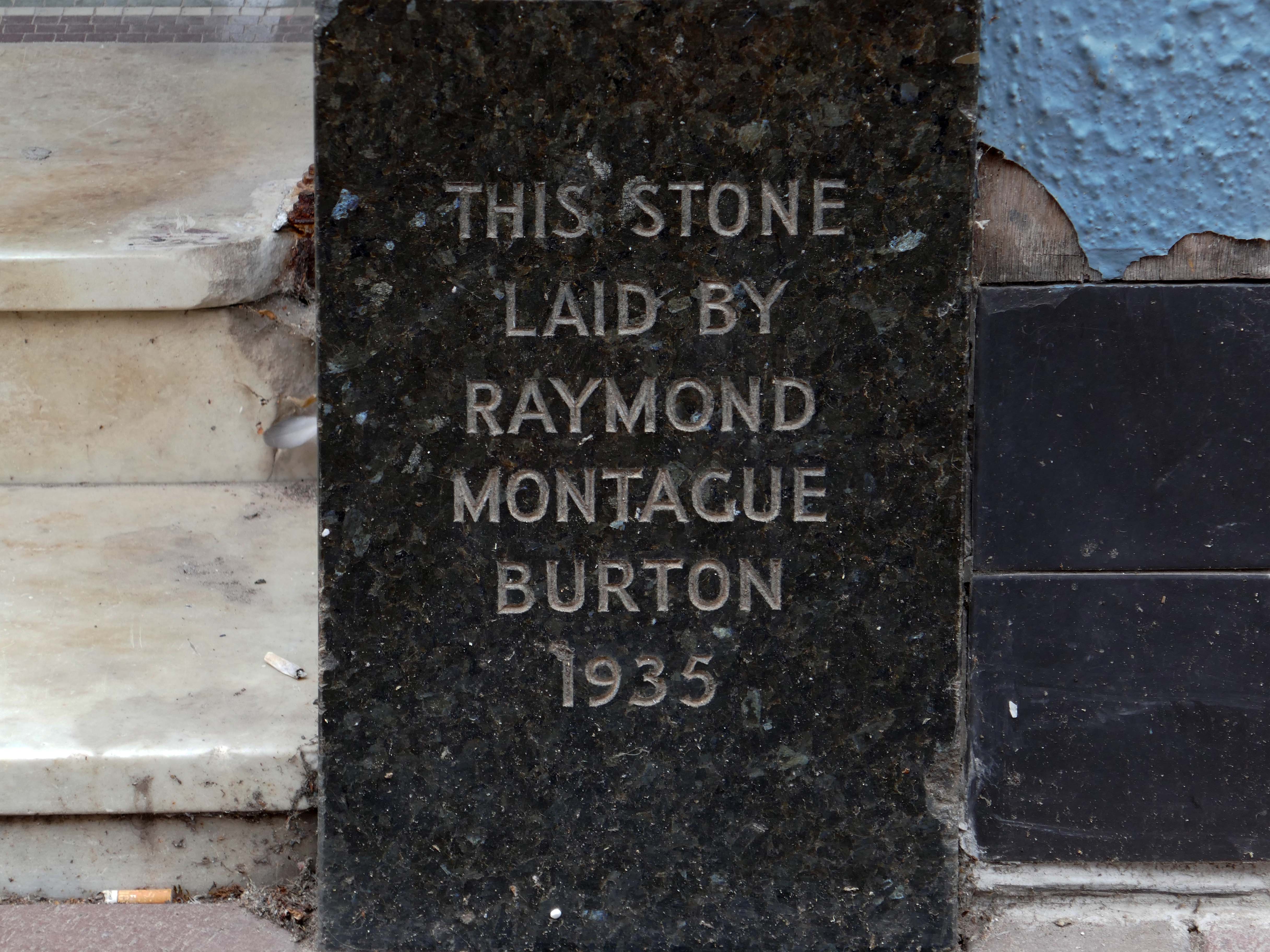
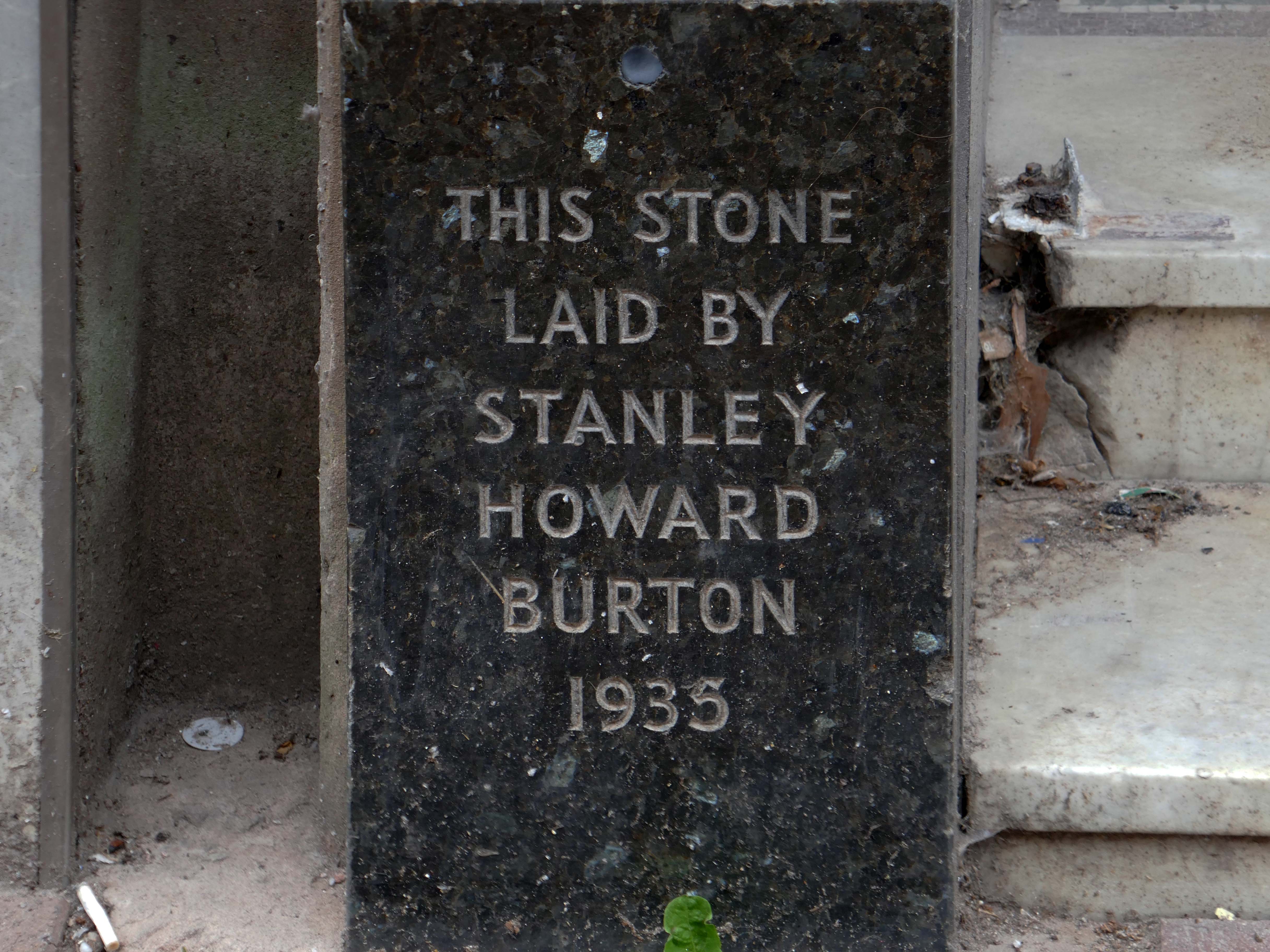
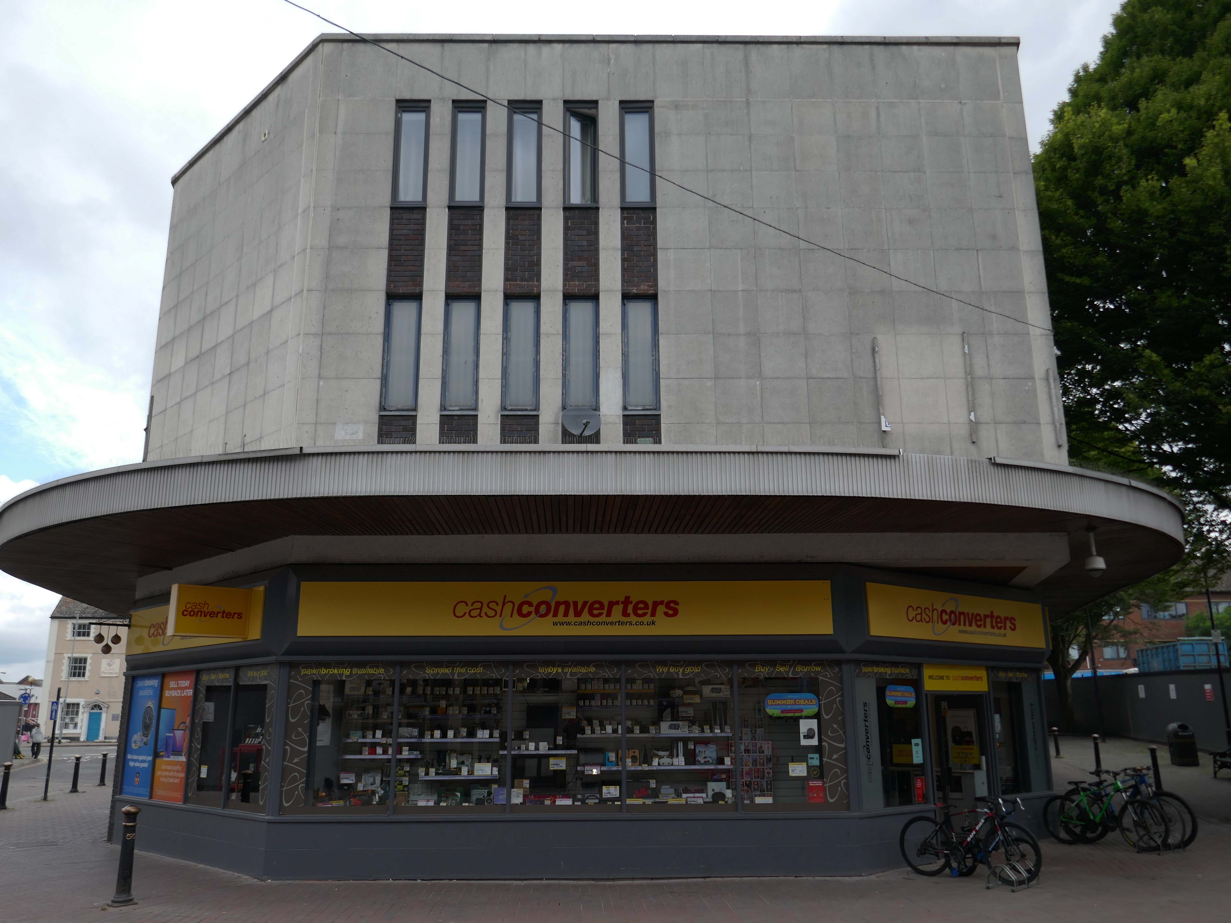
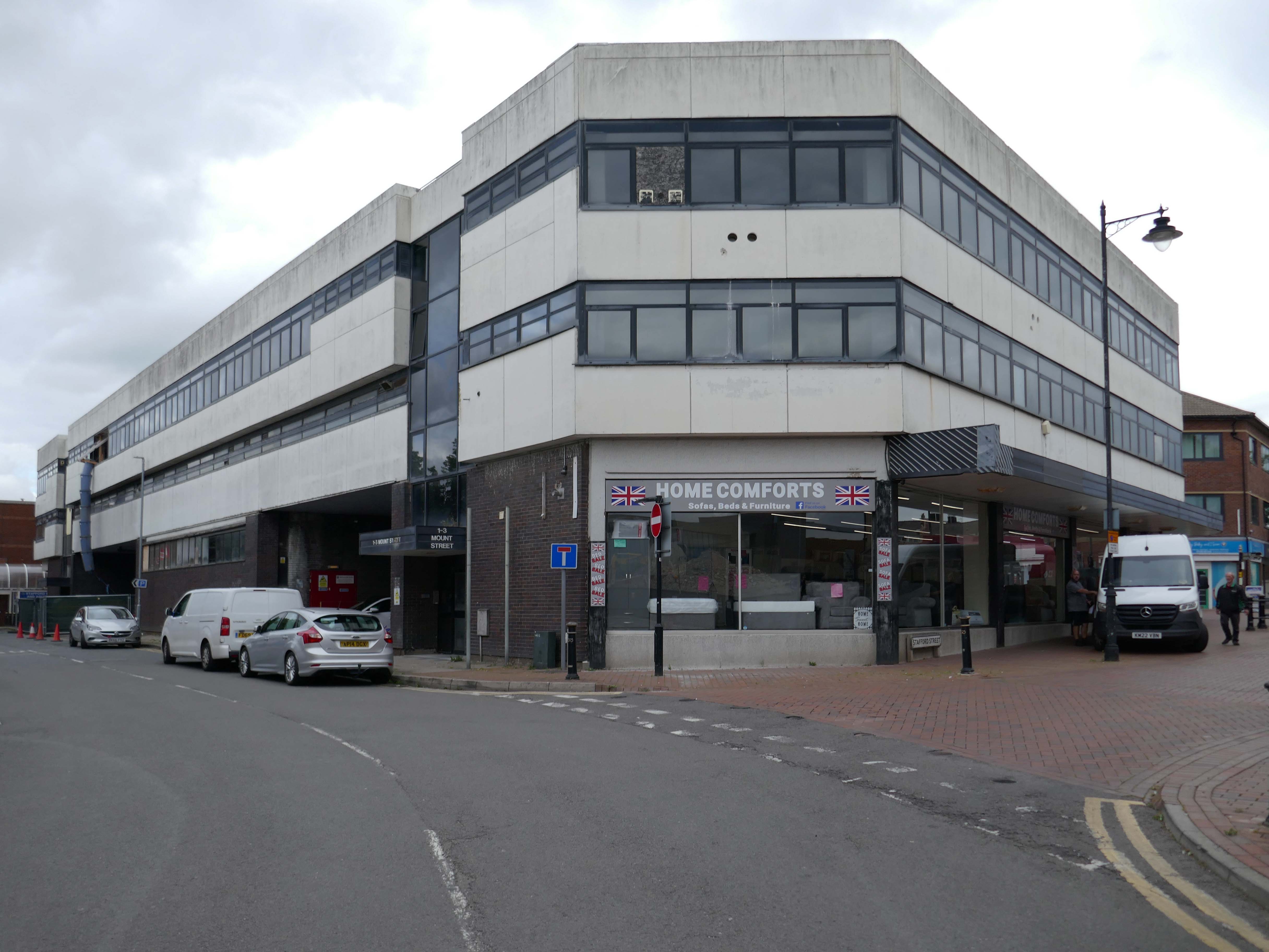
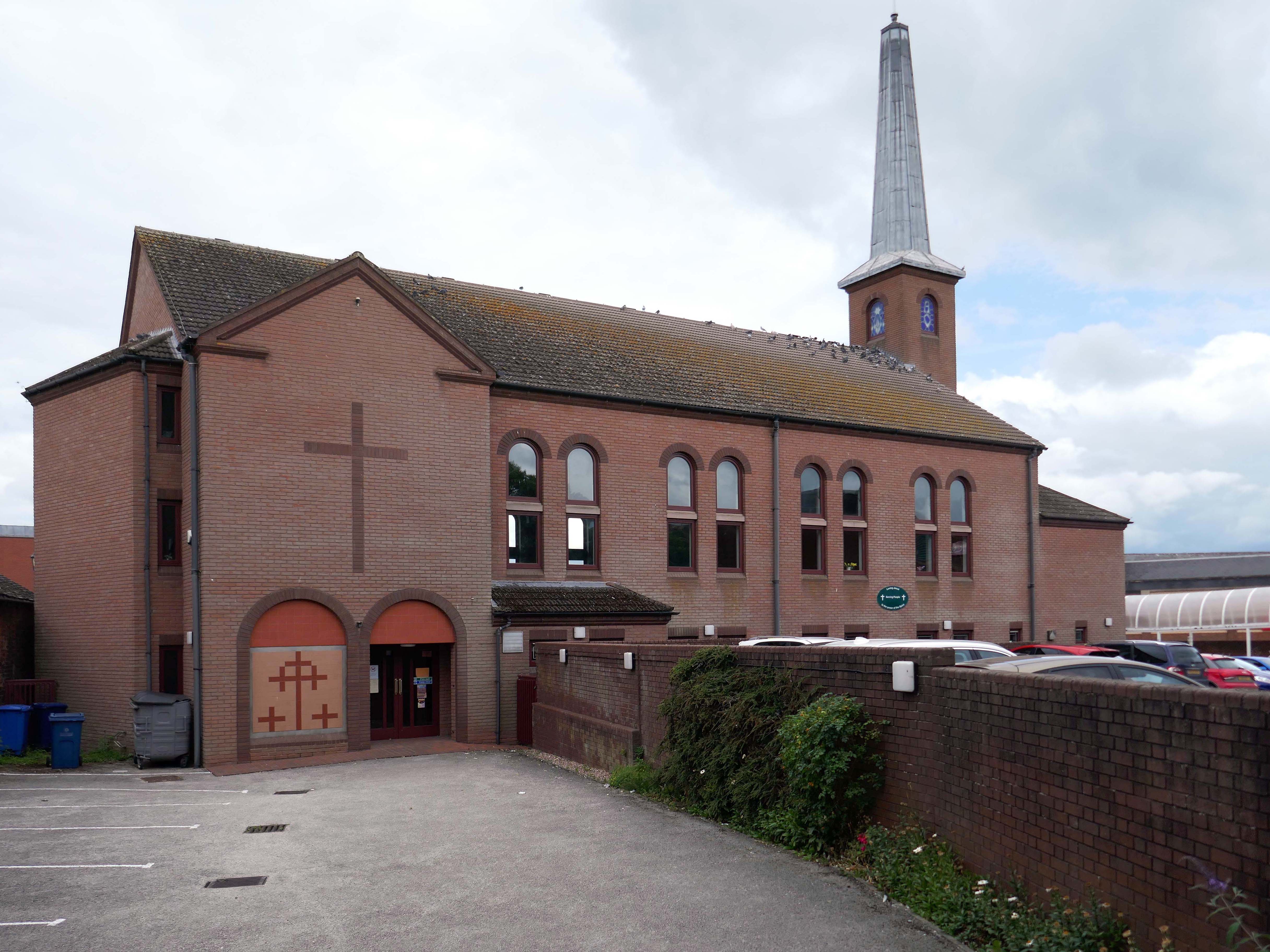
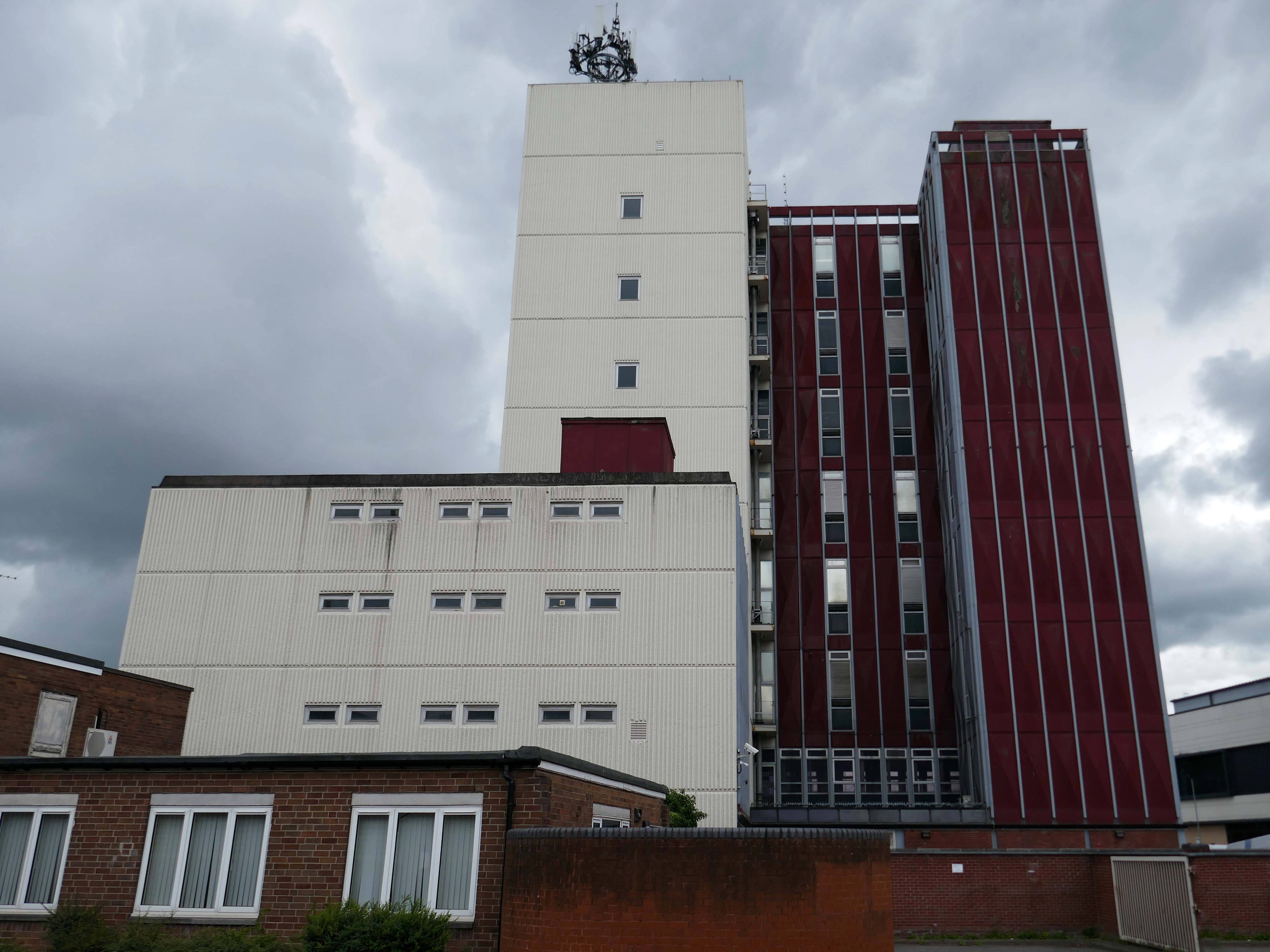
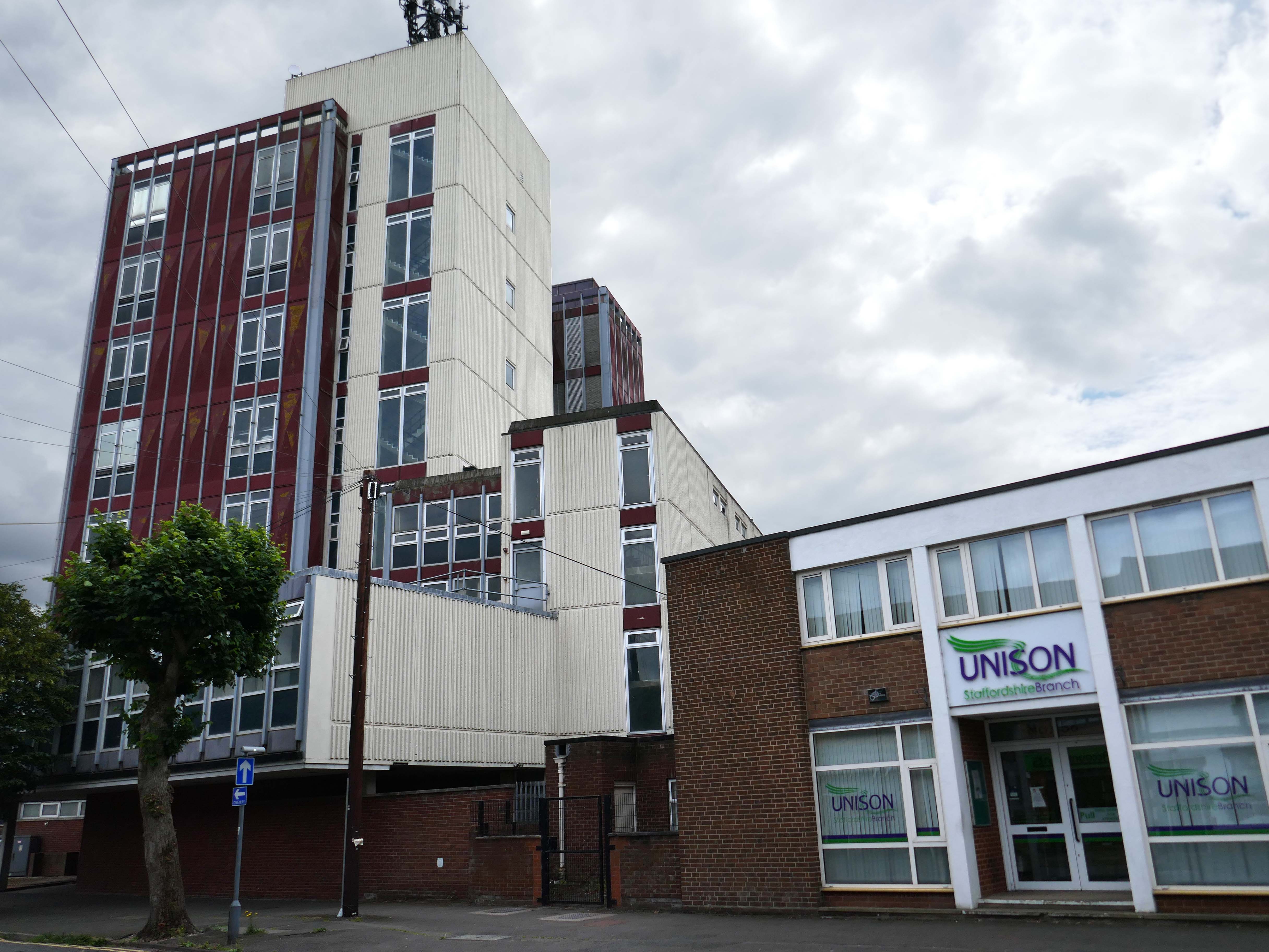
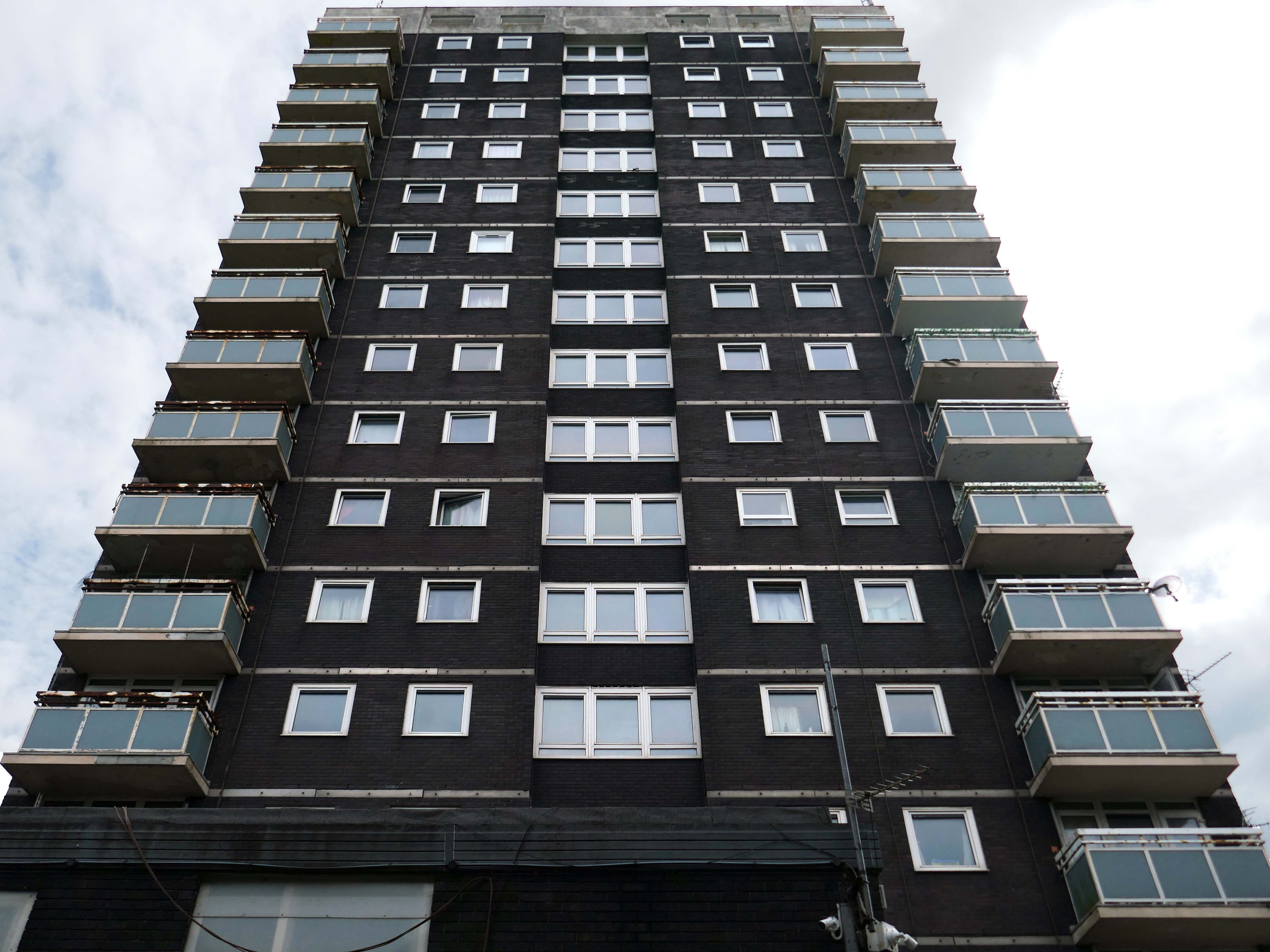
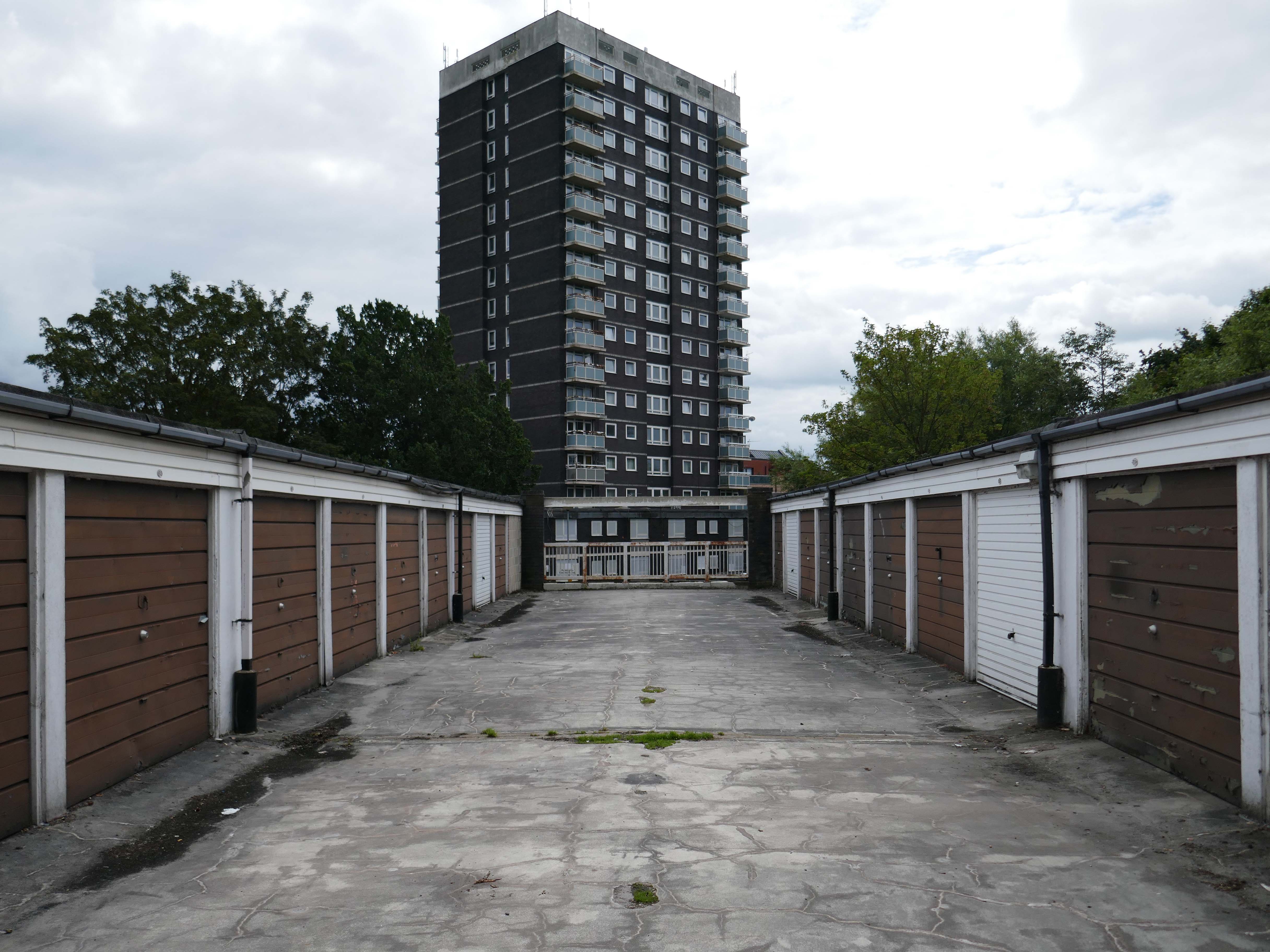
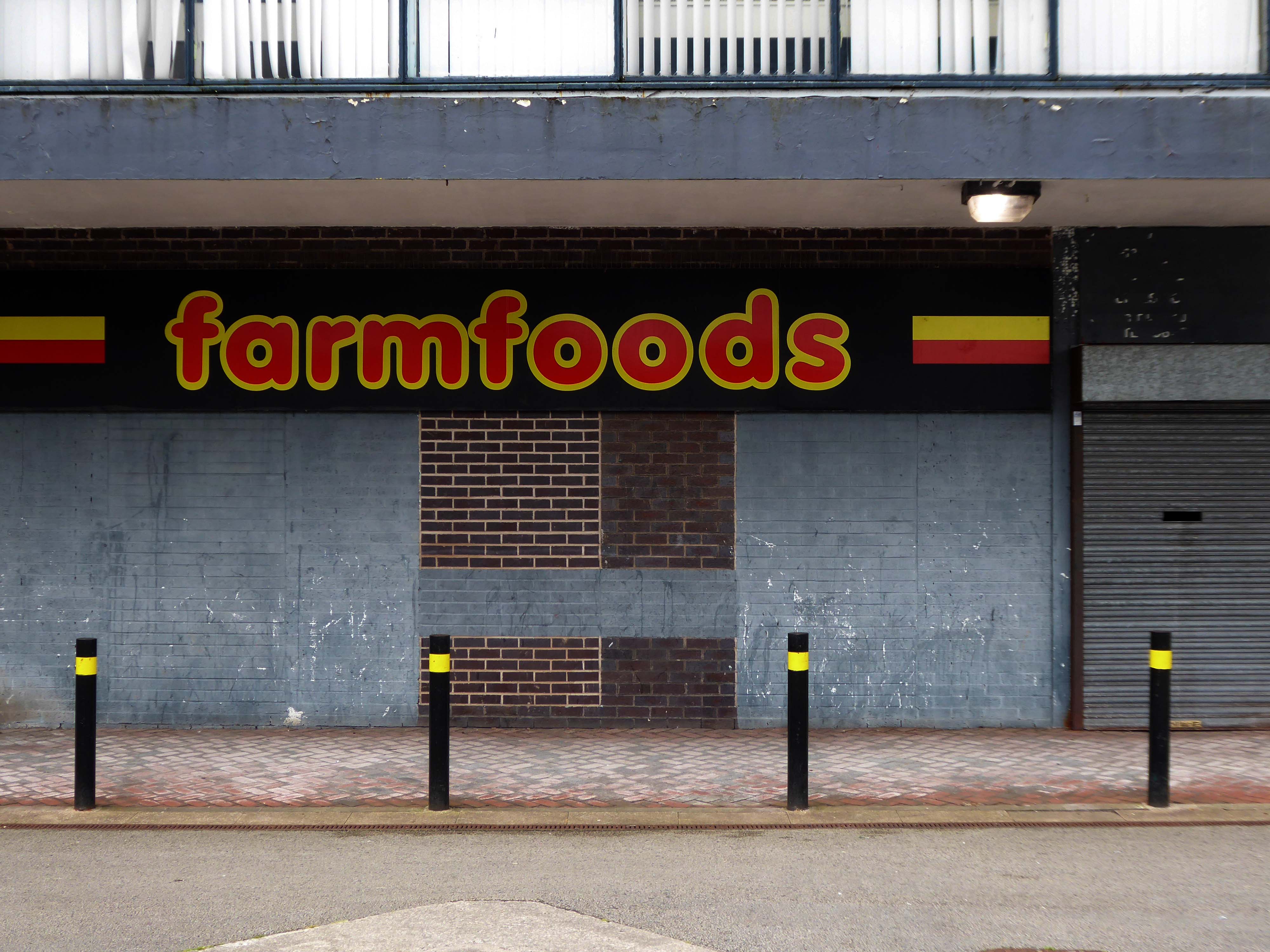
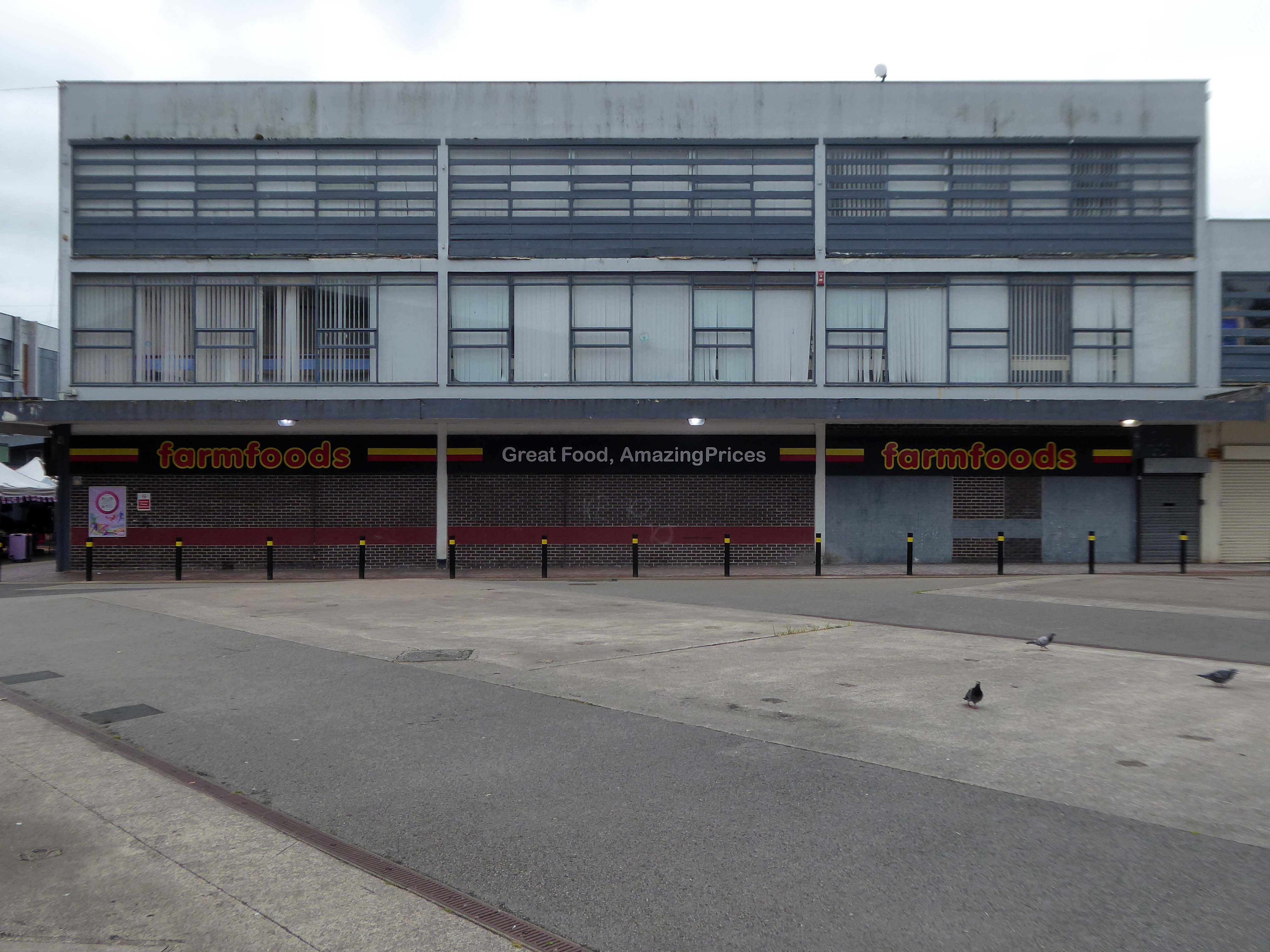
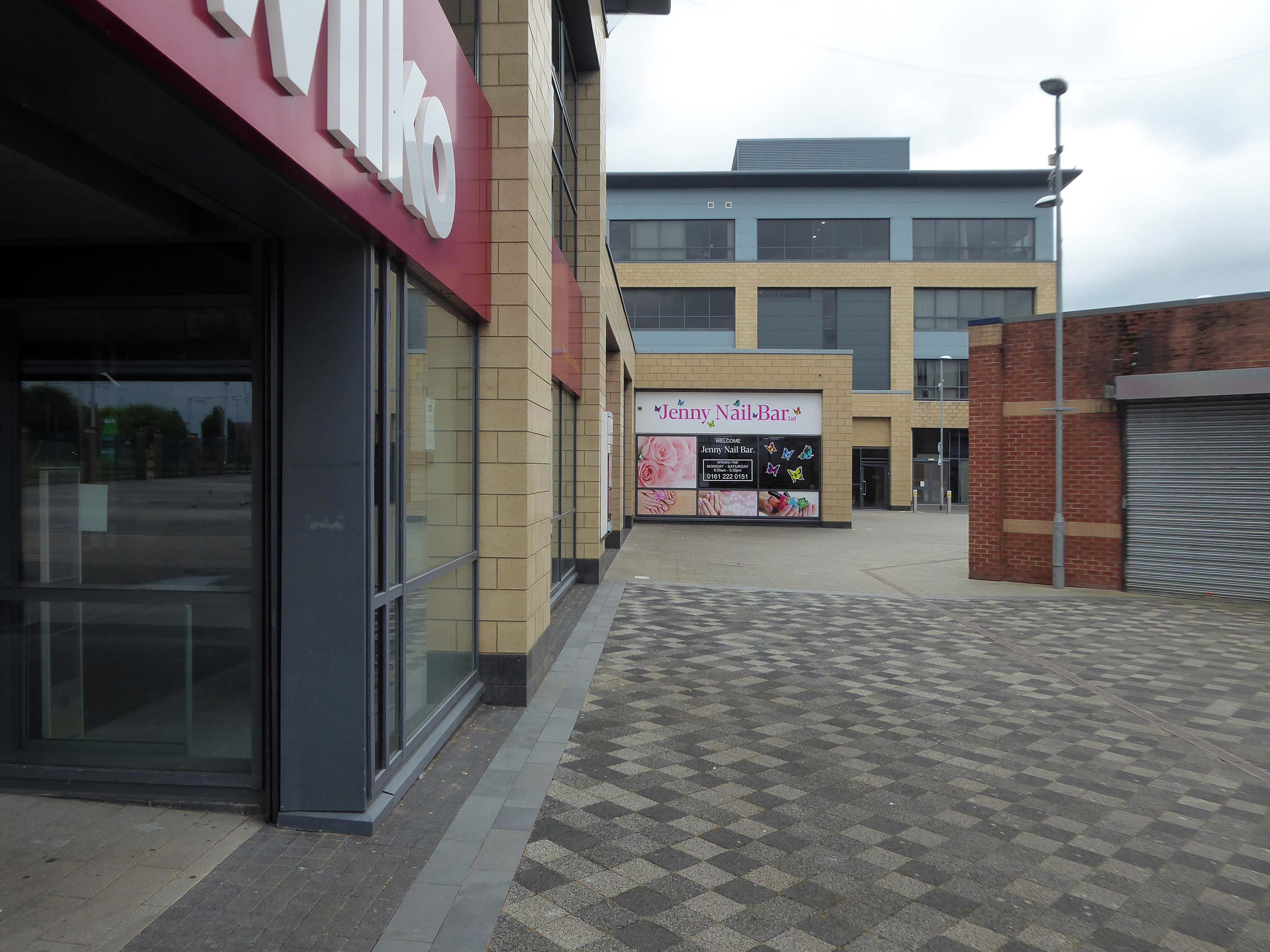
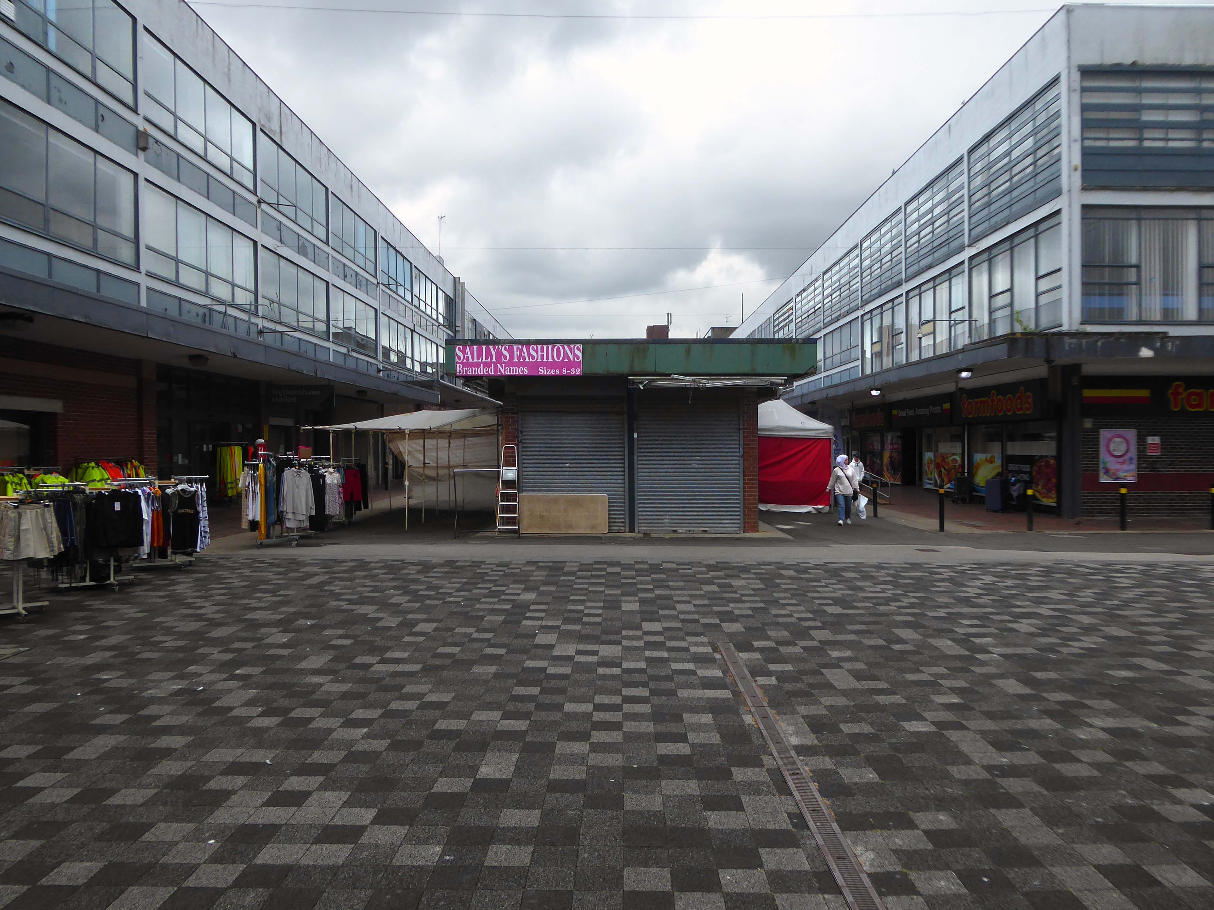
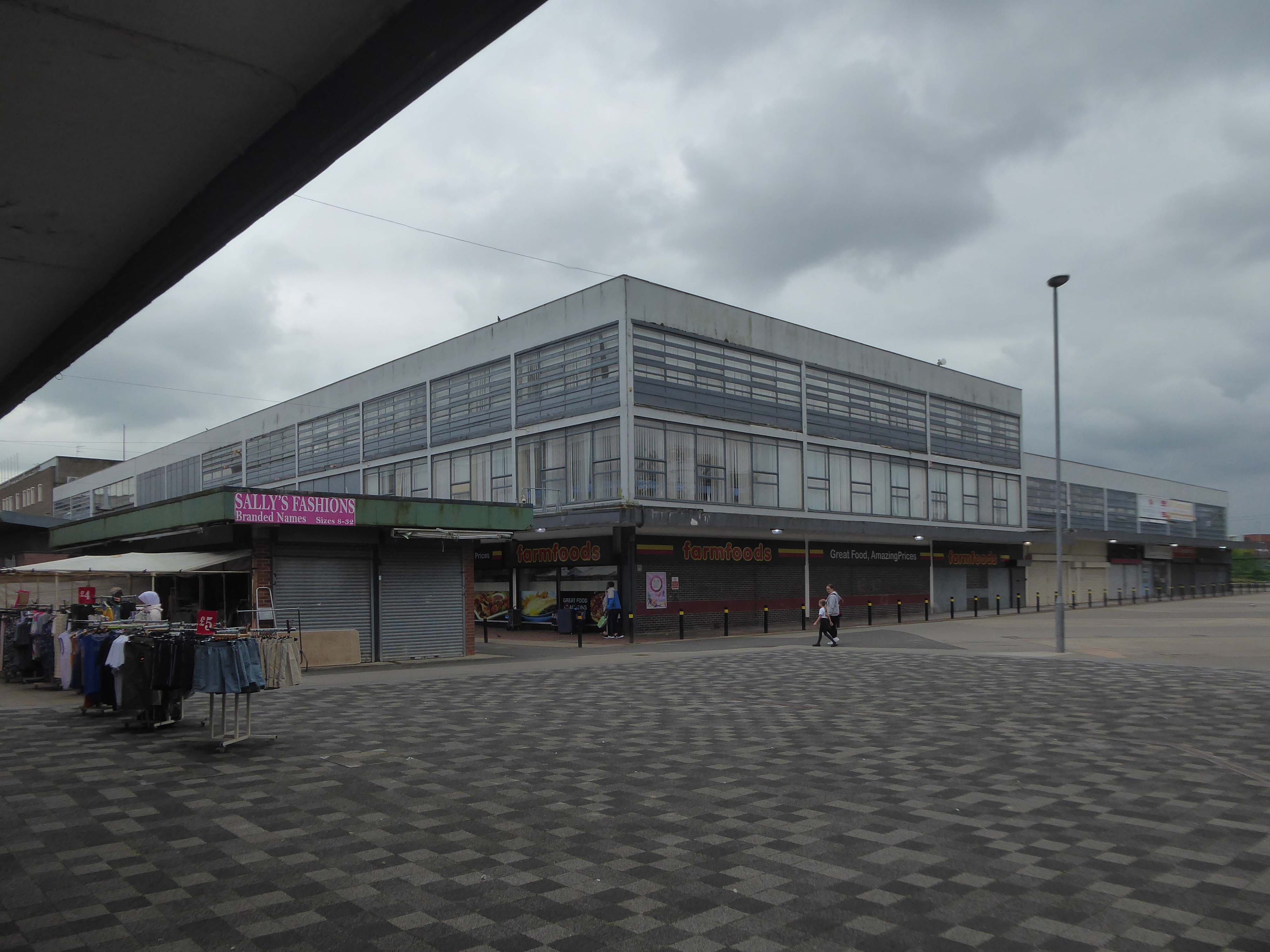
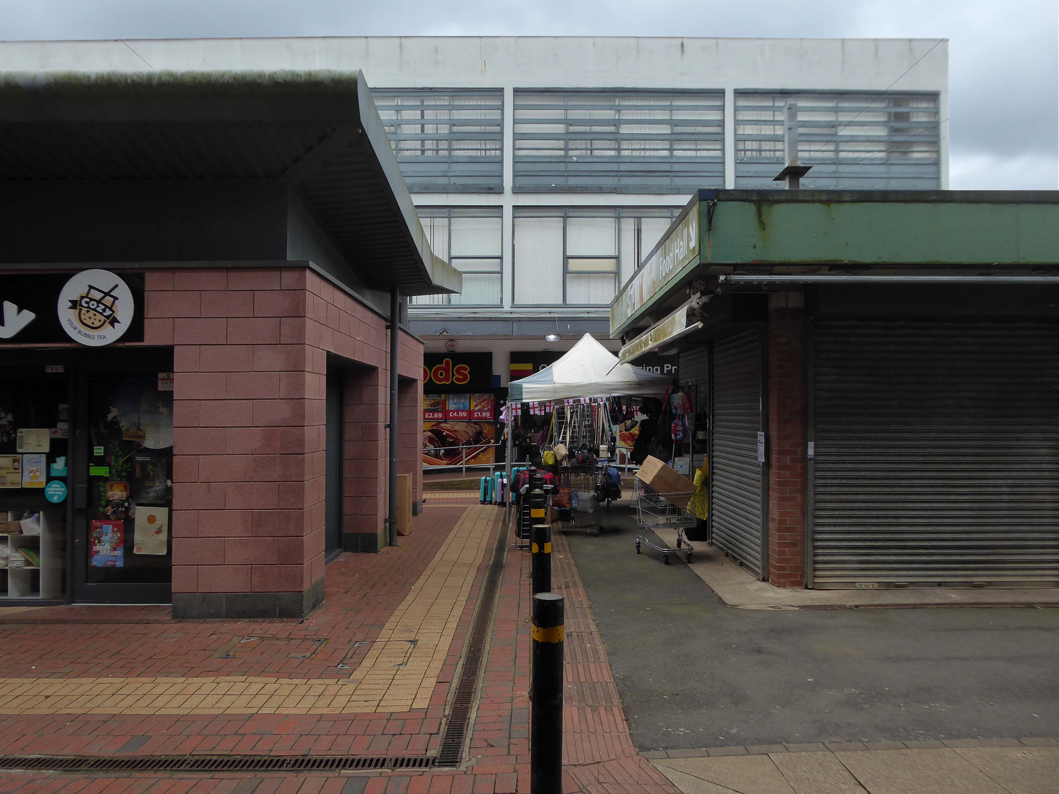
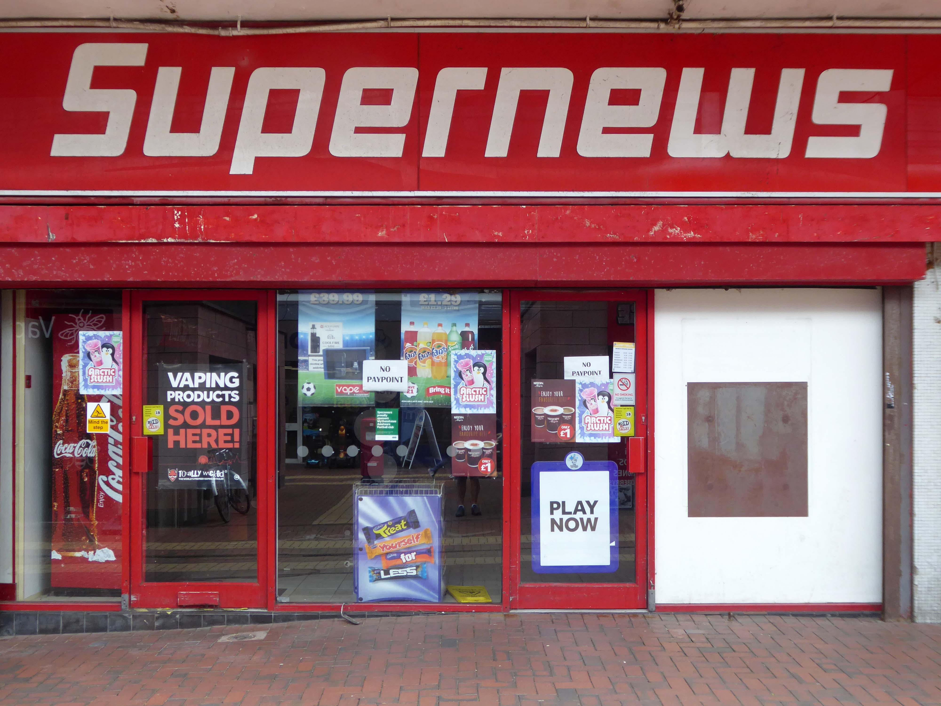
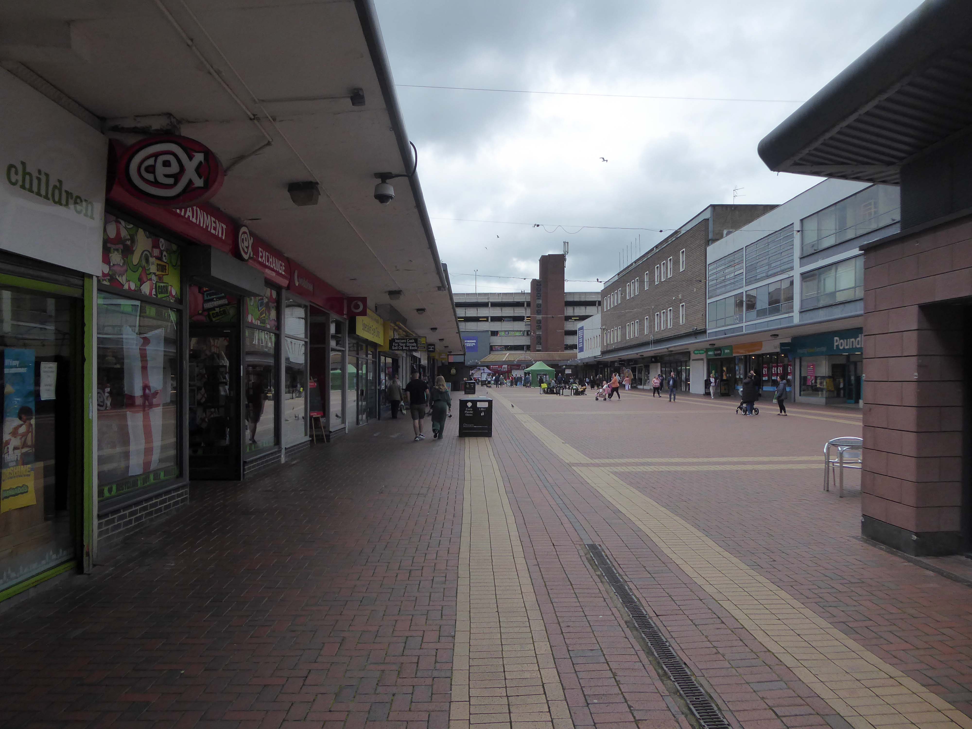
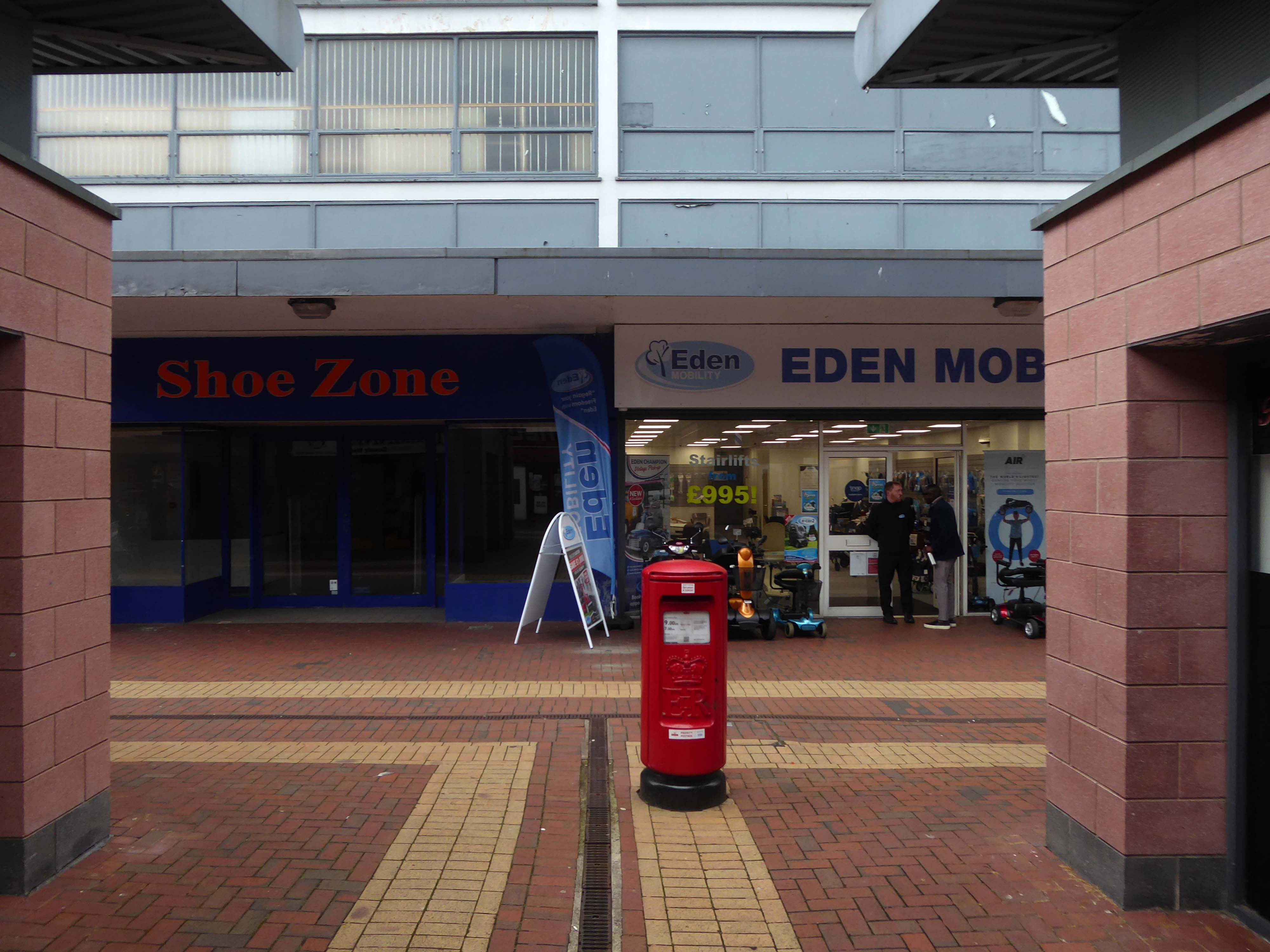
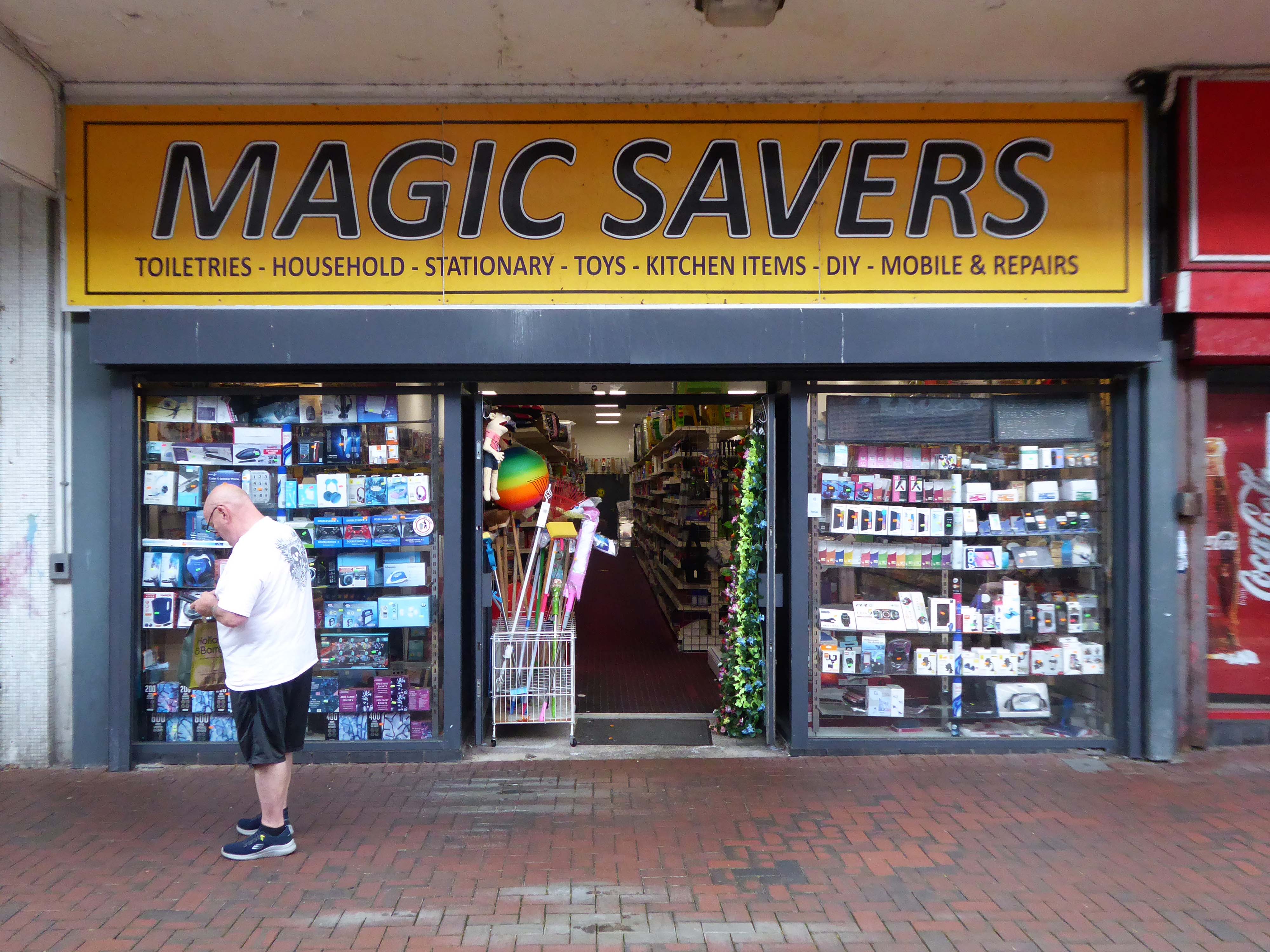
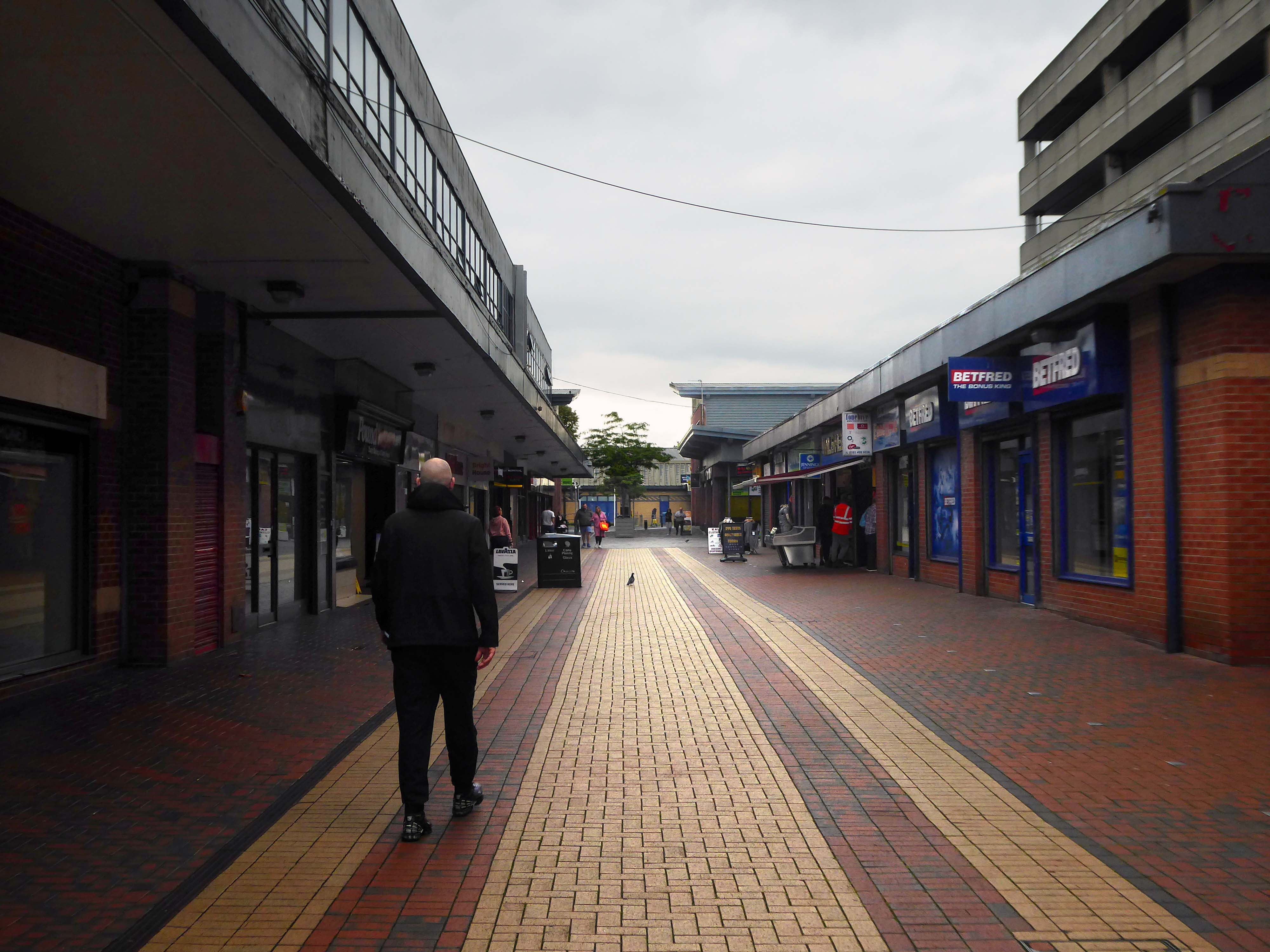
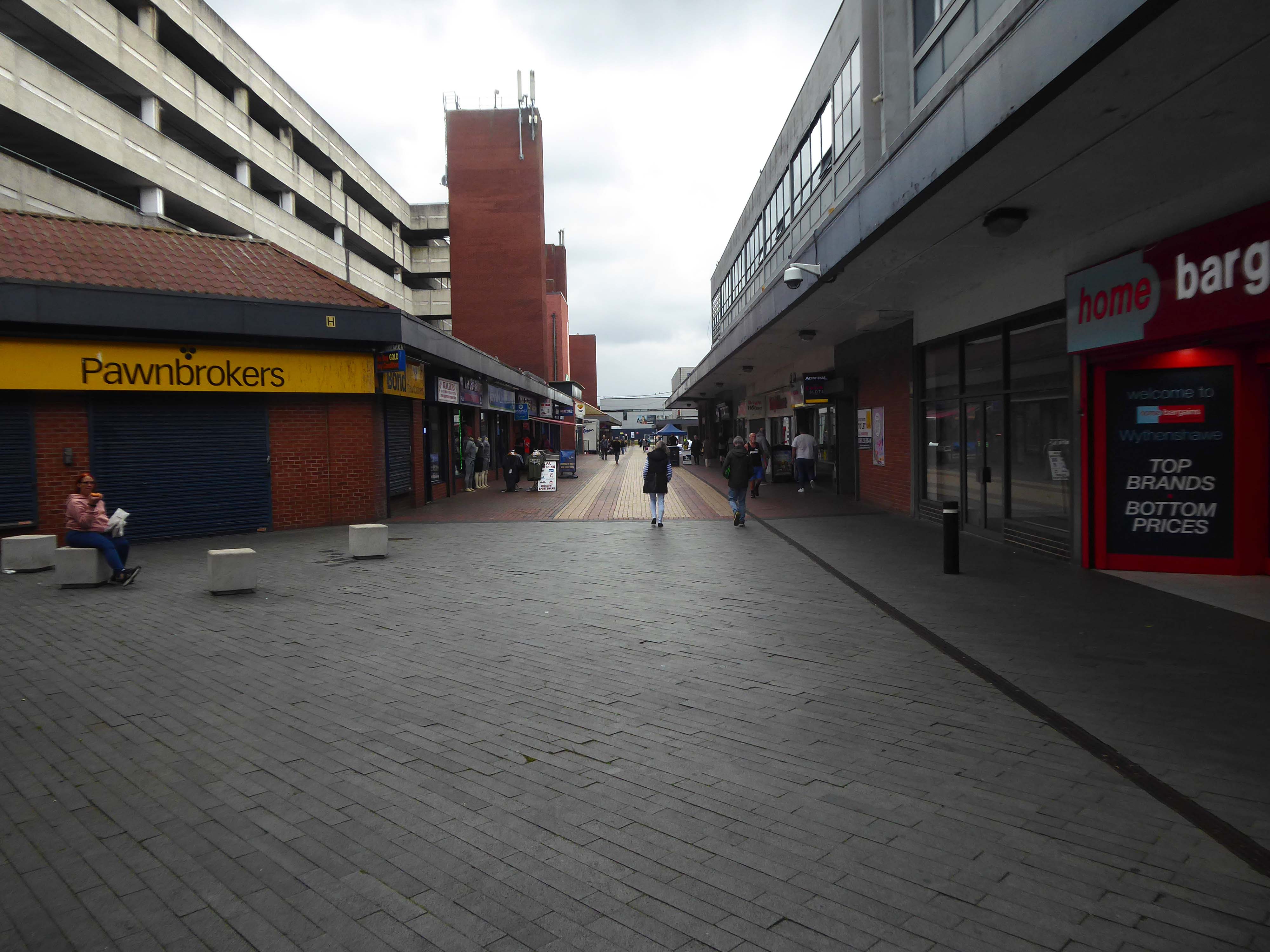
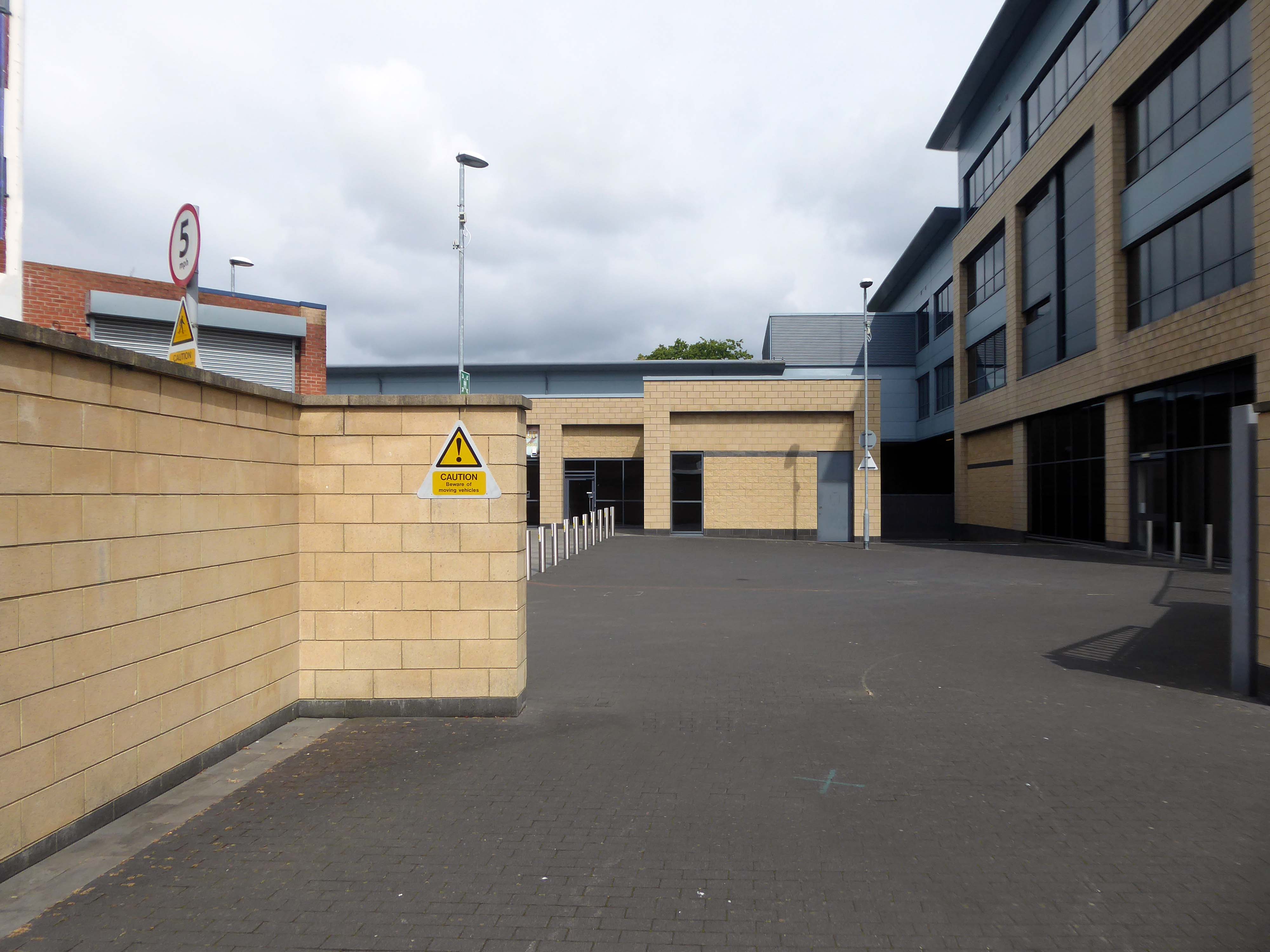
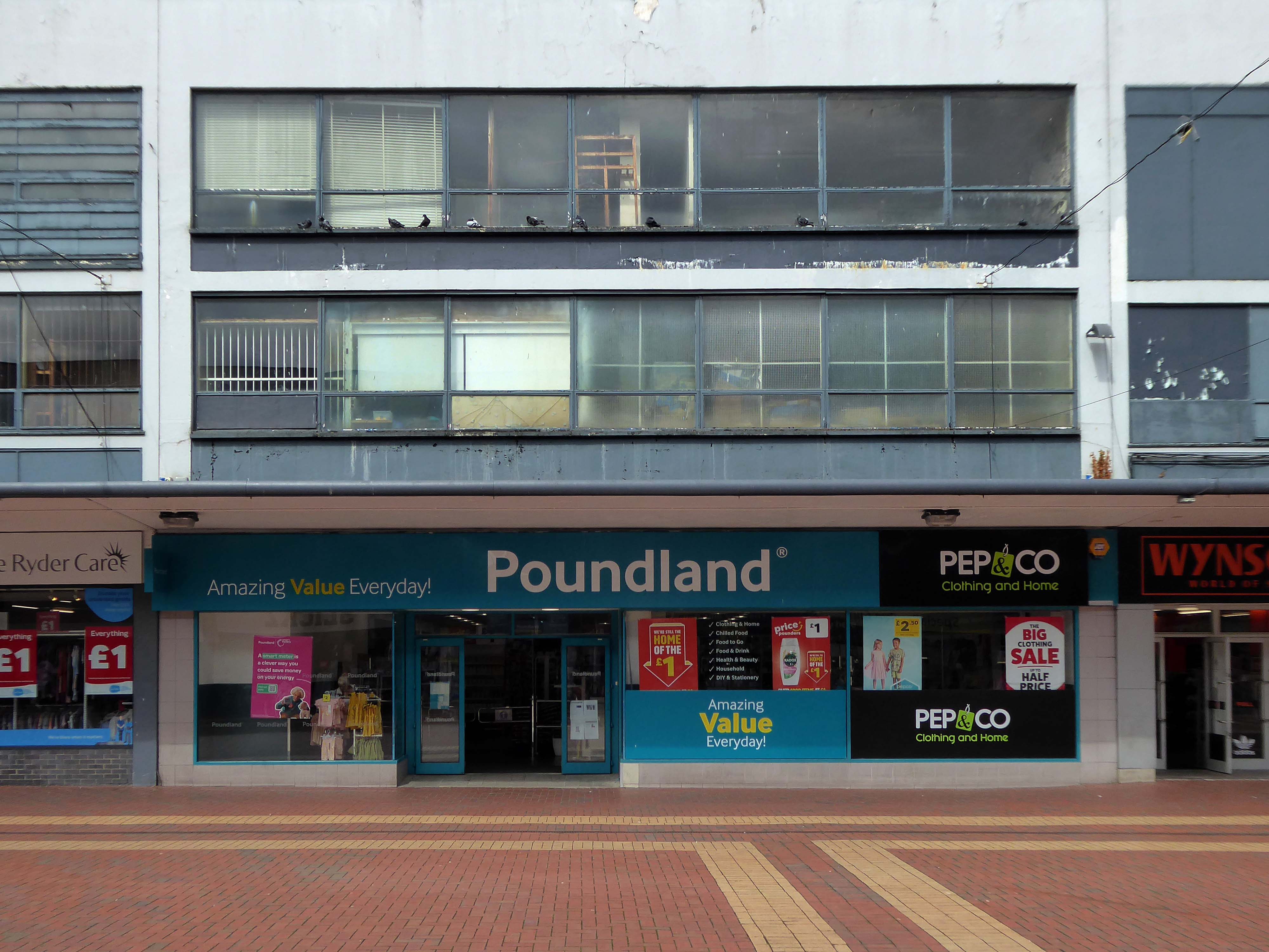
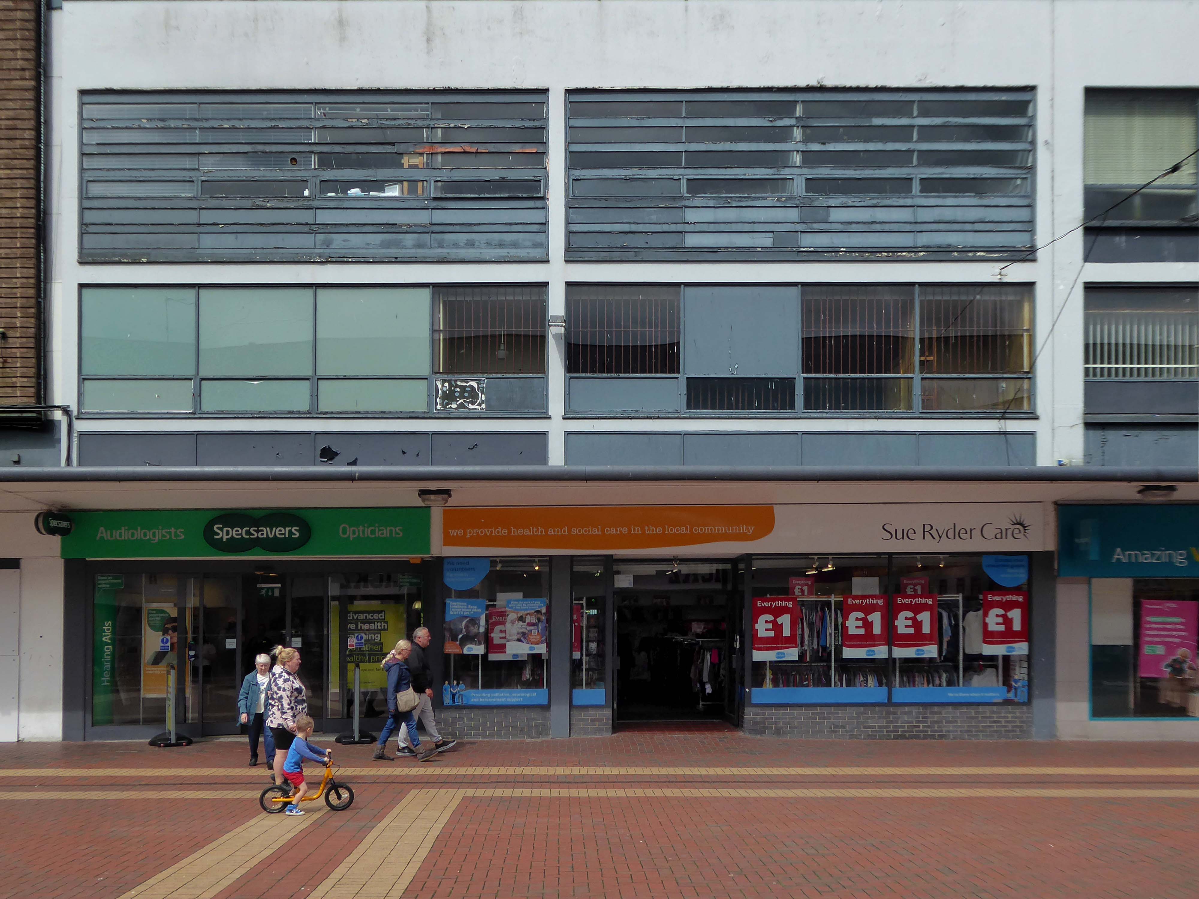
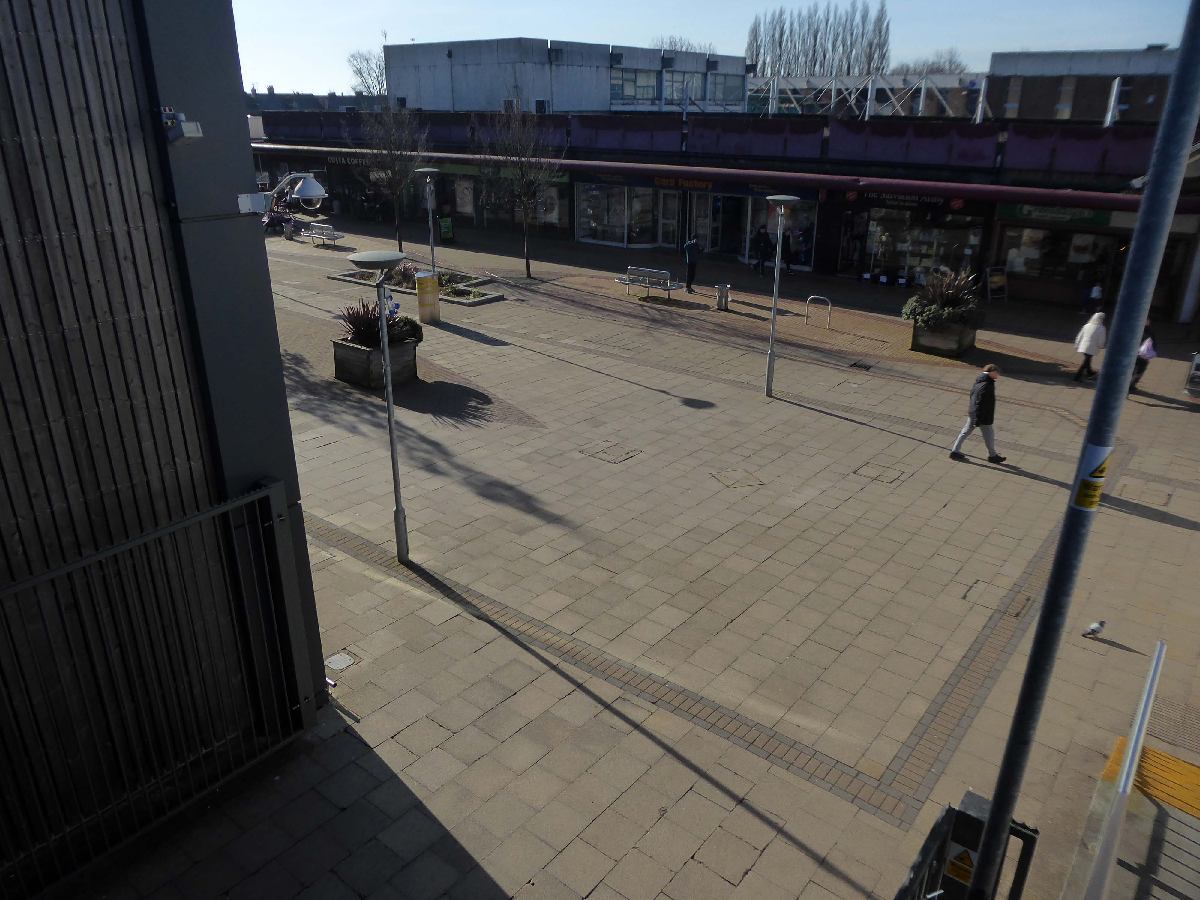
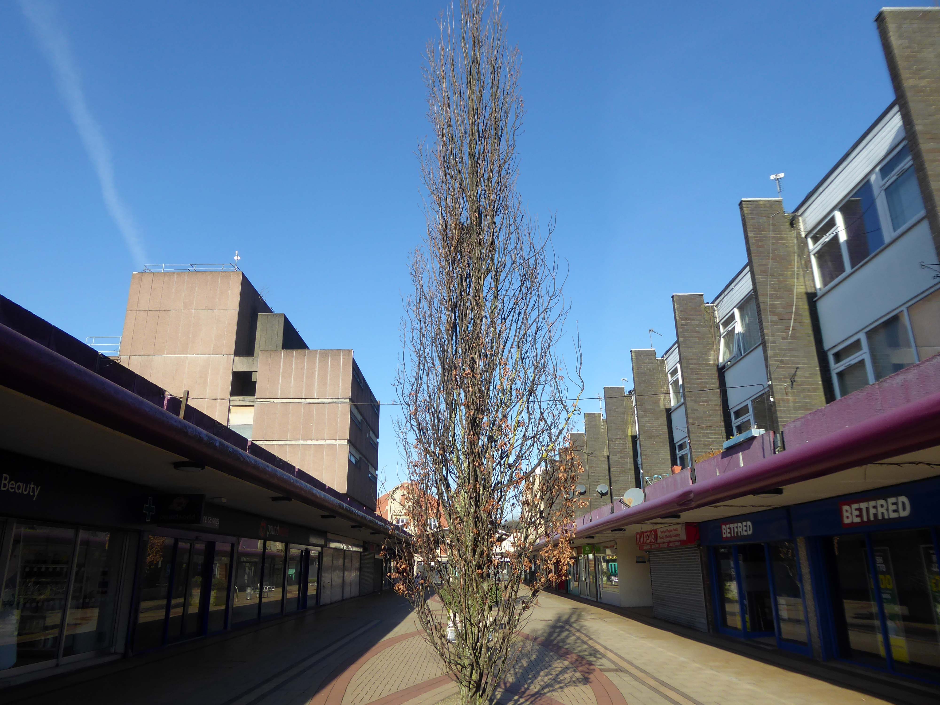
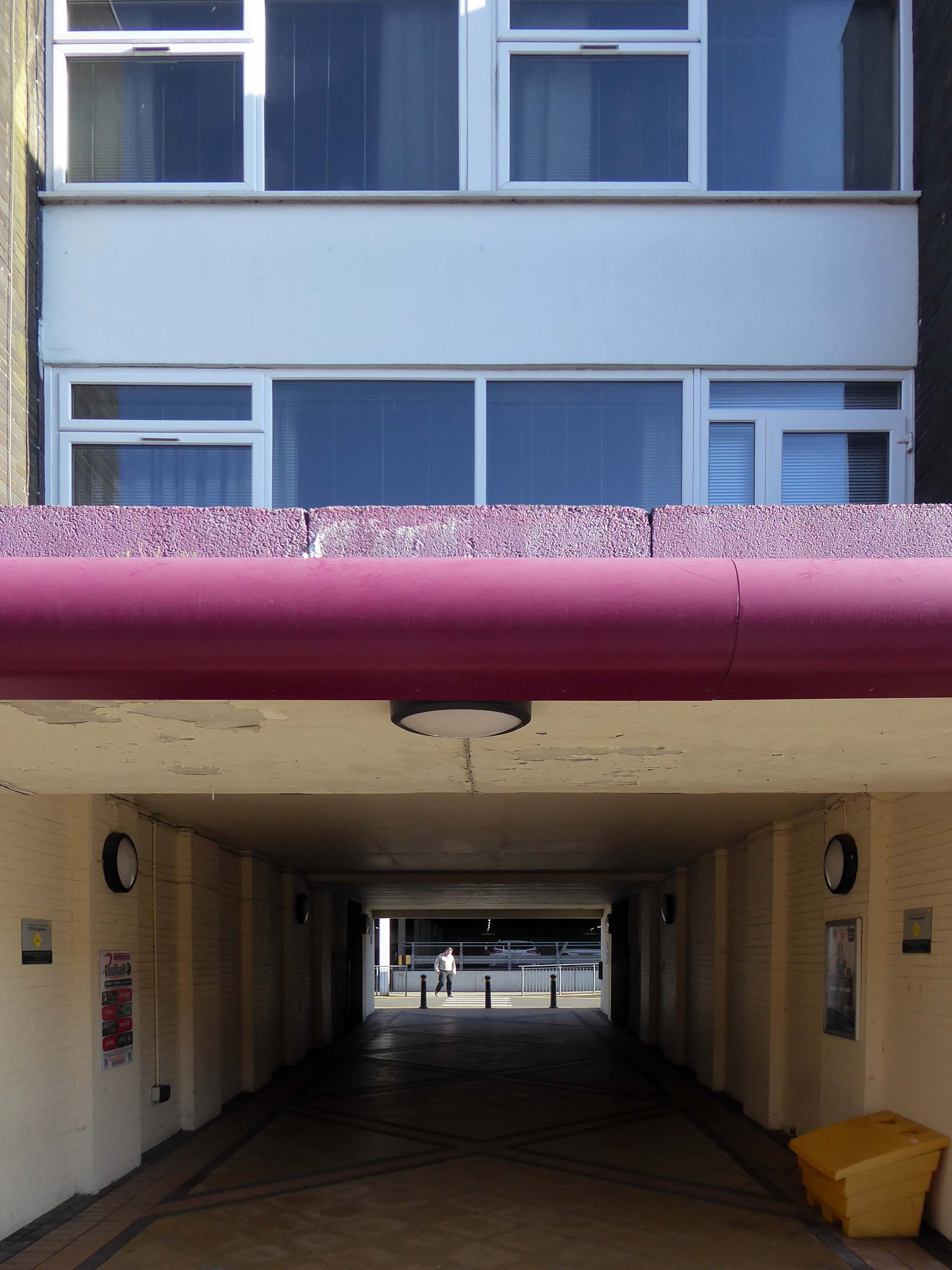
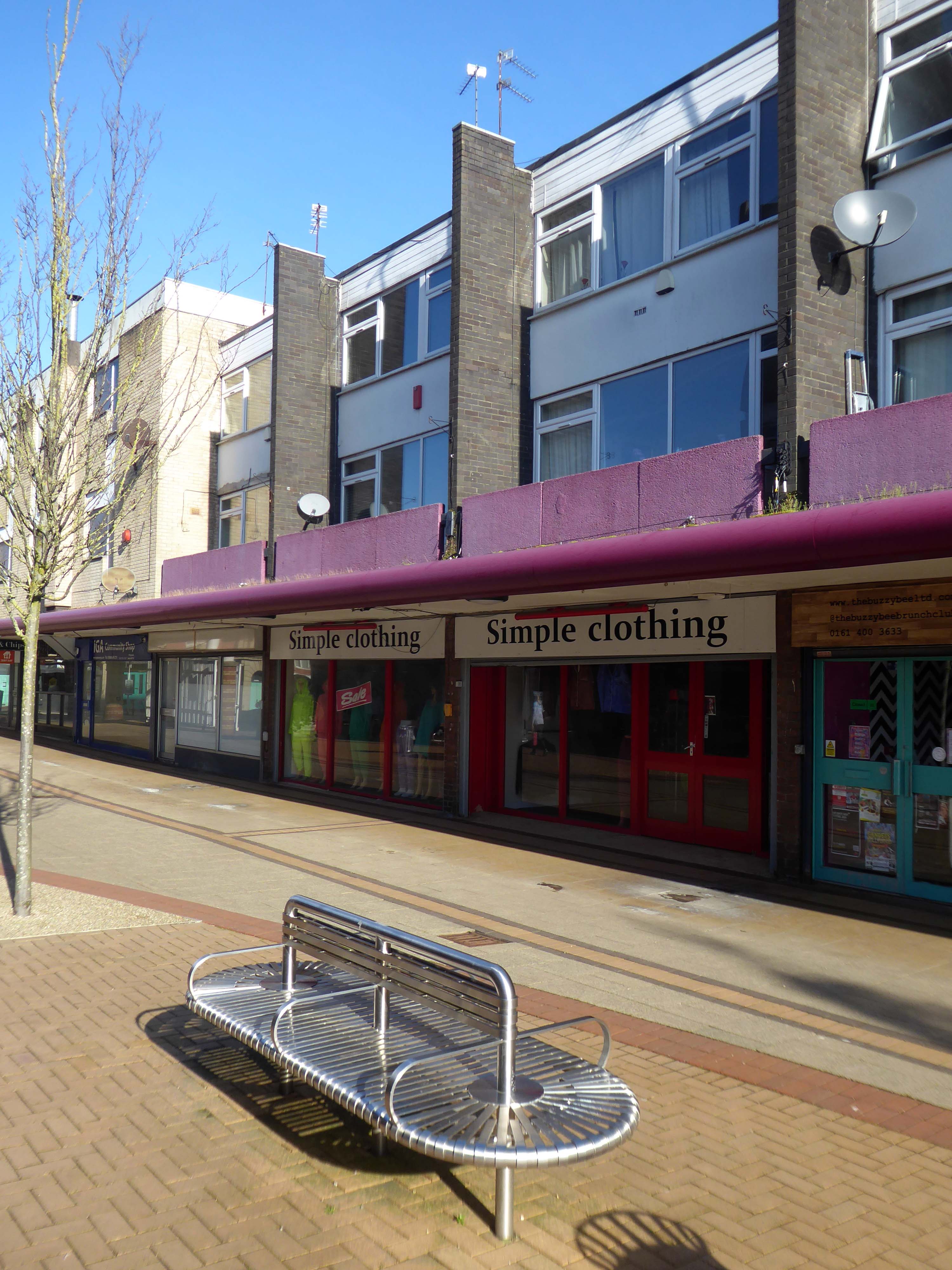
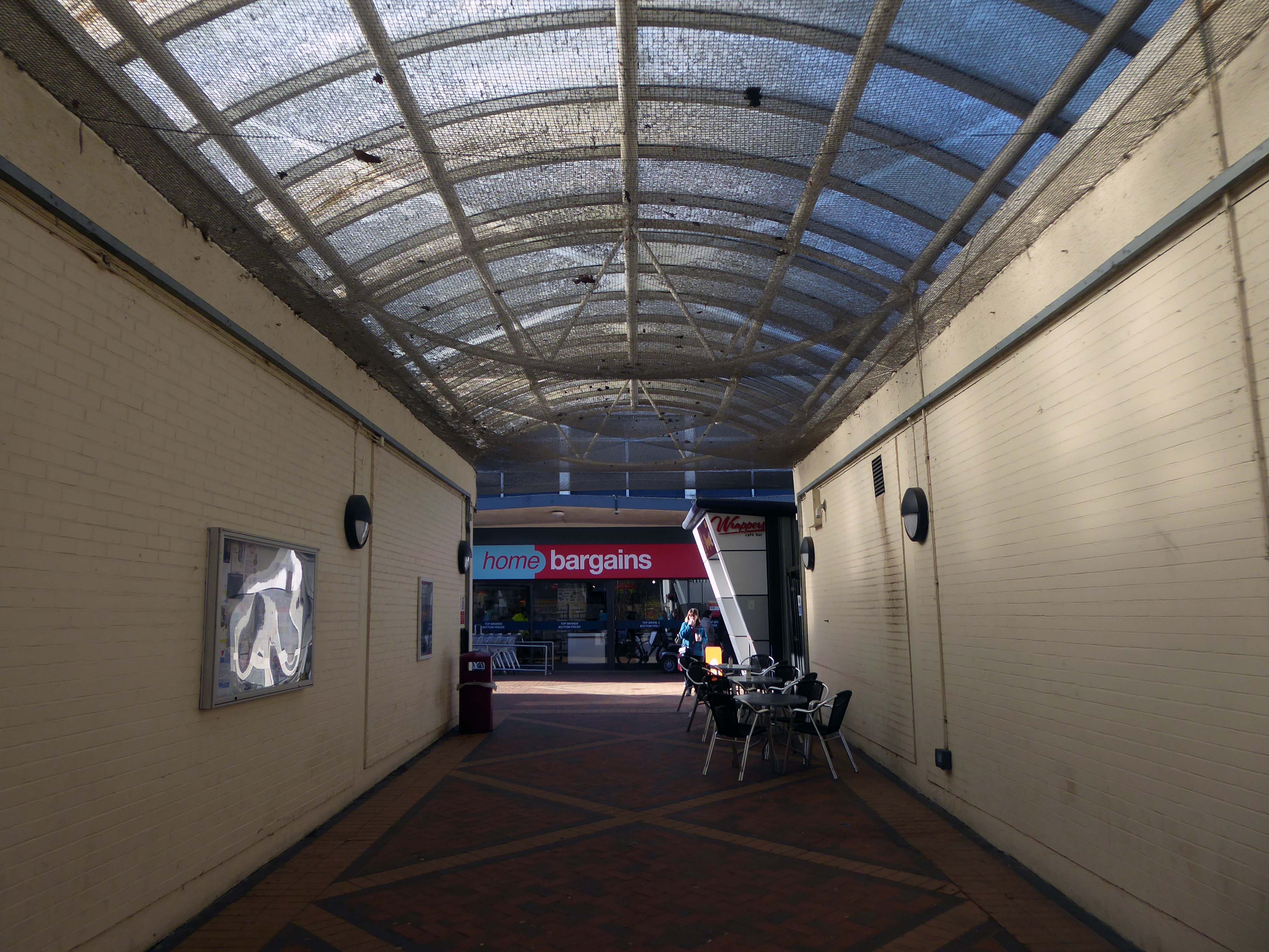
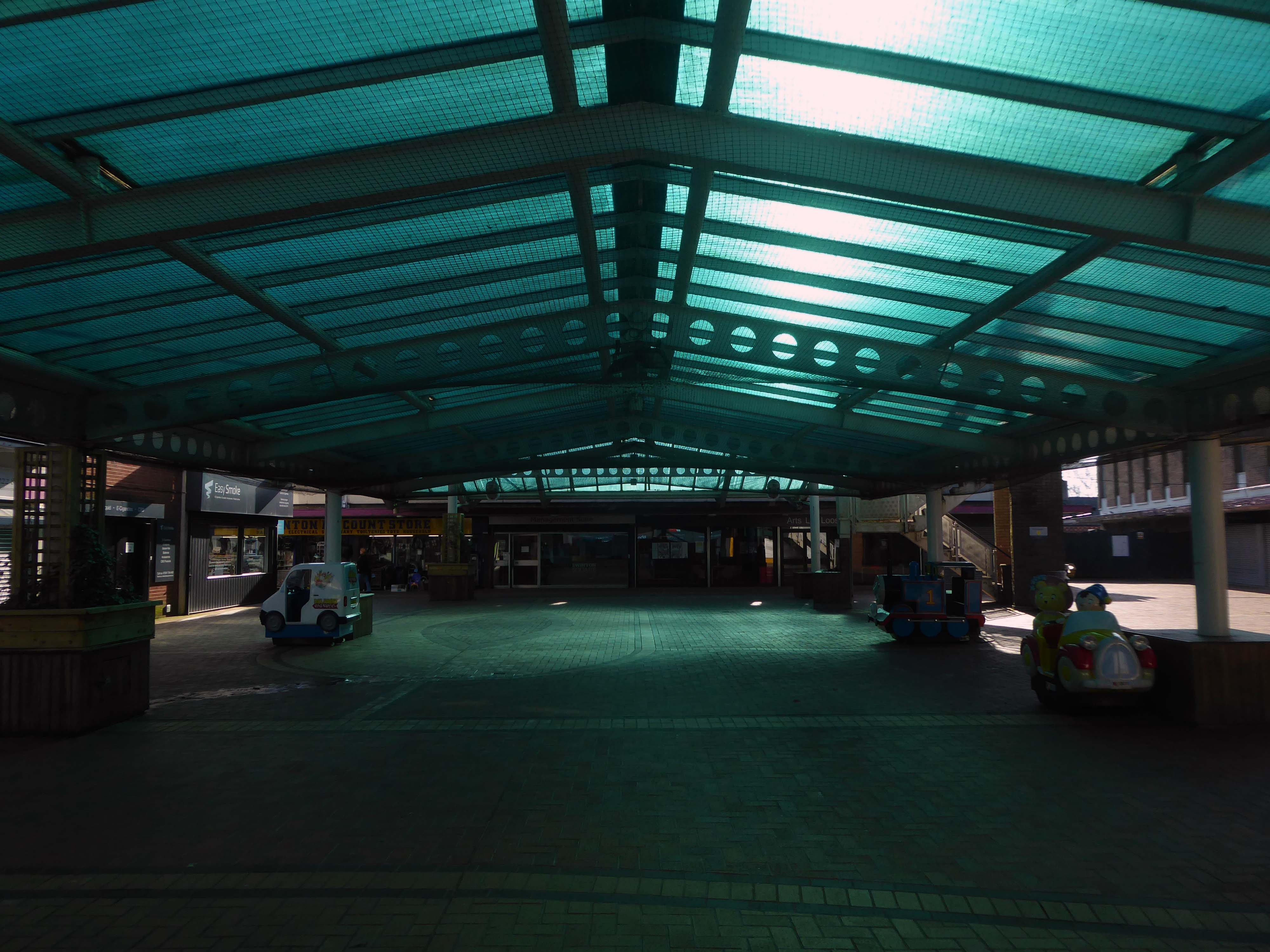
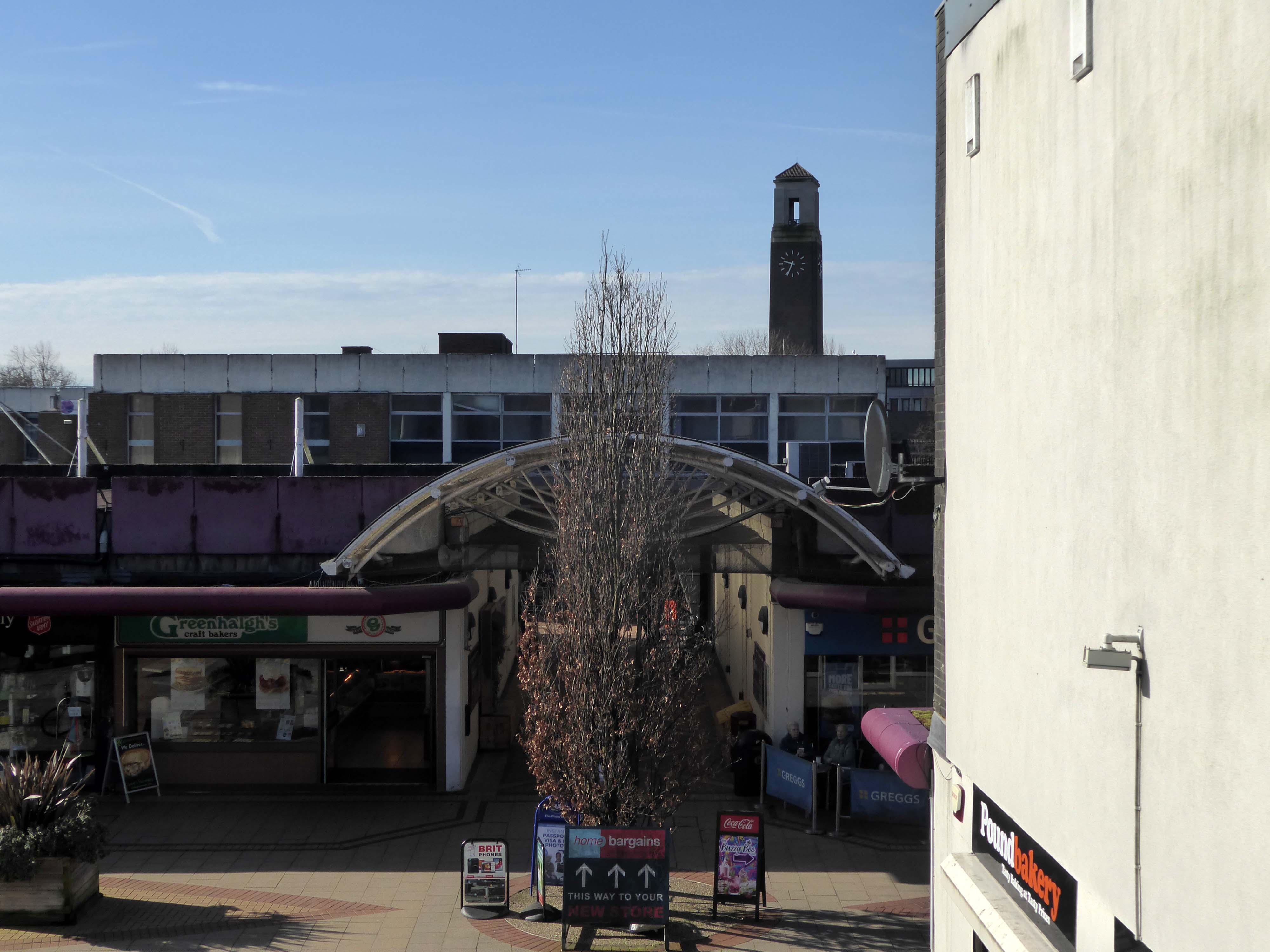
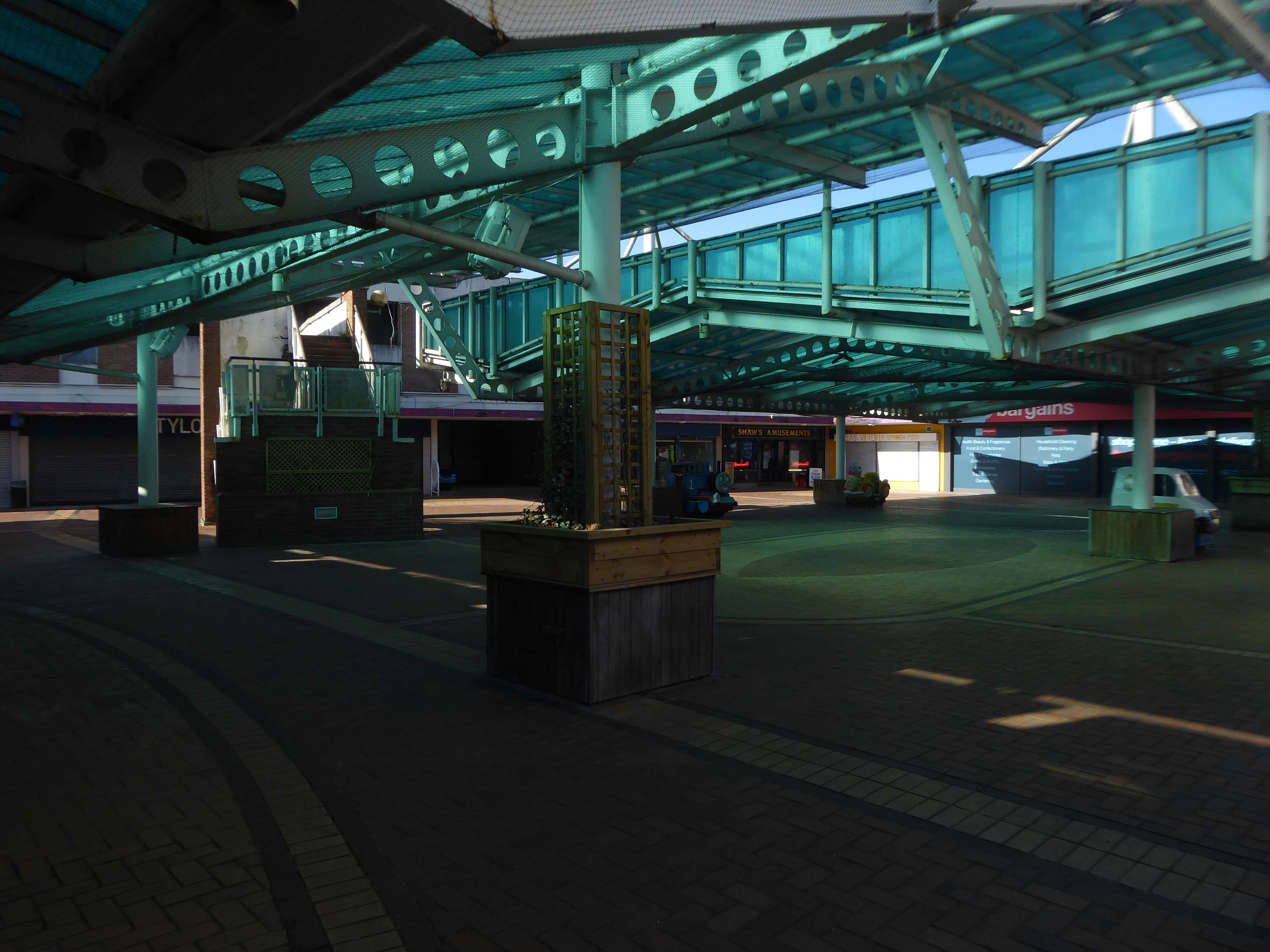
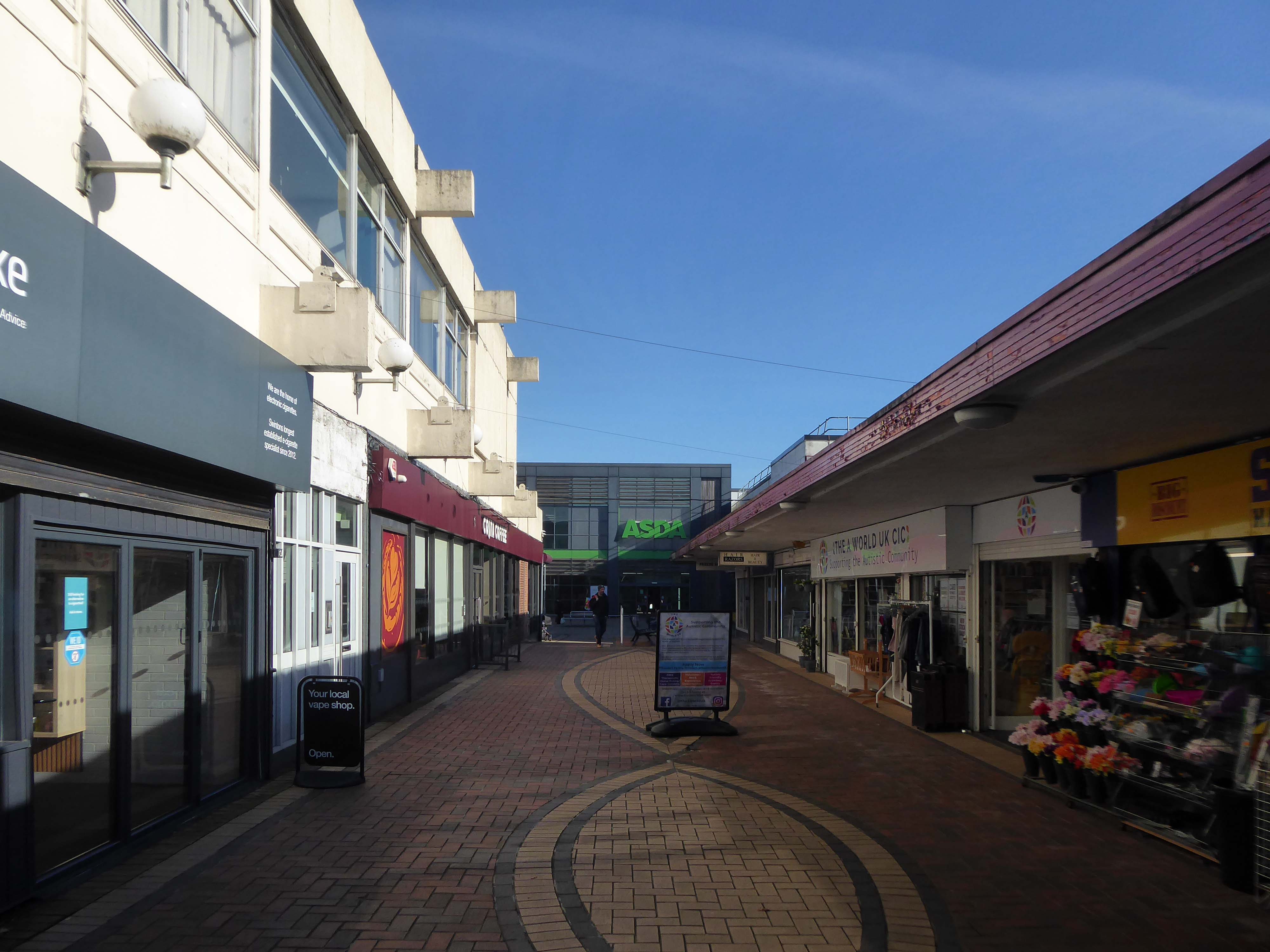
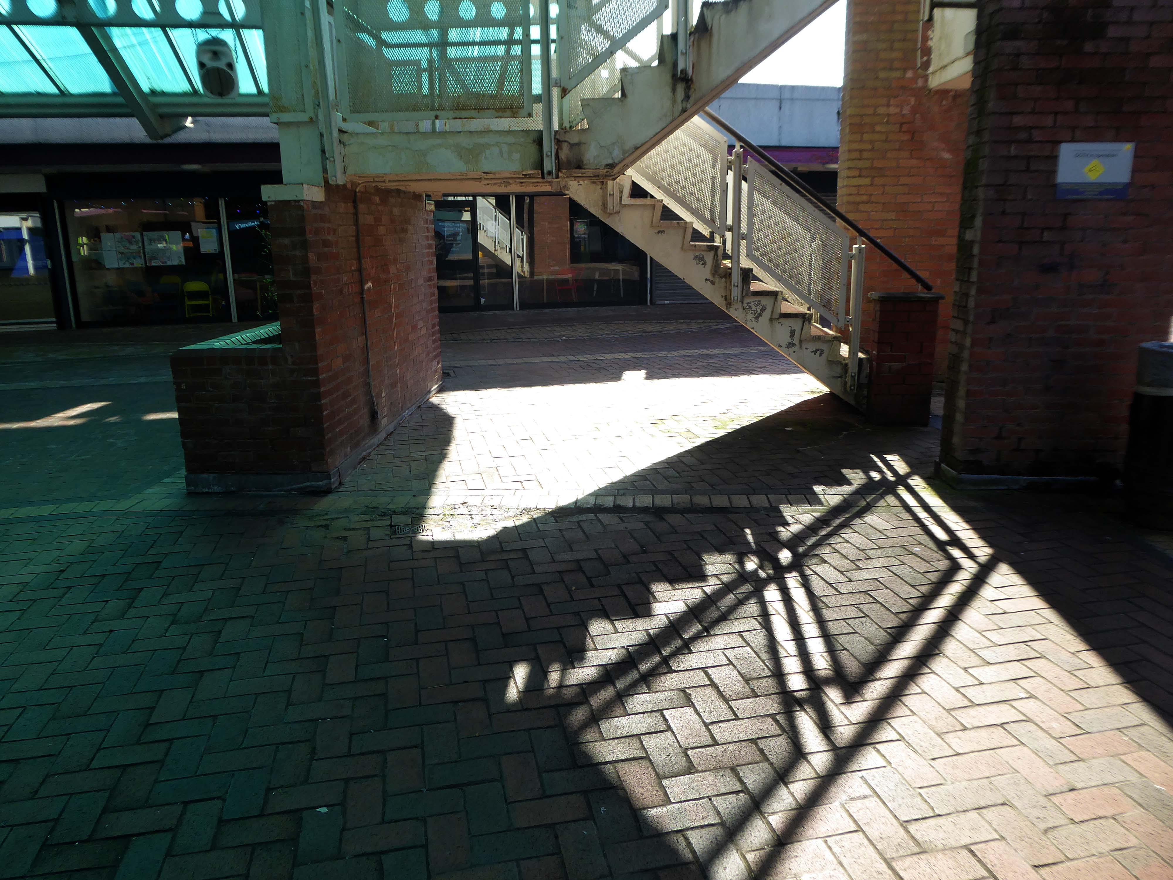
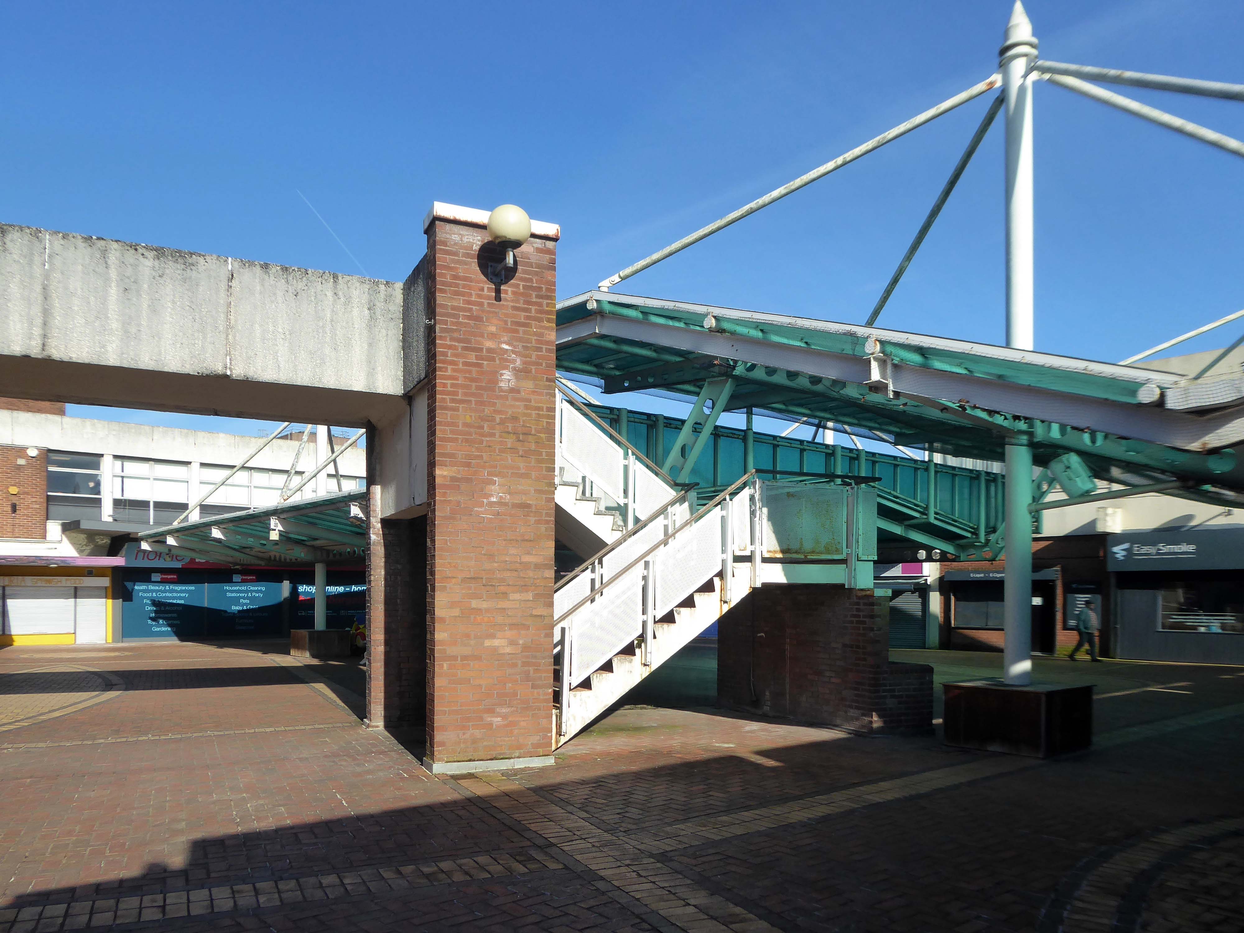
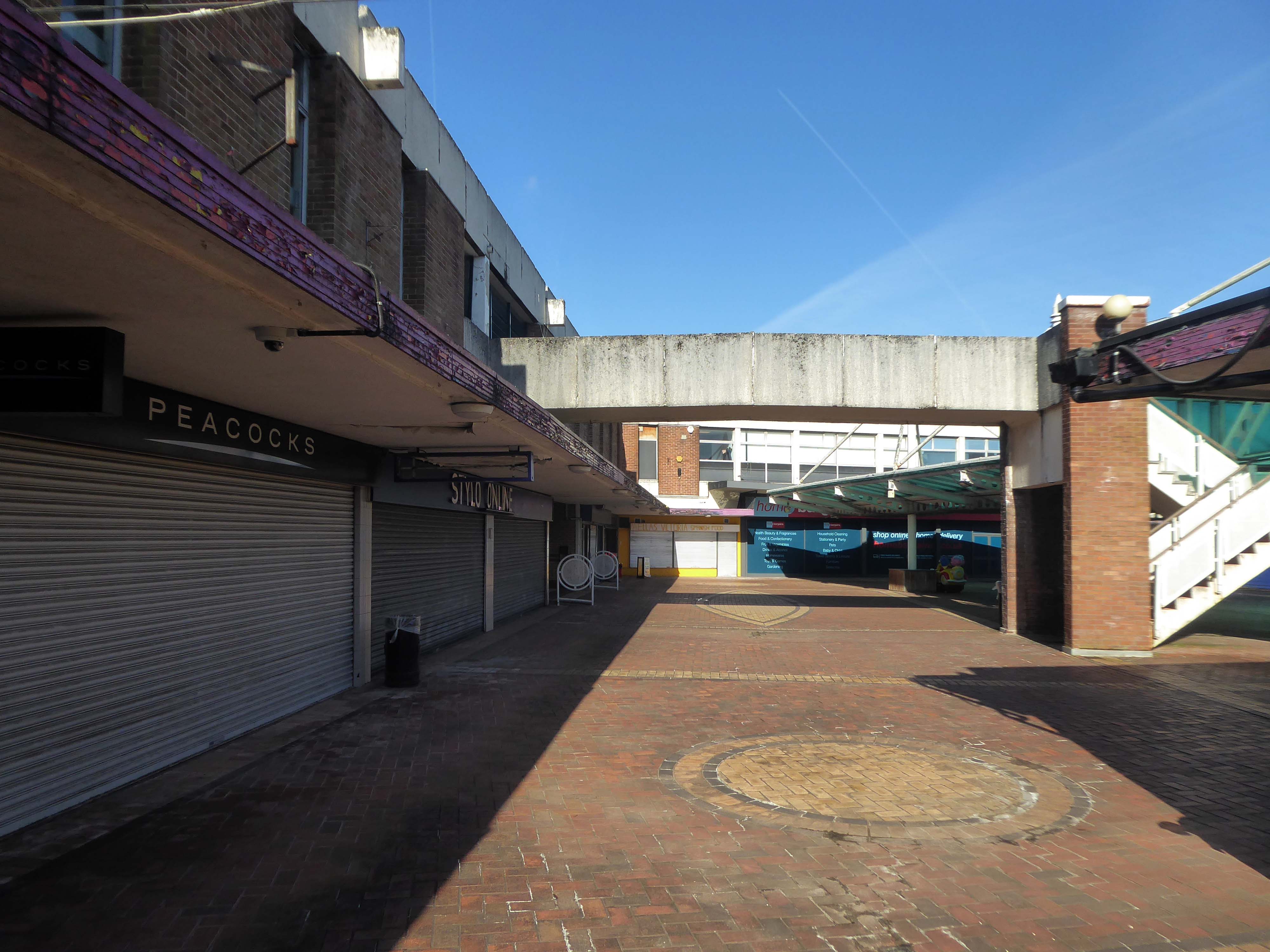
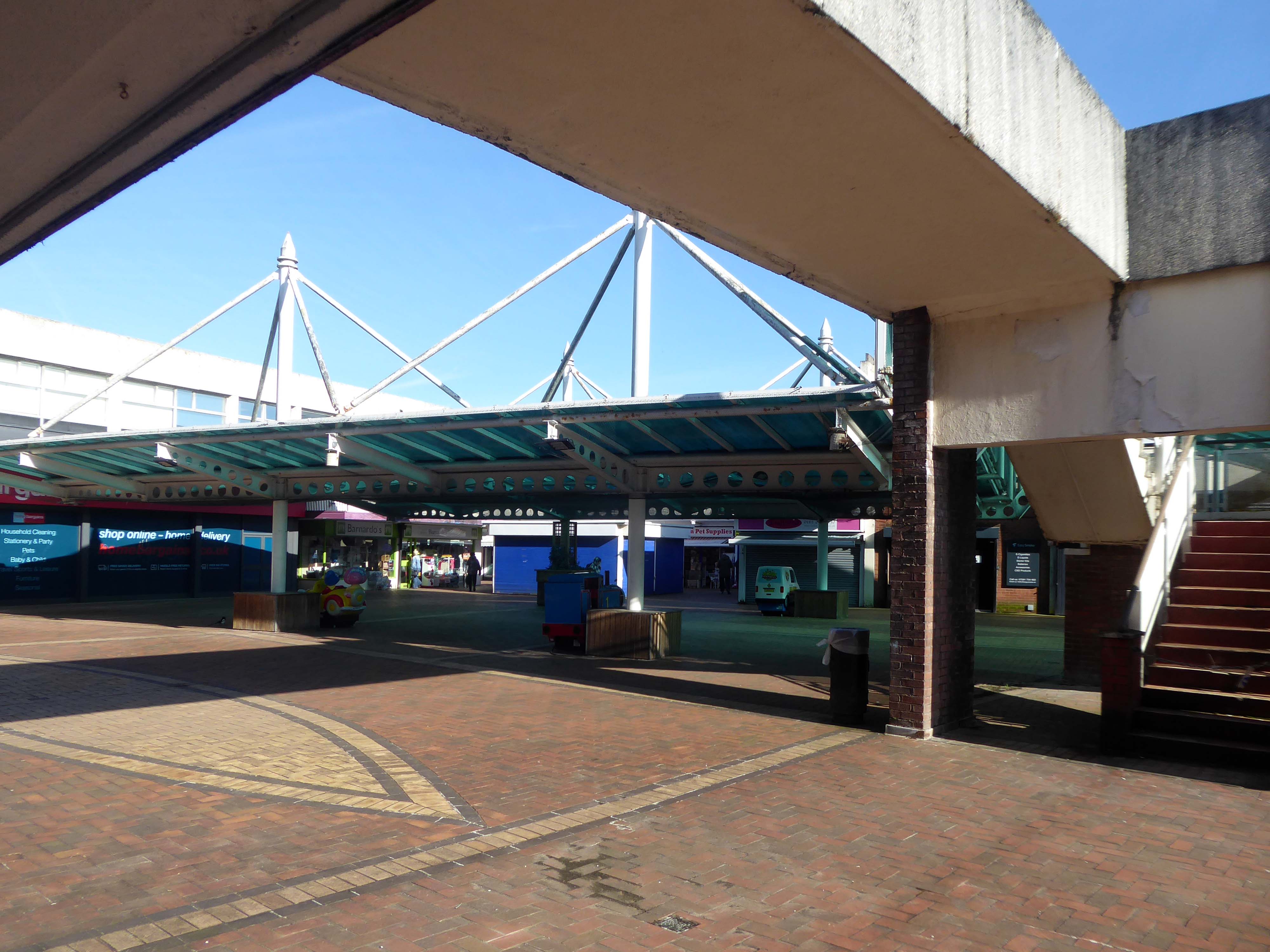
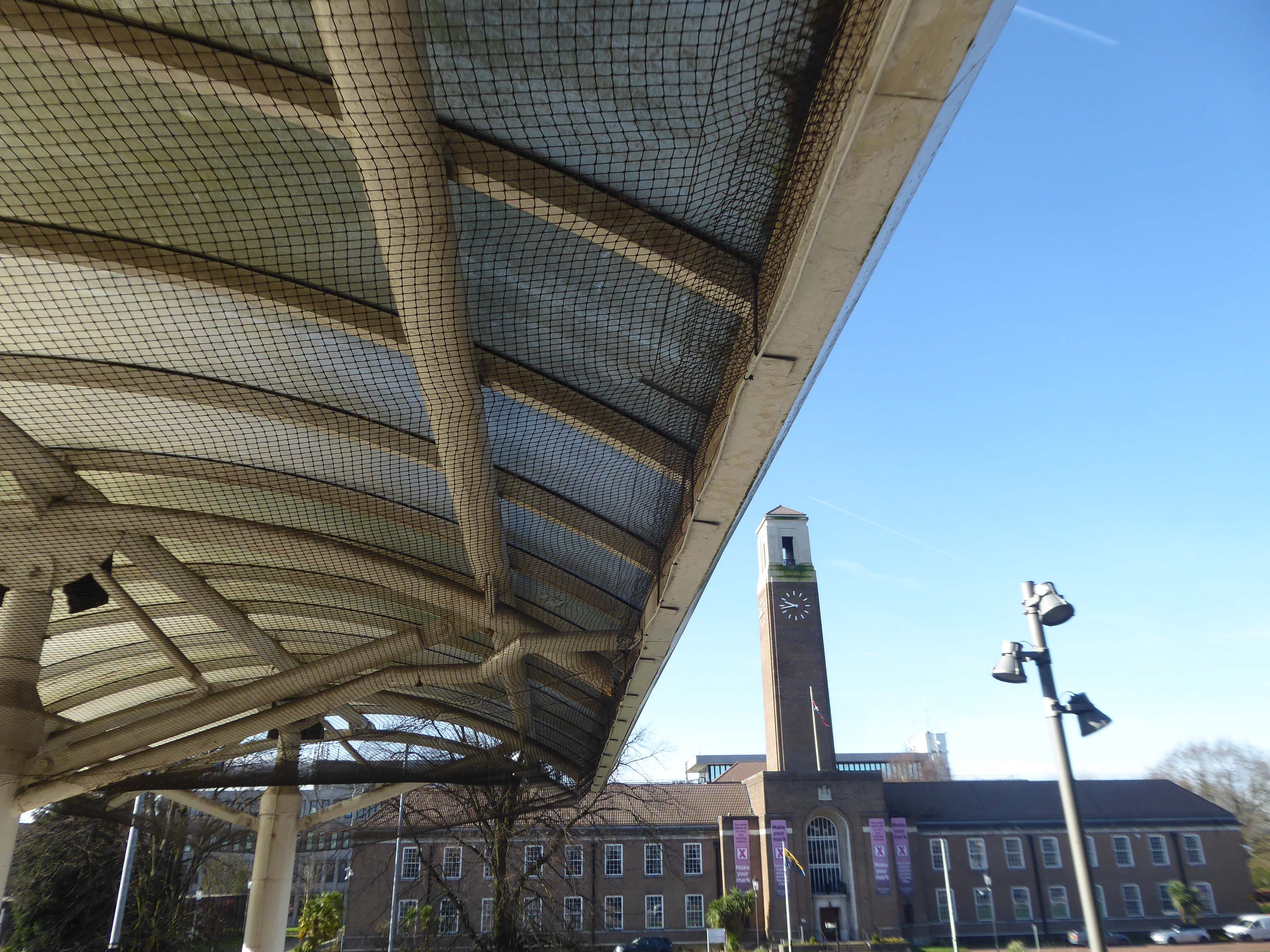
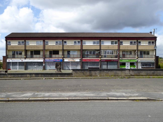
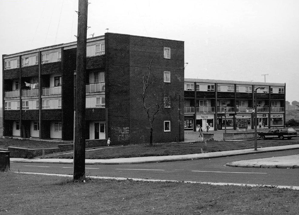
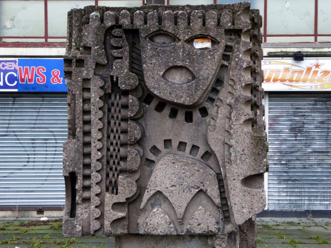
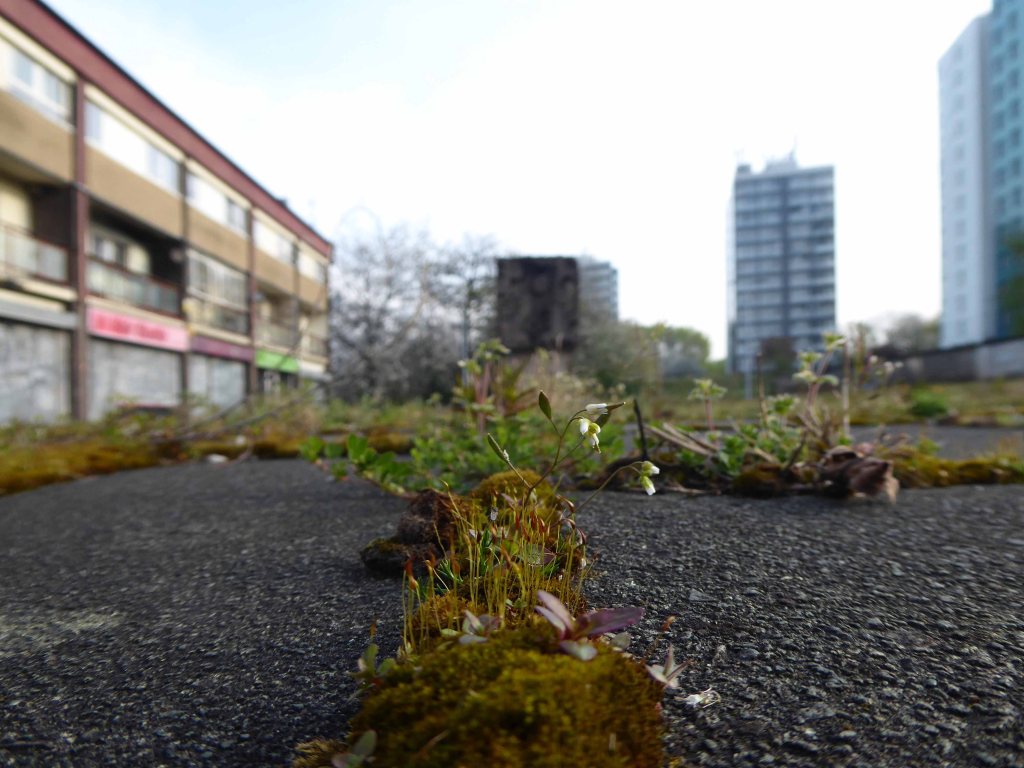
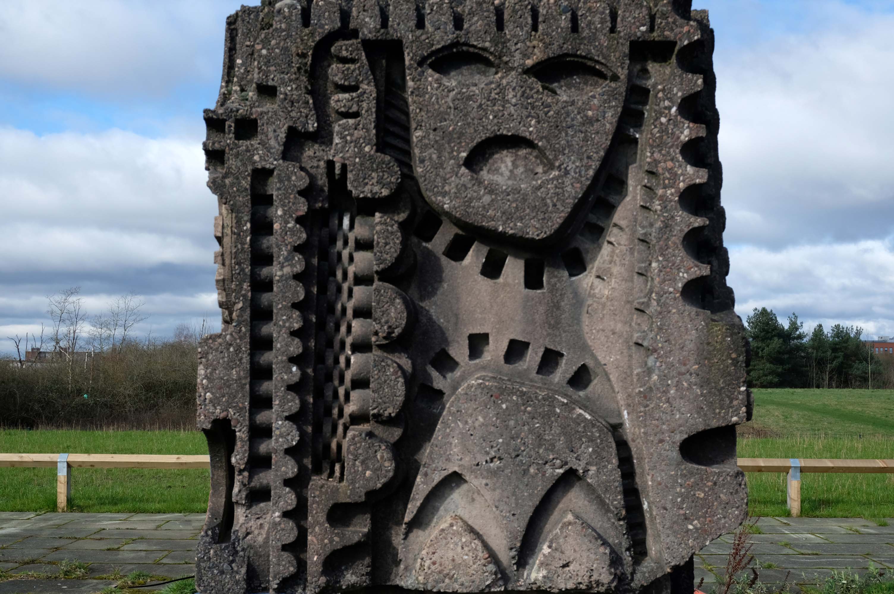
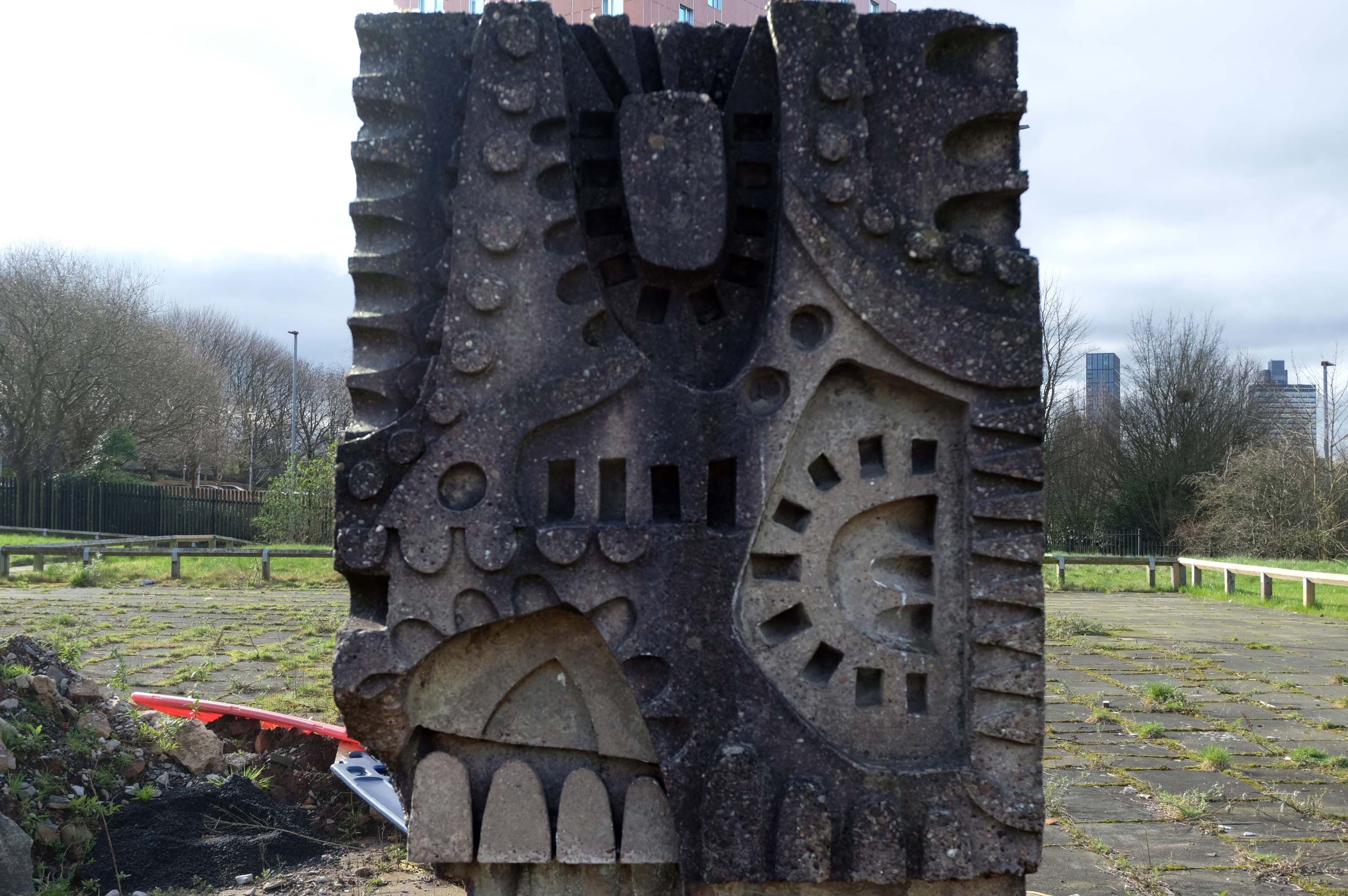
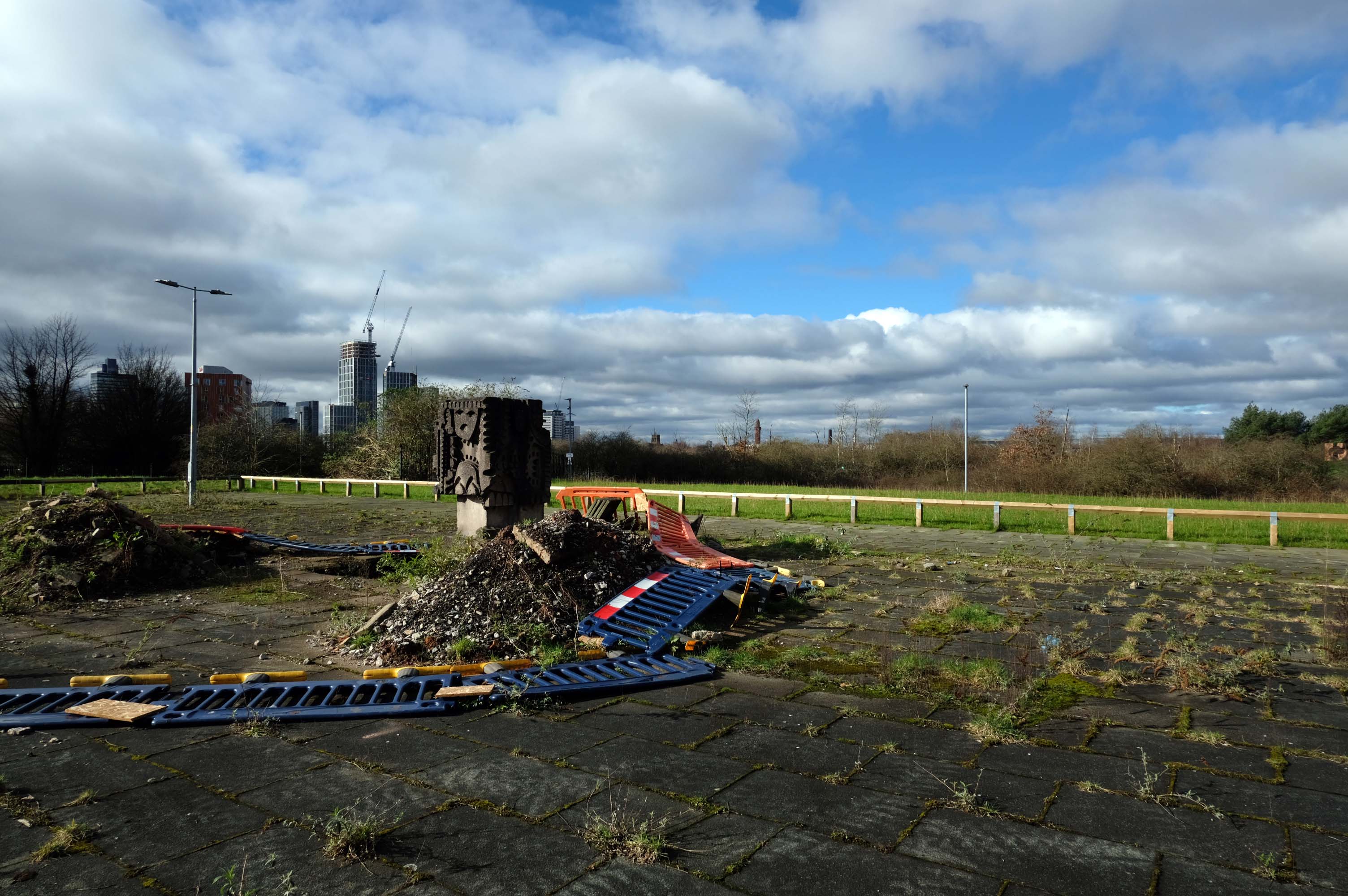
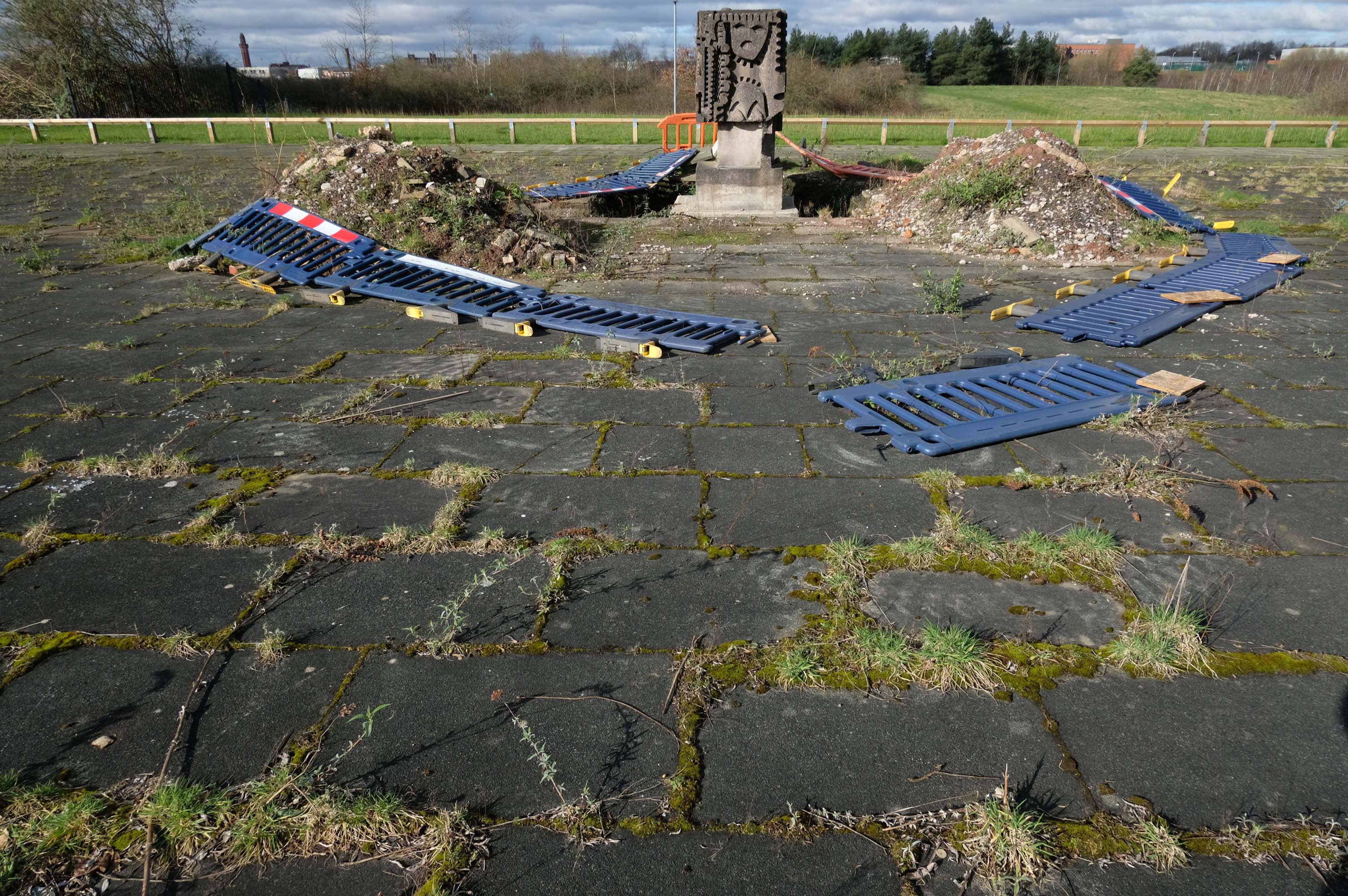
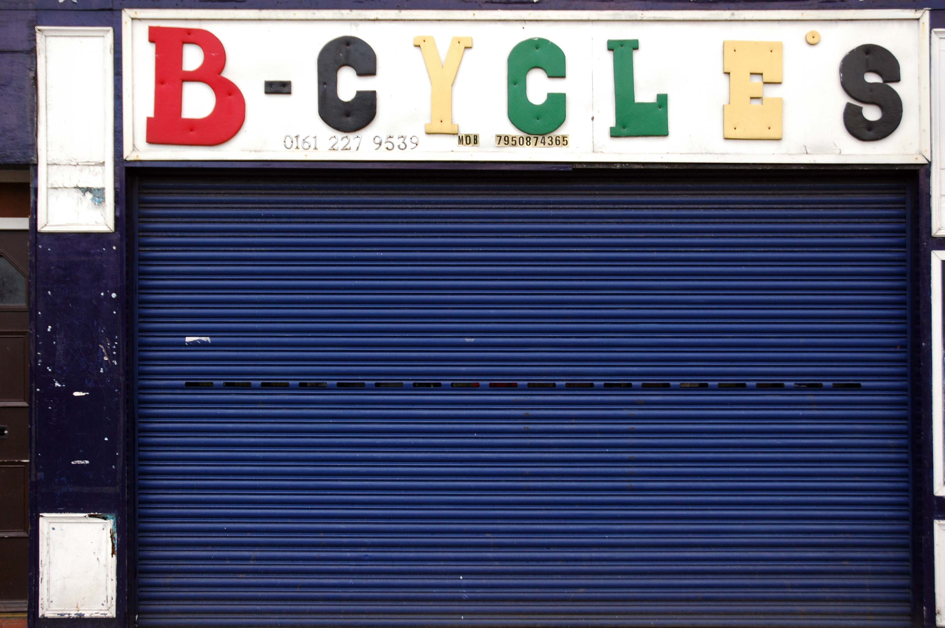
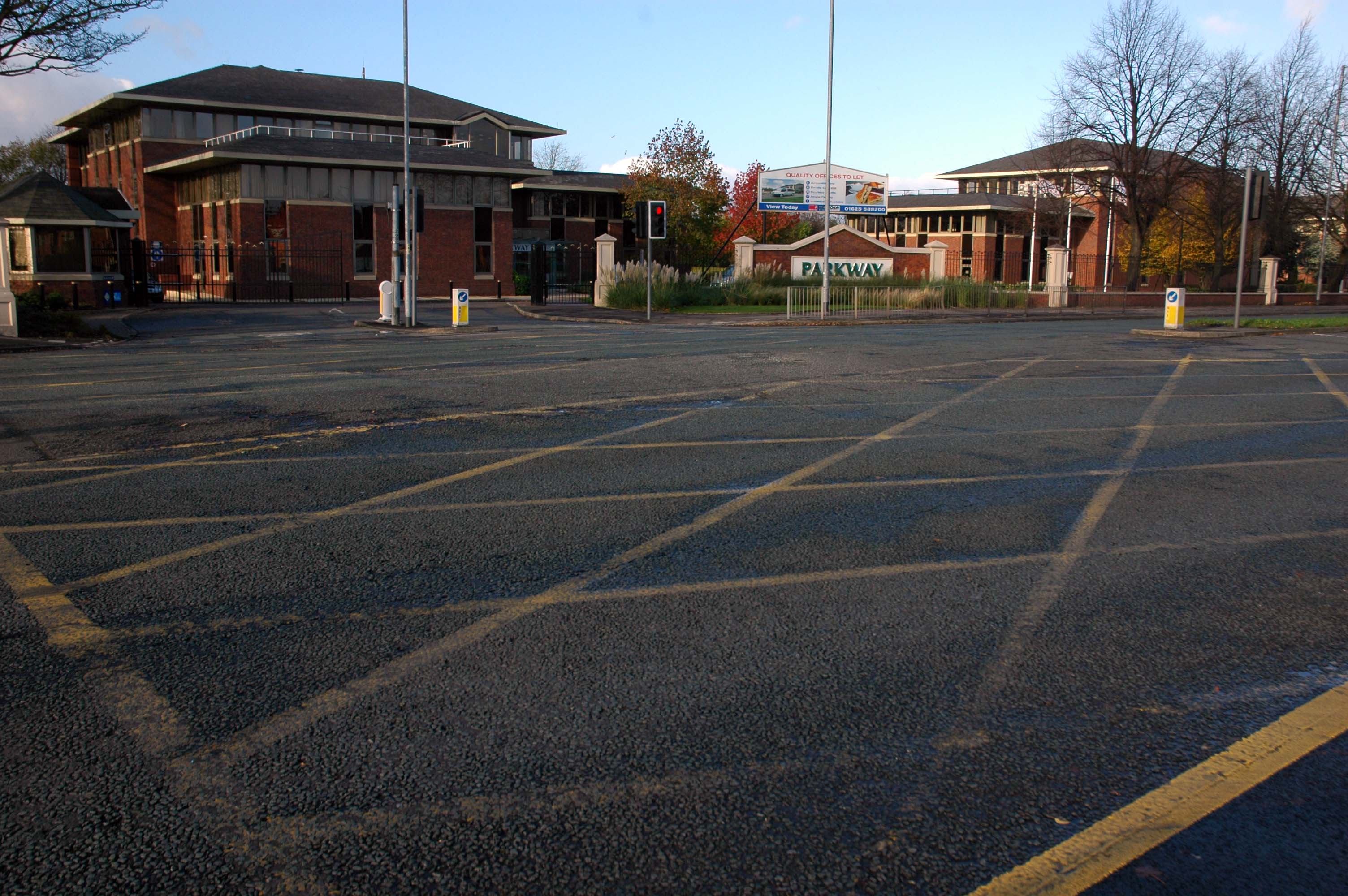
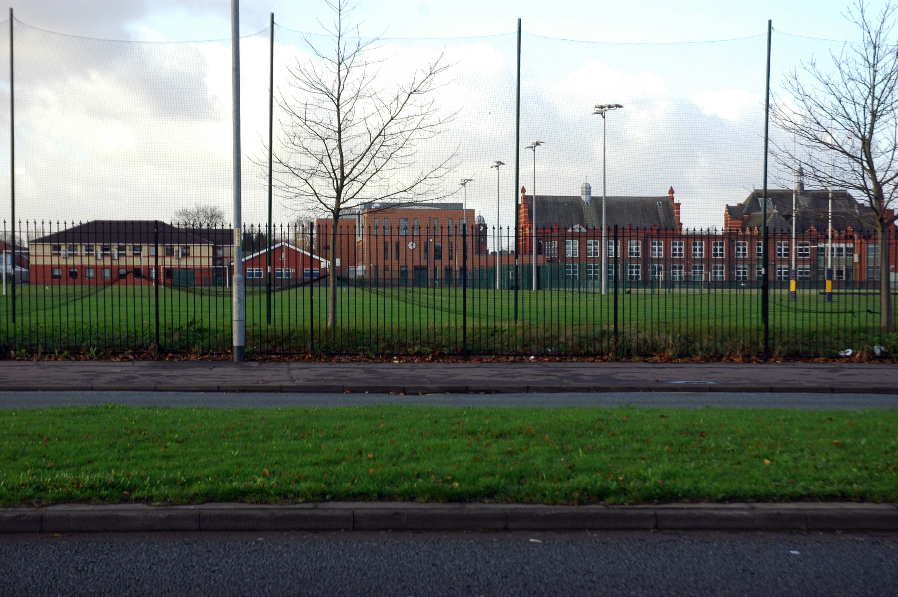
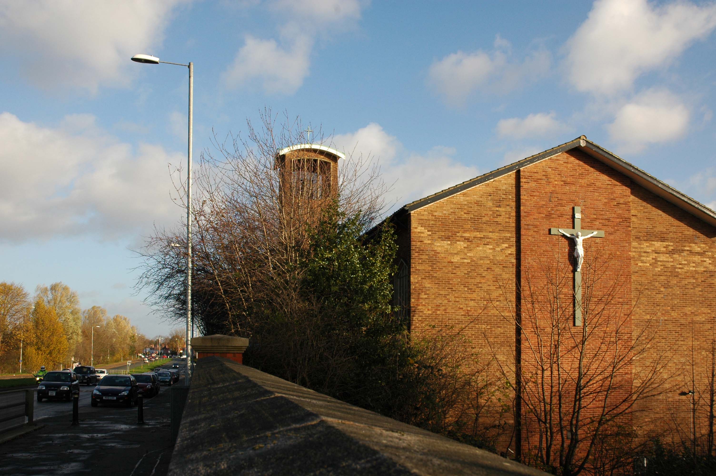
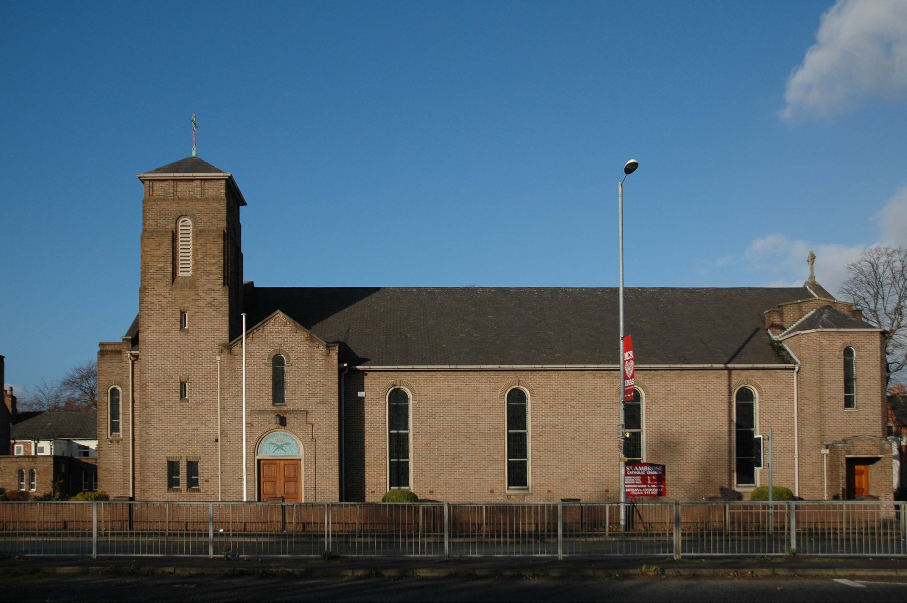
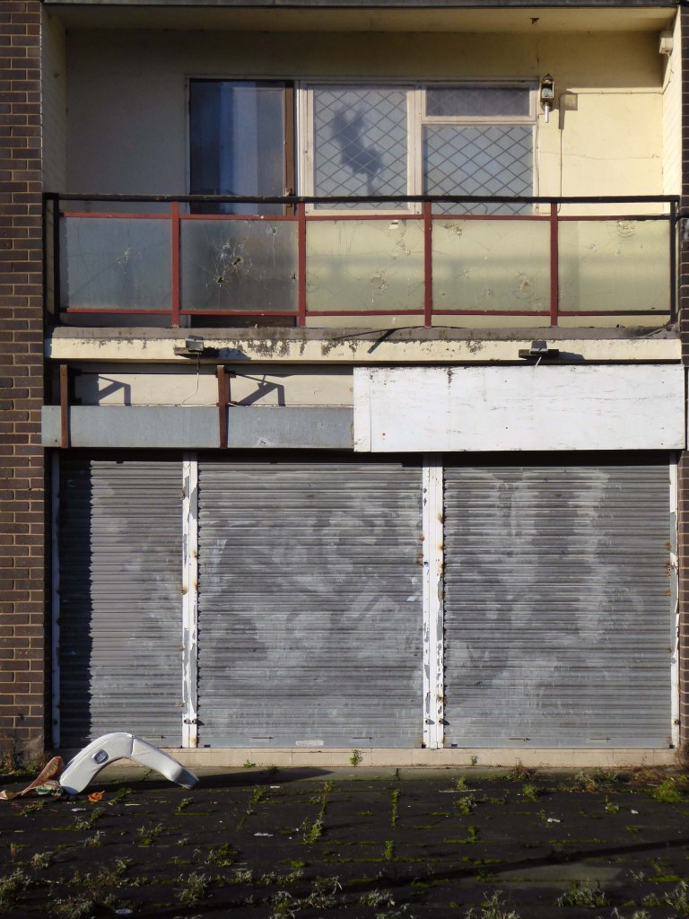
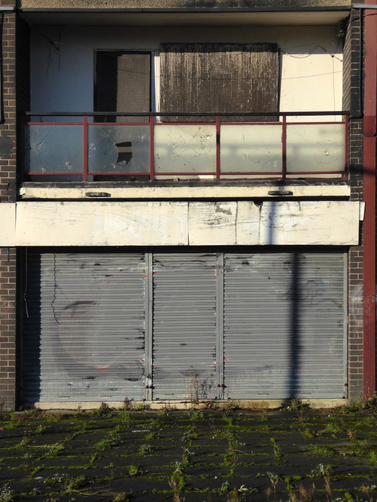
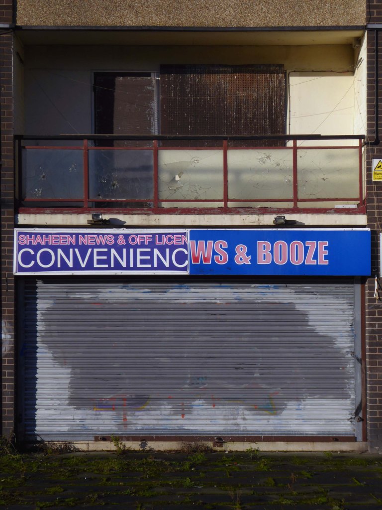
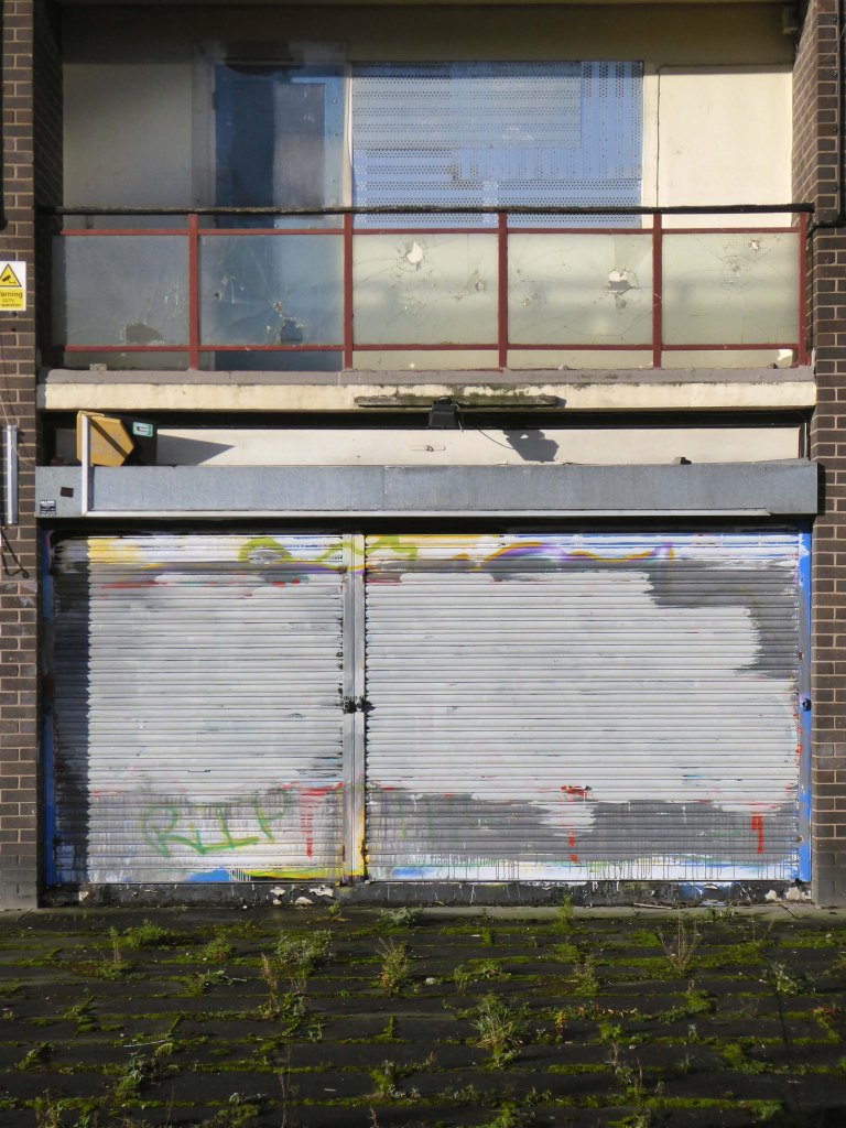
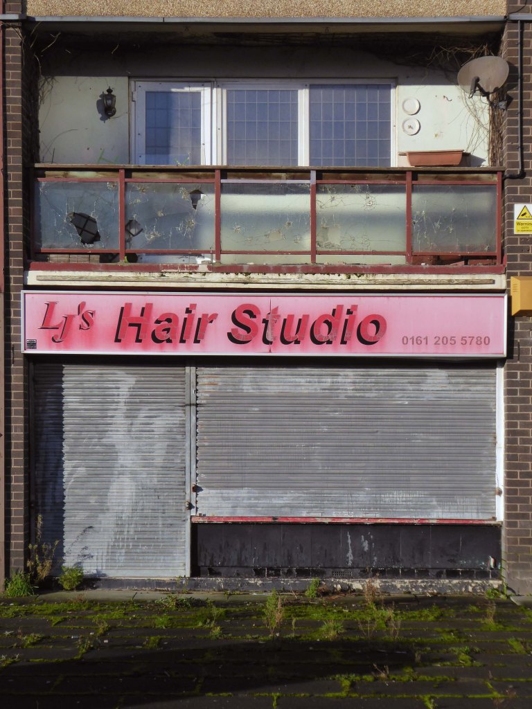
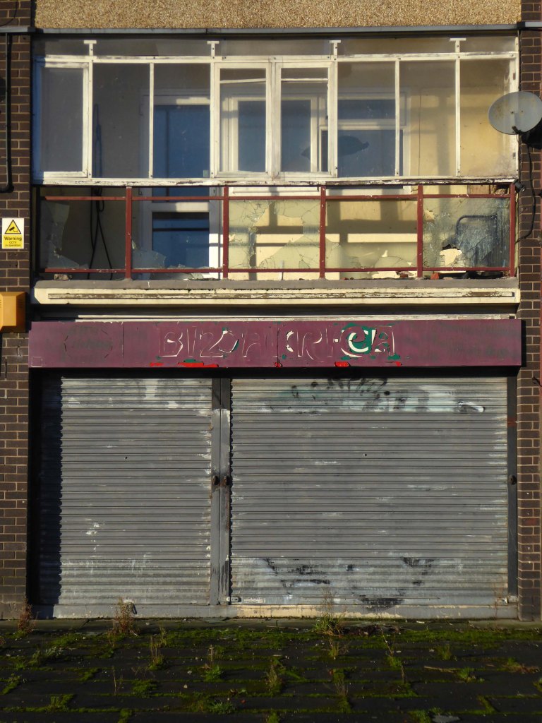
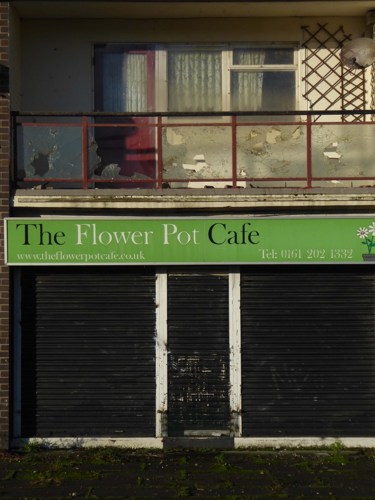
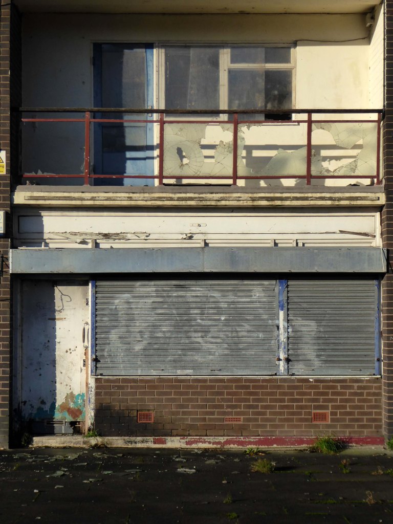
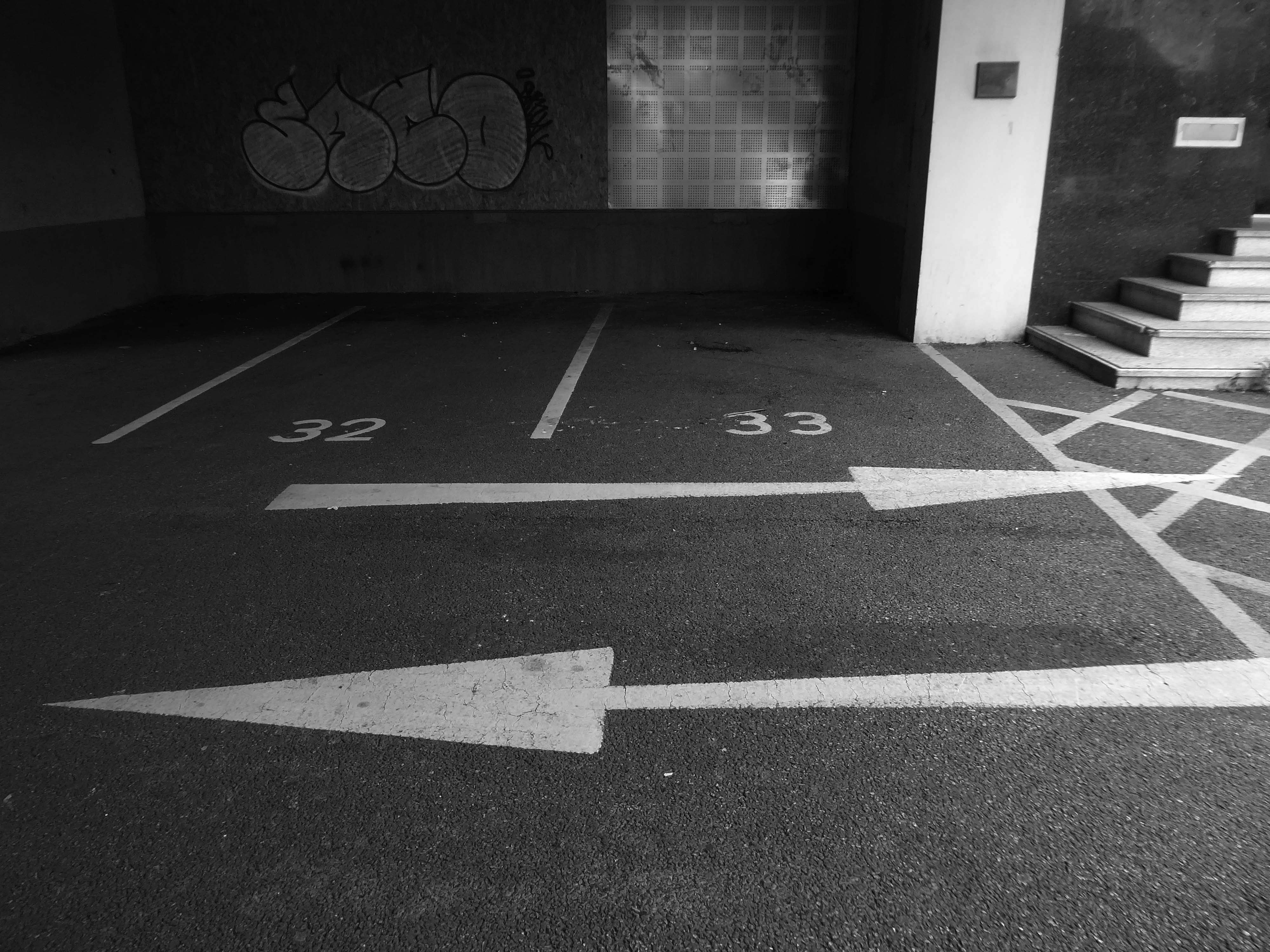
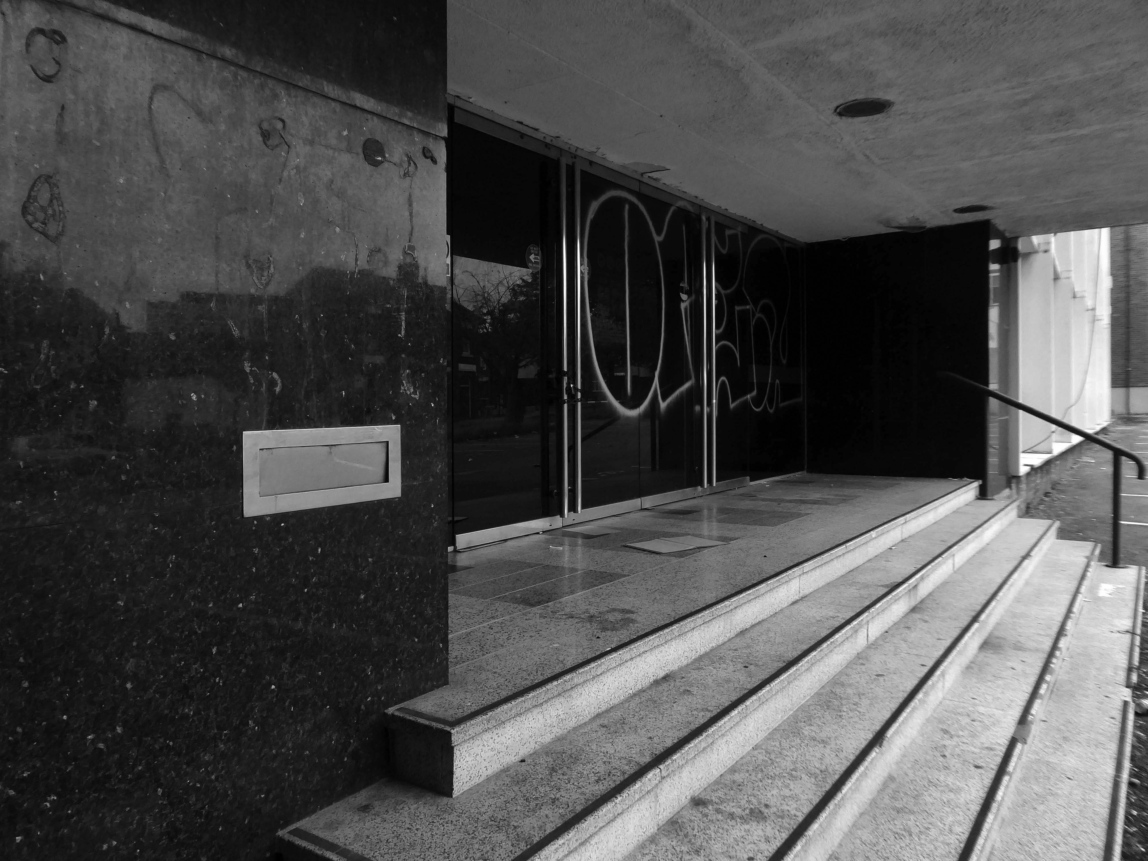
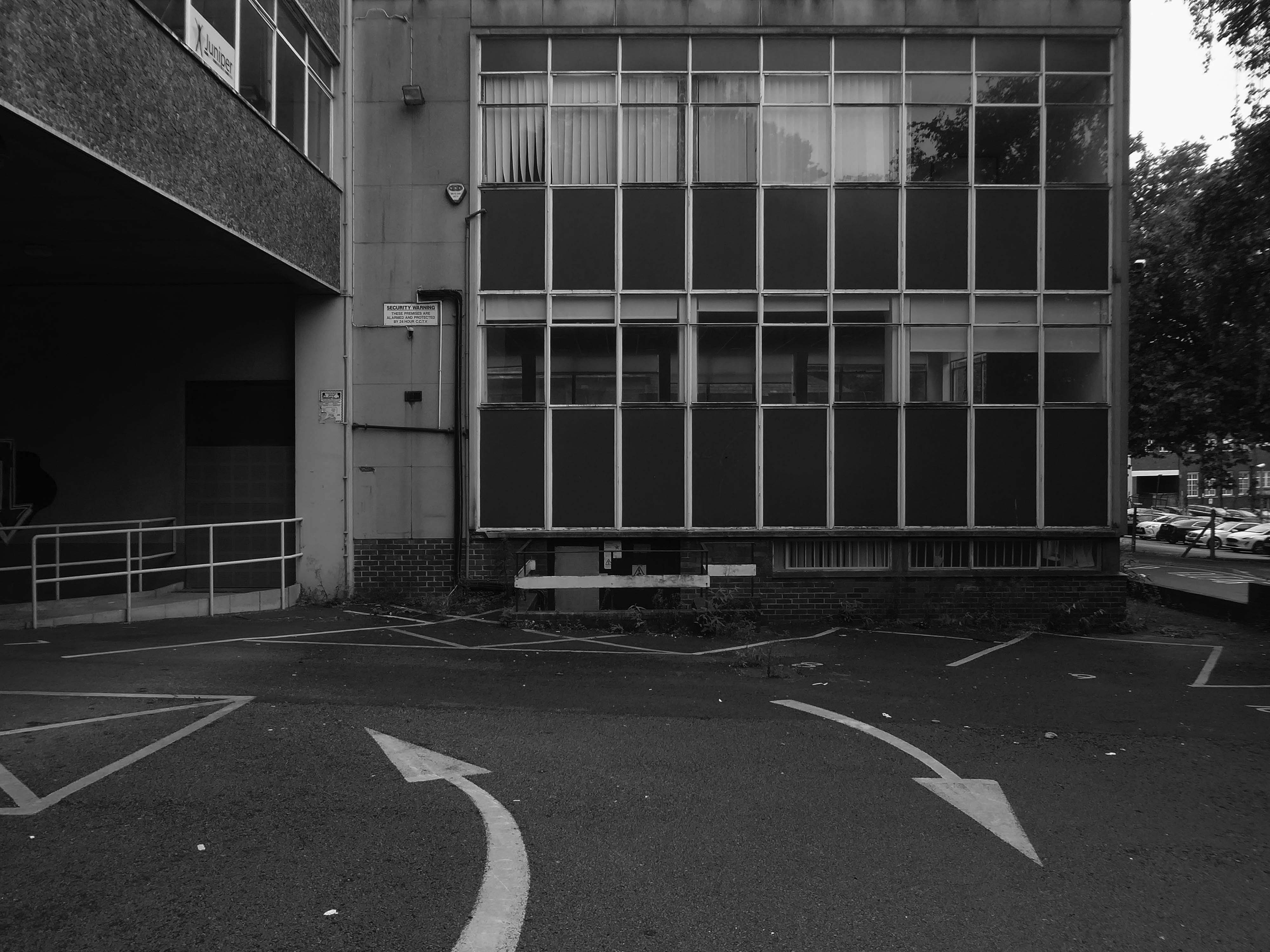
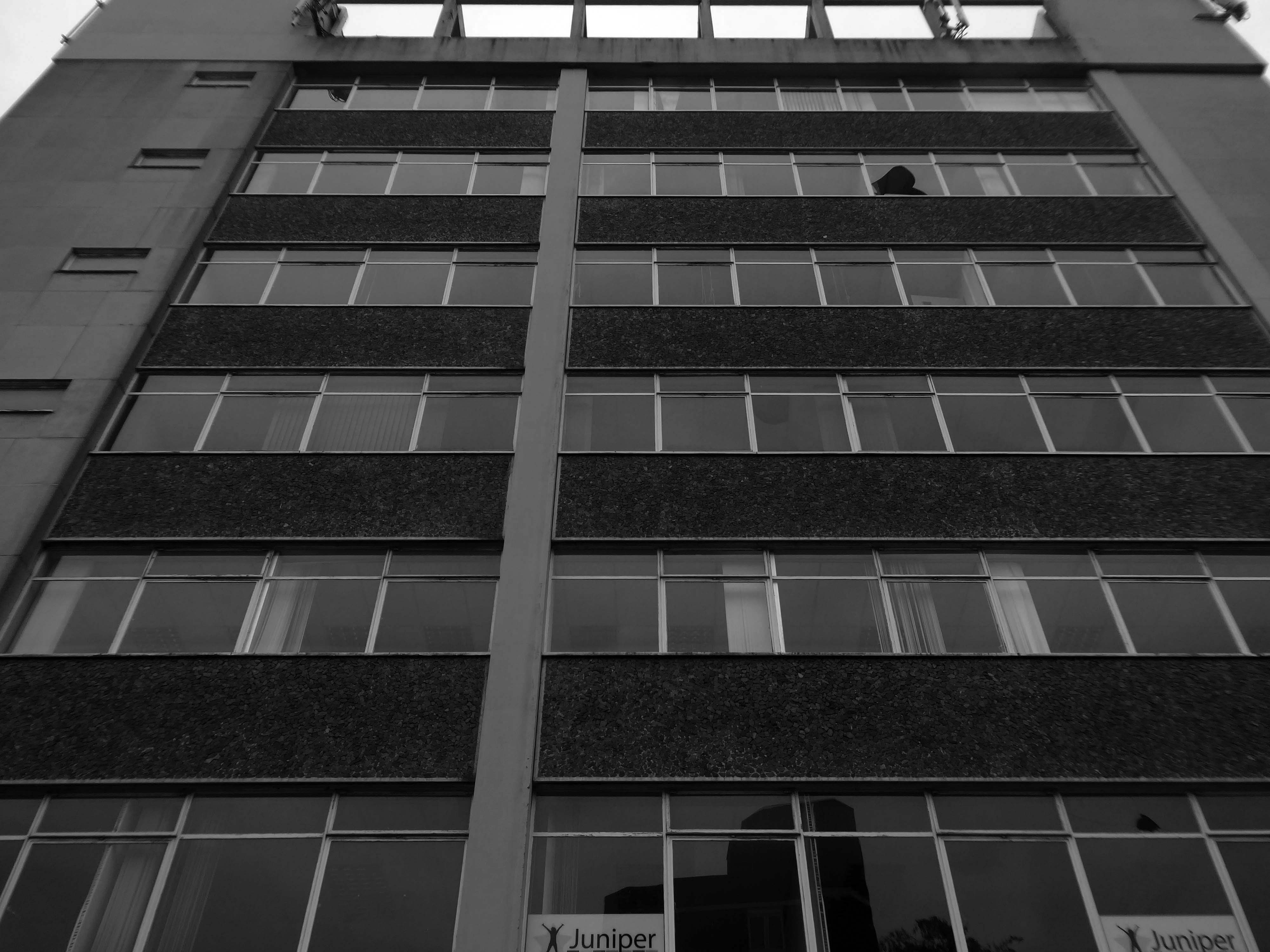
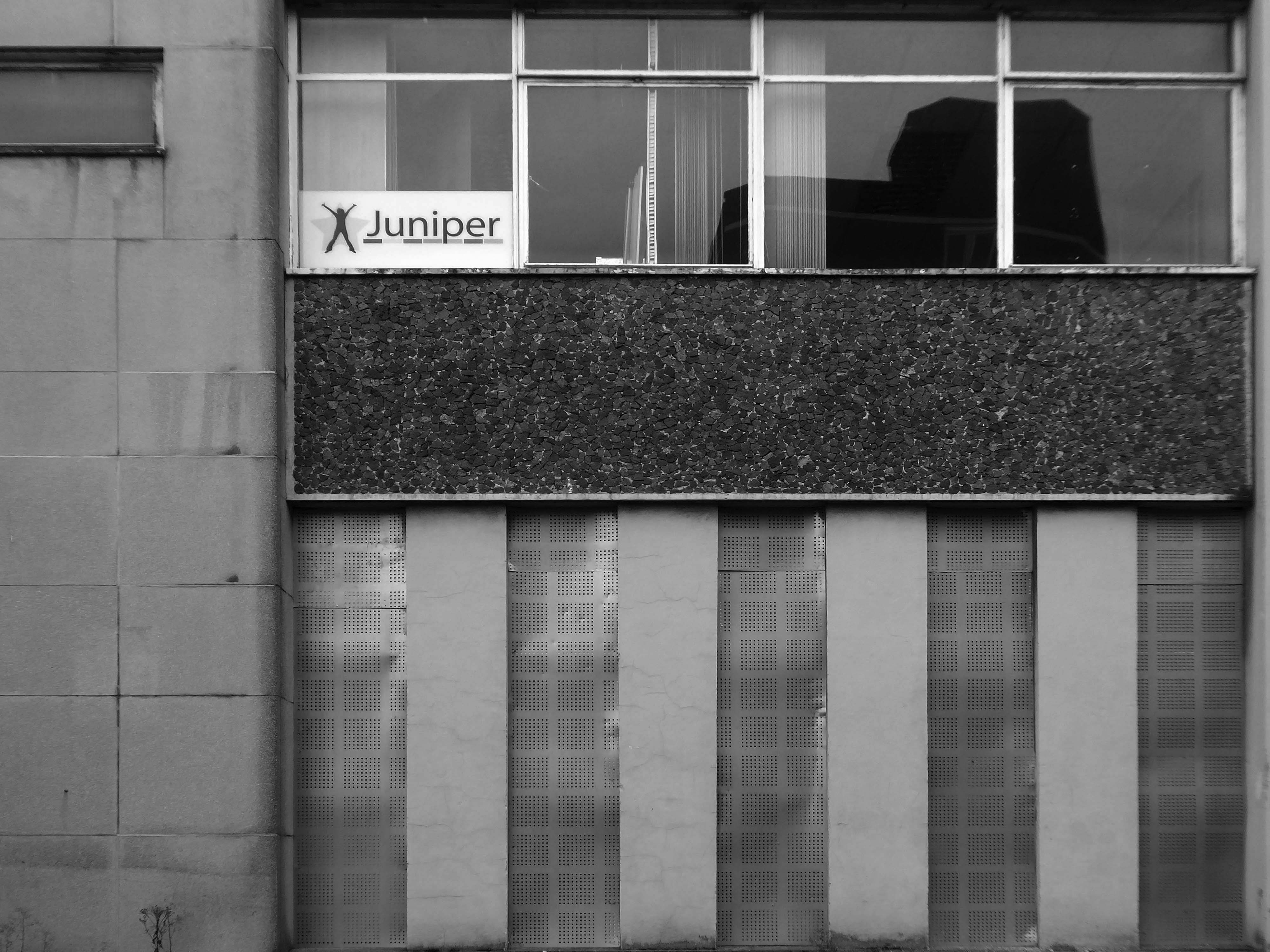
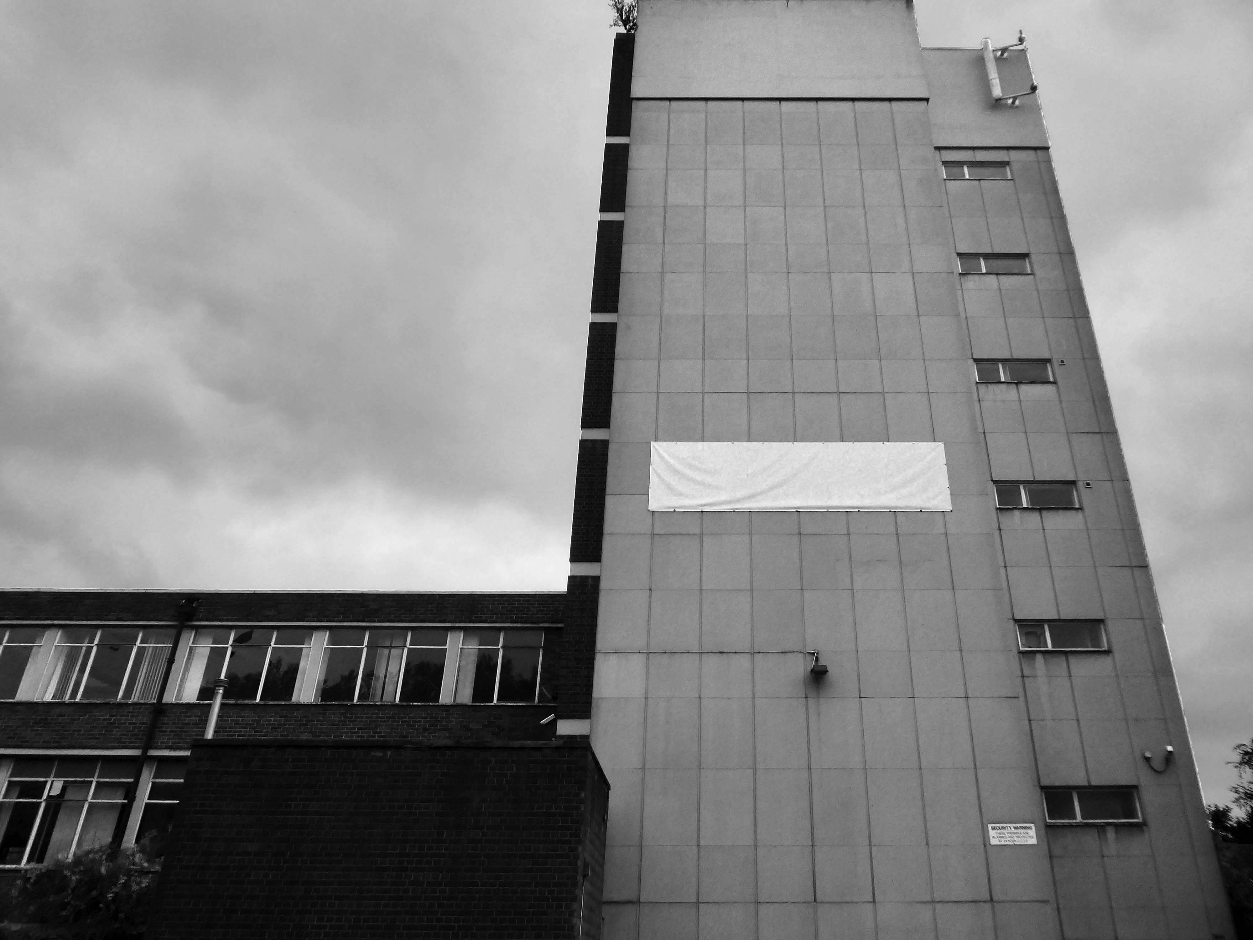
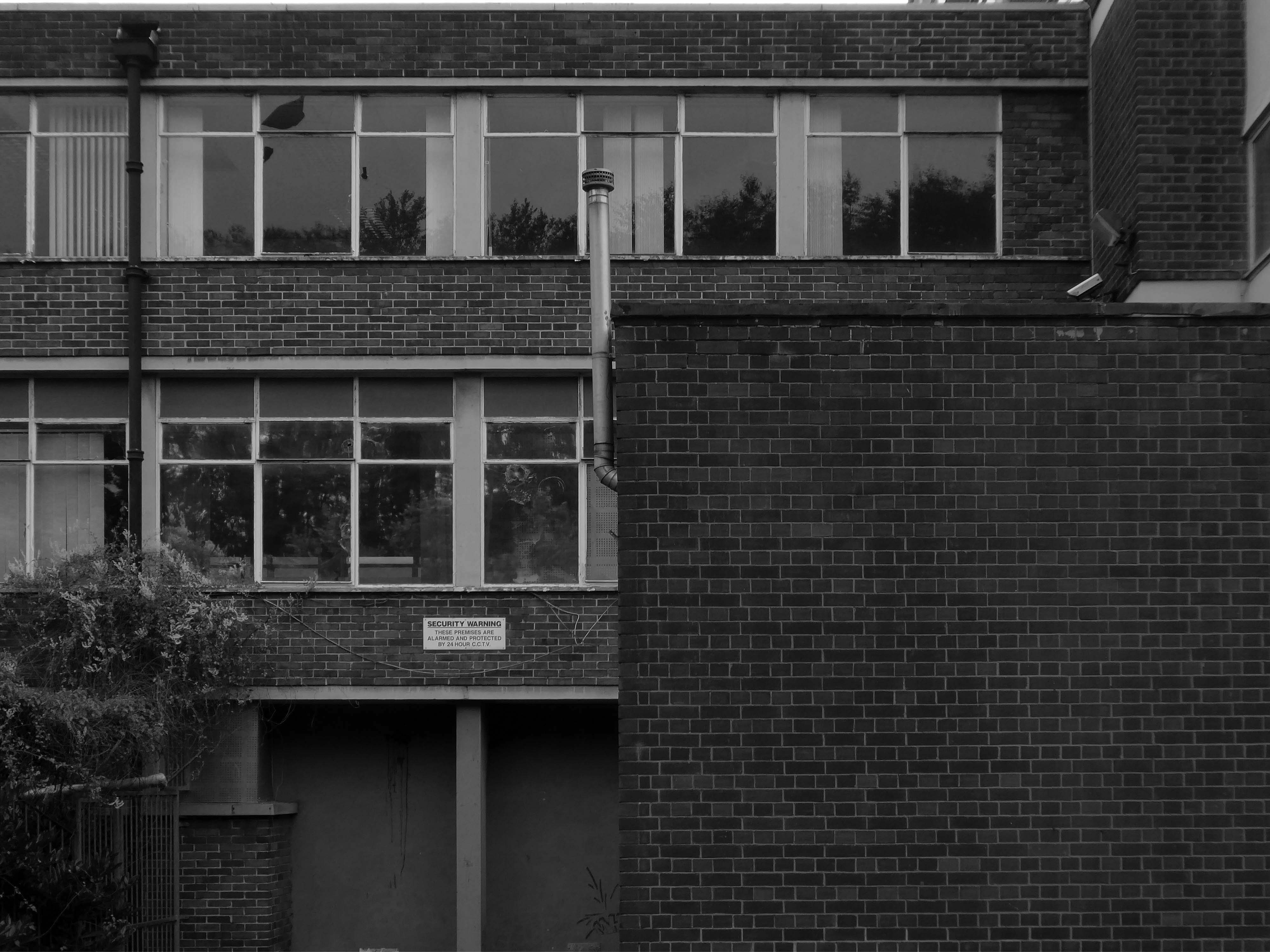
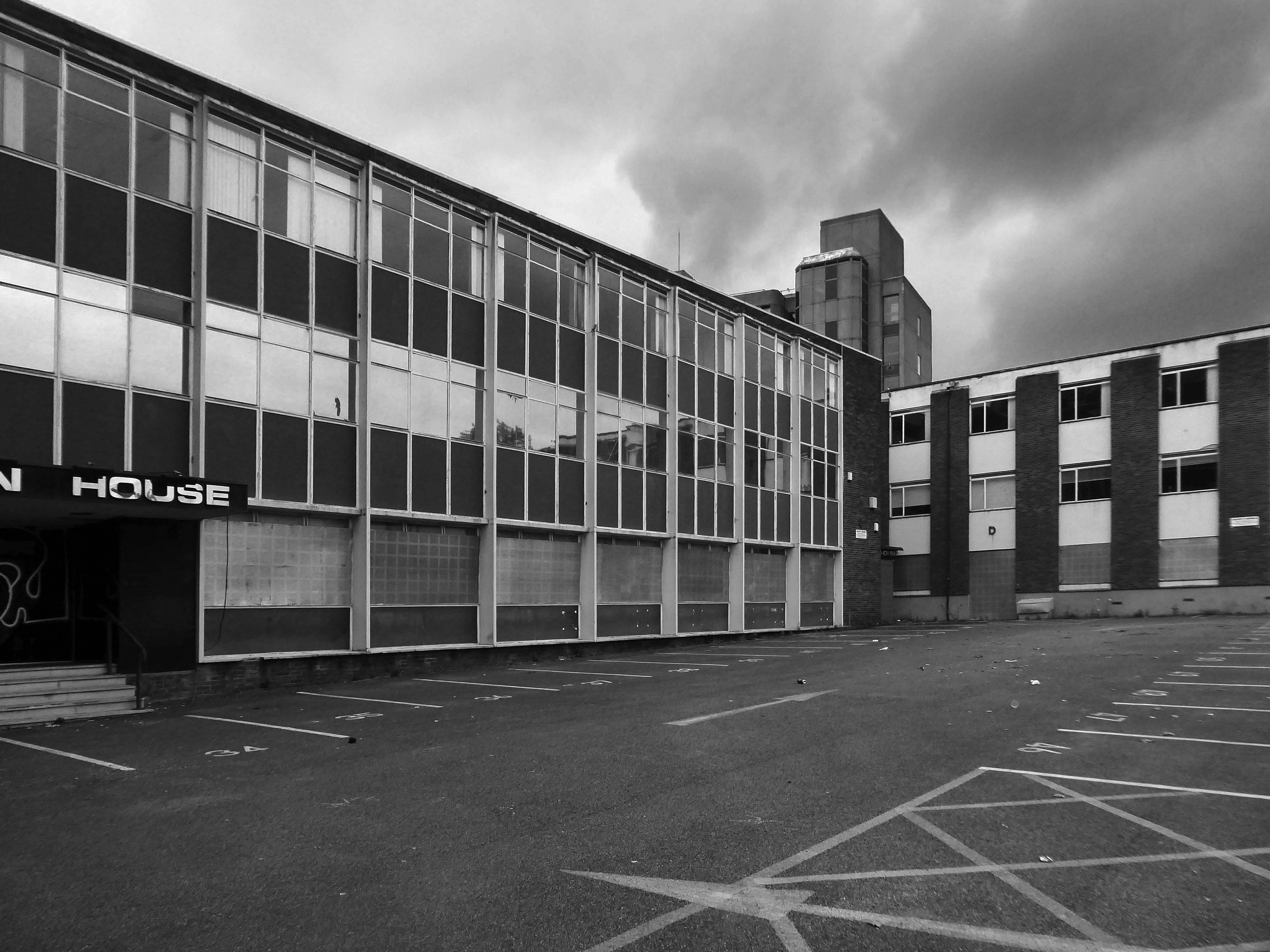
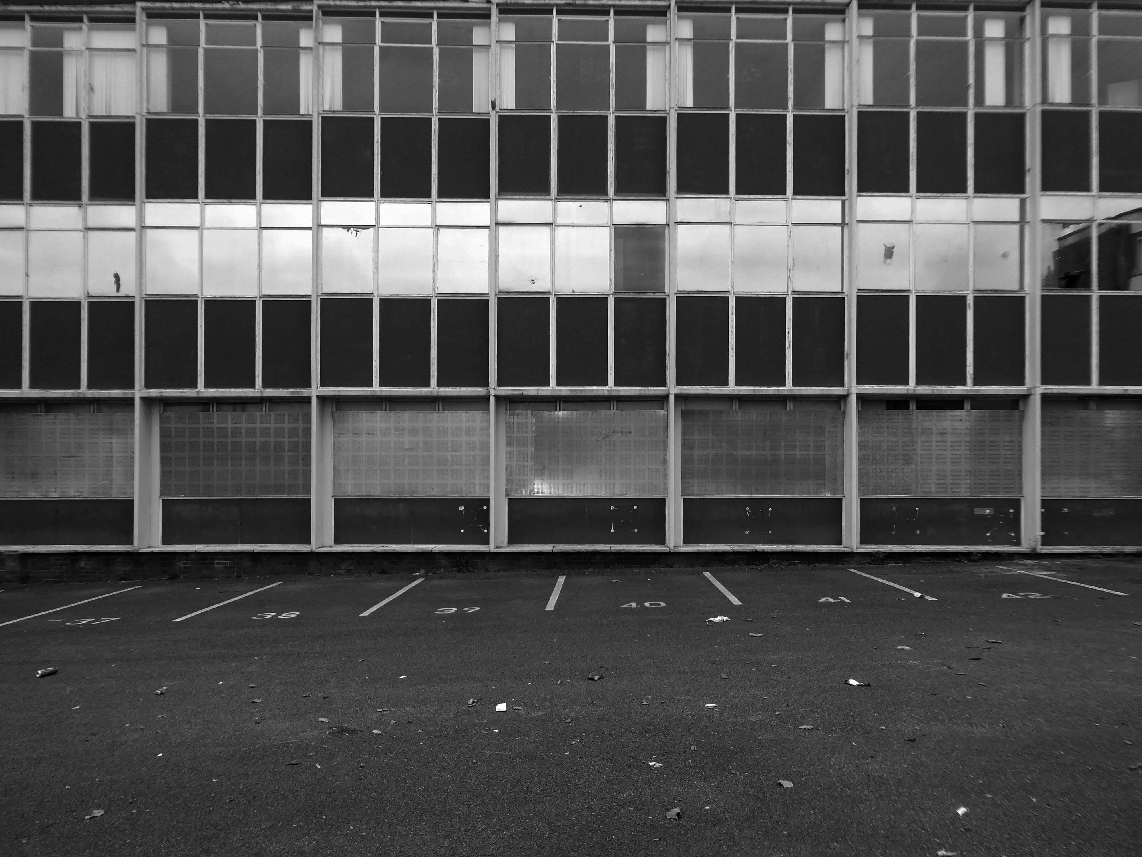
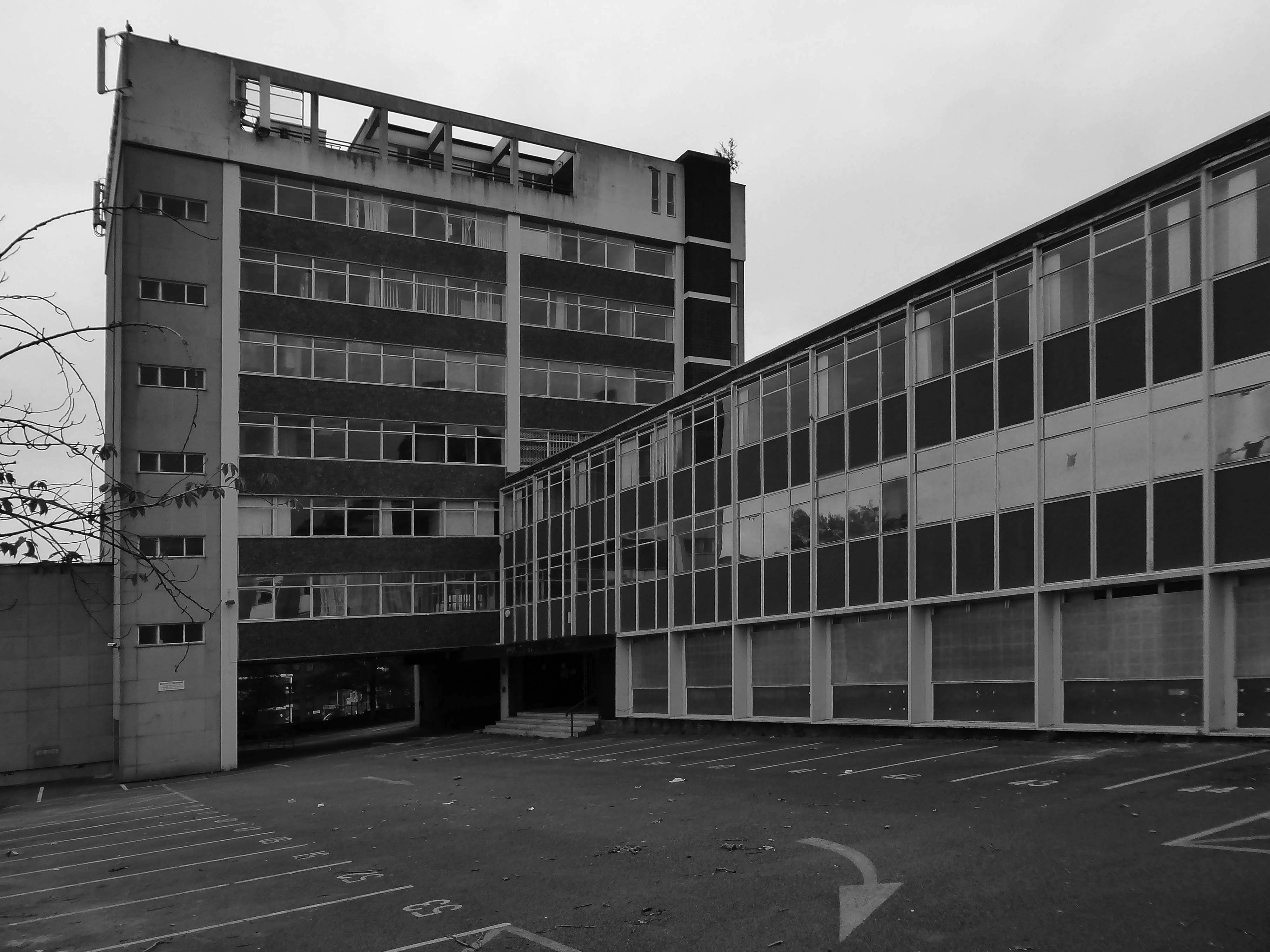
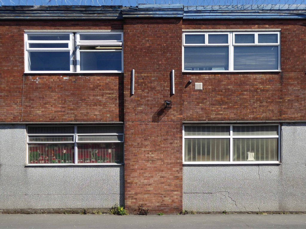
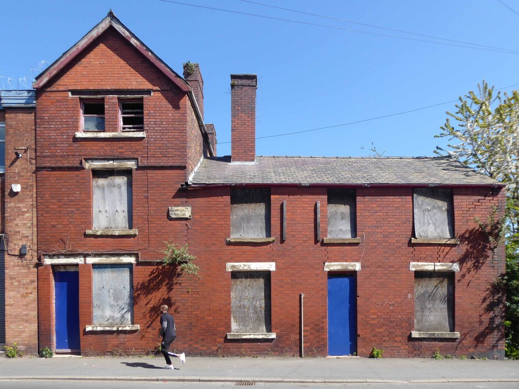
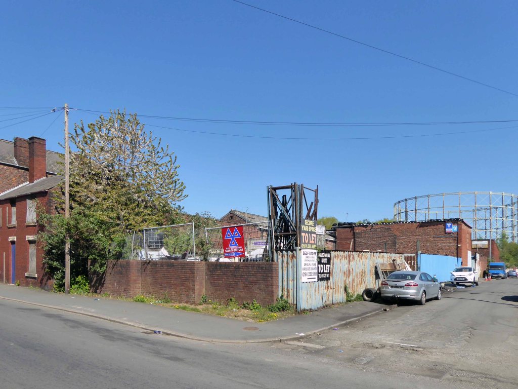
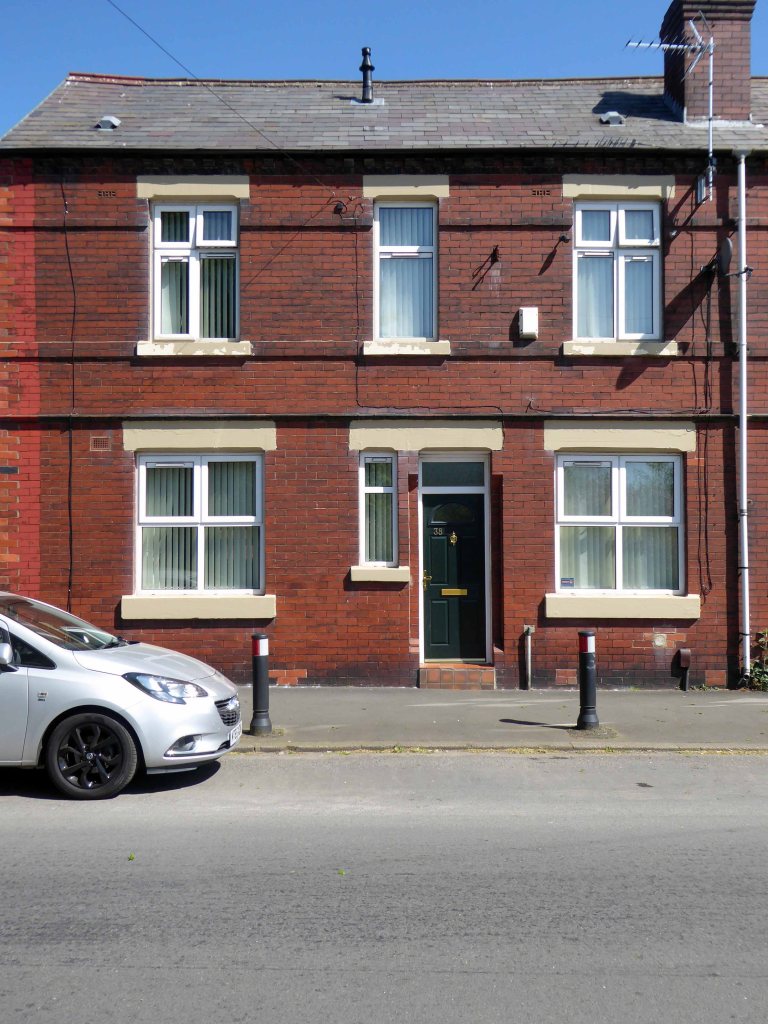
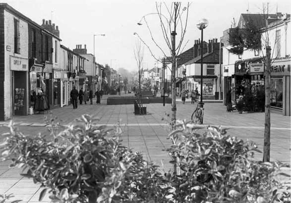
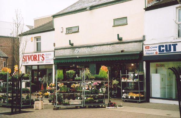
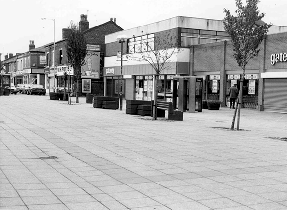
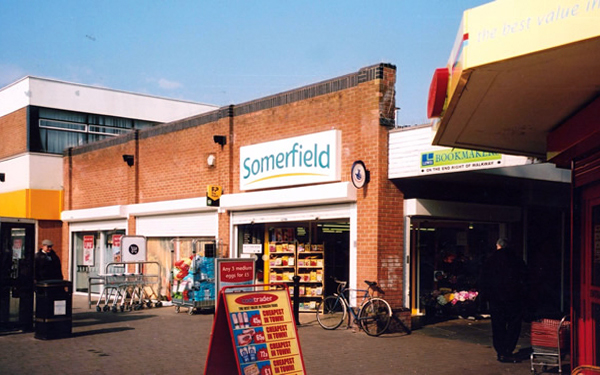
We came to take a look at St Andrew’s Church, but lingered longer to take a look at the adjacent Avion Centre.
A Sixties shopping centre serving the Whitmore Reans area.
Containing a variety of retail outlets, topped off by residential properties.
The name Whitmore is said by toponymists to come from the Old English hwit – white, and mor – moor – which was used to describe a marshy area, possibly a foggy area of marsh land, and Reans is said to possibly mean a type of furrow created during ploughing, designed to drain the land.
The terraced housing that makes up the Whitmore Reans residential area was built alongside roads, cartways and tracks that radiated out from the town centre servicing fields that spread out towards Dunstall and Tettenhall.
In 1924, the Courtaulds Company started constructing a factory on the former site of Dunstall Hall. Operating from 1926 onwards, the factory produced rayon yarn. Known to many generations and a visible landmark in Whitmore Reans and beyond for almost fifty years were the Courtaulds chimneys, known as the ‘three sisters’. They were demolished in June 1973. The Farndale housing estate now stands on the former Courtaulds grounds.
The area’s population displays its recent history of immigration in the diversity of its residents. There are English, Afro-Caribbean, Asian, Polish, Kurdish, African, Irish and many other ethnicities residing in Whitmore Reans
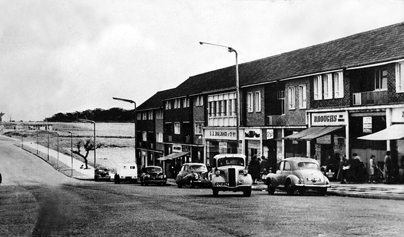
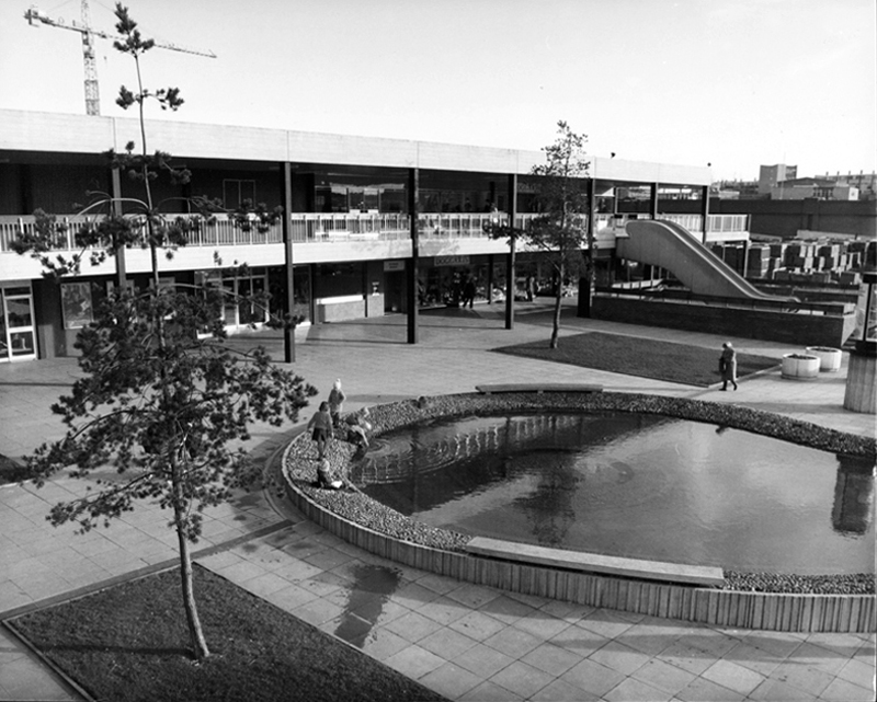
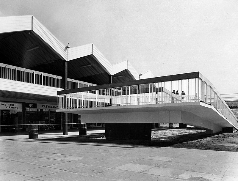
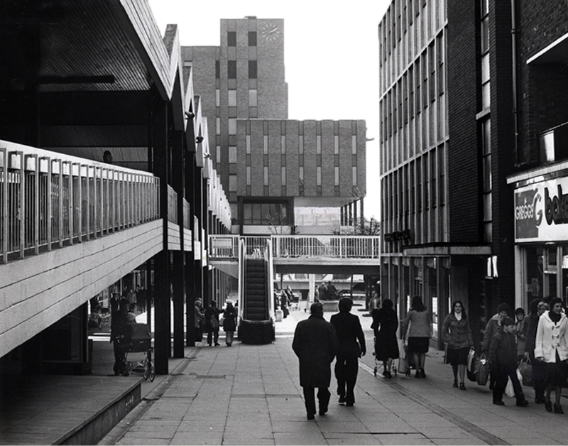
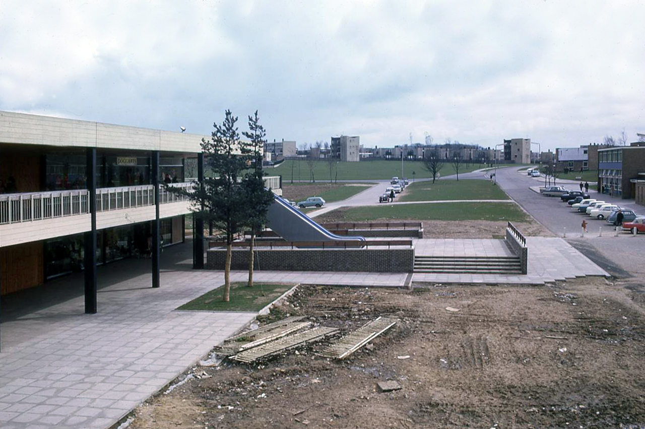
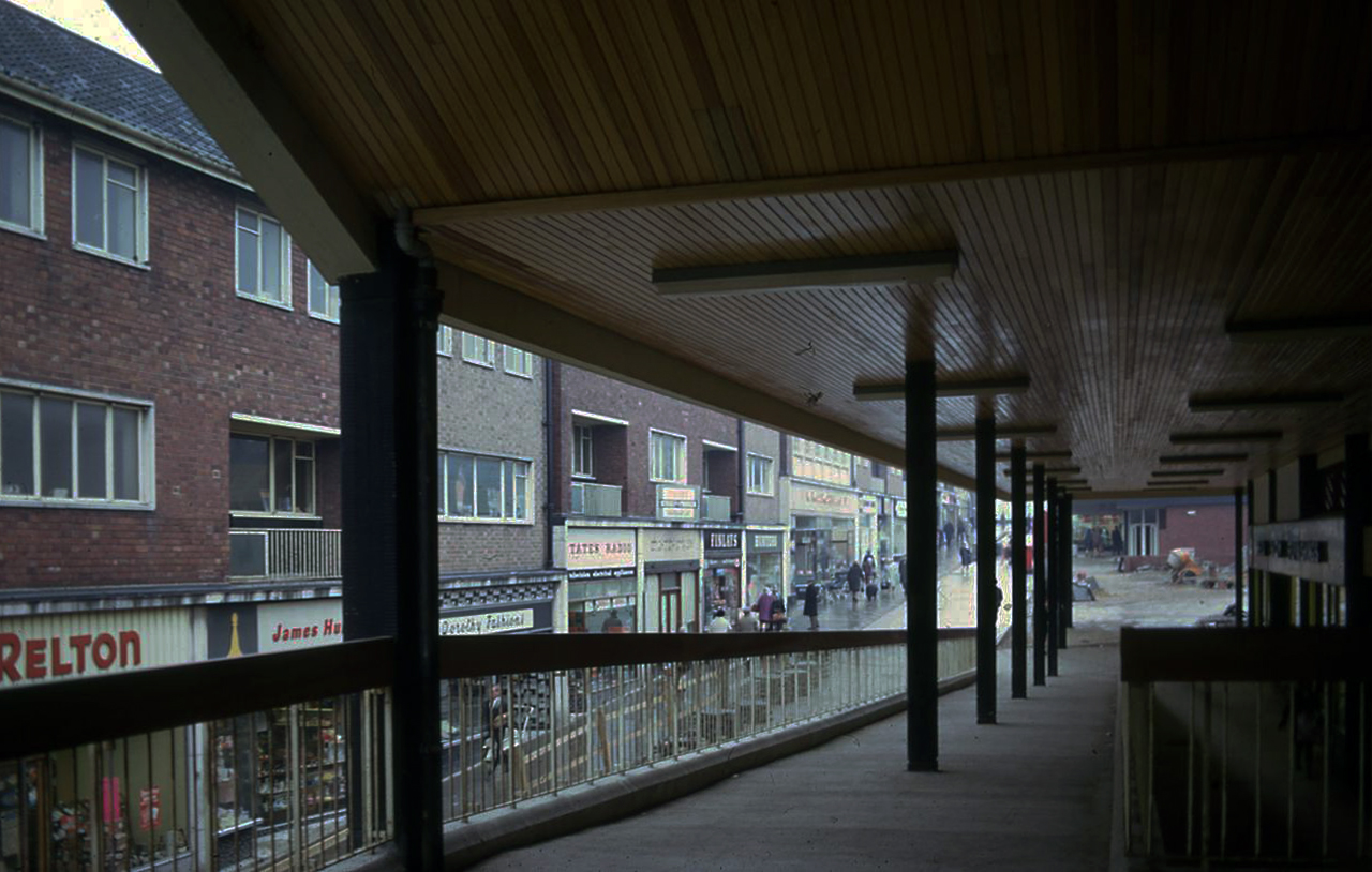
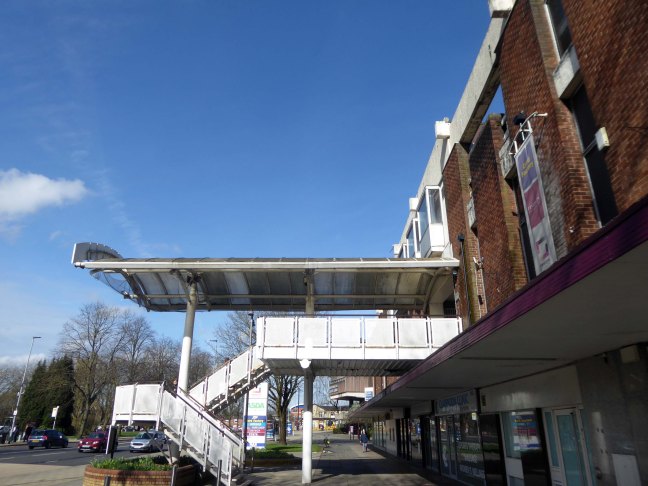
Plans for the new town centre started to be developed in 1960 by Chief Architect Roy Gazzard. The process would go through eight sets of revisions before they were finally approved in 1968. Yoden Way was then pedestrianised, and the small row of shops built in 1950’s was incorporated into the new shopping precinct, forming the north western end of Yoden Way. Like many other town centres across Britain undergoing modernisation, the high-street was split onto two levels, with ramps providing access to raised walkways.
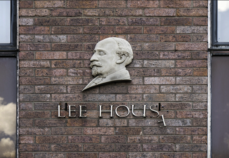
The construction of Lee House – named after Peter Lee, started in 1974. Once completed, the Development Corporation moved its Headquarters from Old Shotton Hall to Lee House in 1976, occupying the building until it was sold in 1984 and remaining staff relocated to Newton Aycliffe.
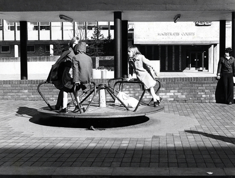
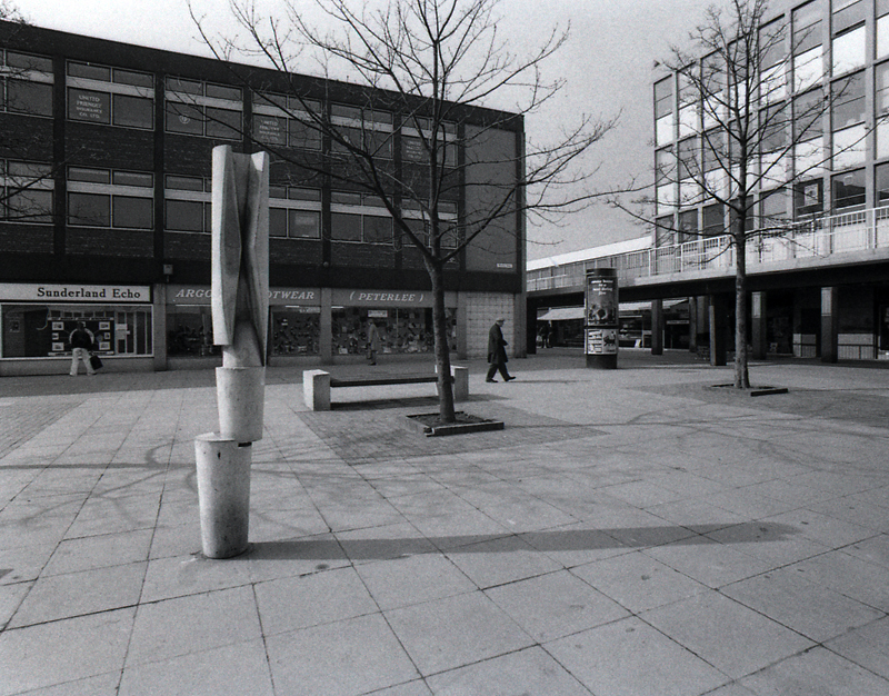
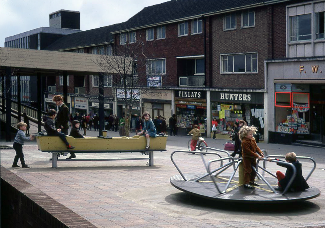
Enhancing the built environment, Peterlee Town Centre was furnished with play equipment, an ornamental pond, open air escalators, and a sculpture by John Pasmore – son of Victor.
These features were later removed after the town centre was sold to Teesdale Investments – Peterlee Limited in 1985.
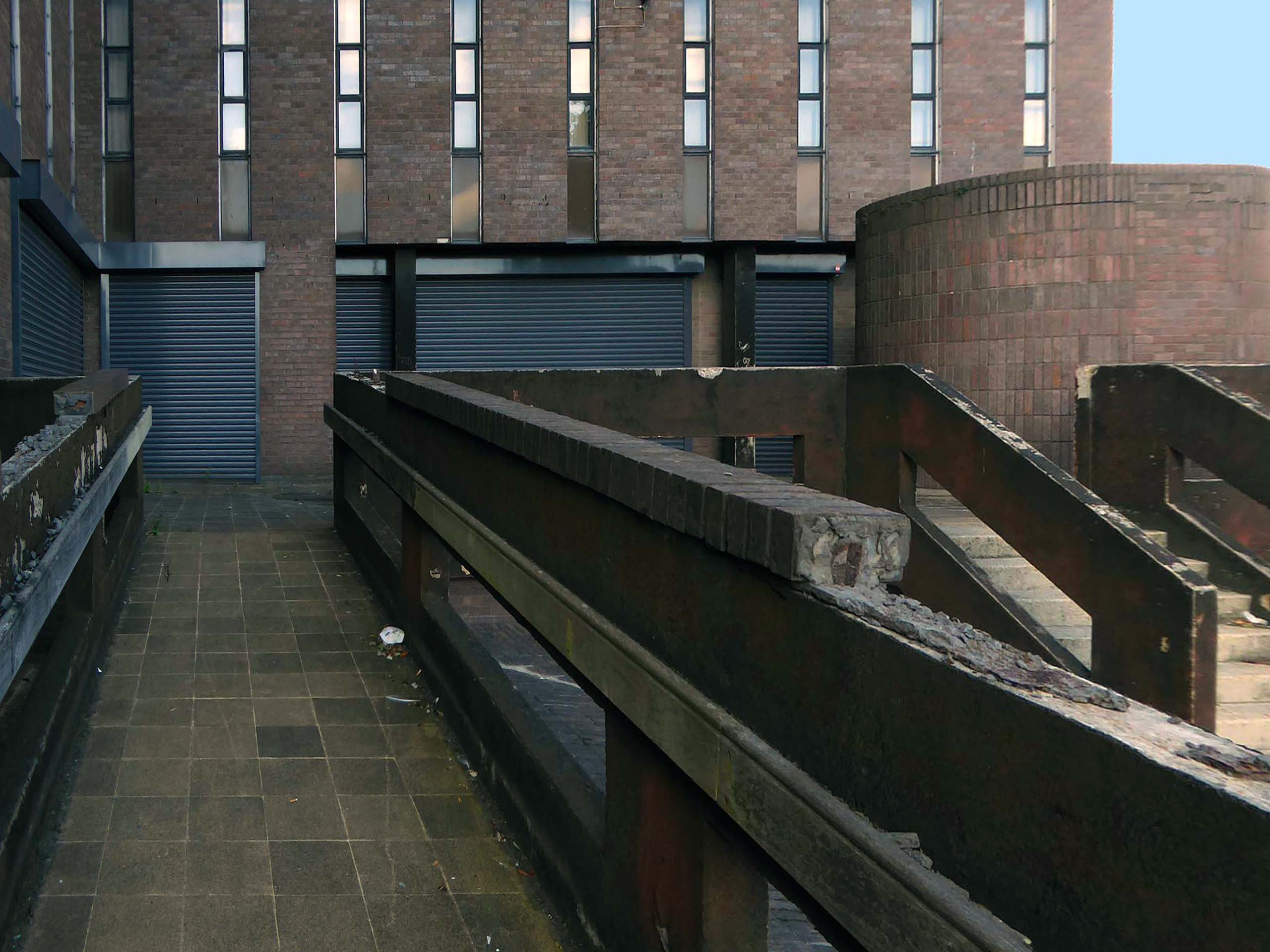
Access ramp at the bottom end of Yoden Way, prior to the construction of Lee House in 1973.
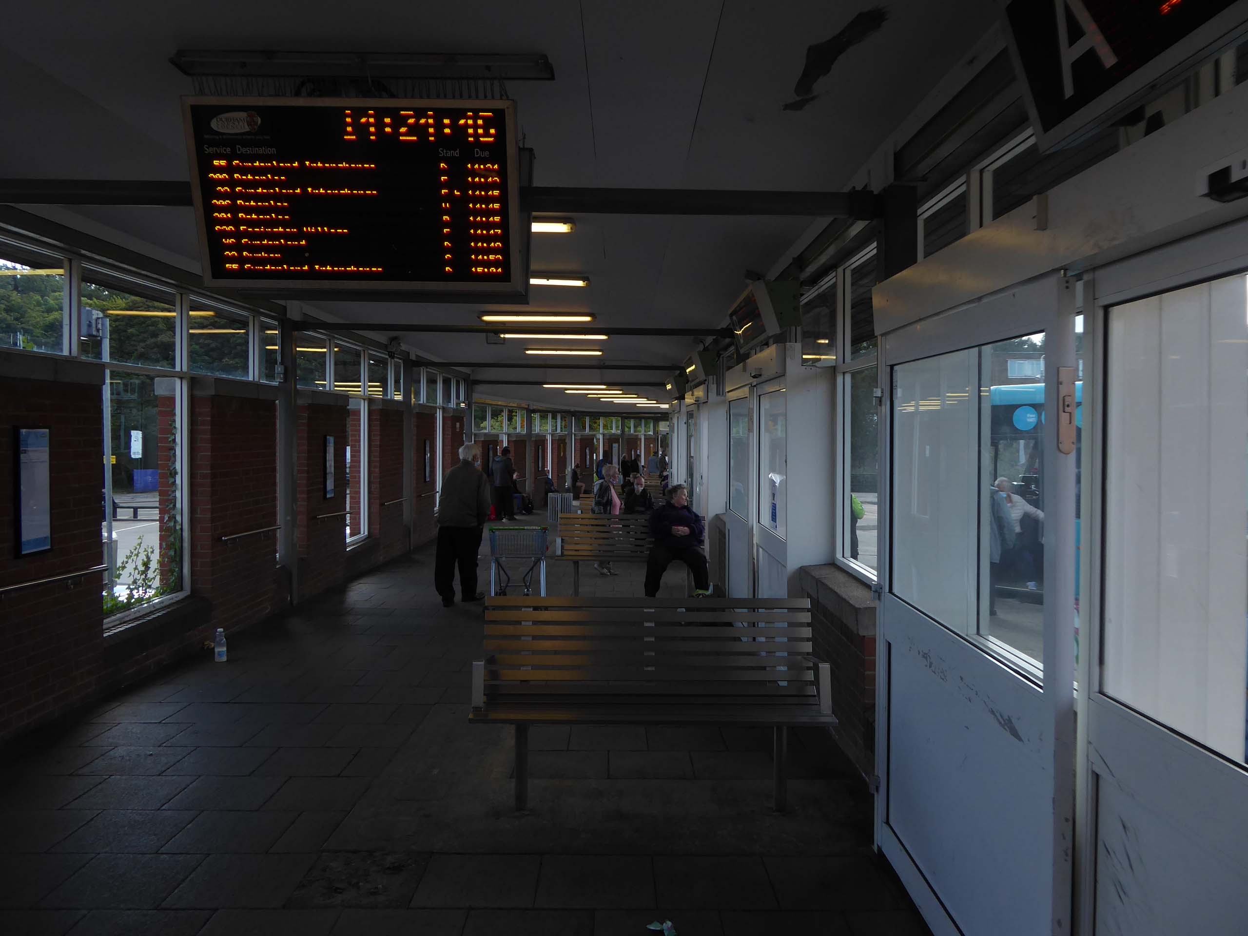
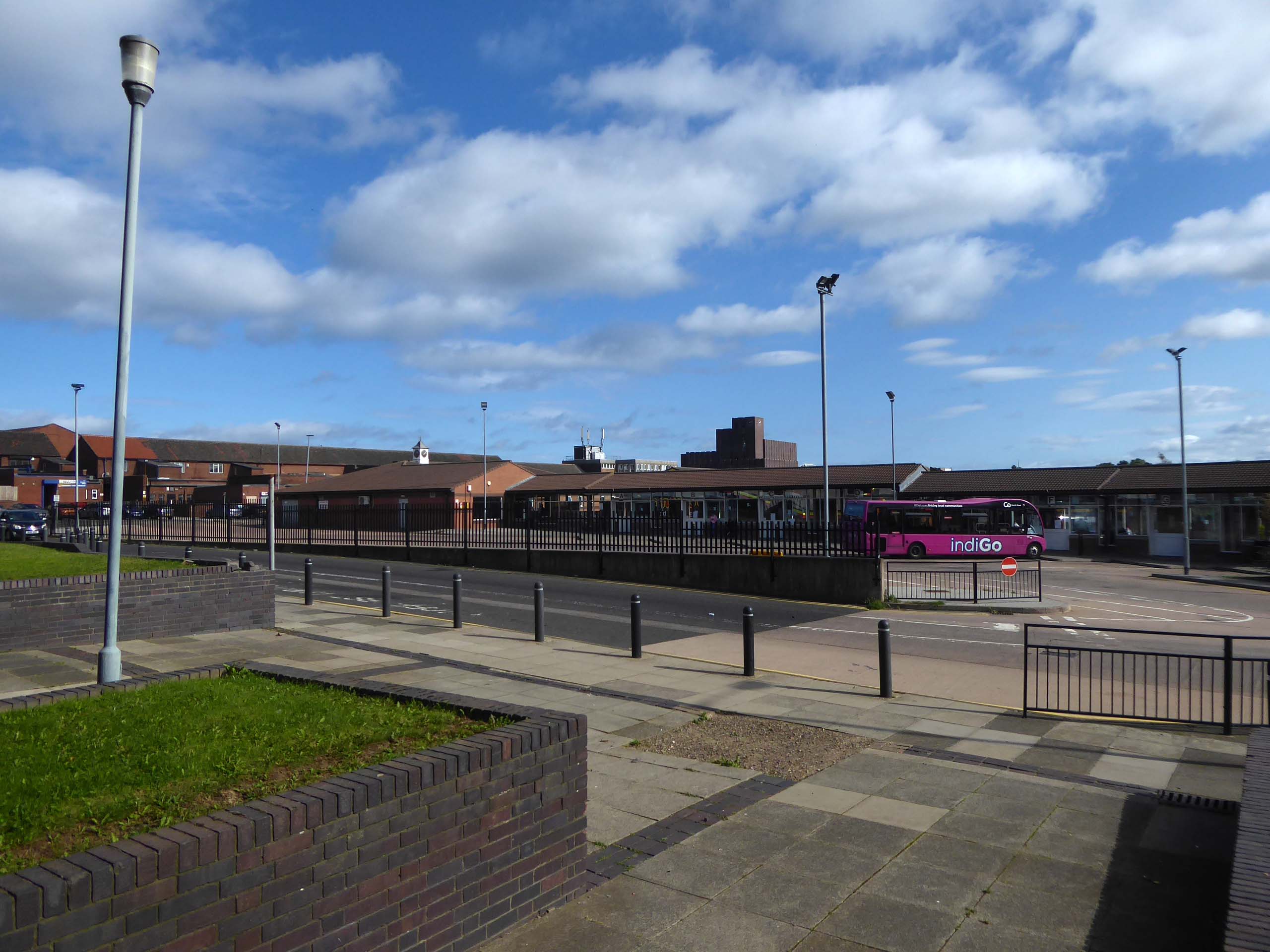
It’s 2021 and I arrive at the Bus Station.
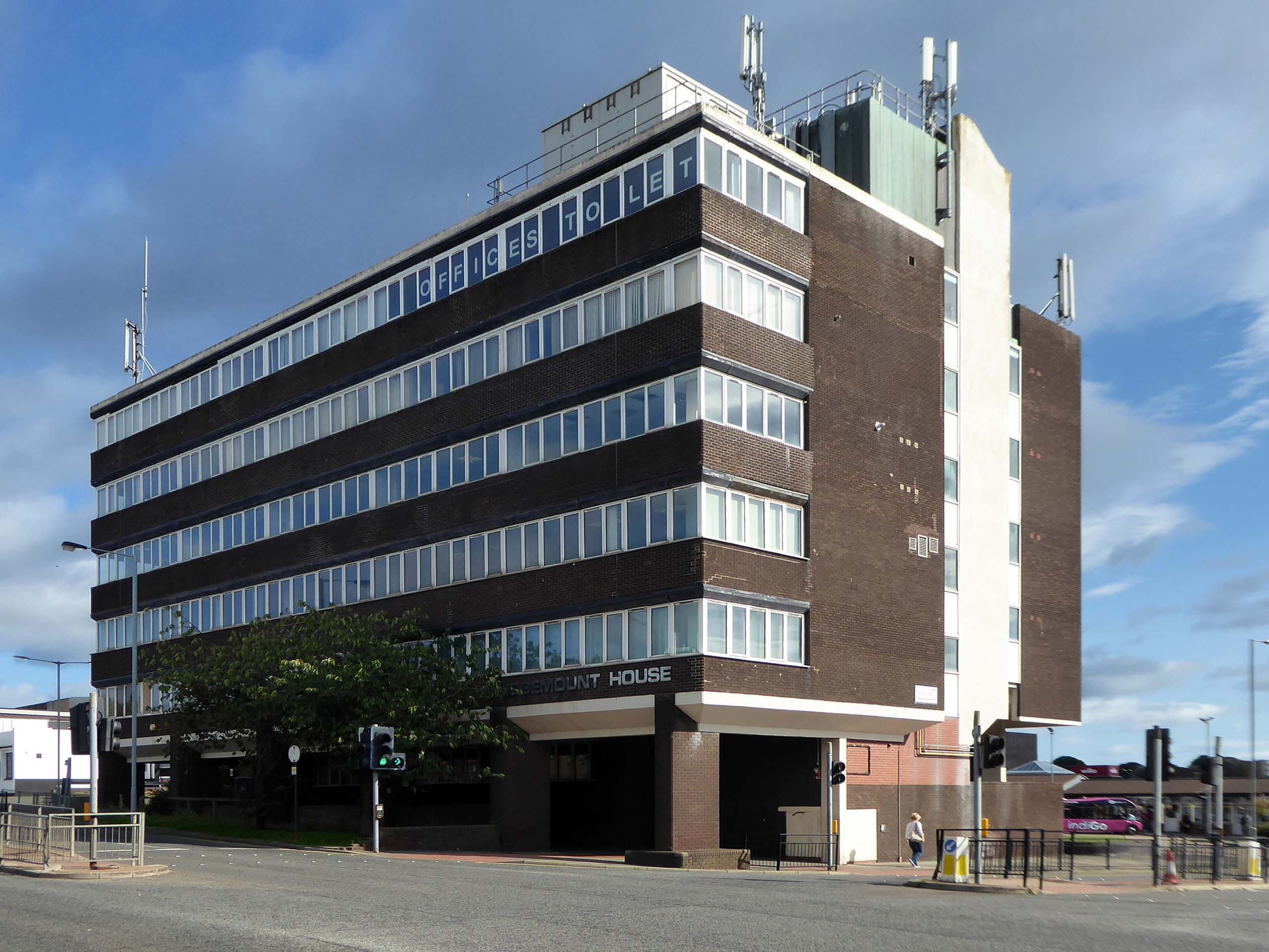
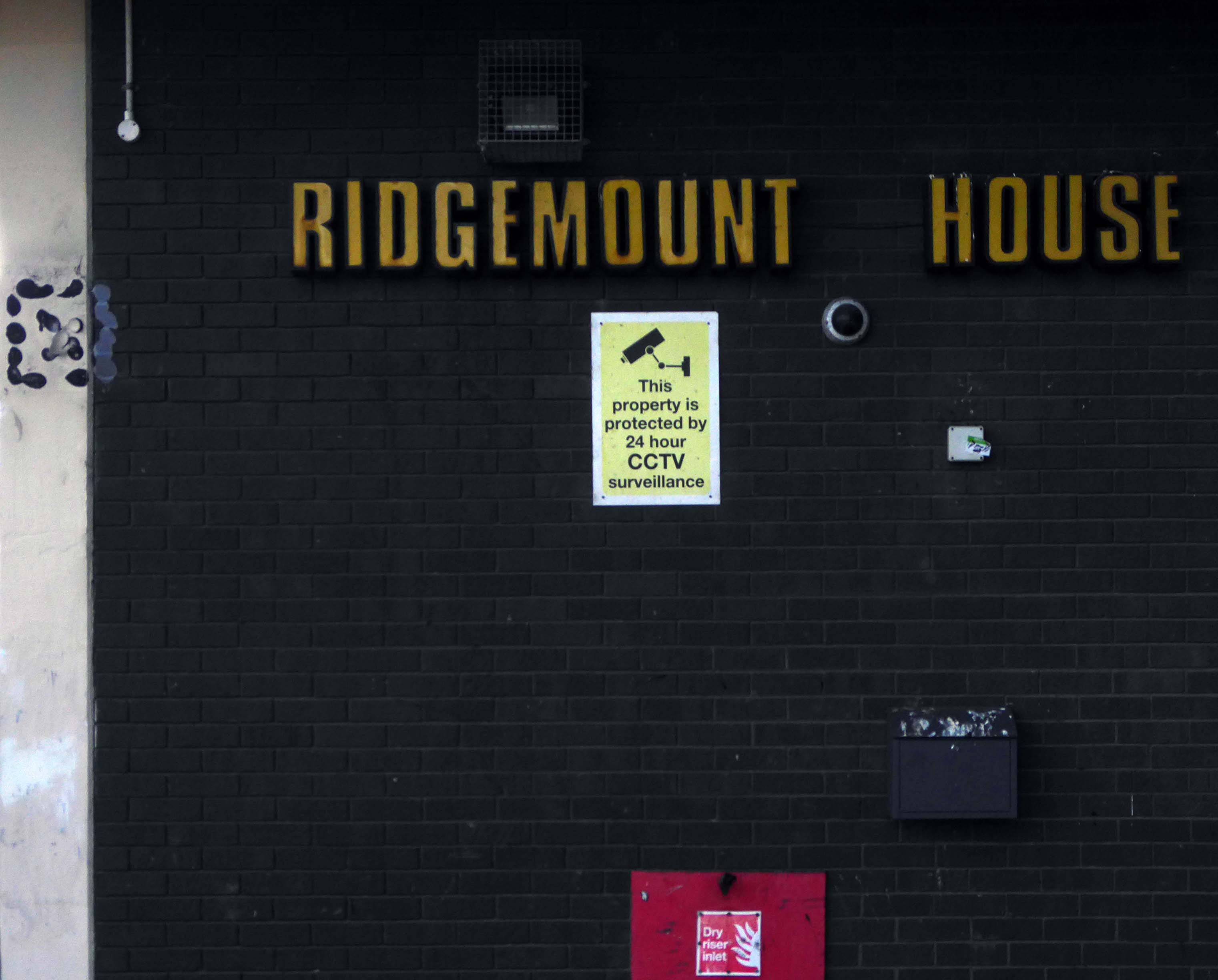
Immediately adjacent is Ridgemount House. – once home to the Job Centre.
Firefighters were called to the disused Ridgemount House on Bede Way in Peterlee on Wednesday August 16th 2023 at about 8.20pm after reports of a blaze.
Crews found a fire had broken out in the first floor of the building, which was found to be the home of thousands of pounds worth of cannabis plants back in 2020, after a man converted two floors for use as a drug farm.
Tarlochan Singh, owner of Ridgemount House, has been prosecuted following the discovery of several serious fire safety breaches at the property.
Readers have voted Peterlee nightspot Vibe as the ‘most tragic hometown club’ in the North East
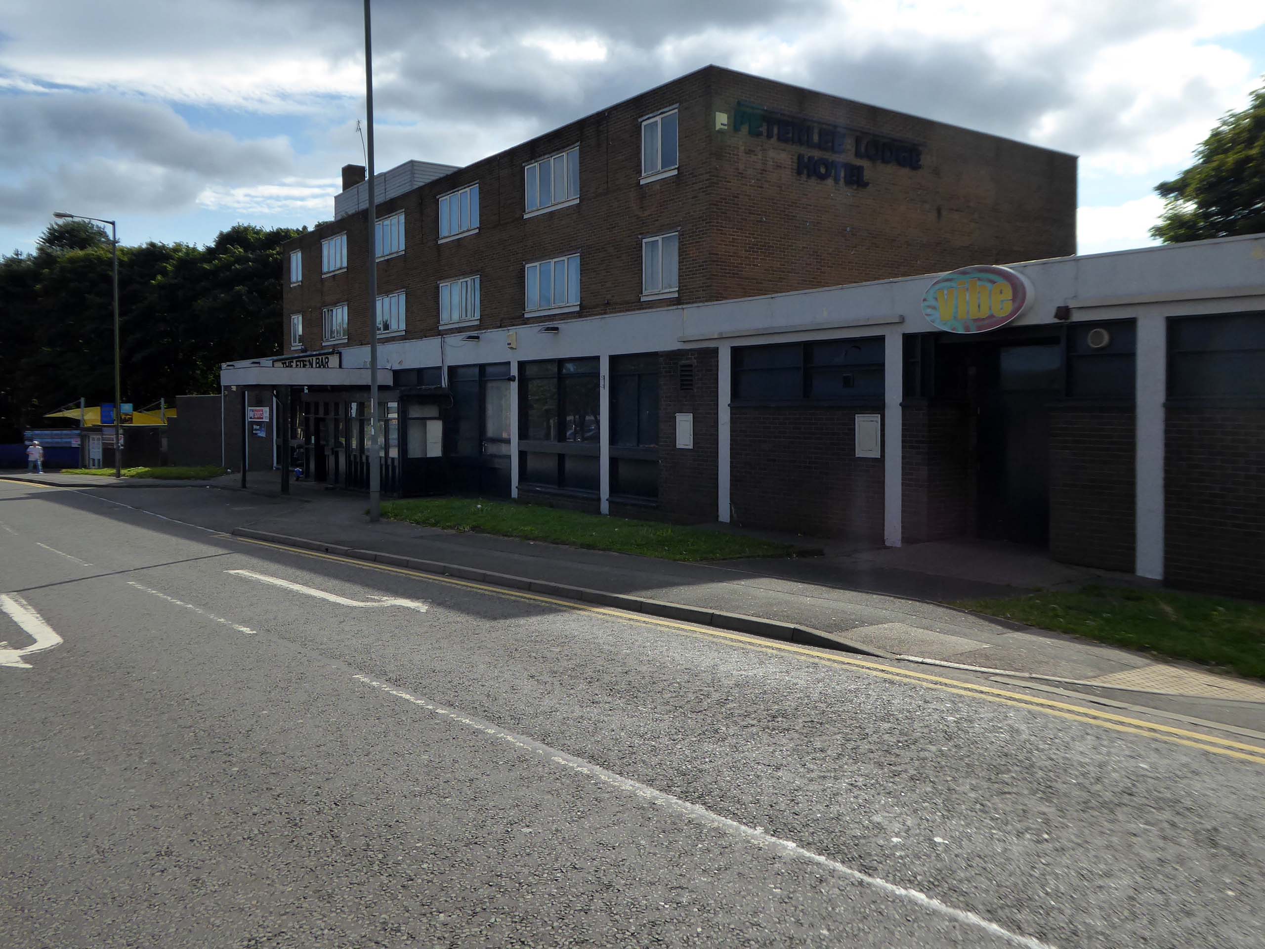
Formerly known as The Dance Factory, Vibe, in Peterlee town centre, is a place famous for it’s almost impossible to get off ‘tramp stamp’ and next door neighbour The Lodge, where many locals will go for pre-drinks and some karaoke before heading to the club.
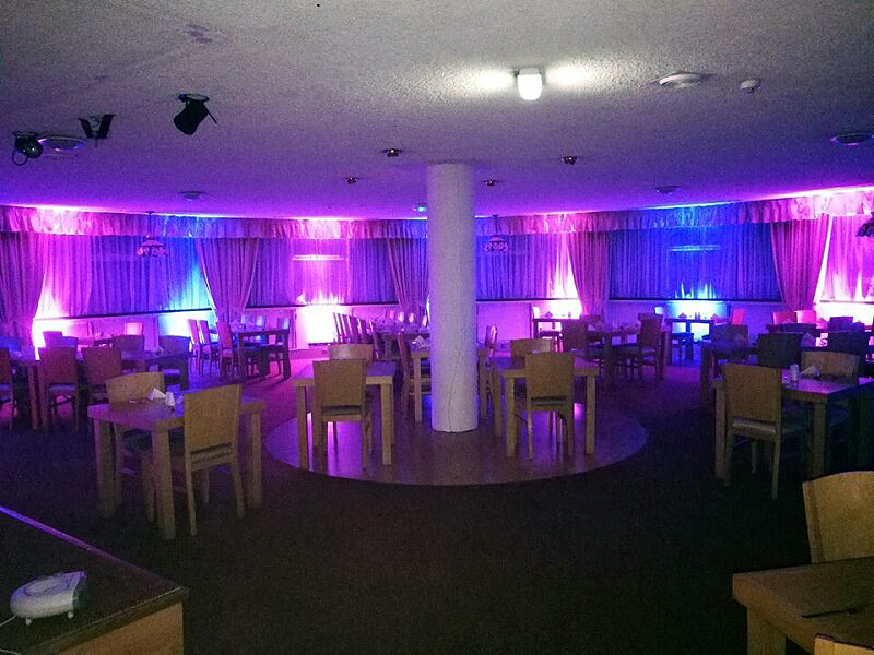
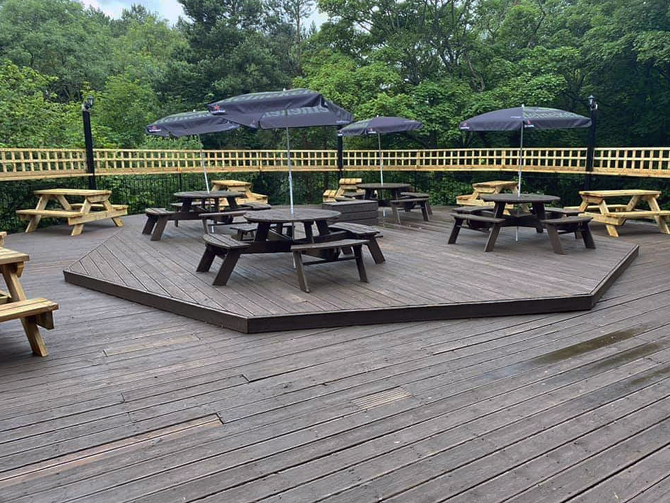
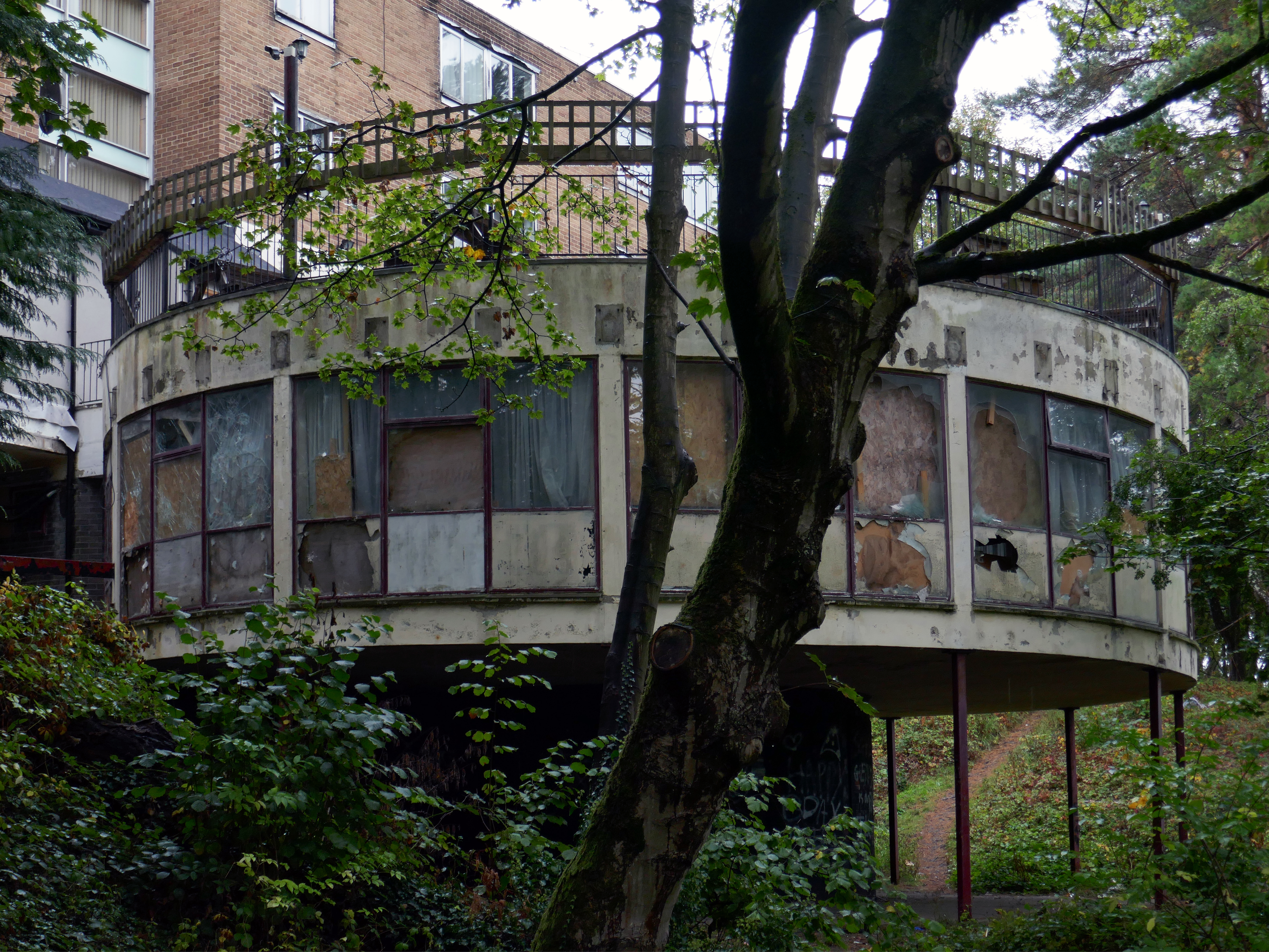
The bar which once boasted a bijou rotunda with an exclusive upper terrace, has now closed.
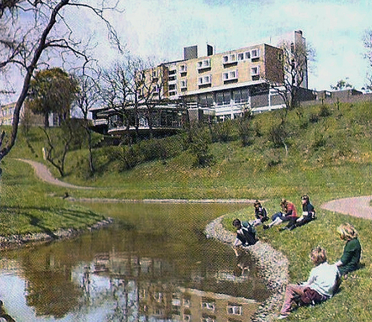
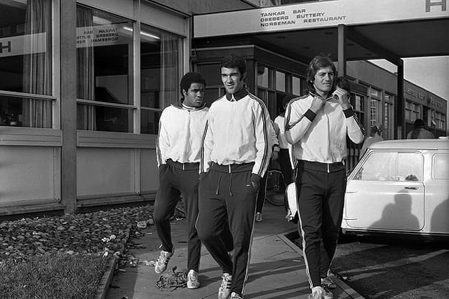
Back in 1973 the hotel was badged as the Norseman.
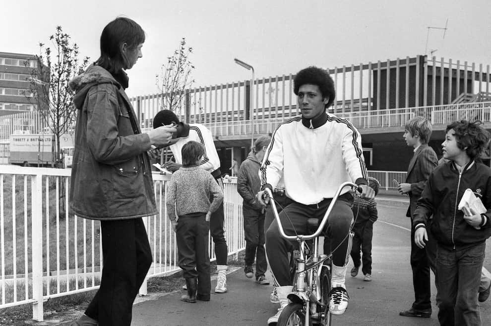
The giants of Sporting Lisbon faced Sunderland in the European Cup Winners Cup and they spent the build-up to the tie in the Norseman Hotel. They met local children, took a walk in the dene, signed autographs and even tried riding a Chopper bike. The side lost 2-1 at Roker Park to a talented Sunderland team before overcoming the Black Cats 2-0 back in Portugal.
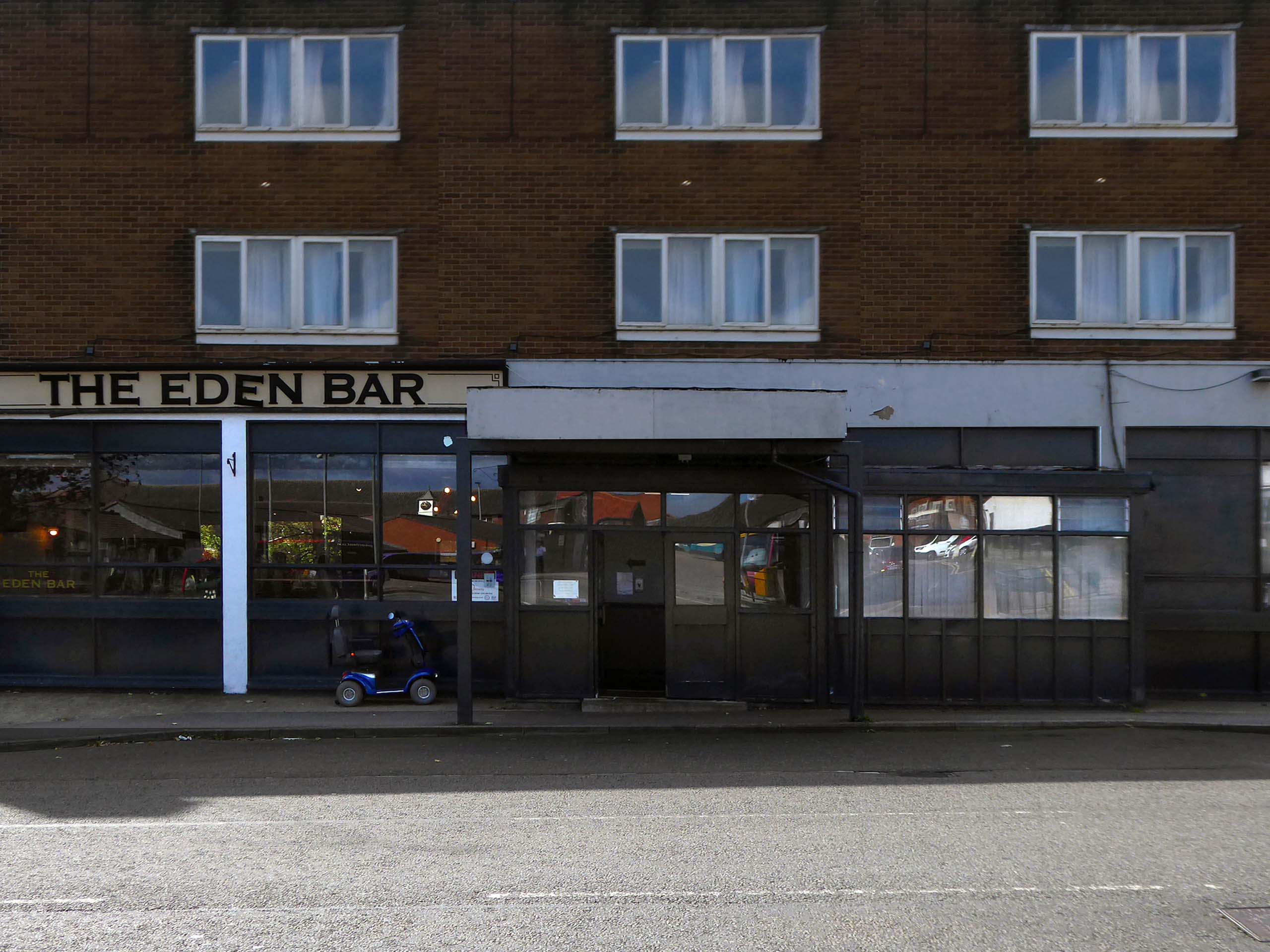
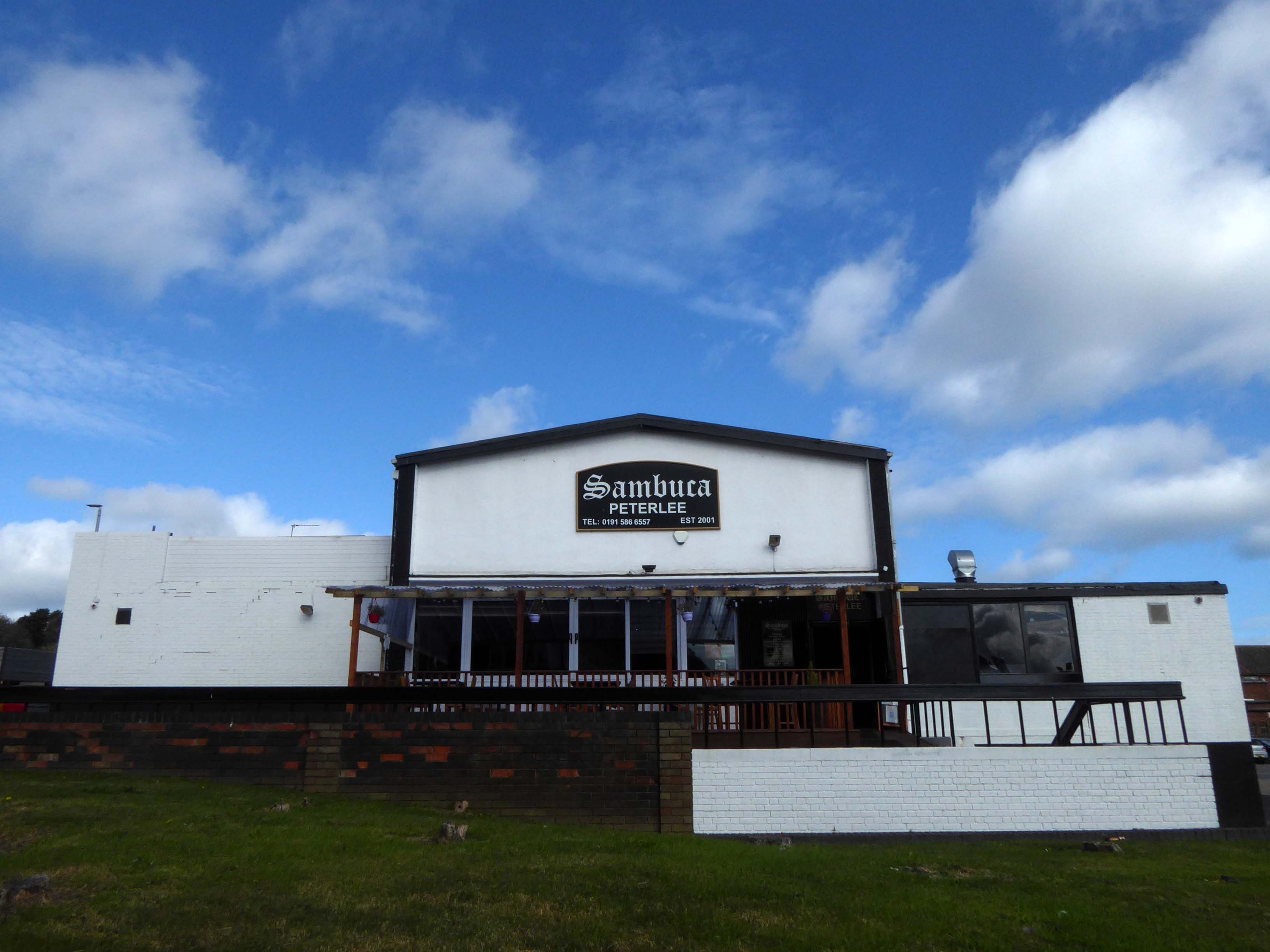
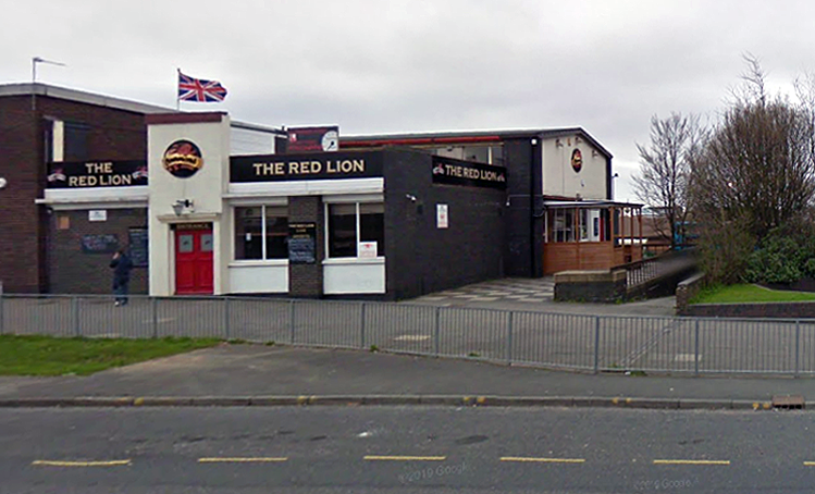
Back in 2021 Sambuca was the other town centre bar – badged with Olde English type.
Formerly the Red Lion a Cameron’s estate pub.
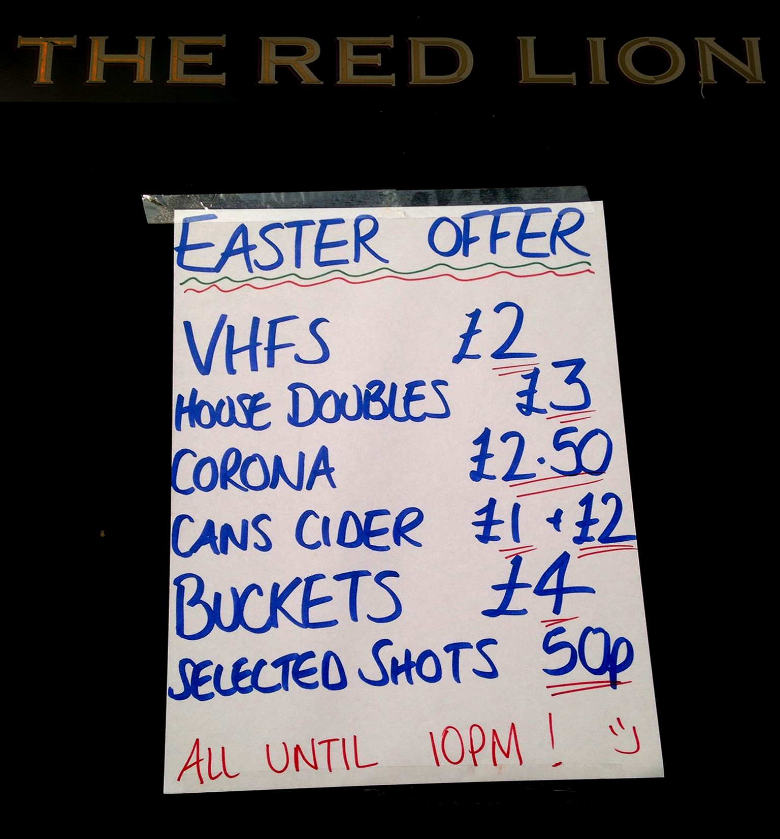
April 20th 2014 – Happy Easter everyone. We are open today all the way to 10pm – £2 bottles VHFs, house spirits only £3 double, buckets £4, Corona £2.50 selected shots 50p, cider cans £1 + £2 Karaoke – from now on everyone who sings gets a free shot Then we have the best in all your favourite dance ‘n’ house tunes to take you into Monday.
Onward to the Shopping Centre.
Yoden Way looking towards Lee House in 1977.
Photographs: JR James
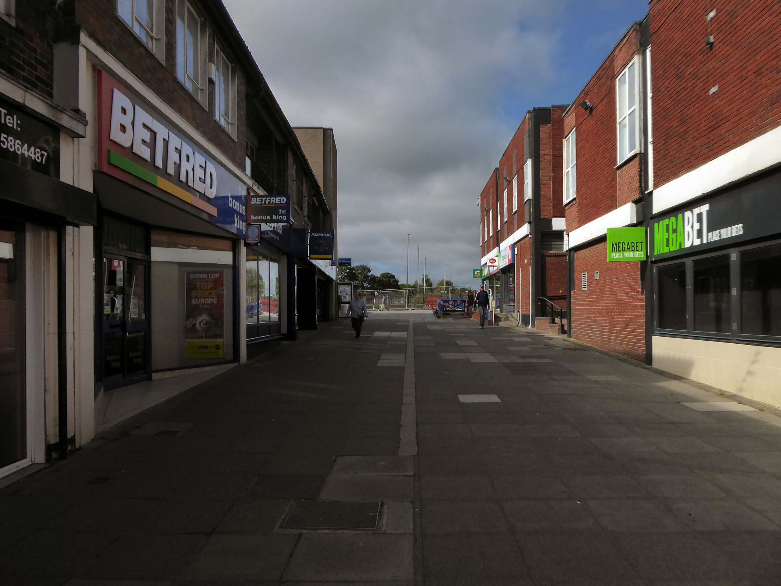
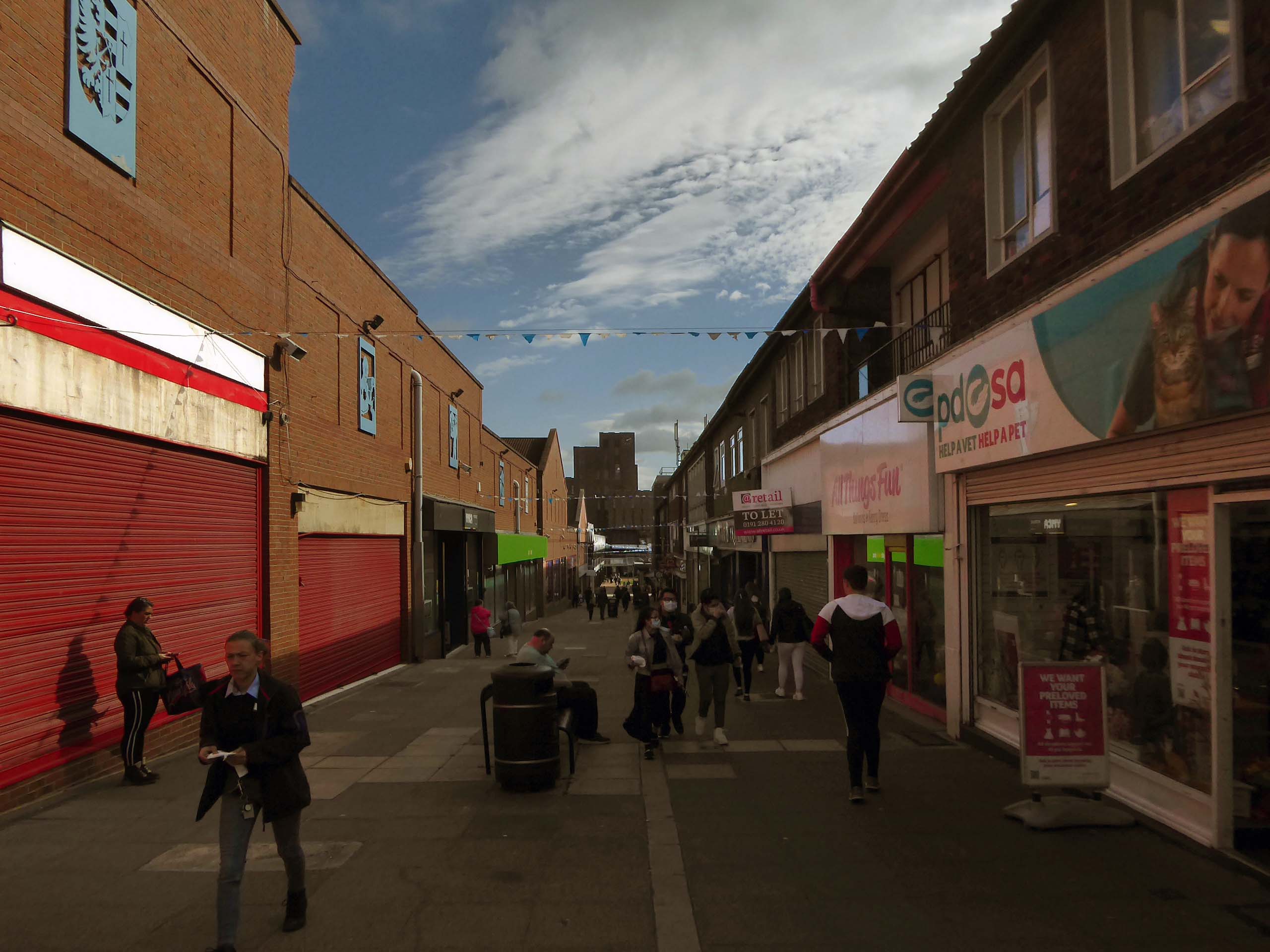
The 1950’s shops are still in situ.
Though some of the original architectural detailing and features are no more.
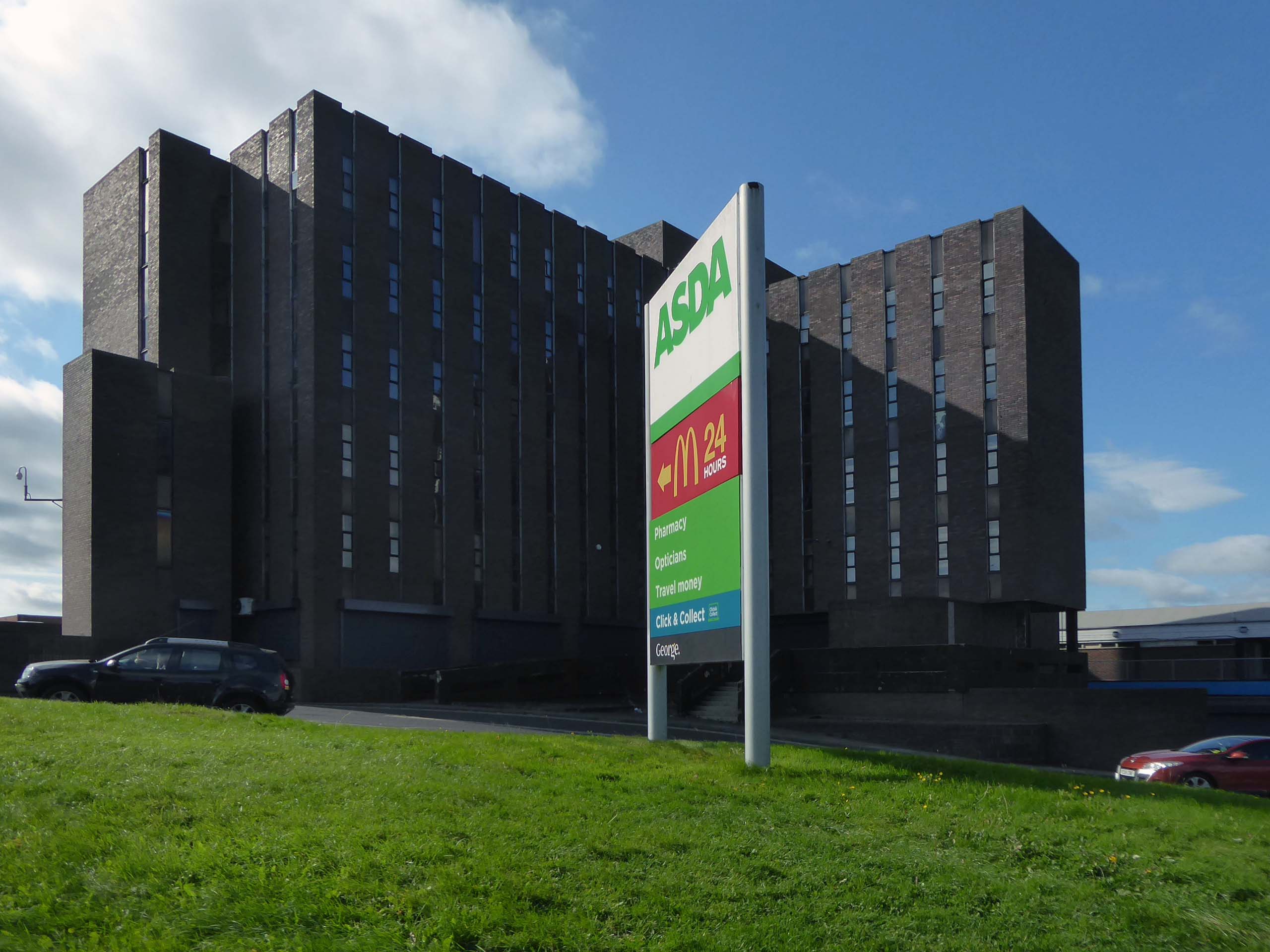
Lee House is still standing but vacant.
Lee House was once home to charity and community groups, but in 2015 the building owners ordered them to vacate the property.Even the building’s clock has stopped working and has been stuck on the same ten-past-two reading.
However, Durham County Council has now confirmed the building is in new hands. Economic development manager Graham Wood said: “We have worked with the previous owner to try to ensure the building is secured while we await proposals for its long-term future.
Four fire engines rushed to Lee House on Upper Yoden Way in Peterlee on Friday afternoon September 19th 2025 after a fire broke out on the first floor of the seven floor building.
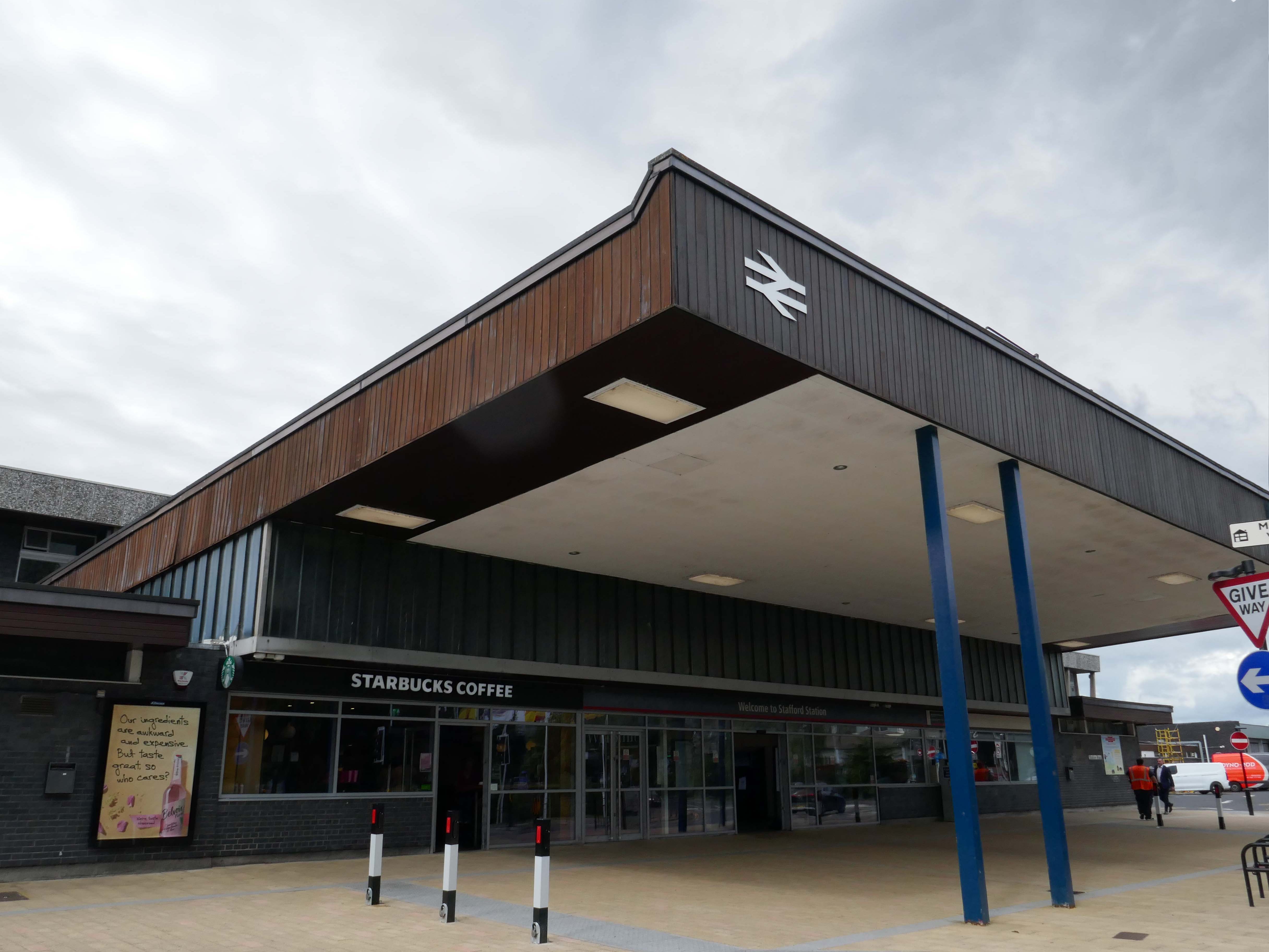
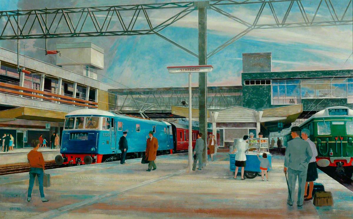
The current station was built in 1962, by the architect William Robert Headley, as part of the modernisation programme which saw the electrification of the West Coast Main Line.
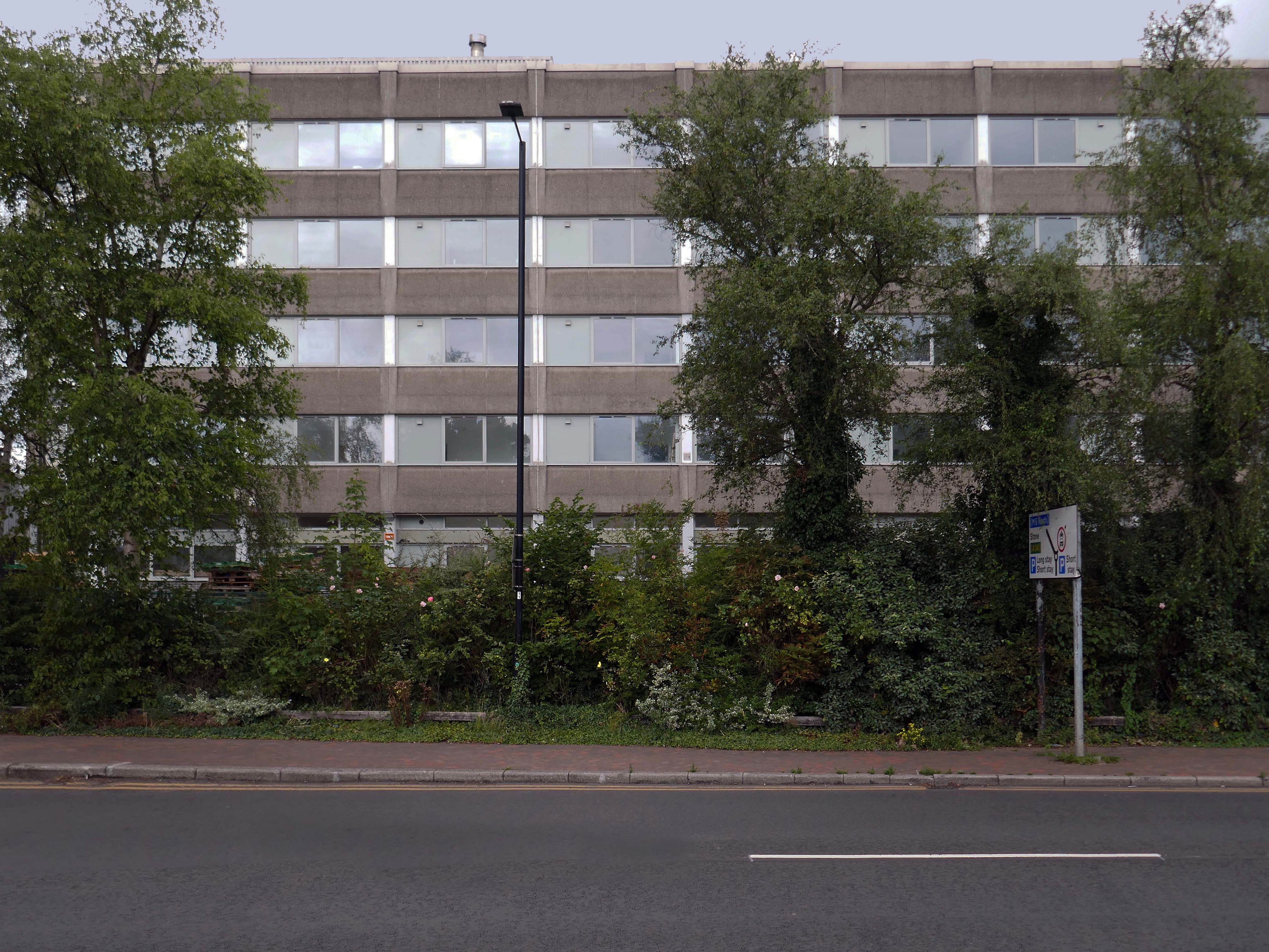
On leaving the station there is an as yet partially un-let Sixties office block to let – Victoria Park House.
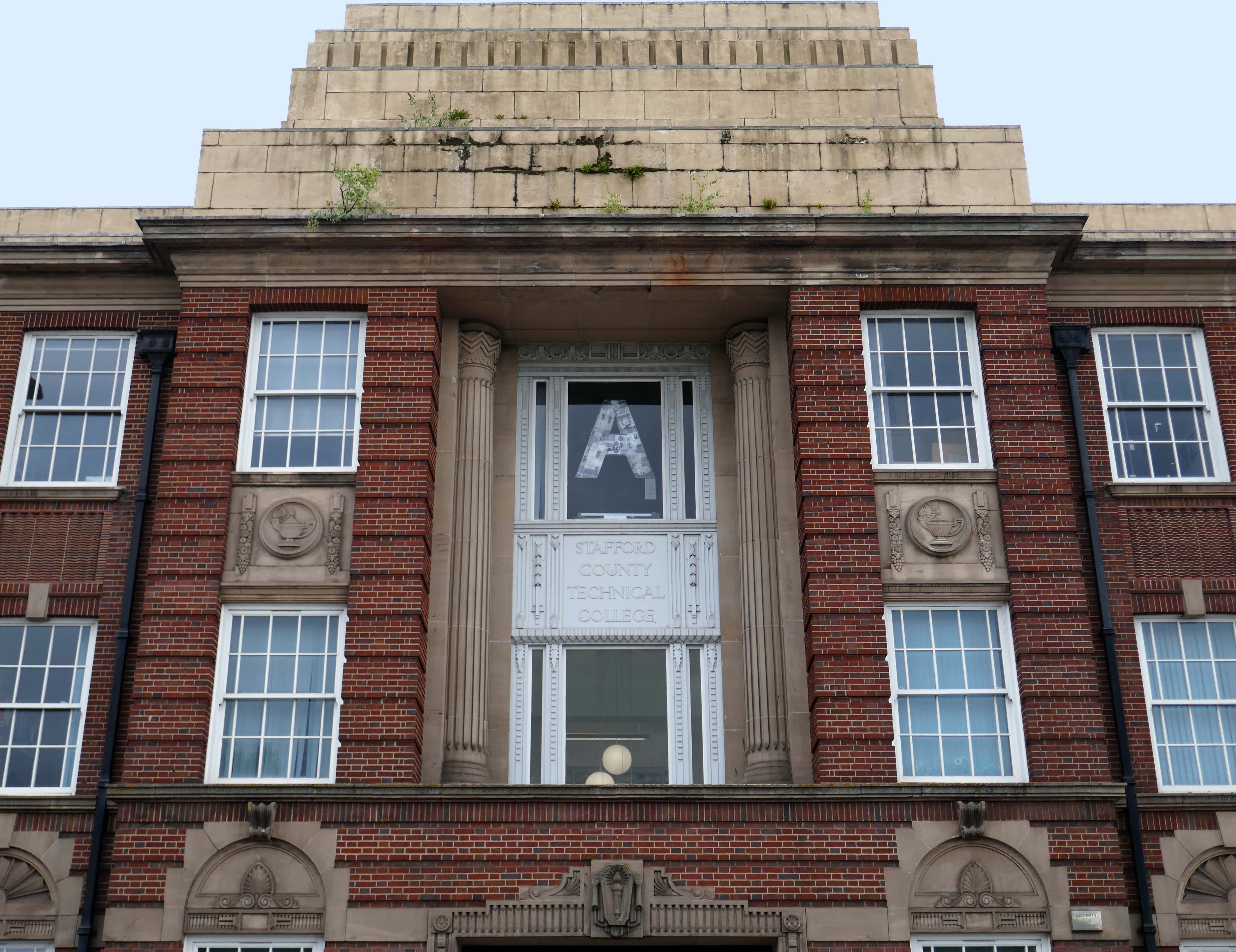
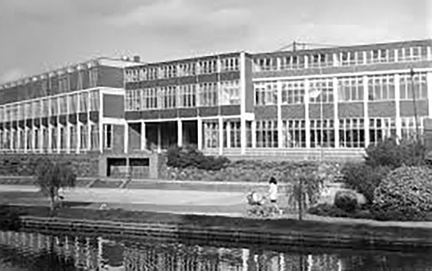
Onward to the County Technical College 1937 Grade II Listed – interior completed 1946.
The shell of the building was completed in 1937, after which it was used as an American army hospital during the war, then completed afterwards.
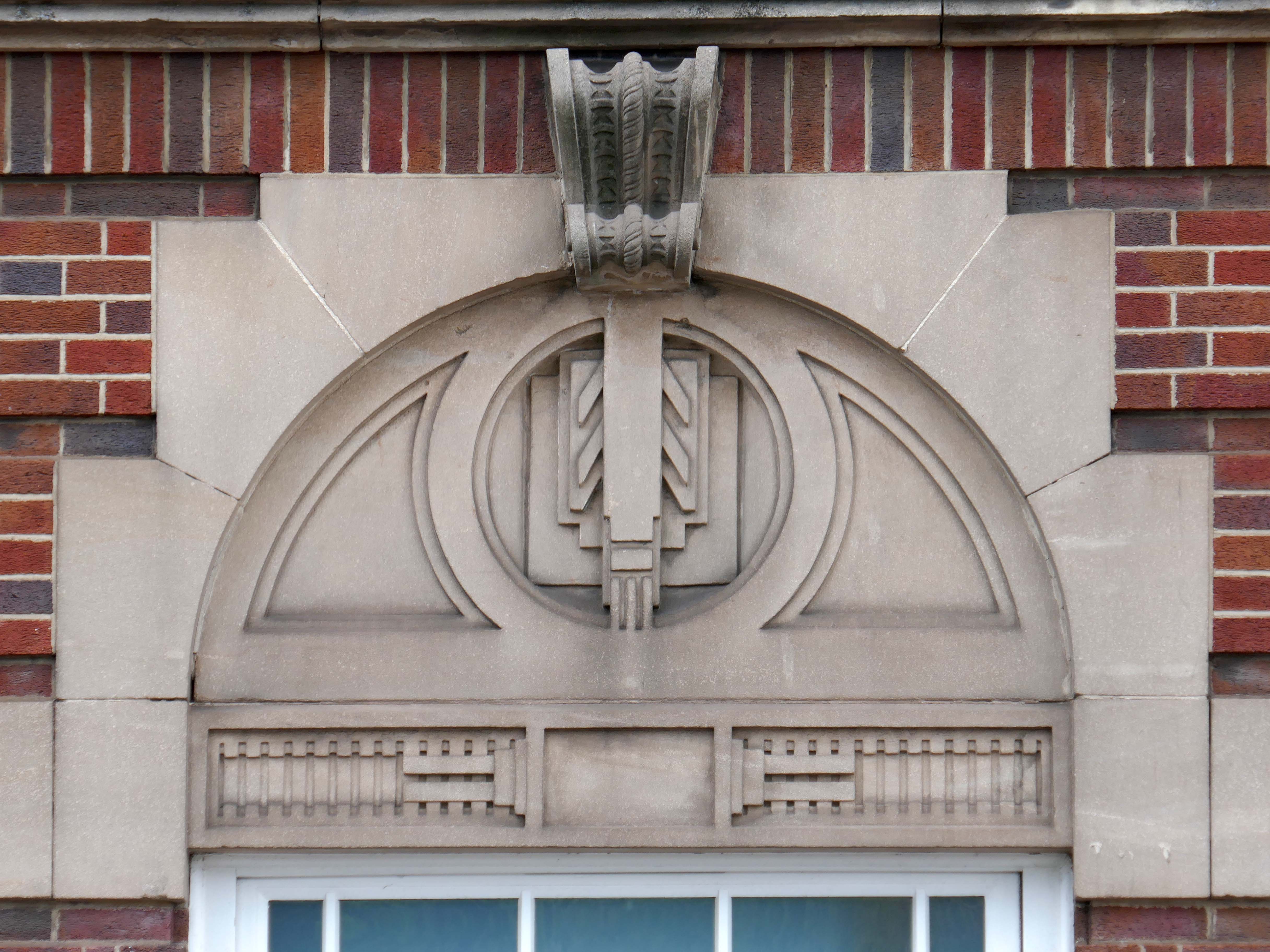
Heavily loaded with Art Deco details.
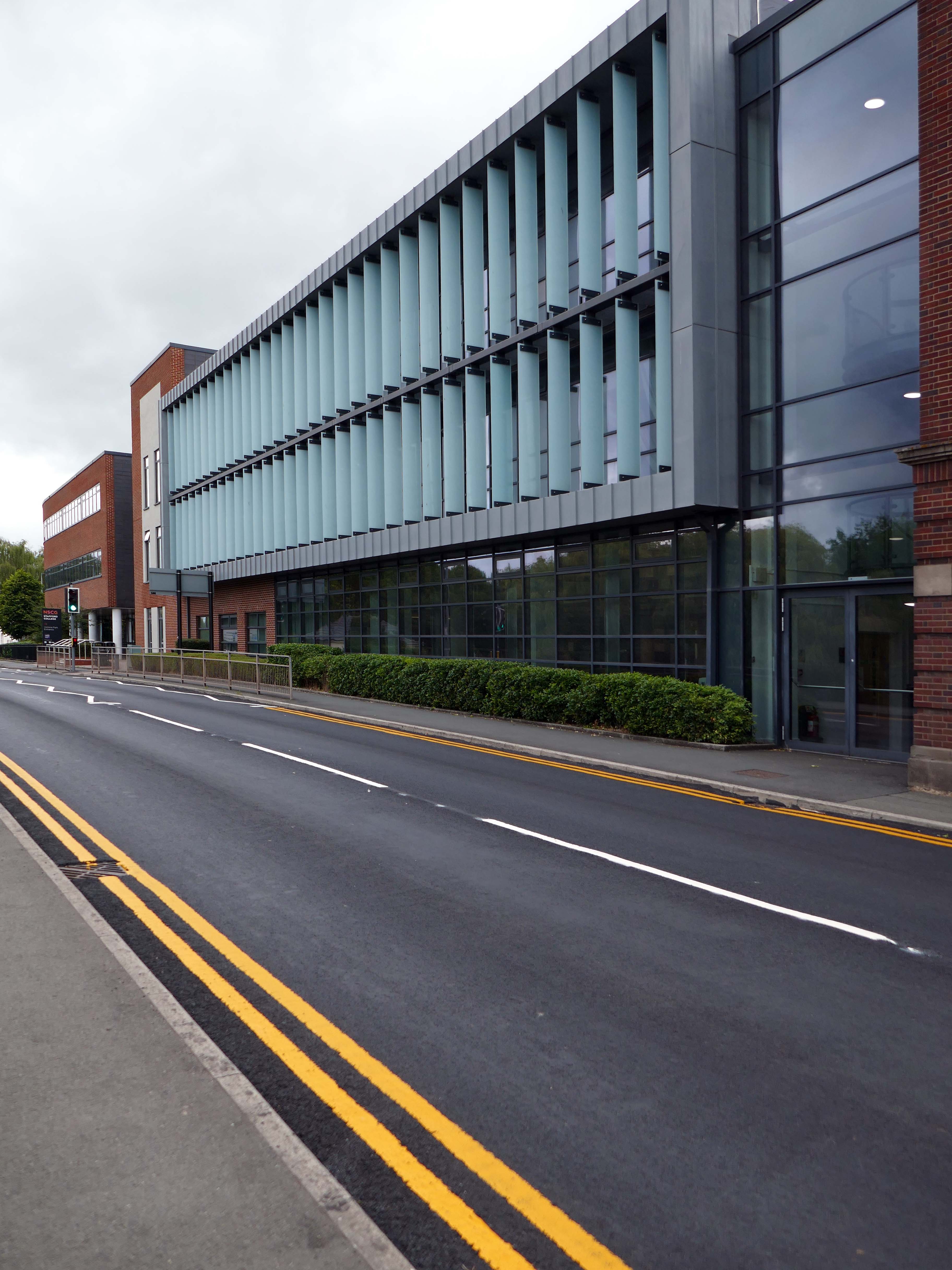
The new £28m three-storey Skills & Innovation Centre at Stafford College, completed in August 2023, was one of the first further education college schemes to be delivered under the DfE framework and a pathfinder scheme for delivery in accordance with the Further Education Output Specification. The new Centre is equipped with cutting-edge equipment and state-of-the-art facilities for construction, engineering and hybrid / electric vehicle maintenance facilities, as well as IT rich seminar suites and open learning break-out spaces along with a 4-court sports hall, a fully-equipped gym and a flexible 300-seat auditorium.
A 1970’s block was demolished to make way for the new development.
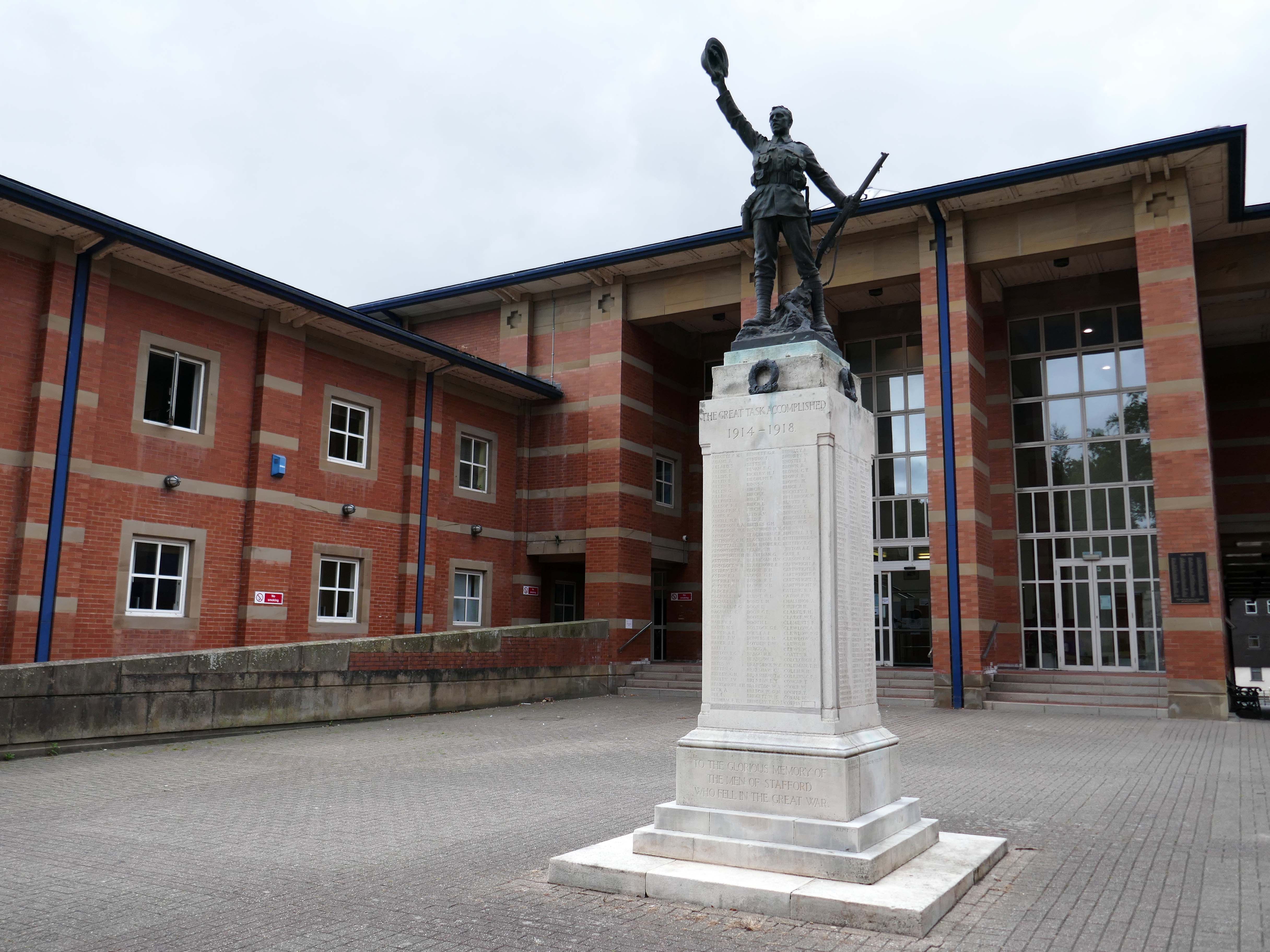
Almost everywhere we go we find a PoMo Crown Courts 1991 – architects: Associated Architects of Birmingham, cost of £10.4 million.
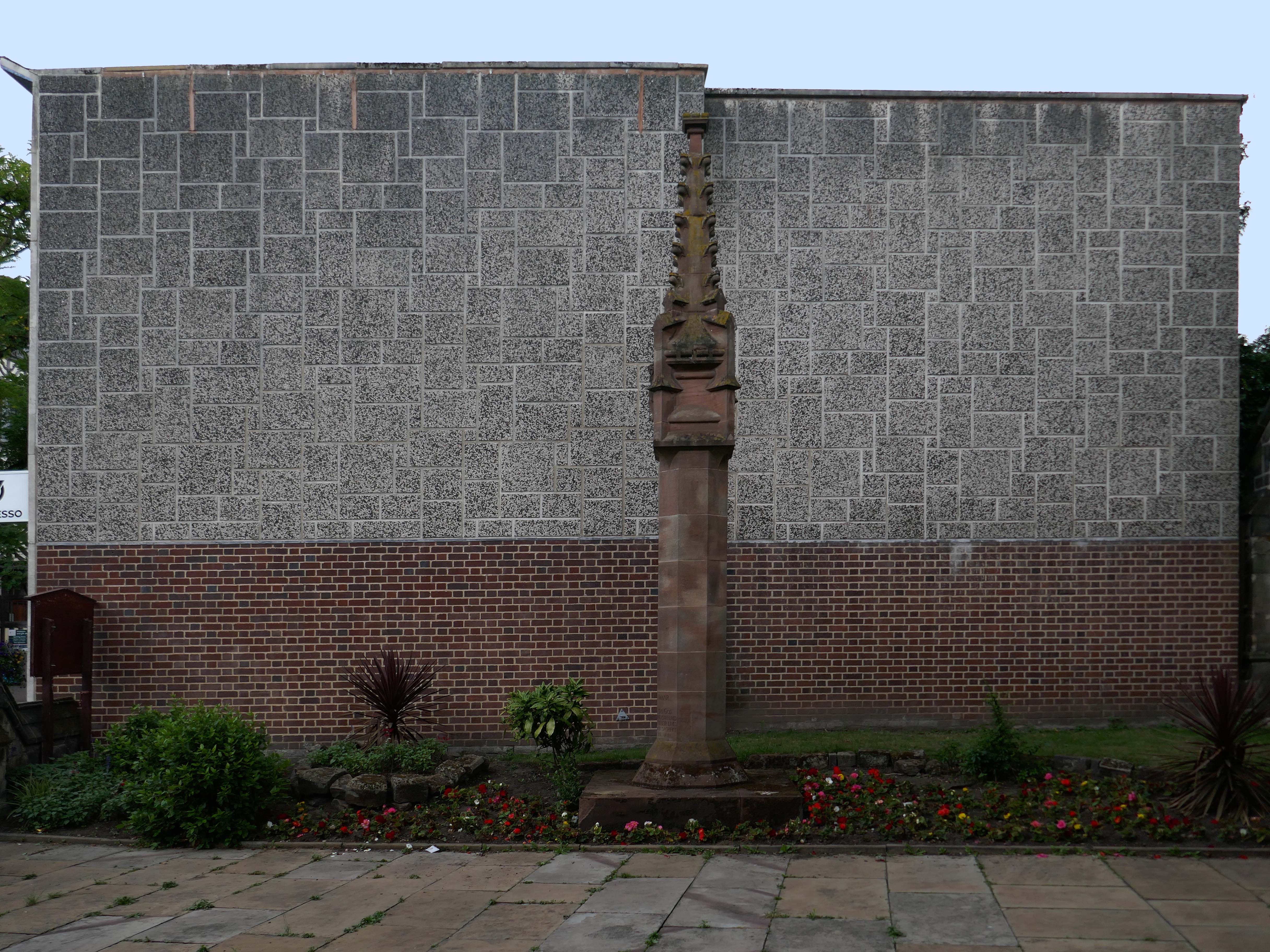
The war memorial of 1922 is by Joseph James Whitehead.
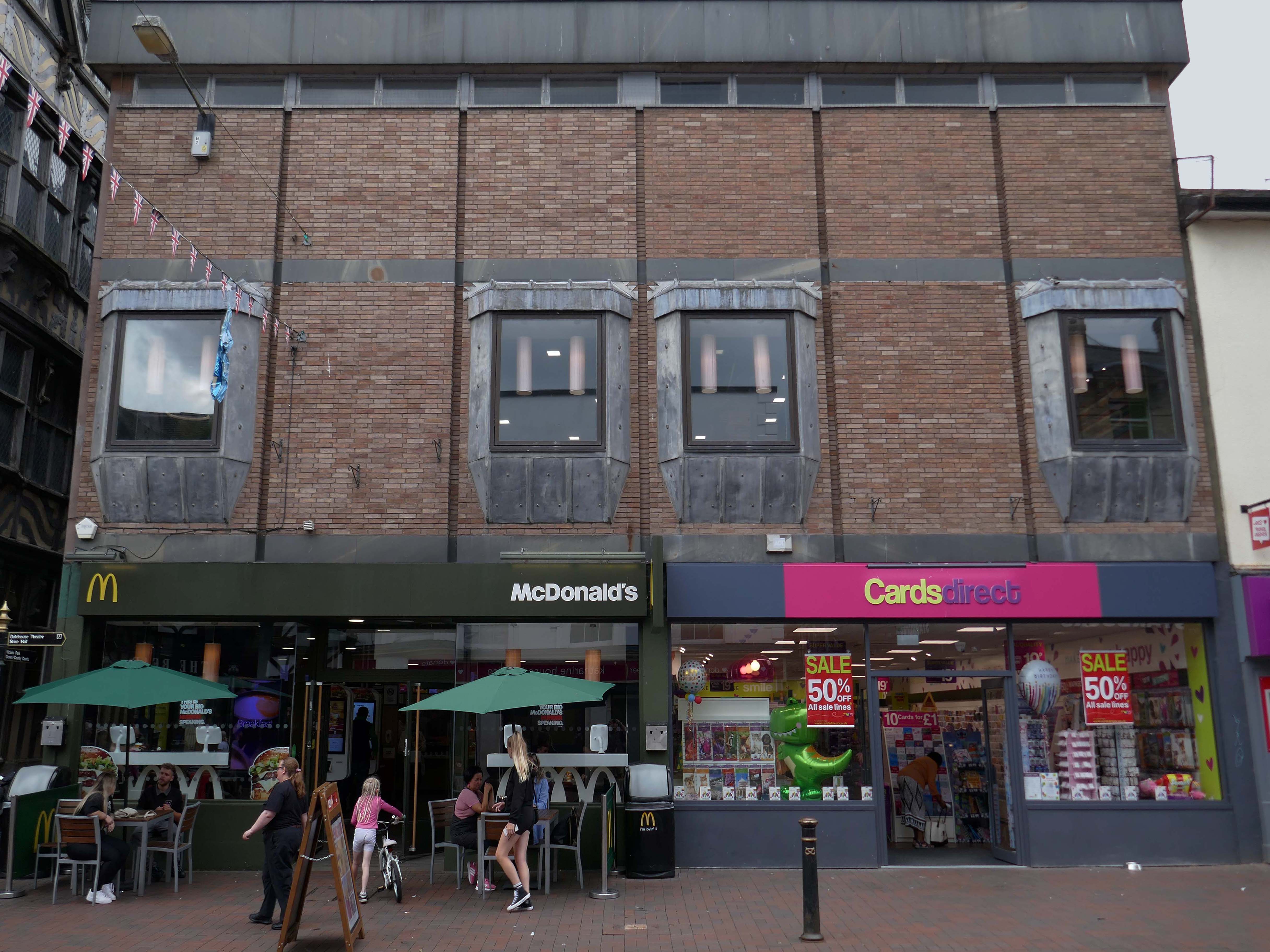
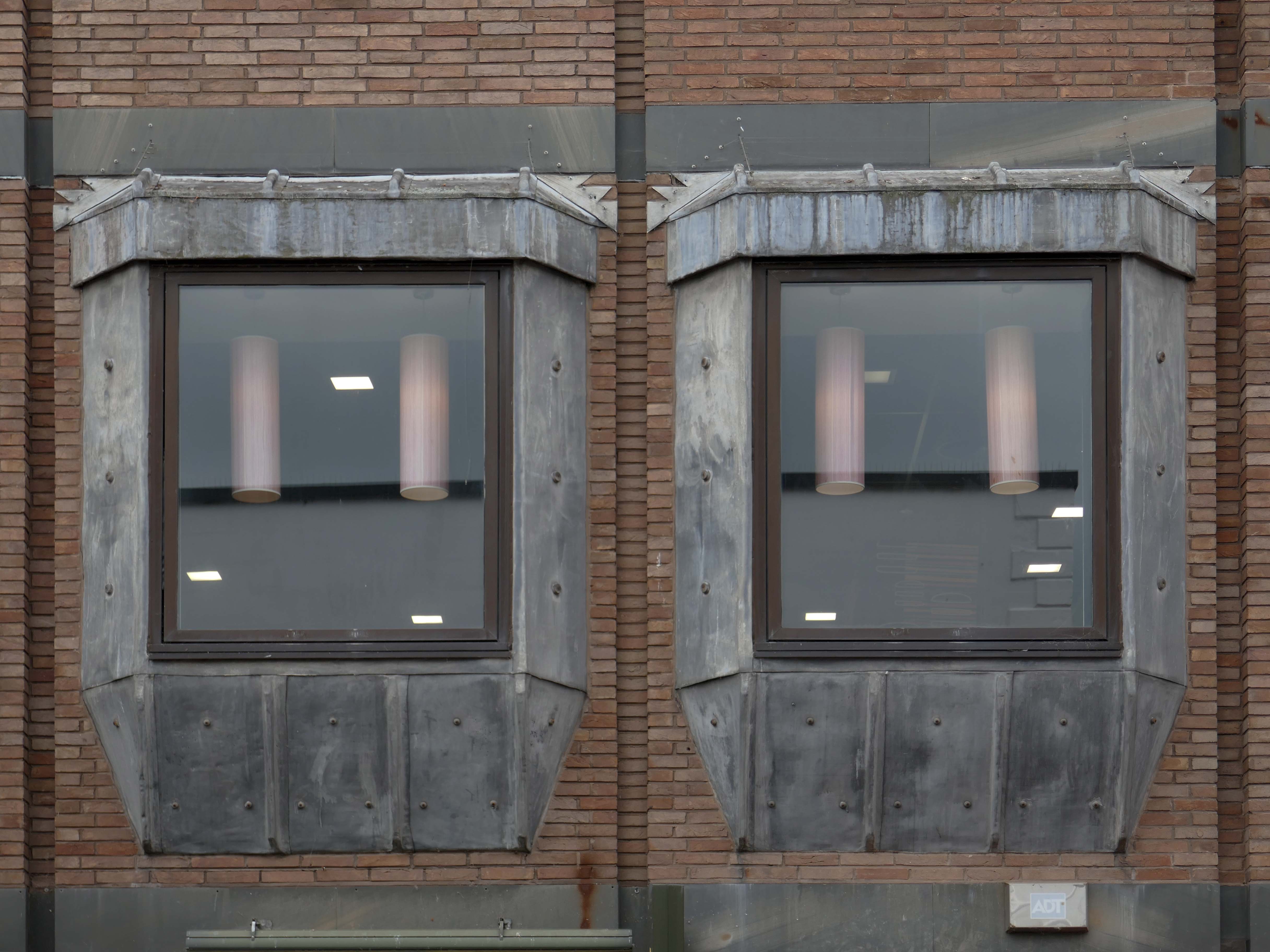
Sneaking through the alley to and before the McDonalds – one many more recent buildings with jetted lead clad bays.
Keeping the town Tudor one bay at a time..
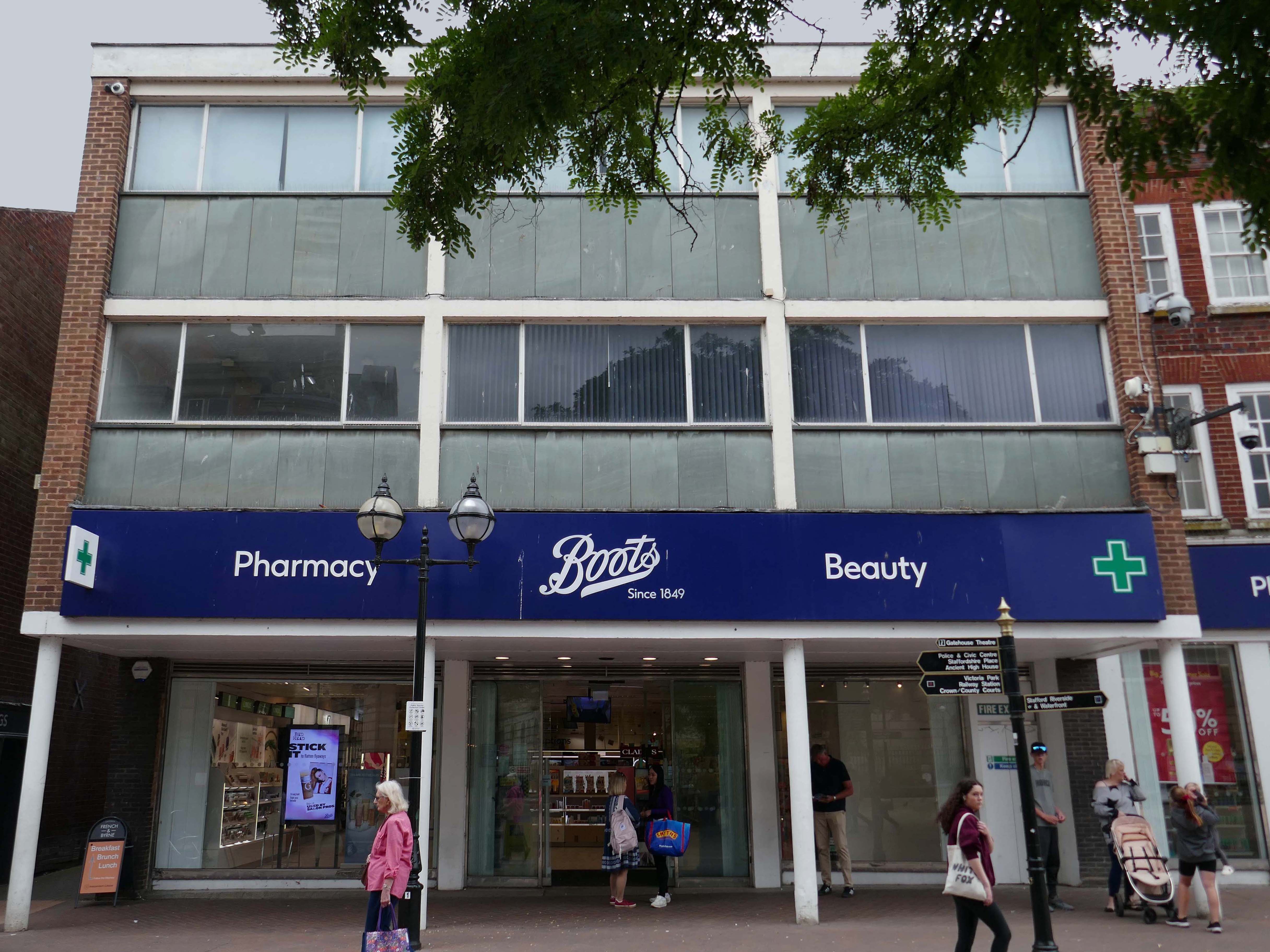
Further along a Sixties Boots.
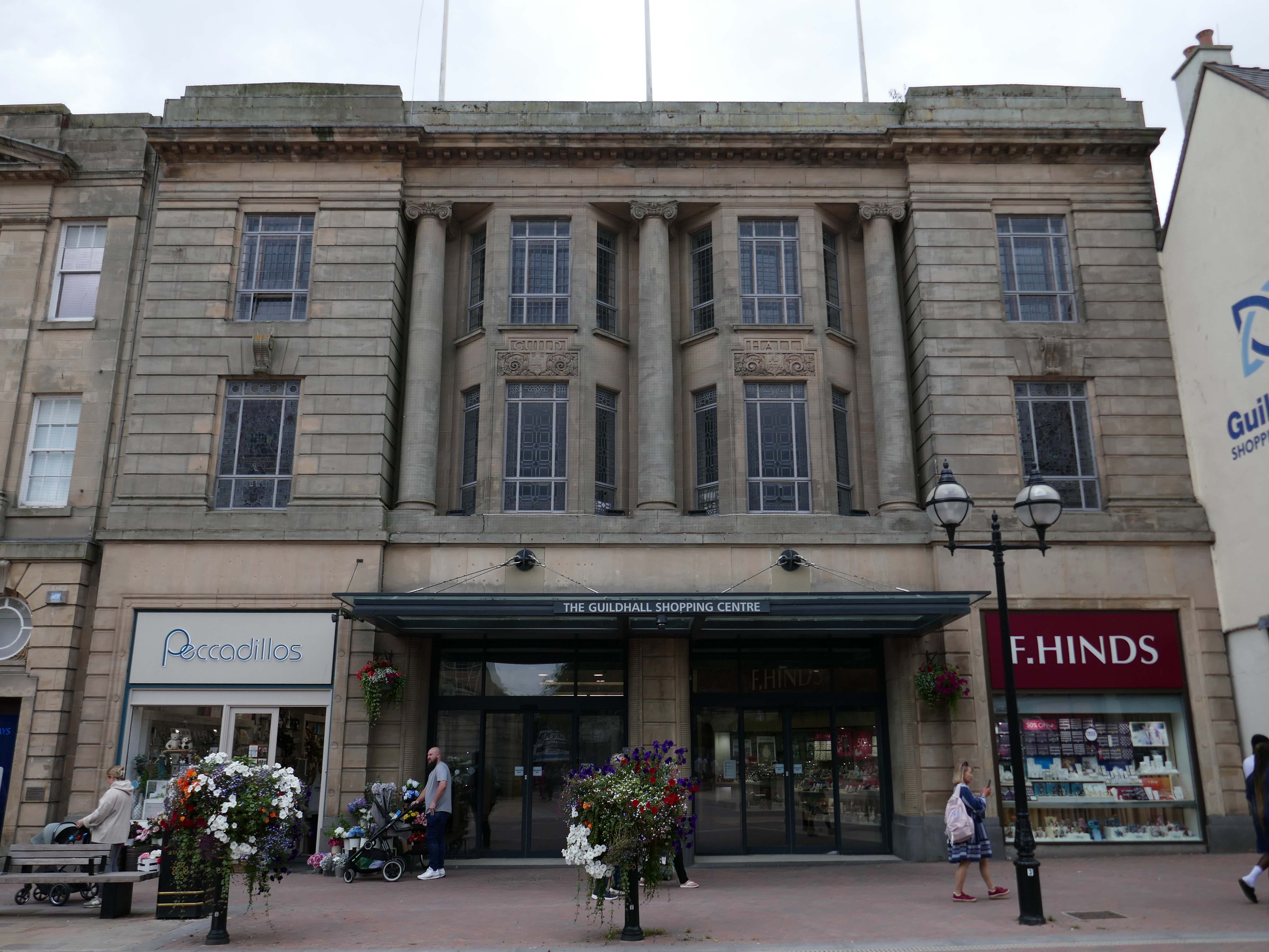
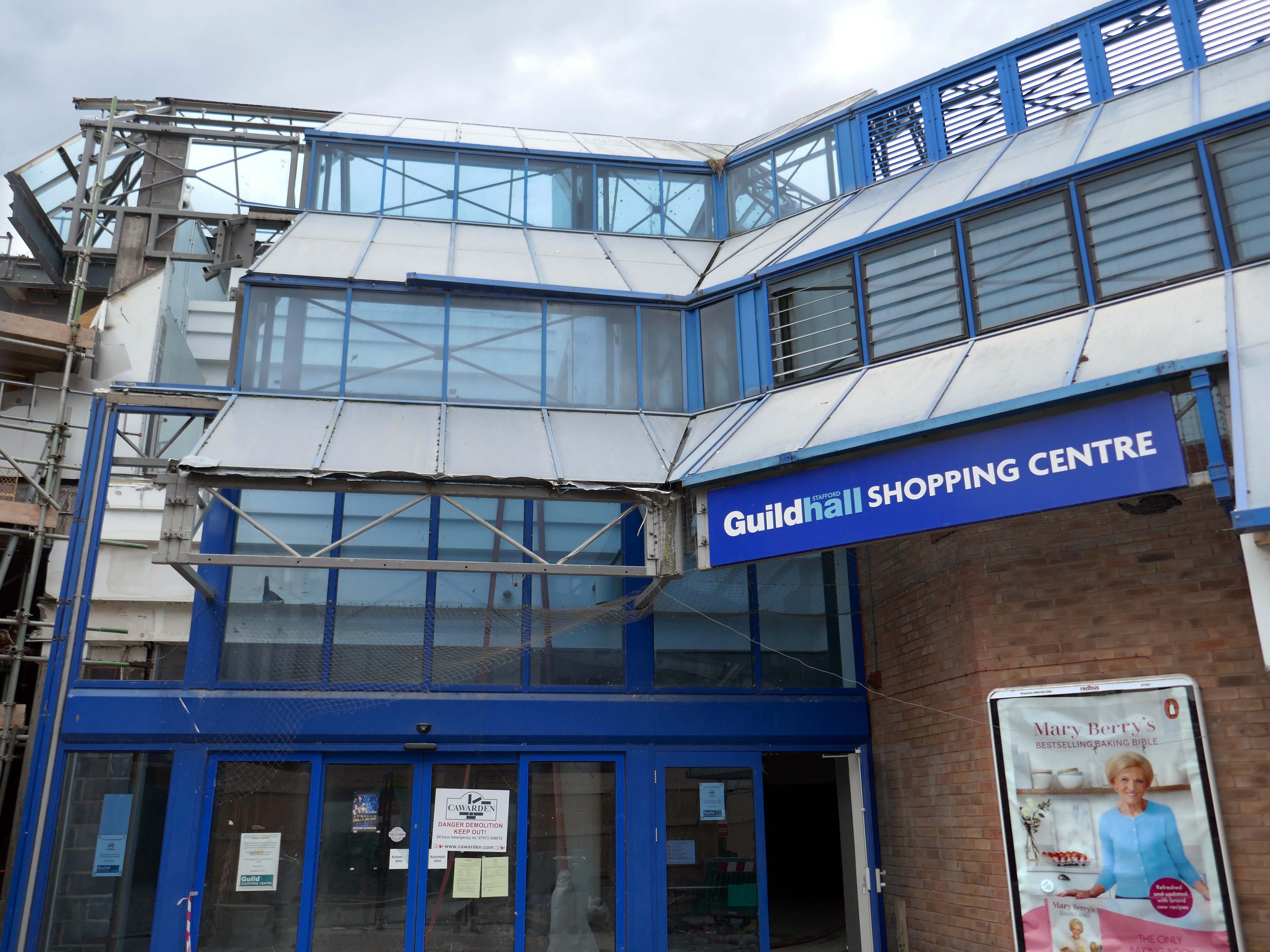
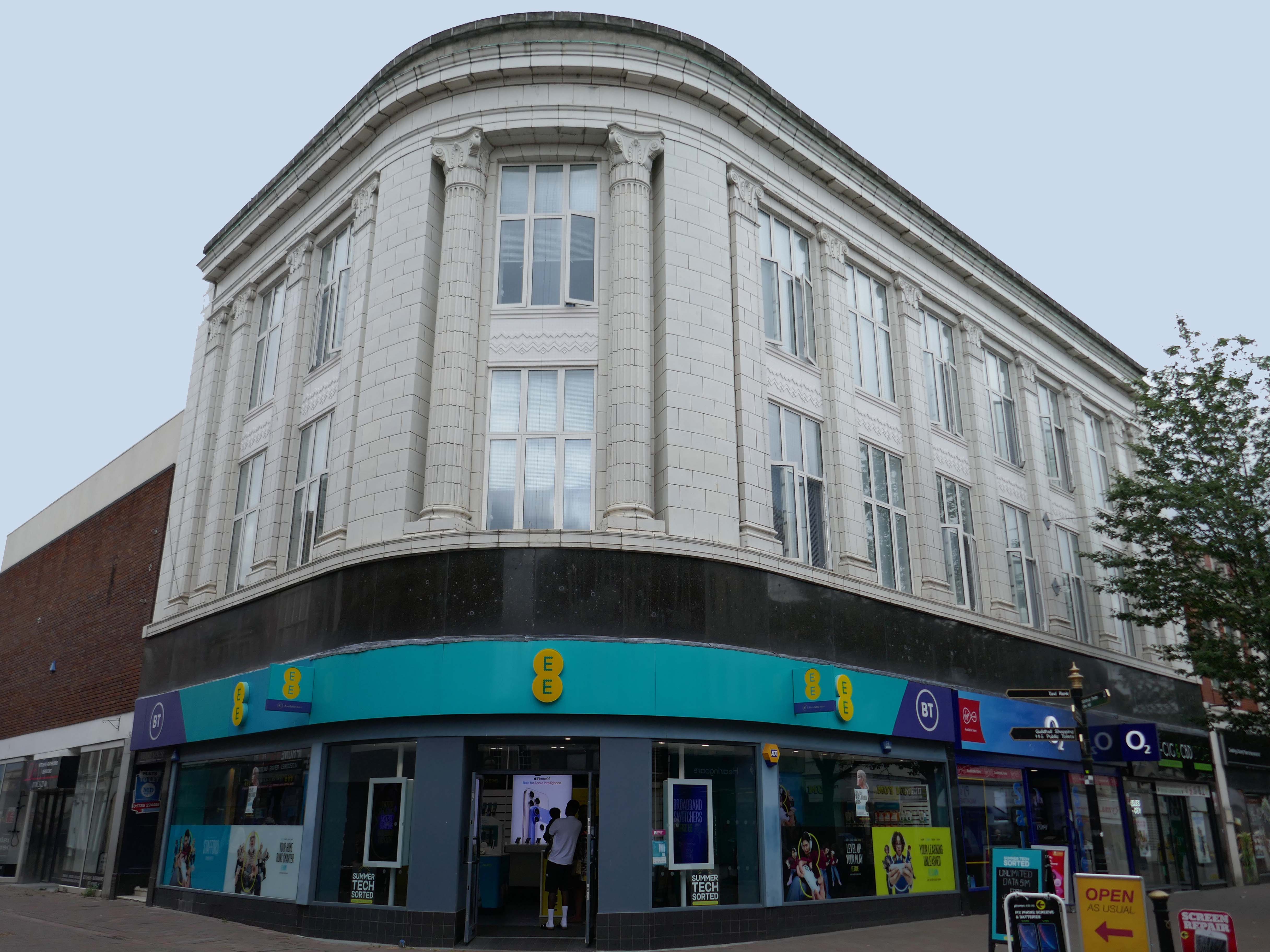
The Classical stone frontage of the Guildhall Shopping Centre.
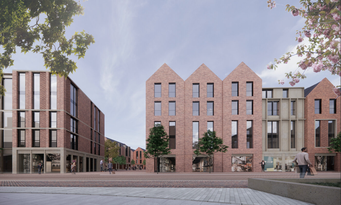
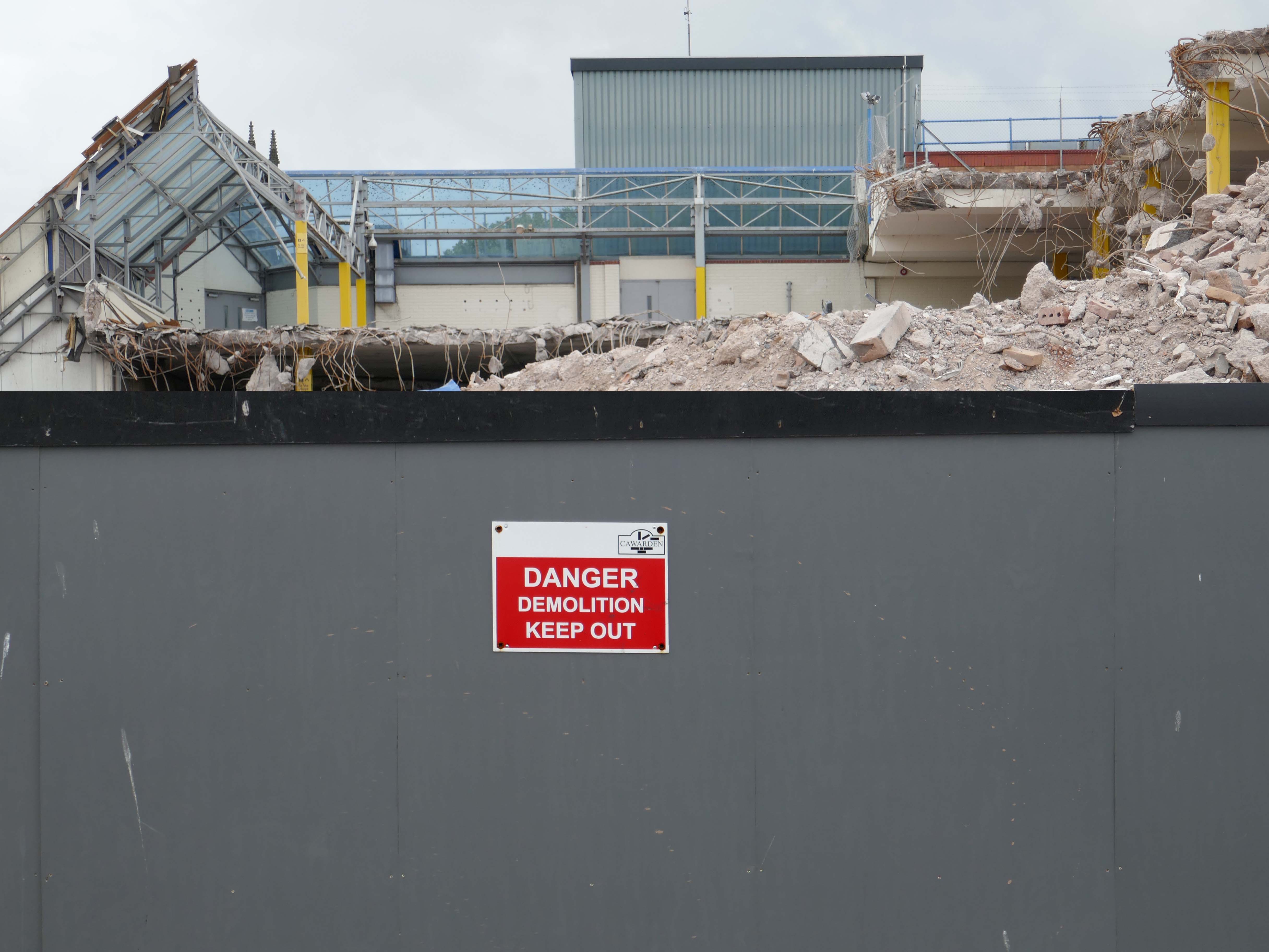
Working with Mercia Real Estate, Glancy Nicholls Architects have designed a contextual mixed-use scheme in the heart of Stafford Town Centre, within the footprint of a disused shopping centre. This includes the regeneration of the 1930’s Guildhall building that serves as the main entrance to the shopping centre and the listed Market Square building.
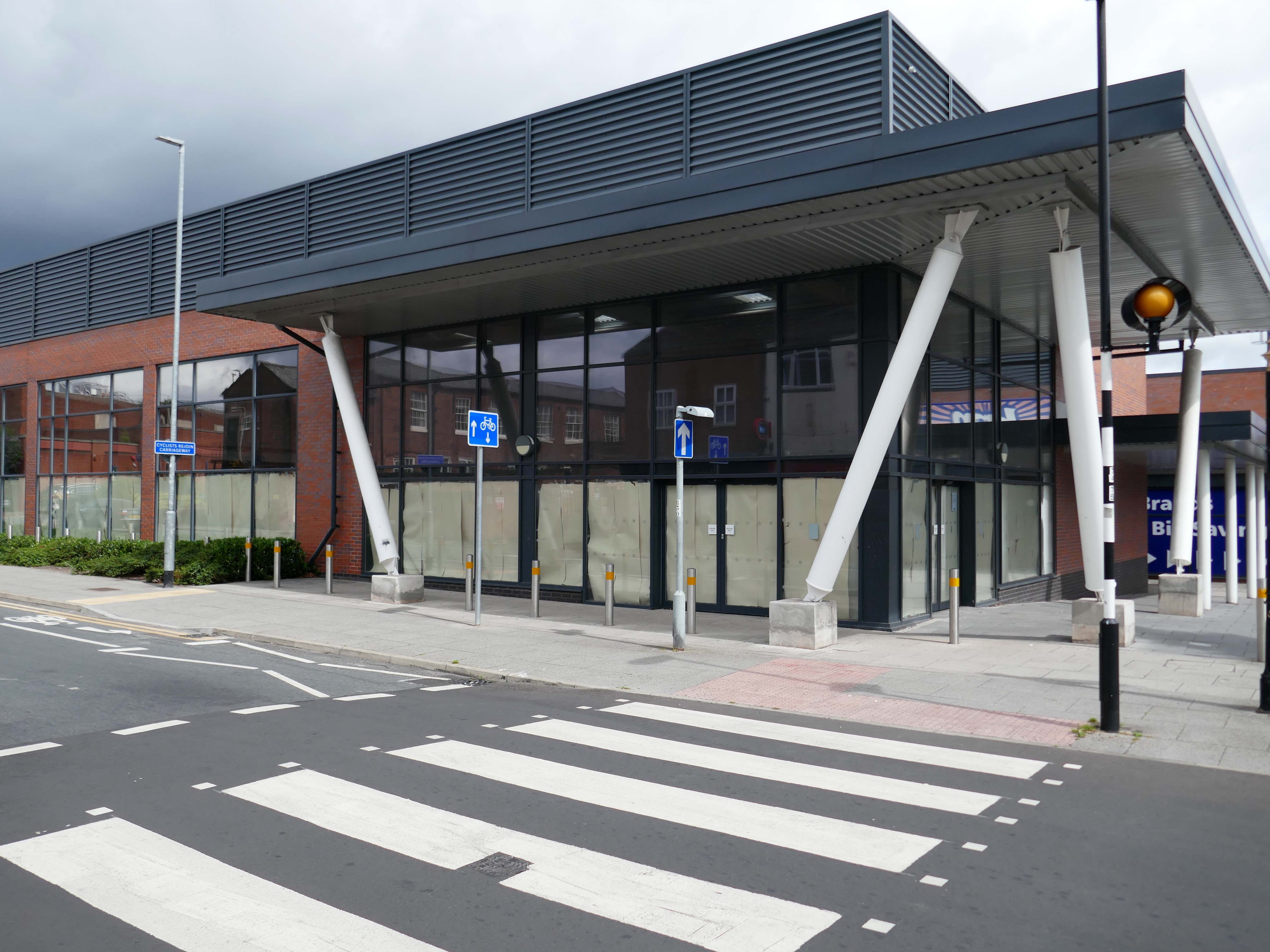
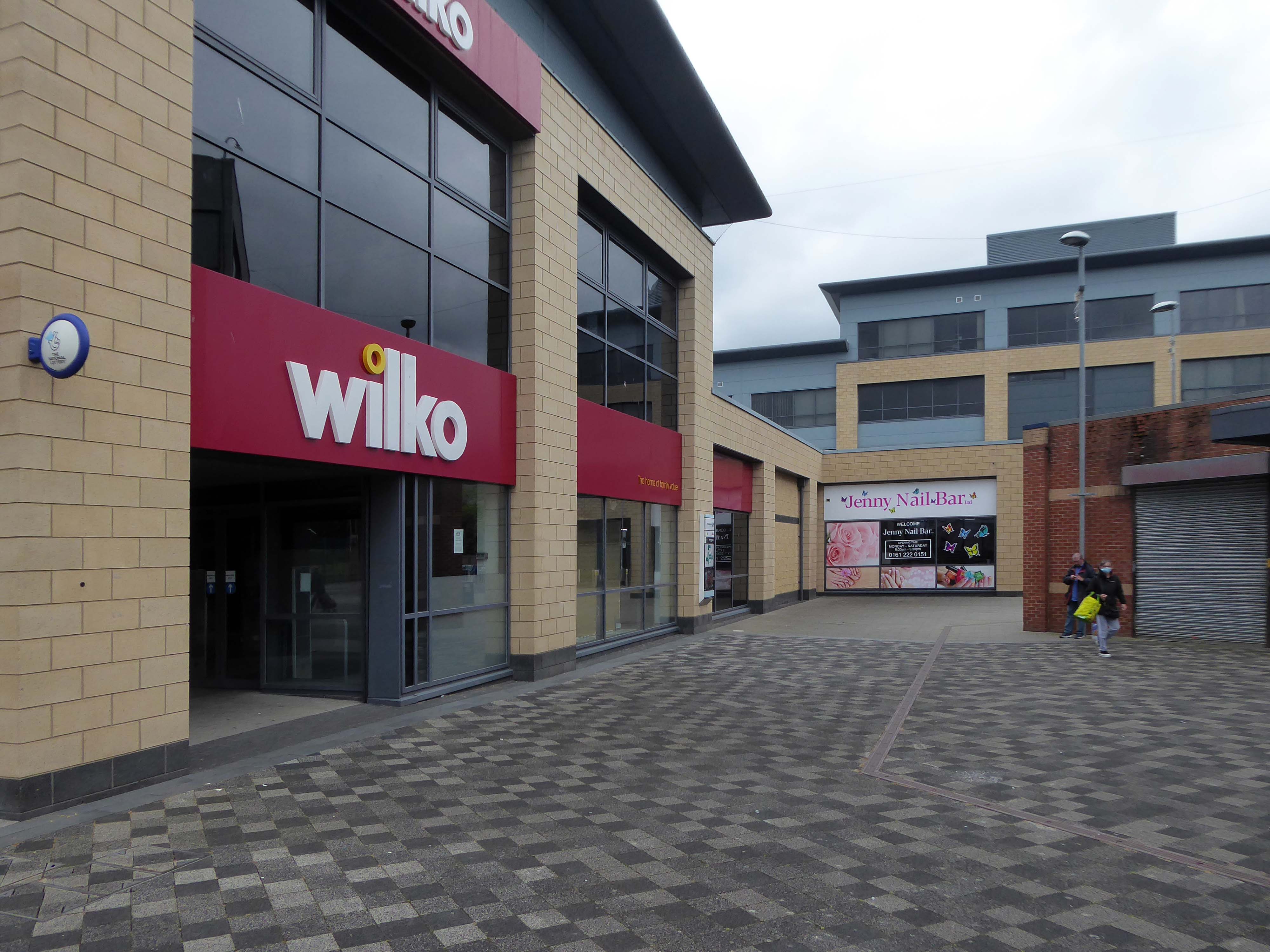
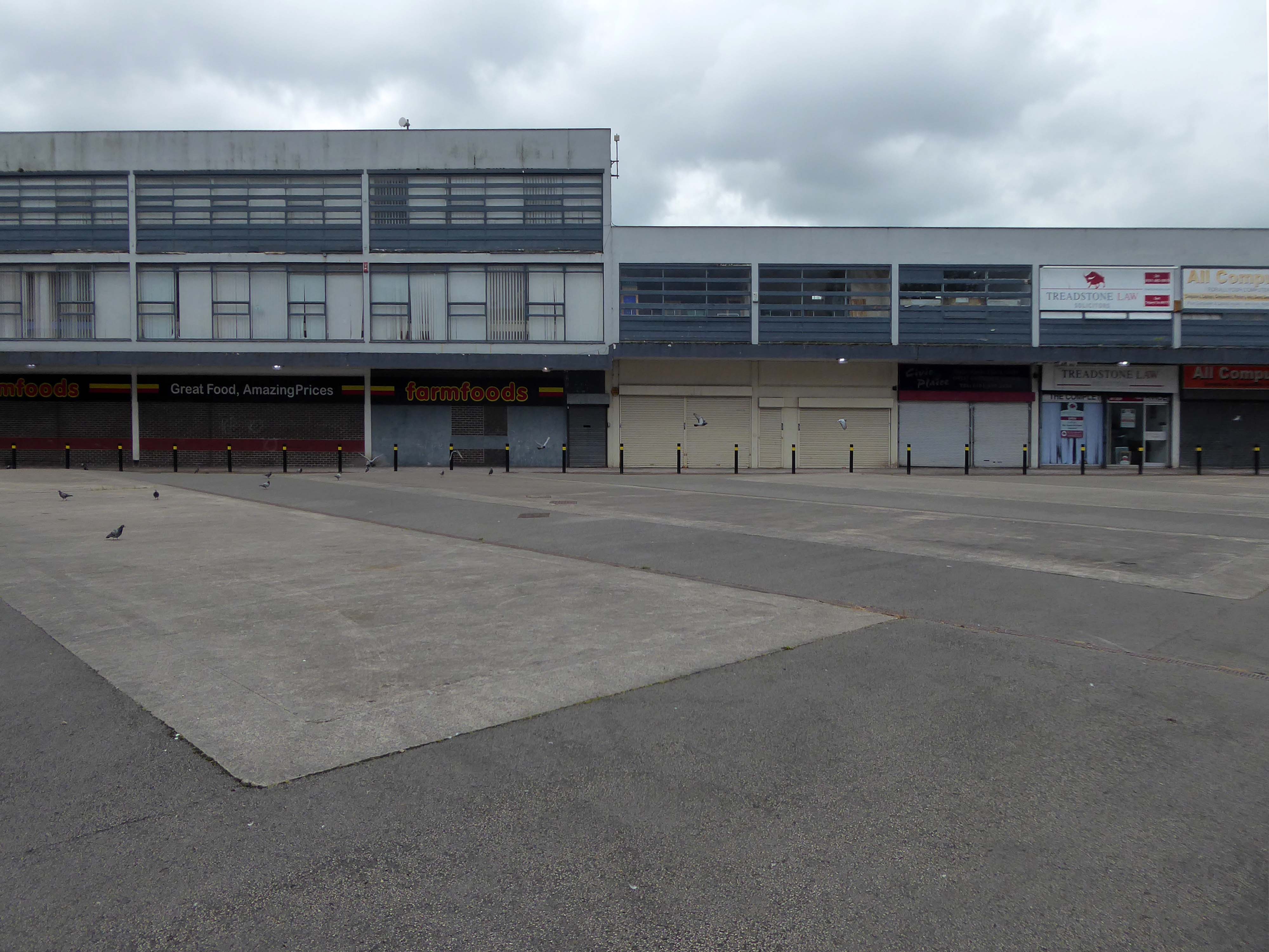
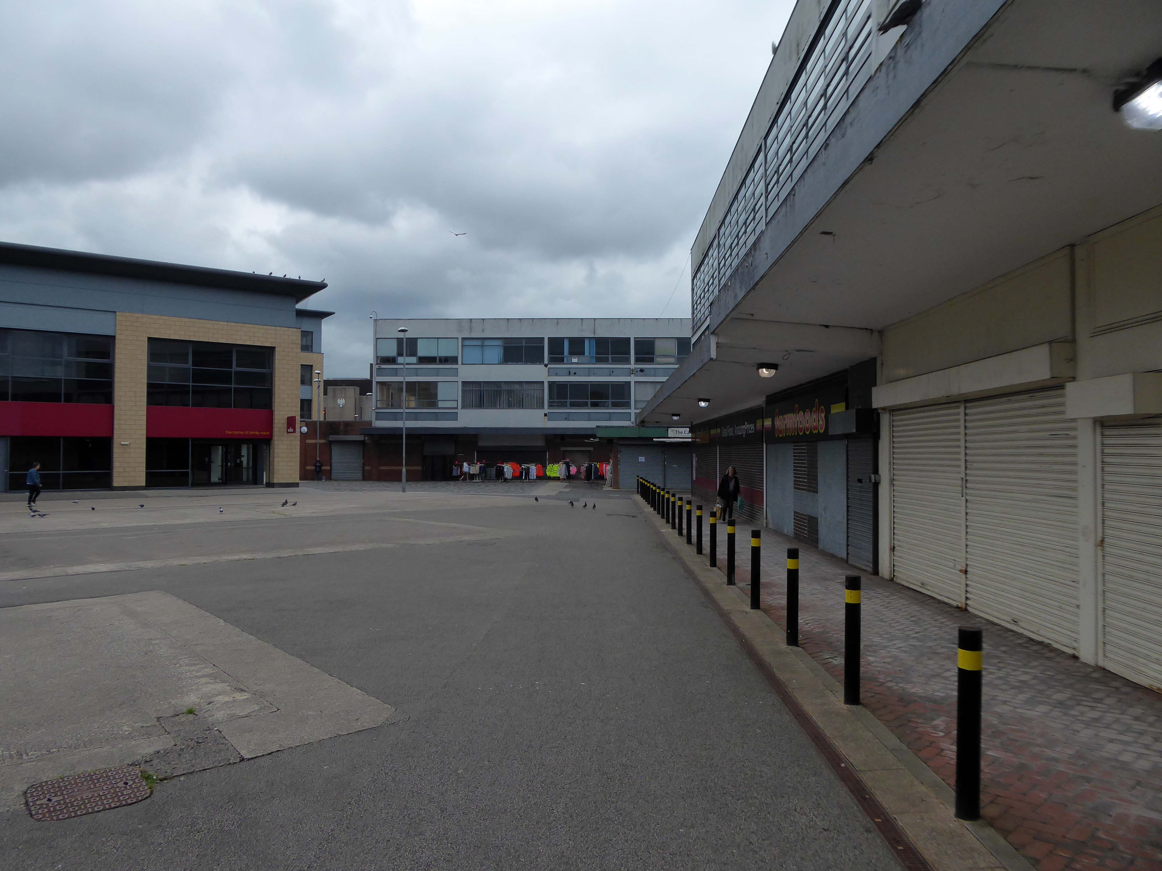
Around the corner a somewhat neglected retail development.
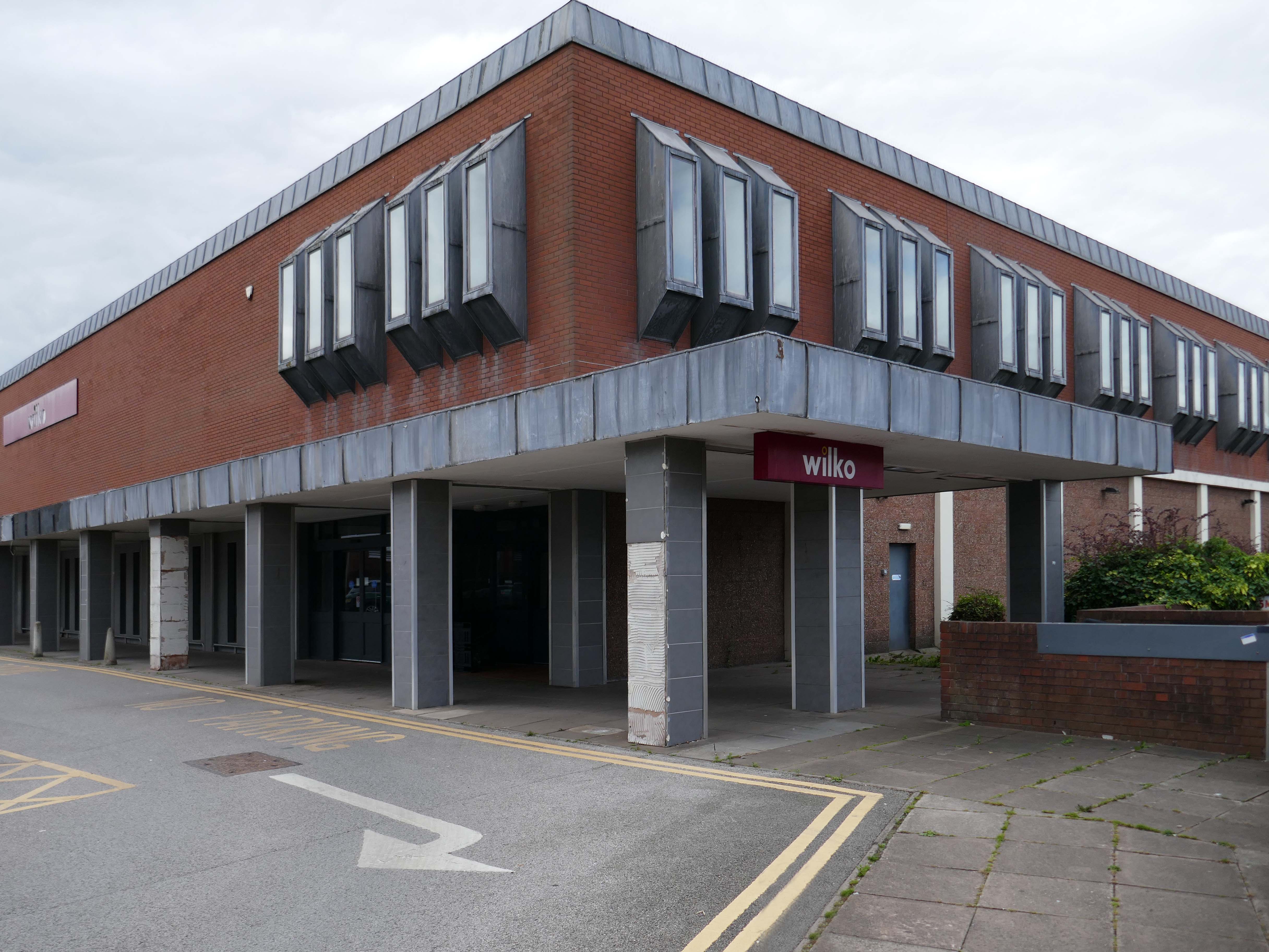
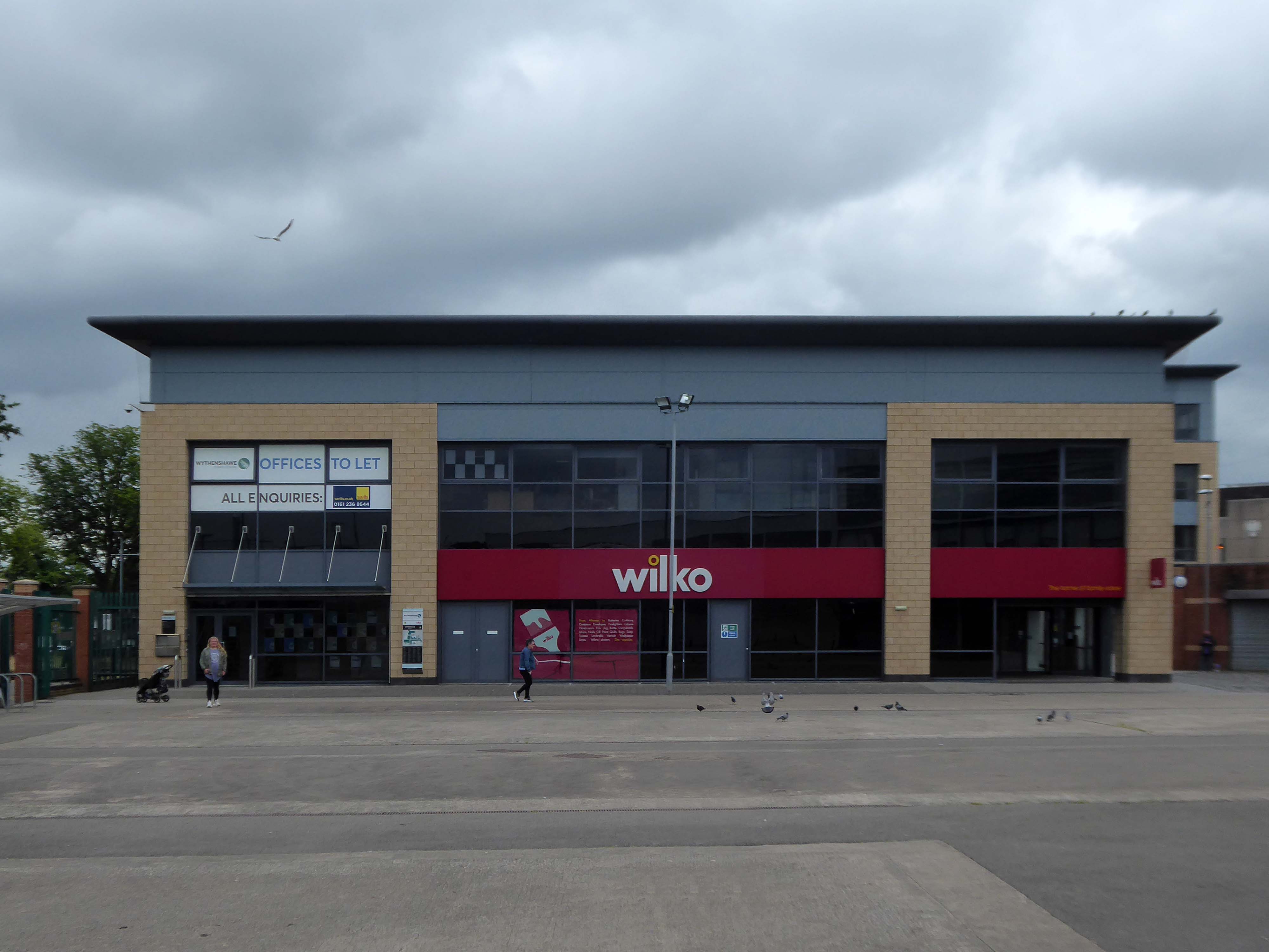
And a long lost Wilko.
Amidst it all the curious time warp that is Trinity Church 1988.
It is used by Methodist and United Reformed Church congregations.
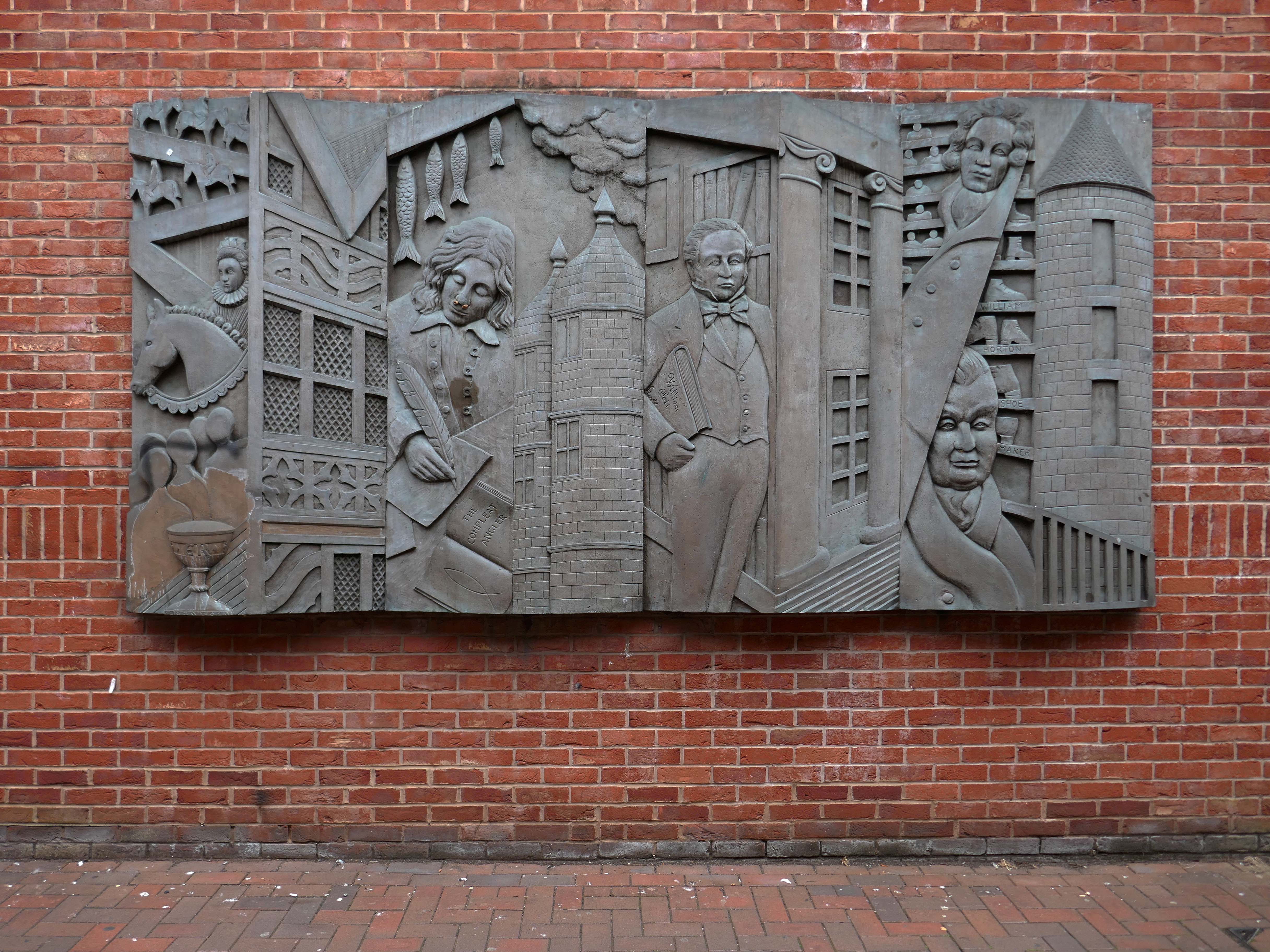
Tucked away in a minor maze of retail a piece of figurative commemorative public art by Glynis Owen Jones, entitled Stafford Faces.
Around the corner a big B&M.
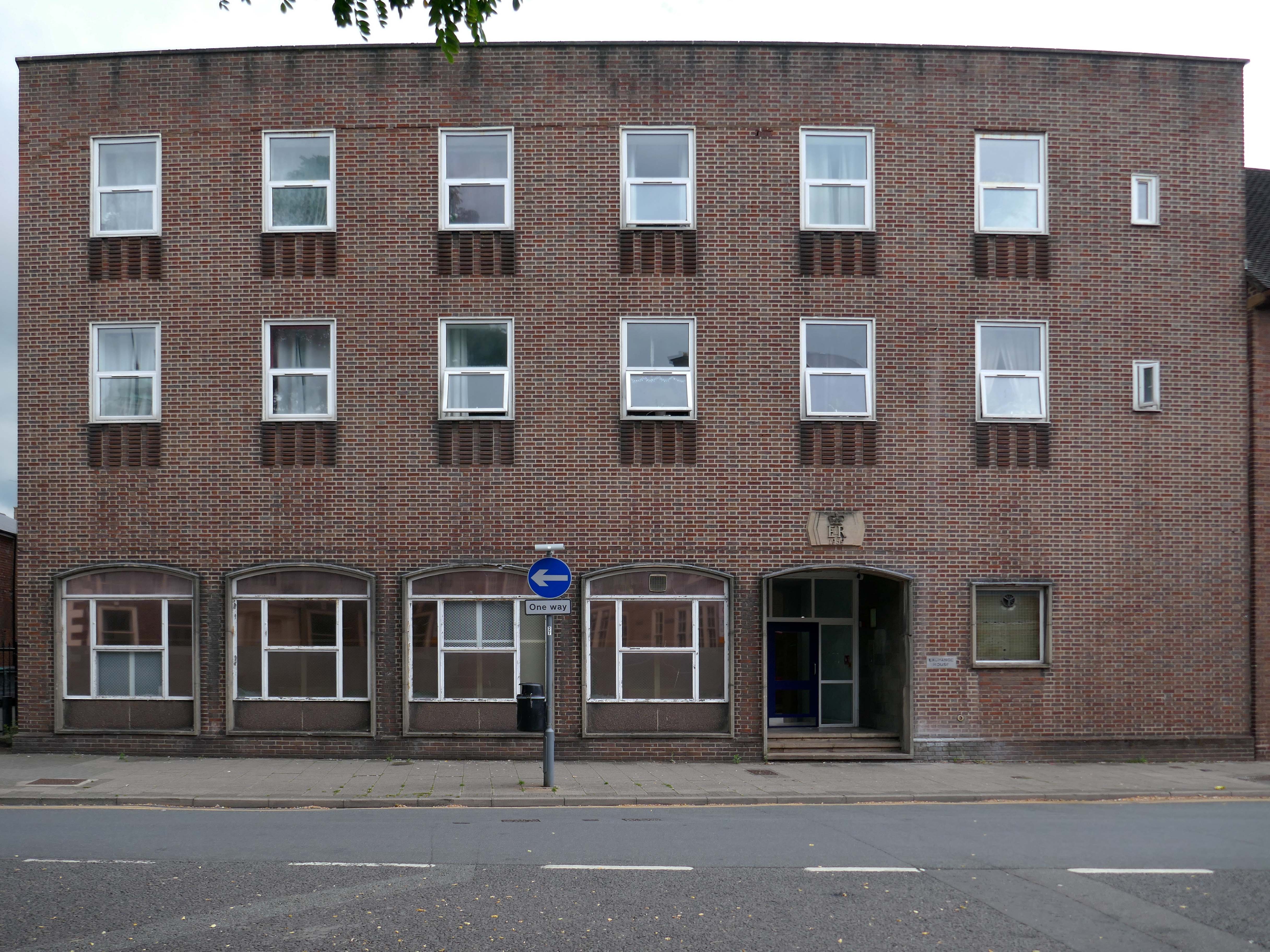
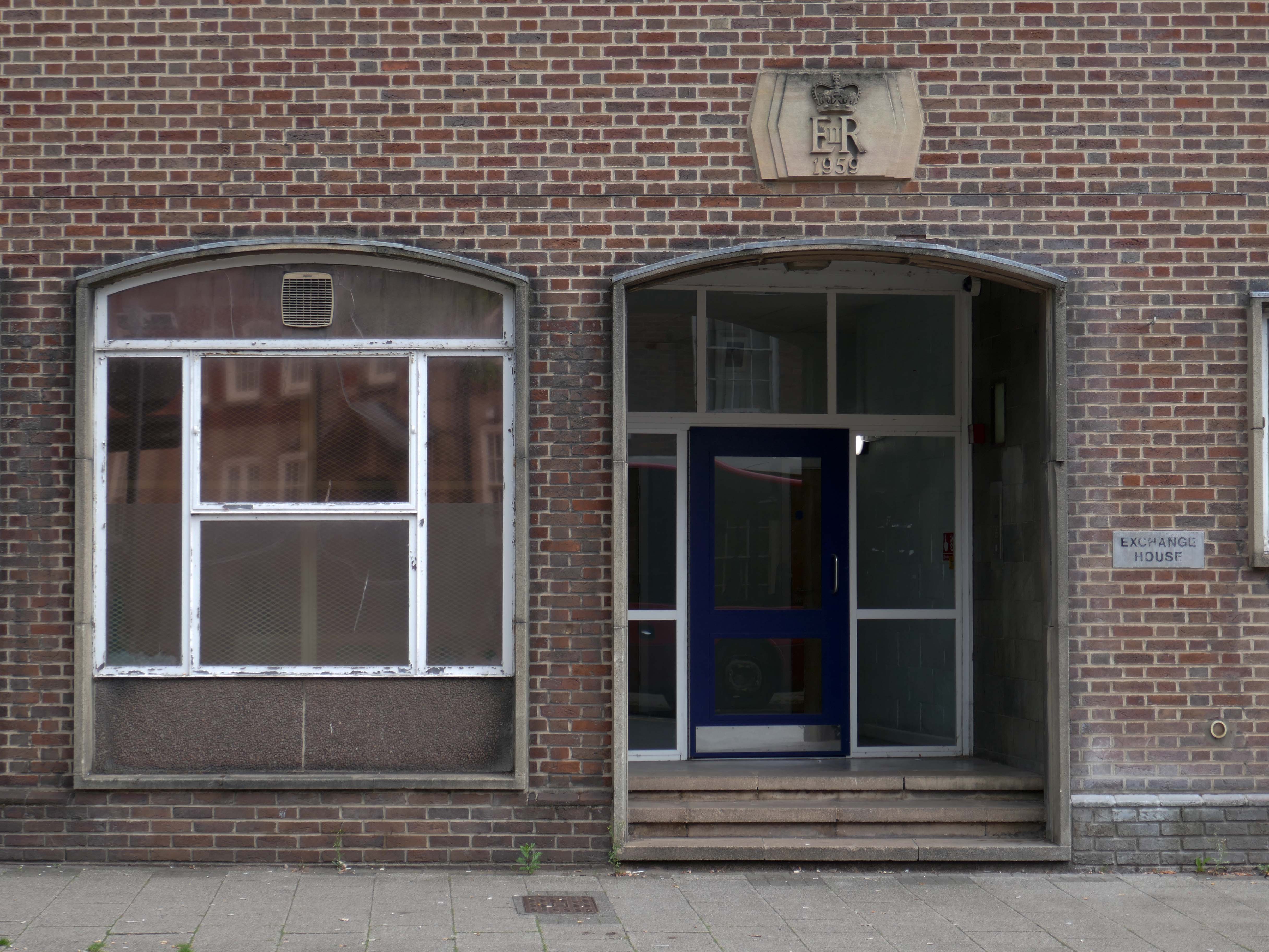
Further along a brick FoB Telephone Exchange of 1959.
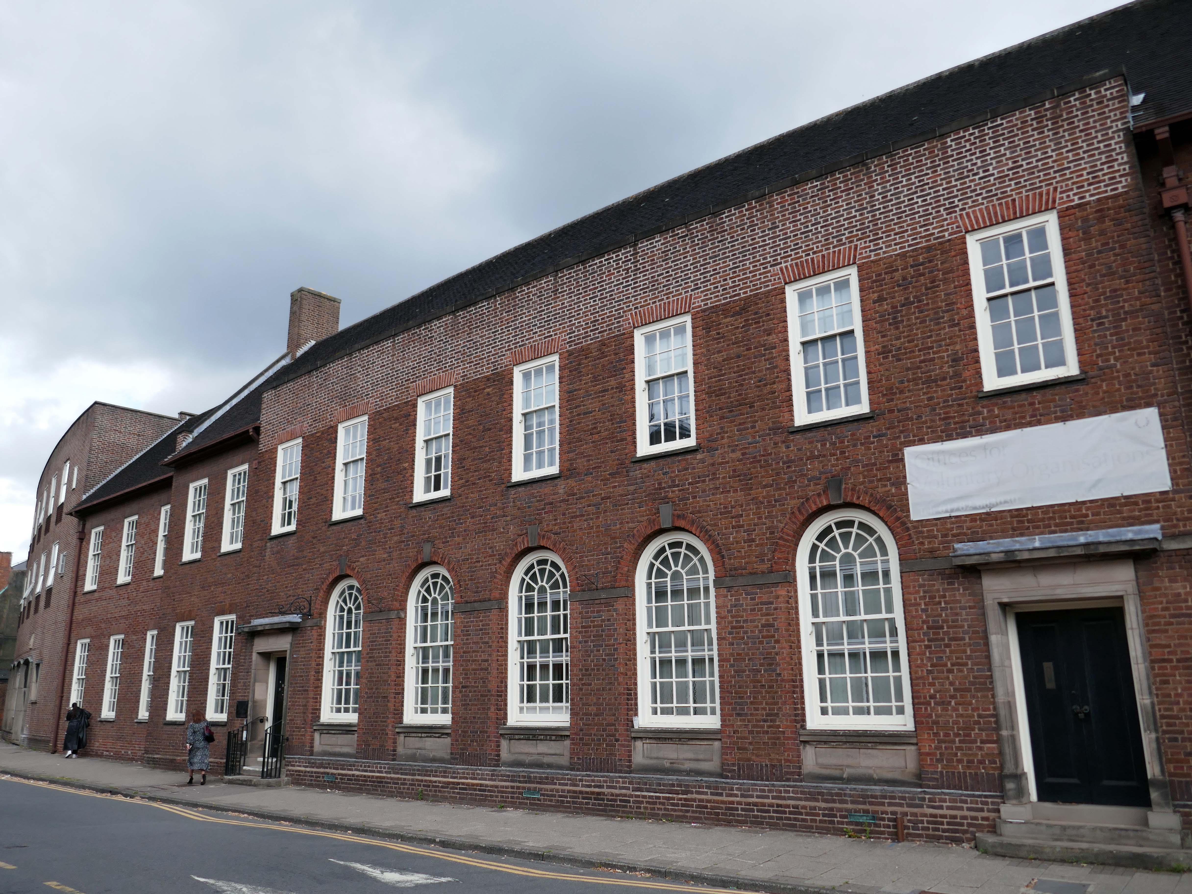
Adjoined by the County Records building.
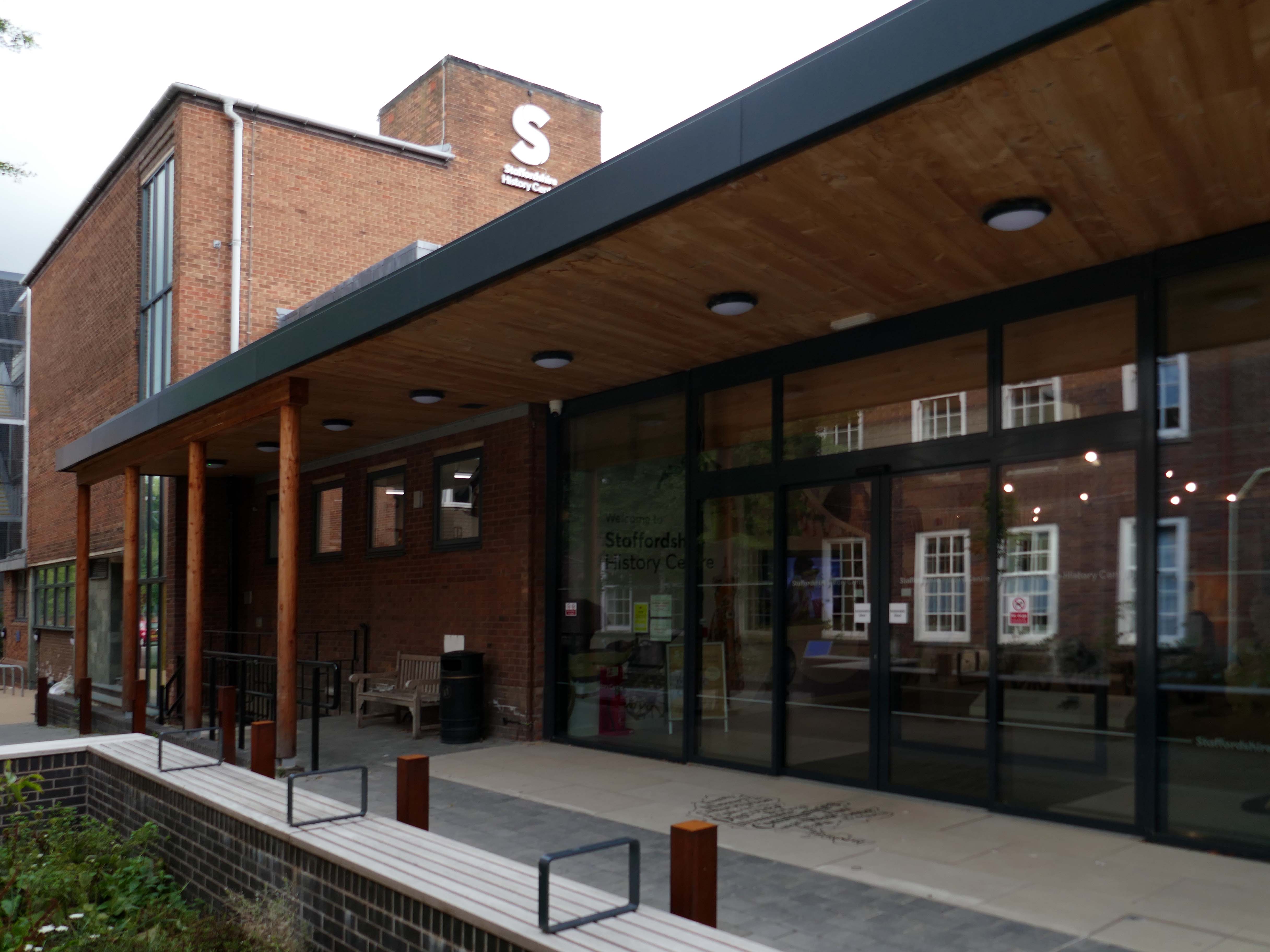
Pringle Richards Sharratt Architects have been appointed by Staffordshire County Council to create a new History Centre for Staffordshire and Stoke on Trent.
The new £4m centre will be located on Eastgate Street in Stafford and will hold historical records and collections up to 1,000 years old.
The scheme will help to provide a rejuvenated service combining the existing Records Office building and William Salt Library, in Stafford and provide a welcoming destination for all of those with an interest in local history. This will include bringing on to the Stafford site the Lichfield Records Office and aspects of the County museum.
Further FoB in the Civic Building.
Close by the Staffordshire Place a civic and retail mixed use development.
Our scheme delivers 135,000 ft2 of high quality contemporary office space across two buildings linked by a new town square. The ground floor incorporates a mix of retail and leisure uses around a sequence of smaller public spaces to maximise the amount of visible active frontage and create a natural extension to the town centre.
Sustainability issues fundamentally informed the design approach, from mitigating energy consumption to ‘future proofing’ the finished building. The building achieves a BREEAM ‘Excellent’ rating and a European Energy Performance of Buildings Directive Rating ‘A’.
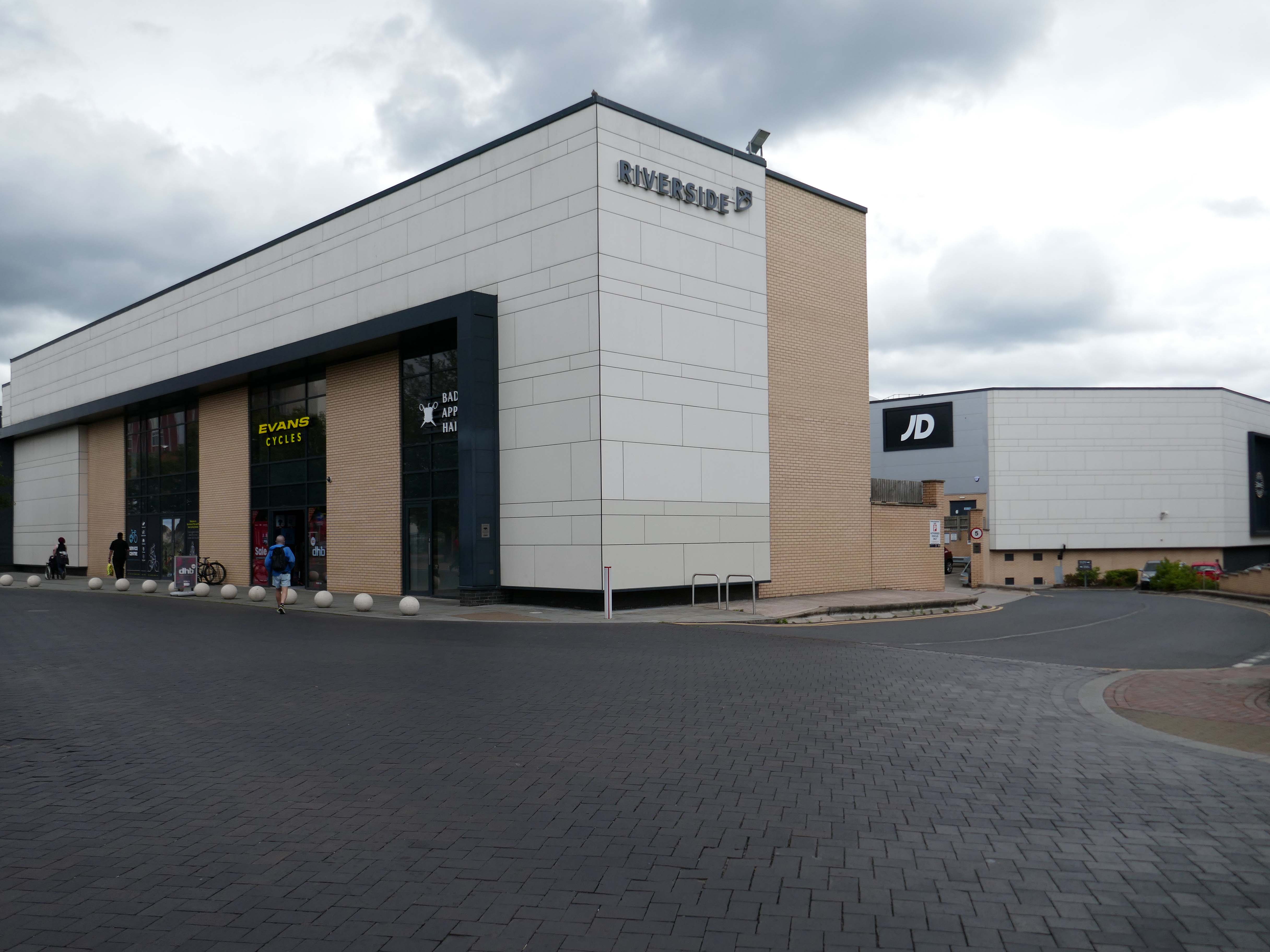
Surprise surprise another retail development Riverside.
£70m riverside town centre retail and leisure development in the heart of Stafford. The 230,000 sq. ft. scheme anchored by M&S will deliver 18 retail units arranged over ground and first floors, five leisure units and a six-screen cinema to complement and strengthen the town centre economy and create new businesses and jobs.
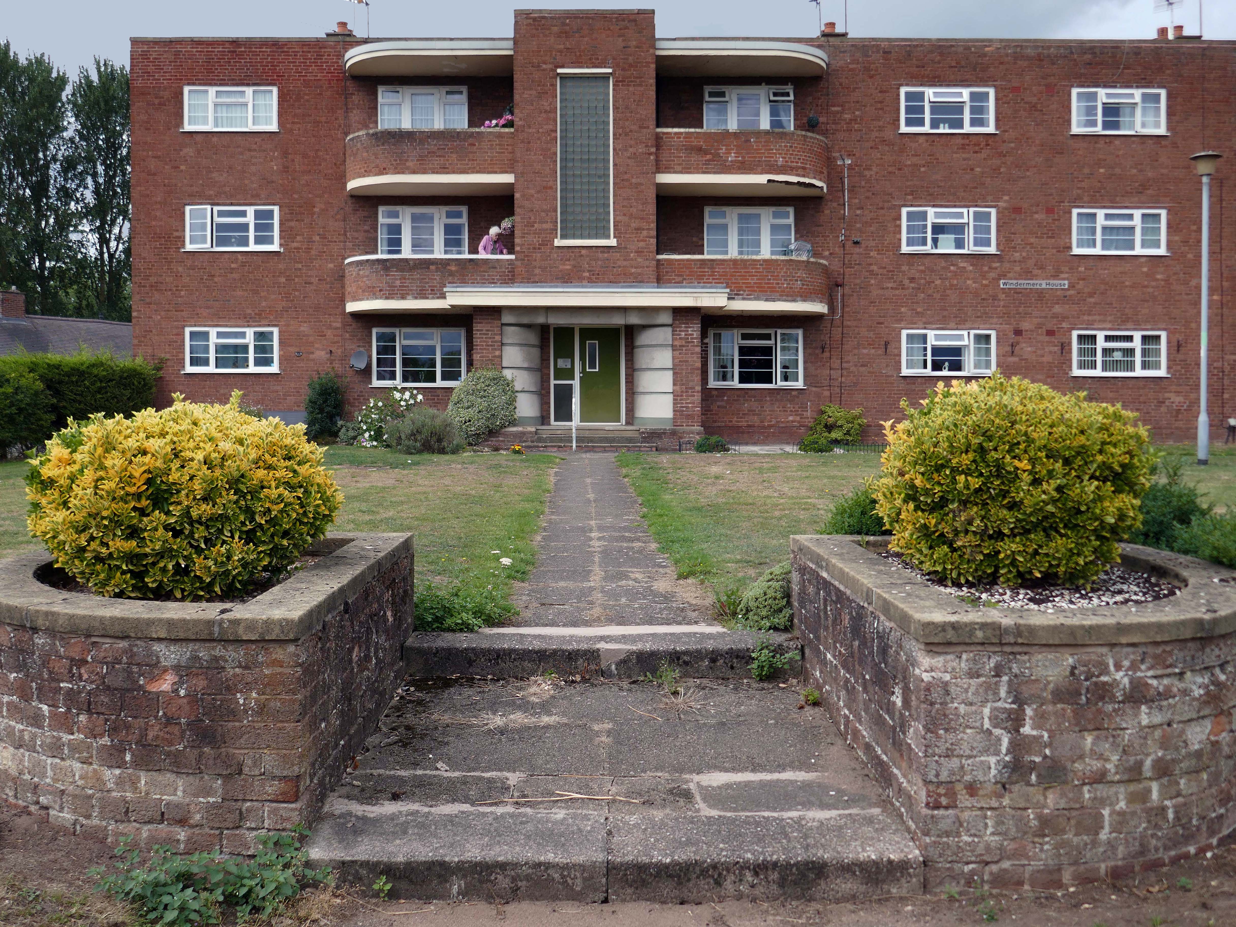
Coniston, Windemere and Rydal were among the first council homes to be built in Stafford, between 1951-52, under the direction of County Architect CM Coombes.
The flats were built as a result of The Housing – Financial and Miscellaneous Provisions Act 1946, which gave subsidies to local authorities to provide social housing. The expansion of the Borough Council’s civic duties included the employment of County Architects, in this case CM Coombes FRIBA, to whom these flats are attributed.
54 flats were built in total, to a distinctly Modernist design, and their appearance and setting are very well preserved.
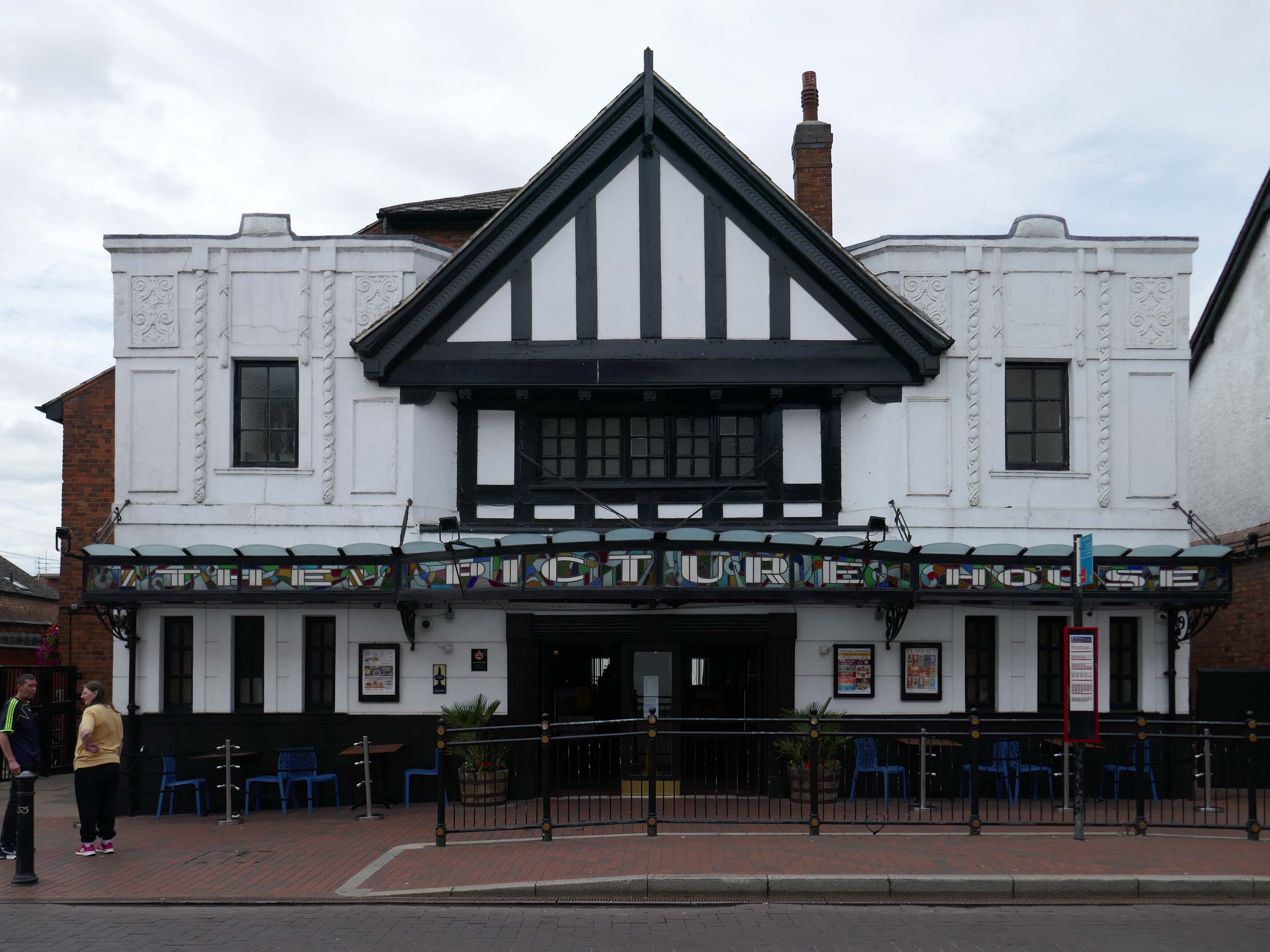
Let’s head back into the town centre – to the Grade II ListedPicture House 1914
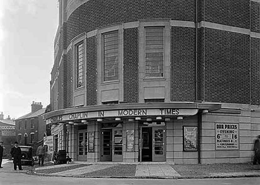
The Picture House was closed on 30th March 1995 after a three week run of Disclosure starring Michael Douglas, there were seventy eight attending the final performance.
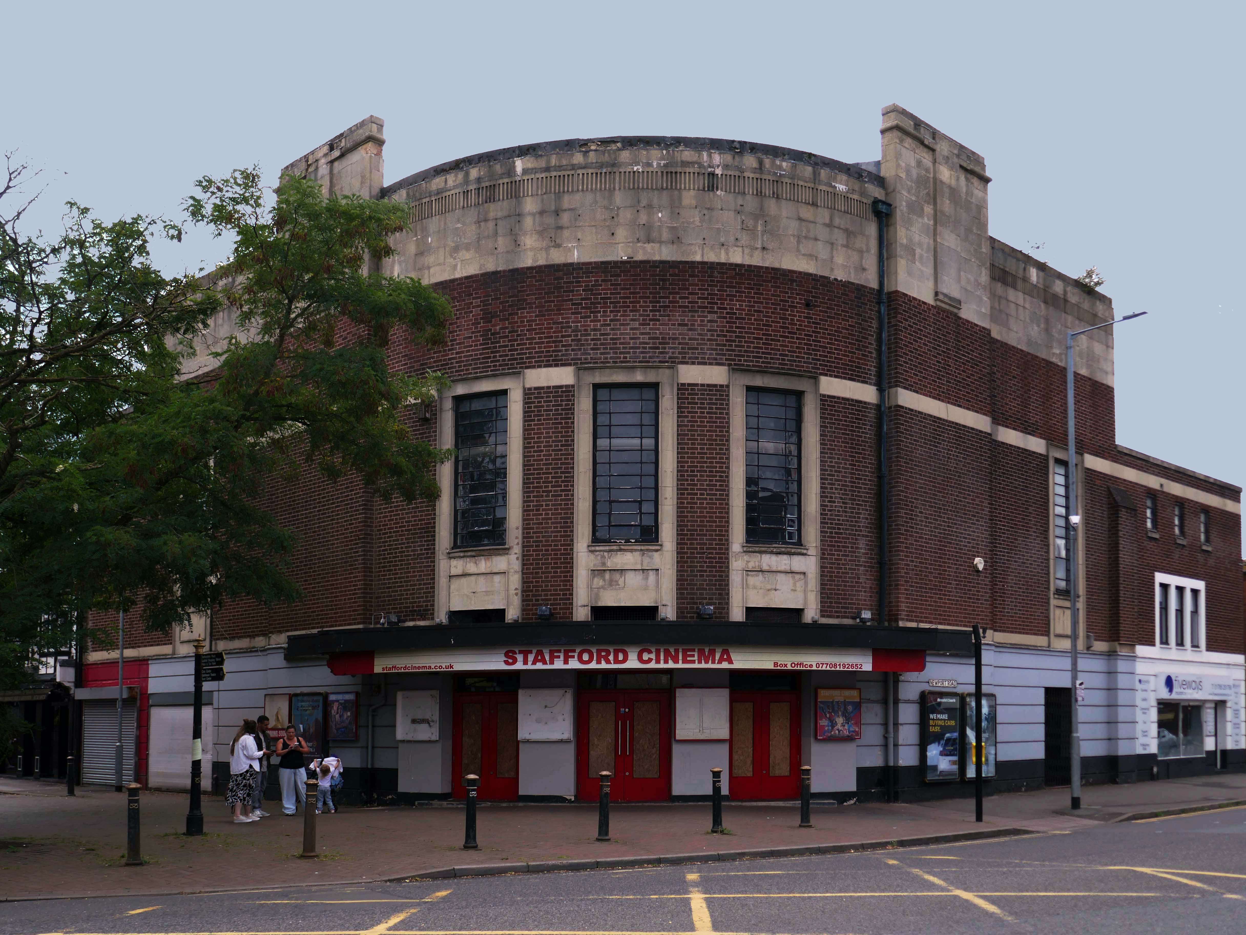
It was disposed of by the Rank Organisation in July 1981 and was taken over by the Hutchinson Leisure Group who re-named it Astra Cinema. In December 1981 it was tripled with 435 seats in the former stalls and two mini cinemas in the former circle seating 170 and 168.
In 1988 it was taken over by Apollo Cinemas and re-named Apollo Cinema. The downstairs cinema was closed and became a bingo club for a couple of years, during which time the two mini cinemas in the former circle remained open. The bingo operation gave way to films again in 1990 and all three screens were again open, with seating for 305, 170 and 164. In January 2014 it was taken over by the Curzon Cinemas chain and renamed Stafford Cinema.
It was closed on 18th December 2017 with Star Wars:The Last Jedi.
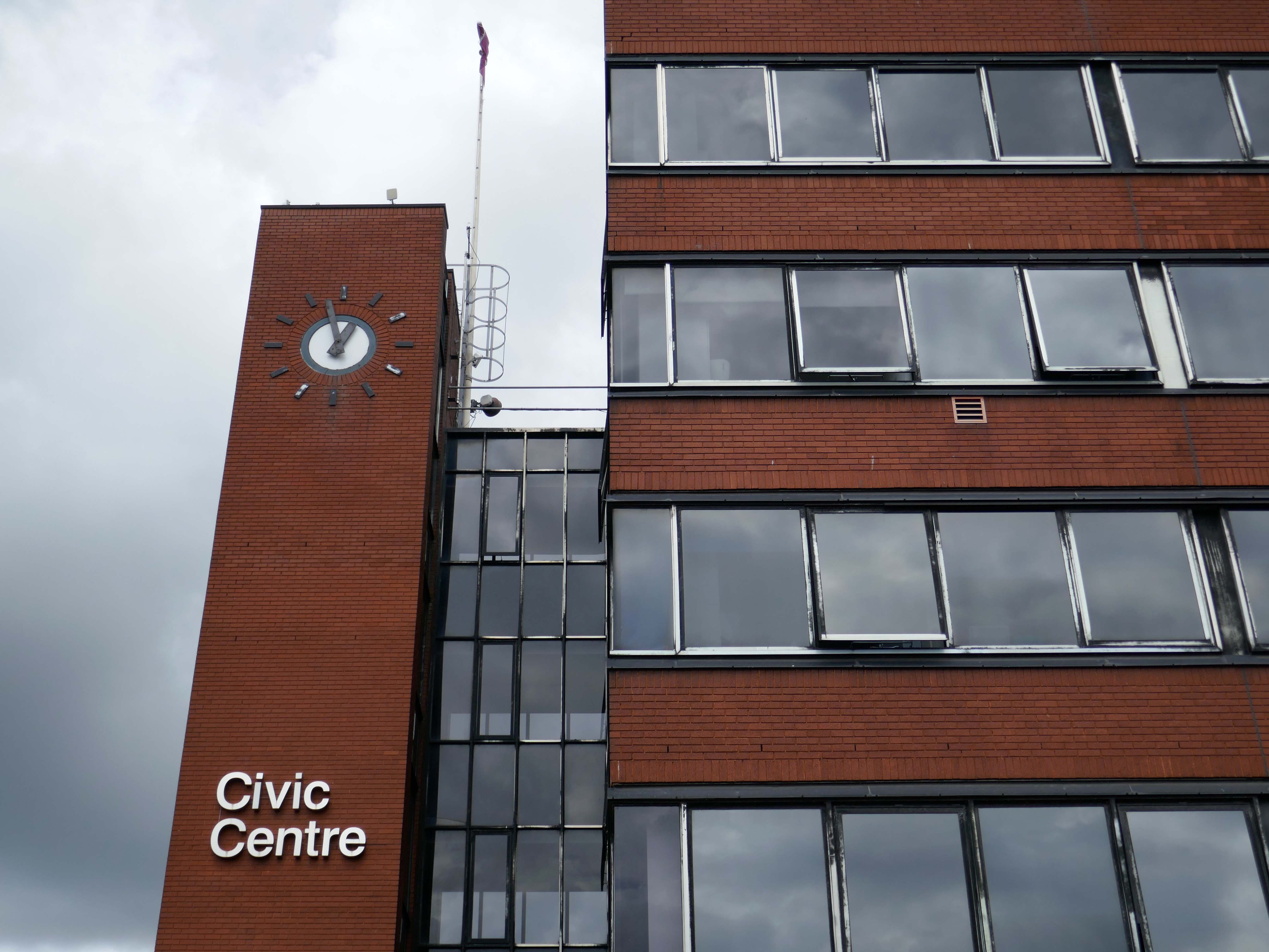
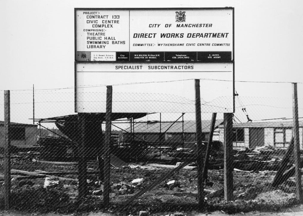
Work began in the interwar years, and continued following the hiatus of 1939-45. The shopping centre named the Civic Centre was open in 1963, the actual Civic Centre containing a swimming pool, theatre, public hall and library in 1971.
Here I am again four years later, taking a look at how it looks today.
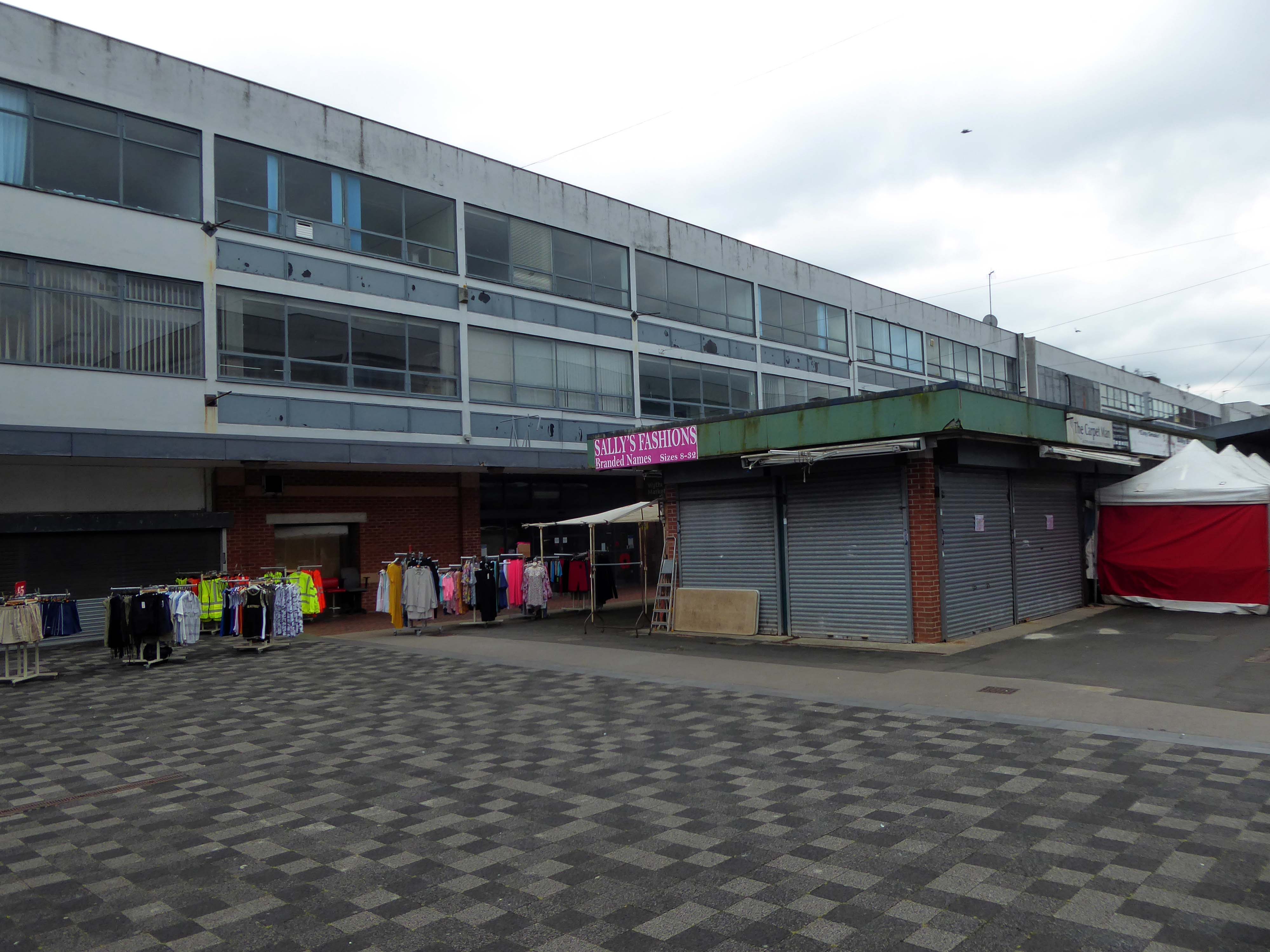
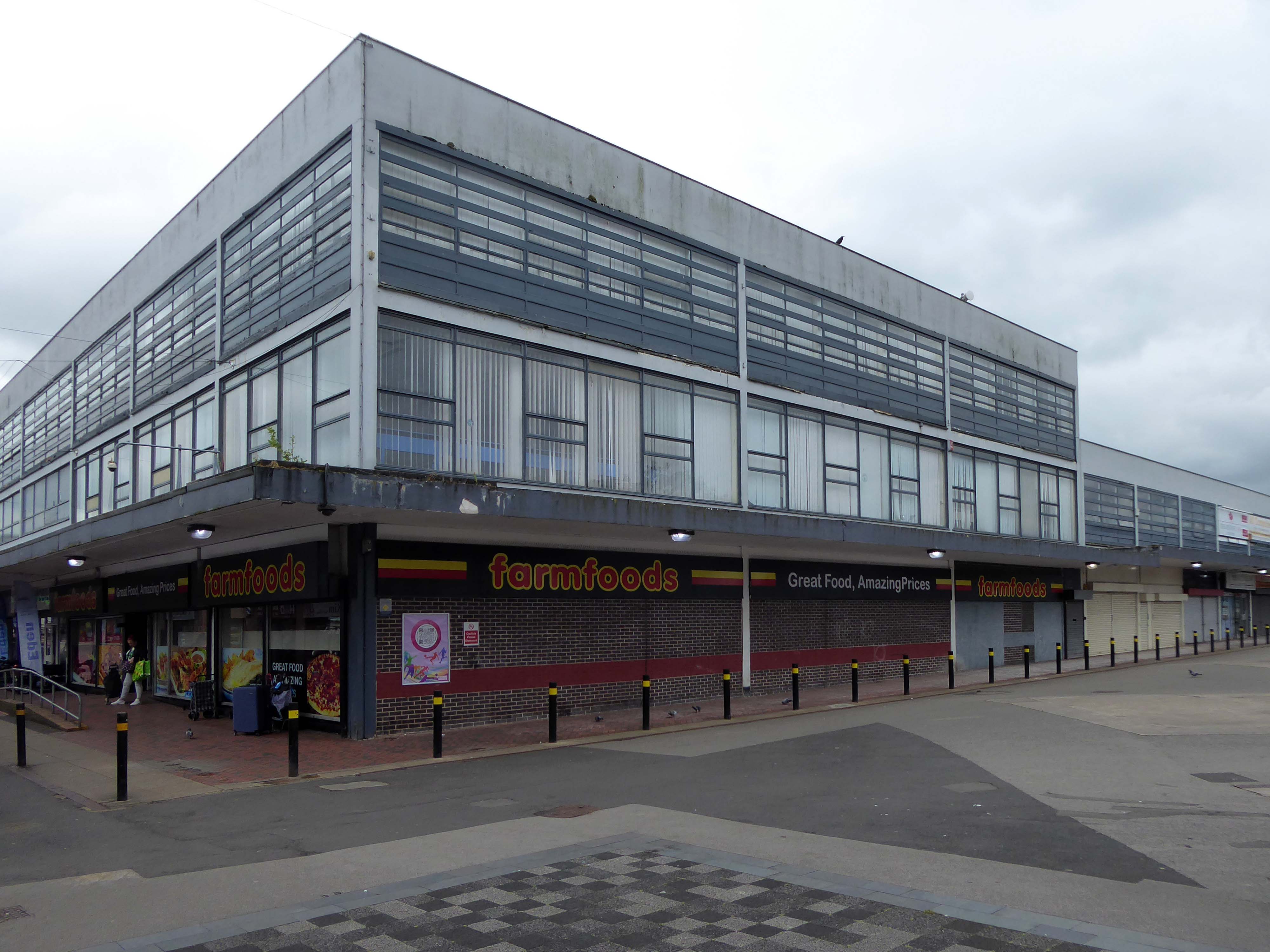
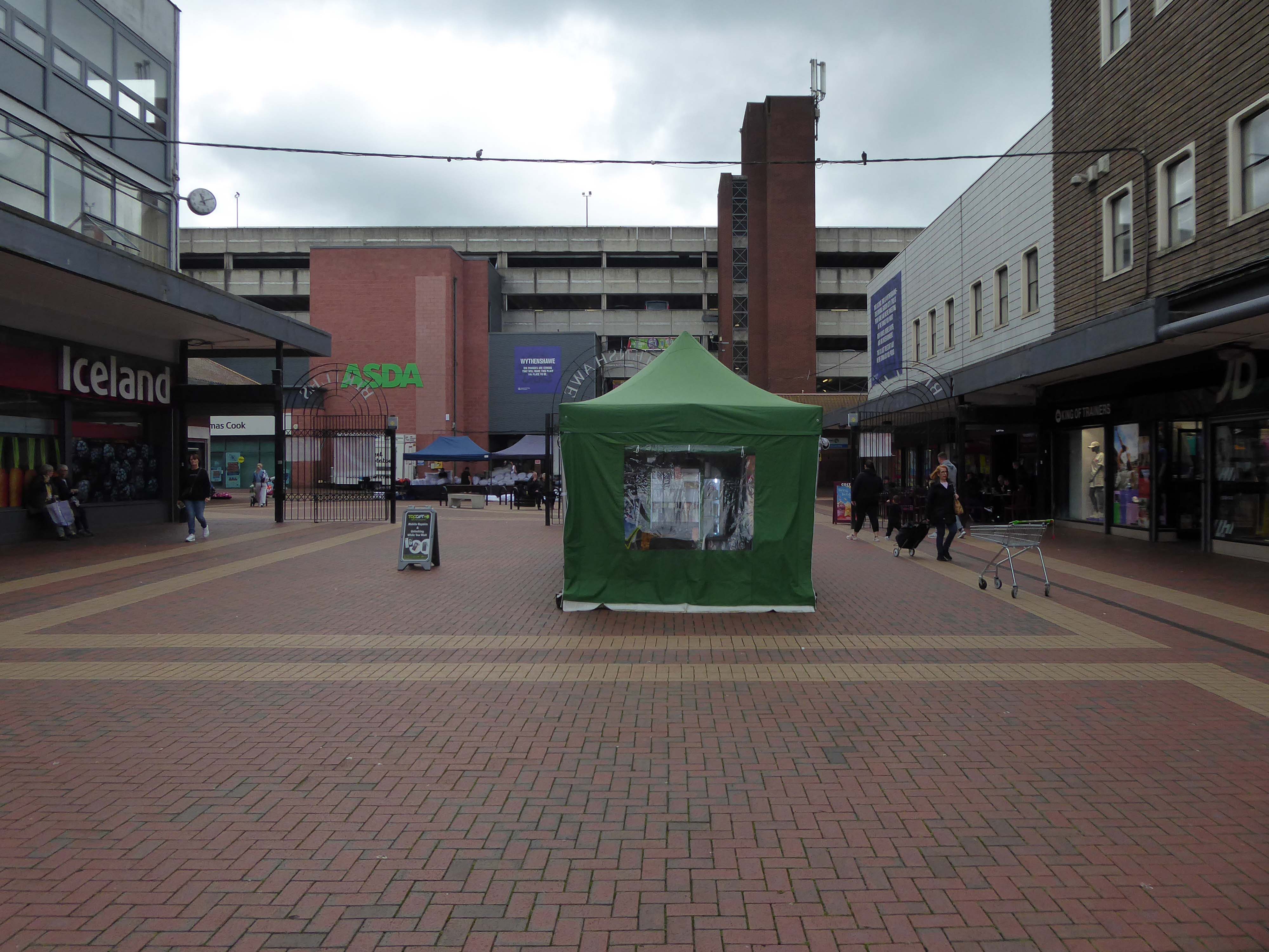
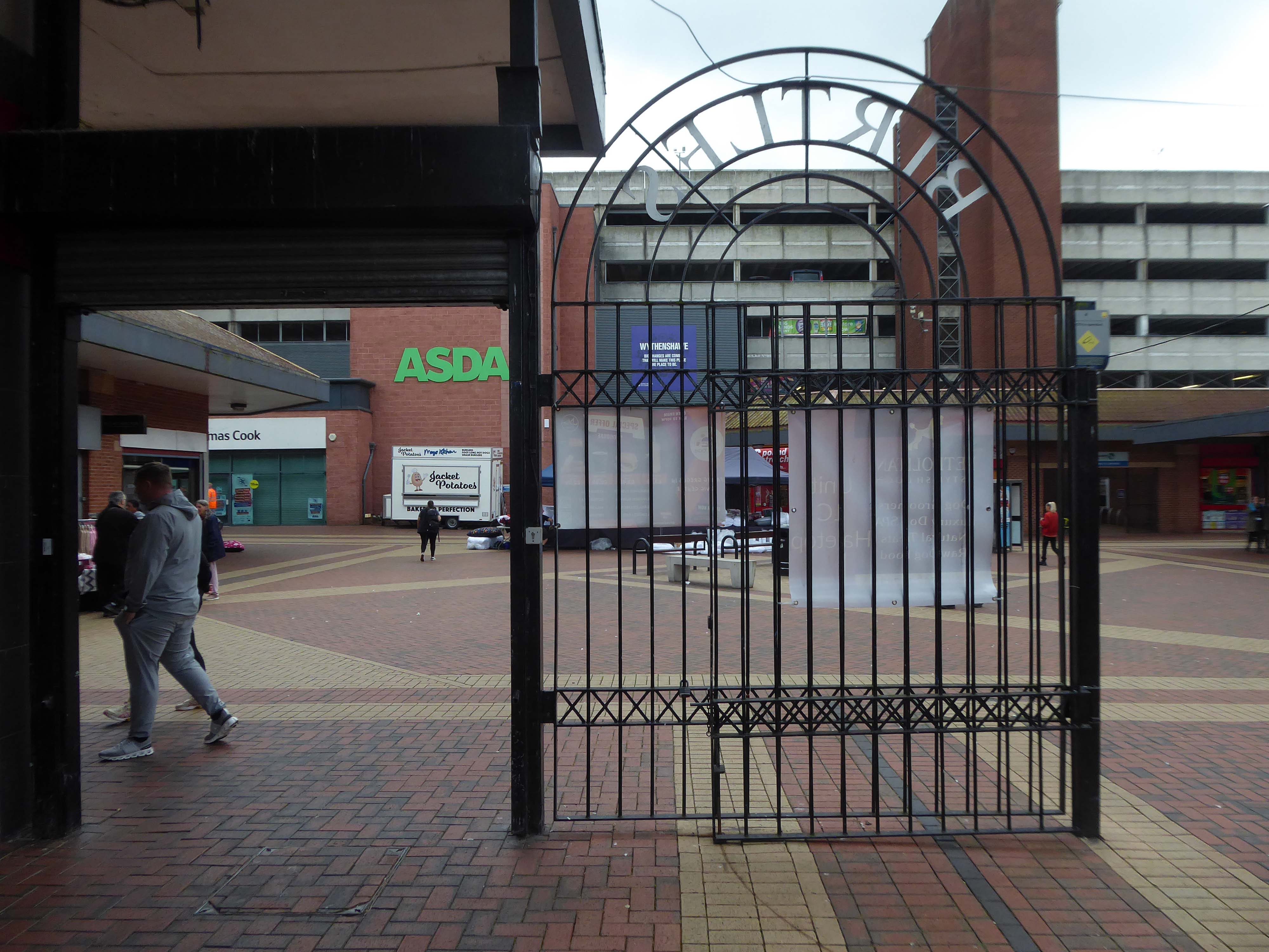
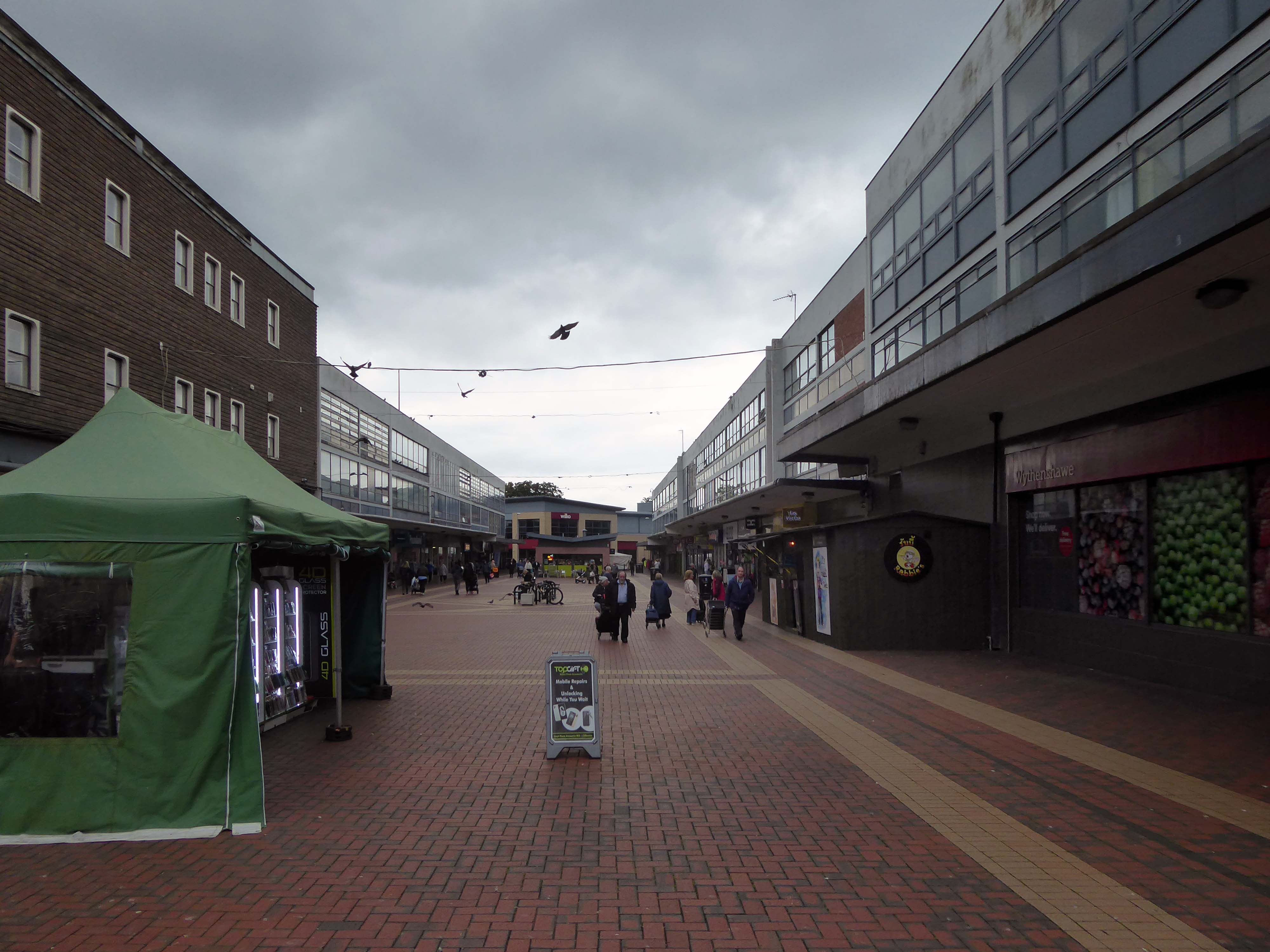
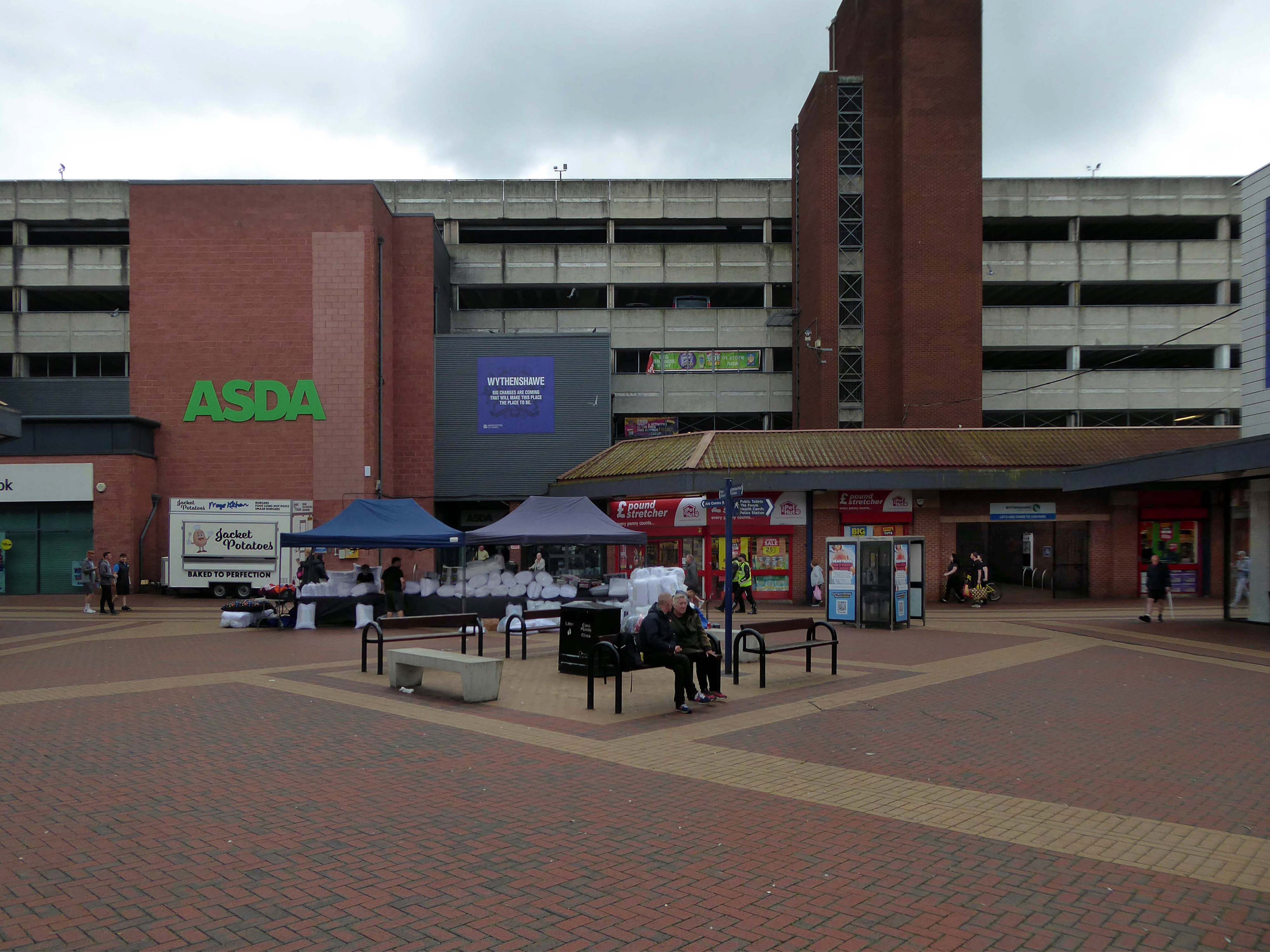
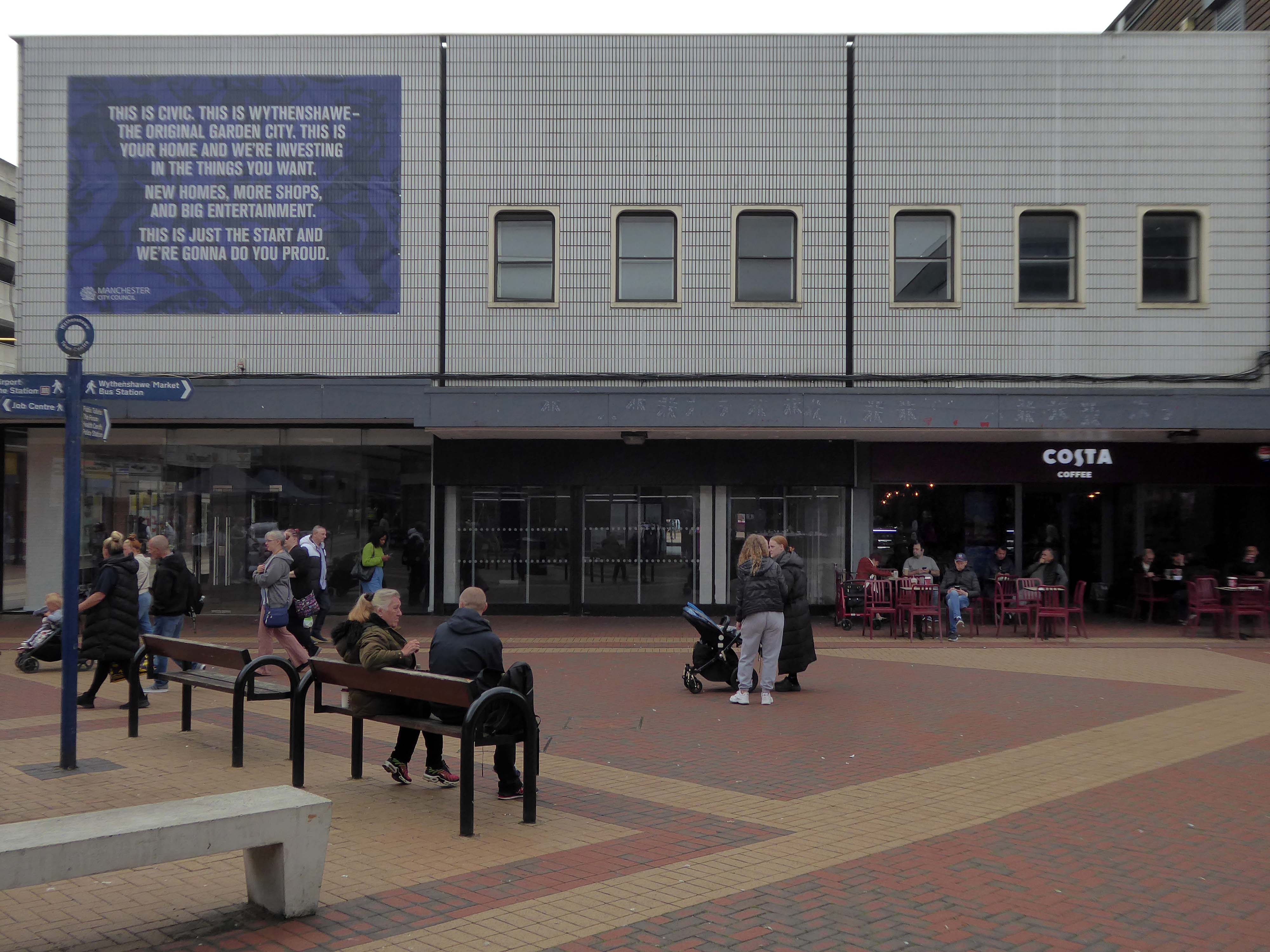
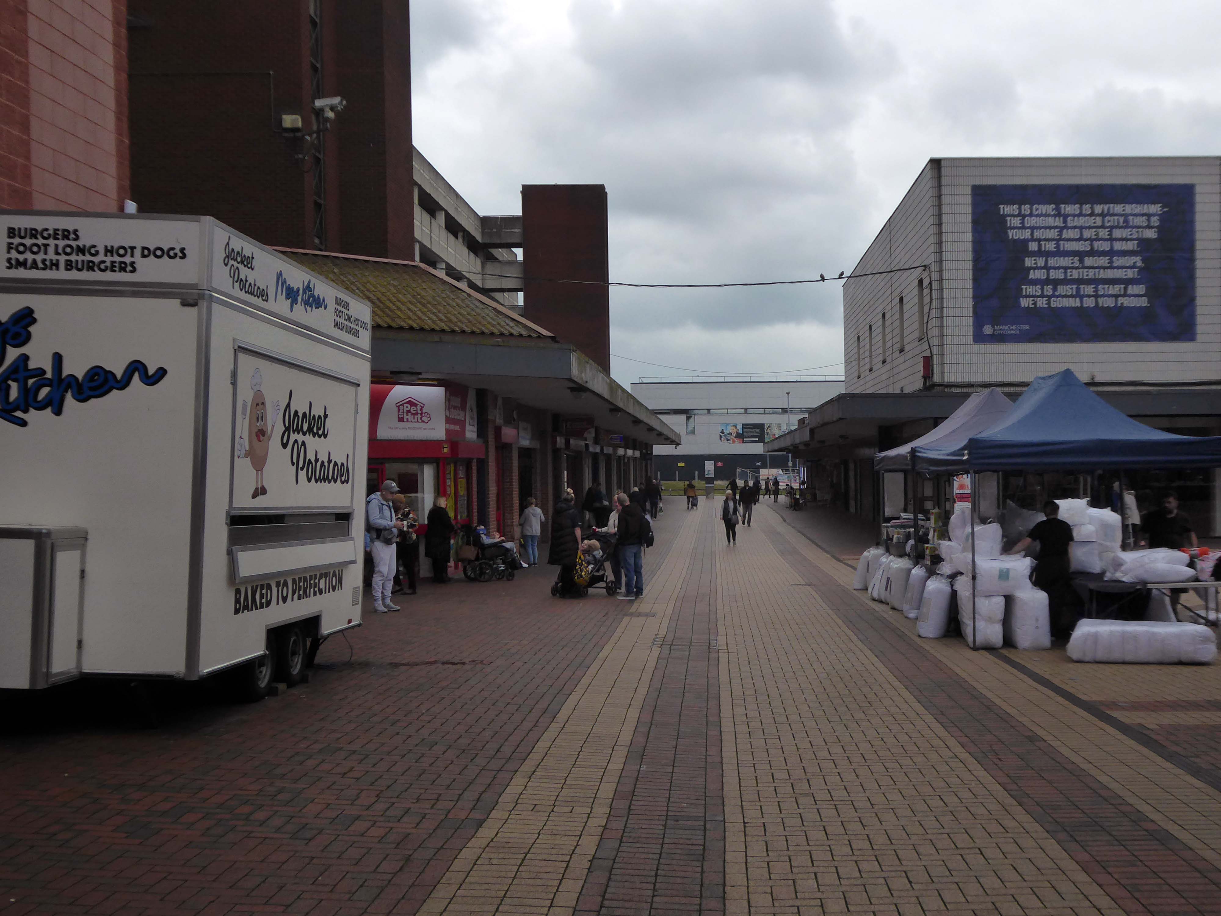
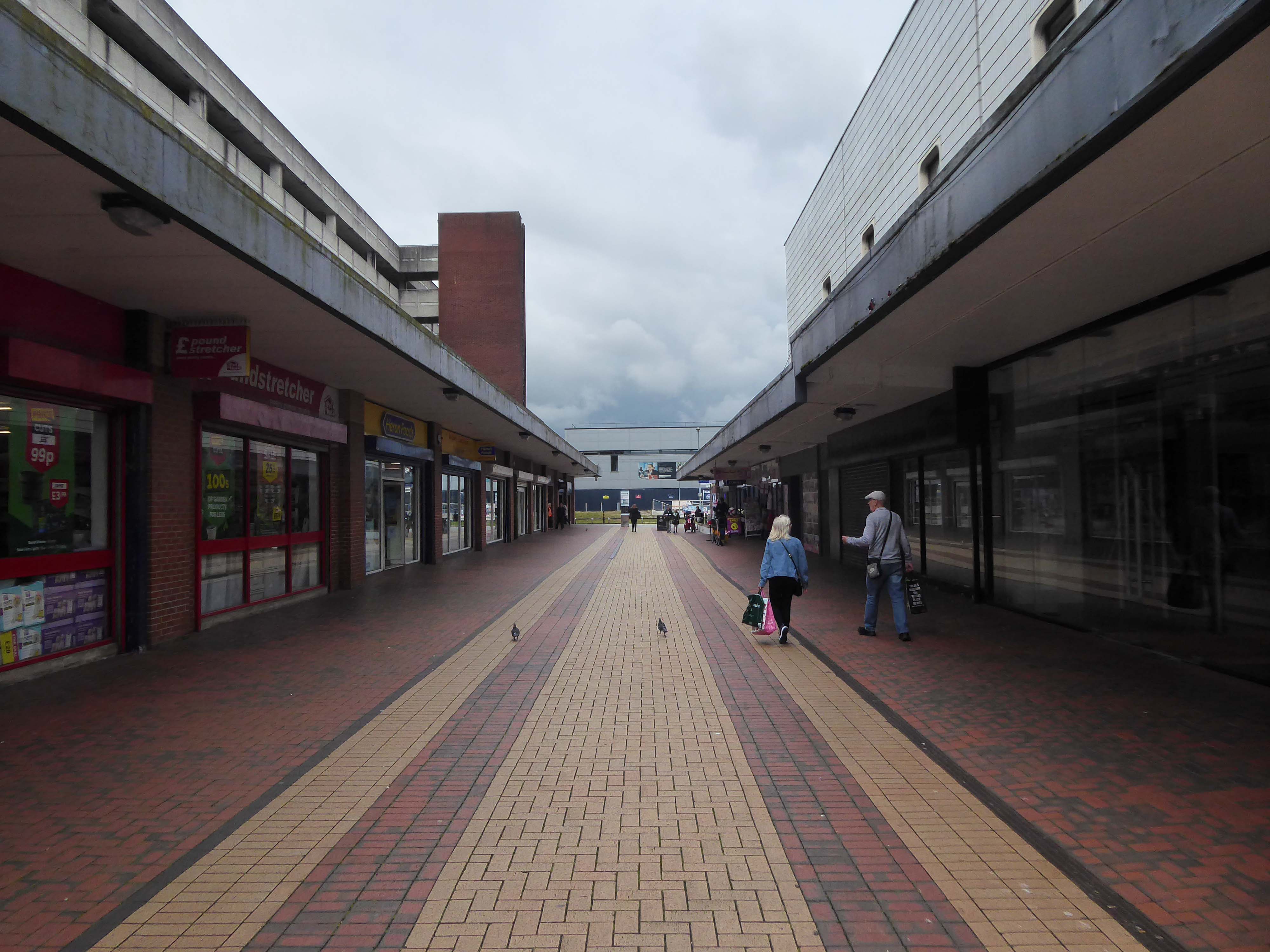
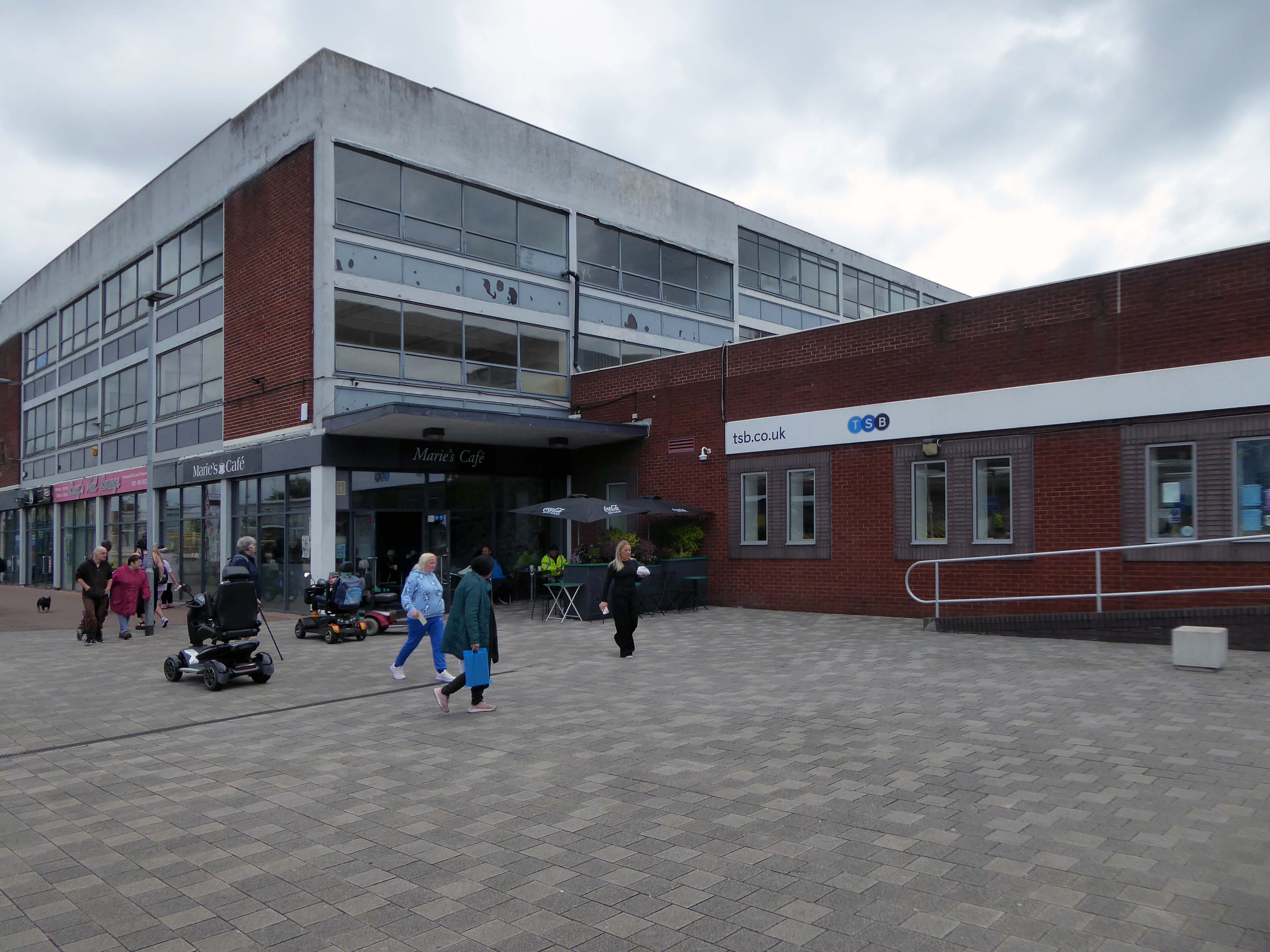
ASDA remains the anchor store, Wilko having left a Wilko sized hole in the precinct. On an overcast Friday morning there was sufficient footfall to sustain the wide variety of smaller shops and larger retail chains. As with many other towns within the central Manchester orbit, the easy proximity fills those busy trams and buses, which are leaving the area.
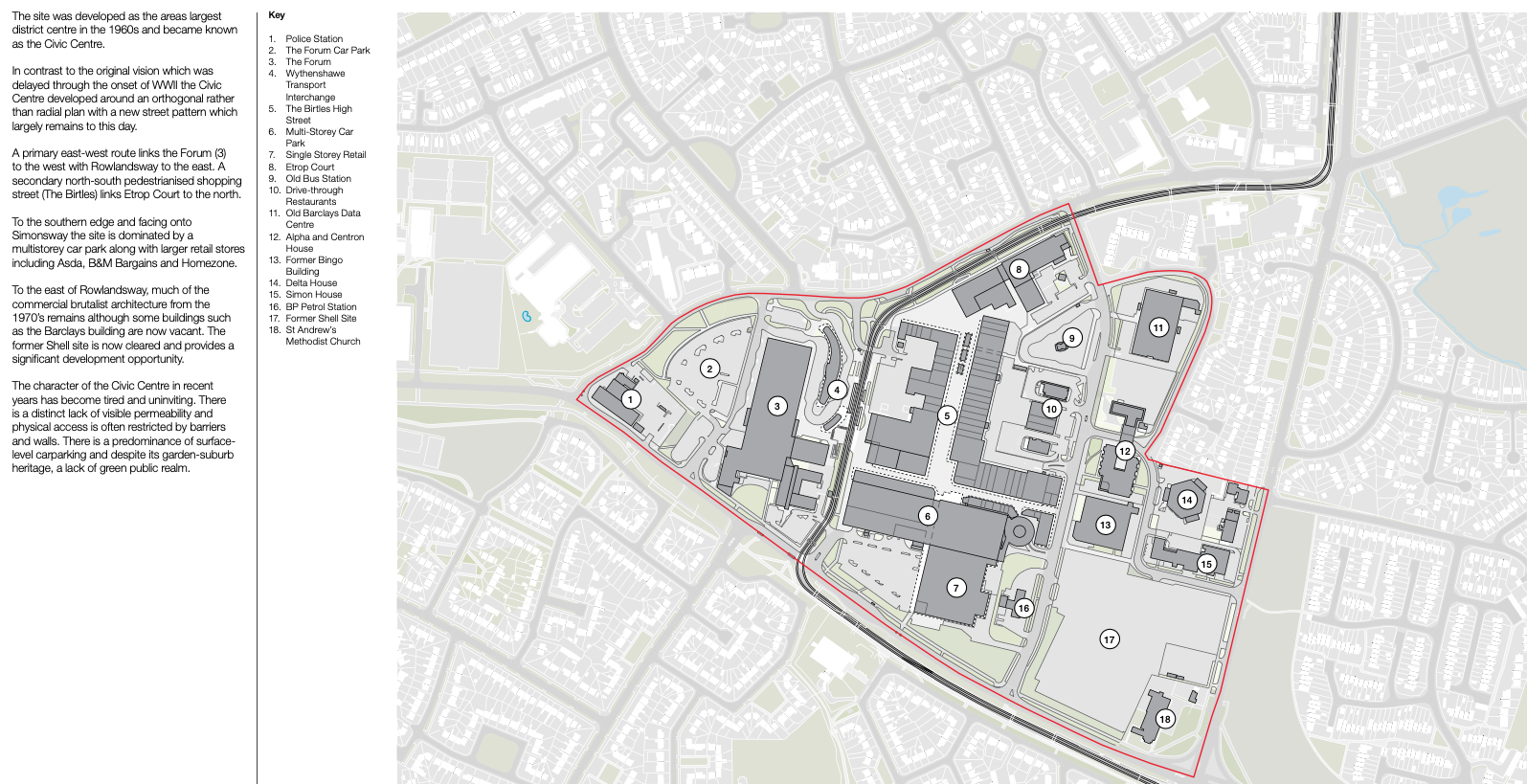
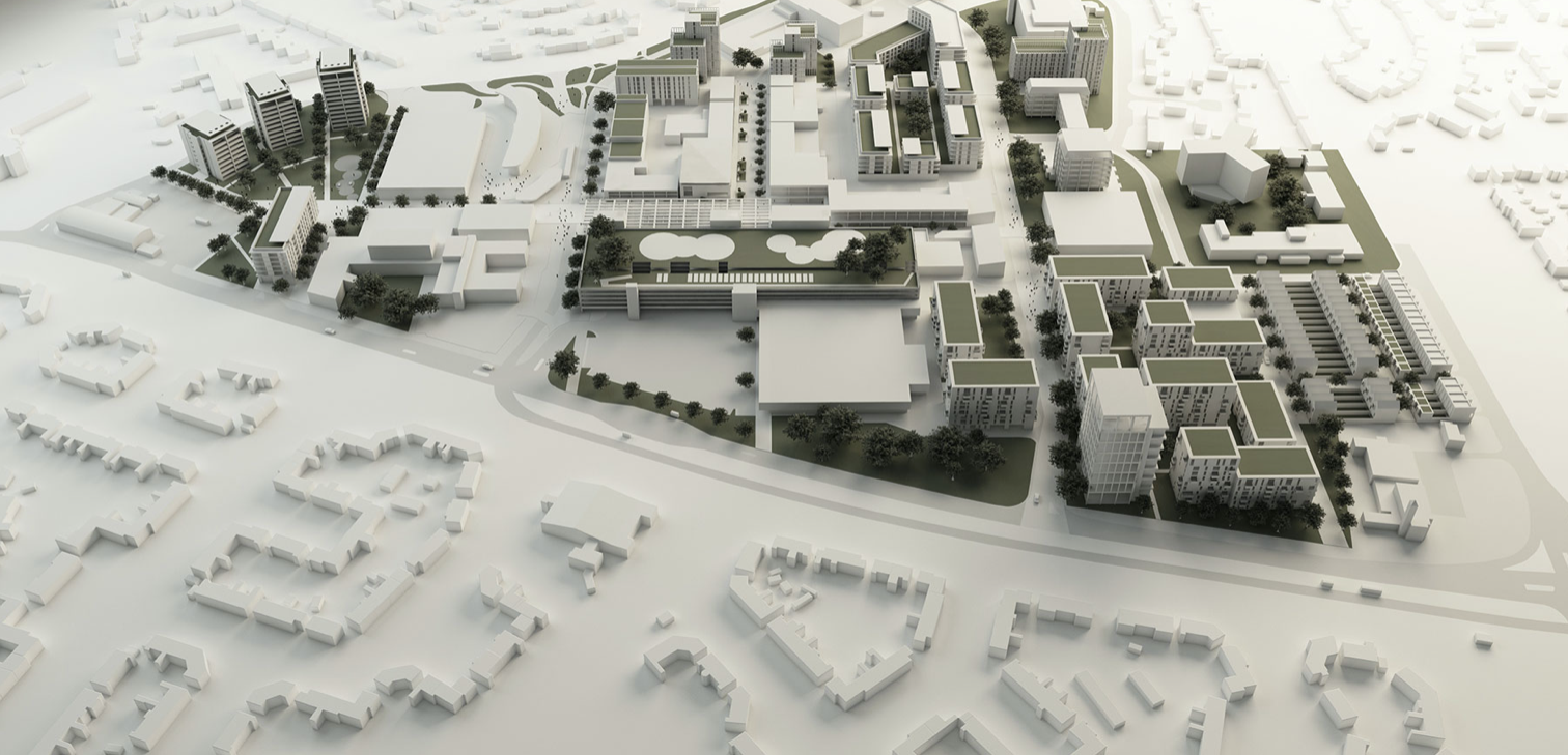
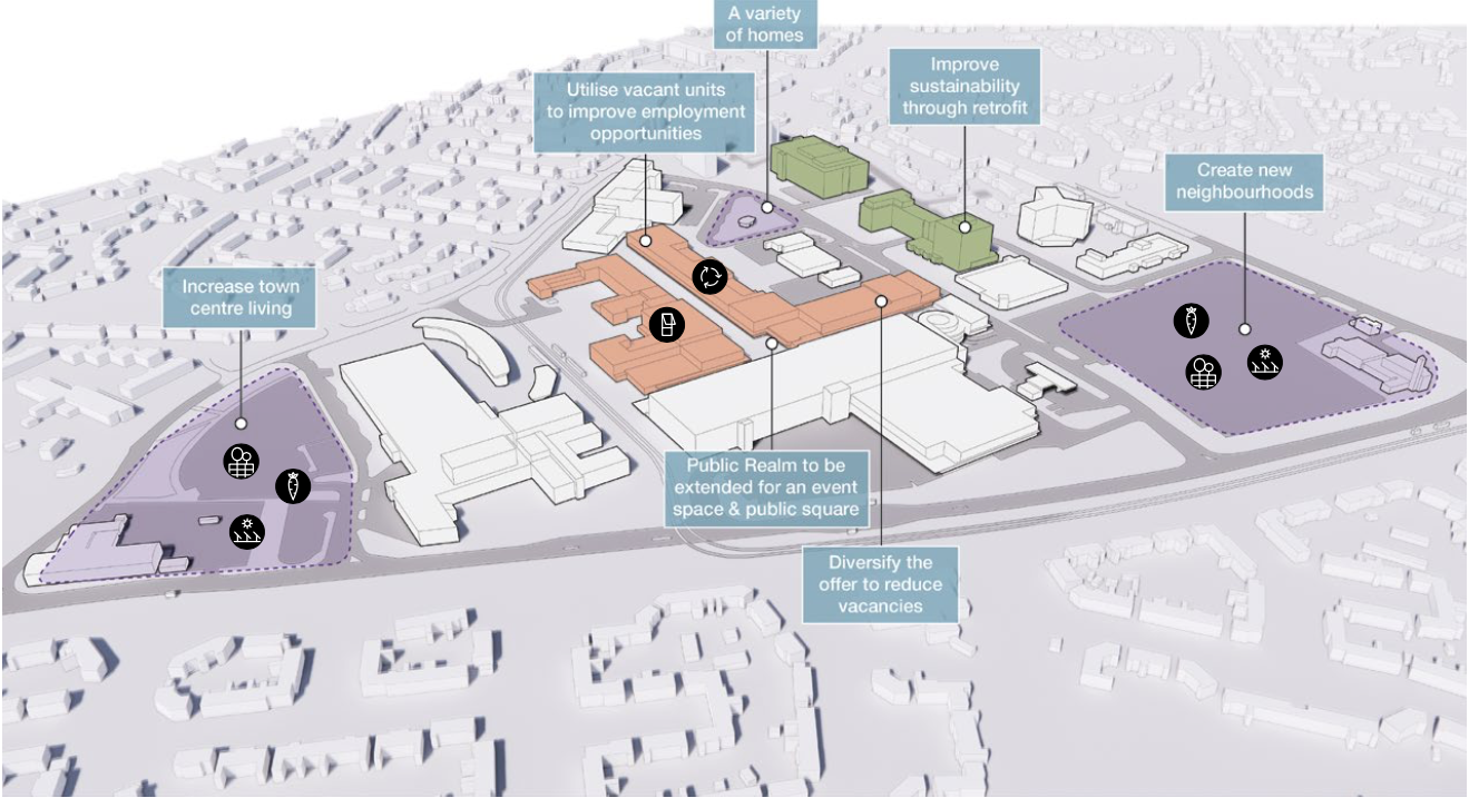
There are plans in place to regenerate the area, in the form of a Masterplan – which can be downloaded here.
Between 1991-2002 there have been some architectural changes, including new stores and office developments. Some of the interventions included significant adaptions which further increased retail into the existing buildings high street.
The interventions included significant adjustments to the multi-storey car park with the aim of reducing parking numbers whilst providing additional lettable space. Further Transport Hub Arrival commercial development was created to the north of the site with the construction of Etrop Court, despite there being significant commercial vacancy across other parts of the estate.
Whilst there has been significant incremental intervention, the character of the area has not fundamentally changed from its founding concept. However the cumulative impact of the various changes have had a negative impact on the functionality and suitability of place, so much so that the centre is in many ways no longer fit- for purpose.
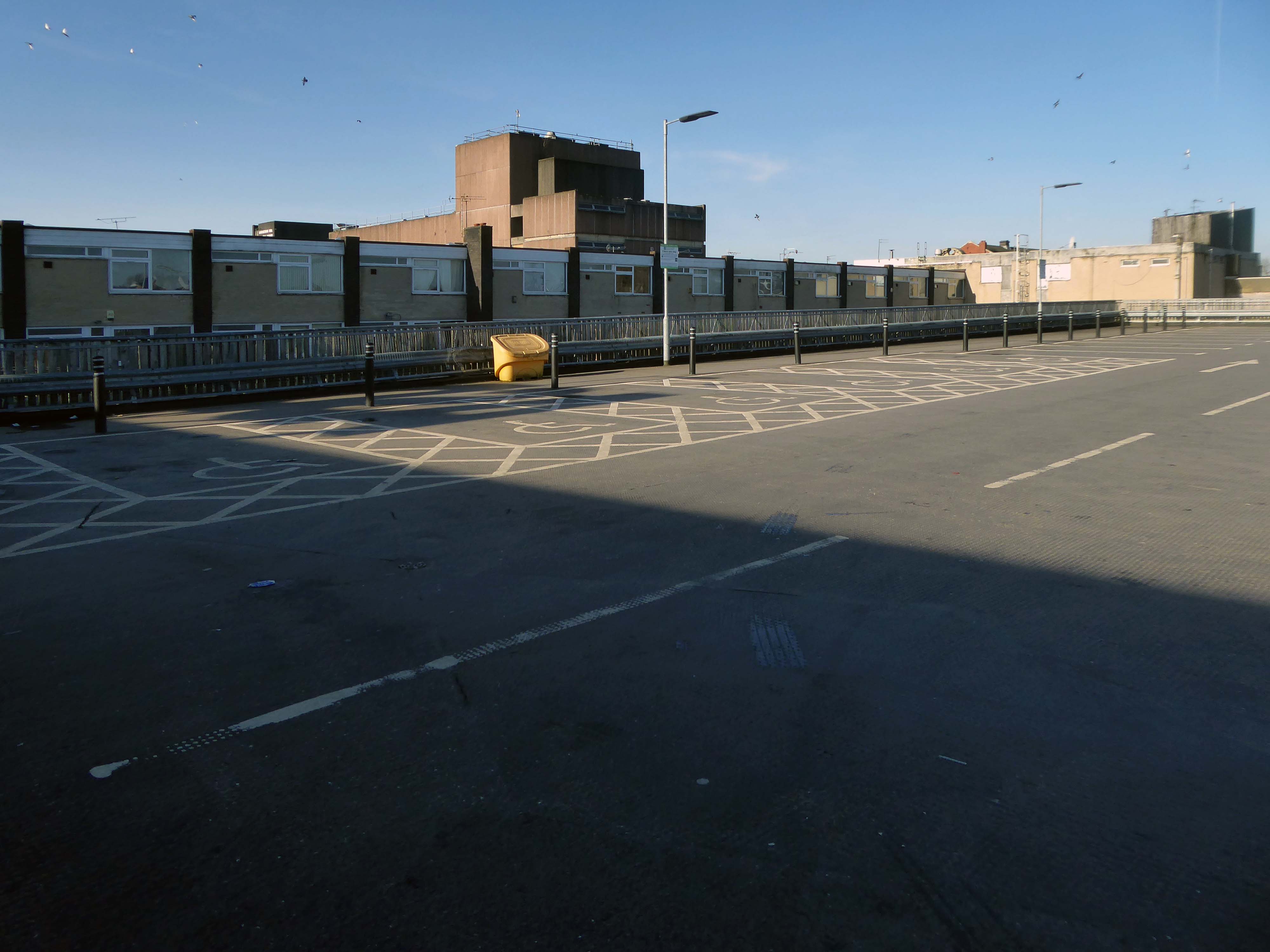
The site today is surrounded by surface car parks, with a total of around 2,500 car parking spaces, 1,700 of which are contained within the multi-storey car park. Many of the retail units, the upper floor office spaces along the Birtles and Hale Top, and buildings to the east are vacant.
Typically, the levels of vacancy are consistent with the changing demands of the high street, where typically modern and successful retail centres are now more diversified and focussed on creating a visitor or destination-based experience. In this sense, we anticipate a need to diversify the high street and to promote a smaller more concentrated retail core, whilst supplementing the offer with more meanwhile and permanent uses and activities based on culture, food and creative workplace.
The gateway to the Civic Centre on arrival from the Transport Interchange is very poor. Access to the high street isn’t obvious and the route through to the high street isn’t clear. Much of the site is surrounded by fencing, barrier and gates and whilst they are open during the day, they are locked at night to prevent vandalism. This barricaded aesthetic does nothing to promote an easily accessible and family friendly environment as well as preventing any opportunity to promote a much needed night- time economy.
Currently, the Civic Centre appears to only cater for those with a need to visit for a particular purpose, rather than capitalising on an opportunity to create a place to visit and dwell.
So on a light bright sunny day, I took another look around.
Salford’s town centres are important to the city’s future. They provide employment for local people, retail and leisure opportunities, homes, a sense of community, and a place for local people to interact. However, it is well known that town centres are changing and that they need to adapt and reposition themselves so that they can thrive and meet the needs of the local communities.
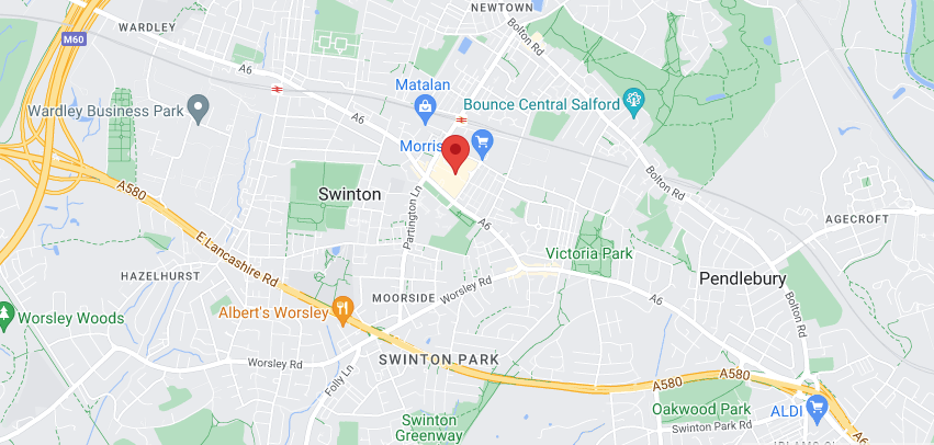
Despite Swinton’s many strengths, it faces similar challenges to other towns. The shopping centre and other buildings in the town centre are dated and in need of investment. Demand for local housing has grown by 23% in the last five years, but there is a lack of high-quality family and affordable housing in the right locations in the area.
The city council has identified Swinton town centre – along with Eccles, as a priority area for regeneration. On that basis, the council has engaged with the community and local stakeholders to establish a clear vision for the town that will help to guide change and future investment, whilst protecting what local people consider important for Swinton.
Swinton Square is in private ownership and therefore not something that the council has any direct control over. It is also important to acknowledge that the issues facing Swinton precinct are not unique to Swinton and those challenges are varied but linked to changing shopping habits, decline in the retail offer, competition from out-of-town centres as well as changes in the wider economy.
We do have an open dialogue with the owners of Swinton Square, the West Bromwich Building Society, who are aware of the vision and aspiration for Swinton.
One of the aims of the council’s events and animation programme is to encourage additional footfall and dwell time within the town centre.
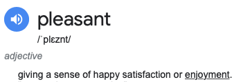
Walking along Rochdale Road yesterday, I was suddenly arrested by the Pleasant Street street sign.
Having already been suddenly arrested last week, by the Bland Close street sign.
With my expectations defined by the above definition, I ventured along the street in search of happy satisfaction.
Coincidentally – The 18th century entrepreneur Josiah Wedgwood pioneered many of the marketing strategies used today, including the satisfaction or you money back guarantee, on the entire range of his pottery products. The money-back guarantee was also a major tool of early US mail order sales pioneers in the United States such as Richard Sears and Powel Crosley Jr. to win the confidence of consumers.
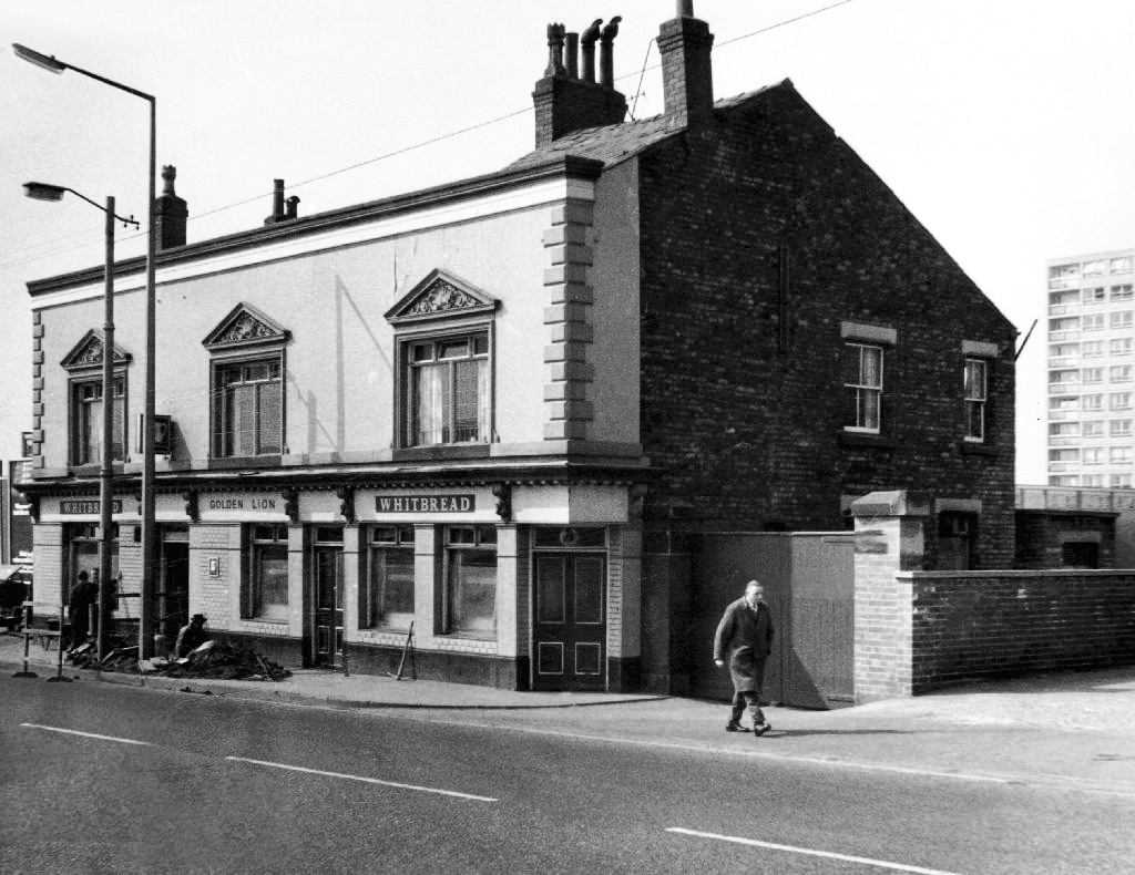
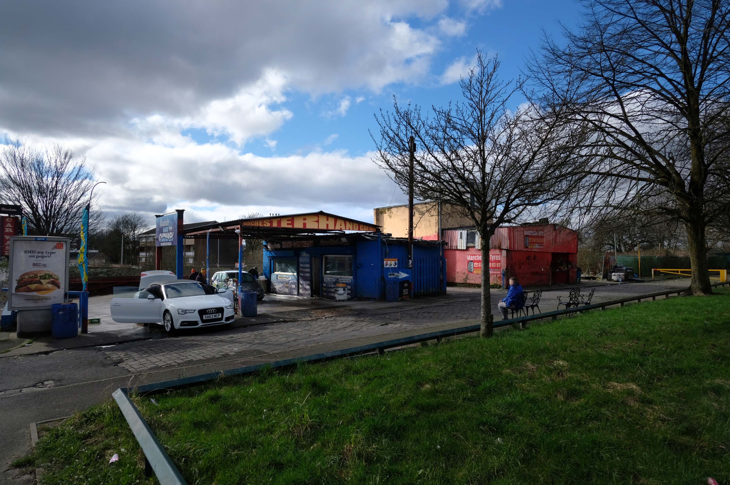
However at someone between 1968 and 2024 the housing had been cleared away – also missing in action is the Golden Lion pub adjoining Pleasant Street on Rochdale Road.
The Golden Lion was a proper old pub on the very busy rochdale road in the Harpurhey area of Manchester. Once inside there was a decent lounge and a basic bar i had a drink in the lounge and this was quite a comfy room.
This pub was a Whitbread tied house and there were two real ales on the bar I had a drink of Chesters bitter and this was a nice drink the other beer was Chesters mild. I thought this was quite a nice pub but sadly this pub has now been pulled down in the name of progress.
So here we are here today – yesterday has long gone and tomorrow never knows no how.
What’s left to see?
Manchester Hand Car Wash
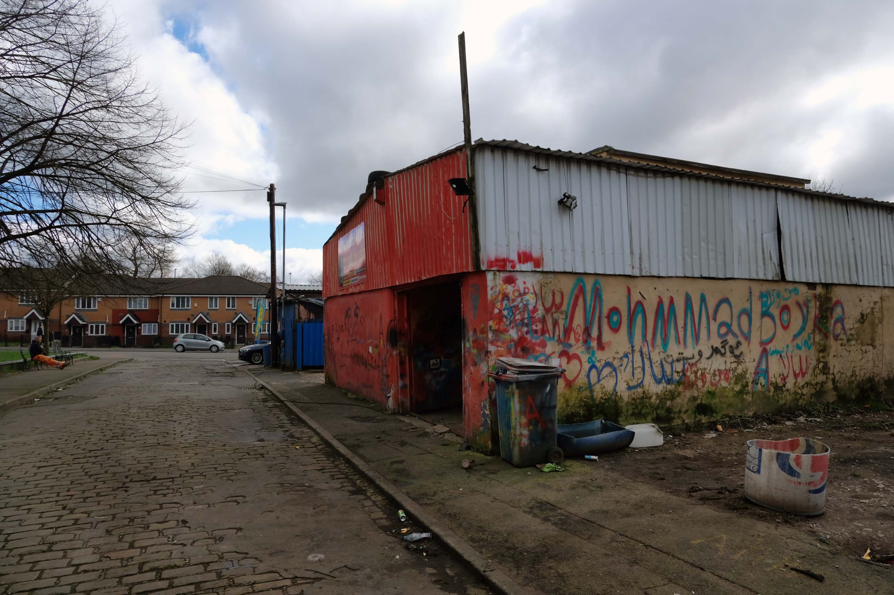
Manchester Tyres
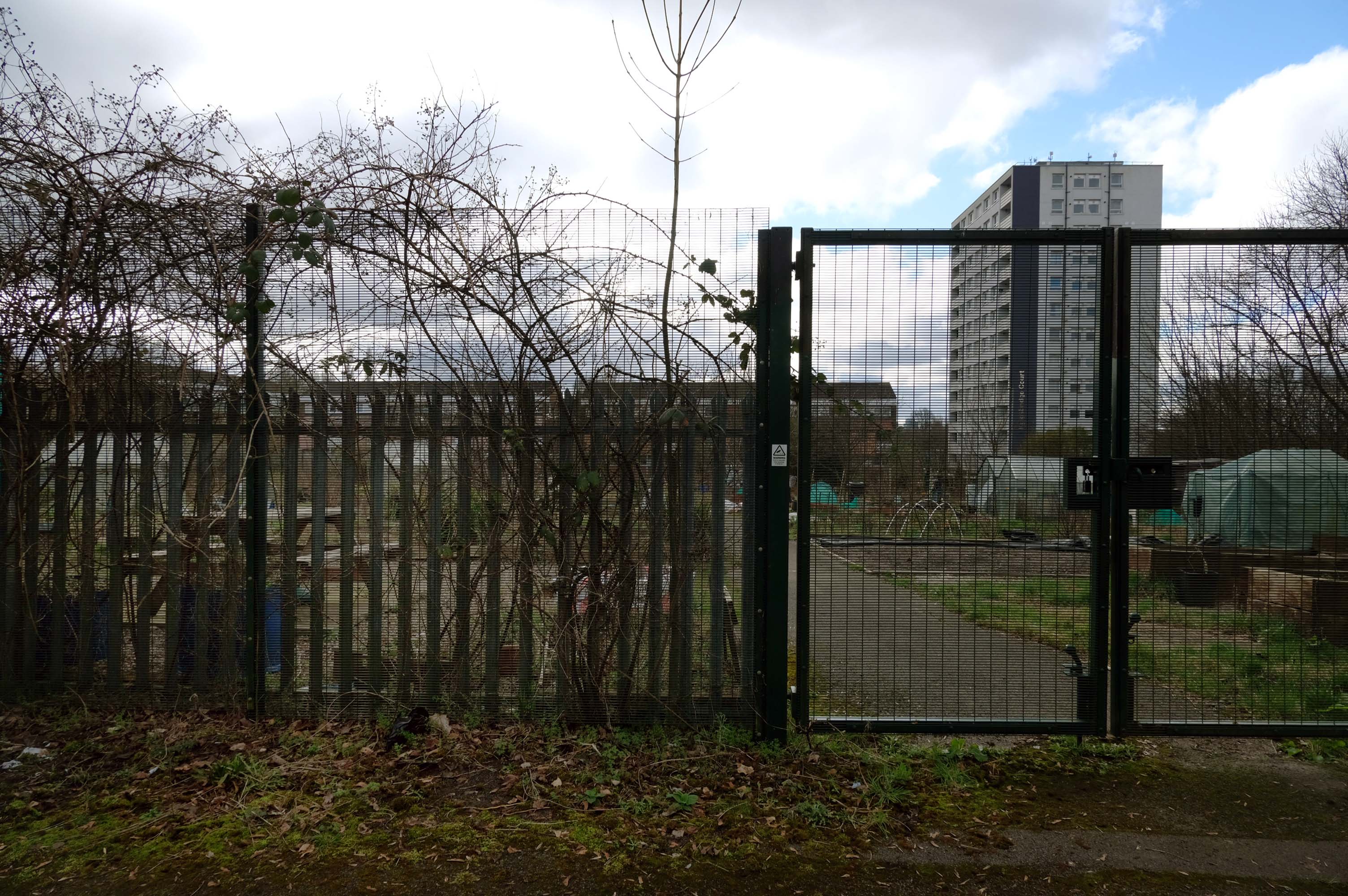
Pleasant Street Allotments
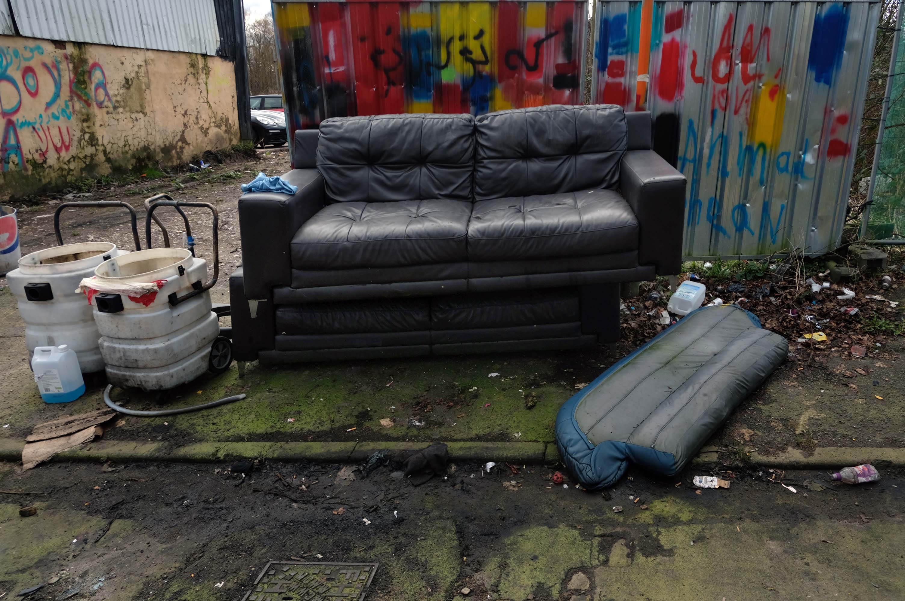
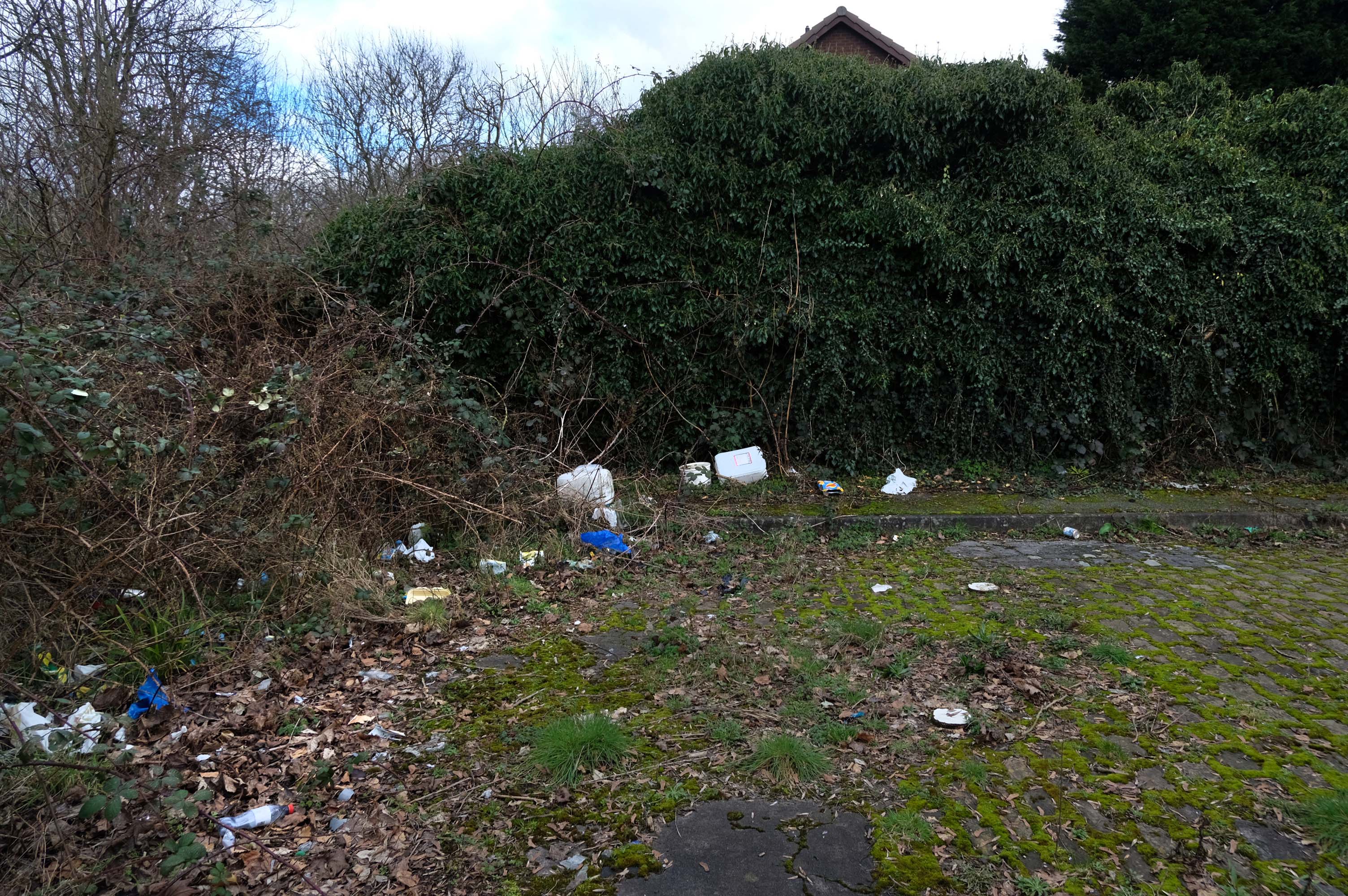
The allotments have had issues with fly tipping back in 2021.
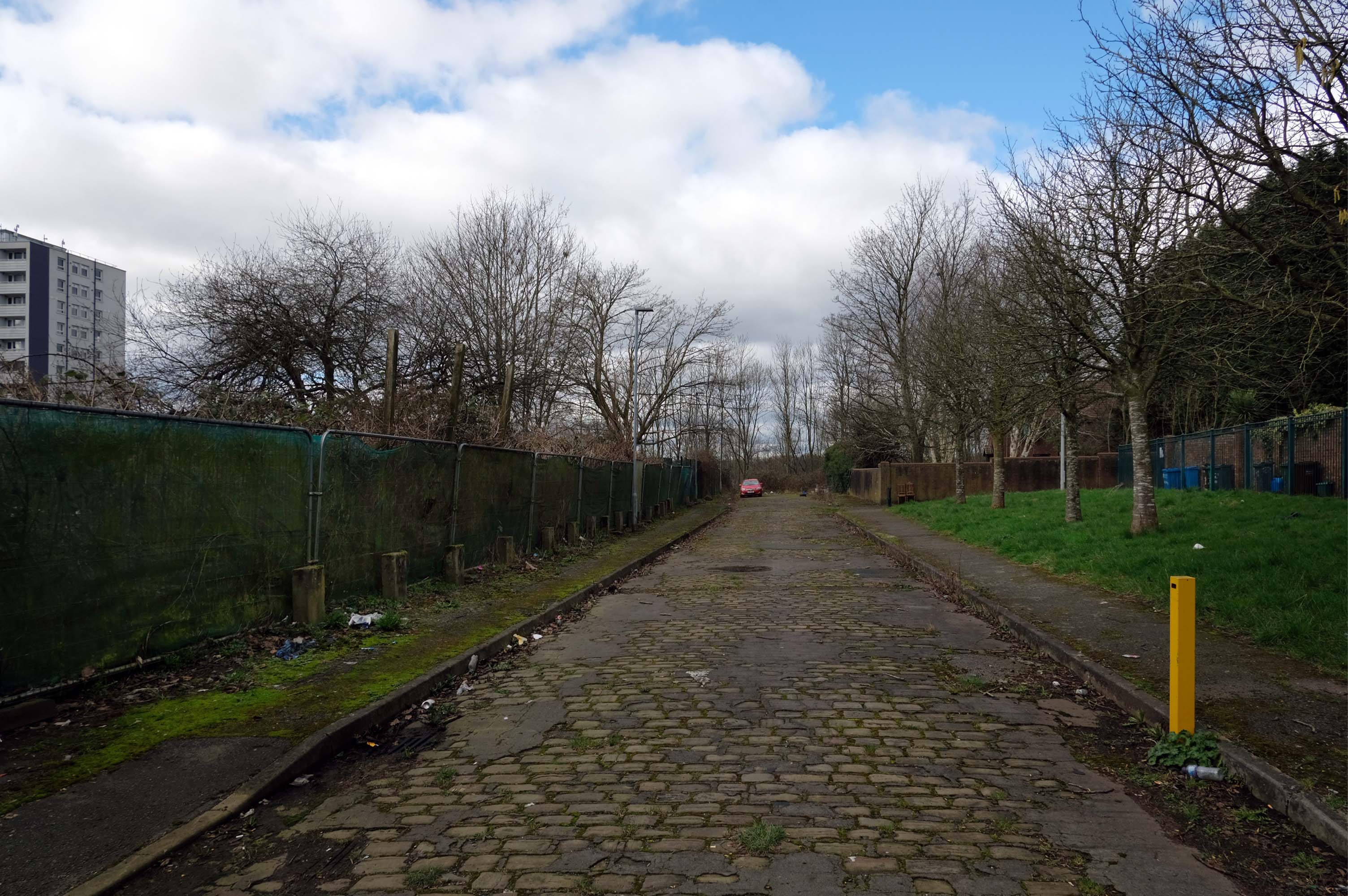
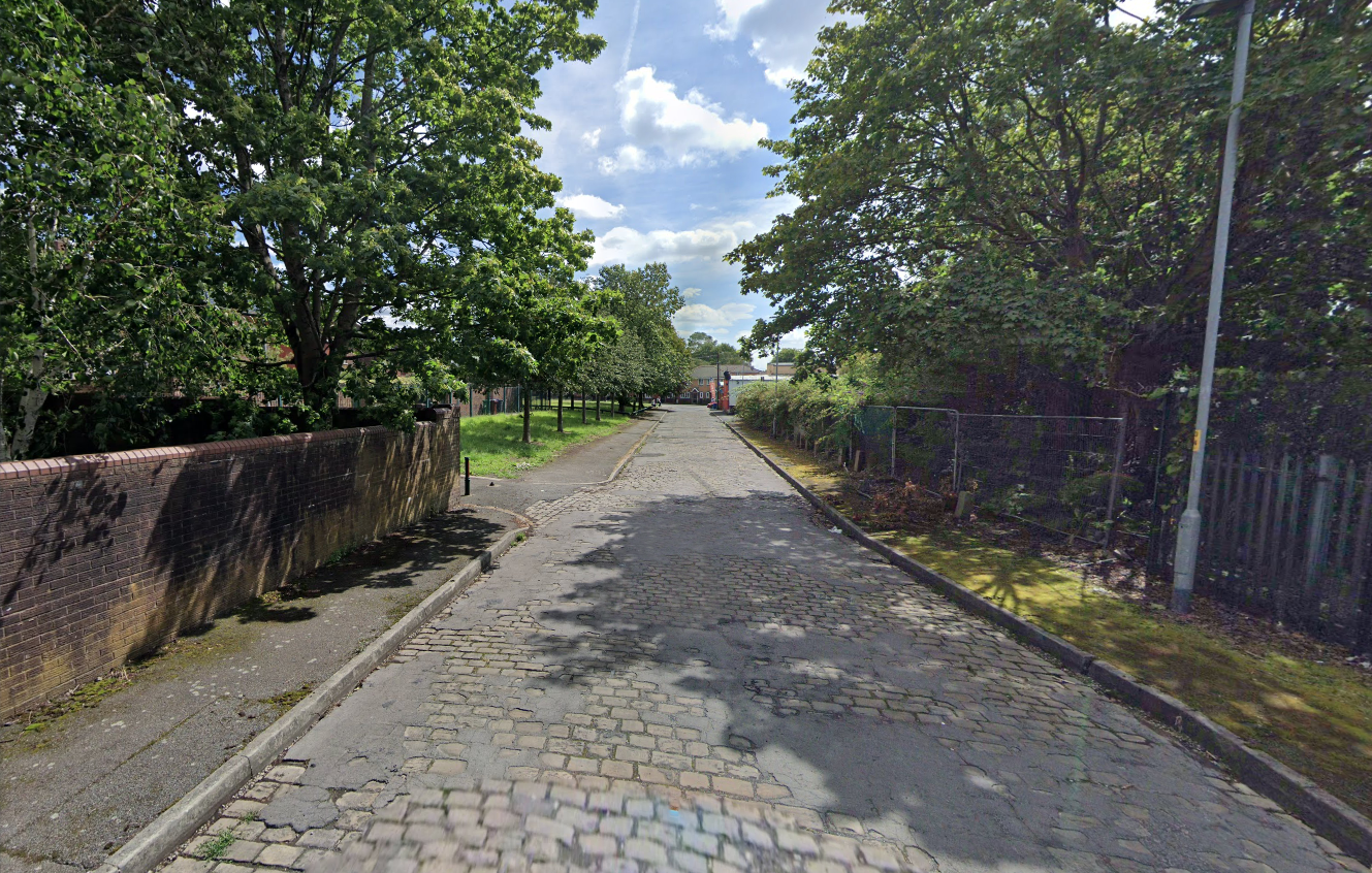
There is now a lockable barrier in place on the cobbled cul-de-sac.
Photo – Howard Bristol
It is understood that the heaps of rubbish, including bin bags full of waste and unwanted wood and cardboard, have been growing in recent weeks.
Howard Bristol, the Secretary of the Pleasant Street allotments committee, said the situation has been ongoing for some time but has worsened since the removal of nearby CCTV cameras.
He told the Evening News that the road has been – piling high with rubbish, and that the area also had issues with the woodland behind the allotments being used for drug dealing during summer.
Pat Karney, councillor for Harpurhey tweeted about the flytipping on Sunday, calling it – unbelievable and disgraceful.
He added that those responsible should be – locked up in Strangeways for a long time, before adding that the council will – get it cleared.
The A5103 is a major thoroughfare running south from Piccadilly Gardens in Manchester city centre to the M56 in Northenden. The road is two-lane dual carriageway with a few grade-separated junctions. It is used by many as a link to the airport and to the motorway network south.
The road starts at Piccadilly Gardens where it meets the A6. It heads along Portland Street – at one time it ran along the parallel Mosley Street, past fast-food outlets and off-licences and then meets the A34 Oxford Street. It multiplexes with that road north for 200 yards into St Peter’s Square and then turns left into Lower Mosley Street, initially alongside the tramlines and then past the former Manchester Central station, now a conference centre with the same name. The road becomes Albion Street and goes over the Bridgewater Canal and under the railway line east of Deansgate station. The road then meets the A57(M) Mancunian Way at a roundabout interchange. This is where most of the traffic joins and leaves.
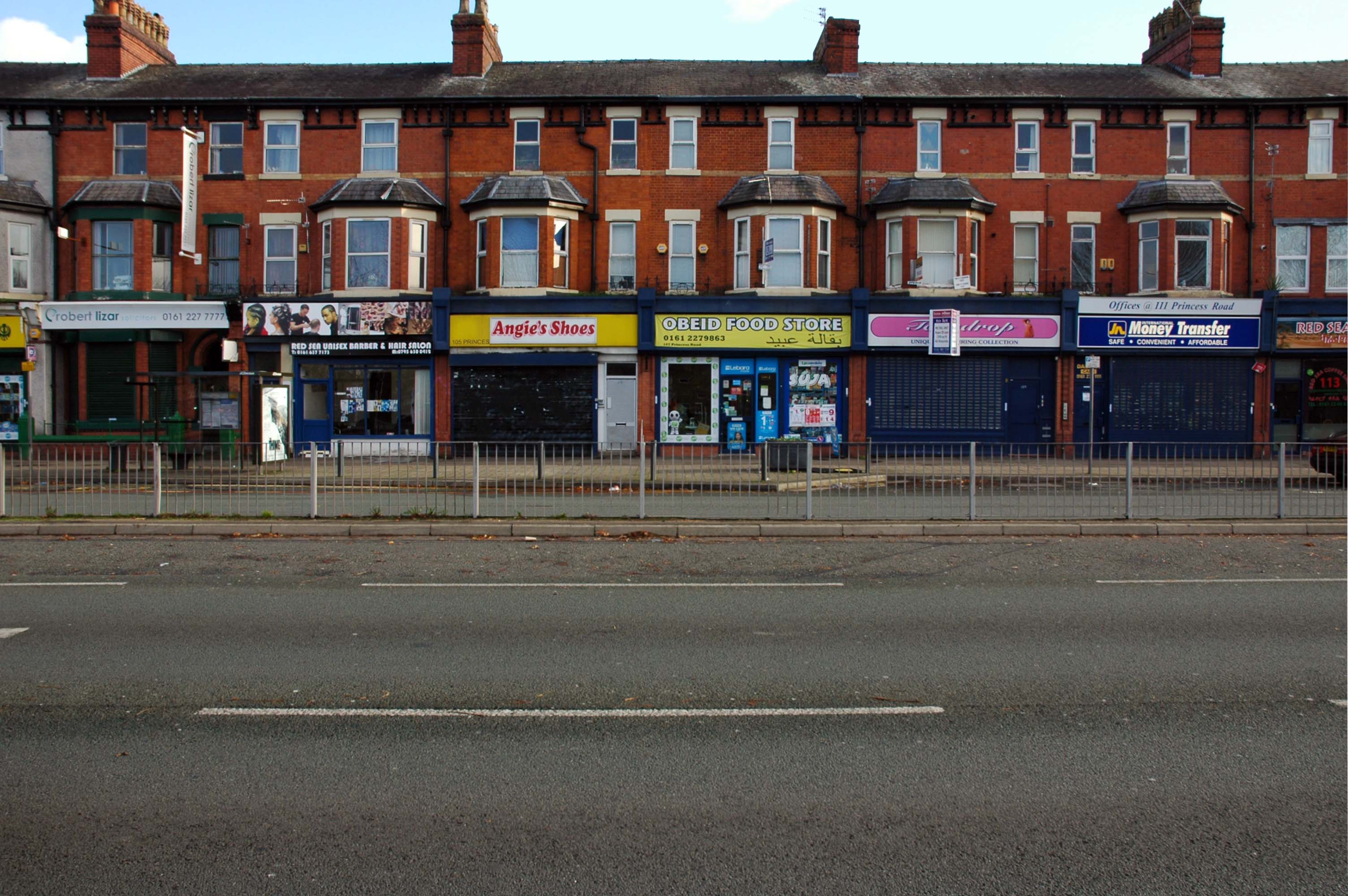
The road is now 2×2 dual carriageway with the name Princess Road. It passes under the Hulme Arch, a grade-separated junction with the A5067, with an unusually large central reservation. This is presumably because of the proposed plans from the 1960s of a motorway. However, after passing under the junction, there are innumerate sets of traffic lights, with the B5219, the A6010 and the A5145, as well as many other unsigned roads. There are also many speed cameras set at 30 mph.
The road picks up pace as we exit the sprawl of South Manchester and the road becomes Princess Parkway, with a 50 mph speed limit. We cross the River Mersey and almost immediately hit the M60 at J5.
Except for the Manchester City Centre section – which was numbered A5068, this road did not exist on classification in 1922. Princess Road was built in 1932 to serve the new southwestern suburbs; initially it ran between the B5219 and A560 and was numbered B5290, with the road later extended north into the A5068 on the southern edge of the city centre and renumbered A5103.
The northern extension through Hulme initially followed previously existing roads, so followed a zigzag route. As part of the road’s upgrade and the reconstruction of Hulme in the 1970s the road was straightened and the original route can no longer be seen. The A5068 was severed around this time with the construction of the A57(M) and the A5103 took on its city-centre section, taking it to the A6.
The A34 is a major route from the ports on the South Coast of England to the Midlands and the North West, with the standard varying from rural dual carriageway sections in the south to urban single carriageway in the north, and everything else in between.
Slade Lane junction, Rushford Park to Parr’s Wood, East Didsbury – to connect to Manchester Road to Cheadle. It continued on to Laneside Road as a residential road. Opened on 11 April 1923 by Mary Cundiff, Lady Mayoress, and Margaret Turnbull, daughter of Alderman Turnbull, Chairman of Manchester Town Planning Committee. Width was 100 feet and it was designed for tram tracks in the central reservation. The dual road carriageways were 20 feet wide. Manchester’s tram system was closed in 1949. The carriageways were widened and central reservation grassed over. Originally opened as A5079.
Laneside Road, East Didsbury to Schools Hill/ Wilmslow Road junction, Cheadle. Opened on 12 October 1959. The official opening was on 15 October 1959. Planning for the bypass had been halted by the war. In December 1949 Manchester Corporation stated that it was not a priority since the Corporation was only responsible for the 200 yards to the proposed bridge over the River Mersey and Cheshire County Council had not asked for a joint approach to Ministry of Transport to build it. Work was finally authorised in January 1957 and started in the June. Width was 90 feet with dual 24 foot carriageways. Expected cost was £600,000 to £700,000.
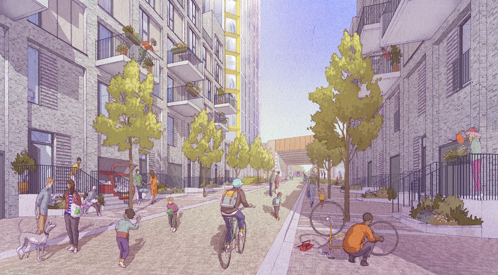
The report argues that the Northern Gateway should offer mixed, affordable and age appropriate housing and amenities. An equitable development plan should be developed, through community-led engagement, to ensure that the benefits of regeneration are shared amongst new and existing residents.
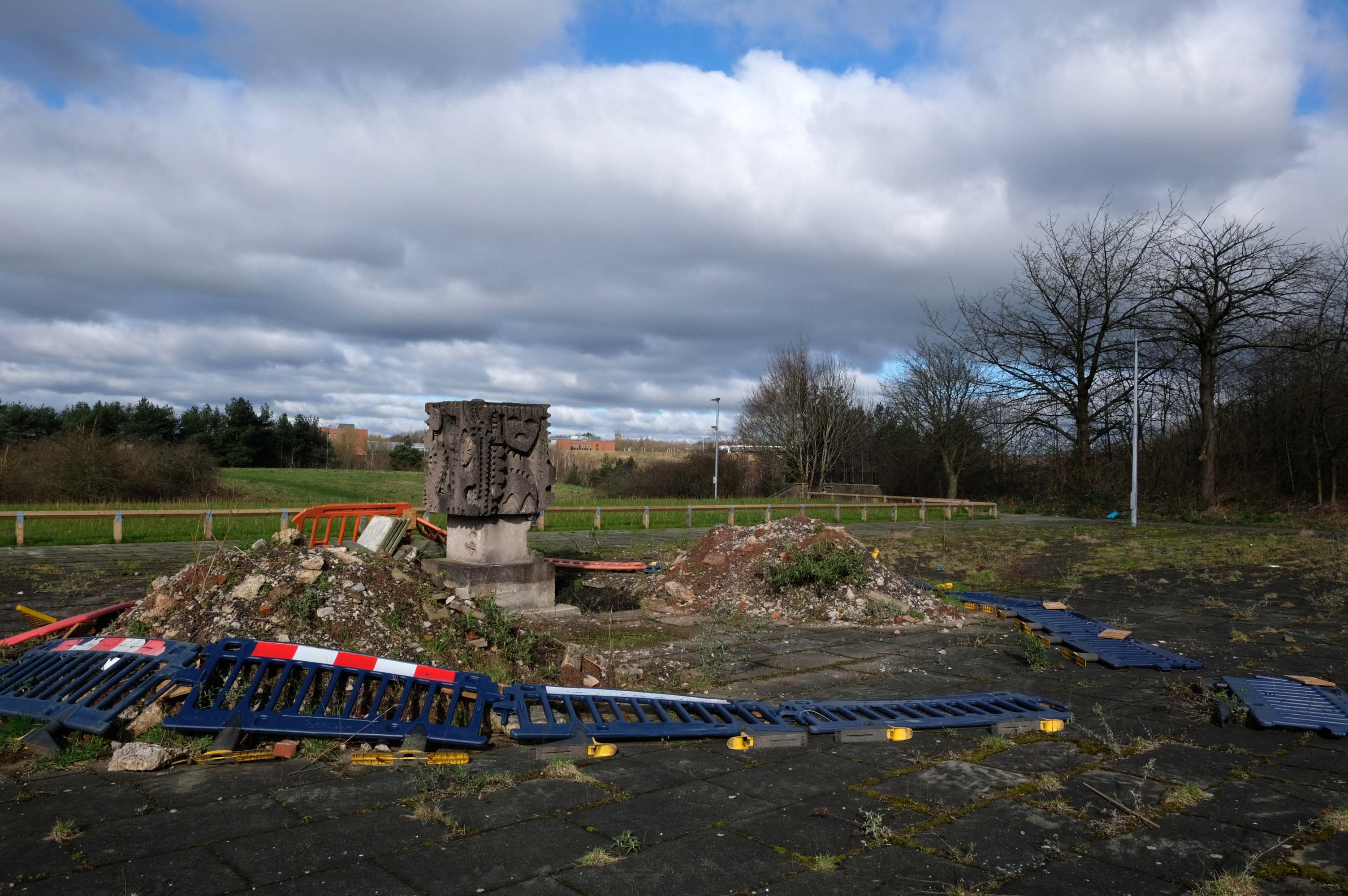
As of 2021 there is inaction and stasis
Collyhurst was described as a ‘forgotten place’ by some residents who felt that there had been insufficient investment in local housing and amenities.
The Northern Gateway remains a hidden portal to who knows where.
Detailed proposals for a second scheme to be delivered within neighbouring South Collyhurst, one of the seven neighbourhoods to be developed as part of the overall Framework, are expected later this year.
Far East Consortium and Manchester City Council’s 390-acre masterplan will now be known as Victoria North, a move that aims to “create a sense of place”, according to Gavin Taylor, regional general manager at FEC in Manchester.
The Northern Gateway has served us well as a name as we shaped plans for the area’s regeneration. But as we begin to bring forward development this year, it’s the right time to start creating a sense of place for what will be a significant new district in Manchester, as well as an identity that people can engage with.
Sir Richard Leese, leader of Manchester City Council, said:
We are at the beginning of an incredibly exciting phase of history for this part of Manchester and with some eagerness to see how this potential unfolds.
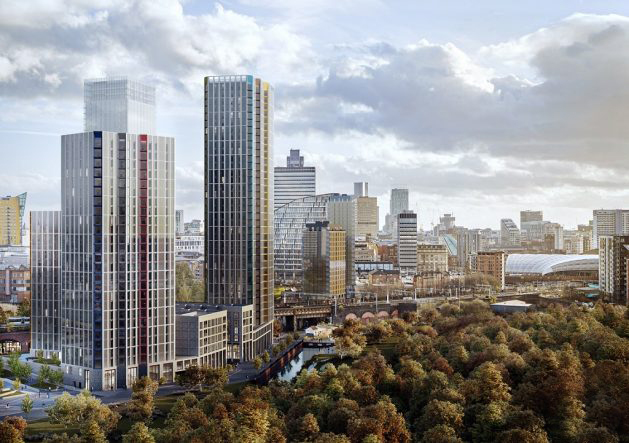
Victoria Riverside, a 634- home development marks the first stage of the regeneration project with the first apartments hitting the market.
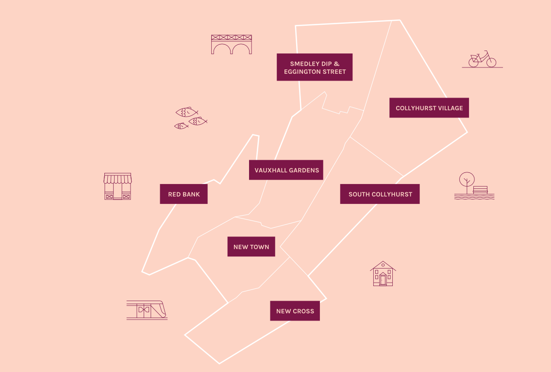
The three towers – Park View, City View and Crown View, are based within the Red Bank neighbourhood.
Red Bank has been described as:
A unique landscape and river setting making the neighbourhood perfect for a residential-led, high-density development – all set in a green valley.
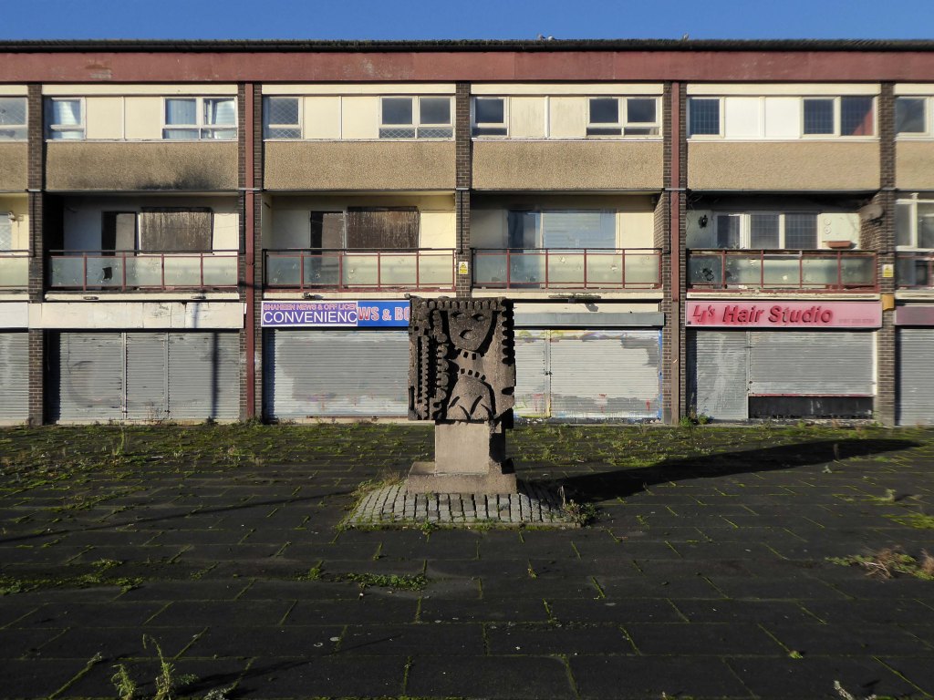
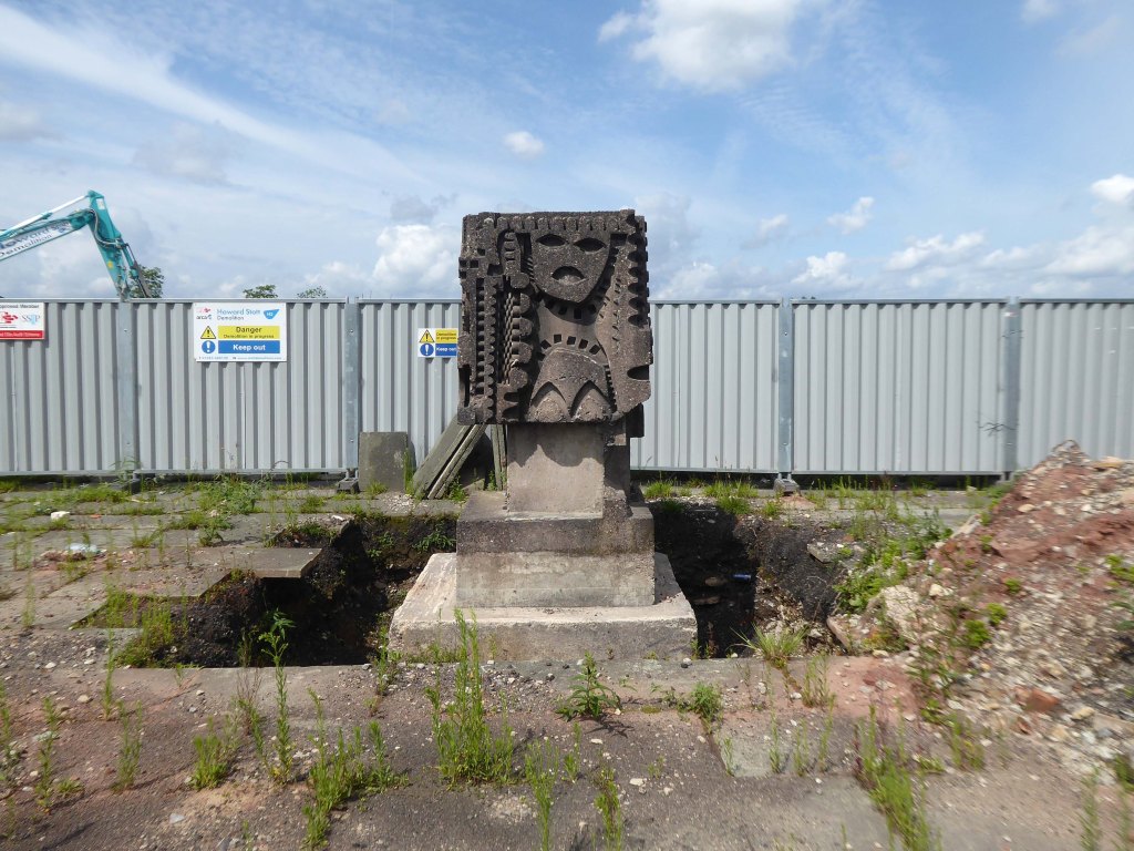
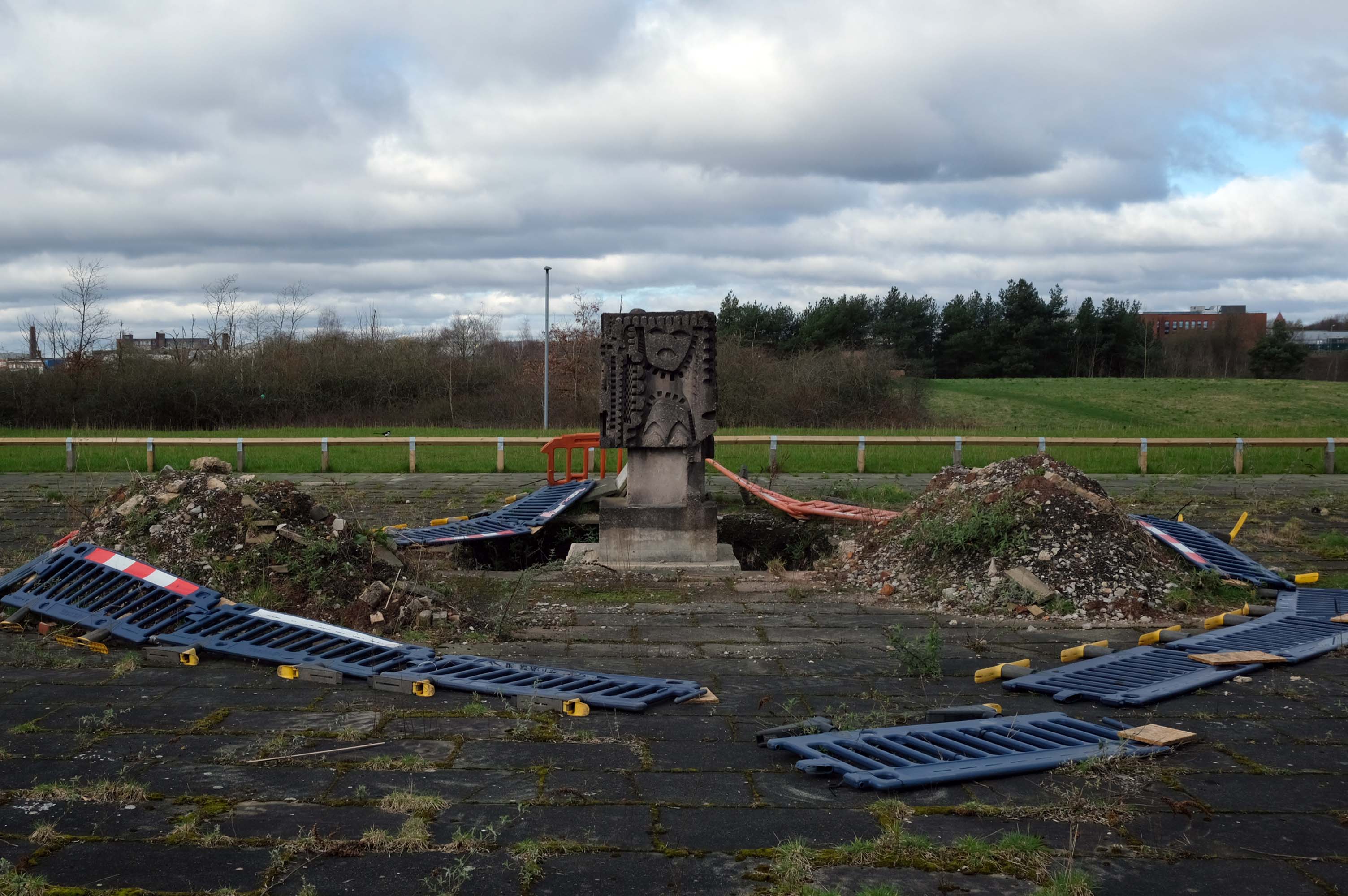
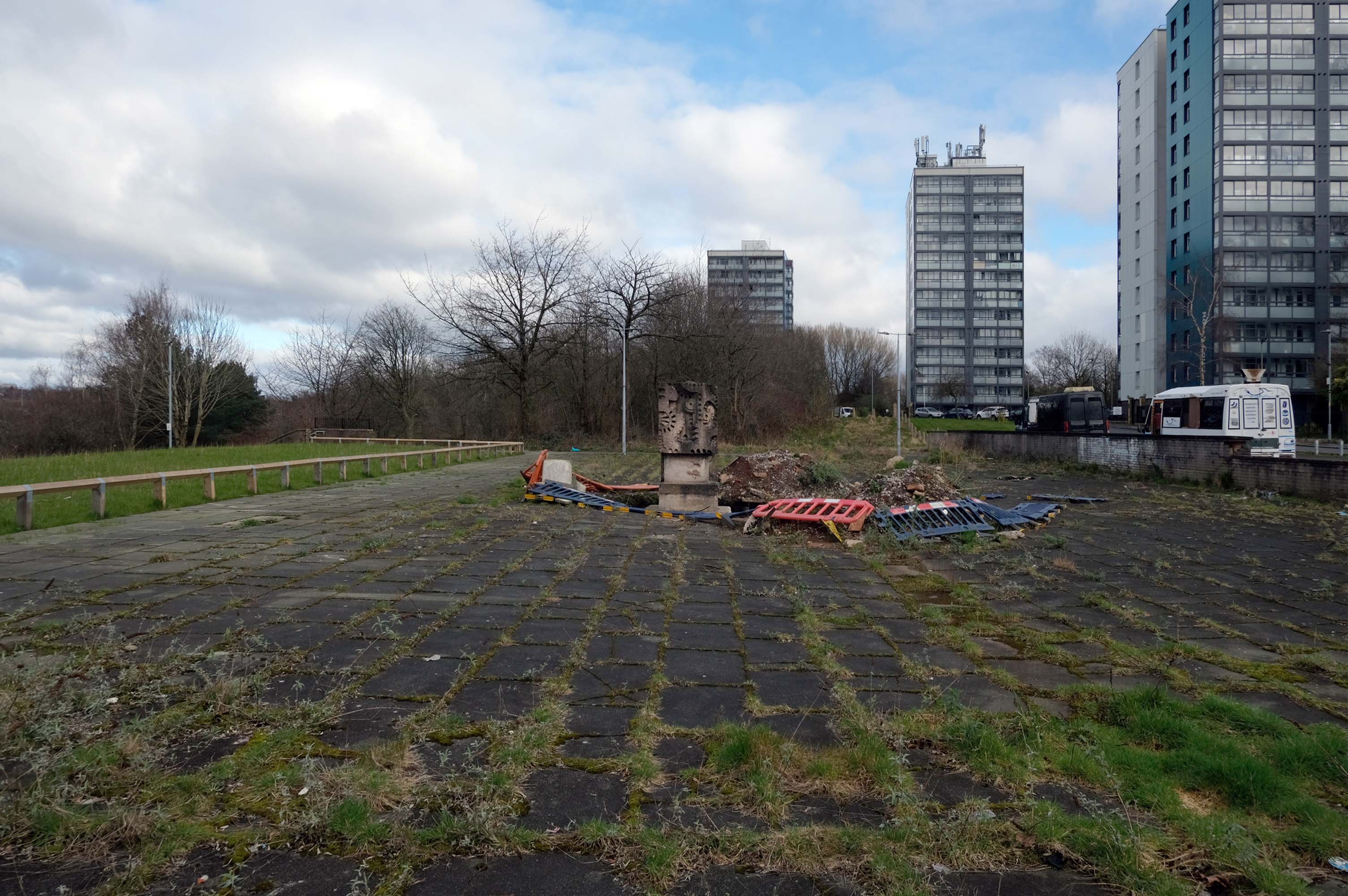
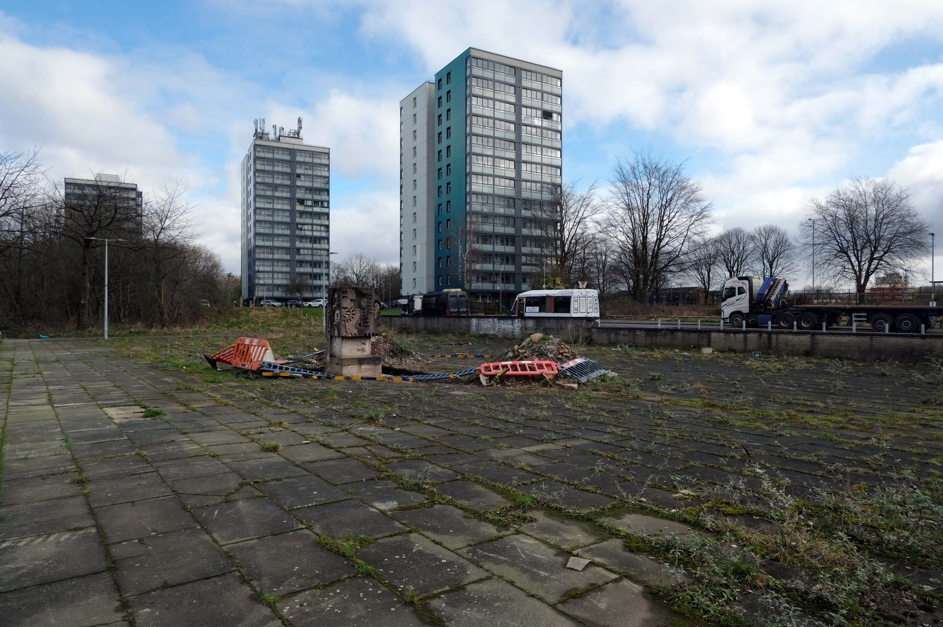
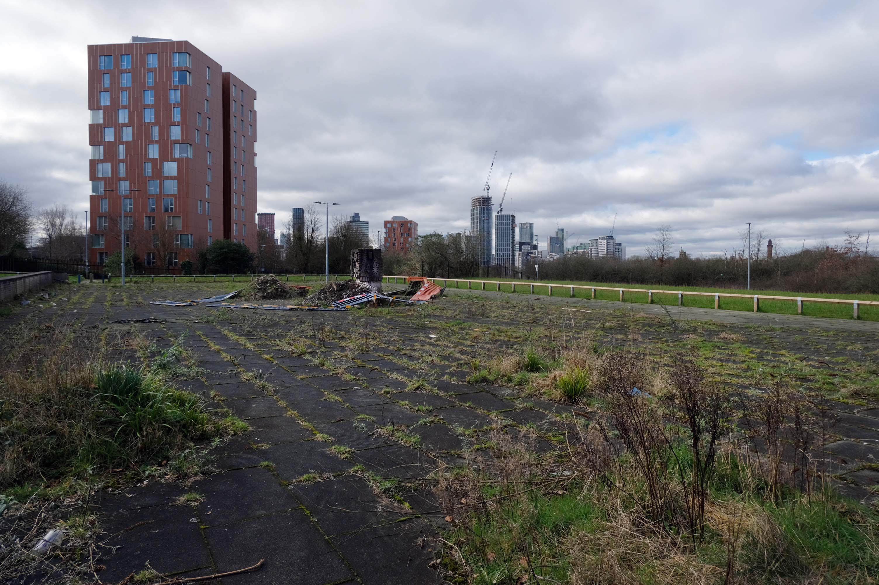
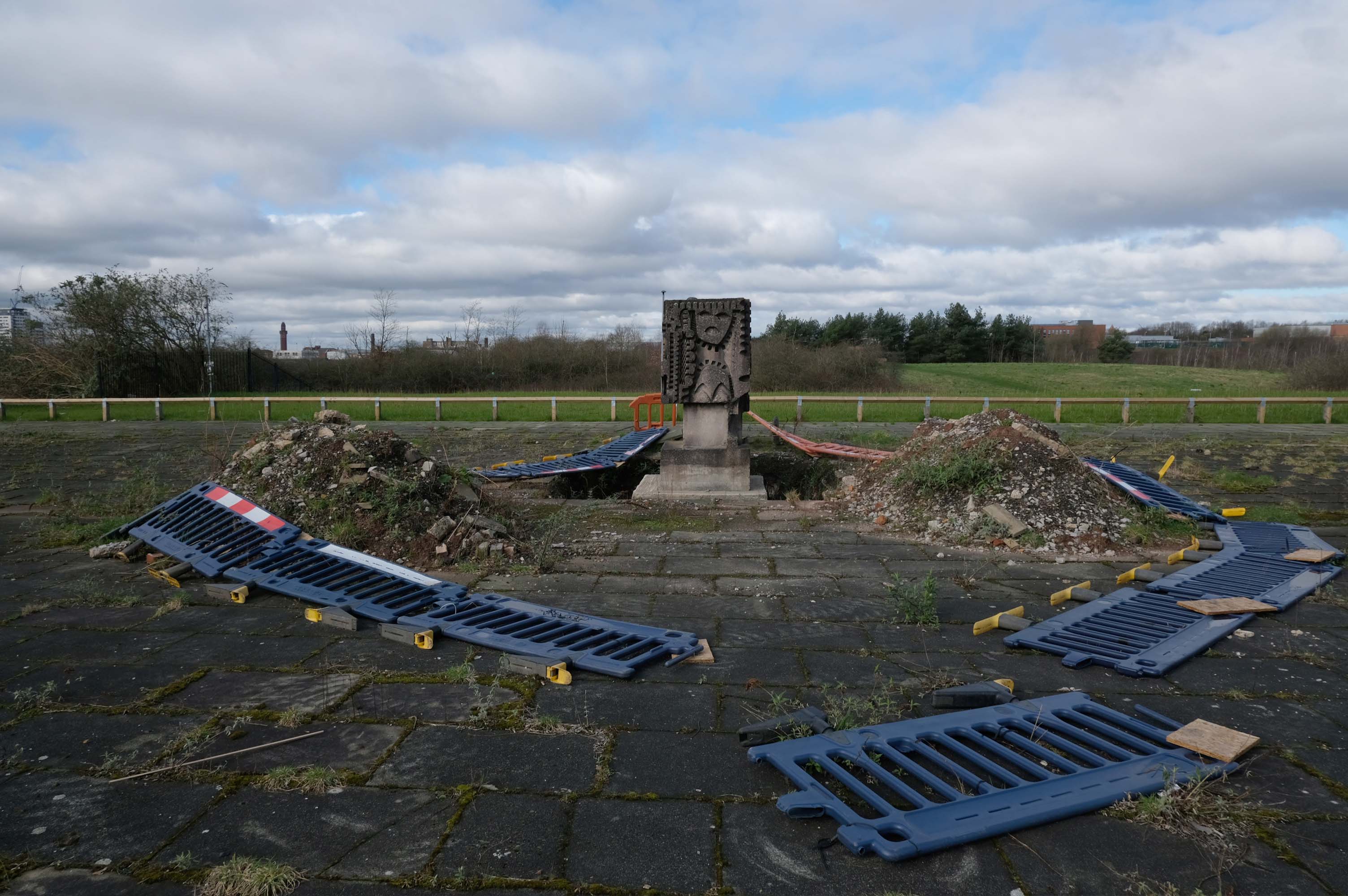
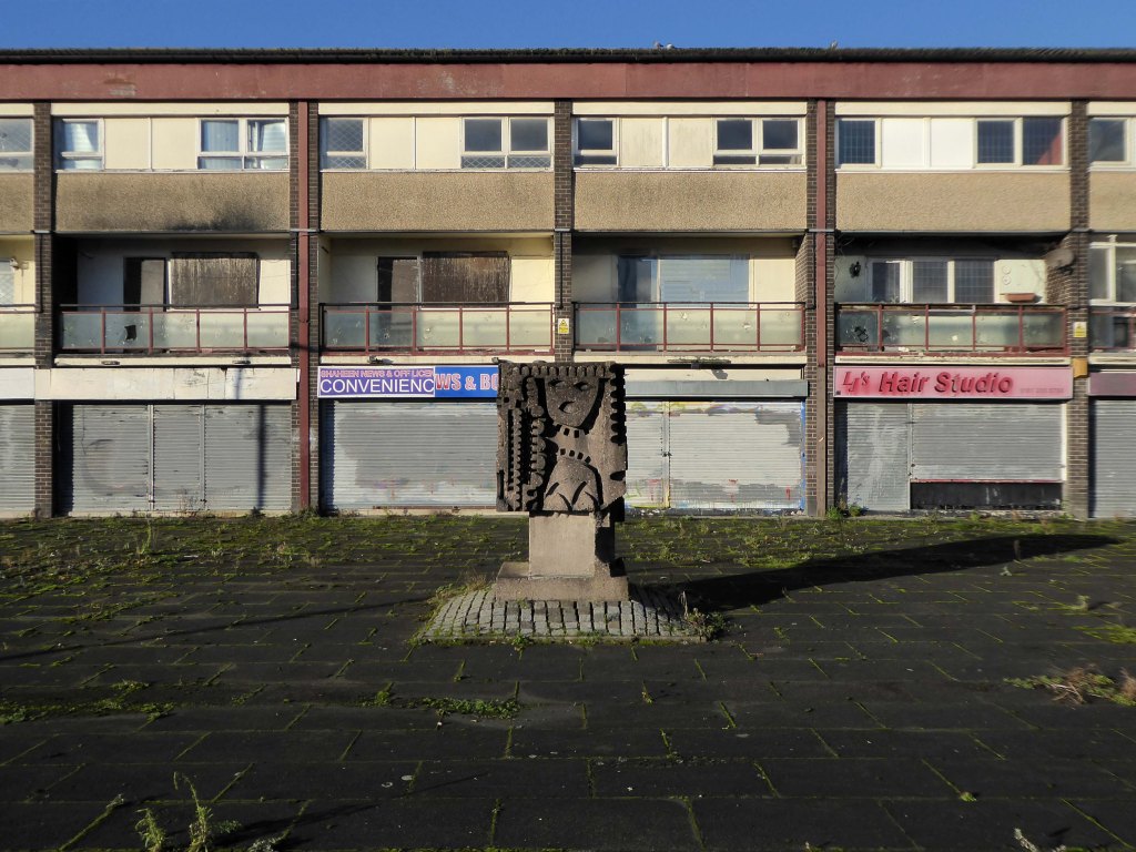
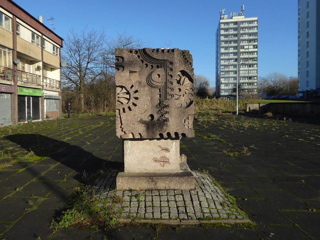
The putative William Mitchell totem continues to keep silent watch over the Square.
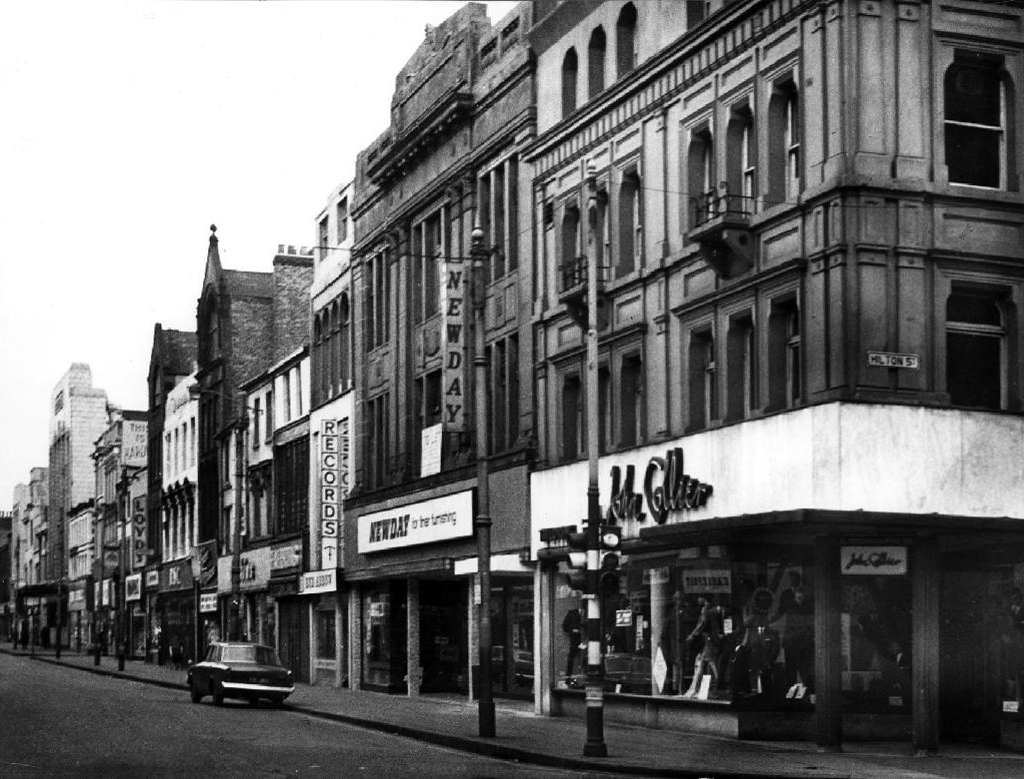
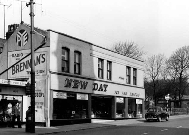
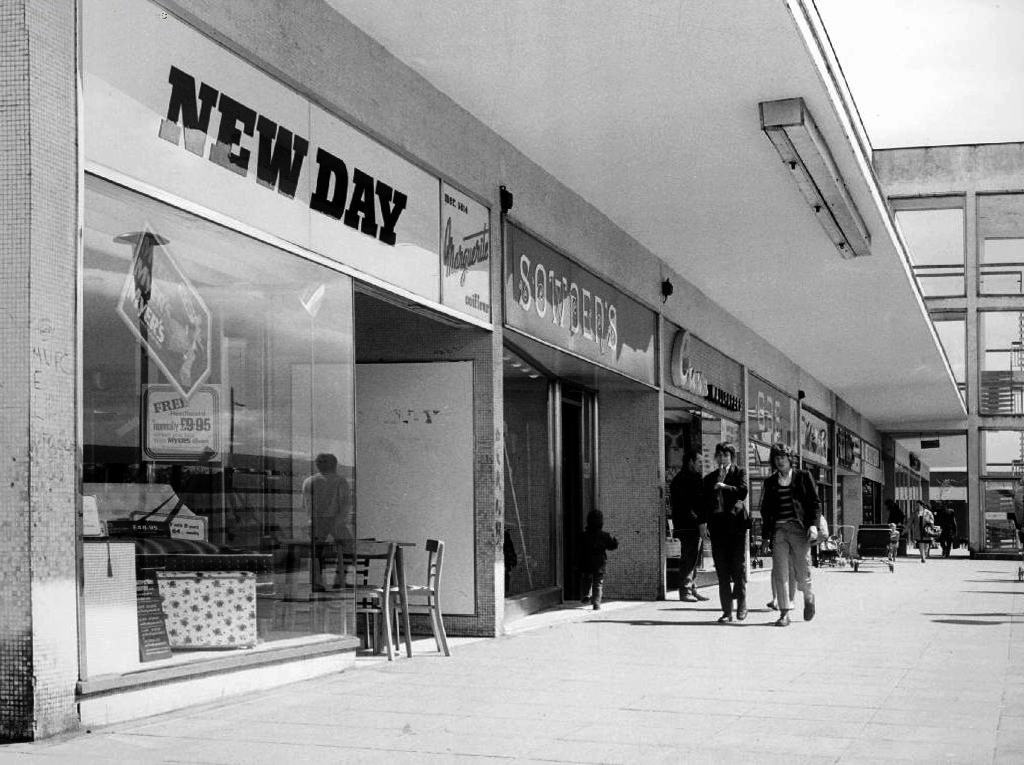
A local company which designed, manufactured and retailed furnishings around the North West.
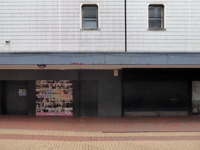
Oldham Street ManchesterRochdale Road HarpurheyWythenshawe
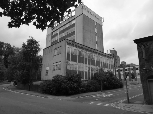
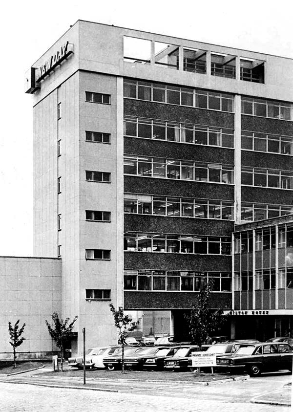
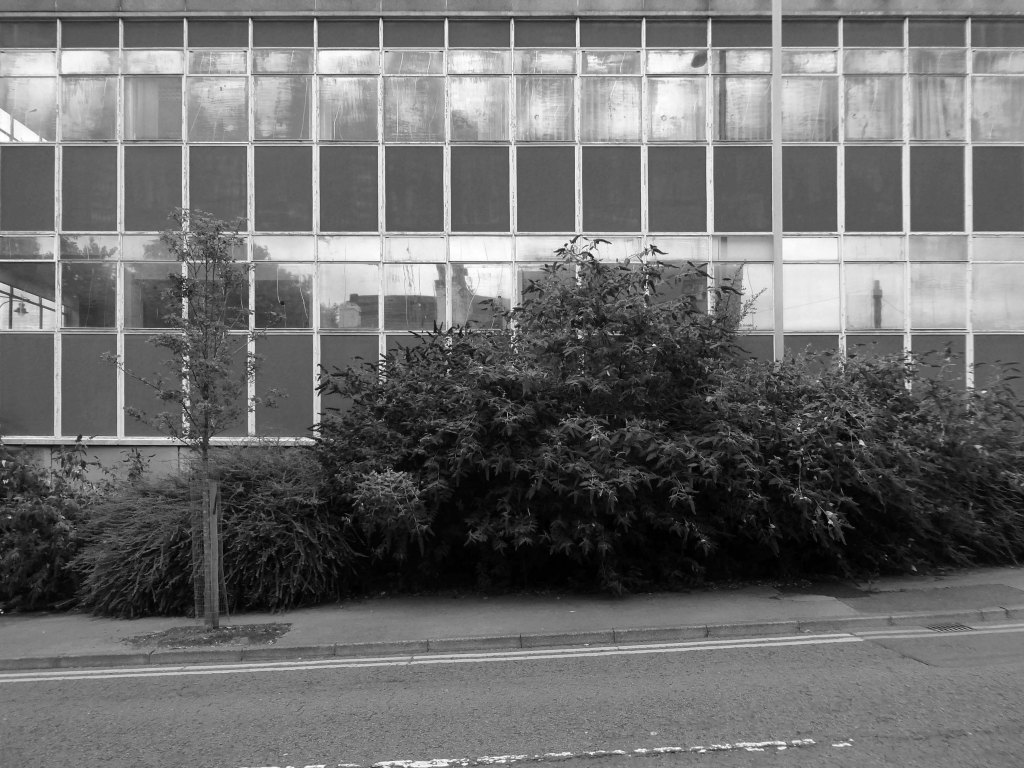
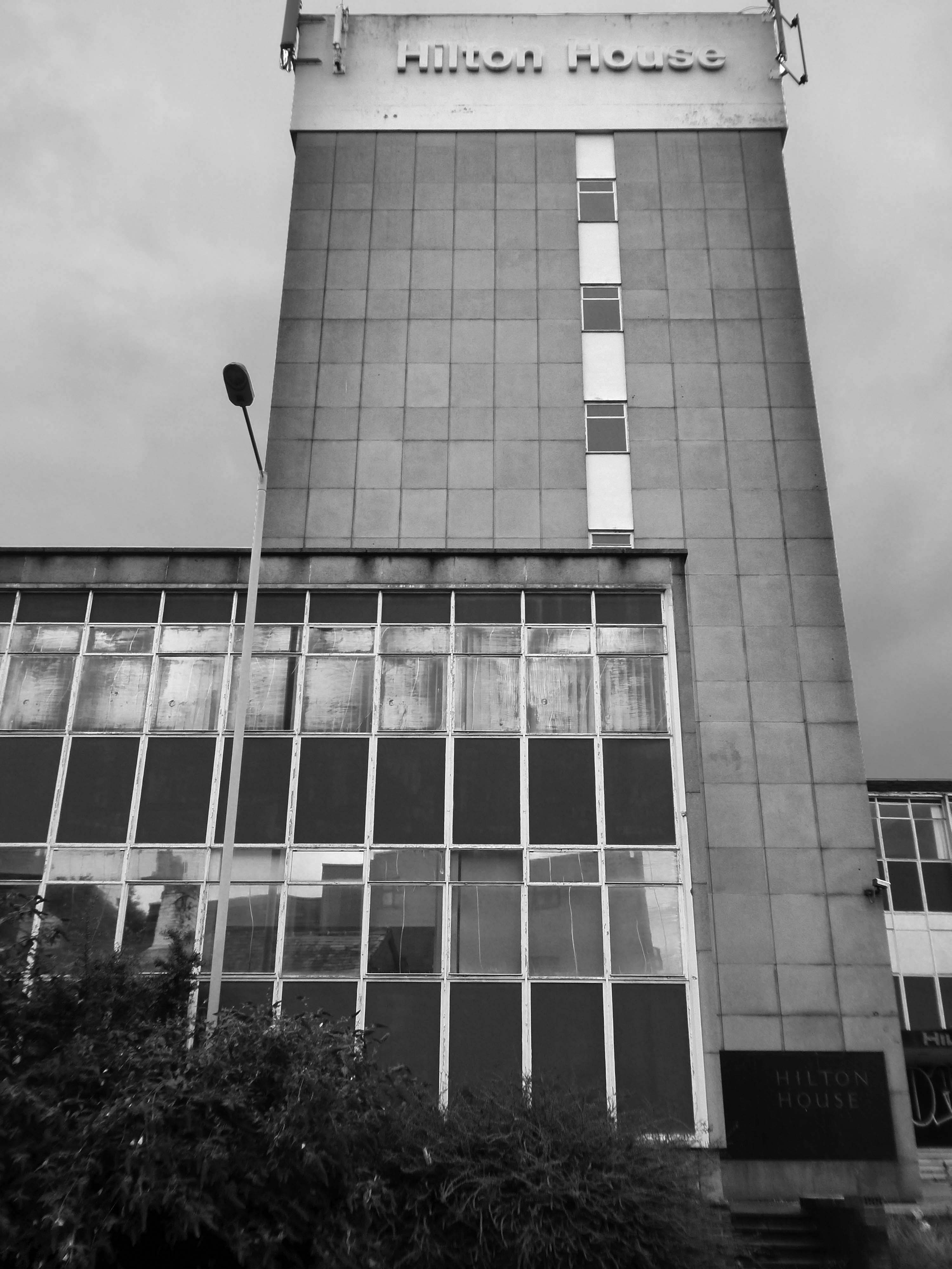
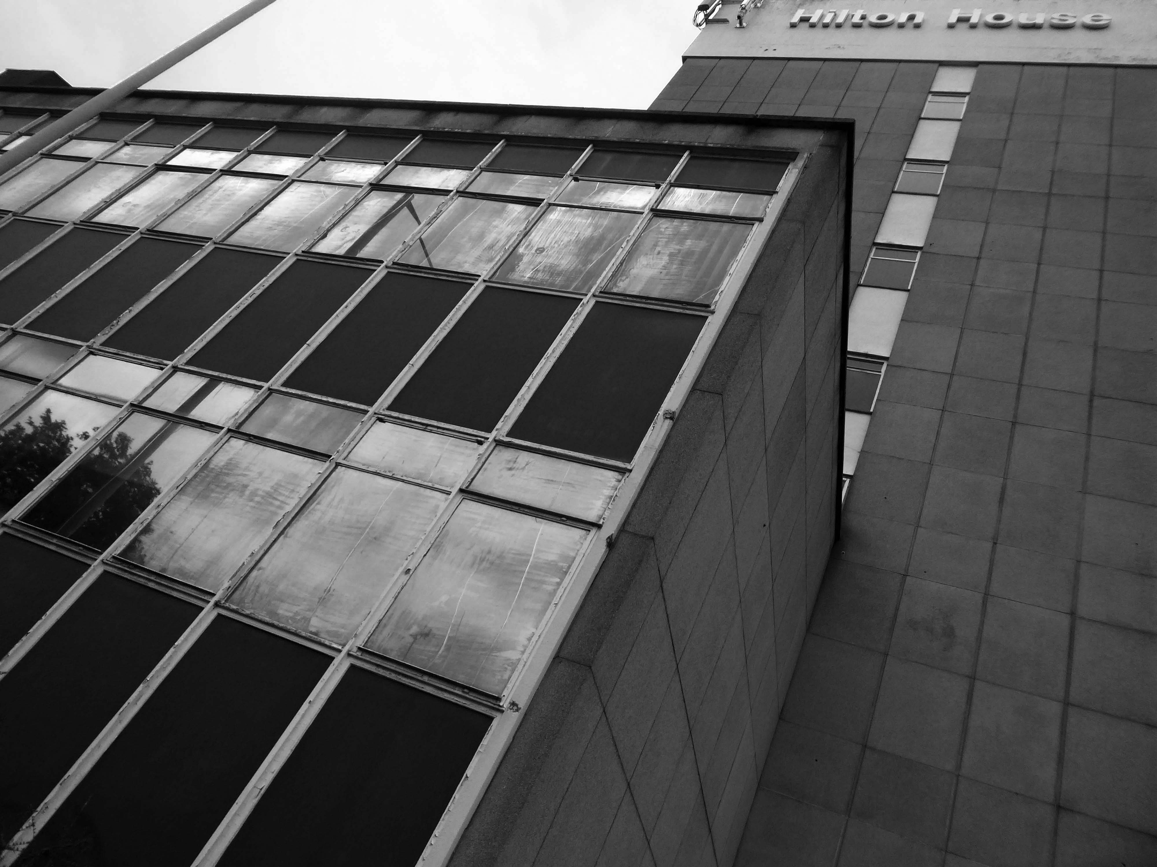
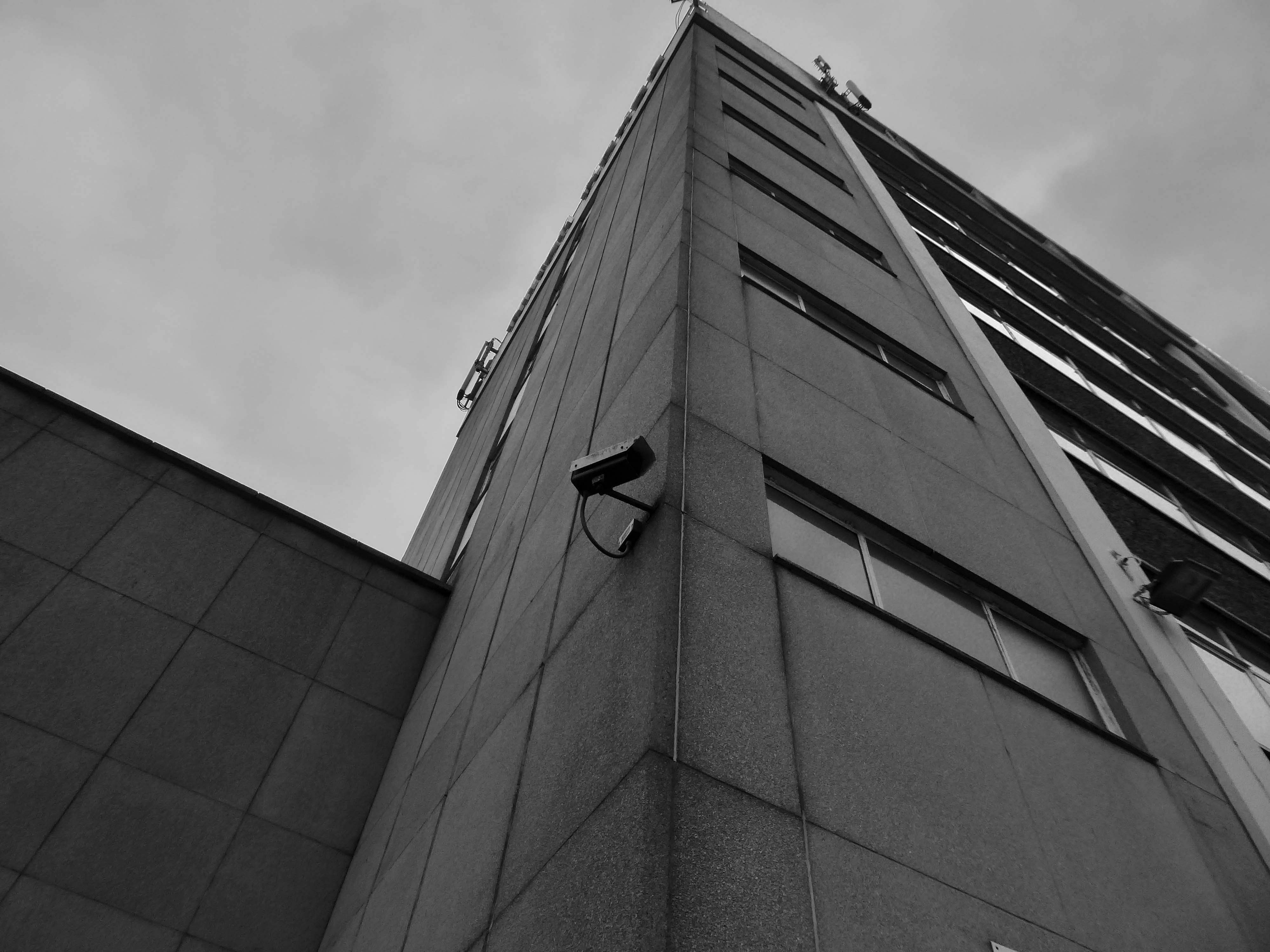
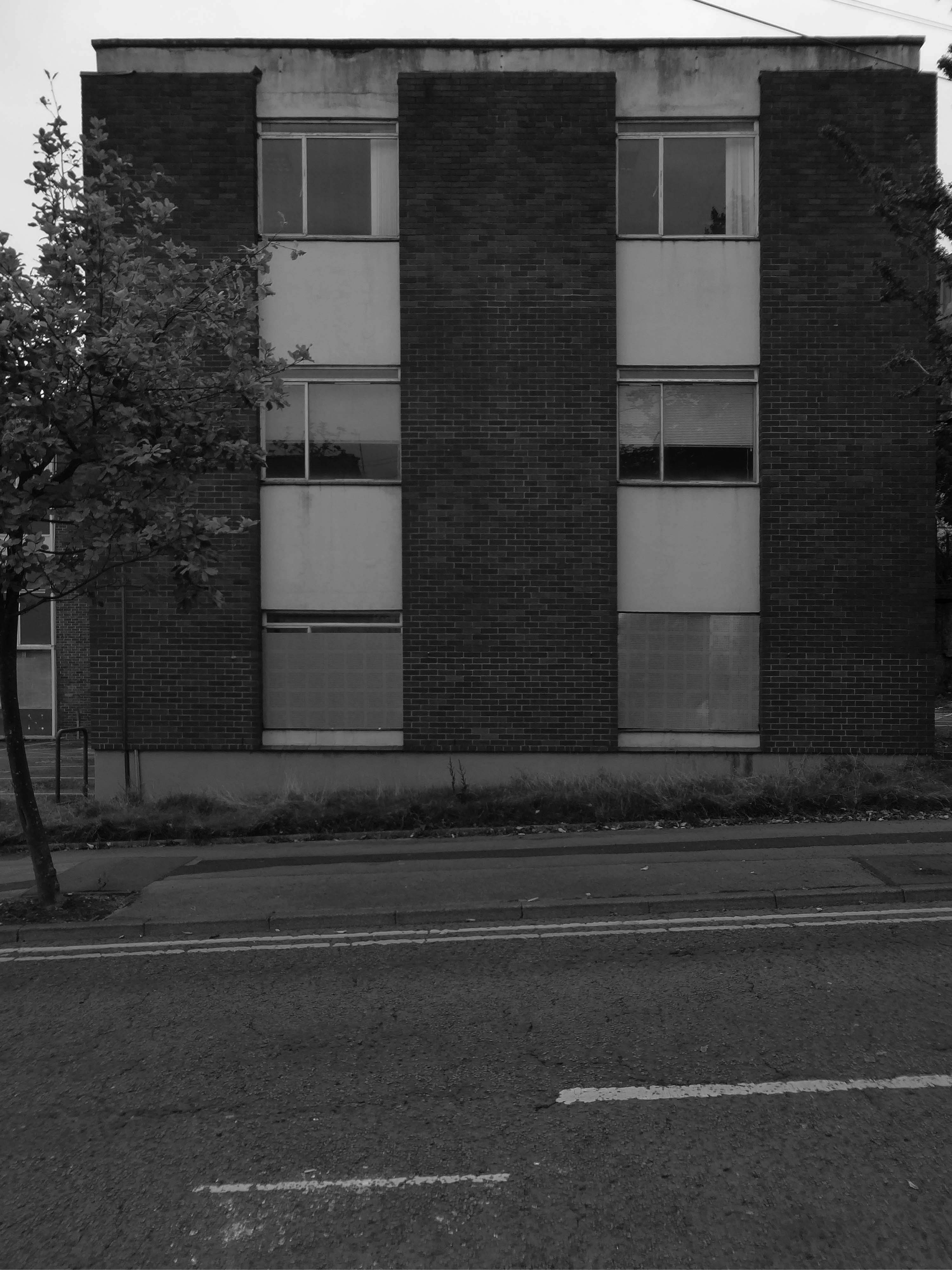
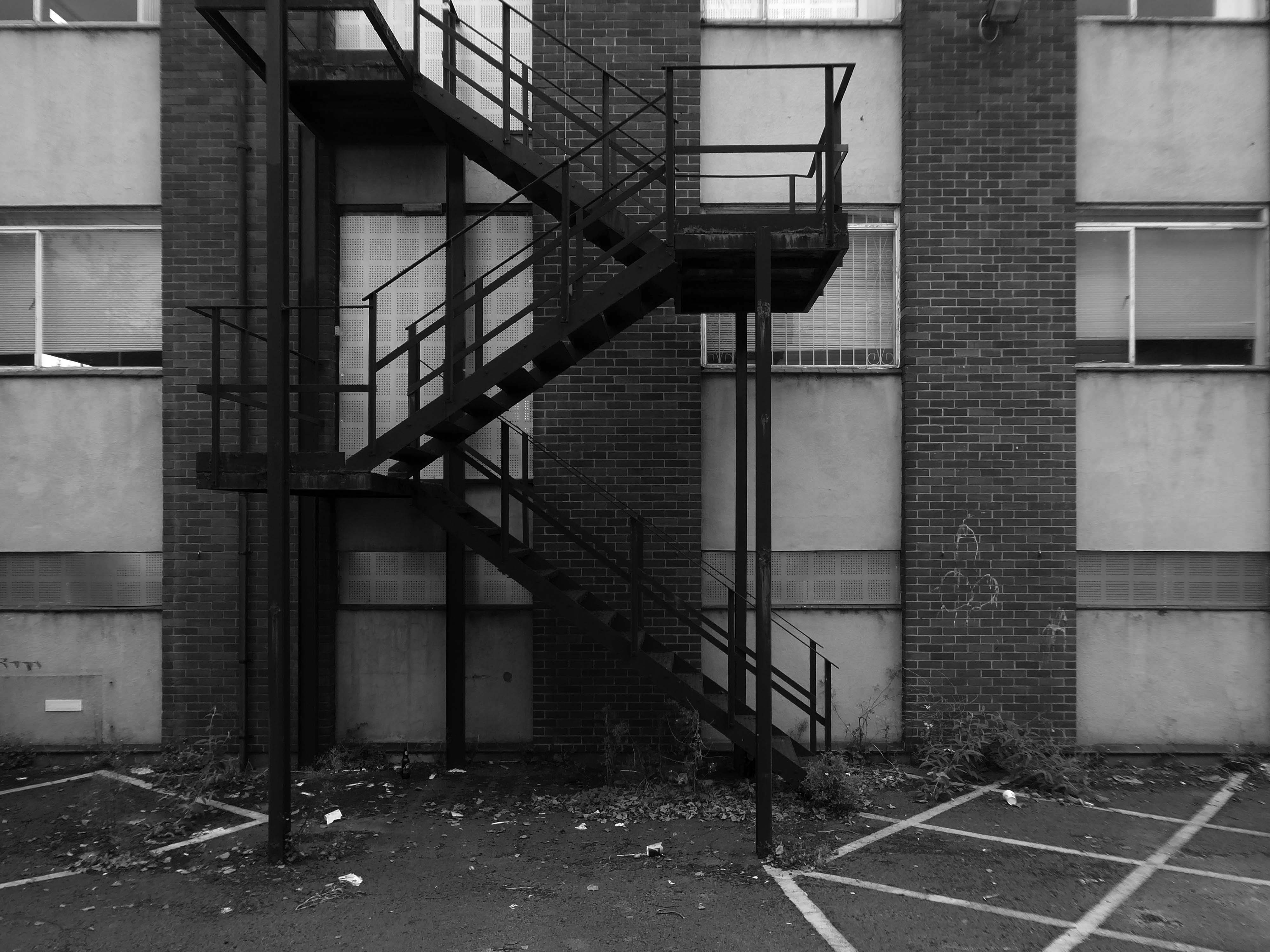
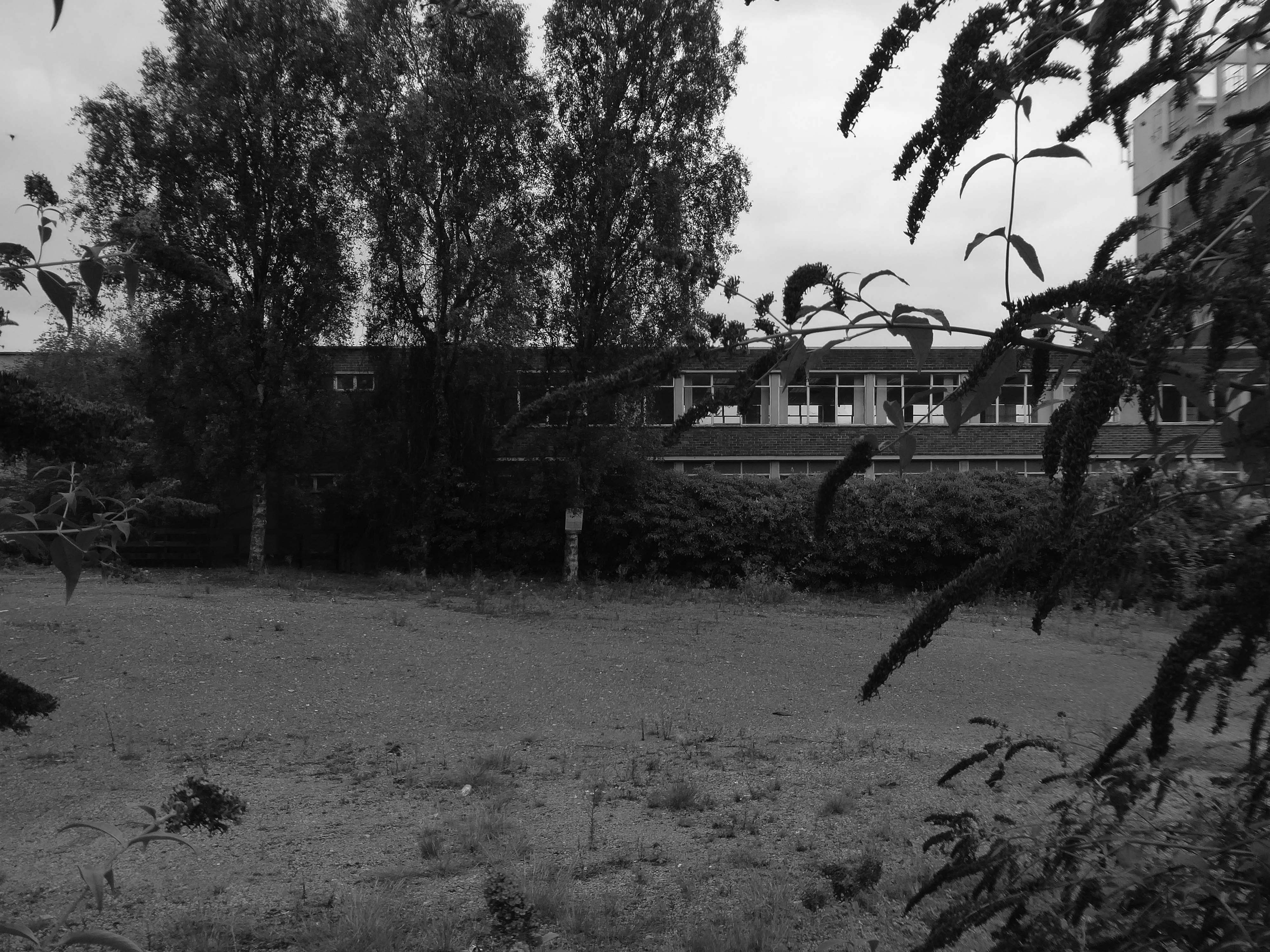
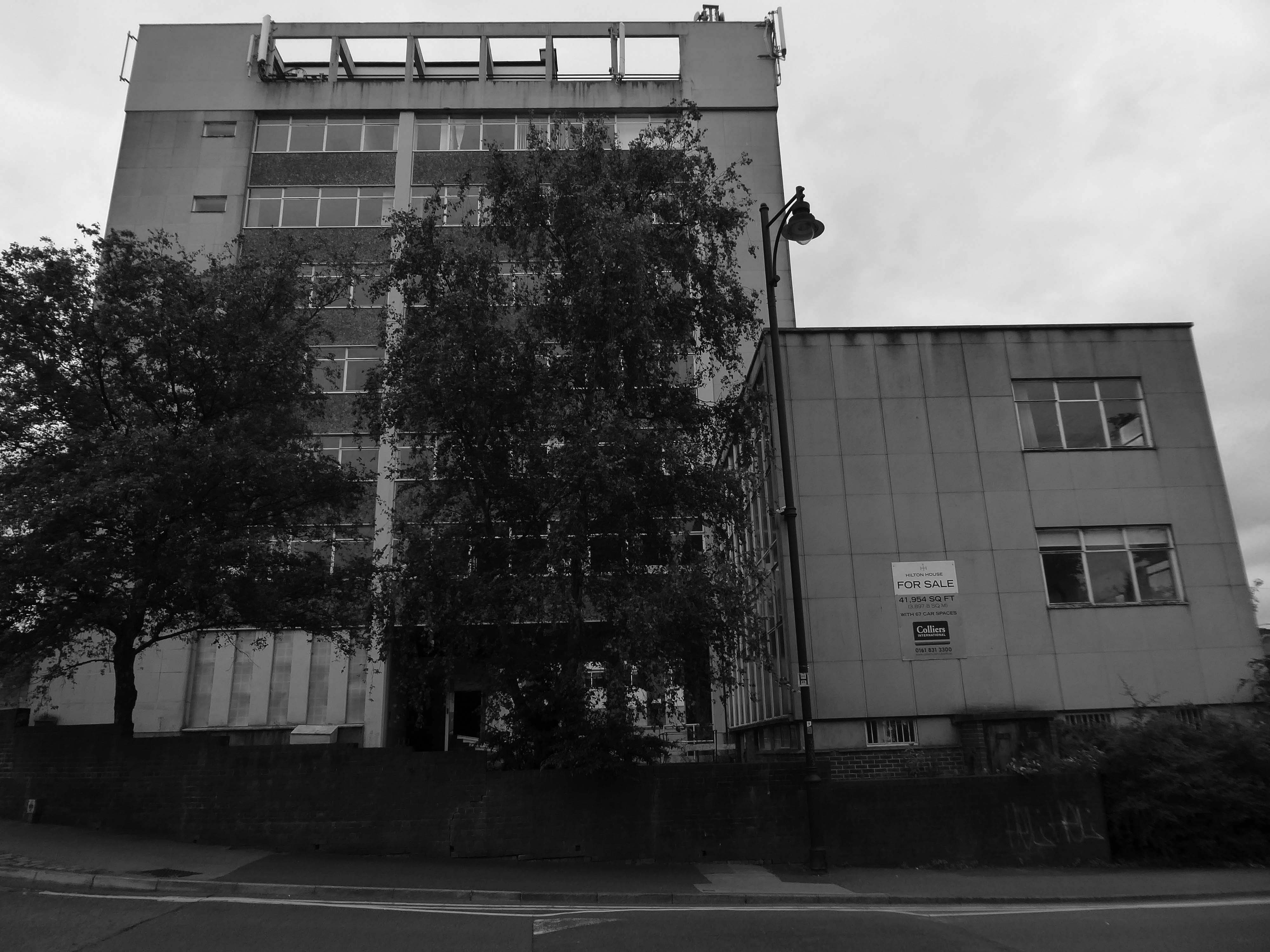
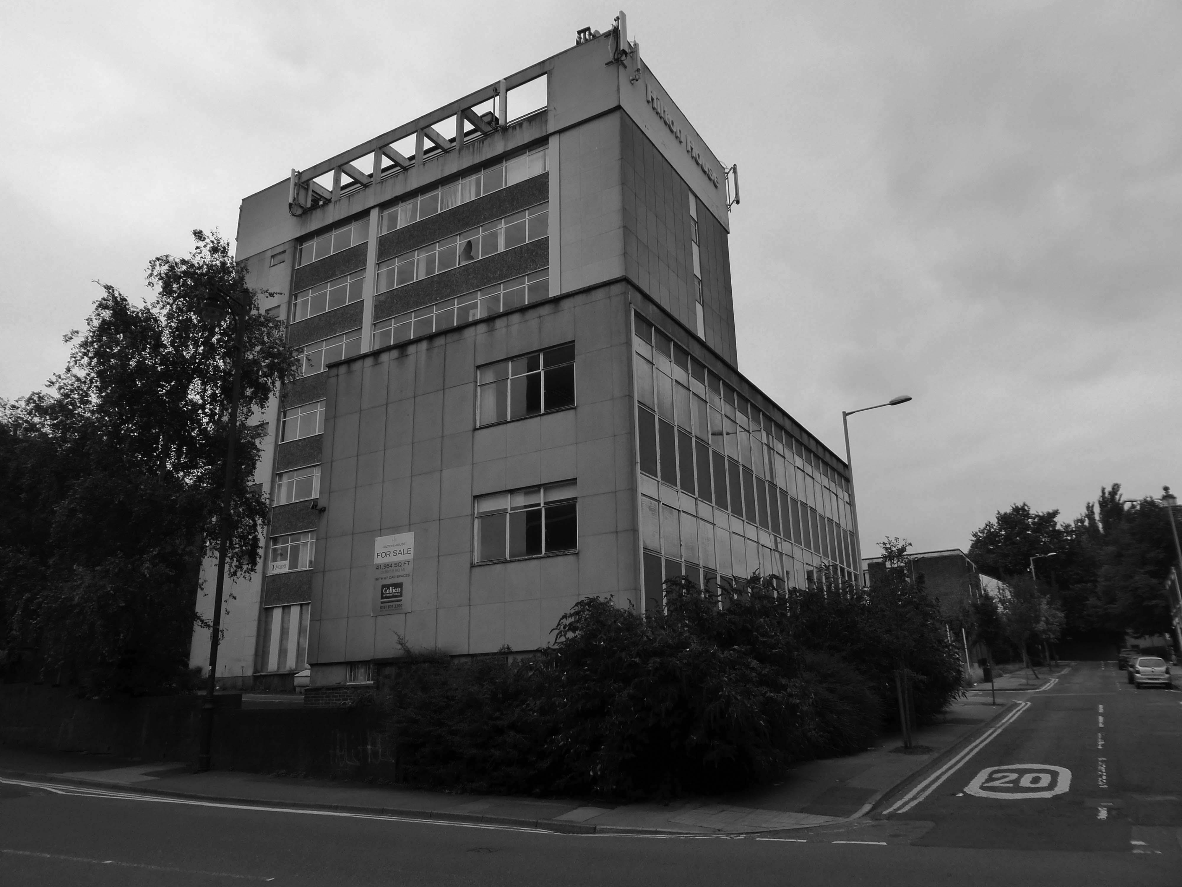
The office building is a highlight of my Stockport Walks – it has a lightness of touch incorporating a partial podium, slab block and lower rise extensions.
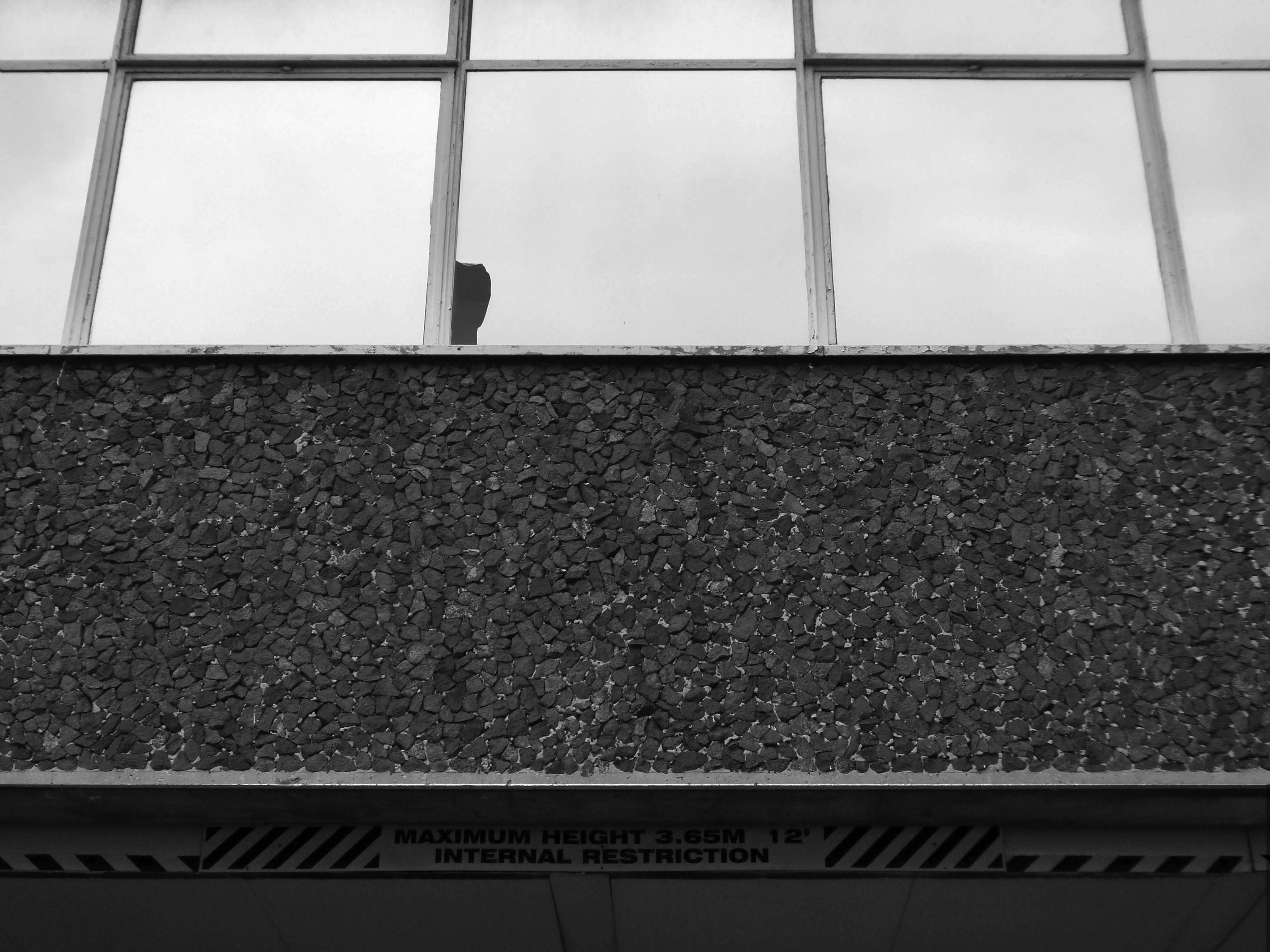
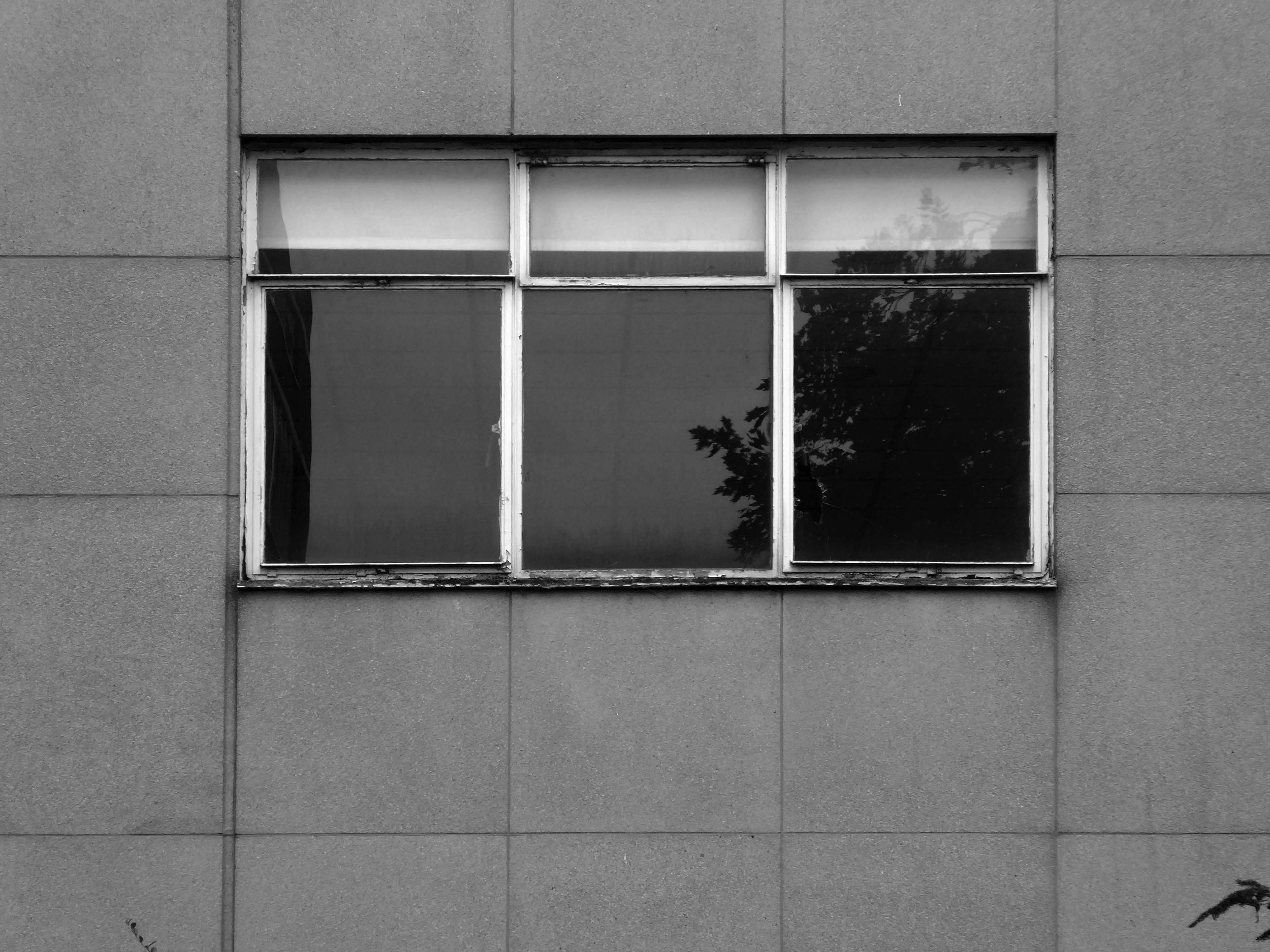
There is a sensitive mix of glass, stone, concrete and brick across a variety of scales and volumes.
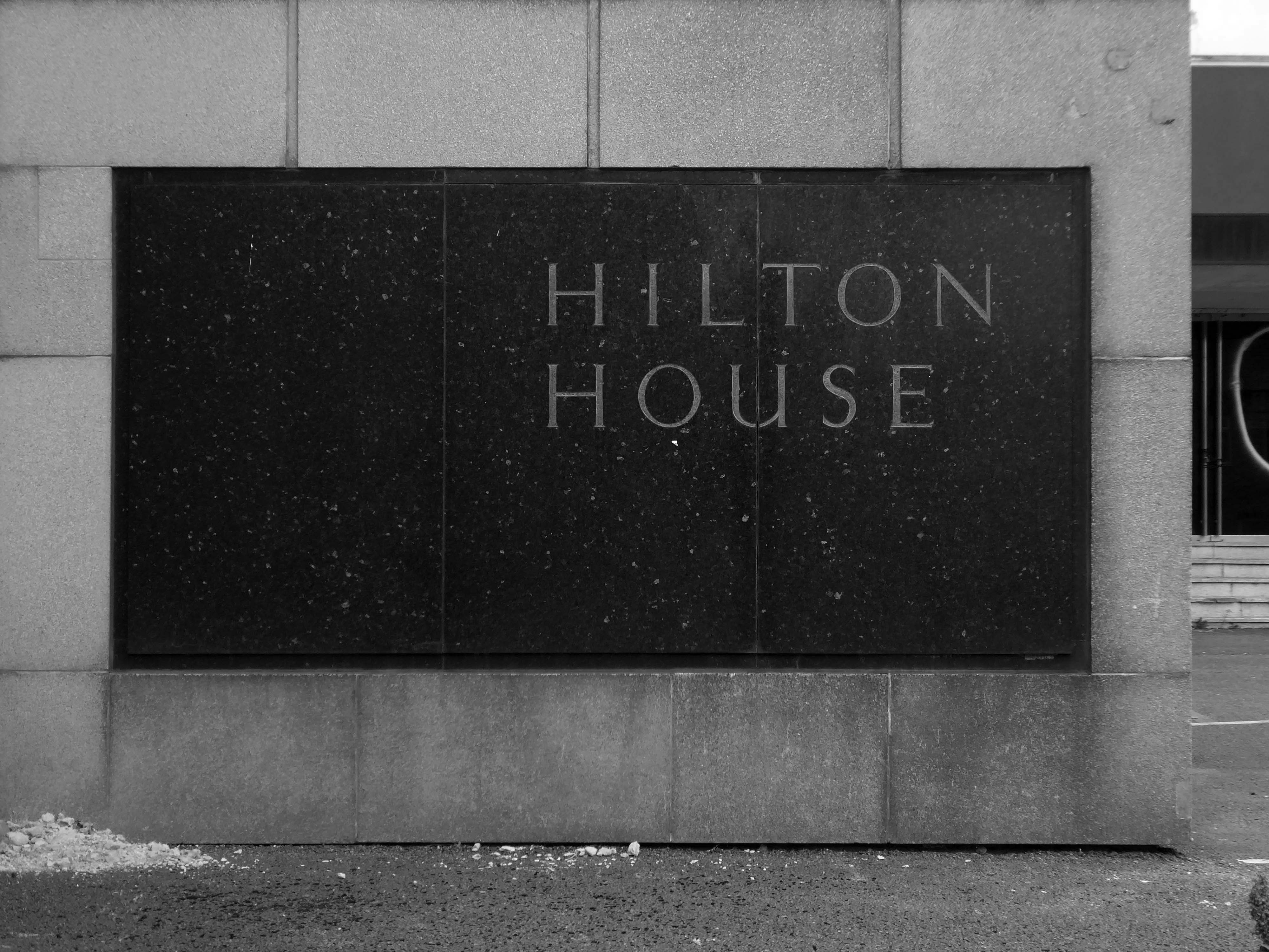
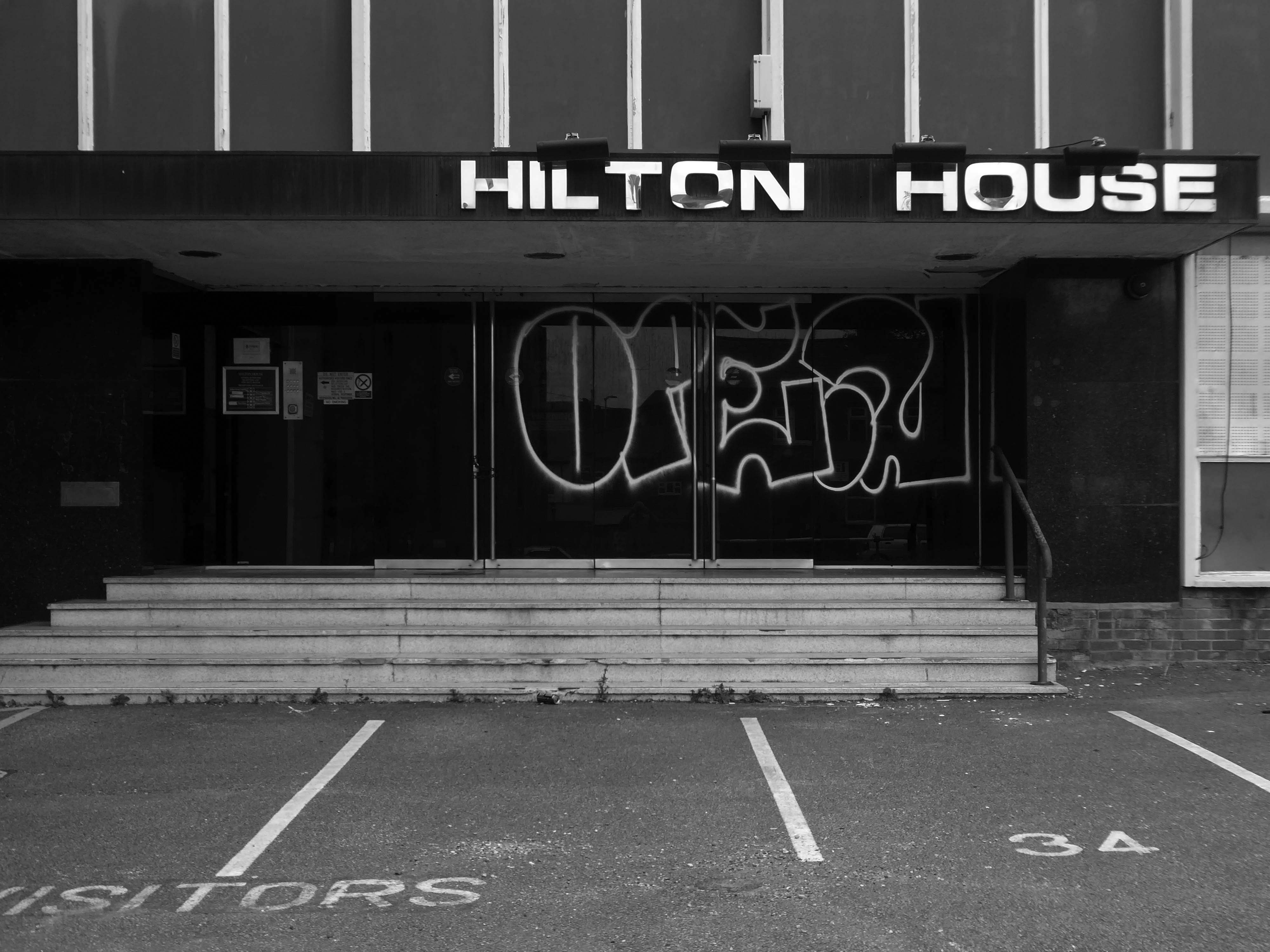
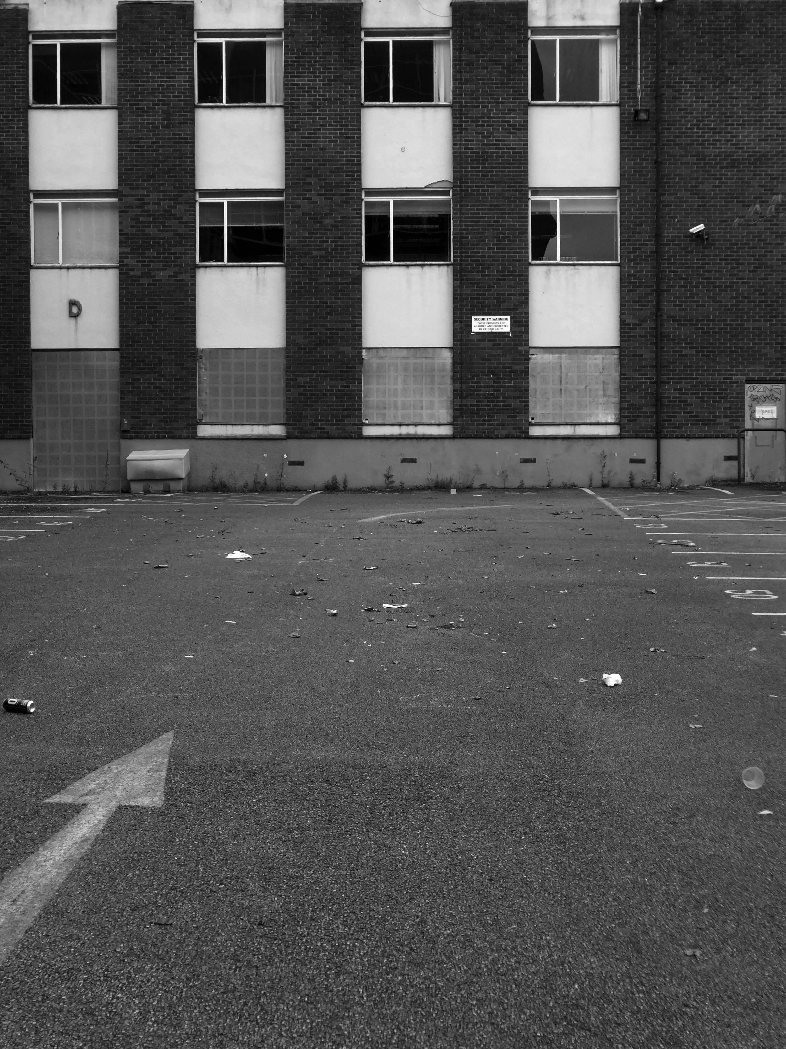
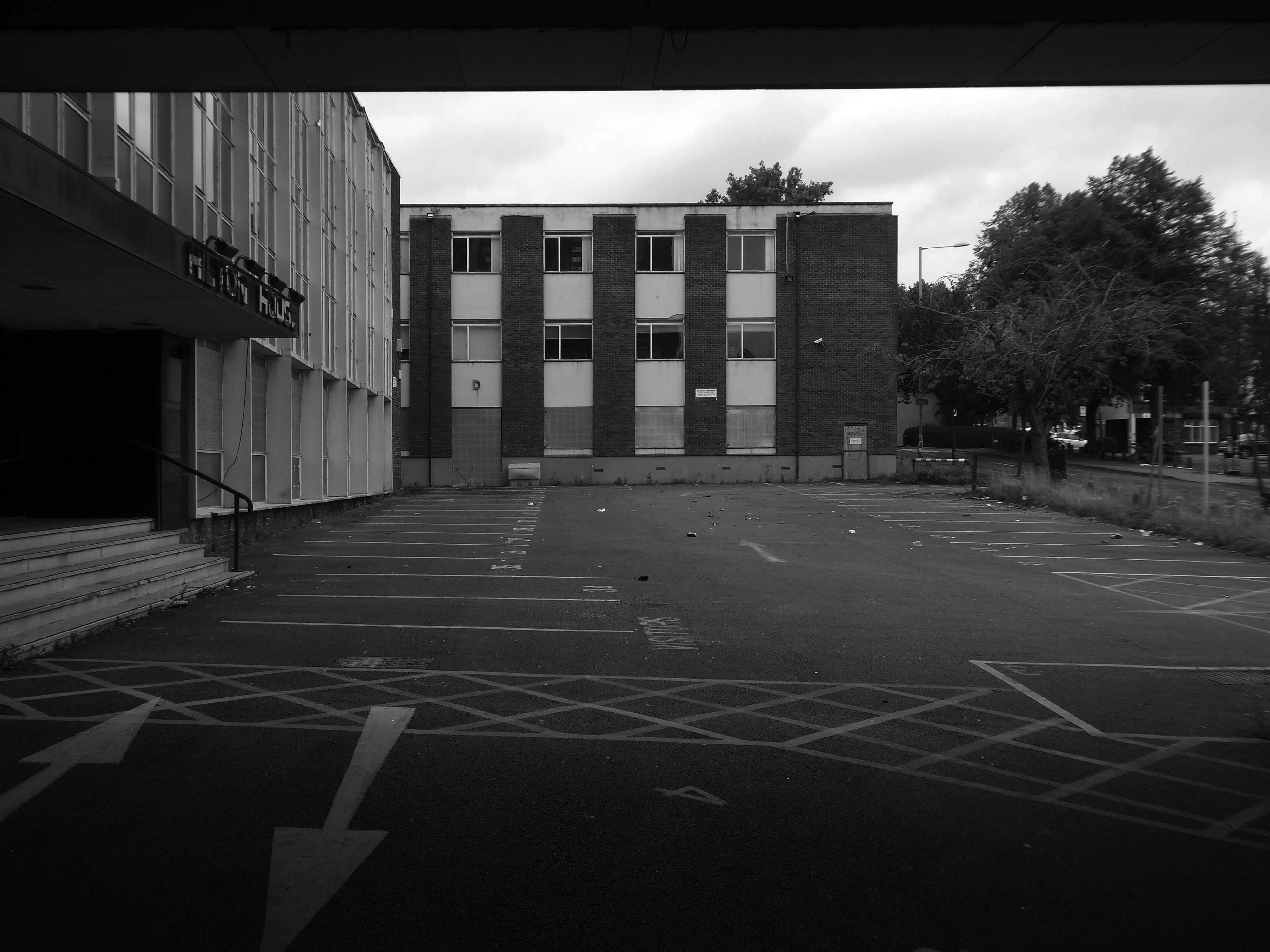
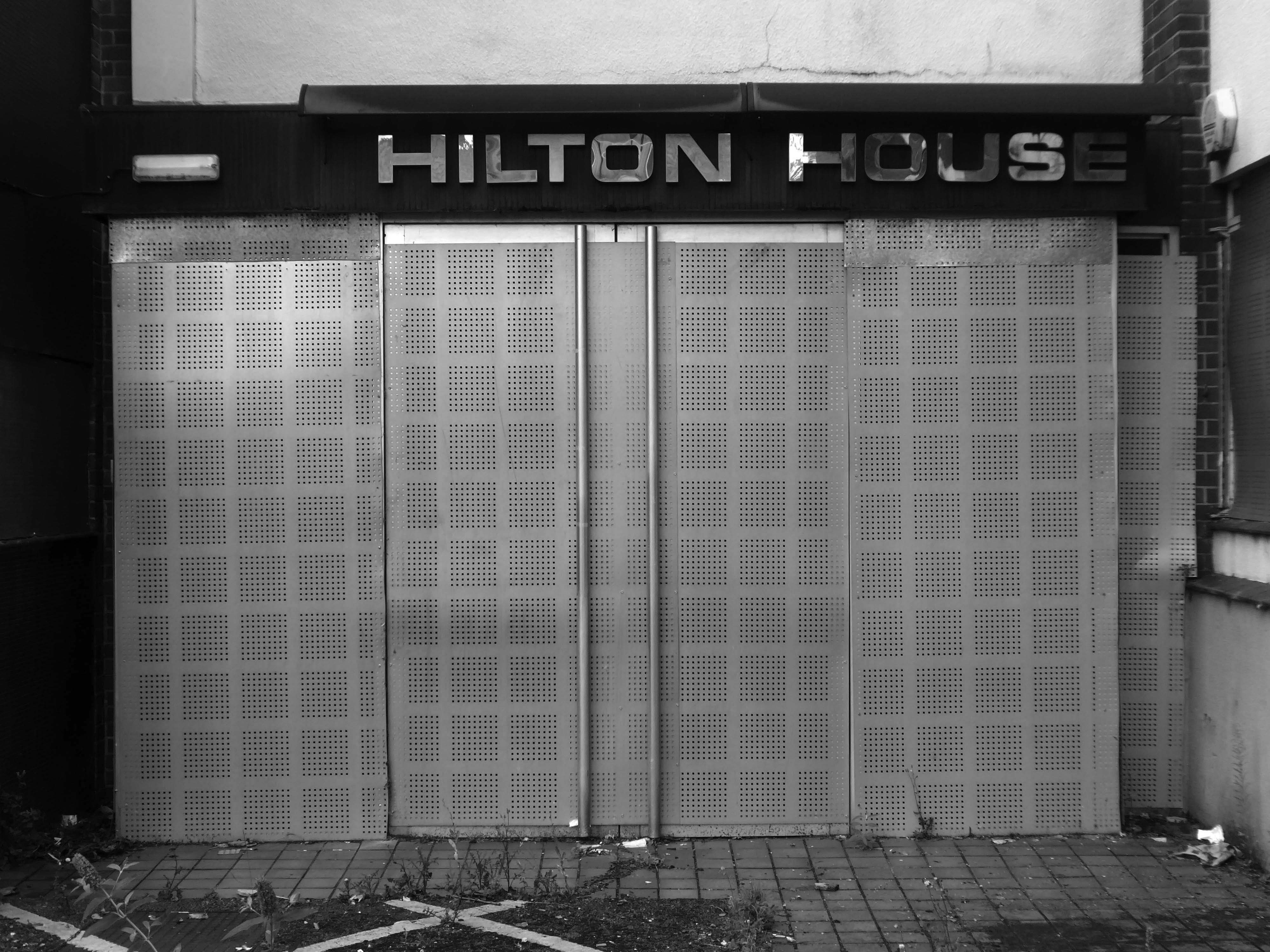
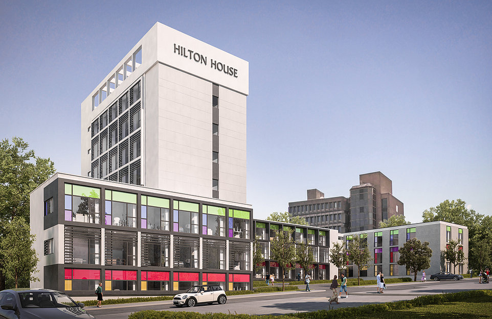
May 2020 – plans are submitted to remodel the exterior of Hilton House
The remodelling of the building include reparations and repainting brickwork, render and cladding as part of wider plans to rejuvenate Hilton House to rebrand as a more attractive and contemporary office location in Stockport town centre.
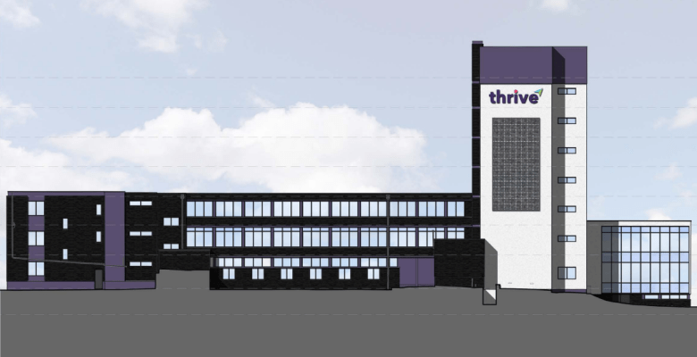
Studio KMA have proposed conversion to apartments.
Conversion of existing 1970s office building to apartments.
A combination of one-bed, two-bed and three-bed units ensure a new sustainable use in Stockport town centre.
The proposal incorporates the use of coloured glass panels to create a modern, fresh aesthetic.
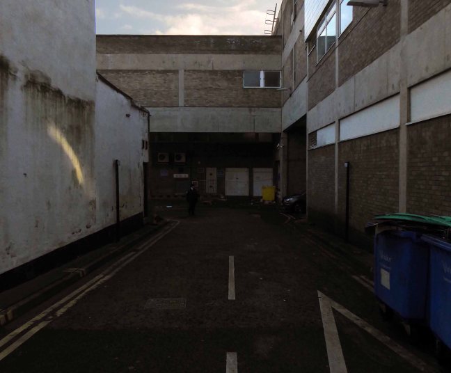
There comes a time in very life when you finally go where you have never been before – even though you have walked by that very same place almost every day.
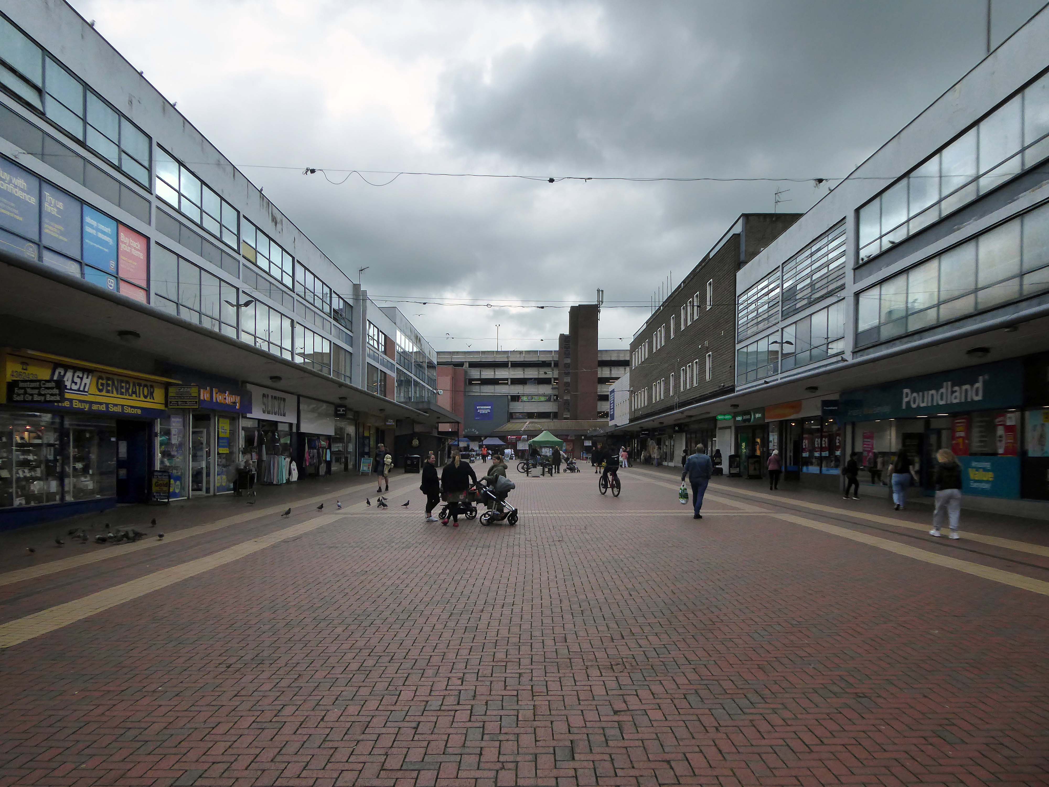
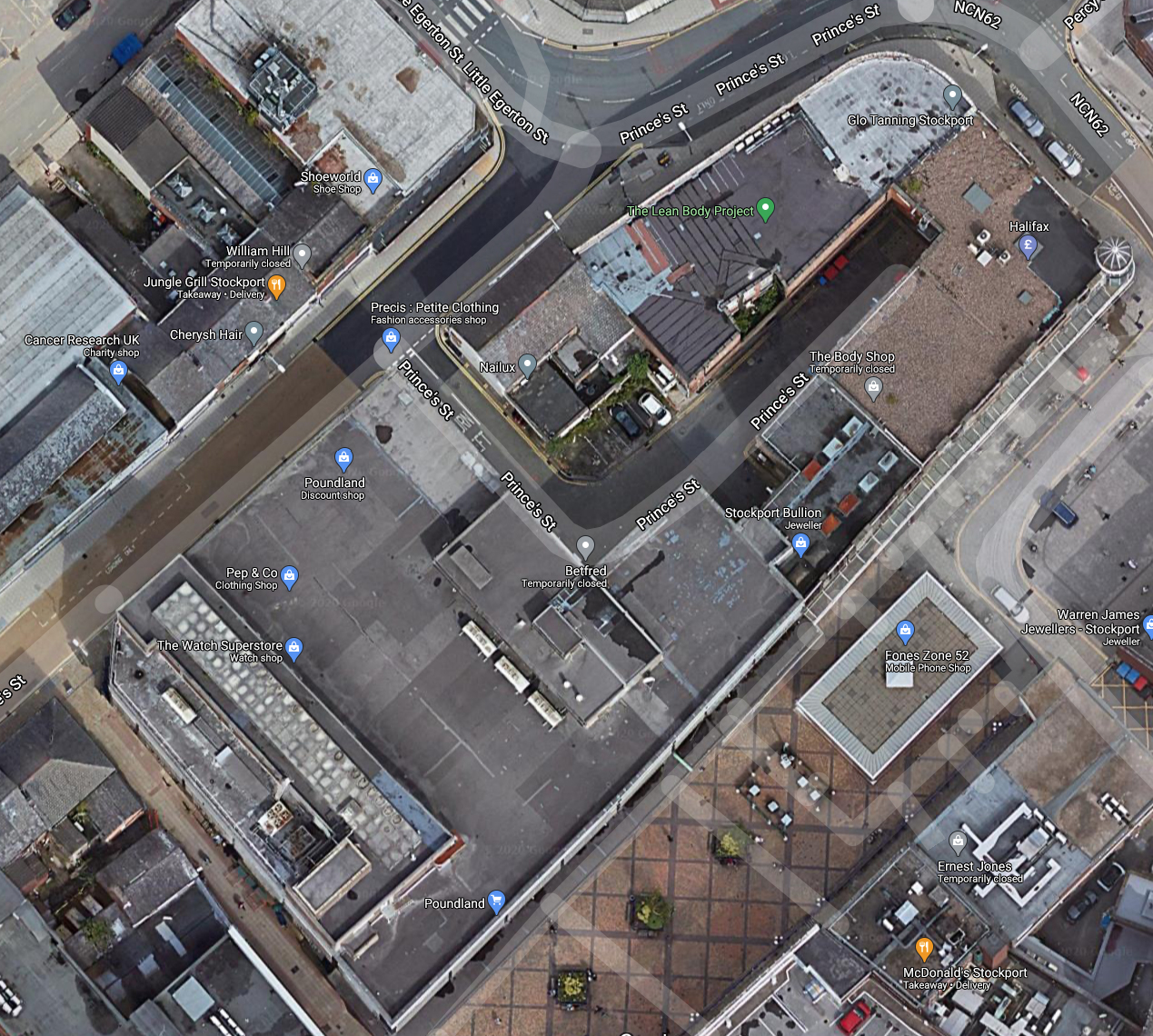
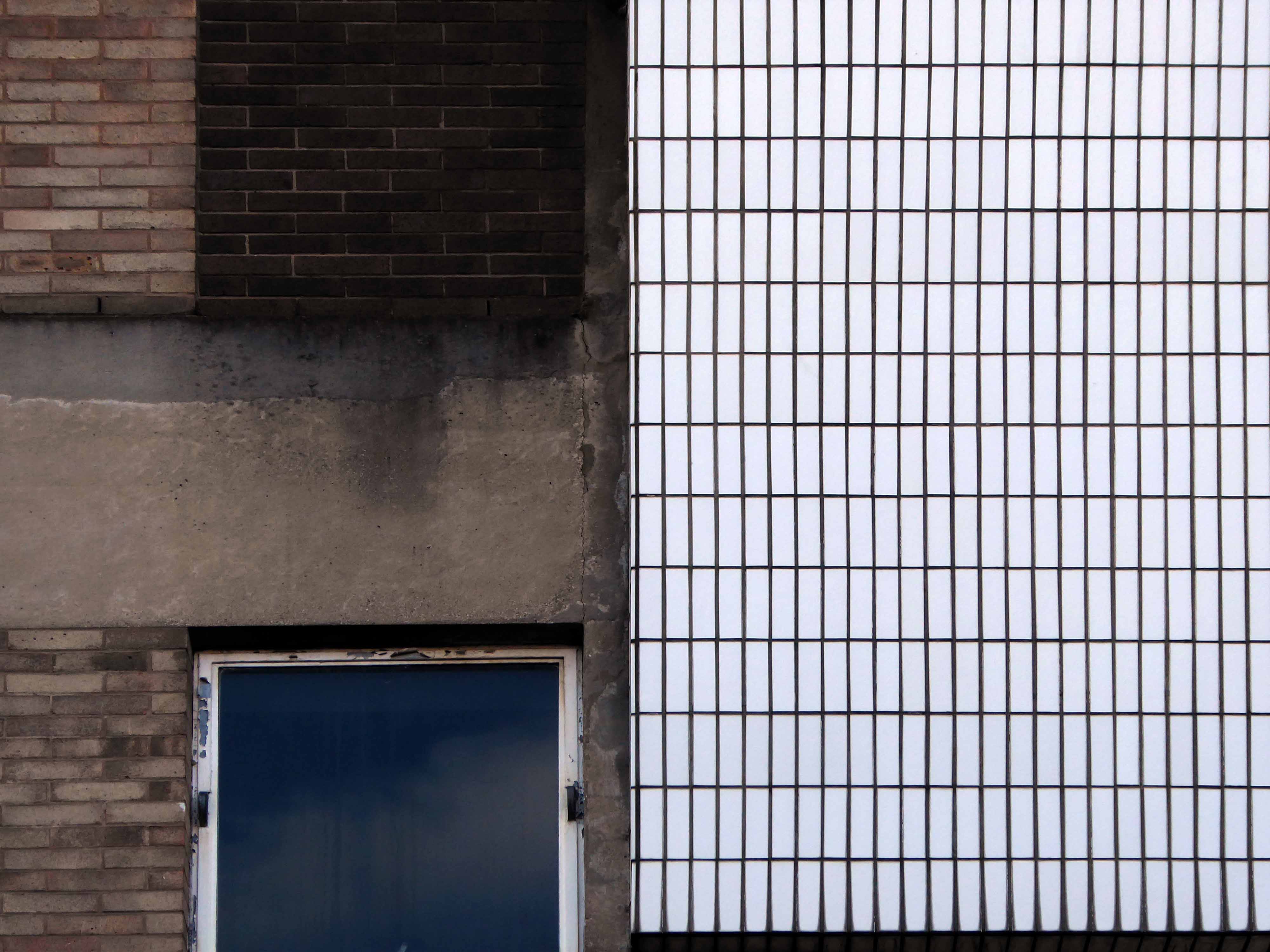
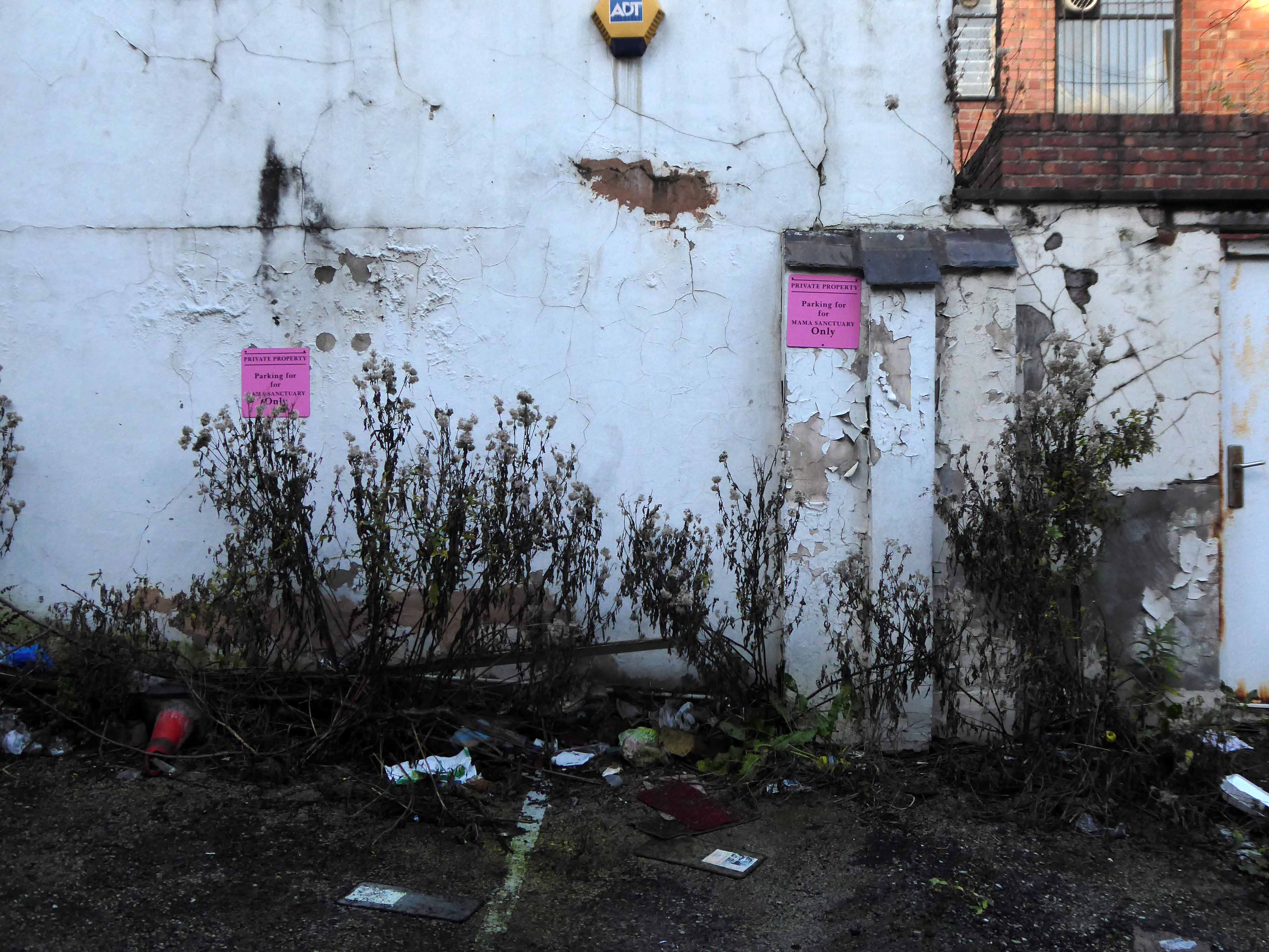
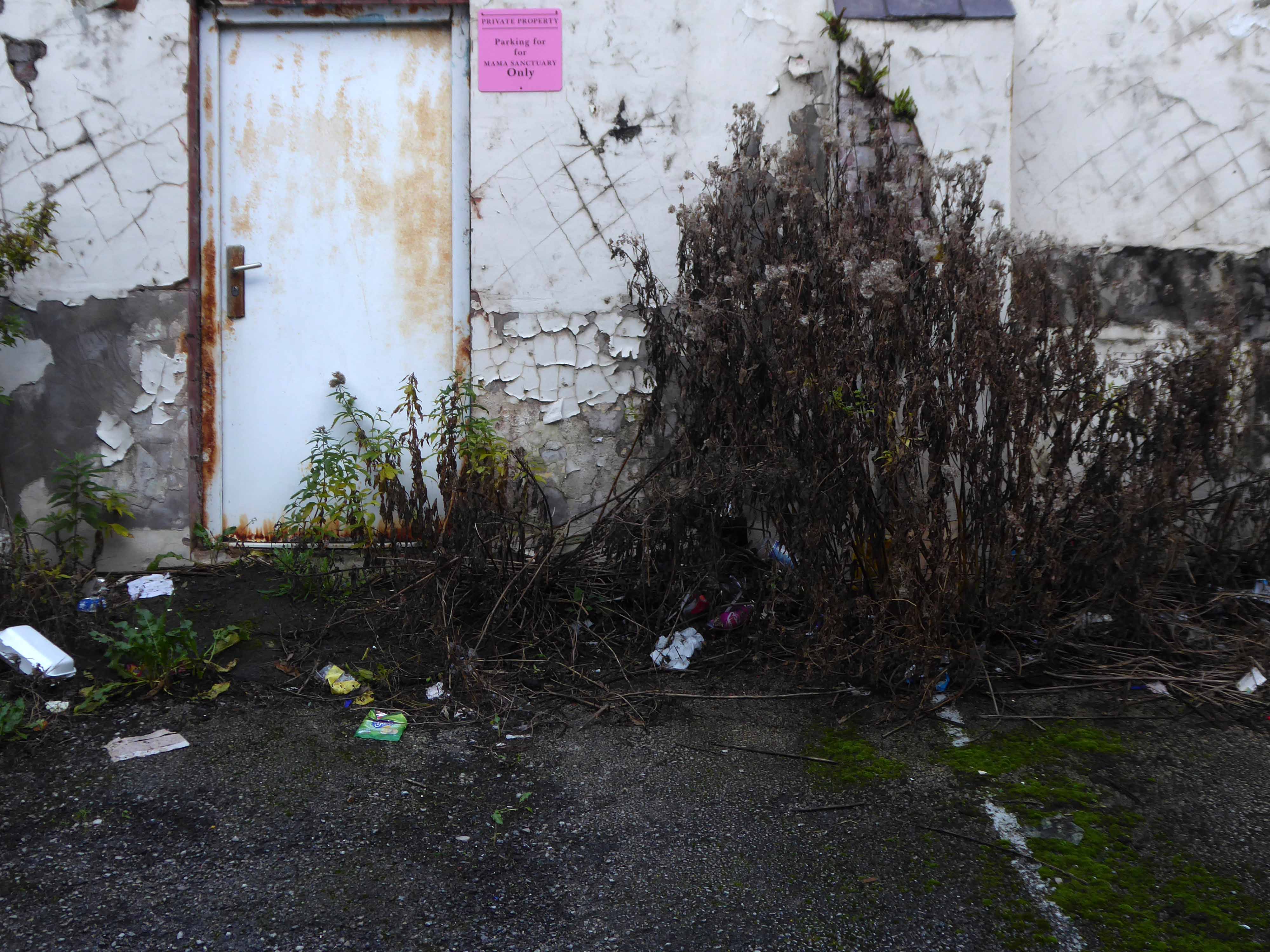
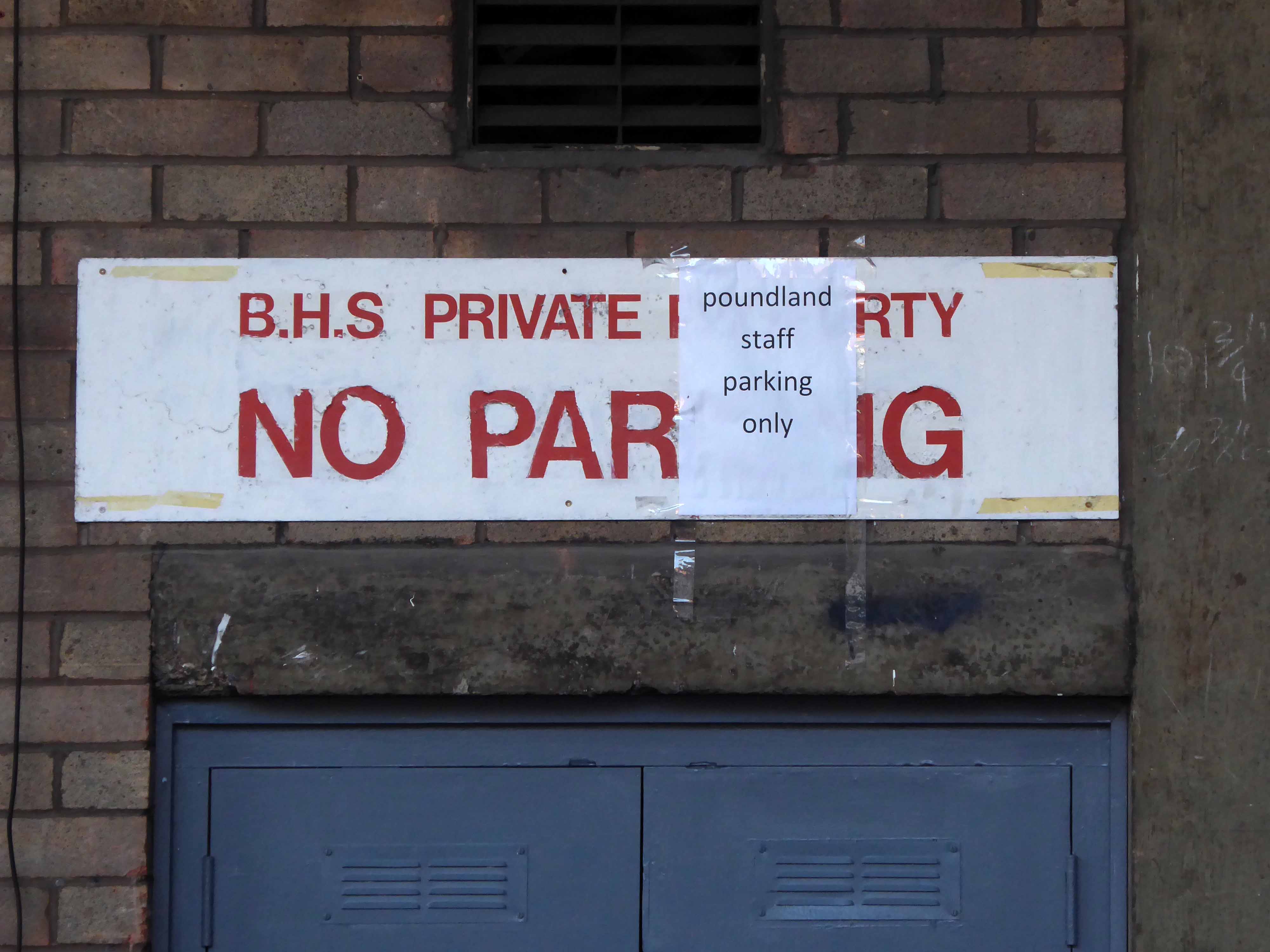
It is bounded by the former Burton’s store, the long gone BHS now home to Poundland, a later extension to the precinct and a Nineteenth century building. Illustrating the mongrel nature of many English towns, the result of world wars, speculative development and town planning.
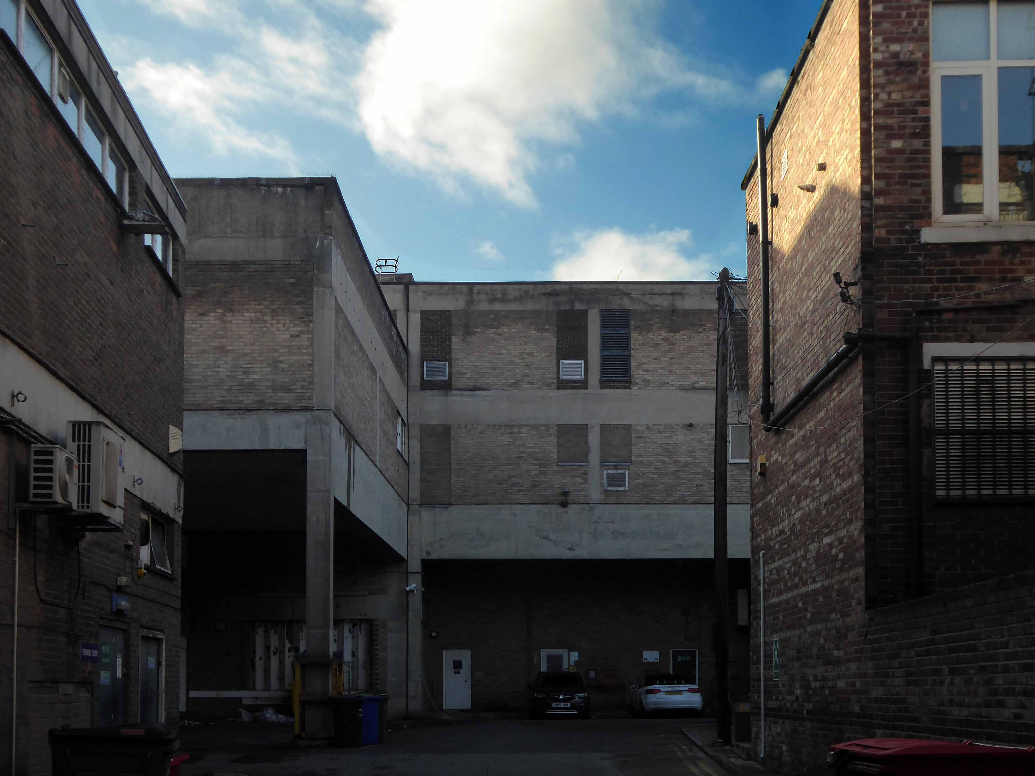
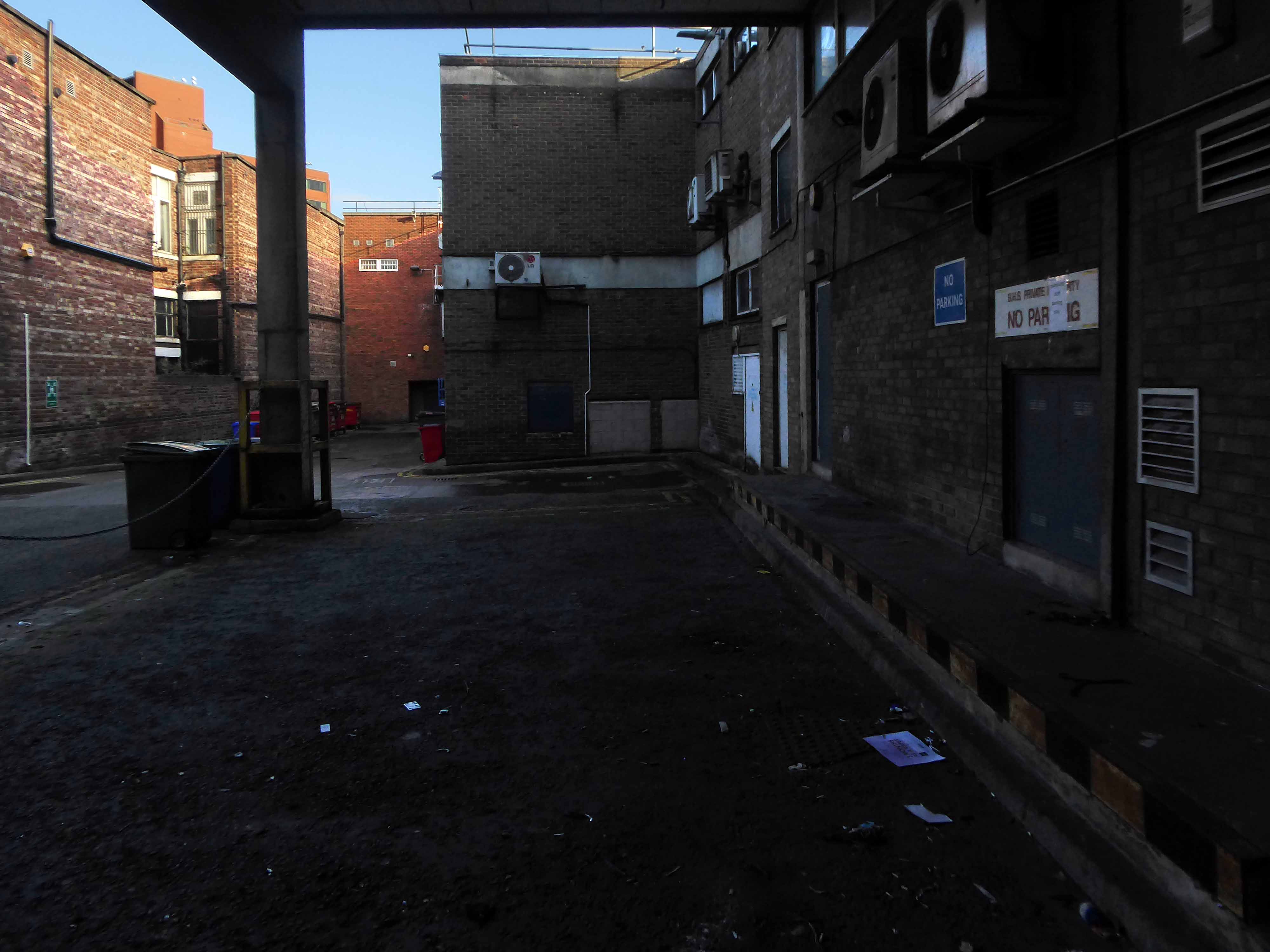
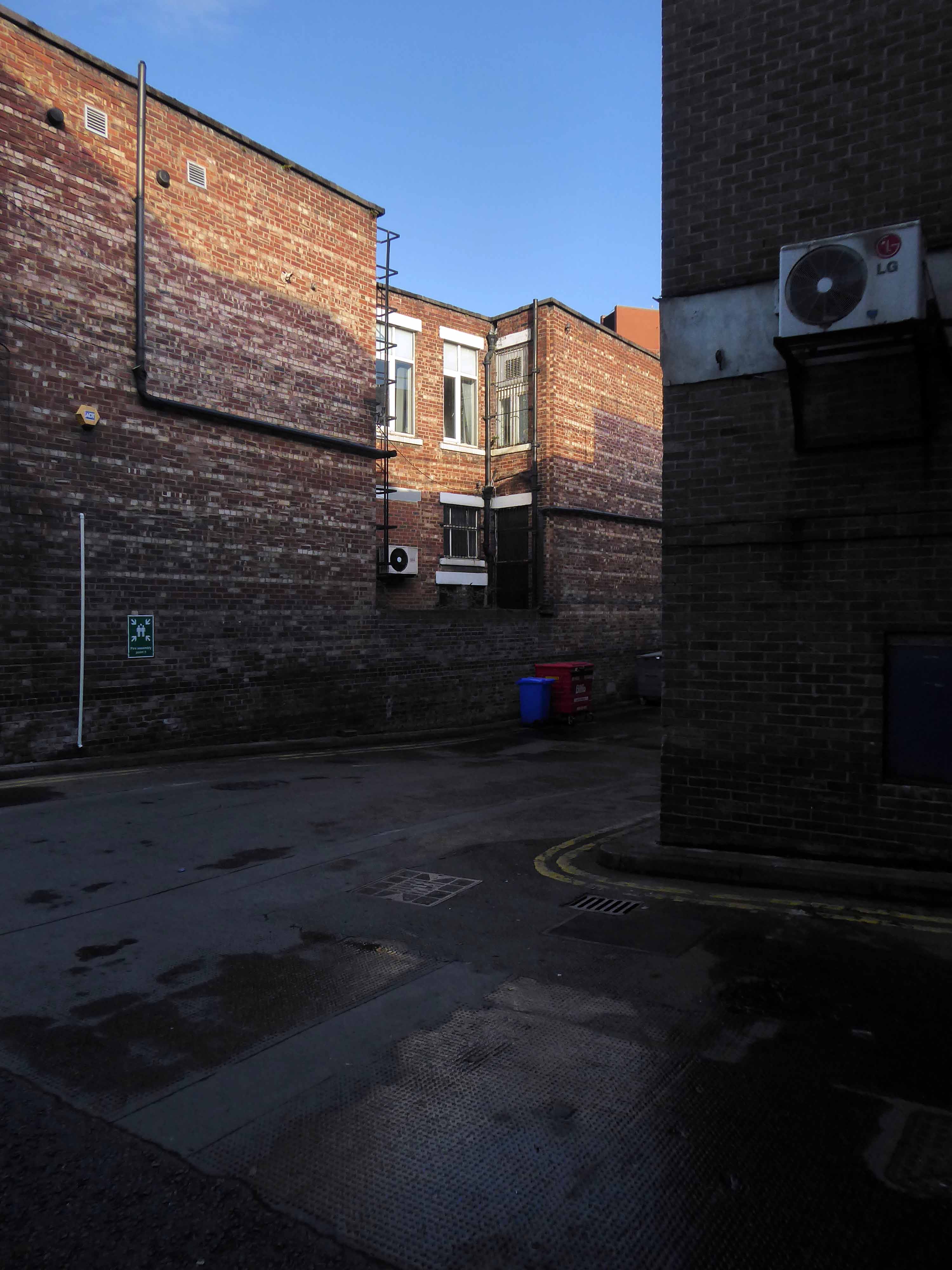
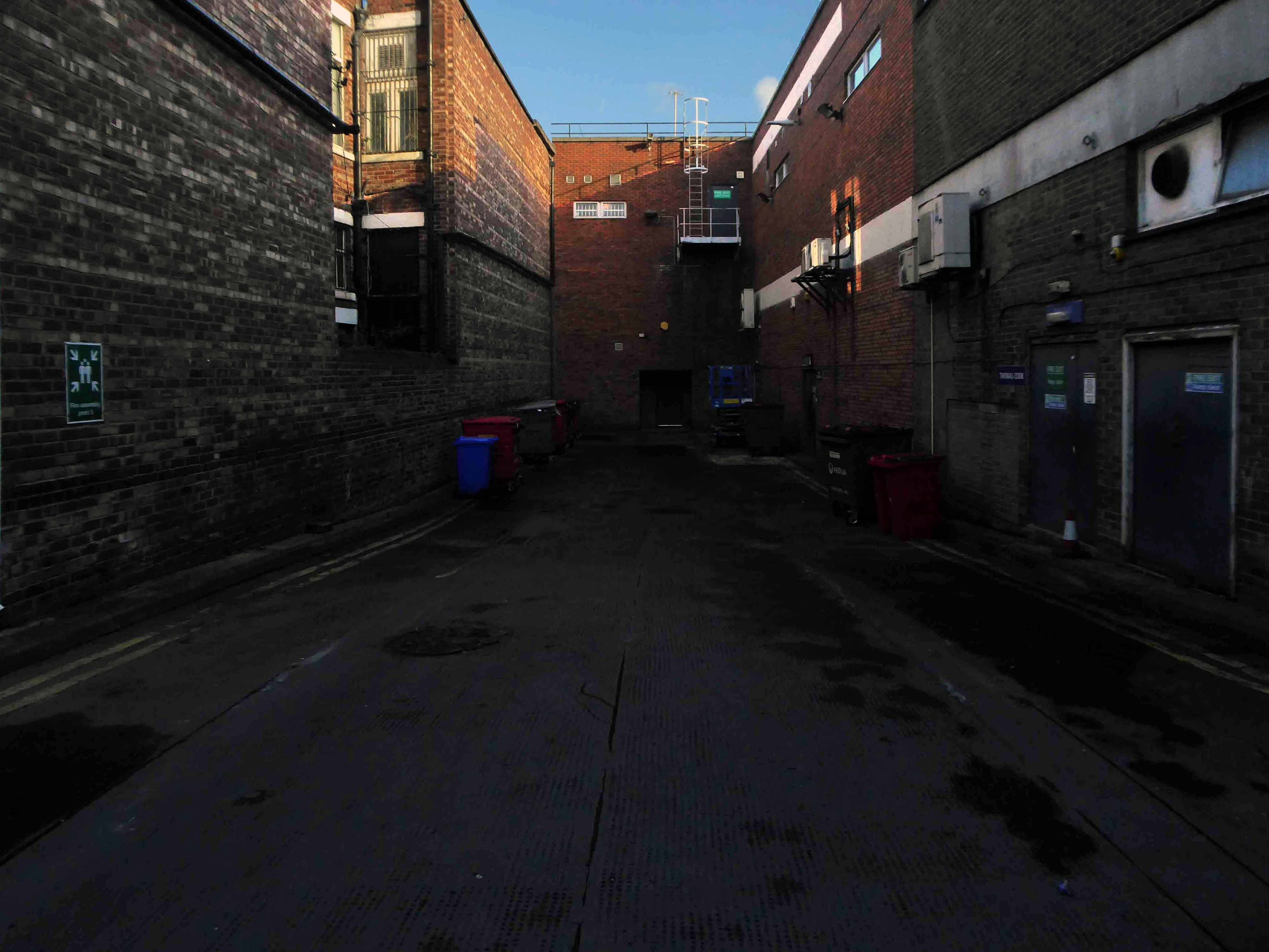
It’s a self contained world of loading, unloading unloved and overused.
Home to the pirate parker, carelessly avoiding the imposition of the municipal surcharges.
Shops and goods come and go part of the merry retail gavotte.
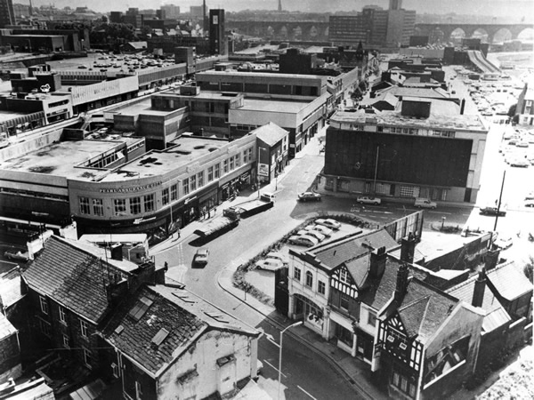
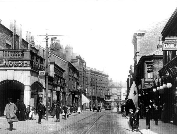
The trams once clang, clang, clanged along and the Picture House opened 2nd June 1913, later The Palladium, finally closing in 1956 – now occupied by a huge Charity Shop – Highway Hope.
The Merseyway construction is a modern amalgam of mosaic, brick and cast concrete.
The older brick building now almost rendered and coated in off white exterior emulsion.
There are signs of life and former lives.
This is a nether world that never really was a world at all.
The place where the sun almost doesn’t shine.
And the blue sky seems like an unwelcome intrusion.
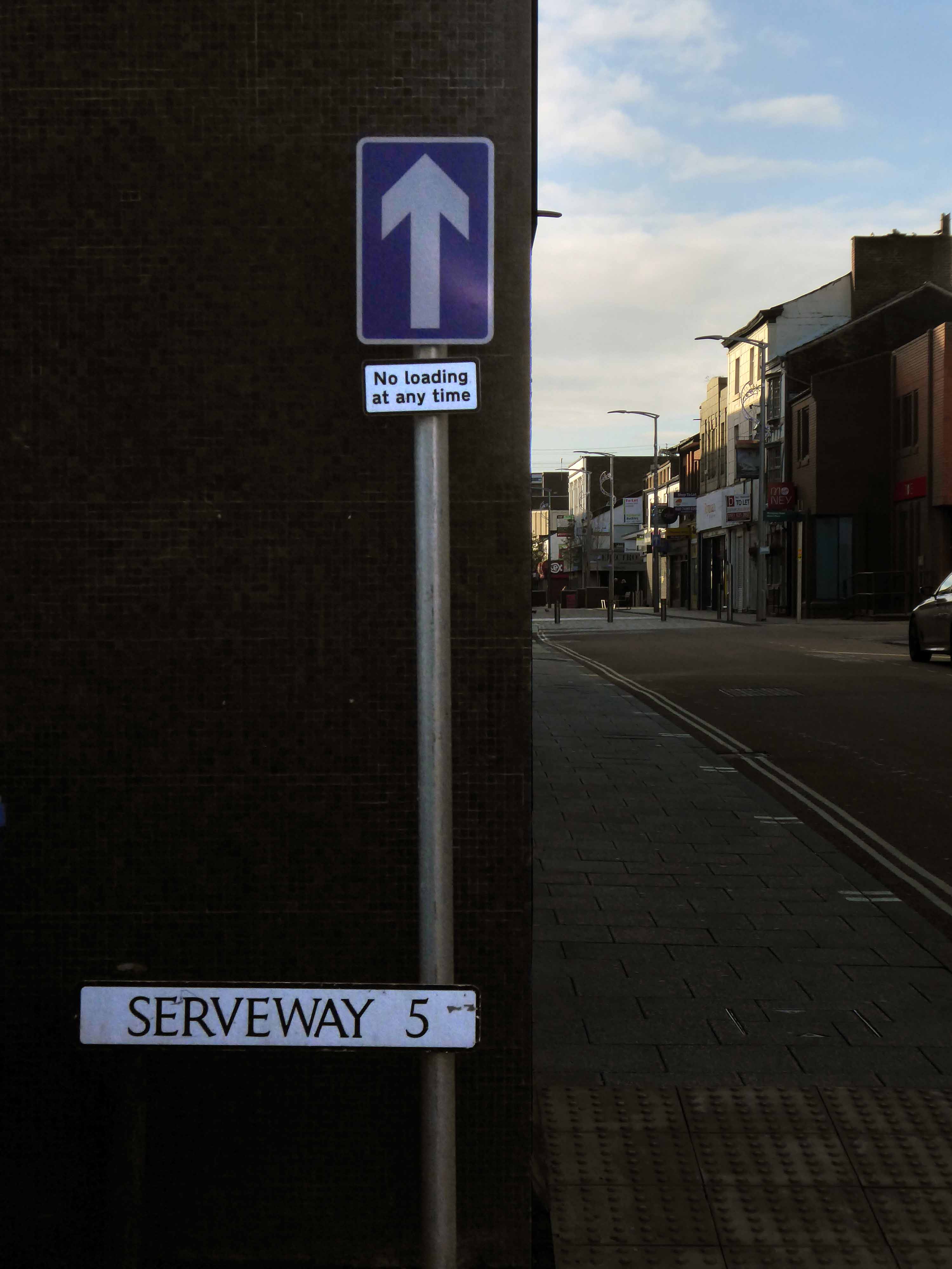
So as the retail sector contracts and the virus remains viral – wither Serveway Five?
The Council purchased the development at no cost to taxpayers via the current income stream. The rationale for purchase was to create a sustainable future for the centre via a series of targeted redevelopments. Key aspirations for the centre will be to fully integrate it into the town centre. We also want it to complement our exciting ownerships such as Debenhams, Redrock and Market Place and Underbanks.
The investment will seek to change perceptions of not only the retail offer but also Stockport as a whole. It will ultimately create a town centre that will benefit the local business community and Stockport residents.
Drew up a list of buildings, made plans – dream on.
The best laid schemes o’ mice an’ men gang aft a-gley.
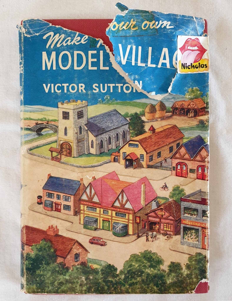
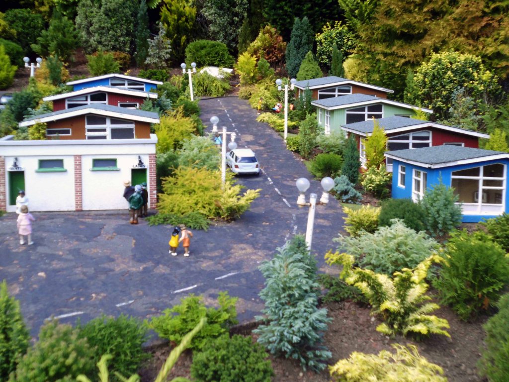
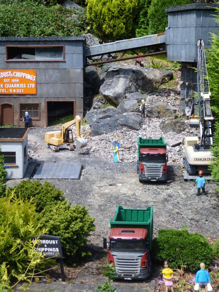
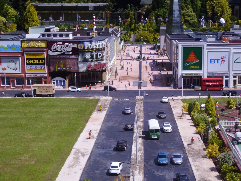
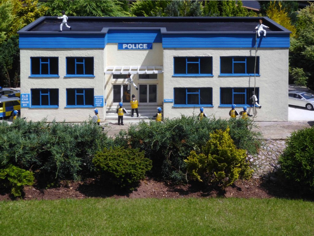
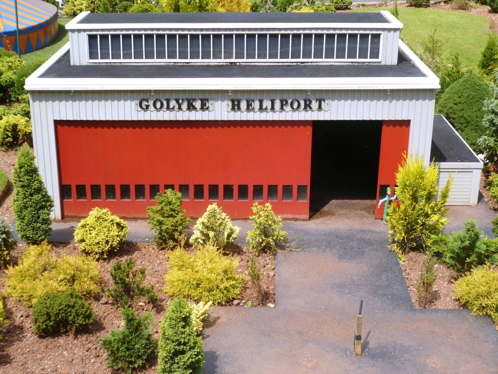
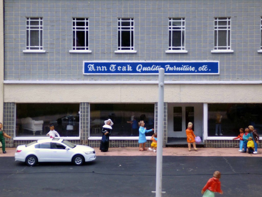
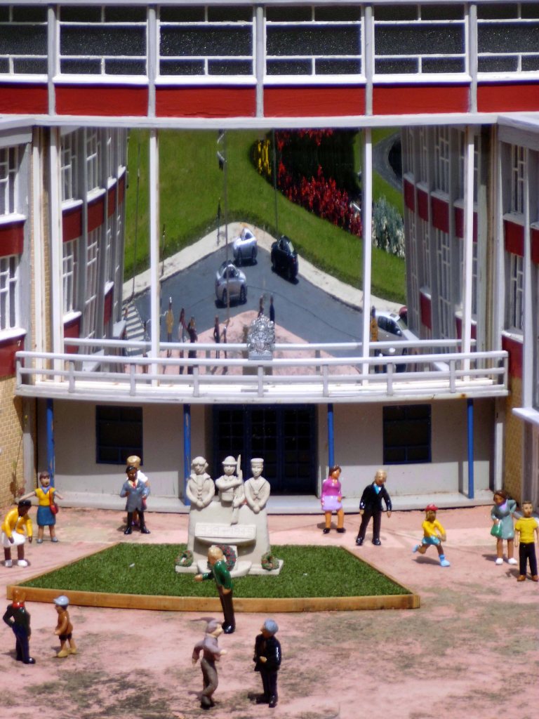
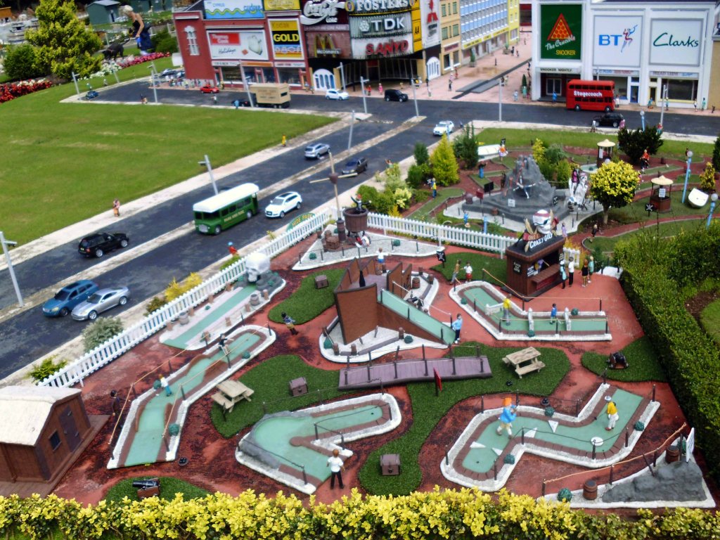
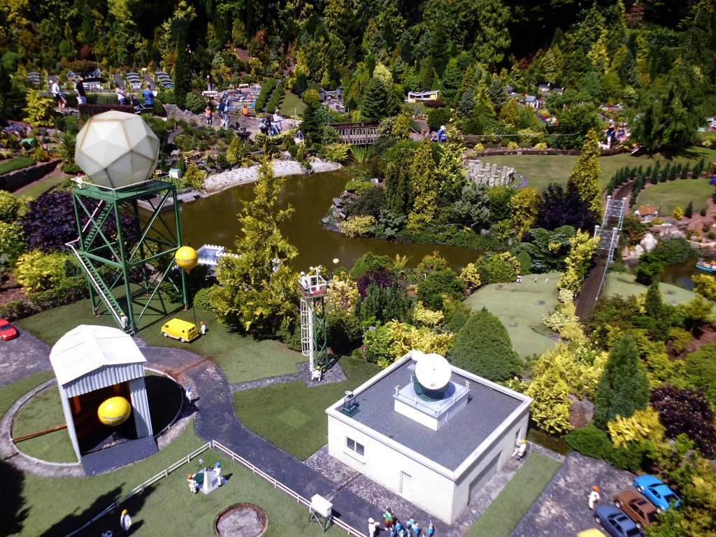
However, whilst on my 2015 cycle tour of the south west coast I arrived almost accidentally yet serendipitously outside Babbacombe Model Village.
A good place to visit as dogs are welcome and this is important to us. The models were very cleverly designed and each one is recognisable and very funny anecdotes and labels. It was much bigger than it looked but flowed easily and was fun and charming to walk around. There is also a free mini crazy golf room which makes a change to not charge for something like this and a joy to see. I really enjoyed myself and it is all so well maintained you can feel the passion of the people creating it.
I went in – how could I have done otherwise?
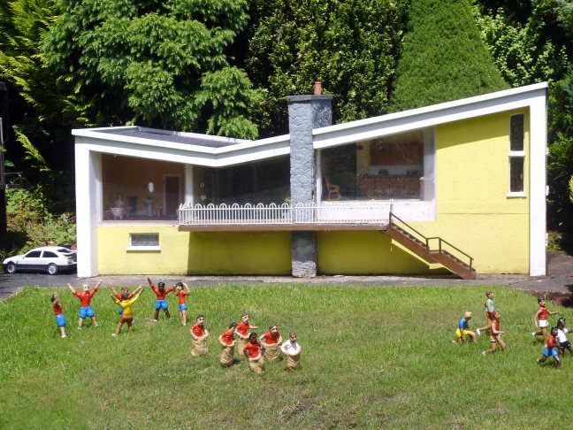
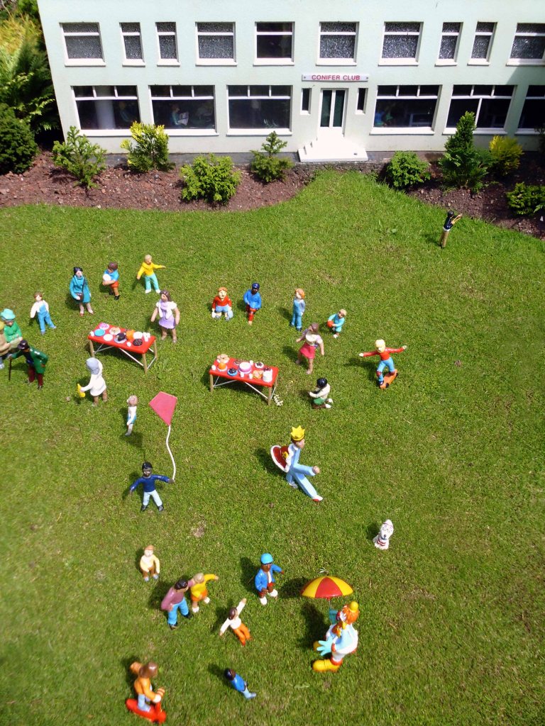
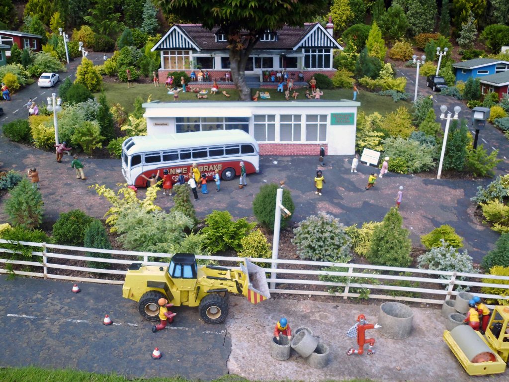
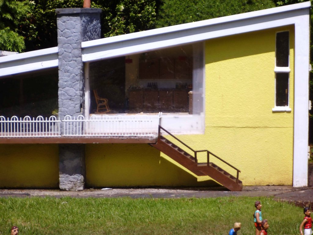
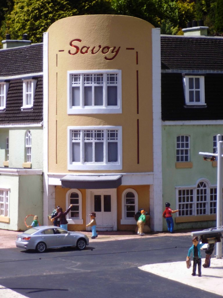
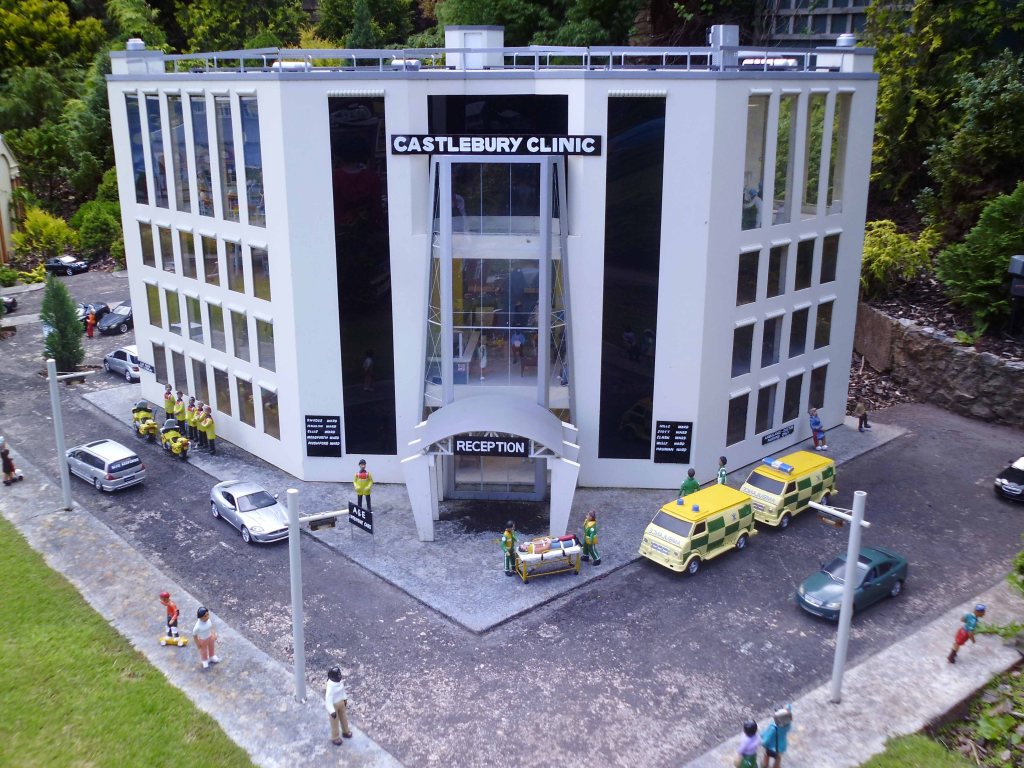
Many of the buildings reflect the areas’ Seaside Moderne styles, from the holiday chalets to the substantial Modernist Villa, plus all the up to the minute services and infrastructure one would expect in a modern model village.
Let’s take a look:
Other model villages are available – Bondville Bridlington and virtually in Hastings
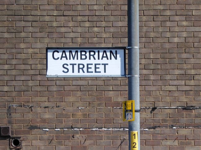
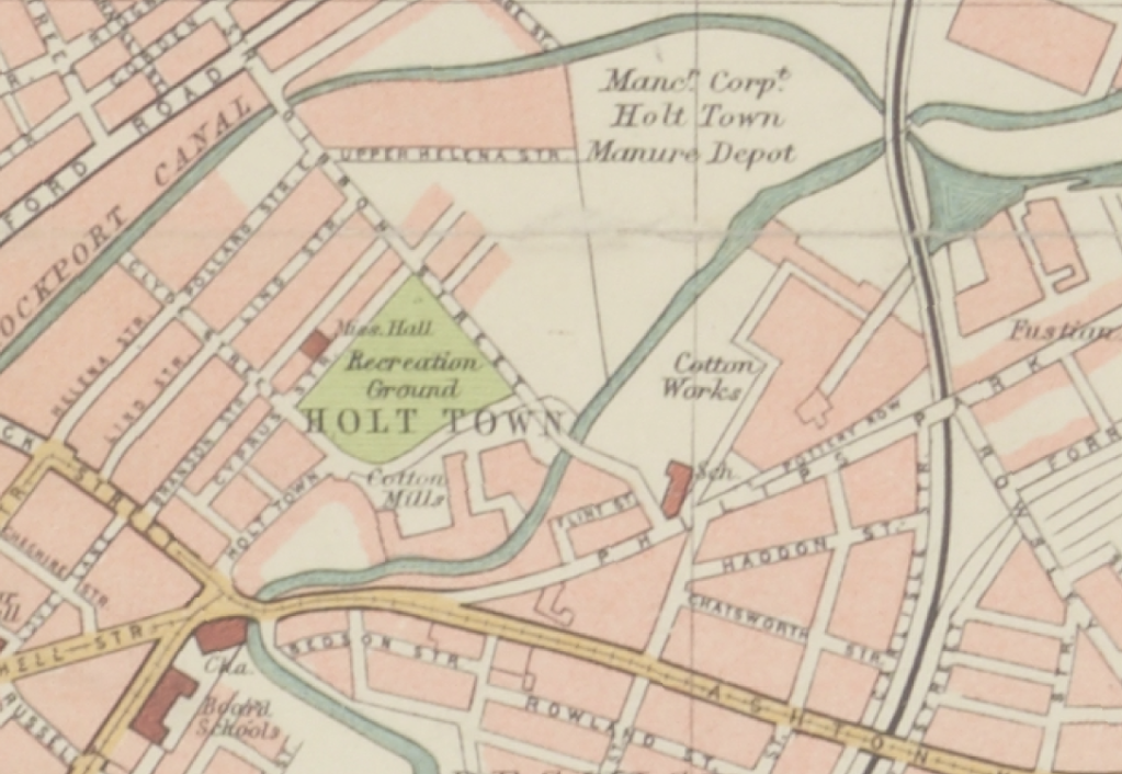
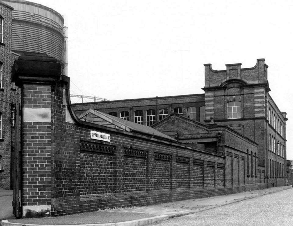
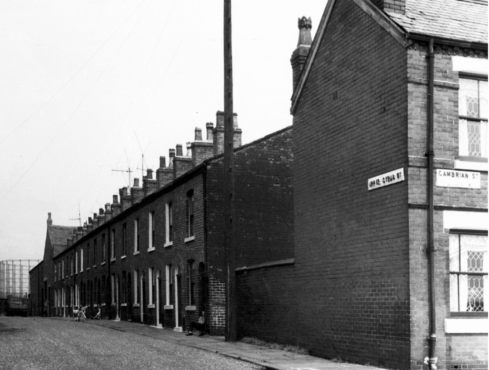
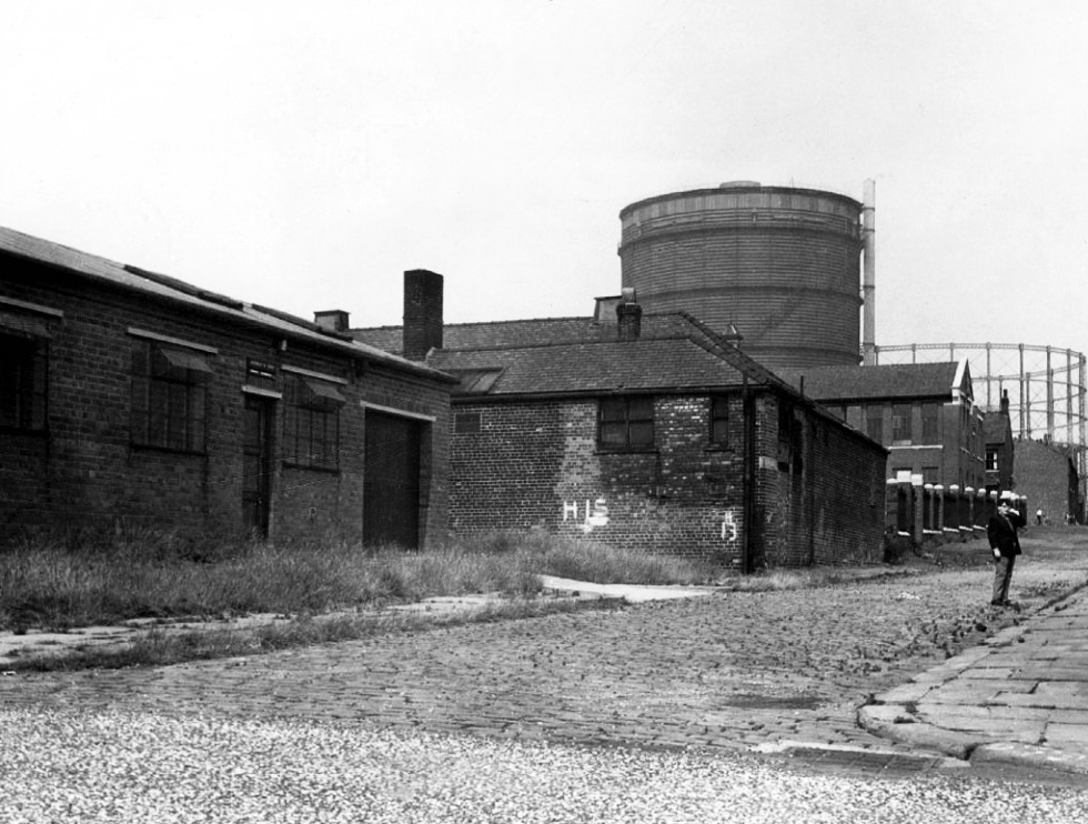
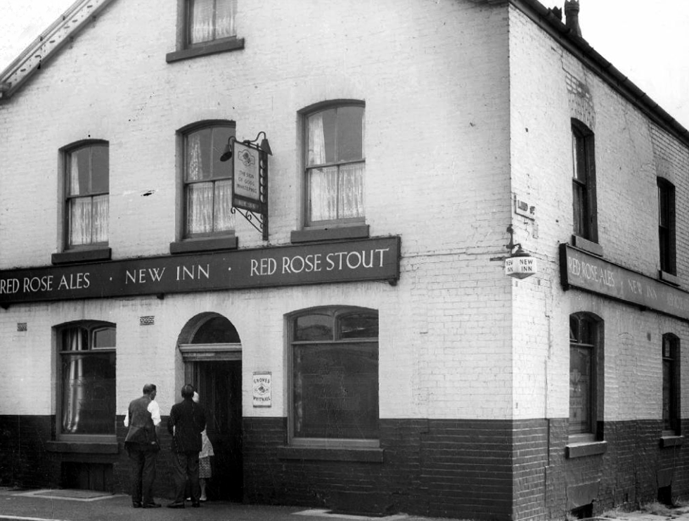
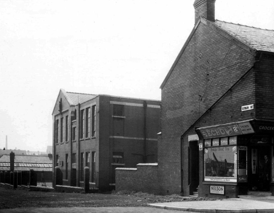
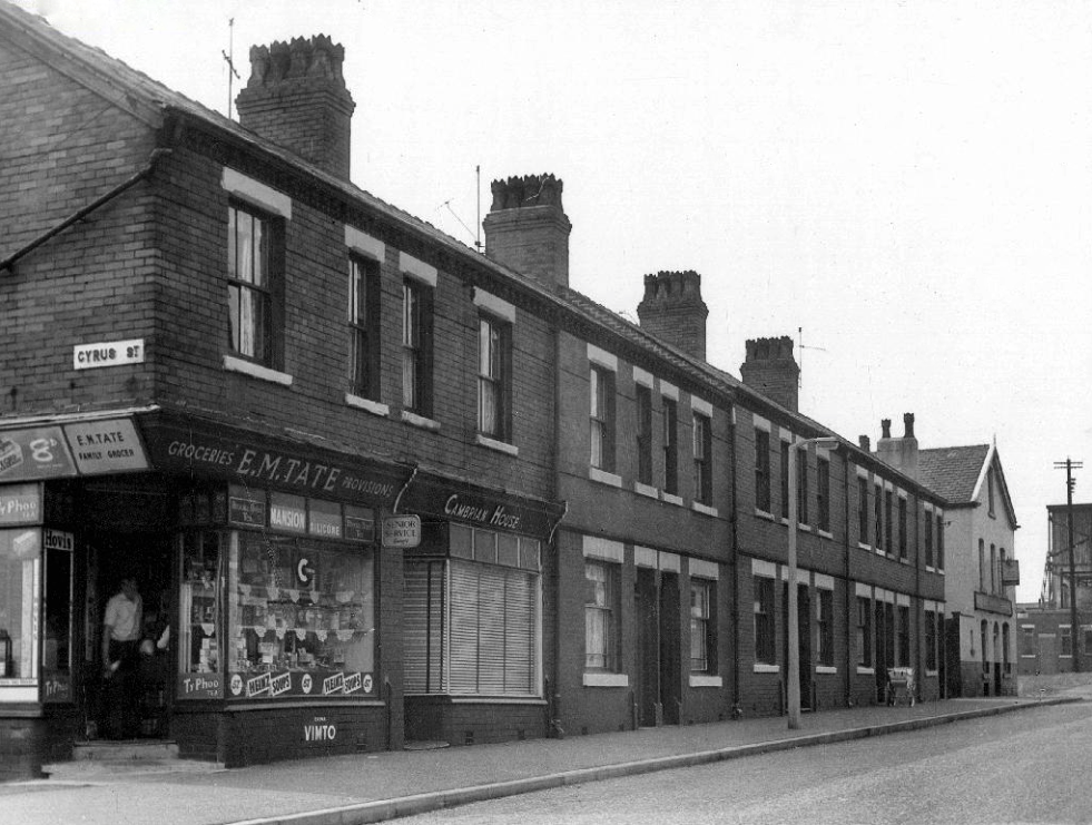
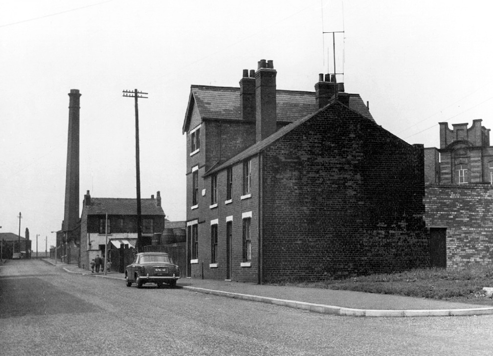
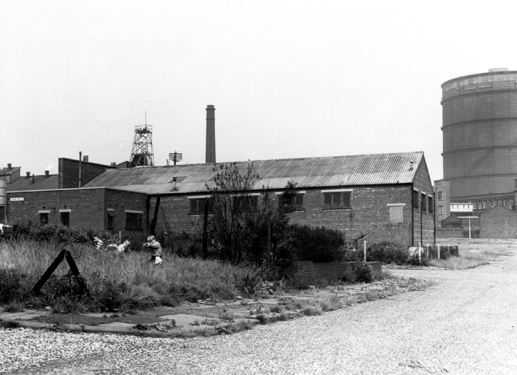
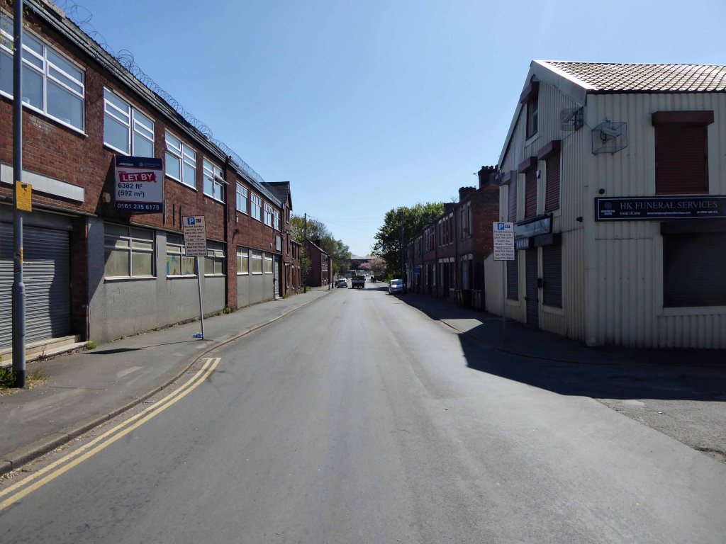
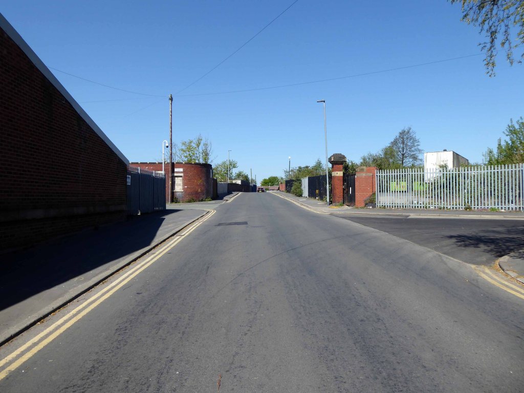
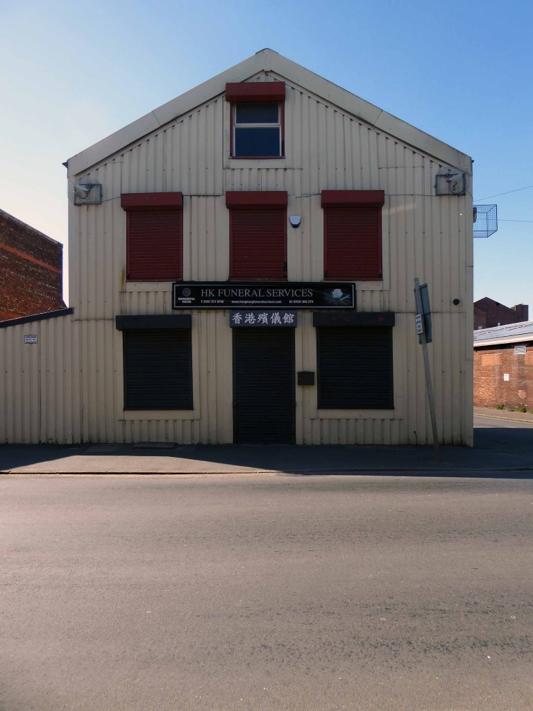
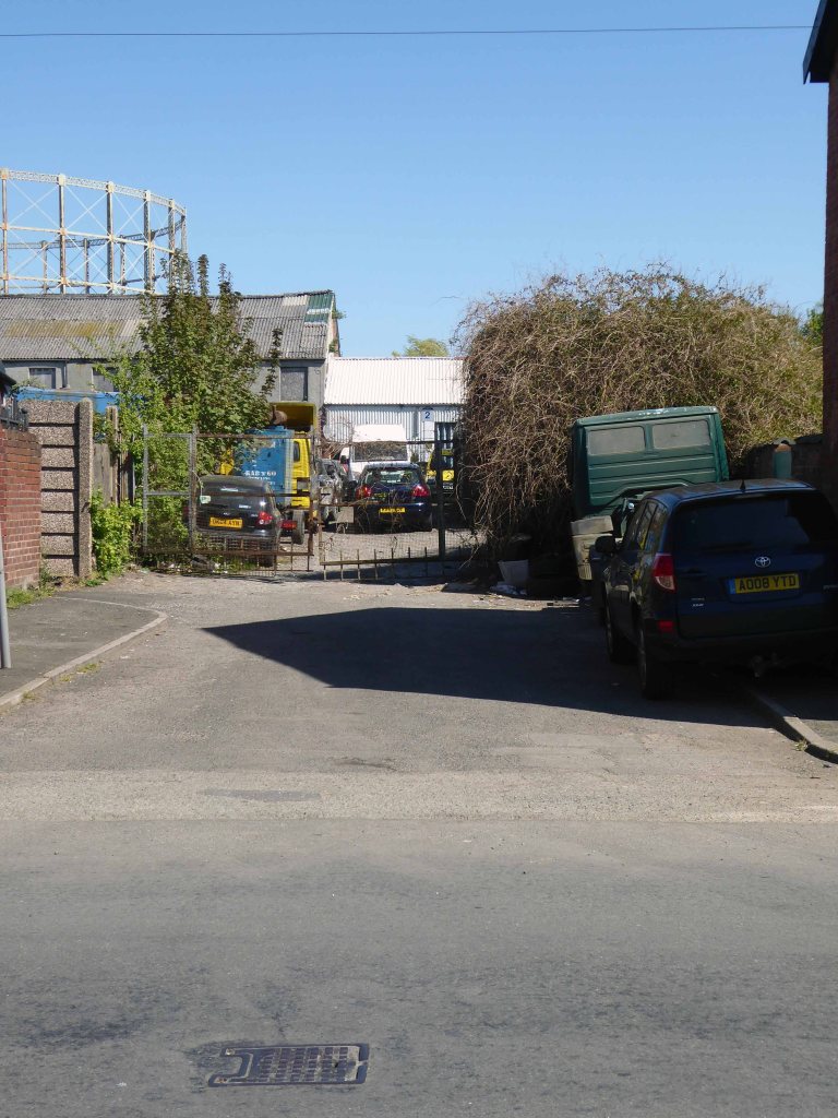
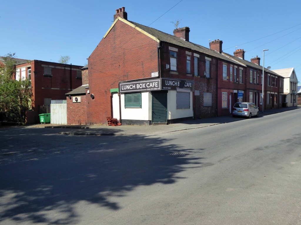
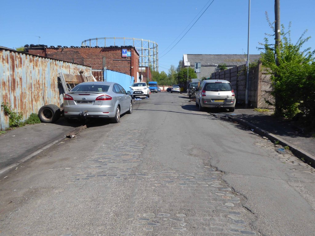
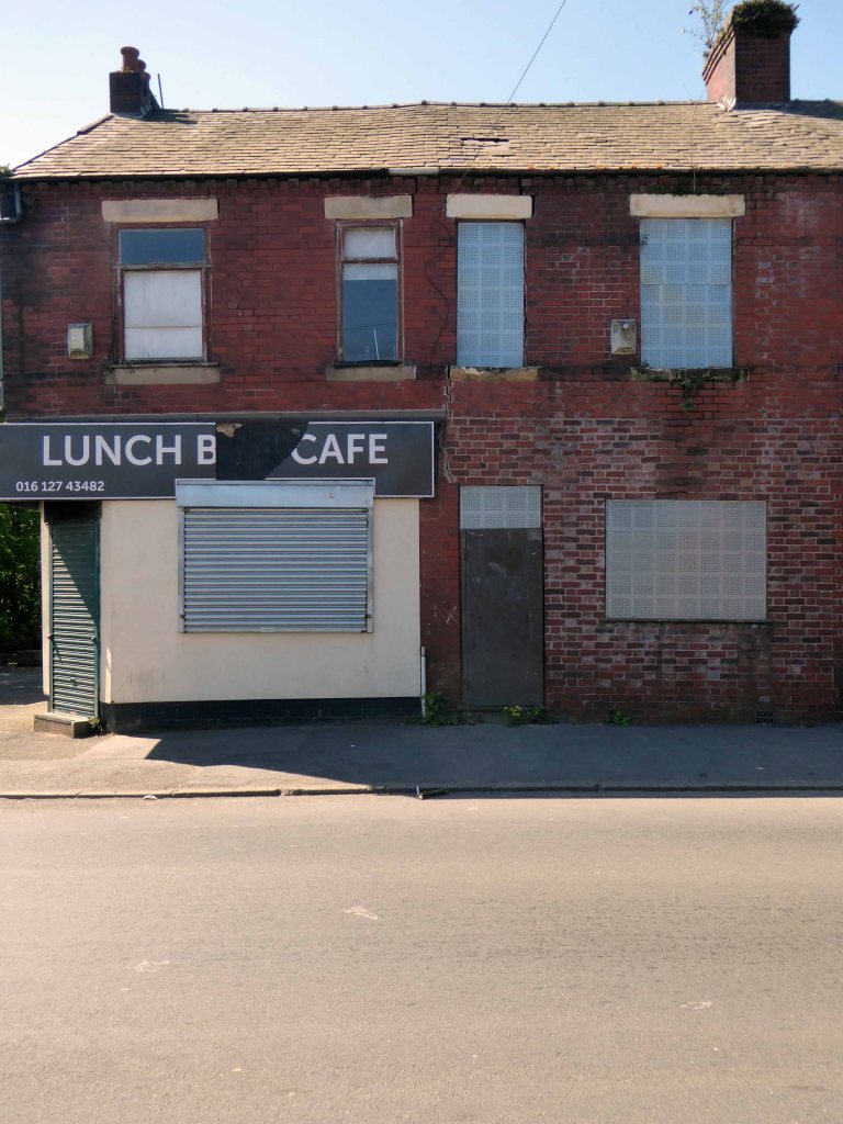
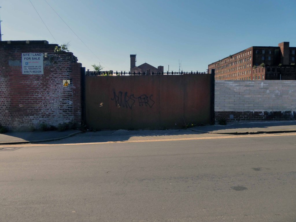
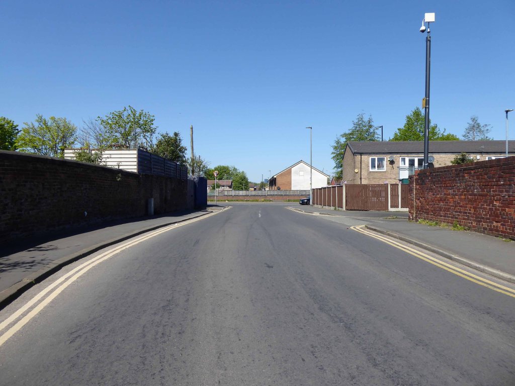
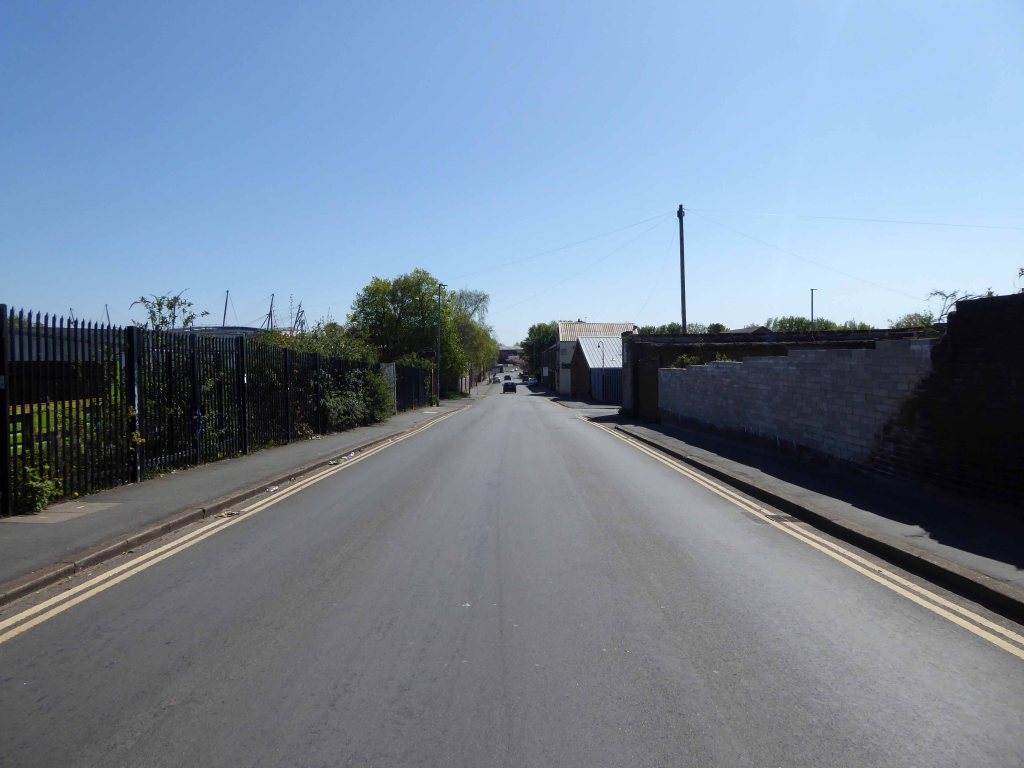
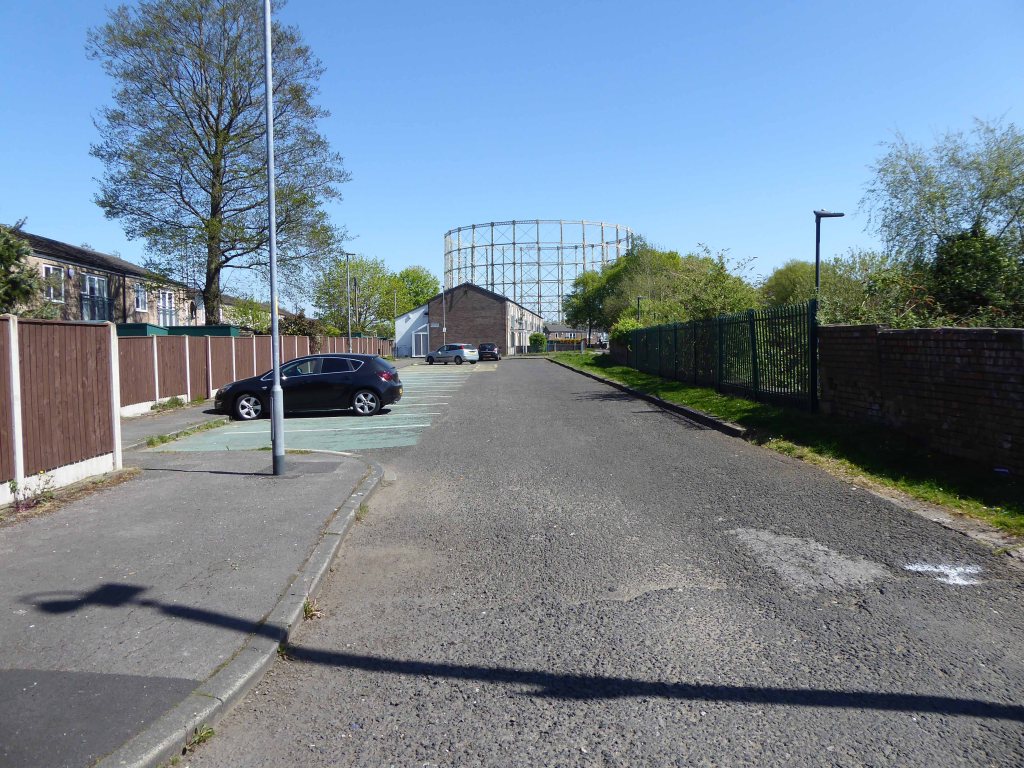
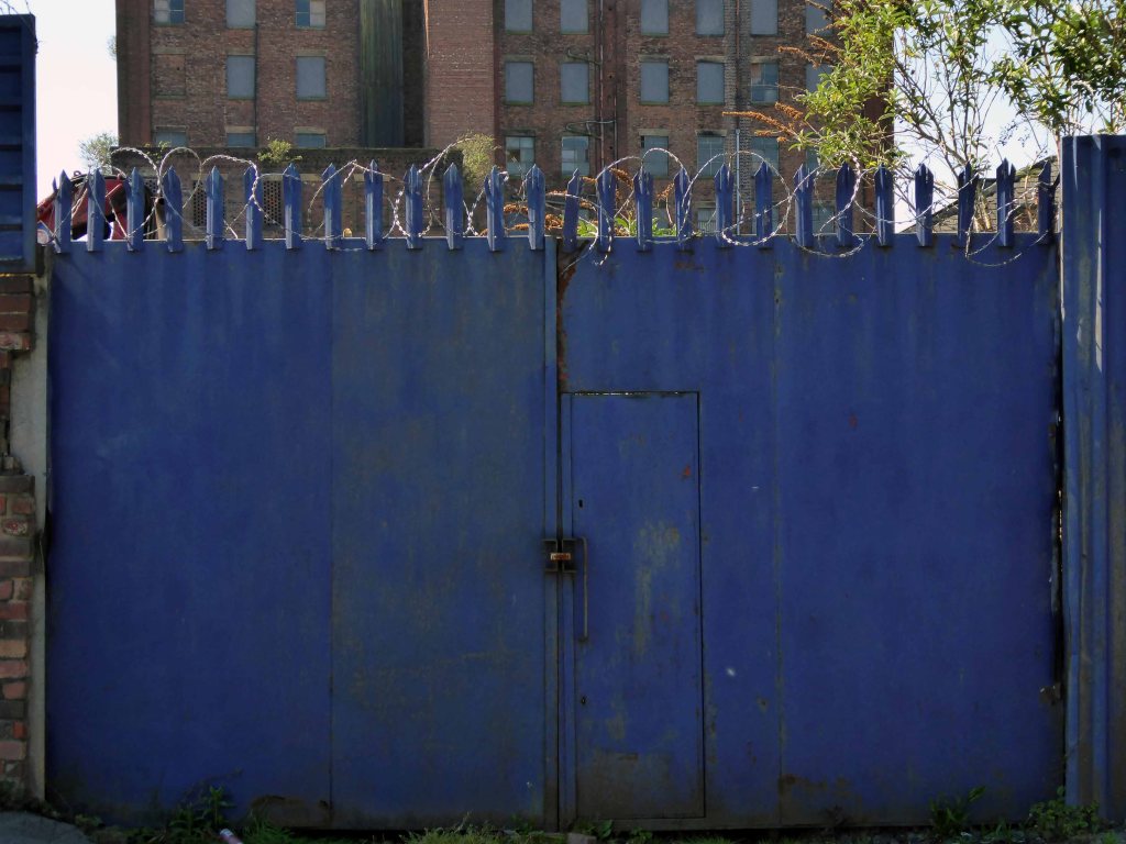
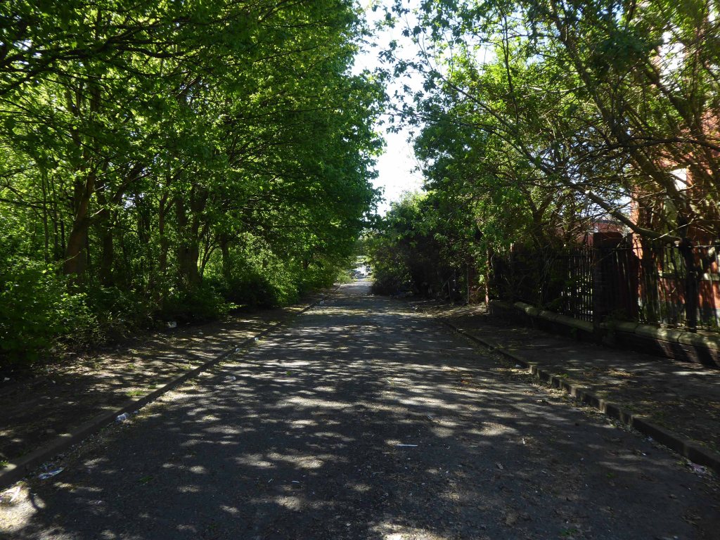
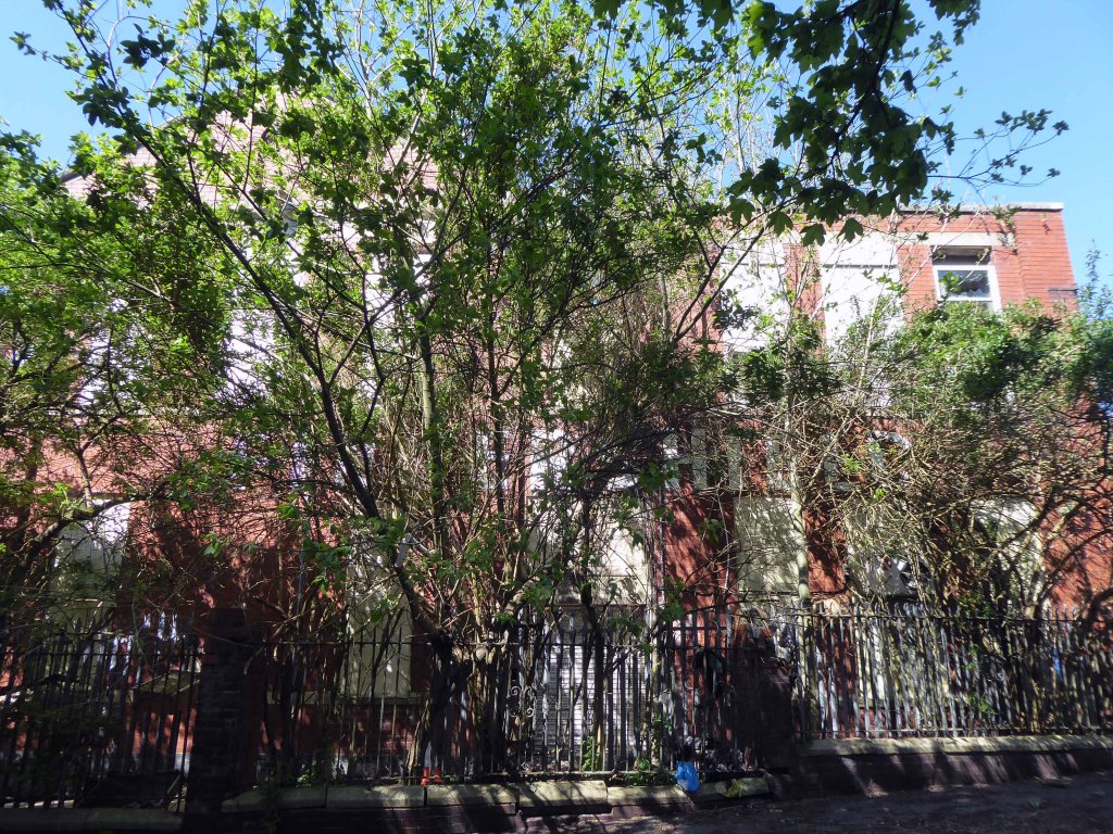
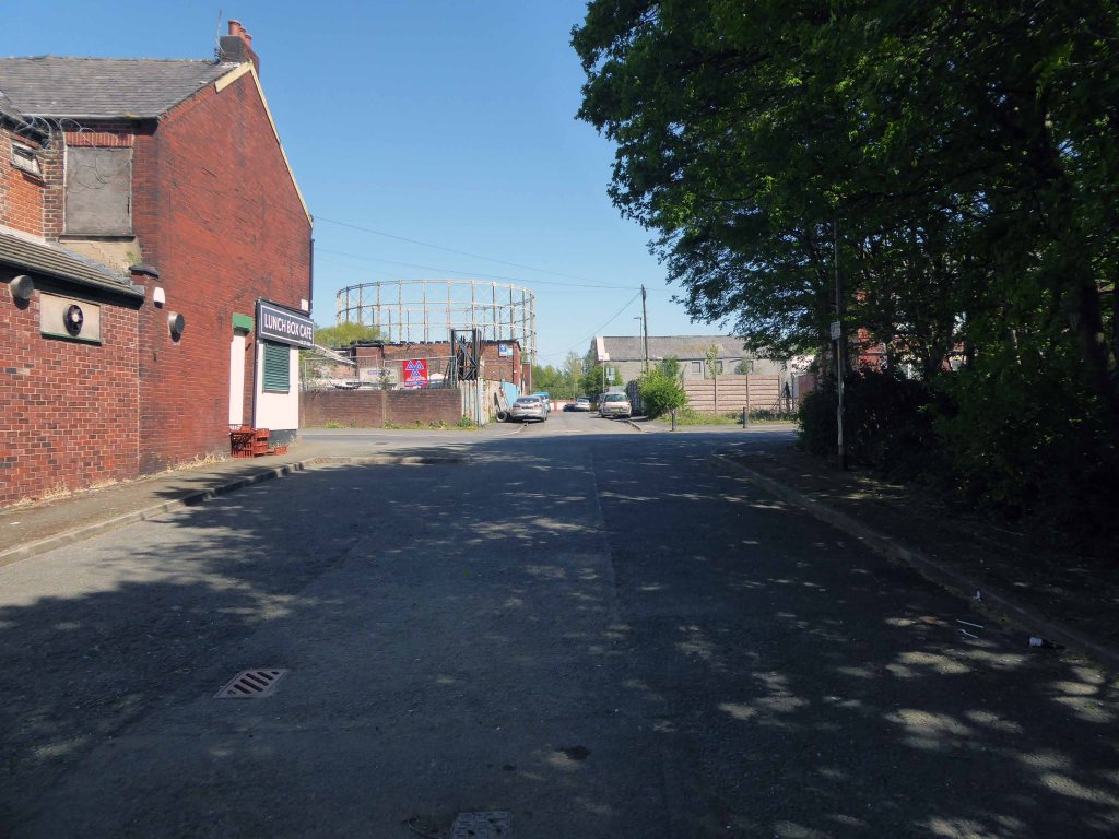
Nothing now remains of this mill complex on Upper Helena StreetThe homes on Upper Cyrus Street are long goneCyrus Street now over grown and Big Bertha demolishedThe New Inn now the Hong Kong Funeral HomeSt Annes School and the shop now closedIt had become the Luchbox Café now also closedStill standing
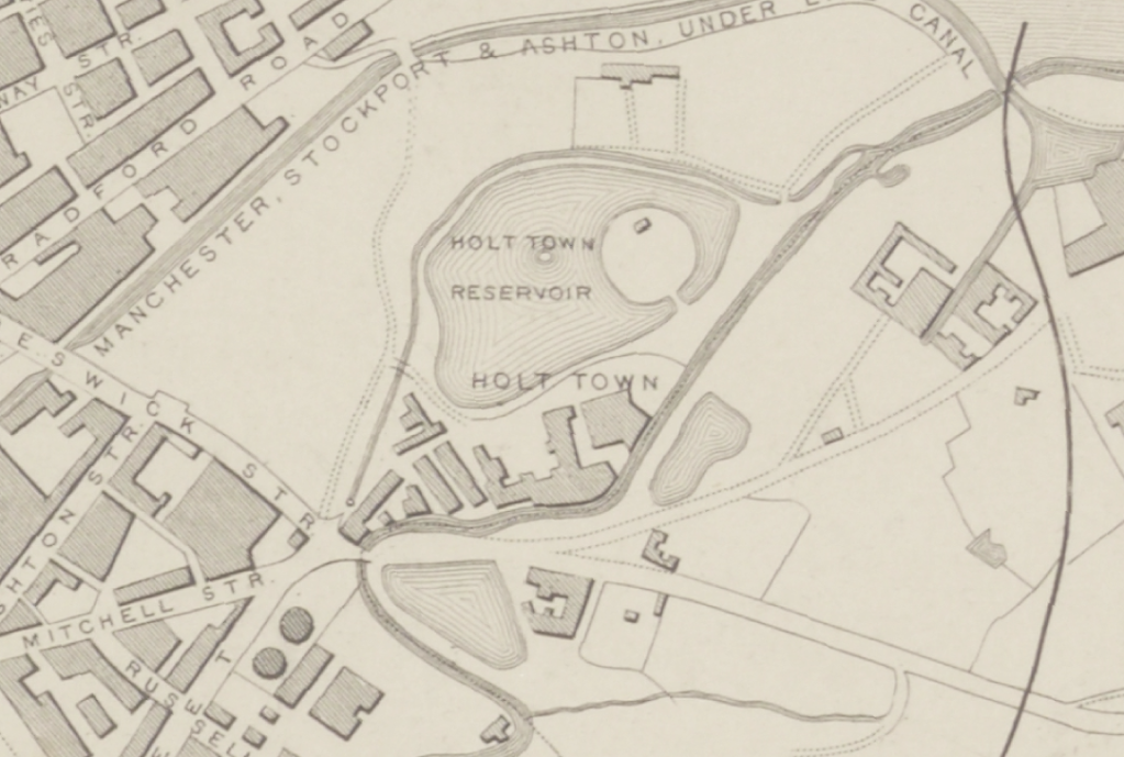
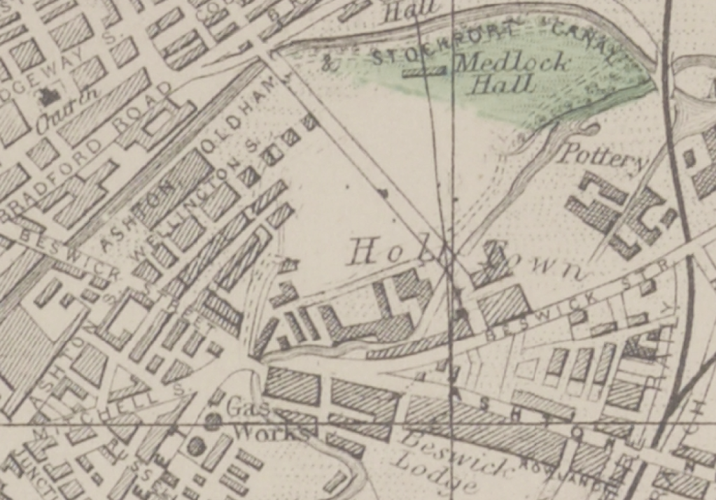
The area was my playground. Holt Town was always a but scary, there were old factories along the opposite side with wartime helmets in. A scrap yard under the arch. I remember sucking up mercury off the floor with a straw obviously from a spillage, no thoughts of danger, I’m alright now. The Seven Wonders, as we knew it, River, canal, railway, road, waterfall all crossing each other, not sure why? A fantastic industrial area to grow up in. The Don Cinema at the top corner at Mitchell Street and Ashton New Road.
I could go on.
Philip Gregson
Time’s up for the tiny urban cowboys.
Let’s see what’s going on.
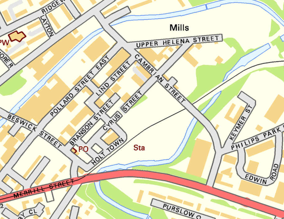
Former football fieldUpper Cyrus StreetLind StreetUpper Helena StreetPollard StreetLanstead DriveCyrus StreetSt Annes SchoolCyrus StreetDevil’s StepsRiver Medlock
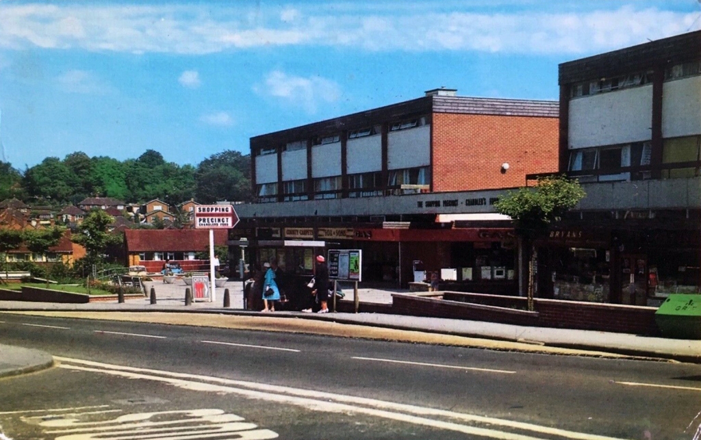
This time of year, with limited light and an inclement climate, it’s far easier to travel by picture postcard. Researching and searching eBay to bring you the finest four colour repro pictures of our retail realm.
We have of course been here before – via a previous post.
It is however important to keep abreast of current coming and goings, developments are ever so often overwritten by further developments.
Precincts my appear and disappear at will – so let’s take a look.
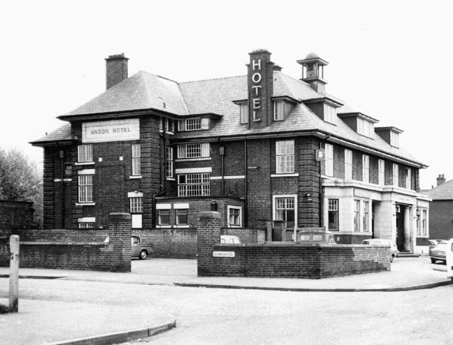
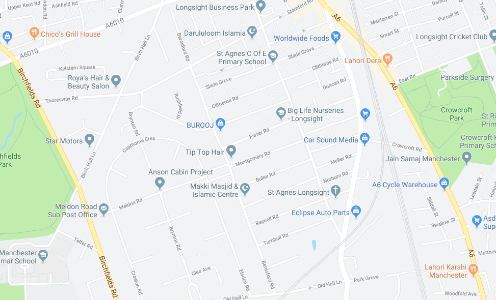
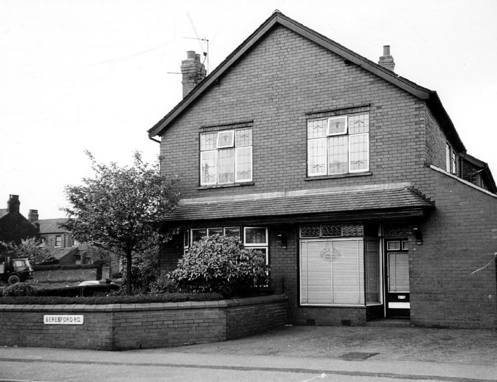
Cycling back from Town, zig zagging between the A6 and Birchfields Road, I headed down Beresford Road and bumped into a behemoth.
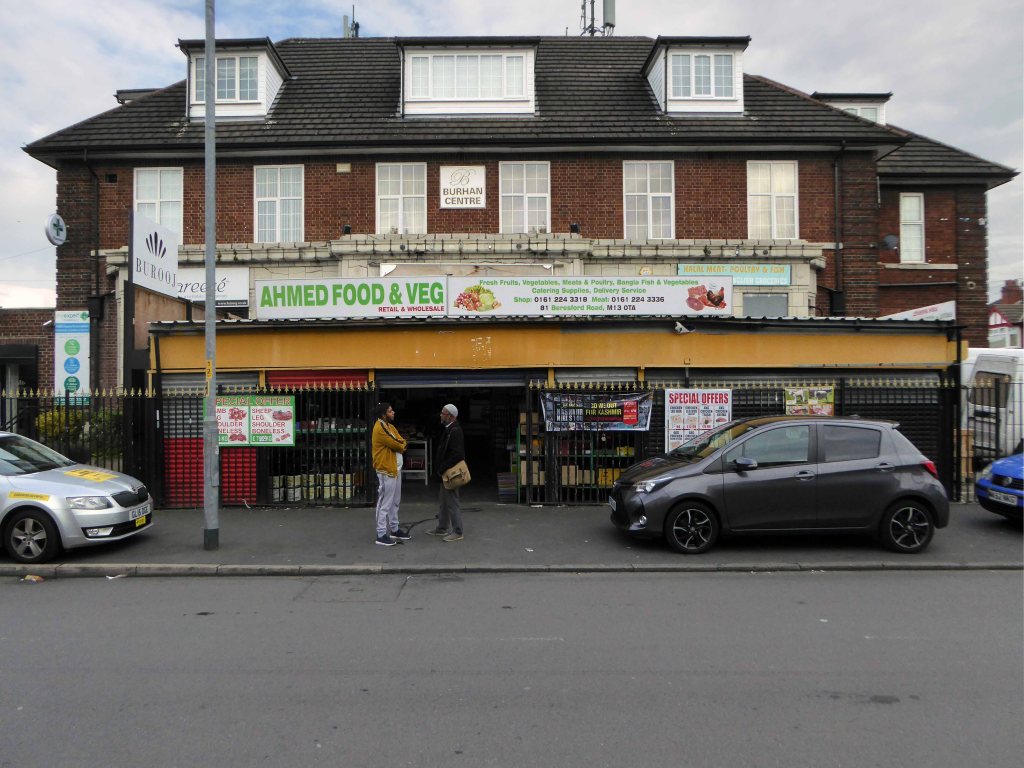
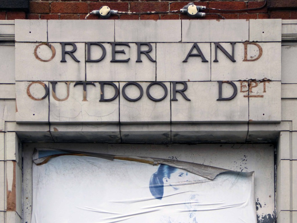
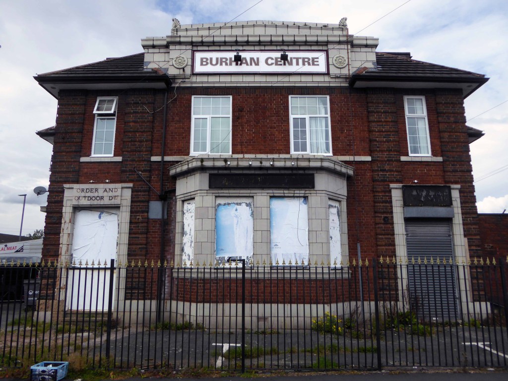
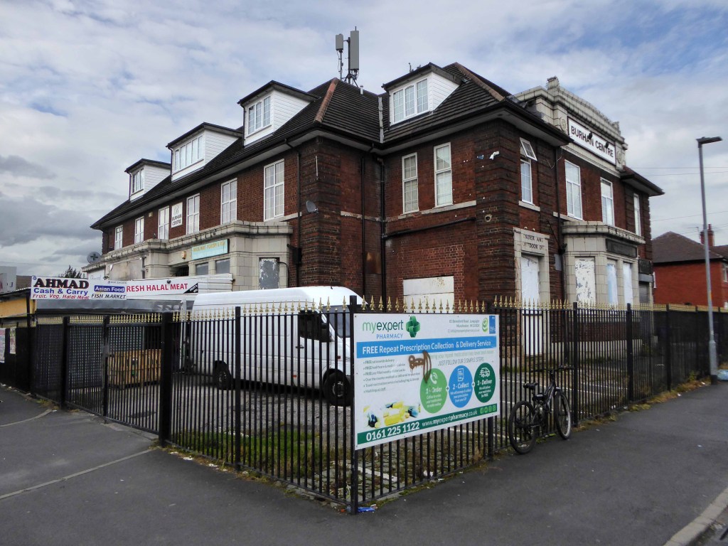
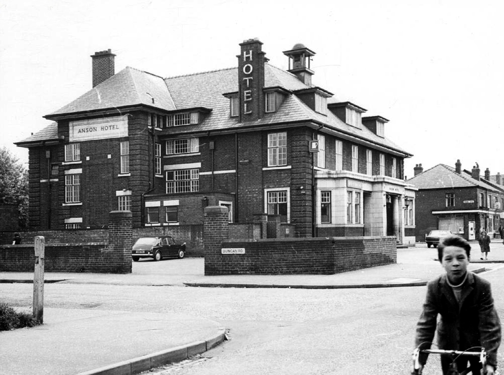
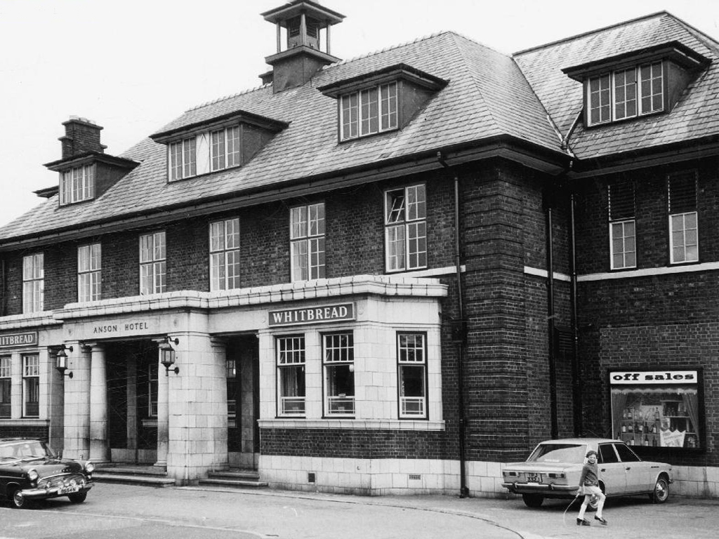
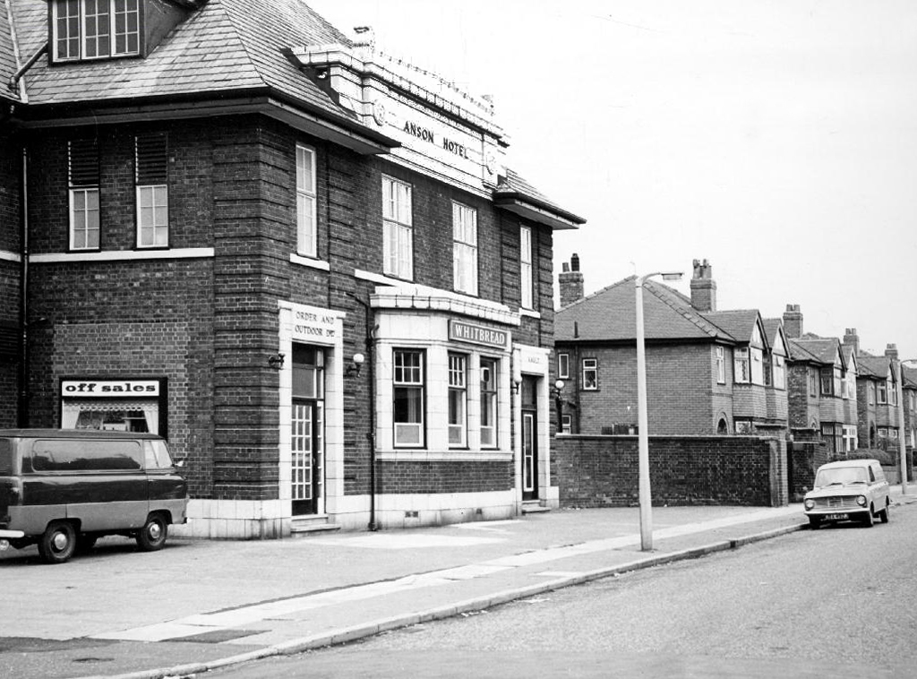
A huge inter-war Whitbread boozer long since closed, now a retail food outlet and badged as the Buhran Centre, also trading as Burooj.
This change of use is far from uncommon, the demographics, socio-economic conditions and drinking habits which shape this and countless other pubs, have since shifted away from the lost world of this immense, roadhouse-style palace of fun.
No more outdoor or orders here – the supermarket now supplies the supplies for the self satisfied home drinker.
The sheer scale of the building guaranteed its demise, a three storey house with no more stories to tell.
Searching online for some clues as to its history there is but one mention, on the Pubs of Manchester:
This is my attempt, in some small way, to redress the balance, snapping what remains of this once top pub.
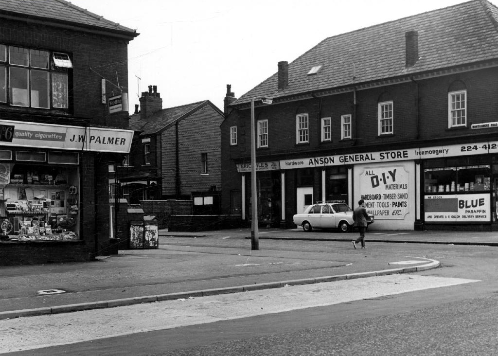
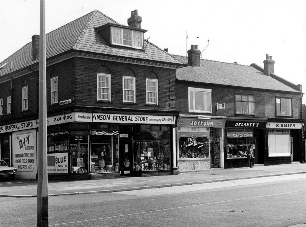
Safe home I searched the Manchester Local Image Collection, hoping to find some clues and/or images elucidating Beresford Road and the Anson in times gone by.
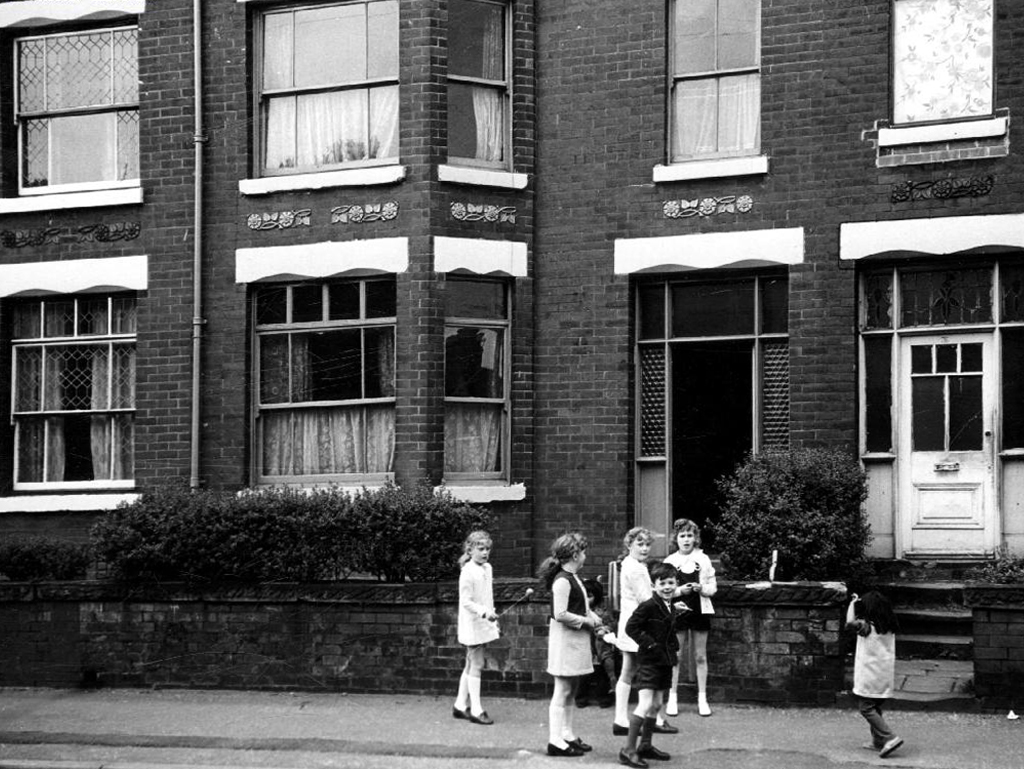
I found a typical inner Manchester suburban thoroughfare, a healthy mix of homes socially and privately owned, industry, independents shops, schools and such. Kids at play, passers-by passing by, captured in 1971 by the Council’s housing department photographers.
This was not a Golden Age – wasn’t the past much better, brighter, cheerier and cleaner reminiscence – simply a series of observations.
Once upon a time there was almost nothing, as there often is.
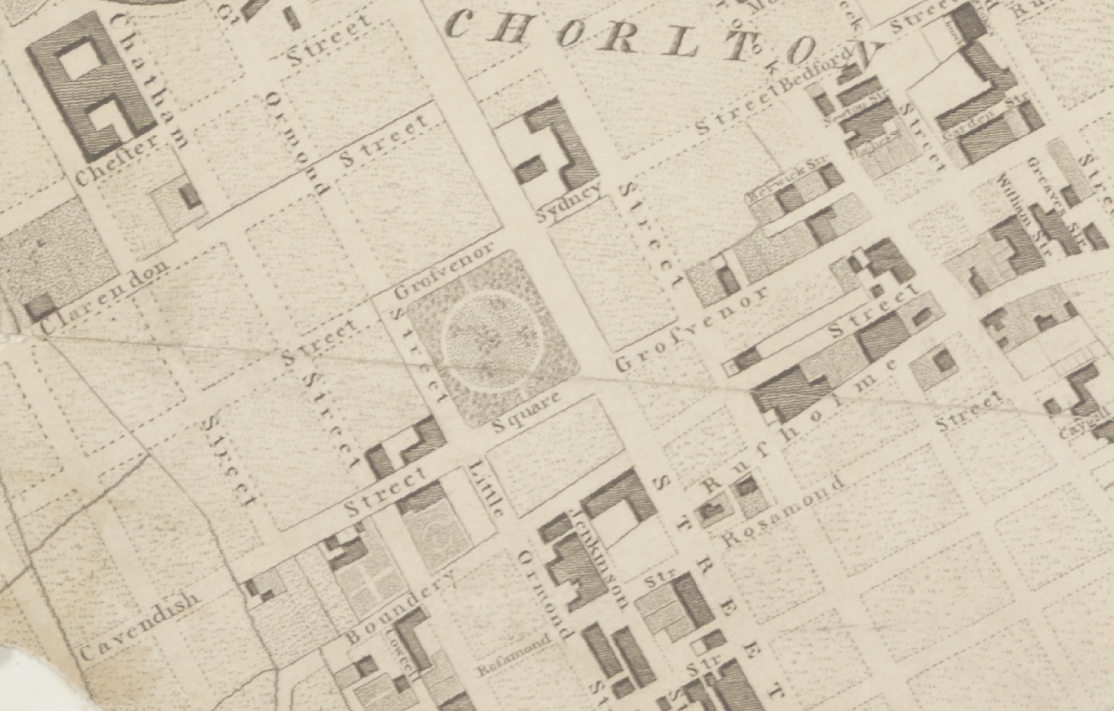
Green fields, sylvan glades and a pleasant park in Grosvenor Square.
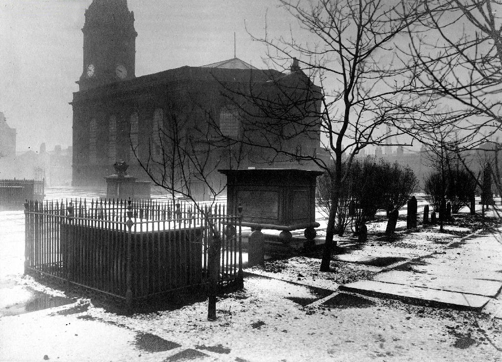
Then all of a sudden, at the heart of the Square sat All Saints Church.
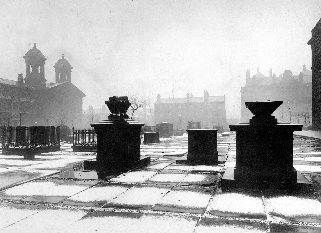
Underneath Manchester’s All Saints Park is a hidden history – an estimated 16,000 bodies. For this was the site of a former Victorian Cemetery, set up to cater for the parishioners of All Saints.
All Saints Burial Ground officially opened on Wednesday 19 April 1820. The first interment was that of twenty-one-year-old Fanny Knowles, who lived on London Road. Her funeral was conducted by the founder himself, Charles Burton. It would be another month before the next interment took place. In the first year burials were slow with only 55 interments, however, by 1851 the number had increased to over 600 per annum.
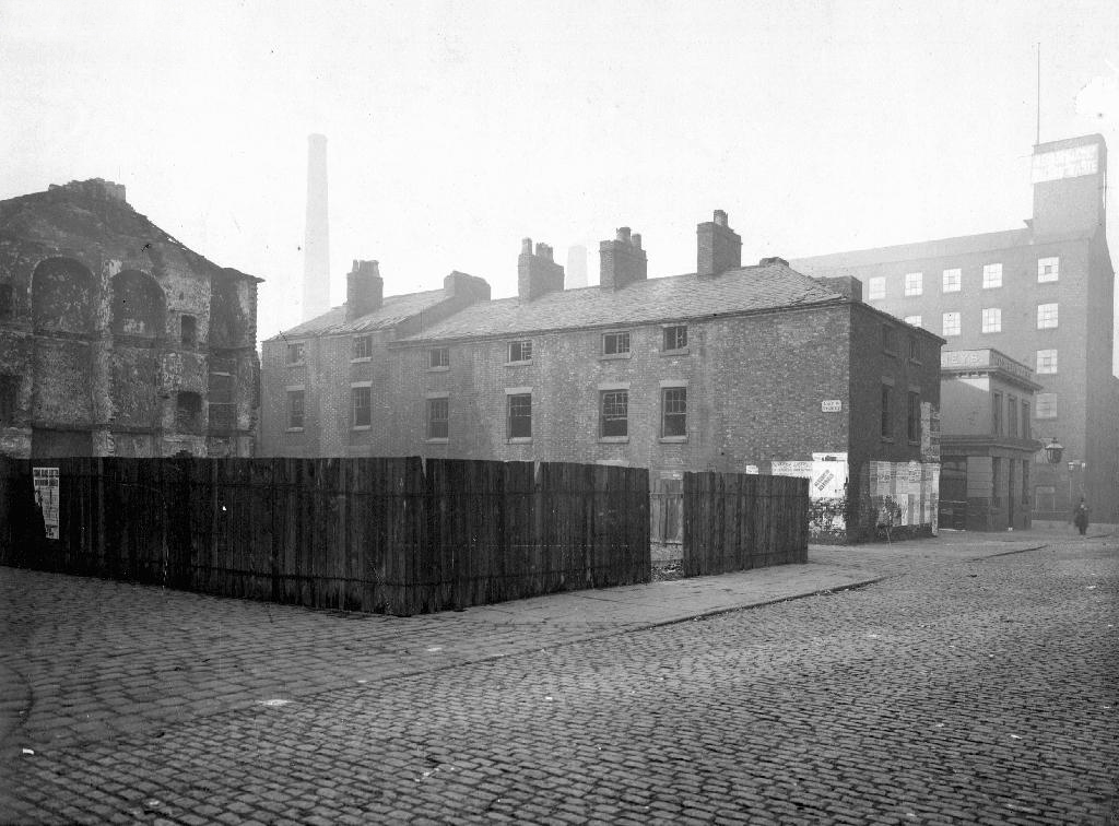
The whole area having been a centre of housing, education, entertainment, commerce, public services and worship, was becoming the fiefdom of first the Polytechnic and subsequently the Manchester Metropolitan University.
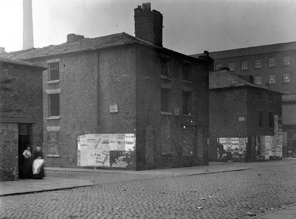
But formerly there were peoples’ homes here.
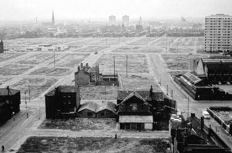
Then the 1960s saw a huge programme of slum clearance in Manchester and whole communities across the Square and nearby Hulme were moved, rehoused in a thoroughly modern milieu.
Shops came and went.
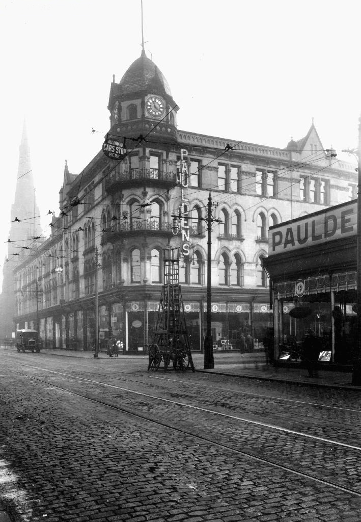
Paulden’s magnificent store was destroyed by fire in 1957
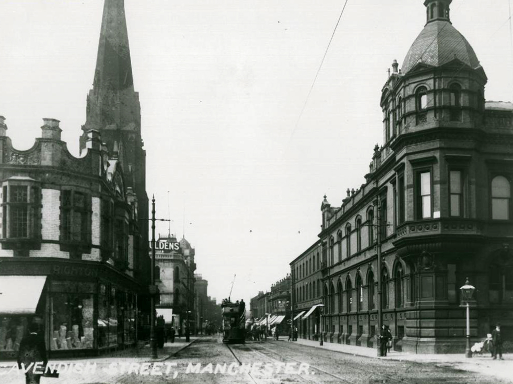
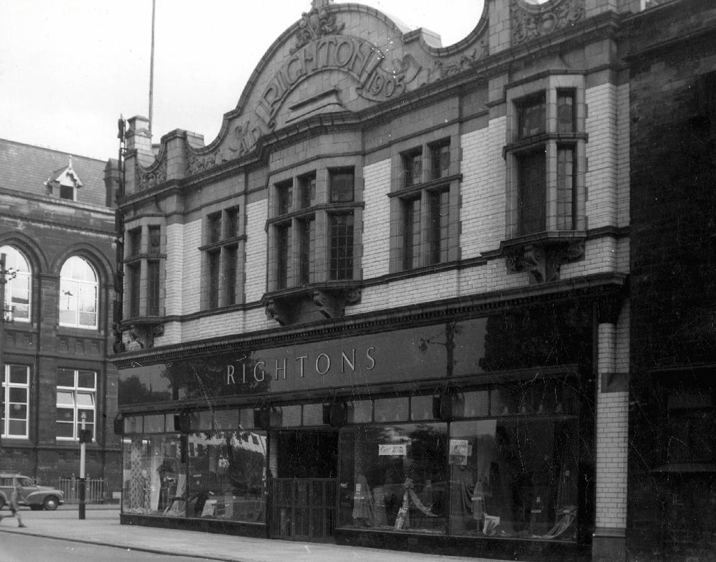
Rightons haberdashers has survived though no longer haberdashing, having been amalgamated into MMU.
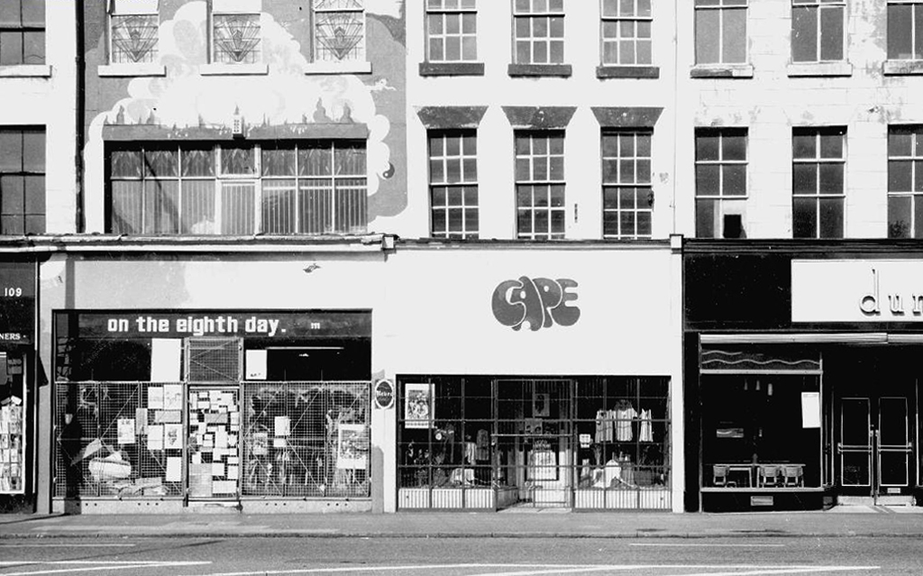
One day On The Eight day moved a little to the left
The fascia has been retained but the name has not been changed to protect the innocent.
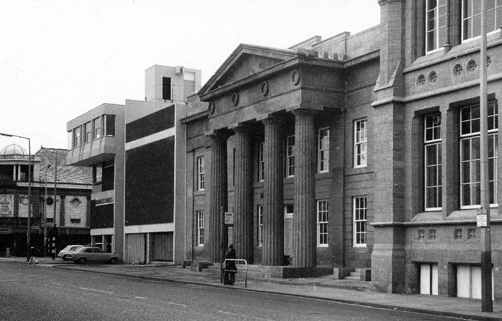
Next door the Chorlton on Medlock town hall still has its portico in place, the adjacent Adult Education building has been surgically removed.
Richard Lane, the architect of the Friend’s Meeting House on Mount Street, designed the Chorlton-on-Medlock Town Hall on Grosvenor Street. It continued in that role from 1831 until 1838 when Chorlton-on-Medlock became part of the city of Manchester. In the years that followed it was used by the local community for a variety of functions but the redevelopment of the area meant that the local population diminshed and the building became redundant. In 1970, the interior was removed, a new structure added to the rear and it became part of the Polytechnic which became the Manchester Metropolitan University.
The Fifth Pan African Conference was held there between October 15th and 21st in 1945.Ninety delegates from across Africa, Europe and the Caribbean, attended the meeting and among the delegates were a number of men who went on to become political leaders in their countries including: Hastings Banda, Dr Kwame Nkrumah, Obafemi Awolowo and Jomo Kenyatta.
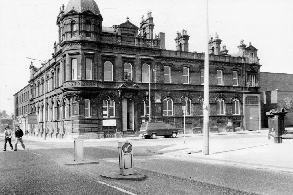
Former Chorlton Poor Law Guardian’s HQ then Registry Office, now the Ormond Building of Metropolitan University – and at the far right edge St Augustine RC.
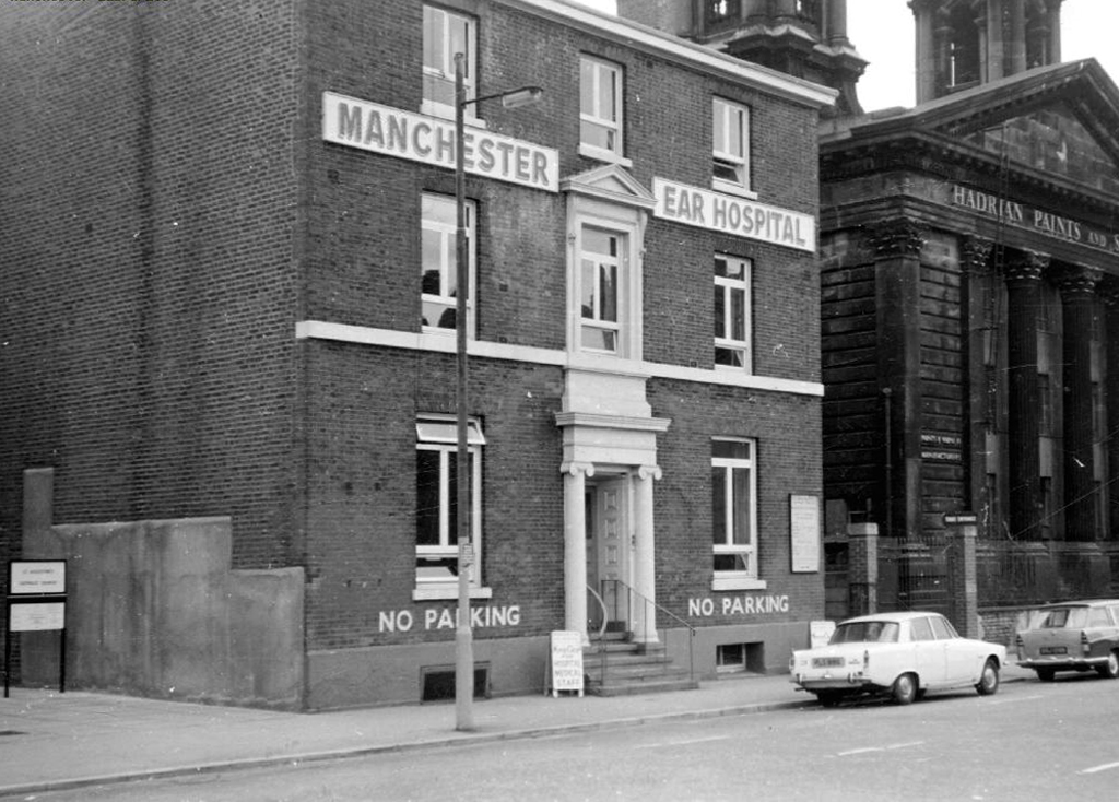
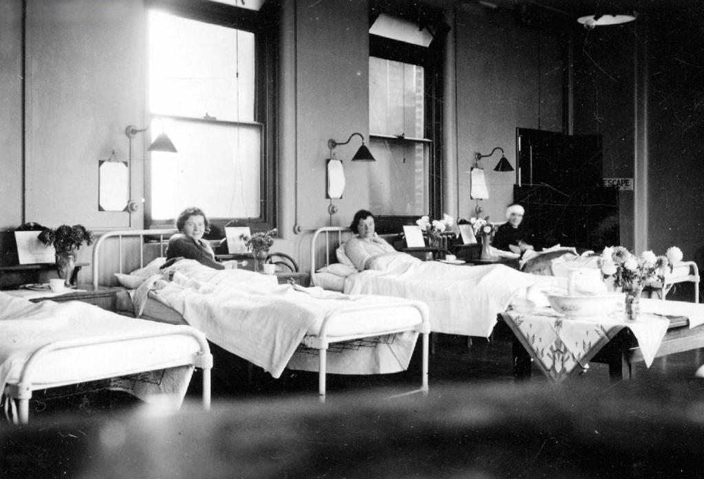
The Manchester Ear Hospital on Lower Ormond Street, shortly before being transferred to Manchester Royal Infirmary. Most of the building was demolished, but the facade retained as part of MMU’s Bellhouse Building.
To the right the Presbyterian Church.
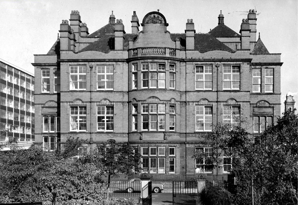
Cavendish Street School
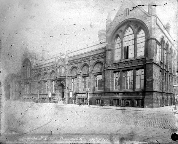
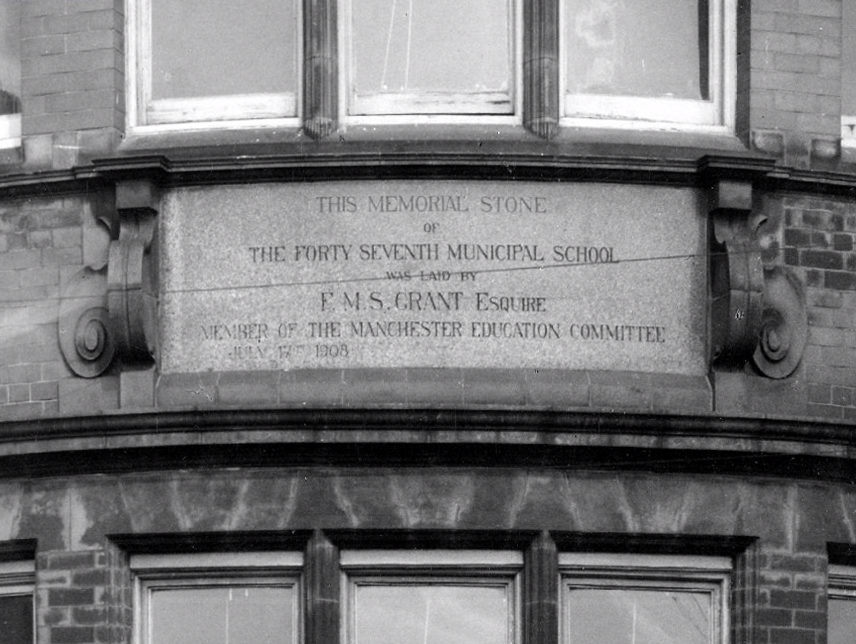
The memorial stone on the front of the school, laid on June 17th, 1908, declared that it was the Forty Seventh Municipal School. Strangely, it seems that it was called the Cavendish Street School despite the fact that it wasn’t on Cavendish Street.
Manchester History
It was subsequently utilised by the Polytechnic sculpture department – then demolished to make way for something else of an educational nature.
Some or all of our social and architectural history has been overwritten, lost or swept aside by the tide of history.
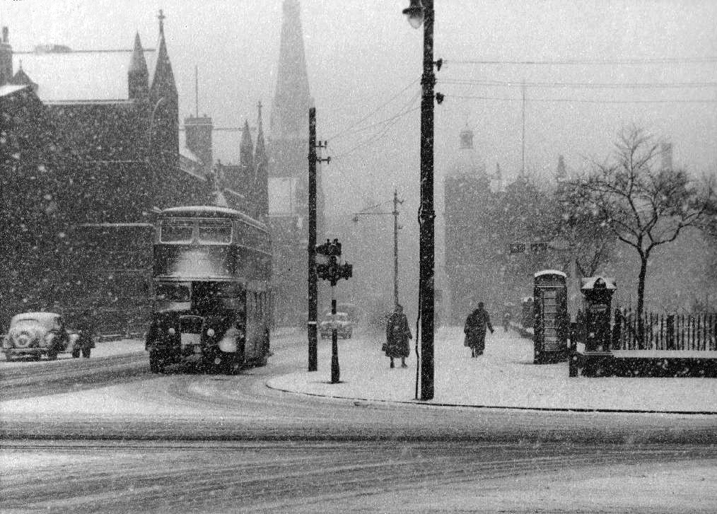
Though on a dark snowy night you can still make out the bright red corporation buses, passing by in a dark cloud of diesel.
Both pubs have survived and the street is home to several relative newcomers, including the Richard Goodall Gallery and celebrated men’s outfitters Oi Polloi.
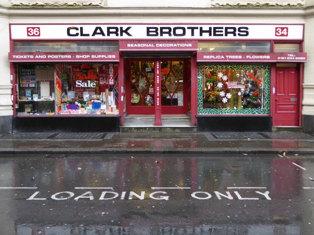
Also the location of my most favourite shop in the whole wide world.
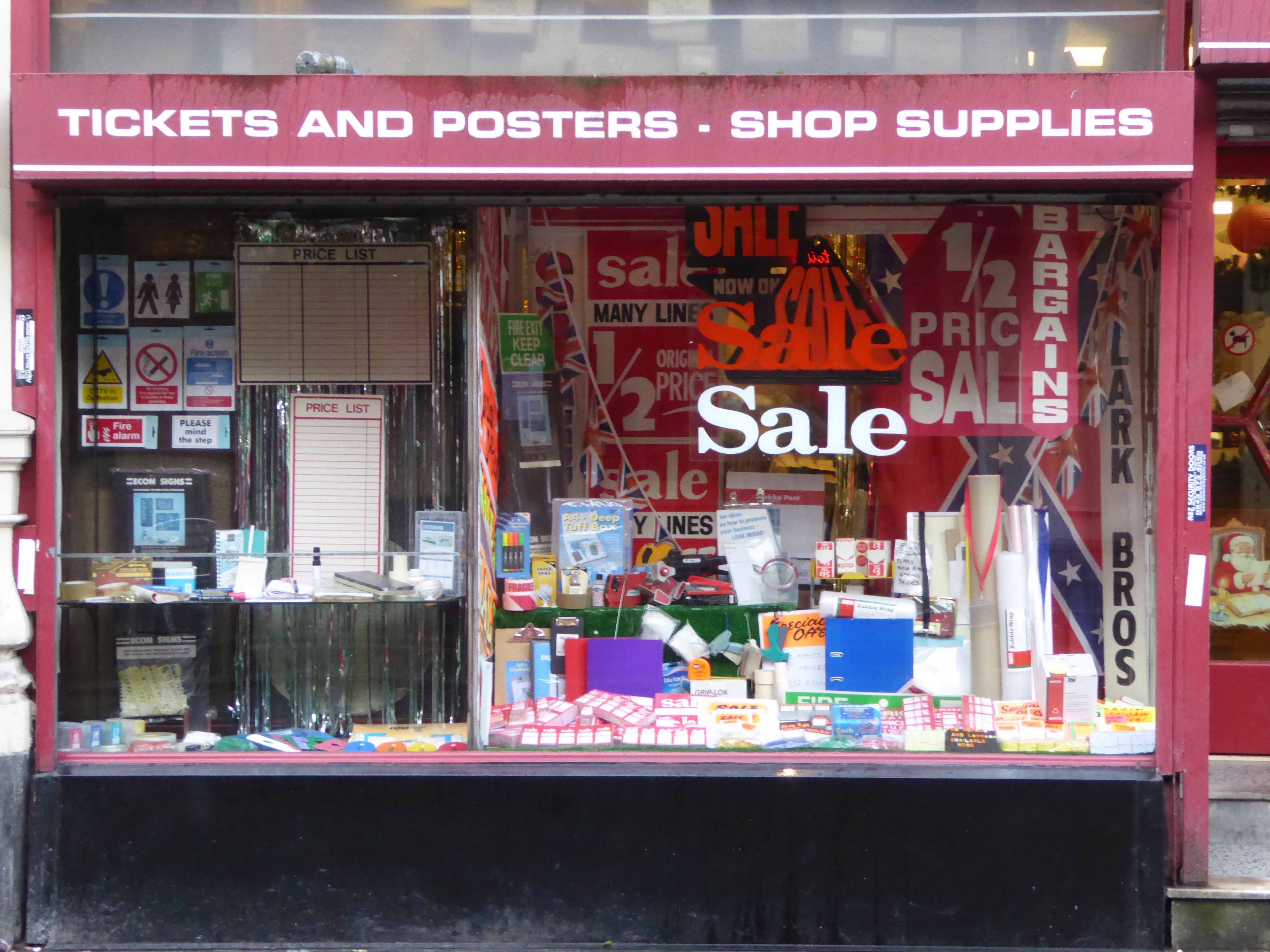
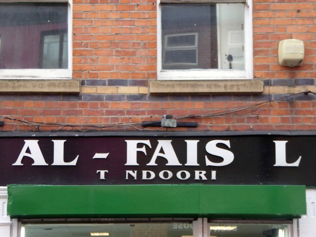
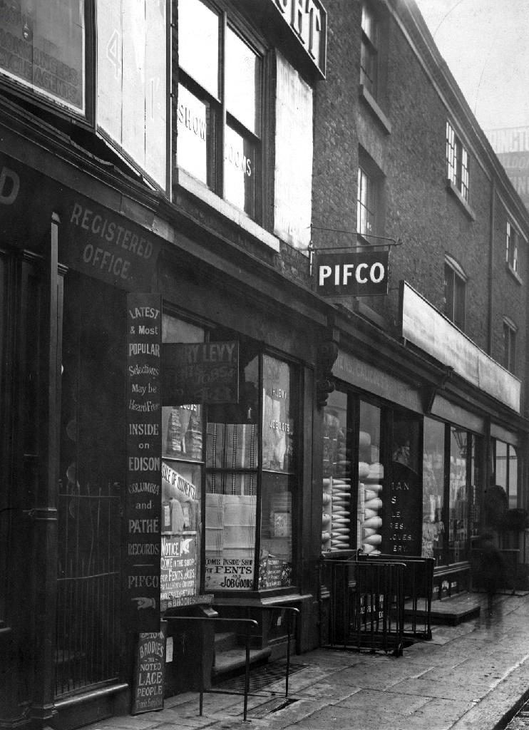
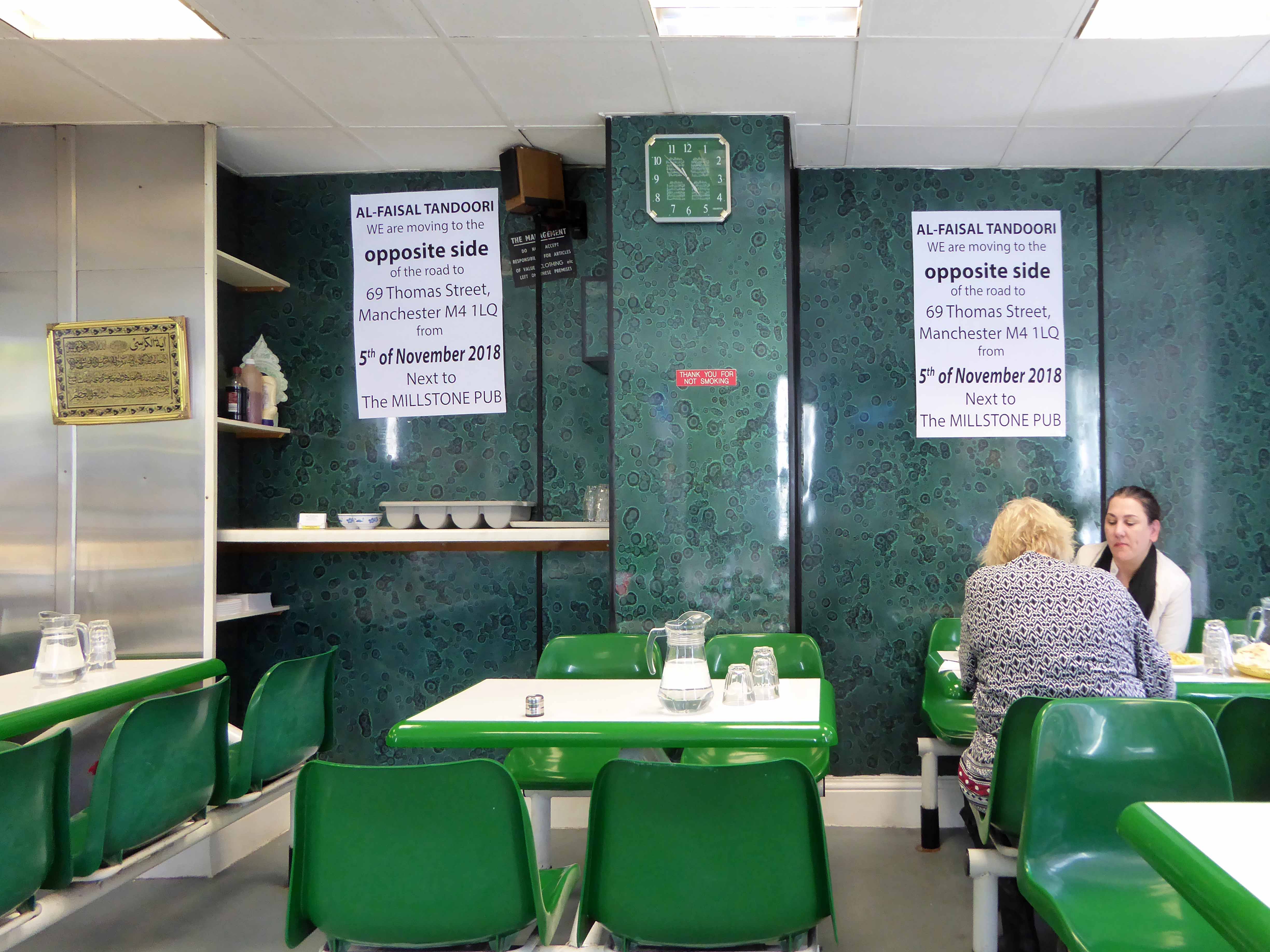
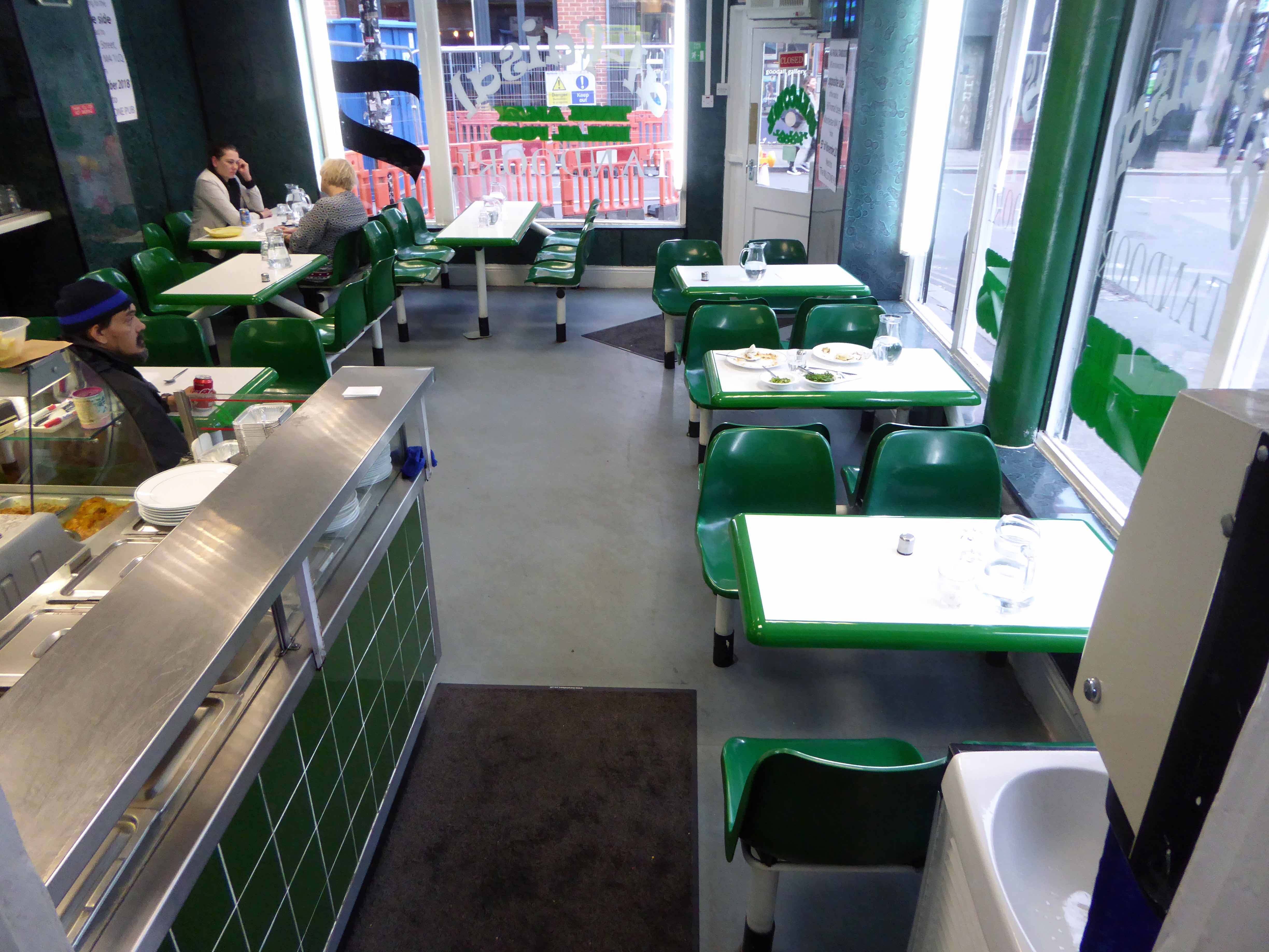
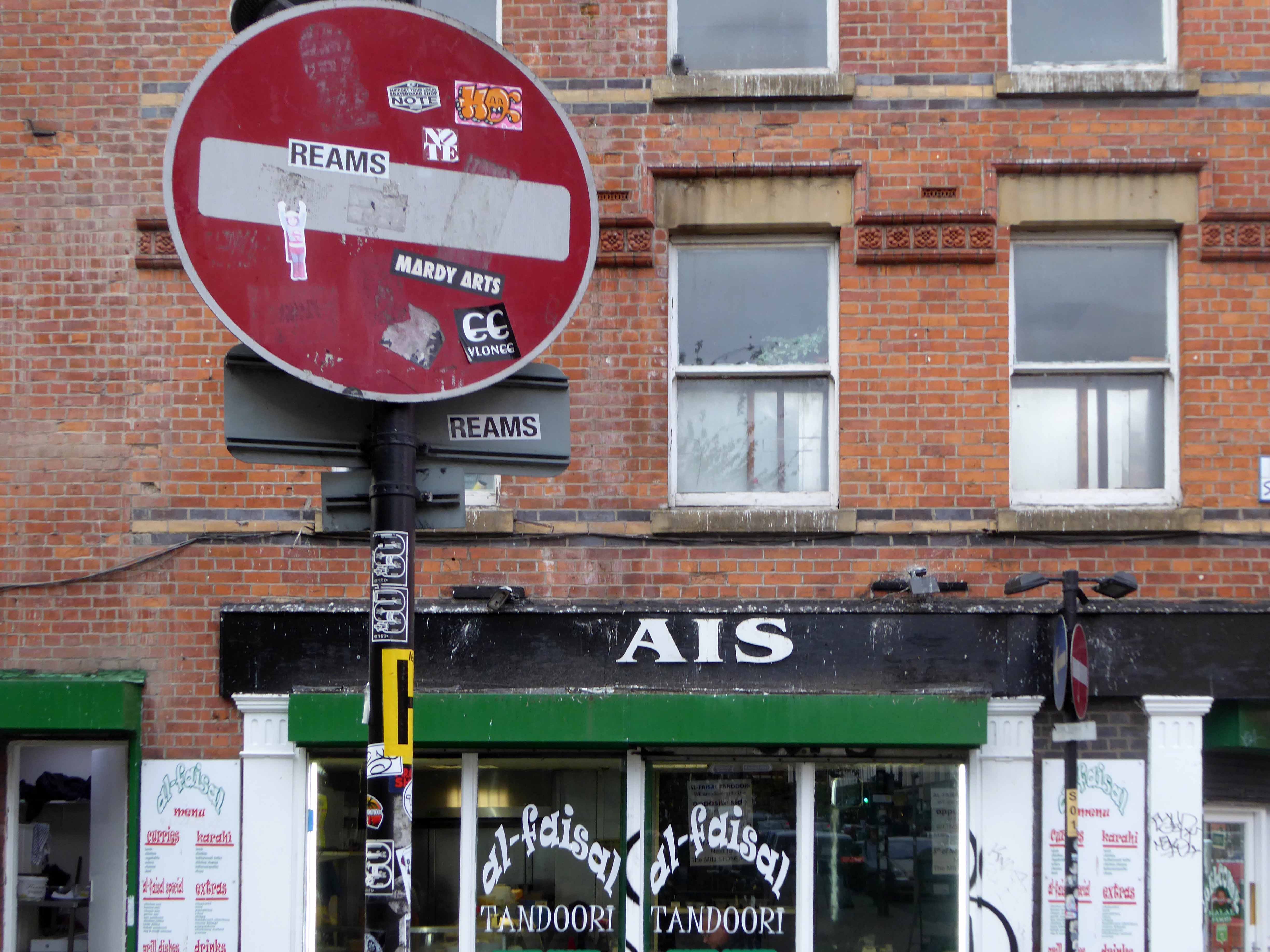
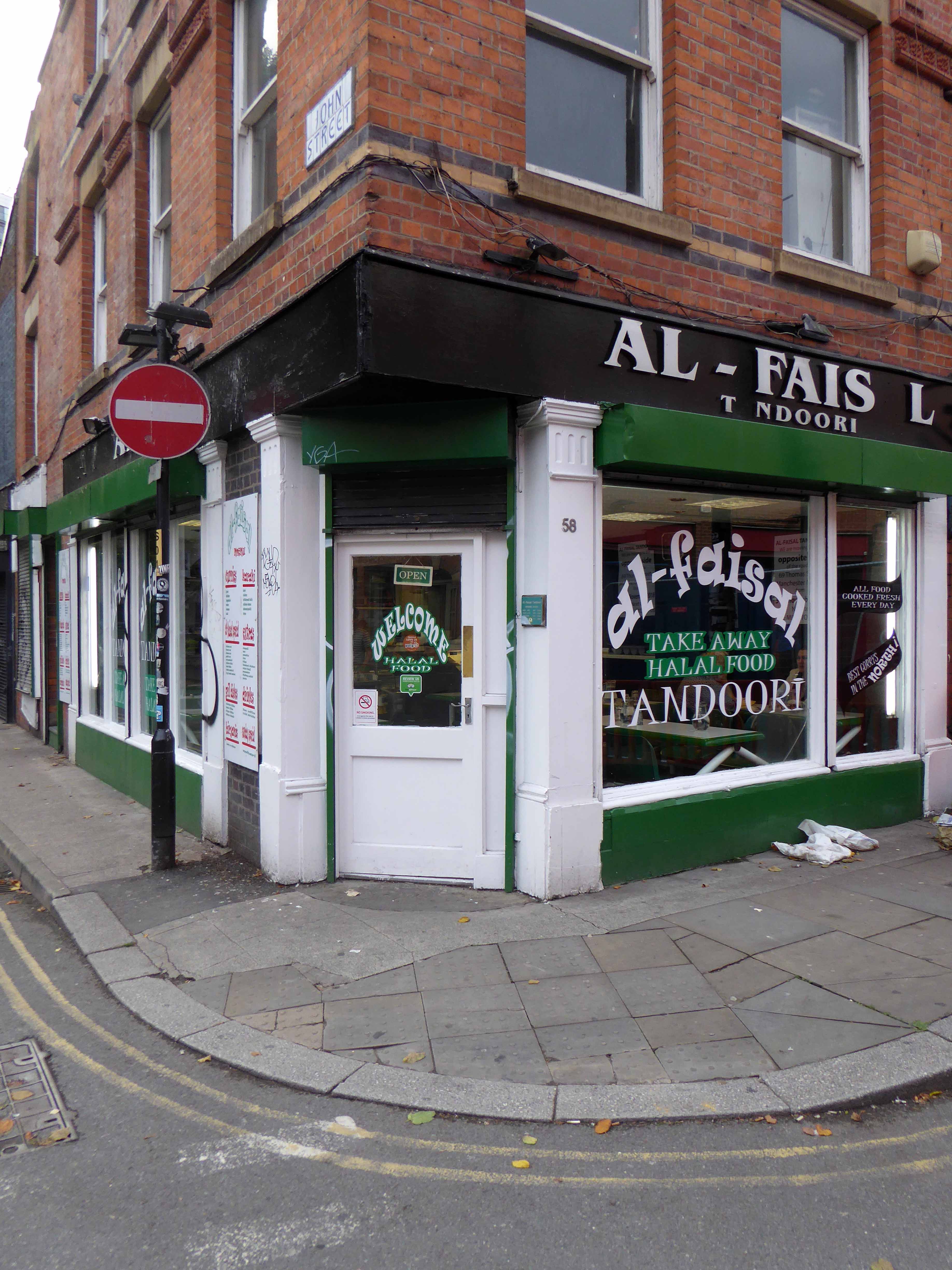
From the 70’s onwards the area had been at the centre of the Asian garment trade – and so it came to pass some 26 years ago the Al Faisal arrived, one of several curry cafés, feeding the faces of the passing parade.
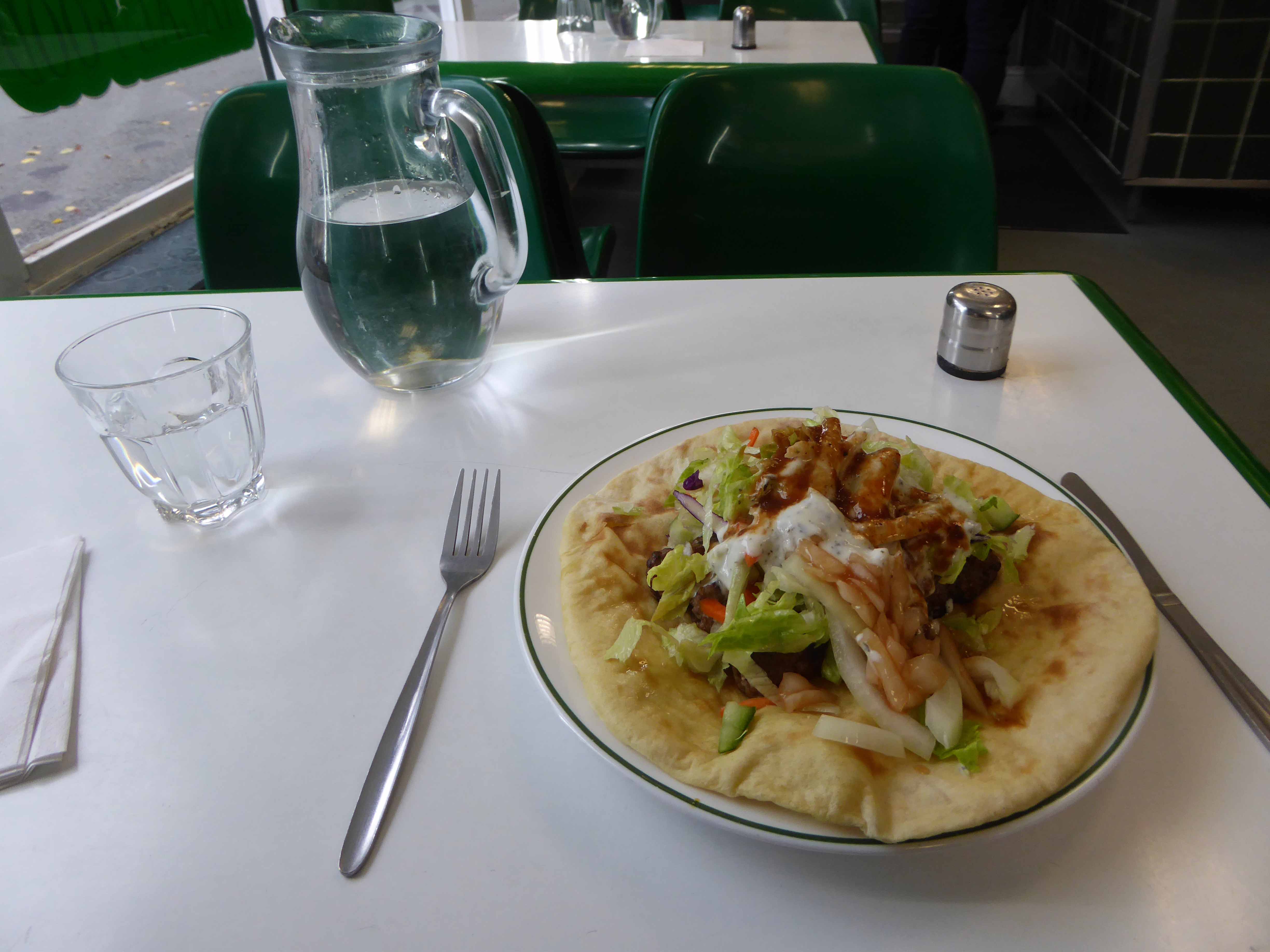
I’ve eaten there for most of that time, fed very well indeed thank you very much, for way less than a king’s ransom.
Yesterday I popped in at teatime, for my tea – posters proclaimed an imminent move.
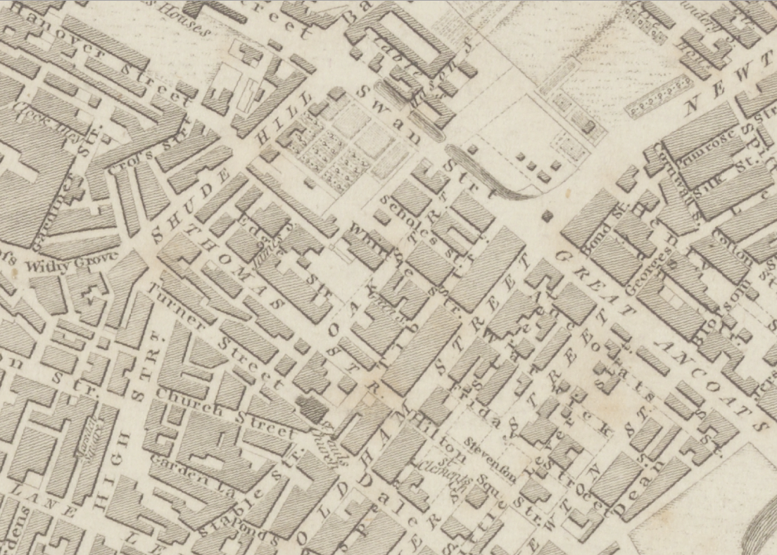
The whole block is to be demolished and a hotel to be built – there is naturally a suspicious resistance to such change, what was a protected area of historical interest, is fast becoming a deregulated playground for the avaricious developer.
A Manchester council spokesman said:
Our building control officers have been engaged with owner of the property on Thomas Street for some time.
The condition of the building means there is an imminent danger of collapse and a potential threat to pedestrians. Unfortunately, the poor weather has only served to add to our concern over the safety of the building.
A conservation specialist will be on site working closely with the building owner to ensure as much of the fabric of the property can be retained as possible, and only parts that are unsalvageable will be removed to ensure public safety.
Rumours have also been rife concerning the fate of the nearby This & That – an essential part of the heartbeat of the city – the affordable independent trader.
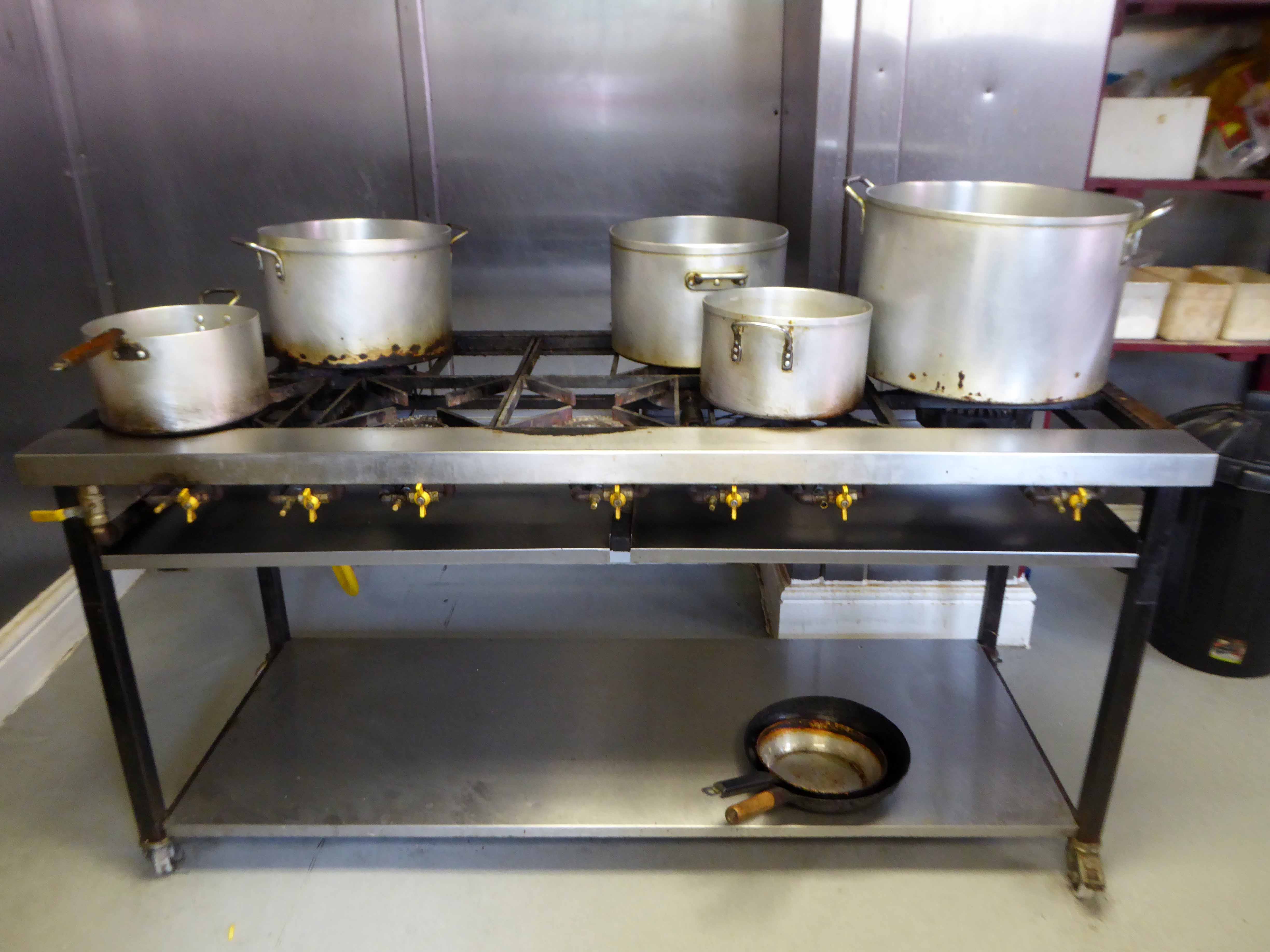
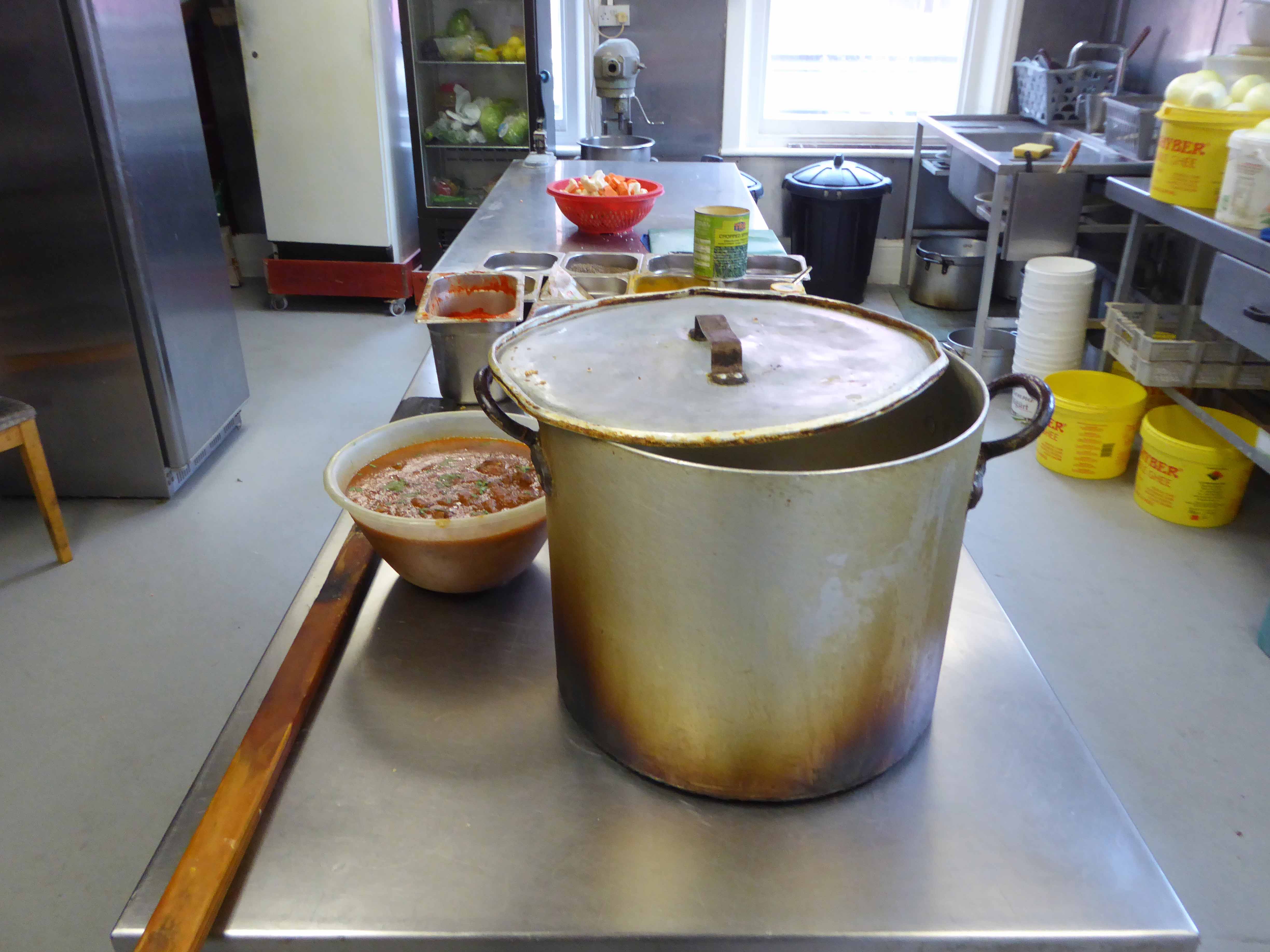
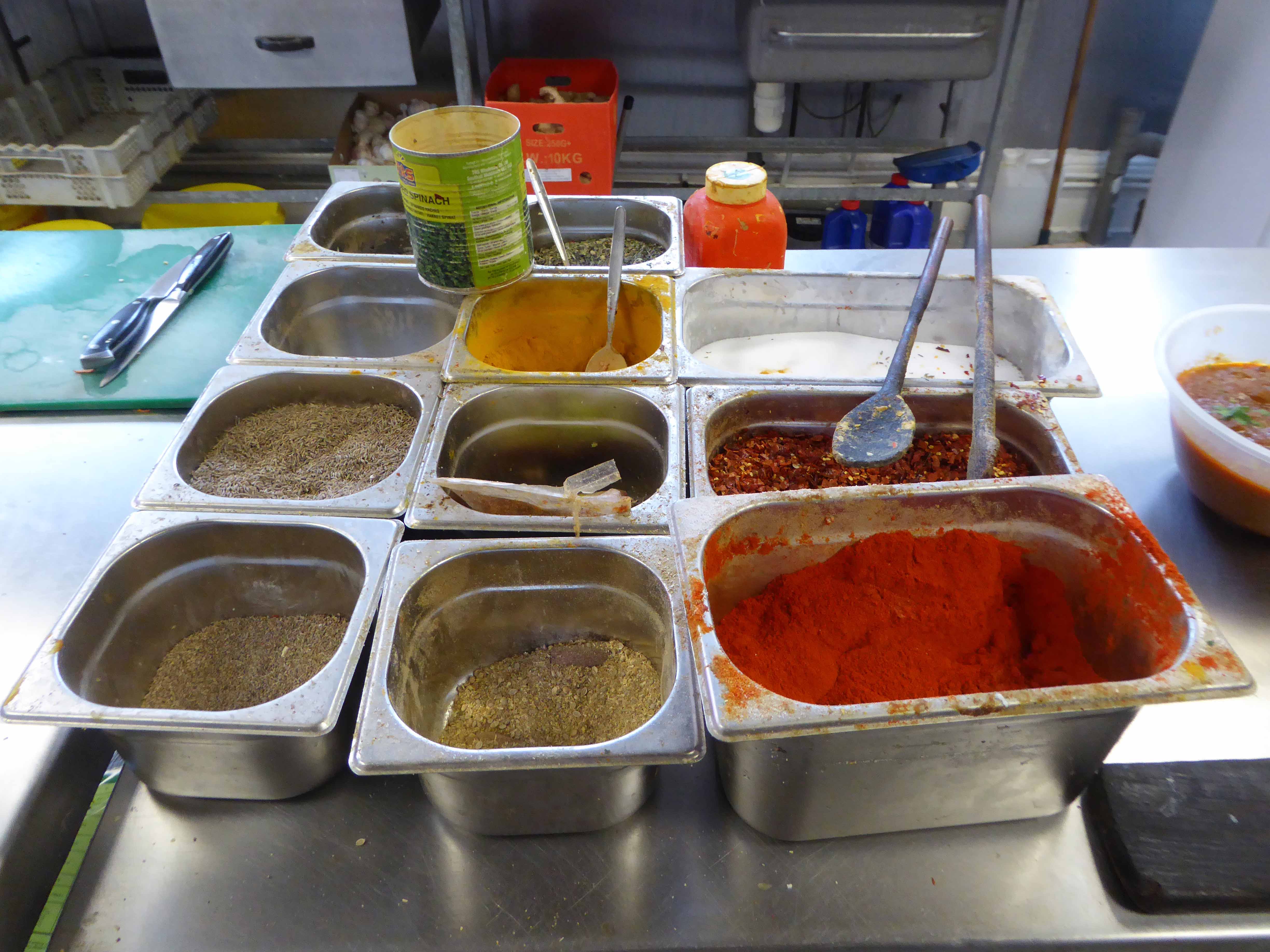
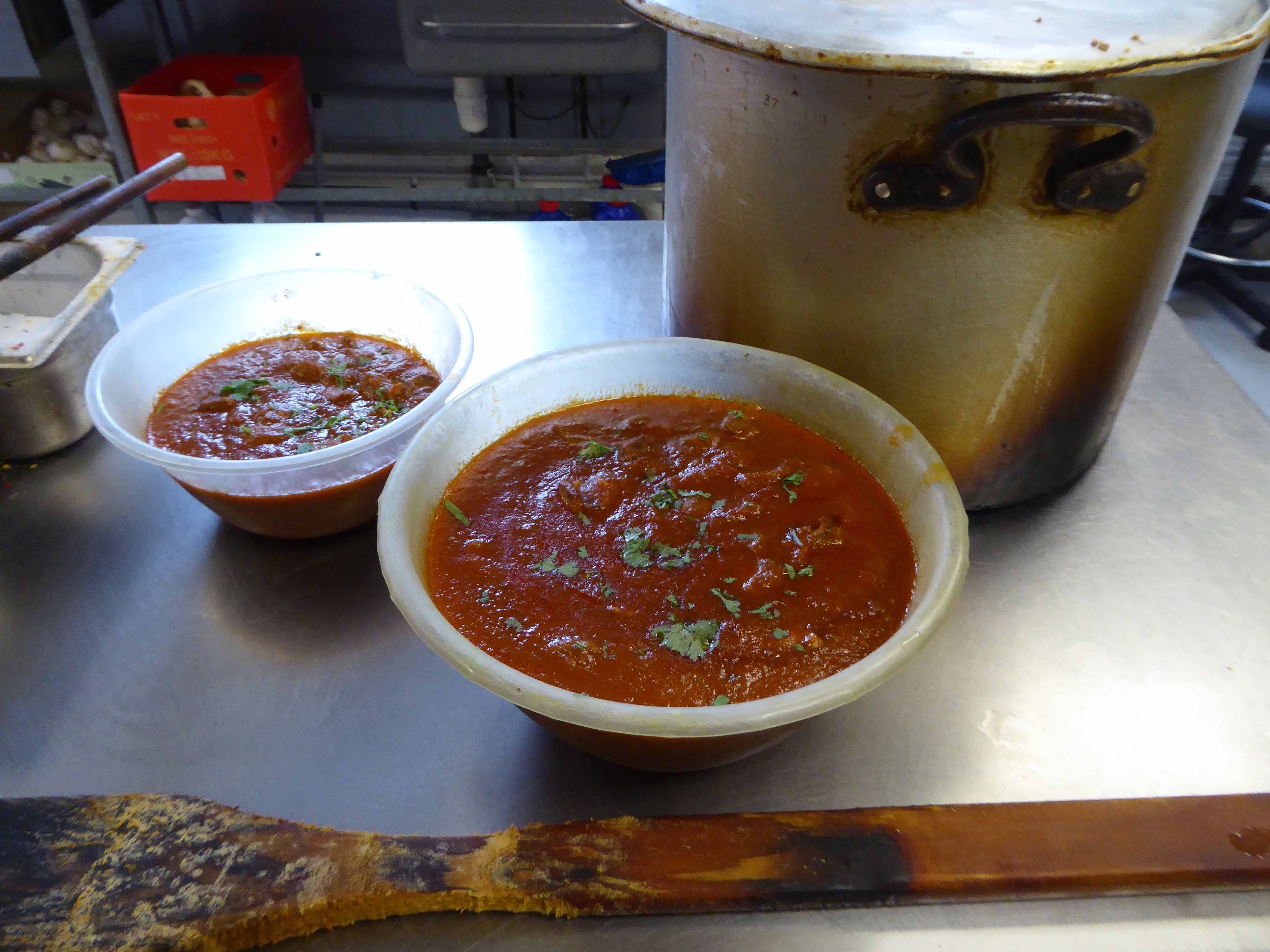
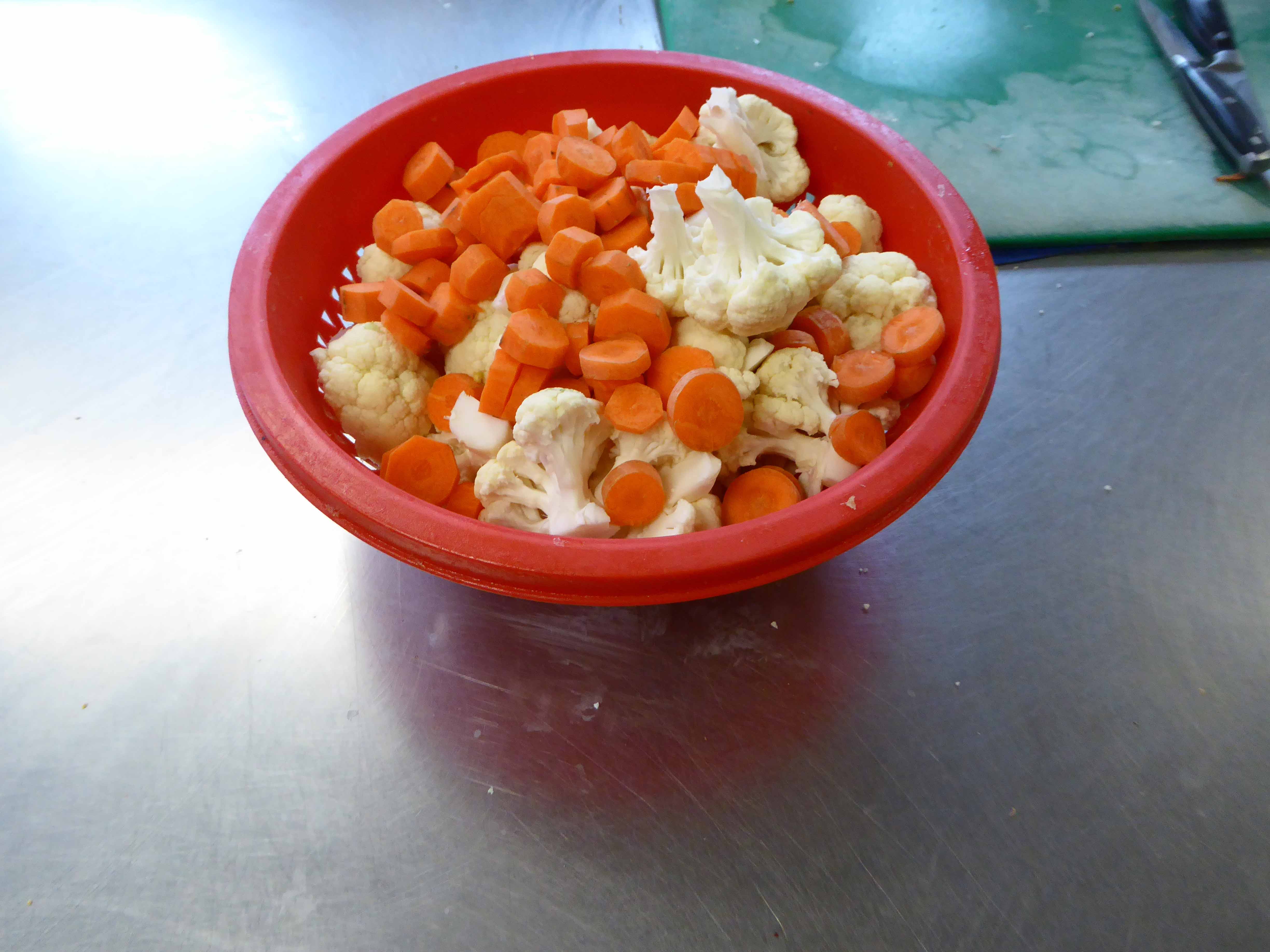
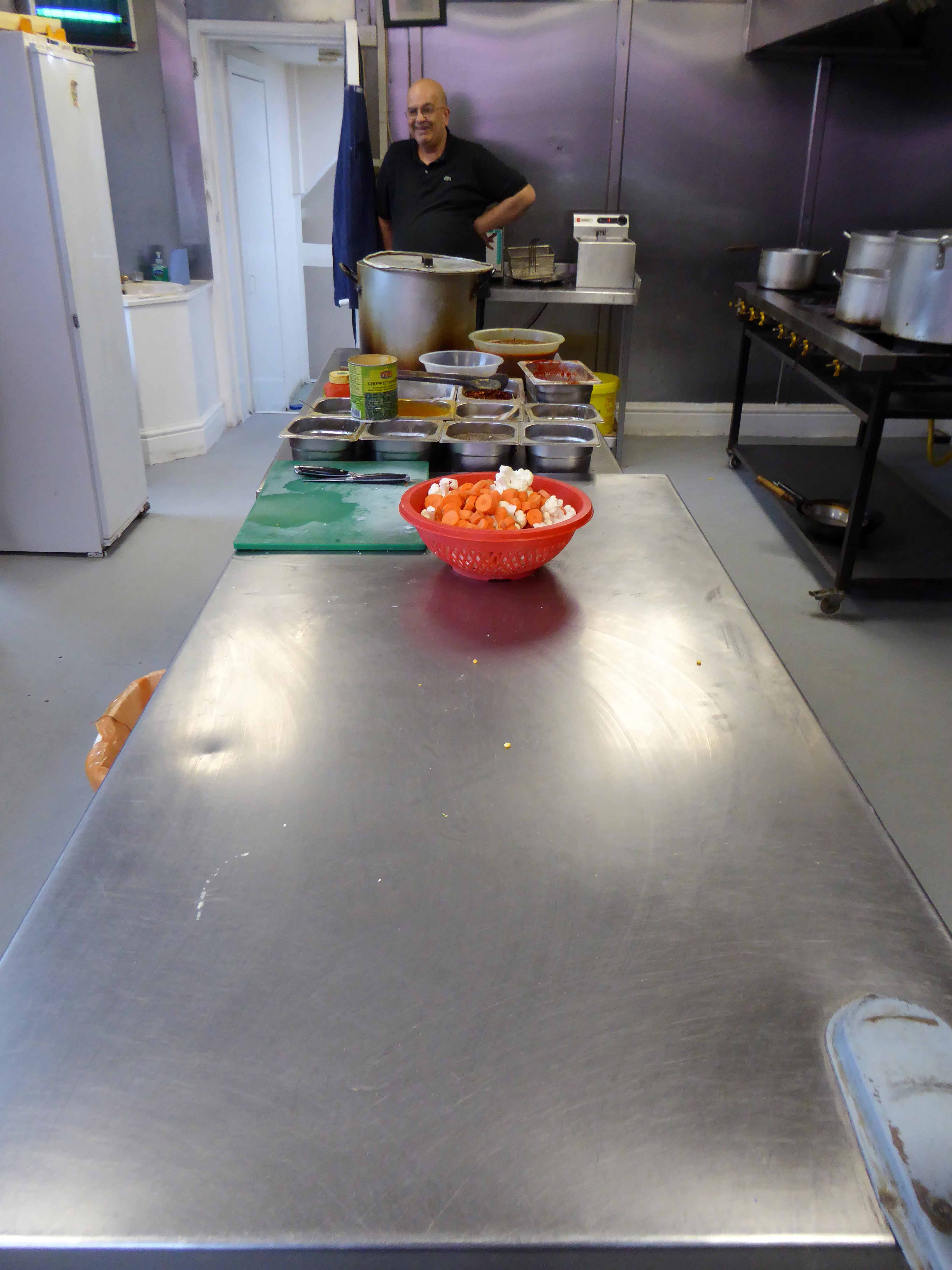
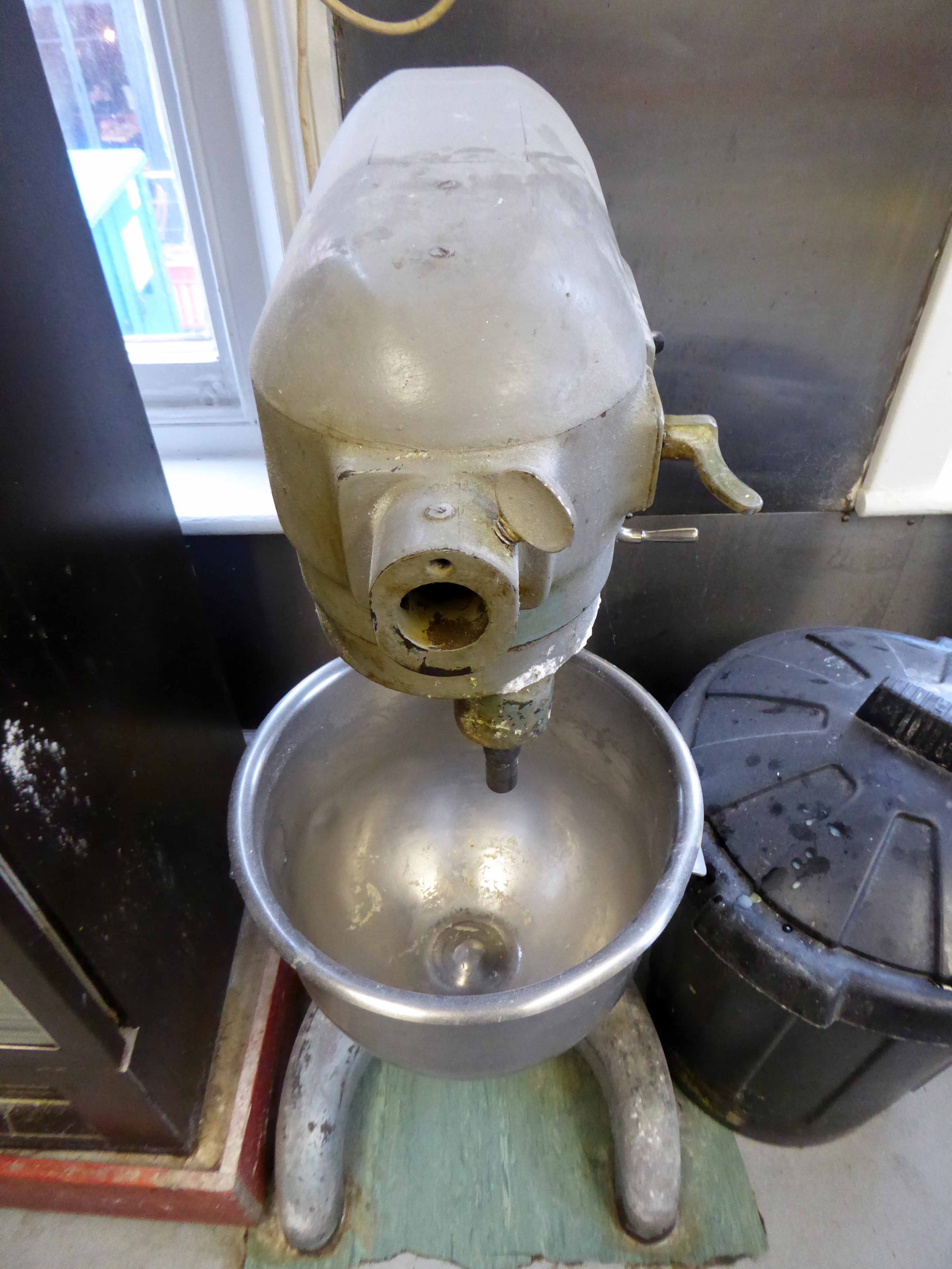
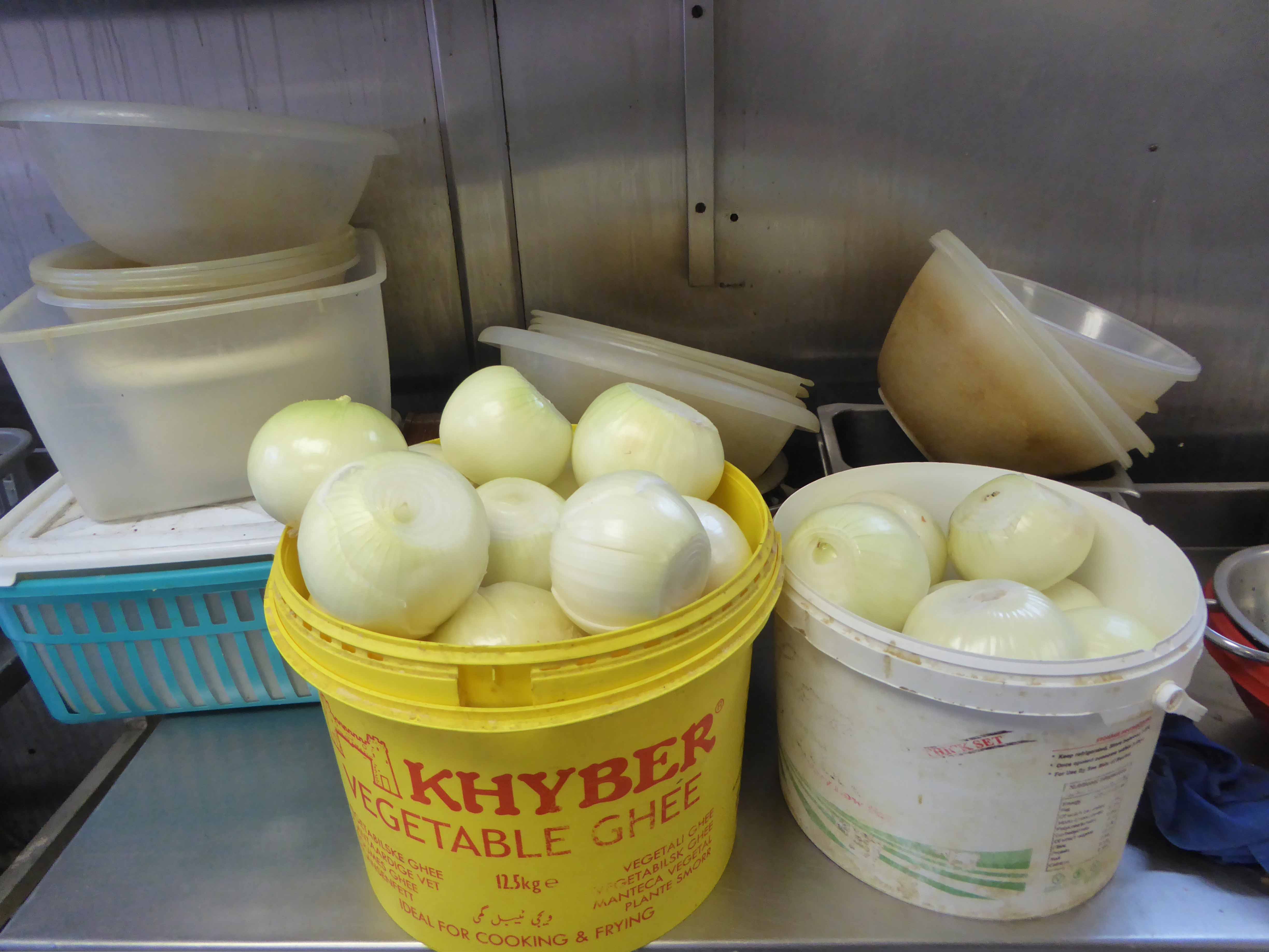
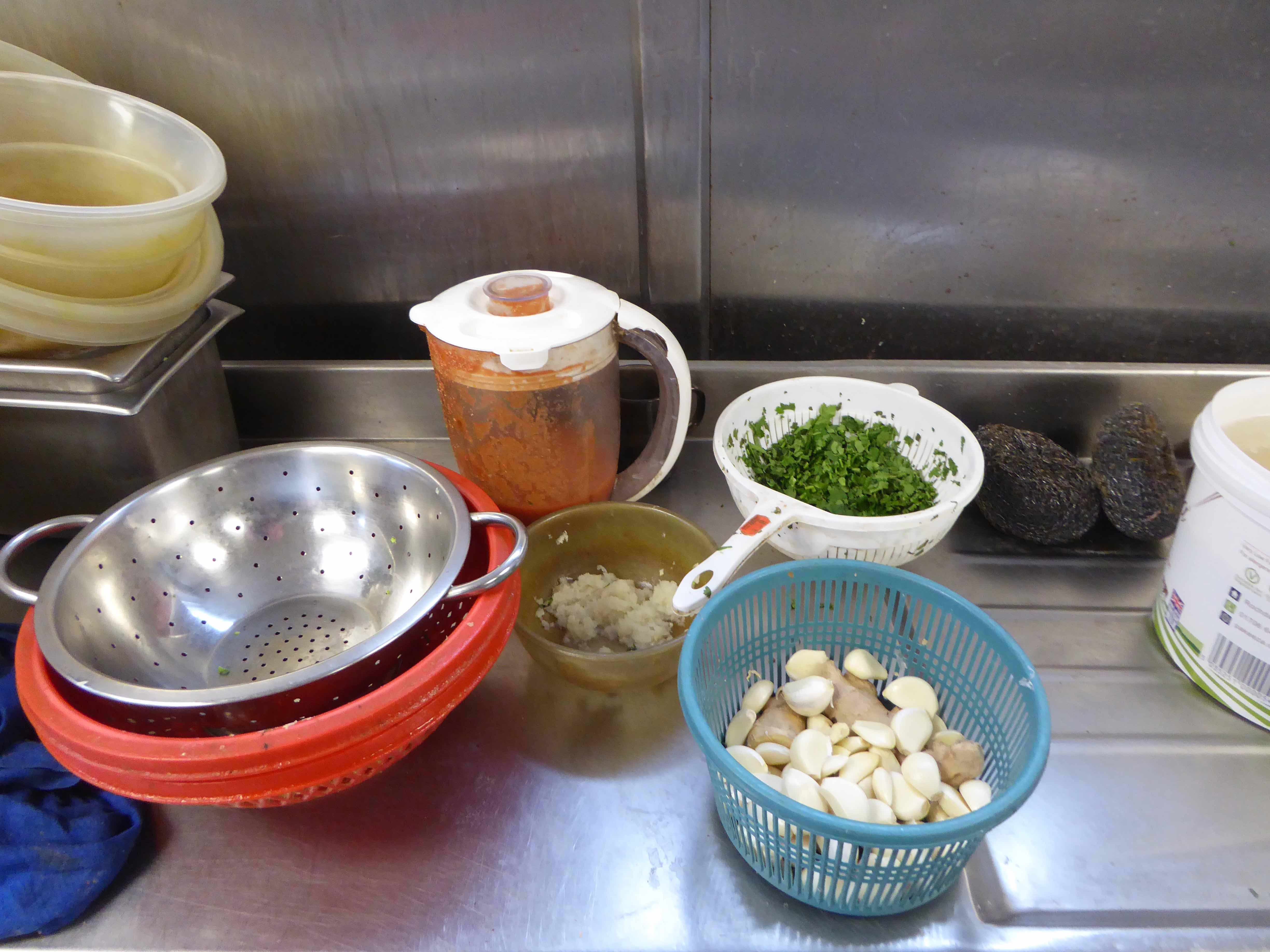
I sat and ate happily, and was privileged to be given a tour of the kitchens by owner Tariq, recording for posterity a site of some culinary and social consequence.
Let’s take a look around and look forward to a meal just across the road real soon.
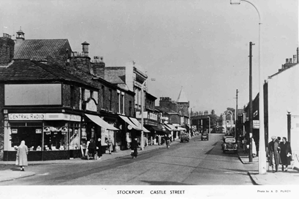
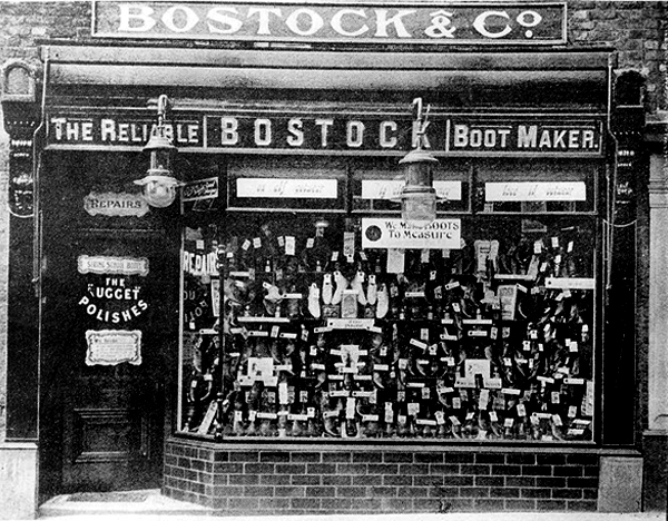
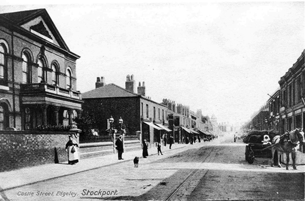
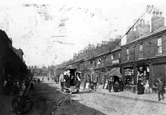
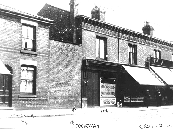
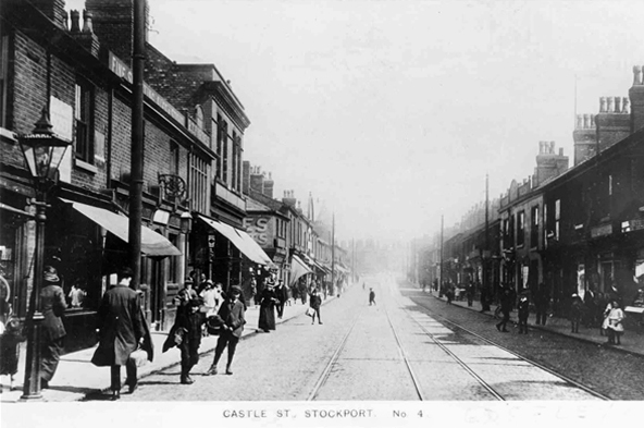
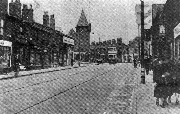
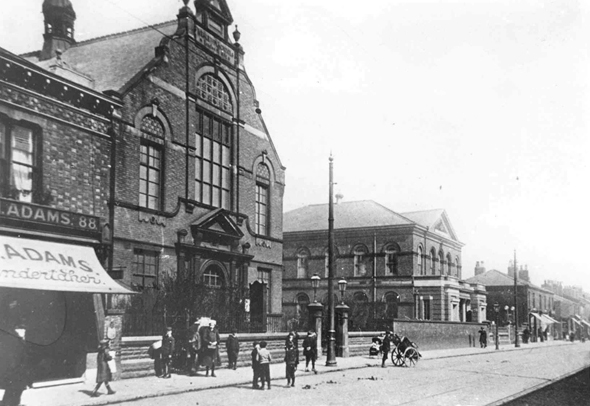
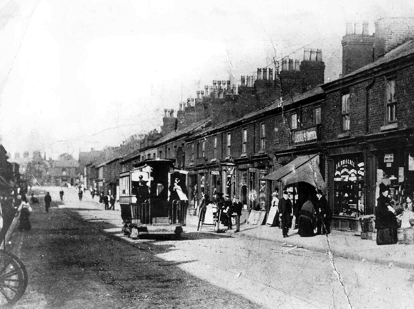
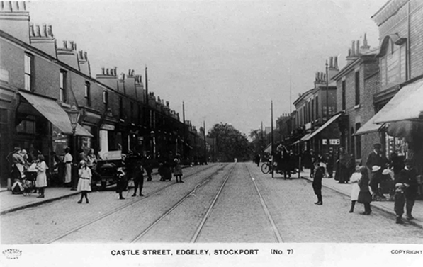
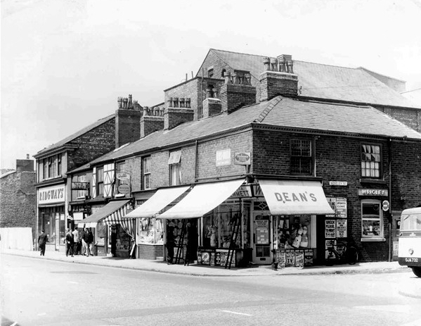
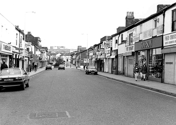
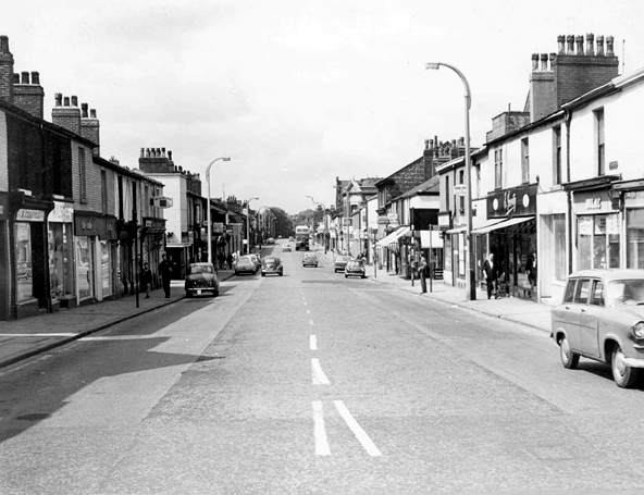
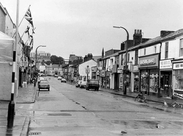
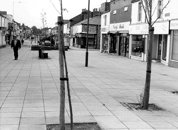
I have shuffled and shopped up and down Castle Street for some forty years or so – things have come and things have gone – and continue to do so. High streets have always been subject to so many external forces, they reshape and reform, in rhythm with the times and tides of history.
Horse drawn carriages and trams are long gone, along with the double-decker bus, people powered people rule in a pedestrianised precinct, charity begins at Barnardo’s, the Co-op has been and gone and returned, just up the way.
Two whole chapels, pubs and cinemas seem to have just disappeared.
So let’s take a short trip through time and space along a short strip of Stockport’s past.