Georges Road Stockport

Once they built a railroad.

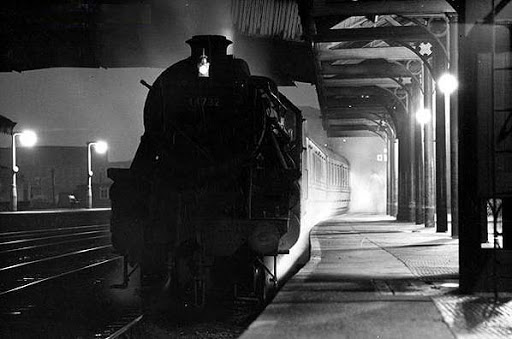
The Cheshire Lines Committee CLC operated Stockport, Timperley and Altrincham Junction Railway line from Portwood to Skelton Junction, a section of what became the Woodley to Glazebrook line.

It remained a part of the CLC, which was jointly owned from 1923 by the London and North Eastern Railway  and the London Midland and Scottish Railway , until 1948 when it became part of the British Railways London Midland Region.

Closed in 1982, following the demise of the Woodhead route; the track was subsequently lifted in 1986.

The blue arrow indicates the Tiviot Dale Station.

in the age of steam mainline St Pancras trains and local stoppers flew by.

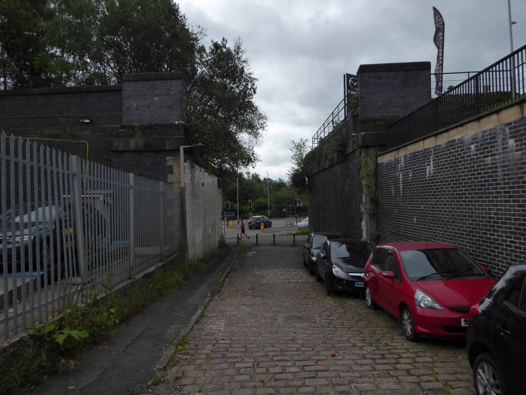
My interest lies in the small portion of track at the end of Georges Road – I worked as a Guide Bridge goods guard in and out of the scrap yard there, in the Seventies.

Now I walk past almost every day and it’s almost all gone.

The bridge which it supported now demolished, time called long ago in the long lost Gardeners Arms – originally a Bell’s Brewery pub latterly a Robinsons house.

What remains is a triangular island faced in glazed and blue engineer’s brick, topped out with trees.

I have entertained the idea of accessing the area by ladder, exploring and possibly setting up camp – though I think the proximity to an almost constant flow of traffic, would prove less than commodious.

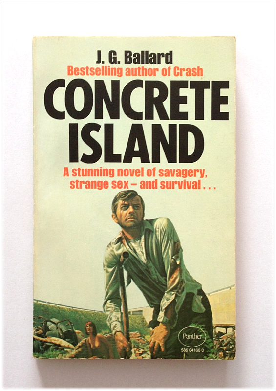
It evokes for me an elevated affinity with Ballard’s Concrete Island.

He reached the foot of the embankment, and waved with one arm, shouting at the few cars moving along the westbound carriageway. None of the drivers could see him, let alone hear his dry-throated croak, and Maitland stopped, conserving his strength. He tried to climb the embankment, but within a few steps collapsed in a heap on the muddy slope.

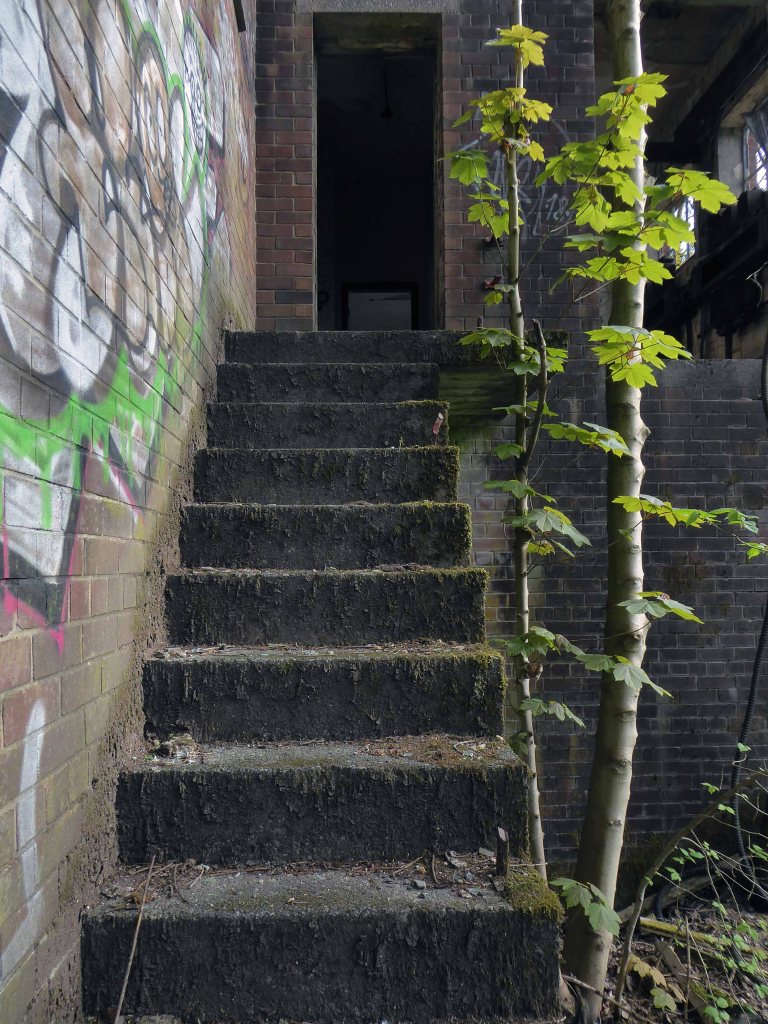
So here it is as is complete with tags, signs, cracks and all.

It remains as a monument to those who built and worked on the railway.

Hartshead Power Station #1

I’ve been here before in search of a bus shelter.

I’m back here to day in search of an abandoned control centre at the long gone Hartshead Power Station.

The station was opened in 1926 by the Stalybridge, Hyde, Mossley and Dukinfield Transport and Electricity Board.

The station was closed on 29 October 1979 with a generating capacity of 64 megawatts. It was demolished during the late 1980s, although part of the site is still used as an electrical substation.

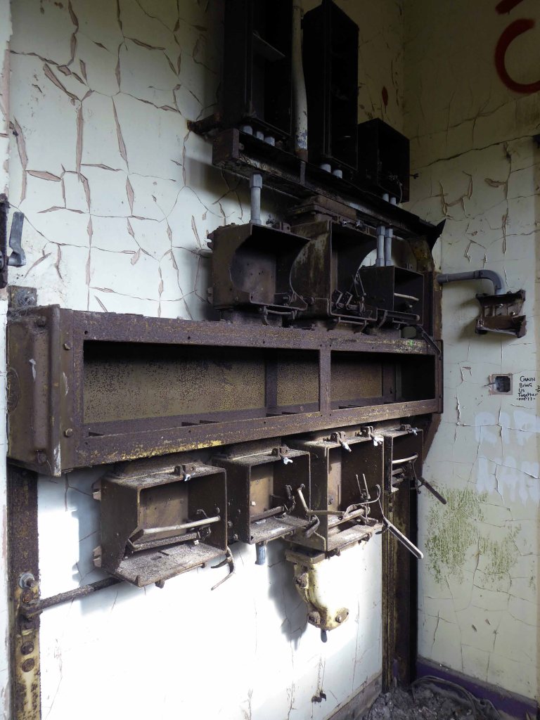
First glimpsed on an urban exploration site, I had awaited an opportunity to slip through the fence and take a look around – here’s what I found.

Most of the valuable equipment stripped out leaving and empty shell, covered in layers of the taggers’ interventions.

George Street Car Park – Hull

My previous Hull walk was was linear, along the Humber Estuary open and expansive.

This was a very different kettle of fish – spiralling out of control, rising and falling, walking the ramp, a journey into one’s inner self.

Possibly the worst multi storey I have been in for years.

Spooky, filthy, bays too small, machines remote, access tortuous.

Avoid.

So says Nick Shields

Dark, Gloomy and Rotting .

Looks a good candidate for a location for a crime watch reconstruction.

Quoth Peter Campbell

It’s a multi story multi Storey and no mistake

I couldn’t possibly pass comment, I walk can’t drive, won’t drive – though simply can’t resist exploring car parks.

Though the local paper has identified an issue of fitness to fit.

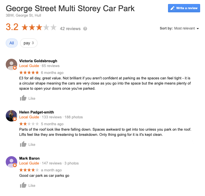
Heard the one about a city centre car park where you can’t easily park your car? It might sound like a joke but it’s no laughing matter for drivers trying to squeeze into vacant spaces at Hull City Council’s multi-storey car park in George Street. For motorists are finding it increasingly difficult to manoeuvre into its tight parking bays.

I myself navigated the bays with ease, though not without that unique sense of foreboding and unease, generated by an empty concrete carapace where car space, decay and ingress are issues.

It was designed and developed by Maurice Weston in the 1960s. He had two companies, Multidek and Dekotel, and built circular continuous ramp car parks in Hull, Nottingham, Leicester, Bristol and Bournemouth, some of them also involving circular hotels on the upper floors. In its day, the bays were easily wide enough for most cars. When I used George Street myself, it felt great to use, because you could easily reverse into the pitches and there were no tight corners to negotiate. But car widths have probably got the better of it, these days, and you can’t widen the pitches because of the position of the pillars.

The plans were very complicated to get approved because the George pub was a listed building and the car park had to be built around it. Incidentally, Maurice Weston also had an option to develop the wasteland on Ferensway in the 60s, but his hotel and entertainment centre project didn’t get past the council.

Thanks to David Sugarman

Let’s take a look.

The Parkway Pub – Park Hill Sheffield

I’ve been here before, virtually – in my online guide to Park Hill Pubs.

I’ve been here before, actually – on my visits to Park Hill Estate

But hark, what news of the Parkway pub?

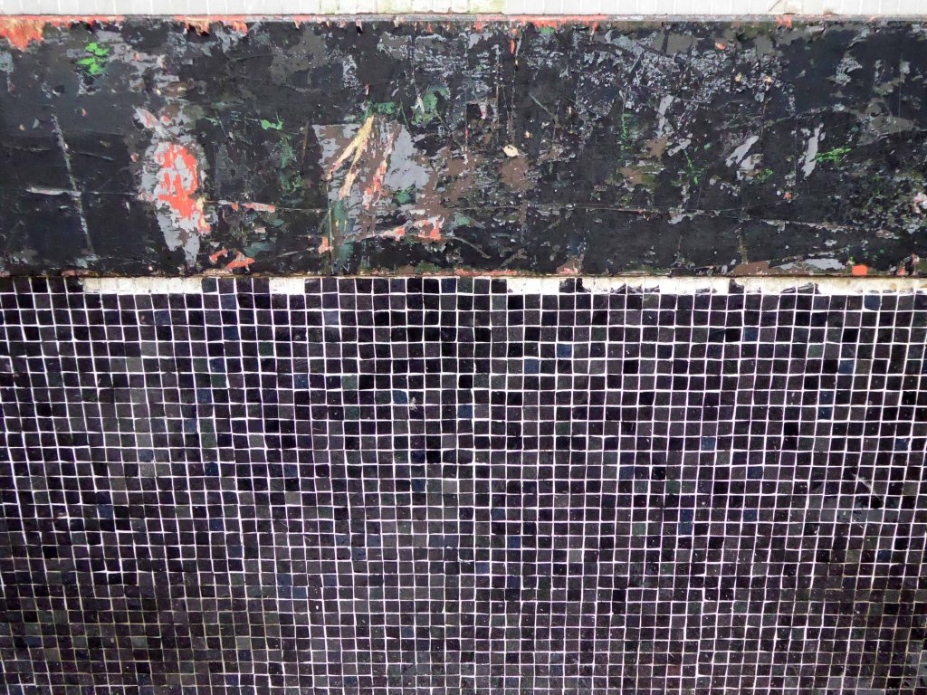
Your bold mosaic whilst once exposed, was sadly disabused, then unthinkingly covered.

Has subsequently been uncovered, steam cleaned and proudly on view, as a central part of the most recent of the estate’s phases of redevelopment.

The block is to become student housing, the distinctive tan, turquoise blue and bold red colours of the mosaic, integrated into the banding of the newly refurbished building.

My face was a picture of delight, viewing the multicoloured tesserae – as we were privileged to be guided around the site by Kier Construction, Matthew Borland from Whittam Cox Architects, who are working with Alumno on Béton House and Urban Splash – my thanks to all and particularly PR Surriya Falconer.

So here it is living and breathing the South Yorkshire air once more.

Alas the Parkway is a pub no more – simply an empty shell.

But hush – can you not catch the chink of pint pots and gales of merry laughter, carried gently on the passing breeze?

Churchill Way Flyovers and Walkways – Liverpool

It’s too late she’s gone.

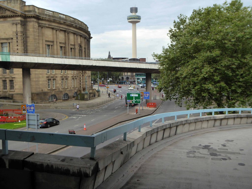
Opened in 1972 as an almost belated response to George Buchanan’s 1963 Traffic in Towns which had informed the Liverpool City Centre Plan of 1965.

The report warned of the potential damage caused by the motor car, while offering ways to mitigate it. It gave planners a set of policy blueprints to deal with its effects on the urban environment, including traffic containment and segregation, which could be balanced against urban redevelopment, new corridor and distribution roads and precincts.

These policies shaped the development of the urban landscape in the UK and some other countries for two or three decades. Unusually for a technical policy report, it was so much in demand that Penguin abridged it and republished it as a book in 1964.

The majority of the planned Walkways in the Sky remained unrealised.

The Churchill Way was realised and remained in use until September 2nd 2019 – closed and facing a £10 million demolition programme, following a maintenance report which found them to be unsafe – and presumably beyond economic repair.

And so I took one last look around taking snaps, an epitaph to the end of an era, and the end of an idea that was once once rendered concrete.

Take a closer walk with me.

Woodward Court Woodward Street – Ancoats Manchester

“What’s going on?”

As Marvin Gaye so succinctly asked.

Why is there just one remaining tower block dancing unclad around Ancoats?

Let’s go back in time and see if we can find out – it seems that back in 1807 there wasn’t a Woodward Street to be found, the ever expanding industrial might of Manchester had not yet reached these particular green fields of Ancoats.

By 1824 it shows a fresh face to the world christened Woodworth Street, sparsely dotted with new development.

Almost fully formed in 1836 and renamed as Woodward Street, the area begins to accumulate the familiar domestic and industrial clutter of a burgeoning Victorian City.

By 1860 the street is fully formed and open for business.

Workers finding homes in austere and functional brick back to backs, typical of the period’s housing.

Fast forward to the early Sixties and the street is showing signs of age – the century old industries are already in decline, steady jobs, mills and factories gone west and east, well-worn housing looking terminally tired and in need of a little care and attention.

But wait what’s this coming around the bend?

The first wave of urban regeneration, post war optimism incarnate, a bright new shiny future – out with the old and in with the new, as Municipal Modernism stamps its big broad architectural feet all over Woodward Street.

Archival photographs from Manchester Local Image Collection

Our story is far from over, this optimism is short-lived the homes, houses and industry are swept away yet again, replaced with two story modern terraced housing and an all too obvious absence of regular employment – yet the tower blocks prevailed.

Former streets were over written and remain as poignant vestigial marks in the landscape.

Grand plans are made for their revival.

Paul Daly

Though their future was built on more than somewhat shifting and uncertain sands.

A tower block has been left lying empty for a whopping 18 years. The 13-storey building at Saltford Court in Ancoats has been unoccupied since Manchester council closed it in the 1990s. It was bought by top developers Urban Splash six years ago but residents have now hit out about it still being empty. Neighbours of Saltford Court say it has become an ‘eyesore’ and magnet for vermin since the firm bought it.

Manchester Evening News 2012

A large group of blocks stood tinned up and unloved, yet owned, for a number of years, victims one supposes of land-bankers, developers speculating on an even better return, as the warm waves of gentrification washed slowly over them, from nearby New Islington.

All but one was refurbished, clad and re-let.

Woodward Court was spared – set aside for the homeless.

A period piece surrounded by Post Modern and Revivalist pretenders.

Why not go take a look.

Odeon – Guide Bridge

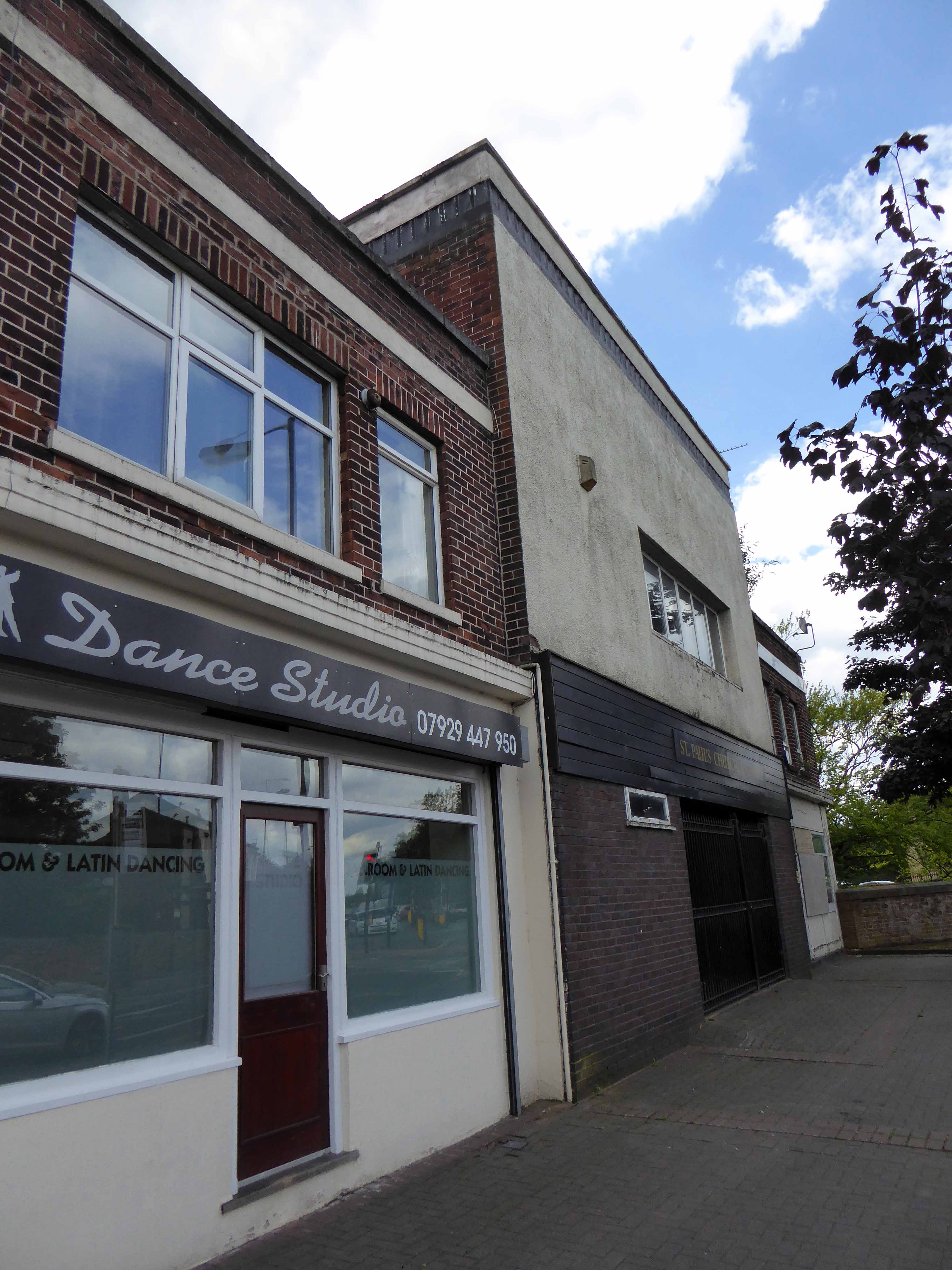
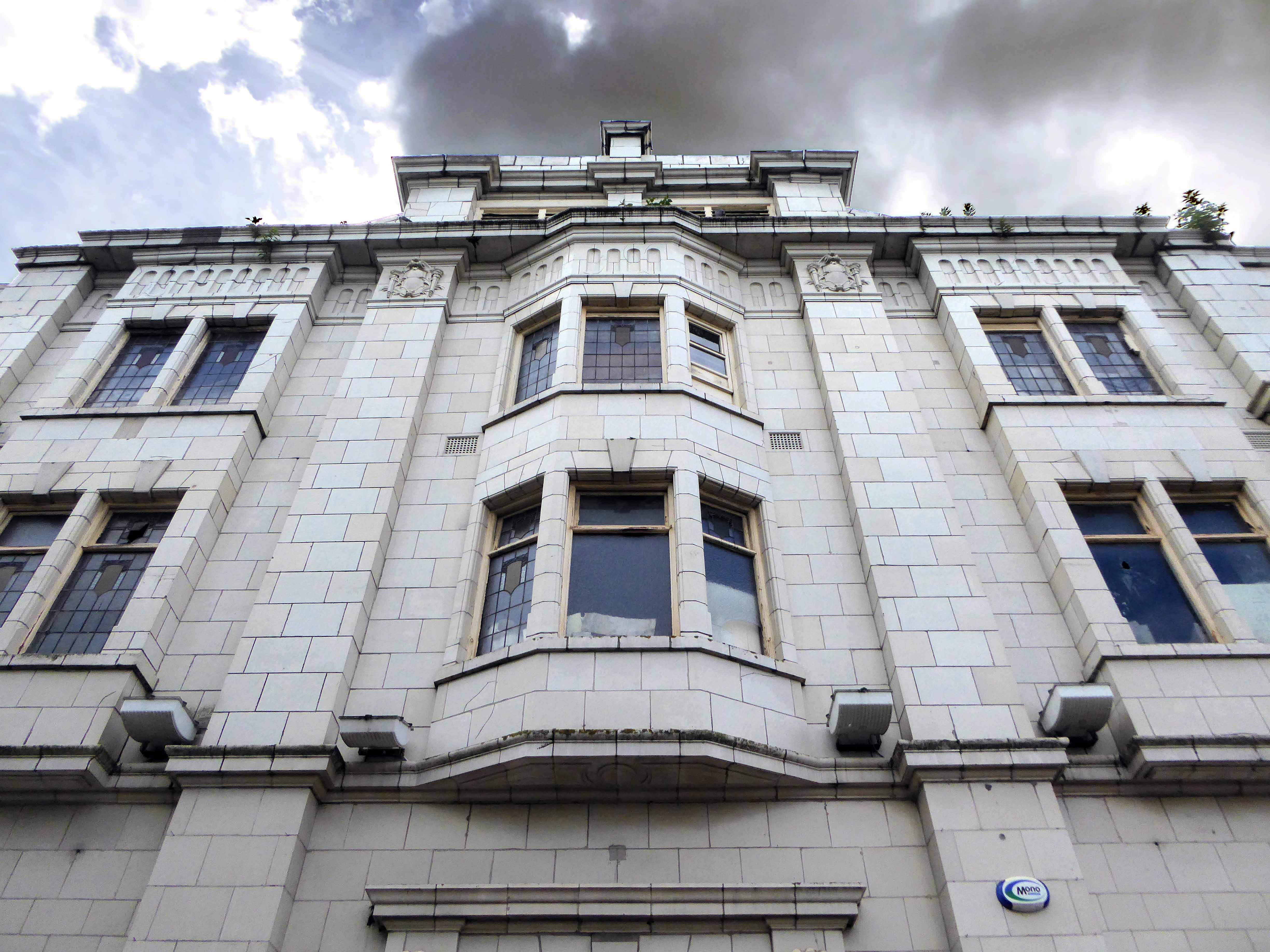
285 Stockport Road Guide Bridge Ashton-under-Lyne

This was planned to be the Verona Cinema, a project of local builders – P Hamer Verona Cinema Ltd. The construction of the cinema was almost completed when Hamer sold the building to Oscar Deutsch and it opened as one of his Odeon theatres.

Hamer then used the proceeds of the sale to build the Roxy Cinema Holinwood, which was designed by Drury & Gomersall.

Opening date of the Odeon Theatre was 29th June 1936, when the first programme was Bing Crosby in “Anything Goes” and Harold Lloyd in “The Milky Way”. Designed by the noted cinema architectural firm of Drury & Gomersall, the frontage had a neat entrance in brick, with white stone facings on the window surrounds. There was a parade of shop units on each side of the entrance which had matching brickwork and a white stone trim.

Inside the auditorium the seating was arranged for 834 in the stalls and 330 in the circle. The side splay walls on each side of the proscenium was decorated in wide horizontal bands, and topped with a backlit illuminated grille.

The Odeon was closed by the Rank Organisation on 11th March 1961 with Kenneth More in “Man in the Moon”.

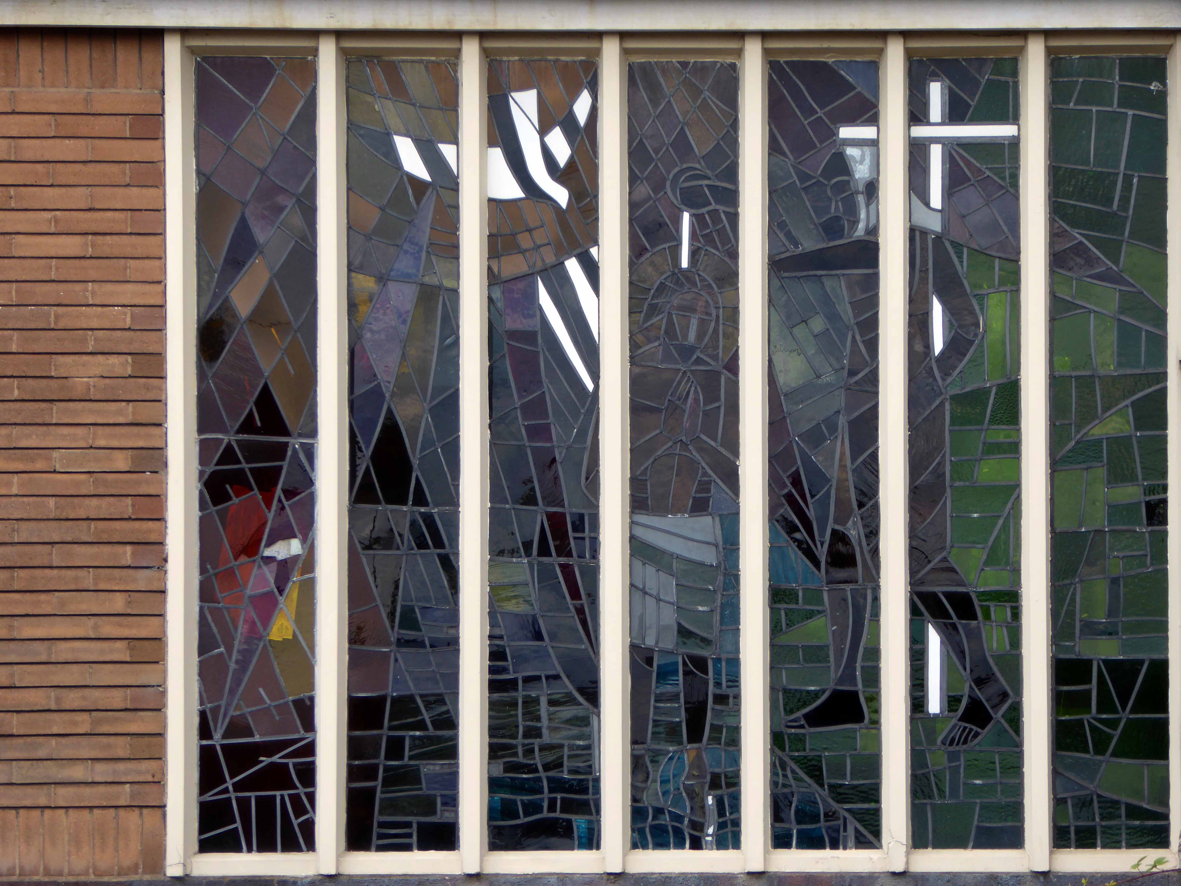
It was converted into St. Paul’s Roman Catholic Church. Former cinemas have made good conversions to churches and the fabric of the buildings are generally respected. In this case though, the sad story is that the front entrance has been rendered over and inside all details of it cinematic past have been erased. You would never know you were inside what had been been an Art Deco styled building.

Contributed by Ken Roe Cinema Treasures

I passed by nearly every day for years travelling to and from school, I played there at a wedding reception in the church social club. I sadly have no recollection of the building in use as a cinema.

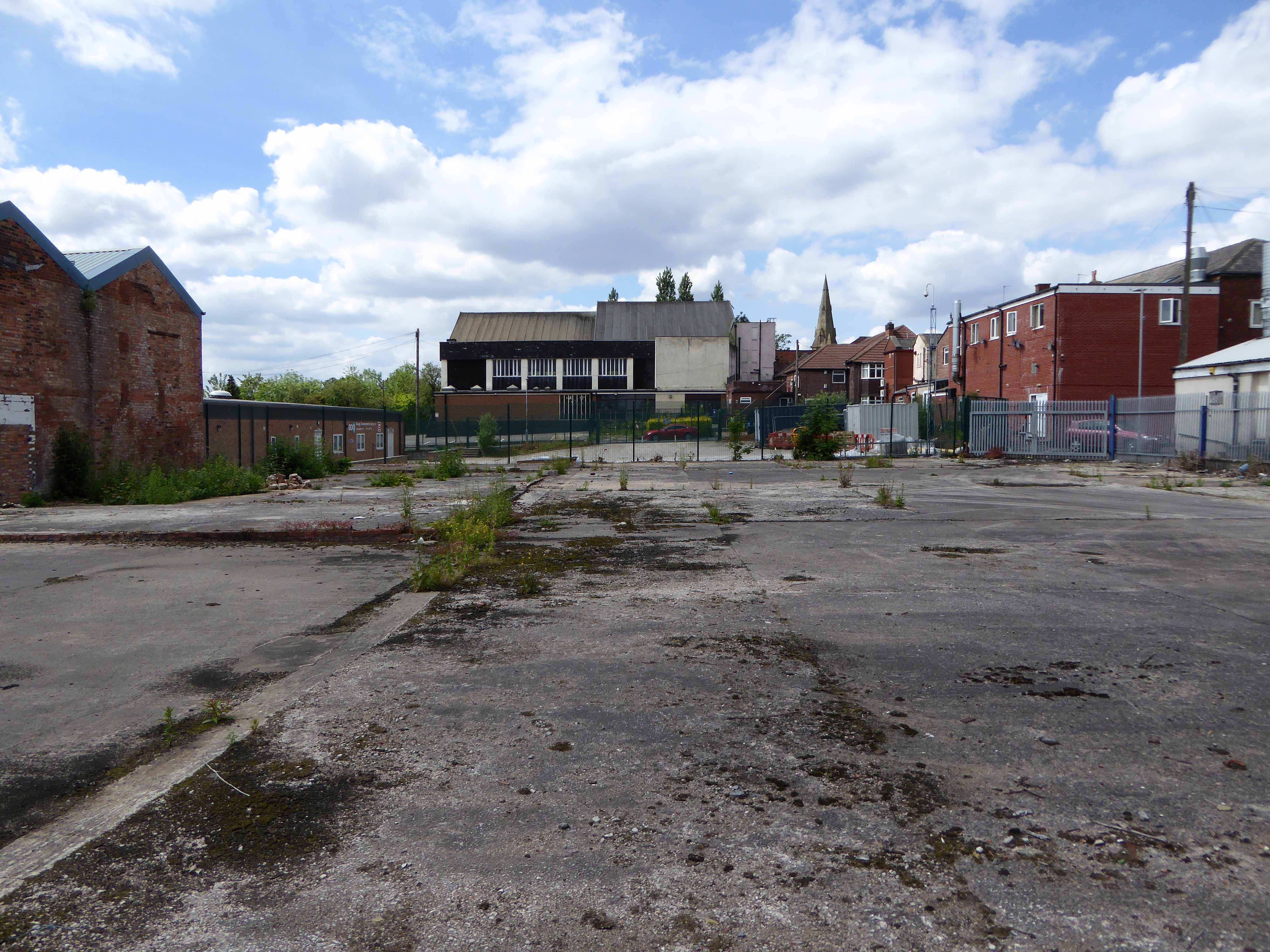
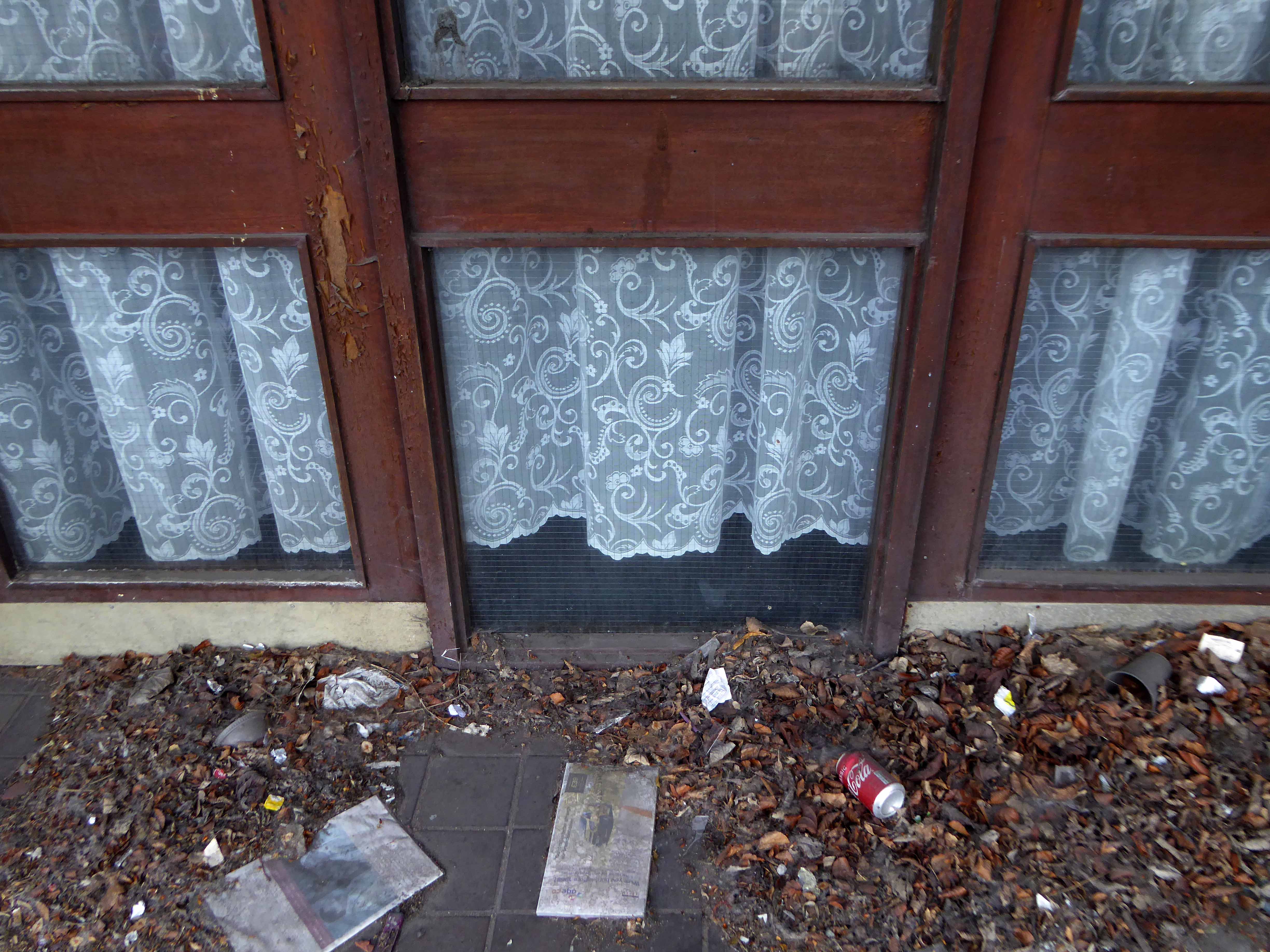
It has been closed since 2010 – currently it has no purpose or seemingly any future use, there are no For Sale signs in evidence.

Fallen so quickly and absolutely from grace.

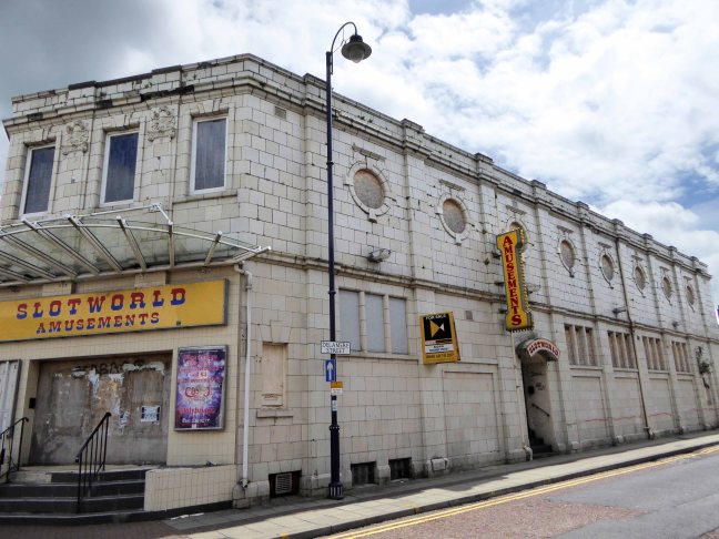
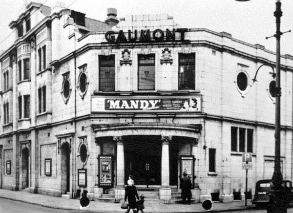
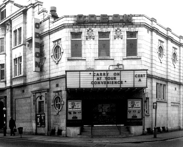
The Odeon née Gaumont – Ashton Under Lyne

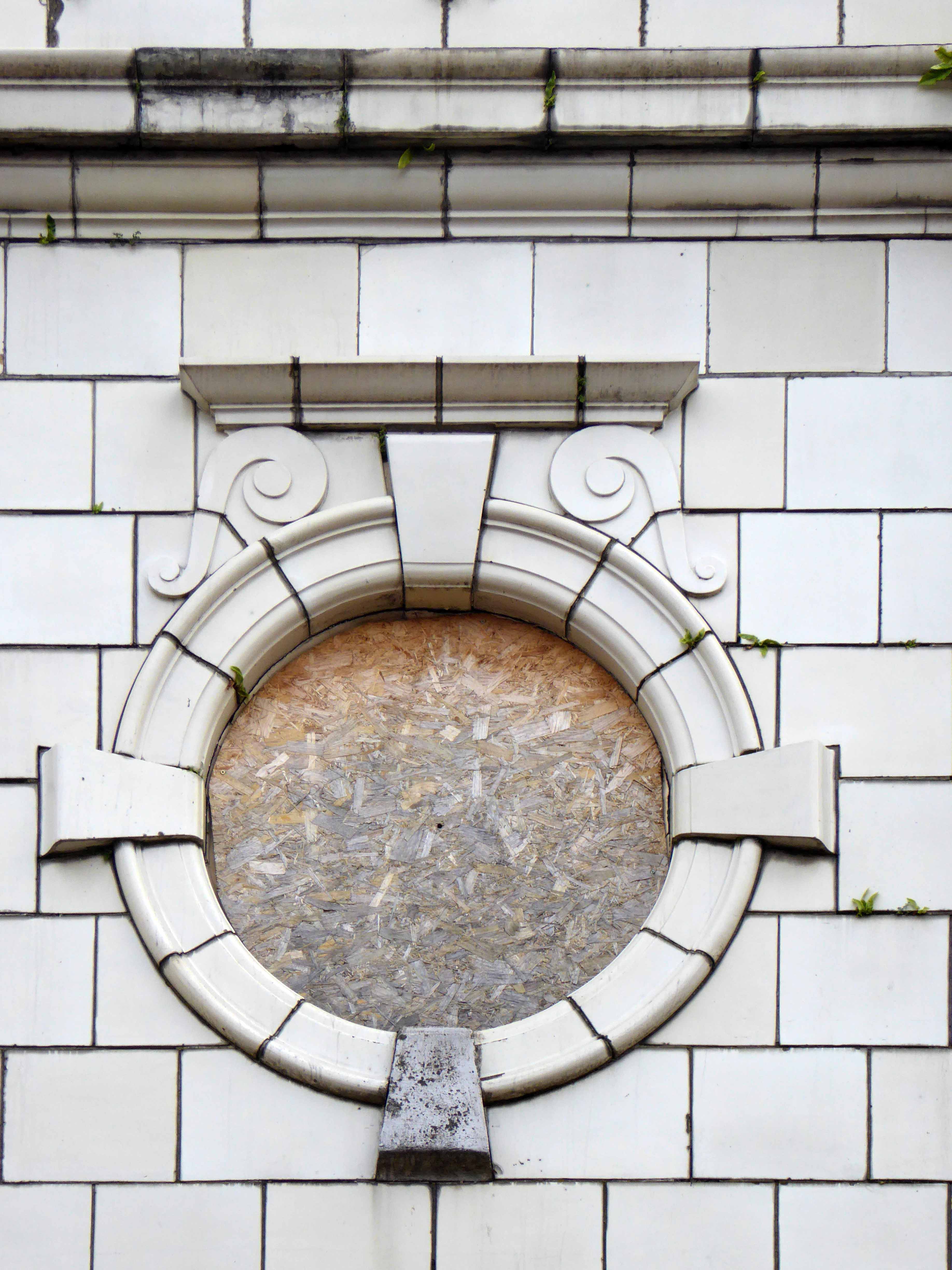
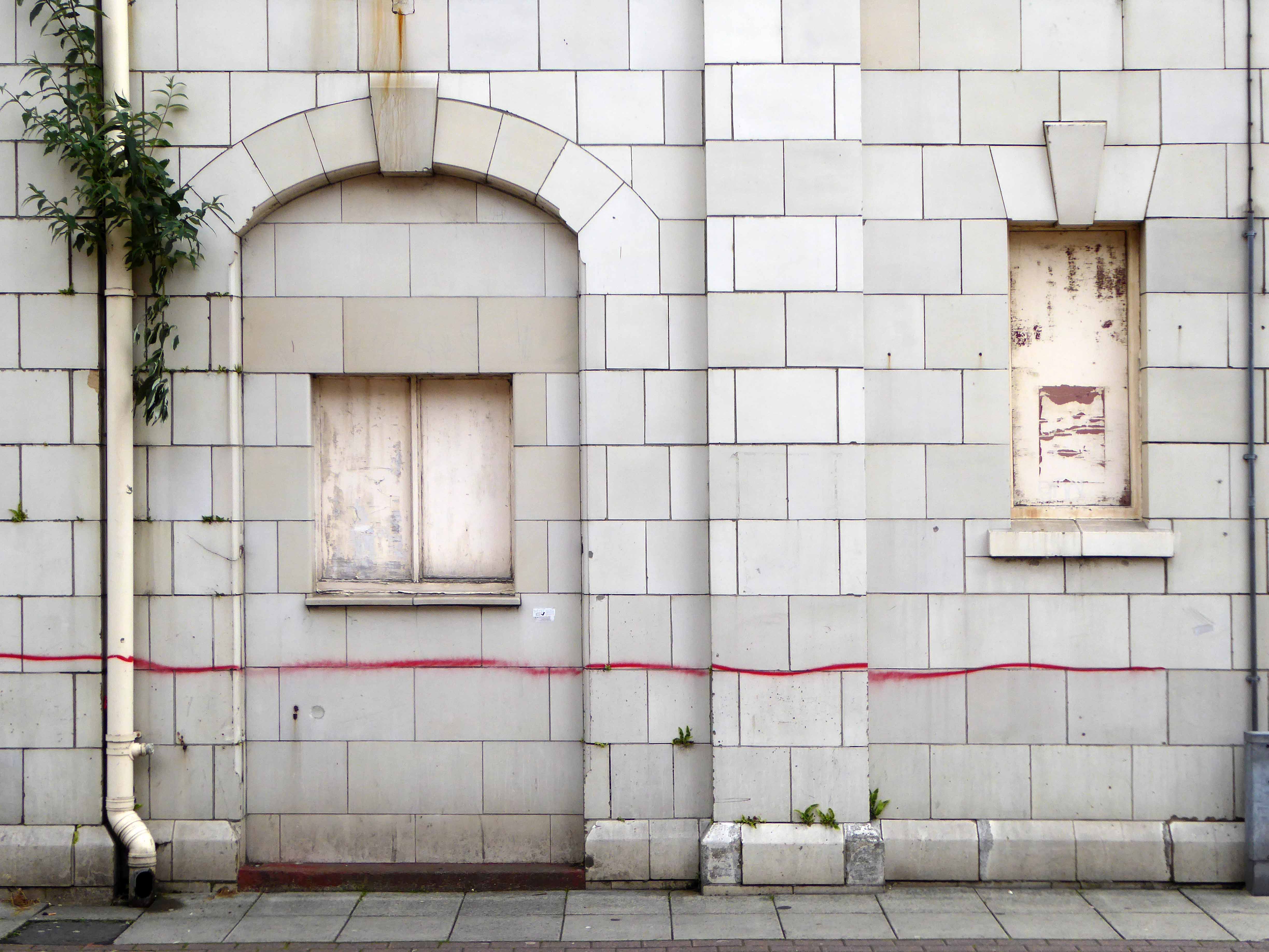
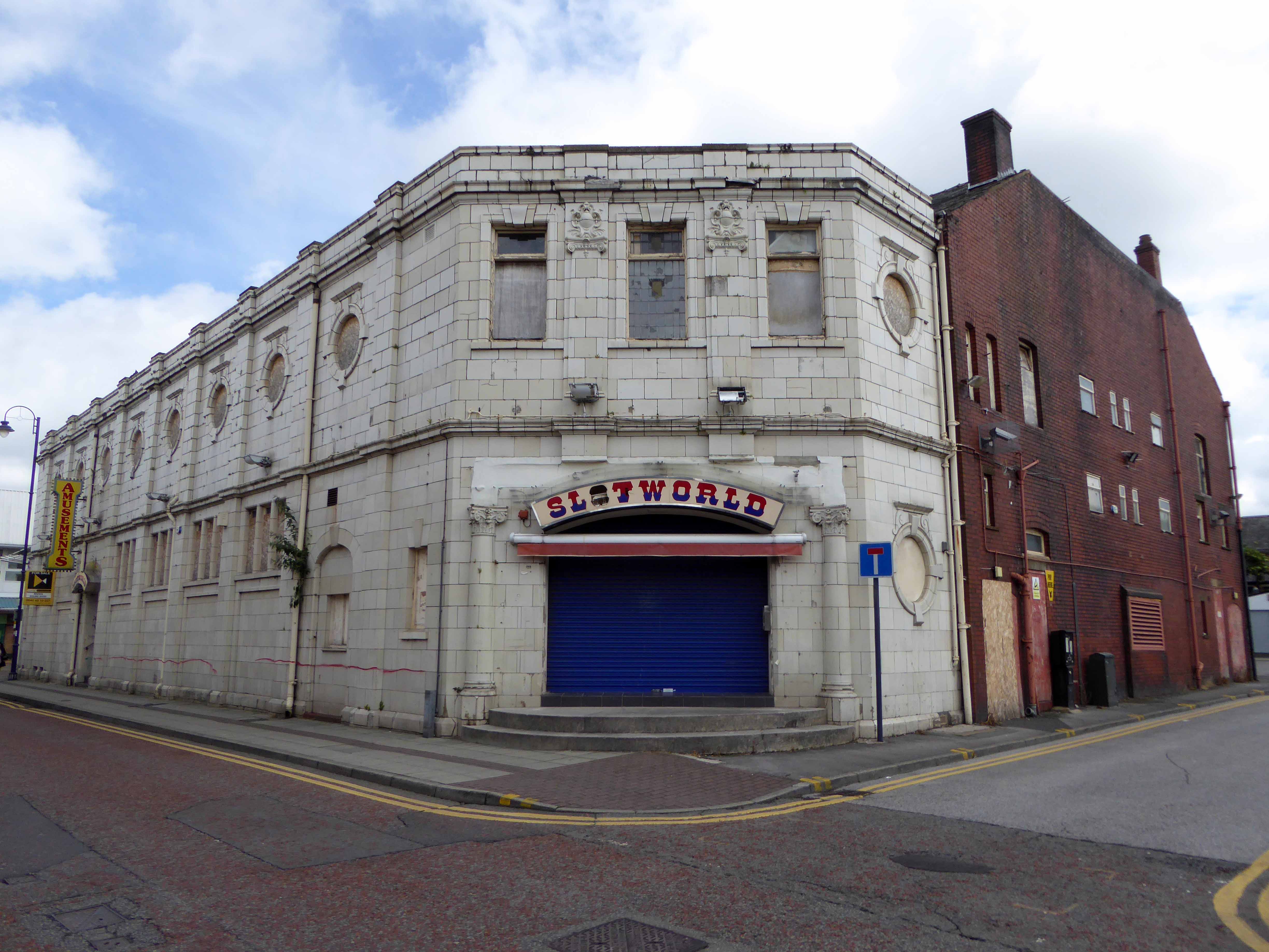
Opened 22 April 1920 with “The Forbidden City” and designed by Arnold England, the Majestic Picture House was part of the Provincial Cinematograph Theatres circuit. With 1,233 seats in stalls and balcony and a splendid facade faced in white faience tiles on two sides of the building on its prominent town centre corner site of Old Street and Delamere Street, the cinema was a great success.

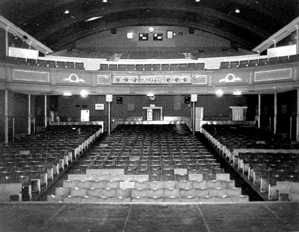
It had an oak panelled foyers which had beautiful coloured tapestry’s on the walls. The interior was in a Georgian style and it was equipped with a pipe organ and a seperate tea room and cafe which were located on the upper floor.

It passed, with all the other PCT houses to Gaumont British Theatres in 1929, but it was not until 12th July 1946 that it was renamed Gaumont. The Majestic Picture House was renovated in July 1936, with new seating installed and a re-recoration of the foyer and auditorium. A new Compton 3Manual/6Rank organ was installed that was opened by organist Con Docherty.

Later being merged into the Rank Organisation, the Gaumont was re-named Odeon on 11th November 1962. It was eventually sold to an independent operator who renamed it the Metro Cinema from 6th November 1981.

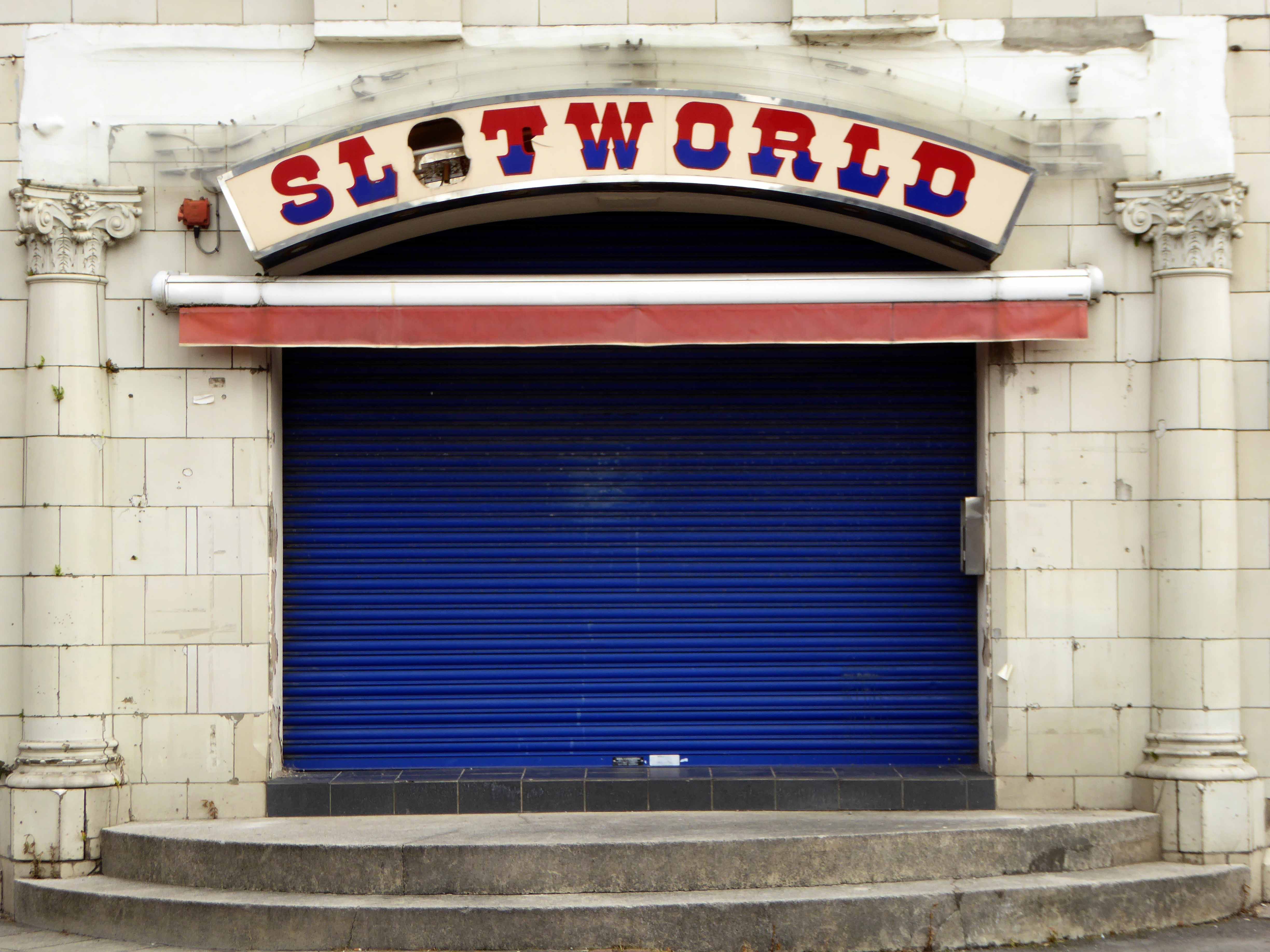
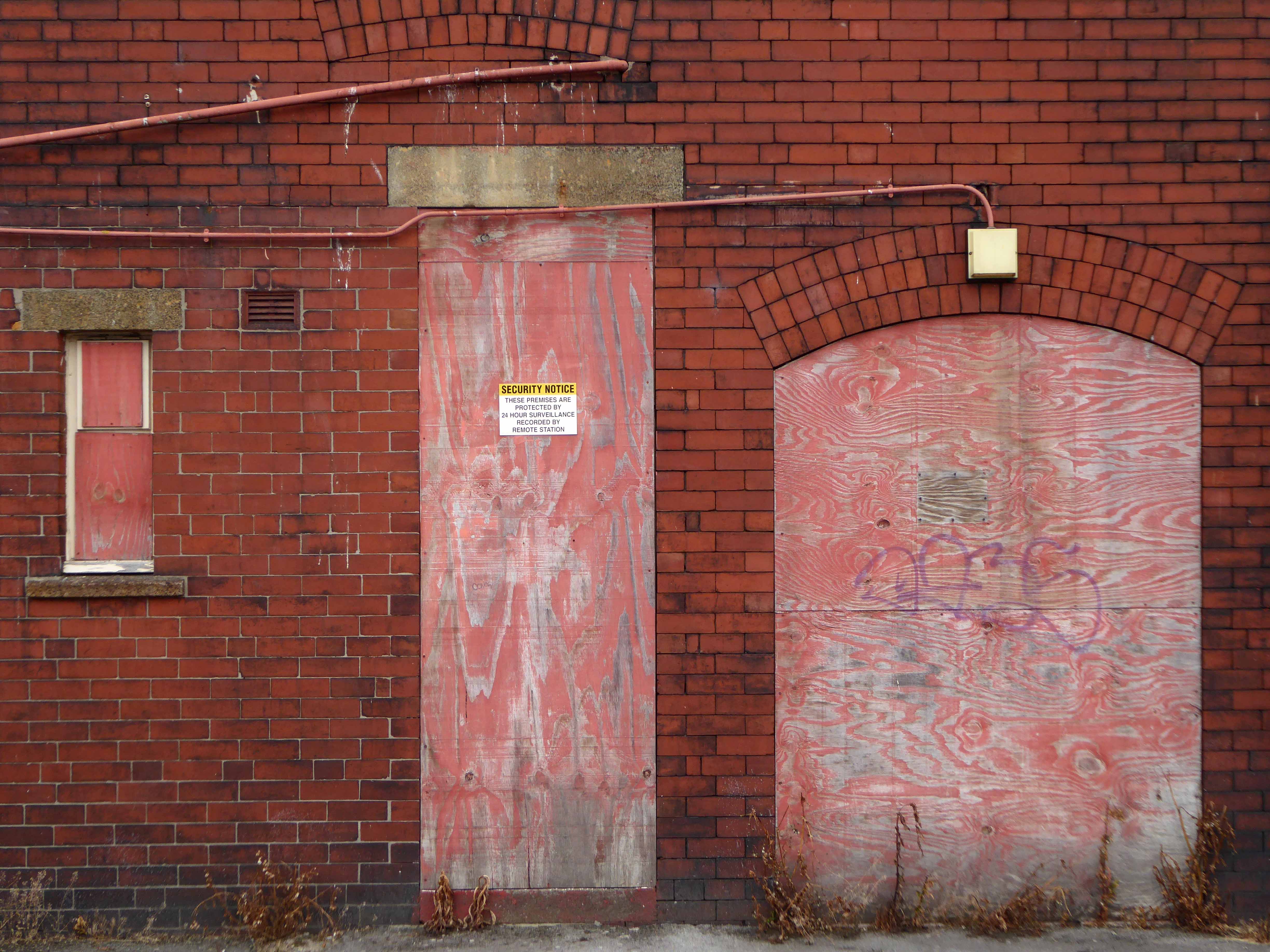
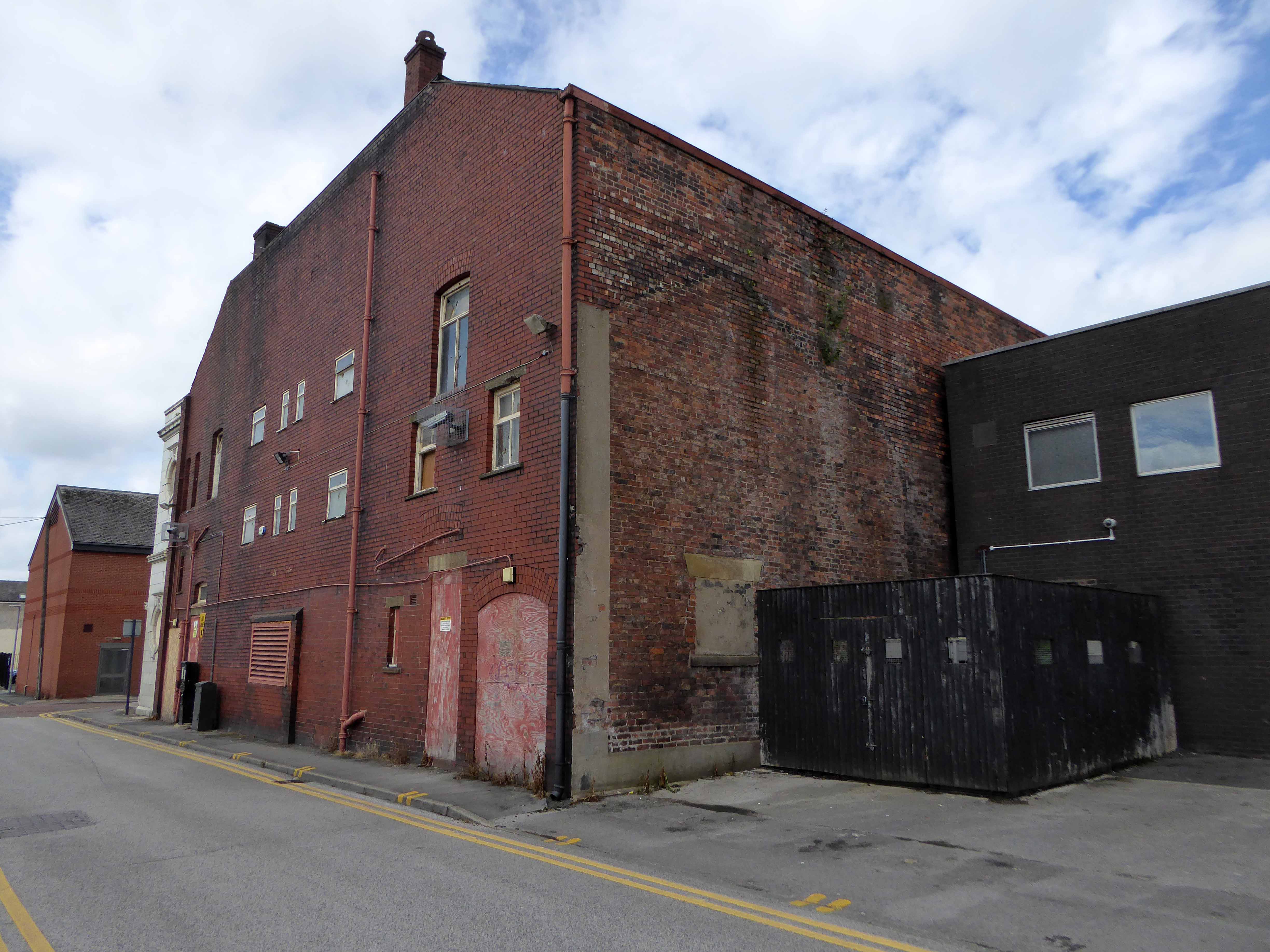
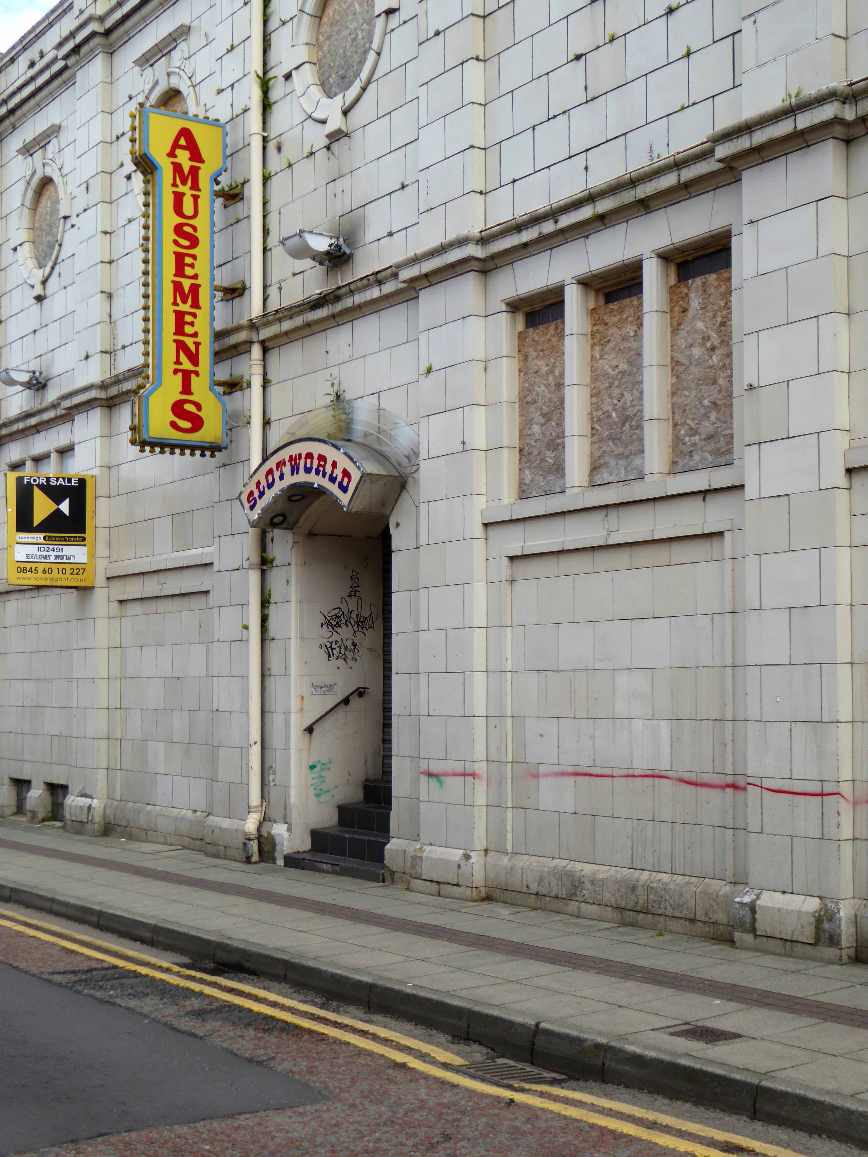
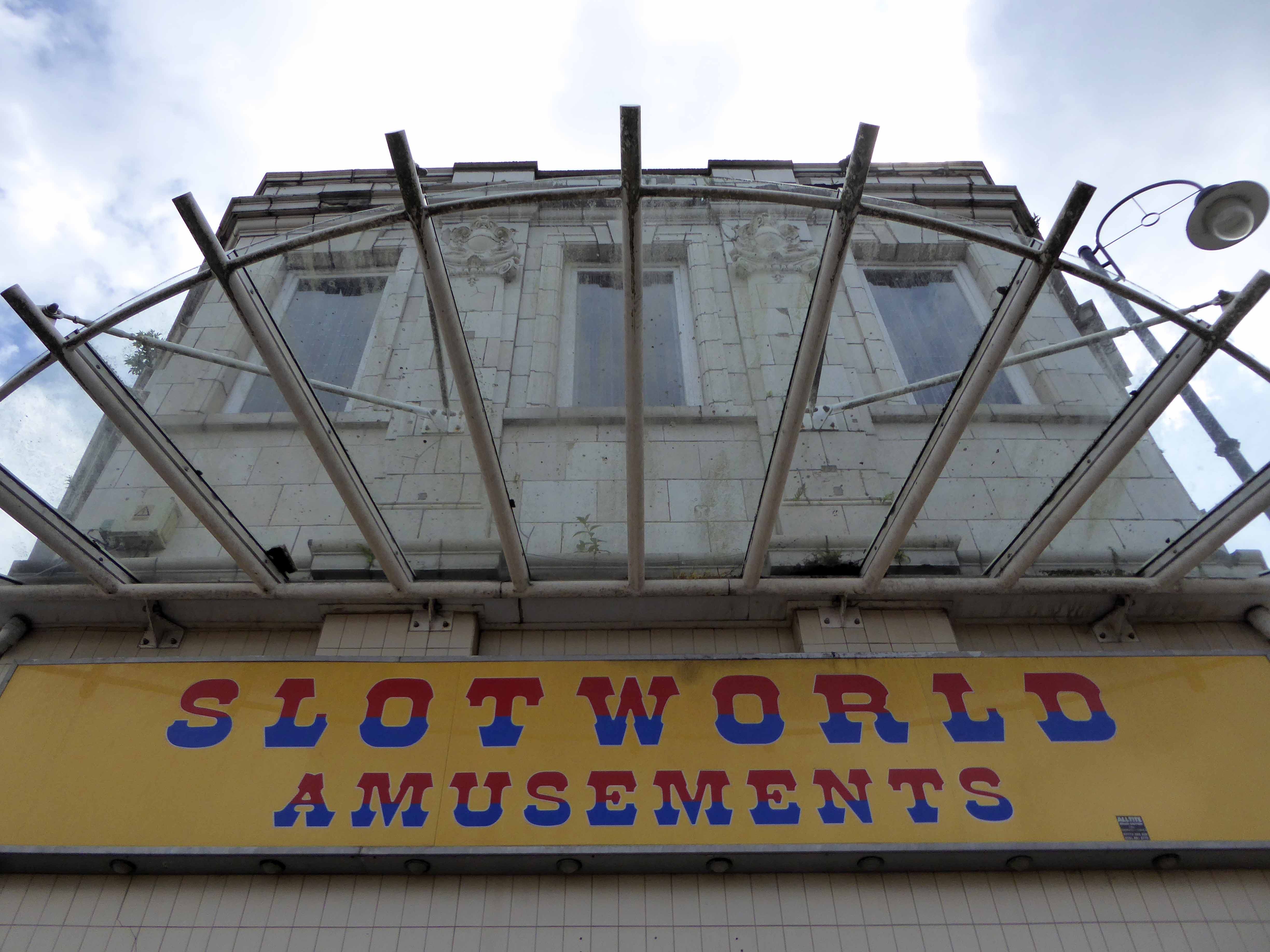
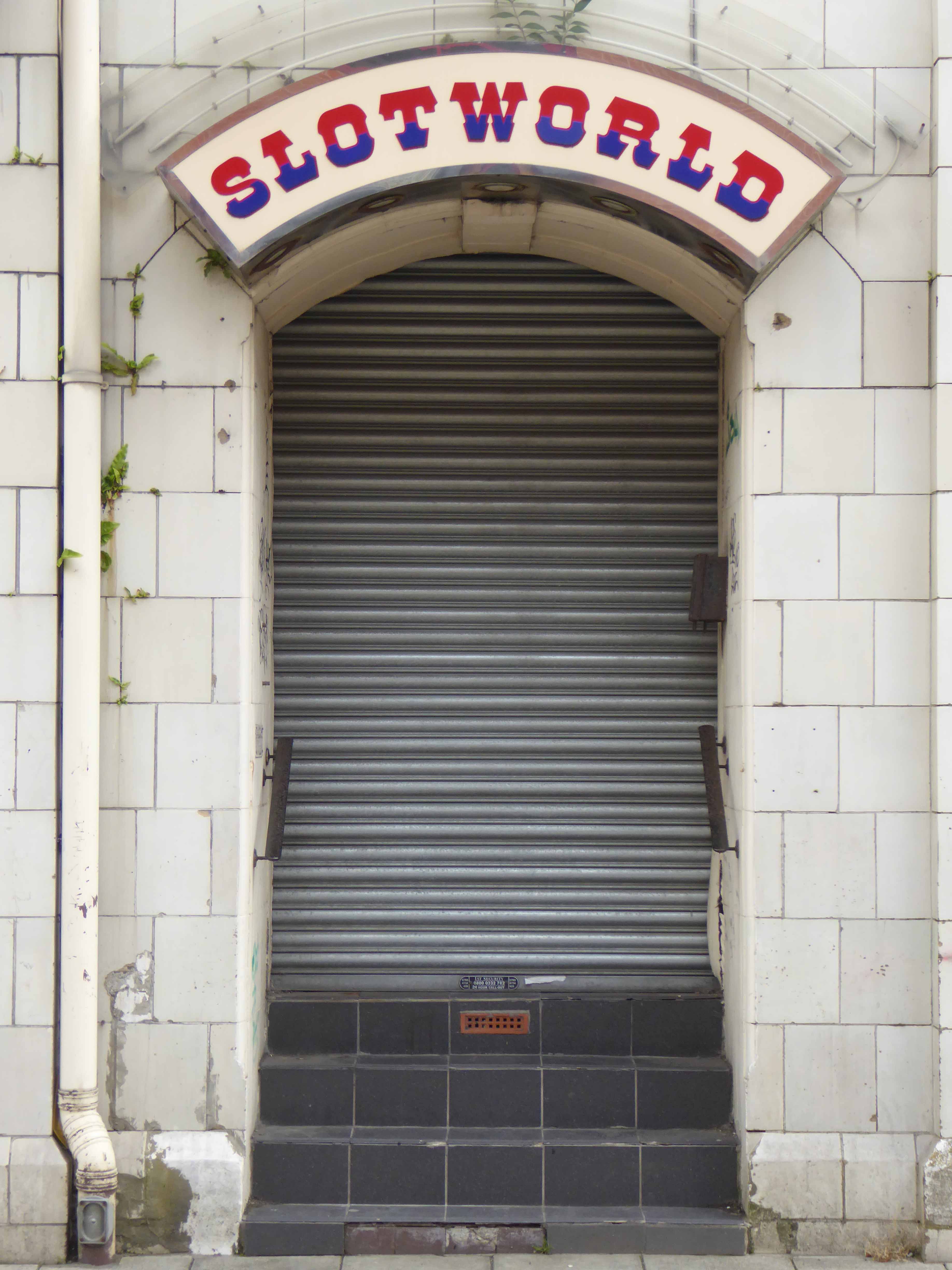
With capacity now down to 946 seats, the Metro Cinema continued as a single screen operation until the middle of 2003, sometime after a multi-plex had opened in the town. In 2008 (with seats and screen intact) the building was unused except for the long foyer area, linking the front and back elevations of the Metro, which was a Slotworld Amusement Arcade. By 2011, the entire building had been stripped out and stood empty and unused.

Cinema Treasures

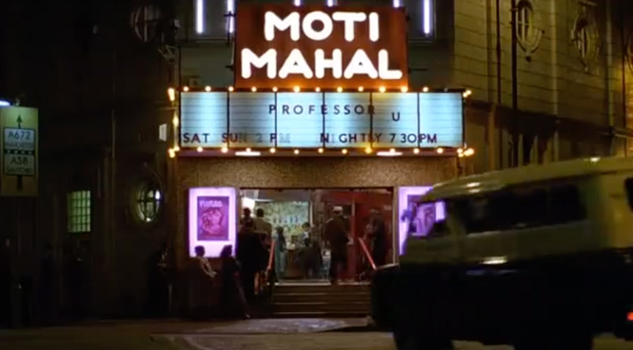
The cinema was used as a location for the film East is East.

Archive images Metro Majestic

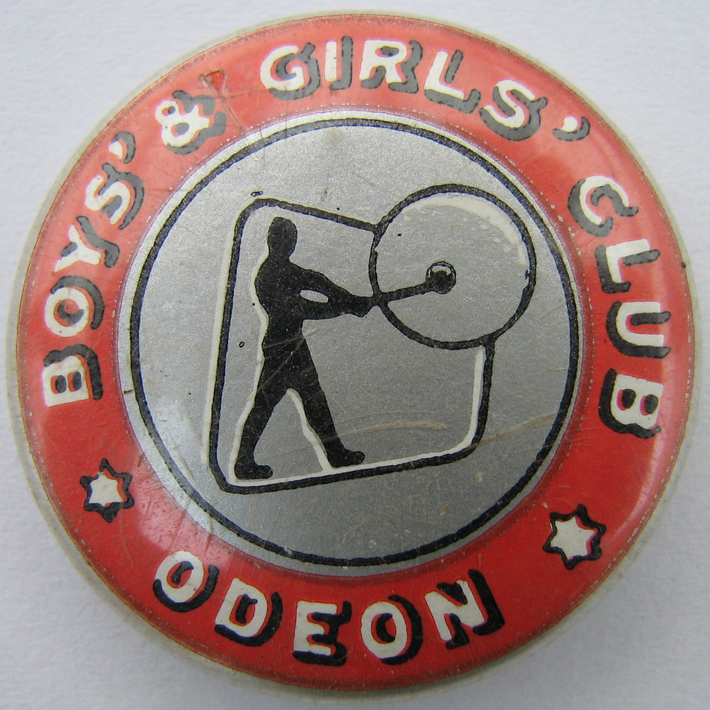
It was my local cinema as a lad – attending Saturday morning matinees as a member of the Odeon Boy’s and Girls club. Hundreds of the nosiest kids. regularly warned by the manager that the film would be stopped if the raucous behaviour continued.

Now it’s just an empty shell, superseded by multiplex and latterly a lost Slotworld.

Unlisted unloved sitting at the heart of the town – too late for the last picture show.

The Bank Of England – Manchester

Standing stately on the corner of Carruthers and Pollard Street, safe as houses.

As safe as the houses that are no longer there, along with the other public houses, along with the jobs, along with the punters – all long gone, it’s a long story.

Look out!

Mind that tram, full of the boys and girls in blue, off to shriek at a Sheikh’s shrine.

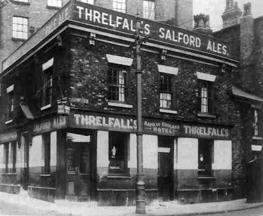
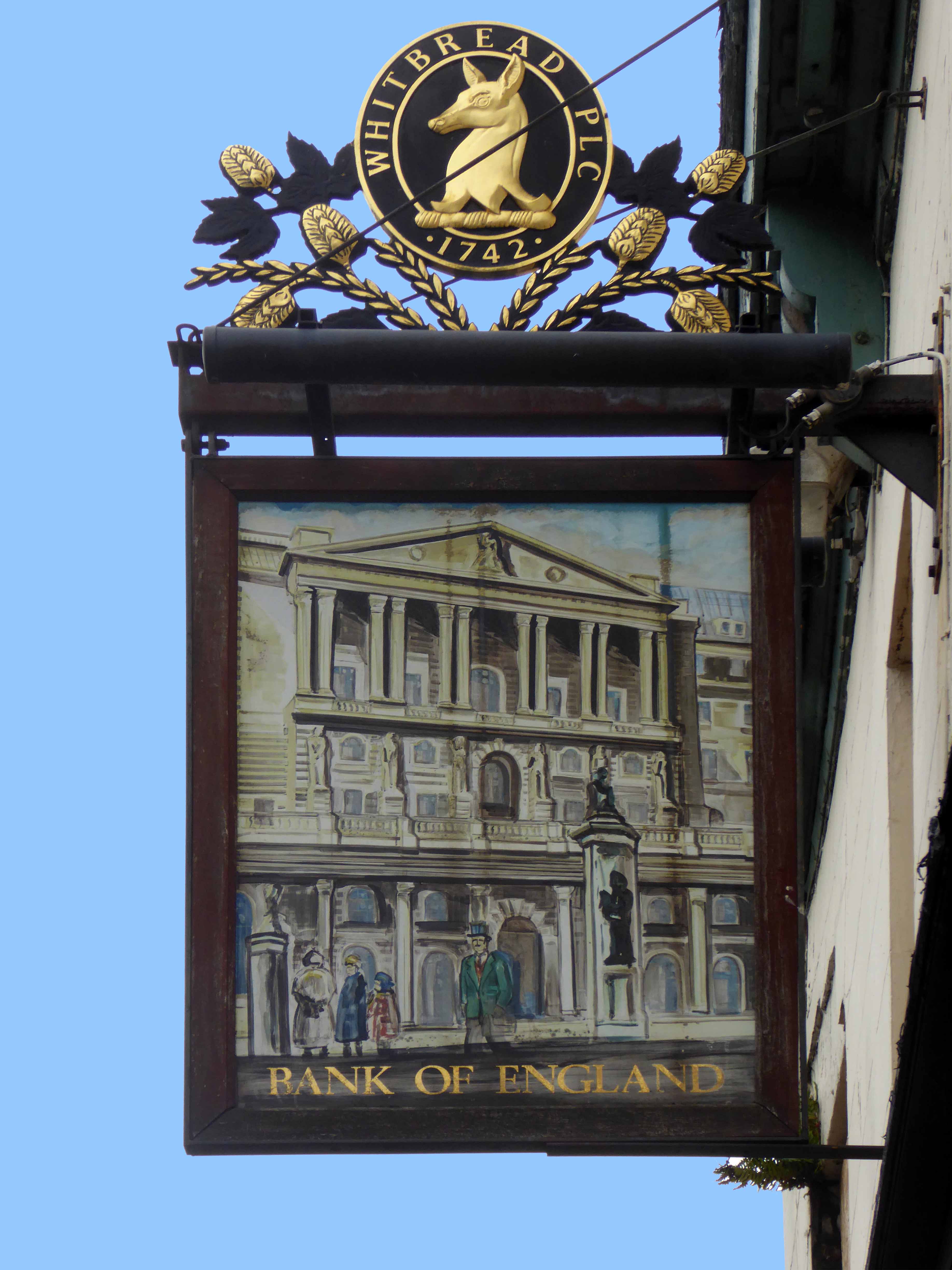
The Bank of England was one of Ancoats’ first beerhouses, licensed from 1830 and ten years later it was fully licensed with attached brewhouse.  The brewery did well, in fact it had another tied house, the Kings Arms near Miles Platting station nearby.  The brewery was sold off in the 1860s but continued as a separate business for a few years.

Pubs of Manchester

Bank of Enland 30s

Ancoats, the core of the first industrial city, a dense cornucopia of homes, mills and cholera – its citizens said to find respite from disease, through the consumption of locally brewed beer.

Once home to a plethora of pubs, now something of a dull desert for the thirsty worker, though workers, thirsty or otherwise are something of a rarity in the area.

One worker went missing, some twenty years ago Martin Joyce was last seen on the site, the pub grounds were excavated – nothing was found.

JS101647765

Manchester Evening News

When last open it was far from loved and found little favour amongst the fickle footy fans.

Screen Shot 2018-09-03 at 14.14.03

To the north a tidal wave of merchant bankers, to the east redundant industry.

The Bank of England has gone west.

So clean the mills and factories 

And give me council houses too

And work that isn’t turning tricks

Like building homes and making bricks.

Danny Moran

P1290007

P1290009

P1290010

P1290011

P1290012

P1290013

P1290014

P1290015

P1290016

P1290017

P1290018

P1290019


Eva Brothers – Clayton Manchester

Eva Brothers of Crabtree Forge, Crabtree Lane, Clayton, Manchester.

Im1960Ry-Eva

1909  The partnership of James Eva, Archibald William Eva, Victor Eva, Arthur Eva, and Frank Eva, carrying on business as Forge-masters, at Crabtree-lane, Clayton, Manchester, under the style or firm of Eva Bothers was ended. All debts due would be settled by Archibald William Eva, Victor Eva, Arthur Eva, and Frank Eva, who continued the business under the same style.

By 1953 The EVA group of companies was the largest edge tool makers in the world, exporting most of their products. The associated companies included: Chillington Tool Co, Edward Elwell Limited of Wednesbury, A. W. Wills and Son Limited of Birmingham, John Yates and Co Limited of Birmingham, and the Phoenix Shovel Co Limited of Cradley Heath.

1958 Acquired T. Williams Drop forgings and Tools of Small Heath, Birmingham

1959 Planned to convert into a holding company; depressed demand for heavy engineering but continued group prosperity were anticipated.

1960 Eva Brothers paid dividends and made scrip issue; changed the name to Eva Industries as the holding company.

1976: Eva Brothers continued to be a part of Eva Industries.

Graces Guide – for further information.

P1270879

This is where Manchester’s prosperity was created, engineering along with King Cotton, formed the financial foundations of the city. These industries are now all but vanished, along with the communities and skills that created them, work and wealth are elsewhere.

Years of free-market economics, acquisition, asset stripping, amalgamation and monopoly have bequeathed a legacy of loss.

Once bustling and business like sheds and yards, are now forests of buddleia and bramble. The sound of metal on metal, but a dull memory, amidst the wilder side of wildlife and the gentle whisper of peeling paint.

Come with me now to the Kingdom of Rust.

P1270883

P1270882

P1270881

P1270880

DSC_0091

DSC_0086

DSC_0083

DSC_0080

DSC_0079

DSC_0072

DSC_0070

DSC_0066

DSC_0061

DSC_0060

DSC_0058

DSC_0057

DSC_0050

DSC_0056

DSC_0053

DSC_0051

DSC_0047

DSC_0045

DSC_0041

DSC_0040

DSC_0037

DSC_0035

DSC_0033

DSC_0032

DSC_0029

DSC_0028

DSC_0026

DSC_0025

DSC_0022

DSC_0021

DSC_0020

Eastford Square Collyhurst – Slight Return

I’ve been here before and after.

After now seems further away, forever awaiting redevelopment – waiting.

No more Flower Pot Café and a warm welcome from Lee and the lads.

P1220206 copy

Nearly nine years on – the shutters are down and nobody is home, save for the Lalley Centre – offering food, support and care to the community.

JS79308197

Though Sister Rita Lee has now move on to pastures new.

The homes and shops remain resolutely shut, un-lived in and unloved, though the City plans to re-site the resident sculpture, the residents remain absent without leaving.

P1220207 copy

P1220208 copy

P1220209 copy

P1220212 copy

P1220213 copy

P1220214 copy

P1220215 copyP1220216 copy

P1220217 copy

P1220218 copy

P1220219 copy

P1220220 copy

P1220221 copy

P1220222 copy

P1220223 copy


Strangeways Manchester #1

Strangeways?

– How strange.

The Strangeways family themselves are certainly recorded in antiquity at the site, although the name appears differently over time; Strongways in 1306, Strangewayes in 1349 and Strangwishe in 1473. In the late 1500s in records at Manchester Cathedral the surname is spelt Strangwaies.

My thanks to Thomas McGrath for his – Long Lost Histories: Strangeways Hall, Manchester

Before panopticon prisons entered the public imagination, and incarceration was the order of the day for the disorderly, it was all fields around here – with the odd house or baronial hall.

Screen Shot 2018-02-04 at 15.08.30

Swire’s map of 1824

Strange days, over time the prison is built, the assizes appears and disappears and tight groups of tired houses cluster around the incipient industry. The fiefdom’s of old become tie and tithe to successions of industrial plutocrats.

webmedia.php copy

webmedia.php

Broughton Street 1910Photograph J Jackson

Screen Shot 2018-02-04 at 15.10.54

Kelly’s map of 1920

The area becomes the centre of the city’s rag trade, a large Jewish Community, the largest outside of London, grows up around Strangeways, Cheetwood and Cheetham Hill – houses, mills, wholesale, retail, warehouse, ice palace, beer-house, brewery. The area is home to several of Joe Sunlight’s inter-war industrial developments – his Jewish family were named Schimschlavitch, his father a cotton merchant. The family emigrated to England in 1890 and settled in Manchester.

So much for Joe Soap – the area was also the location for local lads, Karl Marx, and Marks & Spencer.

v0_medium

Derby Street 1901 – 1924

Further developments took place with the building of the Cheetwood Industrial Estate – a postwar group of flat-rooved, blocky brick and concrete utilitarian units.

So let’s take a look at the ever so strange streets of Strangeways, in that period of change during the latter part of the Twentieth Century, when manufacturing, retail, repair and distribution were almost, just about to disappear in a puff of globalisation, economic depression and Thatcherism. Where Jack and Jill the lads and lasses, traded, ducked, dived, wheeler dealed from Cortinas, Transits and low milage, one owner, luxuriously leather-seated and walnut-dashed Jags. A vanishing or vanished world, where however briefly – Manchester went architecturally mod.

webmedia-1.php

webmedia-7.php

webmedia.php

Bent Street

webmedia-4.php

webmedia-6.php

webmedia-7.php

webmedia-9.php

webmedia-13.php

Broughton Street

webmedia-1.php

webmedia.php

Carnarvon Street

webmedia-1.php

webmedia-2.php

webmedia.php

Chatley Street

webmedia-5.php

webmedia-9.php

webmedia-10.php

webmedia-4.php

Cheetwood Street

webmedia-3.php

webmedia-5.php

webmedia-8.php

webmedia-9.php copy

webmedia-11.php

webmedia-12.php

webmedia-18.php

Derby Street

webmedia-1.php

webmedia-2.php

webmedia.php

Julia Street

webmedia-1.php

webmedia-2.php

webmedia-3.php

webmedia-5.php

webmedia-6.php

webmedia-8.php

webmedia.php

Knowsely Street

webmedia.php

webmedia-8.php

webmedia-5.php

webmedia-3.php

Sherbourne Street

webmedia.php

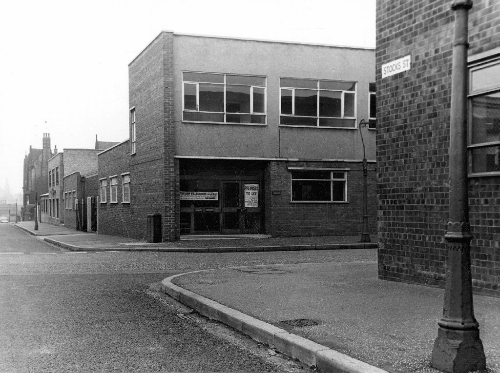
Stocks Street

All archival photographs from the Manchester Local Images Collection


Mottram Street Flats – Stockport

A post-war northern town, facing the problems of bomb damage, poor quality housing, and the pressing need for new homes.

In 1963 there seemed to be space and the will to build, the site at the centre of the image flanked by ageing Victorian terraces and industry.

5060

1960a

Soon to become the Mottram Street Development.

31117

5061

Back in 1965 these were the highest housing tower blocks in Greater Manchester.

The work of borough architects John Rank and Clifford Fernley.

1348

123

1351

1352

1353

34249

47177

1960’s Photographs from the Stockport Image Archive

Screen Shot 2017-10-22 at 14.01.33


Screen Shot 2017-10-22 at 14.02.34

1980’s photographs from The Tower Block

Typically they incorporated concrete street furniture, sculptural and decorative detail, in keeping with the age.

Like many other developments of the period they have subsequently been clad, fenced, painted and secured beyond recognition.

There was a raised concrete play area, of which nothing has survived.

A little of their original character however has prevailed – a William Mitchellesque fallen obelisk, along with some panelling and planters.

Curious to see public art behind bars

– would that they were removed.

DSC_0038 copy

a new relief copy


DSC_0032 copy

DSC_0033 copy

DSC_0037 copy


DSC_0039 copy

DSC_0046 copy

DSC_0047 copy

DSC_0048 copy

DSC_0049 copy

DSC_0050 copy

DSC_0051 copy

DSC_0030 copy


Gore Brook – A History

To begin at the beginning, well actually to begin in the middle and walk to the current beginning. The Gore Brook flows from the Lower Gorton Reservoir and from there onwards to meet the Chorlton Brook in the west, though I should imagine that prior to the construction of the waterworks, it was fed by more distant moorland waters.

gore map

Manchester being on the eastern edge of the Lancashire Plain and the western edge of the Pennines is riddled with rivers, rivers which now wriggle in an under and overground web, across heavily developed urban areas. Following the Industrial Revolution former meadow, common and farmland was overwritten by factories, housing and roads, the rural character of the rivers and brooks soon becoming darkened and polluted by the surrounding industries.

I was lead here by my search for a lost pub The Garratt on Pink Bank Lane, then drawn in further by this site The Red Path of Longsight.

The Red Path is a pedestrian link between Pink Bank Lane and the Gorton boundary at Buckley Road. It roughly follows the course of Gore Brook. The original footpath, running from Buckley Road to the bank of the brook, was made using black cinders. It was probably made in the 1940s to provide access to the allotments located on either side. In the early 1950s , a concrete bridge was laid across Gore Brook and the footpath extended to Pink Bank Lane. This section used red bricks in it’s construction, probably supplied by Jacksons brickworks . Crushed bricks were then used as a topping to make the path smoother and fill in any cracks. The thoroughfare soon became known as the Red Path.

So wide eyed and mapless I bowled up at Brook Terrace, just off Stockport Road Longsight, in search of The Gore and its source.

stockport rd 1911

stockport road

In the early 1900’s the river was still open and bridged, here at Stockport Road, later culverted and covered – anticipating the arrival of Tesco’s and Granada TV Rentals.

beneath

From there we pass under the railway along Brook Terrace and into Parry Road.

brook

The underpass is still there and very much in use, as is Stanley Grove School – the Manchester Central Schools’ Kitchens are long gone, along with the food filled, insulated aluminium cases, that fed the hungry mouths of many, with semolina, pink custard, meat pies and lumpy mash.

parry 64

kitchens 1965

Onwards to Elgar Street and still no sign of the river, hidden beneath our feet, the corner of Northmoor Road, can be seen on the corner, no longer distributing dividends, but now providing social housing.

elgar

We arrive at Pink Bank Lane, a rich mix of terraced homes, flats and factories – and the long lost Garratt, and the long lost Gore.

garratt

pink bank 64

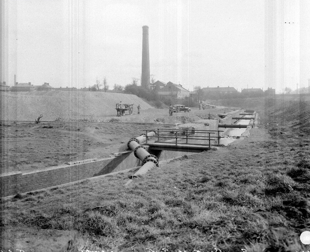
Though the lazy, lazy river has been confined in a brick lined wind, to meet the ever pressing needs of the Gorton Sewage Works.

sewage 1910

sewage works 38

The river then hugs the edge of Annie Lea Playing fields on Buckley Road, until it disappears again as it meets Mount Road, the playing fields are still open ground – the Manchester Cleansing Department, seen on the left – is no more.

annie lea

Here on Knutsford Road we see the construction of the tunnels and culverts, the footbridge to the left spanning the railway, is still there.

knutsfrod 1907

1907

knutt 1911

1911

knut 1914

1914

Finally we see The Gore reemerging clear, clean, wide, proud and resplendent in Sunny Brow Park, where it is still maintained as a decorative, duck-filled lake.

sunny 1907

1907

sunny1910

1910

sunny 1964

1964

Briefly underground again and into the back of Far Lane, skirting the Brookfield Church graveyard.

far 1920

1920

far 1937

1937

fa 64

1964

Then tunnelling under Hyde Road at the back of the church lodge, appearing once again alongside Tan Yard Brow.

webmedia-1.php

ty 1904

1904

tan yard 1922

1922

tan yard brow 1964

1964

The manmade waterfall continues to cascade, the Fairfield to Old Trafford railway is now the Fallowfield Loop, Manchester Cycleway, young lads no longer mess about in wellies and torn Tek Sac jeans on the bank, the Tannery no longer tans.

Then we end our journey by the broad expanse of the Lower Gorton Reservoir, implausibly dotted with jolly yachts, and home to a now absent stepped outflow stream. Look up to the east, and there you’ll see the moors, you could go further.

deb 66

deb

All archive photographs from Manchester Local Image Collection.


Post Box – Chesterfield

Time’s definitely running out:

But the post office has been stolen and the mailbox is locked.

The age of elegant modernist street furniture, has been and almost gone, the previous centuries are under threat.

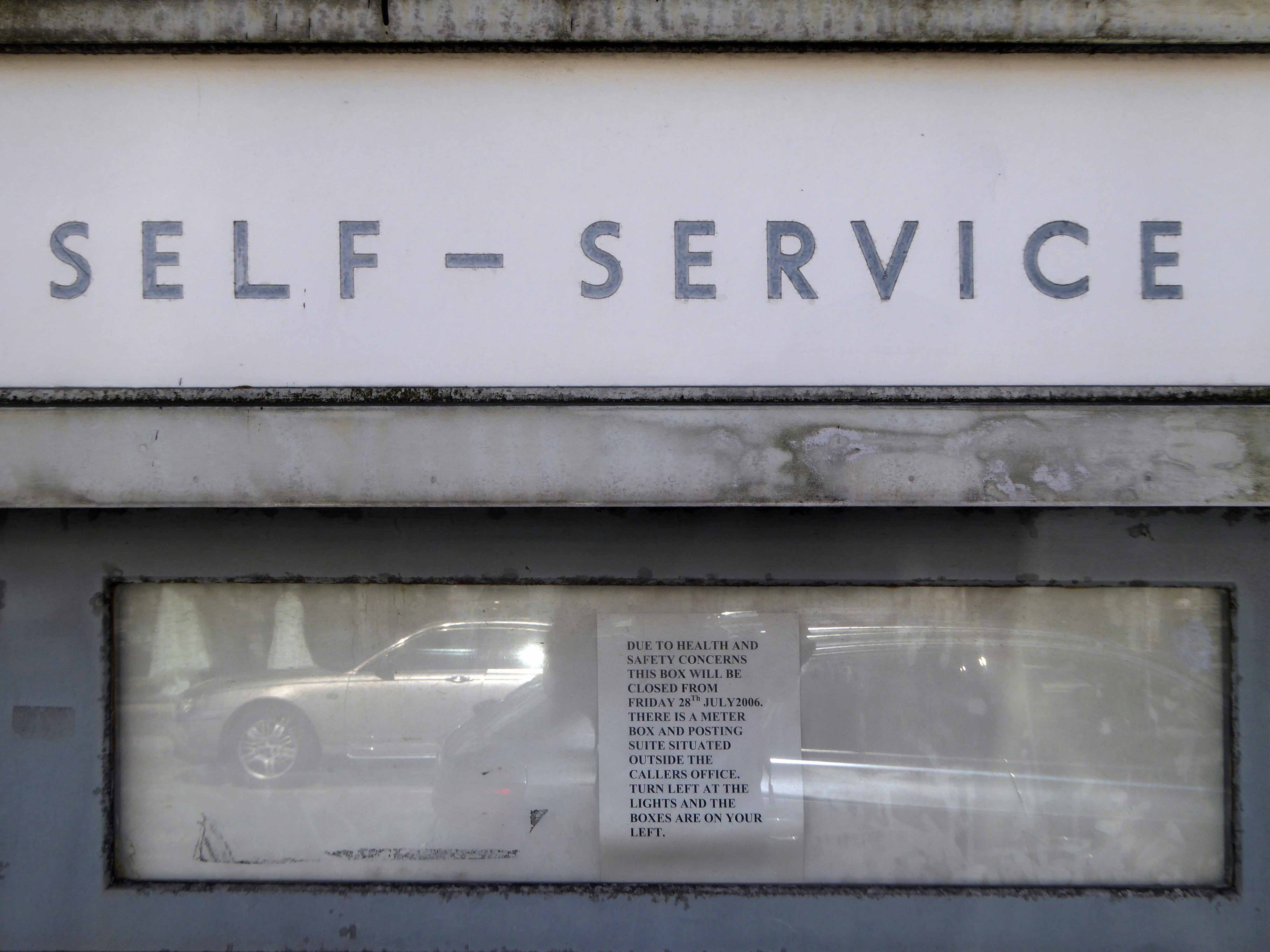
But does anyone want this neglected postal self-service technology?

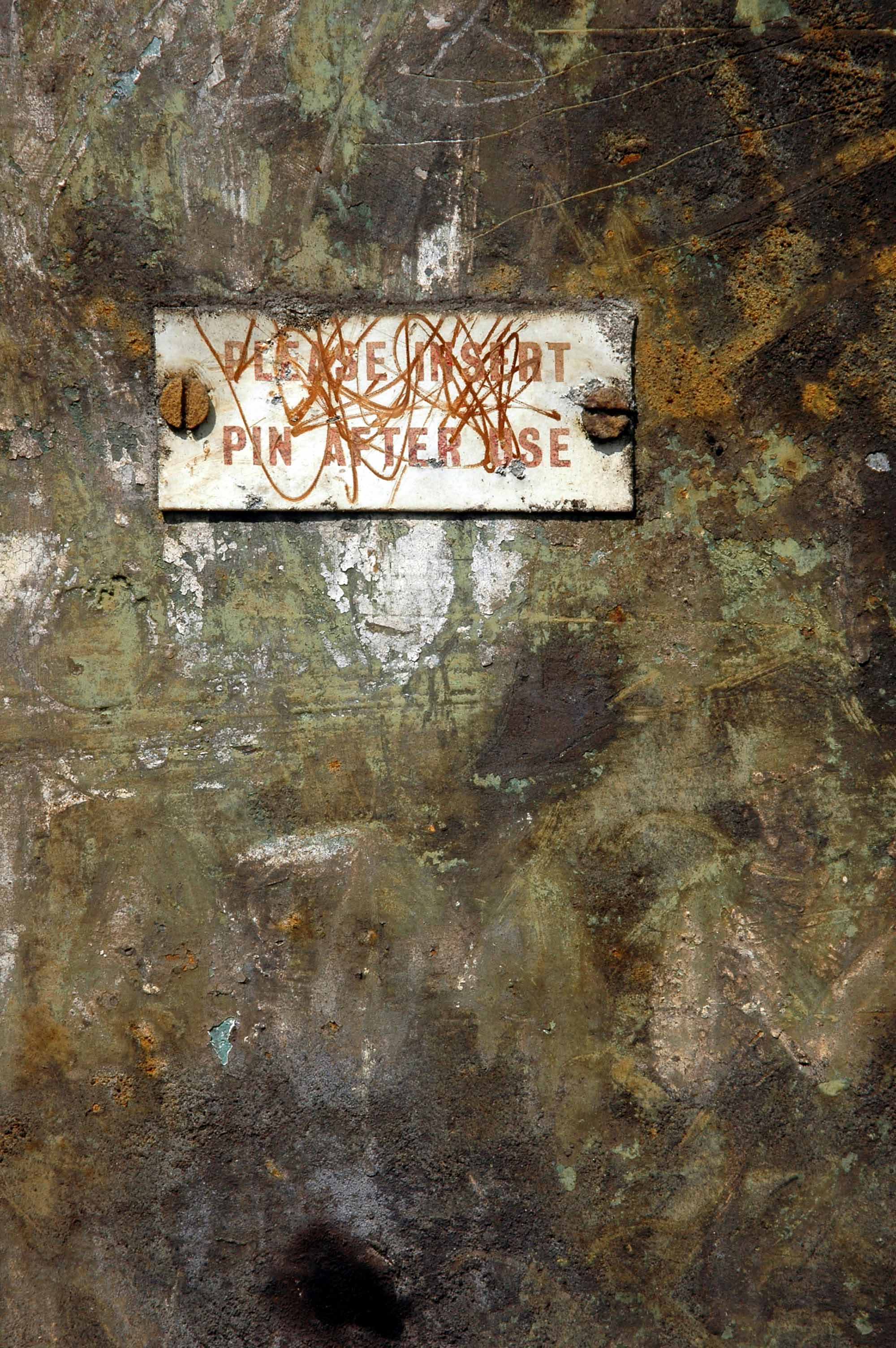
Stamp dispensing is being dispensed with, insert 5p and wait forever.

P1190516

P1190517

We have our own disabused facility in Stockport, I pass it almost every day.

P1190657 copy

And have posted two previous postal posts – here and there.

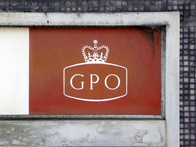
This new discovery, with thanks to Sean Madner, is situated on the wall of the sorting office in Chesterfield. A faded Festival of Britain charm along with a delightful terrazzo surround, has done little to arrest its slow decline into redundancy and subsequent neglect.

Still in situ, take a walk, take a look – wait for the coin to drop.

P1190514

P1190518

P1190519

P1190520

P1190521

P1190522

P1190523

P1190524

Ghost Signs – Scarborough

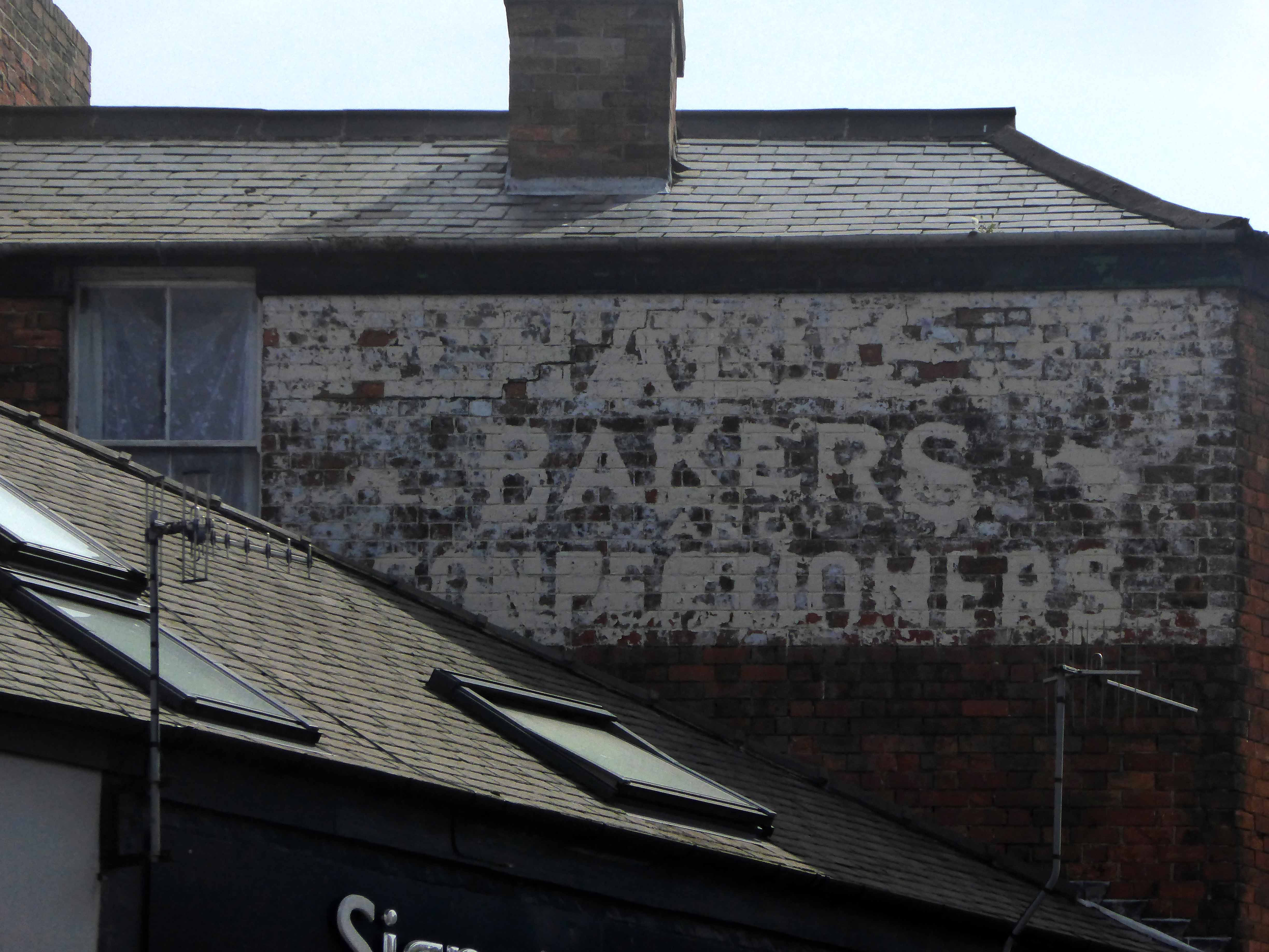
All towns have ghosts, none more so than Scarborough.

High atop a castle topped, wind whipped promontory, lies Anne Bronte, overlooking the harbour below, wayward Whitby whalers wail, lost fisher folk seek solace.

Its walls ache with traders past, scissors that no longer snip, click-less shutters, unlettered rock and loaves that no longer rise.

Layers of sun baked, peeling paint on brick, rendered almost illegible.

As Alan Resnais would say Scarborough, mon amour!

P1150490

P1150639

P1150671

P1150677

P1150696

P1150742

P1150743

P1150744

P1150745

P1150757

P1150761

P1150764

P1150765

P1150766

P1150767

P1150768

P1150769

P1150771

P1150772

P1150774

P1150778

P1150787


St Barnabas – Manchester

barnabas

There has been a church here since 1837, there is still a church here.

Almost.

webmedia-1.php

Openshaw in the 60s was still a busy community of terraced homes and their occupants, tumbling cheek by jowl with industry, both heavy and light.

webmedia.php copy

A tightly wrapped world of corner shops and sun-canopied Silver Cross prams.

webmedia-1.php copy

The original imposing, imperious St Barnabas’s was demolished, to be replaced by a sharper space age architecture, embodying a new age of optimism.

webmedia-2.php

webmedia-3.php

webmedia-6.php

webmedia-5.php

Photographs from the Manchester Image Archive

At the same time the soot-blackened Victorian terraces, are in part replaced by newer brick and block homes, the future seemed bright.

The industry however, once so invincible, both light and heavy, begins to disappear, becomes weightless, invisible.

Slowly the assured social cohesion of that new age comes unstuck.

When the doors of one St Barnabas’s close, likewise eventually another closes.

P1050899 copy

P1050900 copy

P1050901 copy

P1050904 copy

P1050905 copy

P1050907 copy

P1050910 copy

P1050911 copy

P1050912 copy

P1050914 copy

P1050915 copy

P1050916 copy

P1150211 copy

P1150212 copy

P1150218 copy

Lower Falinge – Rochdale

Walking between College Bank flats and St Patrick’s church you and I will almost inevitably pass through Lower Falinge.

In April 1967 Rochdale Council’s Estates Committee considered a proposal to build 750 dwellings in four-storey deck access flats in the Falinge area. By November the £1,810,000 scheme for the area bounded by Spotland Road, Hudson Street and Toad Lane was given the thumbs up.

C_71_article_515340_body_articleblock_0_bodyimage

The four-storey development was to provide 527 dwellings with deck access, ramps and overheard walkways. It was planned so people could walk from any point in the area to another without having to return to ground level. Work began in early 1968 and was completed in three stages. More recently they have been up-graded and now have pitched roofs. Freehold Flats were built in the early 1970s. Eleven of the eventual 19 blocks were occupied by August 1971. 

Redevelopment_in_Falinge,_Rochdale,_Lancashire_-_geograph.org.uk_-_1395299

Built at a time when full employment was a tangible reality rather than a fondly recounted folk memory, the area was buoyant and relatively prosperous.

Time, the free market, and casualised labour has not been kind to Lower Falinge and many other post-industrial estates. The Thatcherite press conveniently badges the residents as scum, scroungers and frauds, a carefully conceived sleight of hand, transferring responsibility onto those careless enough to become the victims of an uncaring economic system.

scroungers_headlines_lg

Demonising and dividing working people regardless of ethnicity, ability, sexuality or ability – the equal opportunities abuser.

A few years ago there was even a national news story about a Falinge café serving fry-ups with a can of Stella for £2.50, this was untrue.

So Lower Falinge and its like become the convenient exemplar for the inconvenience of Broken Britain, a PR device to whitewash the very dirty hands that authored its very dirty demise. Those very dirty hands that have no viable solution to a very real problem, of resolving poor peoples’ uncertain futures.

Meanwhile the journalists form a disorderly queue to file the next in line, online assessment of an awful situation devoid of resolution, short of revolution.

2008826_152139

2016126_162425

Transferred from local authority control to charitable trust, forever shape shifting its hard lines to a softer, home made, fluffier image as limited resources, chase limited opportunities, all around the deck access landings.

Life goes on, we live in hope or Lower Falinge.

Limbo-5880

Mishka Henner

The estate is now post-post modern, acquiring another veneer of refurbishment over the now tarnished green of the cover all, all purpose un-repurposed steel railings.

P1140380

P1140381

P1140382

P1140383

P1140384

P1140385

P1140386

P1140387

P1140388

P1140397

P1140399

P1140401

P1140403

Holt Town Manchester – Part One

1785 Established by David Holt, and described as the only known example of a factory colony in Manchester, that is, an isolated mill complex with housing for the workers.

1794 Mills advertised for sale following the bankruptcy of David Holt and Company.

Things, as we know, have a tendency to come and go – ’twas ever thus.

A whole history of the area can be found here.

screen-shot-2017-02-08-at-12-40-07

River Medlock Holt Town

The area has seen a transition, in some two hundred year or more, from a leafy rural idyll, to smoke choked industrial hell and back again.

pollard-st

Pollard Street

dcs

Photographs from the Manchester Image Archive.

In 2014 I visited the site of the former Distillers Company, later Air Liquide UK, production had ceased. The factory was just about standing, litter and detritus strewn, unloved and unwanted, temporary home to the homeless.

The Industrial Revolution has been and gone – bye bye.

screen-shot-2017-02-08-at-20-51-31

There are plans for redevelopment, couched in the terms of the professional new-speak of the new urban renewalists.

The international design competition for Holt Town looked for a solution to the dilemma of providing a sustainable, distinctive, high density family-led residential community in close proximity of the Manchester regional centre.

Promising open green spaces and housing based on the traditional European perimeter block model, not a mention of a mill.

Possibly lasting a little longer than David Holt’s dream, and subsequent manifestations.

dsc_0139

dsc_0153

dsc_0137

dsc_0141

dsc_0142

dsc_0144

dsc_0147

dsc_0150

dsc_0157

dsc_0184

dsc_0160

dsc_0168

dsc_0171

dsc_0175

dsc_0185

dsc_0189

dsc_0190

dsc_0199

A Taste of the North

Where is the North and what does it look like?

It’s up there somewhere isn’t it, a dark elsewhere, a mythological other place.

I was curious, searching for clues.

I began in a nearby place in a faraway time, my first reference point, the film adaptation of Shelagh Delaney’s play A Taste of Honey.

Set in Salford by Salford born teenager Shelagh.

A  teenager becomes pregnant by a black sailor. She leaves her feckless mother and her flashy new boyfriend to set up her own home. She moves in with a young gay man, who helps look after her as she faces an uncertain future.

I have compiled a series of photographs of the film’s locations. 

poster2

The film’s release in 1962 broke new ground in terms of its matter of fact depiction of contentious and sensational subject matter. My interest in this instance rests with the visual image of the North that it created.

a_taste_of_honey_1961_film_woodfall_film_productions_mm

Larkhill Road Edgeley Stockport

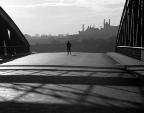
Shot almost entirely on location in black and white by cinematographer Walter Lassally, we are treated to dark treeless vistas, cobbled streets, industrial areas almost perpetually in decline, bleak canals and terraced homes.

As shown in these archive images of the 1950s, illustrating locations that would subsequently be used in the film adaptation.
There is a comprehensive list of locations here at Reel Streets

cambrian-street

Cambrian Street Holt Town Manchester

gas

Phillips Park Gasworks Manchester

Director Tony Richardson was a product of the British Free Cinema movement, which had previously produced short, sharp documentary and drama work, driven by a leftist outlook and using a restless, immediate approach, aided by the new lightweight cameras and faster film stocks. This is an ethos and methodology that would be carried over into the feature productions of the Woodfall Films company.

bfi-00m-nn0.jpg

Rochdale Canal Manchester

The film was shot in the flat, low, even light of the Winter which heightened the mildly desolate character of the landscape, though ostensibly Salford set many of the locations are in nearby Manchester and Stockport. An early long and free flowing title sequence and establishing shot, is a bus tour around Central Manchester, a city centre which at the time was still graced by a thick accumulation of dark industrial emissions and miasma.

screen-shot-2017-02-03-at-19-44-30

A soot blackened Queen Victoria mute and imperious in Piccadilly Gardens, the freshly blooming cranes of post-war renewal tentatively appearing in the background.

screen-shot-2017-02-03-at-20-30-43

The skyline punctuated by factory chimneys, the tight huddled streets of terraced houses chuffing billowing great grey clouds of smoke – a view familiar in the work of LS Lowry.

a-taste-of-honey-new-4

Barton Bridge

lr-taste-of-honey-msc-swing-bridge

Trafford Swing Bridge

taste-of-honey

Stockport Rail Viaduct

taste_of_honey_01

Phillips Park Gasworks

screen-shot-2017-02-03-at-20-05-24

The location of the home that Jo sets up was ironically the stage set workshop of the Royal Court Theatre (the very theatre where the play was developed and produced) in London – that most northern of cities.

There is a brief respite from this milieu, through a picture in picture sequence based on the image of a suburban bungalow – which along with the coming age of mass motor car ownership, offers the promise of escape.

screen-shot-2017-02-03-at-20-34-51

screen-shot-2017-02-03-at-20-37-15

A giddy day trip to Blackpool represents the temporary release from a contrasting and constricting world, a trip which for Jo emphasises the divide between Mother and her lover.

screen-shot-2017-02-03-at-20-35-56

So we the viewers are left with a cloudily clear, black and white world, a pervasive construct that the North and Manchester is eagerly beginning to casually shuffle off.

Where streets are no longer paved with Eccles Cakes and whippets are hip.

Identity through landscape and location can both define and constrain, but that landscape, its representation, and the identity that it produces are all mutually mutable.

Take some time to watch and rewatch the film, freeze frame where are we?

Who are you?