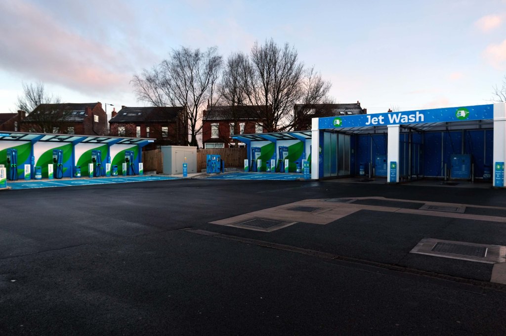
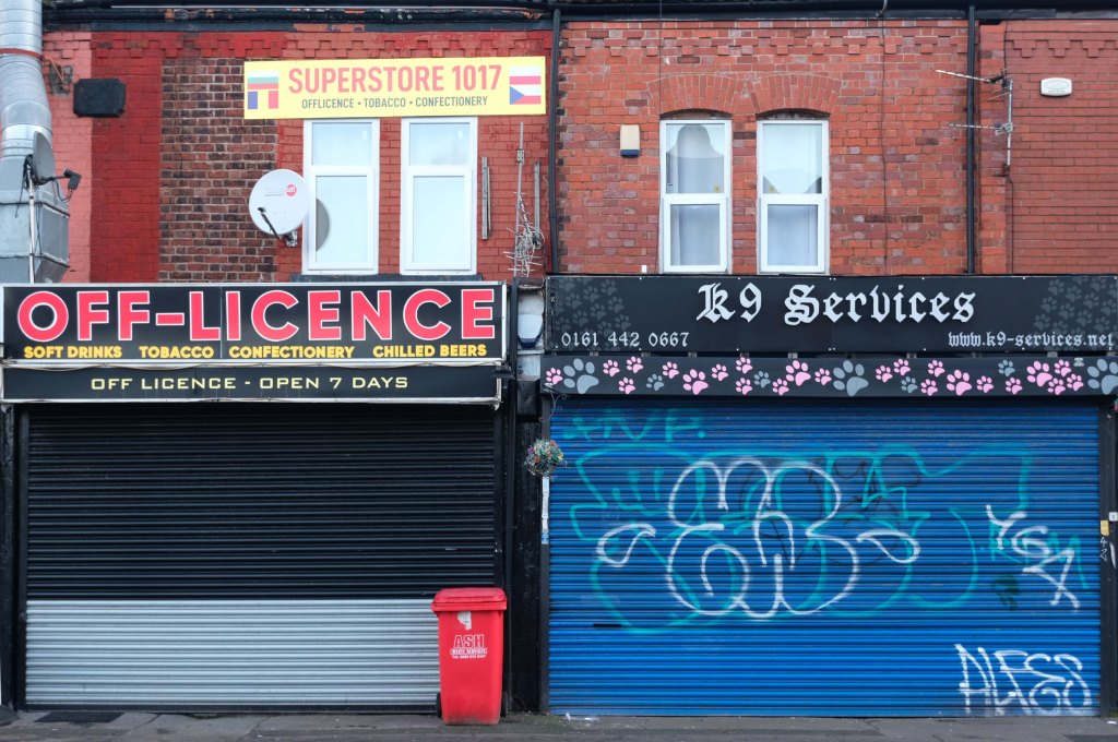
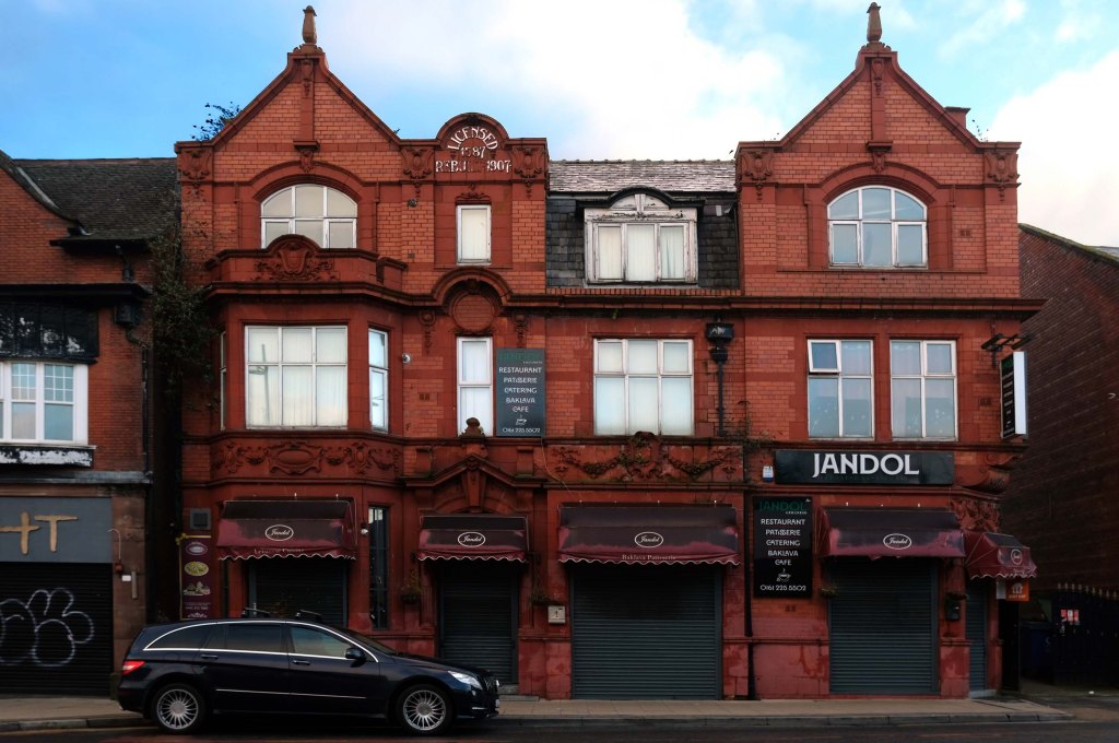
Having photographed the arterial roads of Manchester in 2014, I have resolved to return to the task in 2024.
Some things seem to have changed, some things seem to have stayed the same.








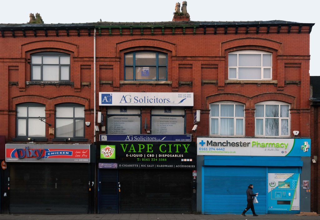


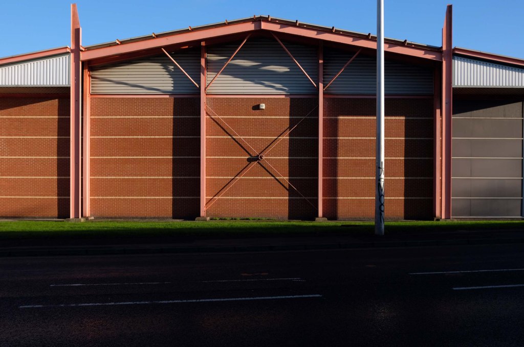


Having photographed the arterial roads of Manchester in 2014, I have resolved to return to the task in 2024.
Some things seem to have changed, some things seem to have stayed the same.


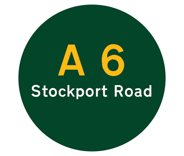

The A6 is Britain’s fourth longest road. Its route varies greatly from the lower lands of the South East, though the Peak District, right though the heart of Manchester city centre, then onwards towards Preston. It then goes though the historic city of Lancaster before skirting the Eastern fringe of the Lake District before ending in Carlisle, bang on the start of the A7.
North from Stockport towards Manchester, the A6 was a wide, four lane road, but still 30 mph, which usually flowed pretty well. According to Mudge, it looks like it has now been massacred by bus lanes and red paint. Shame. We meet the A57 from the east, just south of the city centre, and multiplex until we reach Mancunian Way, the A57 heading off as a short urban motorway, the A6 heading into the city centre via London Road/Piccadily, where it loses its number and vanishes. It would have gone straight down Piccadily/Market Street to meet Deansgate, and then across the River Irwell into Salford, and up Chapel Street, where the number reappears. Market Street has been pedestrianised for years, so the A6 has long ceased to be a through route.
In 2014, having taken early retirement from teaching photography, I embarked on a series of walks along the arterial roads of Manchester.
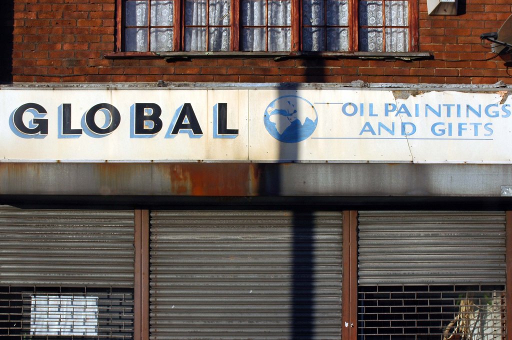


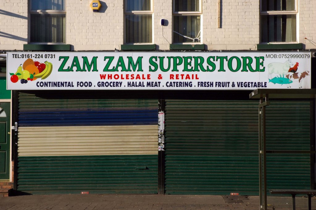


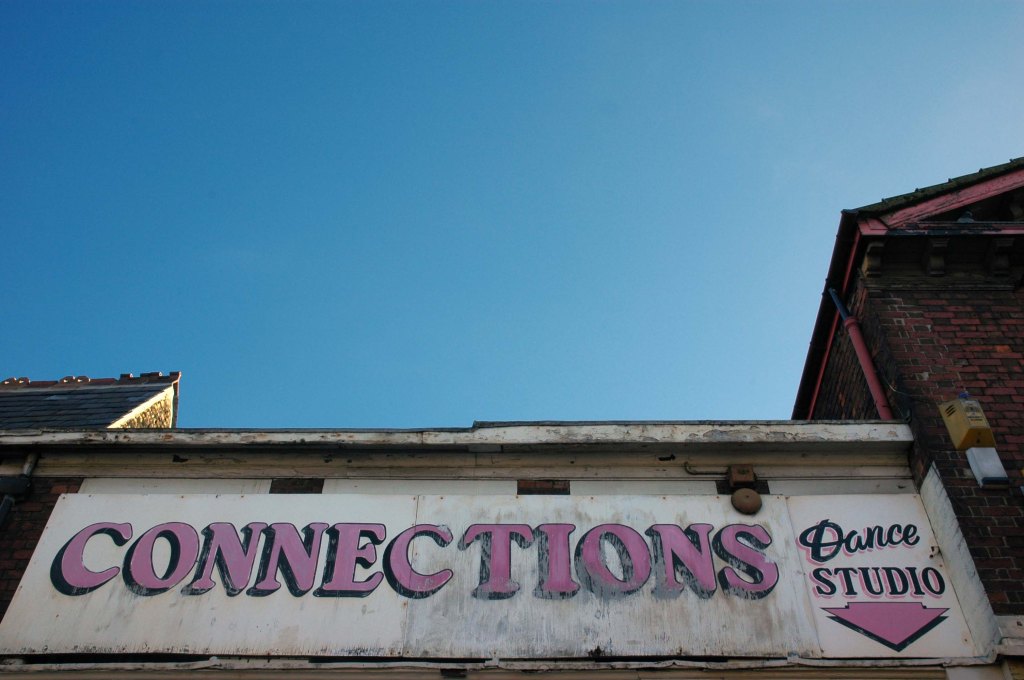
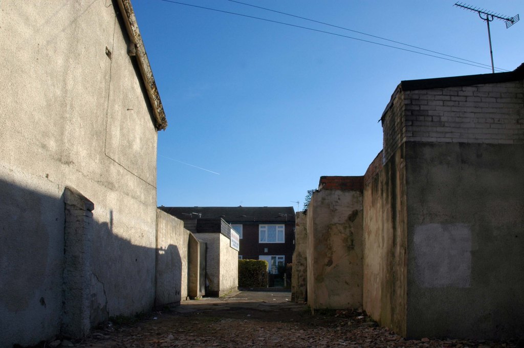
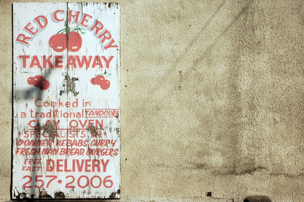
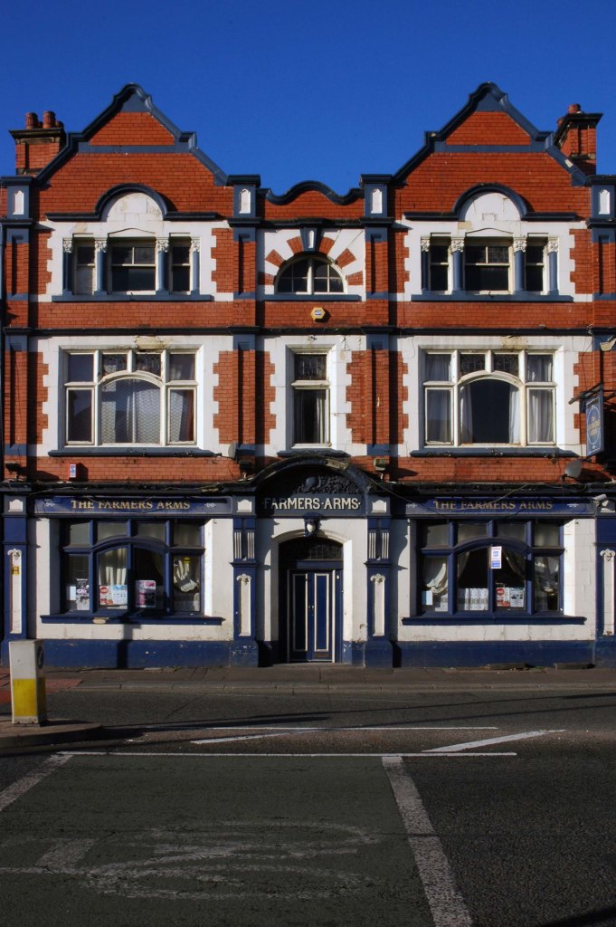


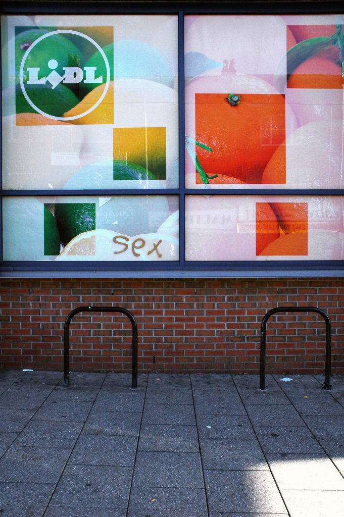

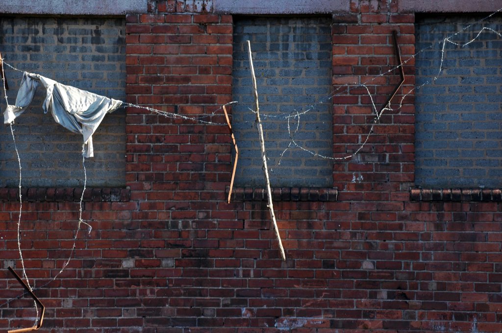


See also Bury New Road and Cheetham Hill Road and Rochdale Road and Oldham Road and Ashton New Road and Ashton Old Road and Hyde Road.

This is a film that has stayed with me for most of my life – first seen as a nipper, fascinated by the fact that it was shot in a very familiar landscape.
As years have passed I have watched and rewatched it, finally resolving to track down the local locations used in its filming.
Studying and pausing the DVD, making thumbnail sketches of frames, researching online – referring to Reelstreets.
I have previously written about the way in which the movie shaped a particular image of the North.

And examined particular areas of Manchester such as Barmouth Street.

The film generated world wide attention and remains just as popular today.


Still watched, still loved, still relevant – here are a selection of photographs I took in 2011 – cycling around Manchester, Salford and just a little closer to home in Stockport.
Larkhill Road scene of the moonlight flit
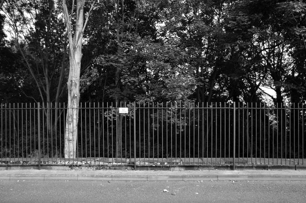


The descent from Larkhill Road

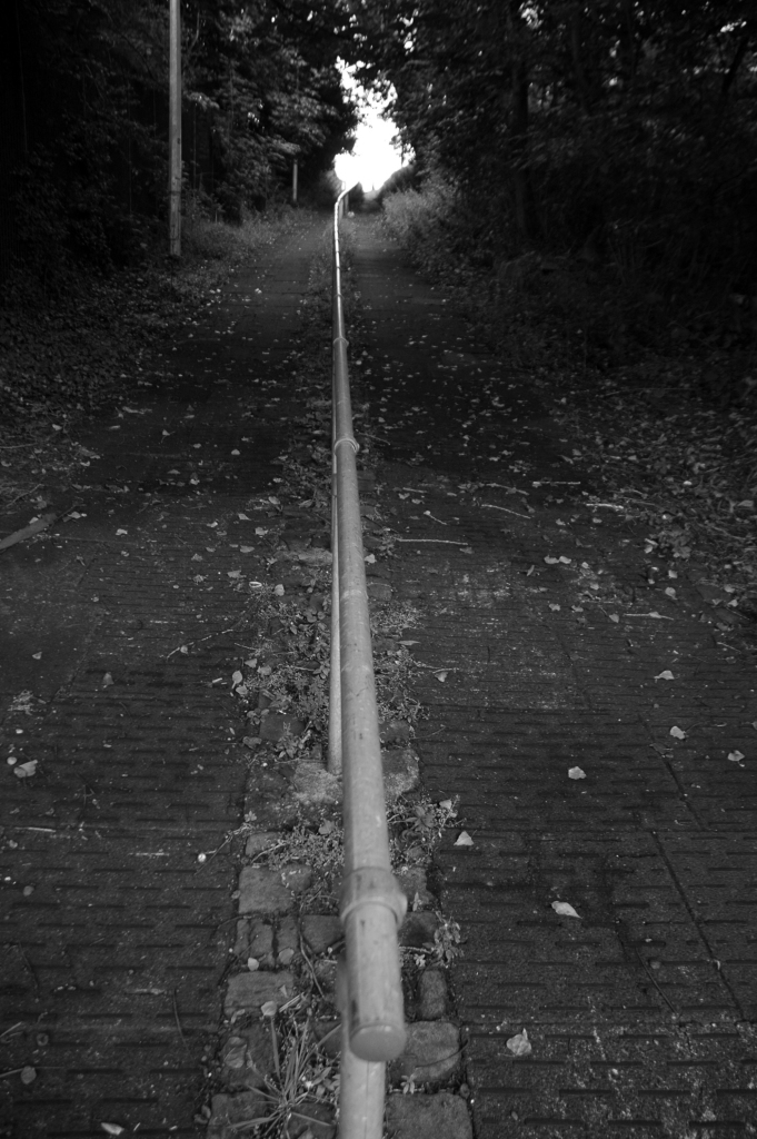
Stockport Viaduct

Stockport Parish Church


Stockport running for the bus to Castleton

Midway Longsight – where Dora Bryan sang

Barmouth Street were the school scenes were filmed.


Timpson’s shoe shop now demolished opposite the Etihad


Phillips Park the back of the gas works in Holt Town

The Devil’s Steps Holt Town
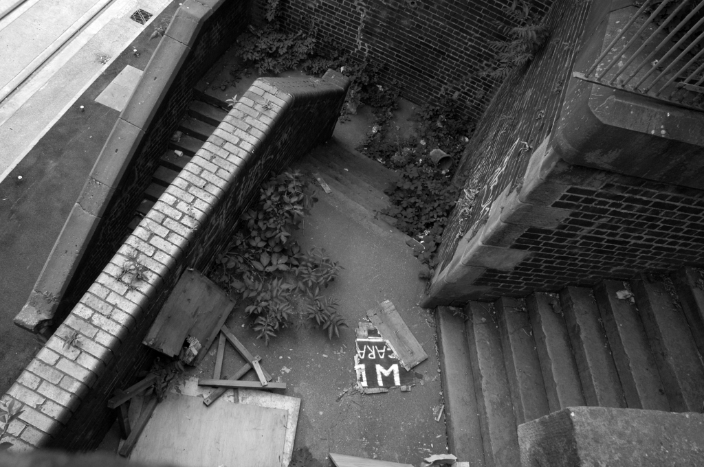

Rochdale Canal


Ashton Canal

All Souls Church Every Street Ancoats


Piccadilly Gardens as we view the city from a moving bus.


Manchester Art gallery – where they watched the Whit Walks.


Albert Square part of the earlier bus ride.


Trafford Swing Bridge


Dock Offices

Chimney Pot Park Salford


Pendleton


Barton Aqueduct

Through my tour I have attempted to capture a sense of the settings as they are – how, if at all, the areas have changed.
There may be some minor inaccuracies or omissions which I am happy to amend.
You may wish to visit the sites yourselves, the majority of which are easily accessible, above all watch the film and appreciate that which is around you.

Portrait of Shelagh Delaney – Arnold Newman


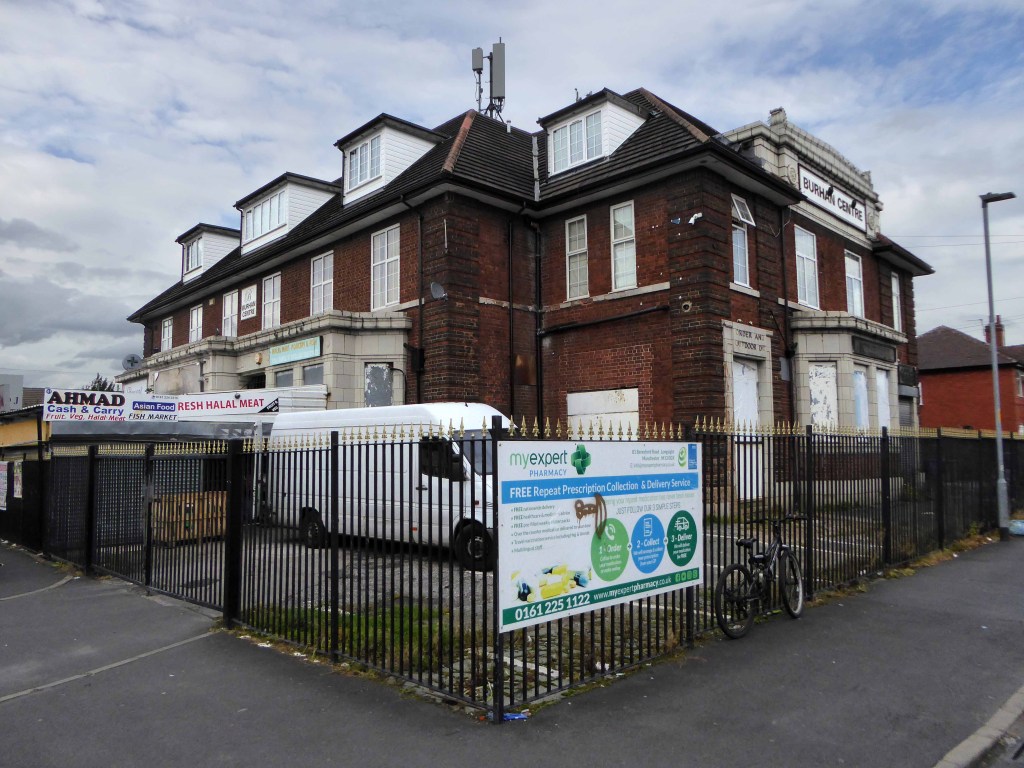
Cycling back from Town, zig zagging between the A6 and Birchfields Road, I headed down Beresford Road and bumped into a behemoth.
A huge inter-war Whitbread boozer long since closed, now a retail food outlet and badged as the Buhran Centre, also trading as Burooj.

This change of use is far from uncommon, the demographics, socio-economic conditions and drinking habits which shape this and countless other pubs, have since shifted away from the lost world of this immense, roadhouse-style palace of fun.

No more outdoor or orders here – the supermarket now supplies the supplies for the self satisfied home drinker.
The sheer scale of the building guaranteed its demise, a three storey house with no more stories to tell.
Searching online for some clues as to its history there is but one mention, on the Pubs of Manchester:

This is my attempt, in some small way, to redress the balance, snapping what remains of this once top pub.

Safe home I searched the Manchester Local Image Collection, hoping to find some clues and/or images elucidating Beresford Road and the Anson in times gone by.
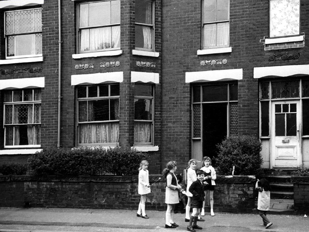
I found a typical inner Manchester suburban thoroughfare, a healthy mix of homes socially and privately owned, industry, independents shops, schools and such. Kids at play, passers-by passing by, captured in 1971 by the Council’s housing department photographers.
This was not a Golden Age – wasn’t the past much better, brighter, cheerier and cleaner reminiscence – simply a series of observations.
Things change.
Including the Anson Hotel.



Exeter Close/Warmington Drive Manchester Longsight M12 4AT
Once there was this.
Once there was that.
Then there wasn’t.
That’s just the way of it.

A dense web of streets awash with back to backs, jobs for all – in conditions perceived to be unfit for purpose.
Of a total of 201,627 present dwellings in Manchester, some 54,700, or 27.1 per cent., are estimated to be unfit. A comparison of slum clearance action taken by six major local authorities, Manchester, Leeds, Birmingham, Liverpool, Sheffield and Bristol, shows that for the five years ending 30th June, 1965, Manchester was top of the league, both in compulsory purchase orders confirmed and the number of houses demolished or closed.
Manchester’s figures -13,151 houses demolished or closed .
Alfred Morris MP Hansard

Along came a wrecking ball and left the pub bereft

The original Grey Mare on Grey Street
Whenever mass slum clearance was carried out, the pubs tended to remain, often for just a short time because – the story goes – demolition workers refused to touch them, as they wanted somewhere to drink during and after their shift.

Then along came the cavalry – the bold boys from Fort Ardwick – Coverdale Crescent Estate

A new dawn – and a new pub.
This vision of municipal modernity was short lived, the estate was demolished in the 1980s and the new Coverdale Estate was constructed on the site in 1994.
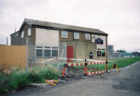
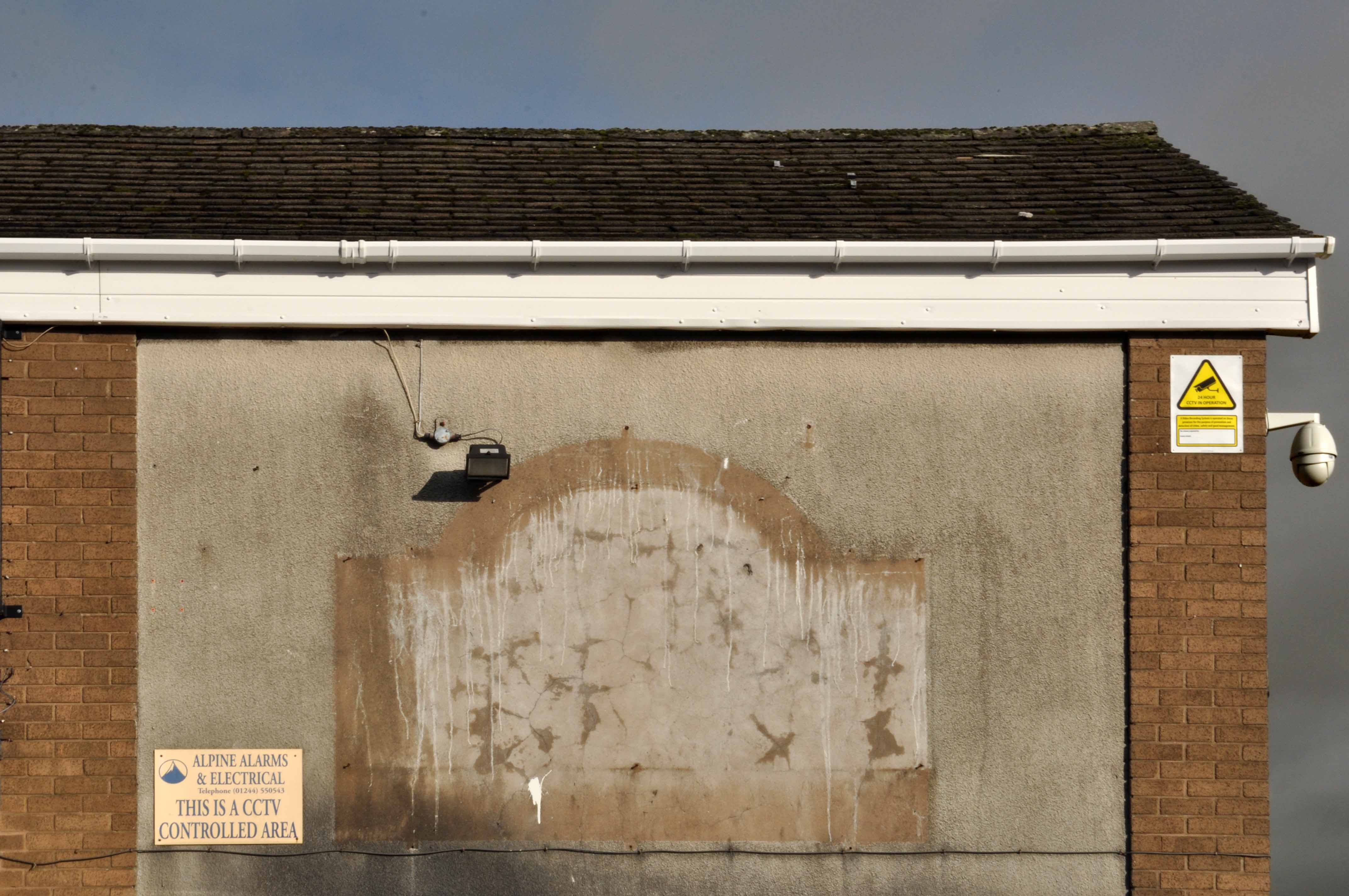
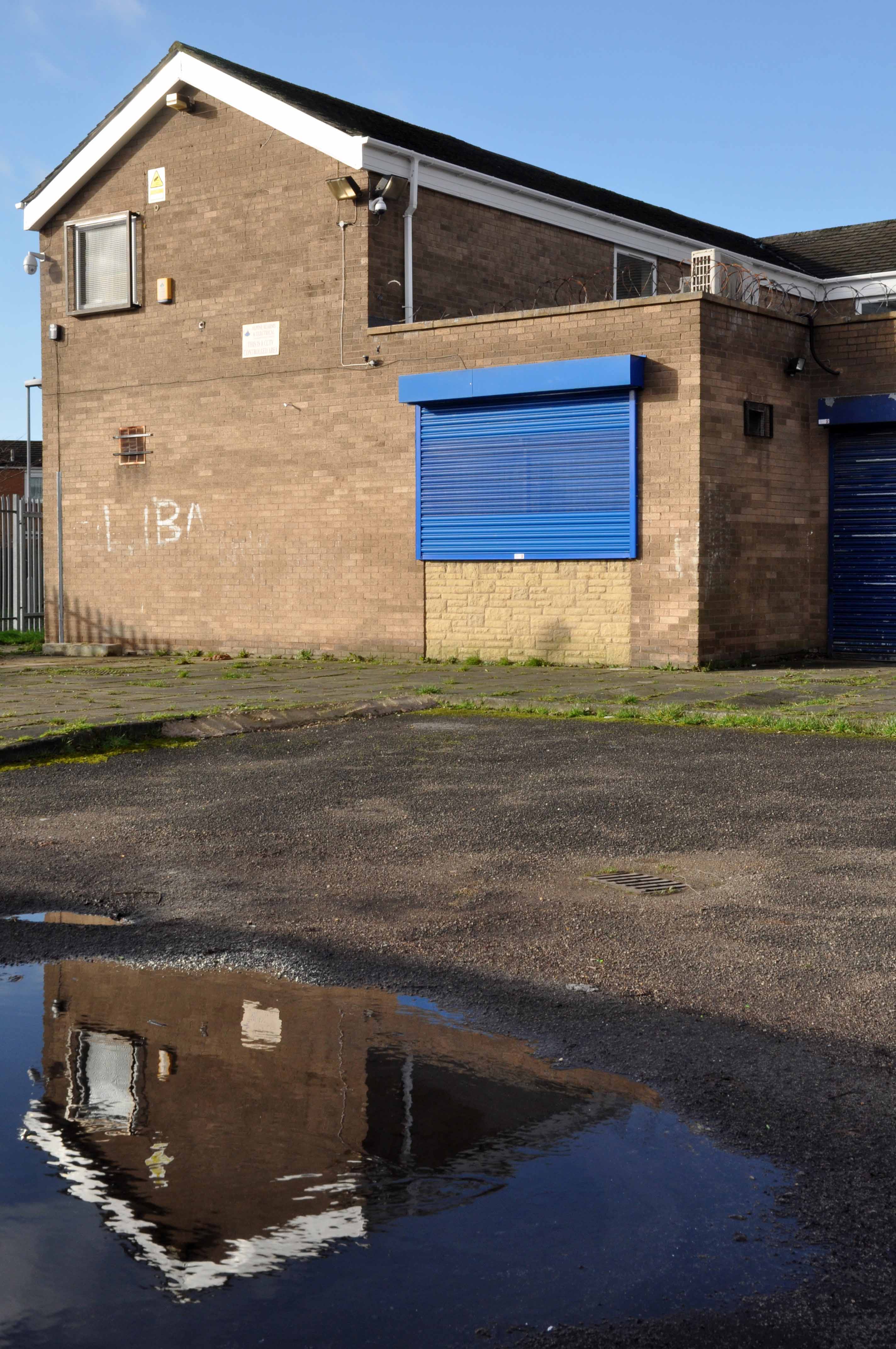
Built in 1972 the pub outlived the system built blocks that surrounded it.

Another new gold dream, another day.

Despite the high hopes embodied by the low rise rebuilding of the new estate.
The Grey Mare shuts its doors – forever.






To begin at the beginning, well actually to begin in the middle and walk to the current beginning. The Gore Brook flows from the Lower Gorton Reservoir and from there onwards to meet the Chorlton Brook in the west, though I should imagine that prior to the construction of the waterworks, it was fed by more distant moorland waters.

Manchester being on the eastern edge of the Lancashire Plain and the western edge of the Pennines is riddled with rivers, rivers which now wriggle in an under and overground web, across heavily developed urban areas. Following the Industrial Revolution former meadow, common and farmland was overwritten by factories, housing and roads, the rural character of the rivers and brooks soon becoming darkened and polluted by the surrounding industries.
I was lead here by my search for a lost pub The Garratt on Pink Bank Lane, then drawn in further by this site The Red Path of Longsight.
The Red Path is a pedestrian link between Pink Bank Lane and the Gorton boundary at Buckley Road. It roughly follows the course of Gore Brook. The original footpath, running from Buckley Road to the bank of the brook, was made using black cinders. It was probably made in the 1940s to provide access to the allotments located on either side. In the early 1950s , a concrete bridge was laid across Gore Brook and the footpath extended to Pink Bank Lane. This section used red bricks in it’s construction, probably supplied by Jacksons brickworks . Crushed bricks were then used as a topping to make the path smoother and fill in any cracks. The thoroughfare soon became known as the Red Path.
So wide eyed and mapless I bowled up at Brook Terrace, just off Stockport Road Longsight, in search of The Gore and its source.


In the early 1900’s the river was still open and bridged, here at Stockport Road, later culverted and covered – anticipating the arrival of Tesco’s and Granada TV Rentals.

From there we pass under the railway along Brook Terrace and into Parry Road.

The underpass is still there and very much in use, as is Stanley Grove School – the Manchester Central Schools’ Kitchens are long gone, along with the food filled, insulated aluminium cases, that fed the hungry mouths of many, with semolina, pink custard, meat pies and lumpy mash.


Onwards to Elgar Street and still no sign of the river, hidden beneath our feet, the corner of Northmoor Road, can be seen on the corner, no longer distributing dividends, but now providing social housing.

We arrive at Pink Bank Lane, a rich mix of terraced homes, flats and factories – and the long lost Garratt, and the long lost Gore.


Though the lazy, lazy river has been confined in a brick lined wind, to meet the ever pressing needs of the Gorton Sewage Works.

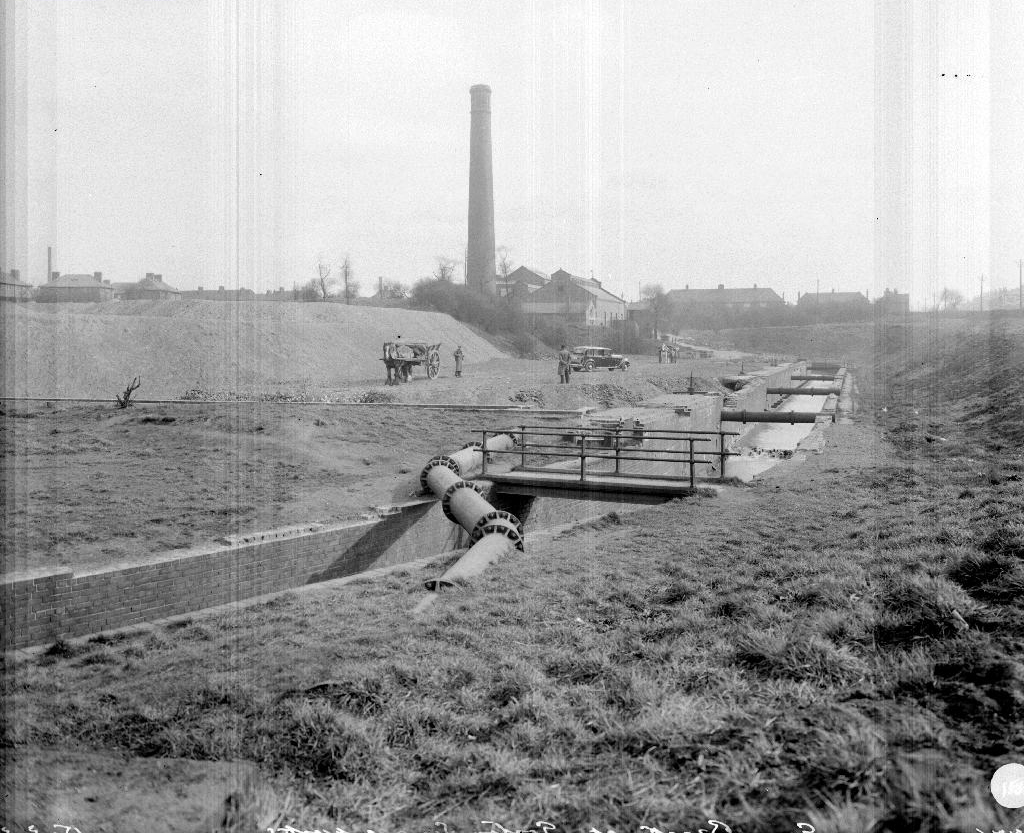
The river then hugs the edge of Annie Lea Playing fields on Buckley Road, until it disappears again as it meets Mount Road, the playing fields are still open ground – the Manchester Cleansing Department, seen on the left – is no more.

Here on Knutsford Road we see the construction of the tunnels and culverts, the footbridge to the left spanning the railway, is still there.

1907

1911

1914
Finally we see The Gore reemerging clear, clean, wide, proud and resplendent in Sunny Brow Park, where it is still maintained as a decorative, duck-filled lake.

1907

1910

1964
Briefly underground again and into the back of Far Lane, skirting the Brookfield Church graveyard.

1920

1937

1964
Then tunnelling under Hyde Road at the back of the church lodge, appearing once again alongside Tan Yard Brow.


1904

1922

1964
The manmade waterfall continues to cascade, the Fairfield to Old Trafford railway is now the Fallowfield Loop, Manchester Cycleway, young lads no longer mess about in wellies and torn Tek Sac jeans on the bank, the Tannery no longer tans.
Then we end our journey by the broad expanse of the Lower Gorton Reservoir, implausibly dotted with jolly yachts, and home to a now absent stepped outflow stream. Look up to the east, and there you’ll see the moors, you could go further.


All archive photographs from Manchester Local Image Collection.

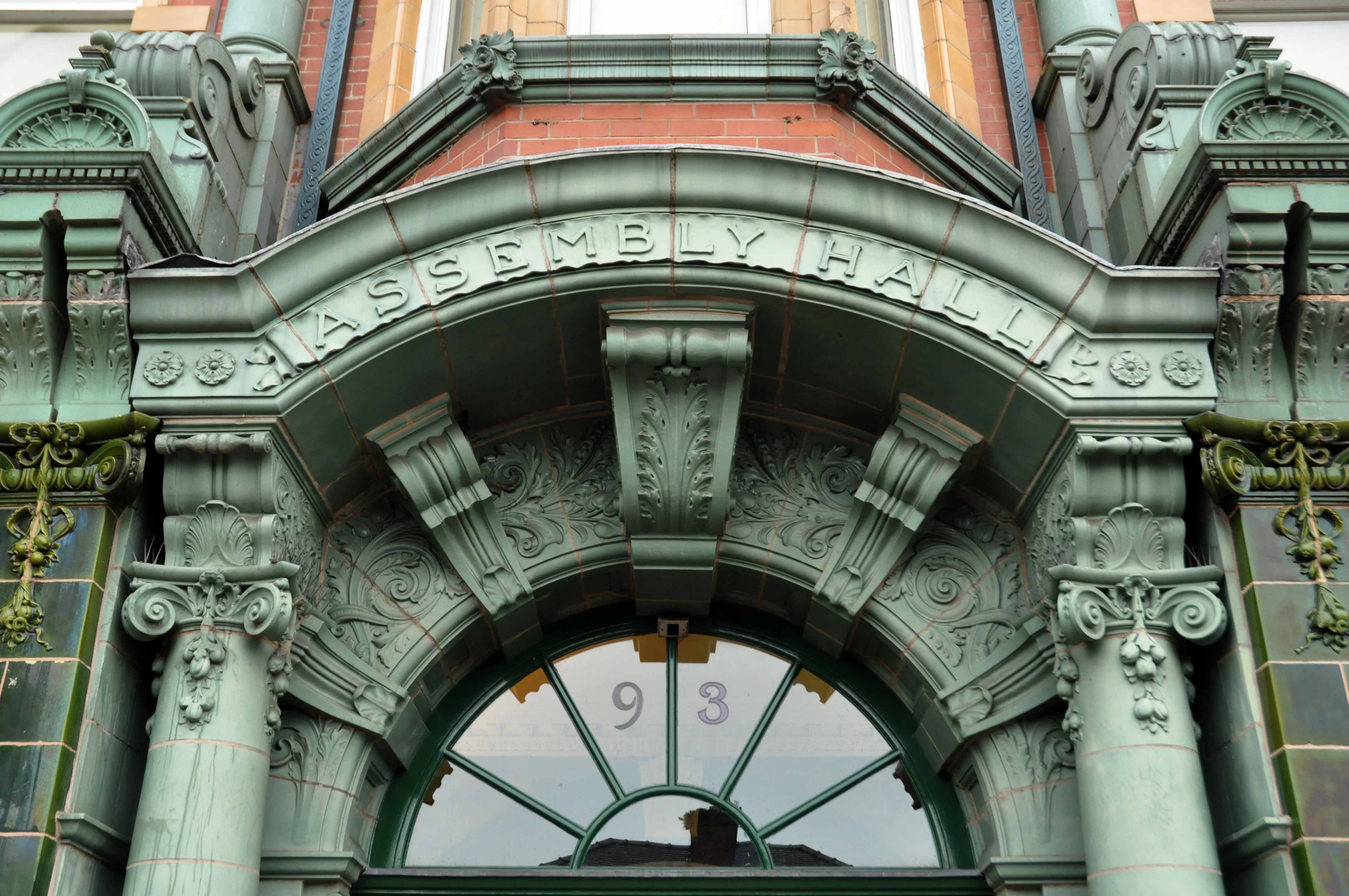
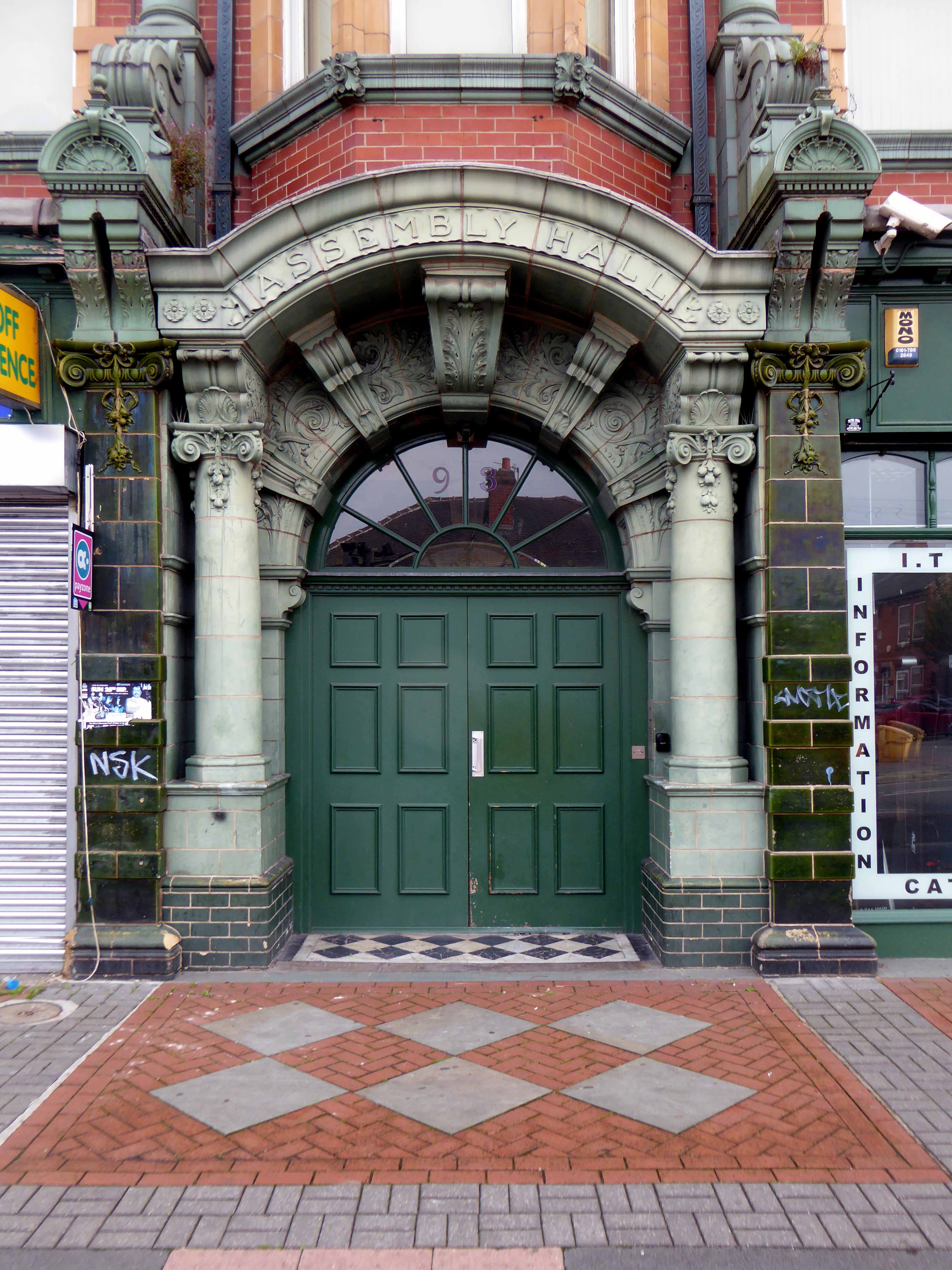
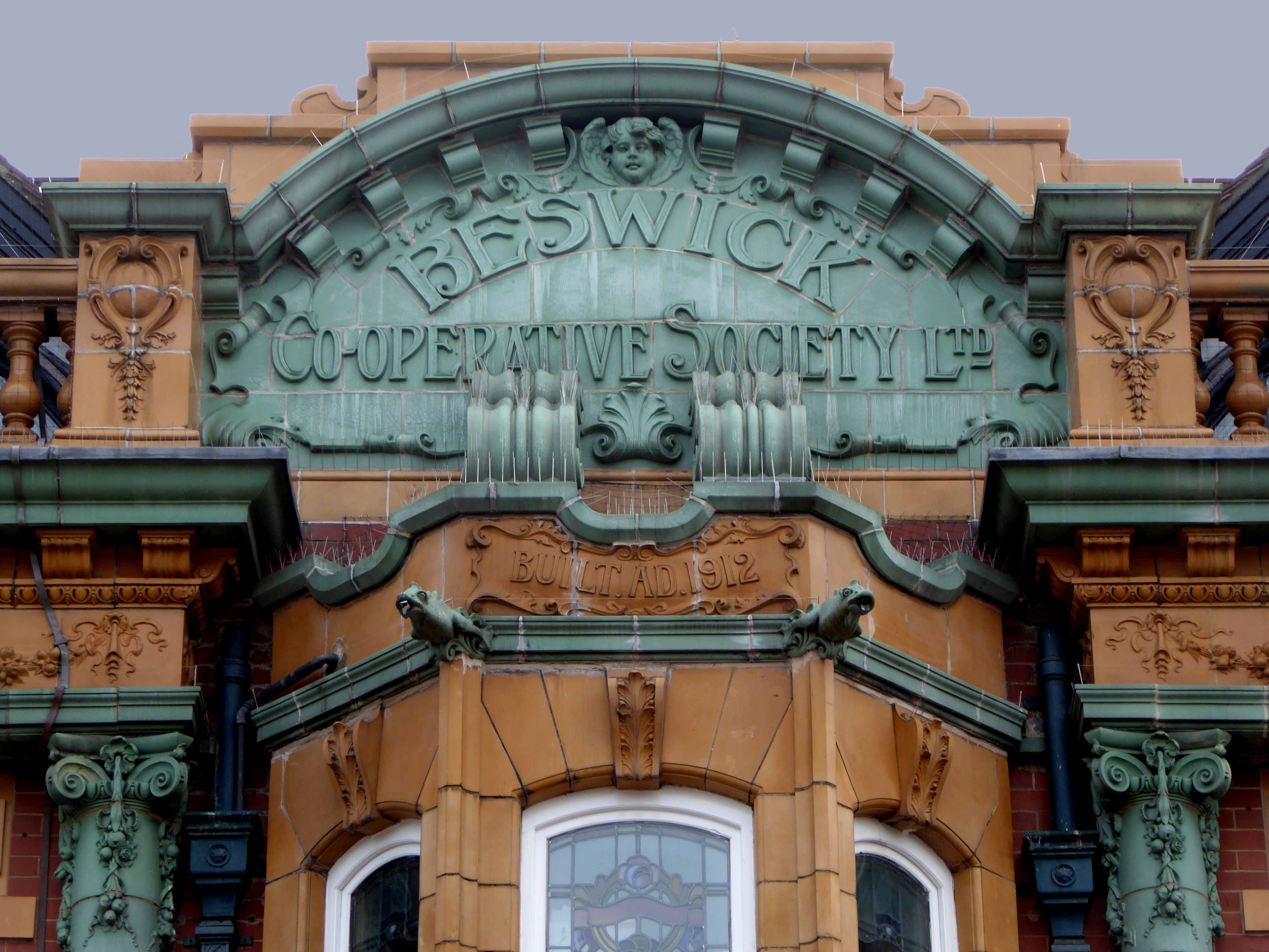
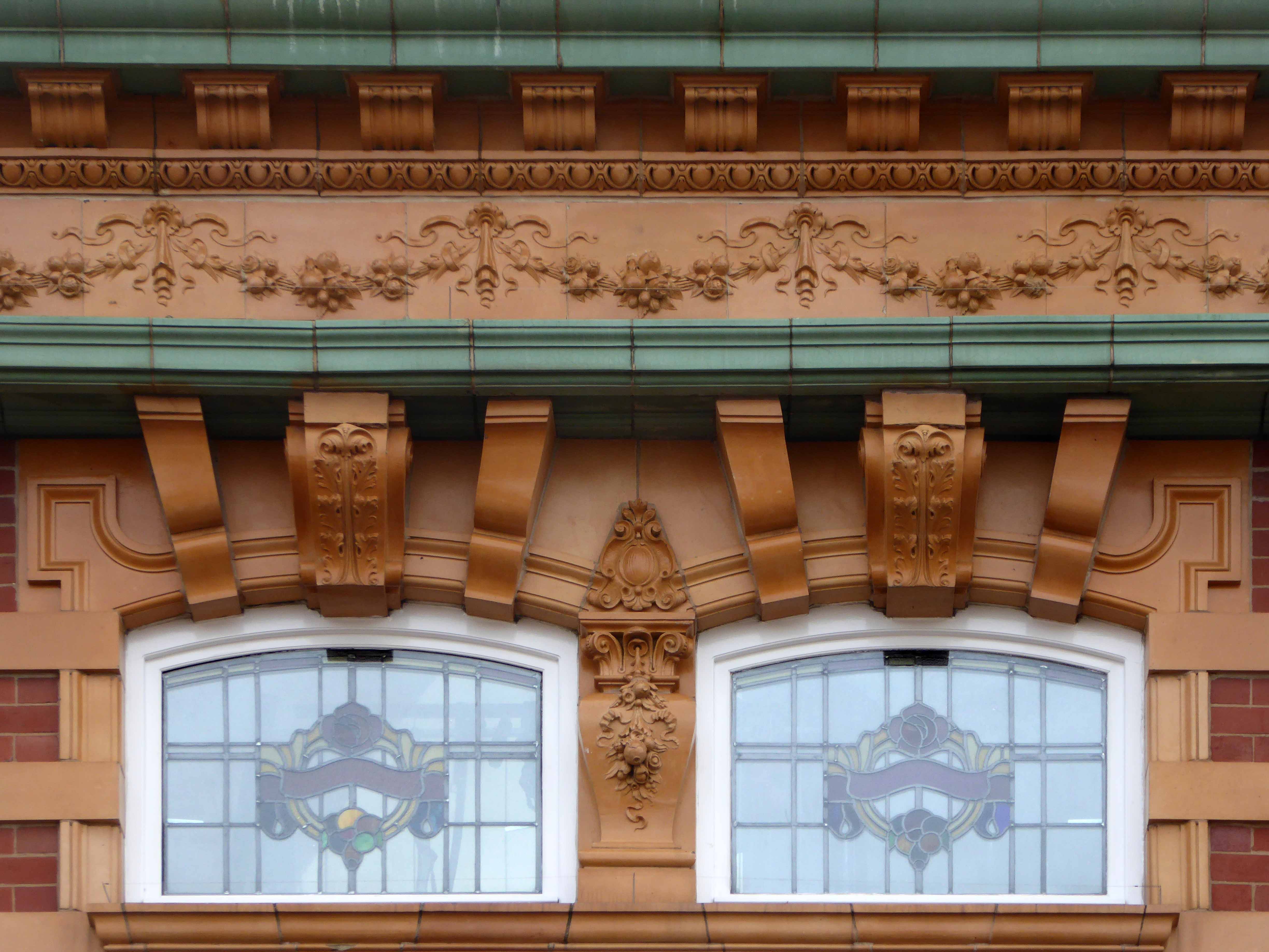
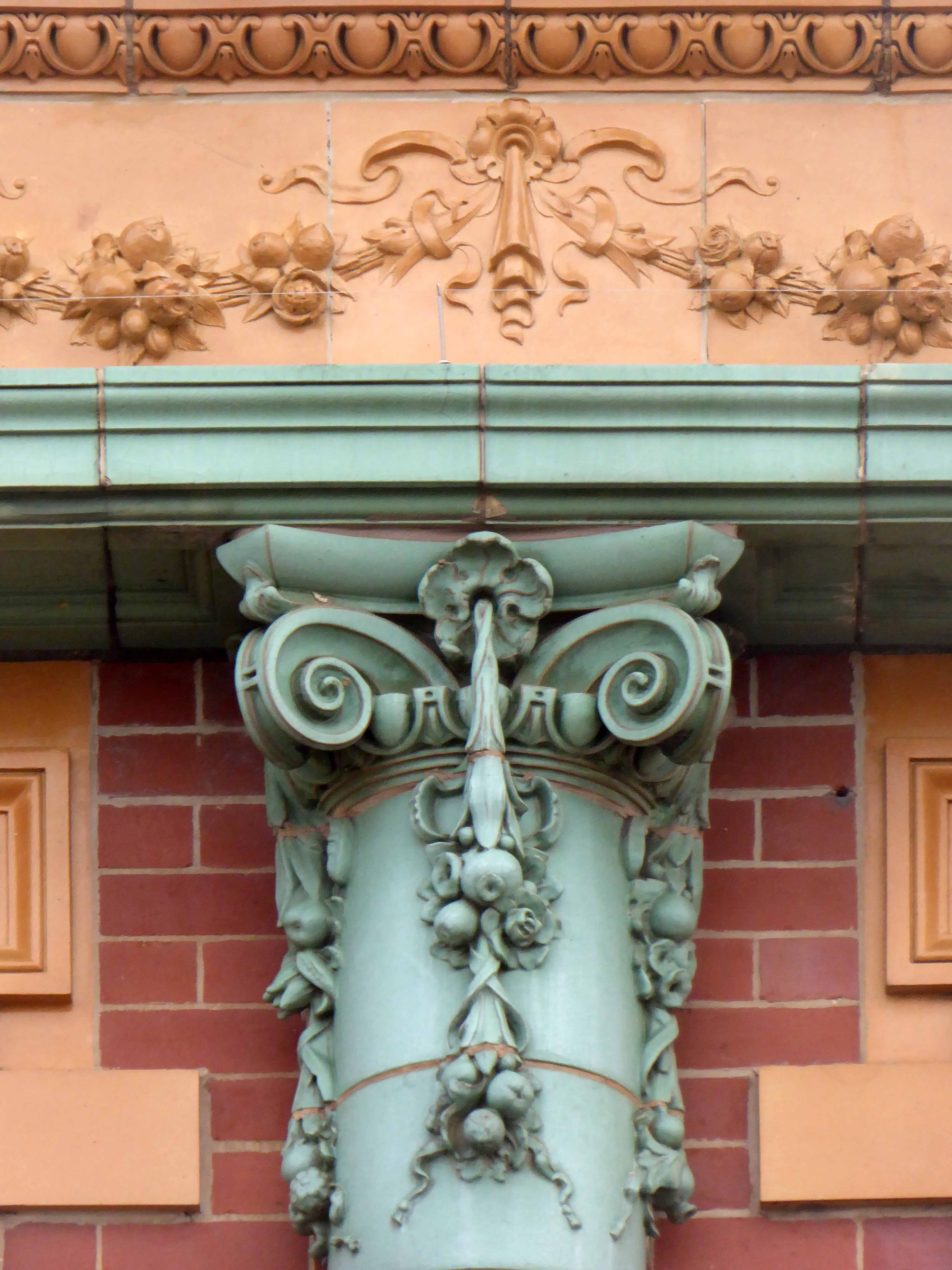
Cooperative Society shops and meeting hall. Dated 1912; altered. Red brick with liberal dressings of green and buff glazed terracotta, red tiled roof with geometrical patterned band and cockscomb ridge tiles. Rectangular plan. Edwardian Baroque style. Two storeys and attic, 11 bays; projected ground floor with dark green Ionic pilasters between the shops and a central recessed porch with dark green surround, light green Ionic columns and segmental open pediment ; inverted voluted brackets linking ground floor pilasters to alternate pedestals of 1st-floor colonnade, which has Ionic semi-columns with festoons and a thin cornice, all in matching light green terracotta; swagged frieze of buff terracotta with buff modillions to a green cornice; brick parapet with buff terracotta balustrades and triangular dormers in alternate bays, interrupted in the centre by a green segmental pediment with raised lettering “Beswick Cooperative Society LTD”. Tall segmental-headed windows at 1st floor including a canted bay in the centre with parapet lettered “Built AD 1912”, and coupled windows in the 2nd, 3rd, 10th and 11th bays, all with elaborate surrounds of buff terracotta including quoined jambs, moulded transoms and enriched keystones; and stained glass in the upper lights. Square Baroque-style turret at left gable.
The building itself was originally designed for commercial use with a department store on the ground floor boasting five departments including a butchers, shoes and boots, a drapery and a grocery. On the first floor there was a meeting room that was large enough to host dances with live music. Its inaugural event was an exhibition by the Co-operative Workers Society that also included a recital by the C.W.S. orchestra of Balloon Street; it was reported to have been a great success. It was also used for community events such as the Crowcroft Bowls Club prize-giving ceremony in 1914.
Northmoor Road was called North Road at the time the building was in use as a co-operative and was developed between 1899 and 1930’s. Its most famous resident was J.R.Tolkien who lived here between 1926 and 1947.
North moor Community Association

1965 Manchester Local Image Collection

Now home to Great Places Housing
This is such a substantial building exuding an opulent retail grandeur that easily leaves your local Tesco Local in the deep dark ignominious shade. From a time when the expanding Cooperative movement provide for most of the areas material needs – though the Beswick Society was disliked for its aggressive territorial ingress, outside of any recognised geographic constriction.
Externally it is still substantially as was – clearly visible from the nearby Stockport Road and continuing to command the street with degree of grace.
Go take a walk, take a look!

