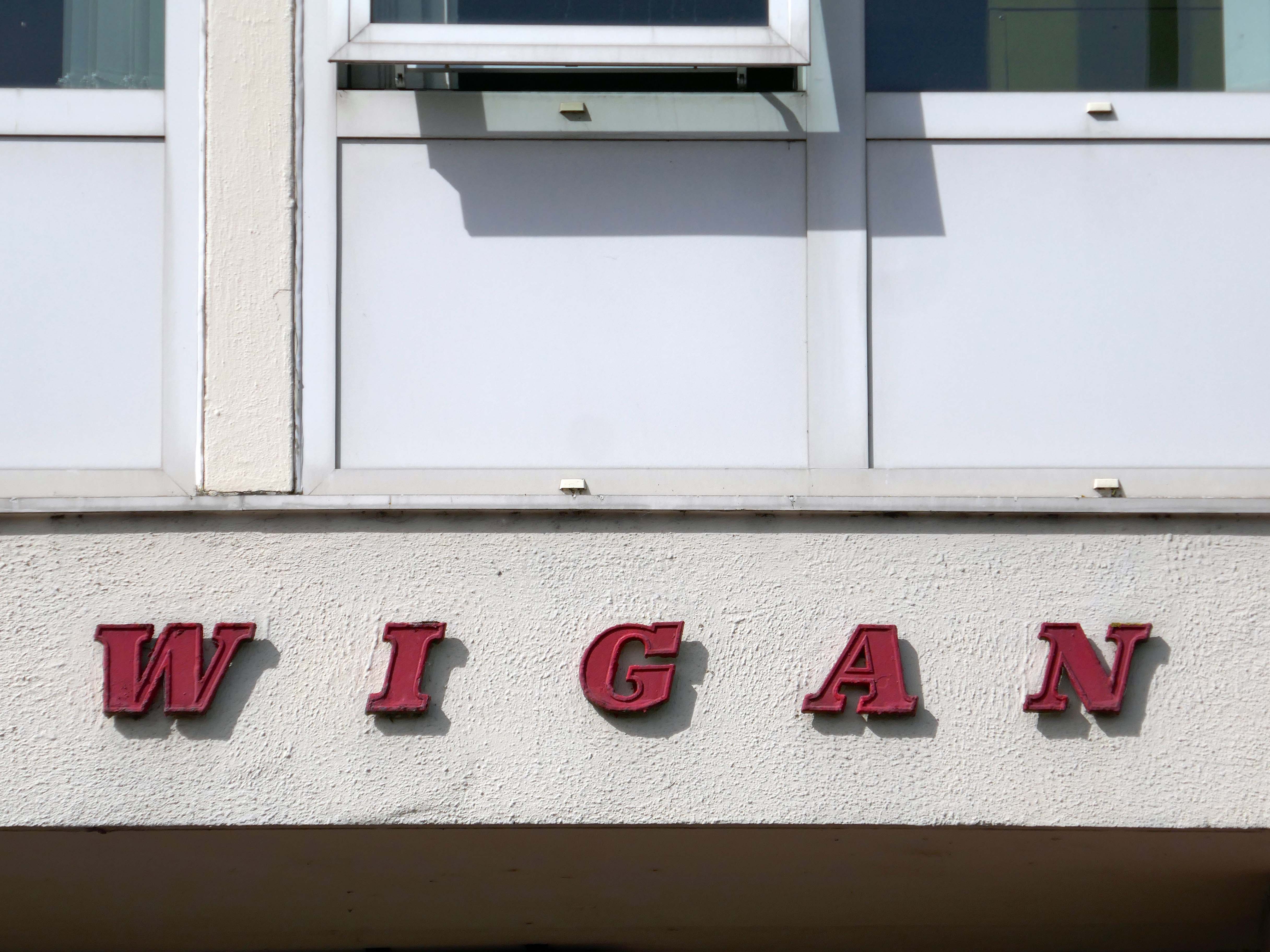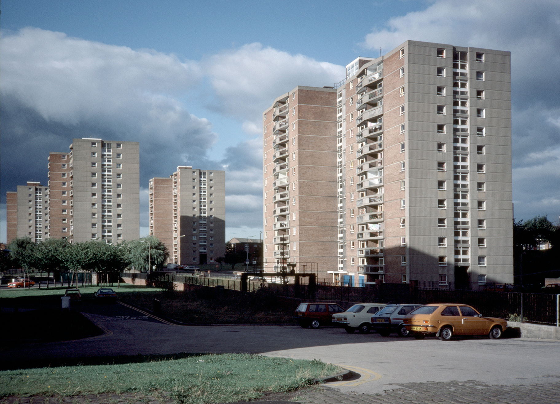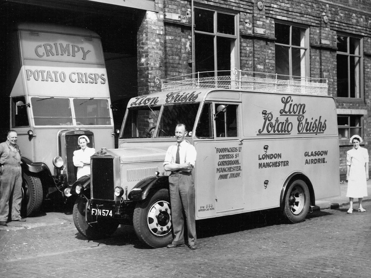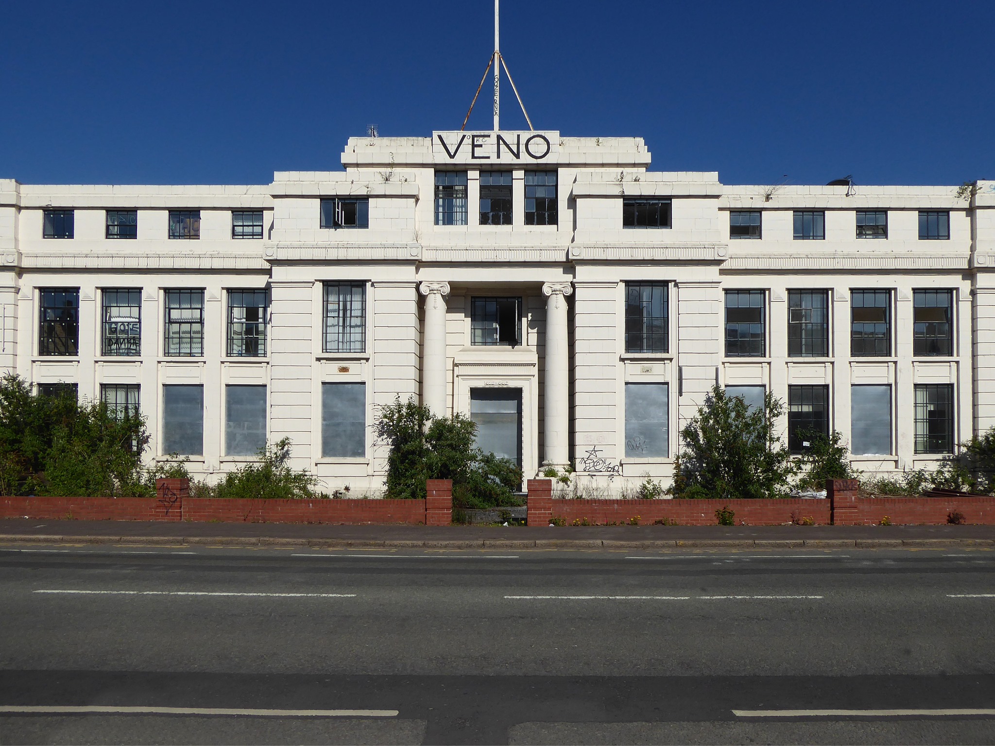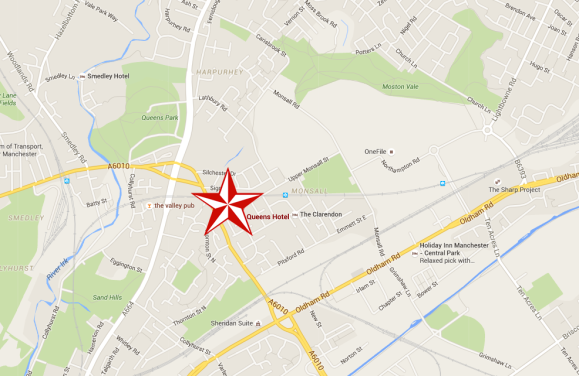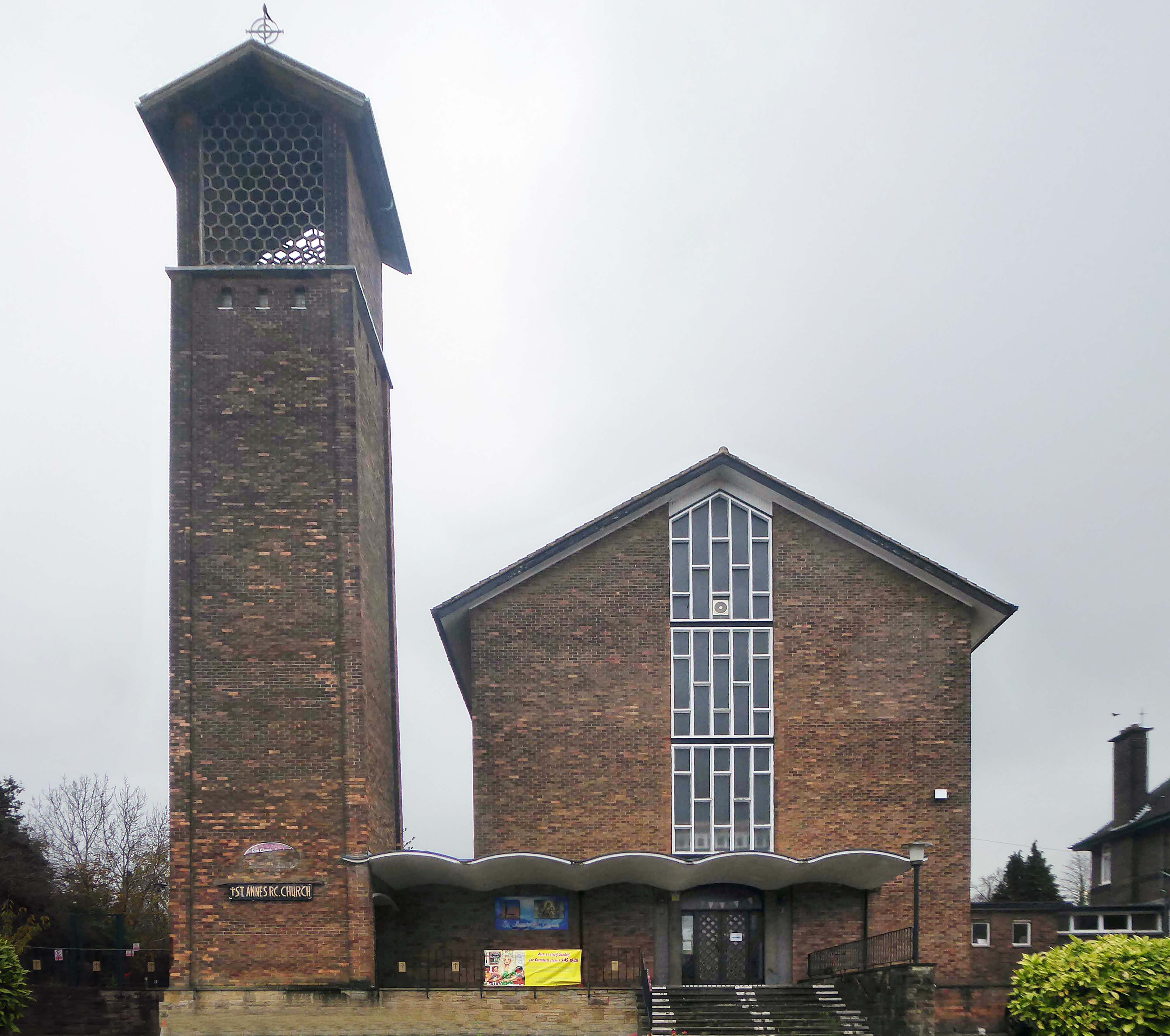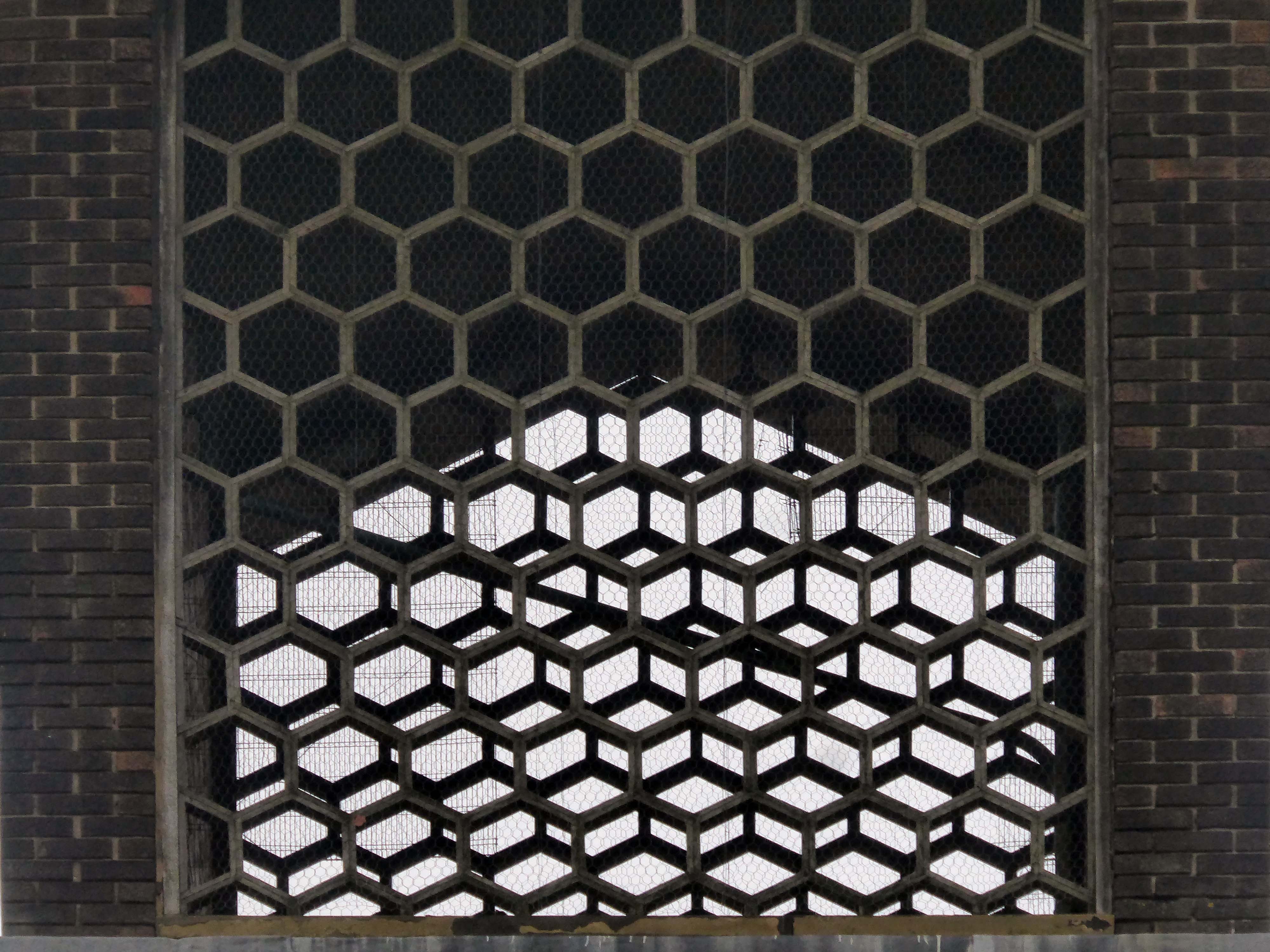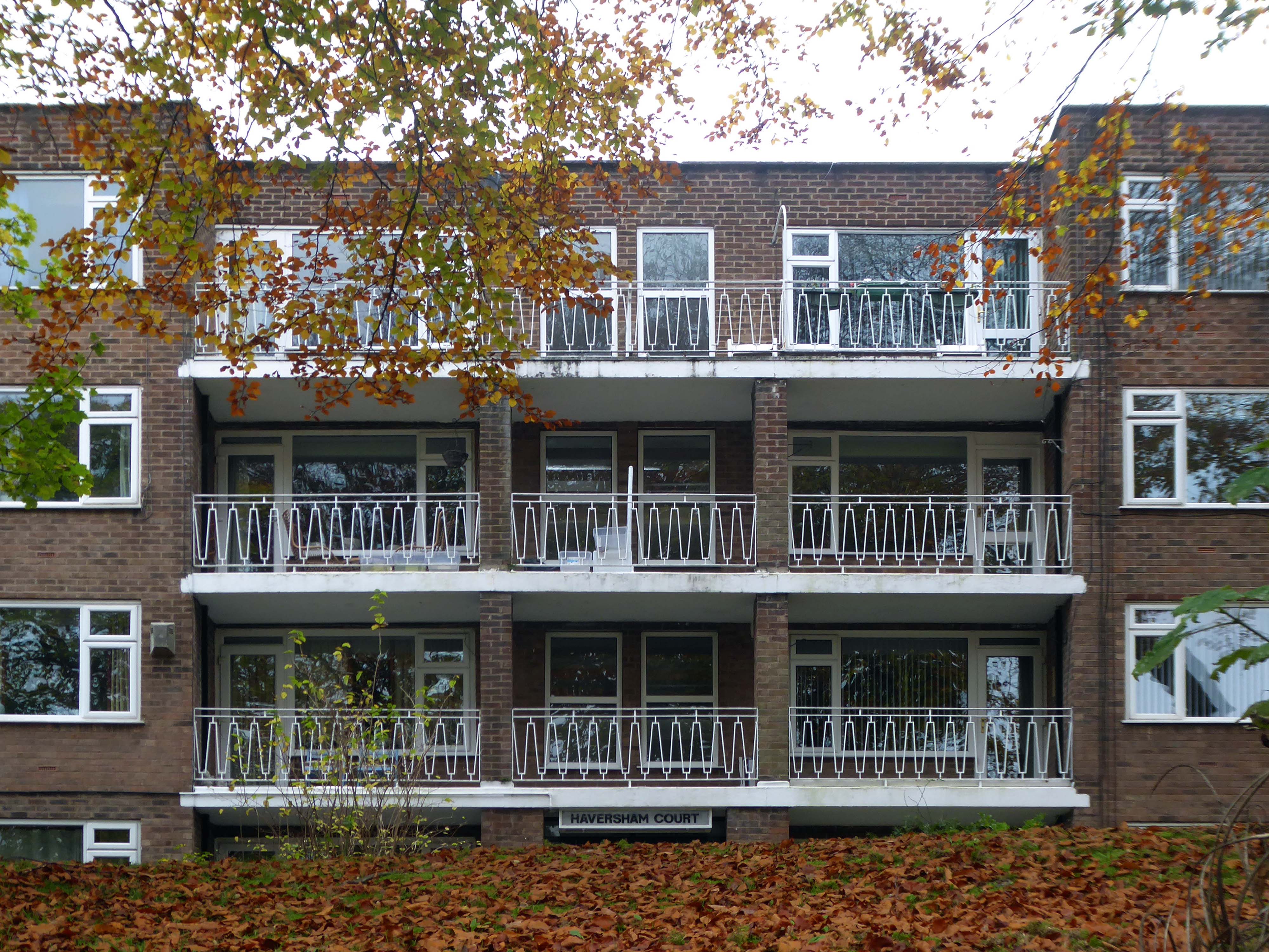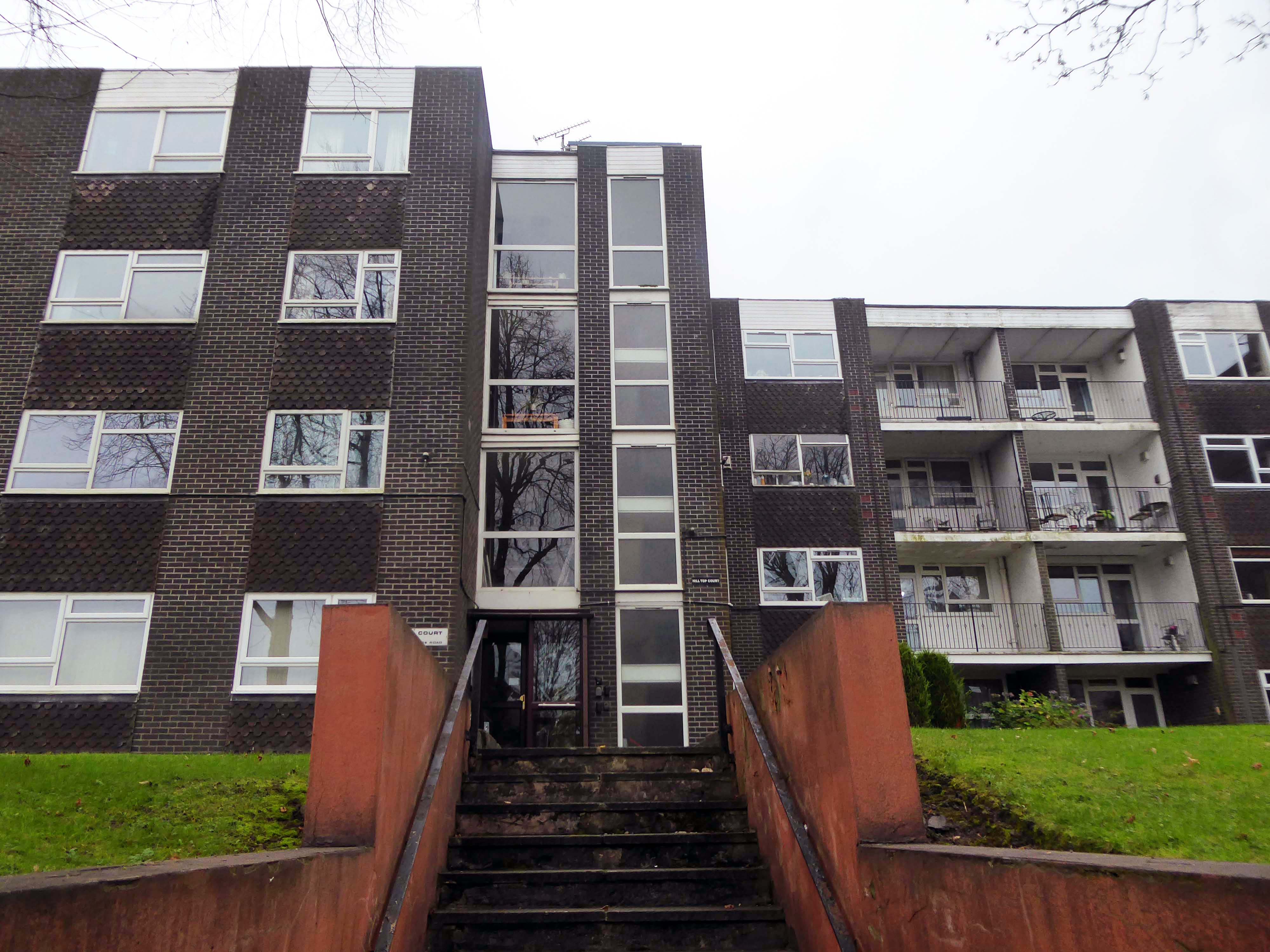
Once upon a time it was 2022 and I was in Chorley.
Then all of a sudden it wasn’t and I was elsewhere – fast forward to yesterday and I was in Chorley again.
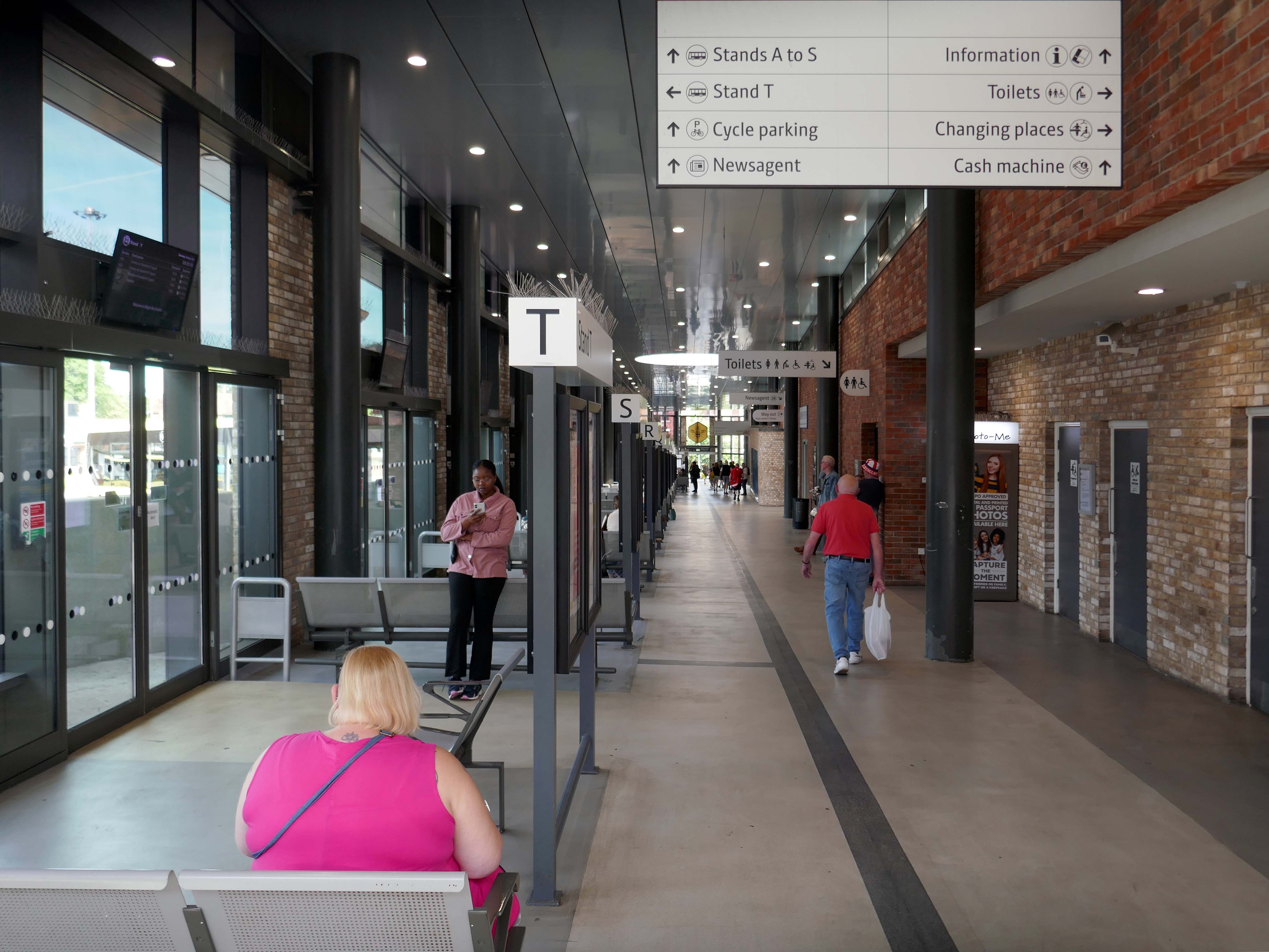
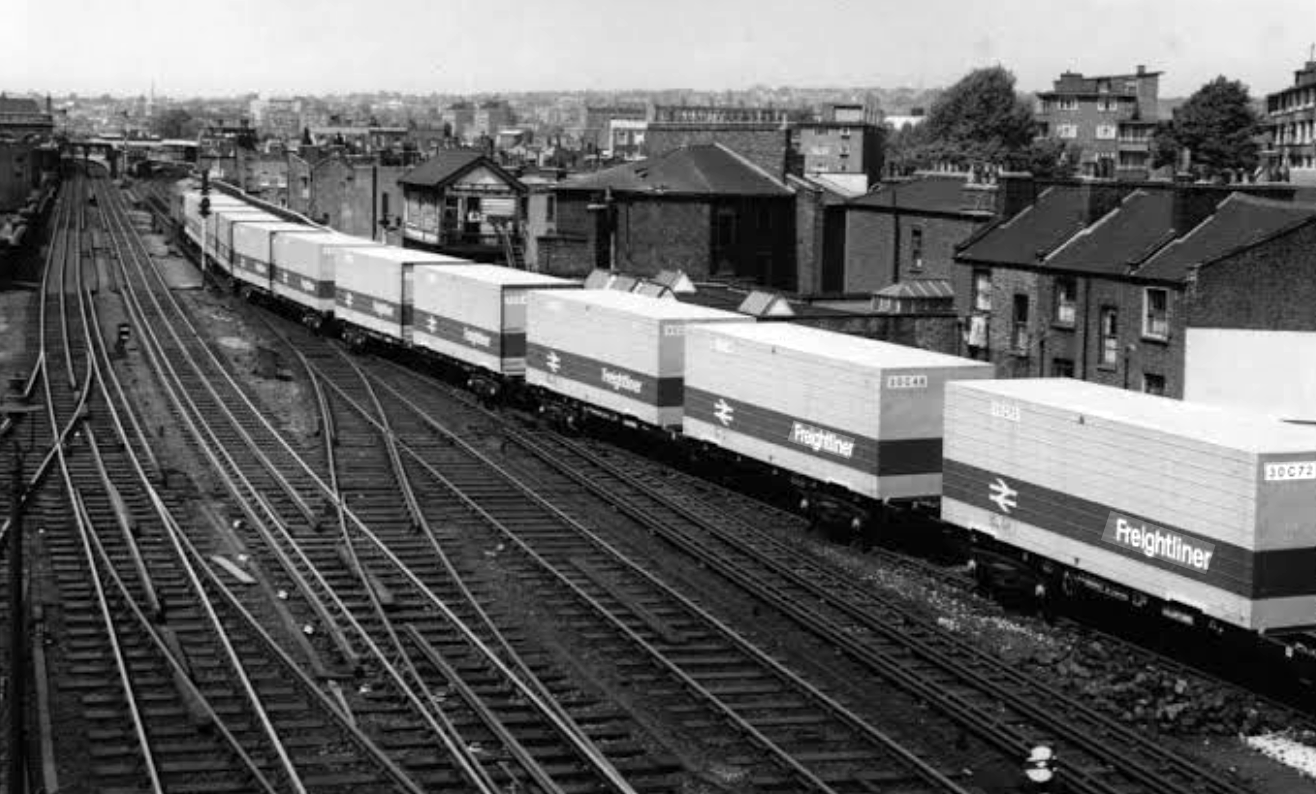
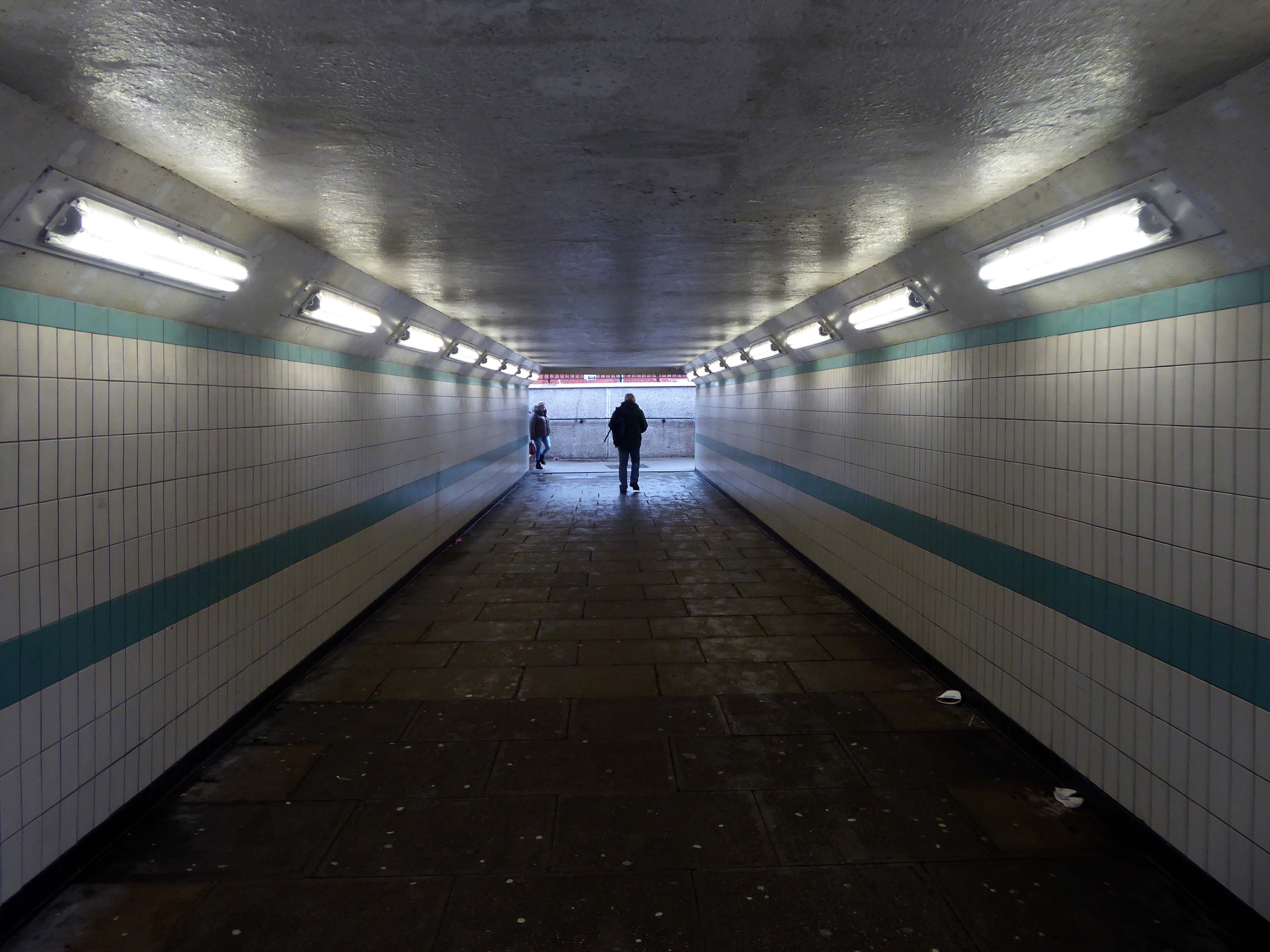
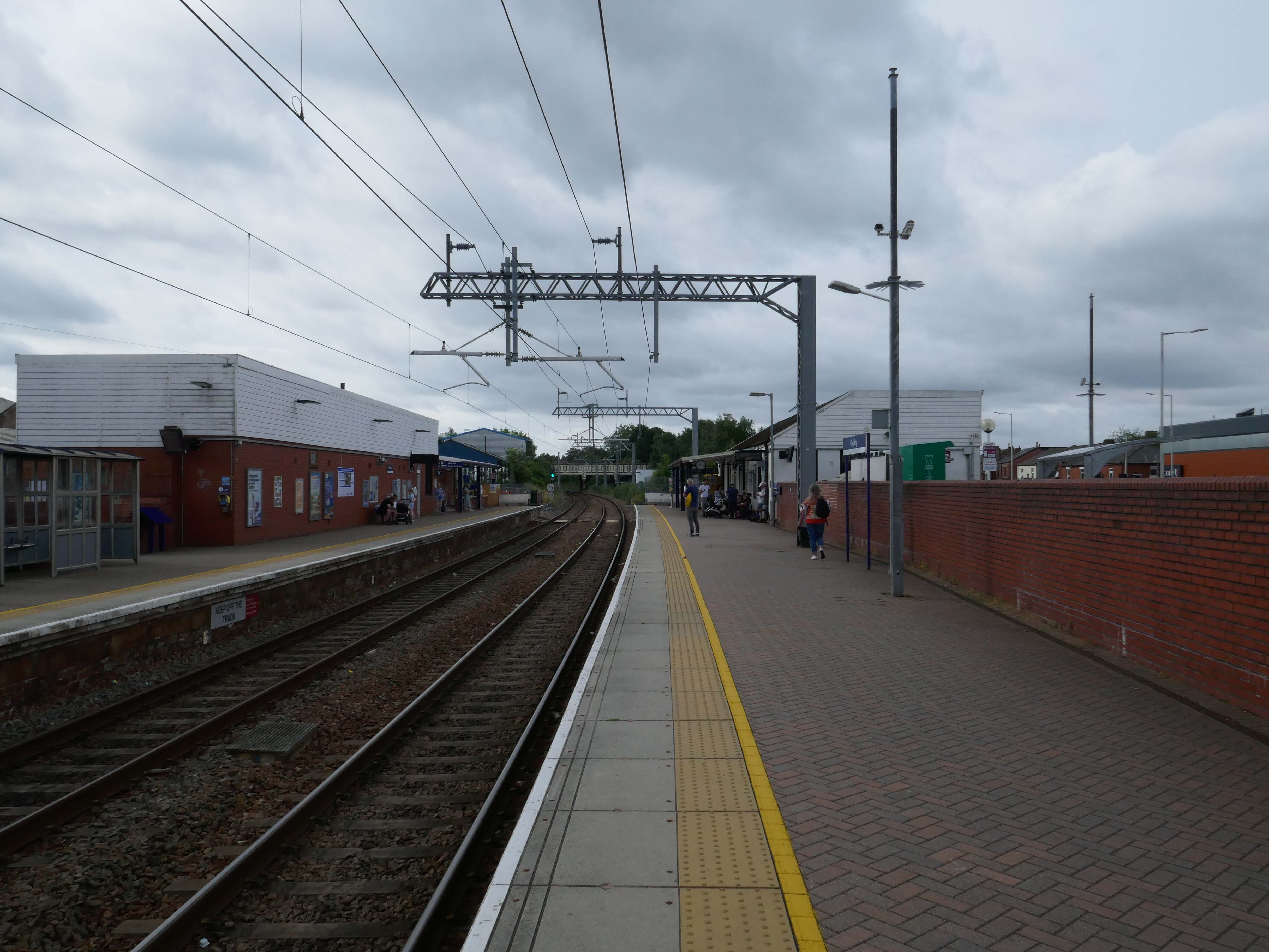
Arriving at the Railway Station.
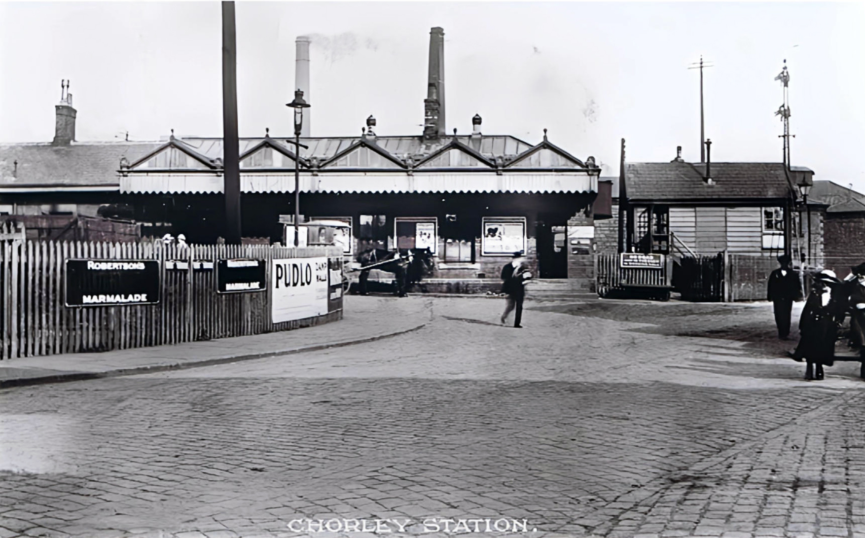
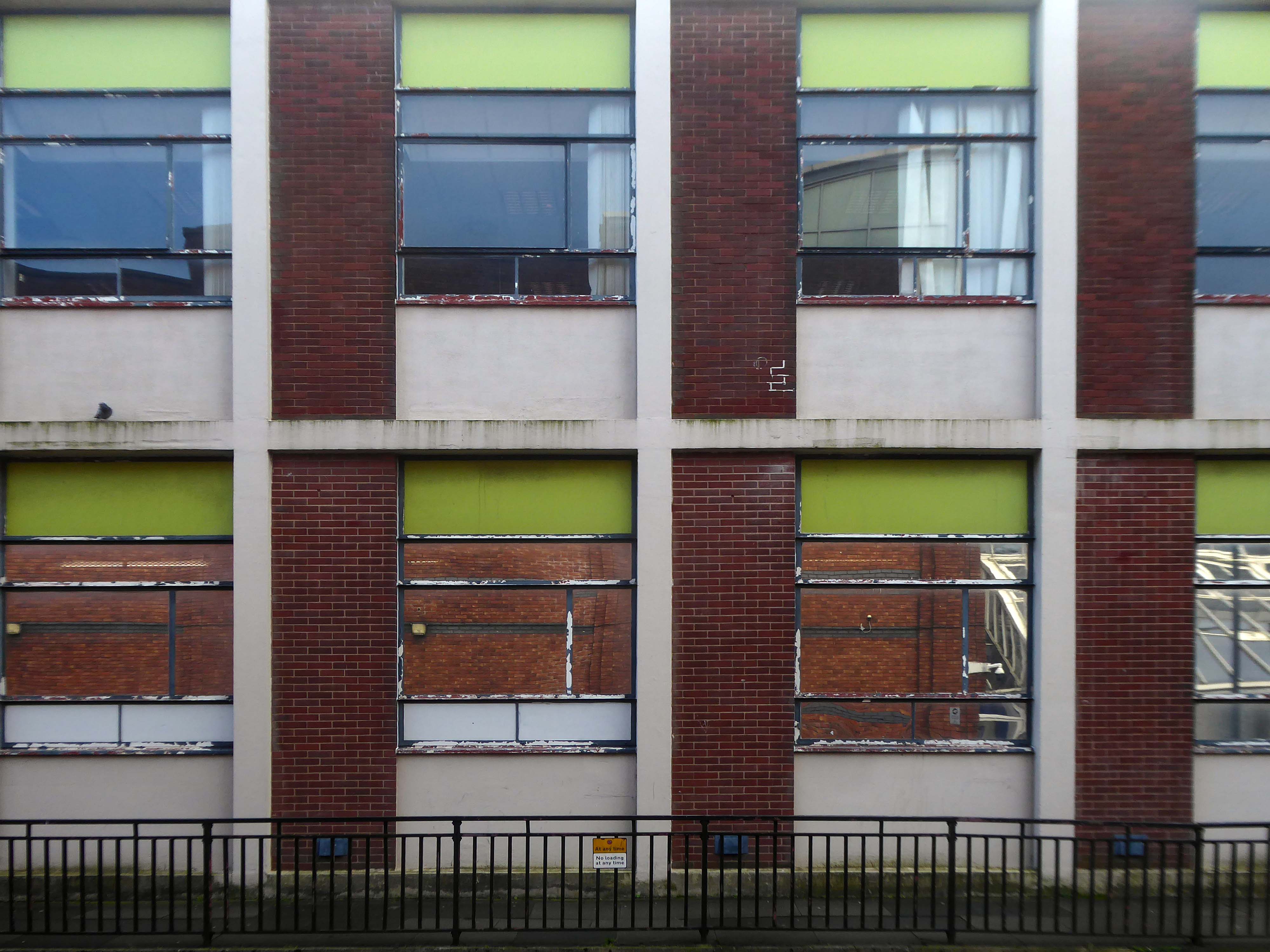
The current railway station is a modern version from the 1980s that was built on top of the original station – it is entirely functional, but more than somewhat undistinguished.

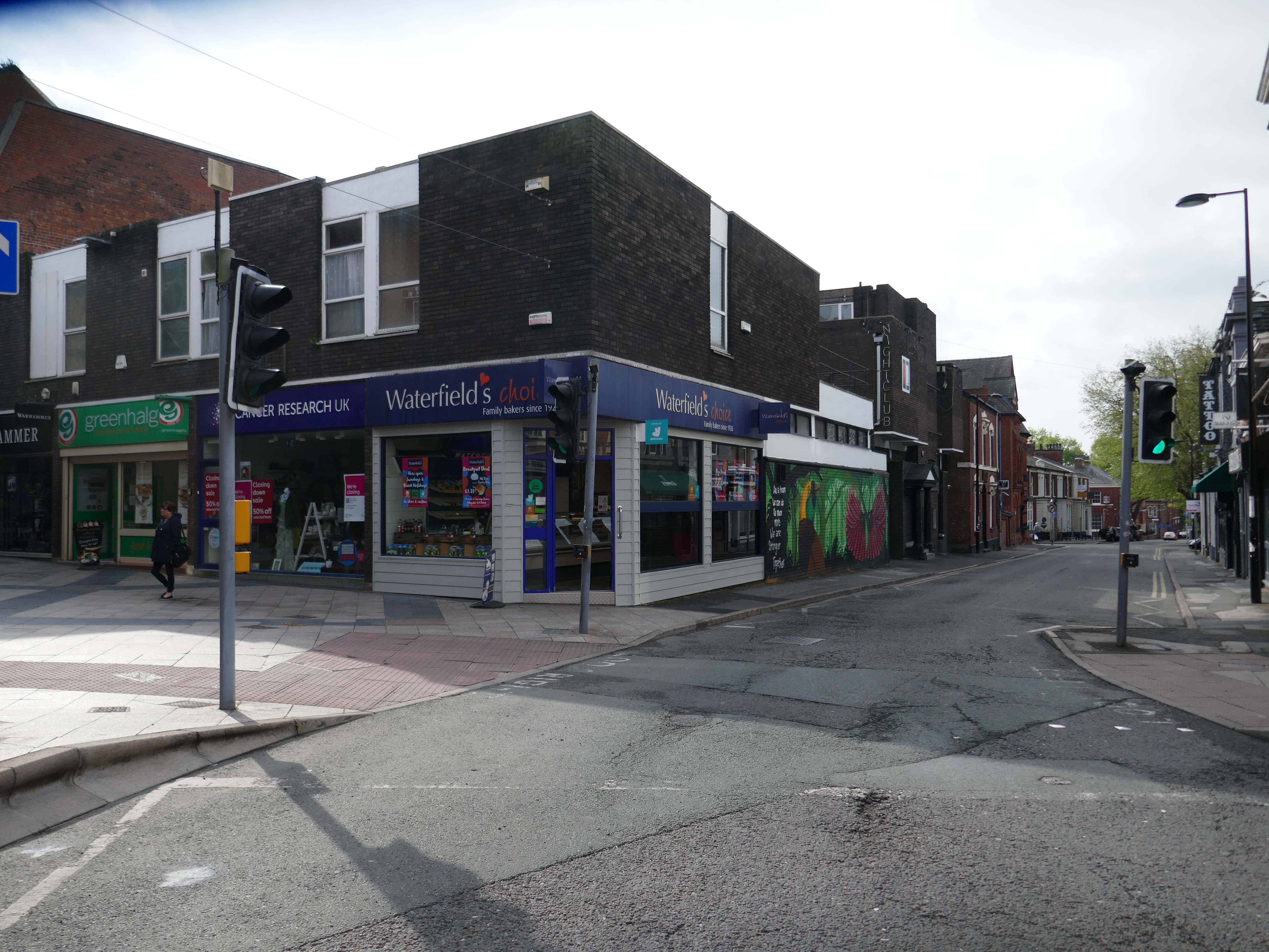
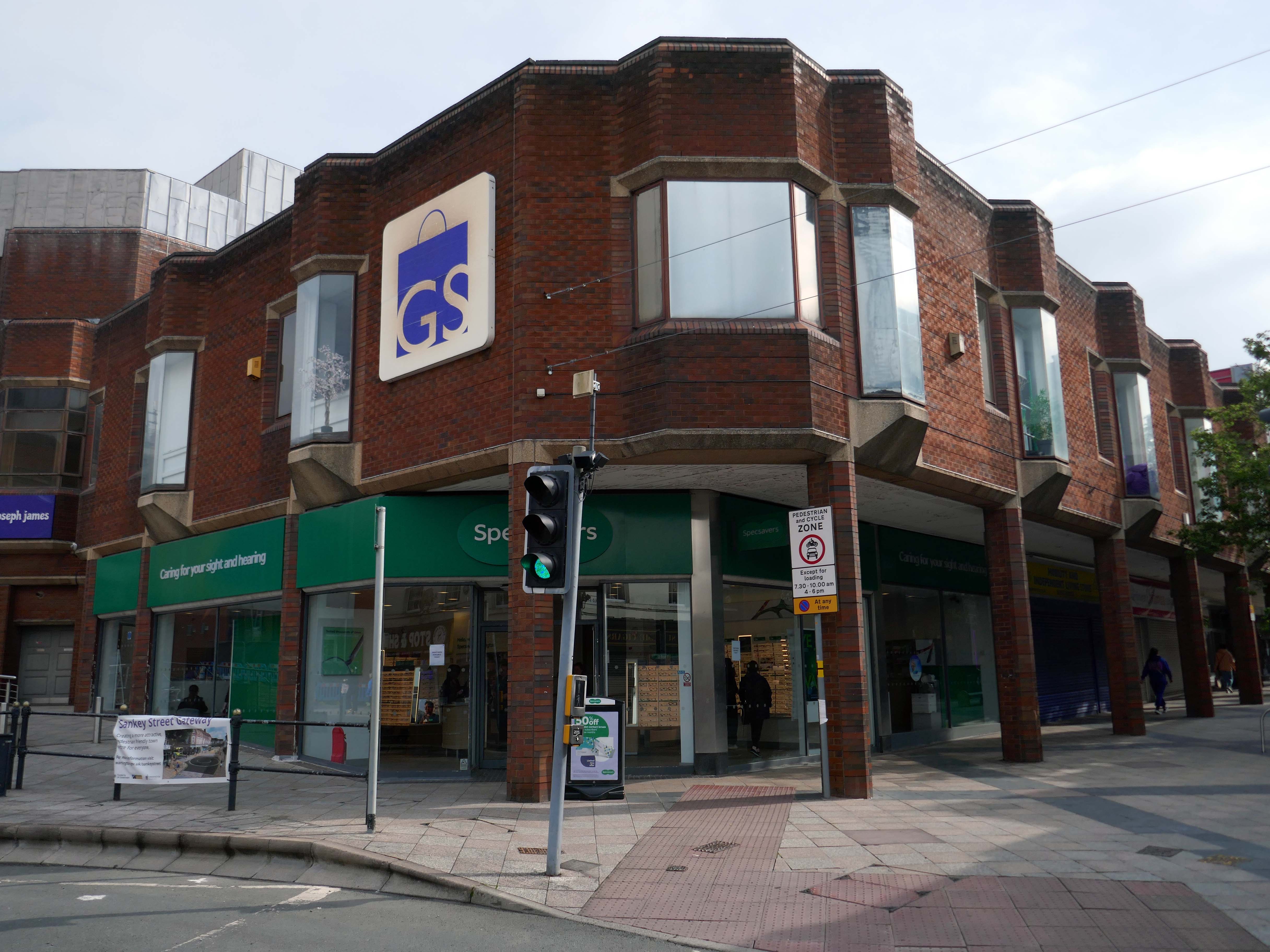
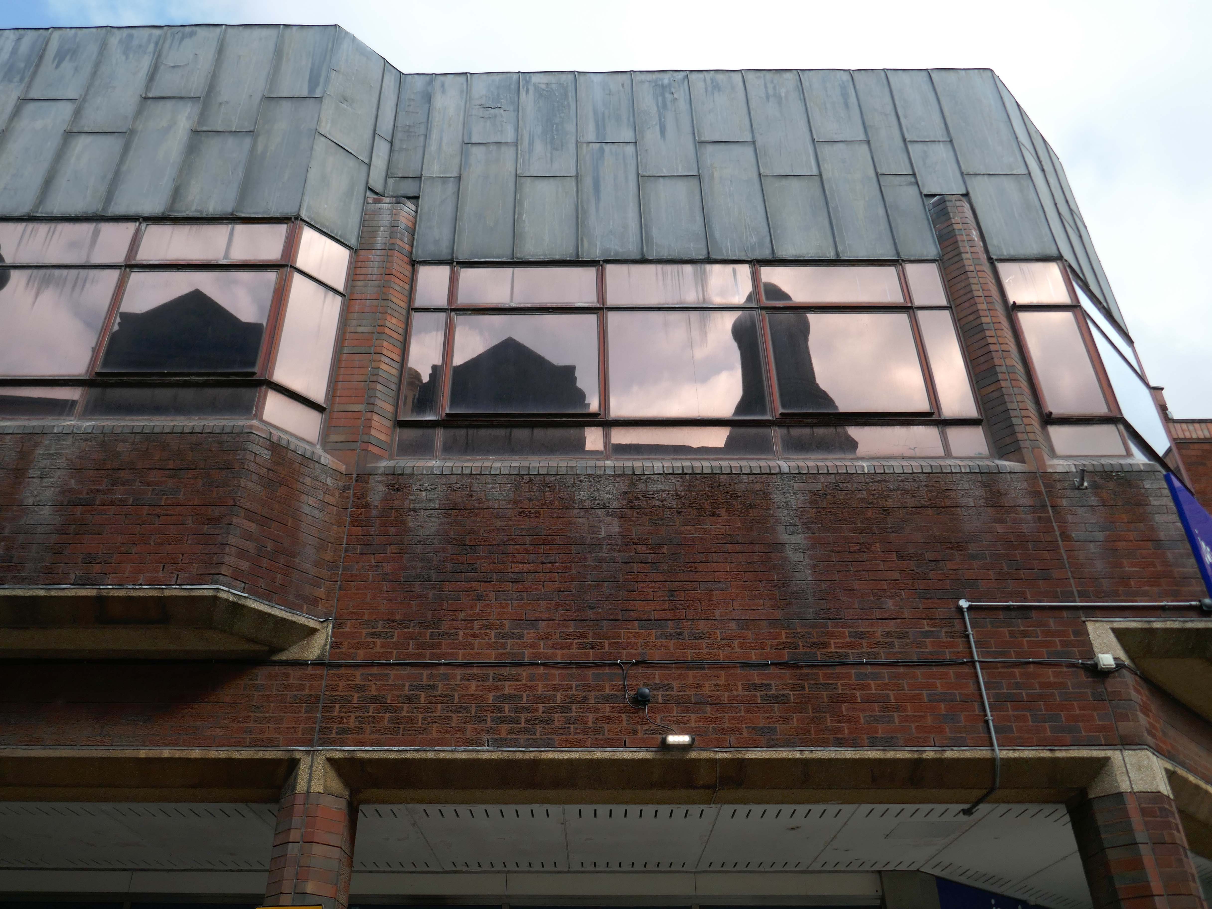
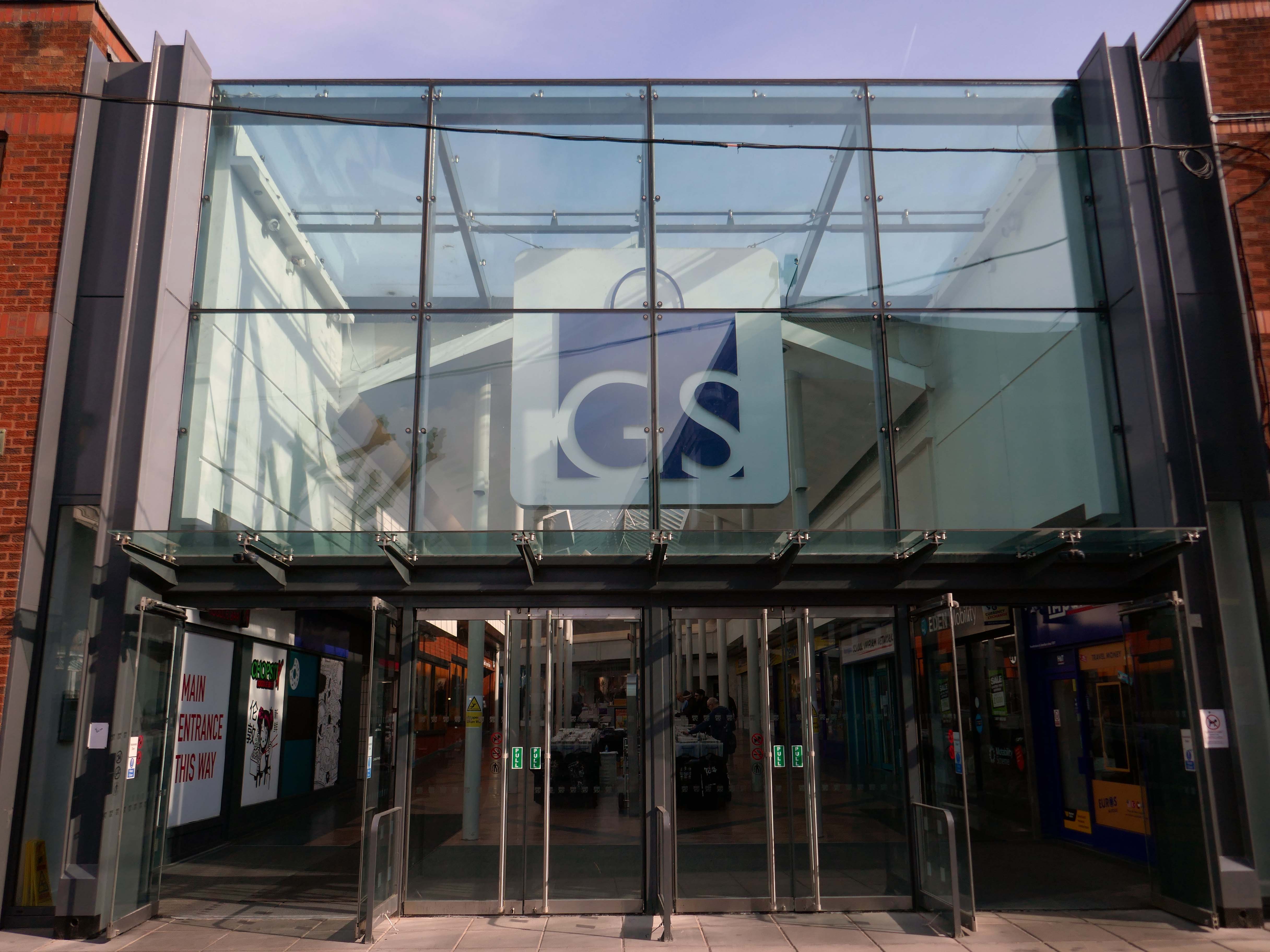
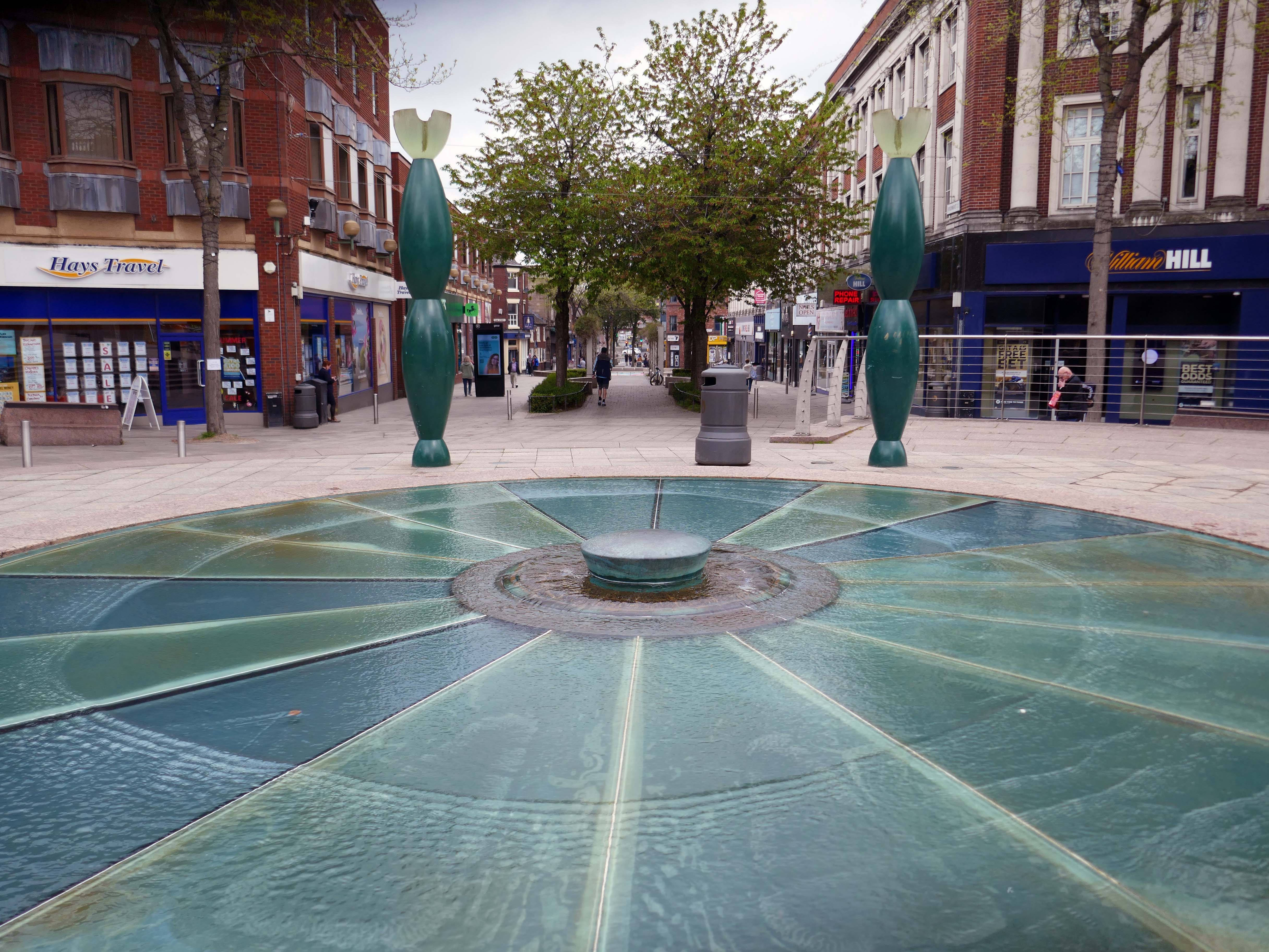
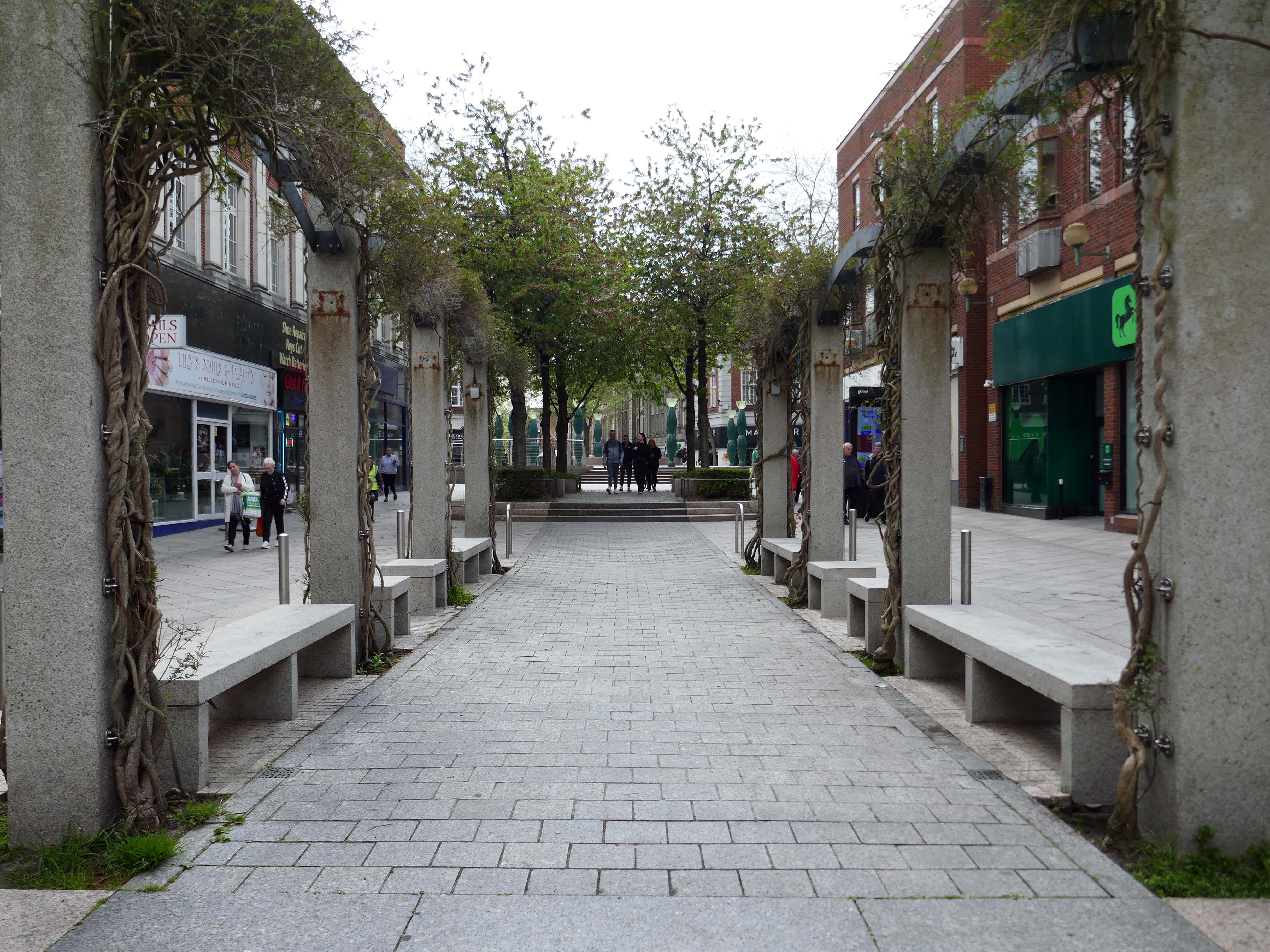
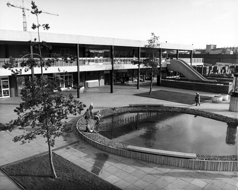
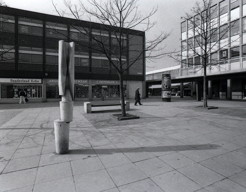
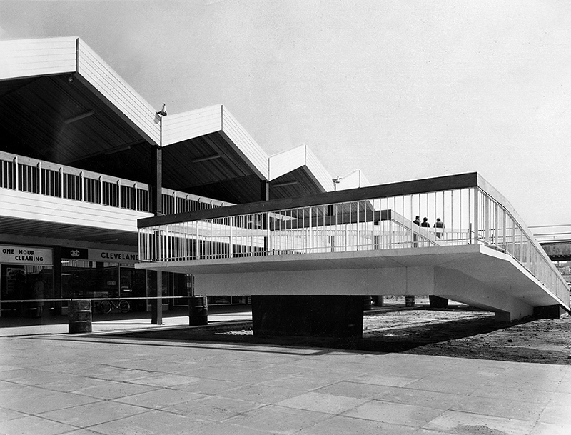
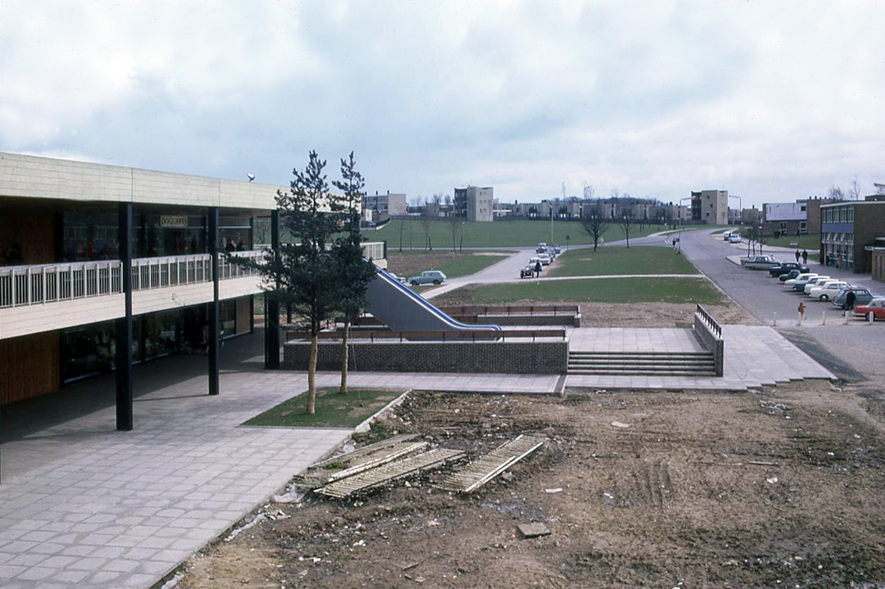
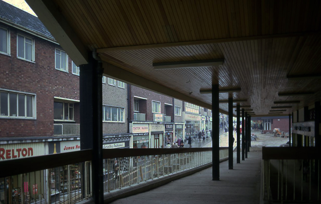
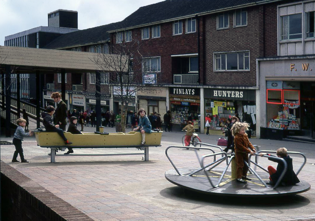
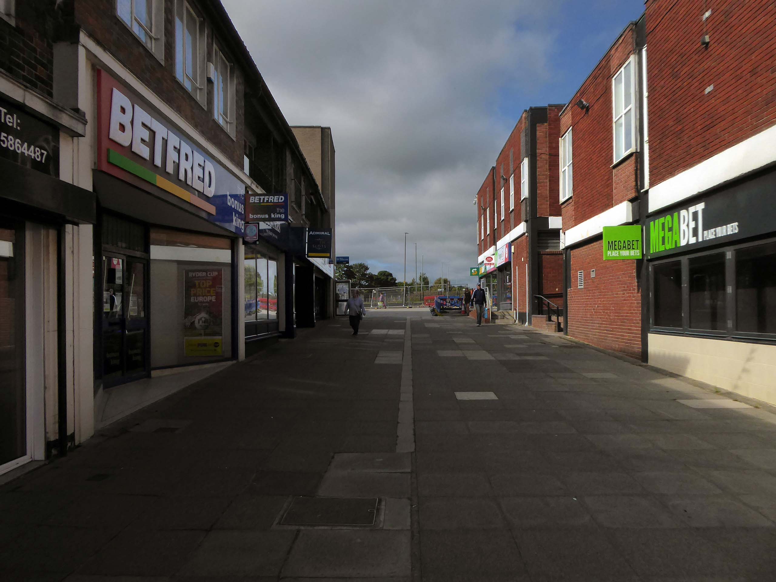
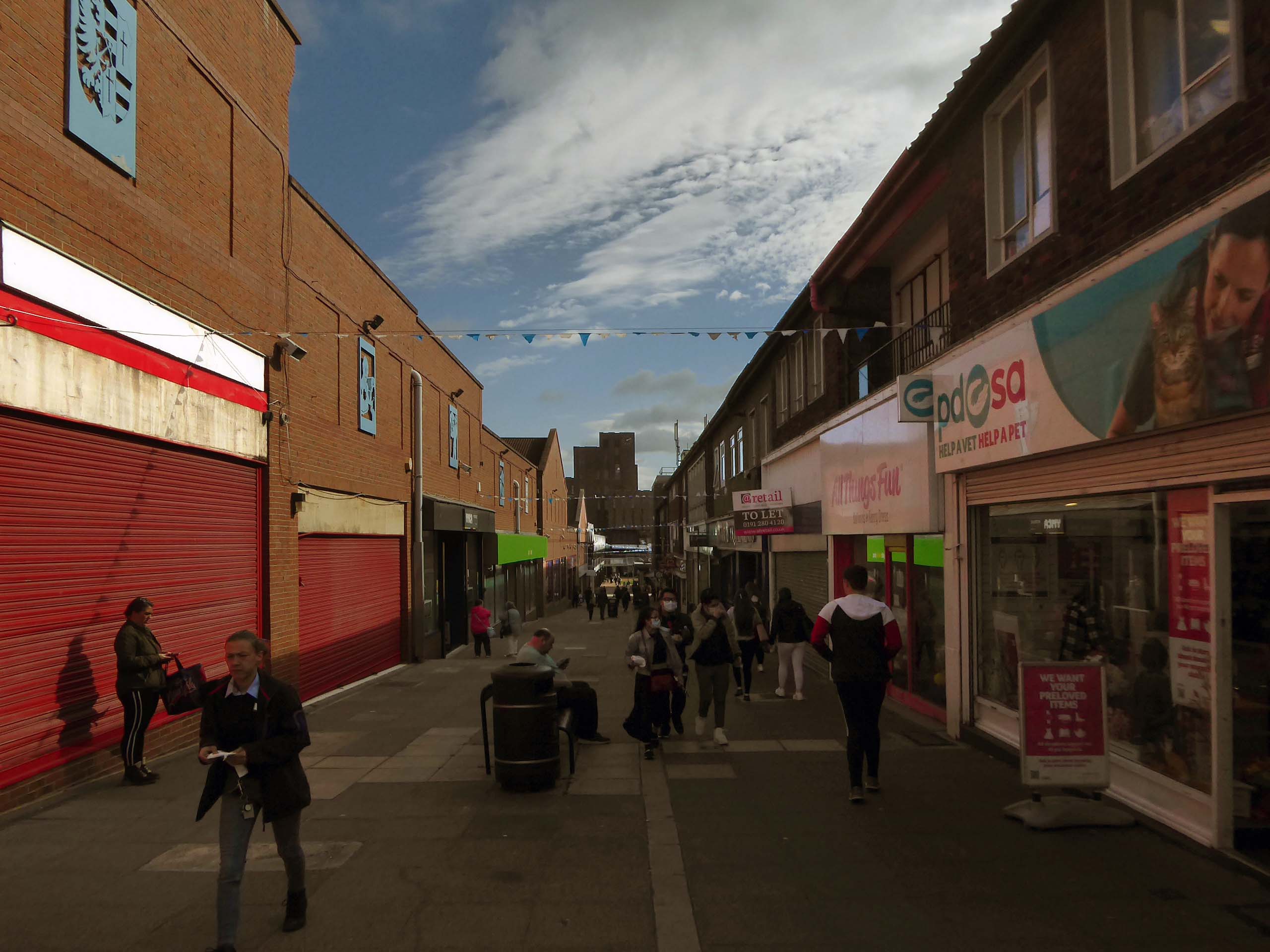
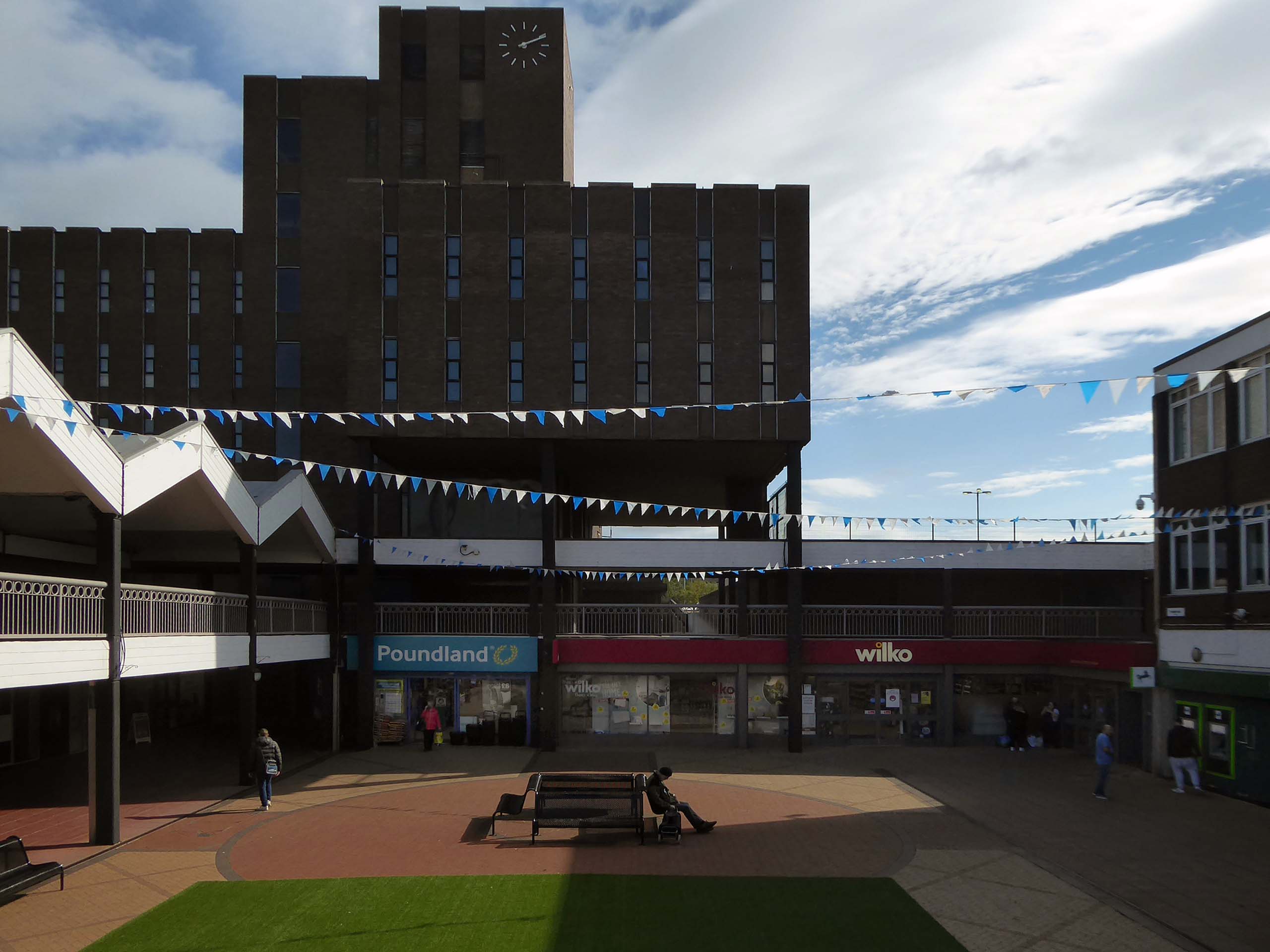
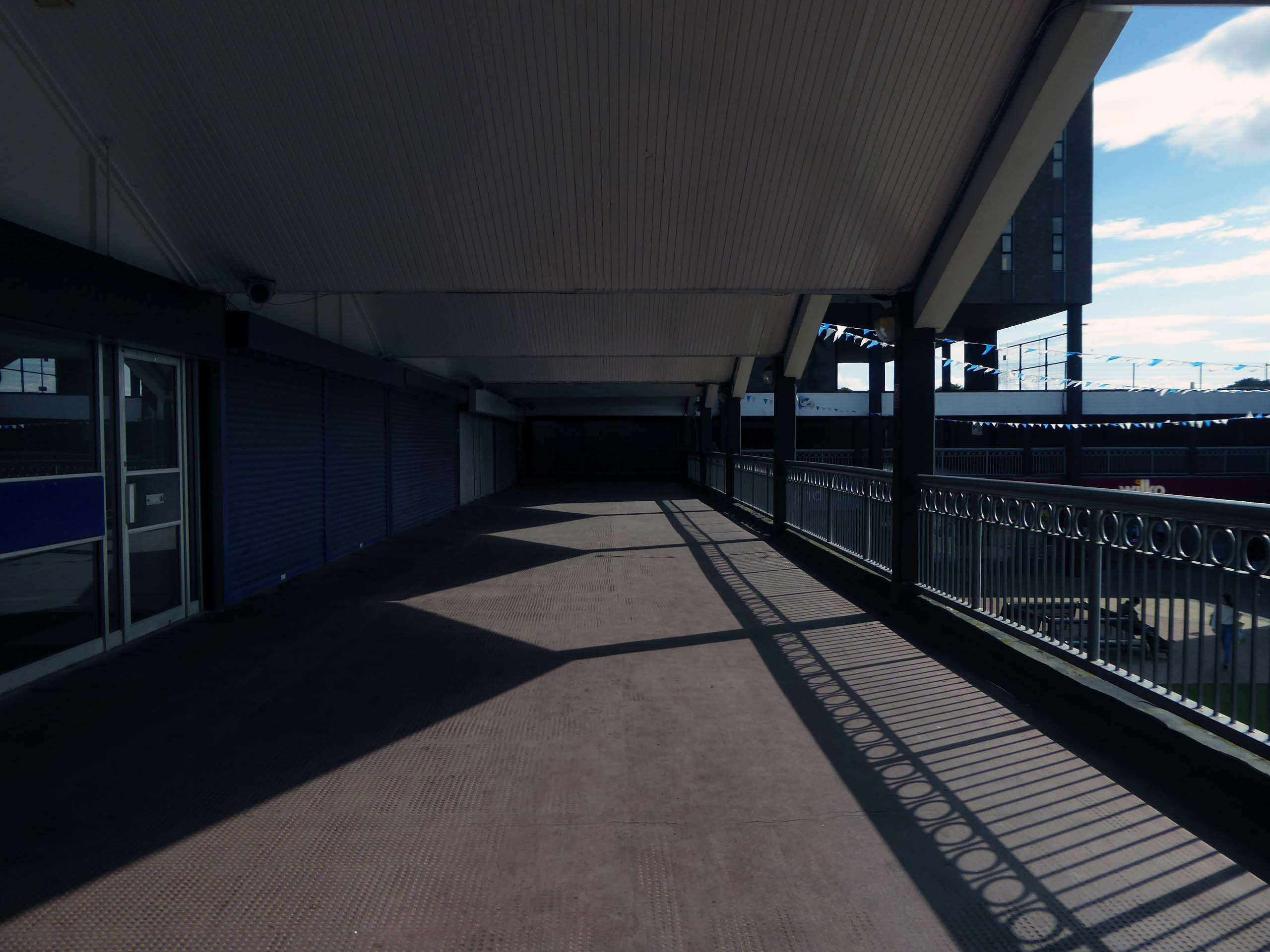
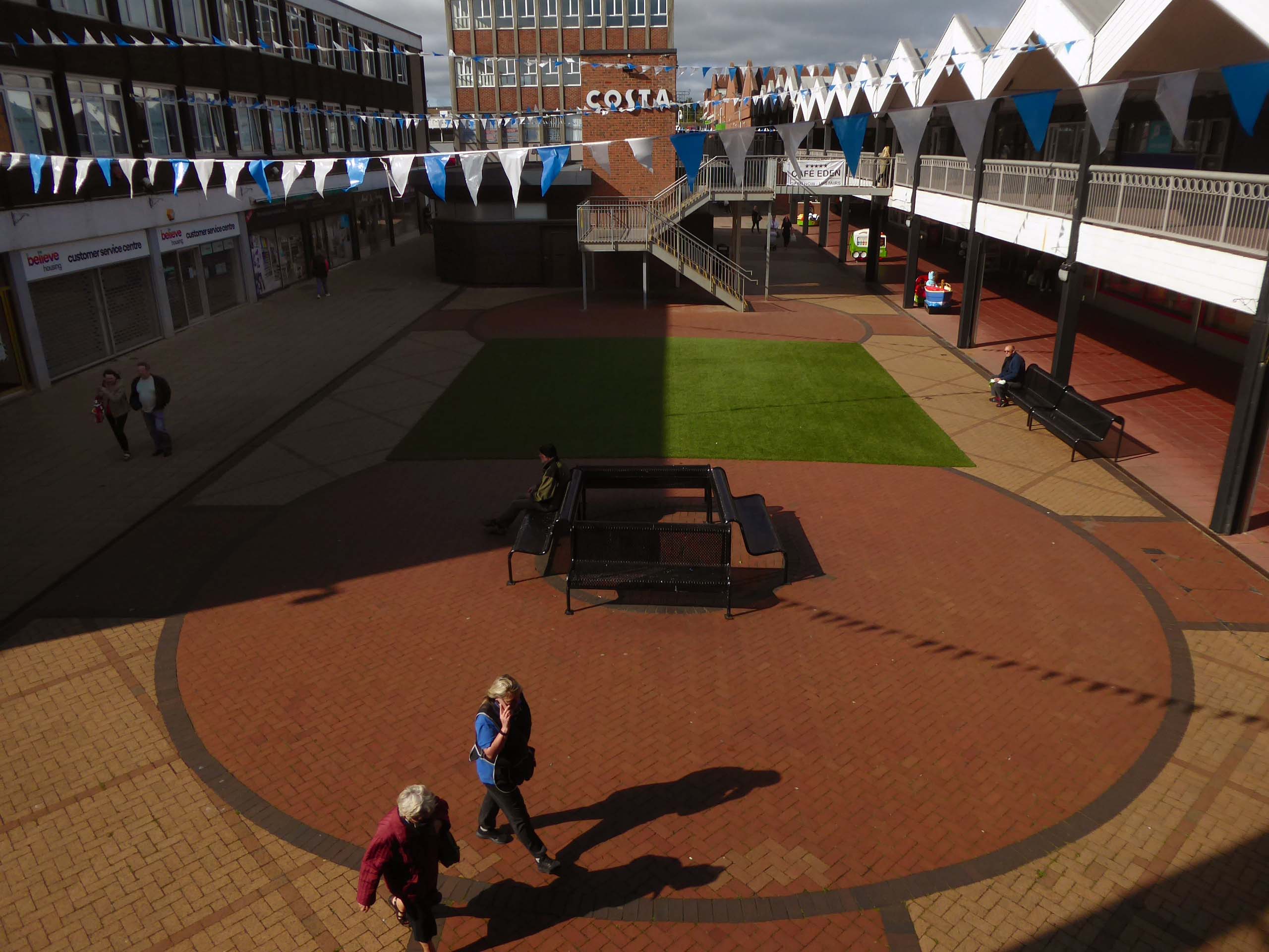
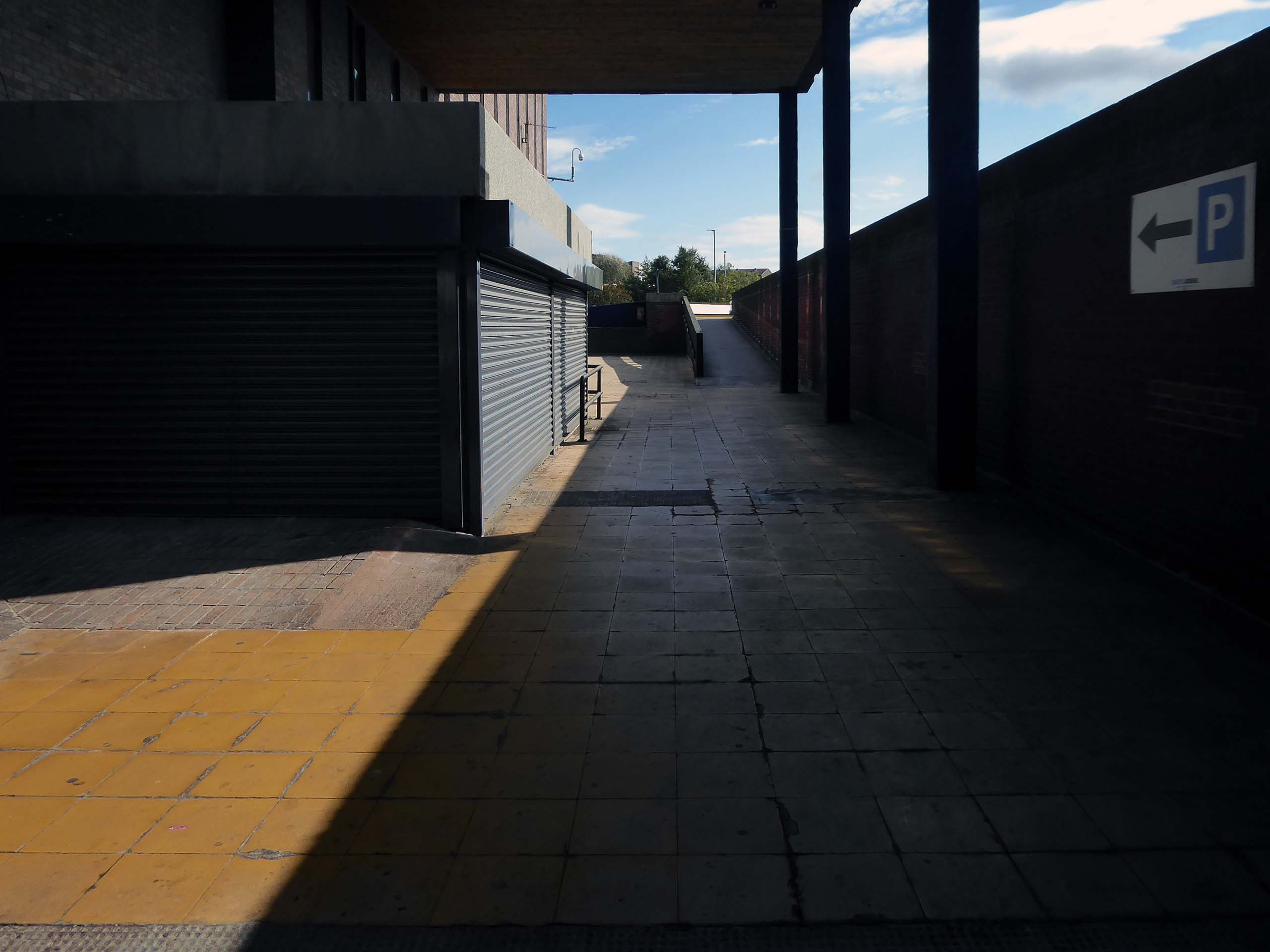
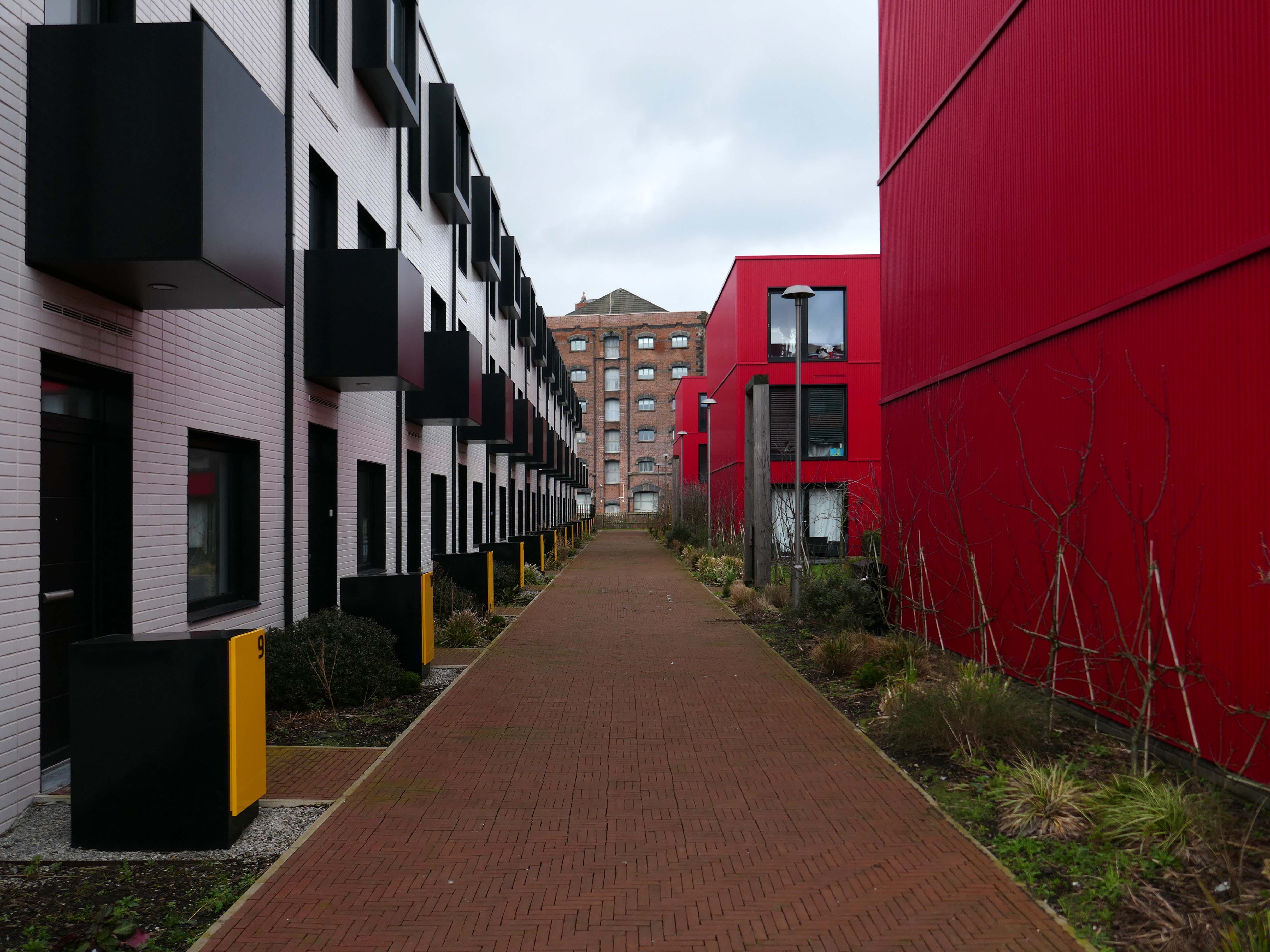
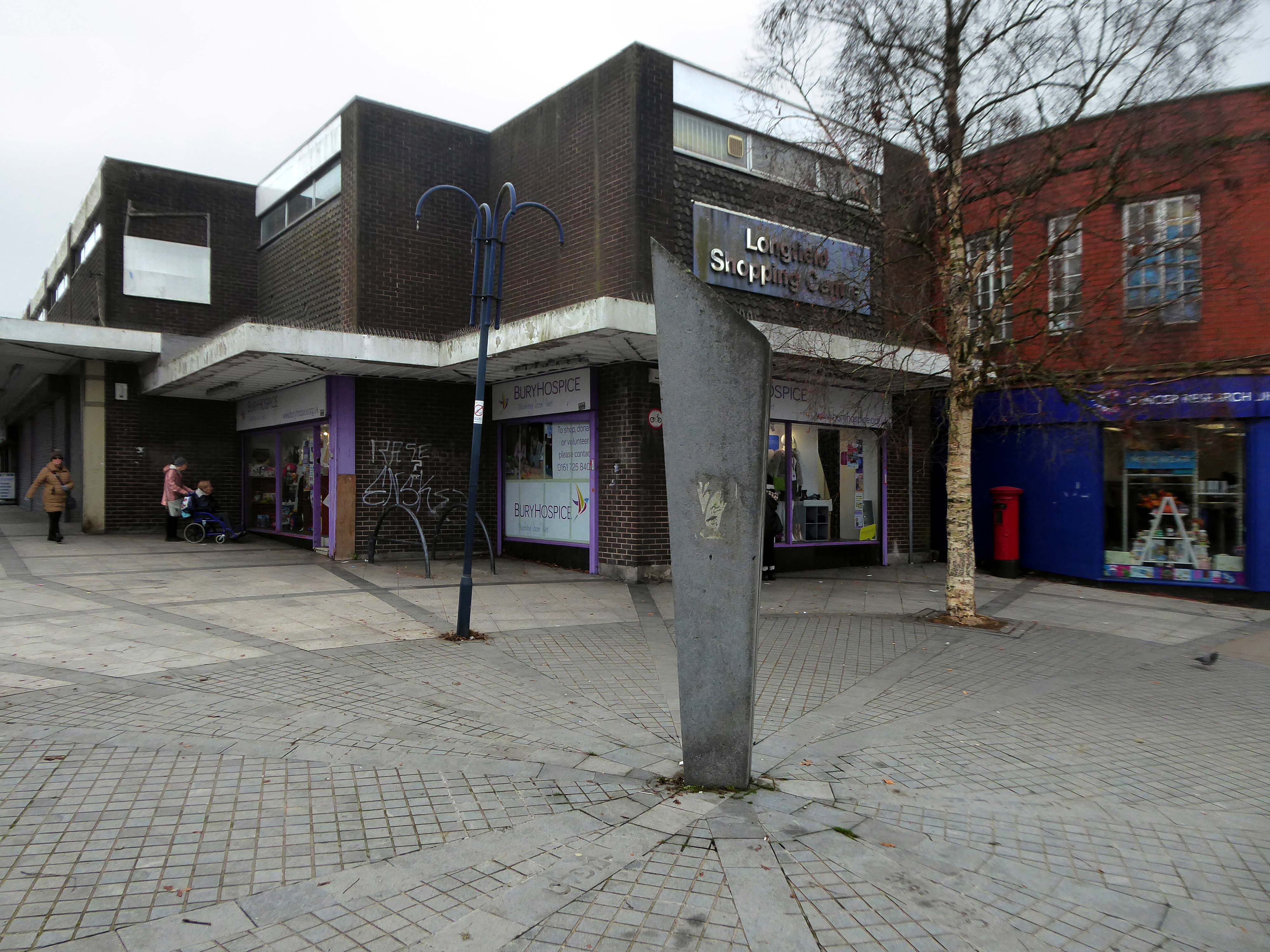
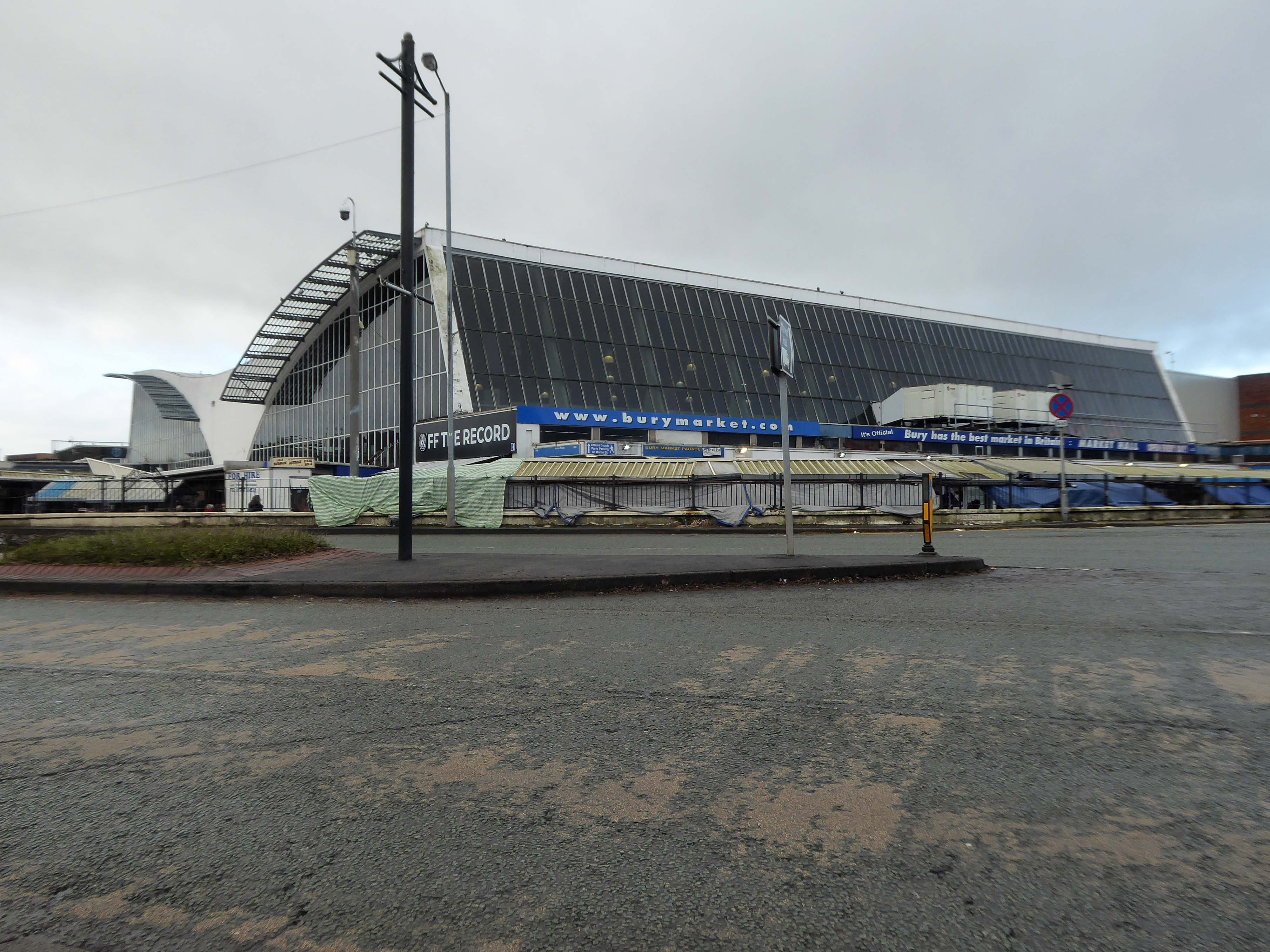
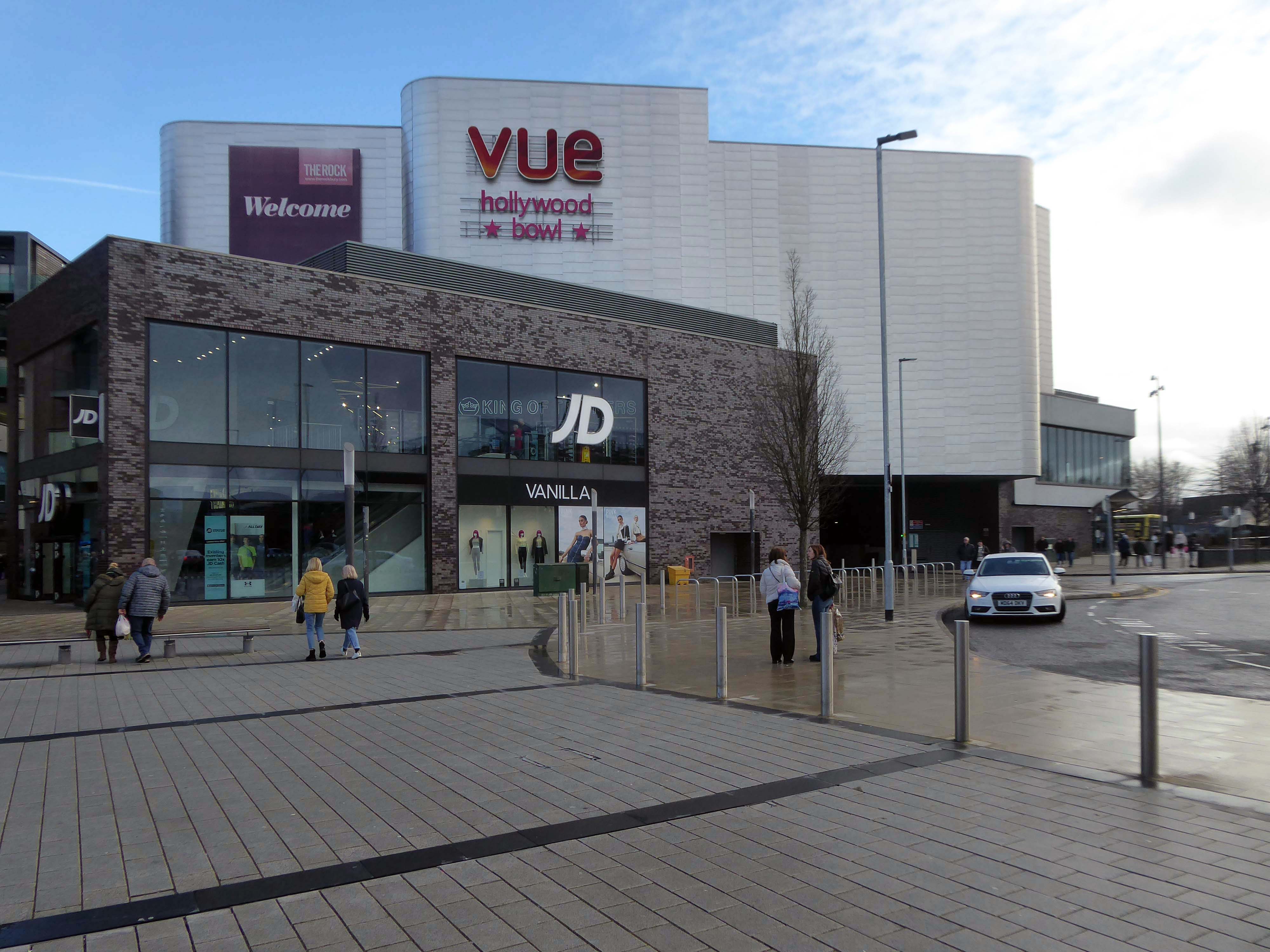
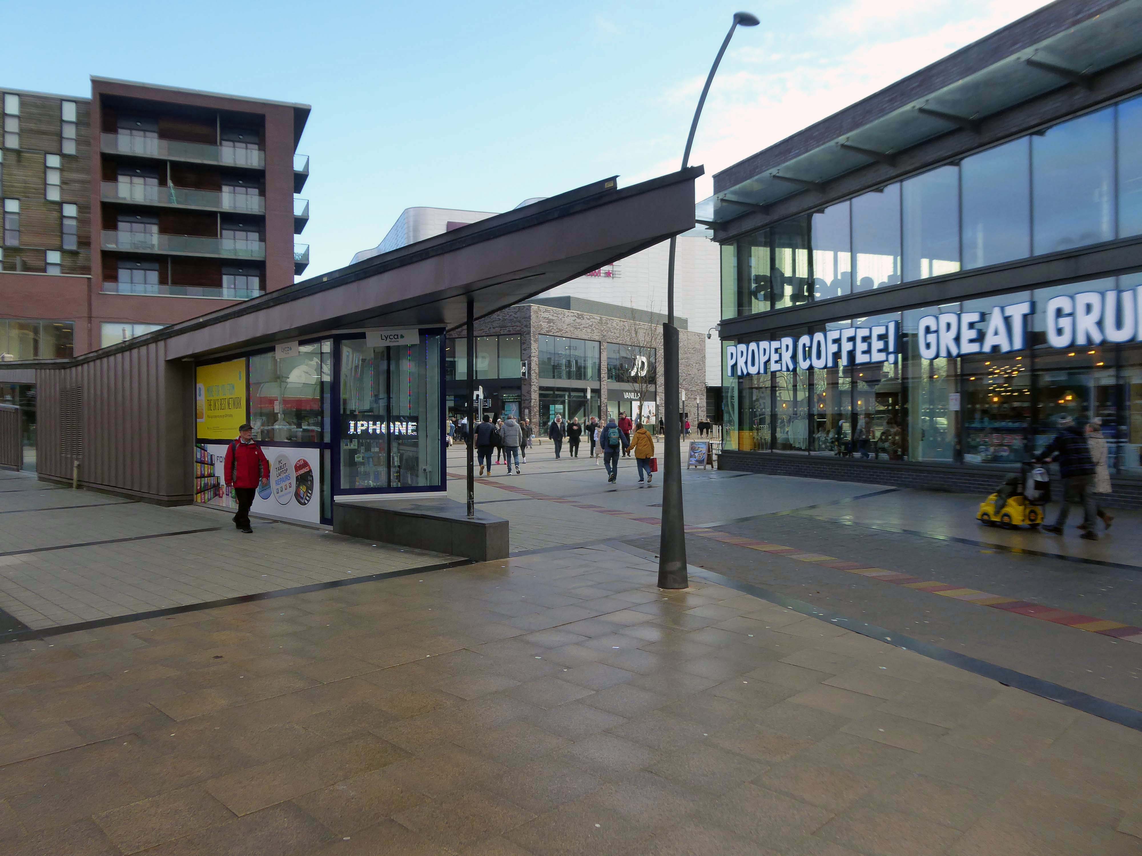
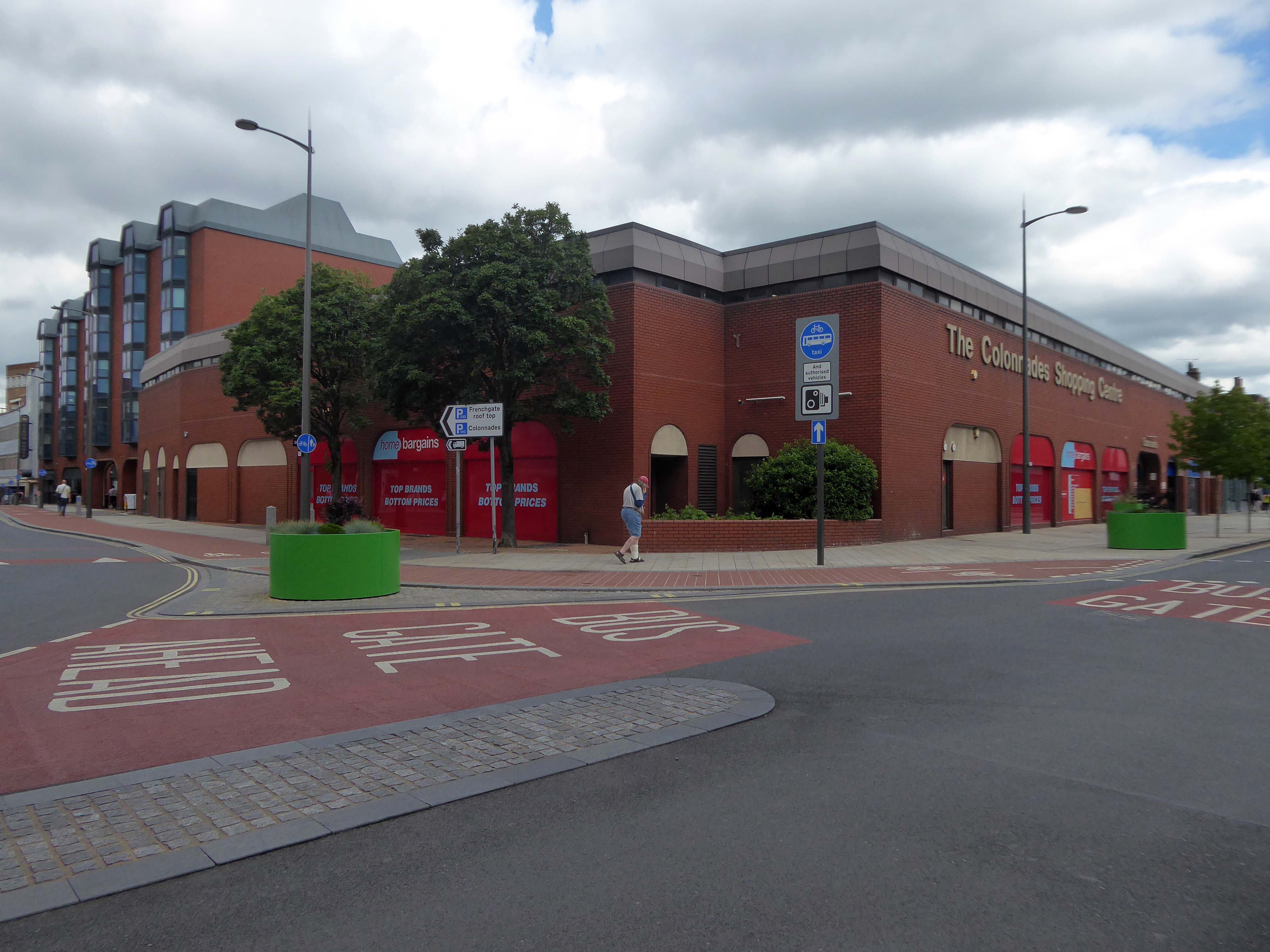
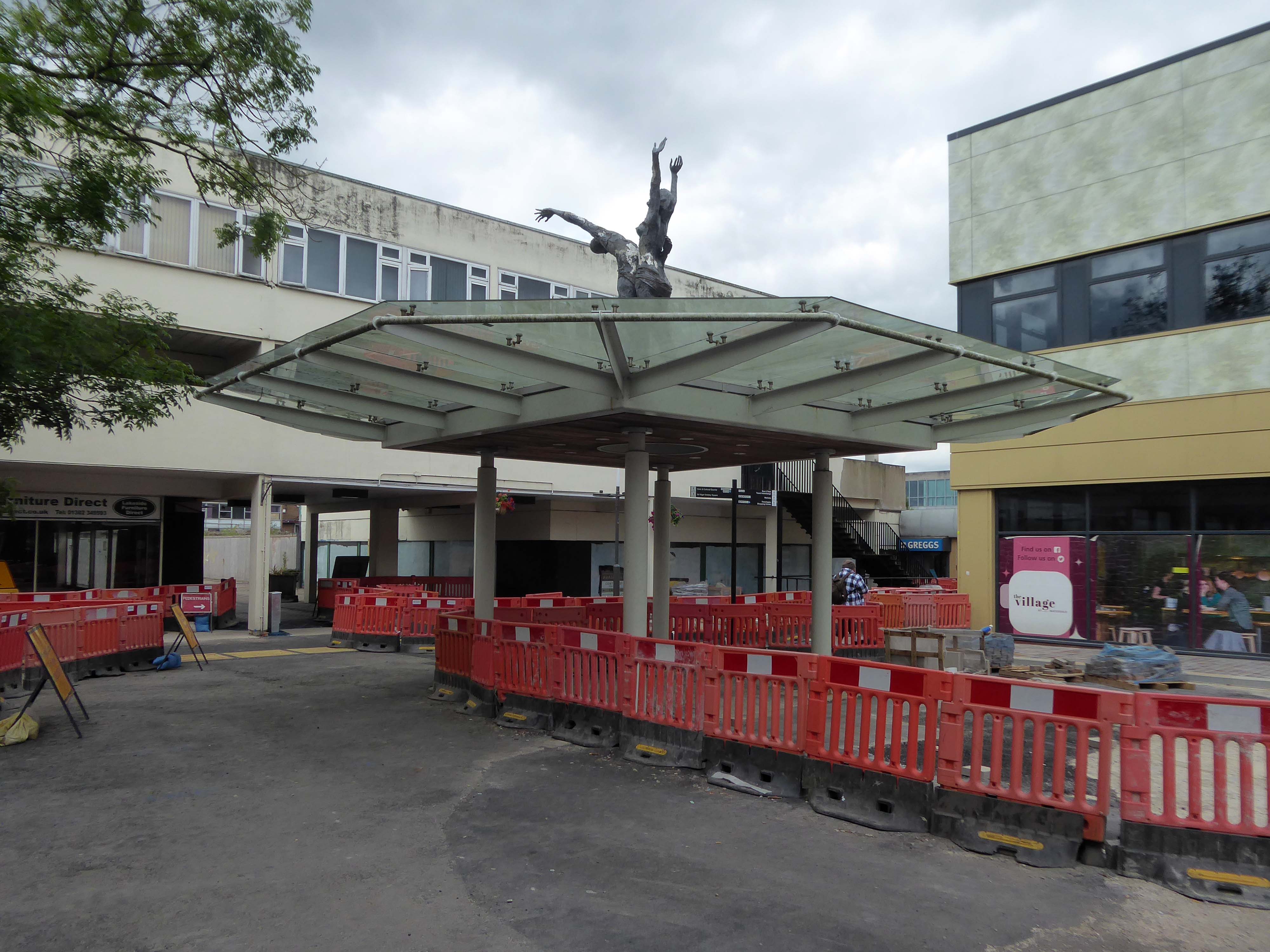
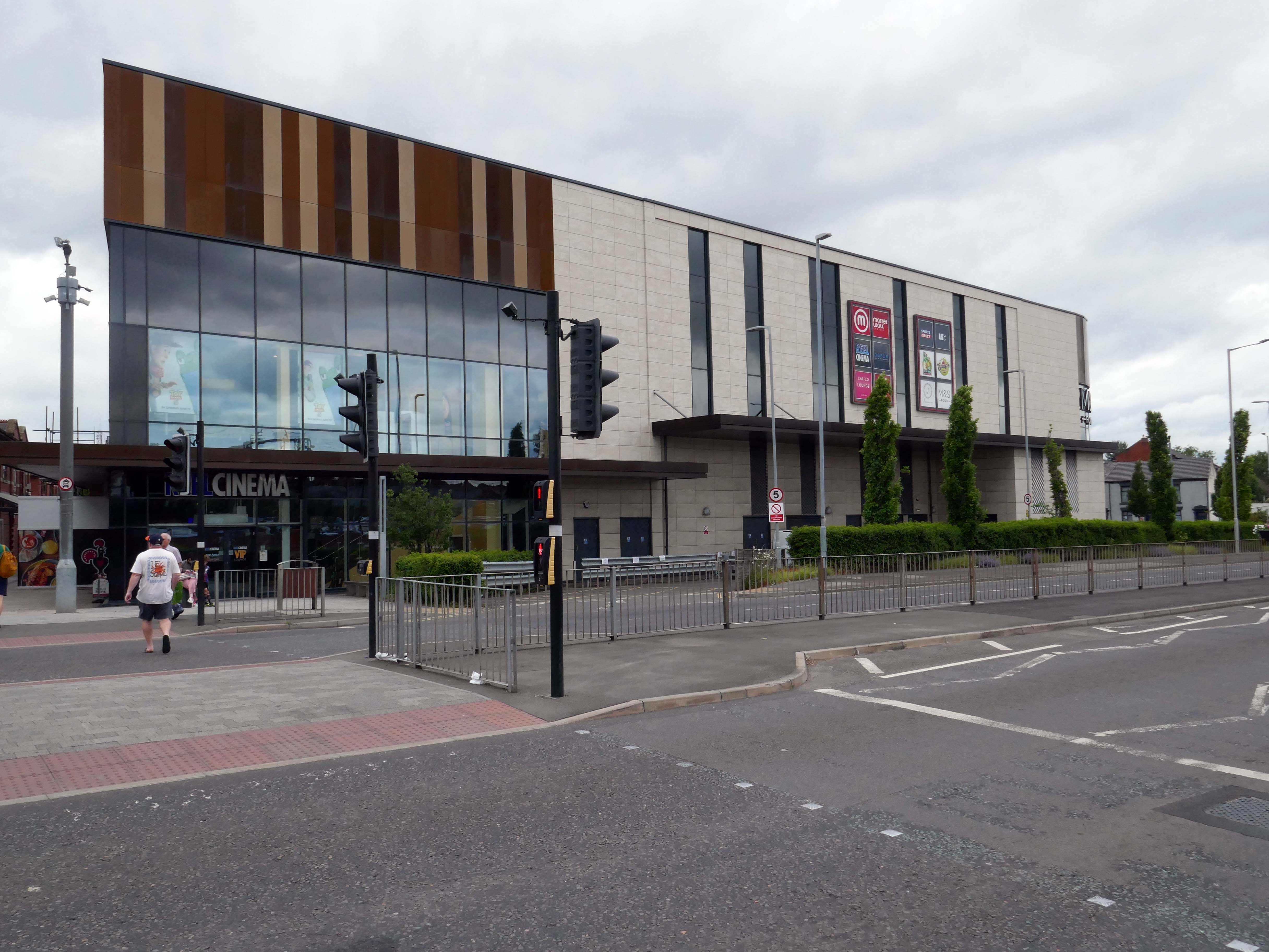
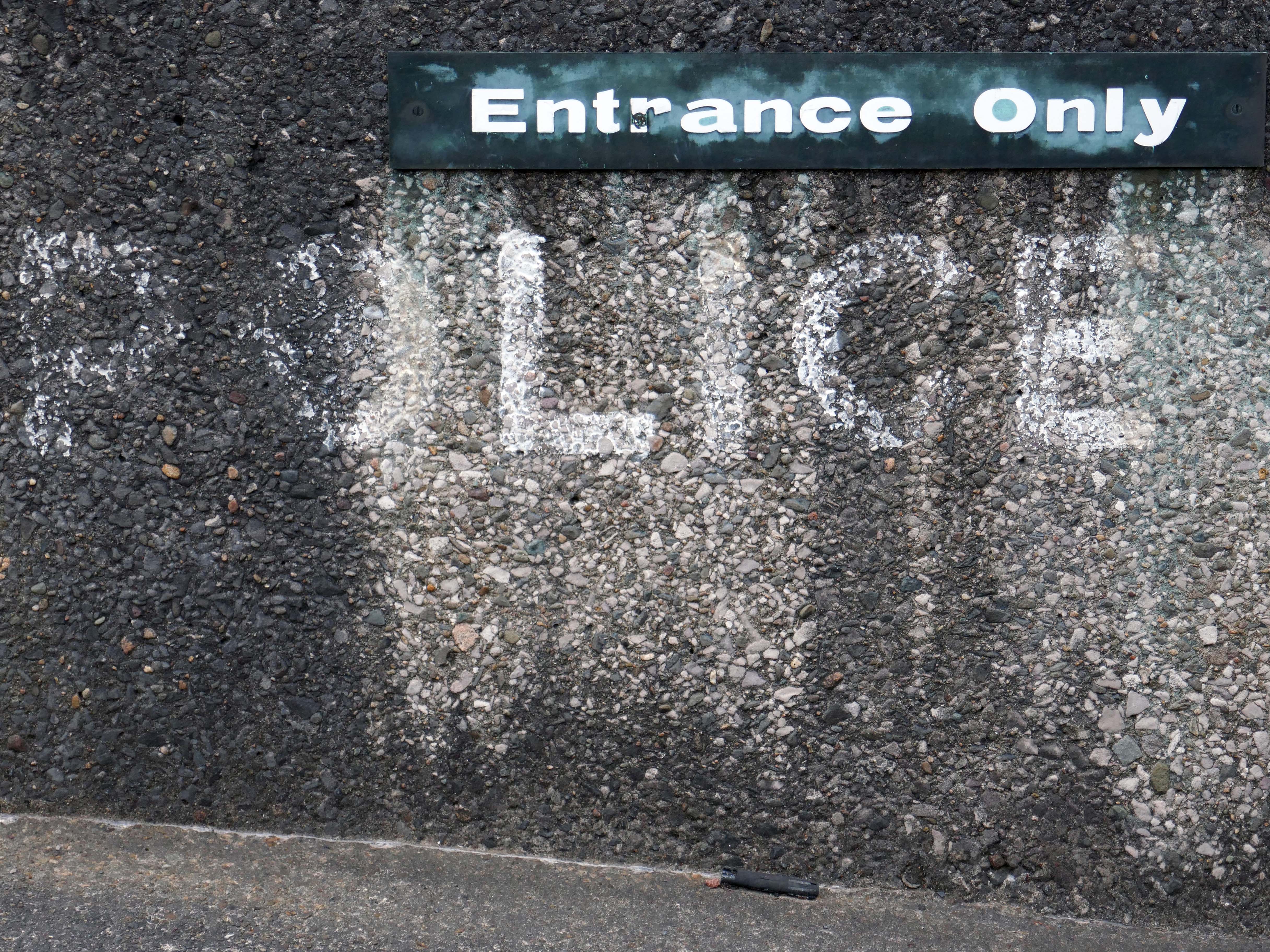
Crossing over the road to Market Walk.
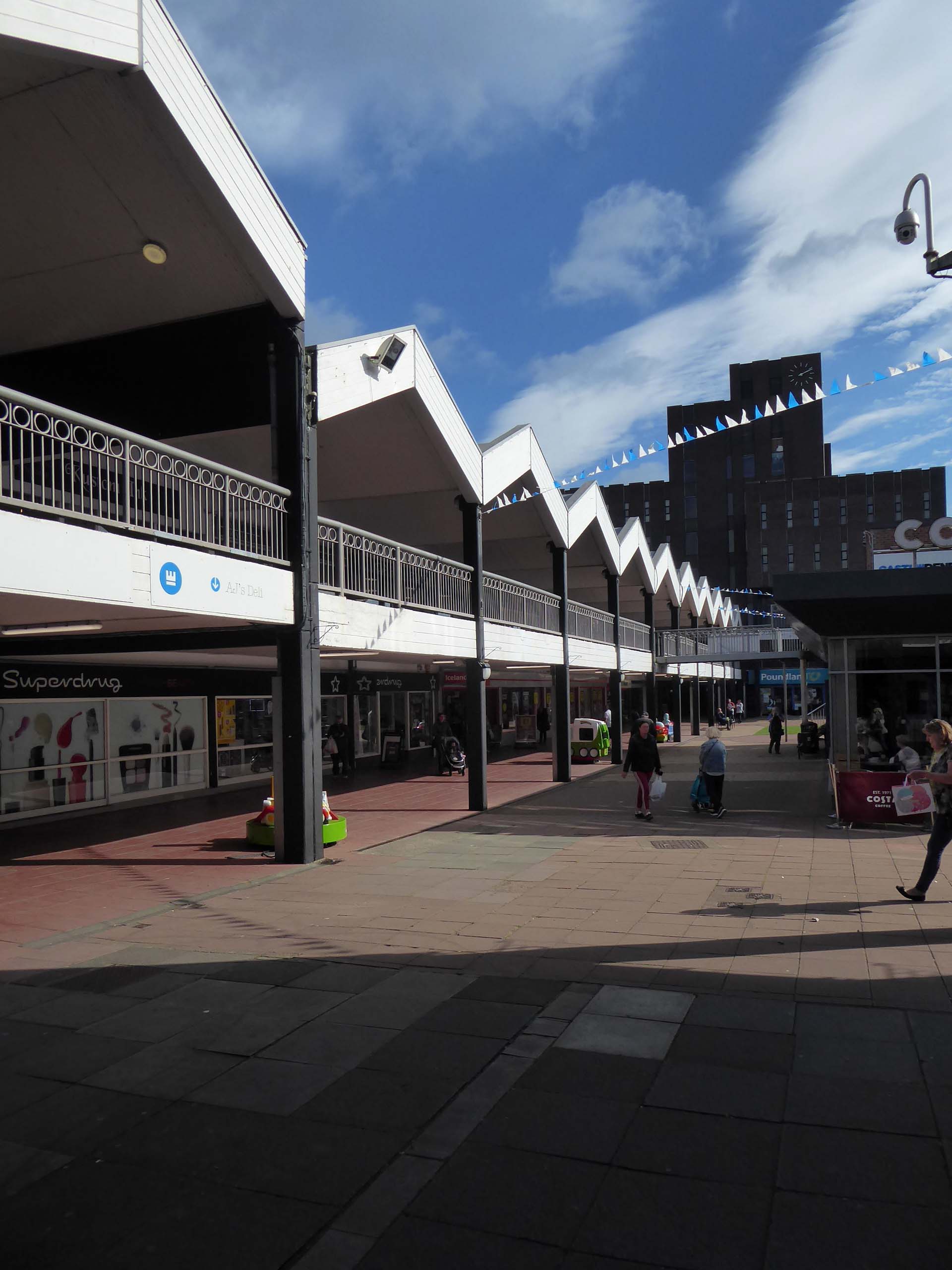
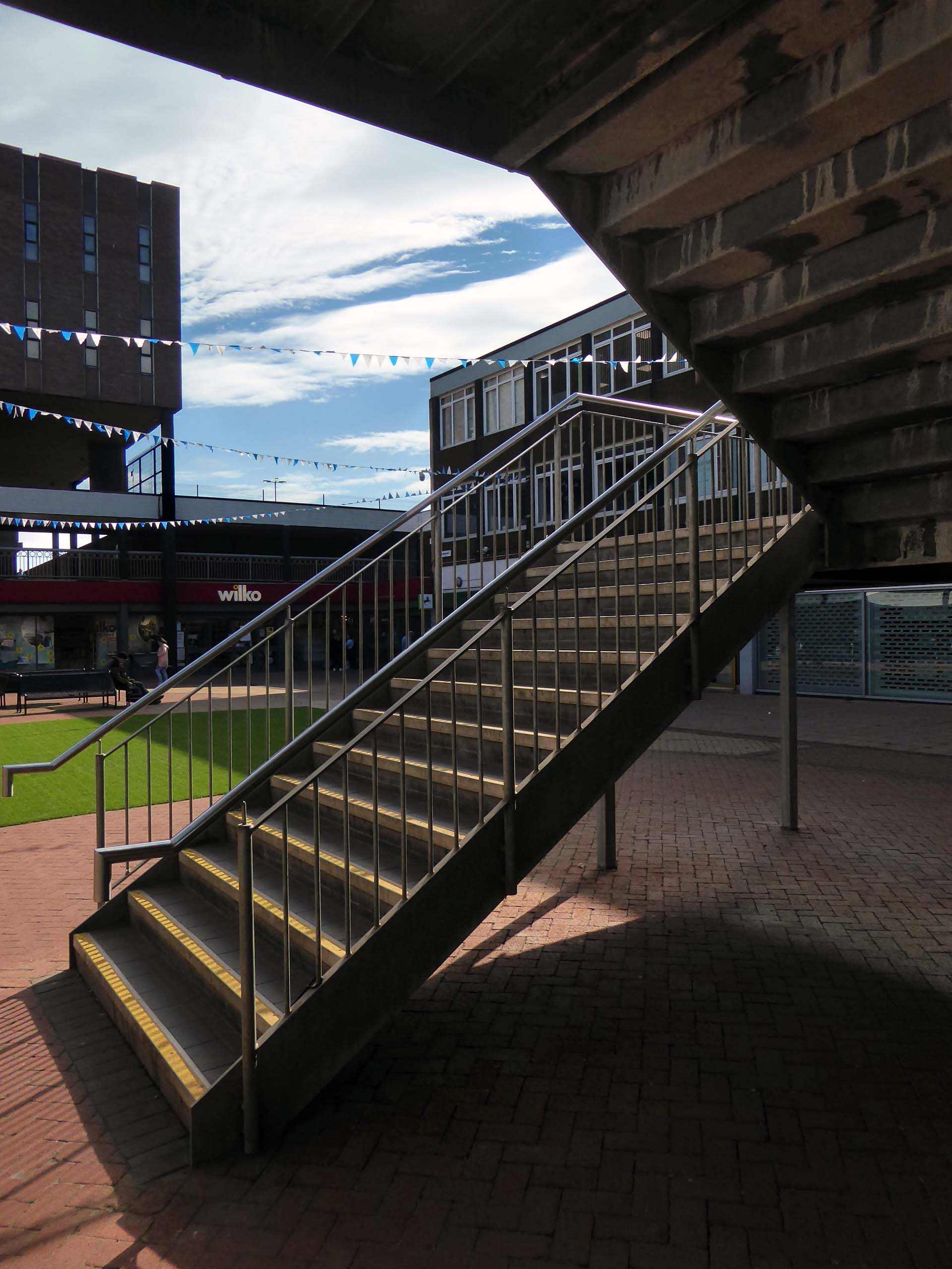
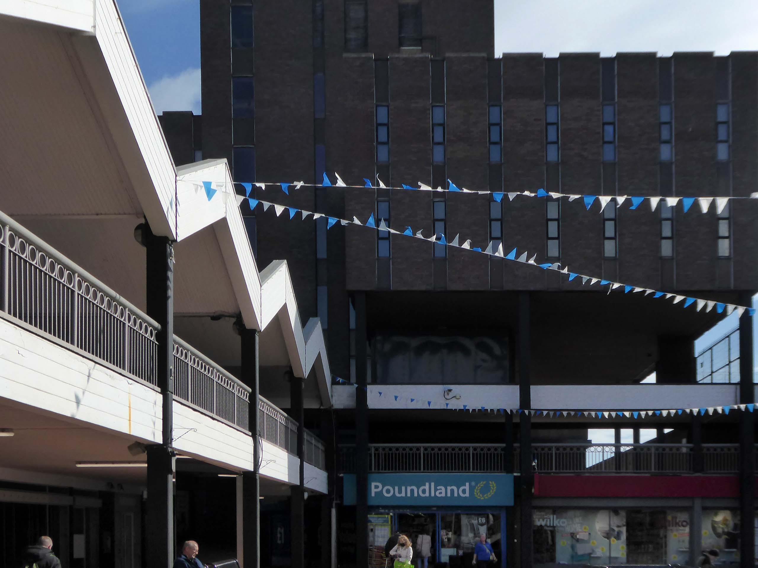
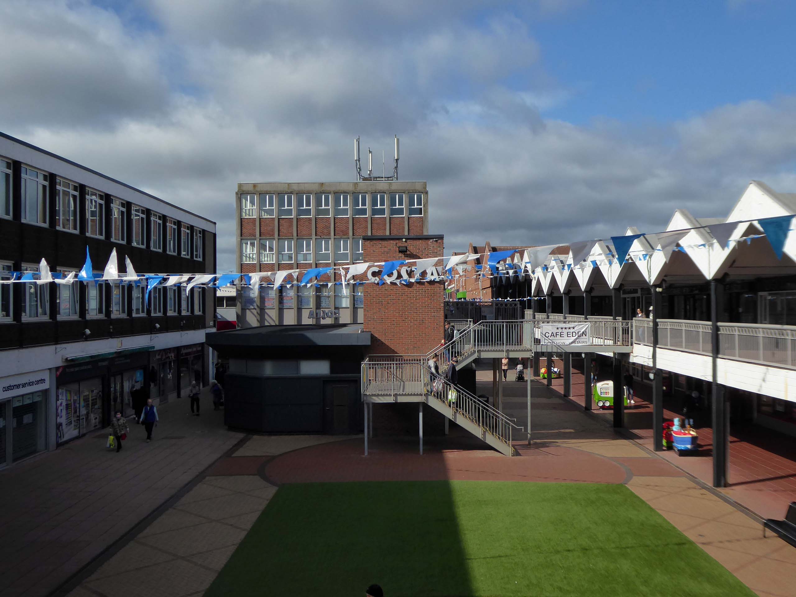
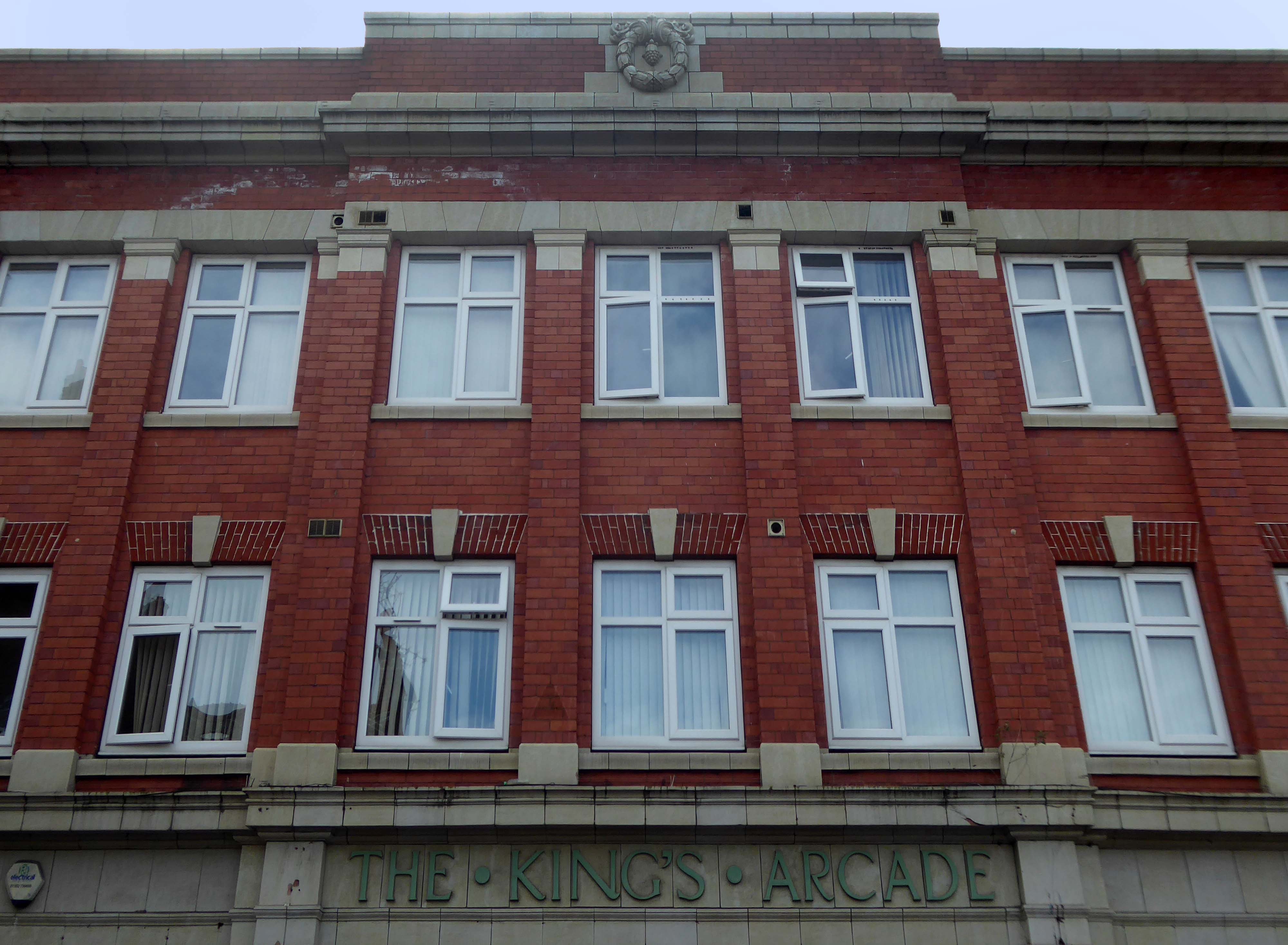
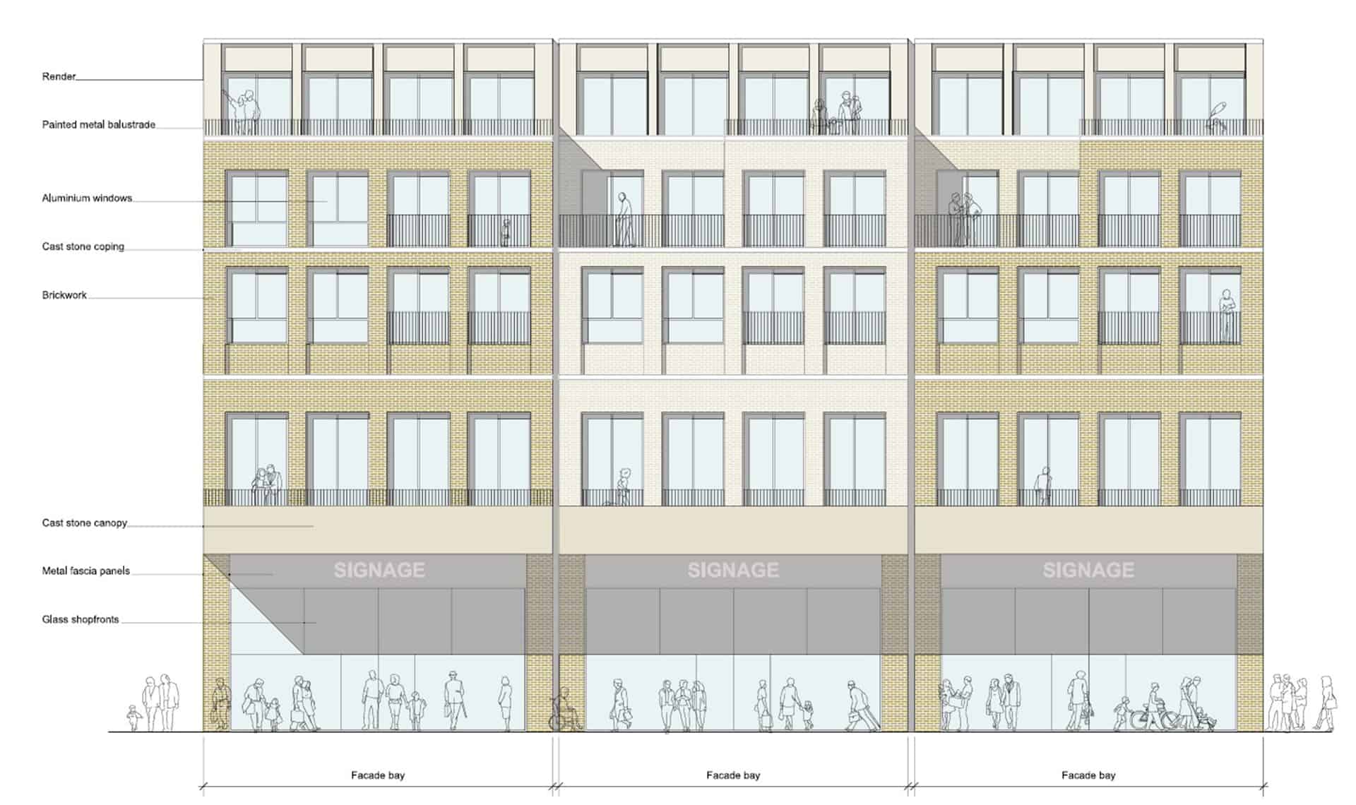
Whether it’s fashion, gifts, everyday essentials or an entertaining day out that you’re after, Market Walk has it all. With over thirty shops along an outdoor parade, plus entertainment and hospitality venues, there’s something for everyone.
AEW Architects were appointed by Chorley Council in 2015 as Architects for the Market Walk Scheme.
The Council’s aspiration was to breathe life back into the town centre by enhancing Chorley’s retail and leisure offer and refocusing Chorley’s centre as a destination for local residents and surrounding towns. The development needed to entice new, and retain existing, businesses in the town. Aesthetically, the development also needed to be a landmark for, and create a modern gateway into, the town – driving footfall towards Chorley’s commercial centre.
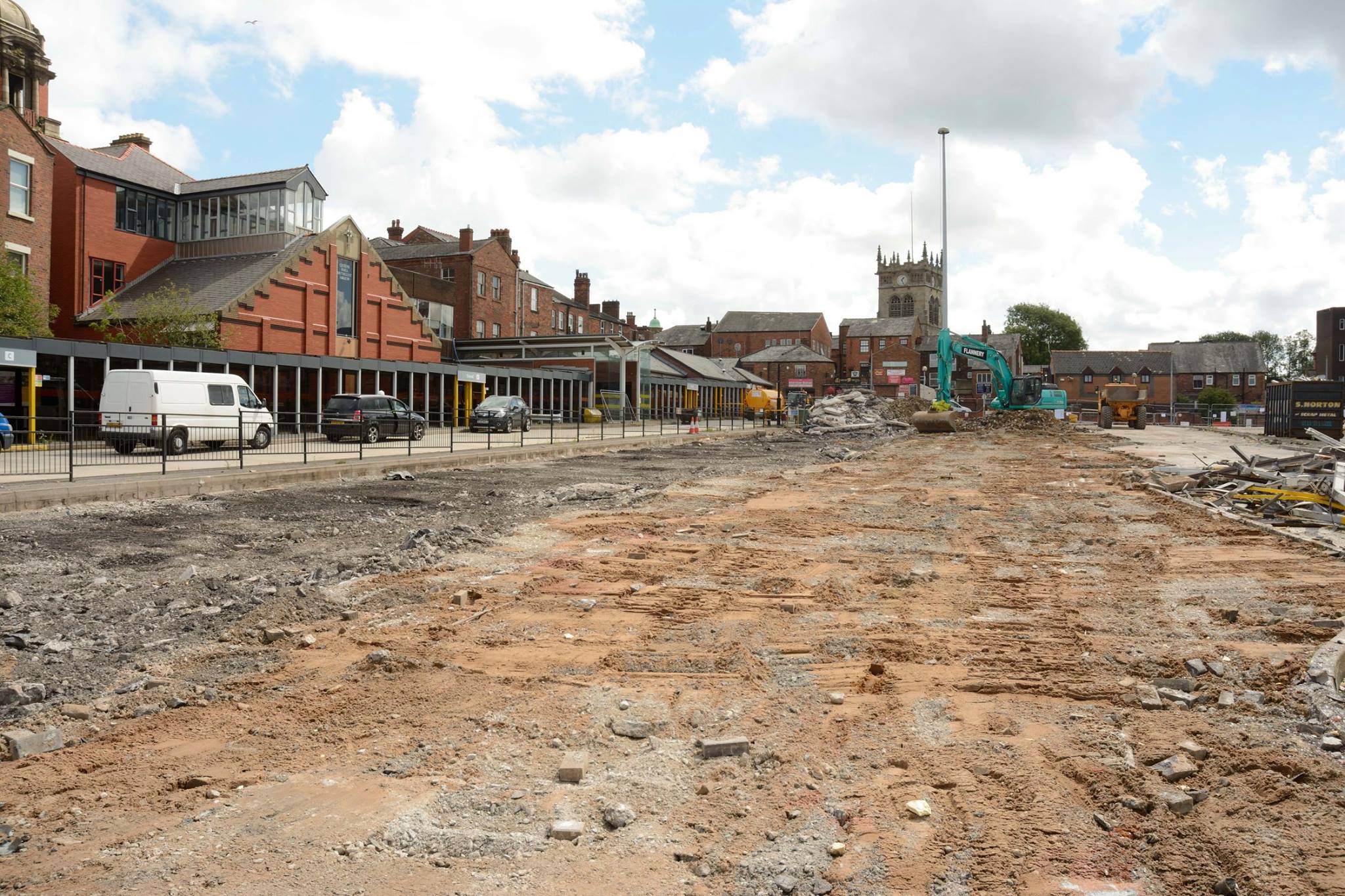
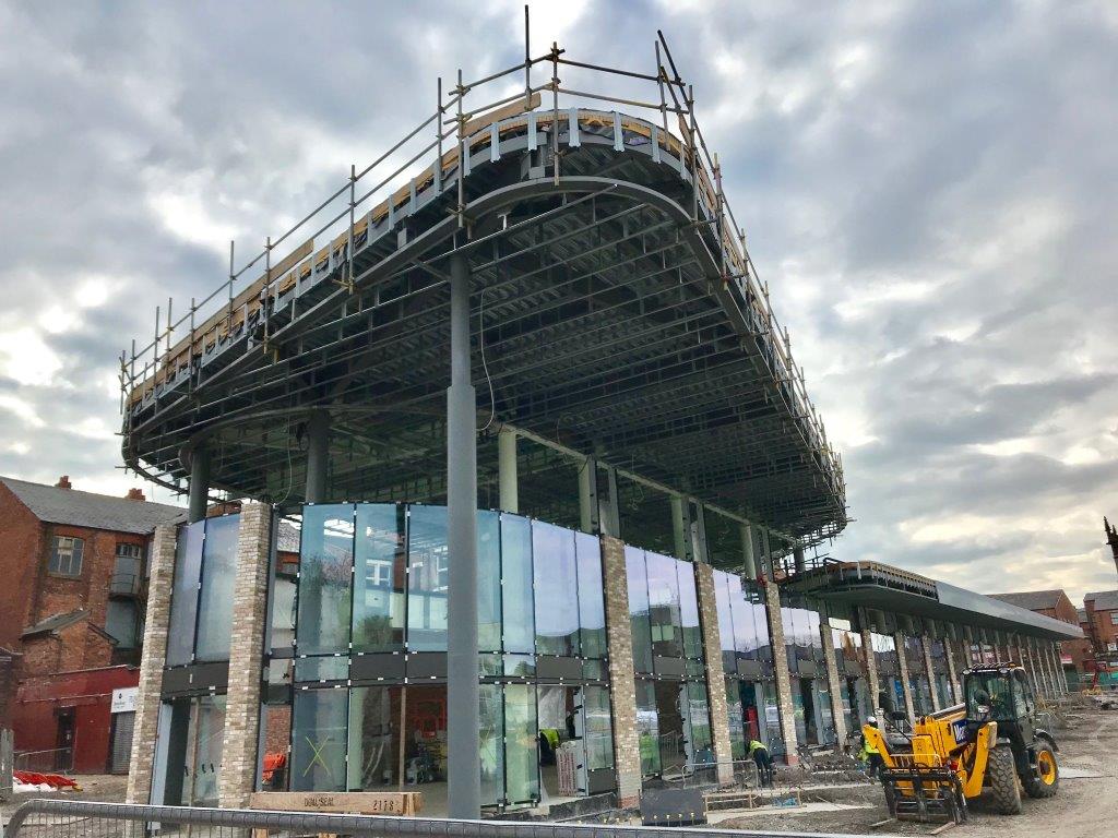
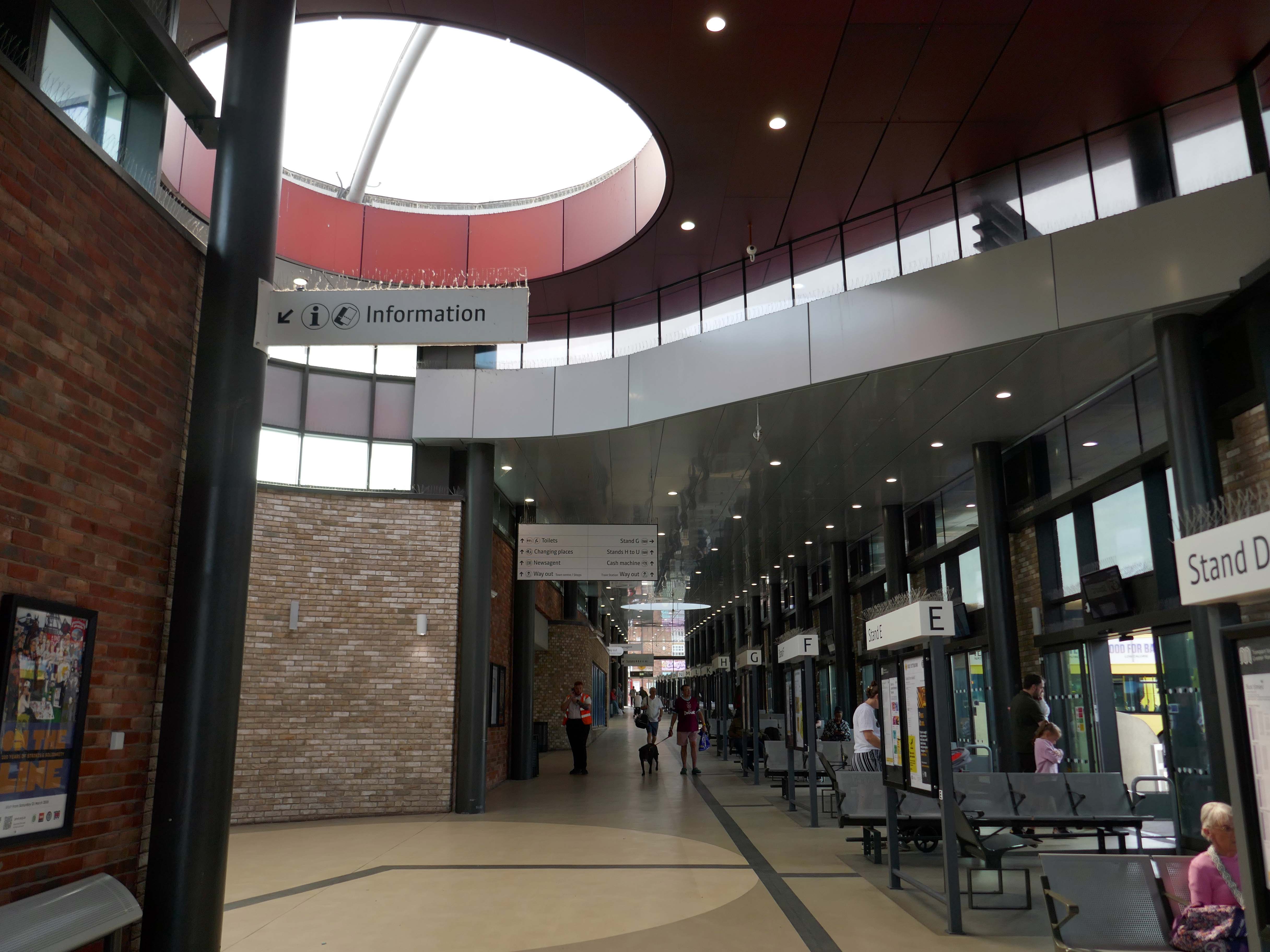
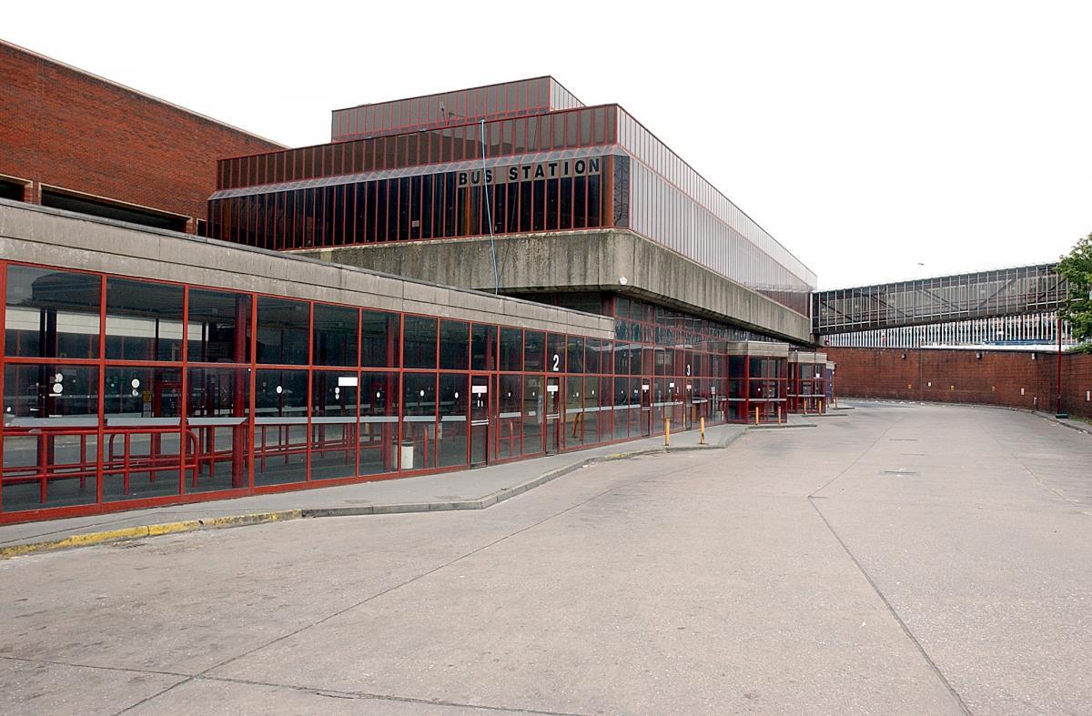
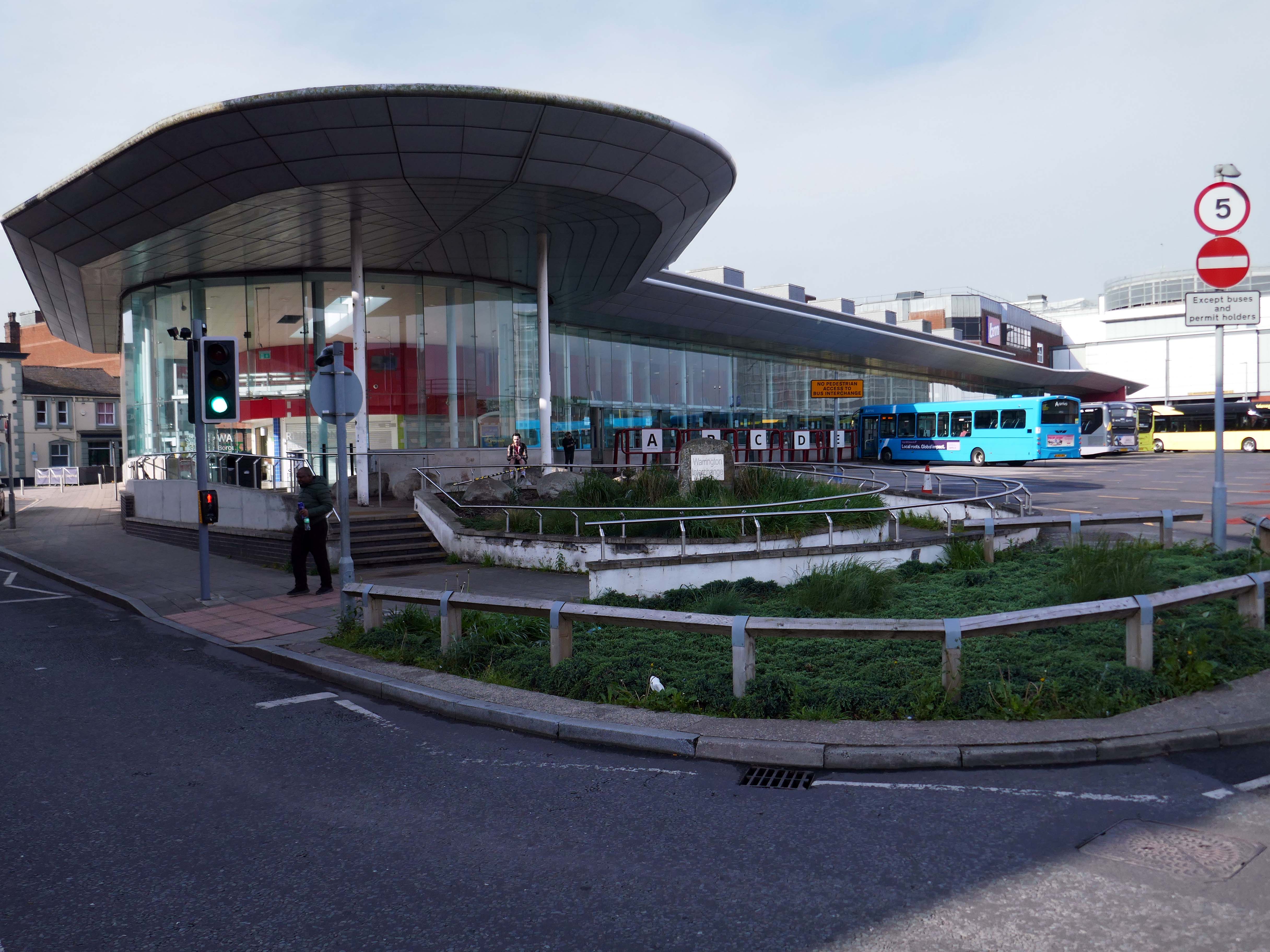
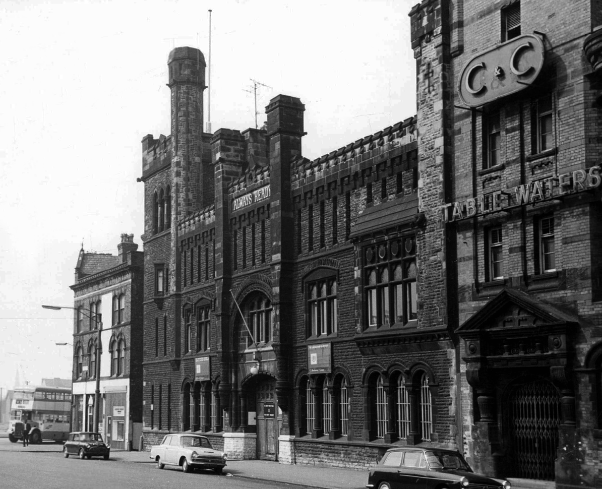
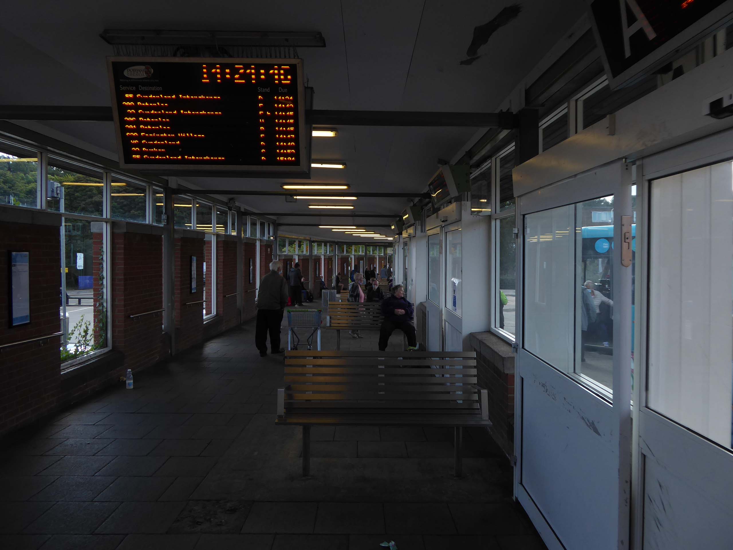
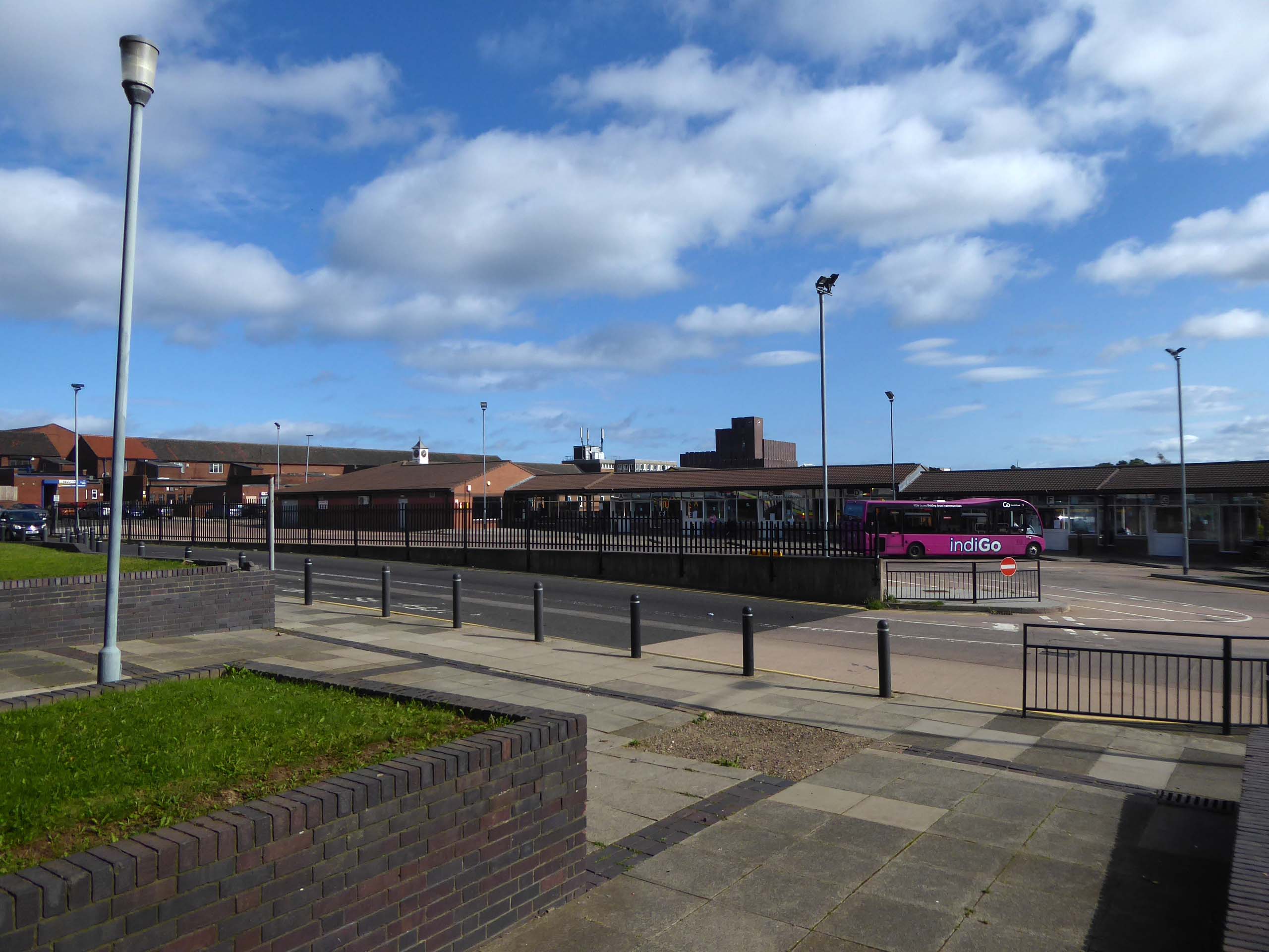
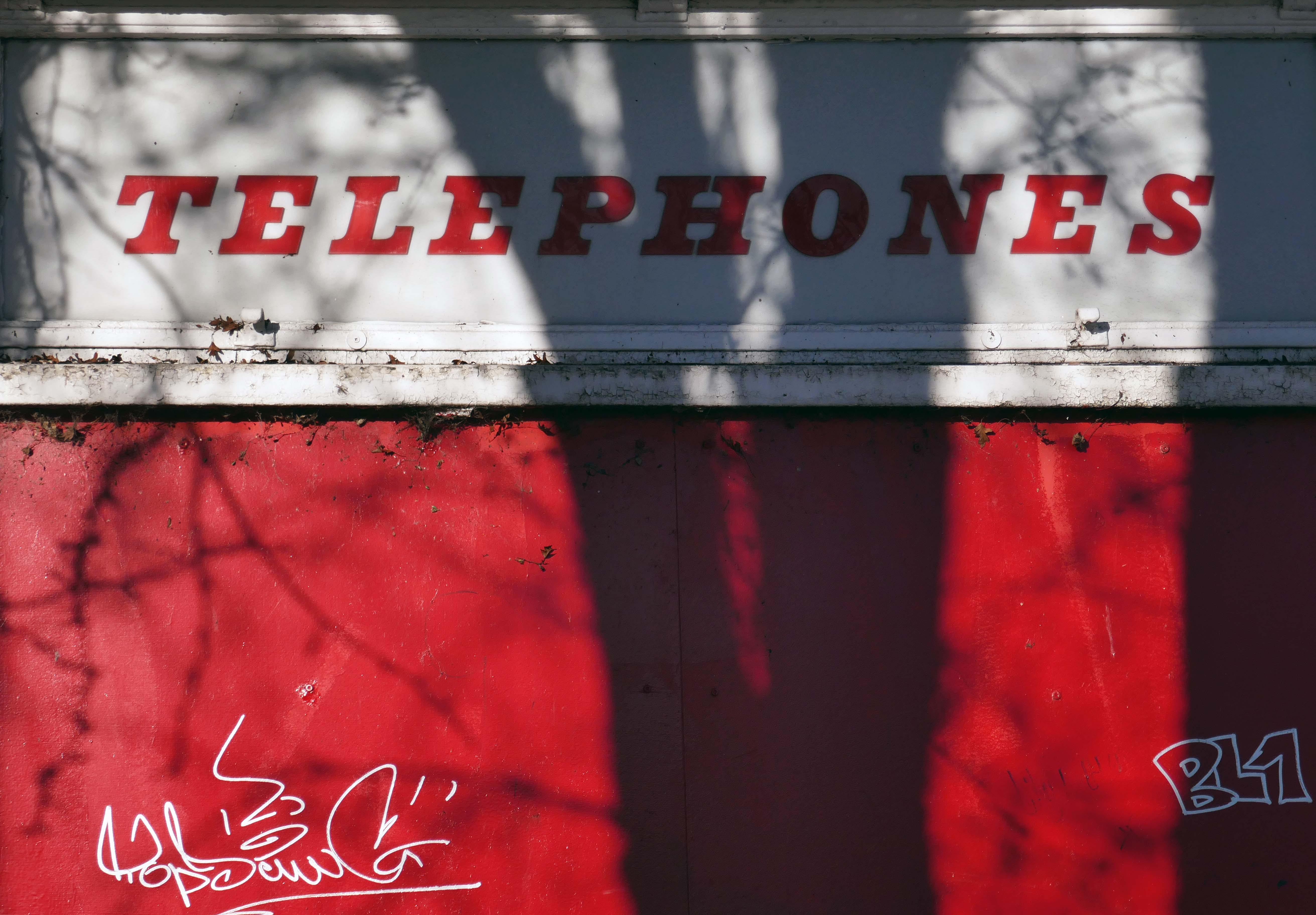
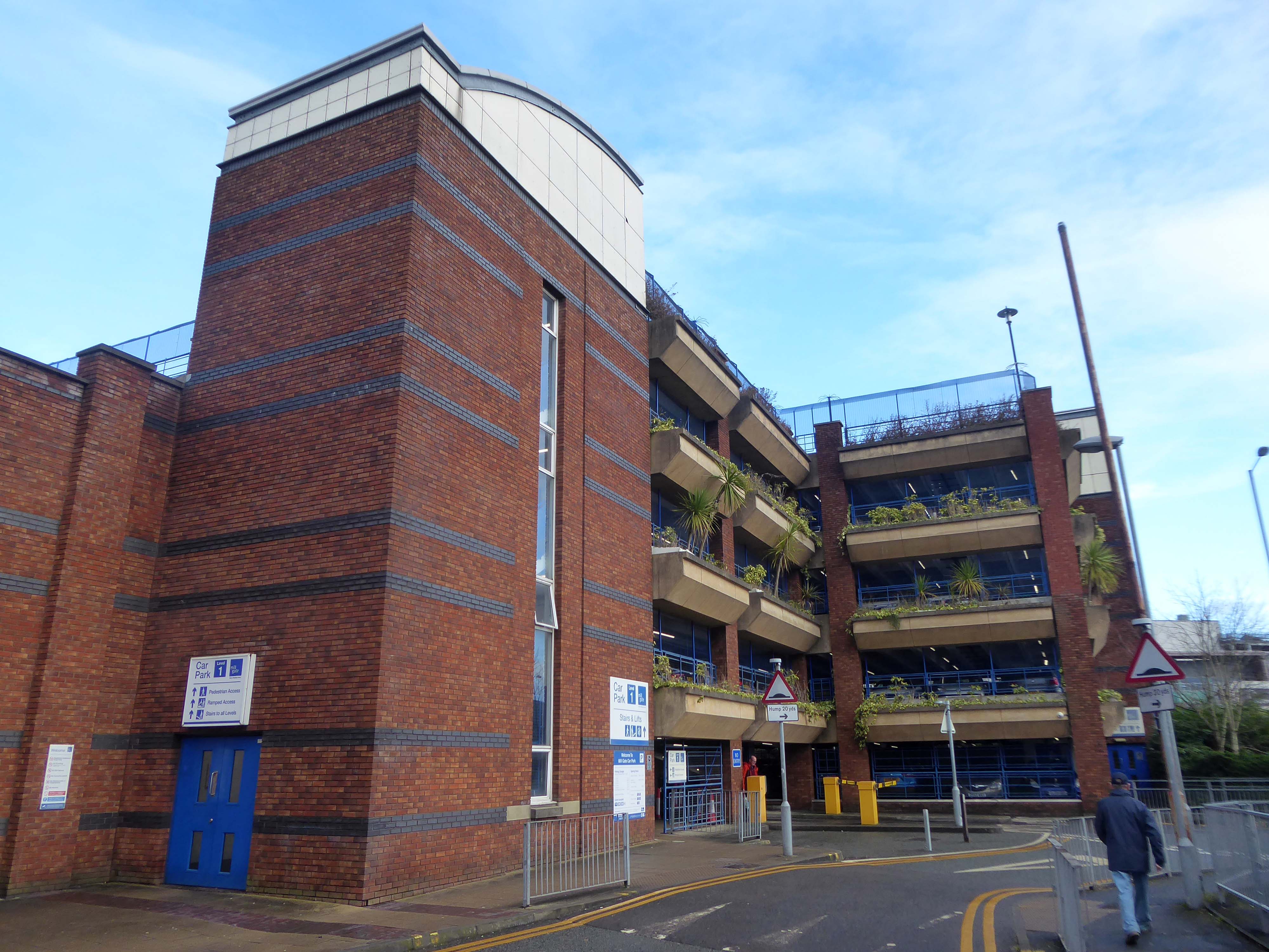
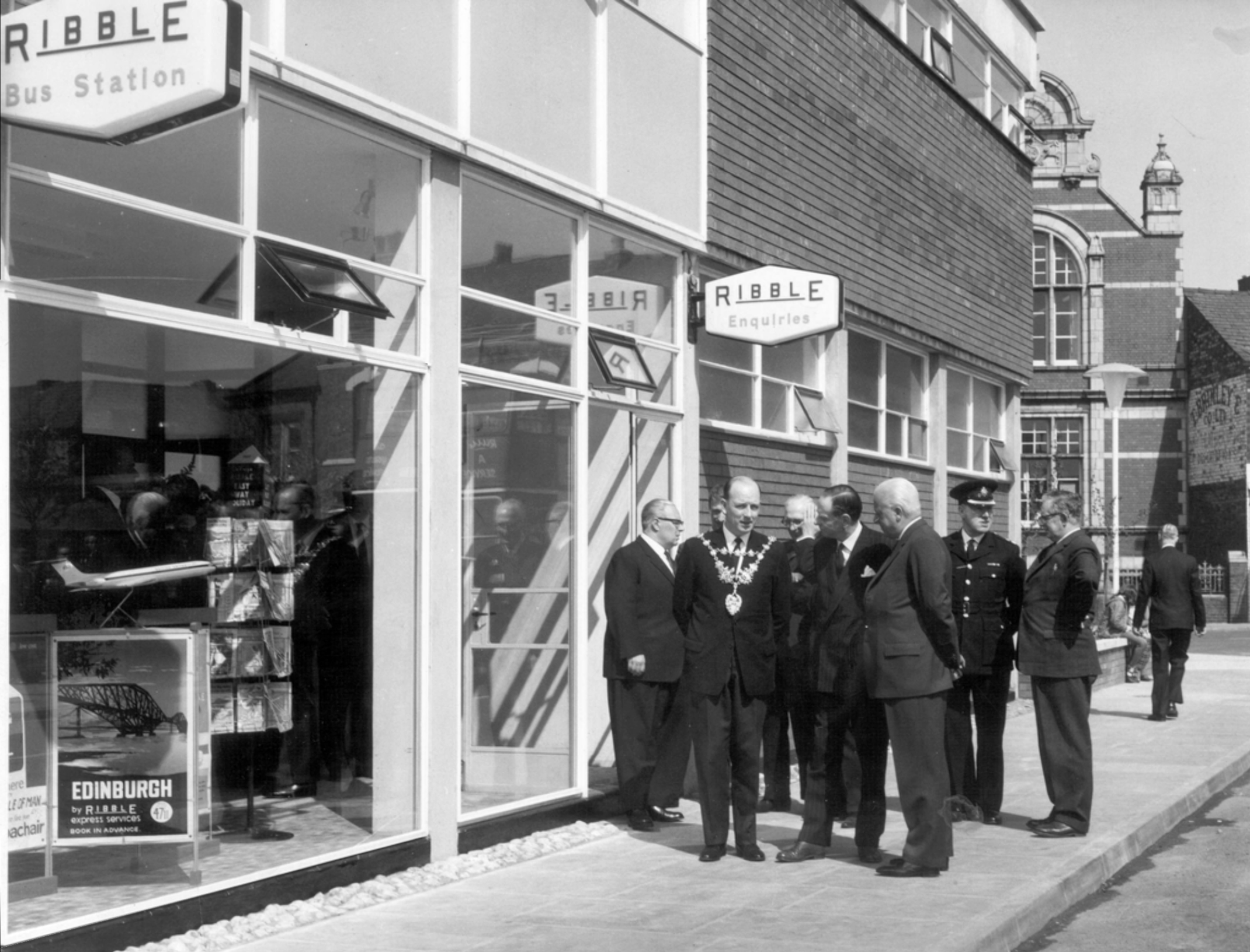
Next door is the Bus Station, opened in February 2003 replacing the previous structure.
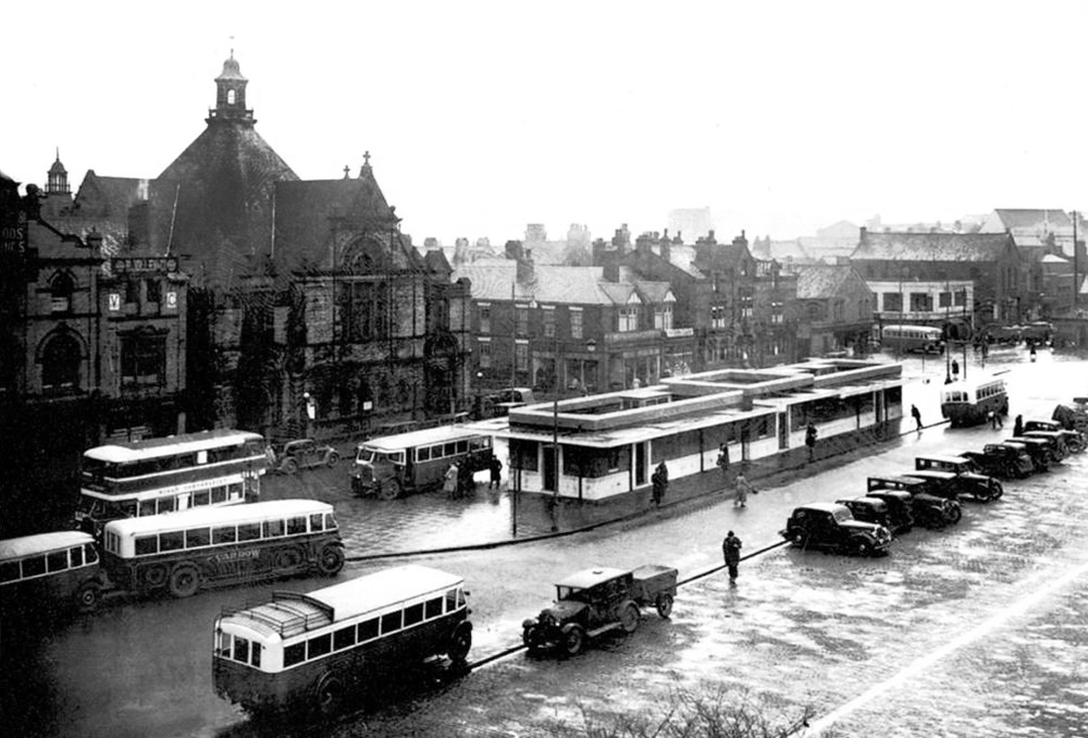
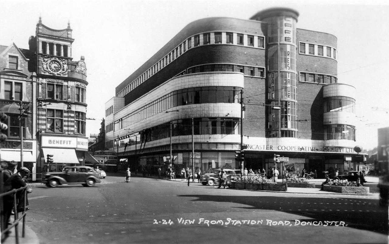
Opening of the previous Bus Station – Ribble the area’s operators, before the Stagecoach arrived.


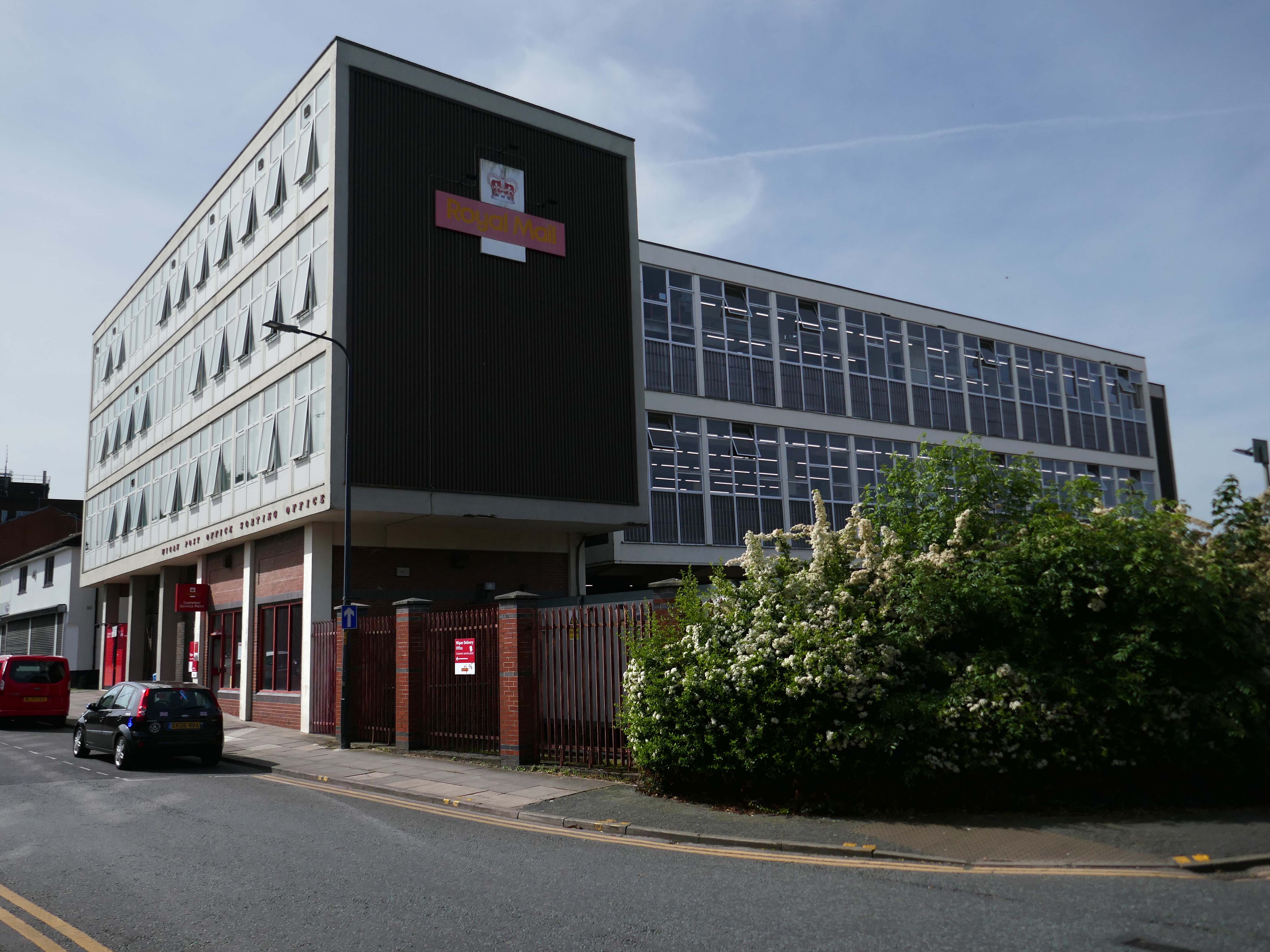
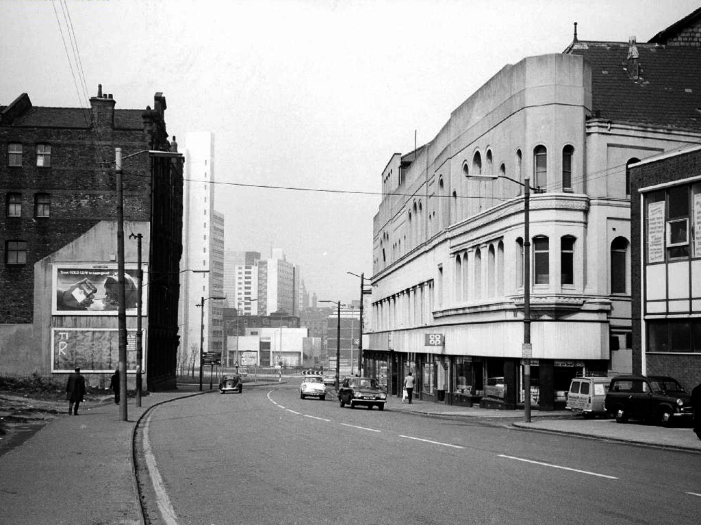
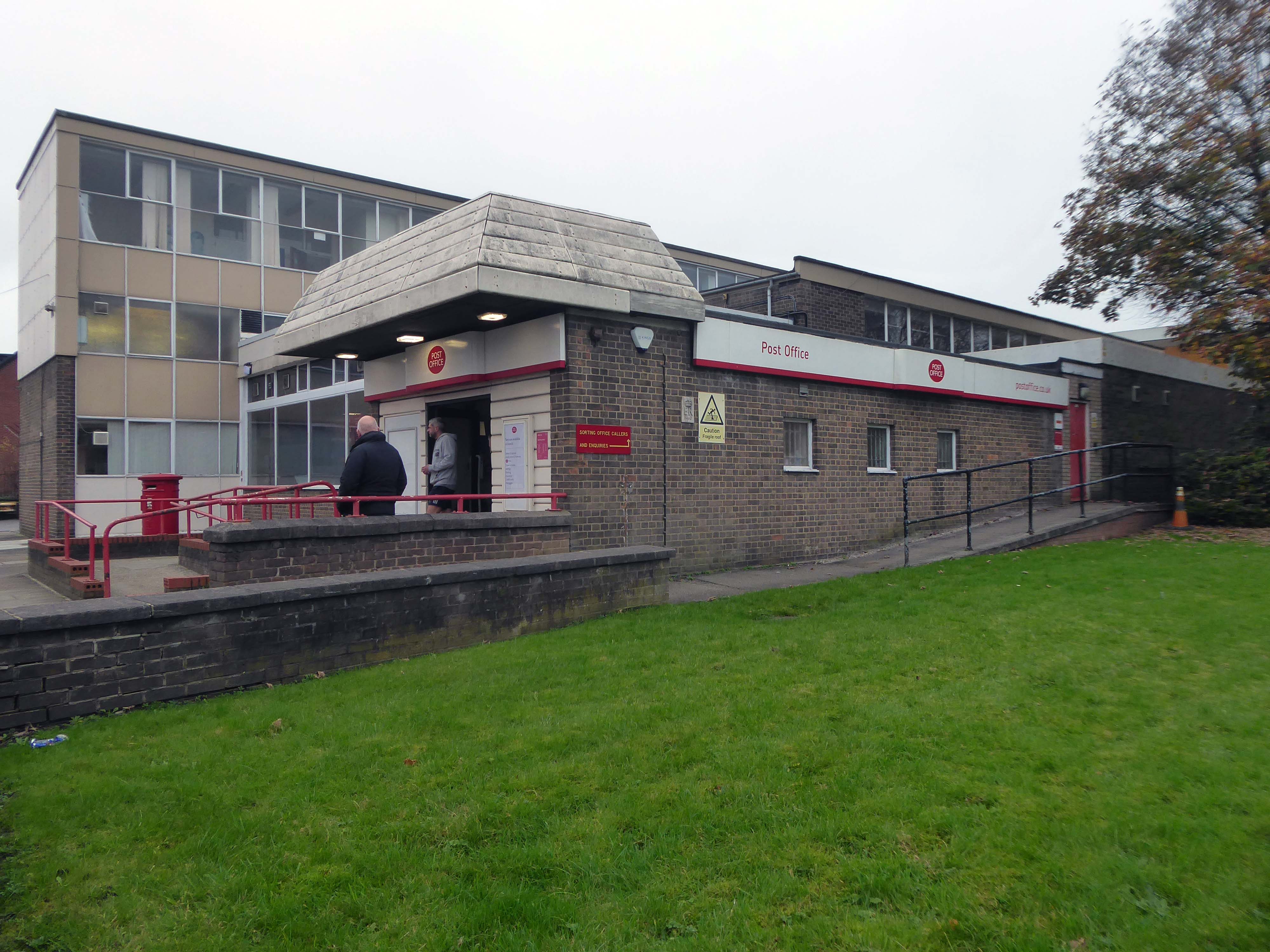
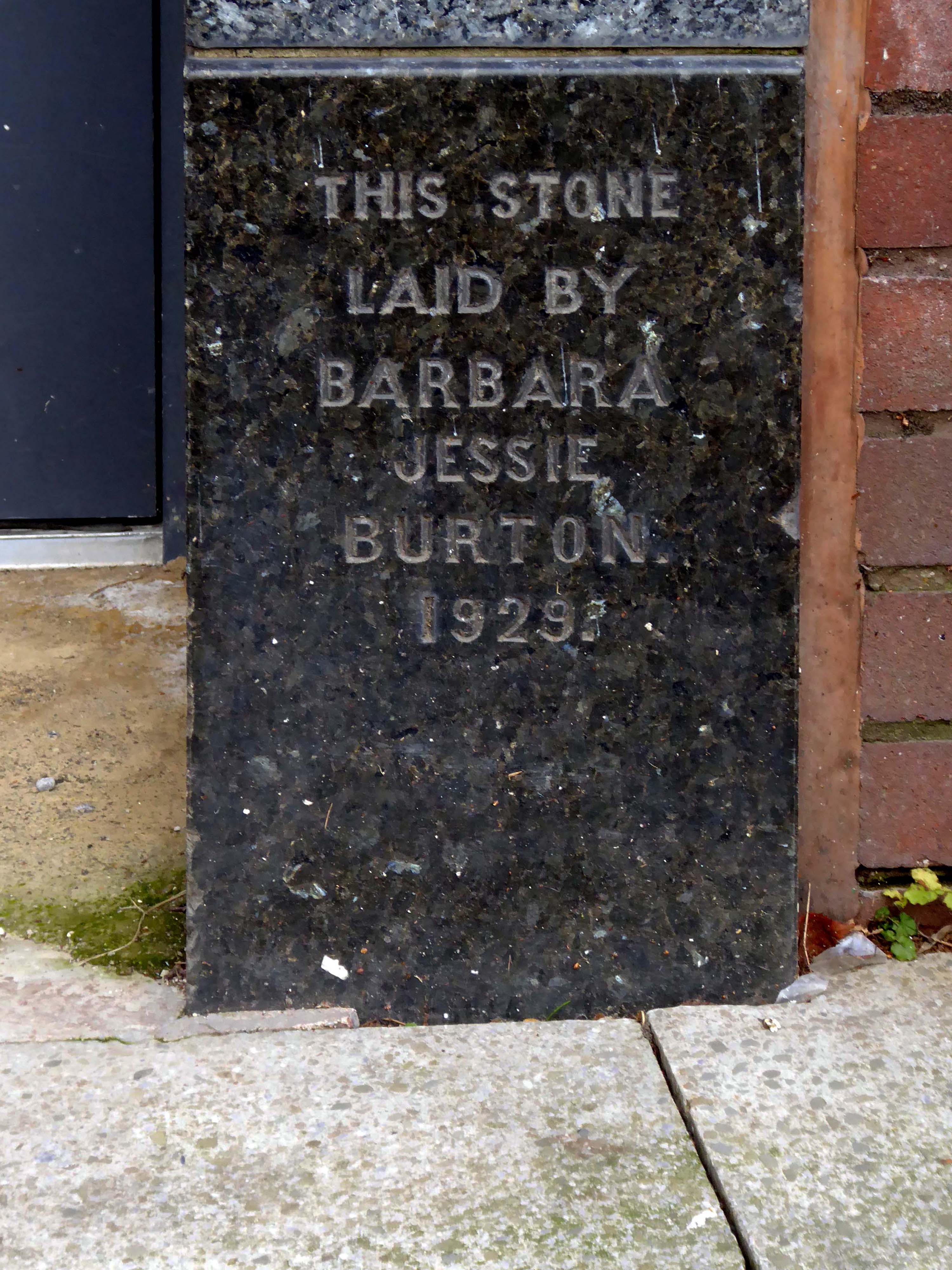
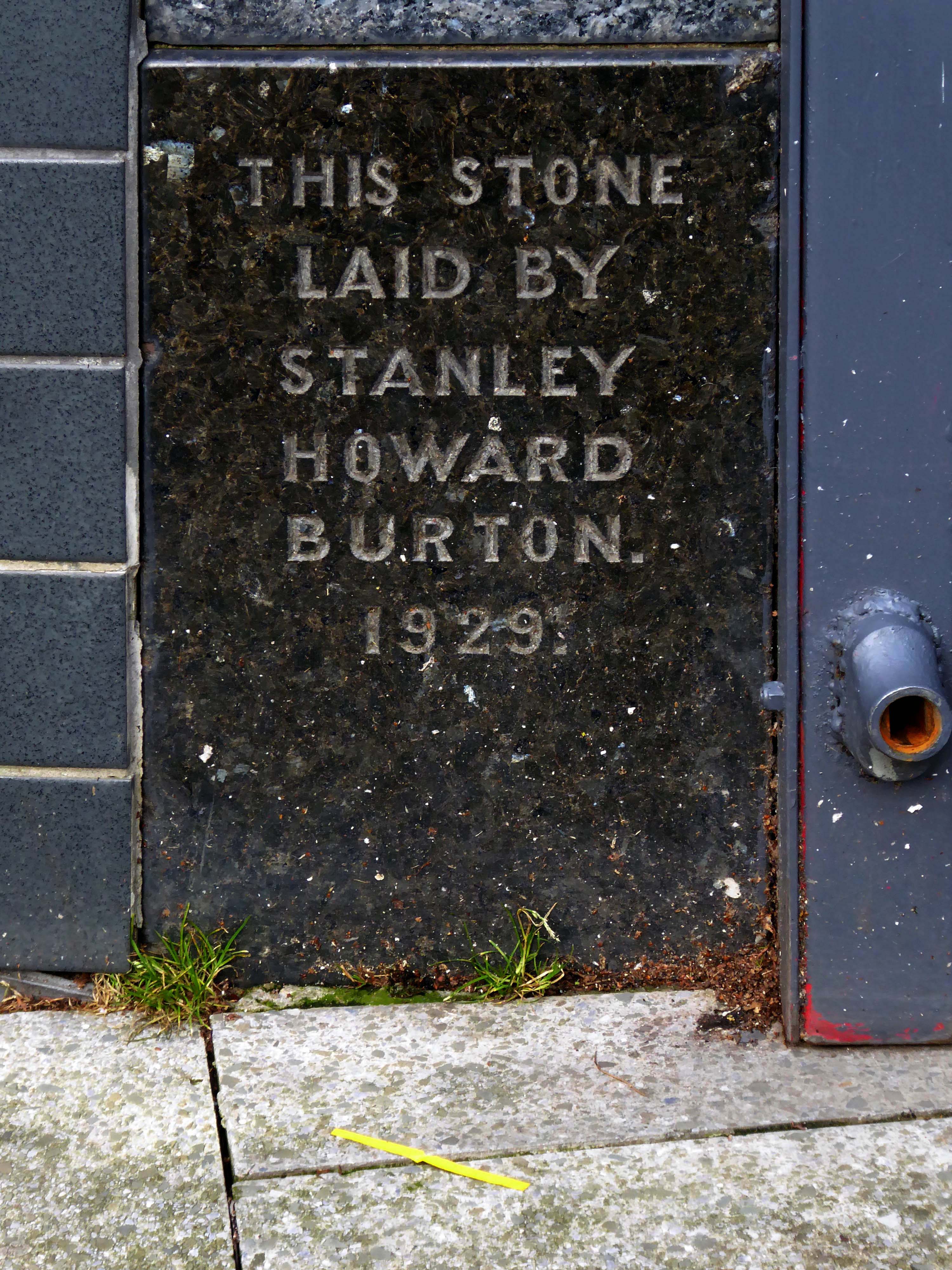
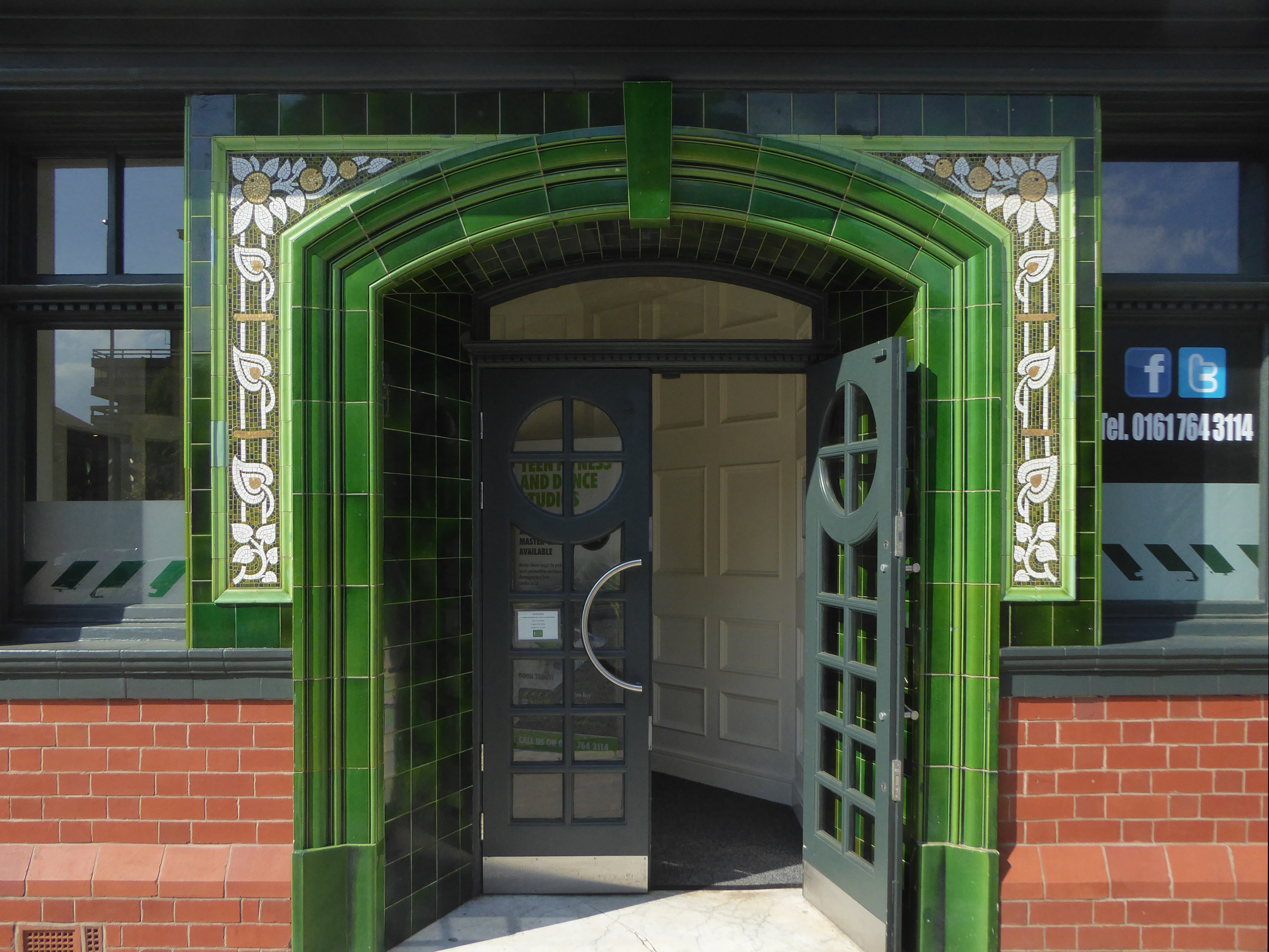
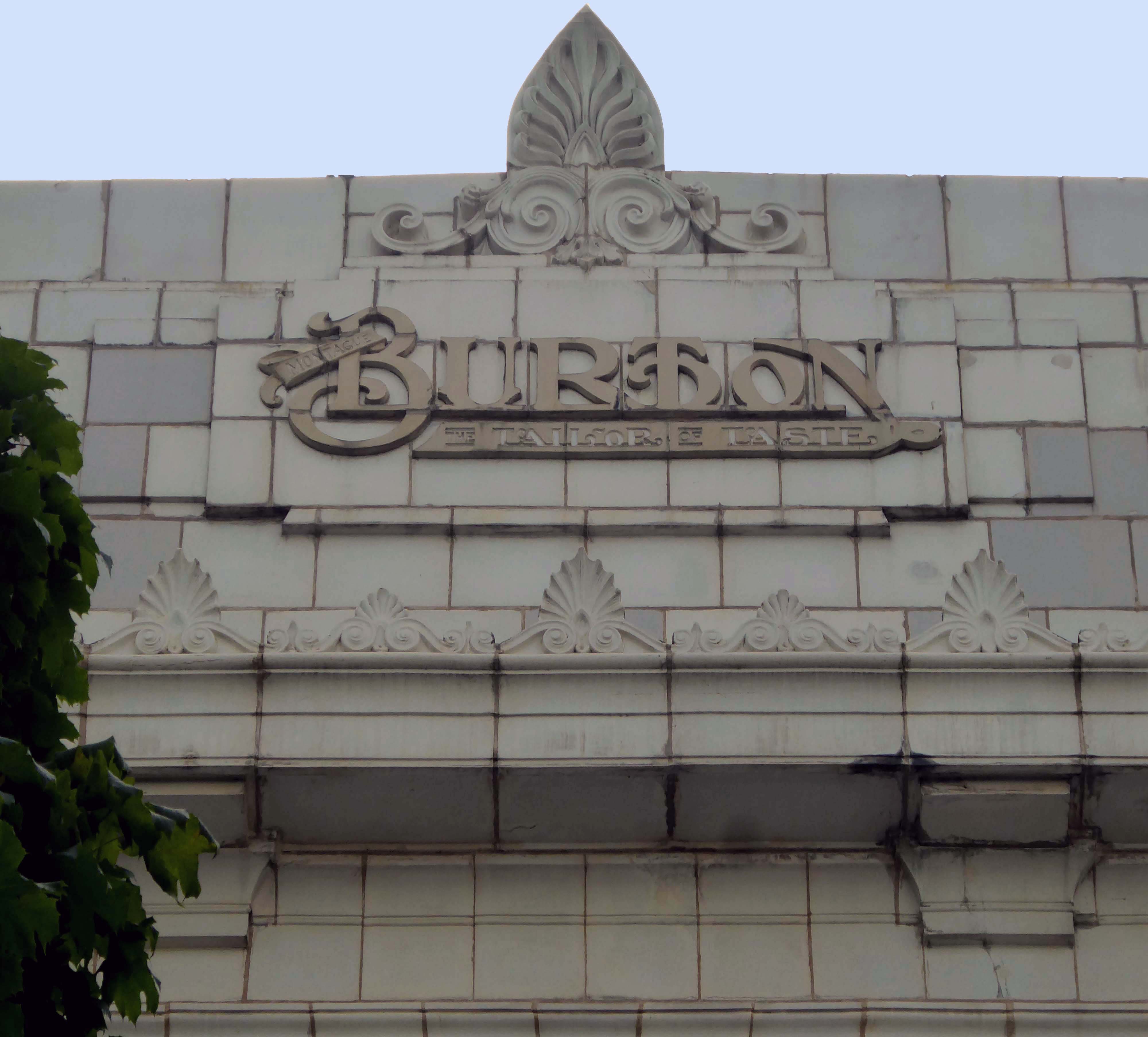
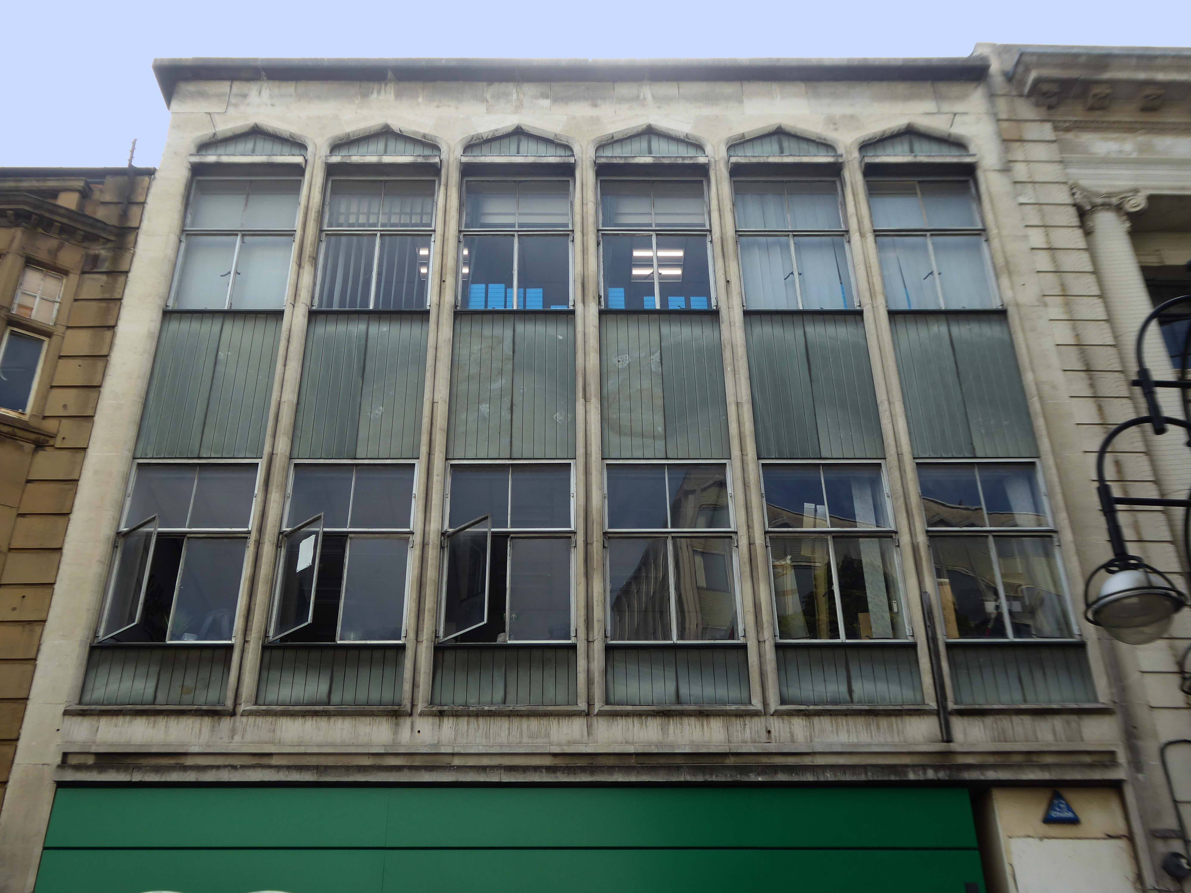
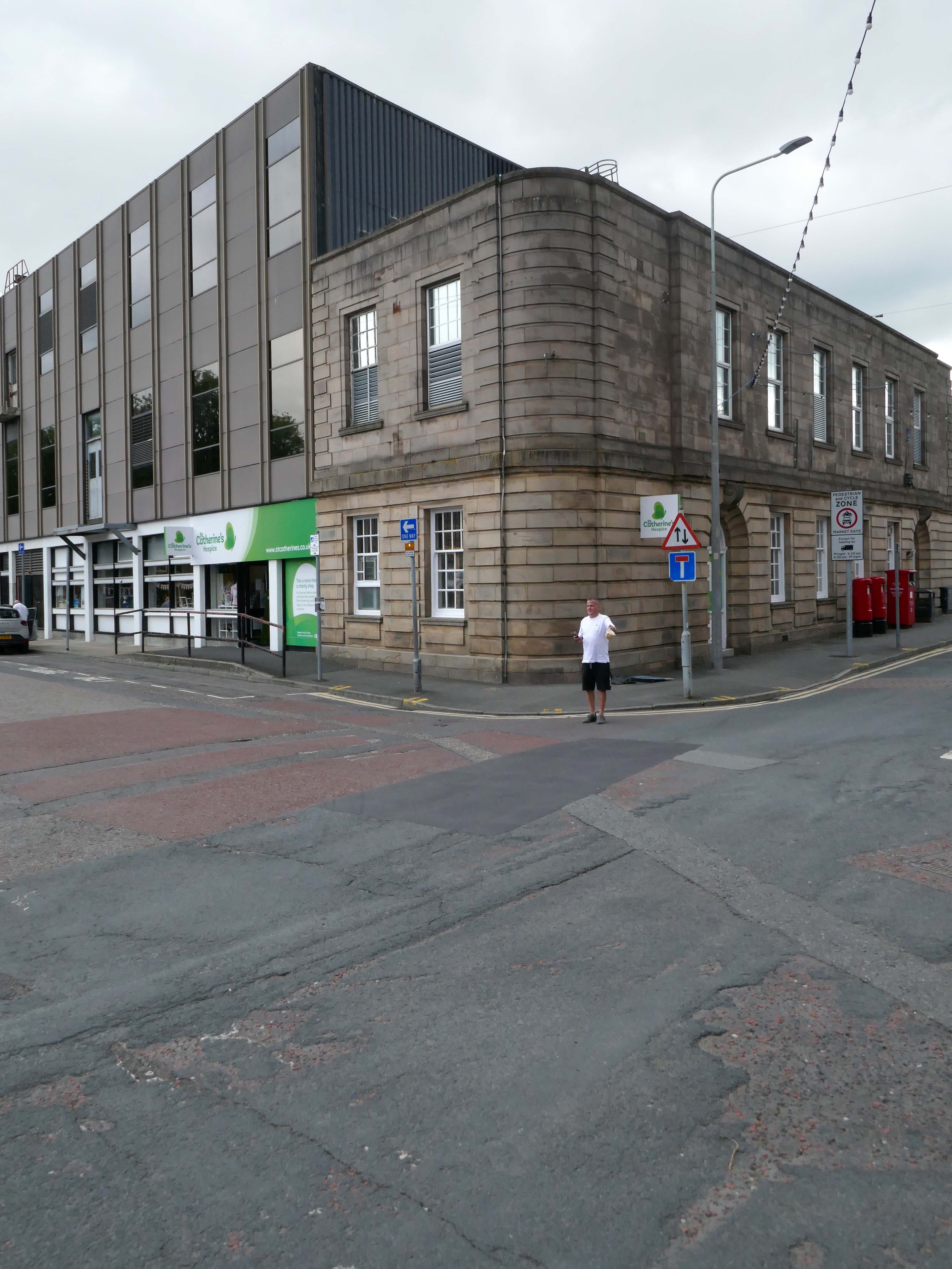
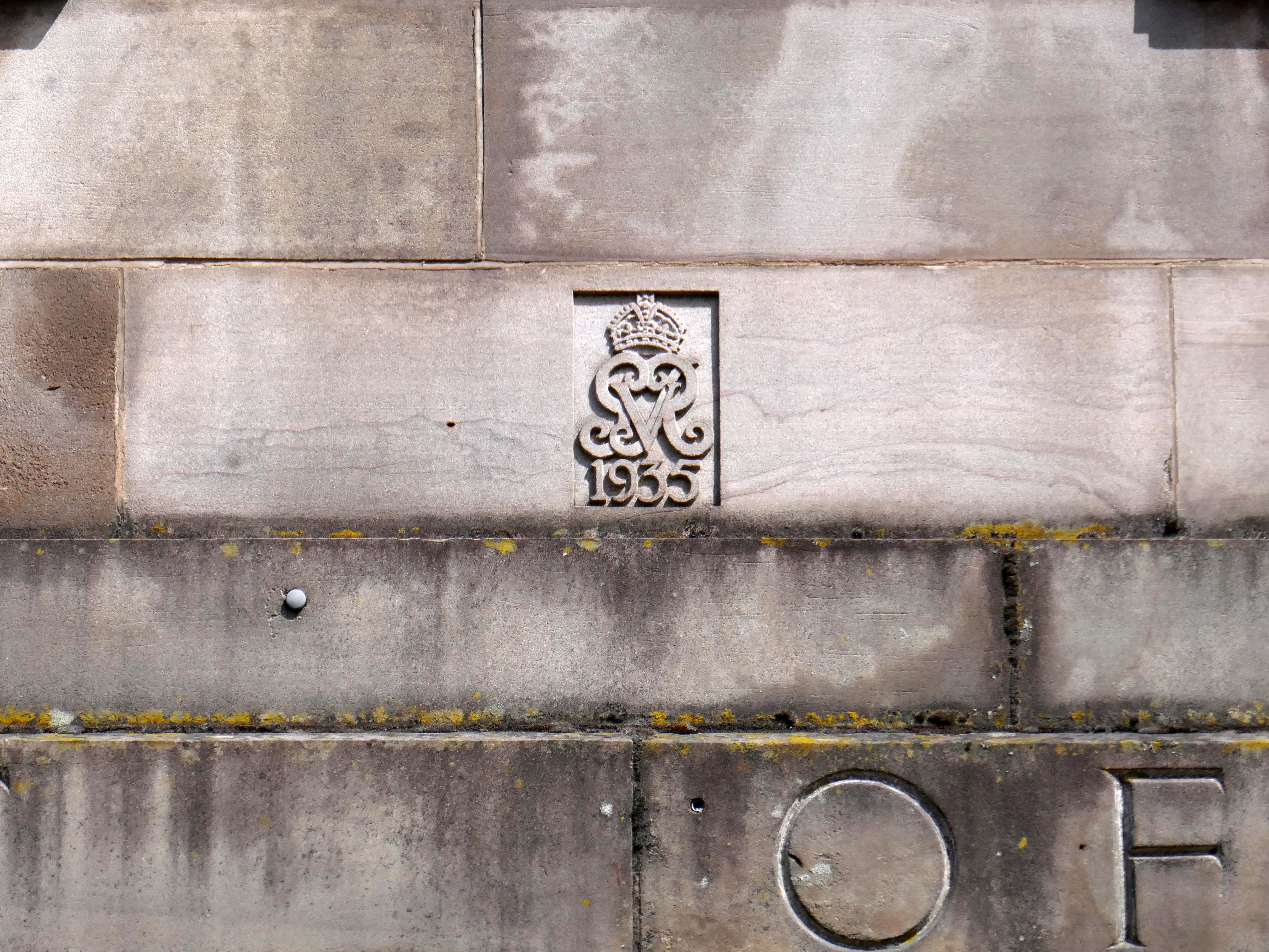
The Post Office – with its later extension.
Though dated 1935 the architect Charles Wilkinson died in 1927 – posthumous construction following his earlier plans?
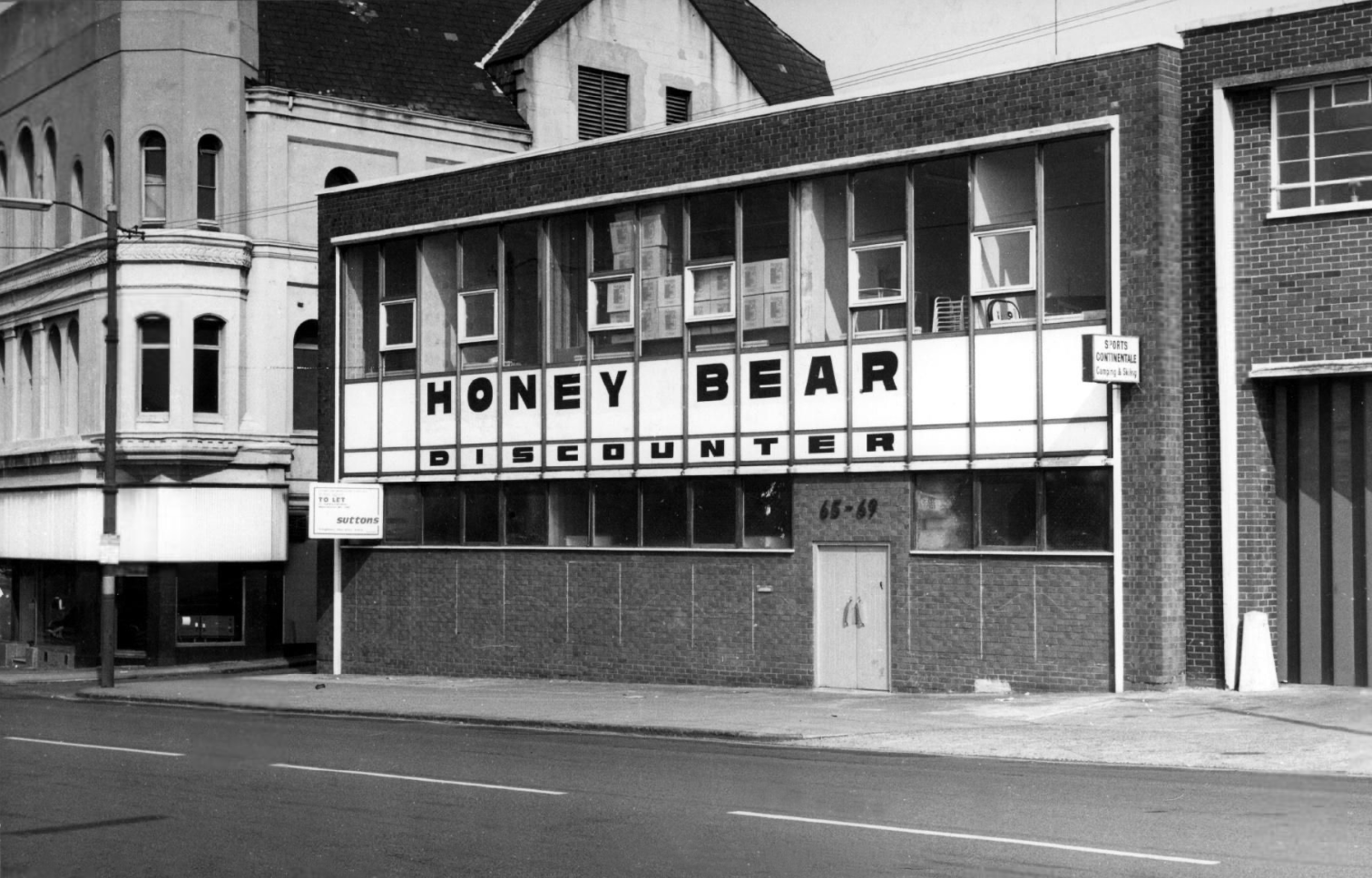
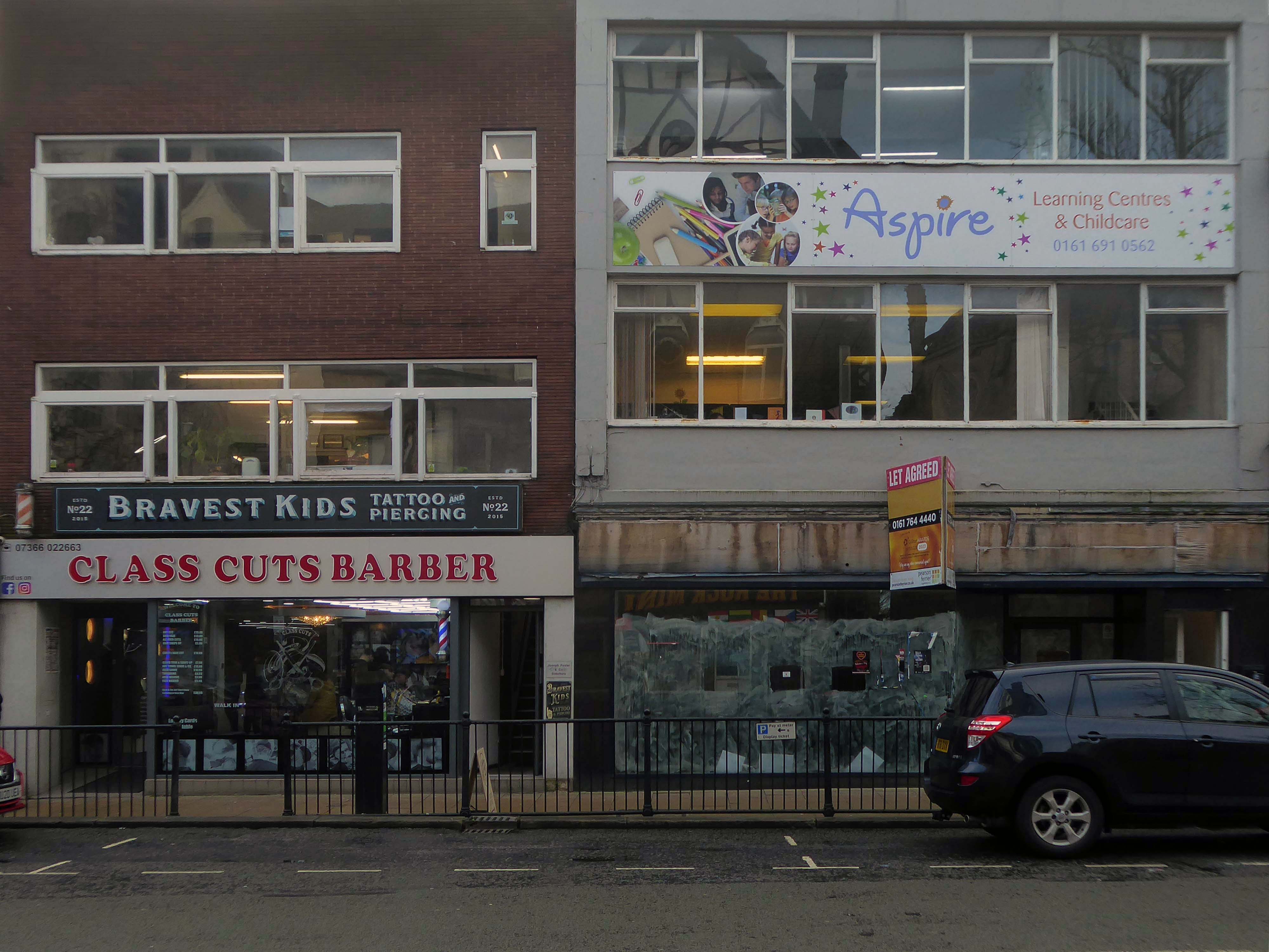
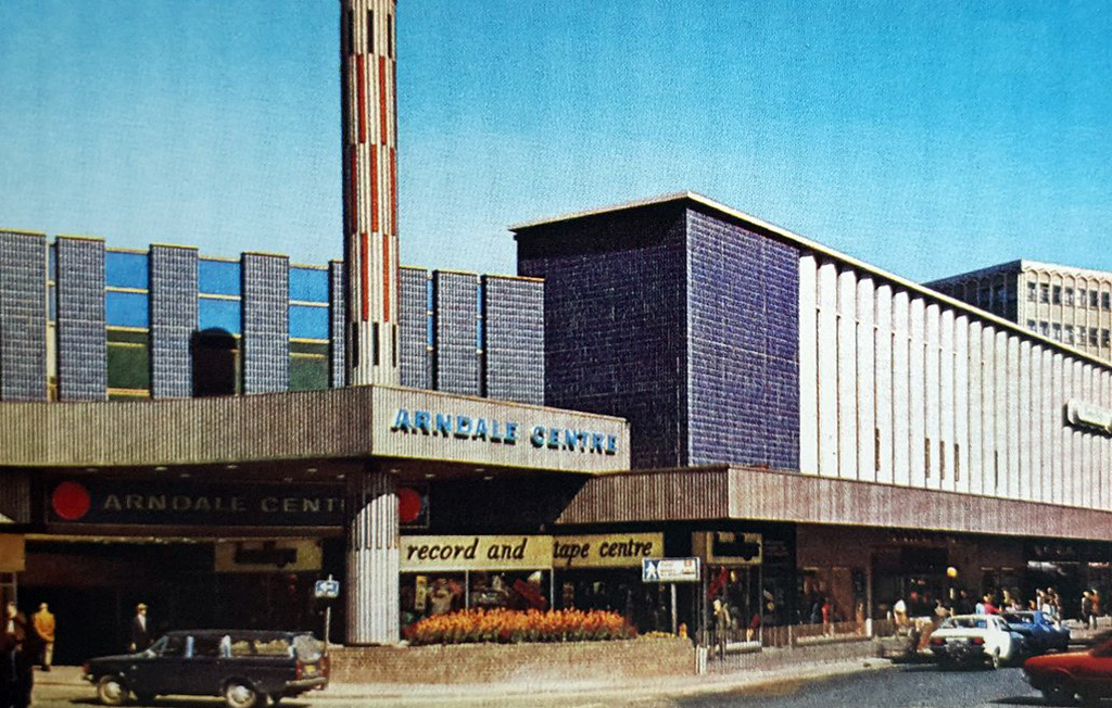
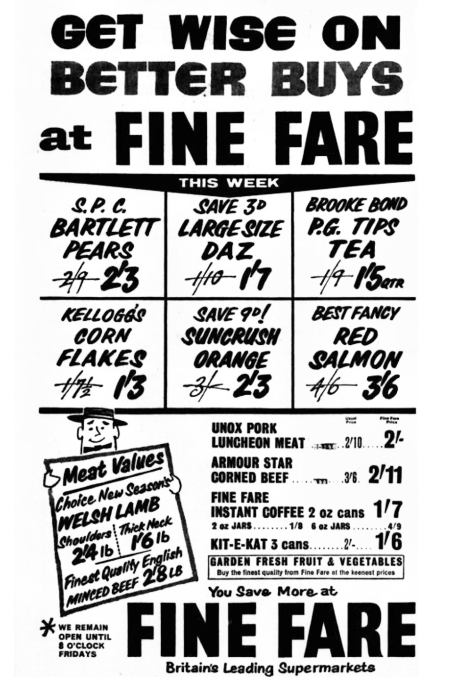
Former Fine Fare finds a new occupant the Big Bargain Store.

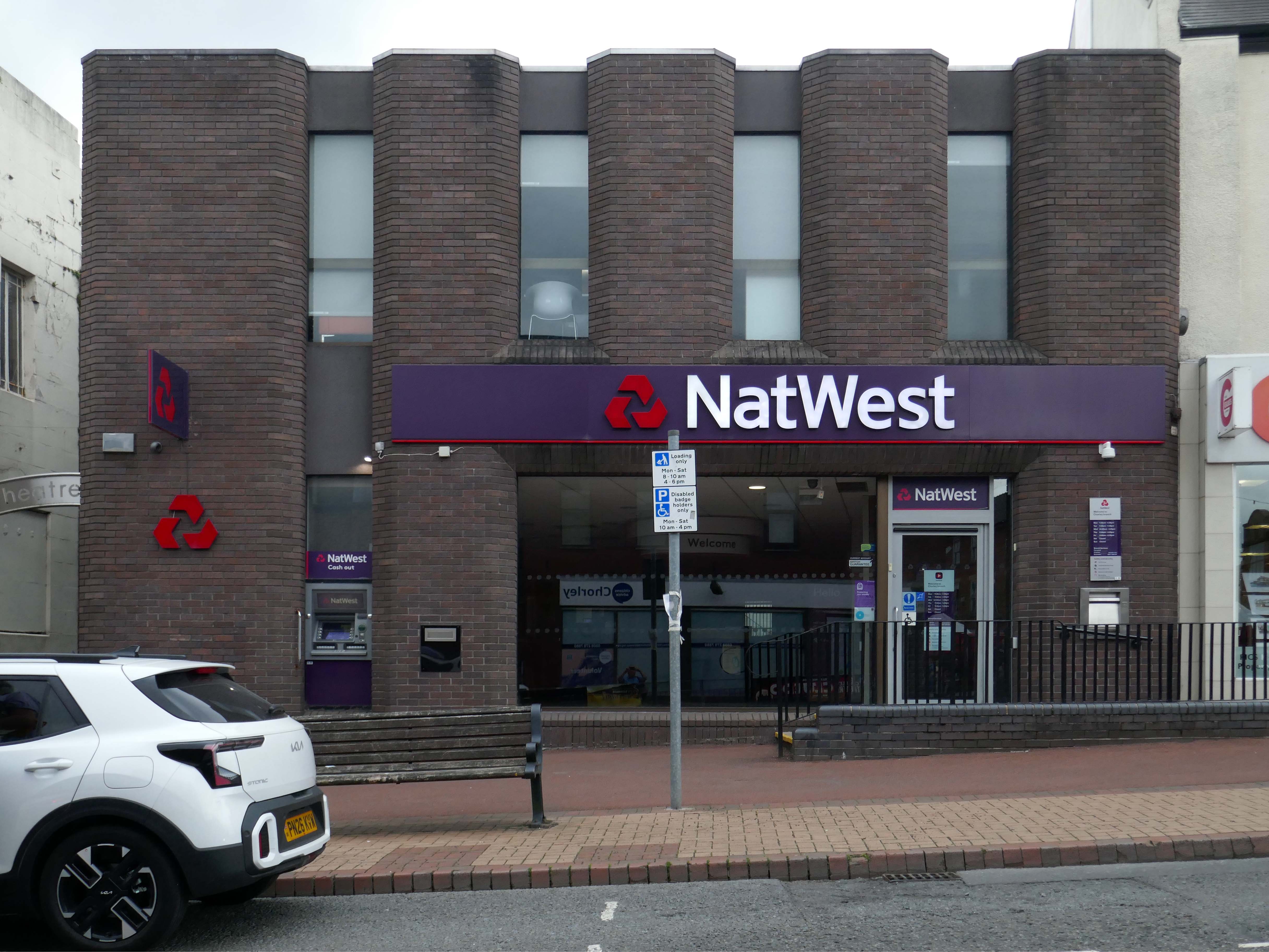
The NatWest Bank is still a NatWest Bank.
Next the Royal Bank of Scotland presenting and passing as a Post Office.
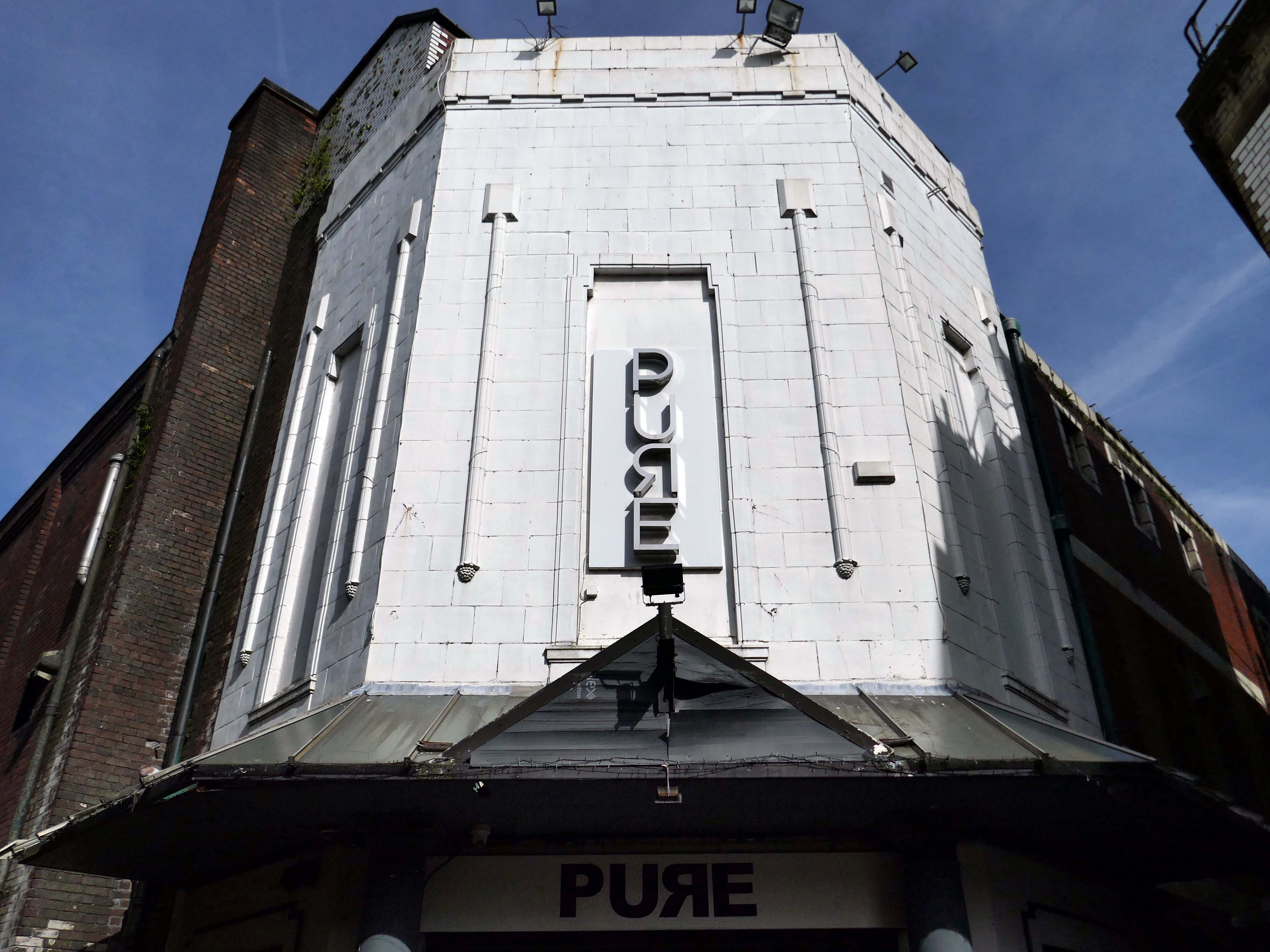
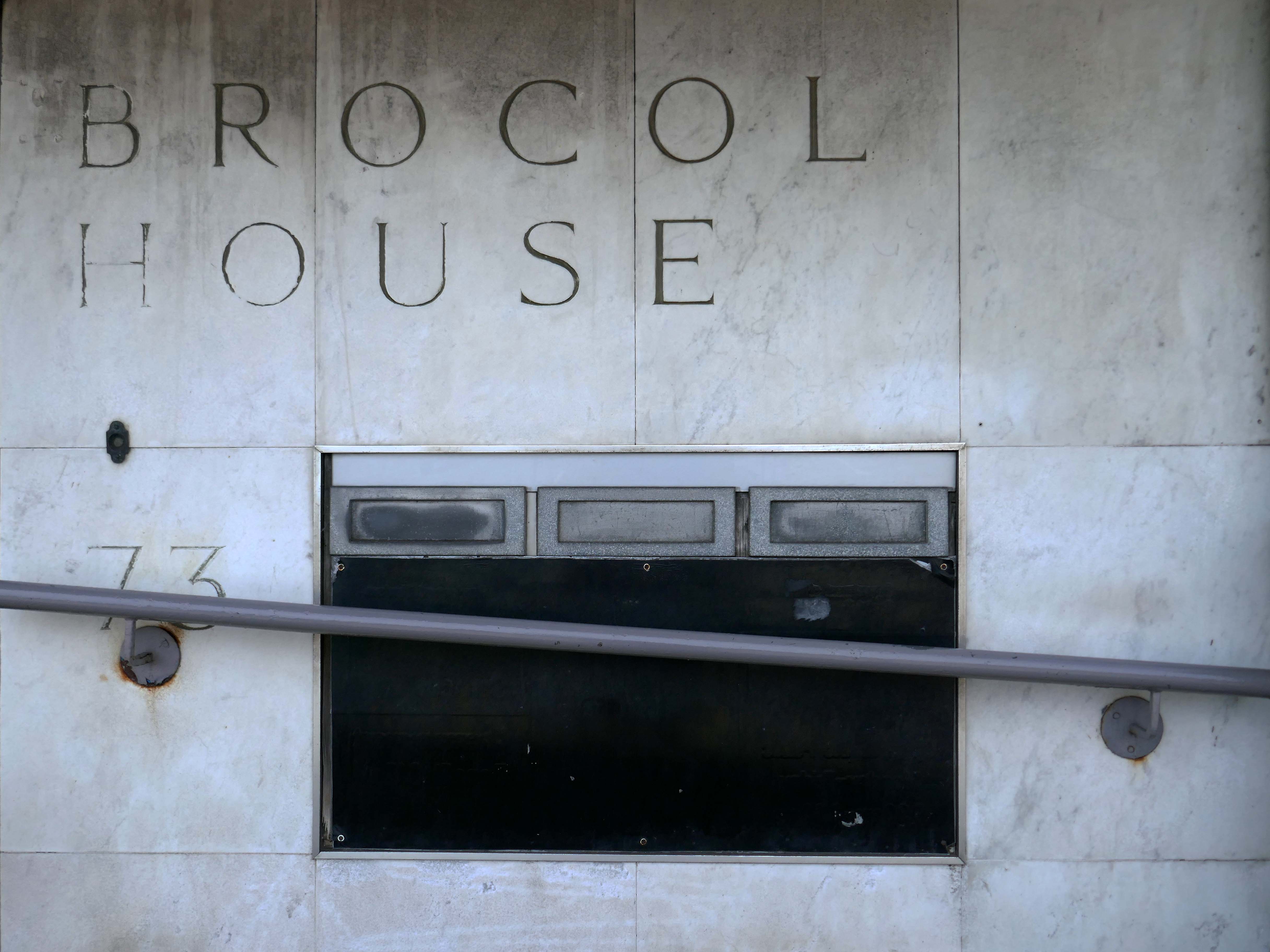
My good friend Mainstream Modern informs me that the architects were Cruickshank & Seward.
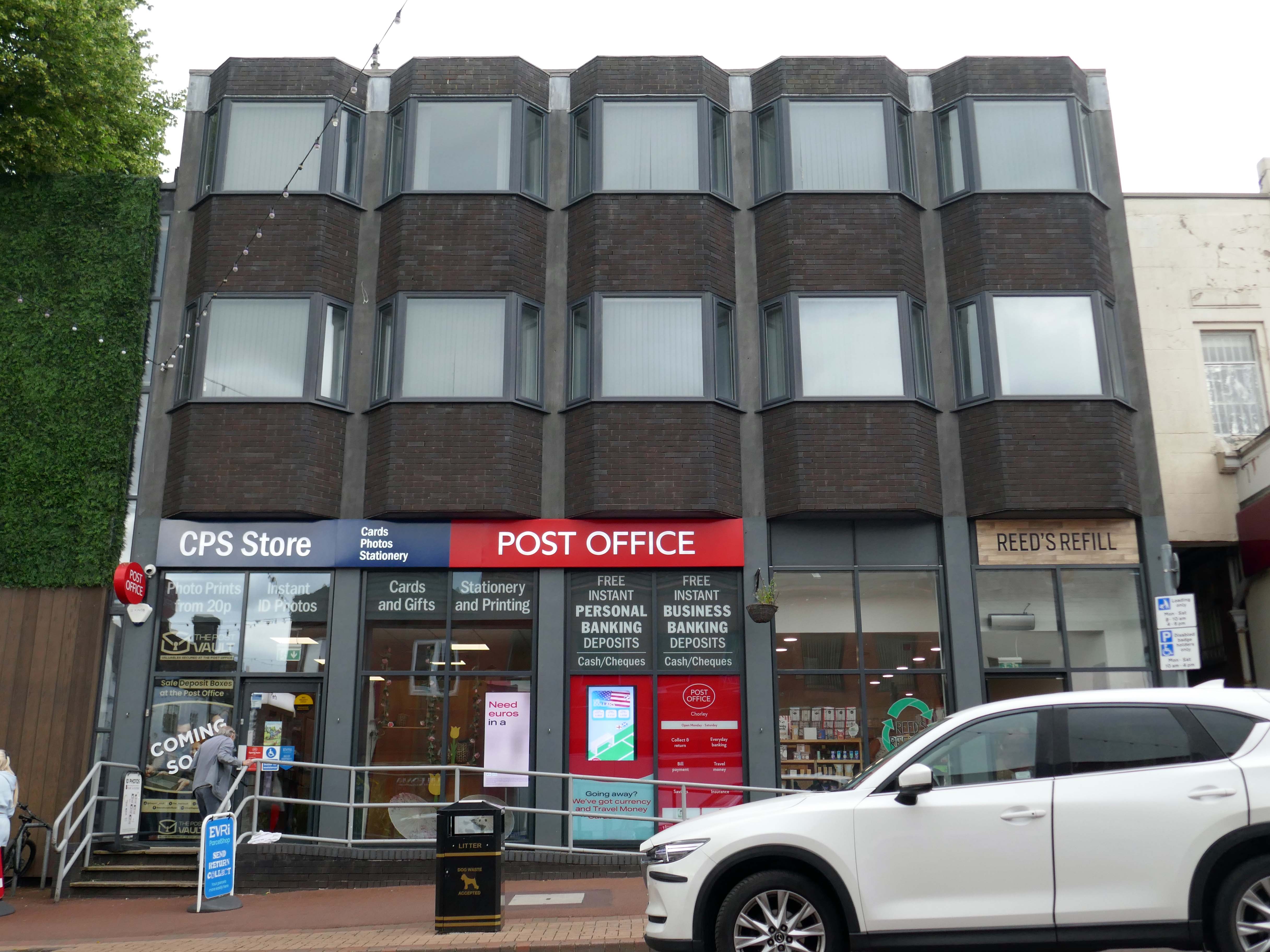
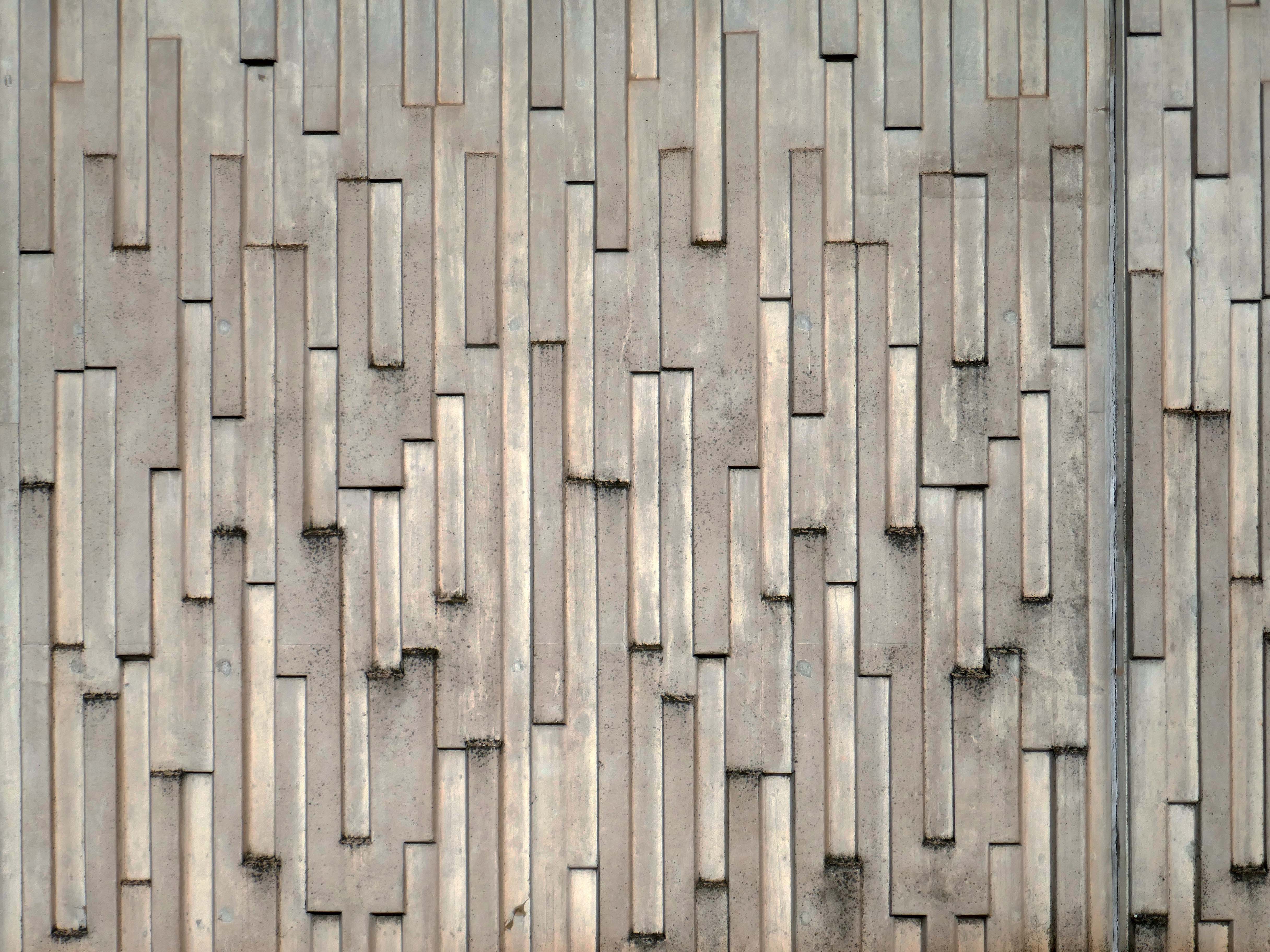
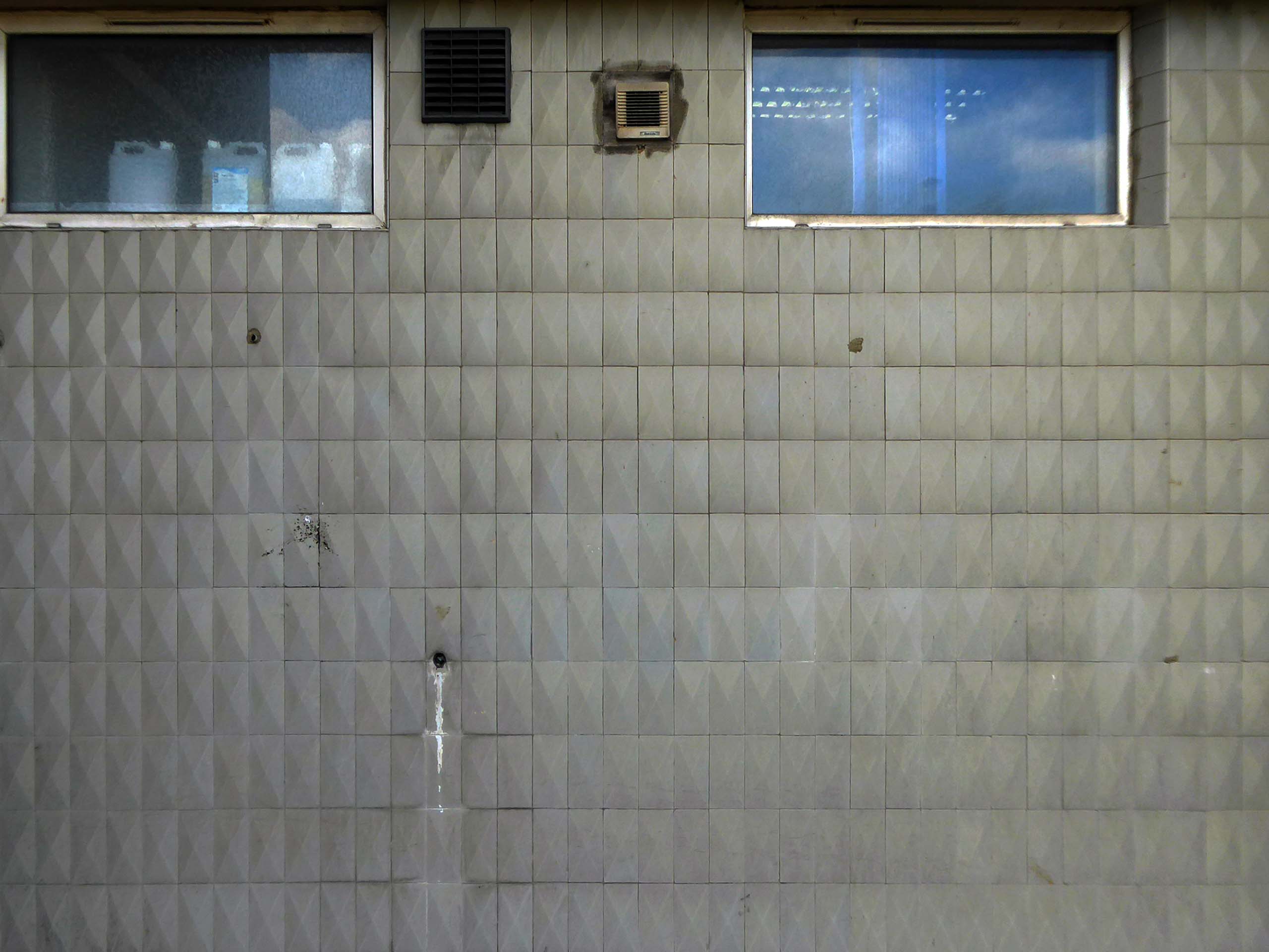
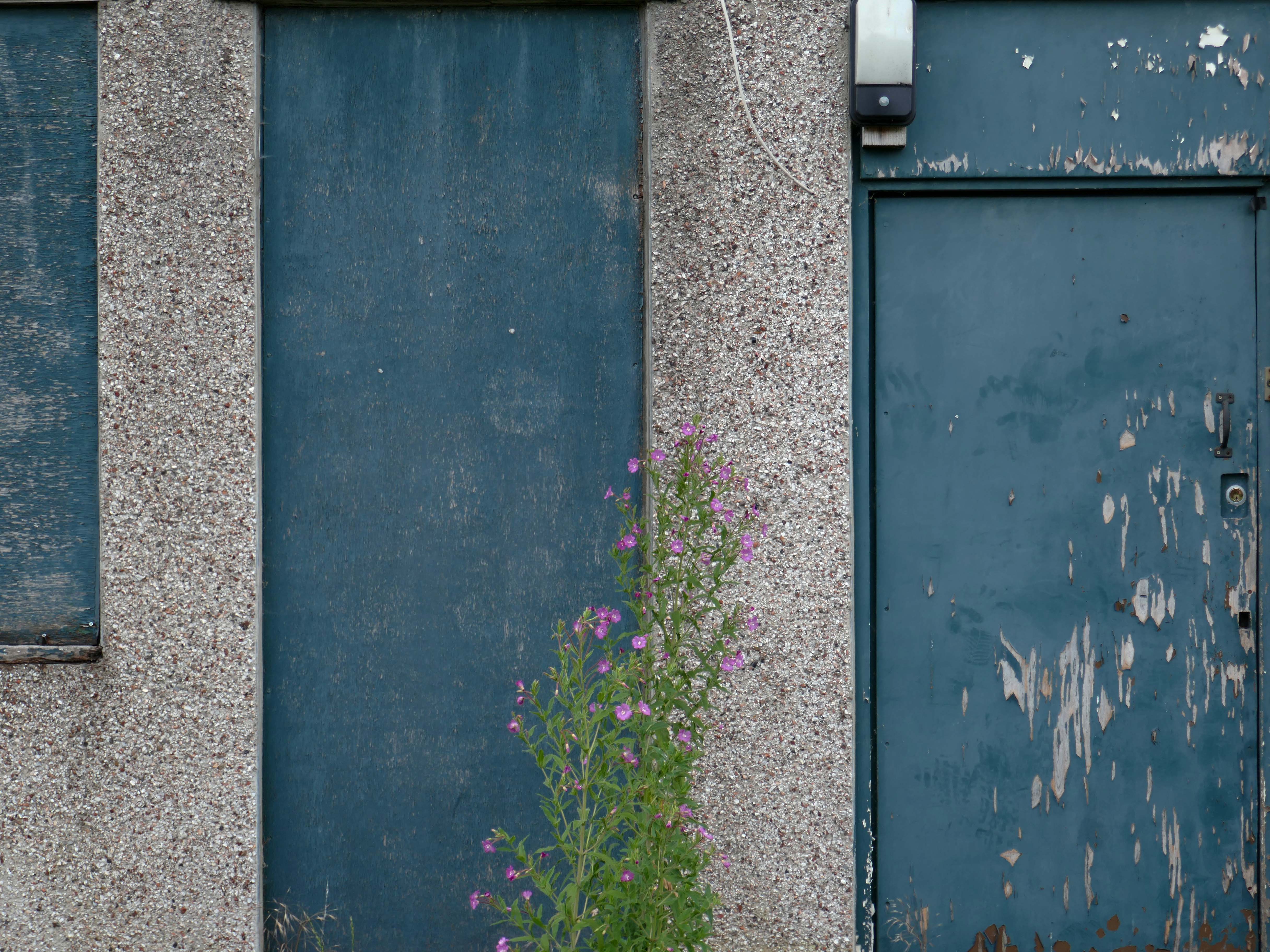
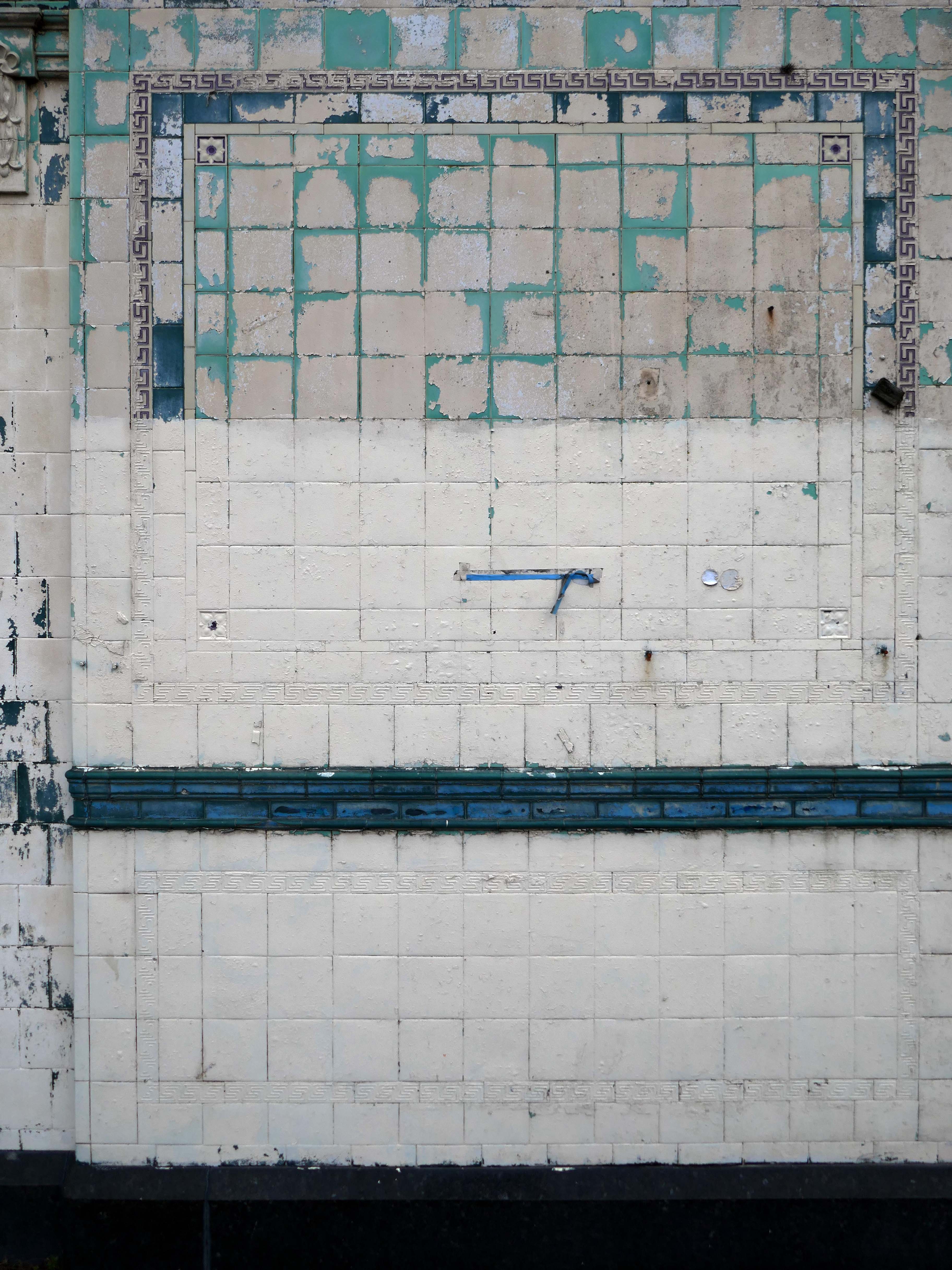
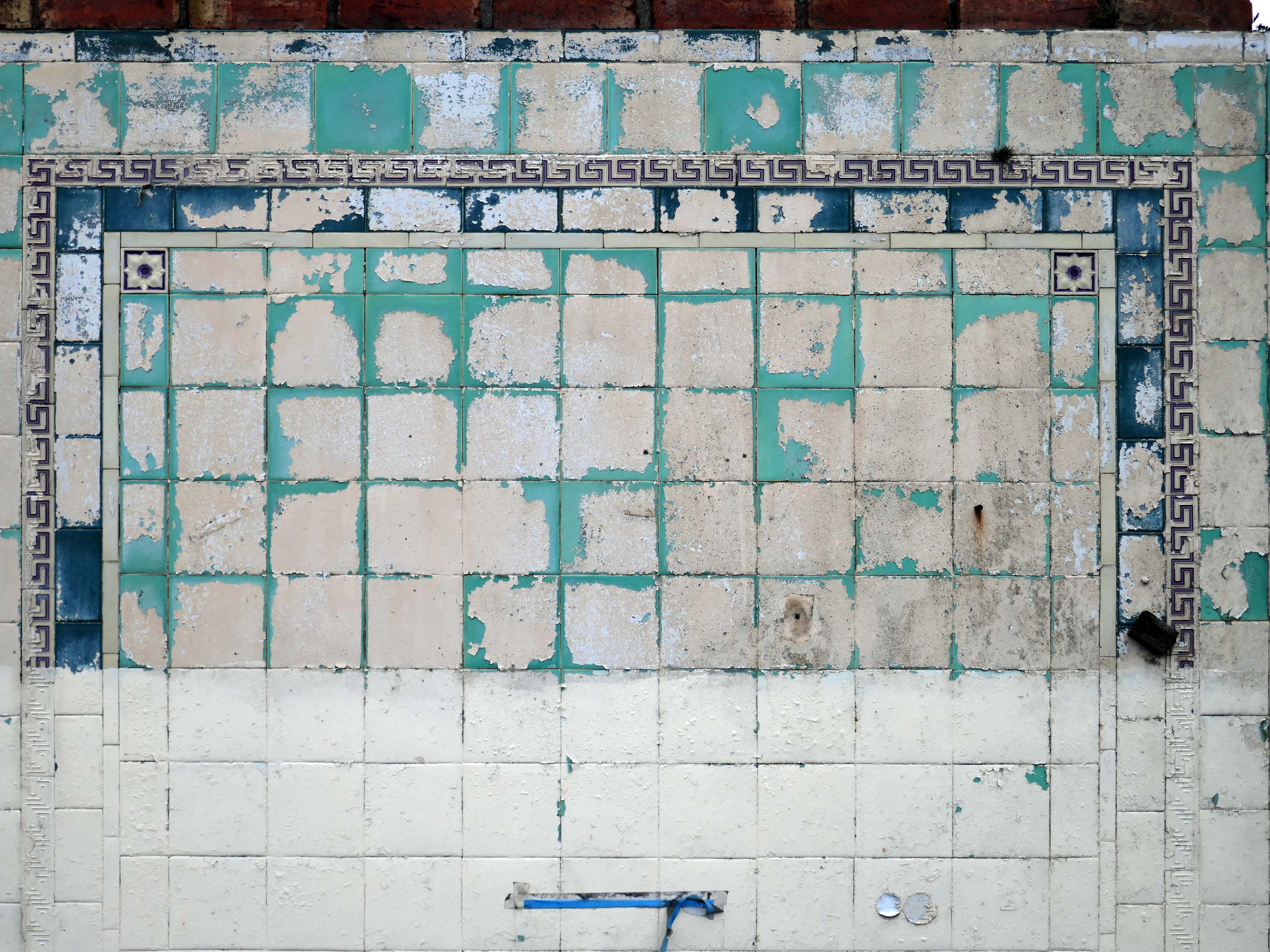
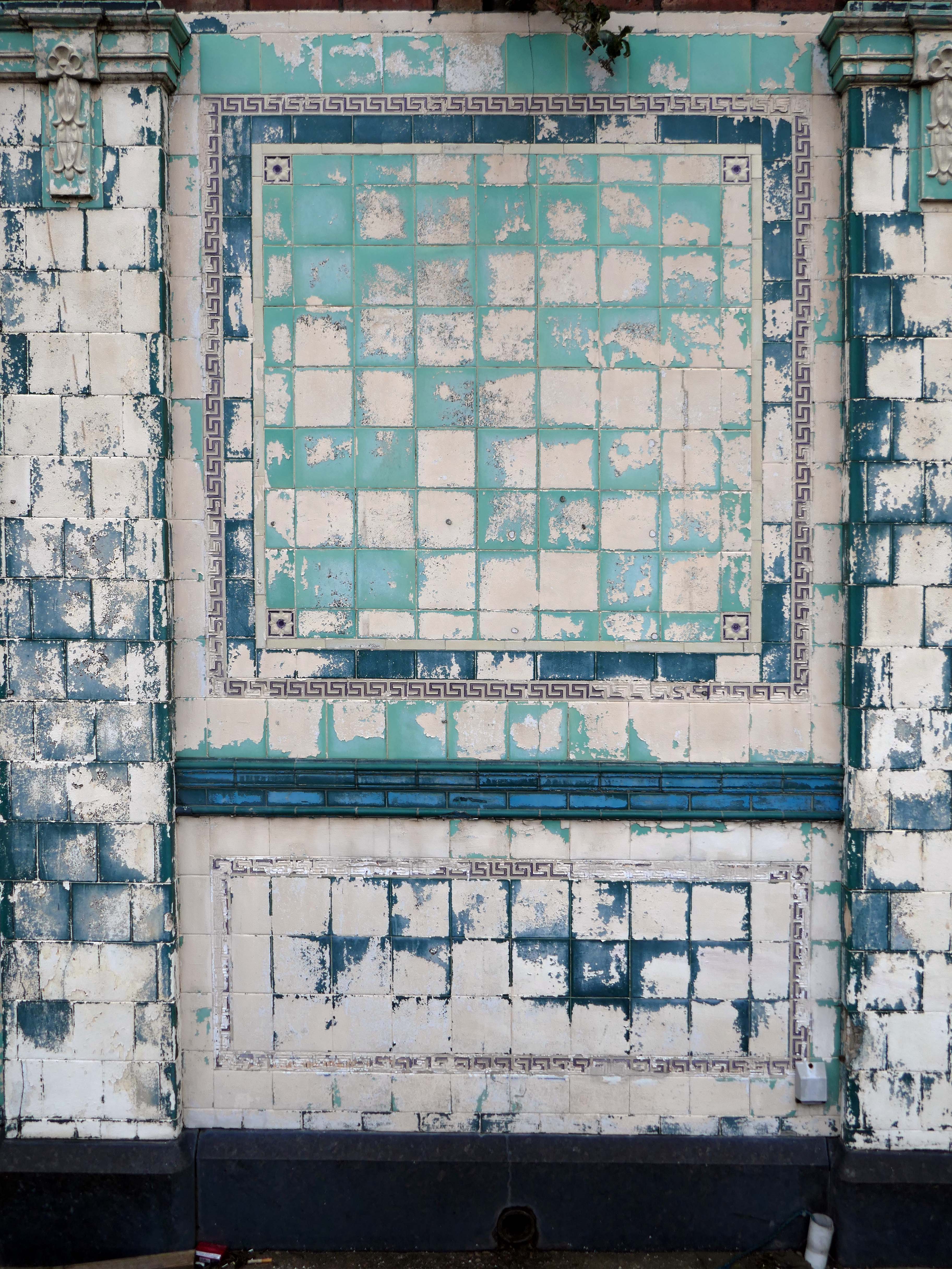
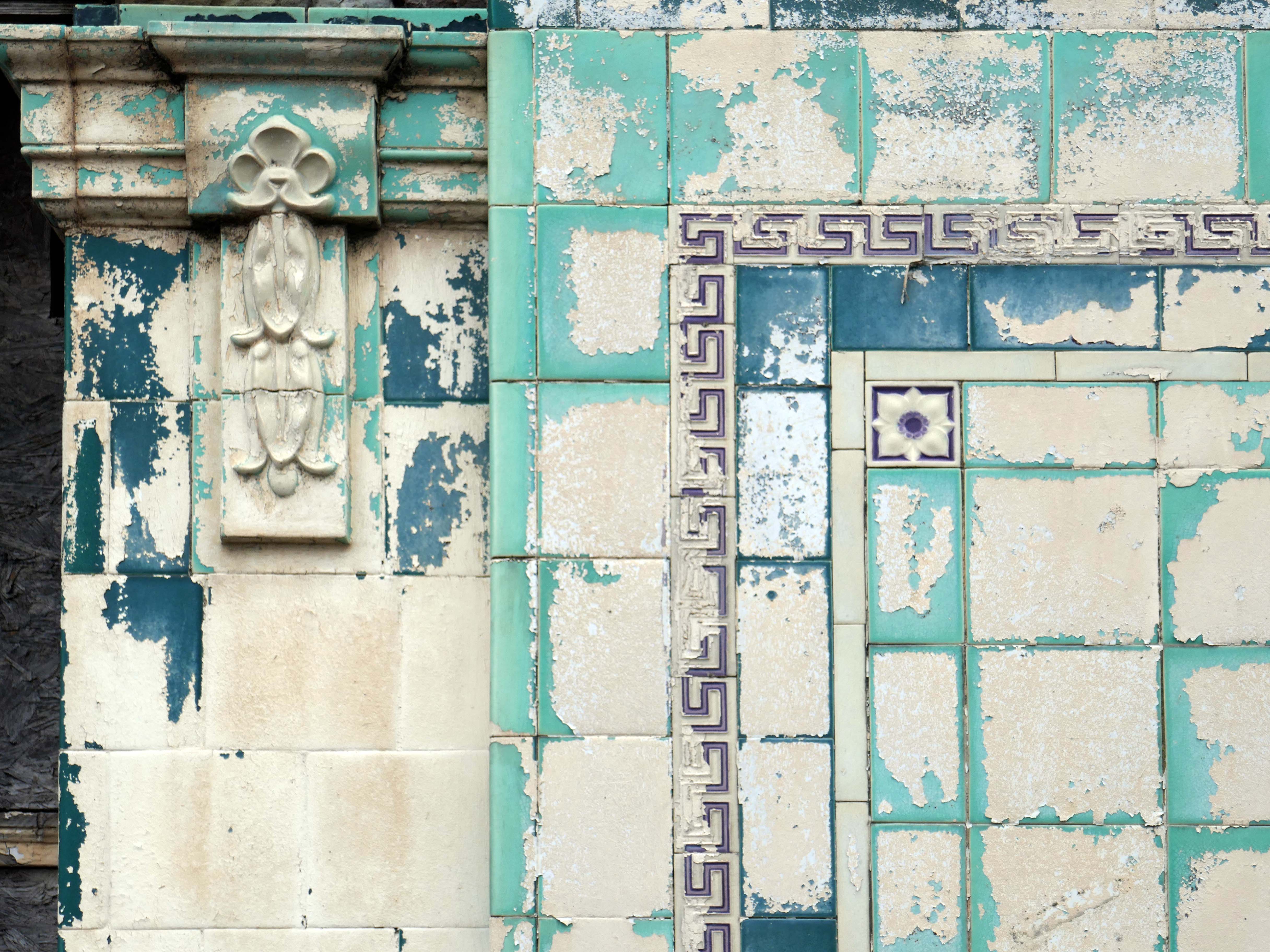
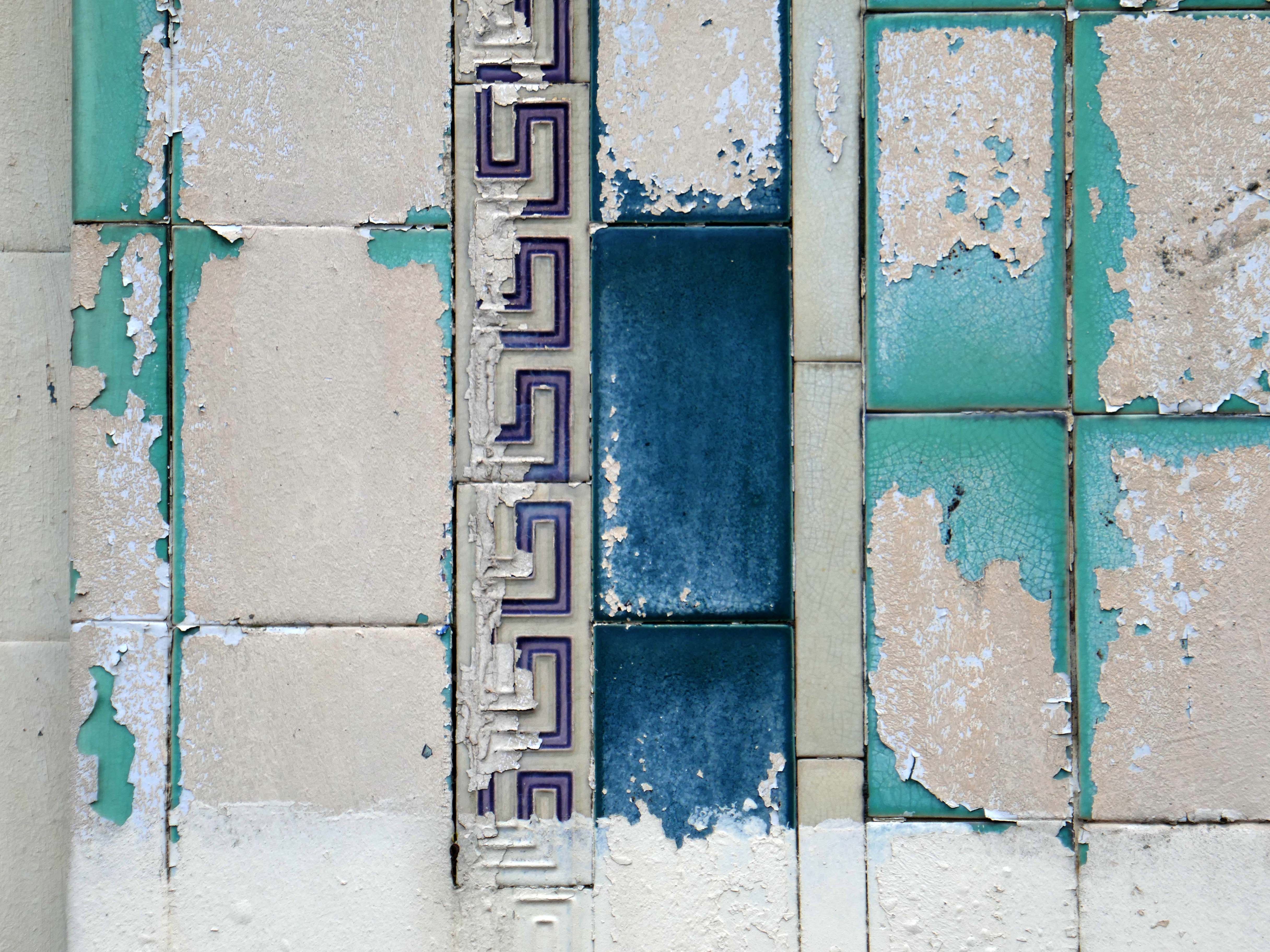
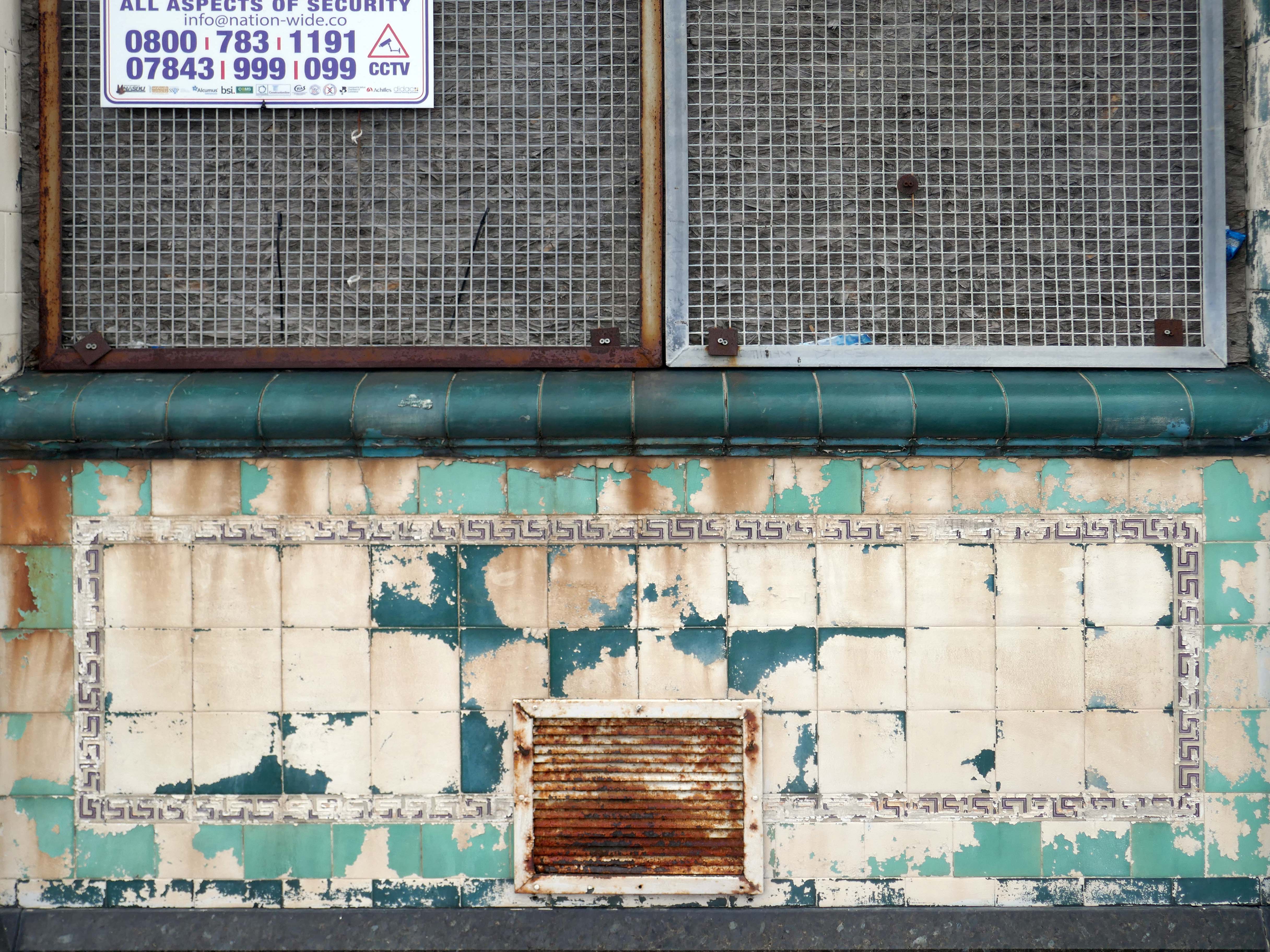
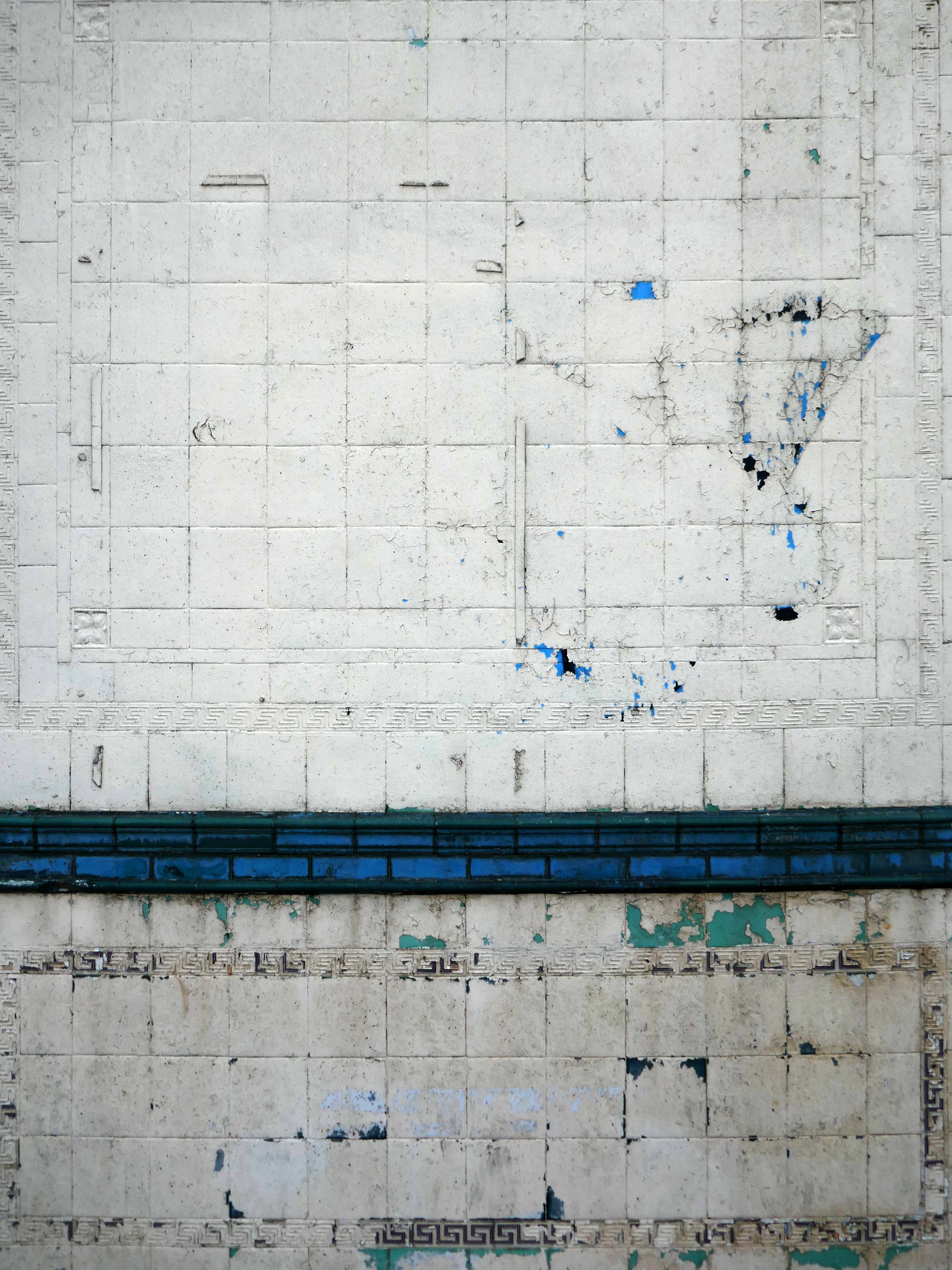
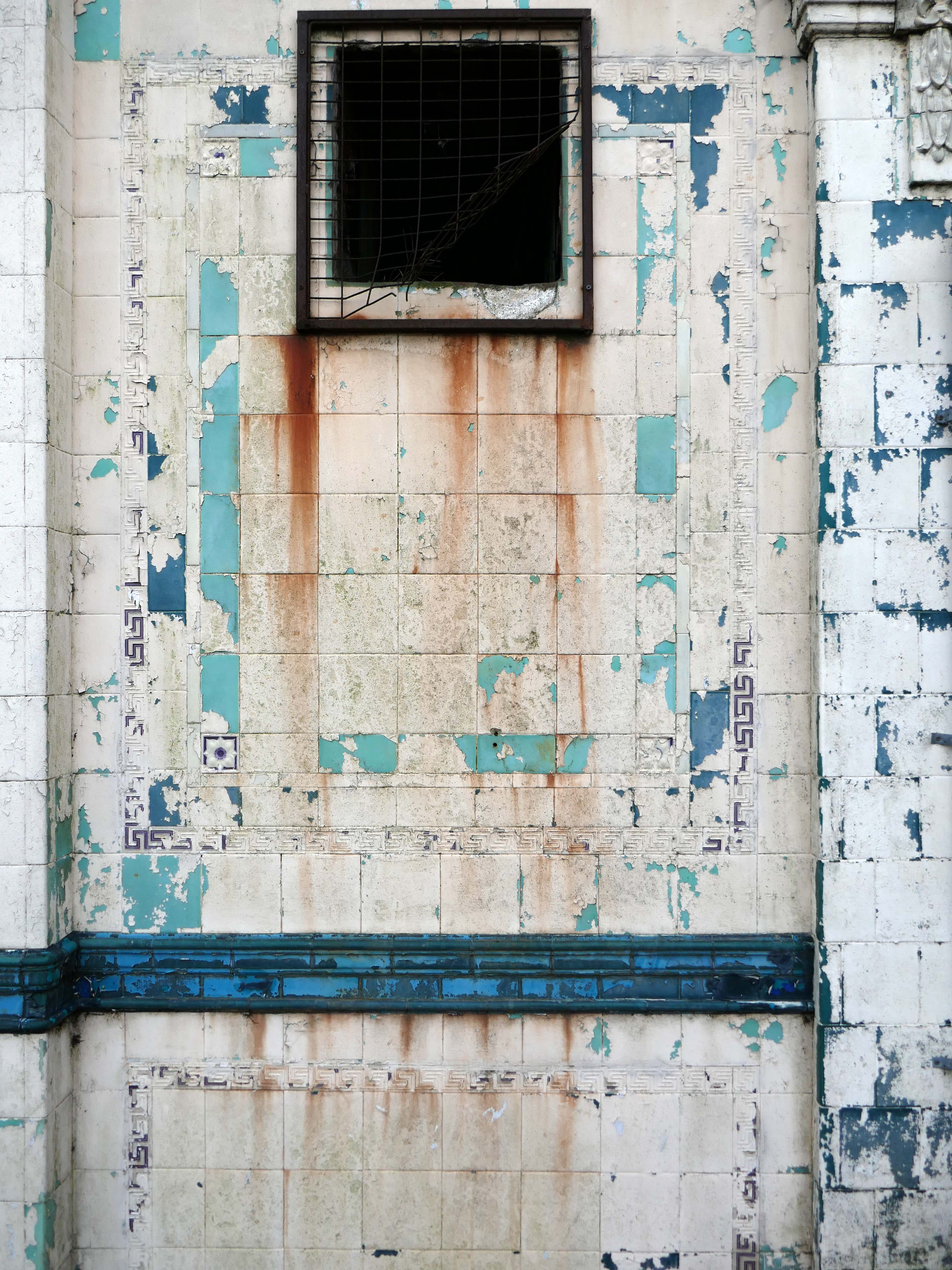
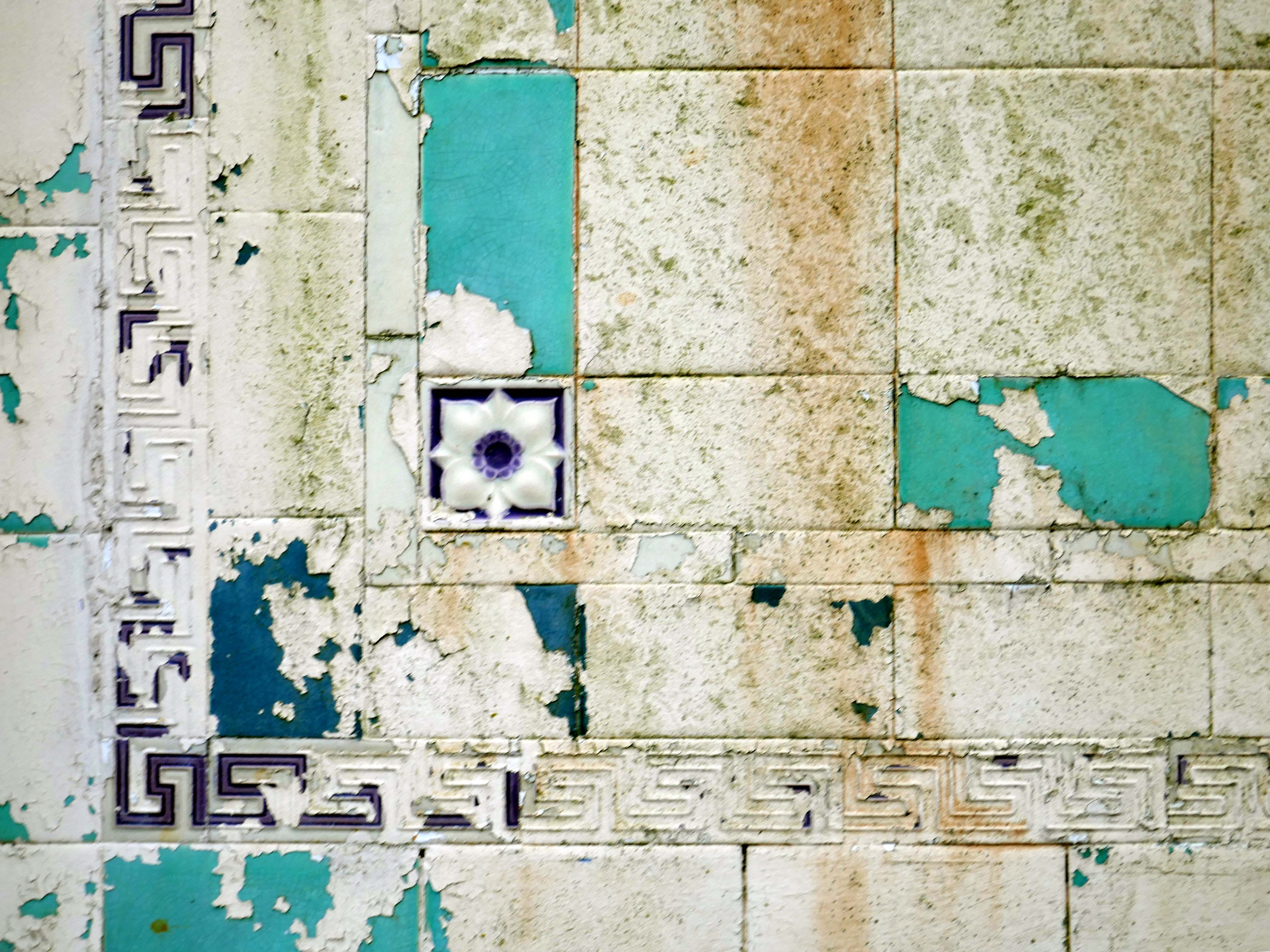
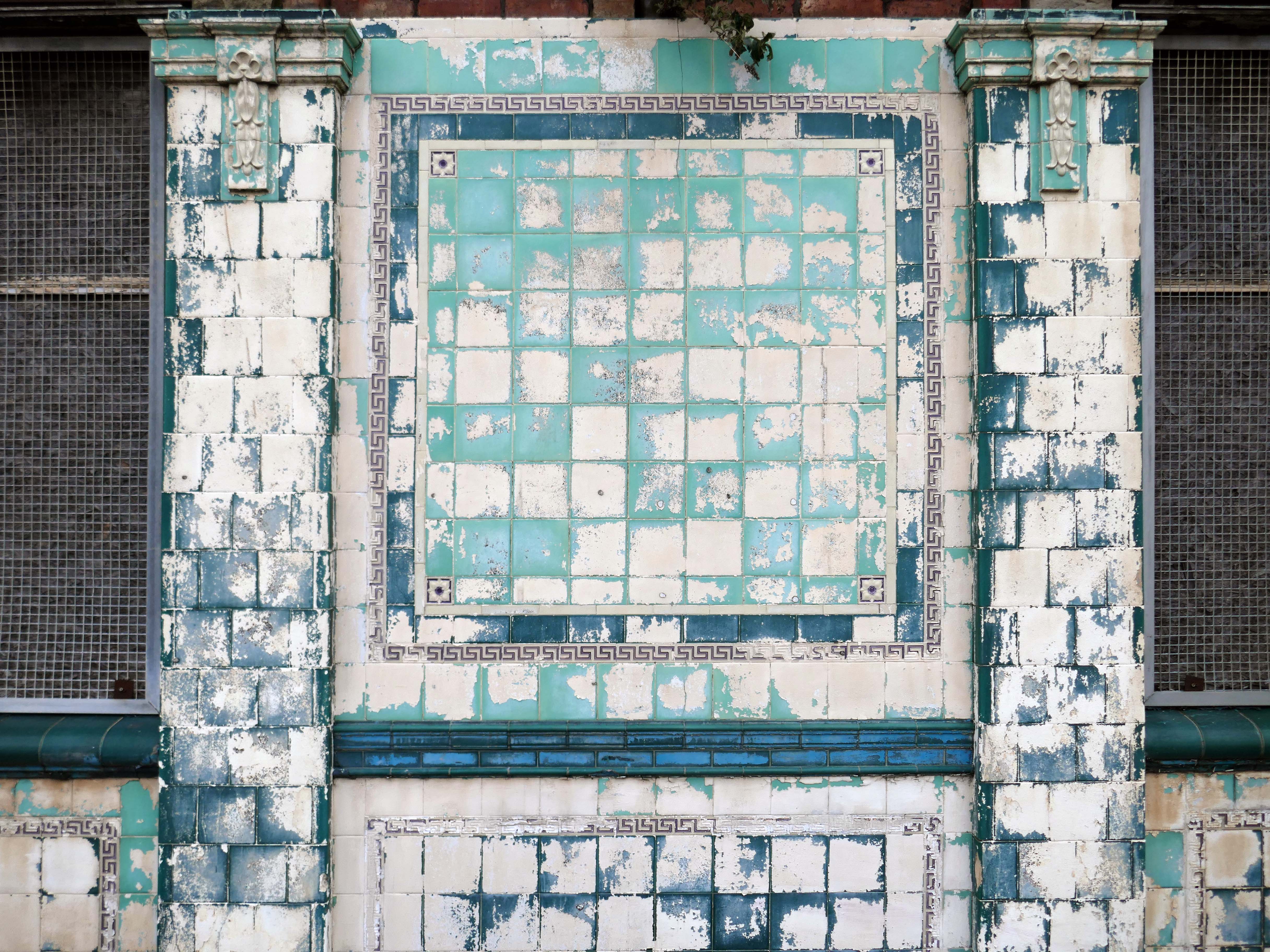
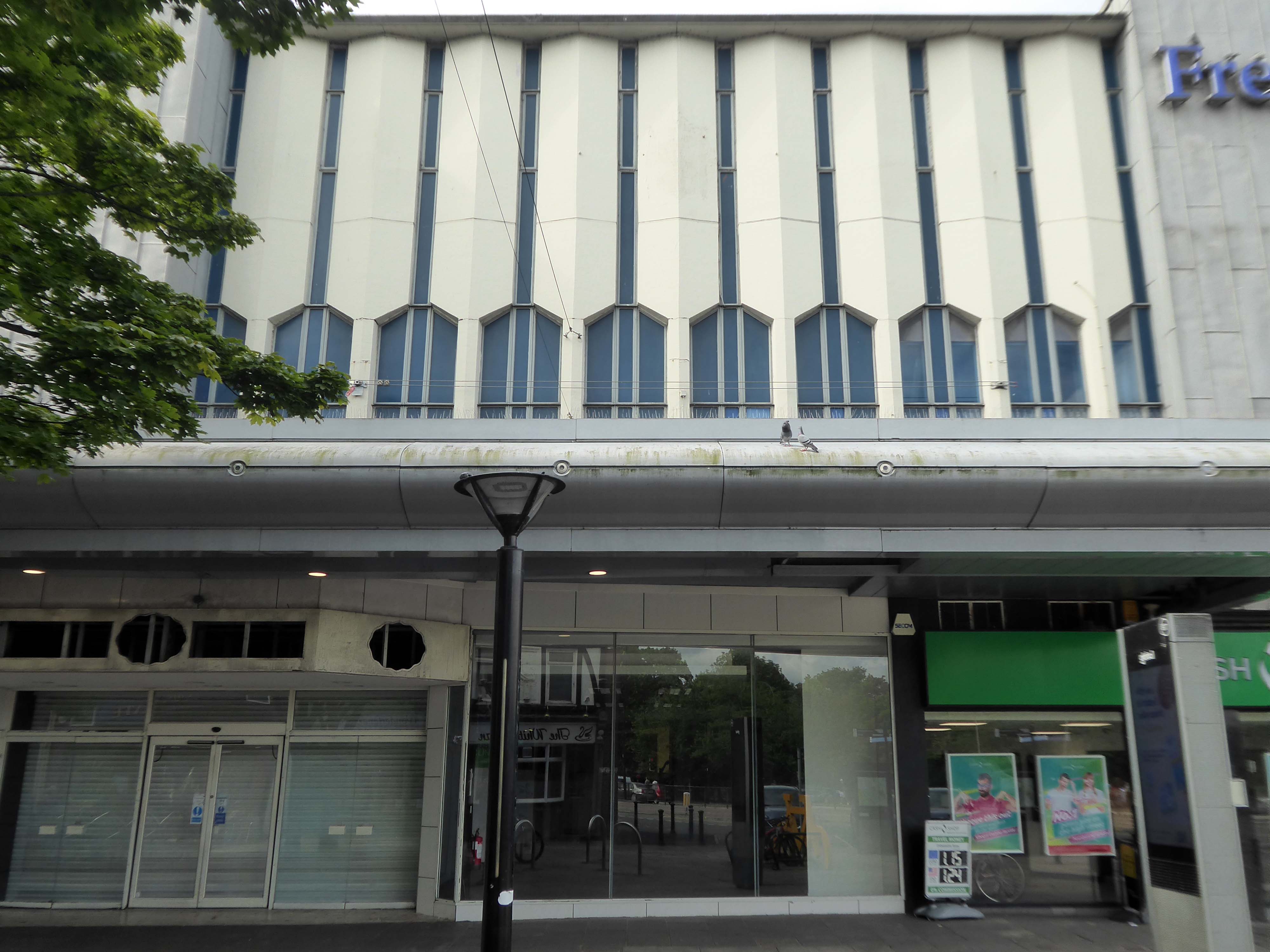
The distinctive white tiles of 2020 having become a living wall.

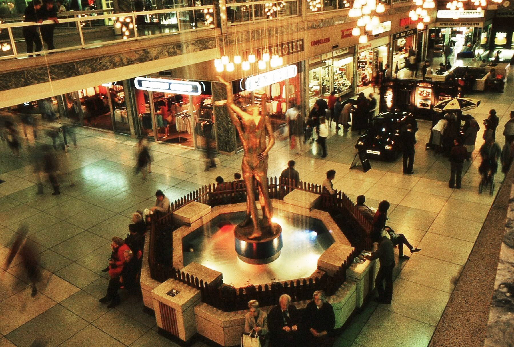
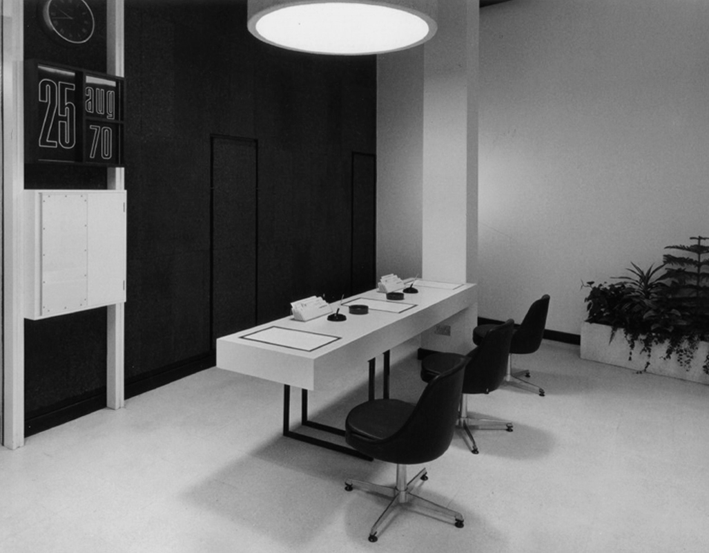
Long gone – this swish interior with its alarmingly charming calendar.
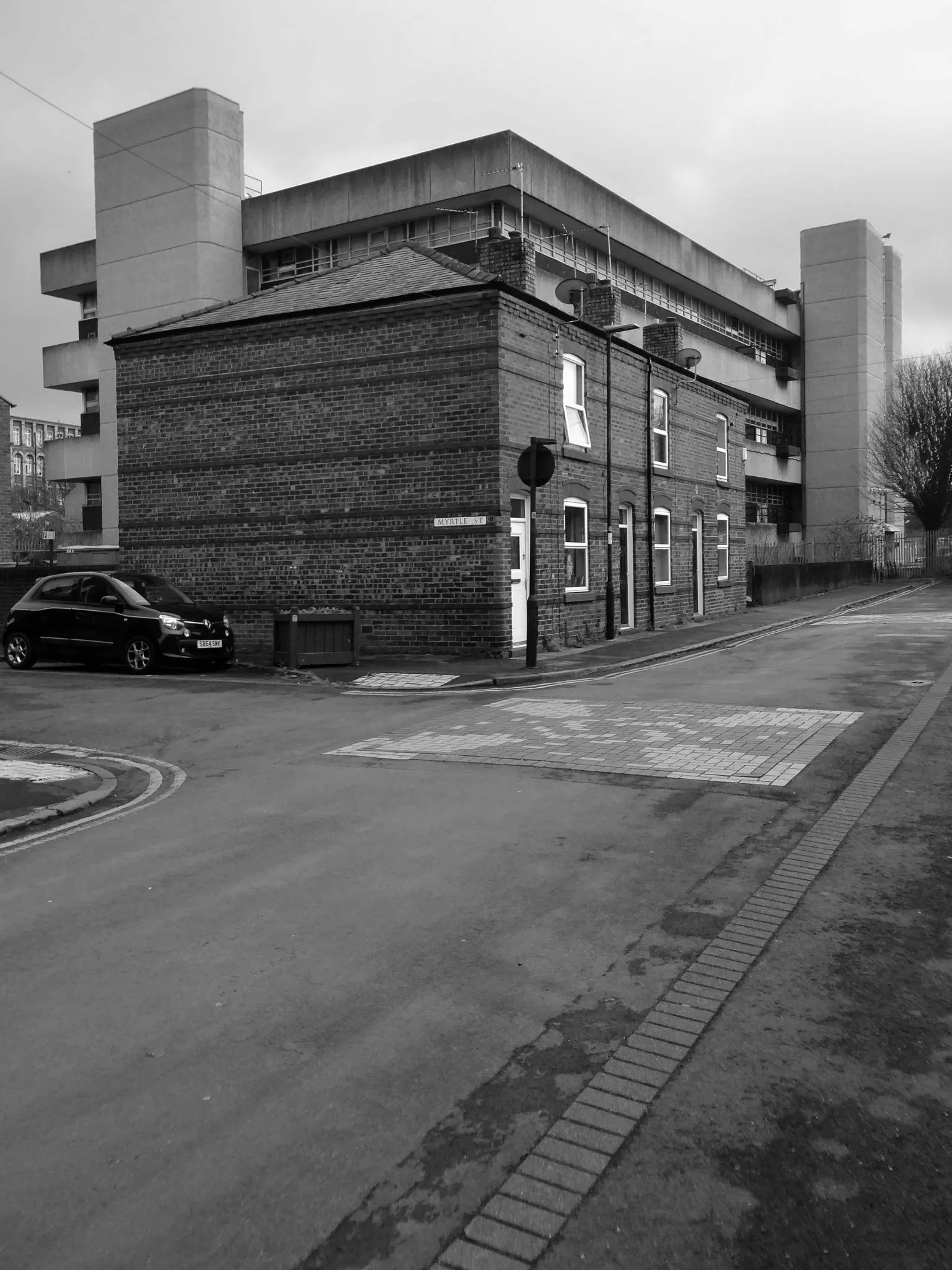
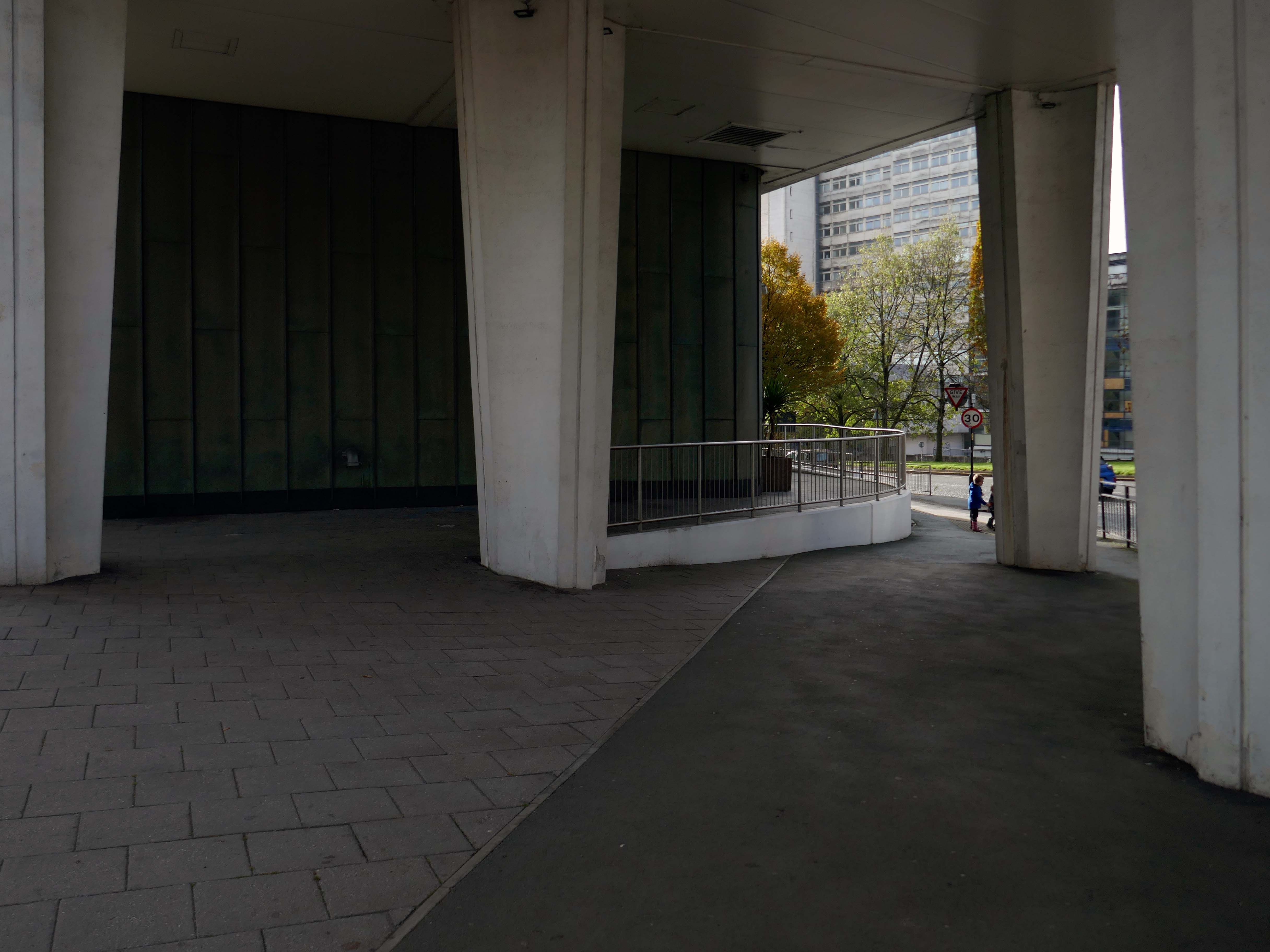
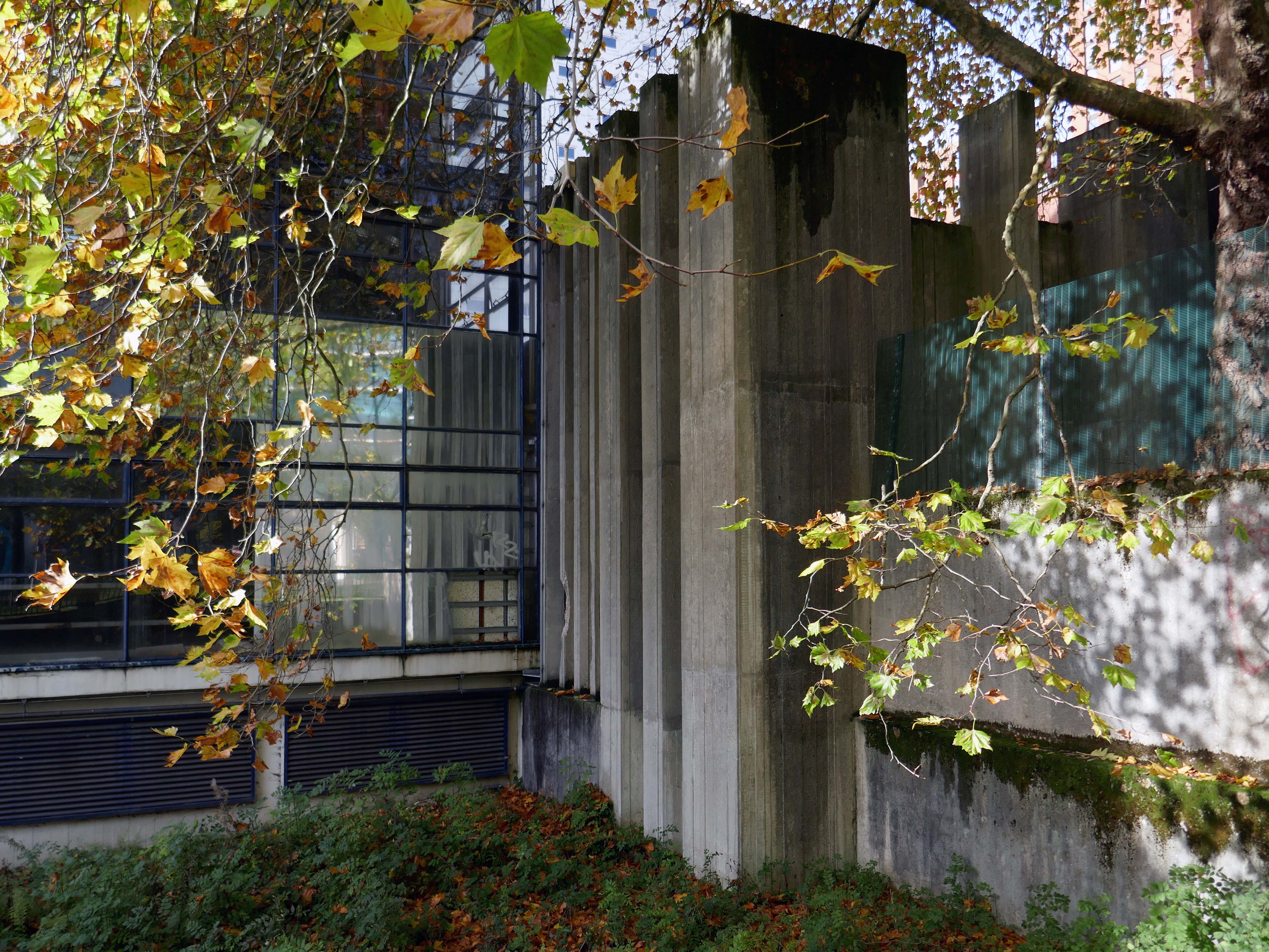
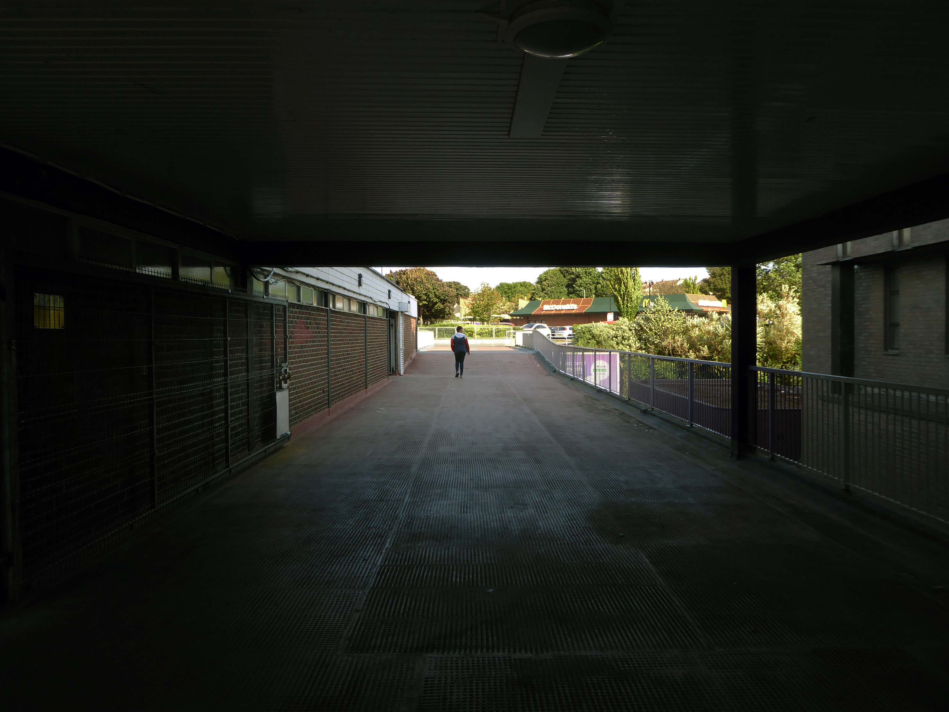
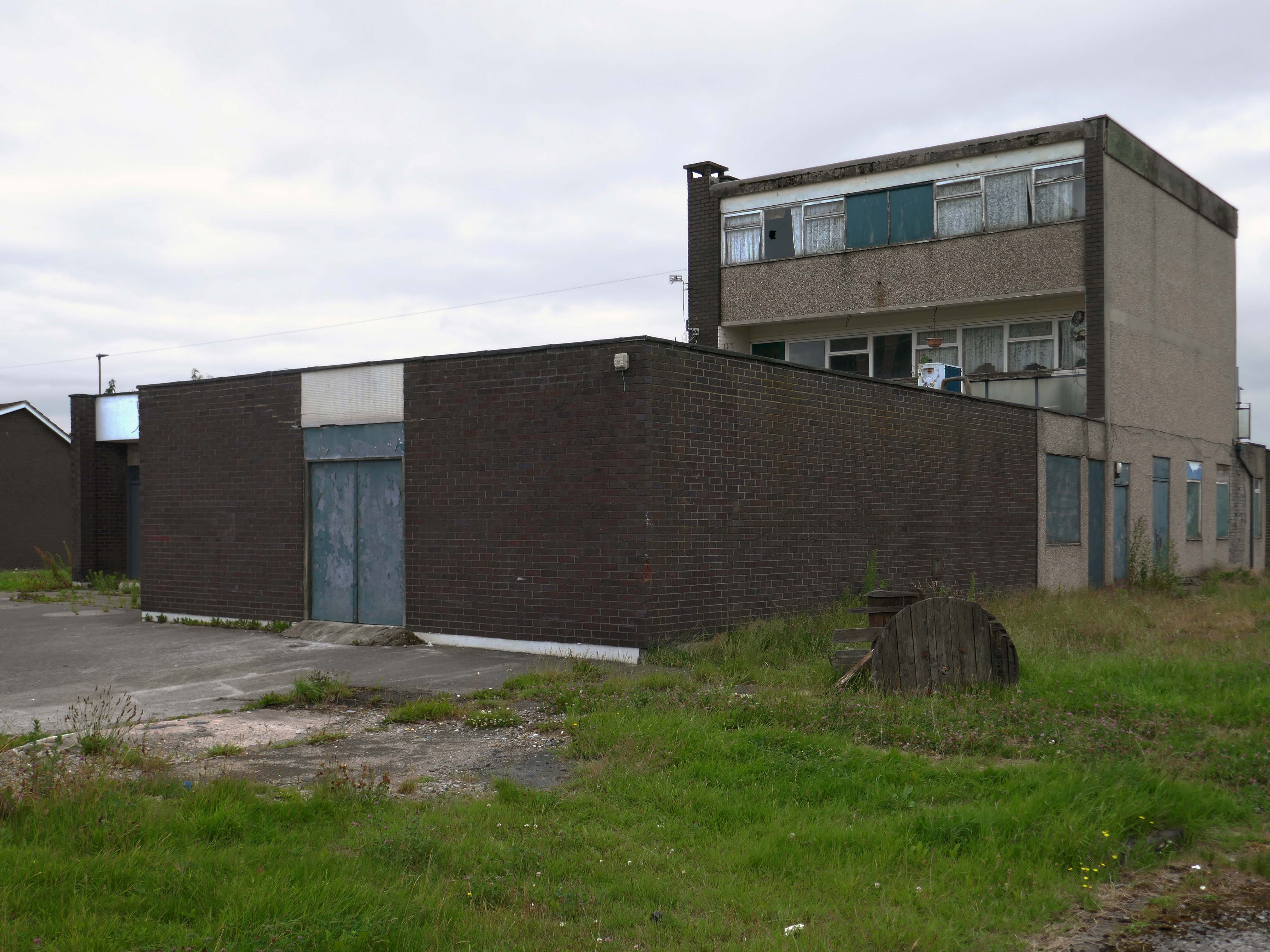
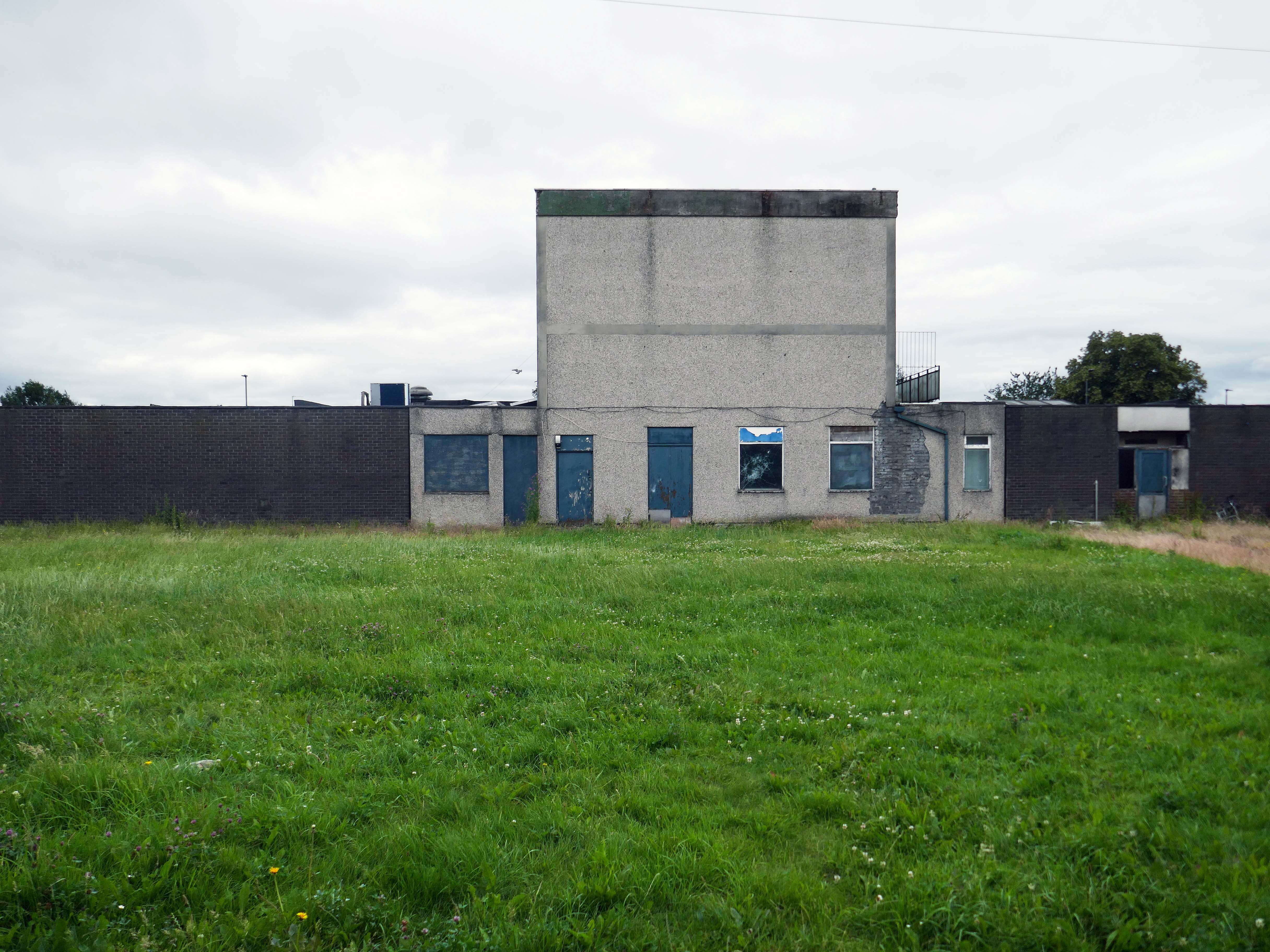
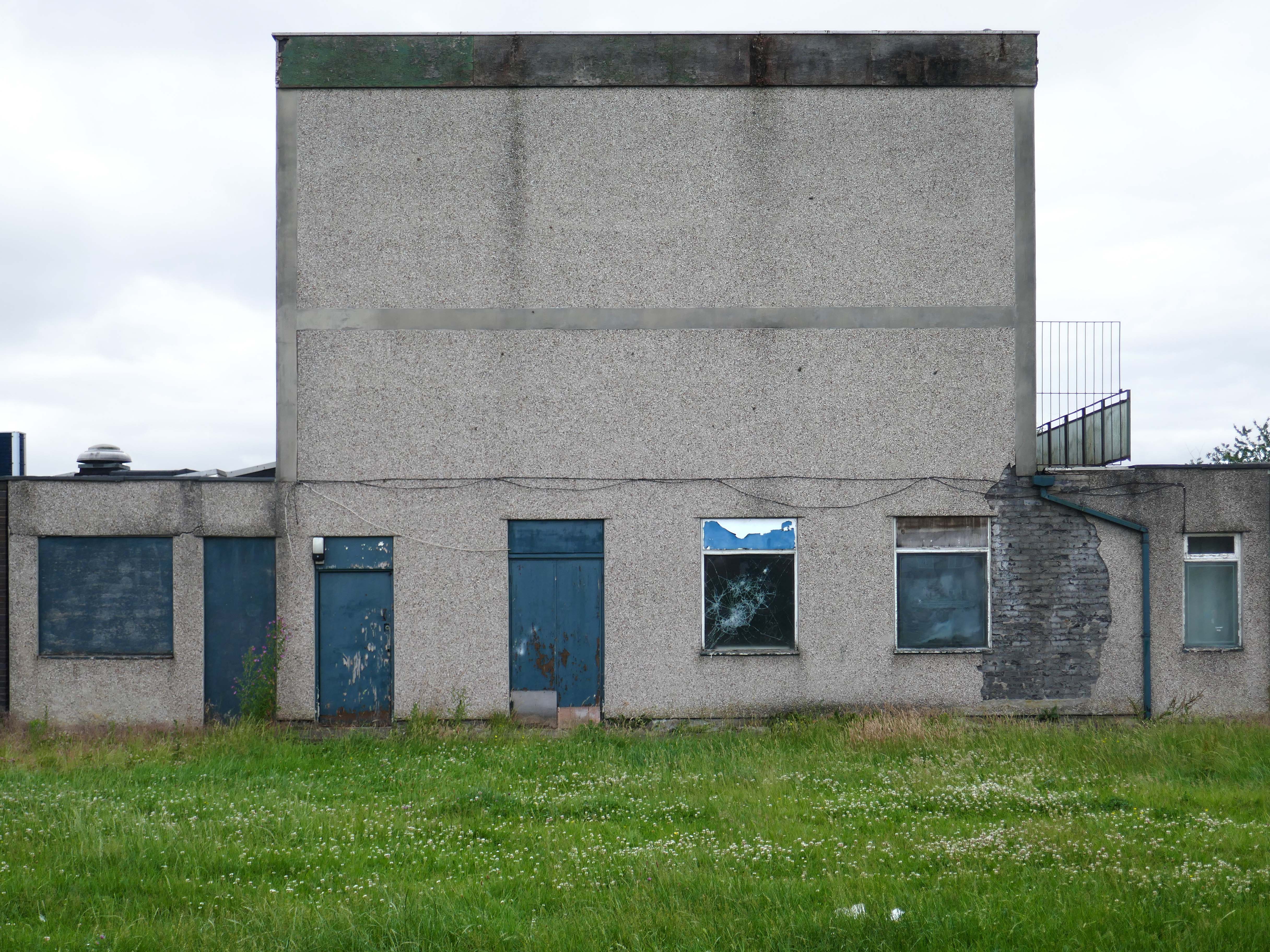
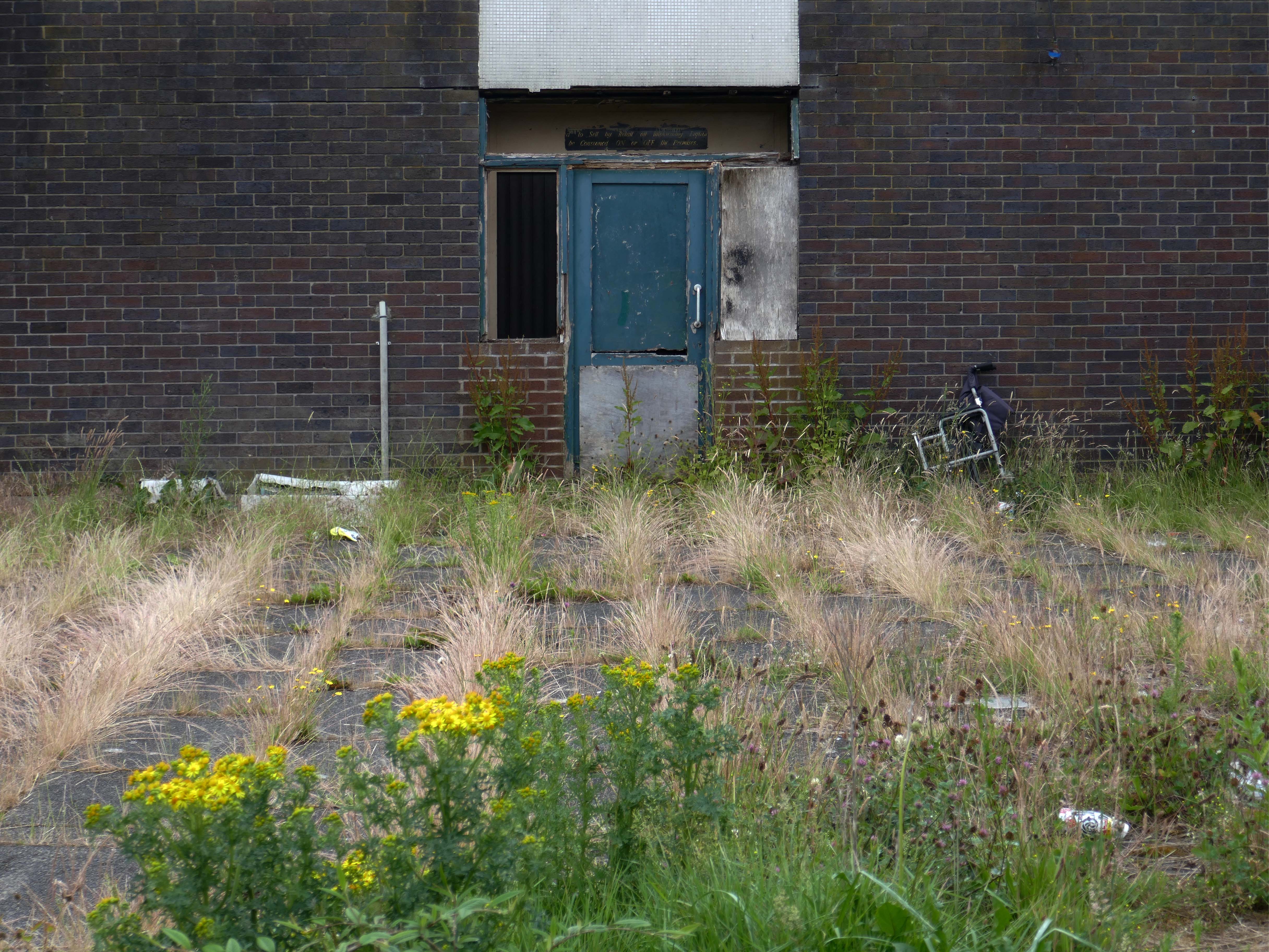
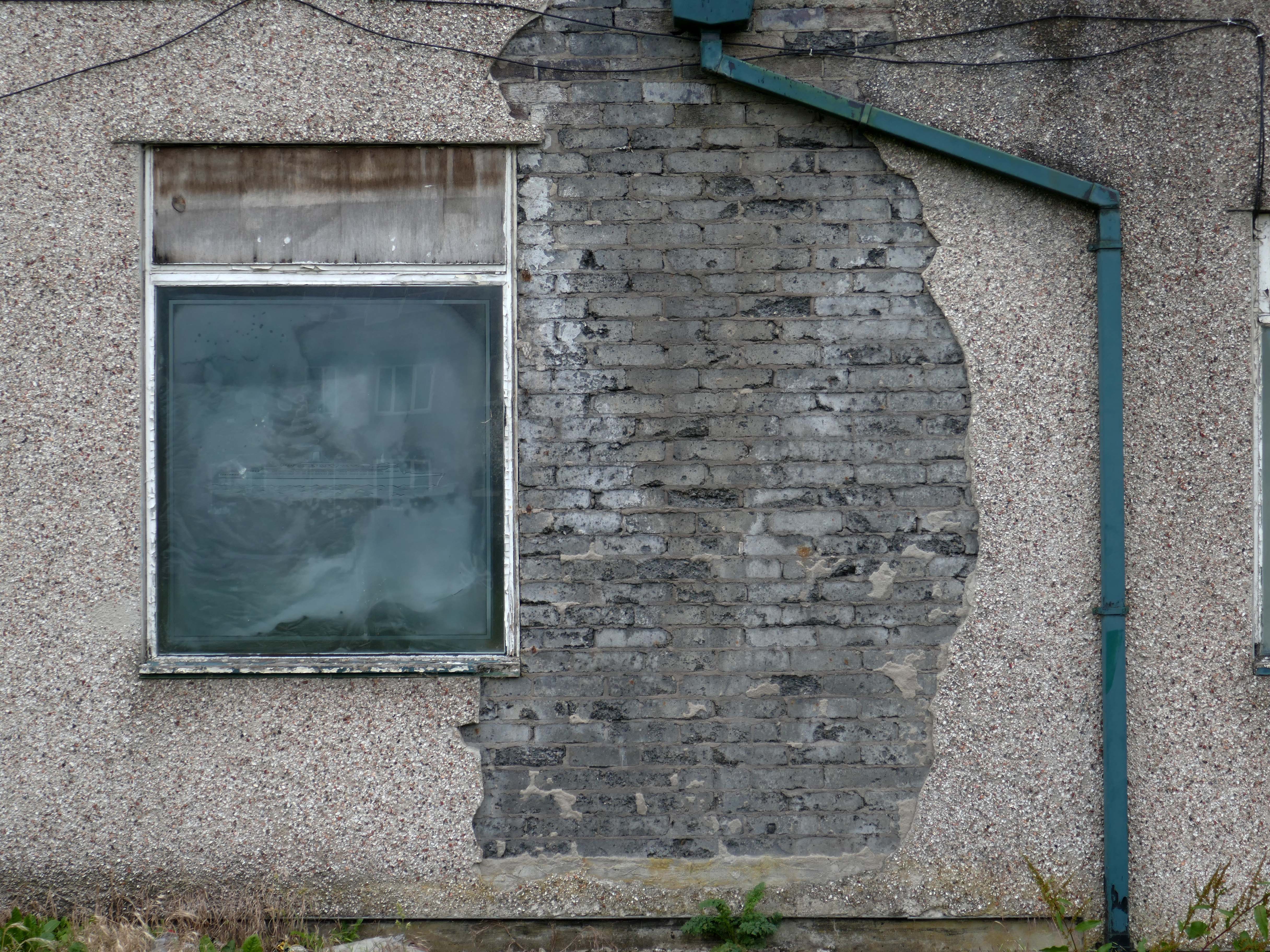
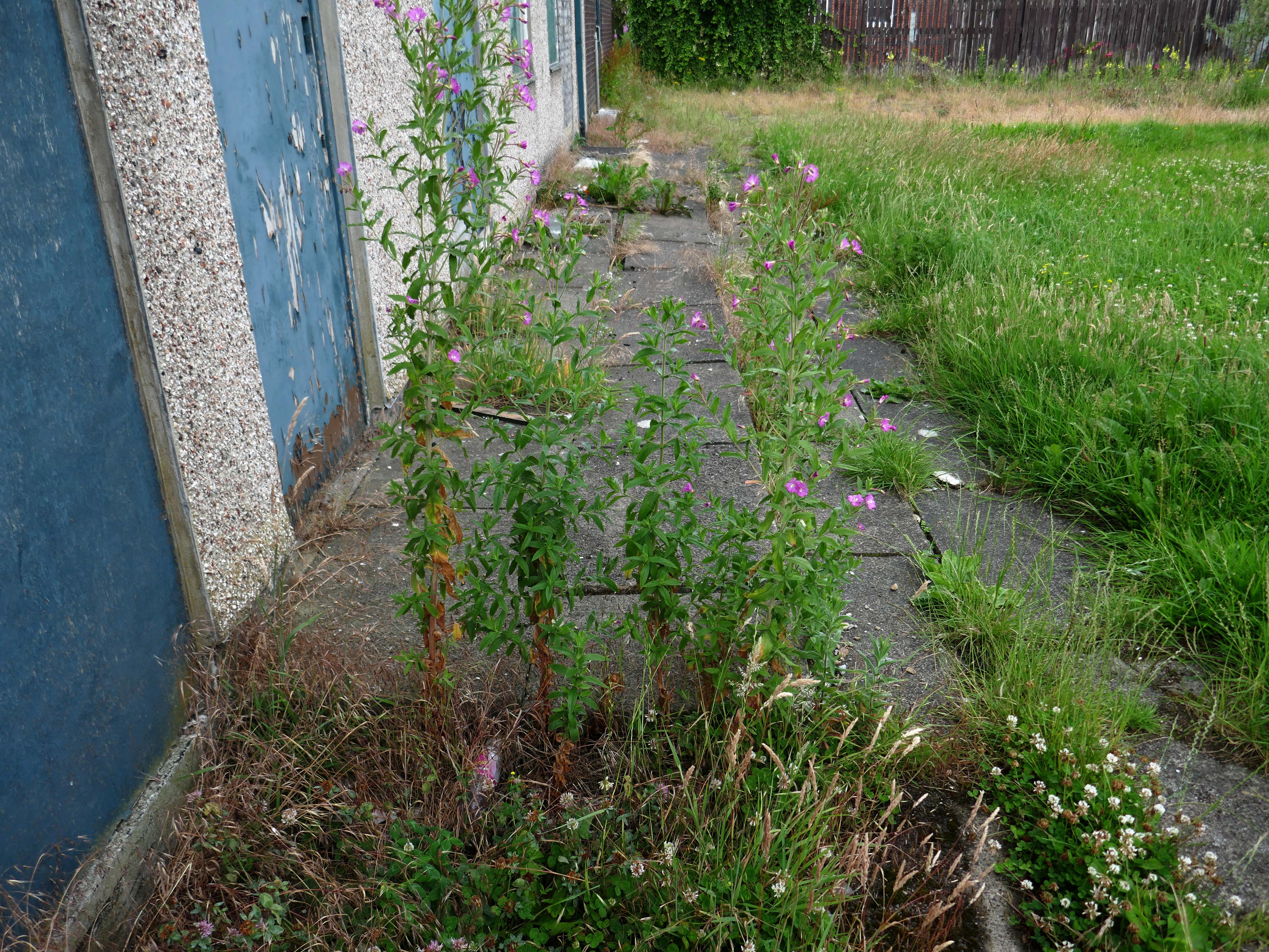
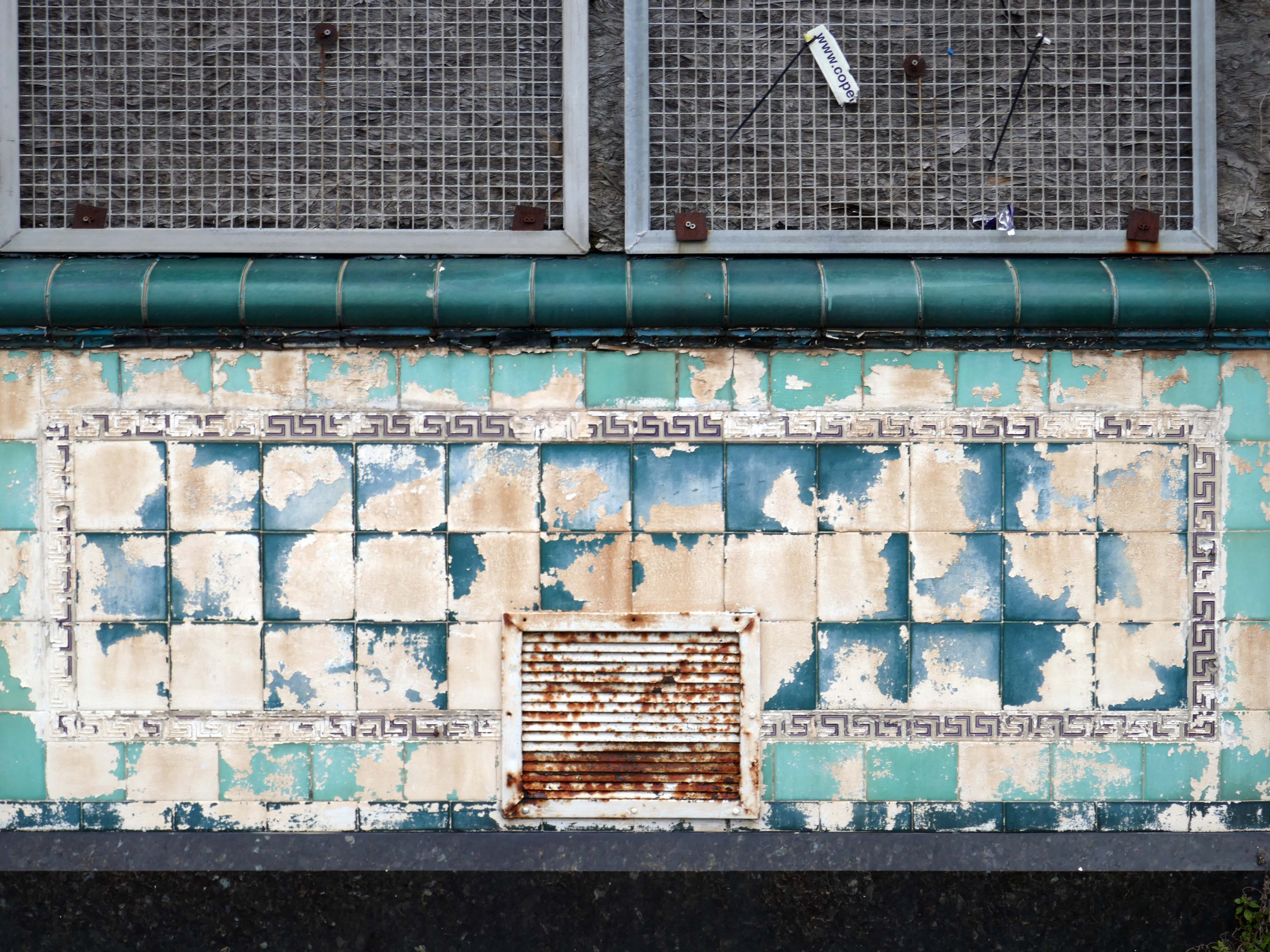
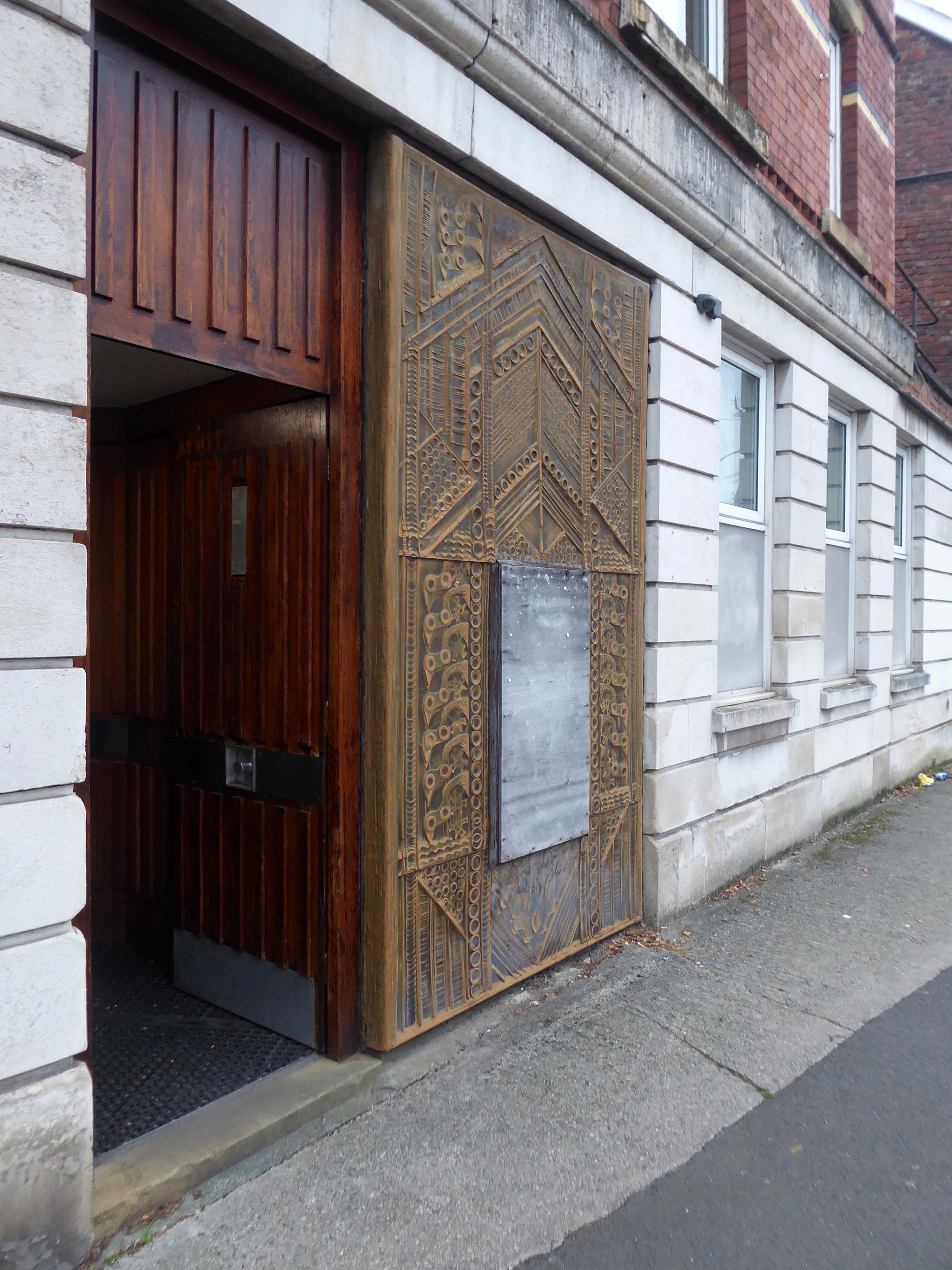
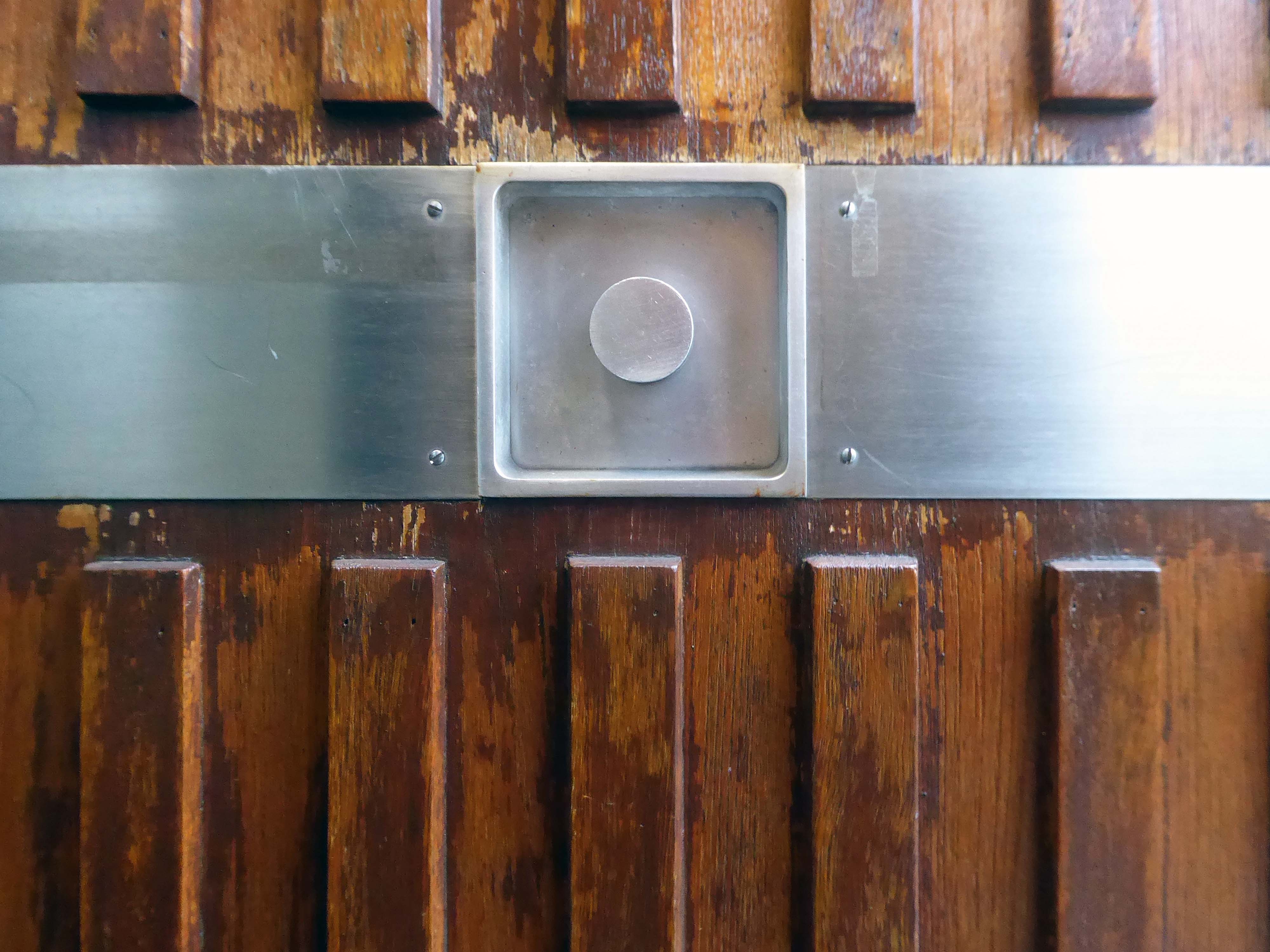
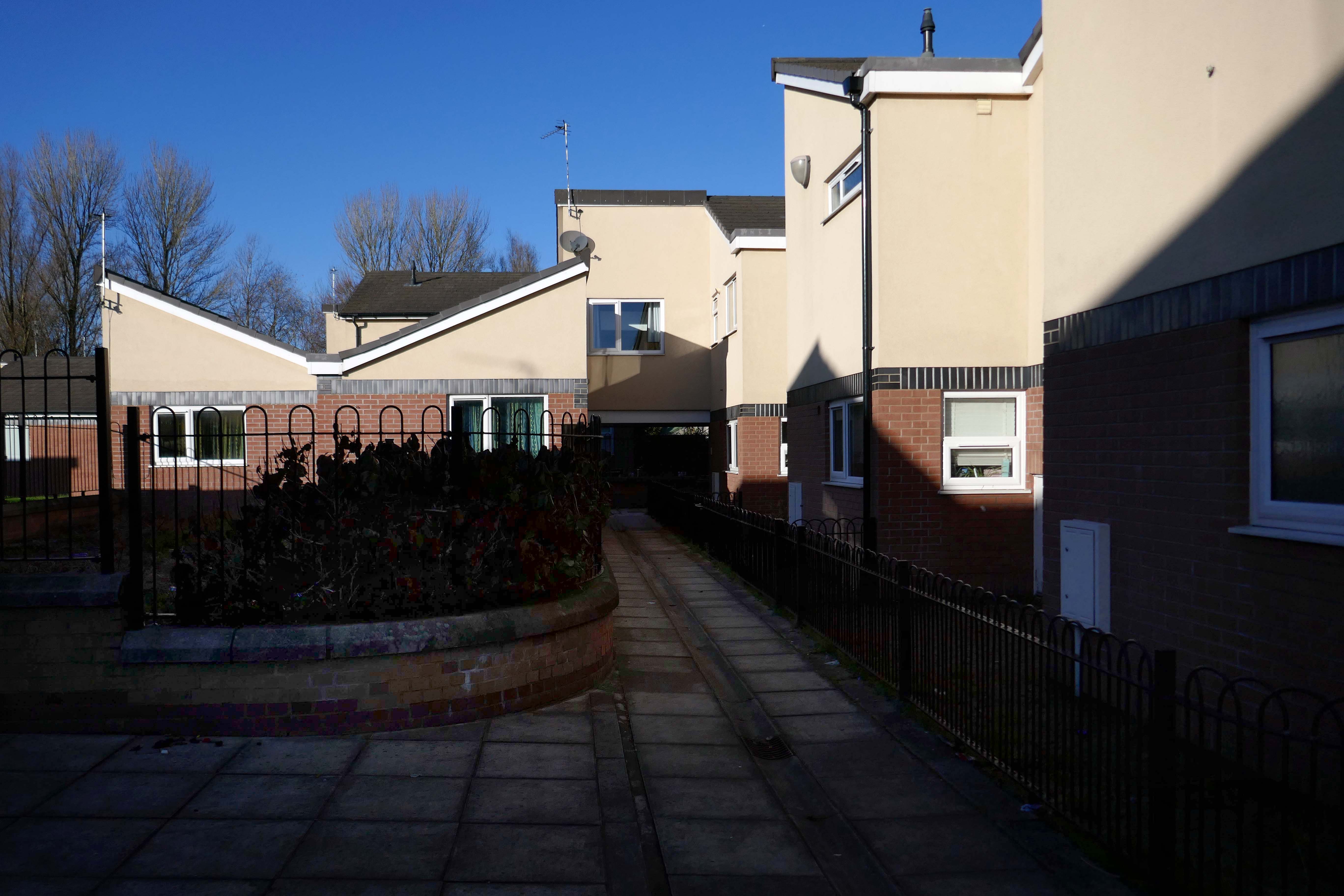
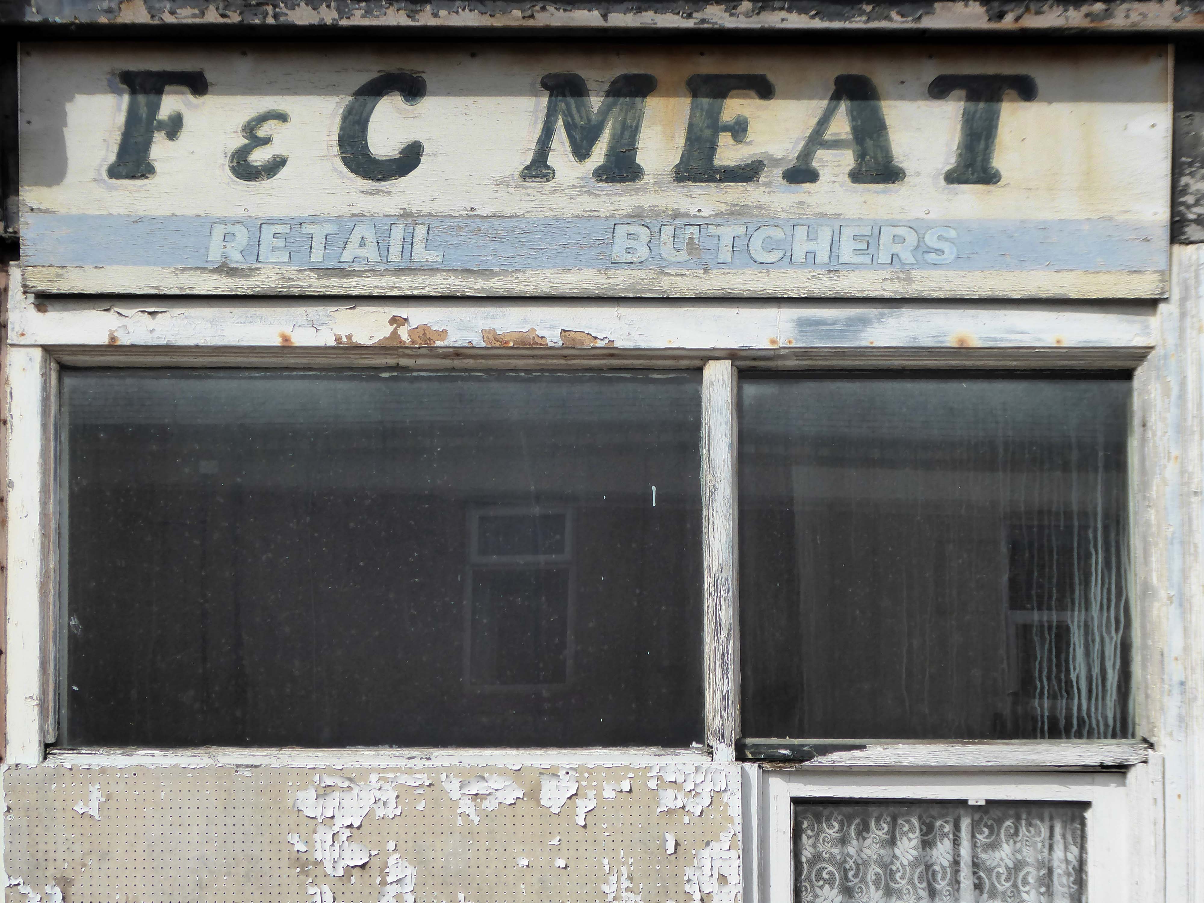
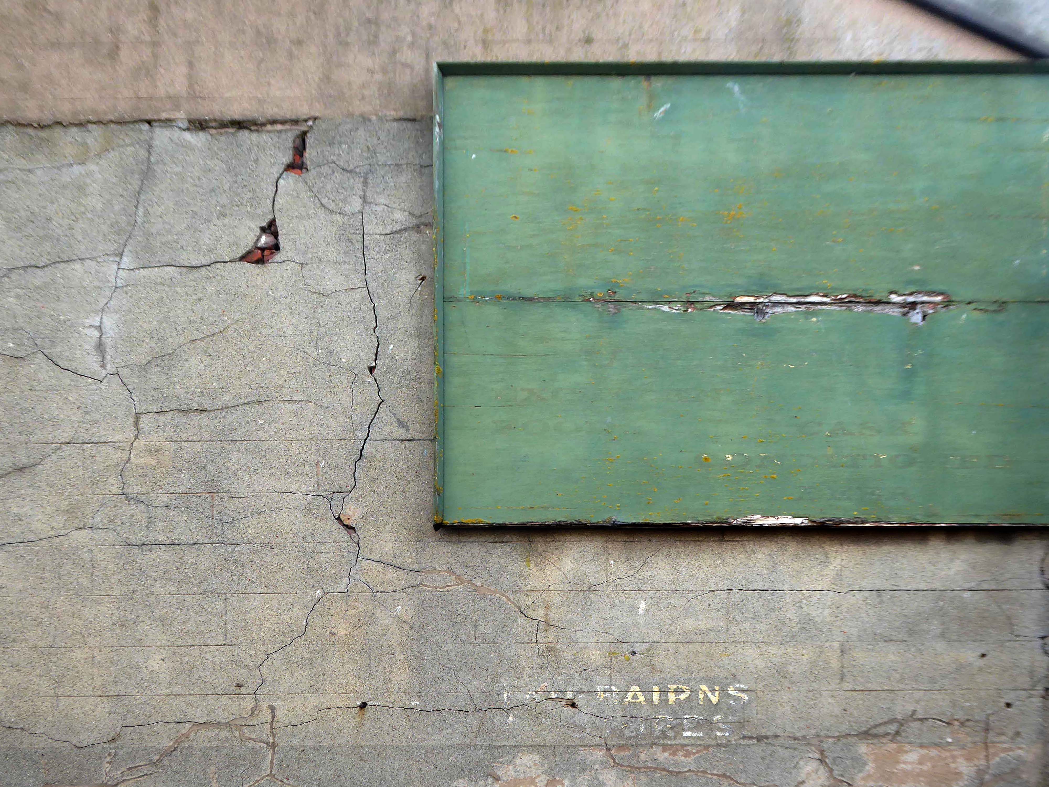
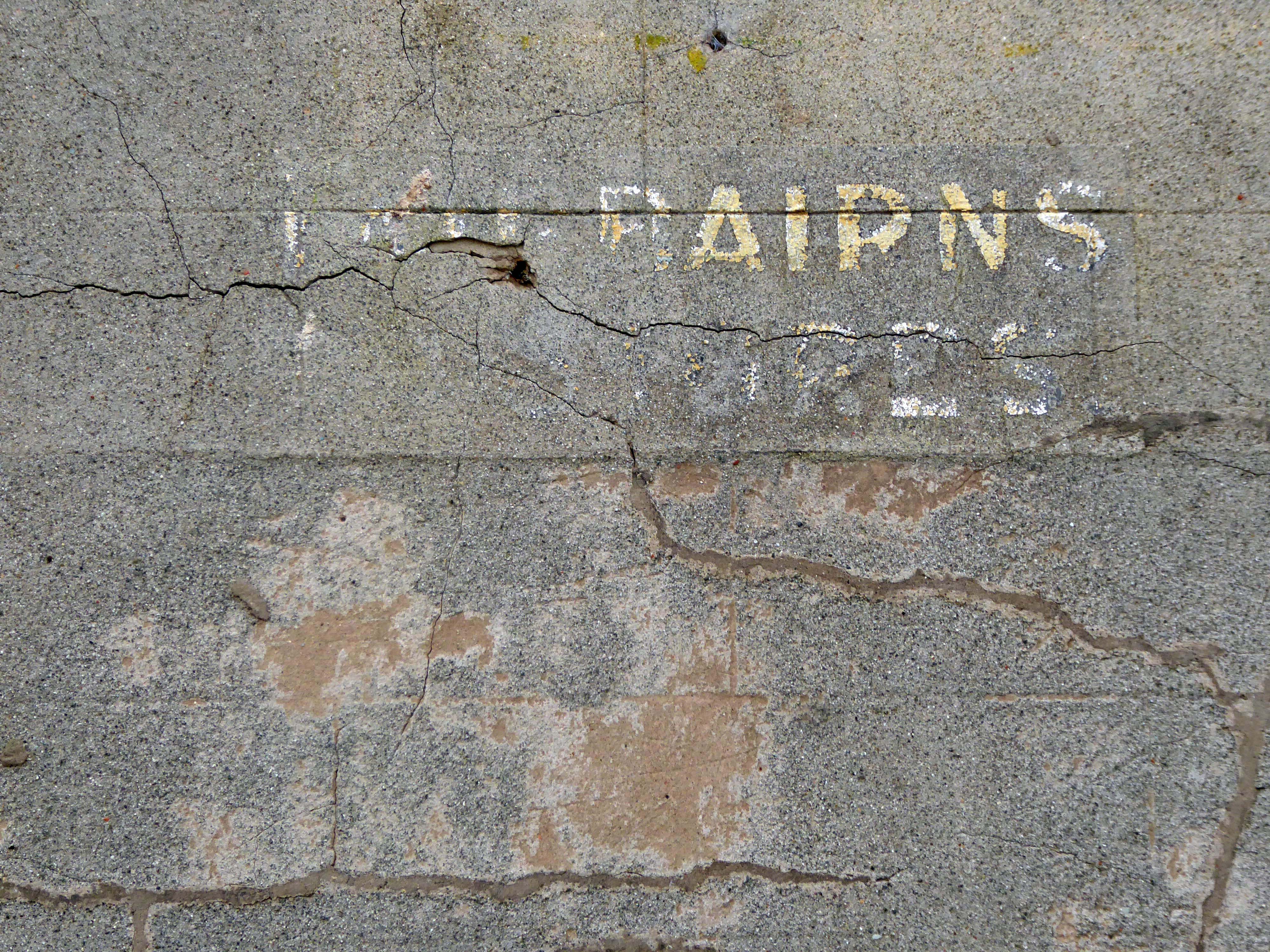
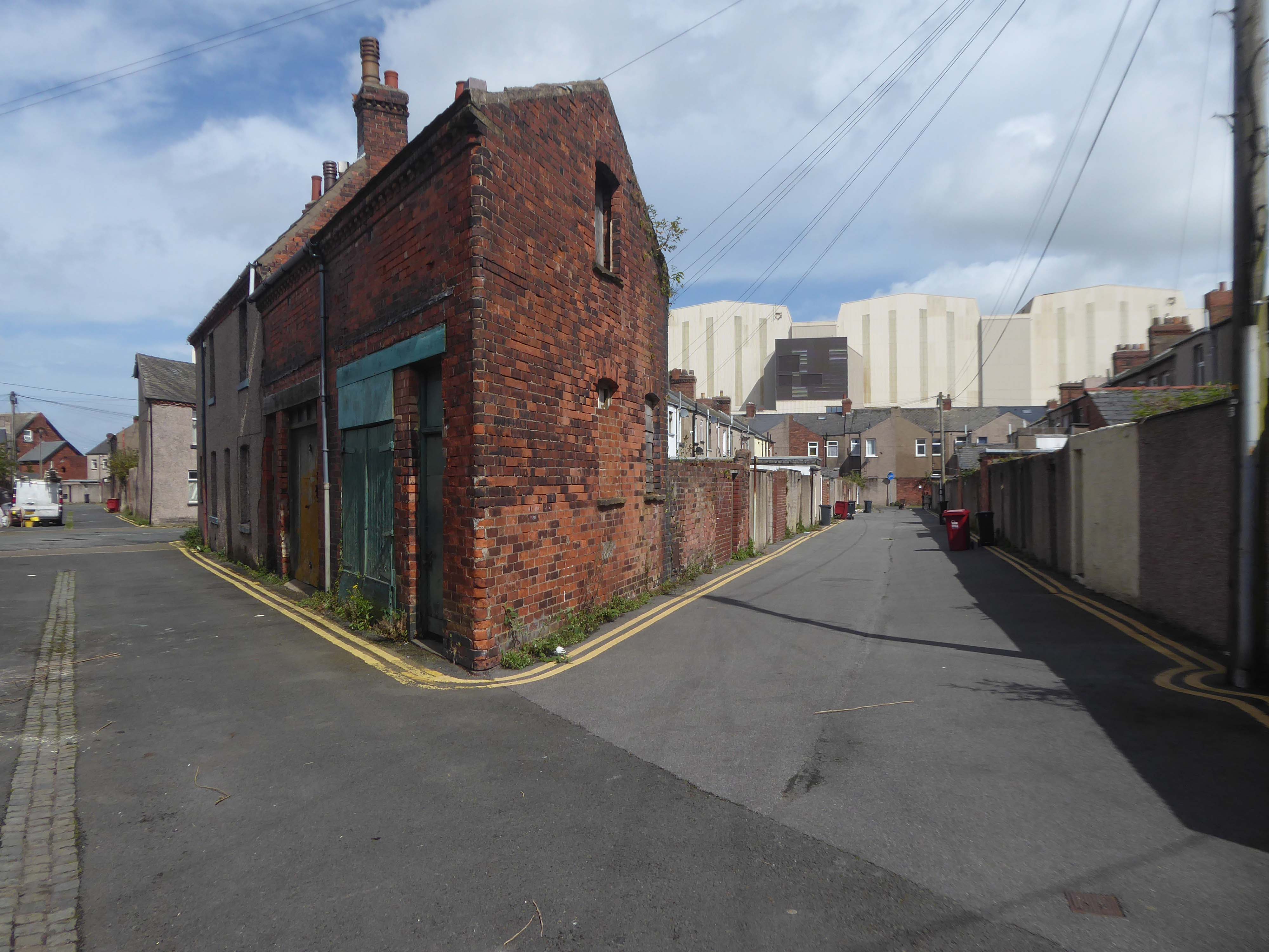
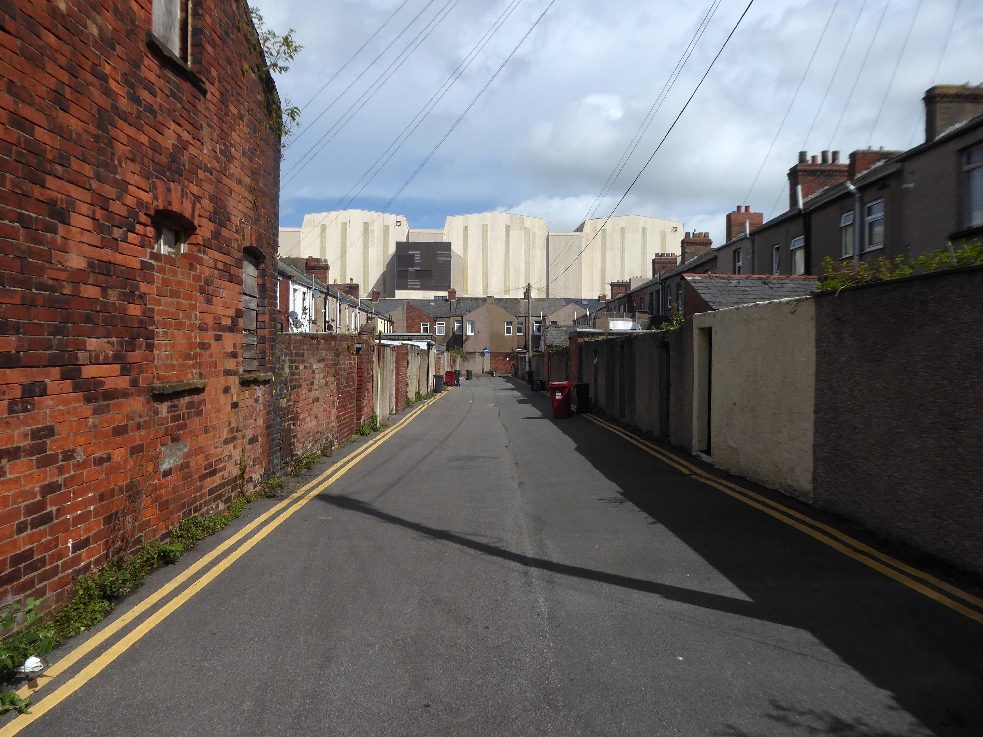
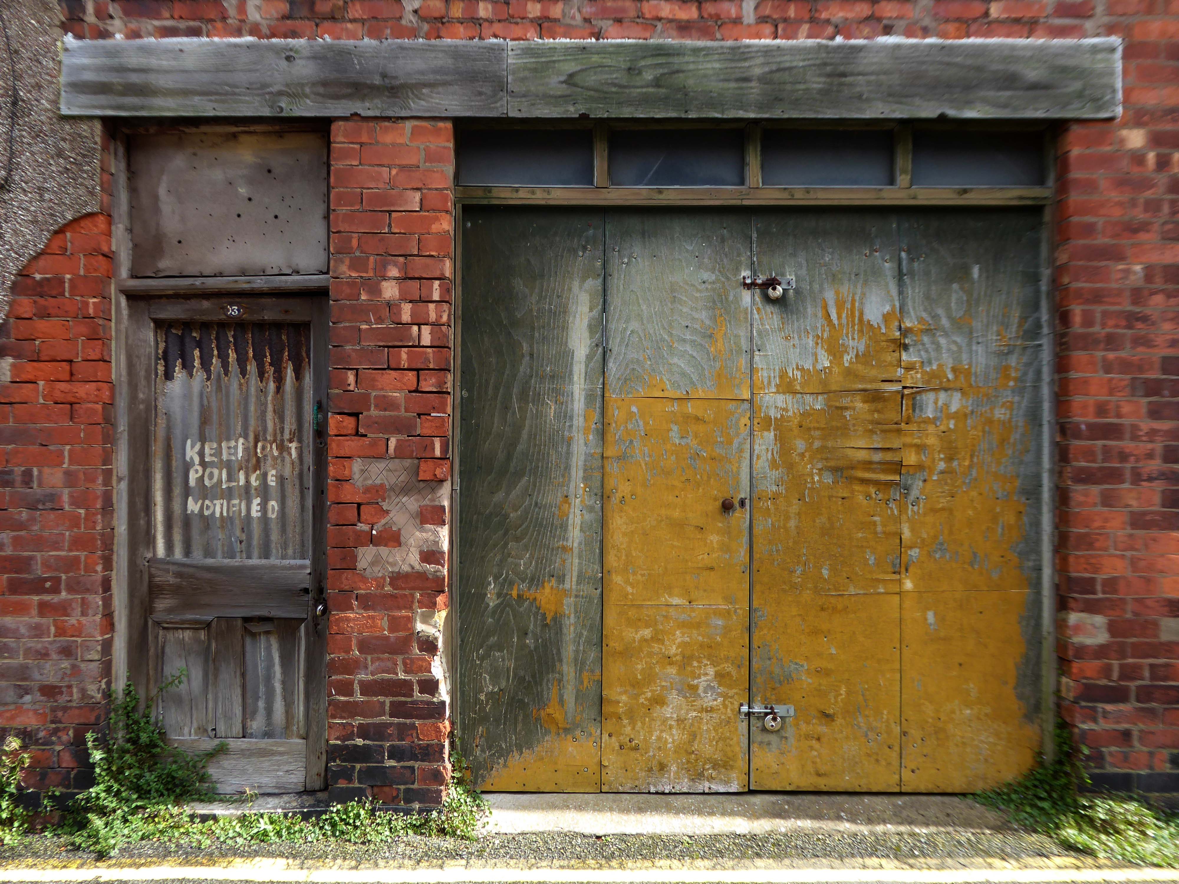
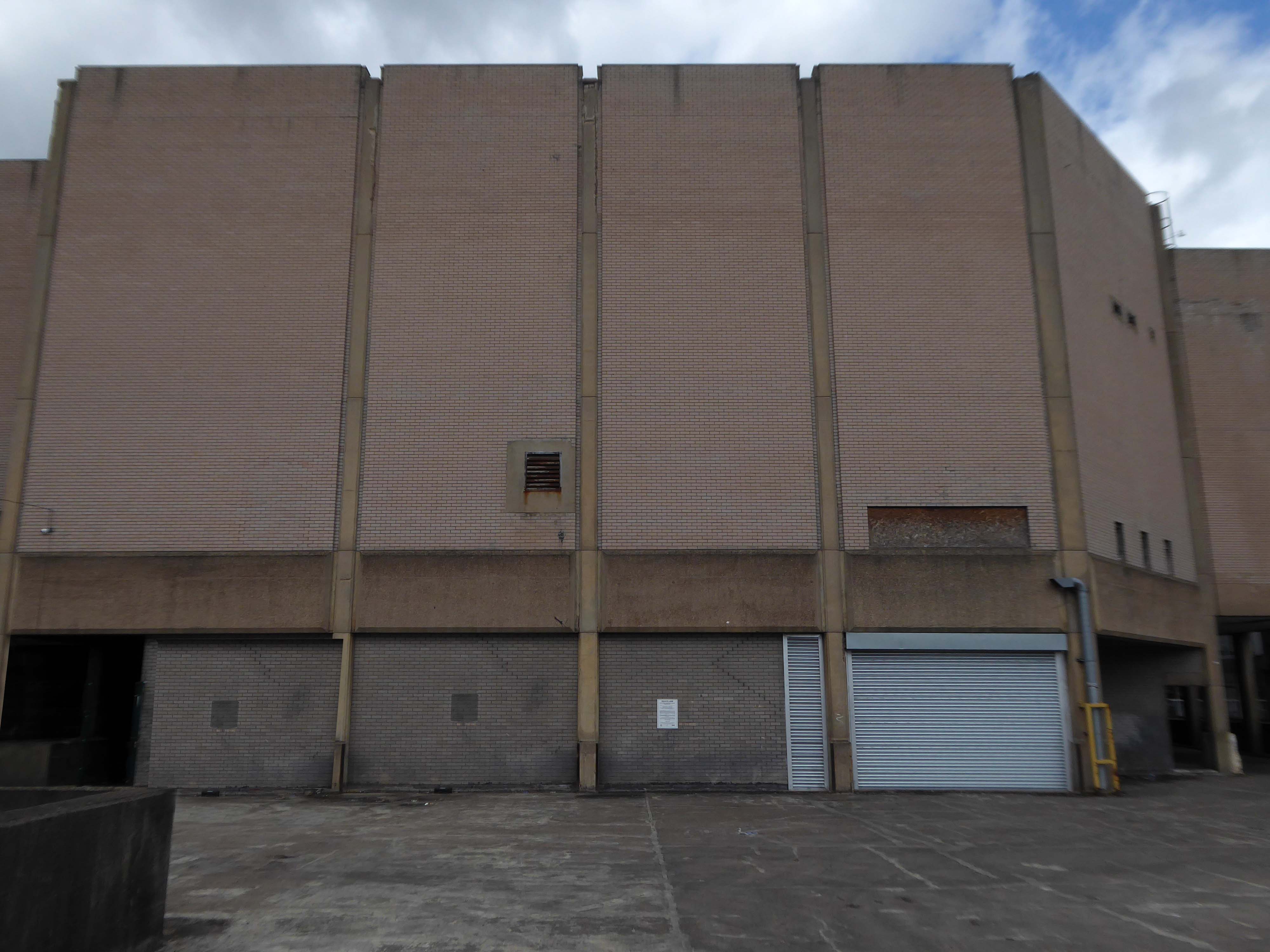
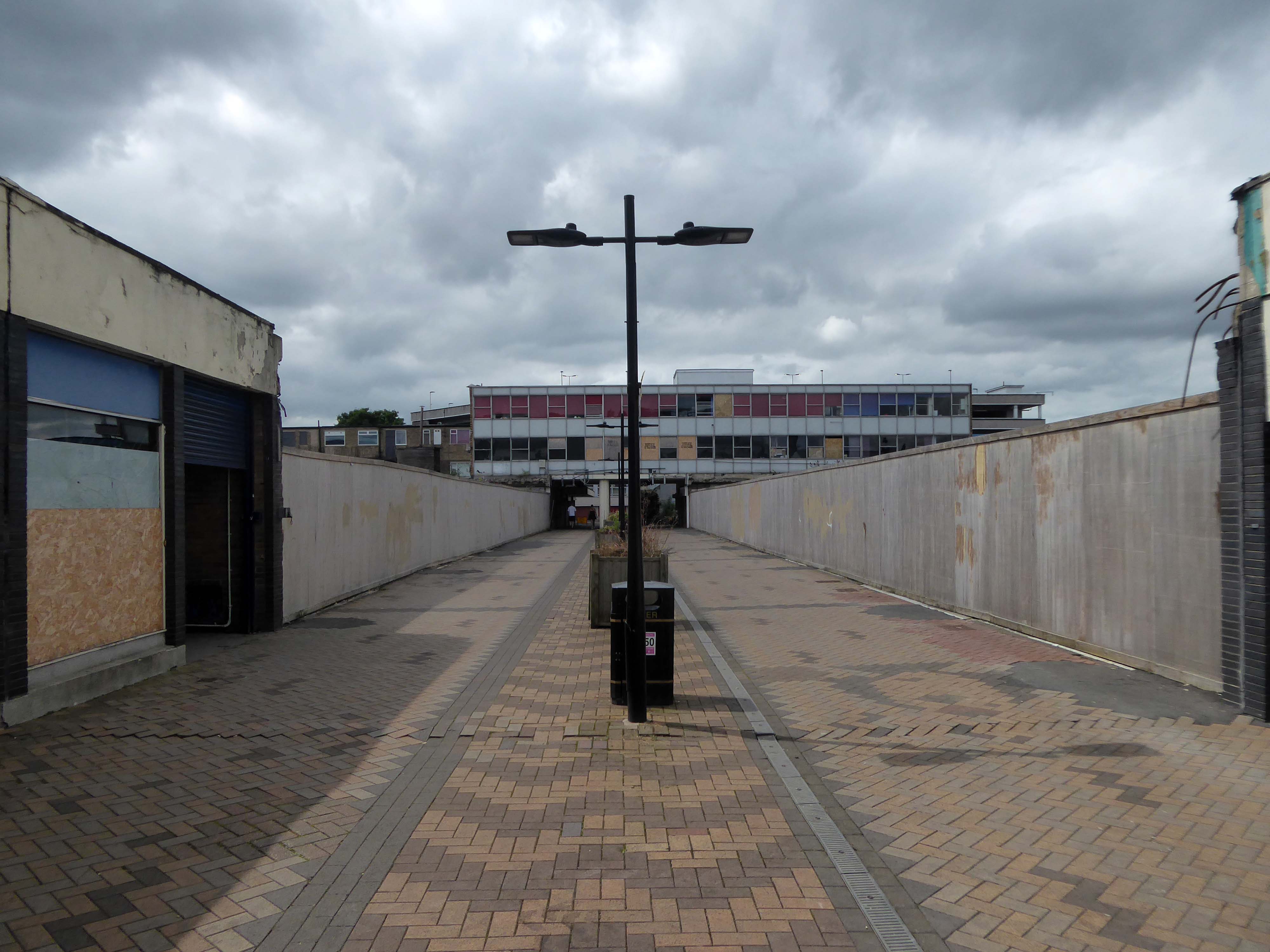
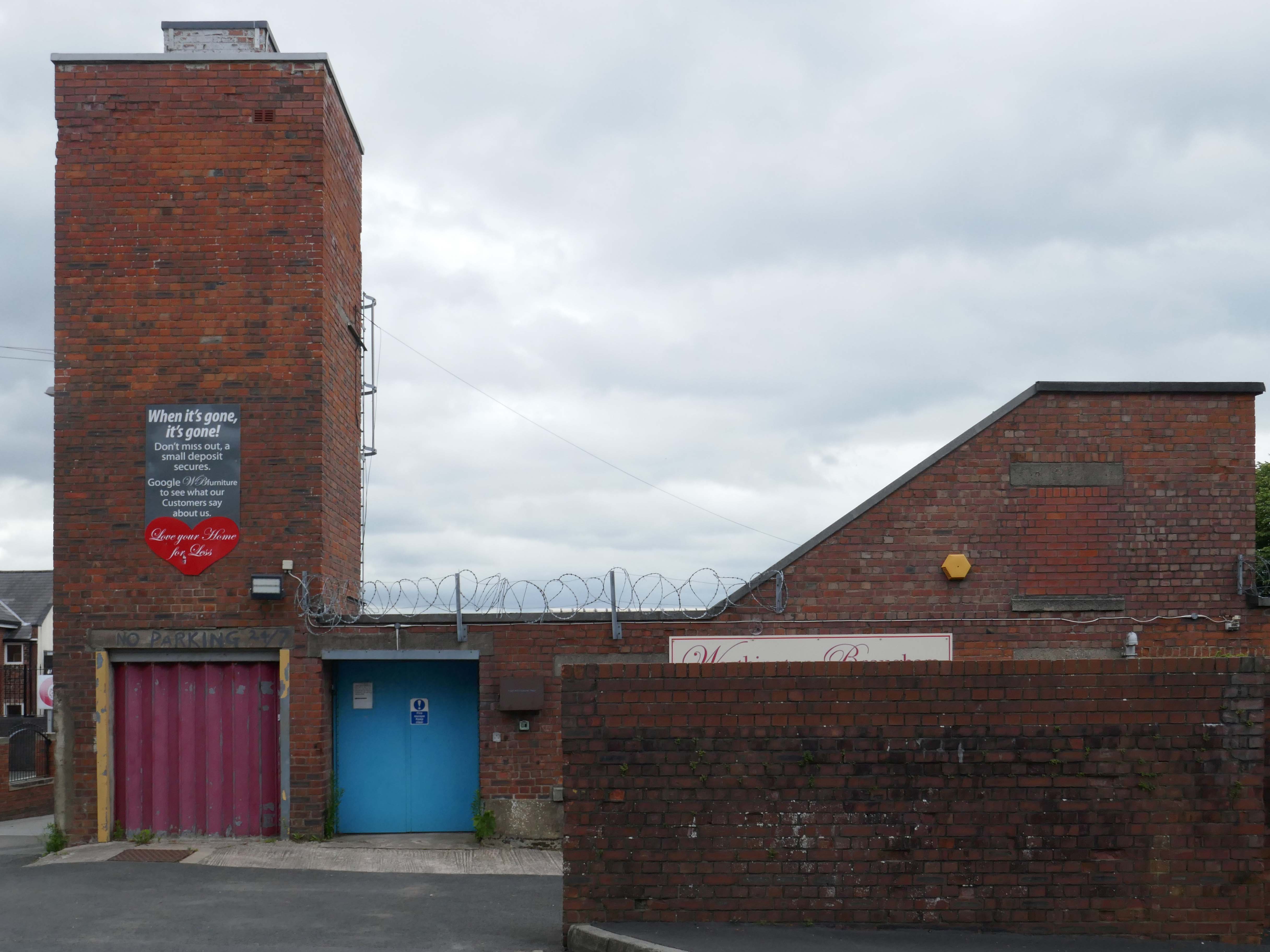
Let’s have a look around the back.
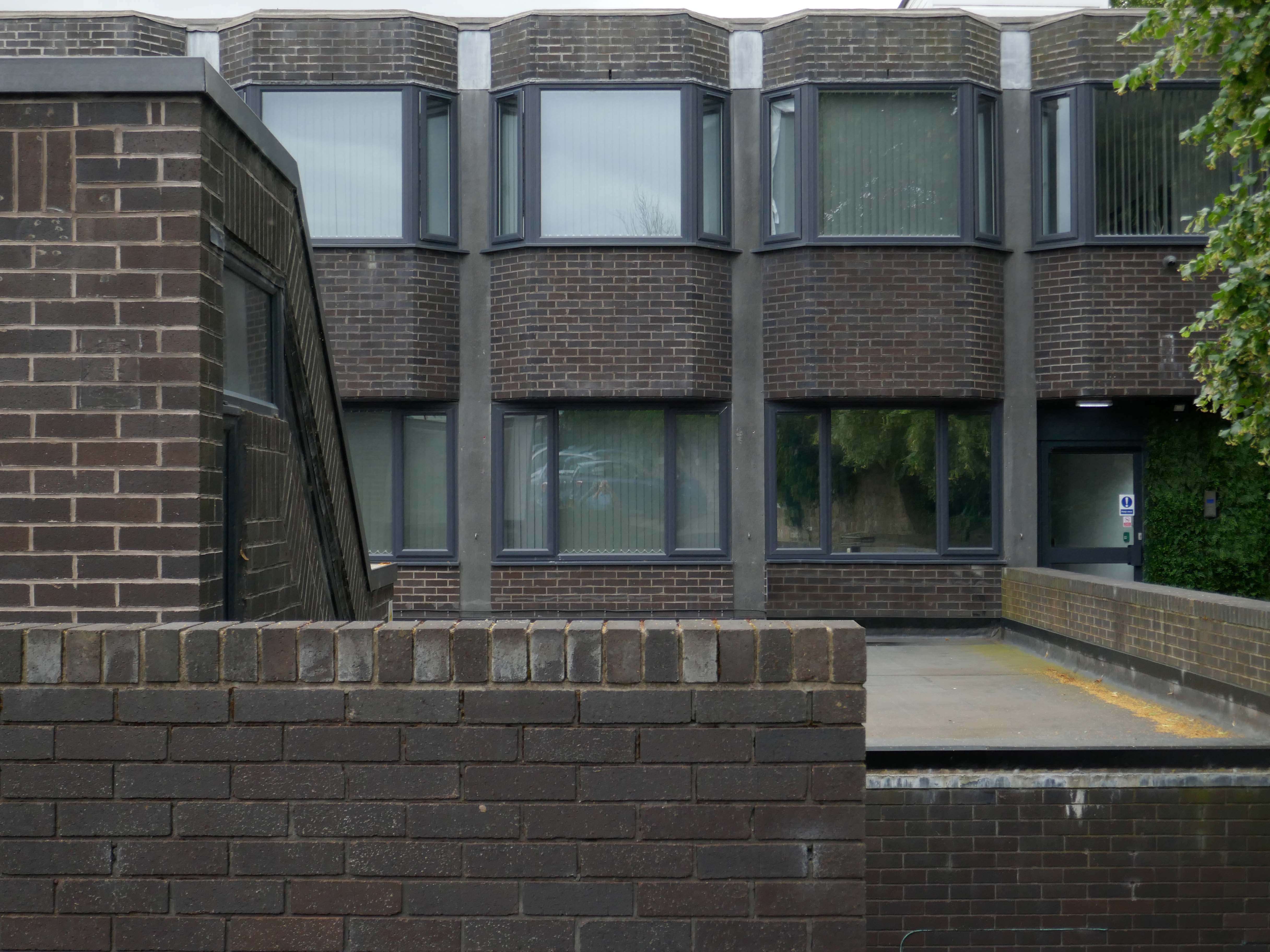
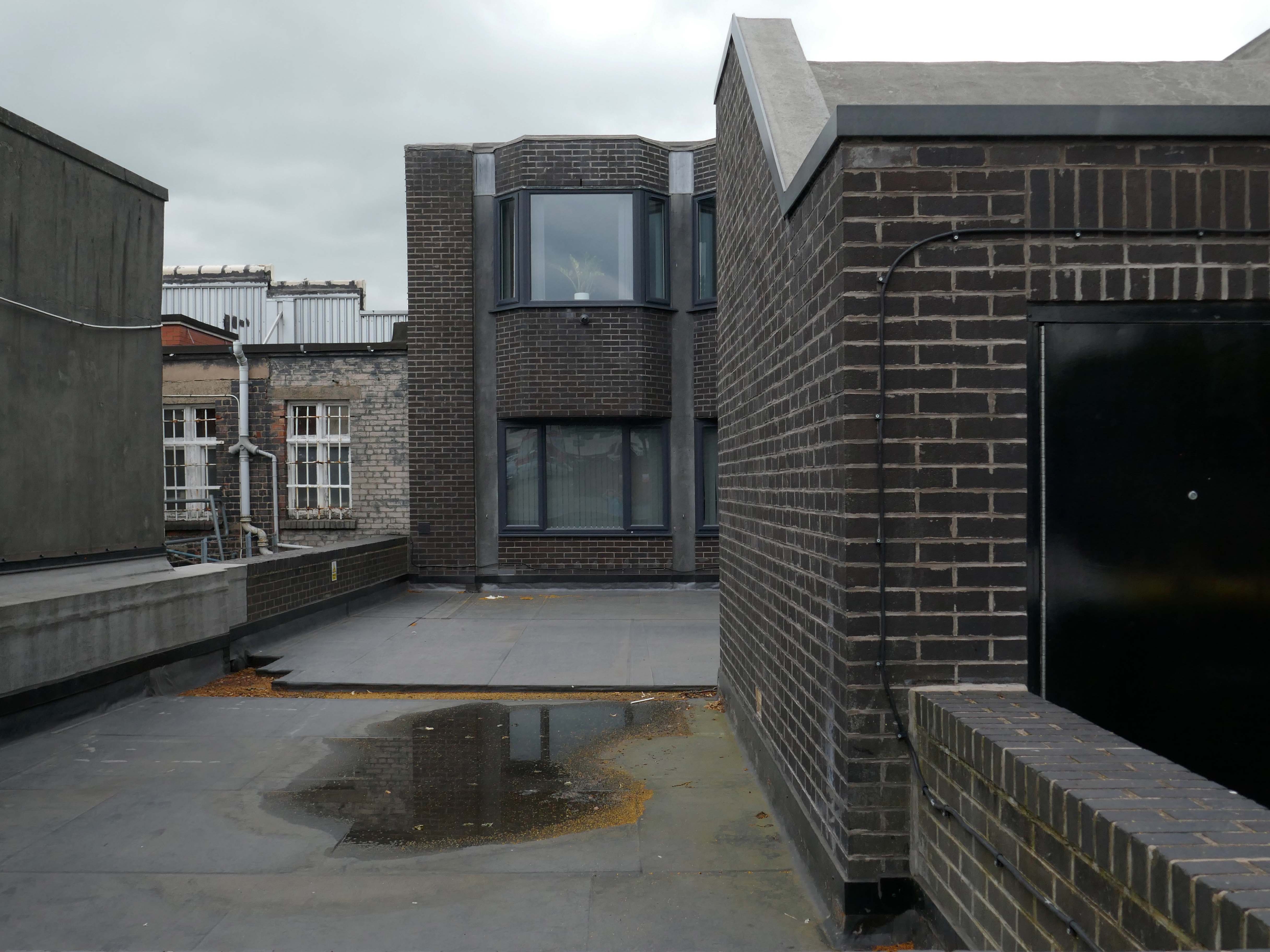
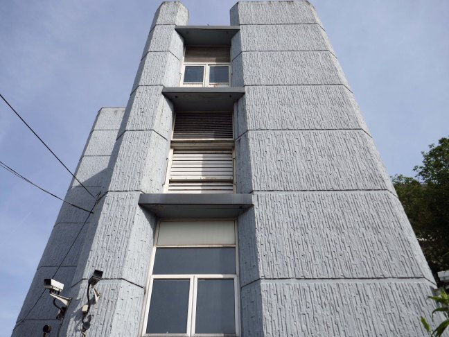
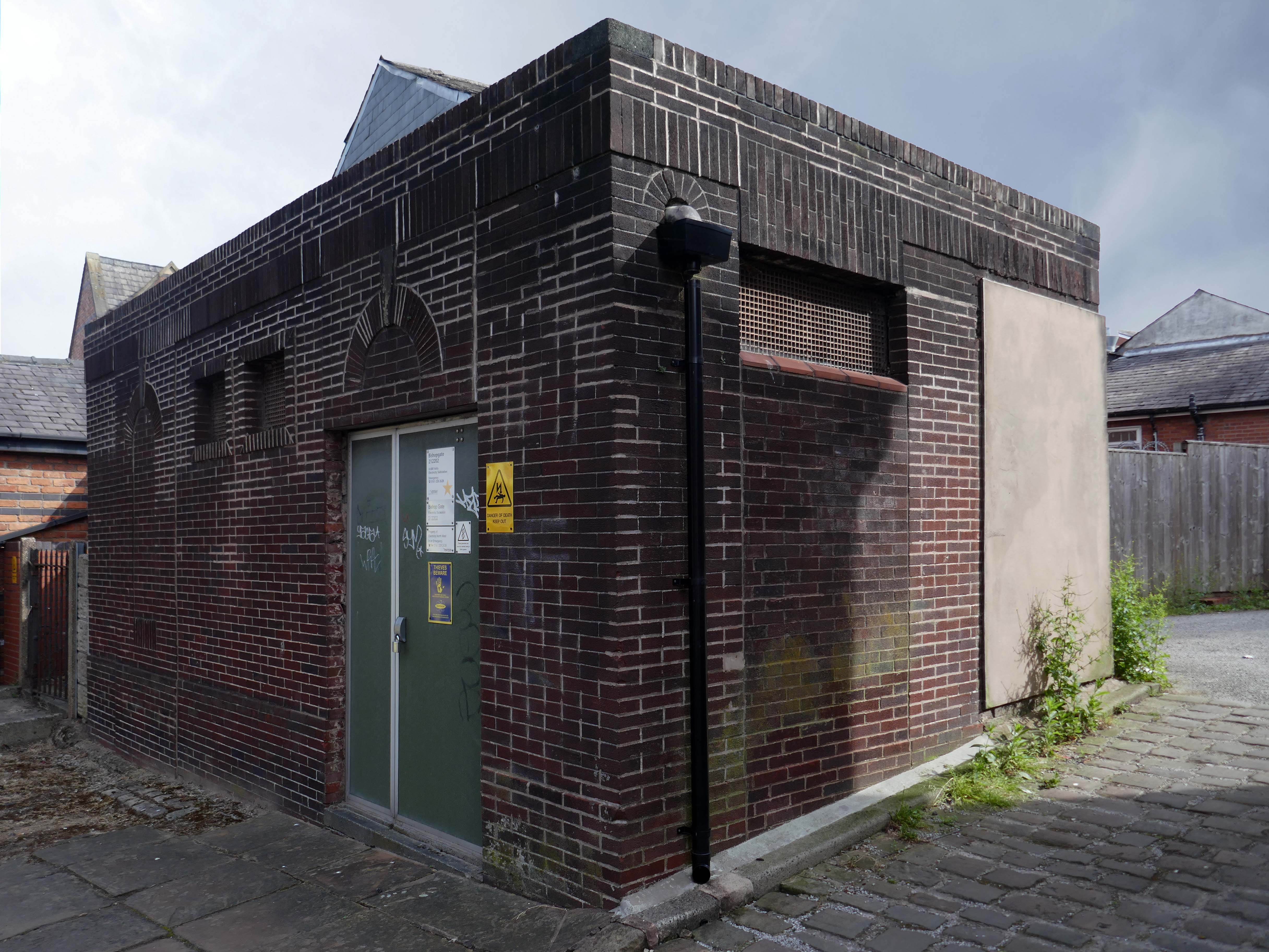
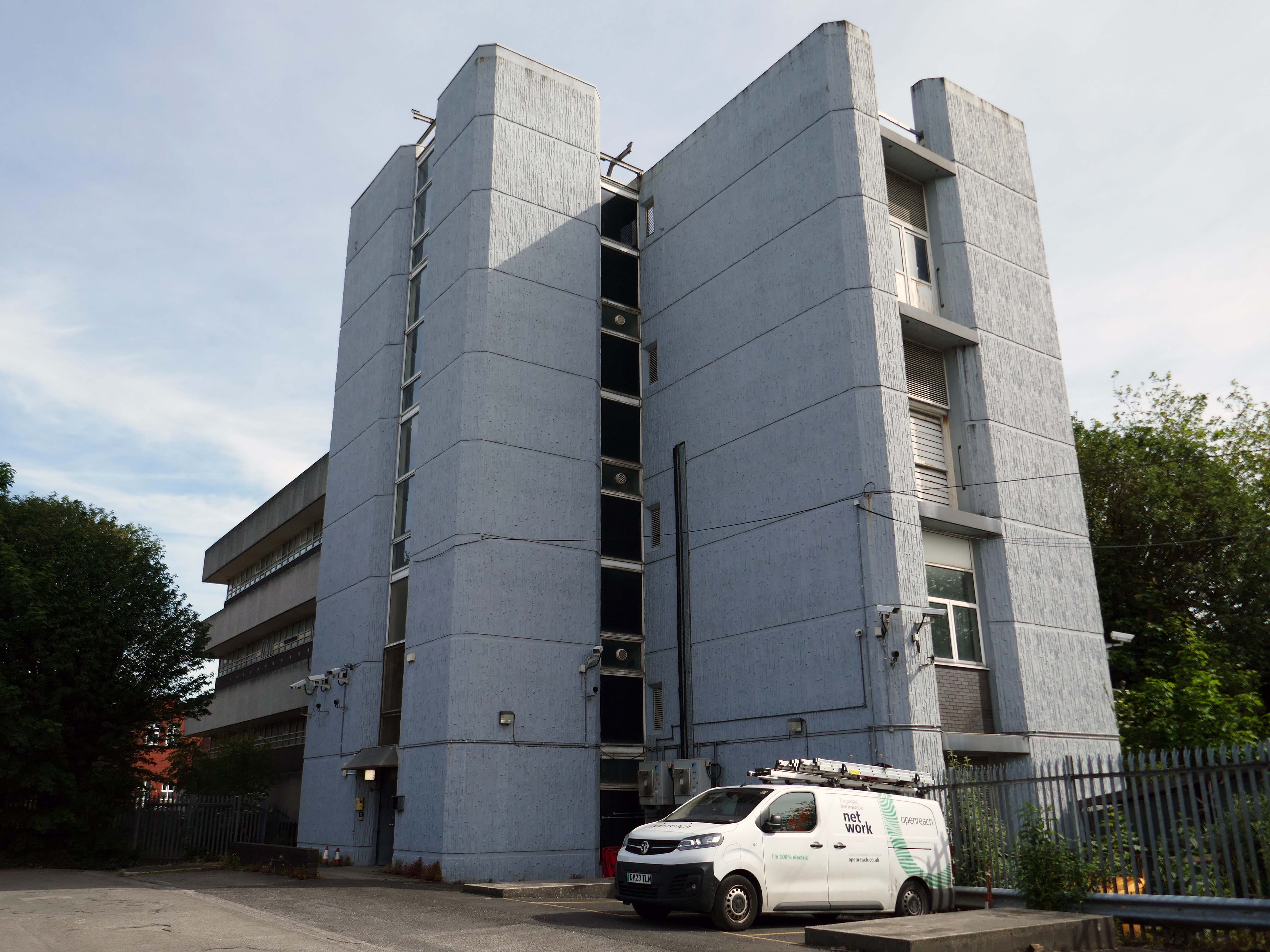
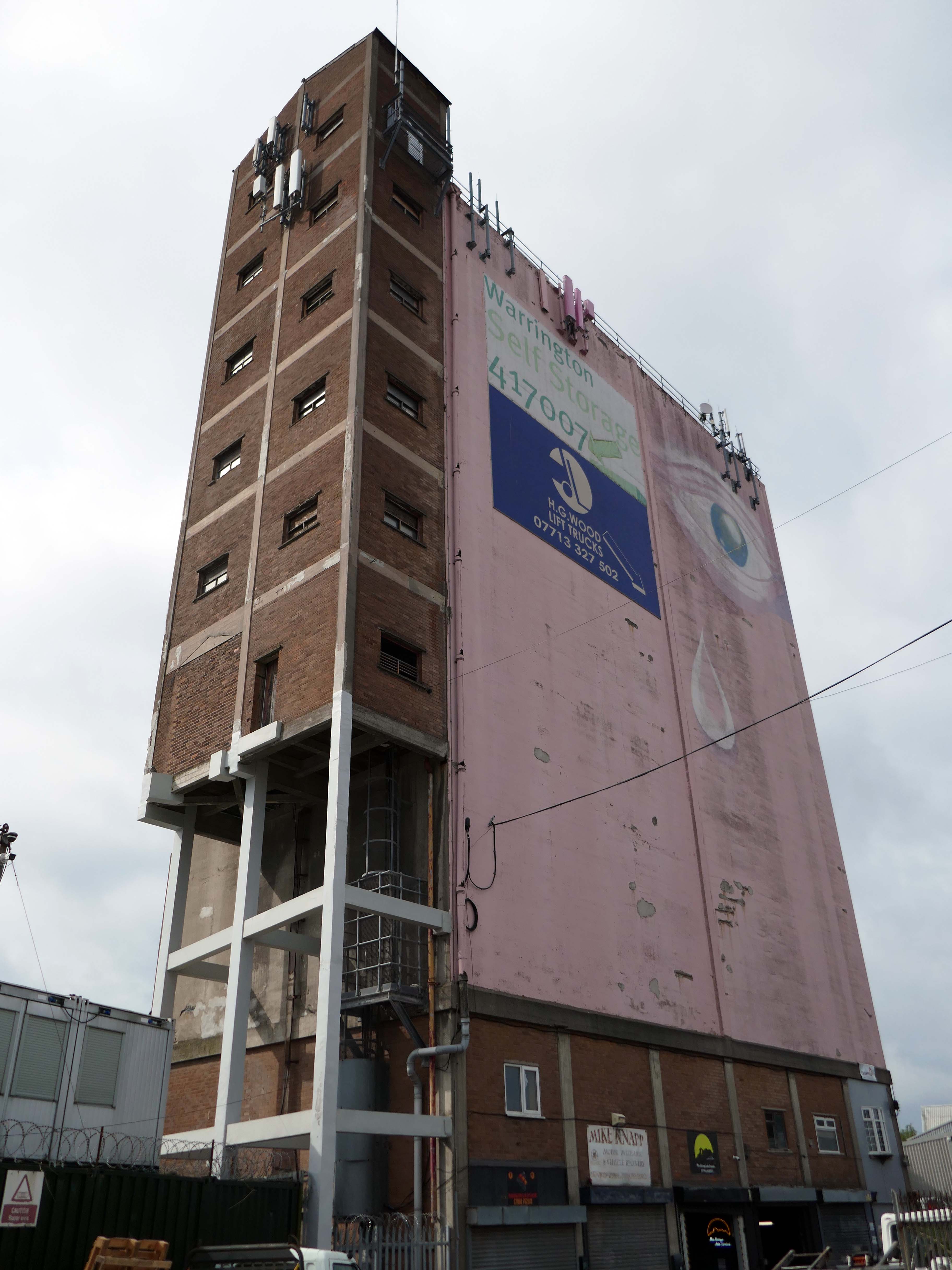
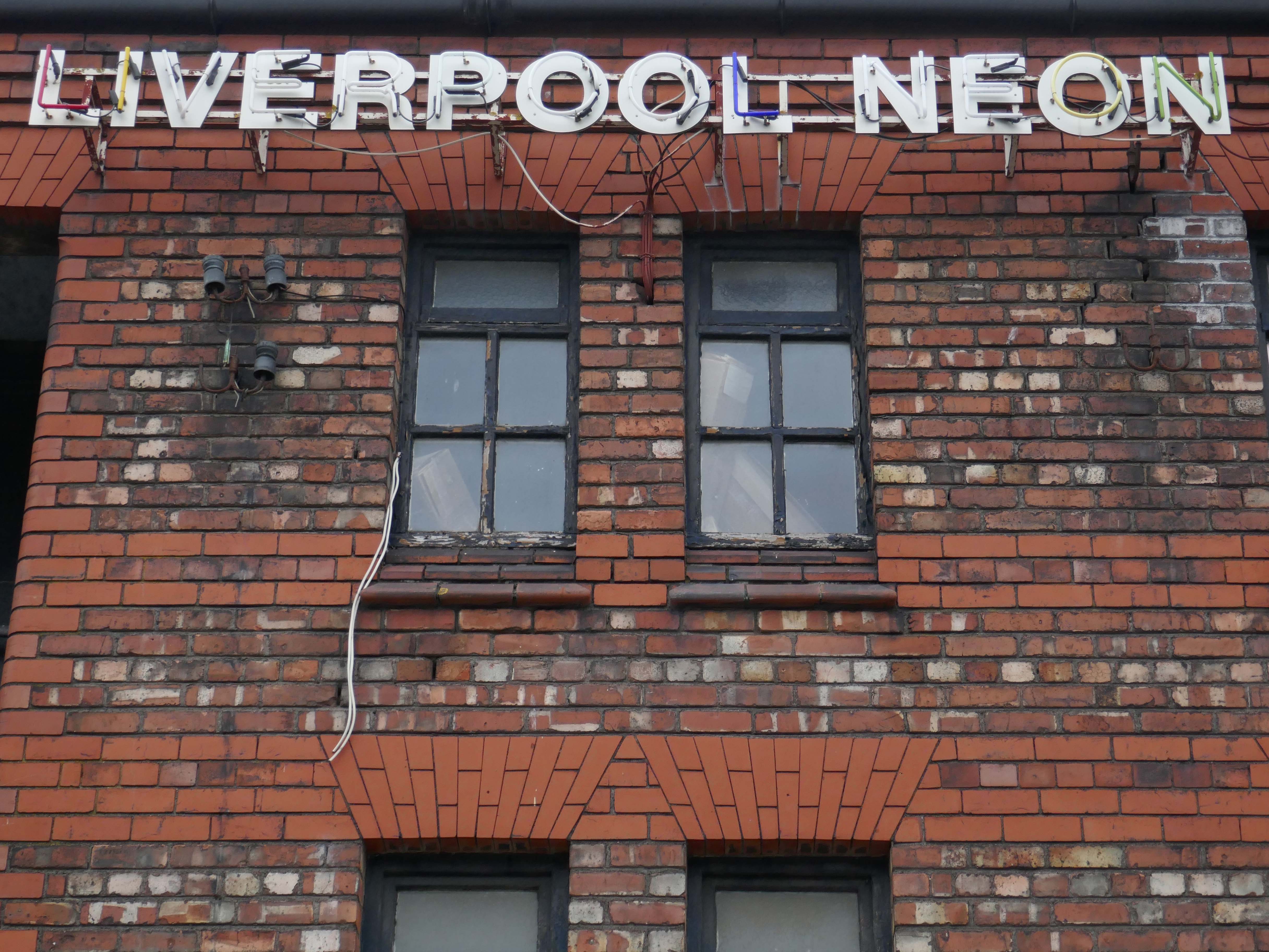
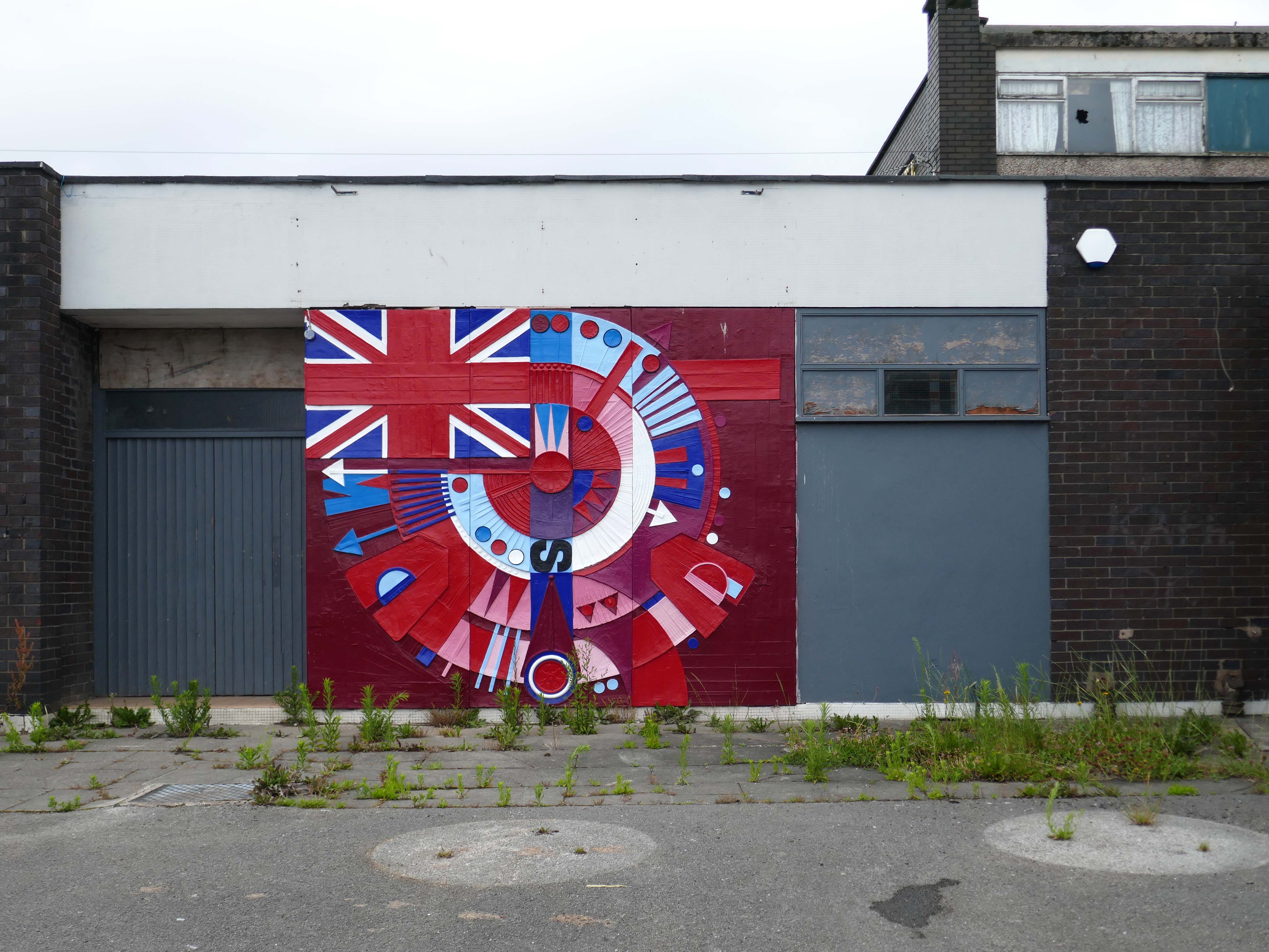
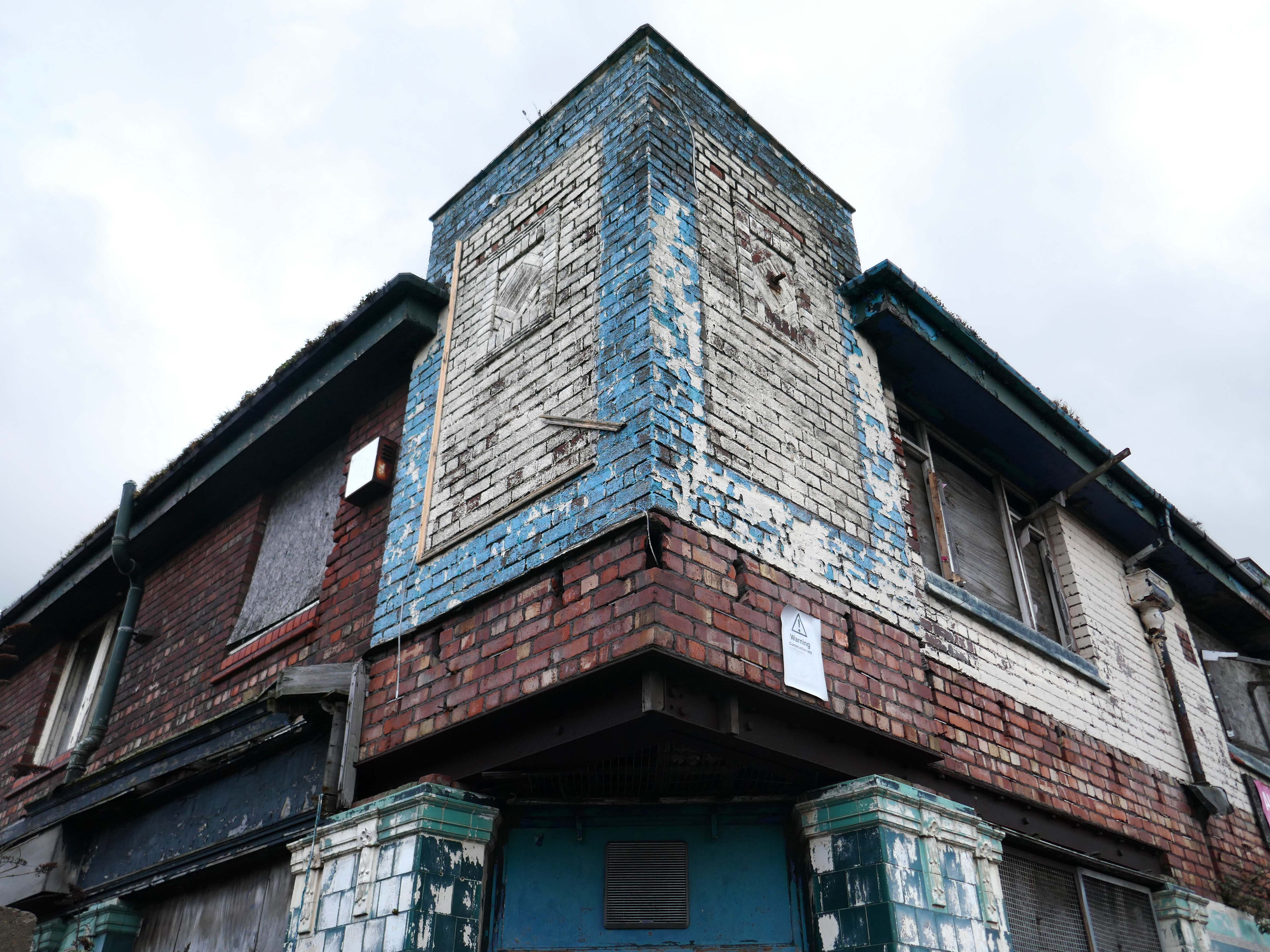
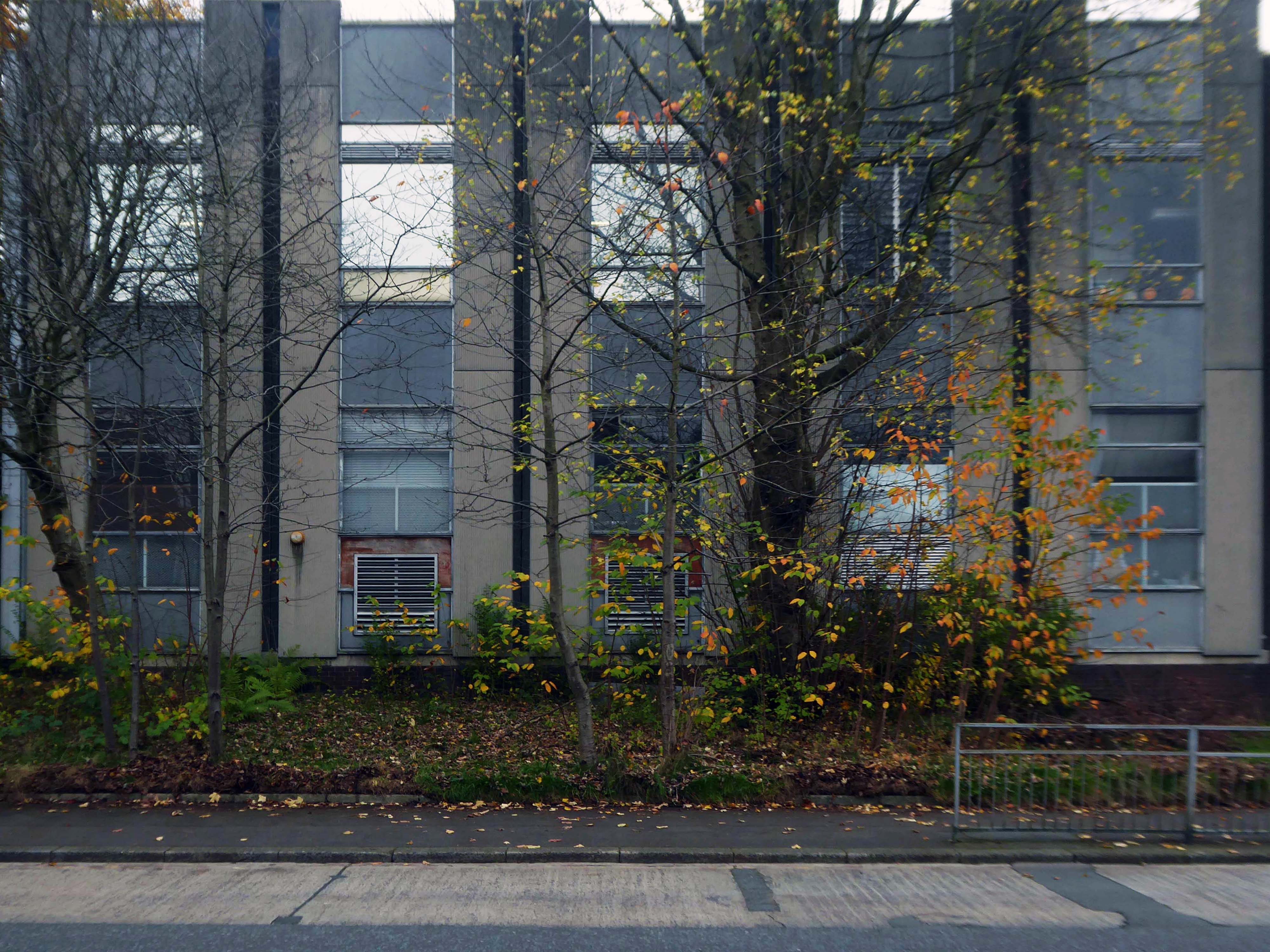
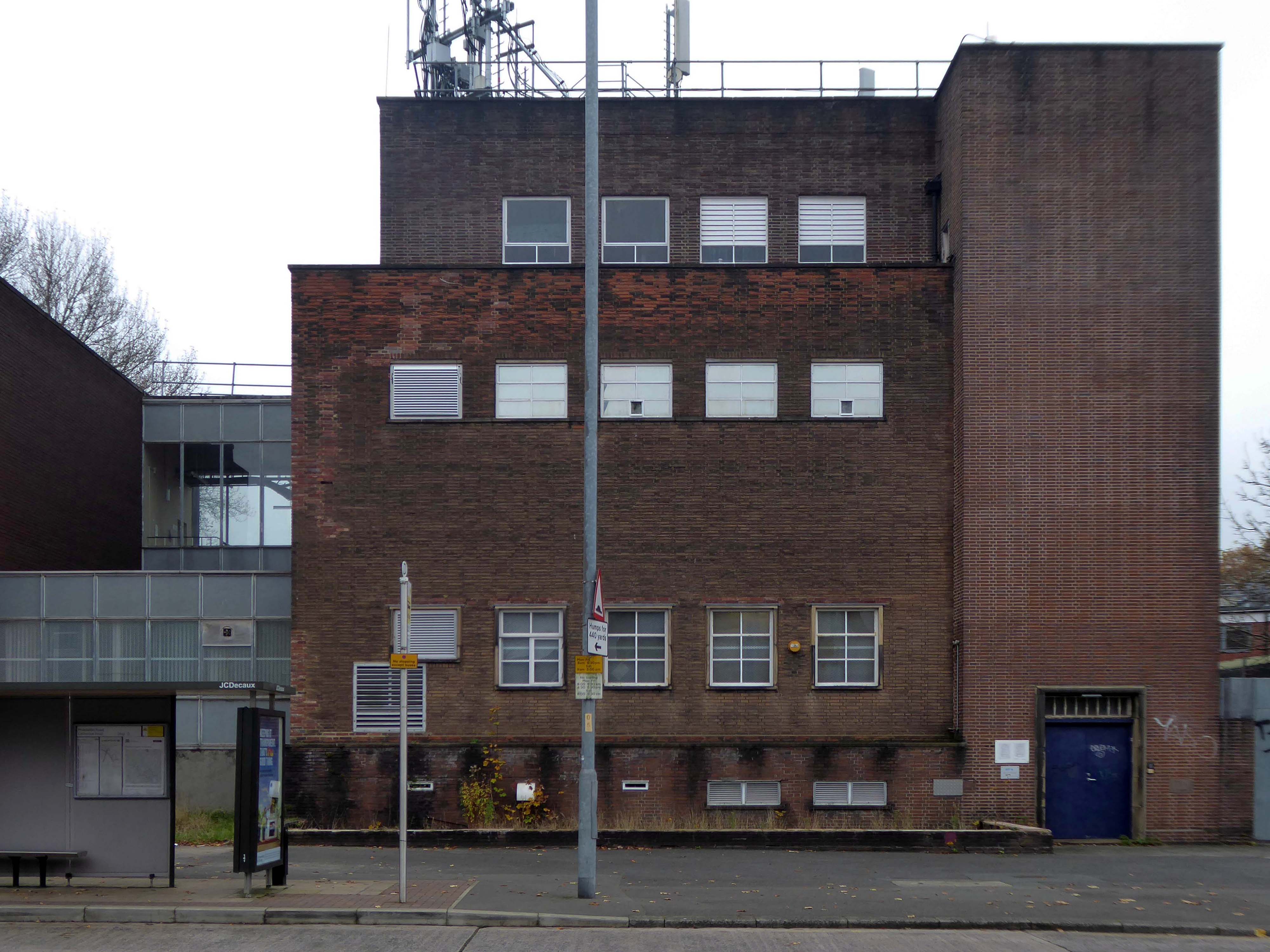
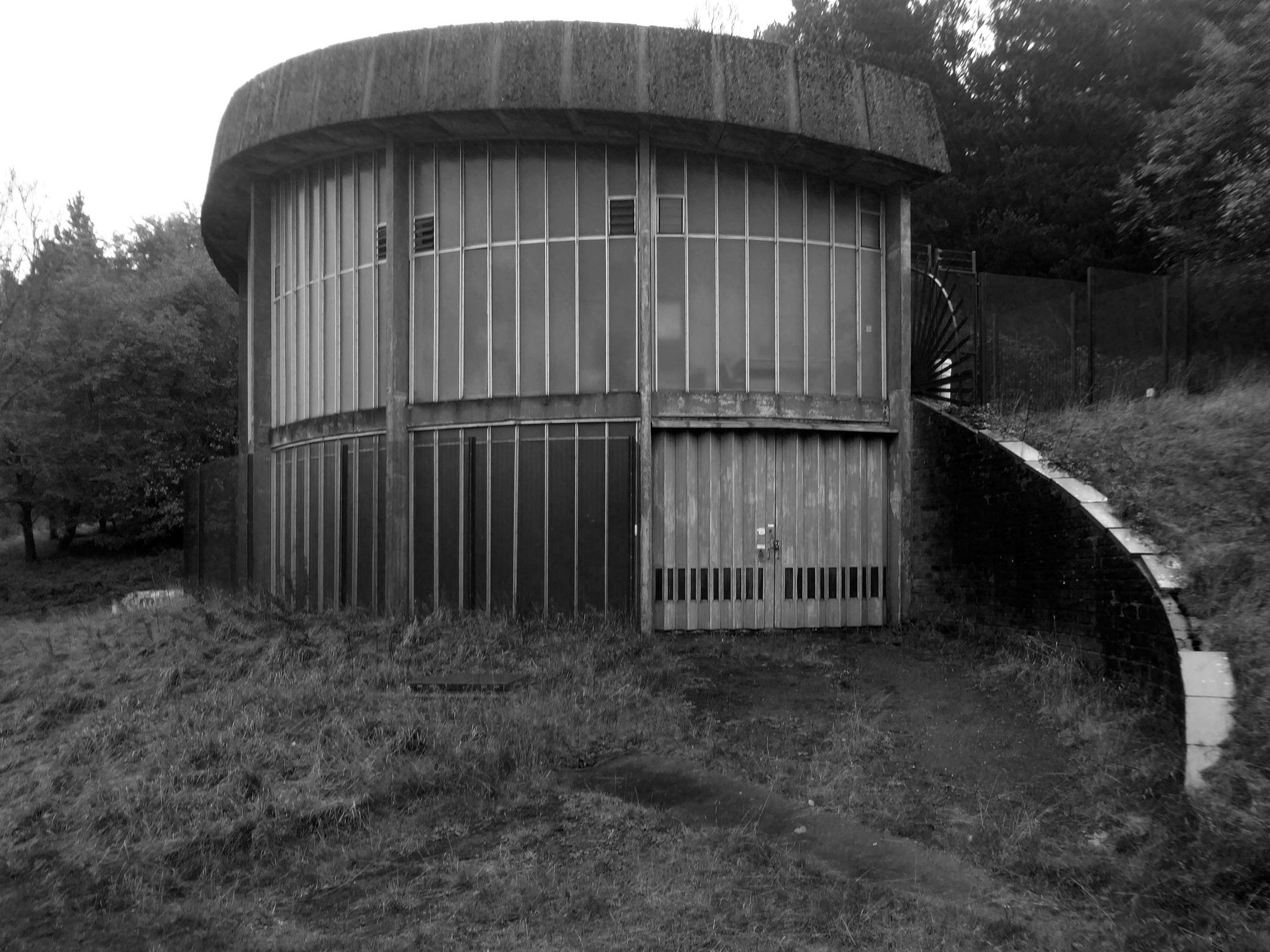
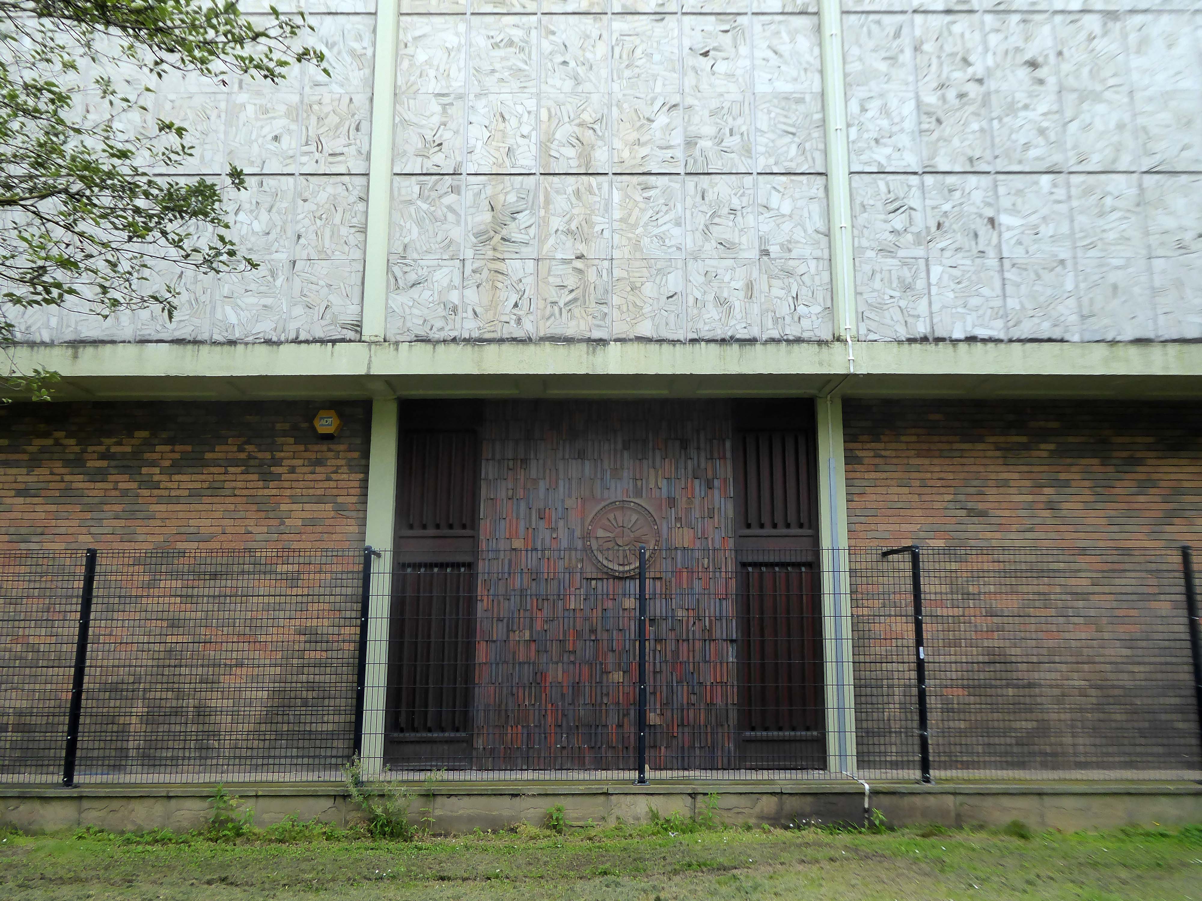
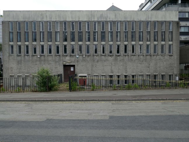
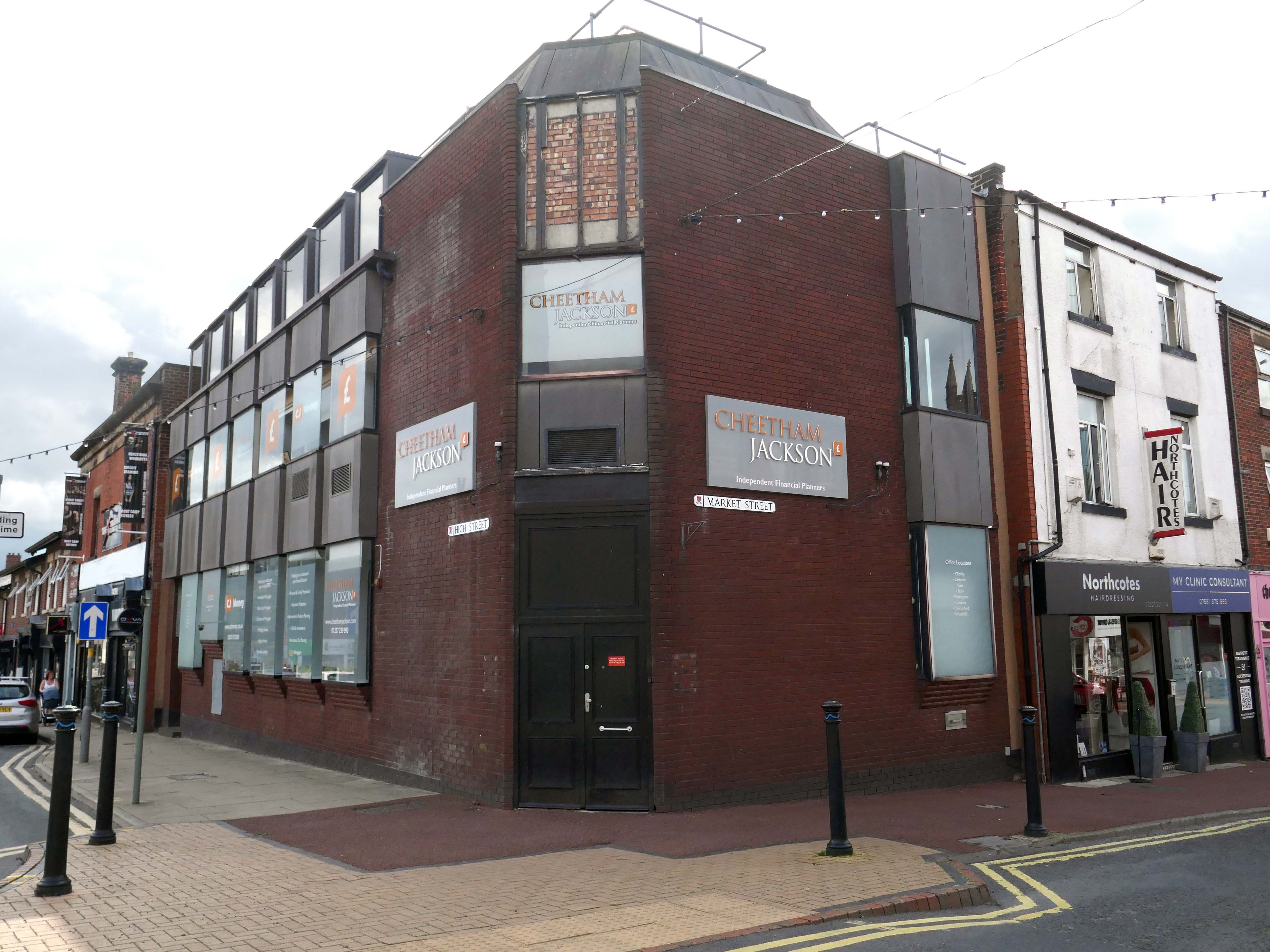
Next door this sinister functionalist brick structure.
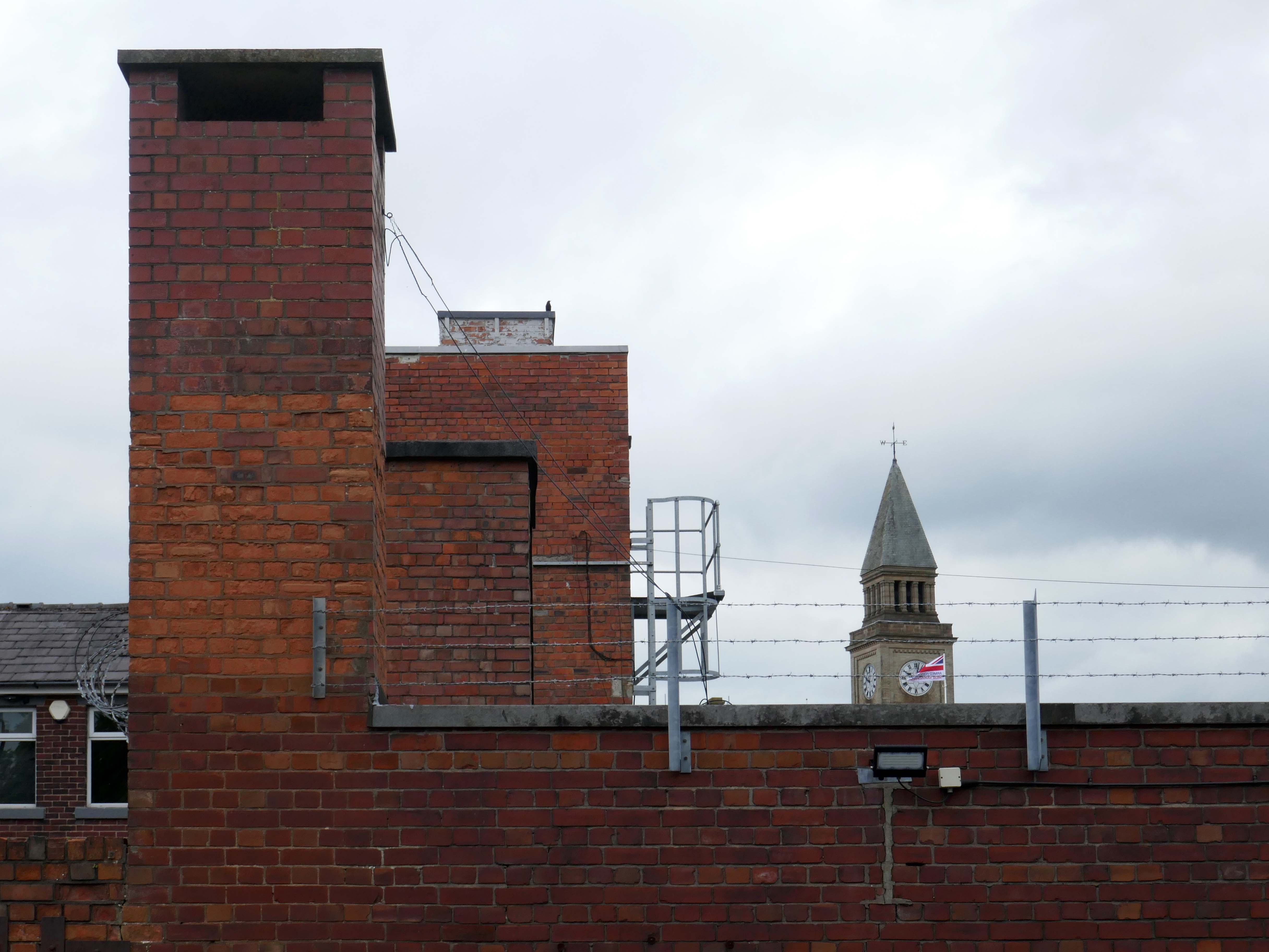
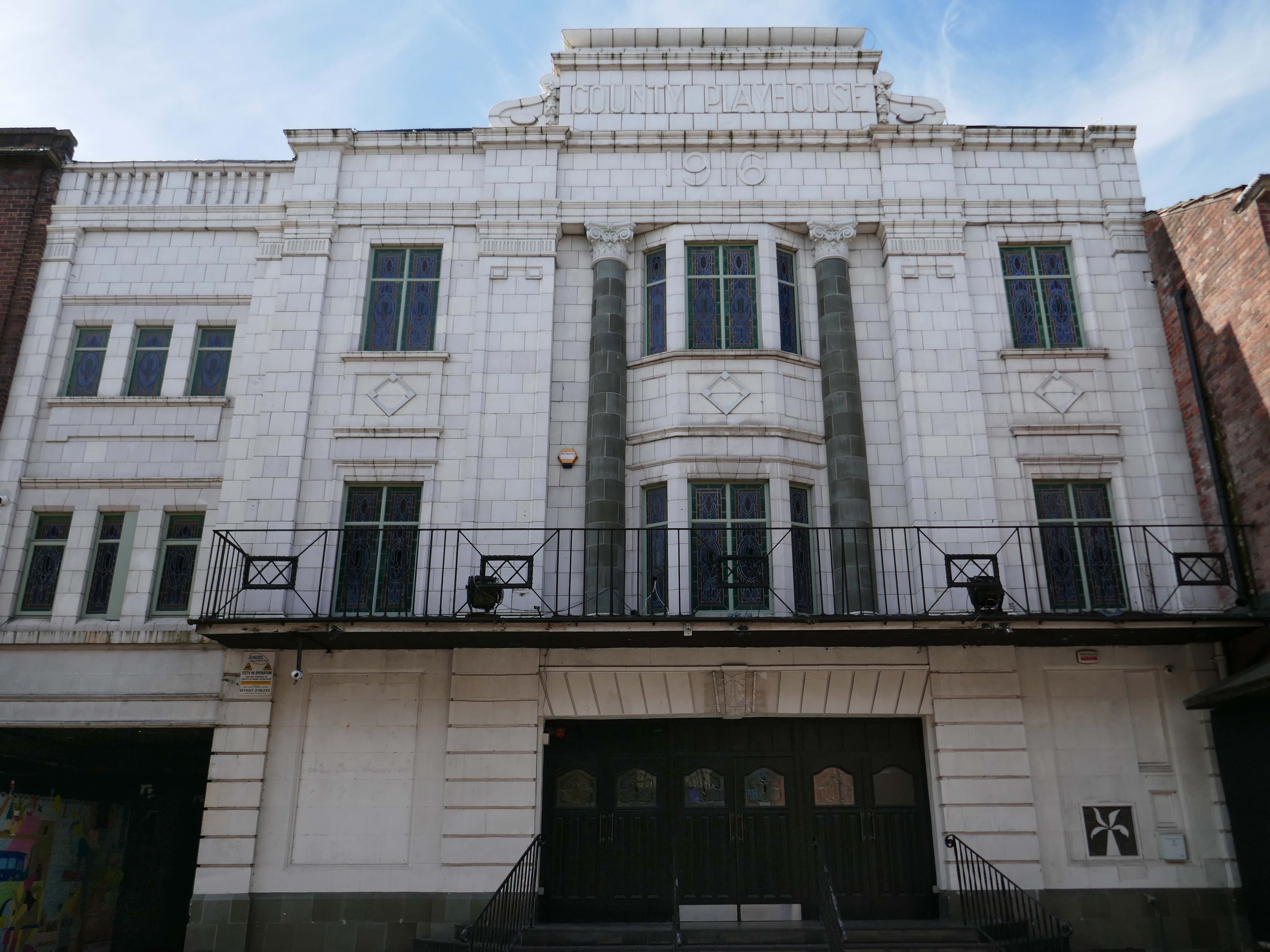
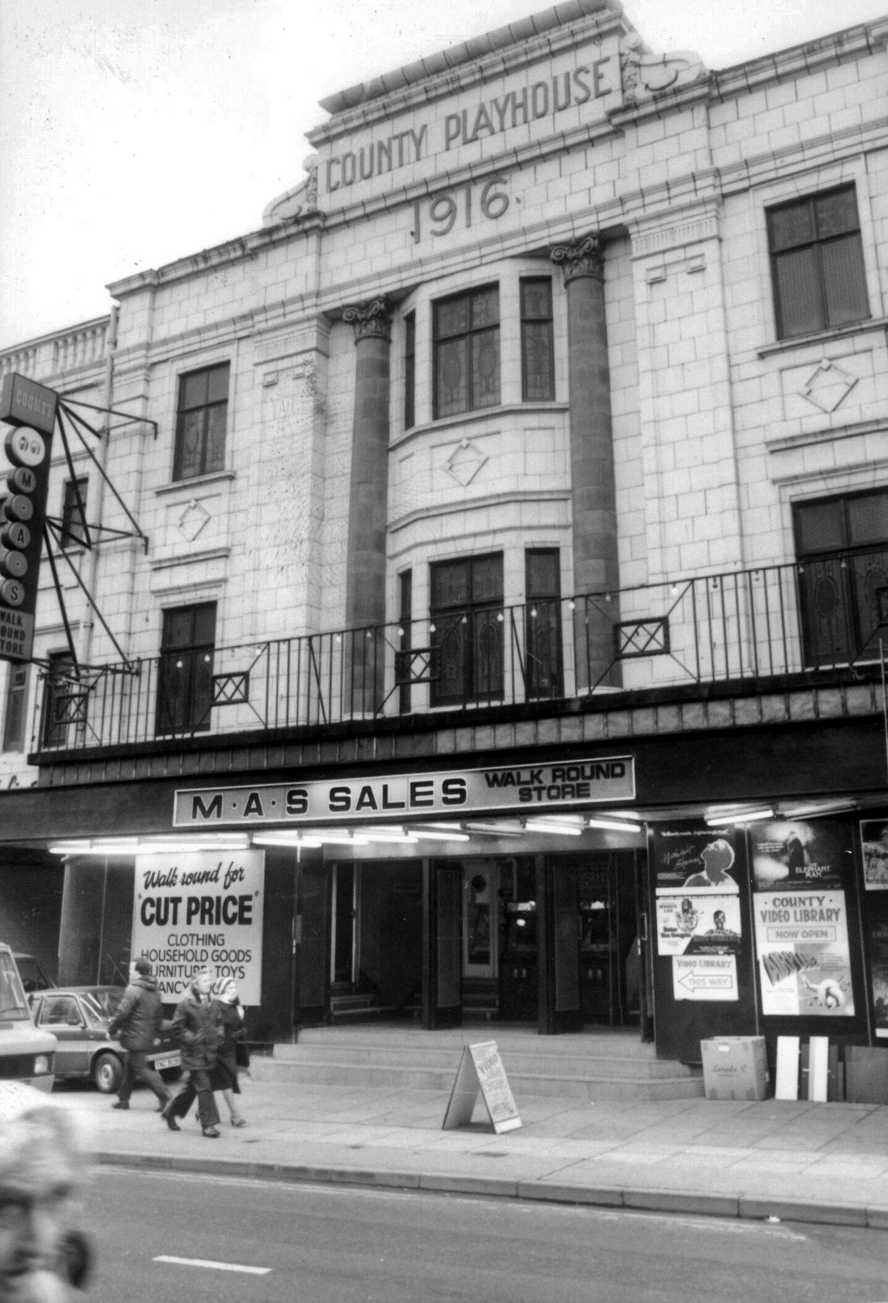
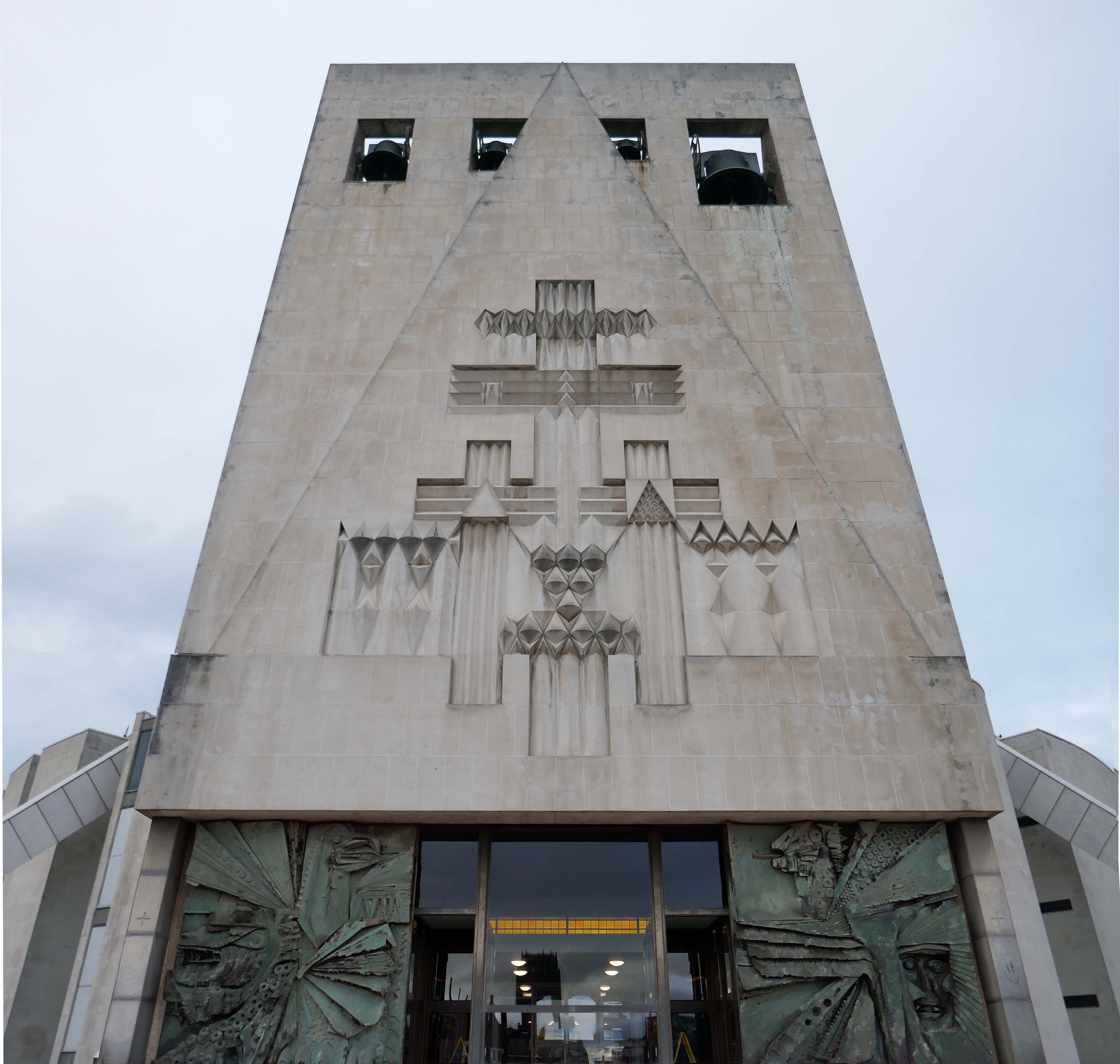
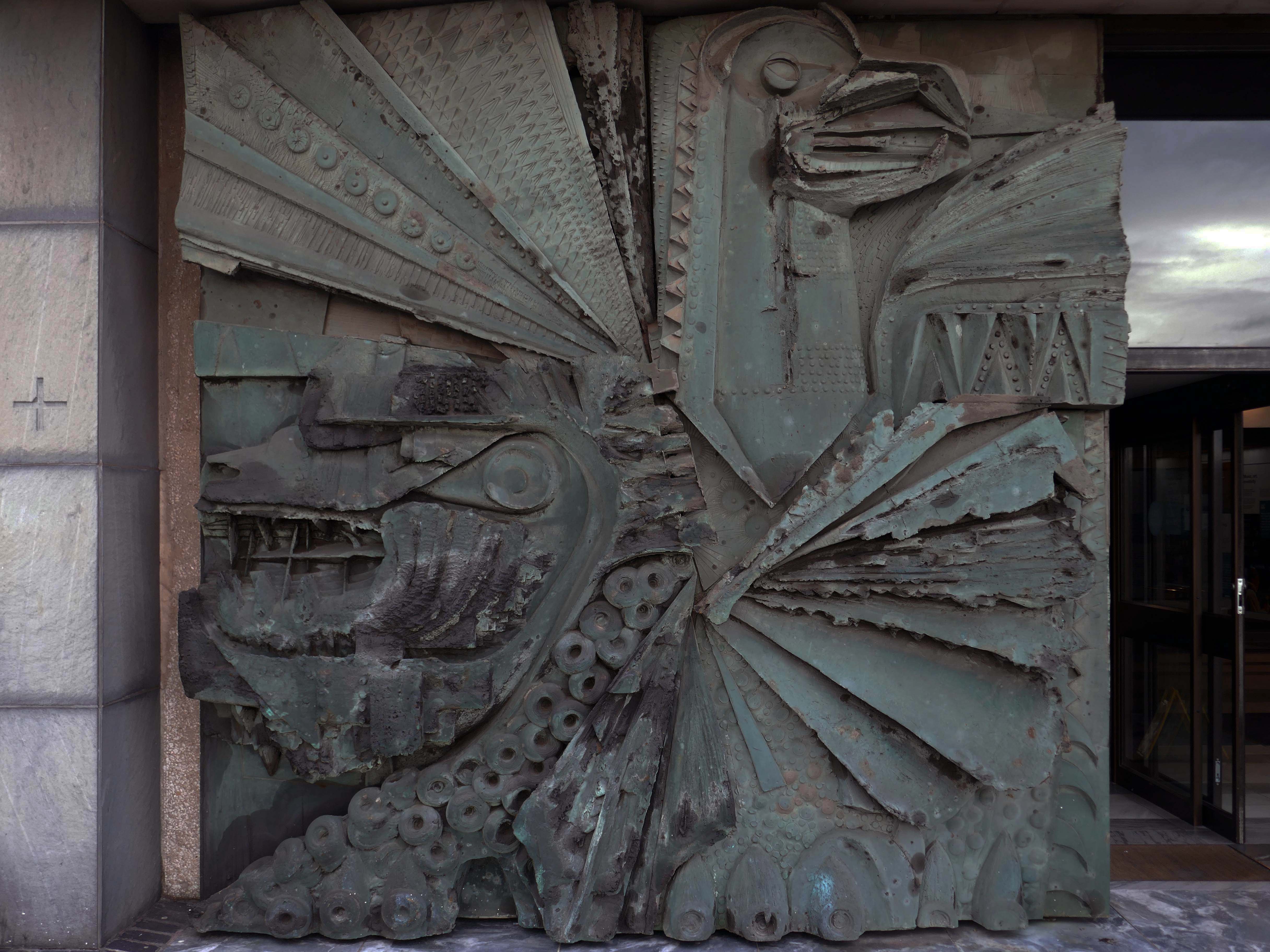
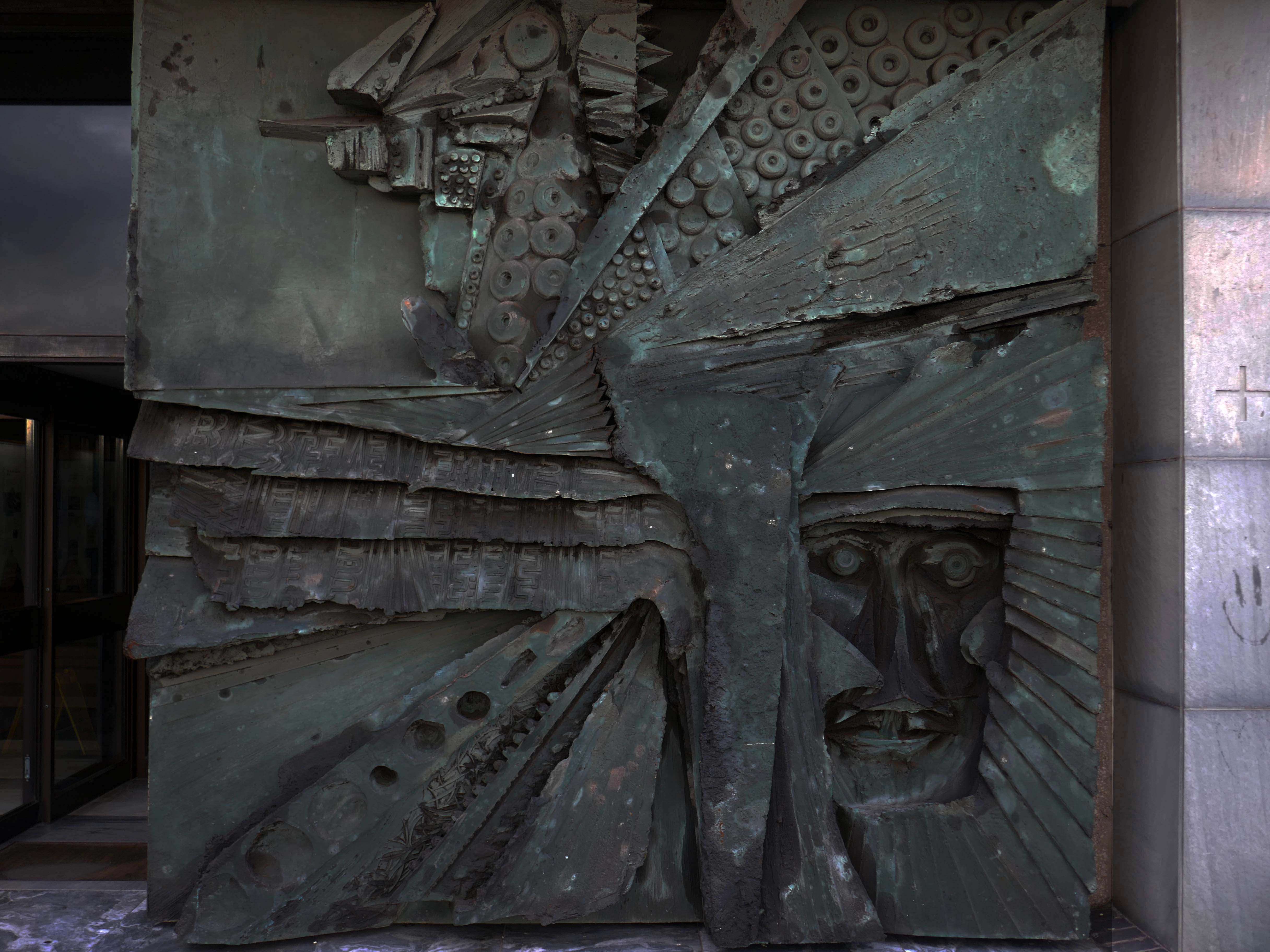
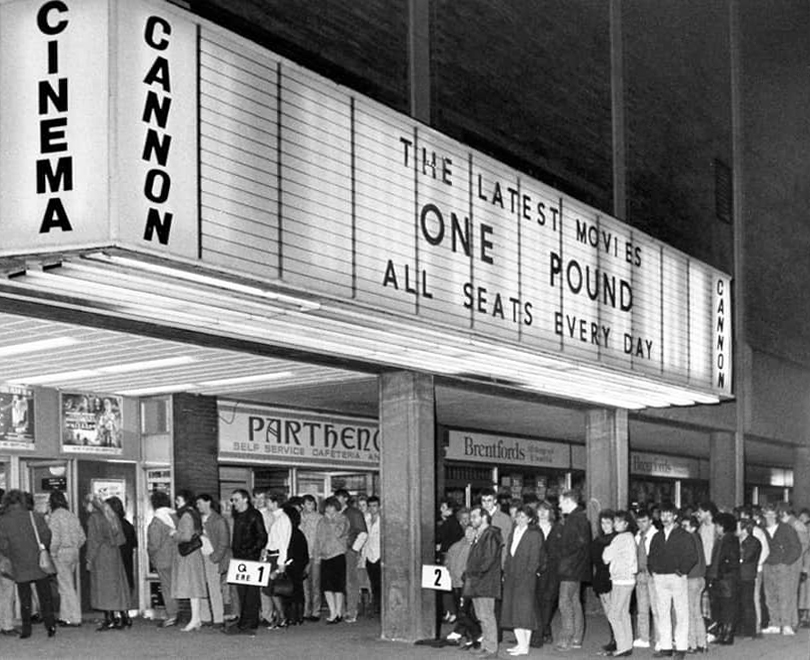
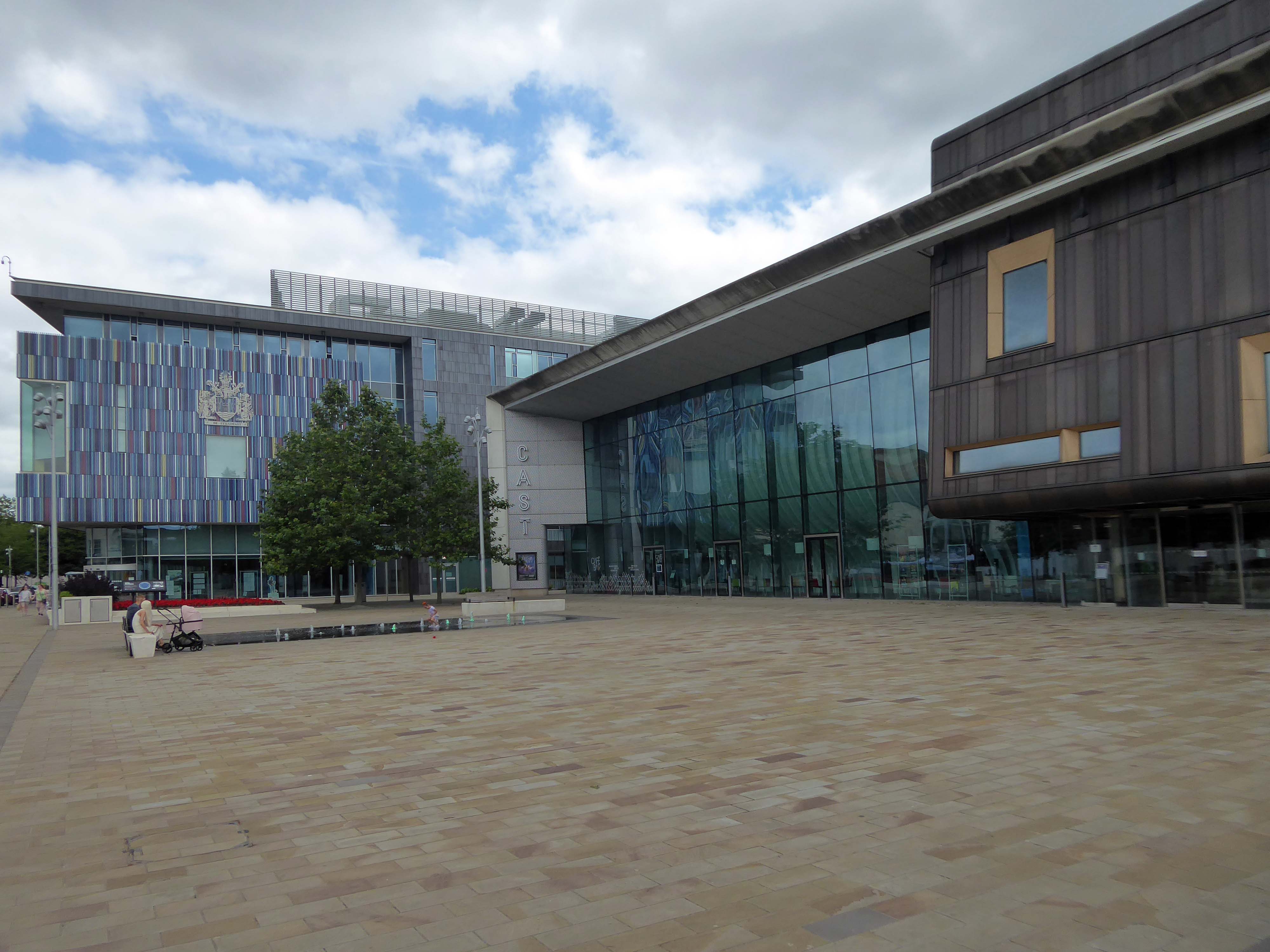
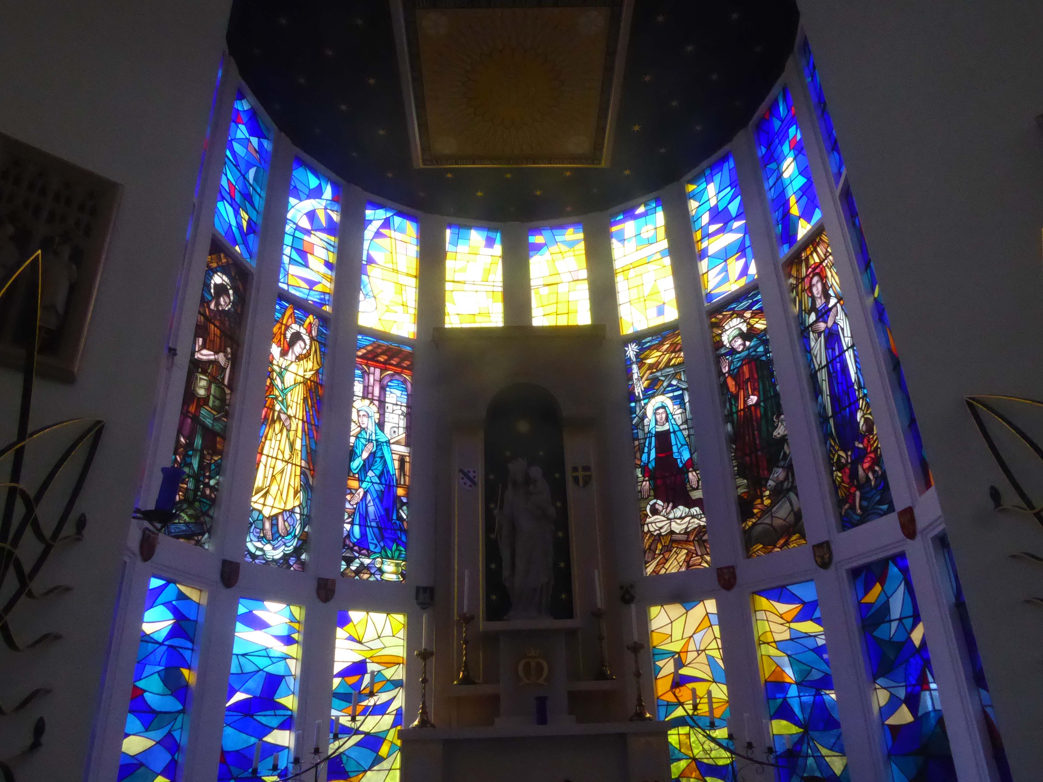
Next to the Chorley Theatre, formerly the Empire Electric Theatre and currently the Empire Cinema.
Opened on on 3rd September 1910, one of the nation’s longest continuously running cinemas.
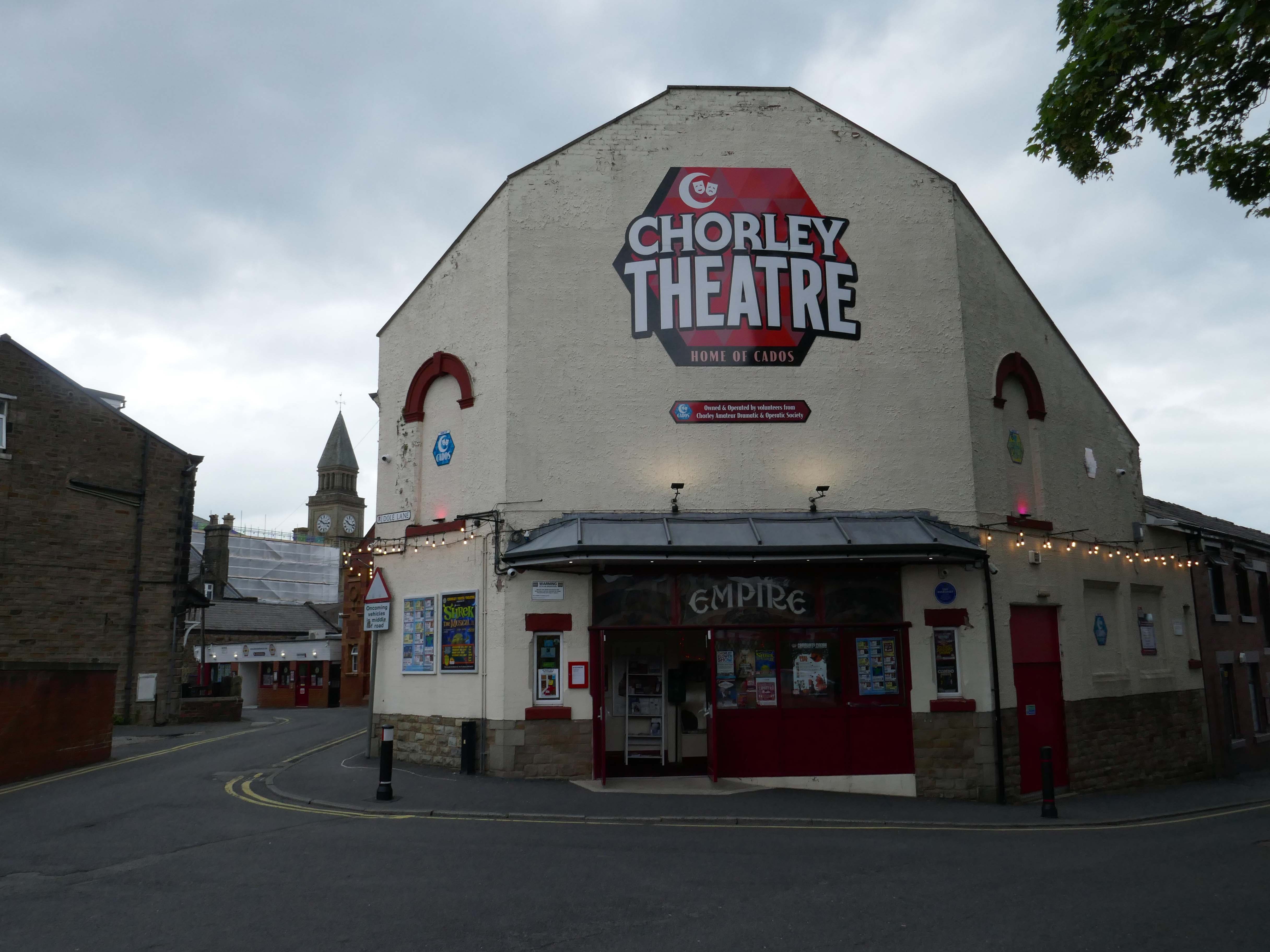
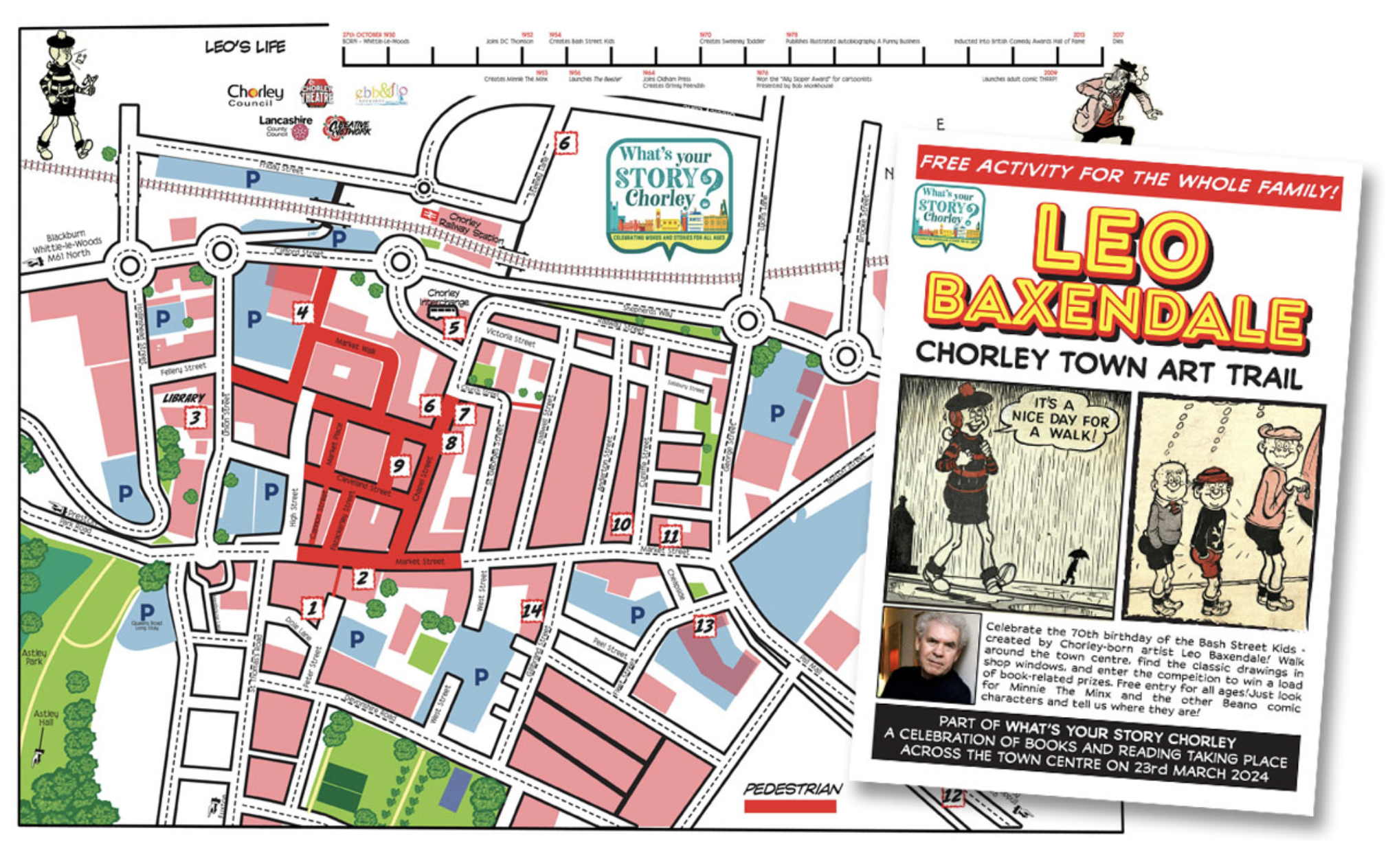
I spent some time chatting to the chatty guardian of the booking office, I learnt that the recently installed blue plaque commemorates the areas links to esteemed Beano artist Leo Baxendale.
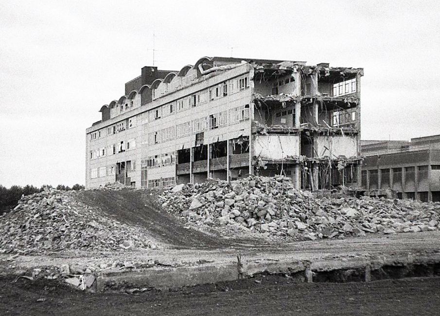
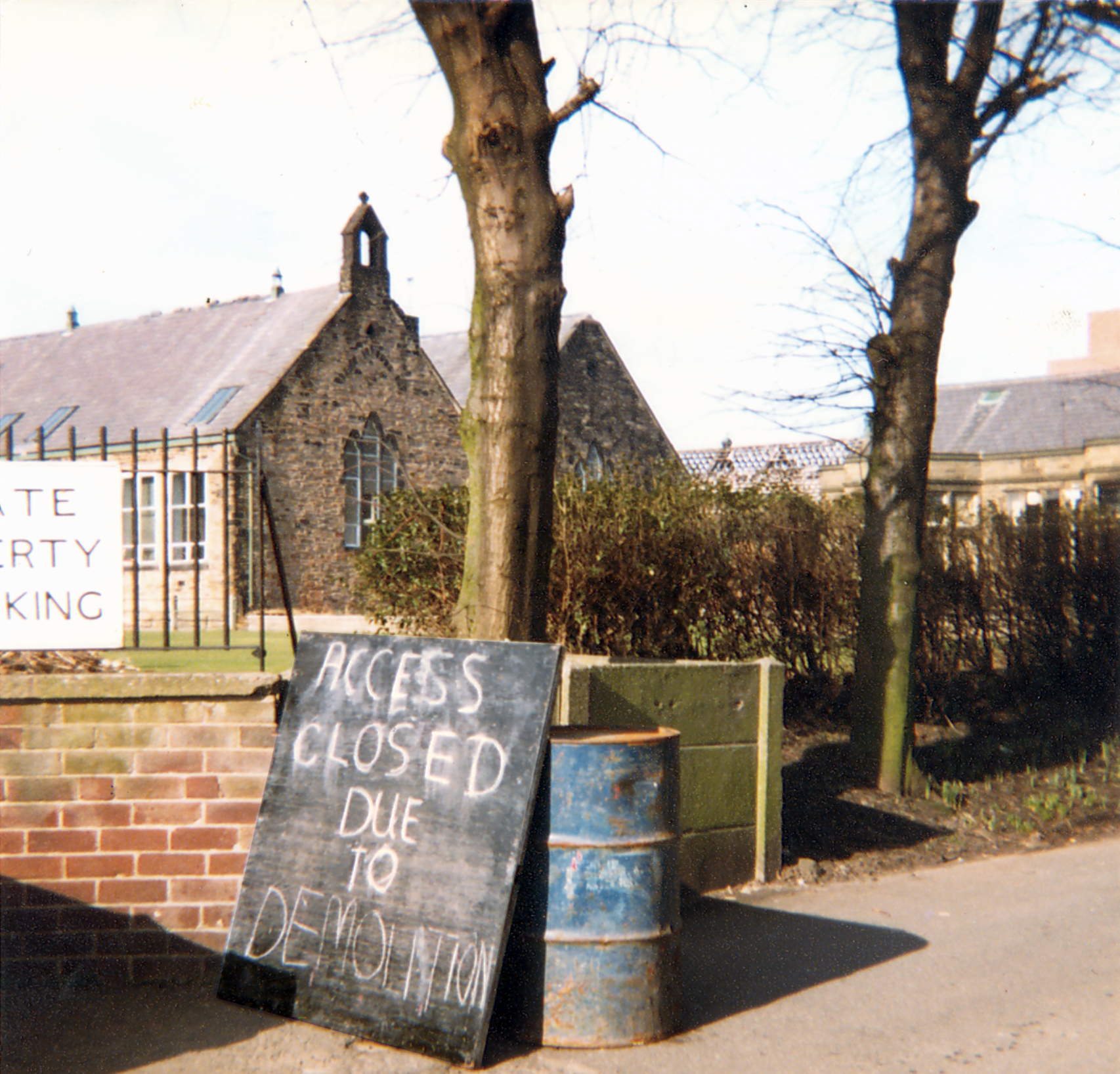
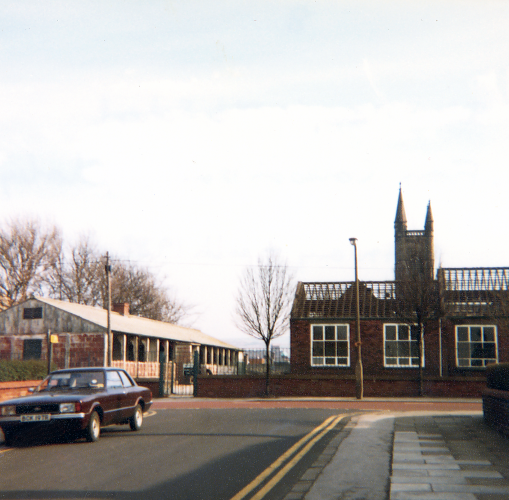
Leo attended St Mary’s School which was sited opposite the theatre, he had a miserable time there, an experience which formed the basis for the famed Bash Street Kids.
He may well now chuckle to himself in comic book heaven, knowing that the school was demolished in 1982.
It’s only right that the town boasts a Leo Baxendale Trail.
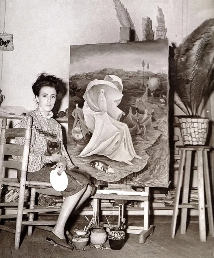
Furthermore, I was ever so excited to hear that the really surreal Leonora Carrington, was a local lass and that the theatre were screening her biopic Leonora in the Morning Light.
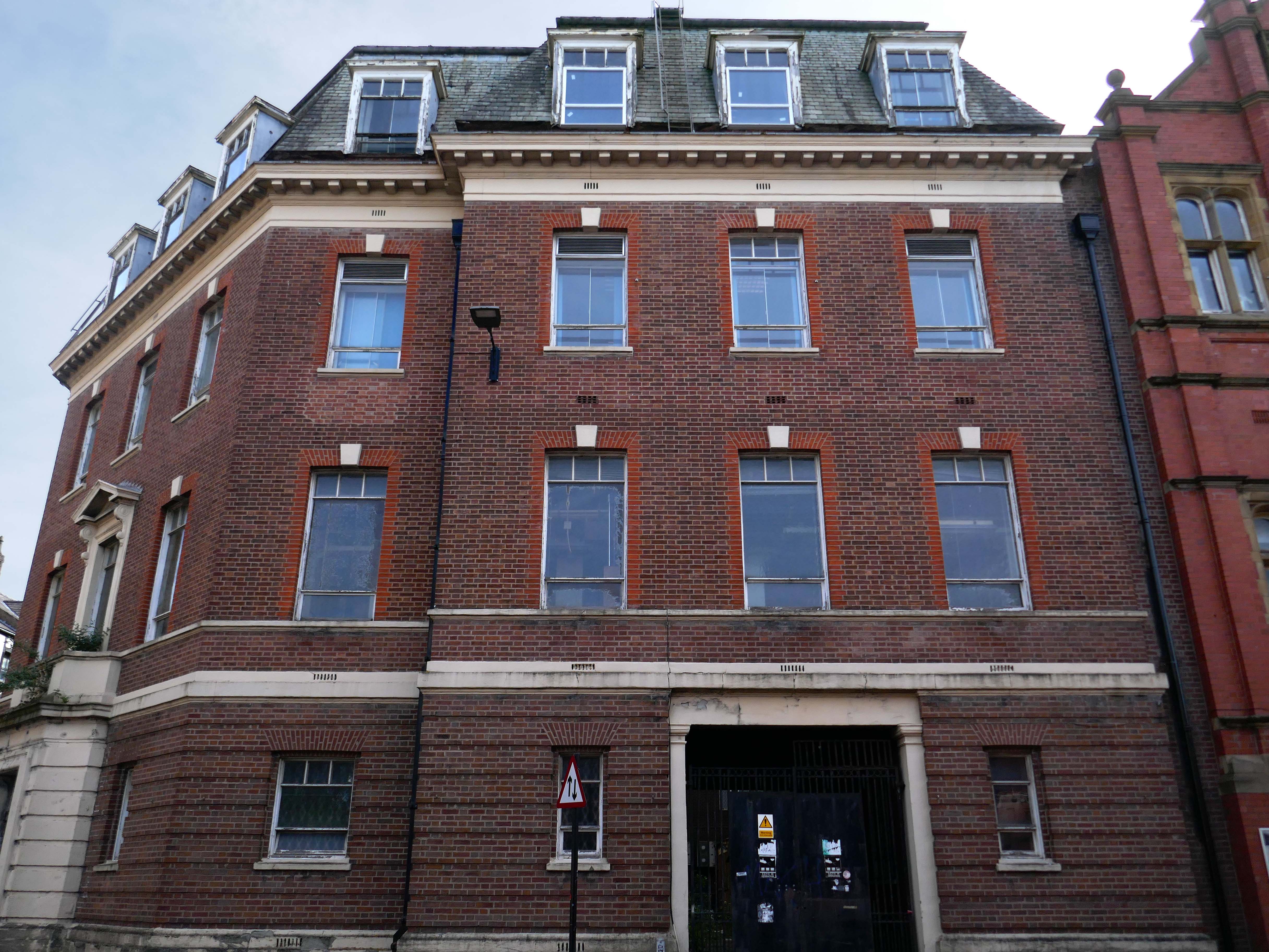
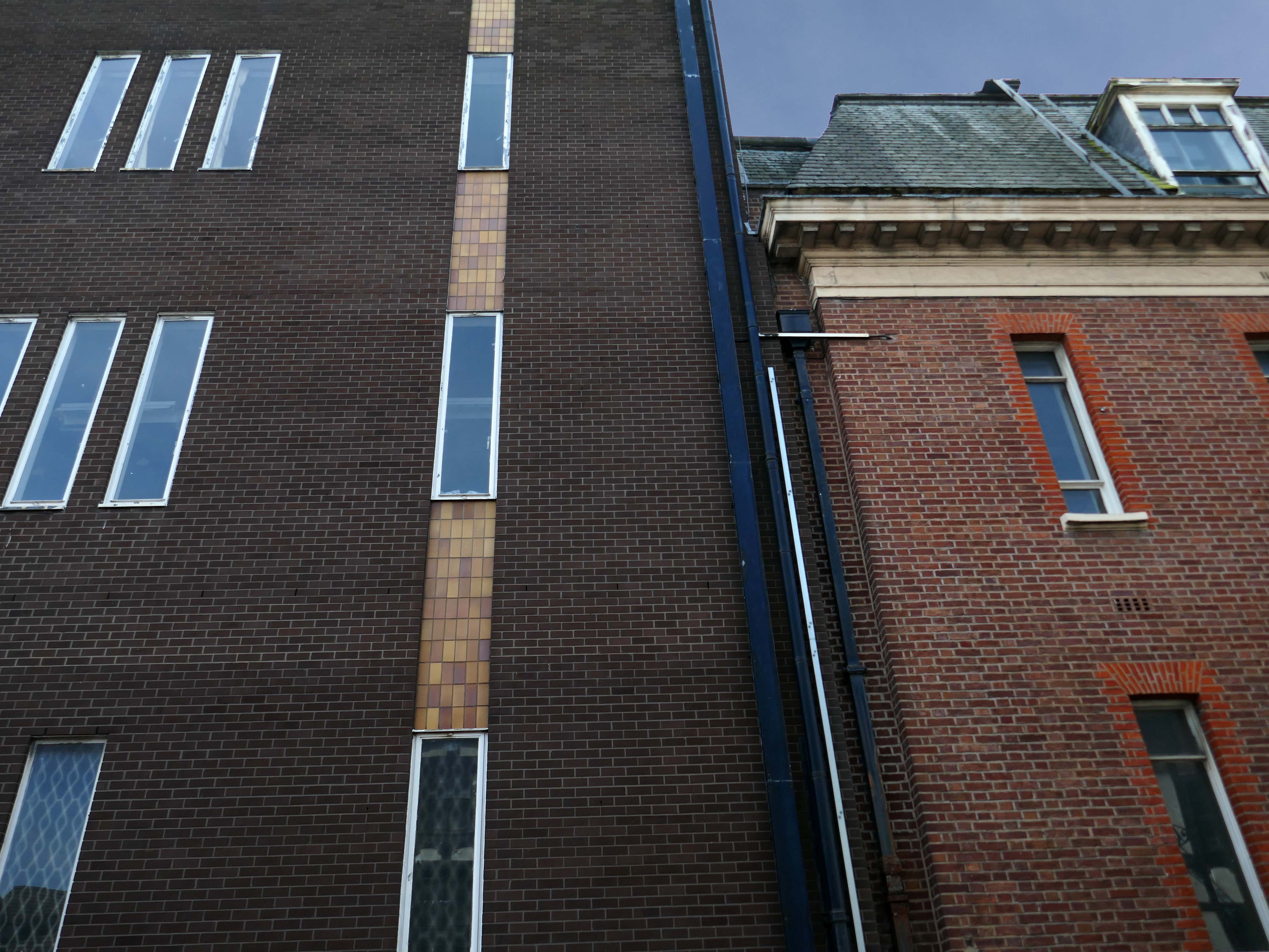
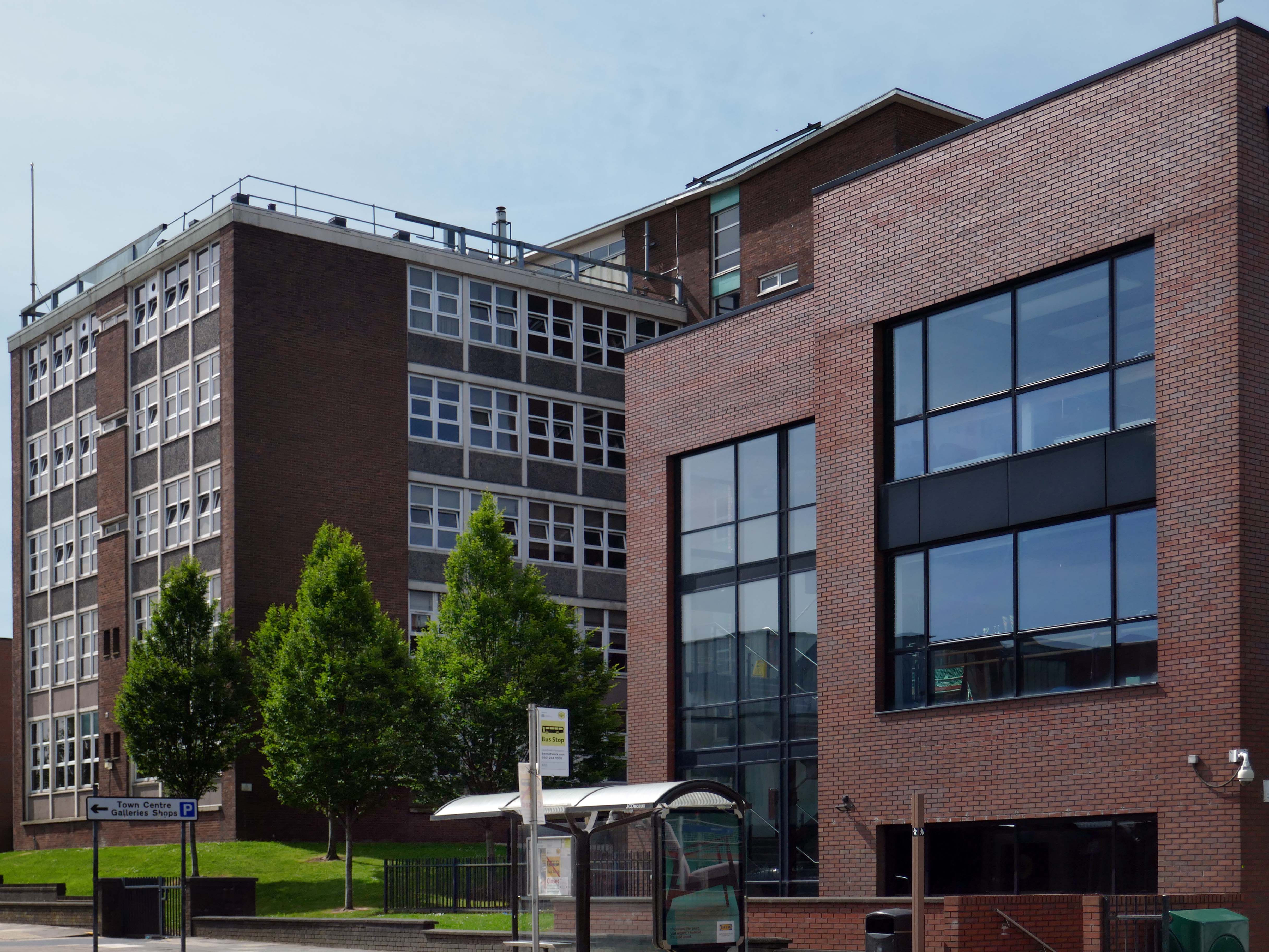
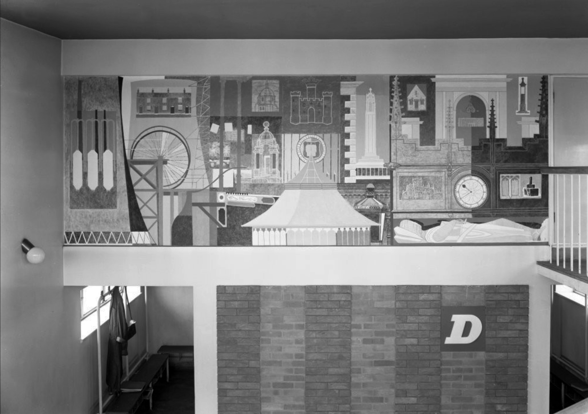
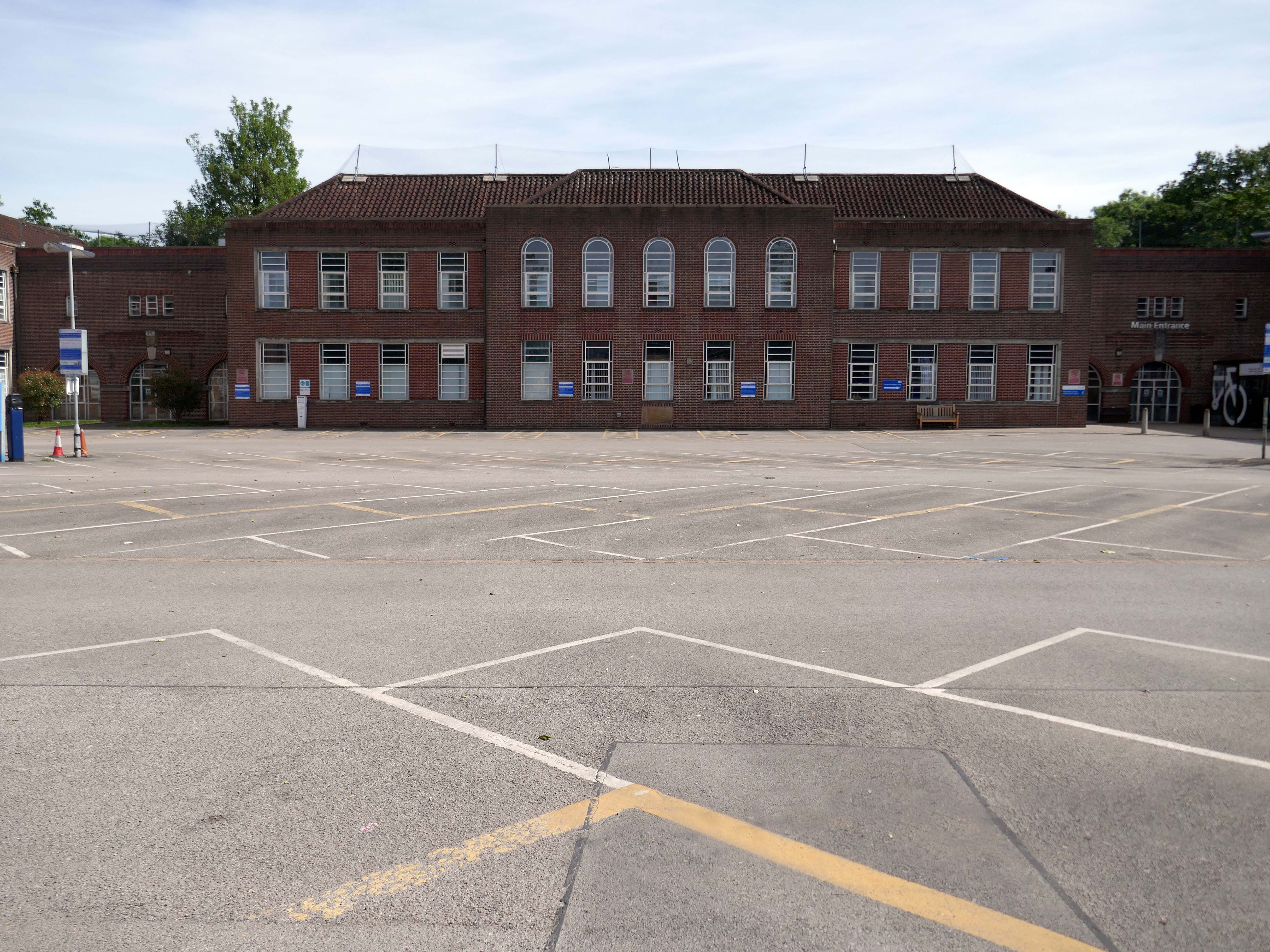
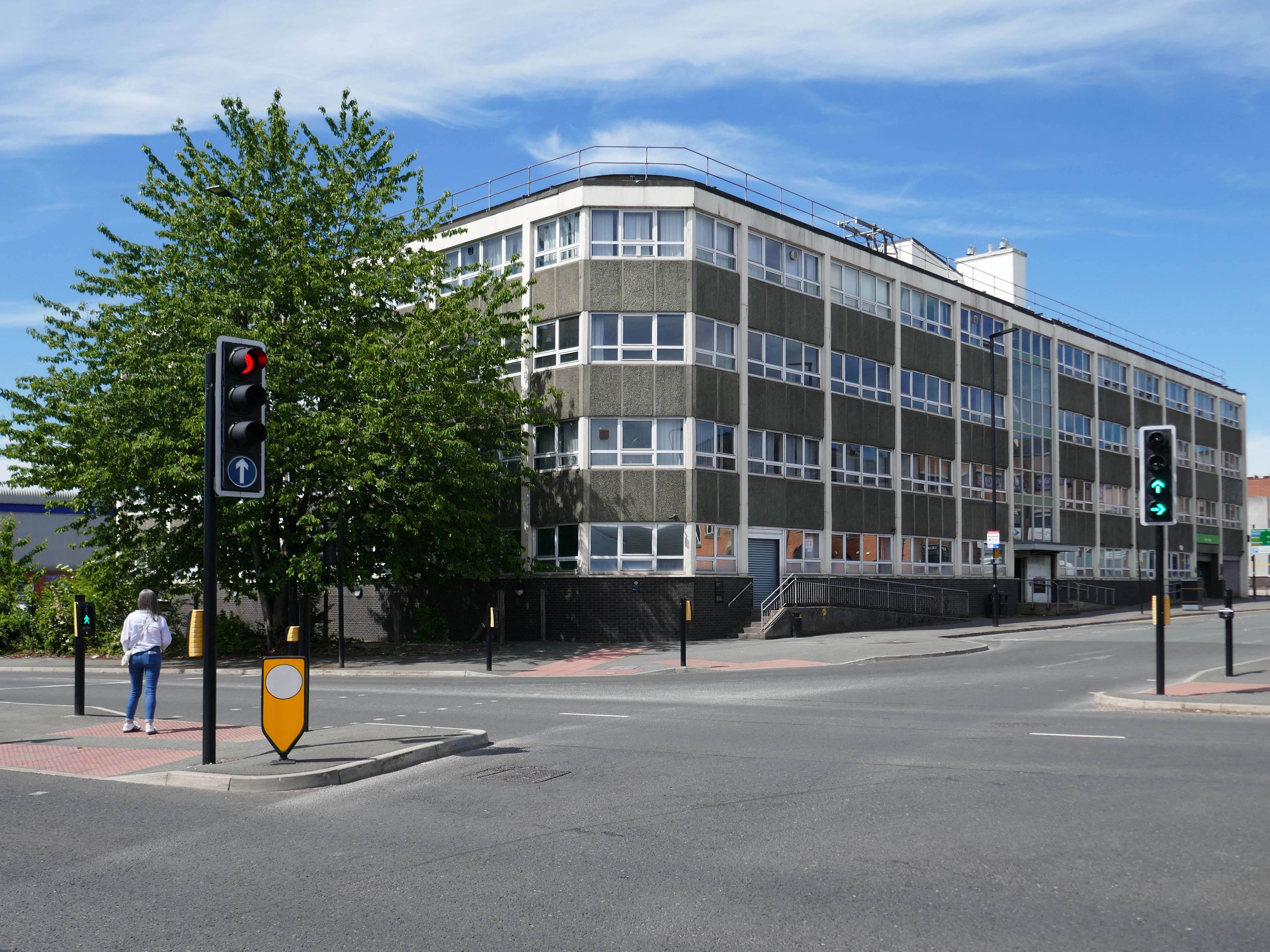
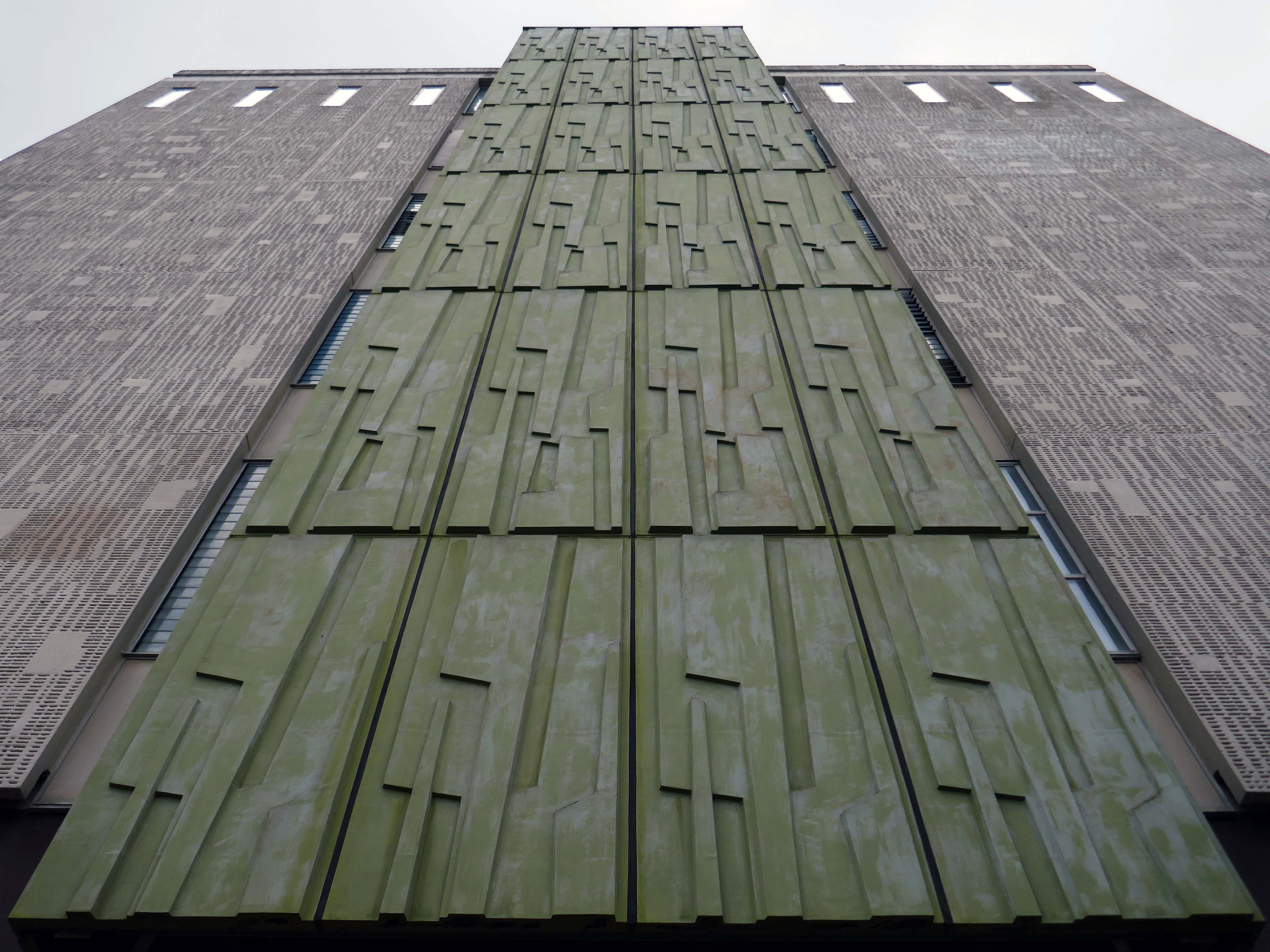
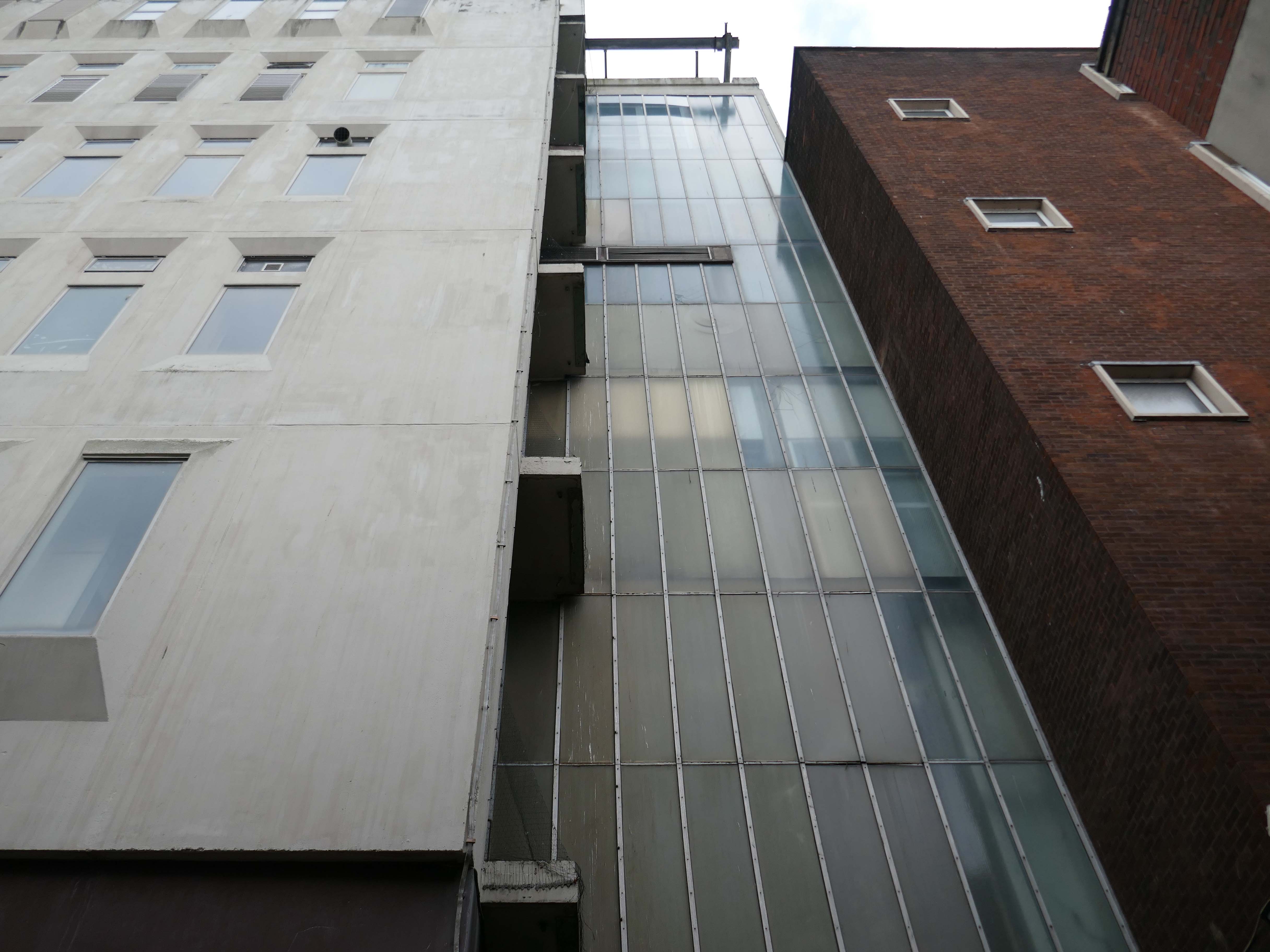
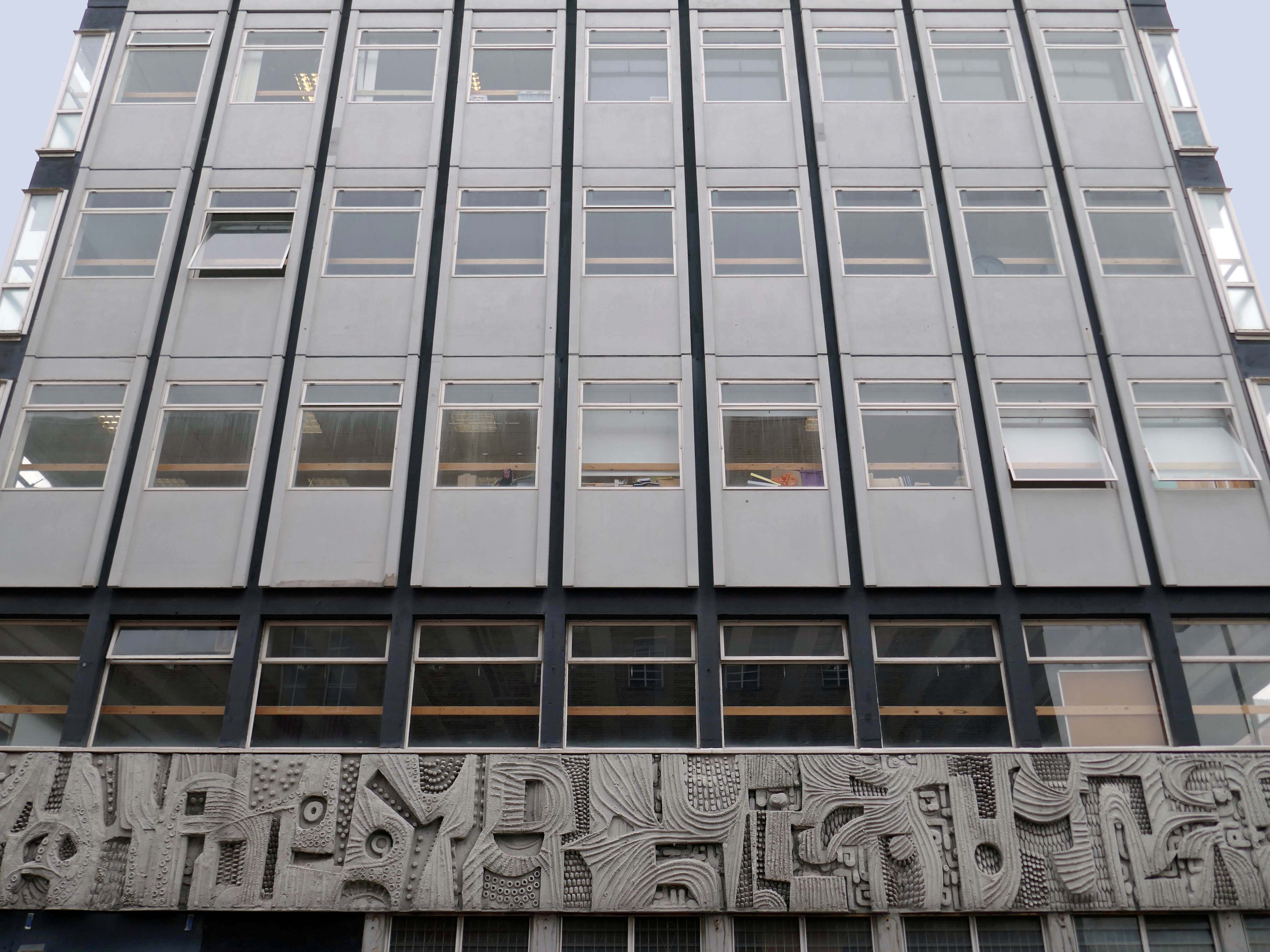
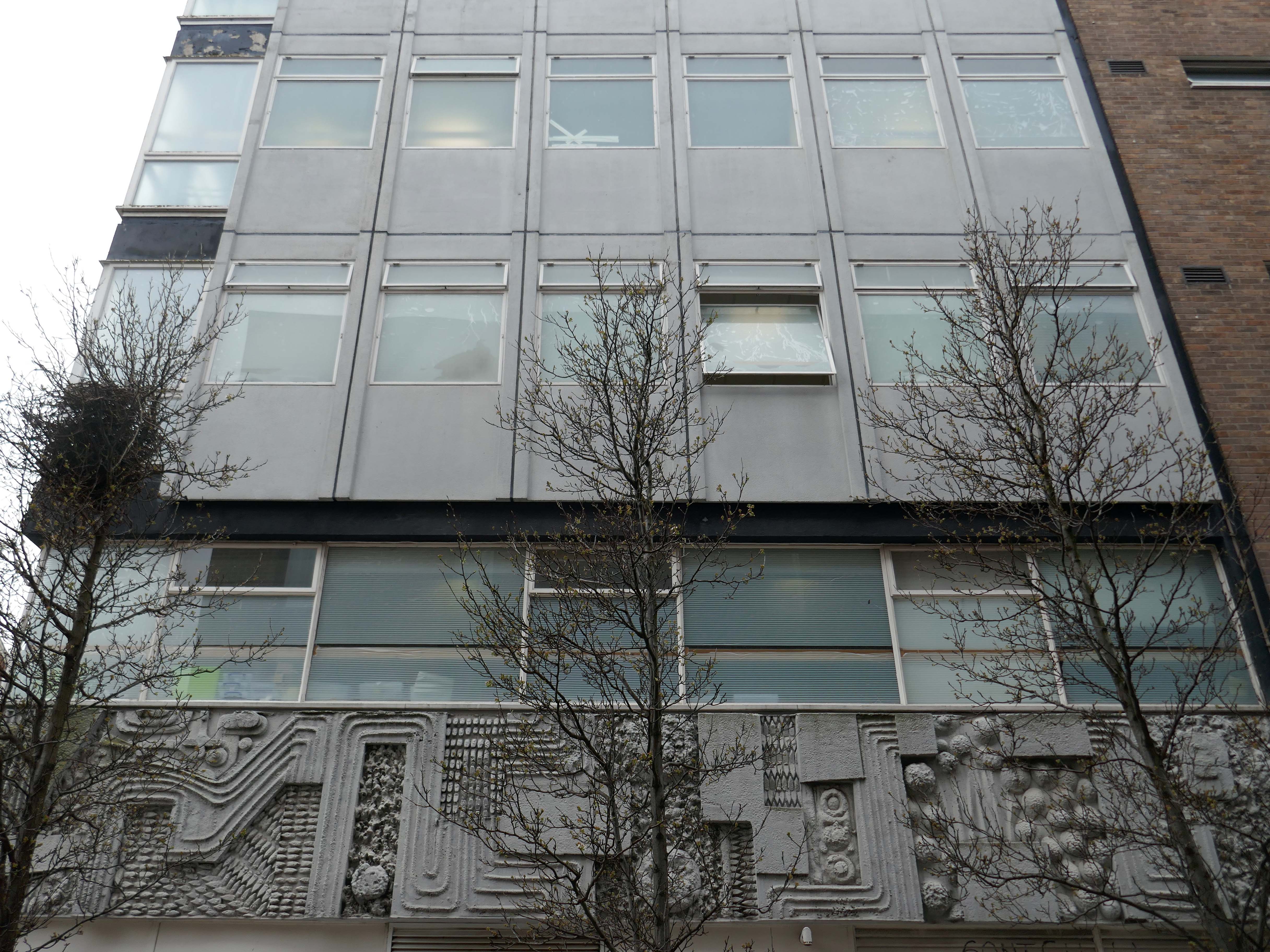
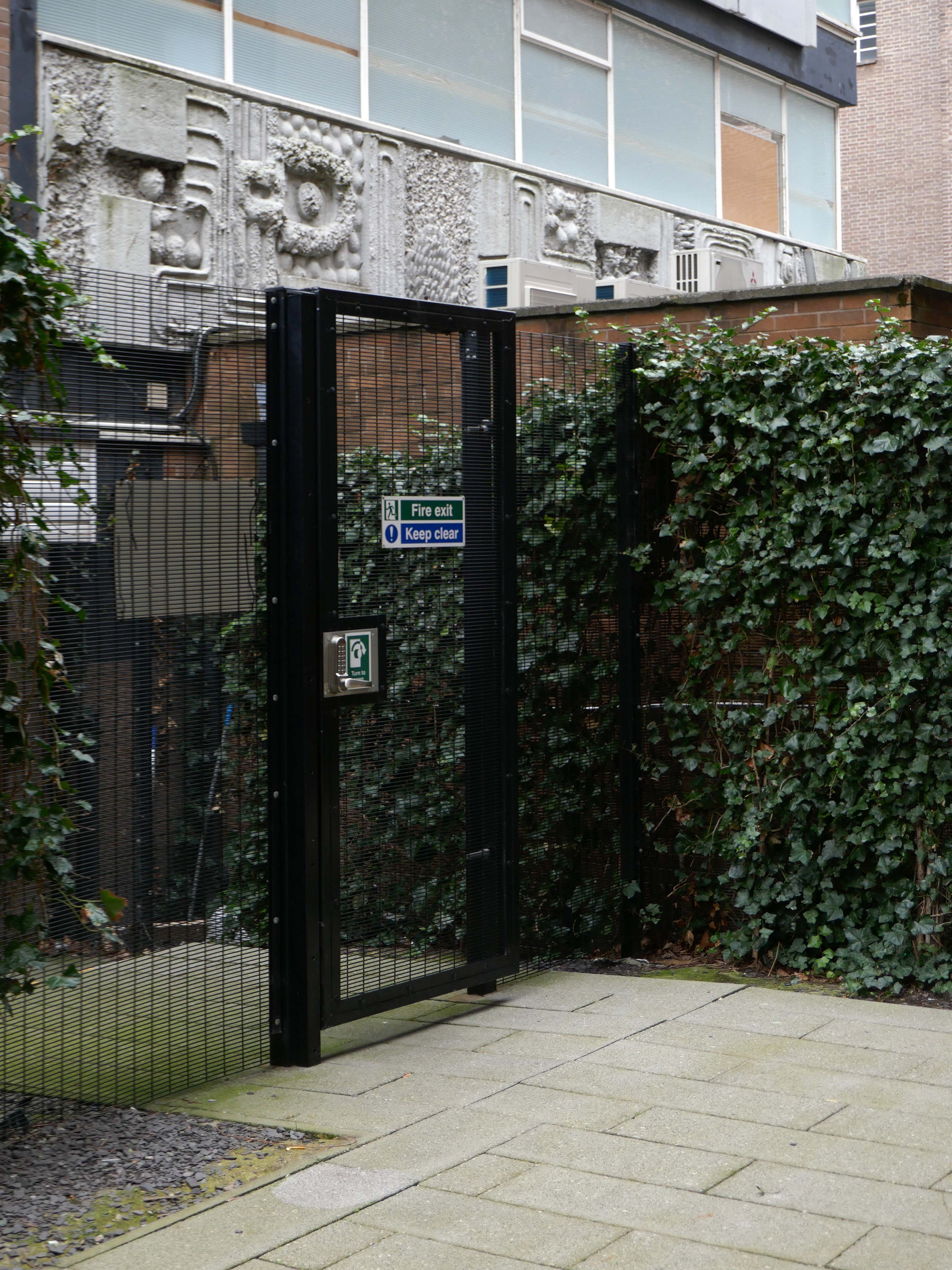
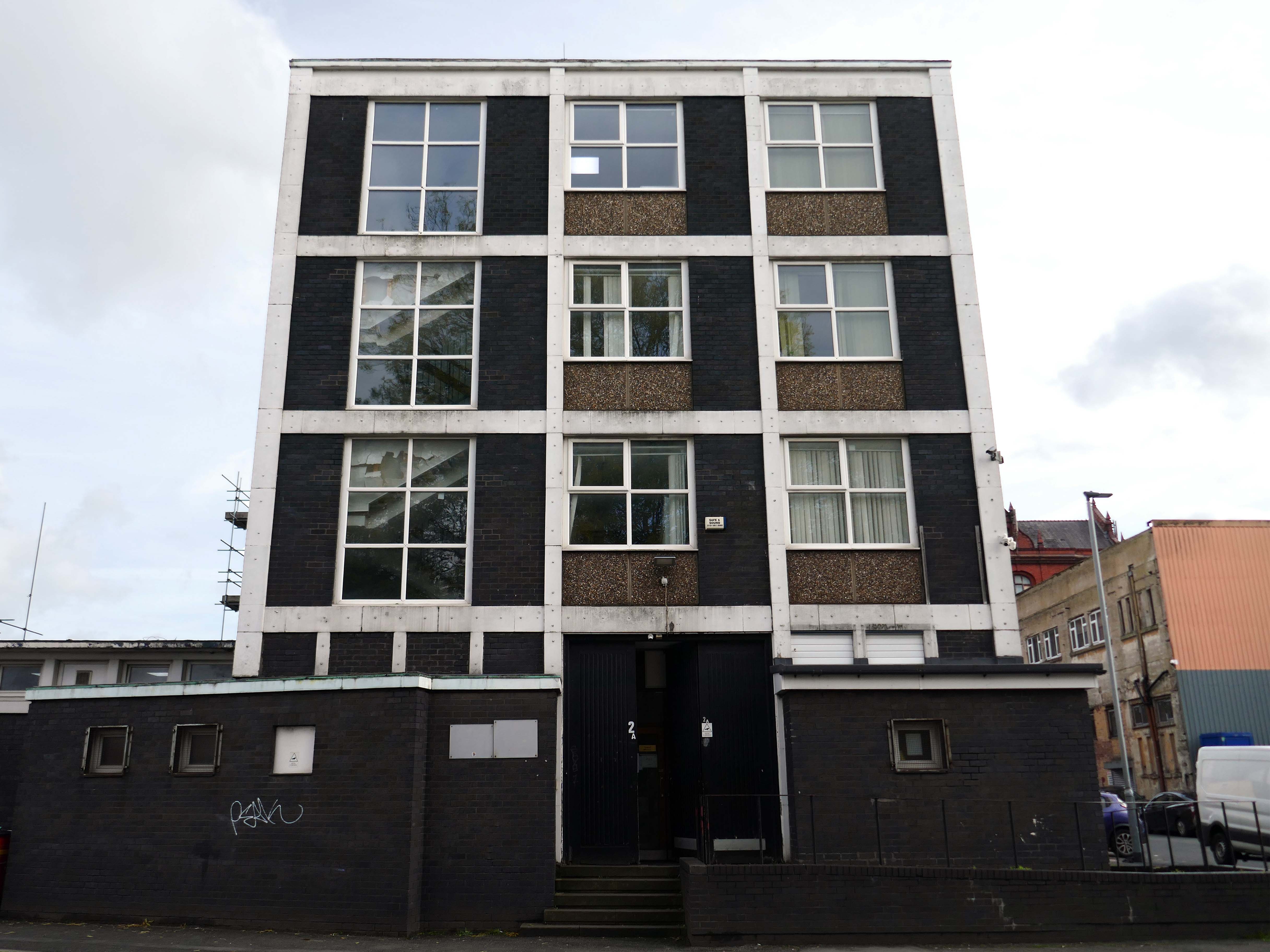
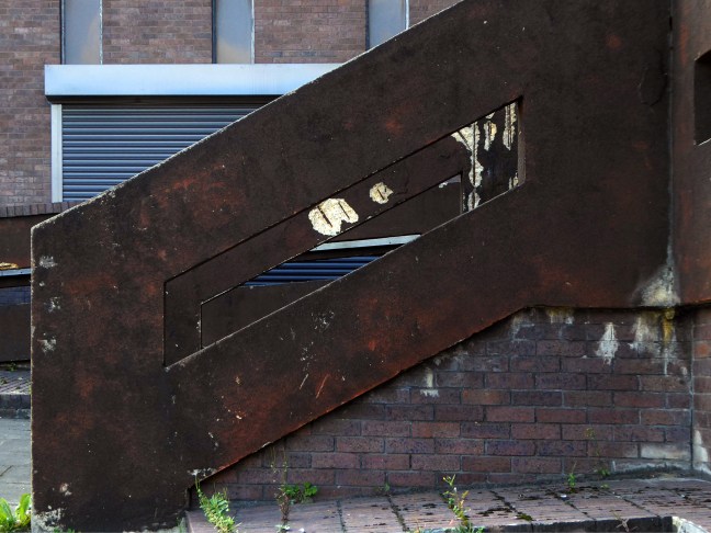
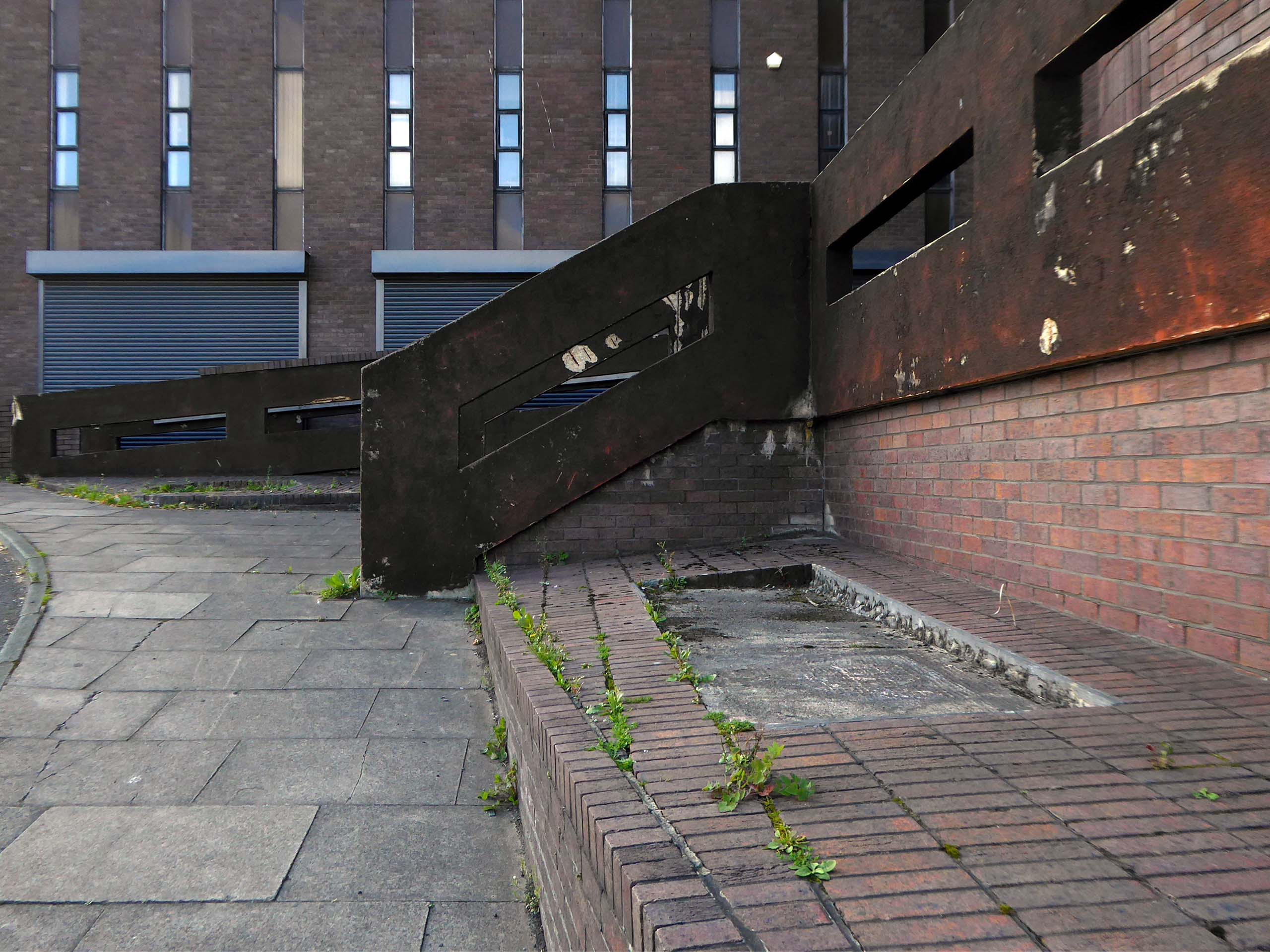
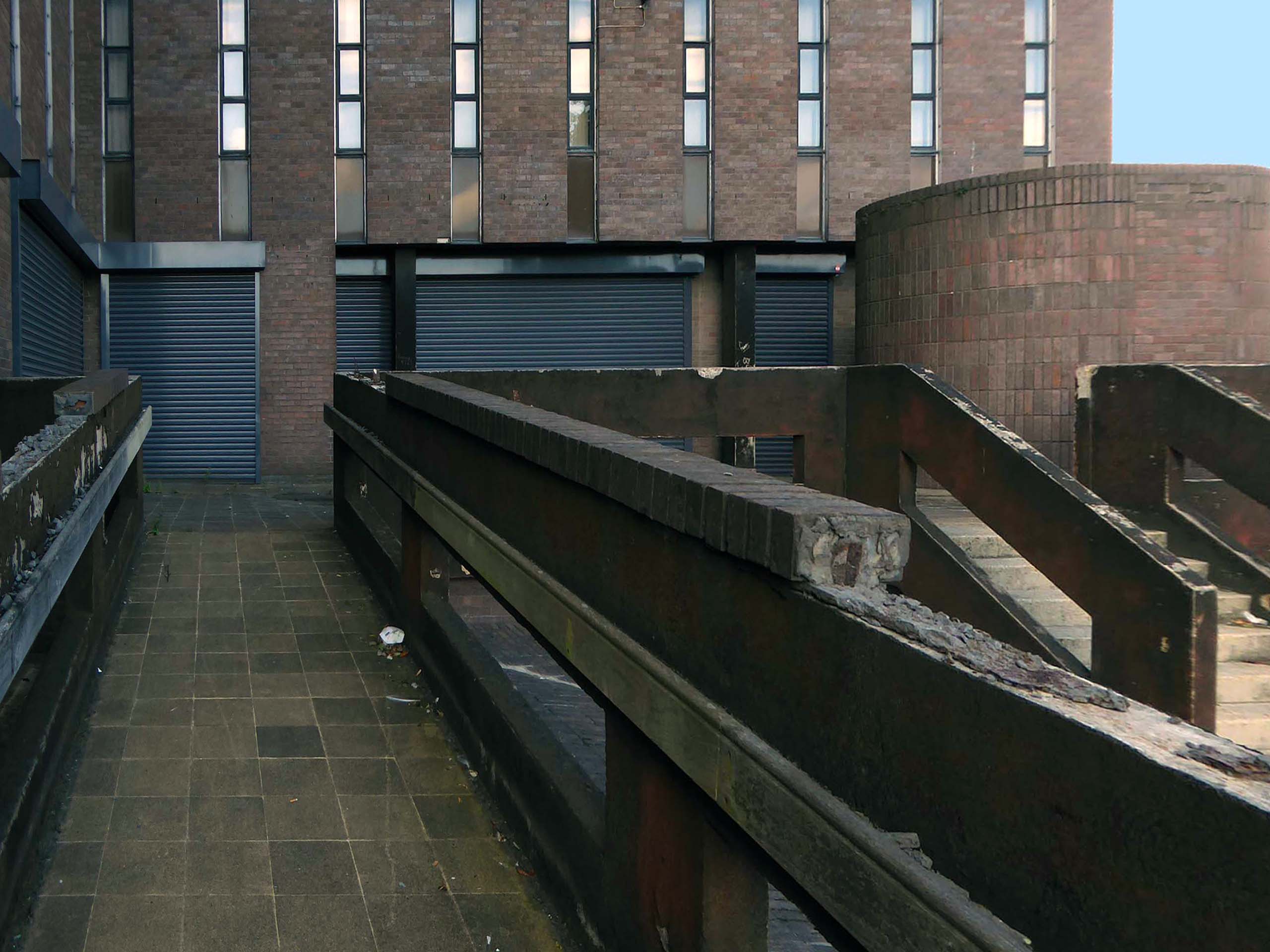
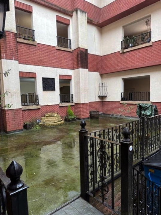
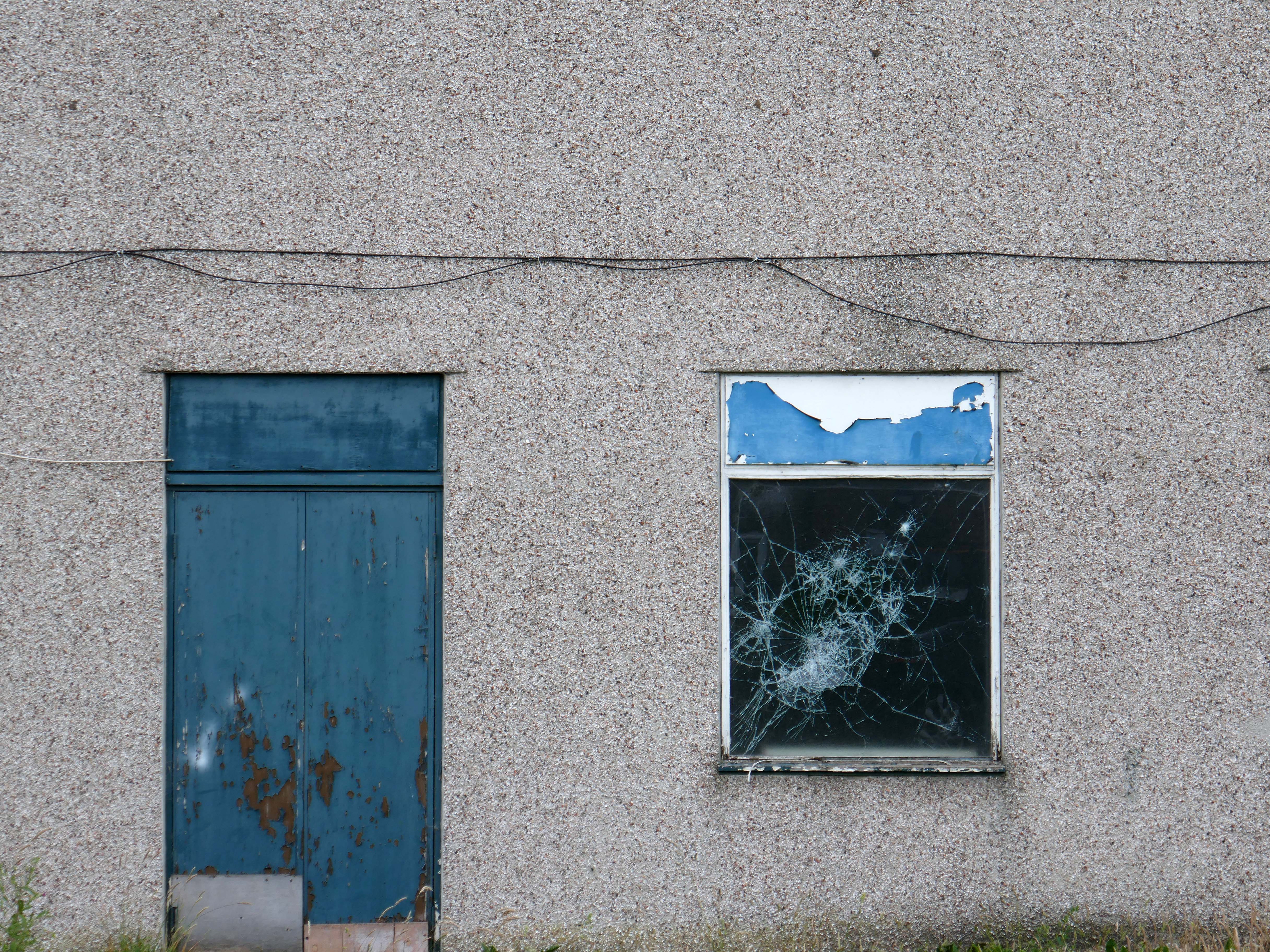
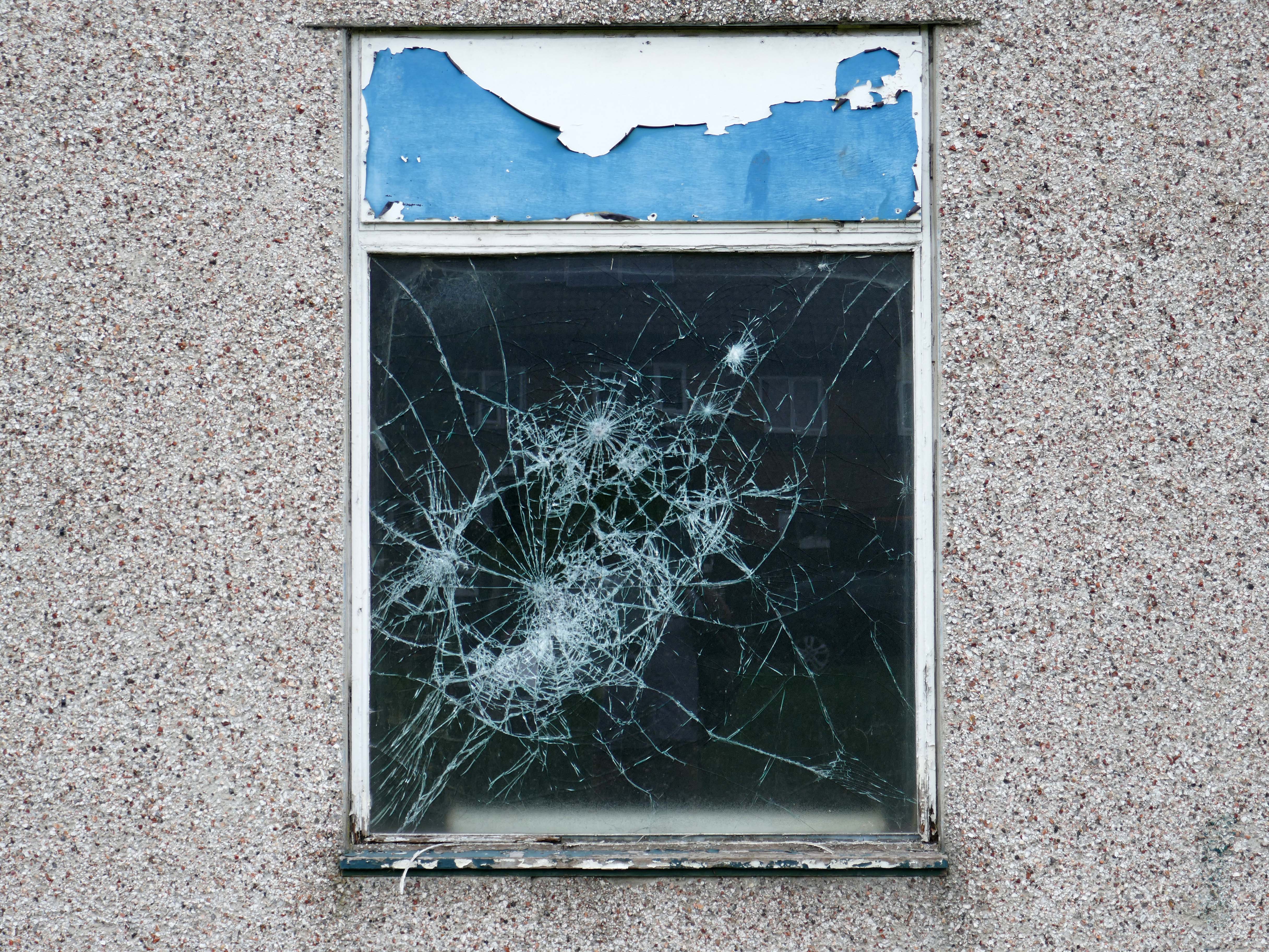
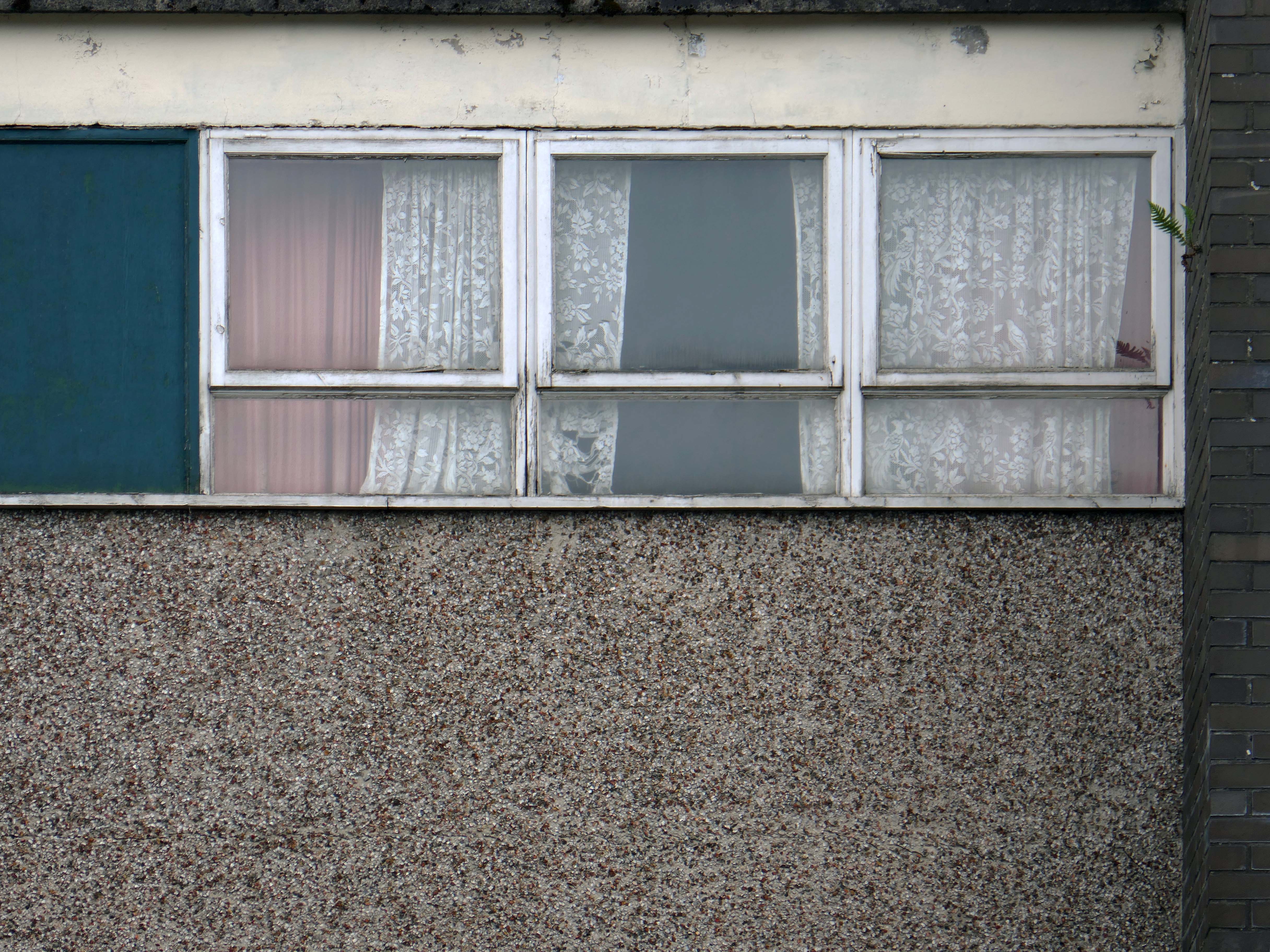
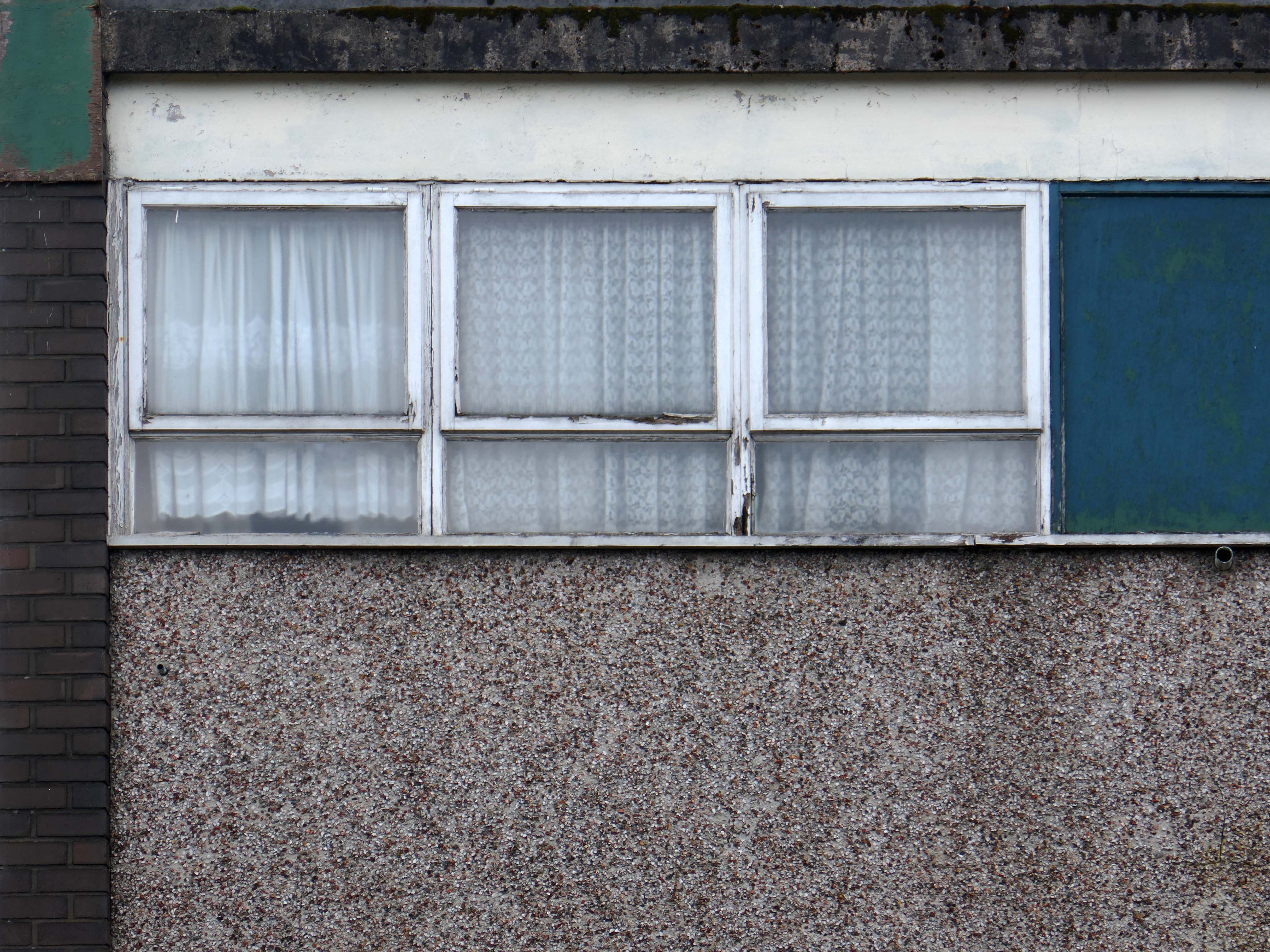
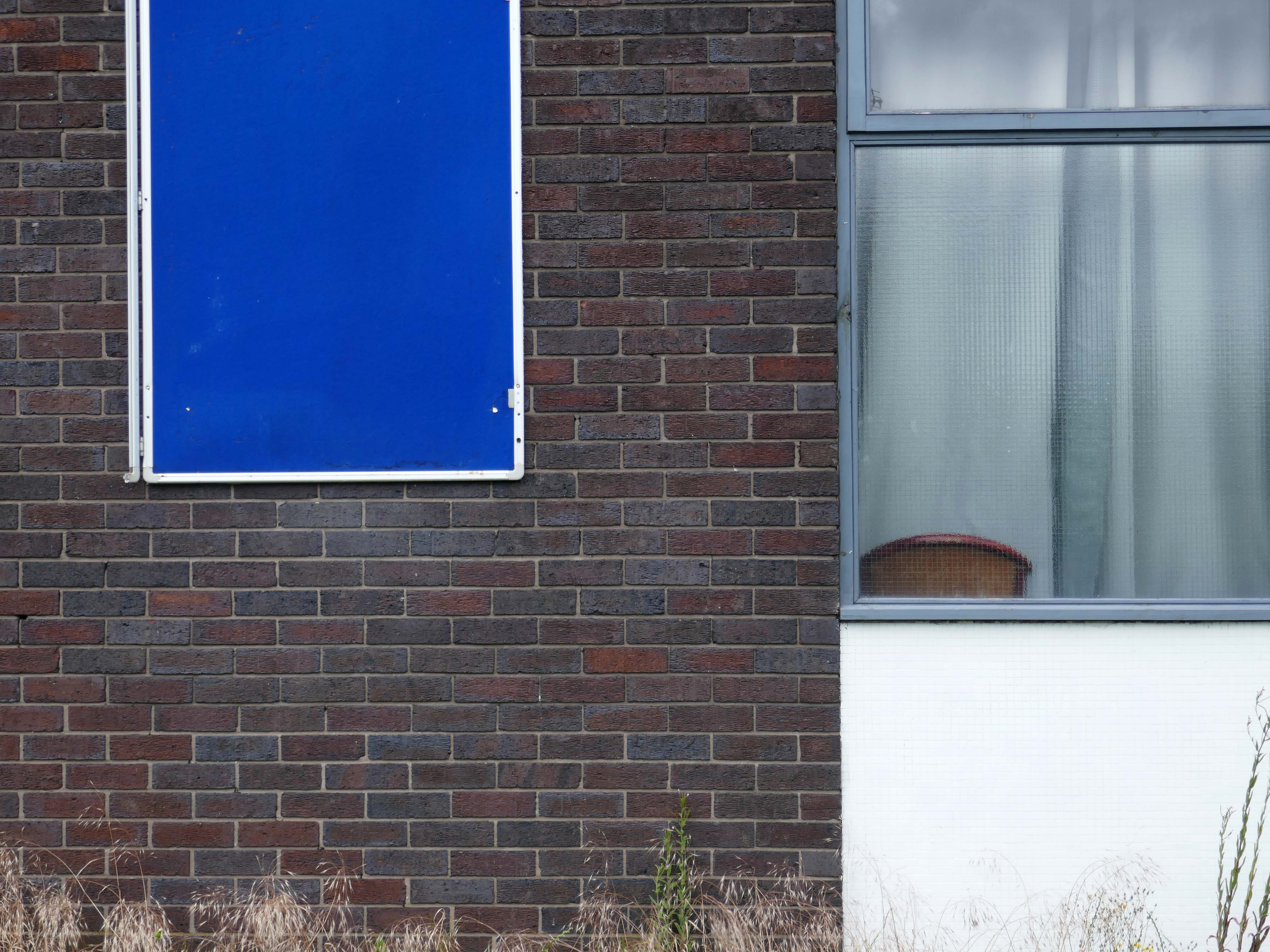
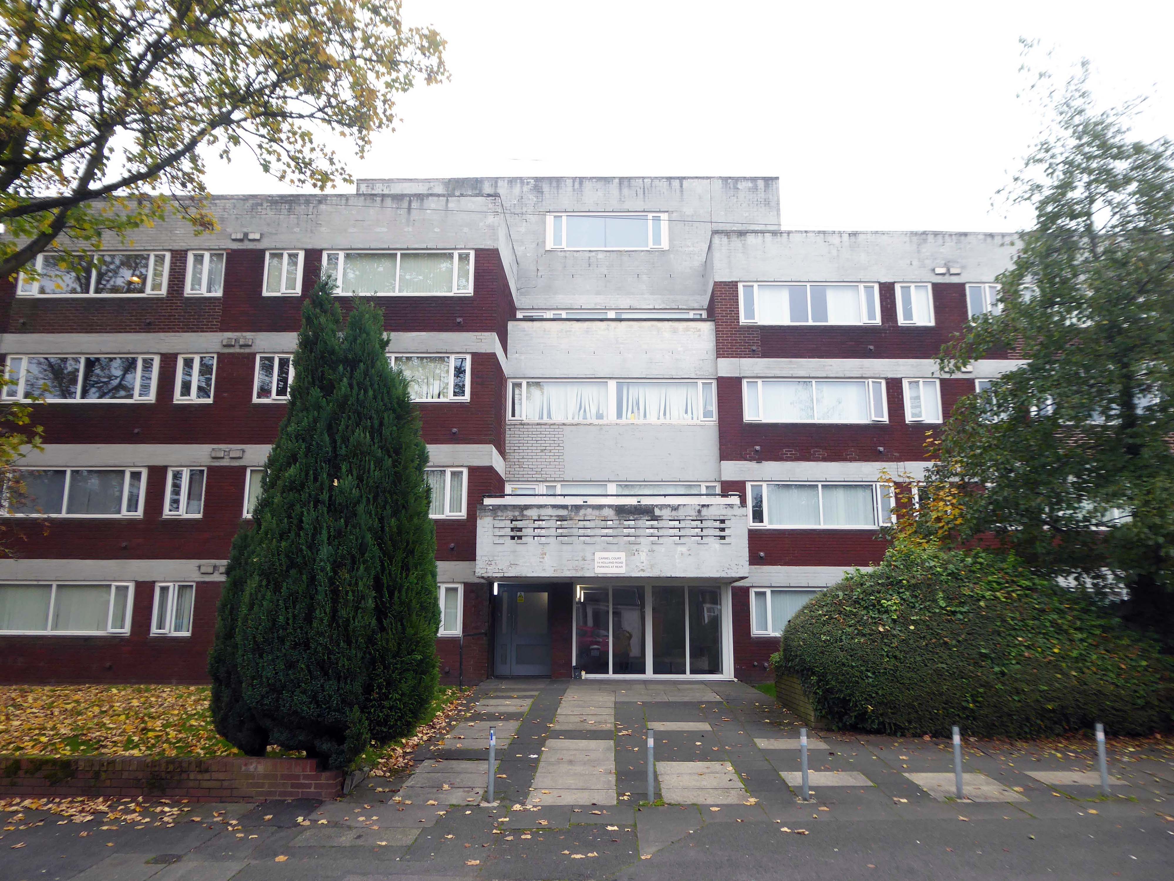
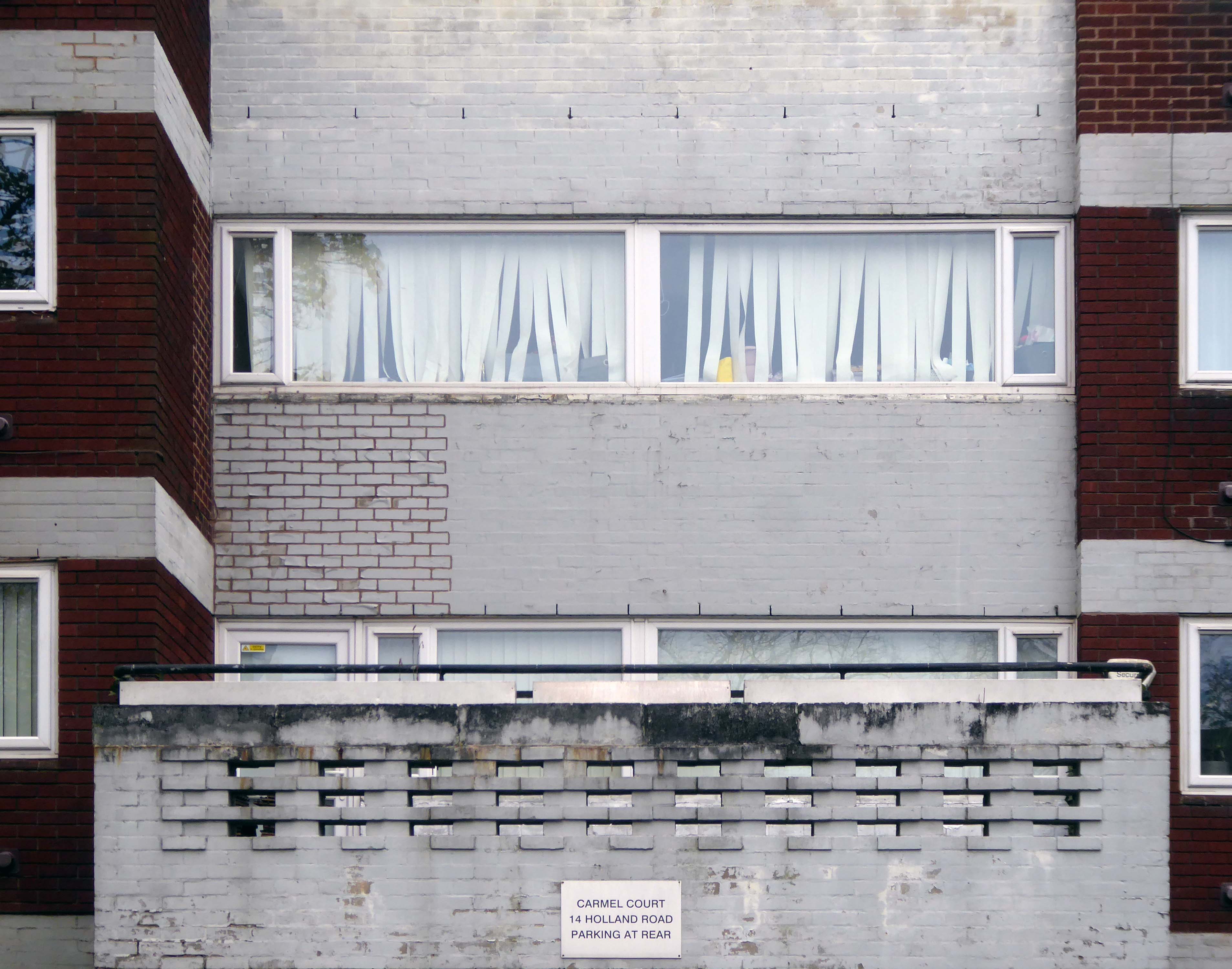
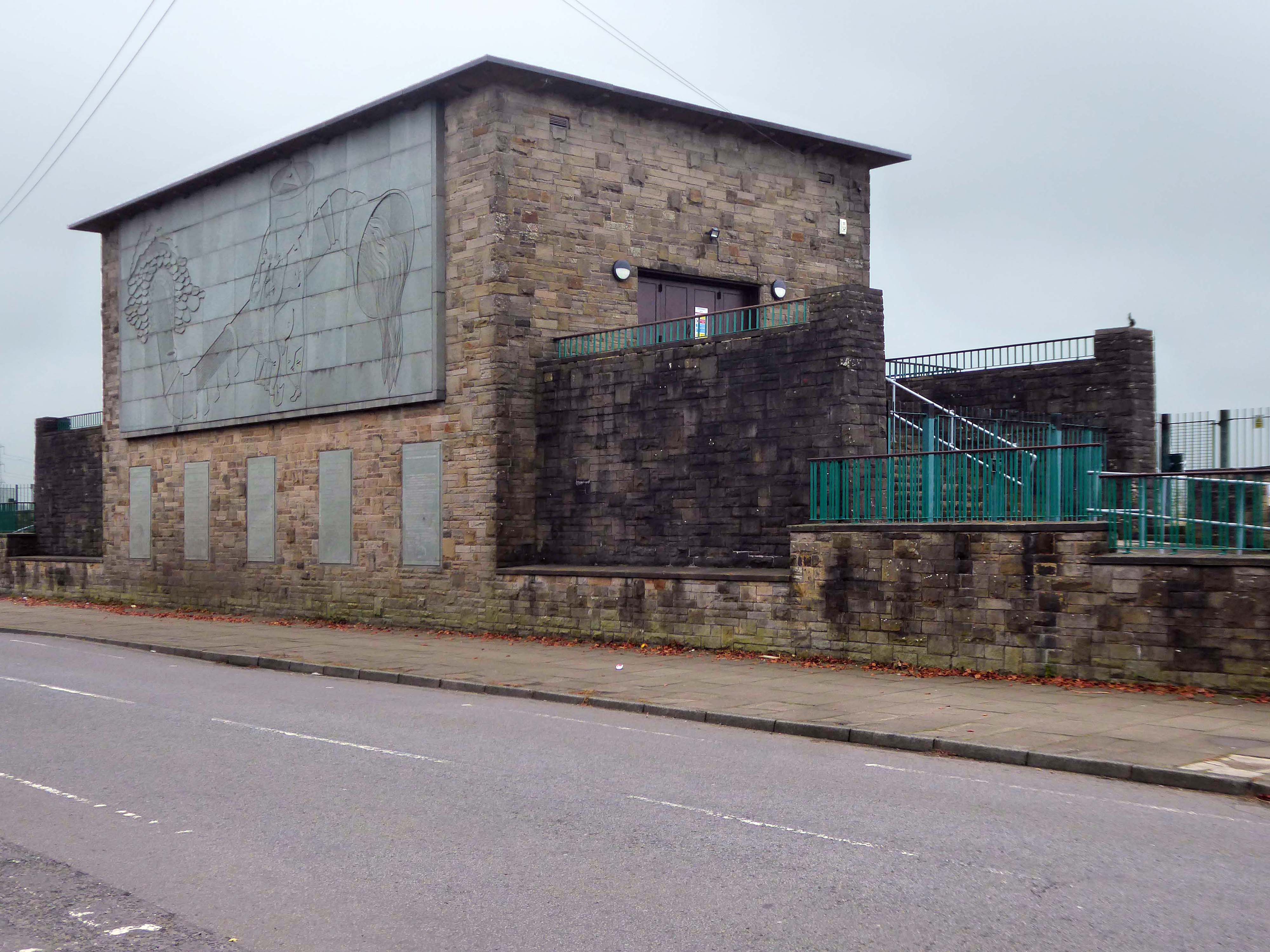
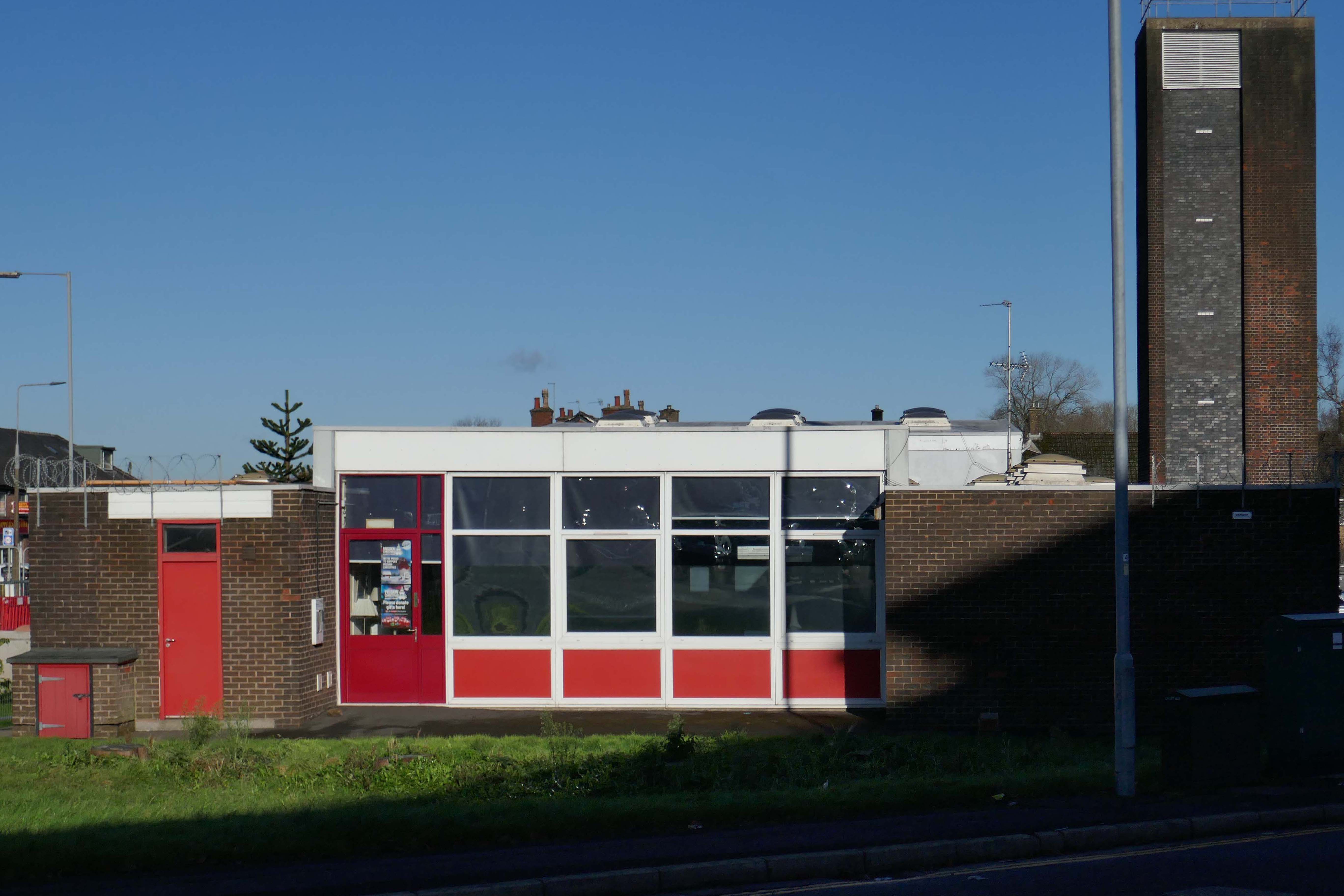
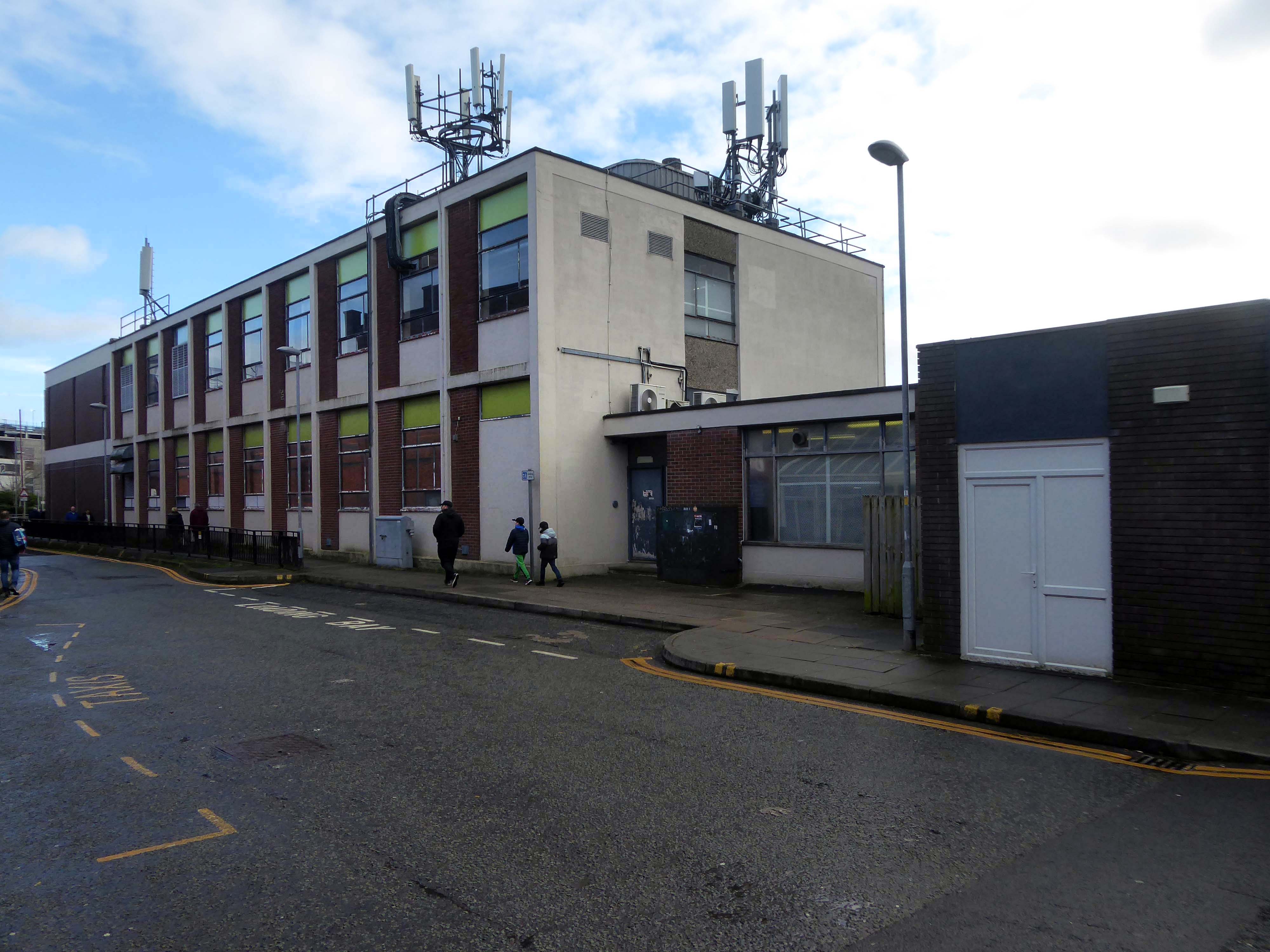
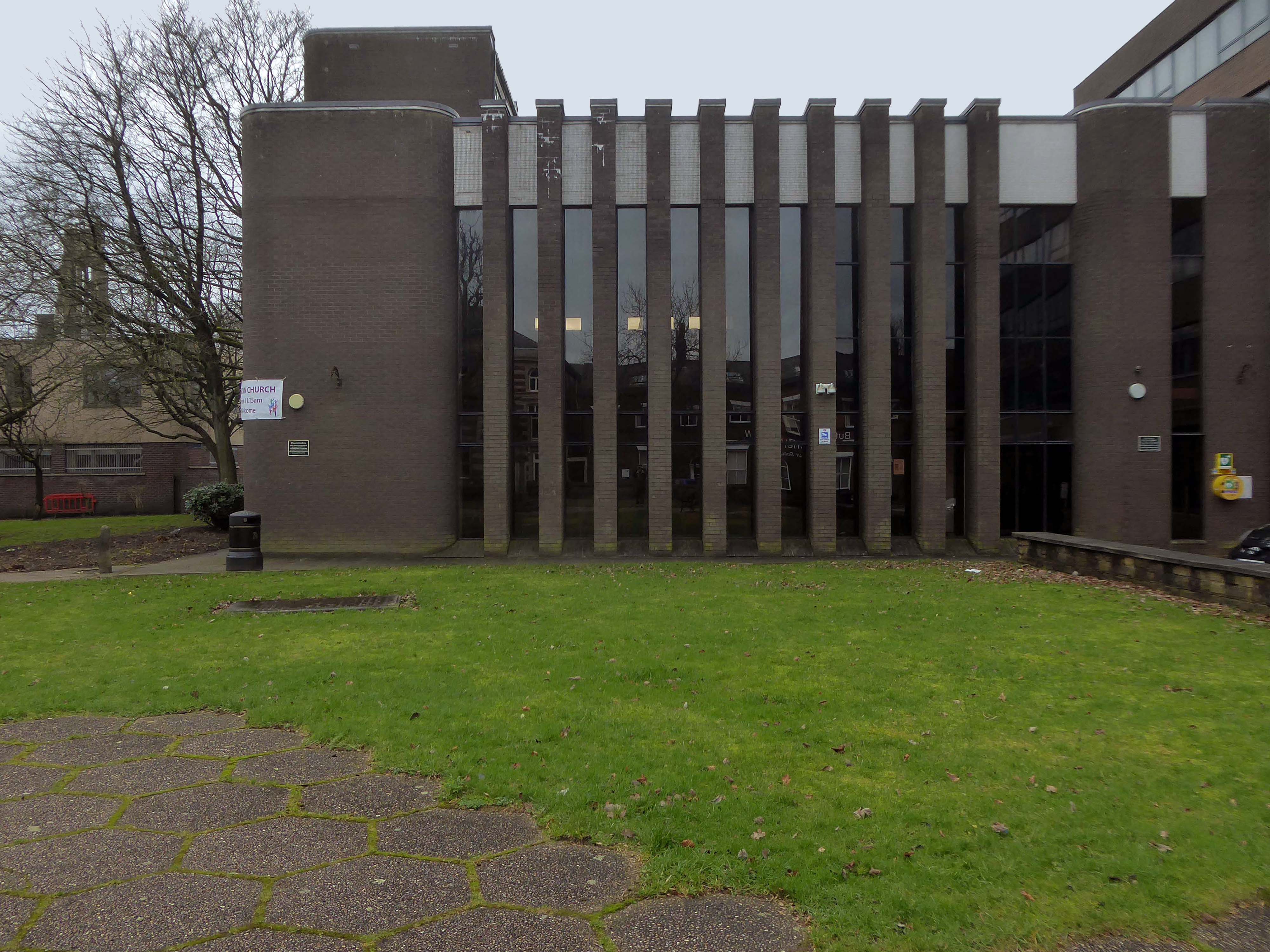
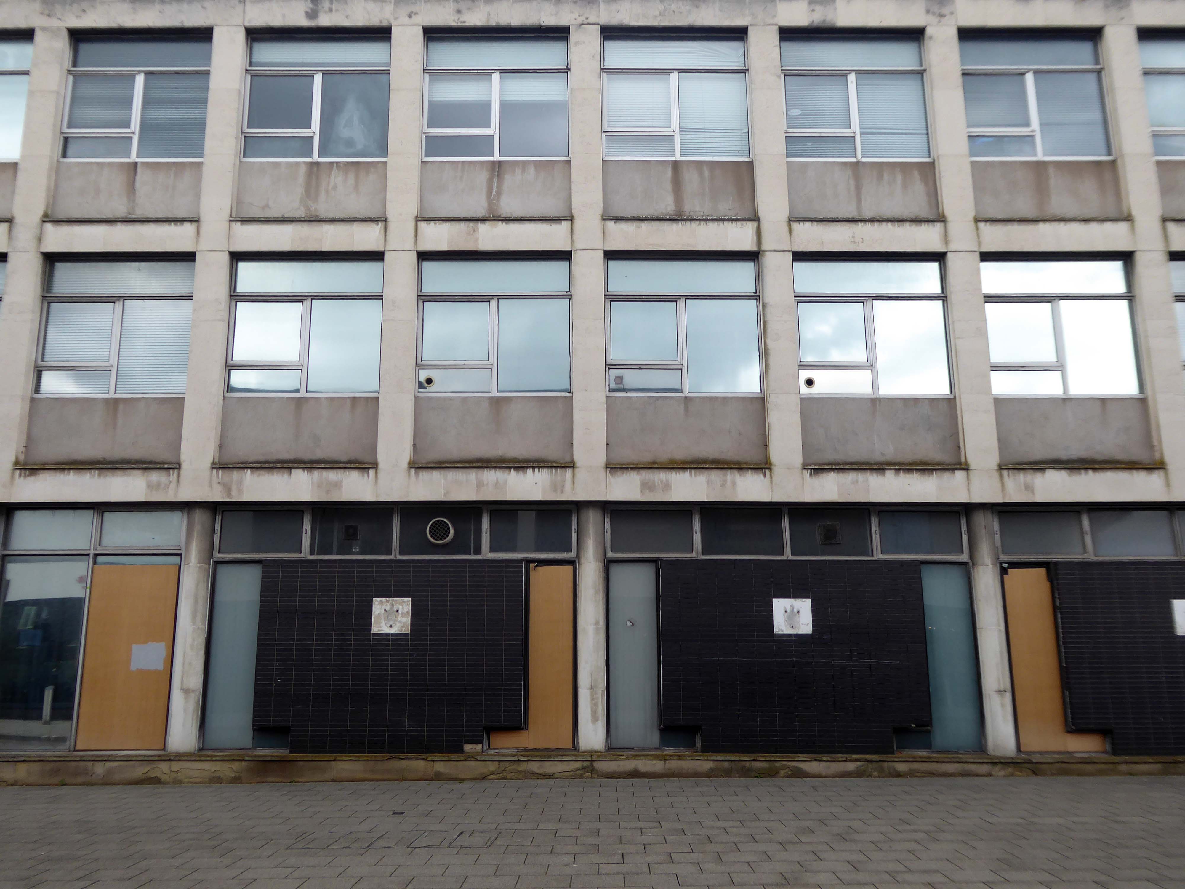
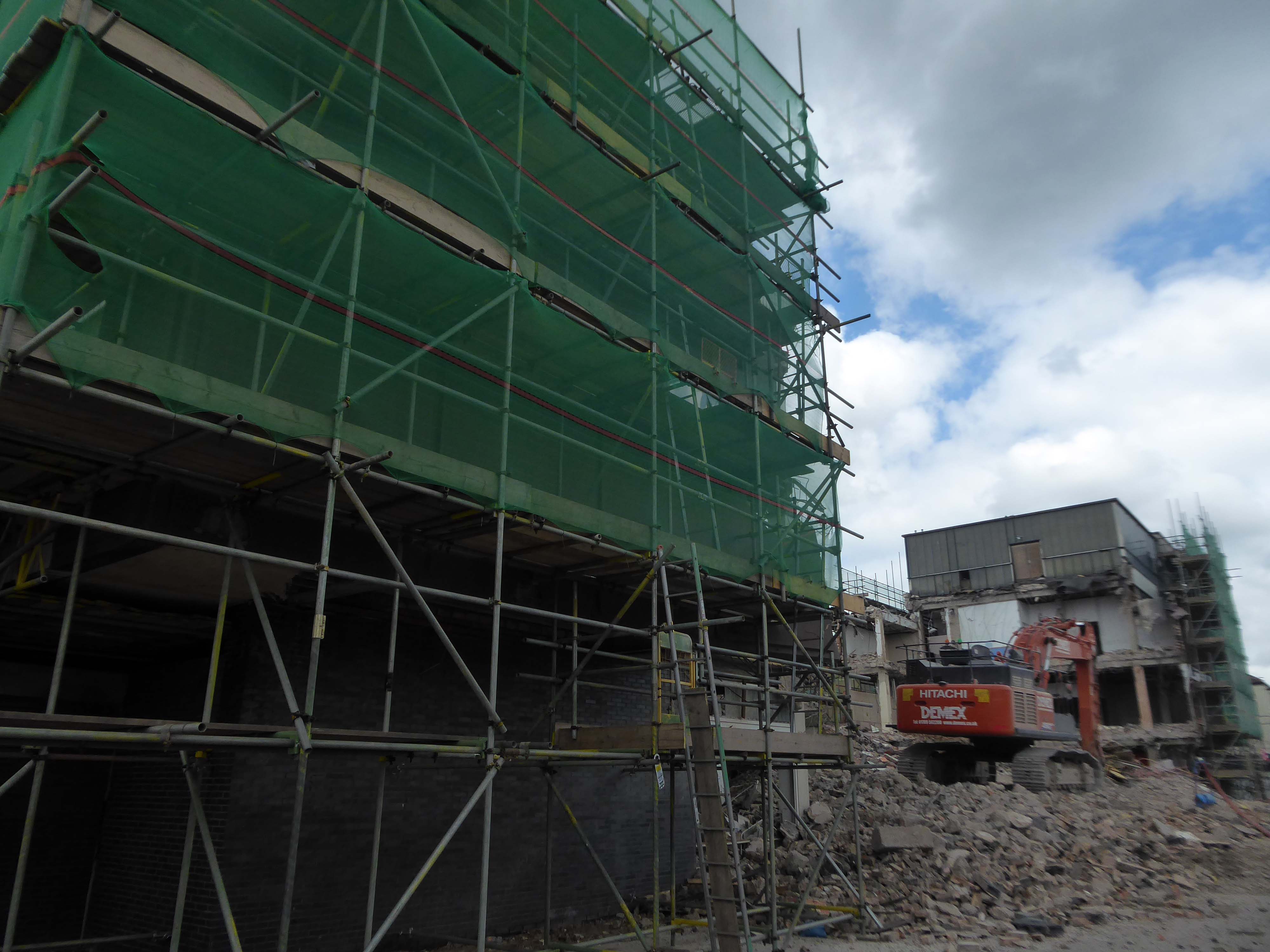
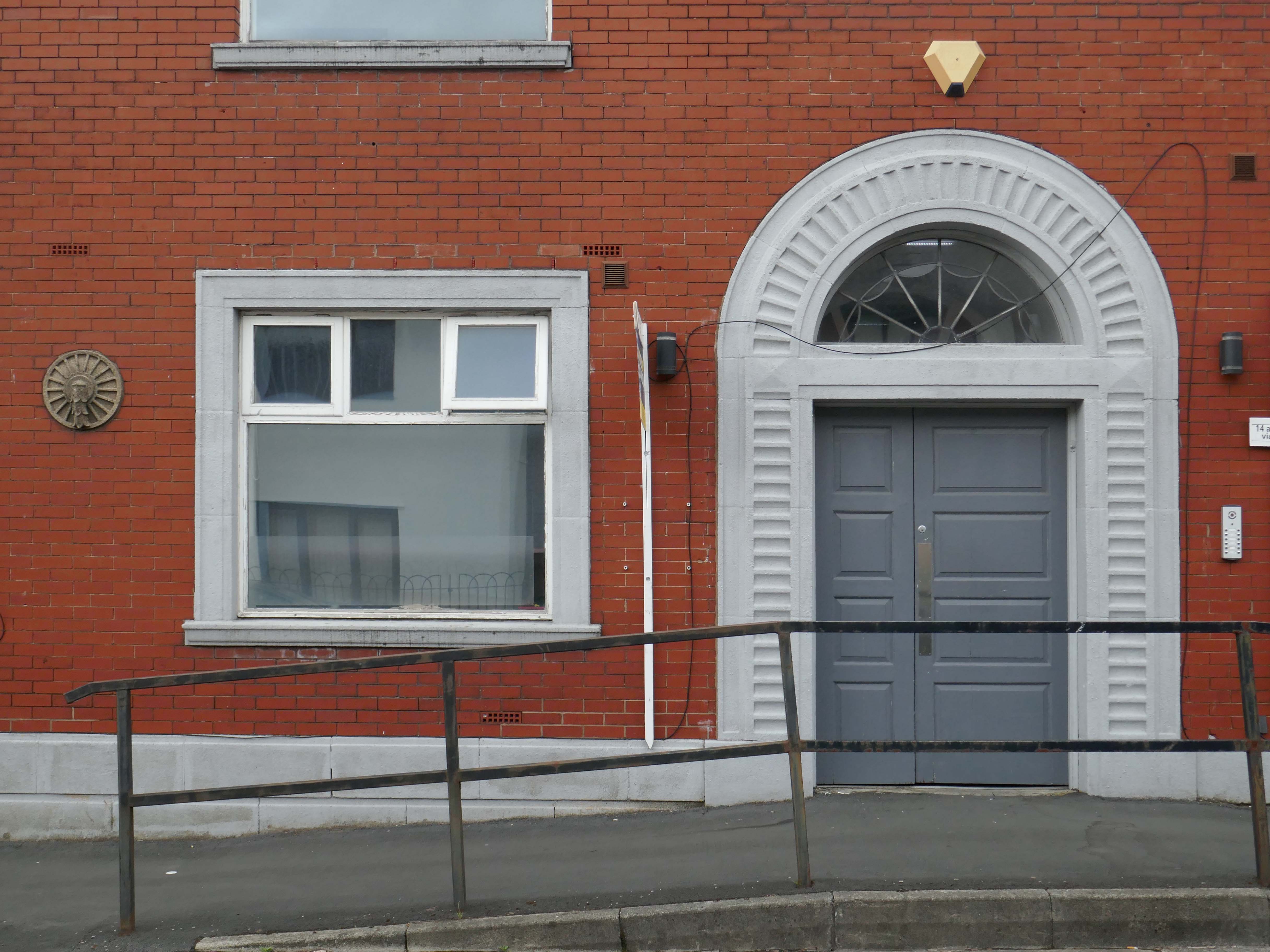
Back down to earth with a bang and just around the bend – here’s a former Social Services building, very much in the post-war manner.
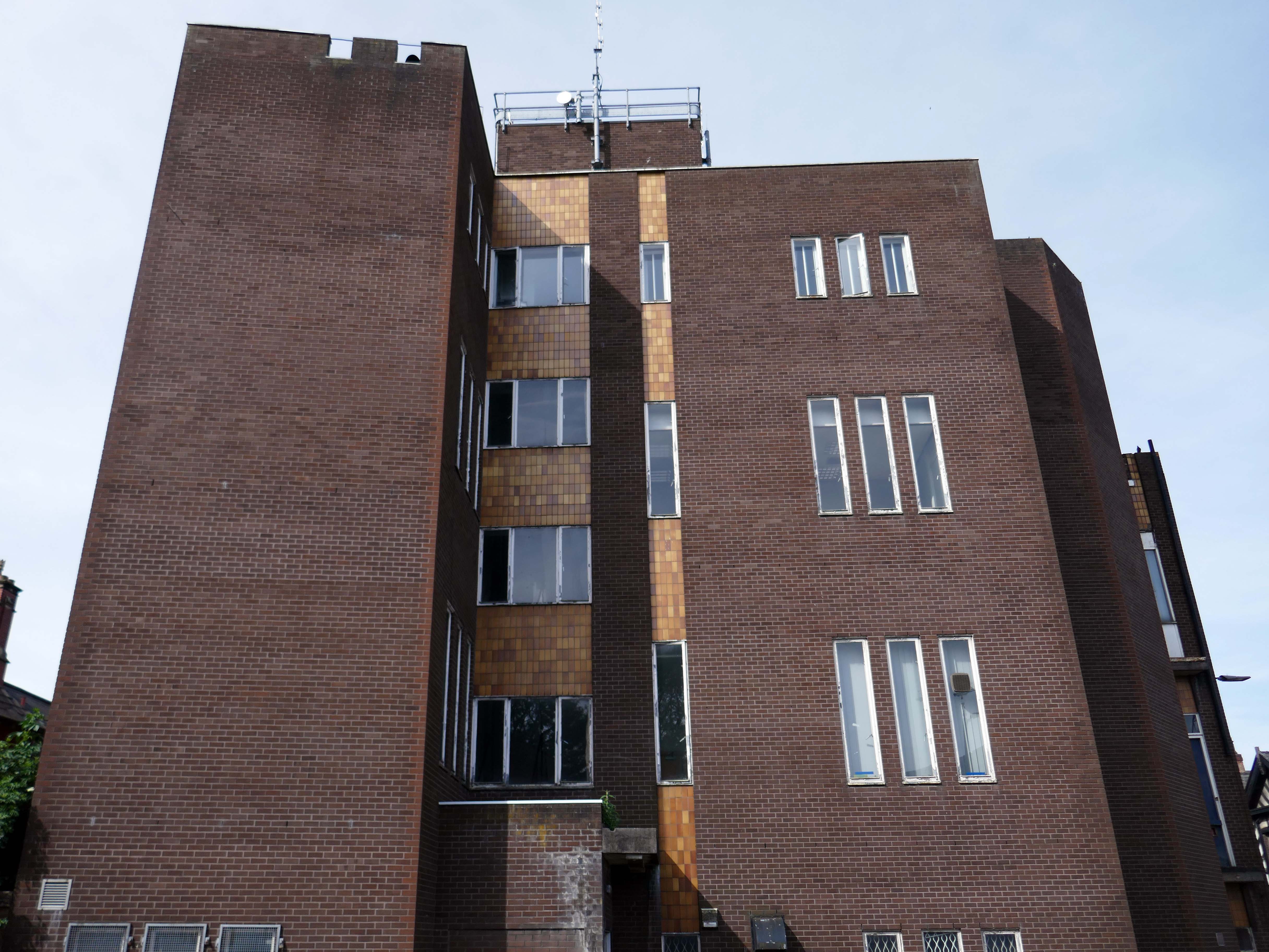
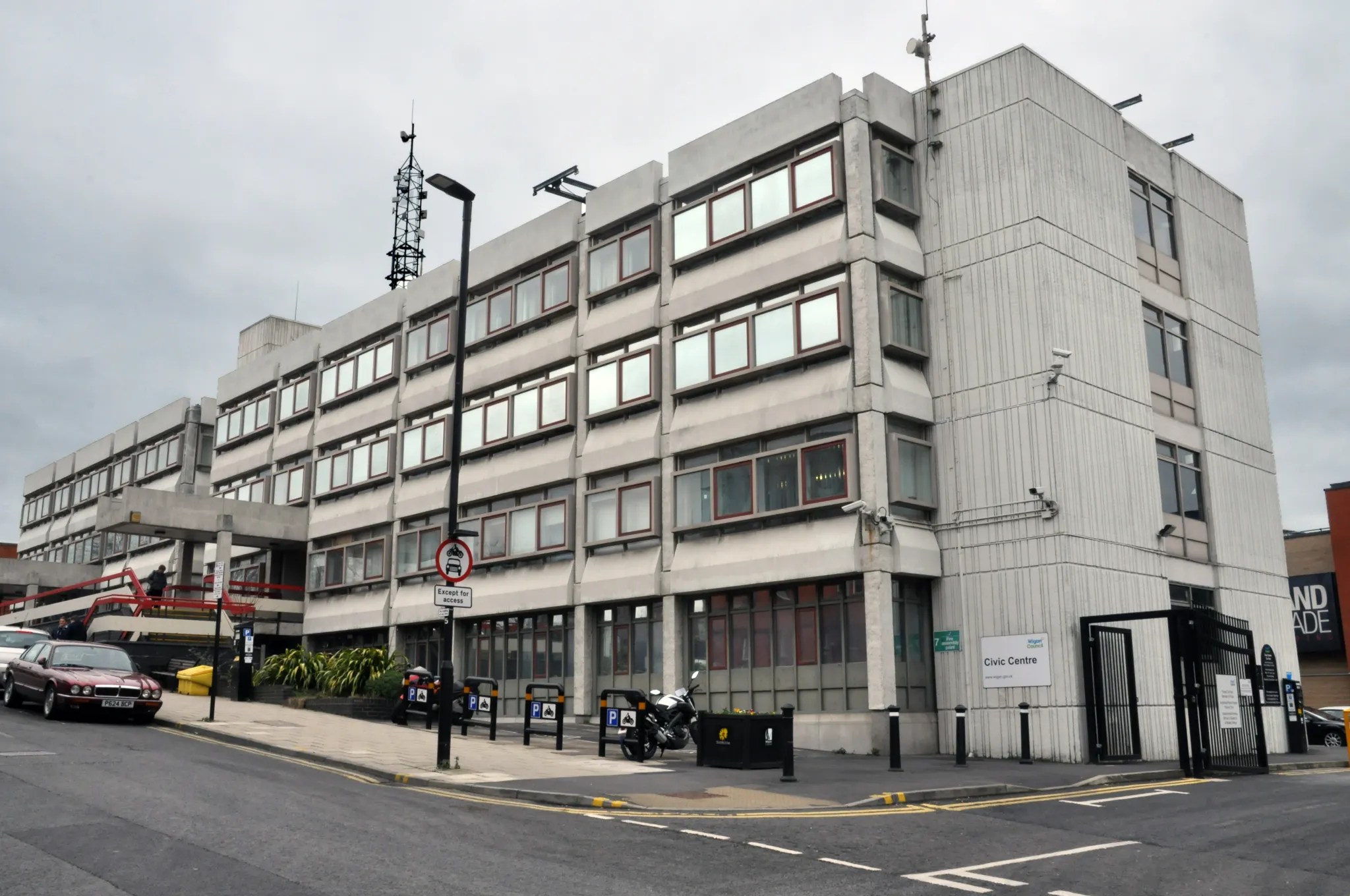
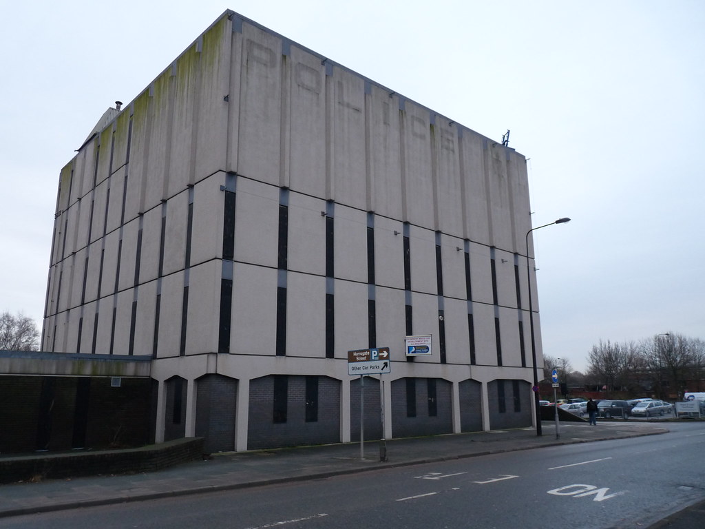
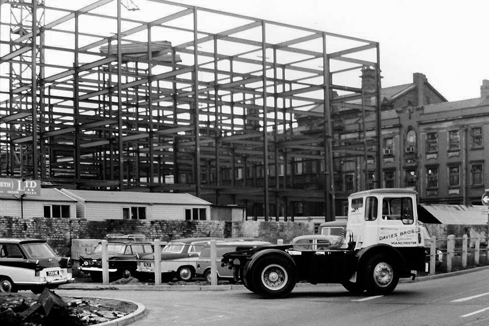
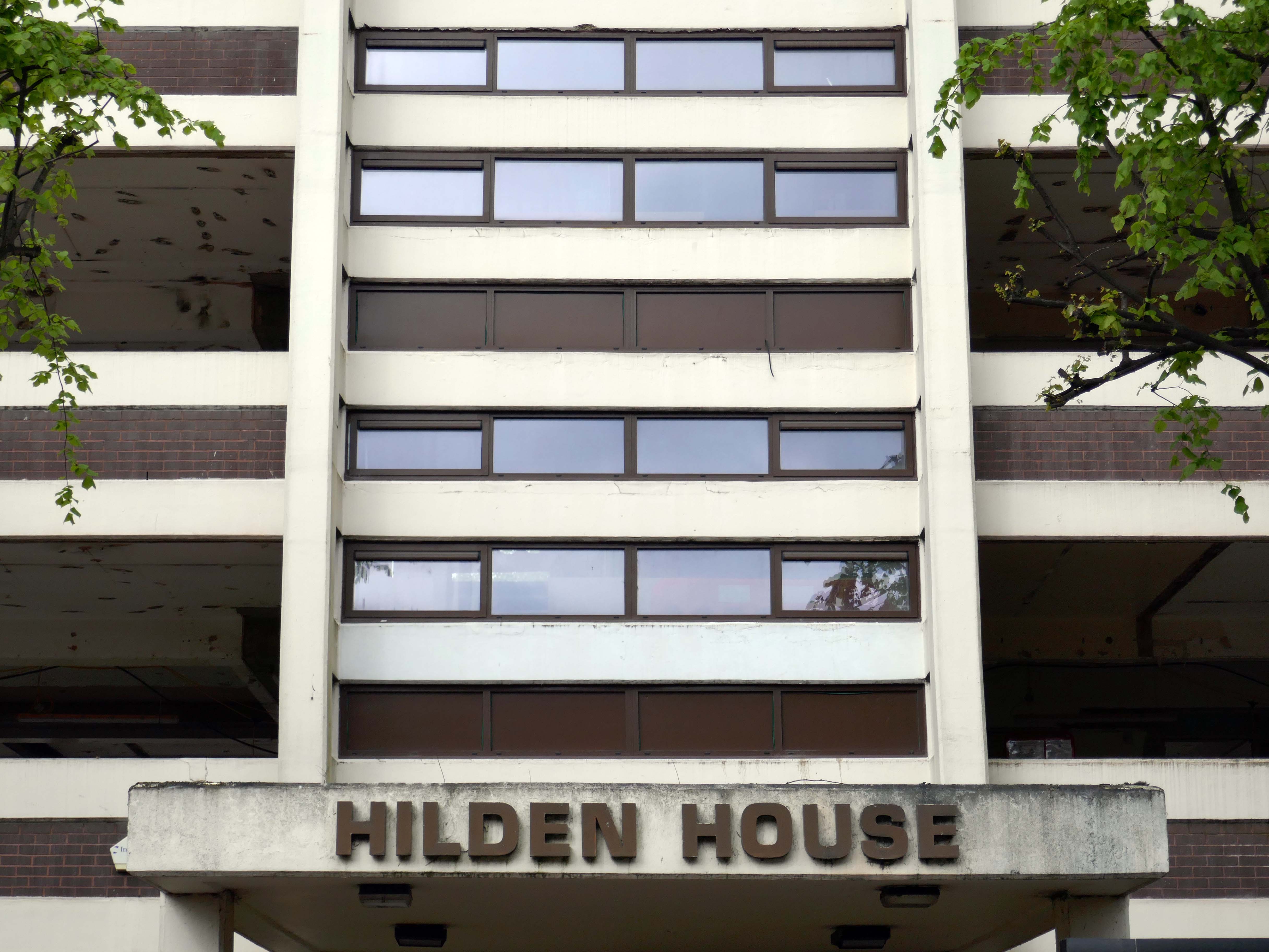
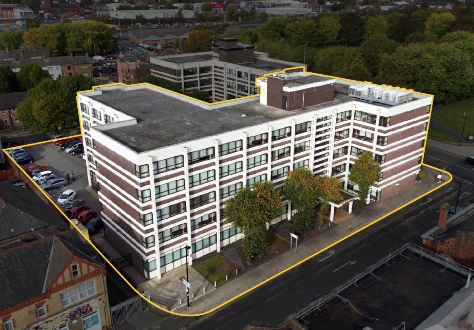
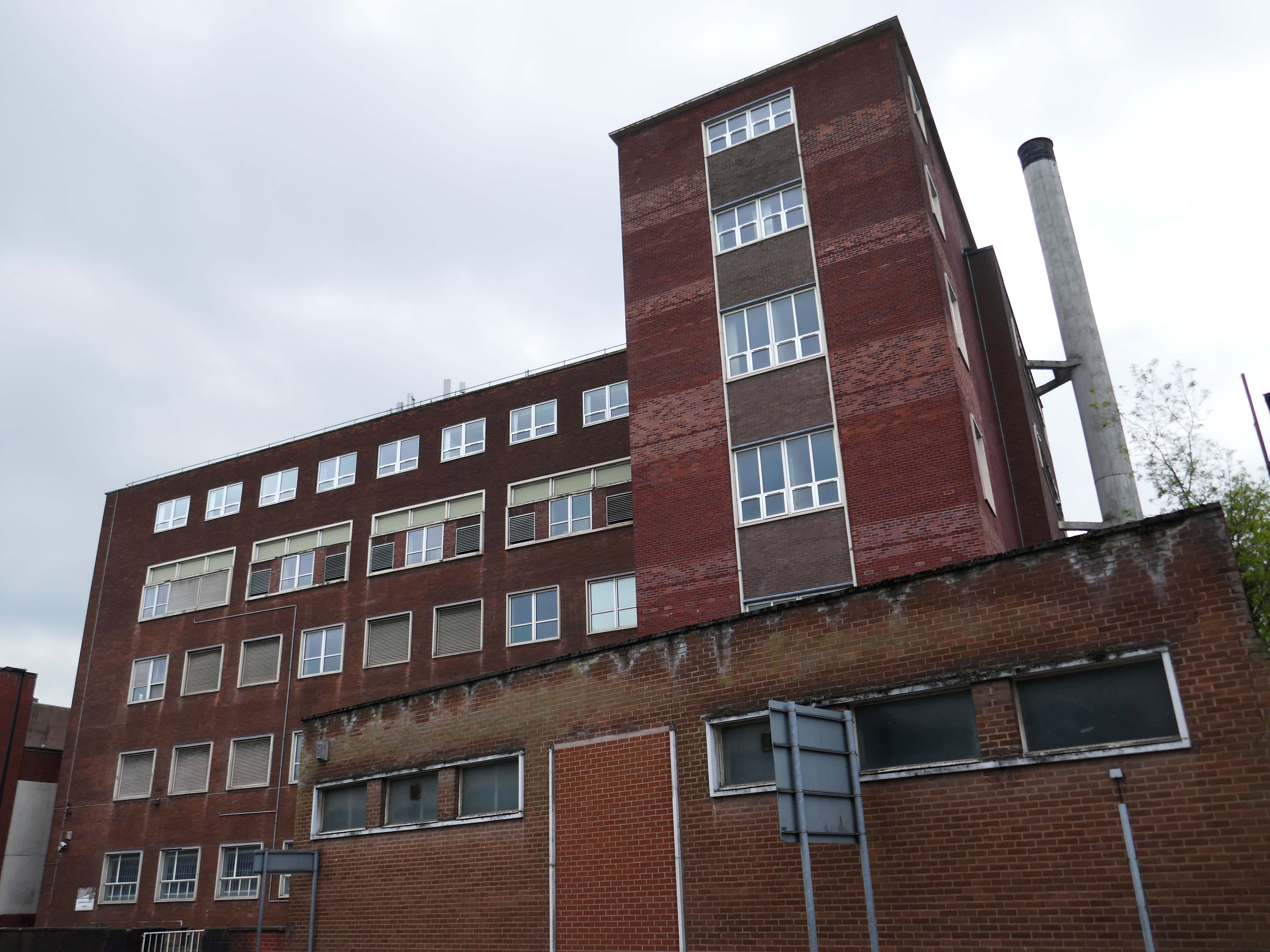
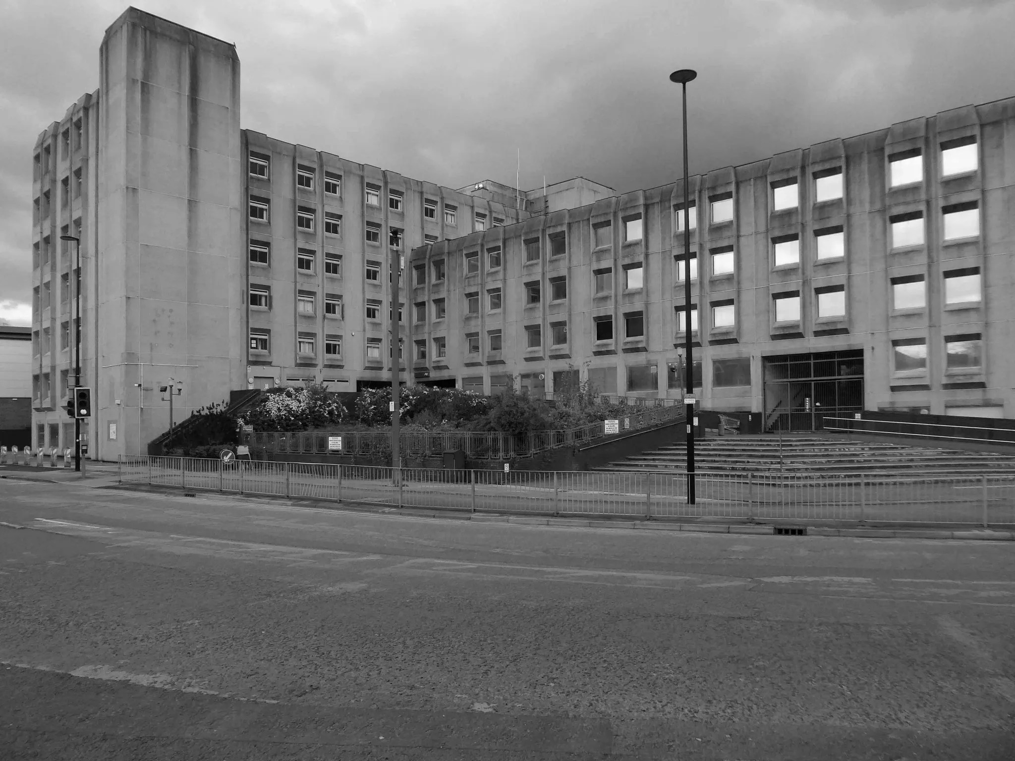
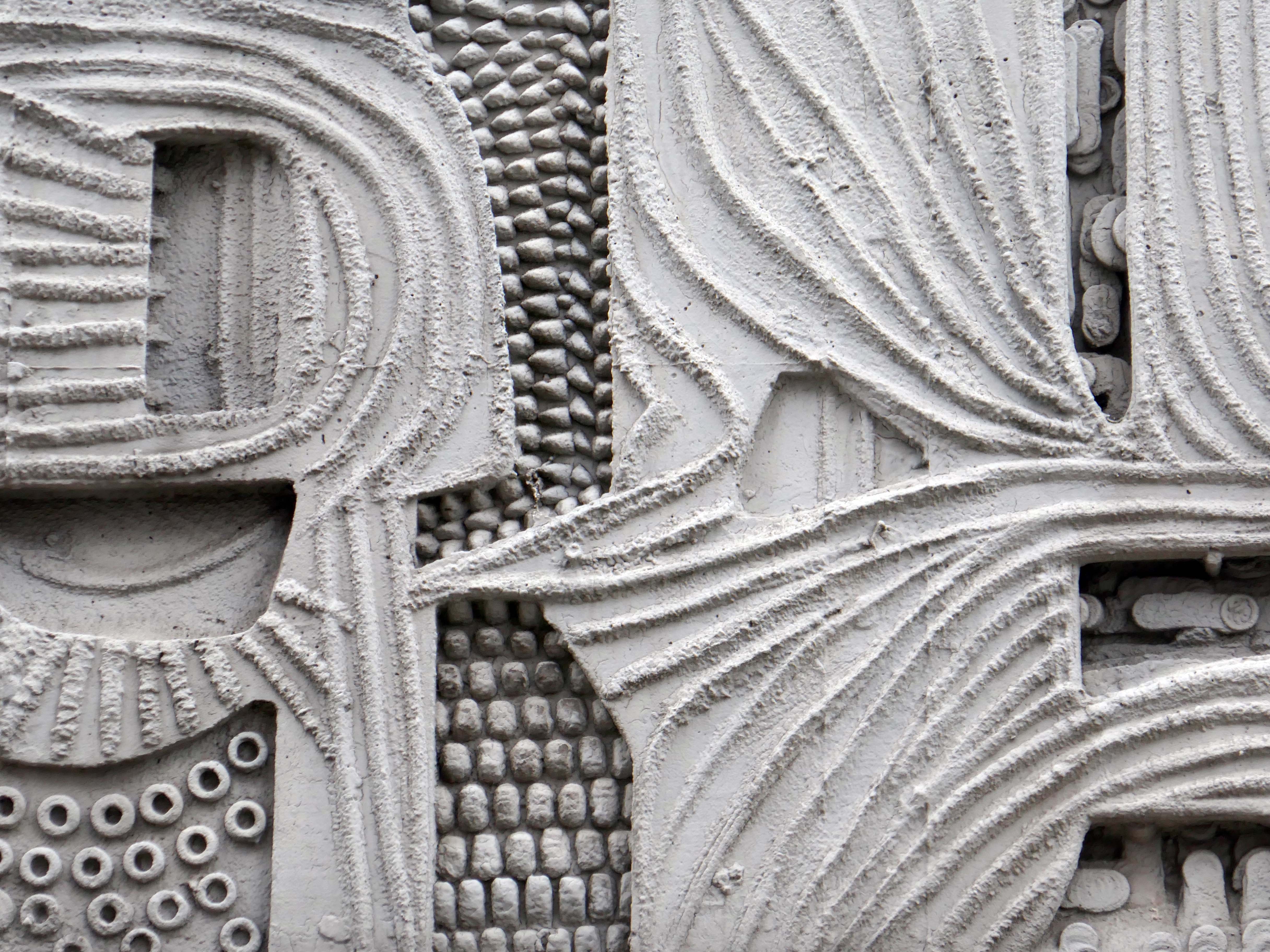
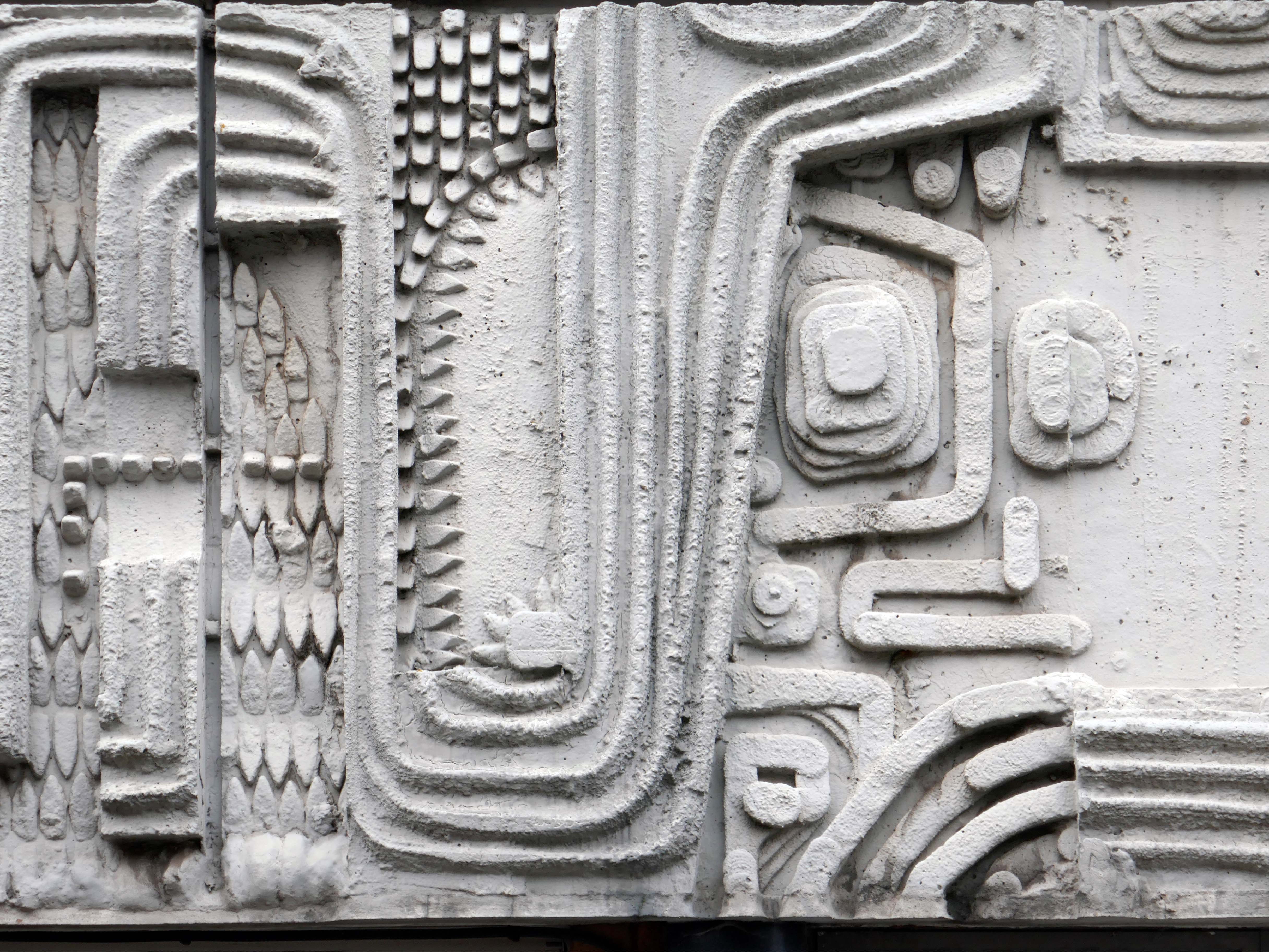
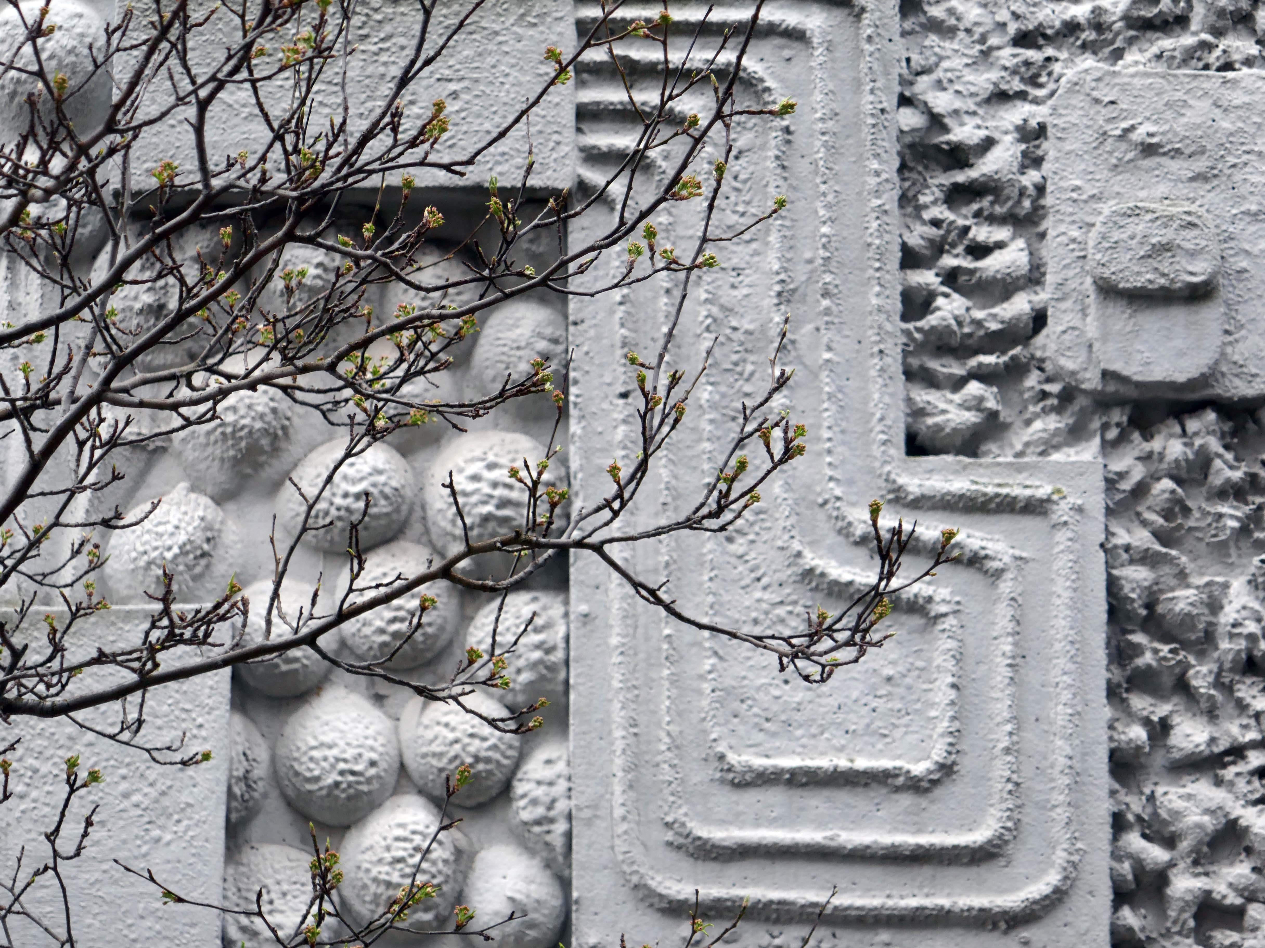
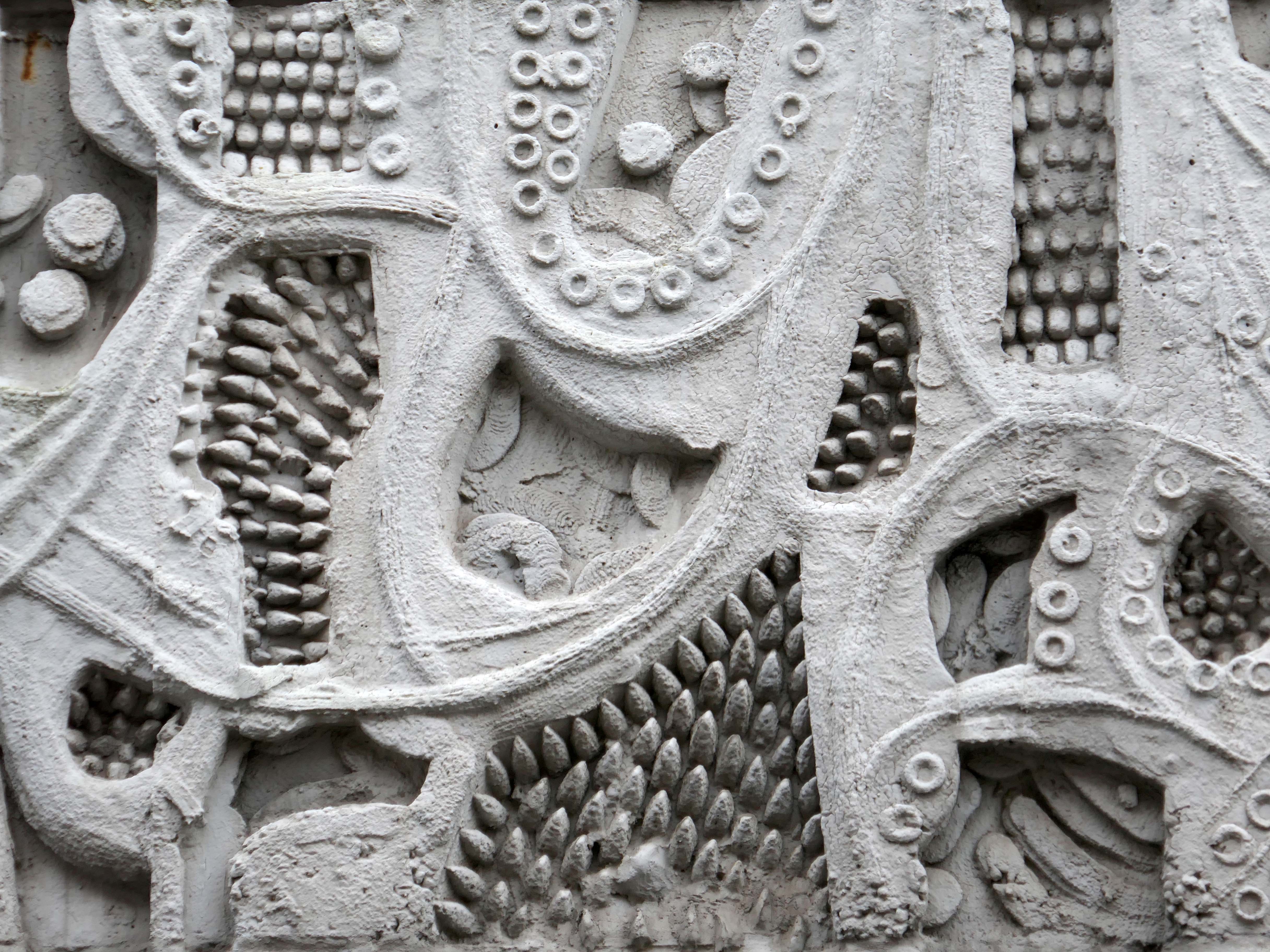
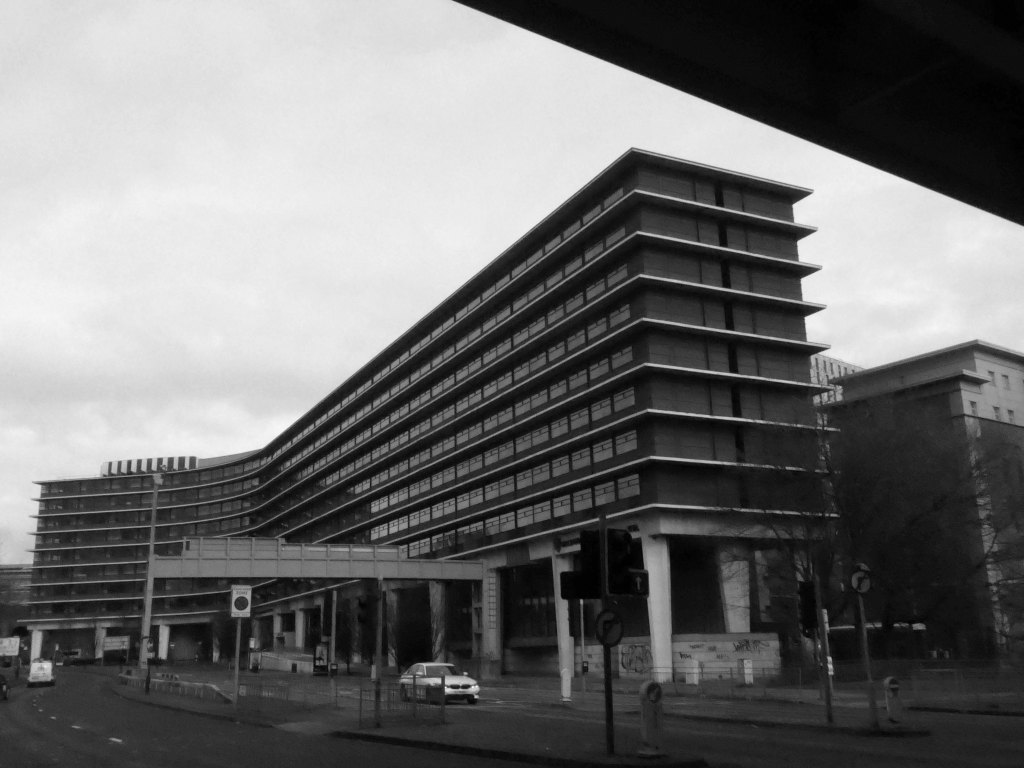
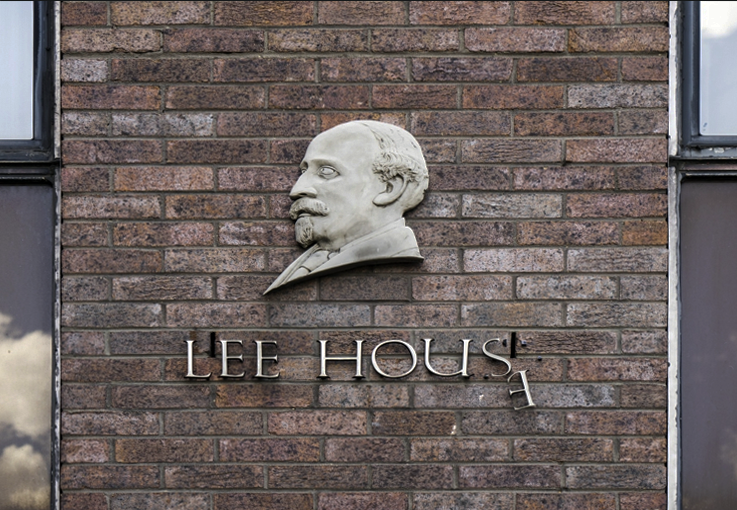
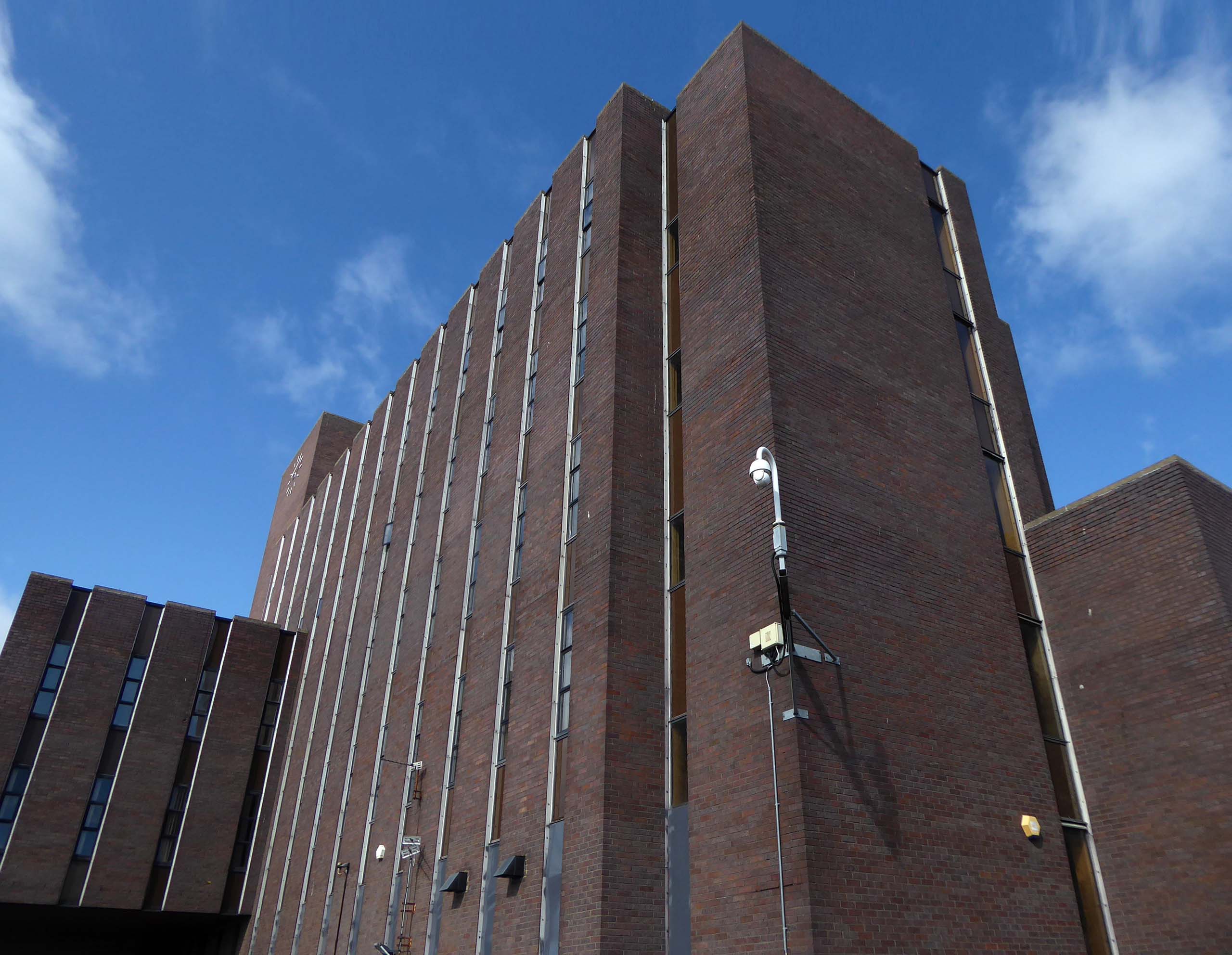
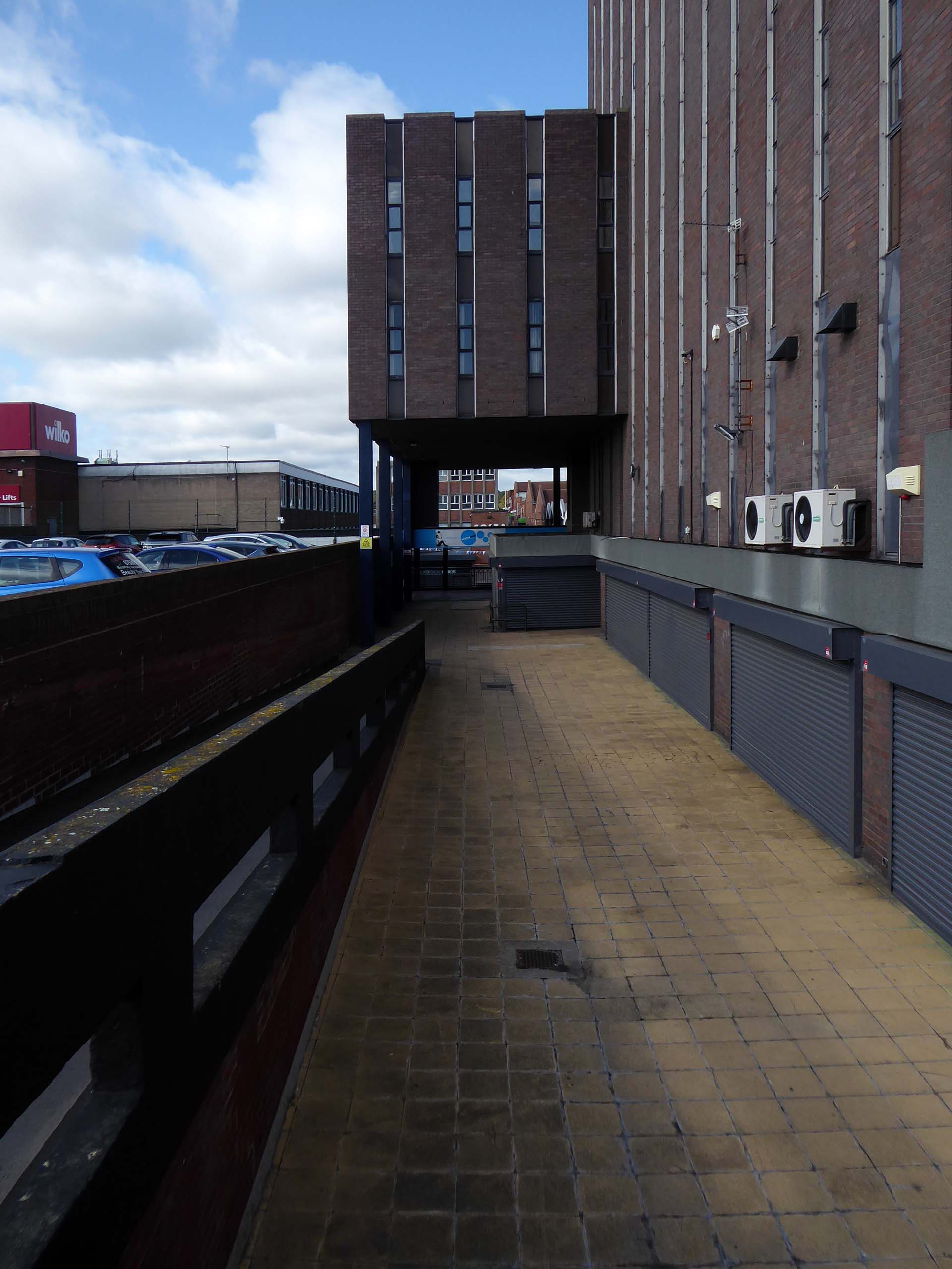
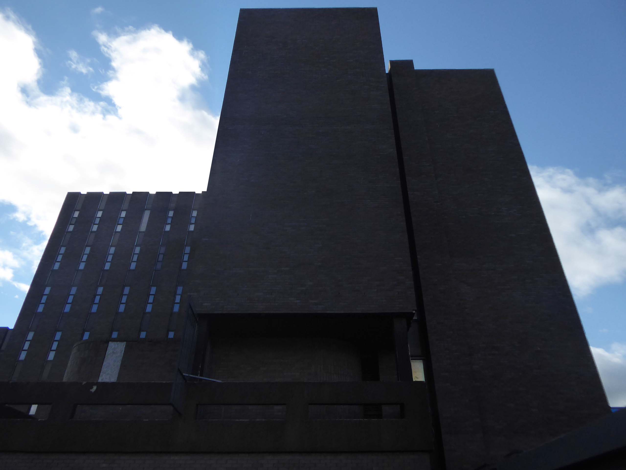
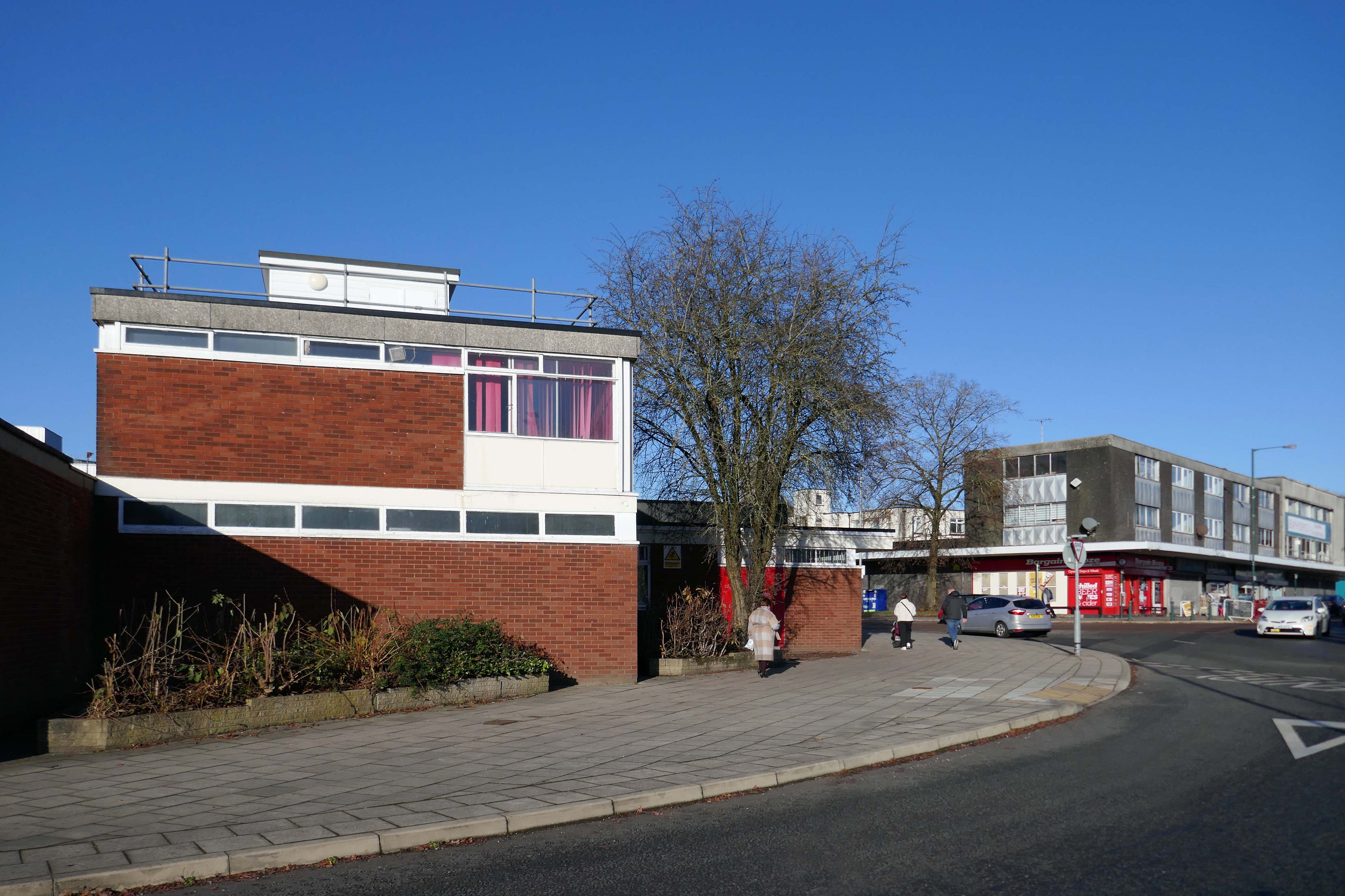
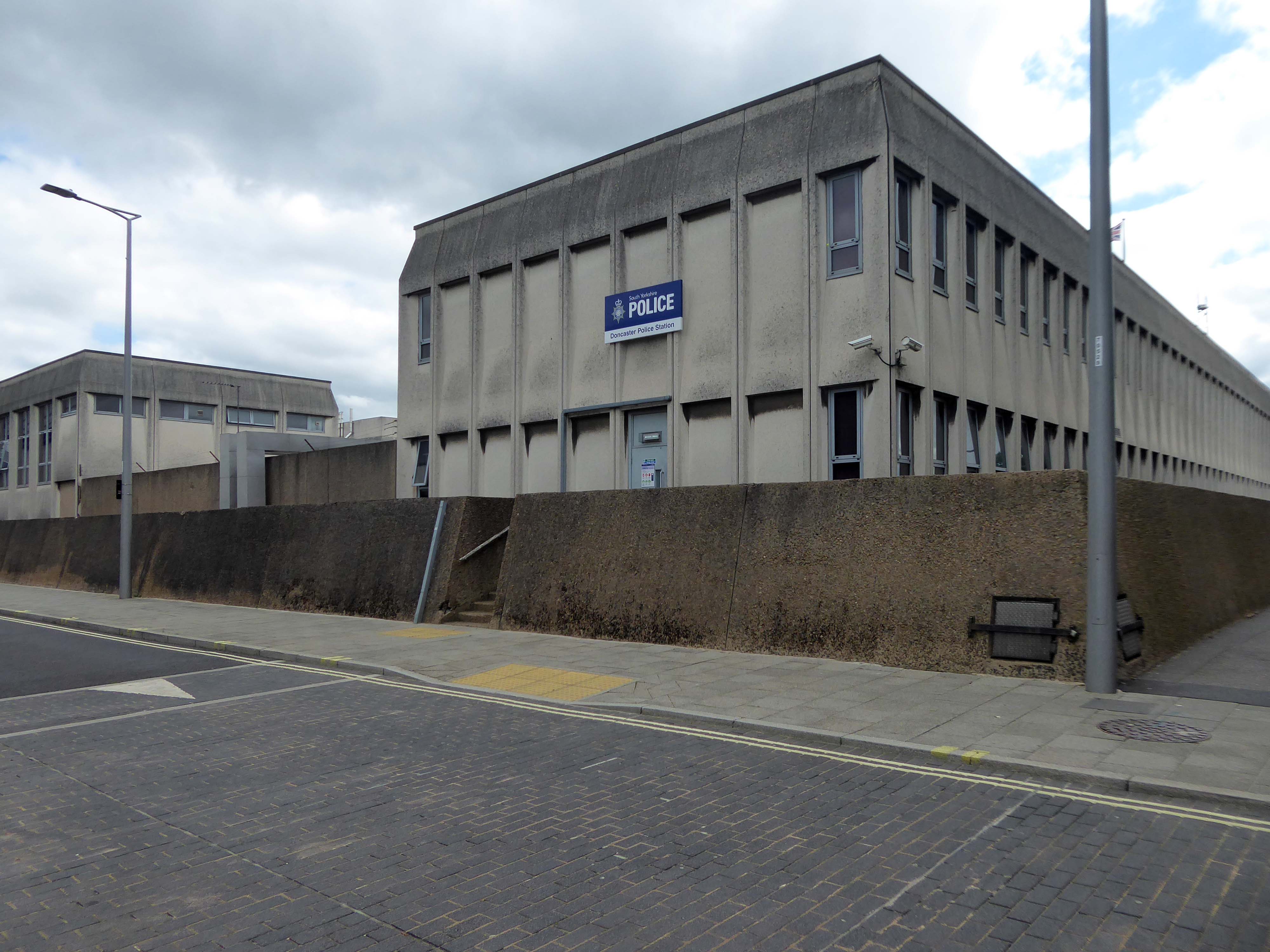
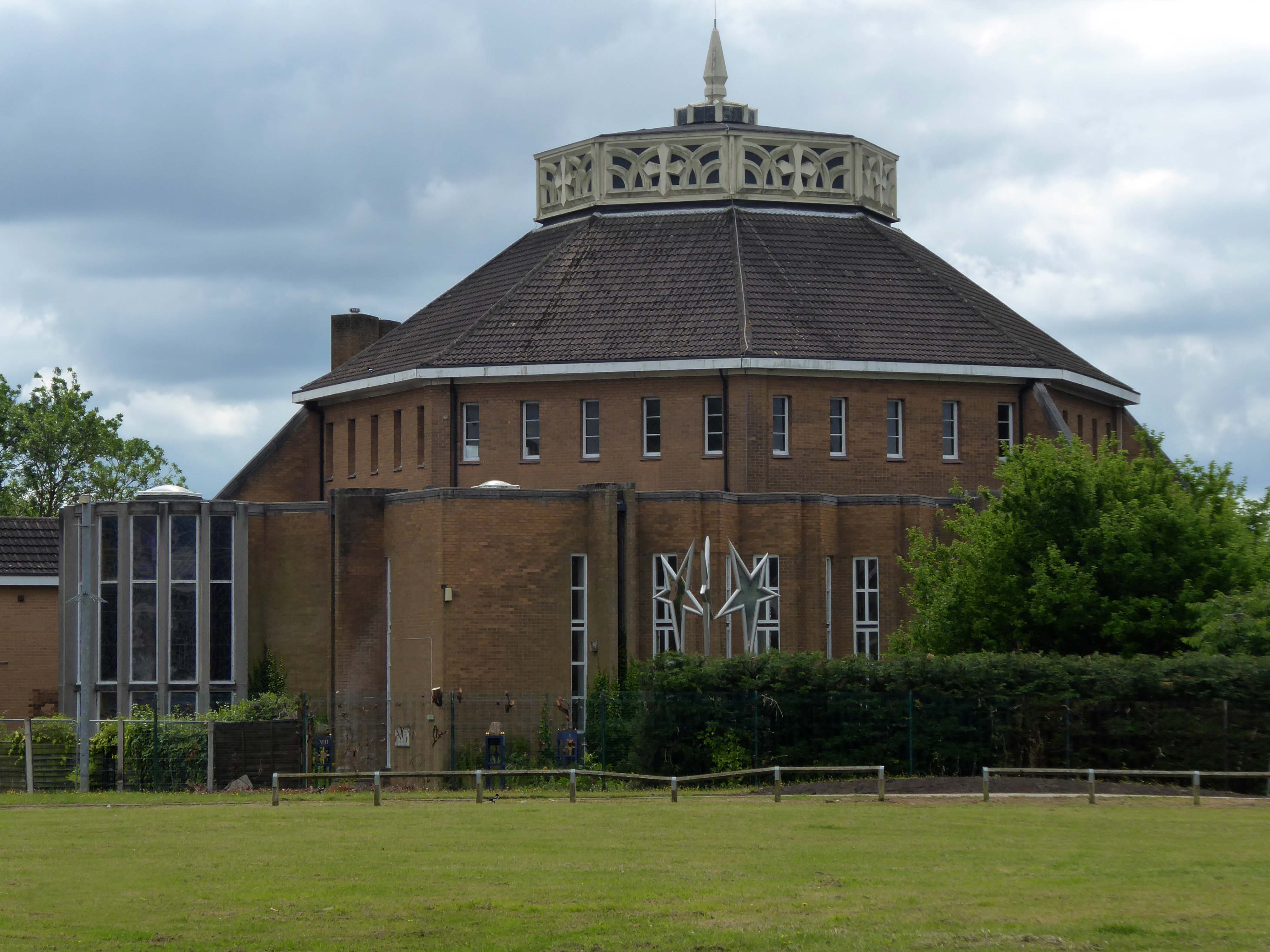
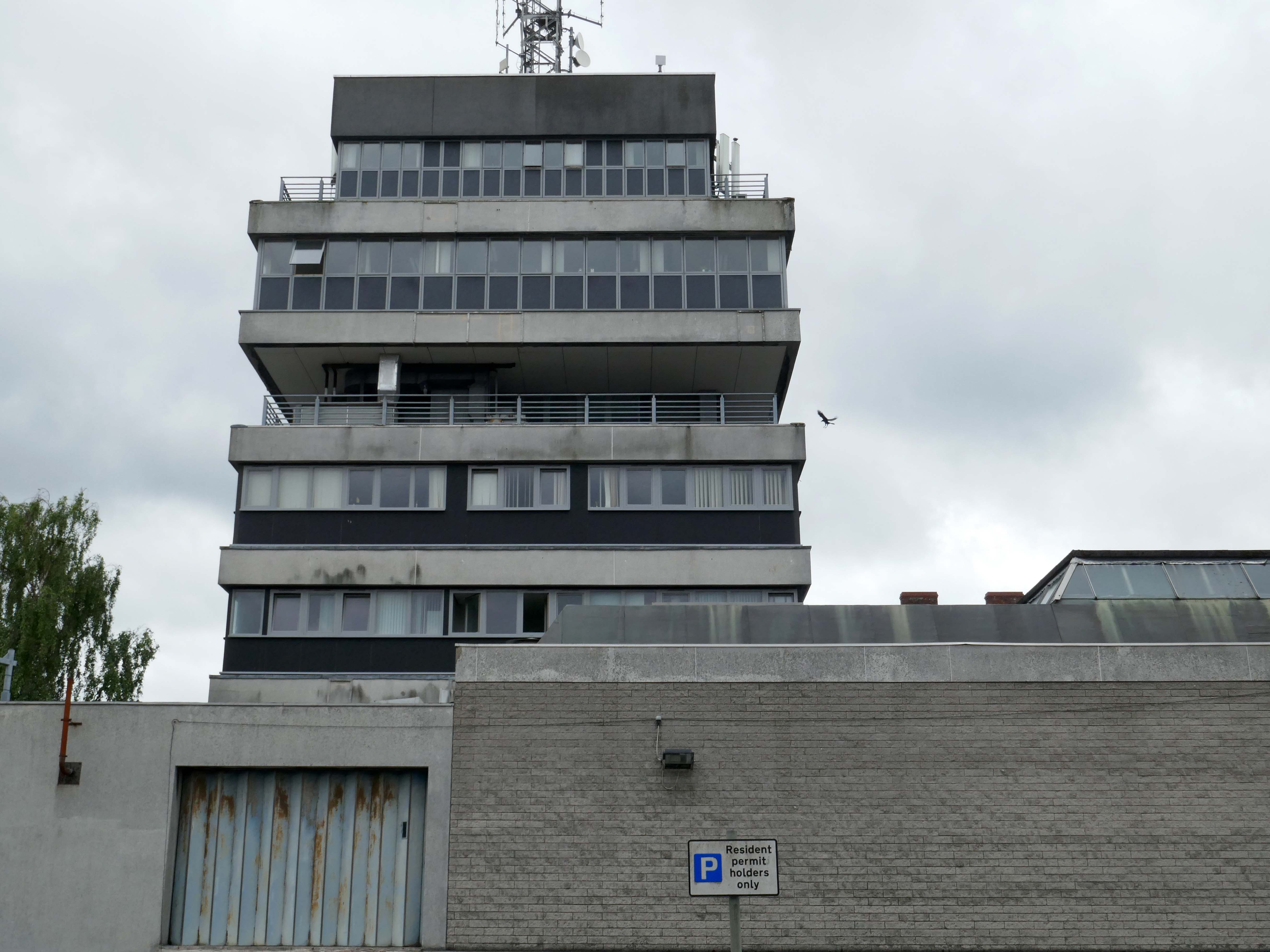
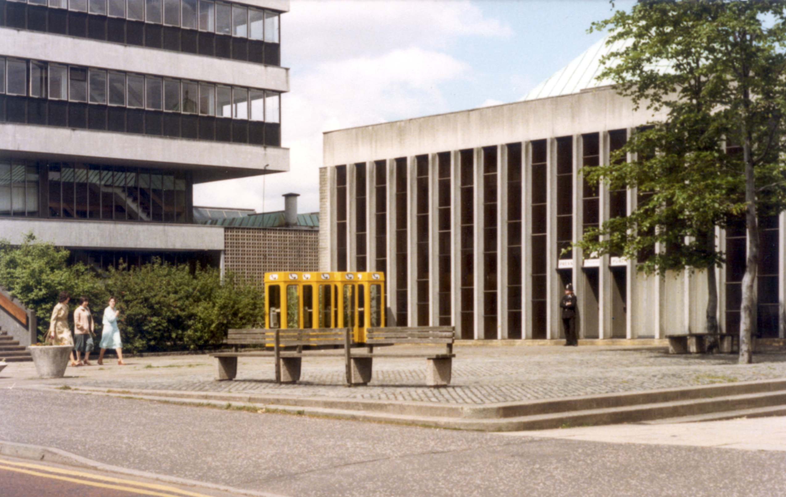
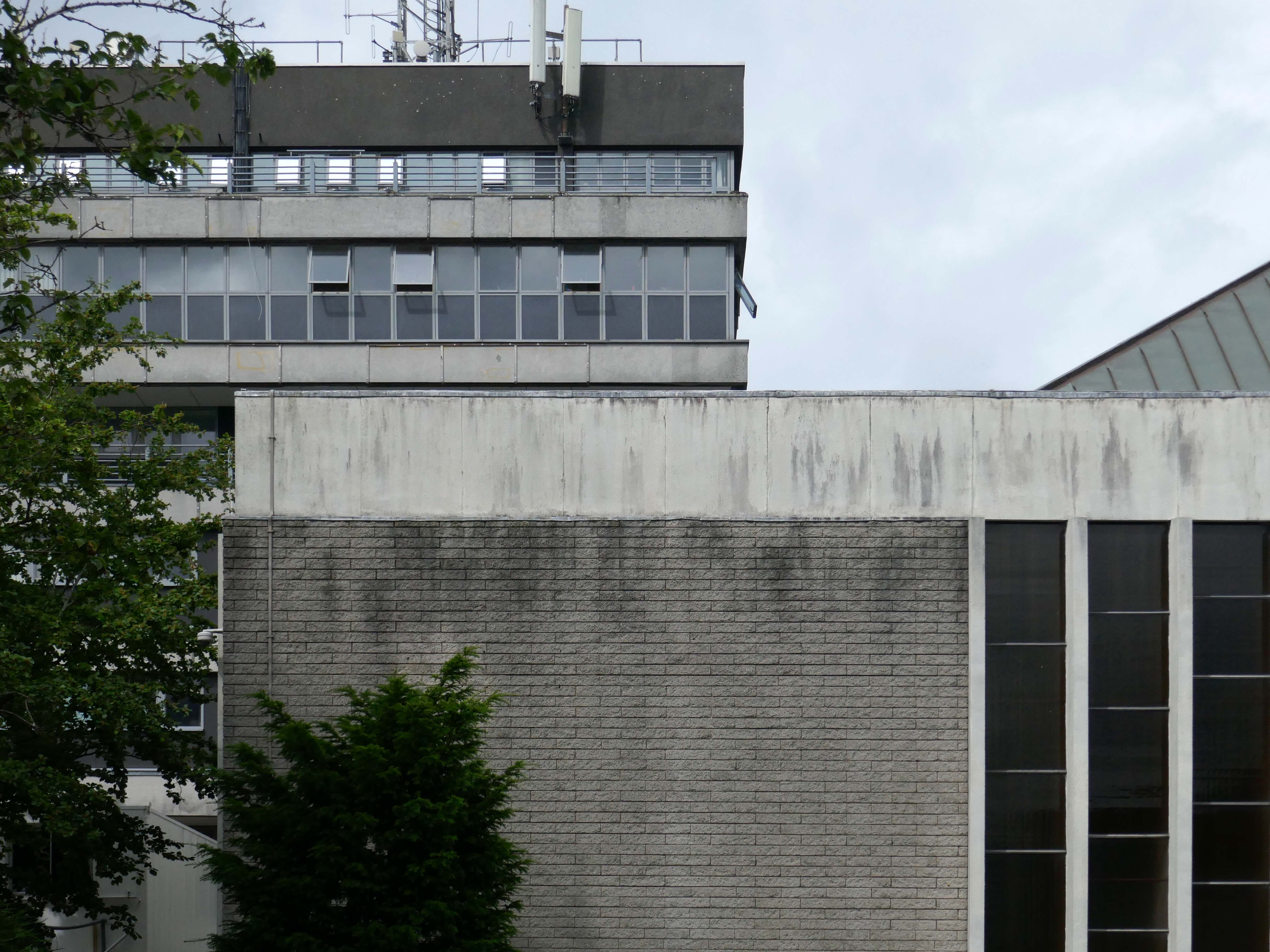
Next thing you know we are at the Police Station.
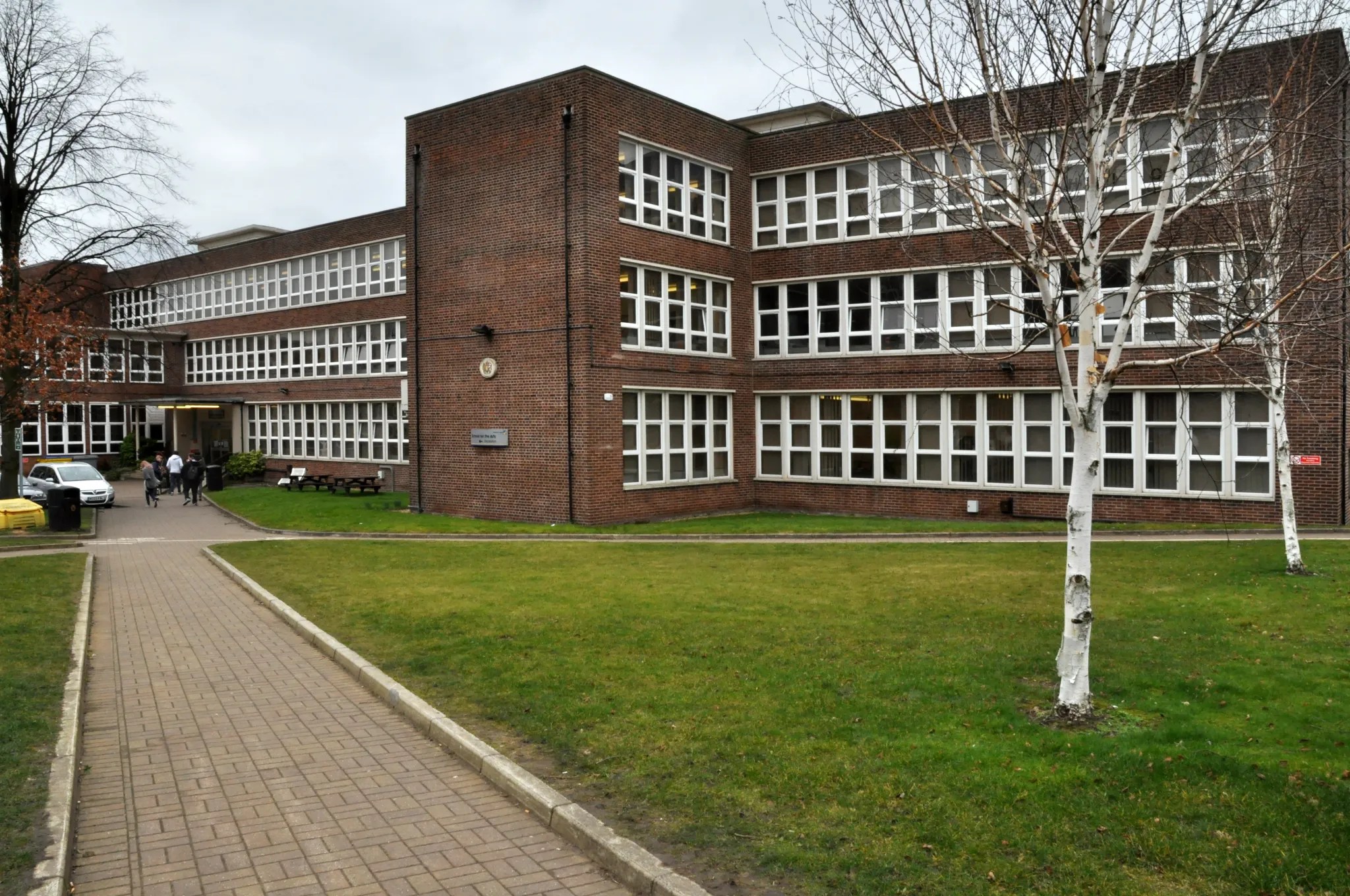
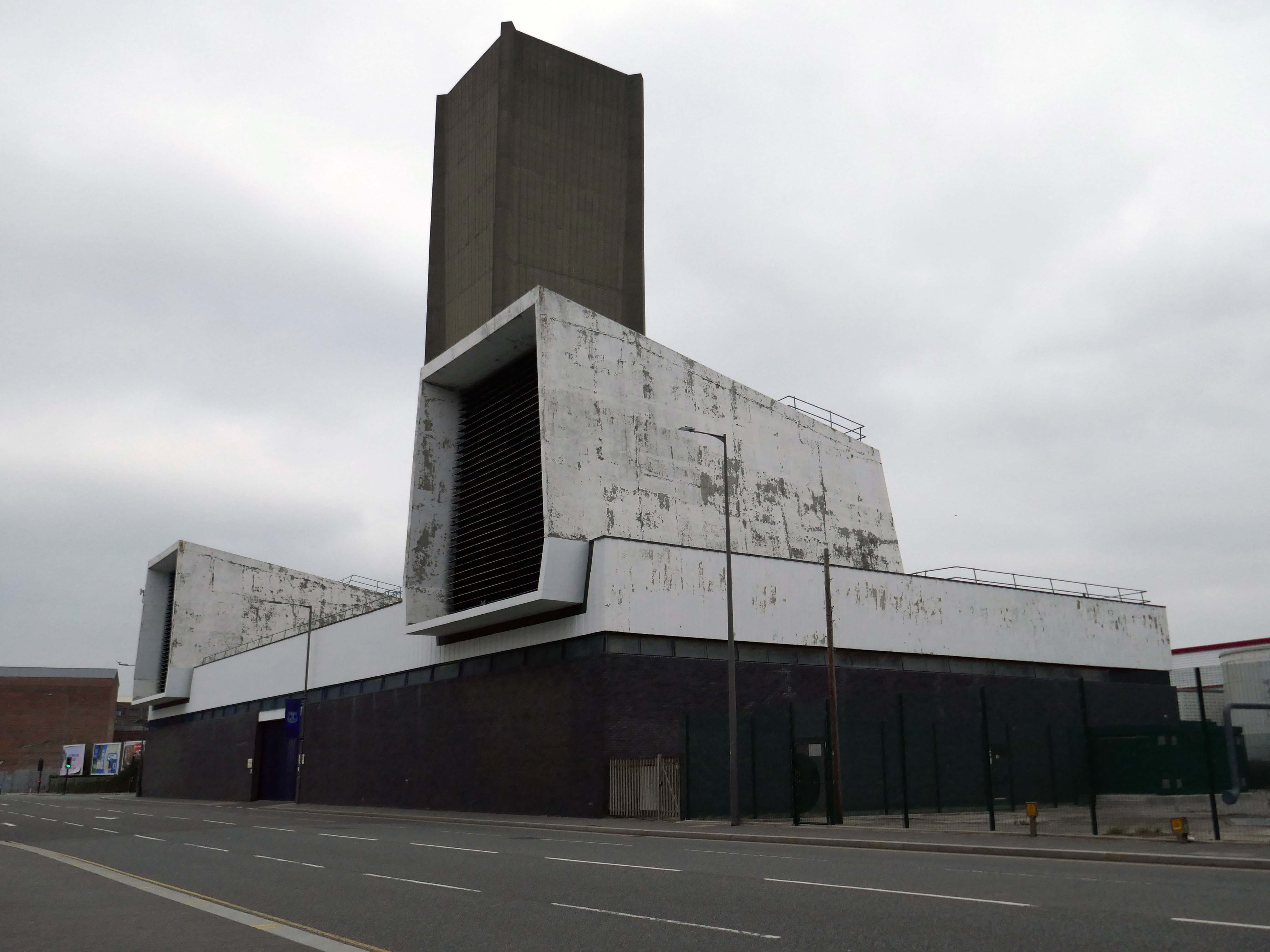
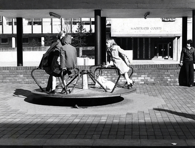
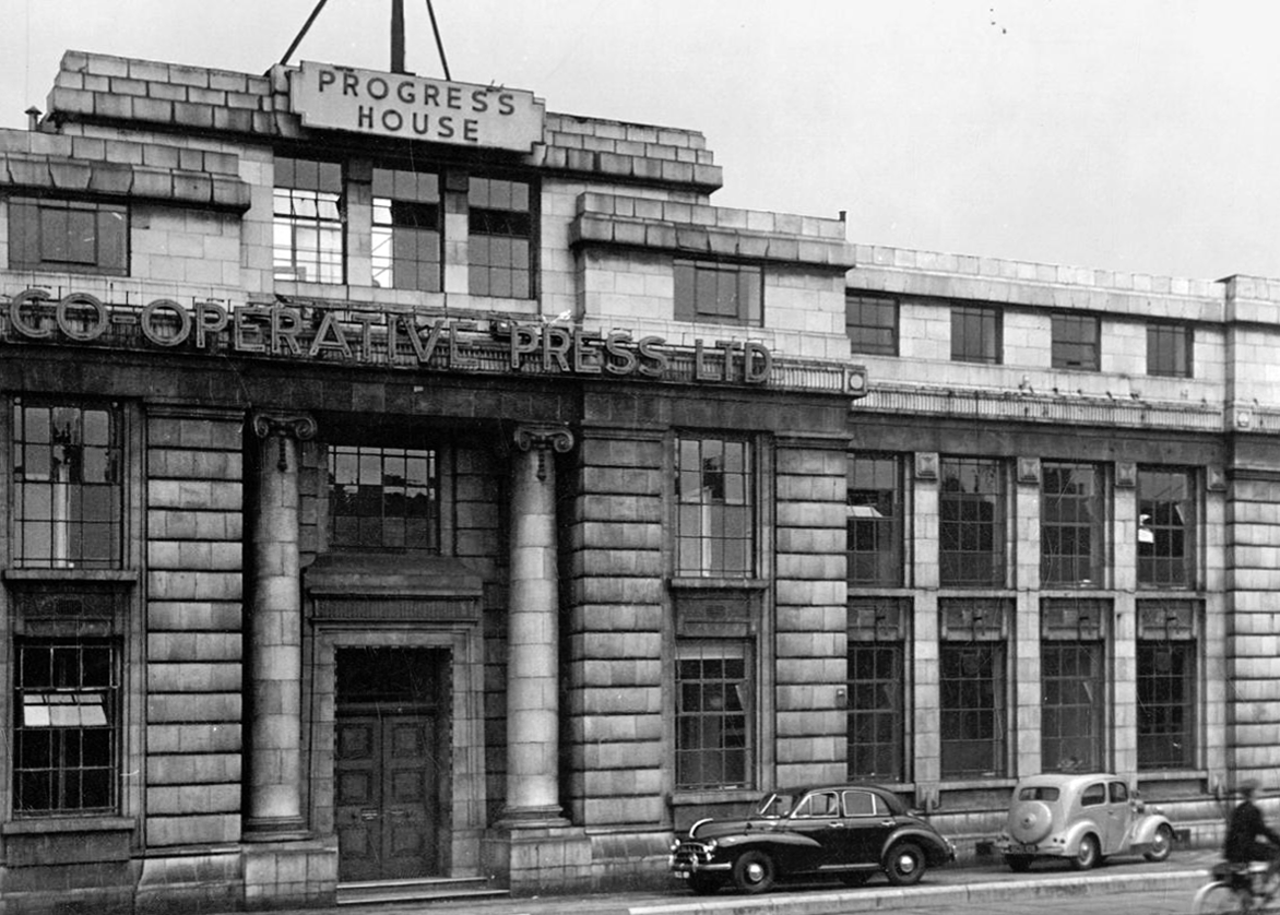
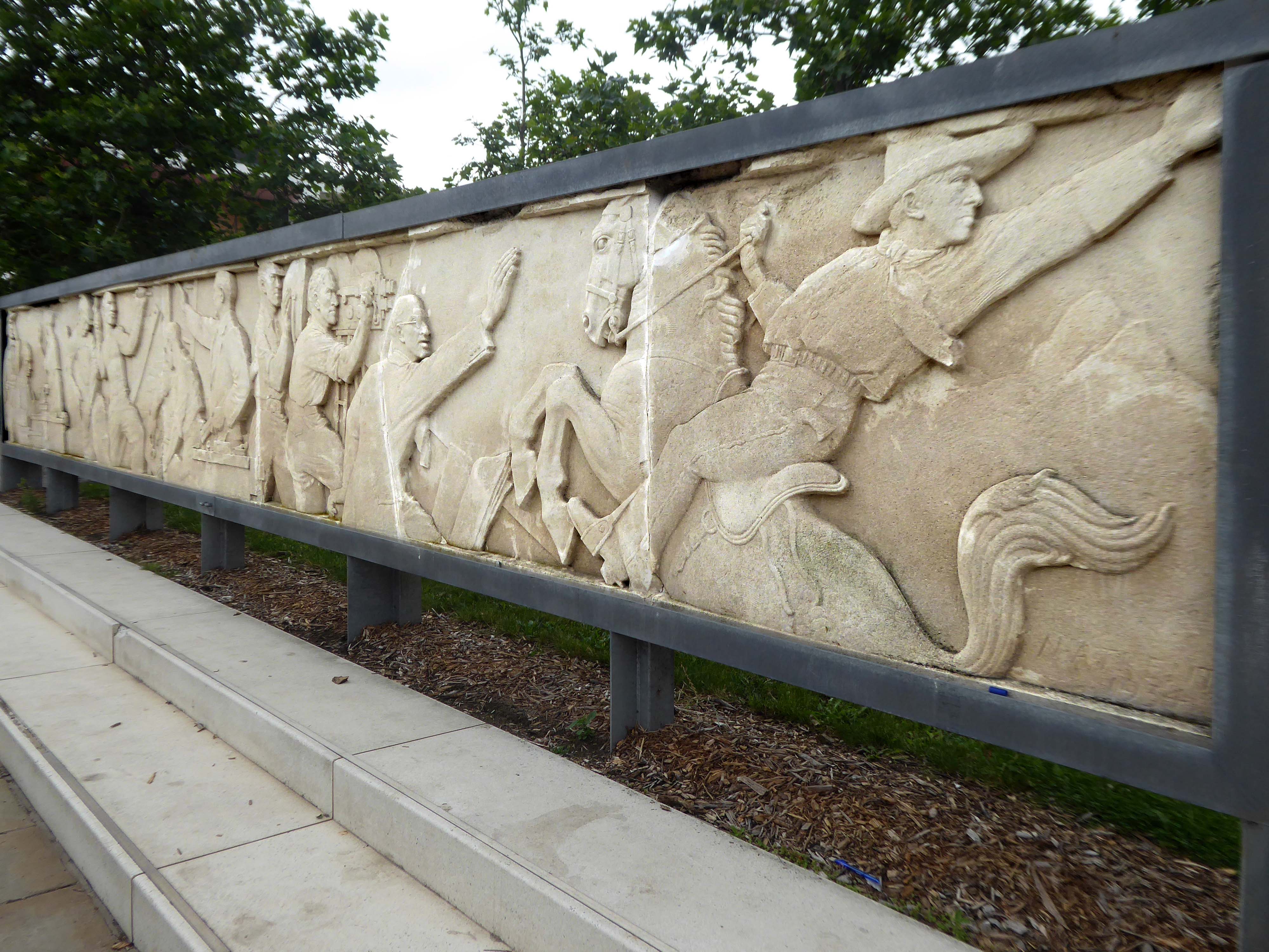
County Architect’s Report: 1963-64.
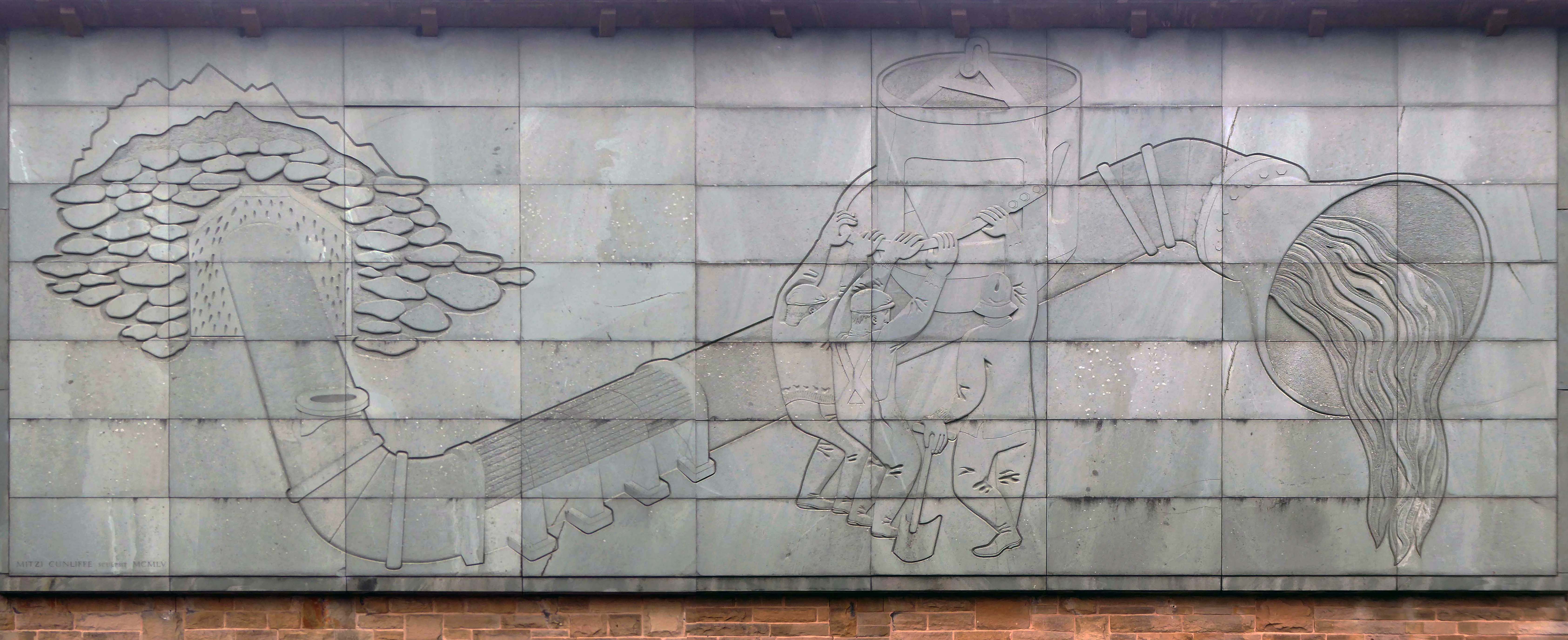
The design team was Roger Booth, Lancashire County Architect; CA Spivey, Assistant County Architect; DB Stephenson, Design Architect; and DG Edwards, AG Gass, responsible for the detailed design and construction. The seven-storey in-situ concrete framed main block was the last bespoke police station to be built in Lancashire, following this the department developed a systemised concrete construction method which was deployed across the county. The dramatic cantilevers gave the new building a stature and presence that signalled authority. The lower levels were accessed by ramps and provided space for police vehicles. To enter the police station one ascended a set of external stairs across a pool that once contained koi carp – fittingly, one boy described the new building as a ‘fishtank’ upon its completion. The magistrates’ court was finished externally in a grey brick and carried the signature pyramid rooflights that were synonymous with the Department.
Many thanks to Richard at Mainstream Modern
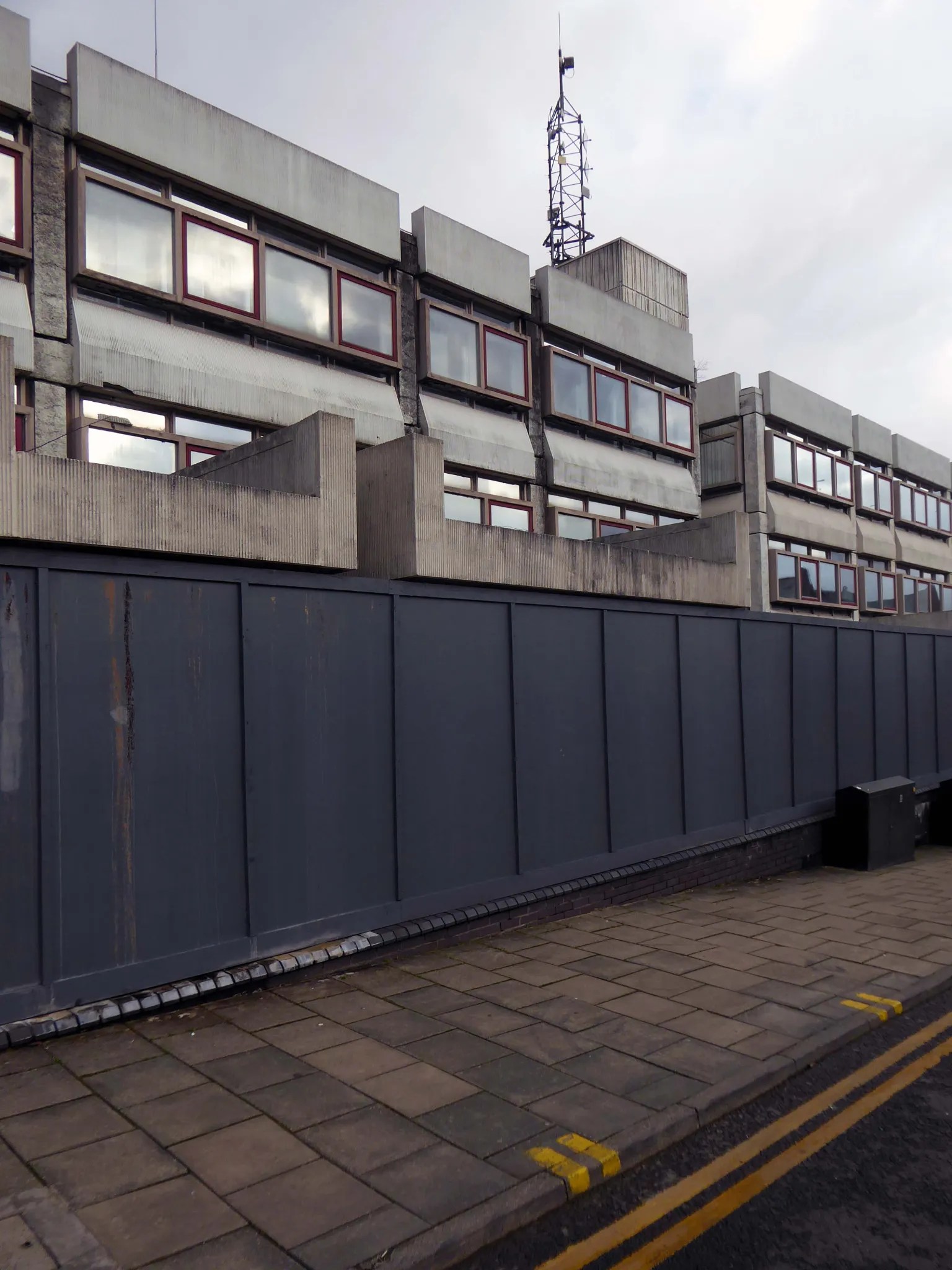
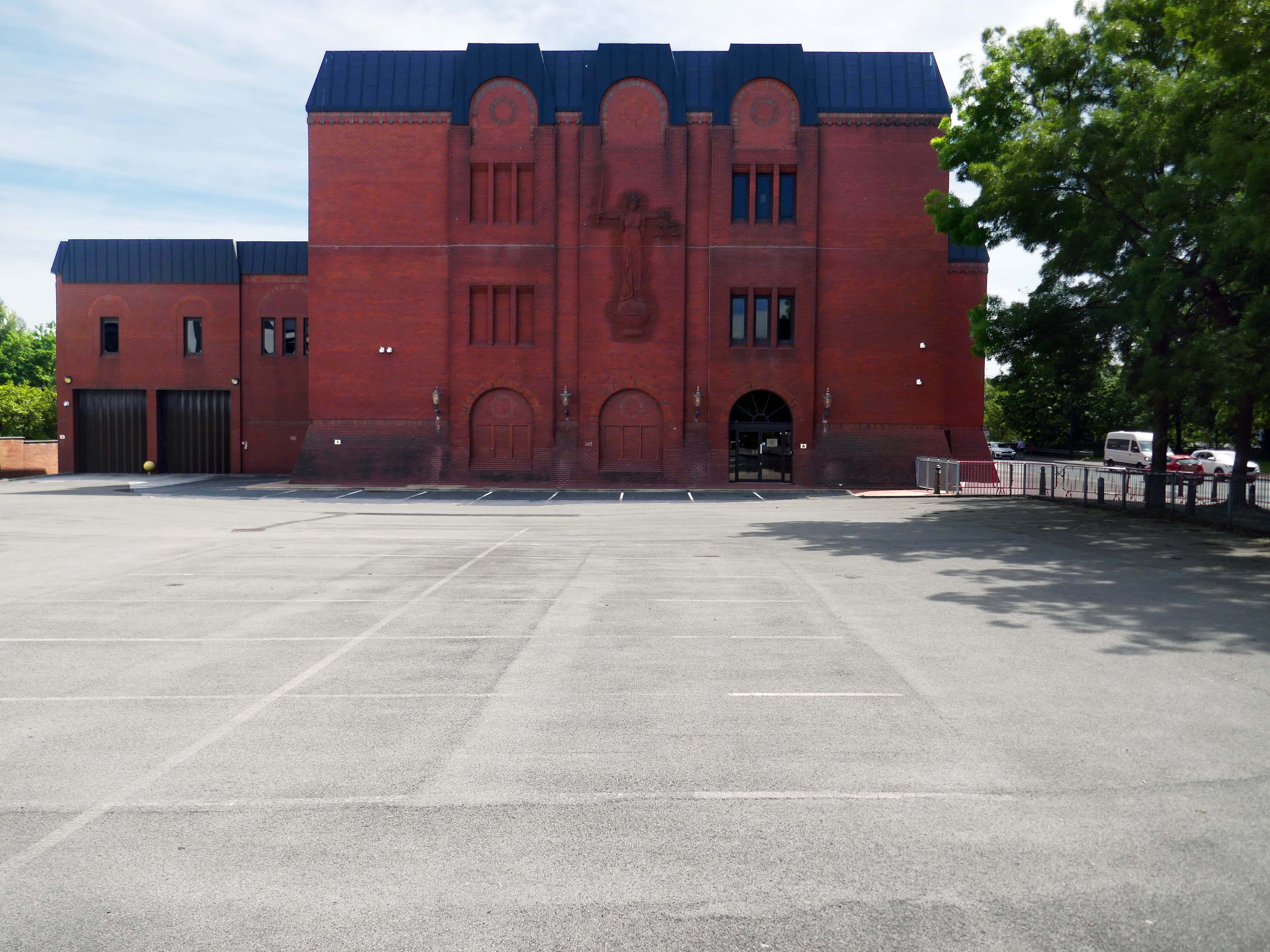
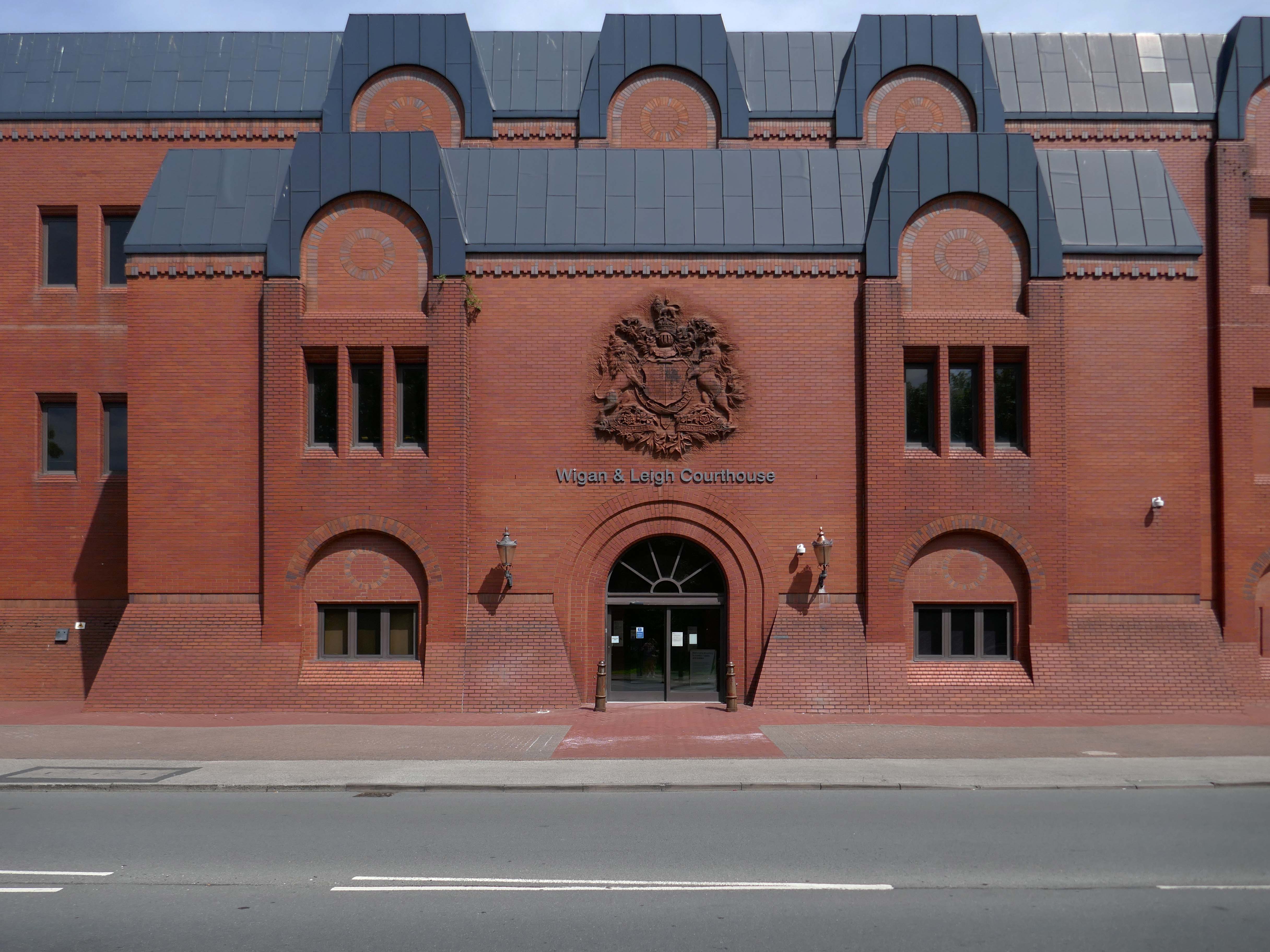
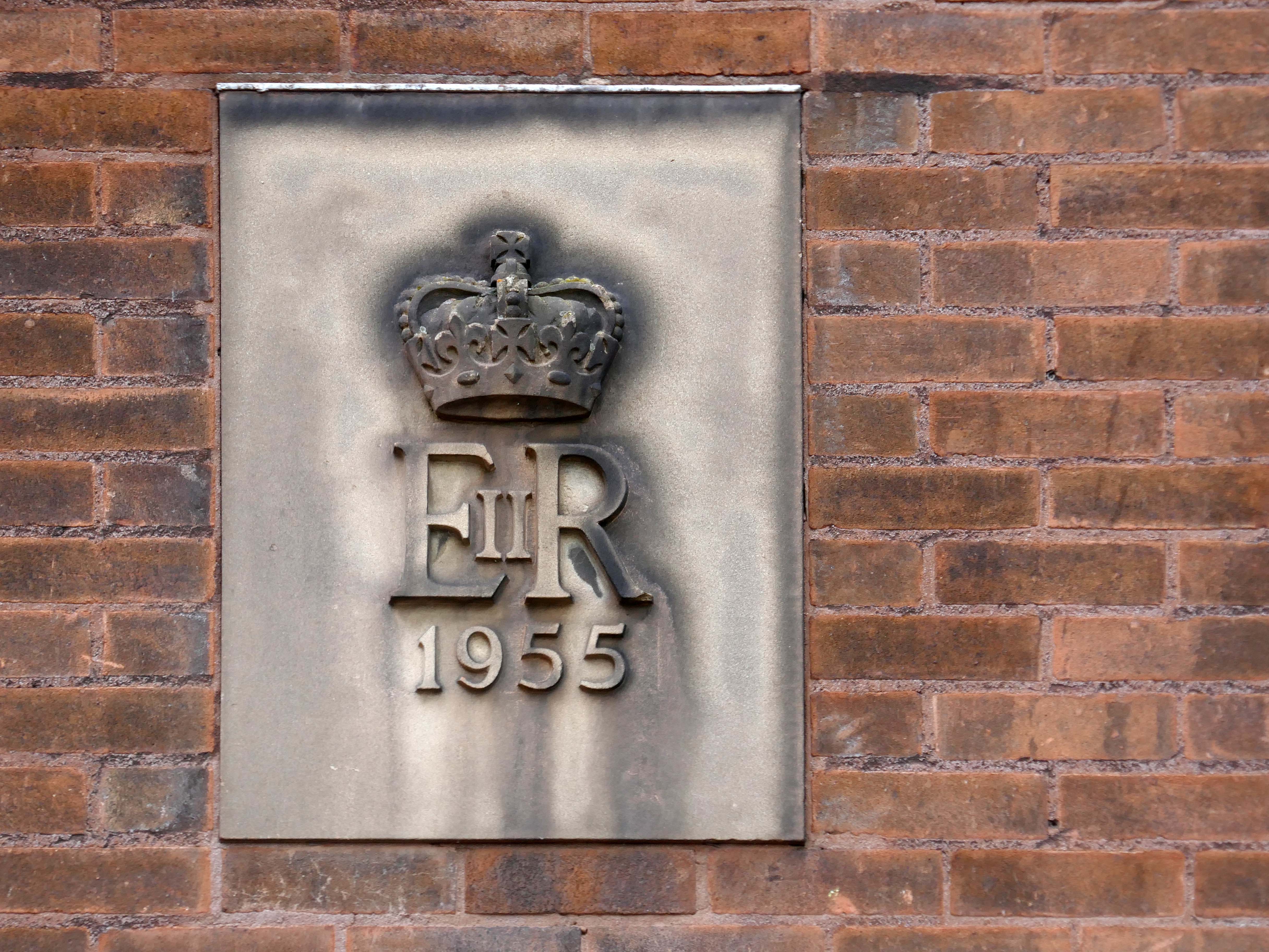
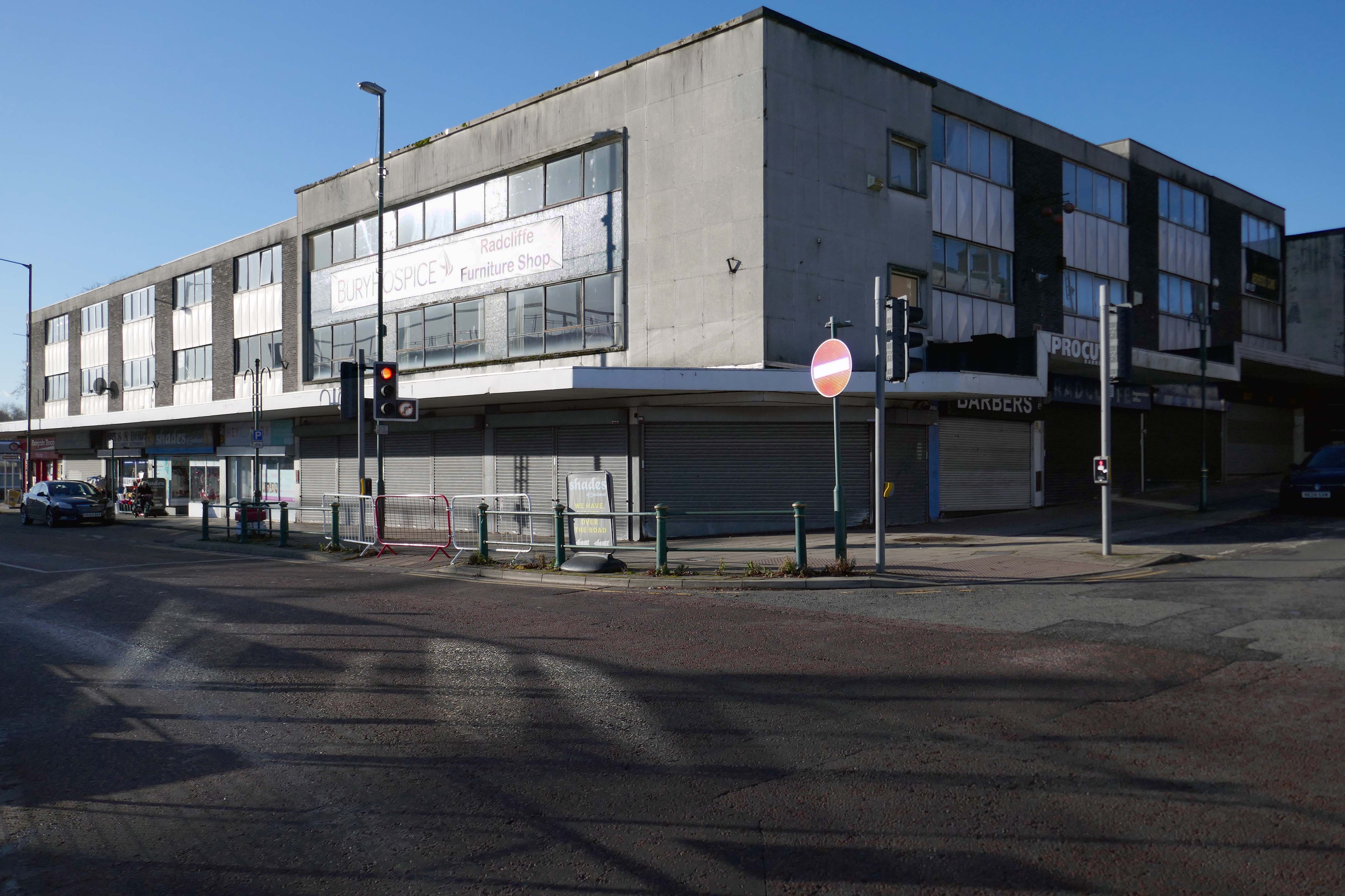
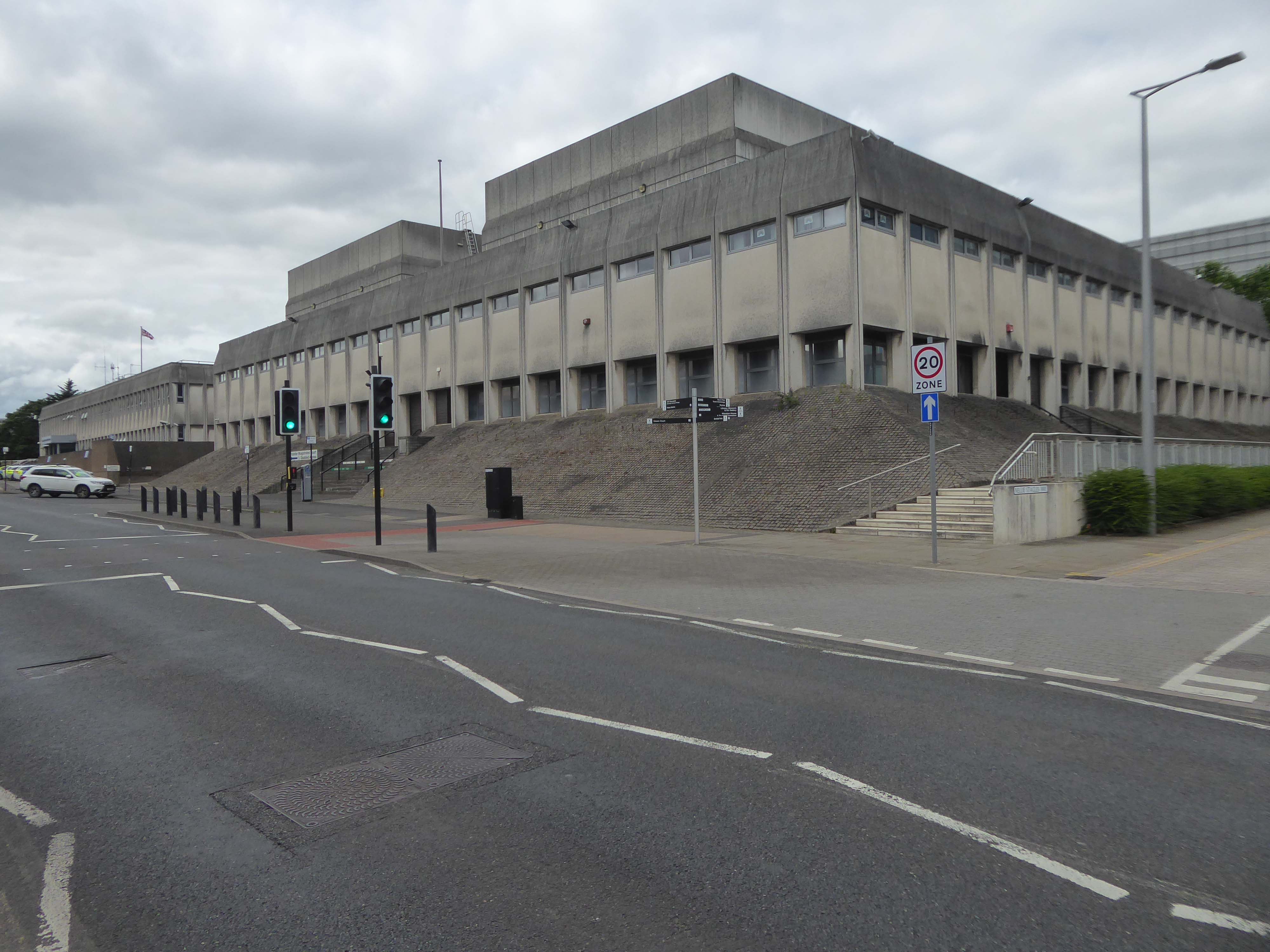
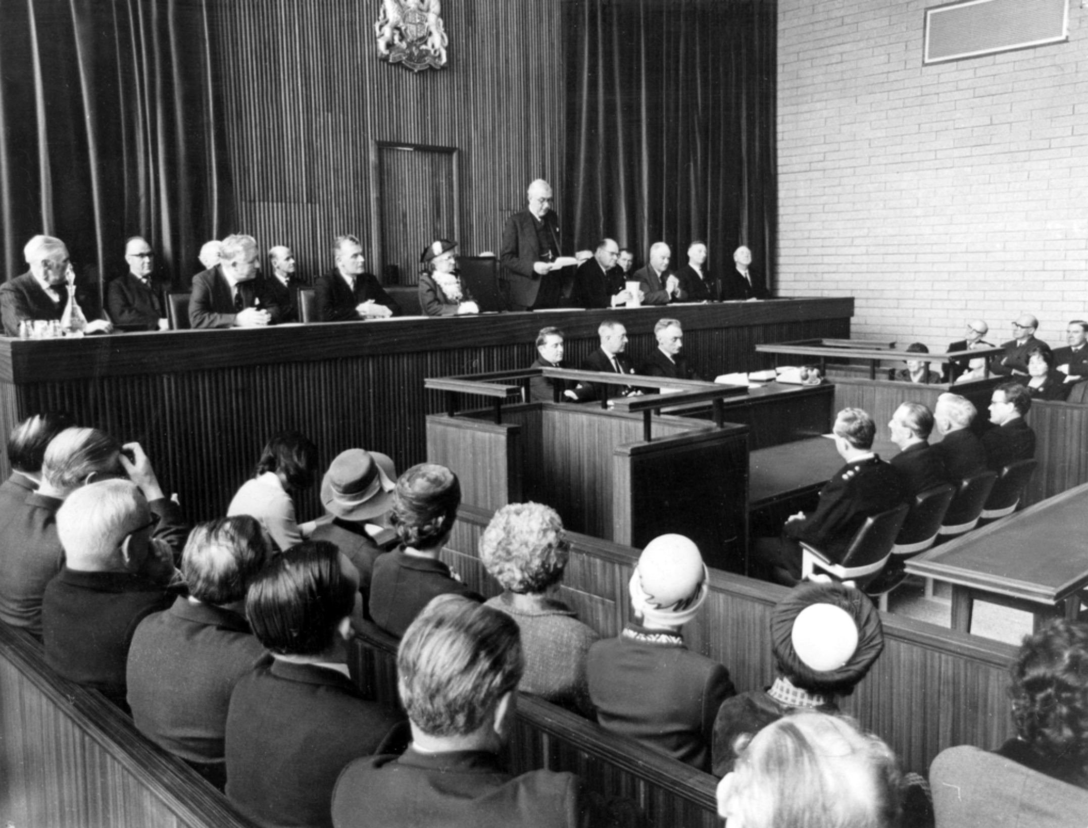
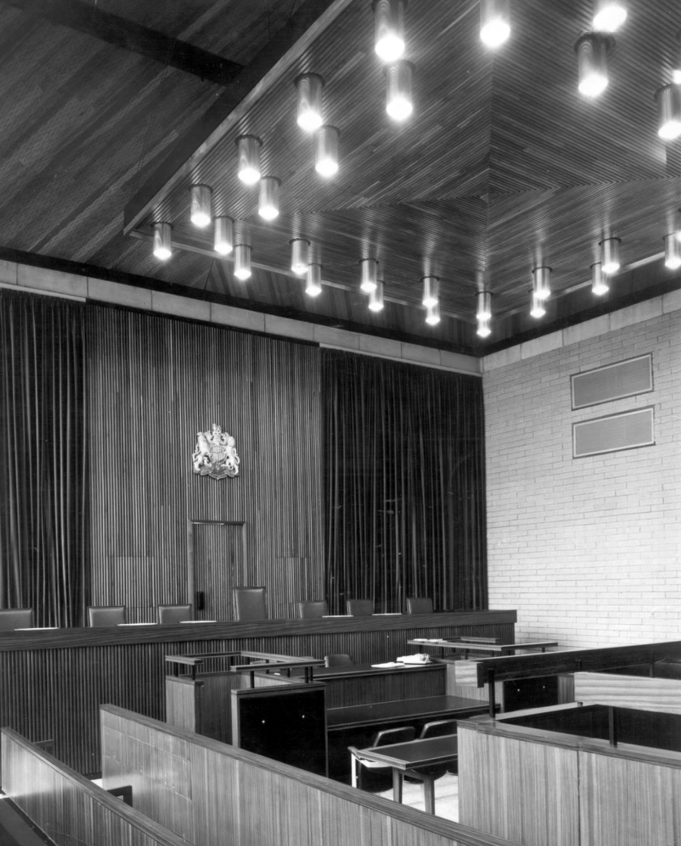
Next door its partner in crime the Magistrates Courts.
Opened in 1968.
The courts are up for sale – offers in the region of £800,000 – the property has planning permission for an eleven storey apartment building with fifty two flats, three ground floor retail units and roof terrace.
The disused court building was last sold in 2022 for £300,000, according to the Land Registry.
Designs for the scheme were drawn up by FWP Group.

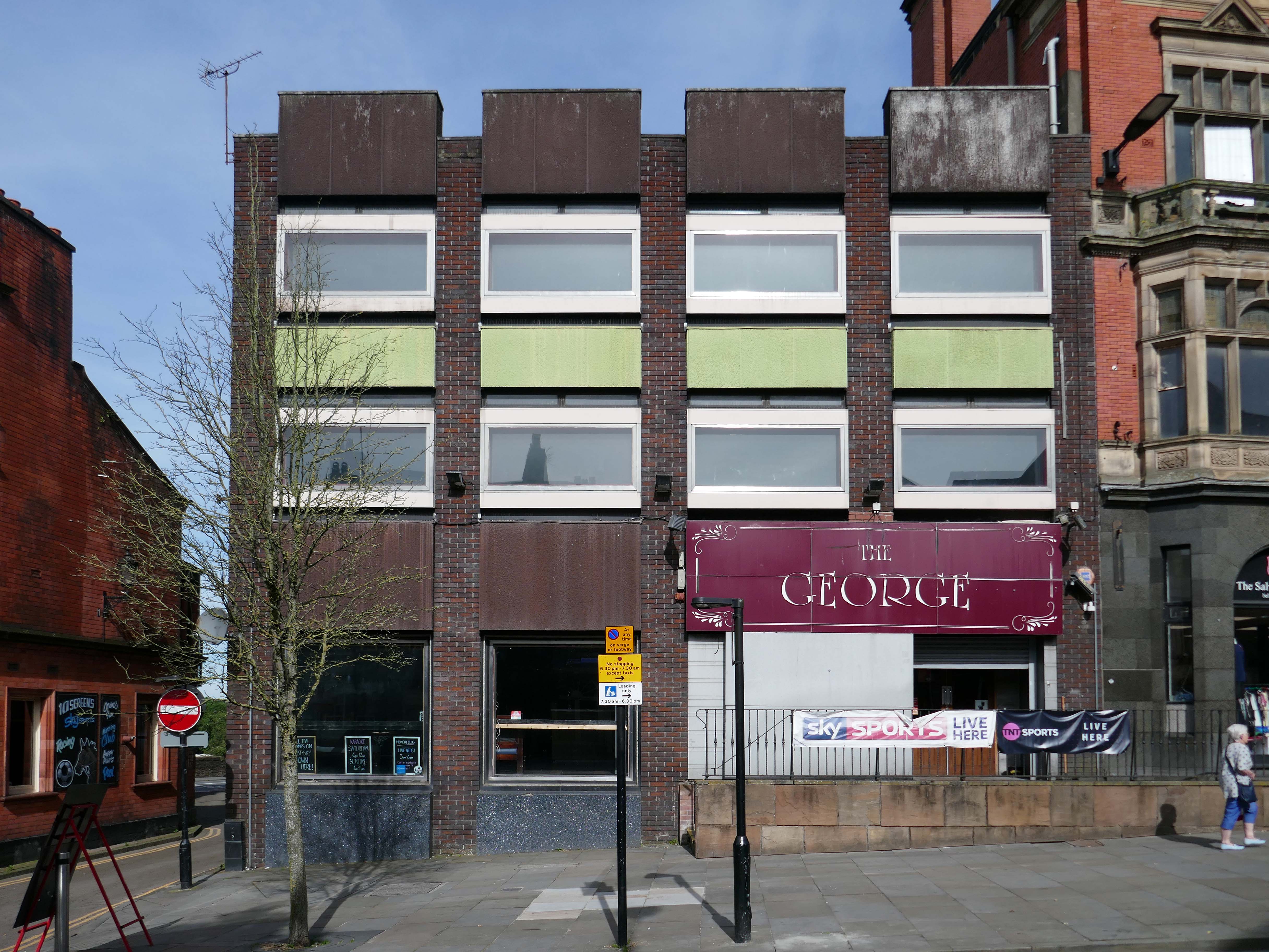
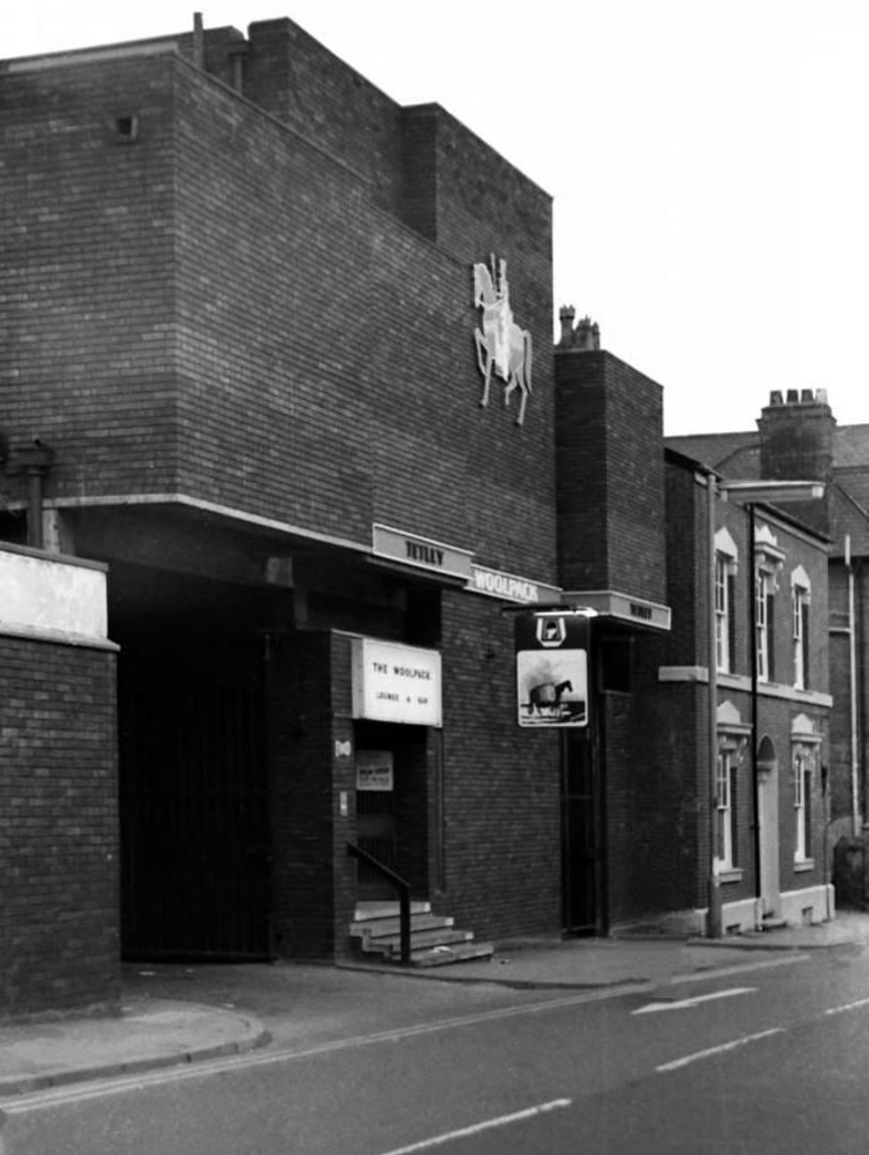
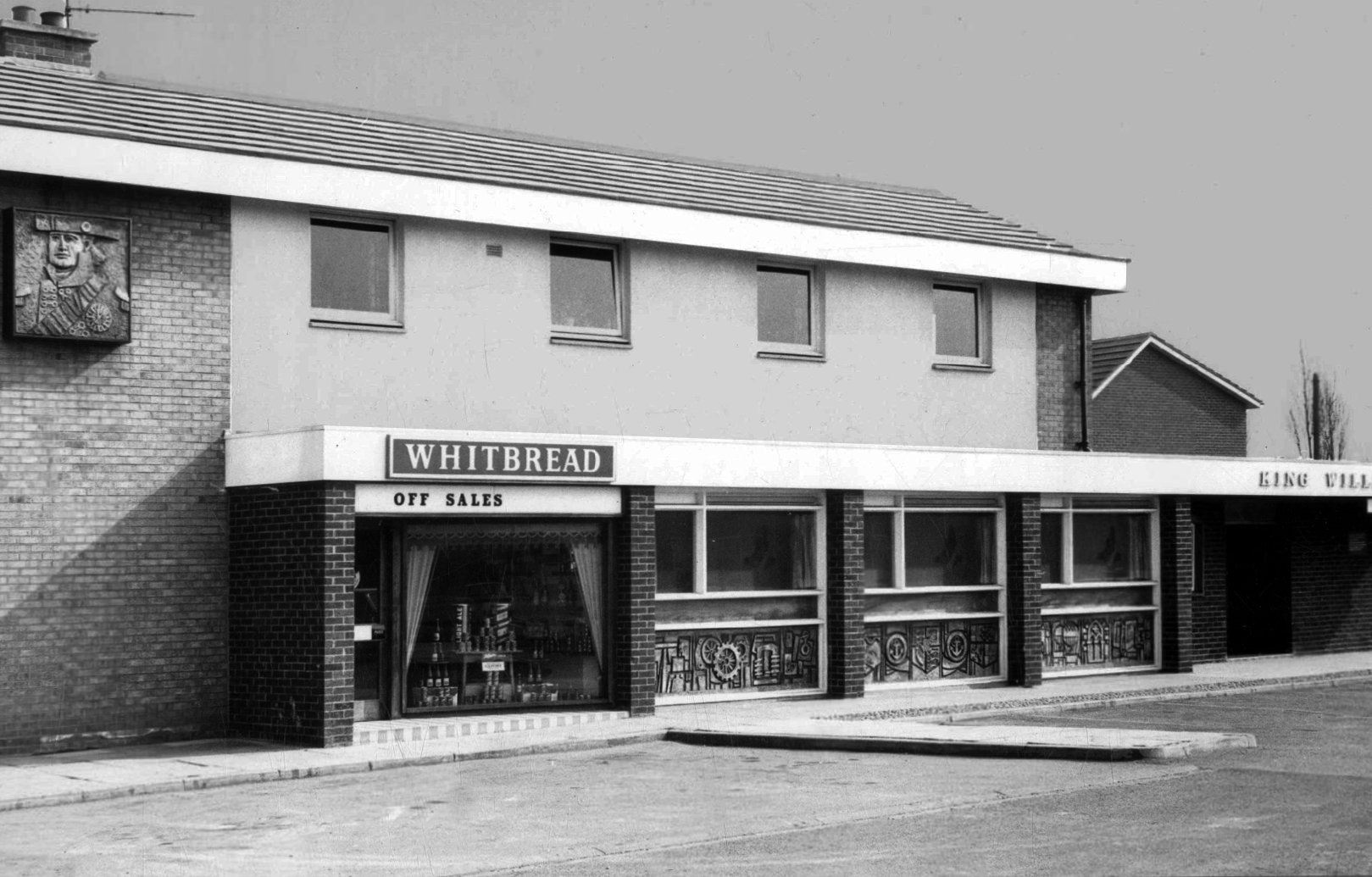
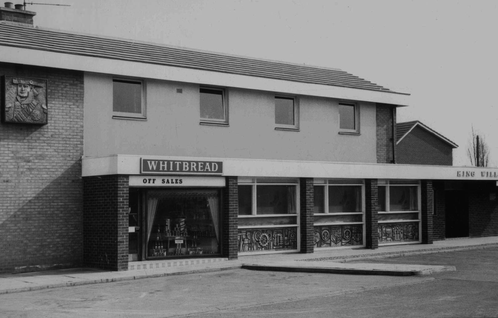
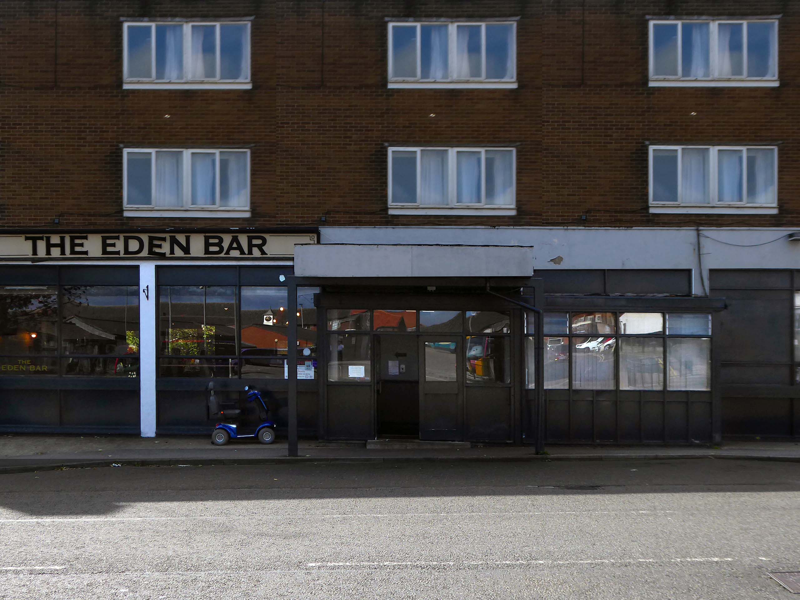
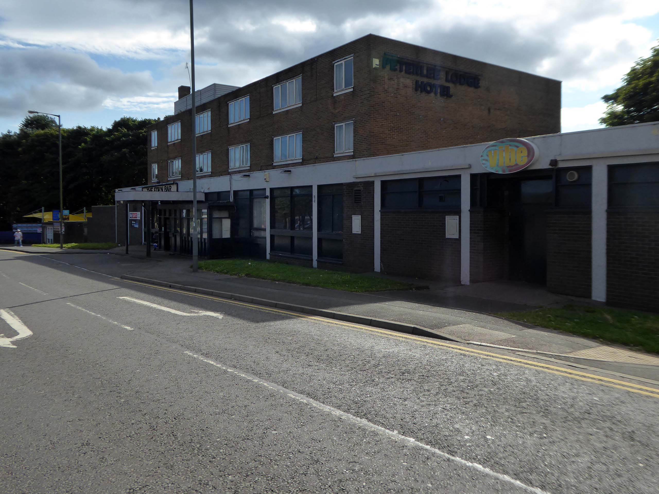
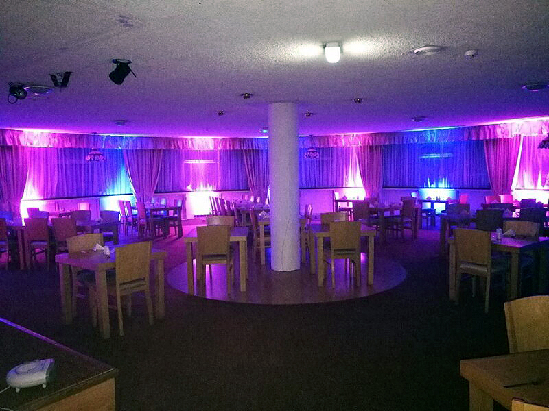
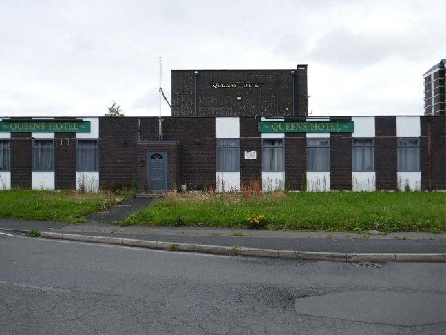
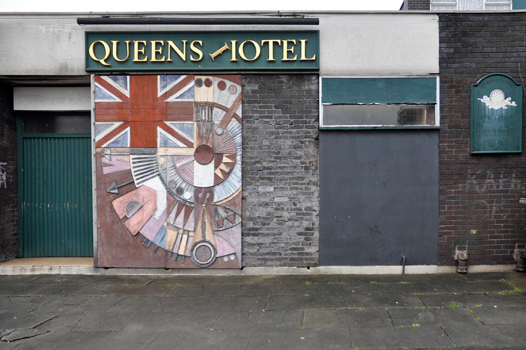
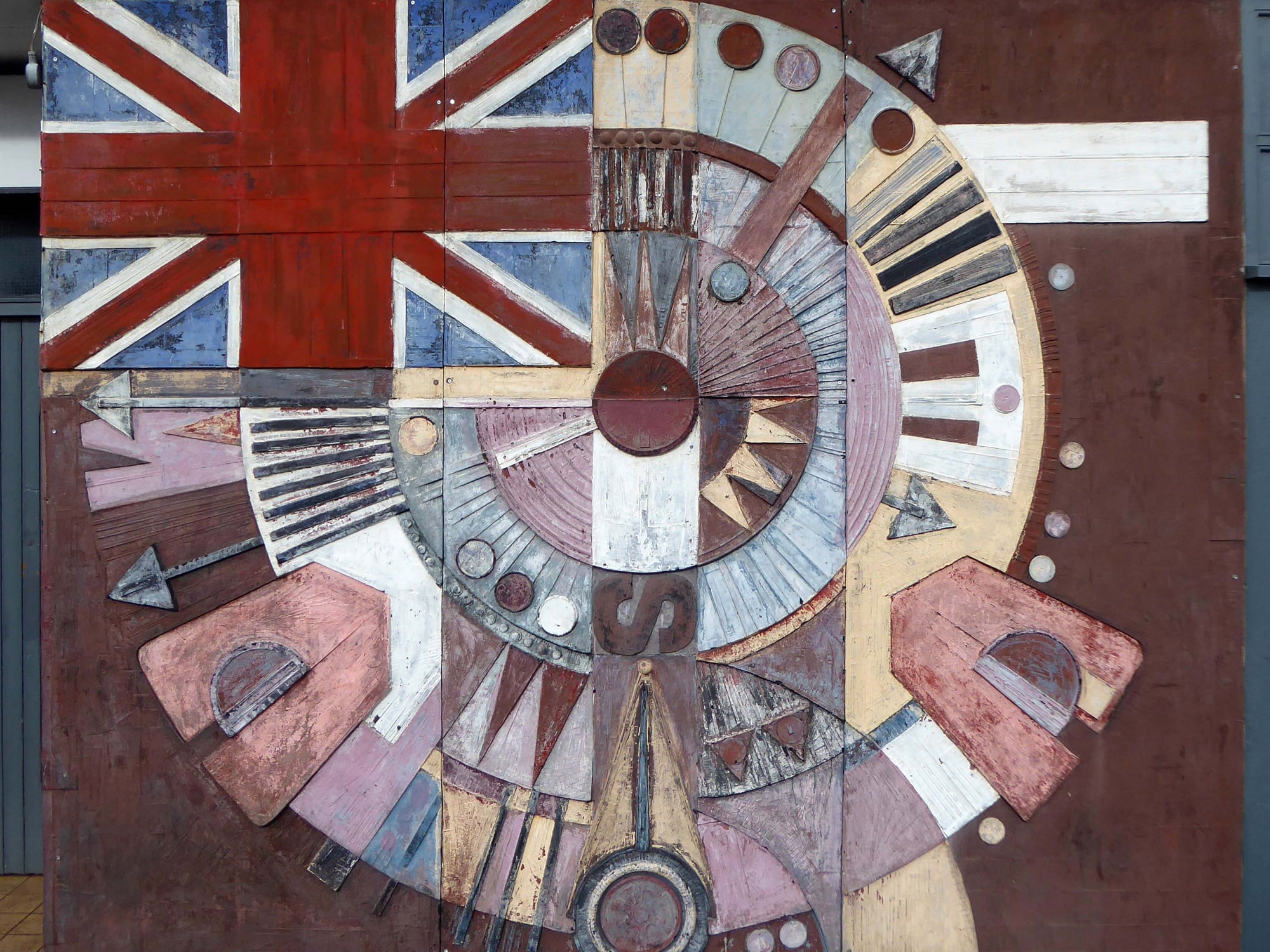
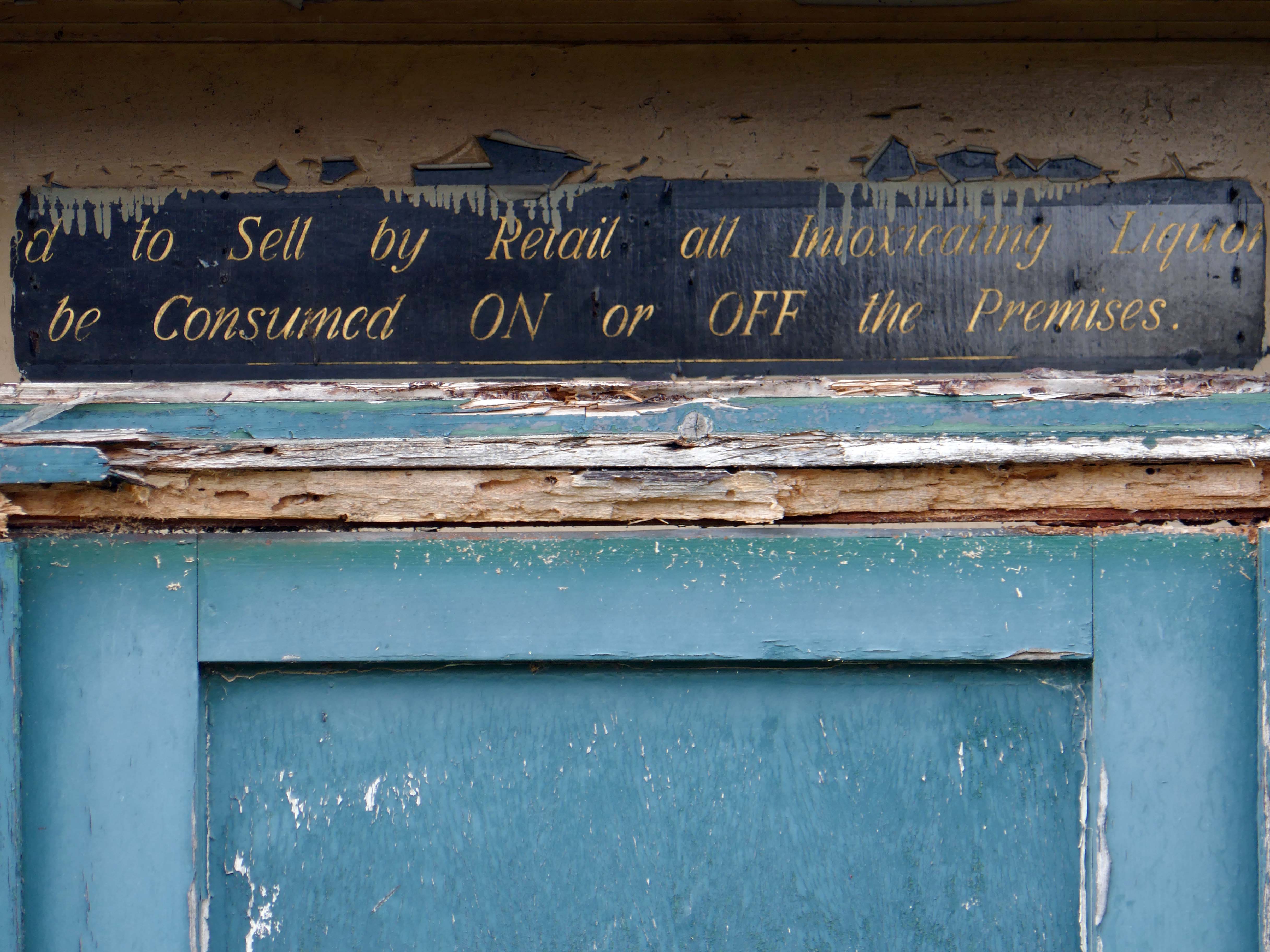
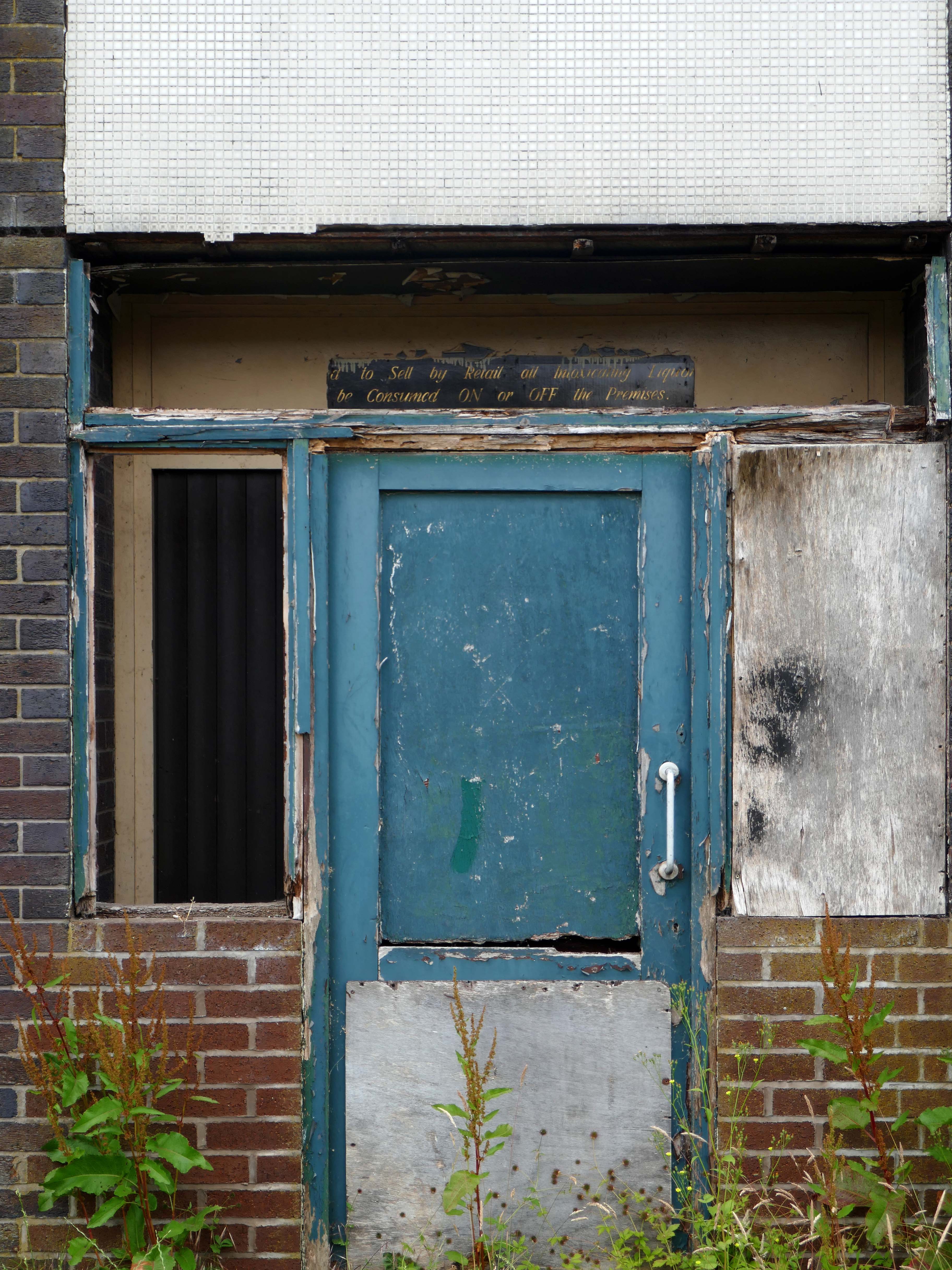
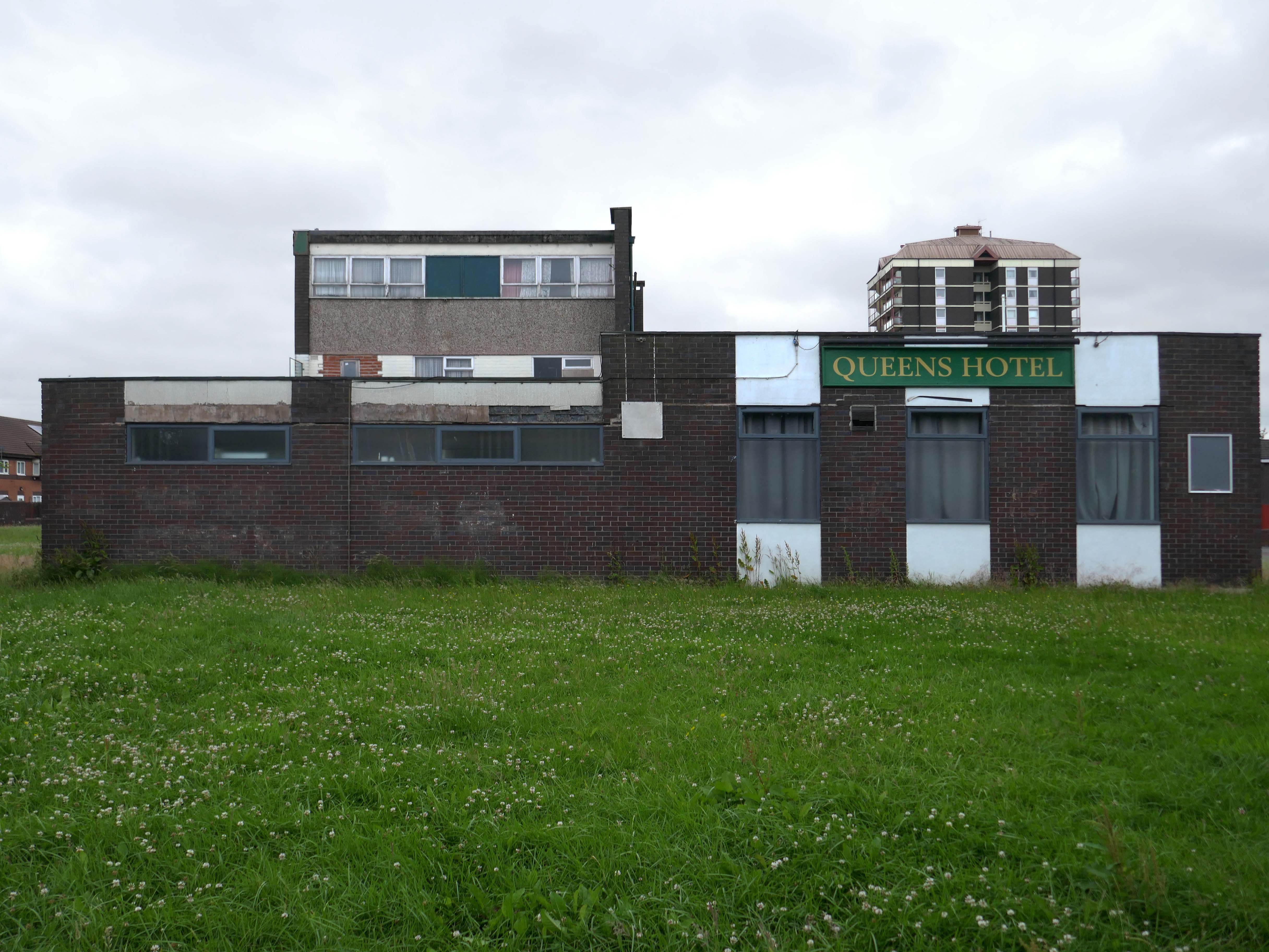
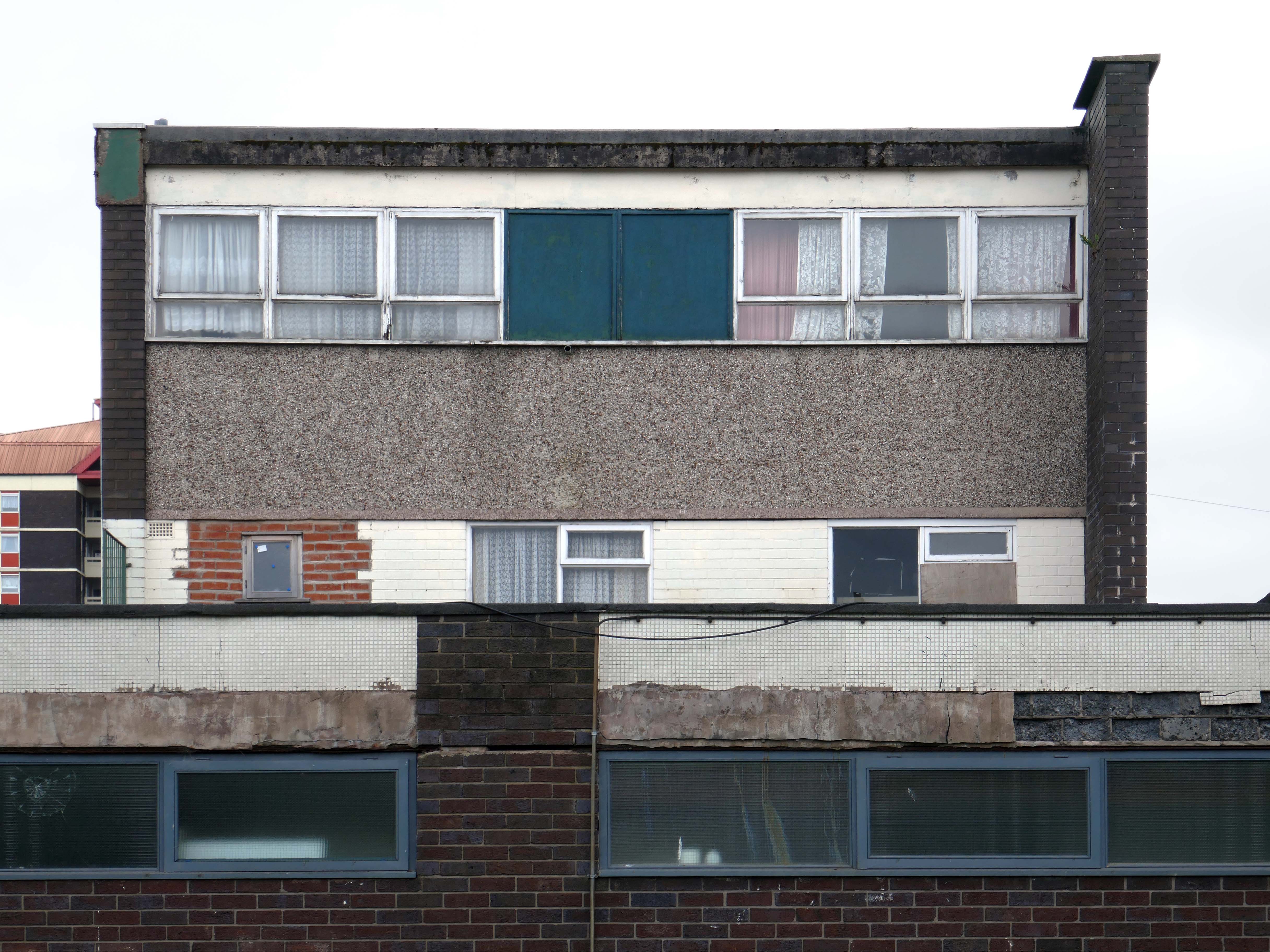
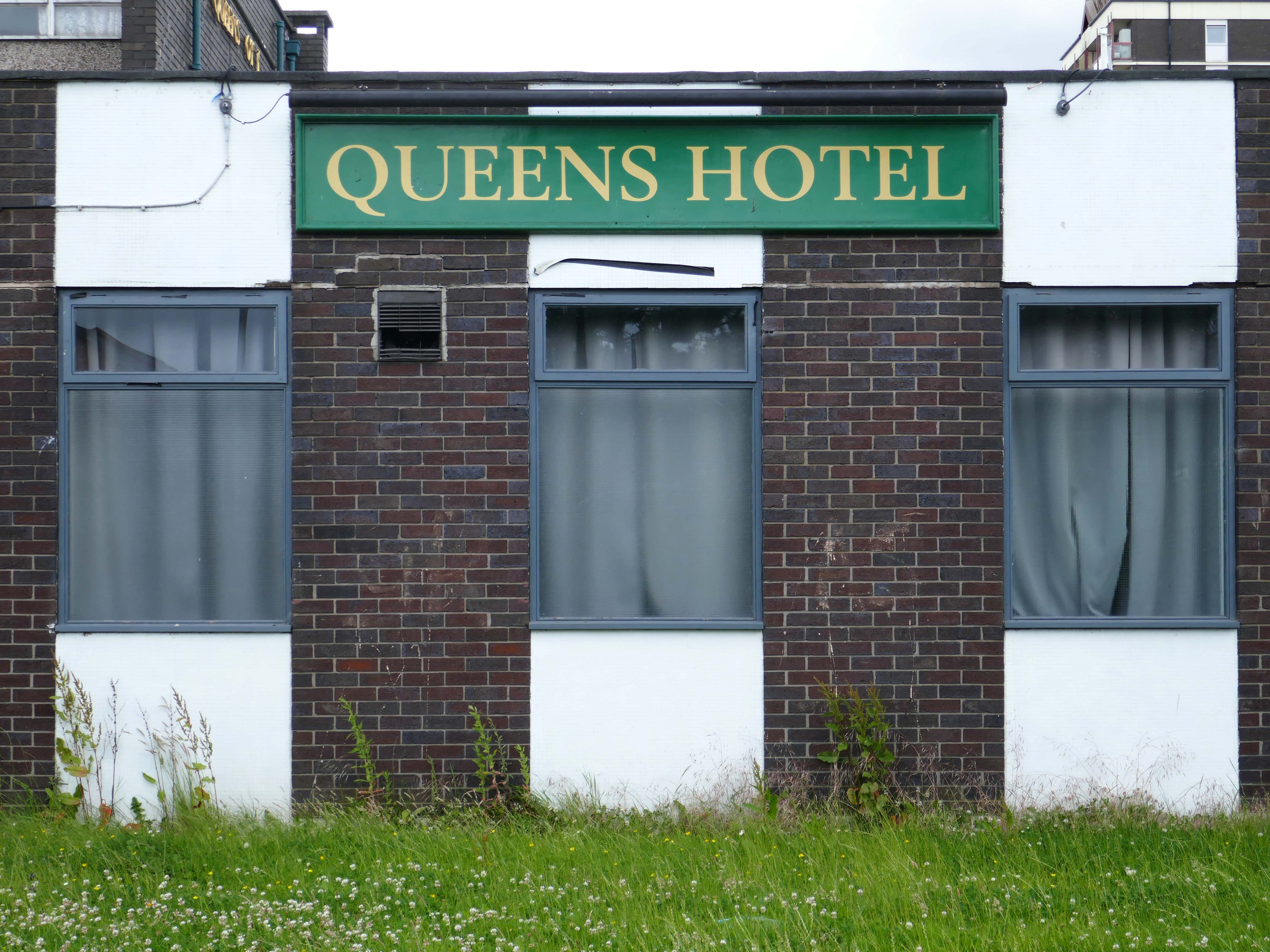
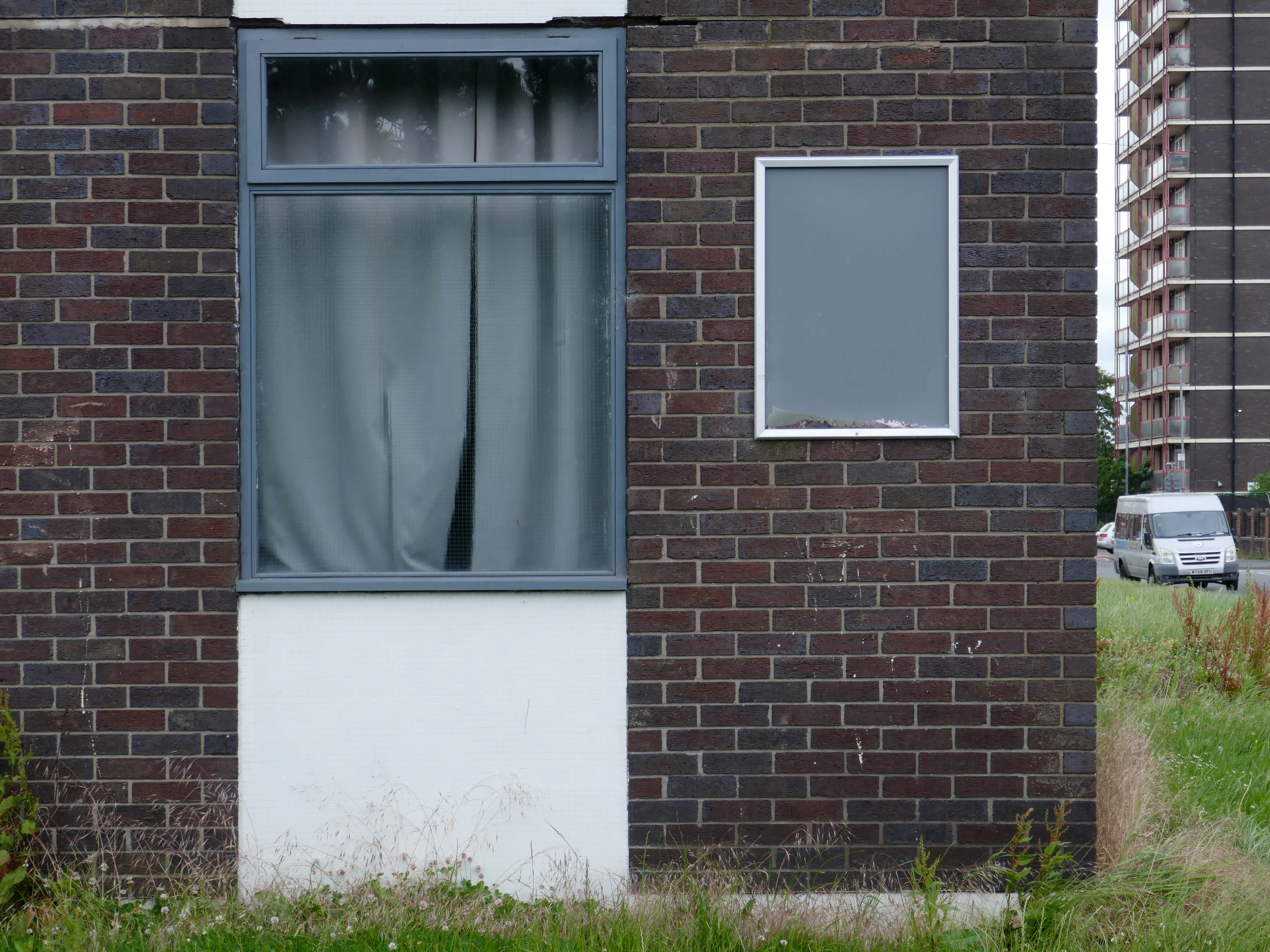
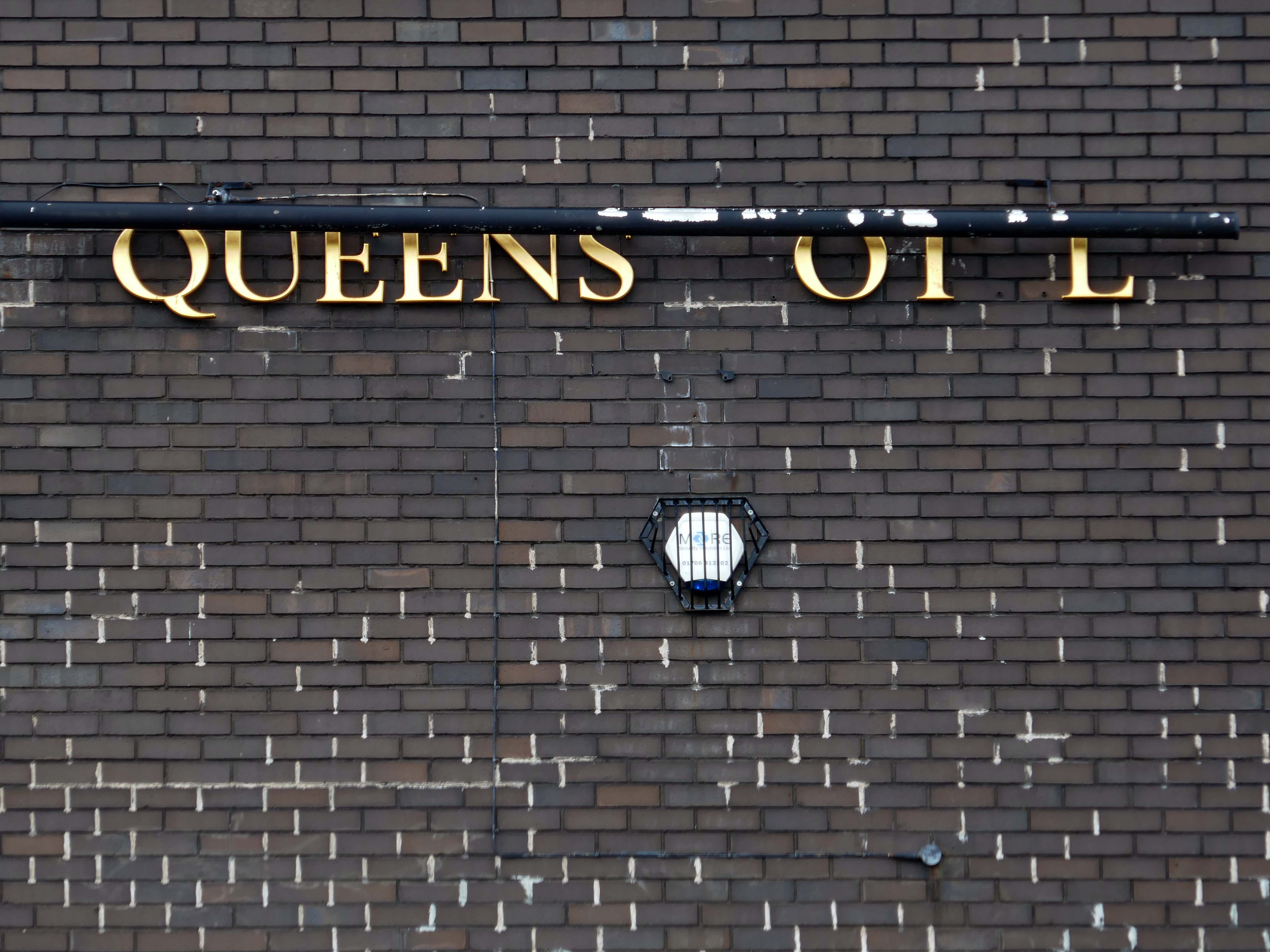
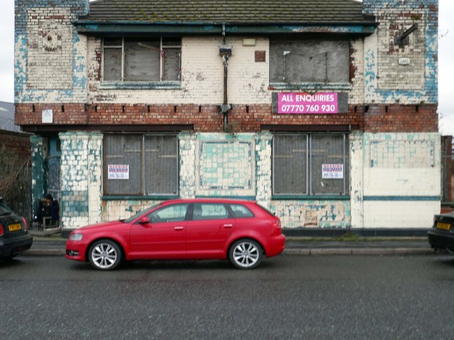
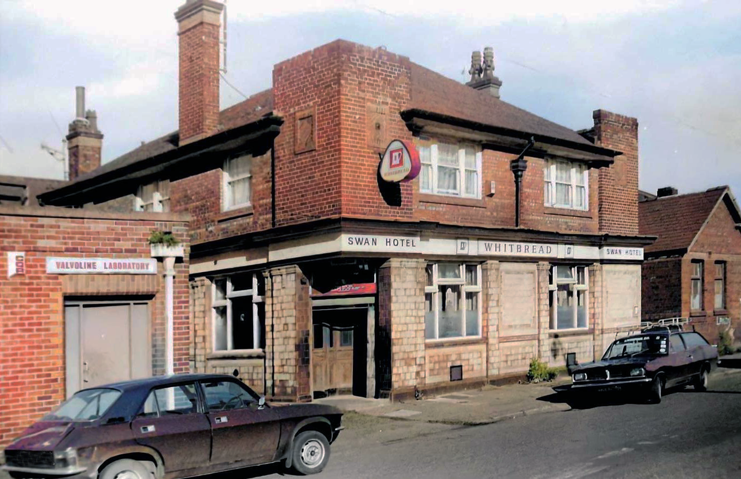
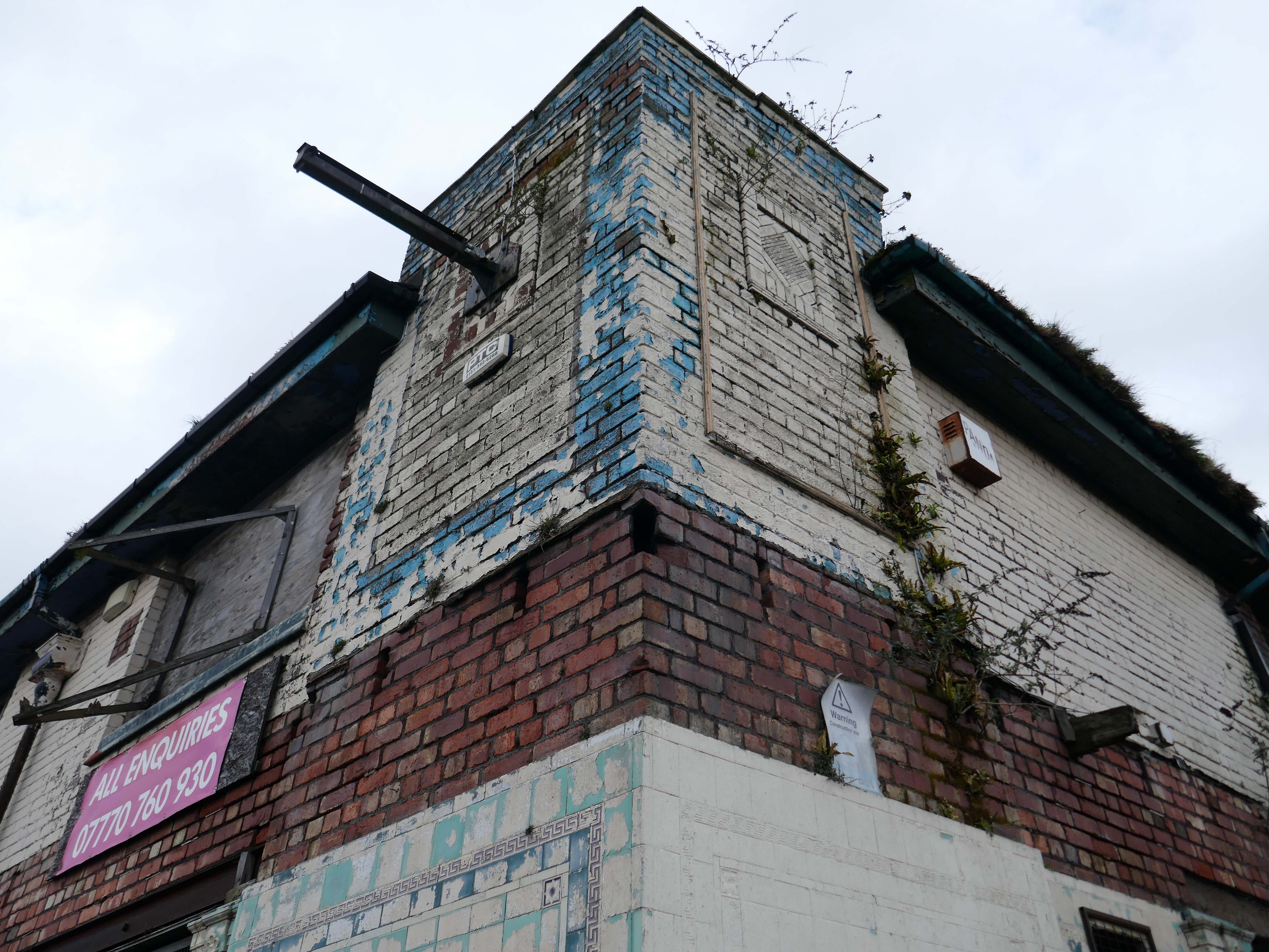
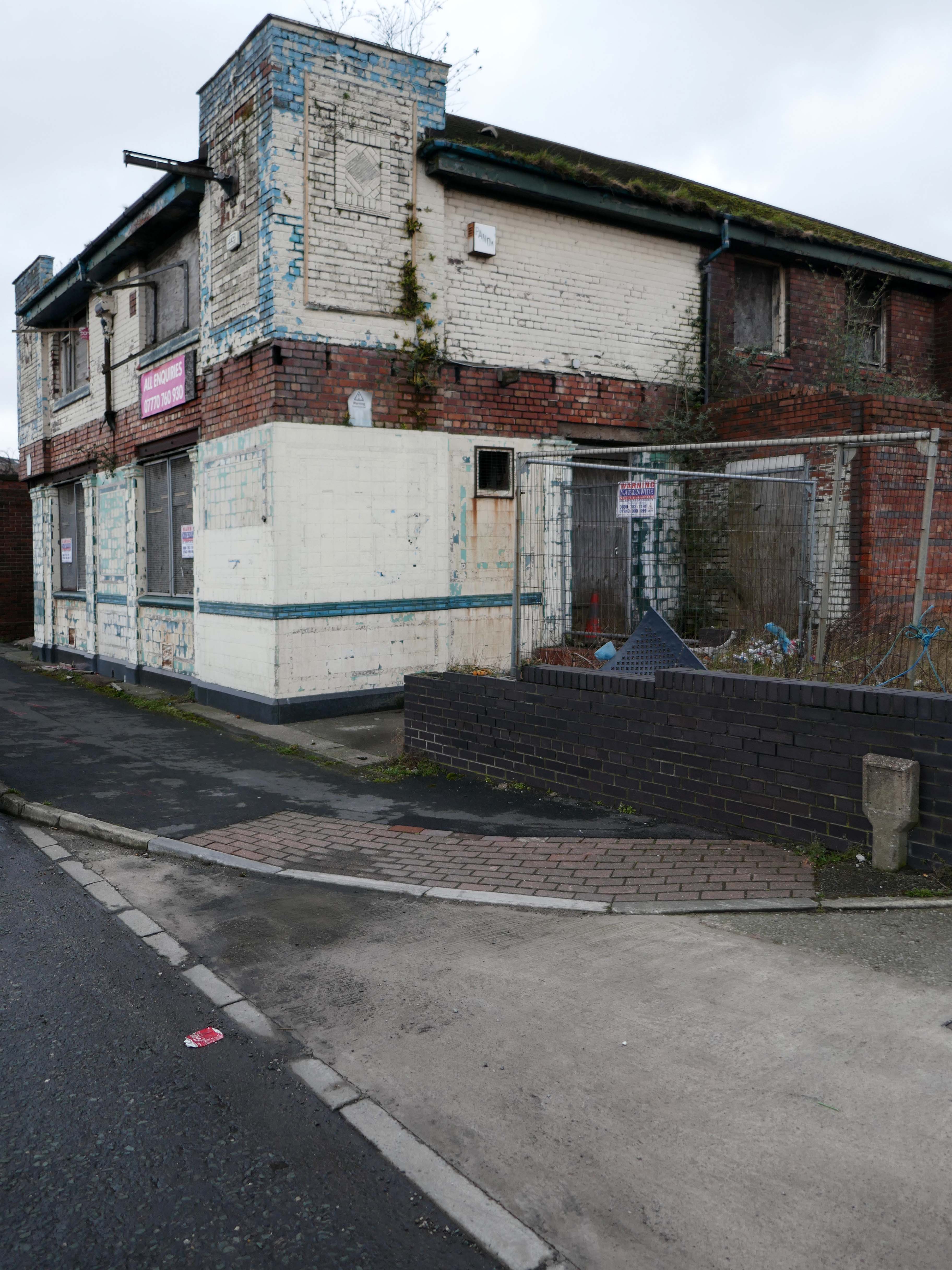
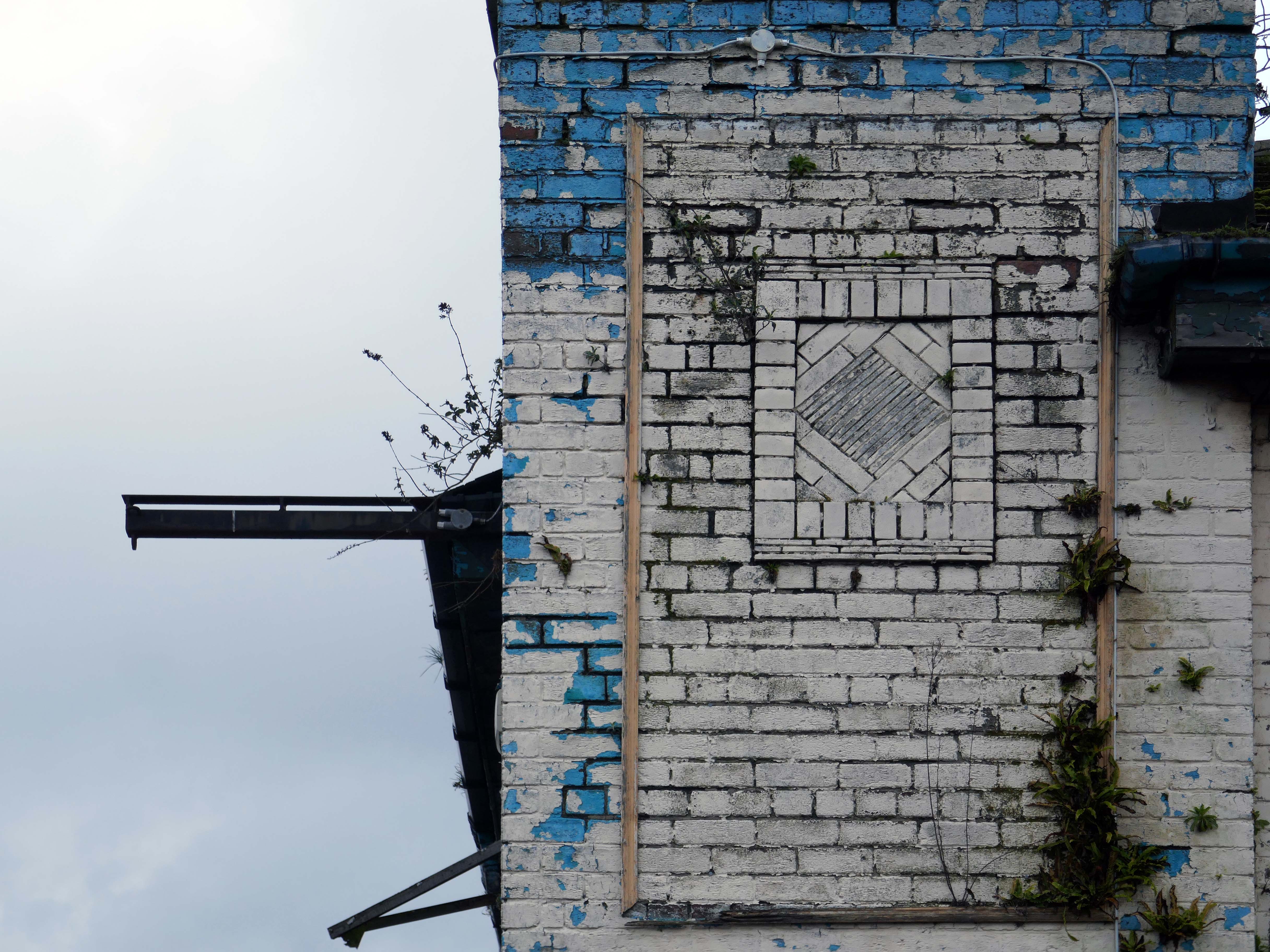
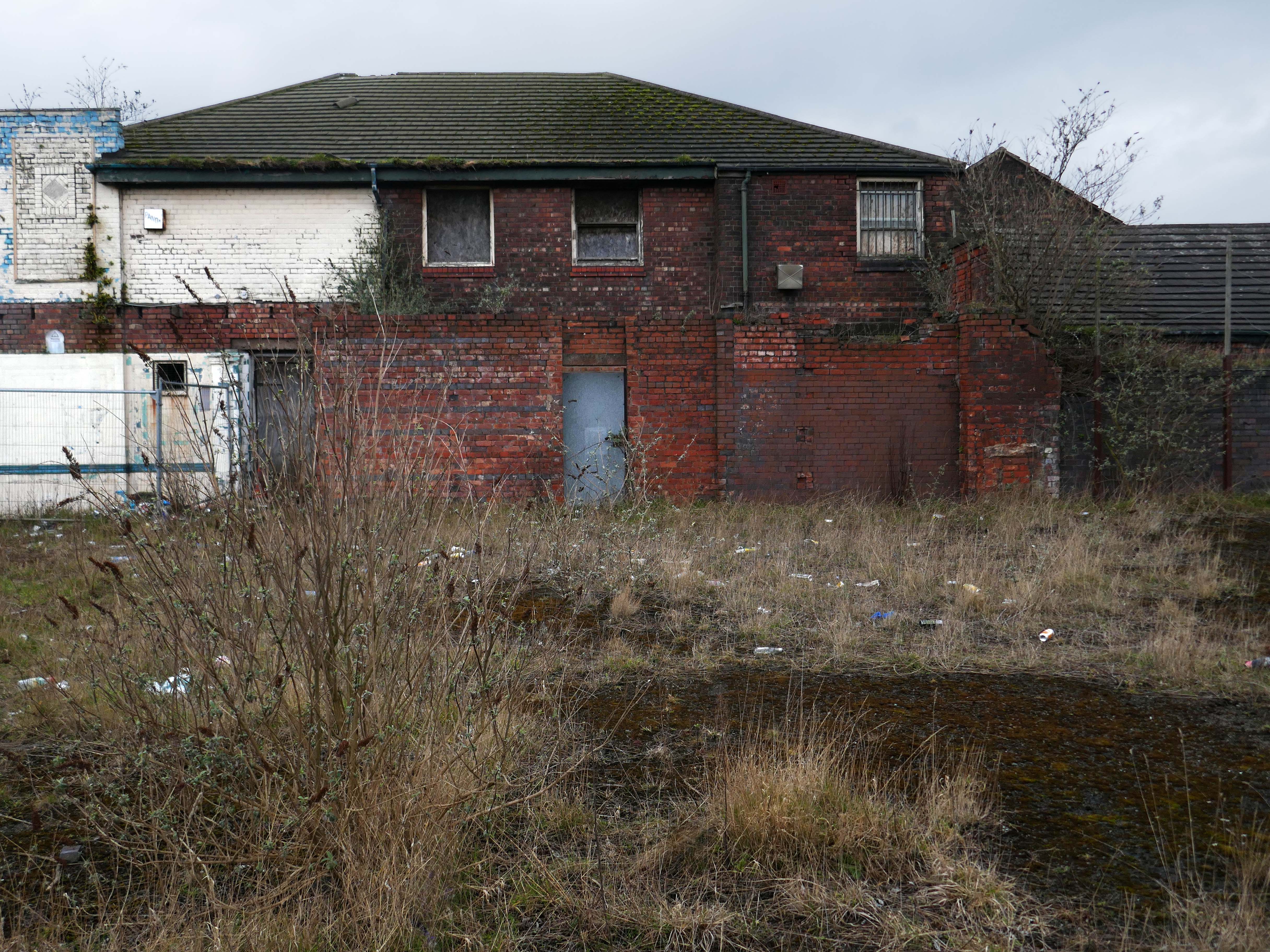
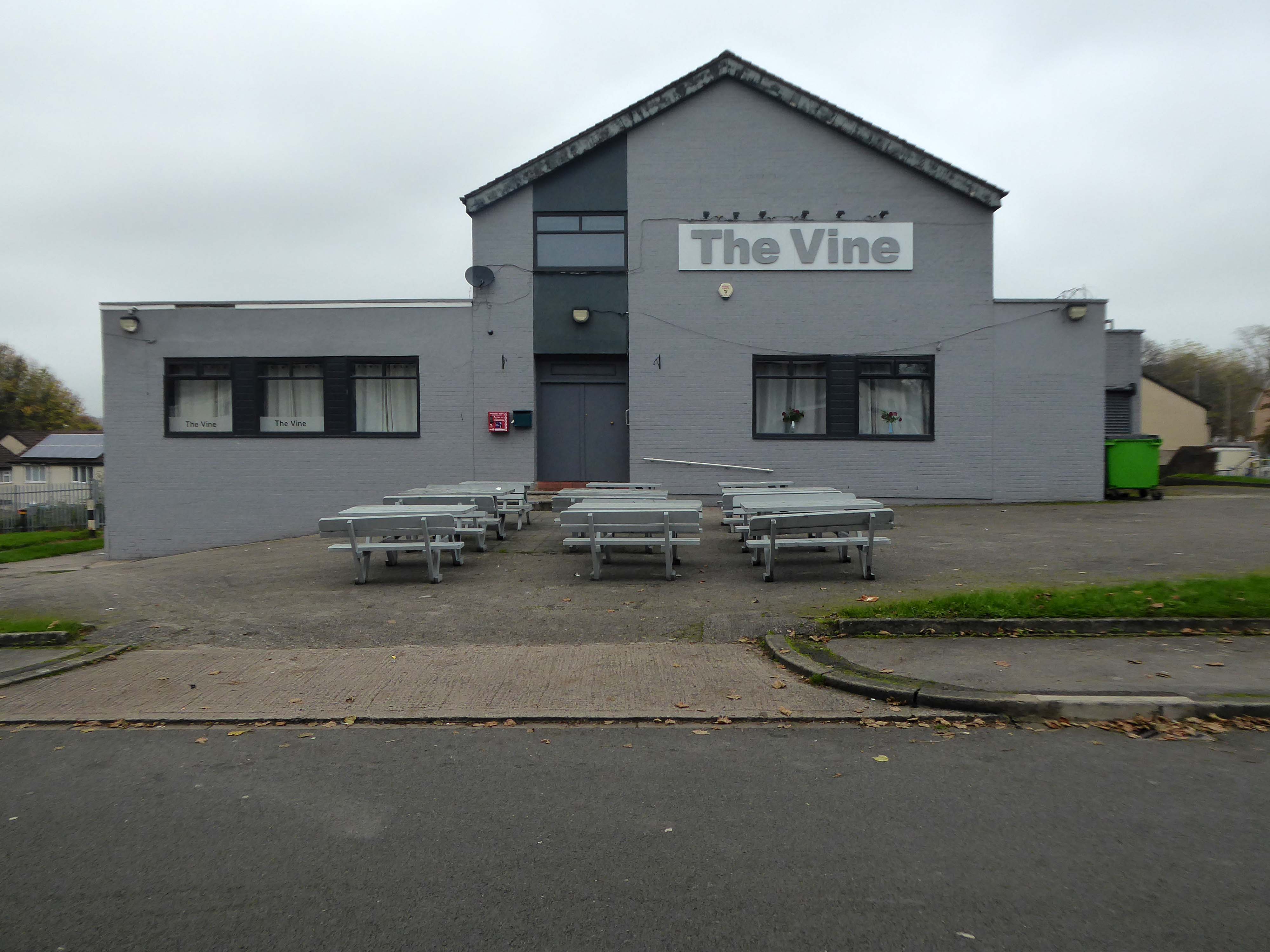
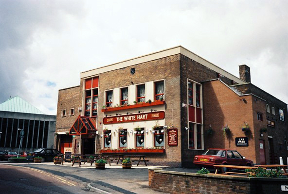
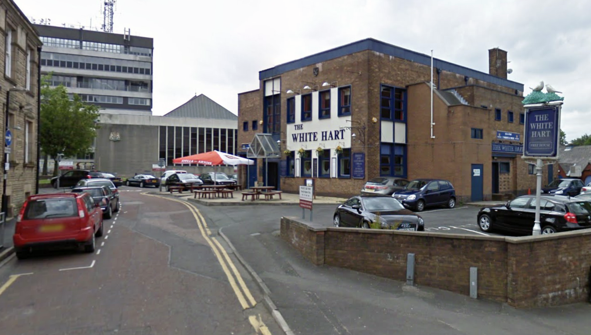
Next door is a pub no longer a pub.
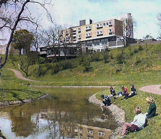
Once upon a time a Vaux Brewery house the White Hart – implausibly renamed the Snooty Fox for a brief period.
Photo Alan Winfield 1988 – The Never Ending Pub Crawl
This was a really big looking pub.
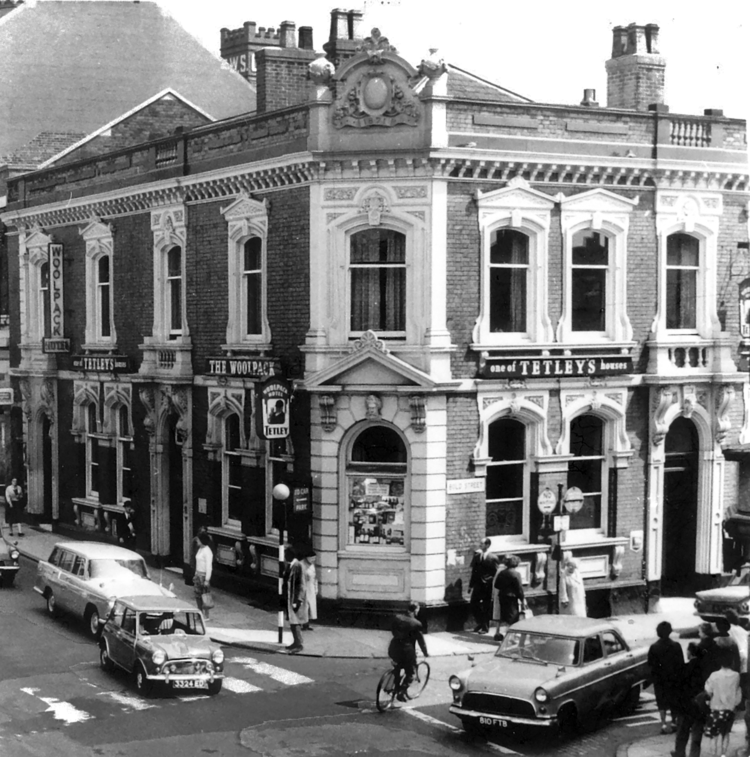
The pub was decent enough inside with a large room which was empty on our Friday dinner visit, the pub was a Vaux tied house so we were well pleased as we had not done many of them.
We had a drink of Vaux bitter which went down well.
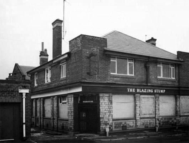
Interior from Red Rose Collections.

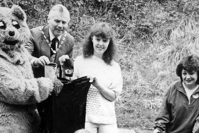
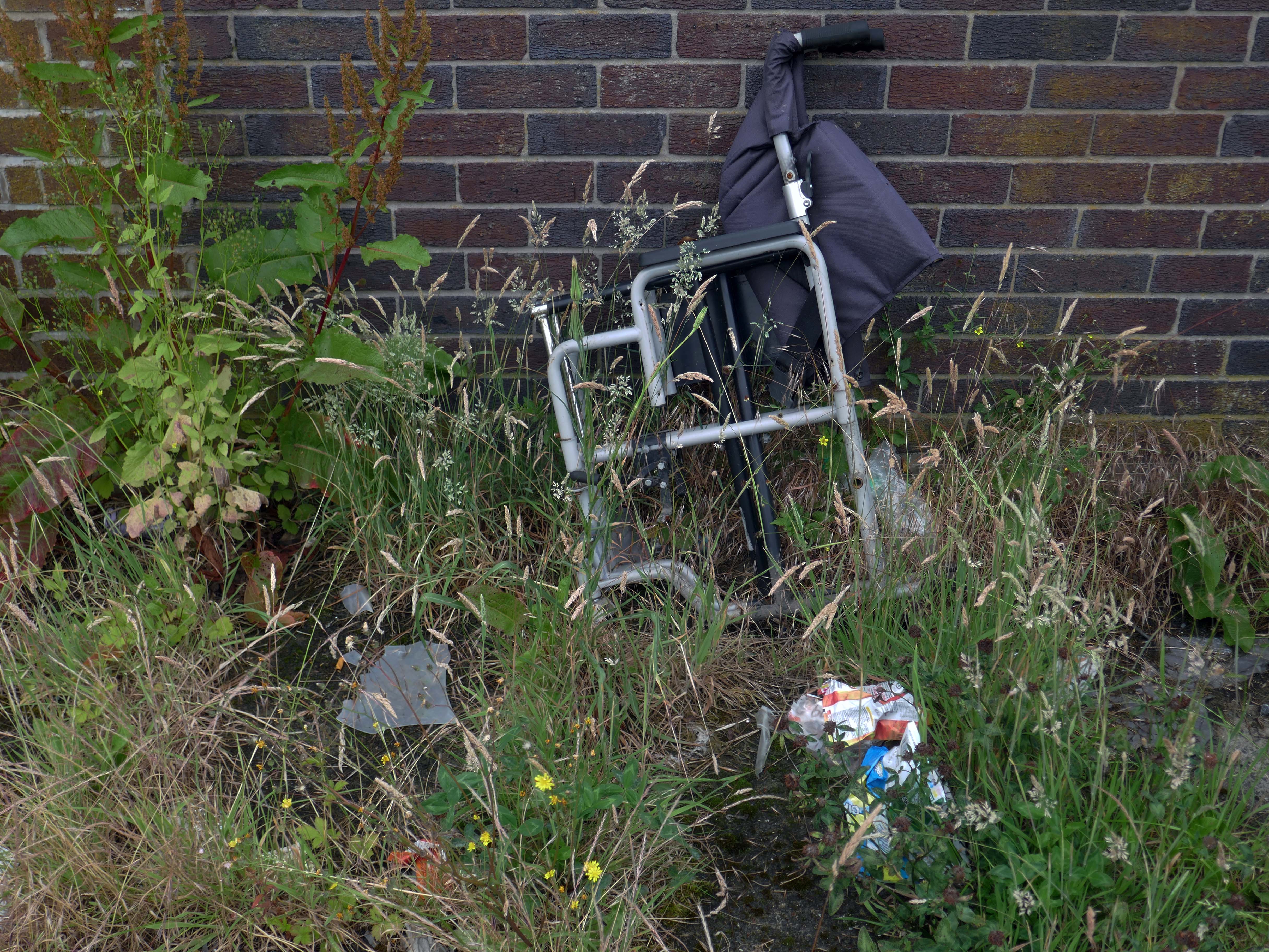
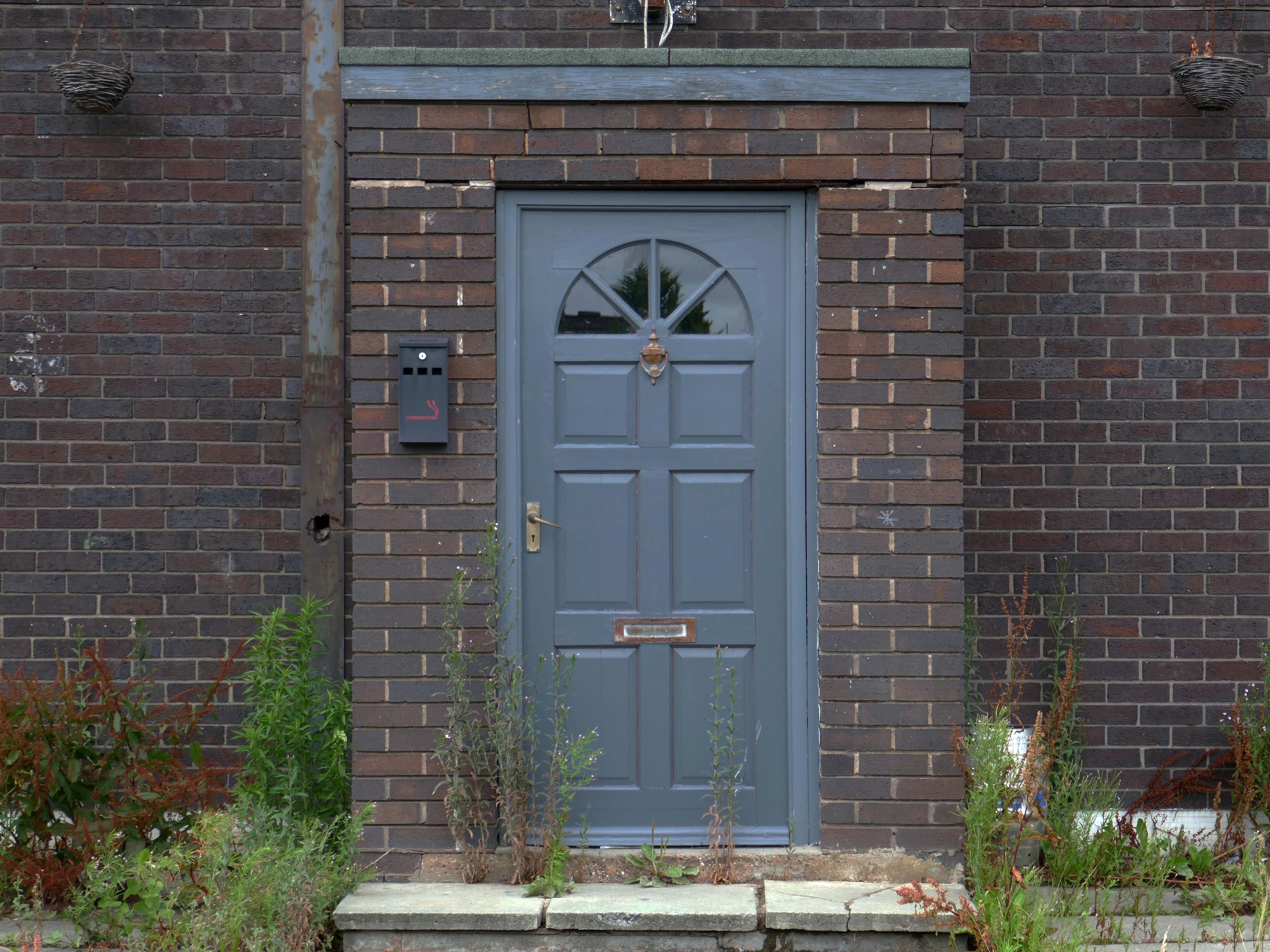
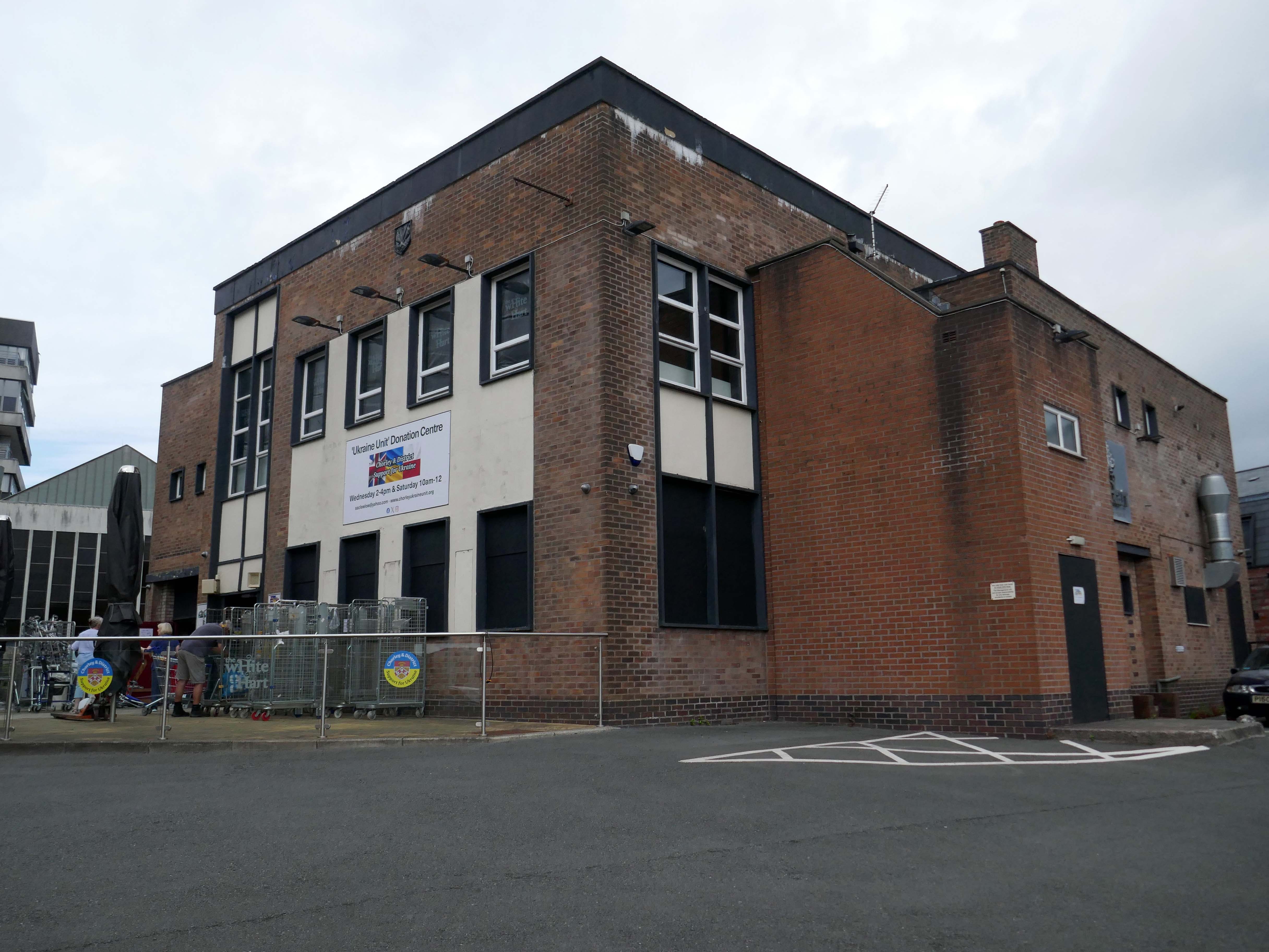
Currently the Ukraine Unit Donation Centre.
Our group was created in February 2022 to try and help raise awareness of the crisis in Ukraine and to help organise and coordinate local efforts to send support from across the Borough of Chorley in Lancashire. We have since grown into a major hub for donations.
Across Chorley & District multiple educational facilities, community groups and organisations reacted and began to spread awareness and collect donations. In order to sift and sort a lot of local donations, a unit has been loaned by Chorley Council. A large percentage of the region’s aid has come into this unit and we are regularly packaging aid and supplies in preparation for the next leg of the journey to Ukraine, whether it’s transported there by us or other charitable organisations.
Our philosophy is that if we can all do a little bit, together we can make a big difference.
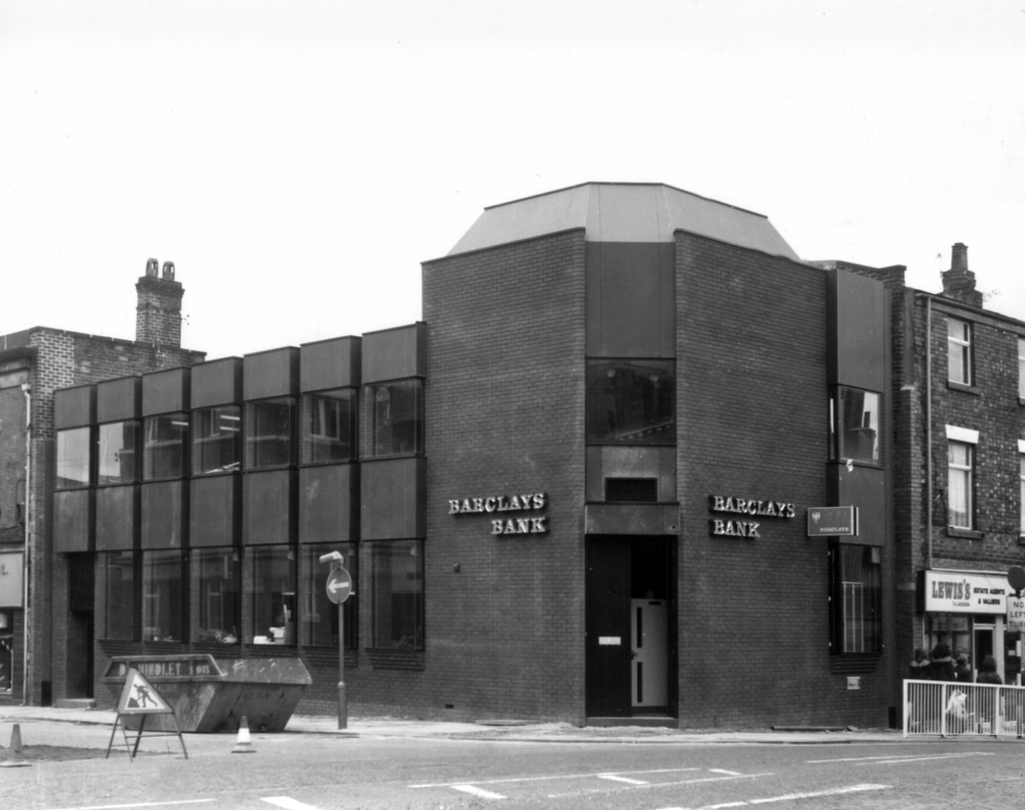
Bouncing back to what was and never shall be no more Barclays Bank.
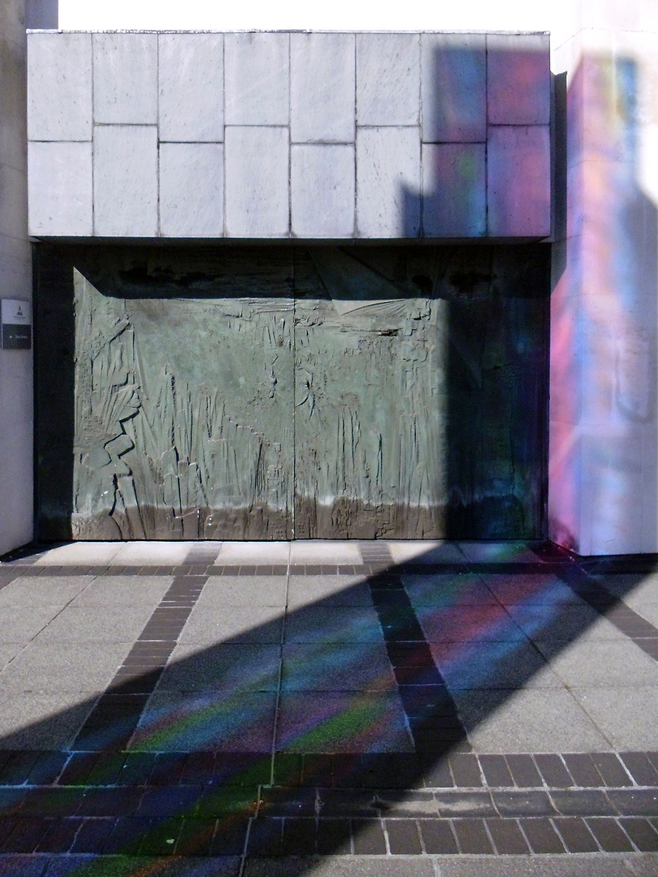
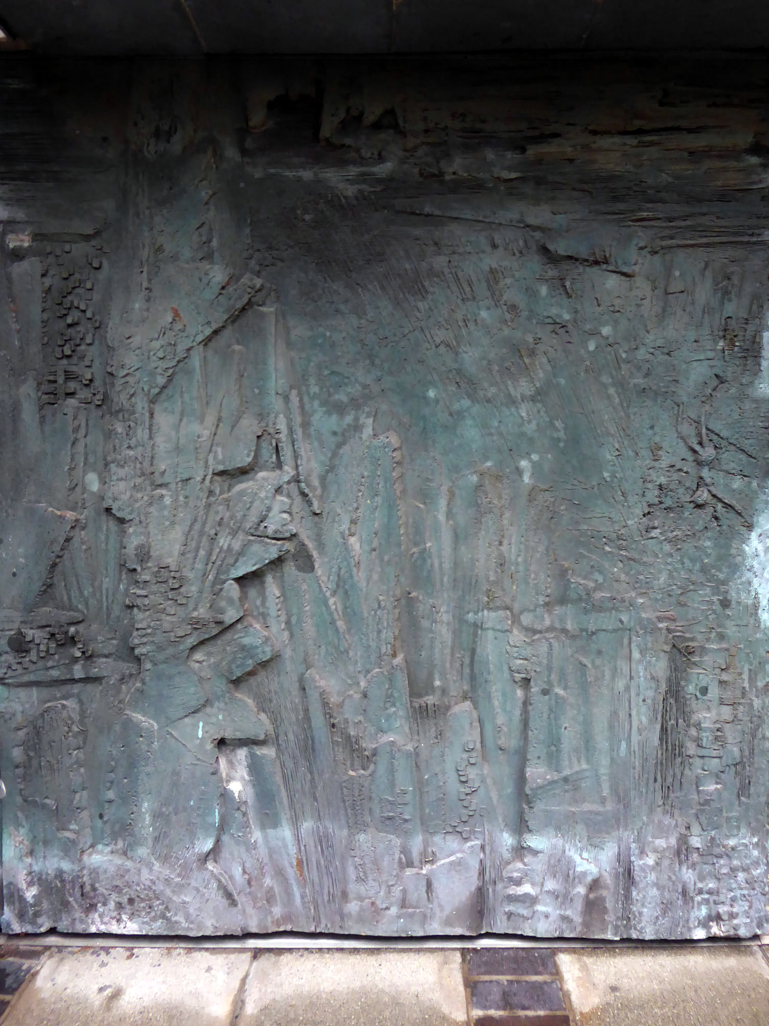
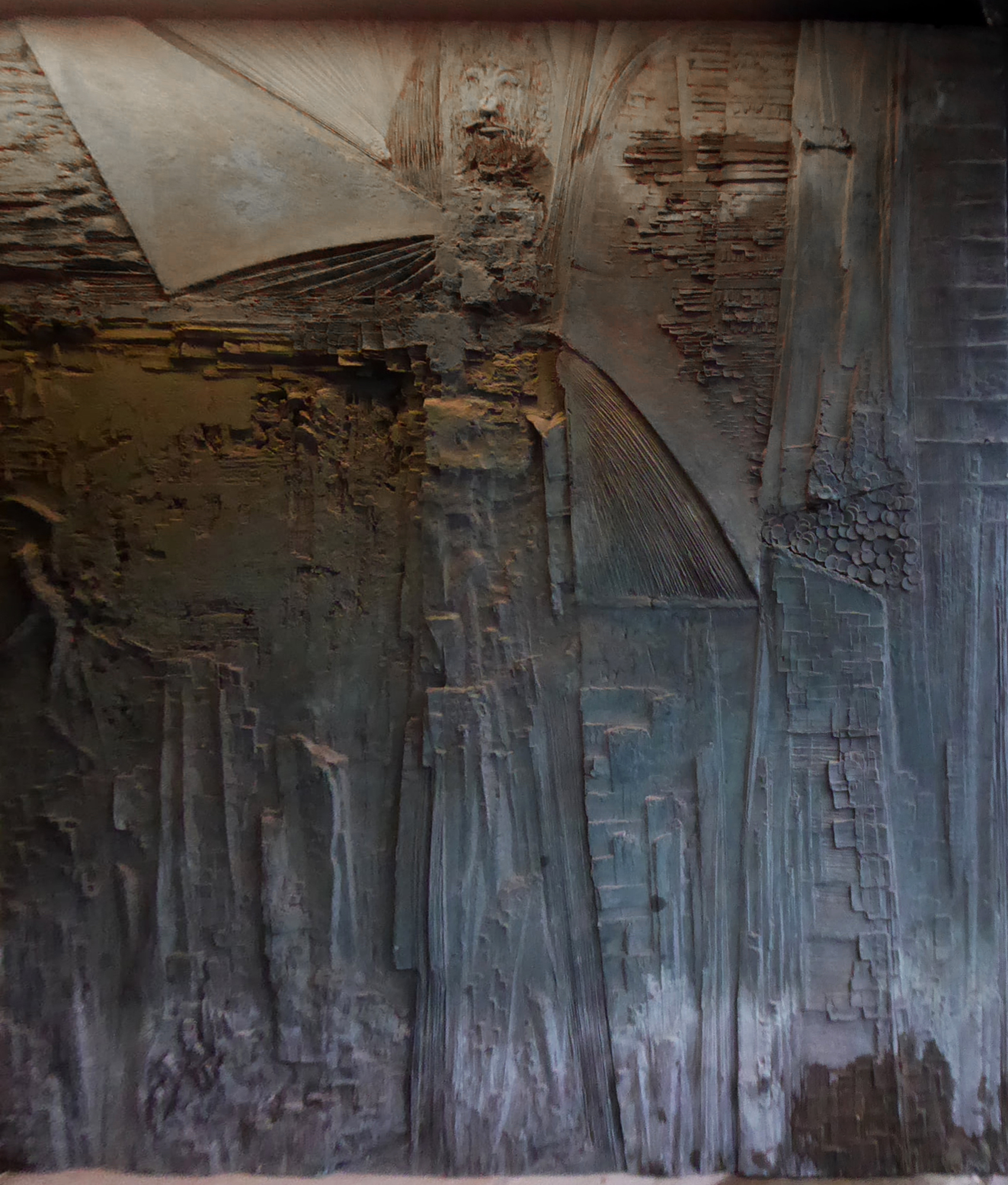
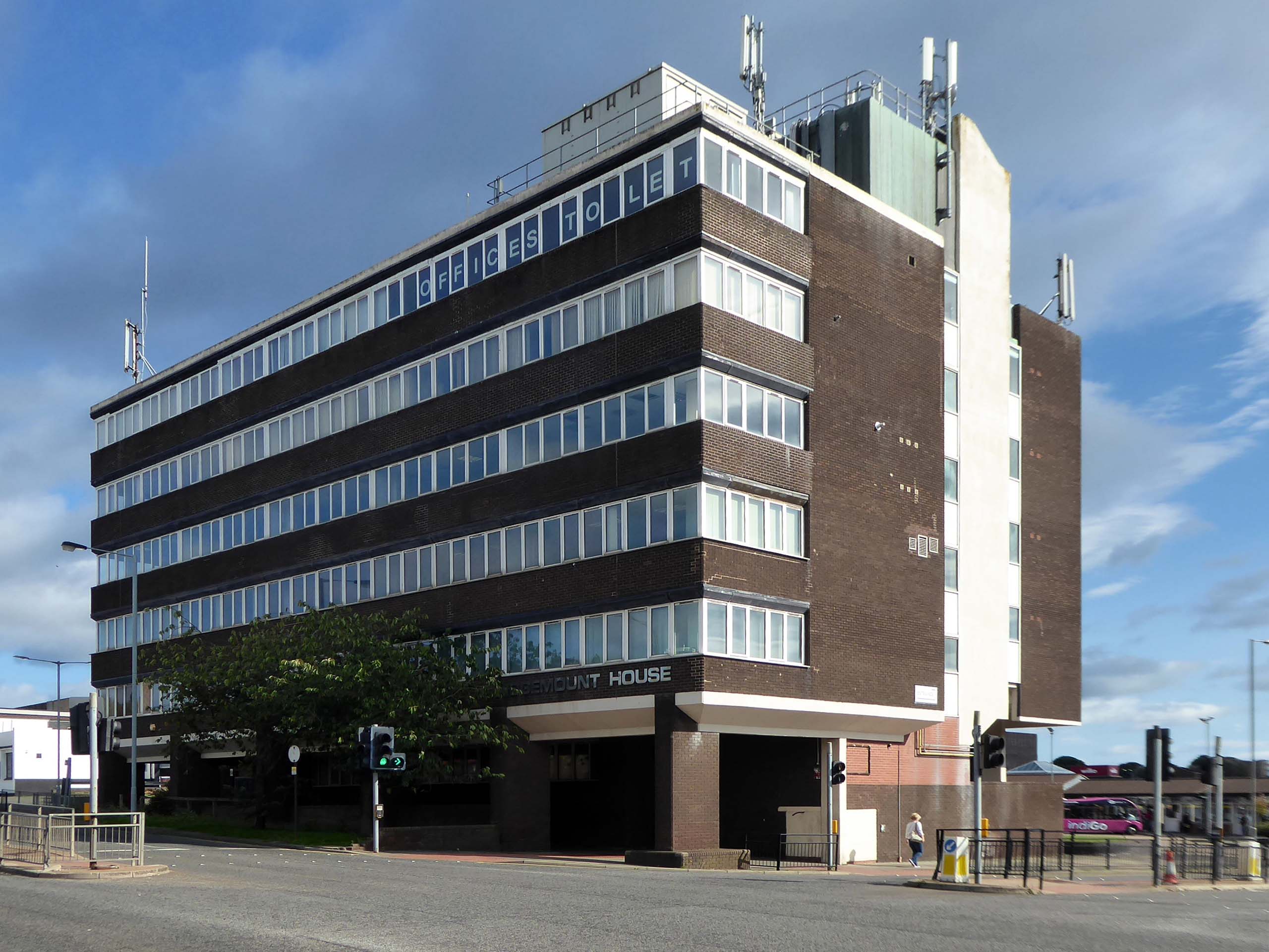
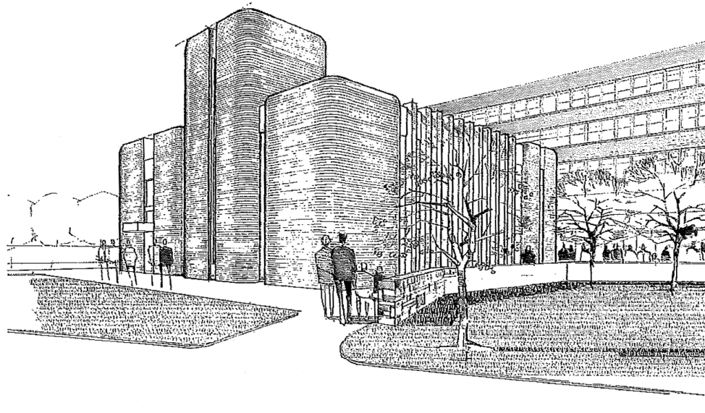
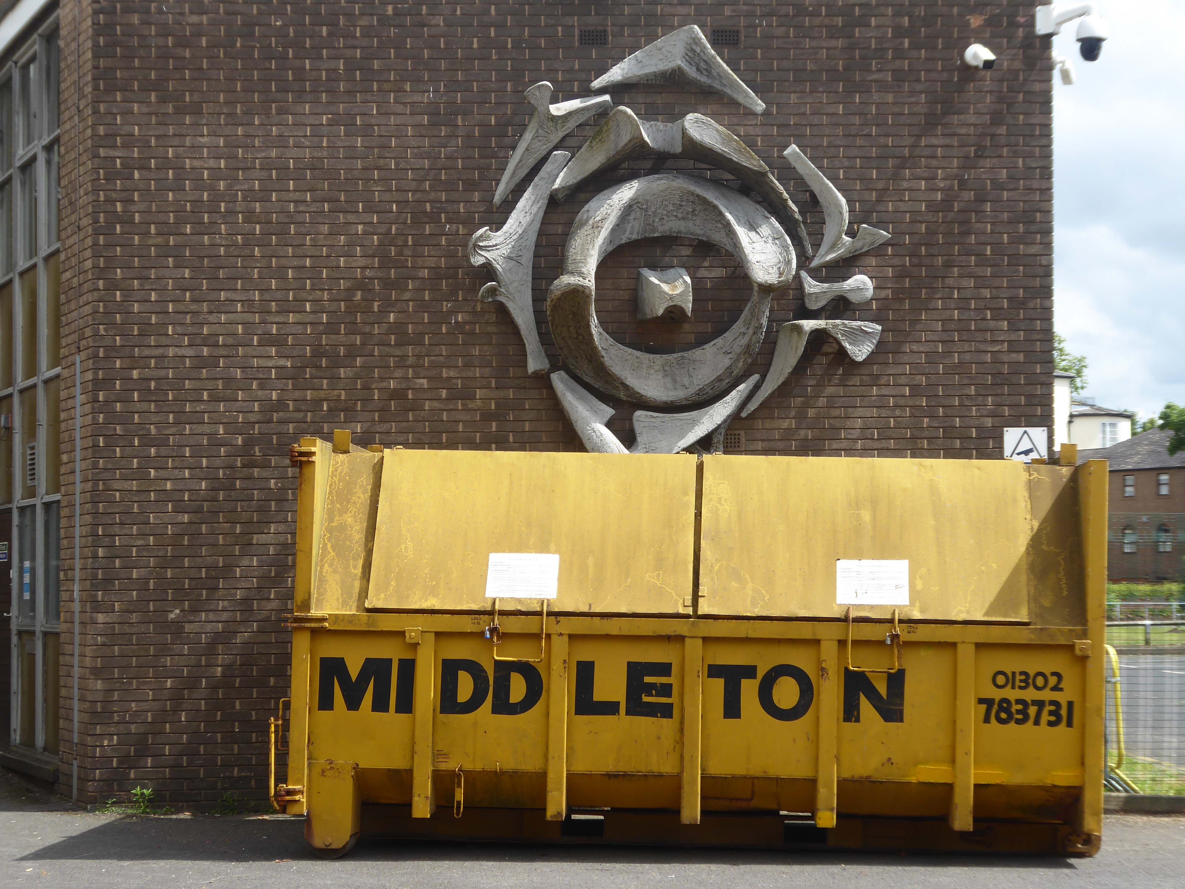
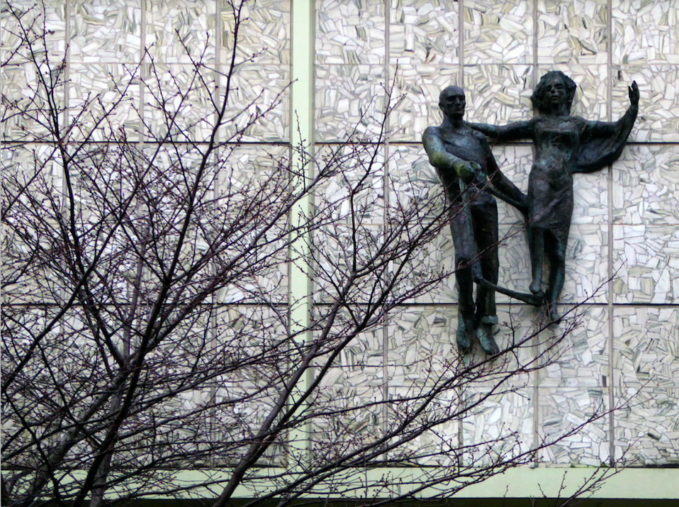
Almost finally we find ourselves at the Council Offices 1982.
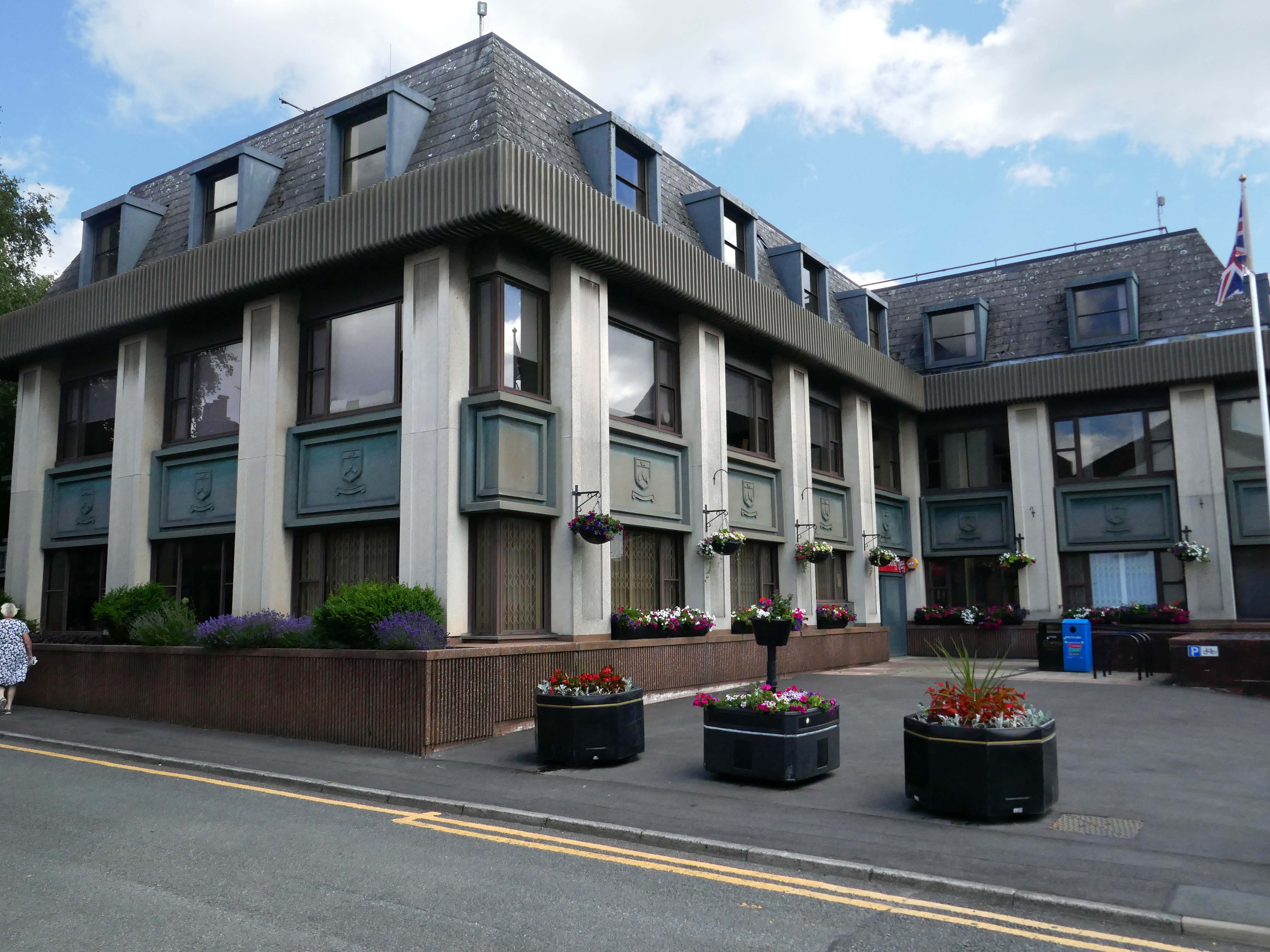
You will be delighted to hear that Chorley Council has a Masterplan
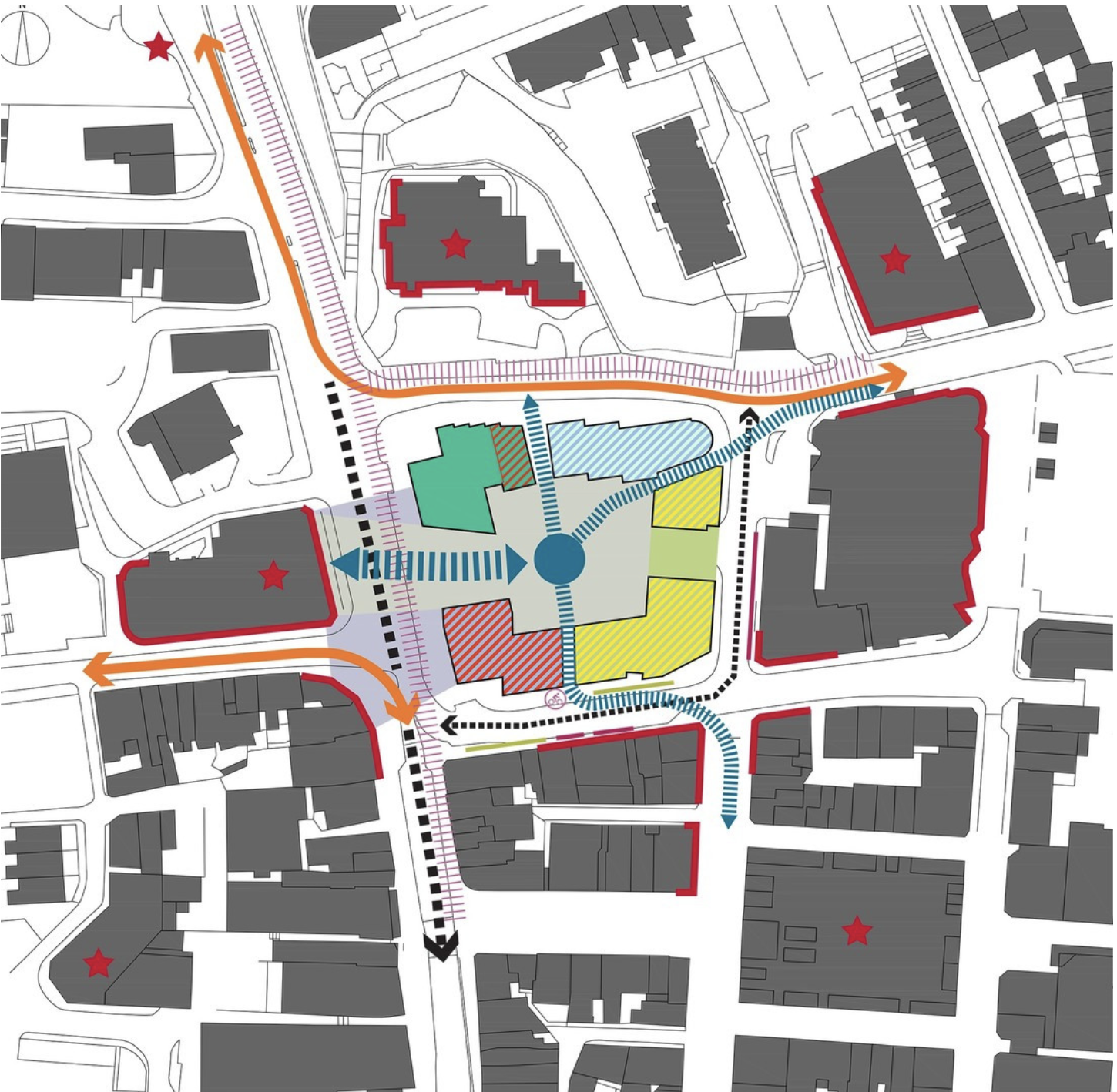
Self Architects generated a high level Masterplan for this prominent site. The scheme proposes a boutique hotel, offices, restaurants/bars, along with apartments, aiming to transform the town centre by intervention to enhance the overall vision by:
- Establish a series of formal/informal public spaces
- Diagonally link public spaces
- Greening pedestrian streets
- Reducing dominance of cars
- Improving evening economy
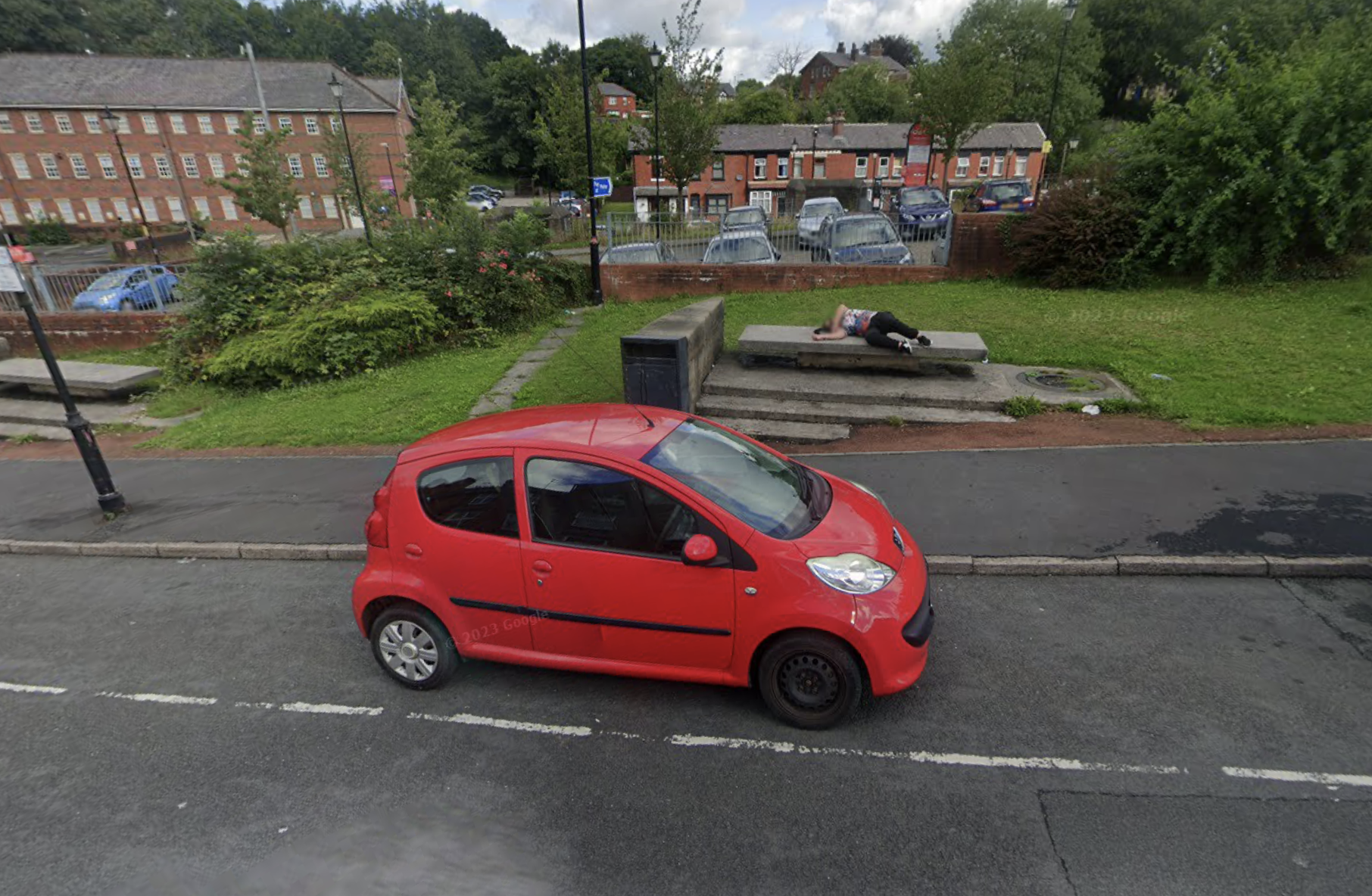
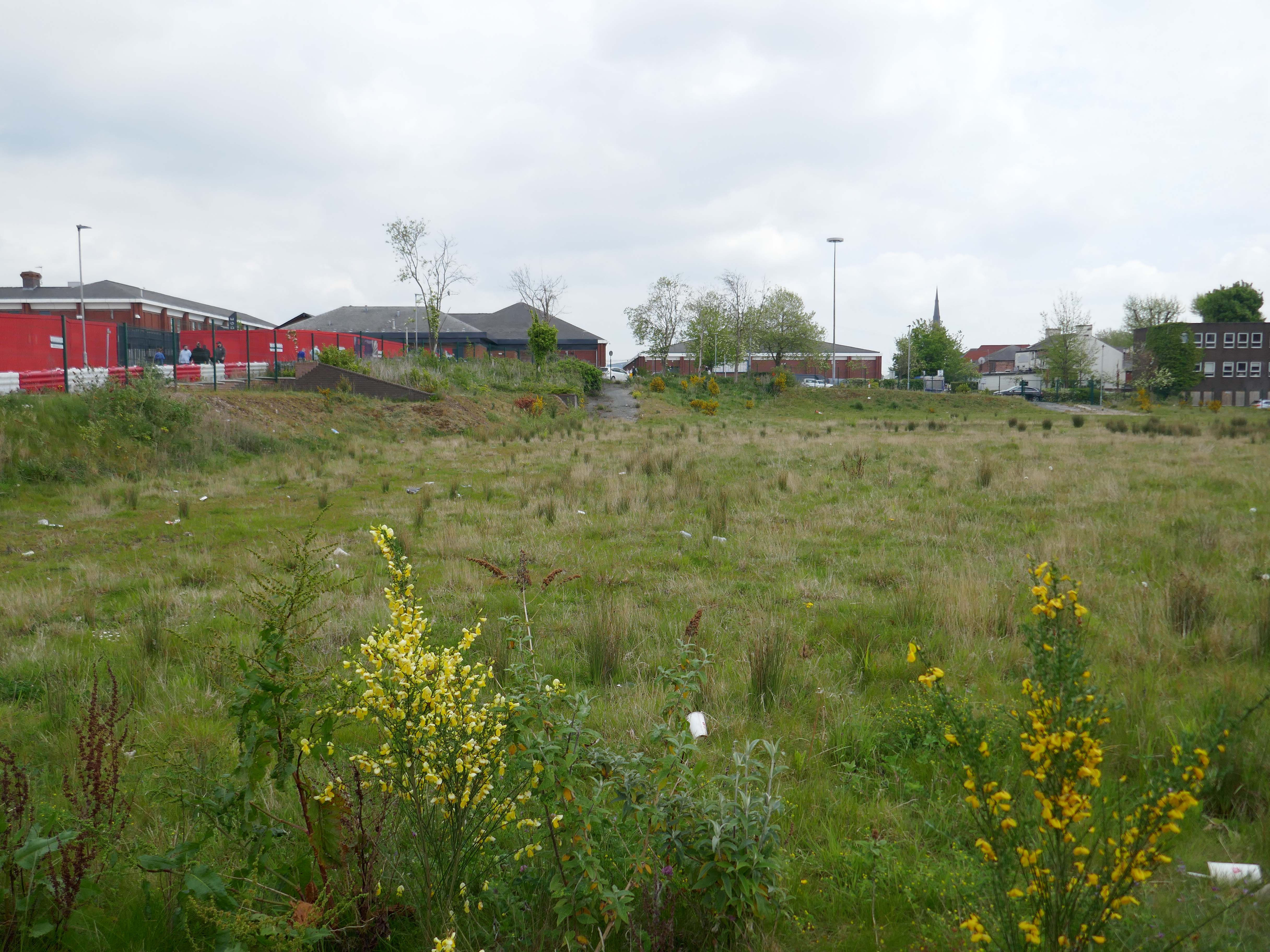
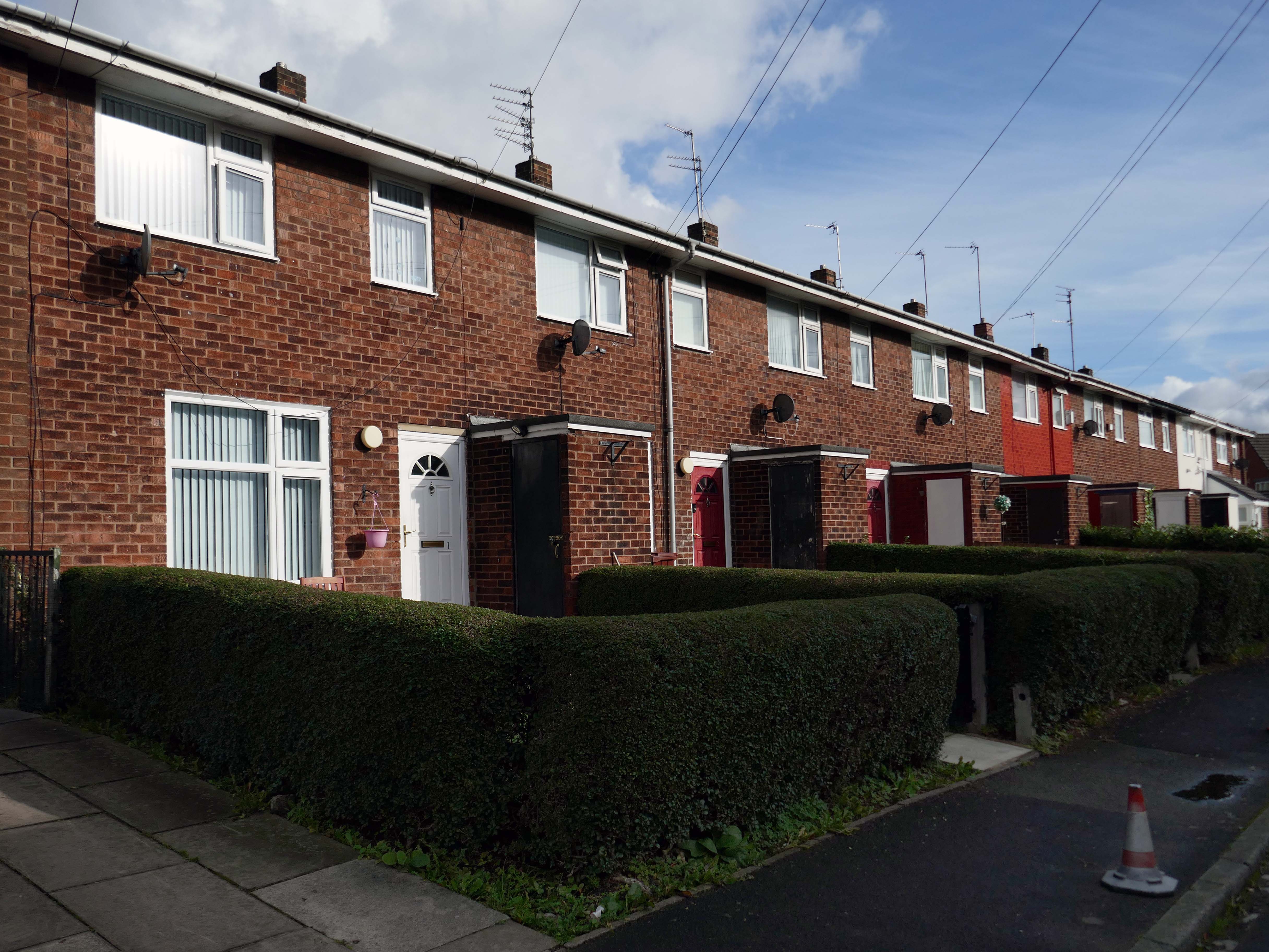
Having a moment or two on my hands I ventured to the land beyond beyond – the land of the concrete bench, bin and planter combo.
They are on Hollinshead Street.
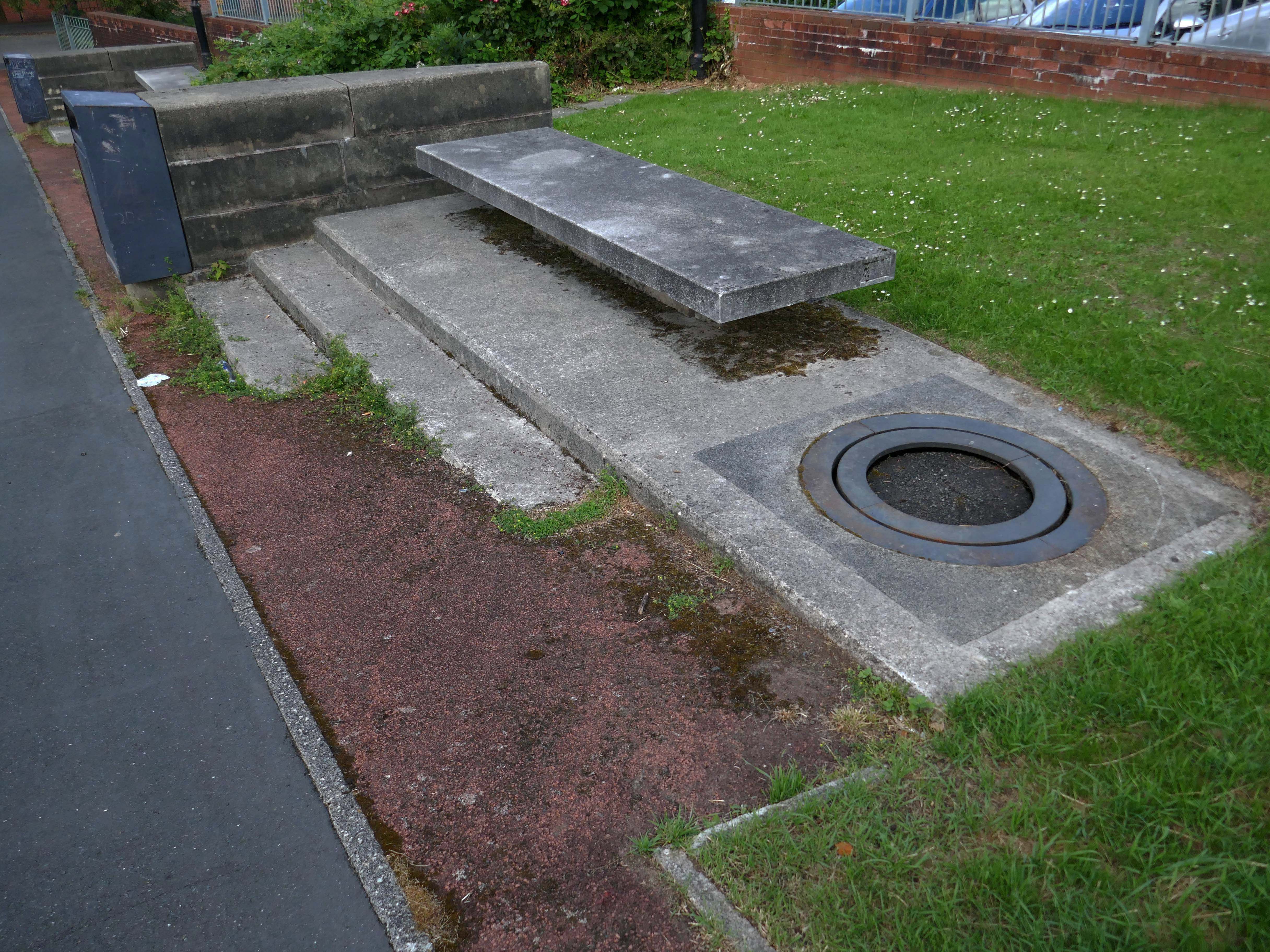
Google Streetview 2022.