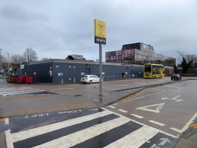
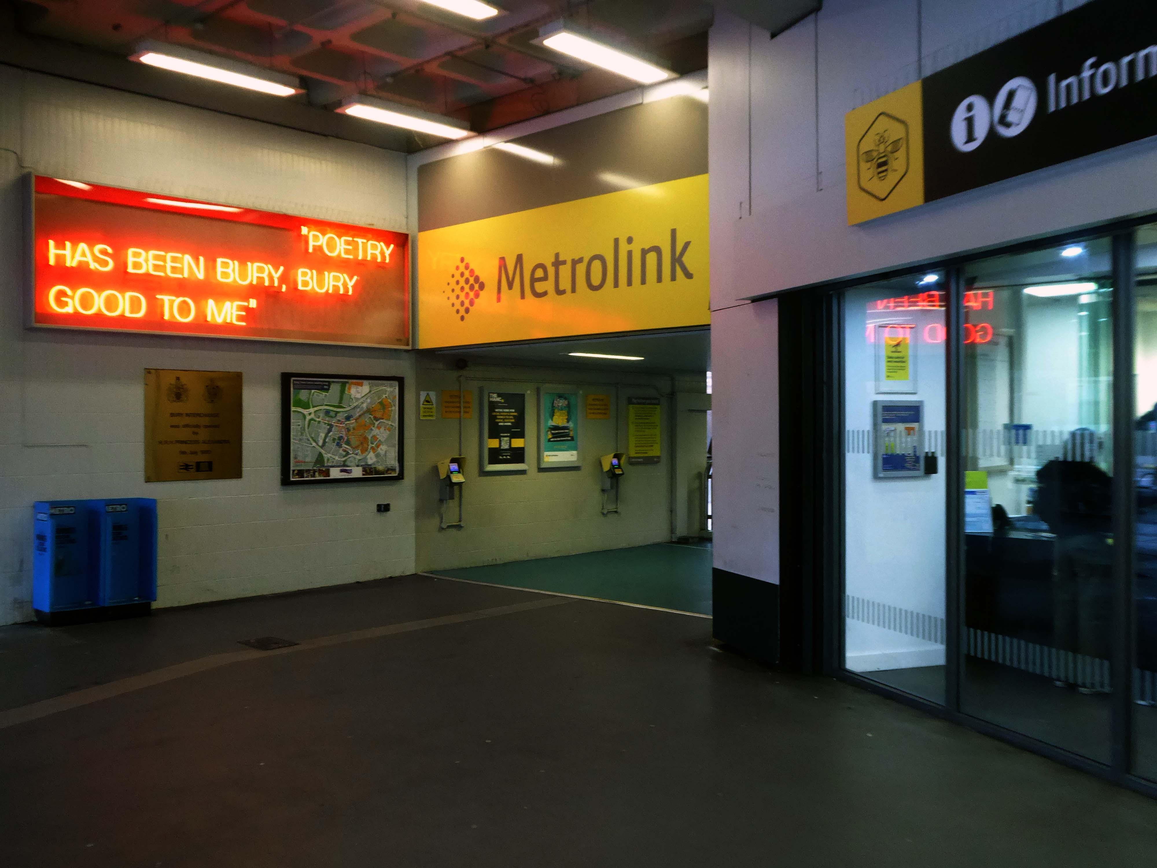
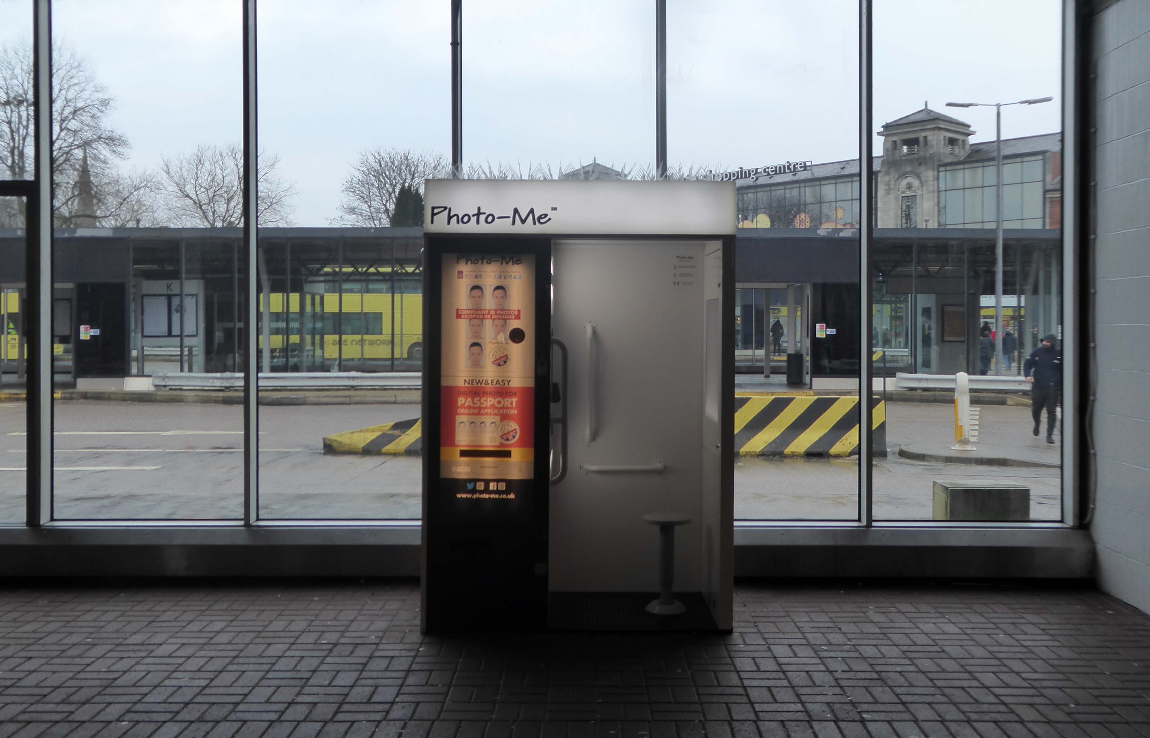
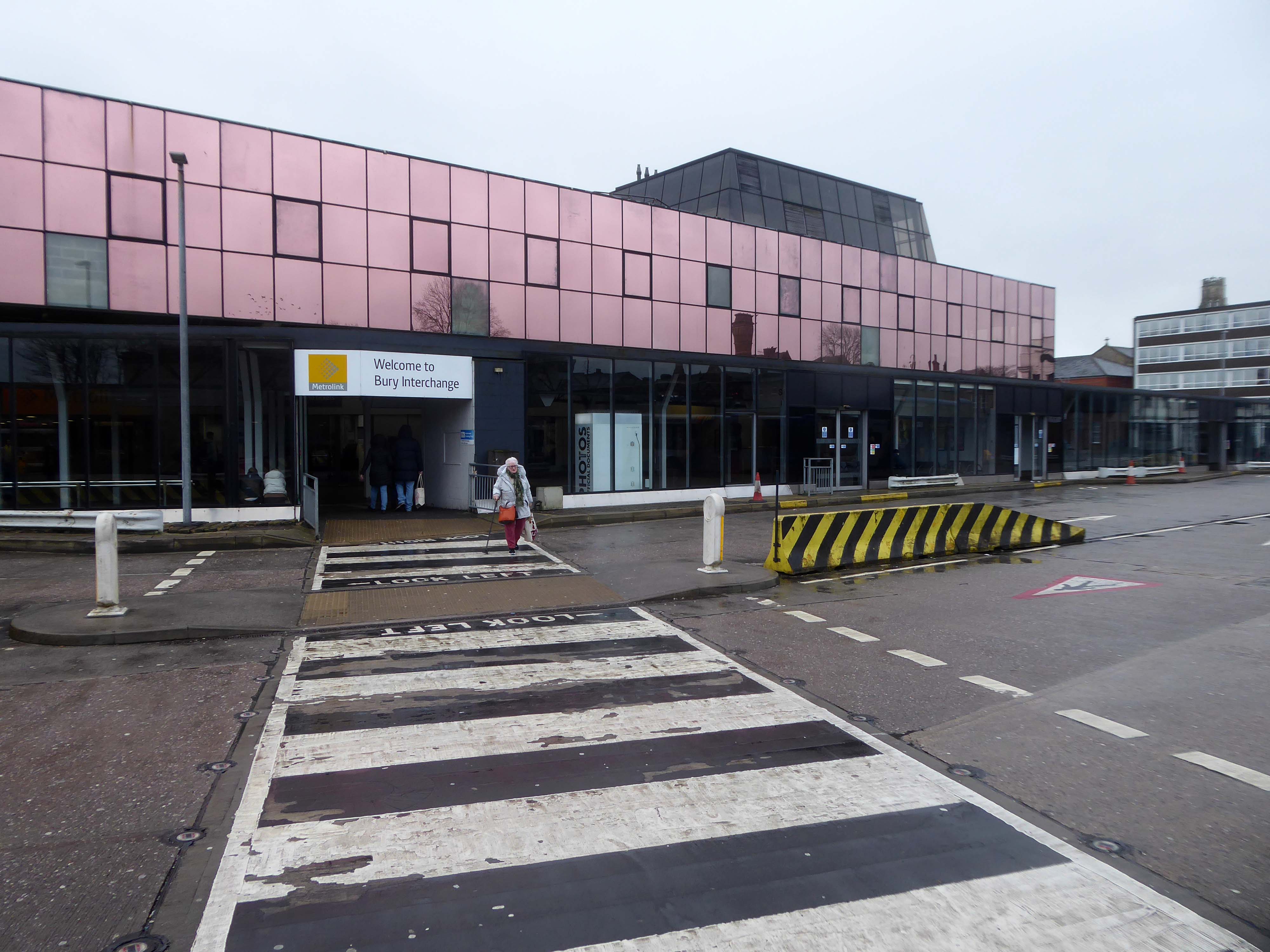
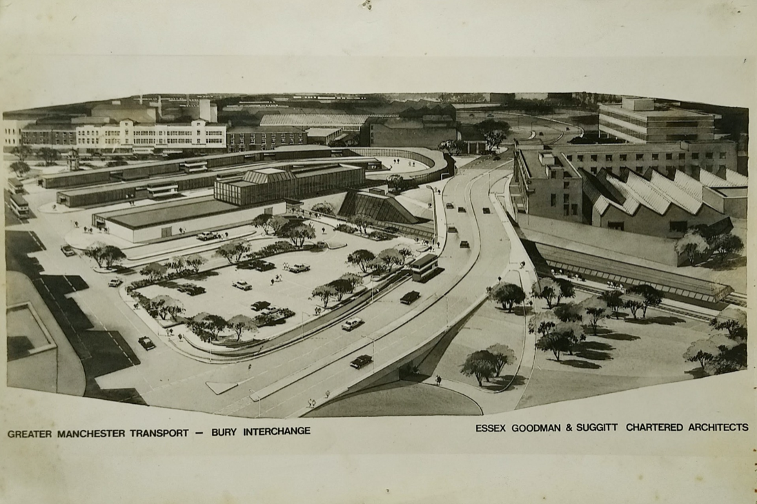
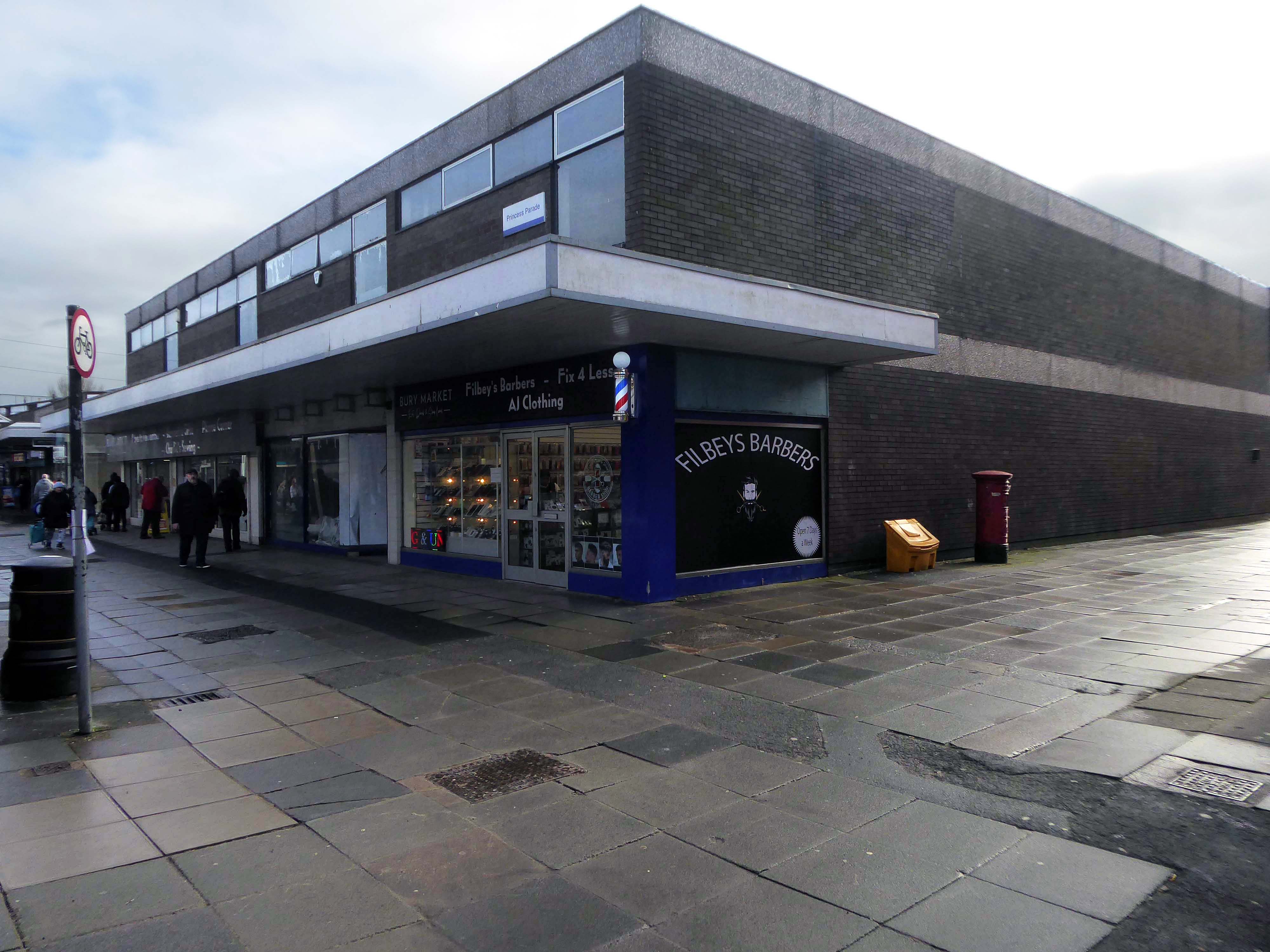
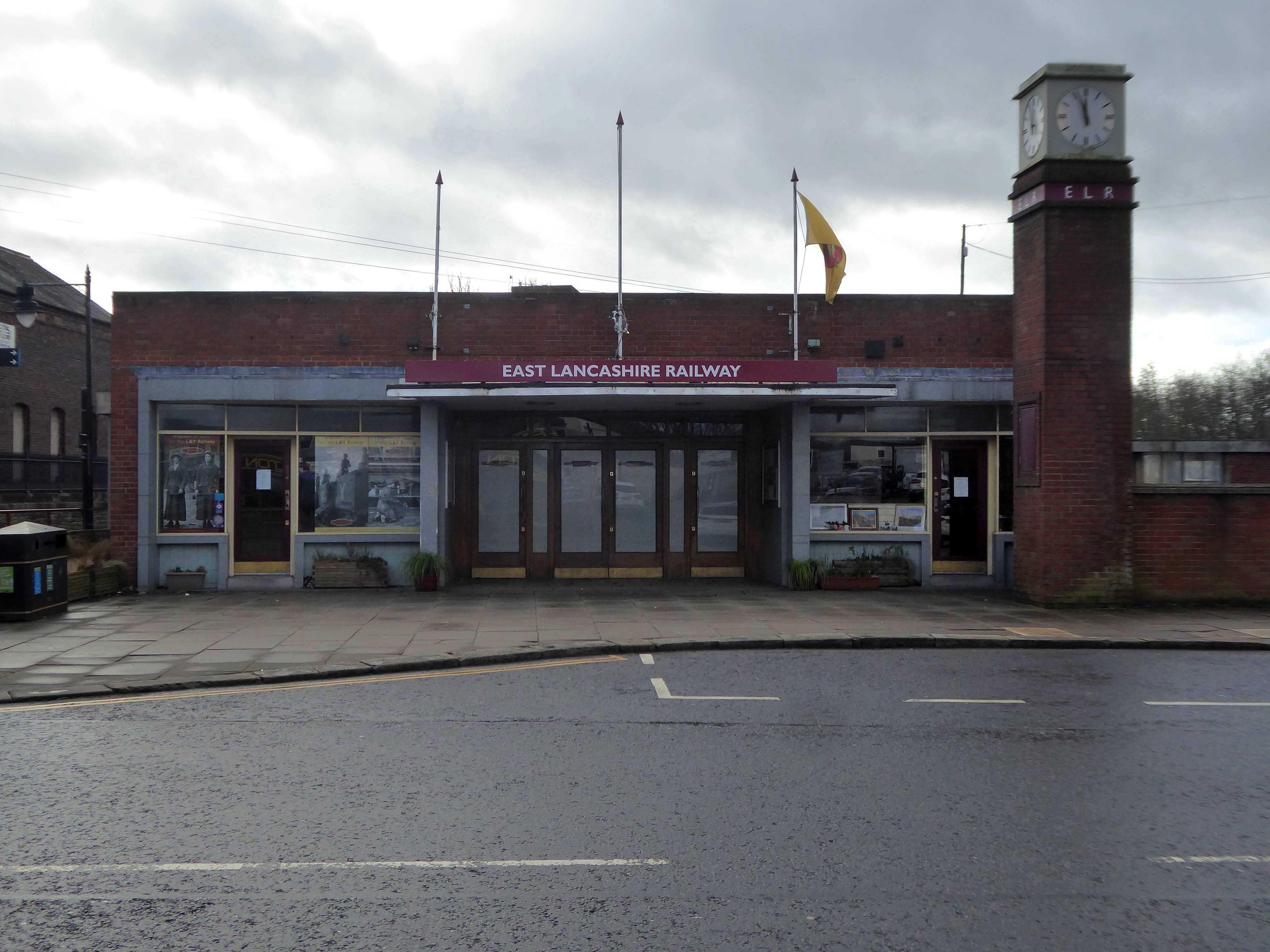
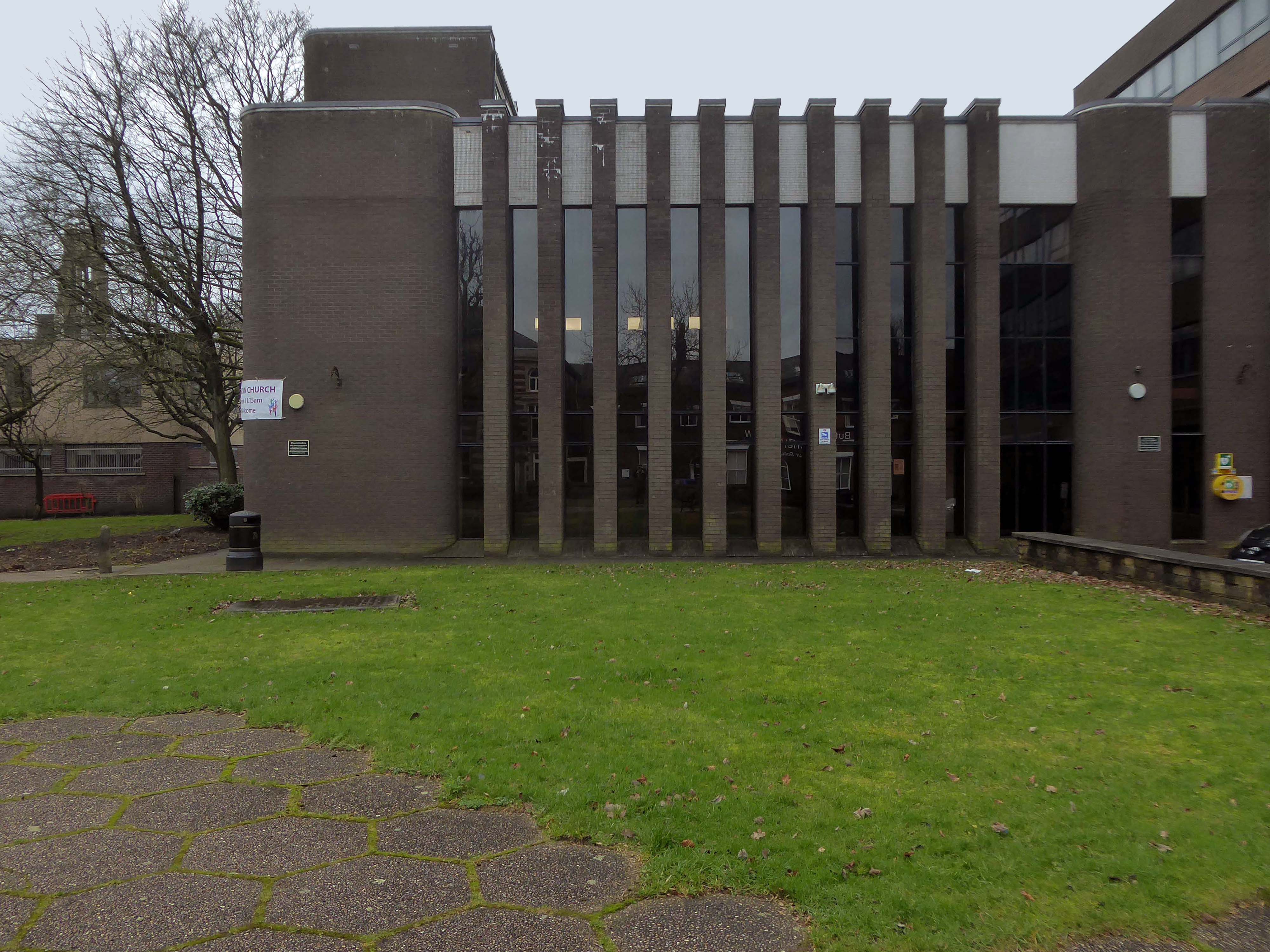
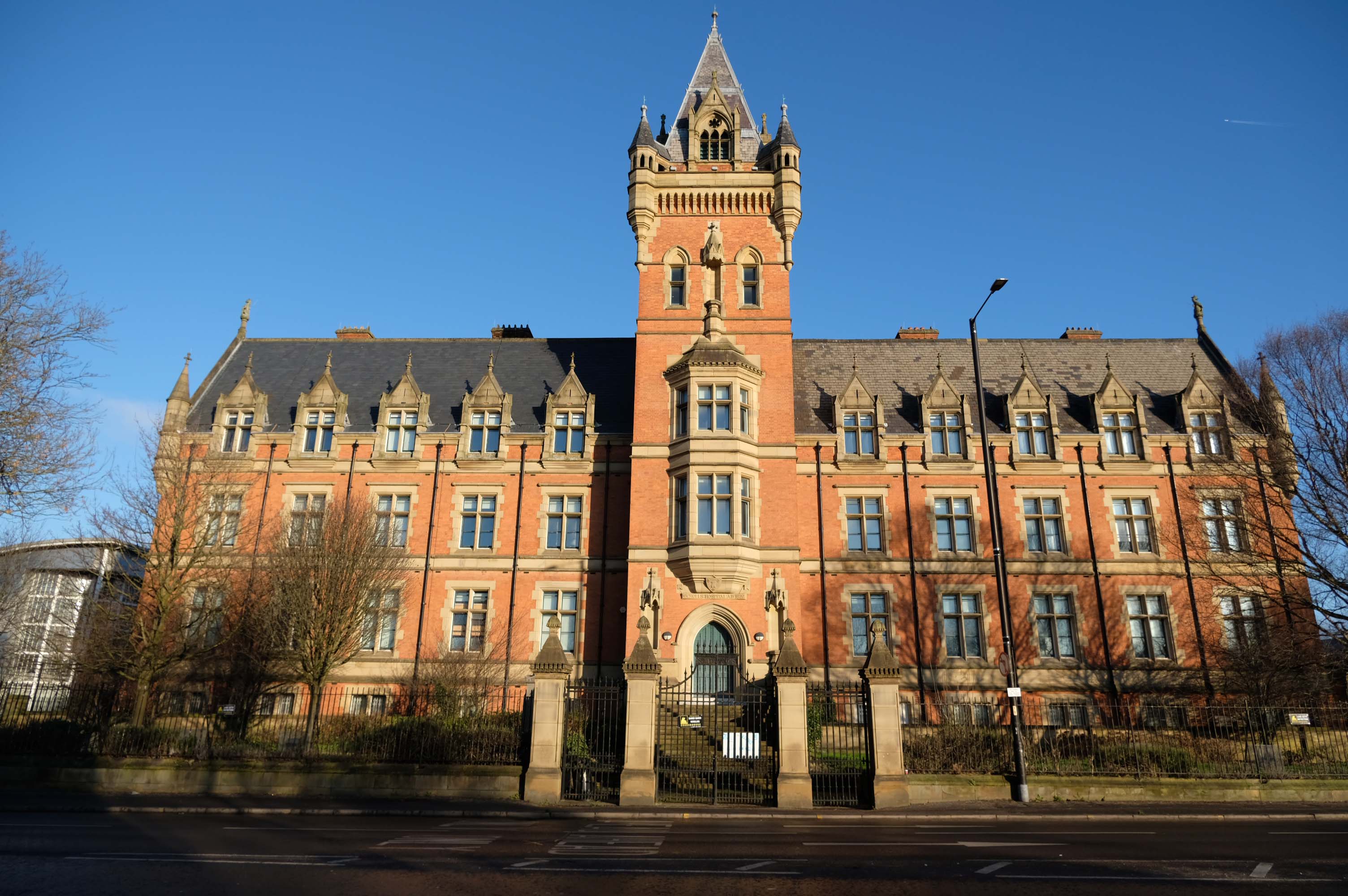
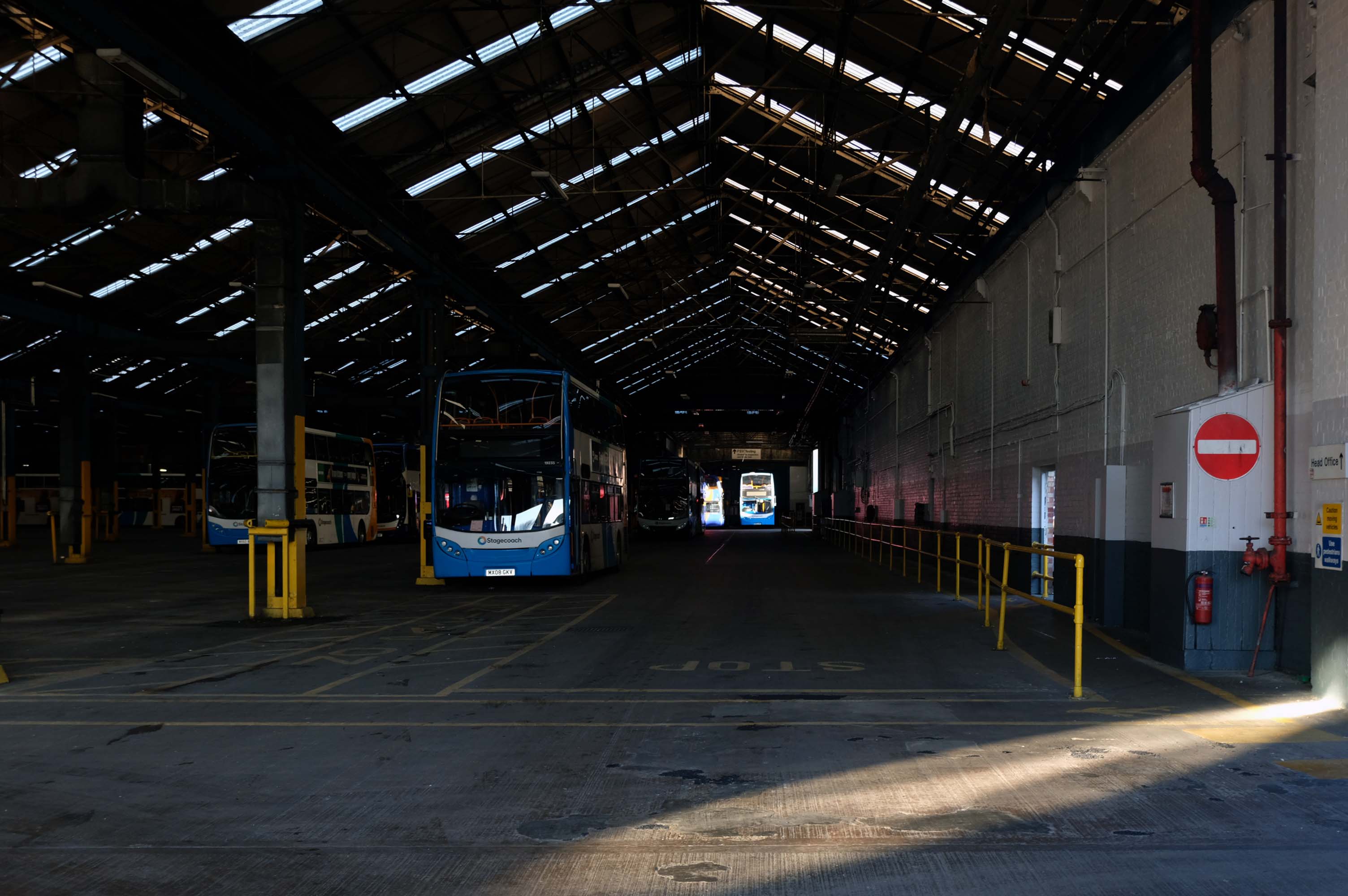
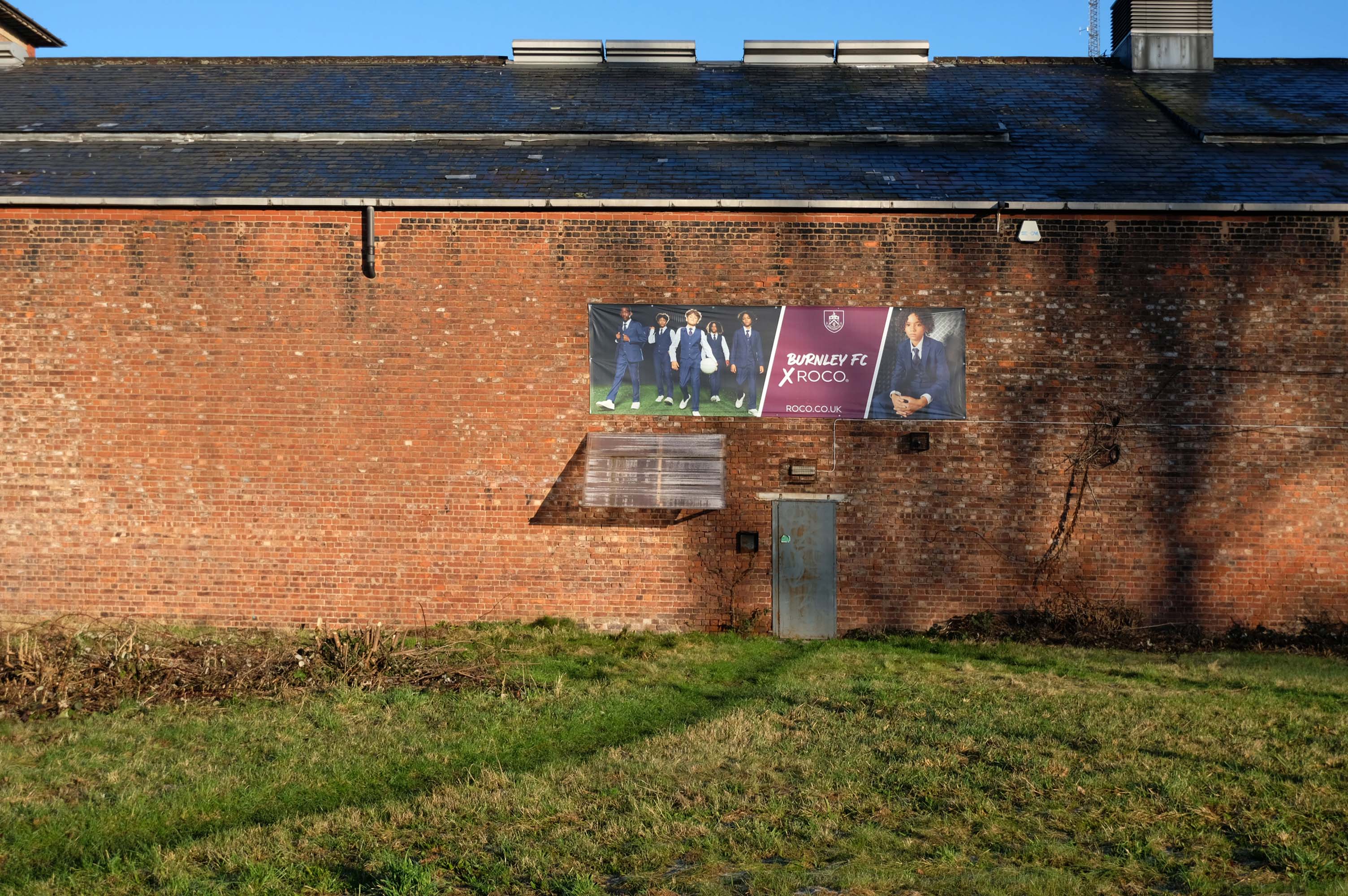
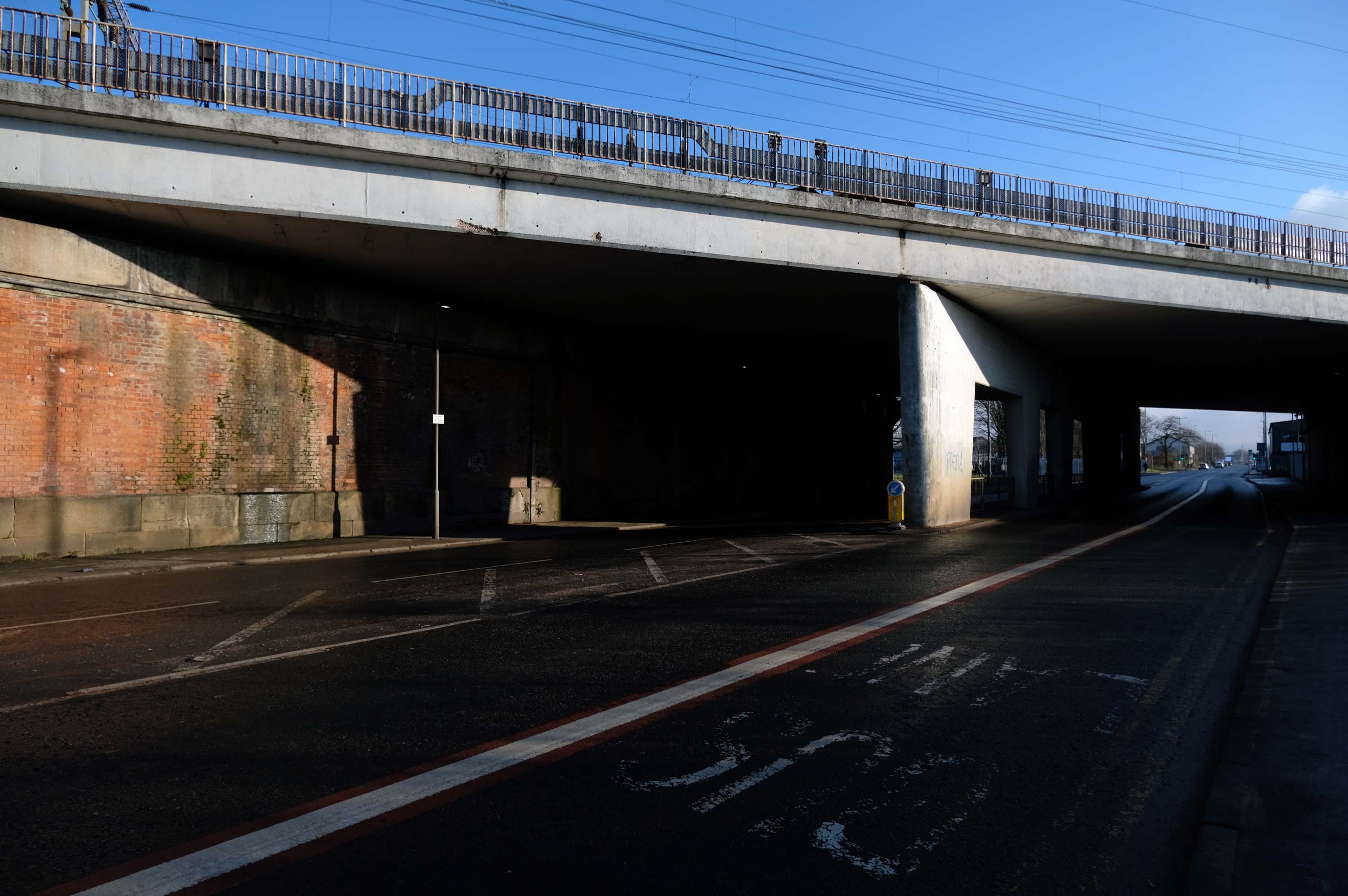
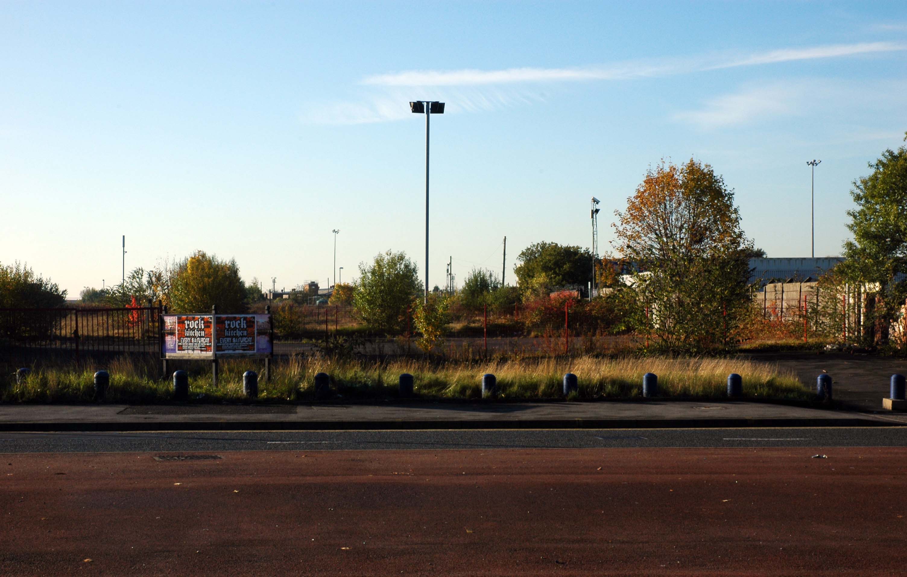
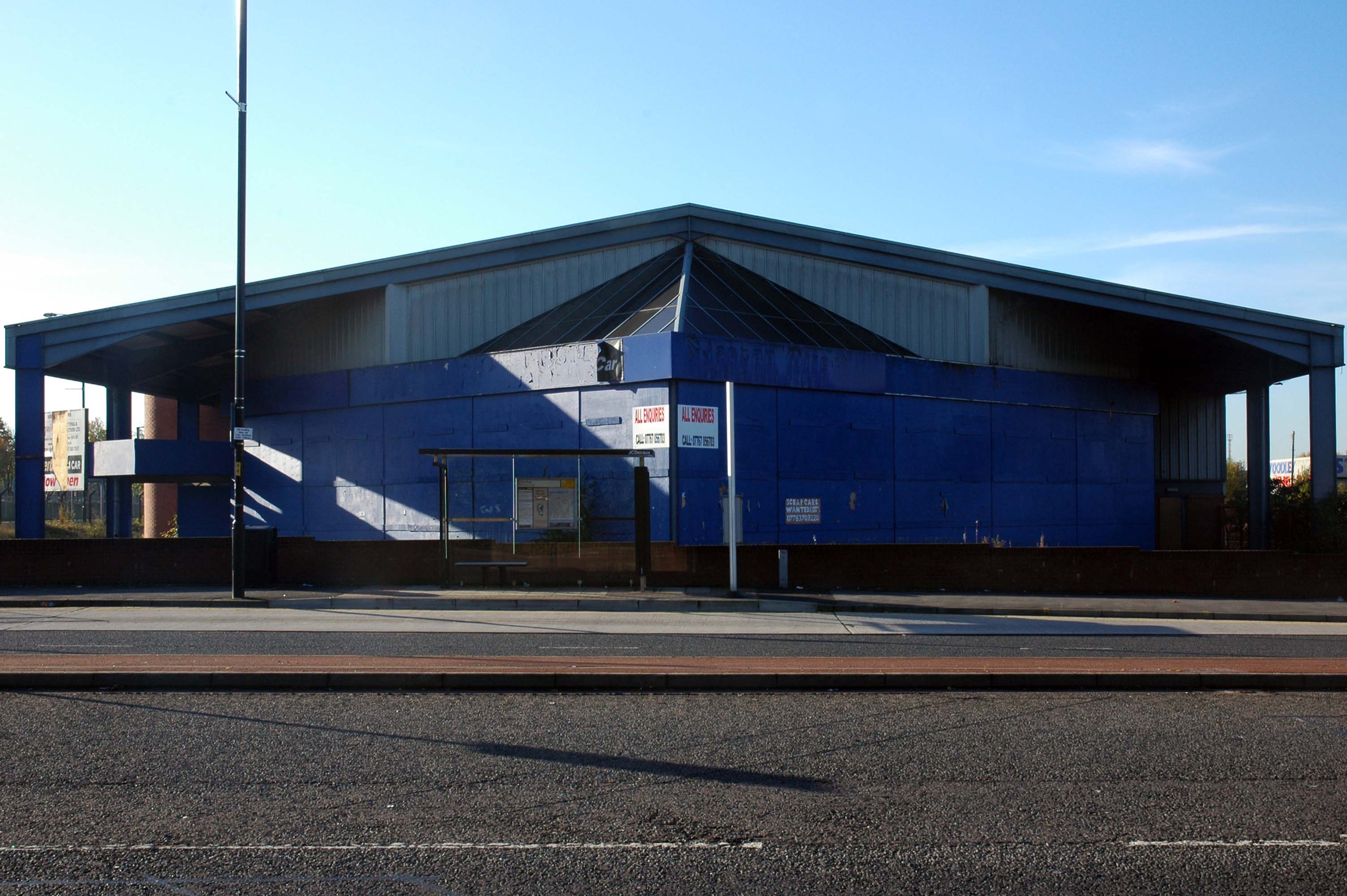
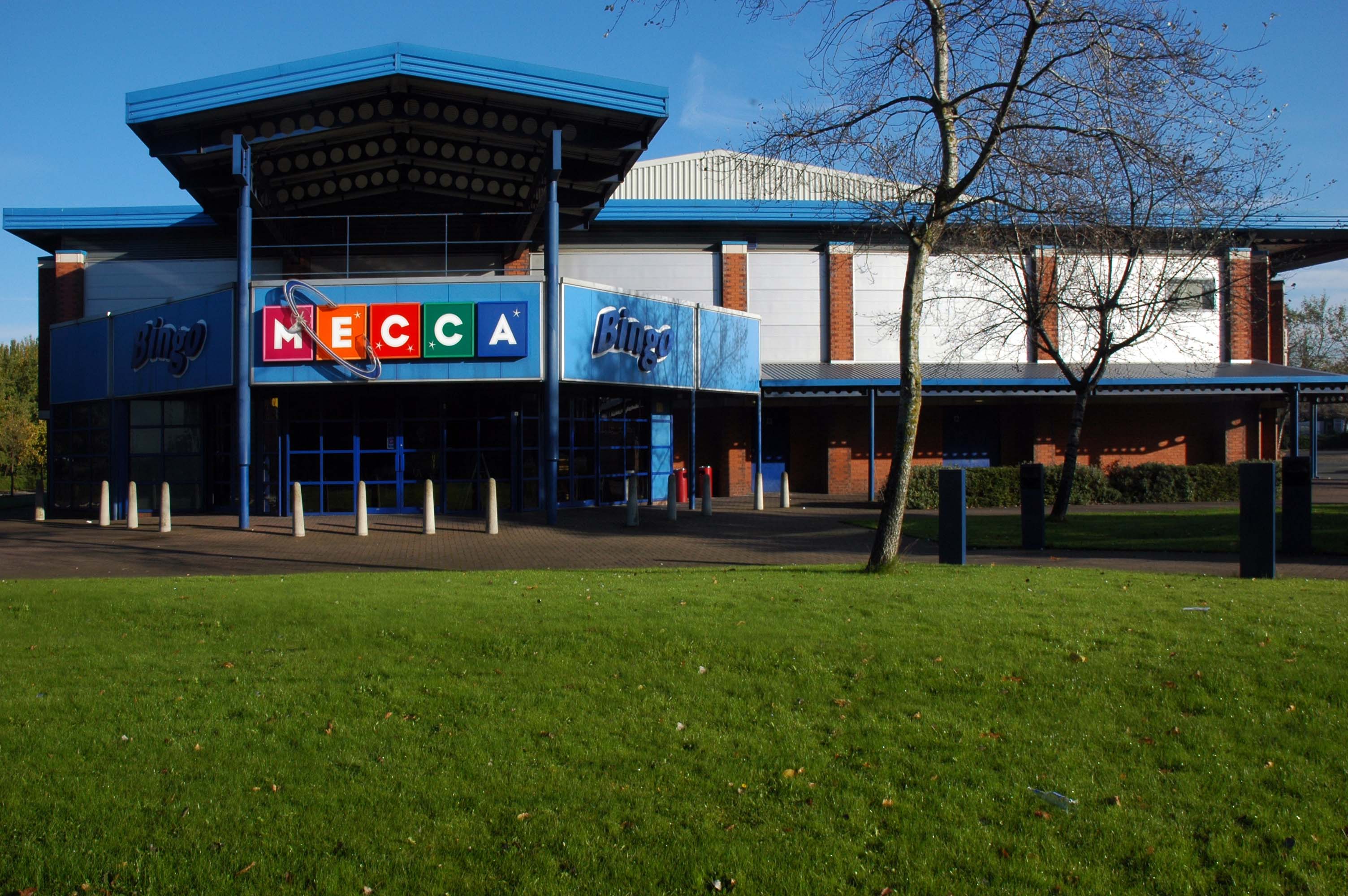
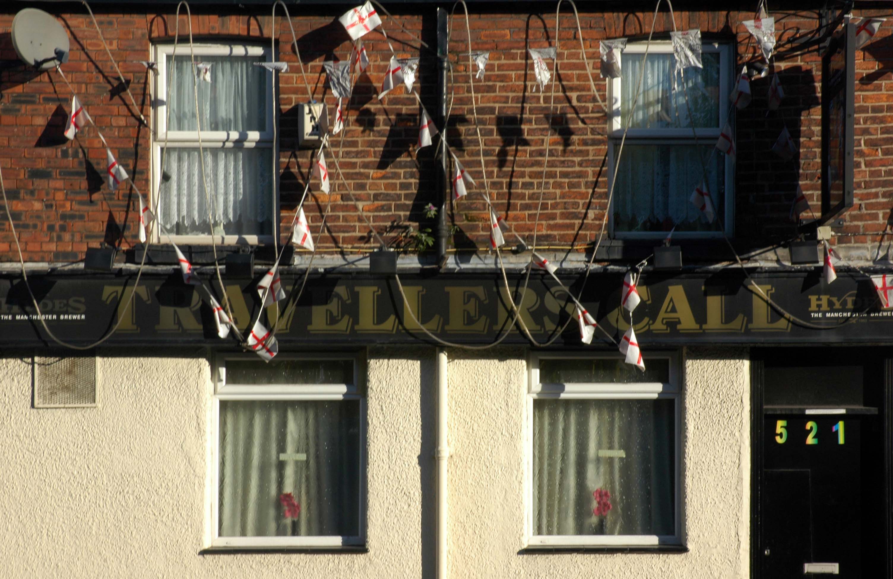
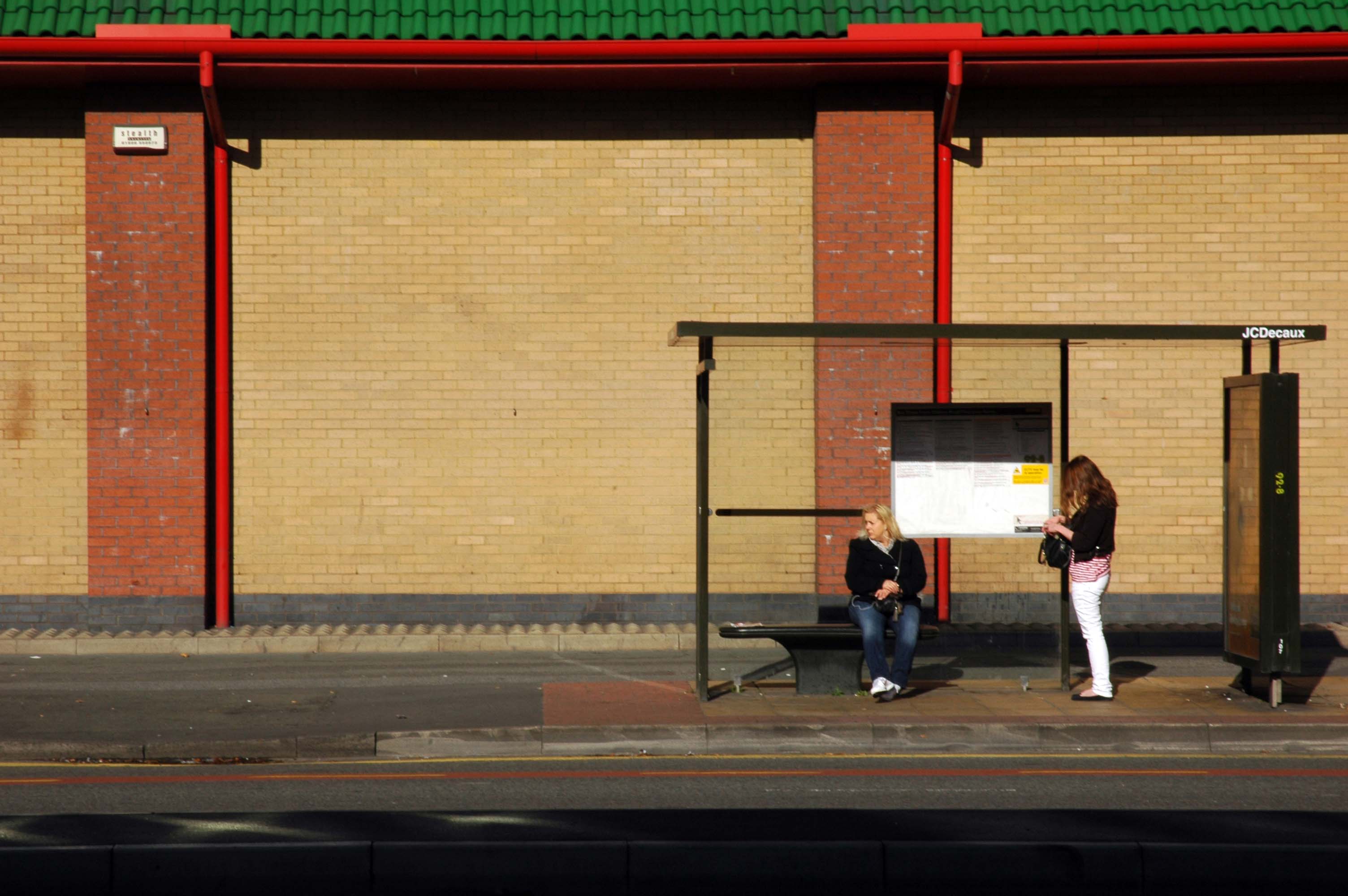
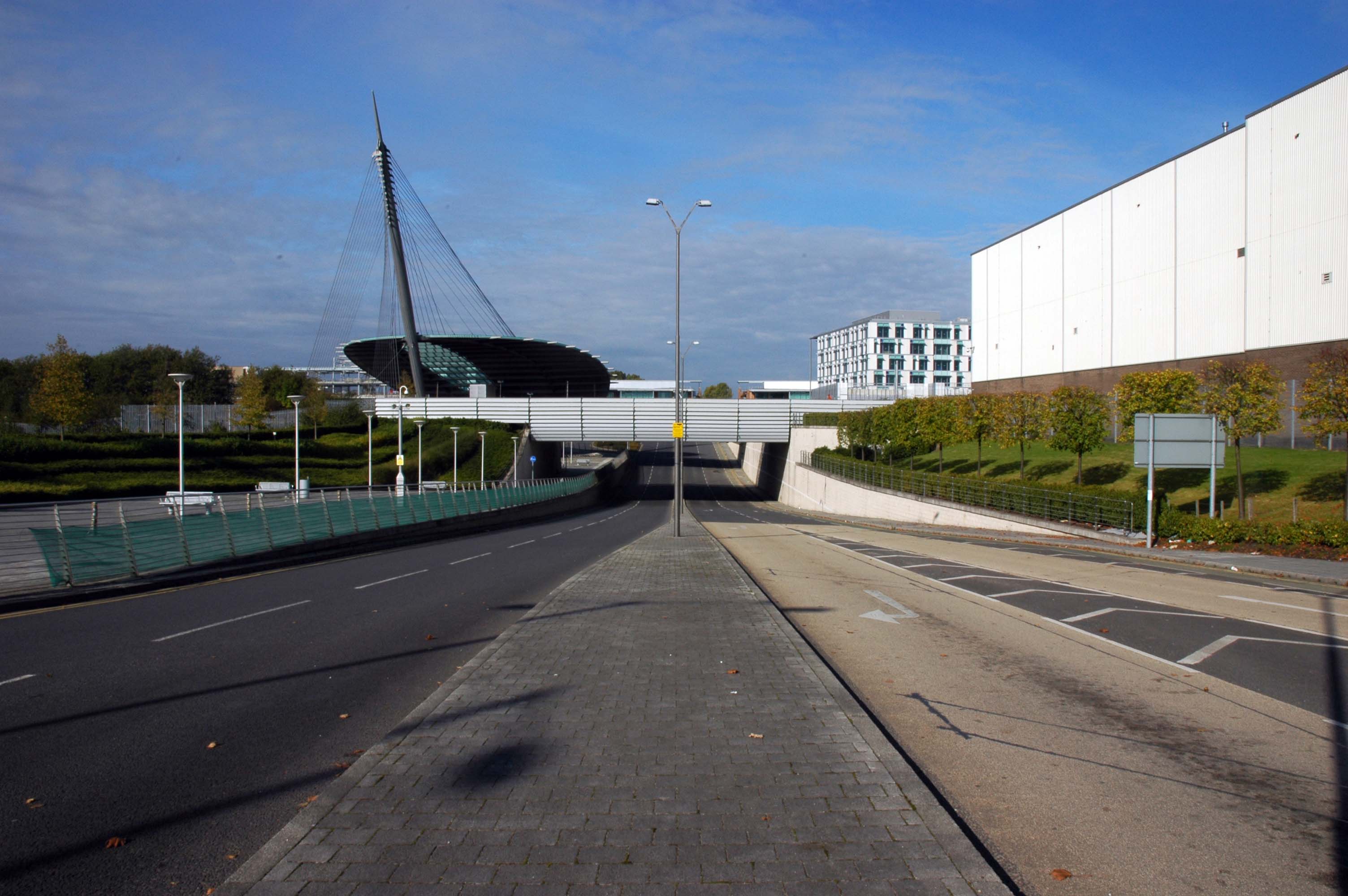
Arriving at and looking around the Interchange – 1980 architects: Essex Goodman & Suggitt
It is the northern terminus of the Manchester Metrolink’s Bury Line, which prior to 1992 was a heavy-rail line.
A new short spur line was constructed to connect the new station. The railway had originally run into Bury Bolton Street which was further away from the town centre, and was closed by British Rail on the same day that Bury Interchange opened.
It also incorporates a bus station.
Bury Interchange replaced the bus termini scattered around Bury town centre, notably around Kay Gardens.
An £80m transformation is coming to the Bury Interchange, which will see step-free access at the Metrolink, a “vertical circulation core” to better connect the Metrolink with the bus facility, and an integrated travel hub with spaces for cycle storage.
The work is much-needed, explained Transport for Greater Manchester’s Alan Lowe, he said that the interchange was built in the 1980s and very much is of its time.
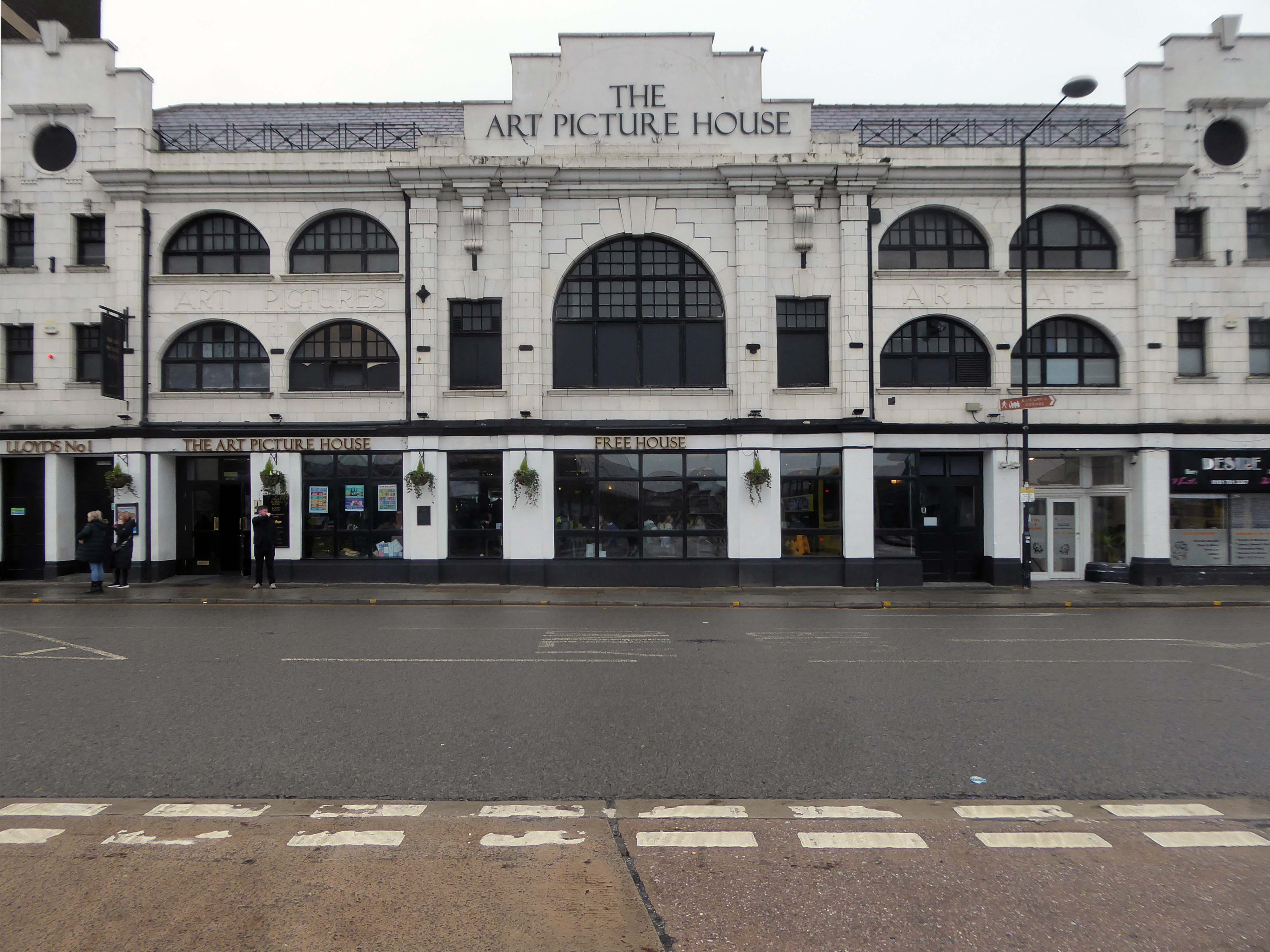
The Art Picture Palace was a 1923 rebuild of the earlier Art Picture Hall both designed by architect Albert Winstanley. The Art Picture Palace was opened on 26th January 1923. A remarkably complete survivor of a 1920’s cine-variety house executed in an elaborate style.
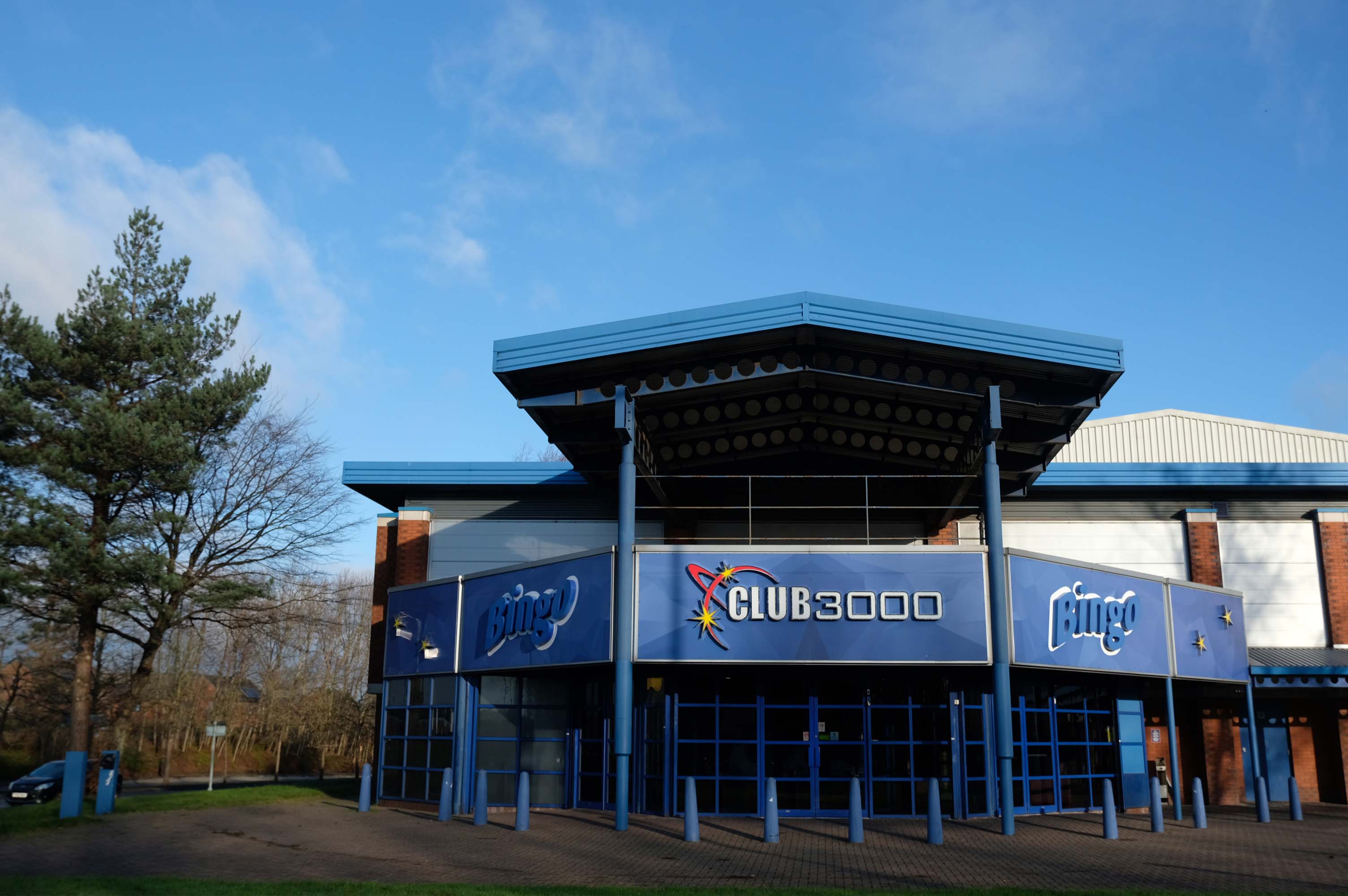
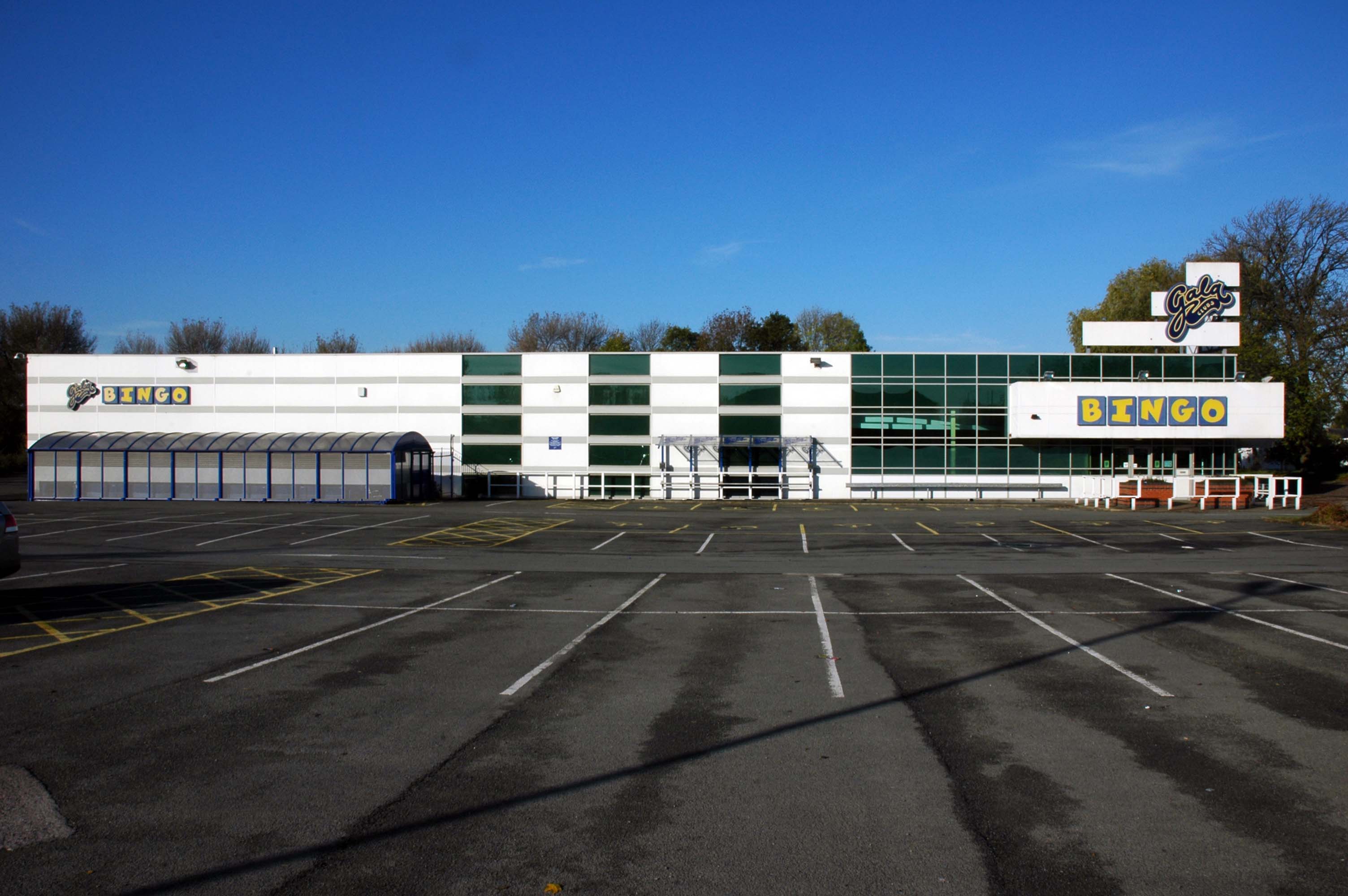
Films ceased in February 1965 and it became a bingo club. Later converted into a billiard hall until 19th May 1991 when it became a bingo club again, it later became a Chicago Rock Cafe.
Cinema Treasures
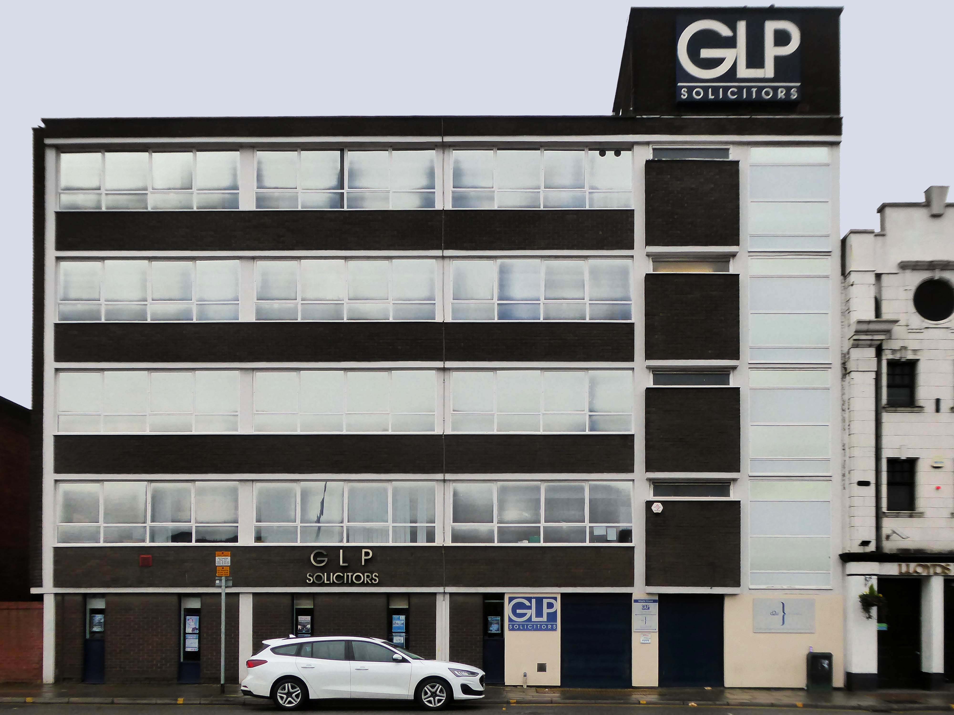
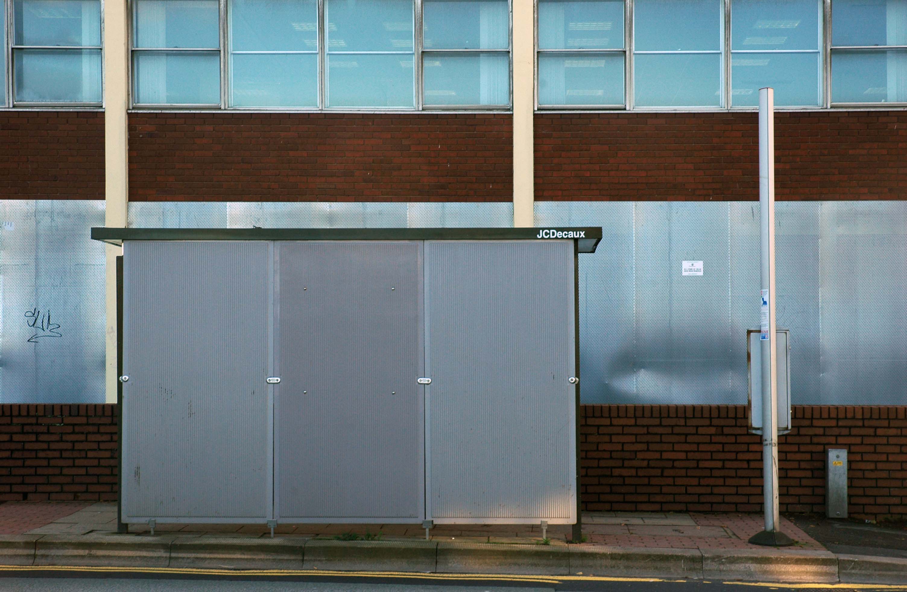
Next door a typical steel glass and brick banded office block Maple House.
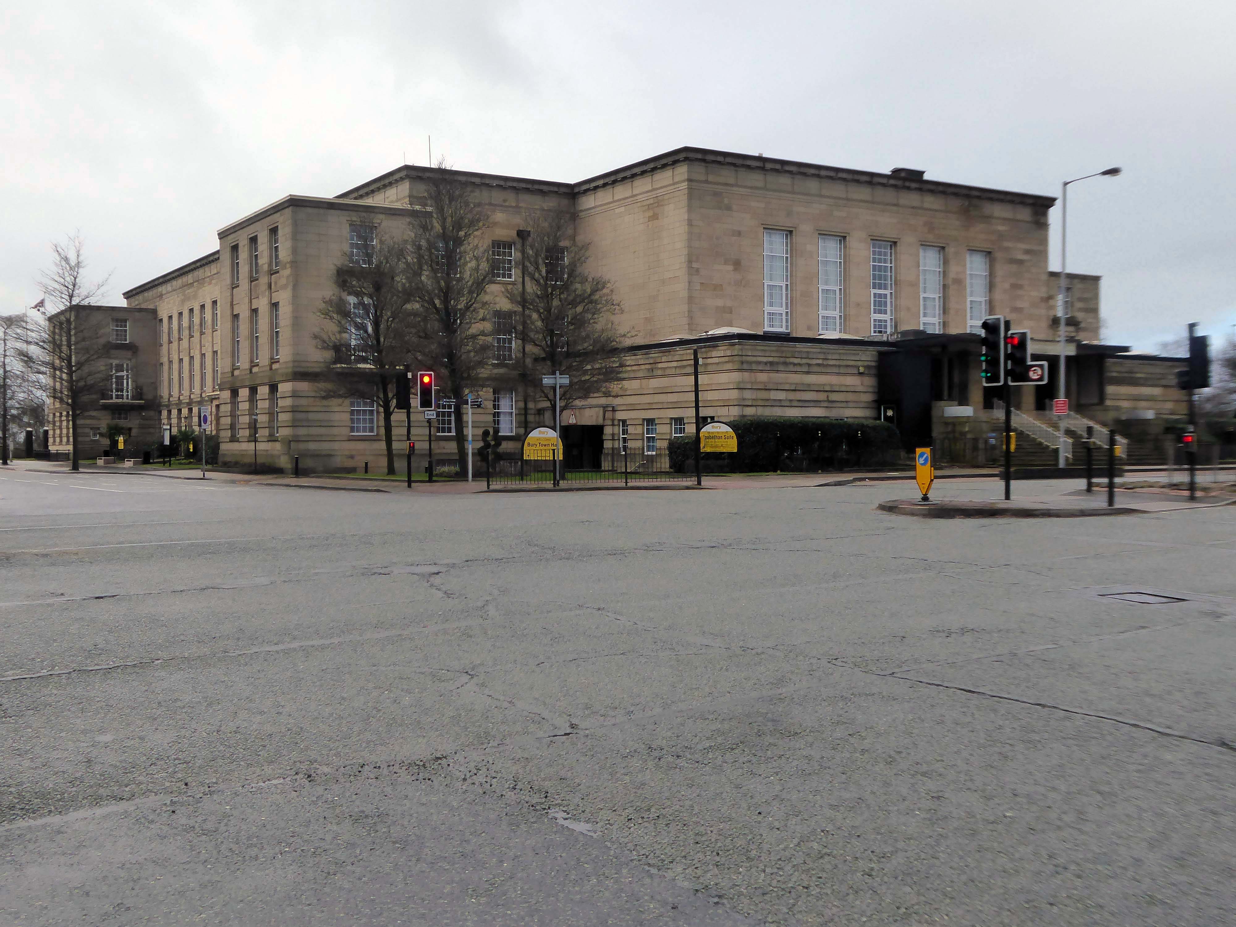
Around the corner and over the road to the Town Hall 1939-40 architects: Reginald Edmonds of Jackson & Edmonds then 1947-54.
Large and Dull – Niklaus Pevsner.
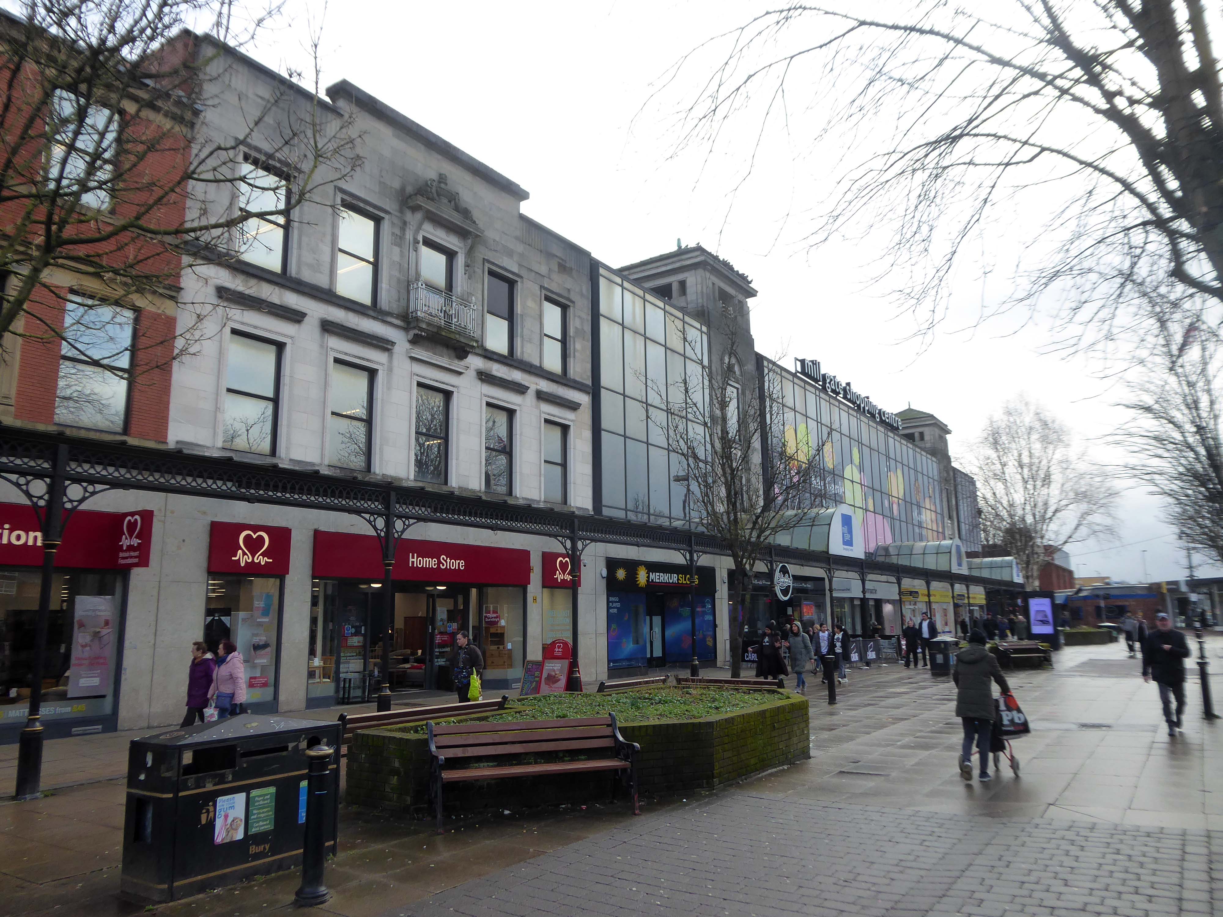
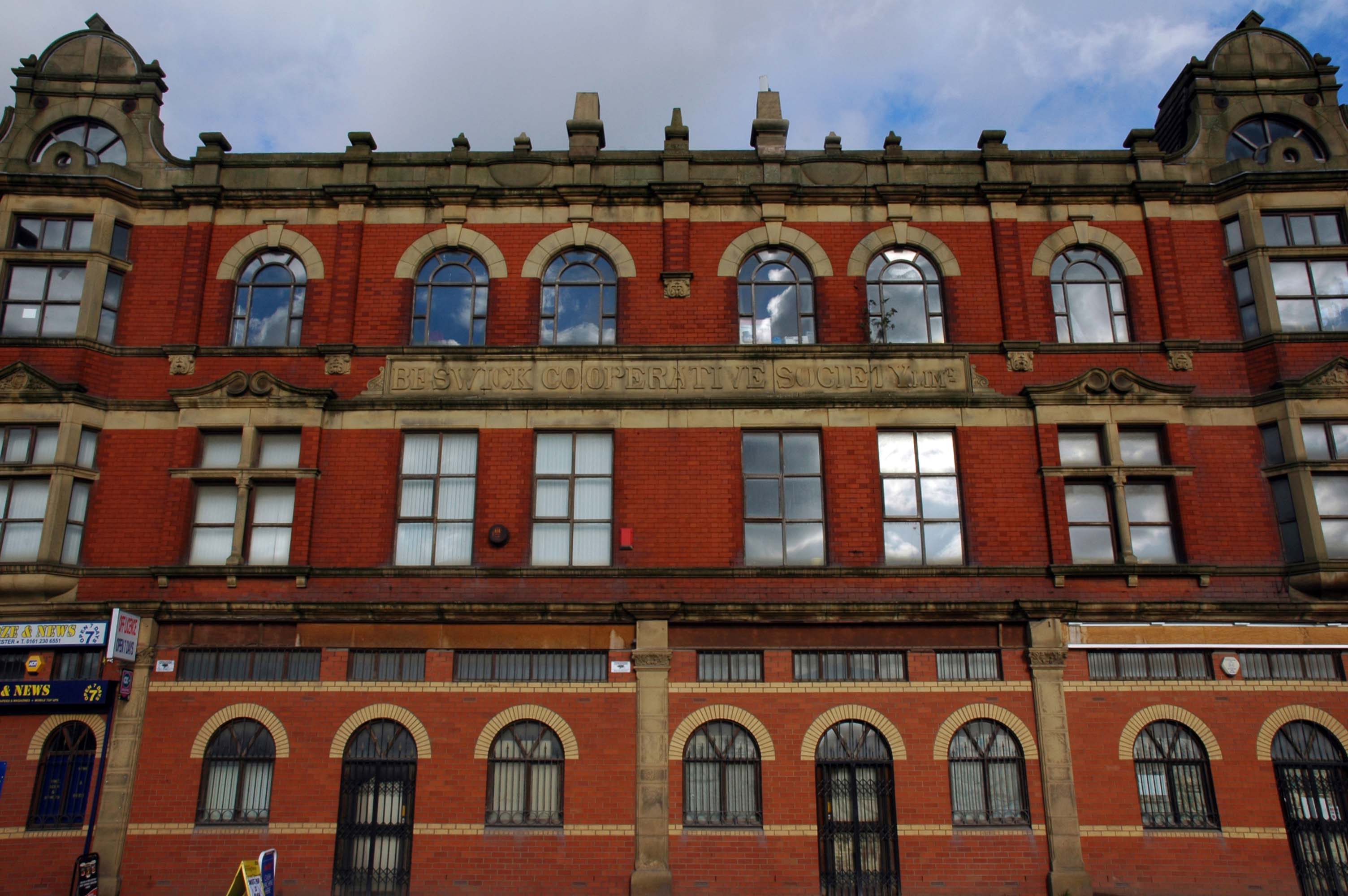
Back through the Interchange to the former Cooperative Store of the 1930’s.
The Portland Stone towers still visible – the elevation largely retro-clad in glass.
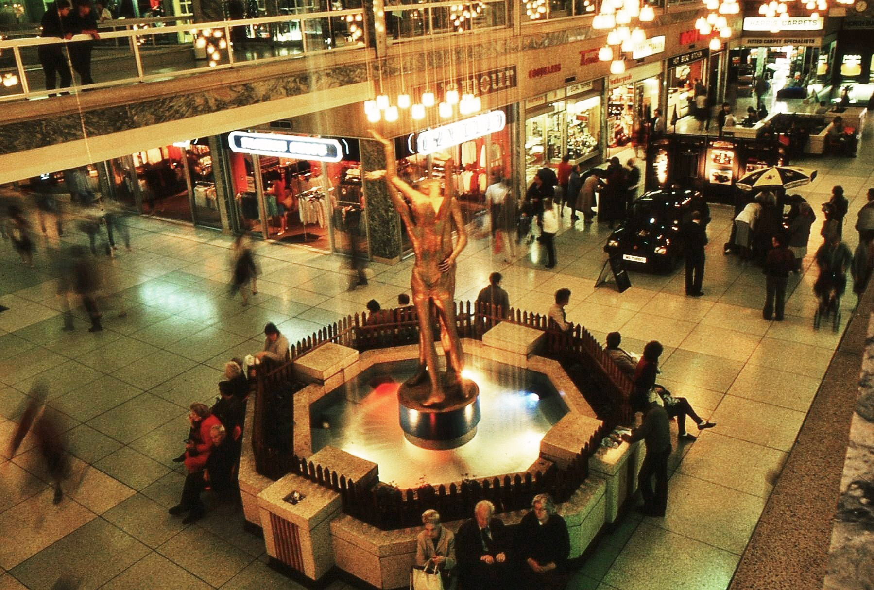
Passing through the Millgate Shopping Centre of the 1980’s.
Unambitious but successful, the floors cheerfully tiled – Niklaus Pevsner.
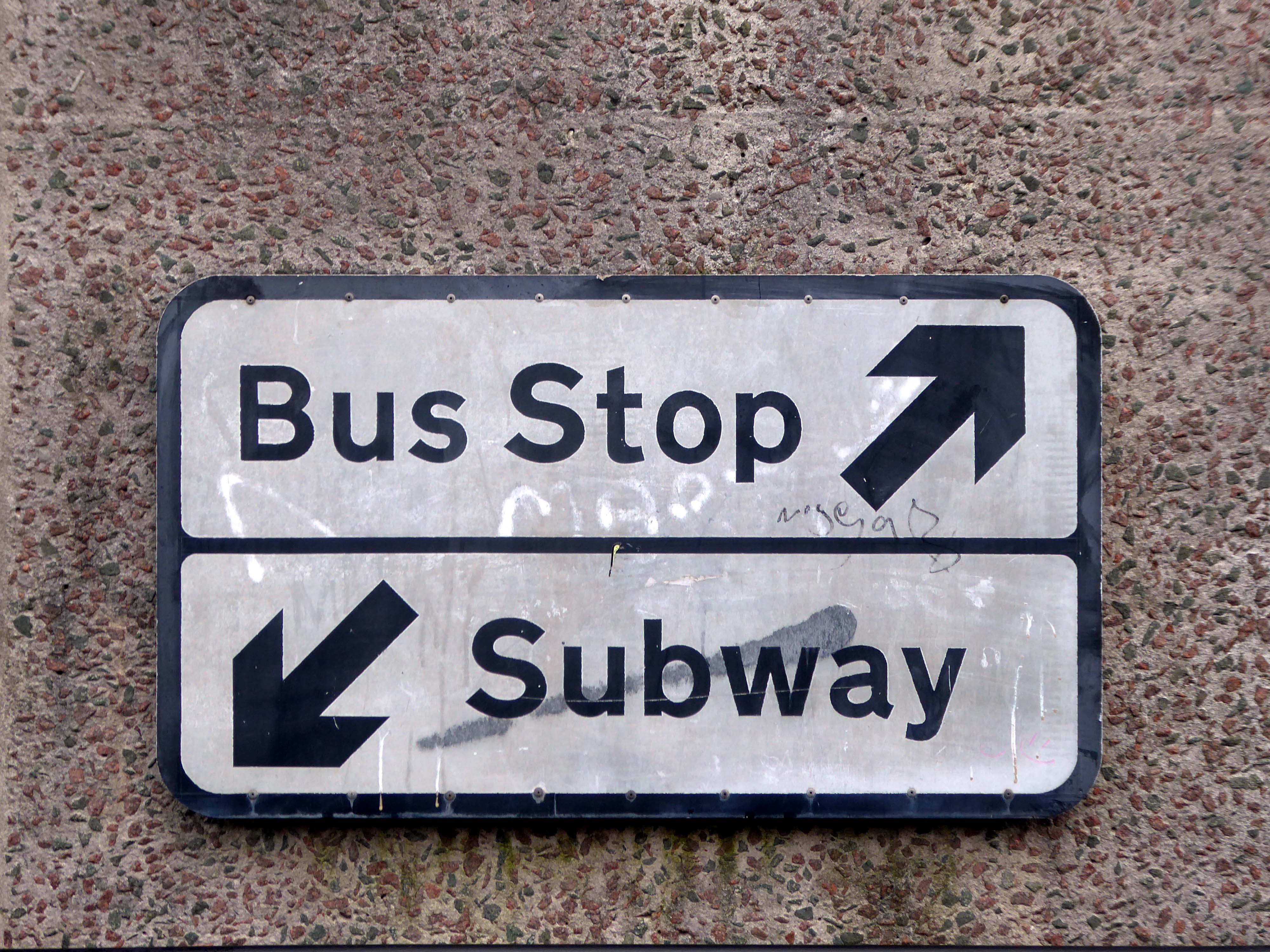
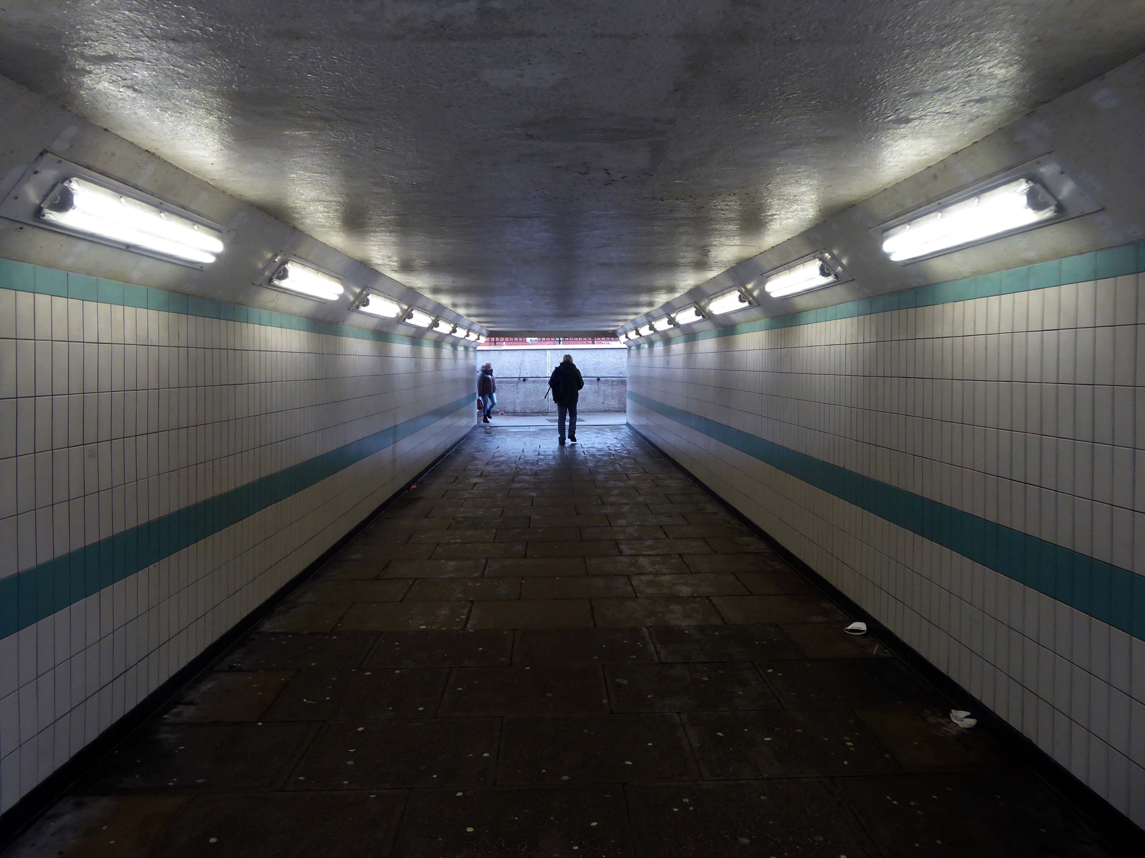
Down in the subway at midday.
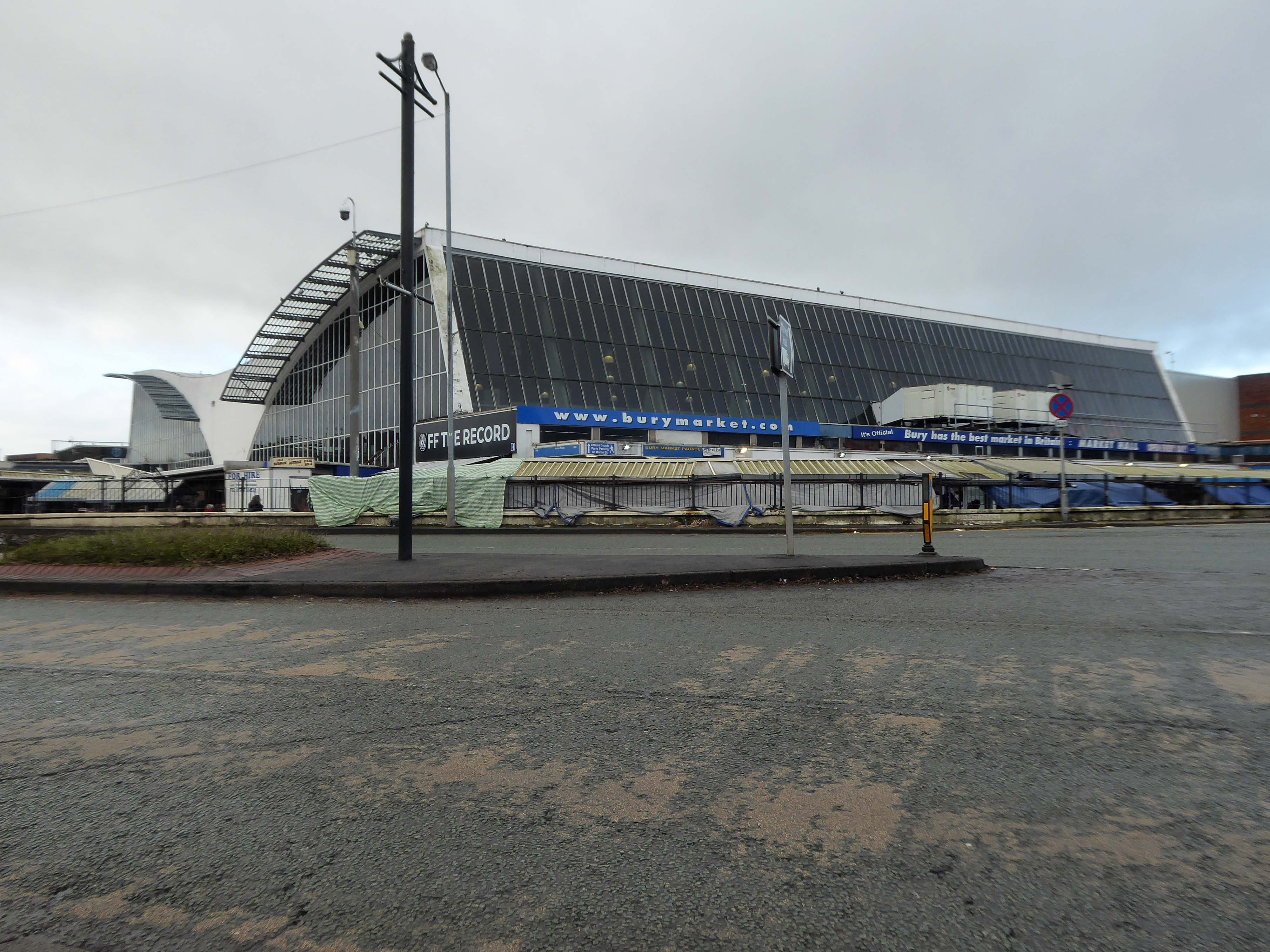
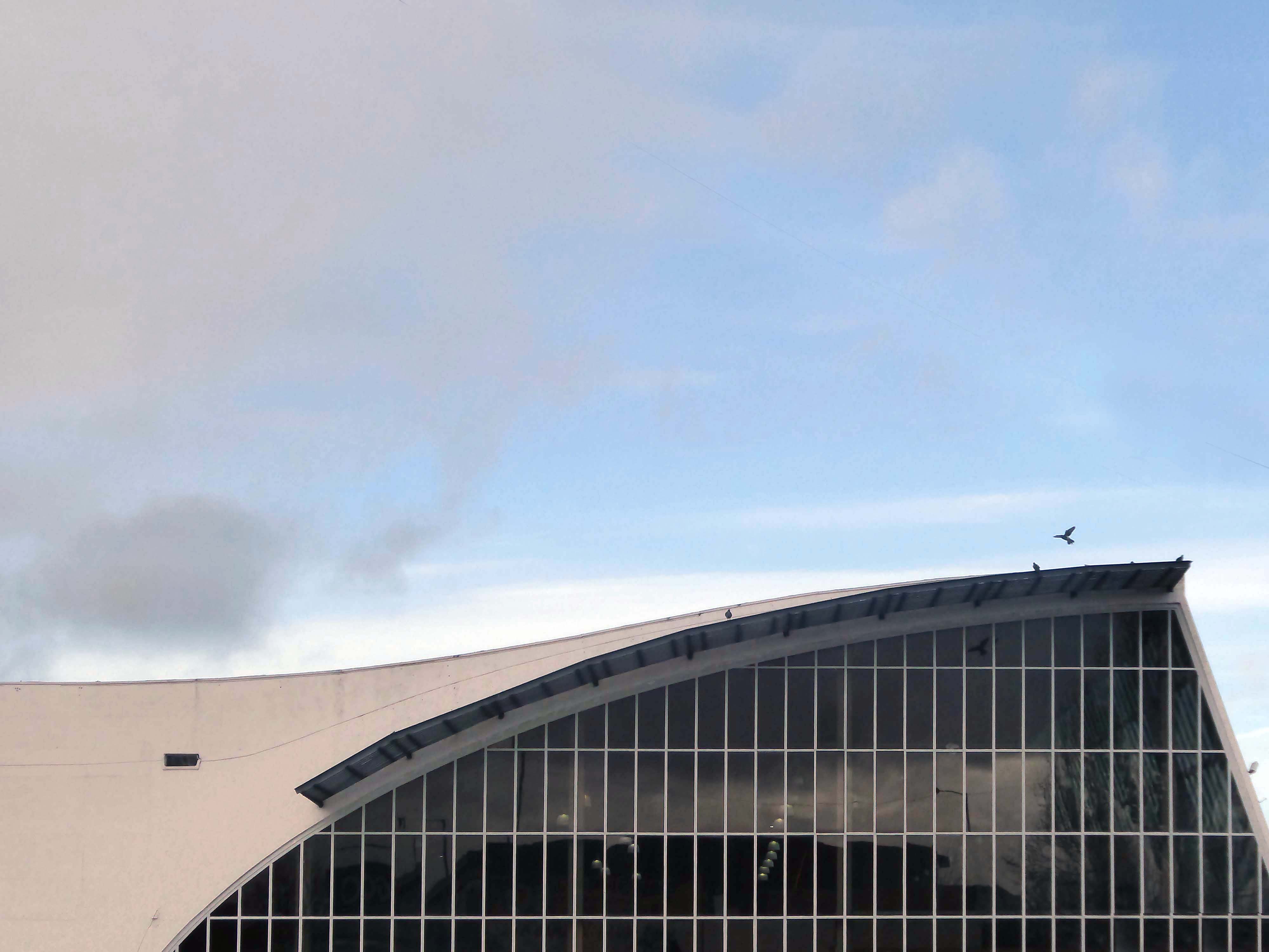
The better to get a view of the Market Hall 1971 – architects: Harry S Fairhurst.
The Indoor Market Hall is currently closed due to the discovery of Reinforced Autoclaved Aerated Concrete – within the building structure. RAAC is a lightweight type of building material that was used between the 1950s and 1990s.
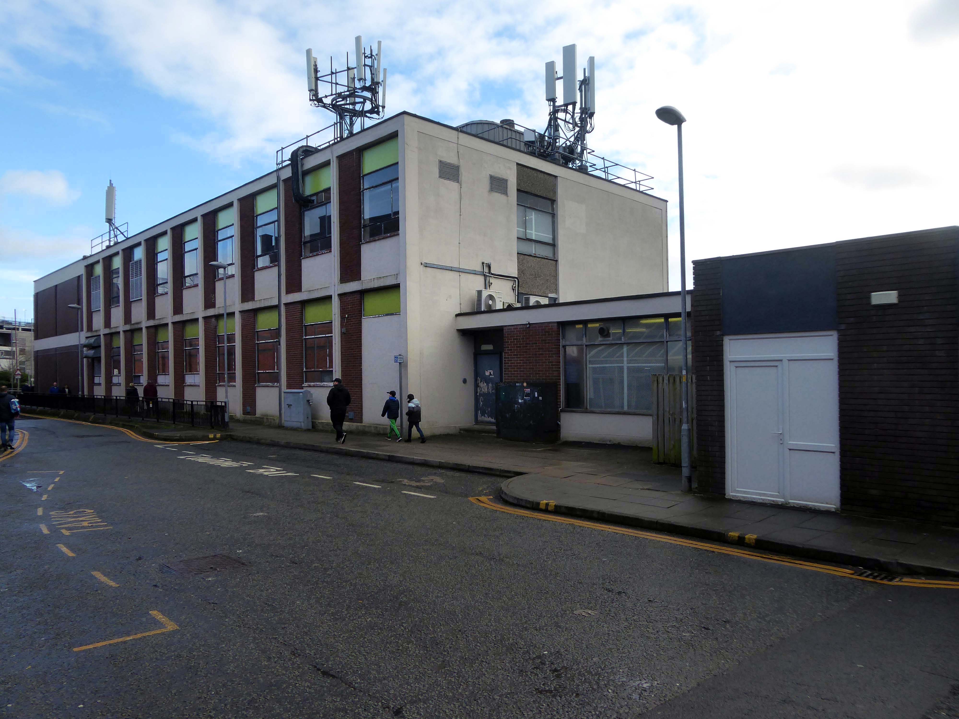
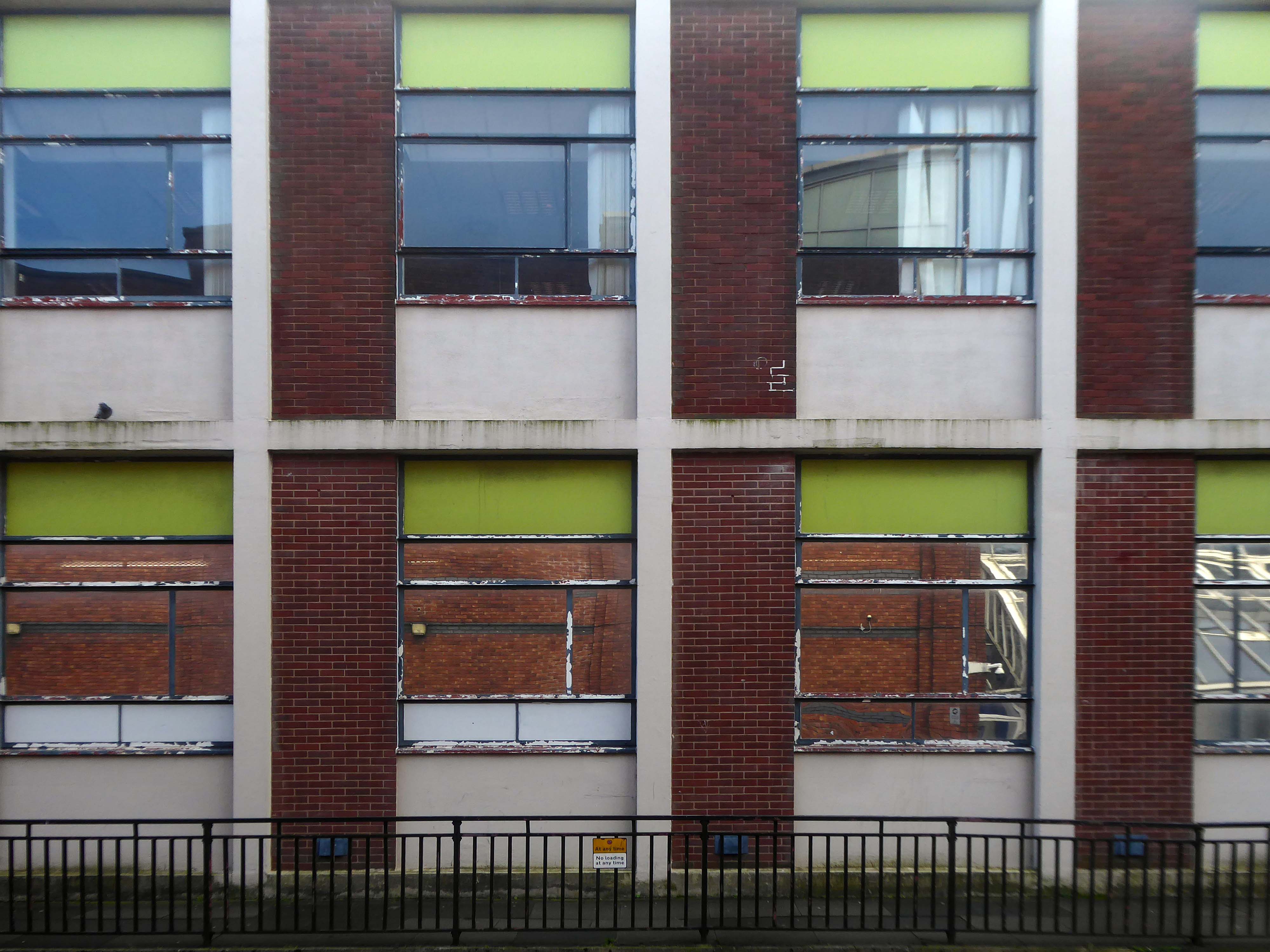
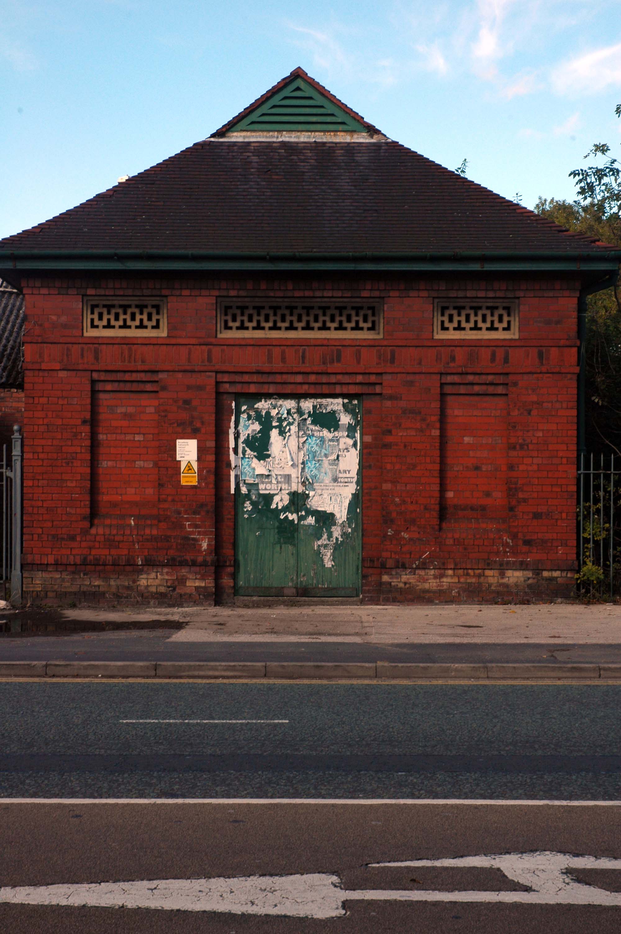
Back under the road – where we find a delightful Telephone Exchange.
The Rock is a vibrant retail and leisure centre which is home to a range of high street fashion brands, independent retailers, tantalising eateries and fantastic entertainment – it’s the perfect place to visit any day of the week.
It is the work of architects BDP – completed in 2010 at a cost of £350 million.
Our masterplan for The Rock took into account the historical street pattern and public realm context to give the scheme its own identity, and make visual connections to local landmarks.
The retail and leisure scheme brings many exciting brands to Bury for the first time.
New pedestrian streets rejuvenate and improve connections to adjacent areas stitching the town back together.
The development will also contain 408 one and two-bedroom apartments.
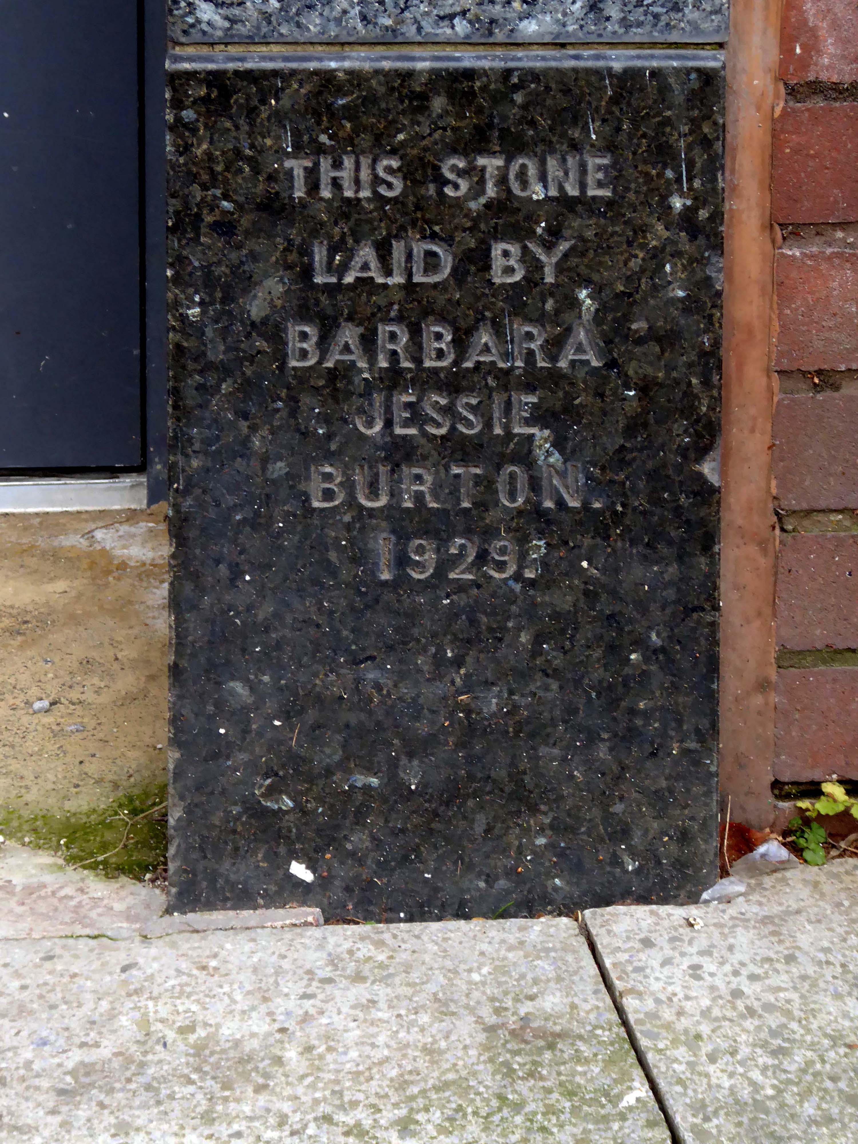
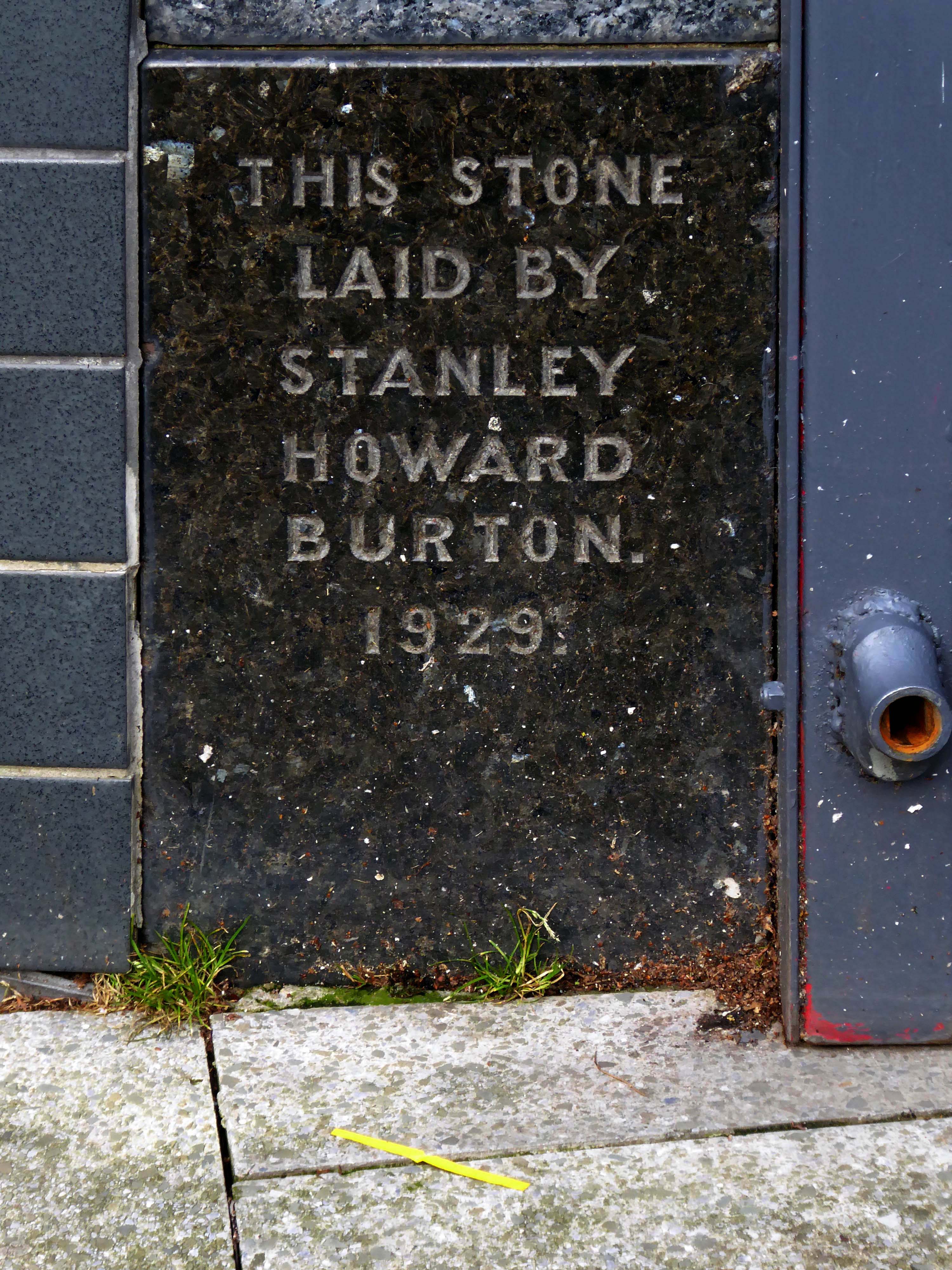
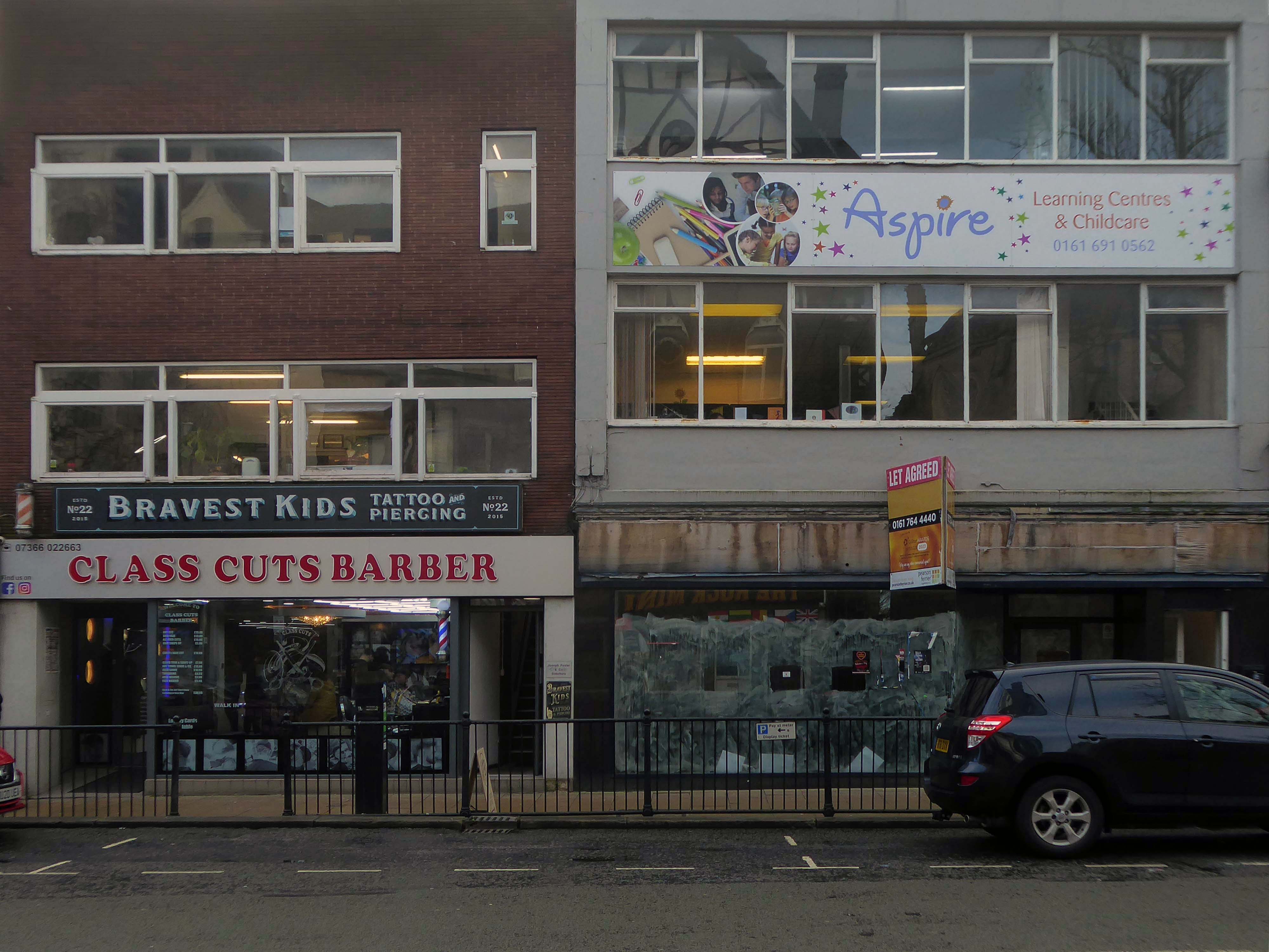
Back to basics at a former Burton’s hiding its faience facade.
Typical inter-war infill on our crazy mixed up mongrel high streets.
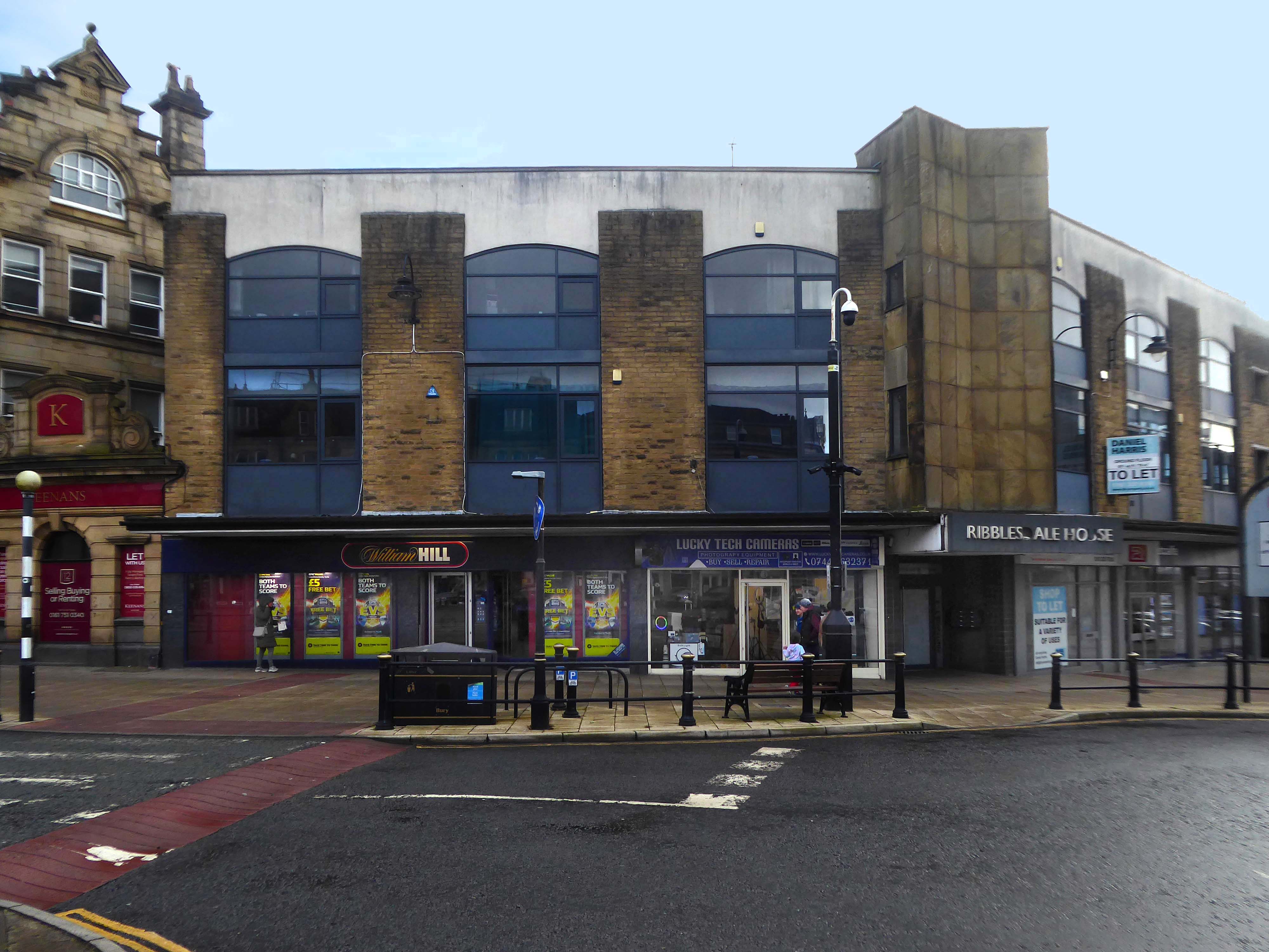
Ribblesdale House
Application by Shop and Store Developments Ltd submitted August 1965. Architect on application was Samuel Jackson and Son of Ocean Chambers in Bradford but during the application process this changed to John Brunton & Partners – Brunton was a partner in Jackson’s firm, at the same address. It had a restaurant and shops on the first floor.
The street level buildings were destroyed by fire on 14 May 1947 and were replaced with a new brick and concrete entrance and footbridge in 1952.
British Rail closed the station on 17 March 1980, when it was replaced by a new bus/rail interchange station further east into the town centre. Bury Interchange railway station served up until 1991 before the entire Bury Line was converted to light rail operation. It reopened in 1992 for Metrolink operation.
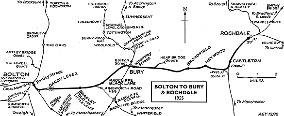
Bury was once the centre of multiple train links and the lost station of Knowsley Street.
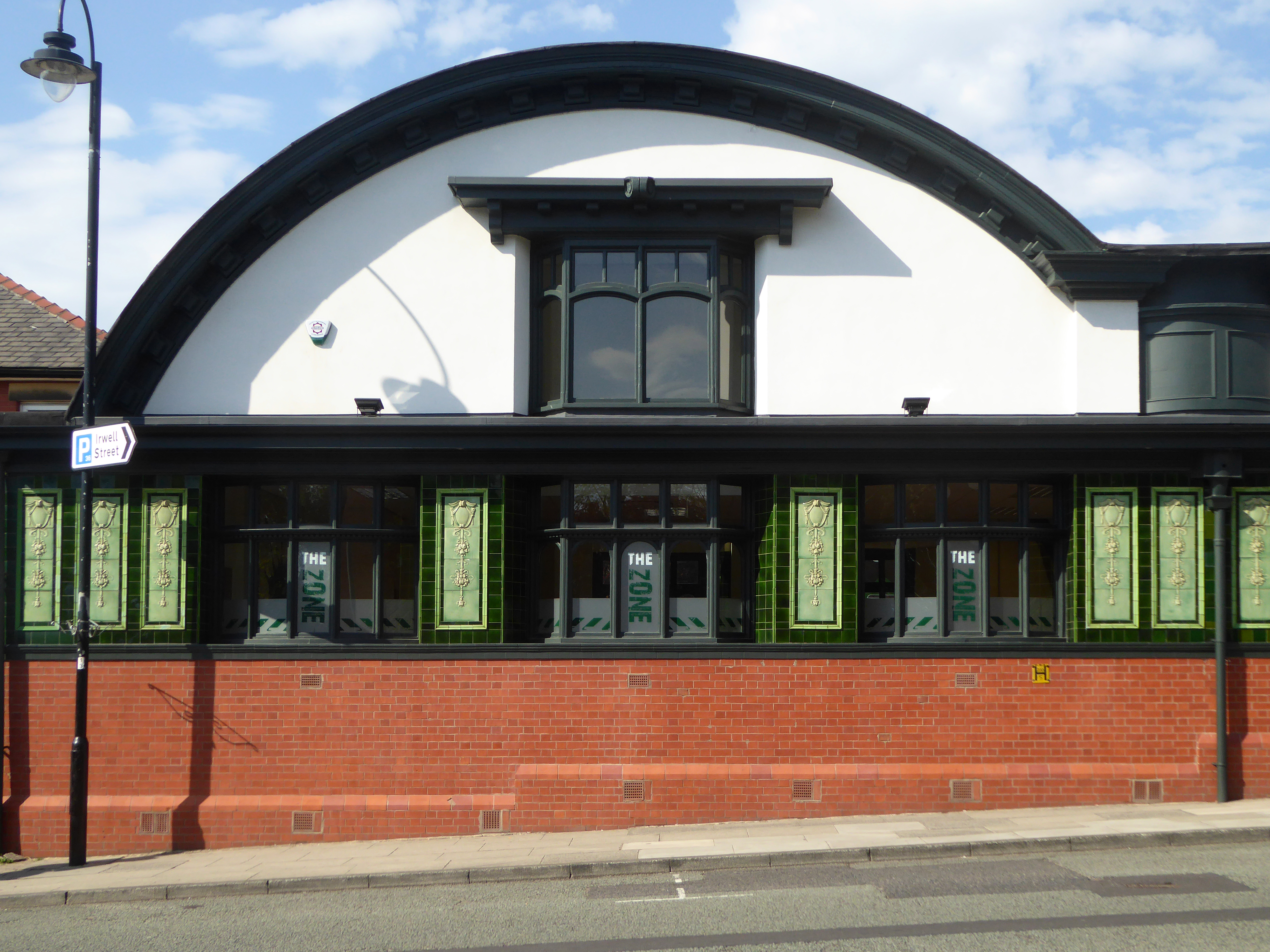
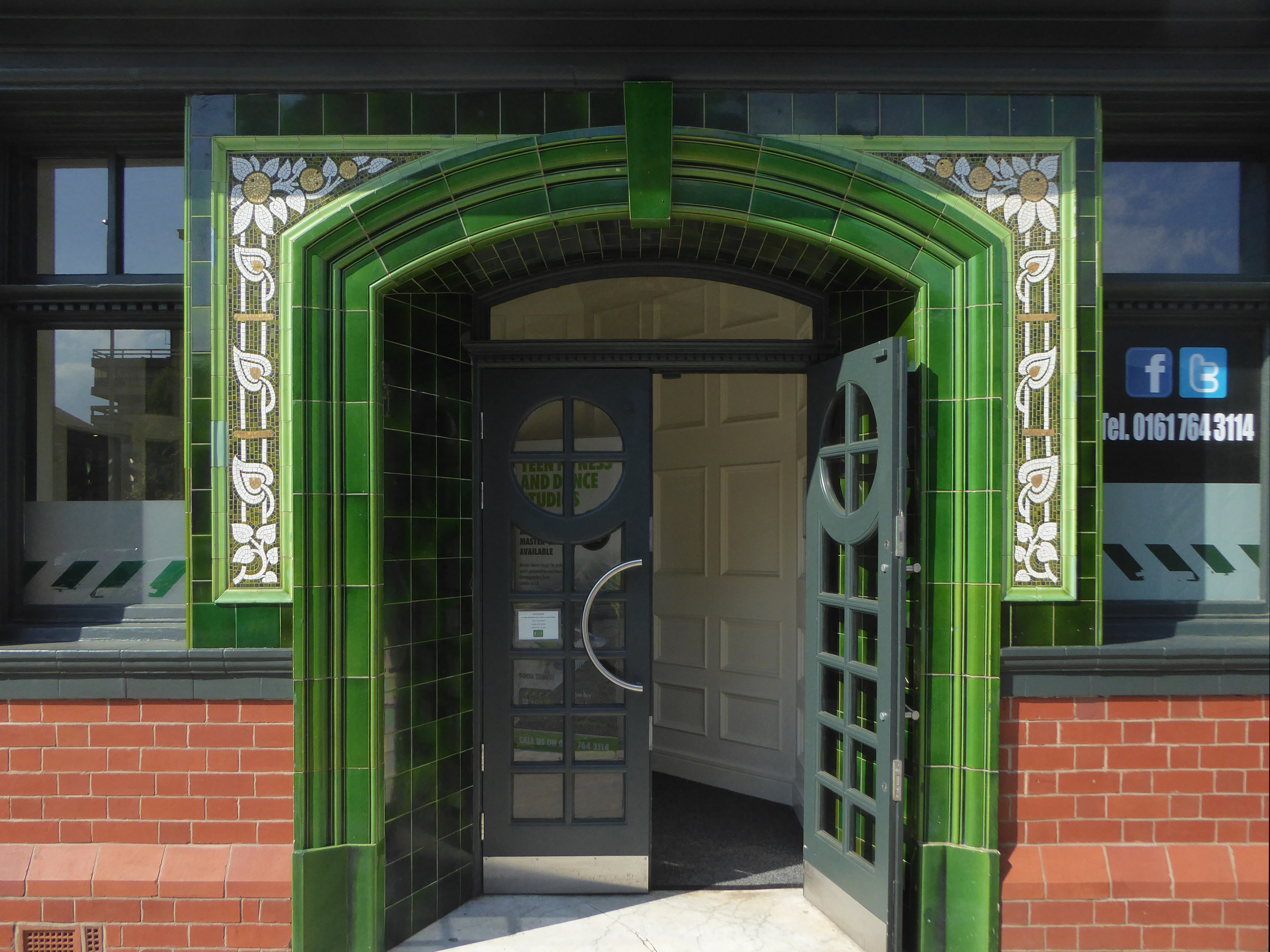
Over the road the former Temperance Billiard Hall 1910 architect Norman Evans.
Planning application January 1965 – work started in June 1965. The architectural firm was Richard Byrom, Hill and partners. Richard Byrom was submitting building applications in the 1930s in Bury and locally.
The rendering on the building is original but the windows have been changed. The Job Centre took over the building in 1993. It is in a conservation area and the Civic Trust had some concerns!
Many thanks to David French for the above information.
Far, far away from the mad, rushing crowd, Please carry me with you. Again I would wander where memories enfold me, There on the beautiful Island of Dreams.
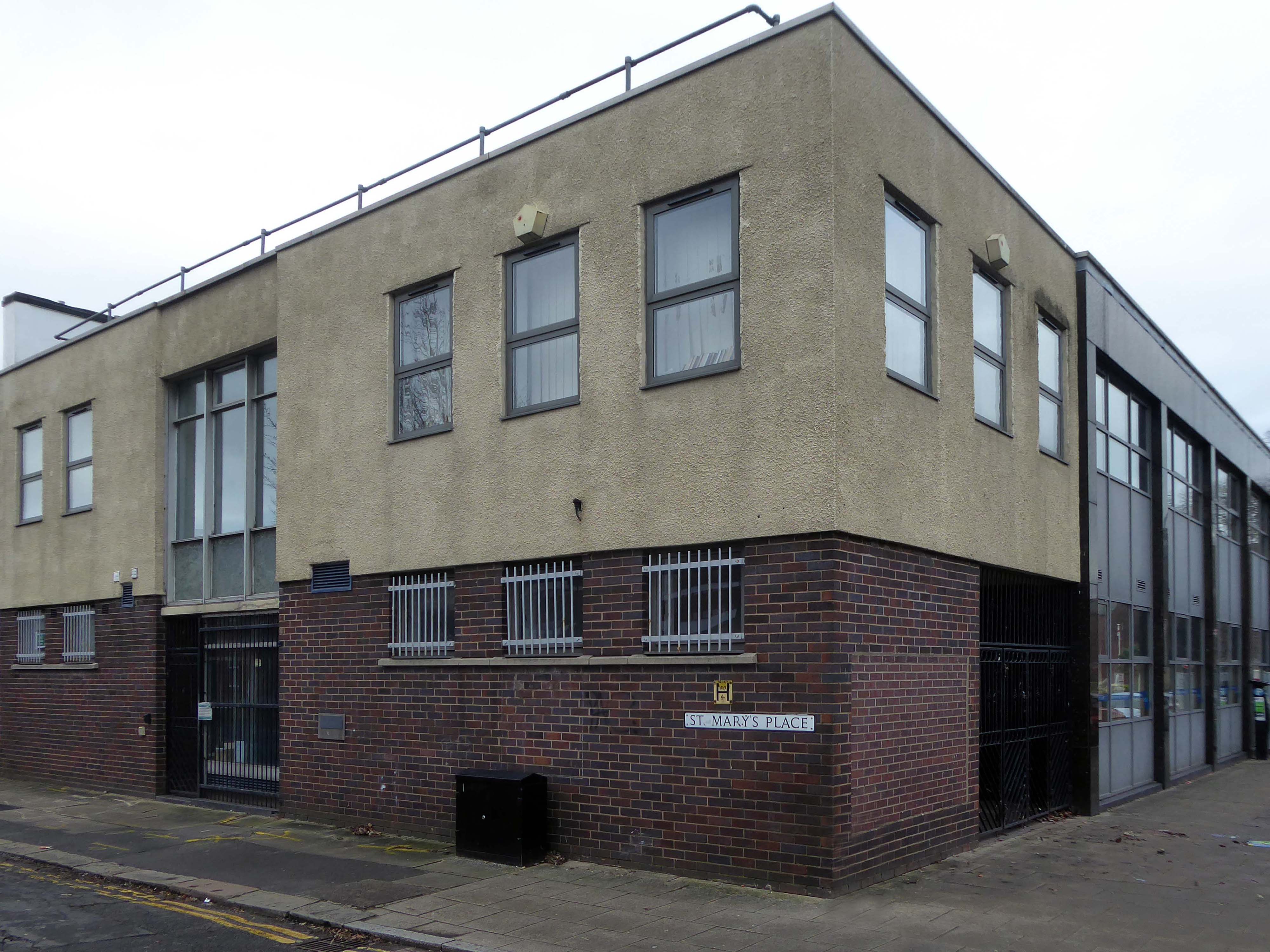
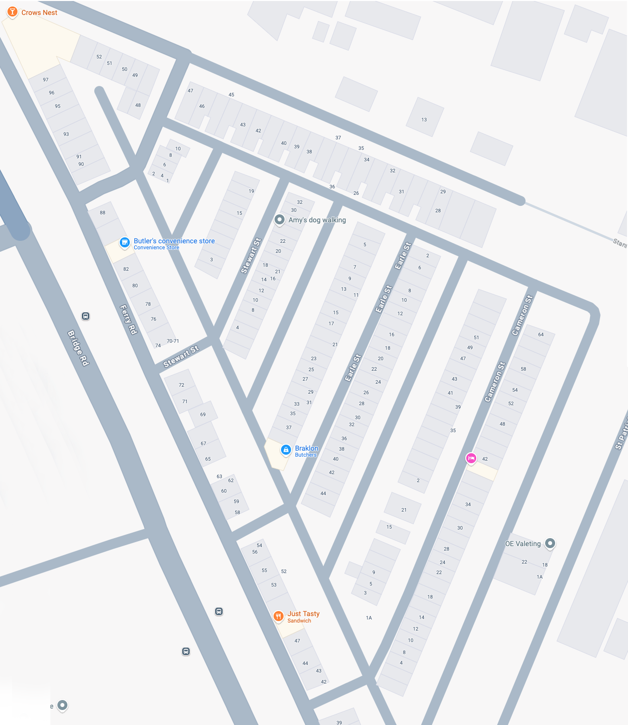
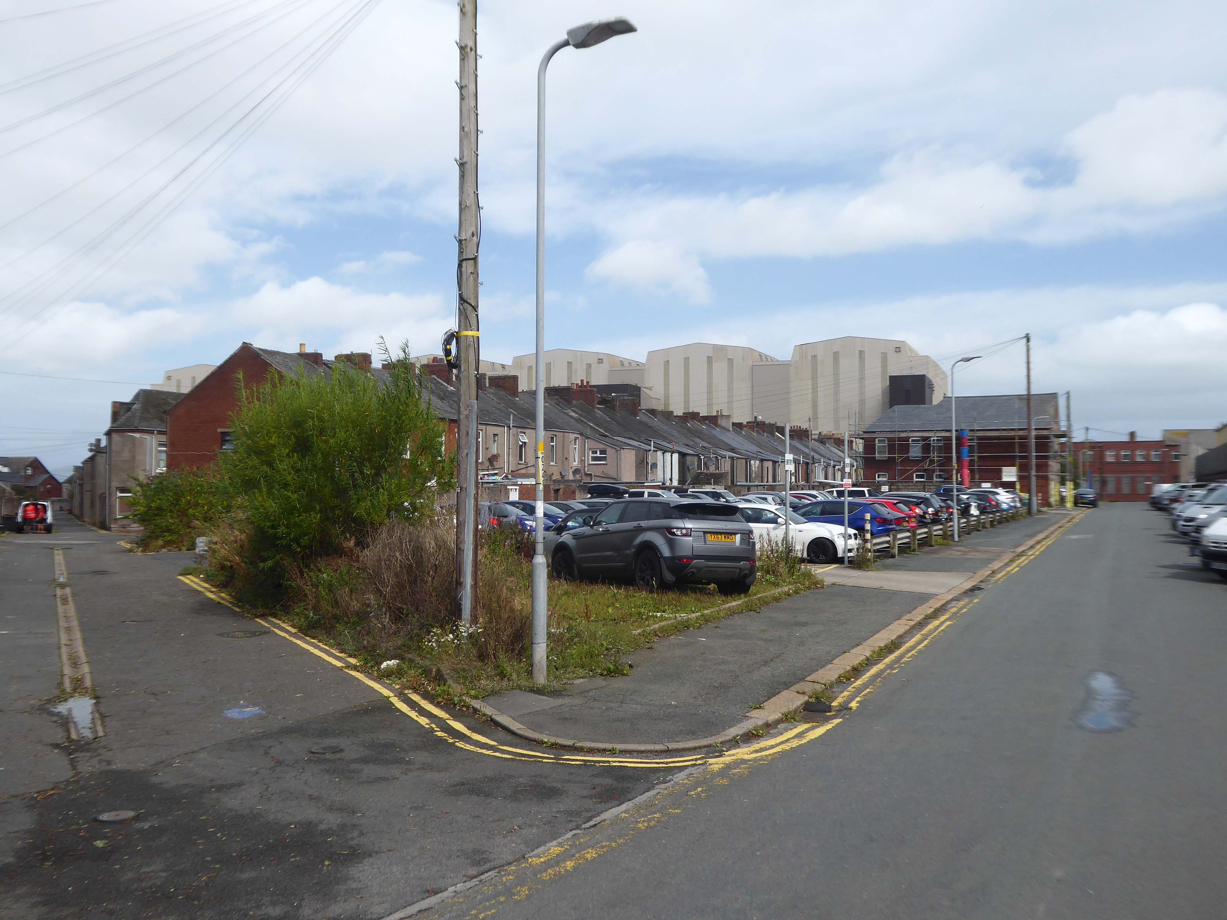
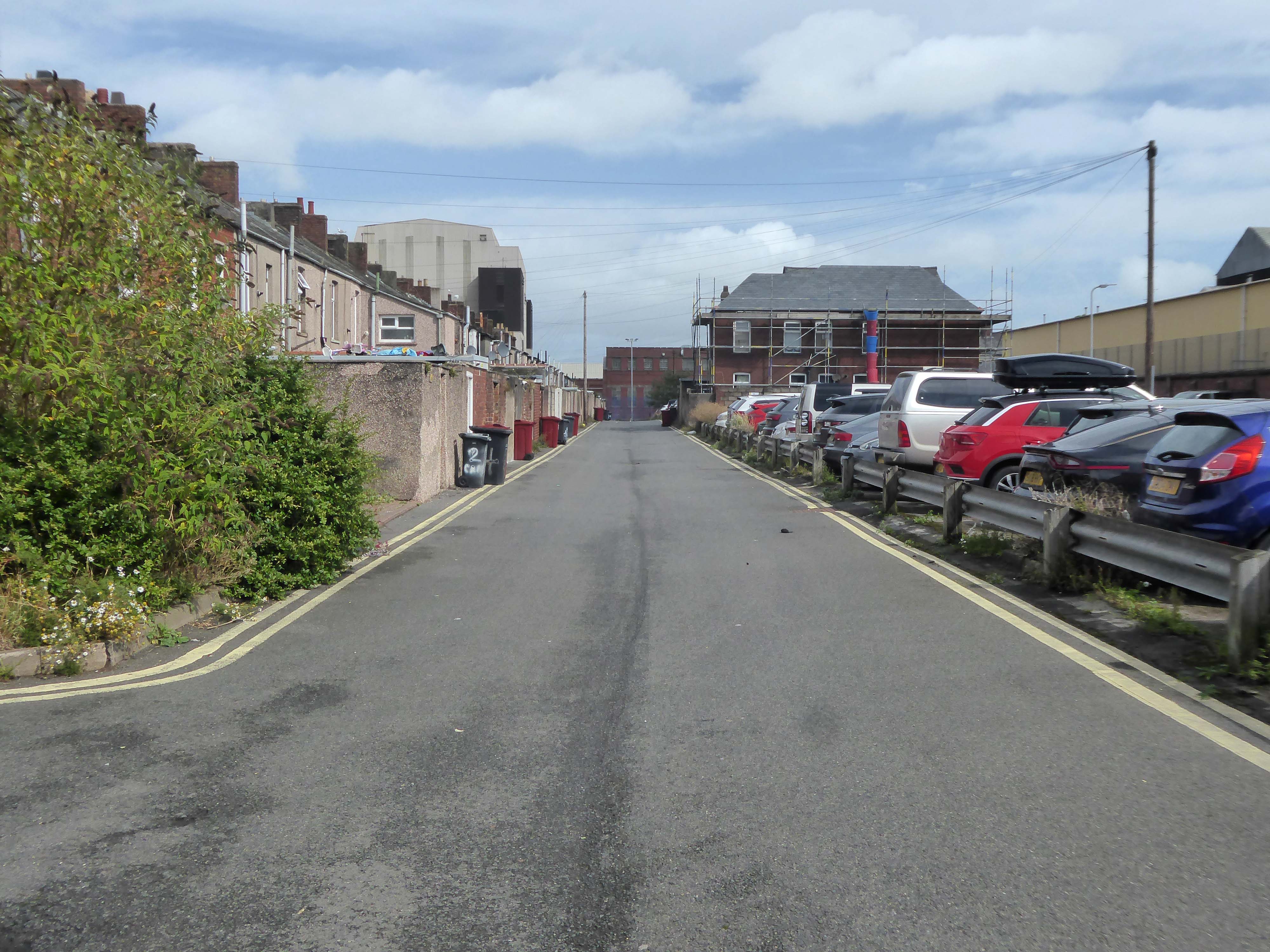
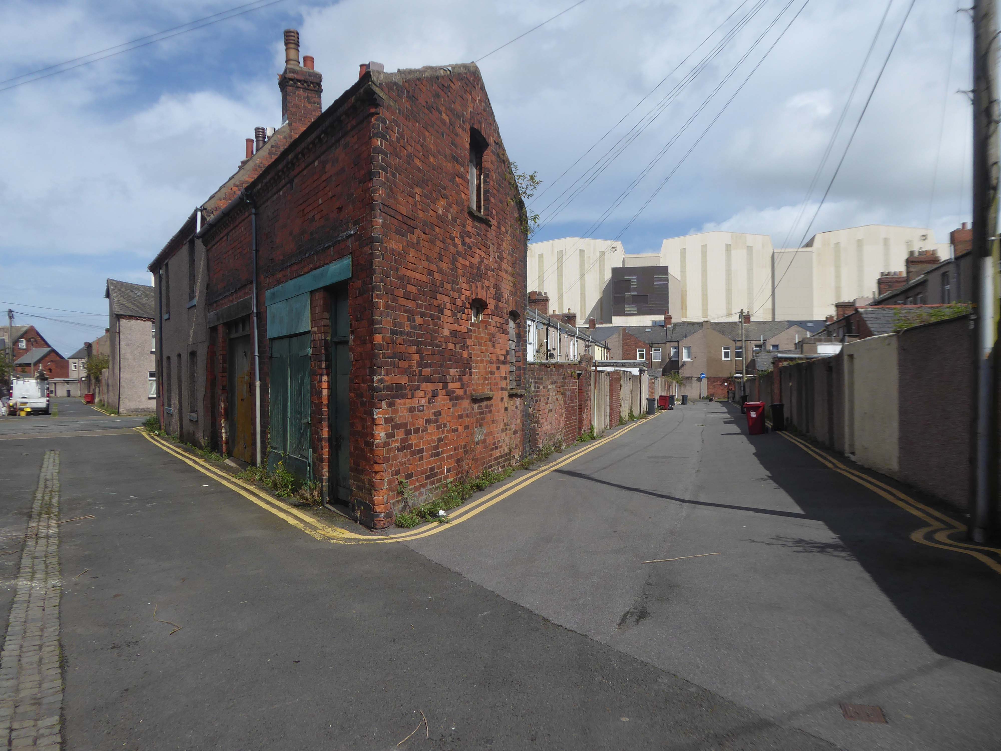
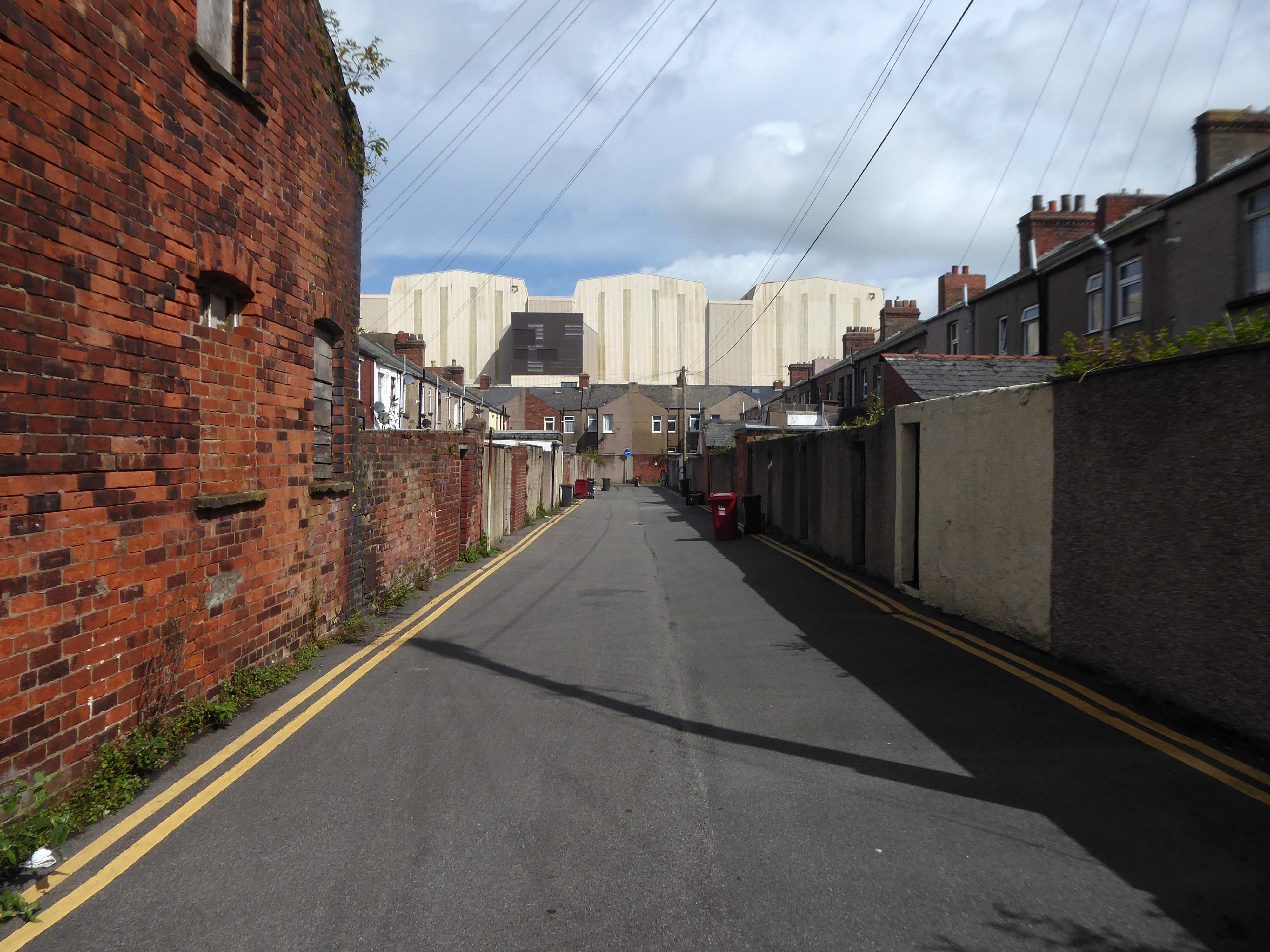
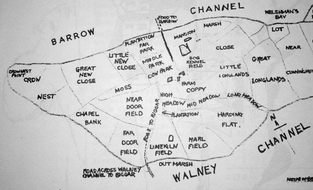
At the northern end of Barrow Island lies the Ferry Road Triangle. Covering an area formerly known by the field names, Crow Nest, Great New Close, Little New Close, Moss, Cow Park and Middle Park; the Ferry Road area has always been known as the Triangle, because the shape of the estate is truly a triangle.
I had arrived in Barrow in Furness and taken to wandering the streets, hastily in search of nothing in particular.
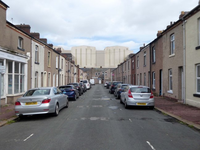
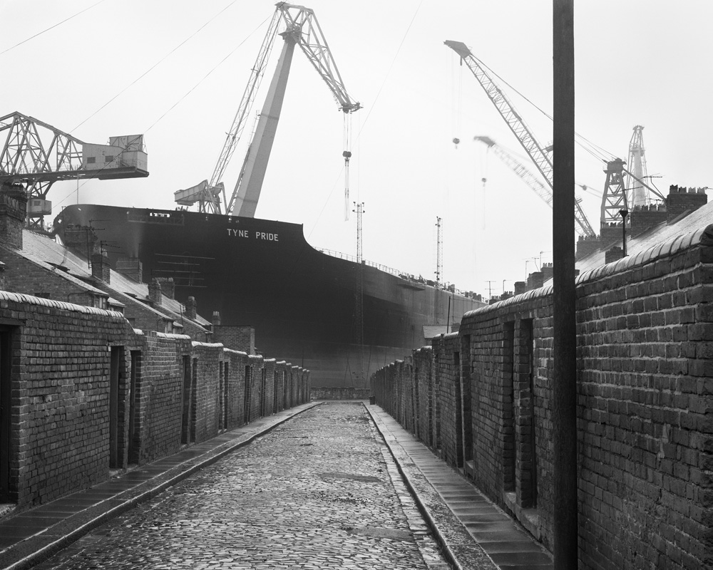
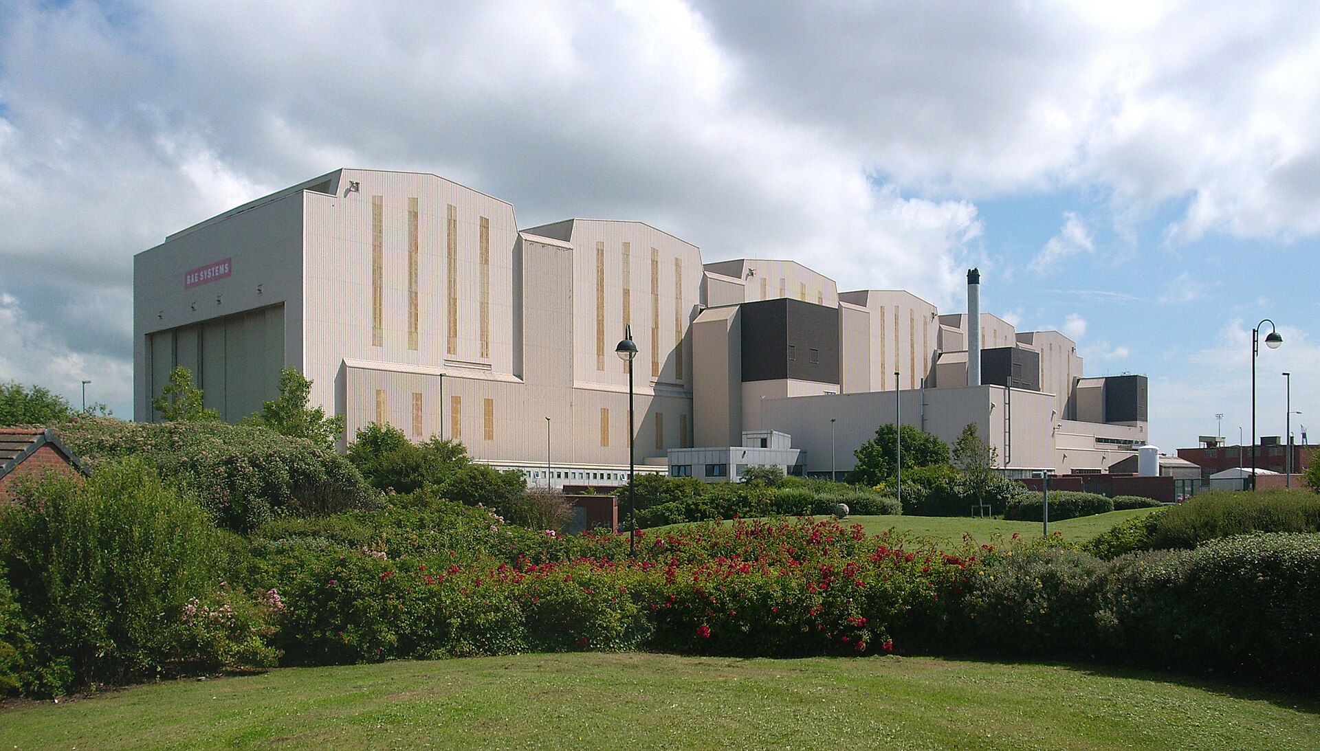
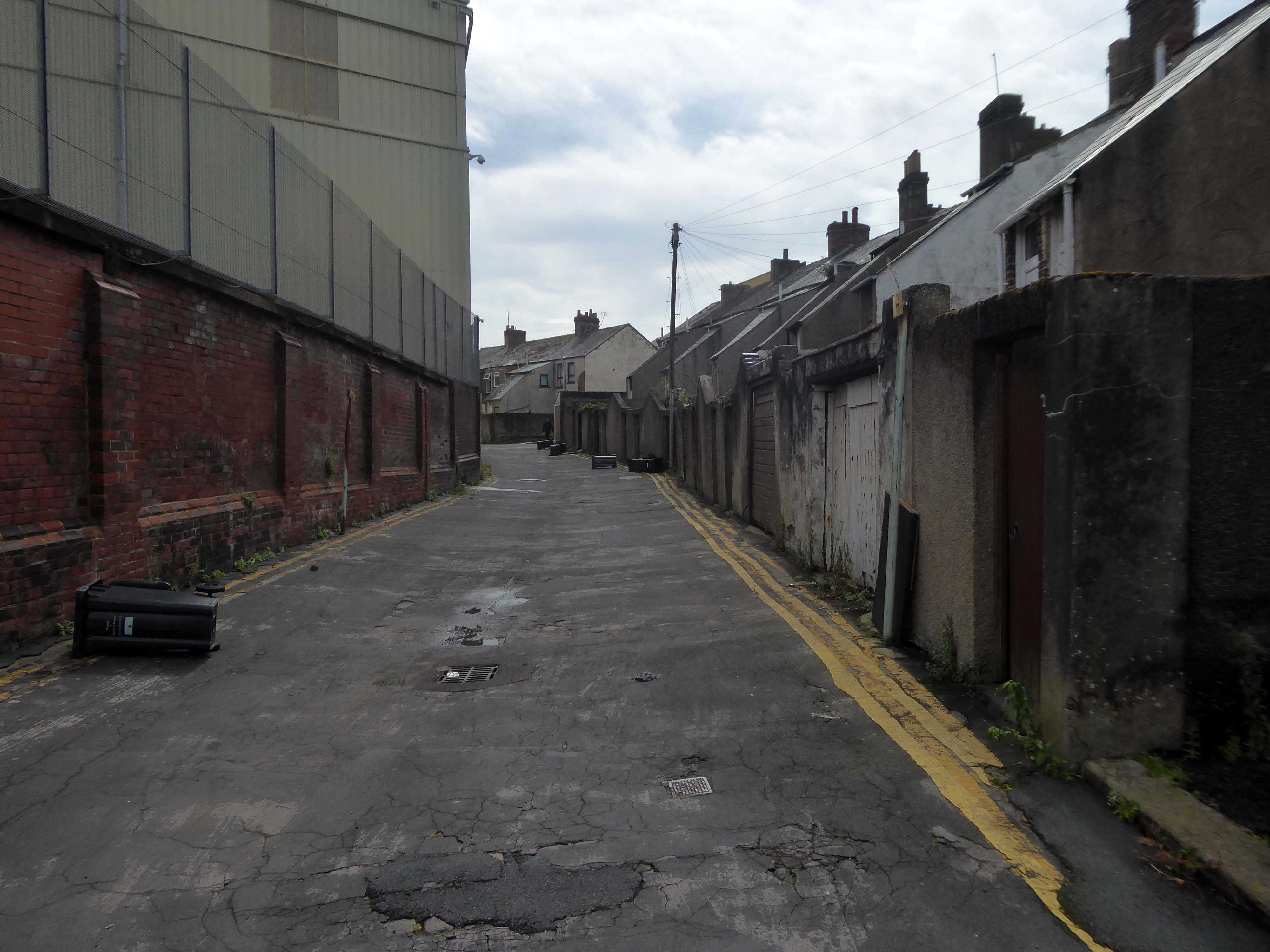
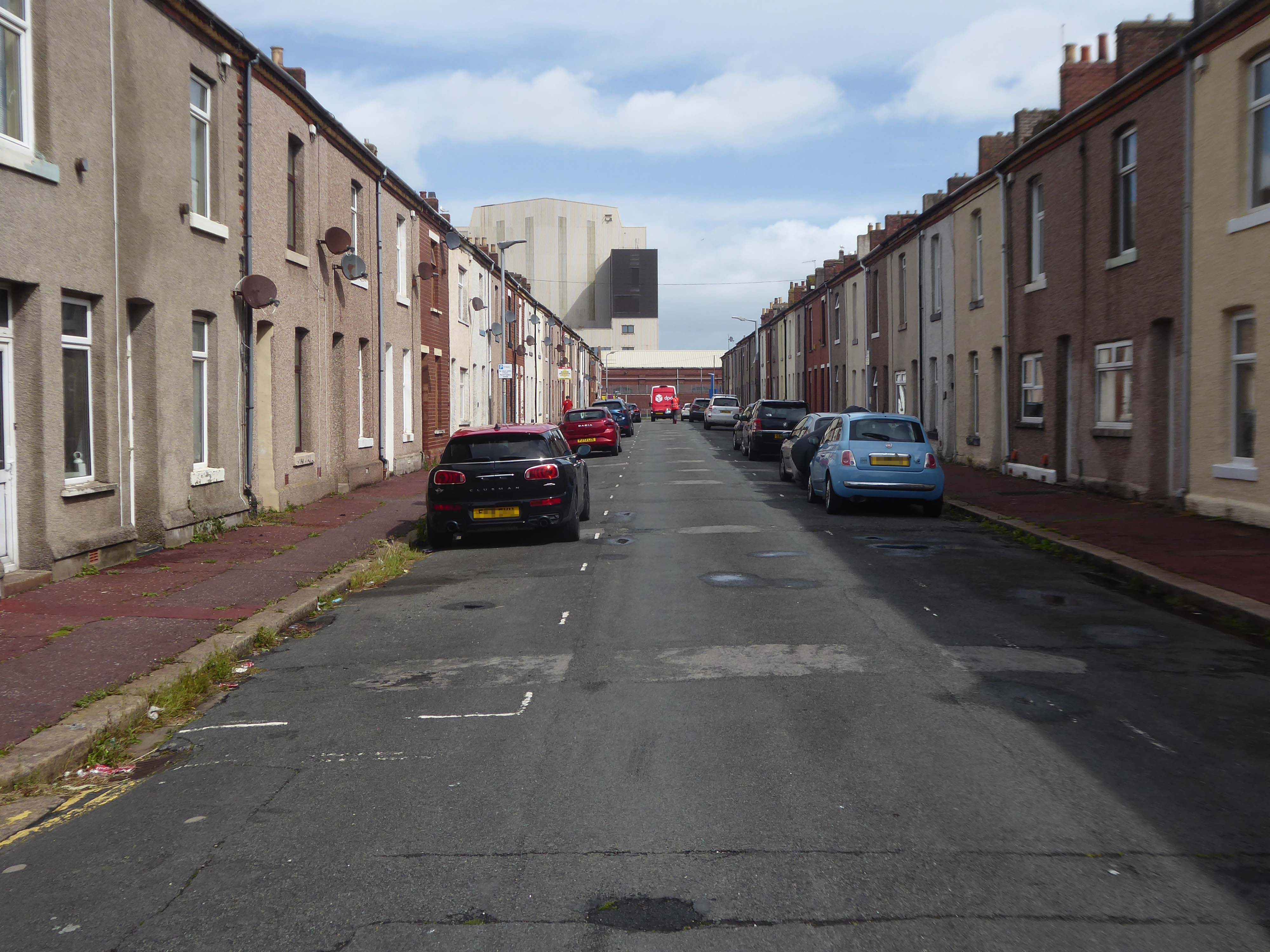
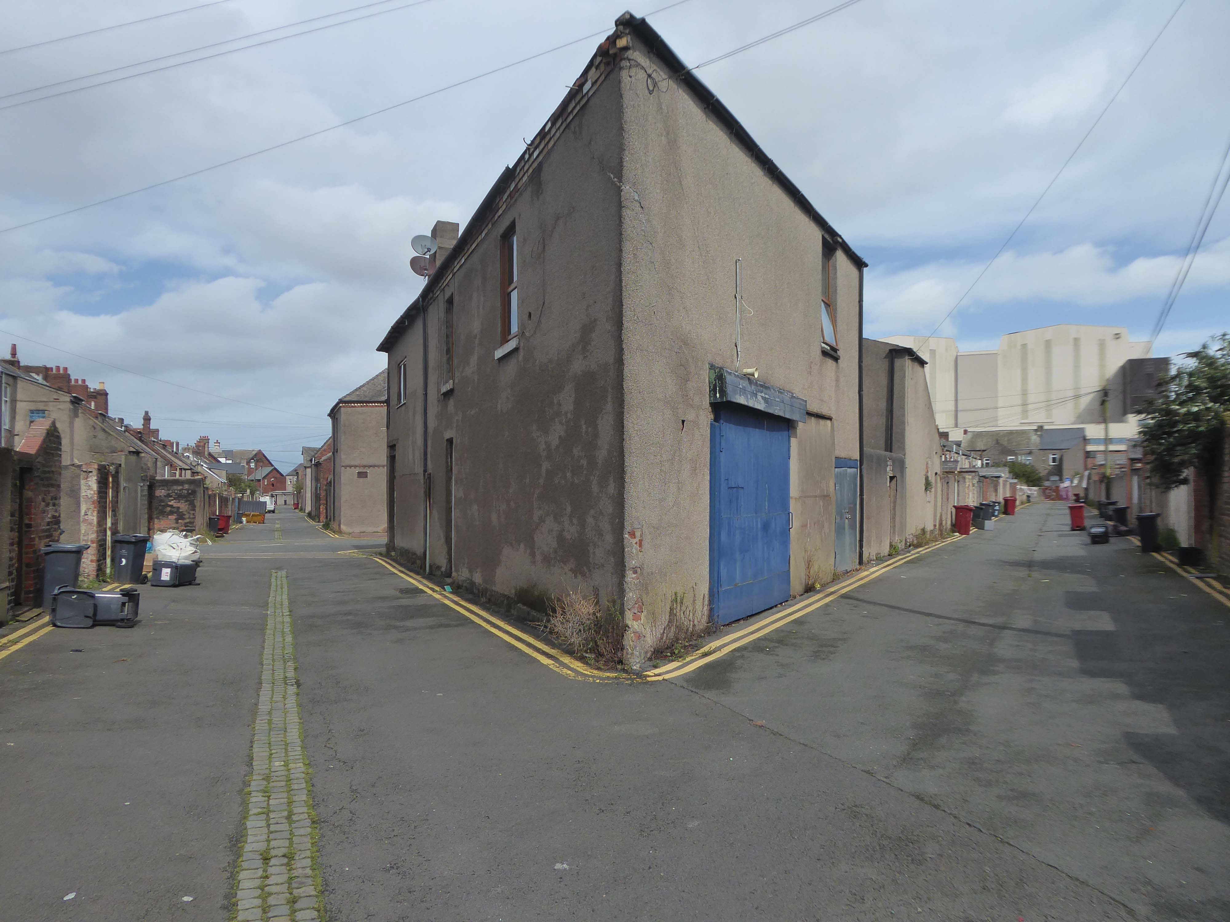
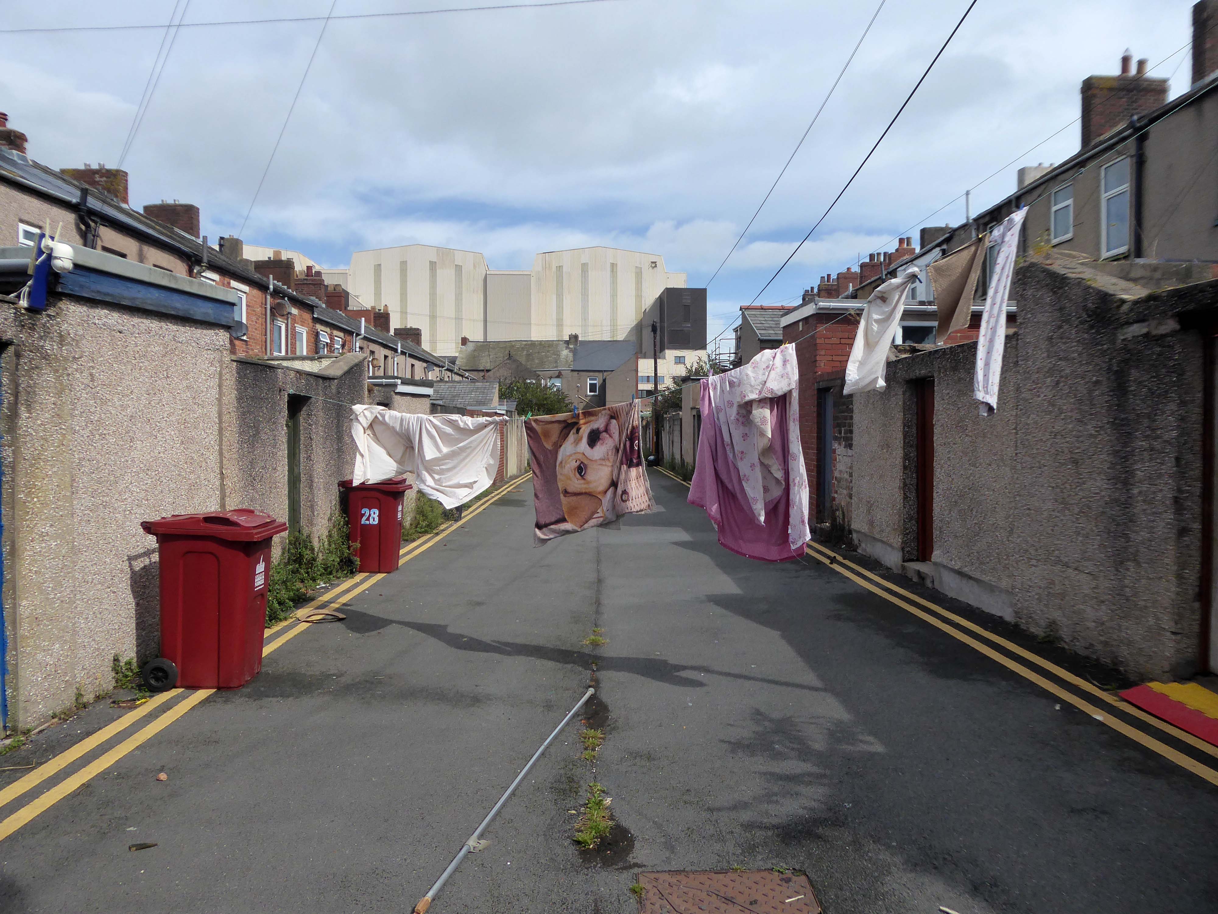
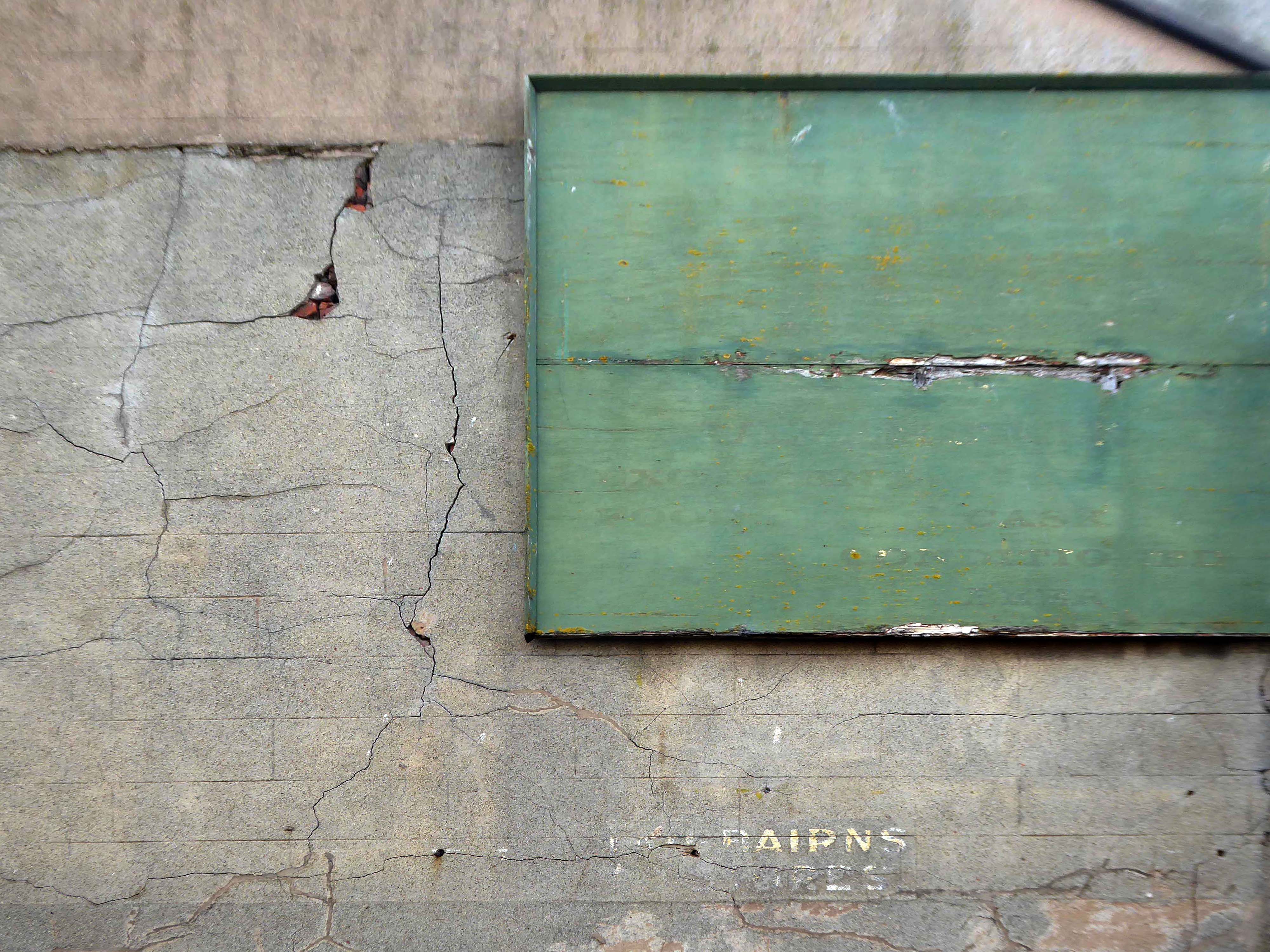
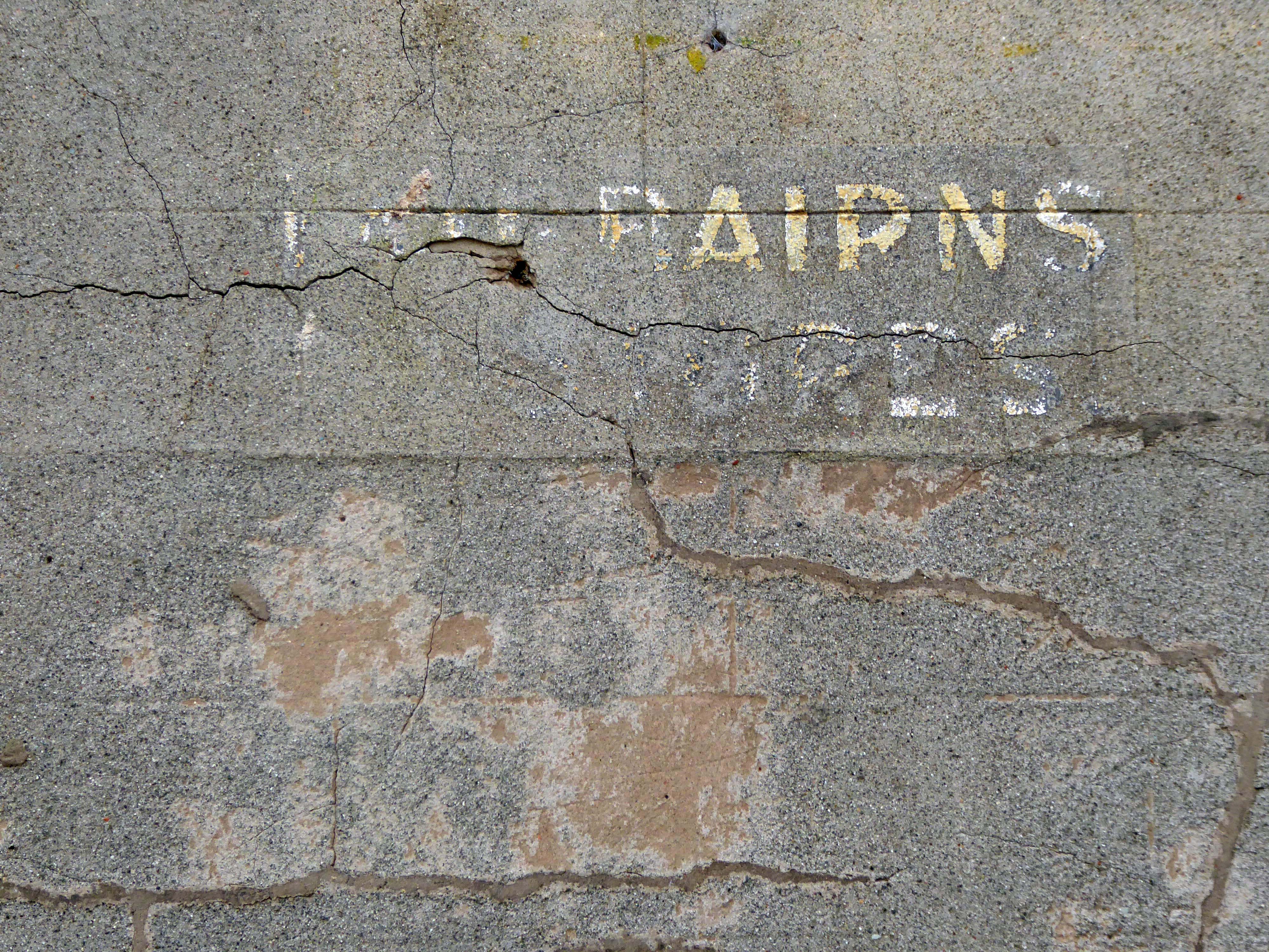
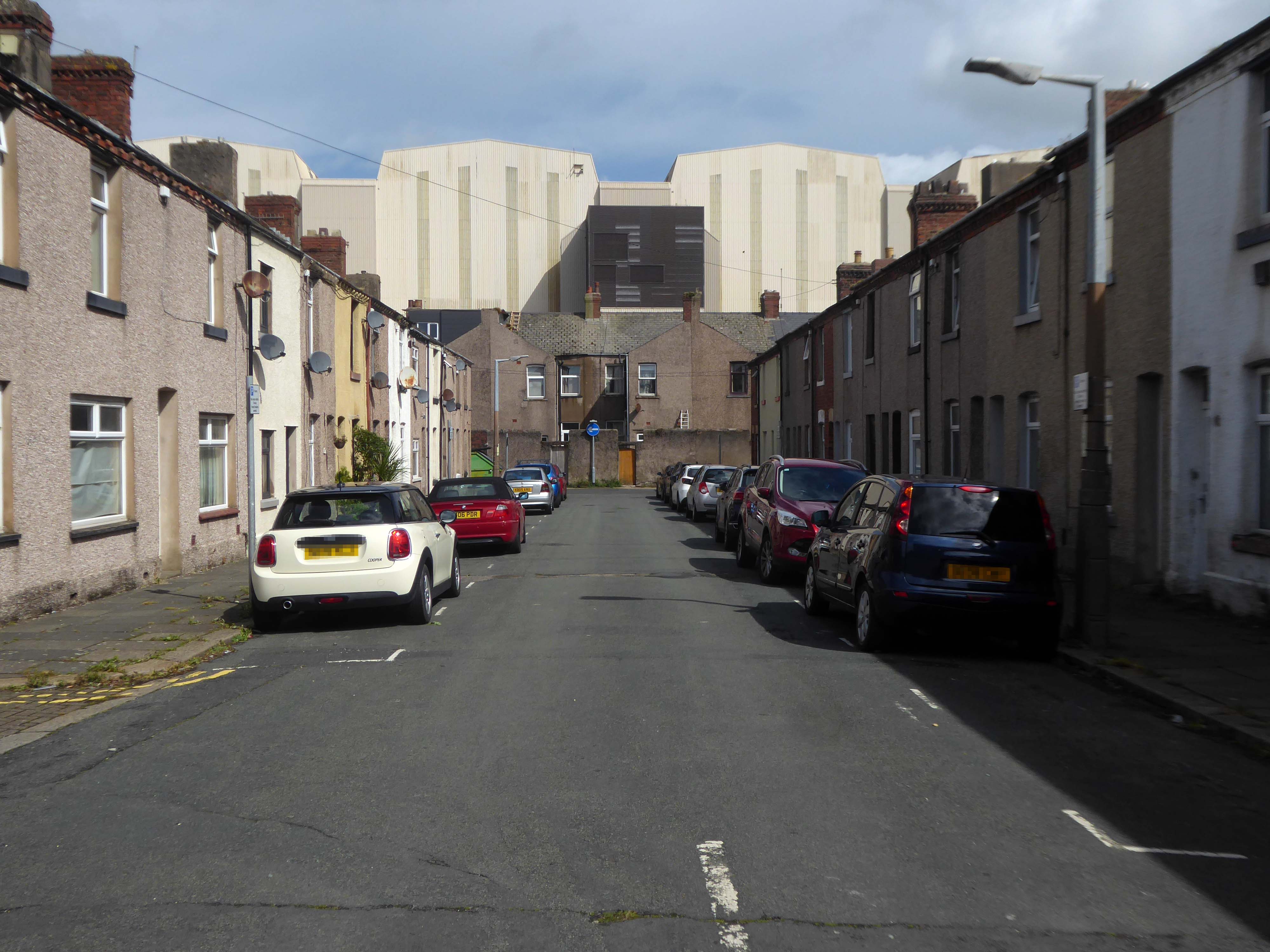
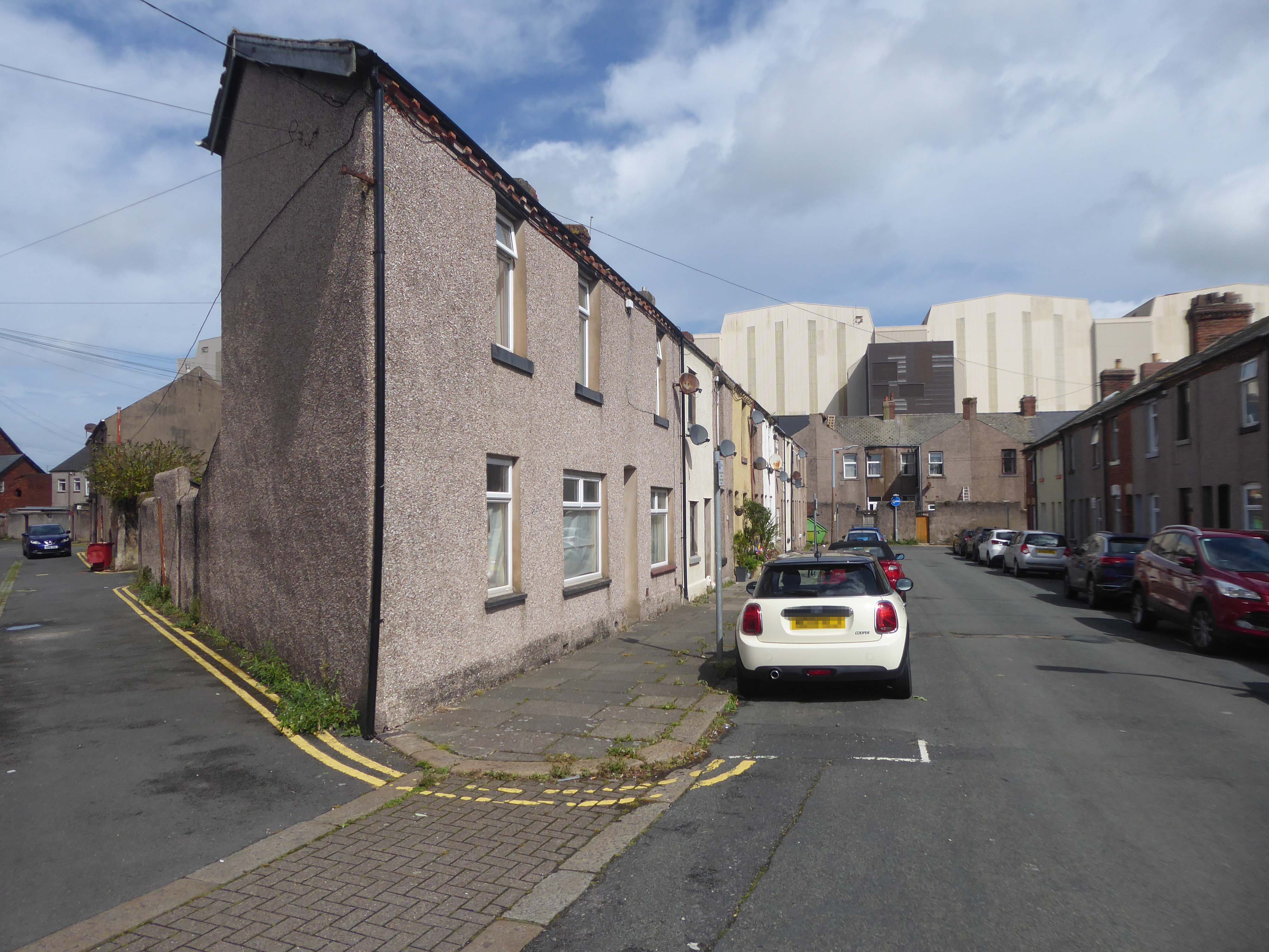
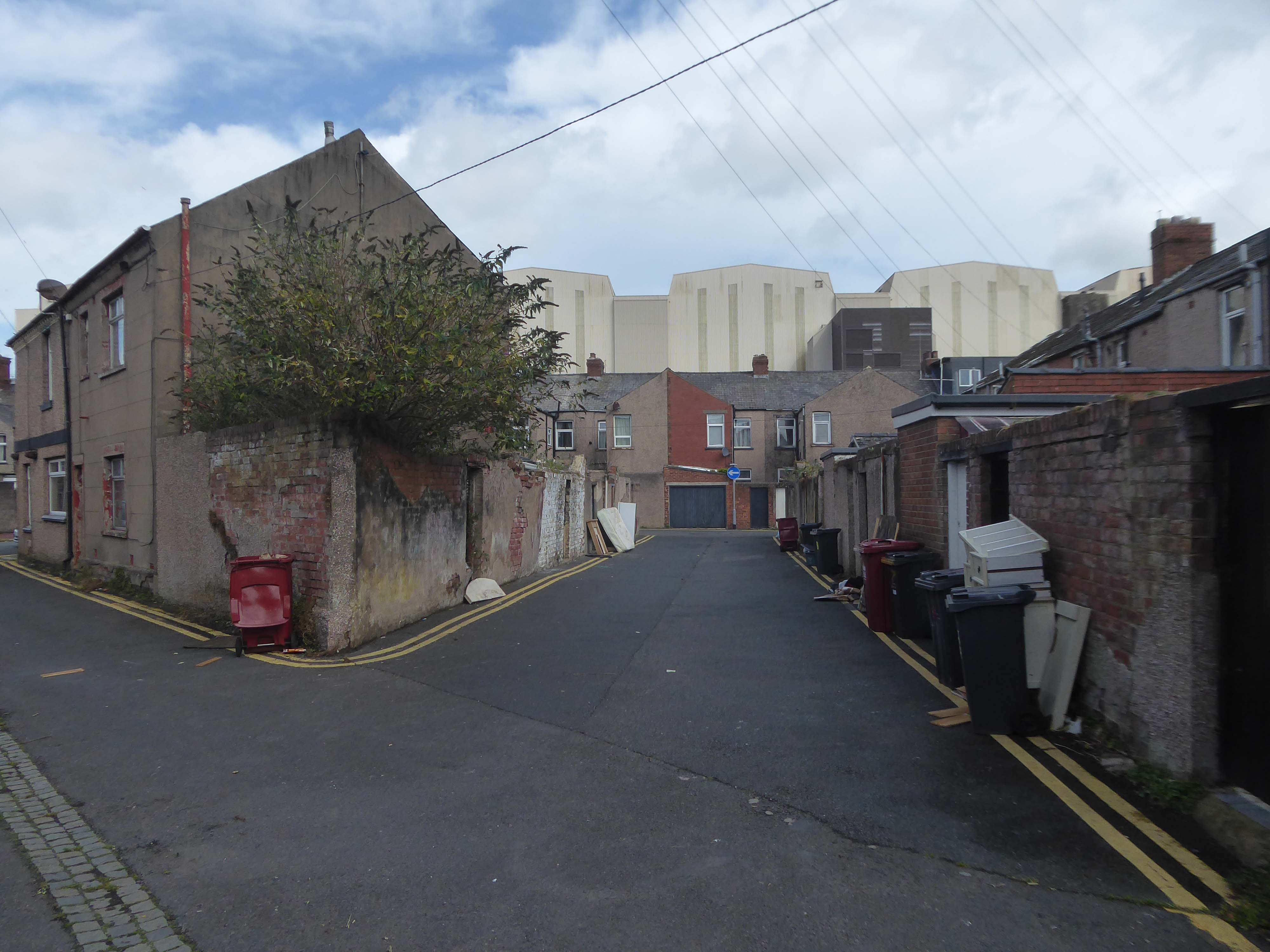
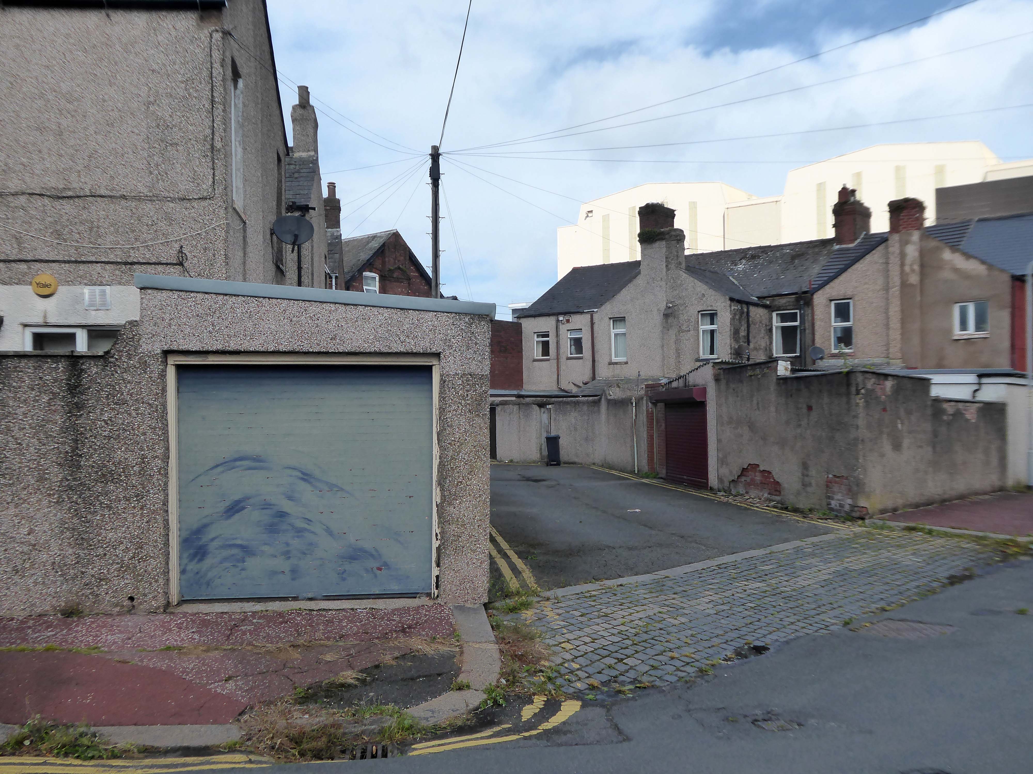
I came upon a neat triangle of terraced housing, which abutted the huge BAE Systems sheds.
The collision of scale created by the low lying domestic buildings, and the gargantuan industrial nuclear submarine homes, immediately put me in mind of Chris Killip’s photographs.
He had recorded the last days of a dying industry, whilst the BAE contracts represent a long term lifeline to a once dying town.
The Ministry of Defence has awarded £3.95 billion of funding to BAE Systems for the next phase of the UK’s next-generation nuclear-powered attack submarine programme, known as SSN-AUKUS.
The funding follows the AUKUS announcement in March by the leaders of Australia, the UK and the United States. This will eventually see Australia and the UK operate SSN-AUKUS submarines, which will be based on the UK’s next generation design, incorporating technology from all three nations, including cutting-edge US submarine technologies.
Having started early design work in 2021, the £3.95bn funding will cover development work to 2028, enabling BAE Systems to move into the detailed design phase of the programme and begin to procure long-lead items. Manufacture will start towards the end of the decade with the first SSN-AUKUS boat due to be delivered in the late 2030s.
It has been said of Barrow: A rich mineral district was the cause, a railway was the effect, and an important manufacturing town the result.
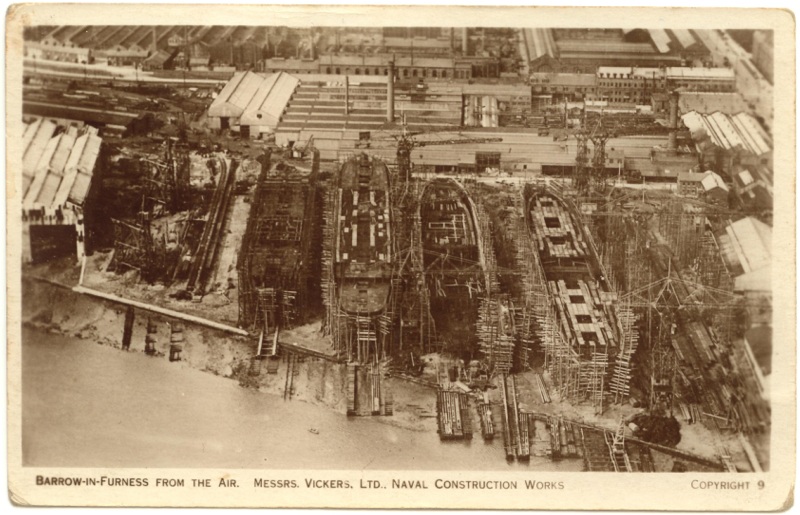
The dramatic growth of Barrow-in-Furness in the late 19th and early 20th Centuries was fuelled by the ready availability of Furness iron ore. Significant investments were made in developing the town to exploit this resource. The various ironworks, steelworks, foundries, shipyards and docks required a huge influx of population to support them. This in turn led to the rapid building of rows of good quality mass-produced terraced housing for the workers, and substantial sandstone villas for the management.
I stopped to chat with a local lad – I had thought Barrow to be a hard town, he thought not.
There’s not much trouble, though we have hard times – how so?
The Tories – now my kids have all got jobs for the next twenty years.
There were no reported crimes in June 2024
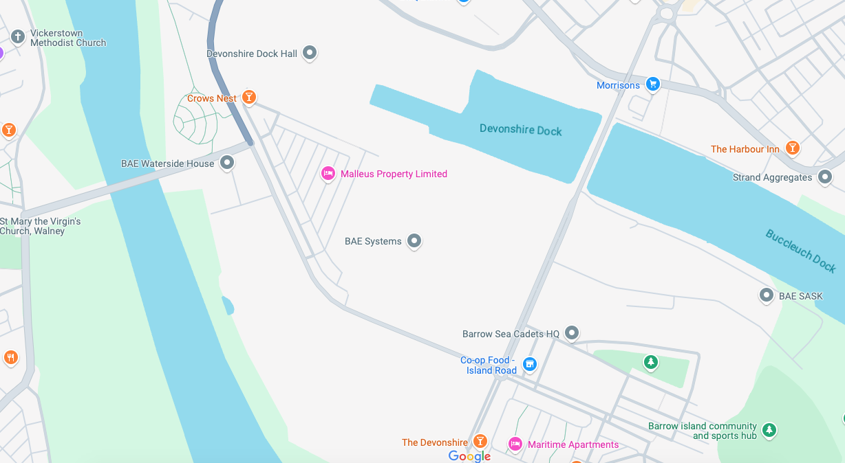
Devonshire Dock Hall is a large indoor shipbuilding and assembly complex that forms part of the BAE Systems shipyard.
Constructed between 1982 and 1986 by Alfred McAlpine plc for Vickers Shipbuilding and Engineering, DDH was built on land that was created by infilling part of Devonshire Dock with 2.4 million tonnes of sand pumped from nearby Roosecote Sands.
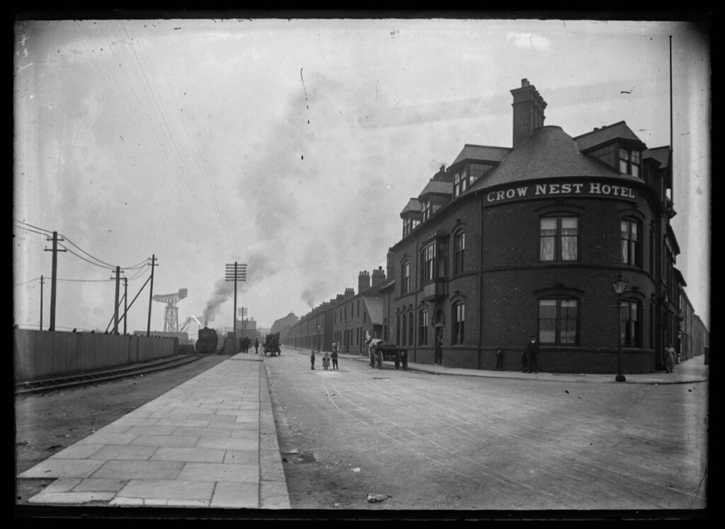
Opened in May 1888 it was described by the Barrow News as one of the best-appointed hotels in Barrow. From this start, Walton Lee, elected Town Councillor in 1886 envisaged an estate for the workers literally within spitting distance of their workplace.
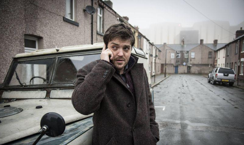
A section of Career of Evil was filmed at The Crow’s Nest.
Barrow shipyard’s Devonshire Dock Hall, The Crow’s Nest pub, Barrow Island streets, including Stanley Road and Stewart Street, and Michaelson Road Bridge, all featured in episode one of Career of Evil on Sunday night.
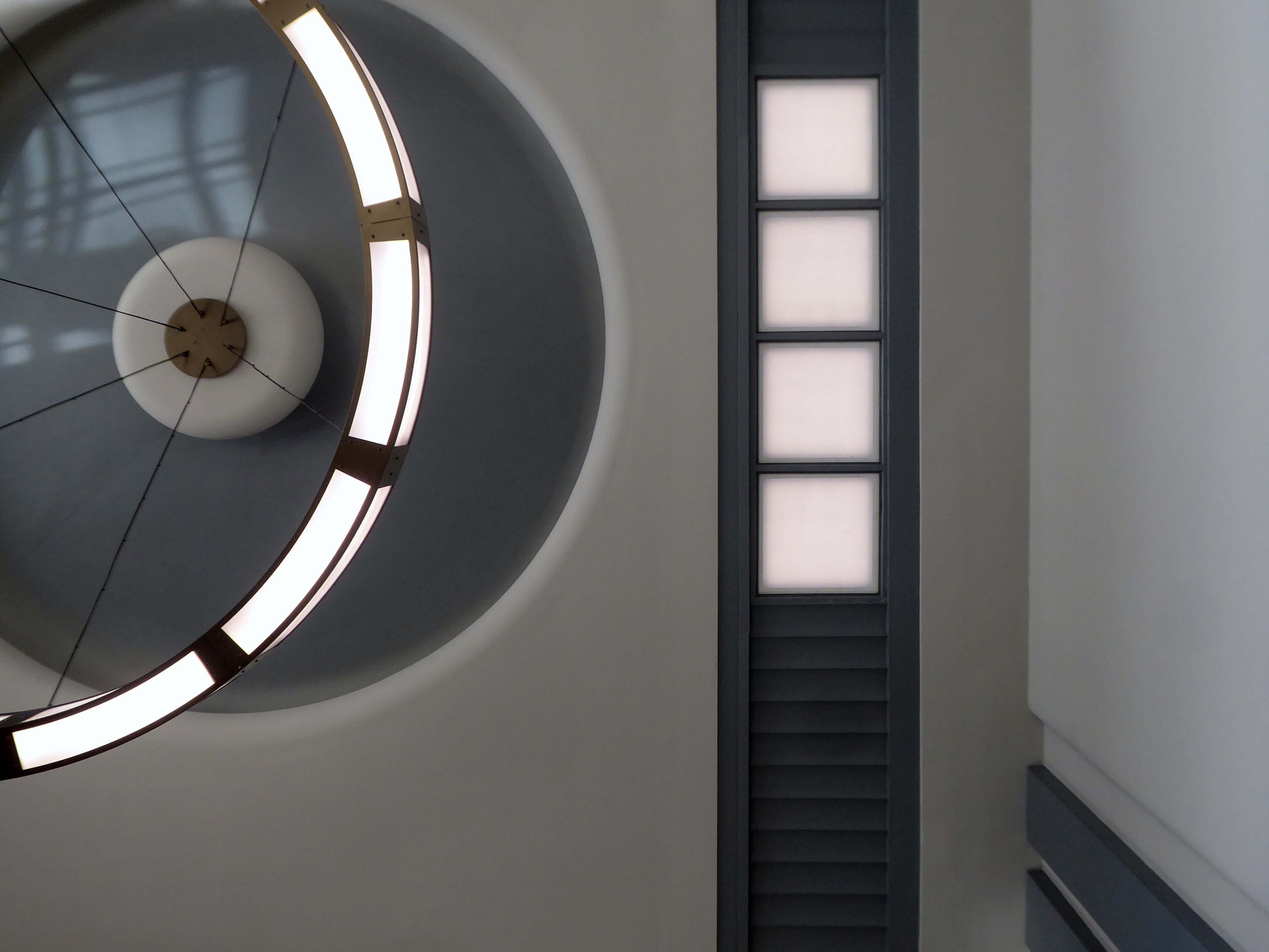
Arriving by train and ascending into the light – here’s the station lights.
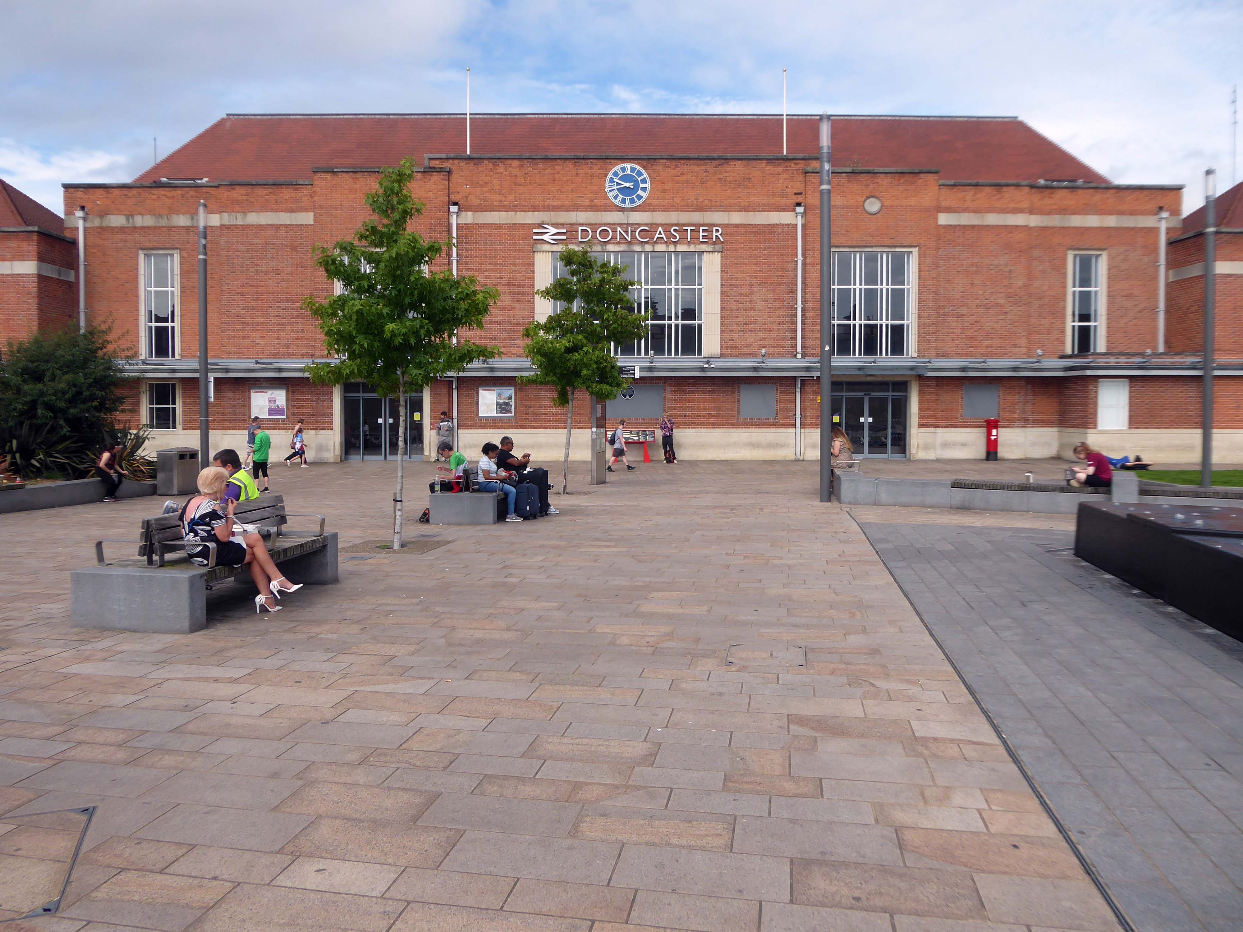
The railway station has sharpened up its apron and facade.
We have transformed the station forecourt. It has become a quality gateway which delivers a great first impression for visitors arriving in Doncaster by train. This will help stimulate interest from investors and developers, helping to attract new investment and create jobs for the borough and wider region.
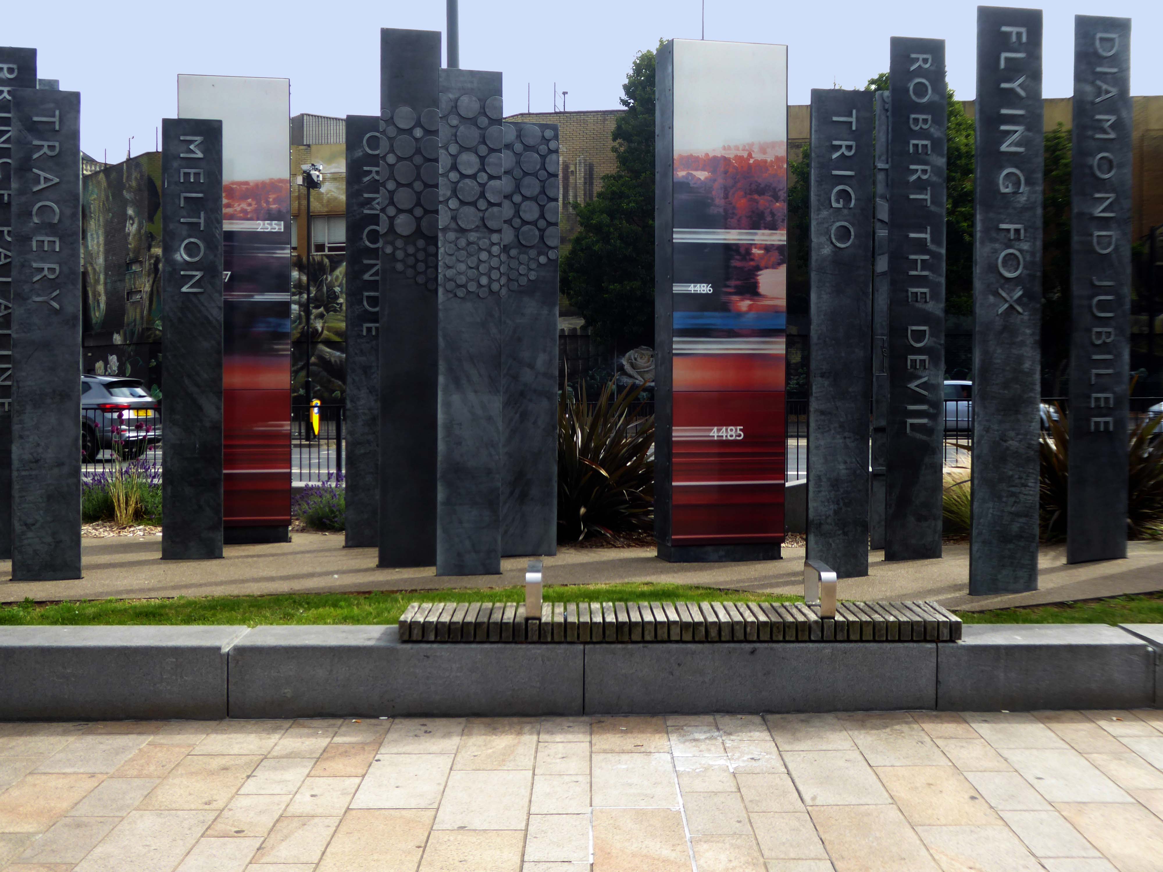
Celebrating engineering, speed and connectivity and stretching forty metres in length the public art at Doncaster Station consists of forty seven monoliths which are a nod to Doncaster’s past, present and future. With a fountain and three impressive water walls, the art takes centre stage in the new public space as you step out of the train station and head into the town centre.
The concept was devised by Doncaster Council and further developed by Chris Brammall.
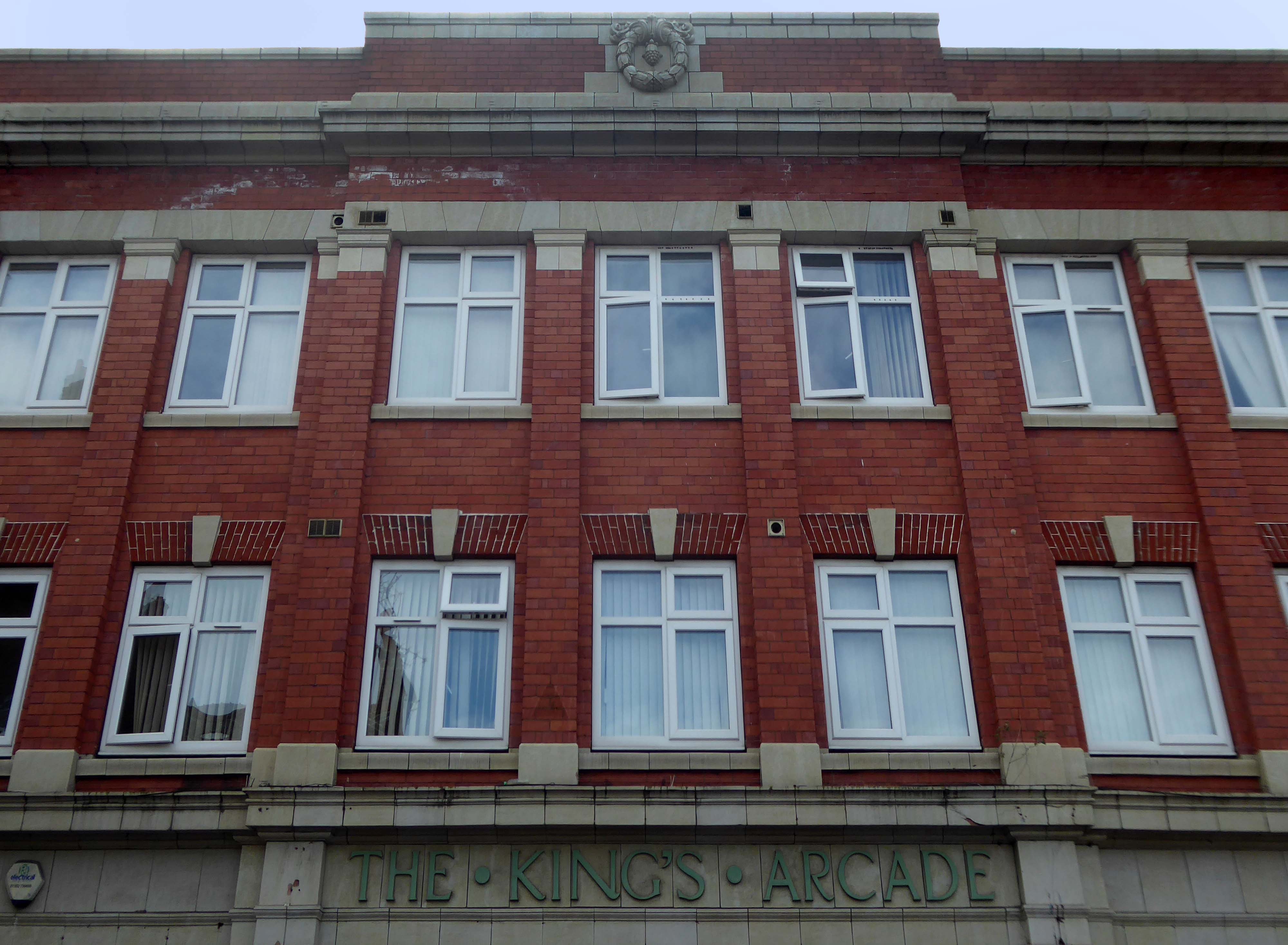
Typically the high and low streets of Britain’s industrial towns and cities, are an amalgam of architectural style and fashion, spanning at least two or three centuries.
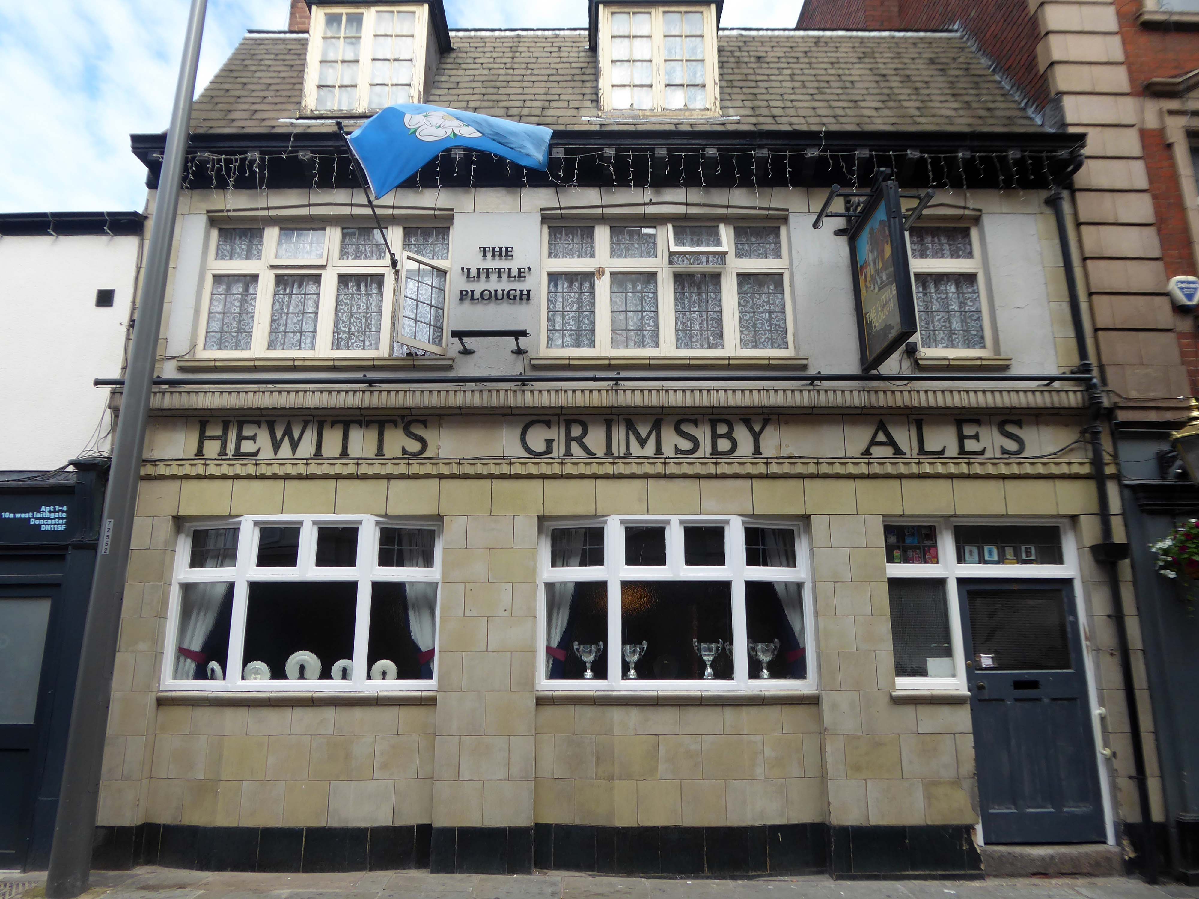
Behind the buff faience frontage is a lovely, small two-room pub with a well preserved interior created under plans of 1934. It was remodelled by the Grimsby brewers Hewitt Brothers Ltd who were Doncaster’s biggest pub owners for many years.
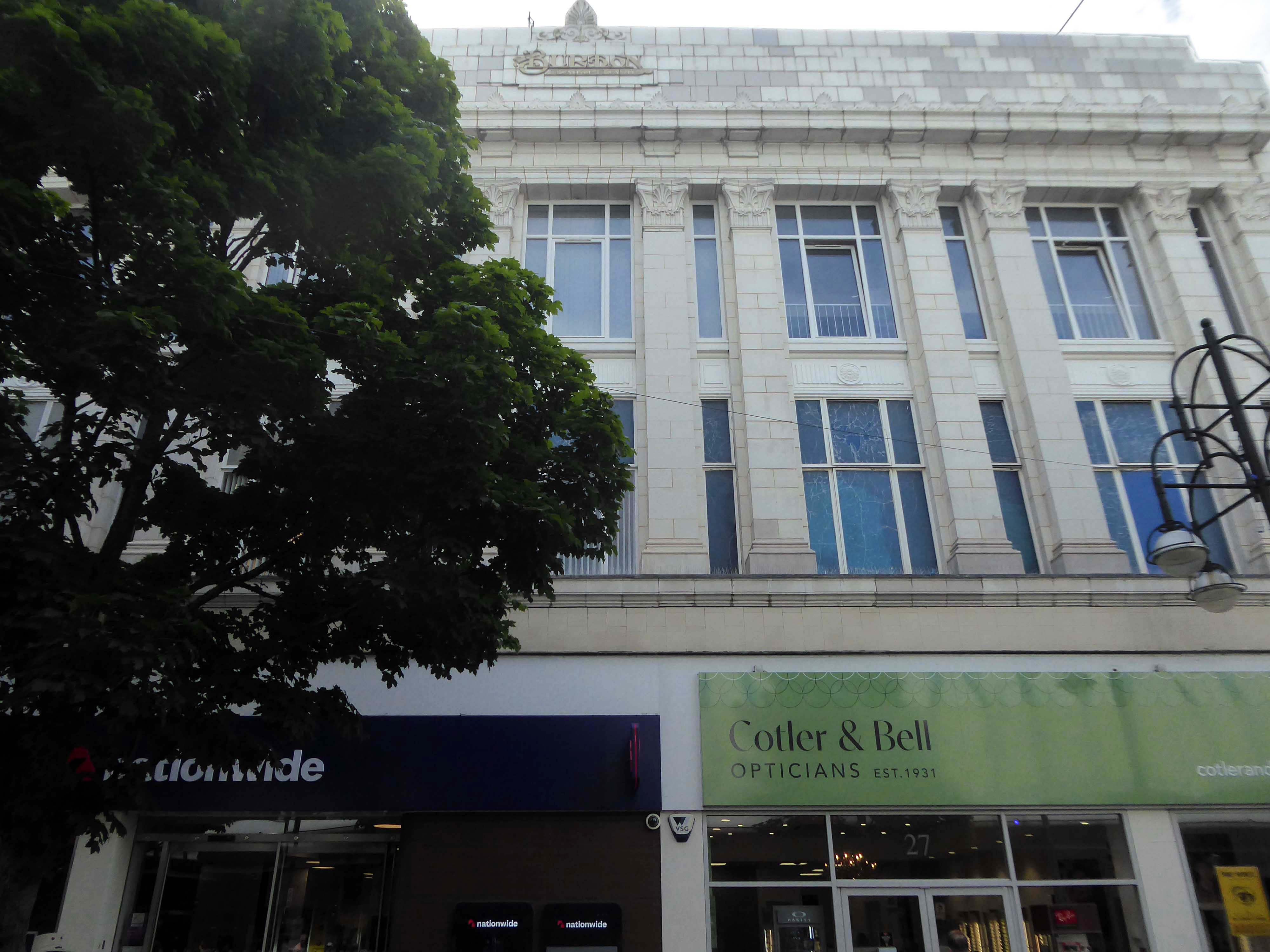
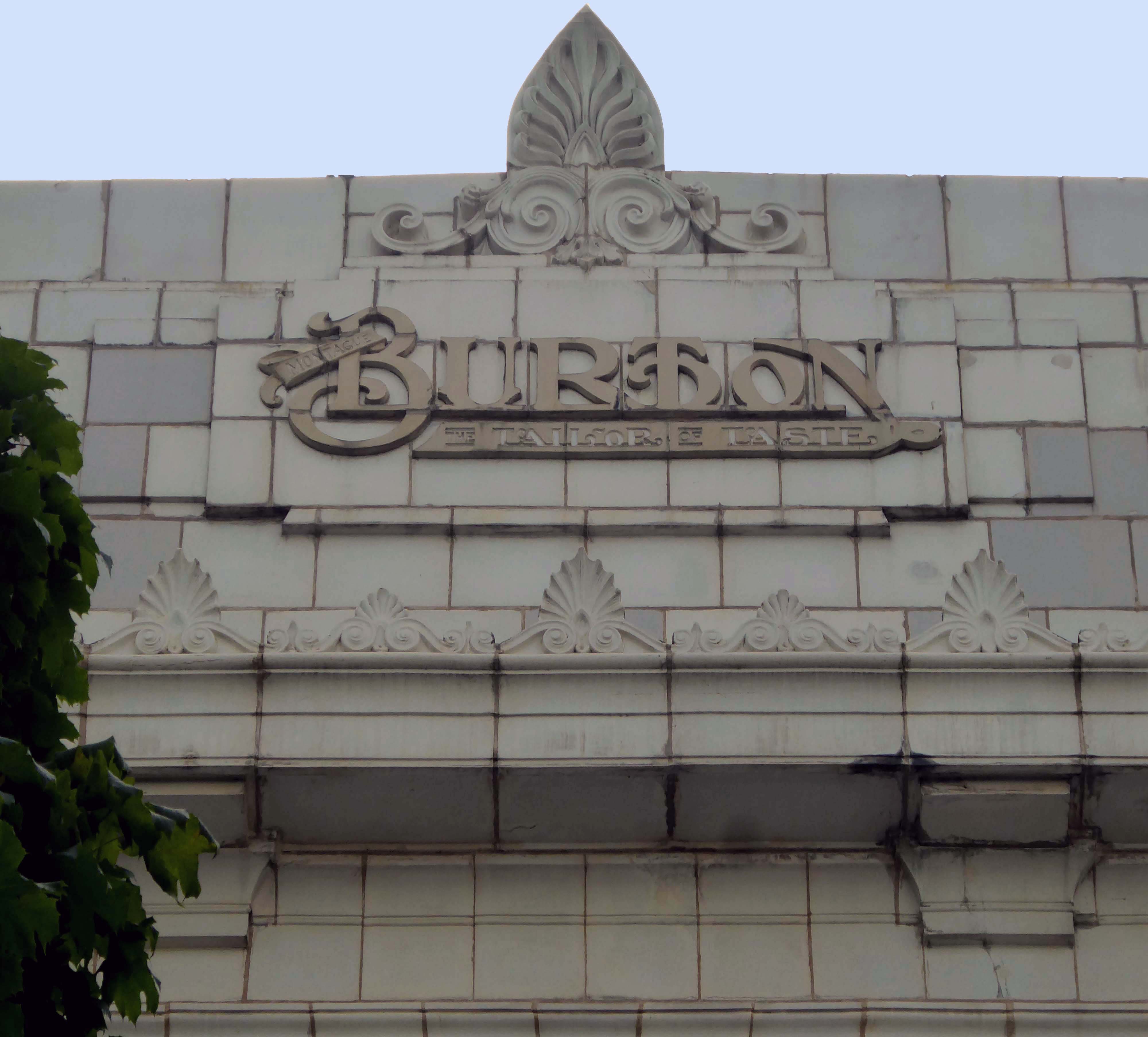
Of course, every town had a Burton’s – the tailor of taste.
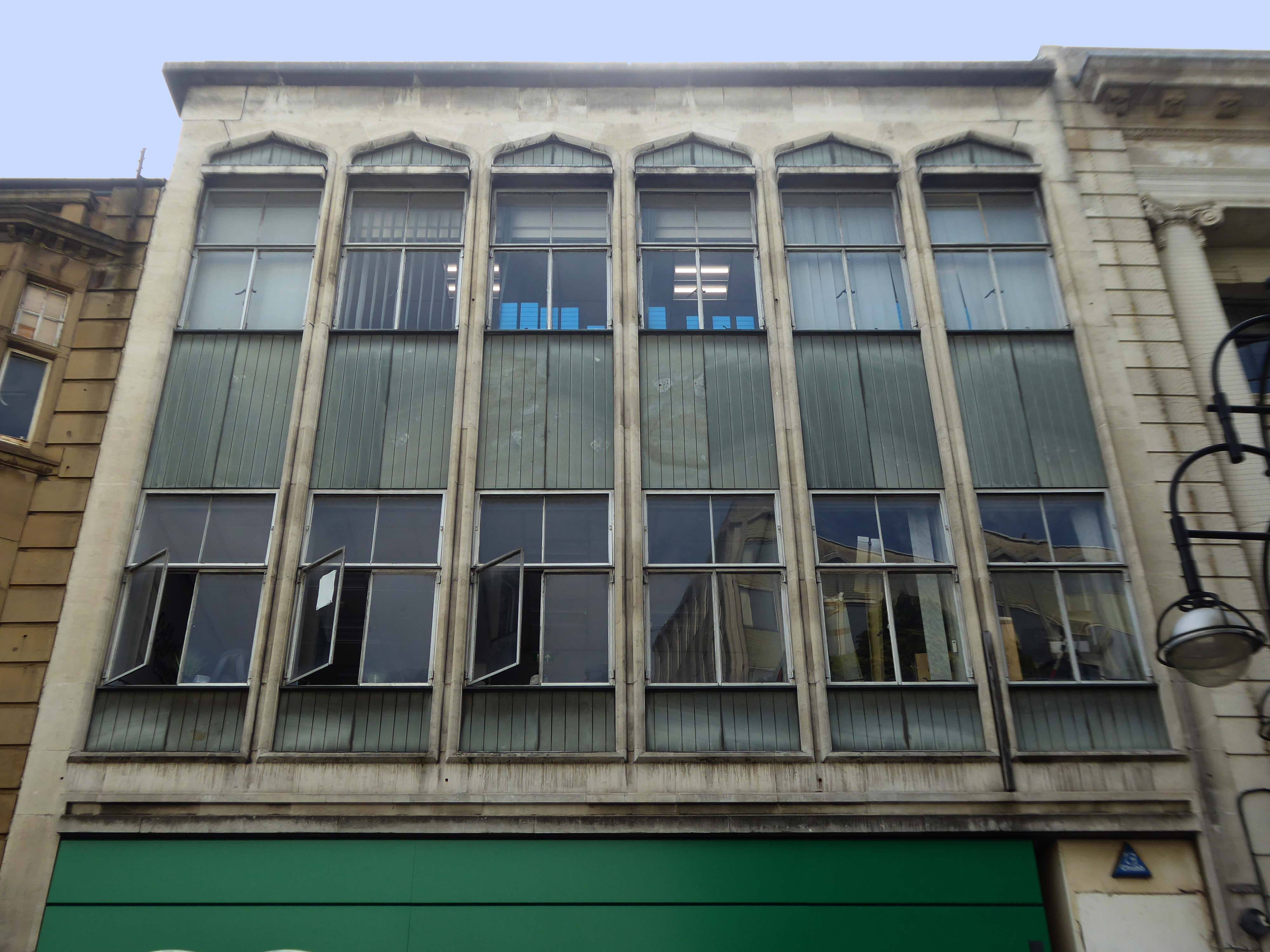
This post war infill has that distinctive Festival of Britain feel, original metal window frames, Portland stone and blueish slate like panels.
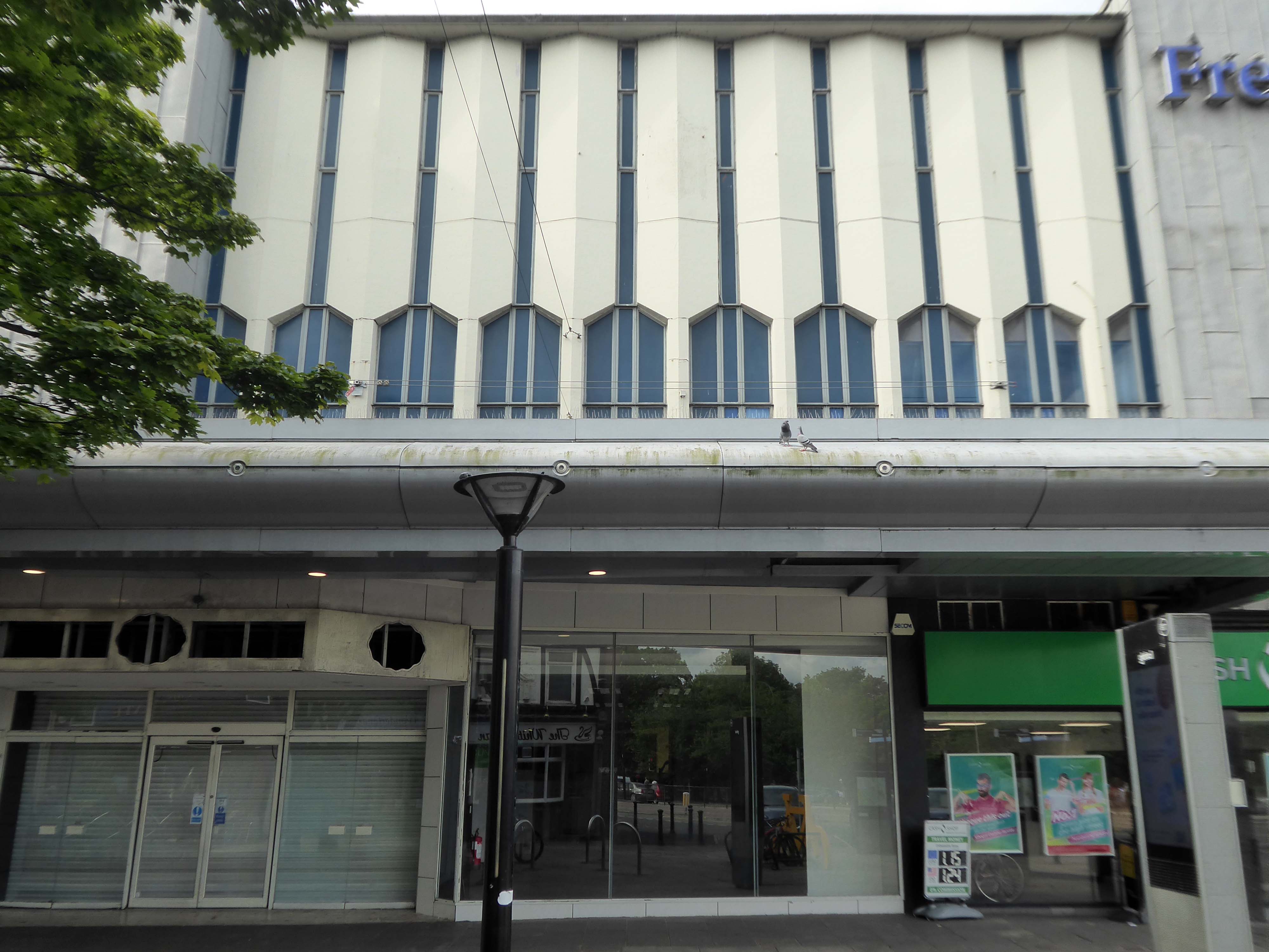
The revamped Frenchgate Shopping Centre, officially opened on October 4th 1968, has in places an upper tier, resistant to zinc over cladding.
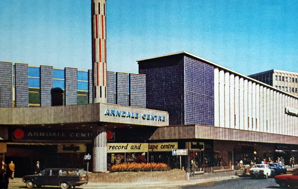
The centre has been the heart of the city for over 40 years and was originally called the Arndale Centre because it was built, owned and managed by the Arndale Group. It was renamed in 1988 after a change of ownership, with the new name reflecting the name of the street which passes to the east of the centre and which is one of Doncaster’s main shopping streets.
The sale of the centre came just a year after Frenchgate had undergone a £200 million facelift to transform it into the country’s first shopping centre with integrated public transport and retail interchange.
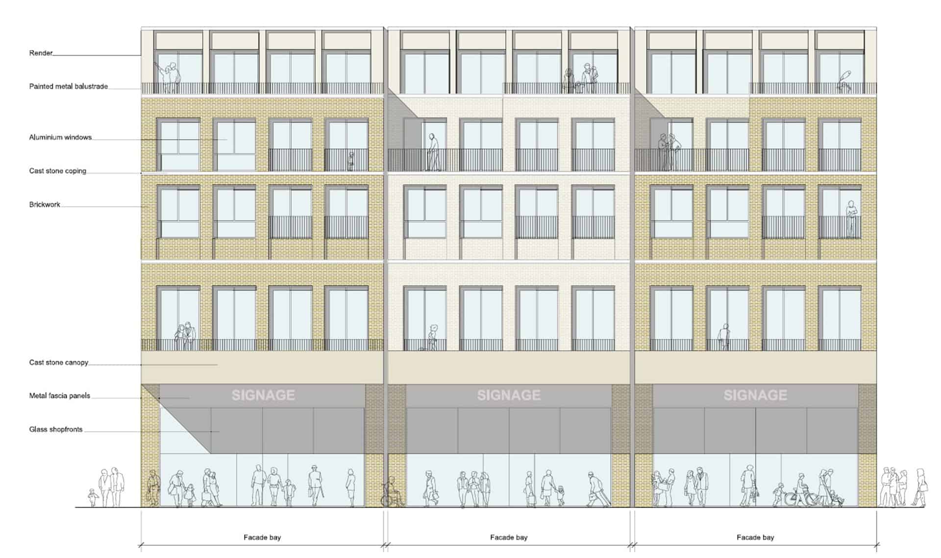
We propose this is fundamentally transformed though the addition of apartments that wrap along the back of the first-floor retail with a further 2.5 new storeys placed on top. We also feel additional height -up to seven or eight storeys, is justifiable to the corner of Frenchgate and Trafford Way.
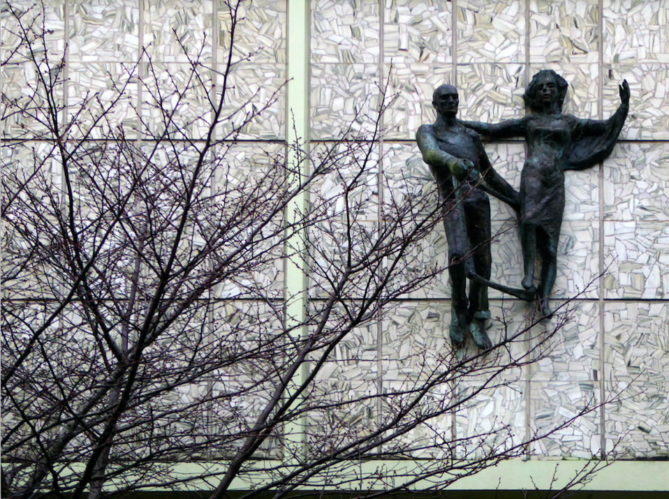
The Lovers were once located in the Arndale, removed to a local garden, unloved – then later reinstated in the Waterdale Centre, where we will embrace them a little later.
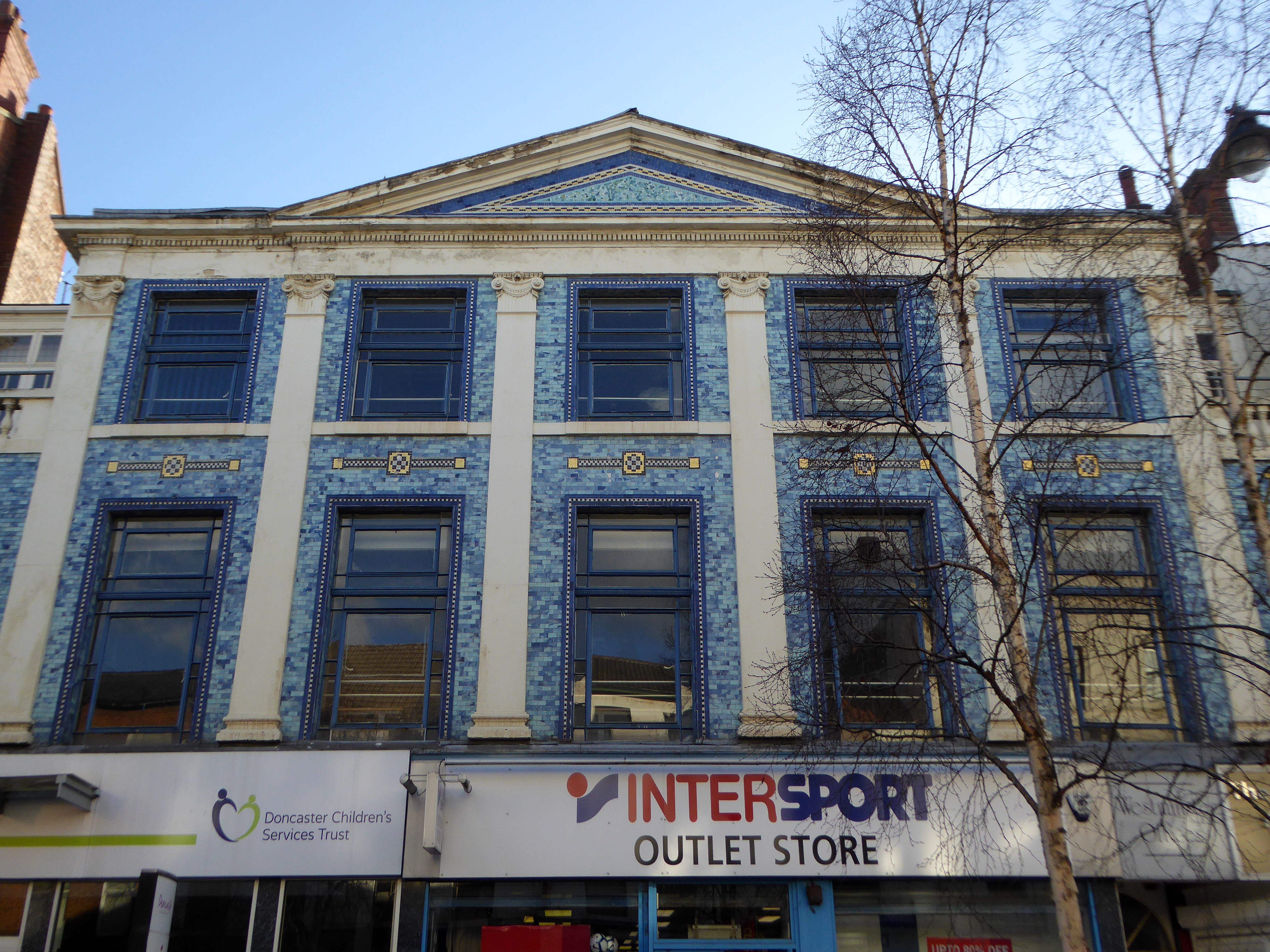
Turn right to take in the 1920s mosaic remake remodel of the Grade II listed Blue Building.
The Blue Building which used to be the Doncaster Design Centre and Tourist Information Centre was originally the home of John Whitaker, a wine merchant, and son of James Whitaker who was Mayor of Doncaster in 1758.
In 1925 the complete building was demolished apart from the facade which was retained and given a facing of decorative blue tiles. The intention was to build a shopping arcade from High Street to Printing Office Street. Only part of the arcade, known as the Westminster Arcade was built. It had a number of shops, the largest being that of Woodhouse & Co Furnishers.
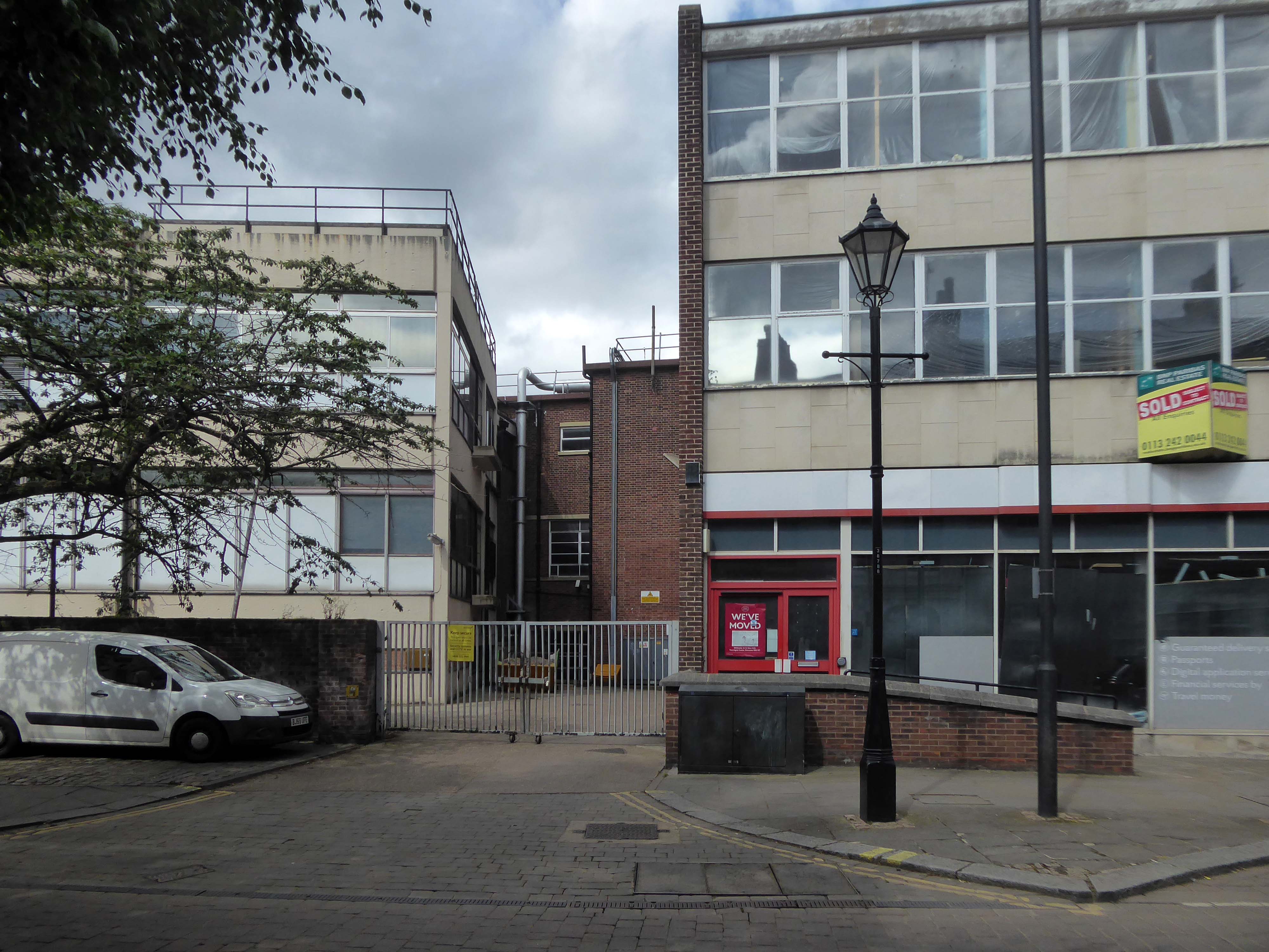
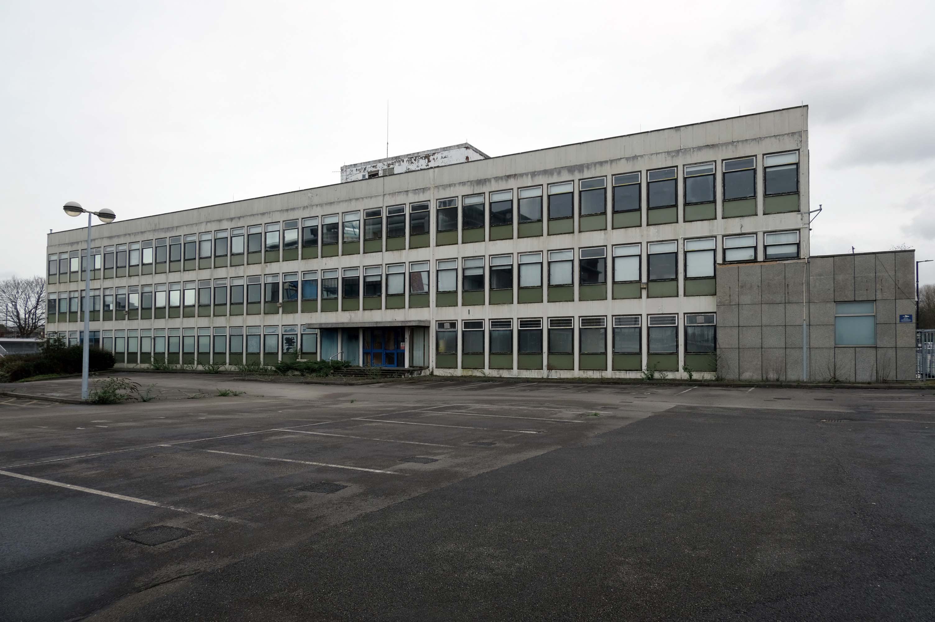
Two adjacent 60s extensions – to the right a redundant post office to the left an almost redundant telephone exchange, with the earlier brick built exchange in smack dab the middle.
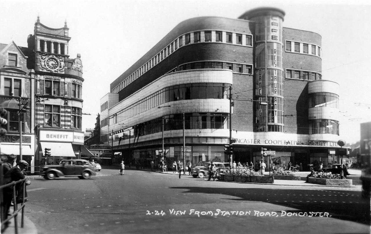
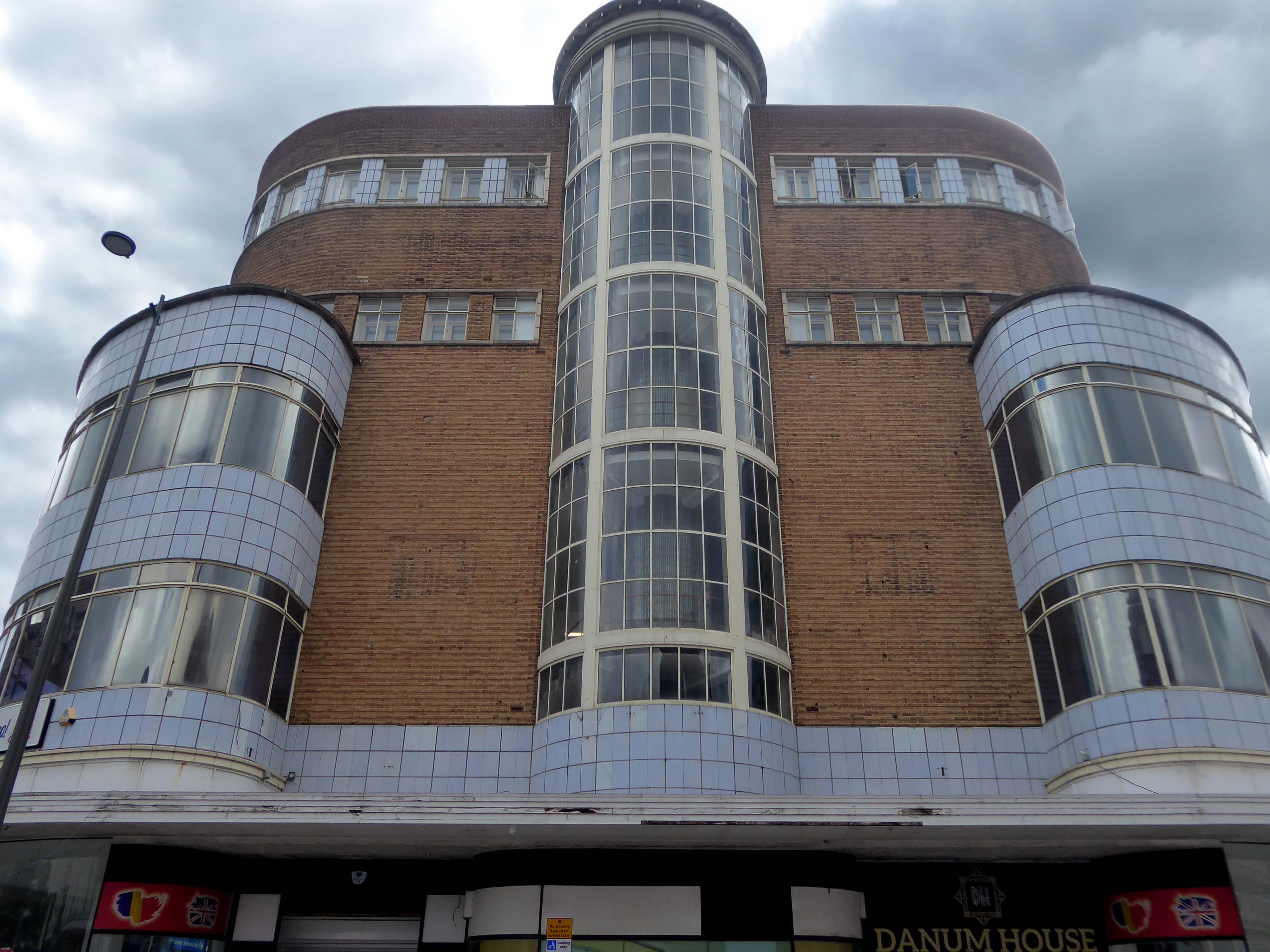
Turn another corner and it’s all at the Co-op now – the Grade II listed Danum Co-operativeBuilding, department store and offices: 1938-40 designed by T H Johnson & Son for the Doncaster Co-operative Society Ltd.
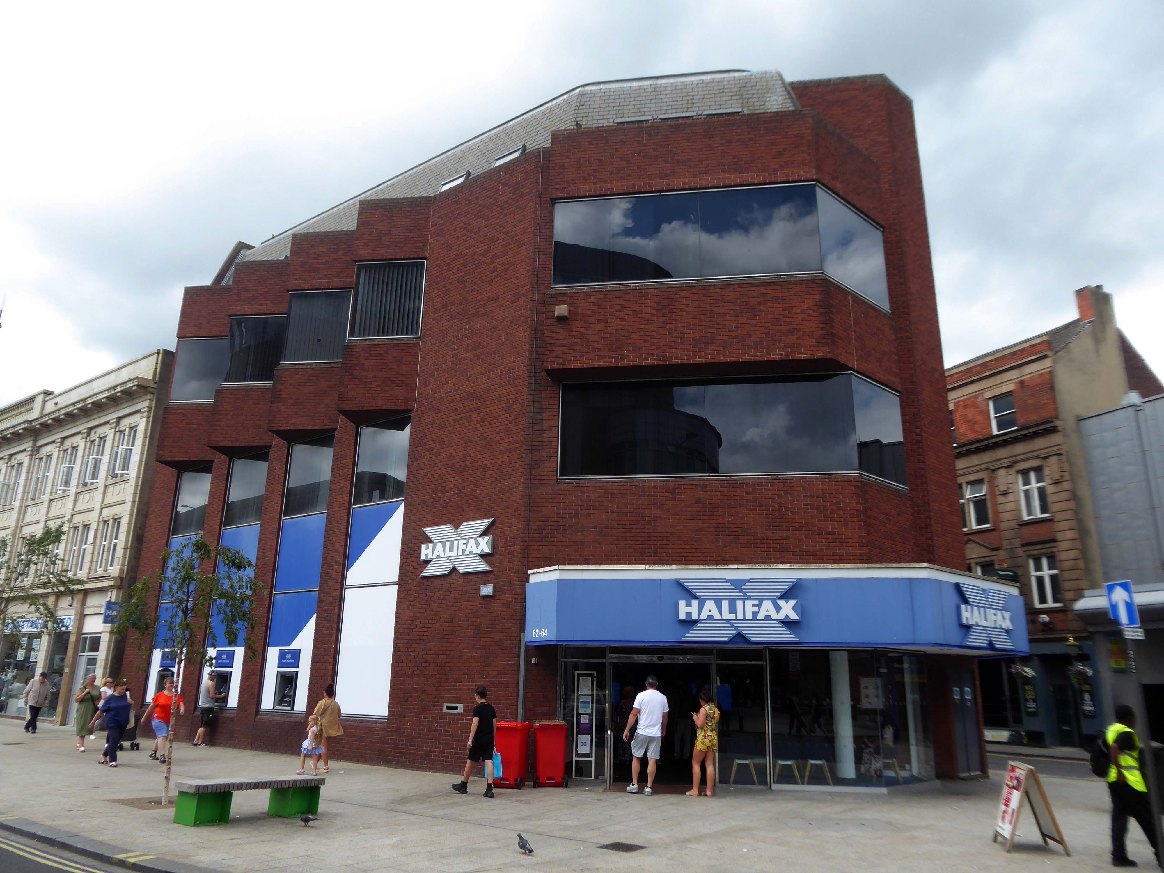
Over the road a zig-zag Halifax Building Society branch, tightly contorted by its corner footprint.
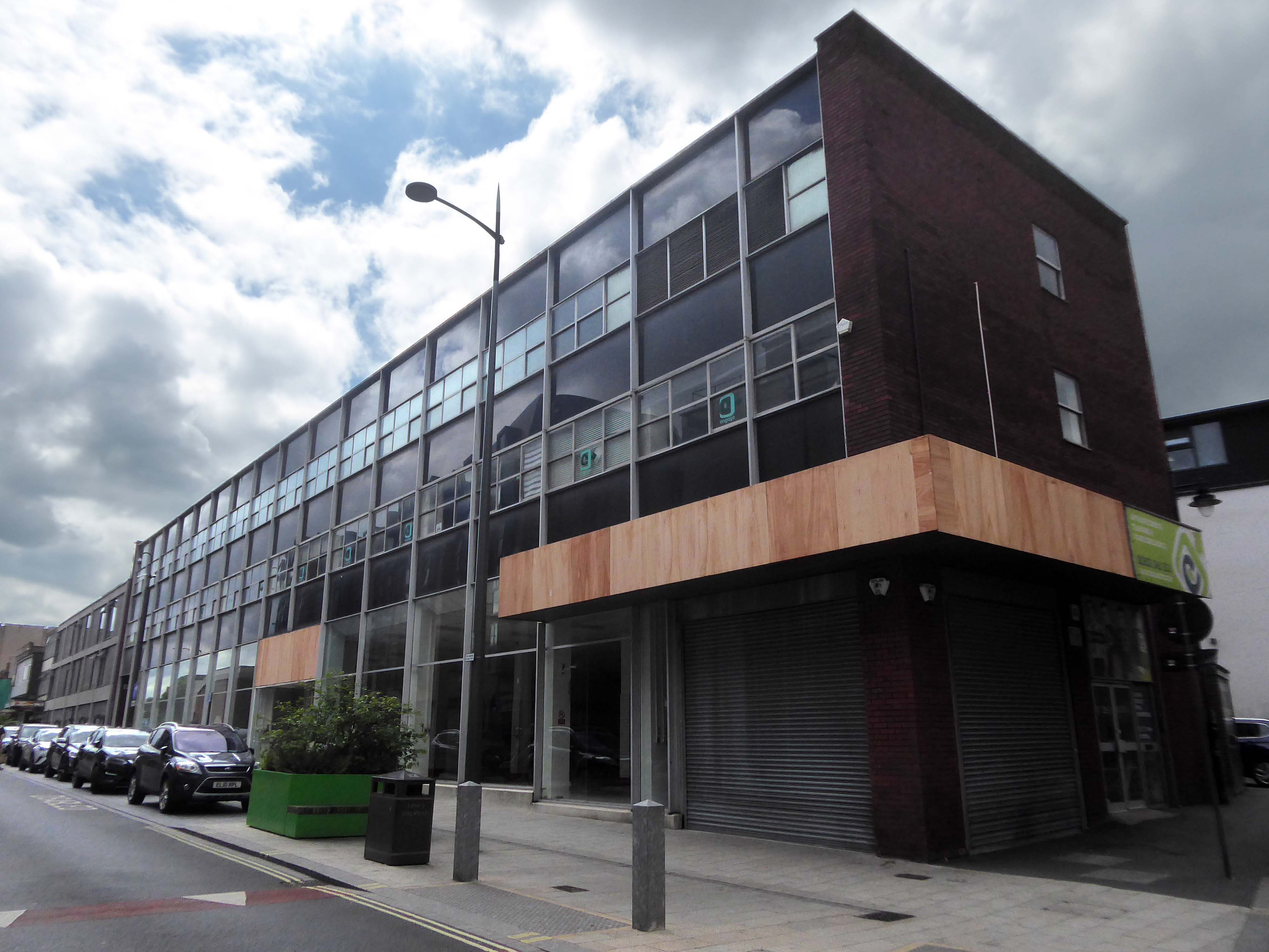
To the right of the Danum, this former Boyes store, having relocated to the Wilko site, the building is ripe for residential conversion.
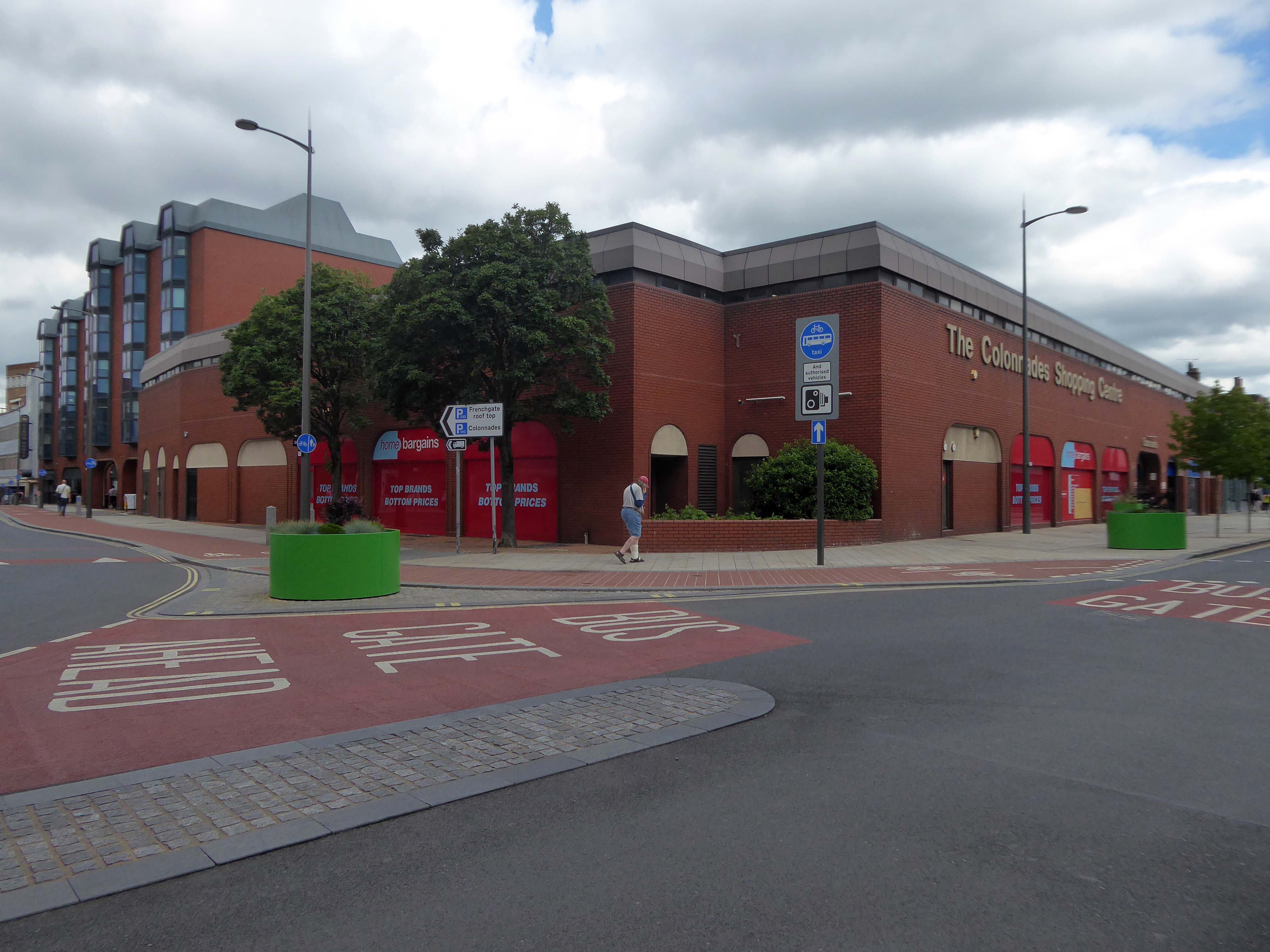
To the left the Colonnades Shopping Centre a fierce angular glass and brick bunker of mixed office and retail space – the sole occupant seeming to be Home Bargains.
A £3.3m makeover of the Colonnades shopping mall in Doncaster town centre was completed in 2019.
The scheme of works was co-ordinated by Doncaster Council and funded by the Sheffield City Region Local Growth Fund.
Built in the 1980s, the brick built building received a major overhaul. The investment saw the visual appearance enhanced inside and out. The five floors were transformed into the prime office space needed in the town centre and the enhancements to the retail area were also finished.
The shift in the town’s axis to the Frenchgate and Market areas, seems to have taken the wind out of its sails.
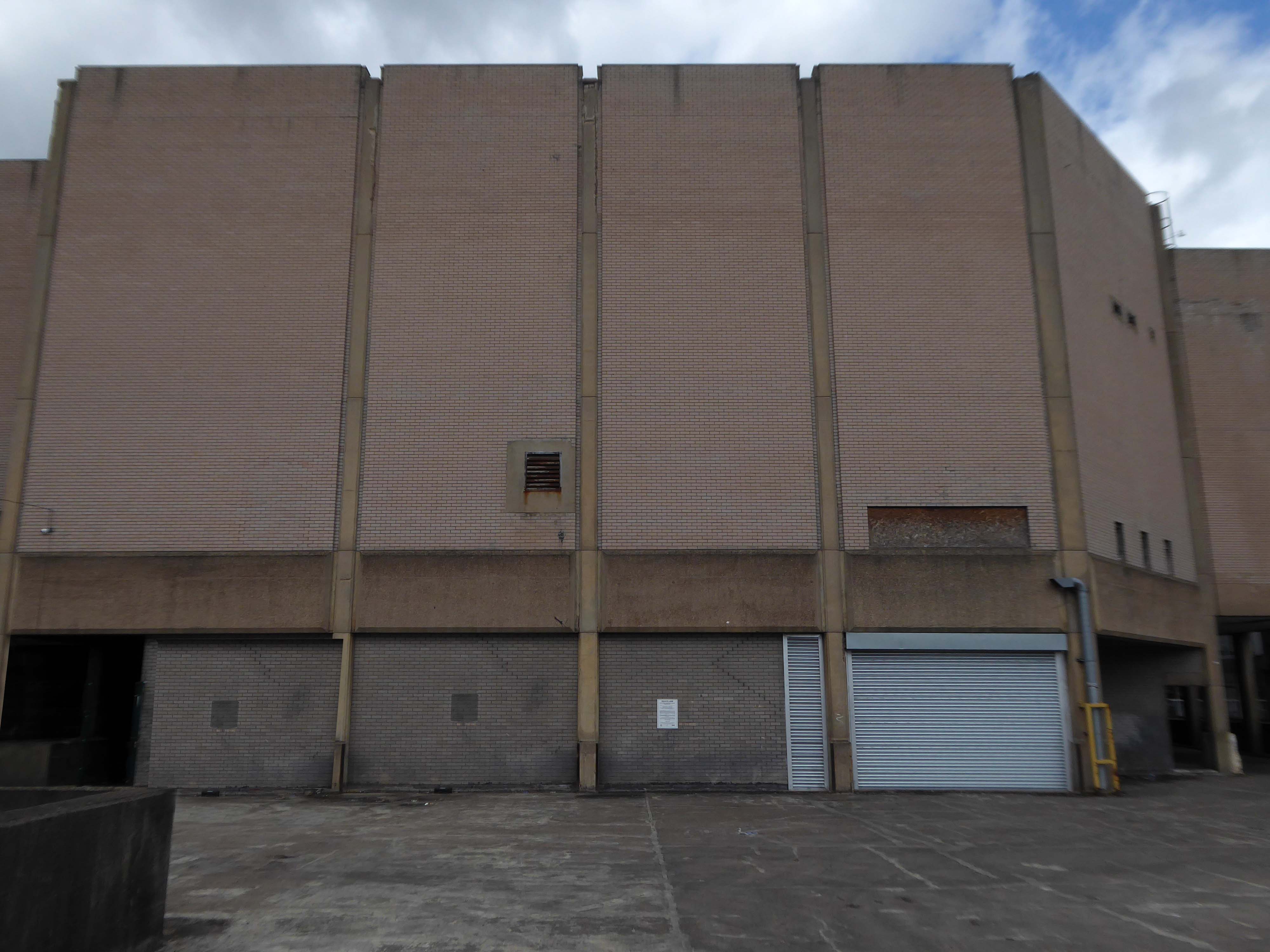
The former flicks now a redundant pale brick behemoth – no more and ABC.
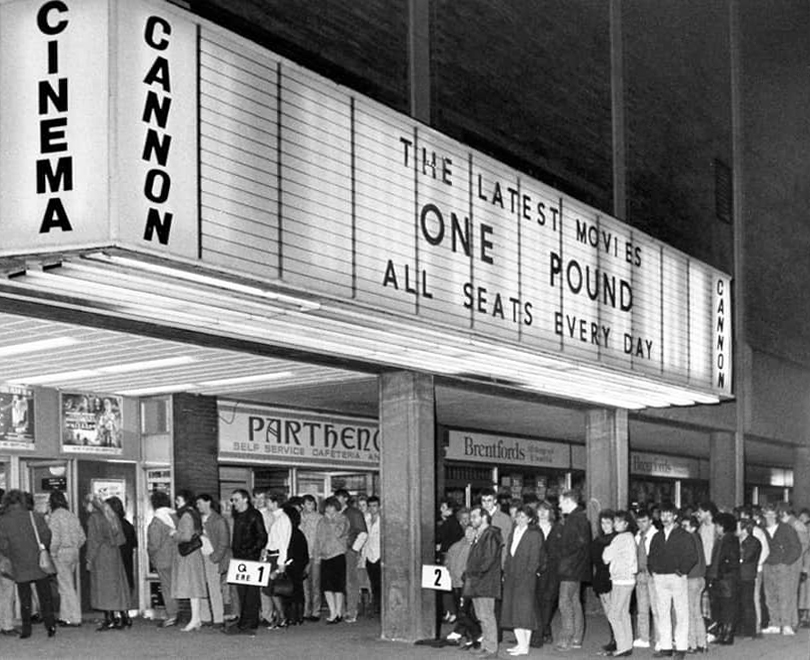
Doncaster’s new £250,000 ABC cinema, part of the Golden Acres development near the town centre, was opened on May 18th 1967.
Closed in January 1981 for conversion into a triple screen it re-opened on 9th April 1981 with seating in the three screens for 477, 201 and 135.
The Cannon Group took control in the mid-1980’s and it was re-named Cannon and it closed on 18th June 1992, screening its opening film Doctor Zhivago.
Cinema Treasures
The Golden Acres development seemed to have morphed into the Waterdale Centre.
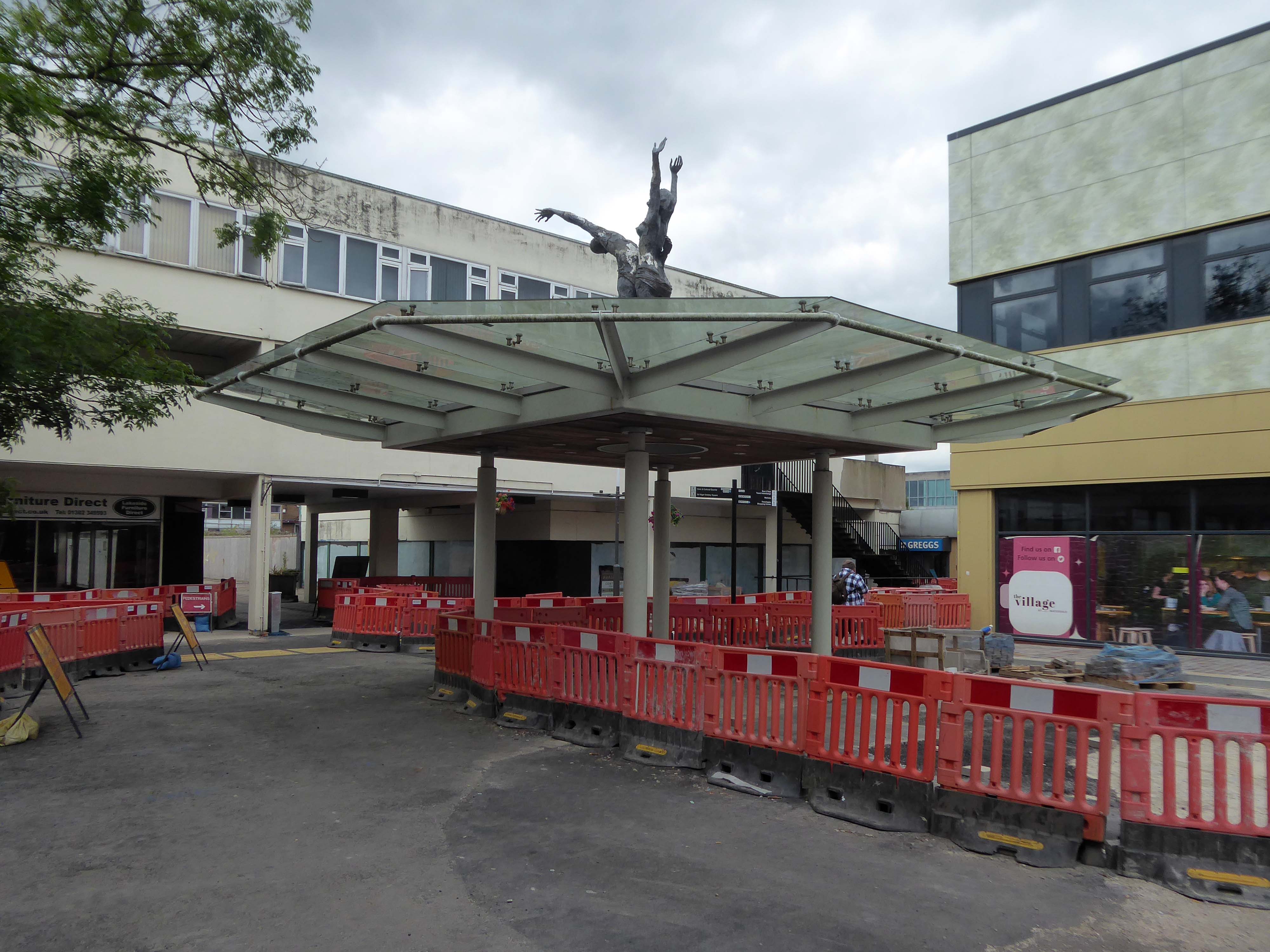
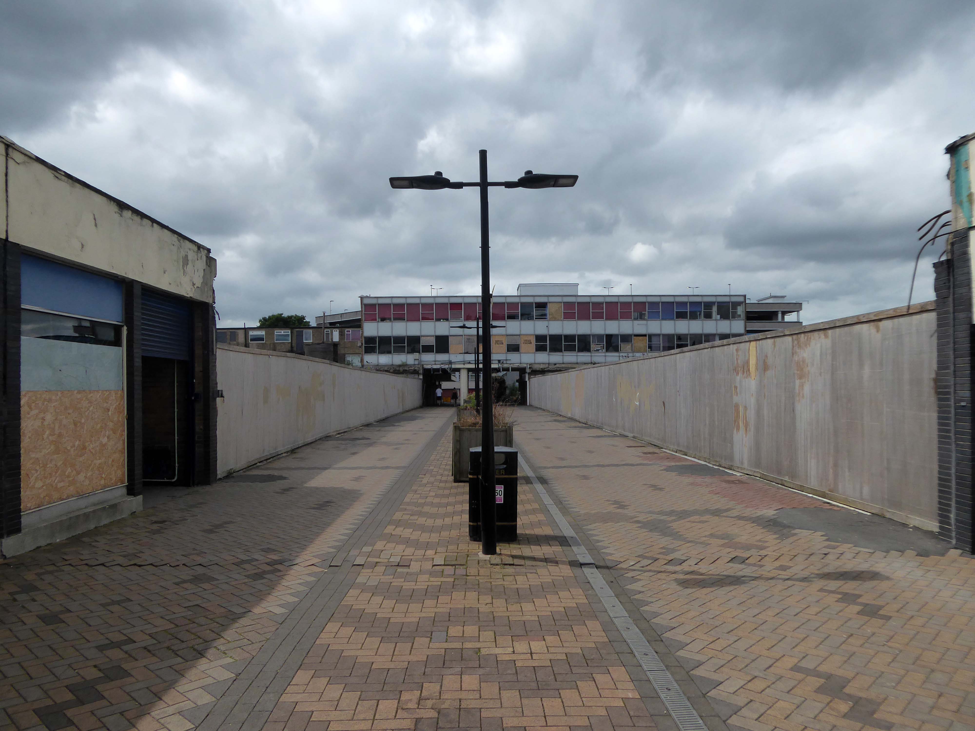
It is currently being reshaped to provide a line of desire twixt the Civic and Cultural areas, from the town centre. There are still the remnants of homes, shops and a pub amongst the demolition – almost inevitably there is new paving.
Waterdale is a well-known part of Doncaster’s town centre. During its heyday it was a bustling area with people flocking to shops and the like – it was a place you had to visit while you were in town. However, it had suffered a steady decline which continued when the southern bus station closed – Frenchgate Interchange opening, and Doncaster College moved to the Hub at the Waterfront. With limited public transport entering the area and no student population on its doorstep, less people had reason to pass through.
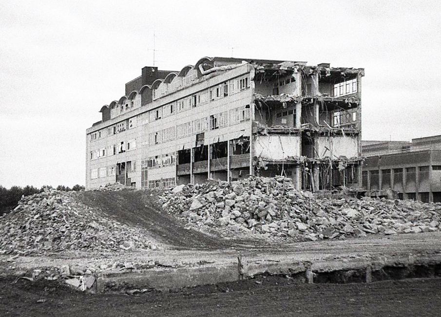
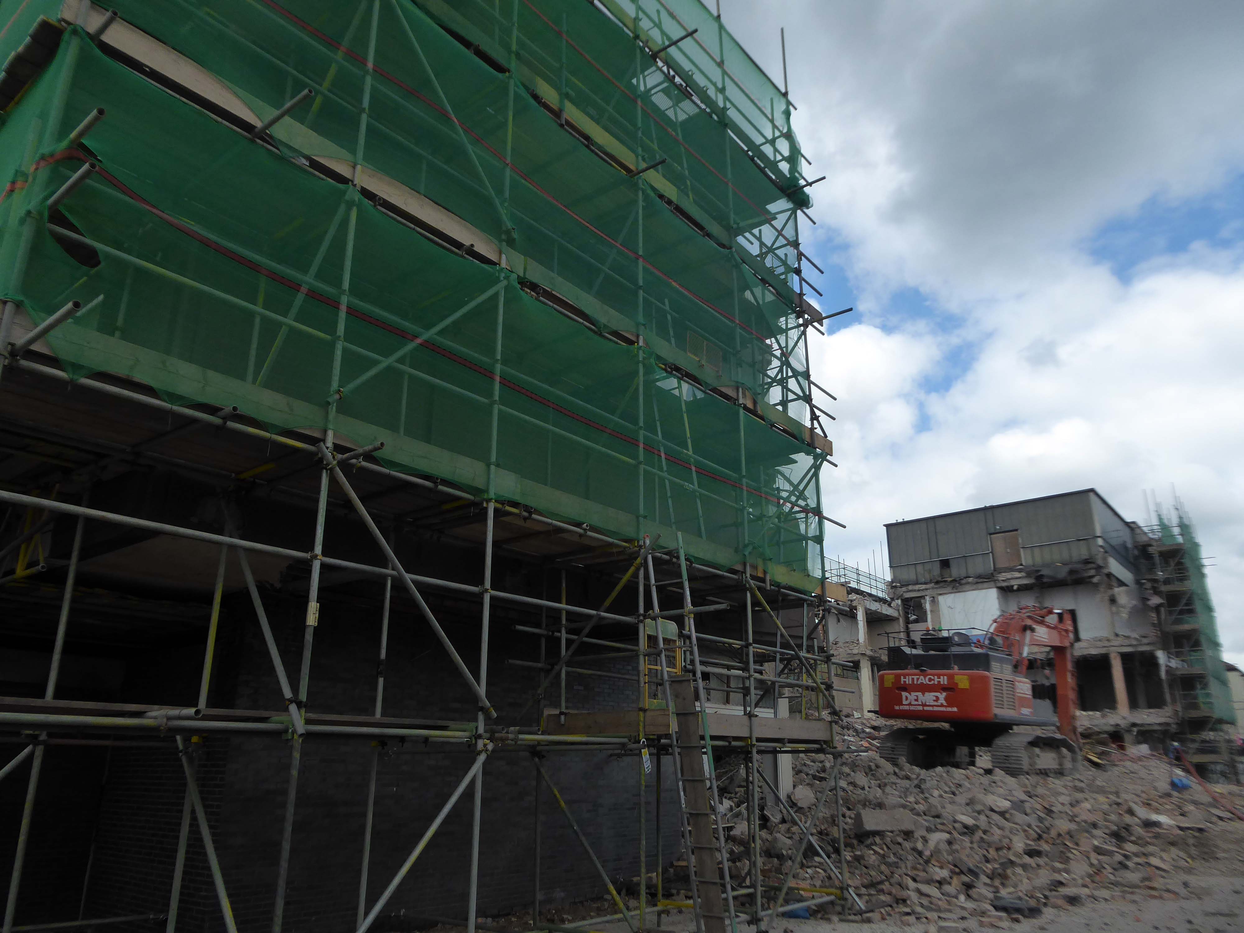
Demolition of the College.
The Civic and Cultural Quarter is transforming Waterdale reconnecting it to the town centre. The quality and content of the plans is raising the profile of this part of town to new levels. The carefully thought out layout and consistent building design is giving the area a clear identity. It is already becoming a big attraction that draws people in and encourages redevelopment in the neighbouring areas.
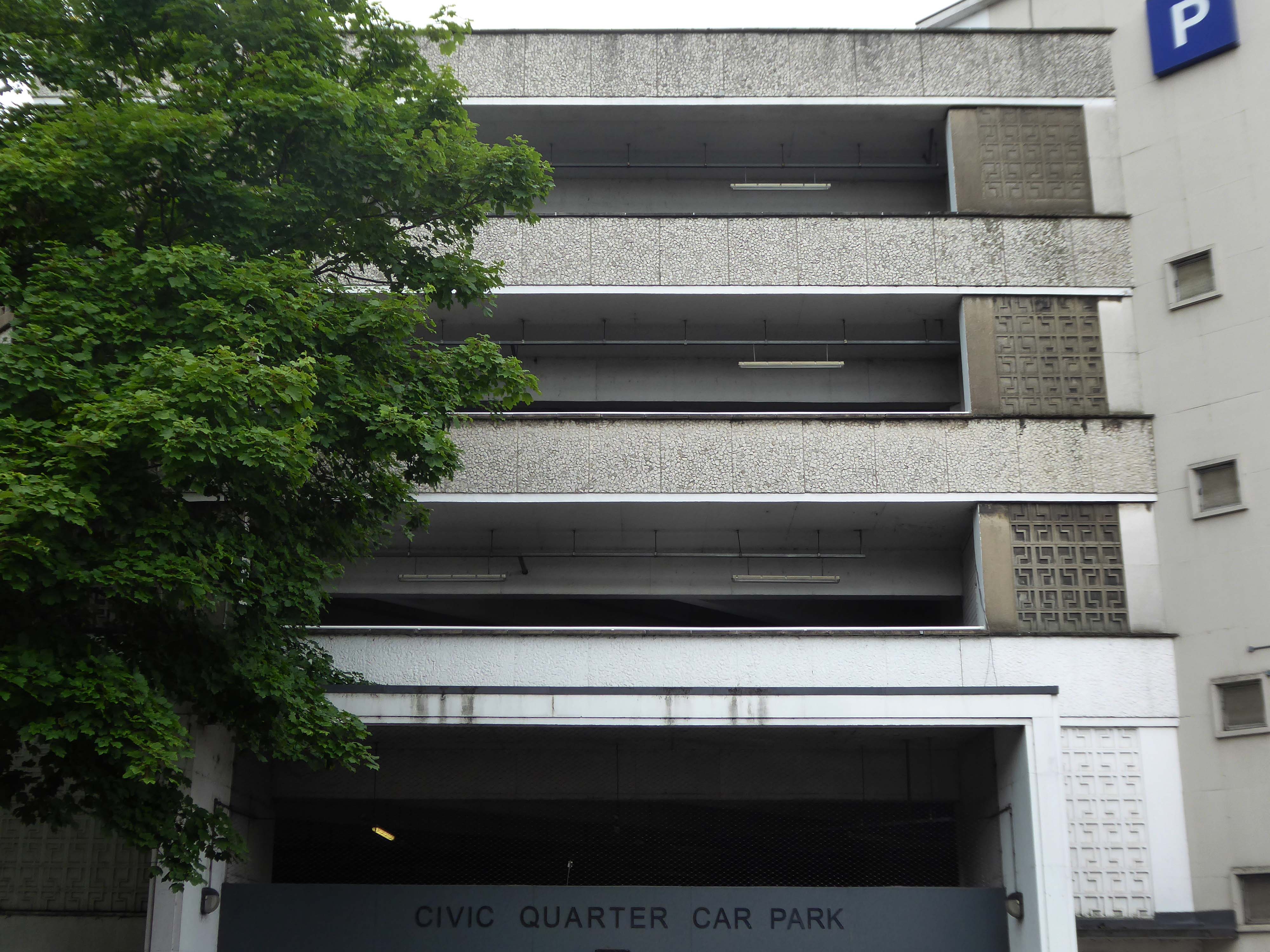
The weary walker is diverted toward the Civic Quarter Car Park.
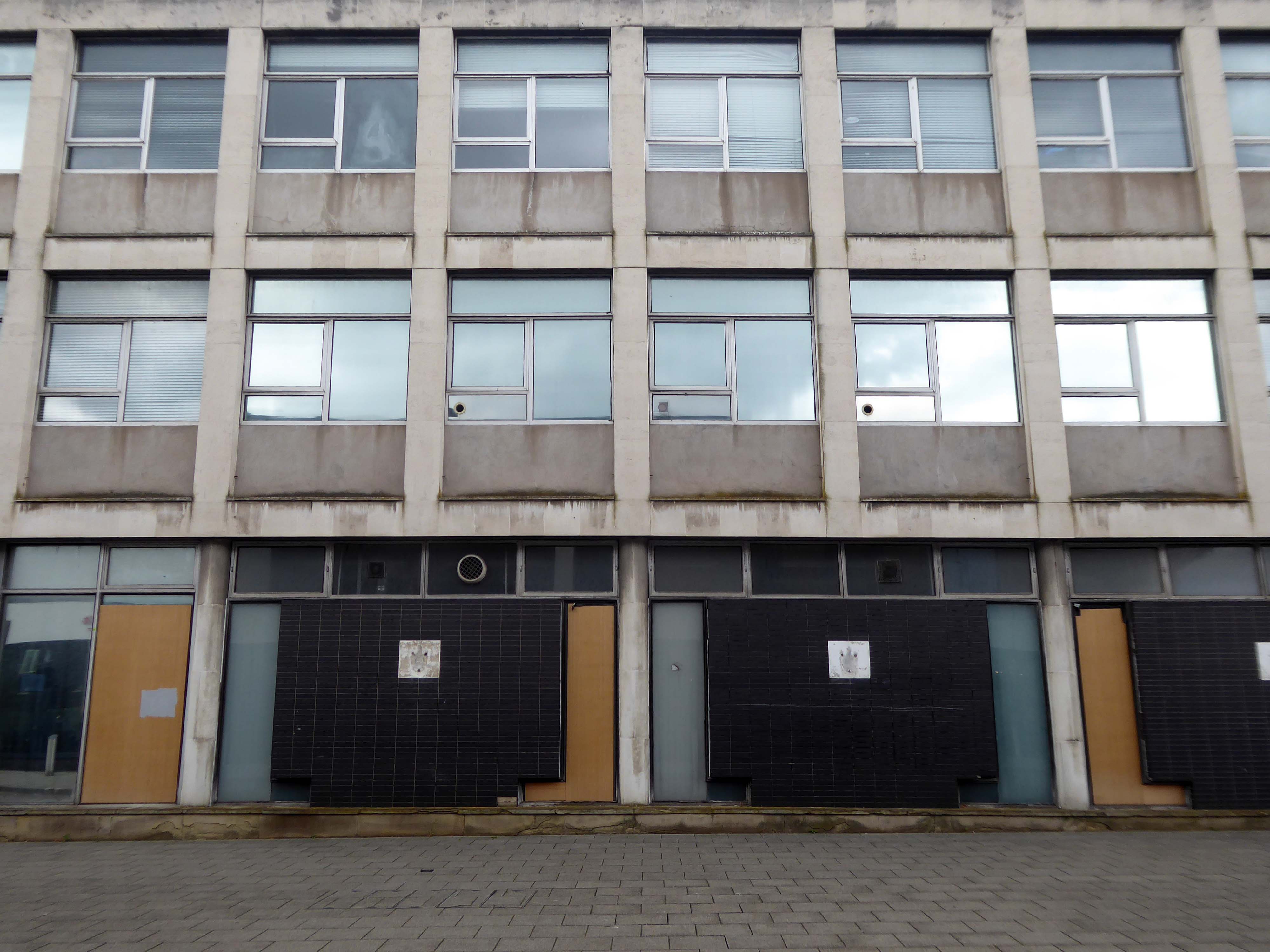
The former Civic Offices are to be demolished.
Demolition of the Central Library is well under way.
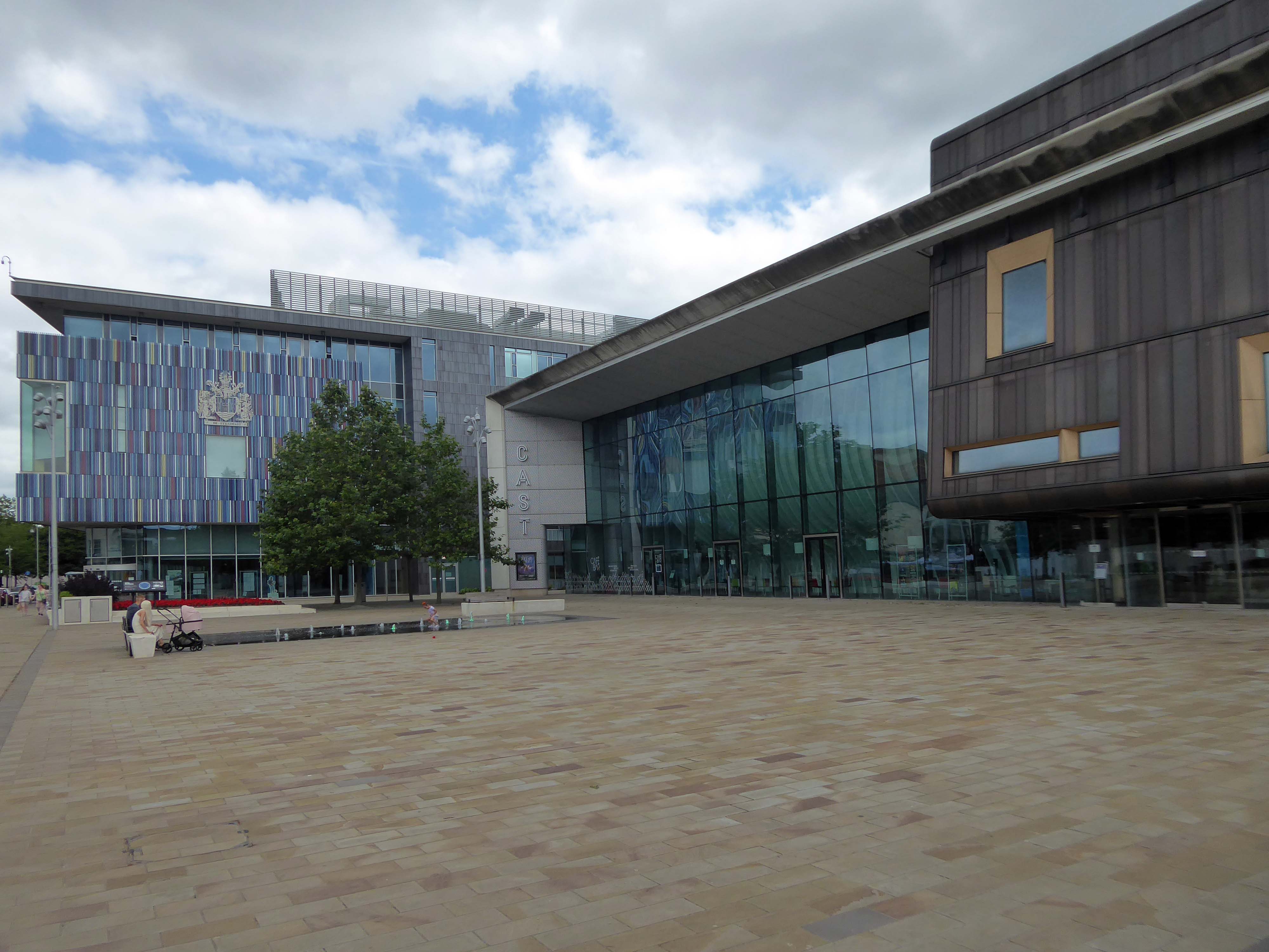
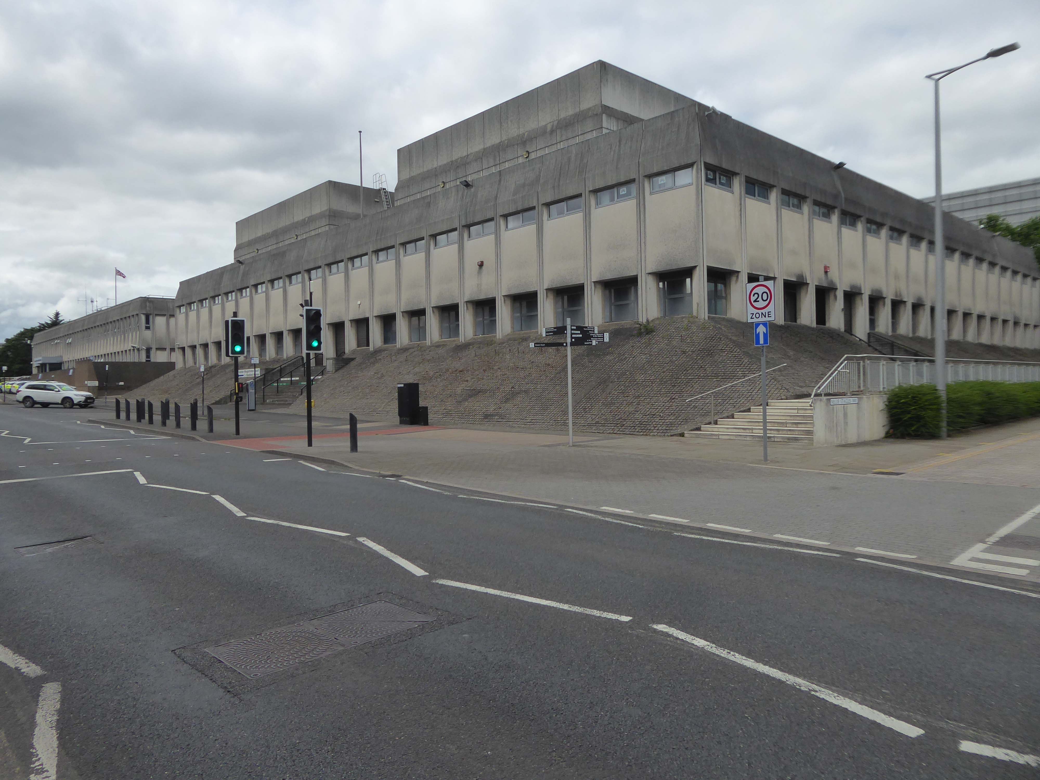
Facing the former library we find the CAST Theatre, Civic Buildings and Savoy Cinema, grouped around Sir Nigel Gresley Square.
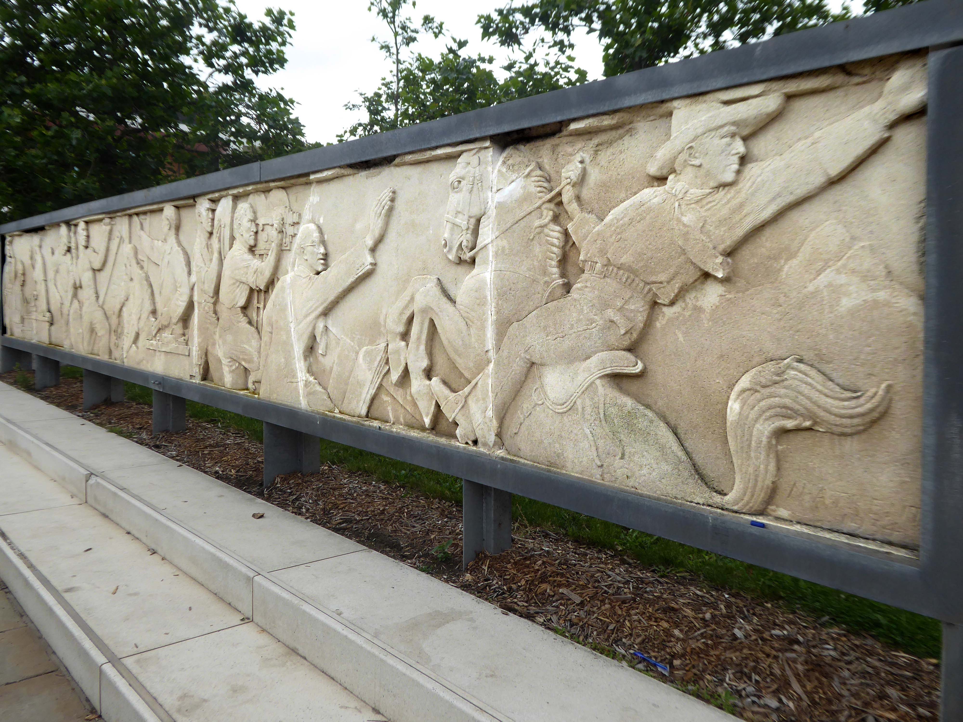
Within the square is a frieze, salvaged from the former Gaumont Cinema, the work of sculptor Newbury Abbot Trent.
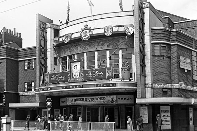
The Gaumont Palace Theatre in Hall Gate at the corner of Thorne Road, Doncaster opened on 3rd September 1934 with Jesse Matthews in Evergreen.
It was designed by architects WE Trent and W Sydney Trent.
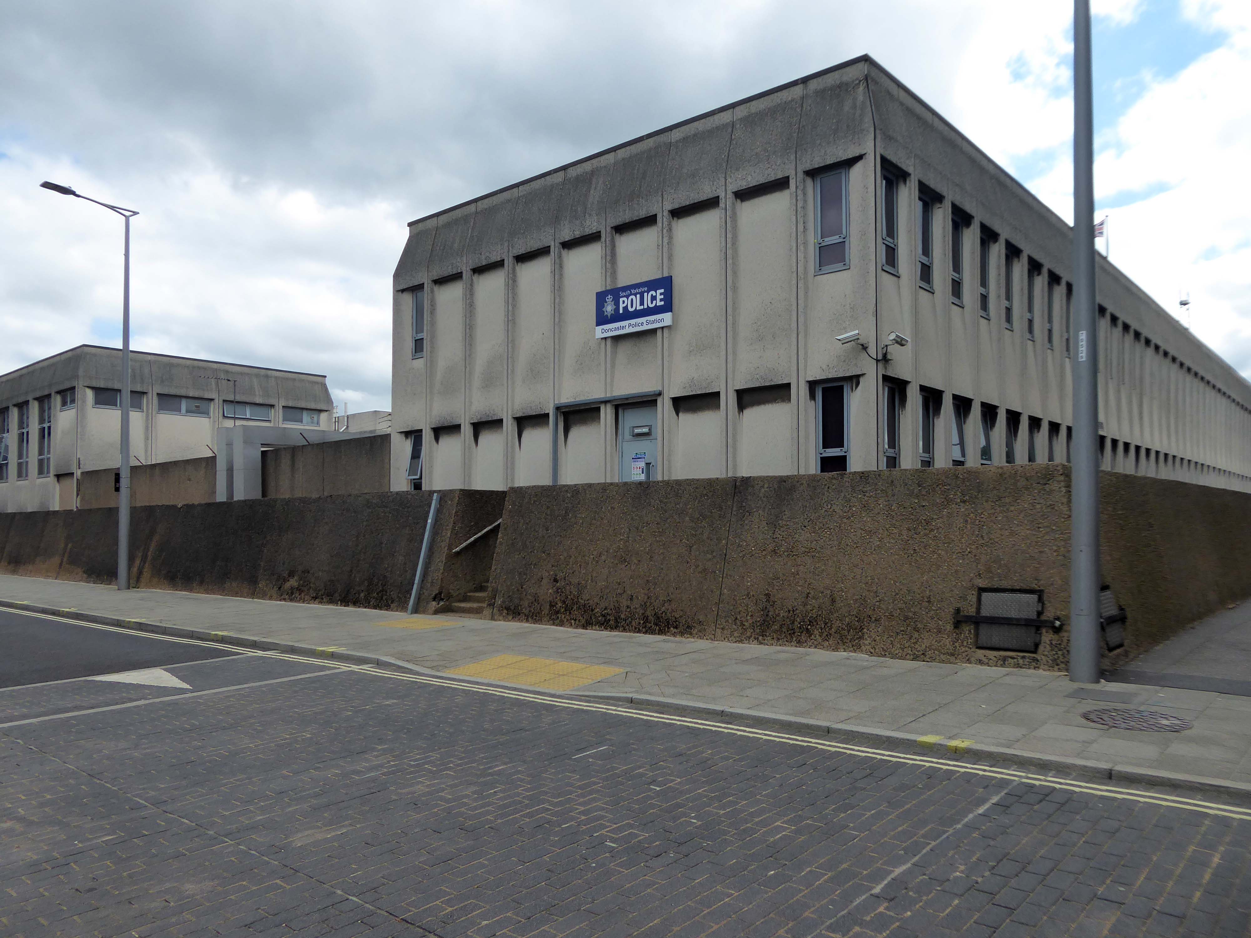
In 1949 WH Price the Borough Surveyor produced an outline plan for the area, with a green space at its heart, it was never realised. In 1955 Frederick Gibberd produced his plan to include a ten storey Town Hall, Art School, Technical College and Civic Theatre, revised and reduced in 1963 – eventually his Police Station and Law Courts were completed in 1969.
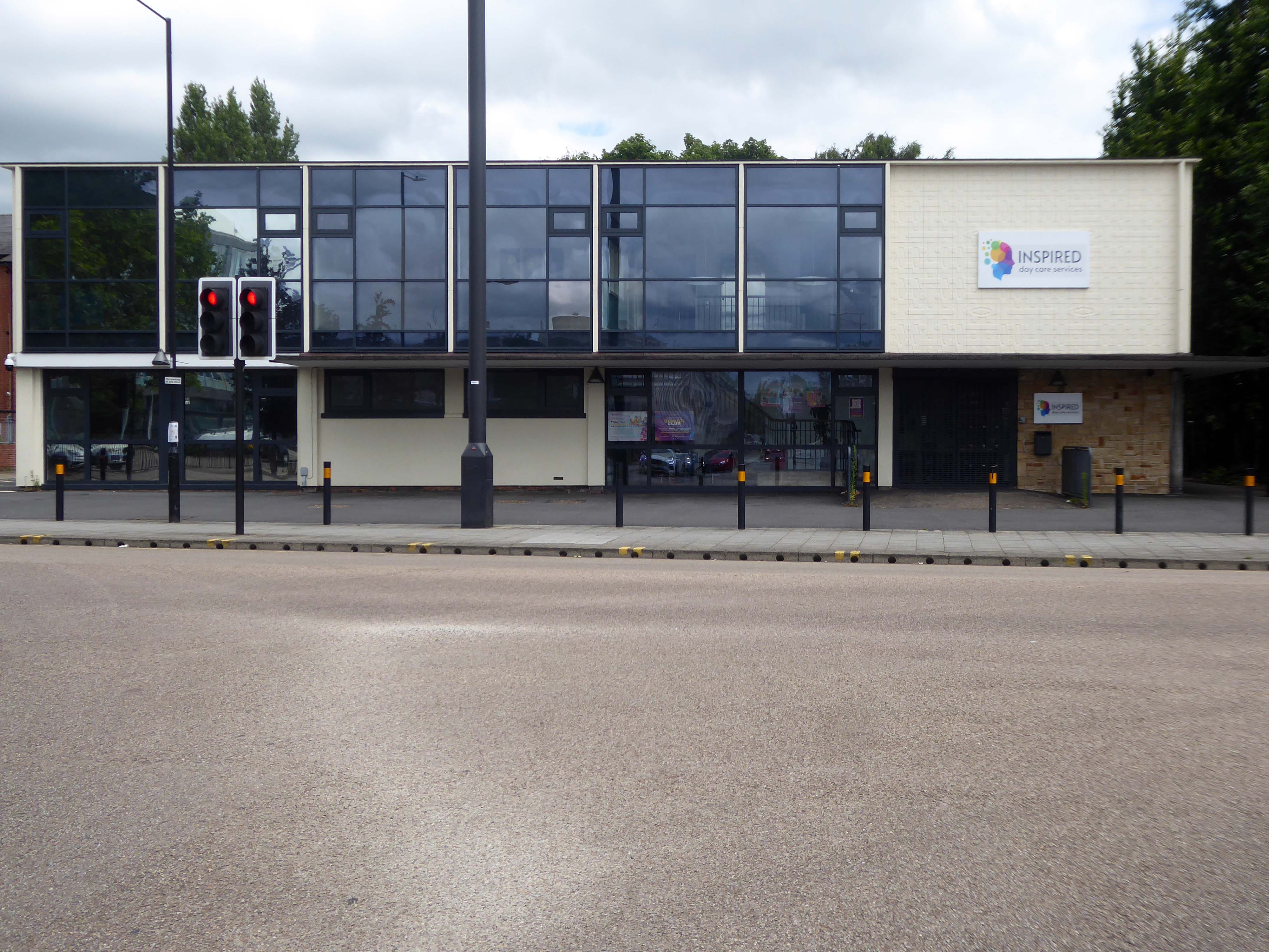
The former NHS Clinic at the ‘T Junction’ is transformed into a day care service.
The building was designed in the office of the Doncaster Borough Architect’s Department in a team led by borough architect Mr LJ Tucker.
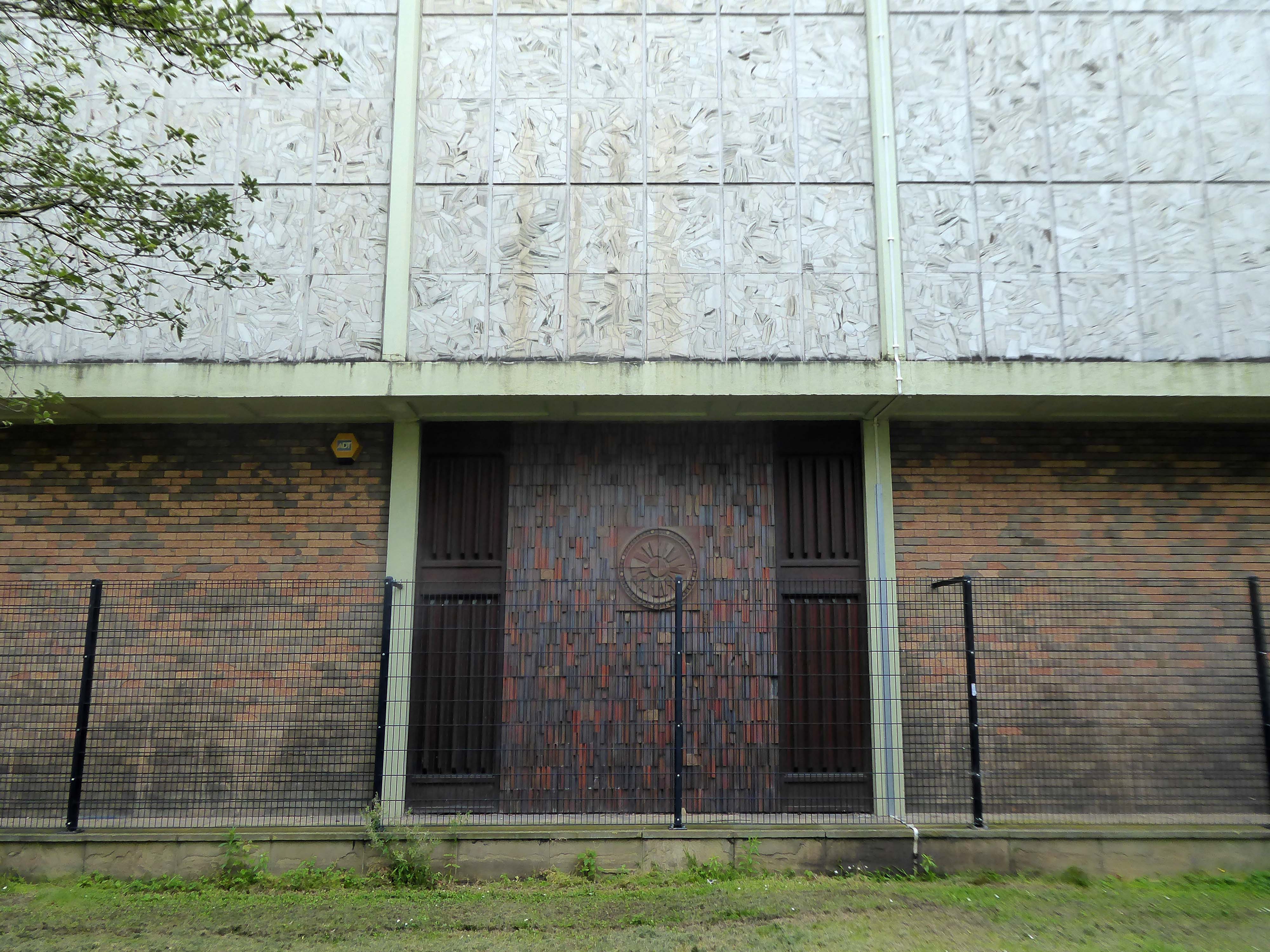
The ceramic designs were a later addition when it was discovered that the large open areas of glass overheated almost everything inside, the work was undertaken by LJ Tucker and family.
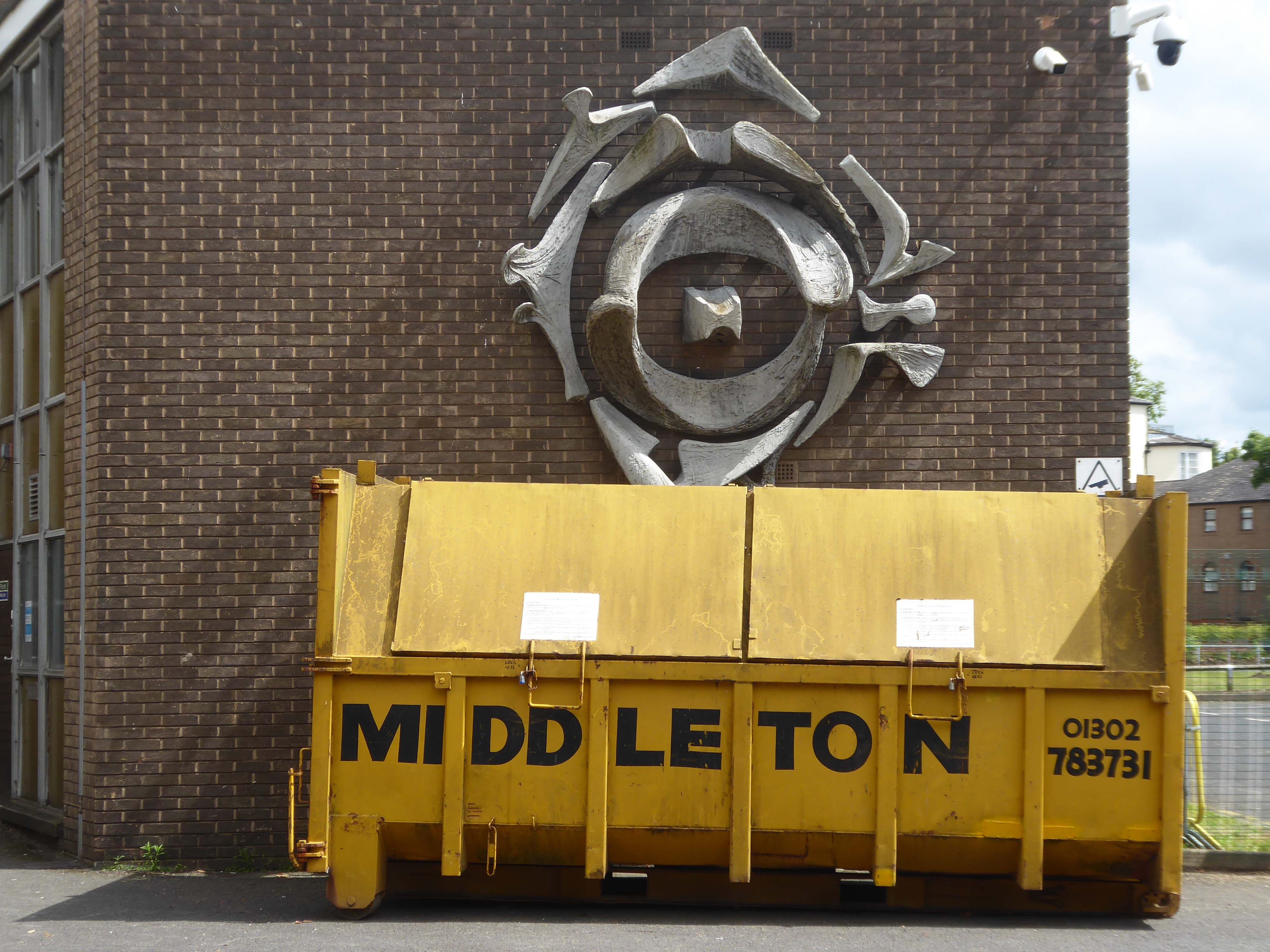
The sculptural work by Franta Belsky, now has a skip for company.
As a footnote the work by Fabio Barraclough reveals a murky past.
Barraclough was born in Madrid in 1923, to a Spanish mother and Yorkshire father who founded Madrid’s Chamber of Commerce. He moved to London with his family in the 1930s as a refugee from Francoist Spain. He taught fine art and sculpture at Rugby School, where colleagues considered him “highly entertaining, a most unorthodox and highly gifted” teacher. He established himself during the 1960s and early 1970s as an authority on sculpture, publishing in academic journals and becoming a member of the Royal British Society of Sculptors.
In 2000, it was revealed that Barraclough, while outwardly living the life of anti-apartheid activist since the 1970s, had been a paid informant of the South African state security police. The media was used to promote his image as a “brilliant, liberal artist with apparently impeccable credentials” in order to gain public trust, while he was funnelling money from anti-apartheid groups to the police. He died on 6th January 2019.
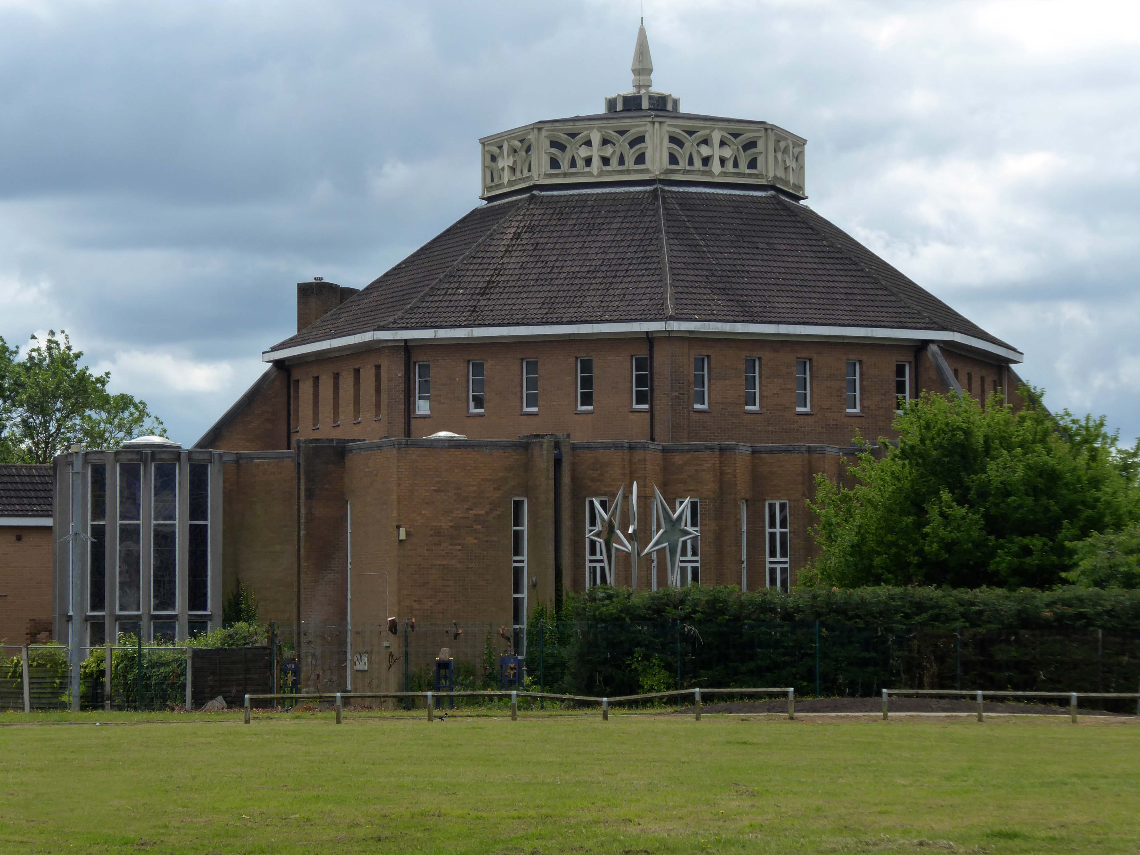
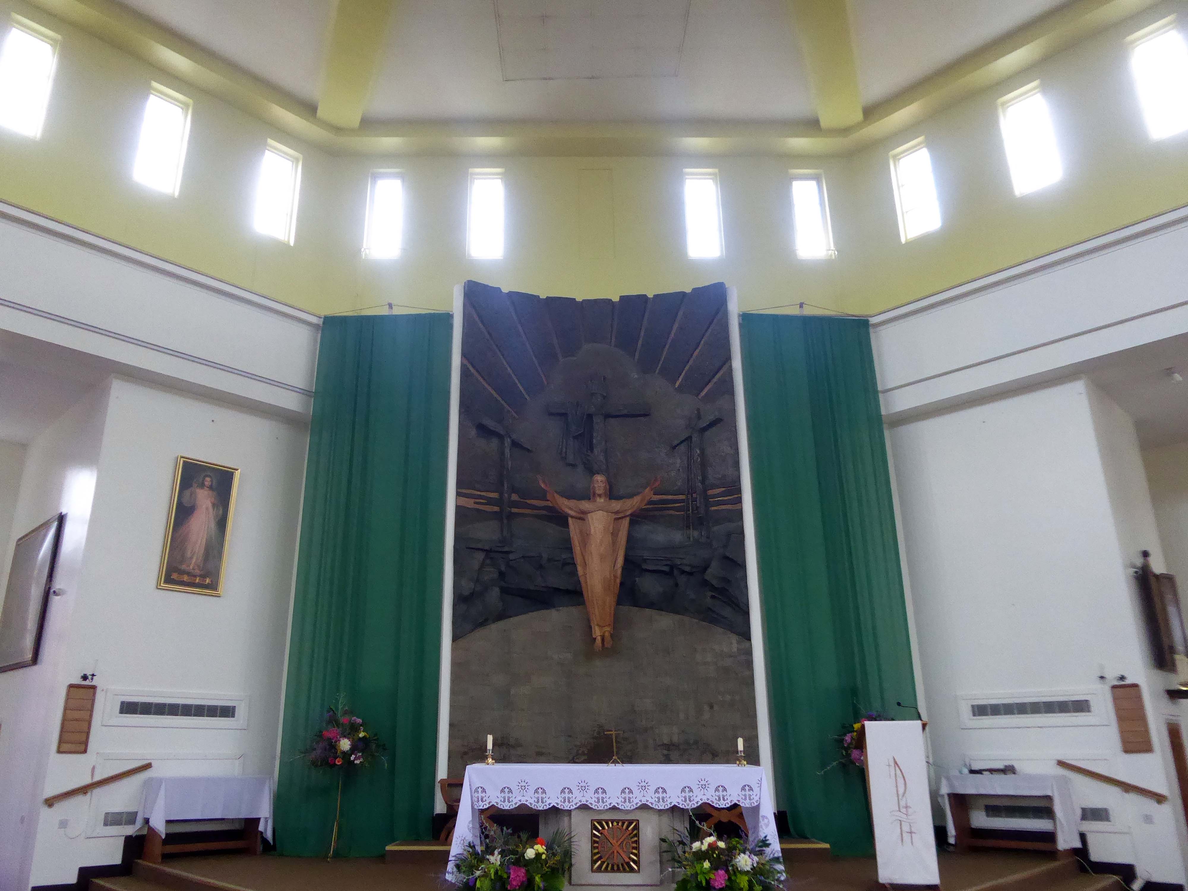
Over the way faros the green sward is St Peter in Chains RC – A large and striking design by JH Langtry-Langton, incorporating important furnishings by J F Bentley from the predecessor church, along with good furnishings of the 1970s. The churches houses the modern successor to the medieval shrine of Our Lady of Doncaster.
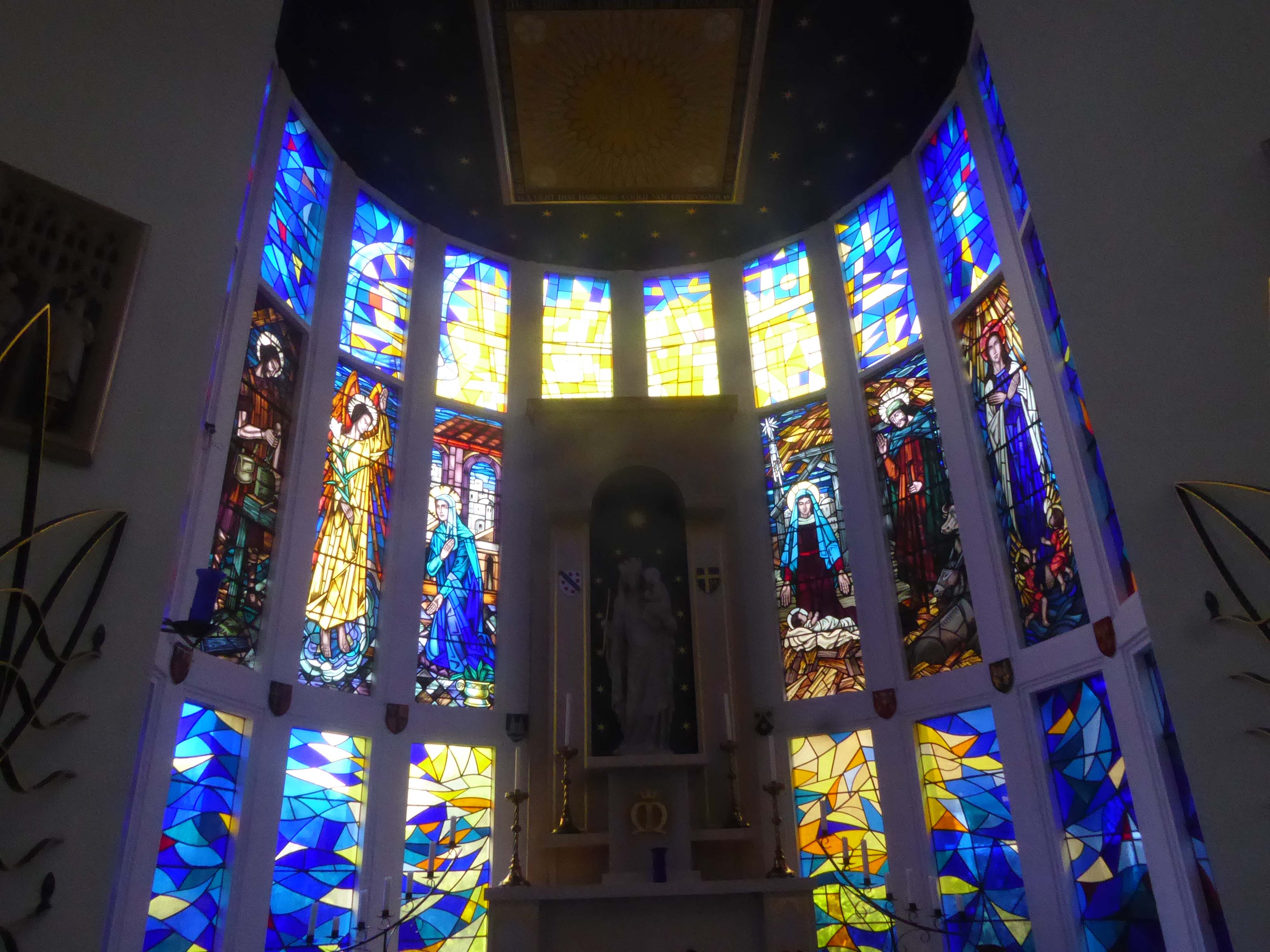
Figurative stained glass by Patrick Feeny for Hardman in 1973 and abstract glass fitted in 2000 as part of reordering and revival of the shrine.
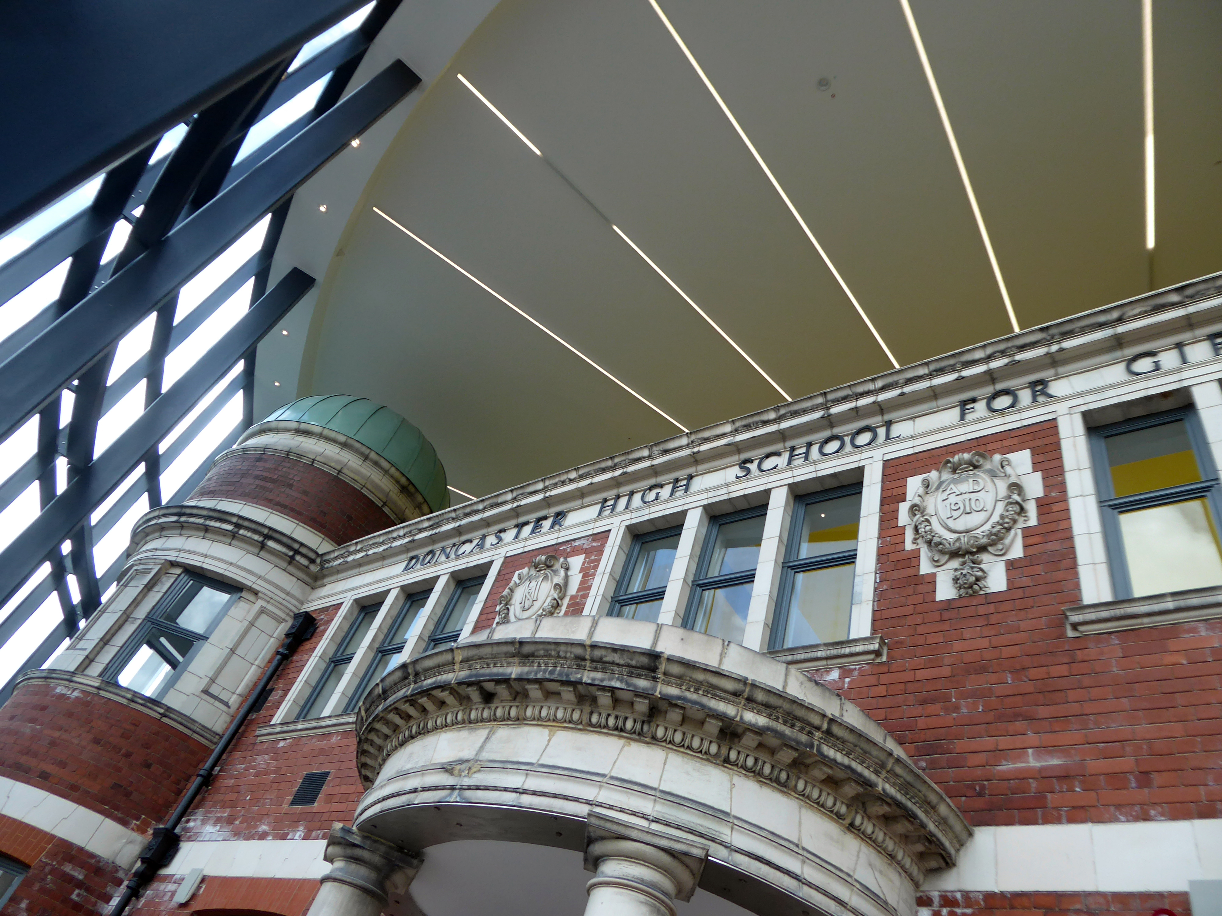
Designed by architects Bond Bryan and built by main contractor Willmott Dixon, the new cultural and learning hub has been created following the restoration of four existing buildings.
A key focal point of the scheme is the restored frontage of the Edwardian former Doncaster High School for Girls, which has been framed by Senior’s slimline SF52 aluminium curtain wall and showcased within a new steel-frame building. The glazed facade, which was fabricated and installed by Senior’s supply chain partner Chemplas, also features Senior’s aluminium commercial doors.
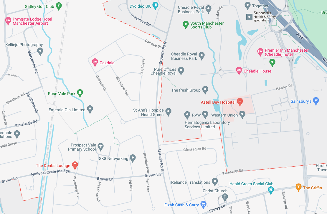
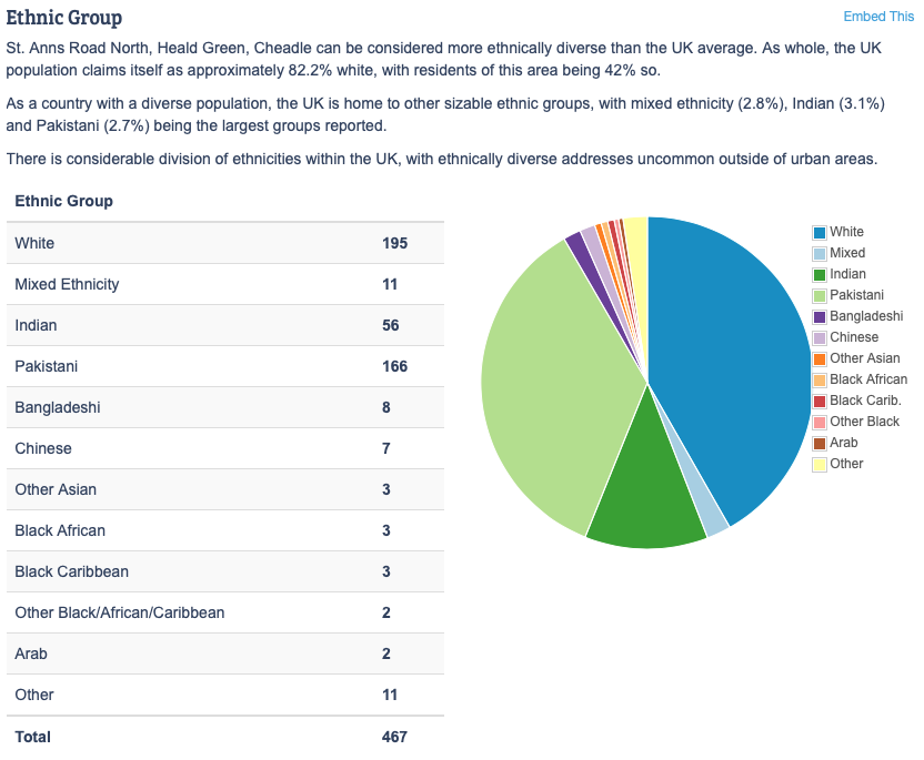
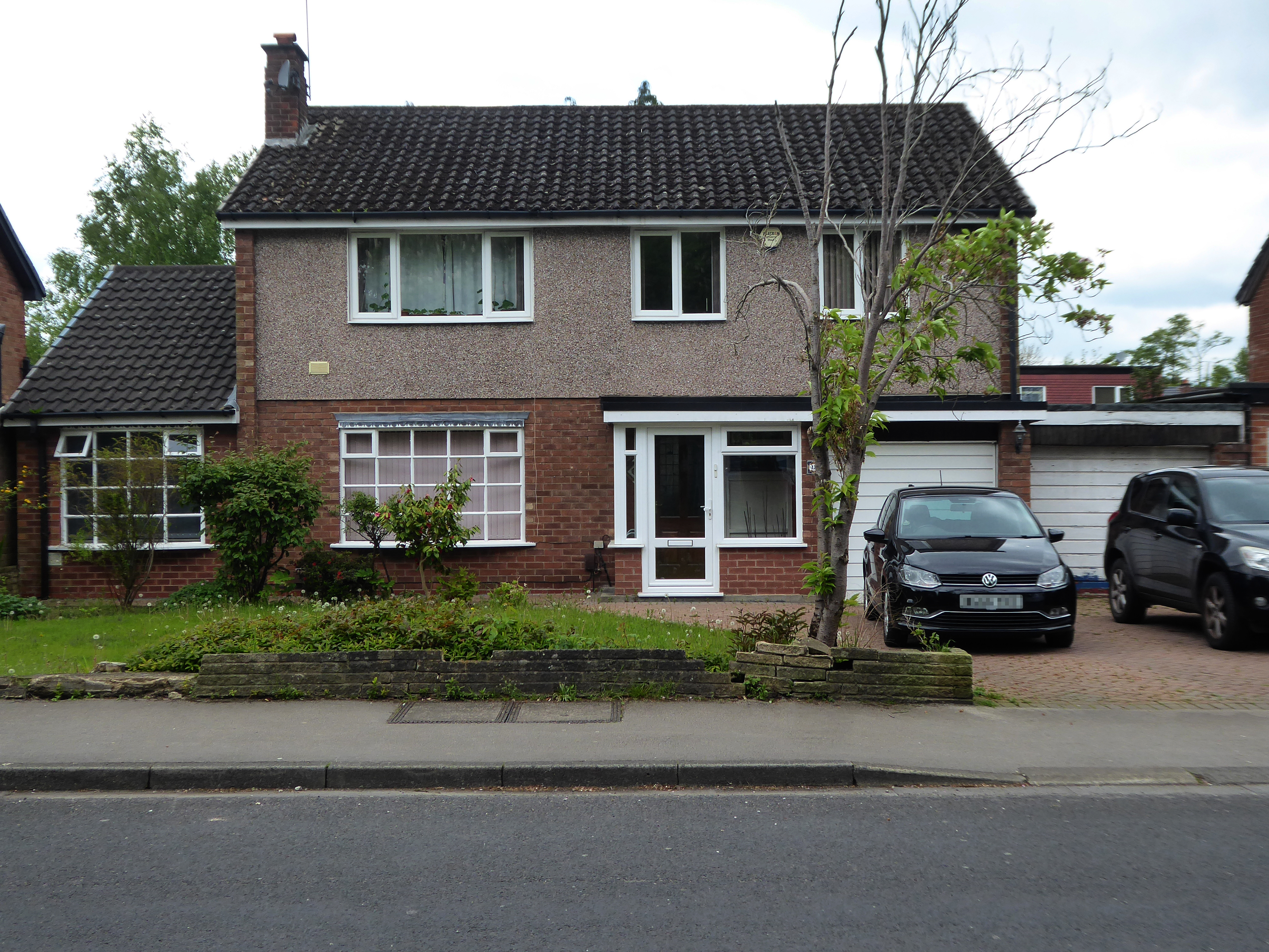
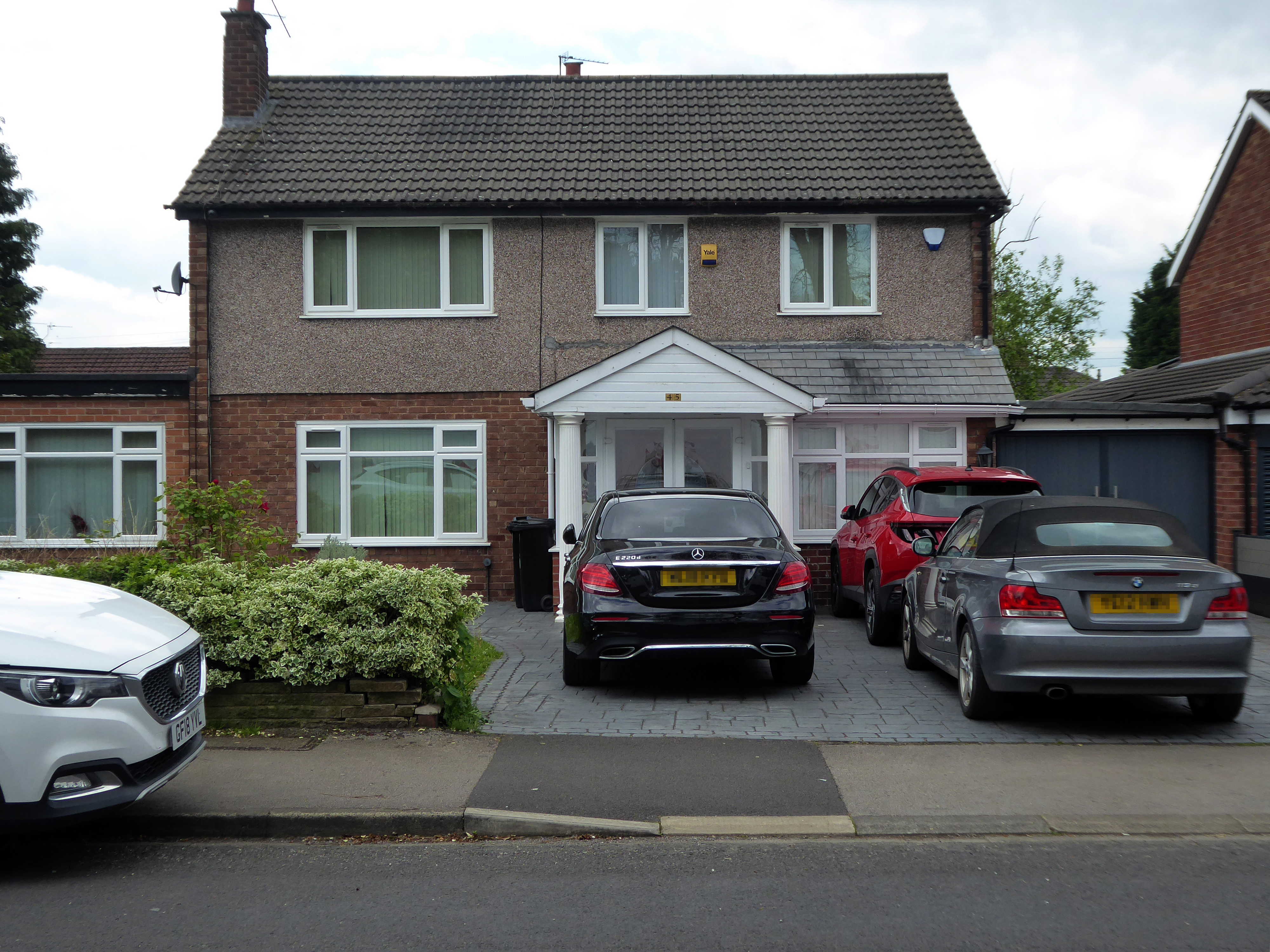
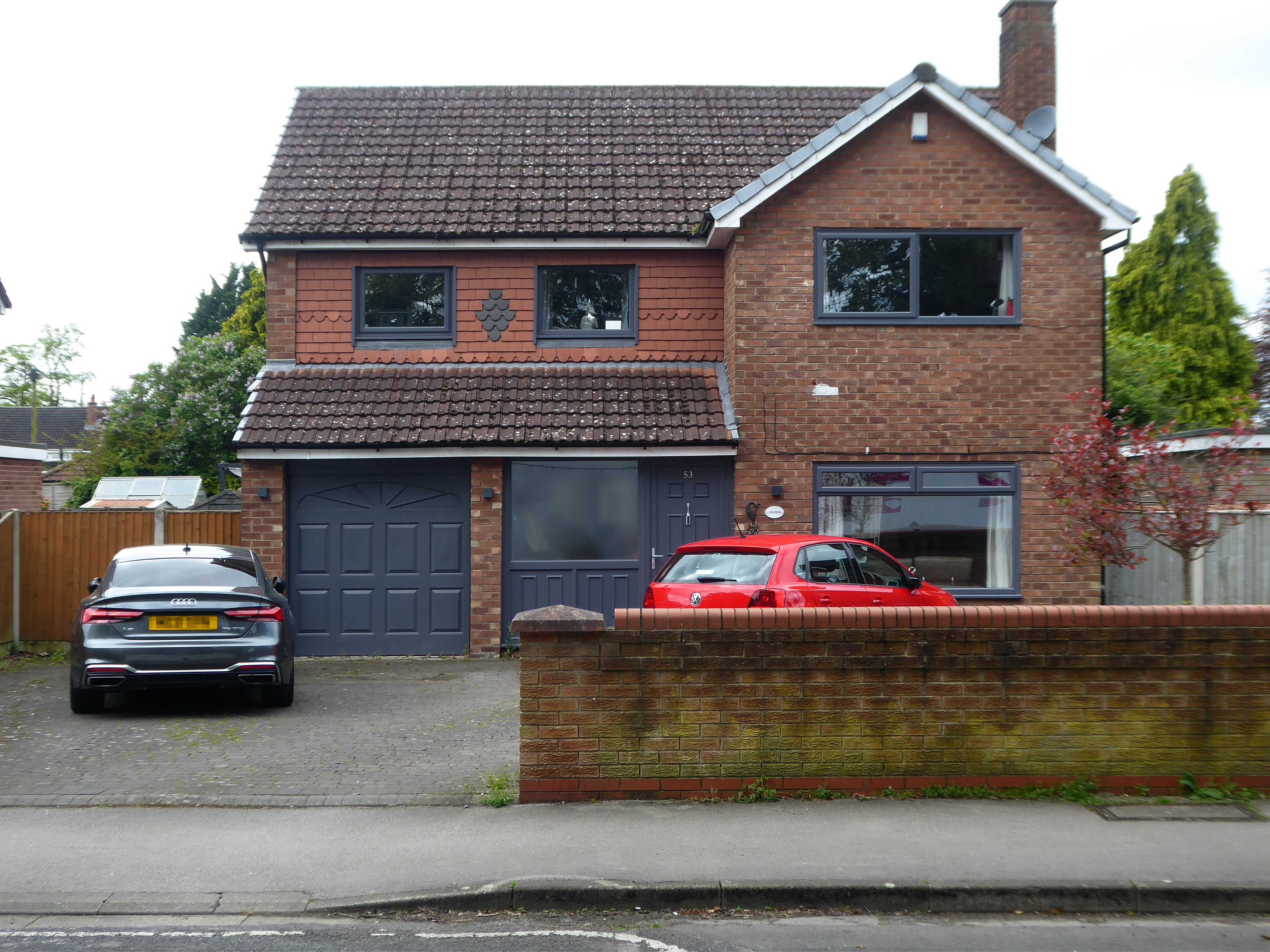
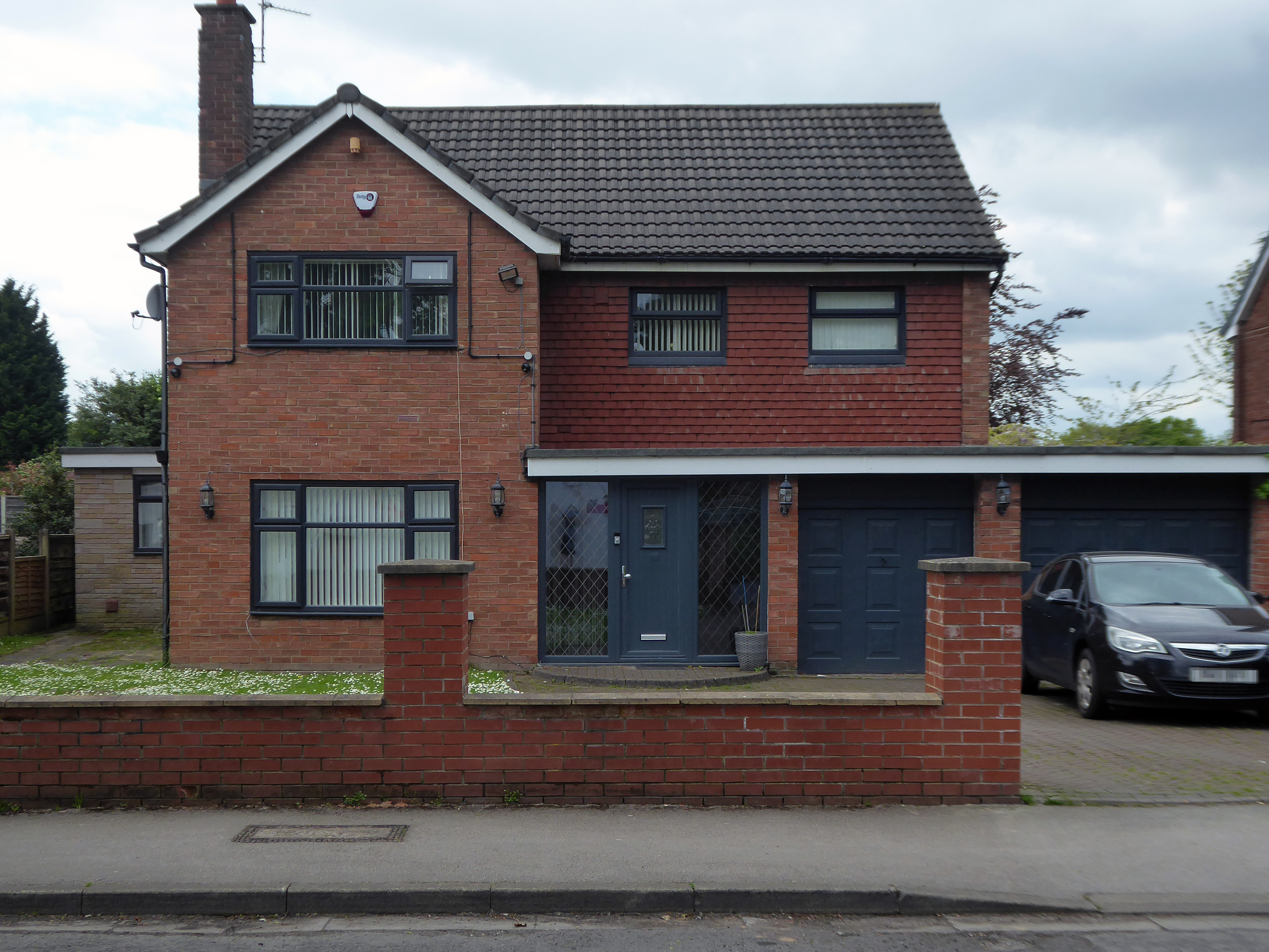
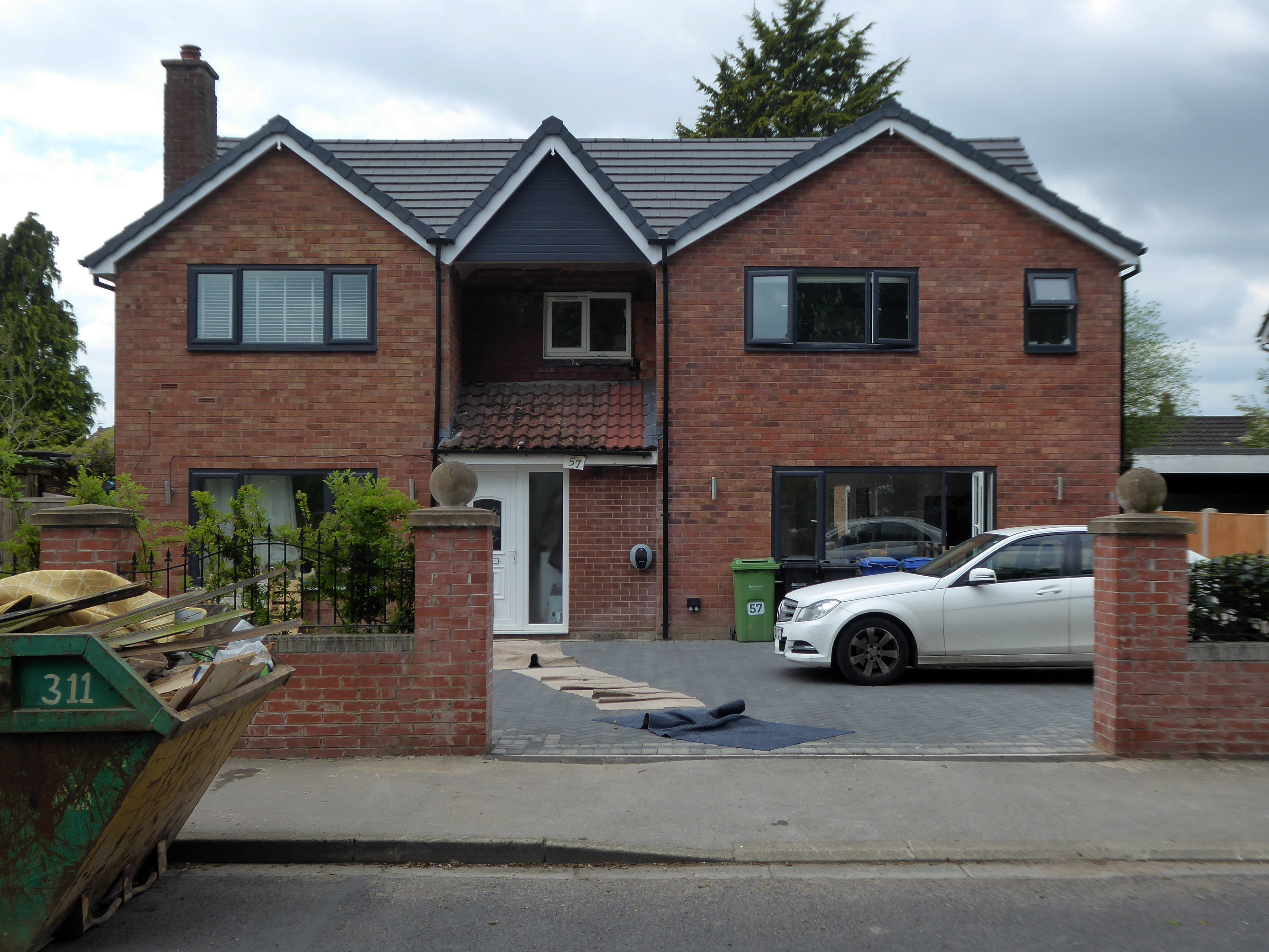
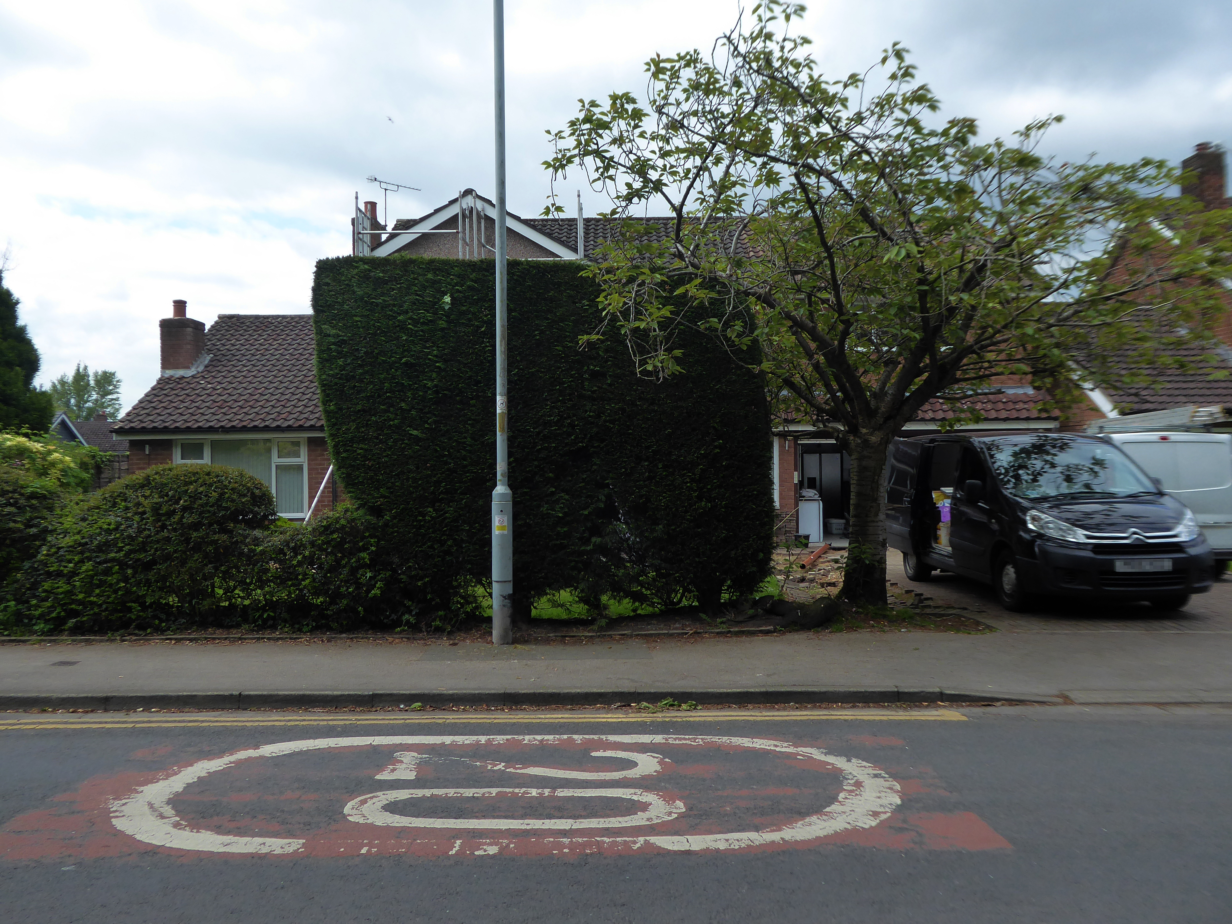
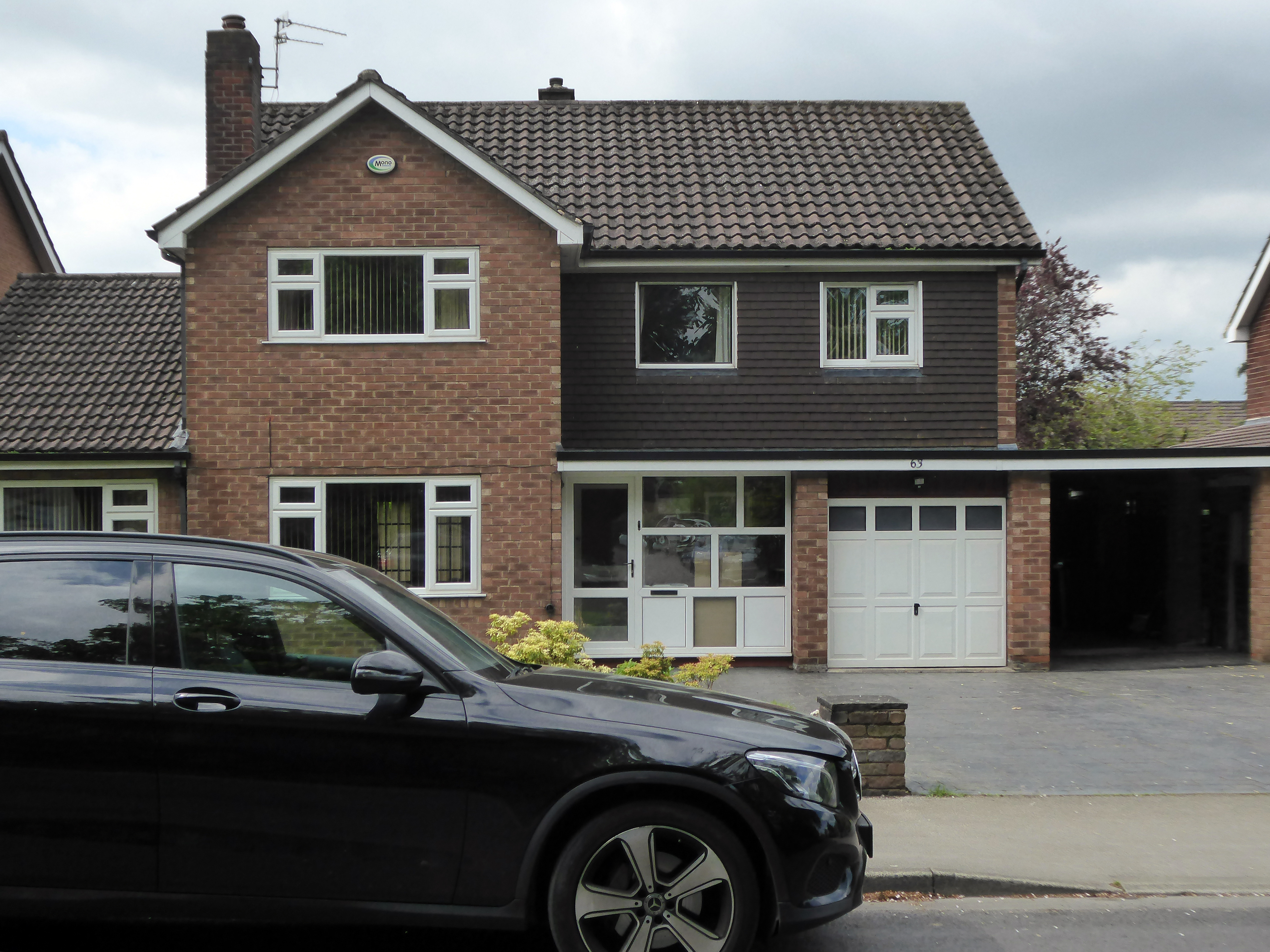
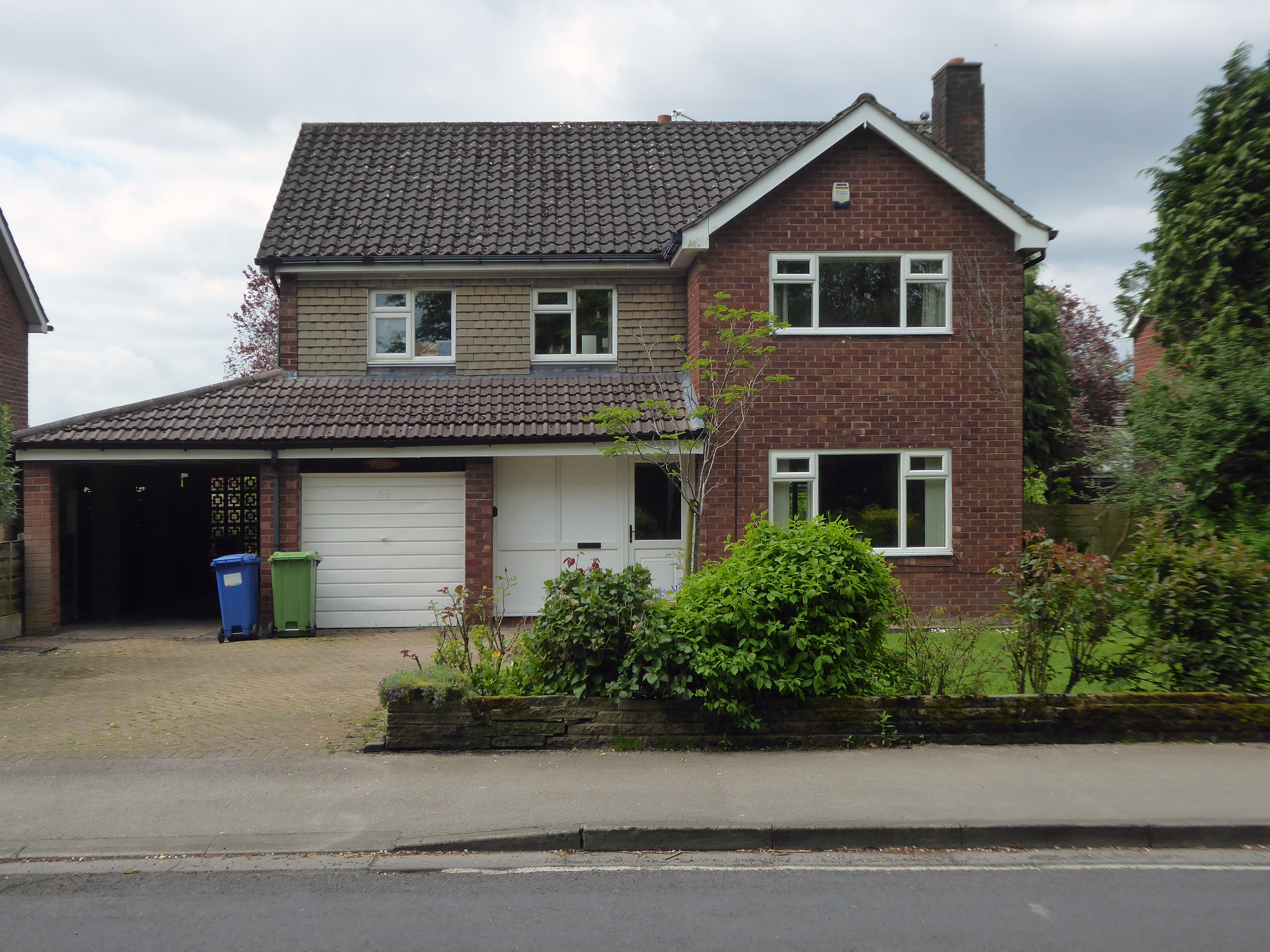
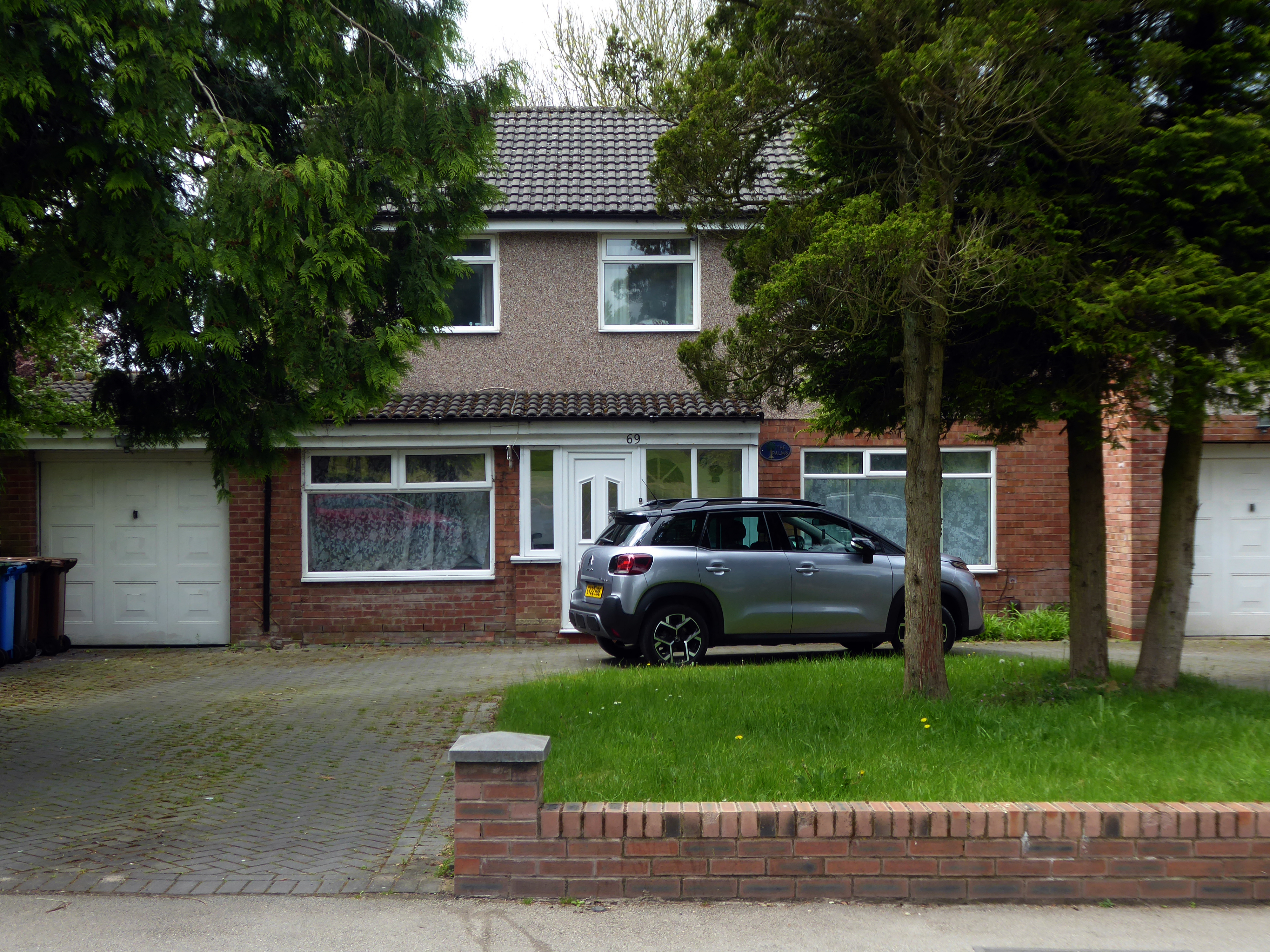
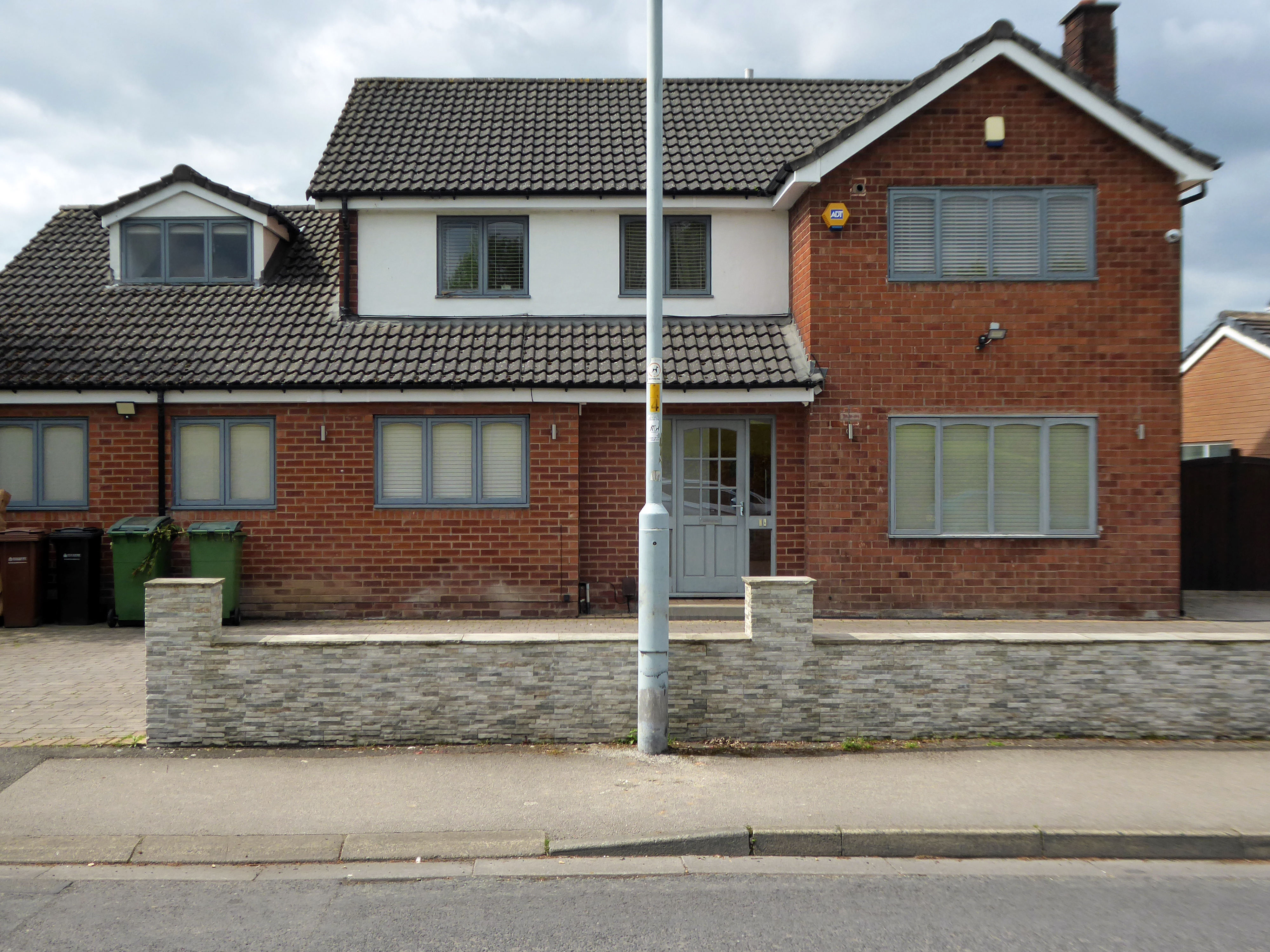
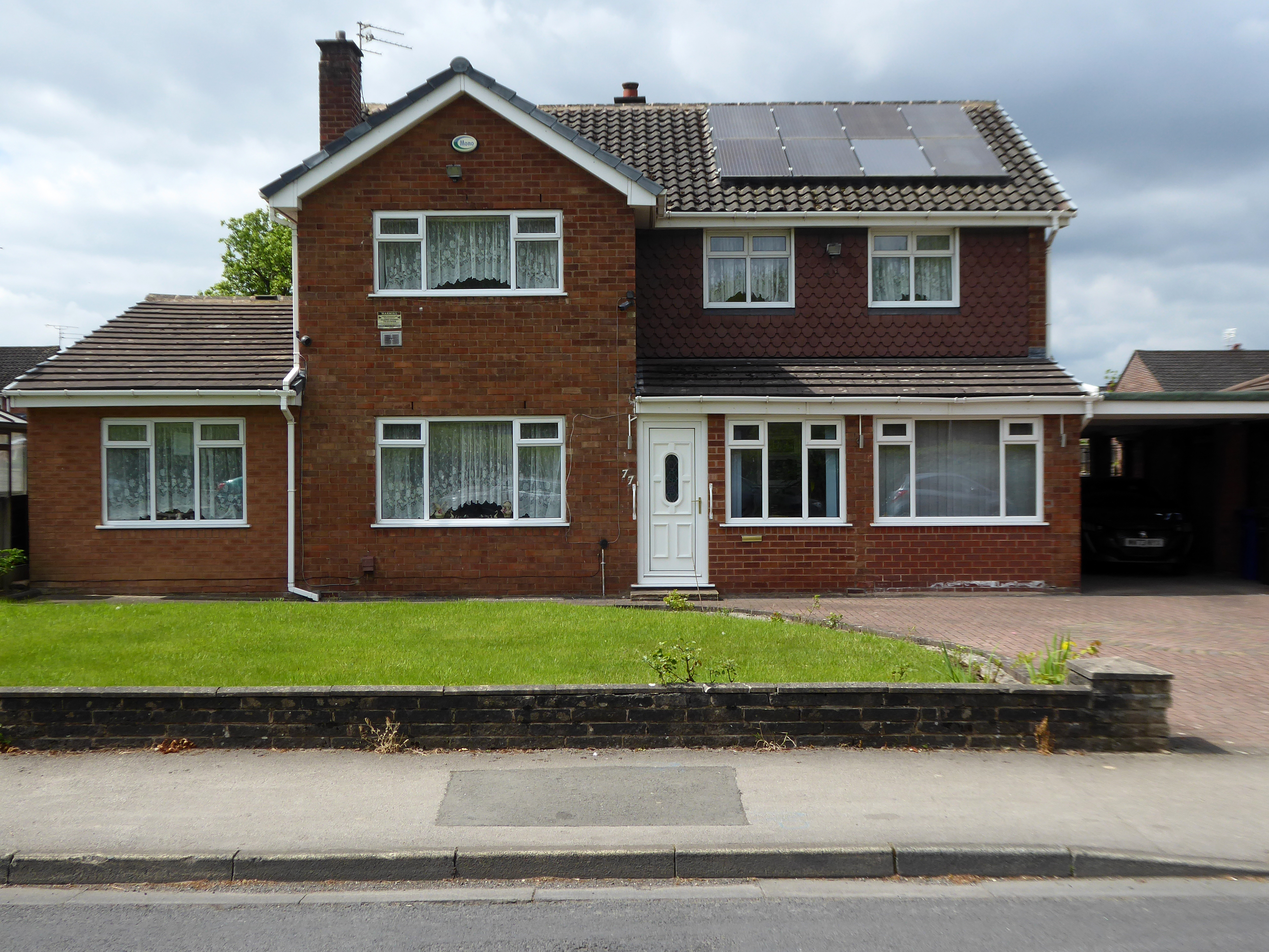
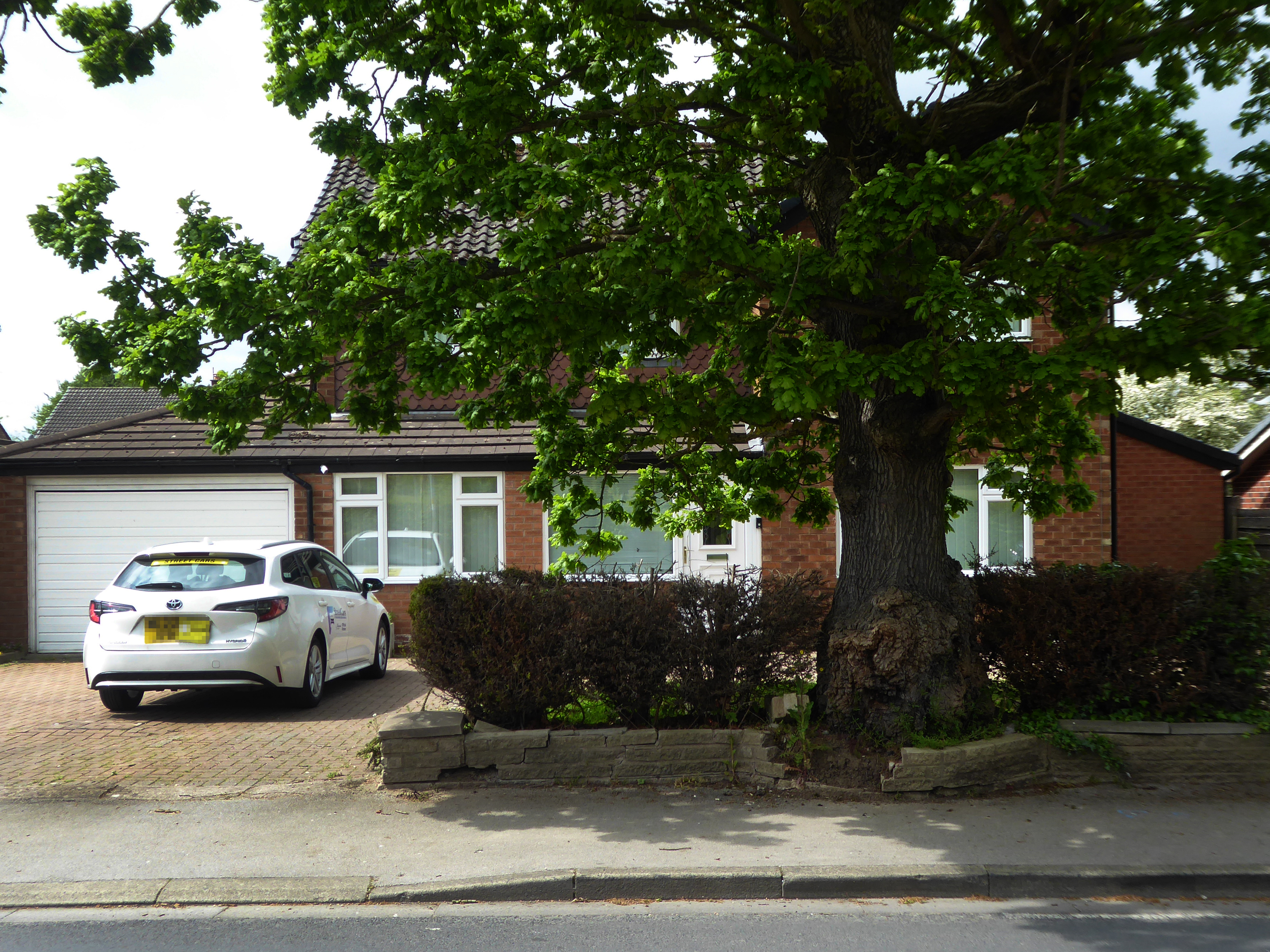
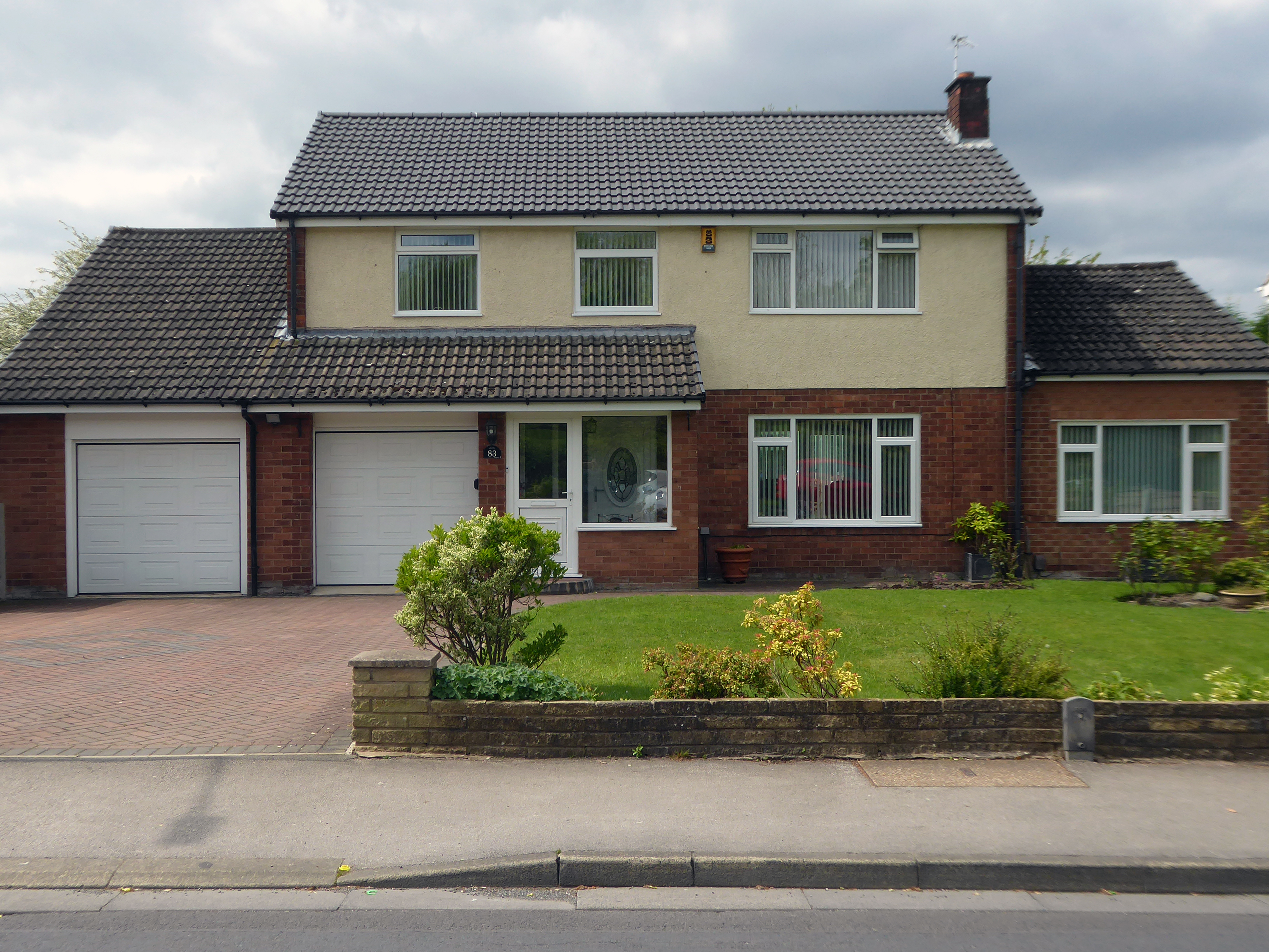
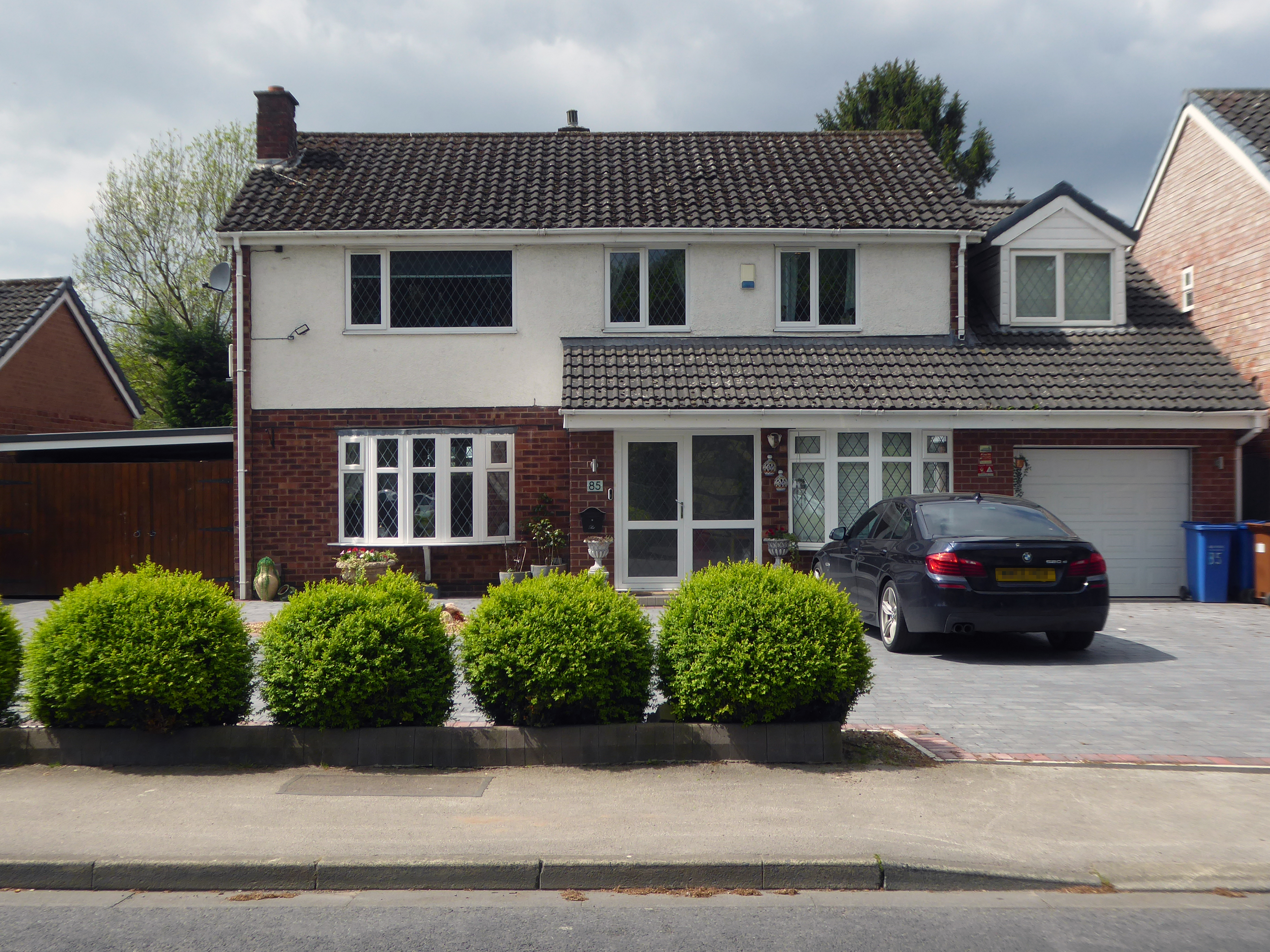
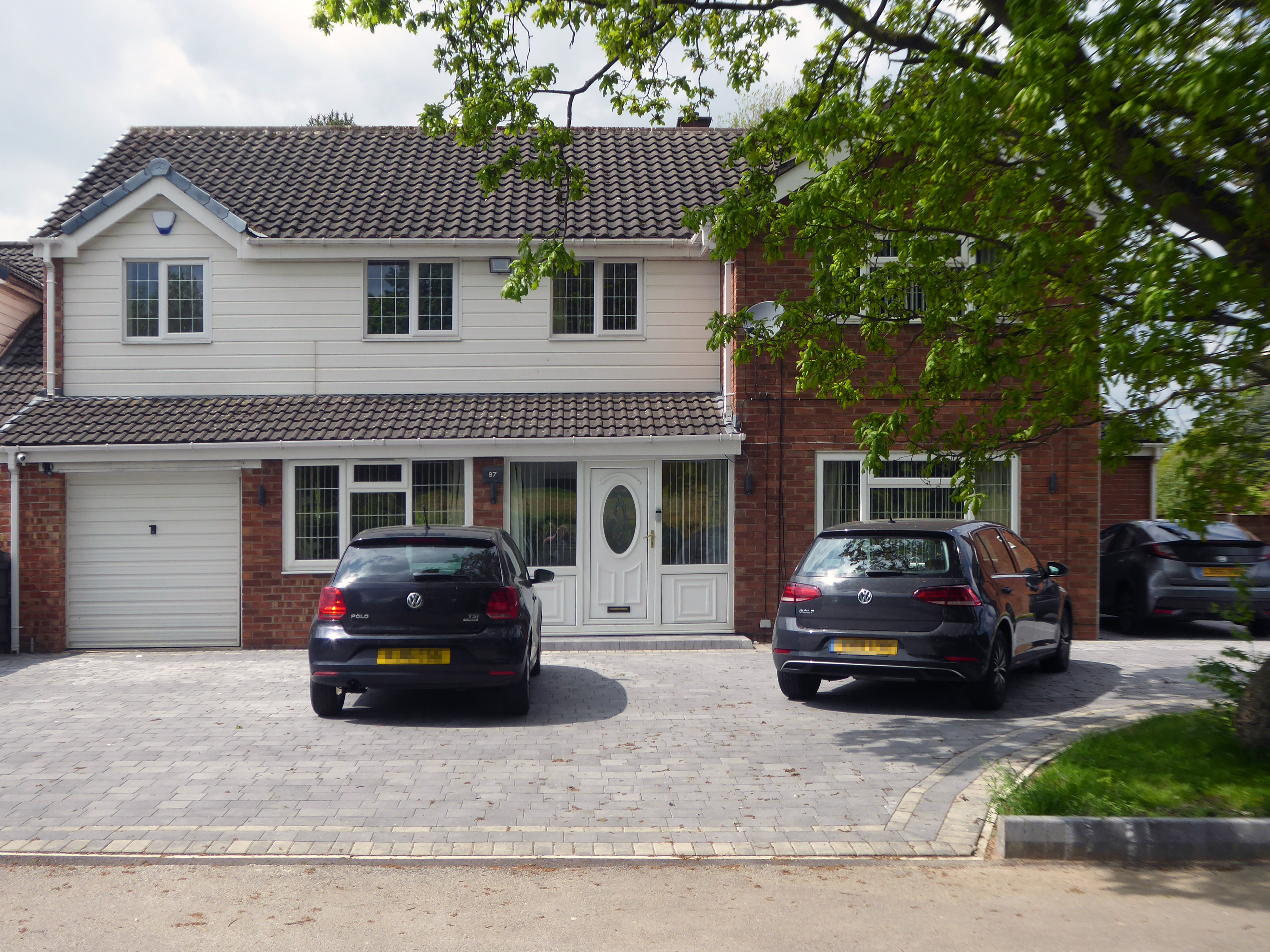
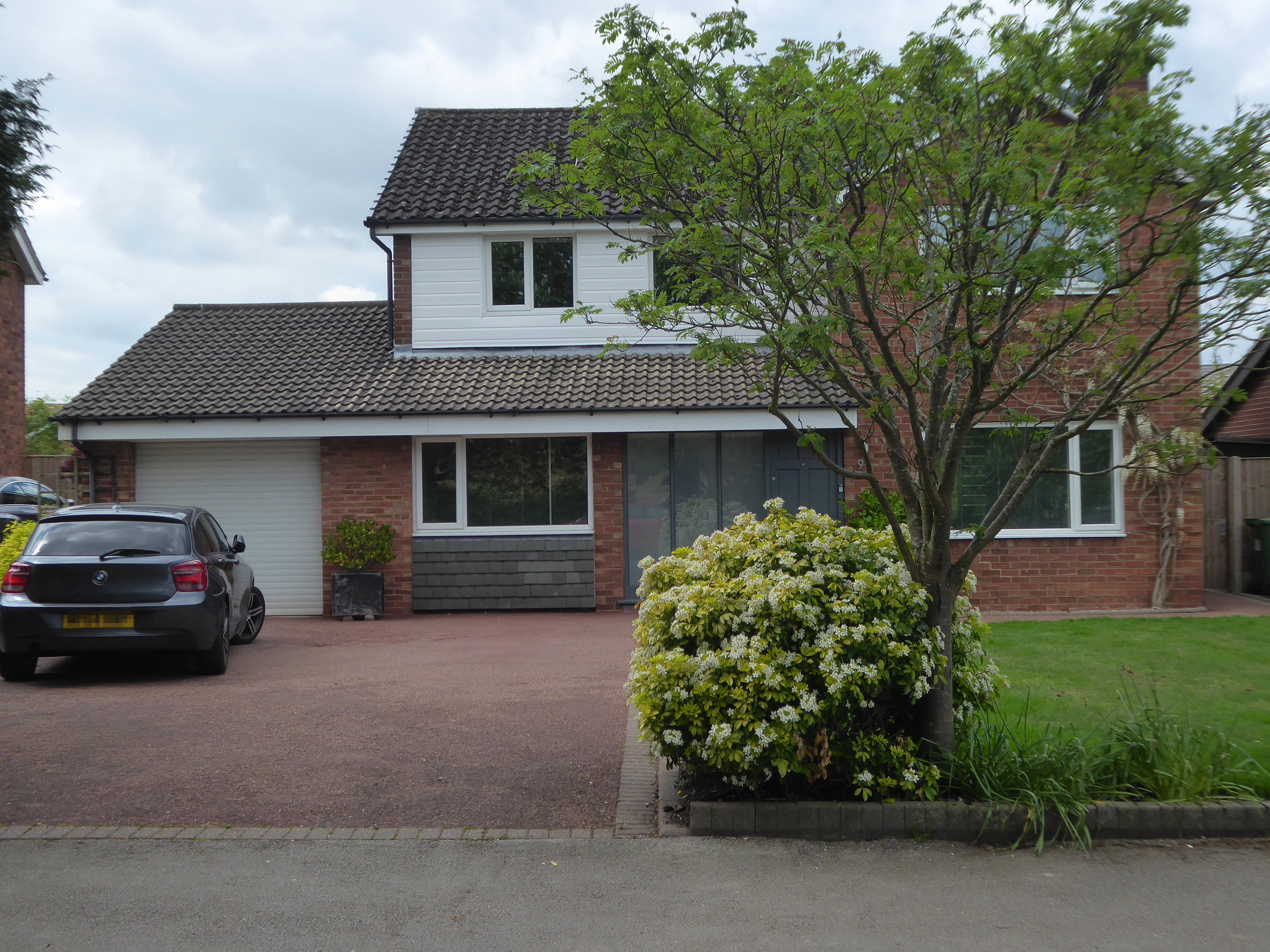
St. Anns Road North in Heald Green is in the North West region of England. The postcode is within the Heald Green ward/electoral division, which is in the constituency of Cheadle.
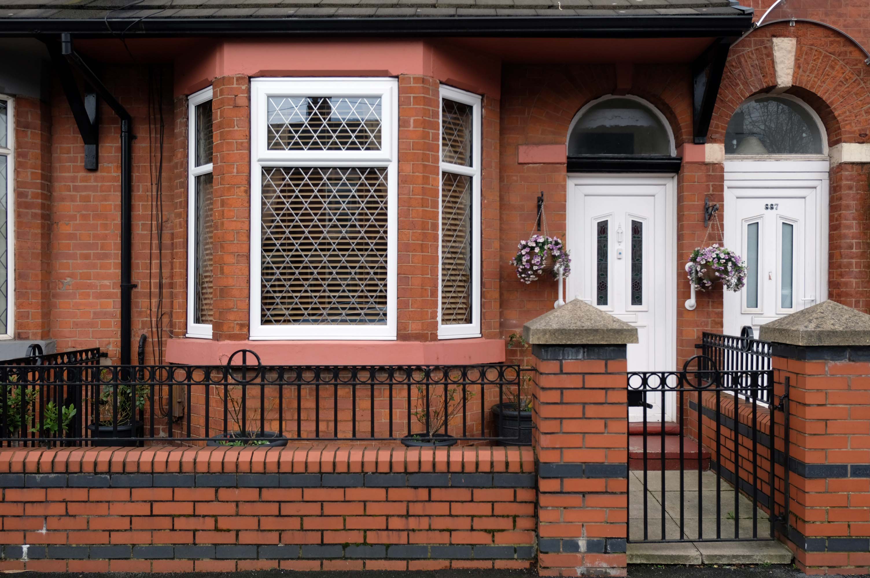
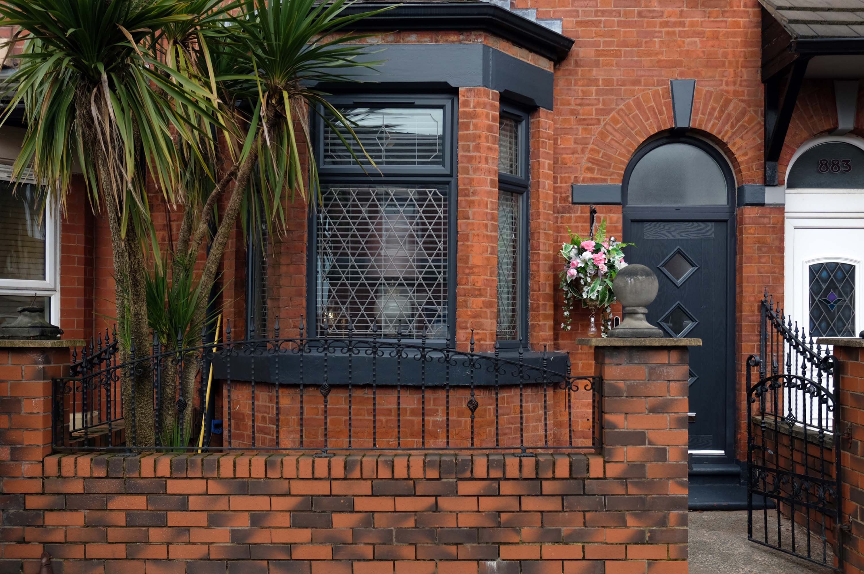
This area was once described to me as built by Cowboys for Indians – though statistically there are more Pakistani residents.
This is a dormitory suburb of Manchester and nearby Stockport and is oh so close to the airport, polite and professional well presented and aspirational.
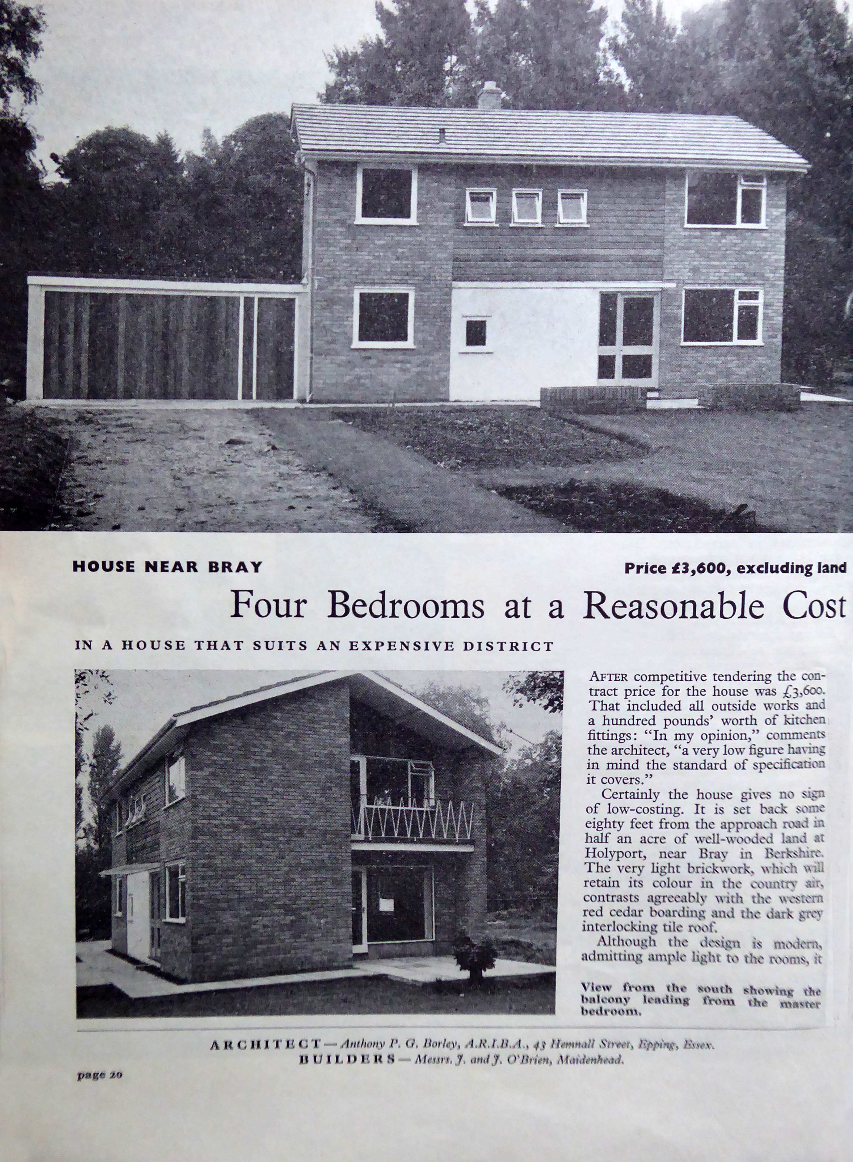
Once this was a Modern paradigm.
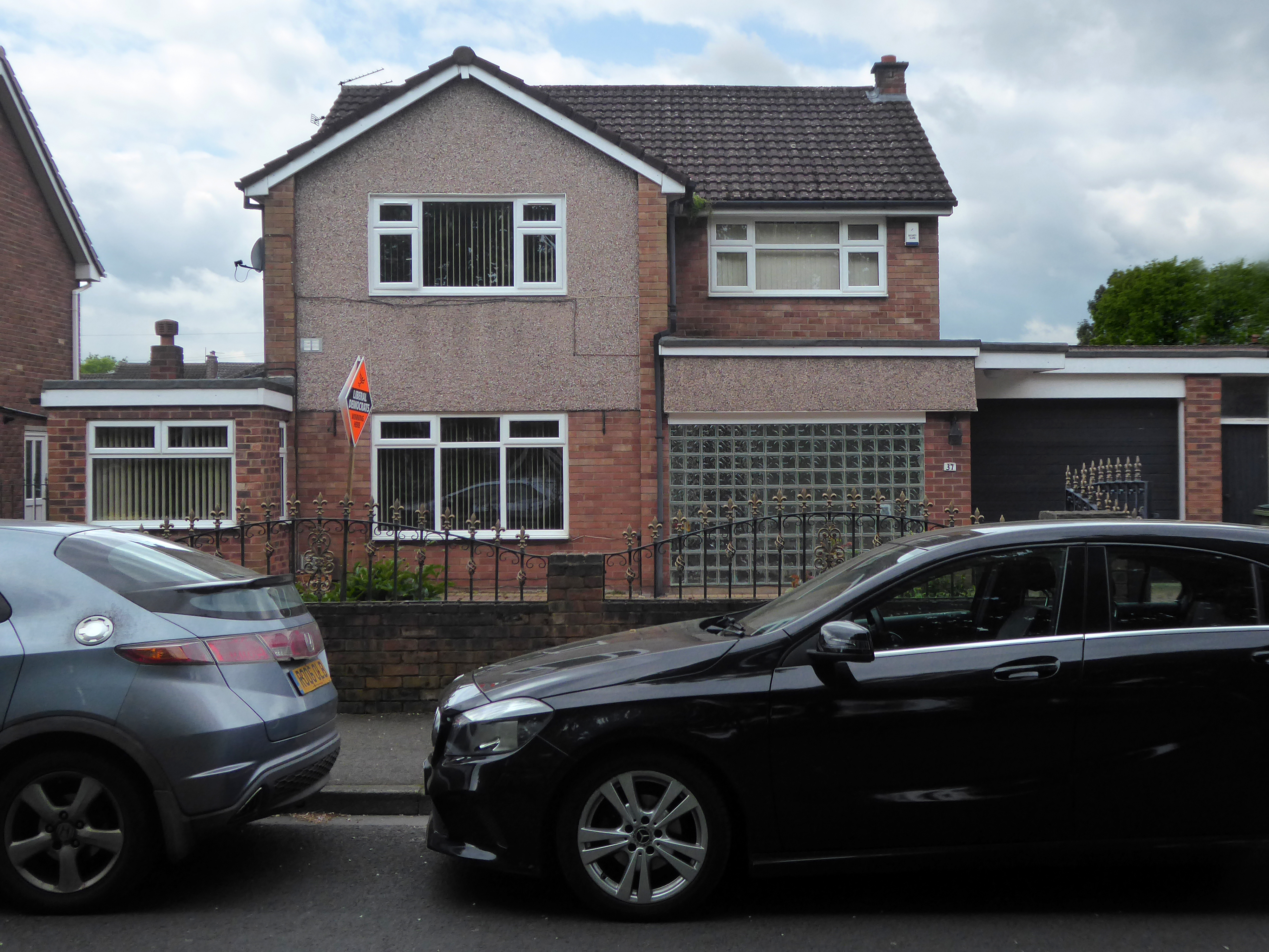
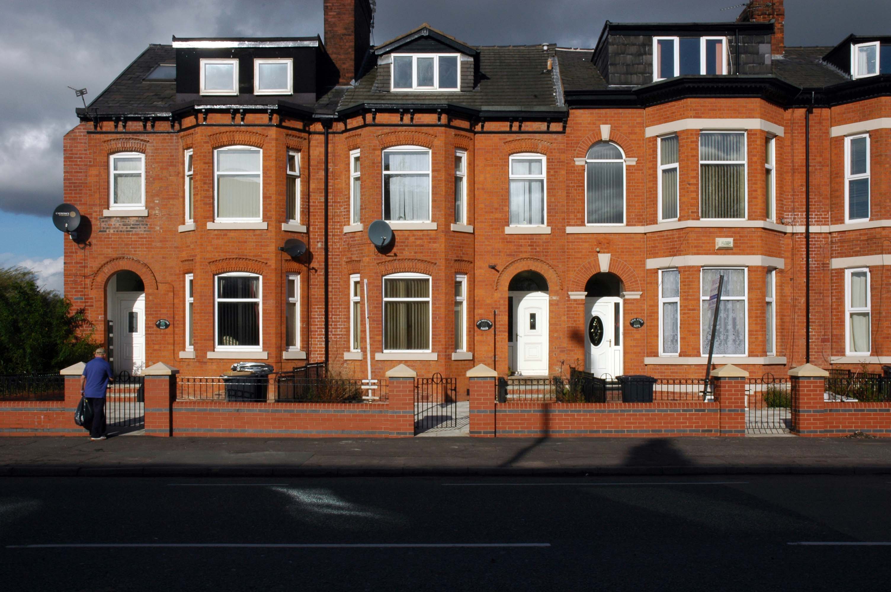
Subsequently the plaything of the upwardly mobile – extending in all directions, adding period details way out of period, or embracing the current vogue for the refined and smoothly rendered grey-ification of their homes.
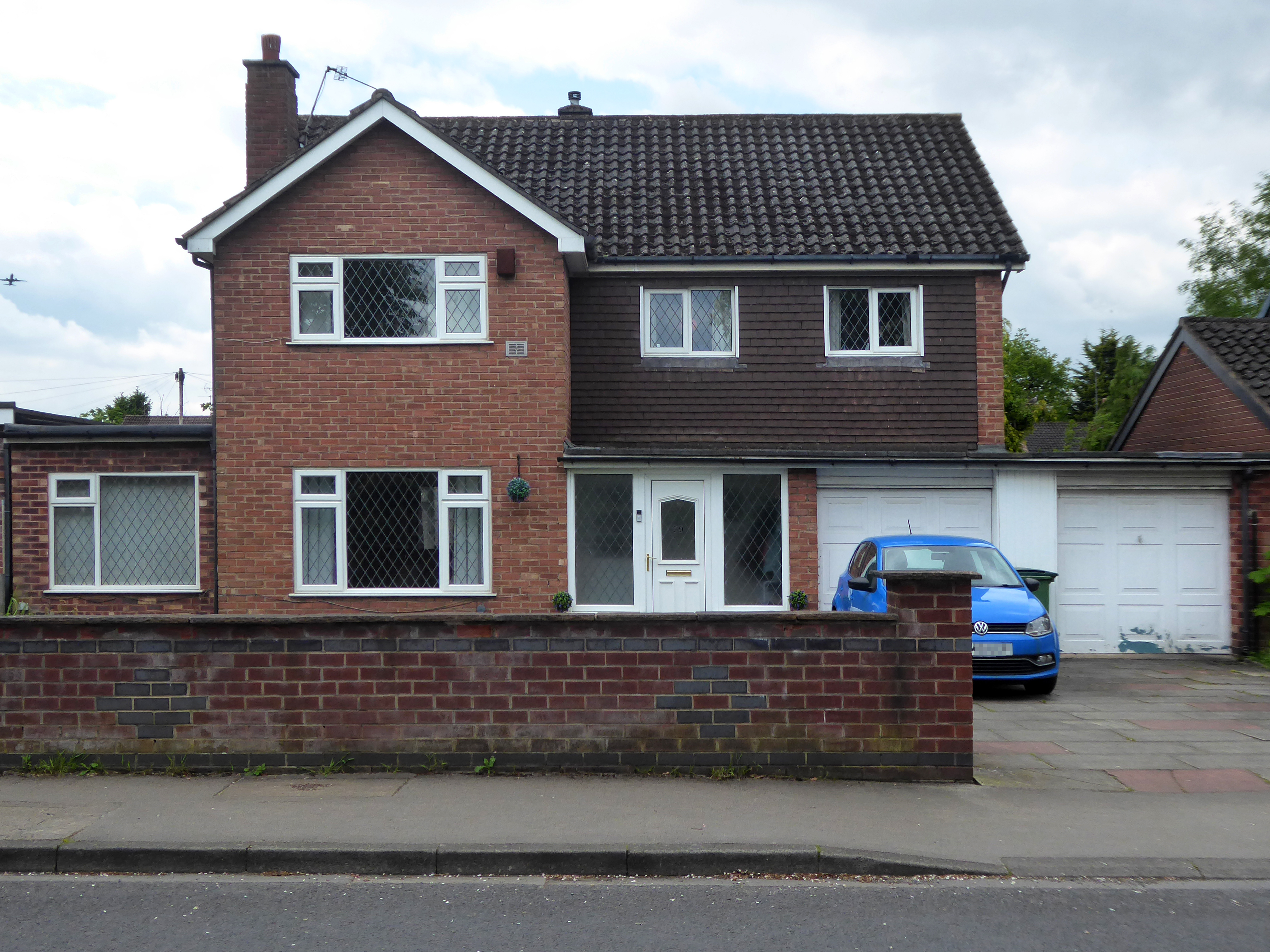
Welcome to the land of the performance vehicle, impressive impressed drive, carriage lamp and bay window, overlooking a well clipped lawn.
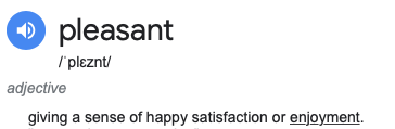
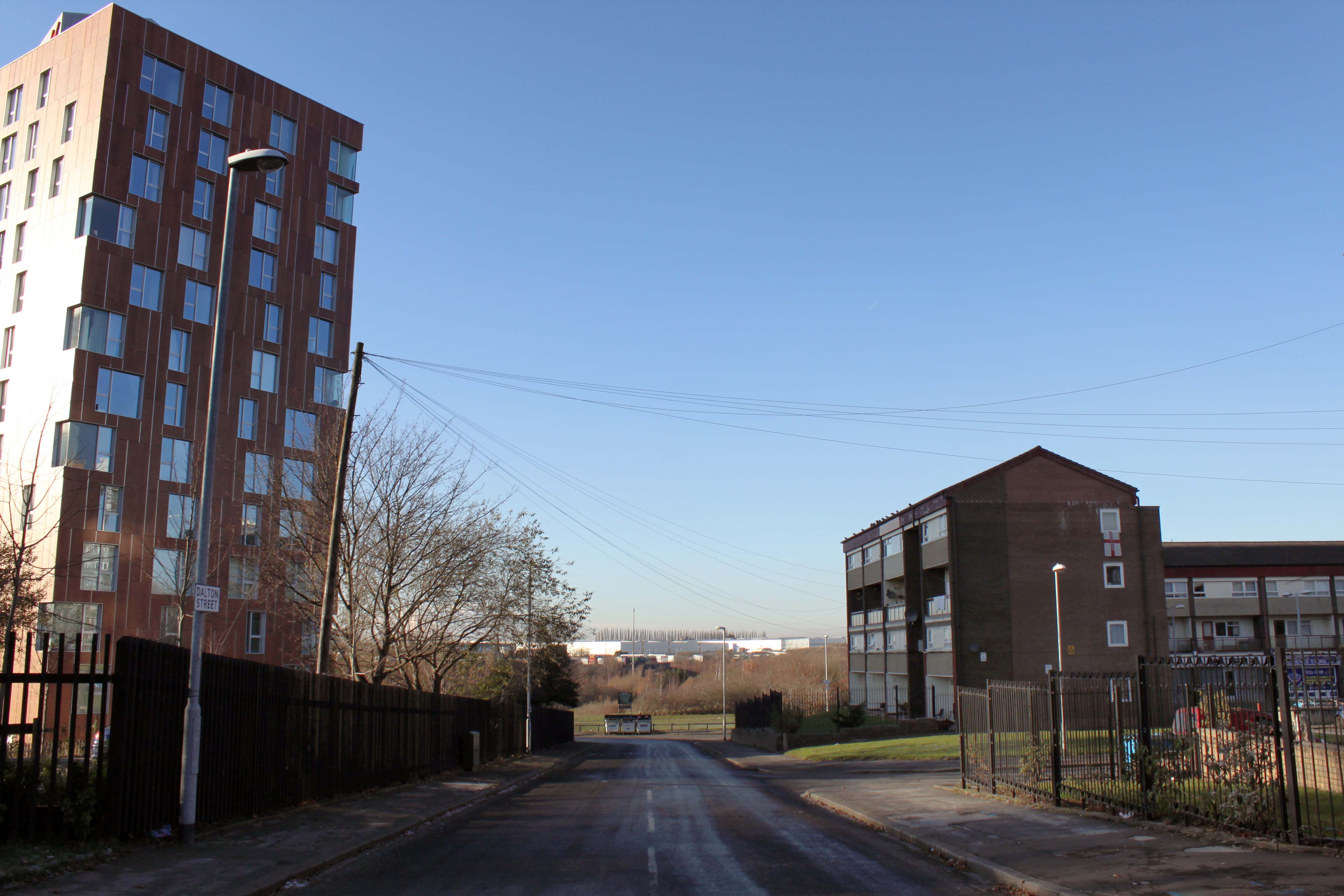
Walking along Rochdale Road yesterday, I was suddenly arrested by the Pleasant Street street sign.
Having already been suddenly arrested last week, by the Bland Close street sign.
With my expectations defined by the above definition, I ventured along the street in search of happy satisfaction.
Coincidentally – The 18th century entrepreneur Josiah Wedgwood pioneered many of the marketing strategies used today, including the satisfaction or you money back guarantee, on the entire range of his pottery products. The money-back guarantee was also a major tool of early US mail order sales pioneers in the United States such as Richard Sears and Powel Crosley Jr. to win the confidence of consumers.
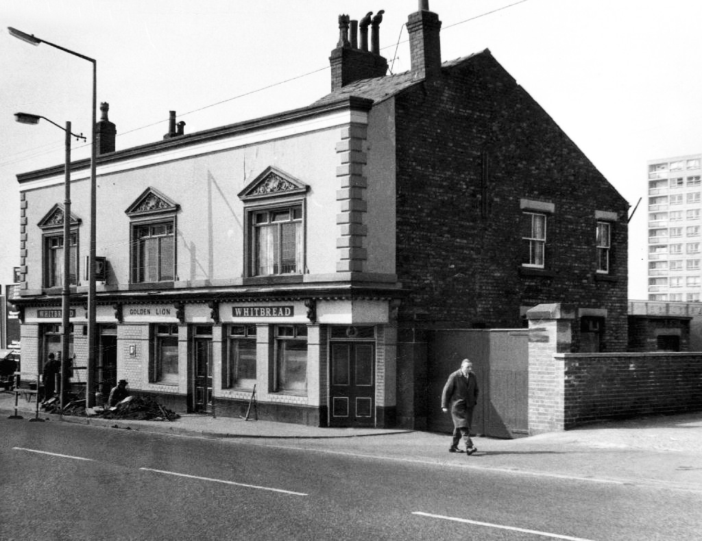
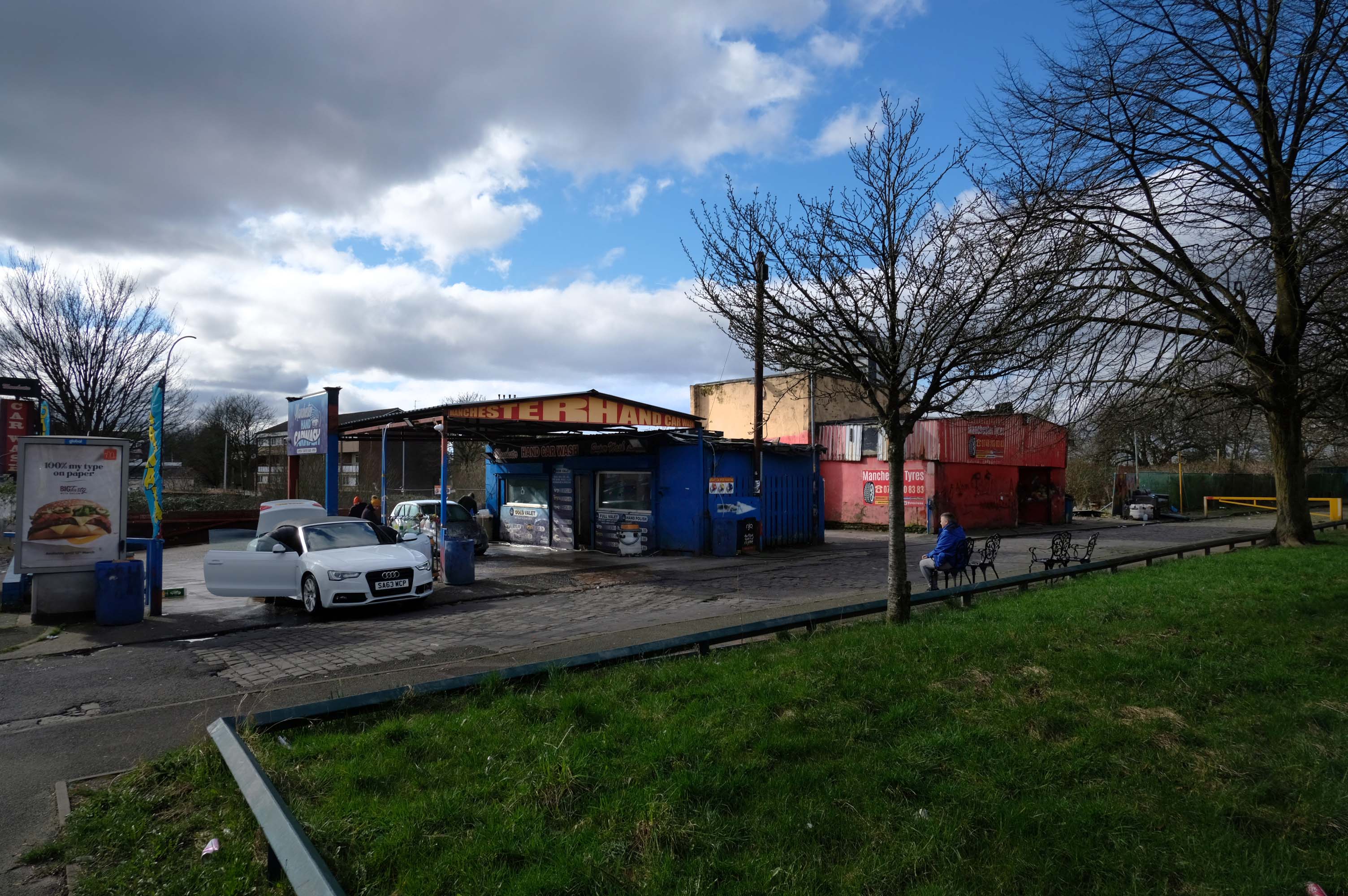
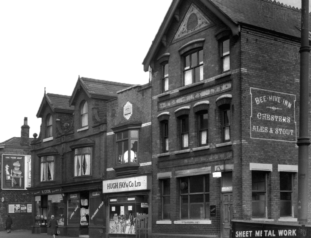
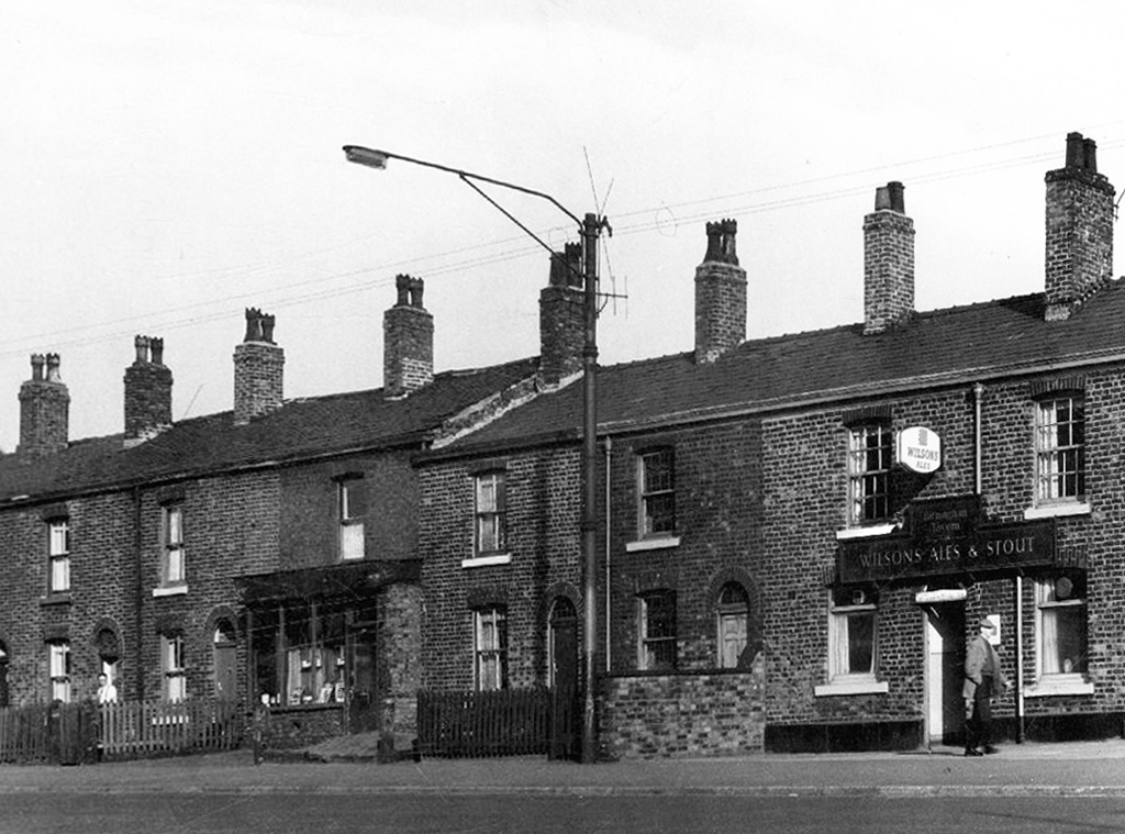
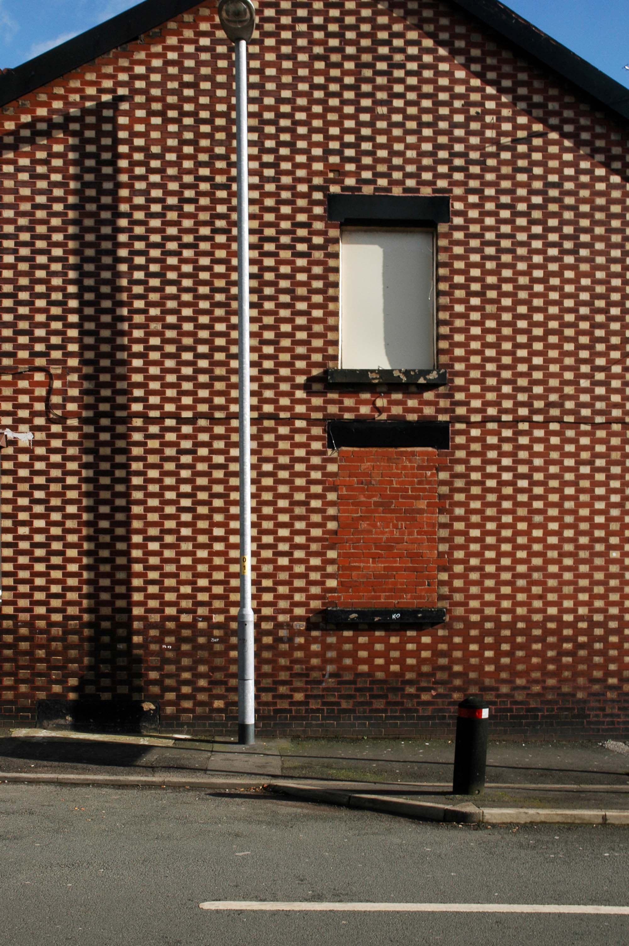
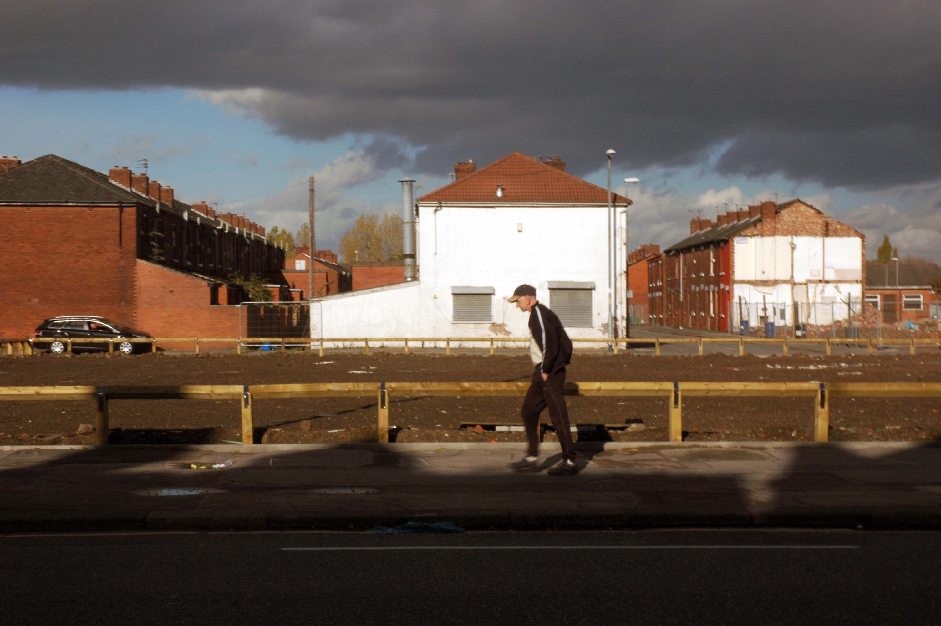
However at someone between 1968 and 2024 the housing had been cleared away – also missing in action is the Golden Lion pub adjoining Pleasant Street on Rochdale Road.
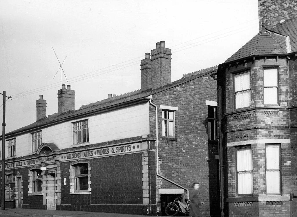
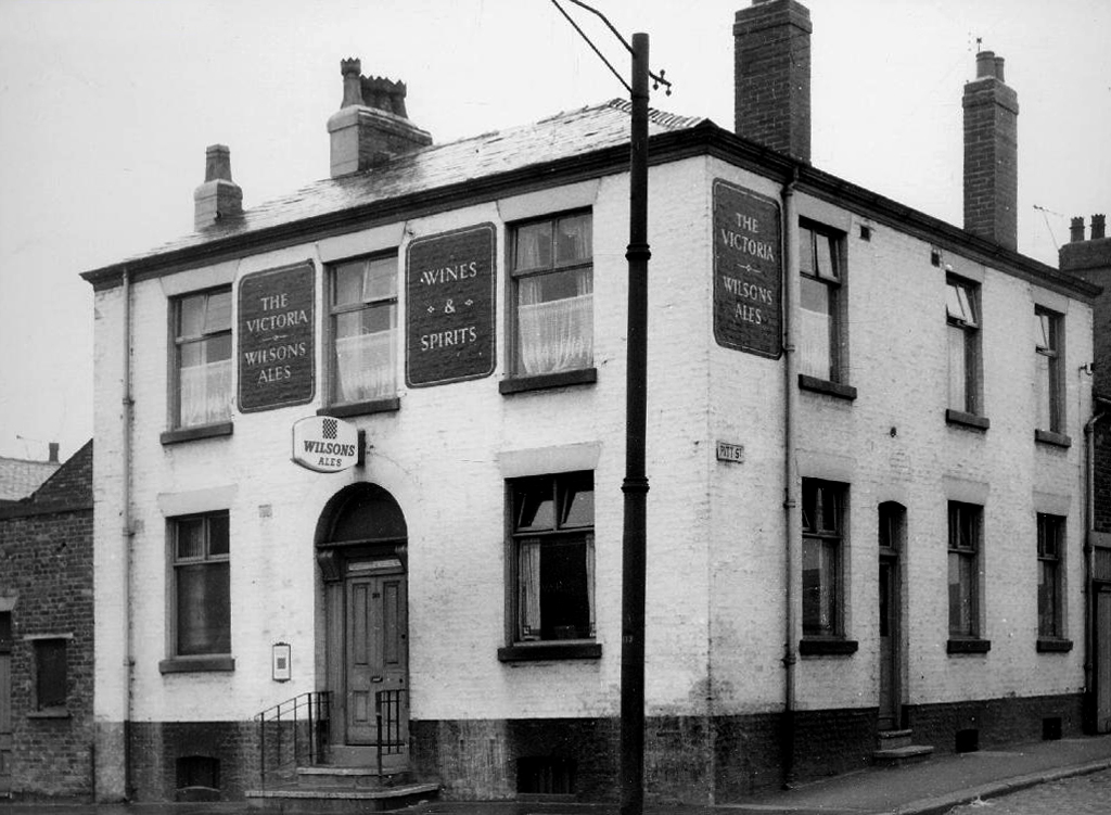
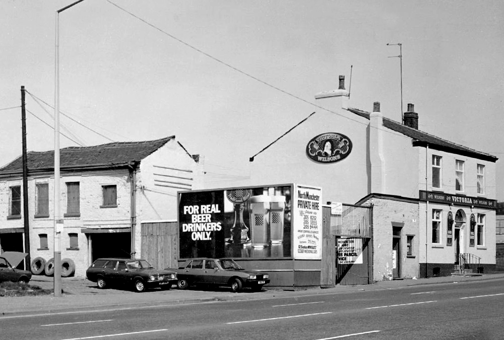
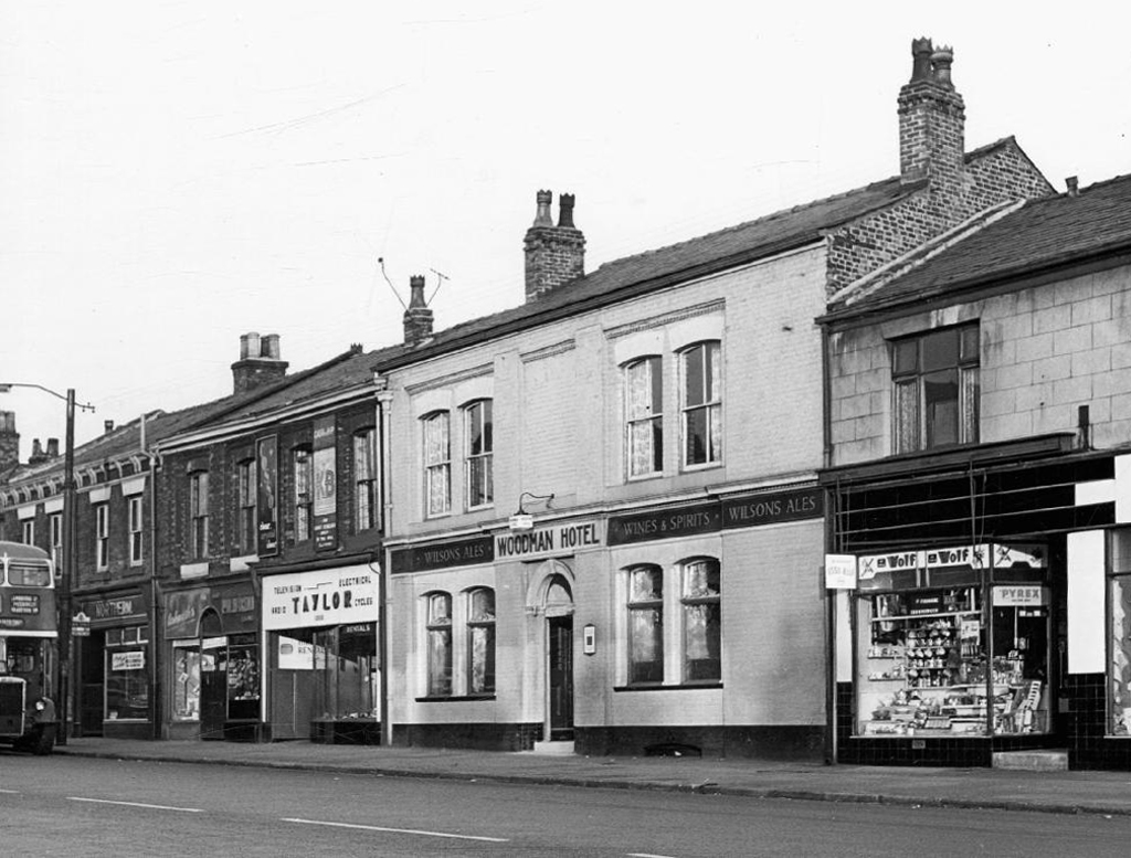
The Golden Lion was a proper old pub on the very busy rochdale road in the Harpurhey area of Manchester. Once inside there was a decent lounge and a basic bar i had a drink in the lounge and this was quite a comfy room.
This pub was a Whitbread tied house and there were two real ales on the bar I had a drink of Chesters bitter and this was a nice drink the other beer was Chesters mild. I thought this was quite a nice pub but sadly this pub has now been pulled down in the name of progress.
So here we are here today – yesterday has long gone and tomorrow never knows no how.
What’s left to see?
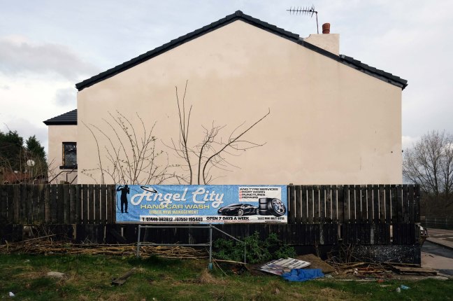
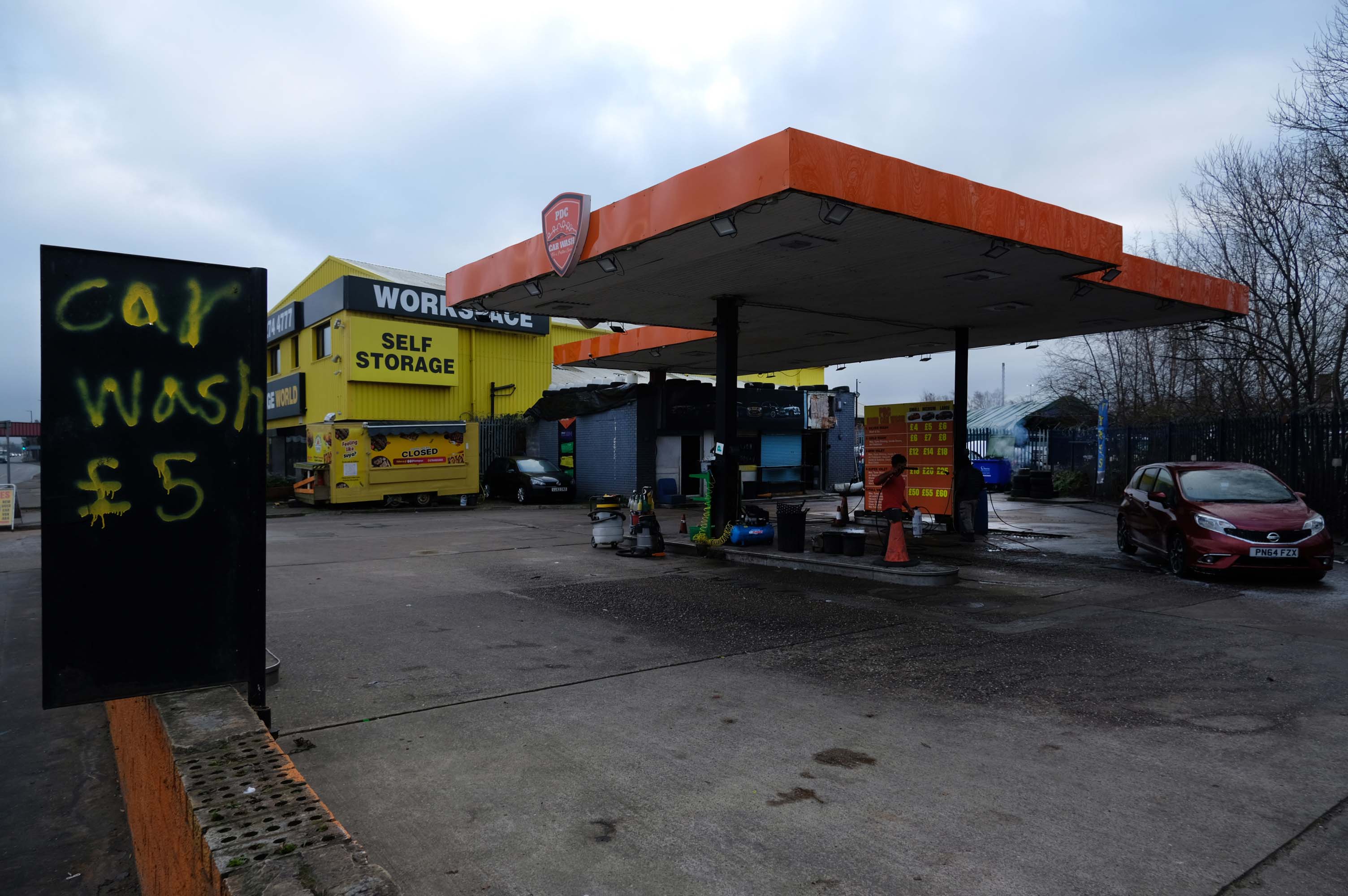
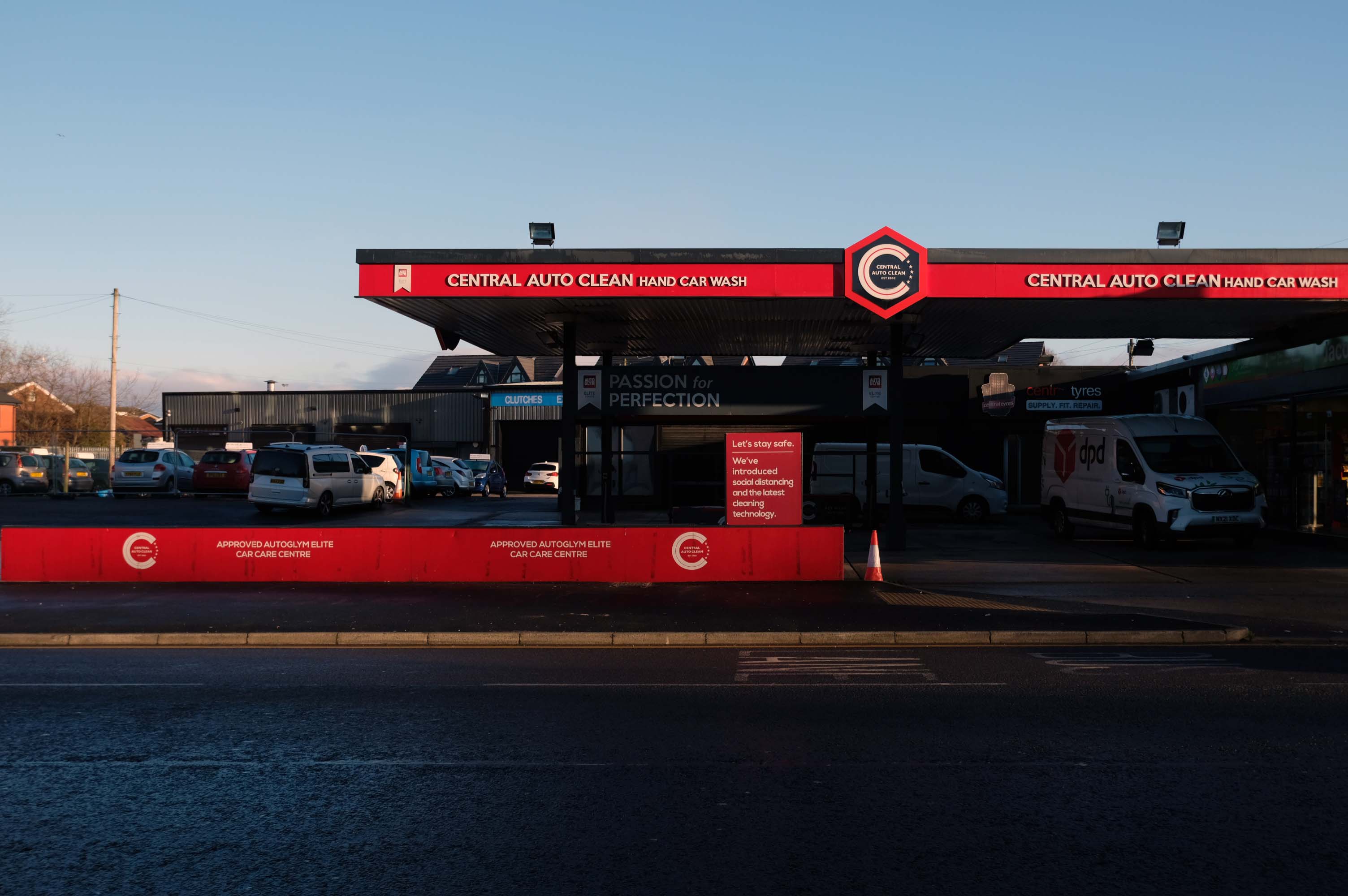
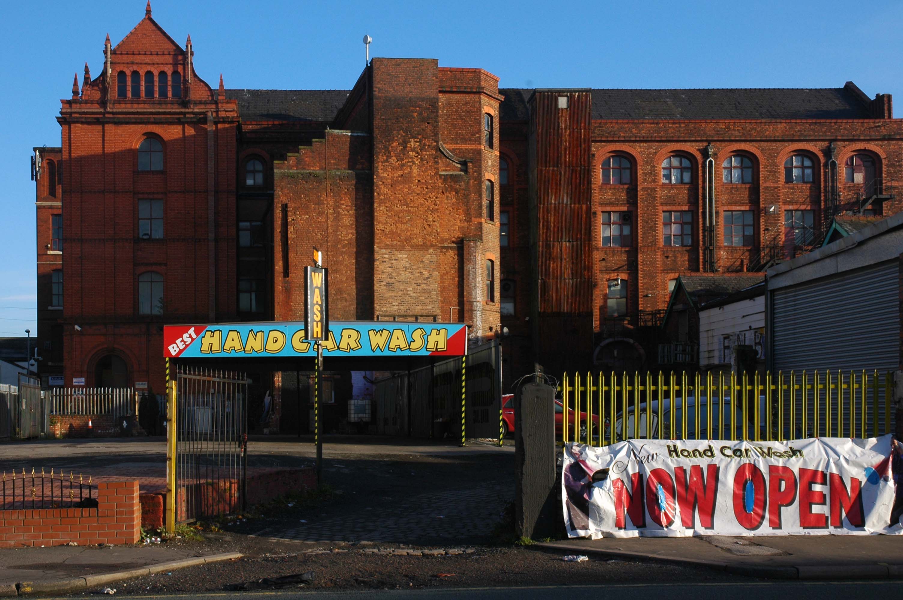
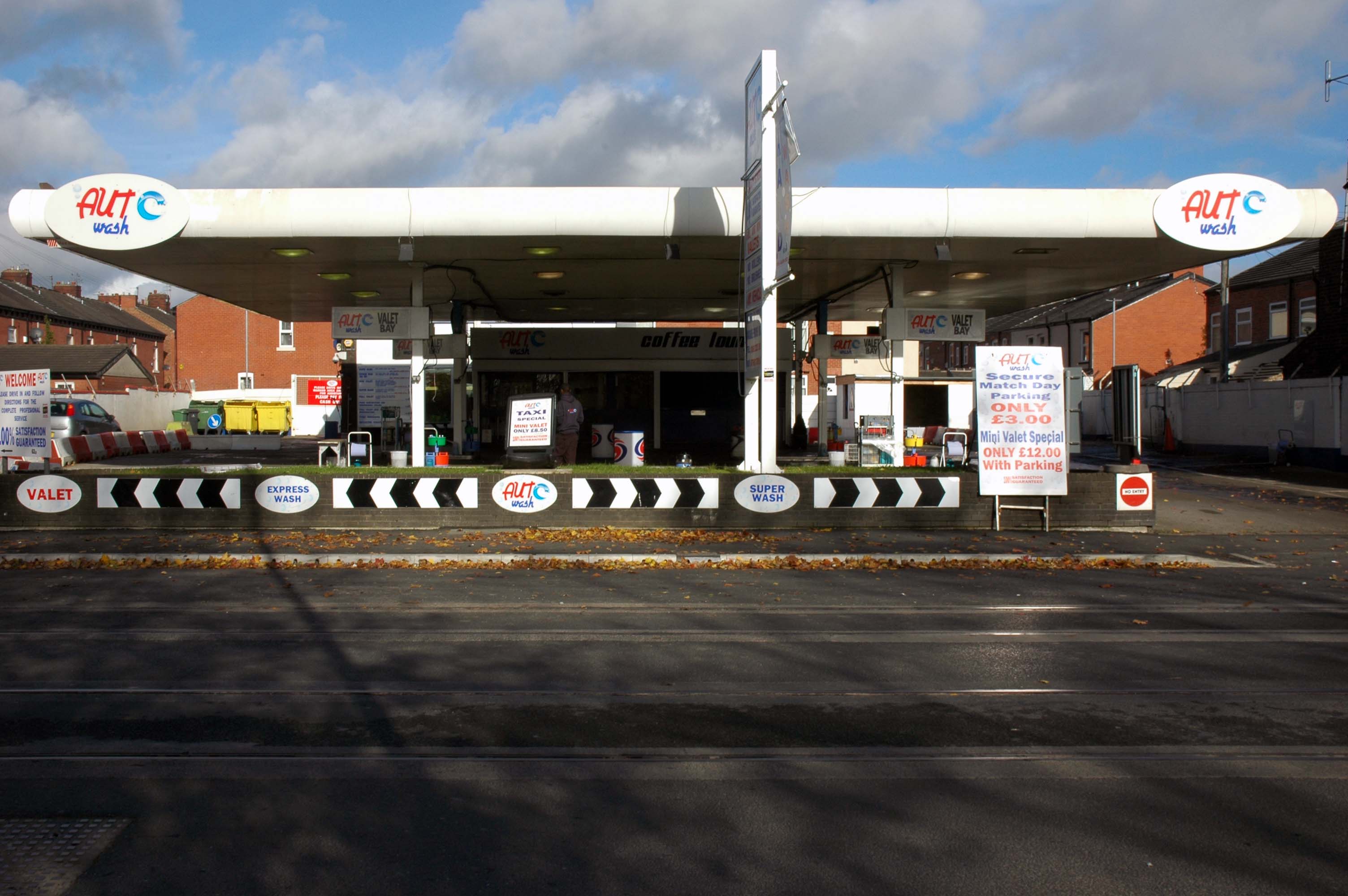
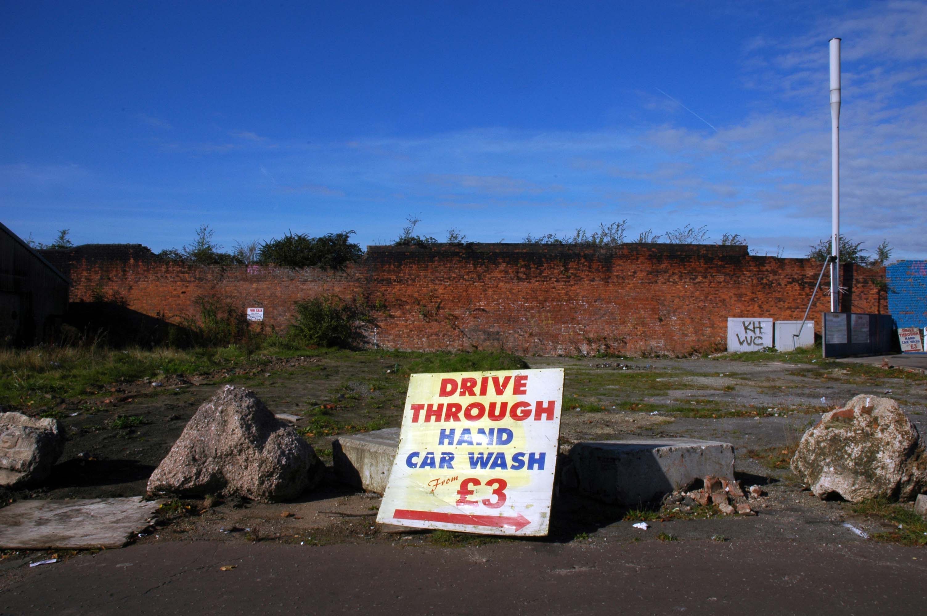
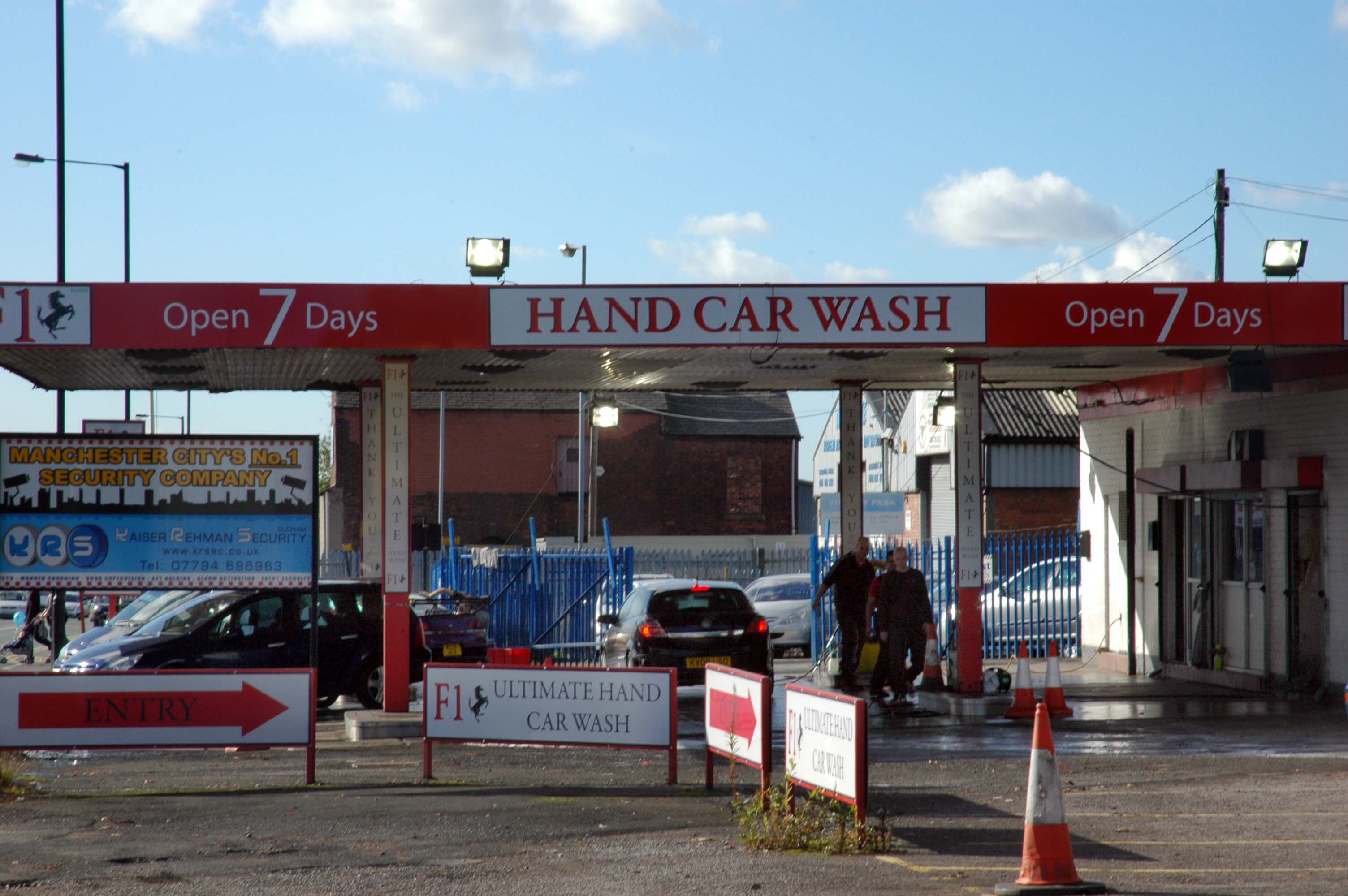
Manchester Hand Car Wash
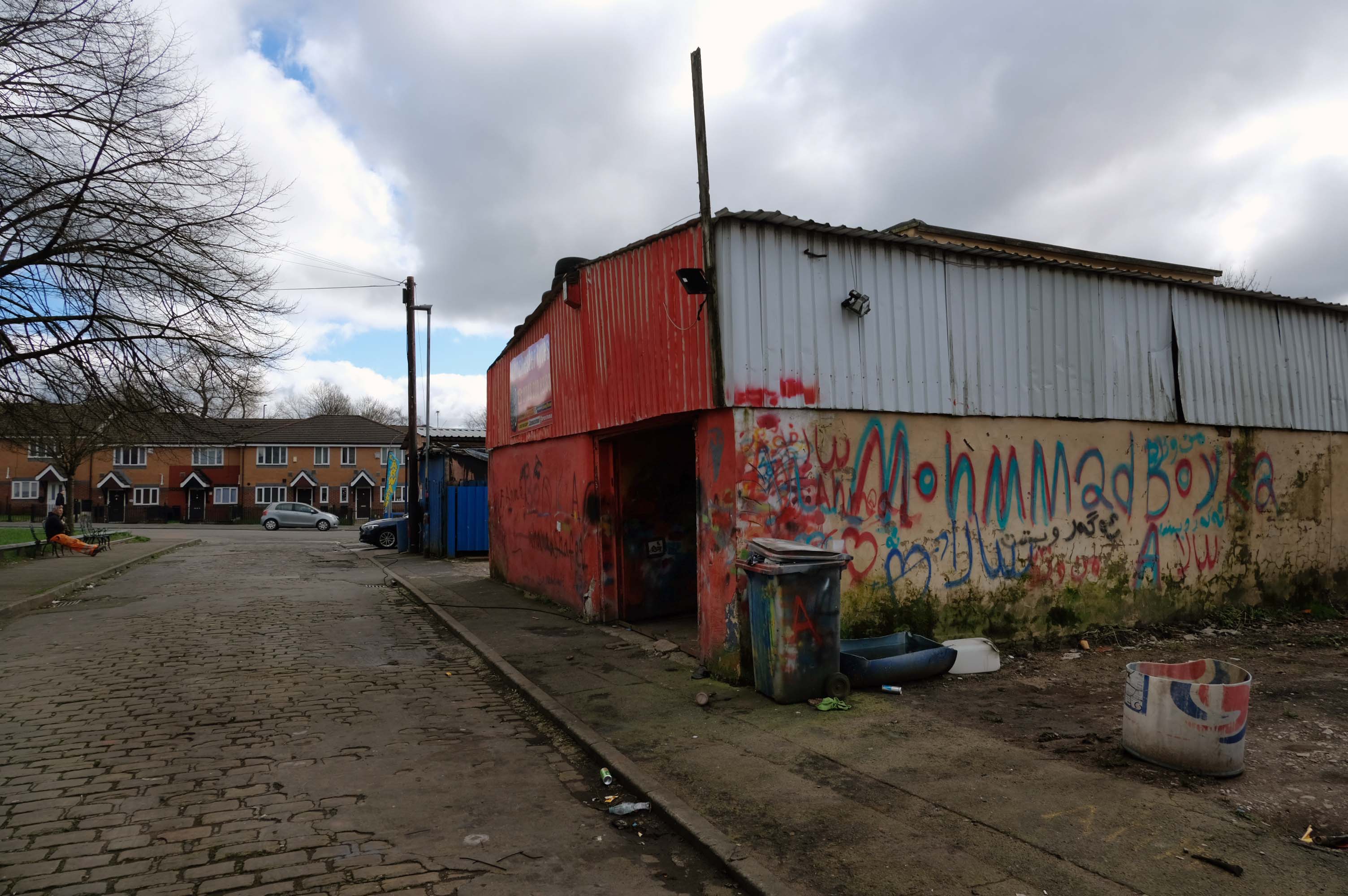
Manchester Tyres
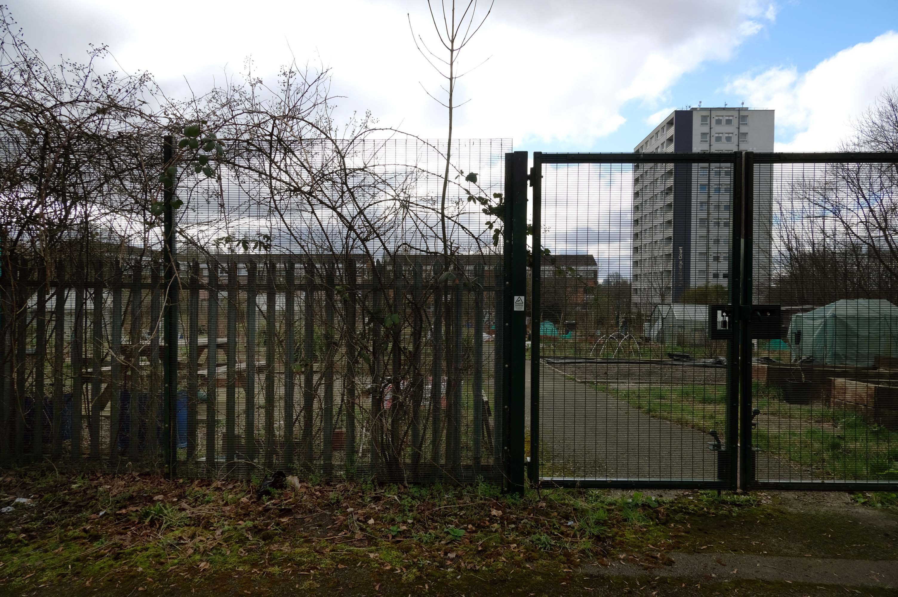
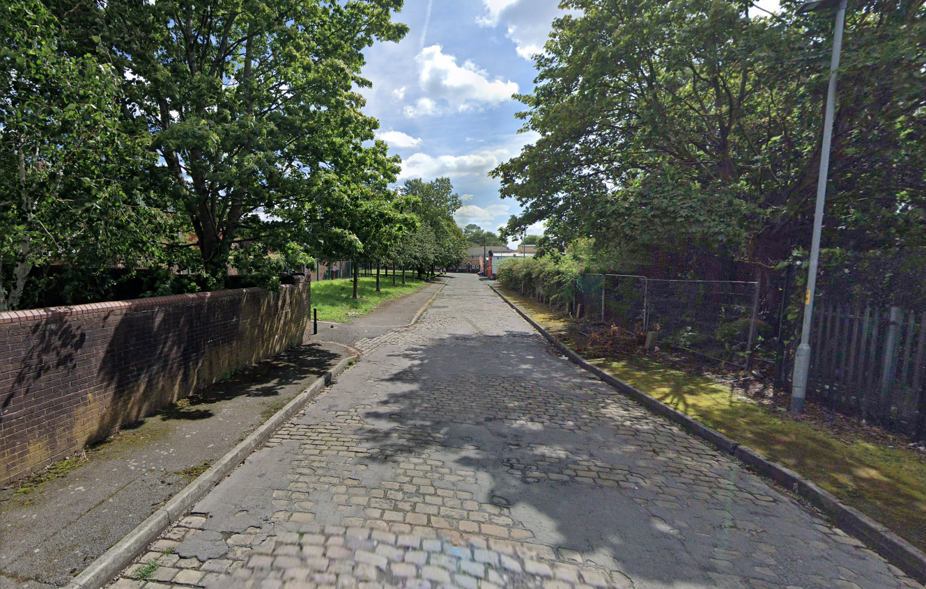
Pleasant Street Allotments
The allotments have had issues with fly tipping back in 2021.
There is now a lockable barrier in place on the cobbled cul-de-sac.
Photo – Howard Bristol
It is understood that the heaps of rubbish, including bin bags full of waste and unwanted wood and cardboard, have been growing in recent weeks.
Howard Bristol, the Secretary of the Pleasant Street allotments committee, said the situation has been ongoing for some time but has worsened since the removal of nearby CCTV cameras.
He told the Evening News that the road has been – piling high with rubbish, and that the area also had issues with the woodland behind the allotments being used for drug dealing during summer.
Pat Karney, councillor for Harpurhey tweeted about the flytipping on Sunday, calling it – unbelievable and disgraceful.
He added that those responsible should be – locked up in Strangeways for a long time, before adding that the council will – get it cleared.
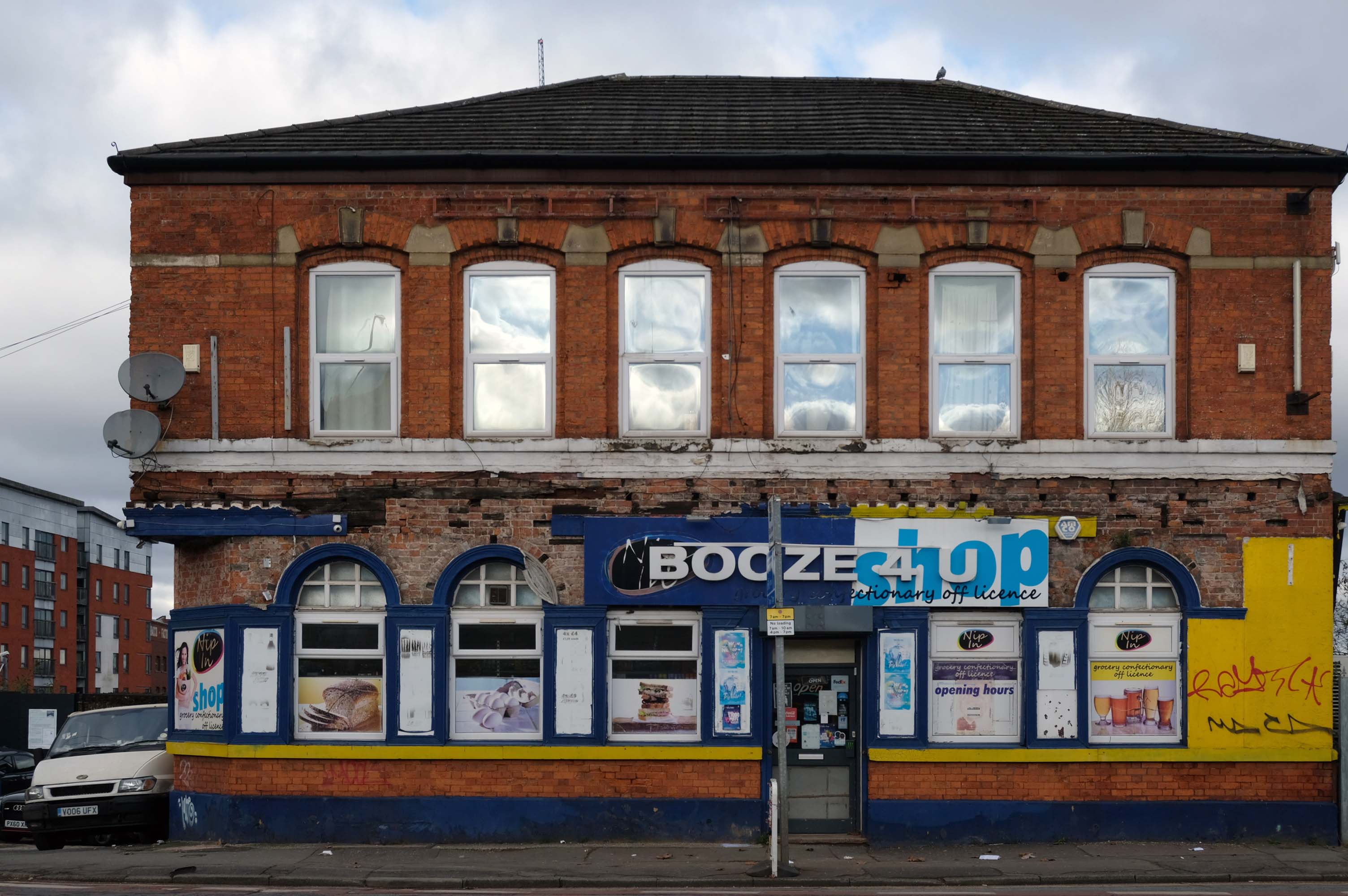
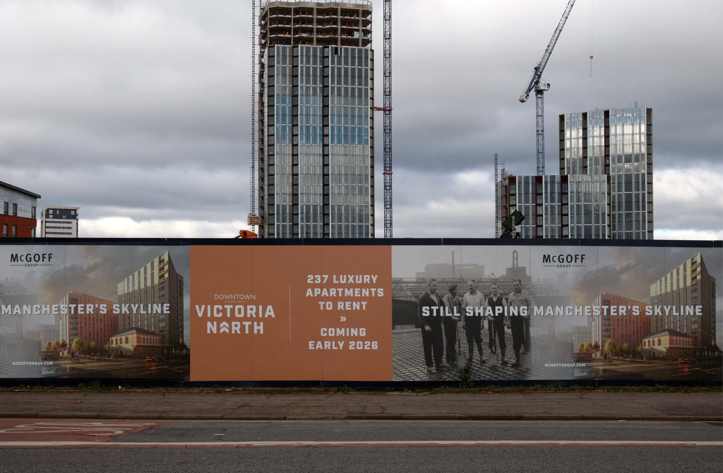
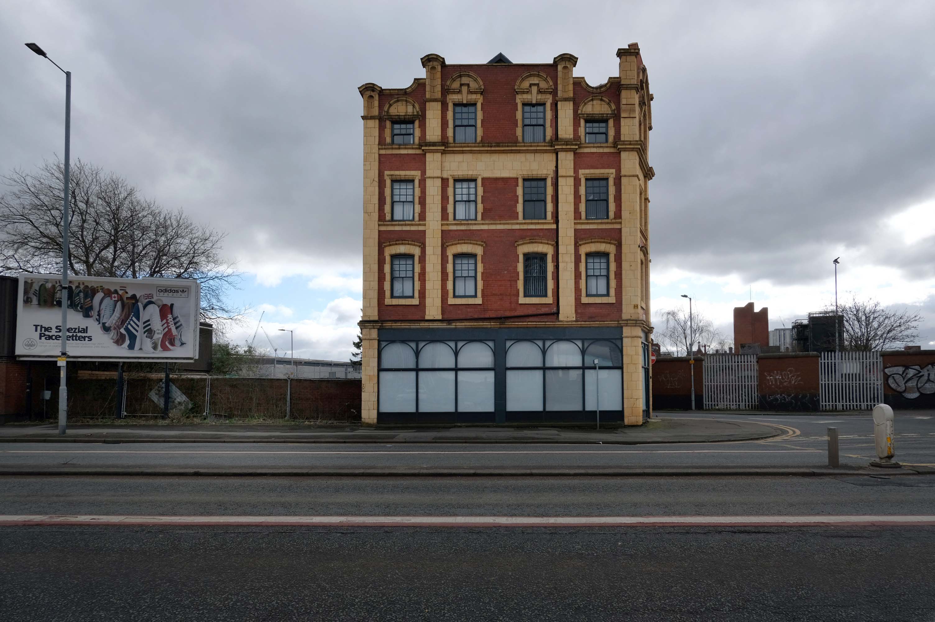
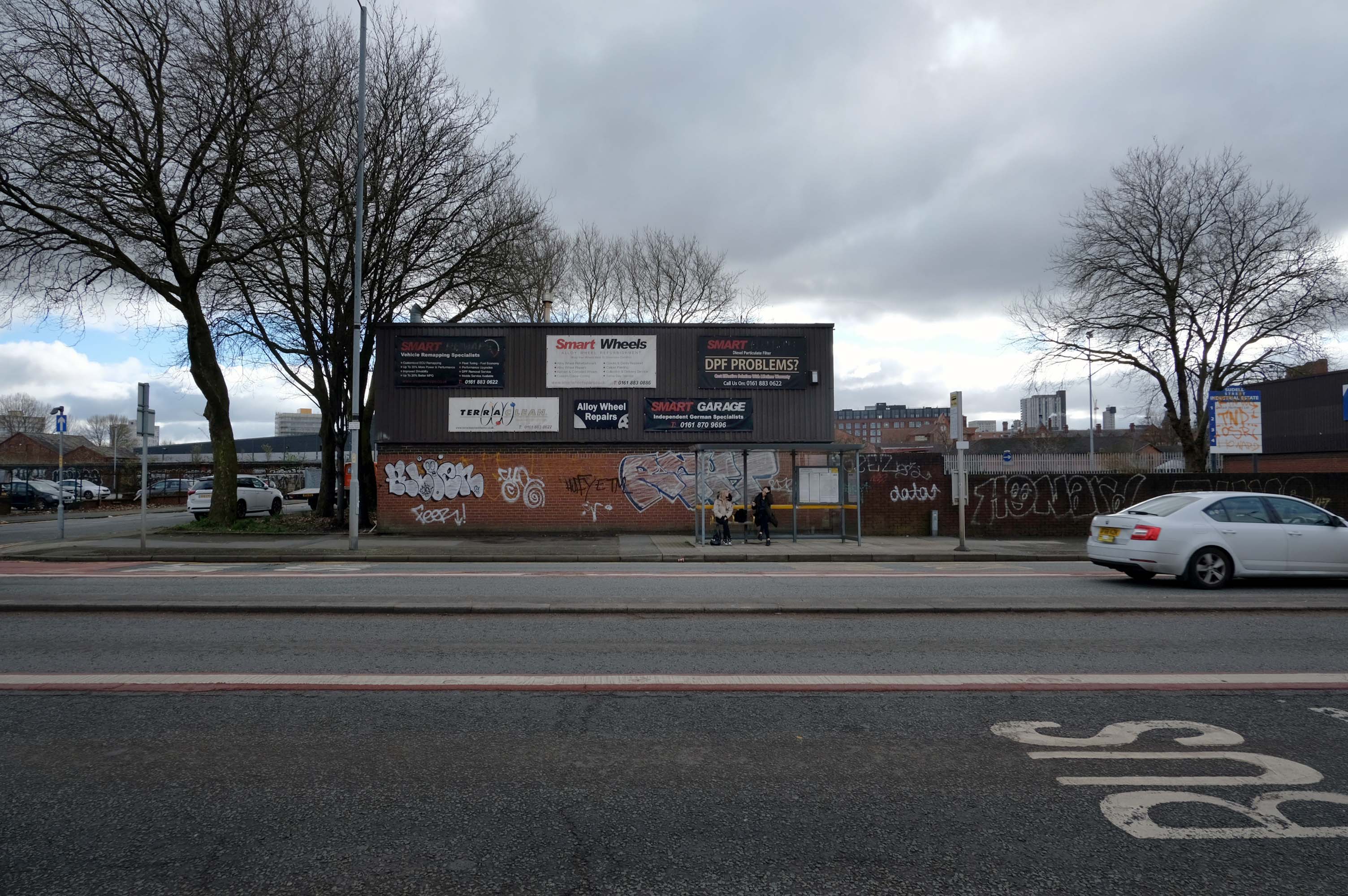
This is Oldham Road Manchester – this also Memory Lane.
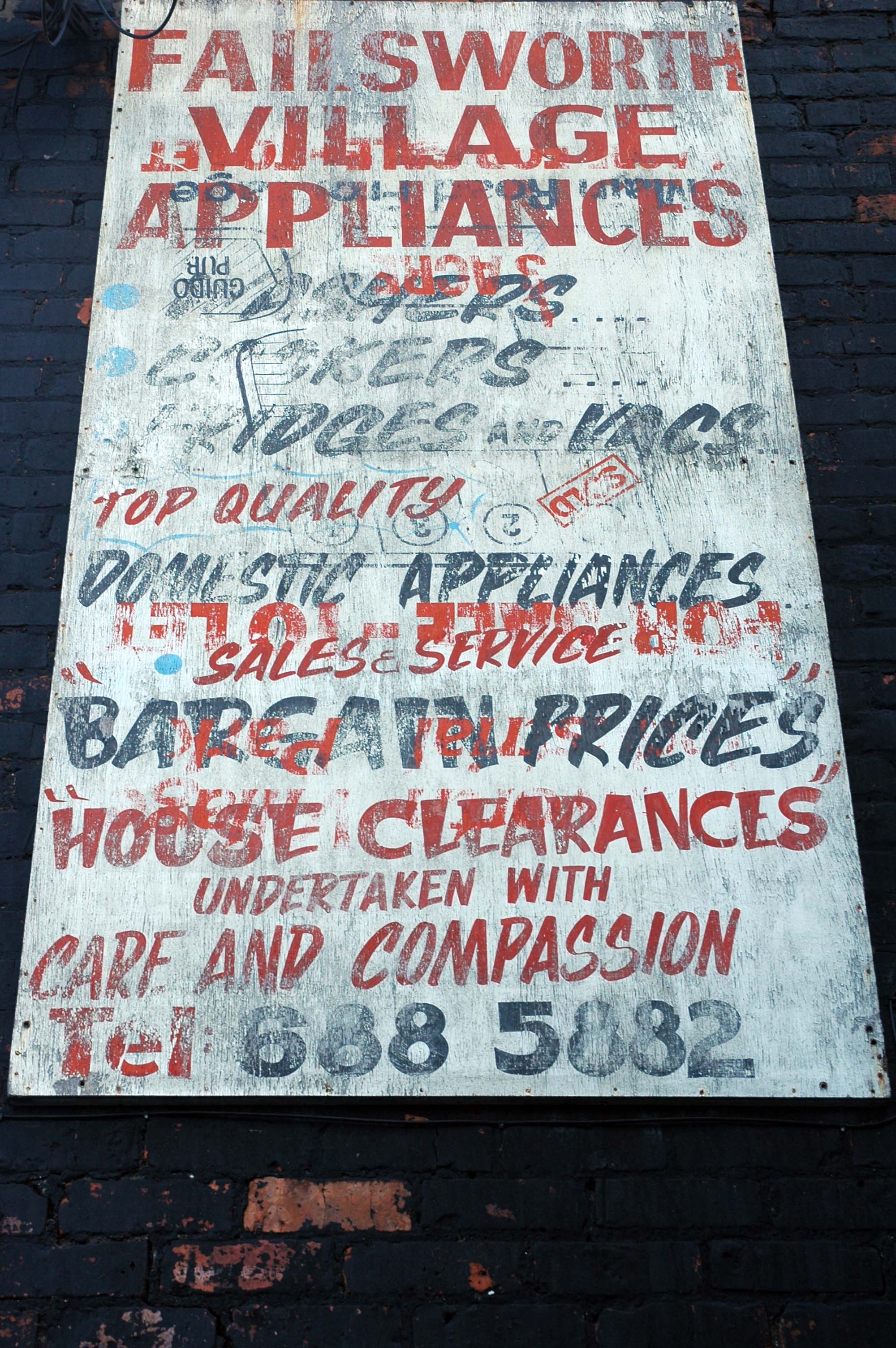
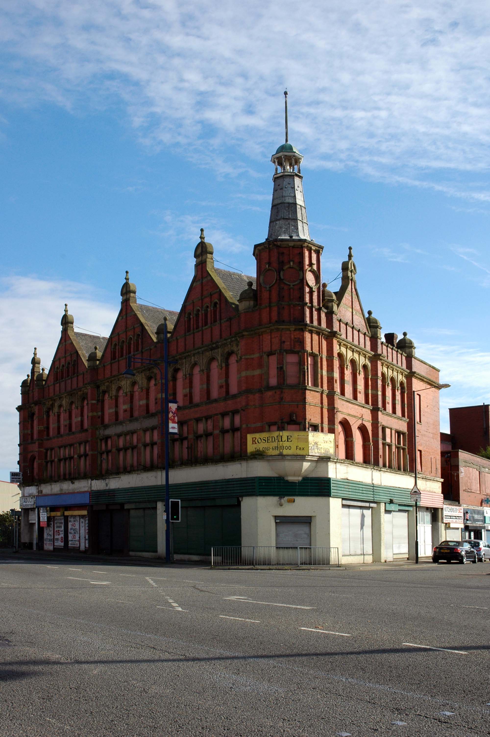
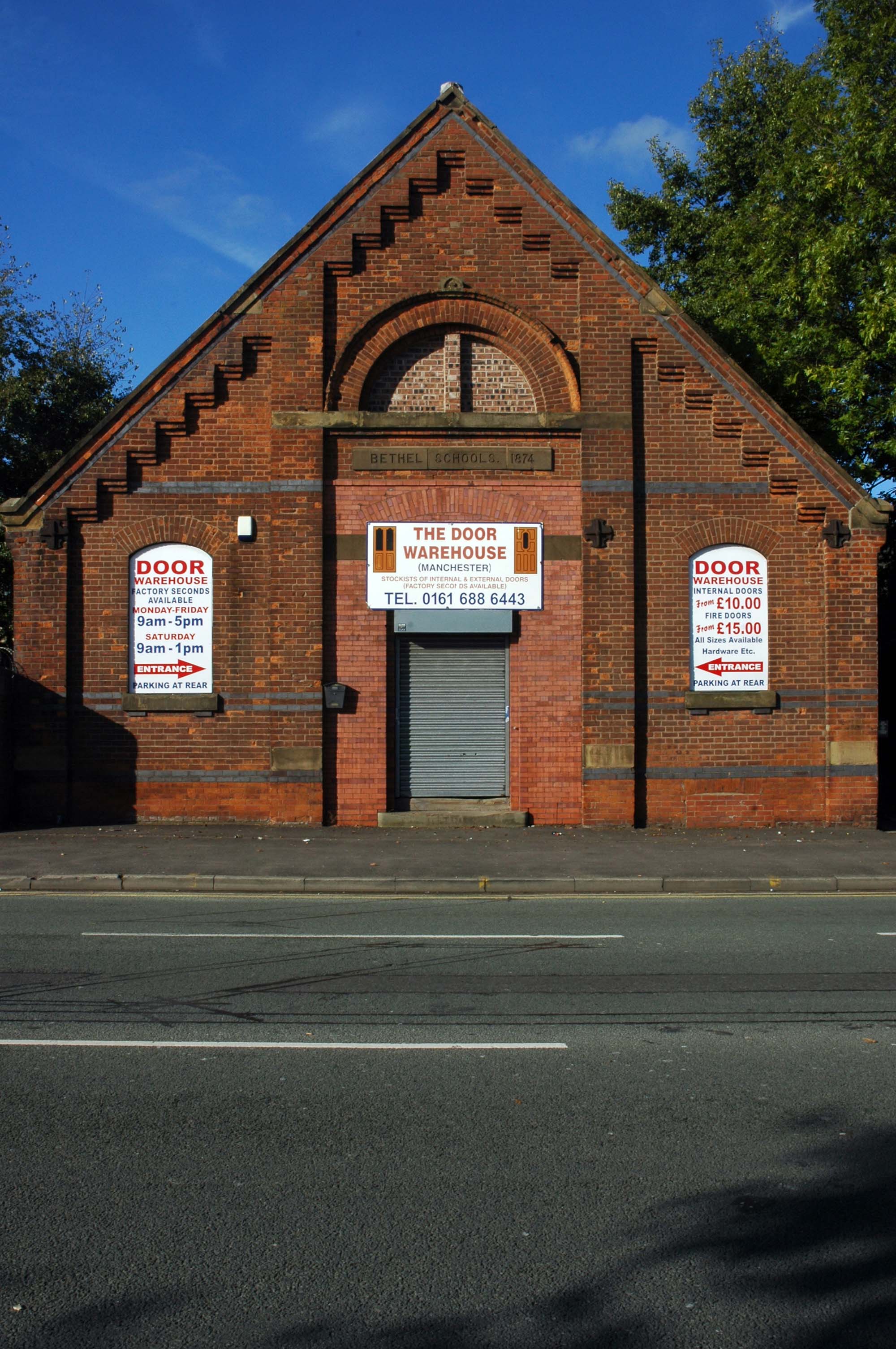
Walking from the city centre to Failsworth I noted the absence of public houses, some long since demolished, some now serving other purposes – very few open selling beer.
Many of the breweries no longer trading.
Much of this the consequence of changing economic circumstances, the decline in manufacturing and subsequent serious absence in regular drinkers.
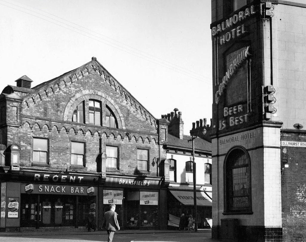
I do remember the huge Winston Churchill relief in the Room and R100 Airship wooden panelling in the lounge. Also of note were the ornate plater work ceilings and pendulous lighting, much damaged as the pub awaited restoration.
The A34 is a major route from the ports on the South Coast of England to the Midlands and the North West, with the standard varying from rural dual carriageway sections in the south to urban single carriageway in the north, and everything else in between.
Slade Lane junction, Rushford Park to Parr’s Wood, East Didsbury – to connect to Manchester Road to Cheadle. It continued on to Laneside Road as a residential road. Opened on 11 April 1923 by Mary Cundiff, Lady Mayoress, and Margaret Turnbull, daughter of Alderman Turnbull, Chairman of Manchester Town Planning Committee. Width was 100 feet and it was designed for tram tracks in the central reservation. The dual road carriageways were 20 feet wide. Manchester’s tram system was closed in 1949. The carriageways were widened and central reservation grassed over. Originally opened as A5079.
Laneside Road, East Didsbury to Schools Hill/ Wilmslow Road junction, Cheadle. Opened on 12 October 1959. The official opening was on 15 October 1959. Planning for the bypass had been halted by the war. In December 1949 Manchester Corporation stated that it was not a priority since the Corporation was only responsible for the 200 yards to the proposed bridge over the River Mersey and Cheshire County Council had not asked for a joint approach to Ministry of Transport to build it. Work was finally authorised in January 1957 and started in the June. Width was 90 feet with dual 24 foot carriageways. Expected cost was £600,000 to £700,000.
The A6 is Britain’s fourth longest road. Its route varies greatly from the lower lands of the South East, though the Peak District, right though the heart of Manchester city centre, then onwards towards Preston. It then goes though the historic city of Lancaster before skirting the Eastern fringe of the Lake District before ending in Carlisle, bang on the start of the A7.
North from Stockport towards Manchester, the A6 was a wide, four lane road, but still 30 mph, which usually flowed pretty well. According to Mudge, it looks like it has now been massacred by bus lanes and red paint. Shame. We meet the A57 from the east, just south of the city centre, and multiplex until we reach Mancunian Way, the A57 heading off as a short urban motorway, the A6 heading into the city centre via London Road/Piccadily, where it loses its number and vanishes. It would have gone straight down Piccadily/Market Street to meet Deansgate, and then across the River Irwell into Salford, and up Chapel Street, where the number reappears. Market Street has been pedestrianised for years, so the A6 has long ceased to be a through route.
The A57 was nearly a coast to coast route. It passes through three major city centres (Liverpool, Manchester, and Sheffield – with elevated sections in each) and several smaller ones, multiplexes with the A6 and the A1, follows the banks of two canals and negotiates the remotest part of the Peak District. In one city it part of it is a tram route, whilst in another its former route is also a tram route. After all these adventures, it sadly gives up just 40 miles short of the east coast, Lincoln apparently proving too big an obstacle.
The A57 crosses the River Irwell at Regent Bridge before entering its moment of motorway glory as the A57(M) Mancunian Way skirting the south of Manchester’s city centre on an elevated section and crossing the A56 and A34. This includes a half-completed exit that goes the wrong way up Brook Street – a one way street. The original A57 ran further north through the city centre along Liverpool Road (now the A6143) and Whitworth Street – B6469 as far as the A6 London Road which marked the start of a multiplex.
At the end of Mancunian Way, we reach a TOTSO, straight on being the short unsigned A635(M) and thence the A635 – for Saddleworth Moor, Barnsley and Doncaster whilst the A57 turns south, briefly multiplexing with the A6, and then branching off along Hyde Road. This section of road was extensively cleared for the westward extension for the M67, and consequently has seen a lot of redevelopment.
The road now begins slightly further south than it used to. Instead of starting on Fairfield Street in Manchester city centre, it begins immediately as the Mancunian Way ends, which at this point is the unsigned A635(M). The motorway flows directly into our route. There’s a TOTSO right at a set of lights, and we pick up the old alignment, which now starts as the B6469.
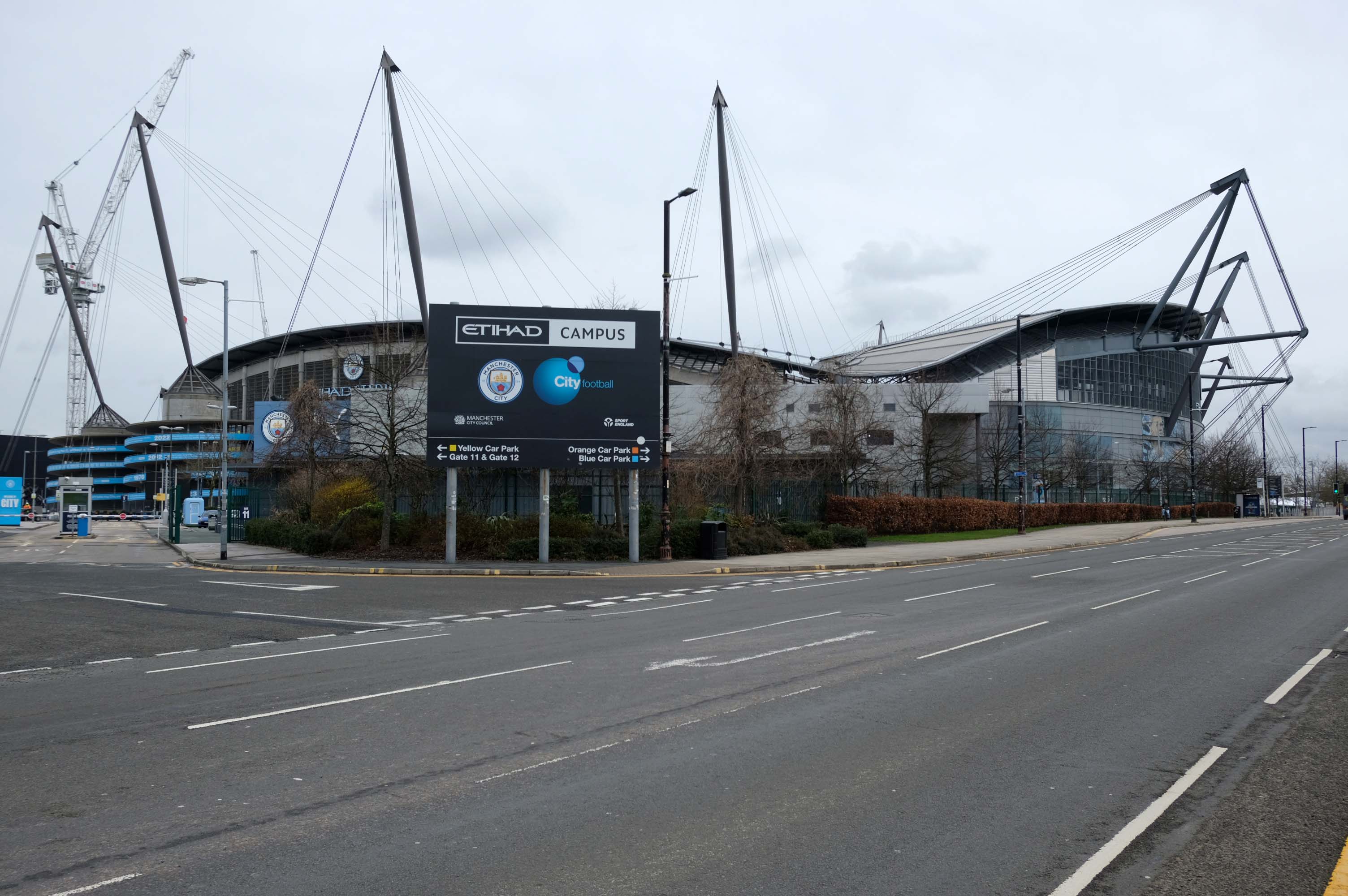
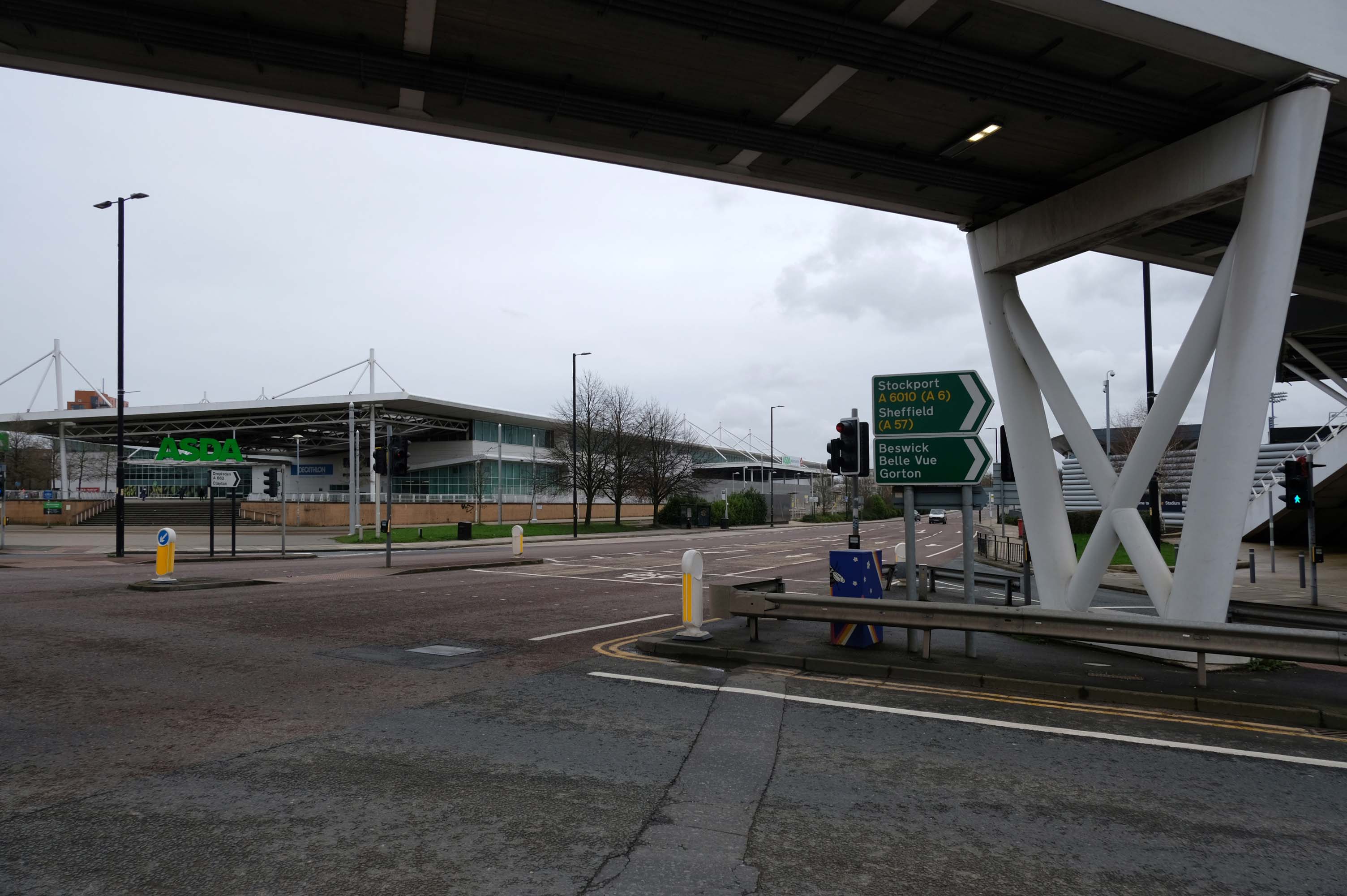
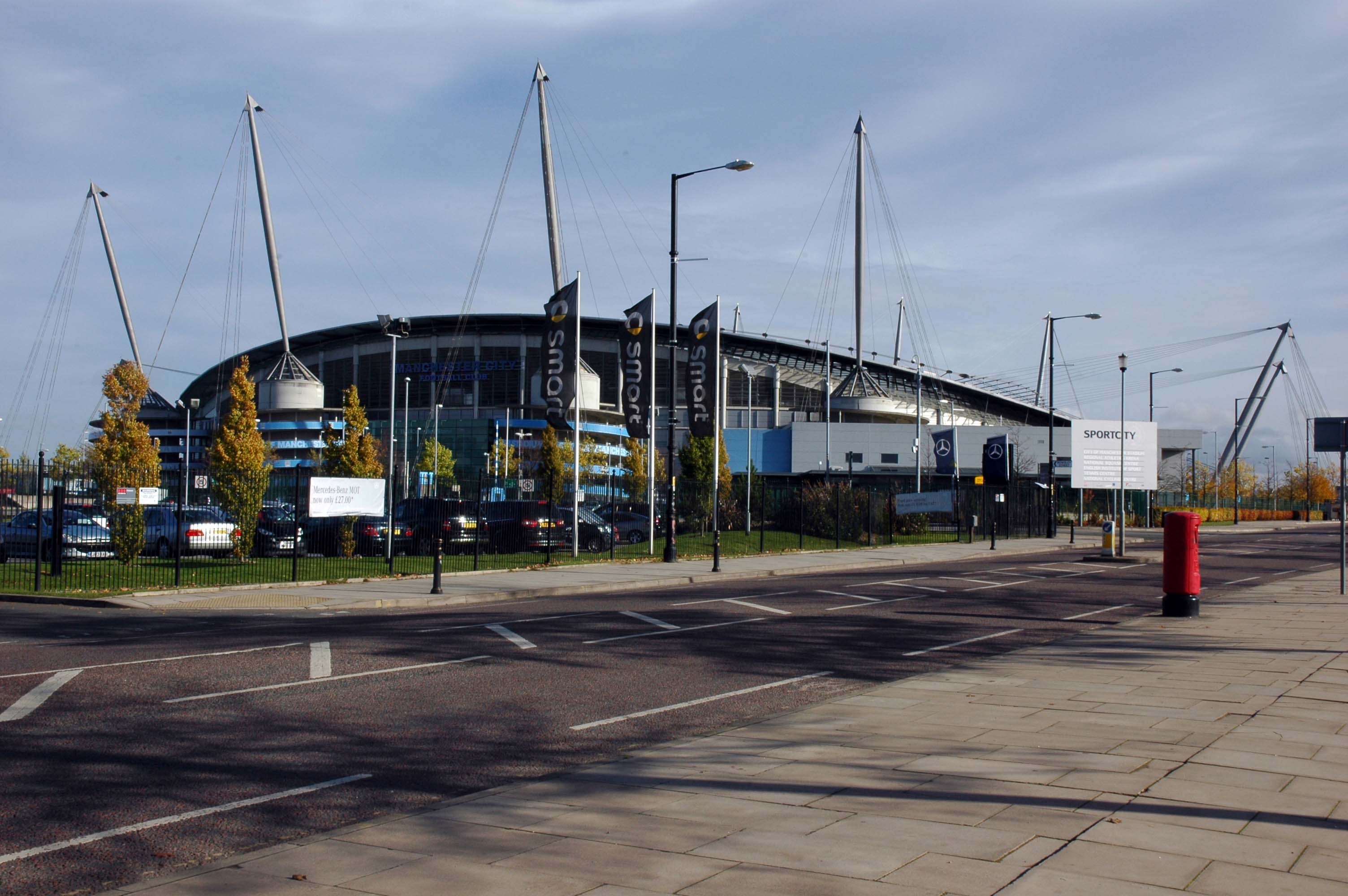
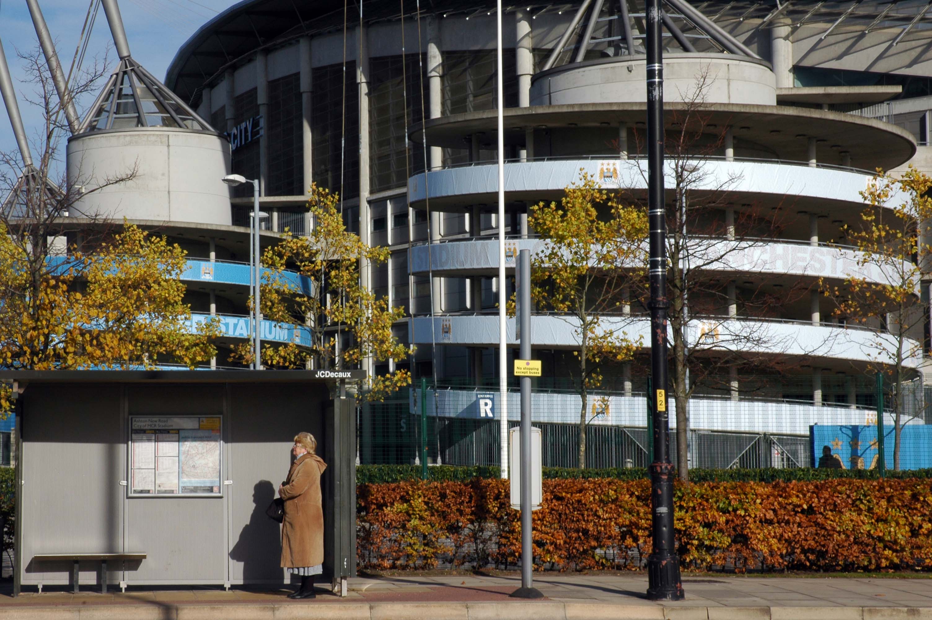
We can see the new City of Manchester Stadium on the left, site of the 2002 Commonwealth Games and now home to Manchester City FC. The road switches between S2 and S4 as it passes through the rather run-down urban areas of Ardwick and Gorton. A short one-way system at a triangular-shaped junction with the A662 leads onto a wider stretch as we near the M60 junction. This area is set to see significant industrial growth, with whole swathes of land either side of the now D3 road cleared and ready for development.
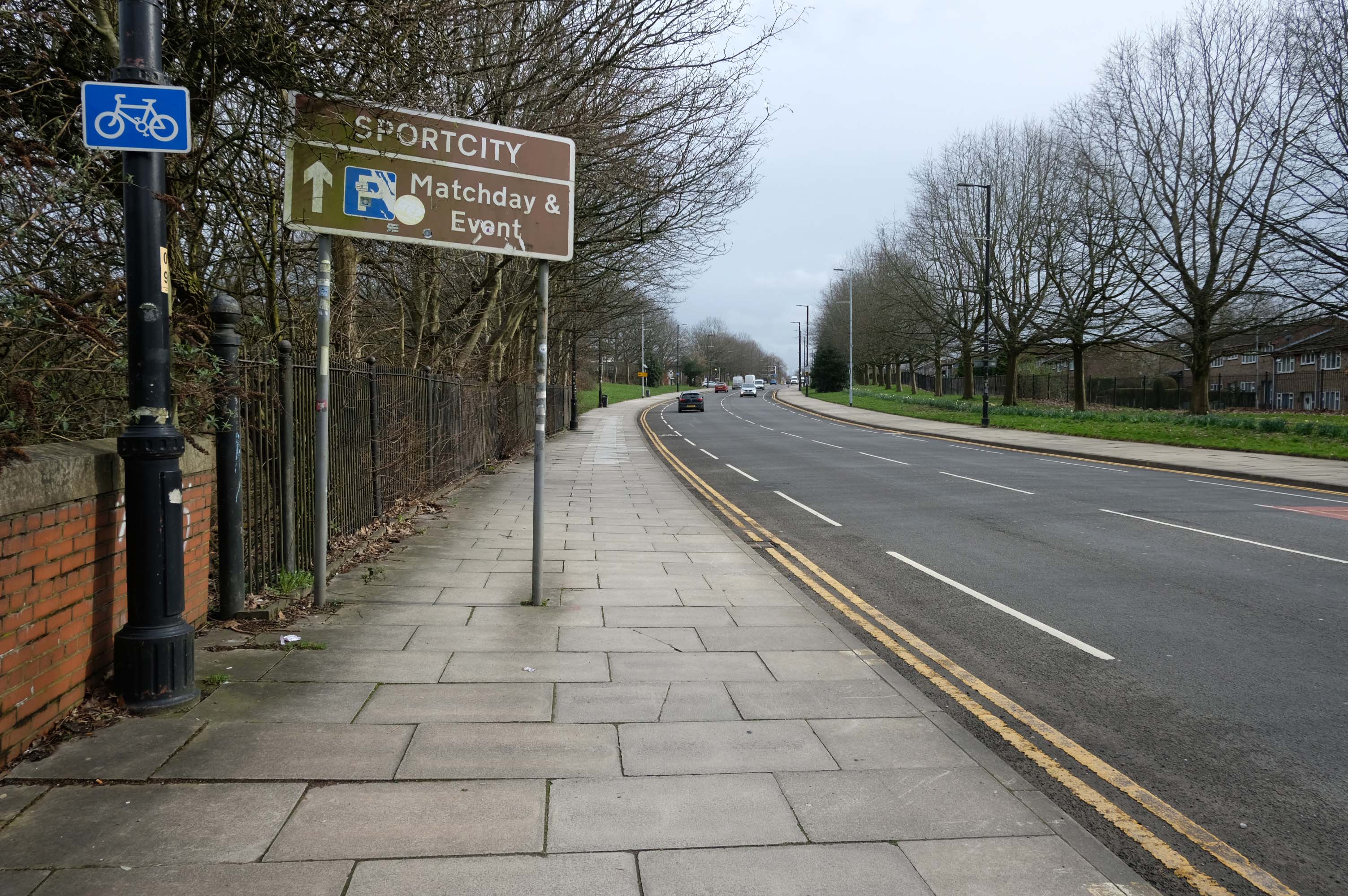
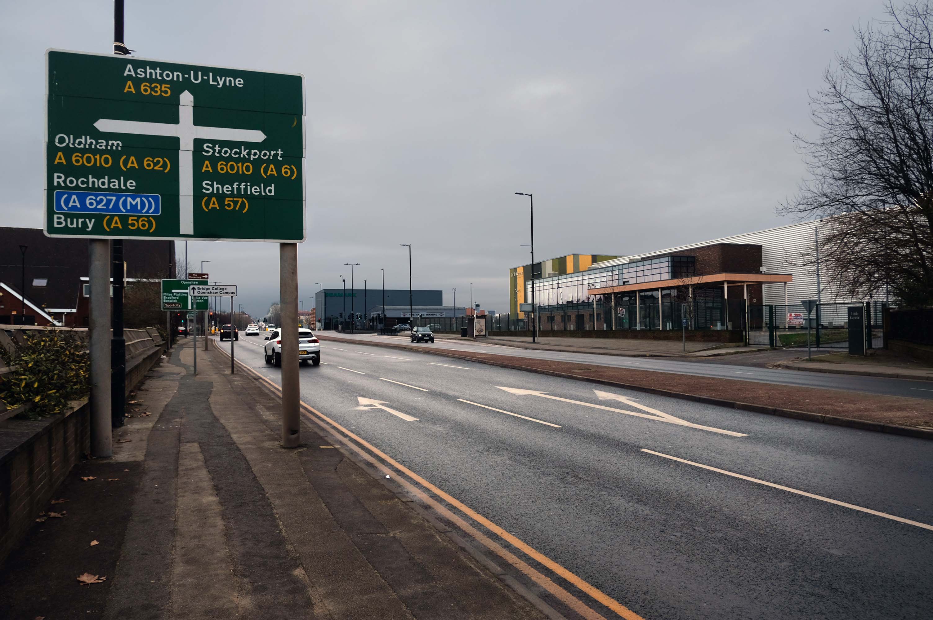
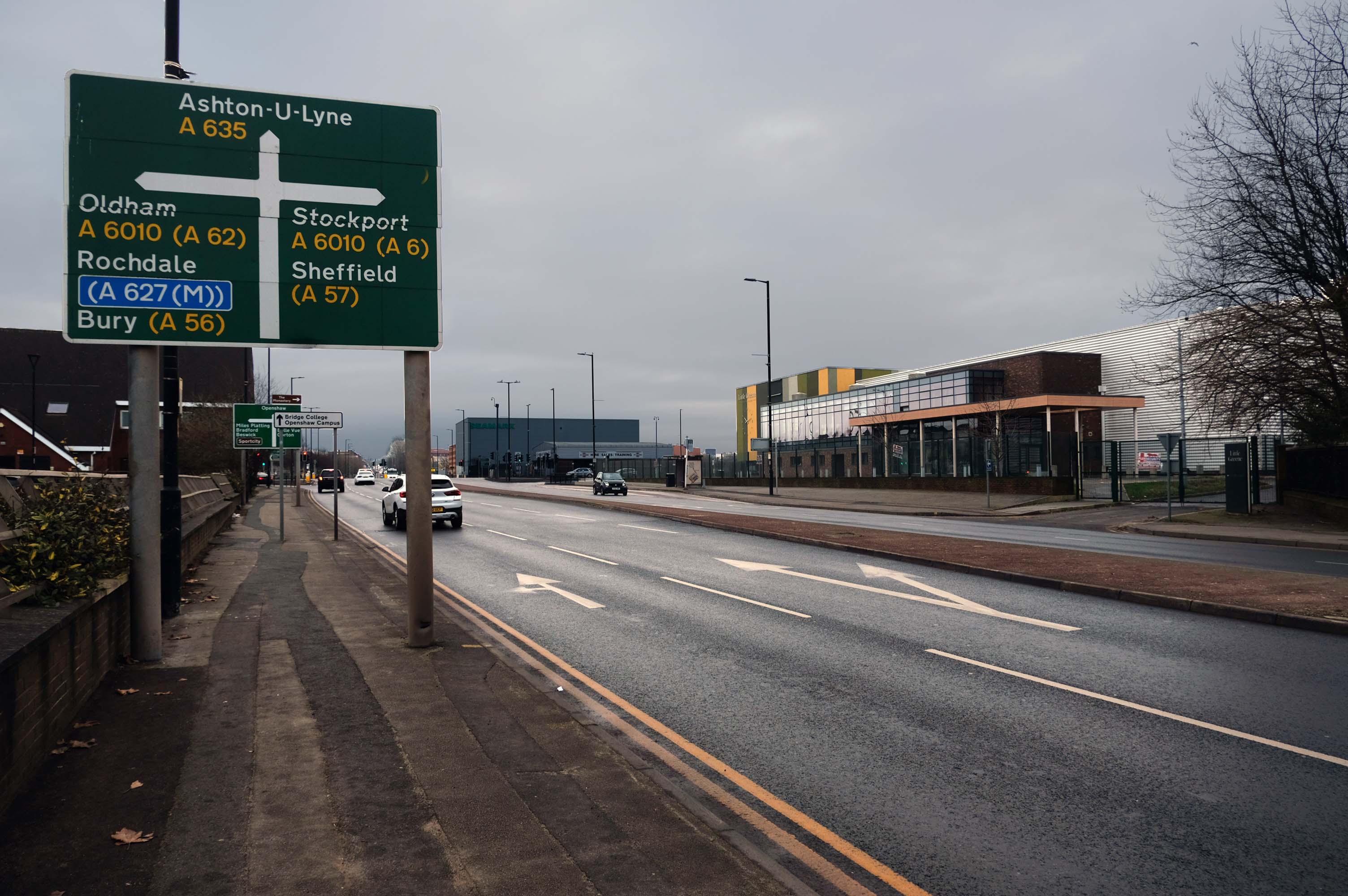
Starting at traffic lights on the A665 the road heads northeastwards, initially with the Metrolink on the left and a factory building on the right. The road then bears right at traffic lights marking the first section of on-street running for the trams, which lasts until just before a bridge over the River Medlock, after which the road passes to the south of the Sportcity complex whilst the tram line runs through the middle.
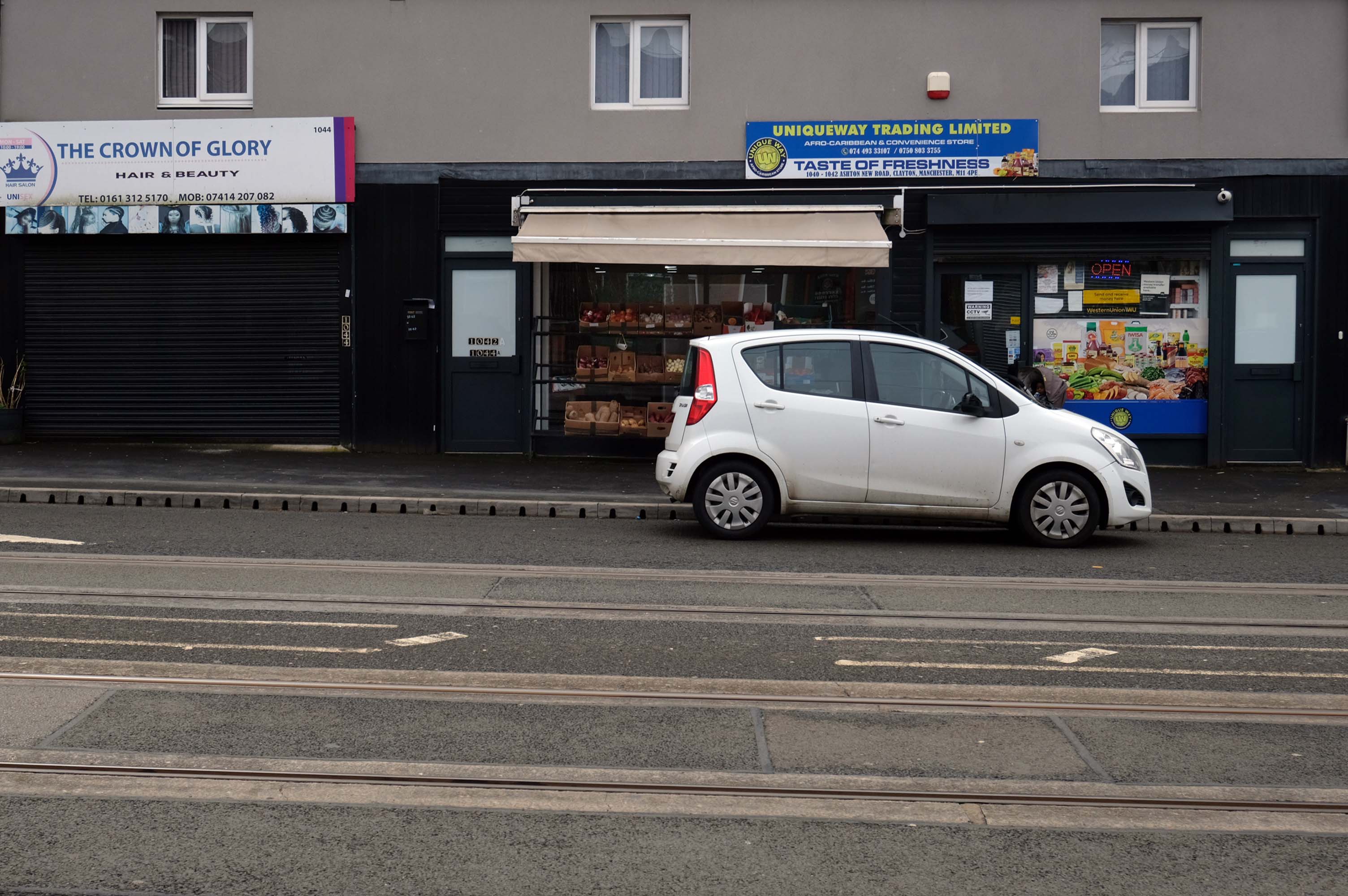
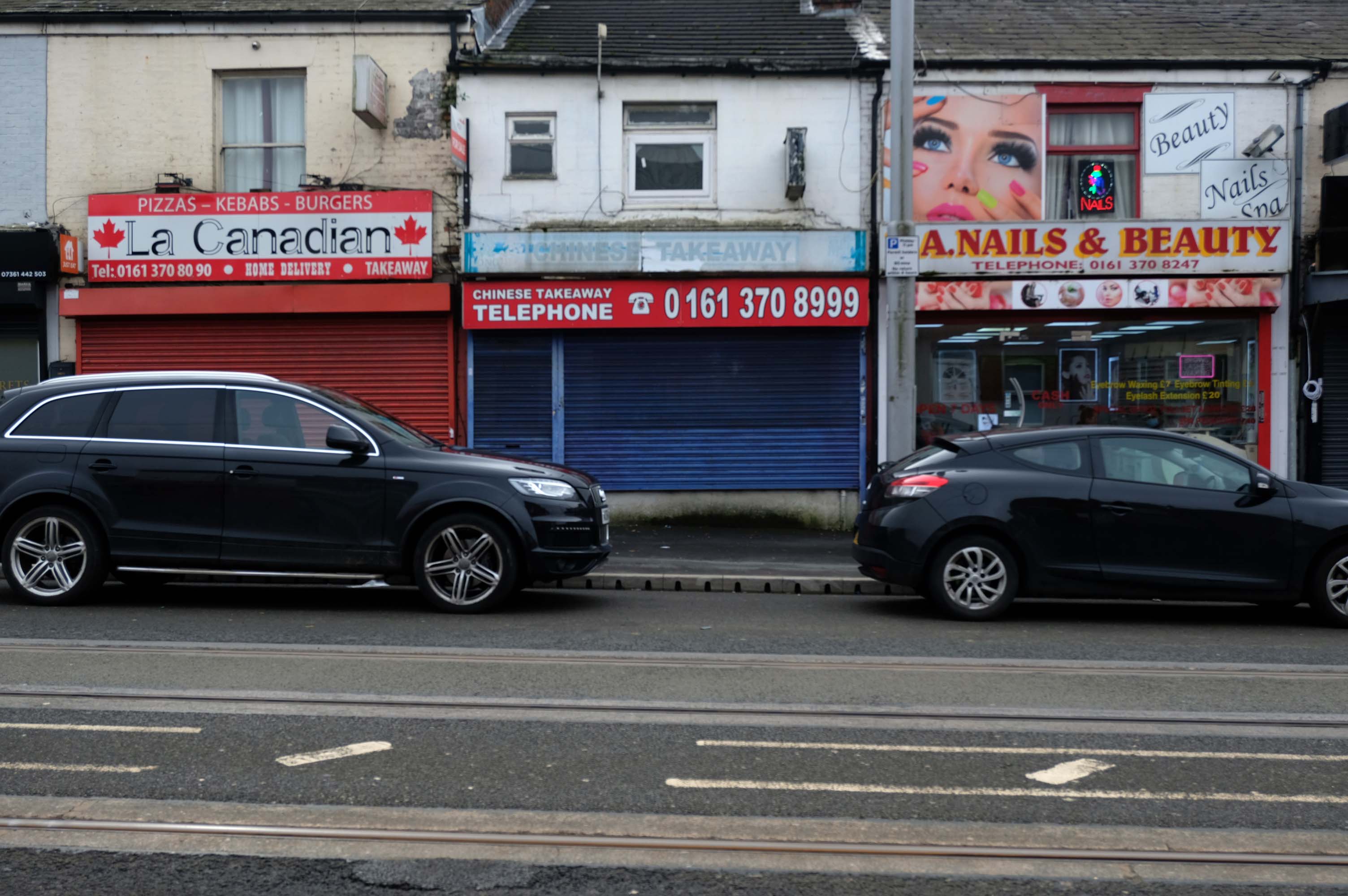
The A6010 is crossed at traffic lights, after which we see the tram lines on the left once more. We go over the Ashton Canal, then the tram lines at grade before bearing to the right to pass Clayton Park before another section of on-street running for the Metrolink begins, which continues for some distance. Just after crossing the Manchester city limit there is a set of traffic lights, after which the road becomes D2 for a short distance to allow a tram stop – Edge Lane, to be located in the central reservation. The tram leaves the road to the right for the next stop – Cemetery Road, and the stop in Droylsden town centre is once again in the central reservation. In all three cases the street running recommences after the stop.
The A62, which runs from Manchester to Leeds, via Oldham and Huddersfield, was once the main route across the Pennines, connecting the largest city in Lancashire with Yorkshire’s largest city. However with the completion of the M62 towards Leeds in the early 1970s it lost much of its importance and traffic to the motorway, which runs a few miles to the north. These days, the A62 serves as a busy primary route between Manchester and Oldham, an extremely very quiet route over the Pennines, and then a fairly busy local road linking Huddersfield with Leeds.
Most maps show that the A62 starts its journey in the middle of Manchester by leaving the A6 Piccadilly and running along Lever Street – the original route was the parallel Oldham Street. However, owing to a bus gate Lever Street is not generally accessible from Piccadilly. We head out easterly on a busy street – non–primary, until we meet the Ring Road where we pick up primary status that we retain until Oldham. We turn left at this point and then immediately right to start the A62 proper.
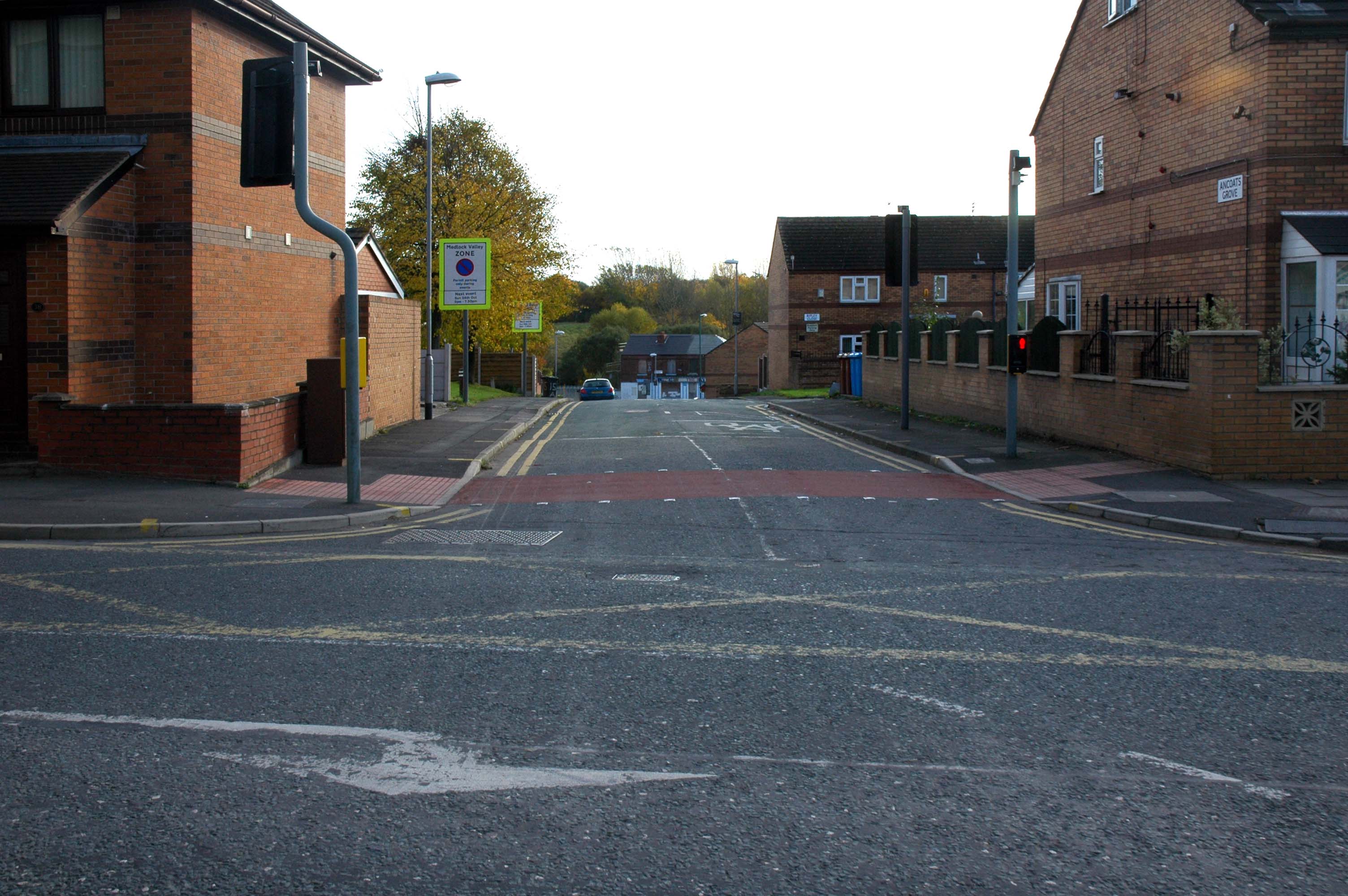
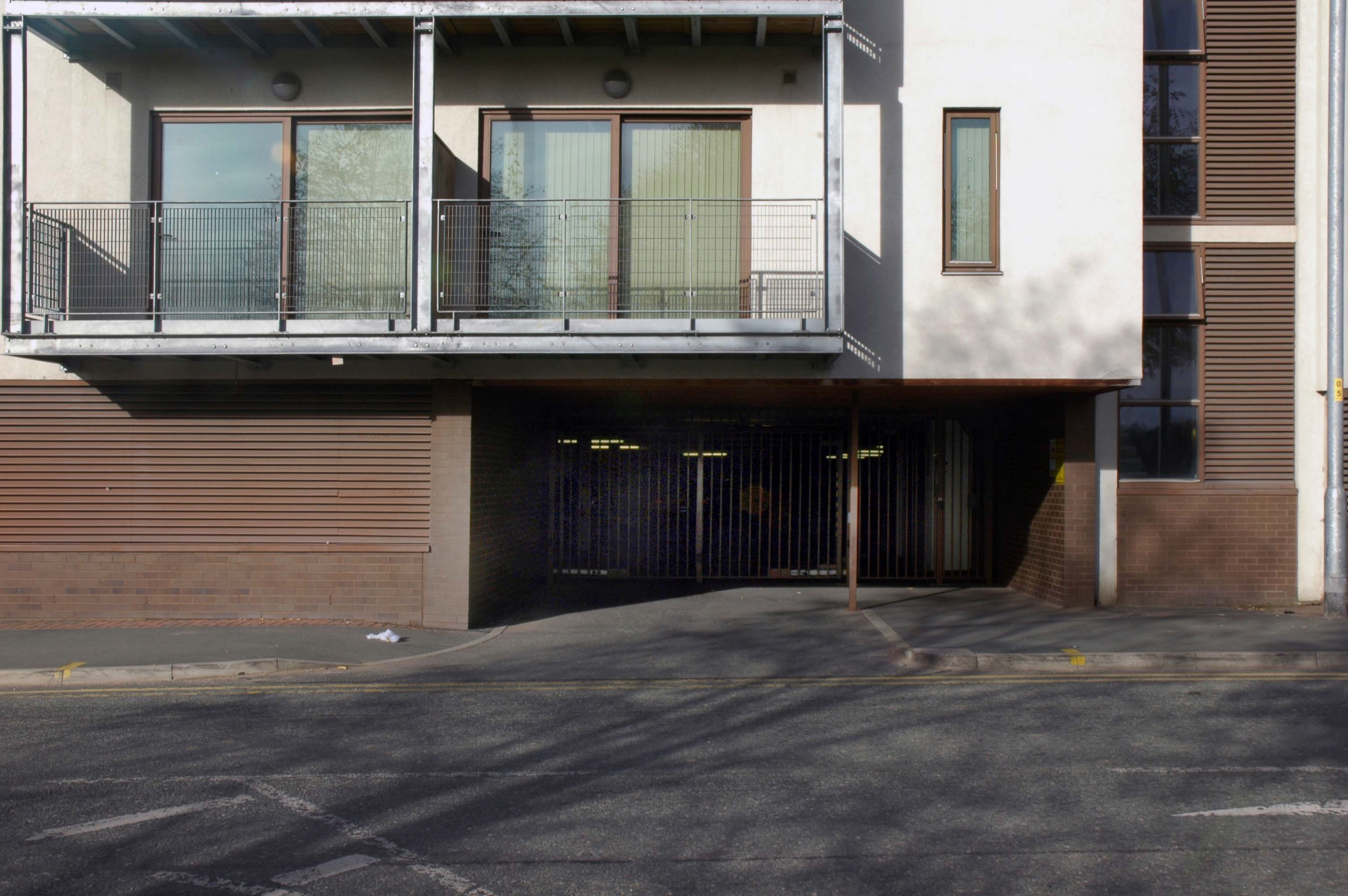
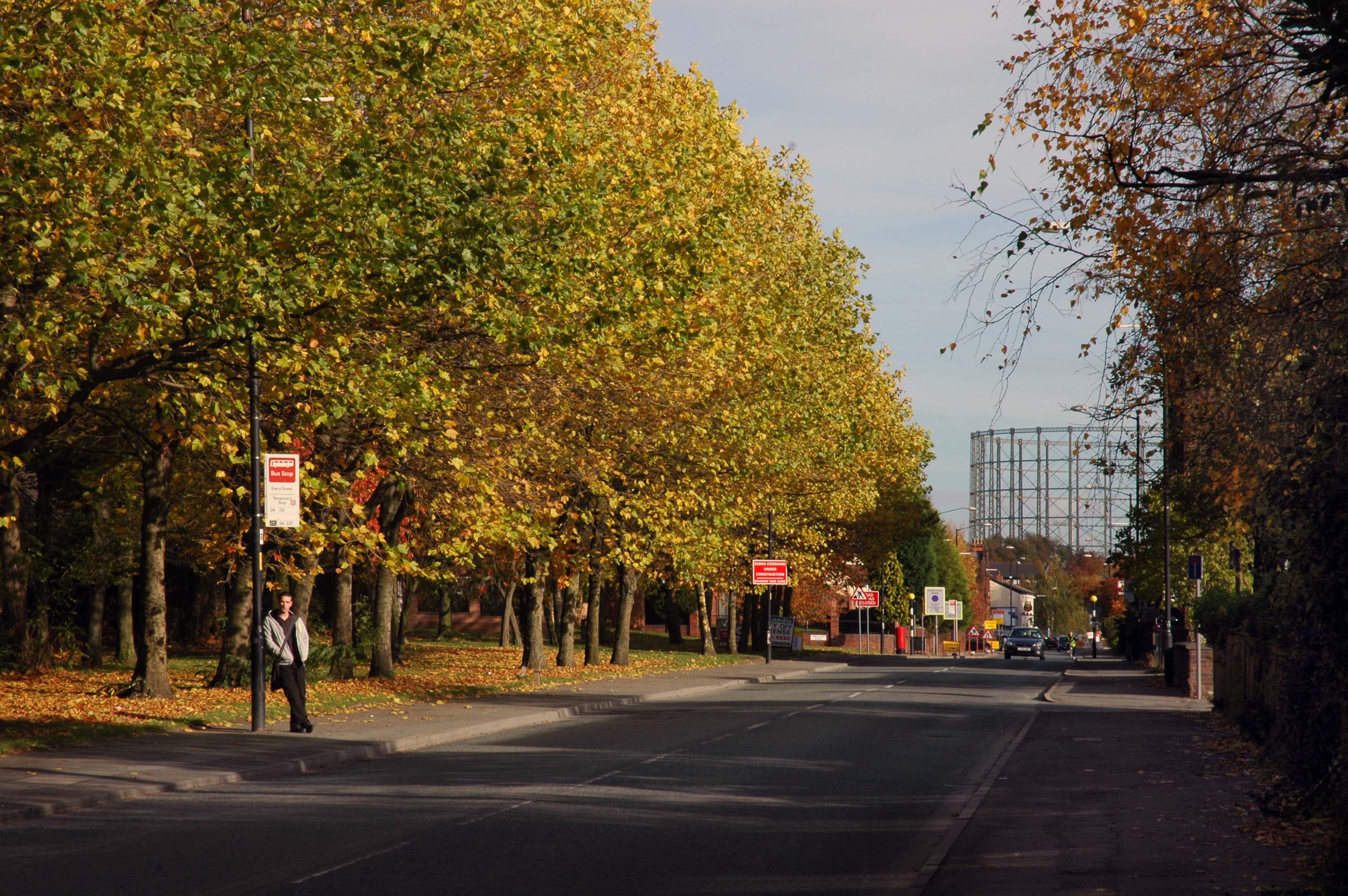
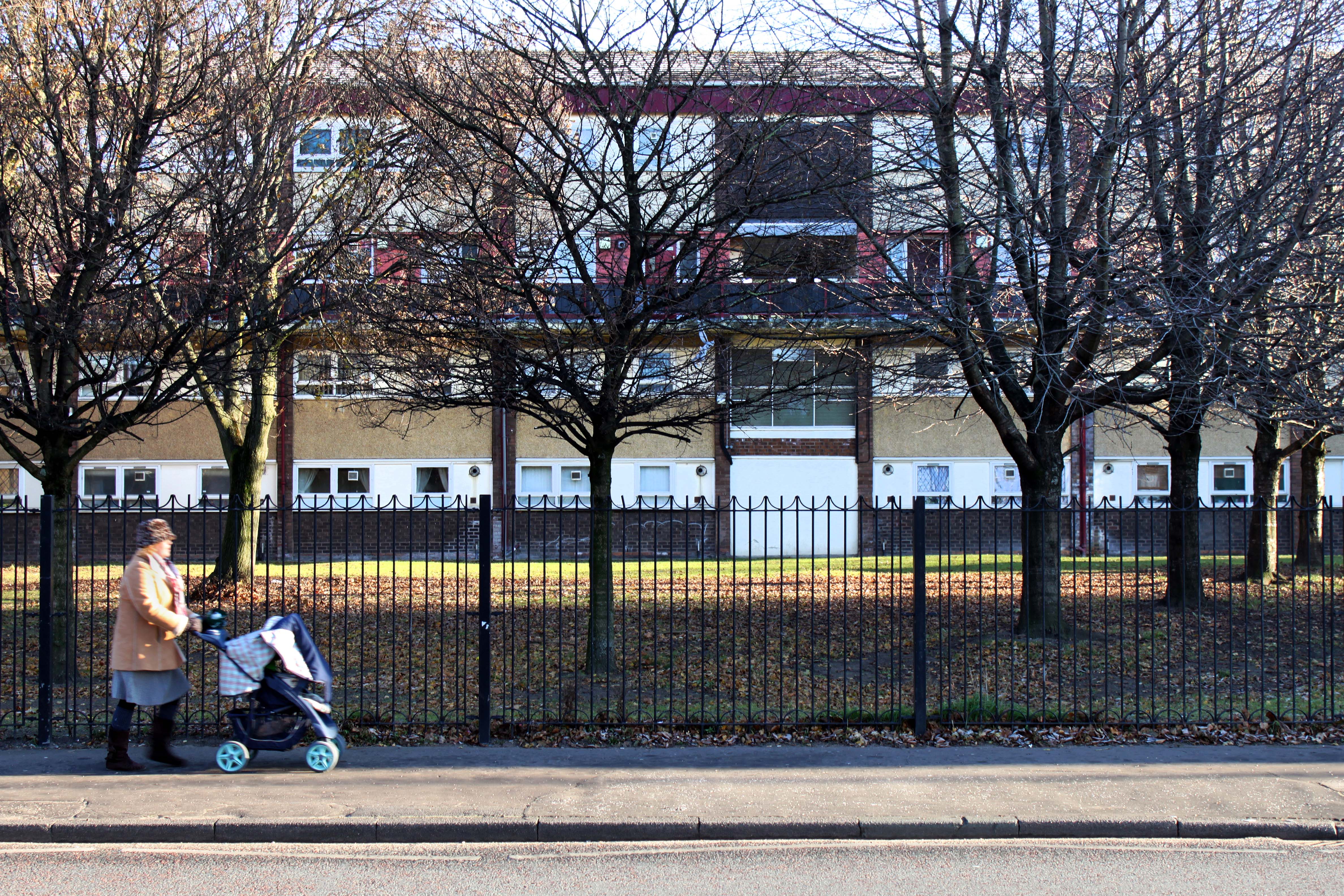
In 2014, having taken early retirement from teaching photography, I embarked on a series of walks along the arterial roads of Manchester.
This whole undertaking was prompted in part by Charlie Meecham’s 1980’s Oldham Road project.
The work questions whether a sense of local identity can be maintained in an area of constant redevelopment and community displacement.
This area was first developed in the 19th century for cotton manufacture, coal extraction and later electrical and heavy engineering. The road was lined with shops and there was a vibrant community.
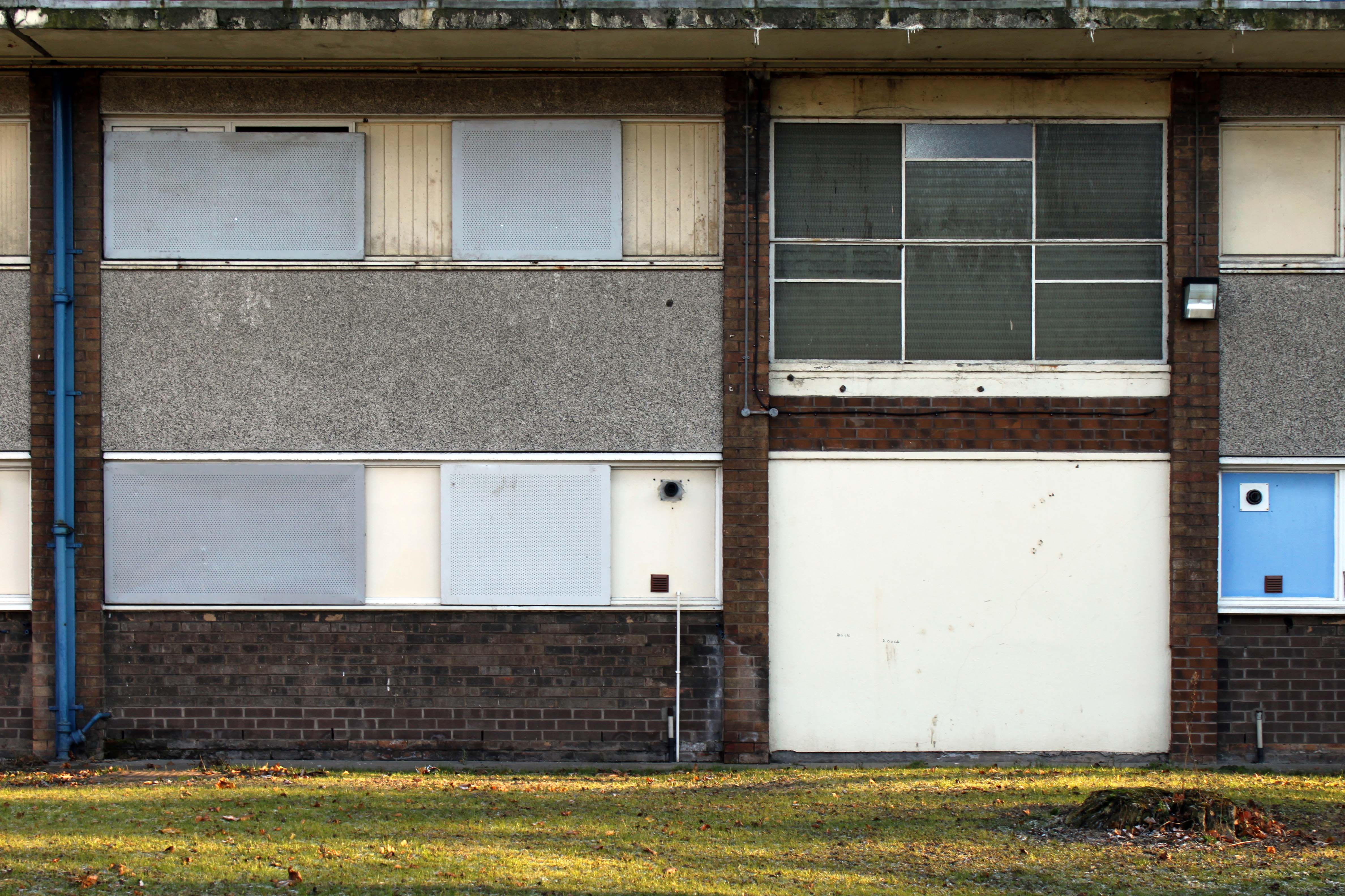
When I first started working on the project, most of the early industry had ceased operating and the mills were either abandoned or being dismantled. However, some had been refurbished either for new industrial use or later, made into apartments. Some run down areas were cleared making way for new housing. Clearance also provided opportunity to build new schools, trading estates and create green space. Most of the older community centres such as theatres and cinemas along the road were also abandoned and later cleared.
The obvious place for the A664 to start is on the A665 Manchester & Salford Inner Relief Route, which at this point is actually two parallel one-way streets. However, many maps show the road continuing a short distance into the city centre to end at traffic lights by the Shudehill Interchange – this is presumably for historic reasons: the road originally continued along the High Street to its terminus on the A6 Market Street.
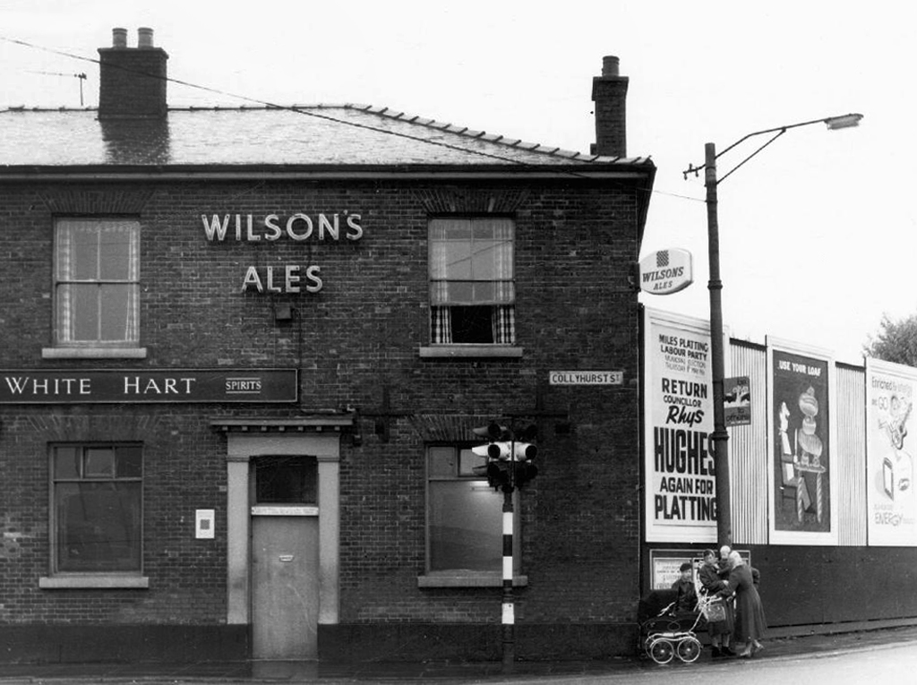
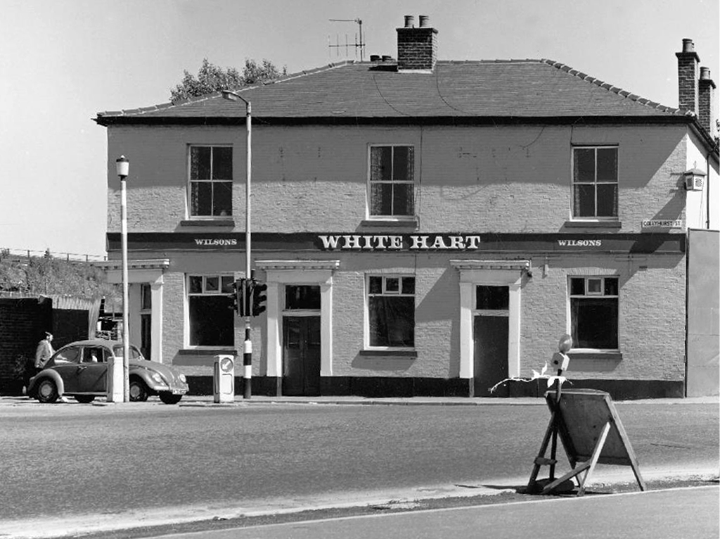
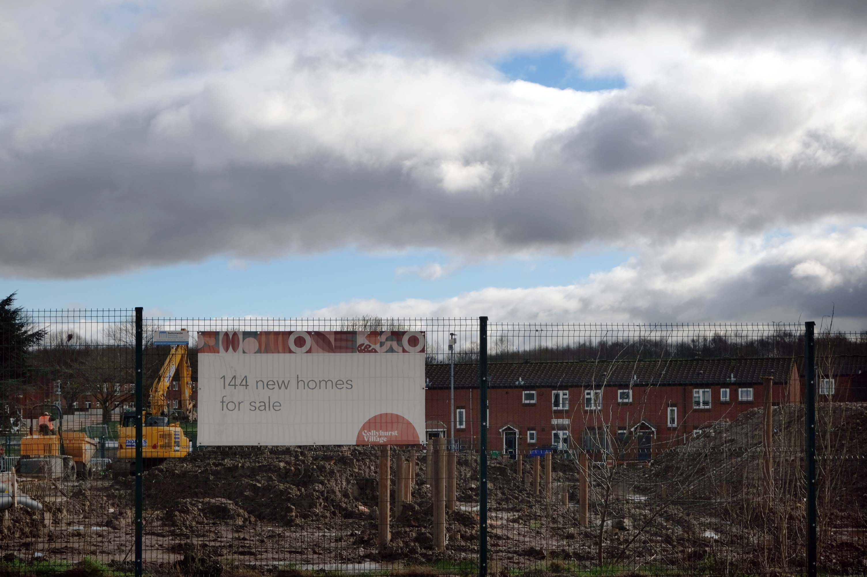
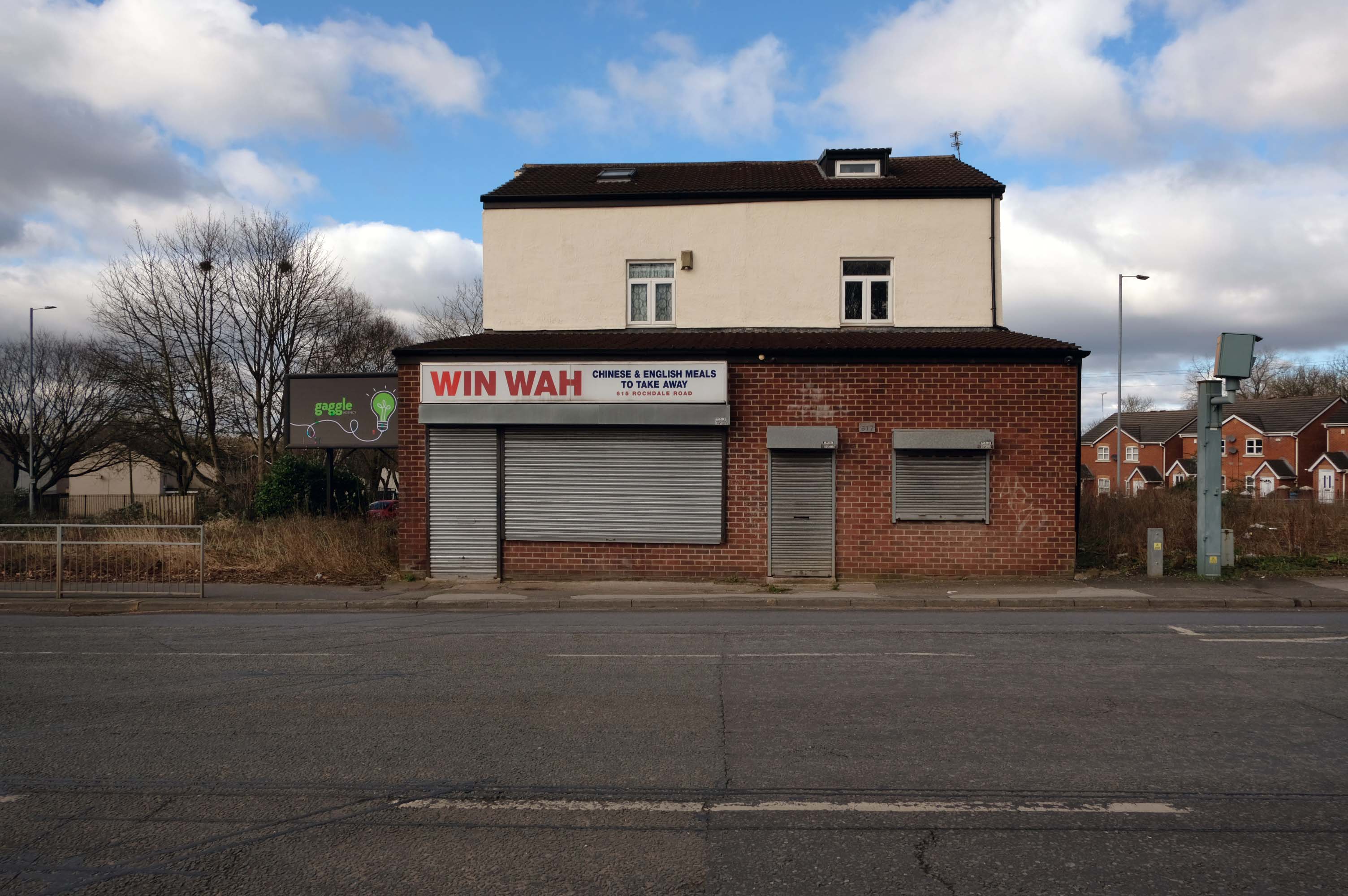
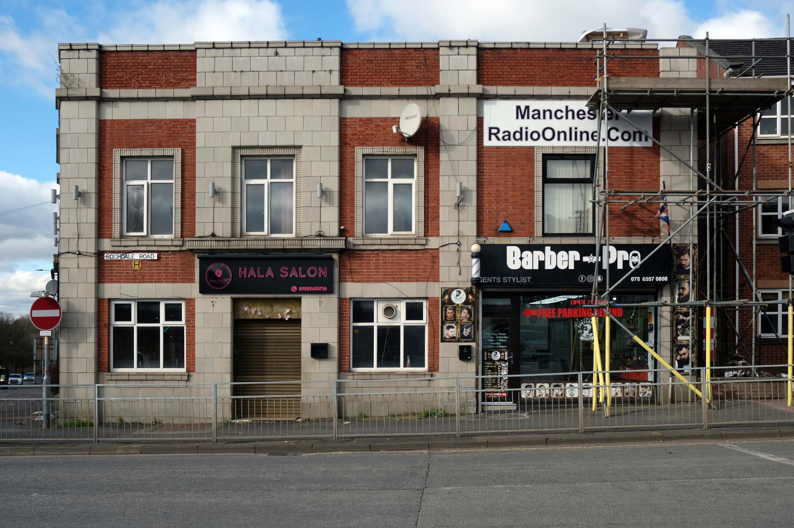
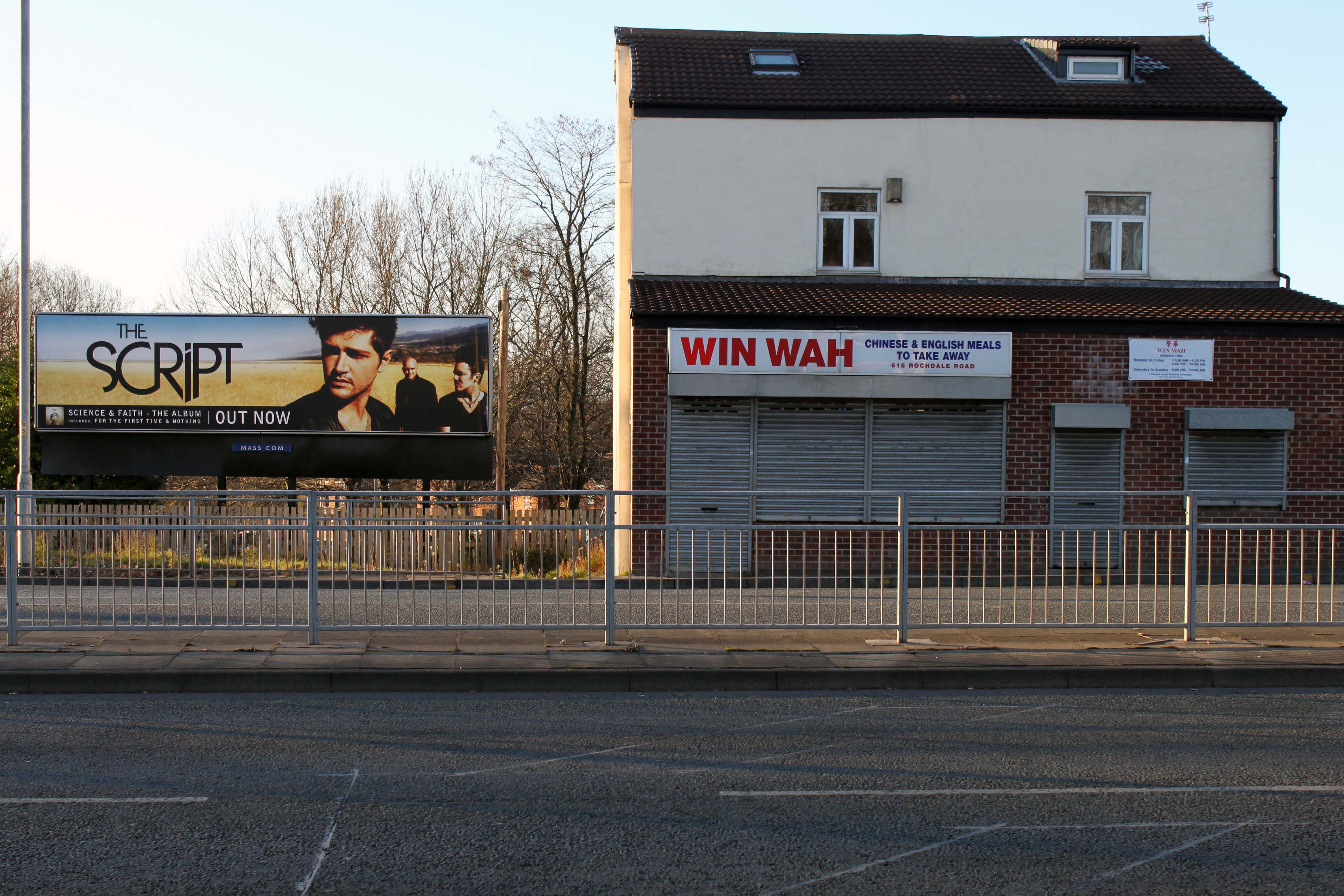
The road heads northeastwards through the suburbs, the street name Rochdale Road, already emphasising its destination. Initially dual, the road narrows just before crossing the bridge over the railway line east of Victoria station. It continues through Collyhurst and widens again just before crossing the A6010 Intermediate Ring Road, which here is made up of two parallel one-way streets, requiring two separate sets of traffic lights to cross.
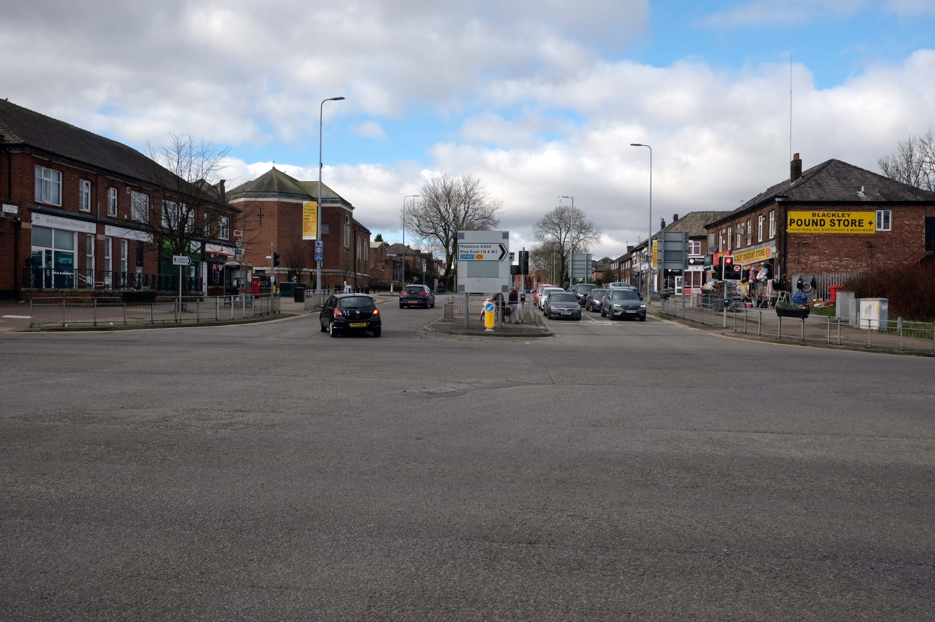
Now non-primary – but still dual for a short distance more, the road runs in a more northerly direction through Blackley, where it becomes wooded for a short distance as it passes the Boggart Hole Clough park. Slightly further on the road has been straightened, after which it bears right to widen considerably and cross the A6104 at traffic lights just before M60 J20, which only has west-facing sliproads. The road narrows again on the far side of the motorway and leaves Manchester for Rochdale at the same point.
Secure and easy to find while driving, struggled to get back in through side door, had to walk up the ramp.
Expensive.
Stairwell stinks like piss and I’ve seen homeless people sitting in there, doesn’t feel safe.
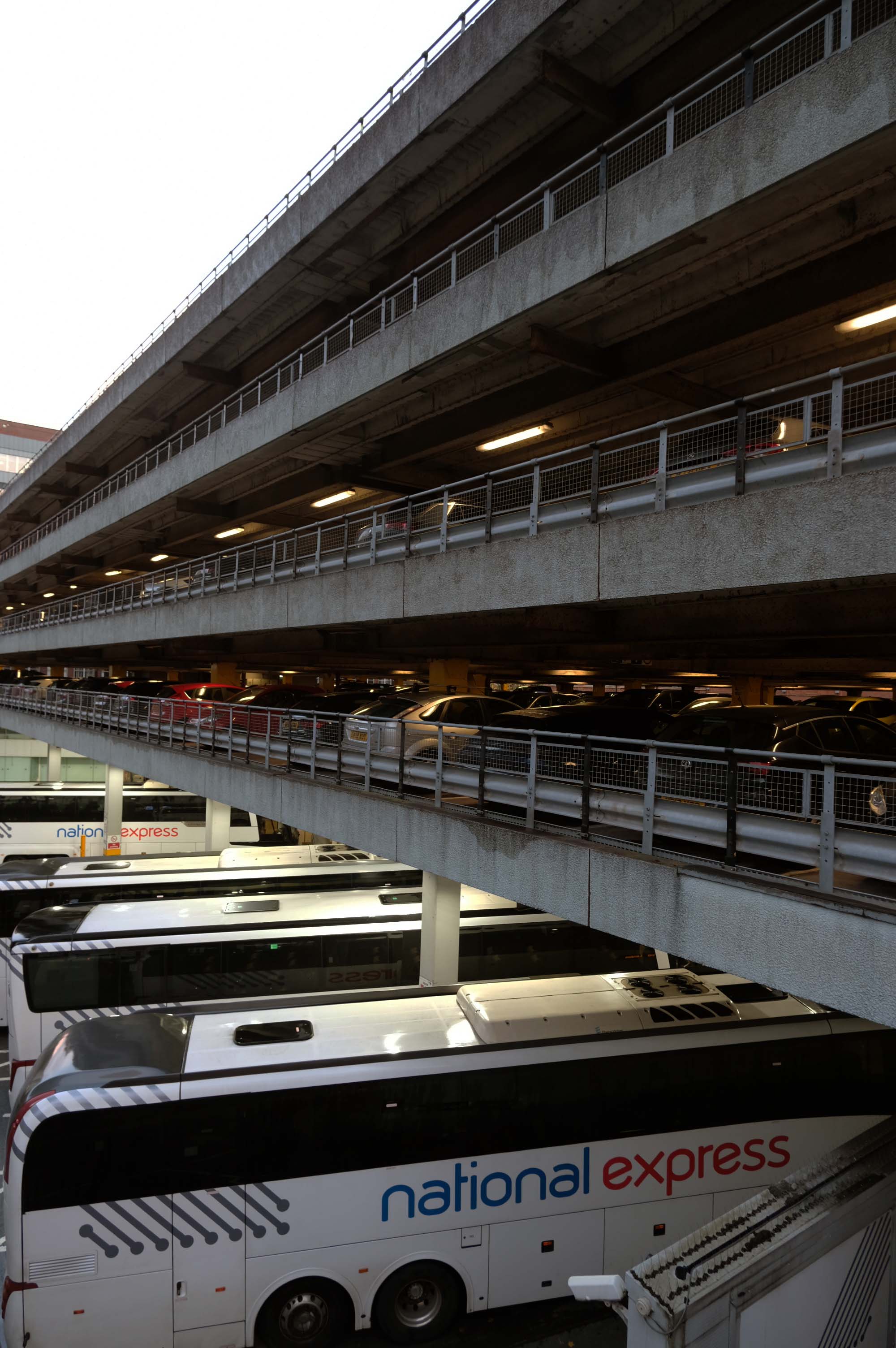
Great car park, security is great, right in the city centre, above the bus station that goes Scotland to Cornwall, Wales to Norwich and many more, Manchester city centre literally, with Piccadilly Gardens, around the corner.
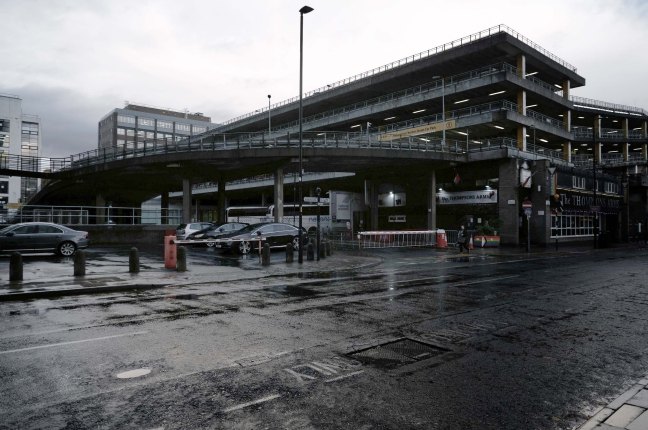
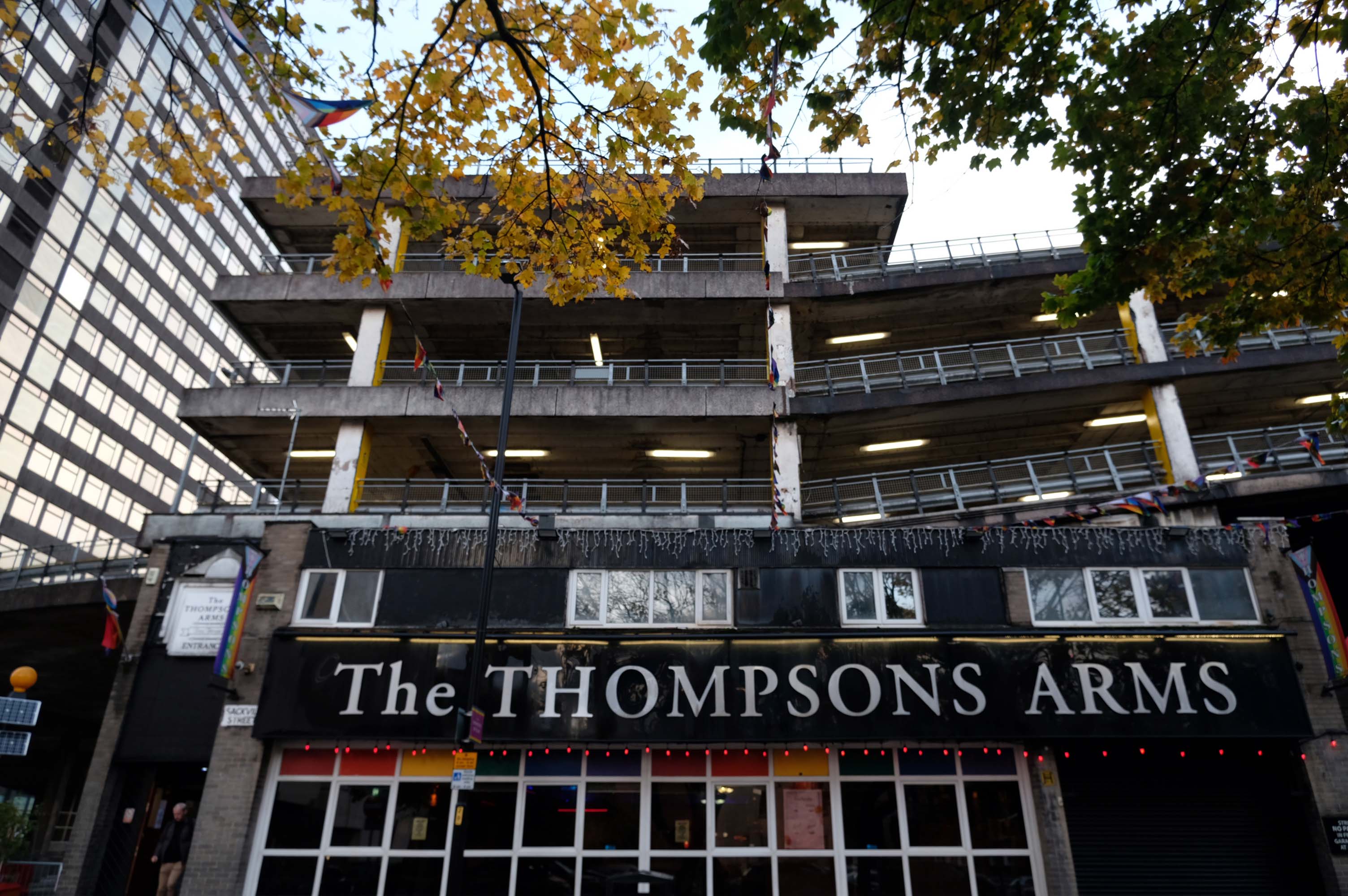
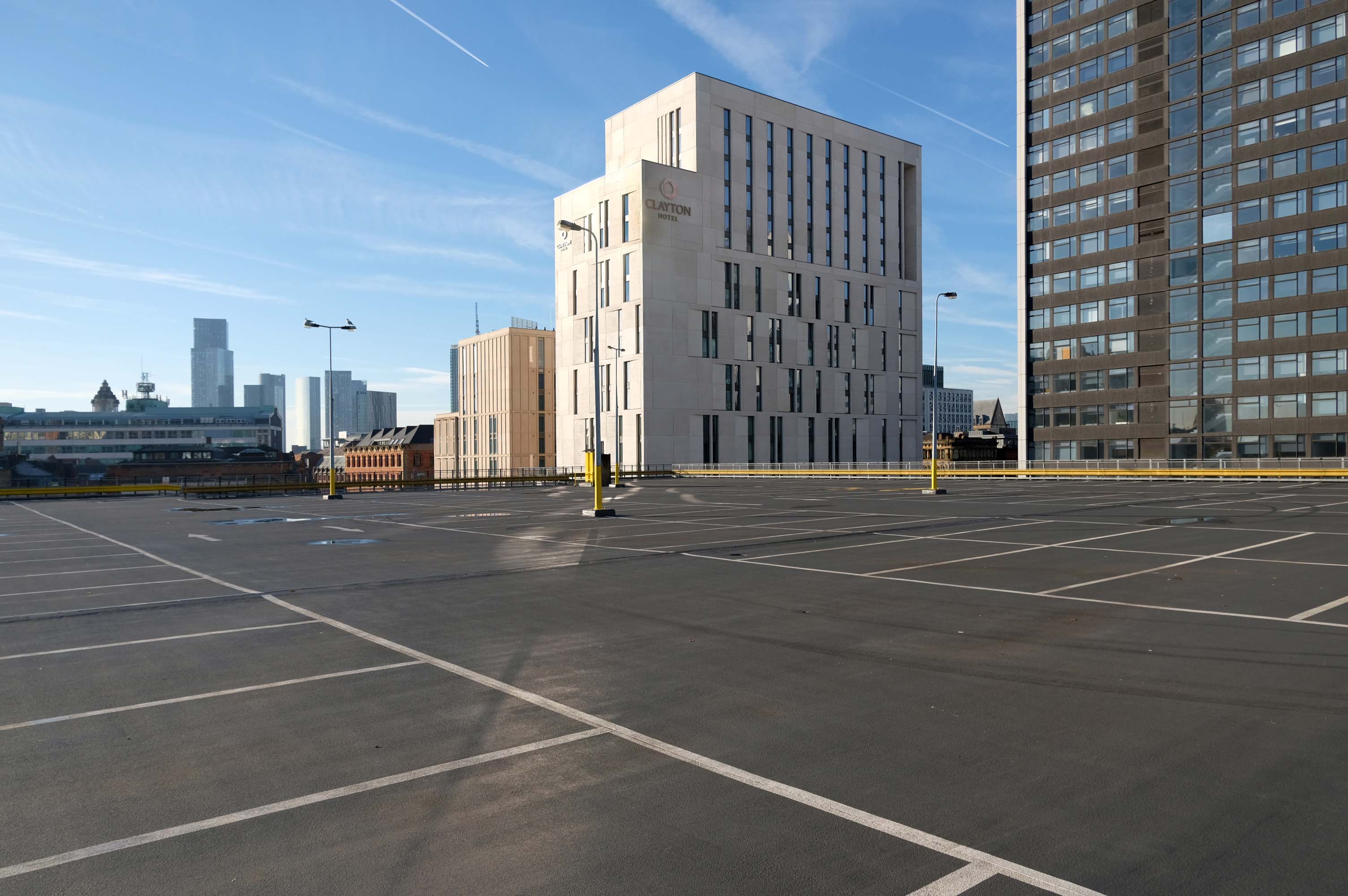
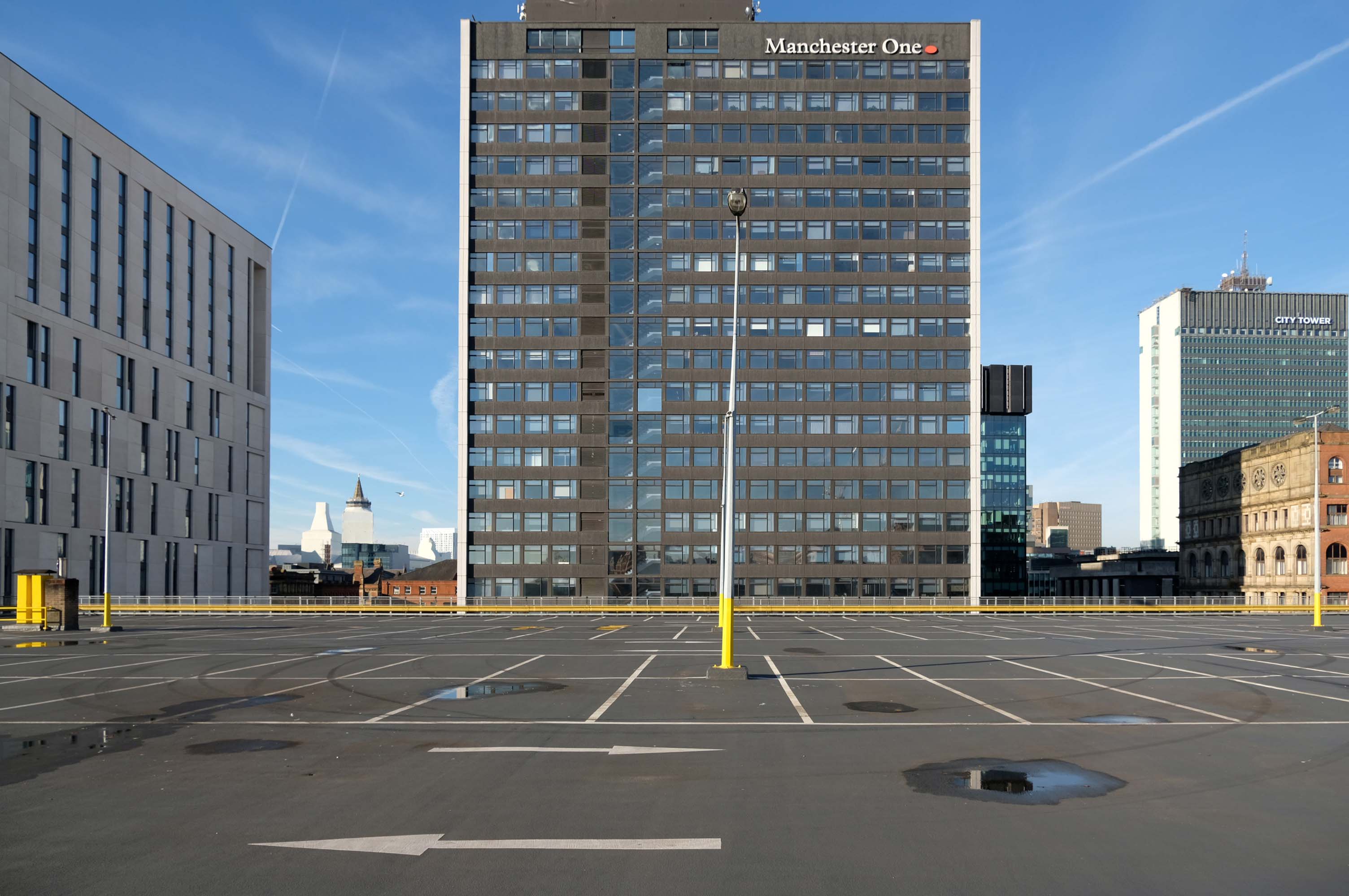
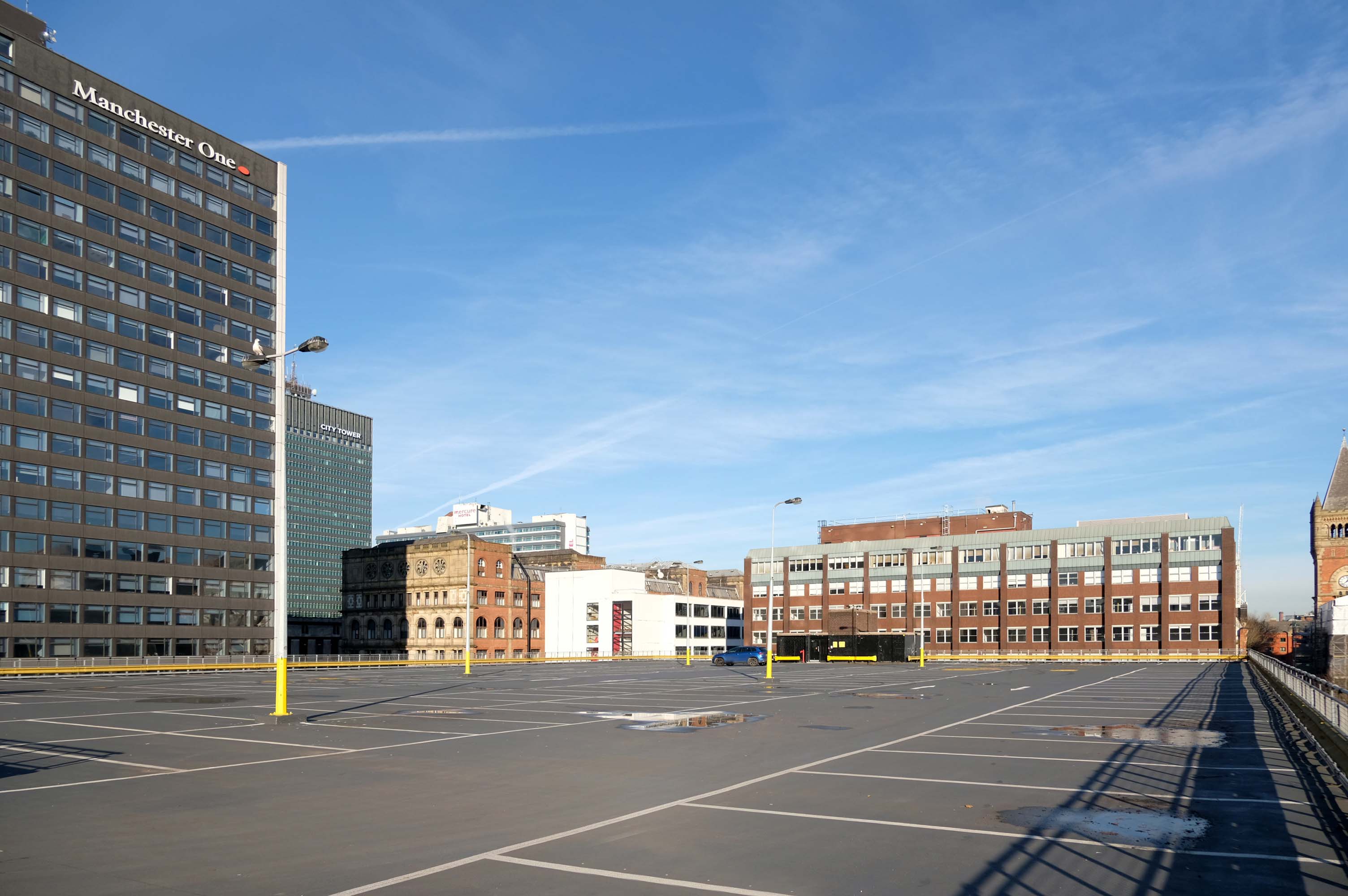
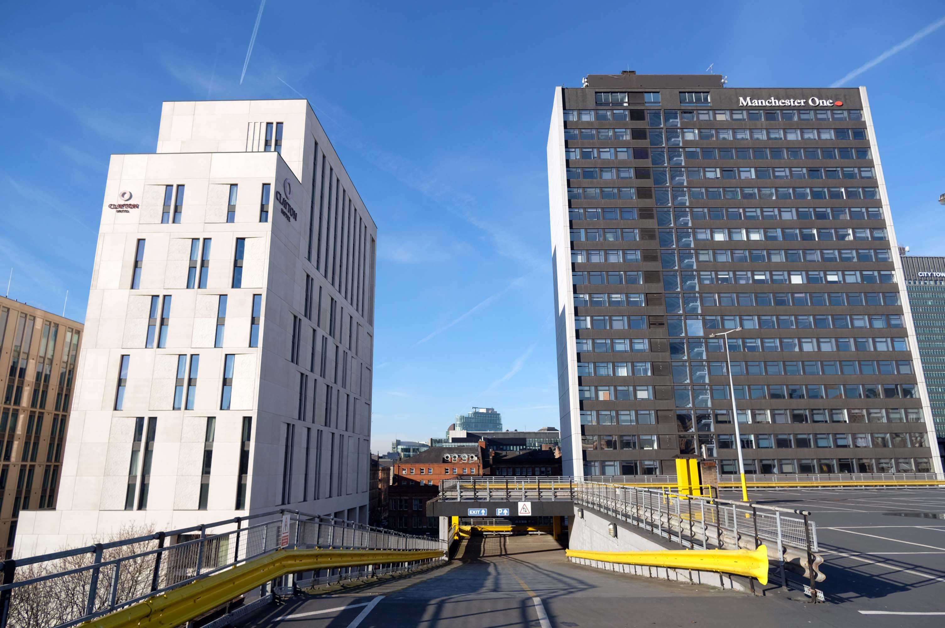
We have been snapping here afore in the guise of Mr Estate Pubs – checking out the Thompsons Arms.
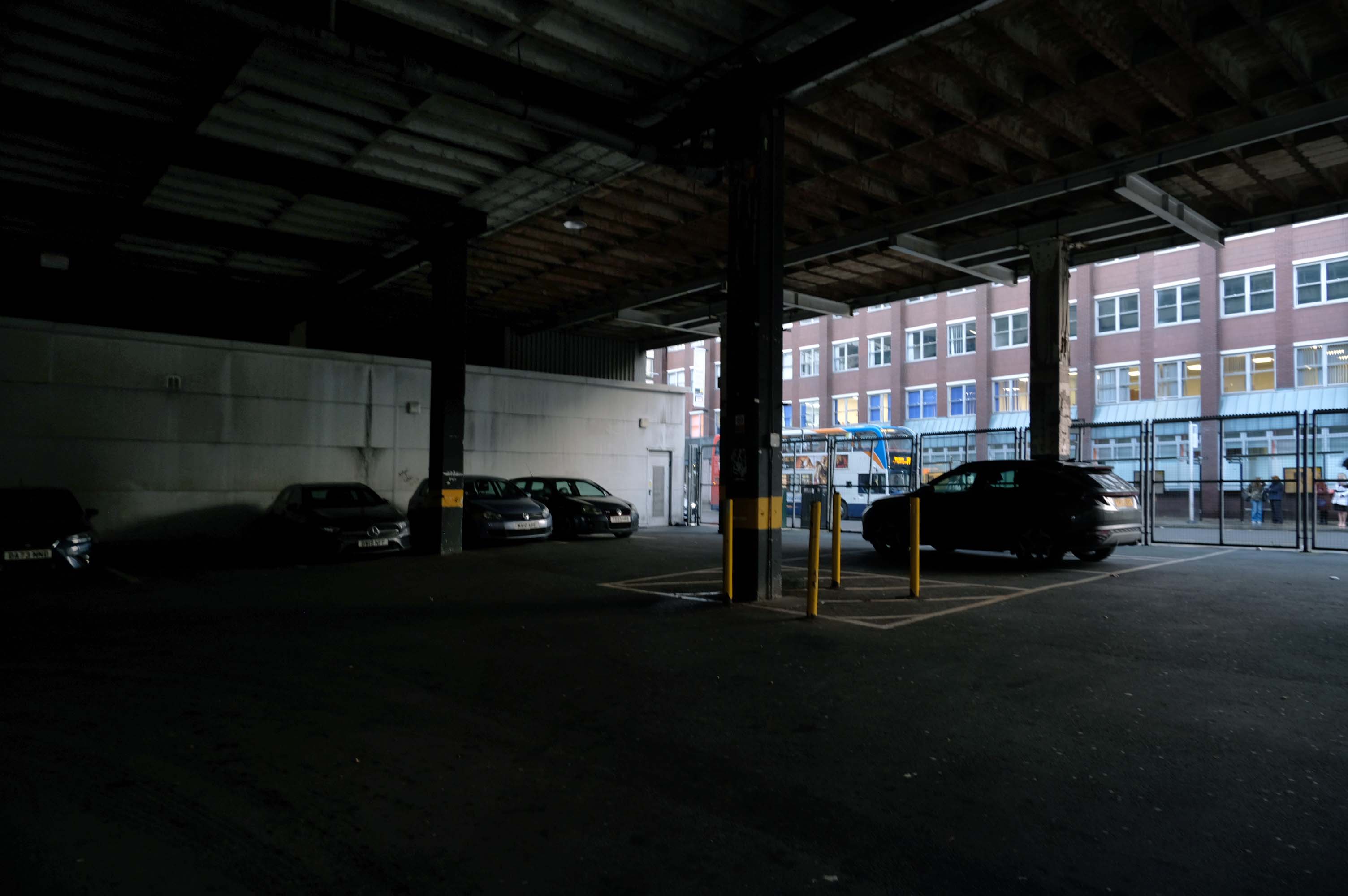
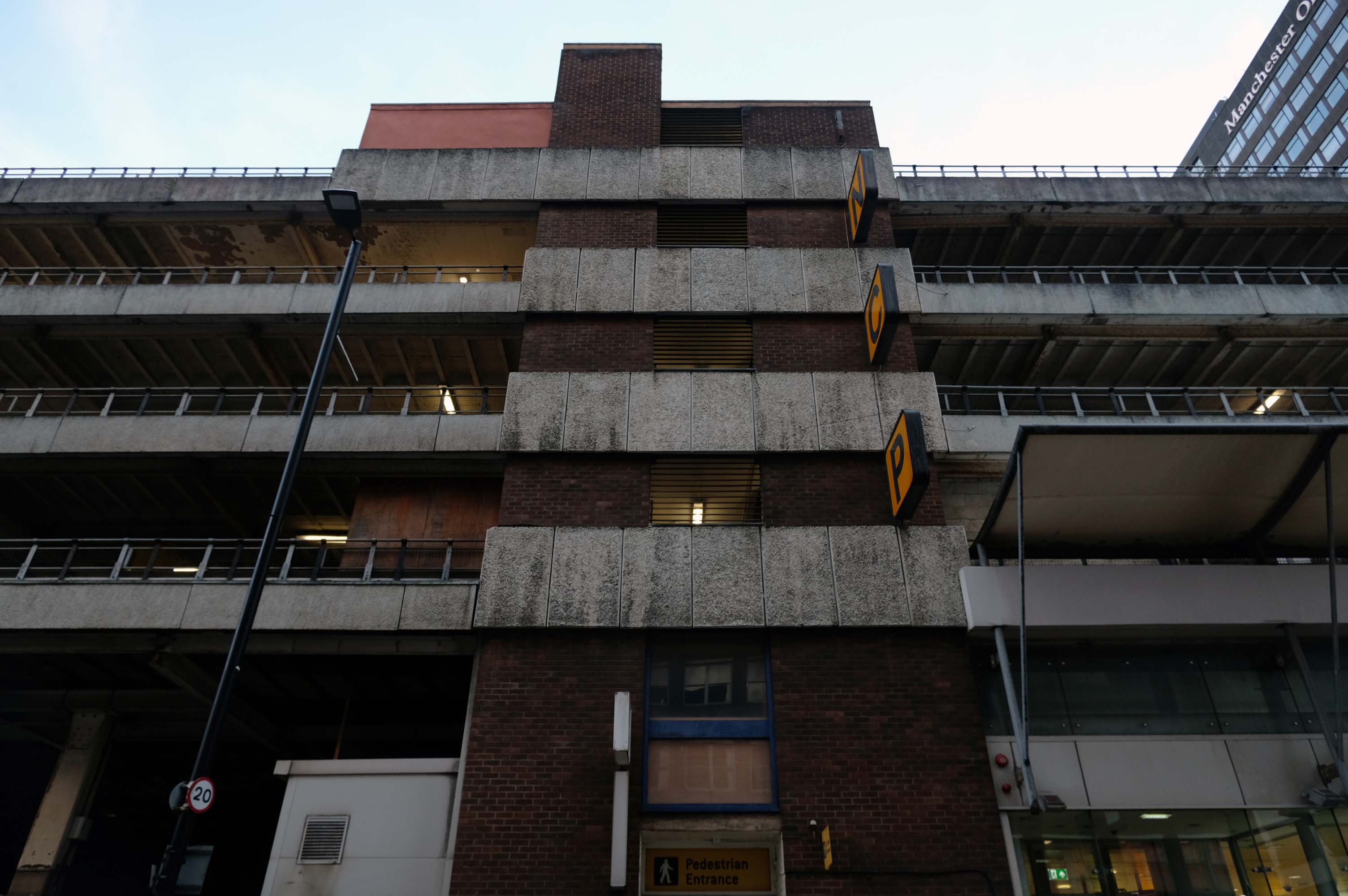
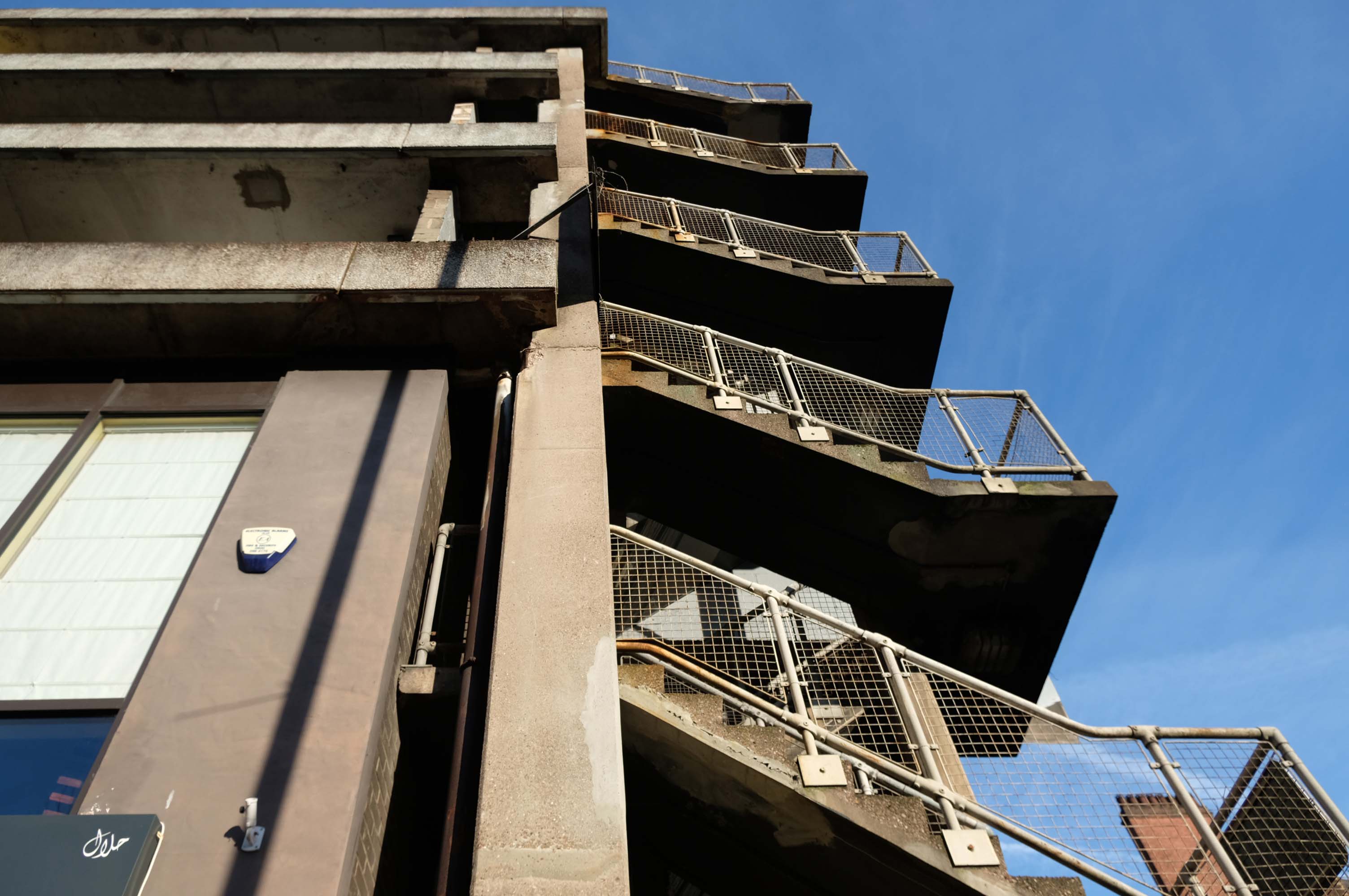
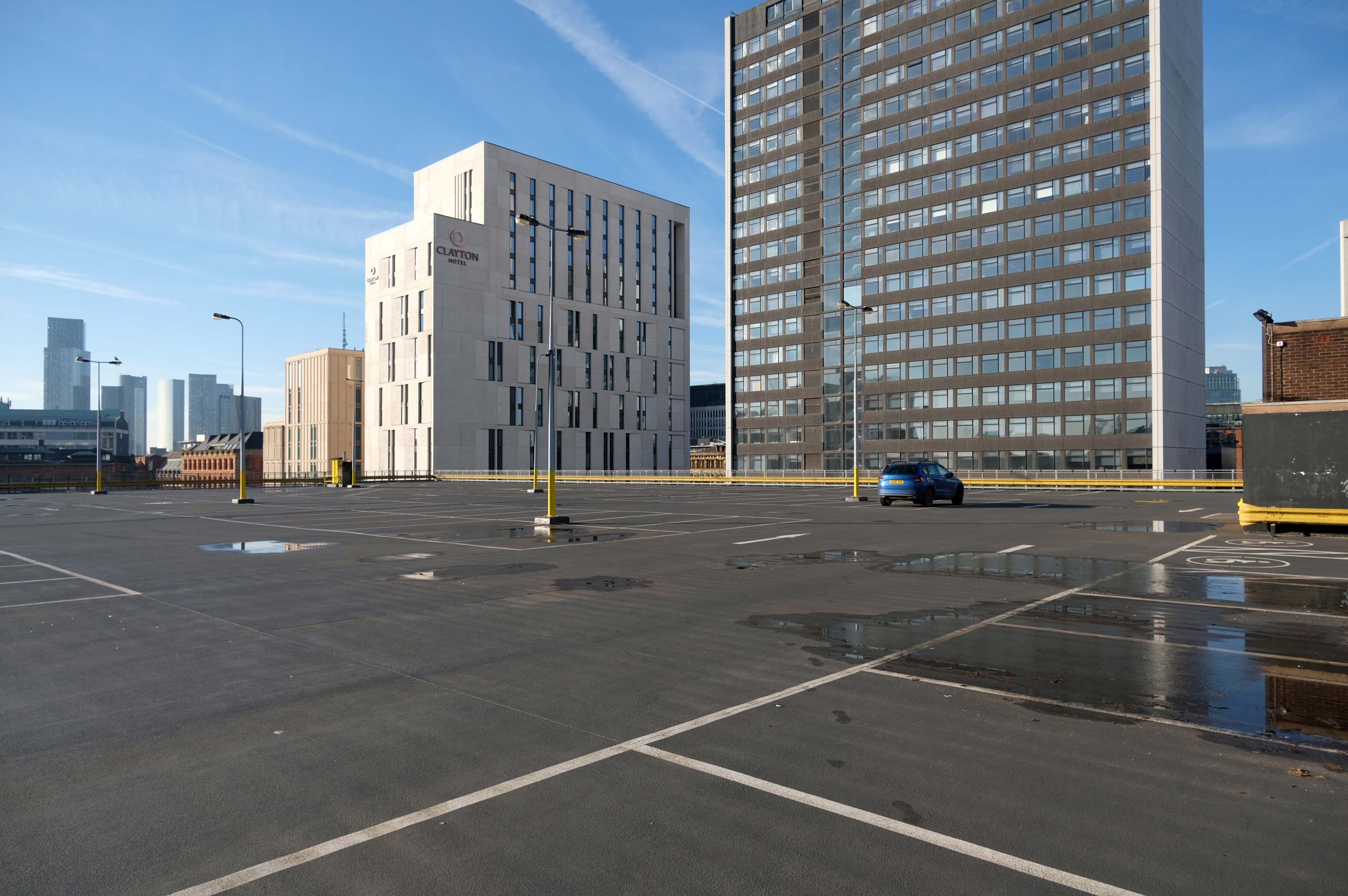
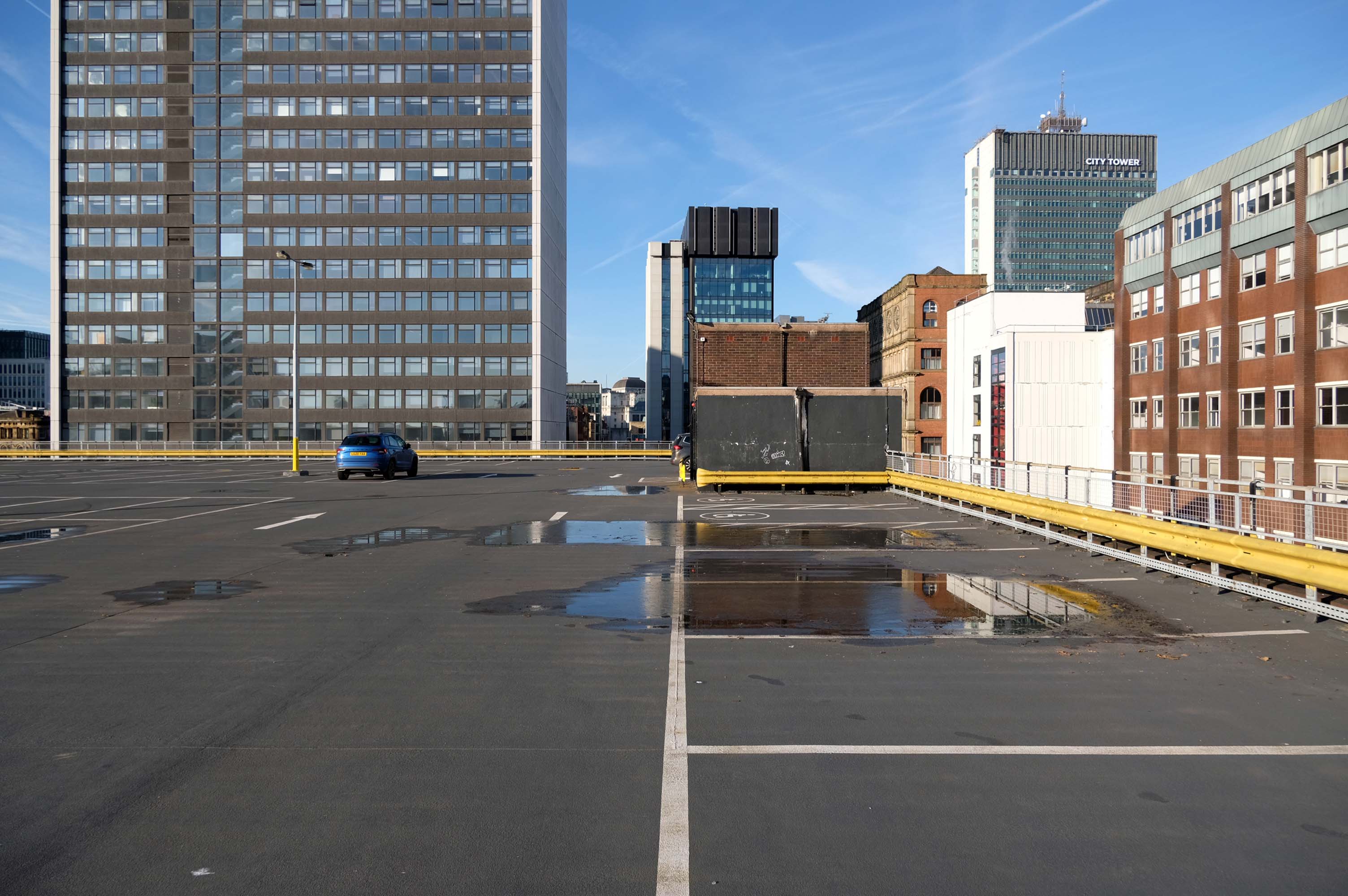
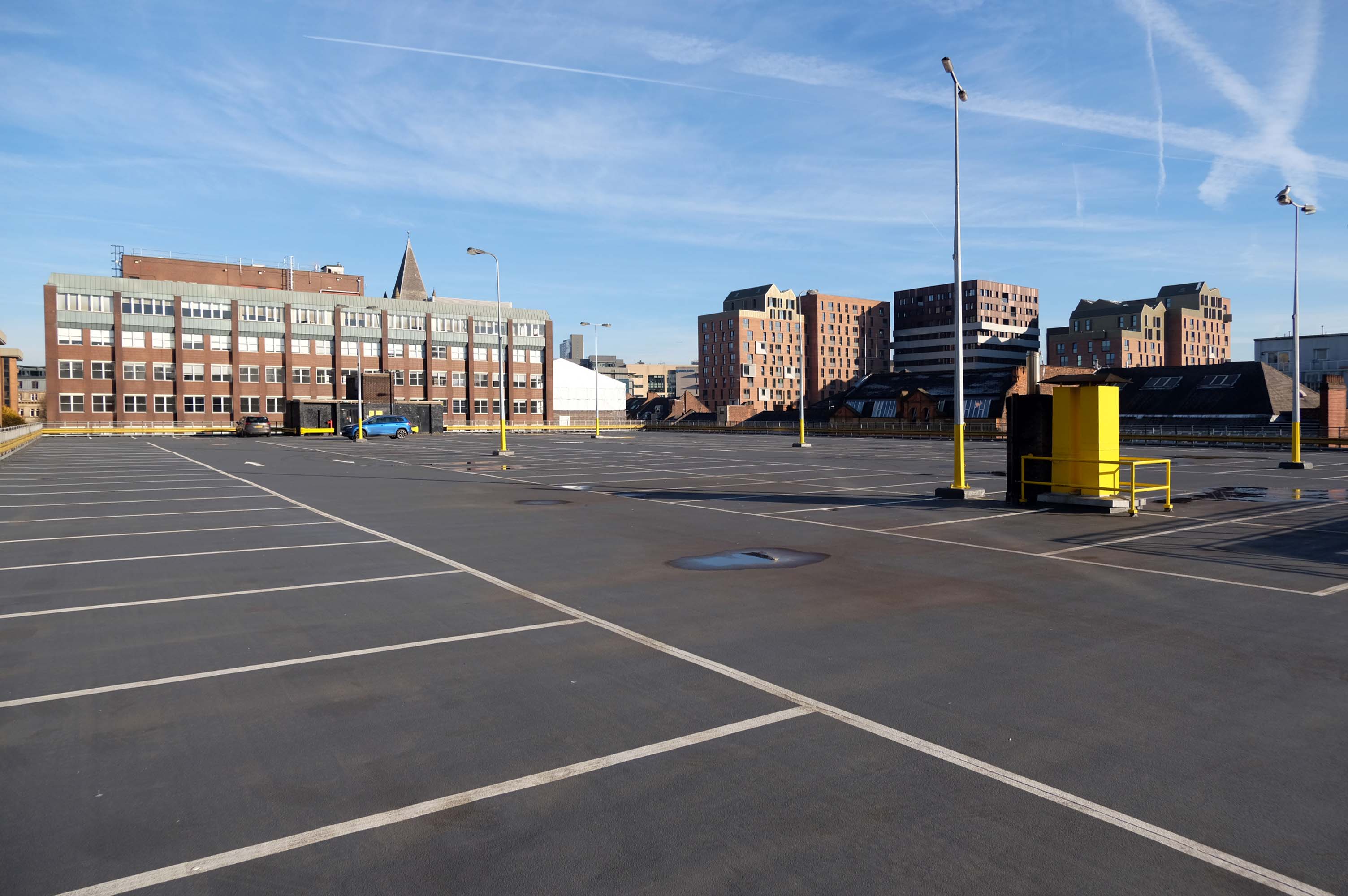
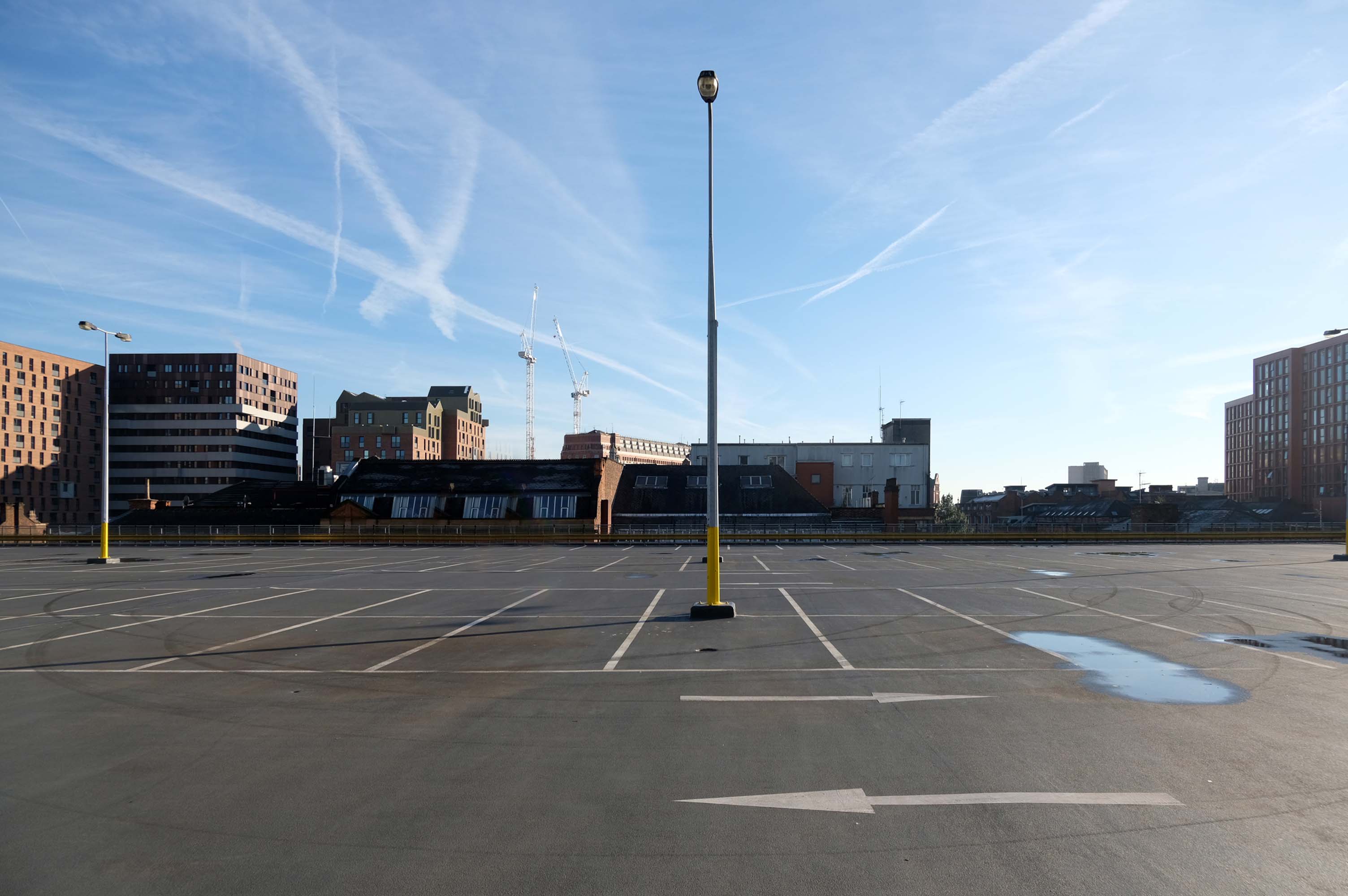
For this is a car park with coach station and boozer attached.
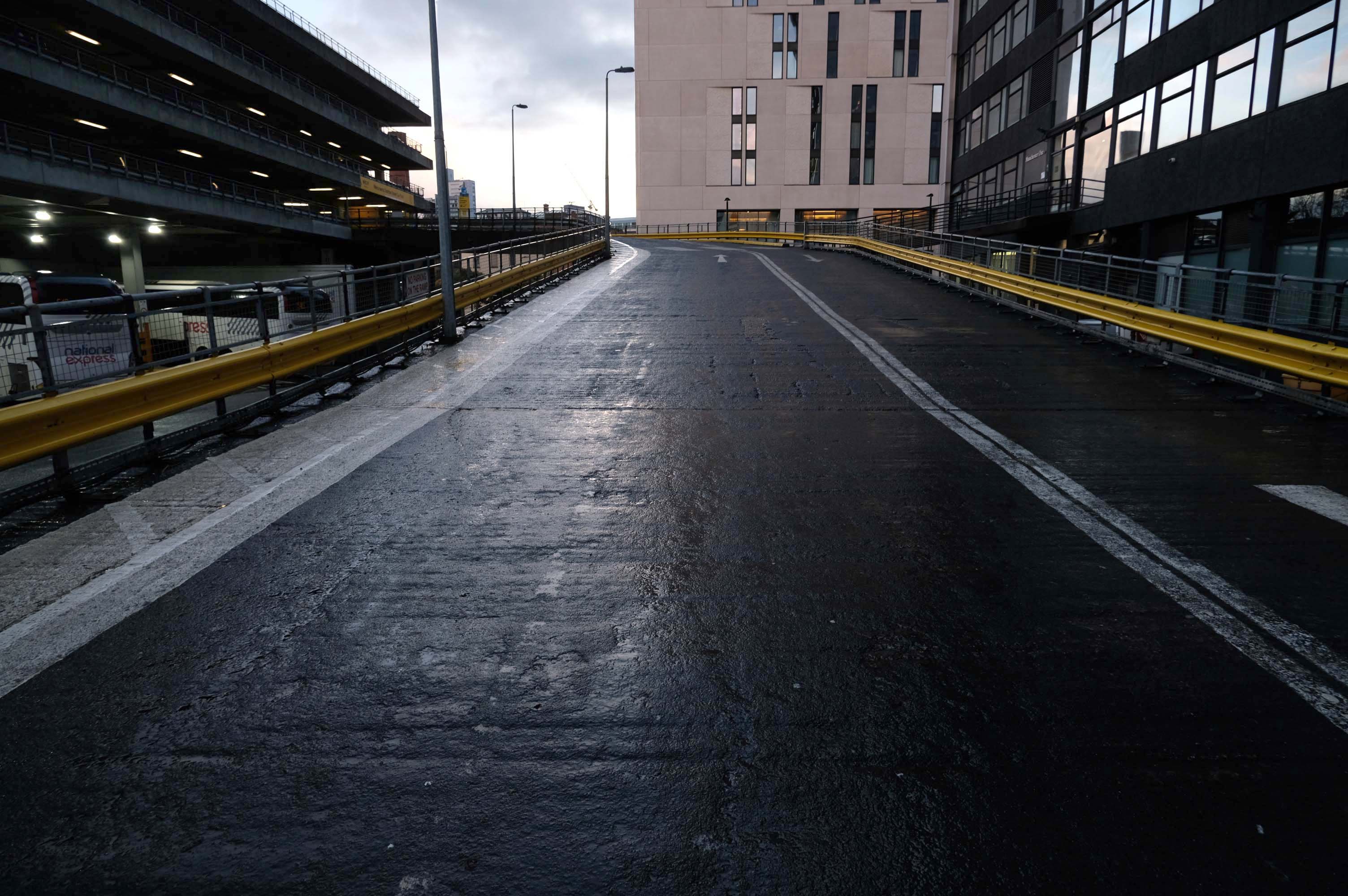
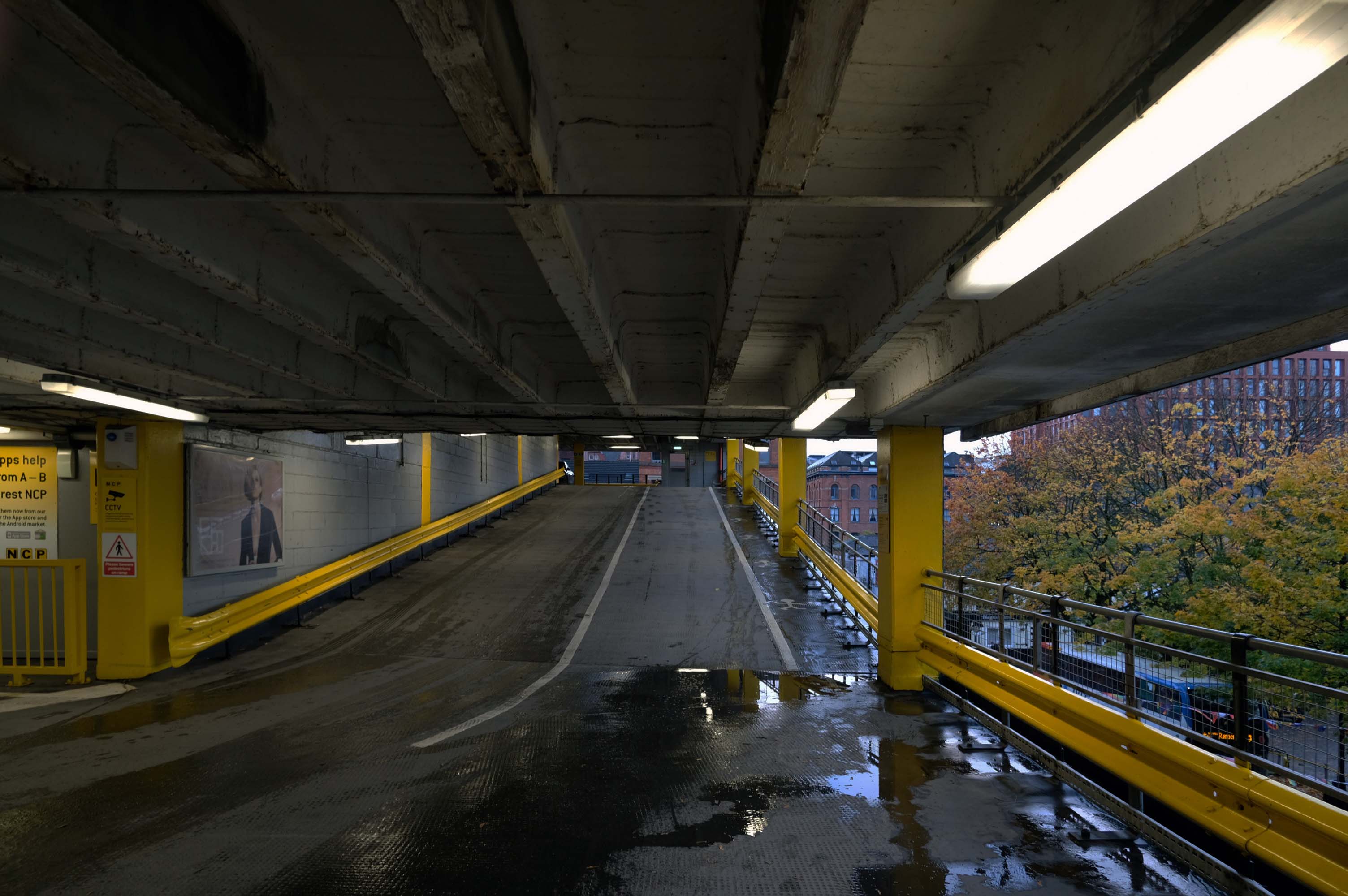
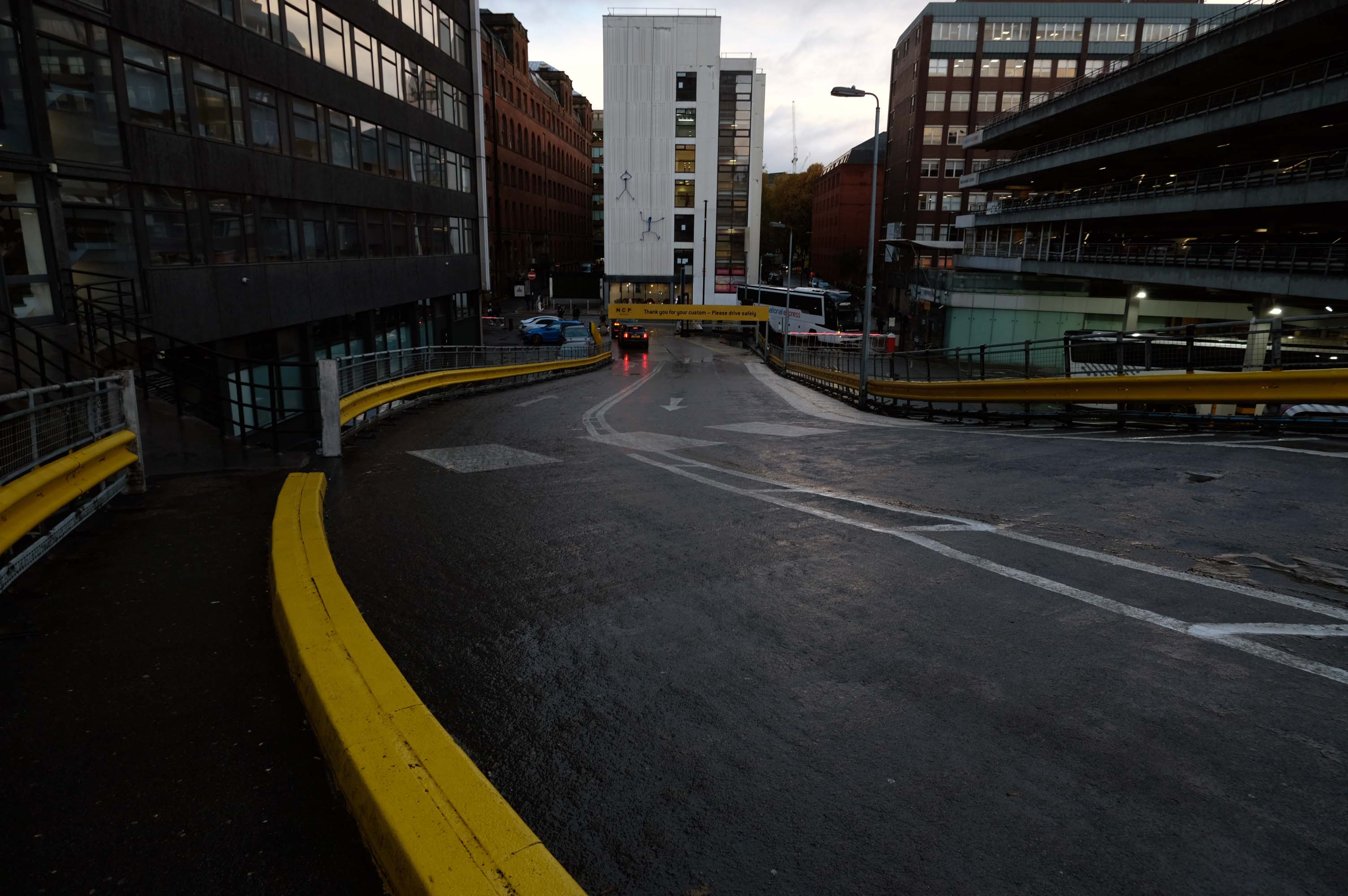
The pedestrian in a car park approaches cautiously – along the ramp.
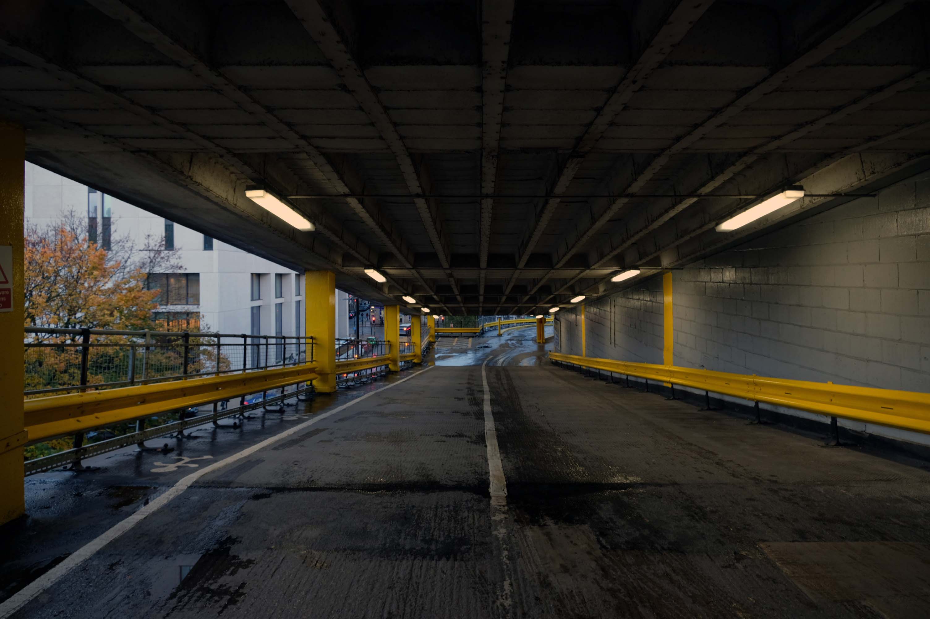
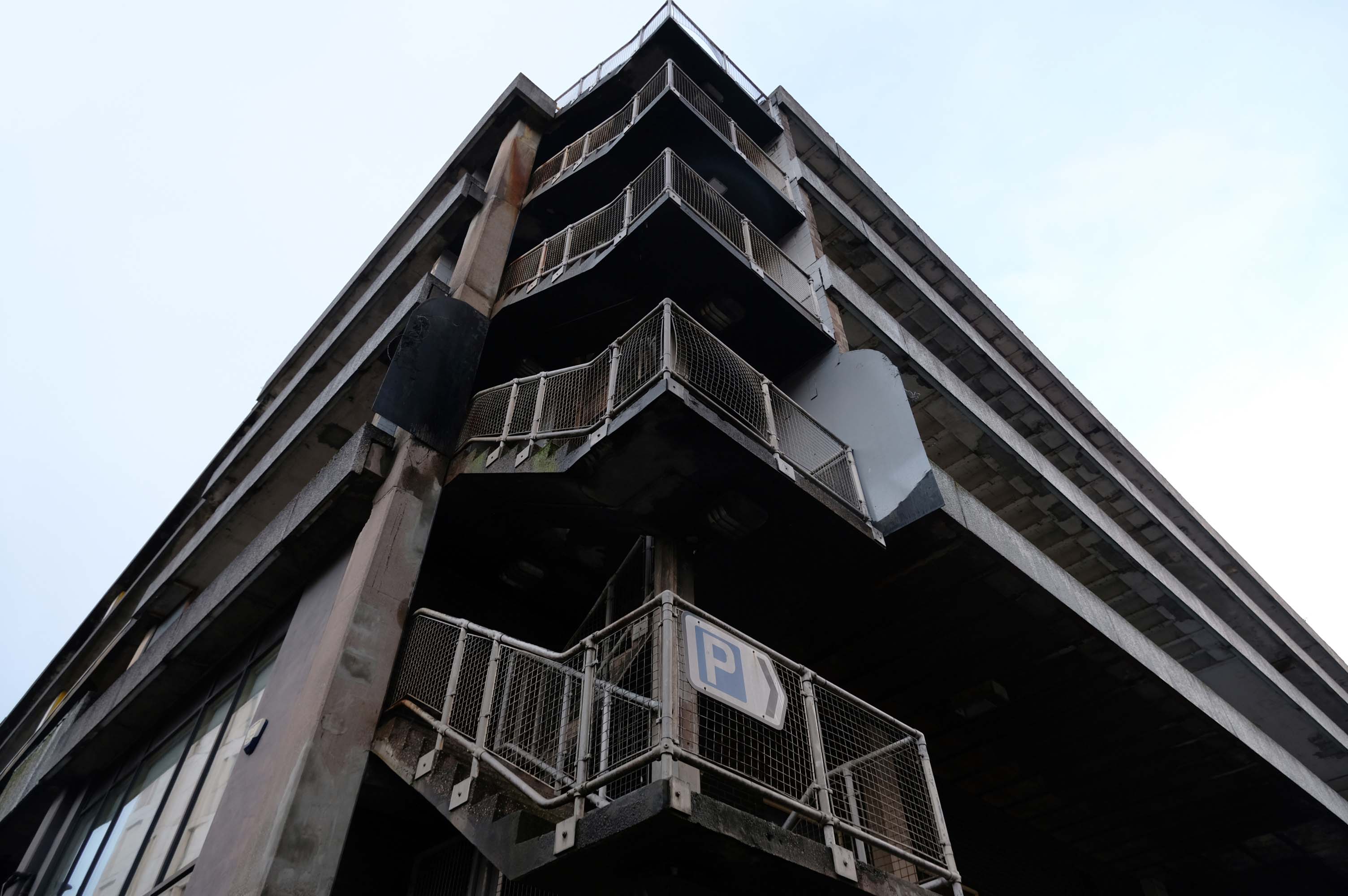
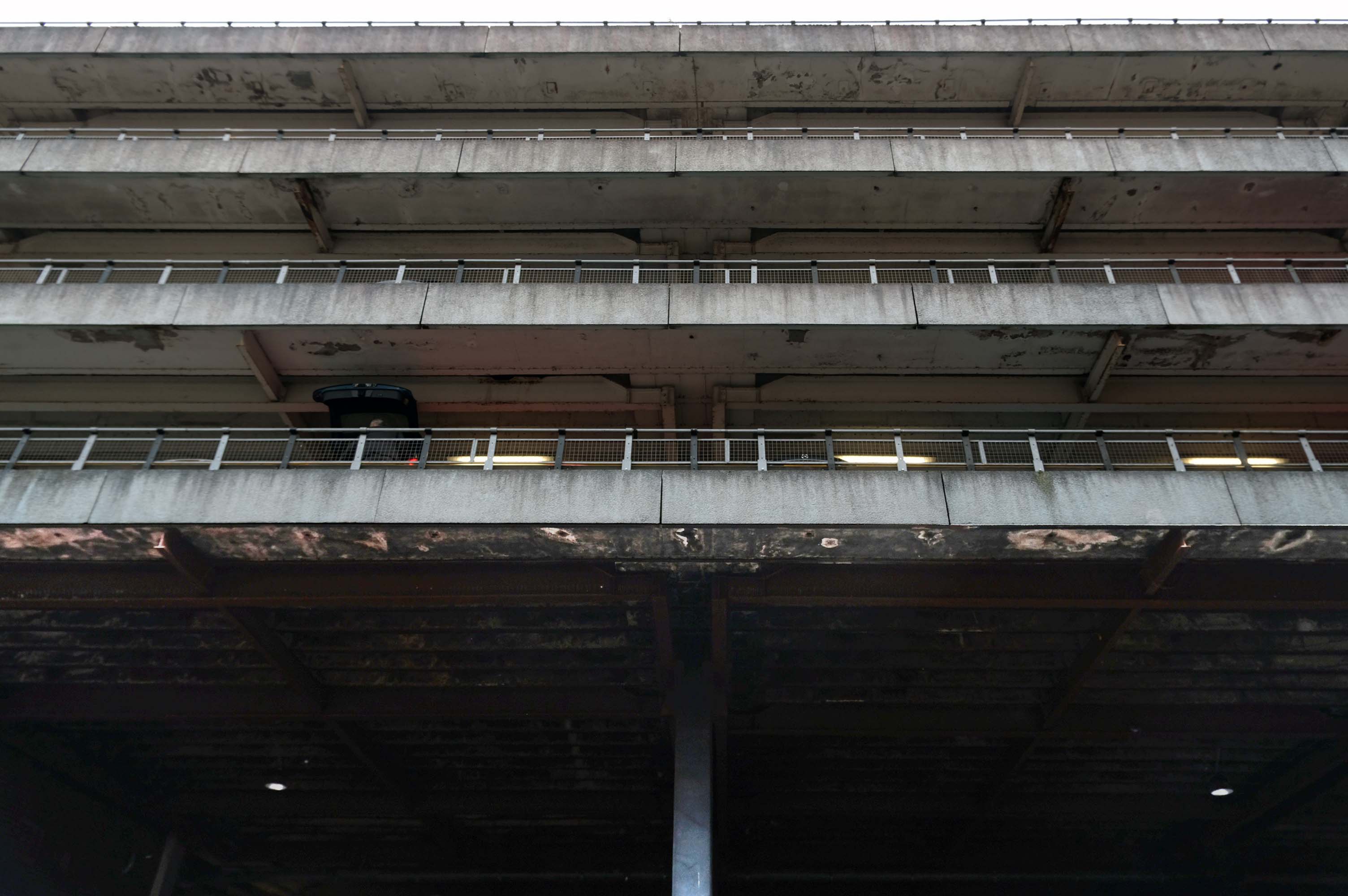
Retreating the better to circumnavigate the site.
I was quickly losing light – so I called it a day.