Following my previous visits to the University of York, recording the history and the Fred Millett Reliefs, I have searched the RIBA pix archives to find further images.
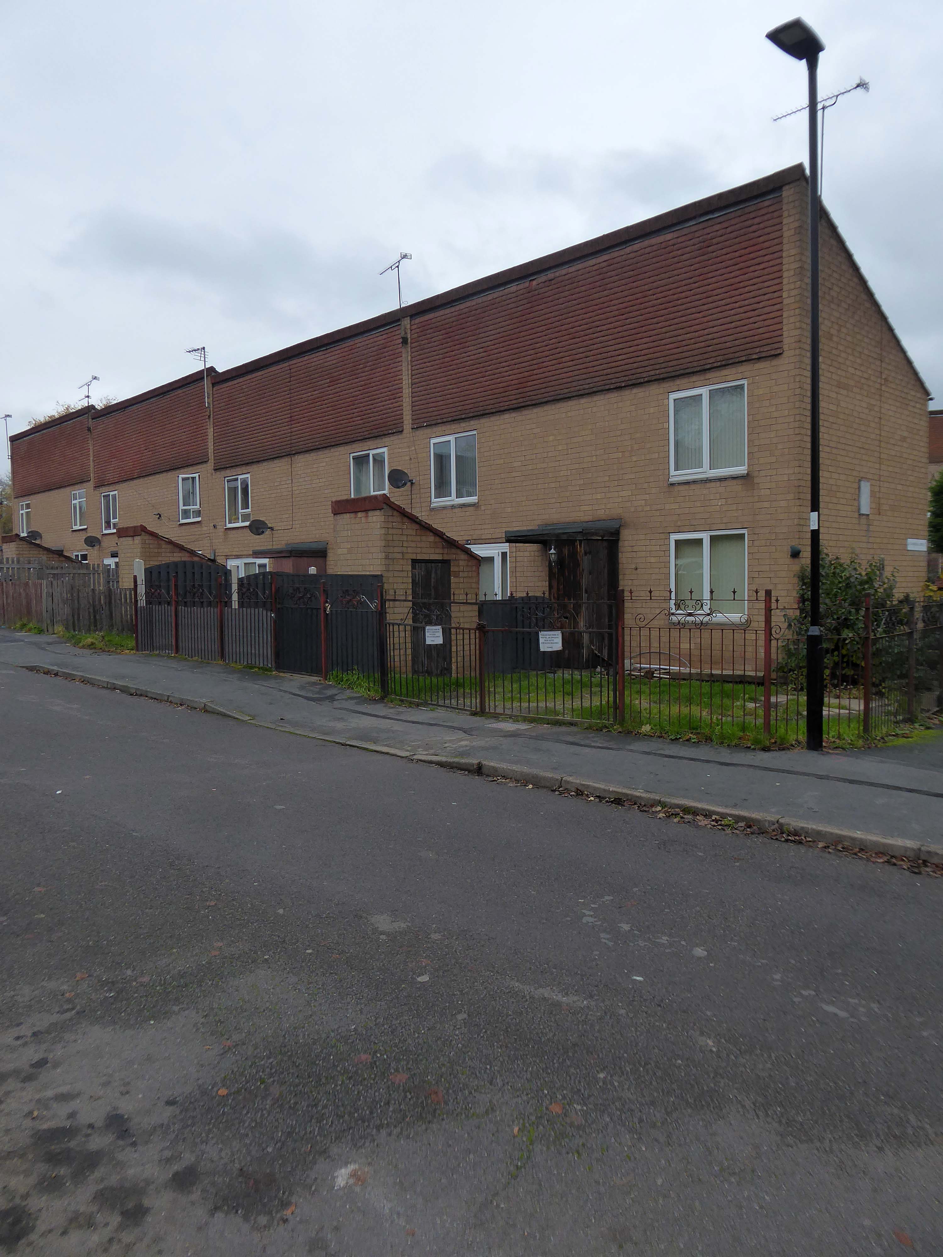
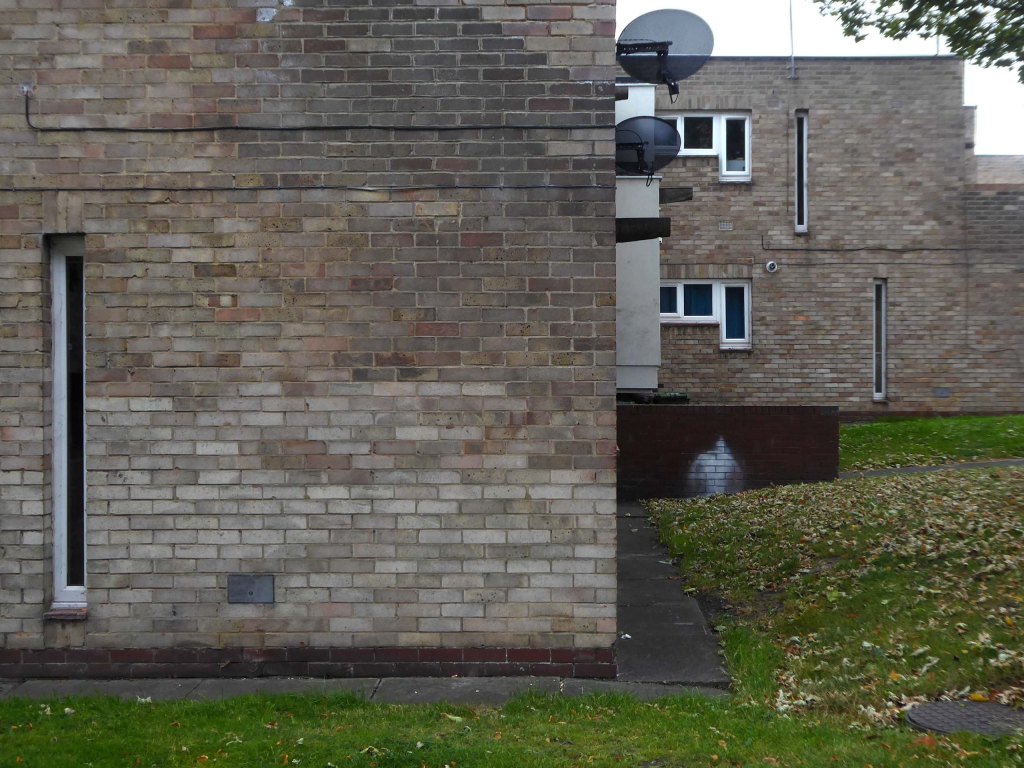
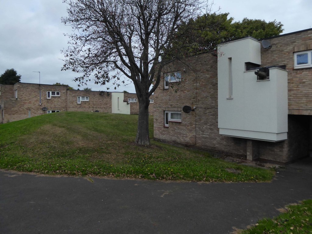
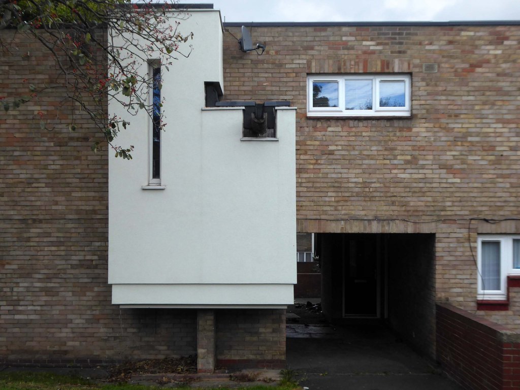
They mainly illustrate the Derwent and Langwith Colleges – both built using the CLASP system of construction.
The University of York was founded in 1963 and work on its campus facilities in the grounds of Heslington Hall was begun in 1964. The first two colleges, Langwith and Derwent, accepted residential students for the autumn term of 1965. The original buildings were designed by Sir Andrew Derbyshire of Robert Matthew Johnson-Marshall & Partners, and assembled using the CLASP system of prefabricated construction.
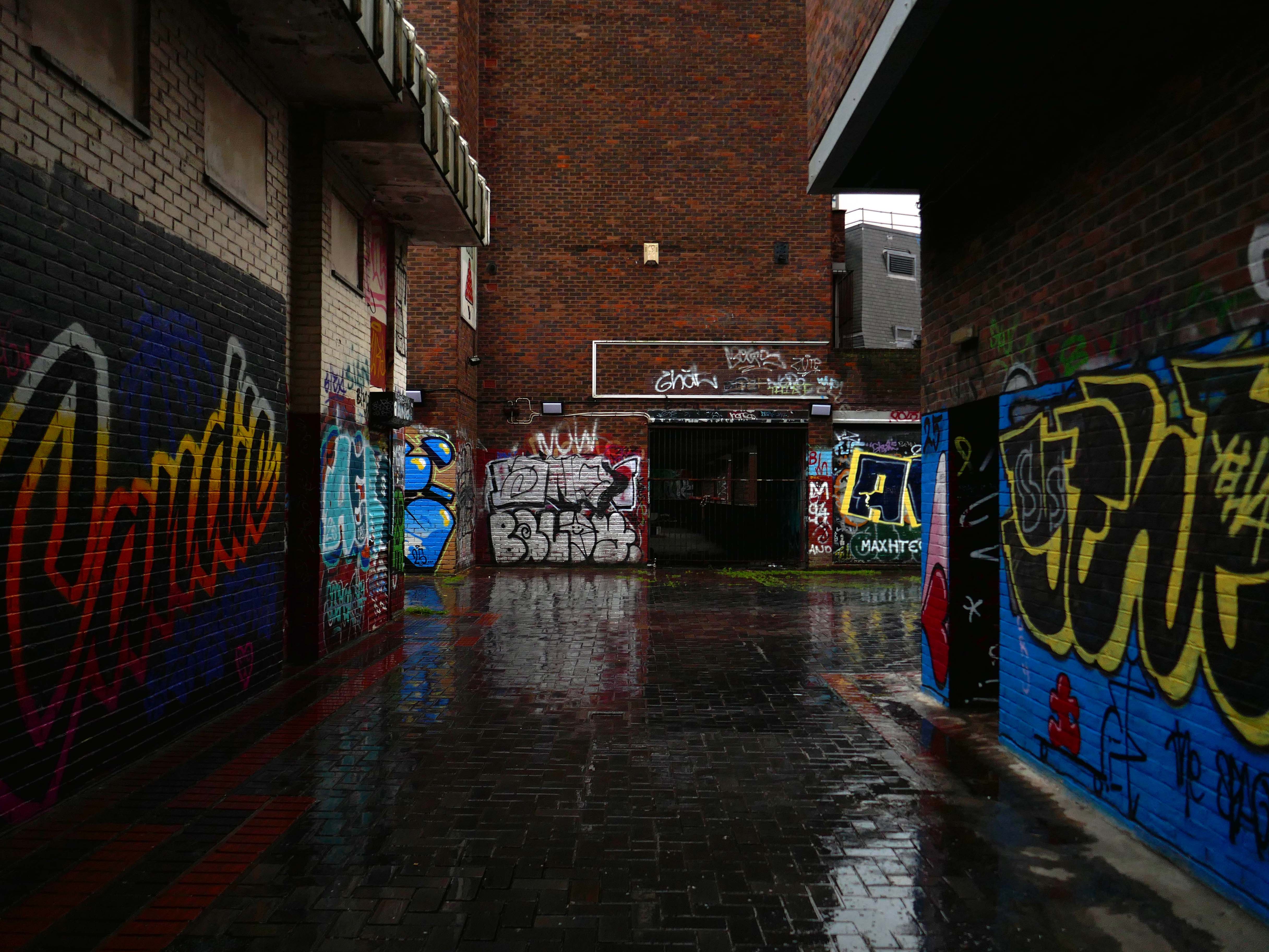
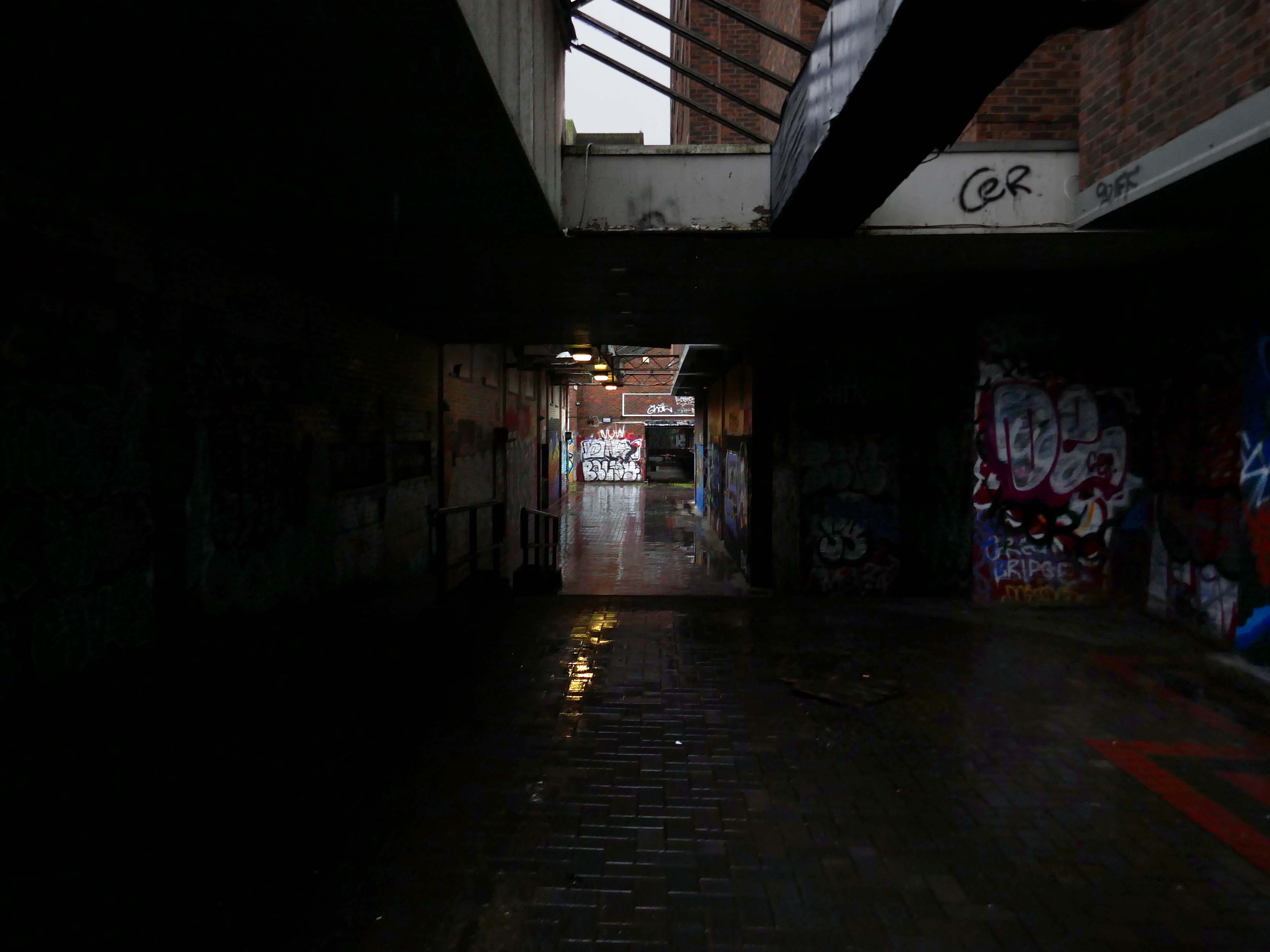
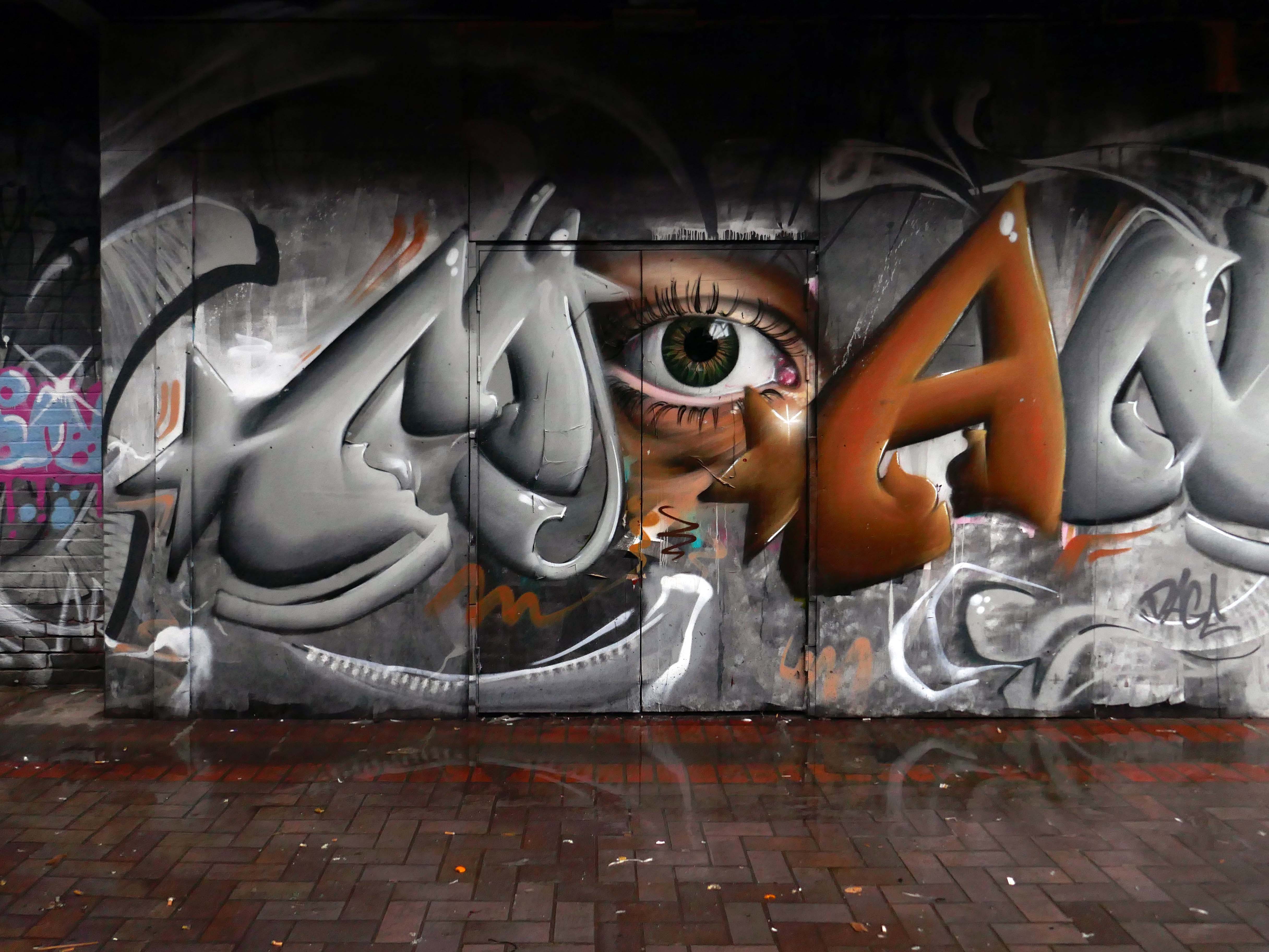
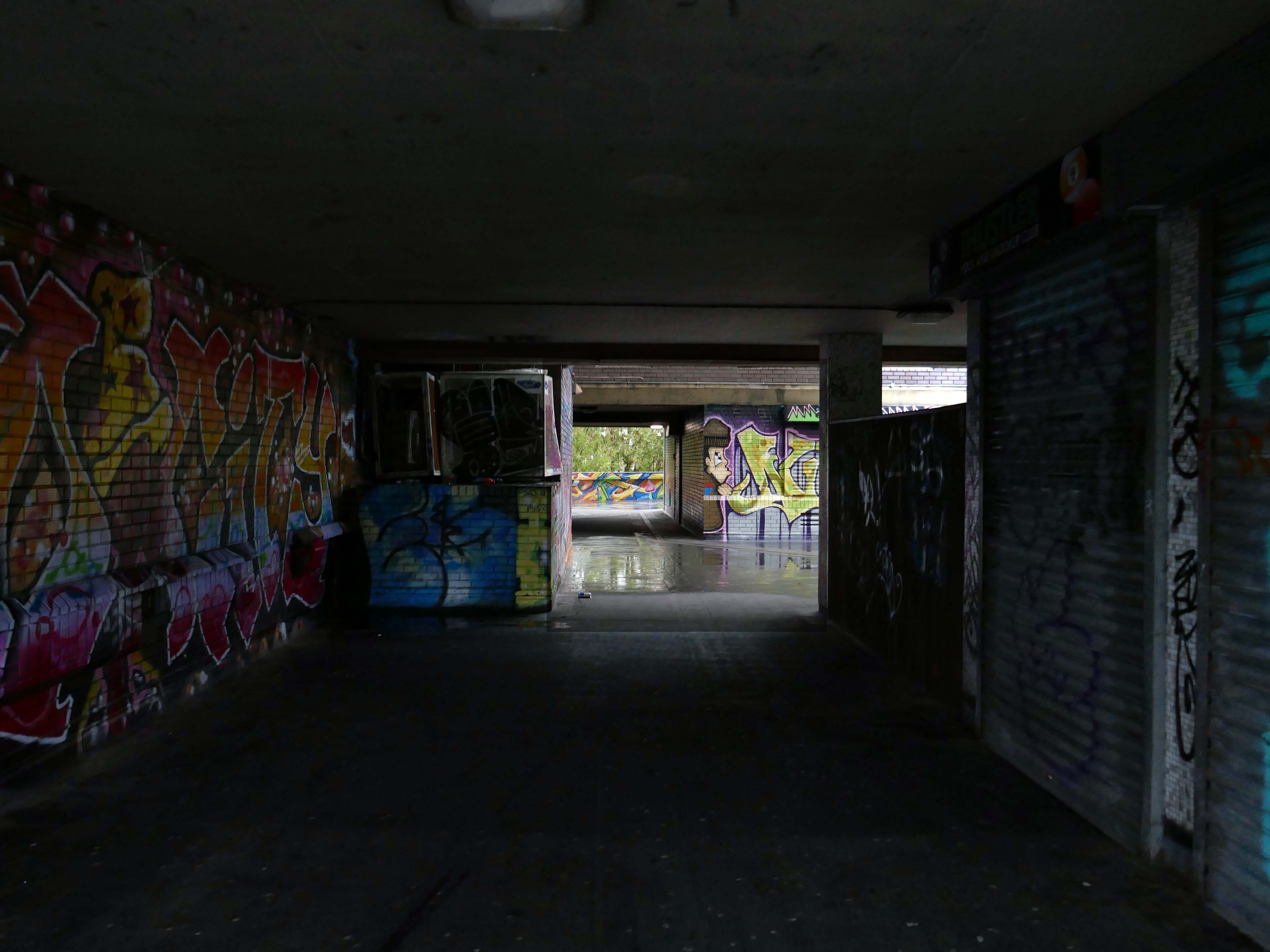
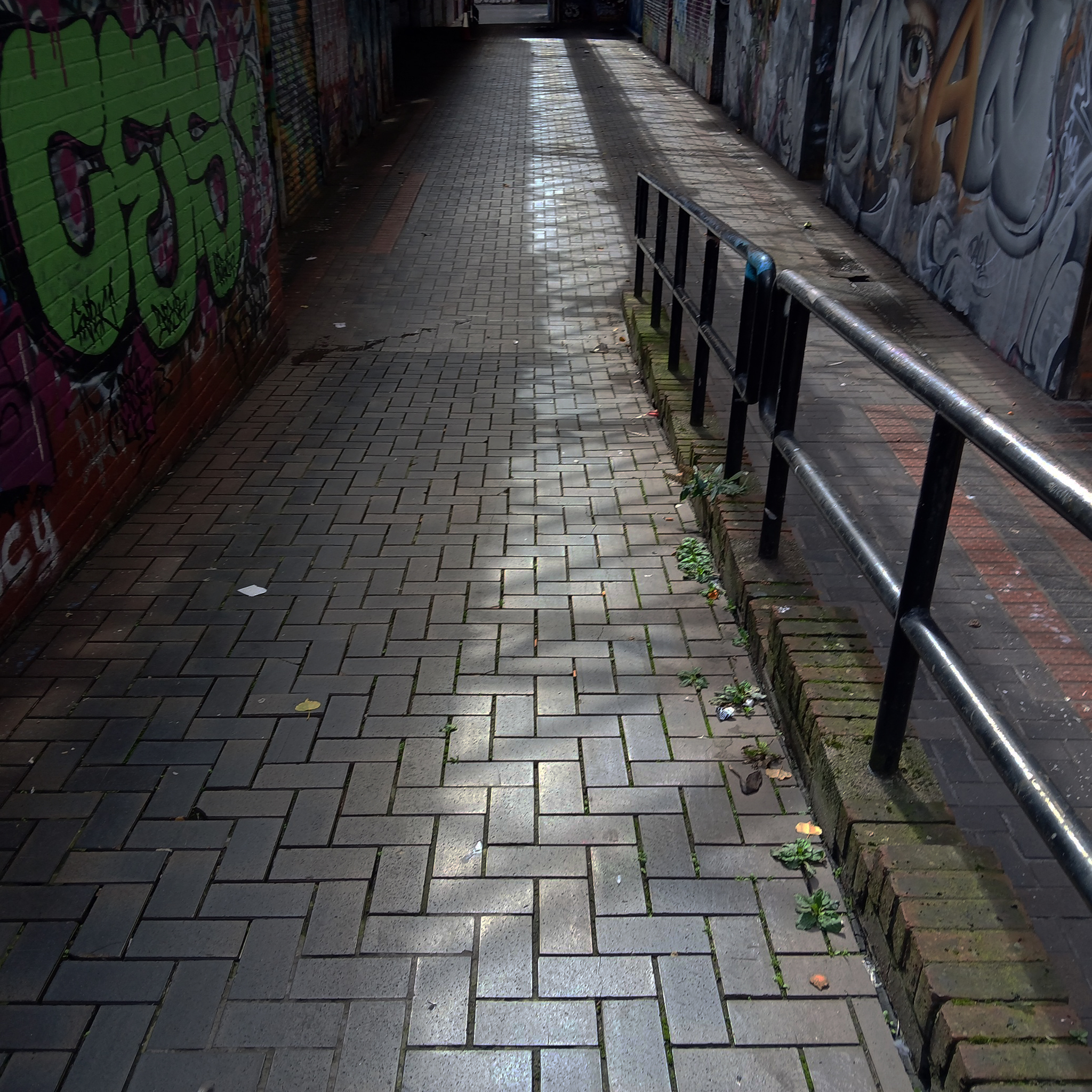
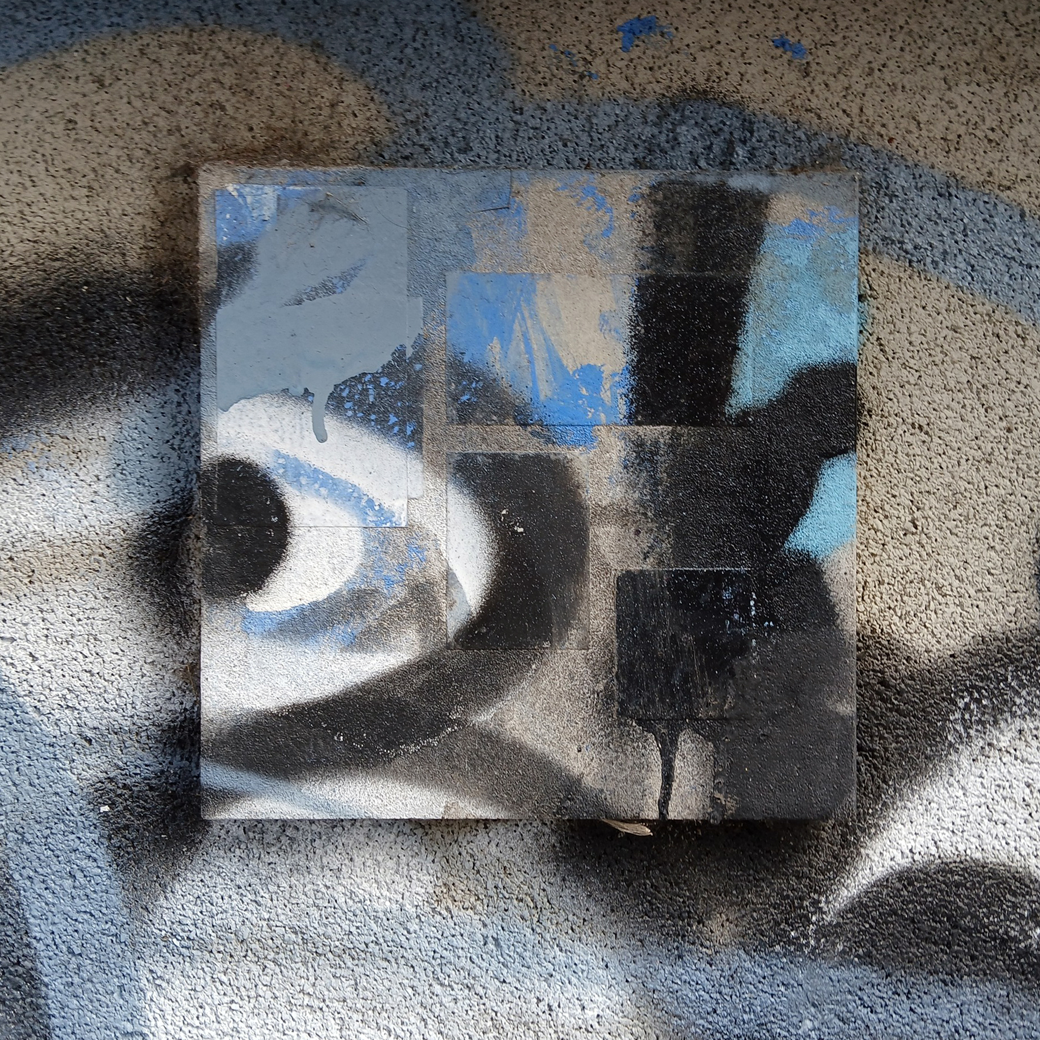
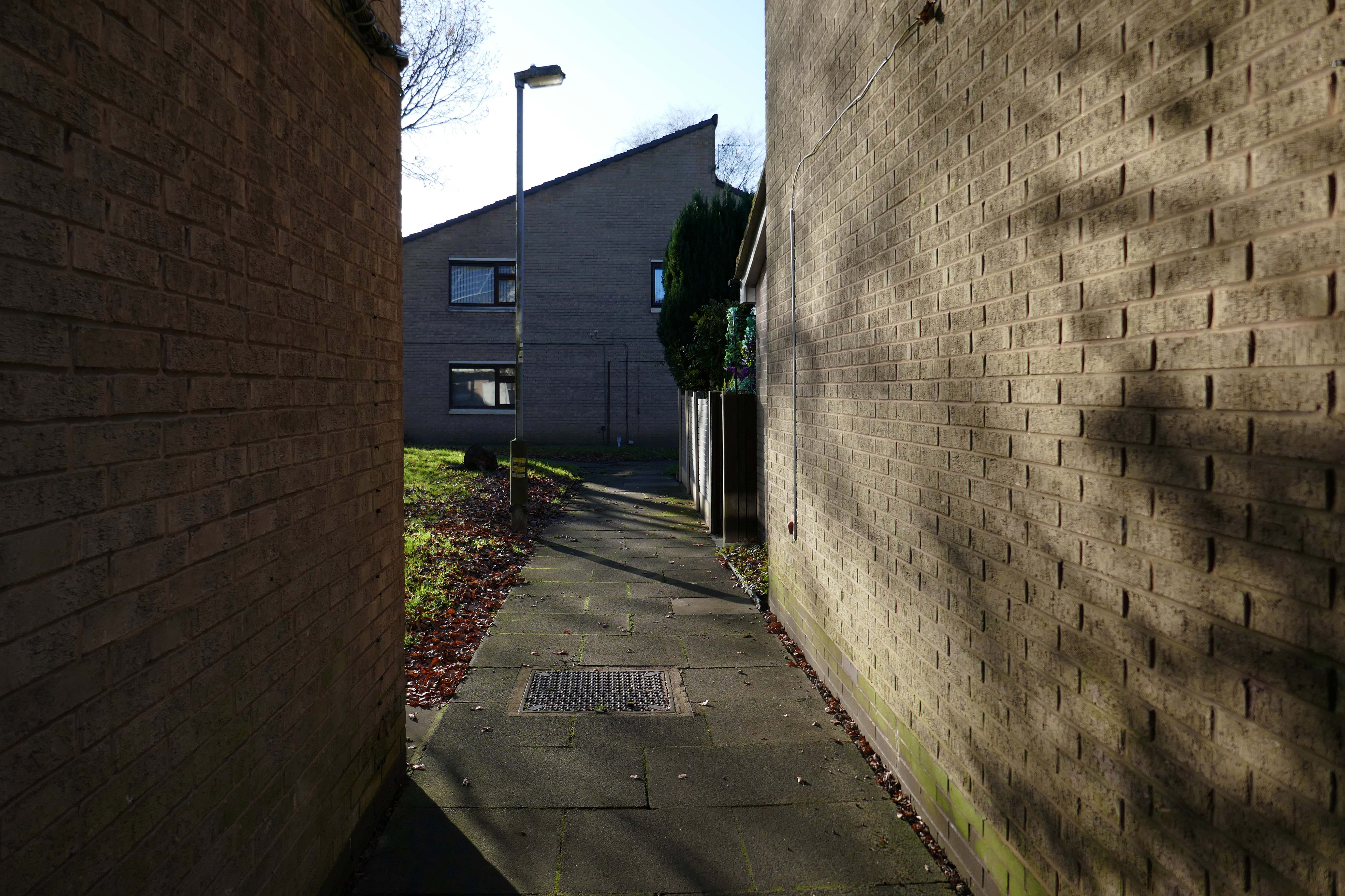
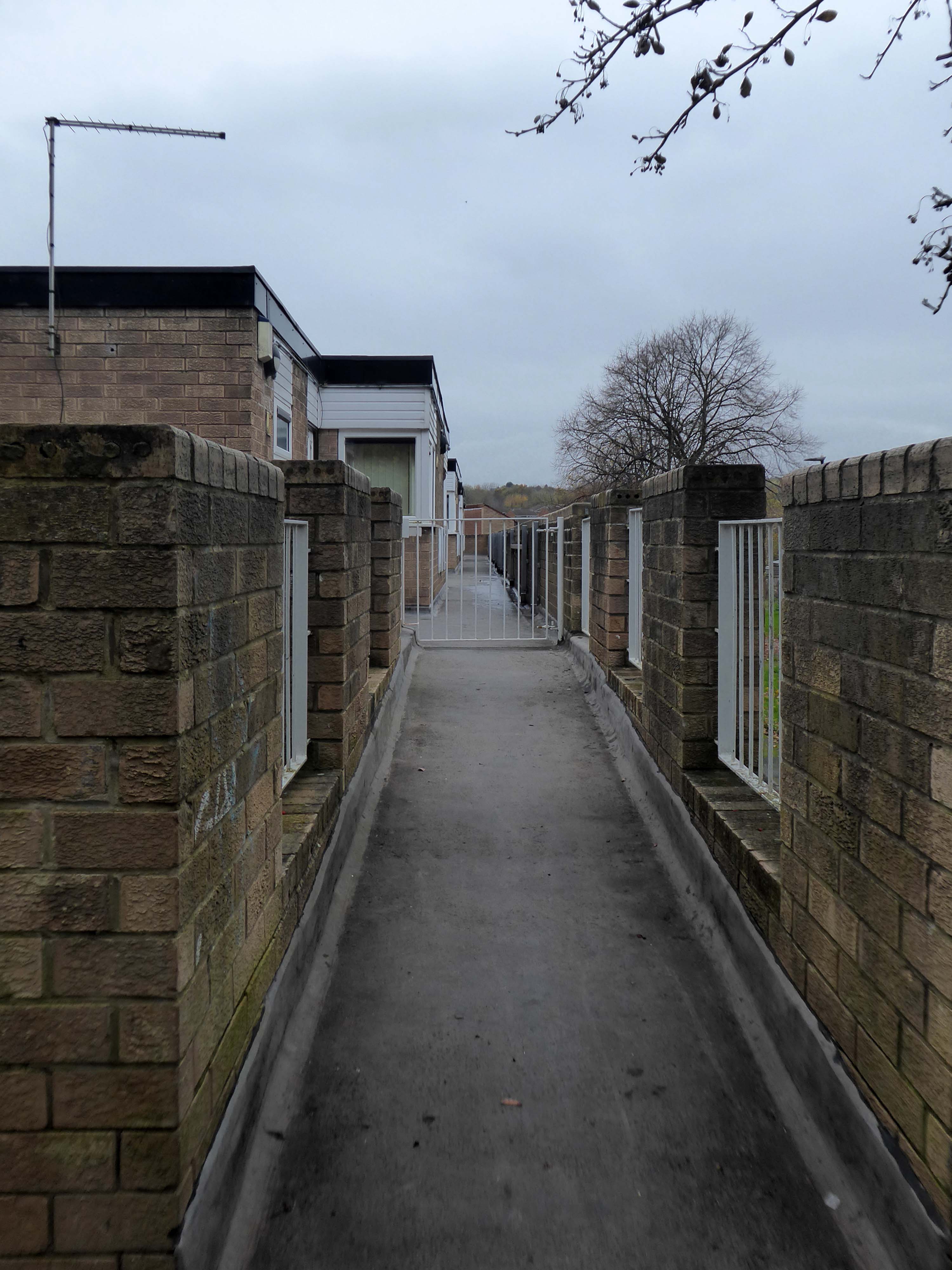
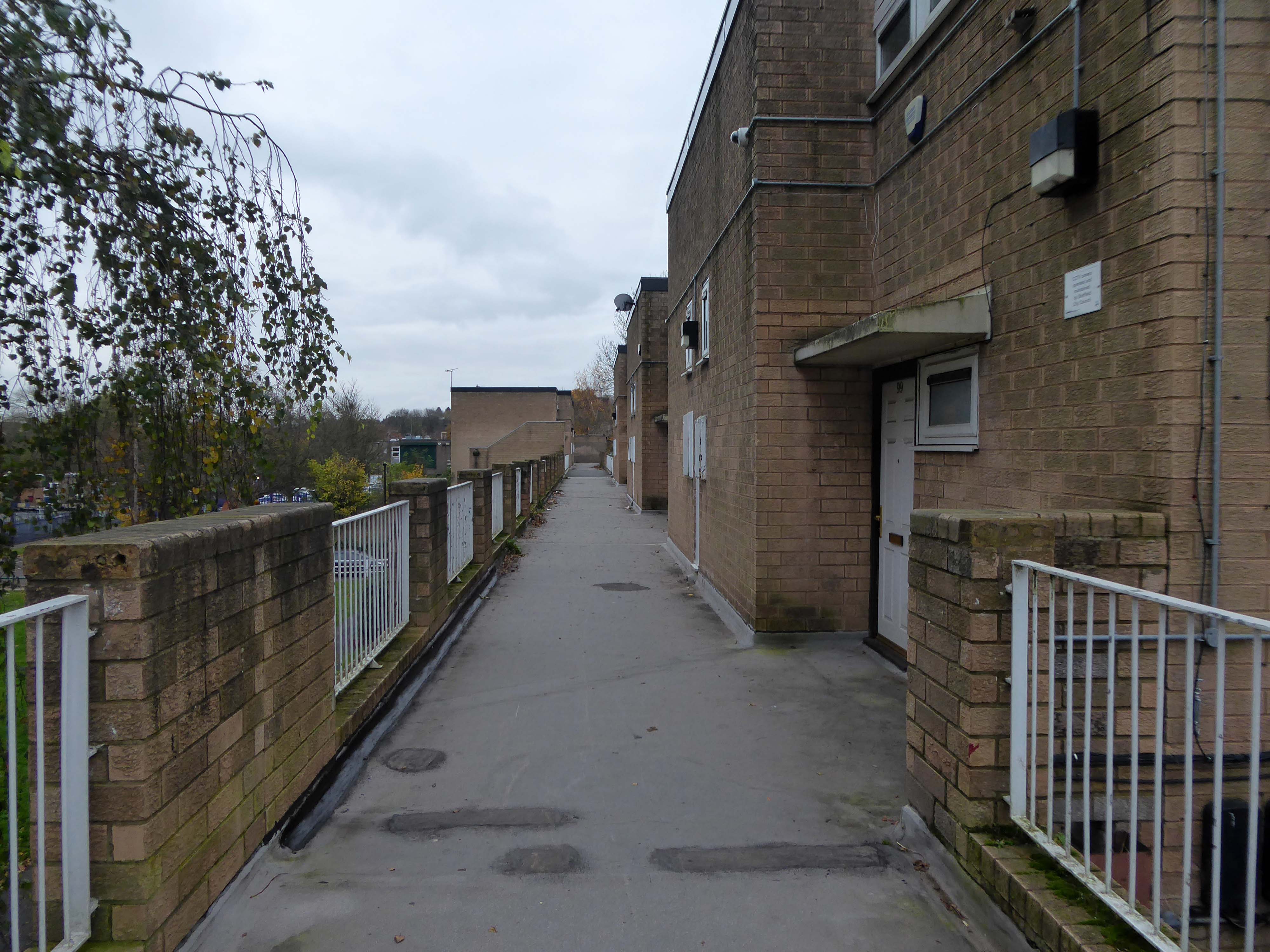
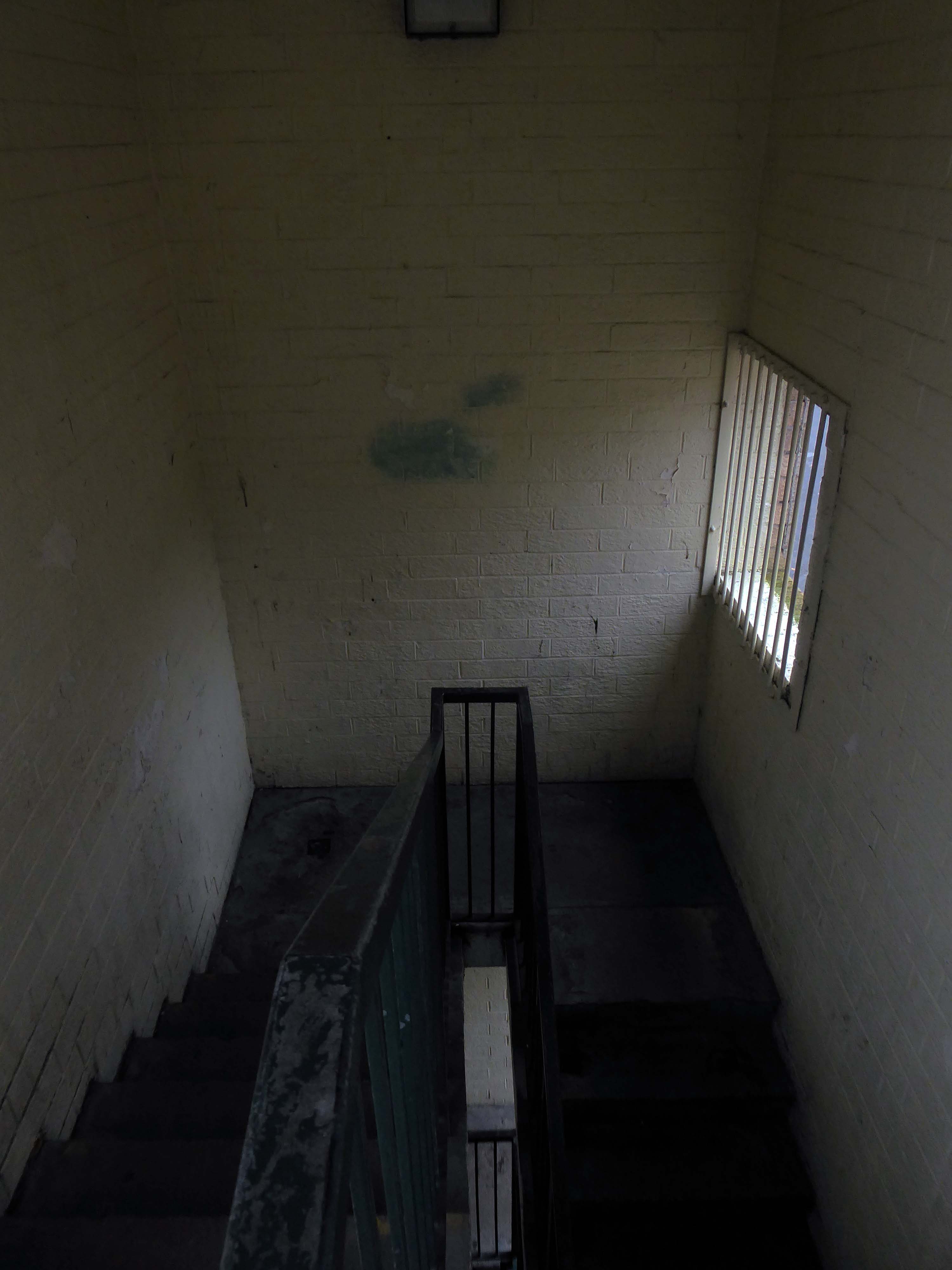
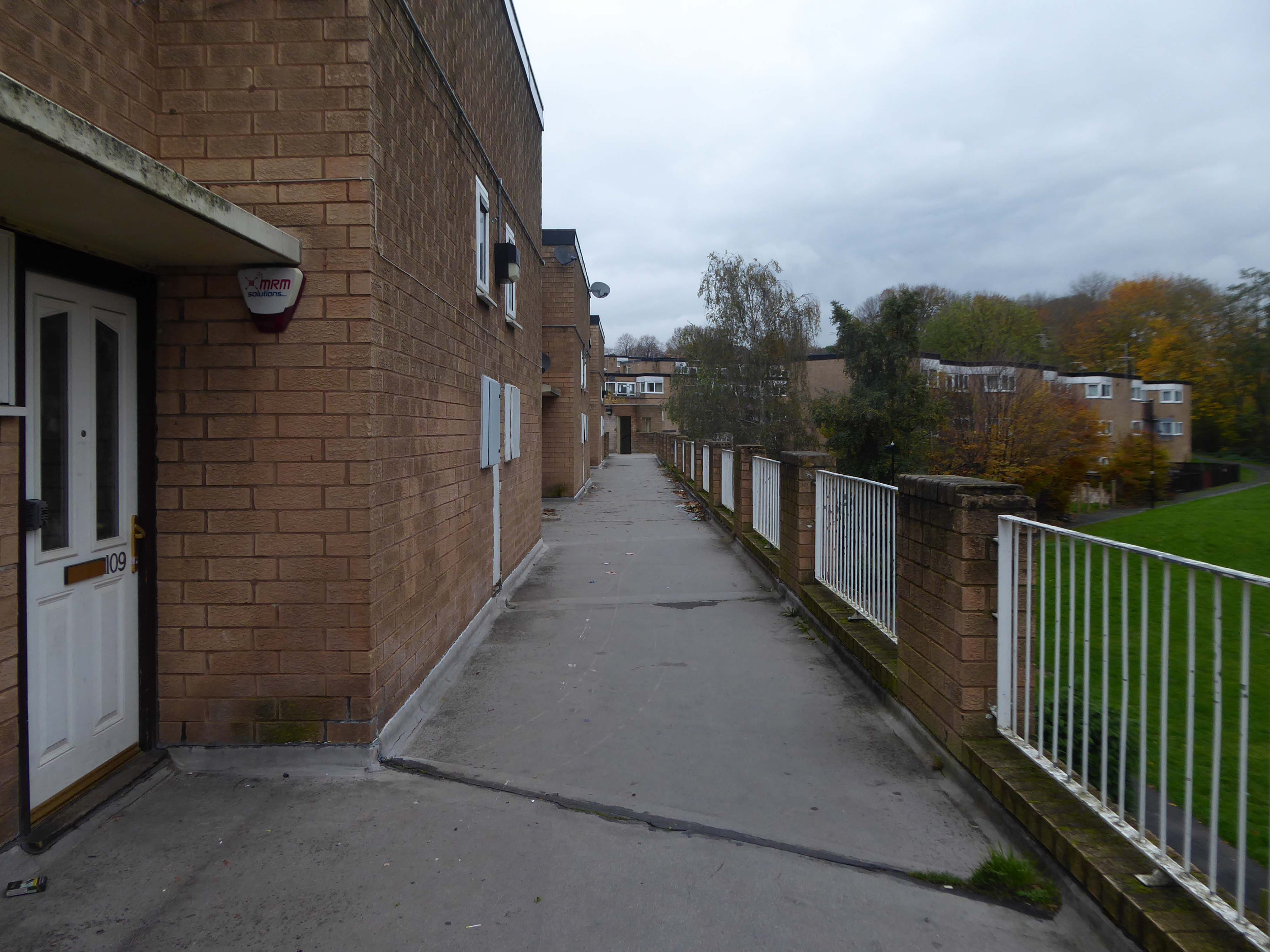
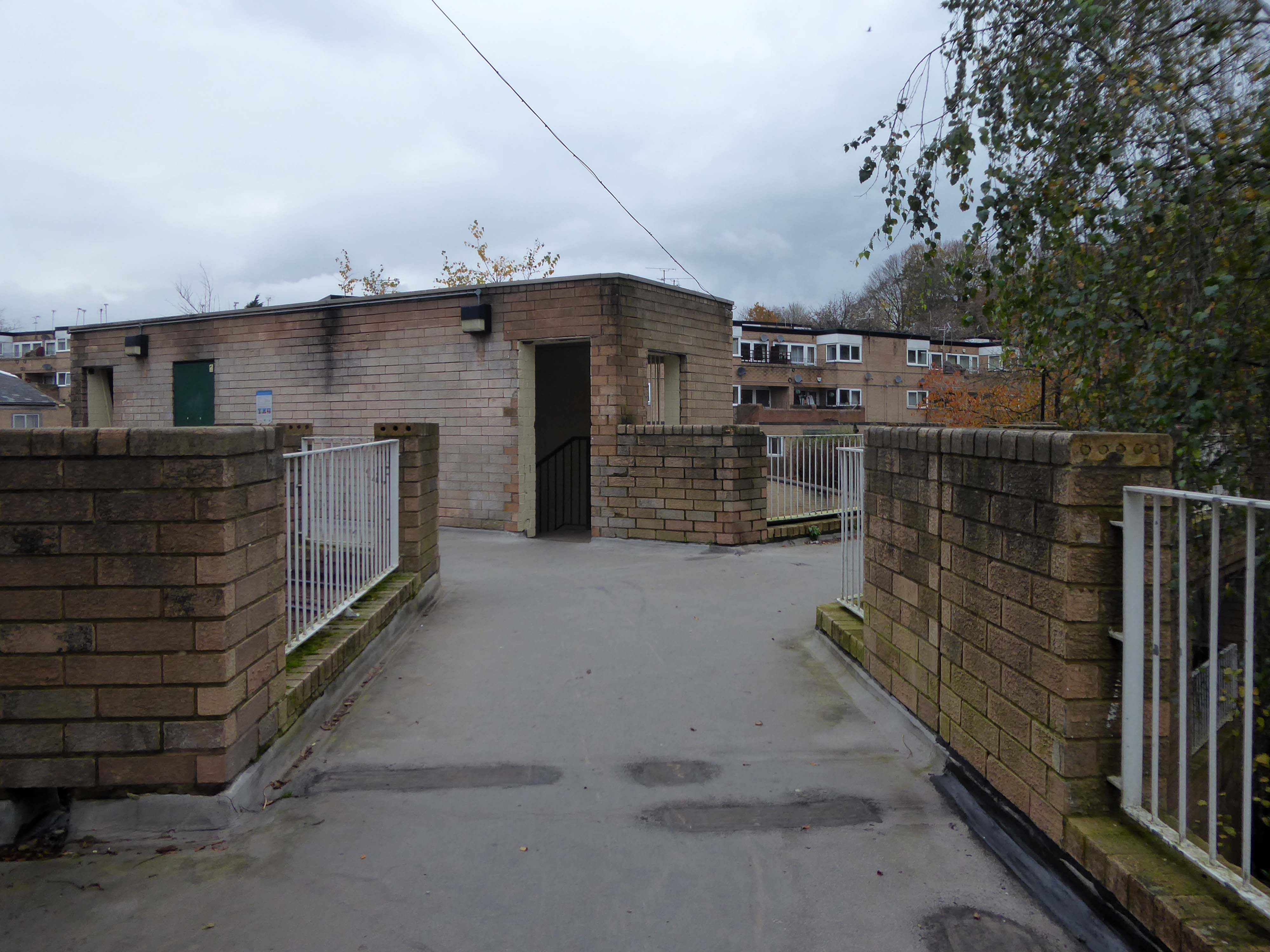
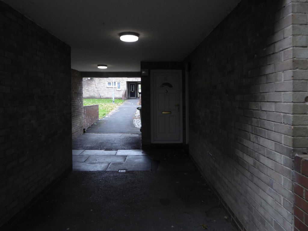
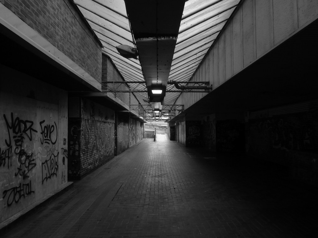
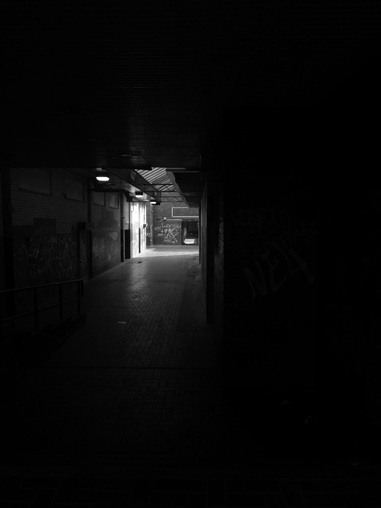
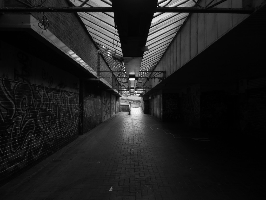
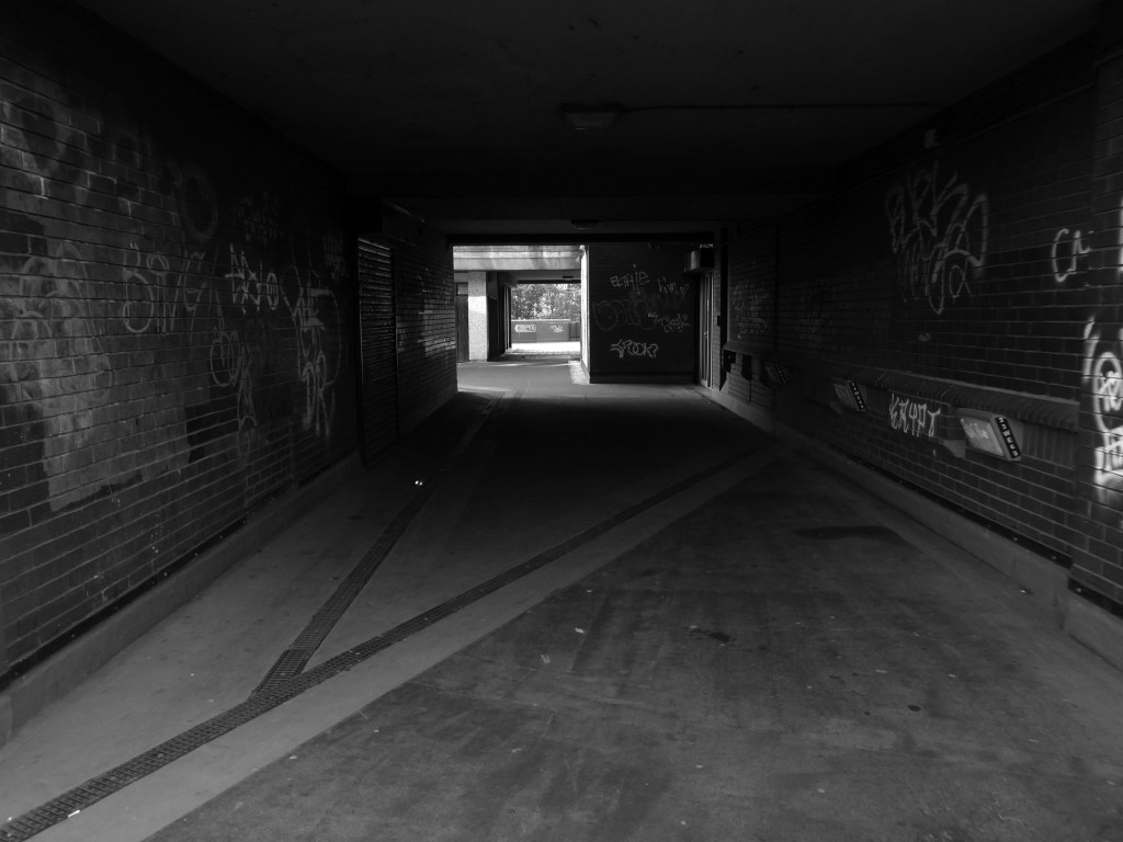
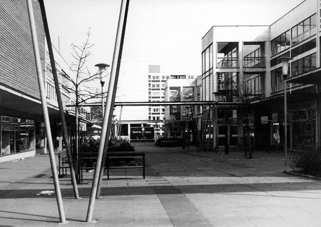
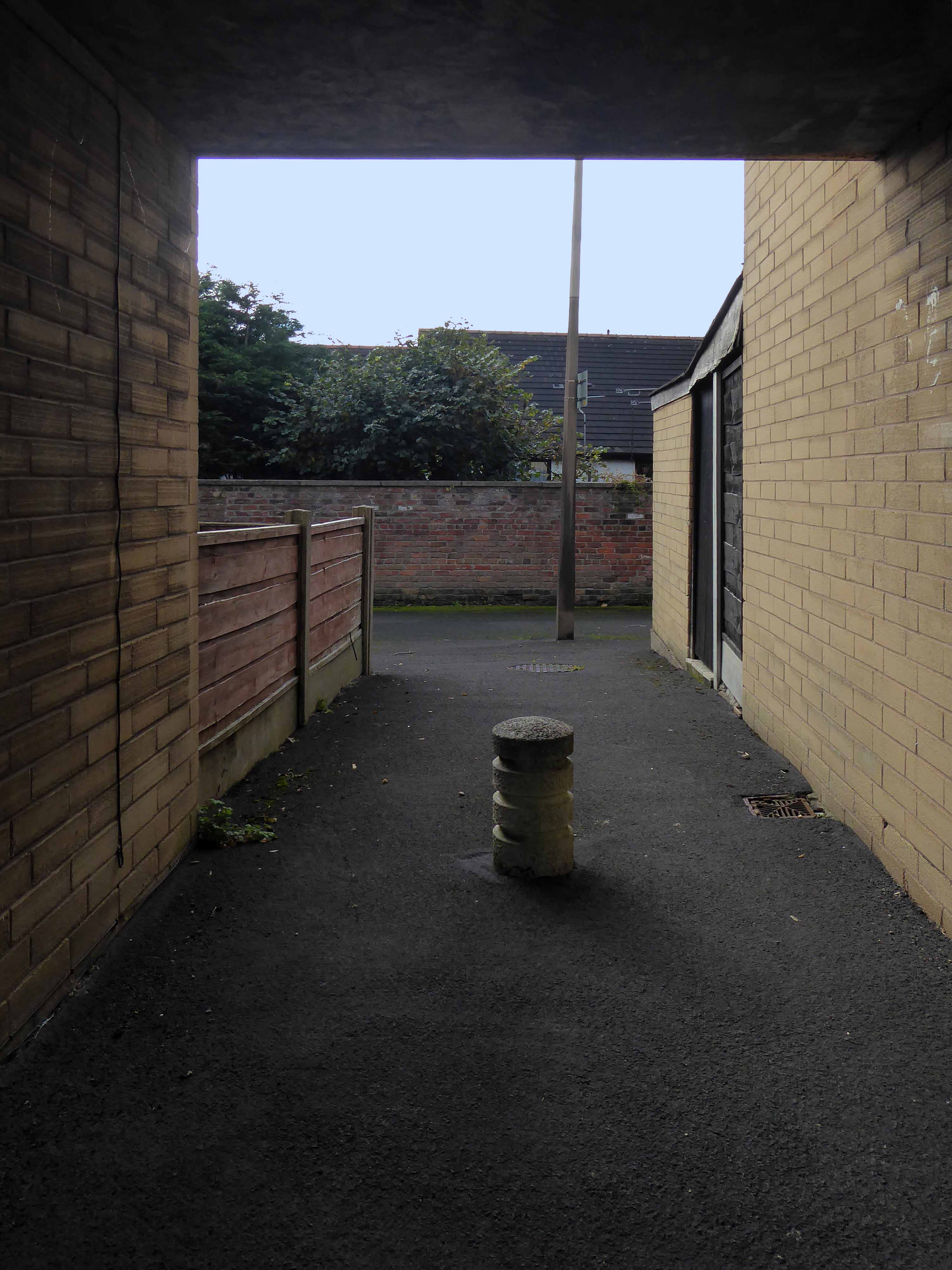
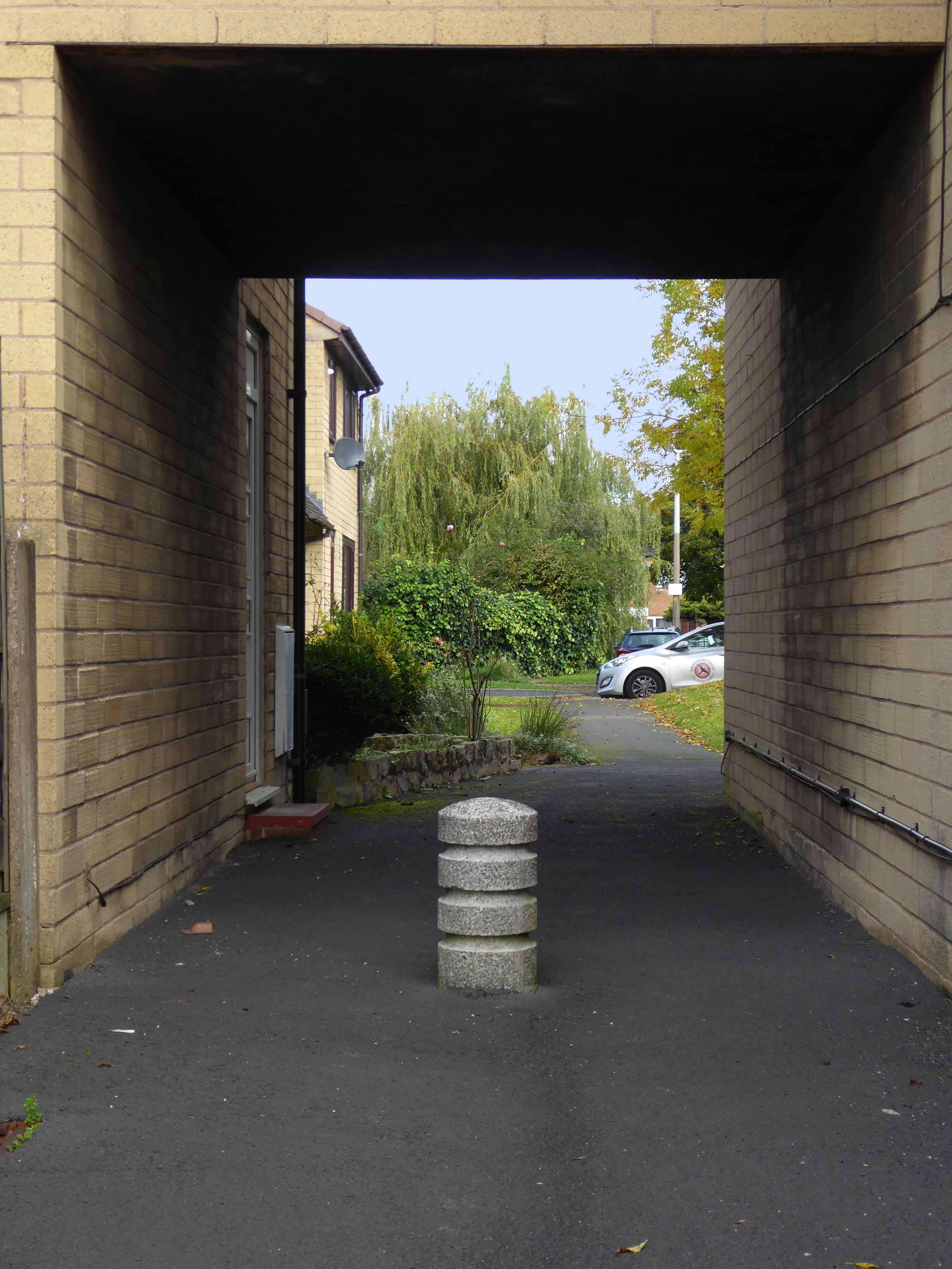
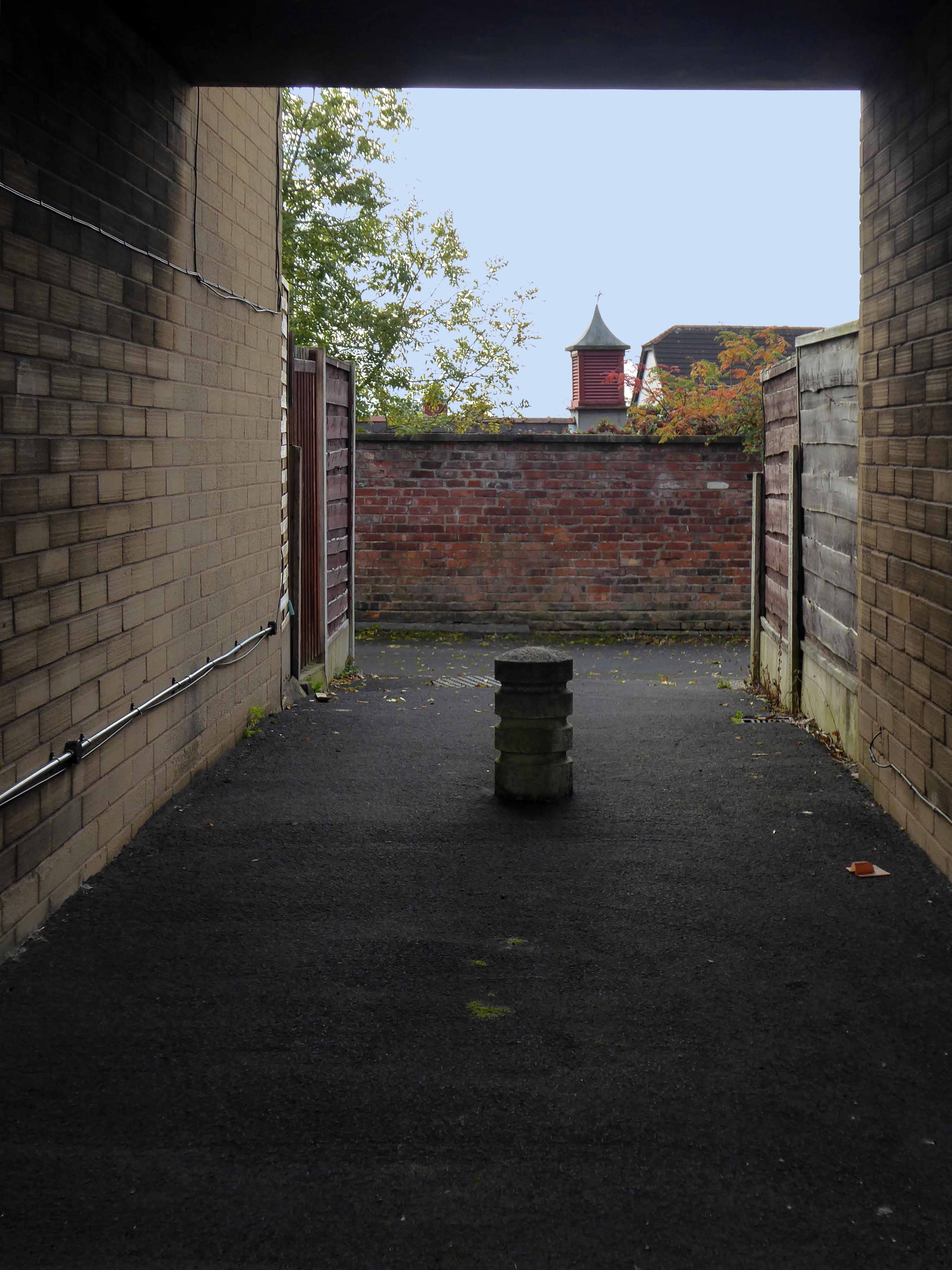
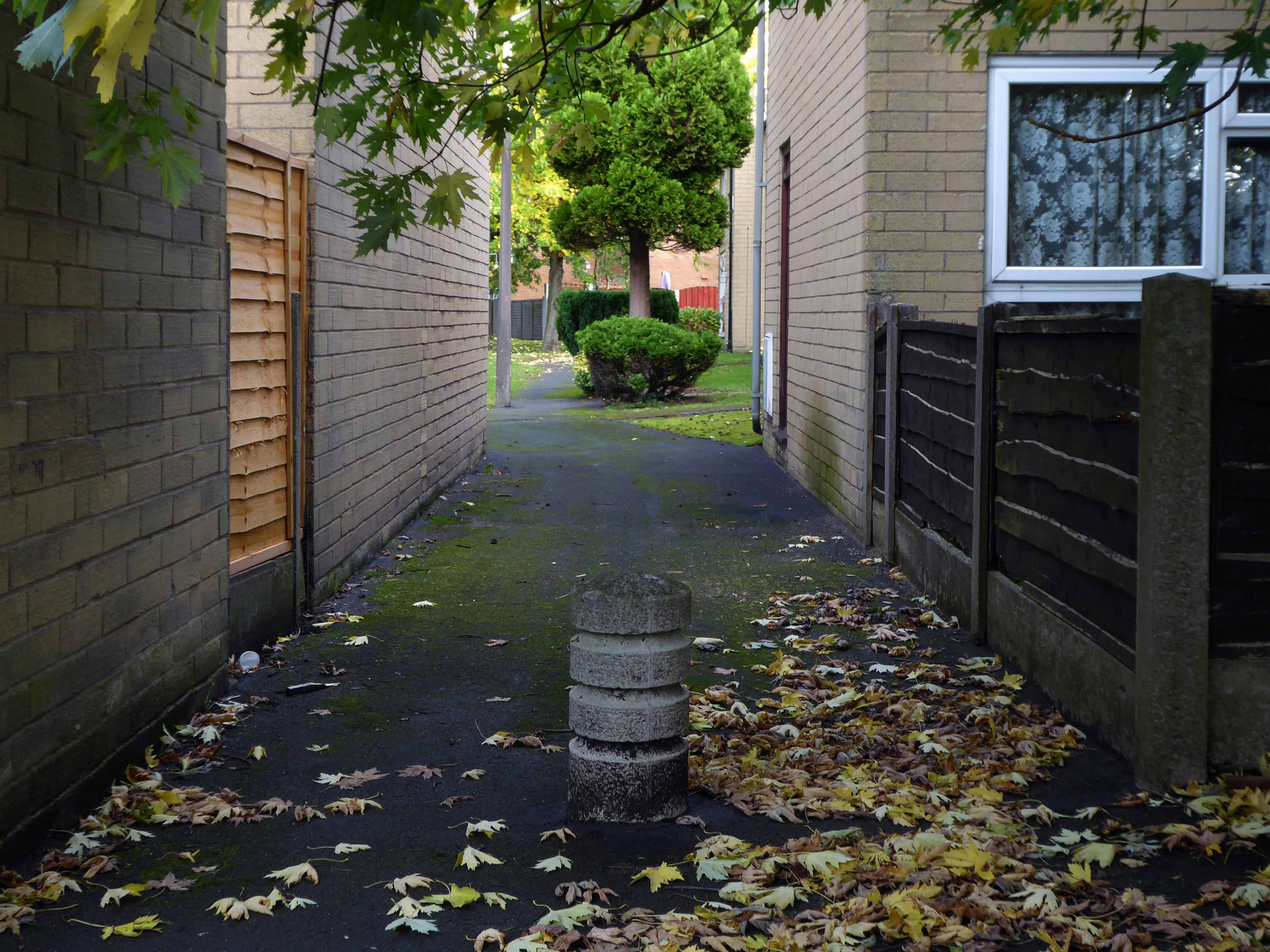
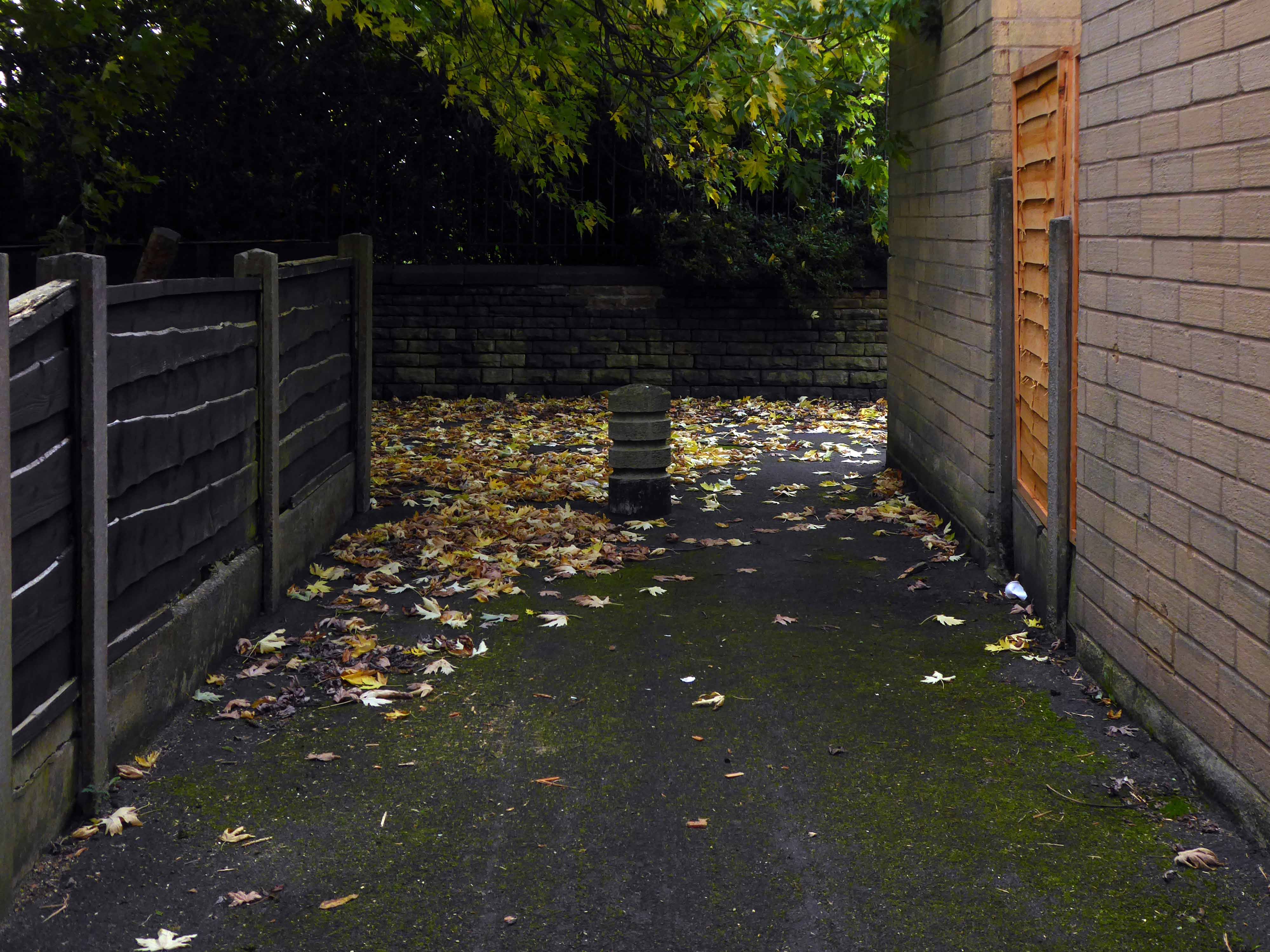
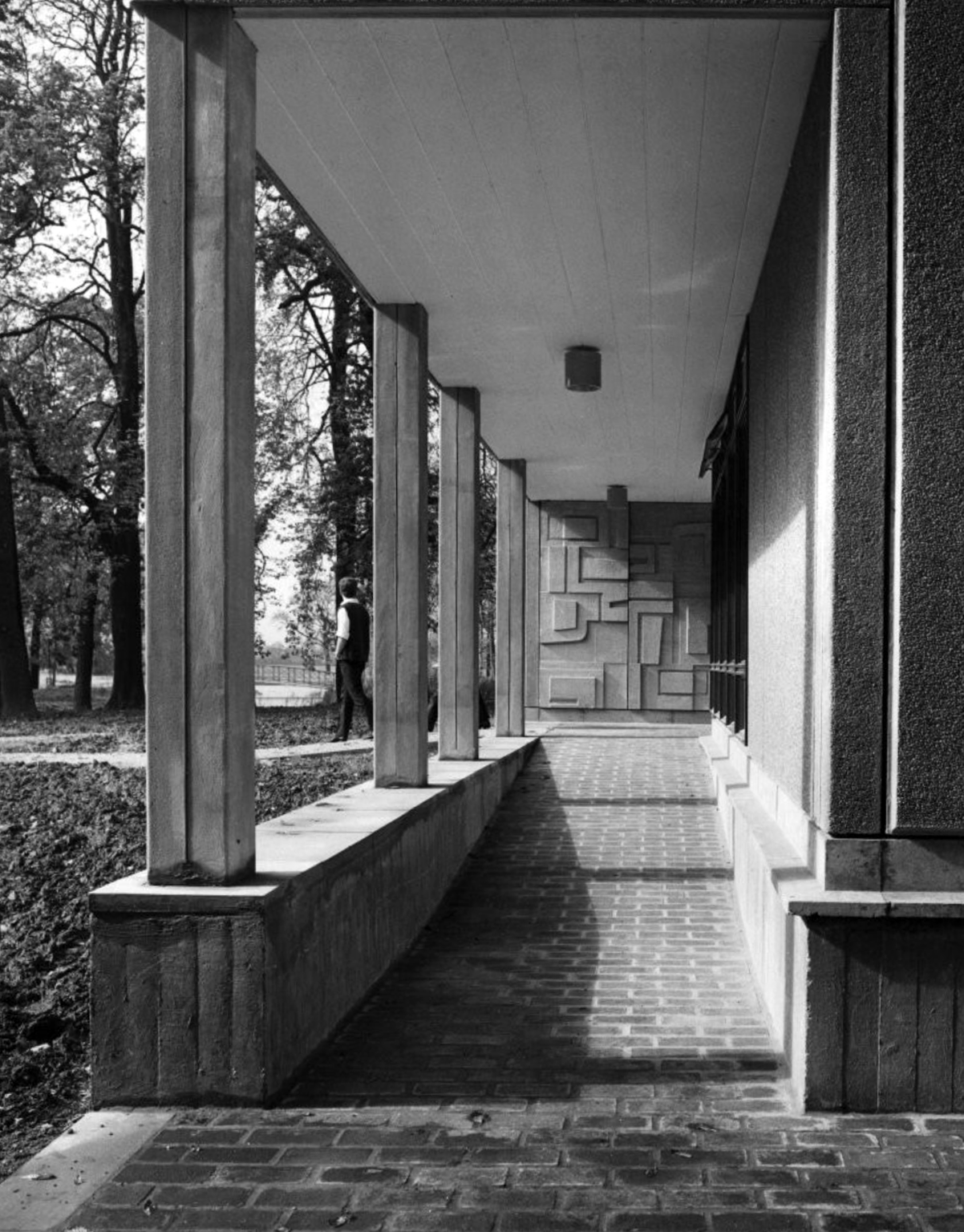
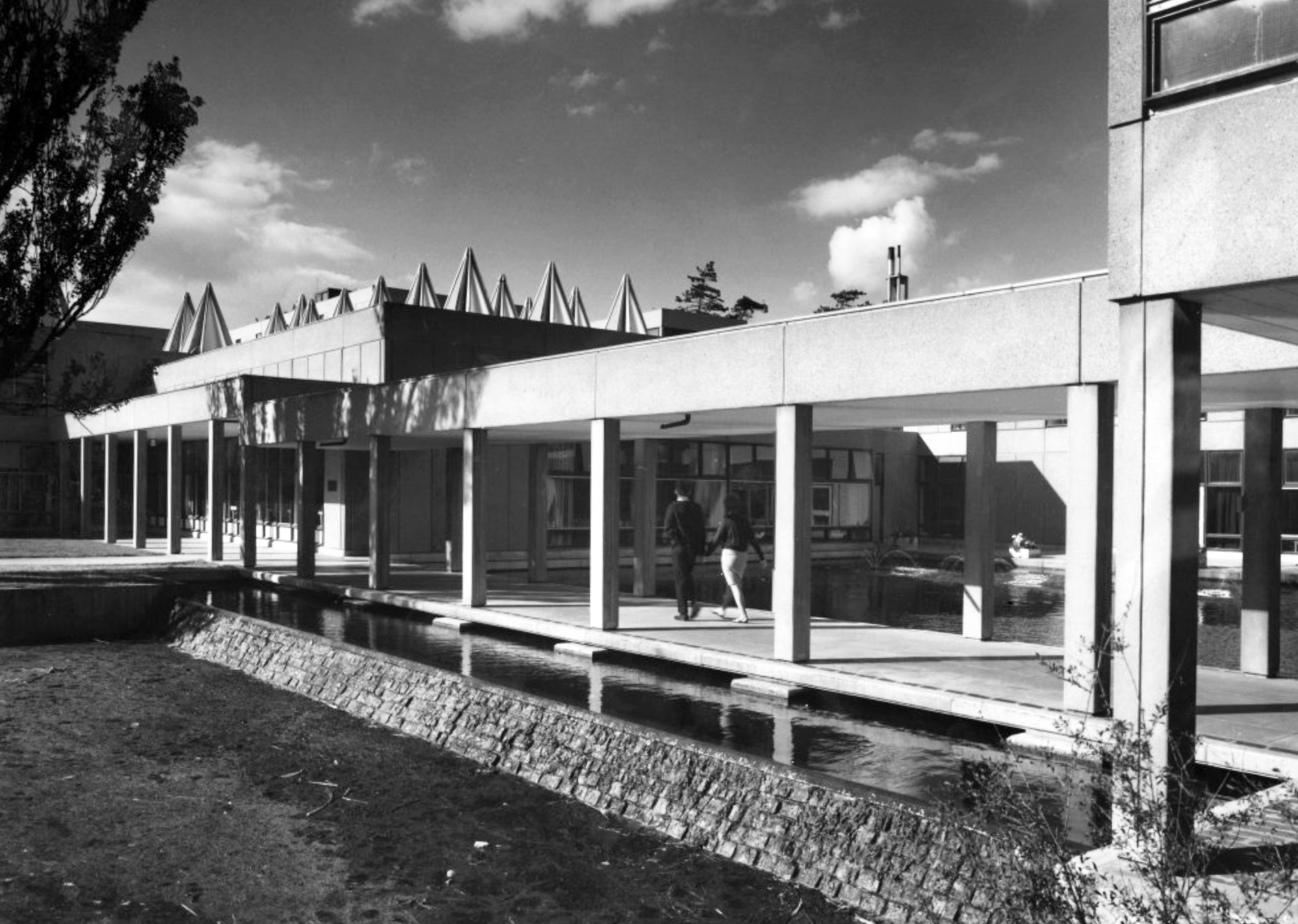
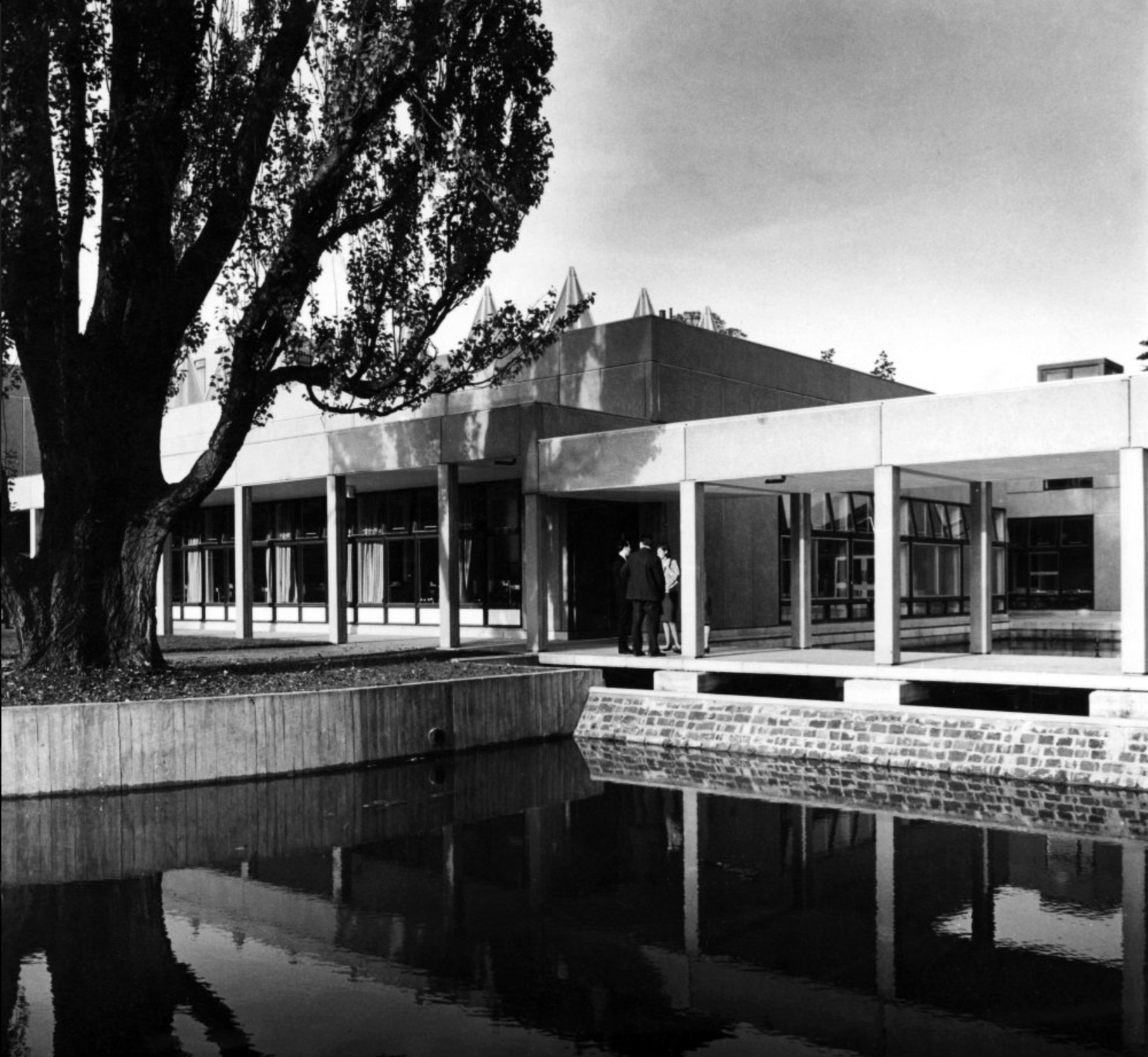
Derwent College: one of the two covered walkways linking the college buildings with sculptural relief by Fred Millett at the far end.
Photographs 1965 – Reginald Hugo de Burgh Galwey.
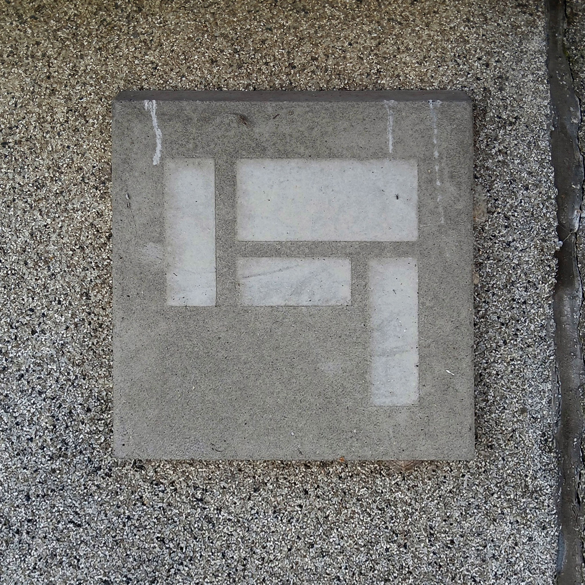
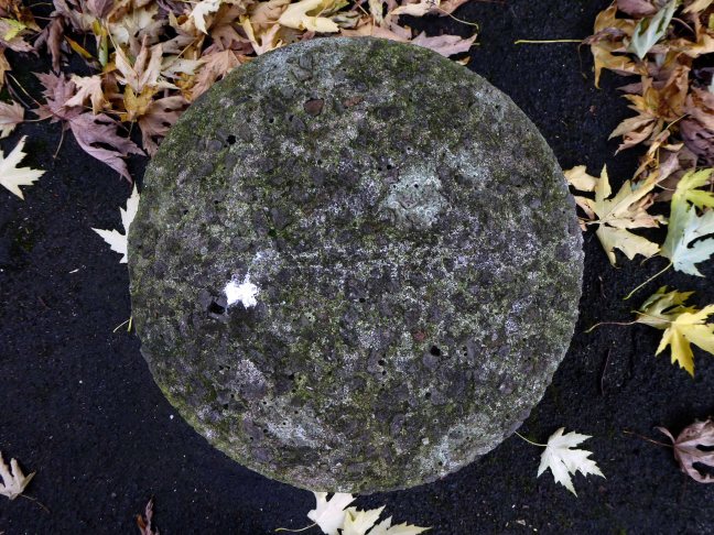
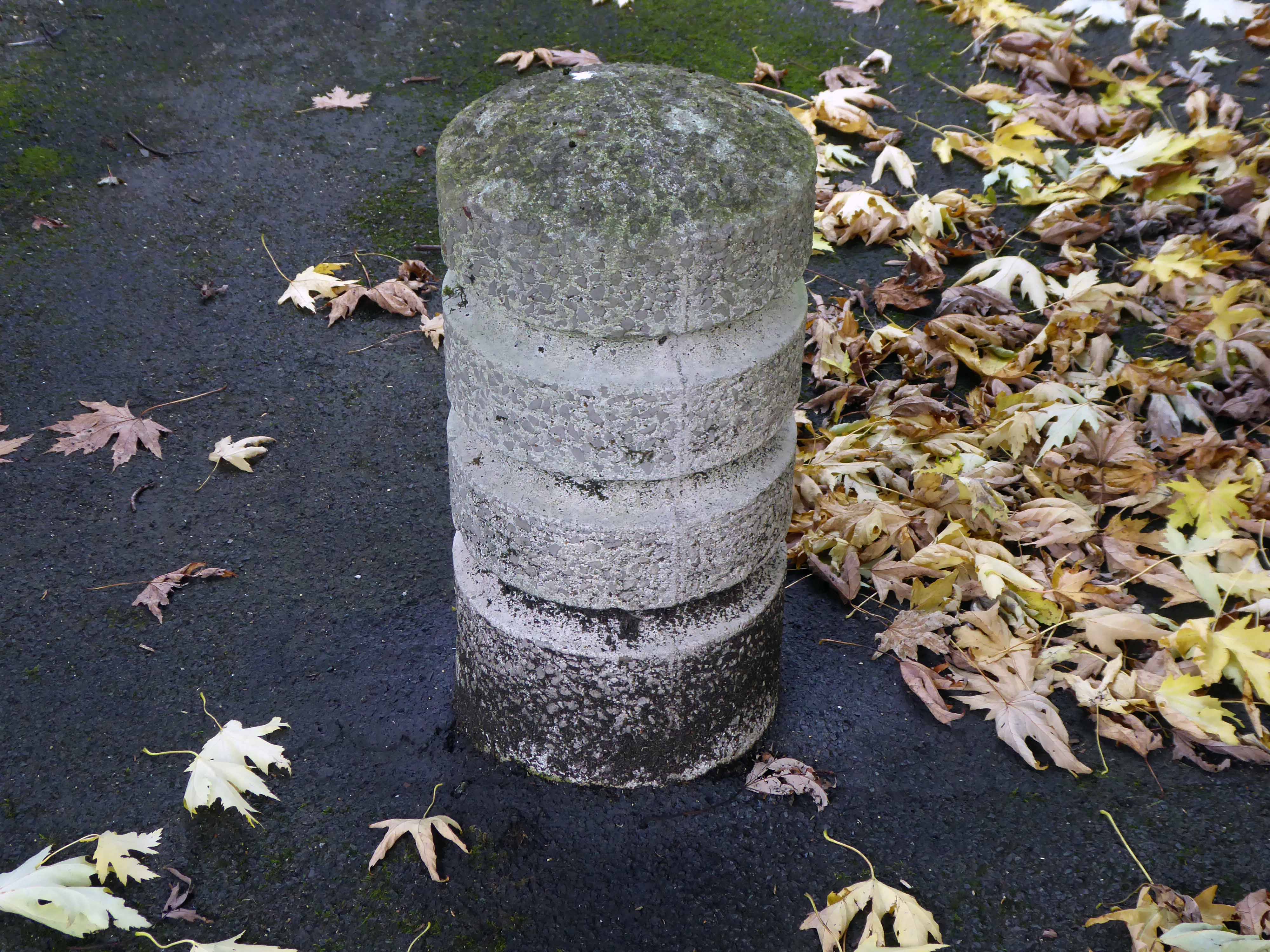
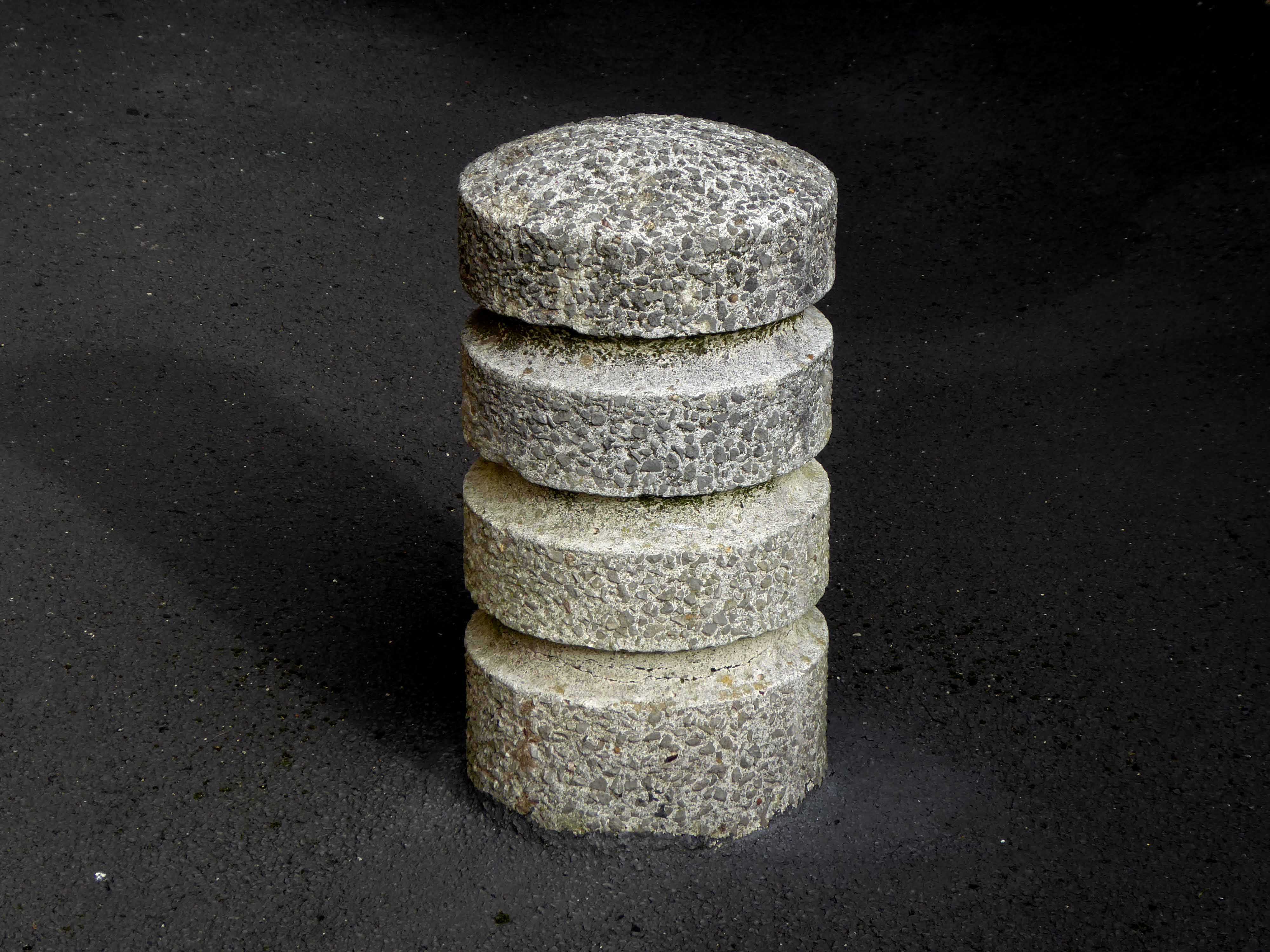
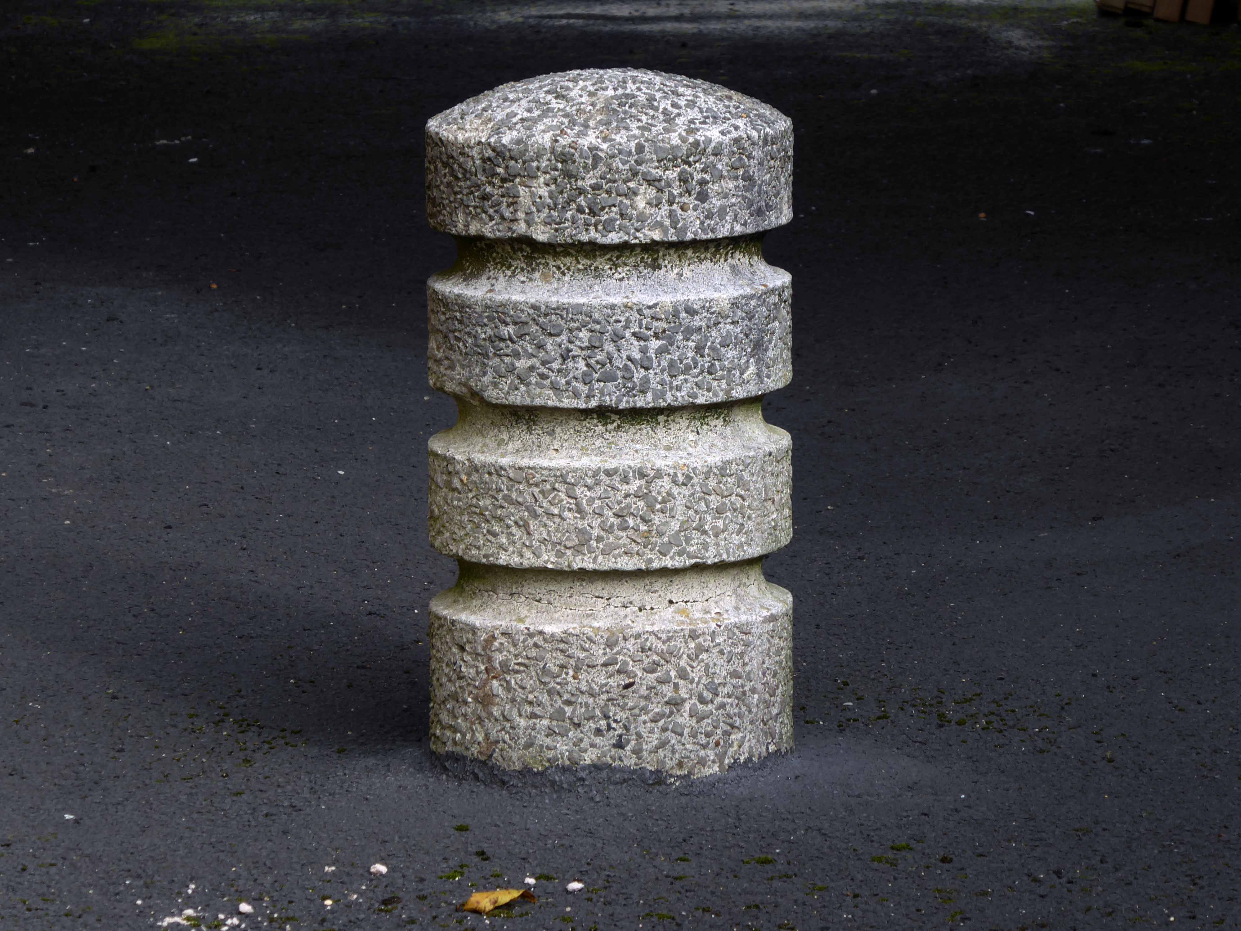
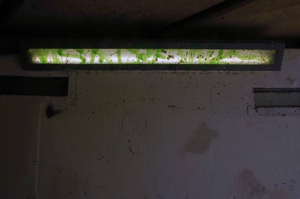
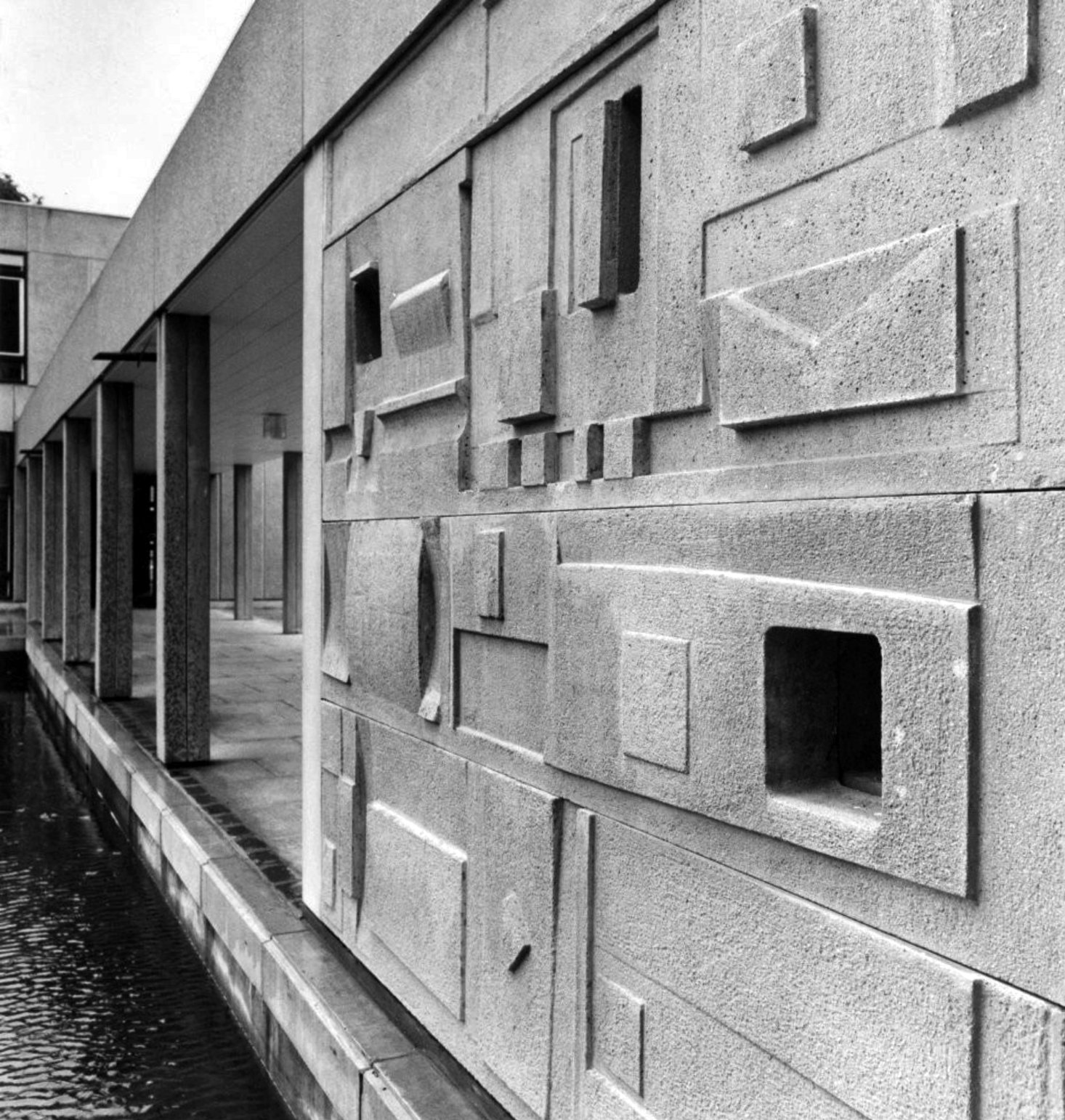
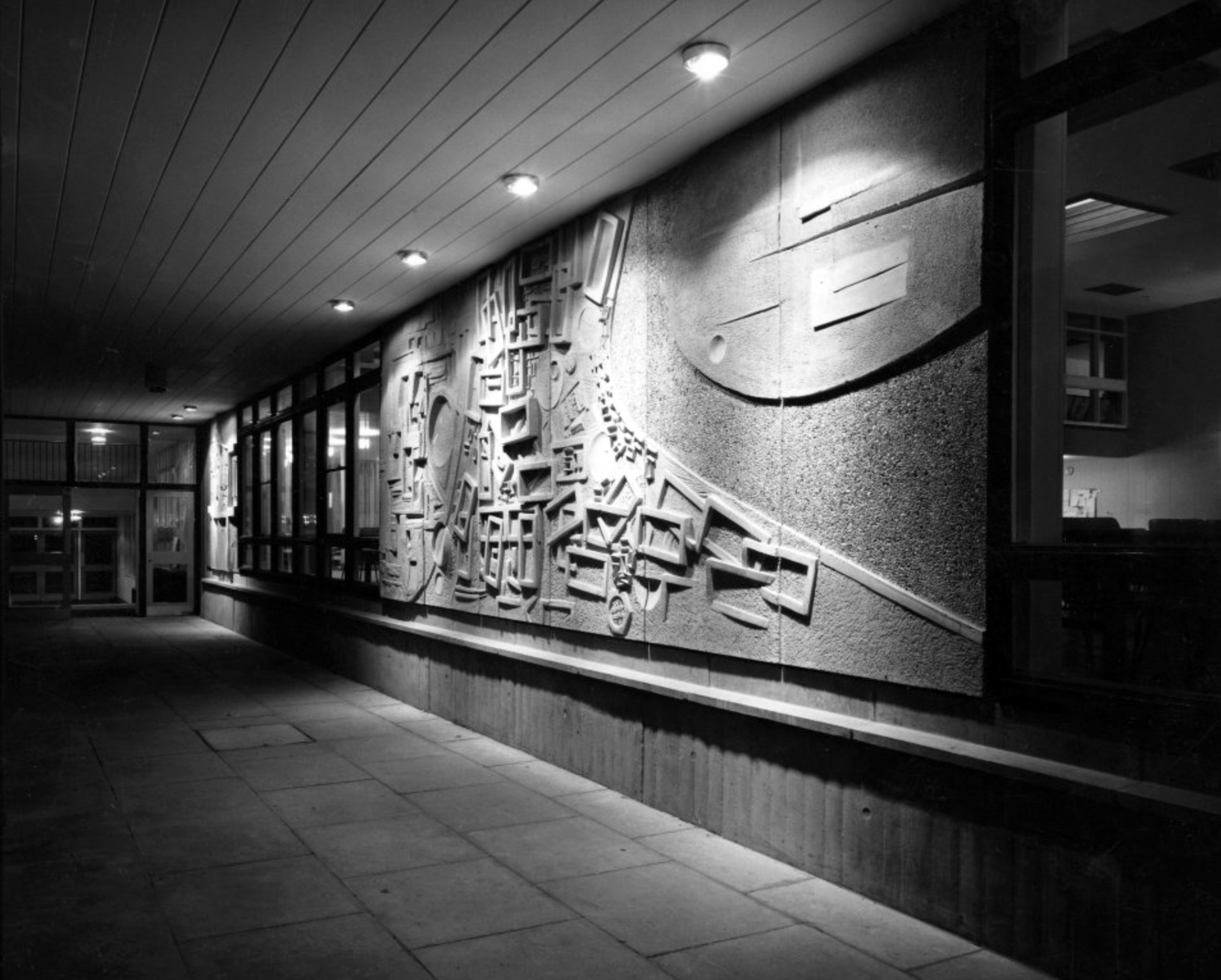
Derwent College: a concrete panel sculptured by Fred Millett.
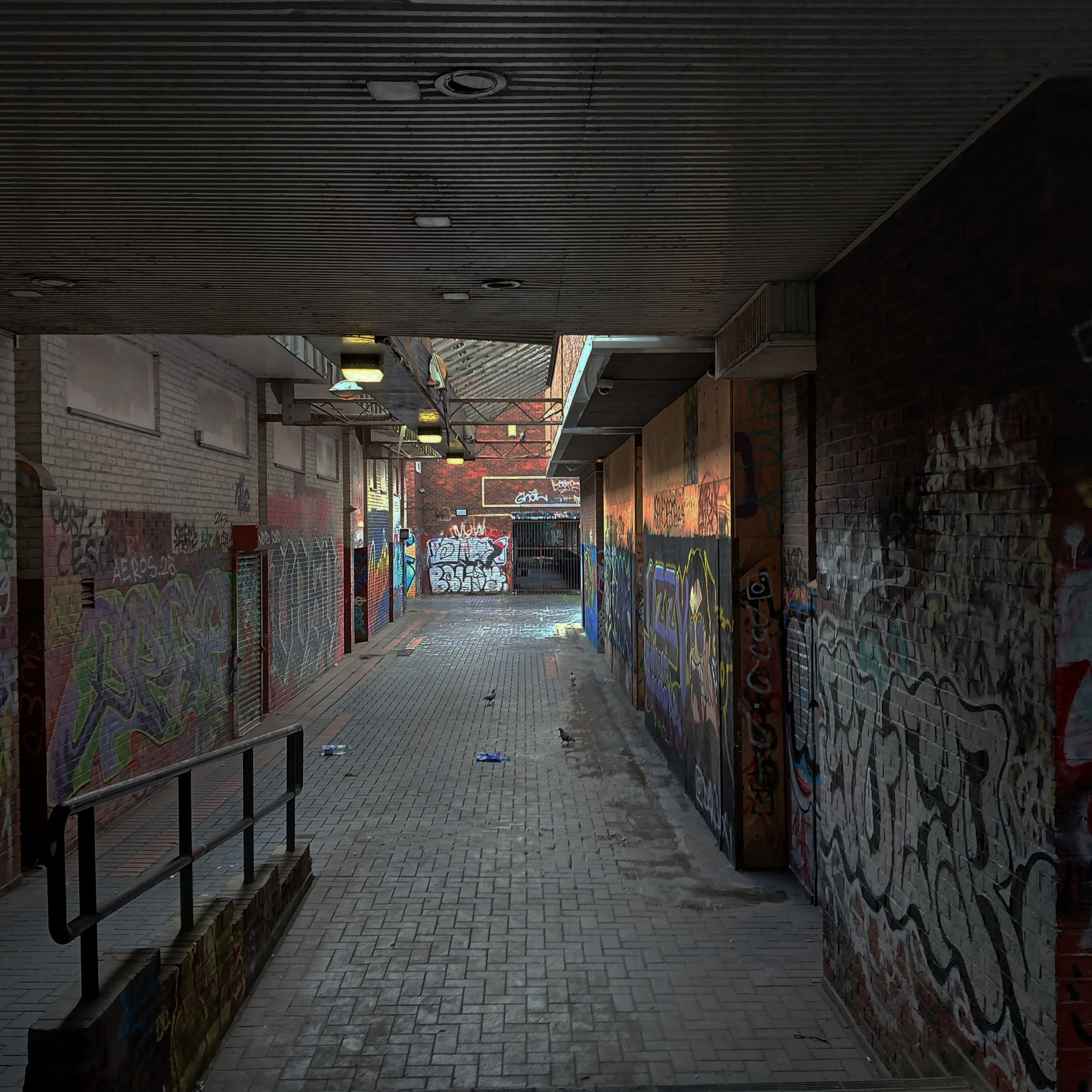
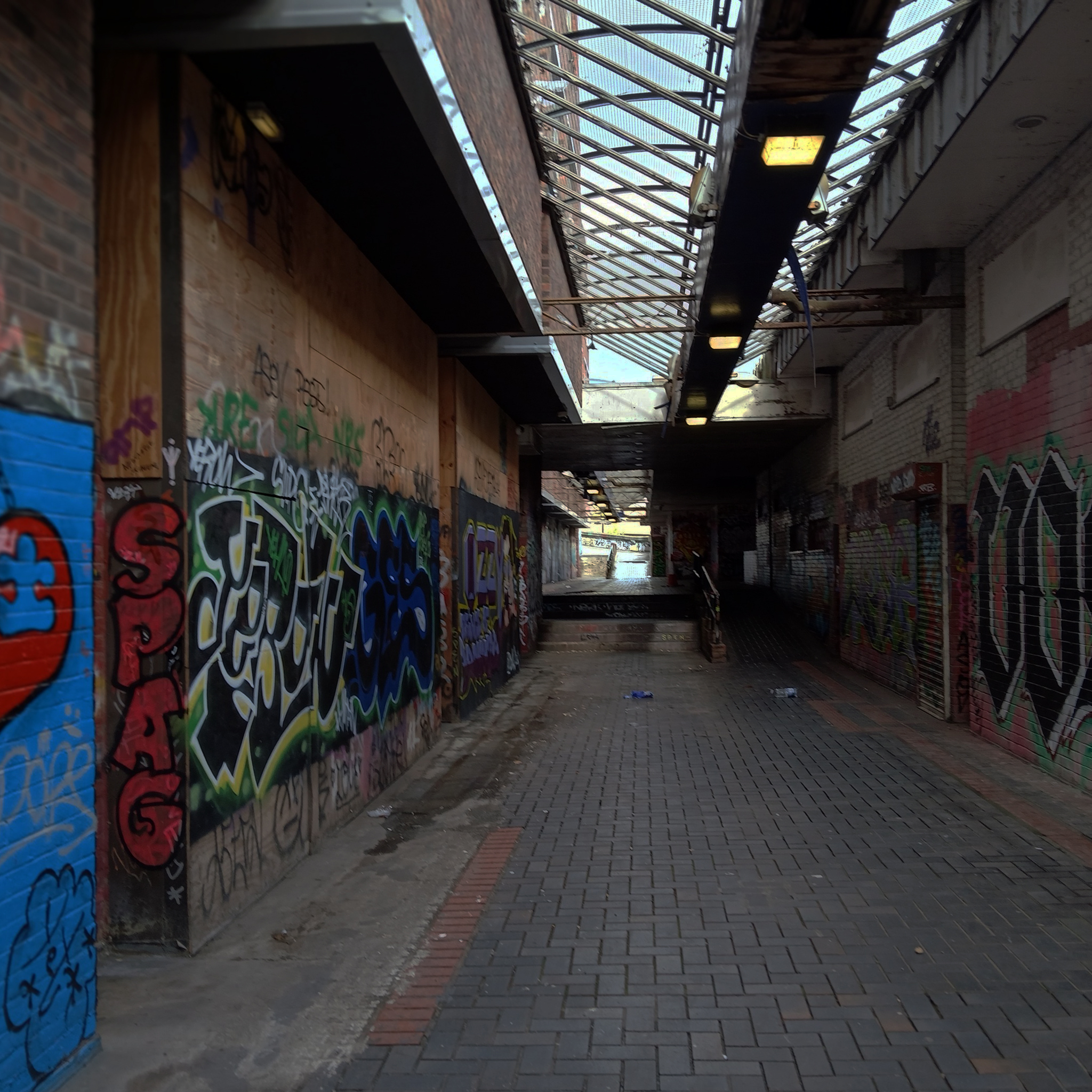
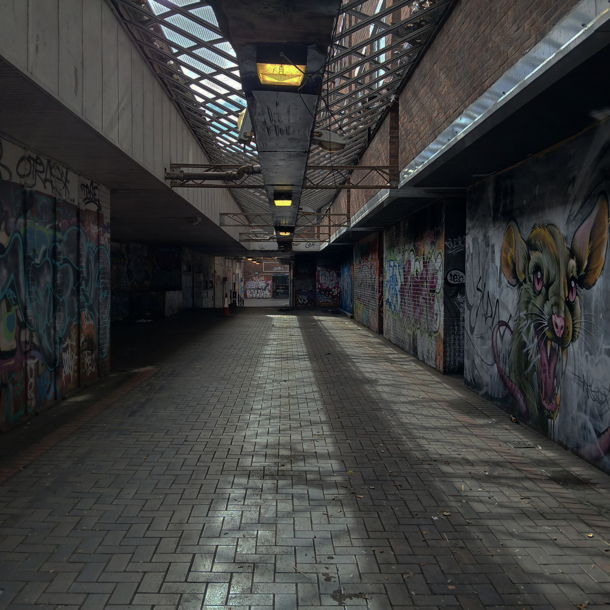
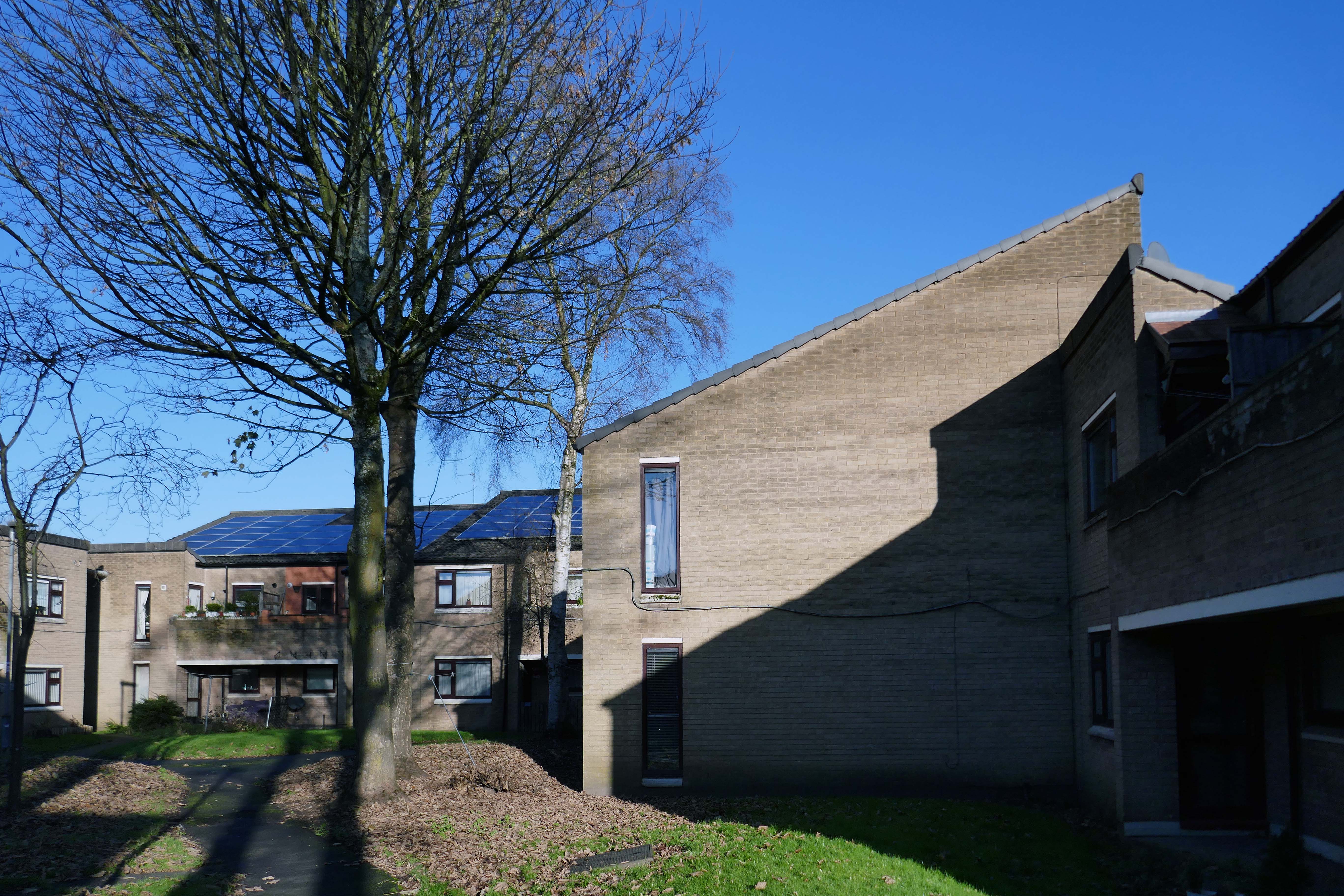
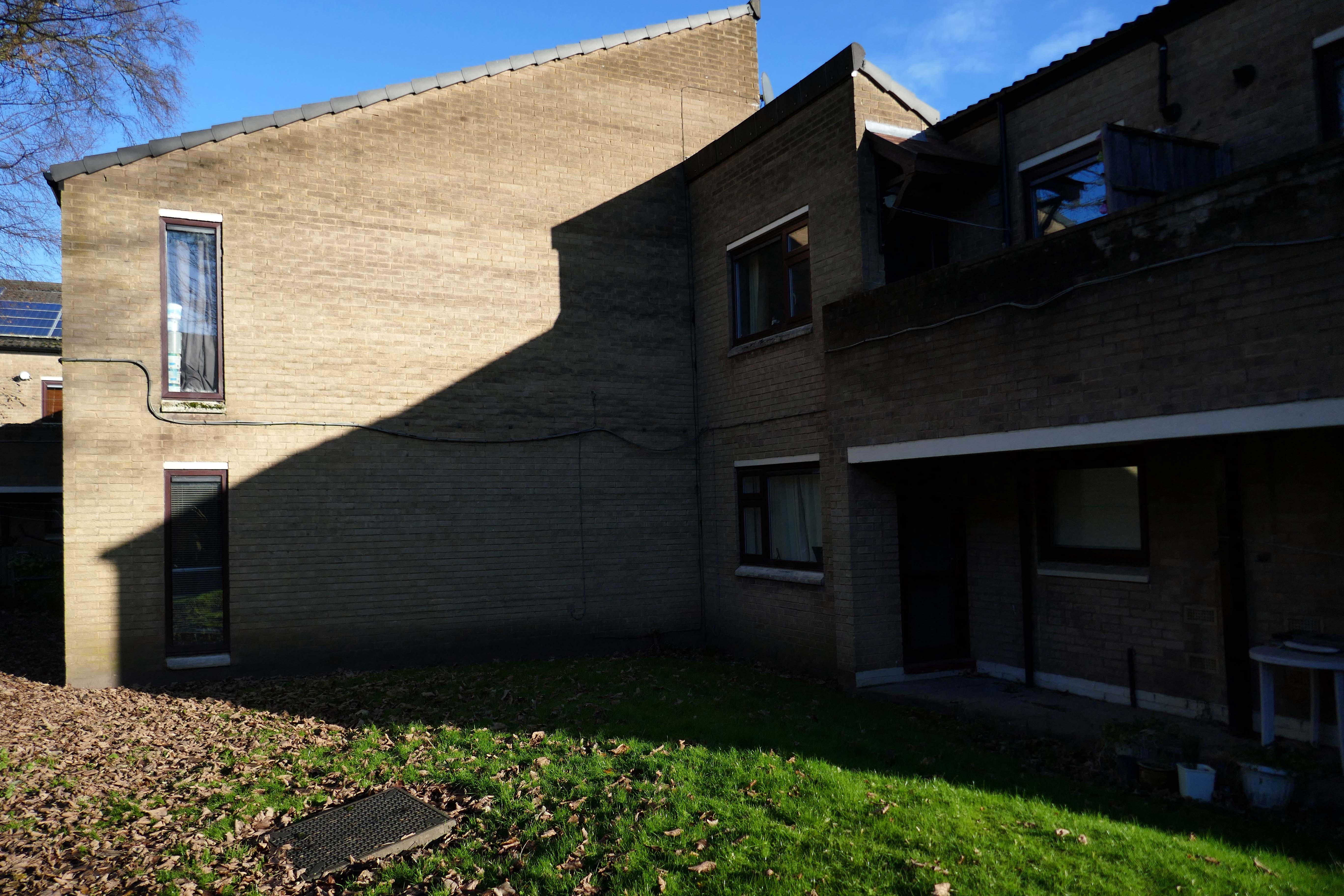
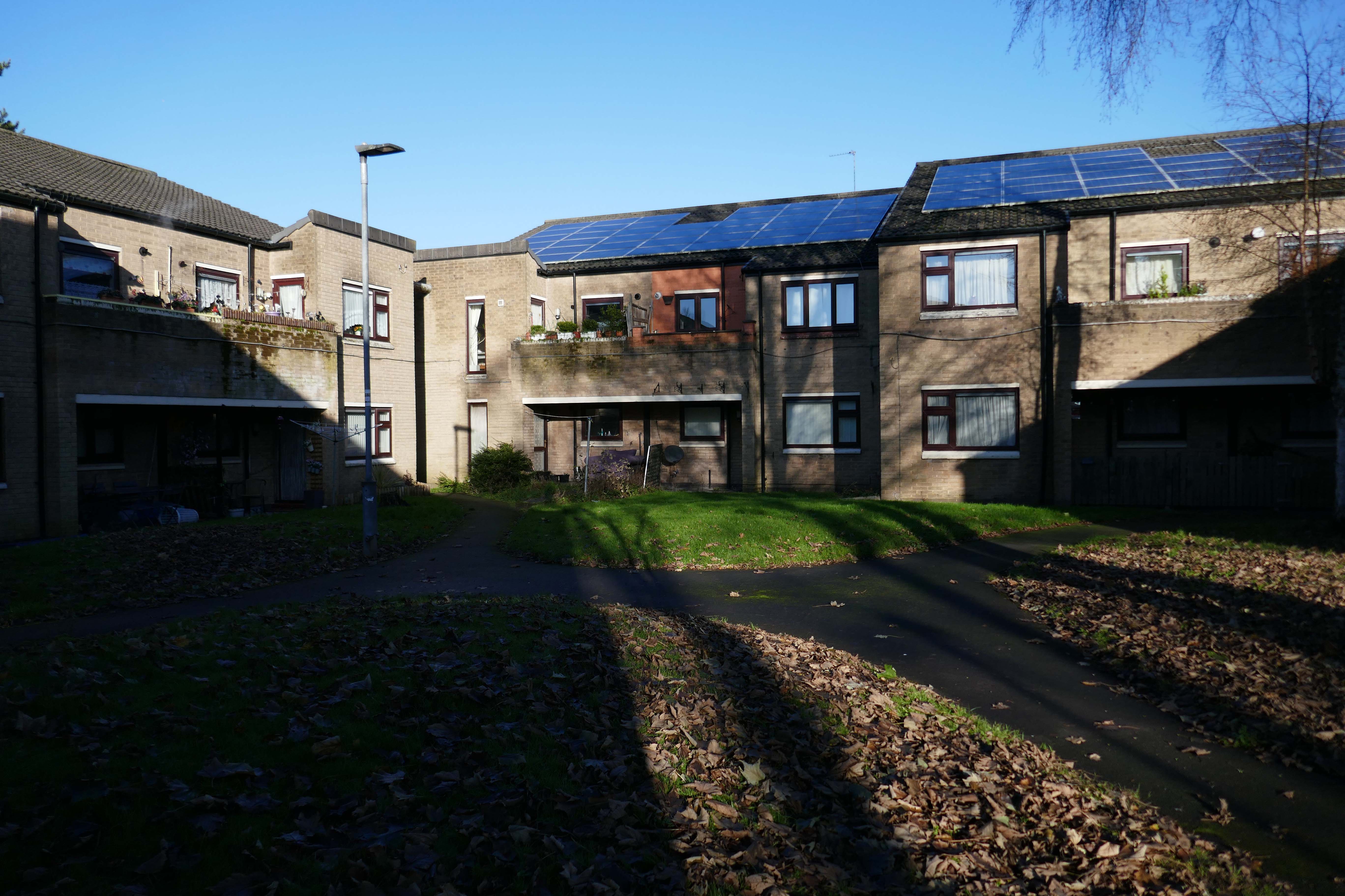
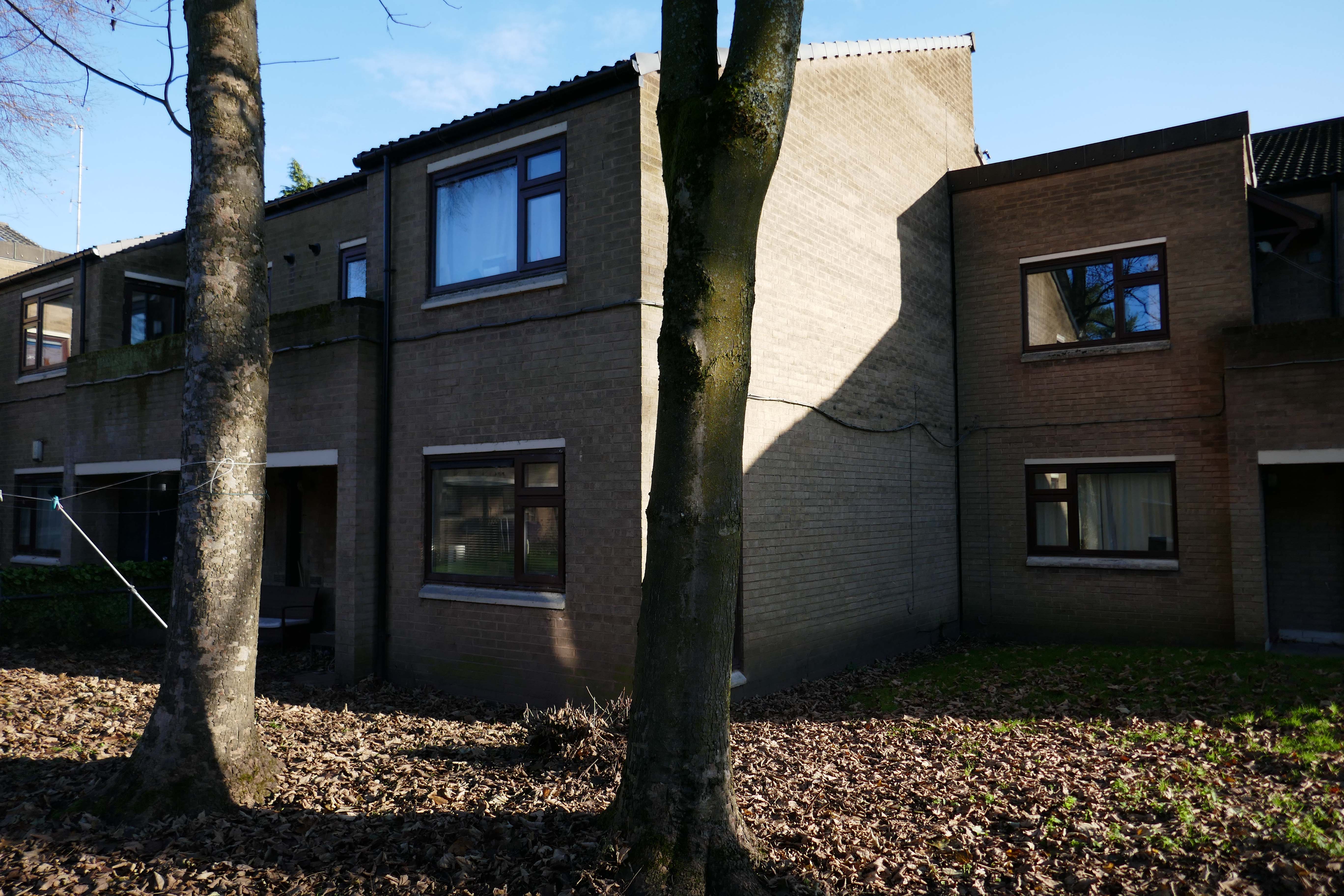
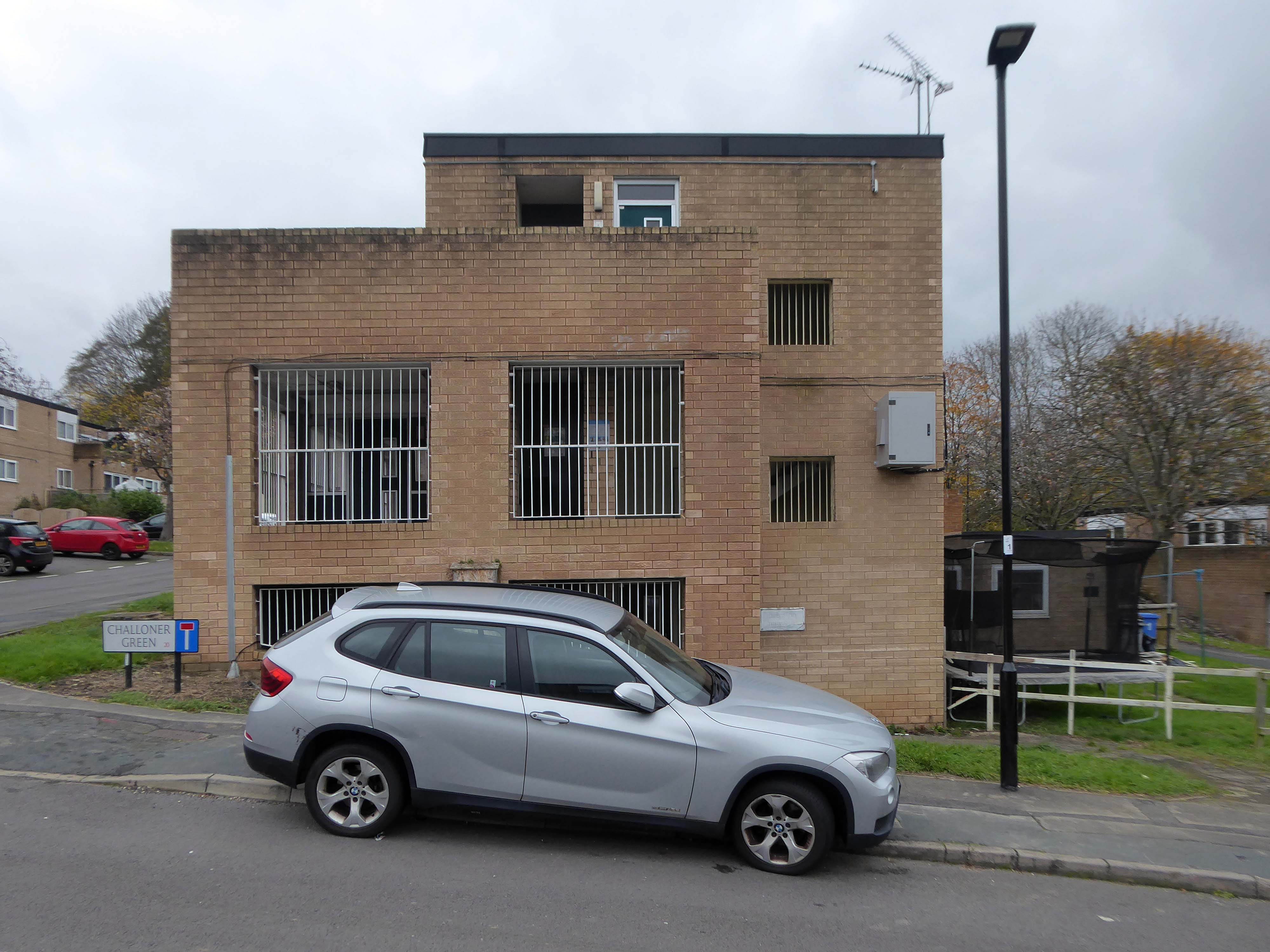
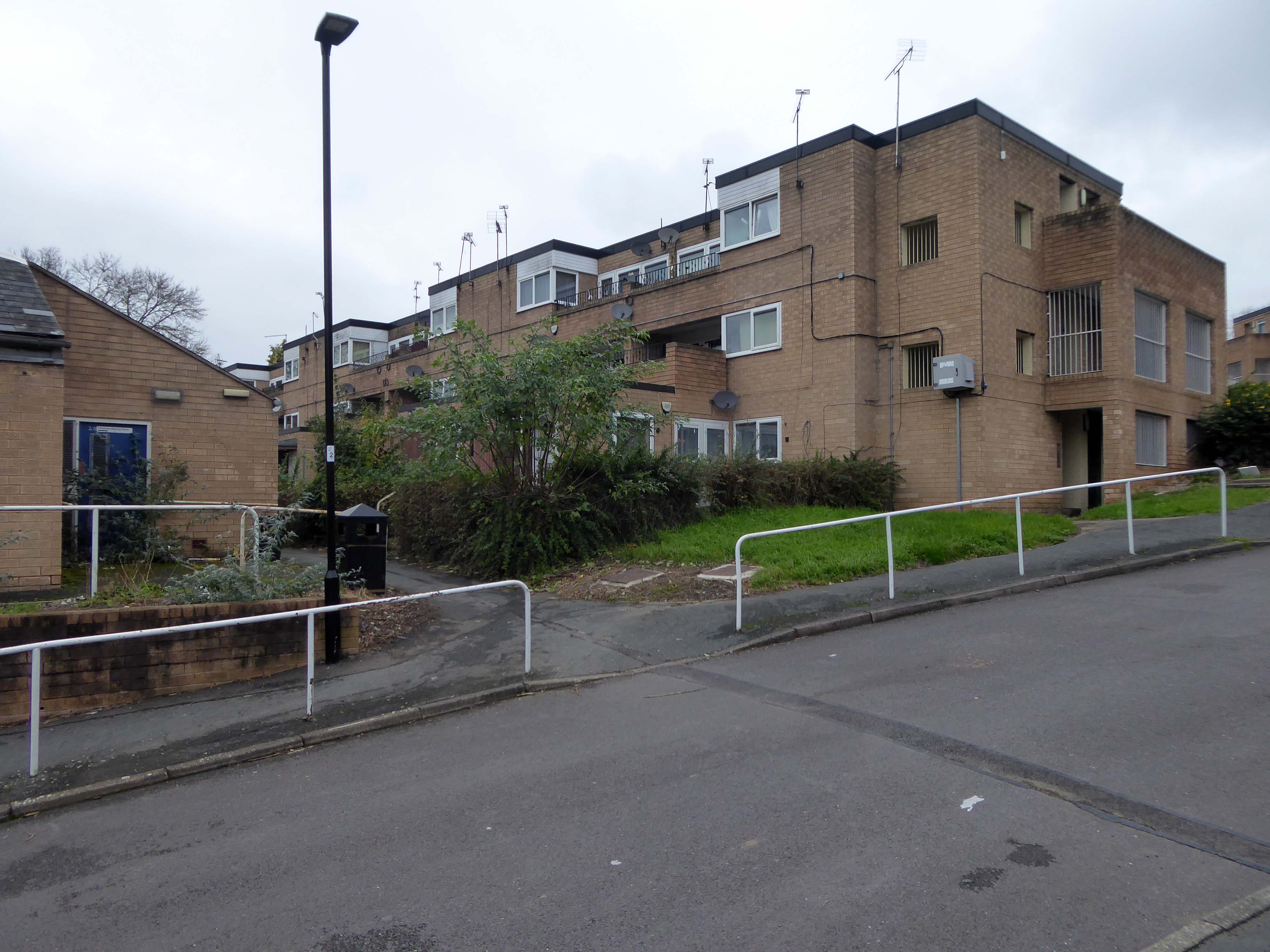
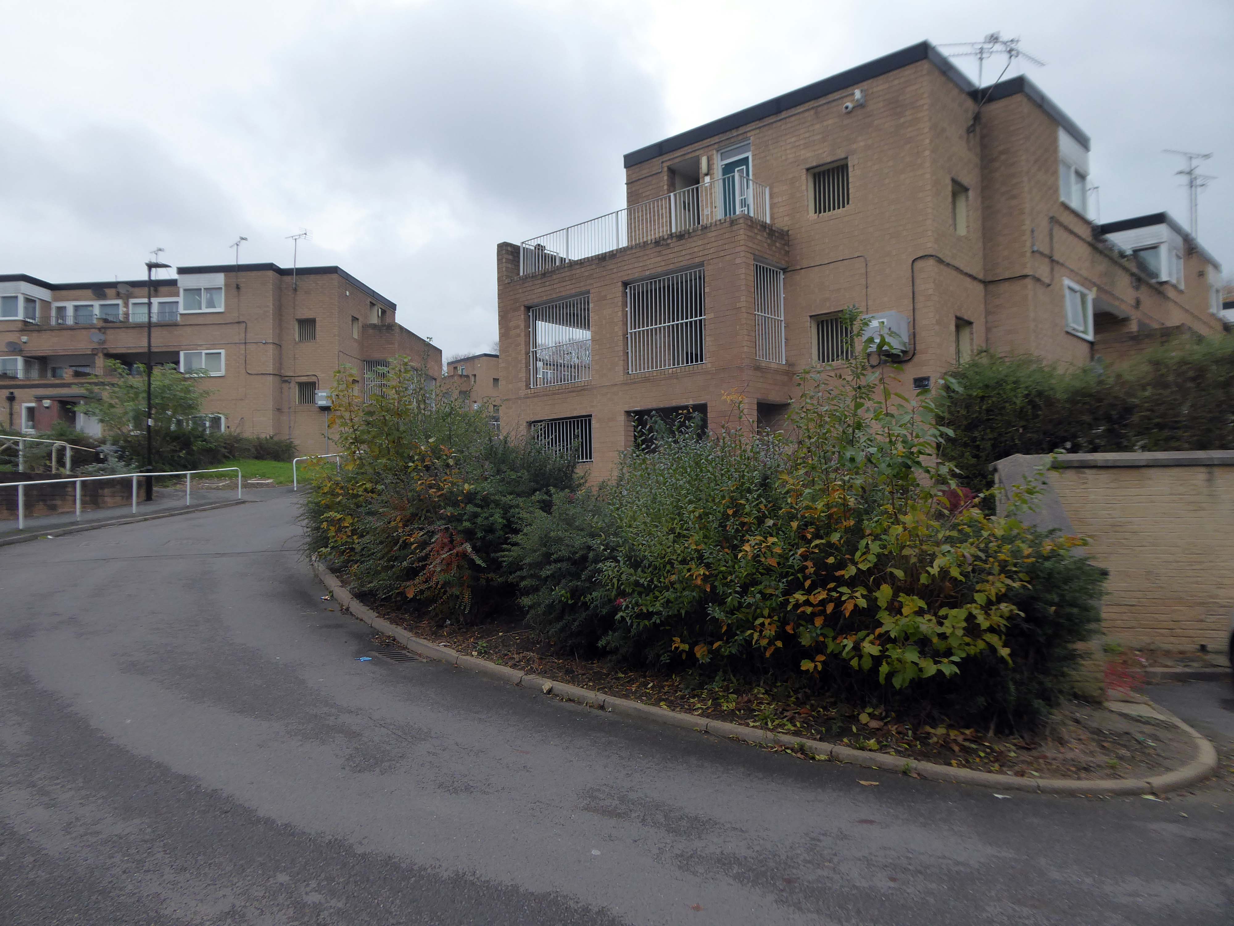
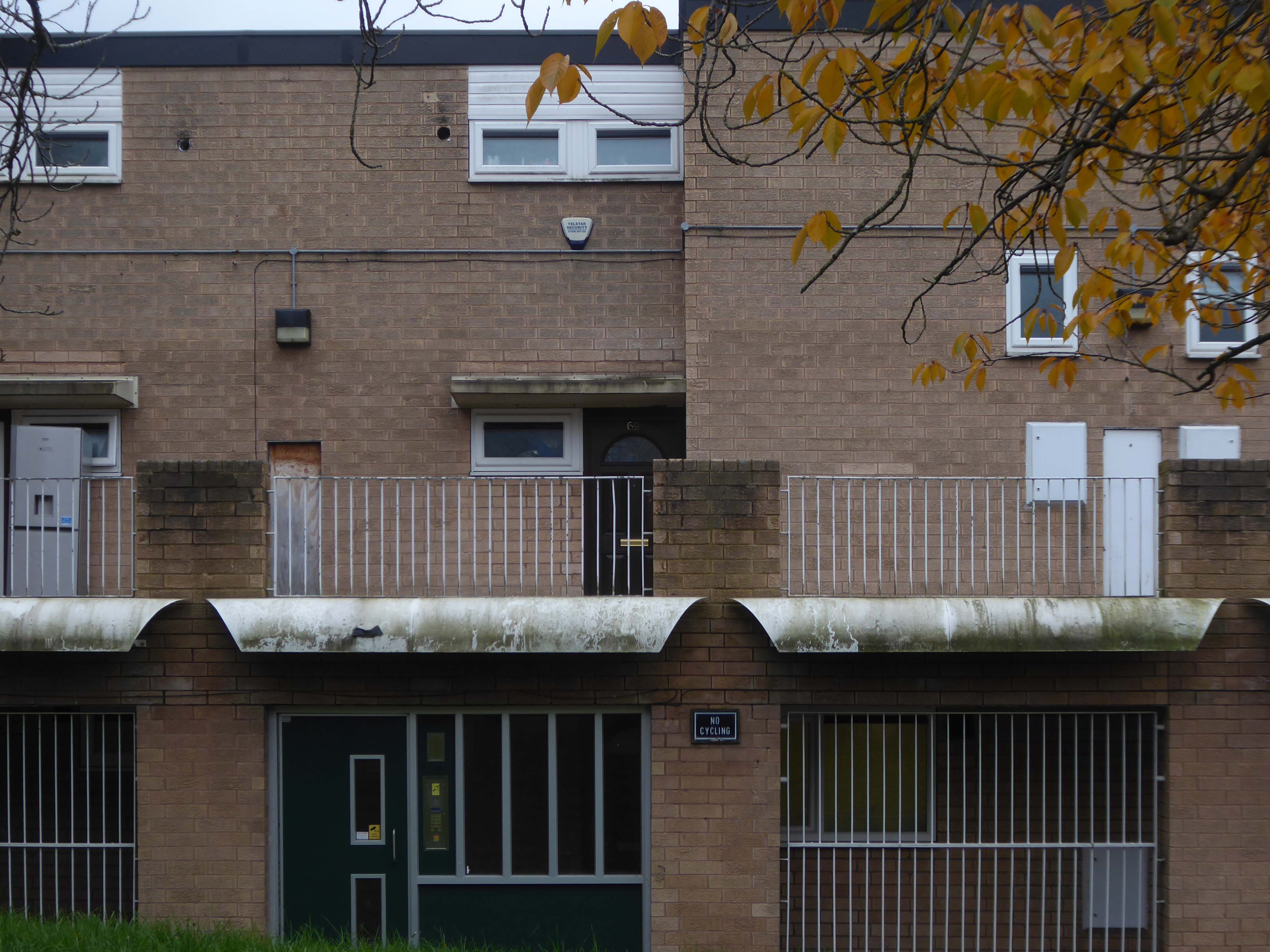
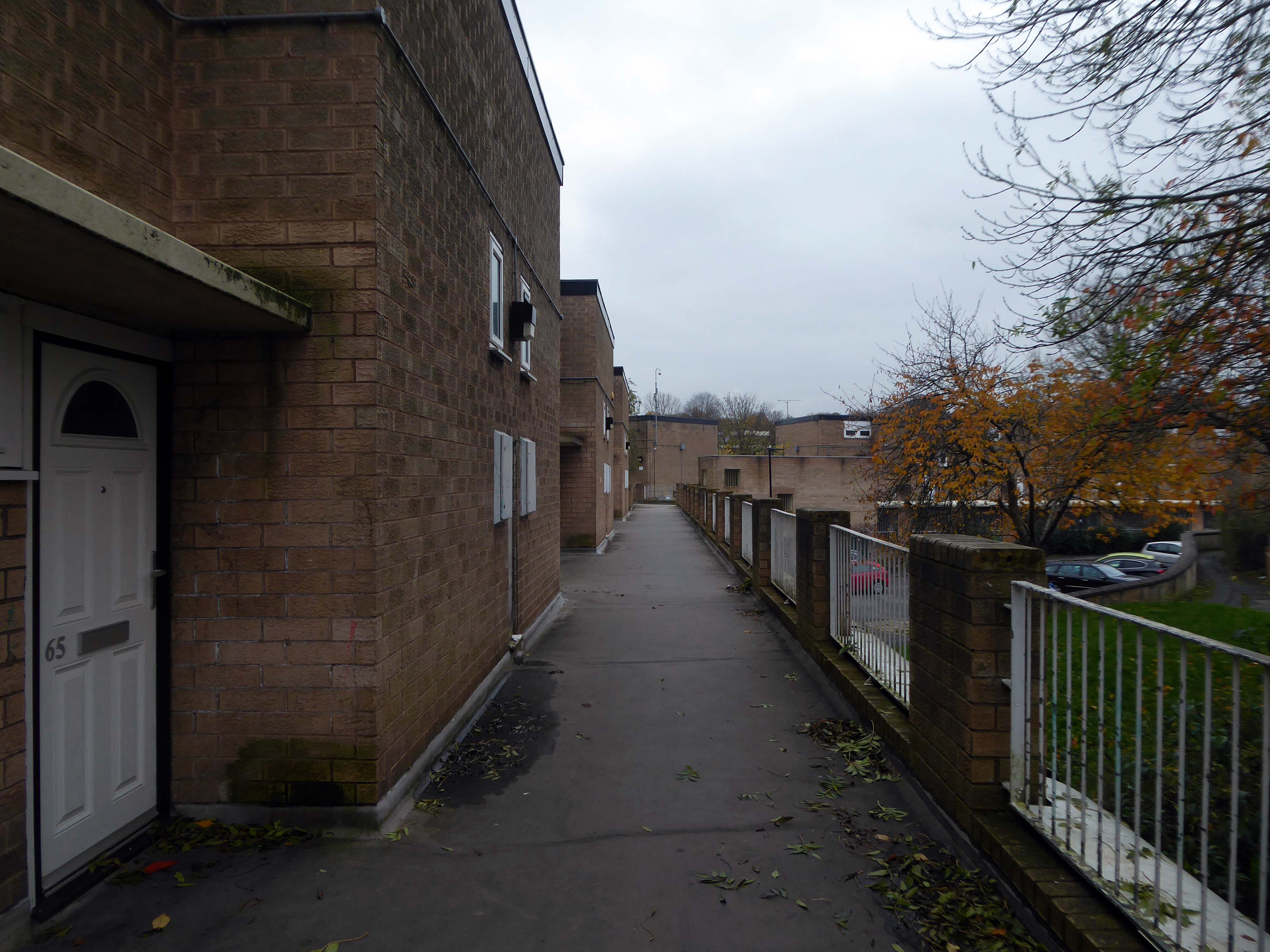
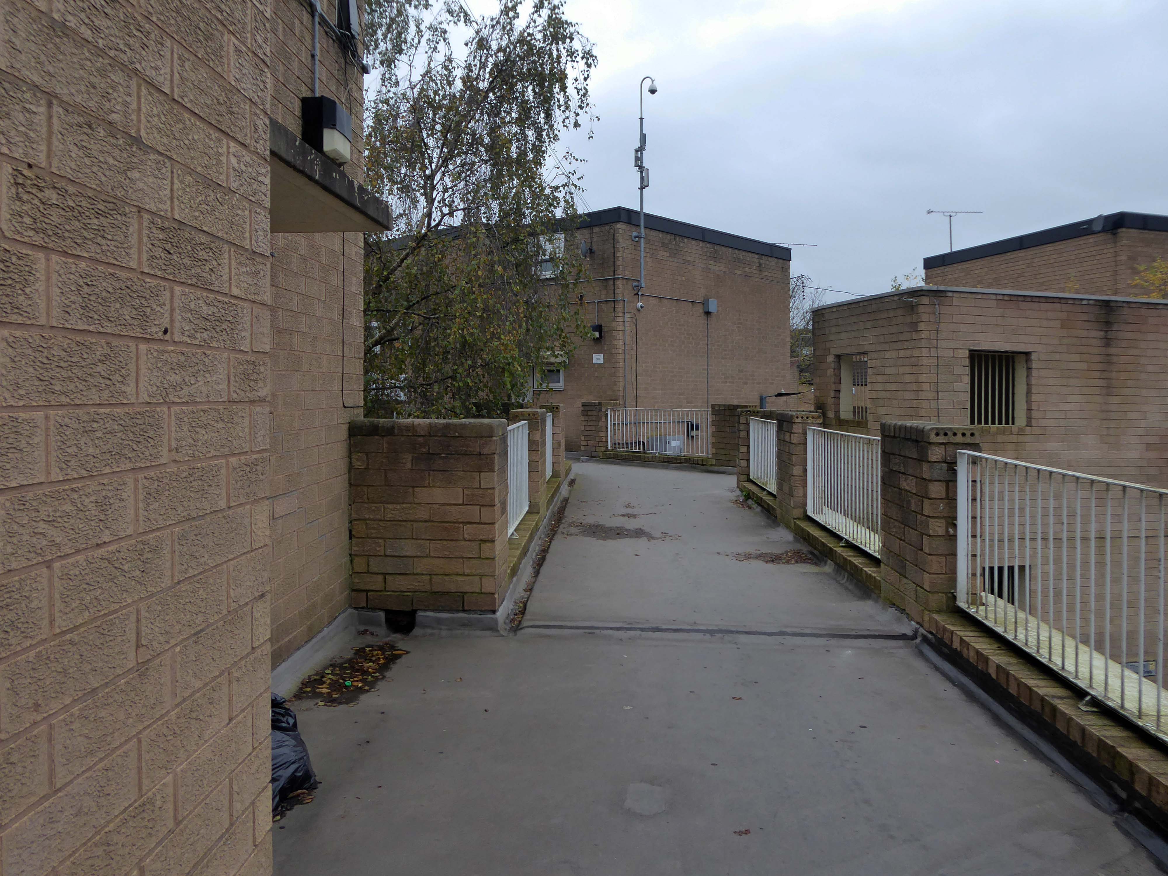
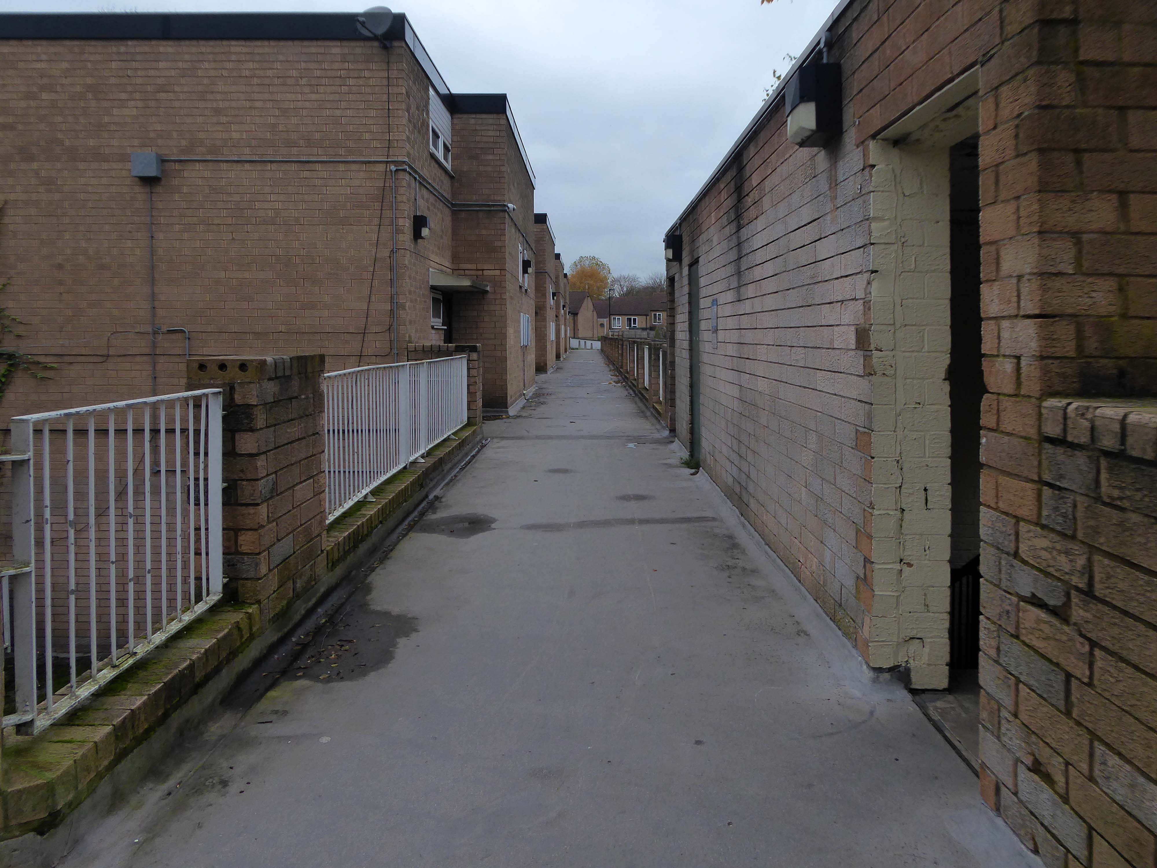
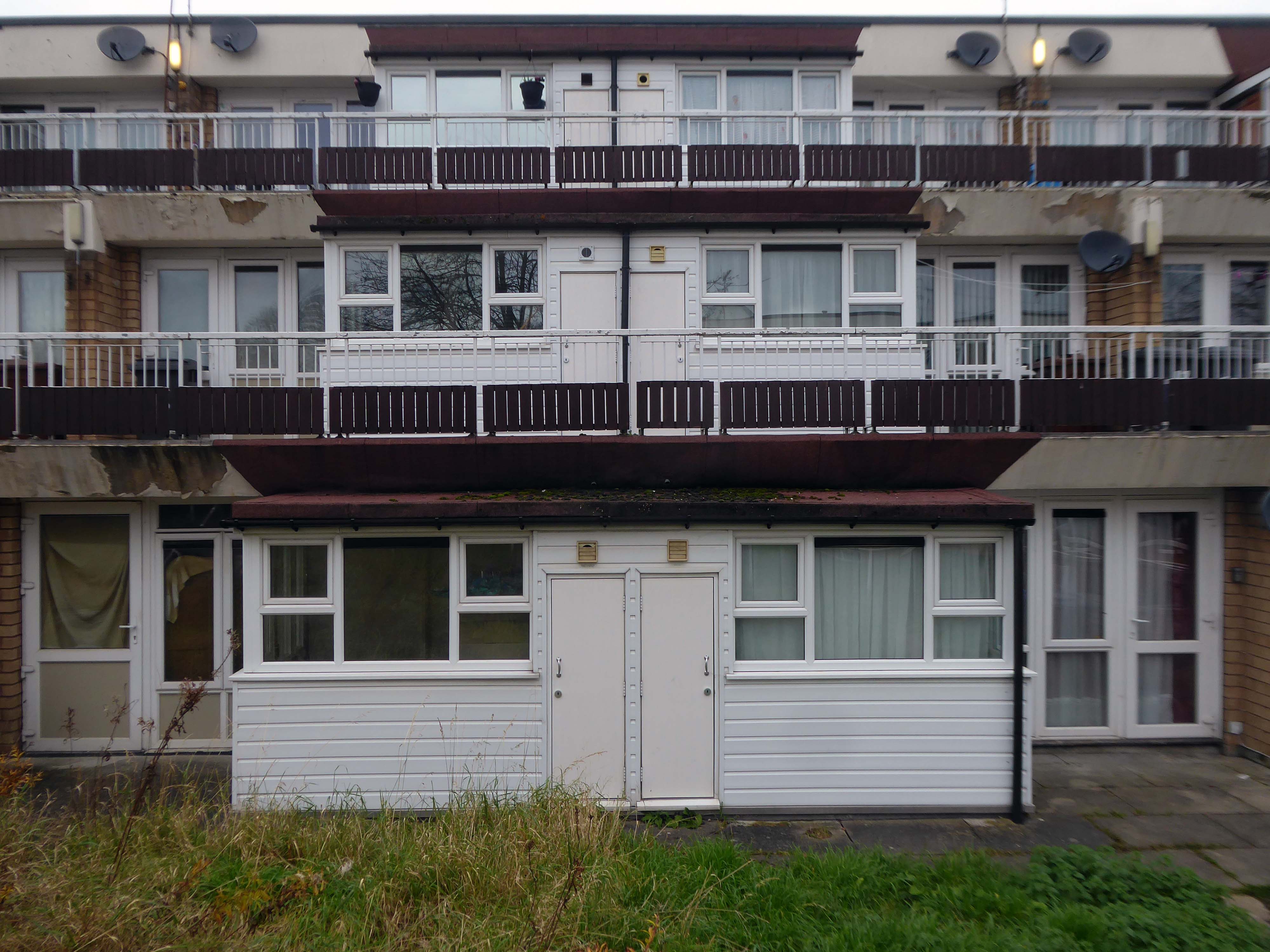
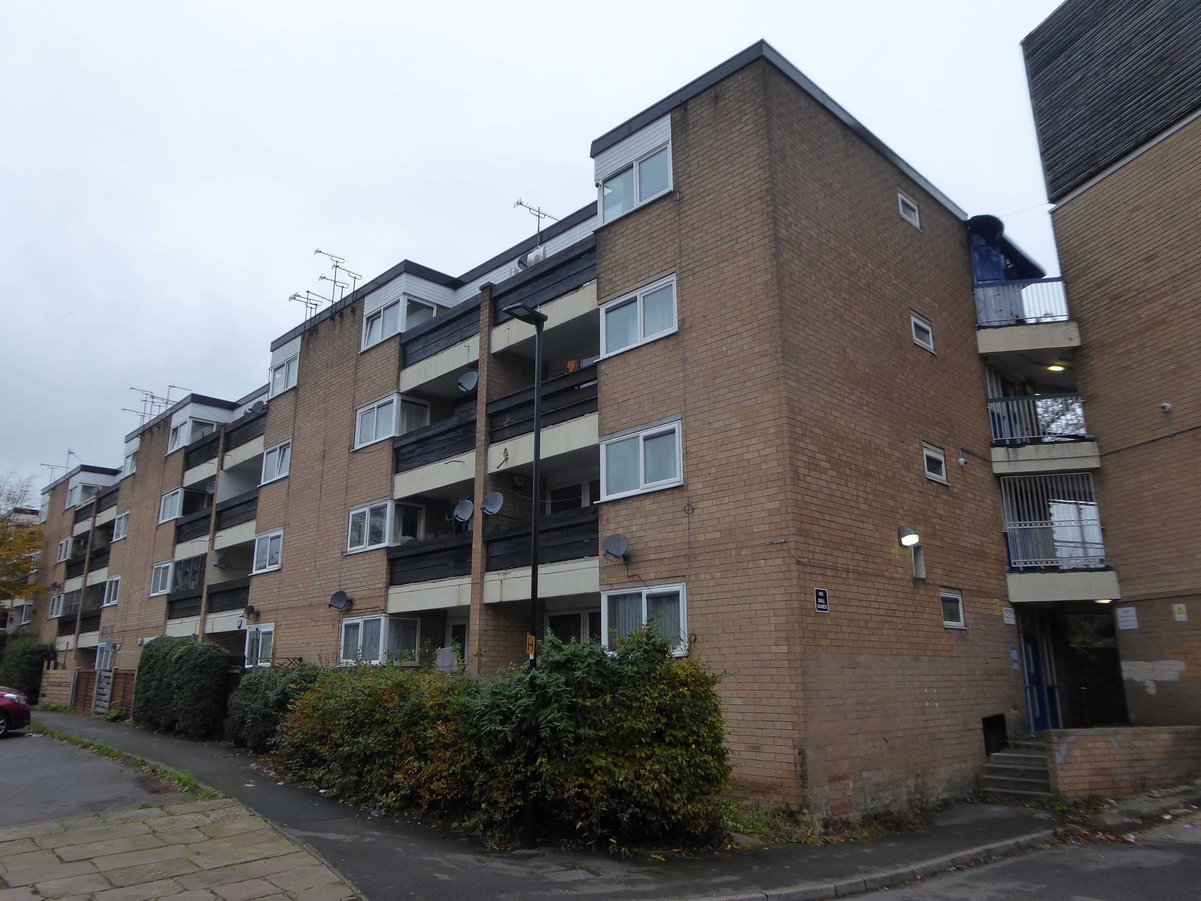
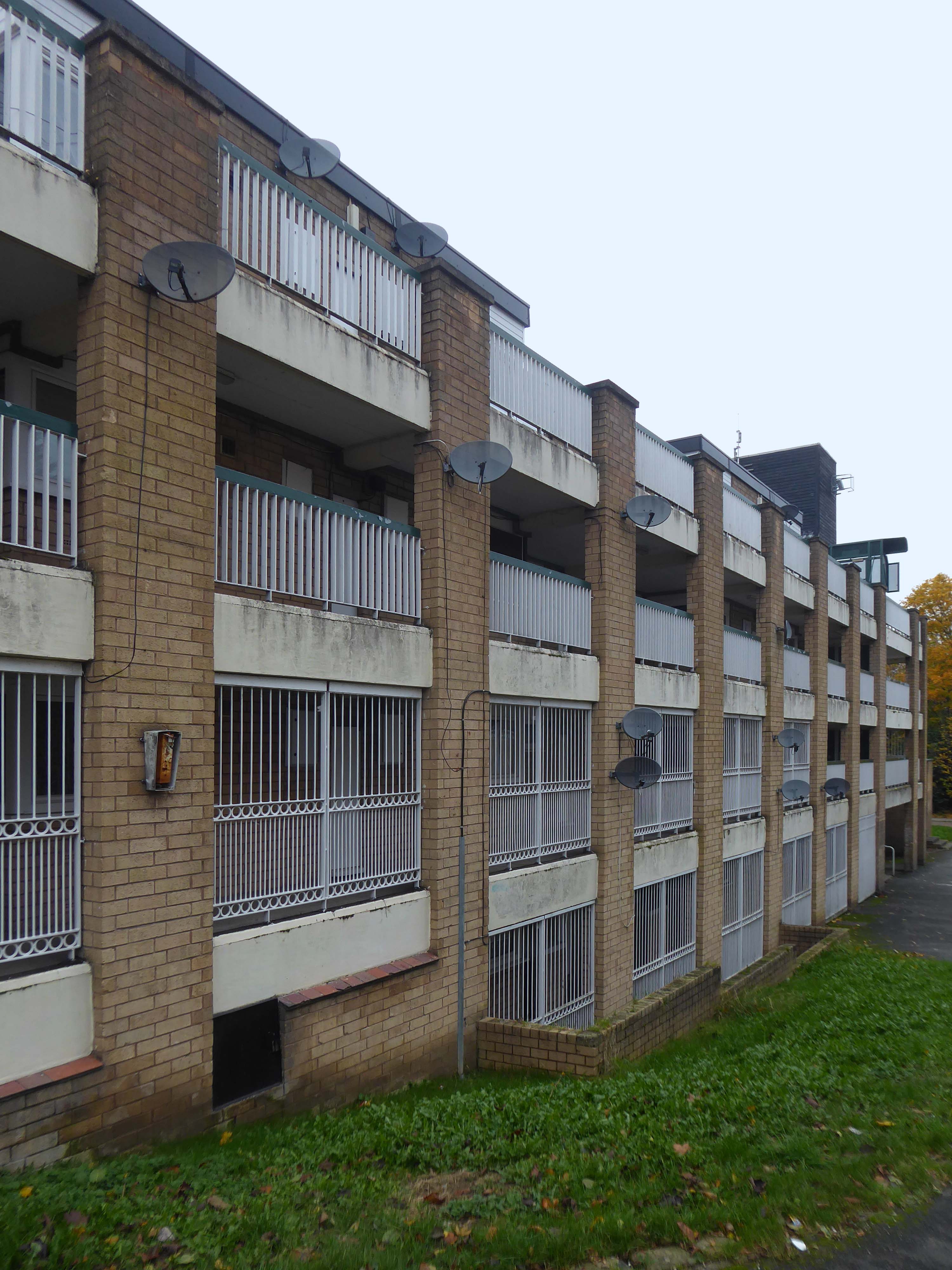
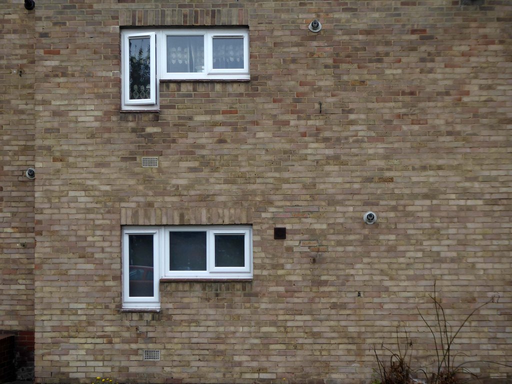
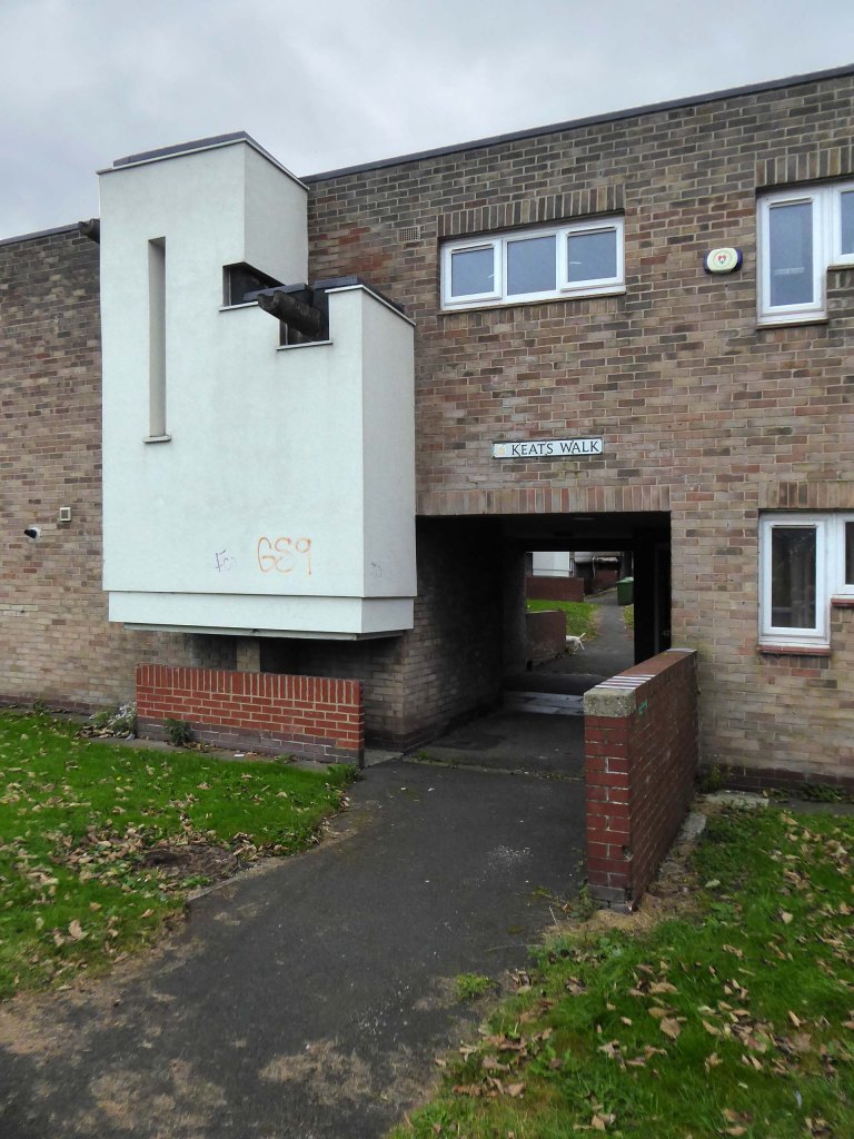
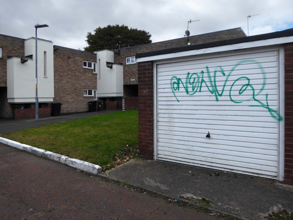
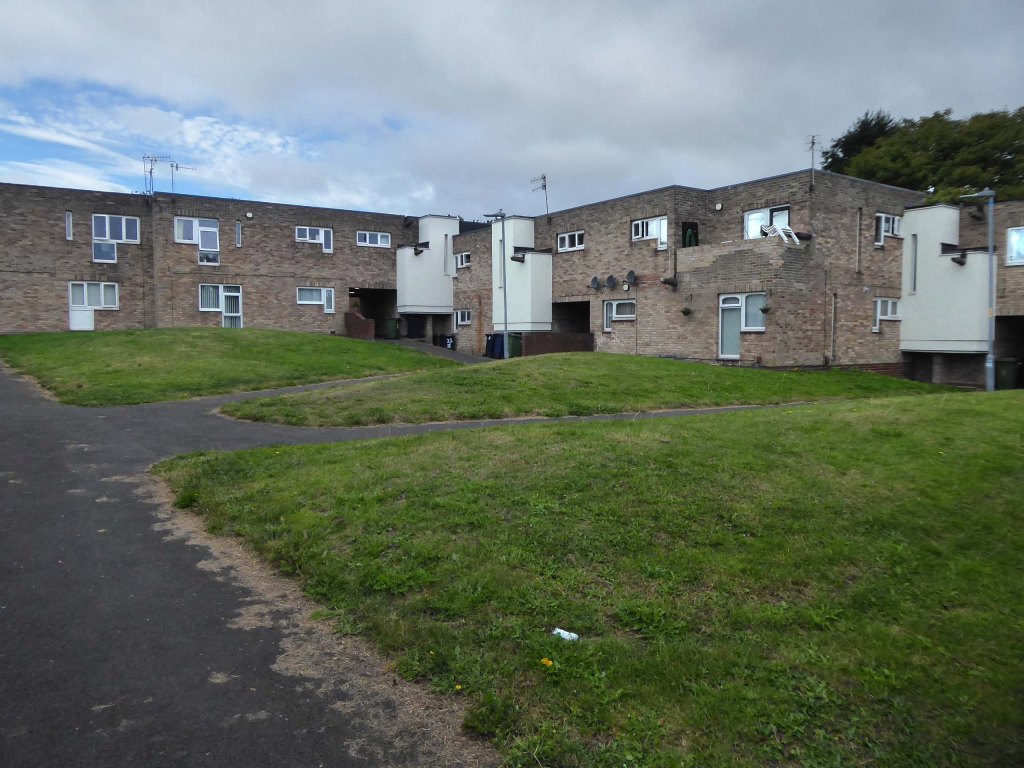
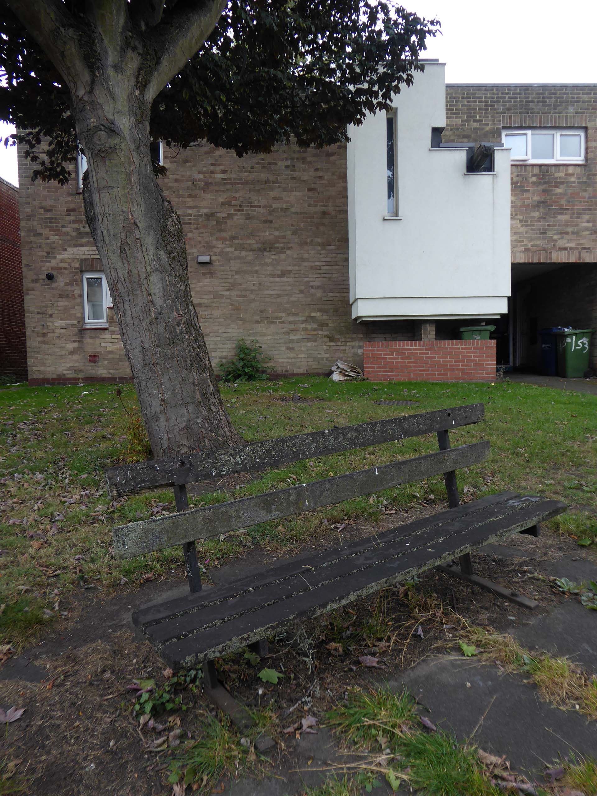
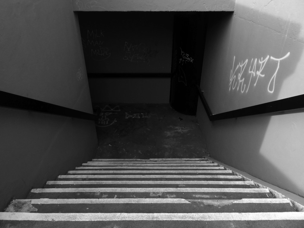
Derwent College.
Photographs 1965 Keith Gibson.
JB Morrell Library.
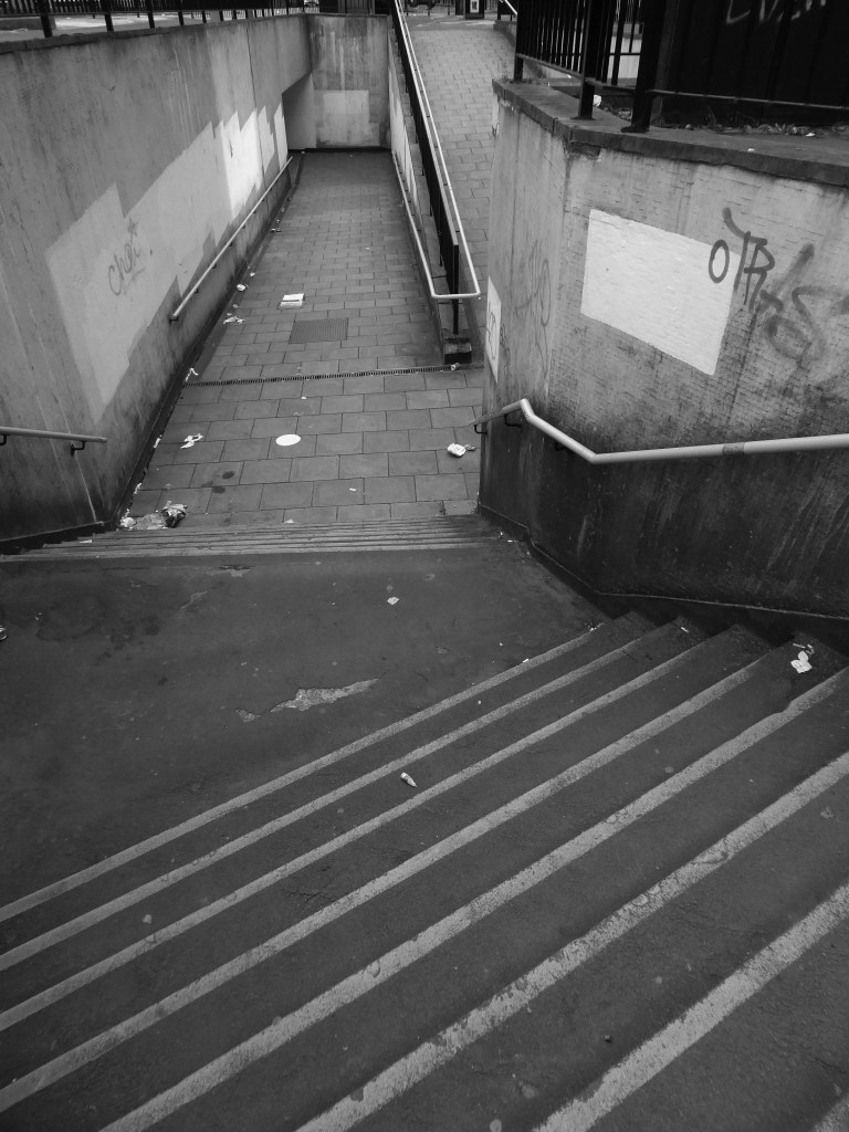
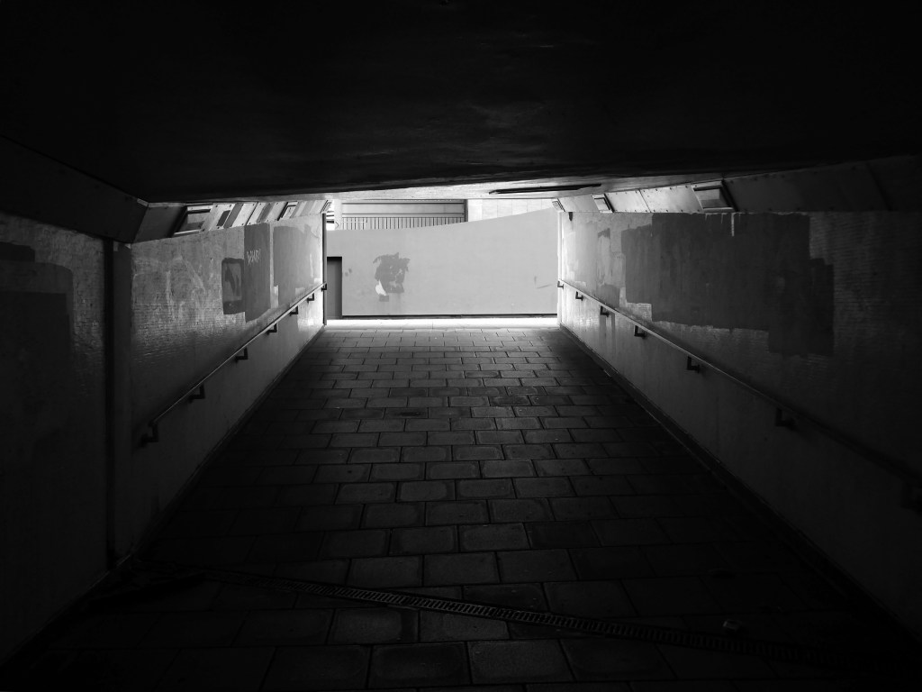
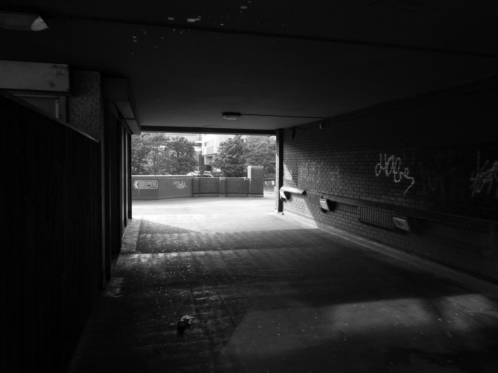
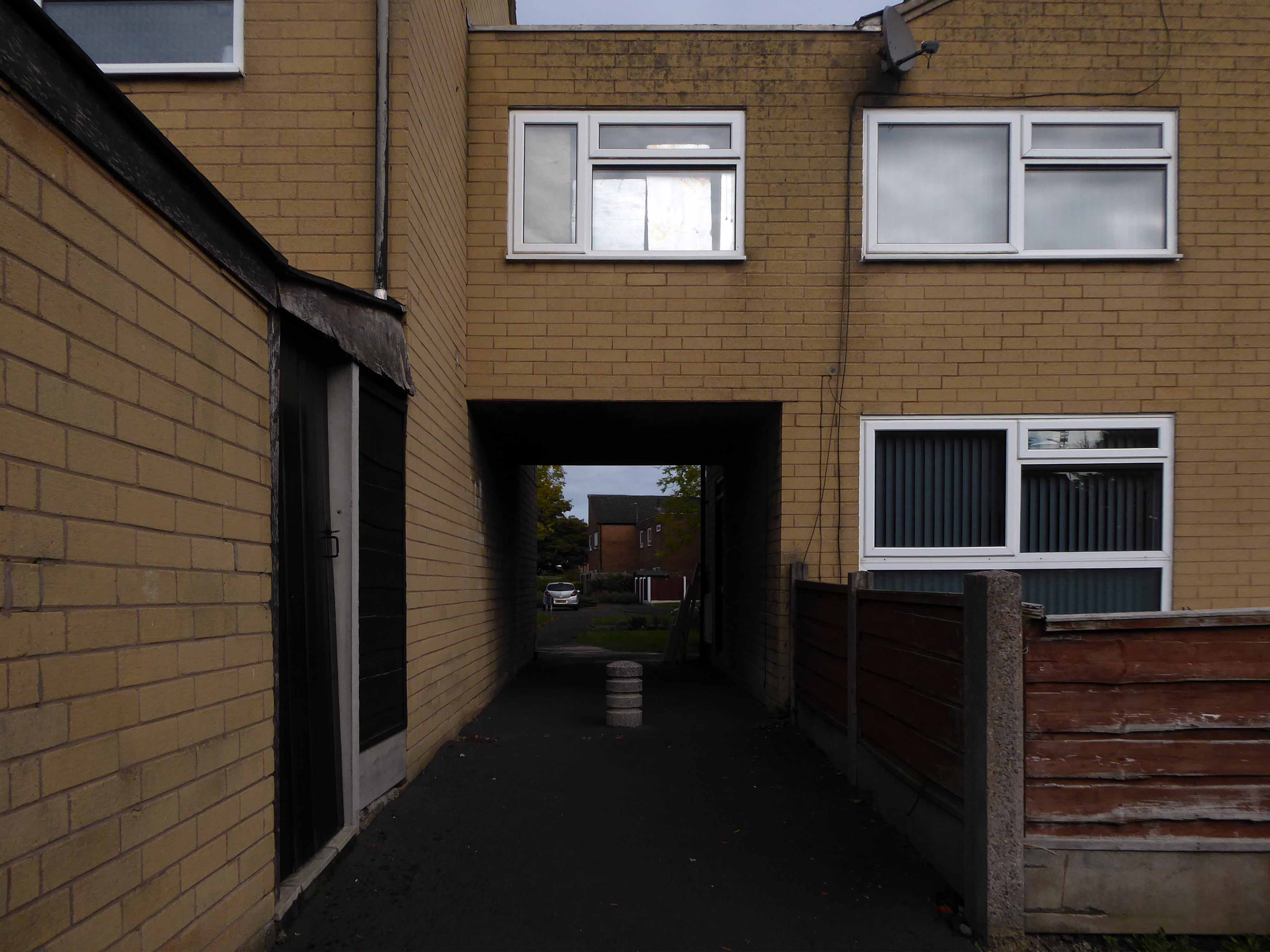
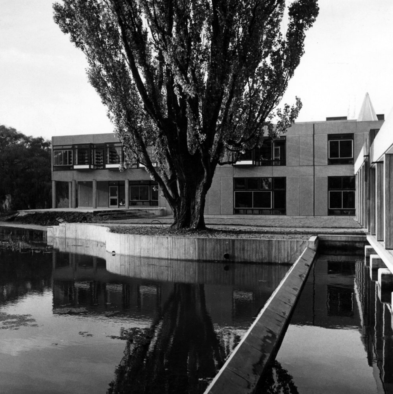
Derwent College: a covered walkway over the lake.
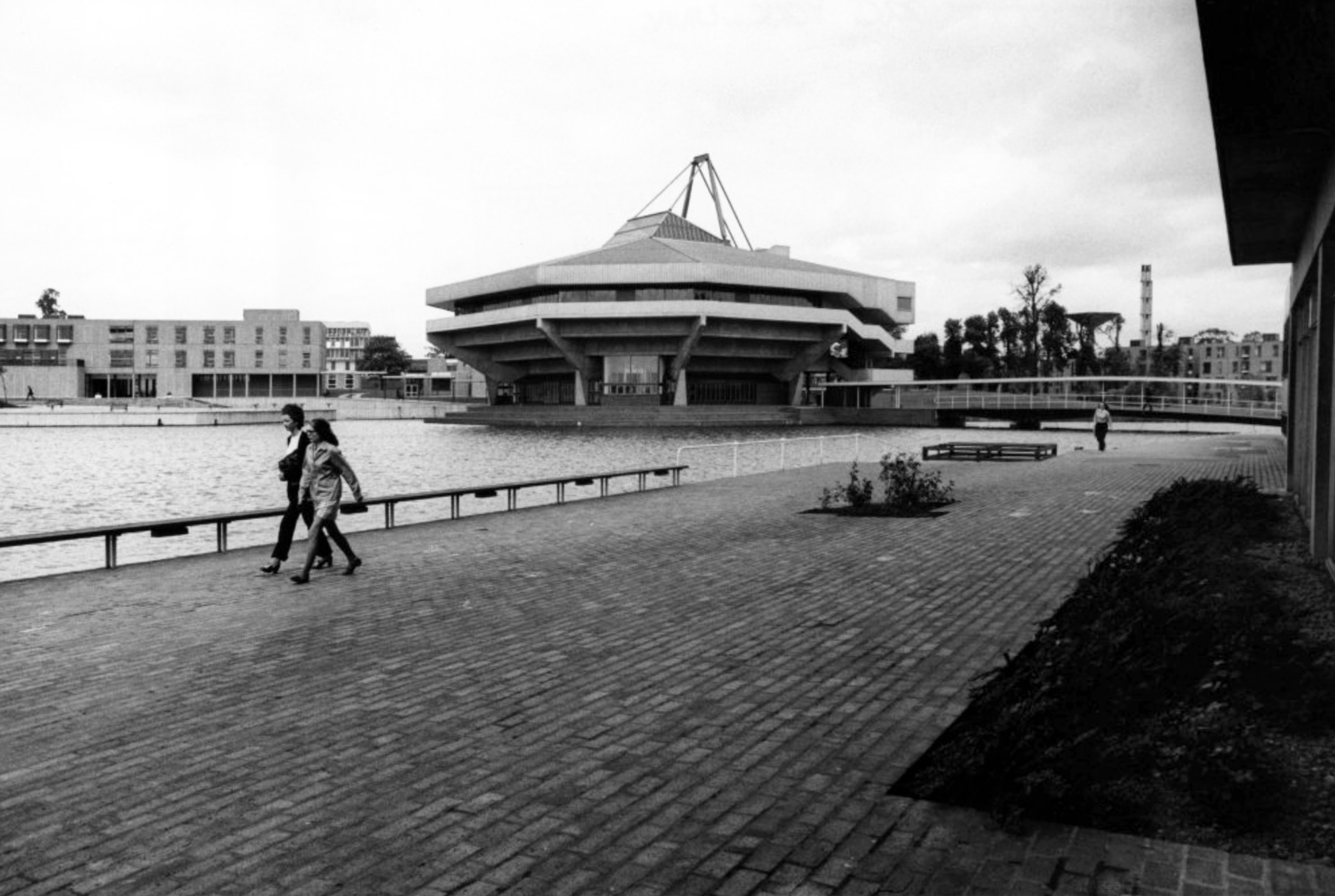
Central Hall.
Photograph 1972 Bill Toomey.
Vanbrugh College: stepped roof to the covered way leading down to the lake.
Photograph 1972 Peter Bairstow.
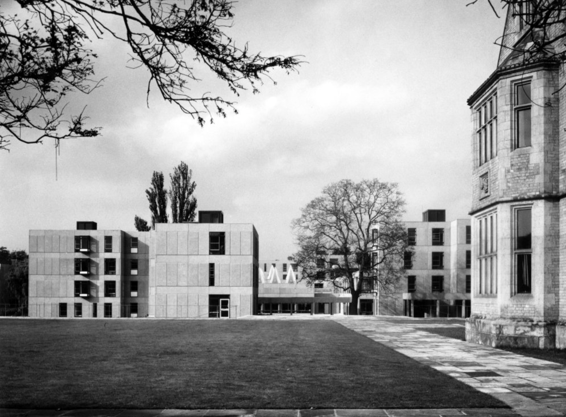
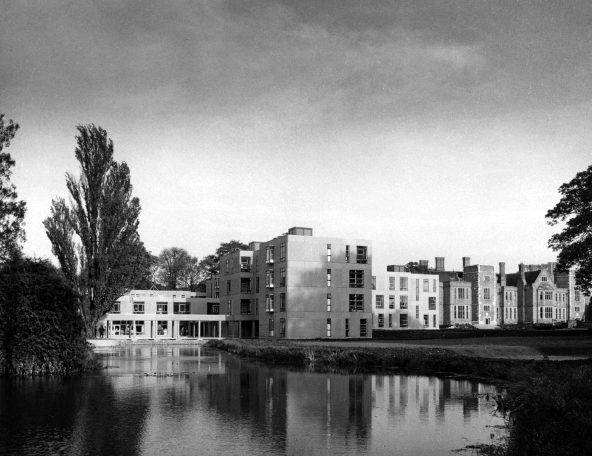
Derwent College and Heslington Hall.
Photographs 1965 – Reginald Hugo de Burgh Galwey.
Langwith College, seen from the lake.
Langwith College.
Photographs 1965 Bill Toomey.
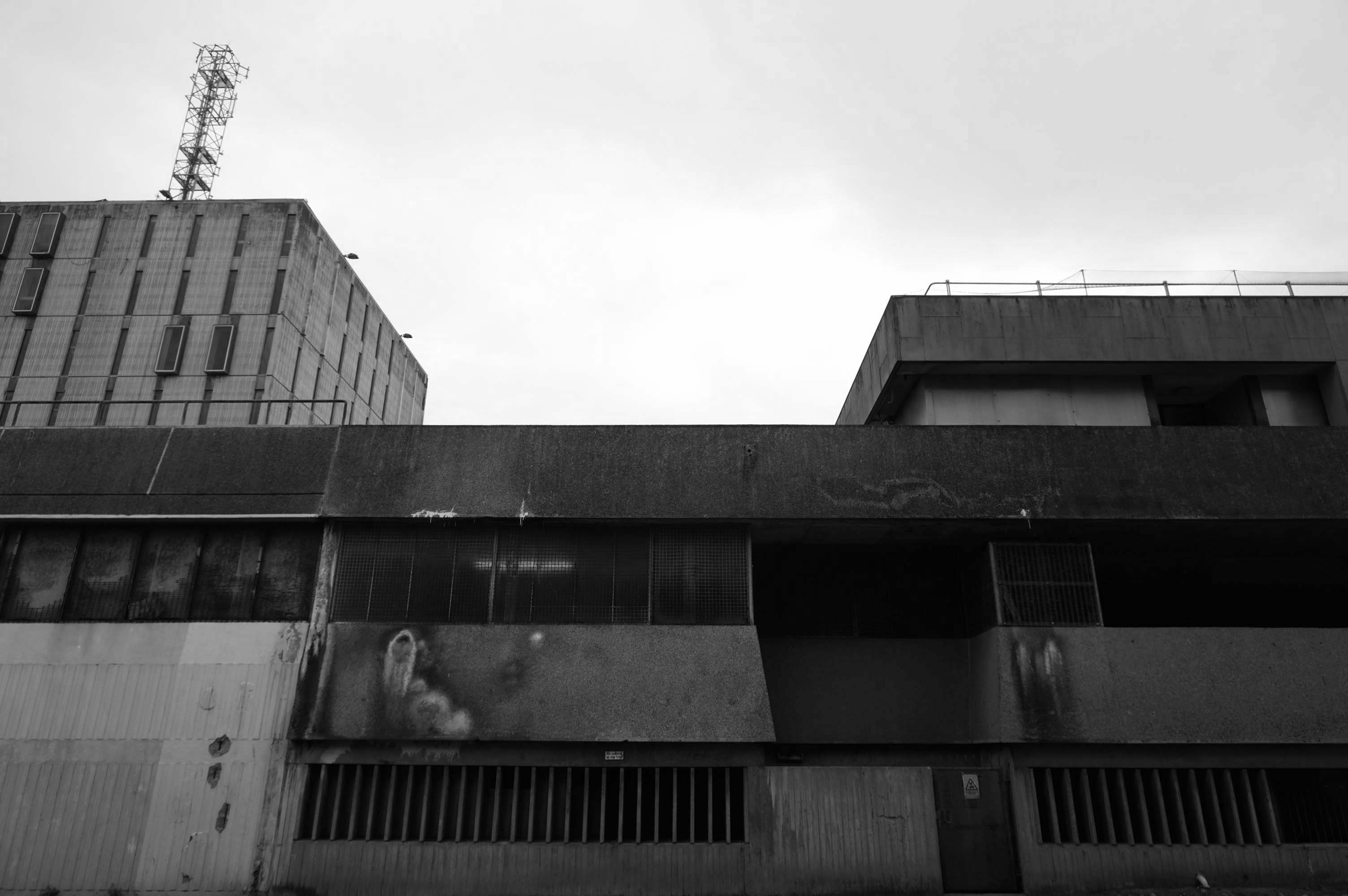
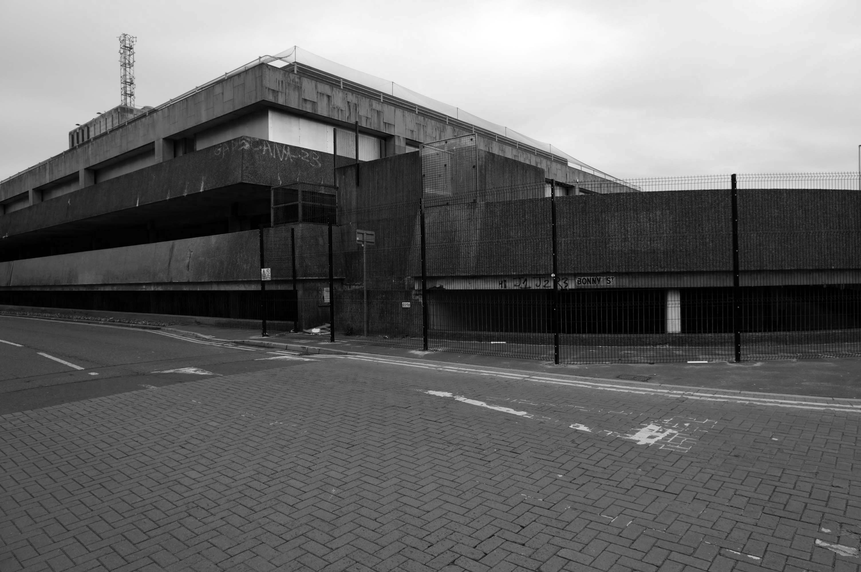
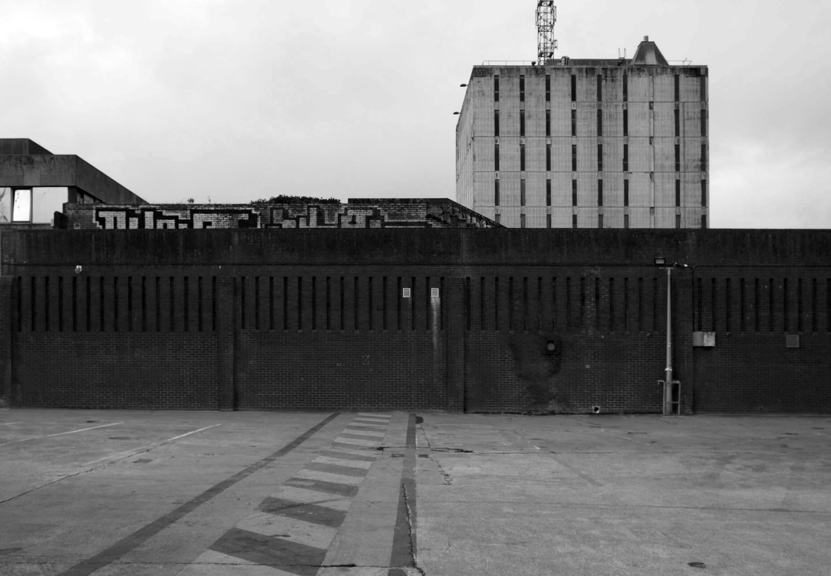
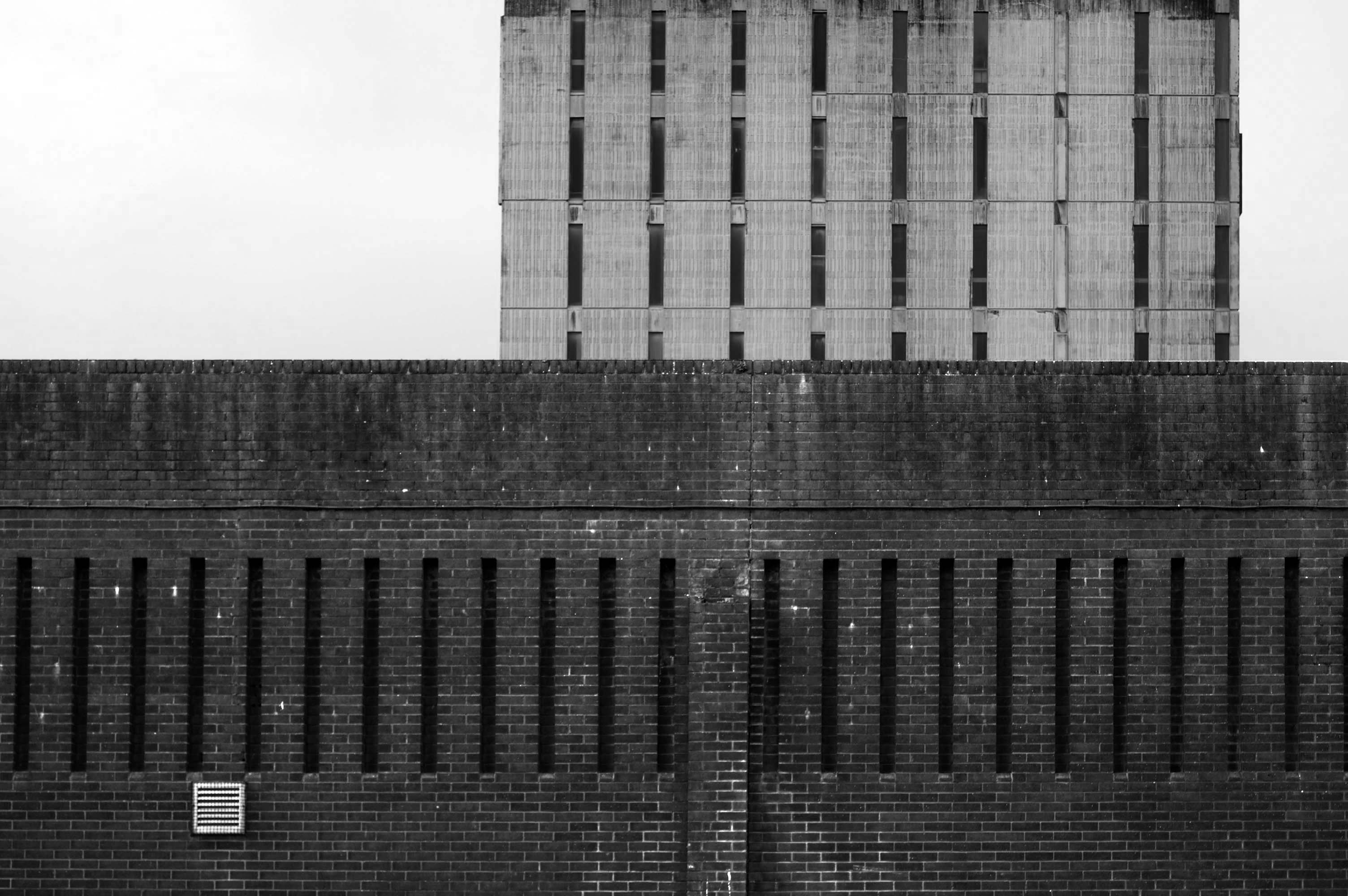
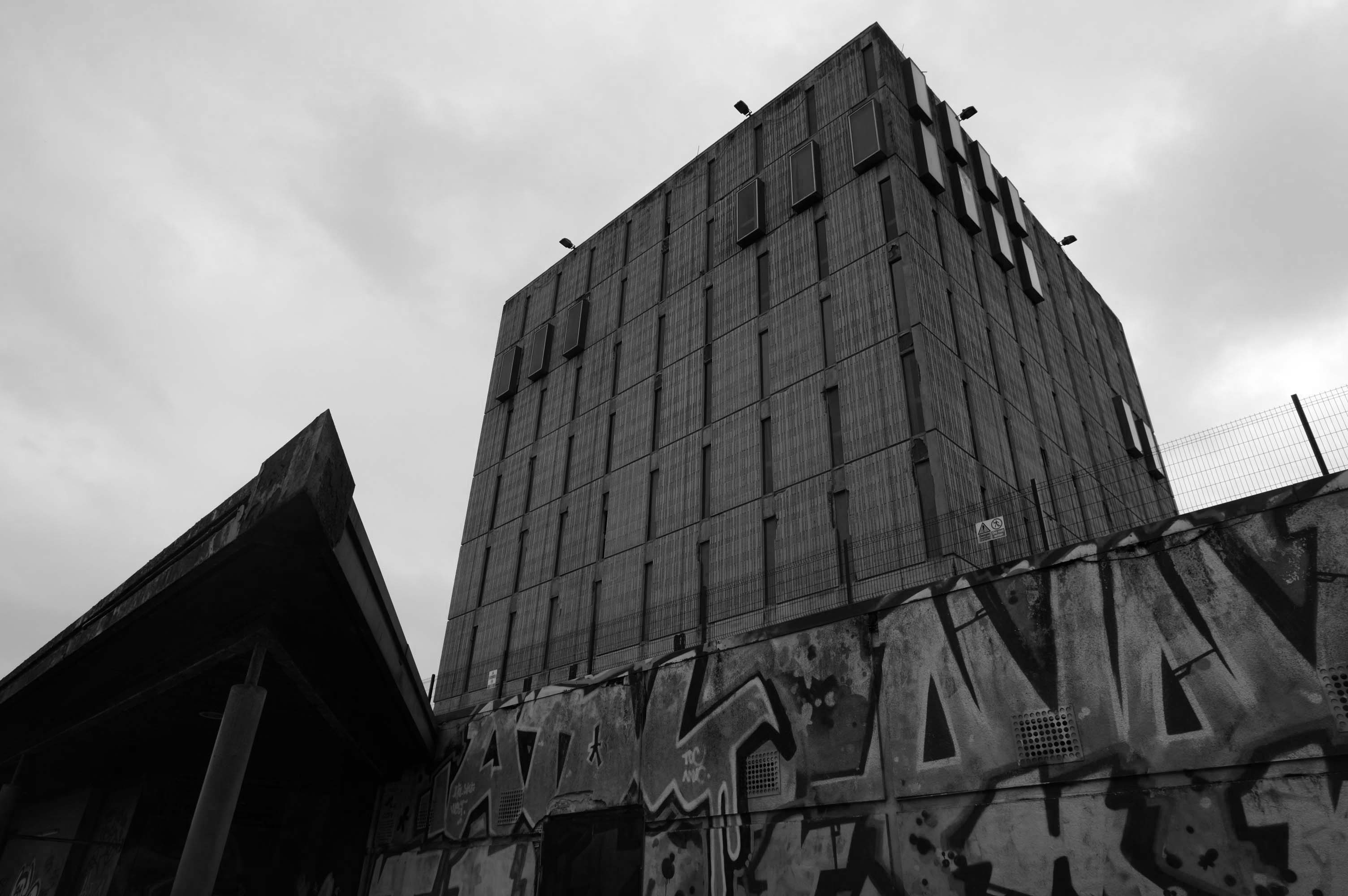
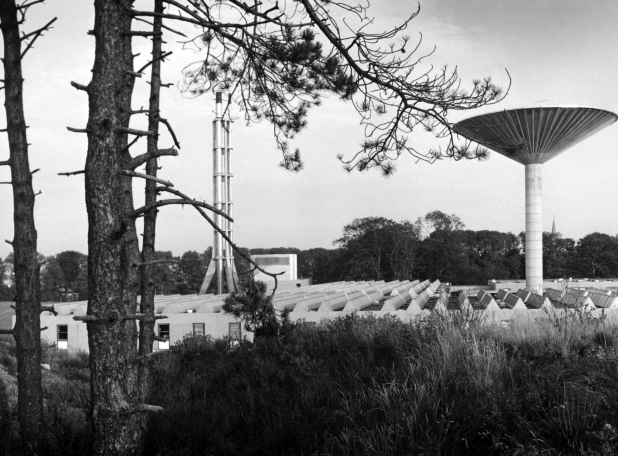
David Brown Laboratories: the flue stack.
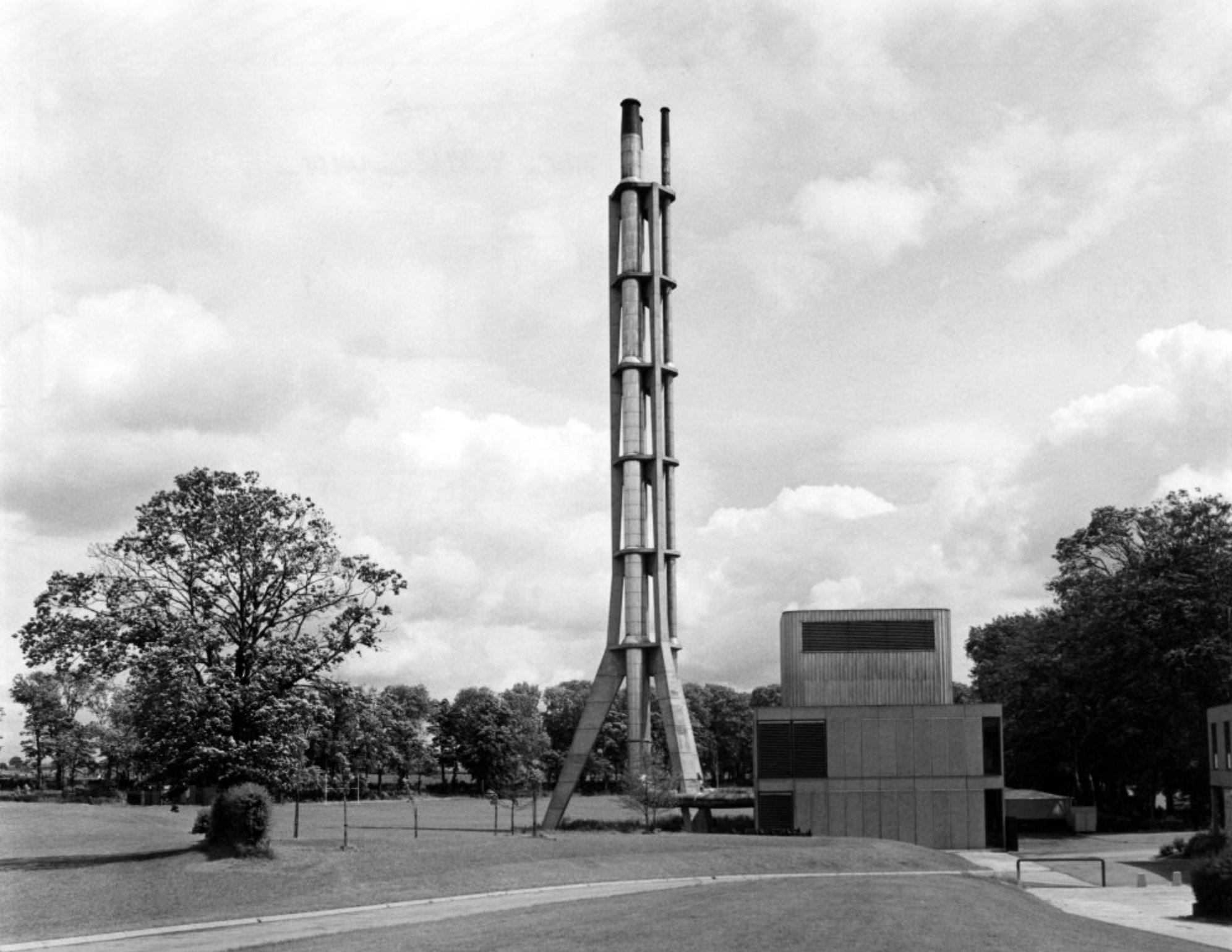
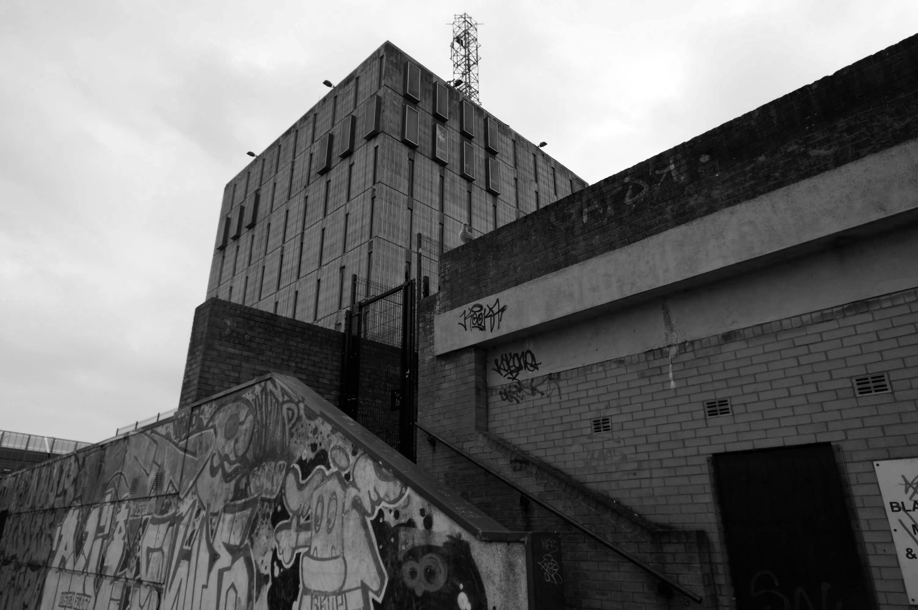
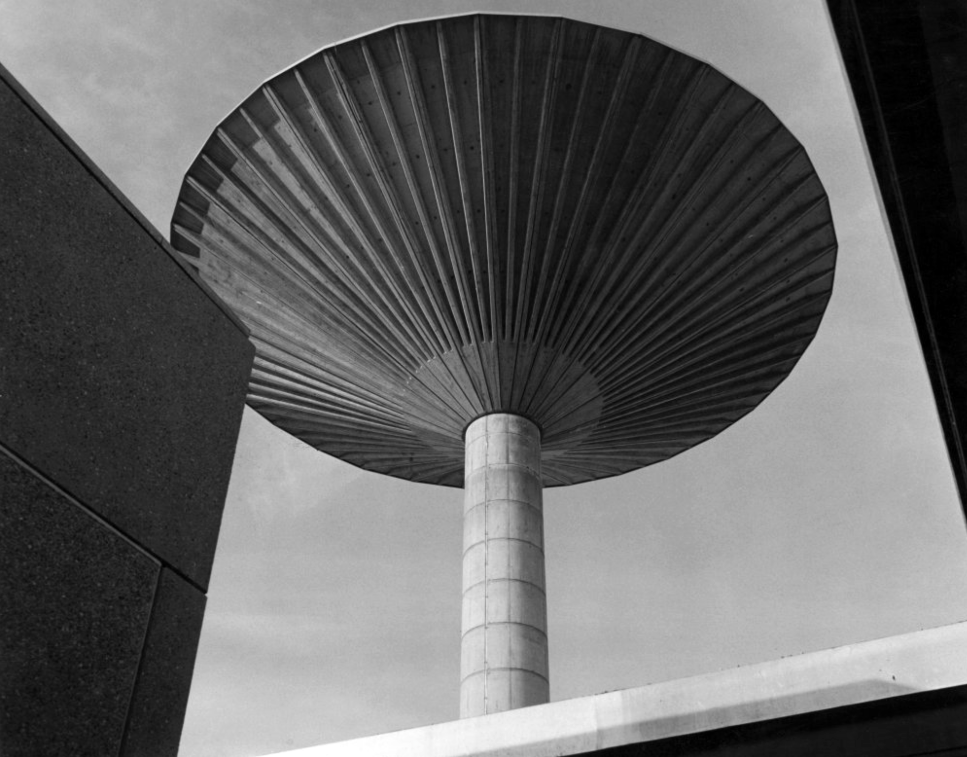
David Brown laboratories: the water tower.
Photographs 1965 – Reginald Hugo de Burgh Galwey.
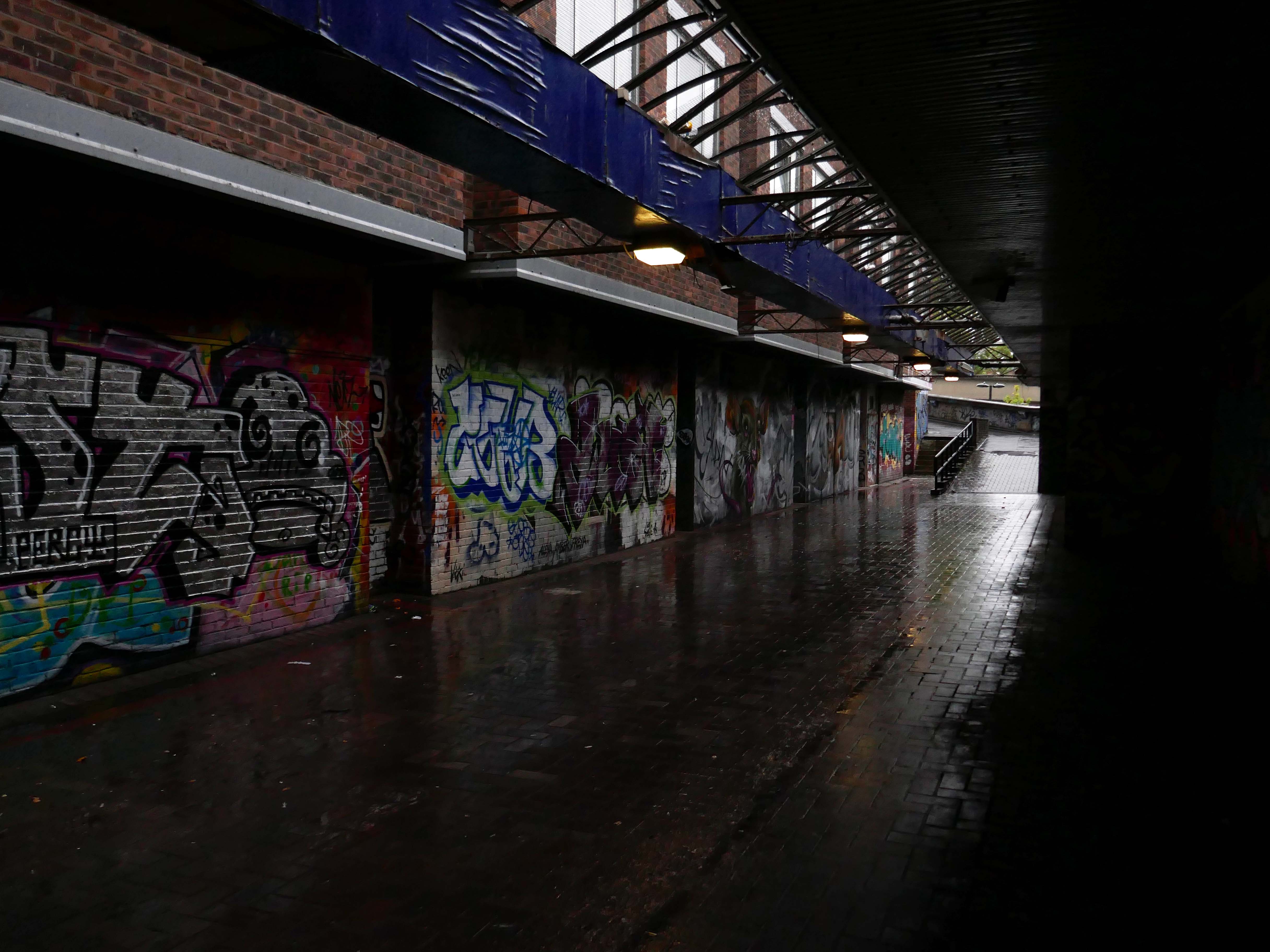
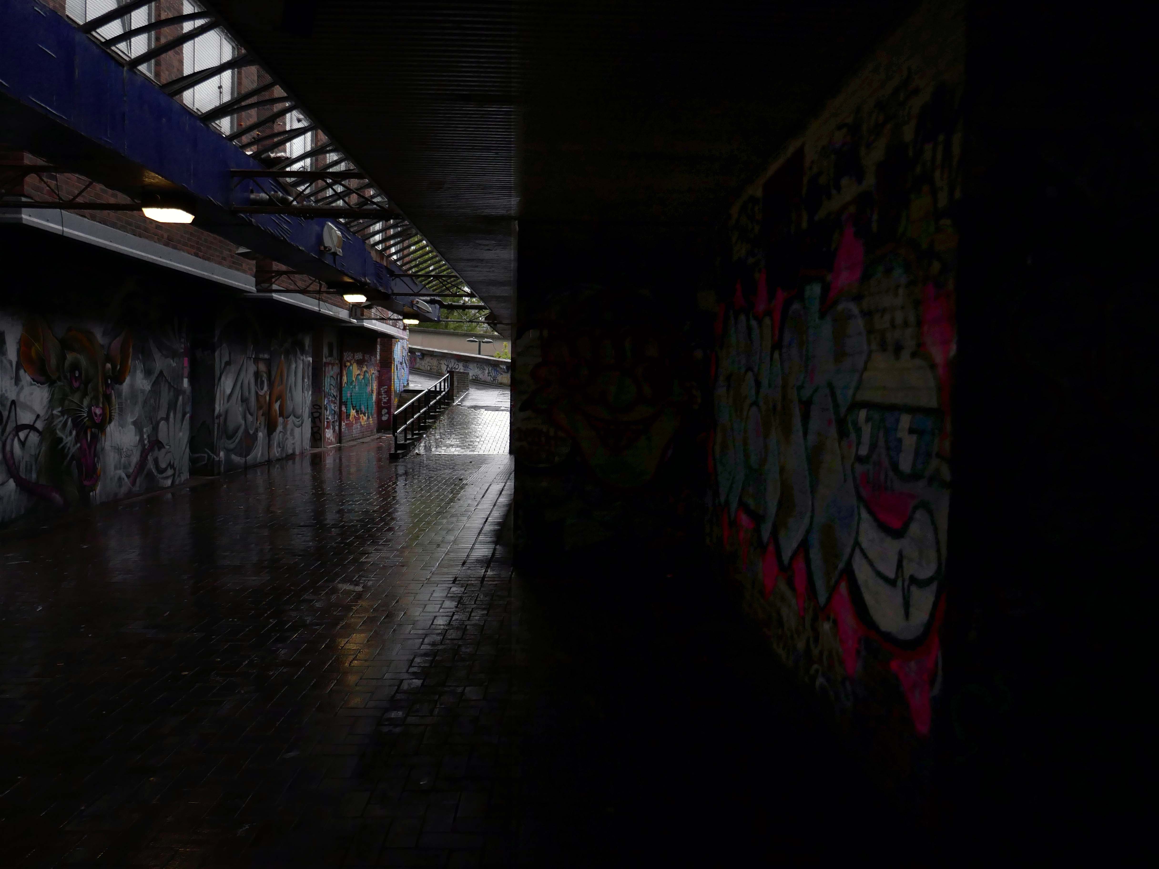
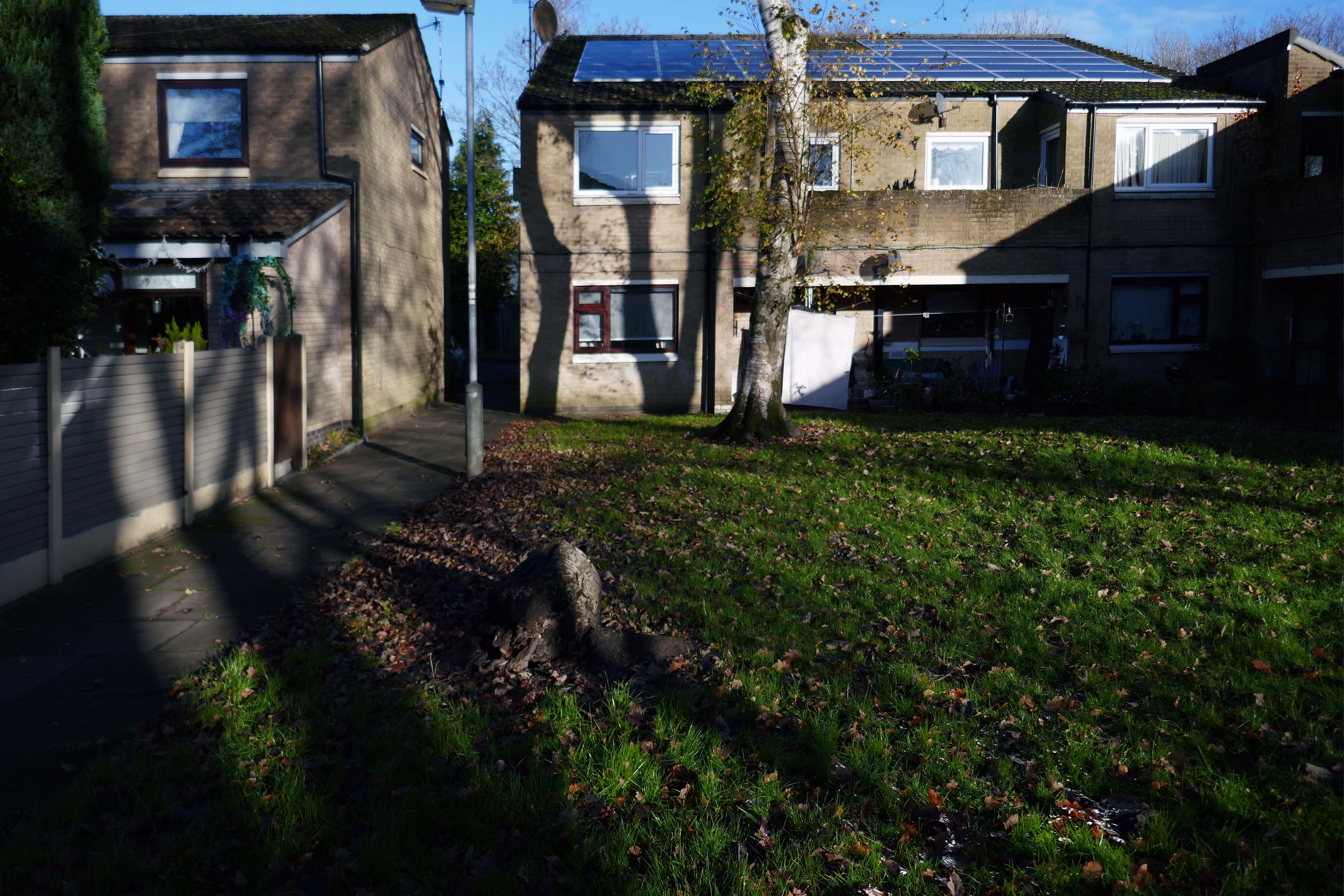
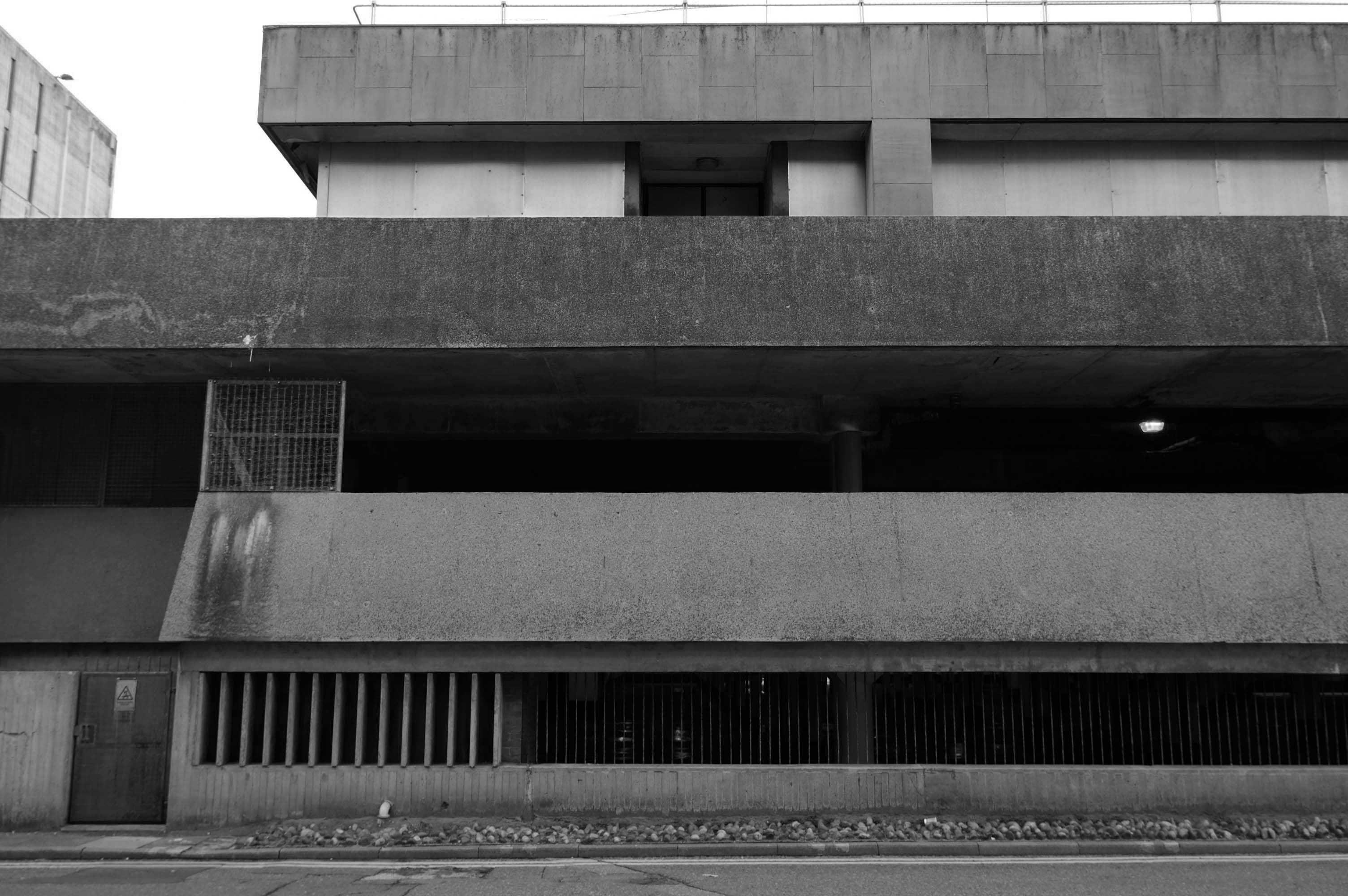
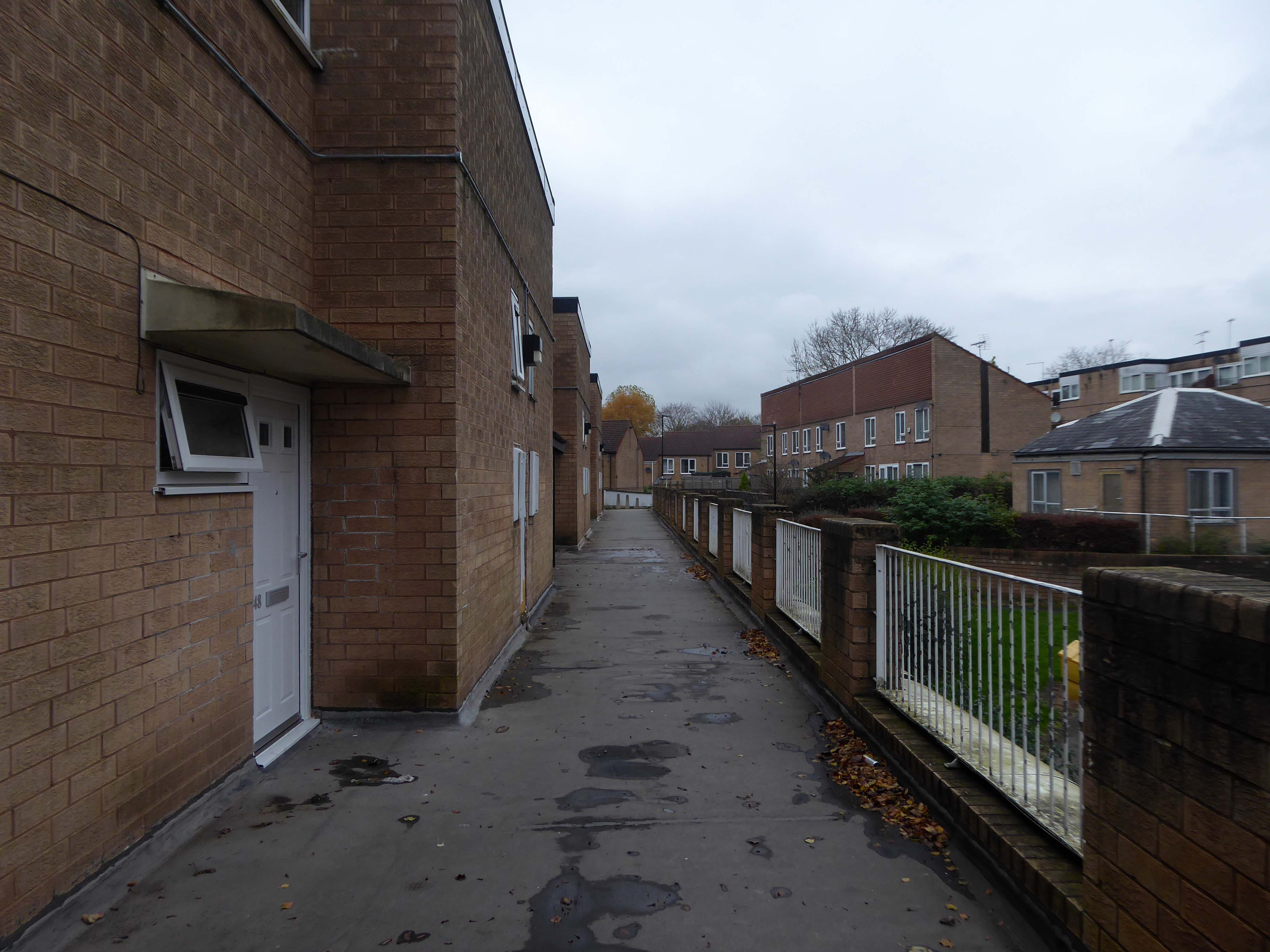
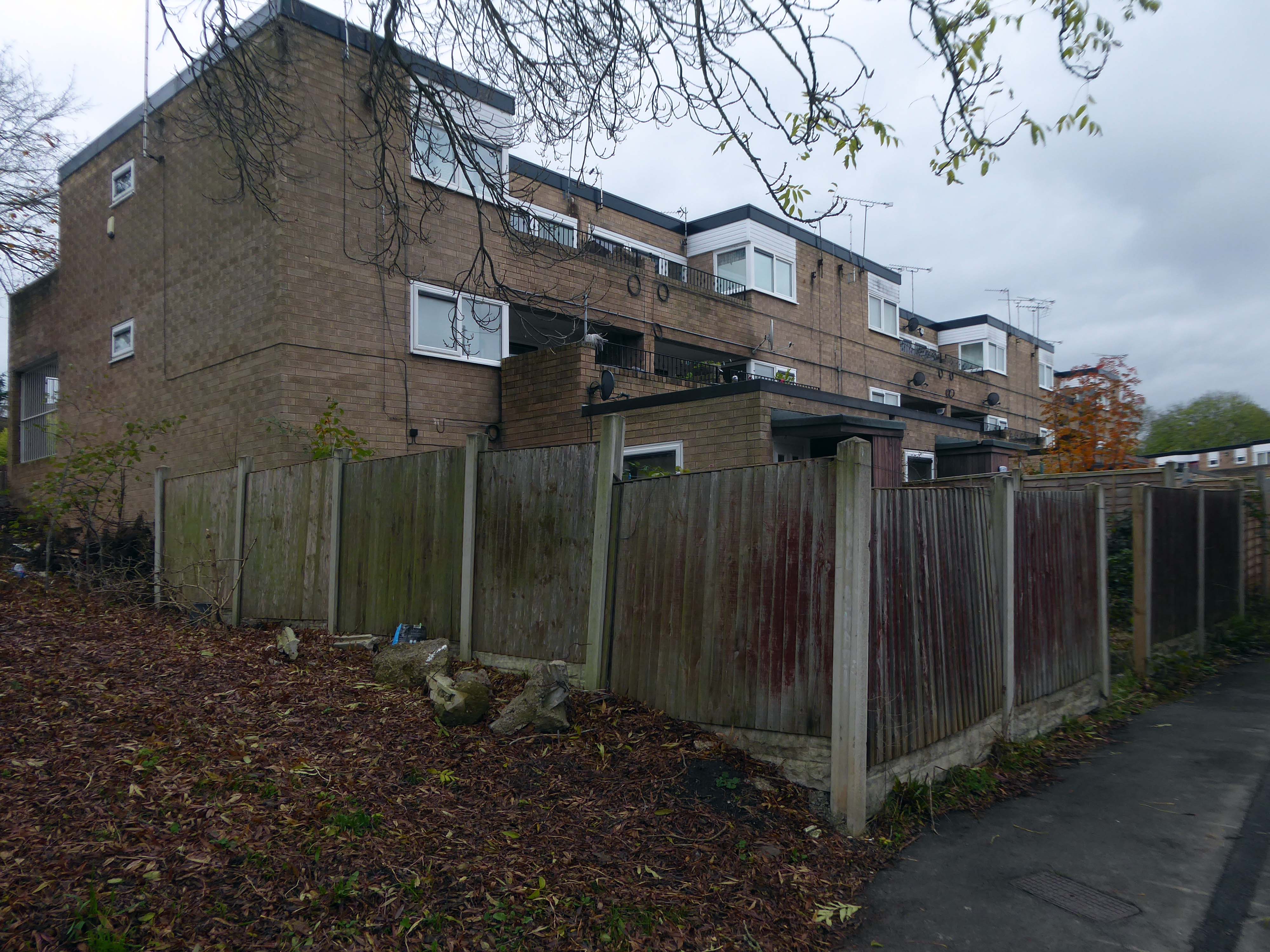
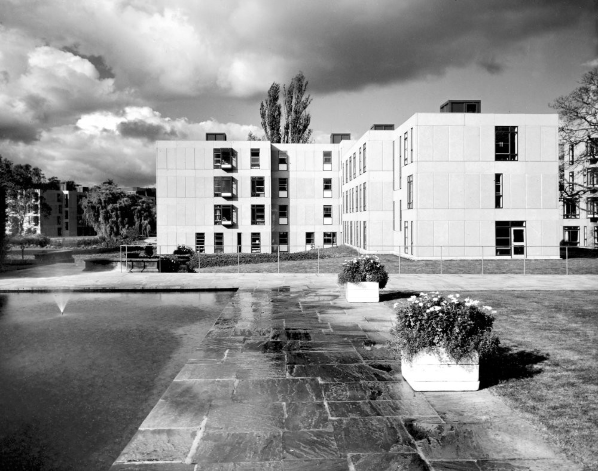
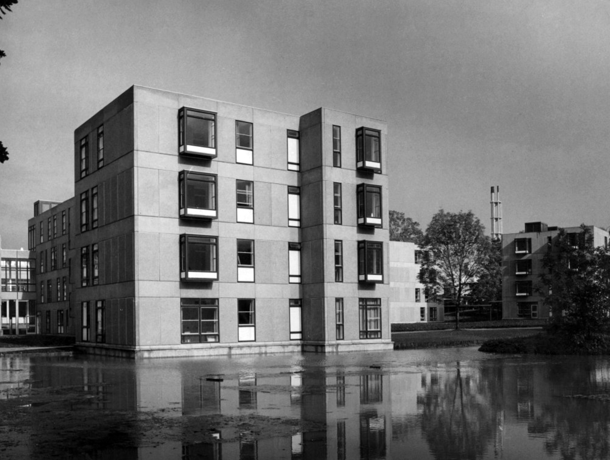
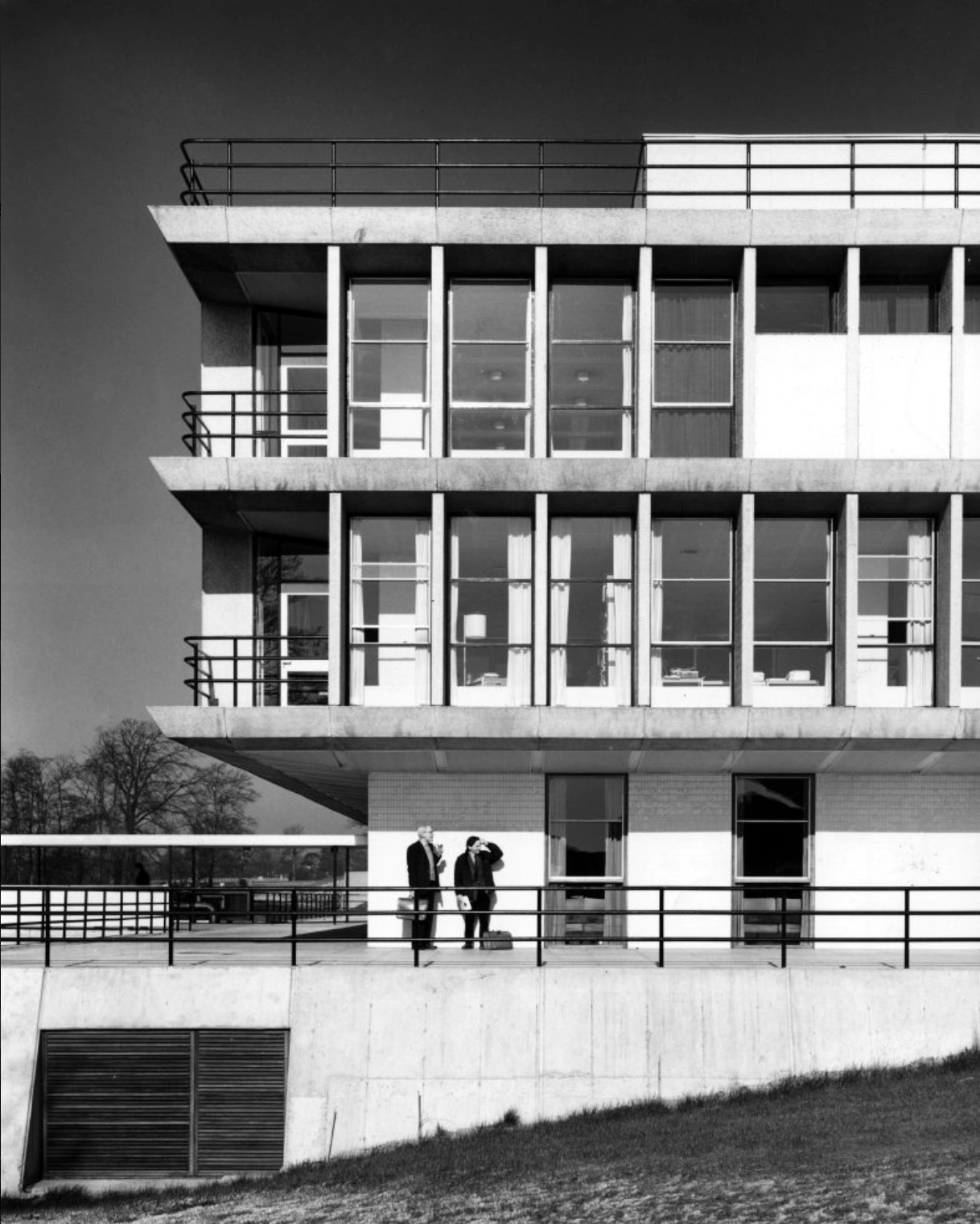
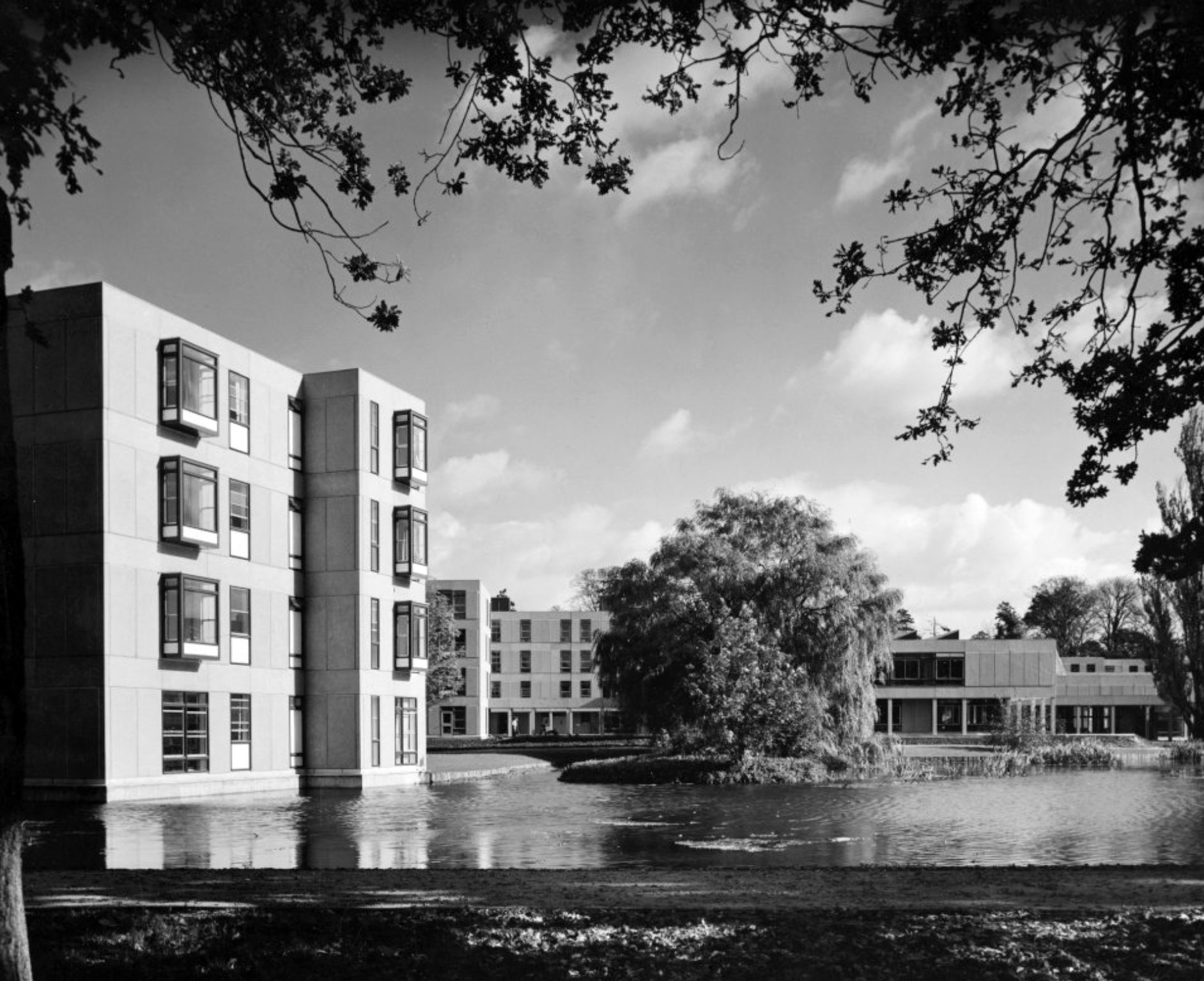
Derwent College.
Derwent College.
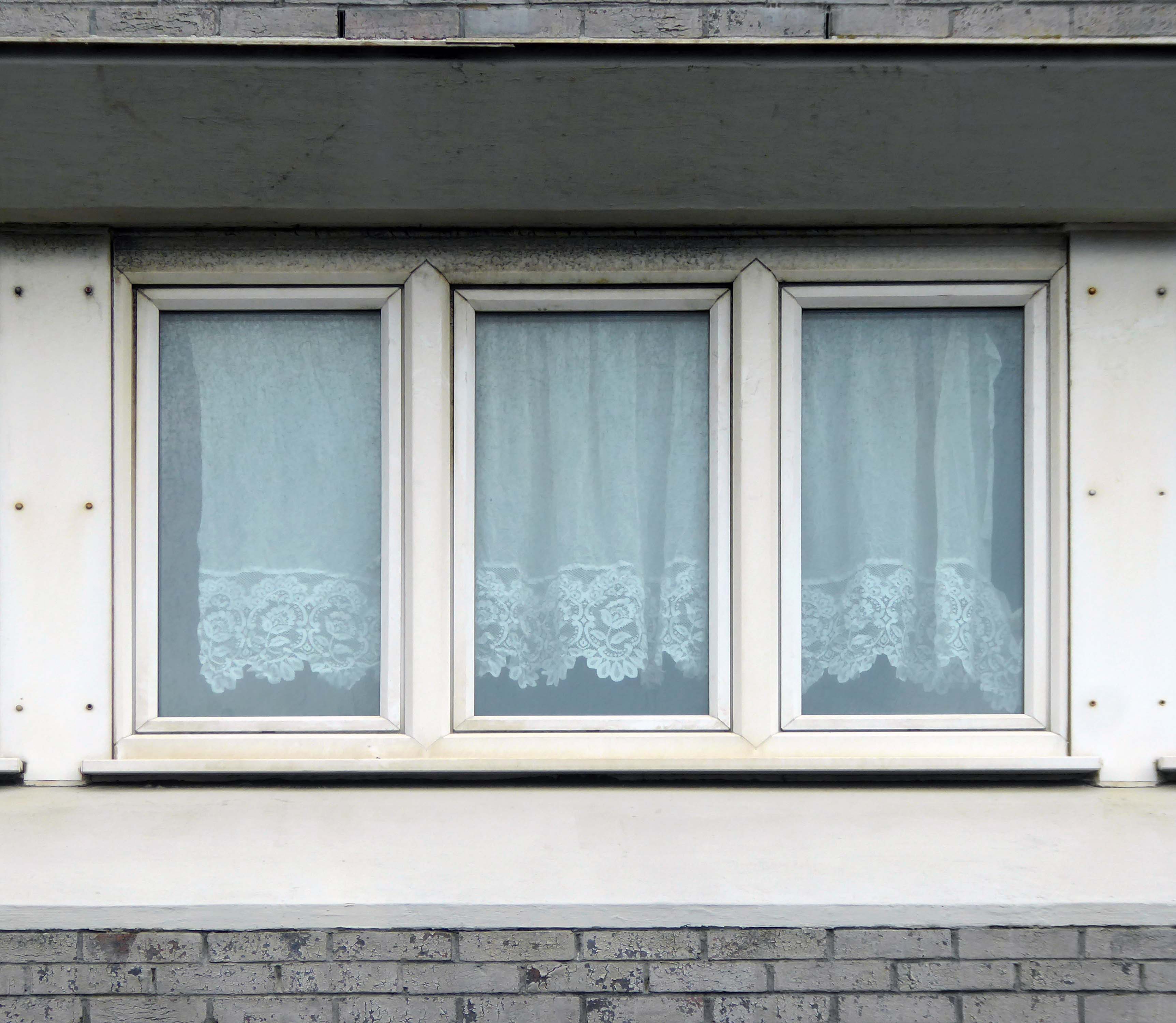
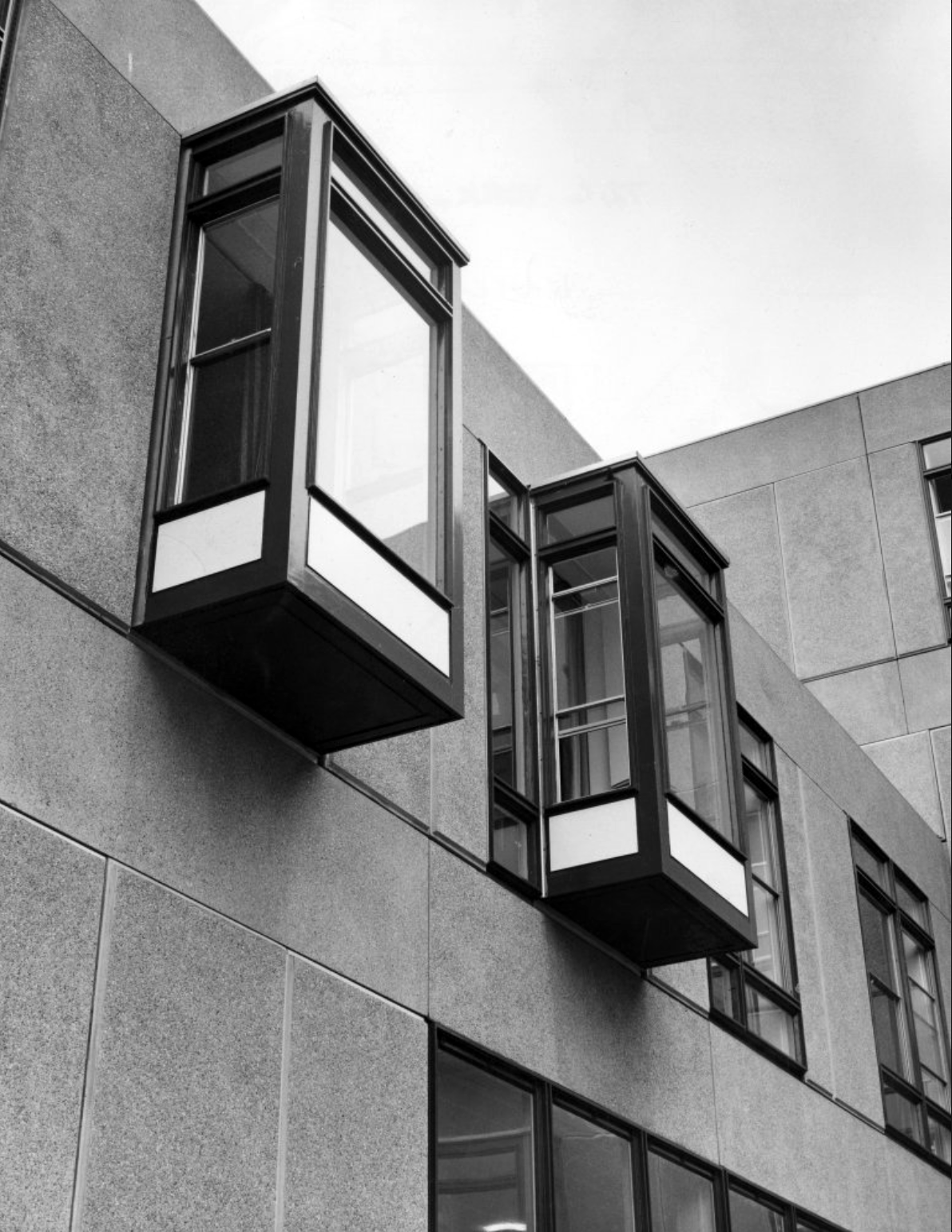
Langwith College: close-up of the oriel windows.
Photographs 1965 Bill Toomey.
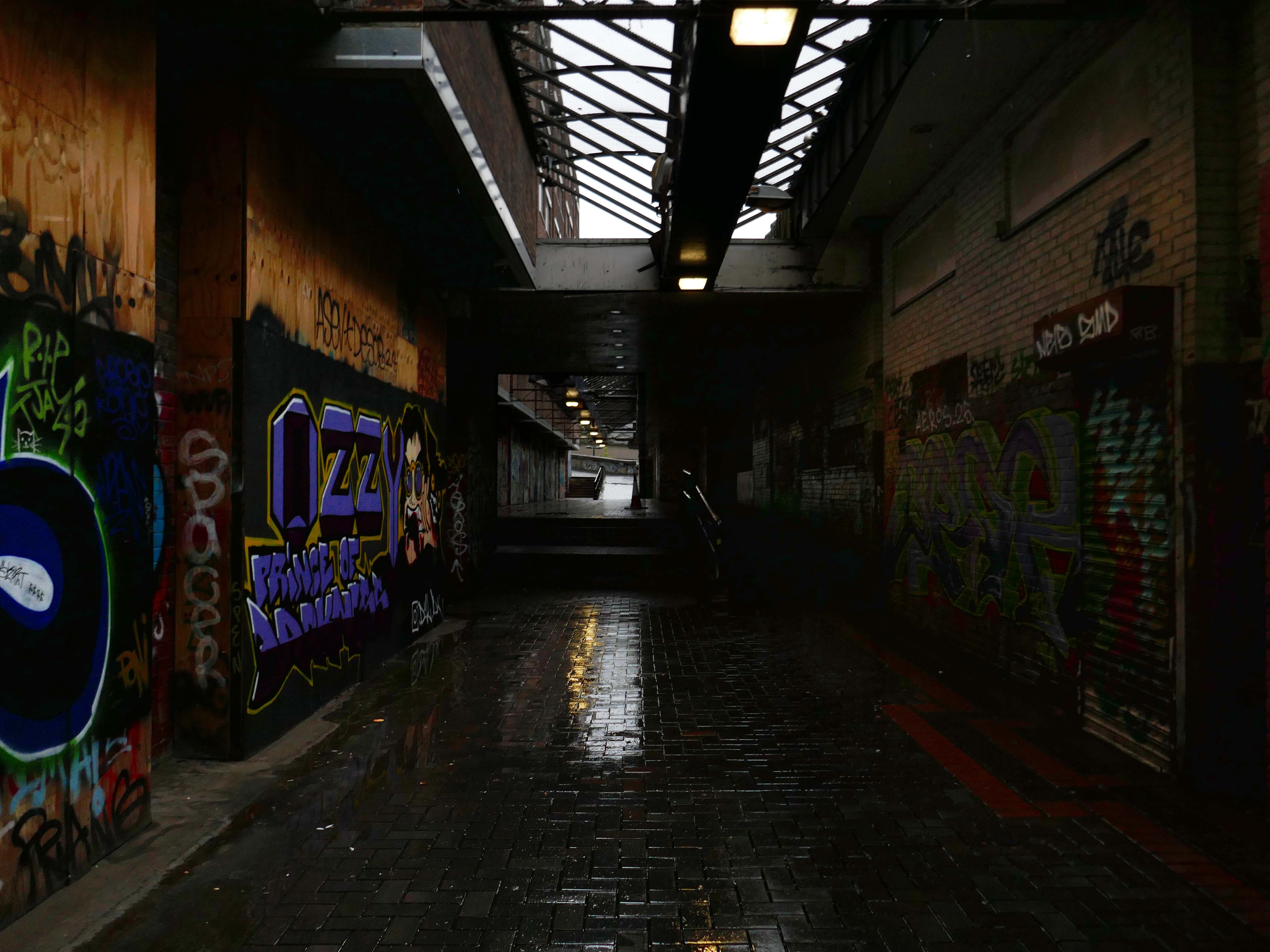
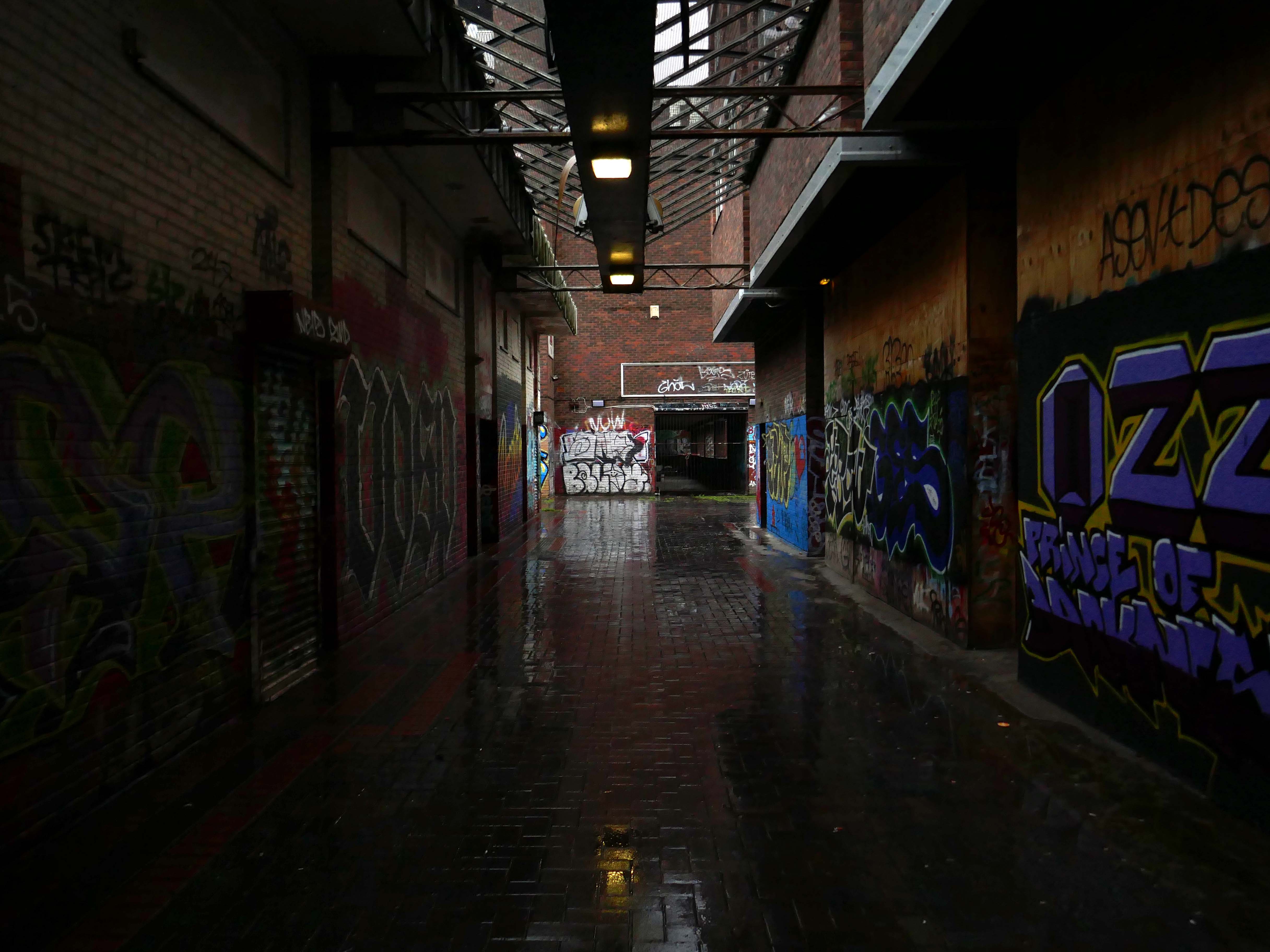
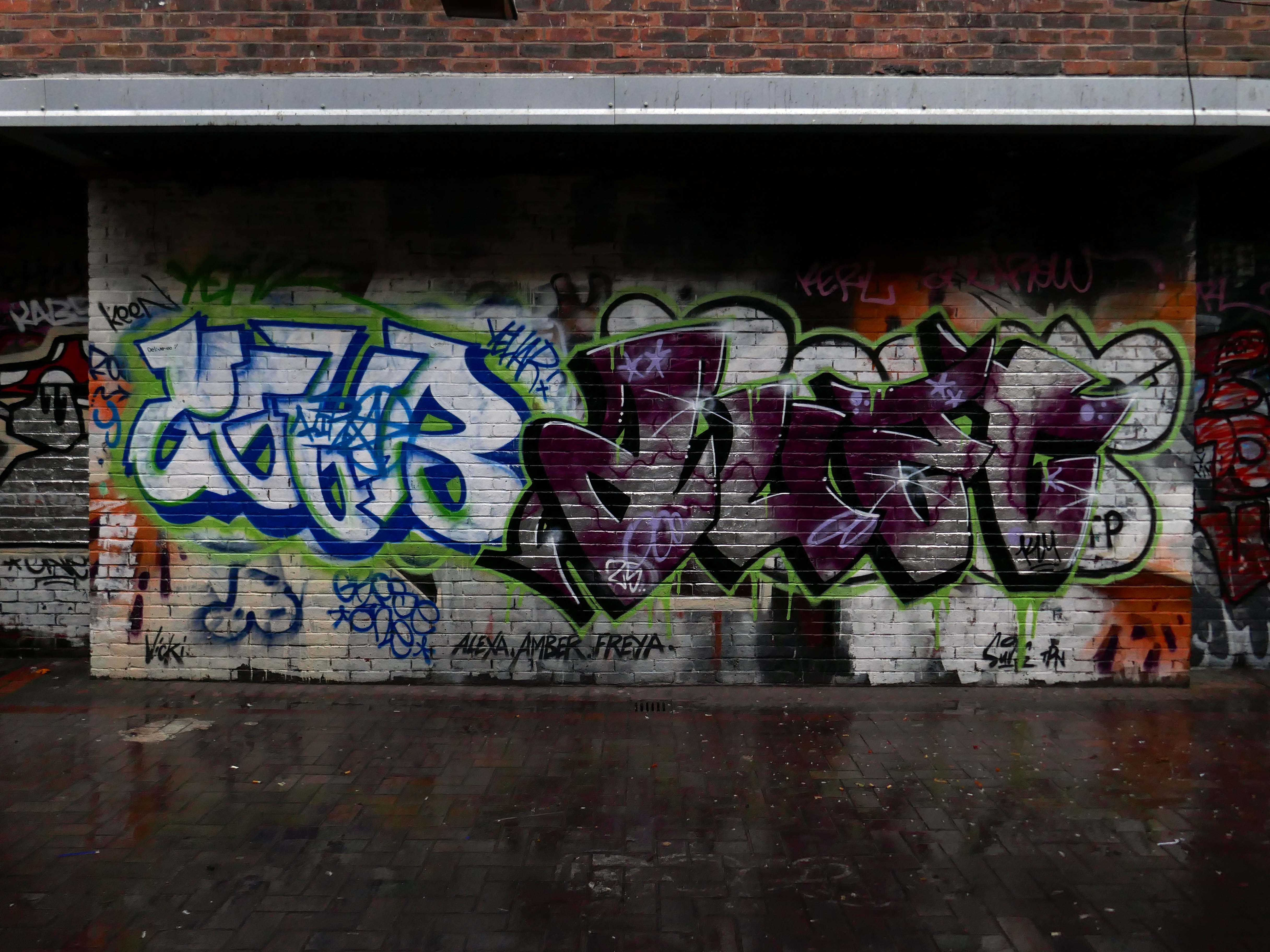
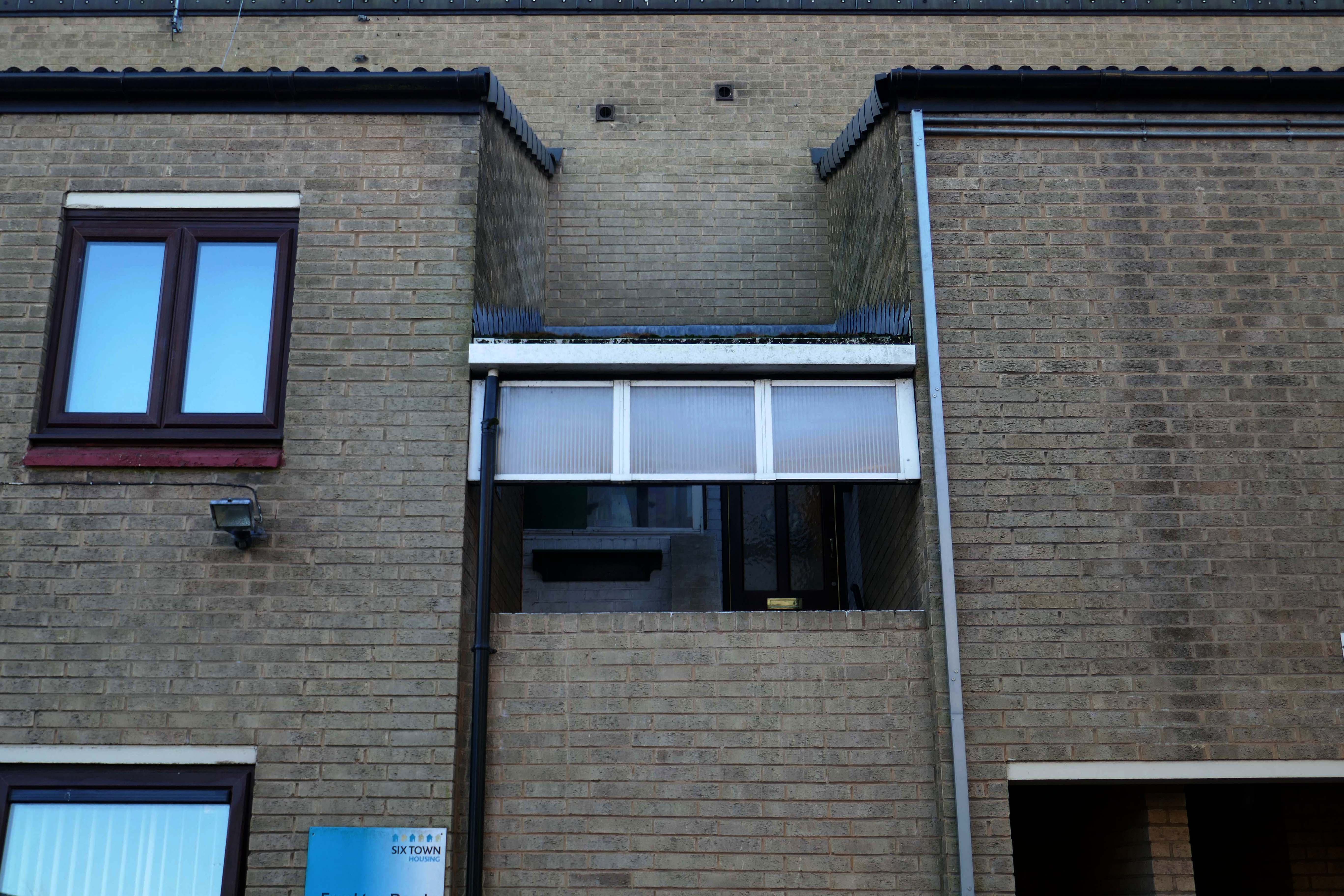
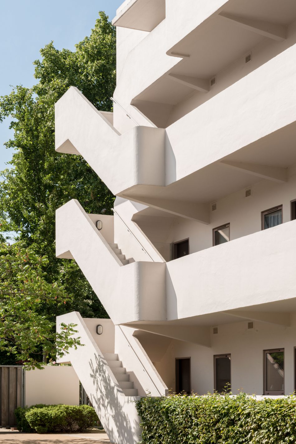
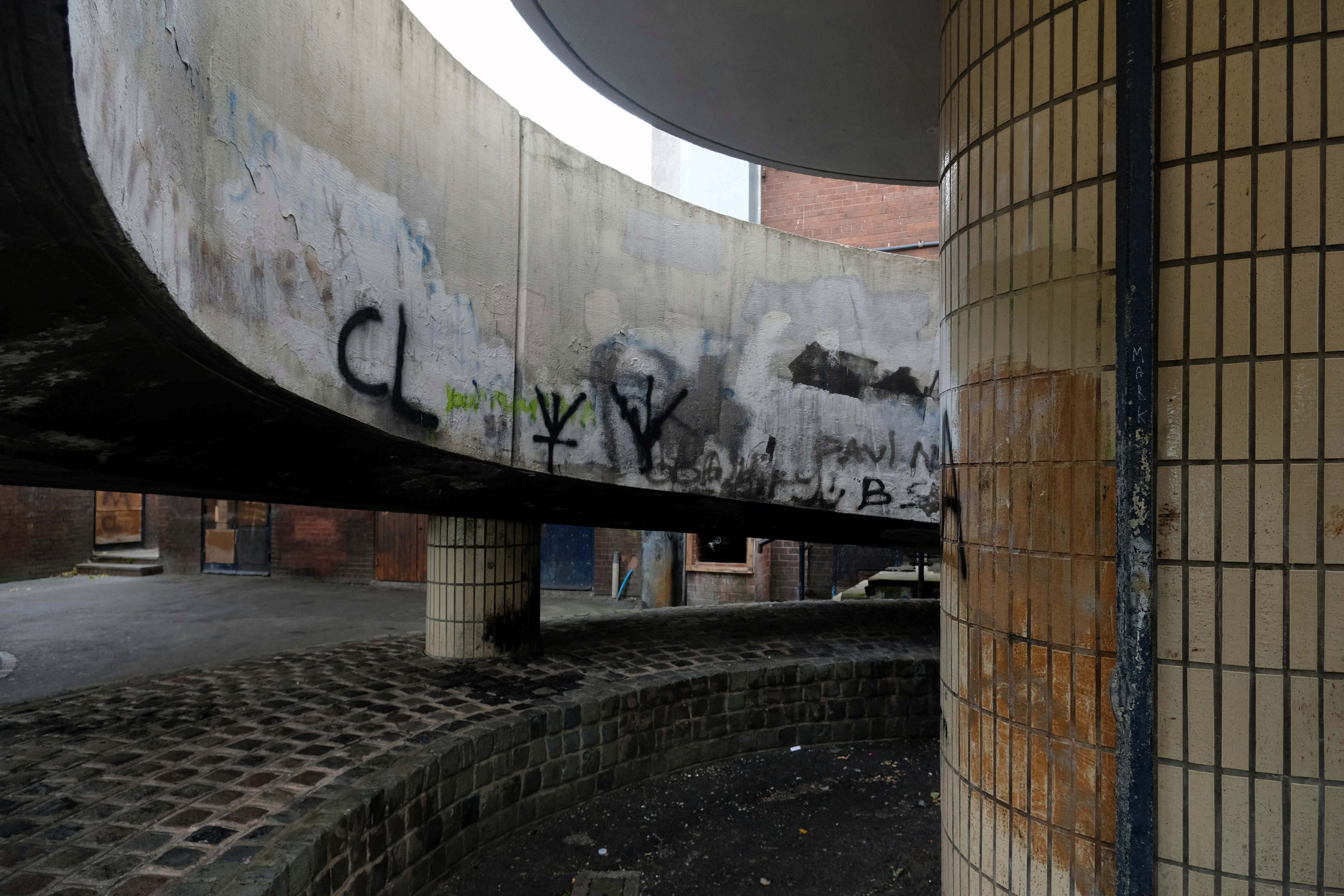
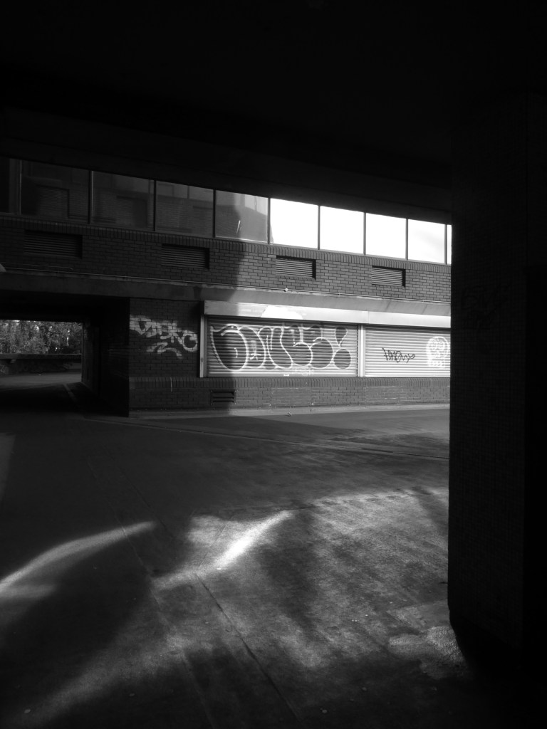
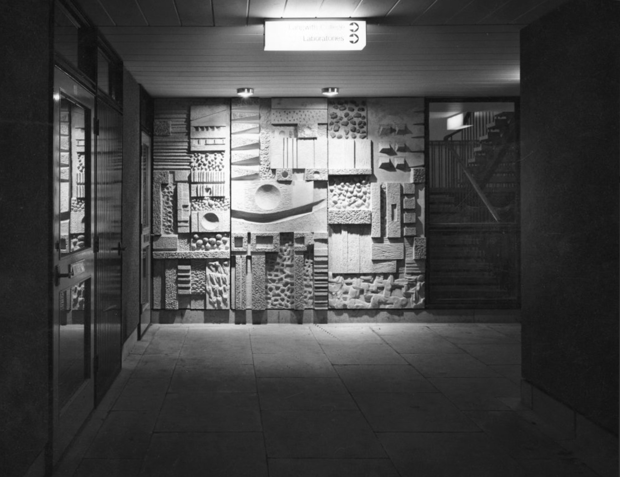
Derwent College: a concrete sculptured screen flanking a covered way.
Derwent College: a concrete sculptured screen flanking a covered way.
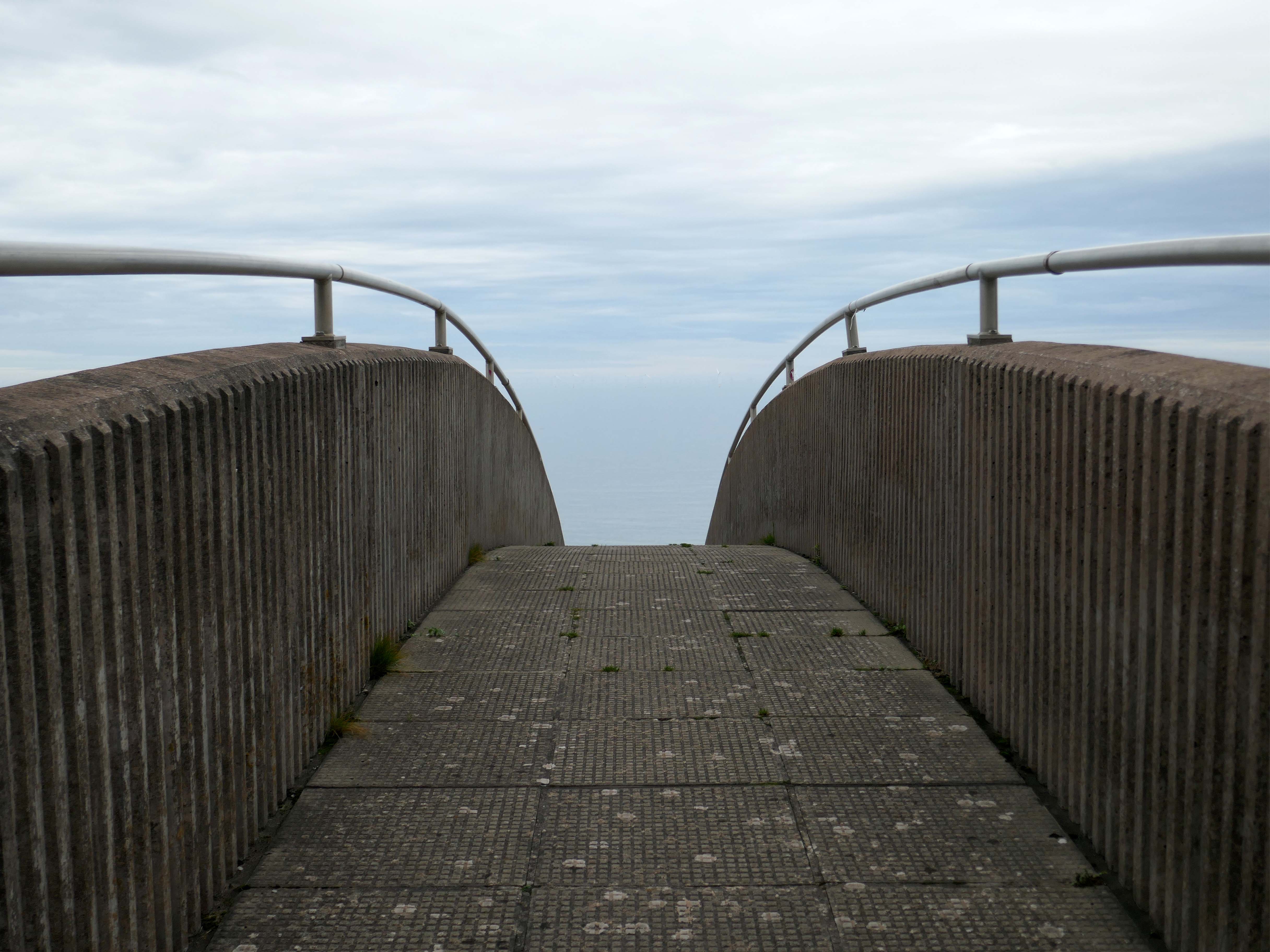
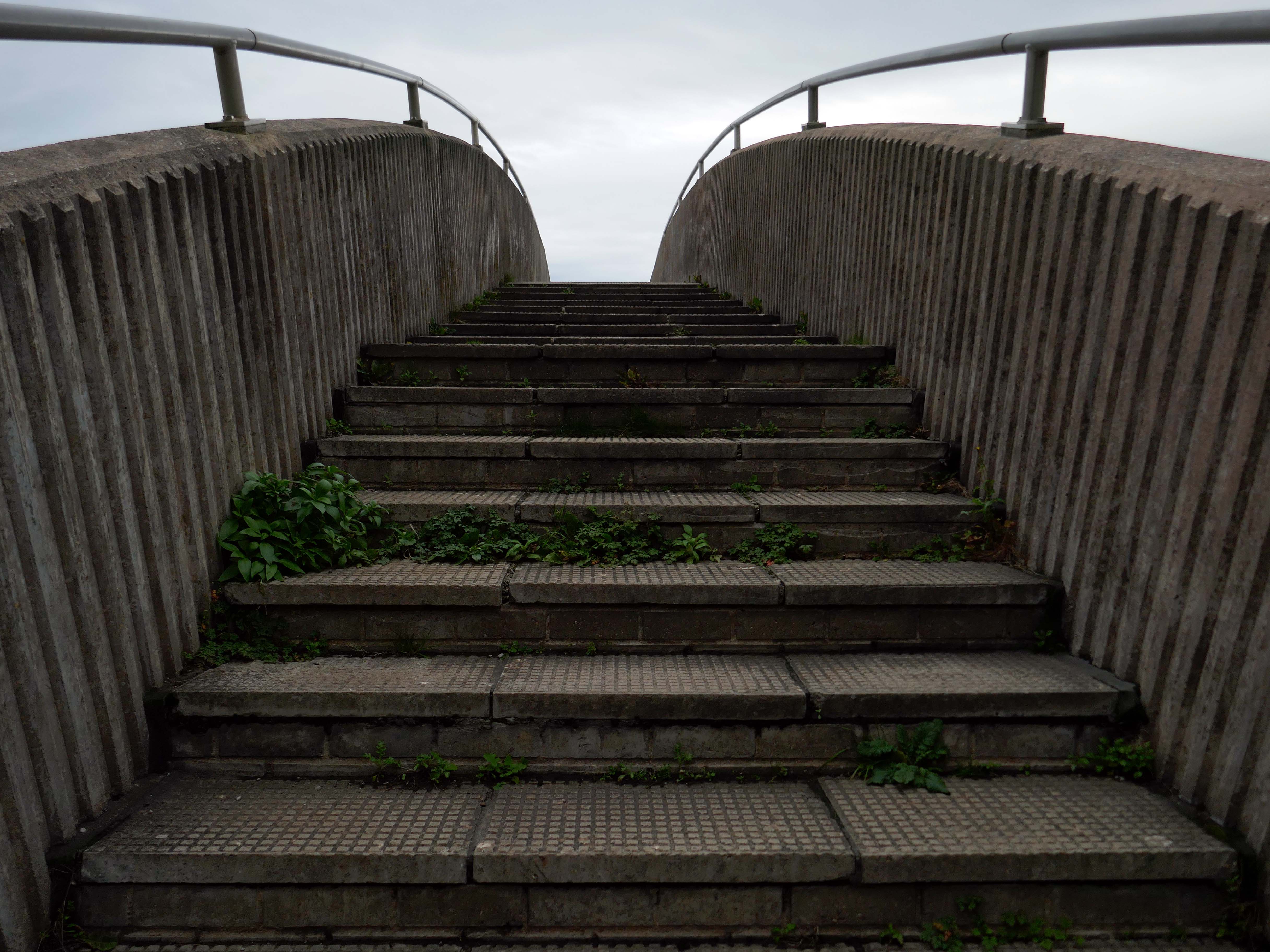
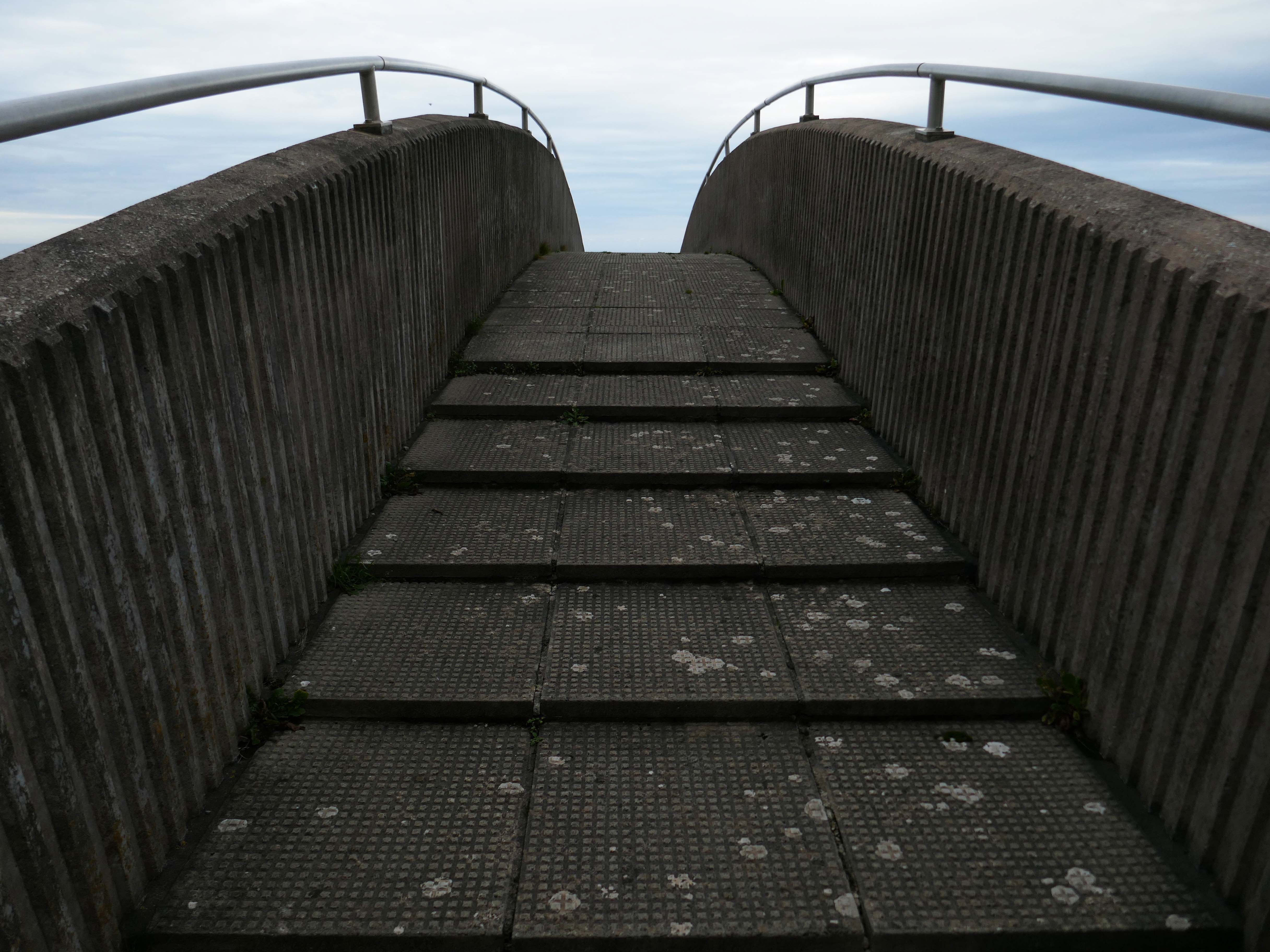
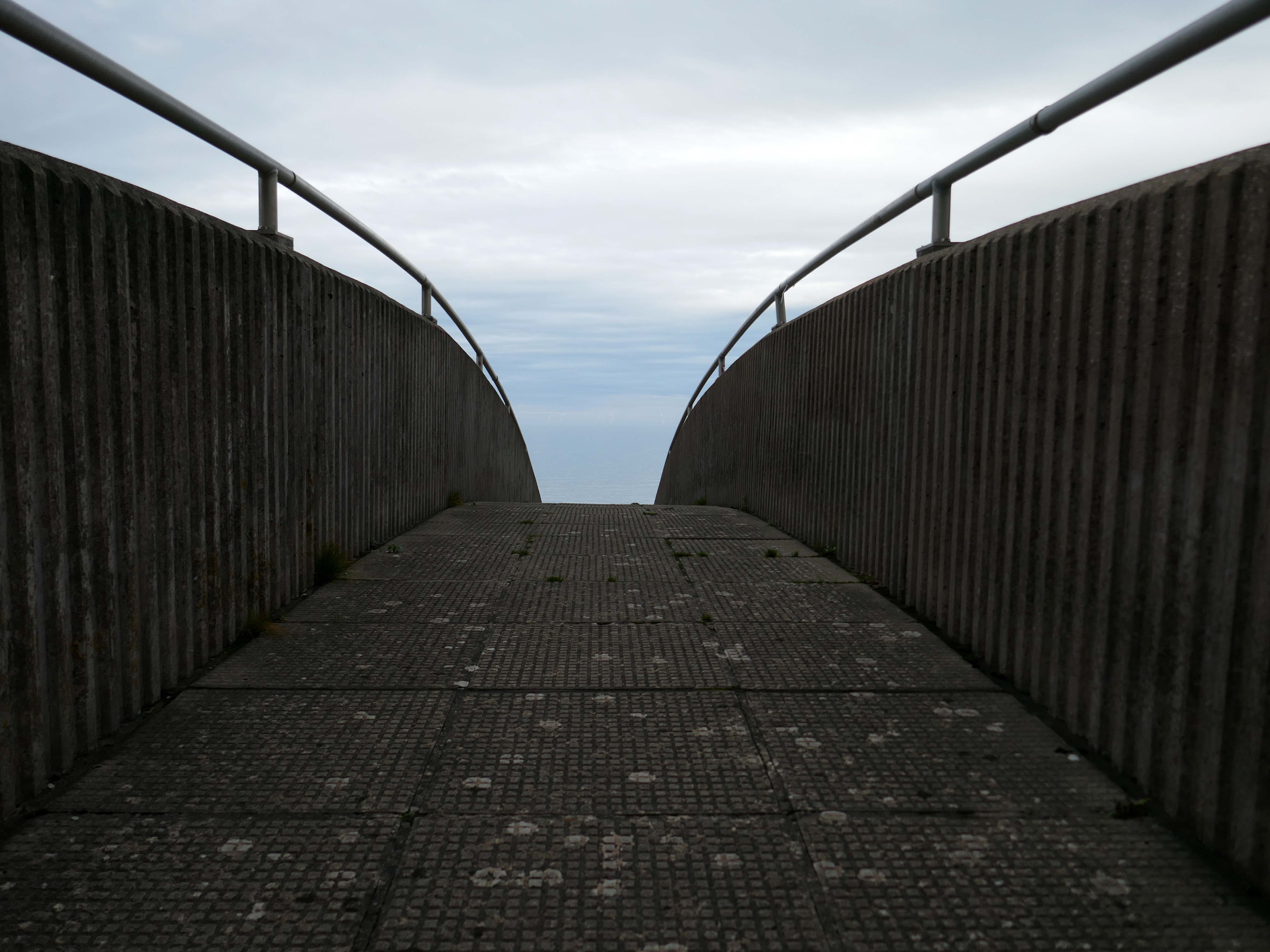
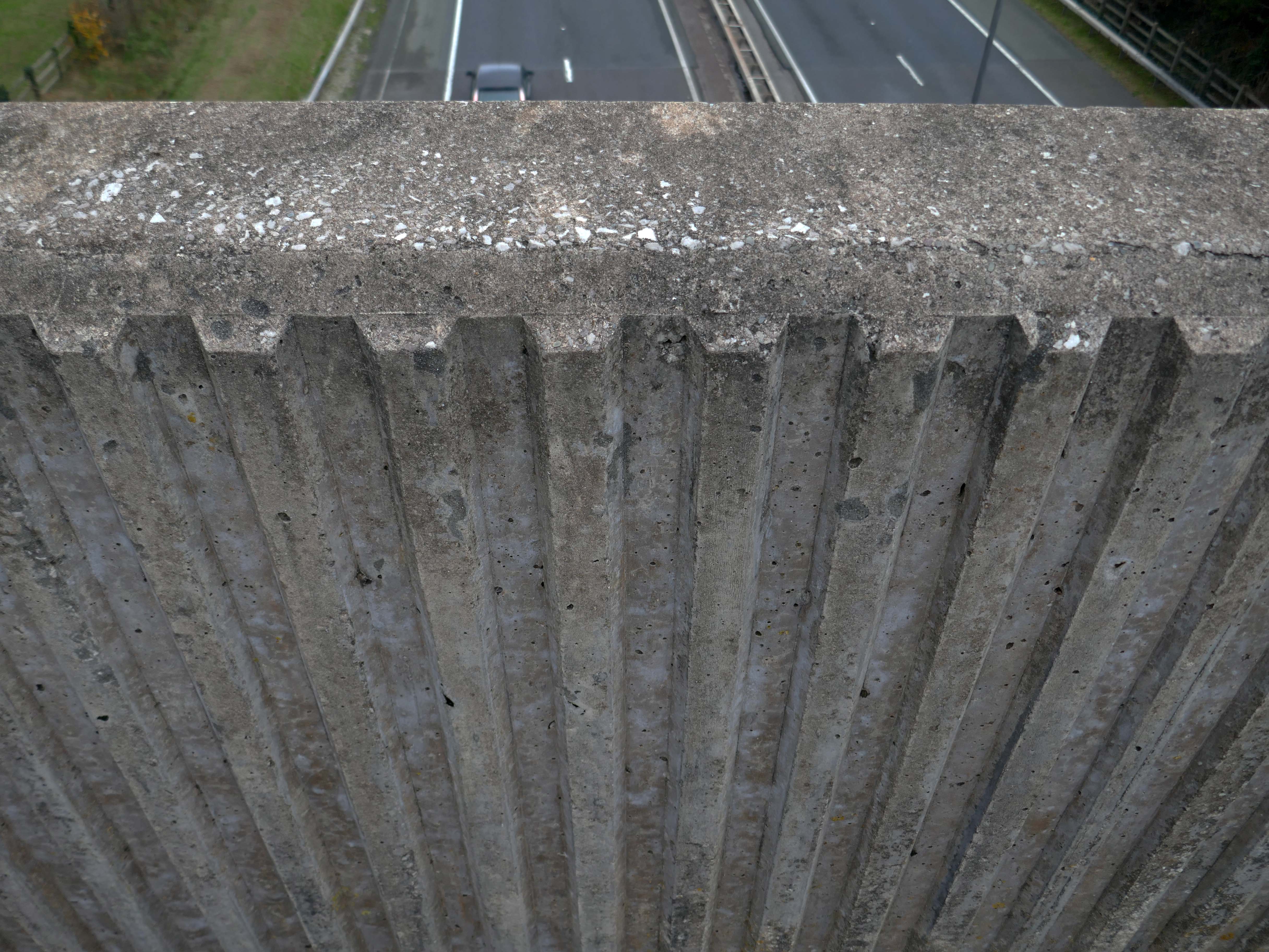
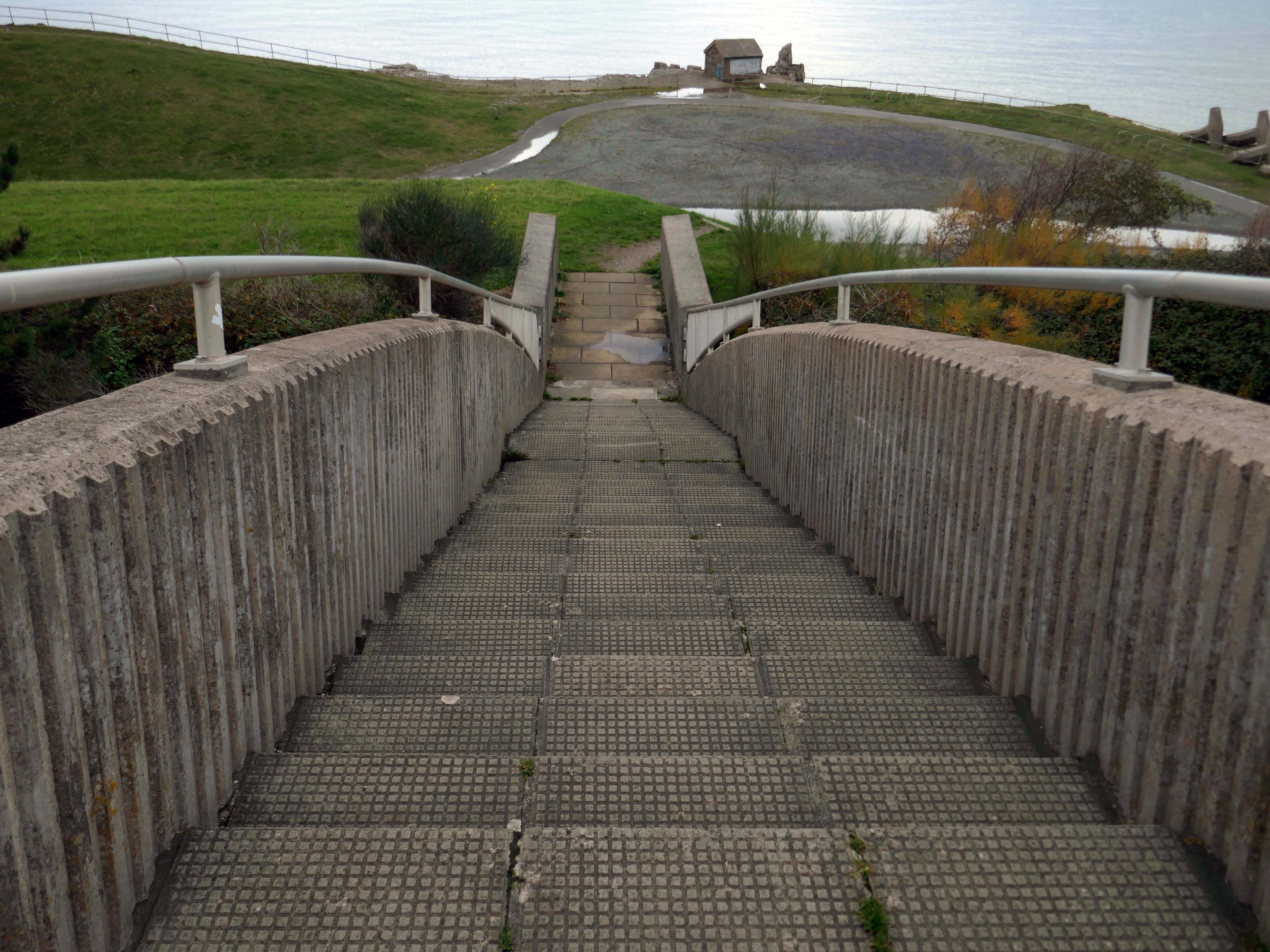
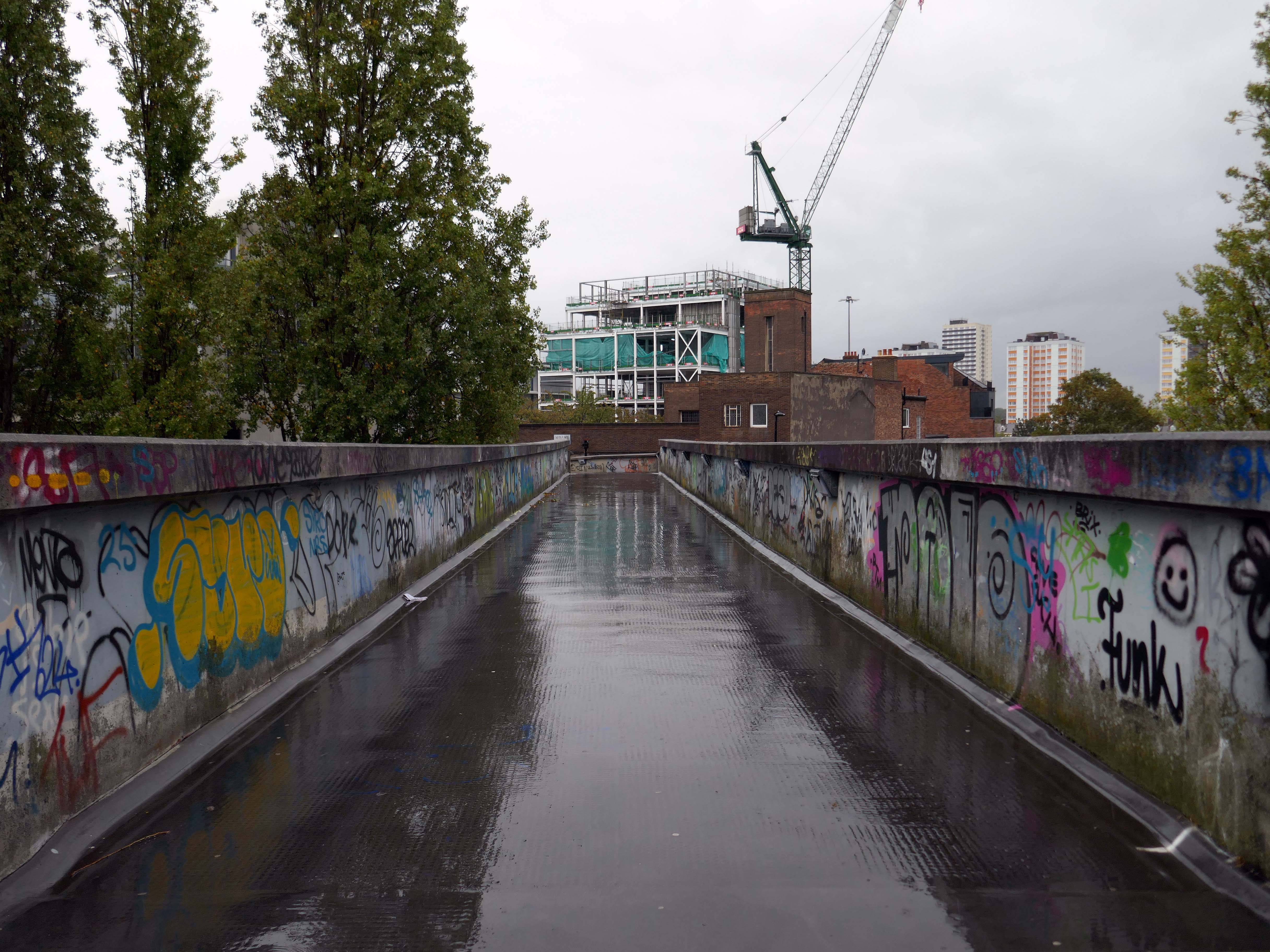
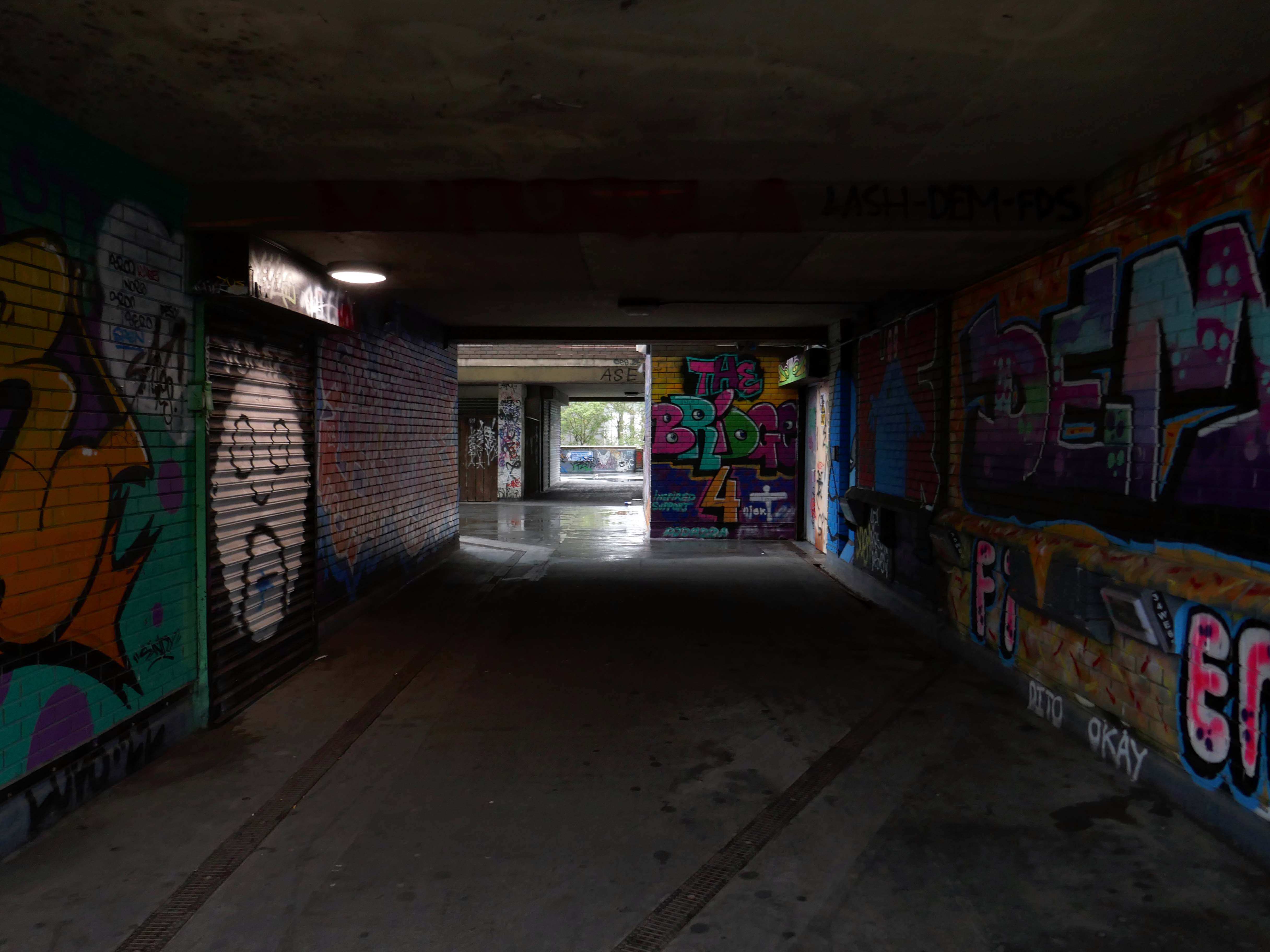
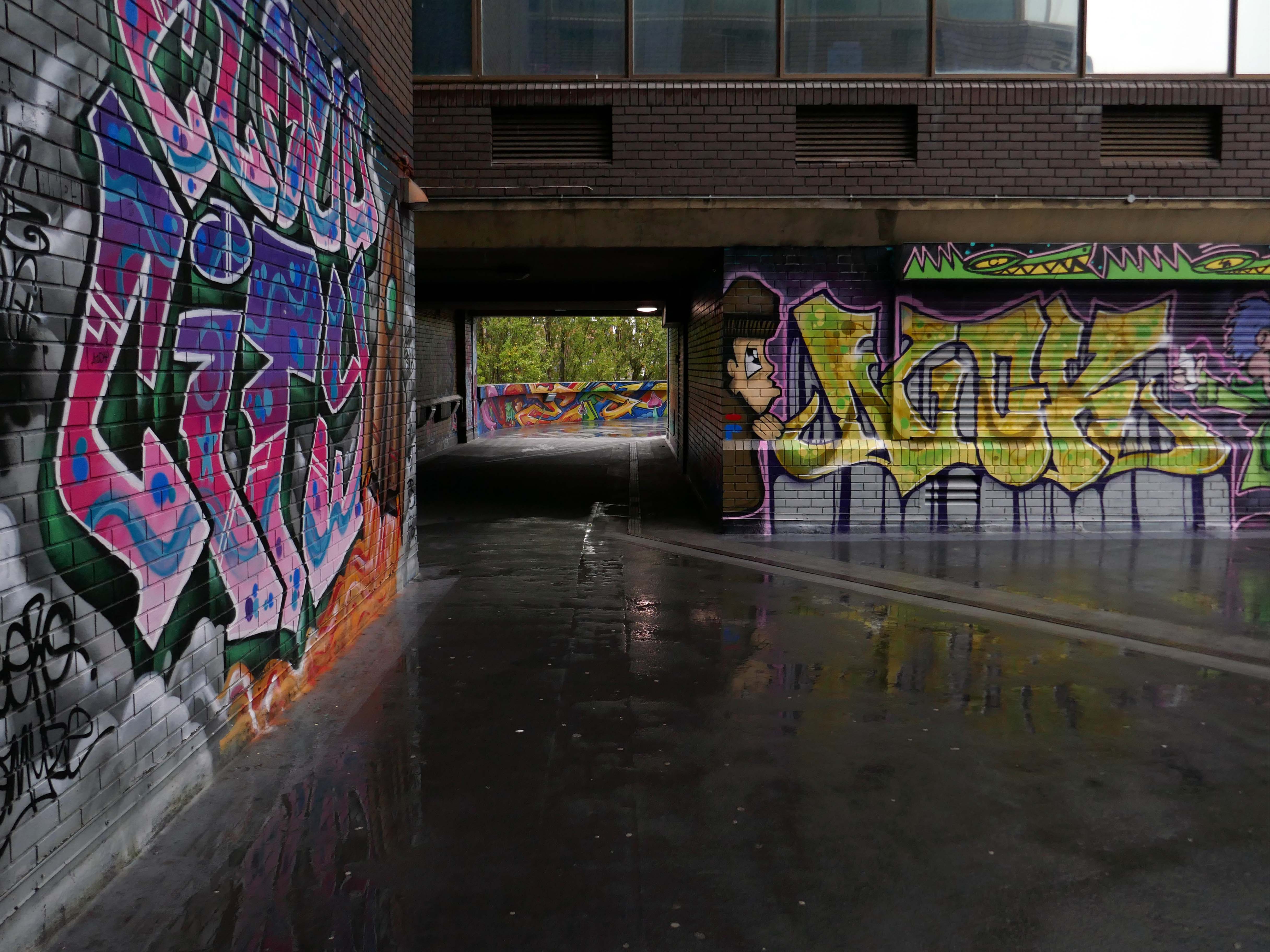
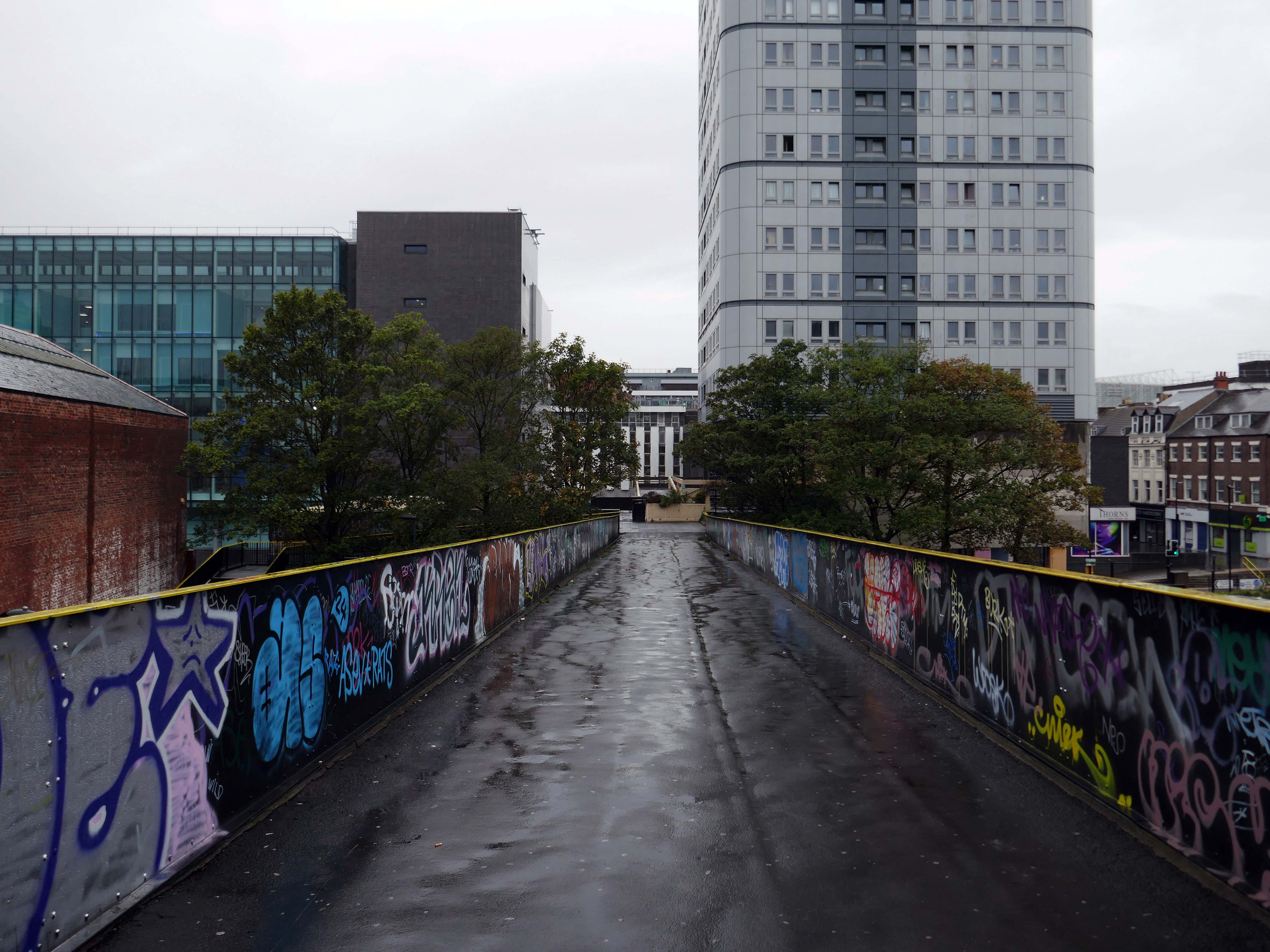
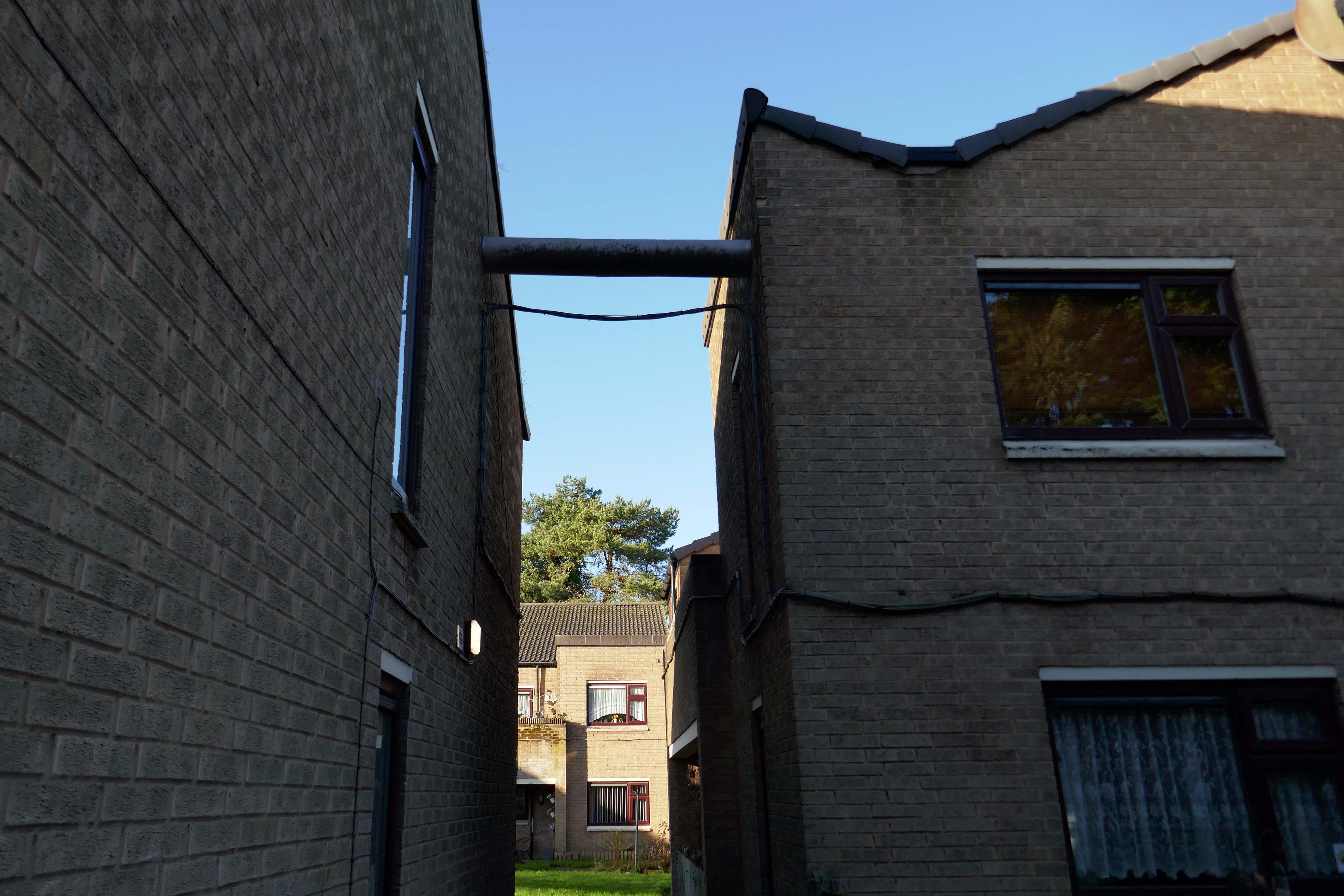
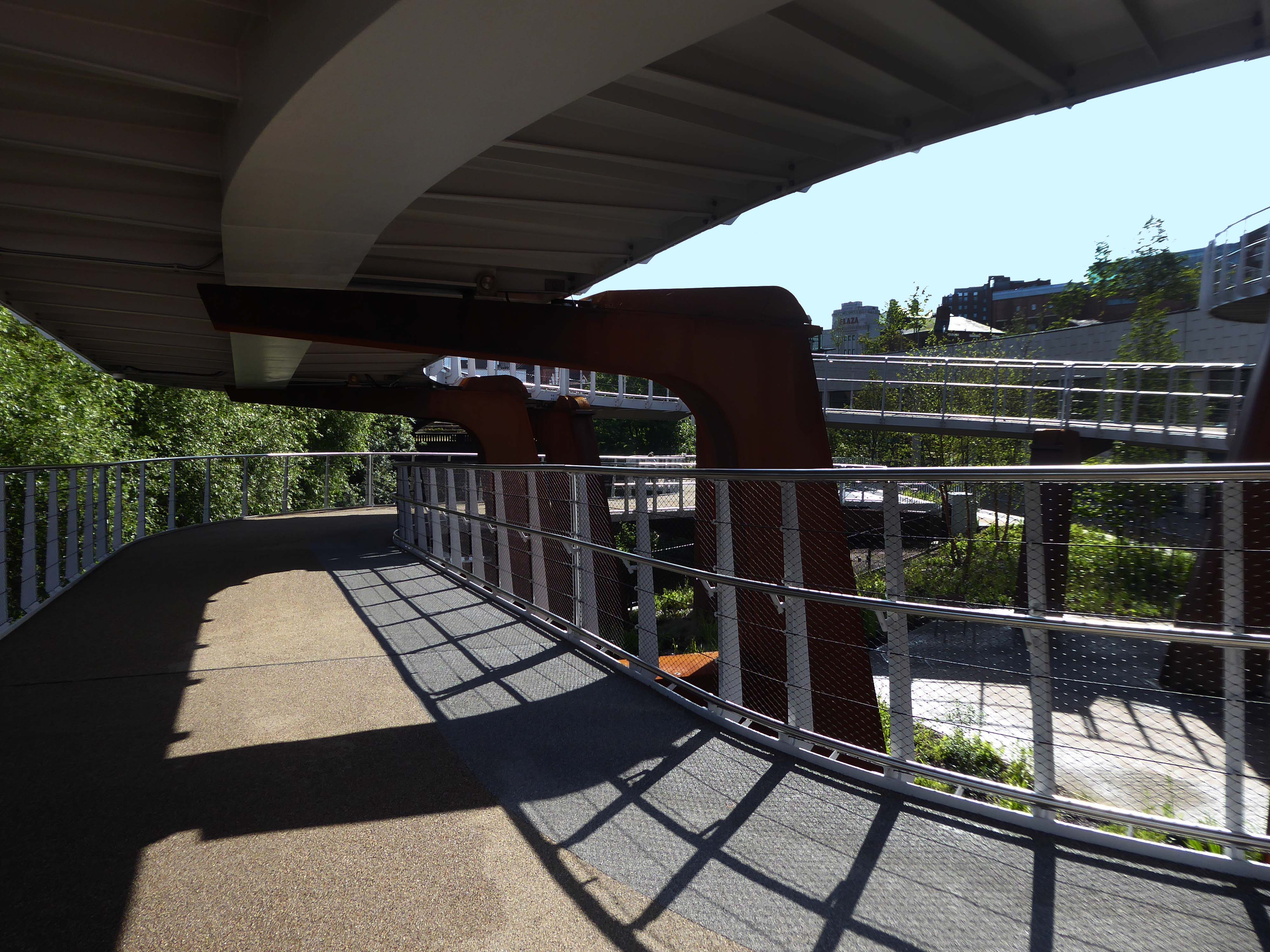
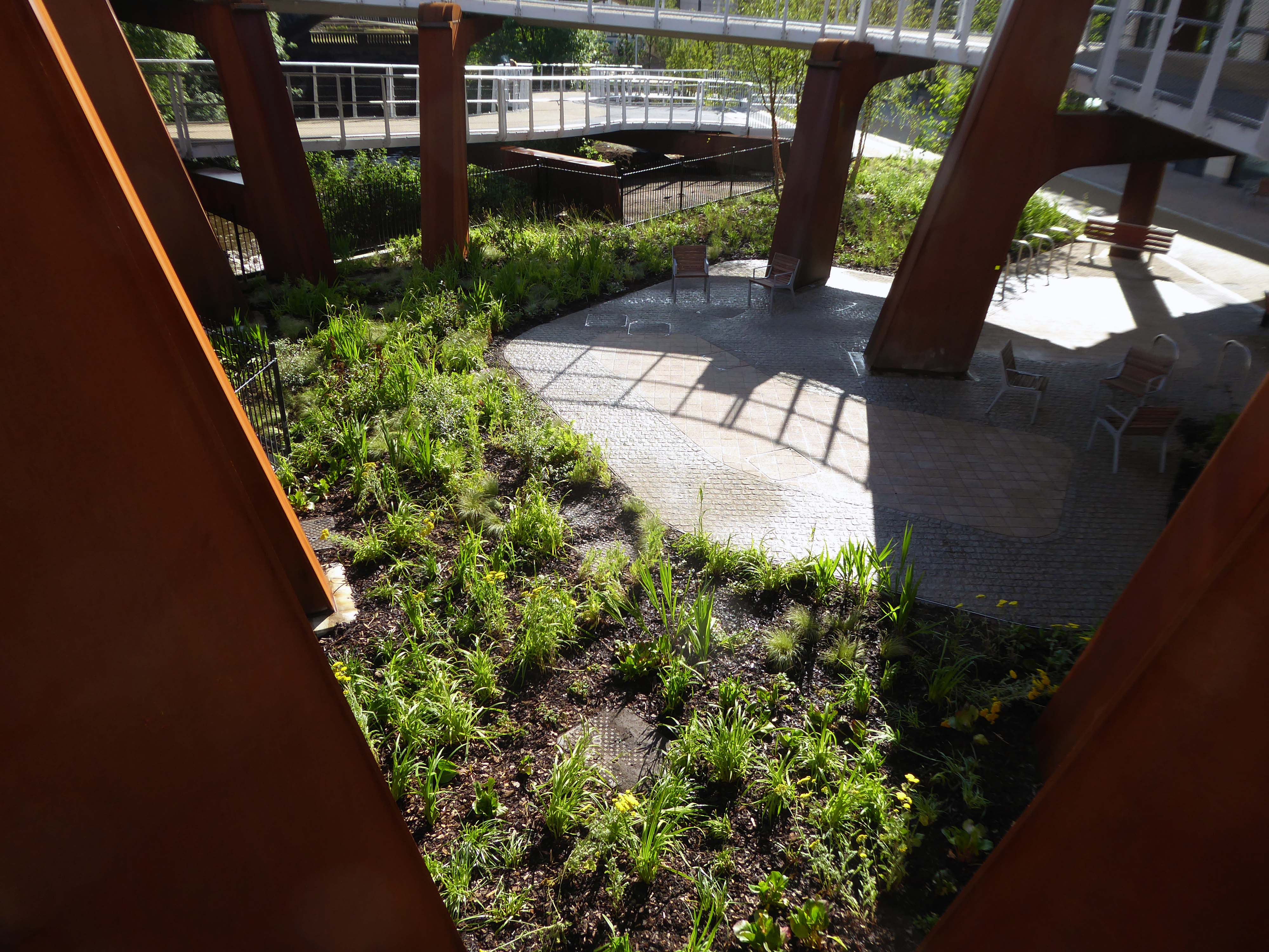
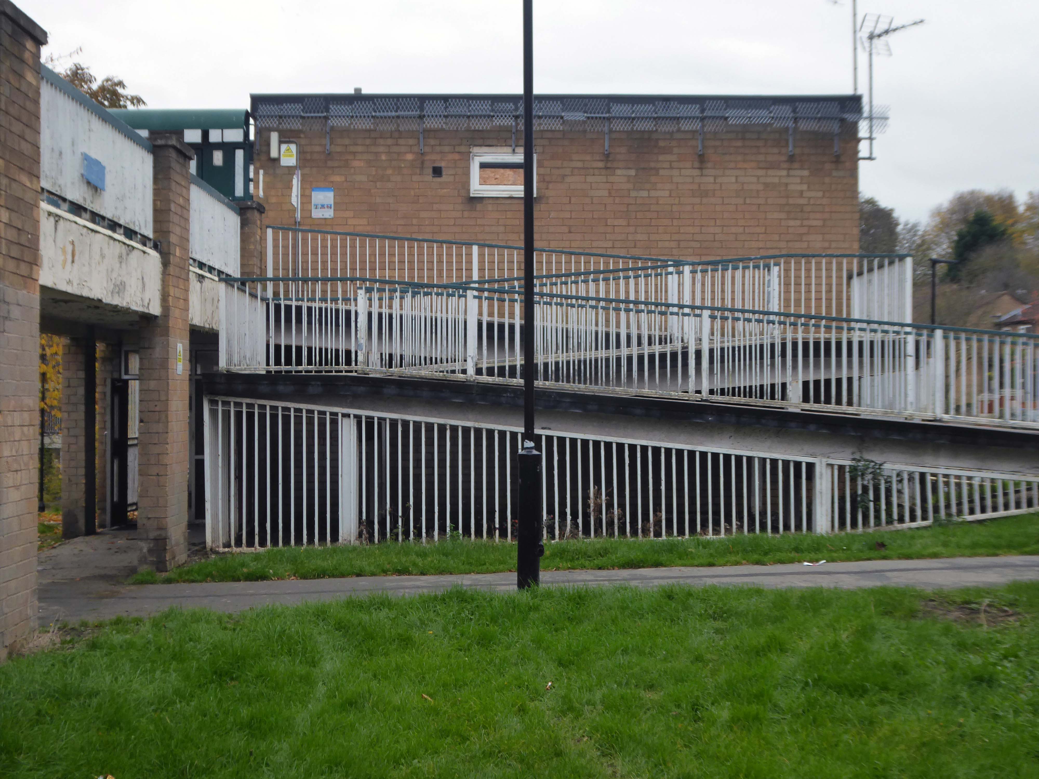
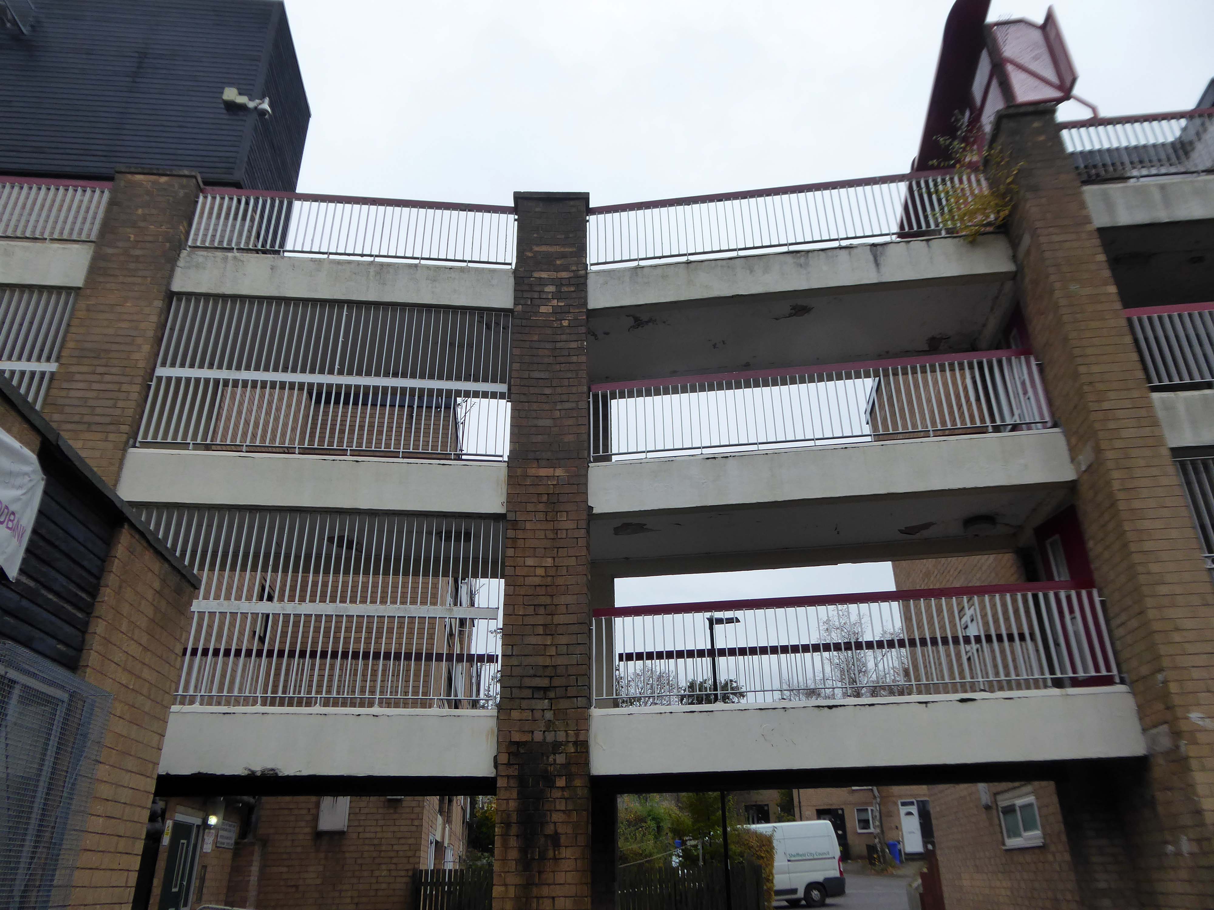
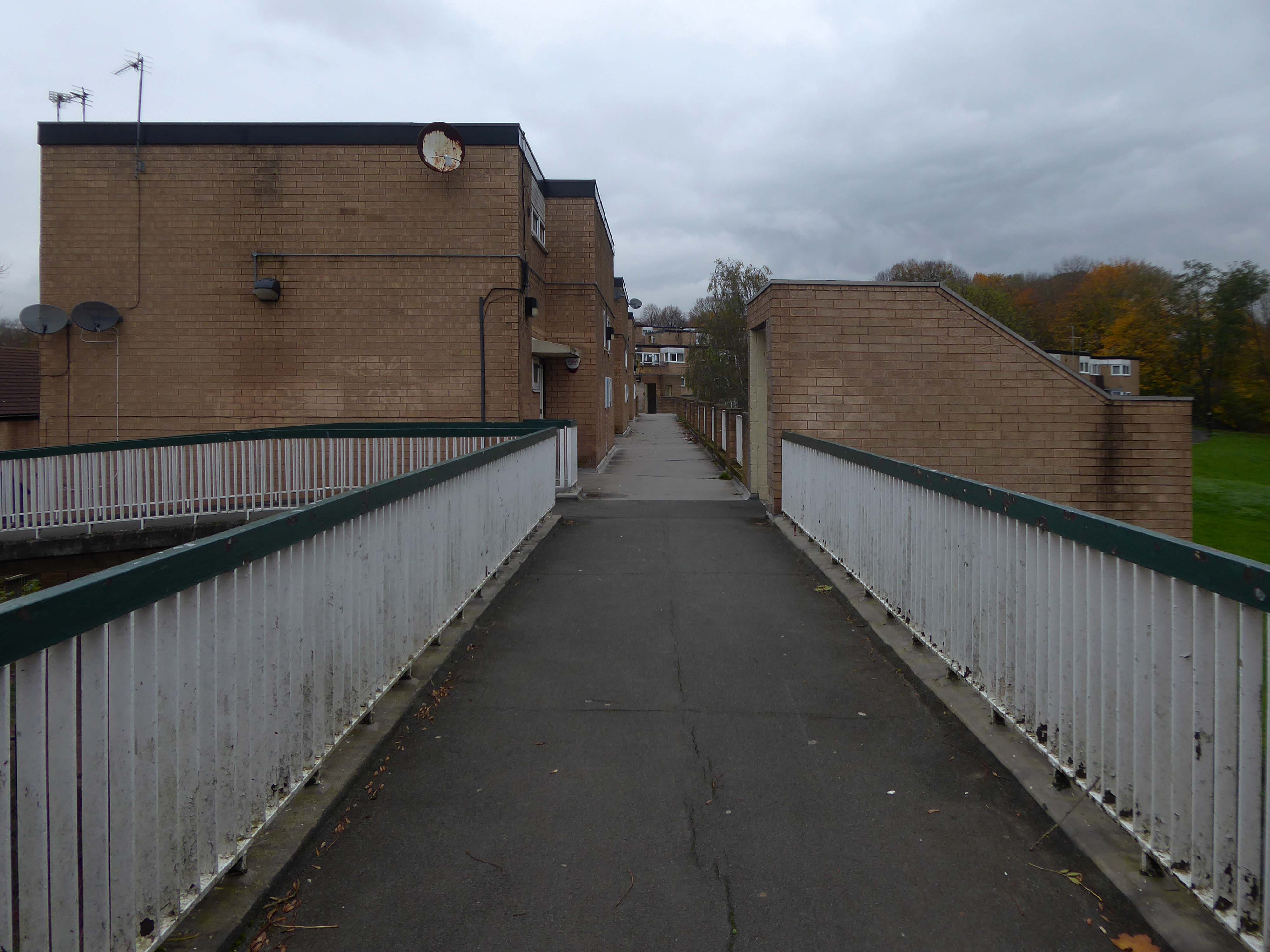
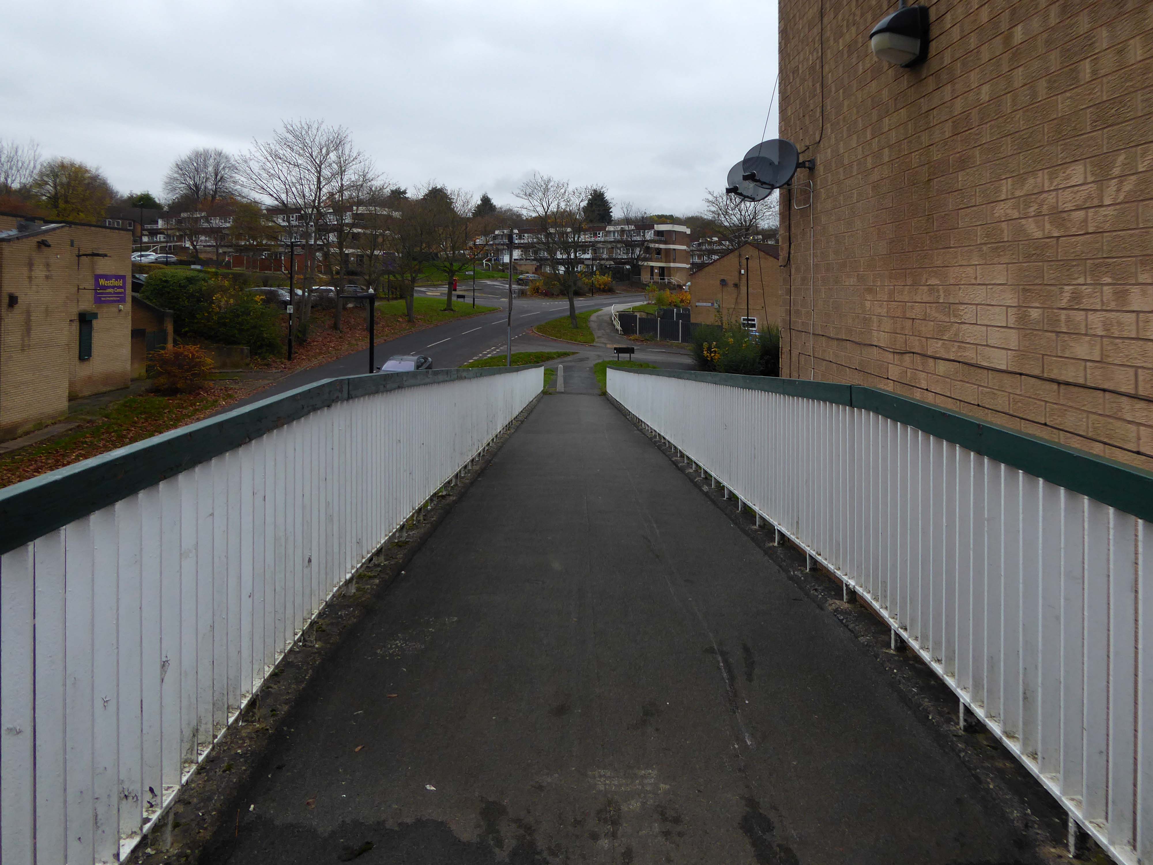
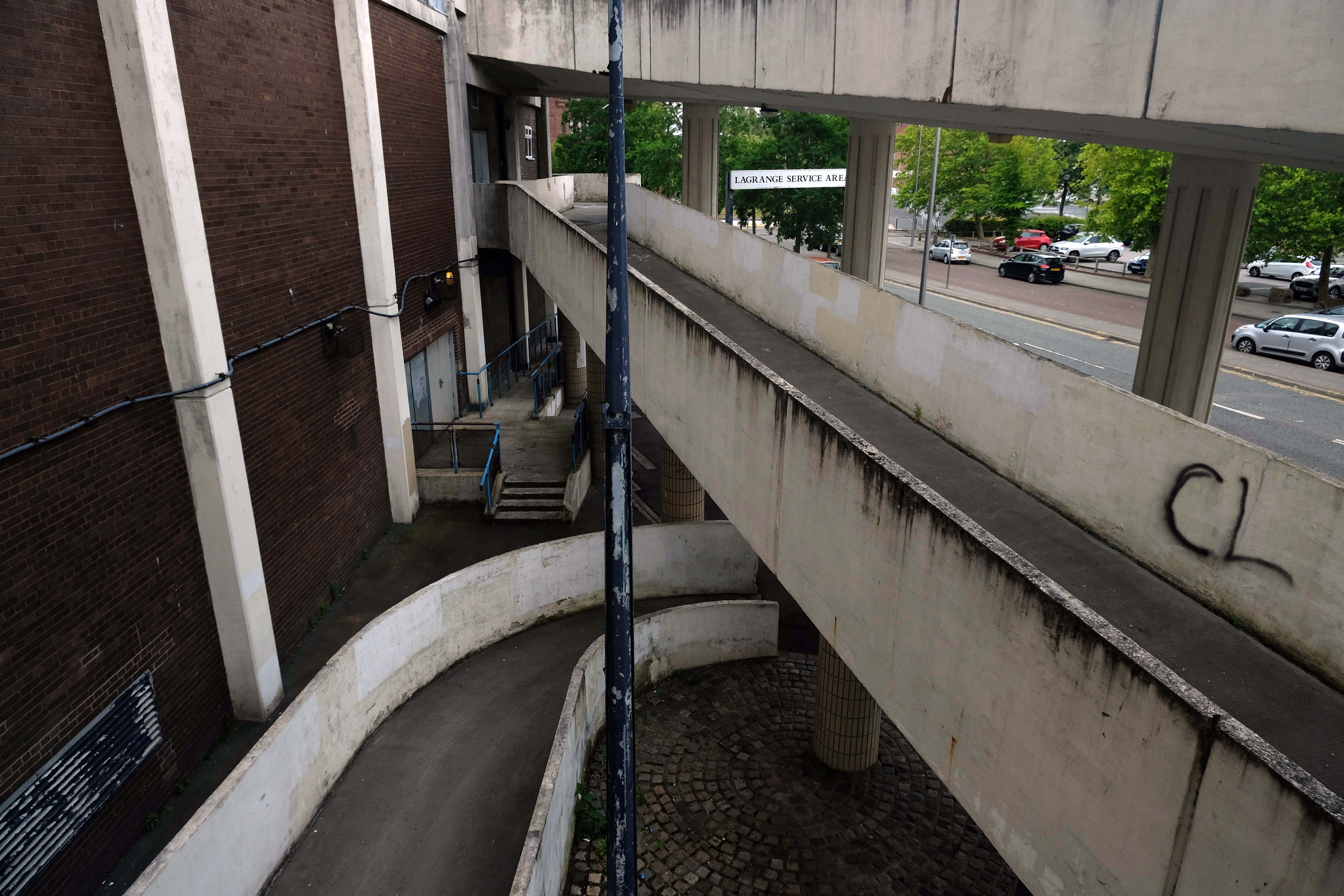
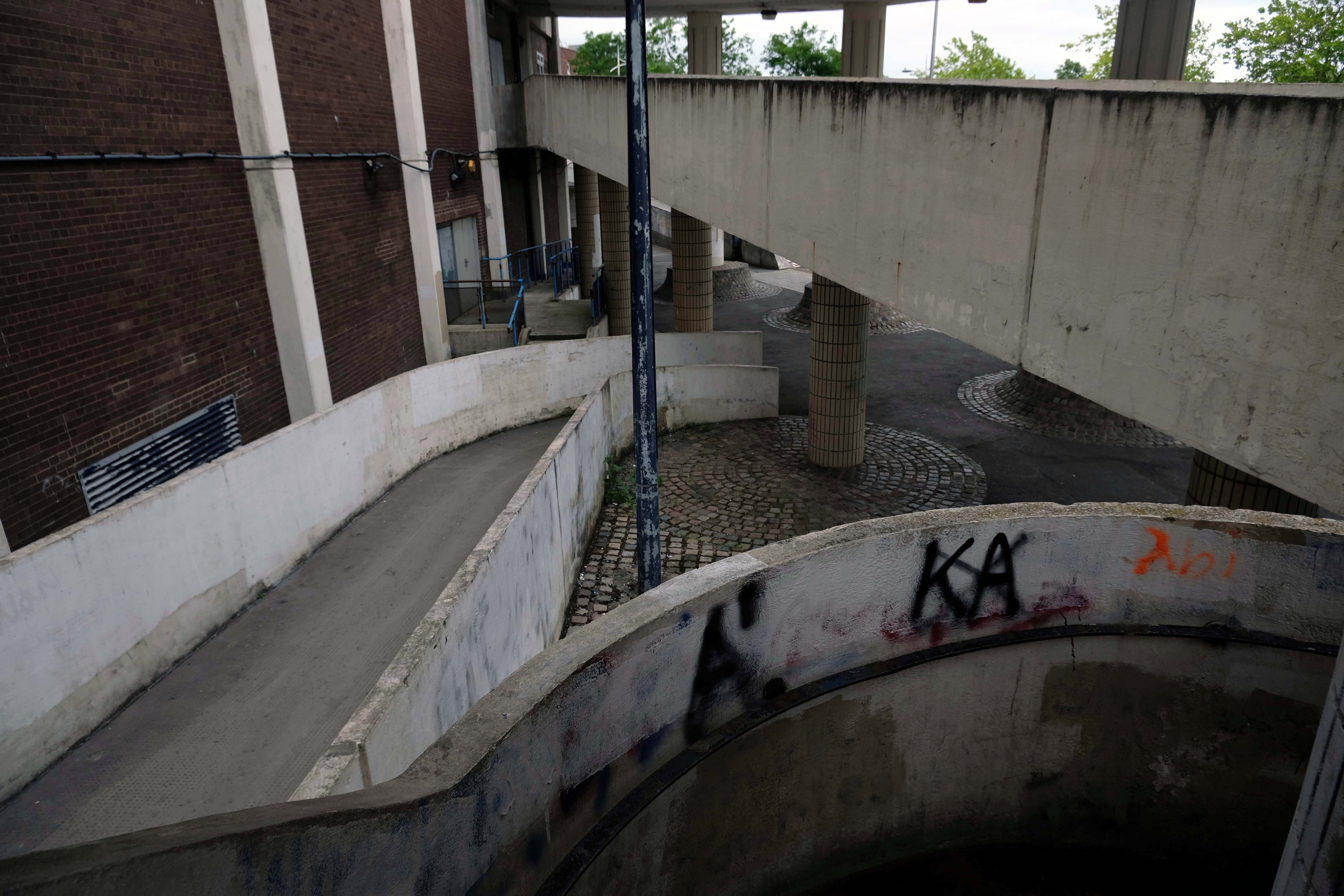
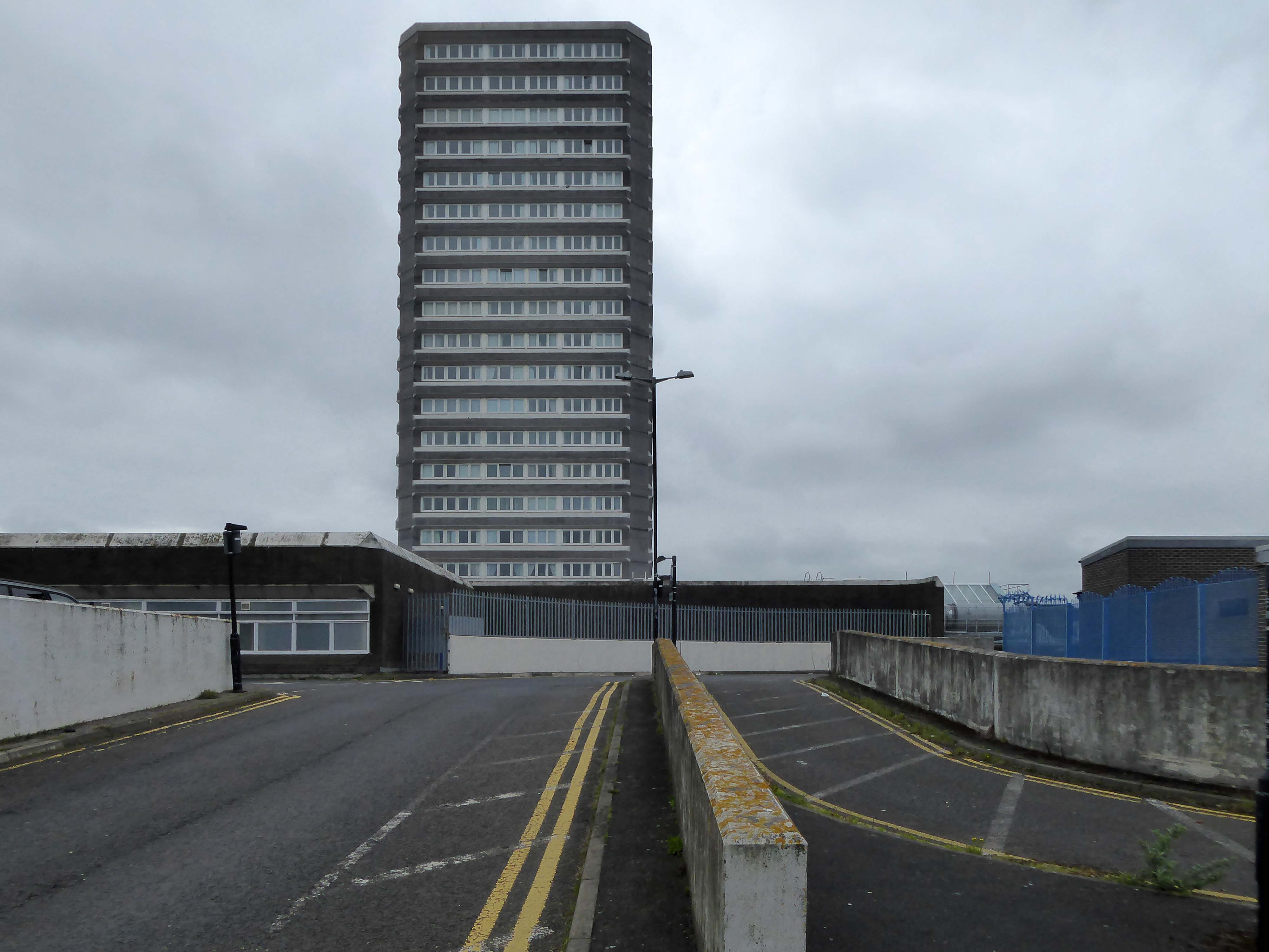
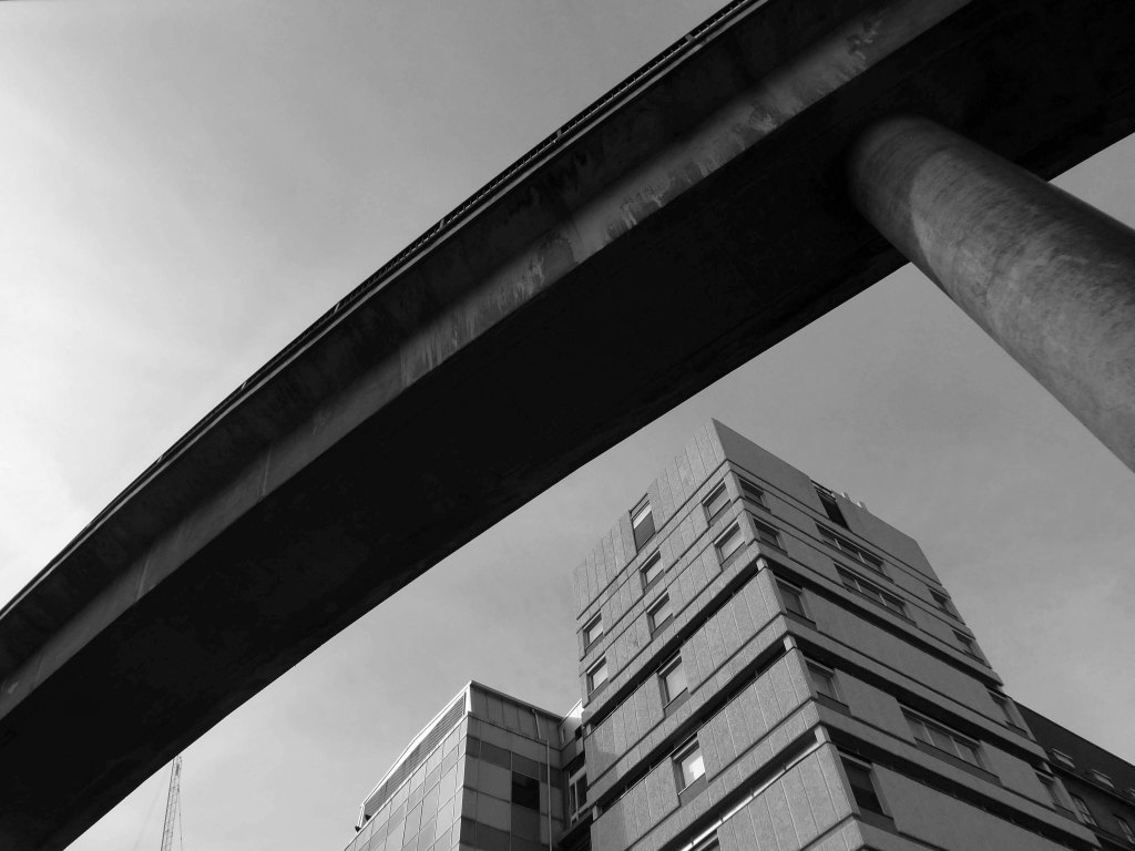
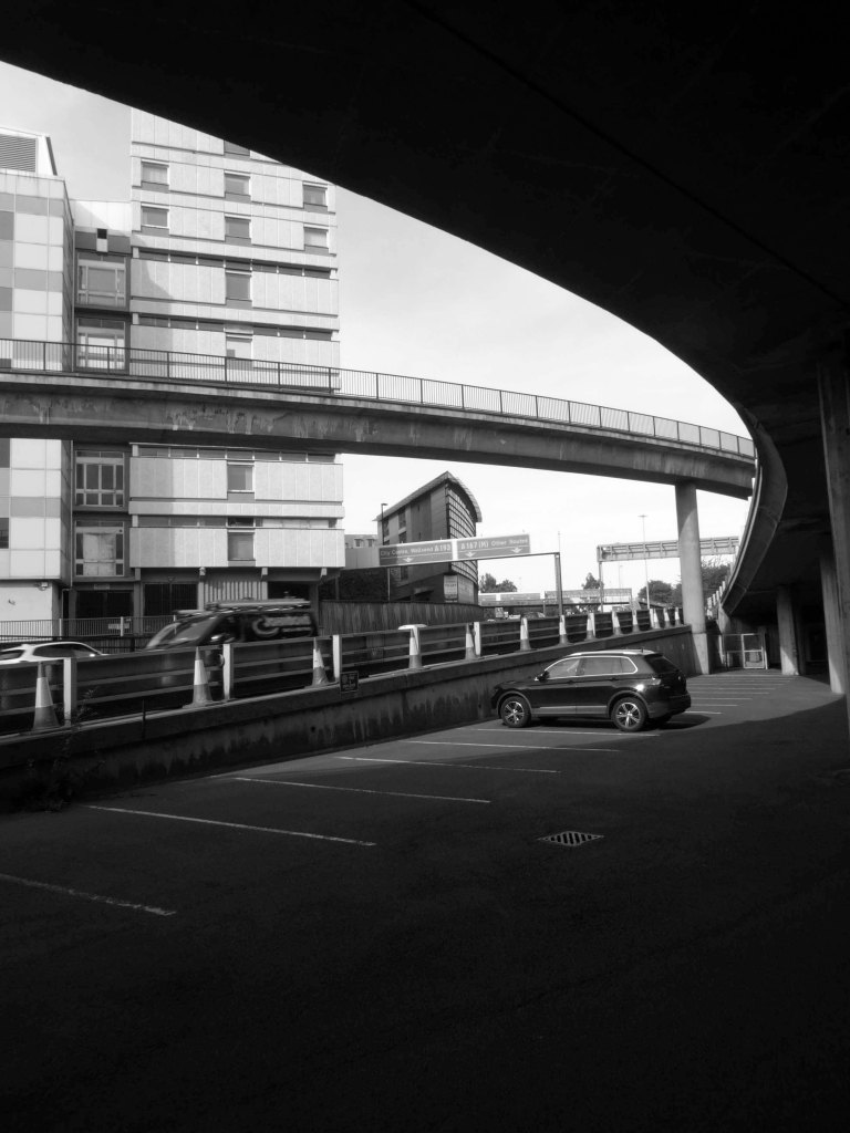
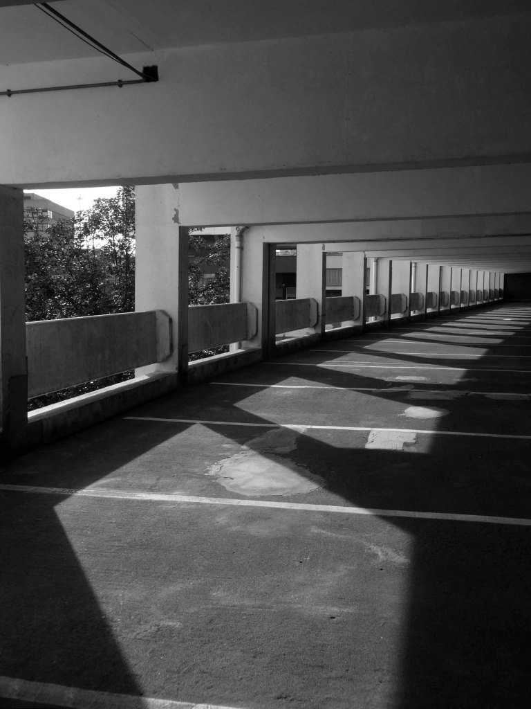
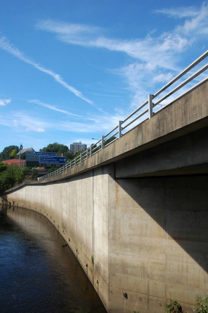
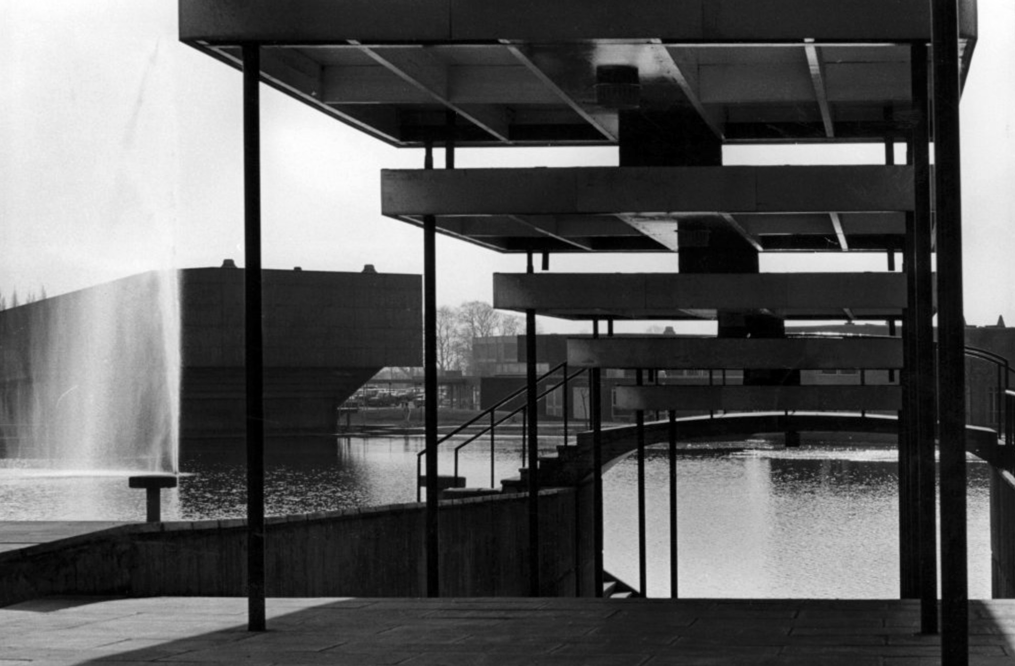
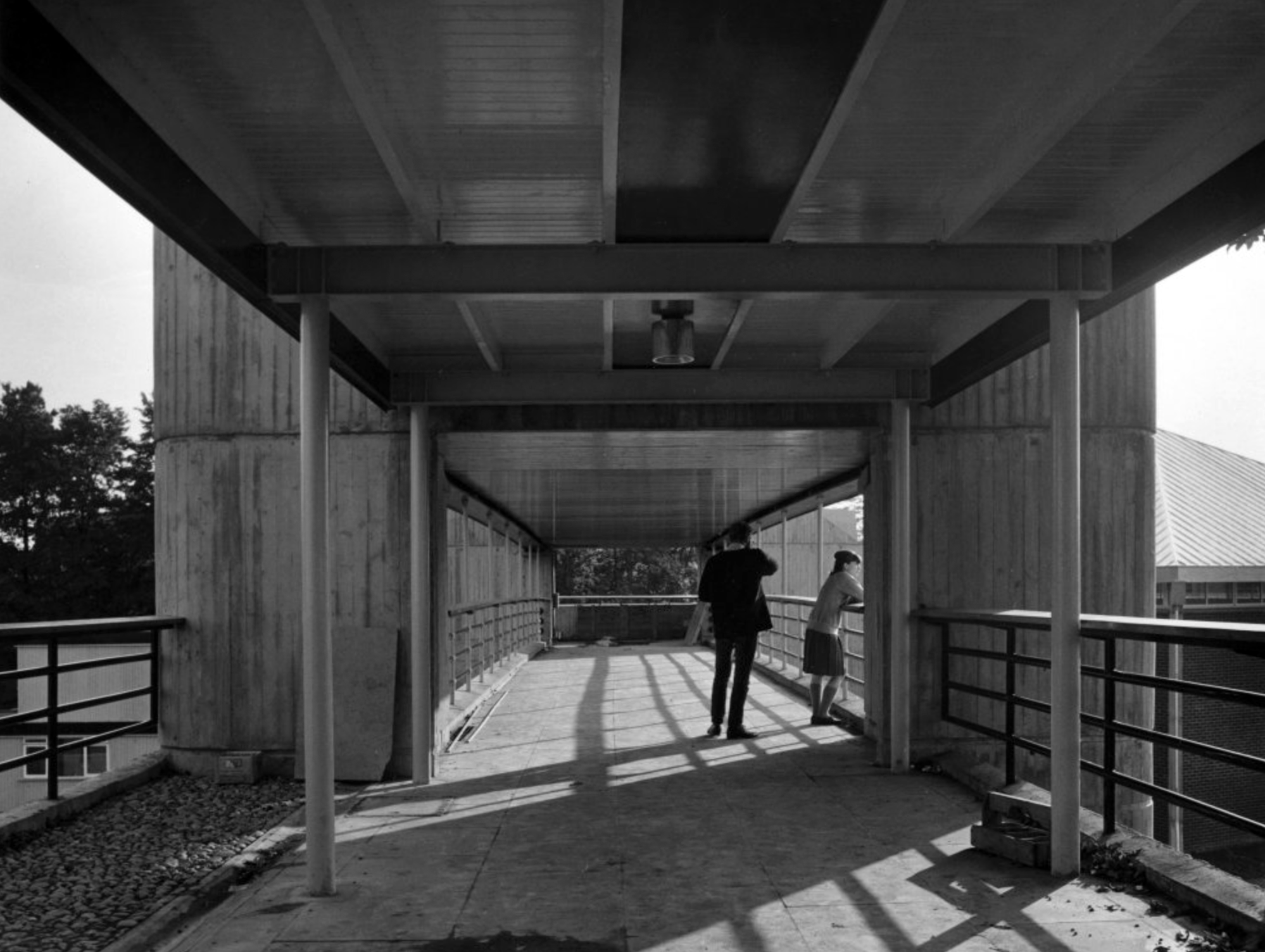
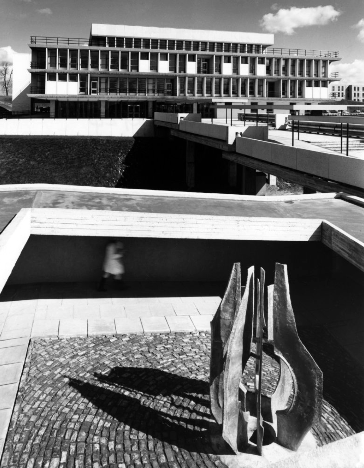
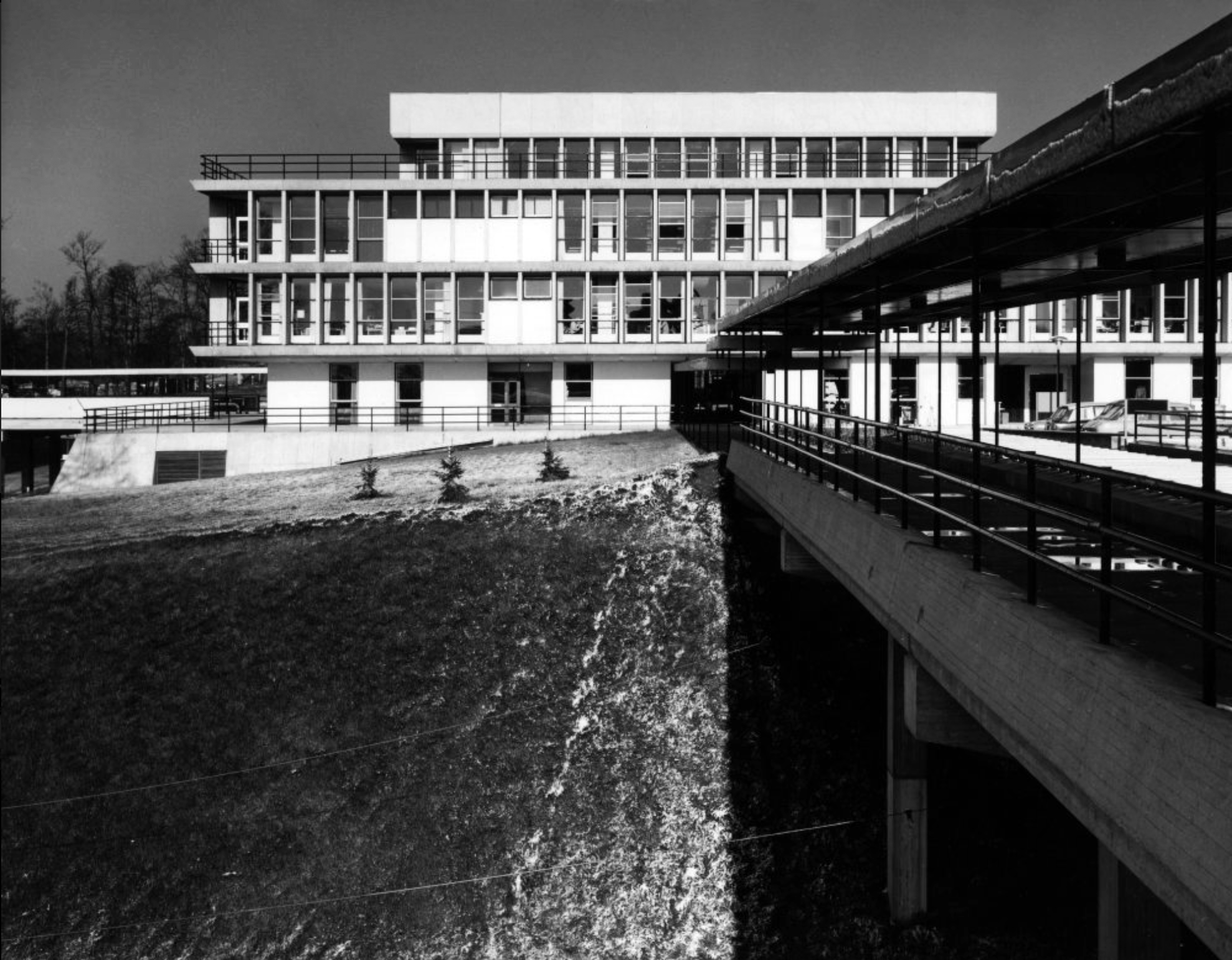
One of several concrete link bridges.
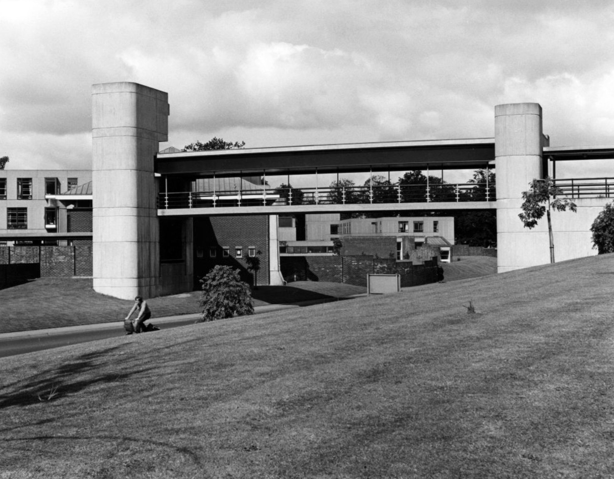
Another of the several concrete link bridges.
Photographs 1965 – Reginald Hugo de Burgh Galwey.
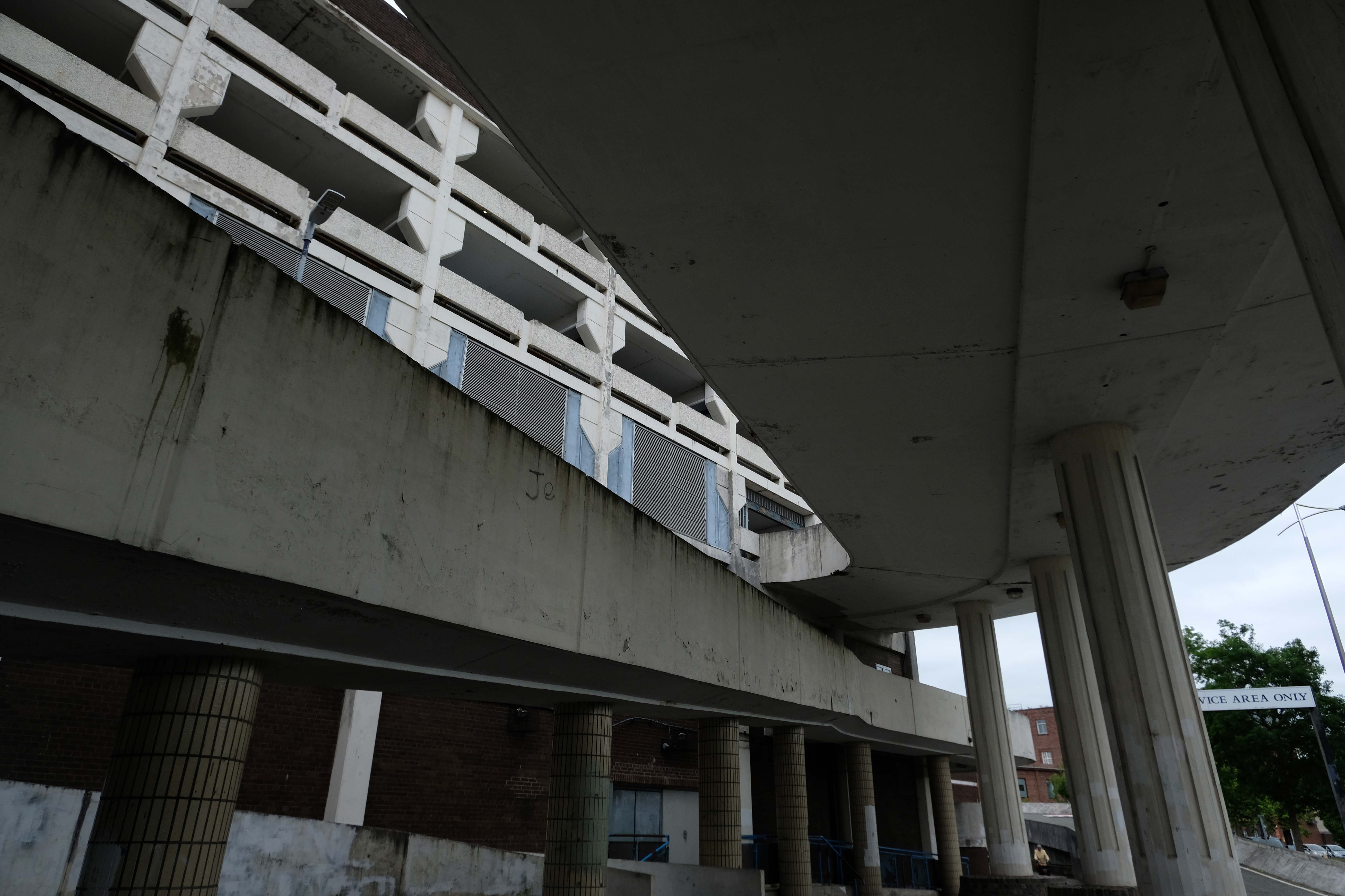
David Brown laboratories: seen from one of the link bridges.
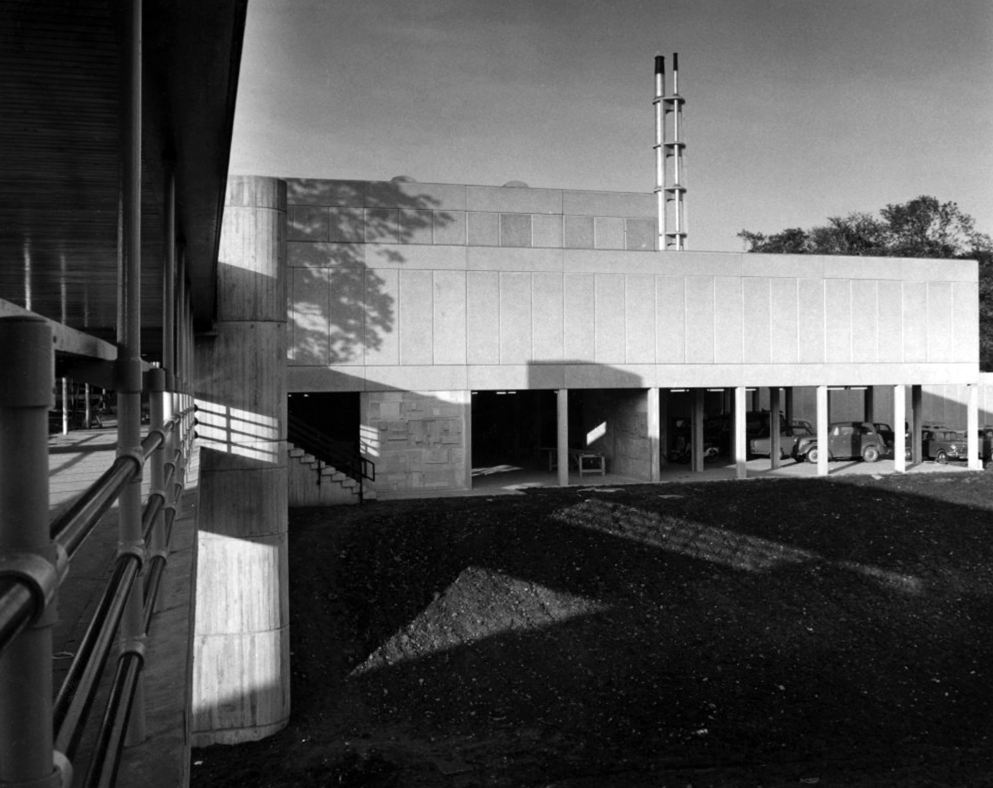
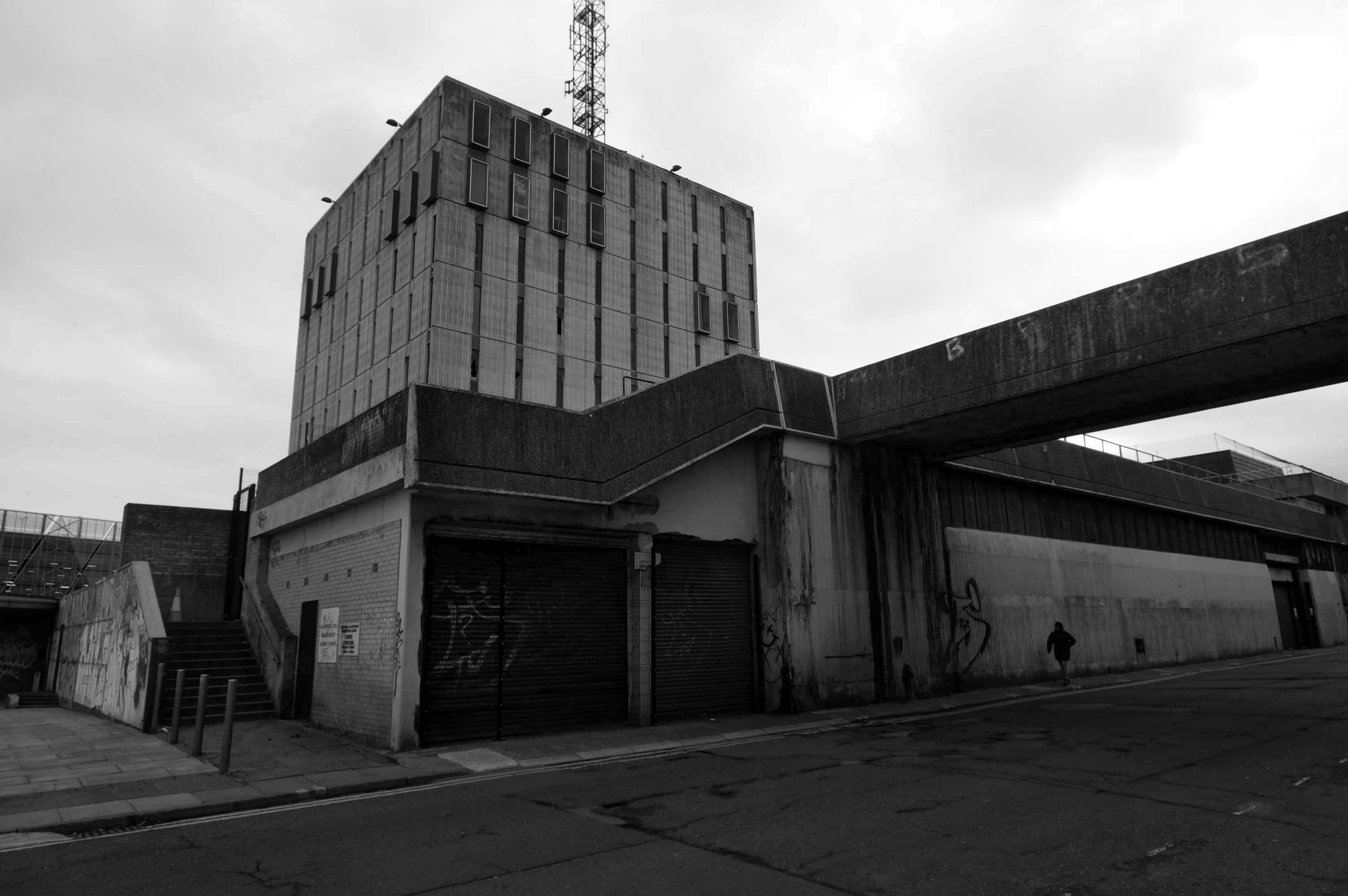
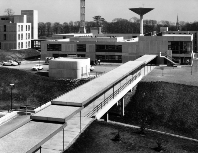
David Brown Laboratories: the flue stack and water tower rising above the laboratory blocks.
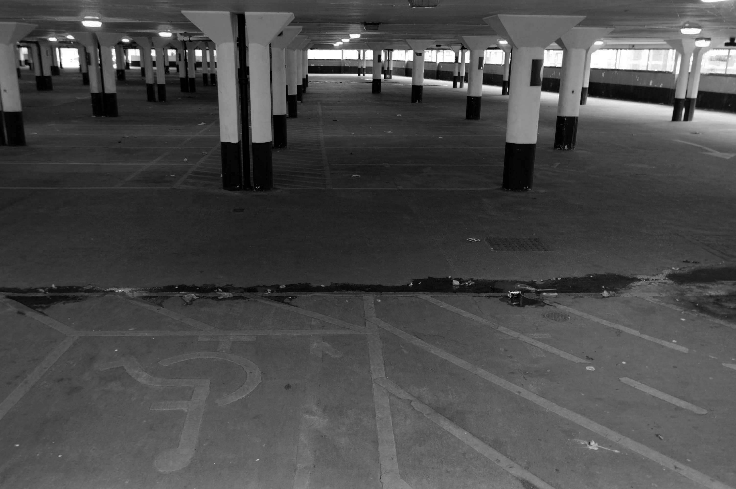
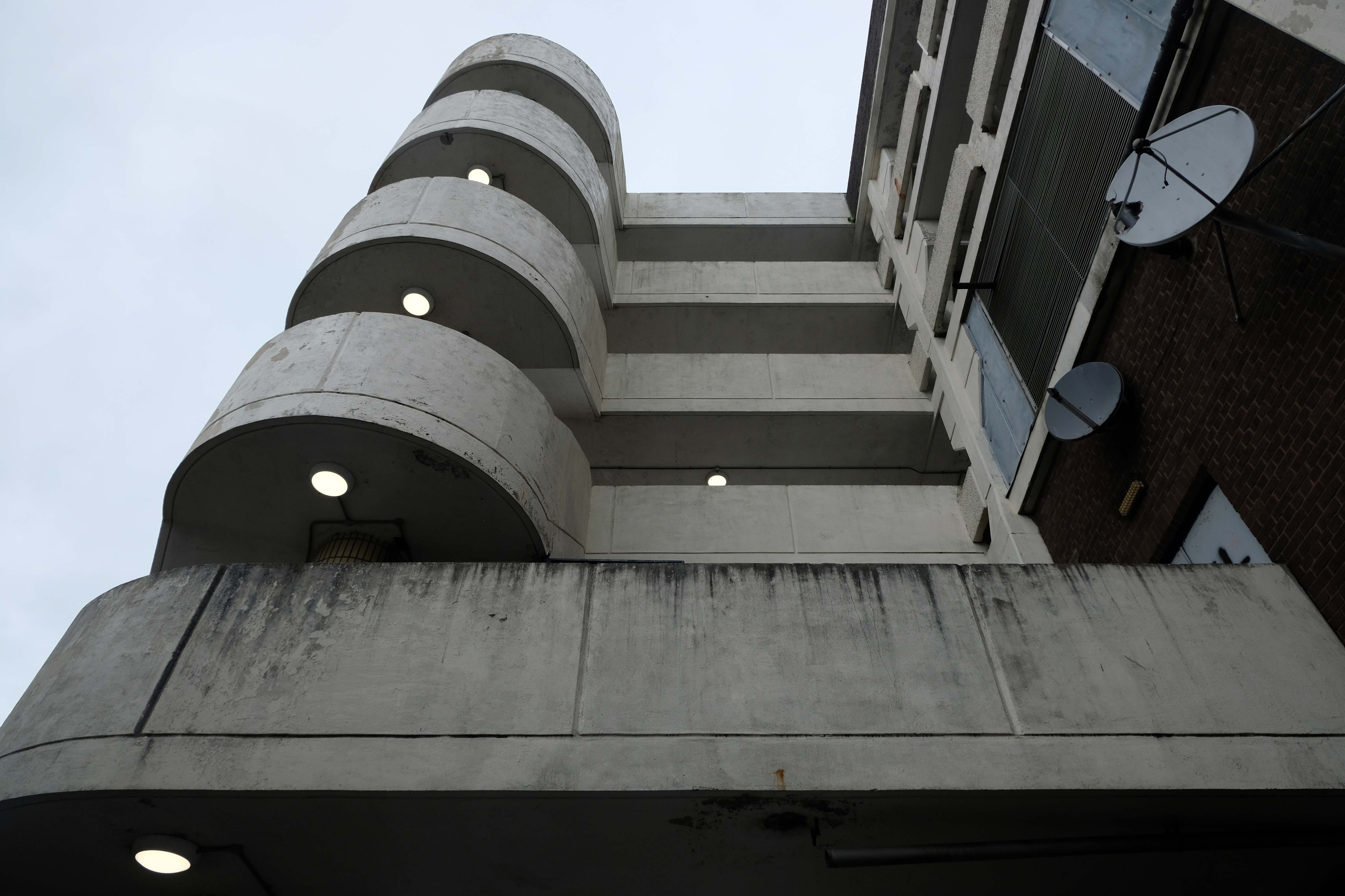
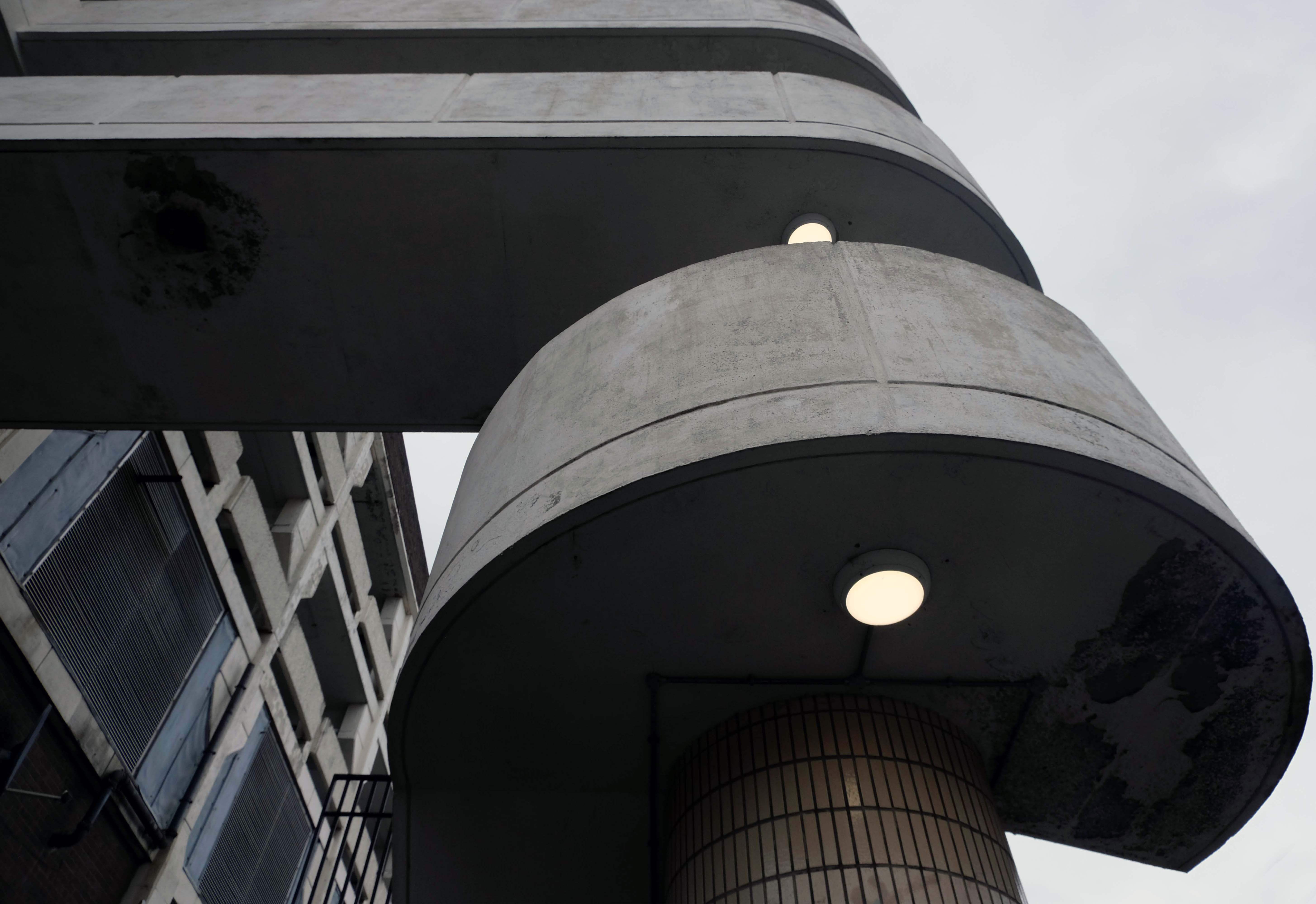
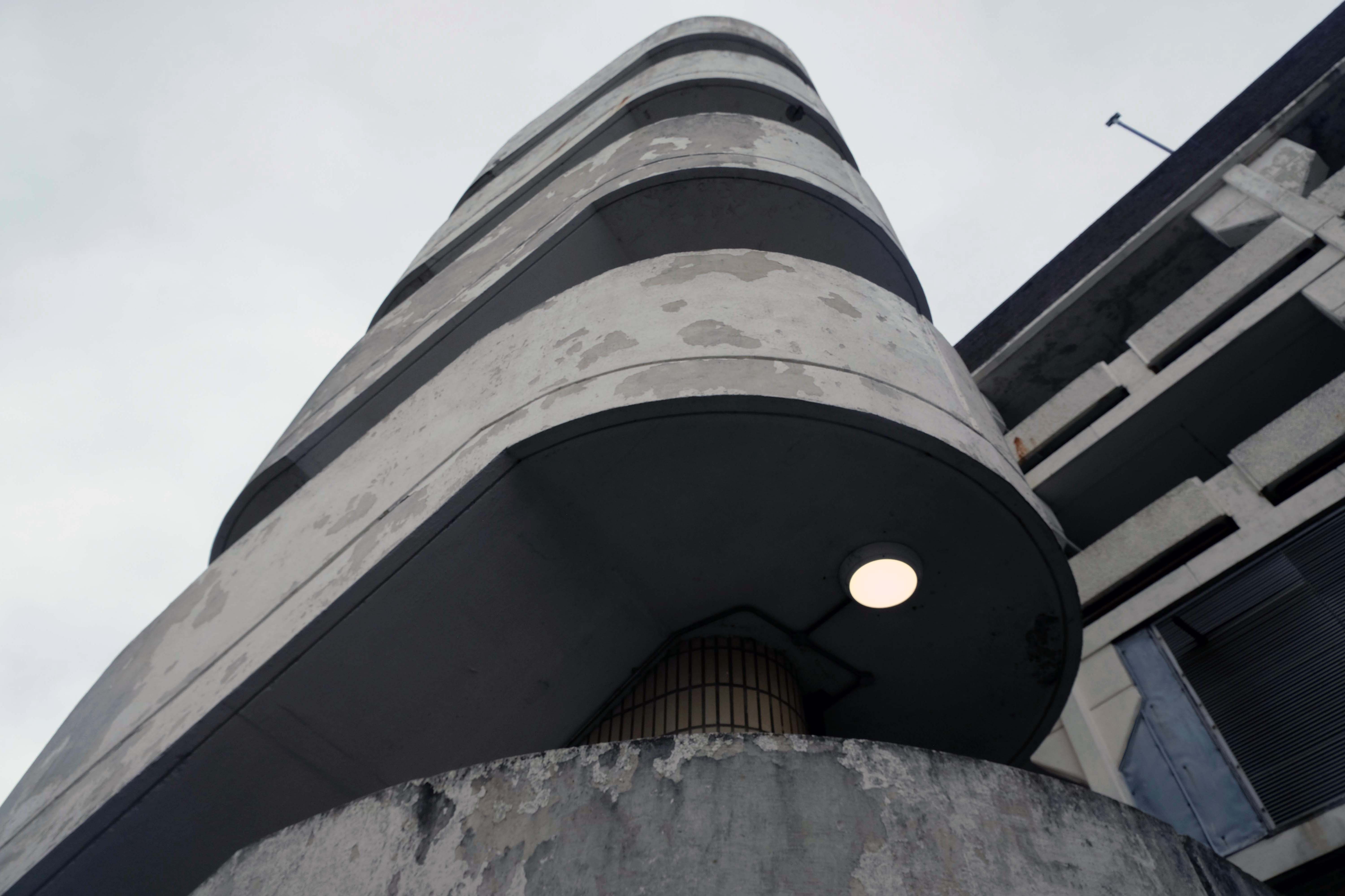
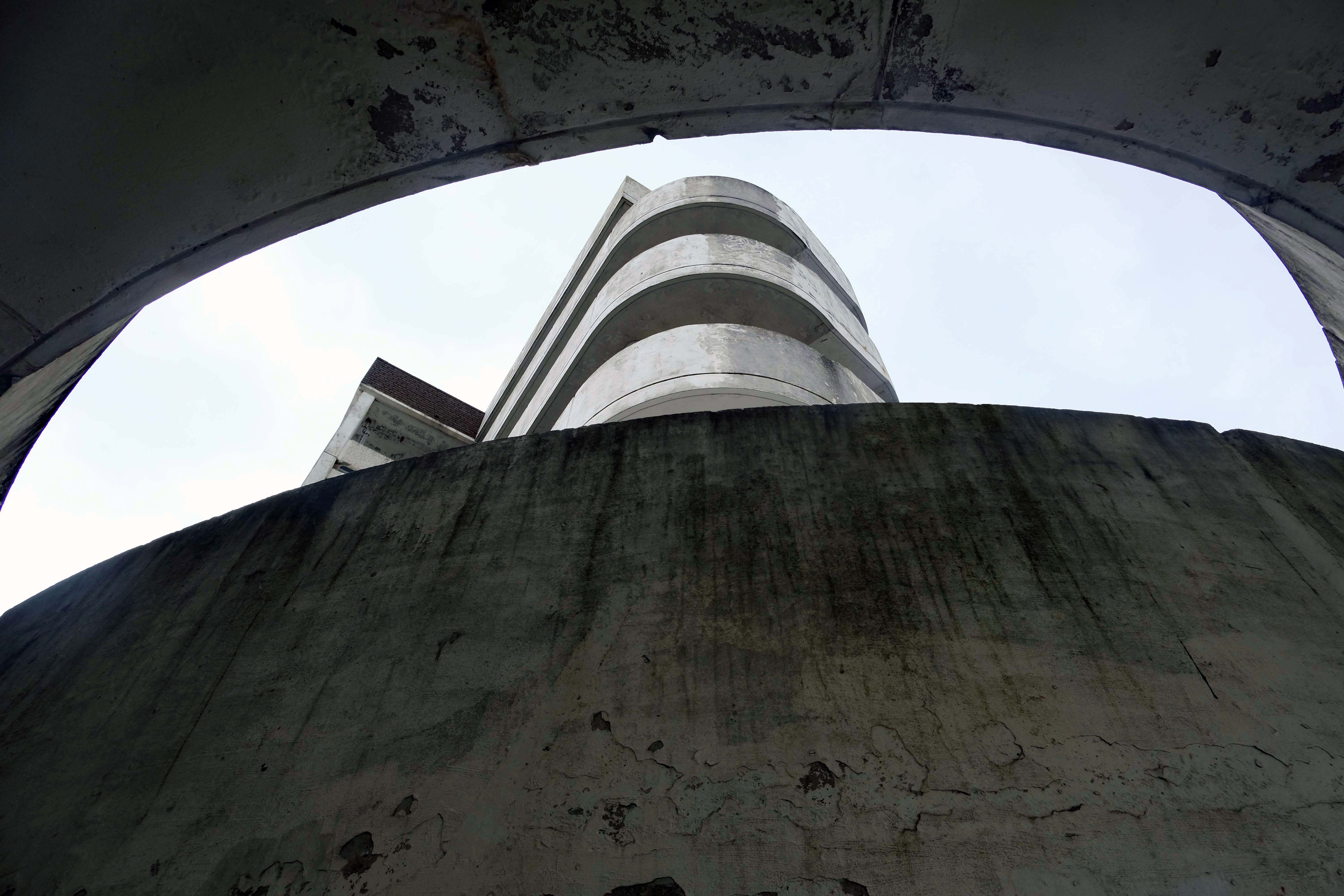
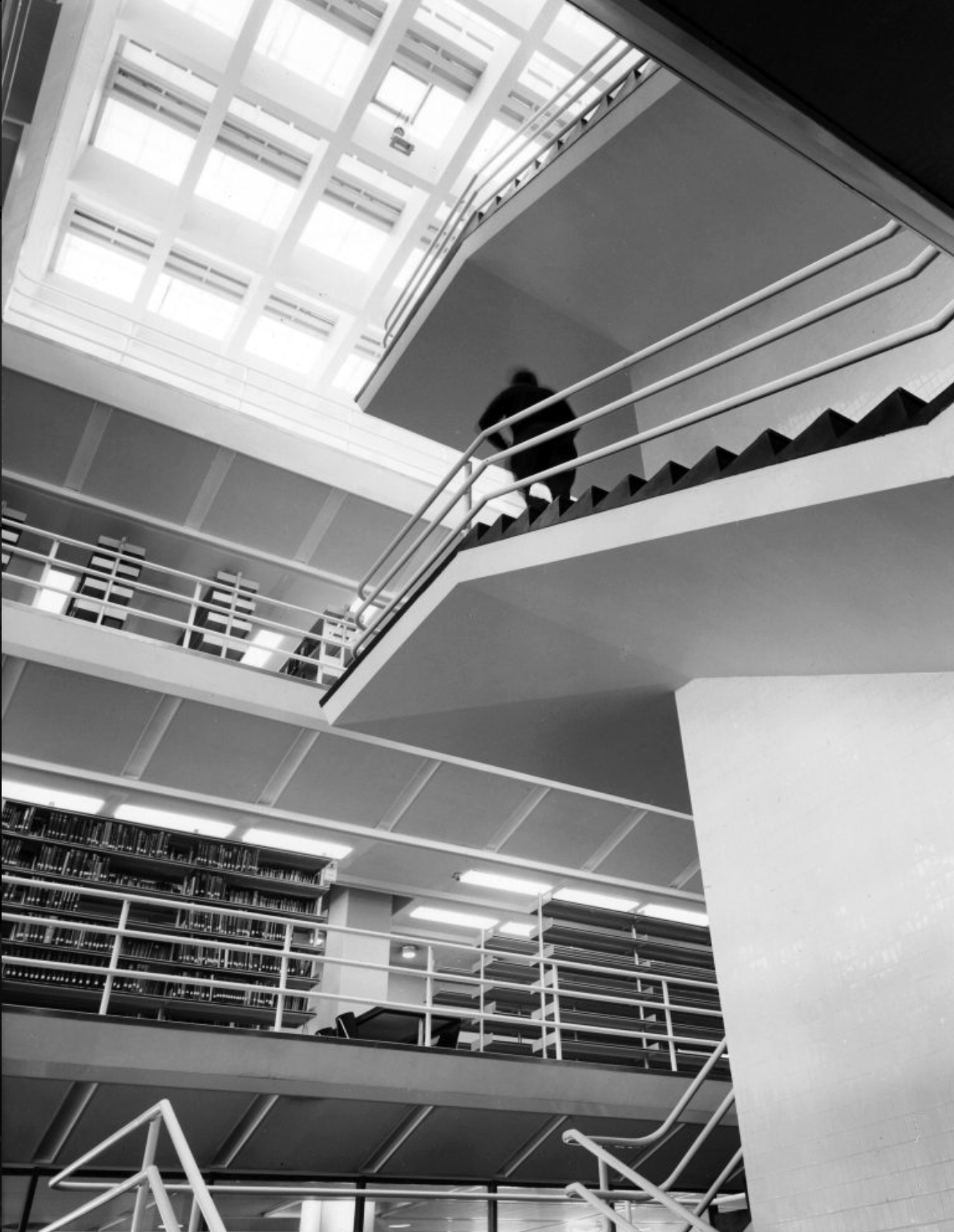
J. B. Morrell Library: the central staircase and lift tower.
Photographs 1965 Keith Gibson.
Central Hall.
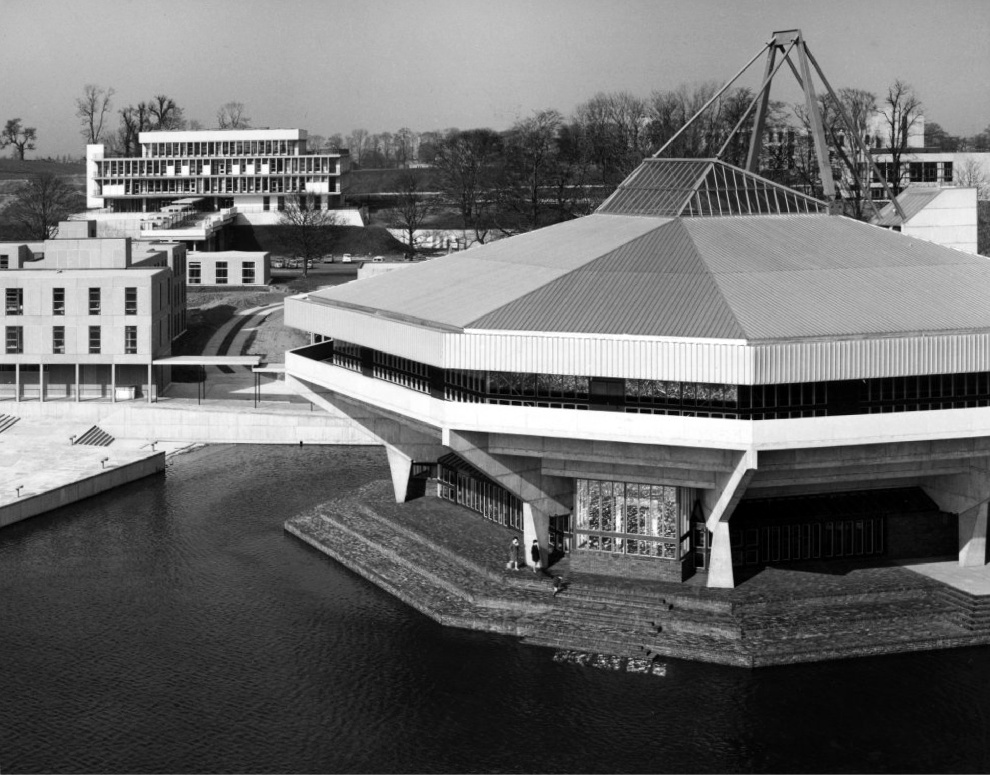
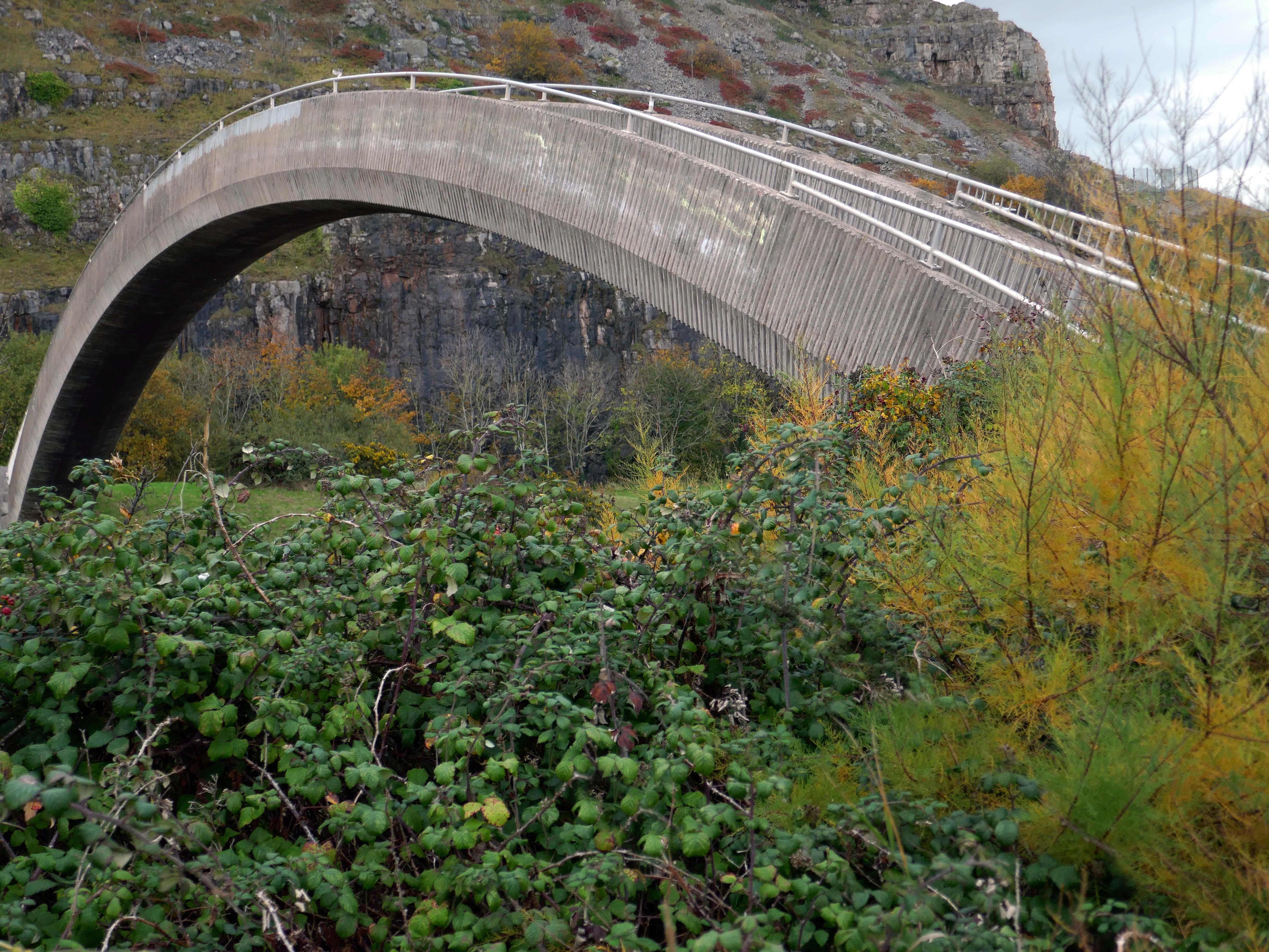
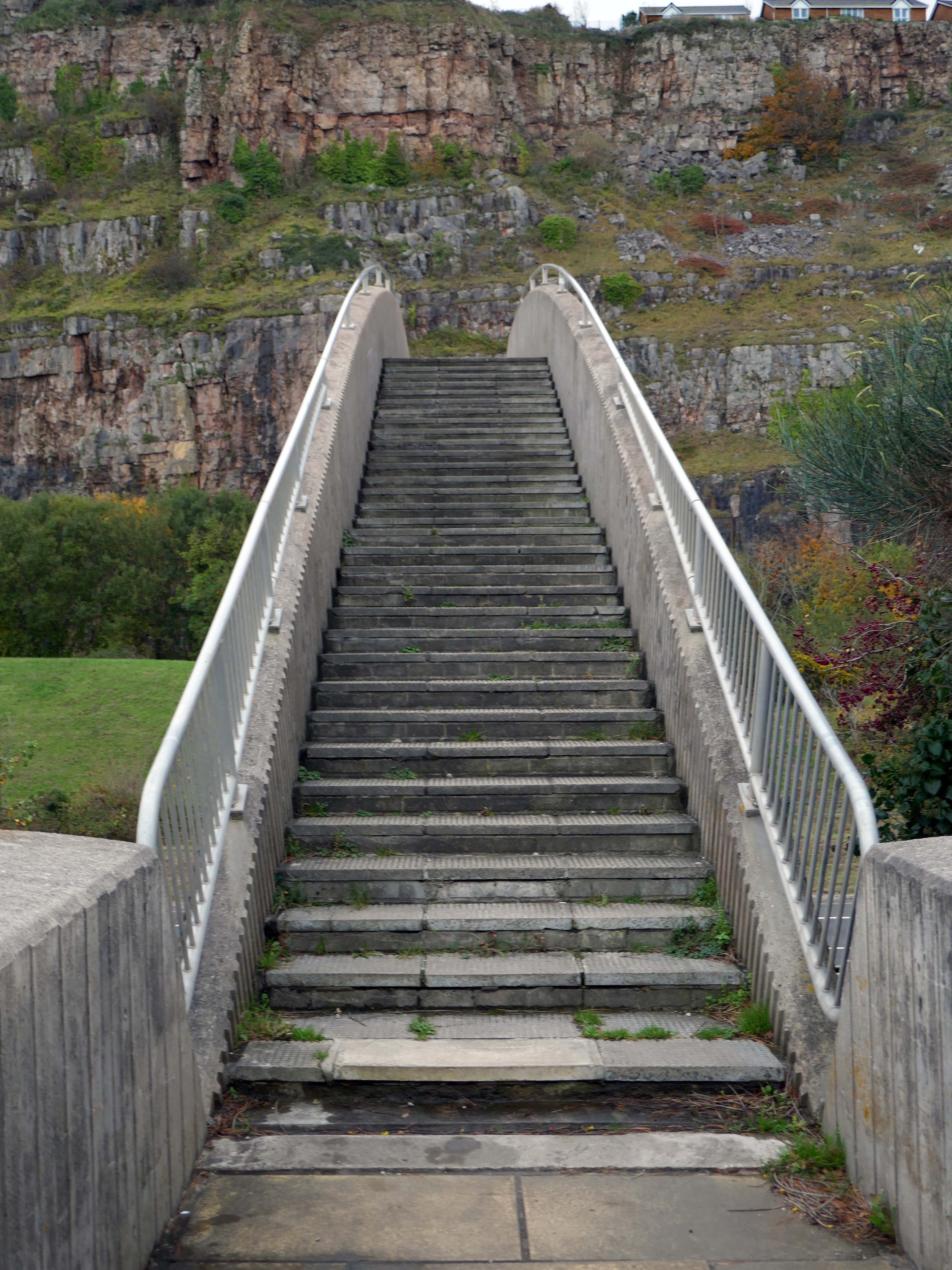
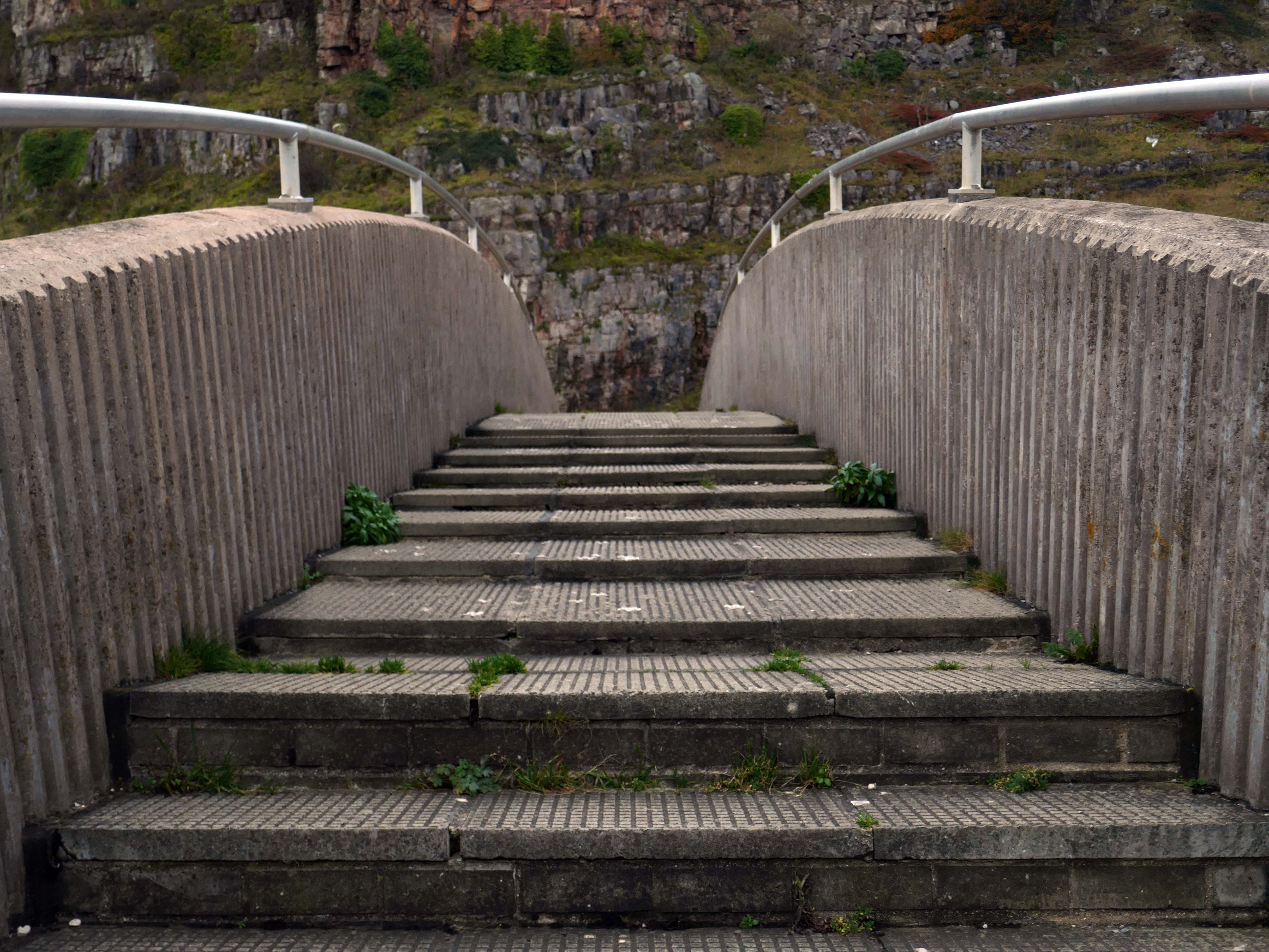
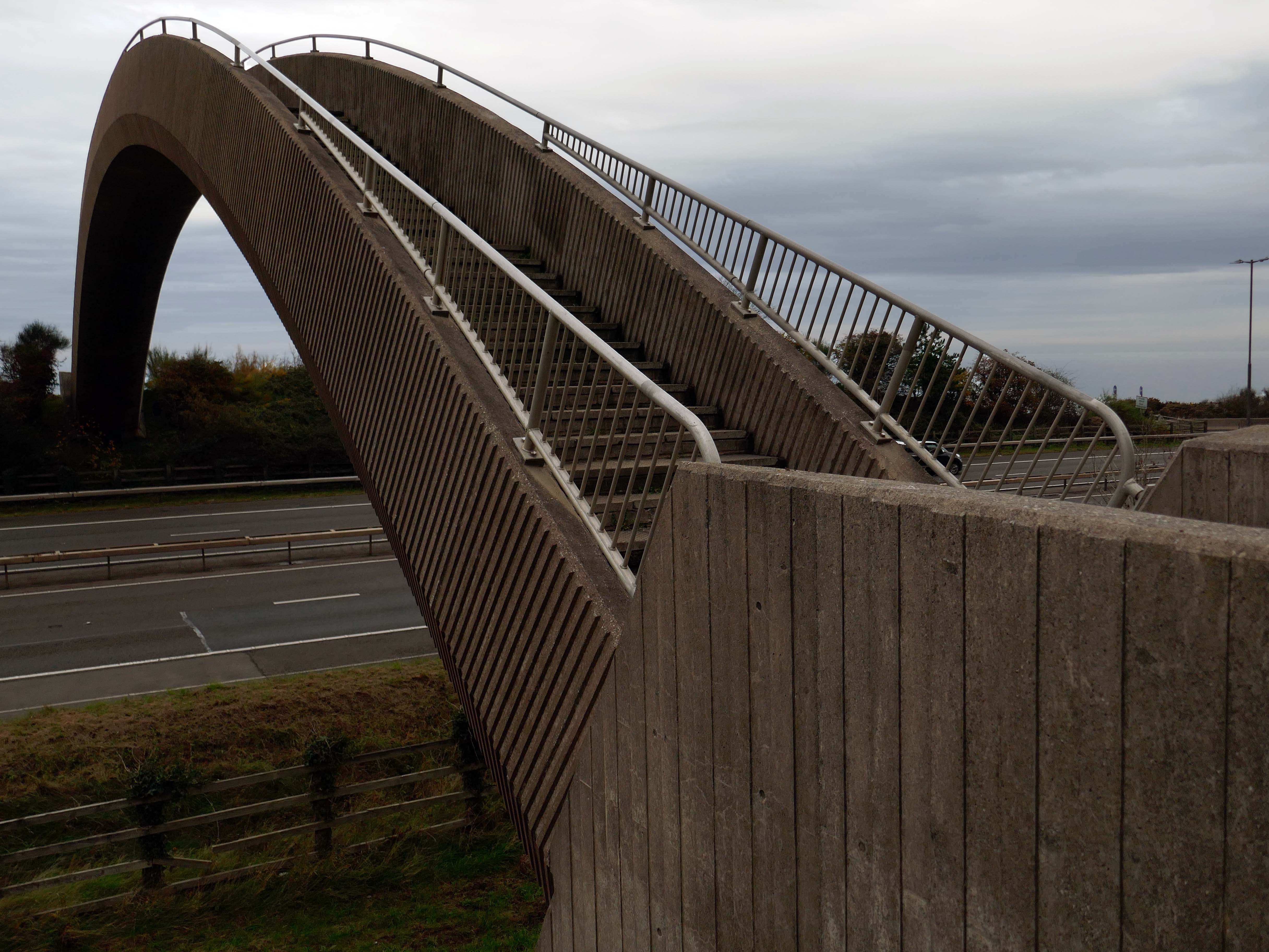
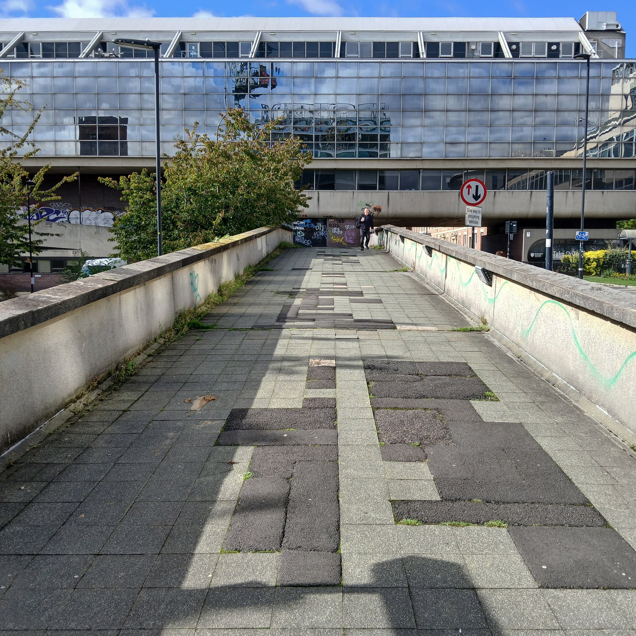
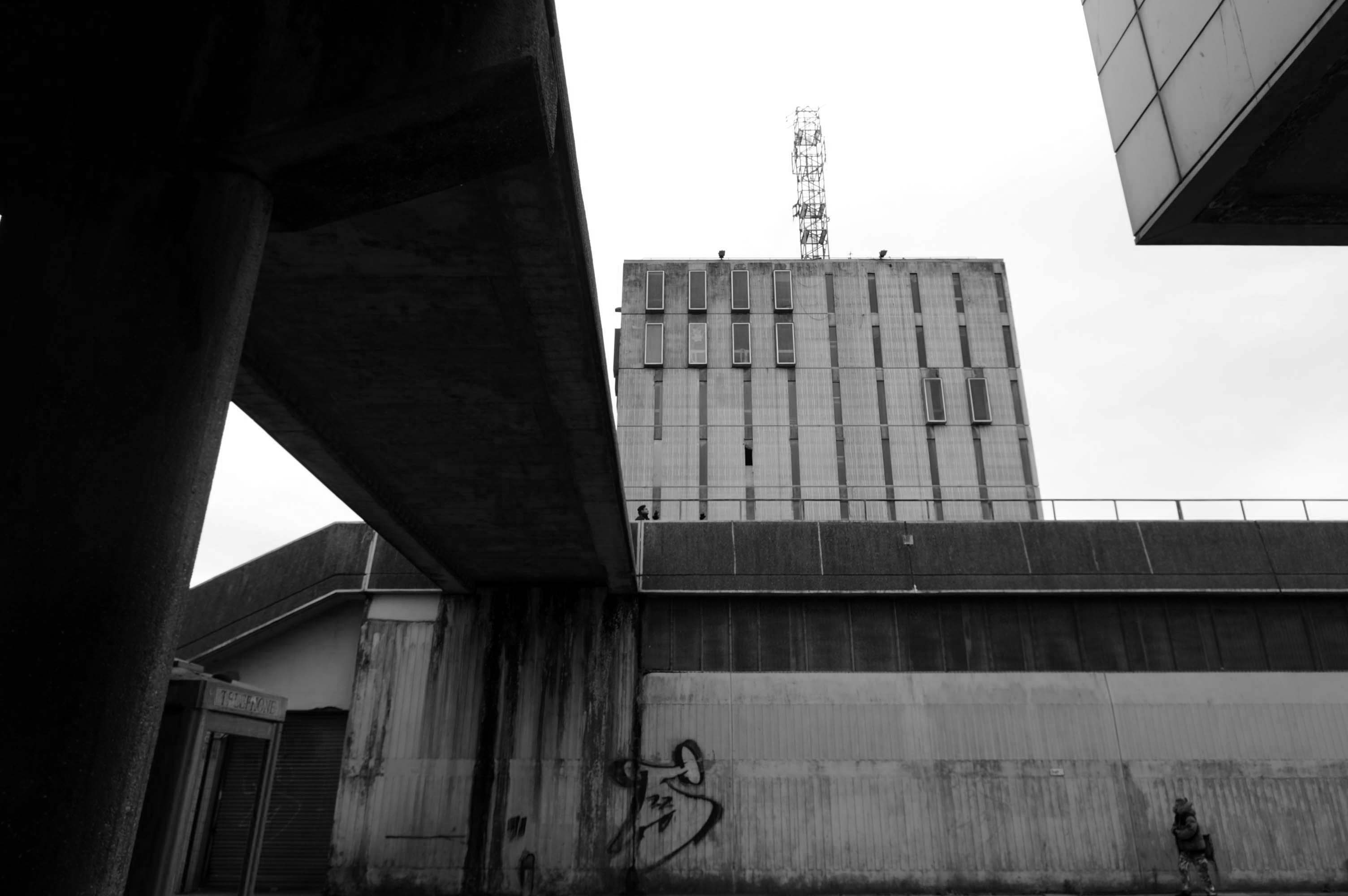
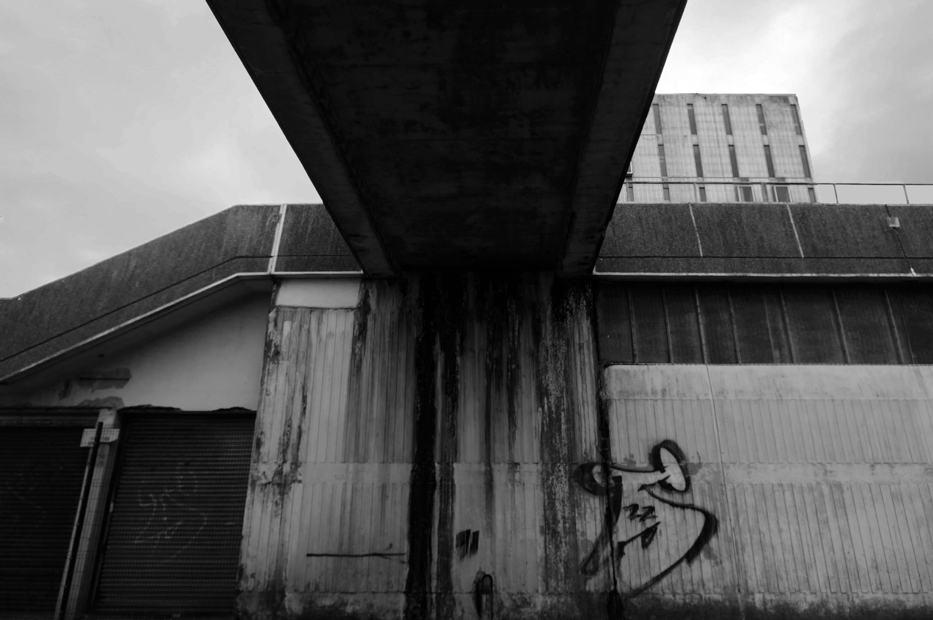
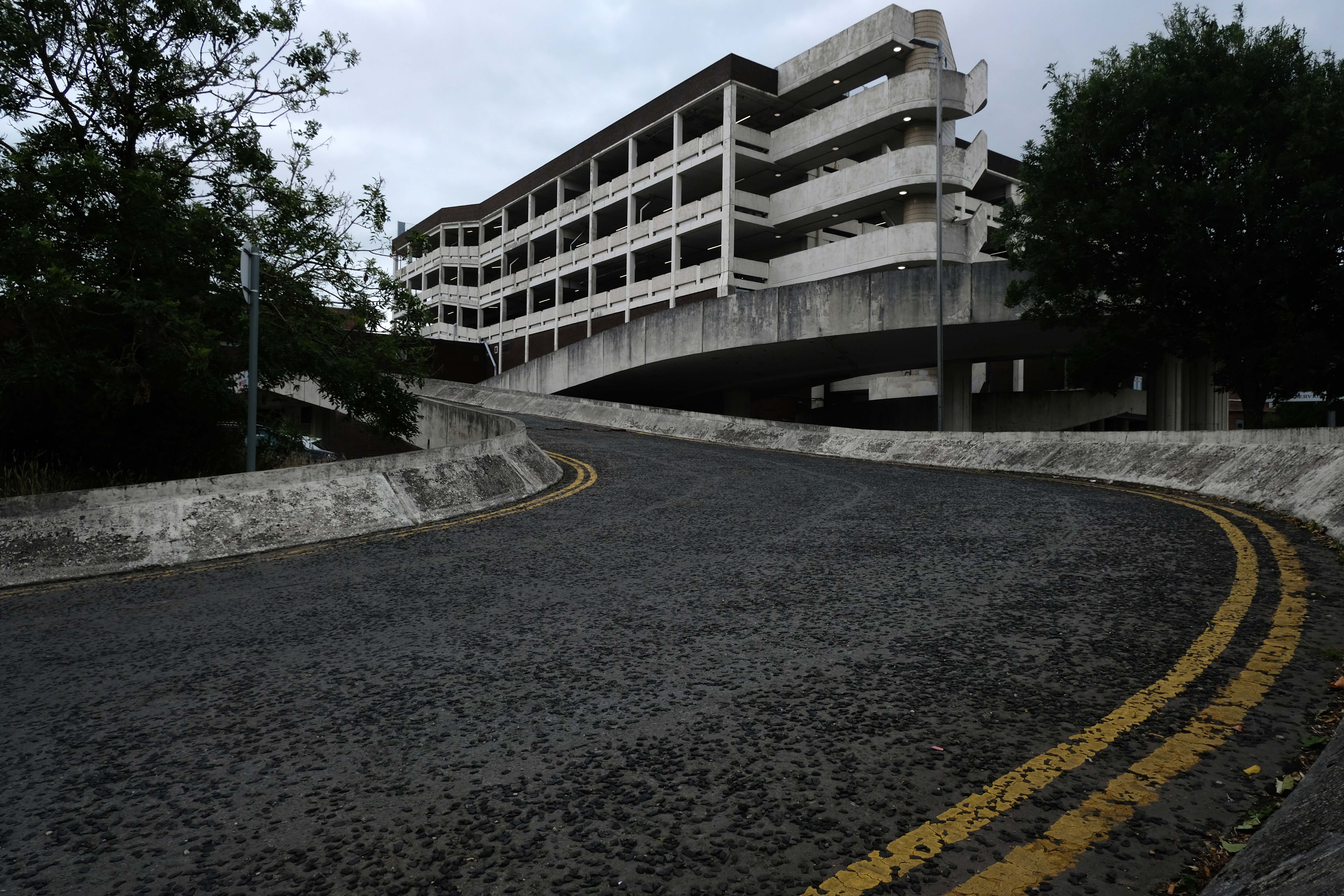
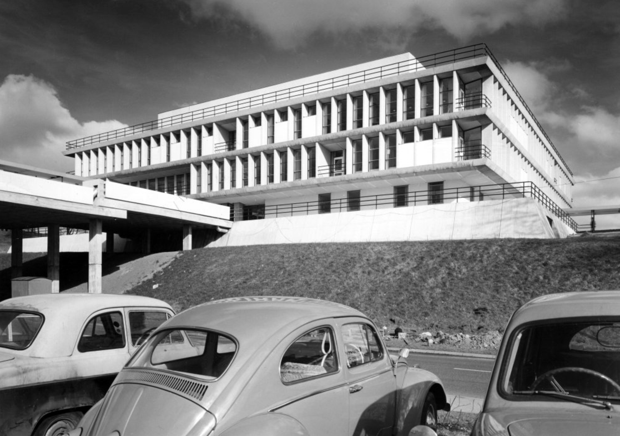
JB Morrell Library, University of York, seen from the south side of Heslington Road with linking pedestrian bridge and ramp in foreground and cast aluminium sculpture by Austin Wright
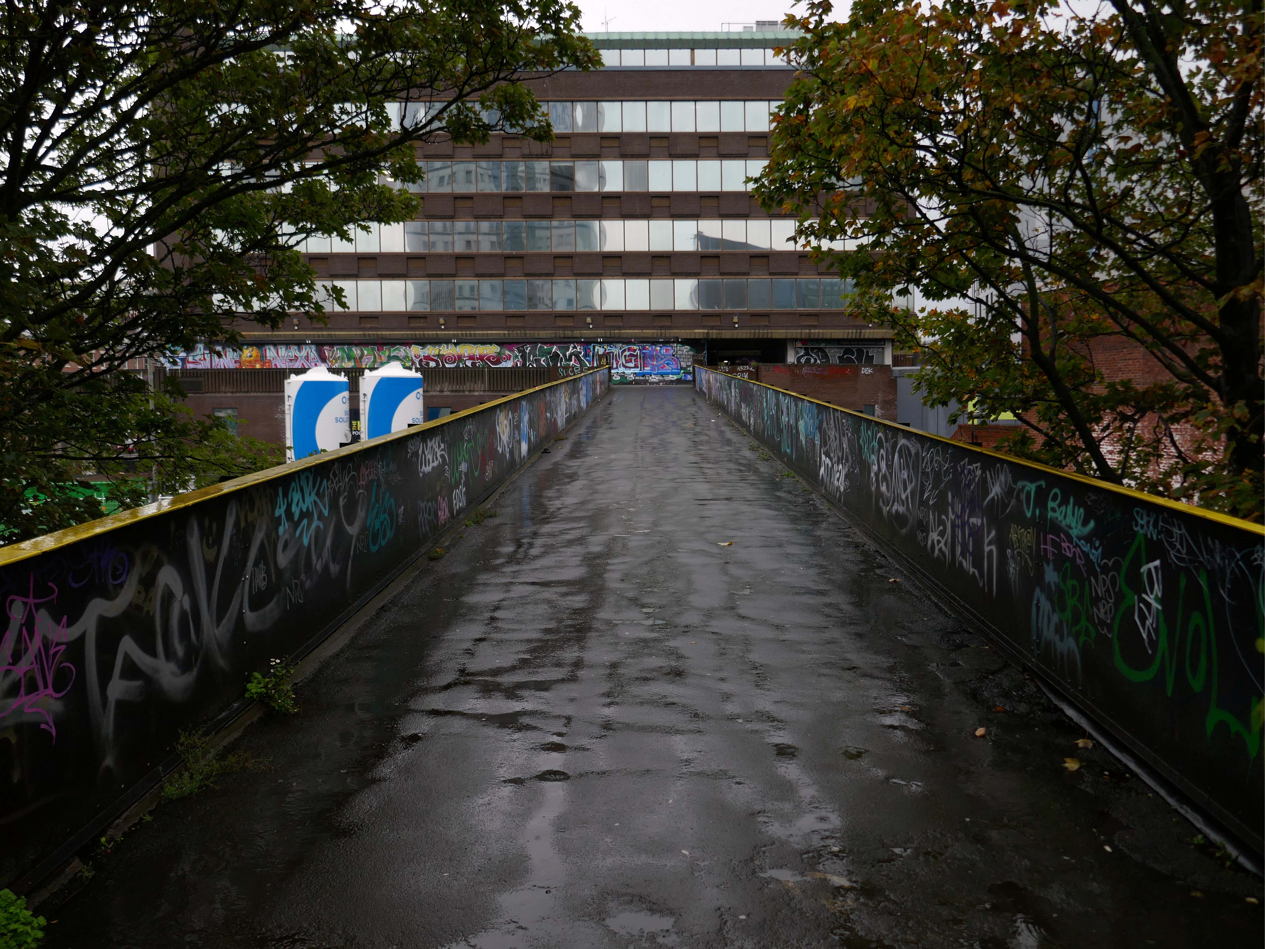
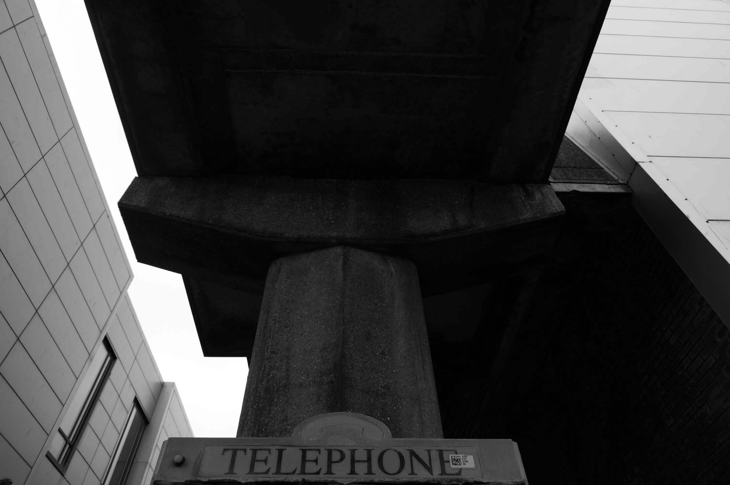
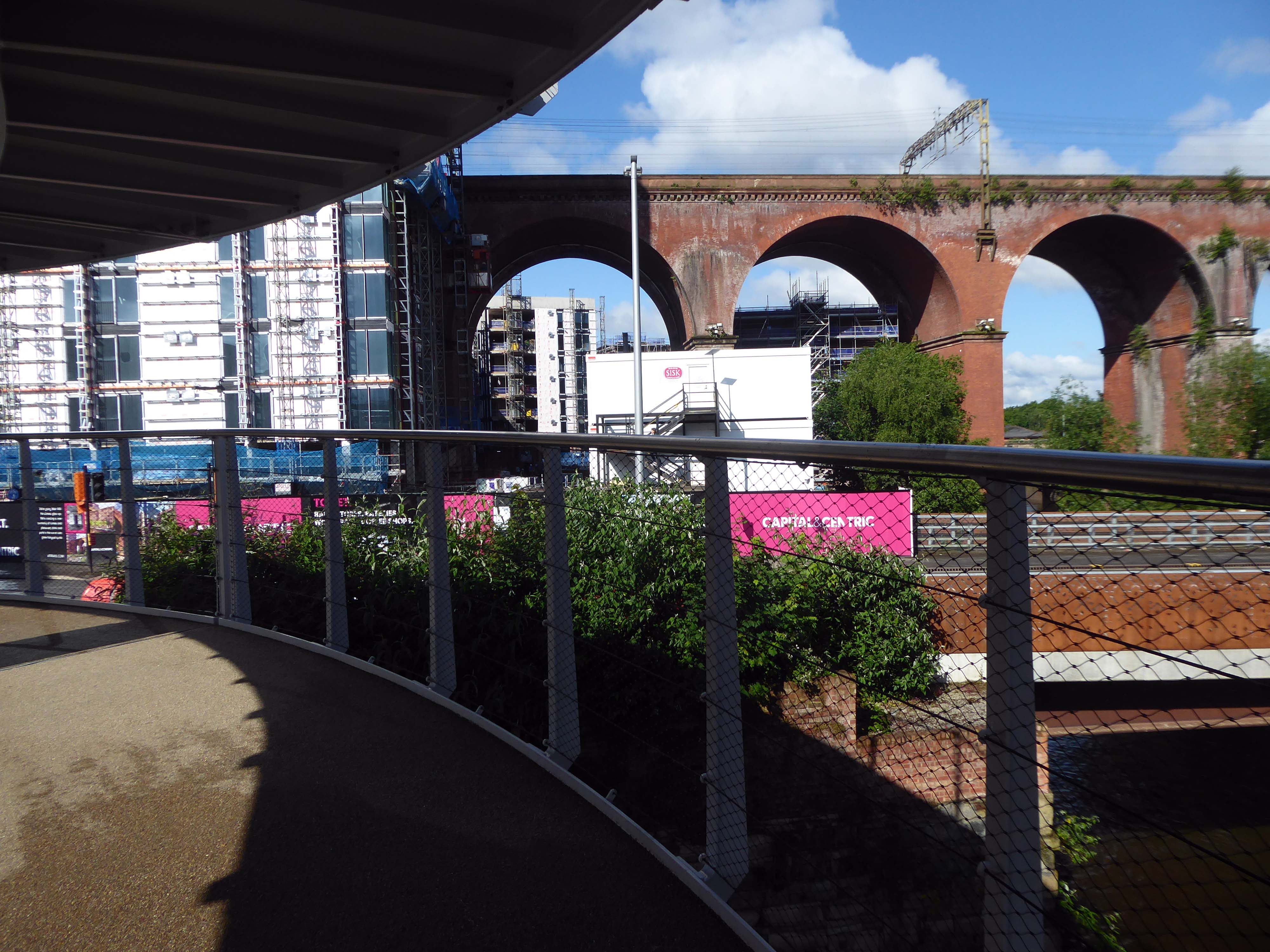
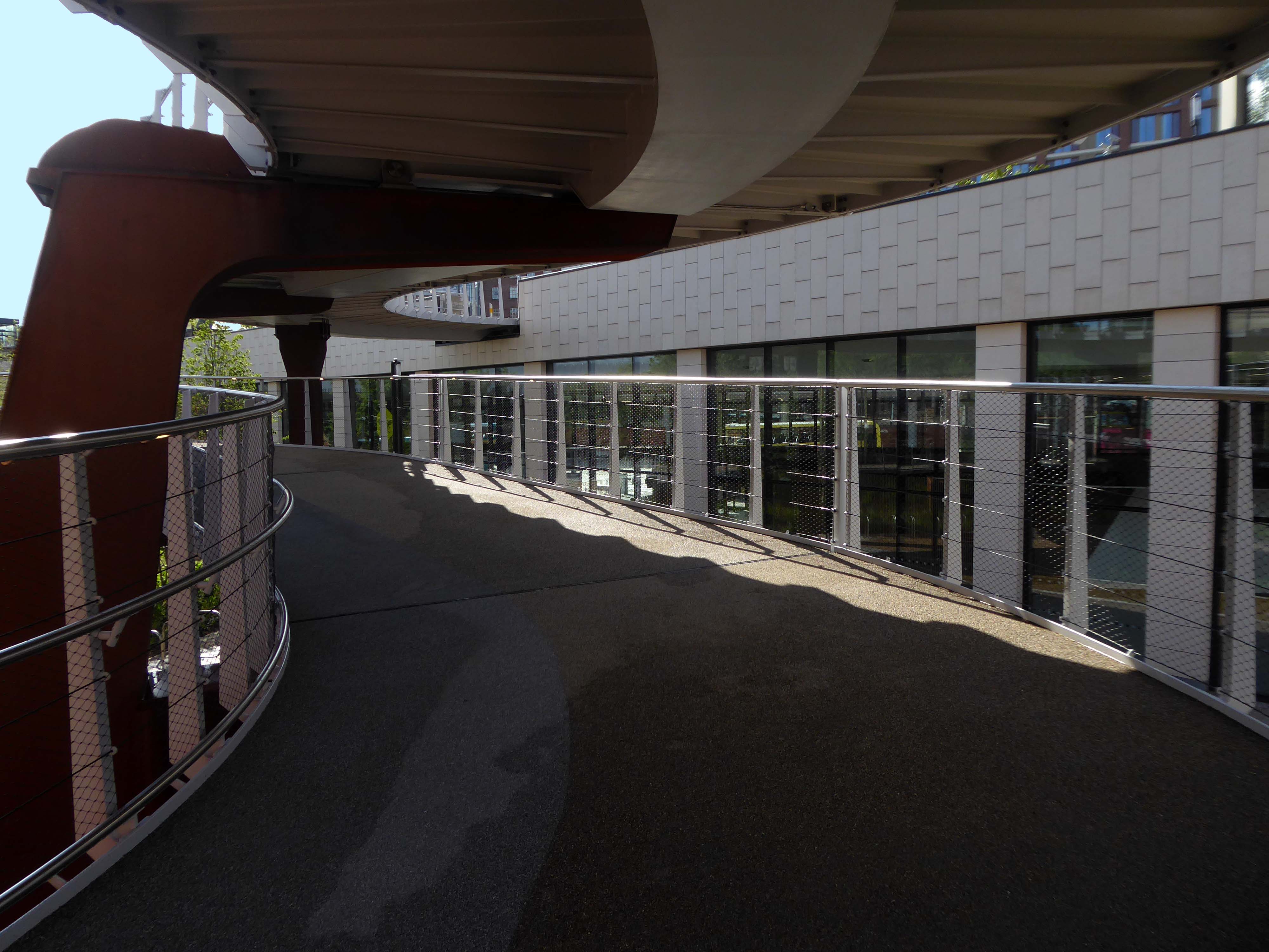
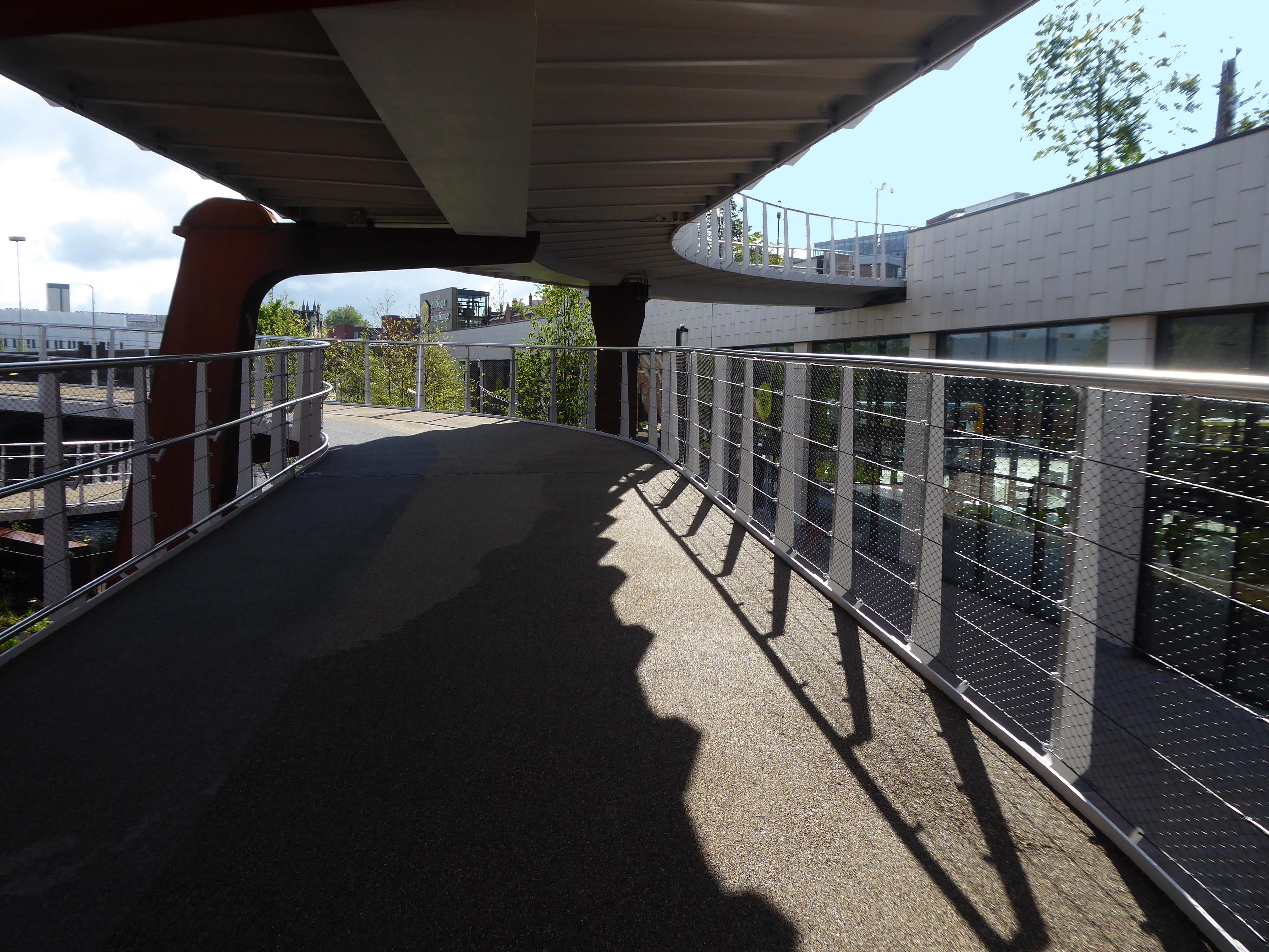
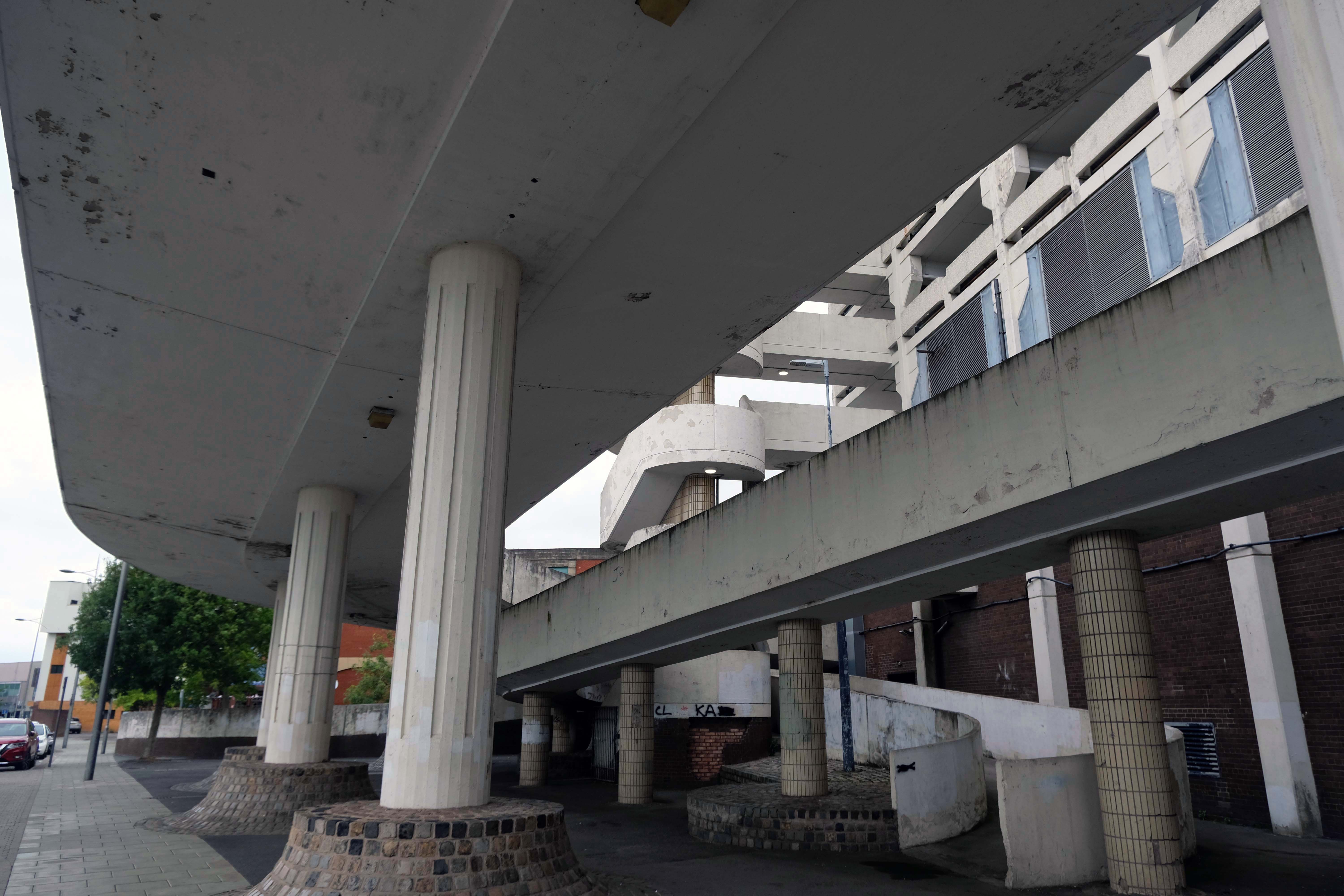
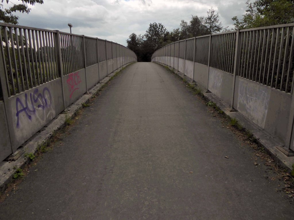
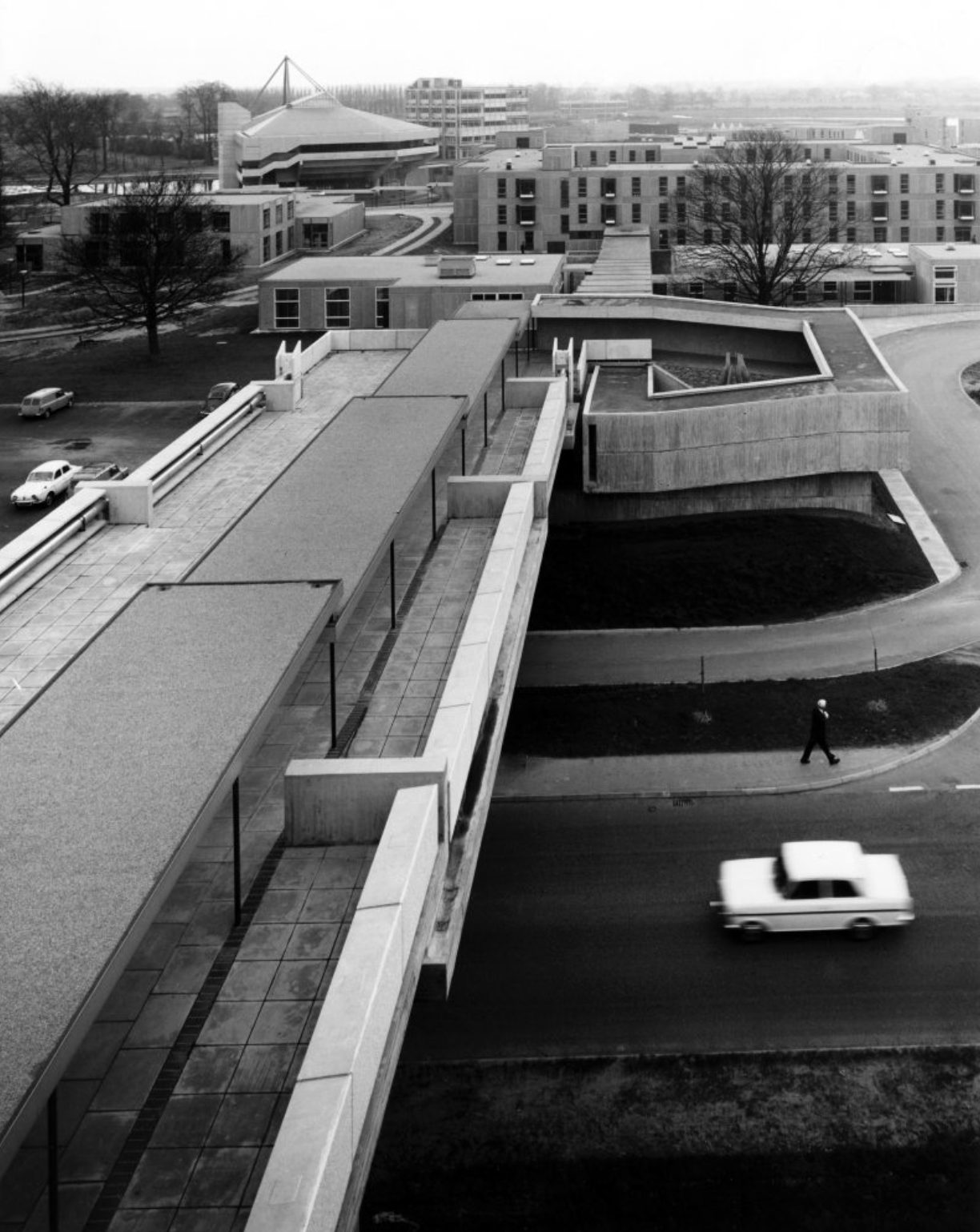
JB Morrell Library: the covered pedestrian bridge linking the library to the southern side of the campus.
JB Morrell Library.
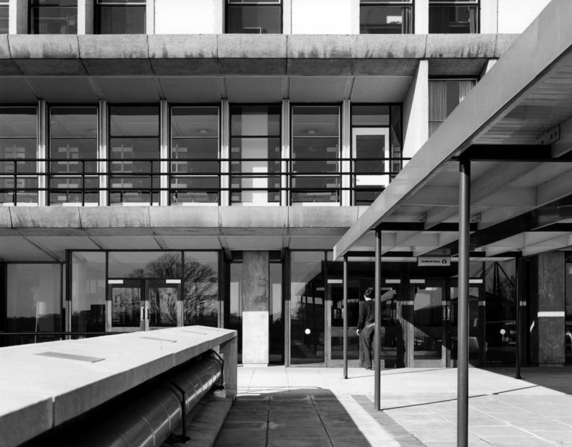
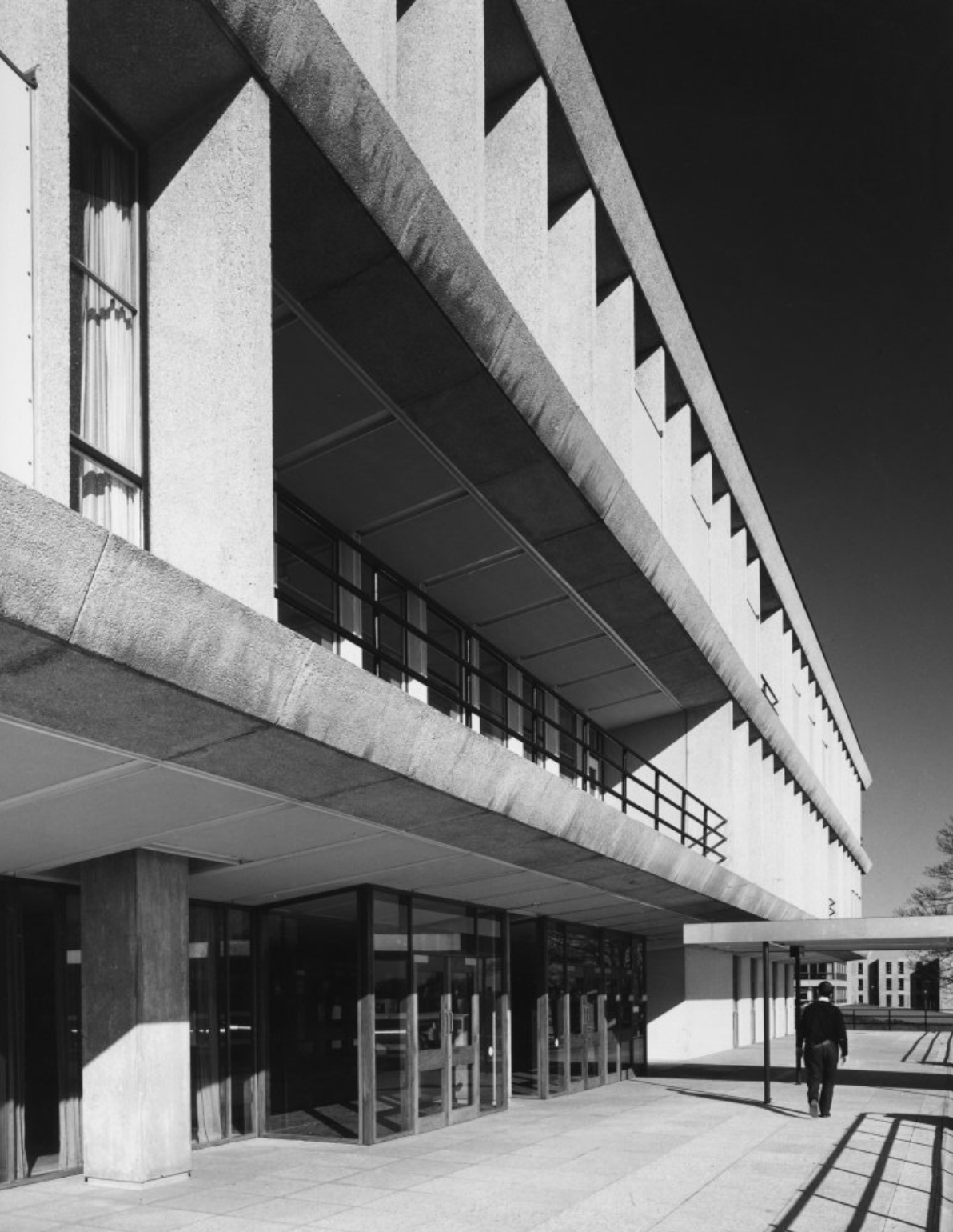
JB Morrell Library: the main entrance and terrace.
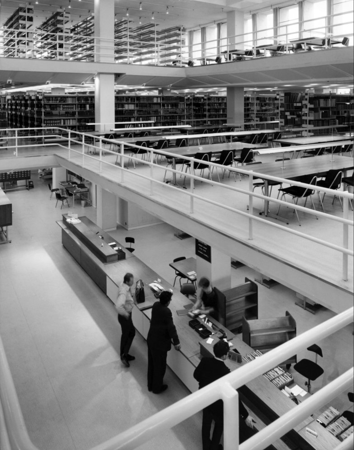
JB Morrell Library: the issue counter seen from the second floor.
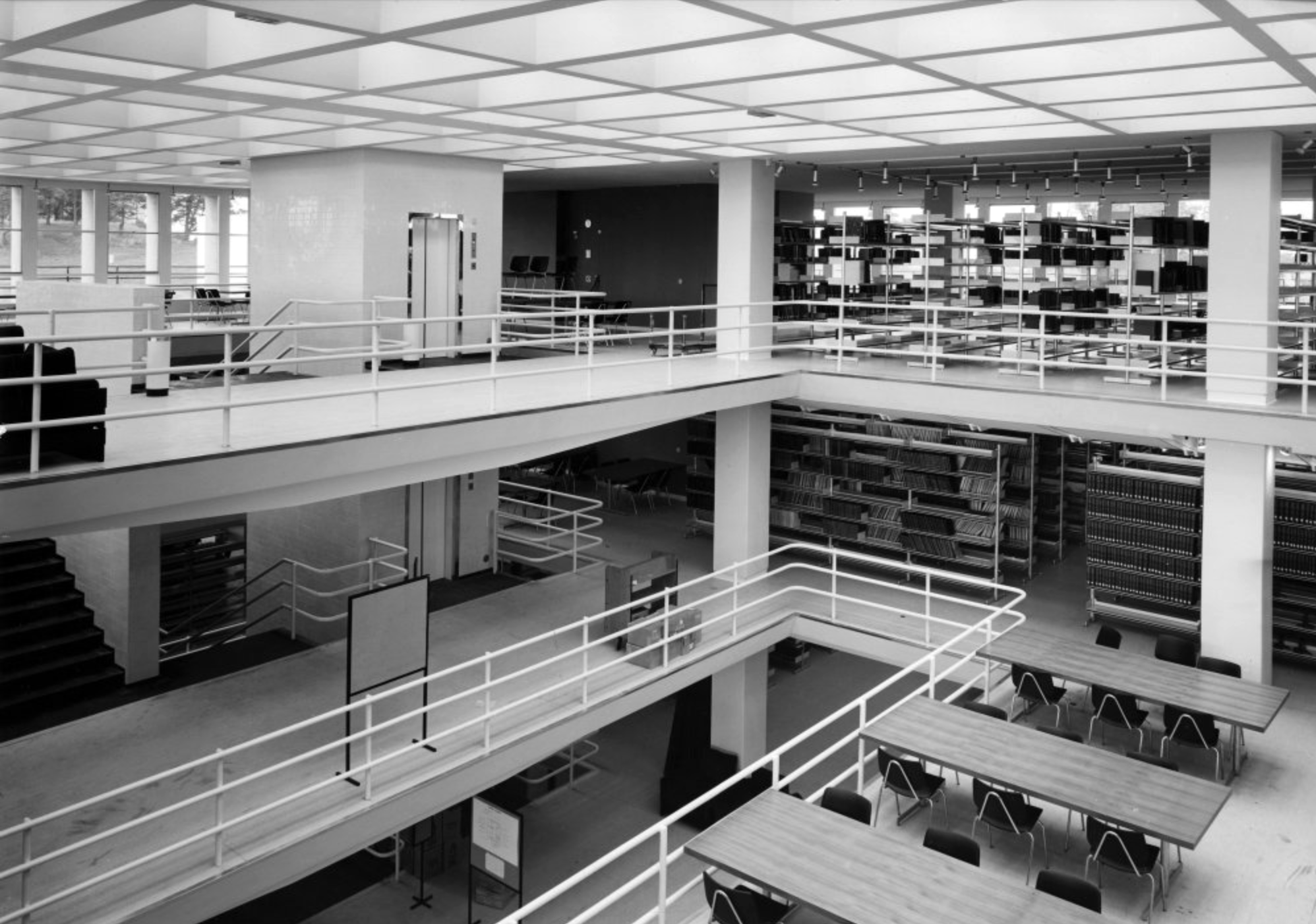
JB Morrell Library: viewpoint from the fourth floor.
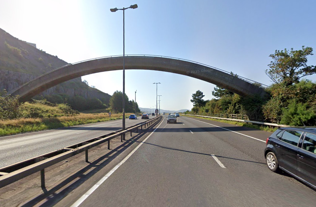
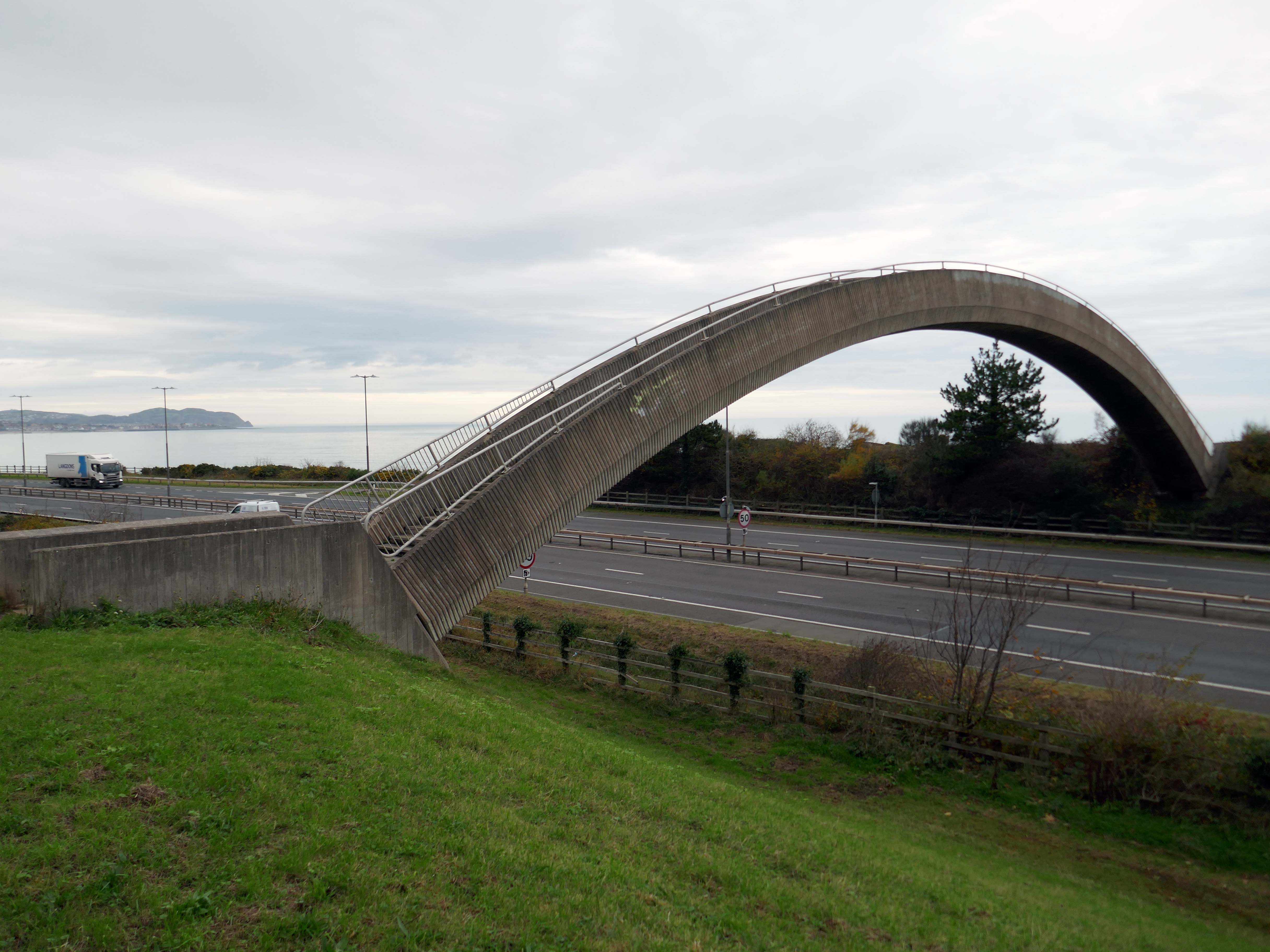
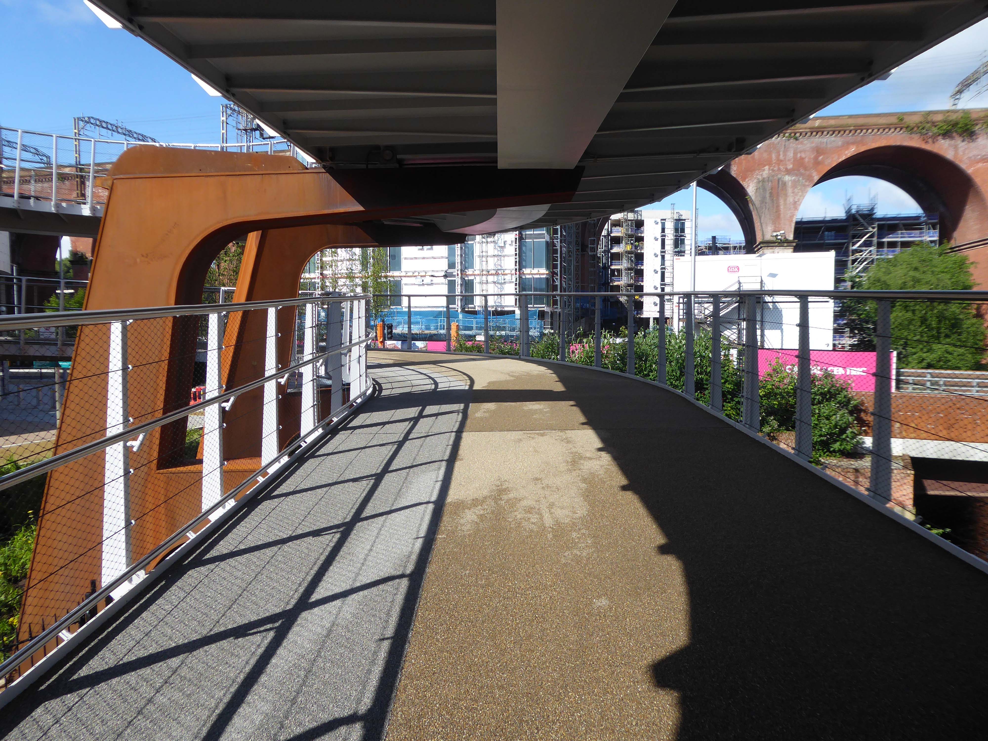
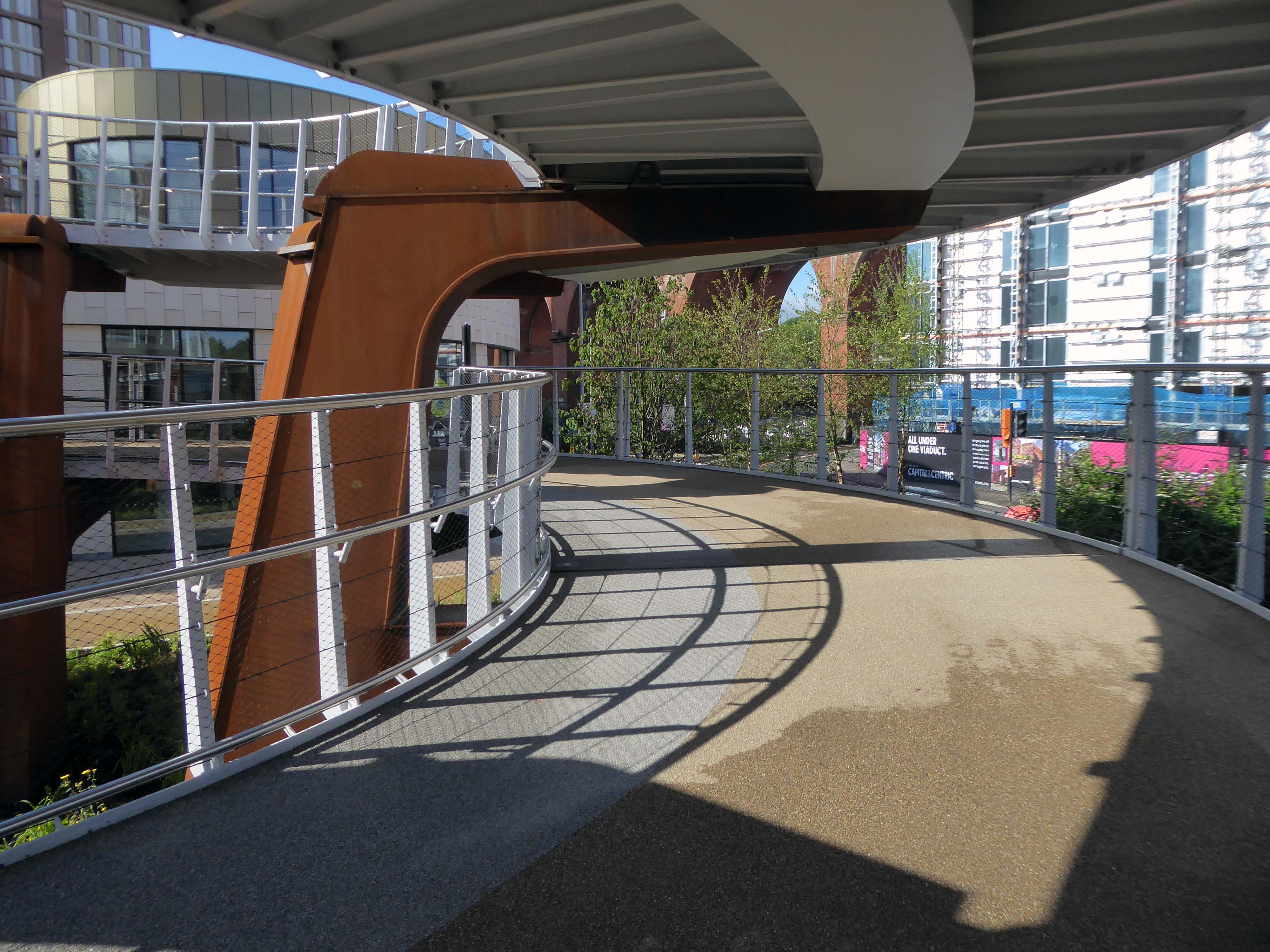
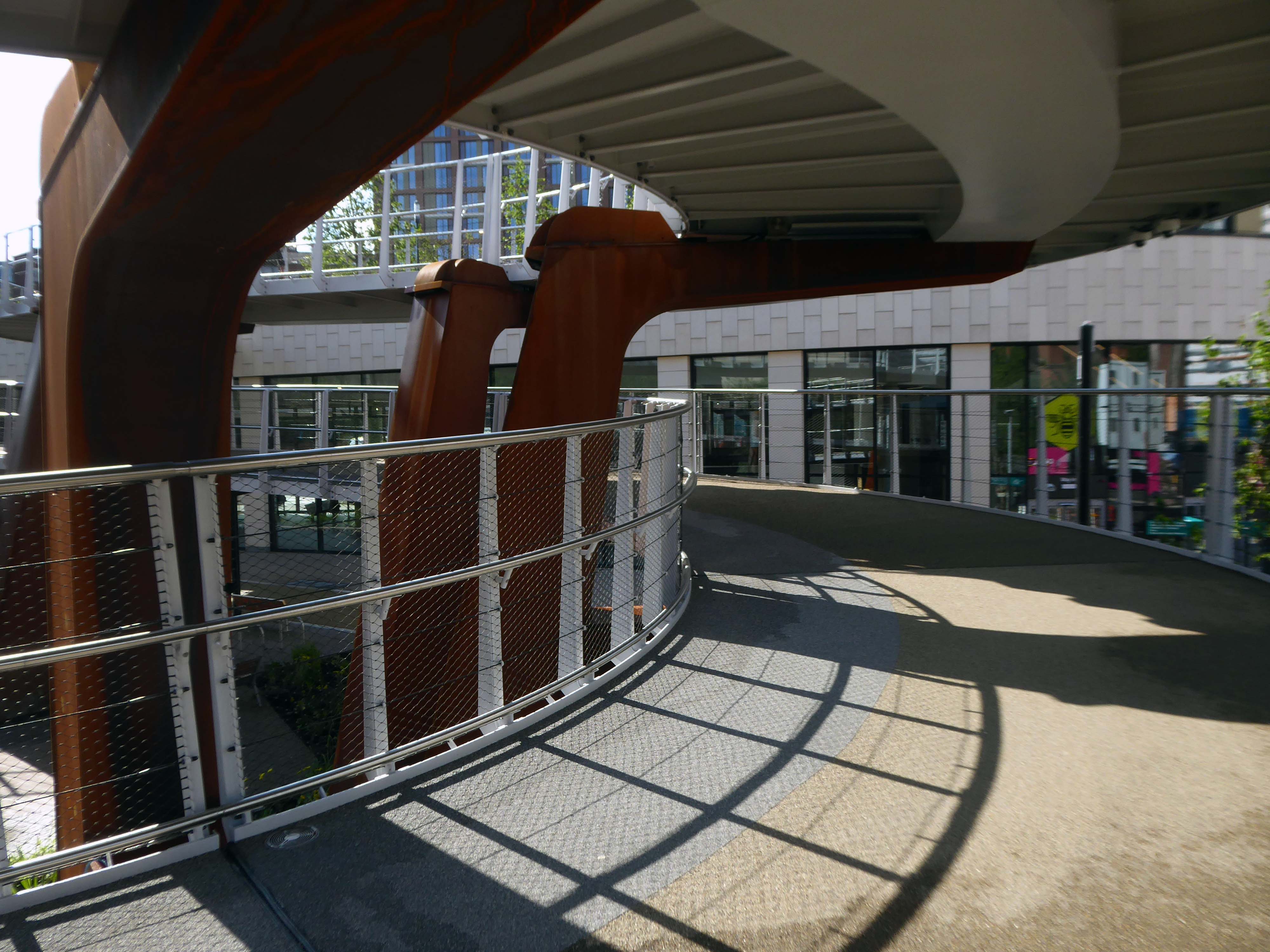
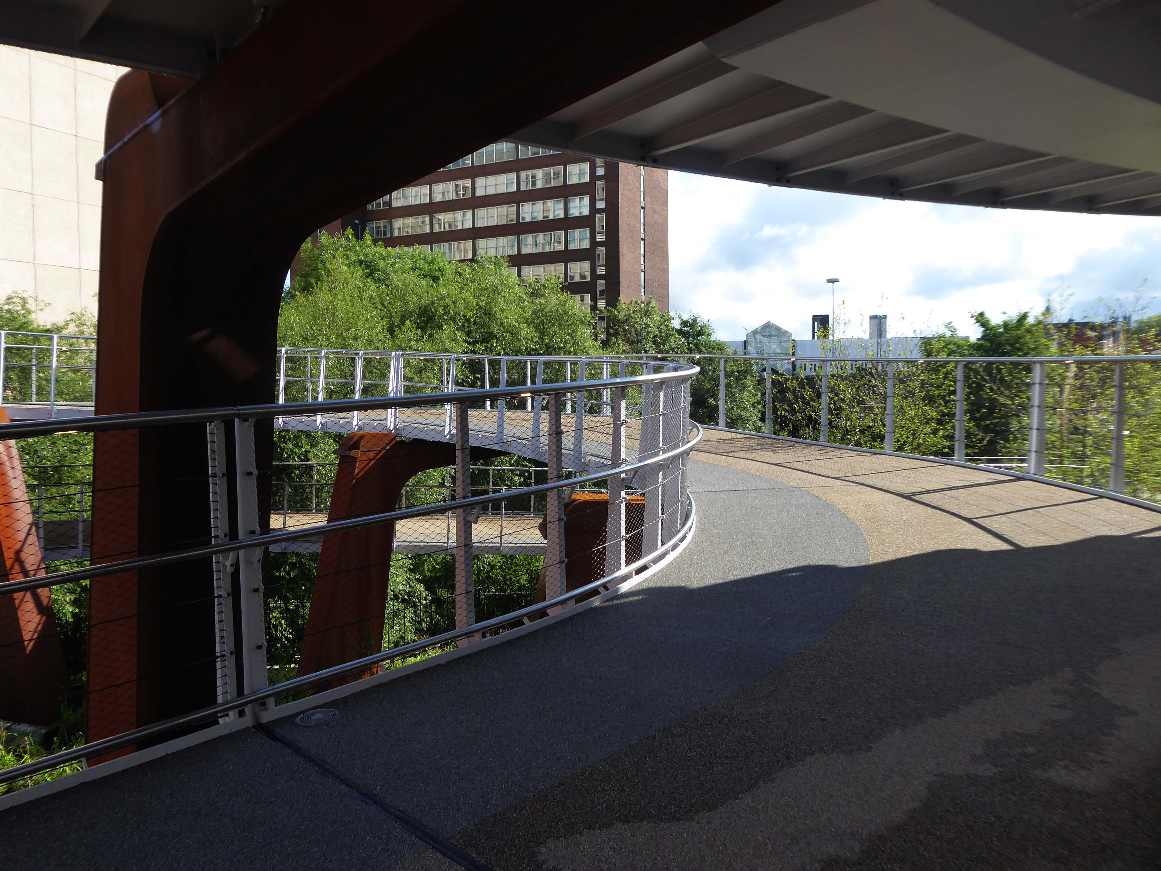
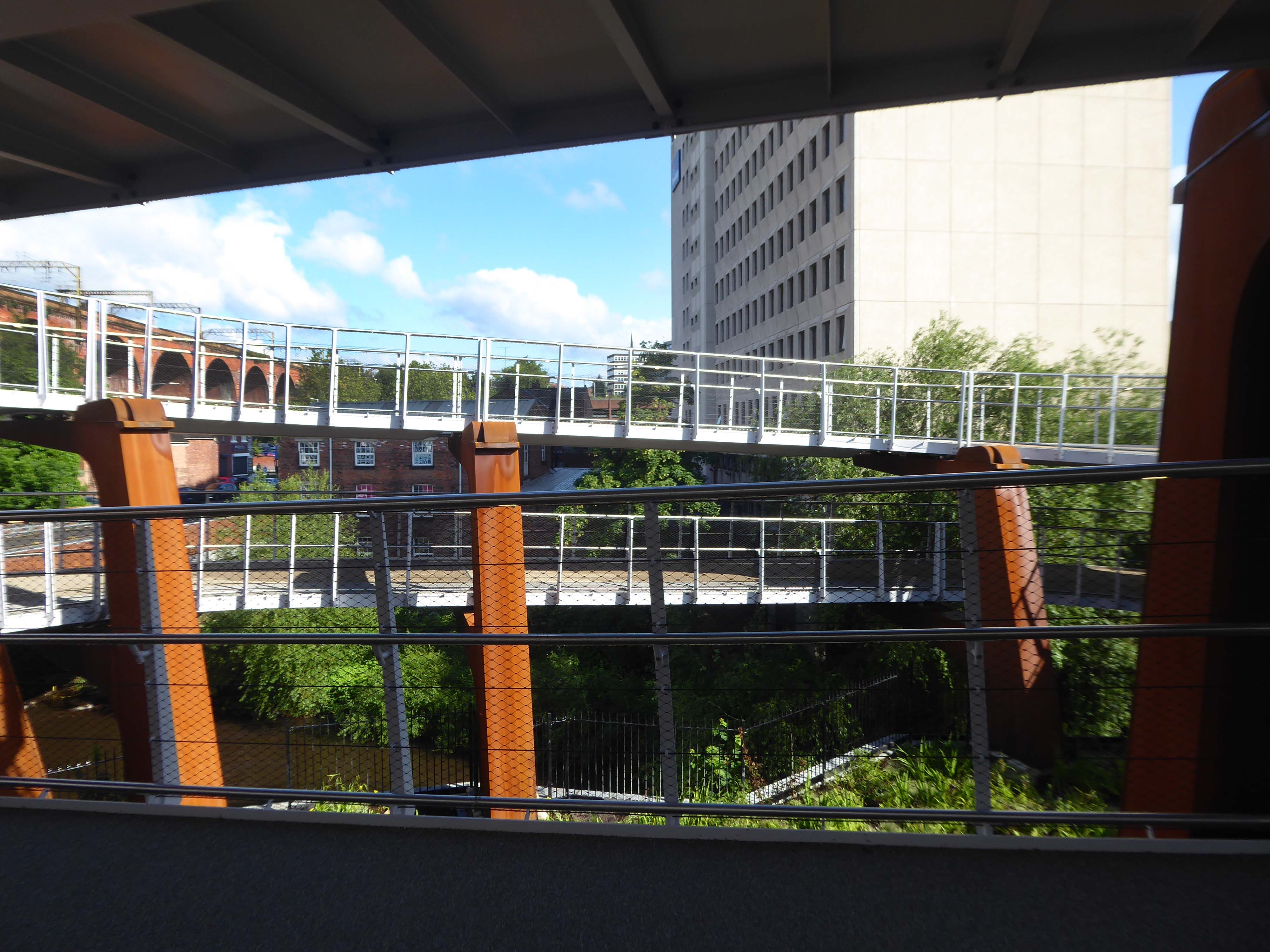
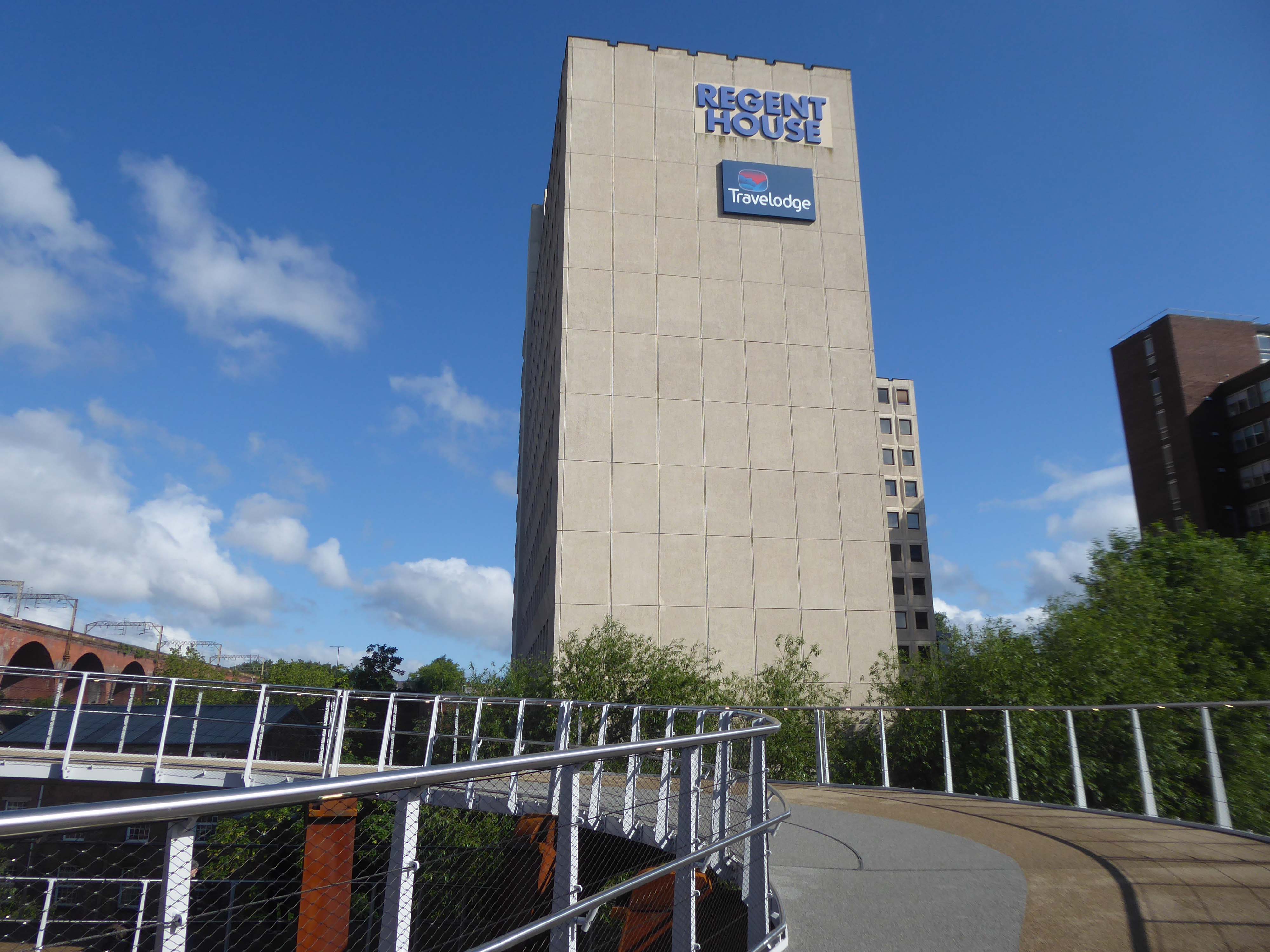
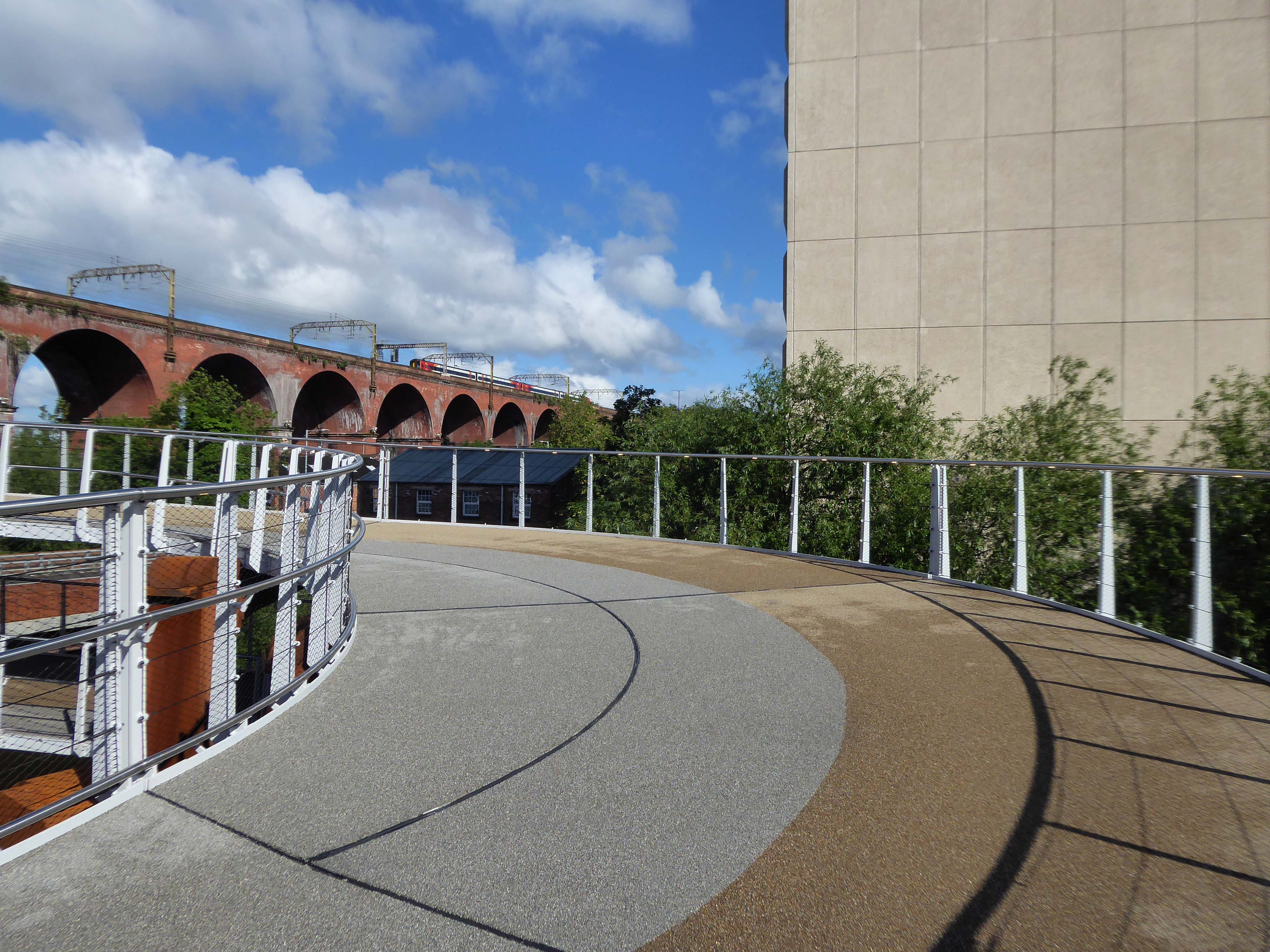
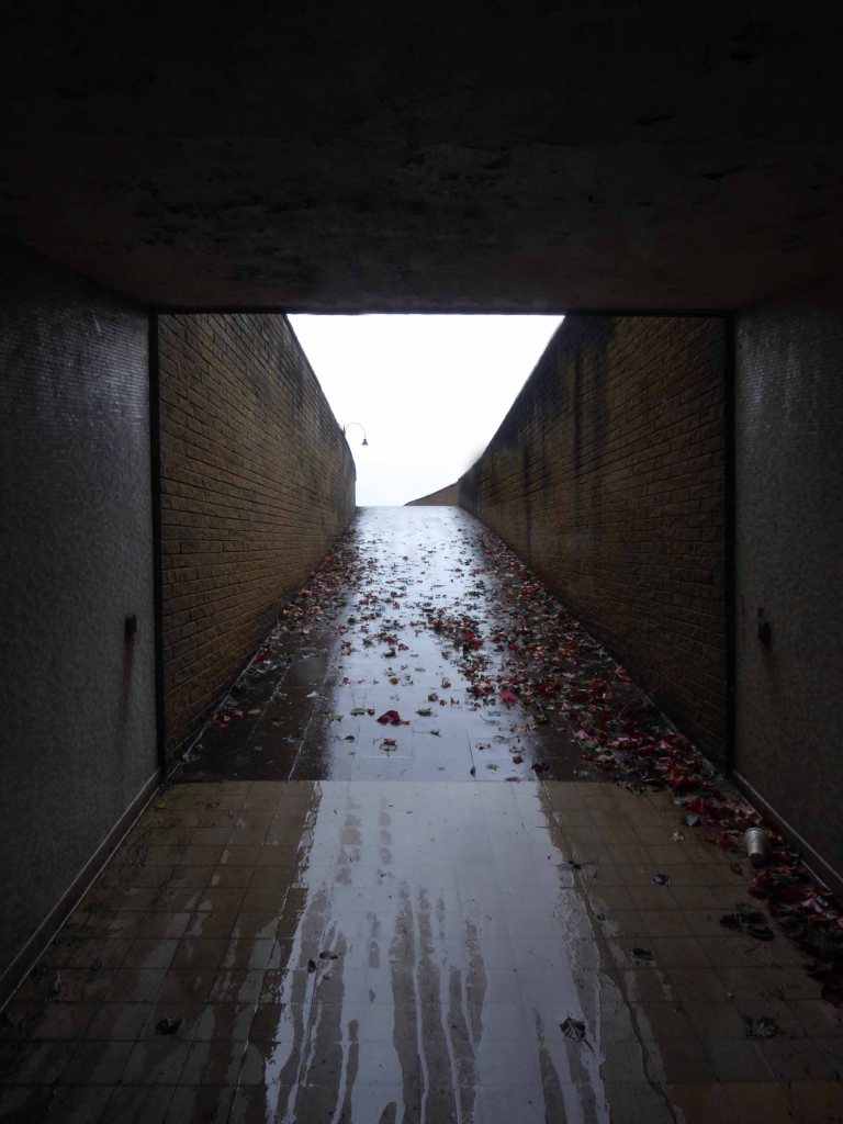
The covered pedestrian bridge linking the southern side of the campus to the JB Morrell Library on the north side.
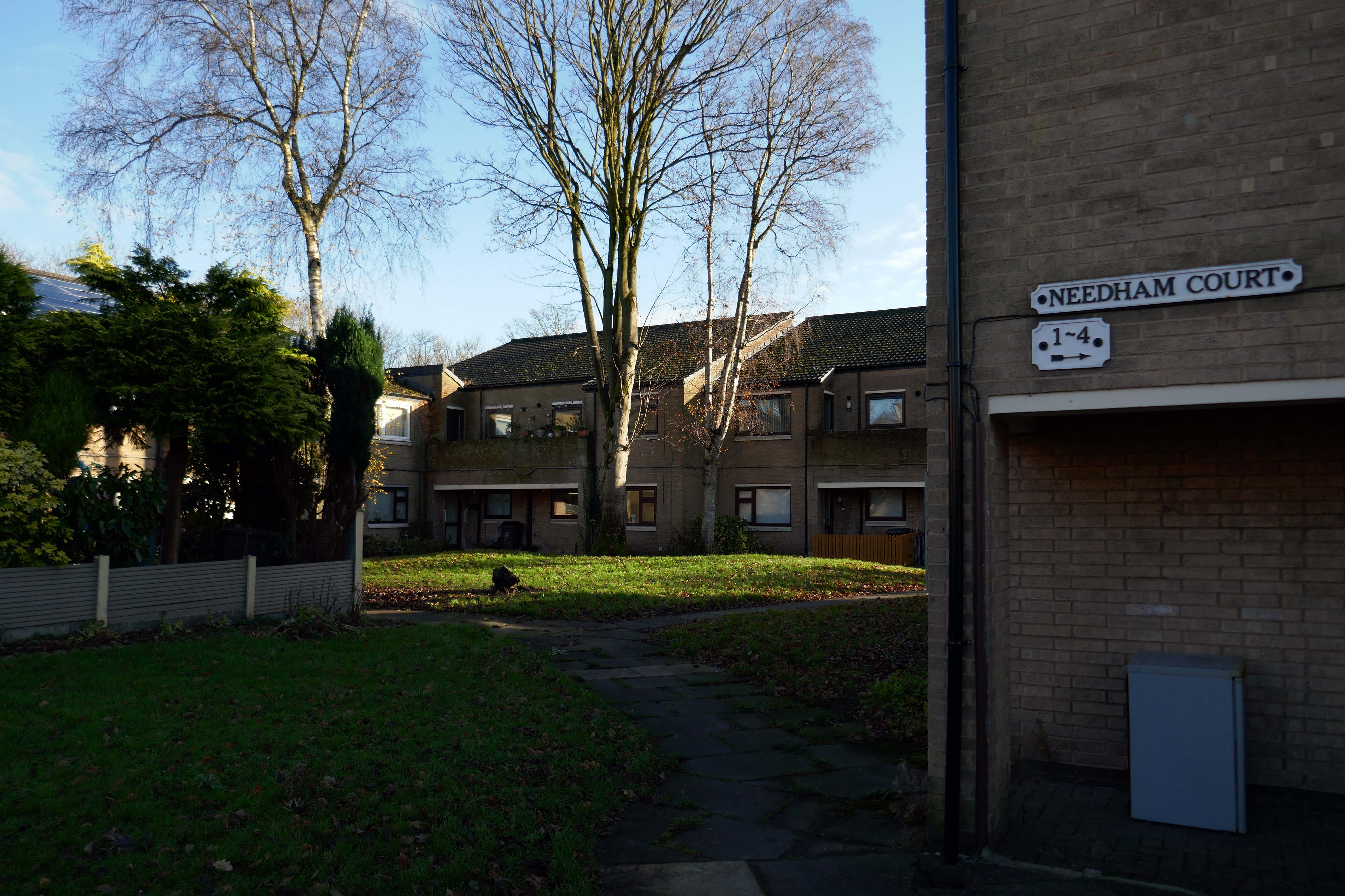
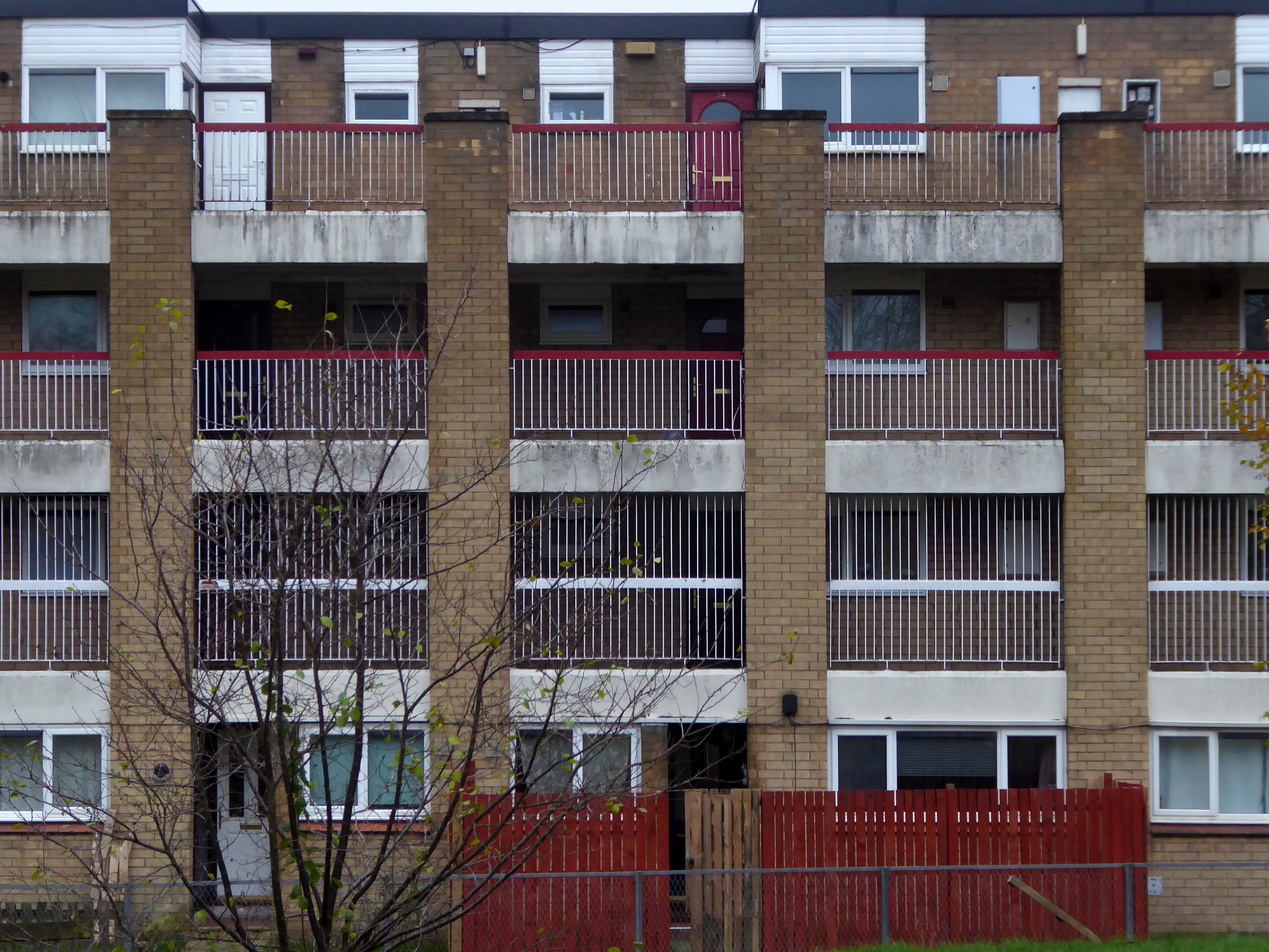
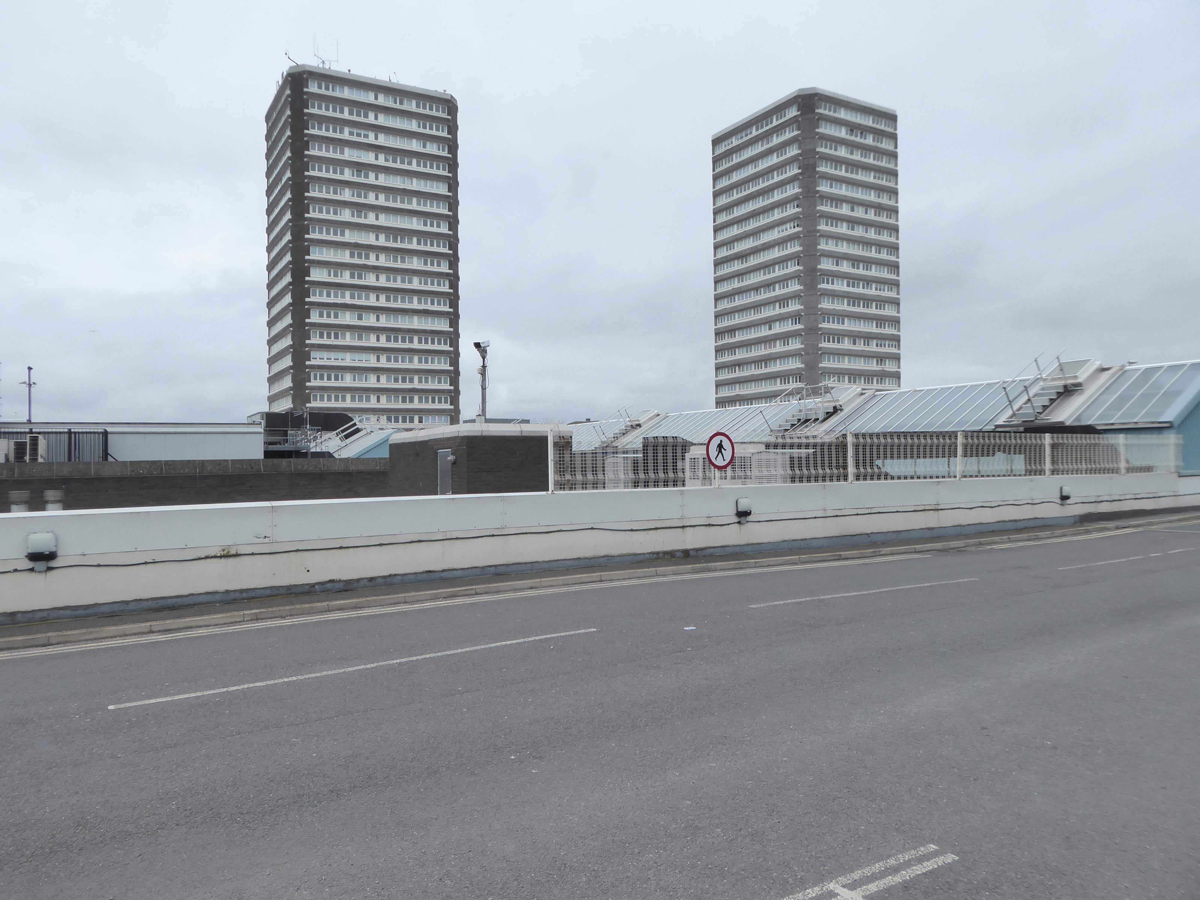
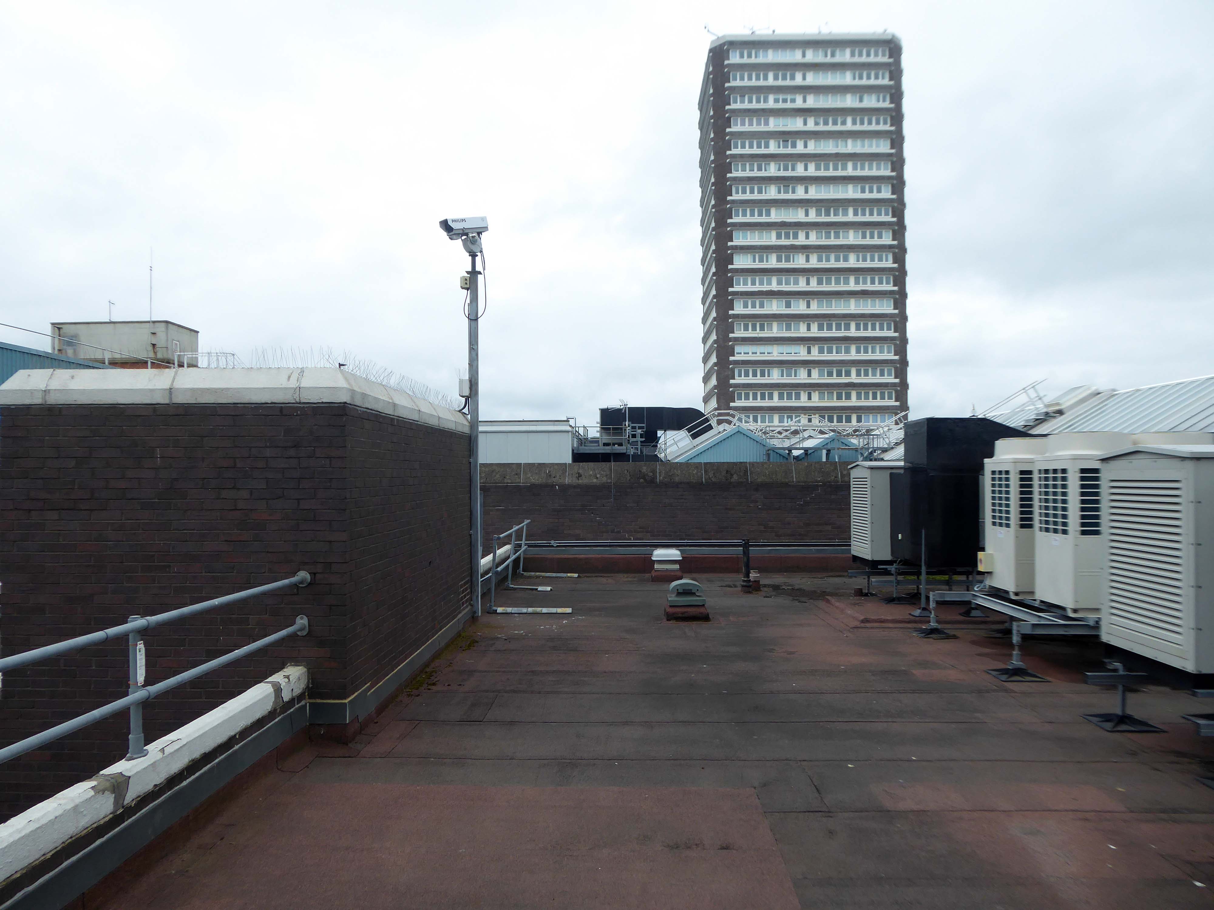
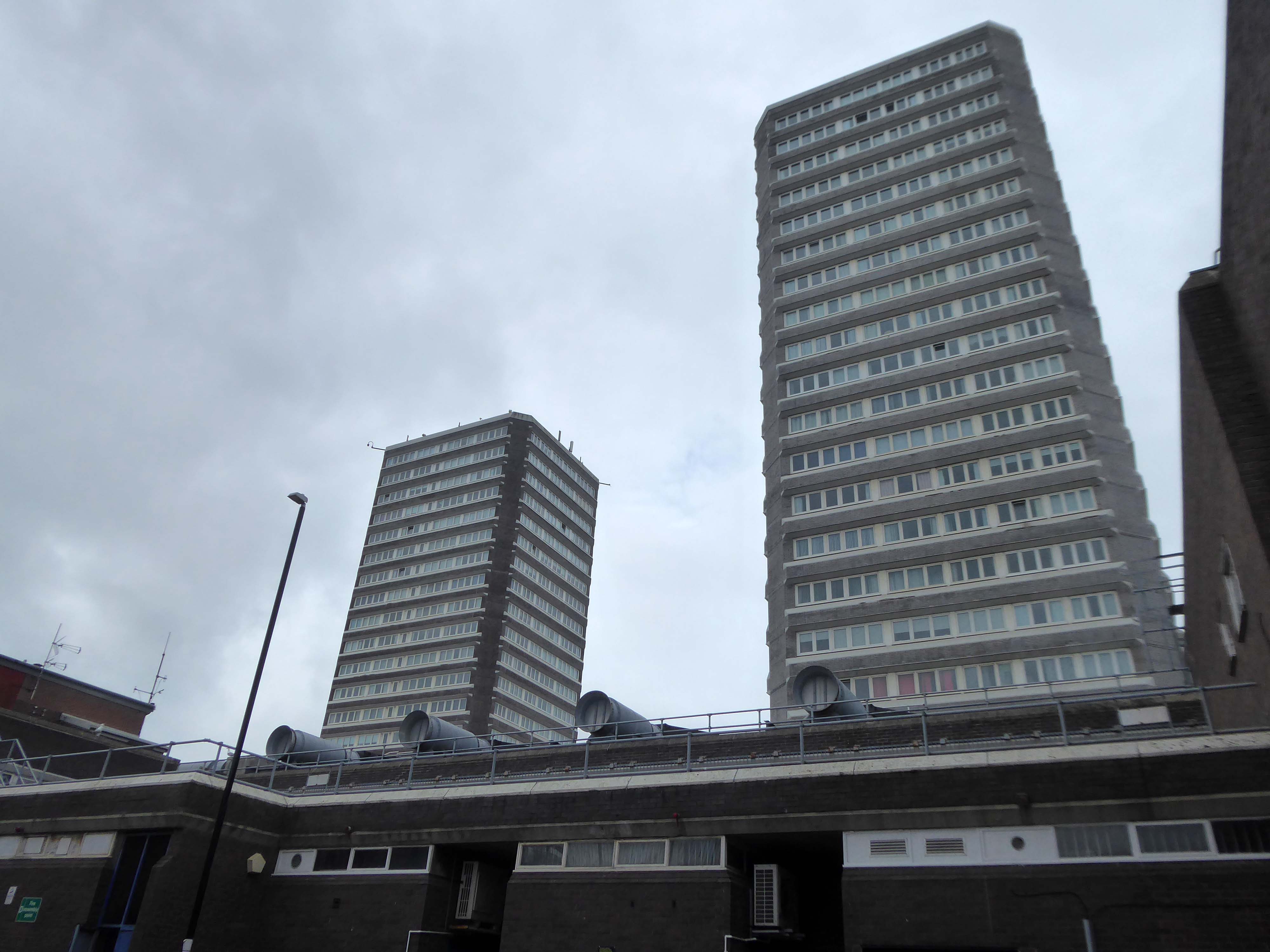
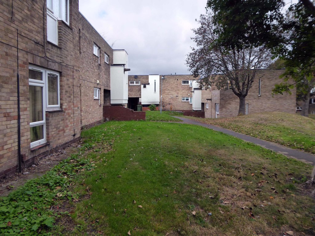
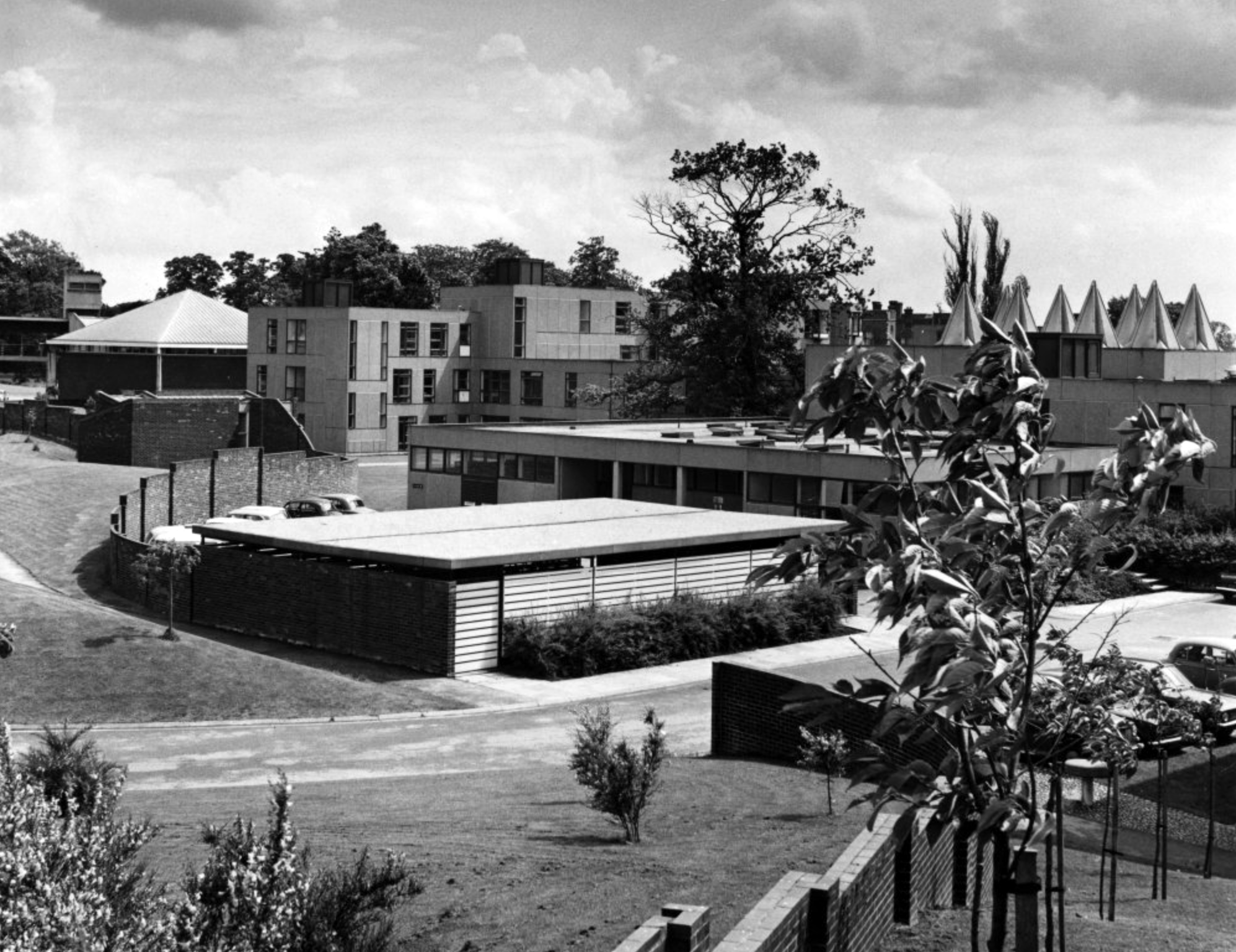
Langwith and Derwent Colleges.
Derwent College and Heslington Hall.
Photograph 1965 Henk Snoek.