This may seem sufficient to satiate the local historian’s voracious appetite for facts and general tittle tattle, but wait.
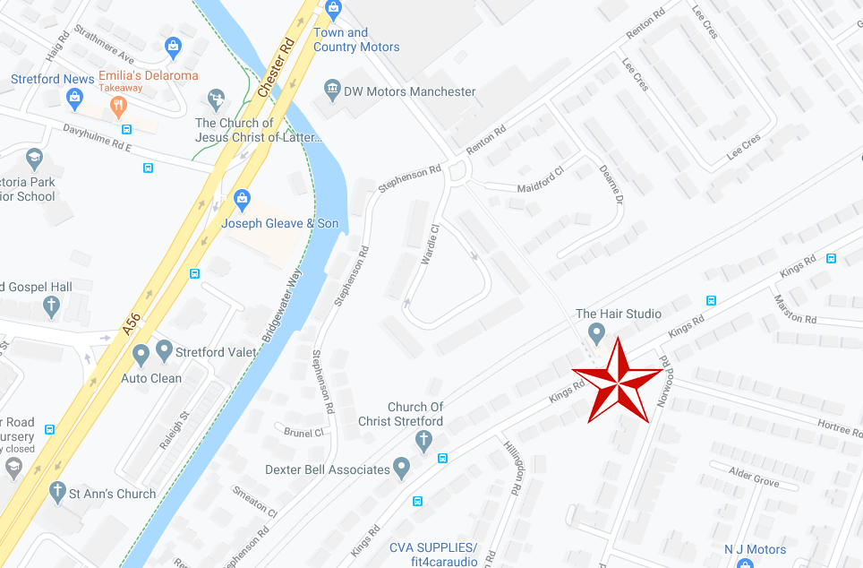
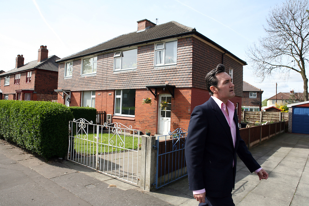
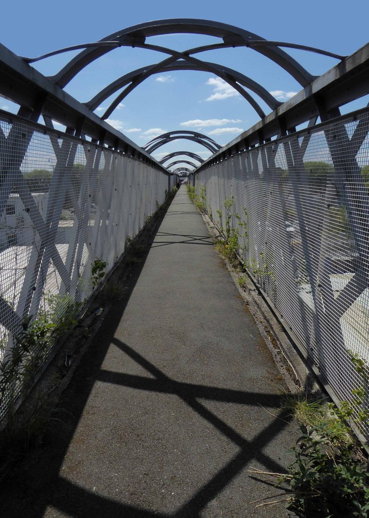
384 King’s Road was once home to pop sensation Steven Patrick Morrissey – seen here imitating himself in Elisabeth Blanchet’s photograph.
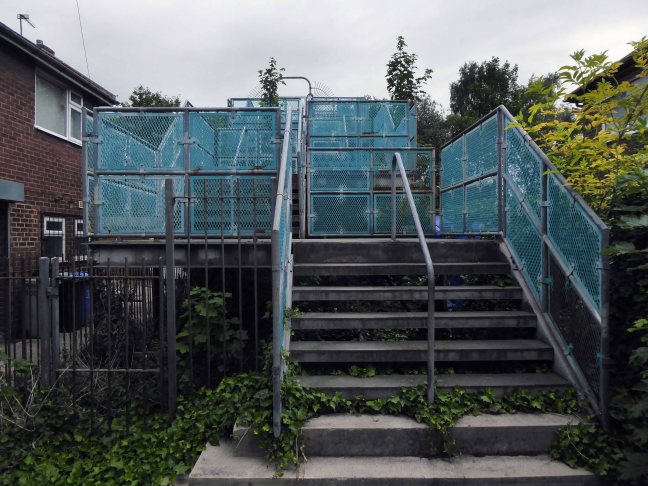
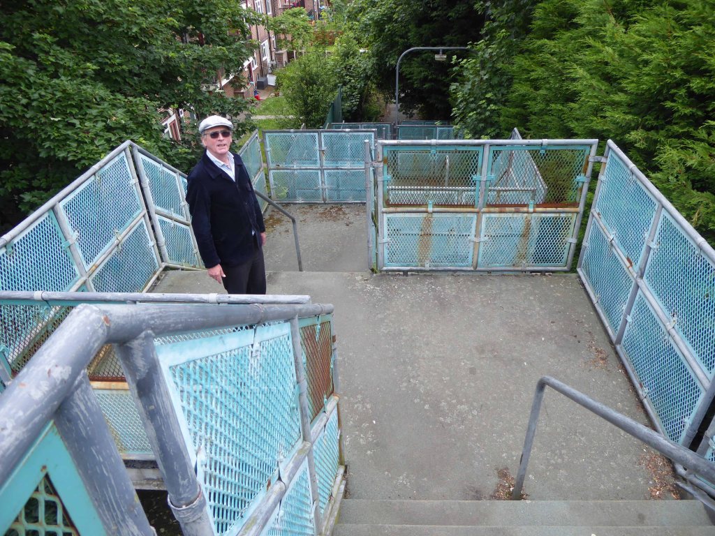
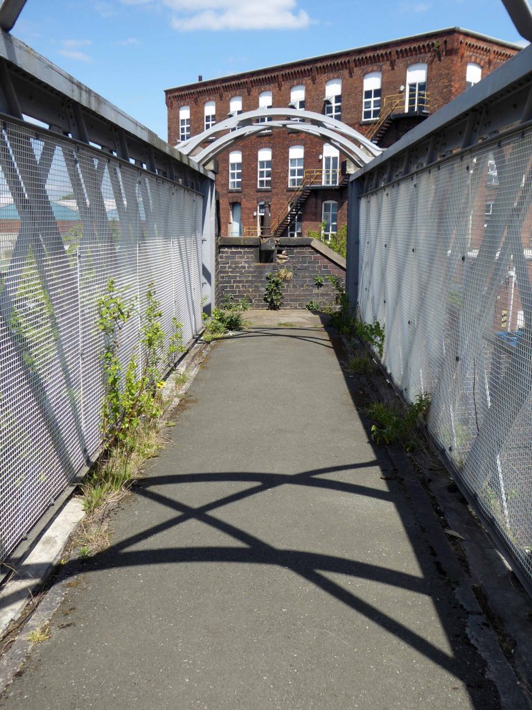
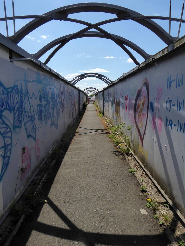
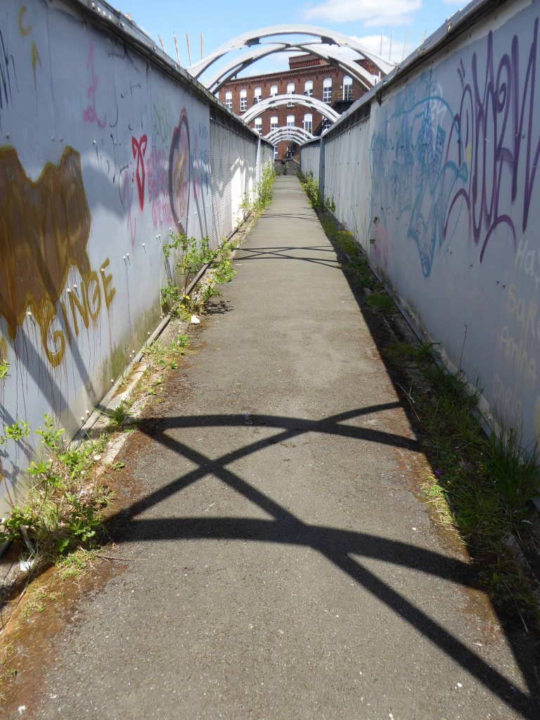
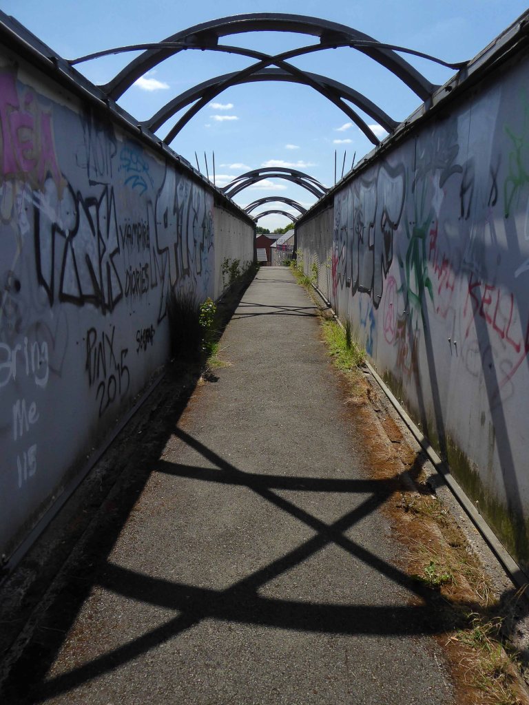
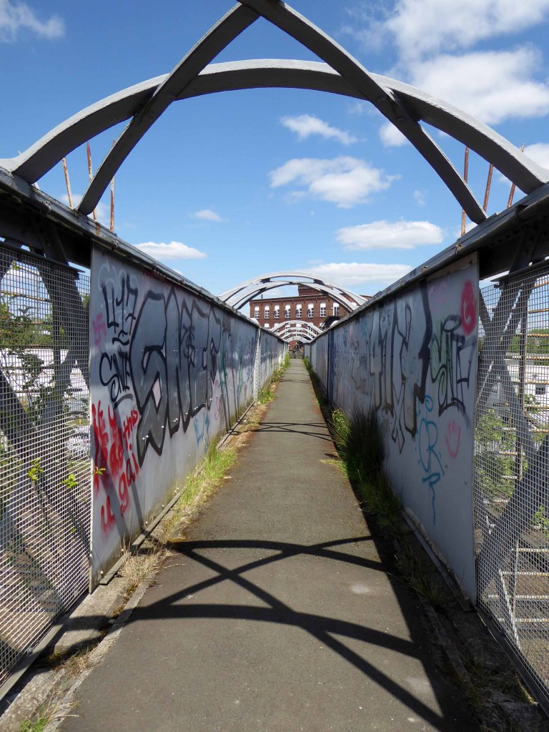
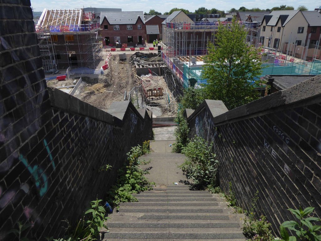
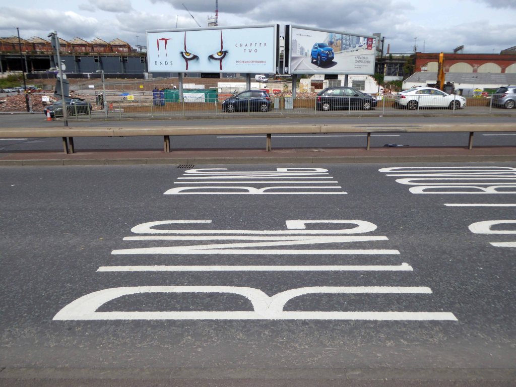
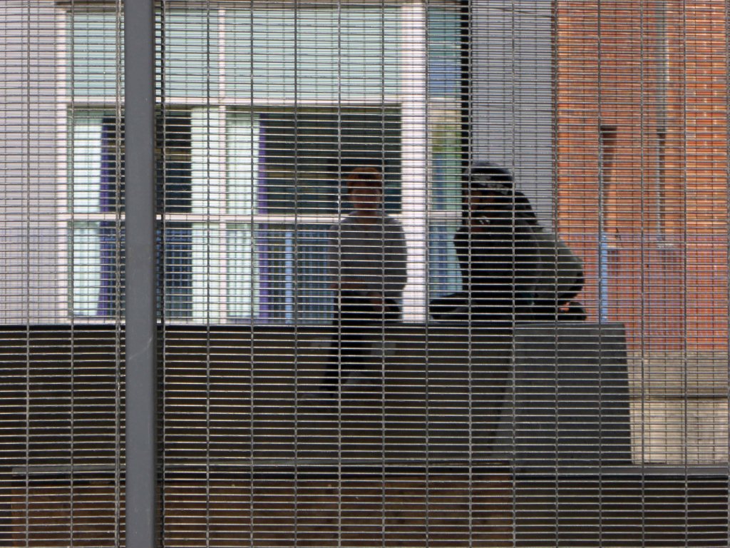
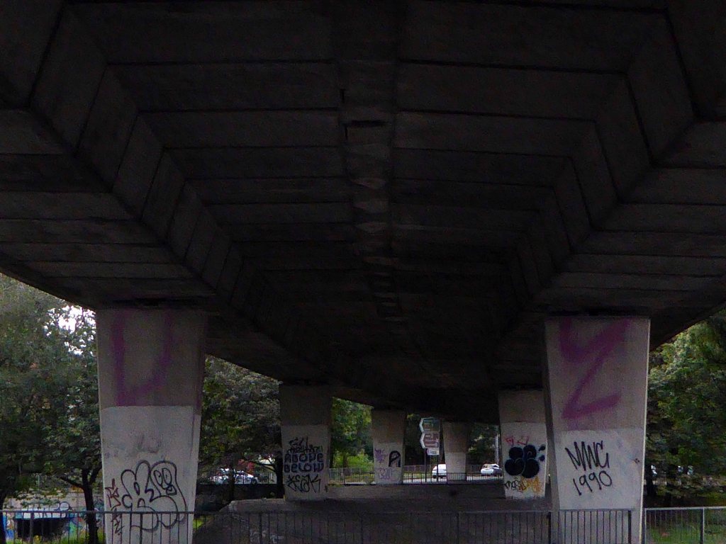
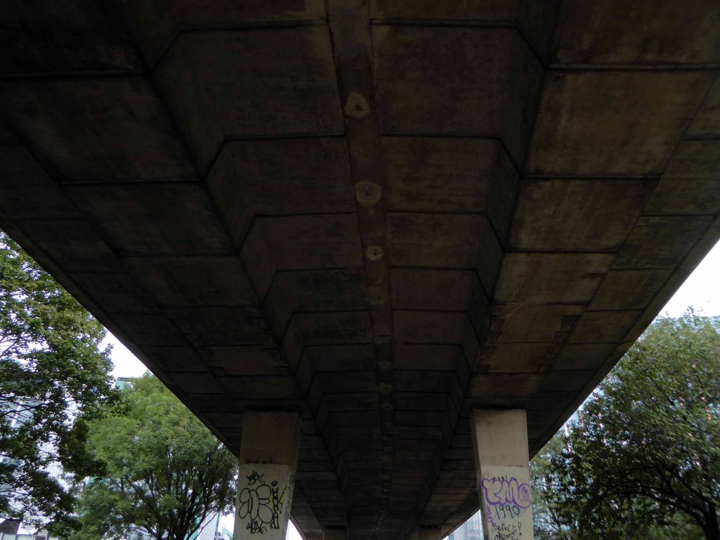
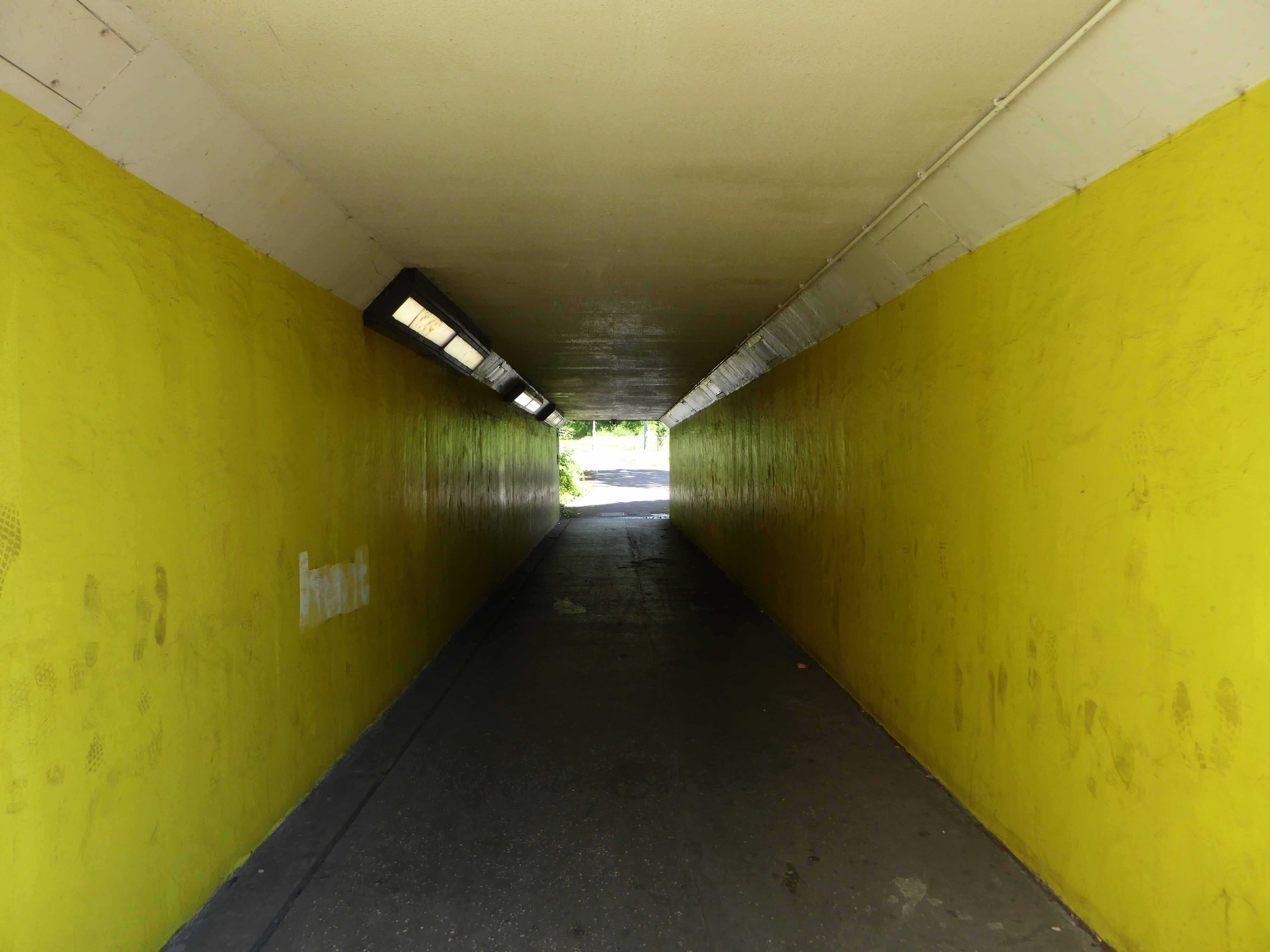
More than once this charming lad would have walked the bridge himself – on the way to goodnesses knows where.
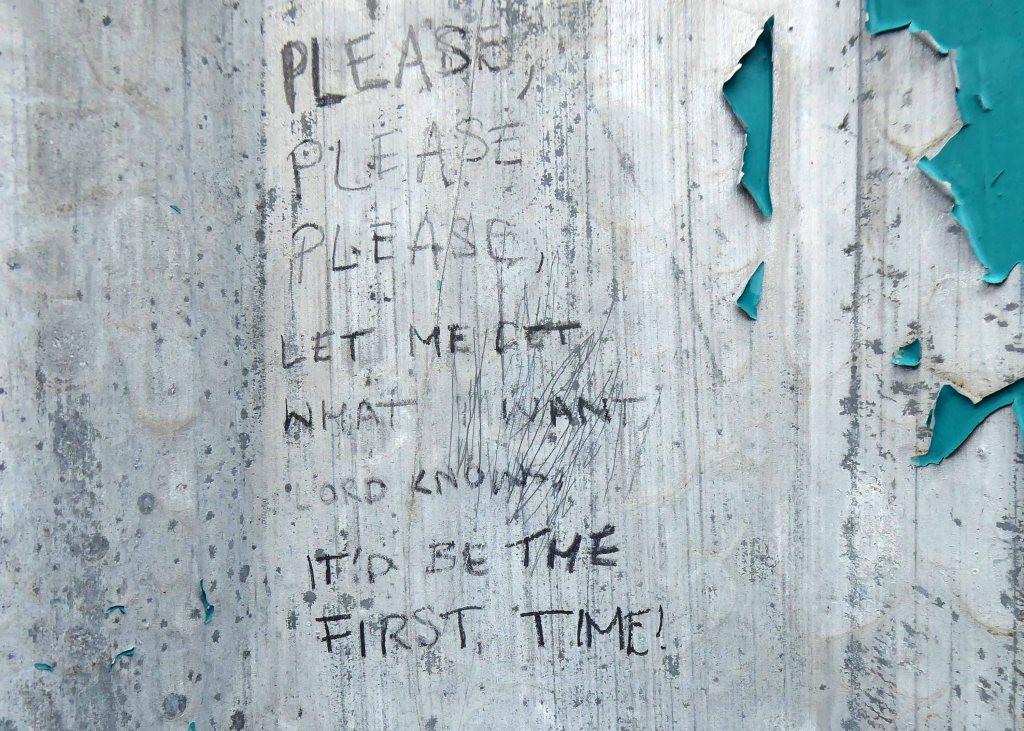
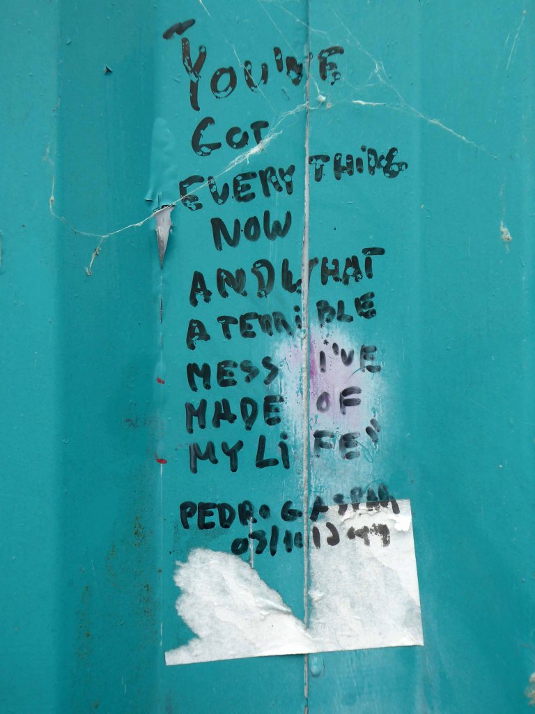
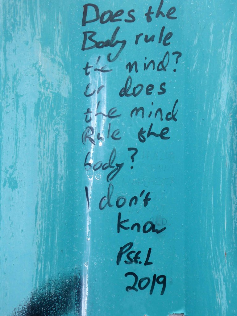
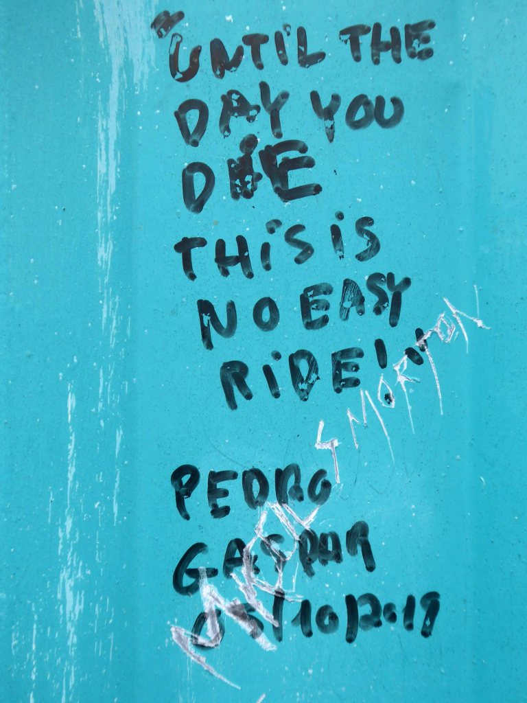
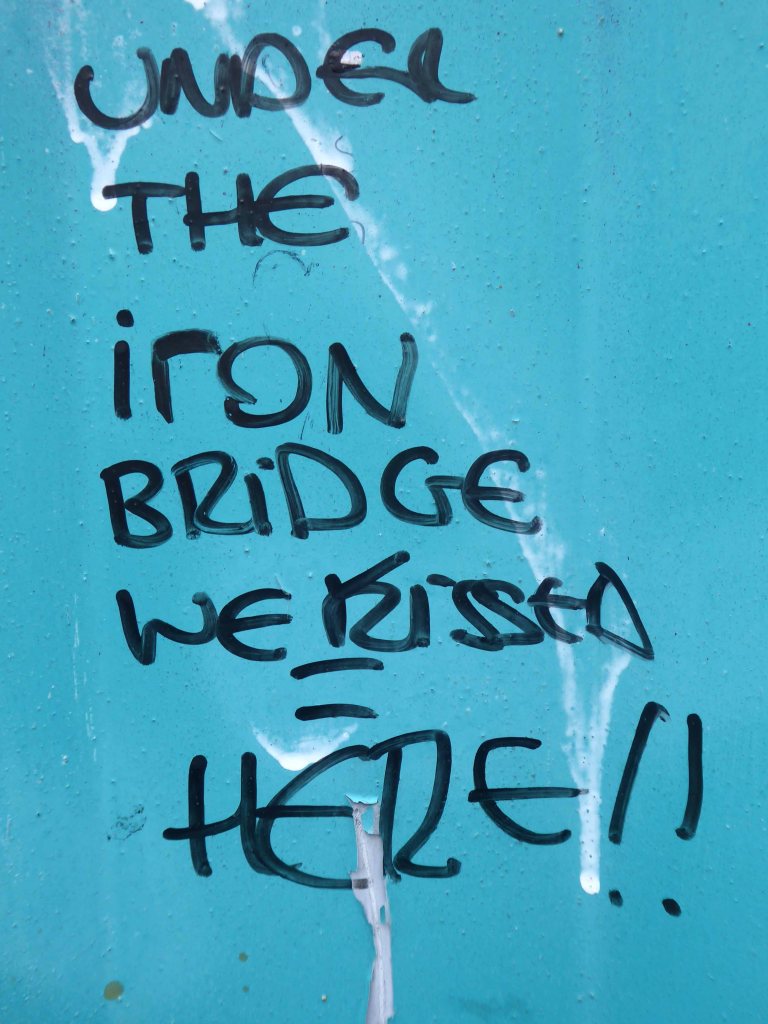
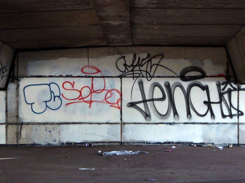
In later life he changed his name to The Smiths and wrote a chart topping tune Still Ill name checking the Iron Bridge.
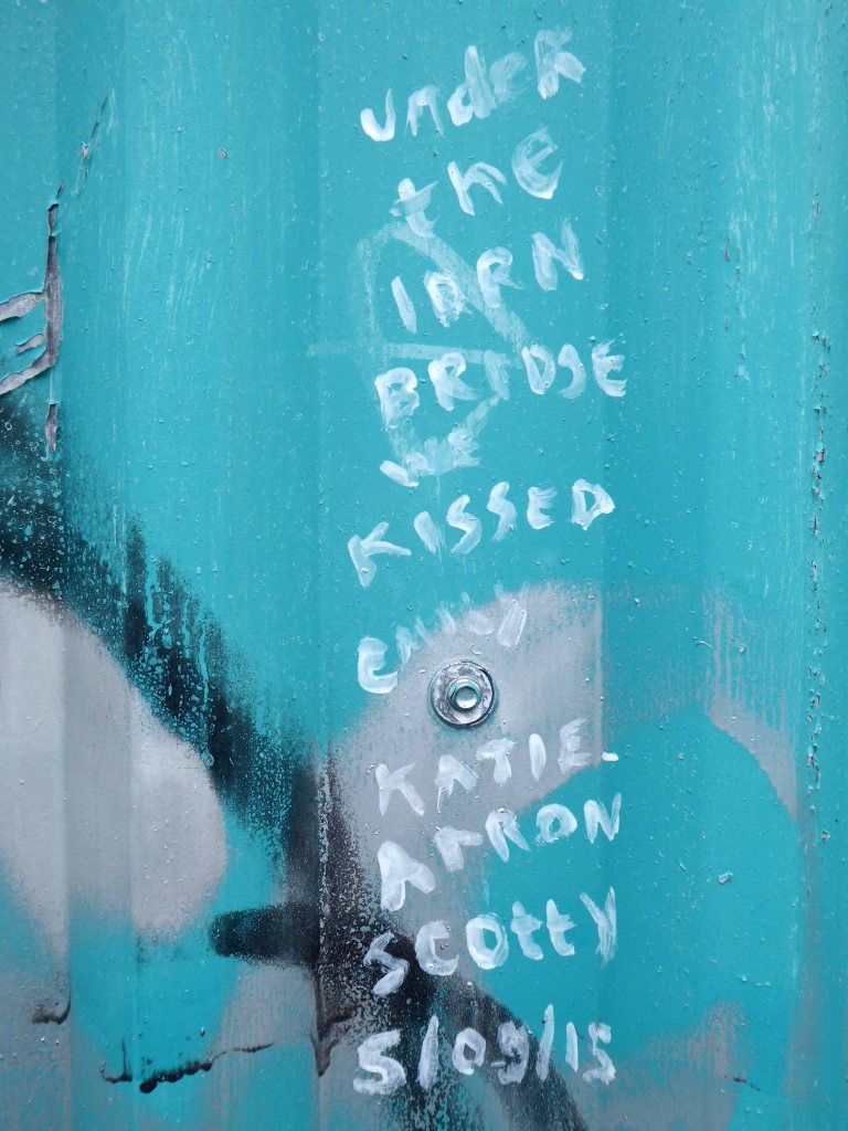
Under the iron bridge we kissed And although I ended up with sore lips It just wasn’t like the old days anymore No, it wasn’t like those days, am I still ill?
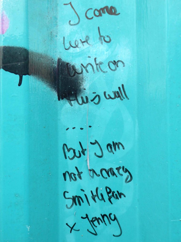
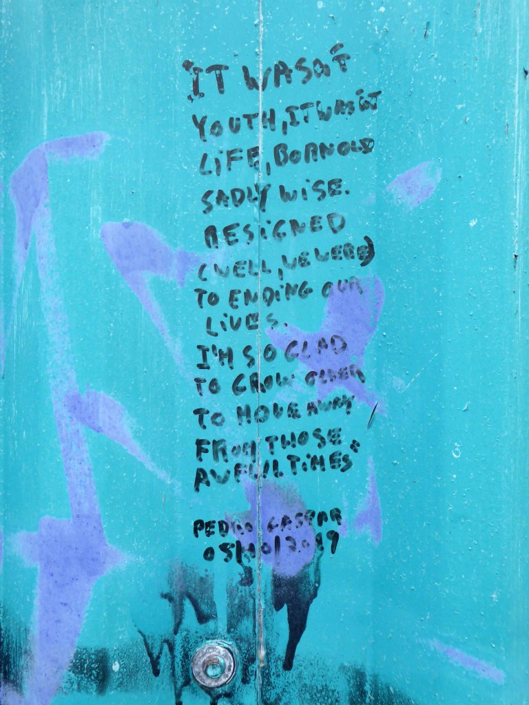
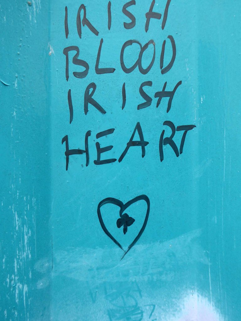
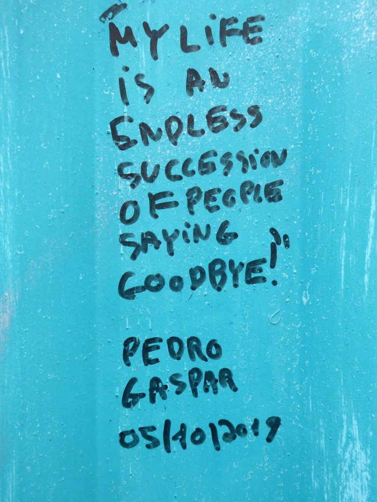
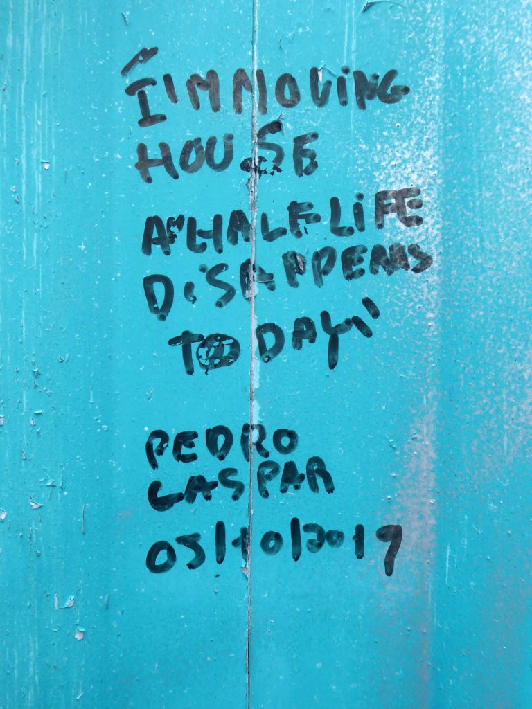
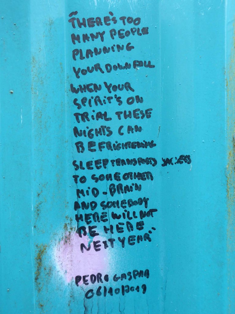
The location is now a place of pilgrimage for Morrissey’s deluded fans, who with depressing regularity, adorn the structure with their misquoted quotes.
Sun drenched faux-Californian Mr Morrissey does seem to be still ill in his own unique and unpleasant manner.
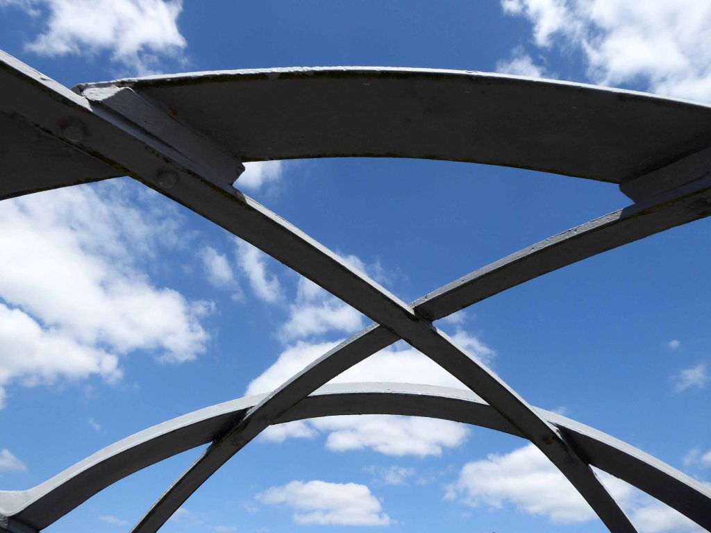
Let’s take a look at what he’s been missing.
What indifference does it make?
Self confessed Smiths sceptic Mr Mark Greer – currently incognito.
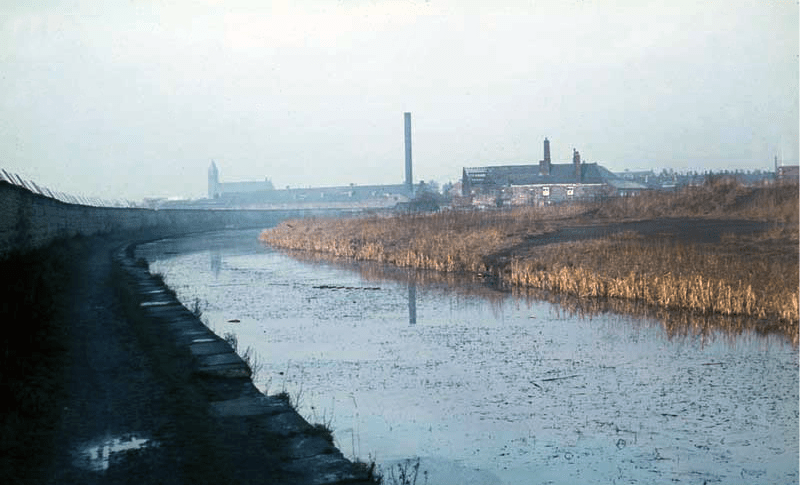
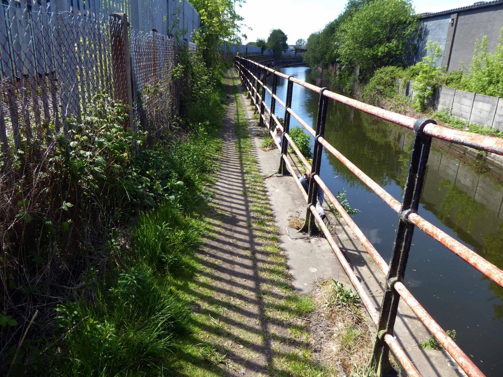
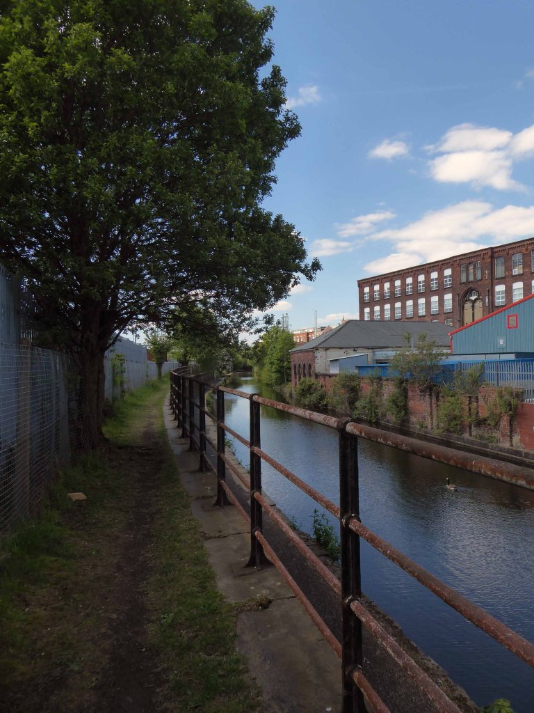
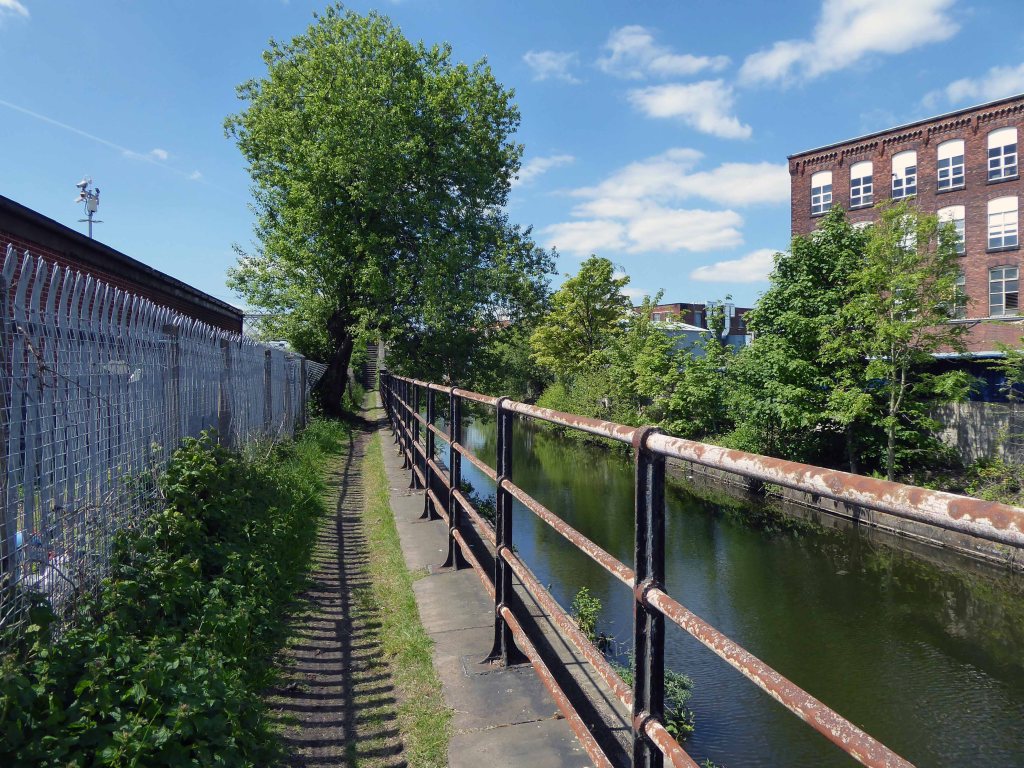
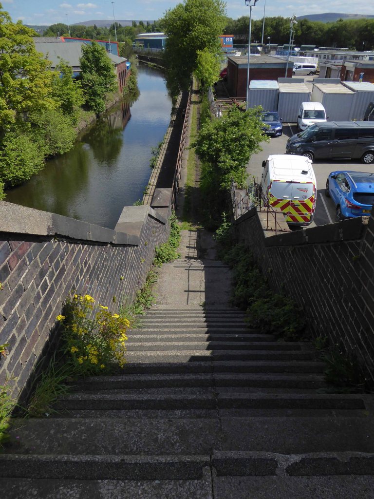
The canal received its Act of Parliament in 1792. It was built to supply coal from Oldham and Ashton under Lyne to Manchester. The first section between Ancoats Lane to Ashton-under-Lyne and Hollinwood was completed in 1796.
The Great Central Railway in England came into being when the Manchester, Sheffield and Lincolnshire Railway changed its name in 1897, anticipating the opening in 1899 of its London Extension. On 1 January 1923, the company was grouped into the London and North Eastern Railway.
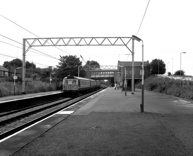
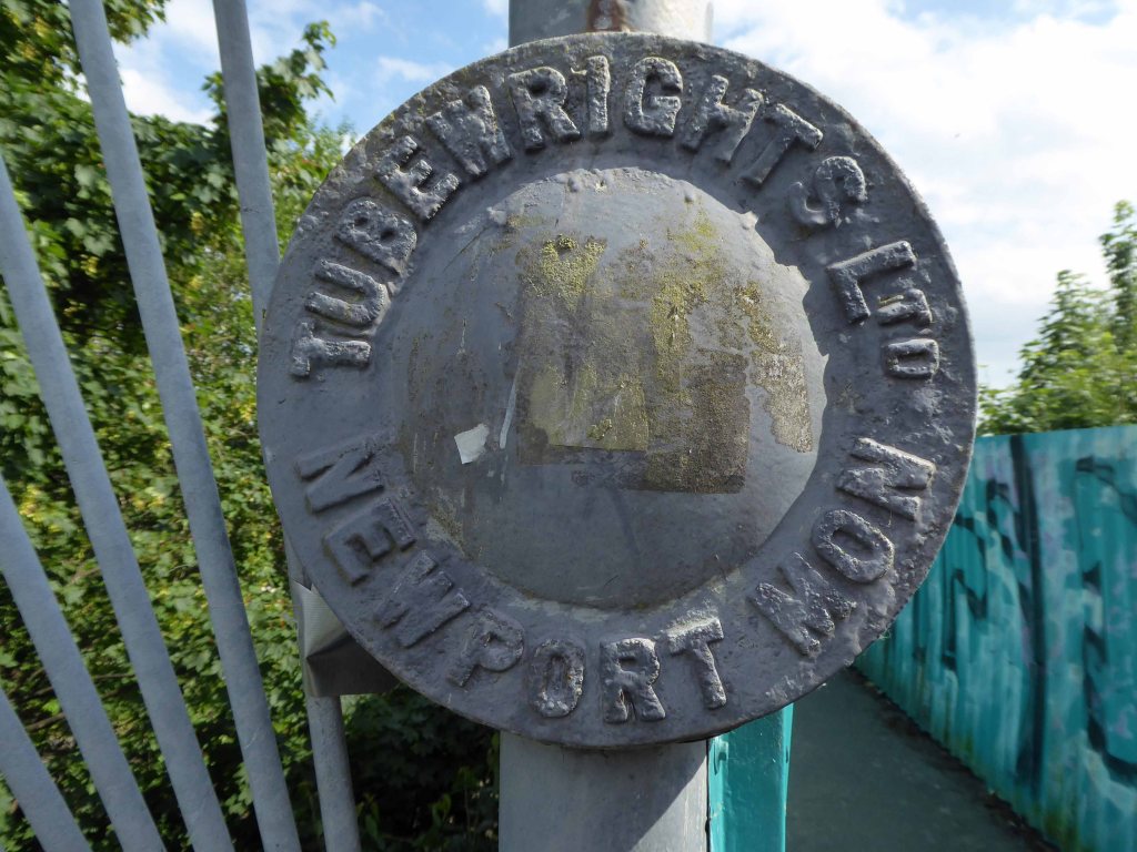
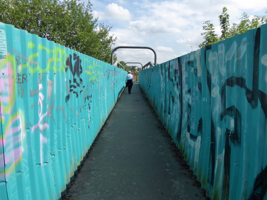
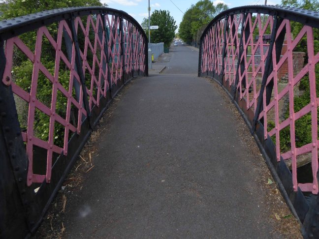
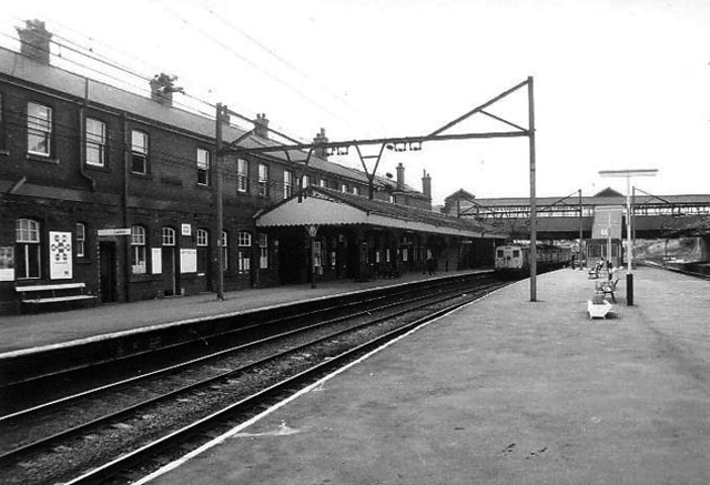
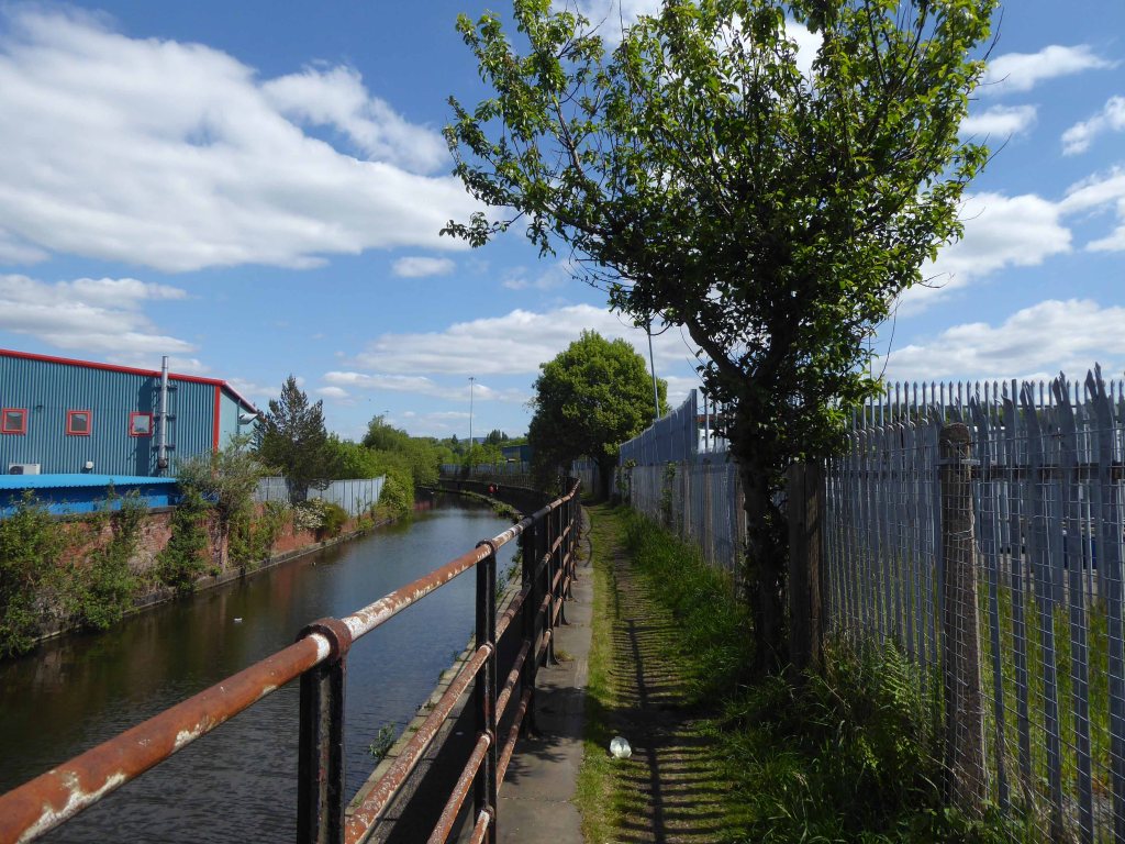
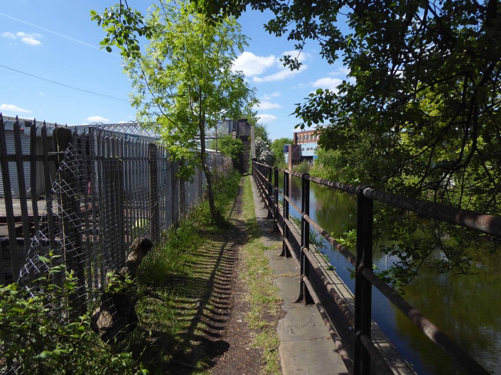
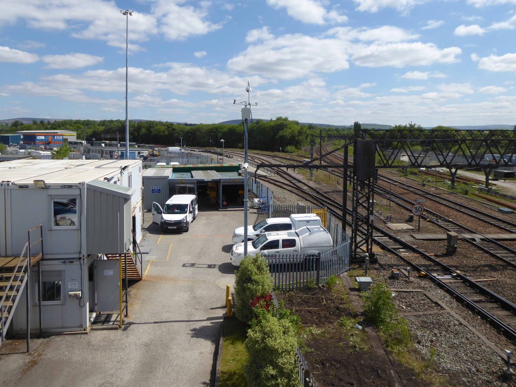
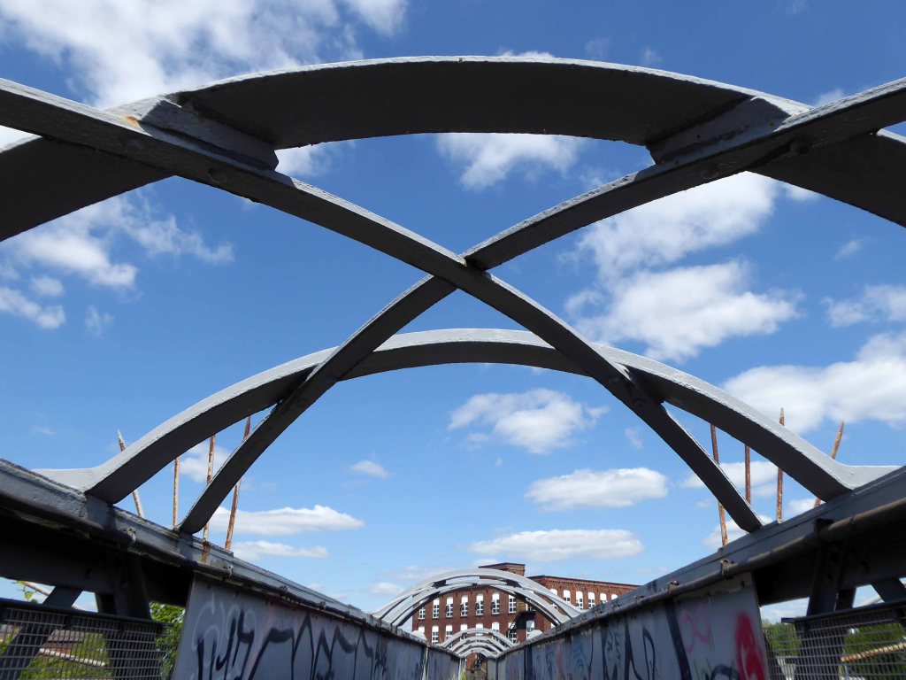
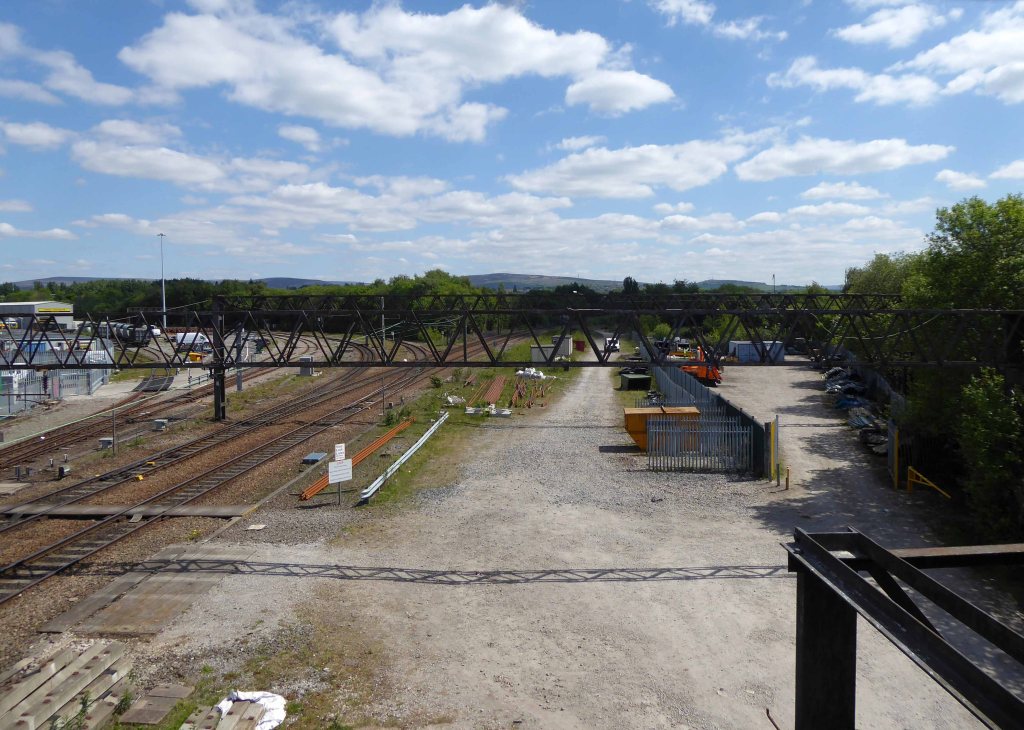
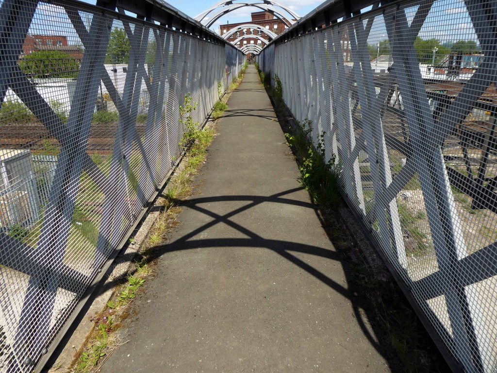
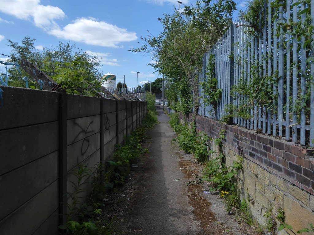
I had walked beside the elevated path, alongside the canal coming home from school, rode by it whilst working as a Guide Bridge goods guard.
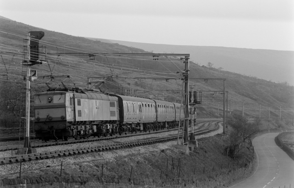
This was busy railway, steel coal, oil and people hurtling back and forth across the Pennines, under the DC wires of the Woodhead Line.
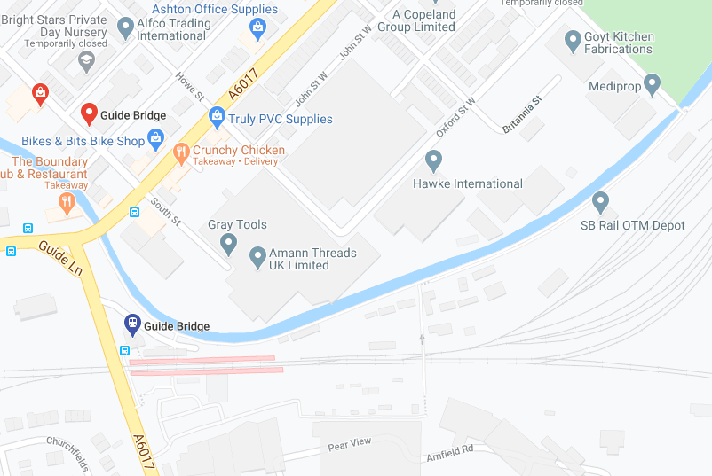
One memorable night the Royal Train stayed overnight, in what are now the SB Rail OTM sidings.
Toffs in dinner jackets were leaning from the windows, as we gazed in awe from the platform.
Swietelsky is one of Austria’s leading construction companies with international contracts encompassing highways, tunnelling, residential and commercial developments, alpine construction and railways.
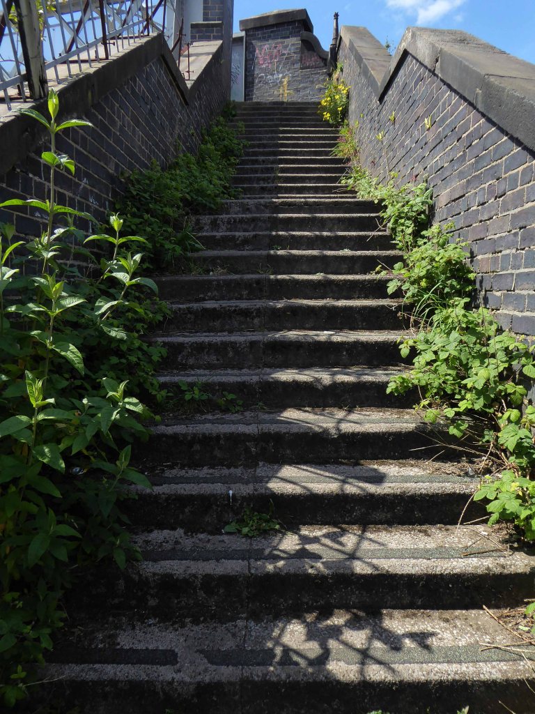
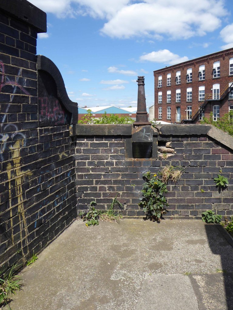
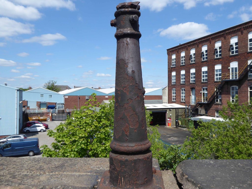
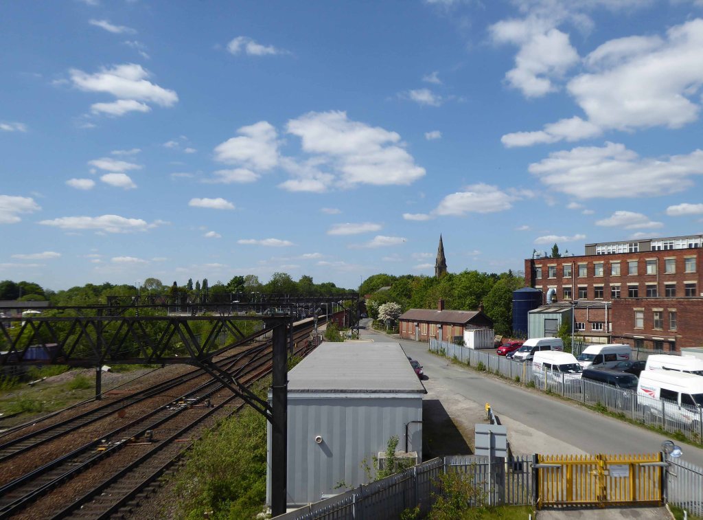
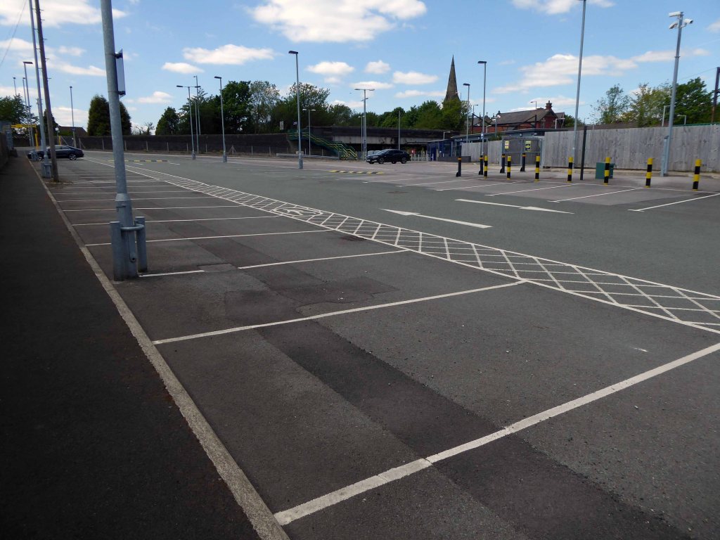
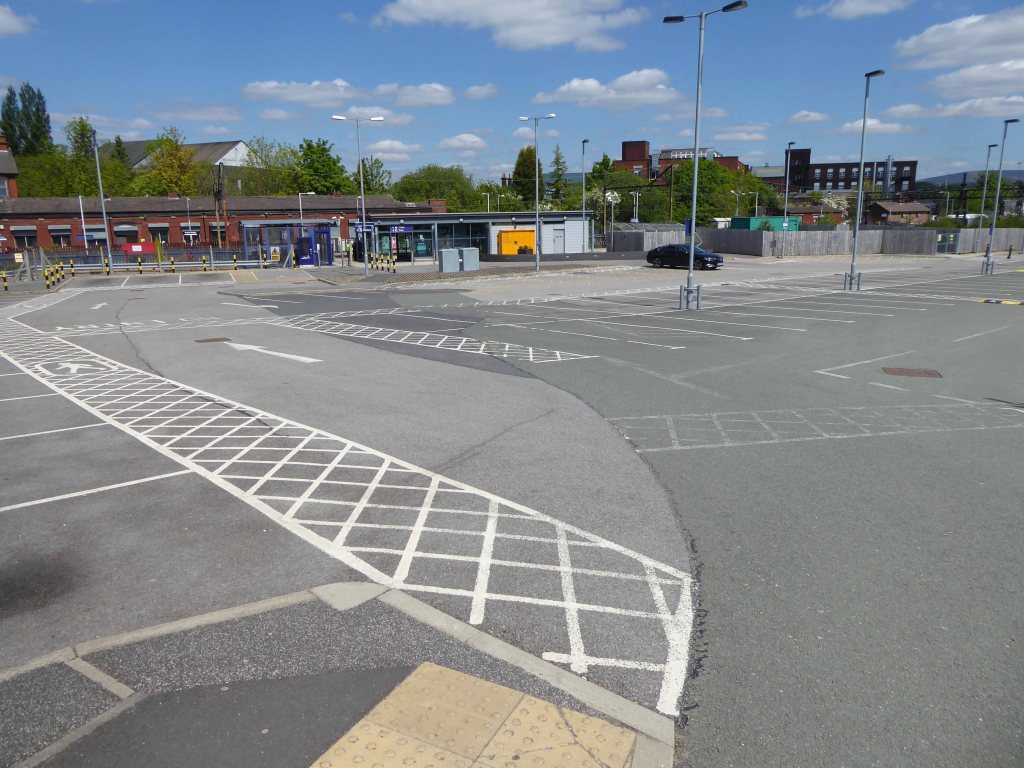
The journey ends by the seriously depleted station buildings, the buffet bar, depot and engine shed long gone.
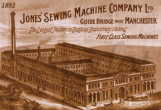
Thomas Chadwick later joined Bradbury & Co. William Jones opened a factory in Guide Bridge, Manchester in 1869. In 1893 a Jones advertising sheet claimed that this factory was the – Largest Factory in England Exclusively Making First Class Sewing Machines. The firm was renamed as the Jones Sewing Machine Co. Ltd and was later acquired by Brother Industries of Japan, in 1968. The Jones name still appeared on the machines till the late 1980s.
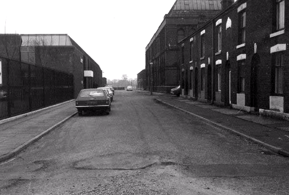
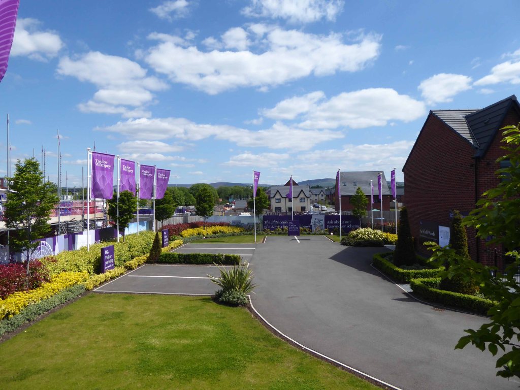
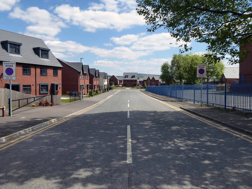
The site is now home to new homes and homeowners, as the area seeks to capitalise on the spread of wealth from Central Manchester.
Arnfield Woods is an exclusive development offering two, three and four bedroom homes, located adjacent to the Guide Bridge train station, which provides direct access into Manchester City Centre and direct access into Glossop.
The world turns:
Time changes everything except something within us which is always surprised by change.
The Humber Ferry was a ferry service on the Humber between Kingston upon Hull and New Holland in Lincolnshire which operated until 1984, after the completion of the Humber Bridge in 1981.
I walked from Hull to Hessle – but you were always on my mind.
Glimpsed once or twice from a train, I’d never been up close and personal.
The Humber Bridge was opened by Her Majesty Queen Elizabeth II in 1981.
It is one of the marvels of modern engineering and was, until 1998, the longest single span suspension bridge in the world but there are now five other longer bridges of this type. However it is still the longest that can be used by pedestrians.
The bridge is 2,220 metres long and the towers, which are farther apart at the top than the bottom to compensate for the curvature of the earth, are 155 metres high. It was built at the narrowest point of the estuary known as the ‘Hessle Whelps’ and when completed it was admired for its design and elegance, but reviled by others as a bridge from nowhere to nowhere, the crossing comprises a dual carriageway with walkways for pedestrians and cyclists on both sides.
Although approval to build the bridge was granted in 1959 work did not begin until 1972 due to difficulties in financing the project. In 1966 Harold Wilson, the Prime Minister of the day, allowed Barbara Castle, the Minister for Transport, to give permission for the bridge to be built, hoping that the announcement would be a vote winner in the forthcoming Hull North by-election.
Construction Team
The consulting engineers for the project were Freeman Fox & Partners . Sir Ralph Freeman had produced the first ideas in 1927 and in the early 1930s the cost of the project was estimated at £1.725 million and that the bridge would be unlikely to recoup the construction or maintenance costs. In 1935 he had an idea for a 4,500-foot suspension bridge for the Humber Tunnel Executive Committee. Sir Gilbert Roberts produced more ideas in 1955 for a bridge with a 4,500-foot central span, costing £15 million, to be paid for by East Riding County Council and Lindsey County Council. Once it was likely that a bridge would be constructed, Bernard Wex produced the design in 1964 that was actually built. The bridge was built to last 120 years.
The architect was R. E. Slater ARIBA. The administration building for the tolls, was designed by Parker & Rosner. The landscaping was designed by Prof Arnold Weddle. Wind tunnel testing took place at the National Maritime Institute at Teddington and the road deck is designed for wind speeds up to 105 miles per hour (170 km/h).
Even on the calmest of days the power and sway, push and pull of wind and tide is an uplifting, hair-raising and visceral experience.
The elegantly engineered giant towers above as you gaze from the shore.
An elegy to human endeavour in concrete and steel.
The bridge is of necessity firmly anchored to the ground.
The walkway wide and high astride the estuary.
The tall towers towering above.
The whole structure tied down, anchored and suspended securely.
The mid brown waters of the Humber flowing gently below.
I walked back and to in the company of a handful of fellow travellers, on foot and bike, one of life’s best ever free rides, and reluctantly bade farewell as I headed home to Hull.
But just like just like General MacArthur I came through andI shall return.
Previously posted as historical journey – this, as they say, is the real deal, one foot after another, one sunny afternoon in September.
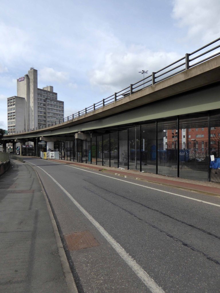
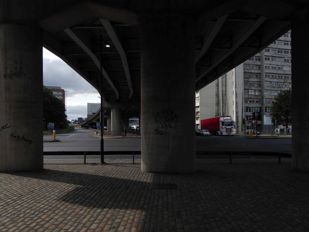
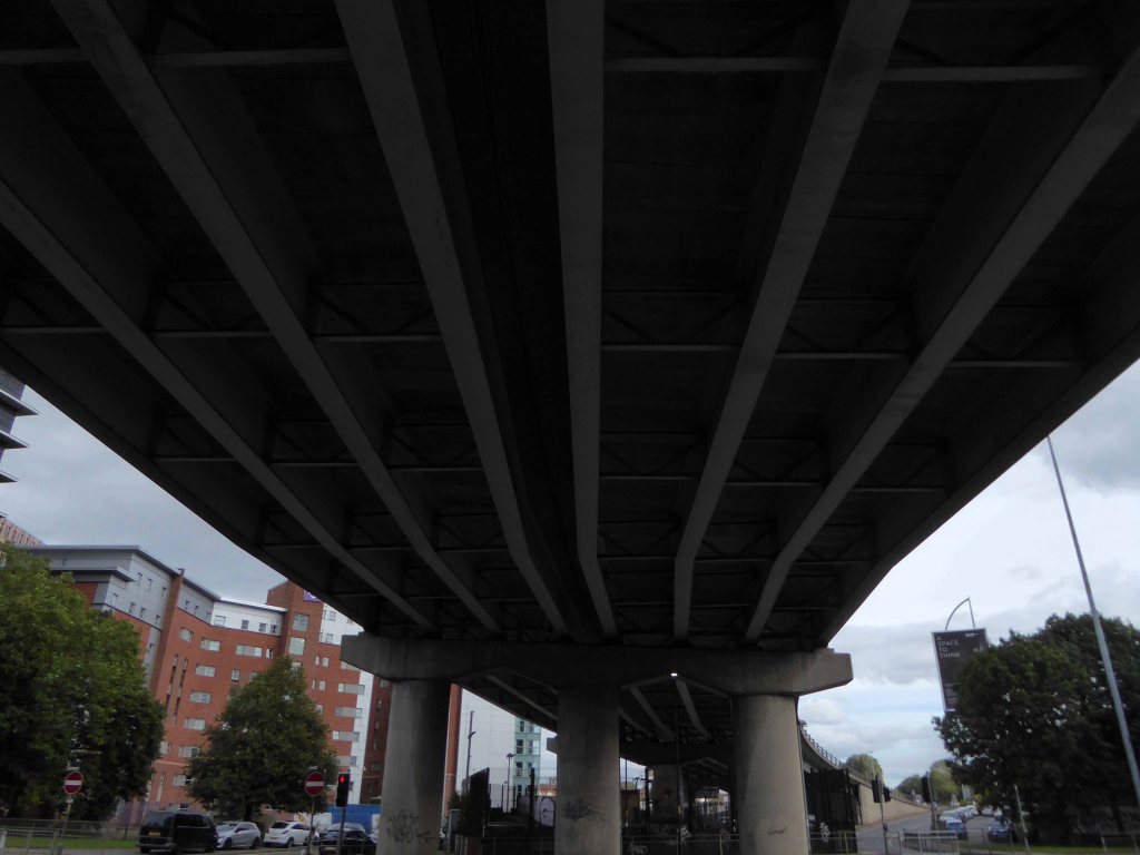
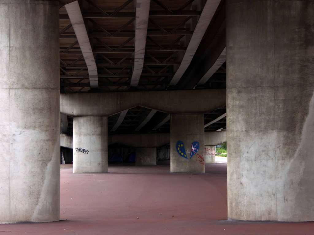
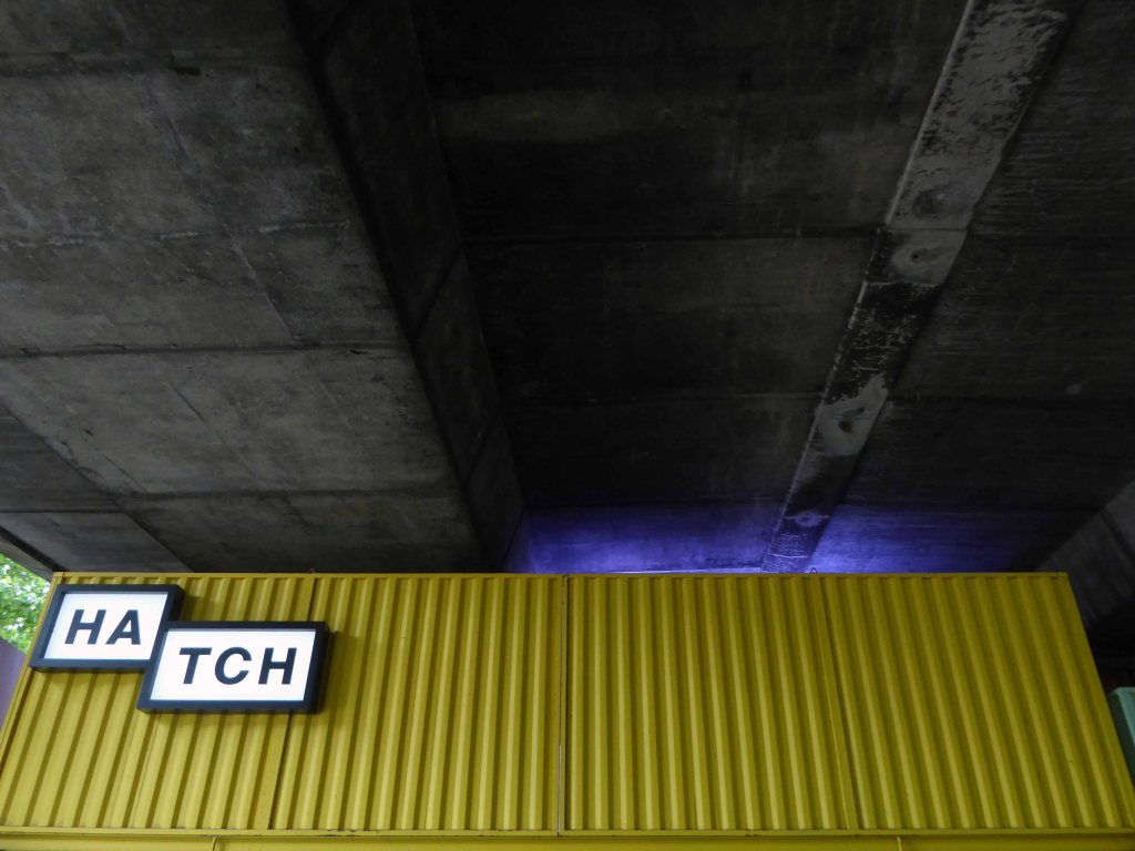
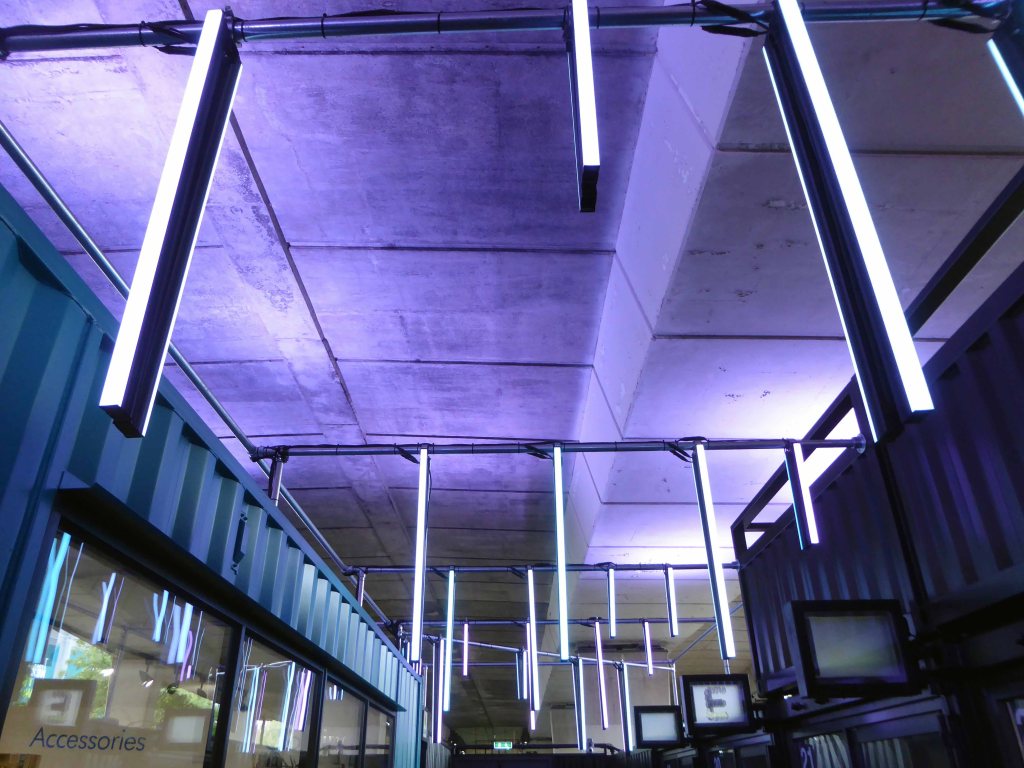
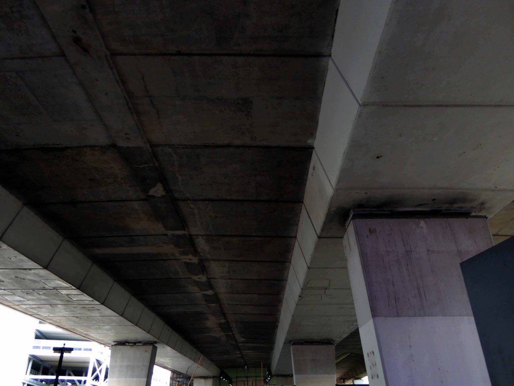
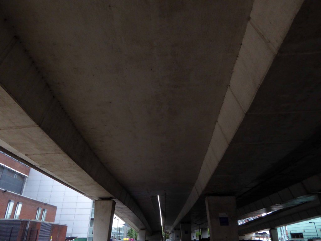
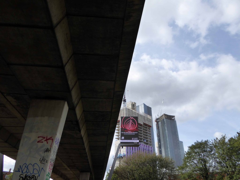
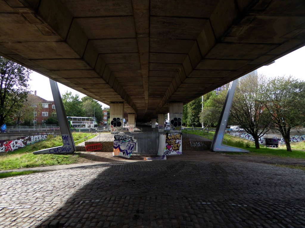
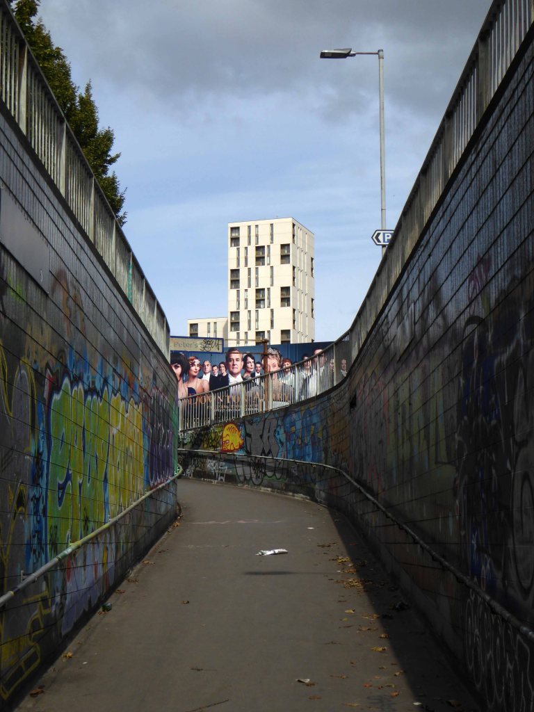
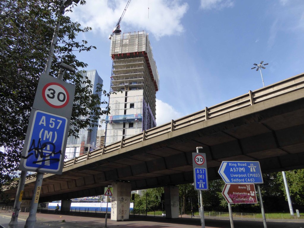
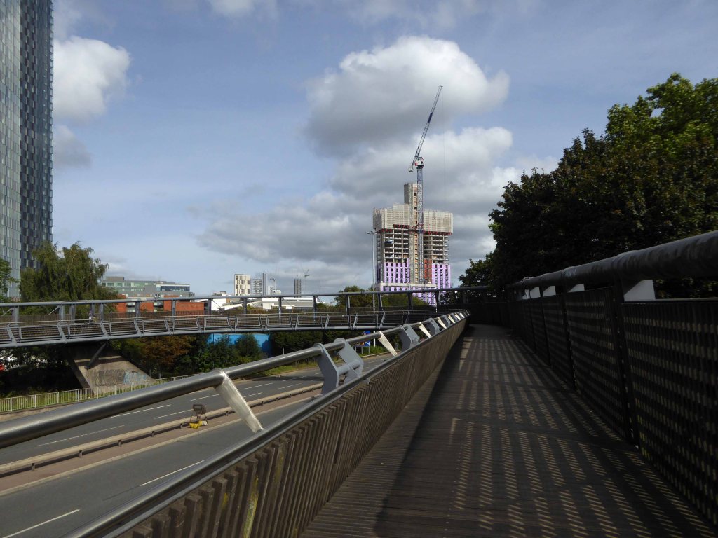
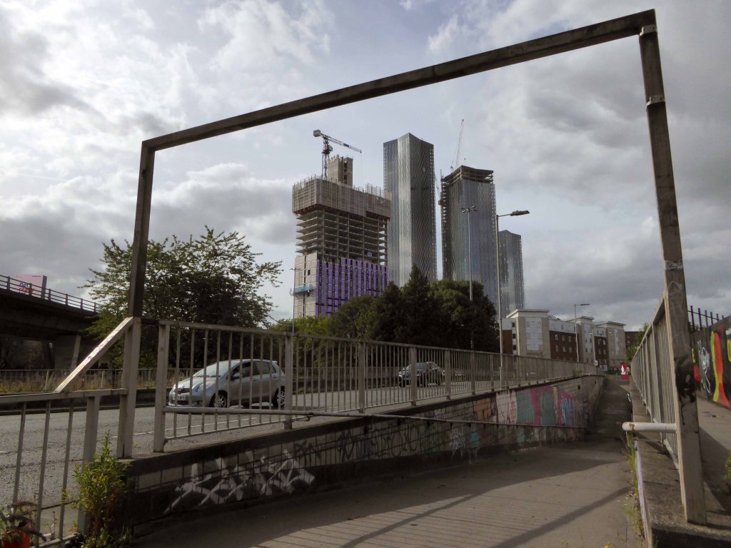
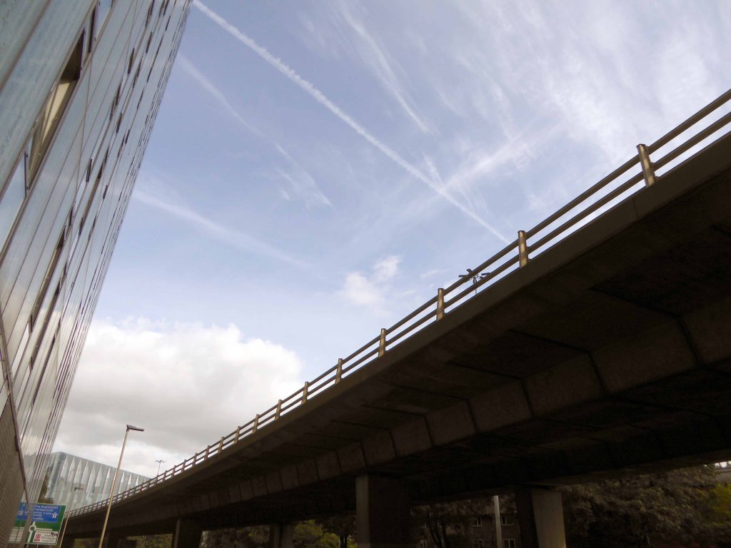
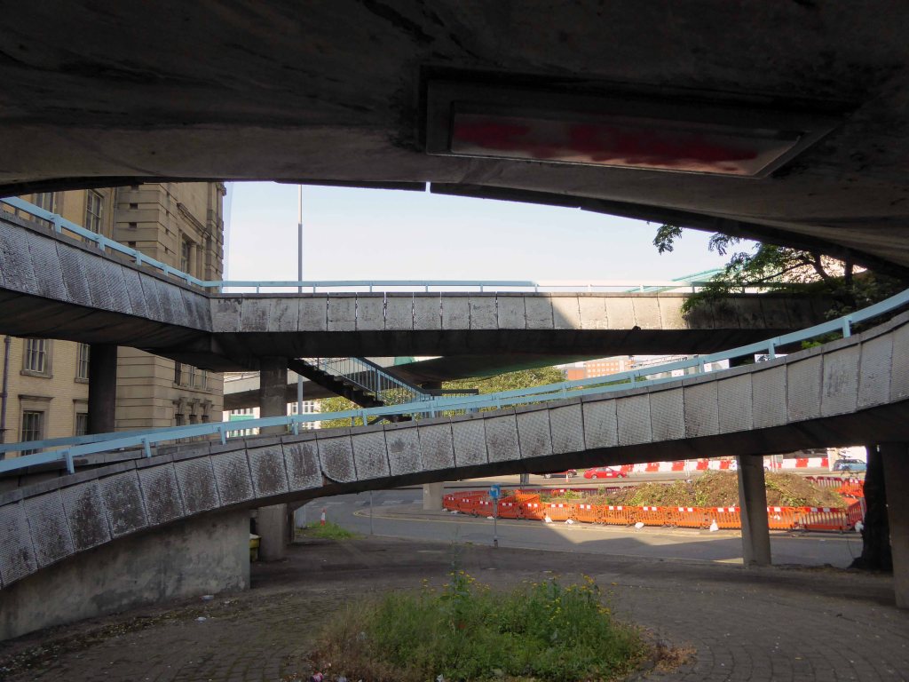
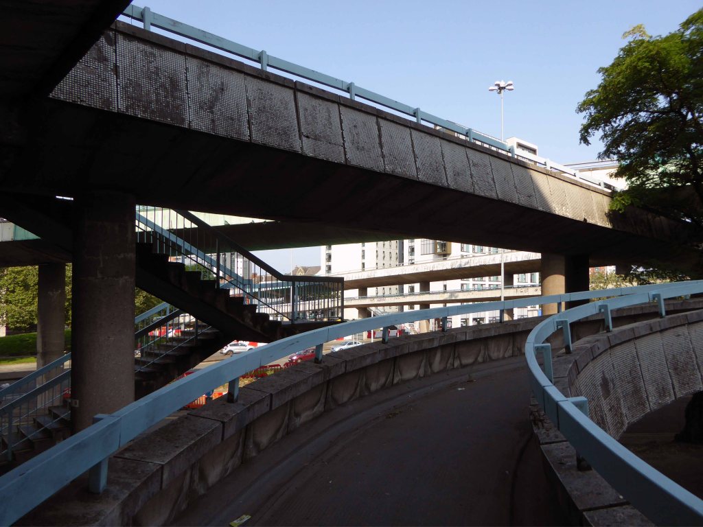
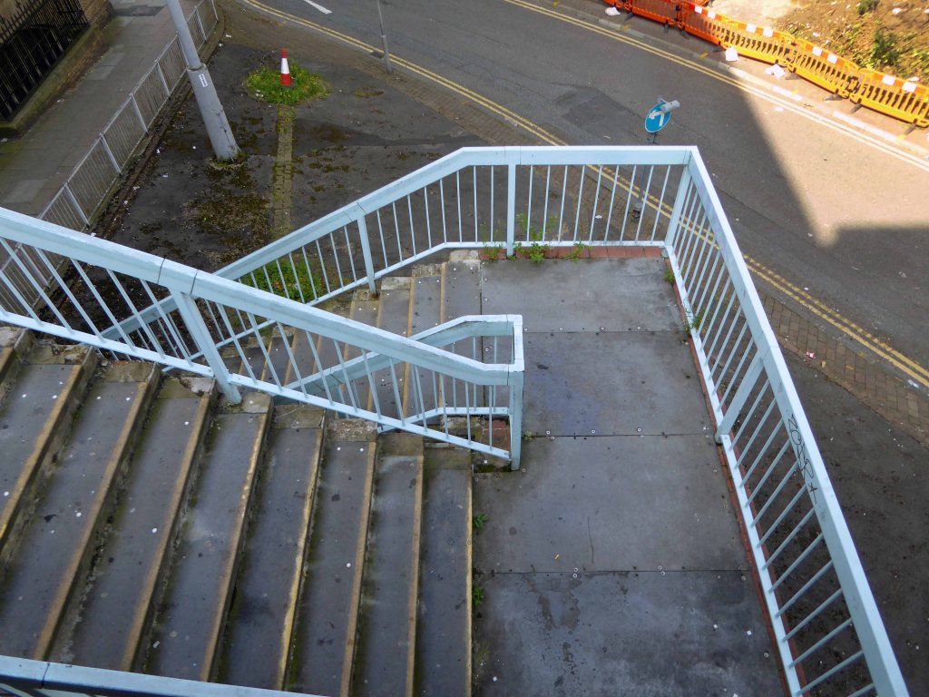
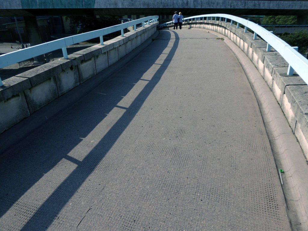
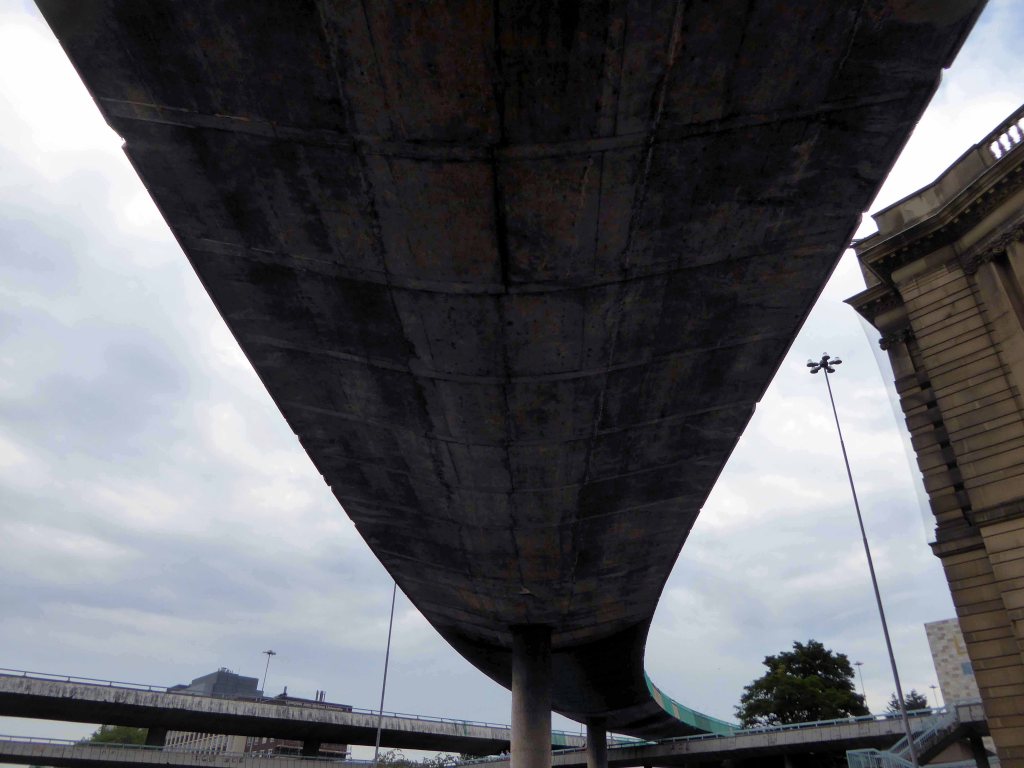
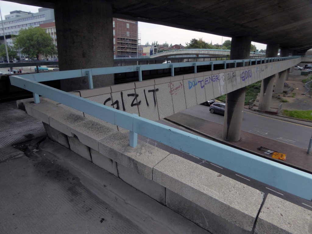
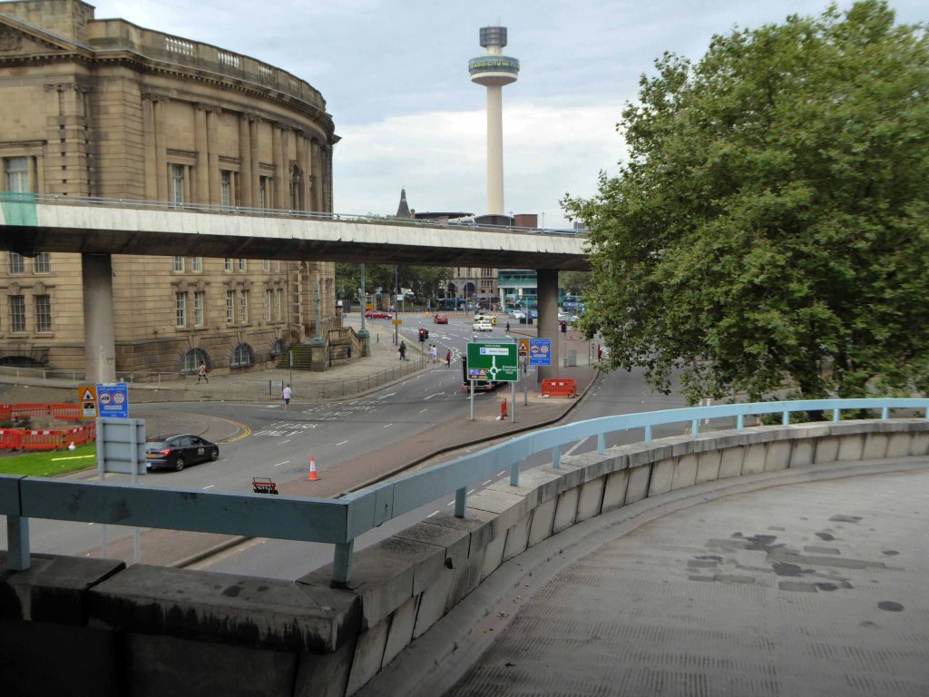
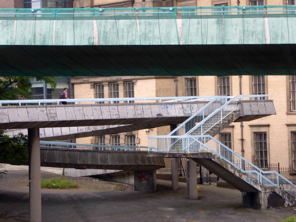
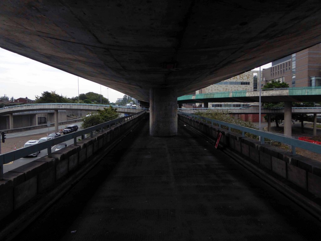
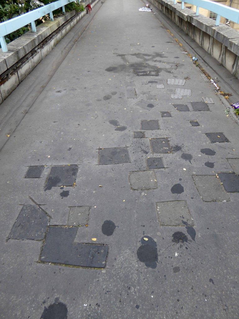
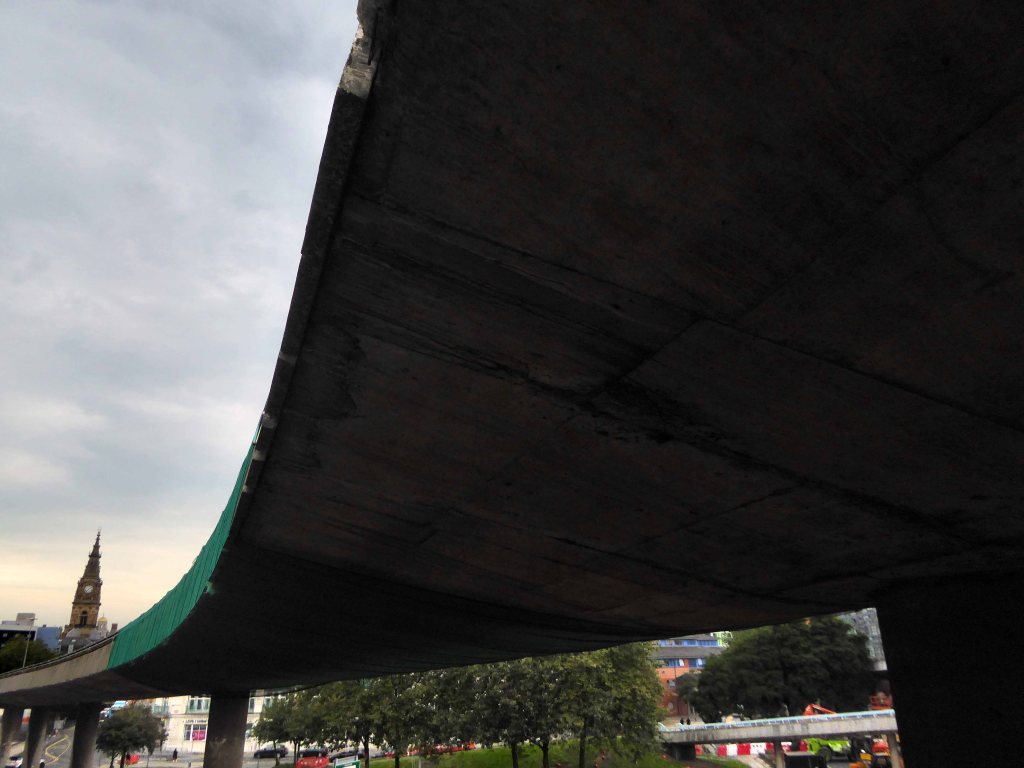
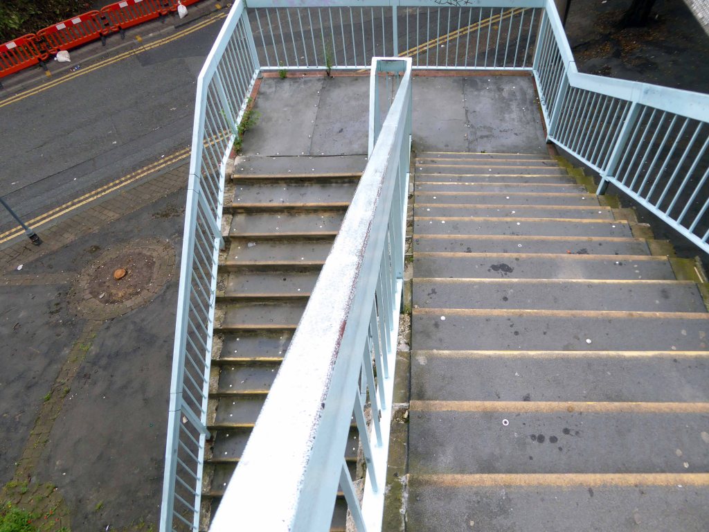
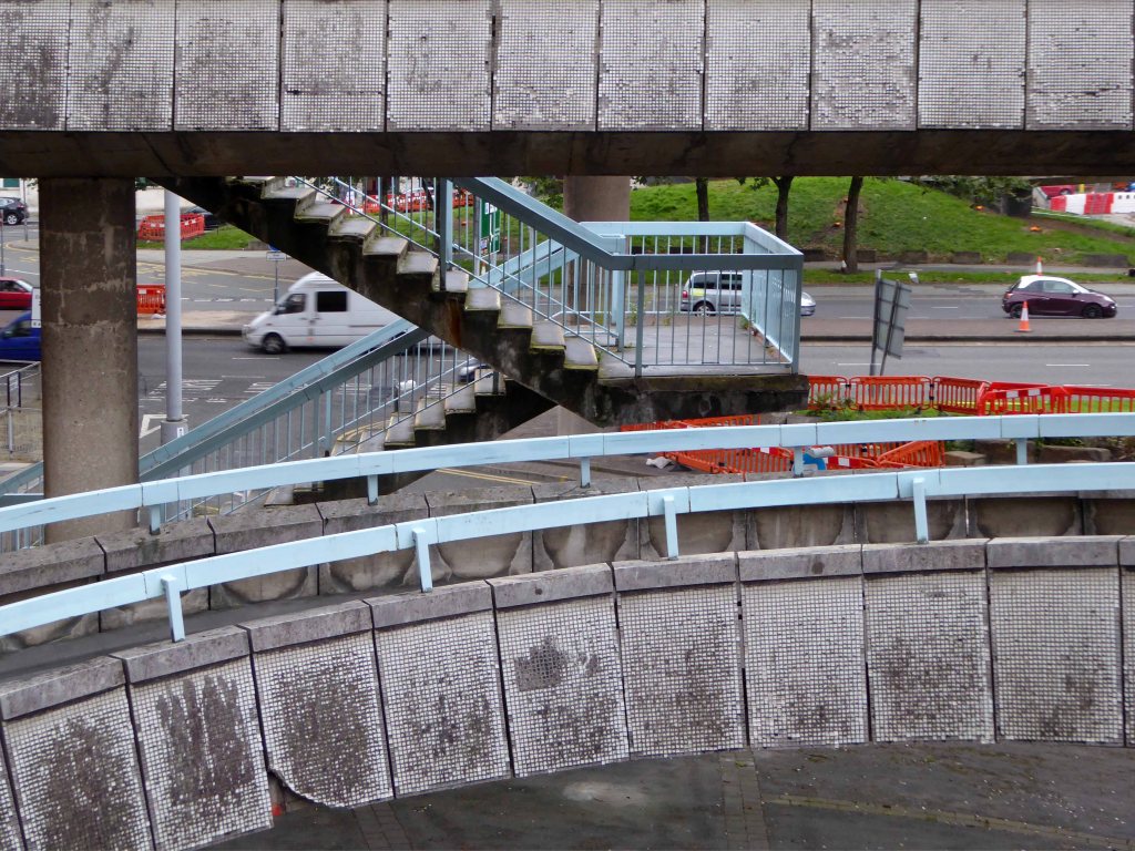
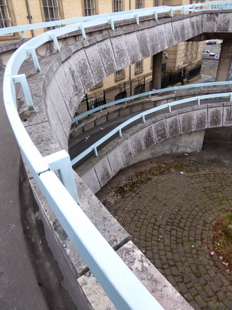
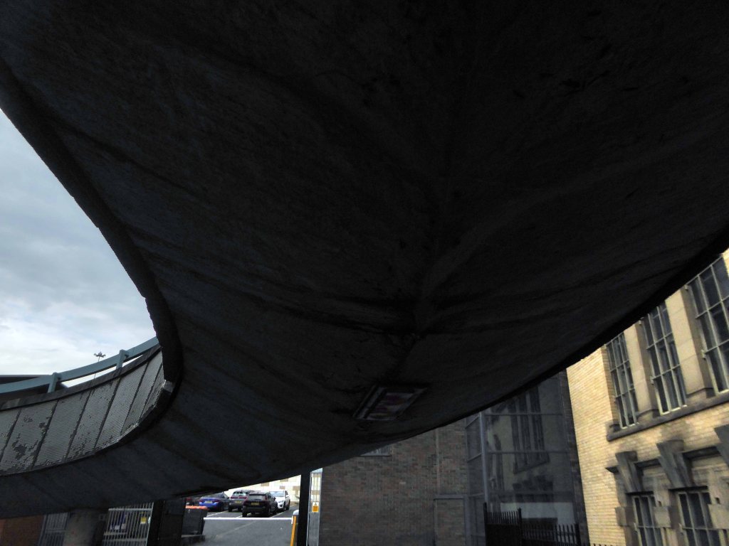
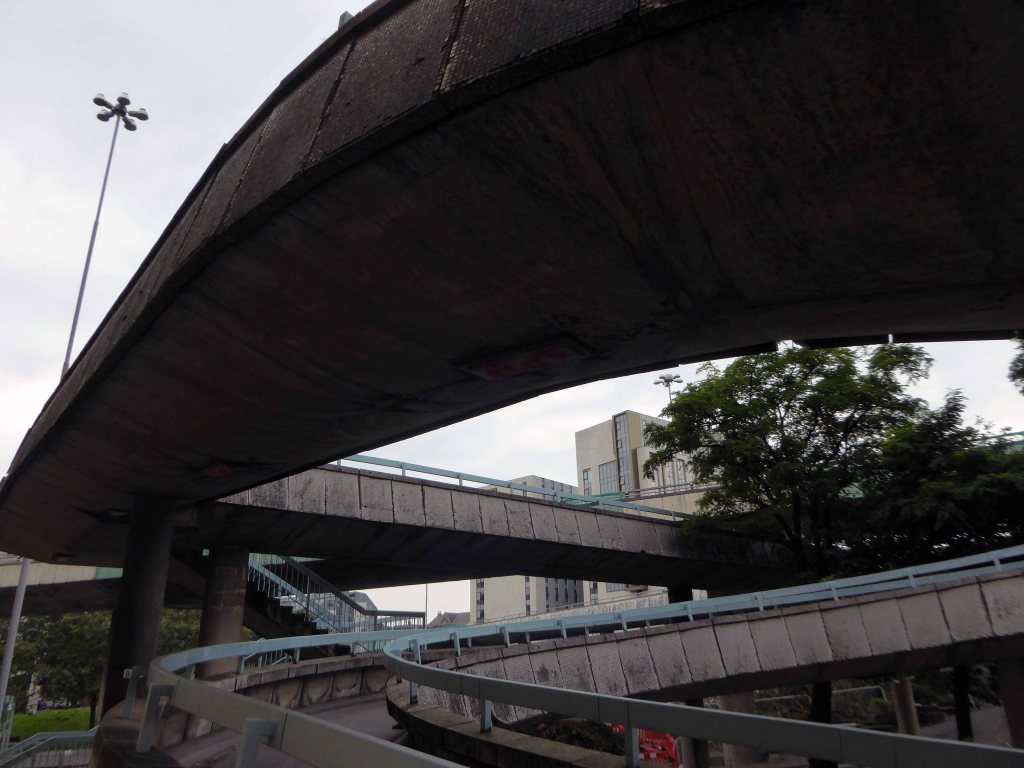
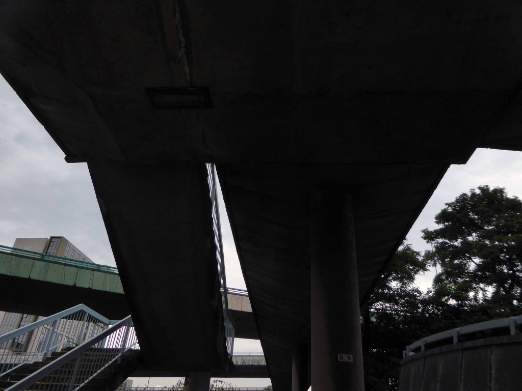
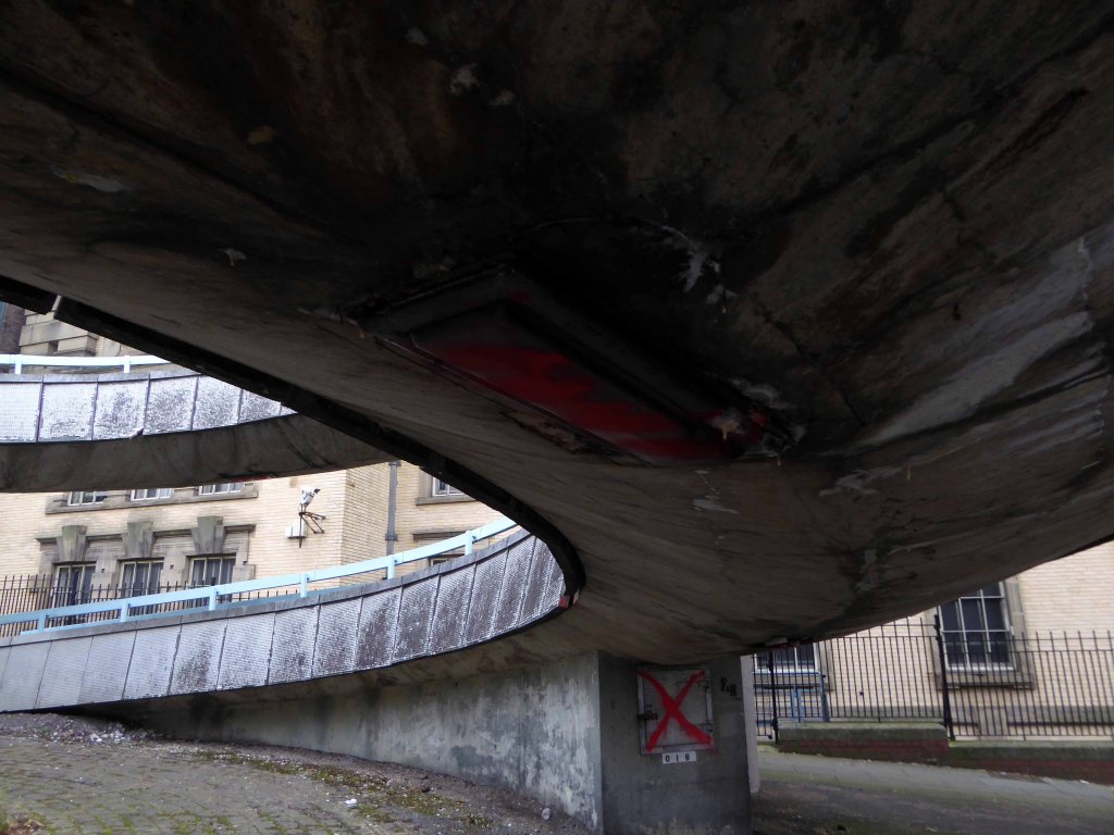
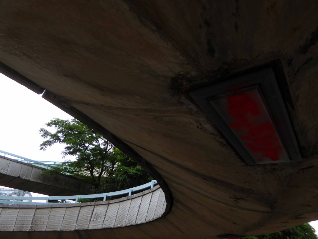
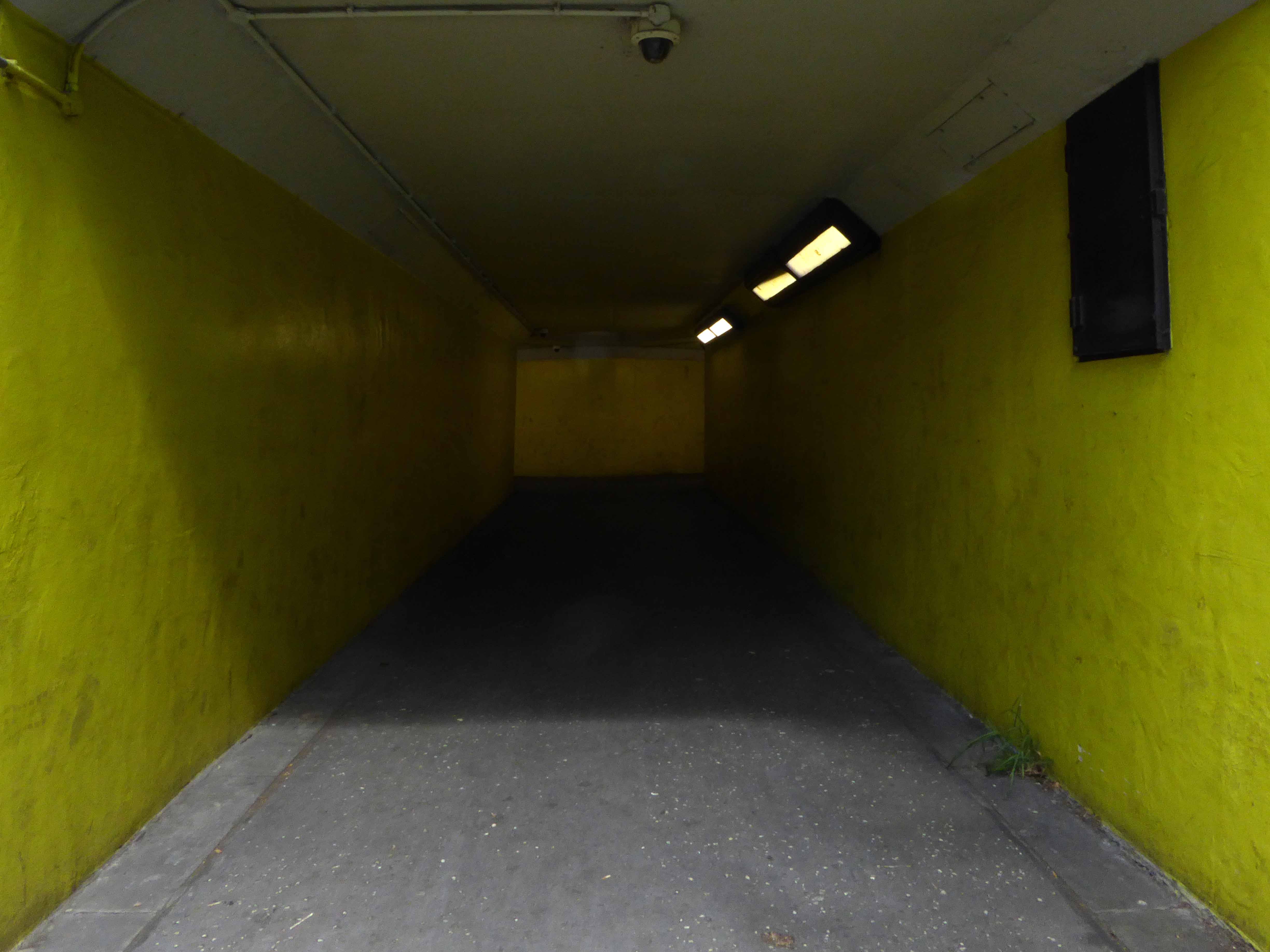
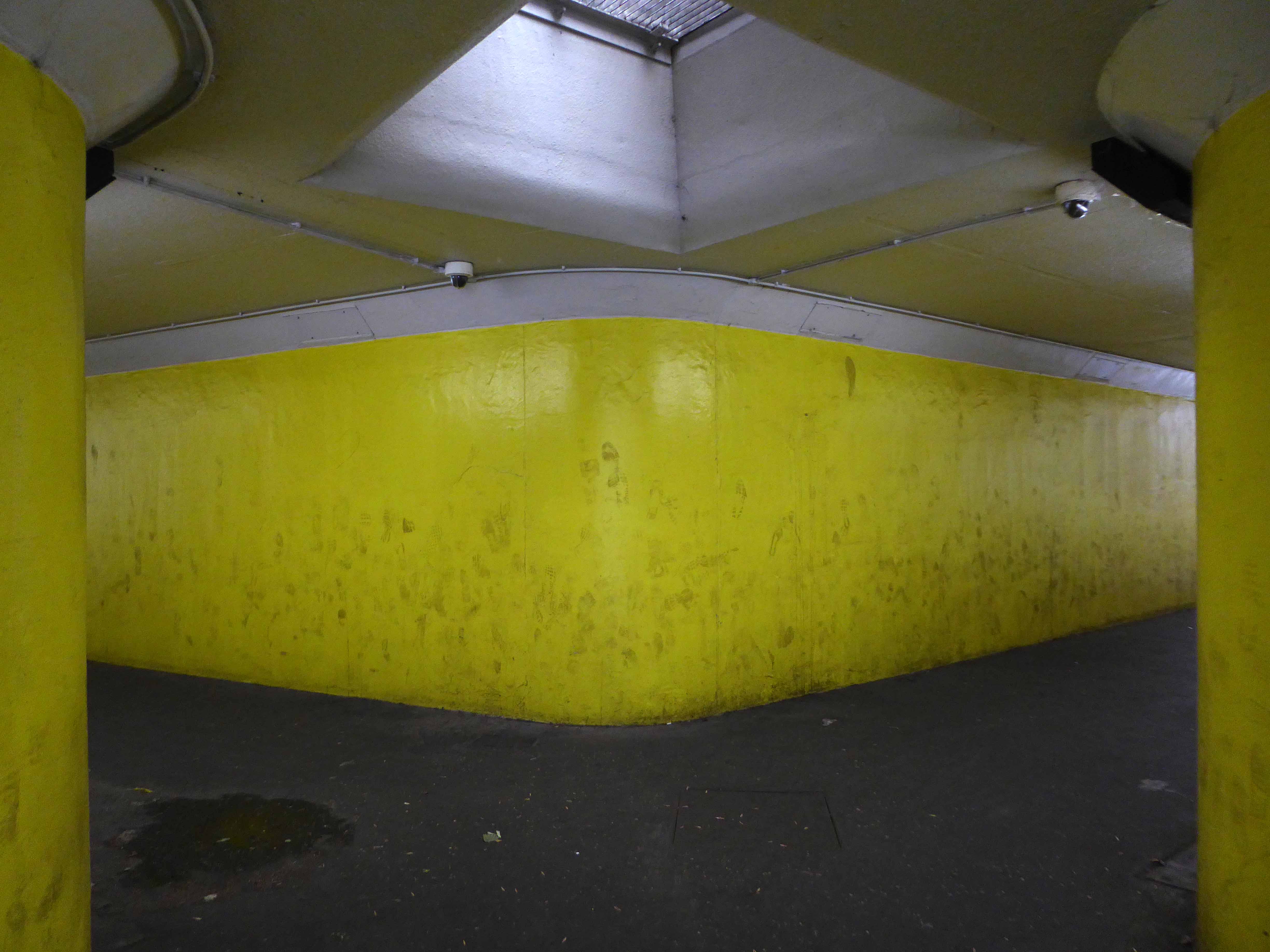
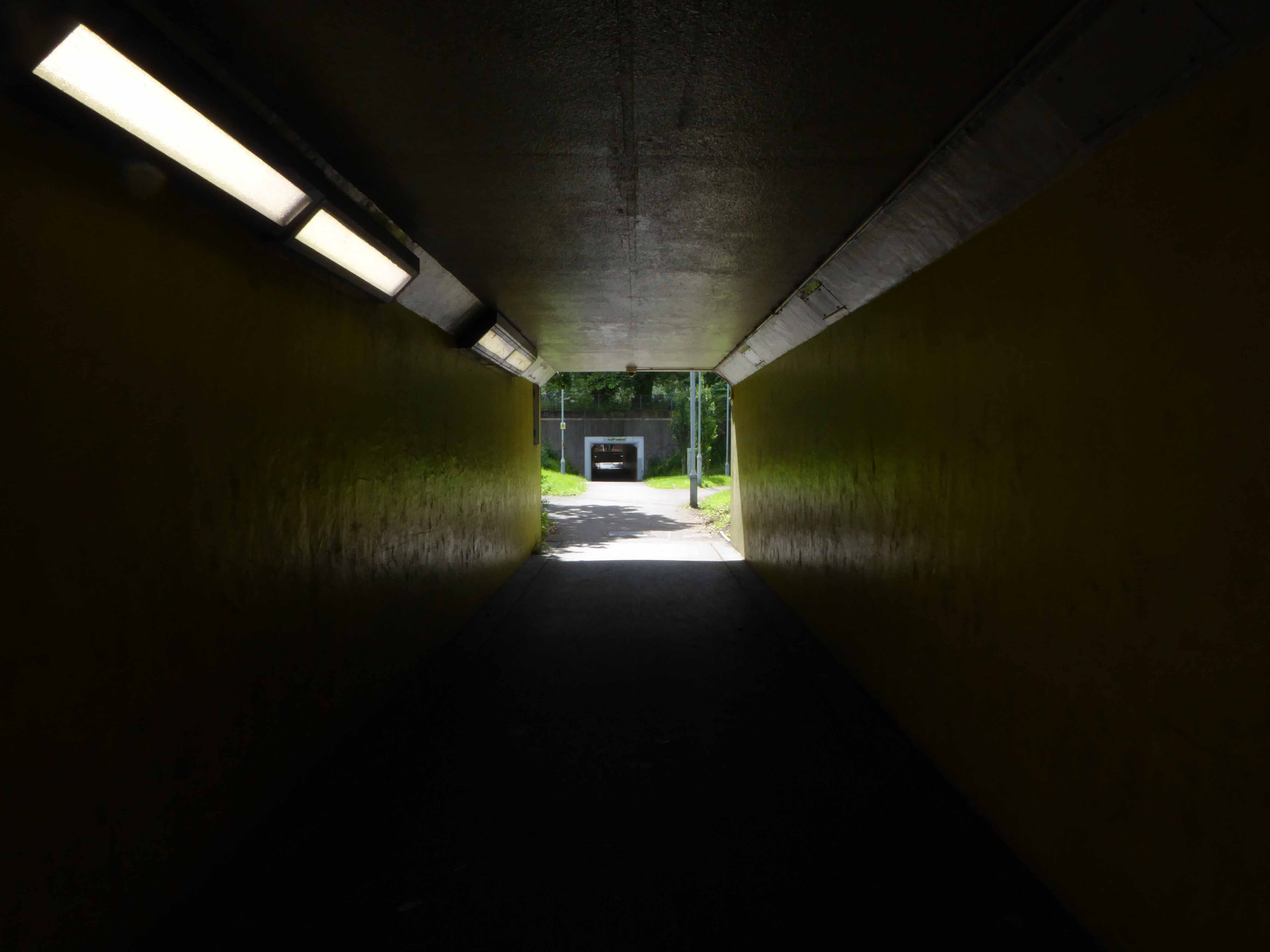
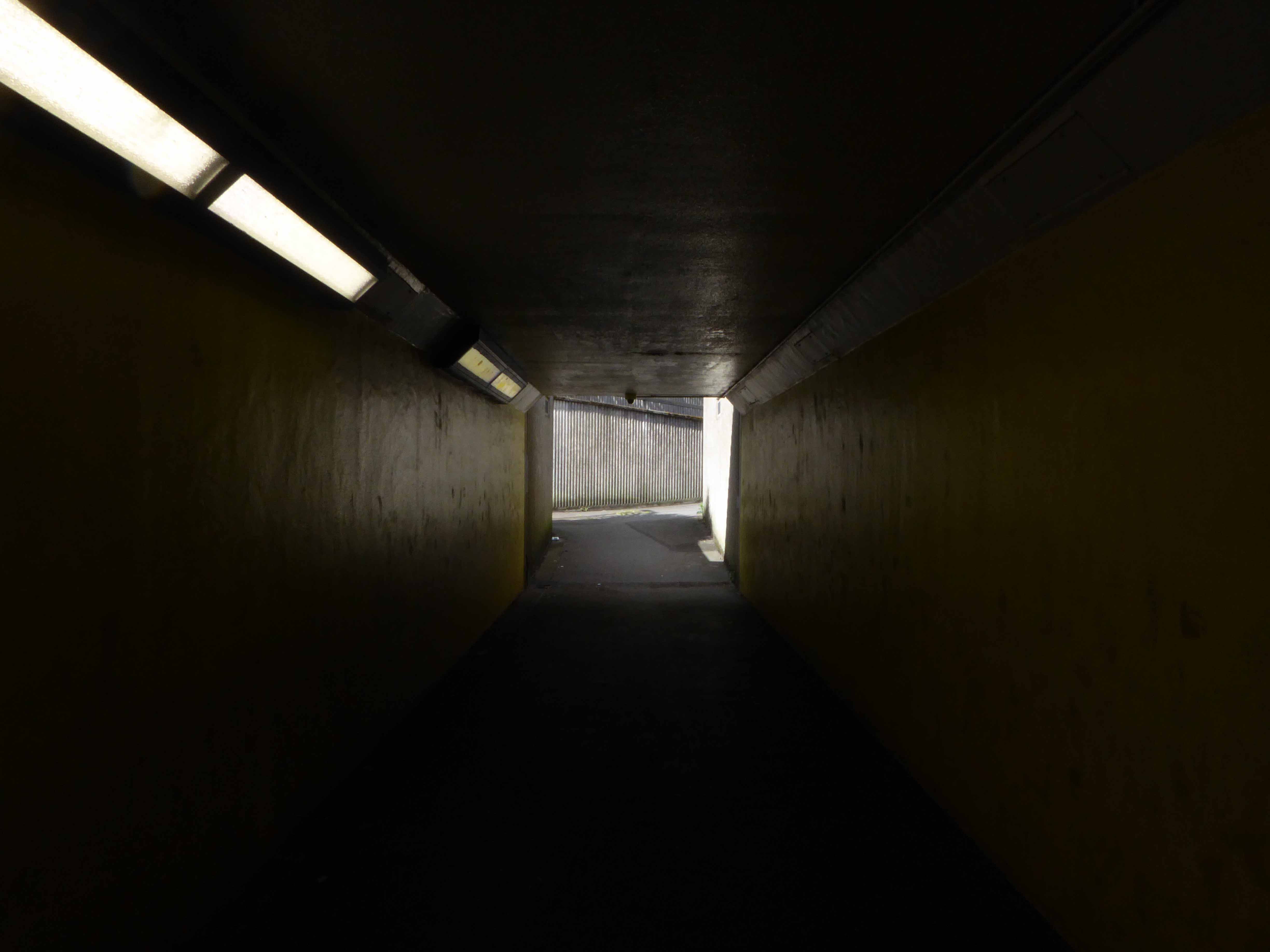
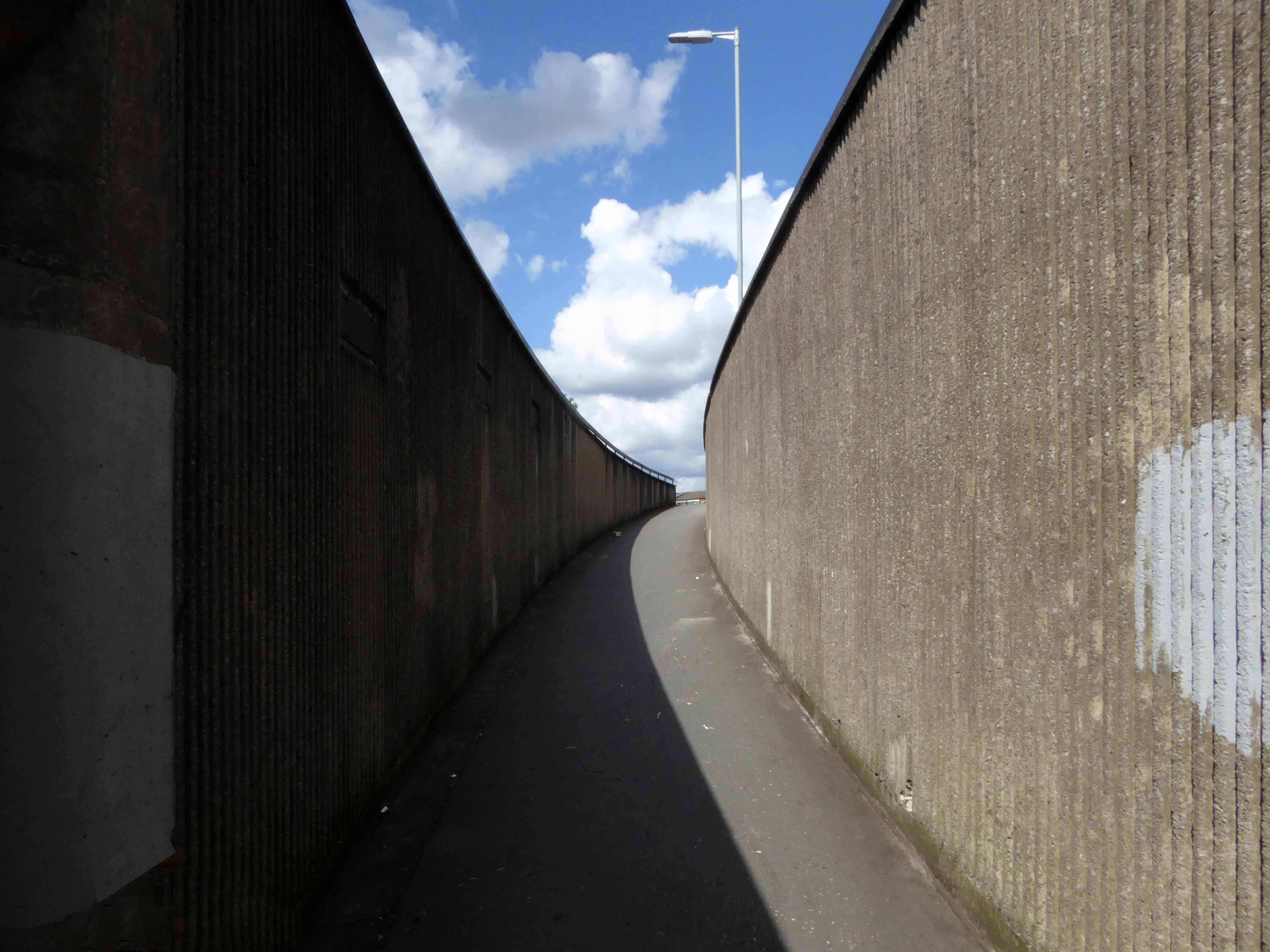
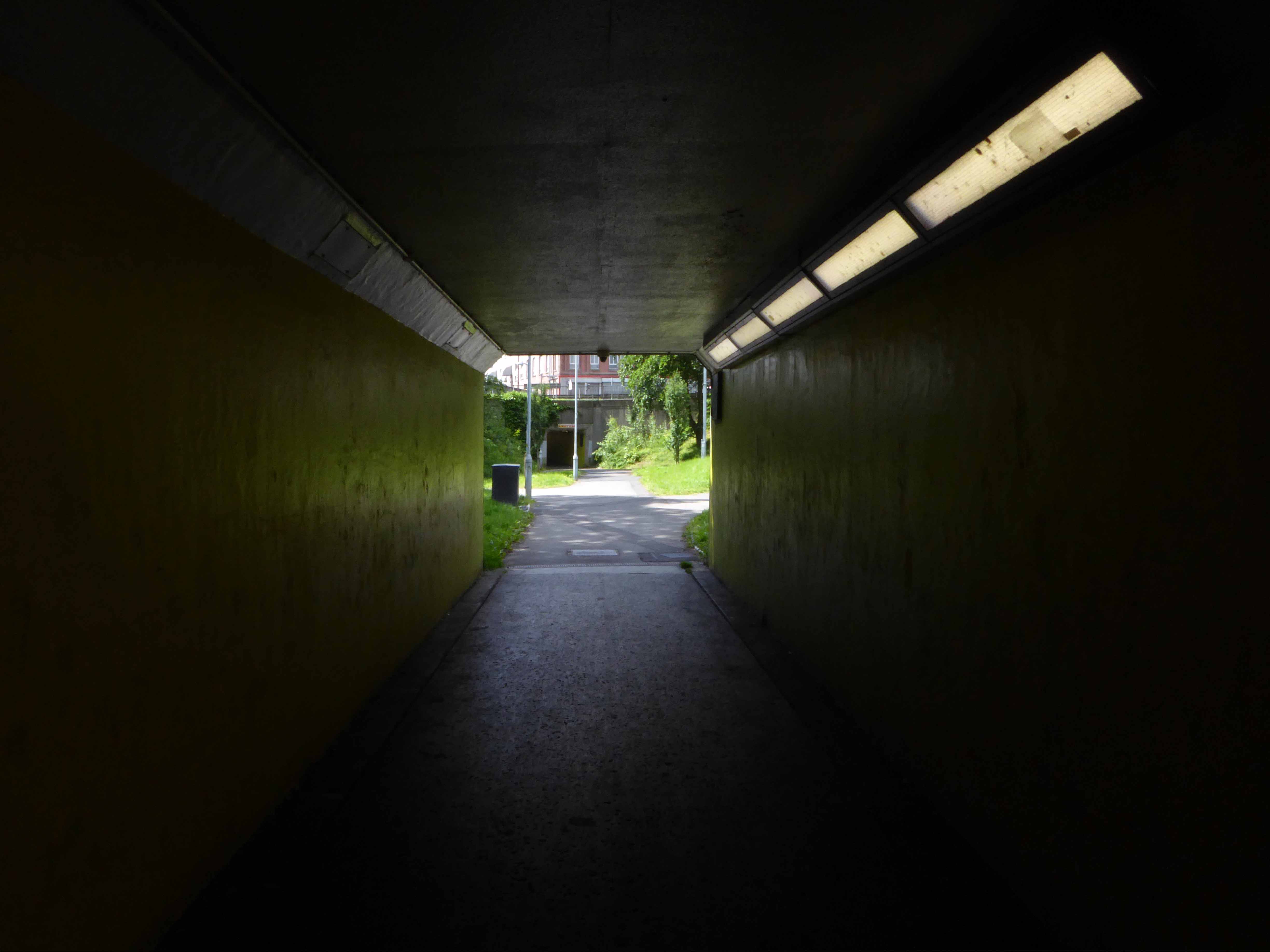
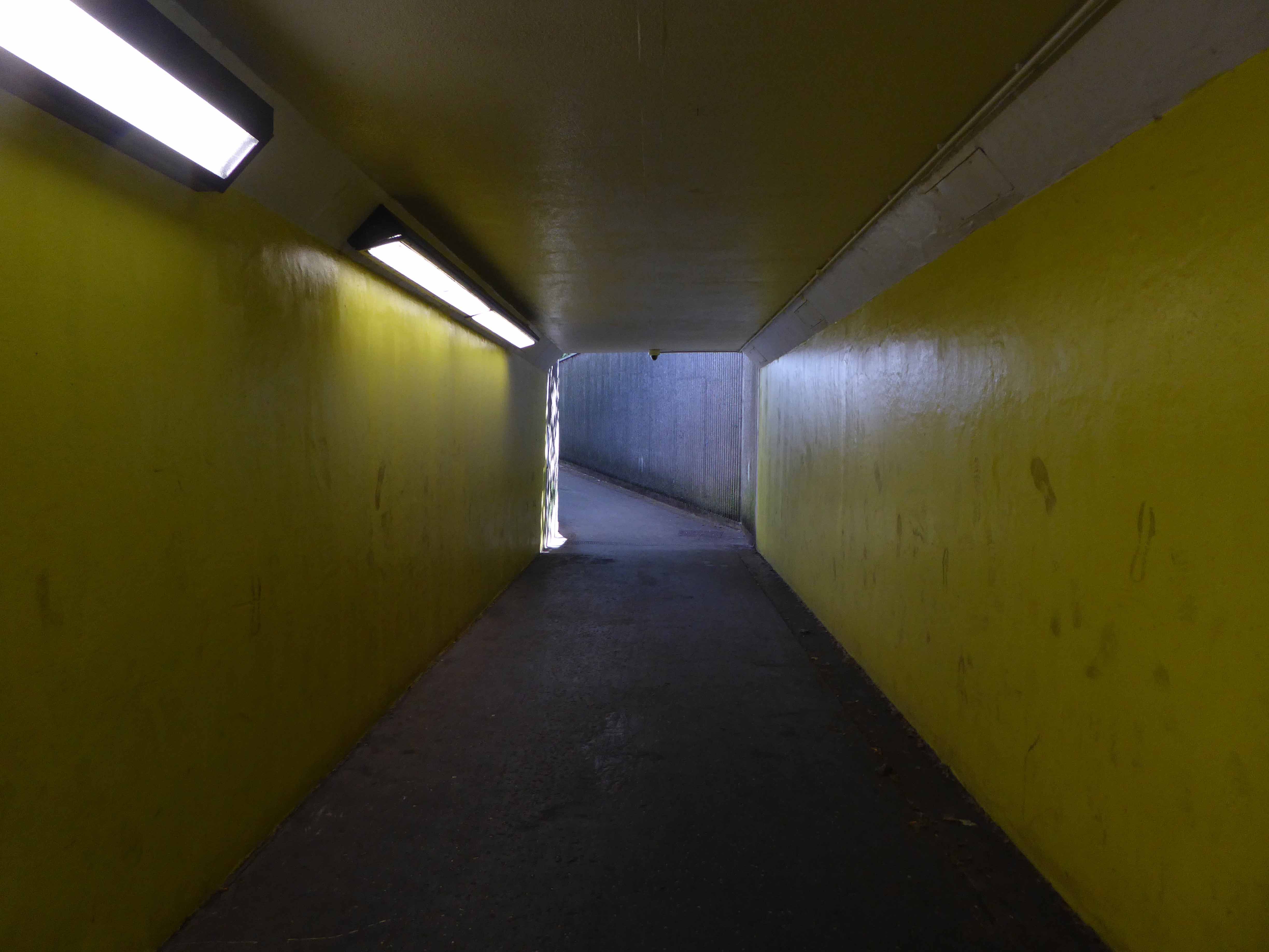
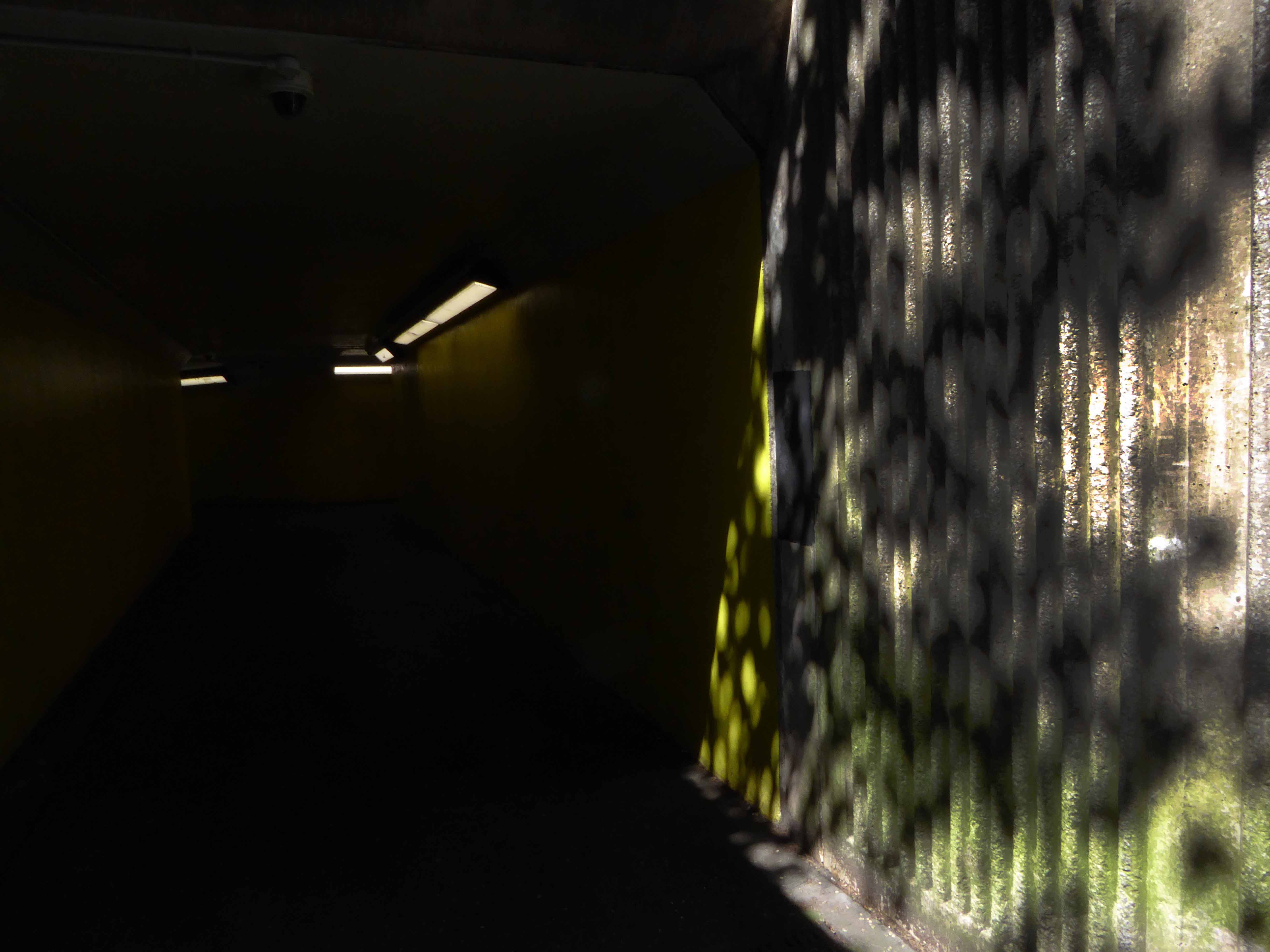
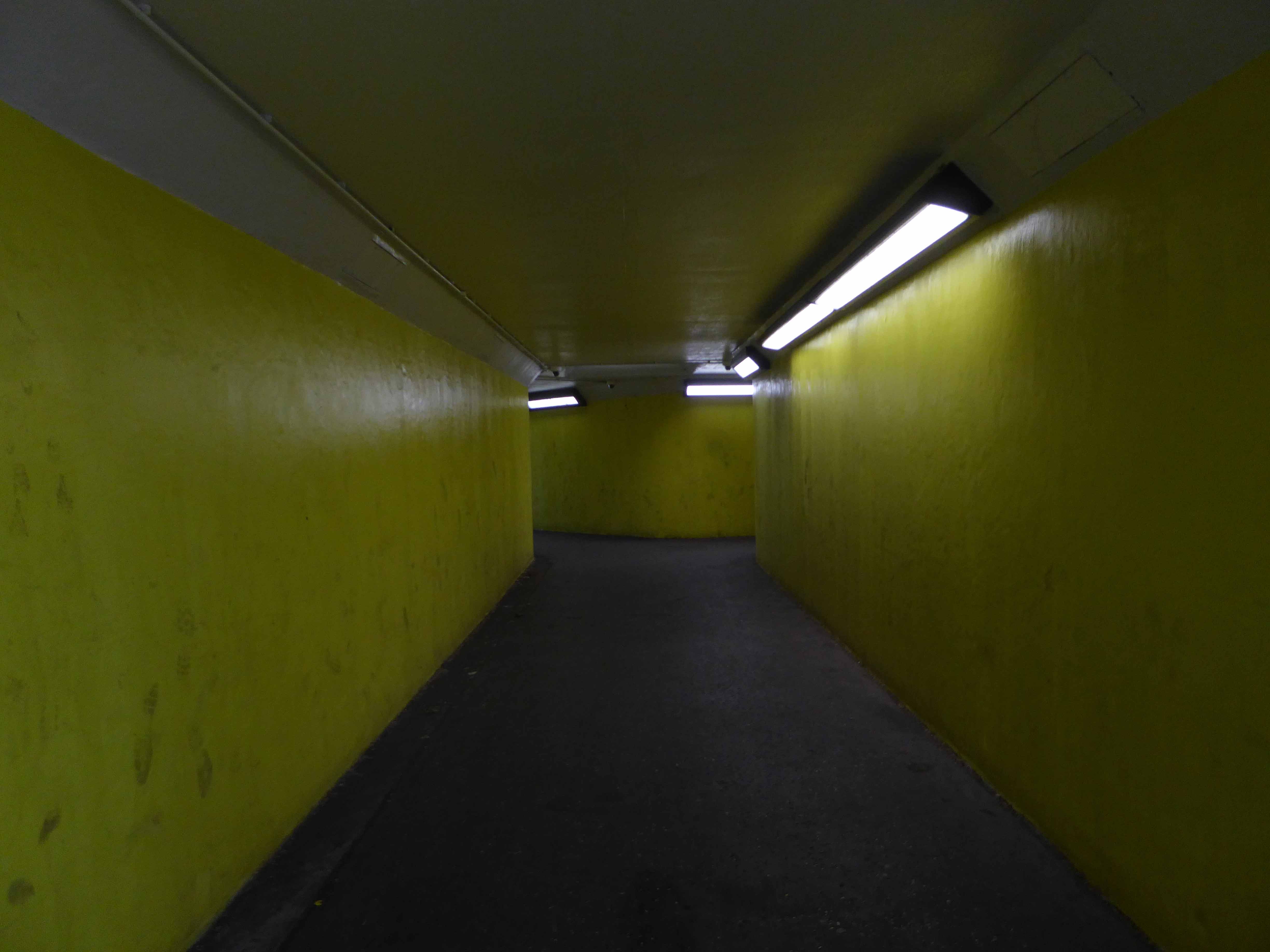
From east to west and back again – in or on, under and around our very own Highway in the Sky.
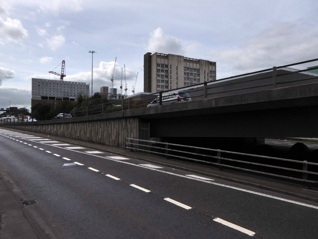
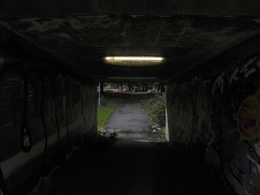
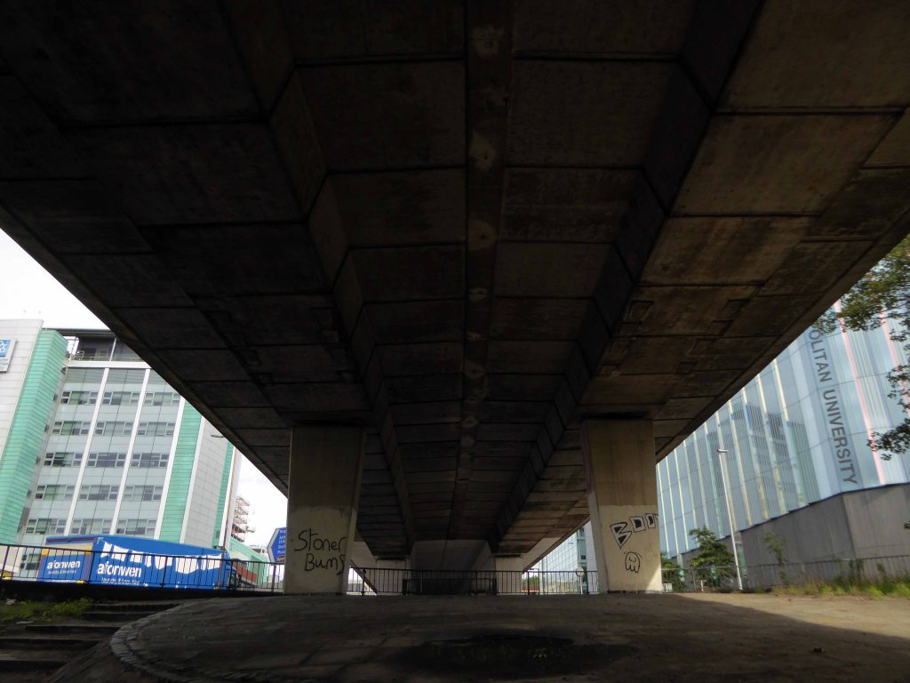
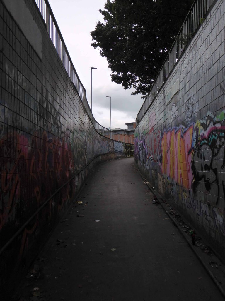
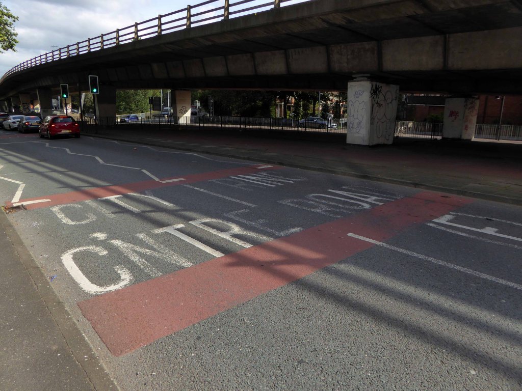
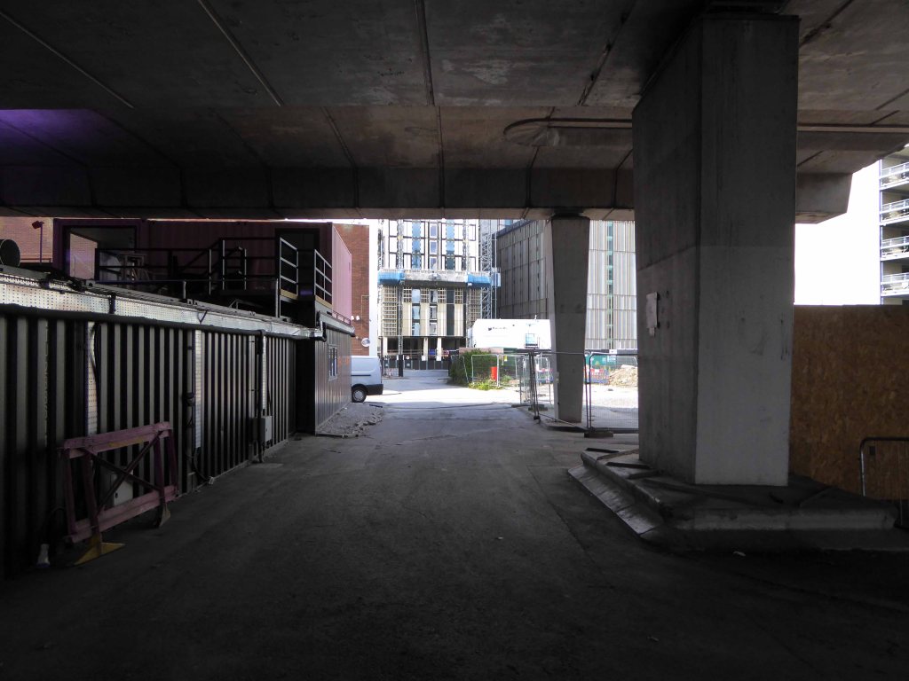
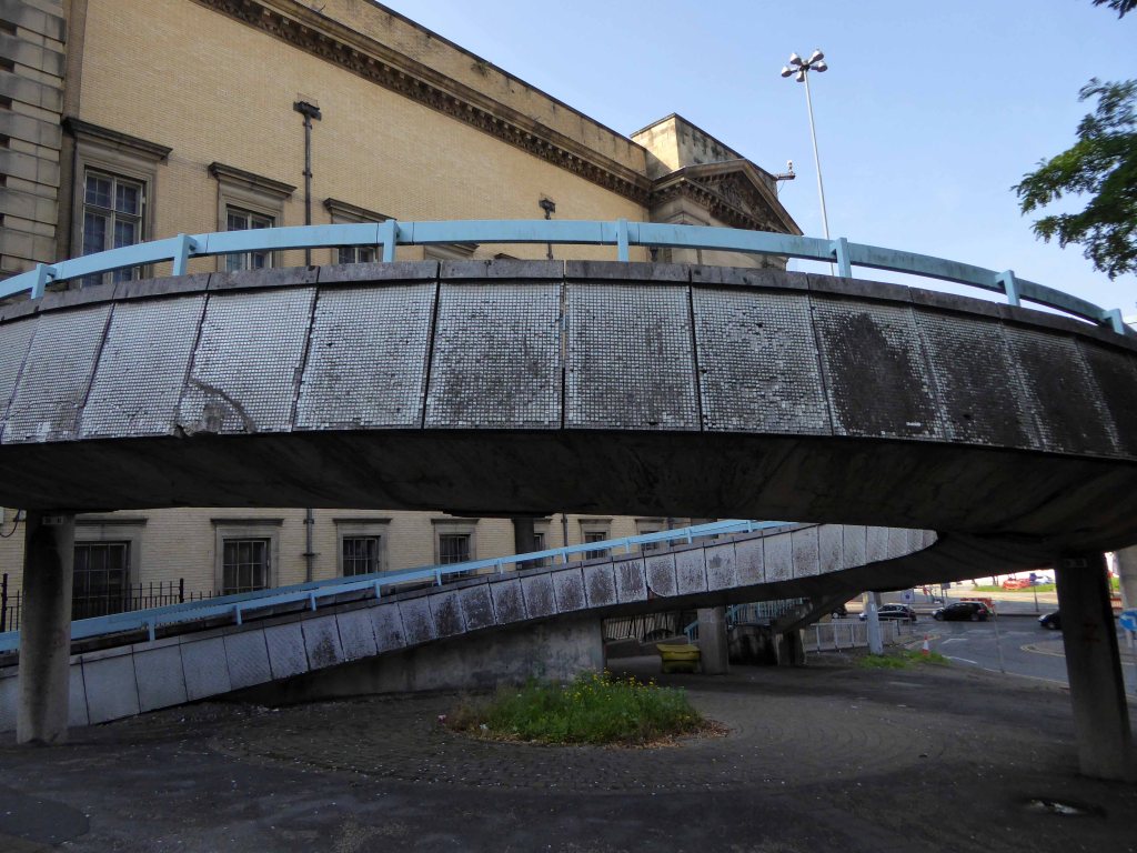
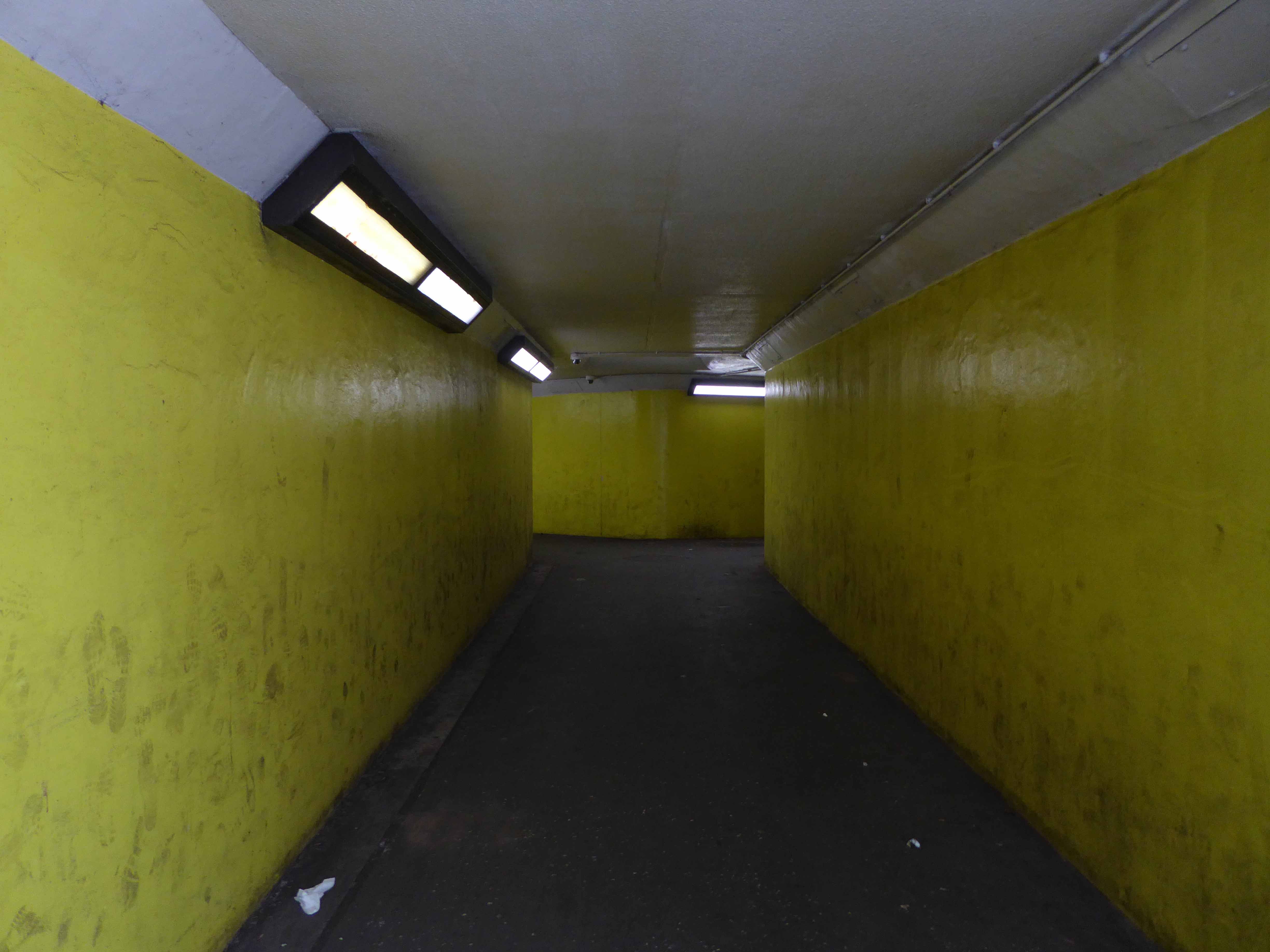
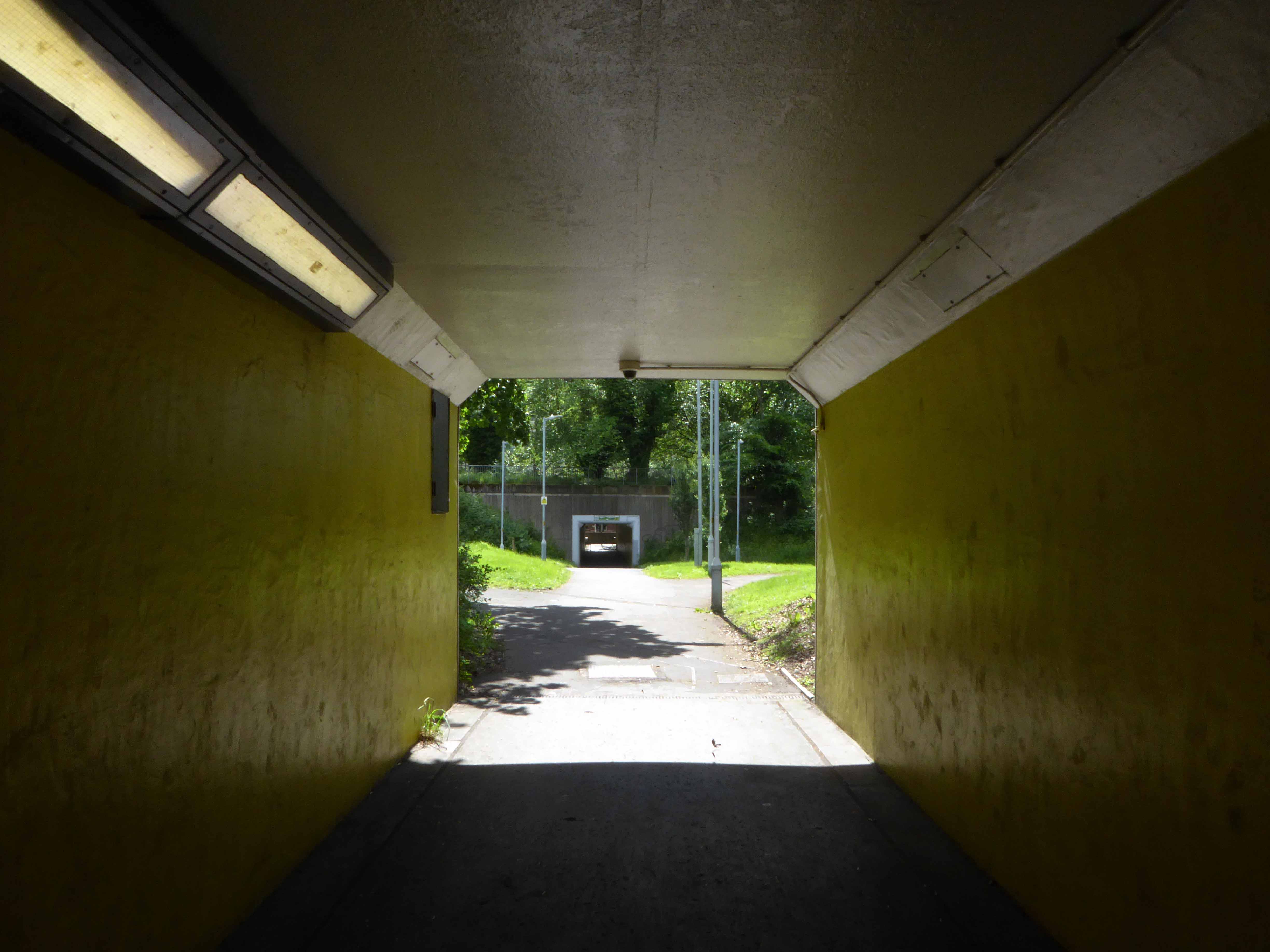
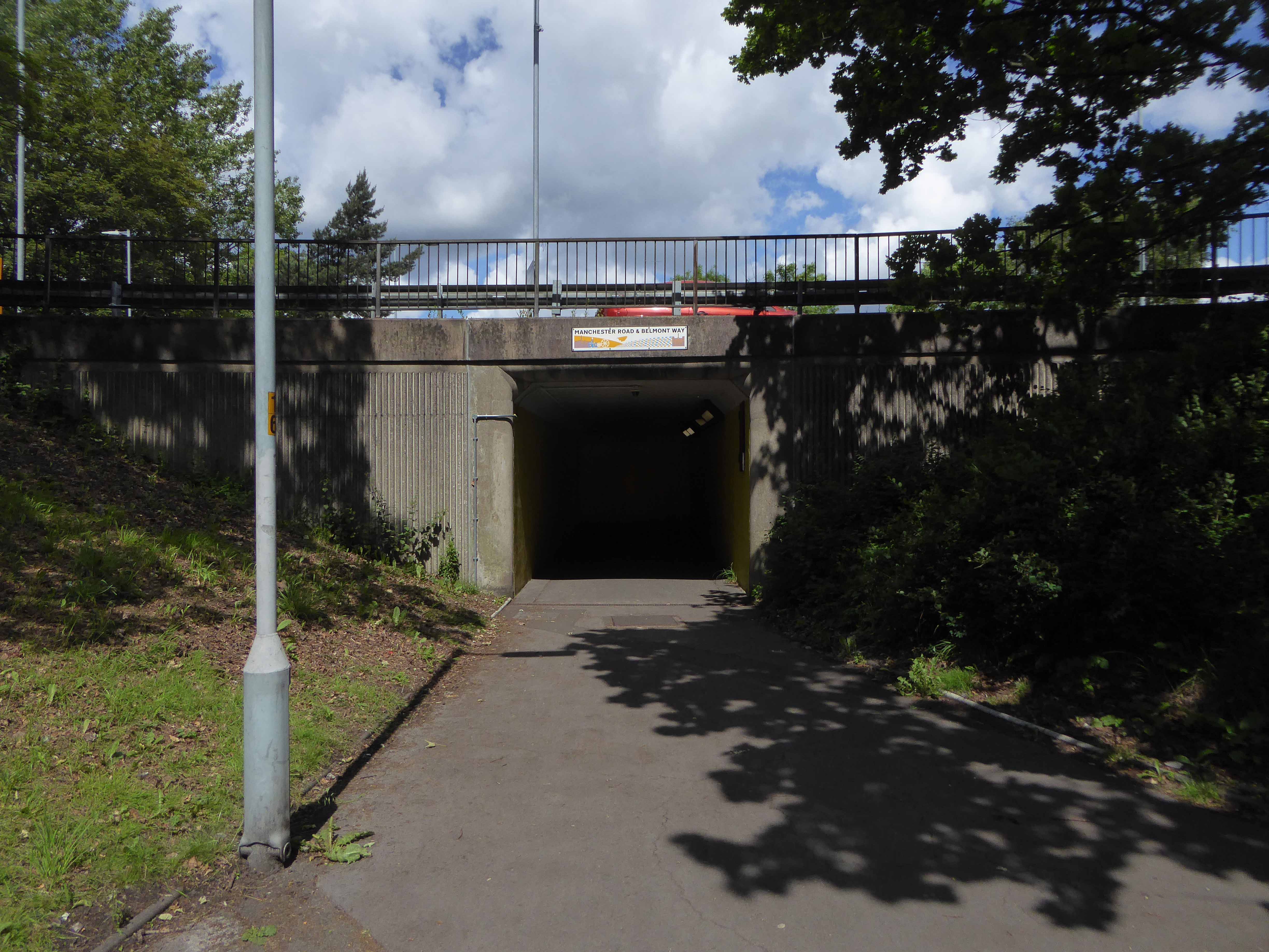
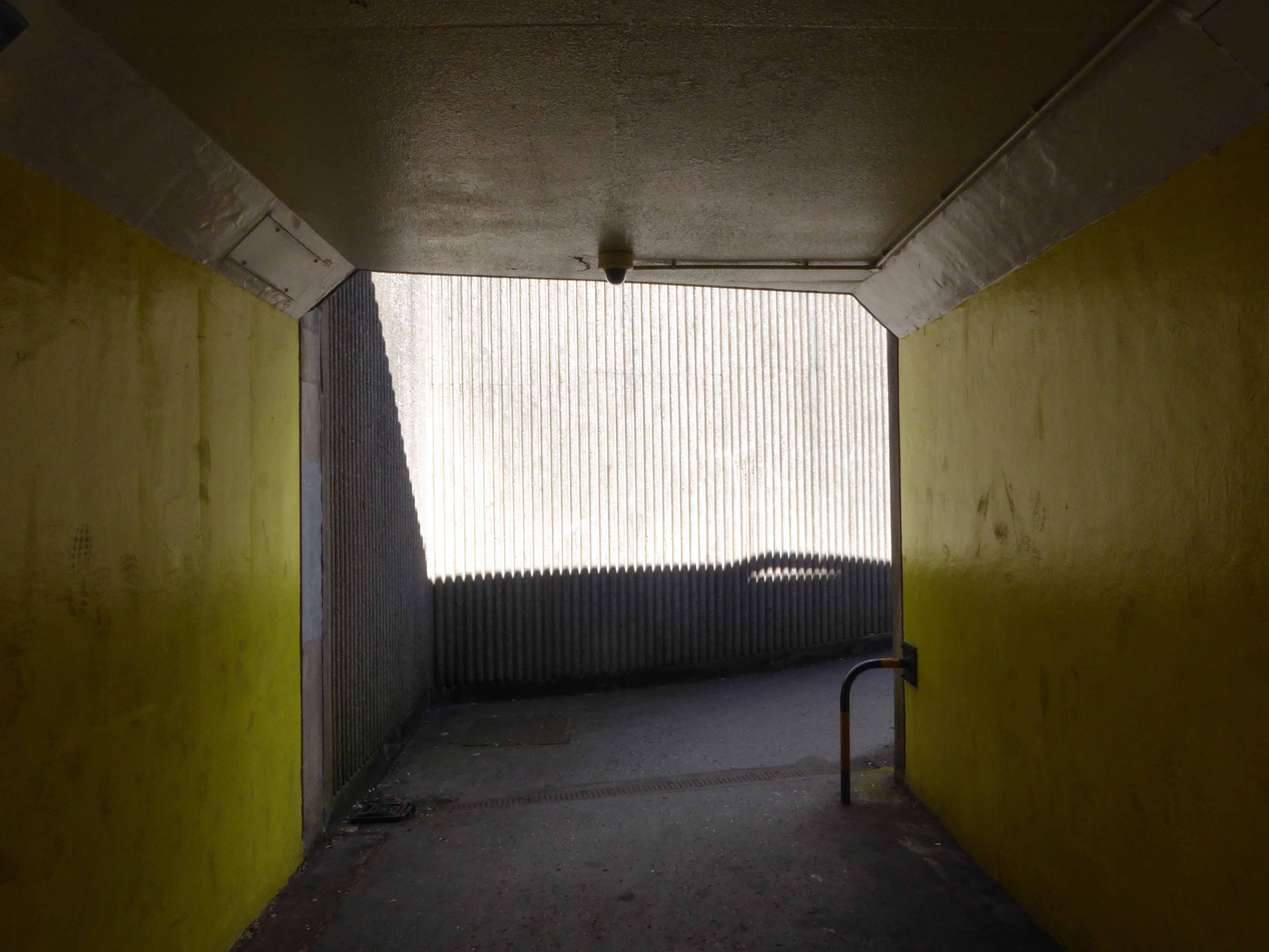
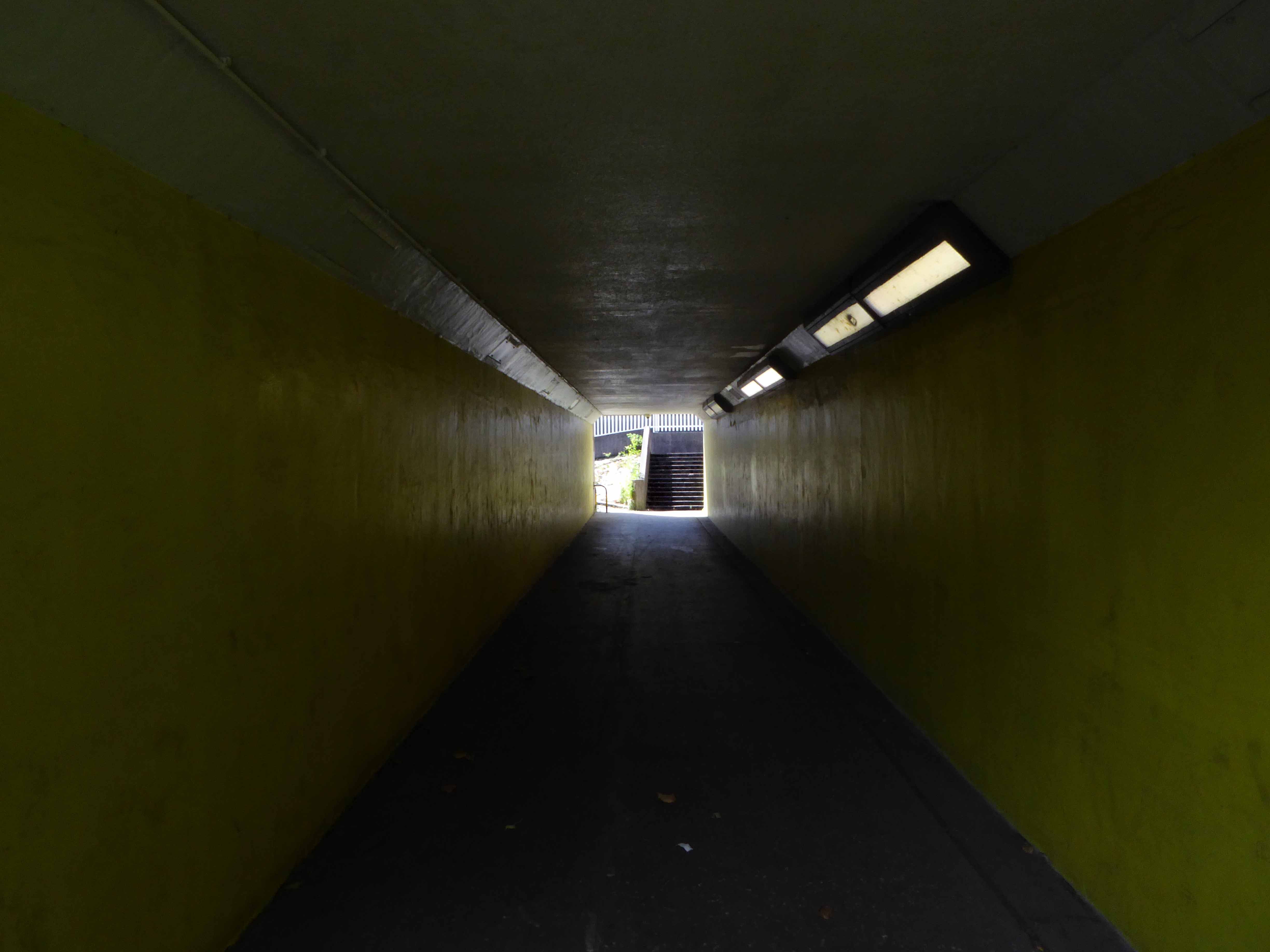
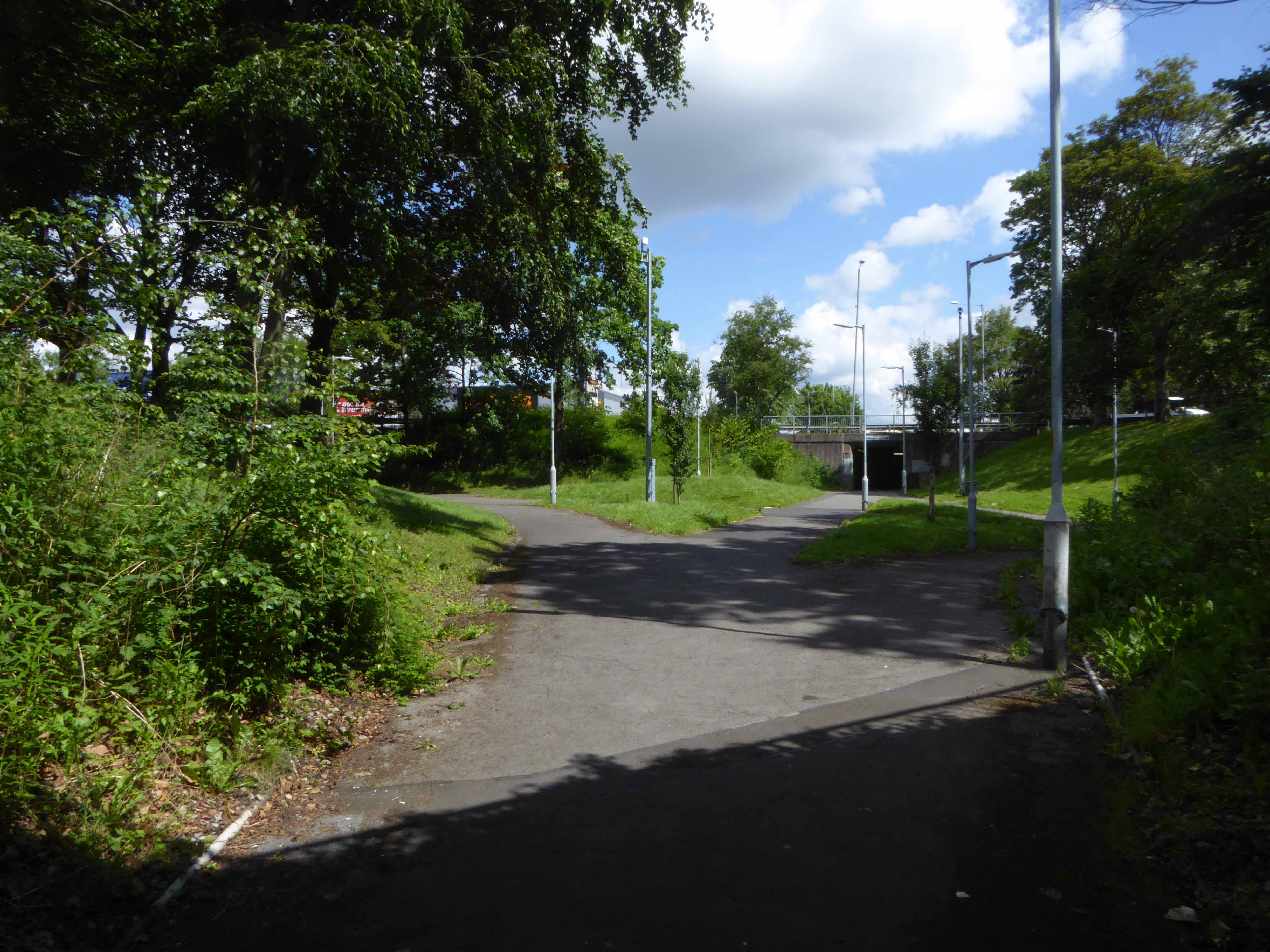
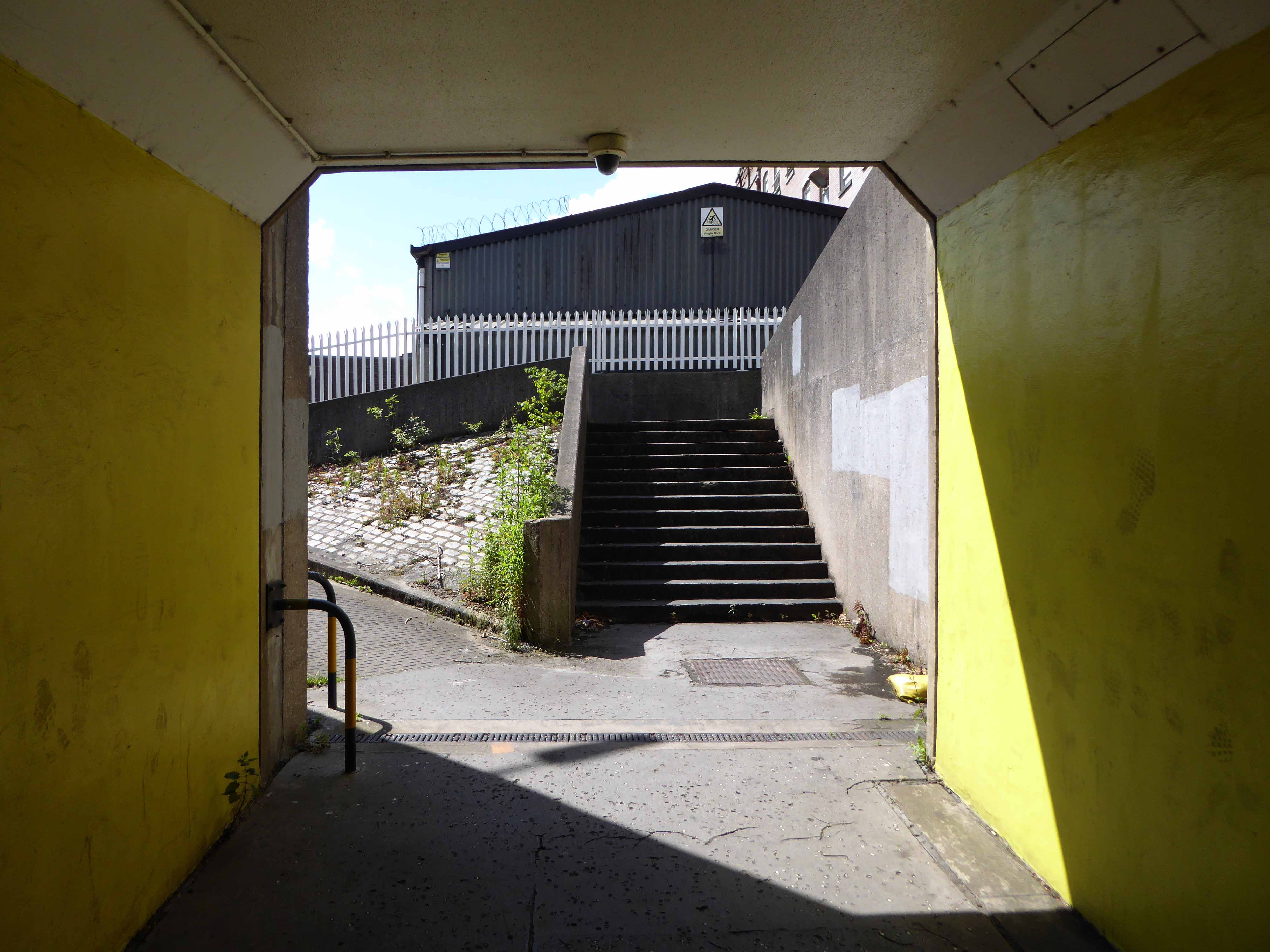
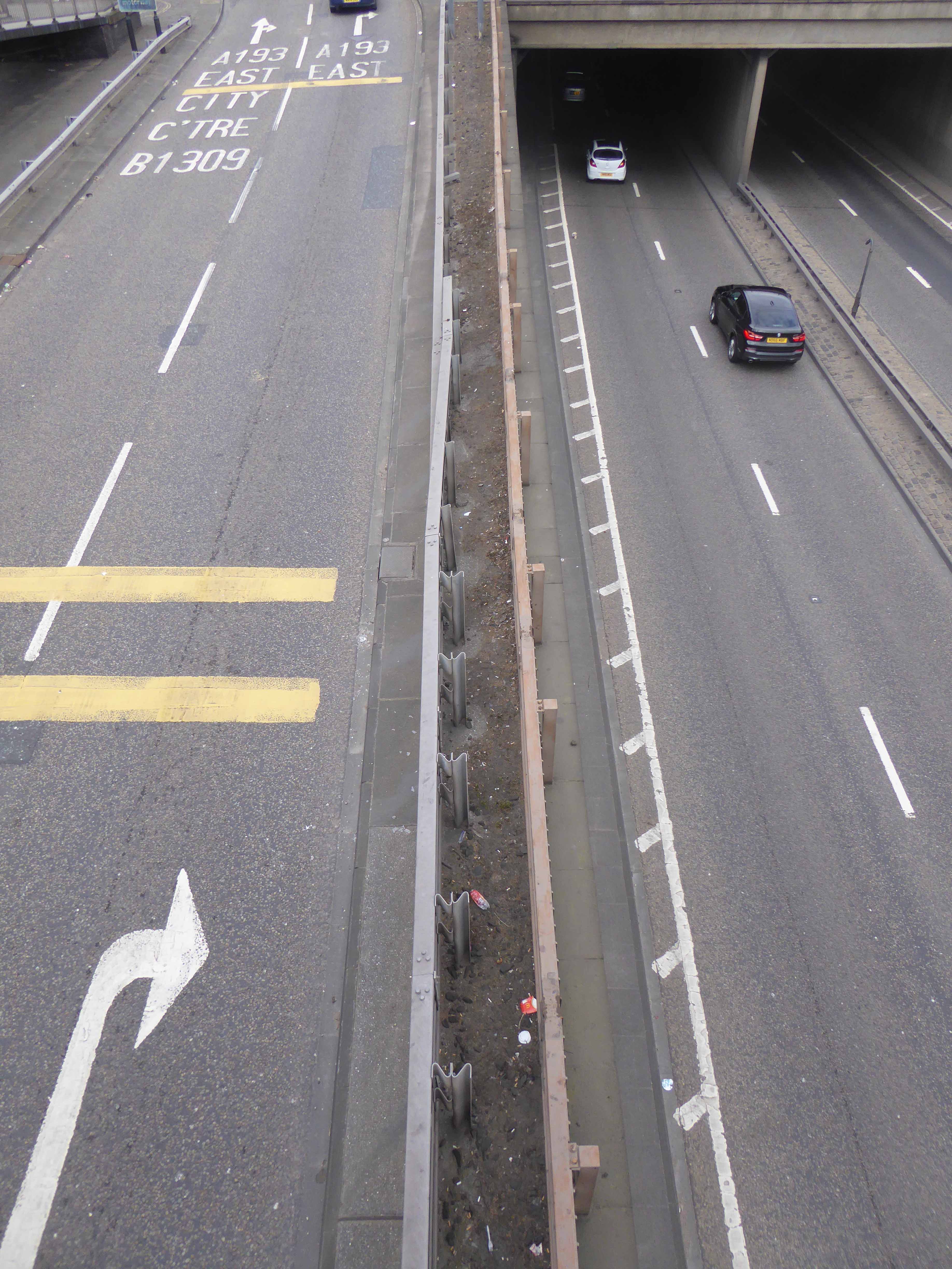
Part of the ever changing patchwork of demolition and development which defines the modern city. The carriageway prevails, whilst the pervasive rise and fall continues apace, its forlorn pedestrian underpasses may soon be superseded by wider walkways.
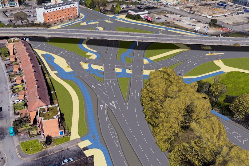
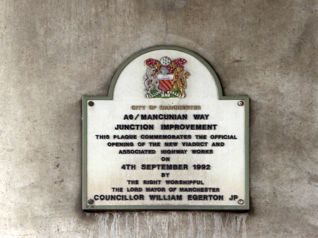
Manchester City Council is spending around £10million to make major changes to the junction where Princess Road meets the Mancunian Way and Medlock Street.
Much to the chagrin of local residents, who value the solace of their sole soulful green space and the frequent users, passing under the constant waves of sooty traffic.
What you see is what you get today, tomorrow is another kettle of concrete, trees, traffic and steel.
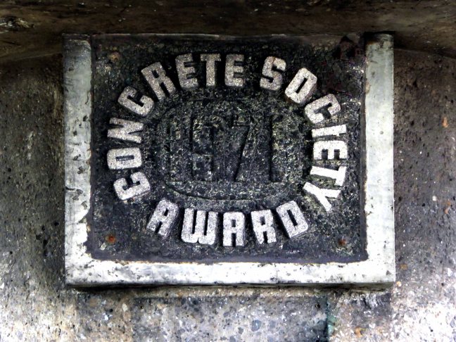
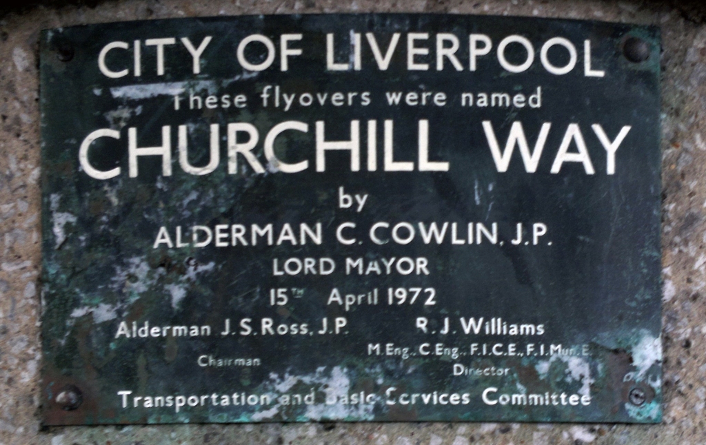
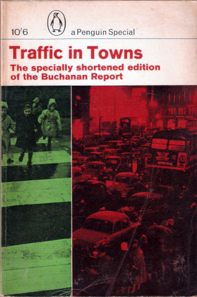
Opened in 1972 as an almost belated response to George Buchanan’s 1963 Traffic in Towns which had informed the Liverpool City Centre Plan of 1965.
The report warned of the potential damage caused by the motor car, while offering ways to mitigate it. It gave planners a set of policy blueprints to deal with its effects on the urban environment, including traffic containment and segregation, which could be balanced against urban redevelopment, new corridor and distribution roads and precincts.
These policies shaped the development of the urban landscape in the UK and some other countries for two or three decades. Unusually for a technical policy report, it was so much in demand that Penguin abridged it and republished it as a book in 1964.
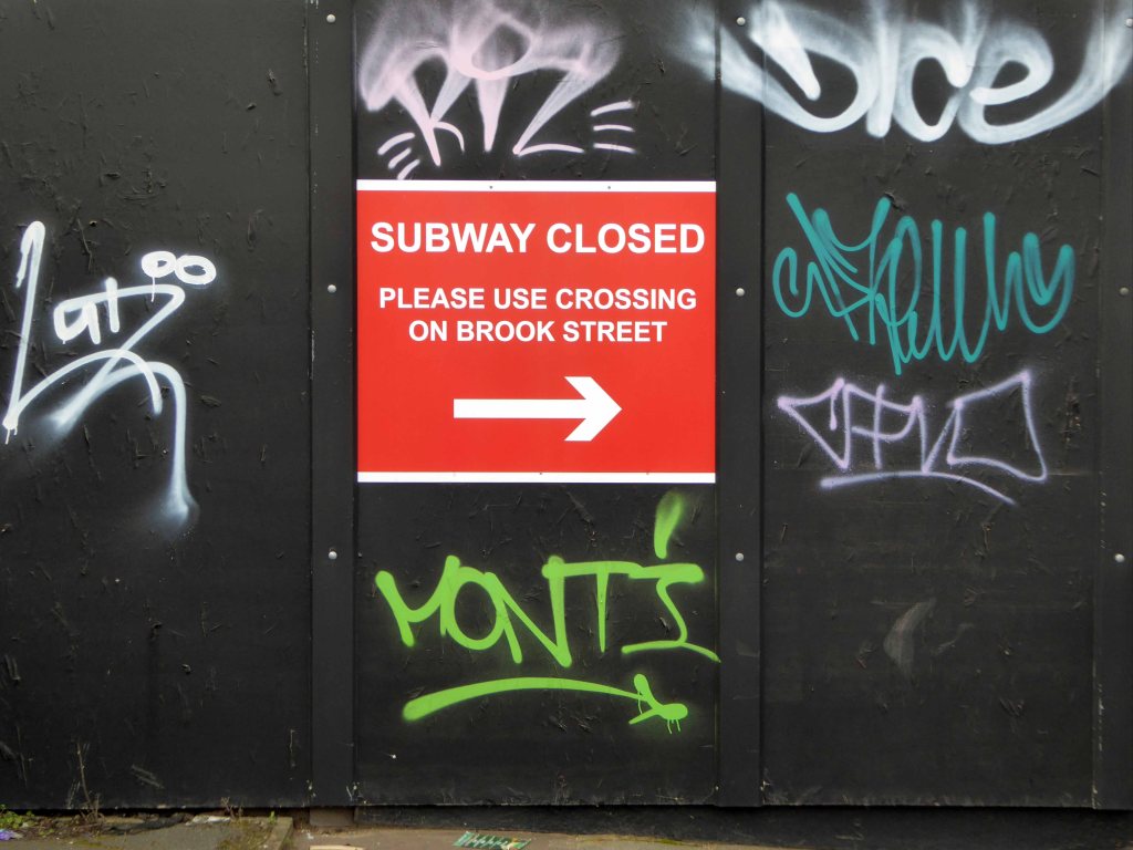
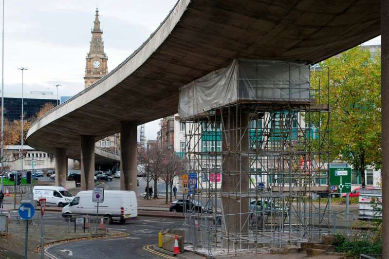
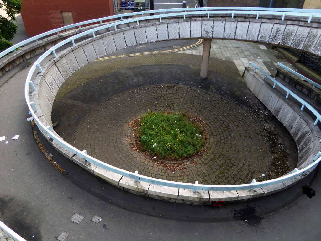
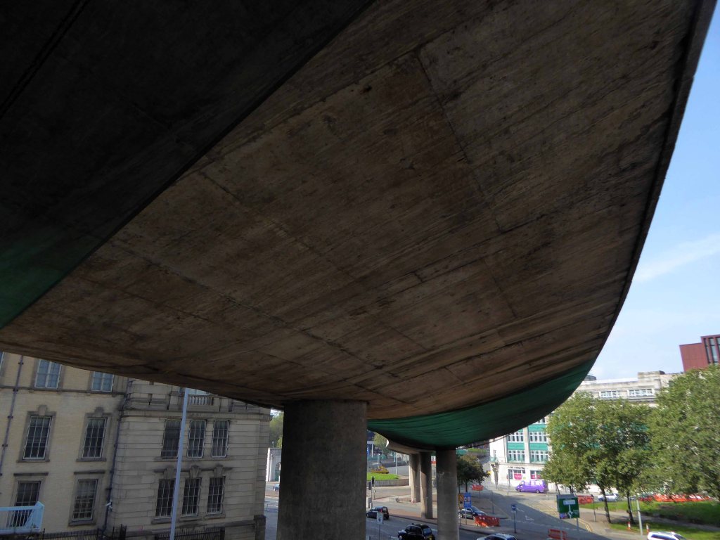
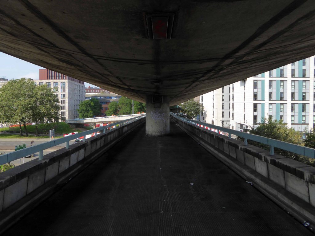
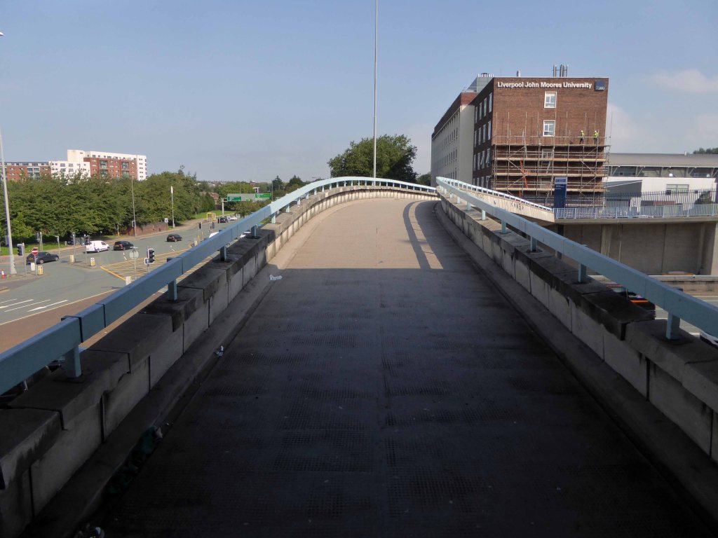
The Churchill Way was realised and remained in use until September 2nd 2019 – closed and facing a £10 million demolition programme, following a maintenance report which found them to be unsafe – and presumably beyond economic repair.
And so I took one last look around taking snaps, an epitaph to the end of an era, and the end of an idea that was once once rendered concrete.
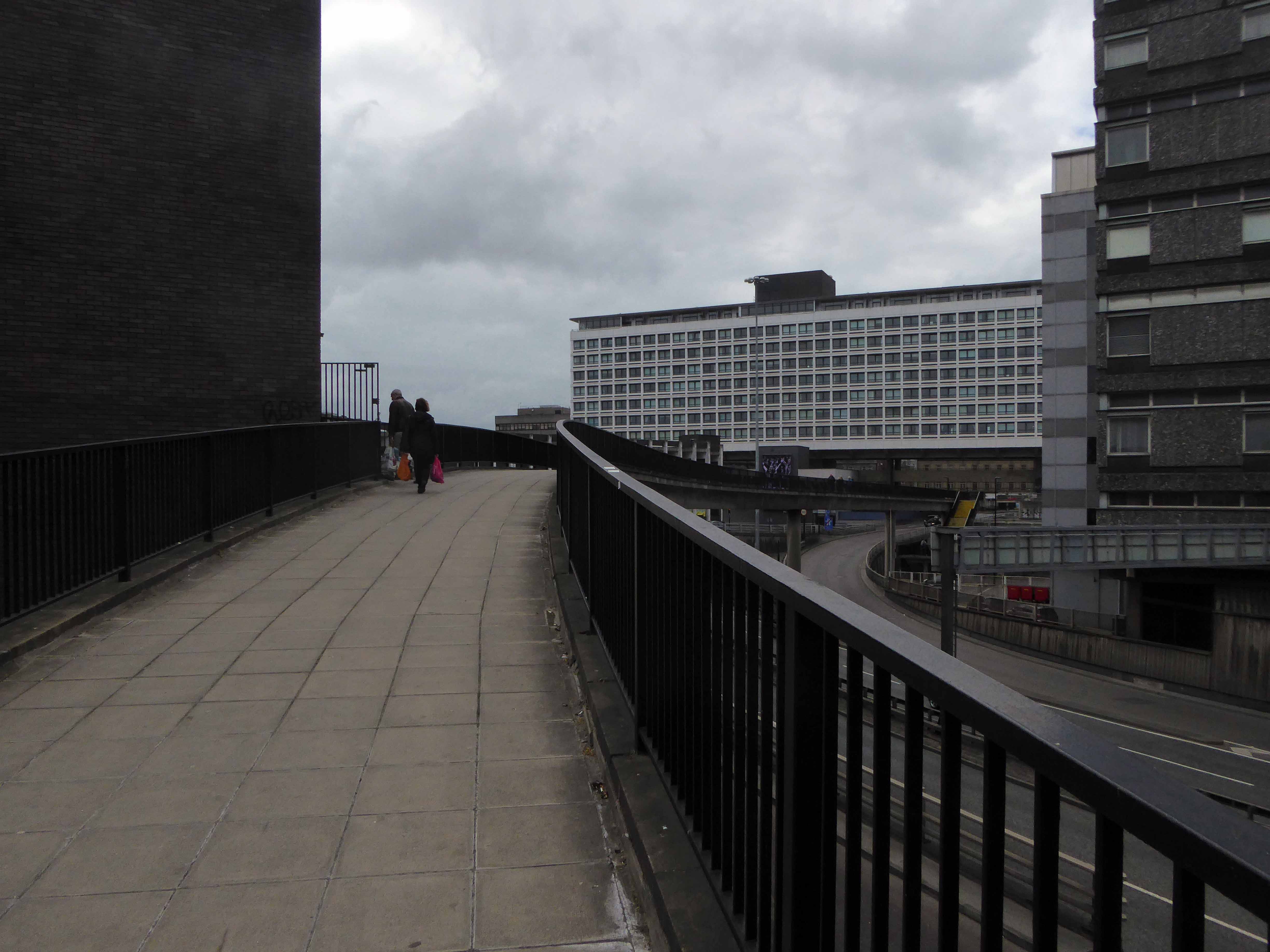
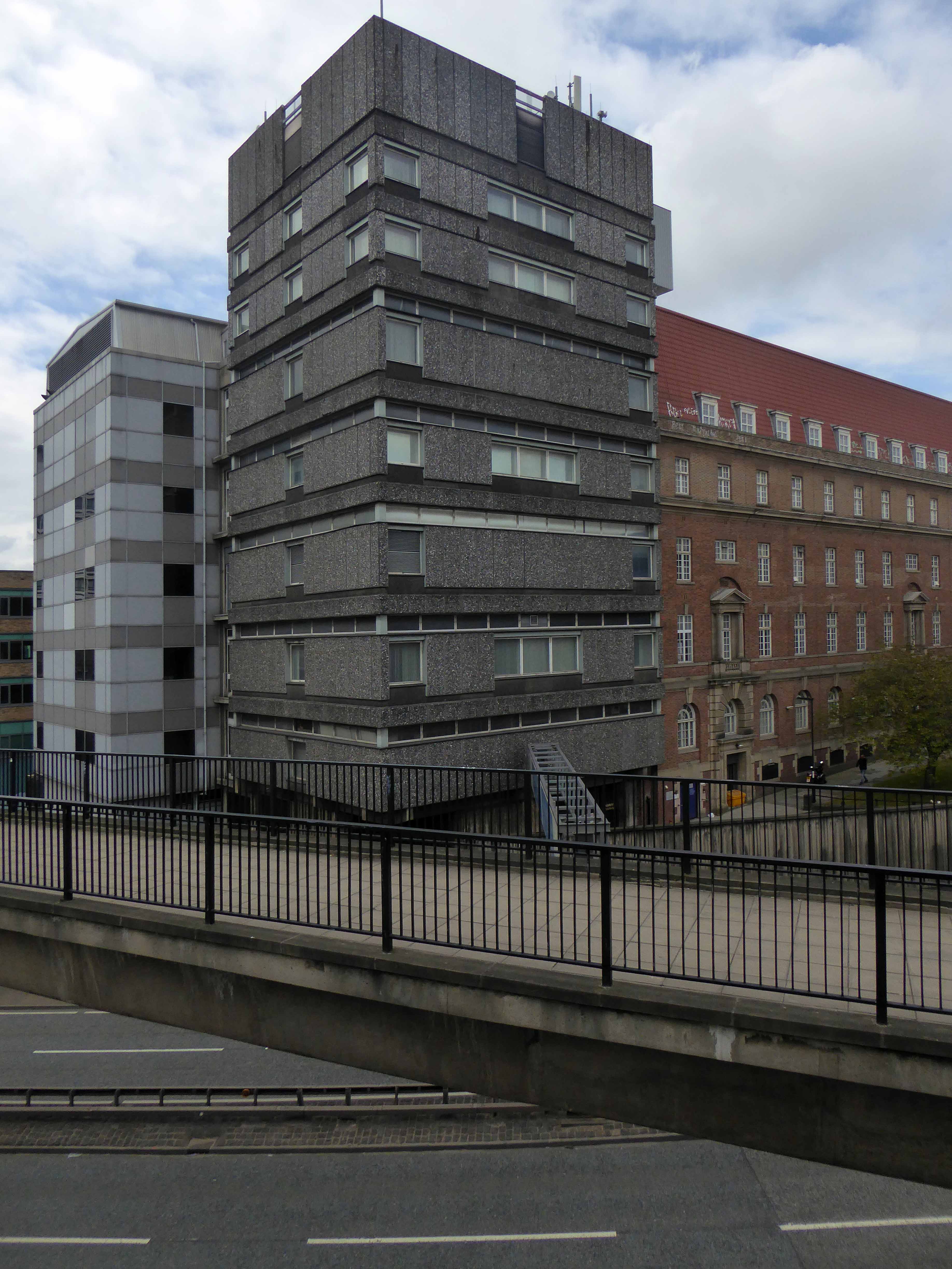
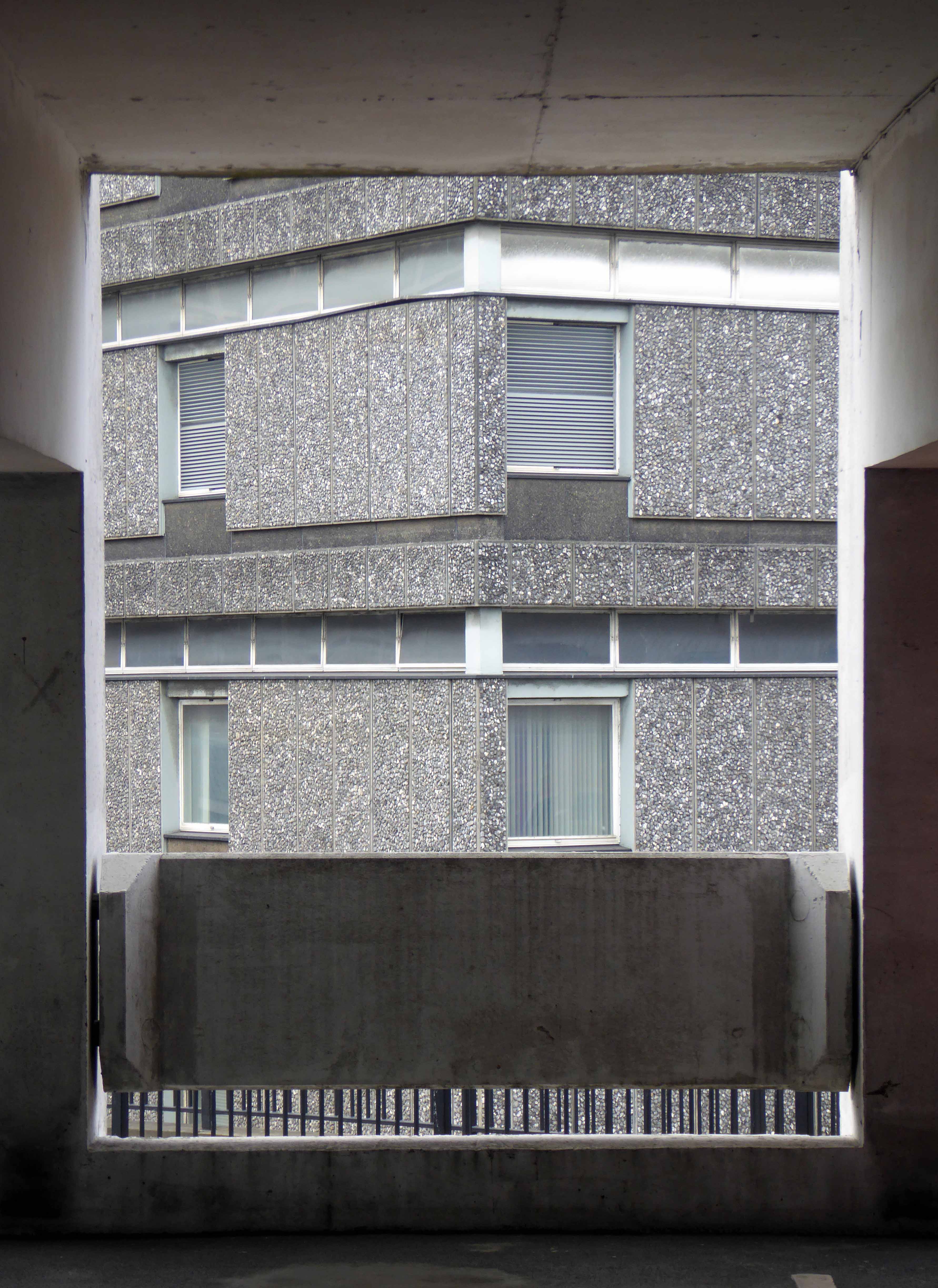
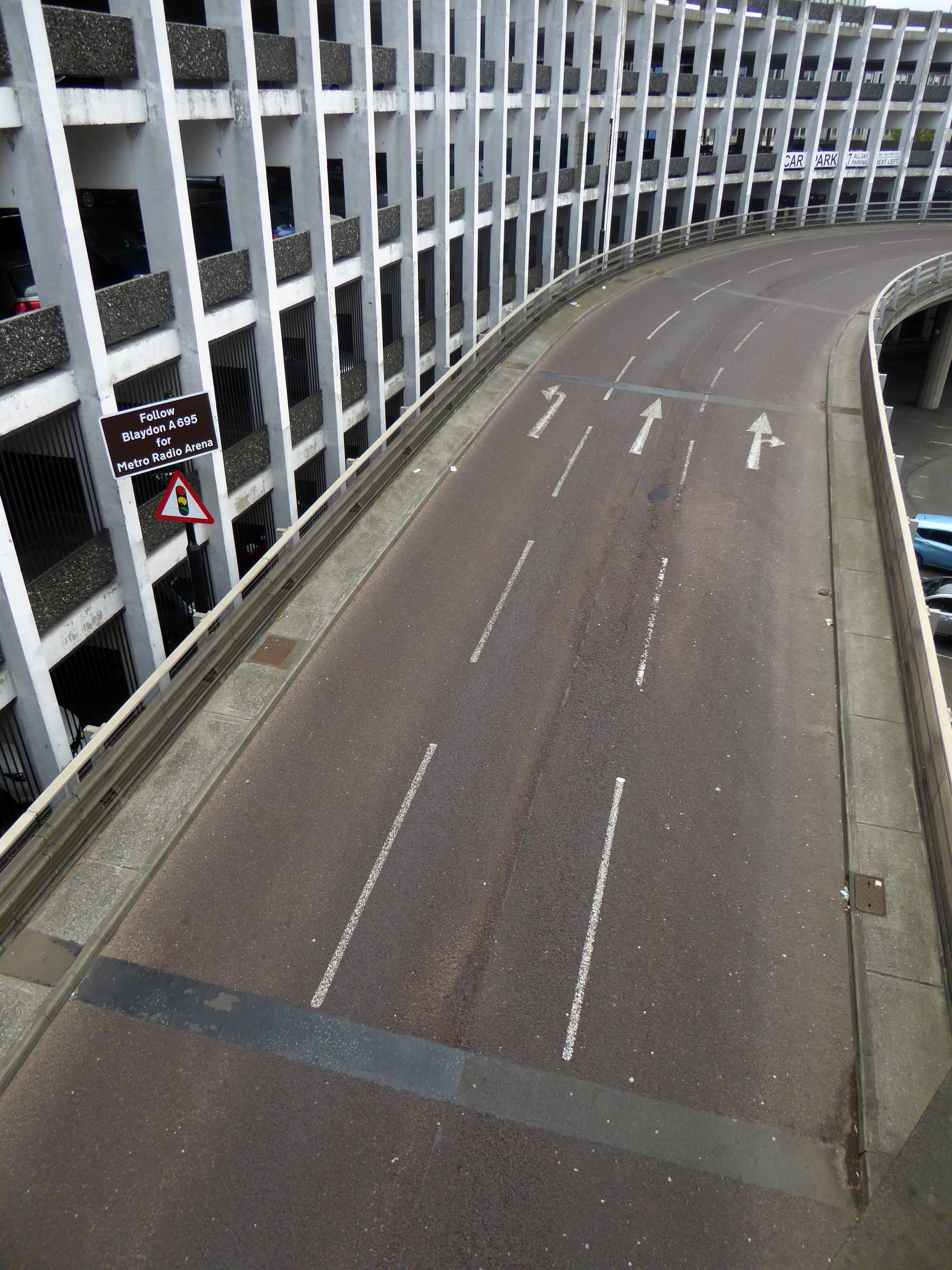
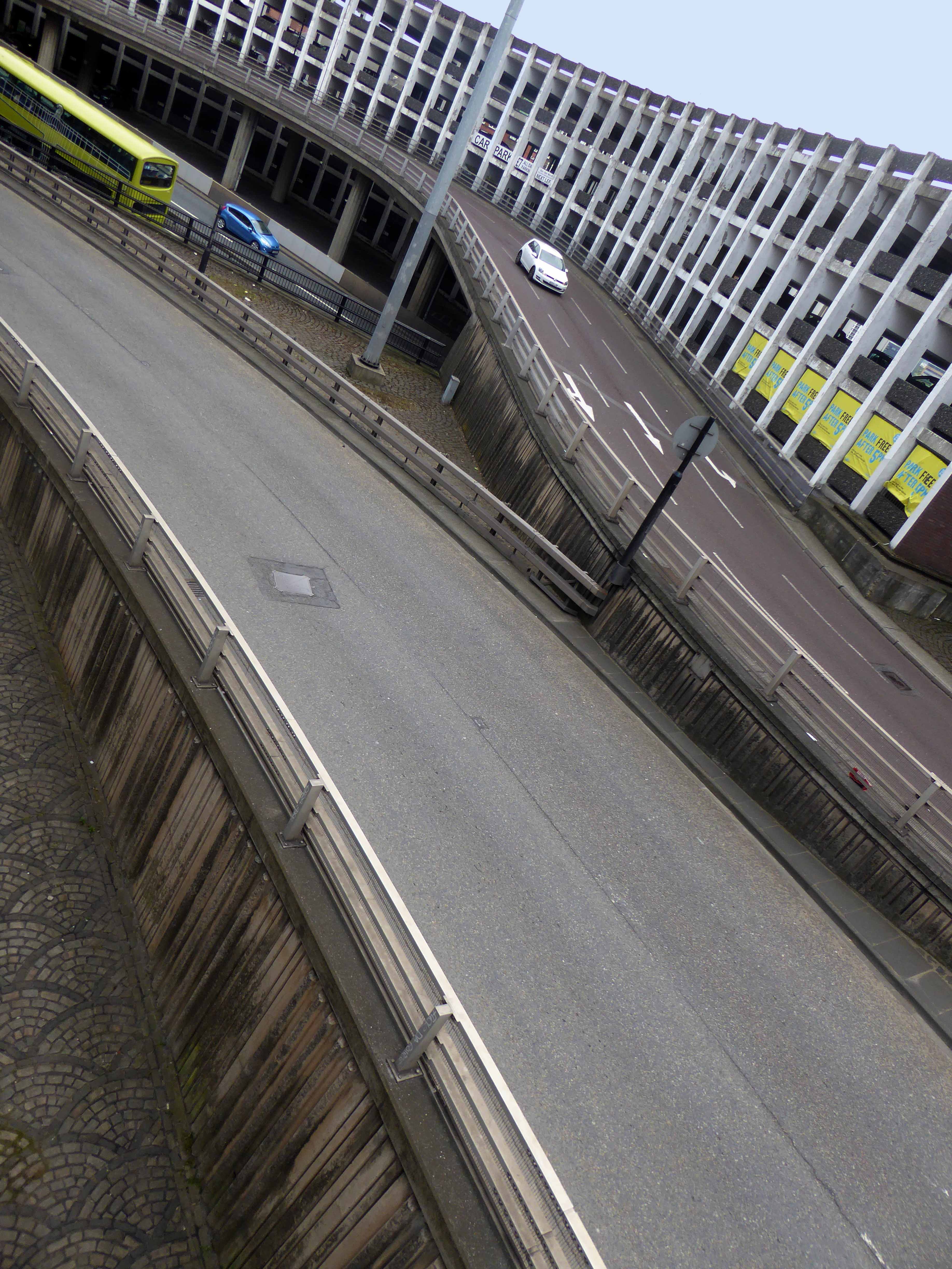
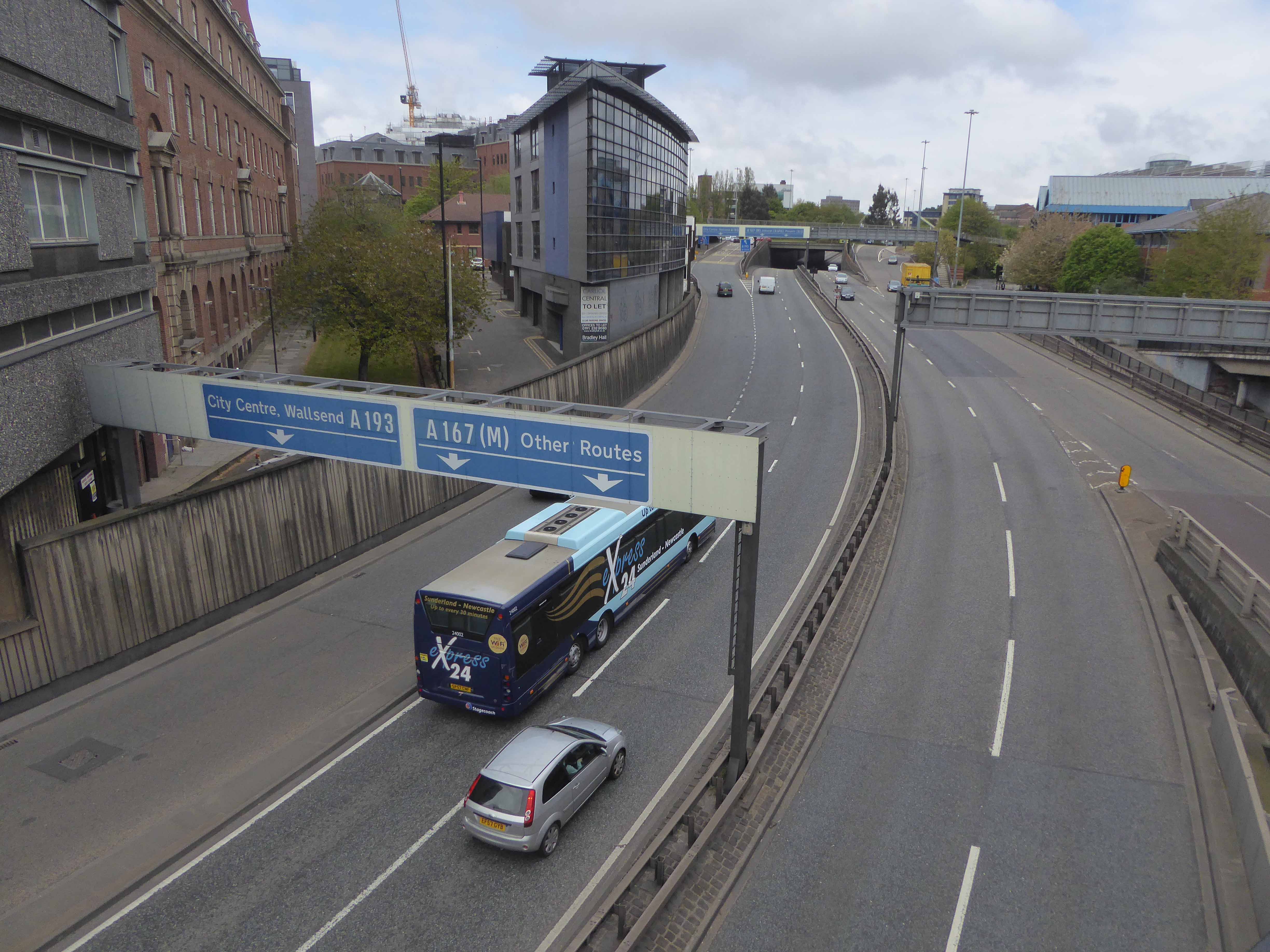
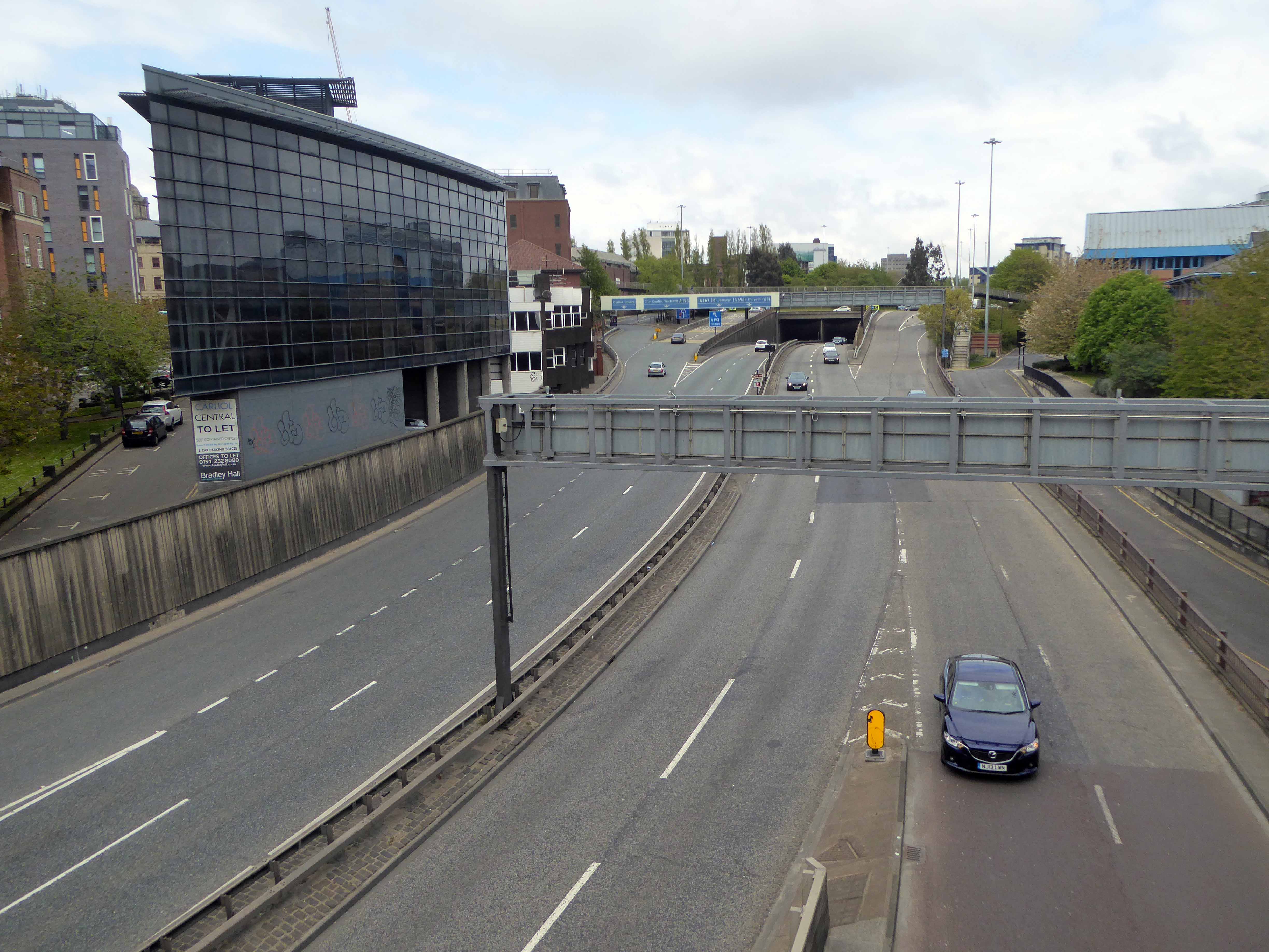
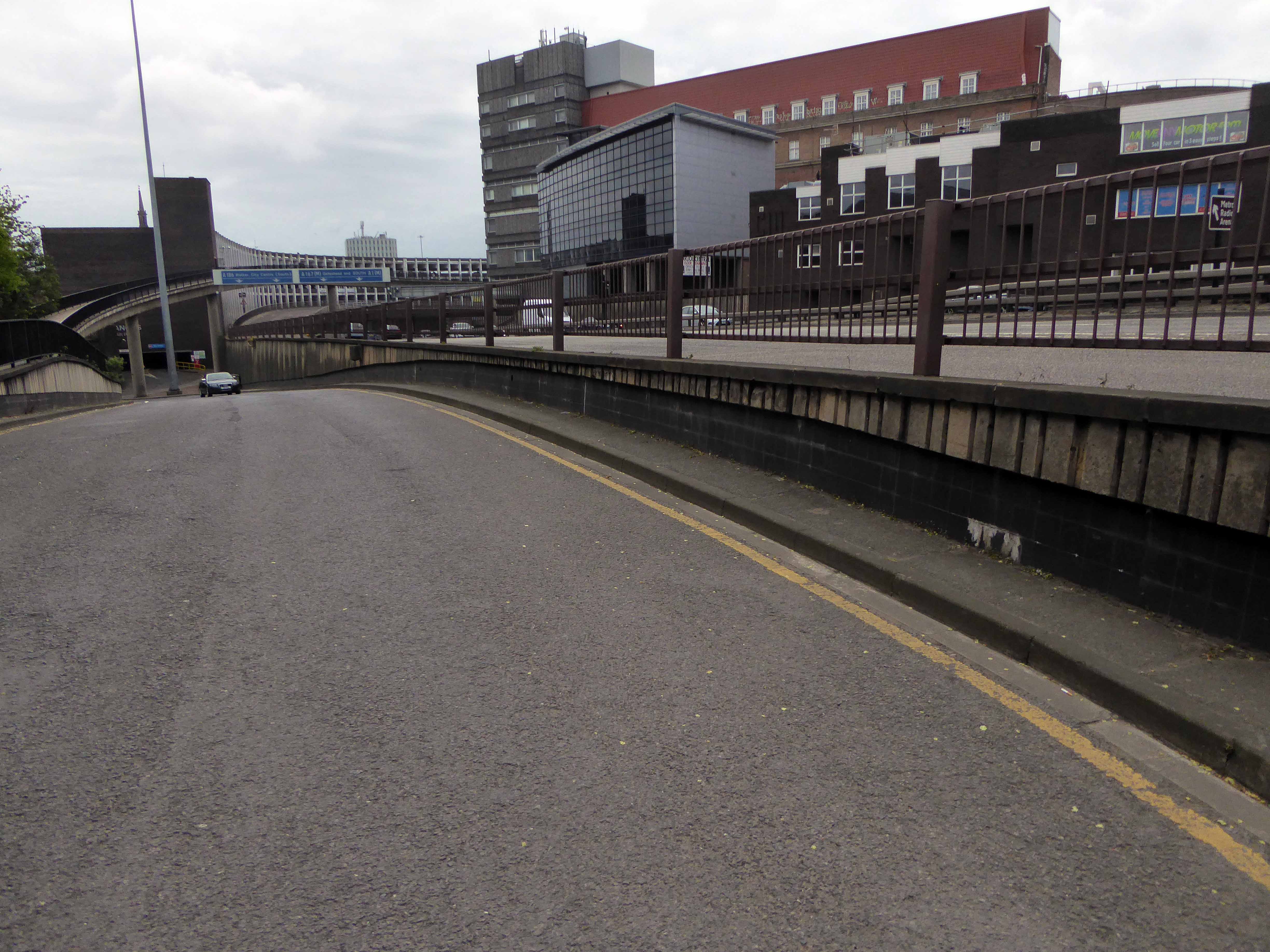
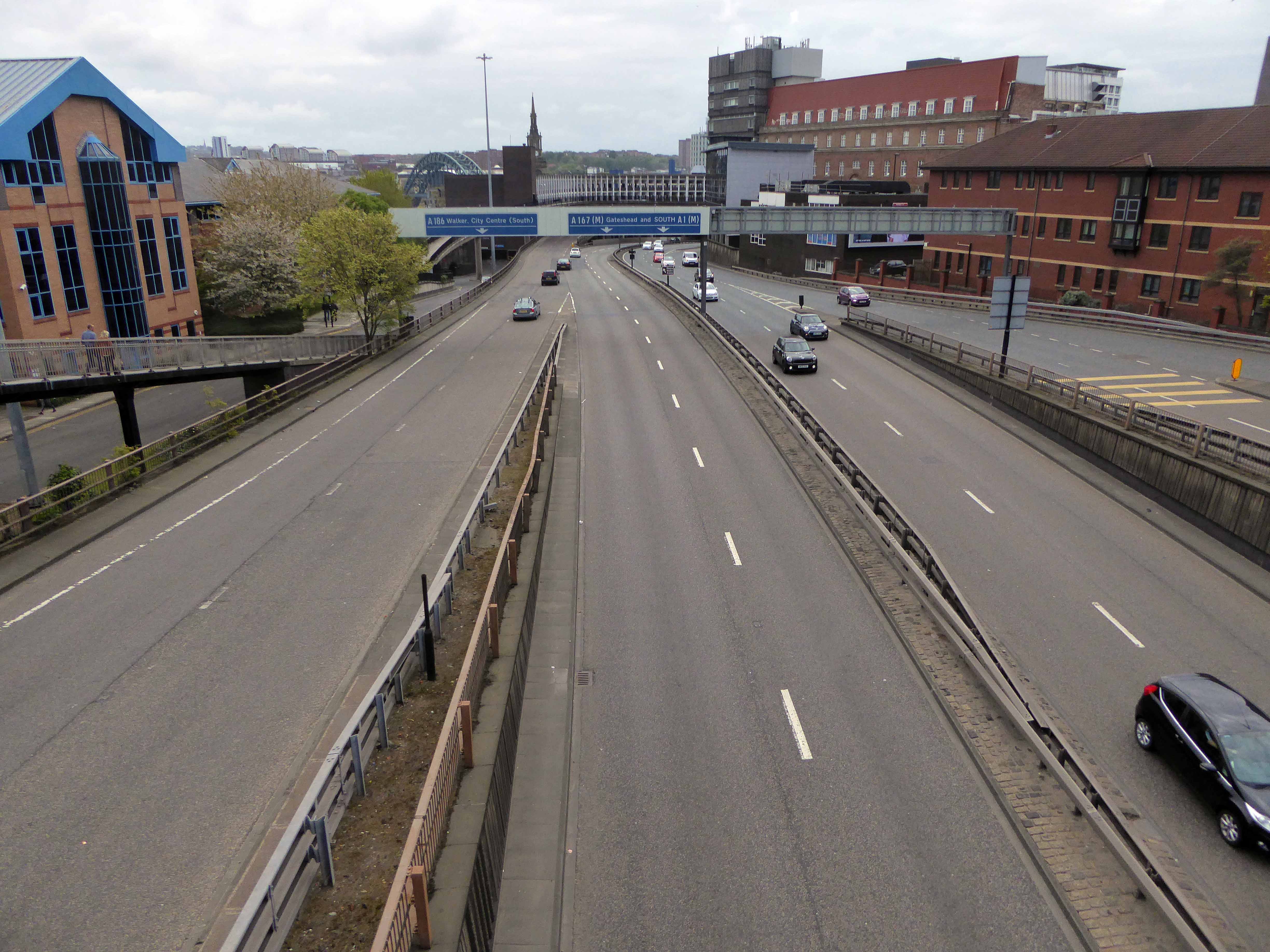
Tyneside is self evidently enamoured of elevation – they simply adore bridges, having five and another one as well. Walking driving, running trains across the mighty Tyne Valley, why they even write songs about them.
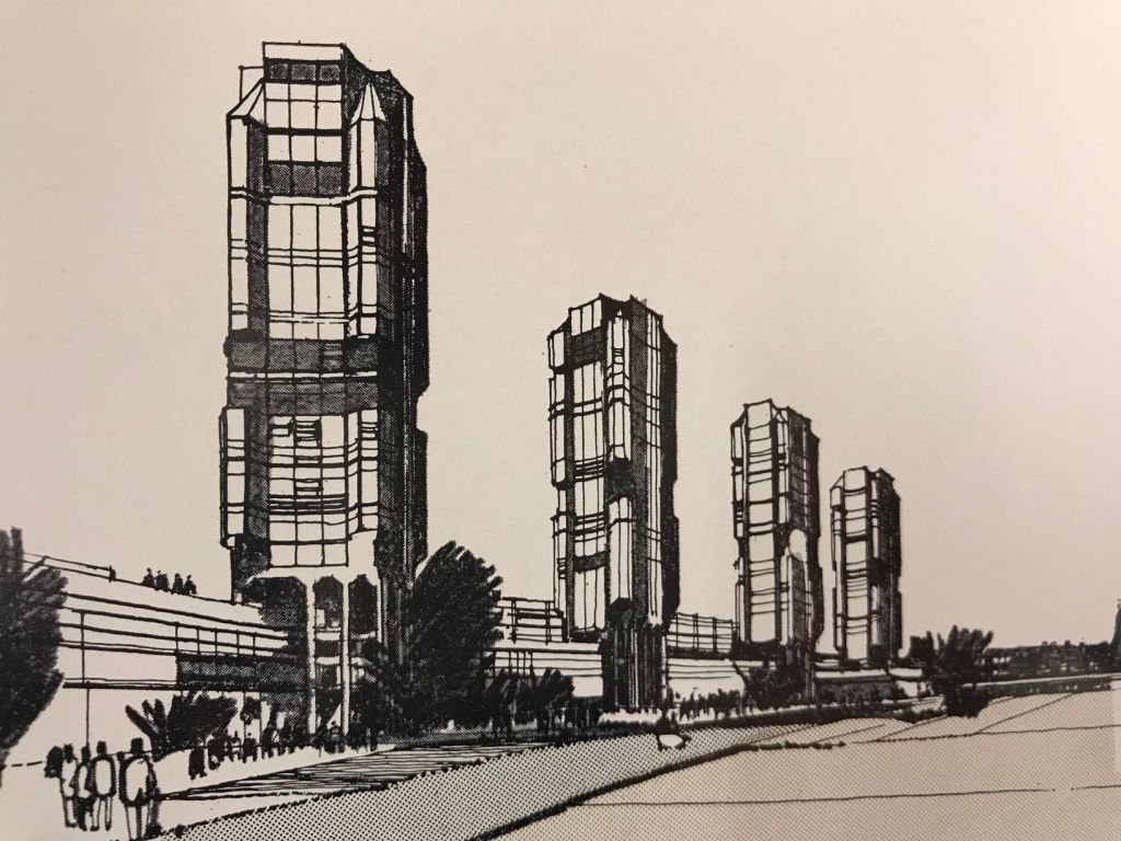
In the Swinging SixtiesT Dan Smith vowed to create a Brasilia of the North, which as good as his word he did, though sadly lacking the requisite regard for the law of the land.
What remains is a complex interwoven structure of urban motorways, walkways, multi-storey car parks and tower blocks. To explore is to enter a world of the sublime, exhilarating and still yet mildly confusing.