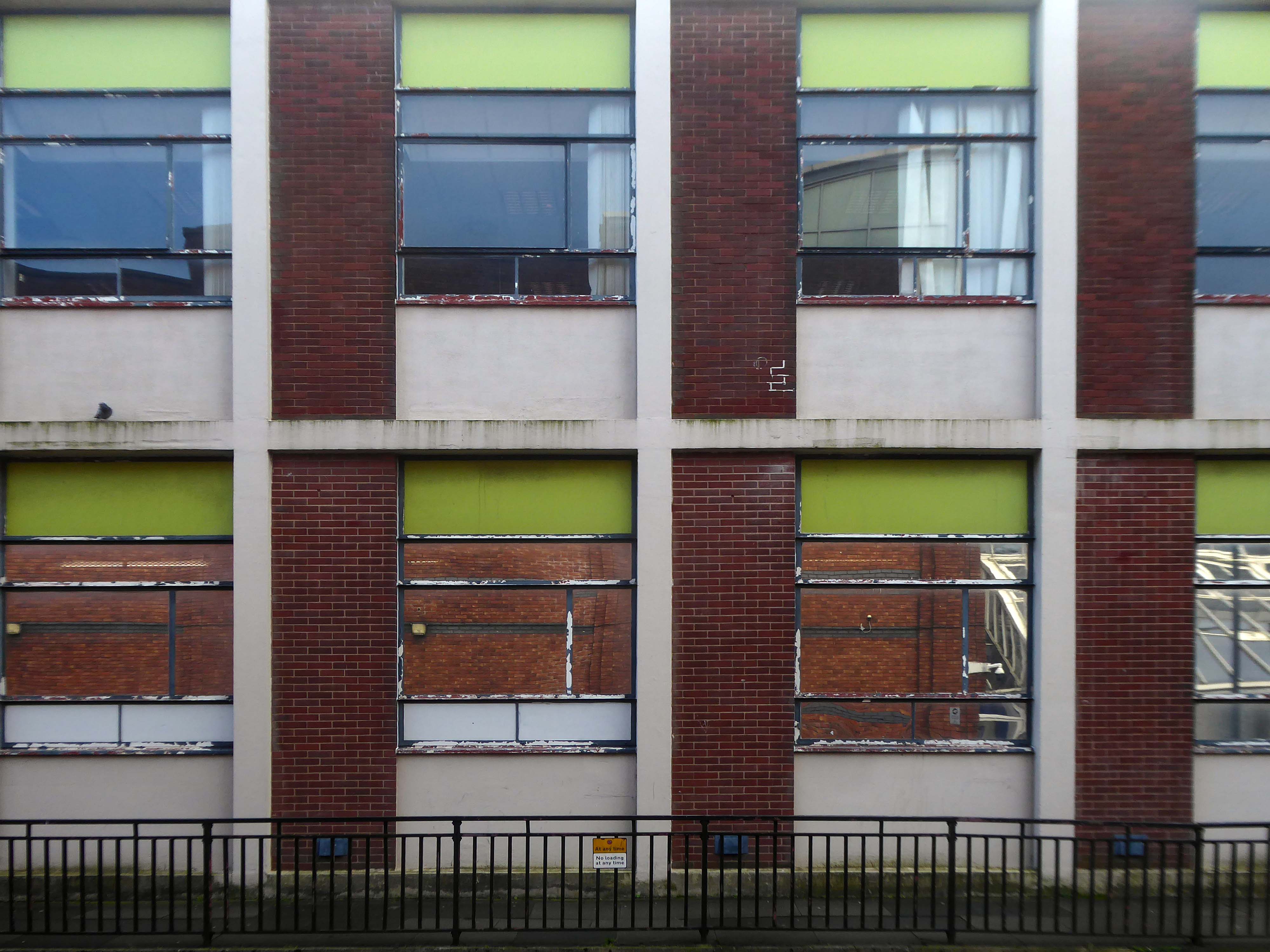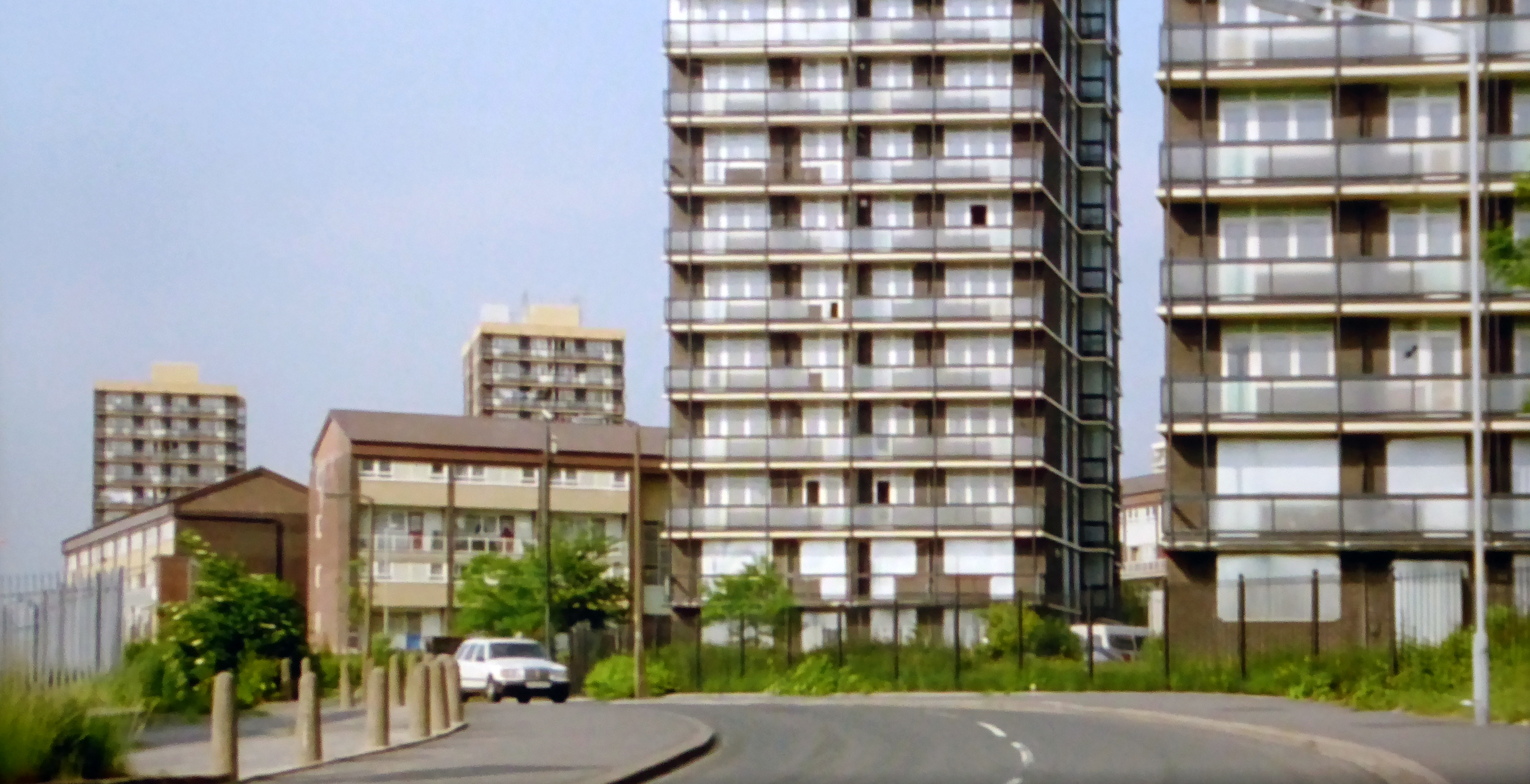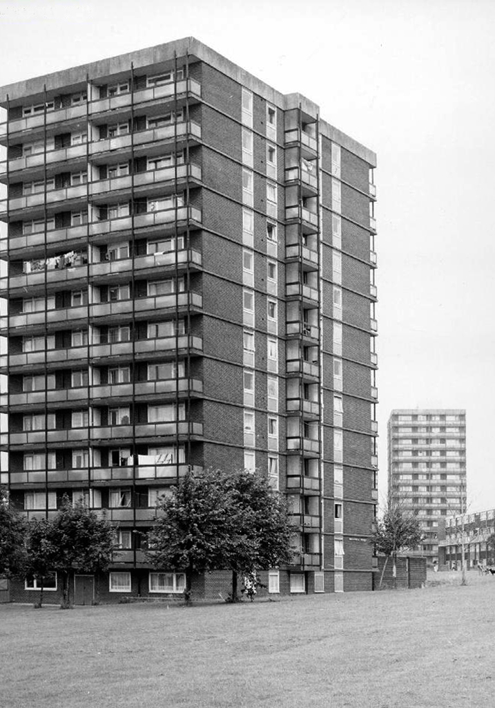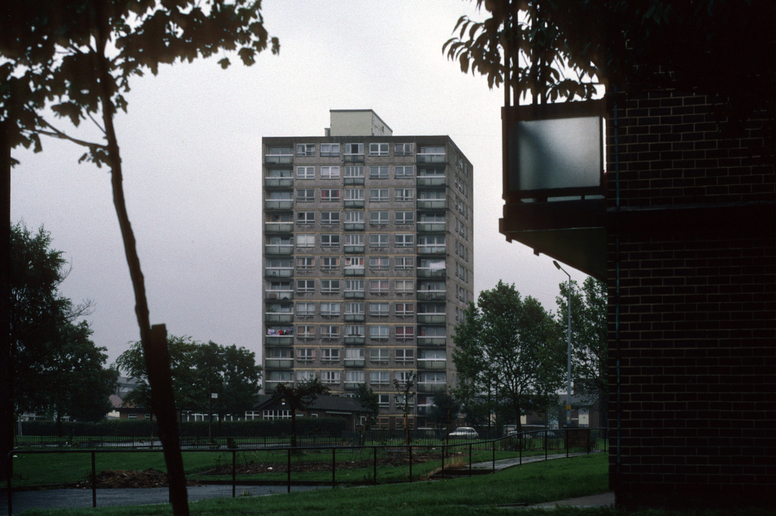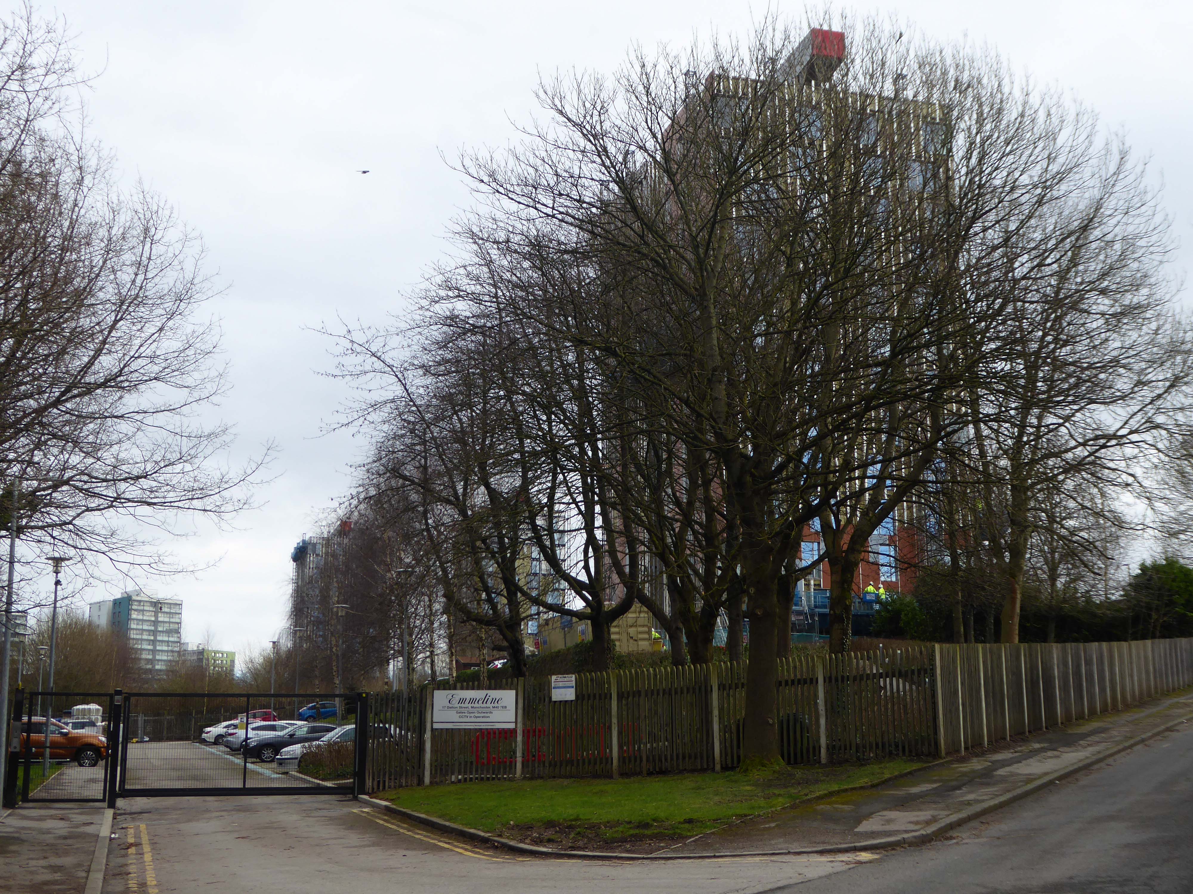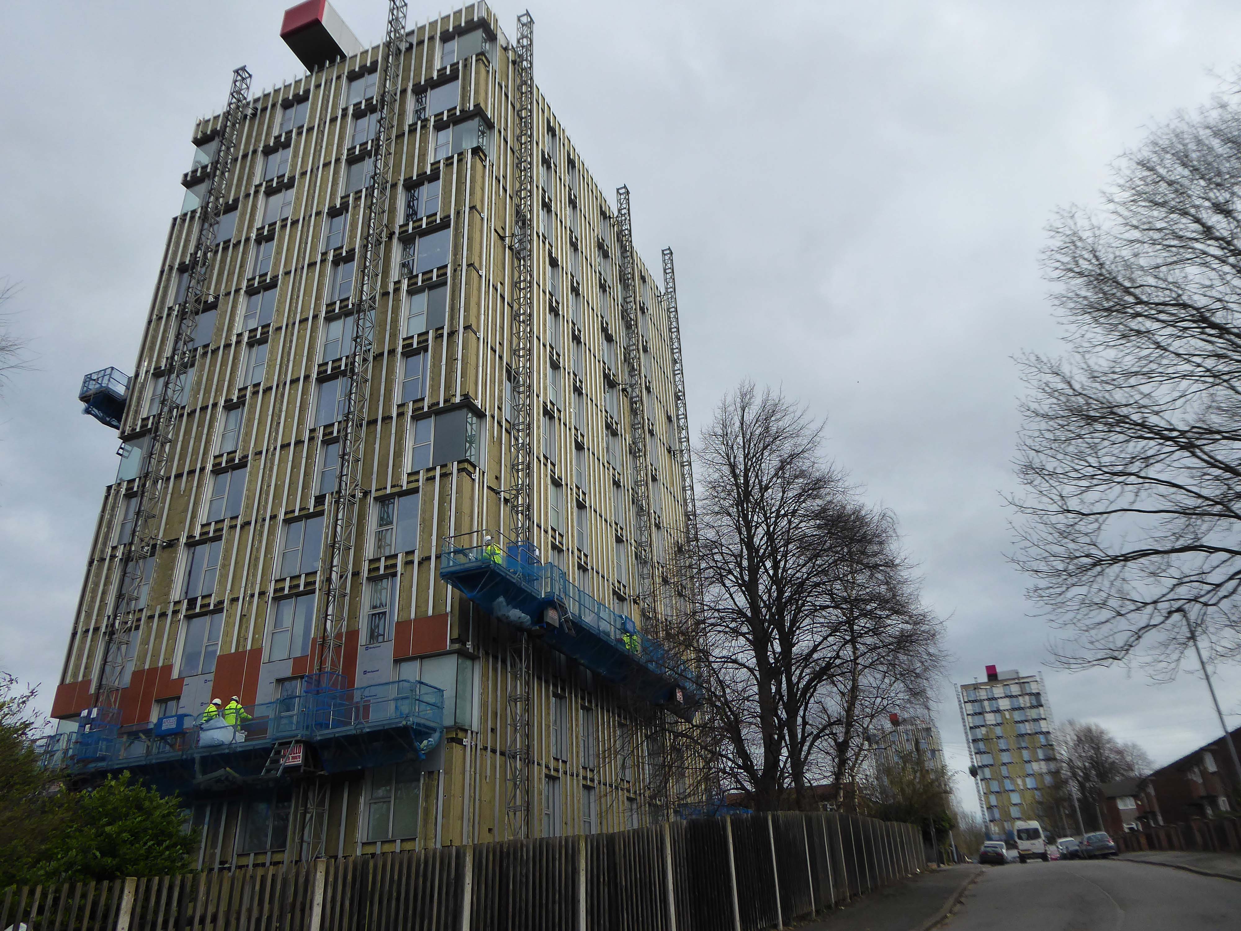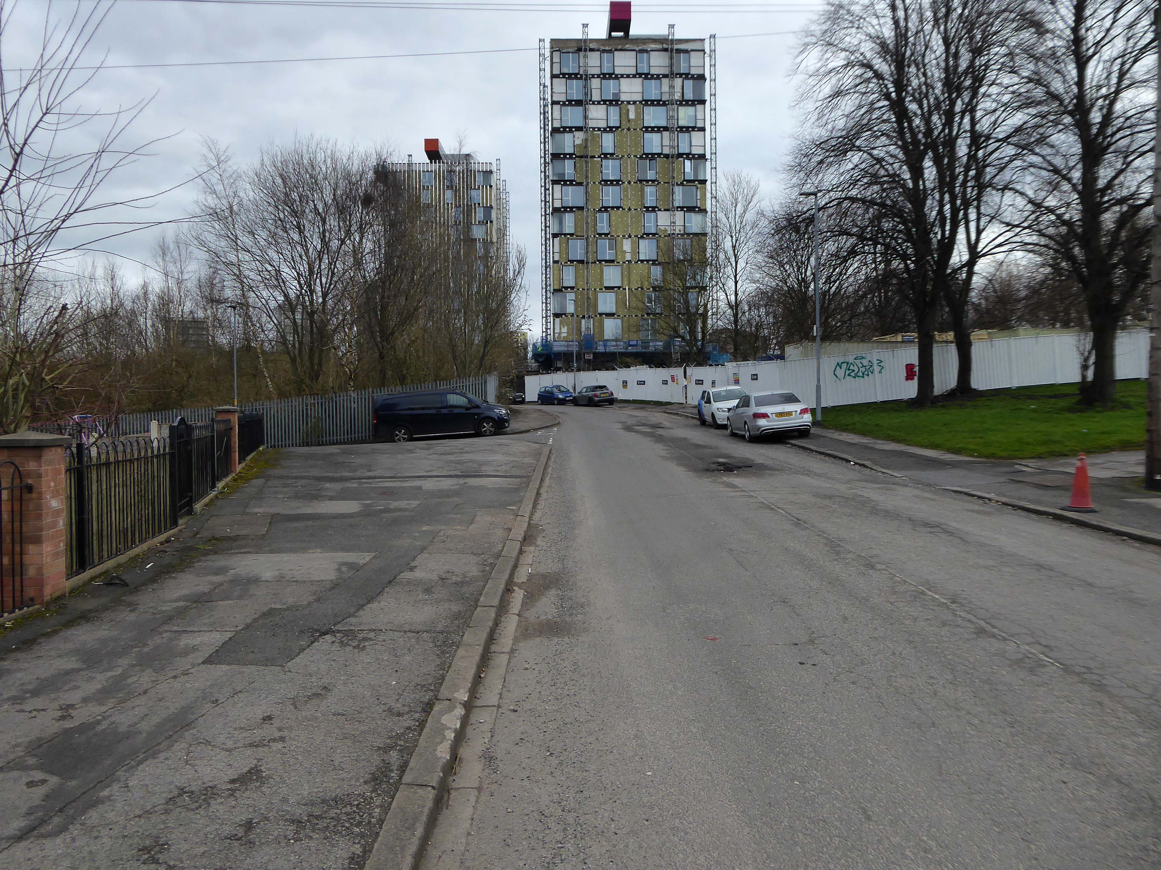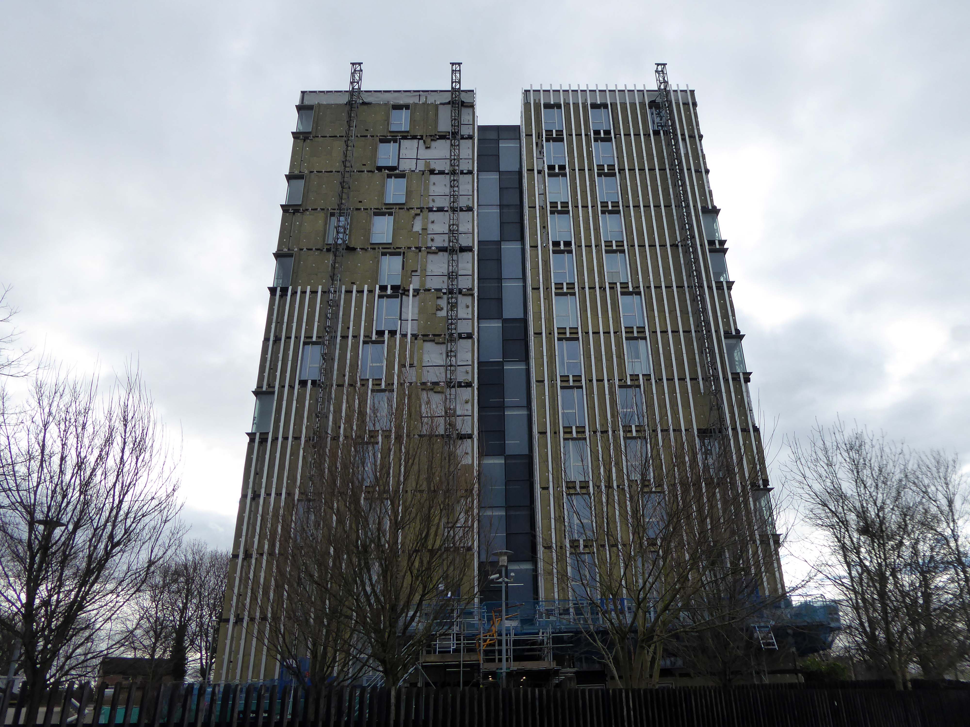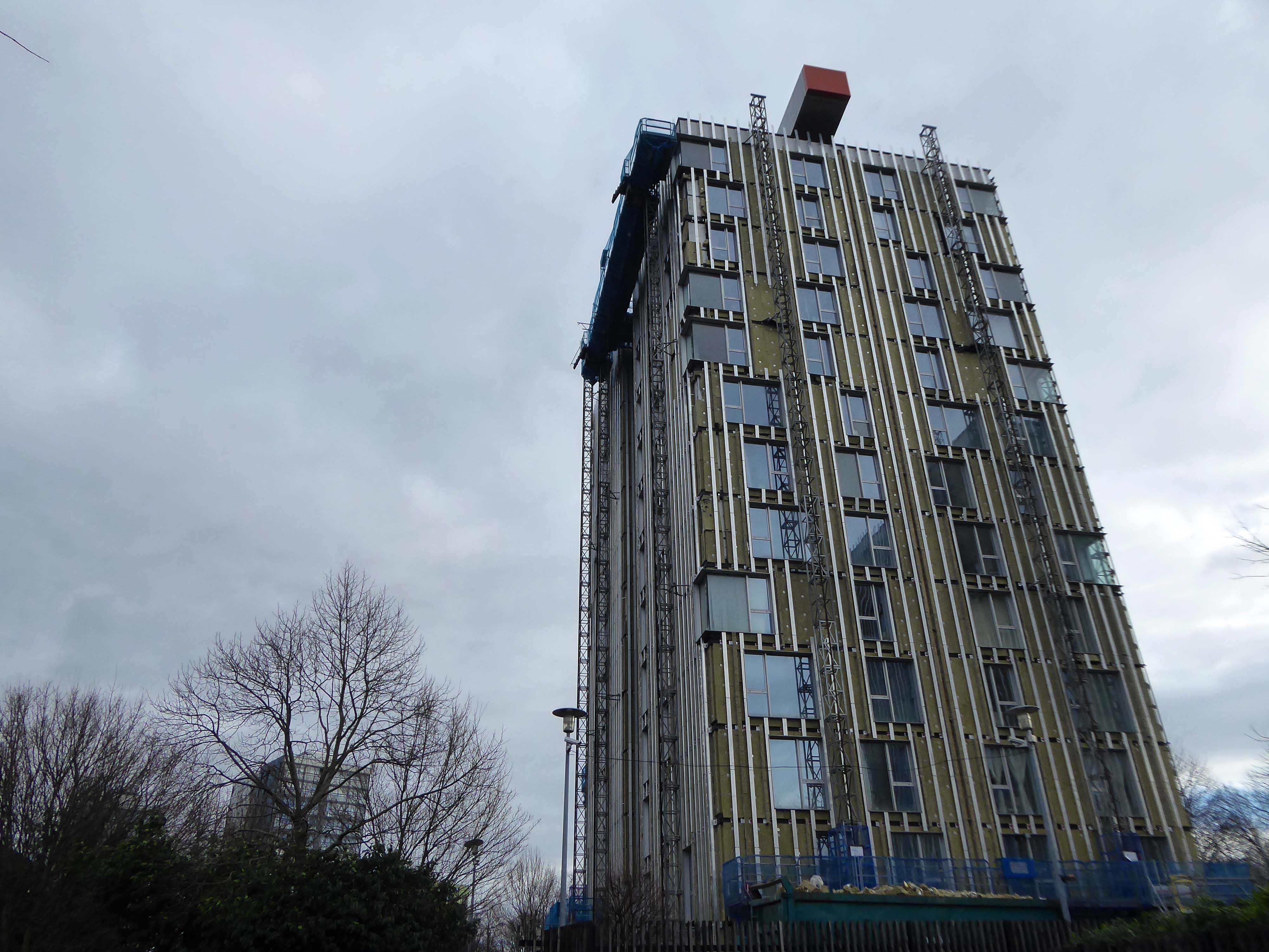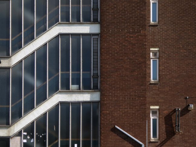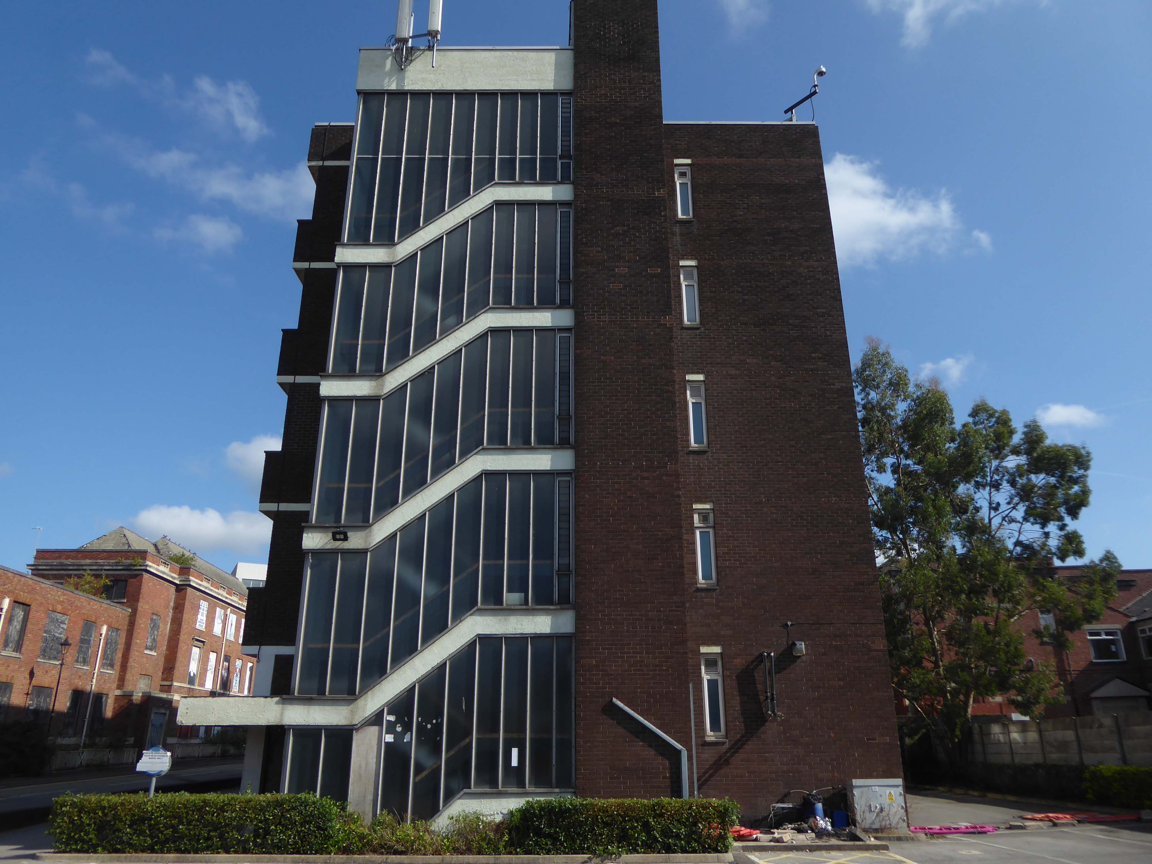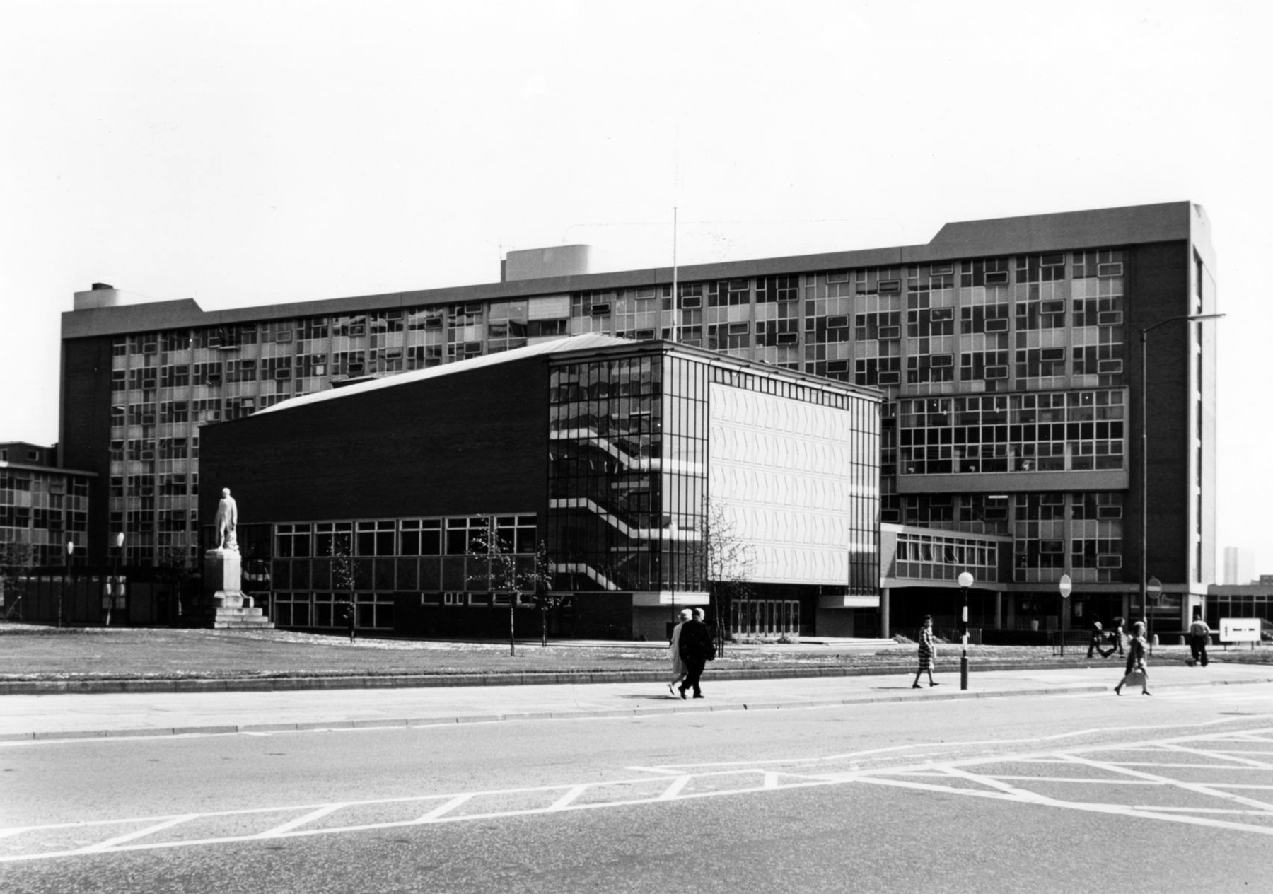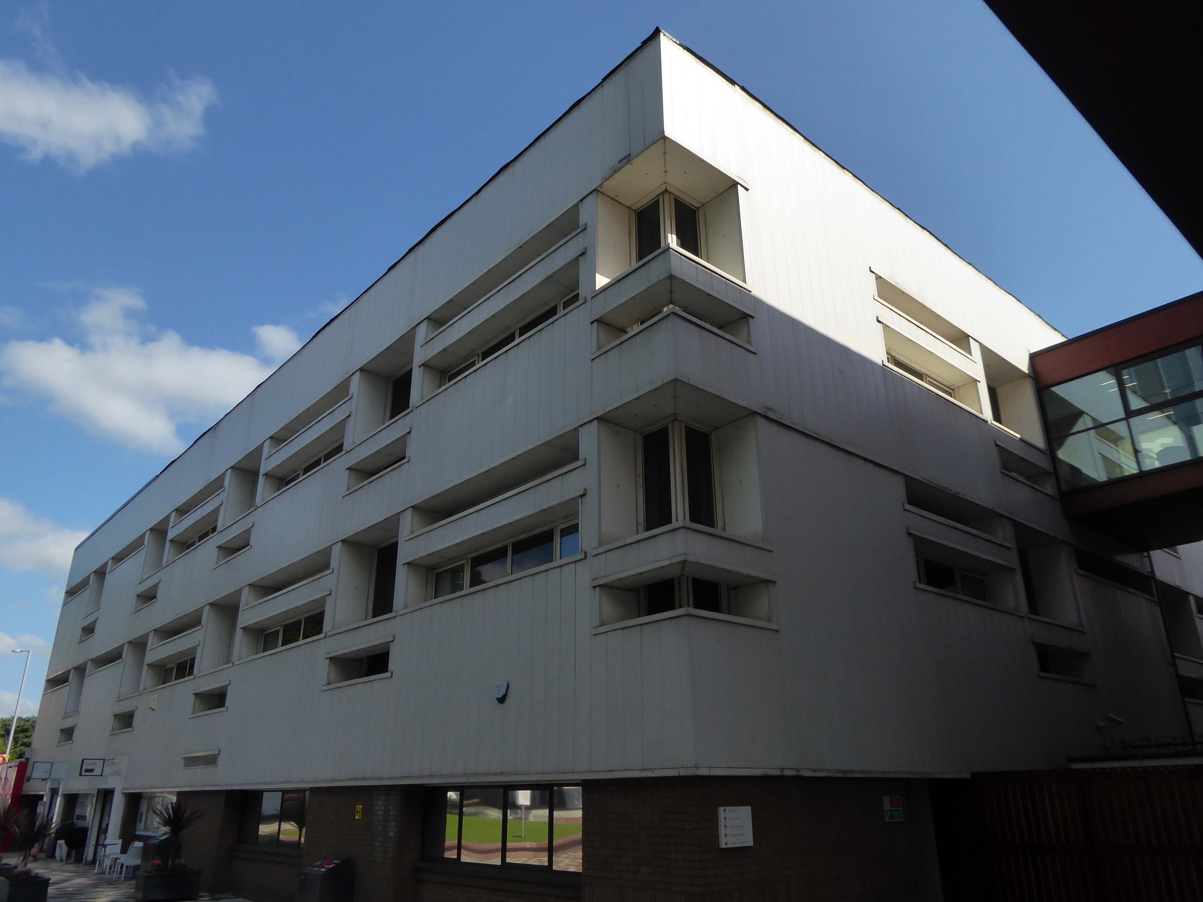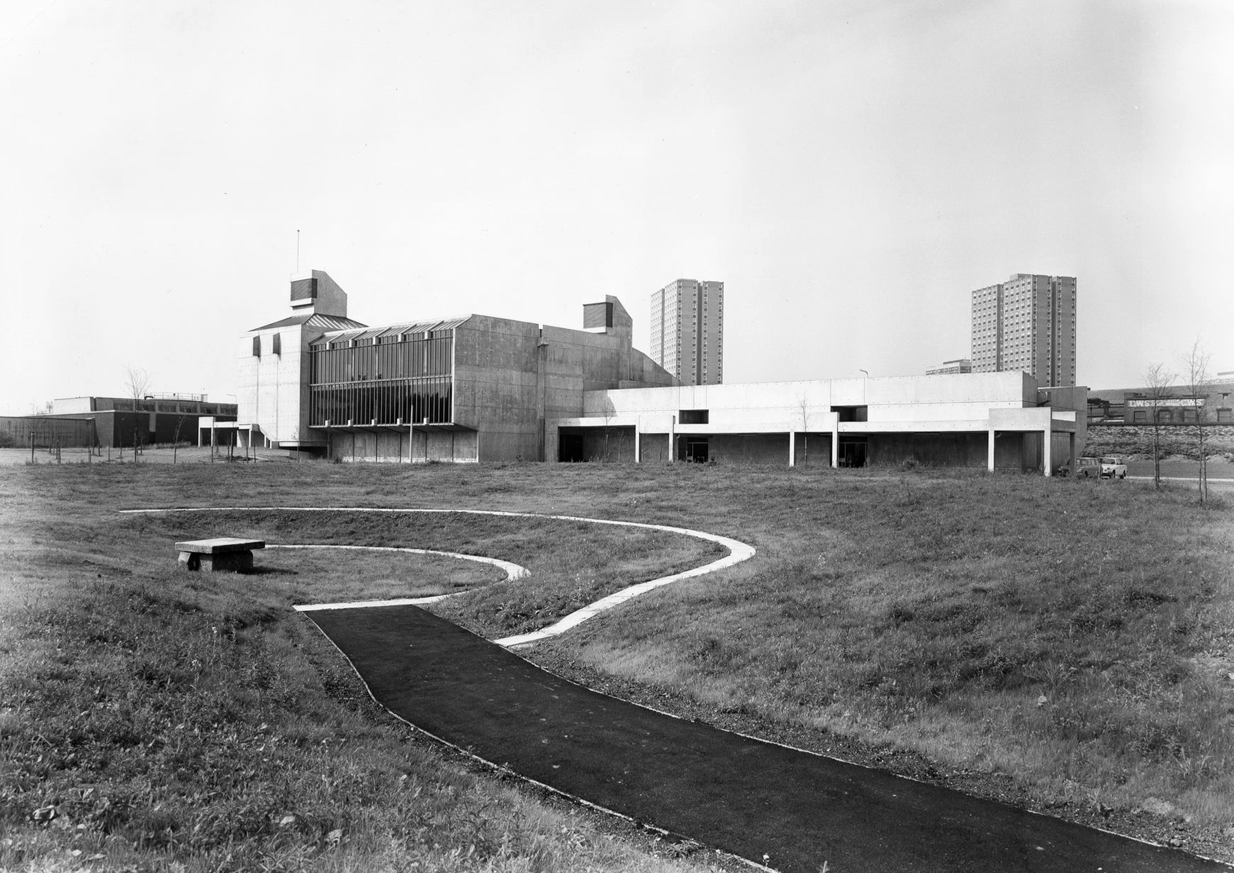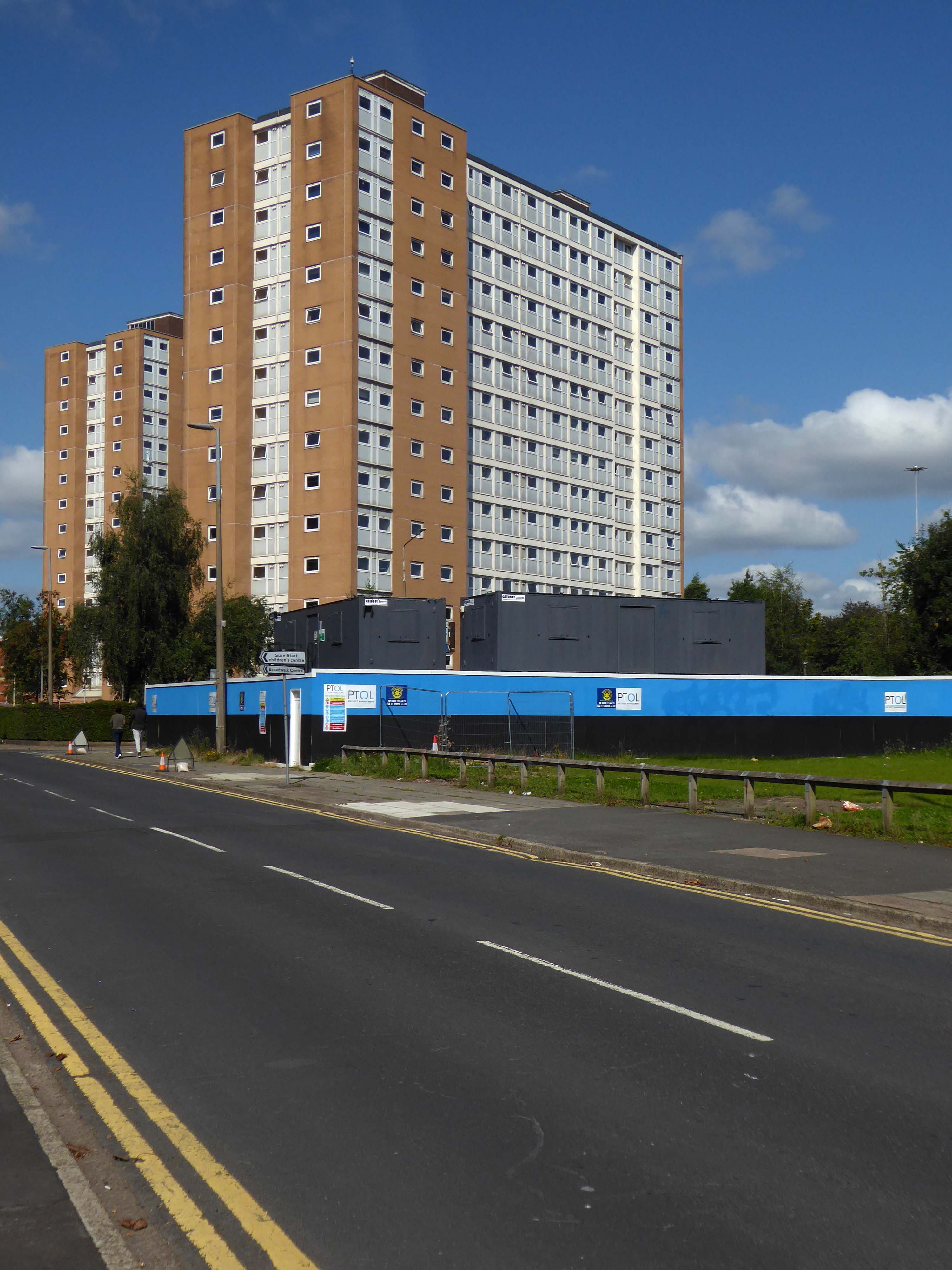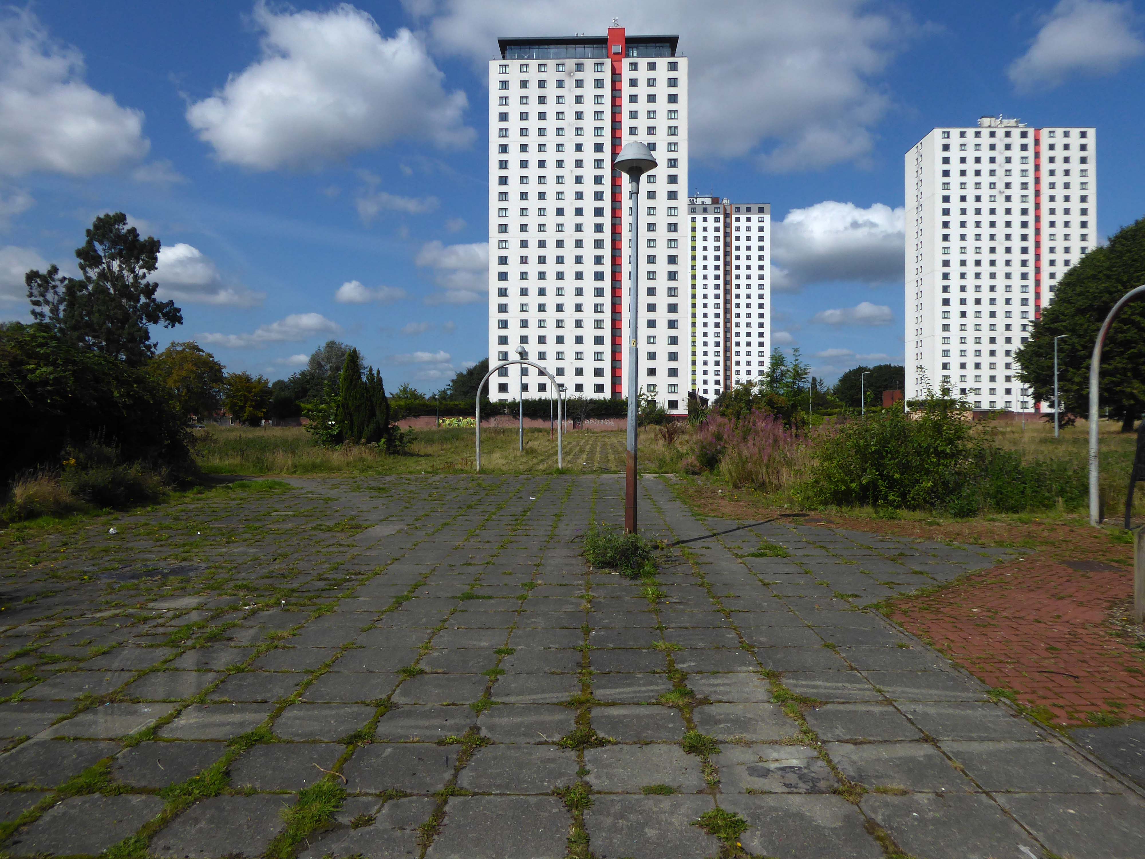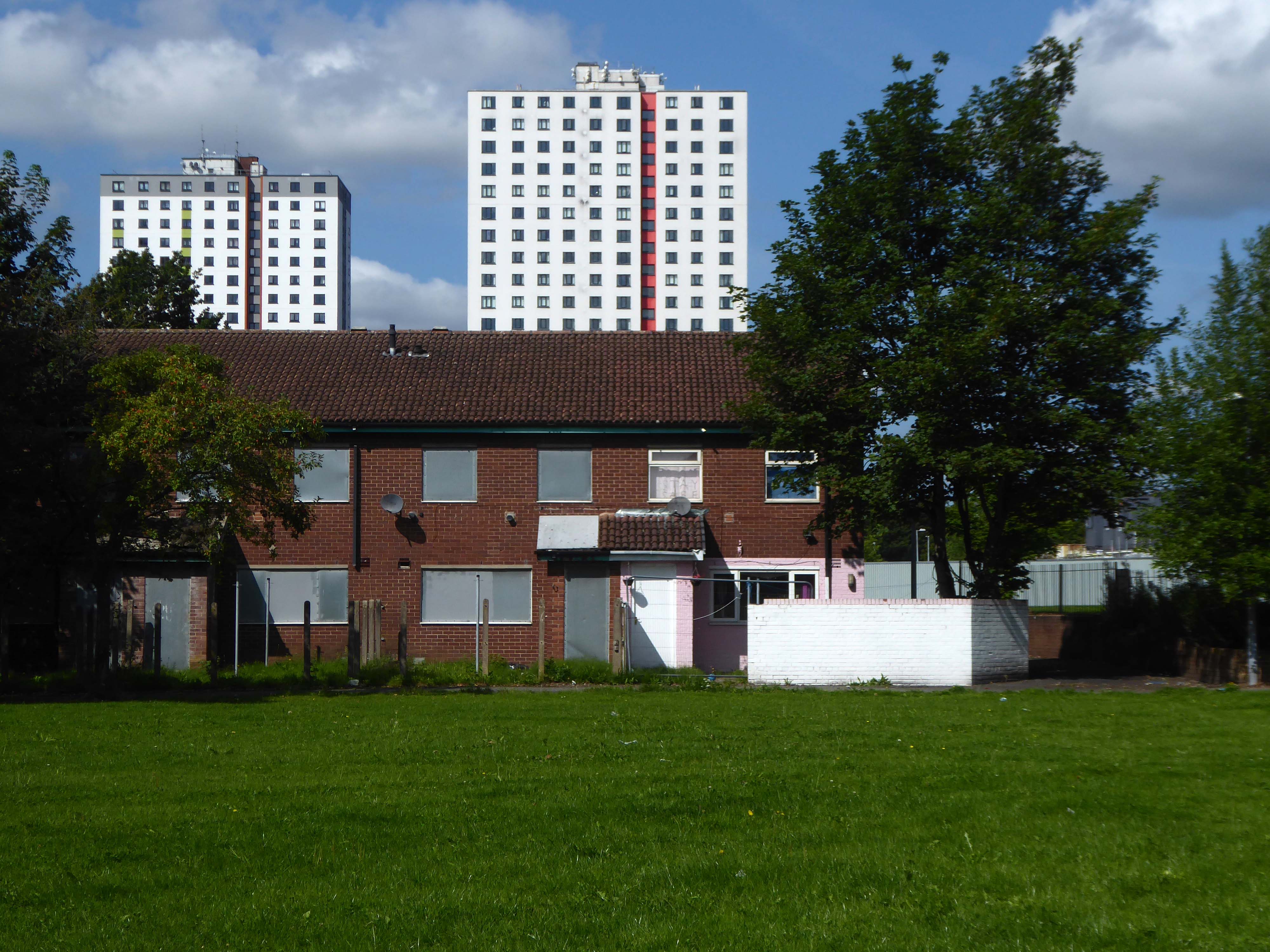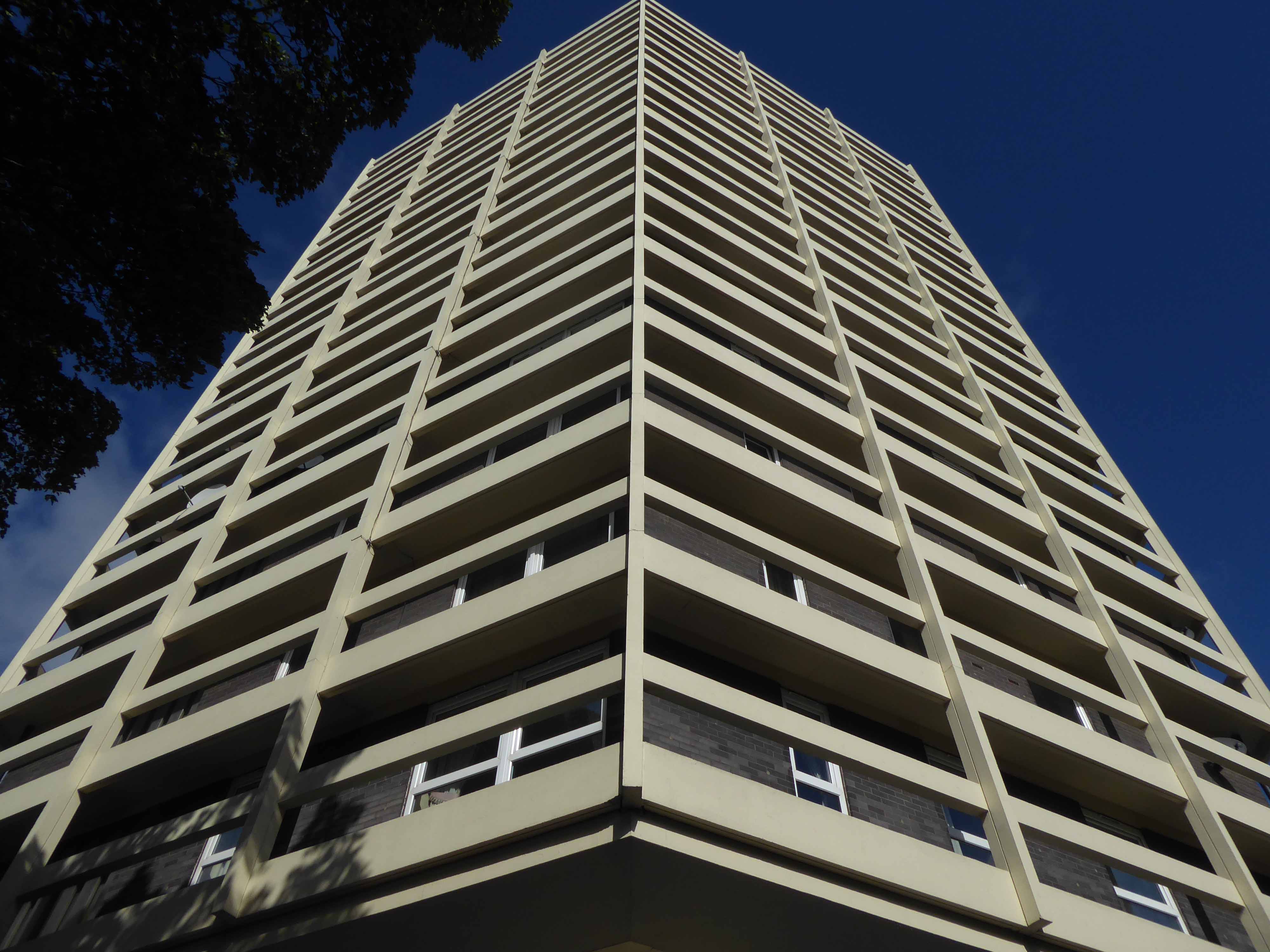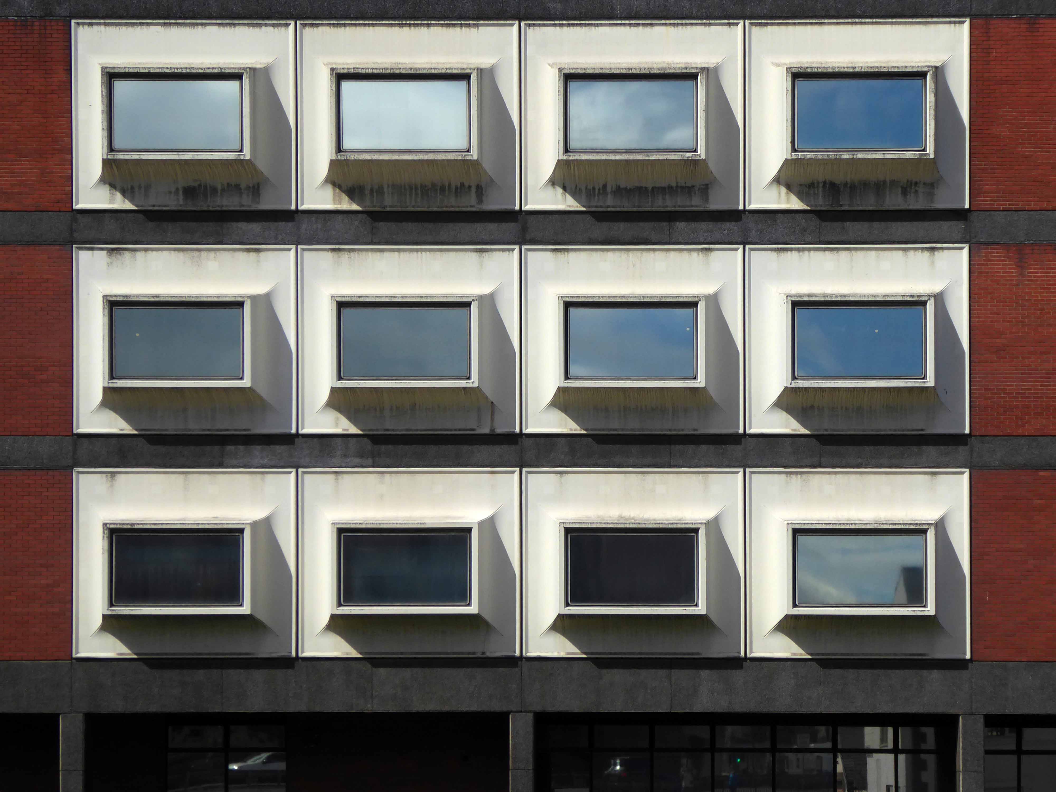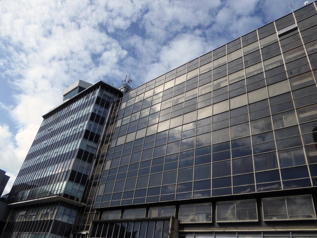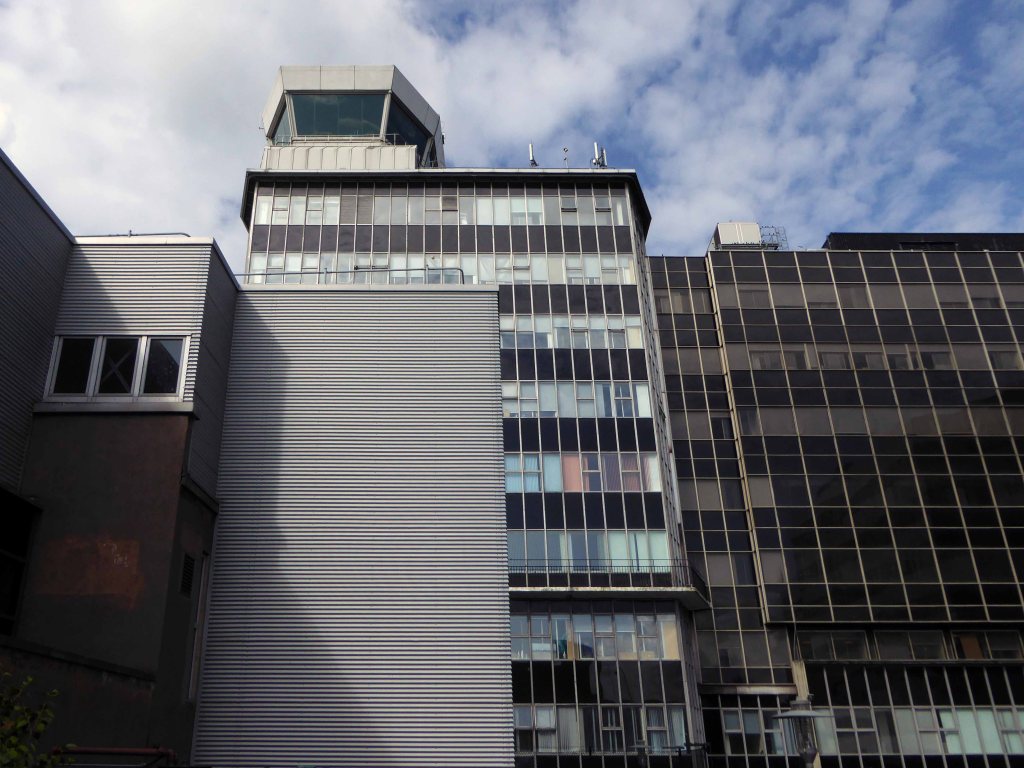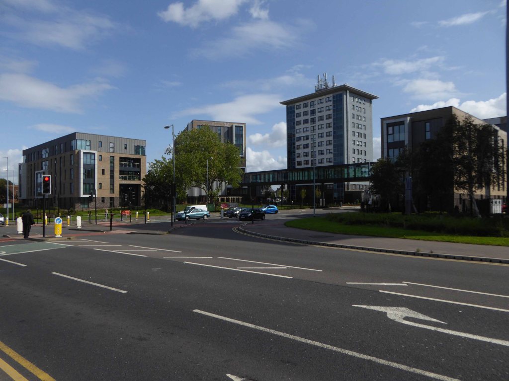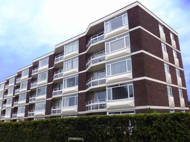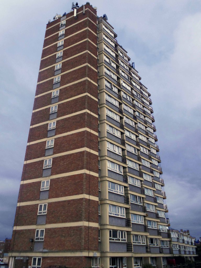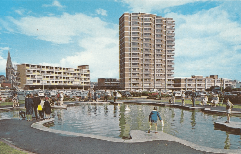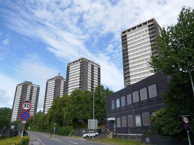
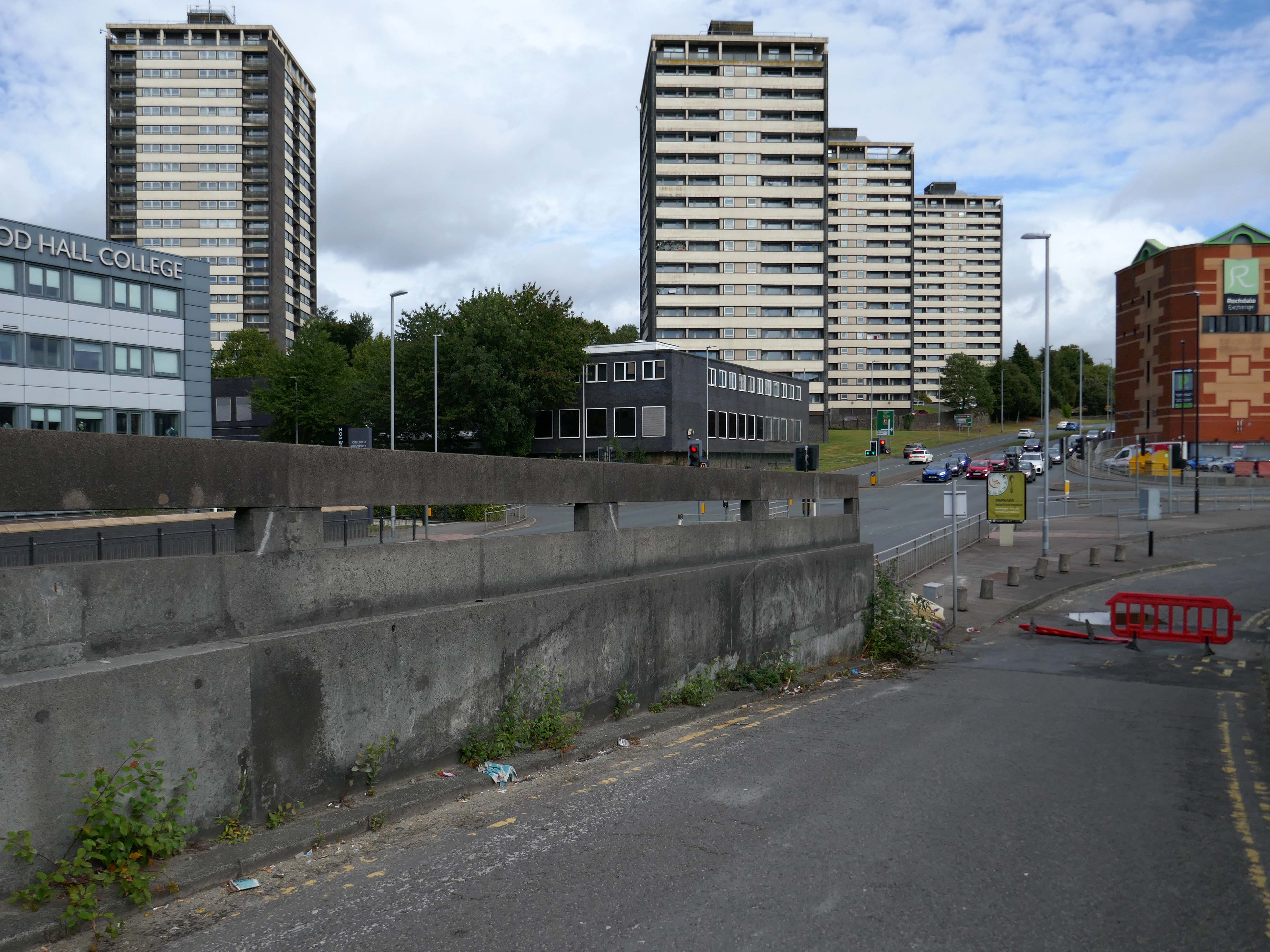
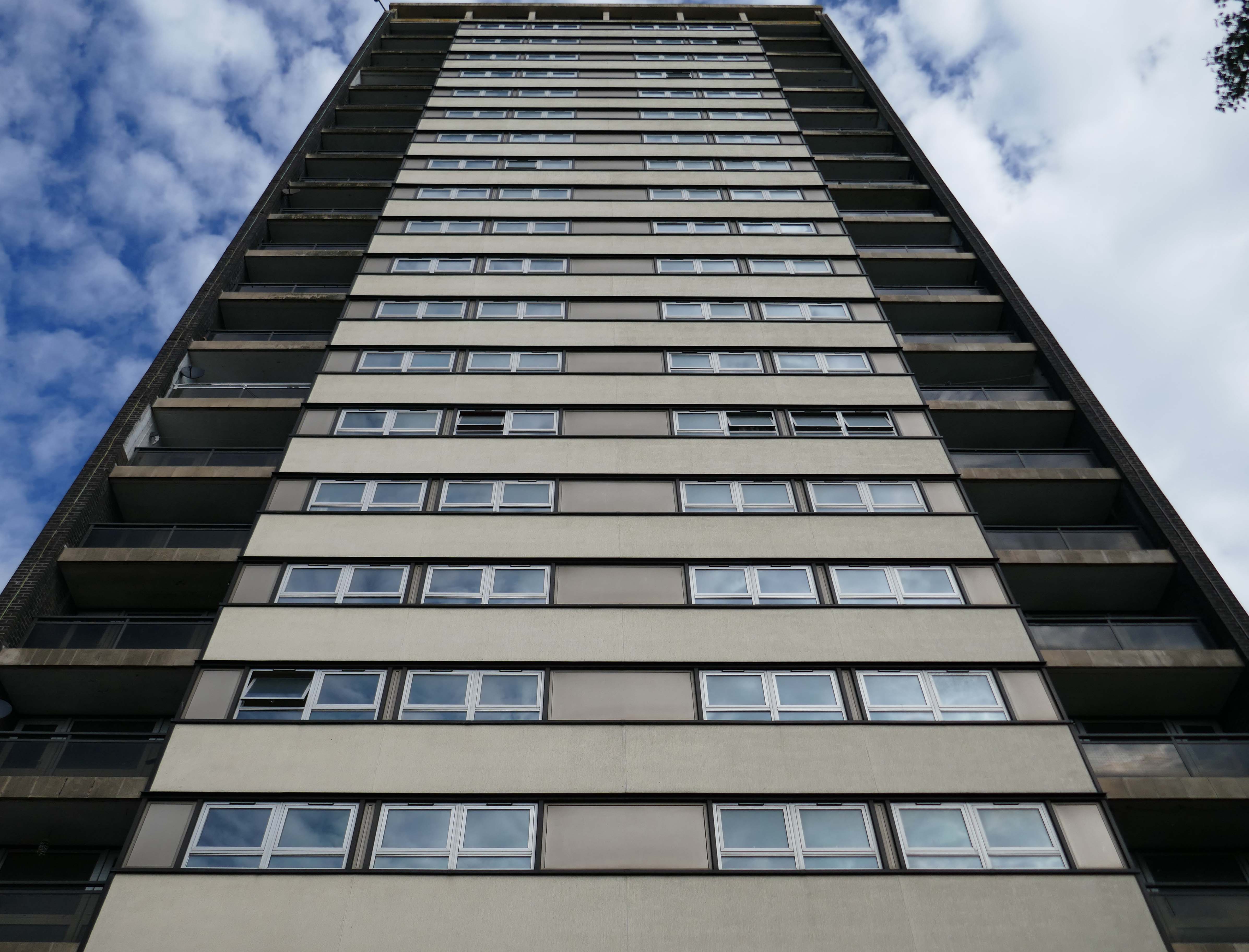
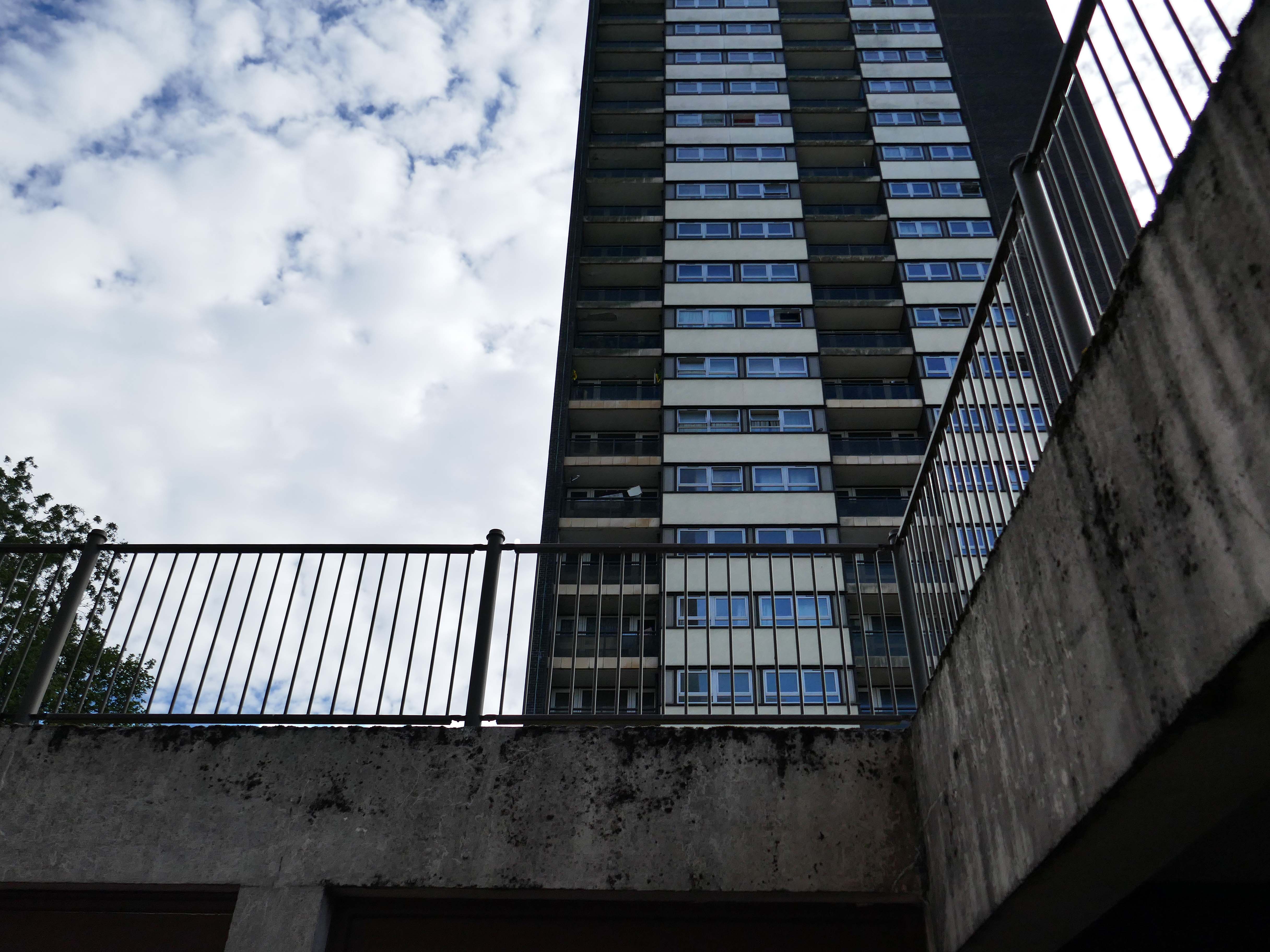
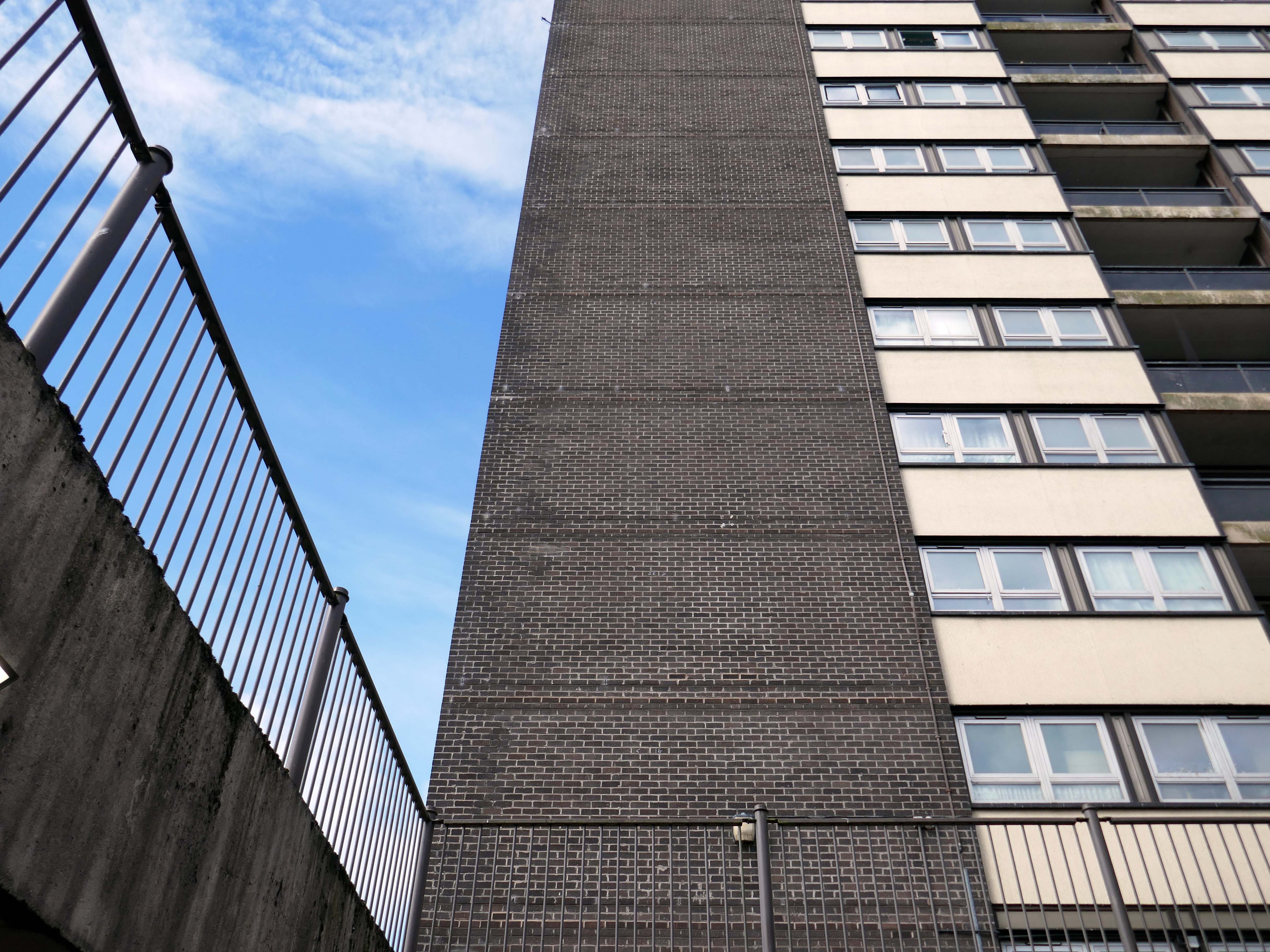
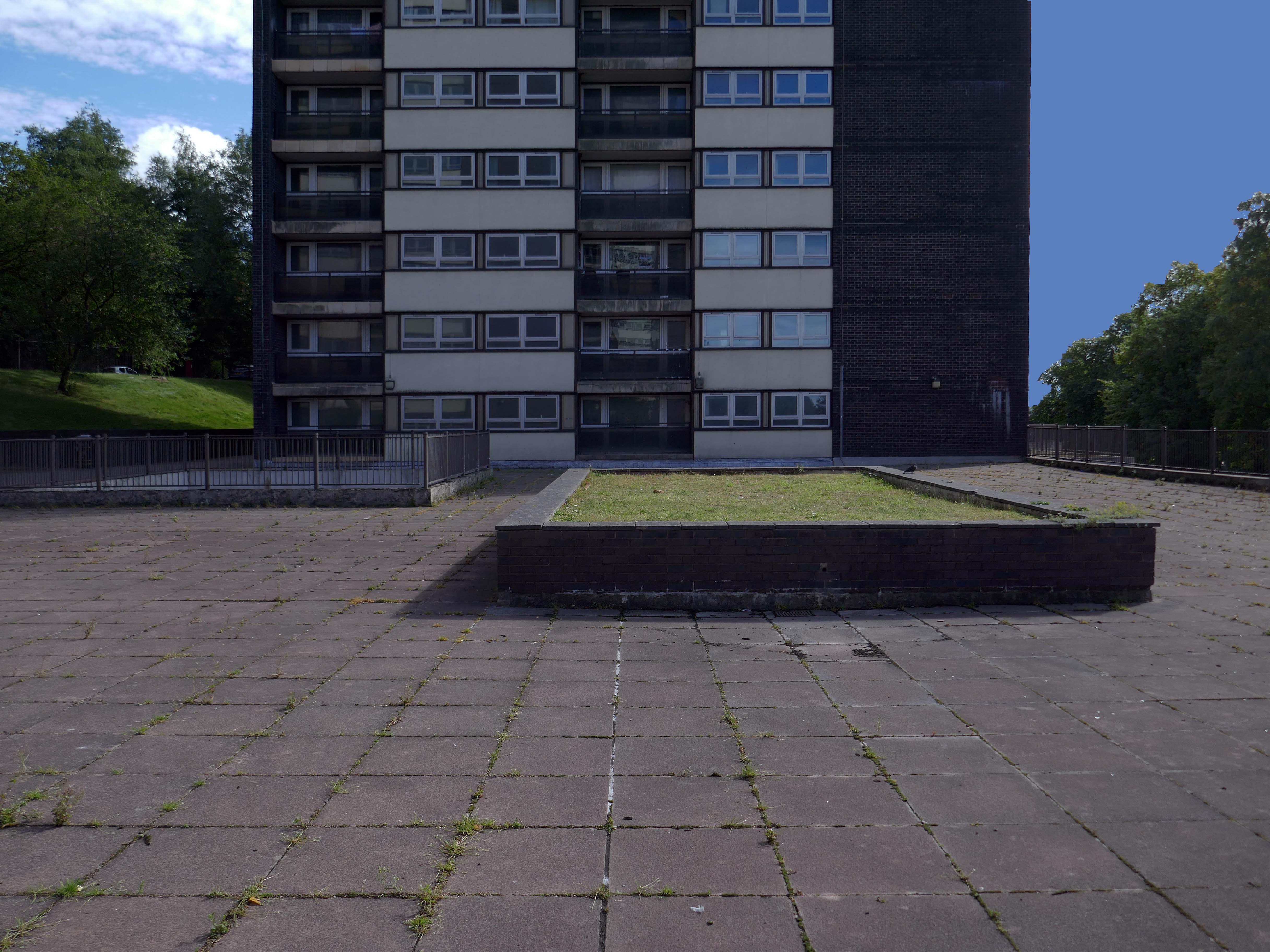
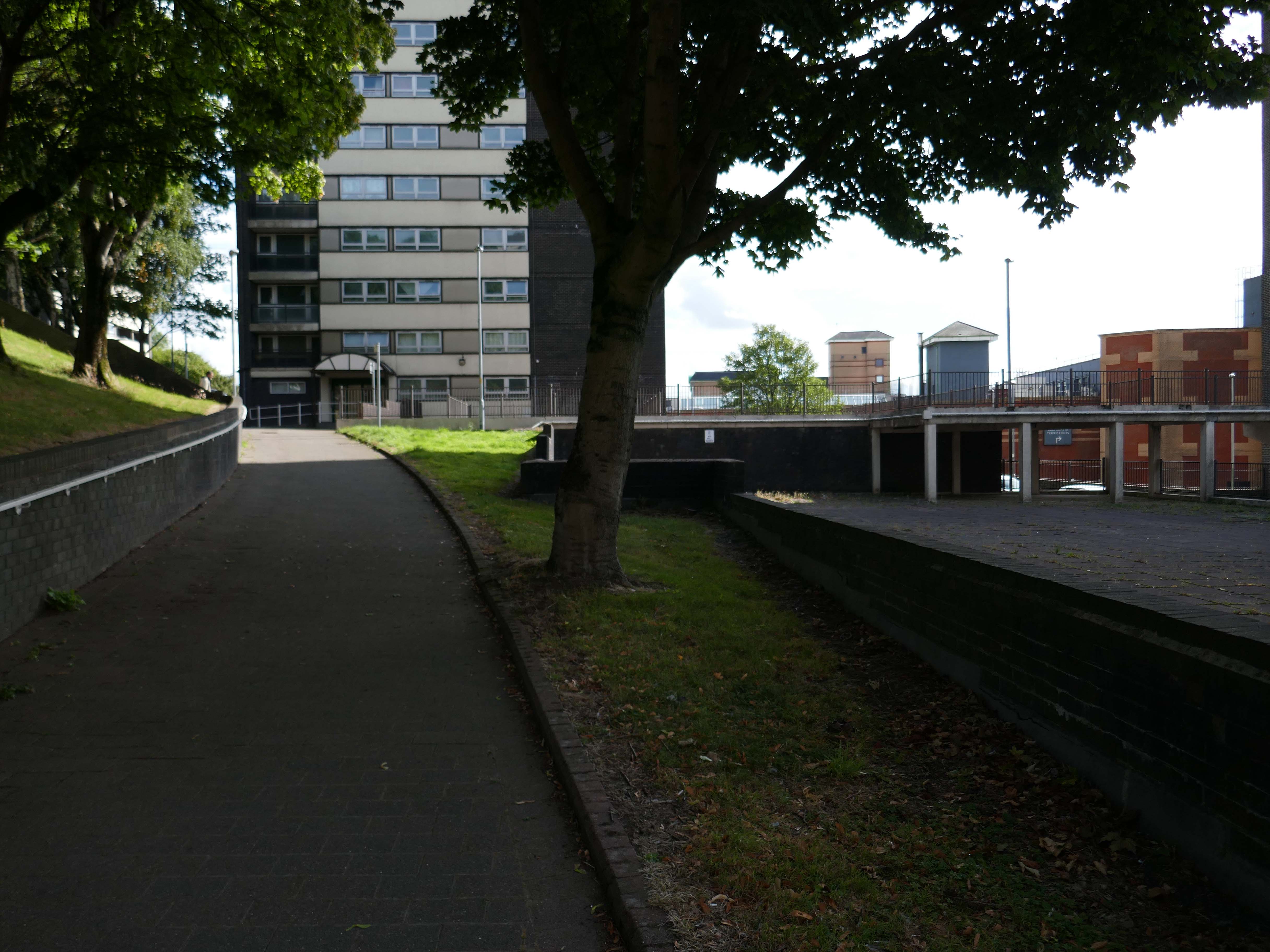
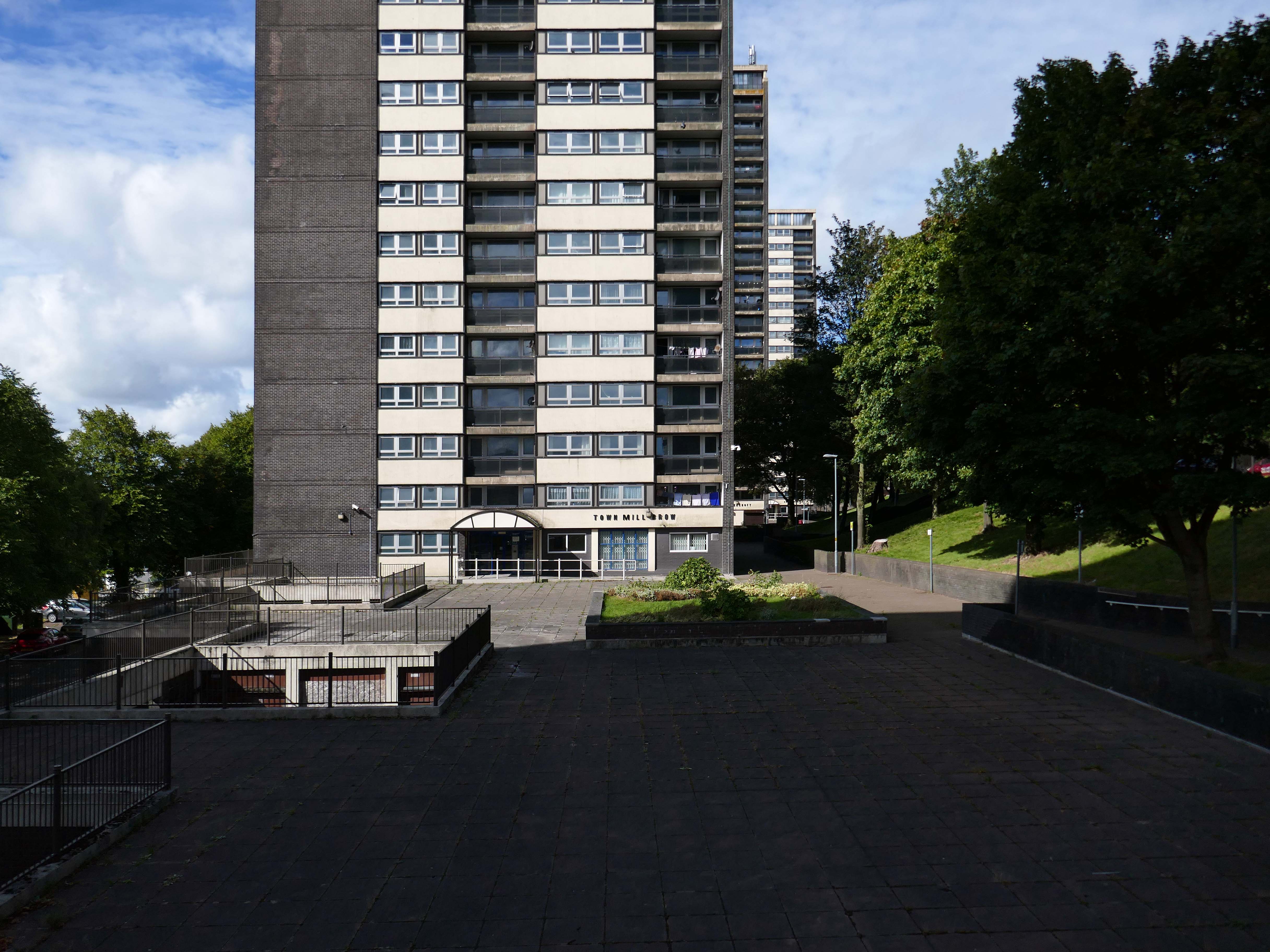
College Bank Flats aka The Seven Sisters, one sunny morning in late August.
Following visits in January 2017 and March 2017, I was in town to take a group of Modernists on a Rochdale Ramble.
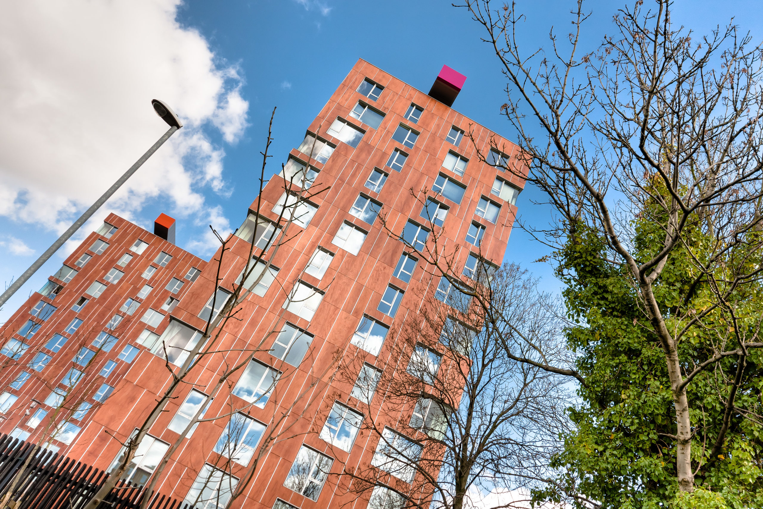
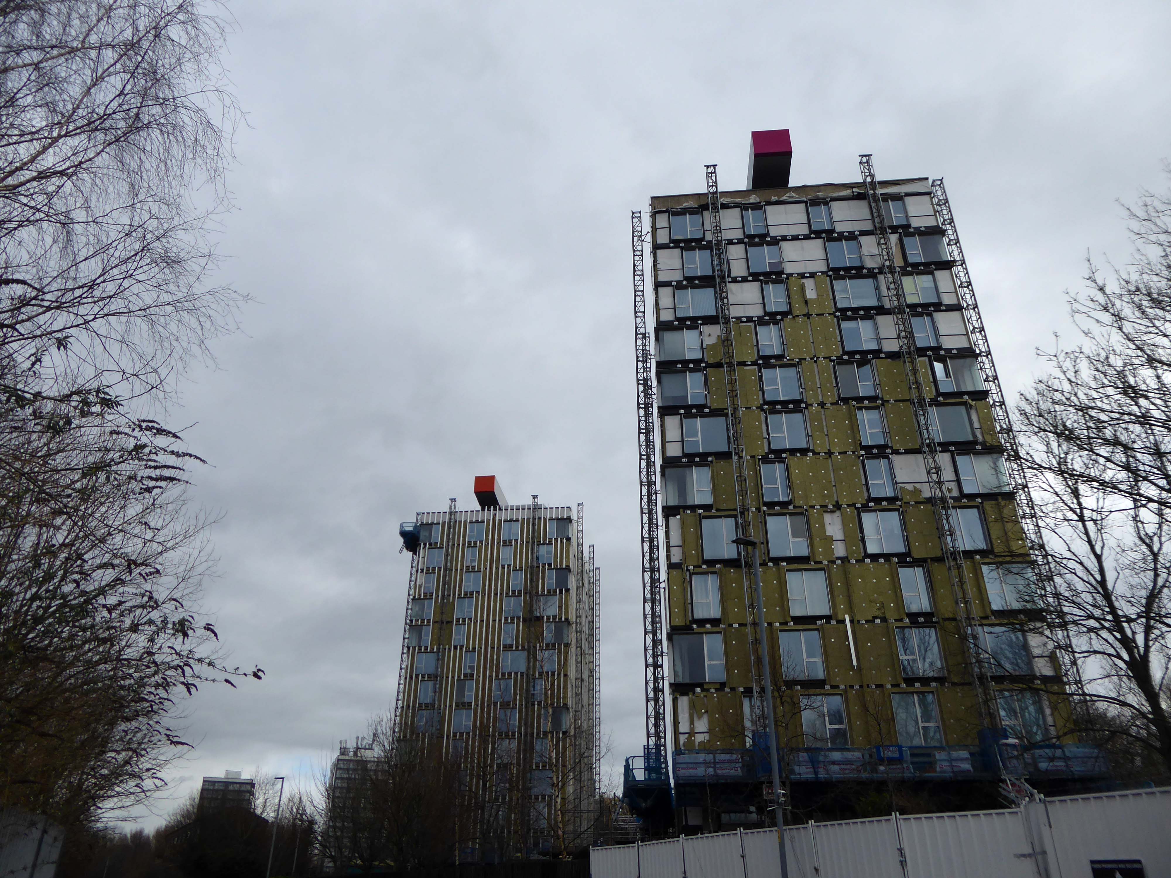
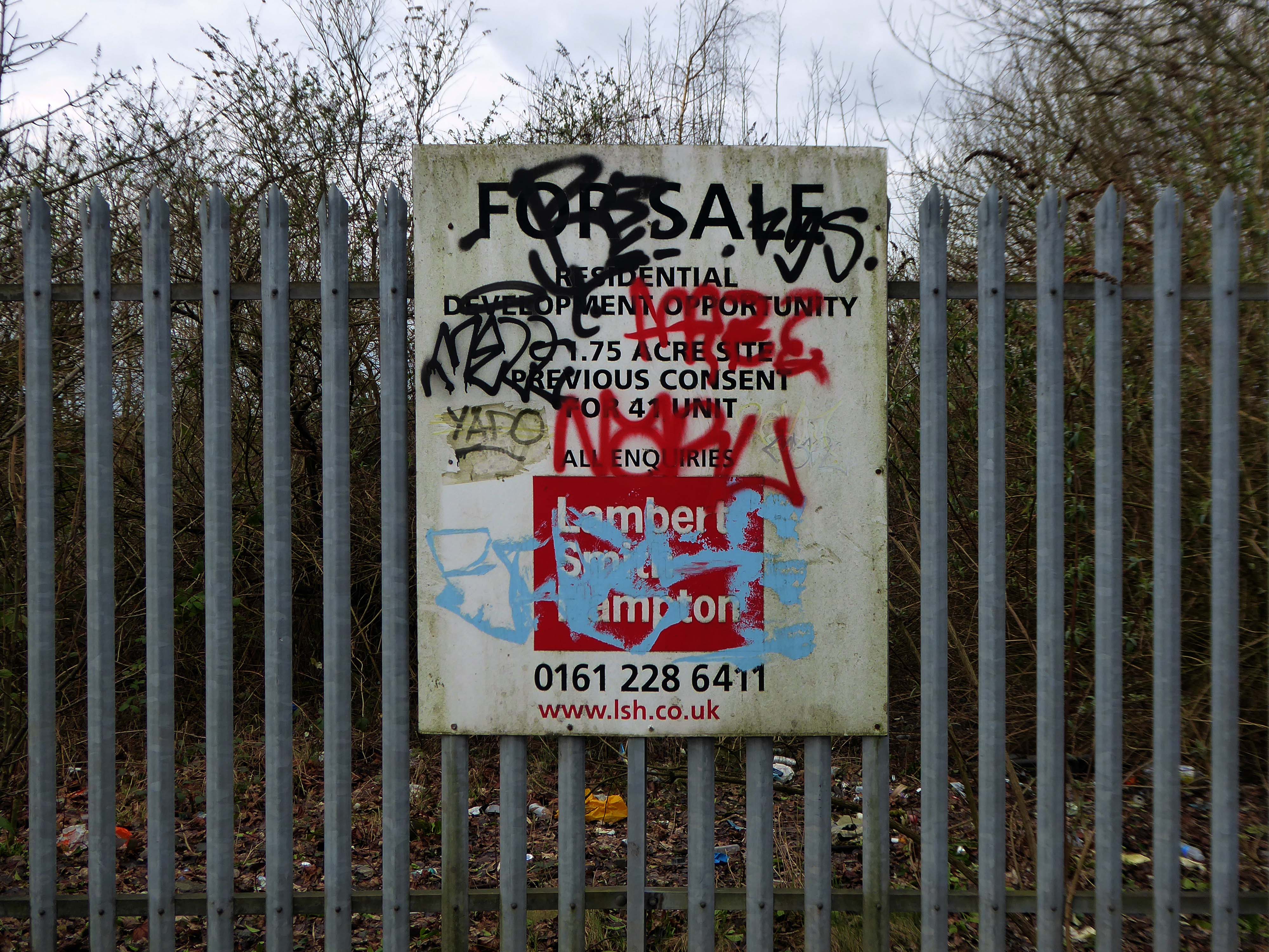
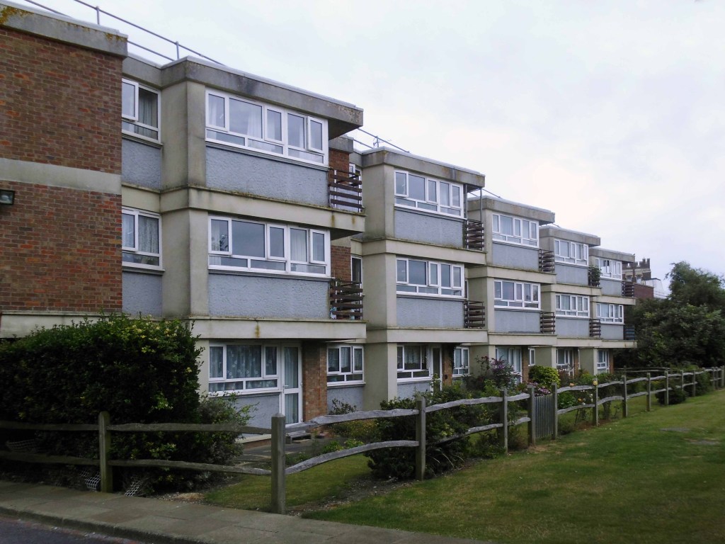
In recent years these homes have been under threat of both demolition and refurbishment.
Rochdale Boroughwide Housing – RBH had sought help from a developer to pay for its £107m plans to refurbish the College Bank high-rise apartments, known in the town as the Seven Sisters.
But the social housing landlord has been unable to reach a commercially viable agreement to help improve the blocks where 250 people live.
Amanda Newton, RBH chief executive said the lack of a deal was disappointing but all options for the future of the site would still be explored.
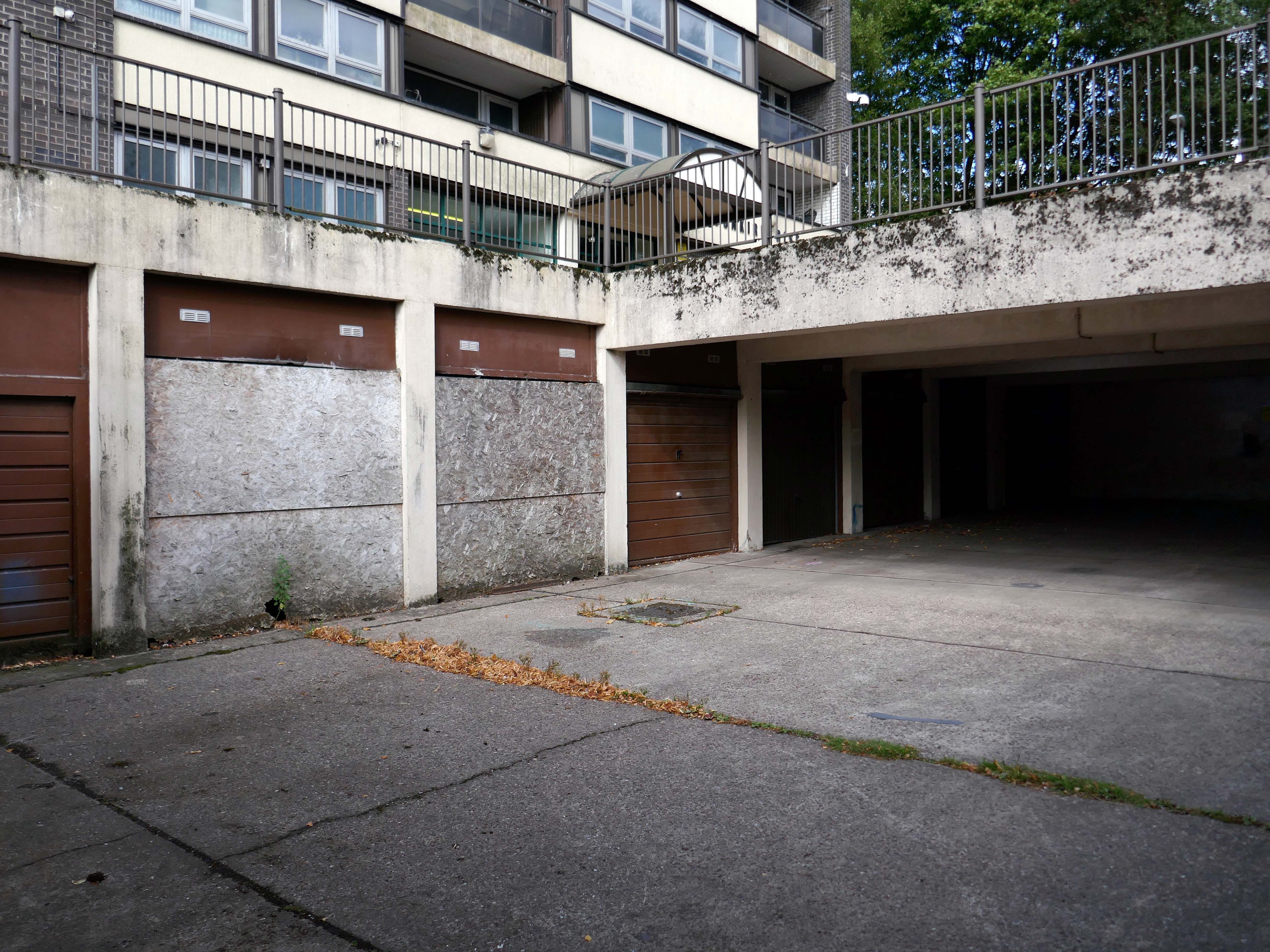
Many of the apartments spread across the Seven Sisters remain unoccupied after a plan was announced to demolish four of the blocks in 2017, leading to an exodus of hundreds of tenants. RBH later reconsidered the plan, and instead signed a deal with developer Legal & General Affordable Housing last year, to find a viable way of refurbishing the apartments.
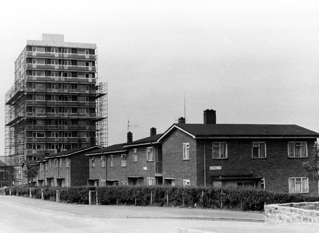
All 700 flats in the 1960s blocks were set to be redeveloped under the plans, but the pair’s agreement has now come to an end without a solution emerging.
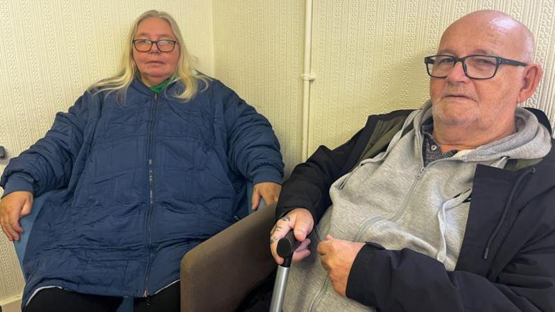
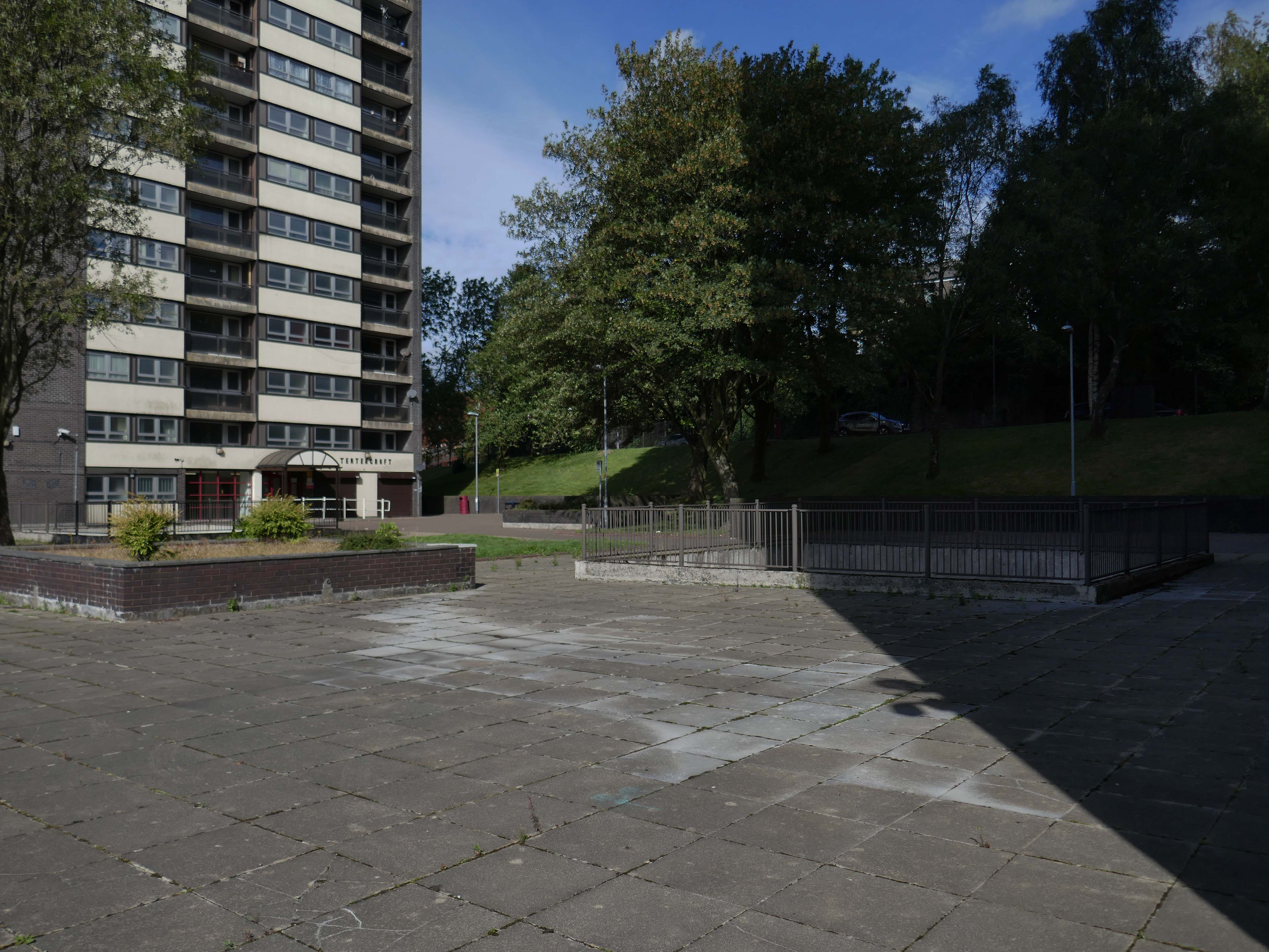
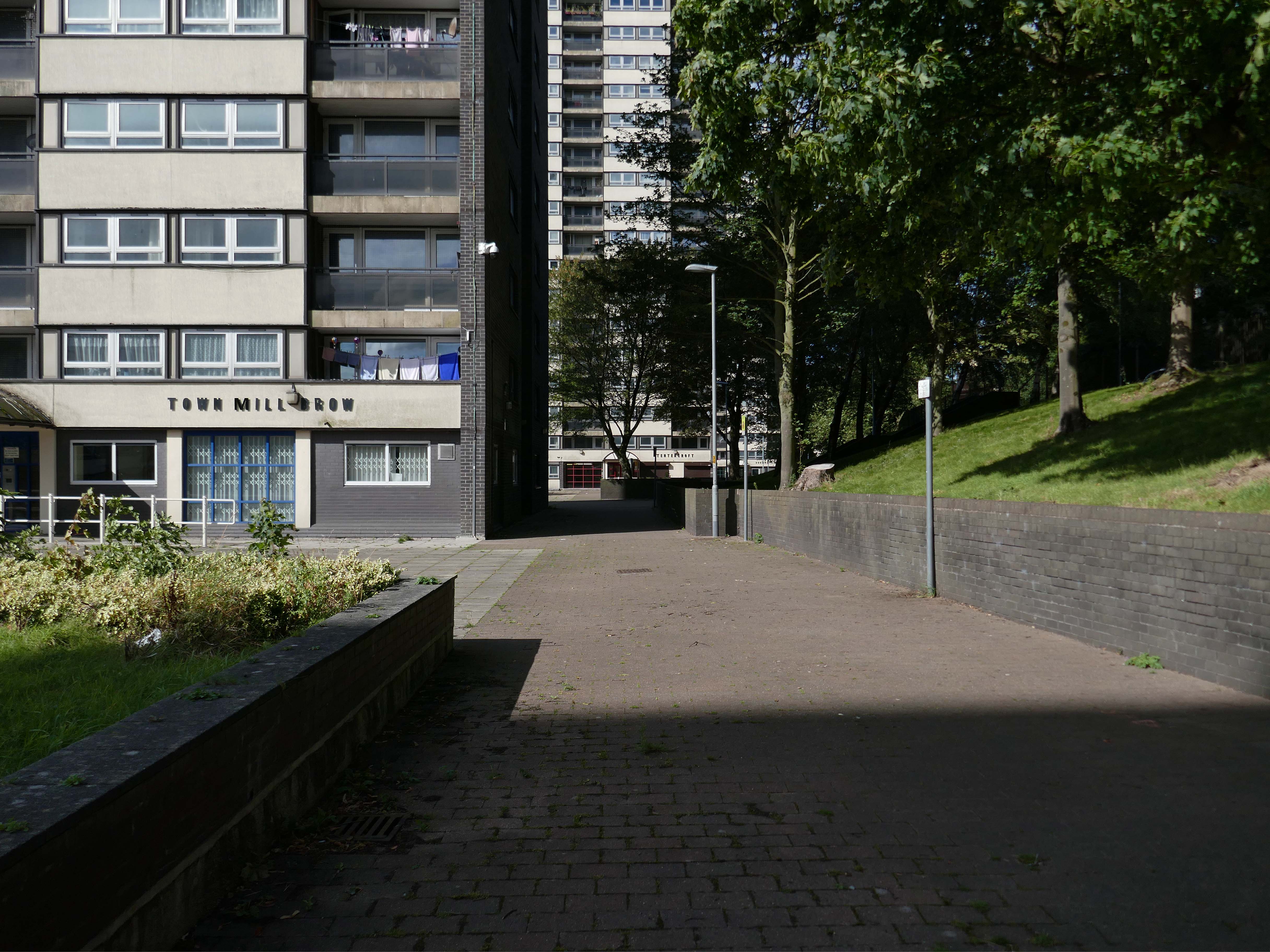
John Hurn, who has lived in the Tentercroft tower block with his wife Sharon, for 18 years, said:
Not knowing what’s happening, I get frustrated, this is home to me, Rochdale is home.
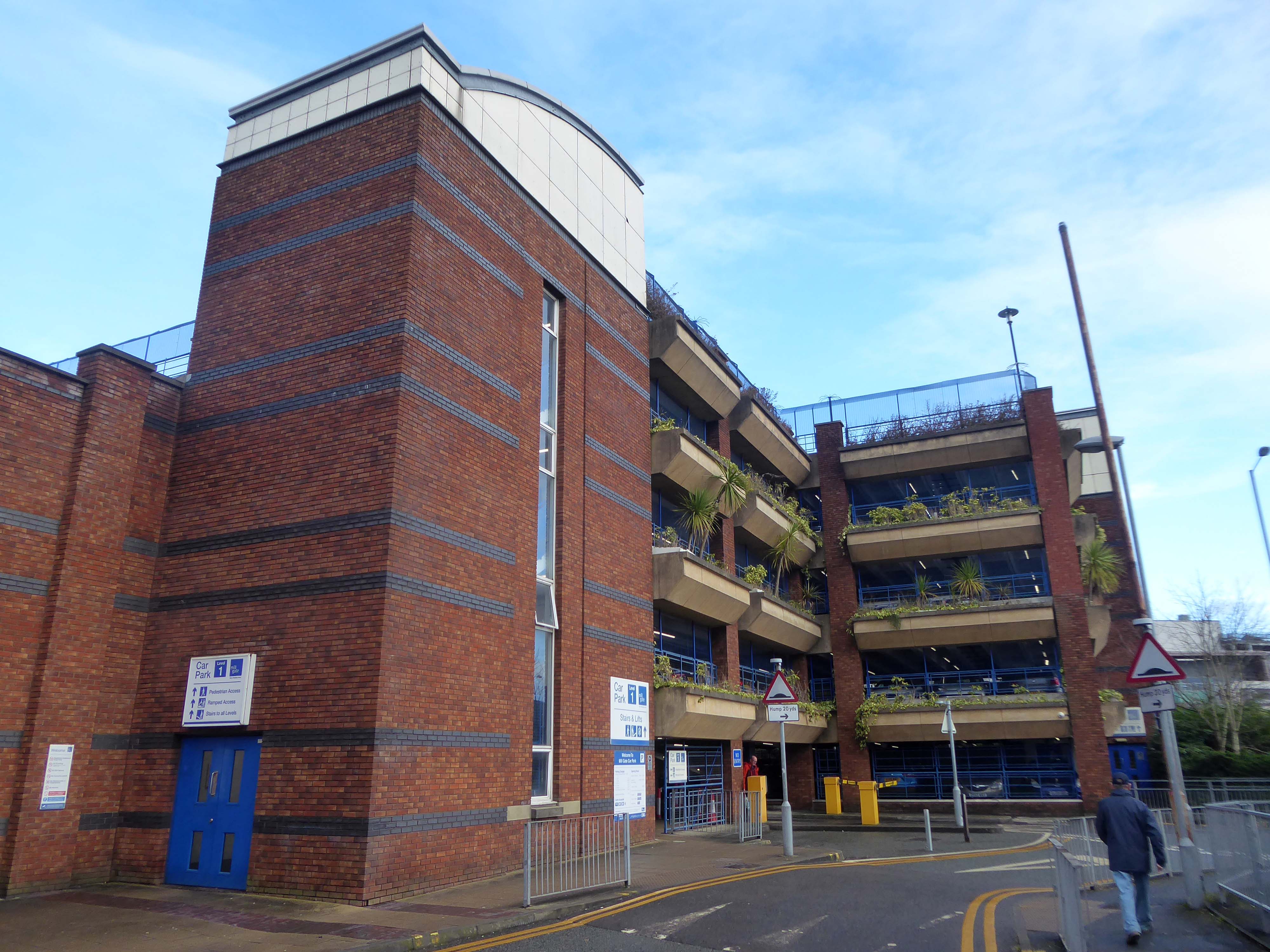
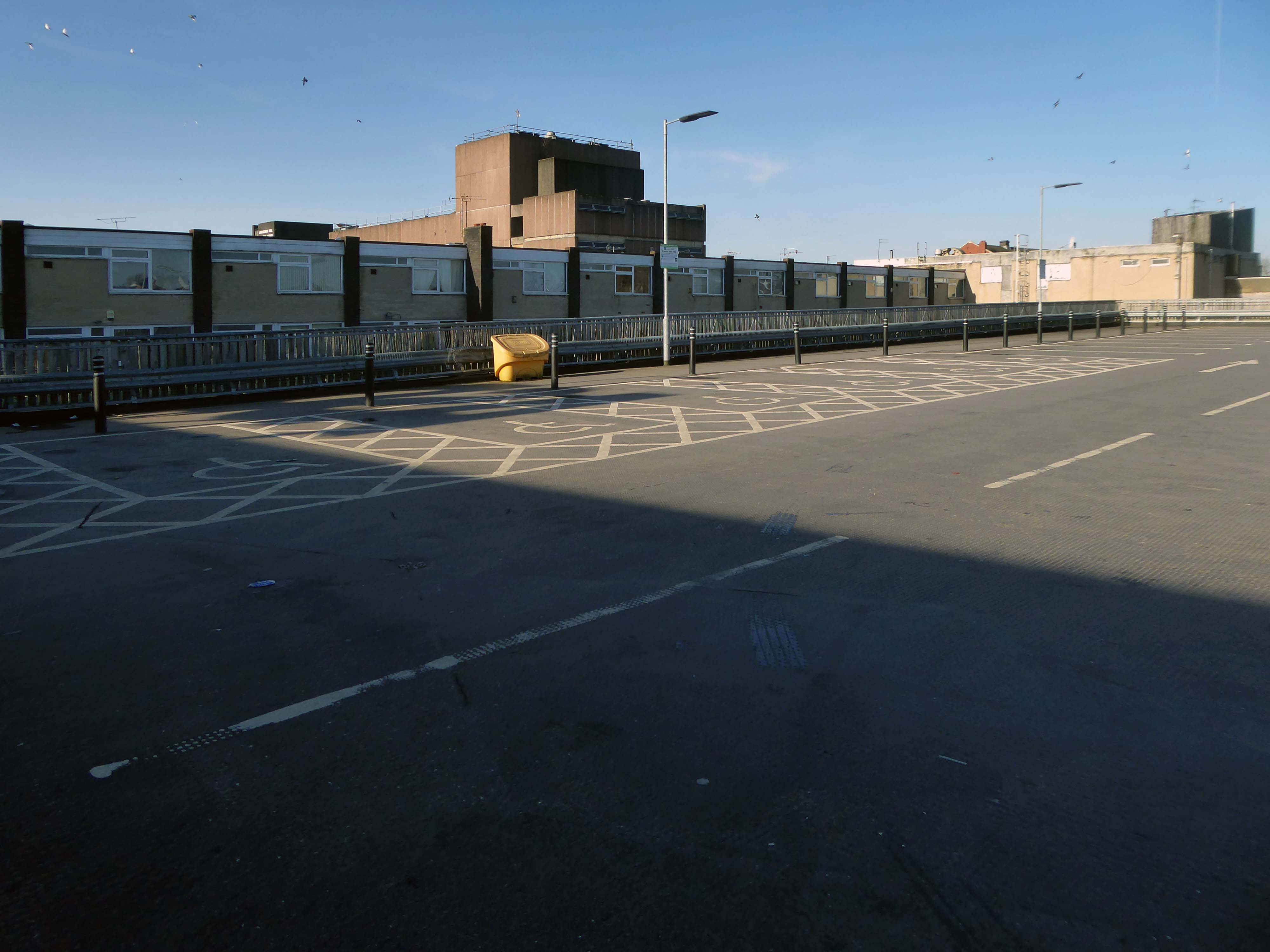
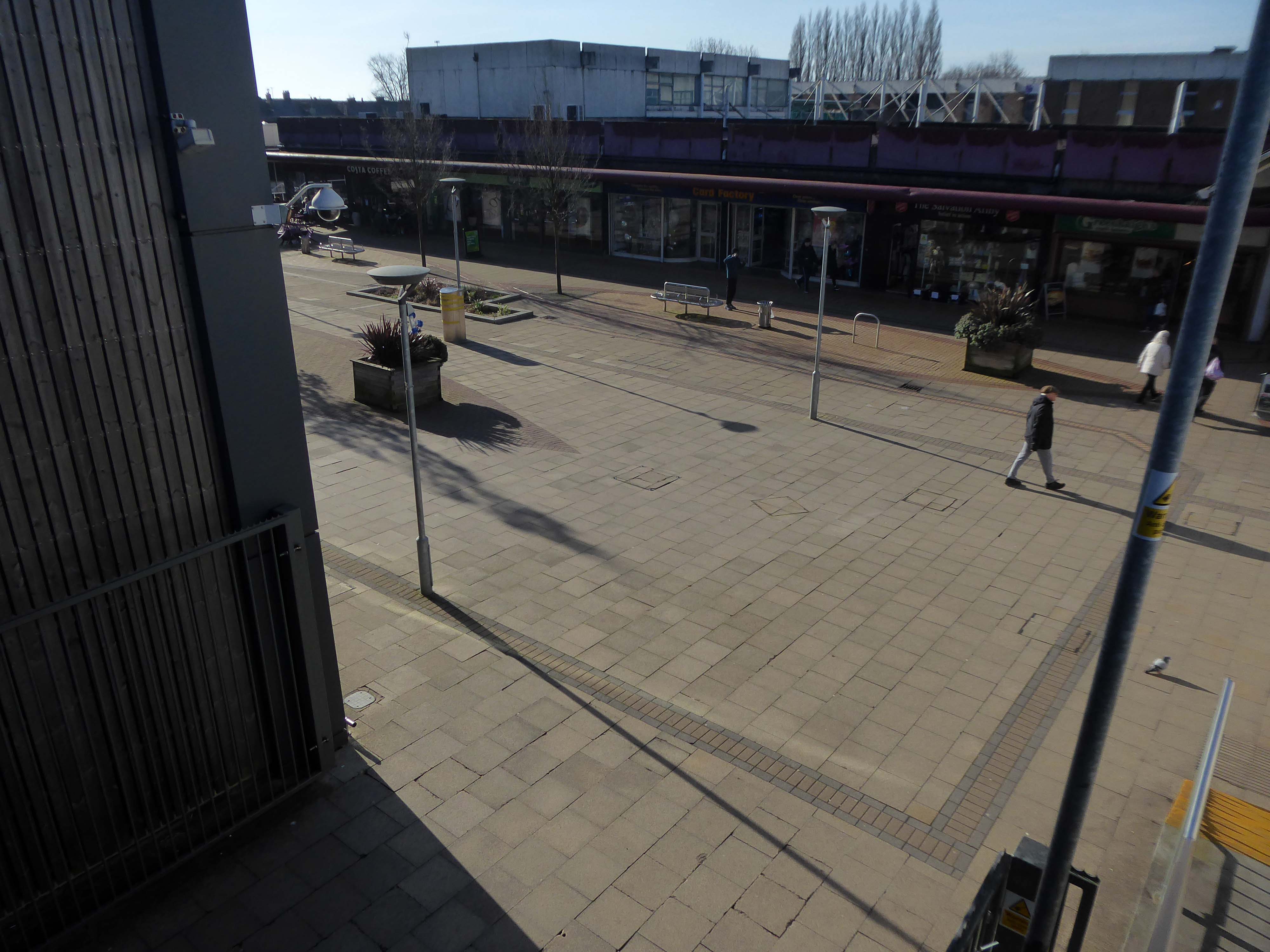
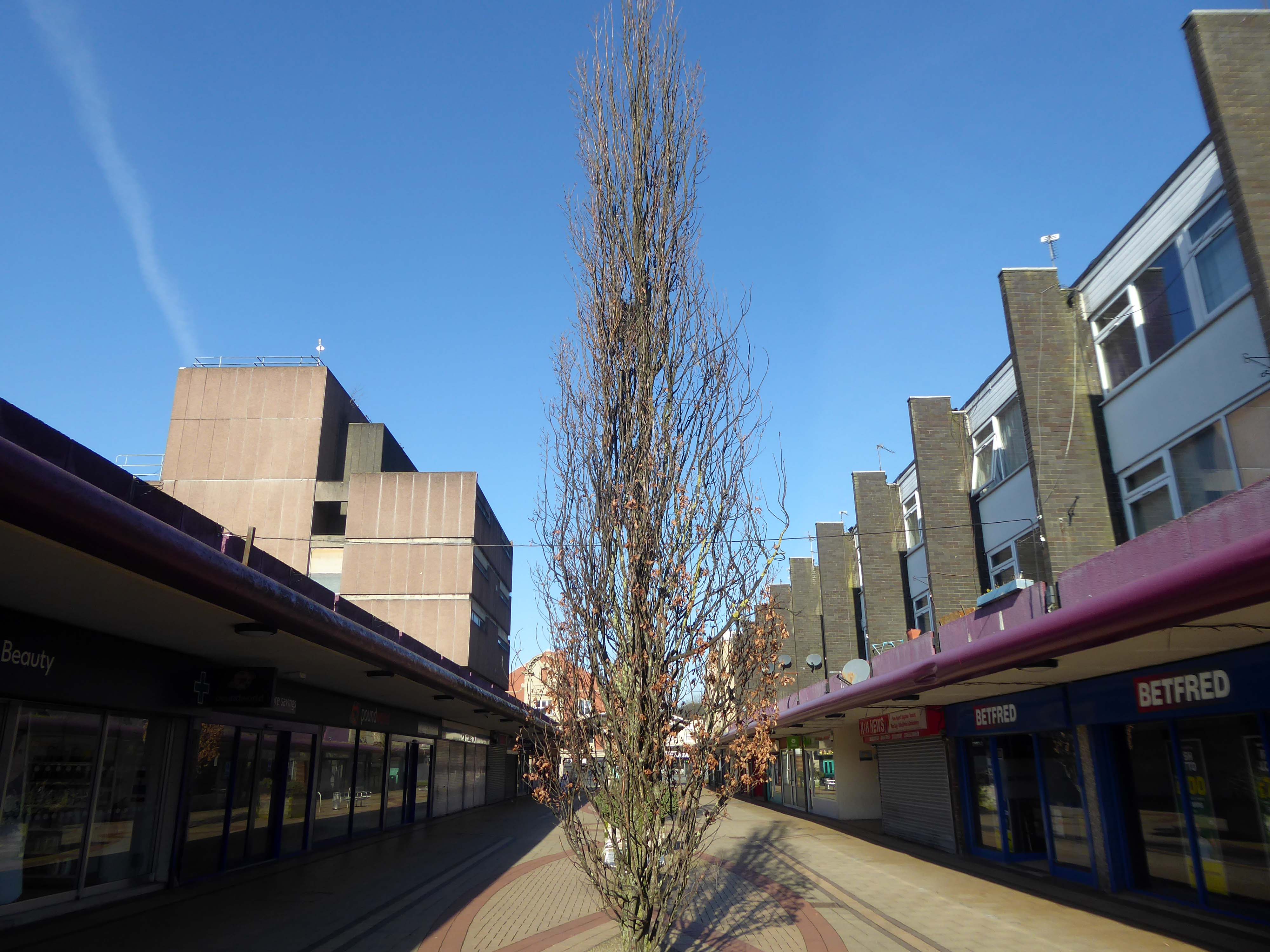
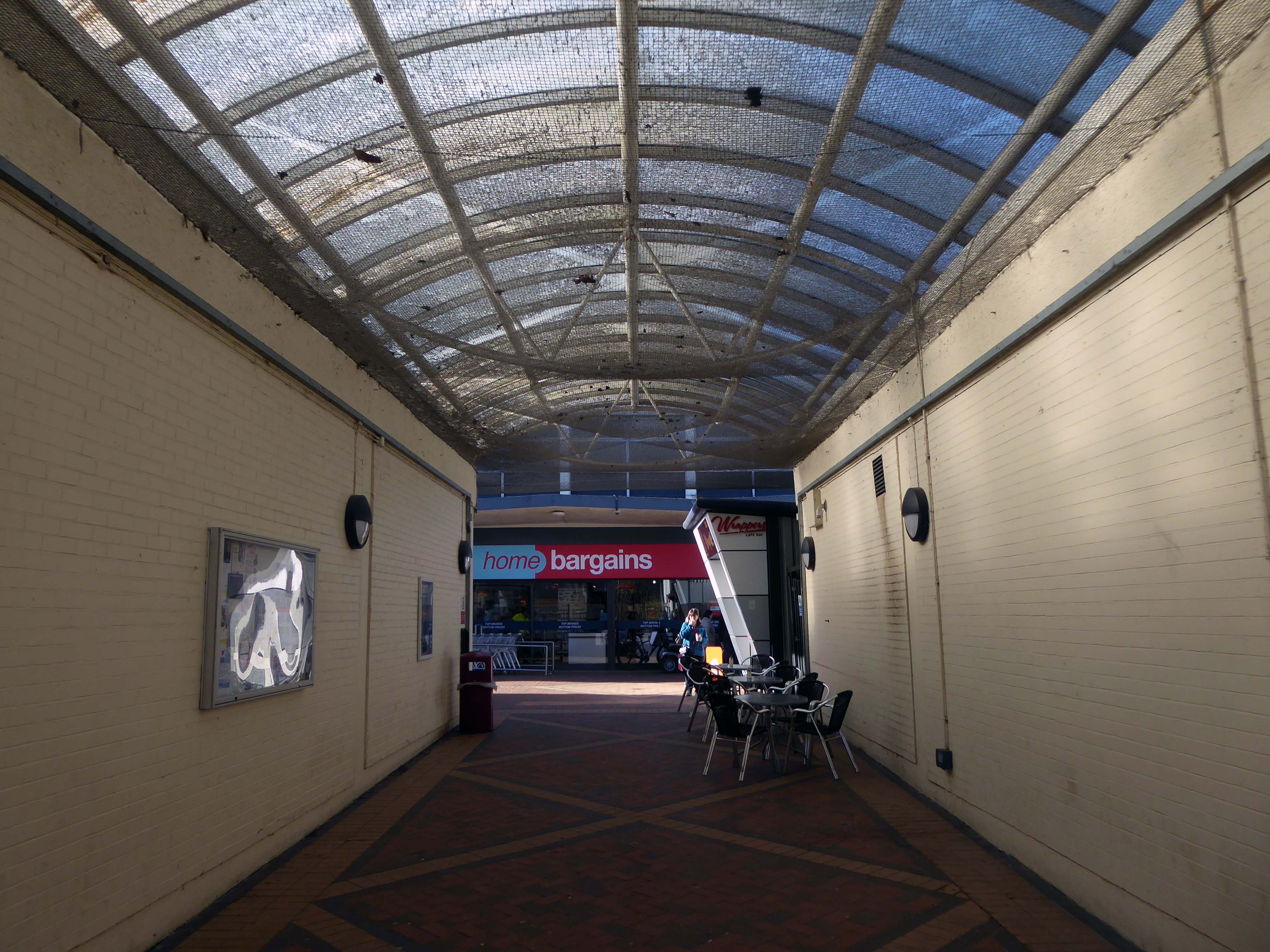
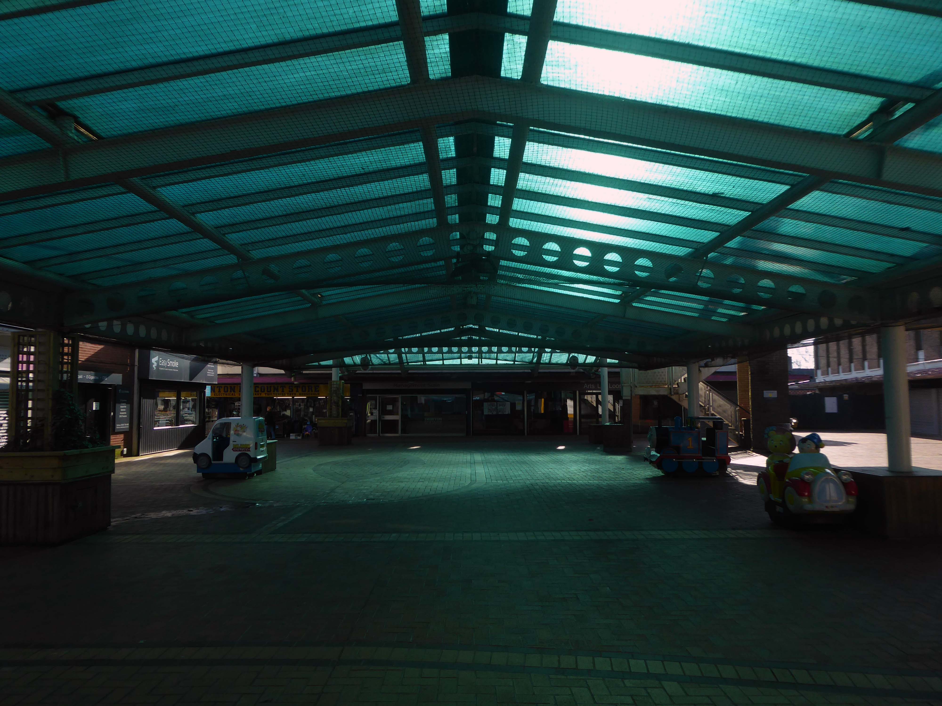
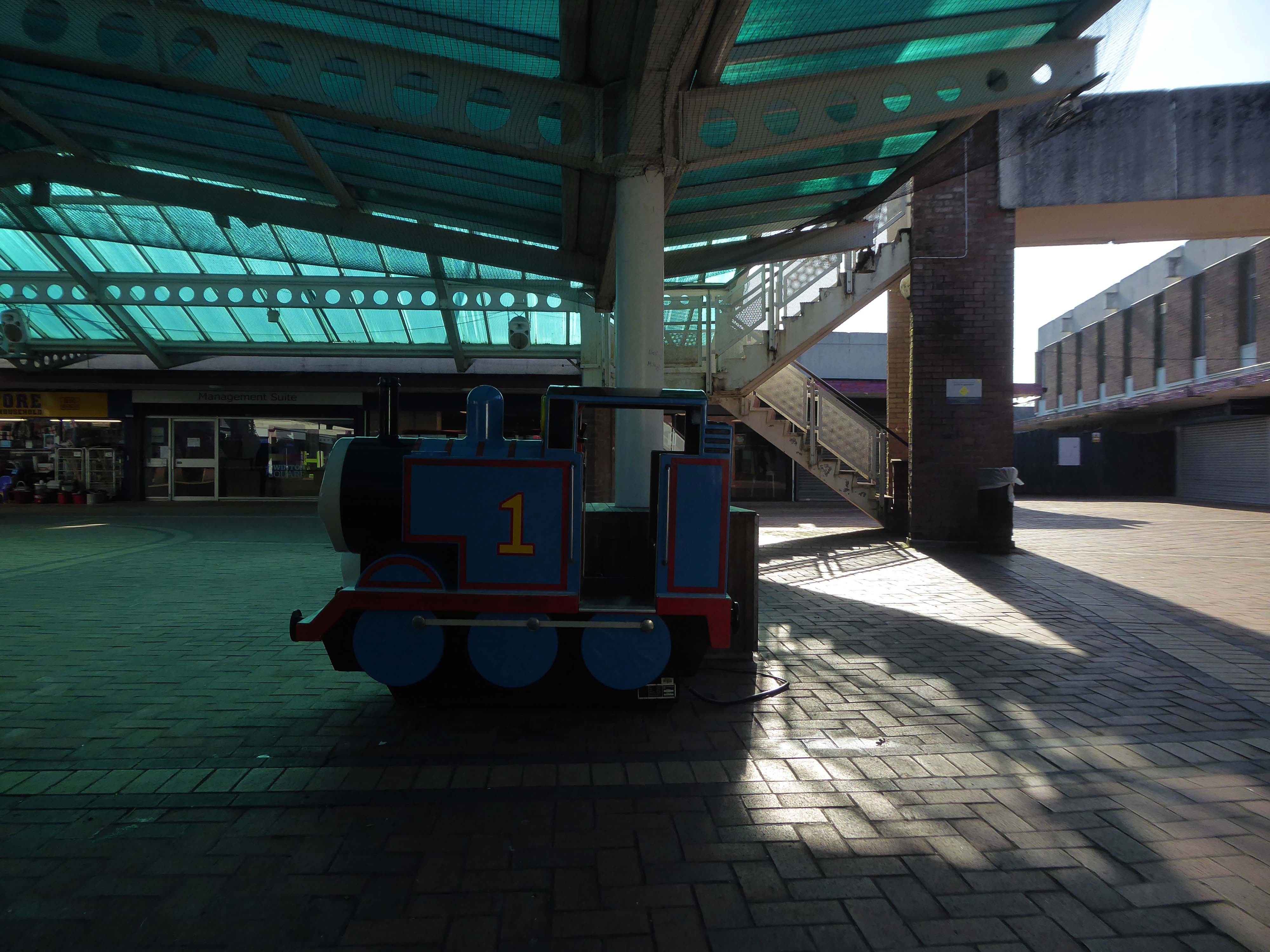
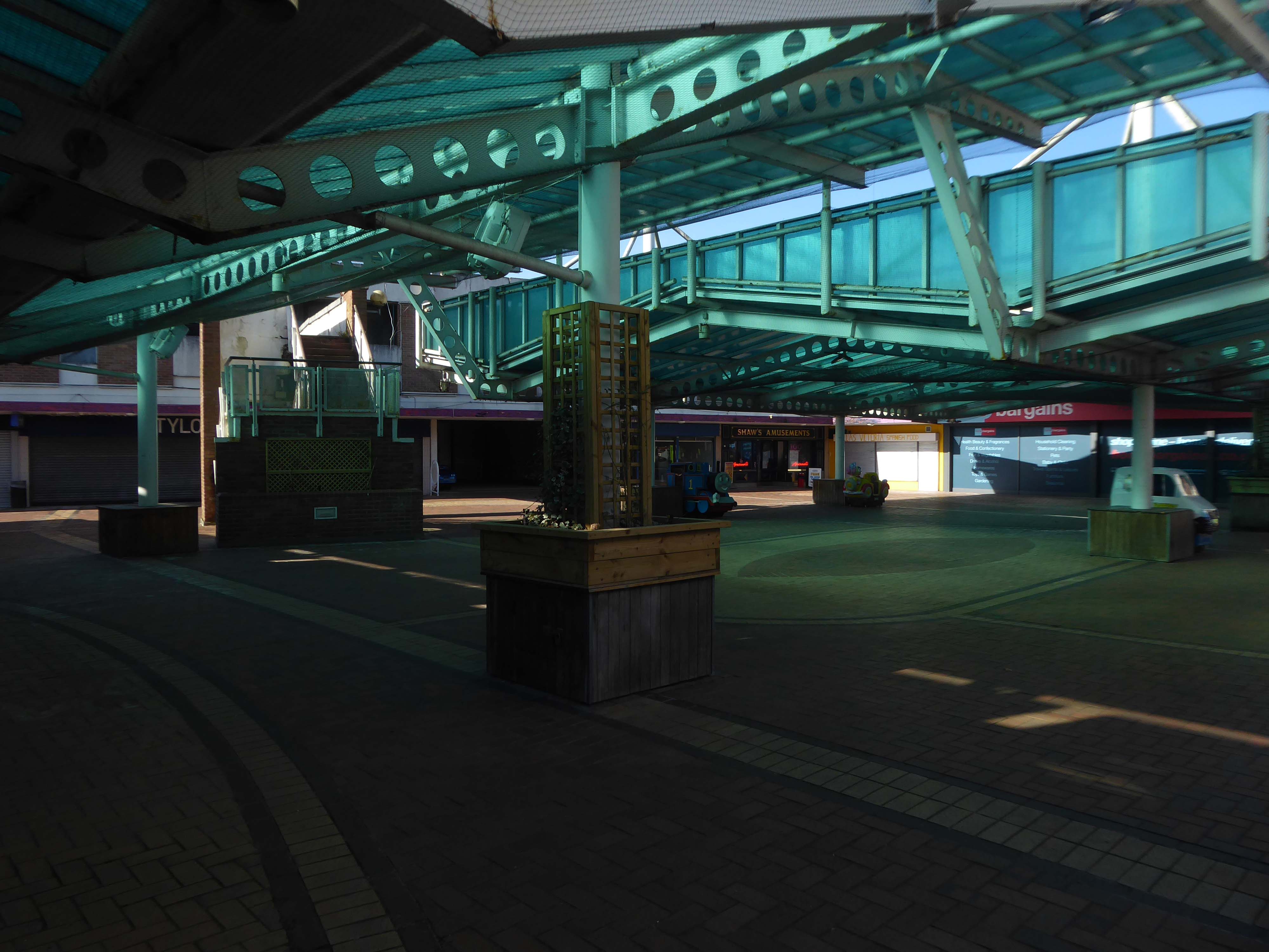
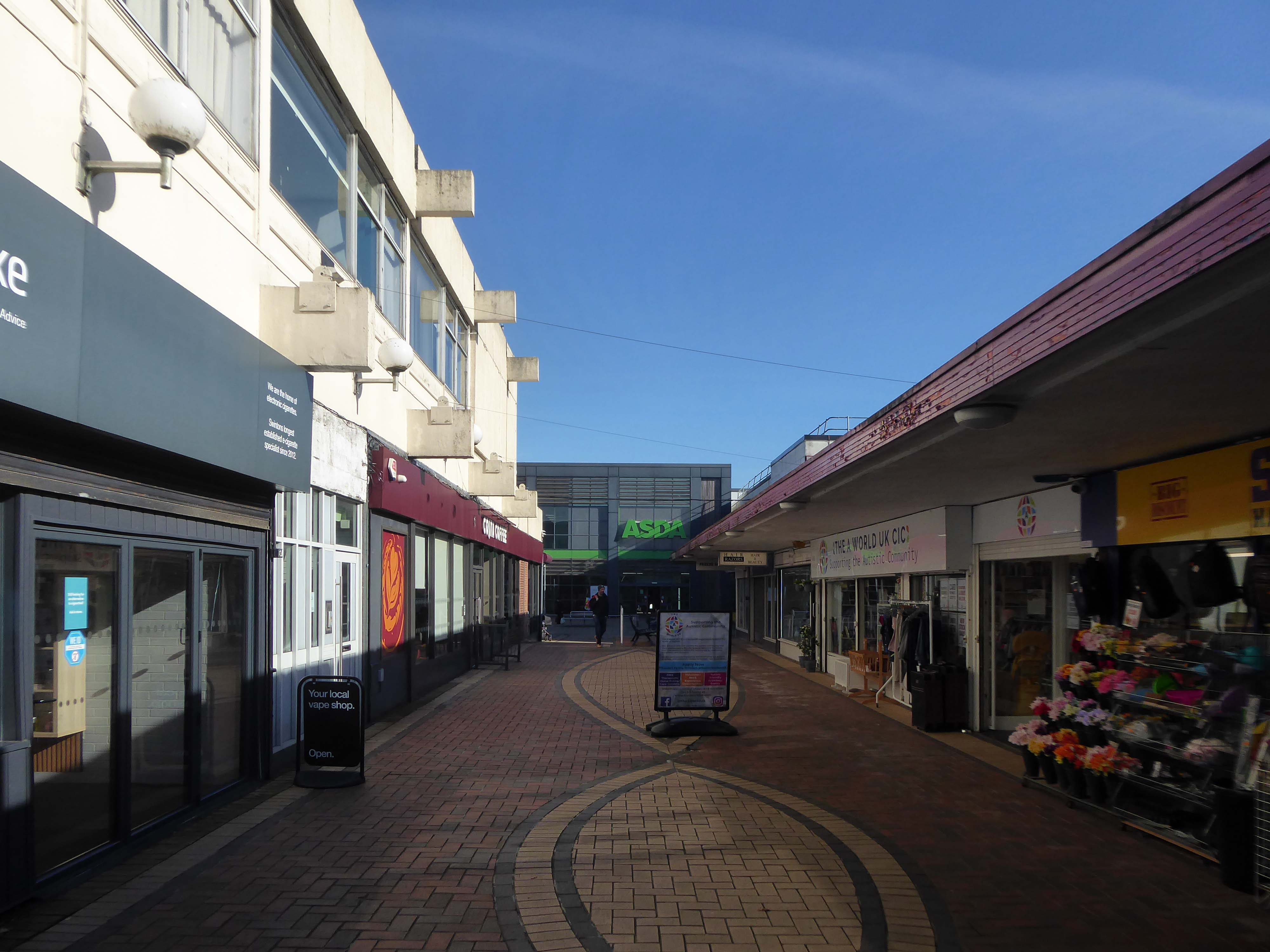
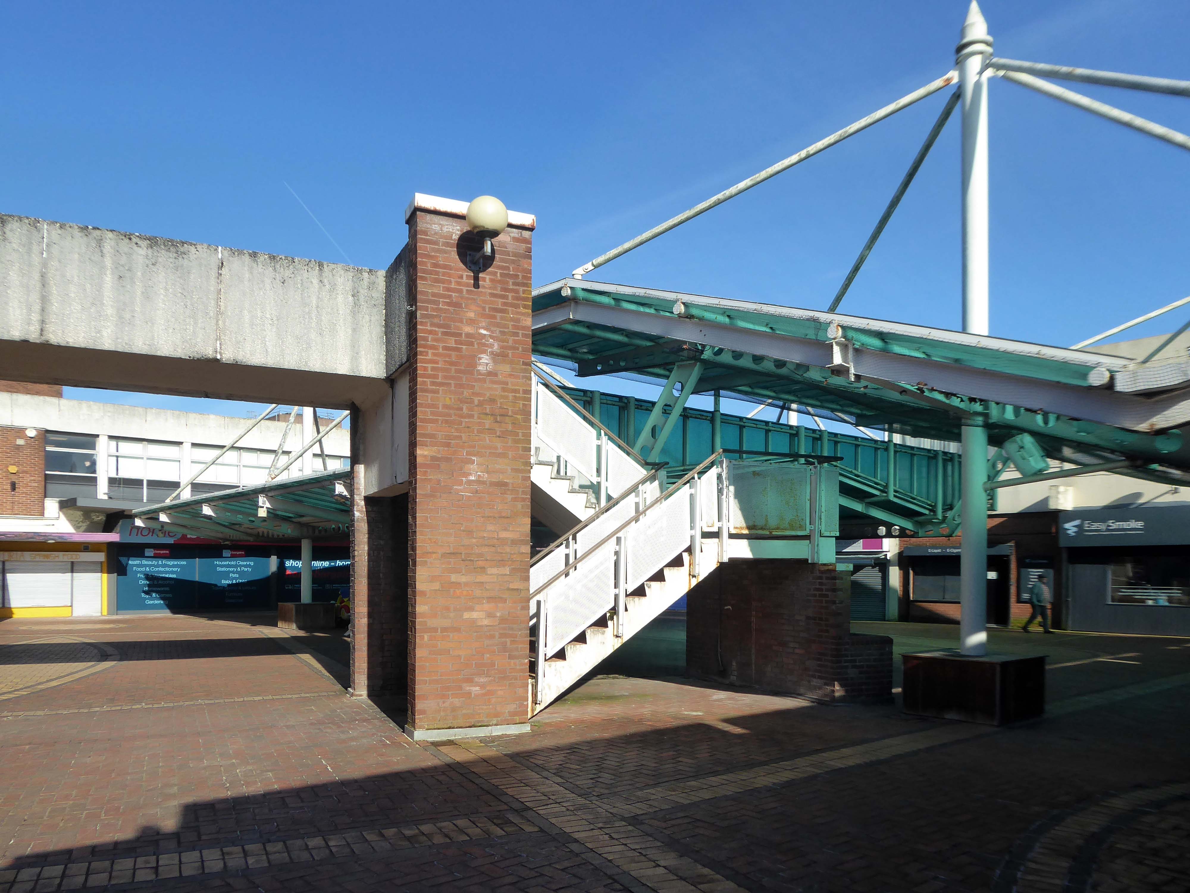
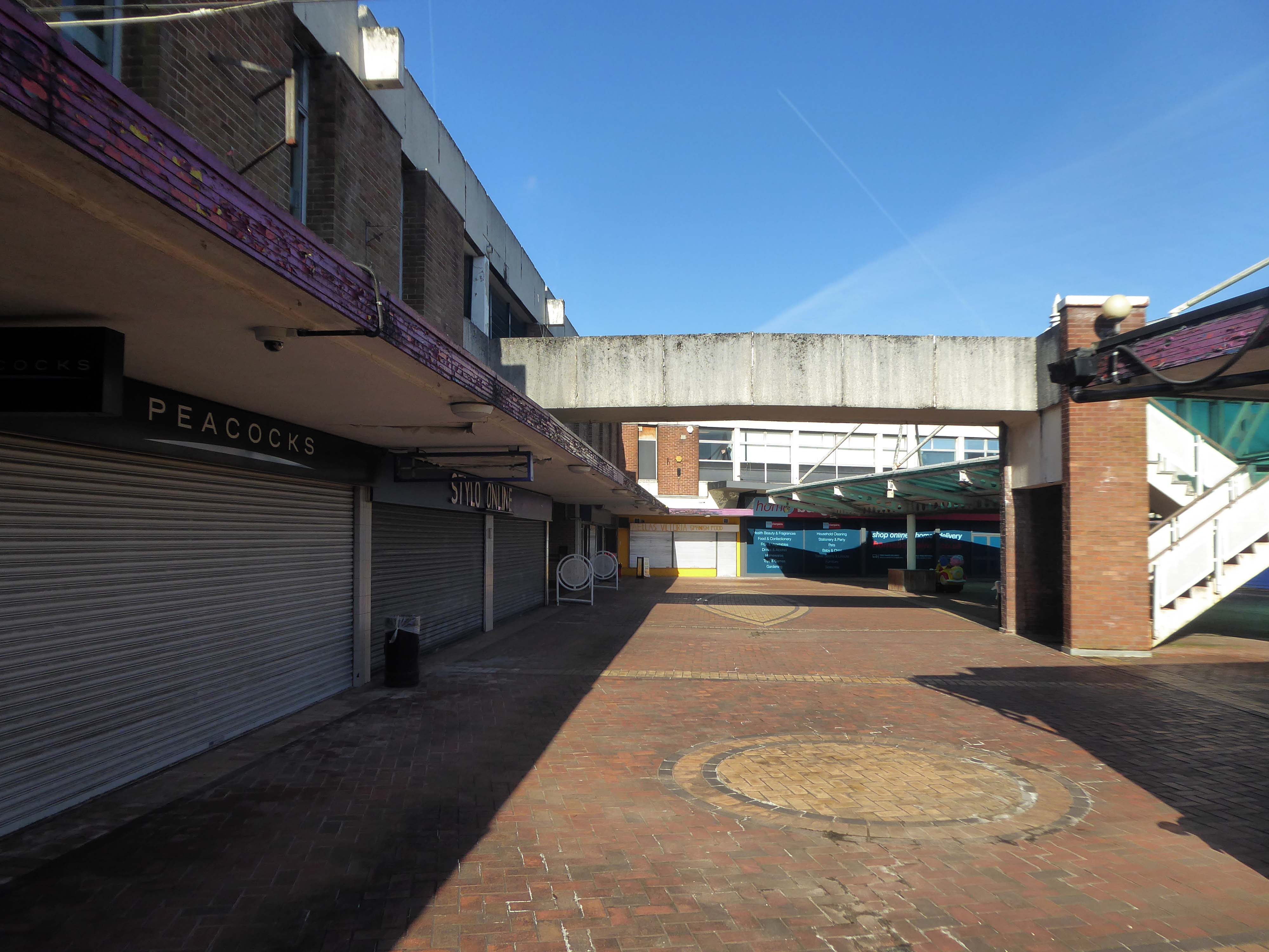
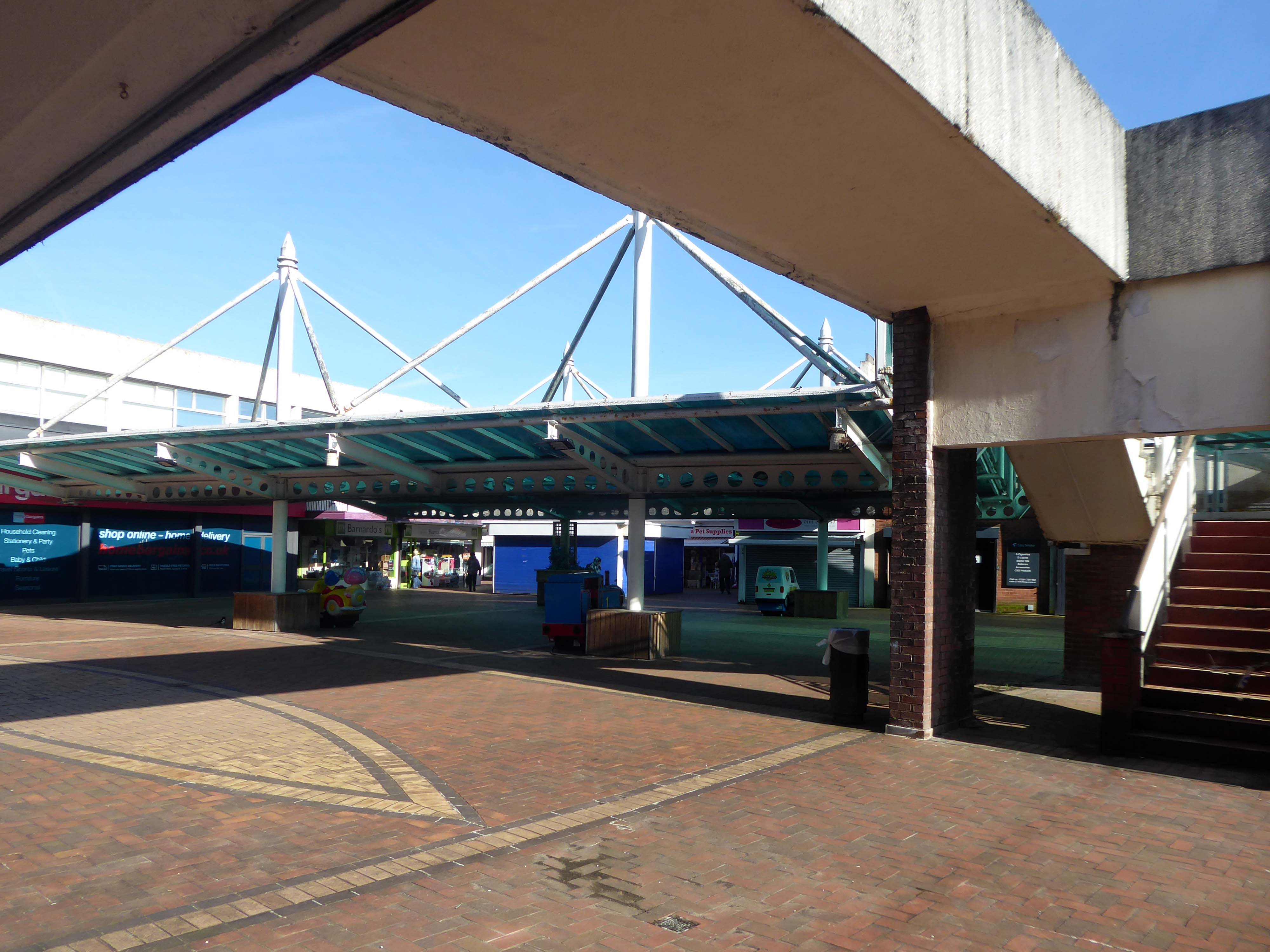
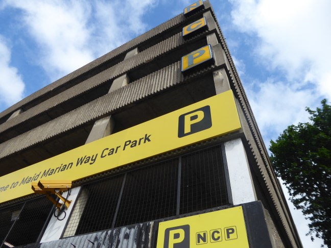
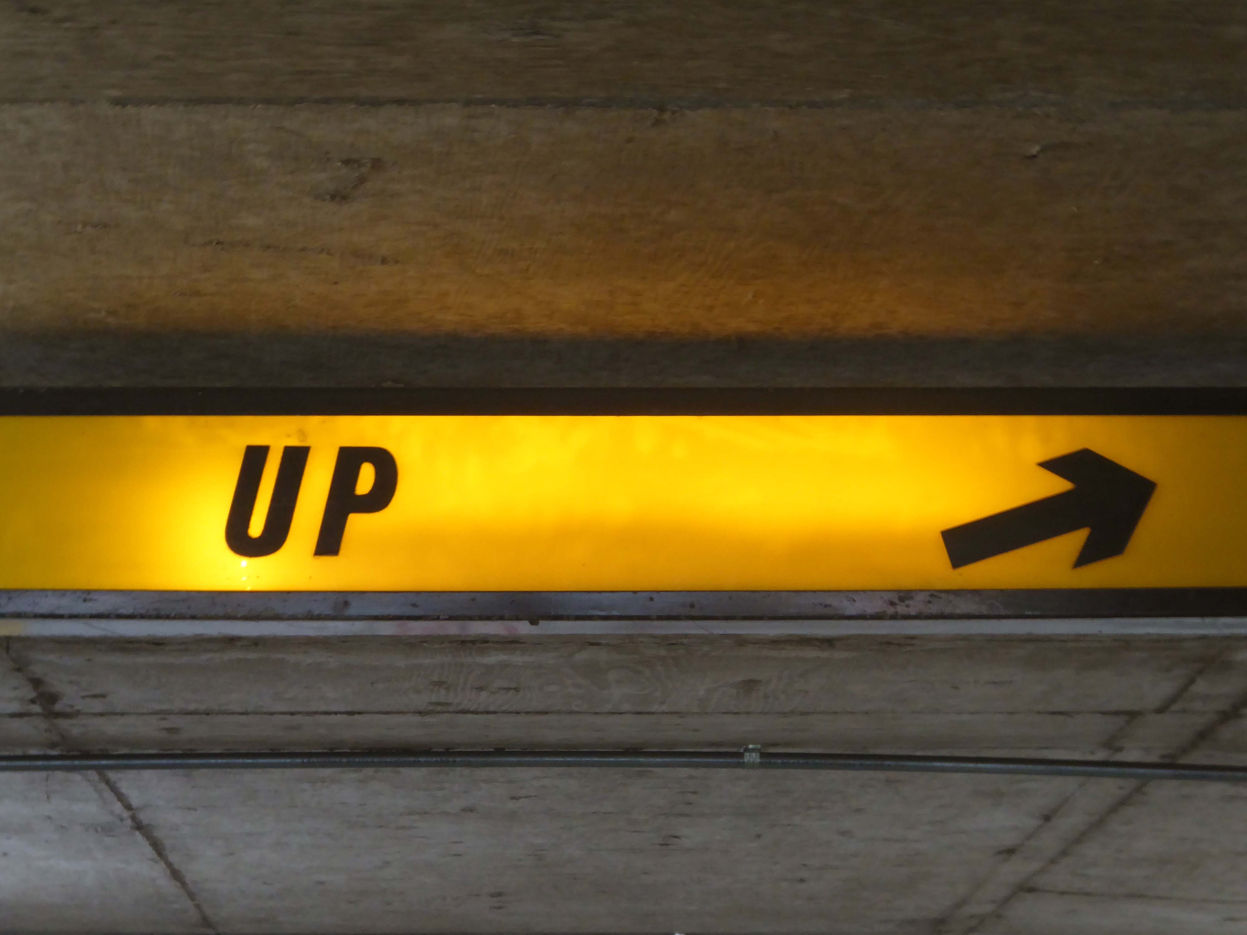
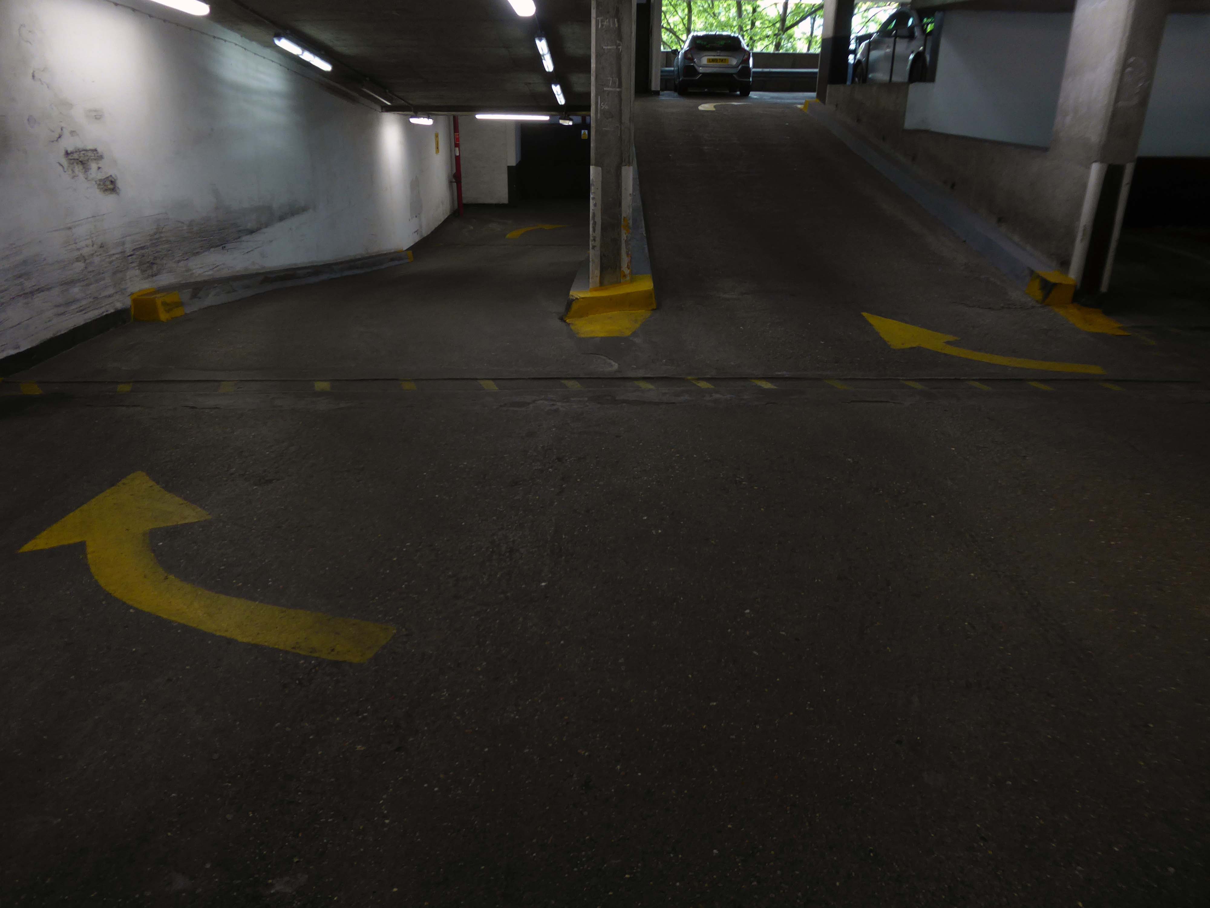
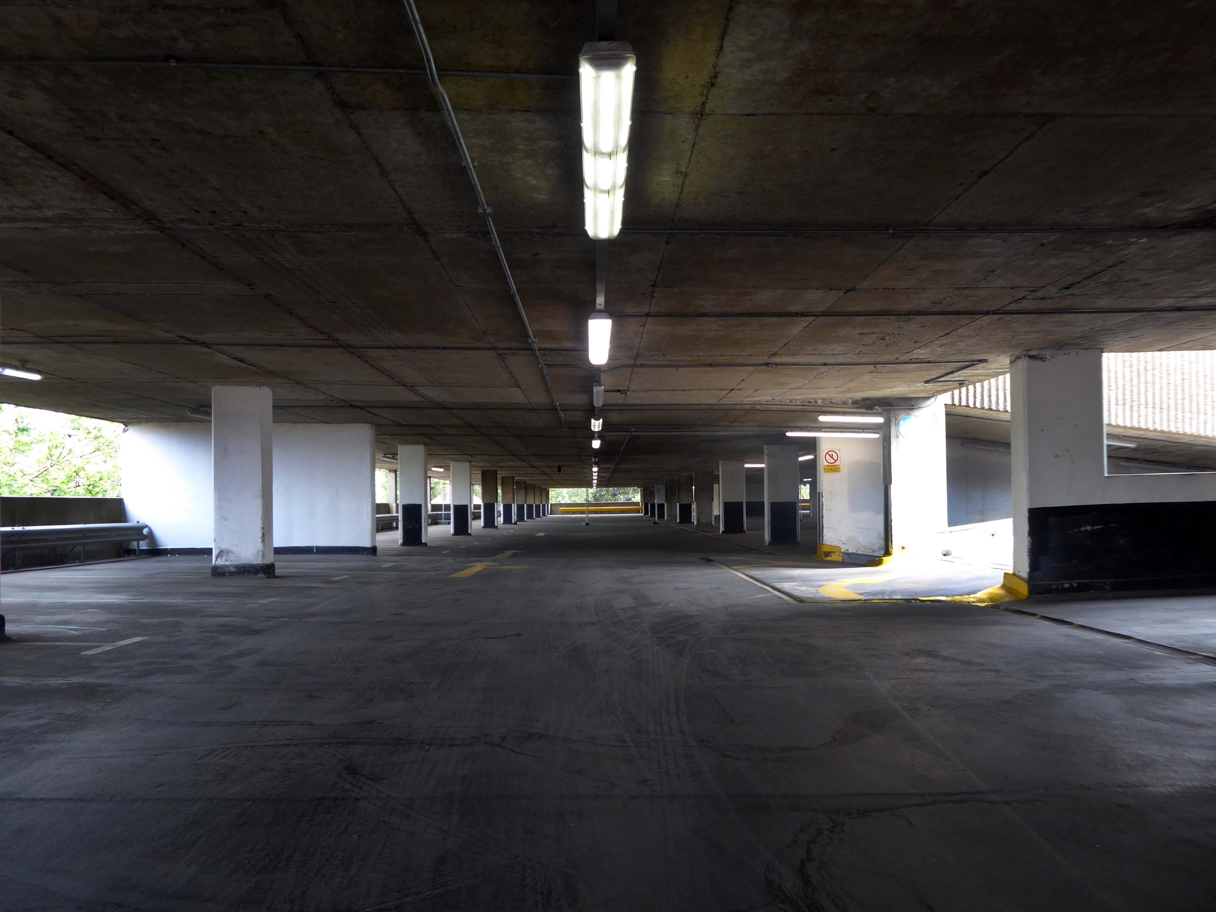
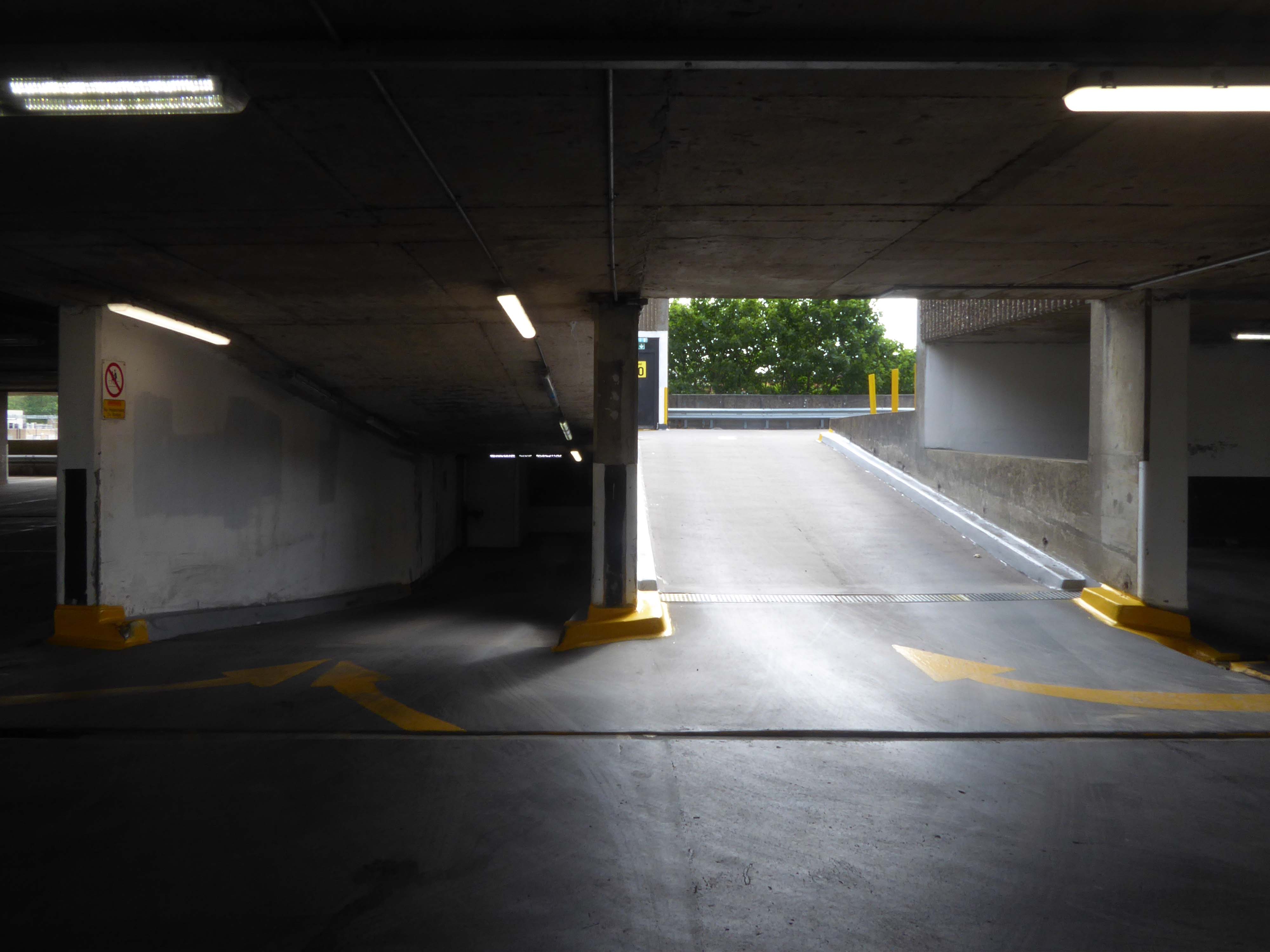
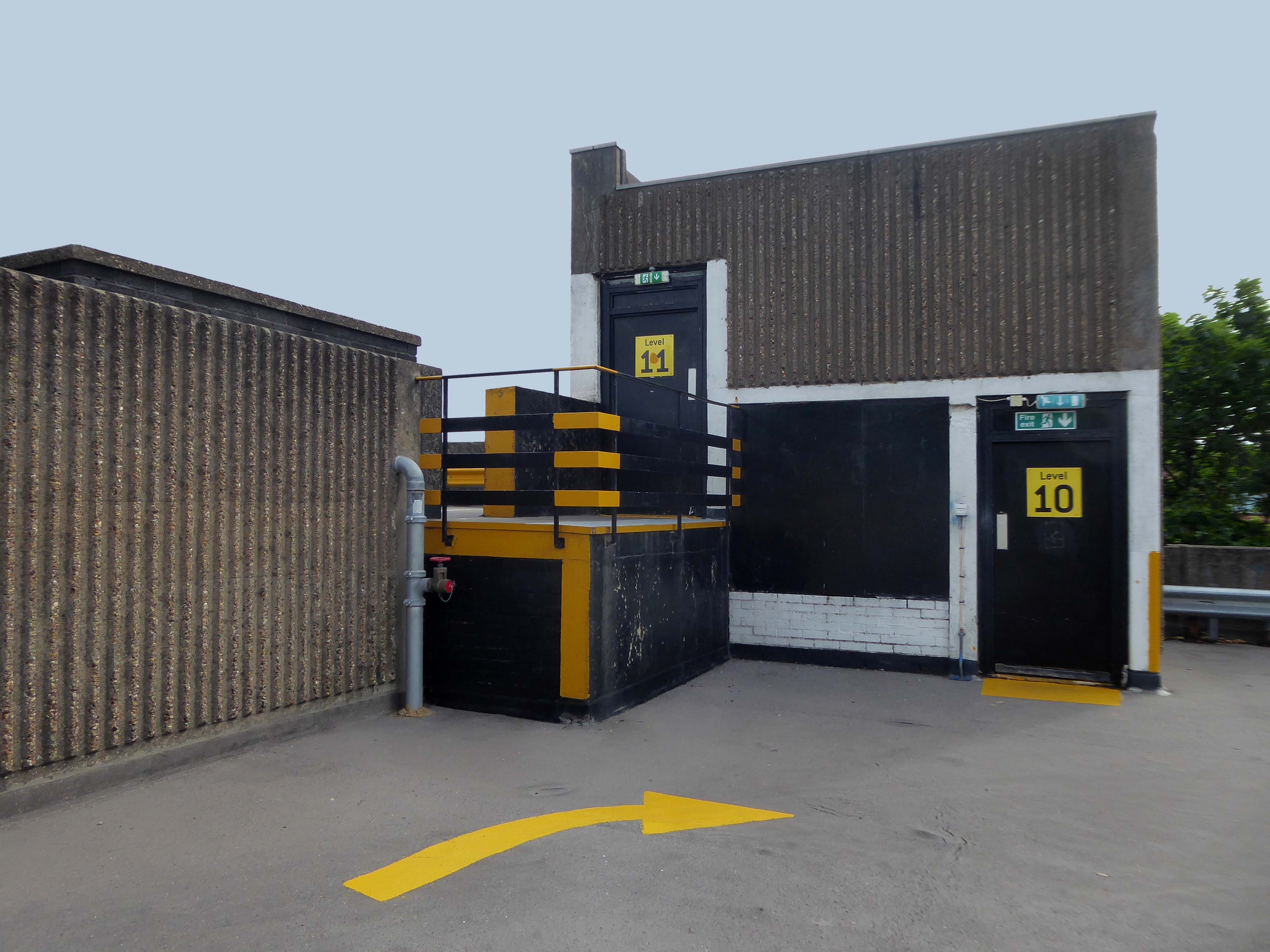
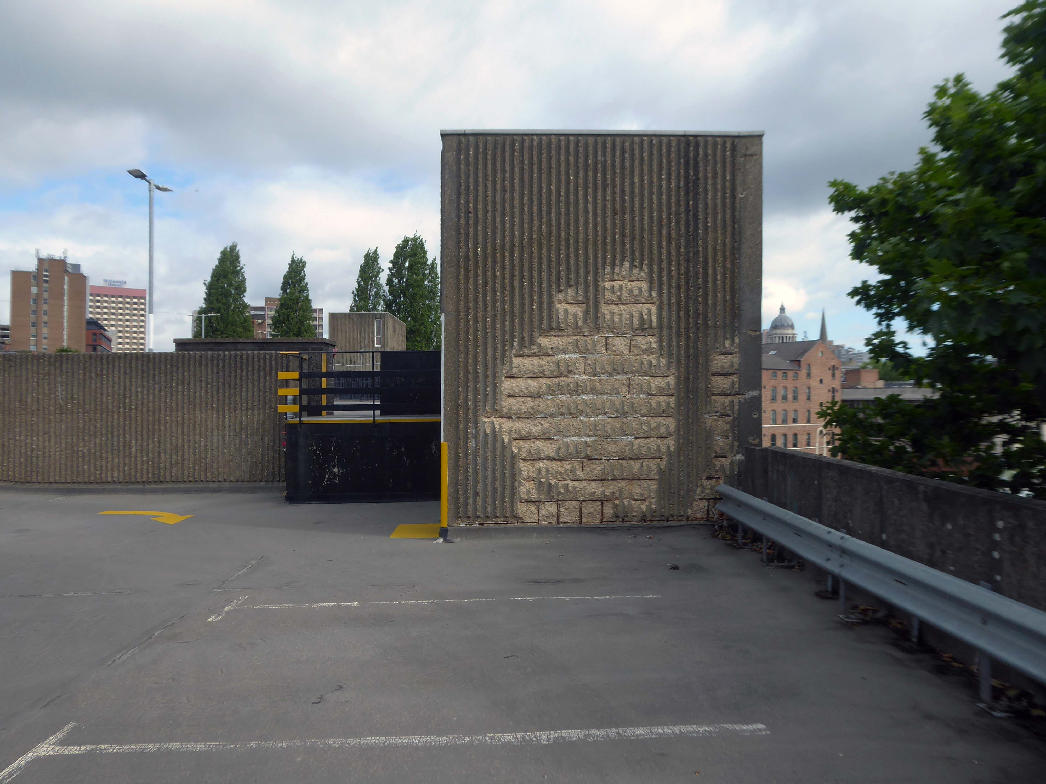
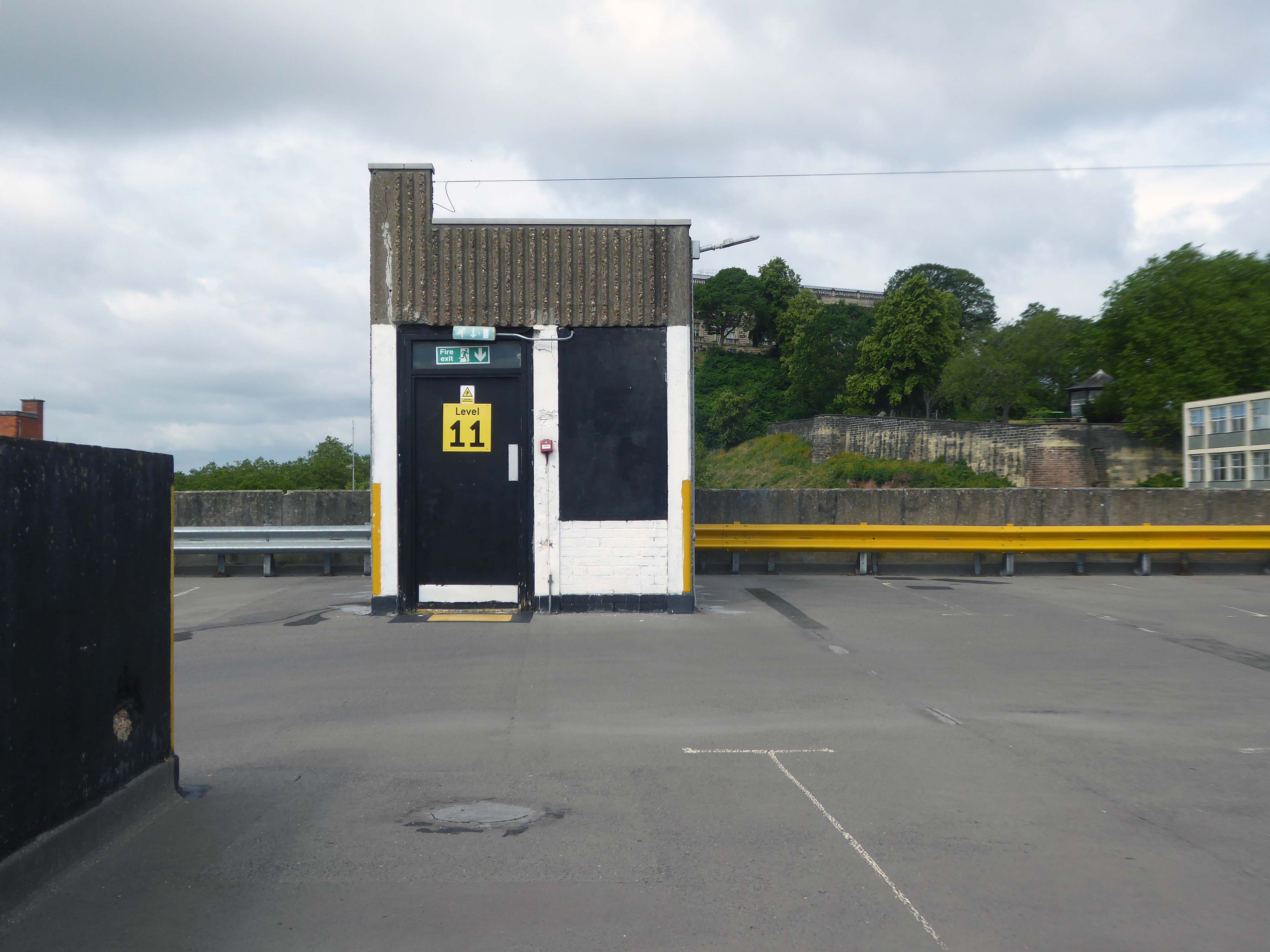
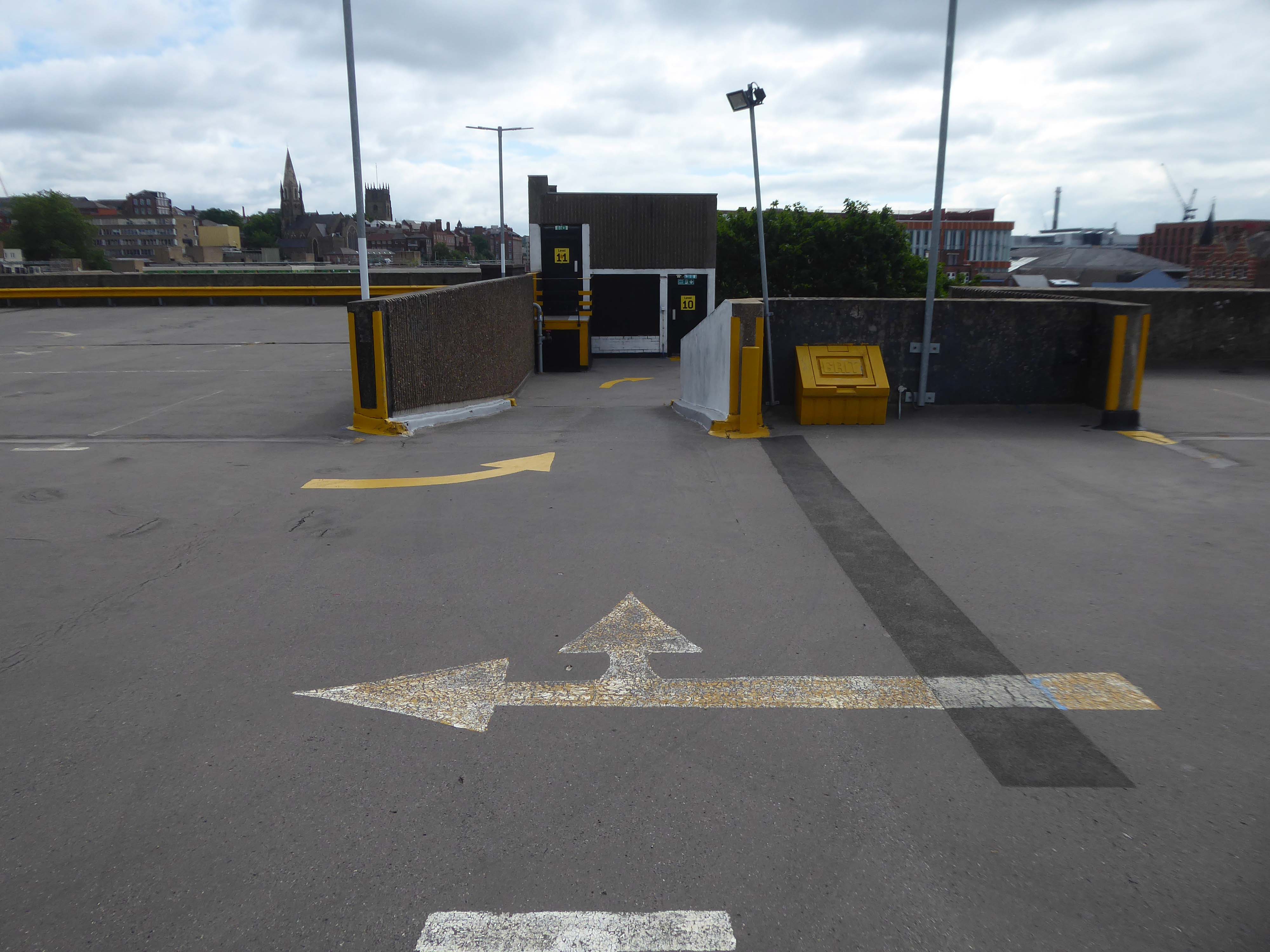
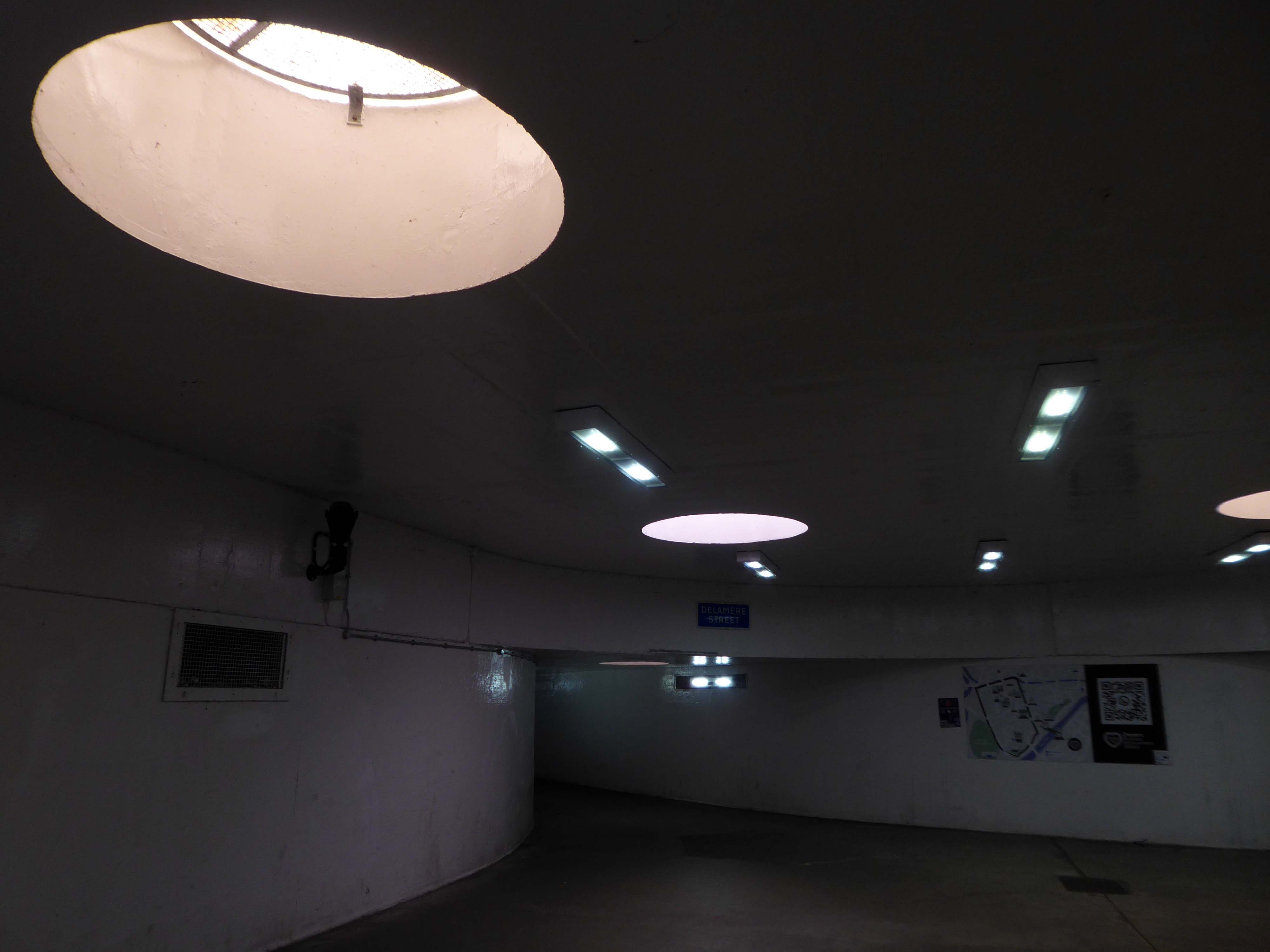
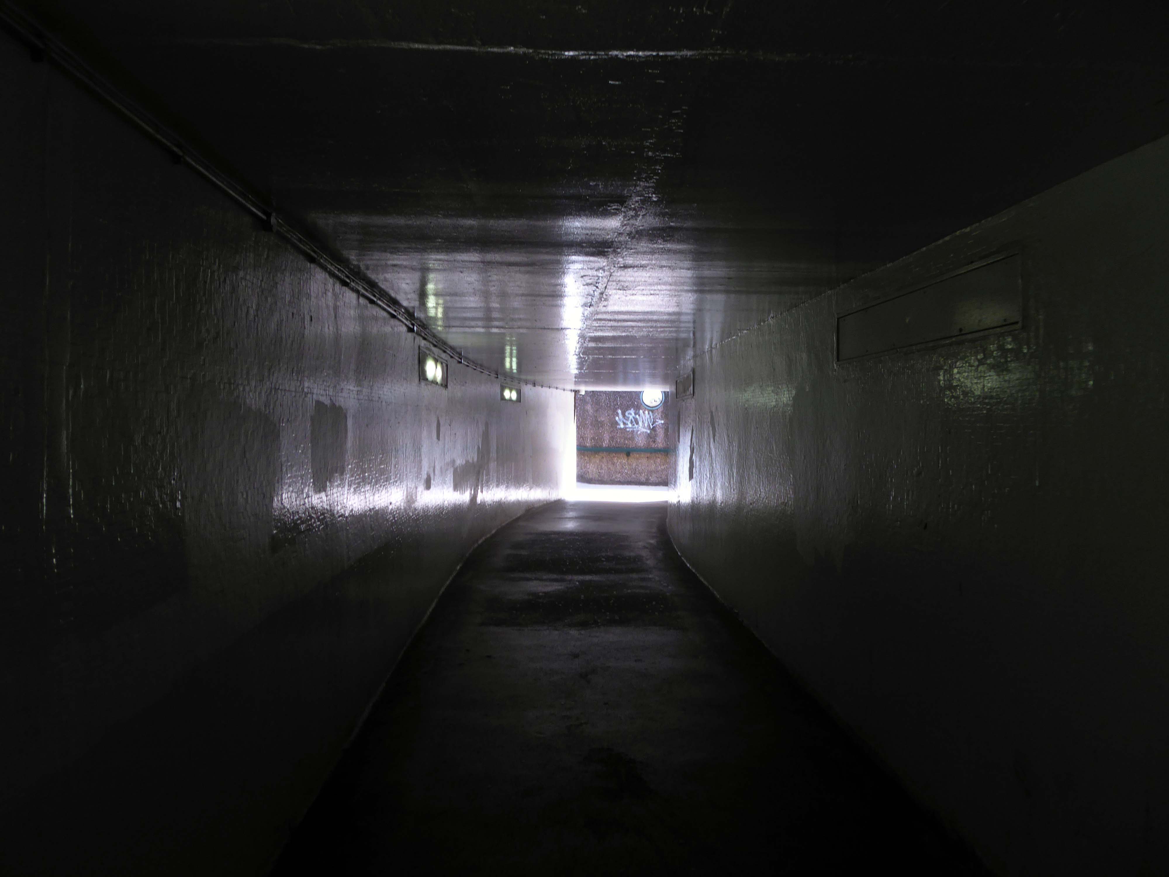
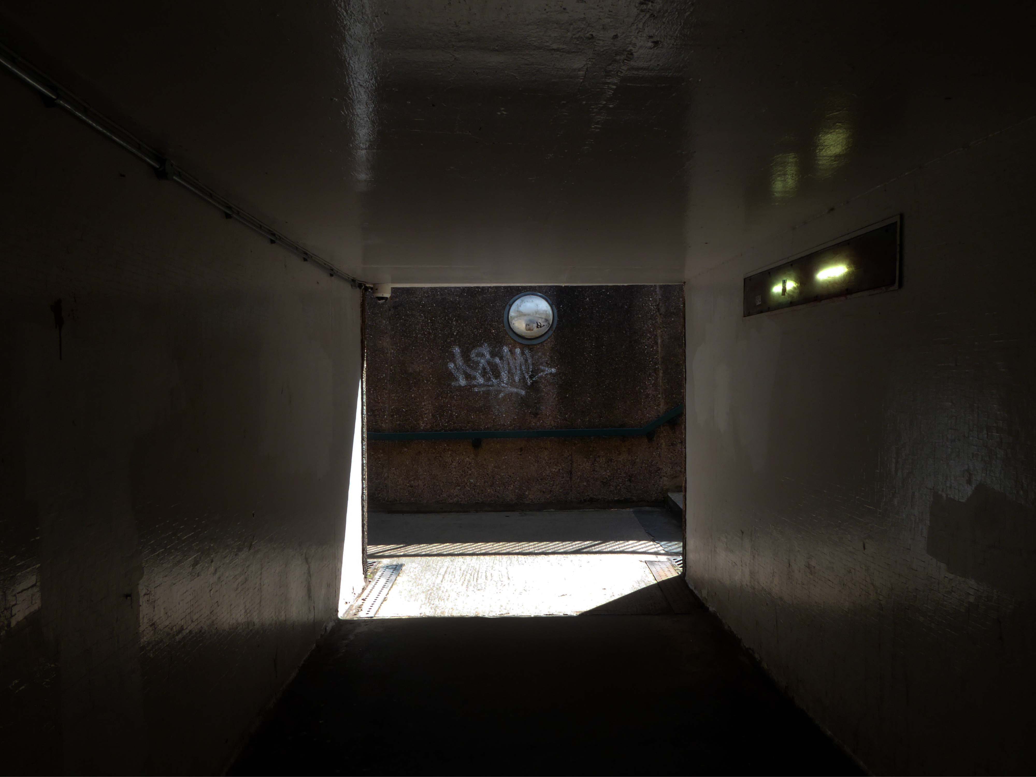
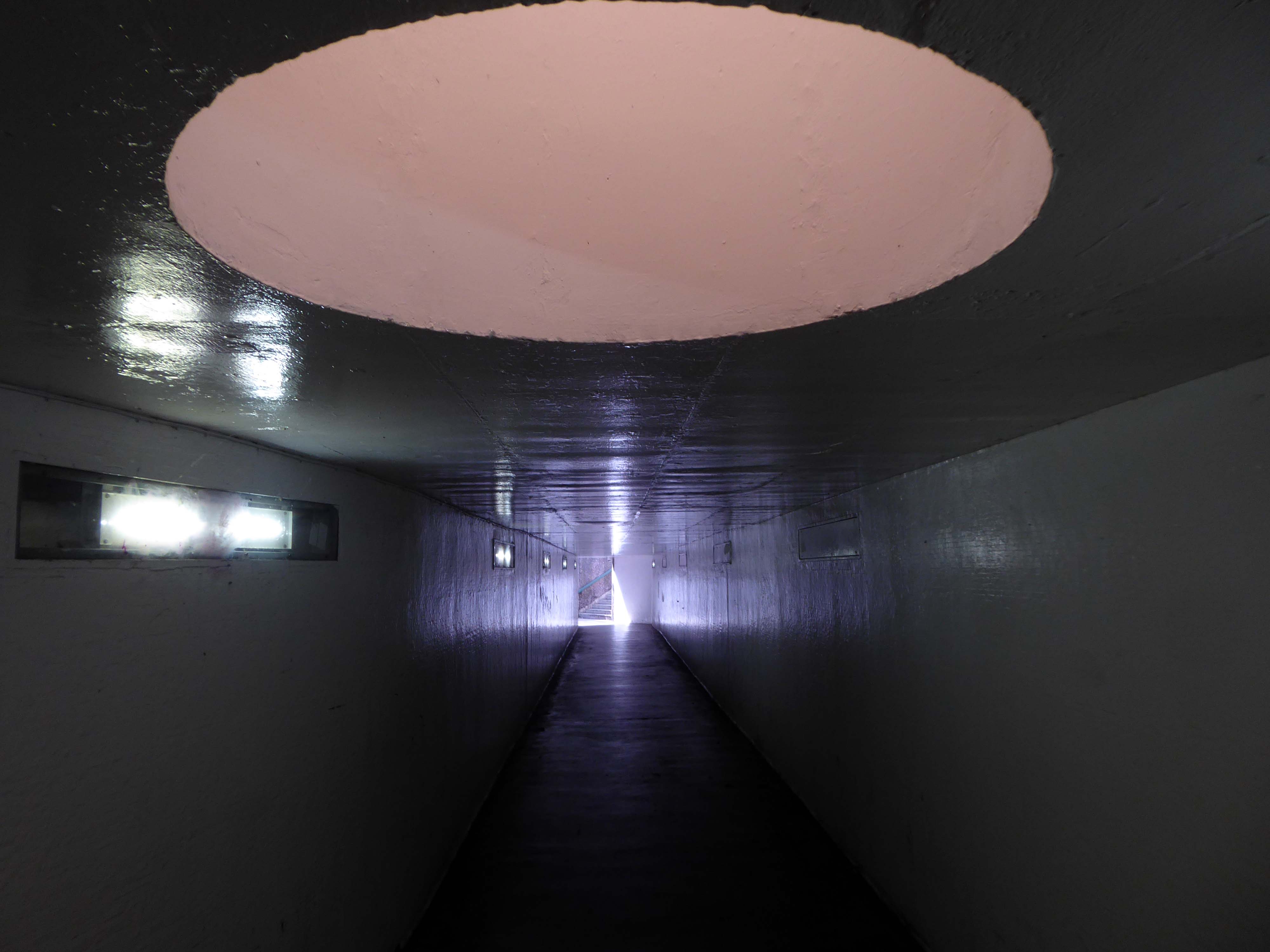
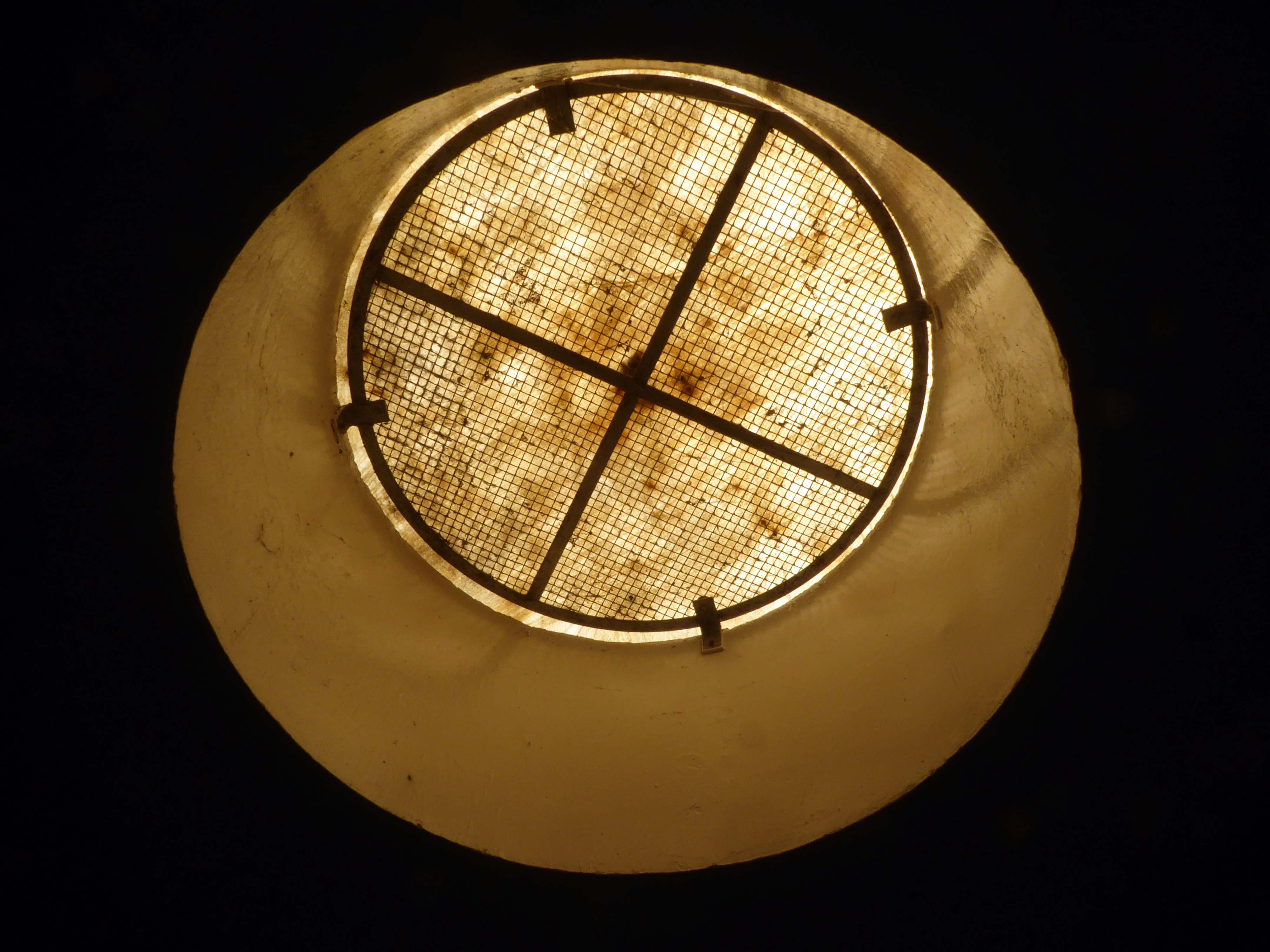
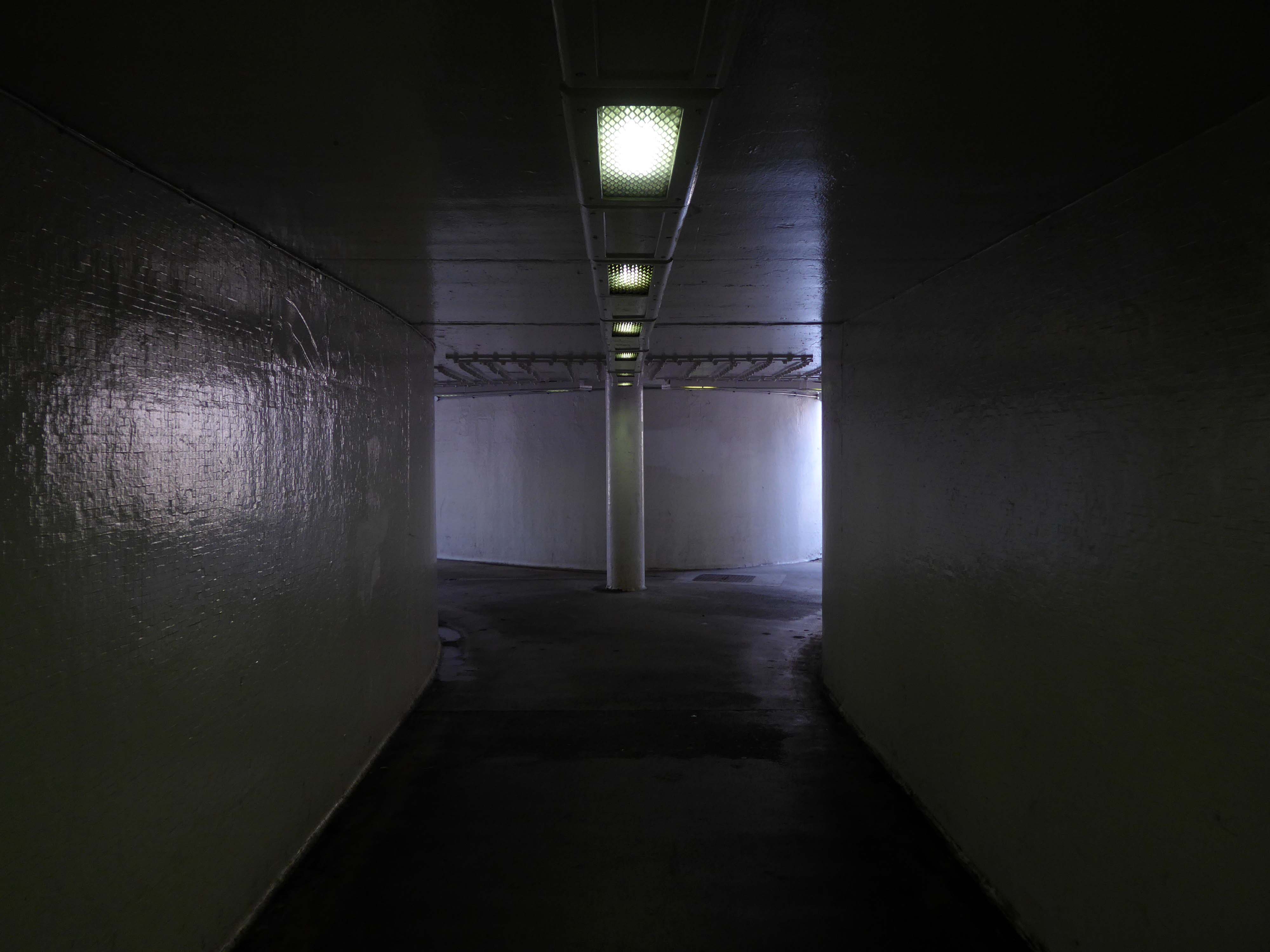
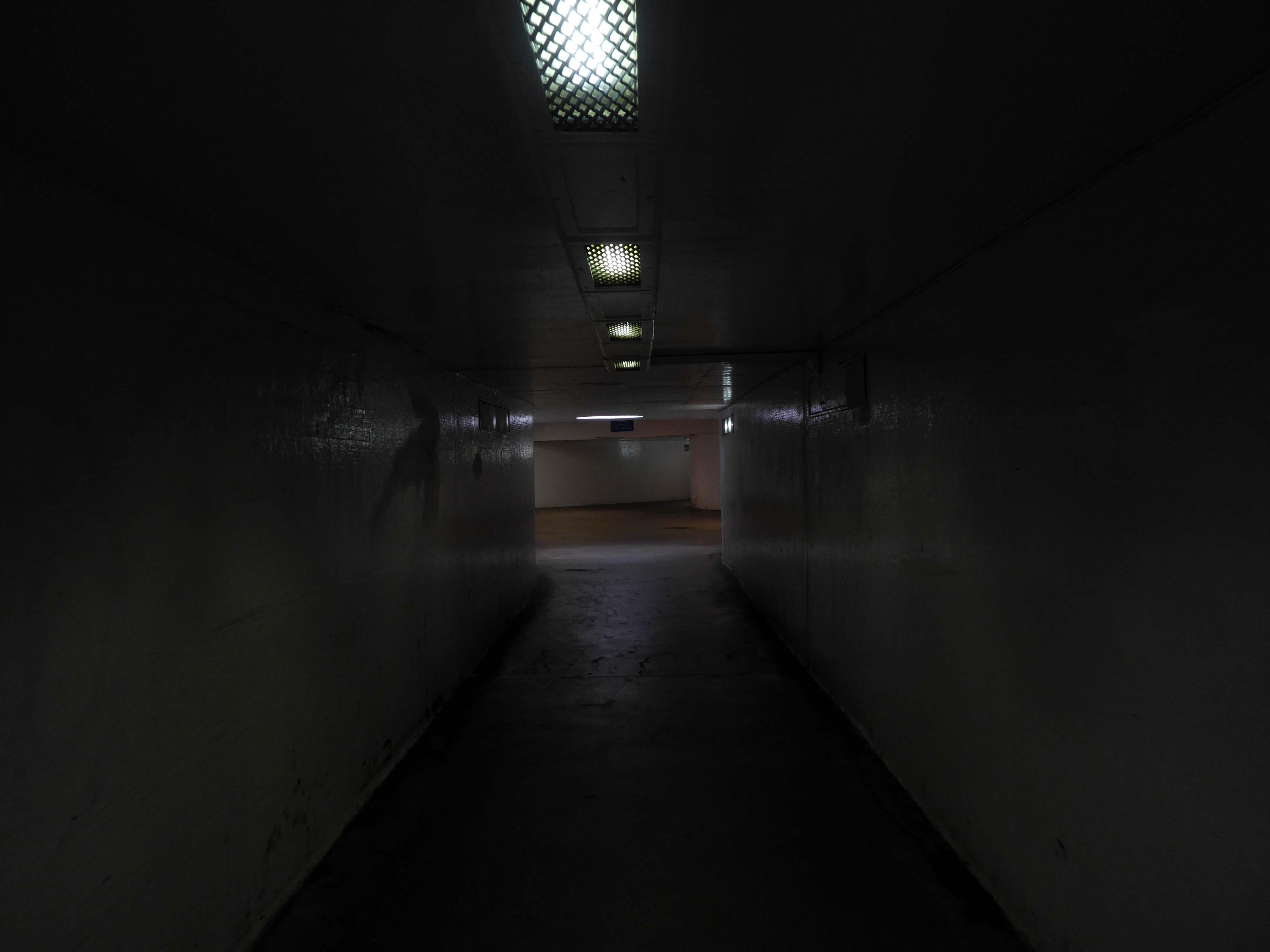
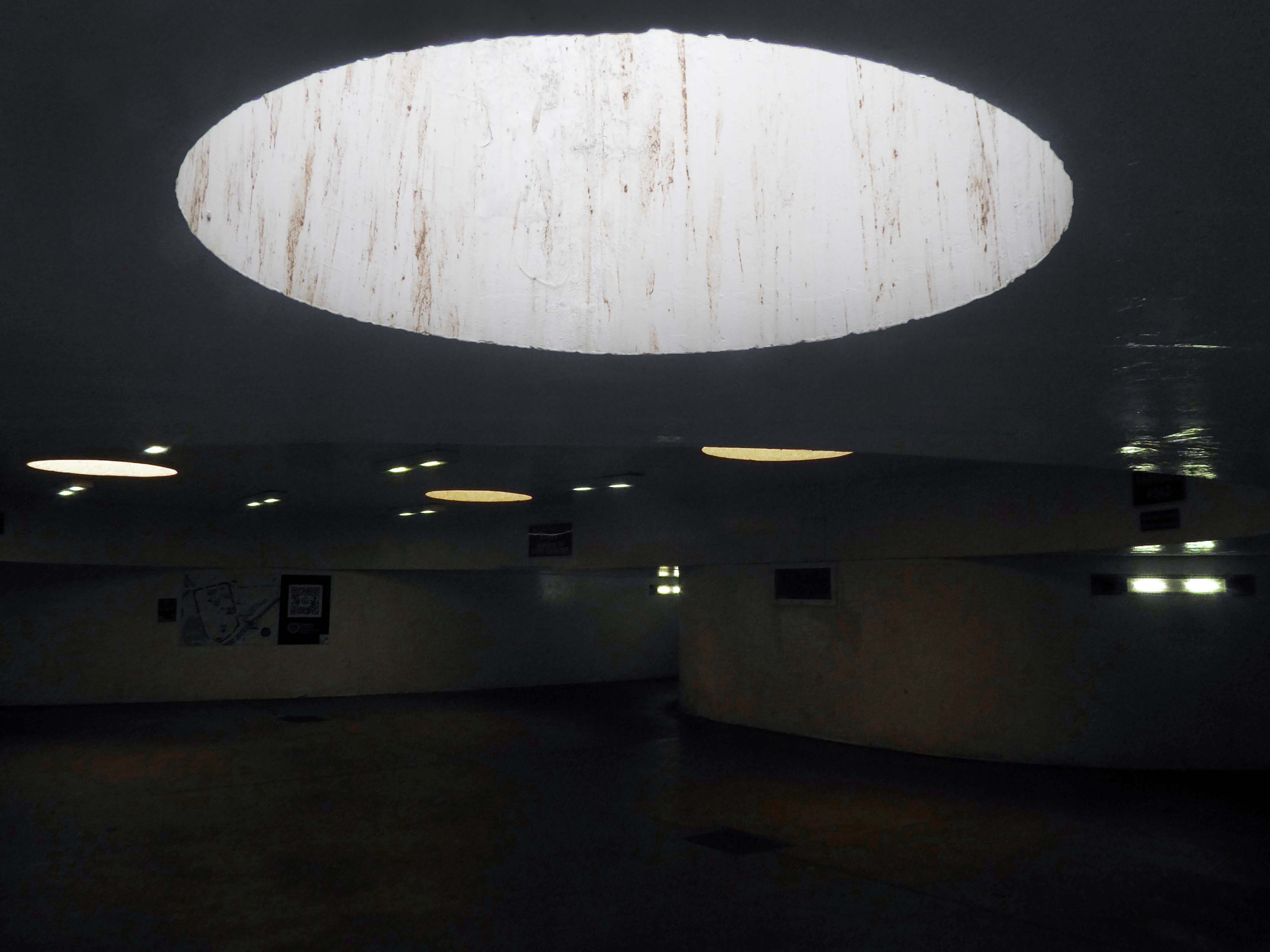
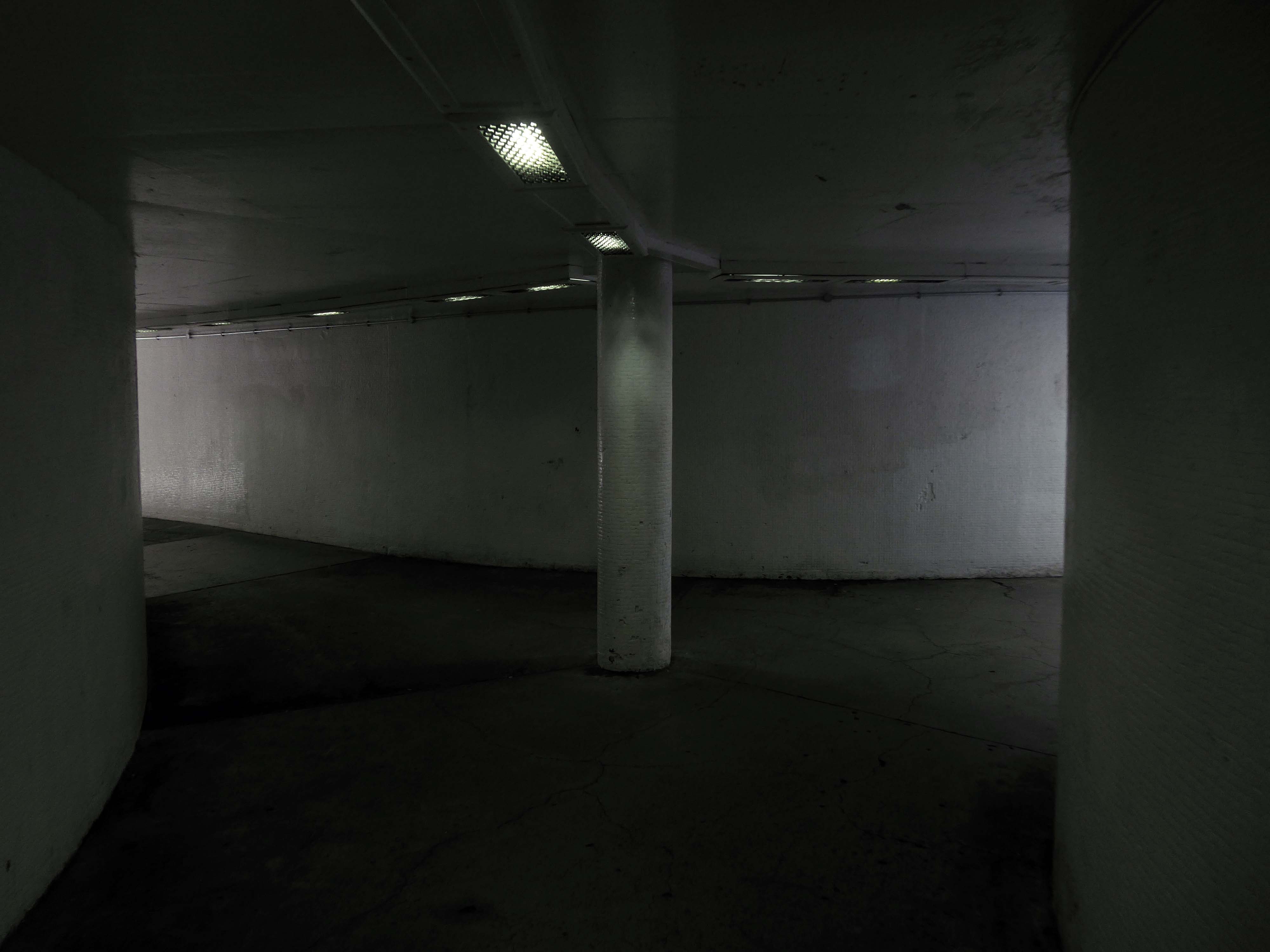
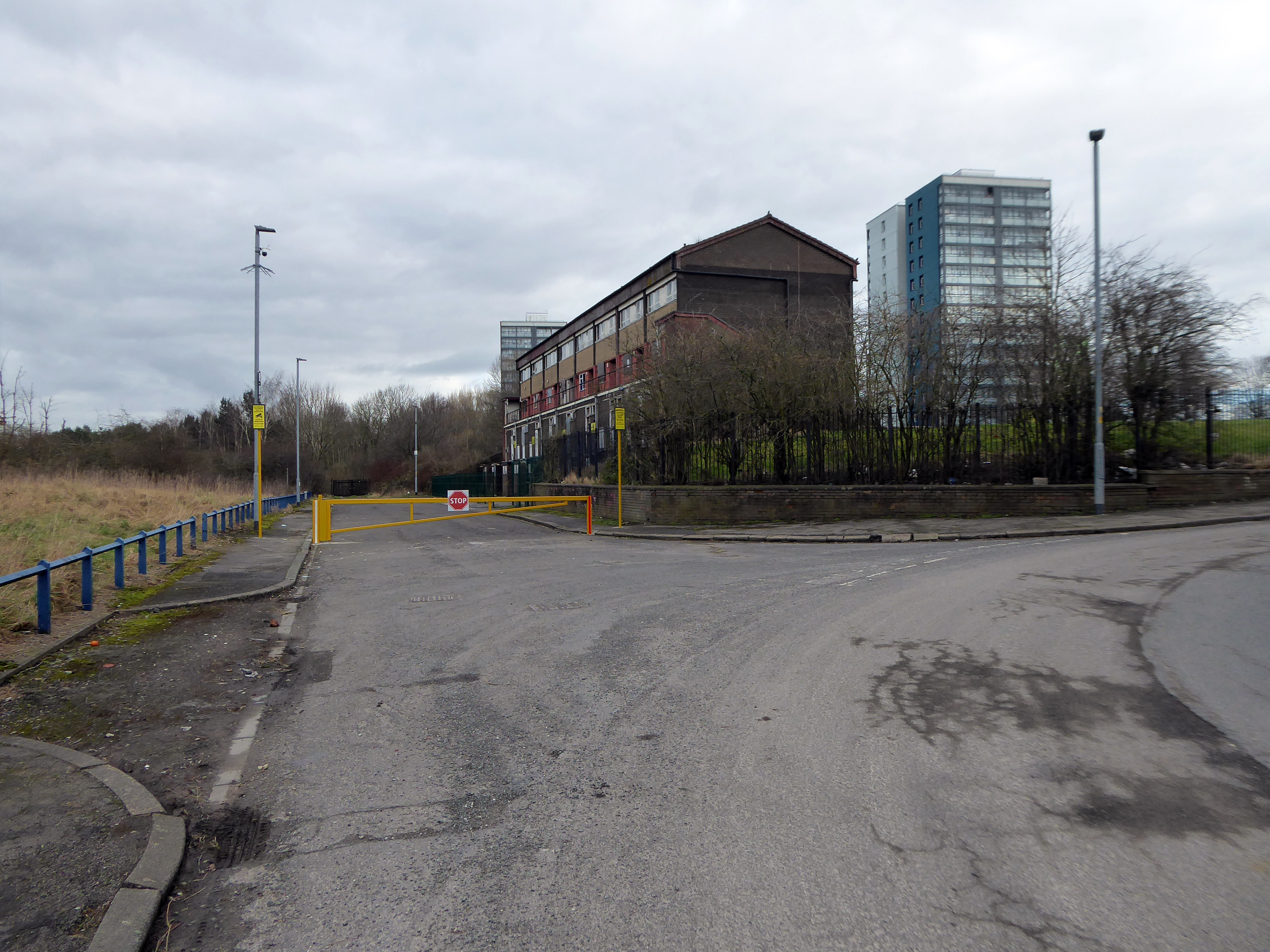
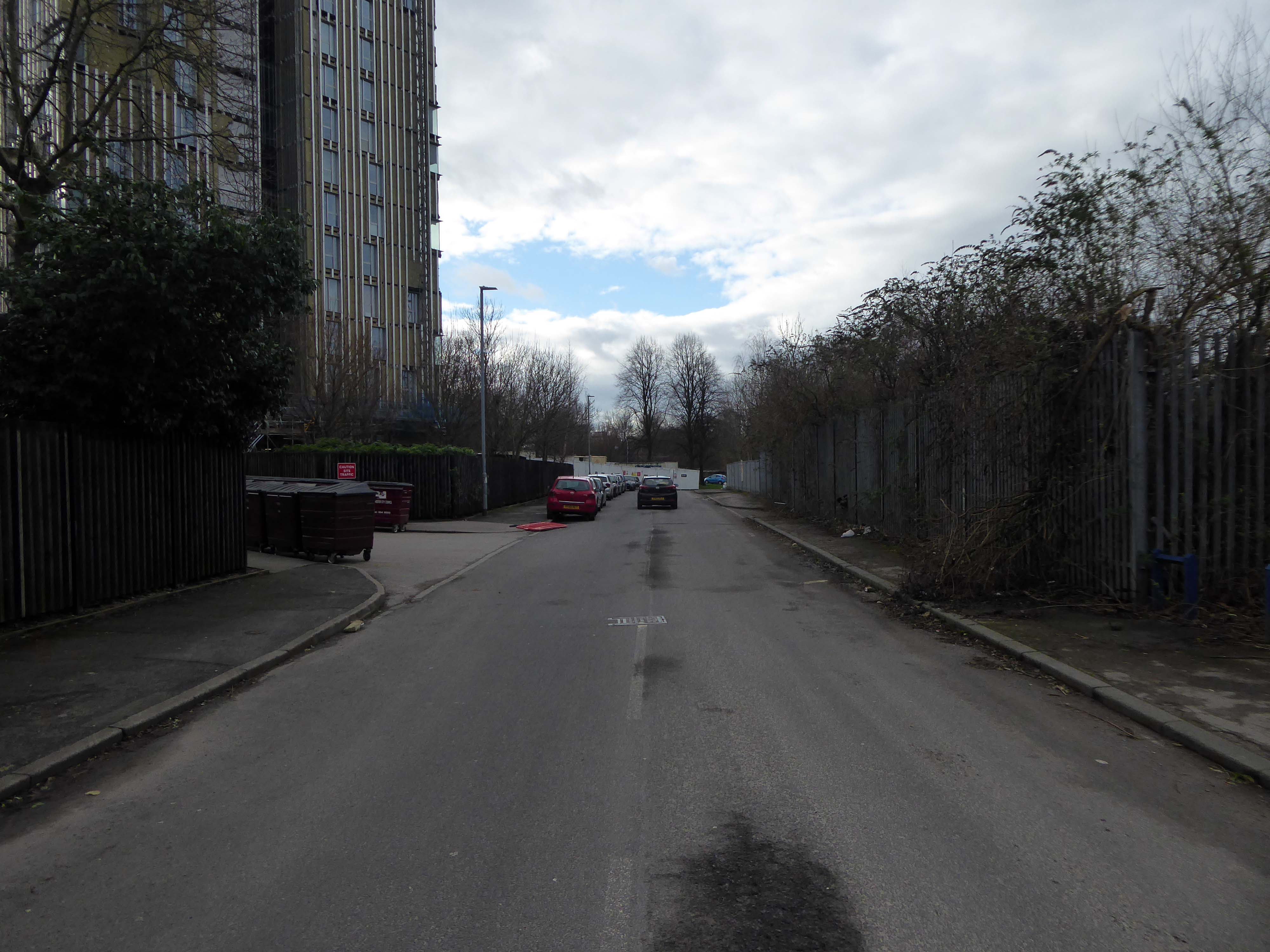
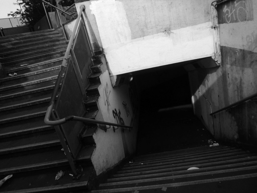
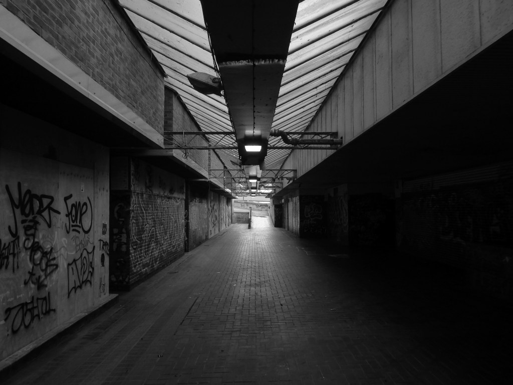
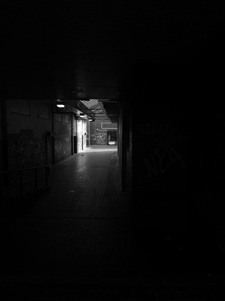
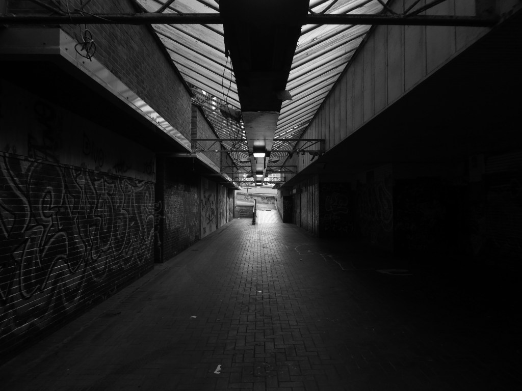
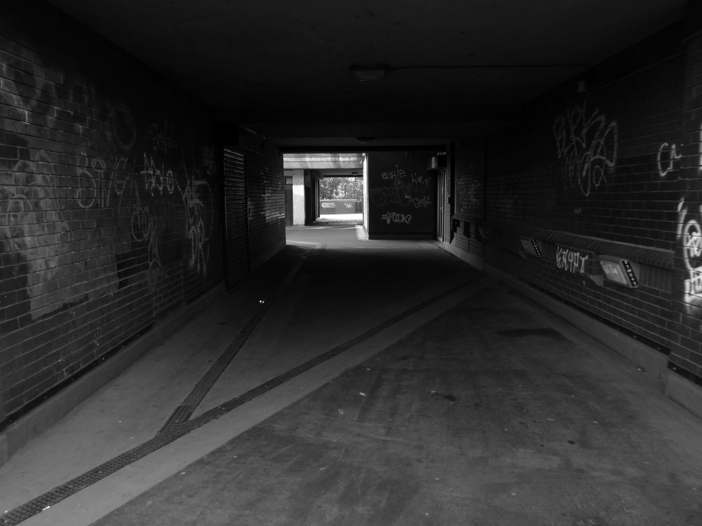
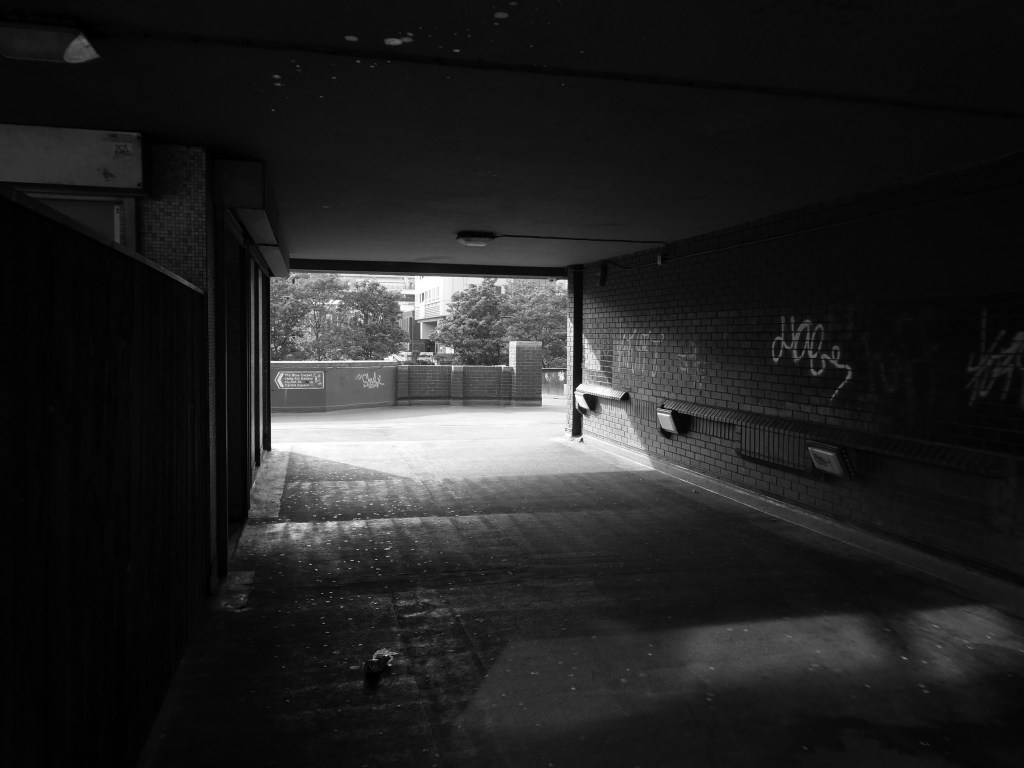
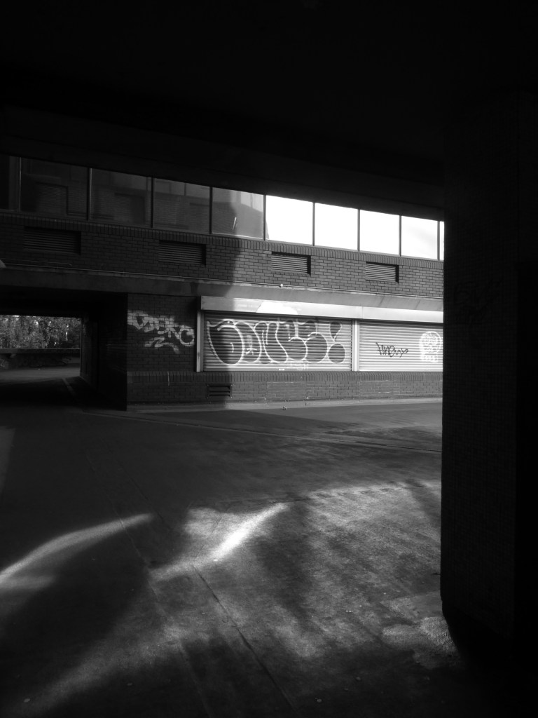
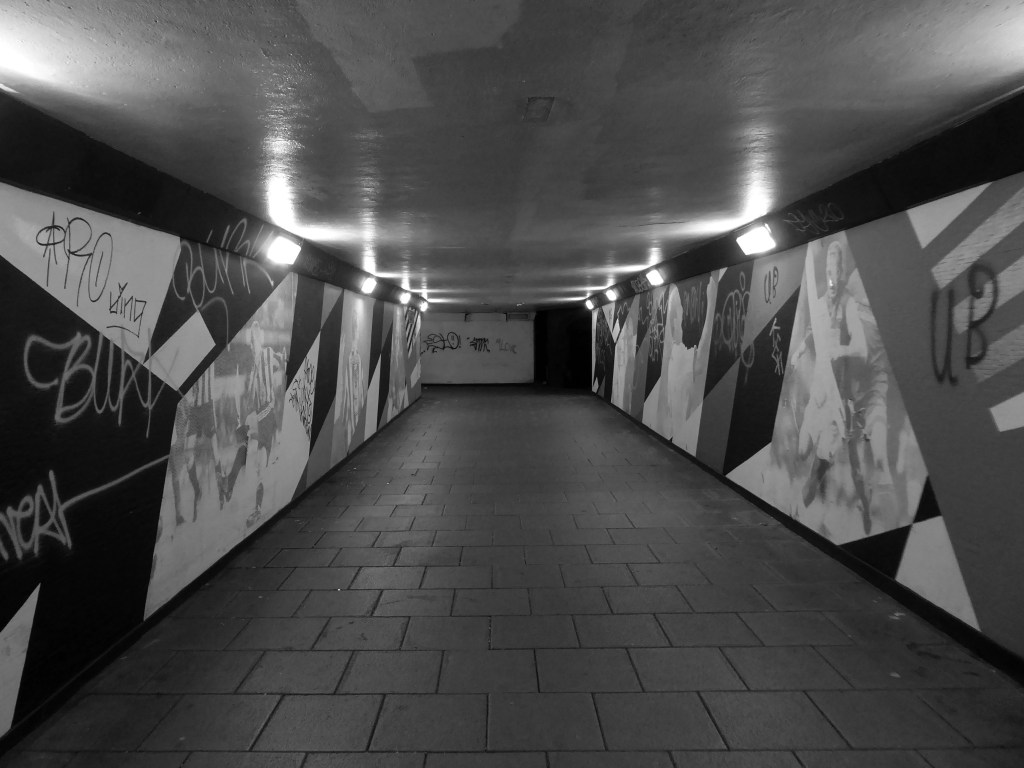
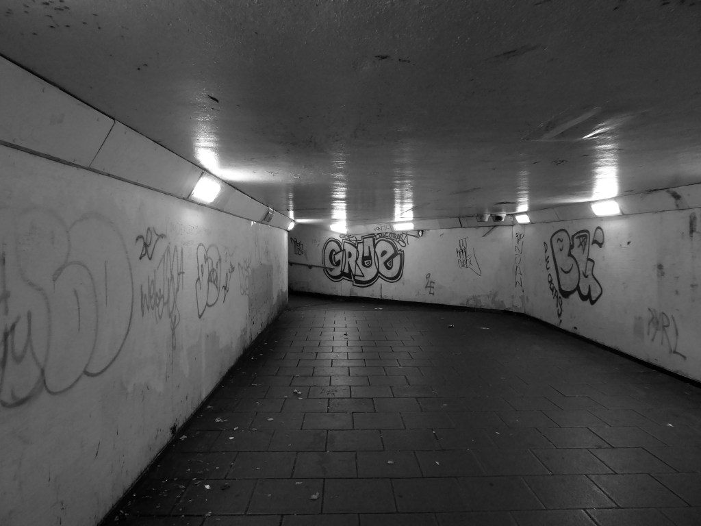
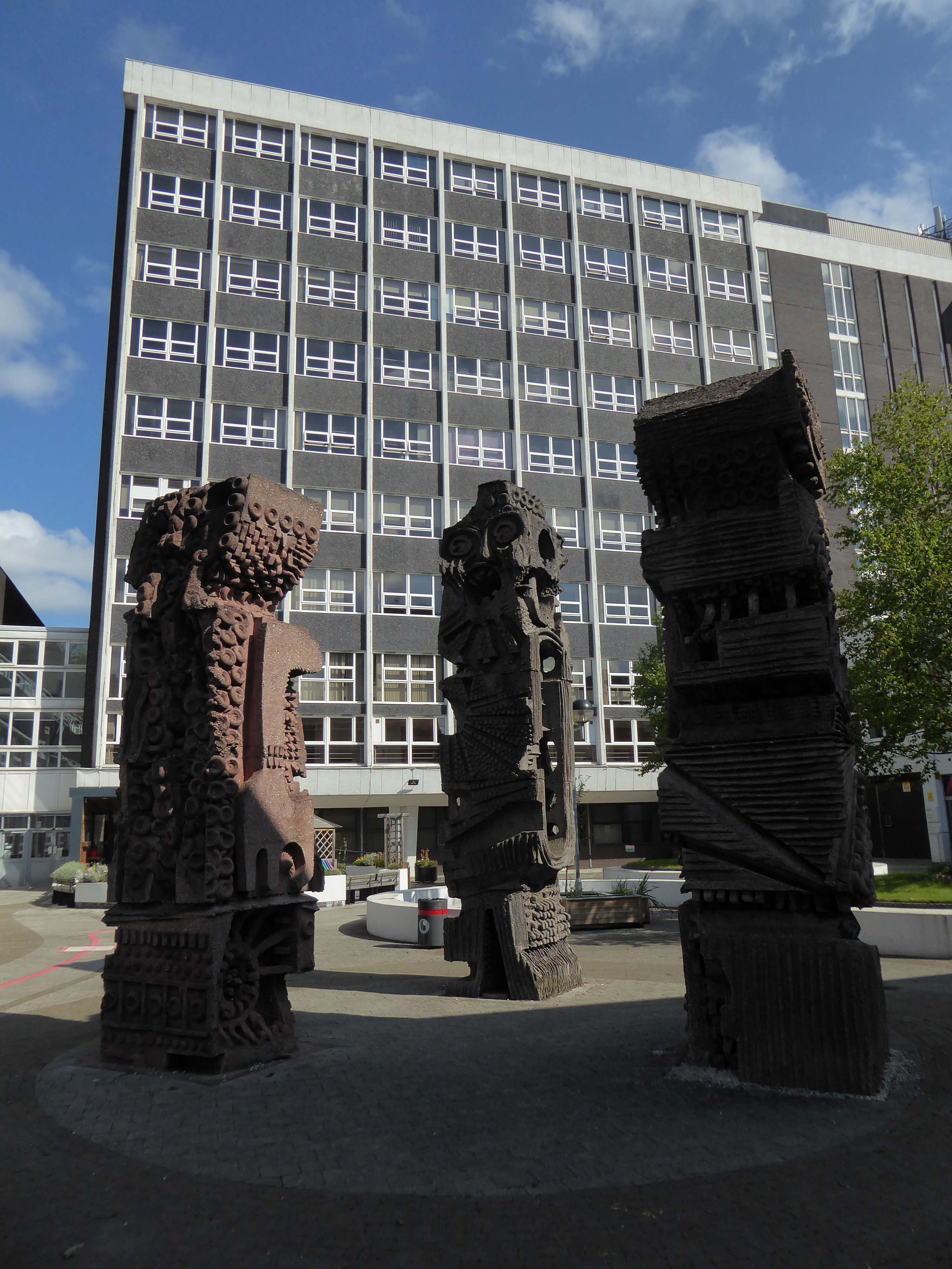
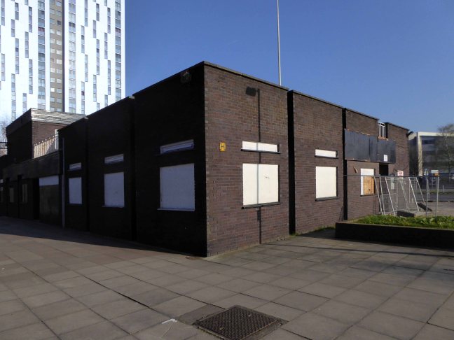
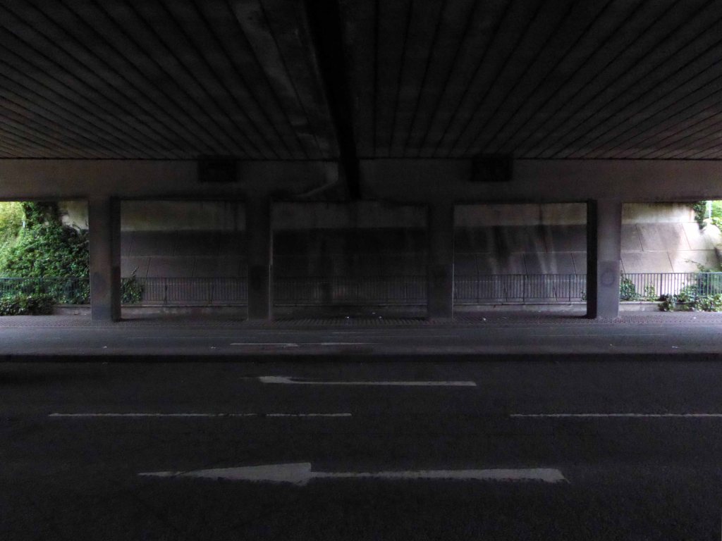
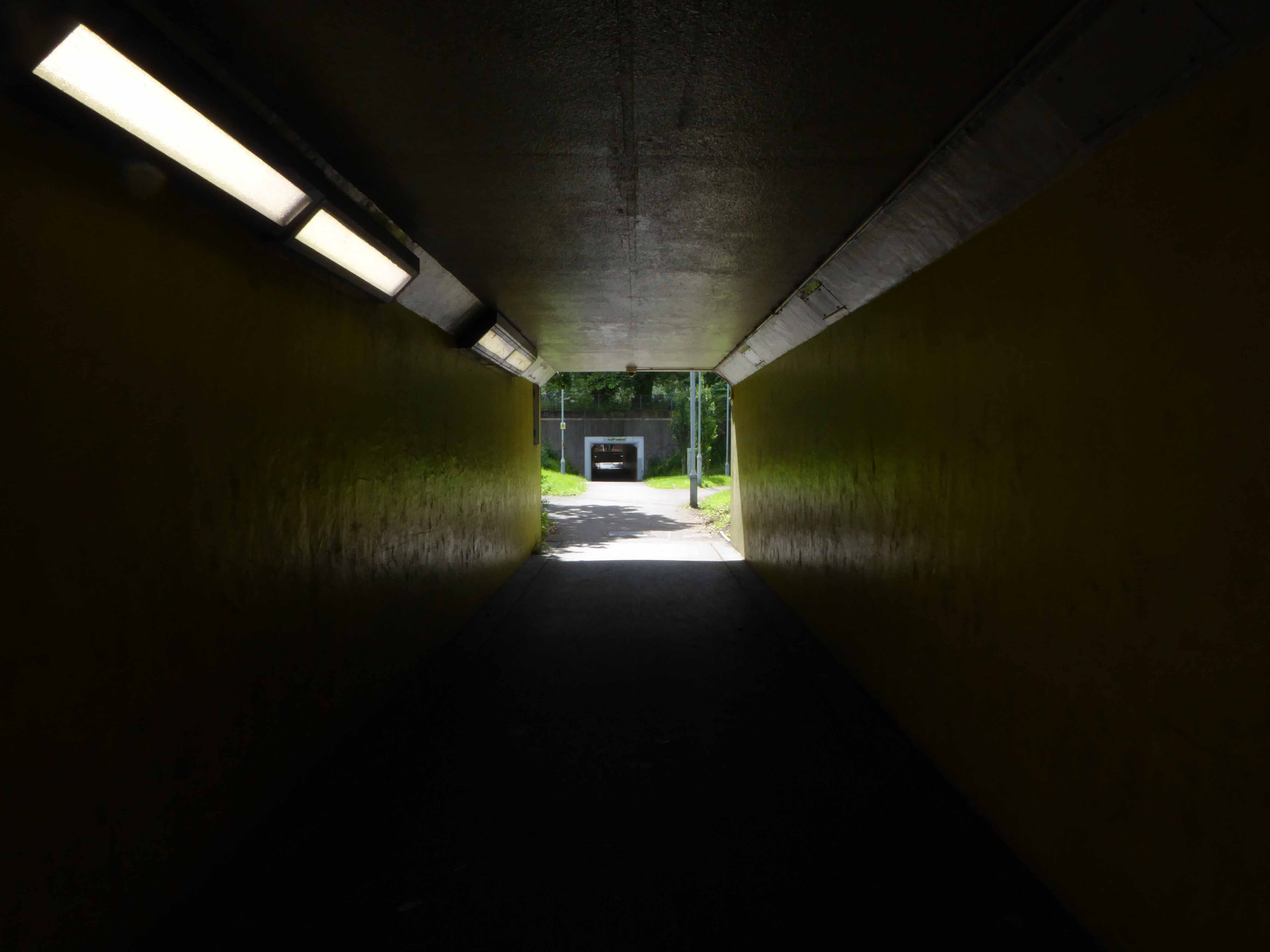
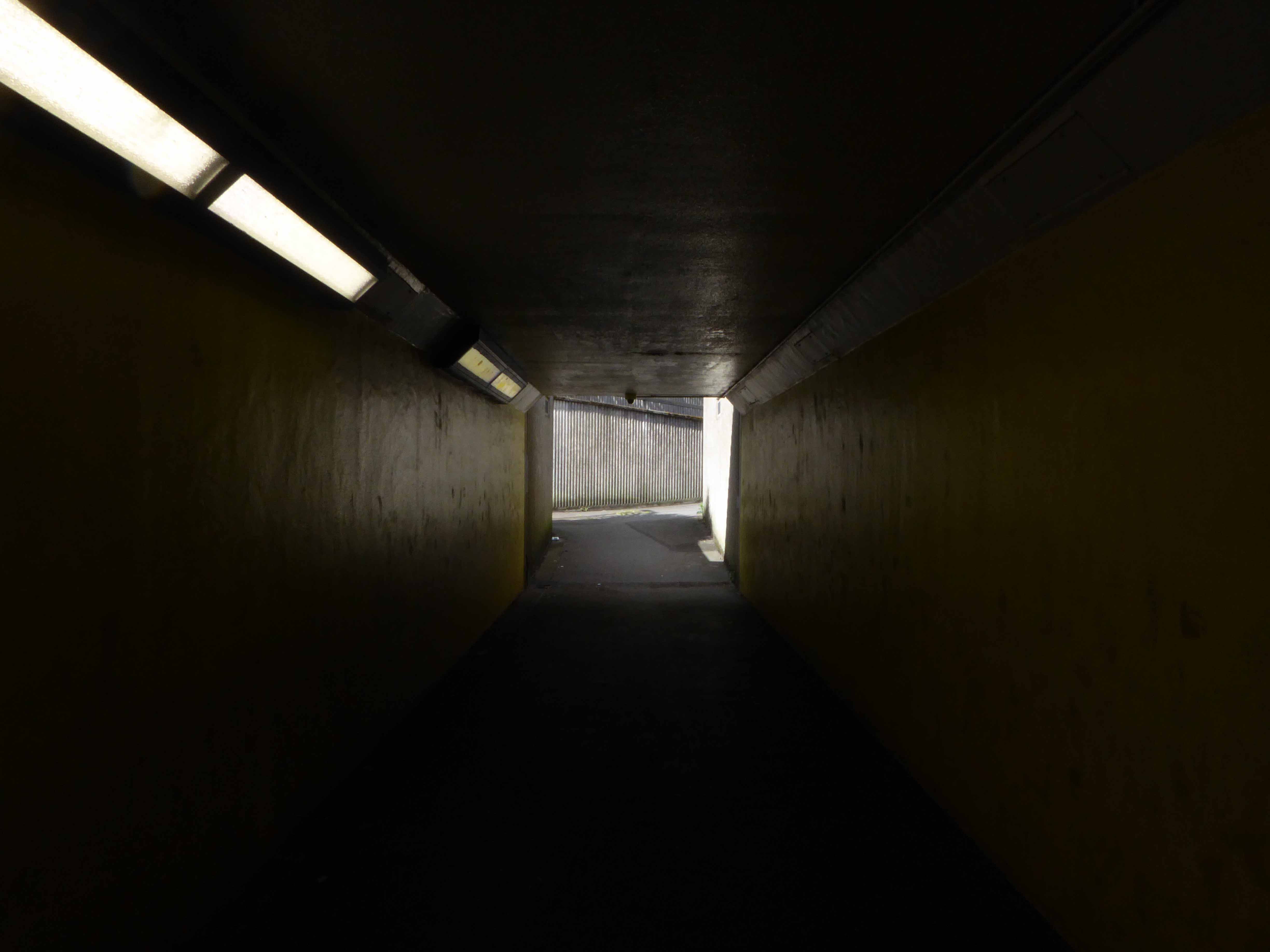
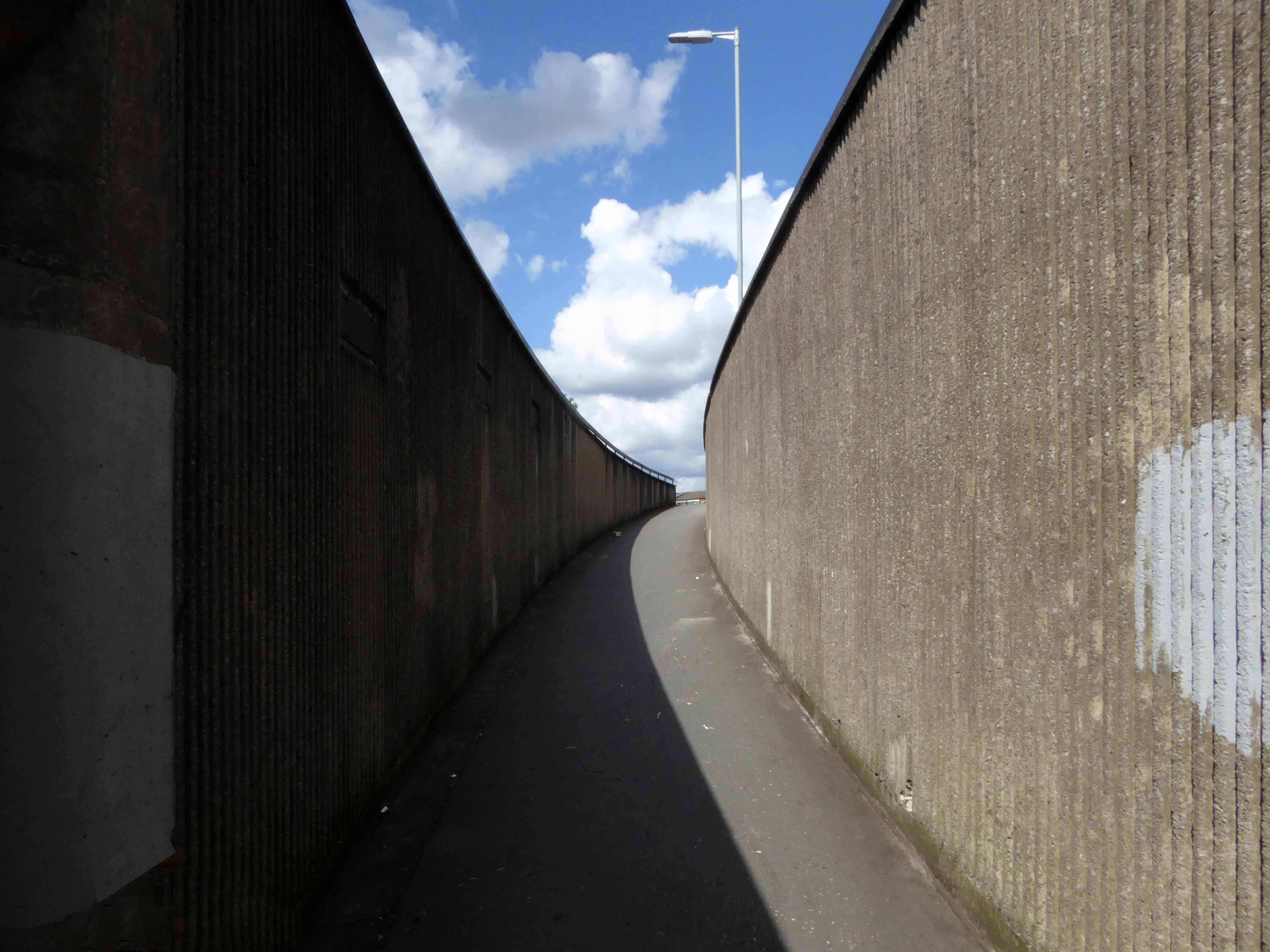
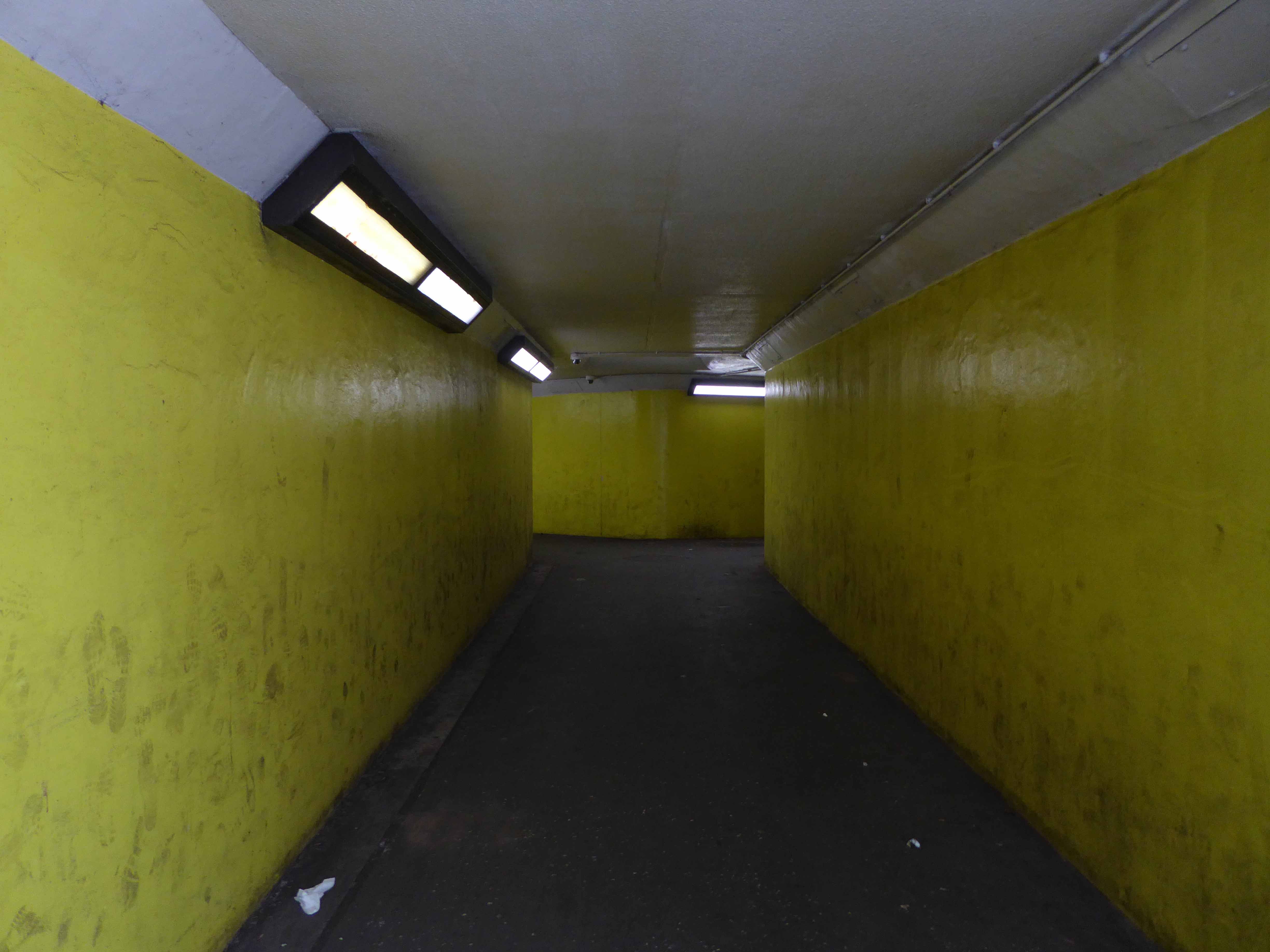
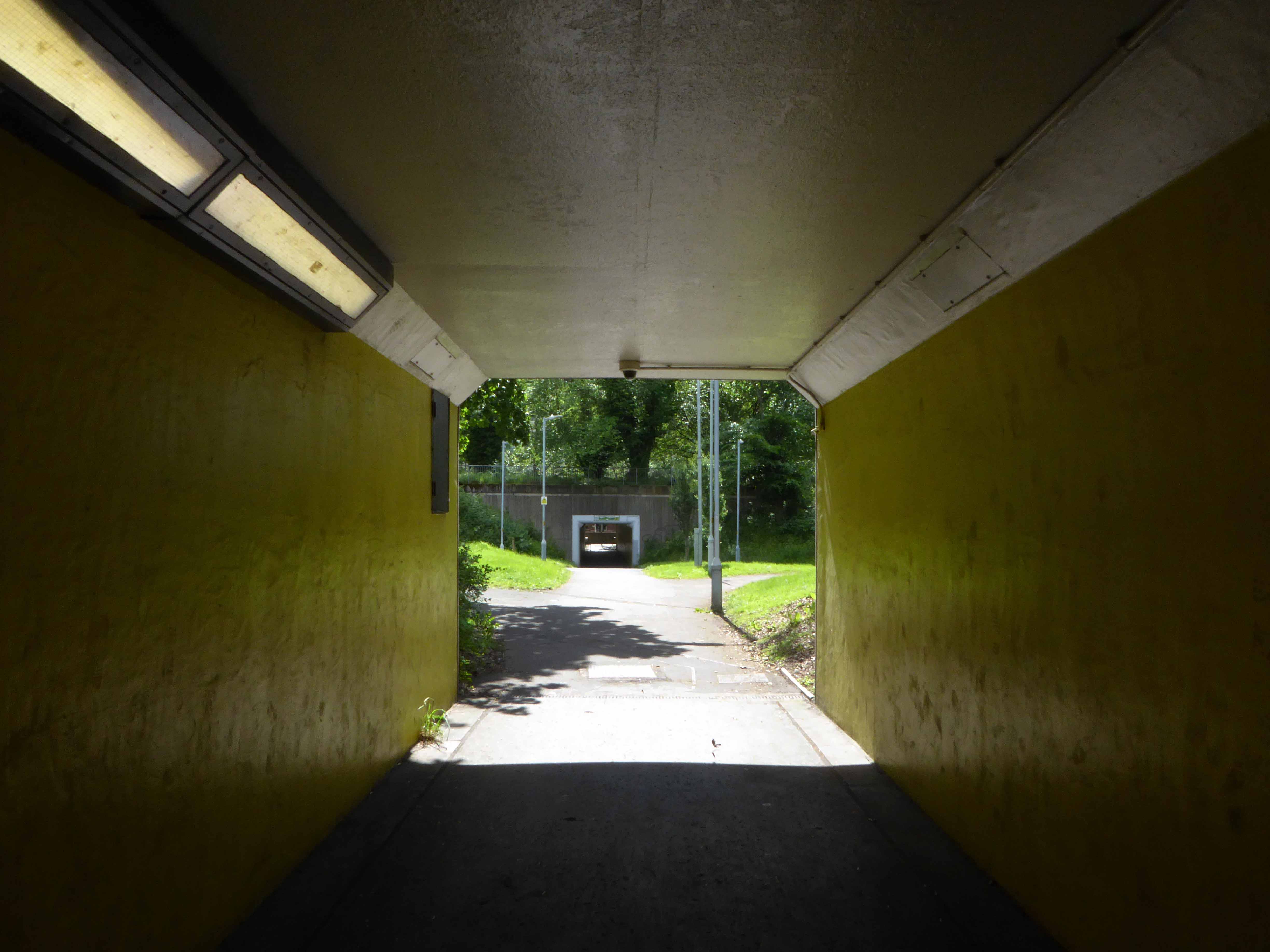
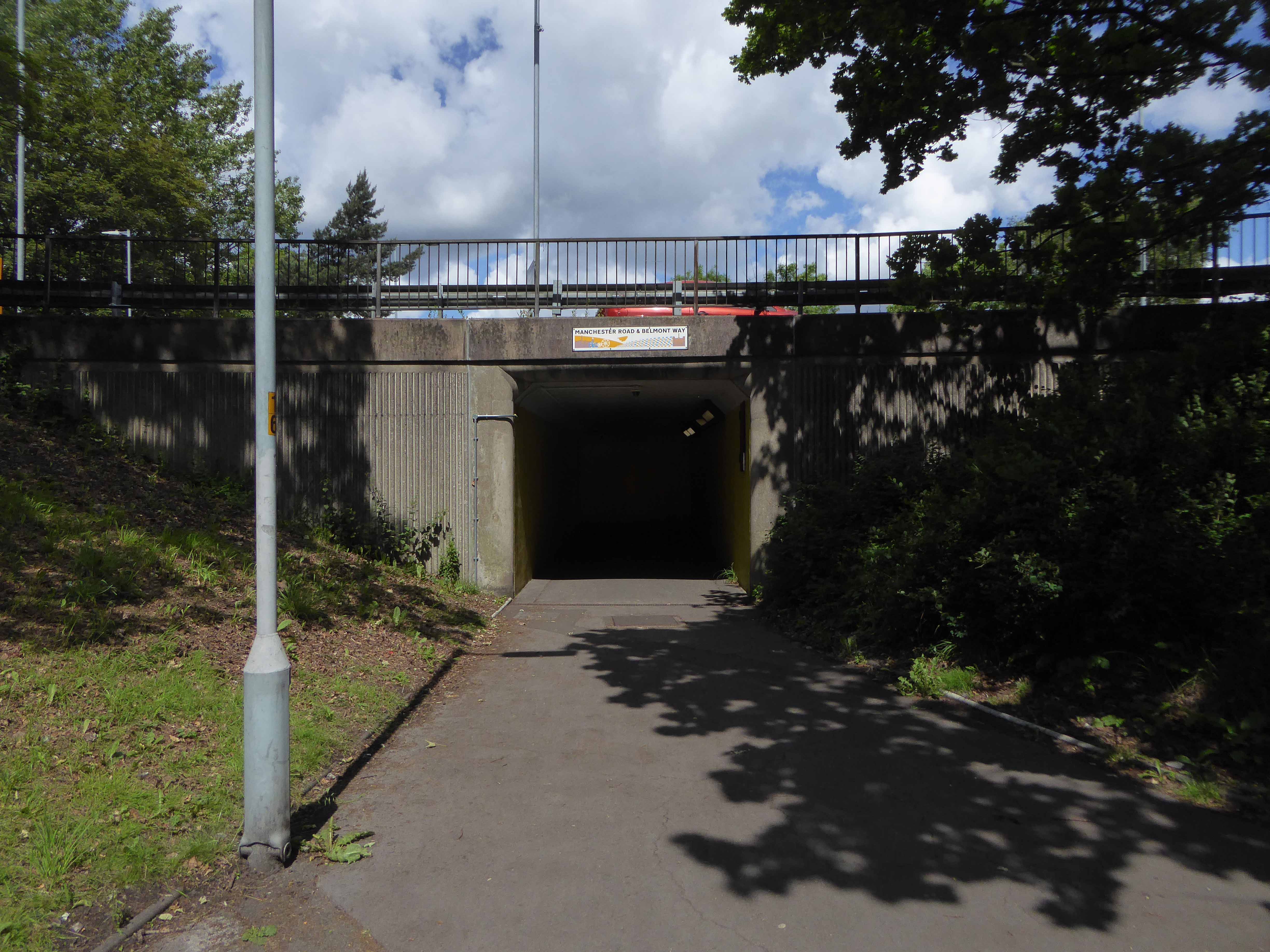
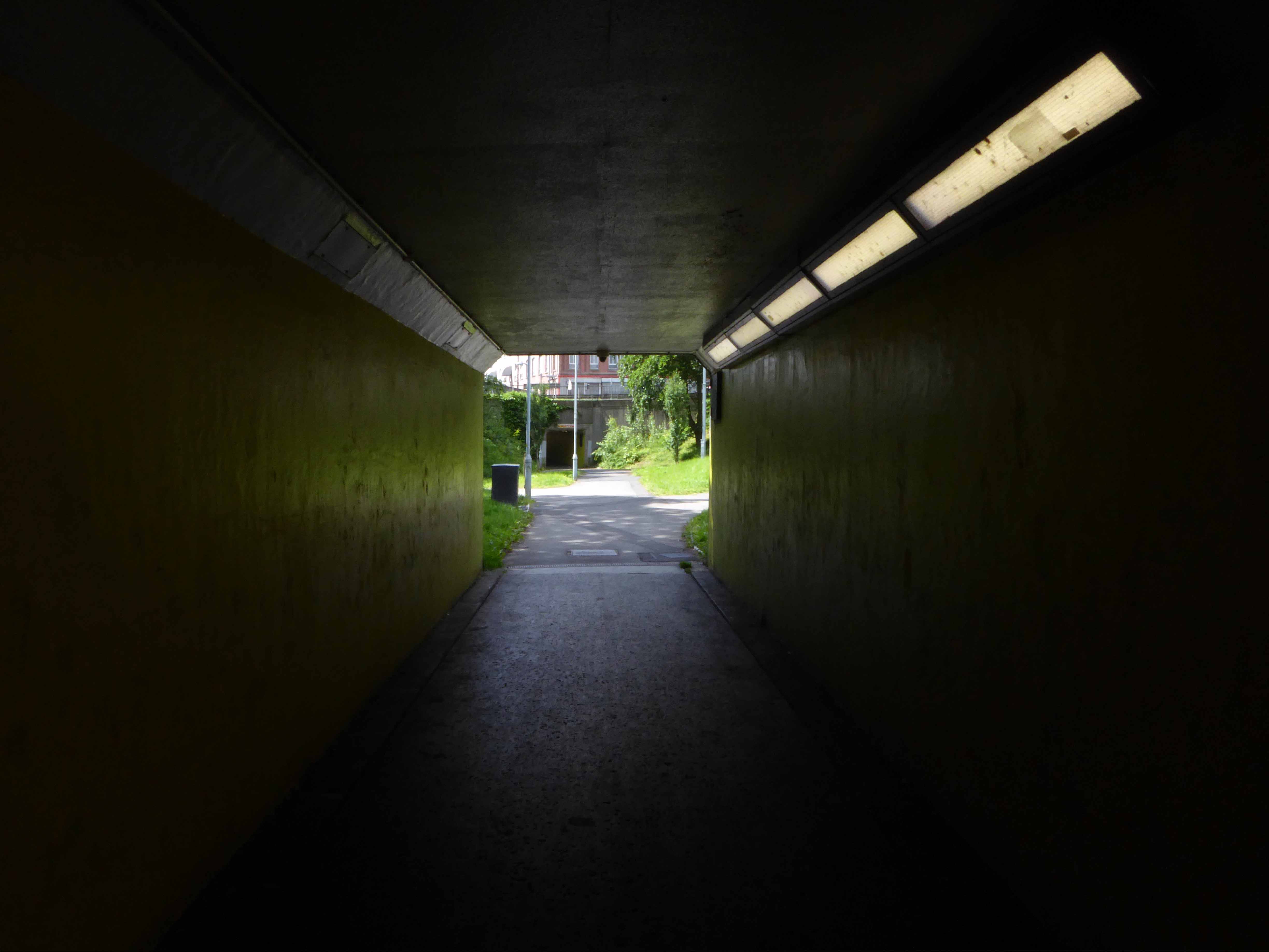
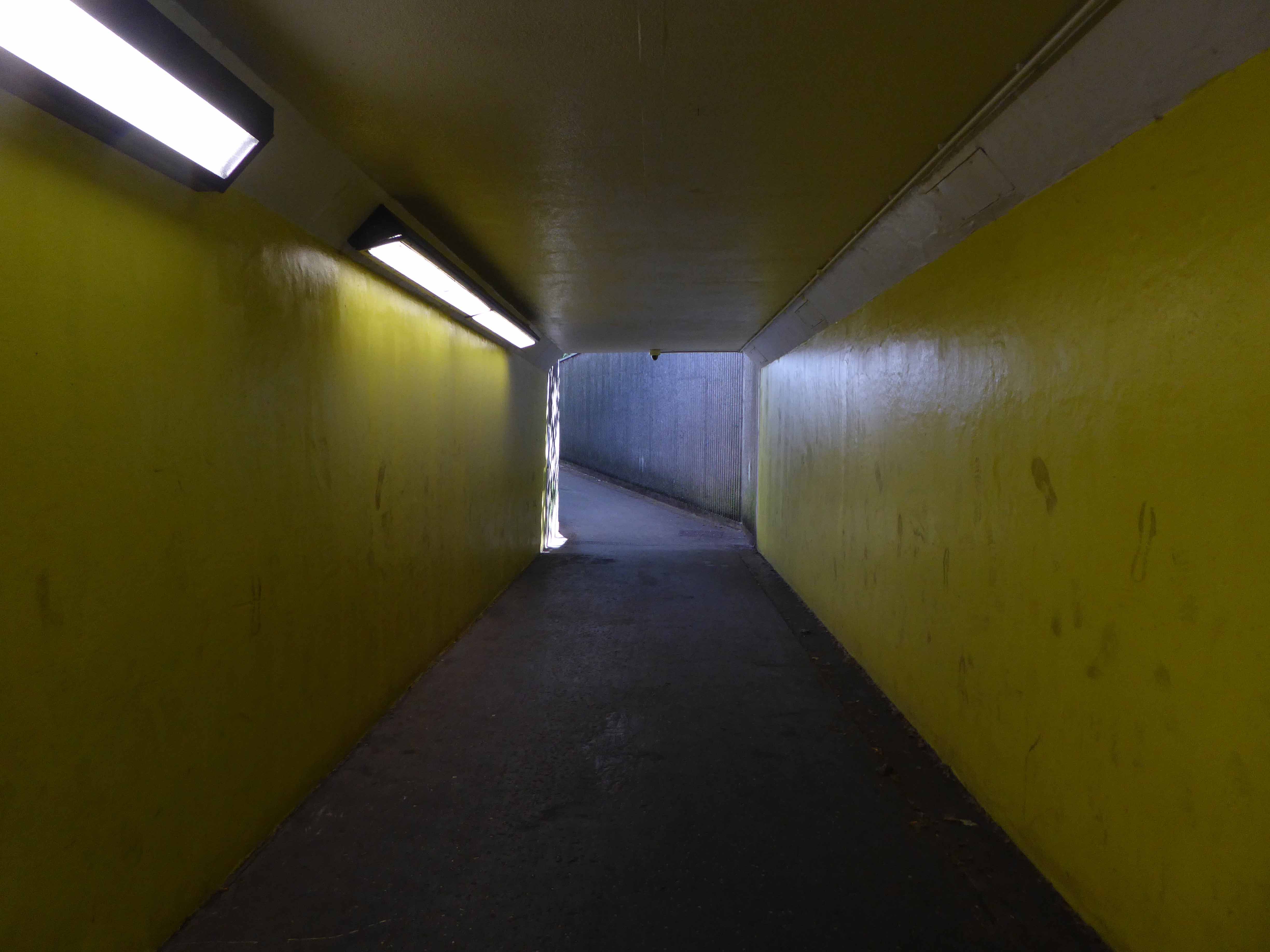
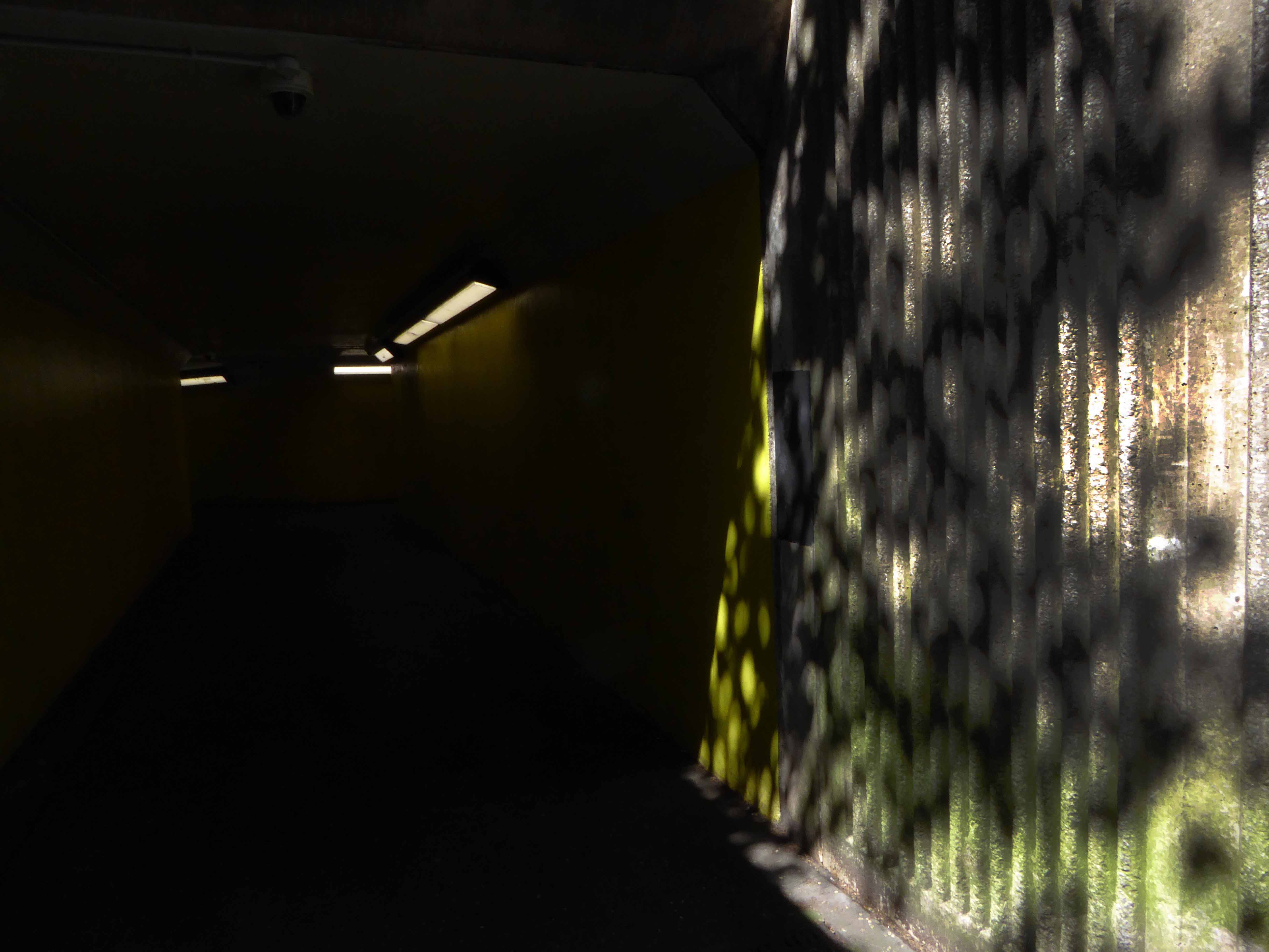
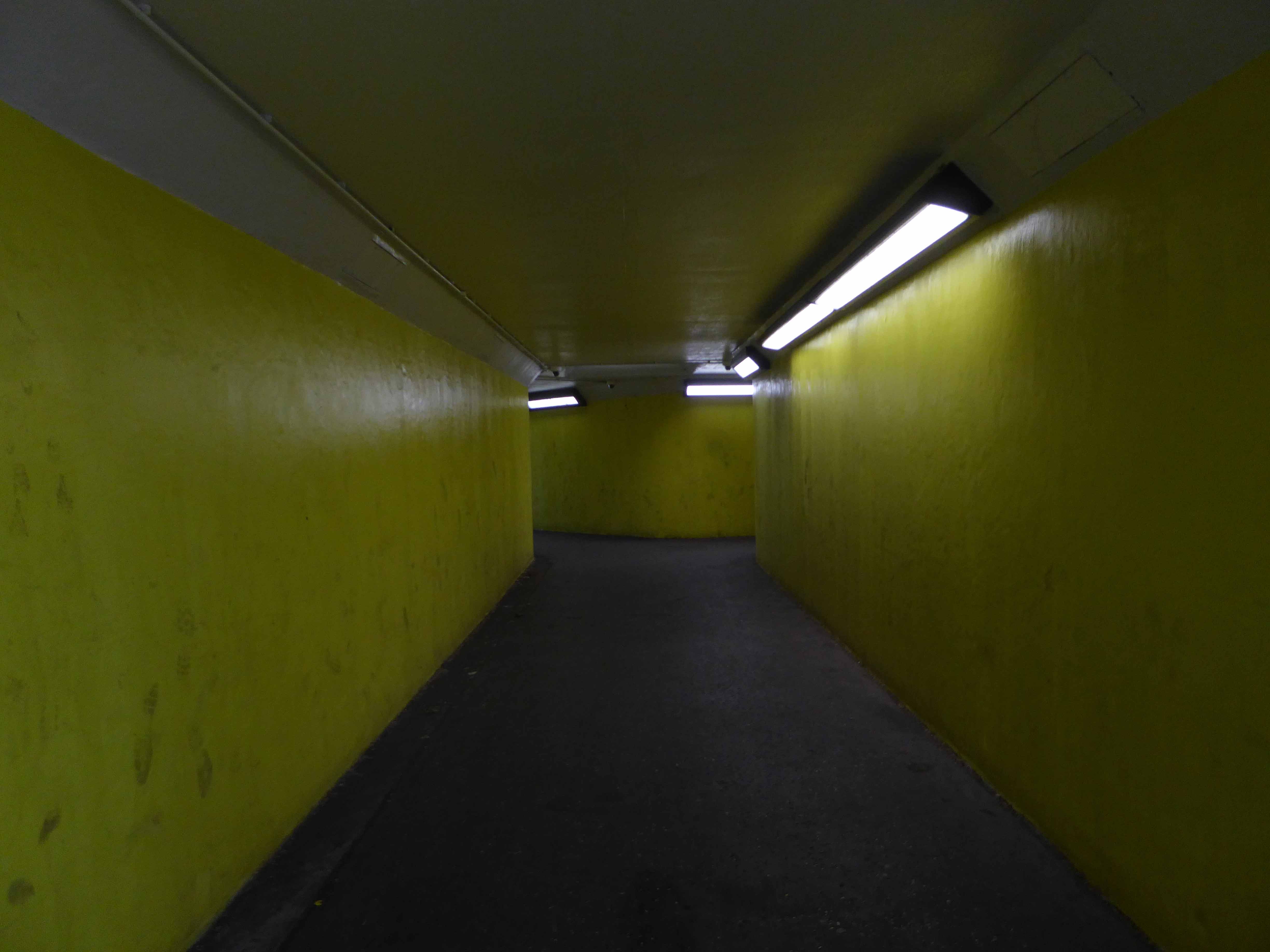
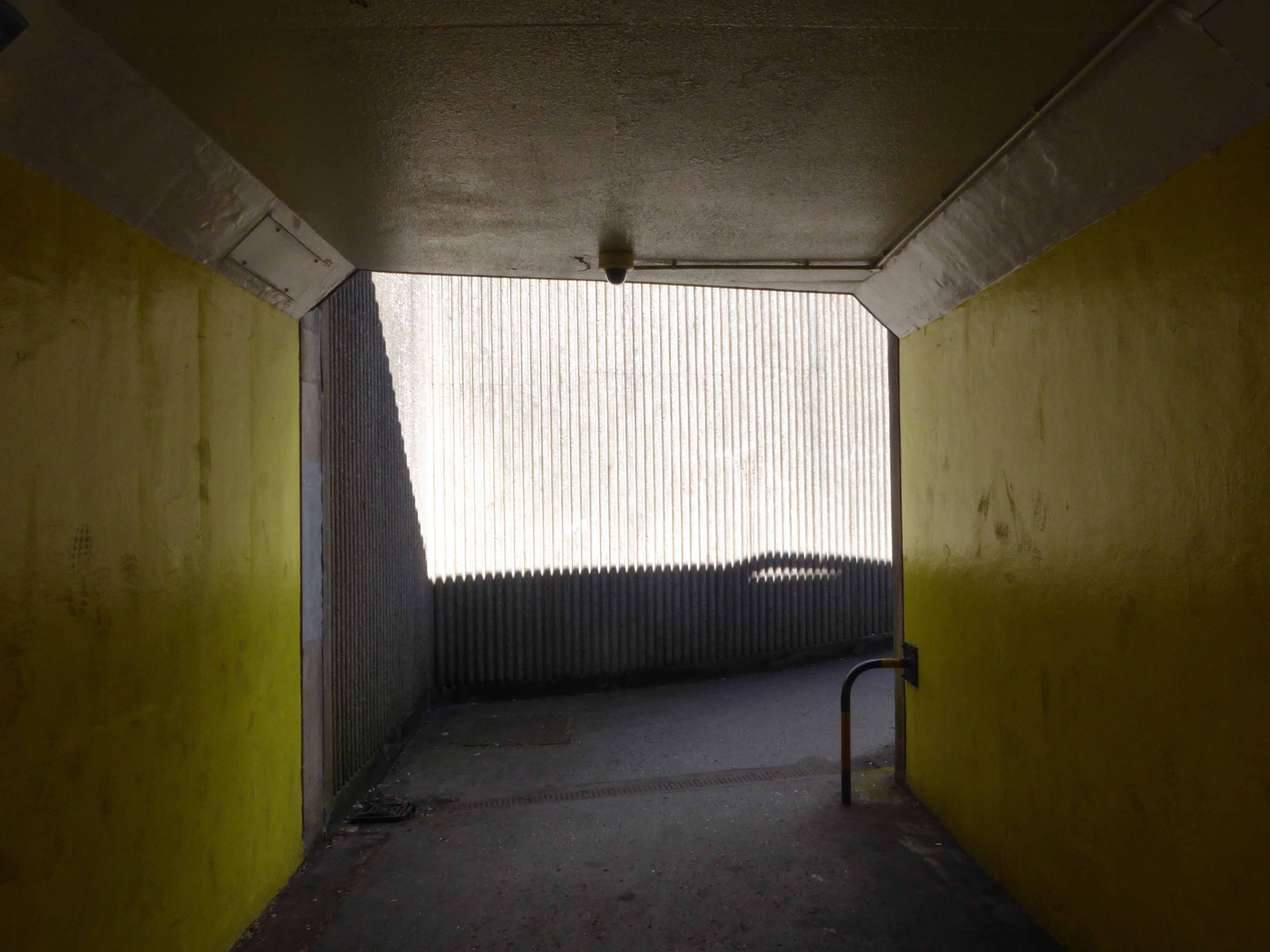
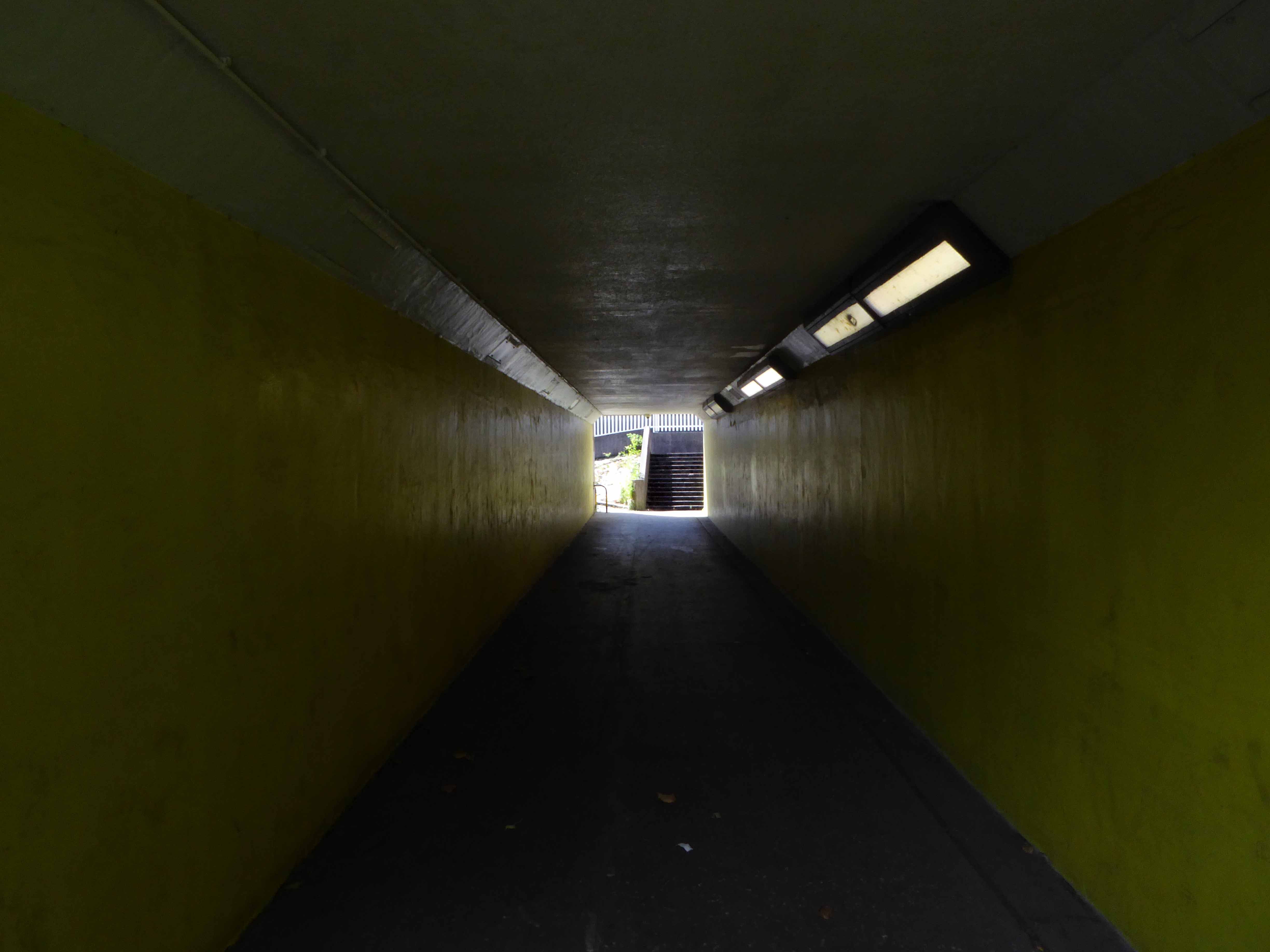
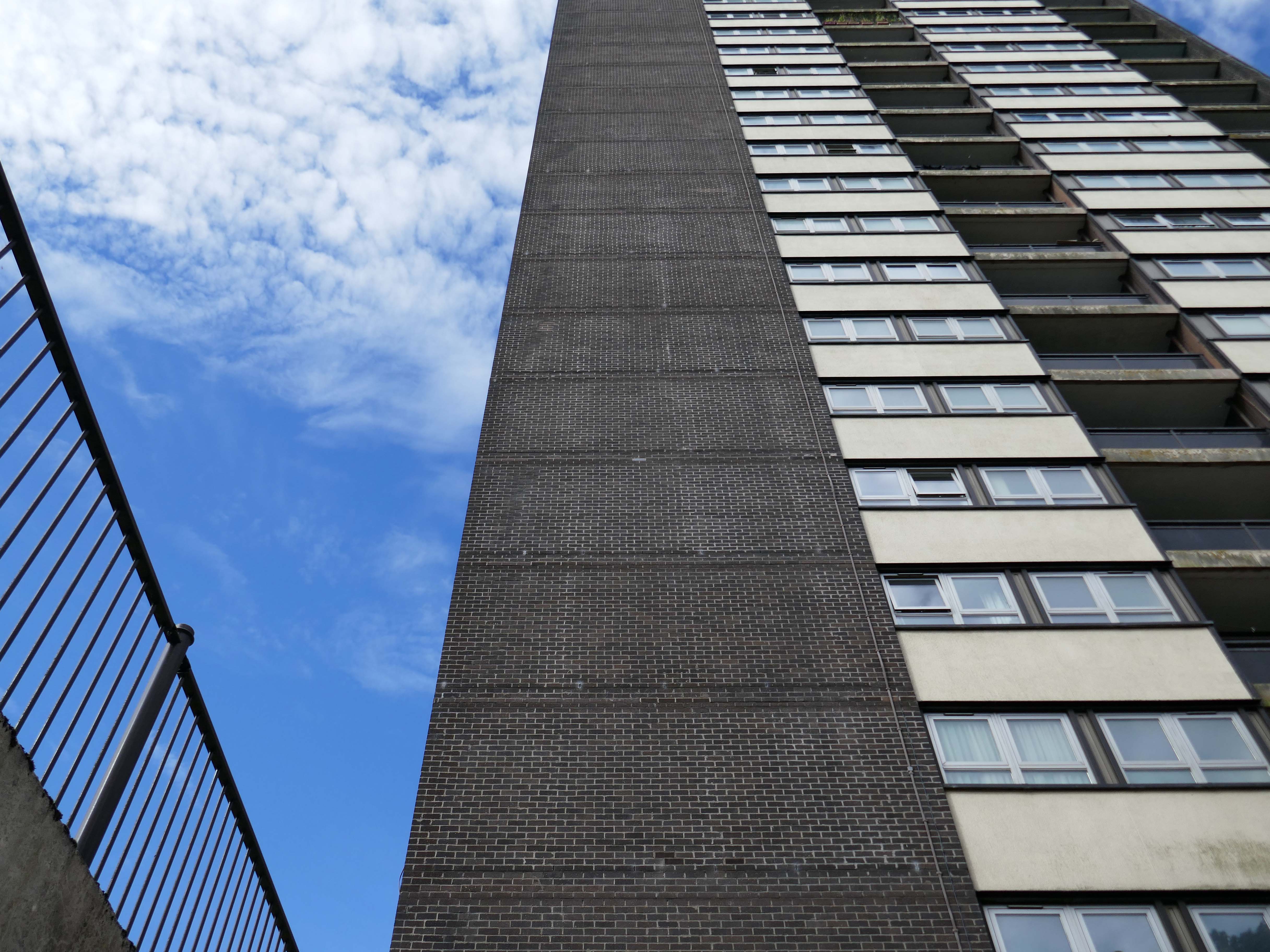
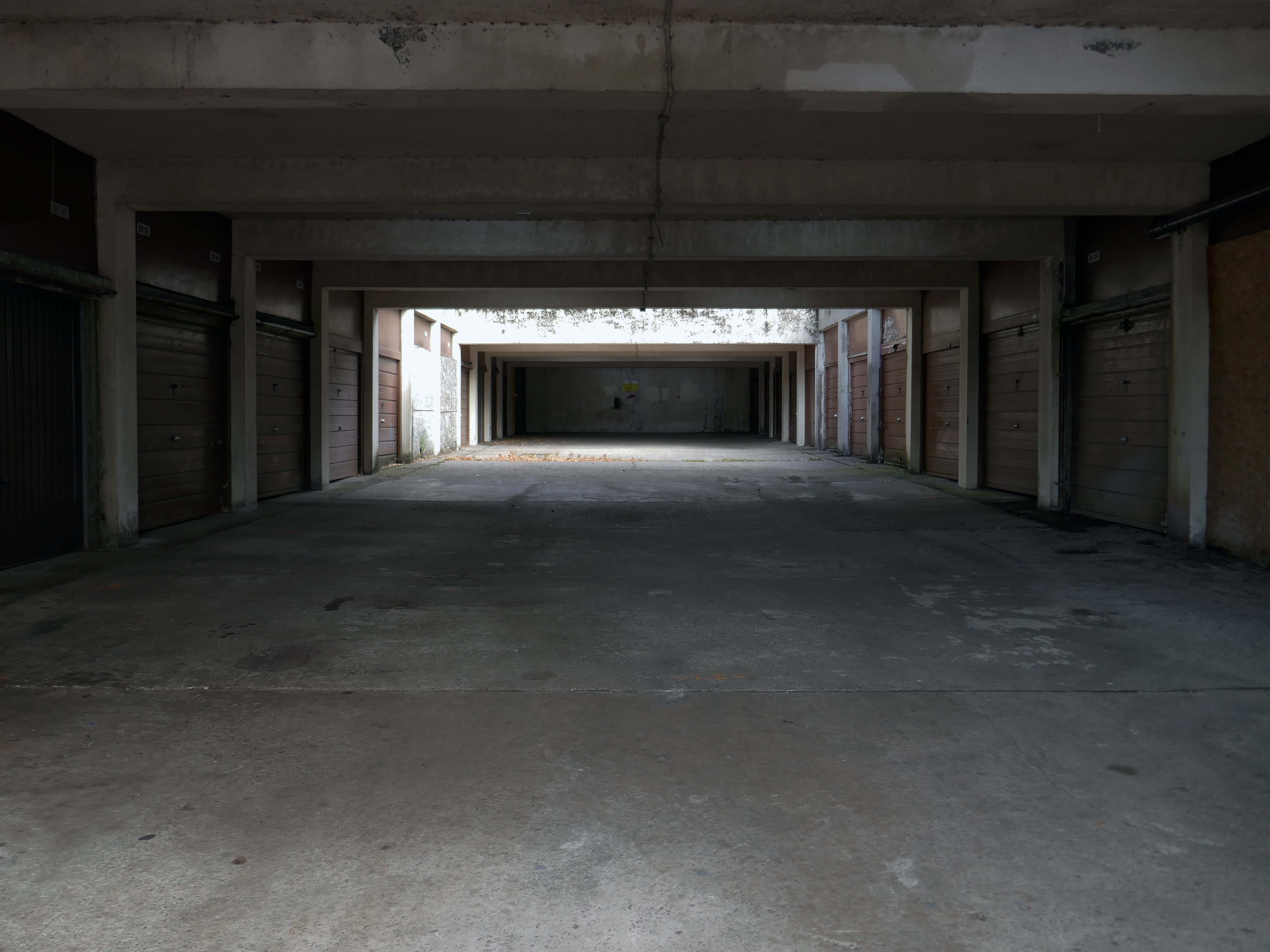
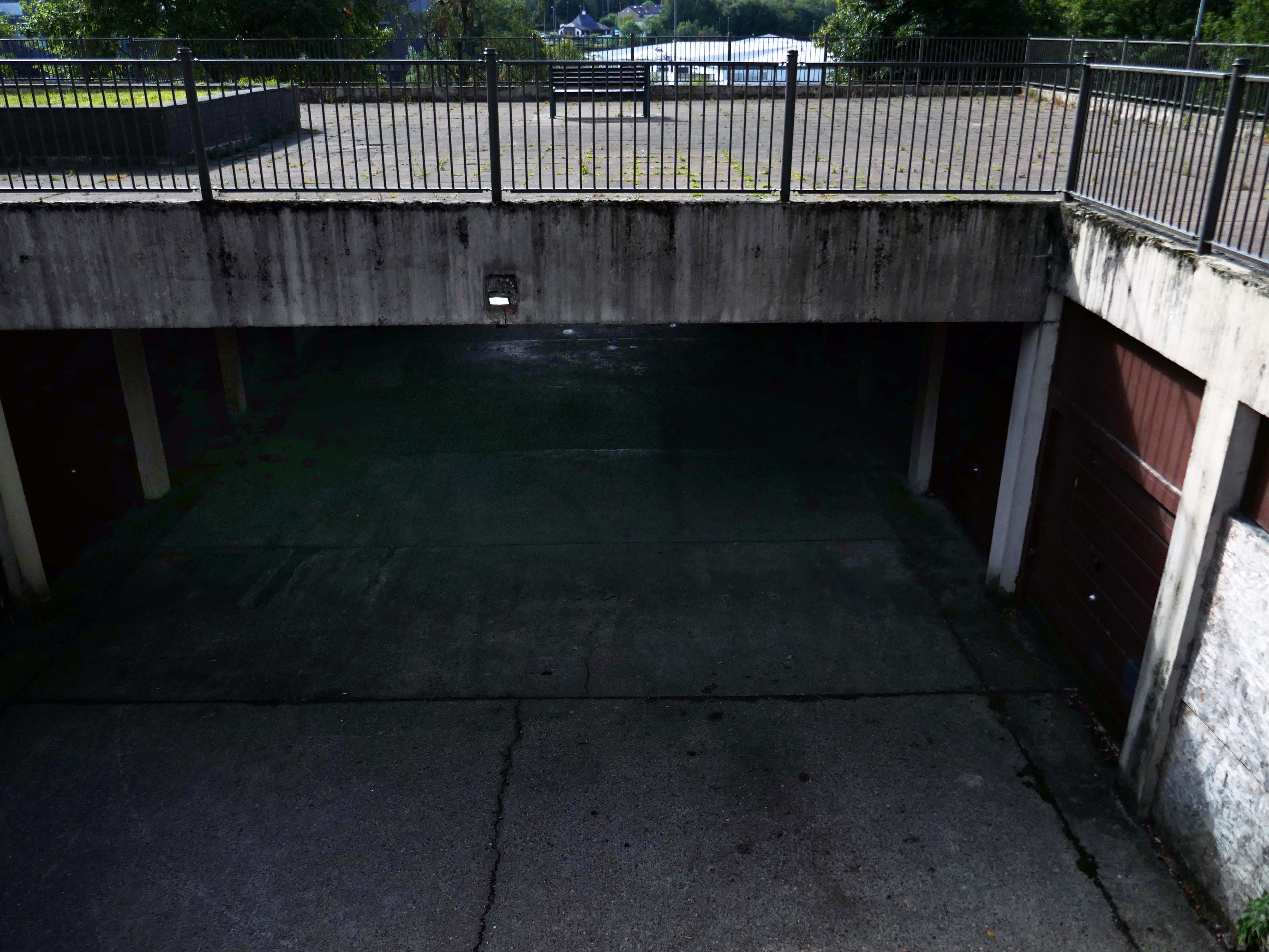
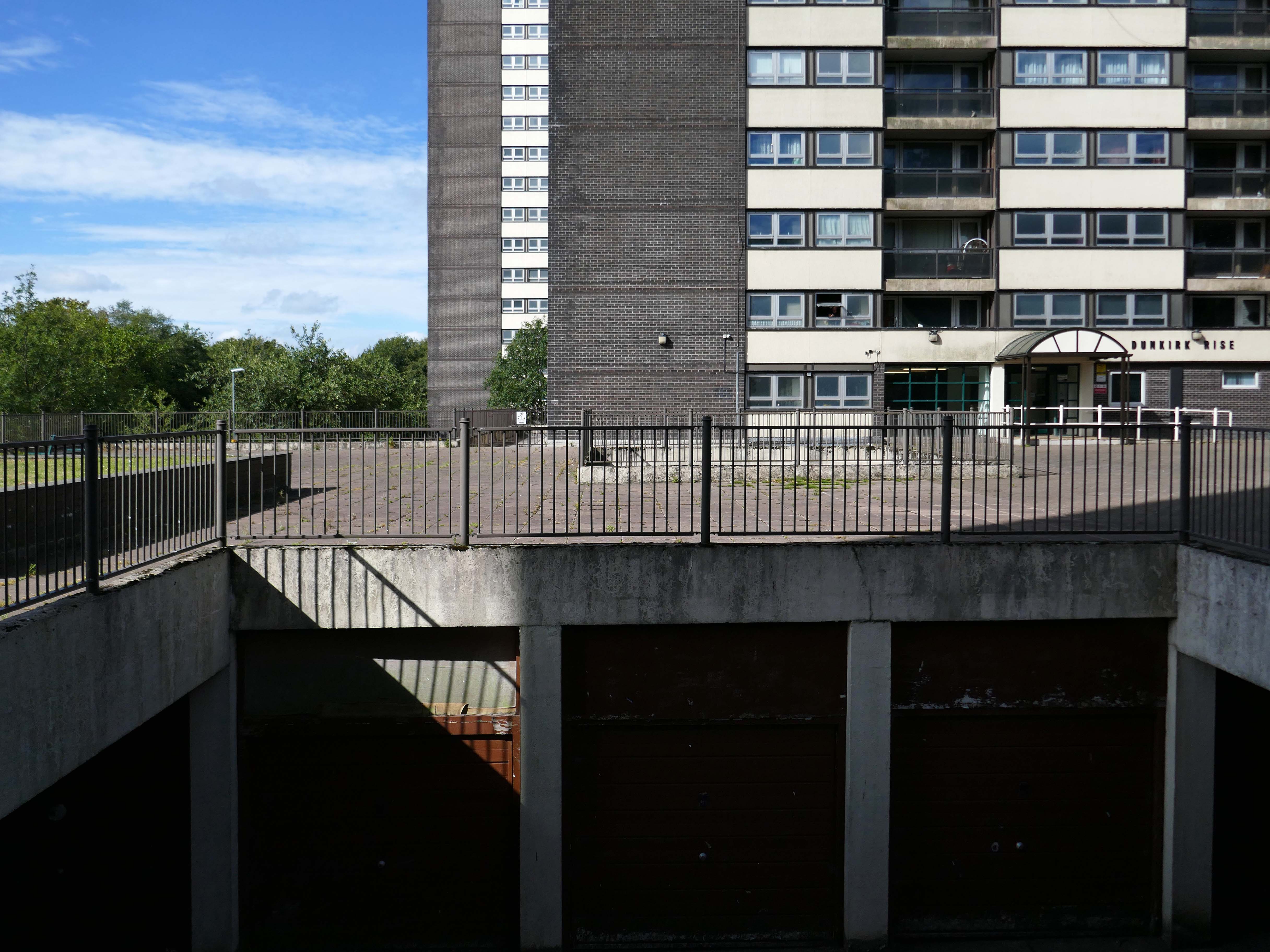
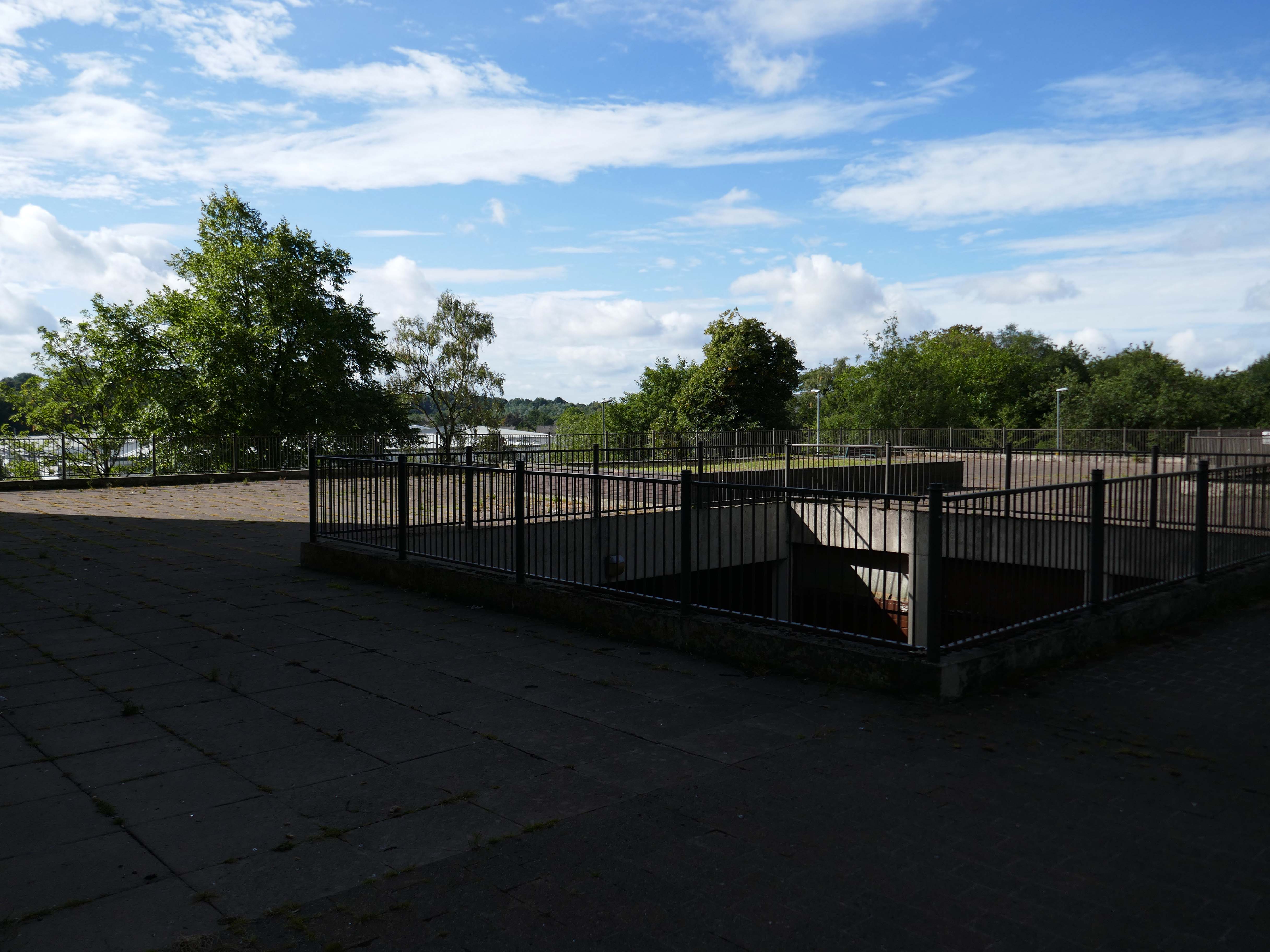
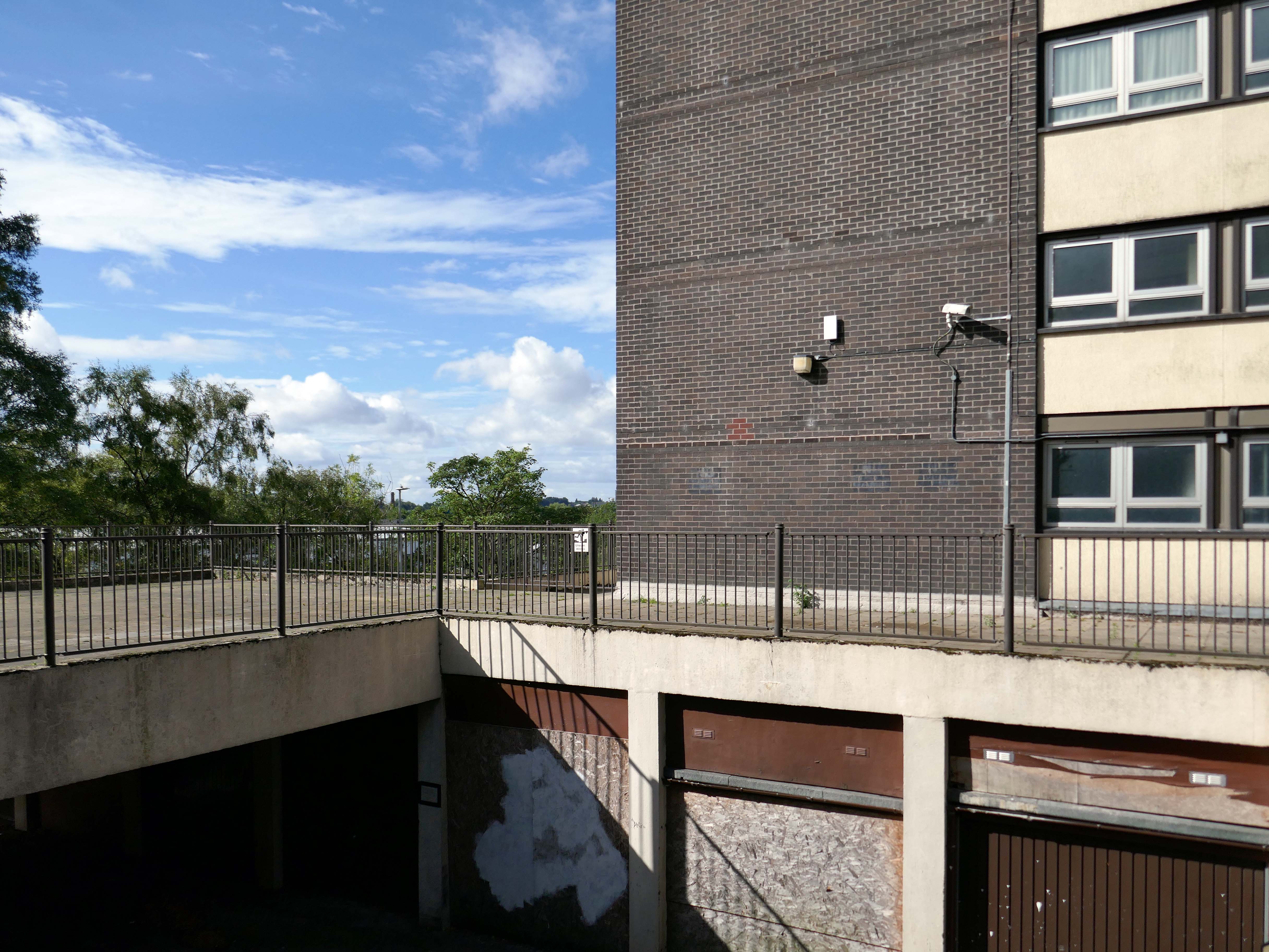
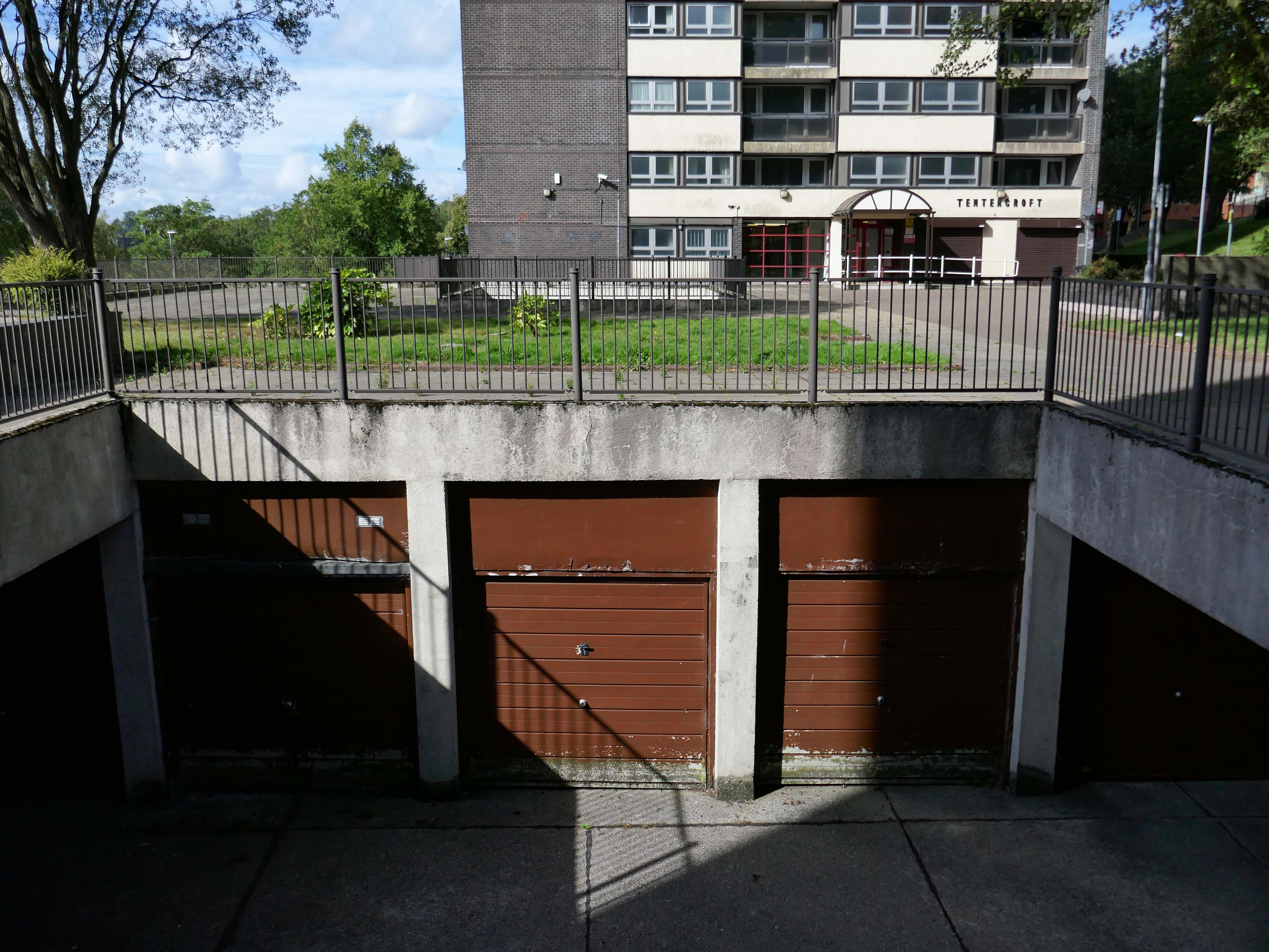
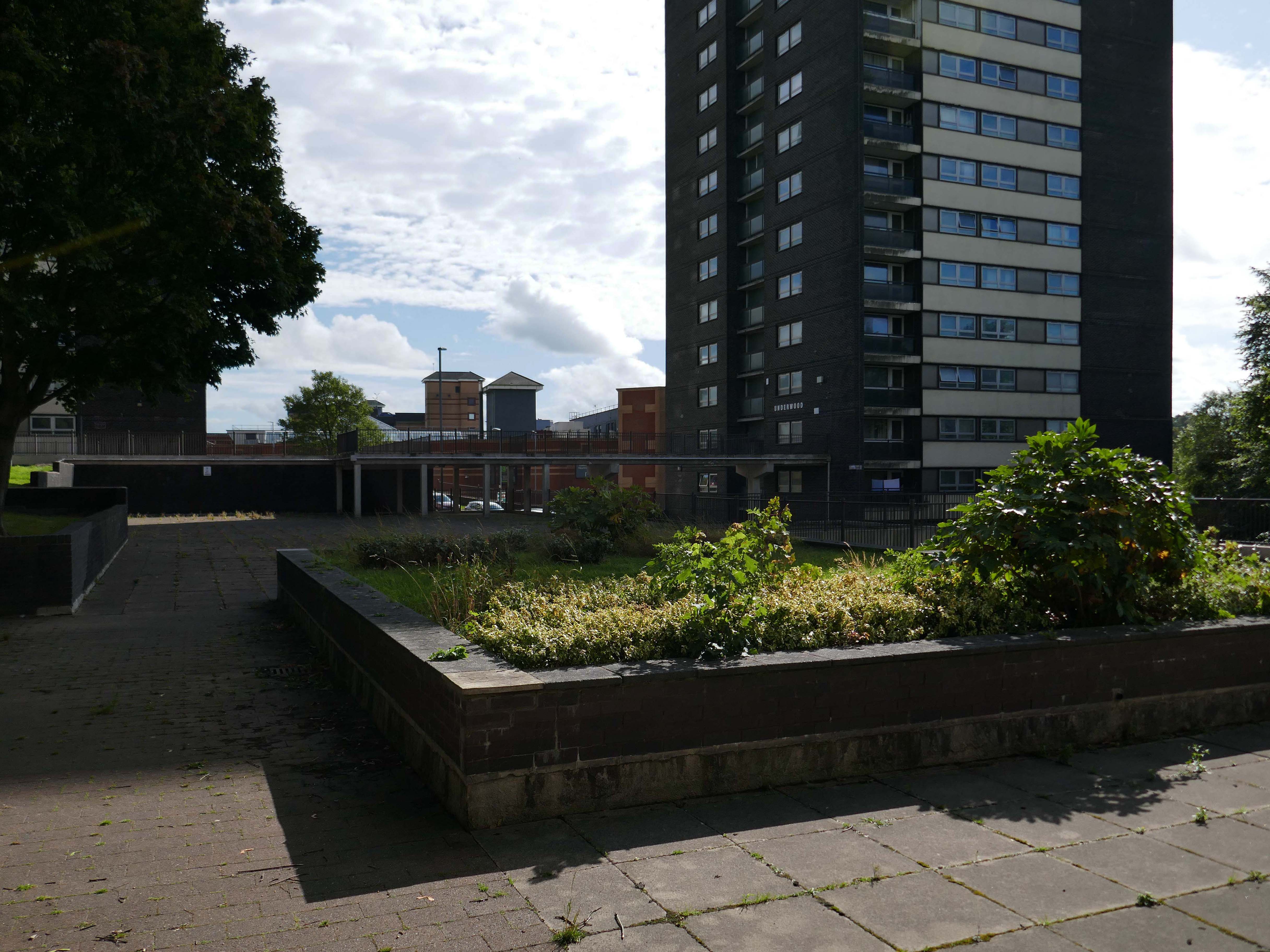
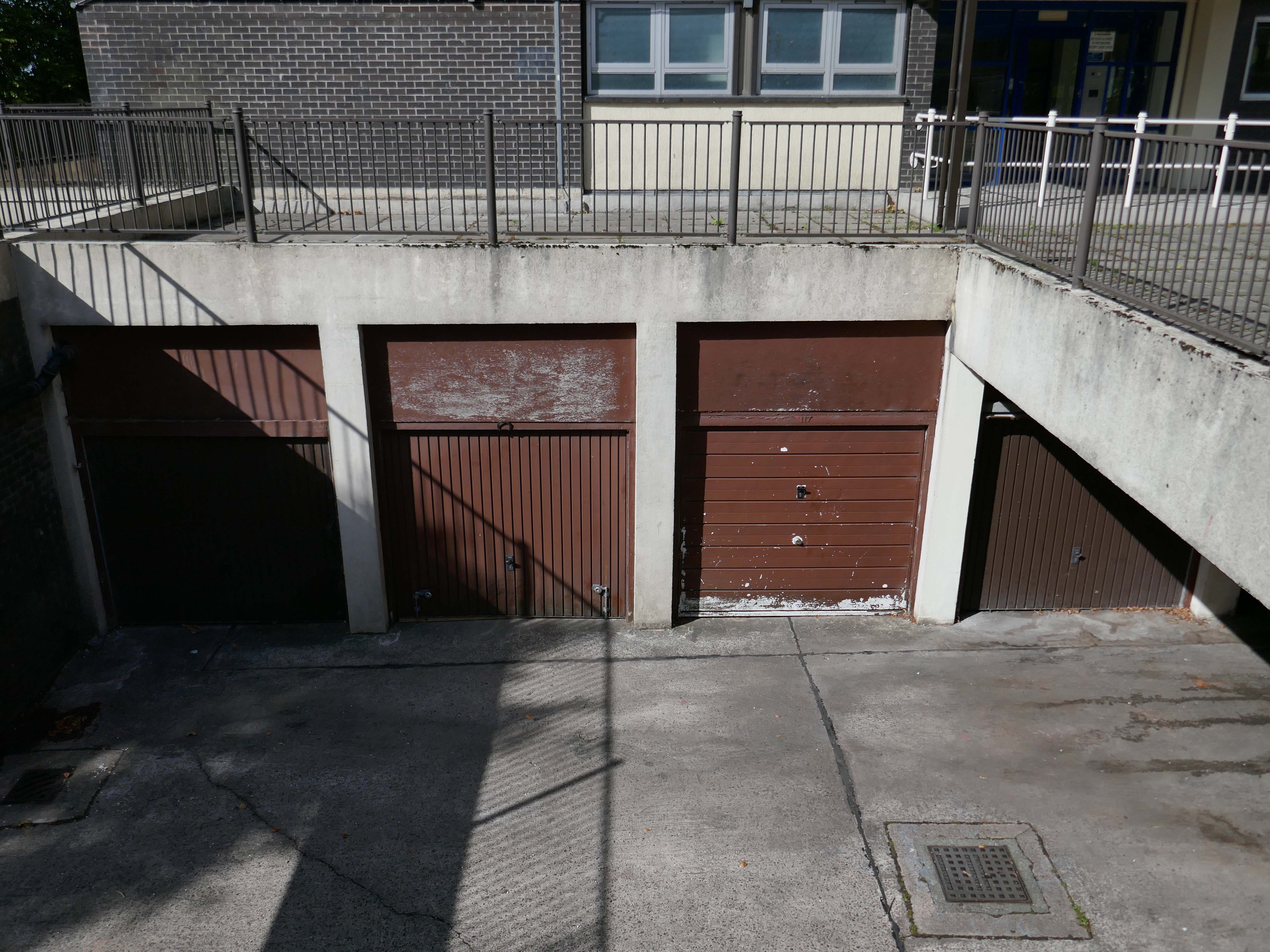
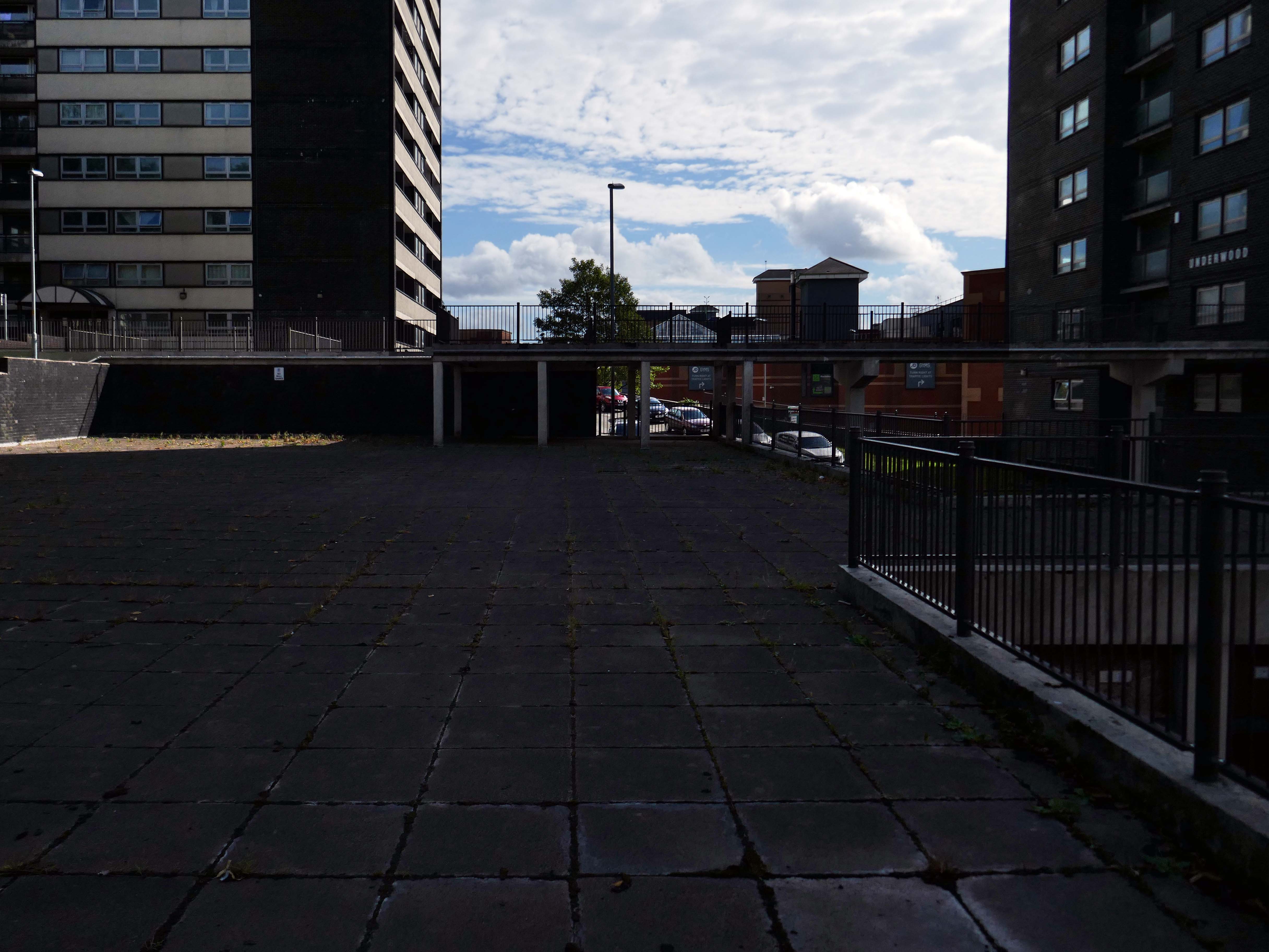
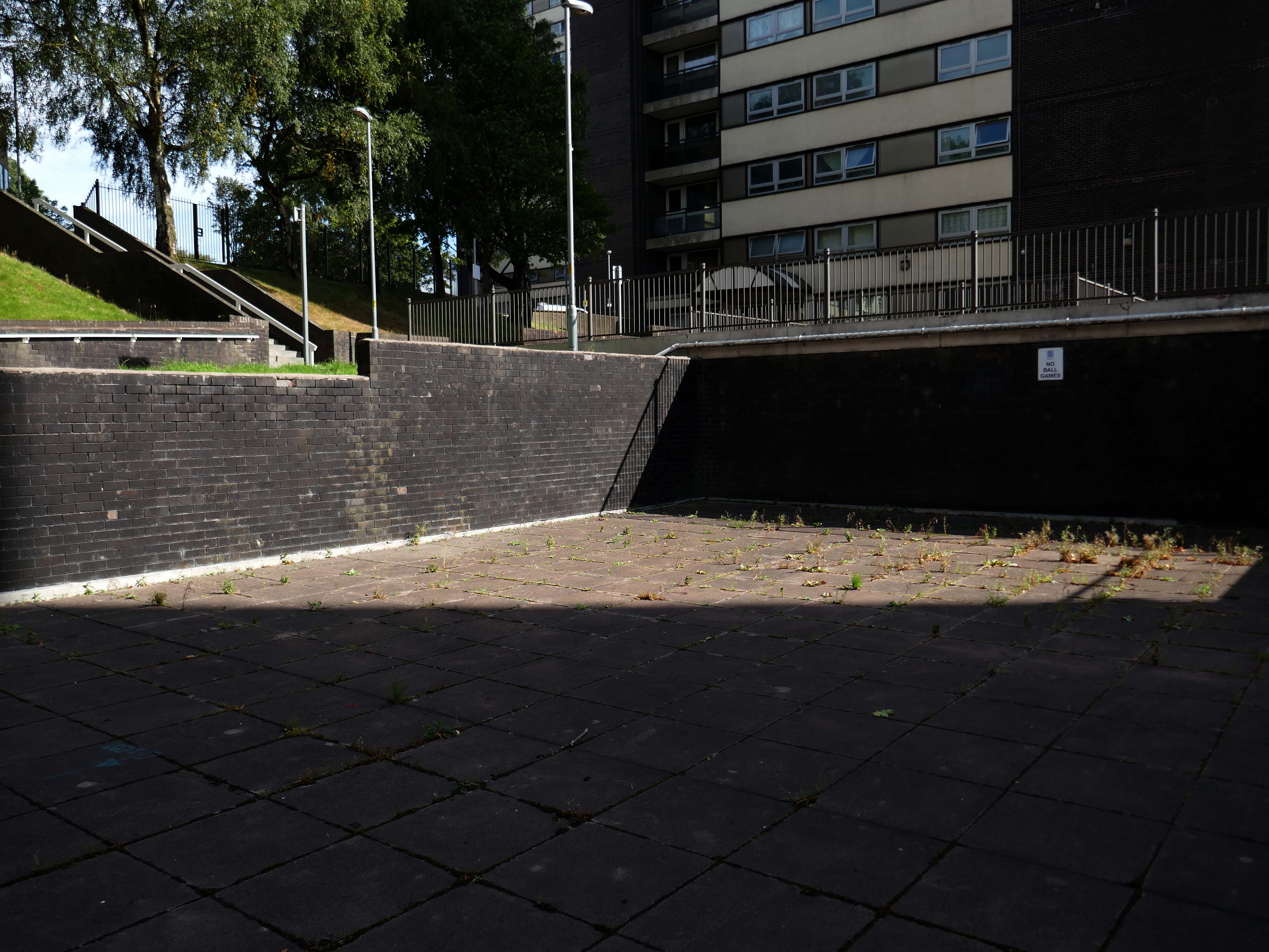
So an unsatisfactory stasis prevails across the windswept piazzas, podium garages and towering towers.
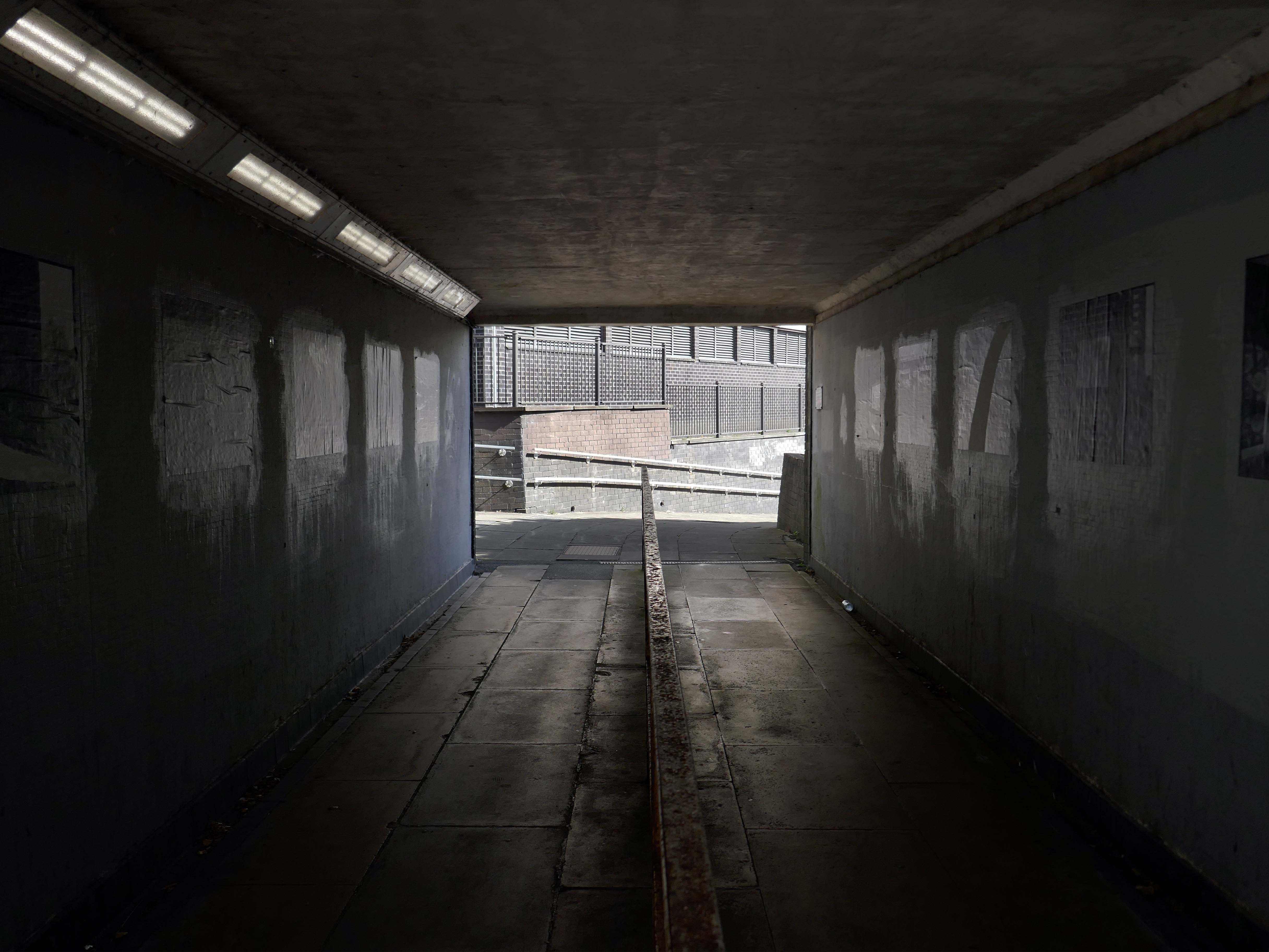
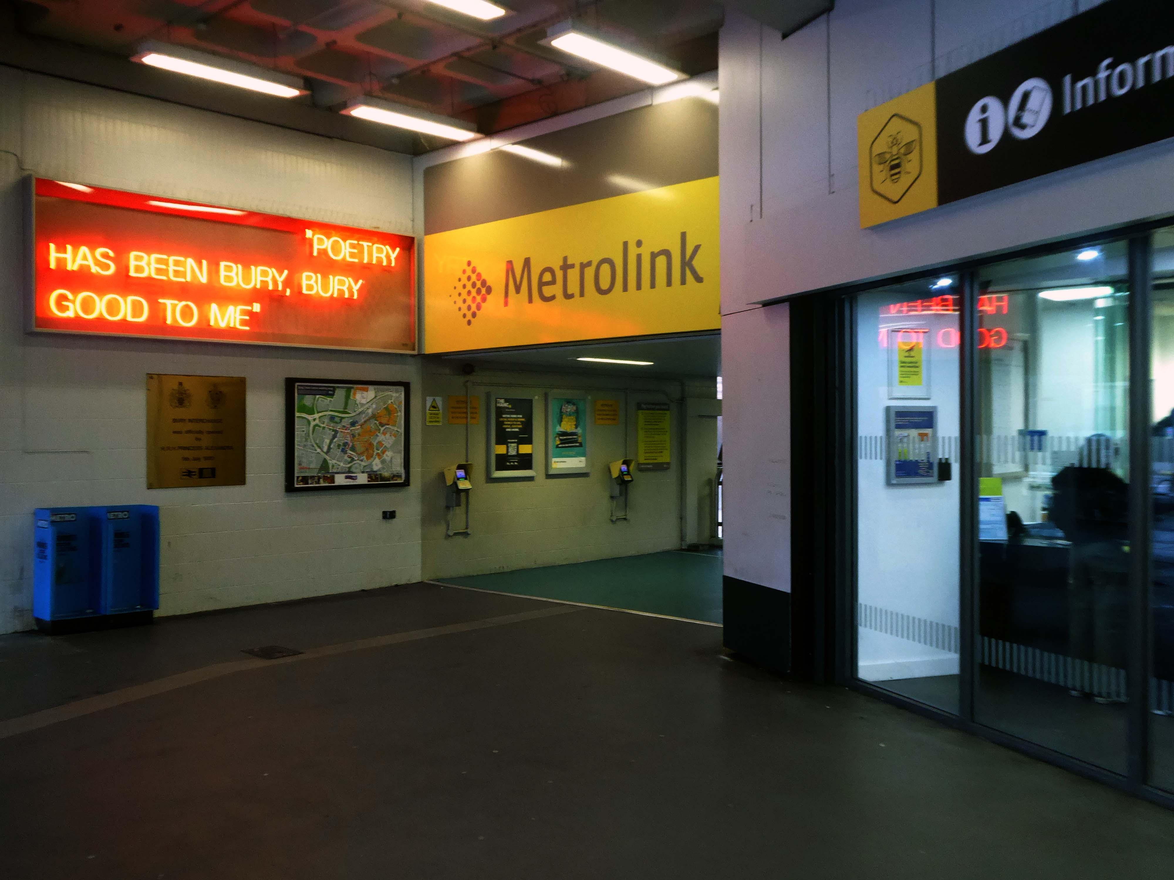
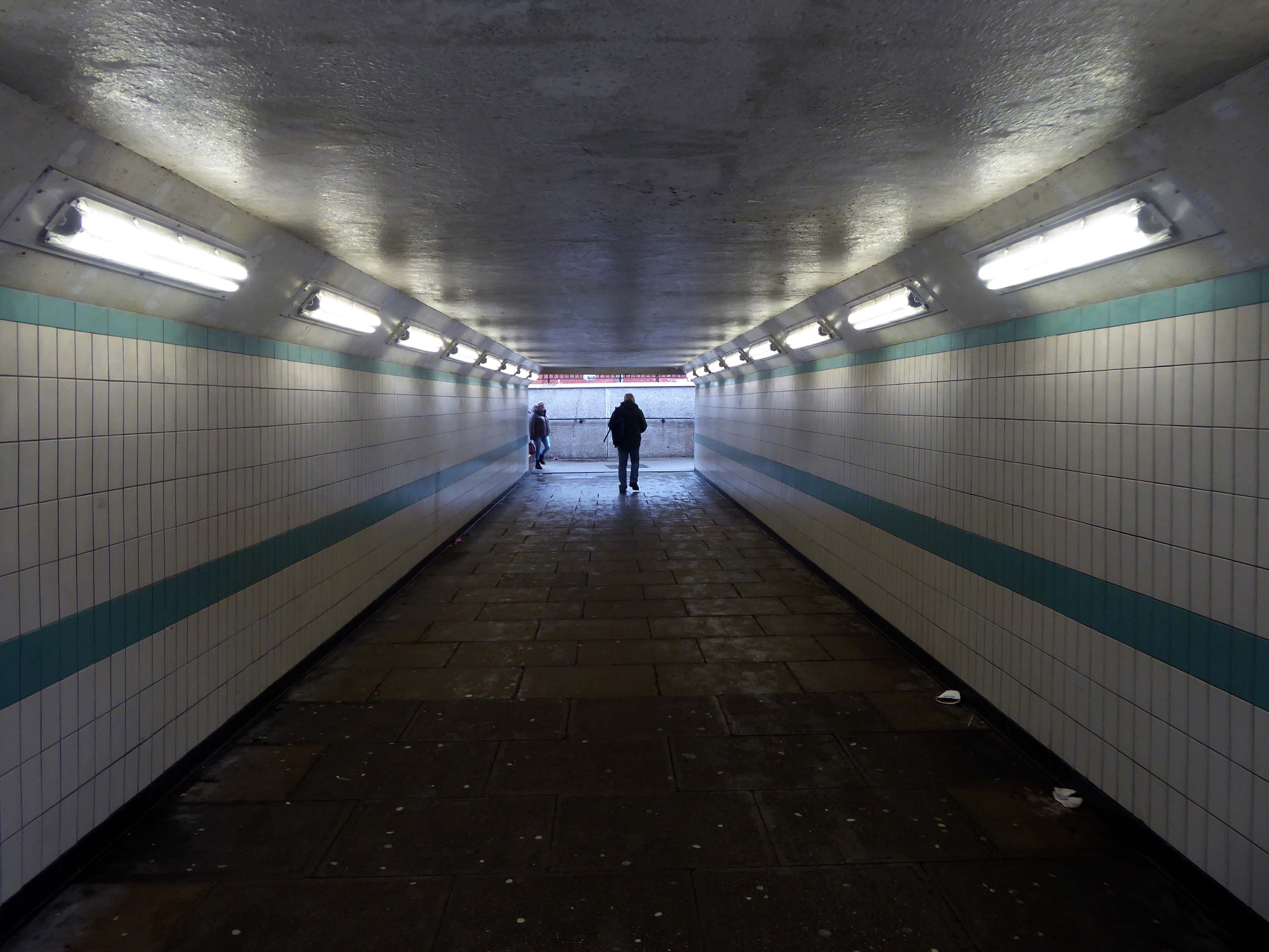
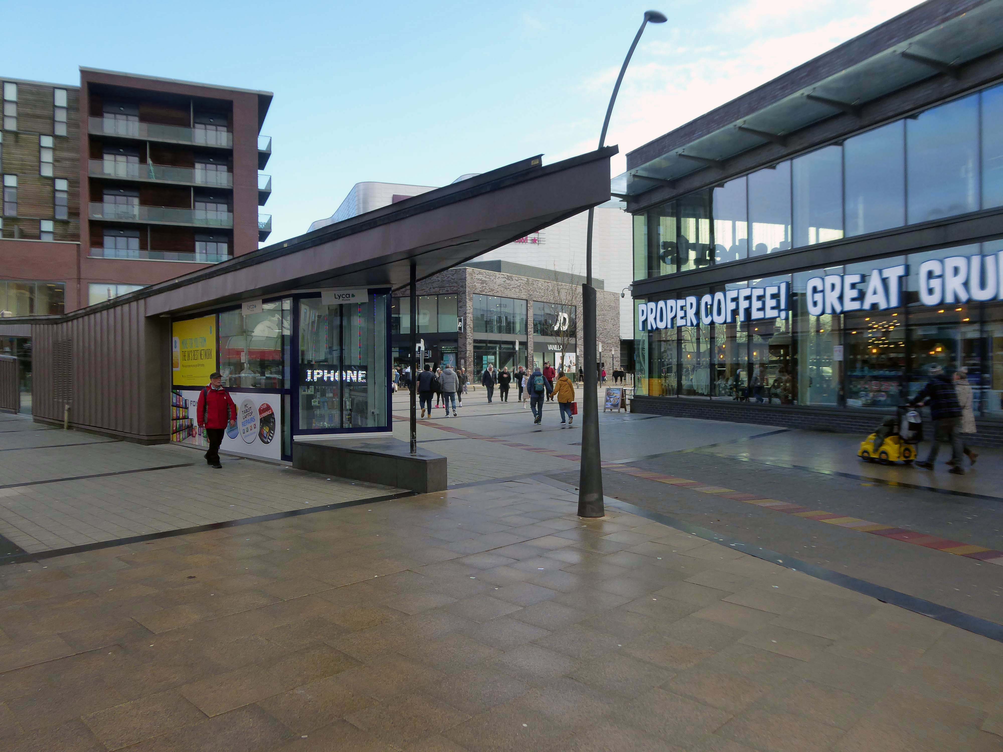
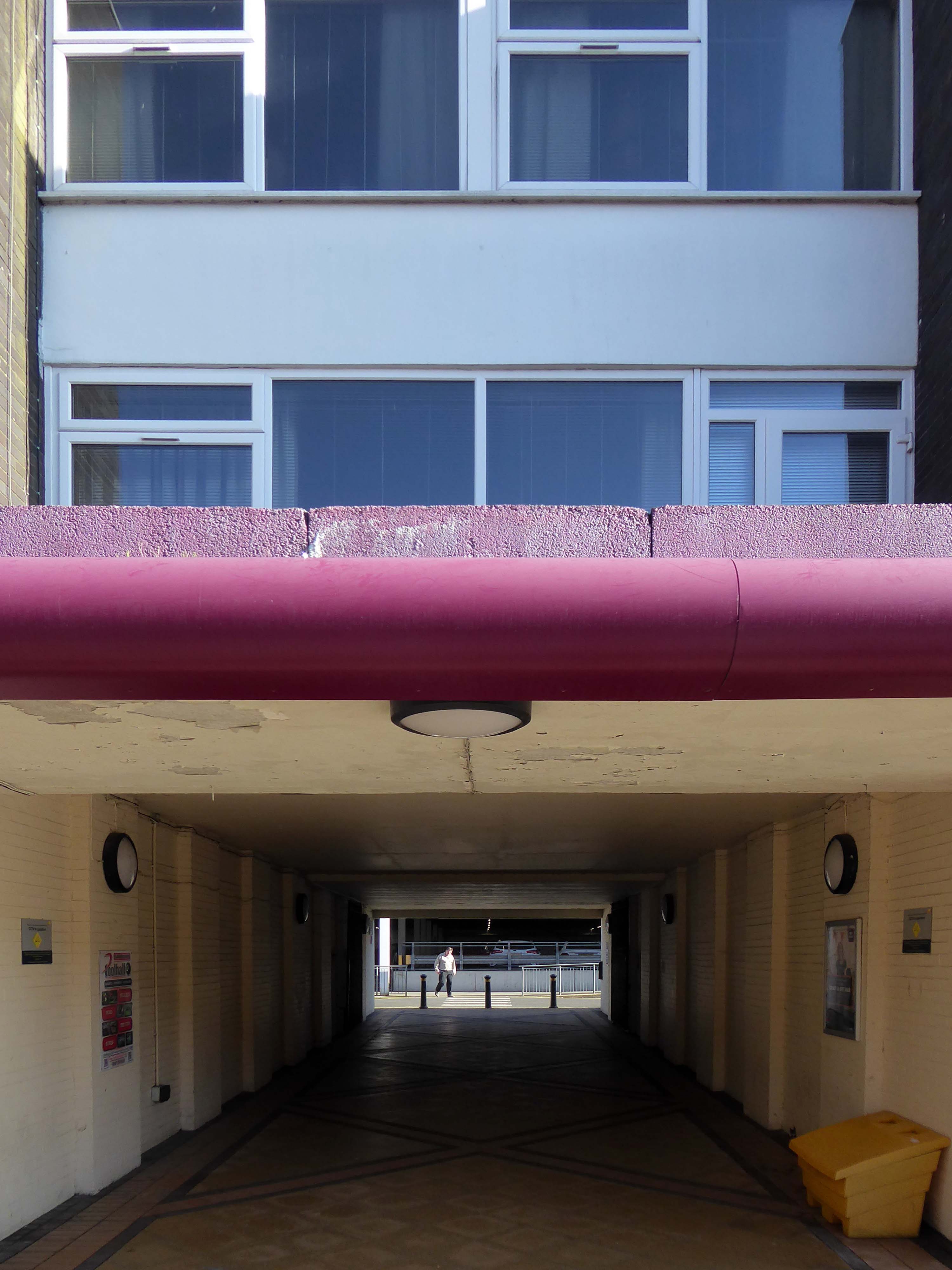
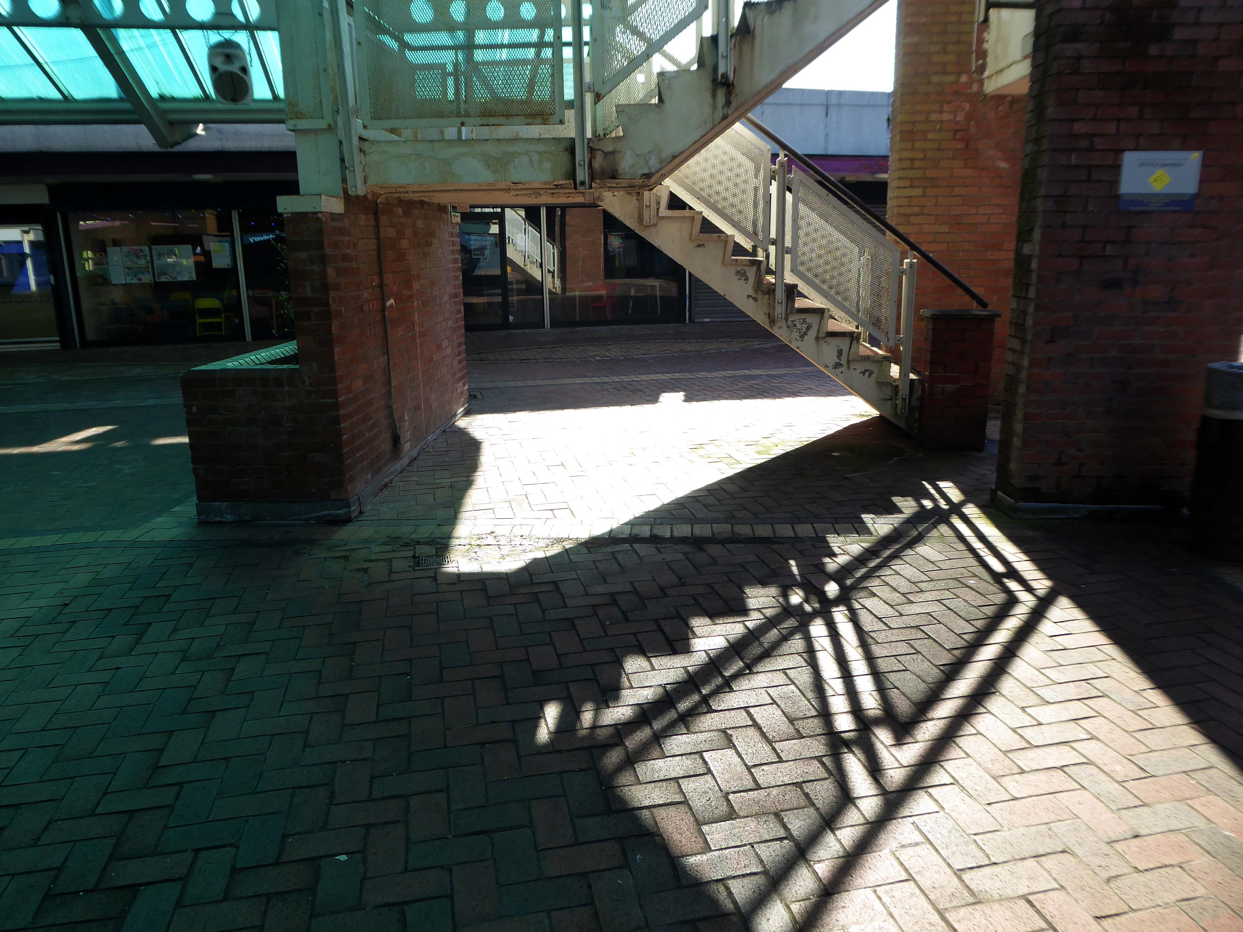
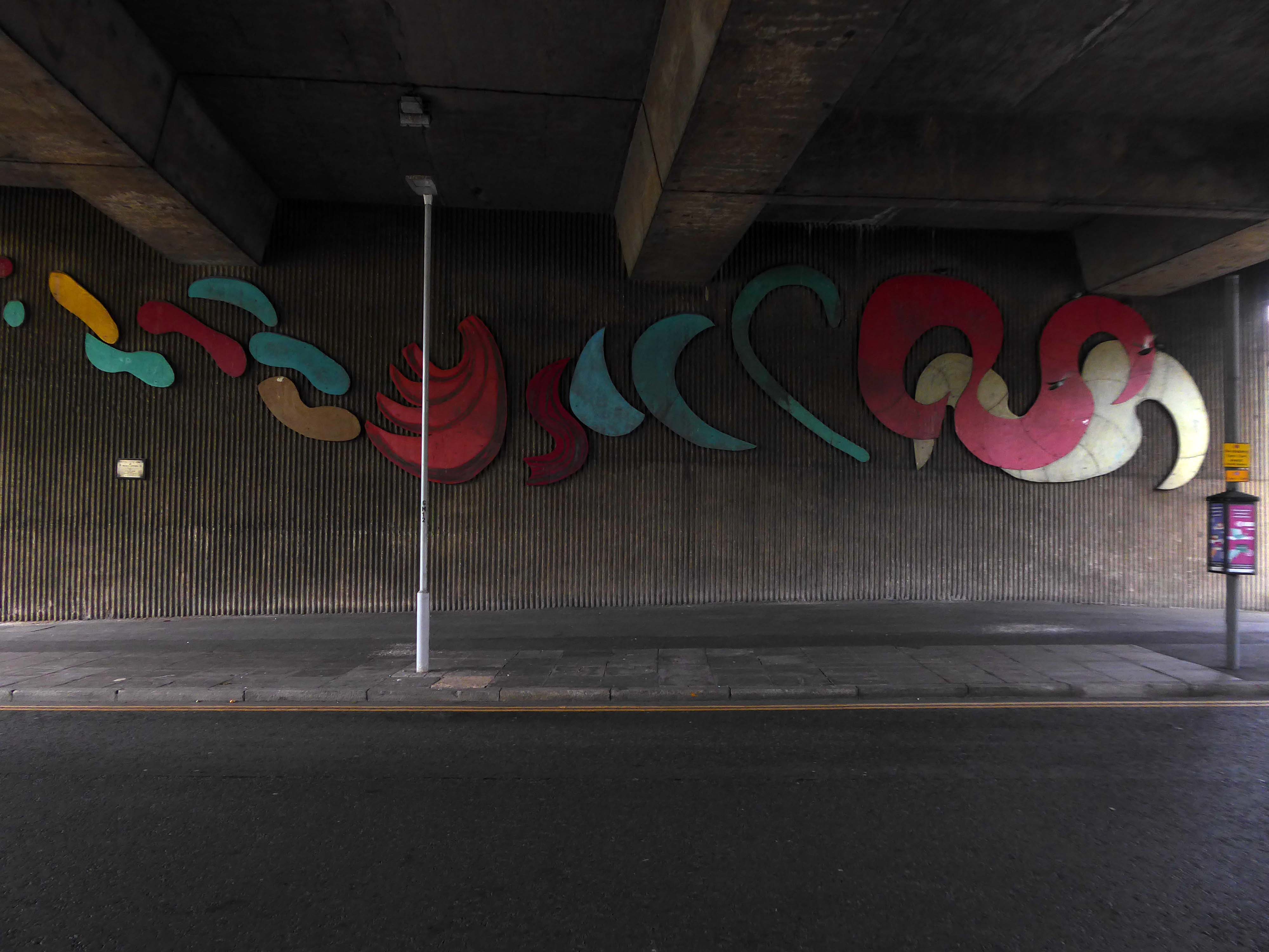
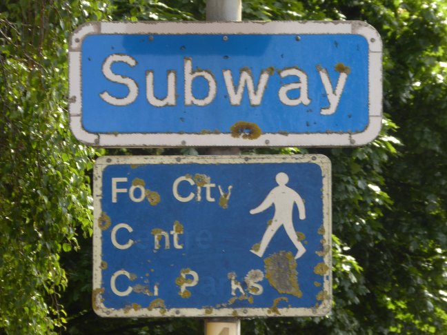
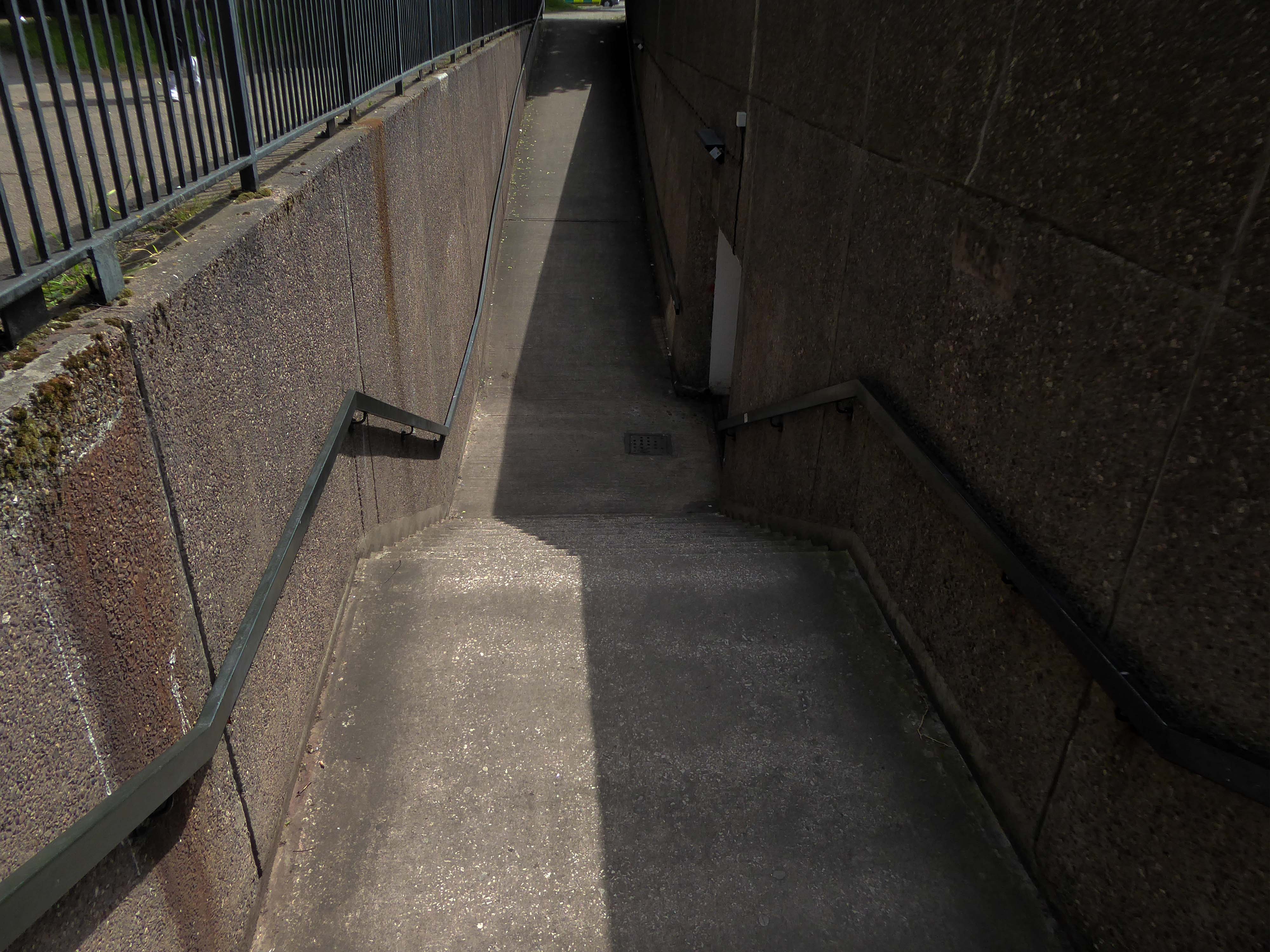
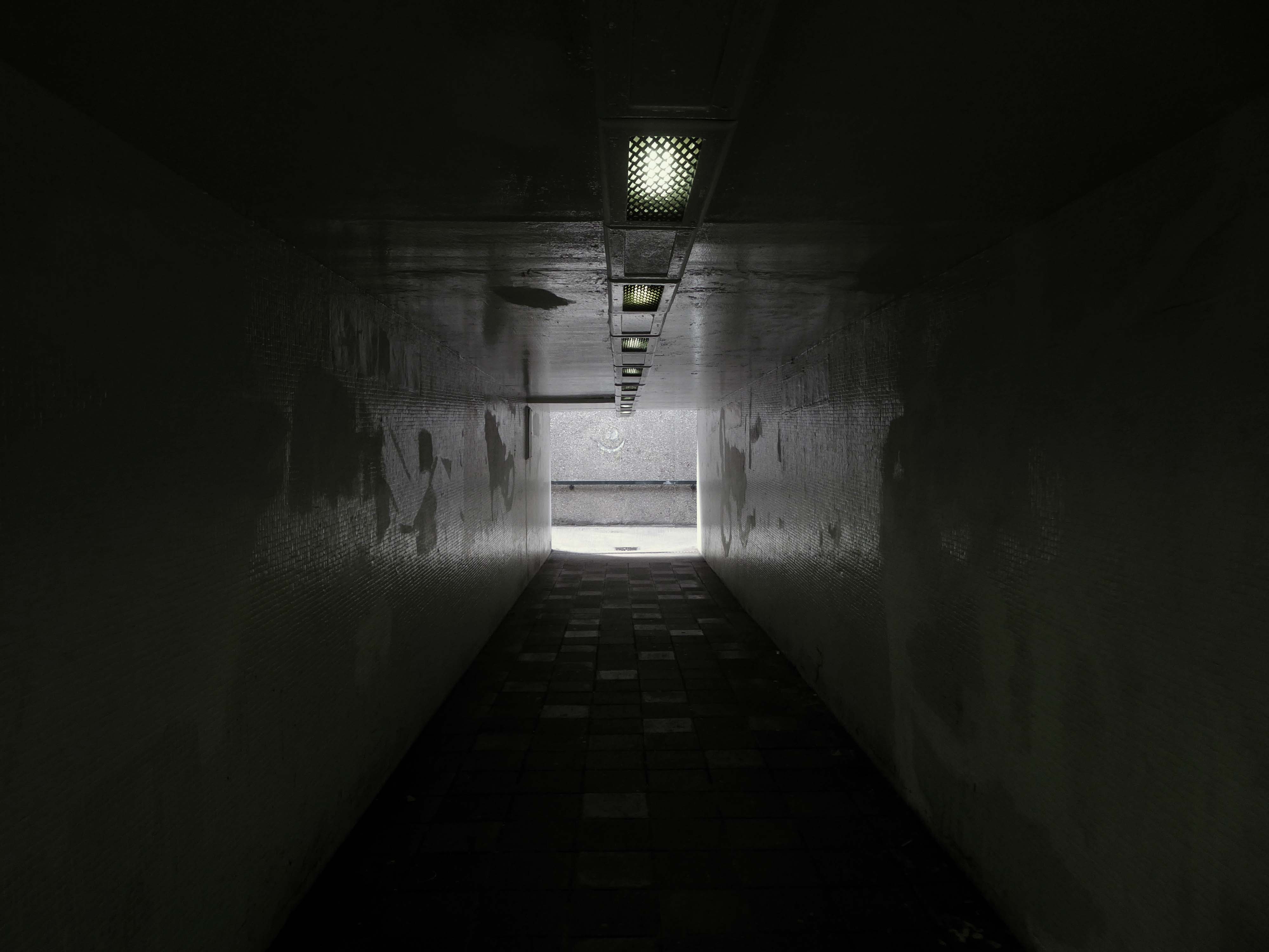
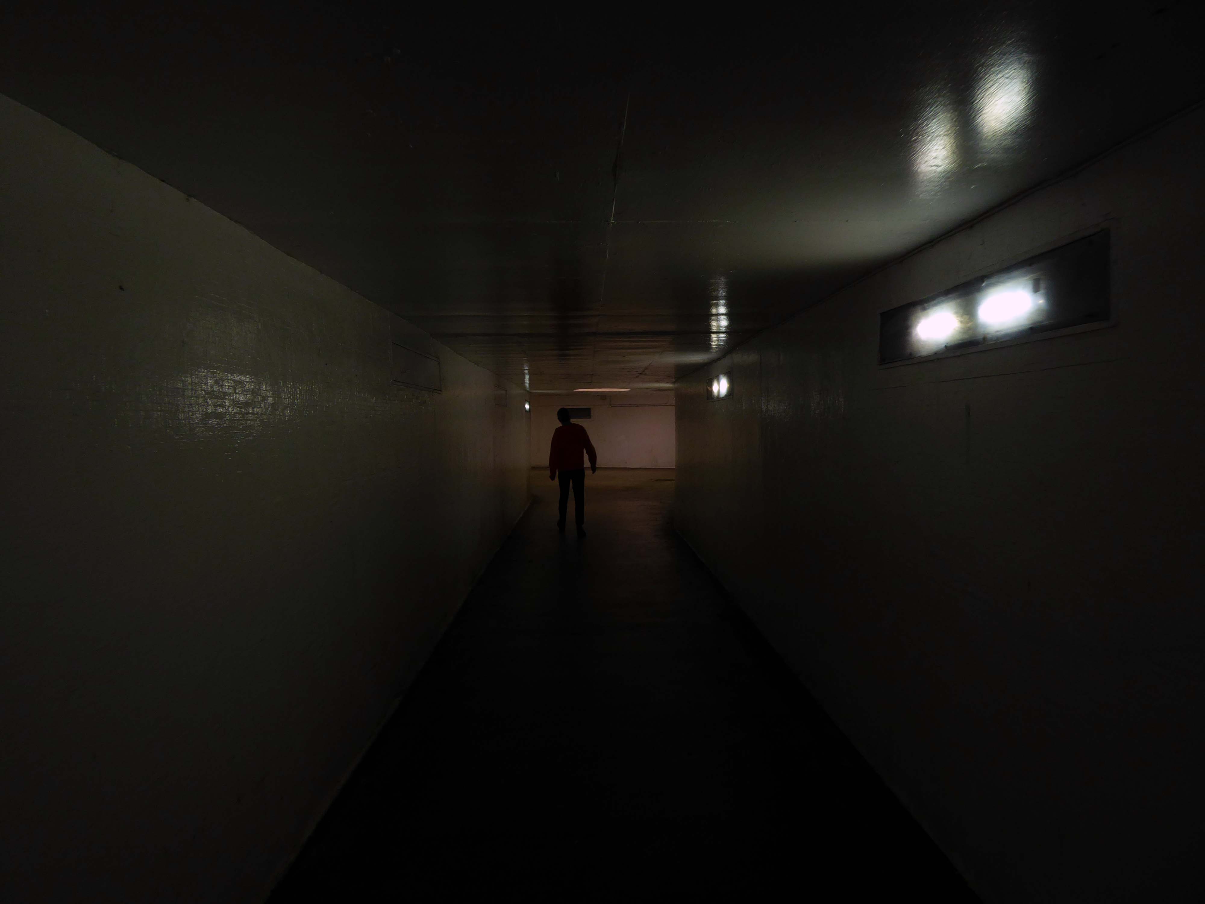
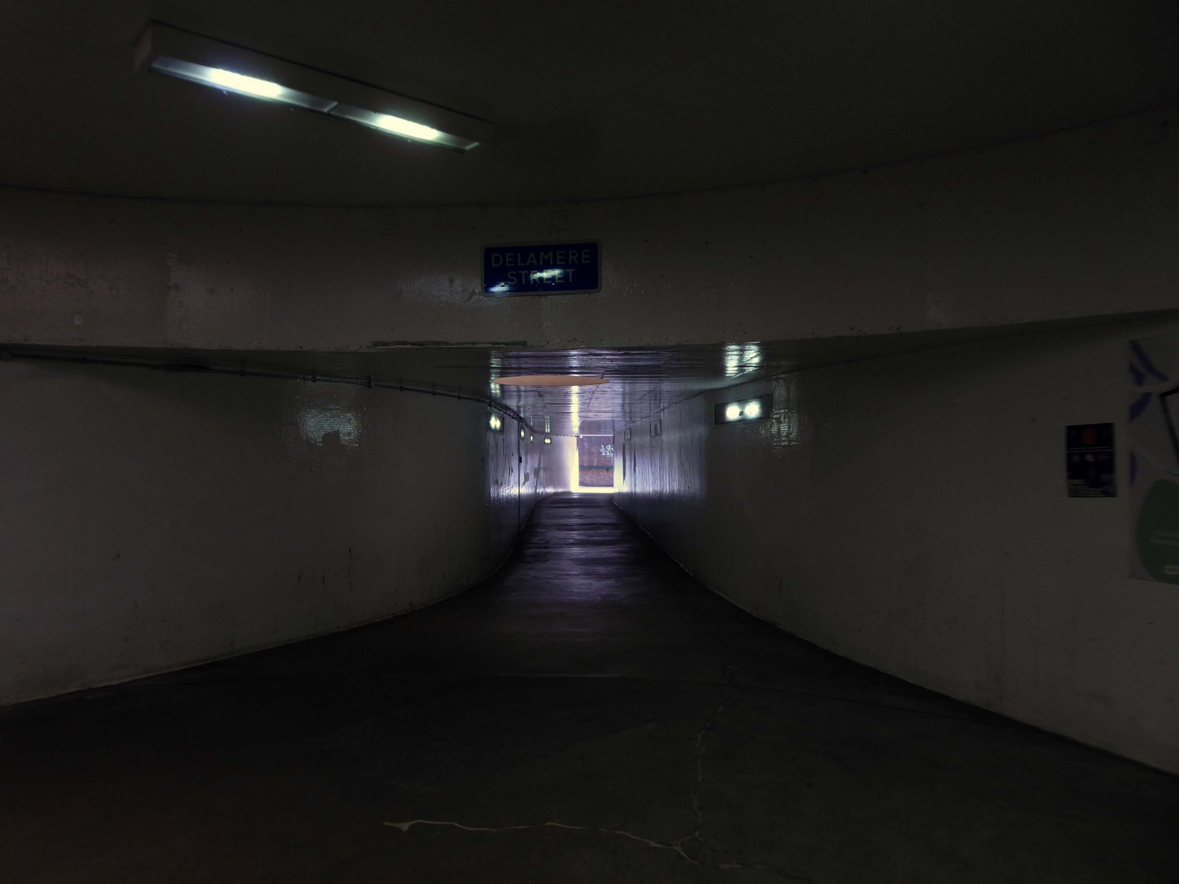
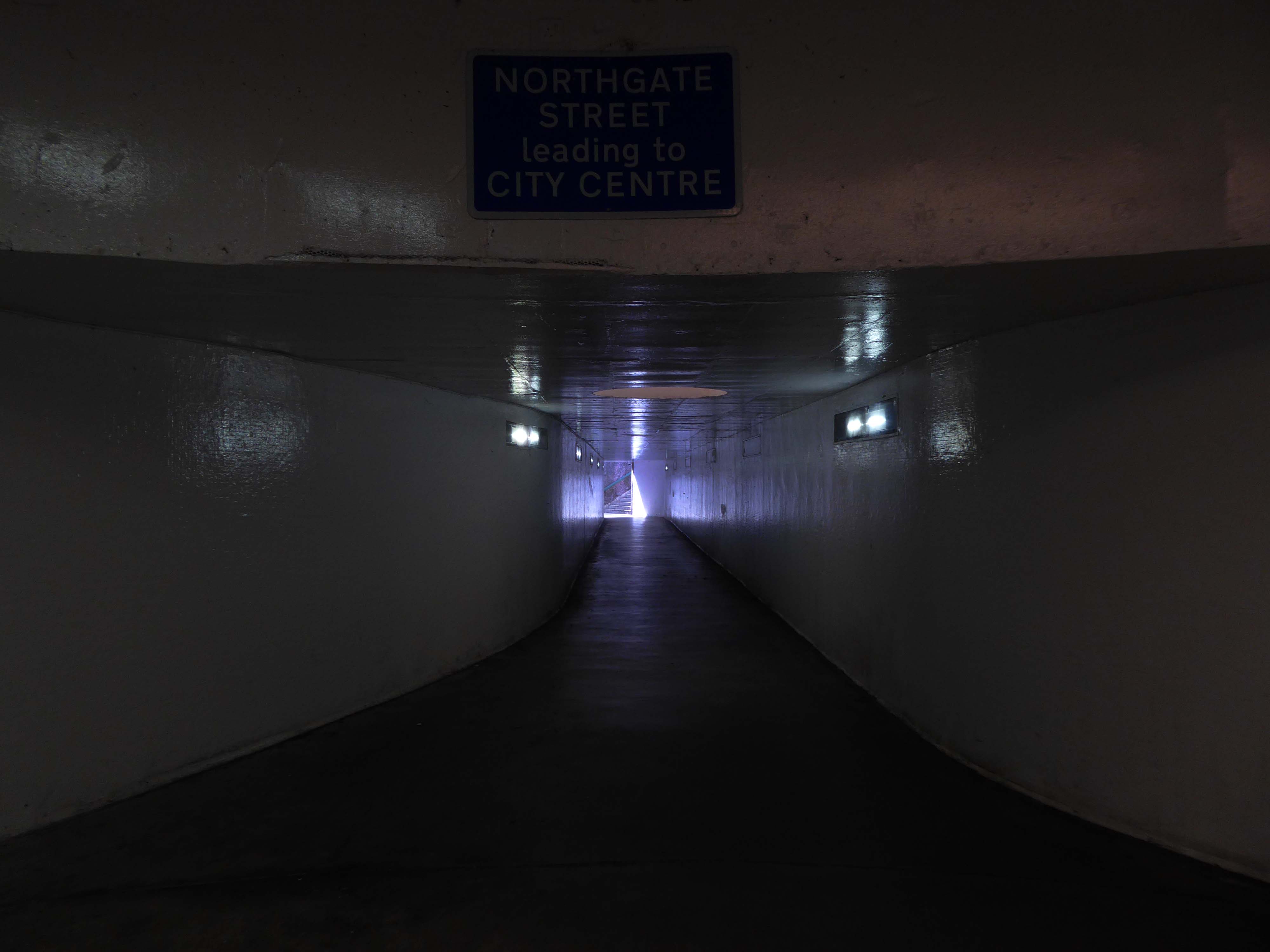
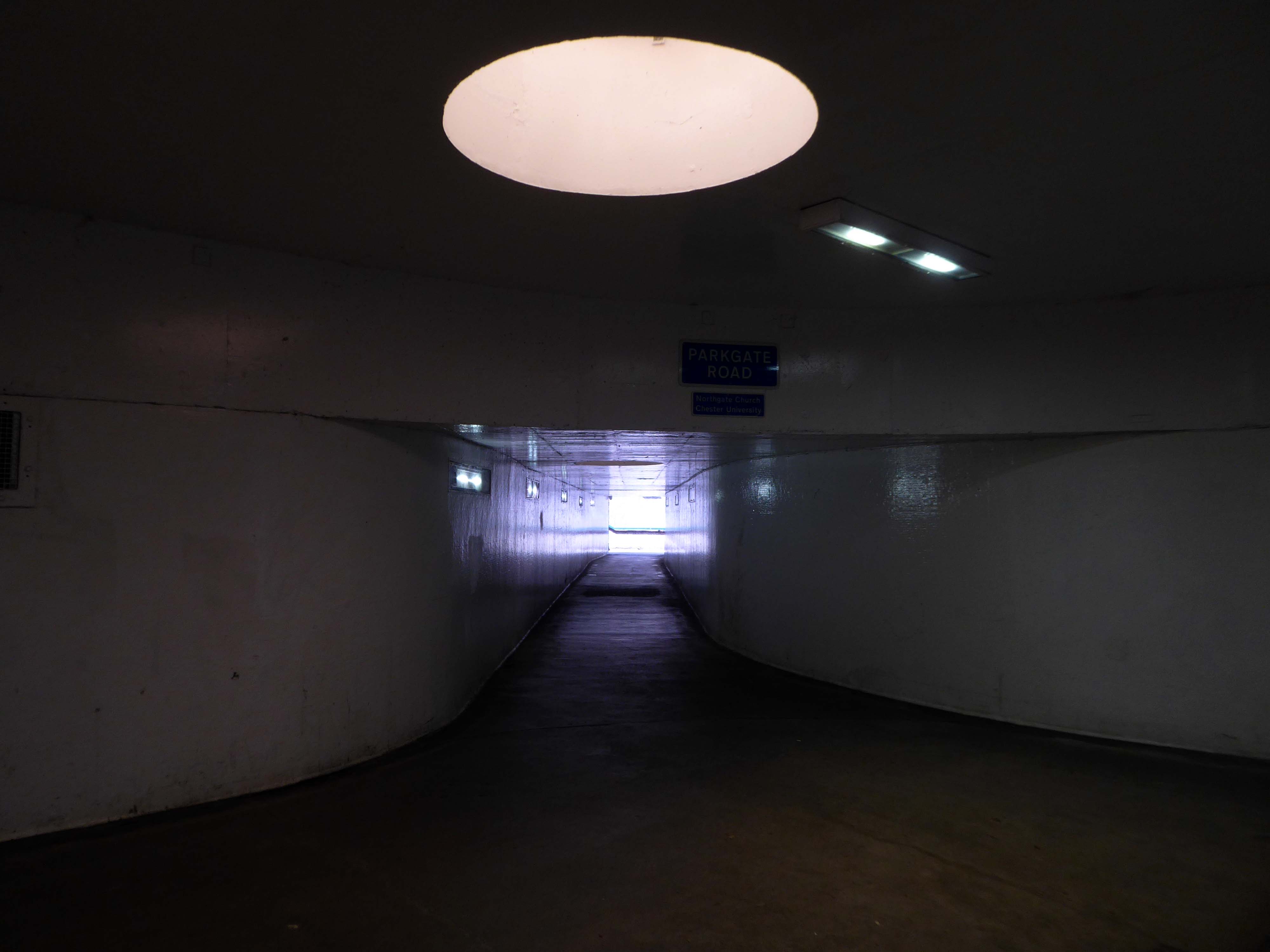
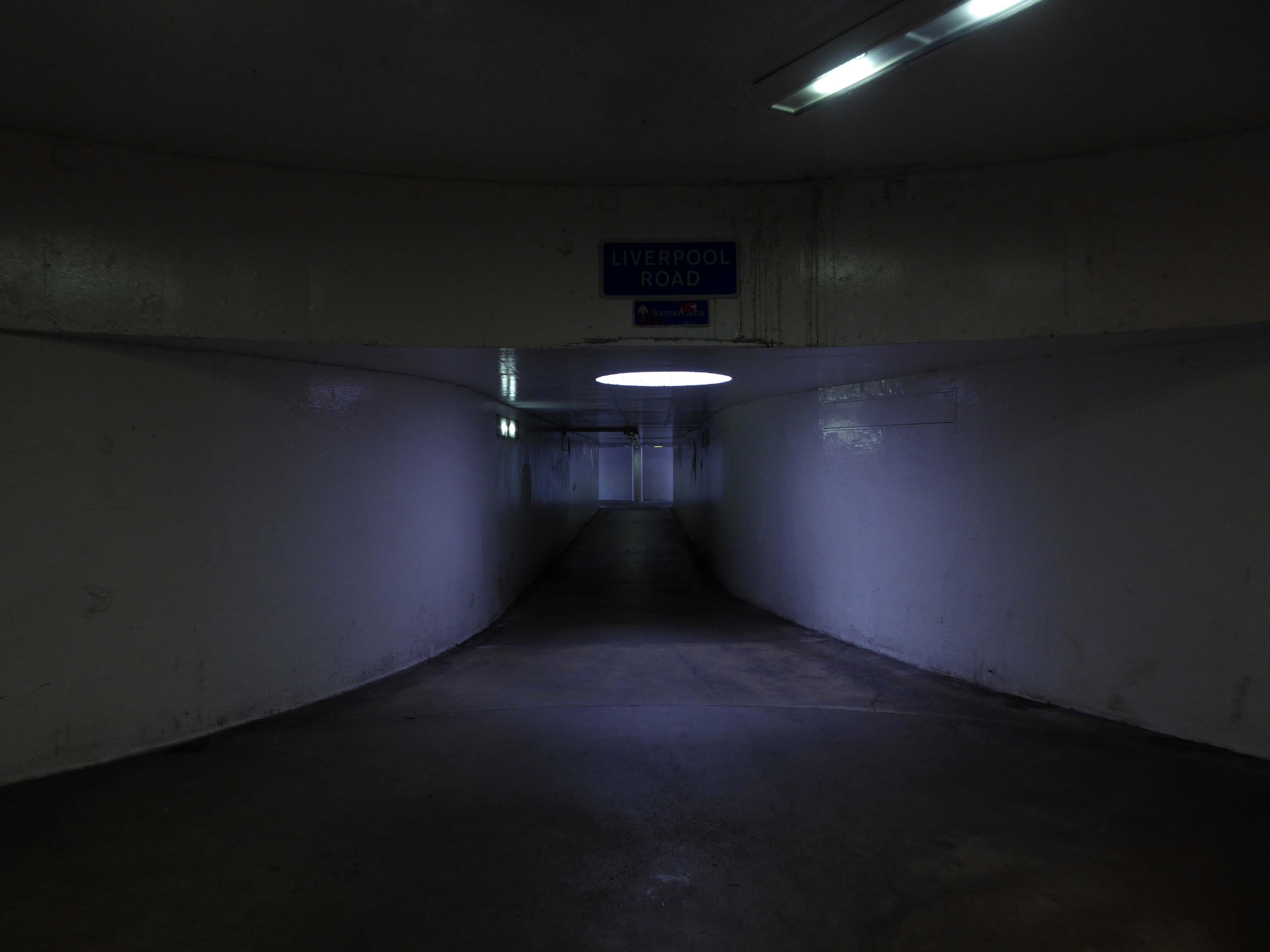
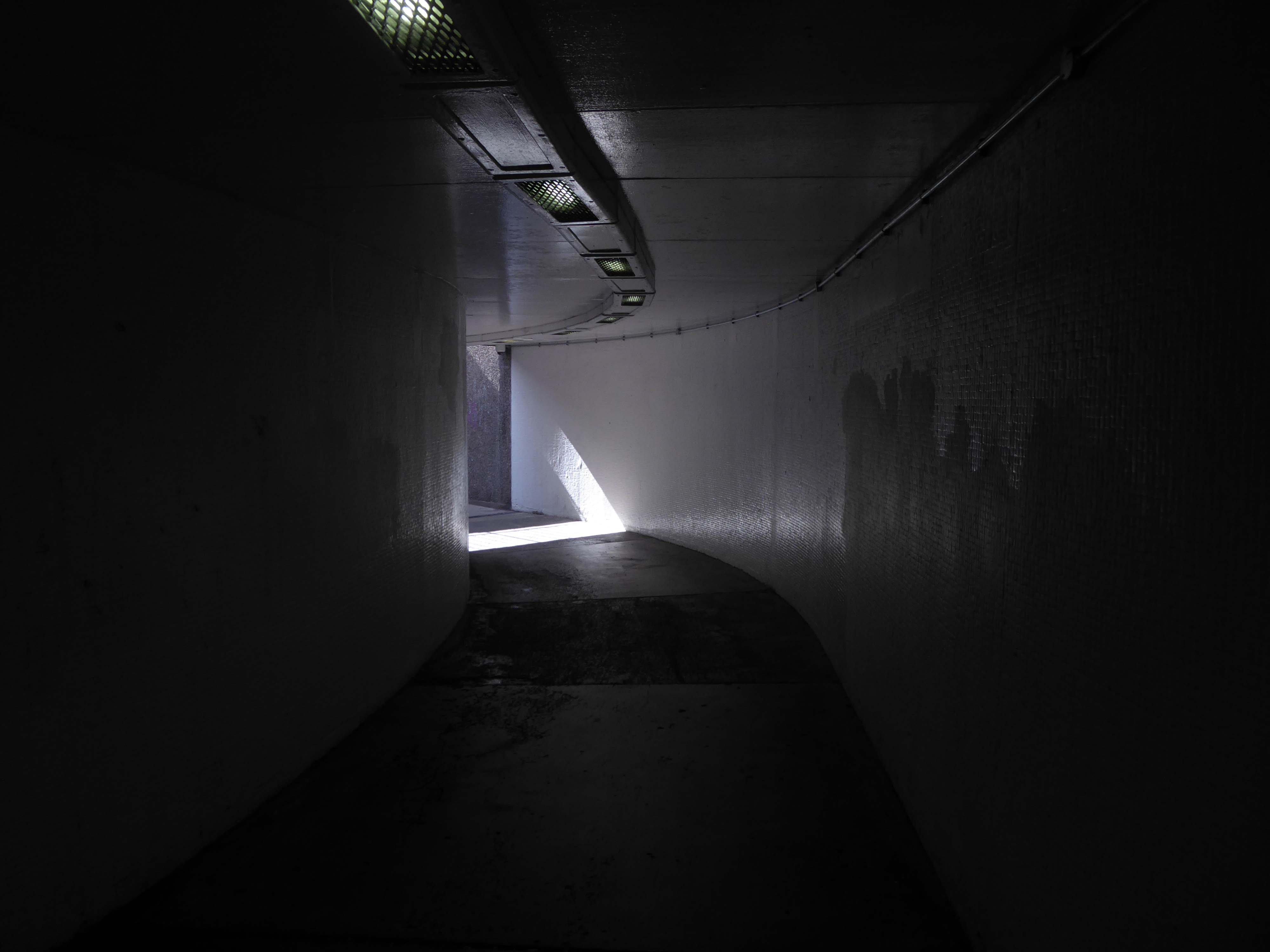
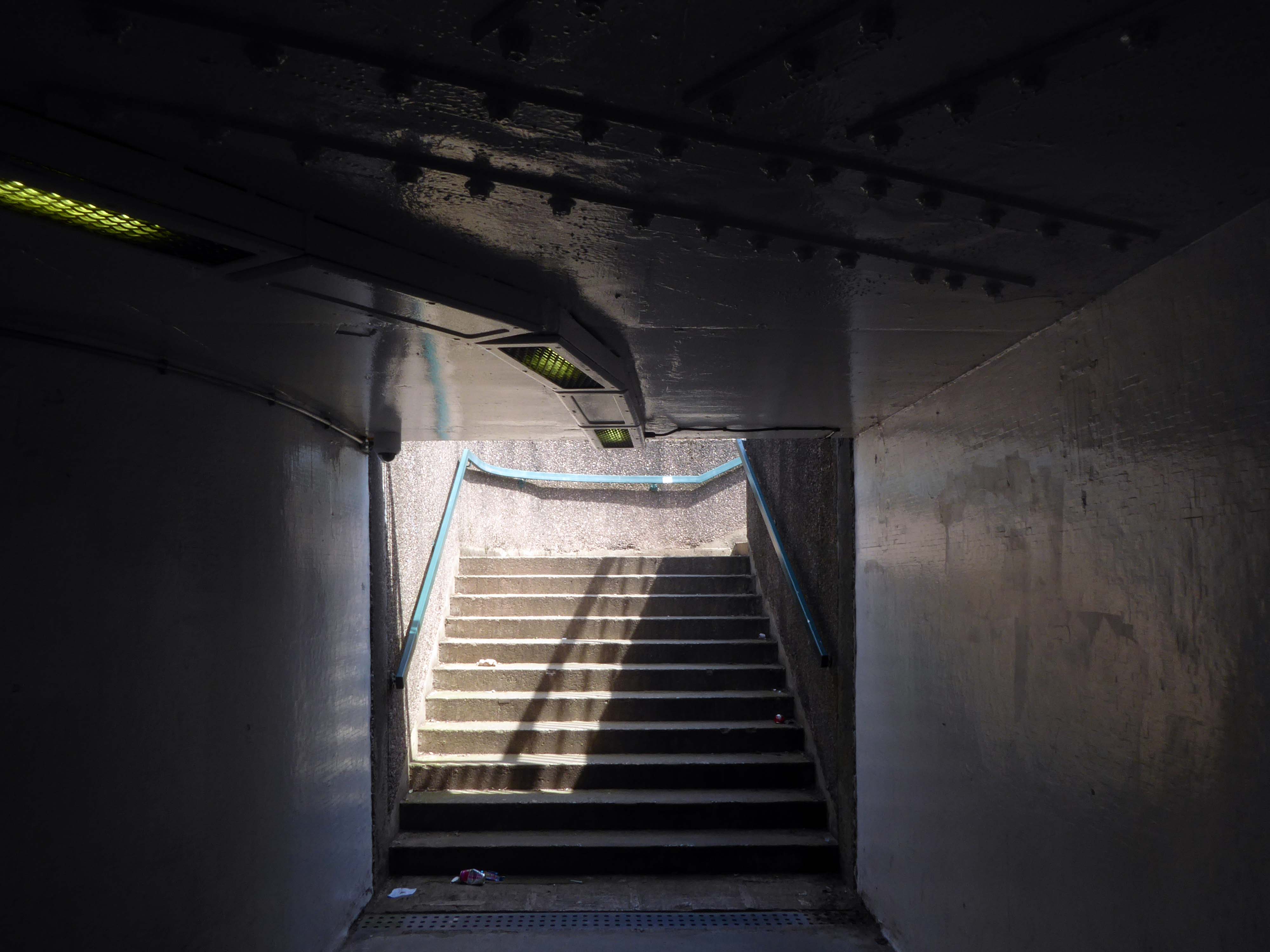
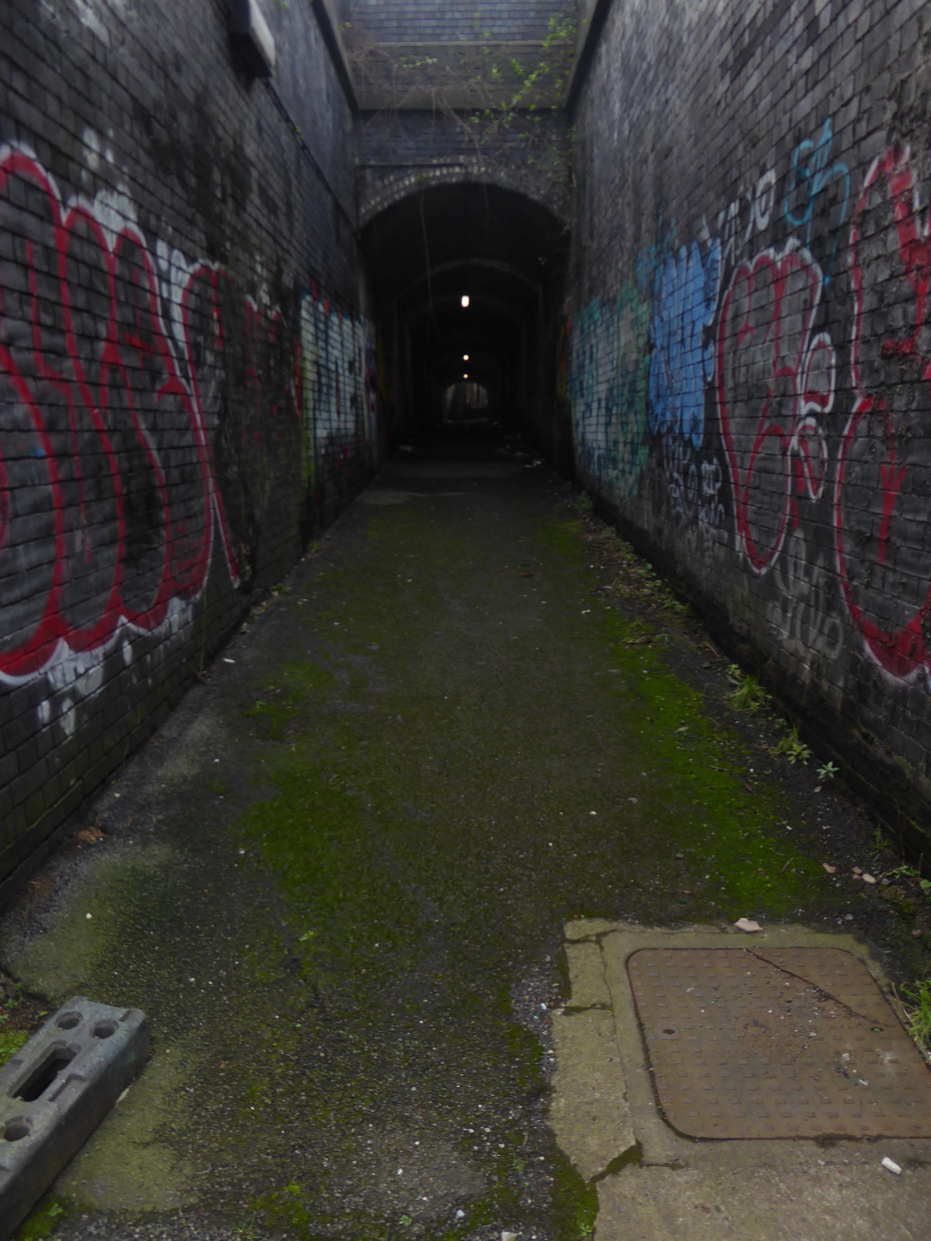
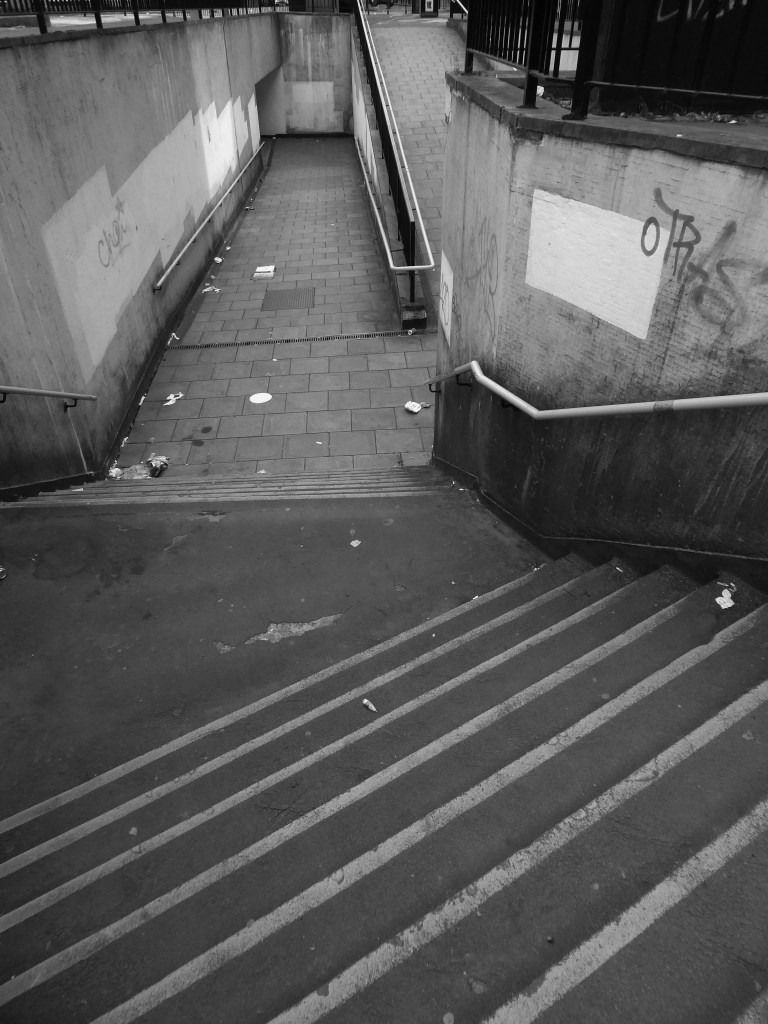
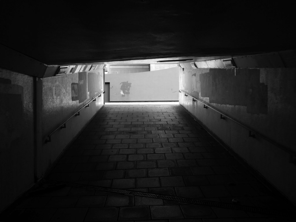
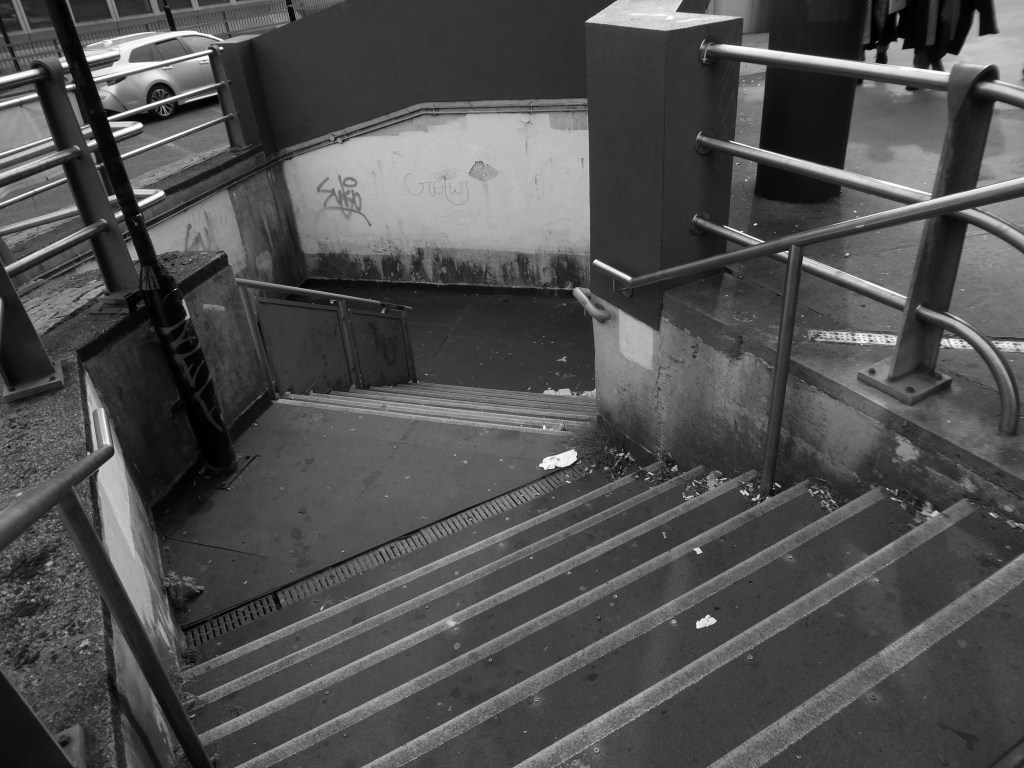
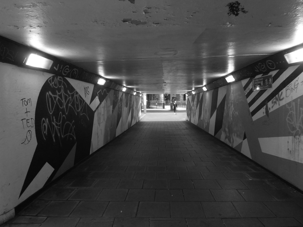
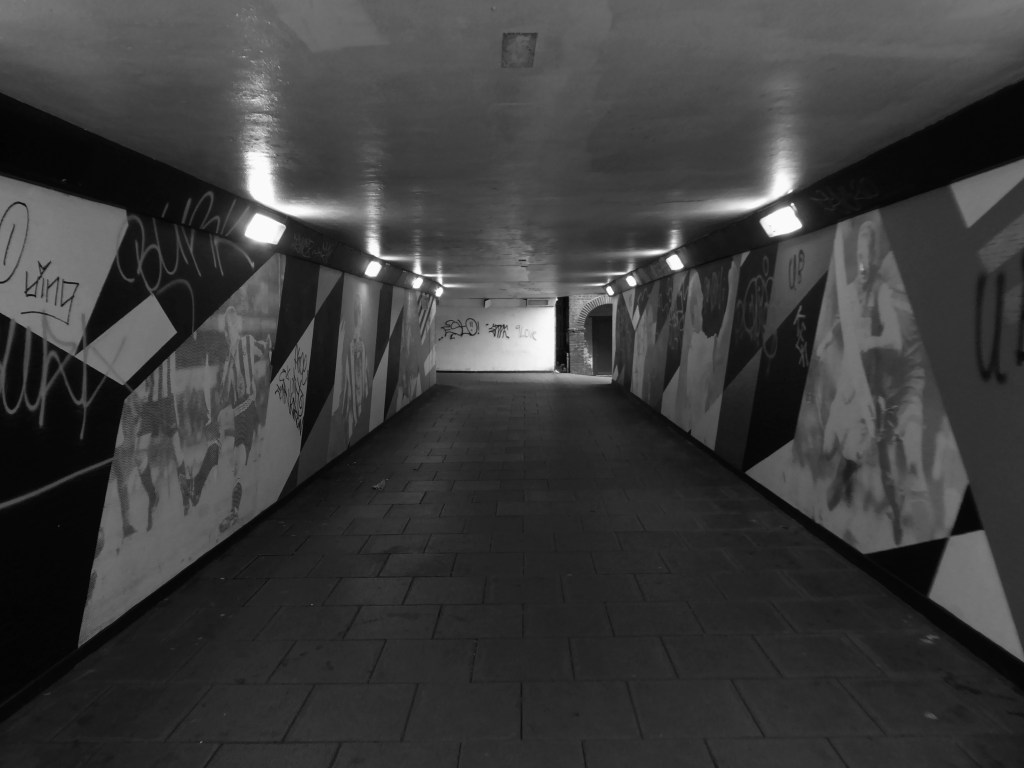
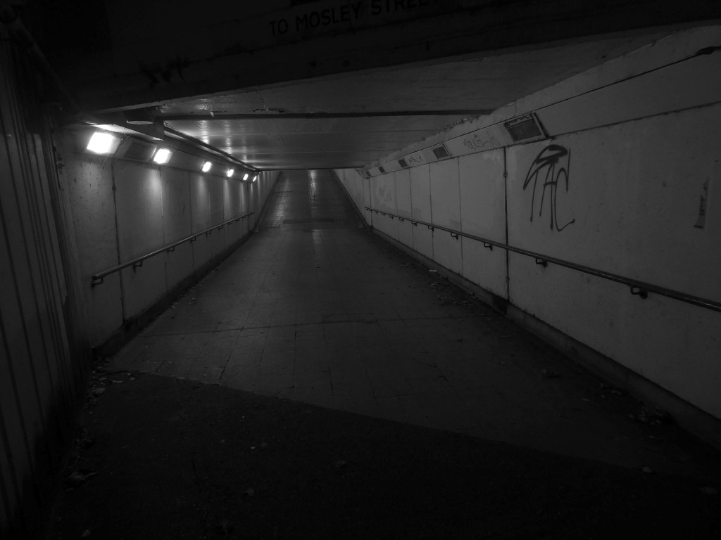
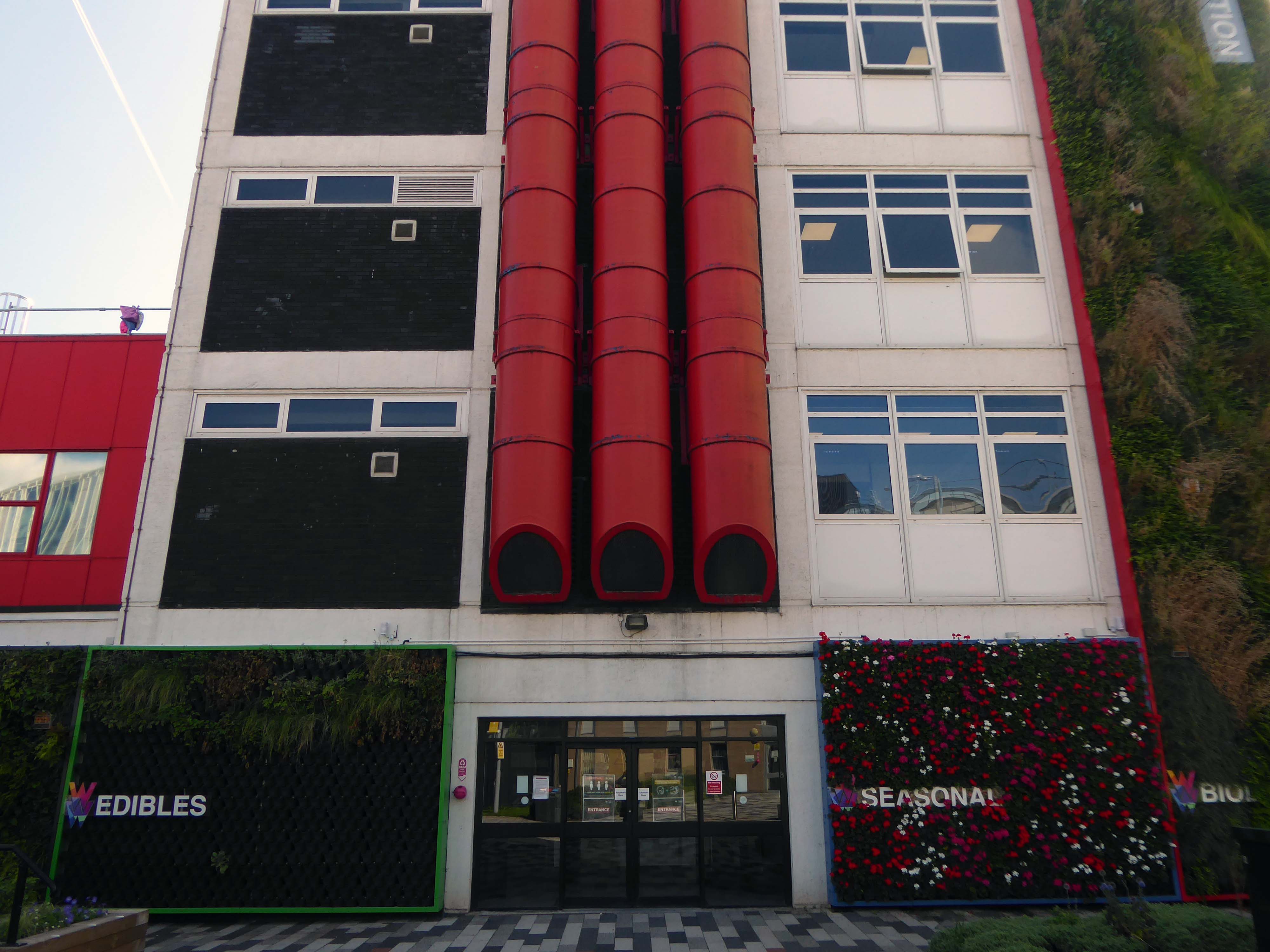
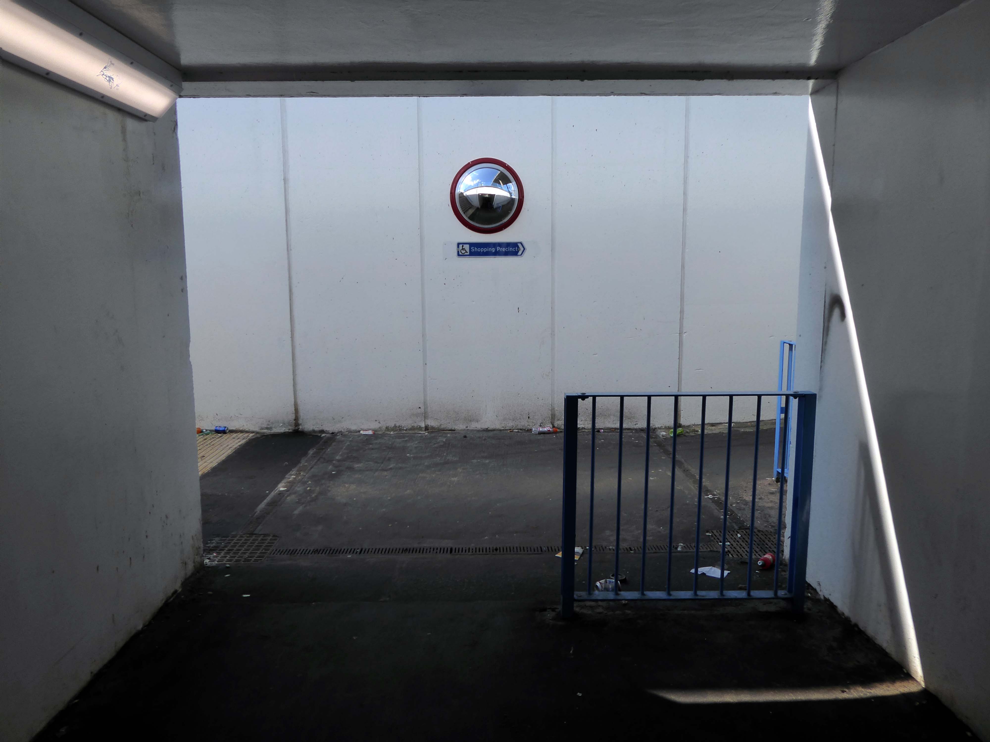
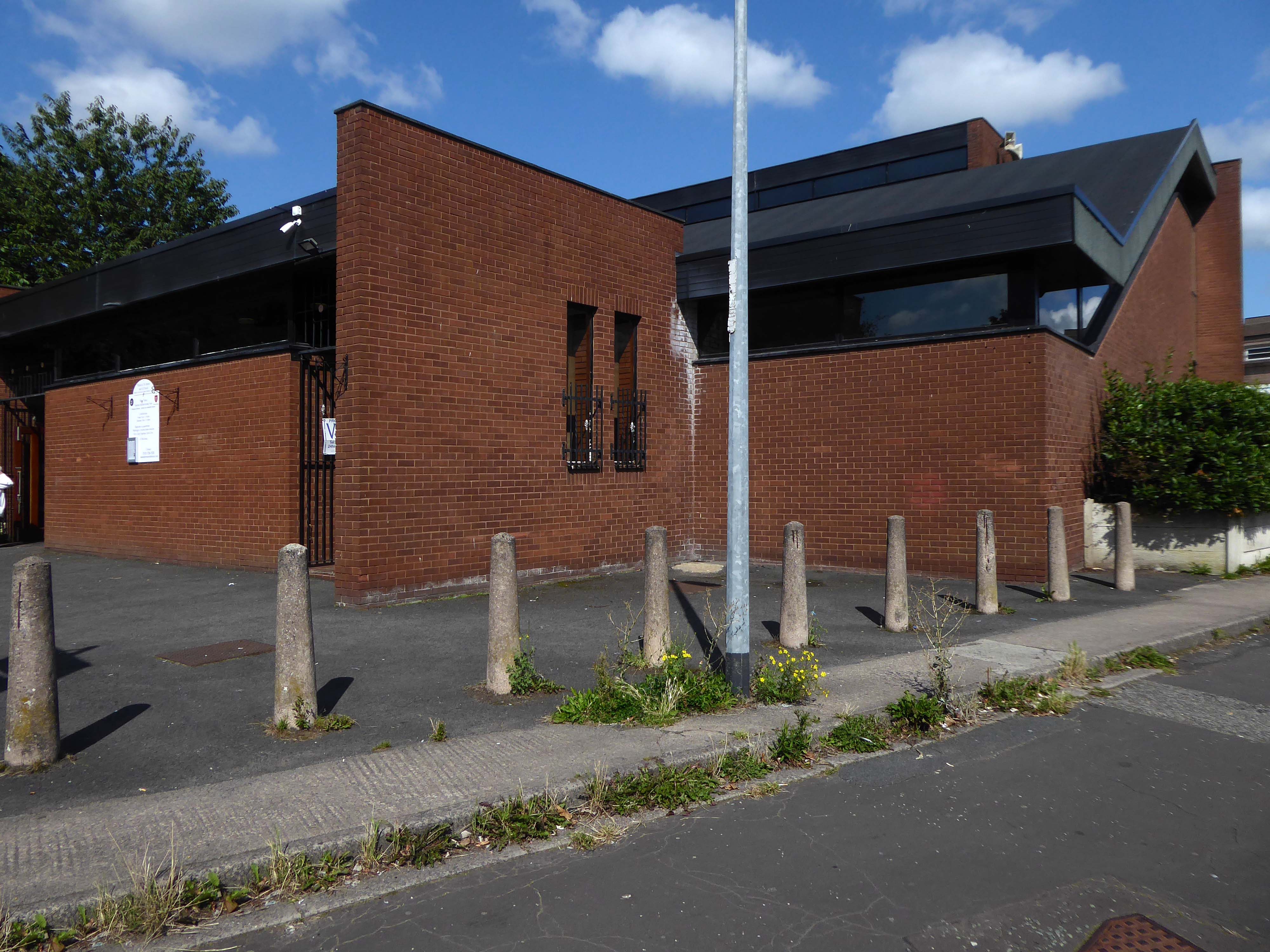
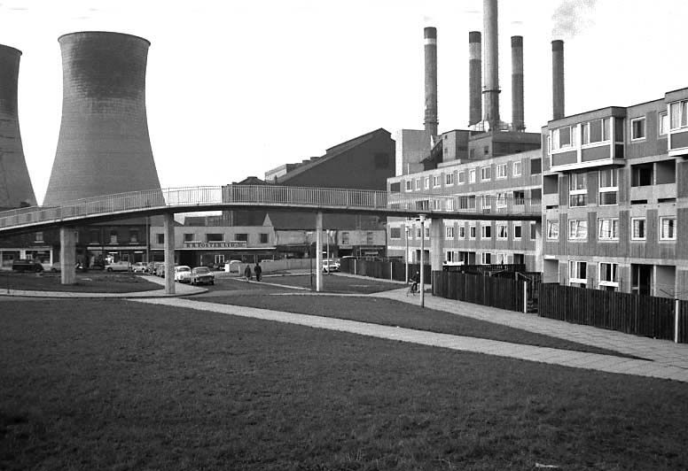
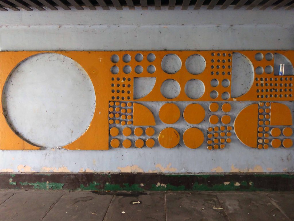
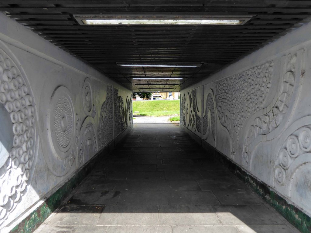
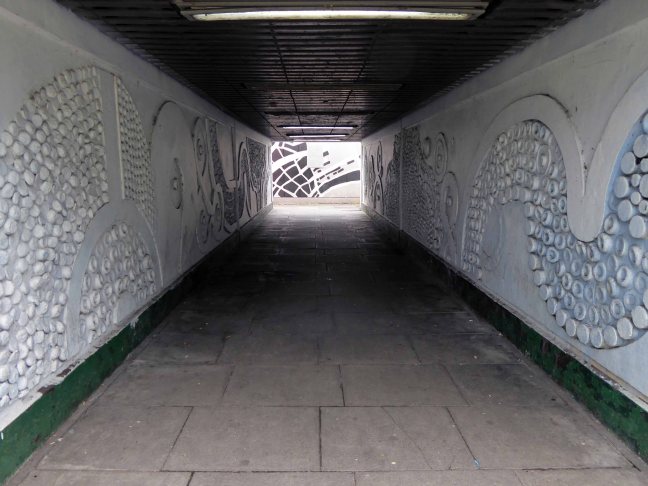
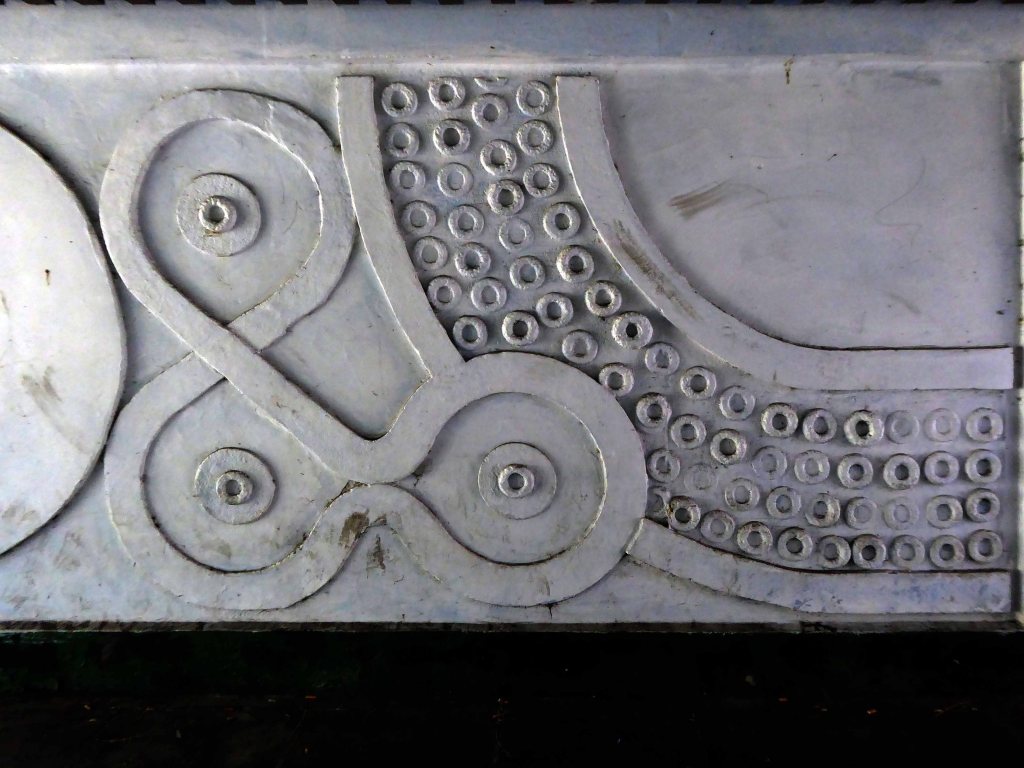
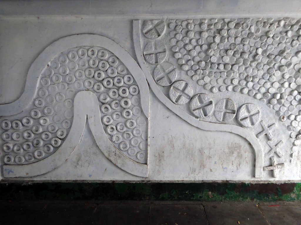
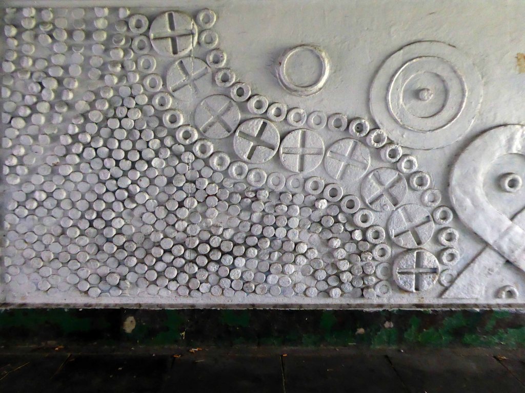
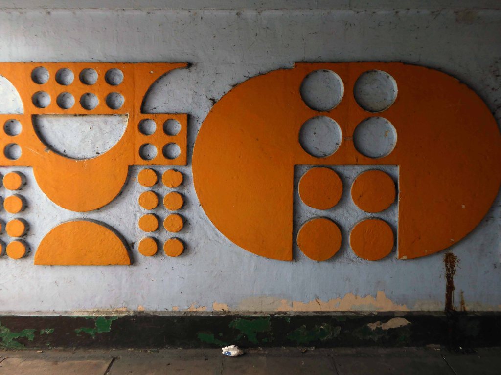
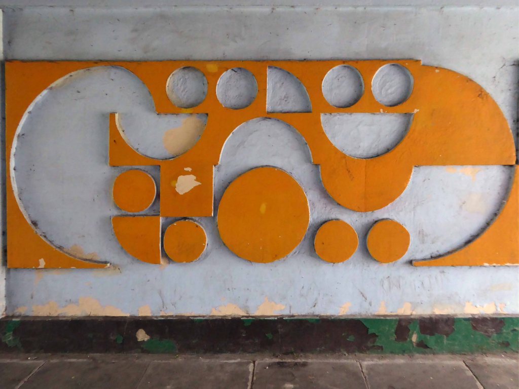
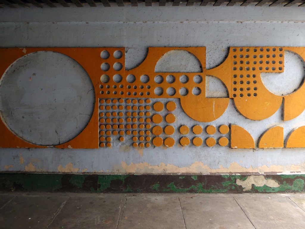
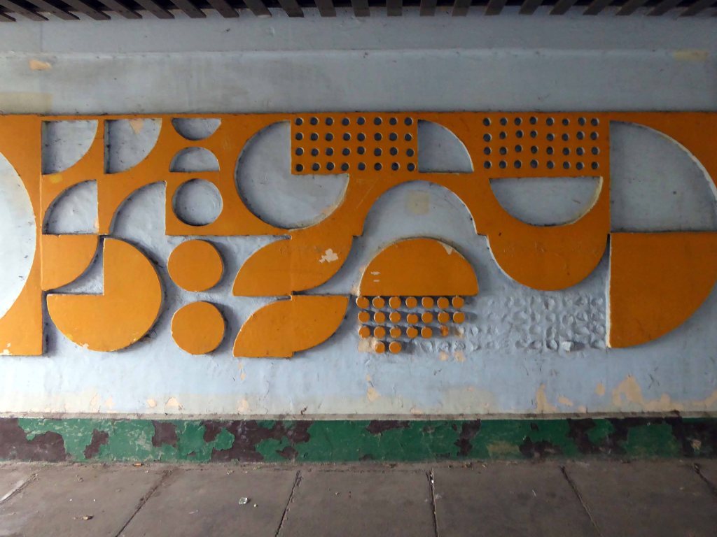
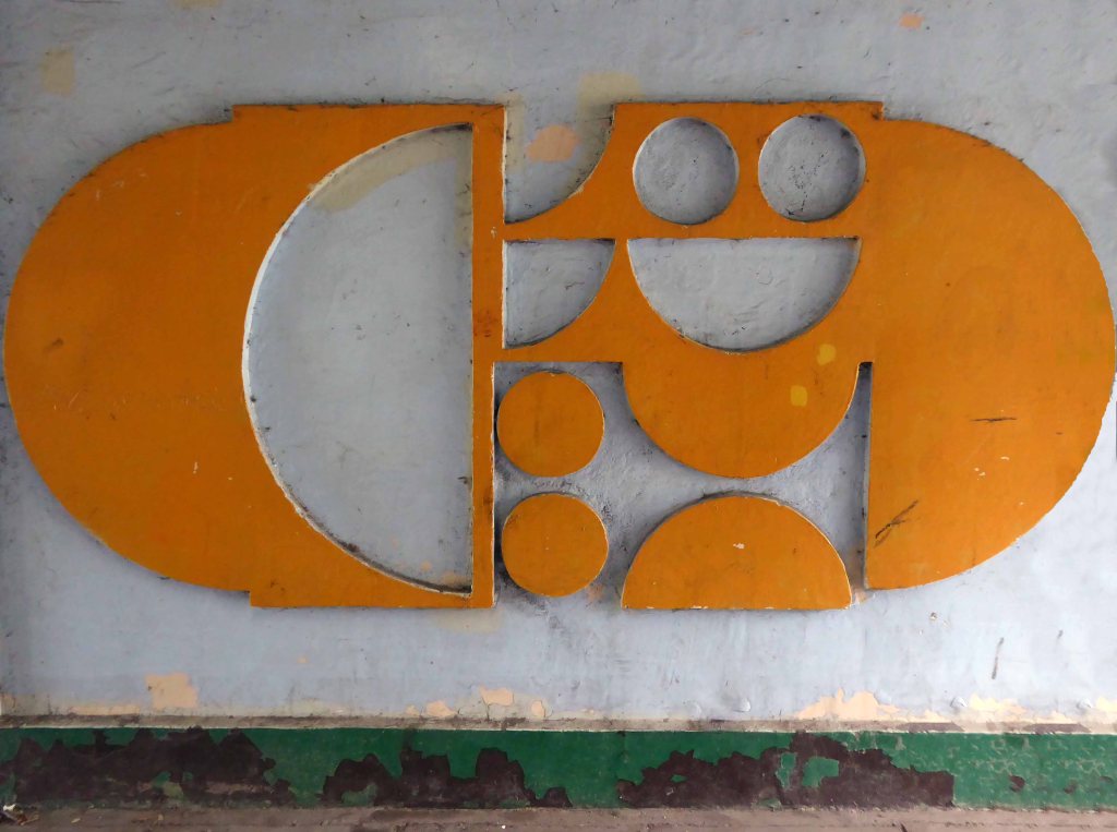
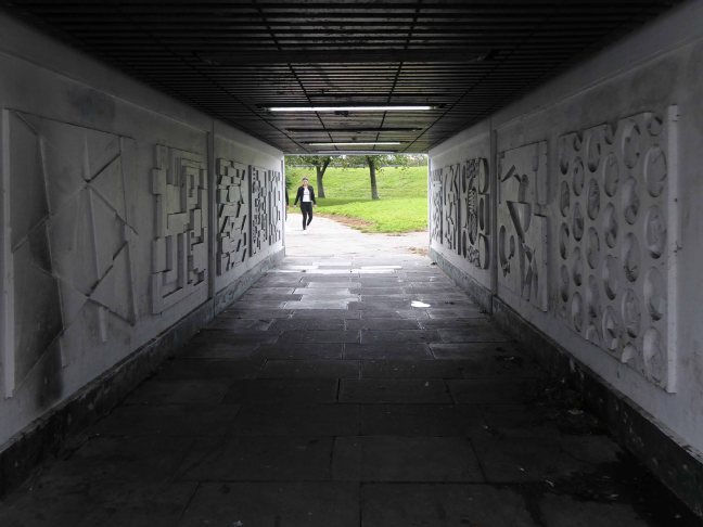
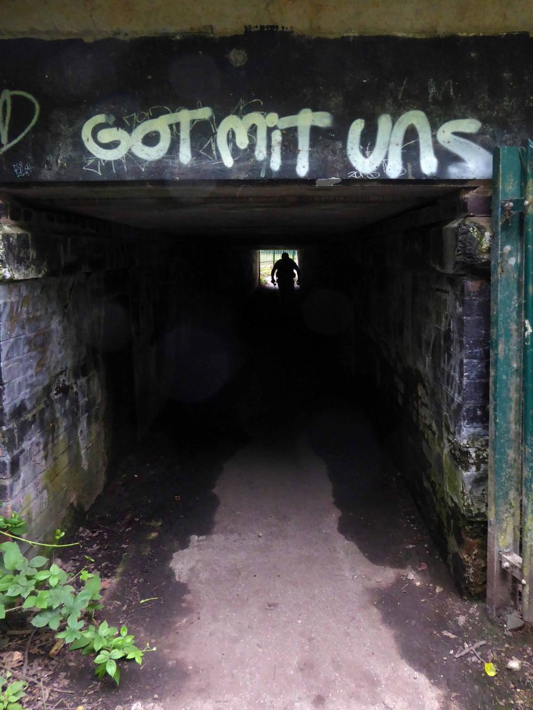
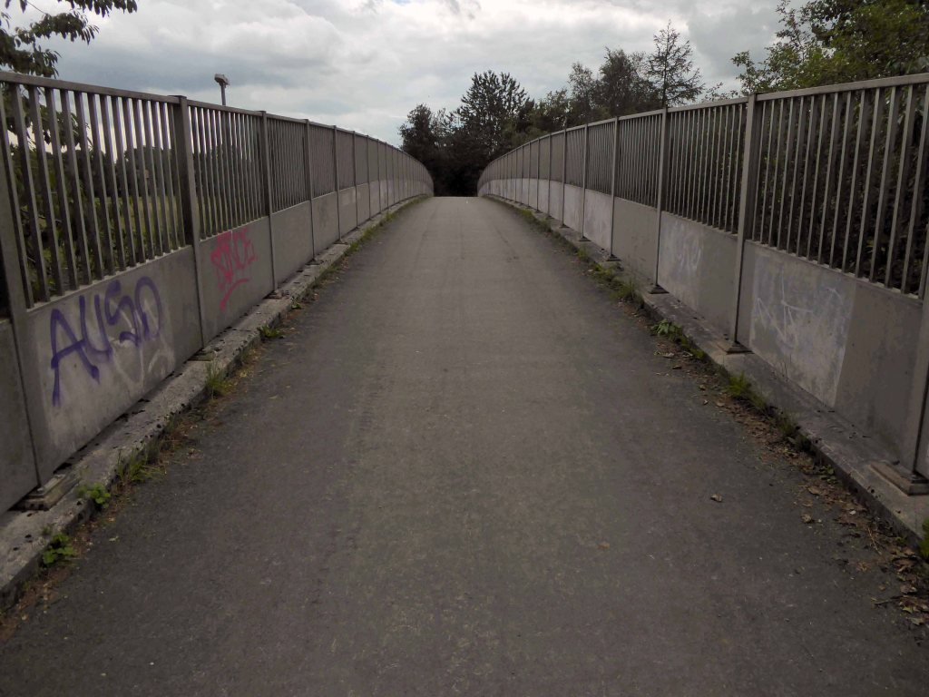
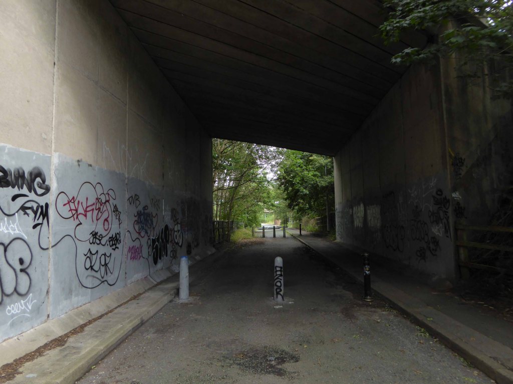
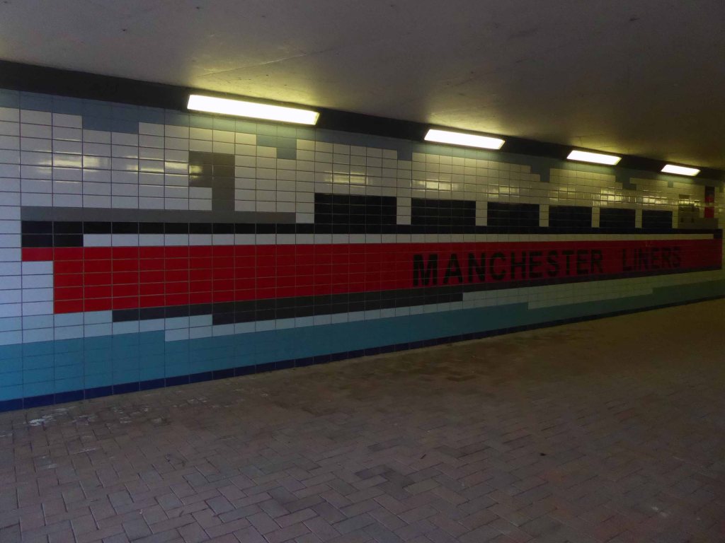
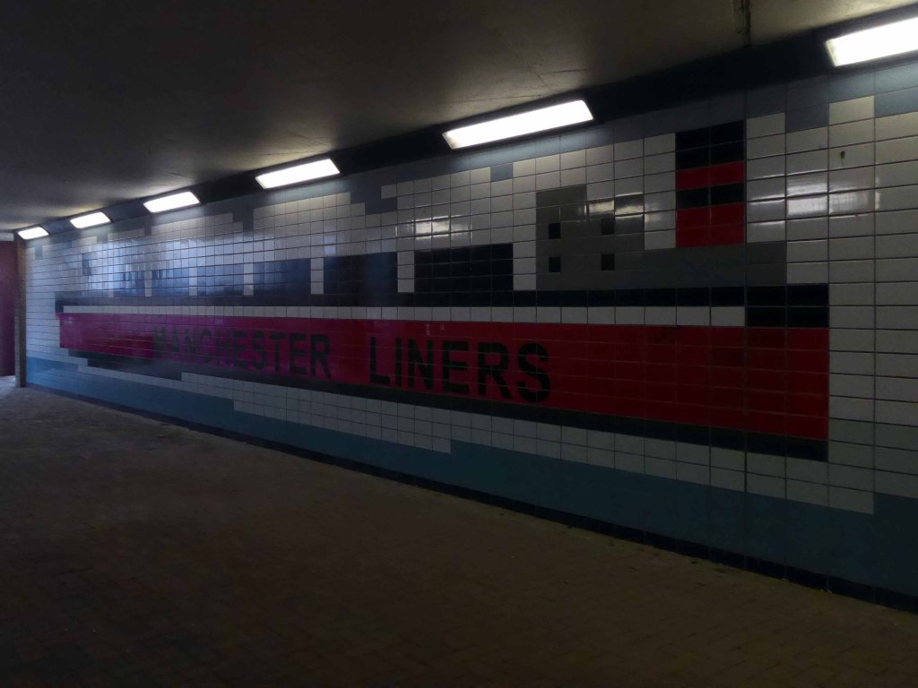
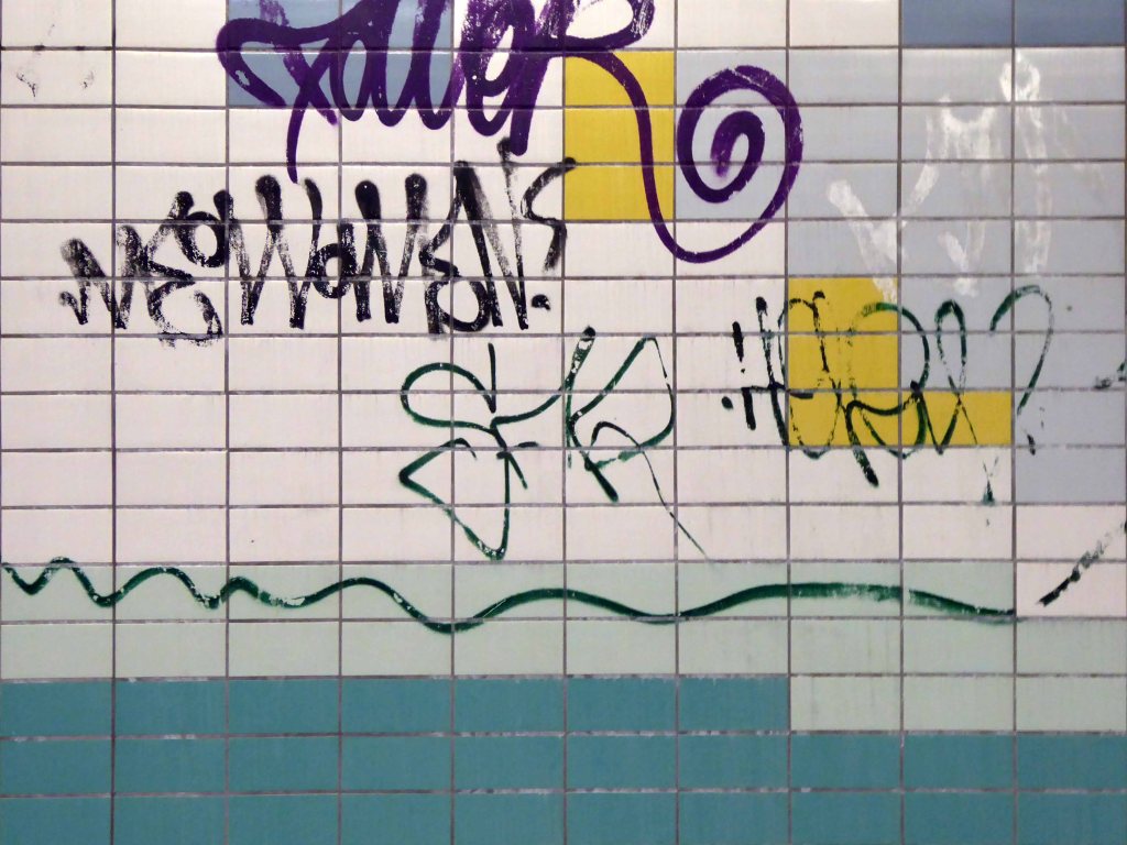
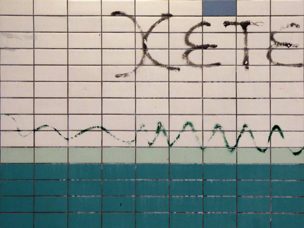
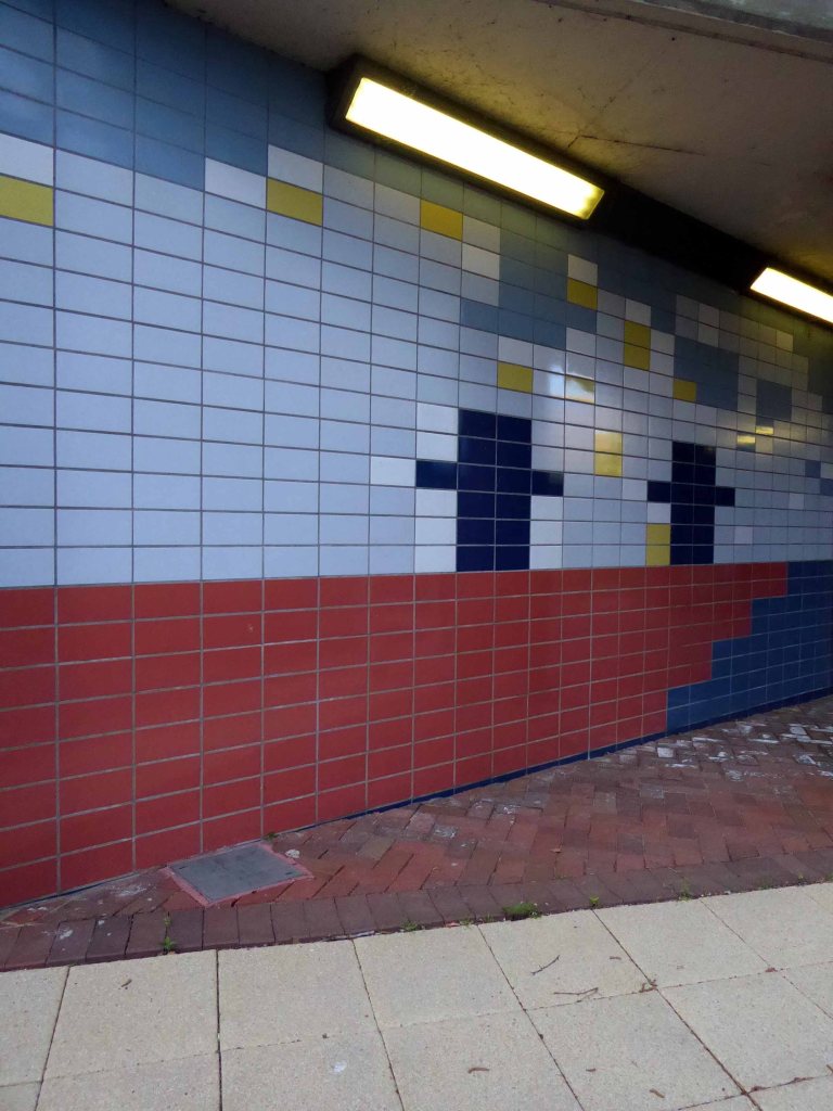
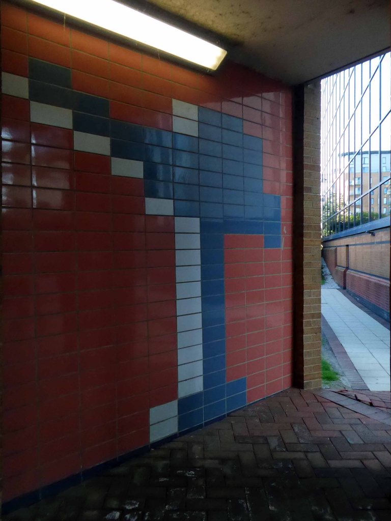
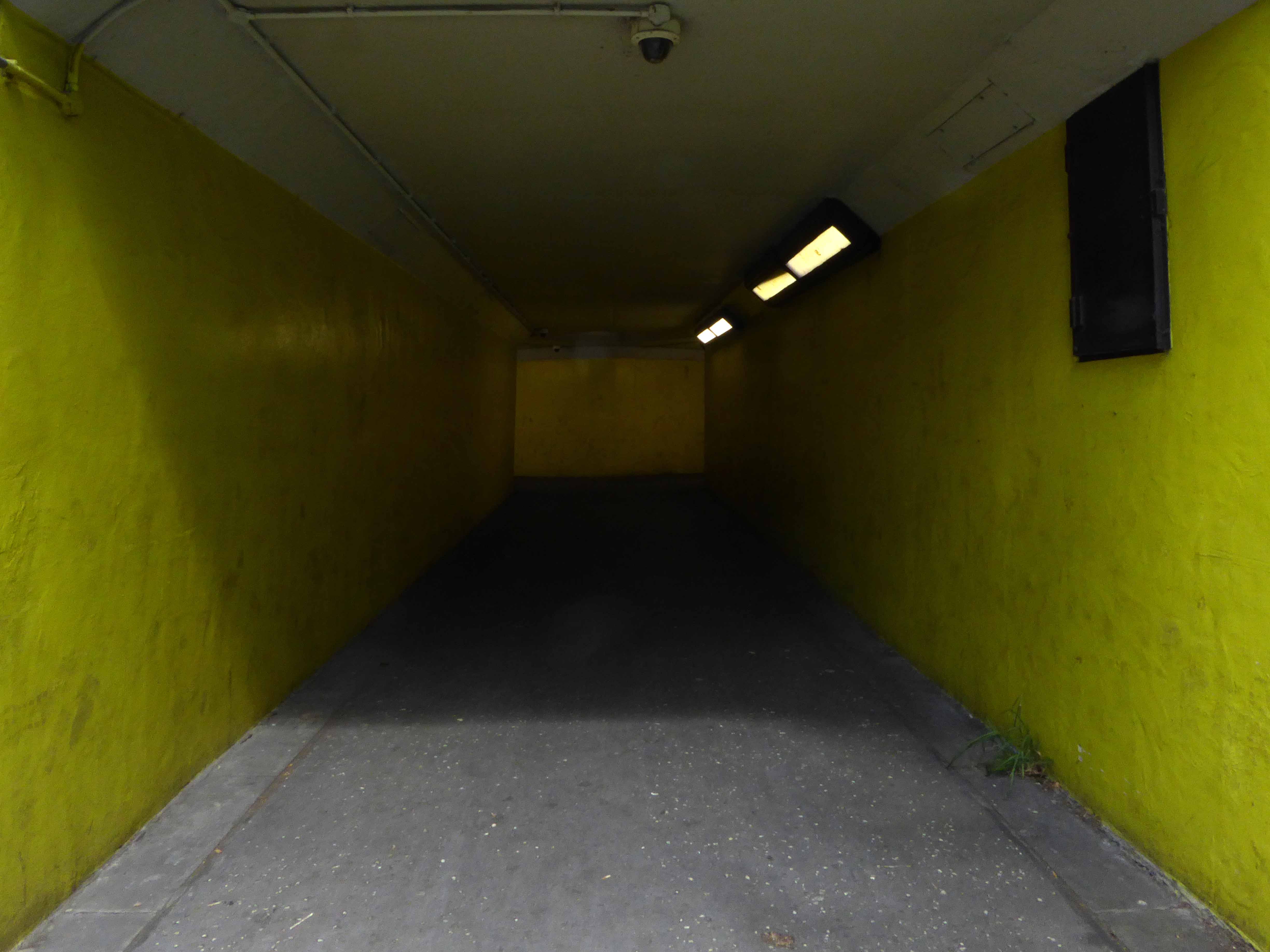
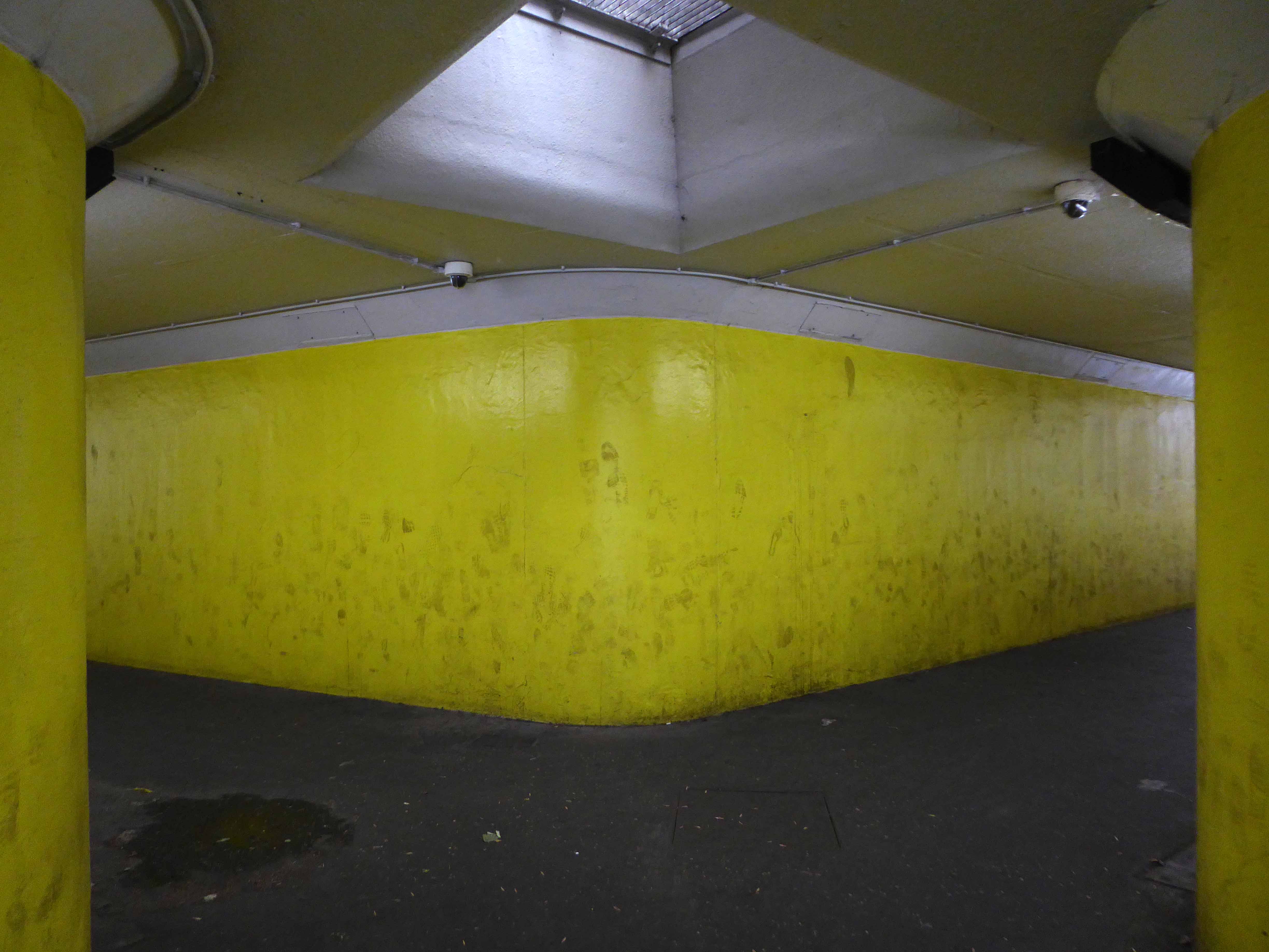
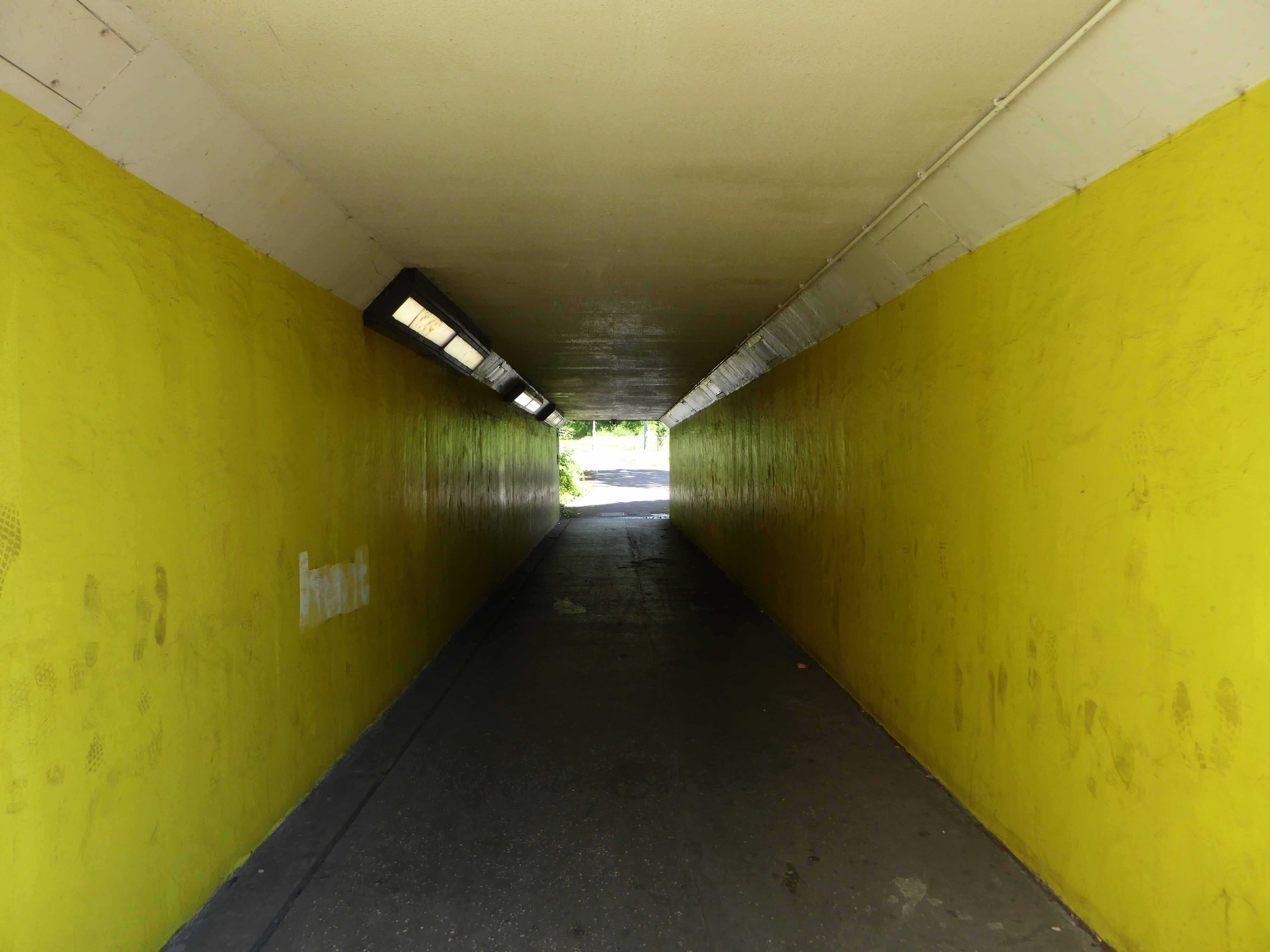
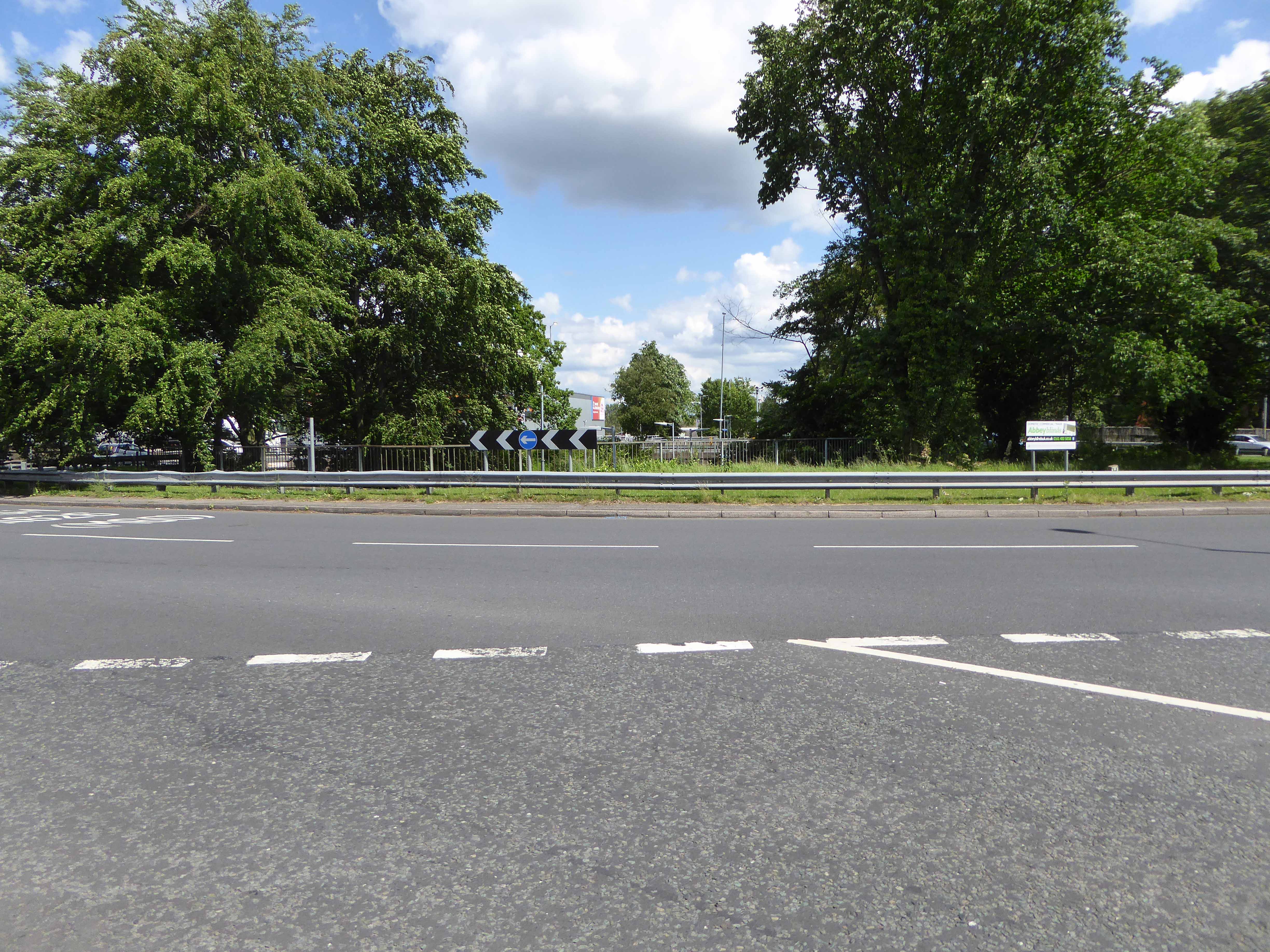
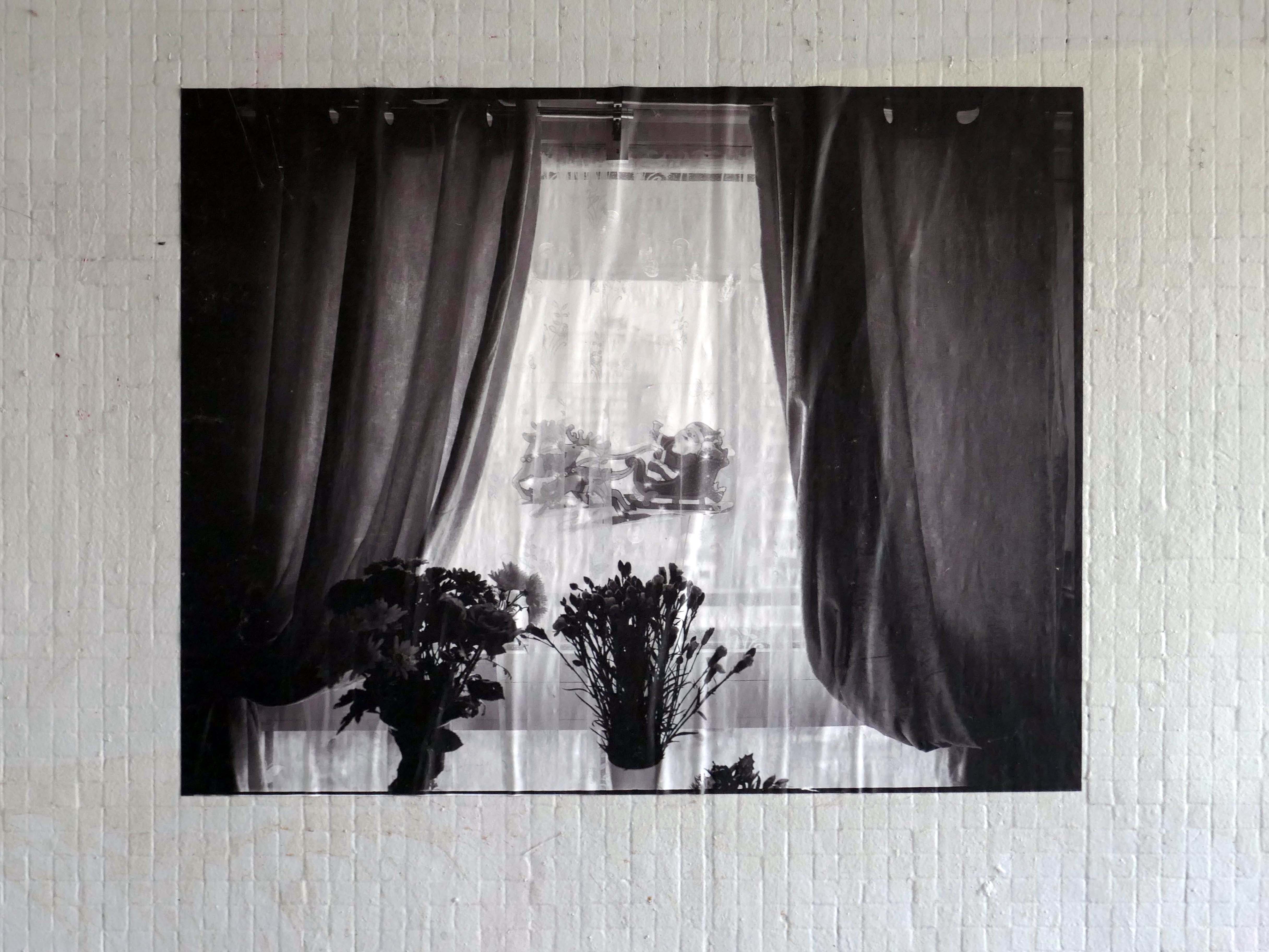
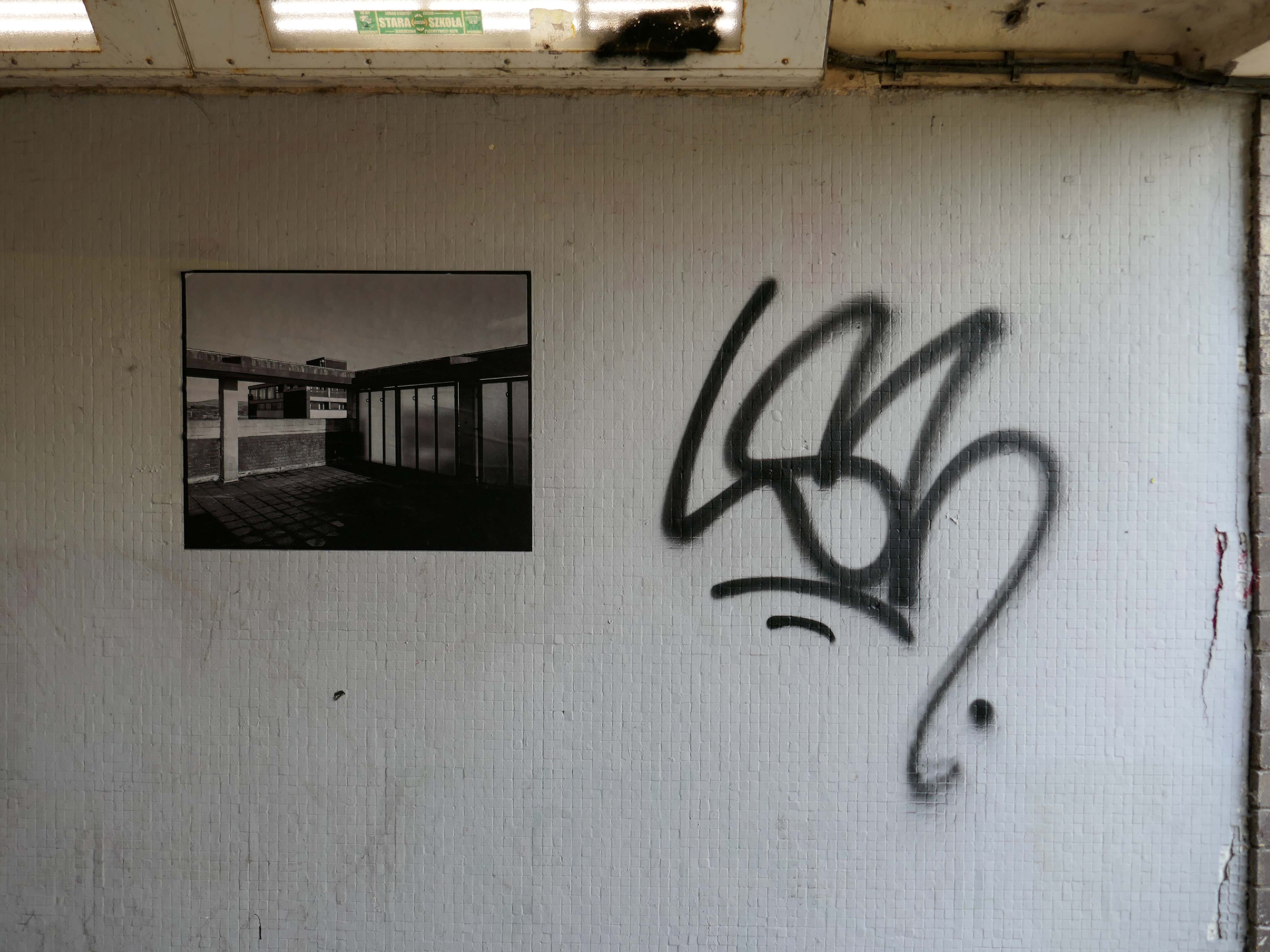
Local photographer Ellie Waters has her pictures of the flats displayed in the underpass.
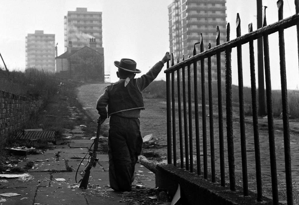
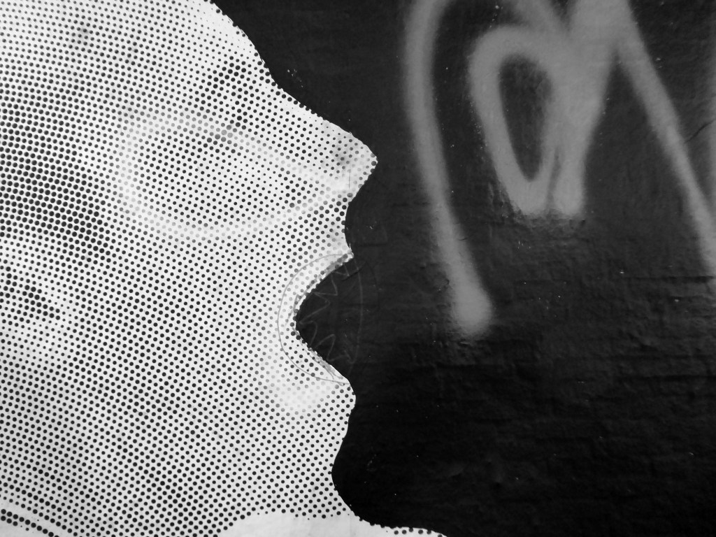
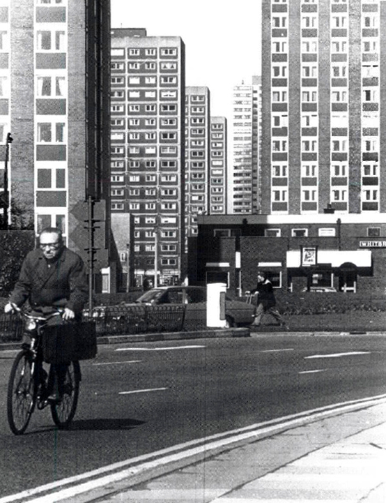
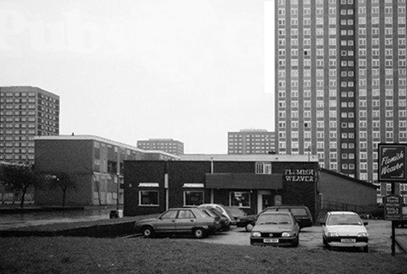
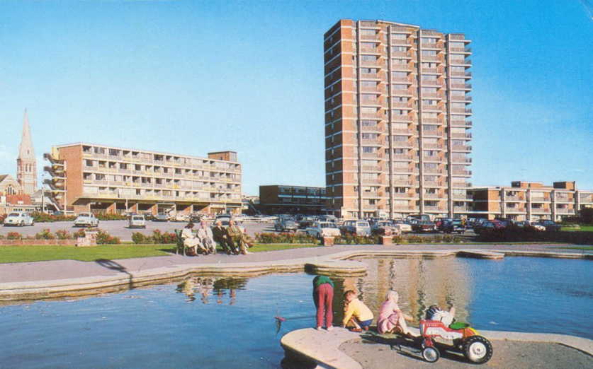
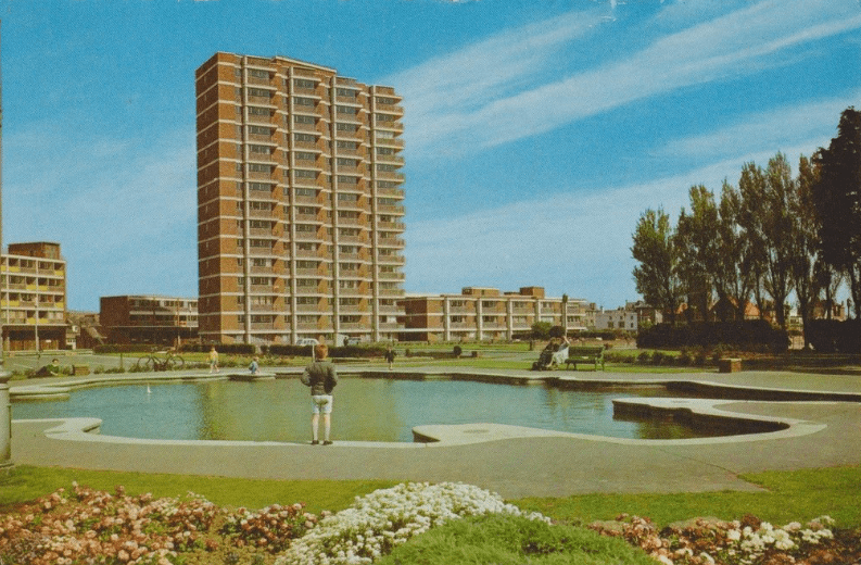
Notes From College Bank is an ongoing project which documents the College Bank buildings in Rochdale, Greater Manchester. Known locally as ‘The Seven Sisters’, College Bank is formed of seven high-rise social housing blocks, four of which have come under recent threat of demolition.
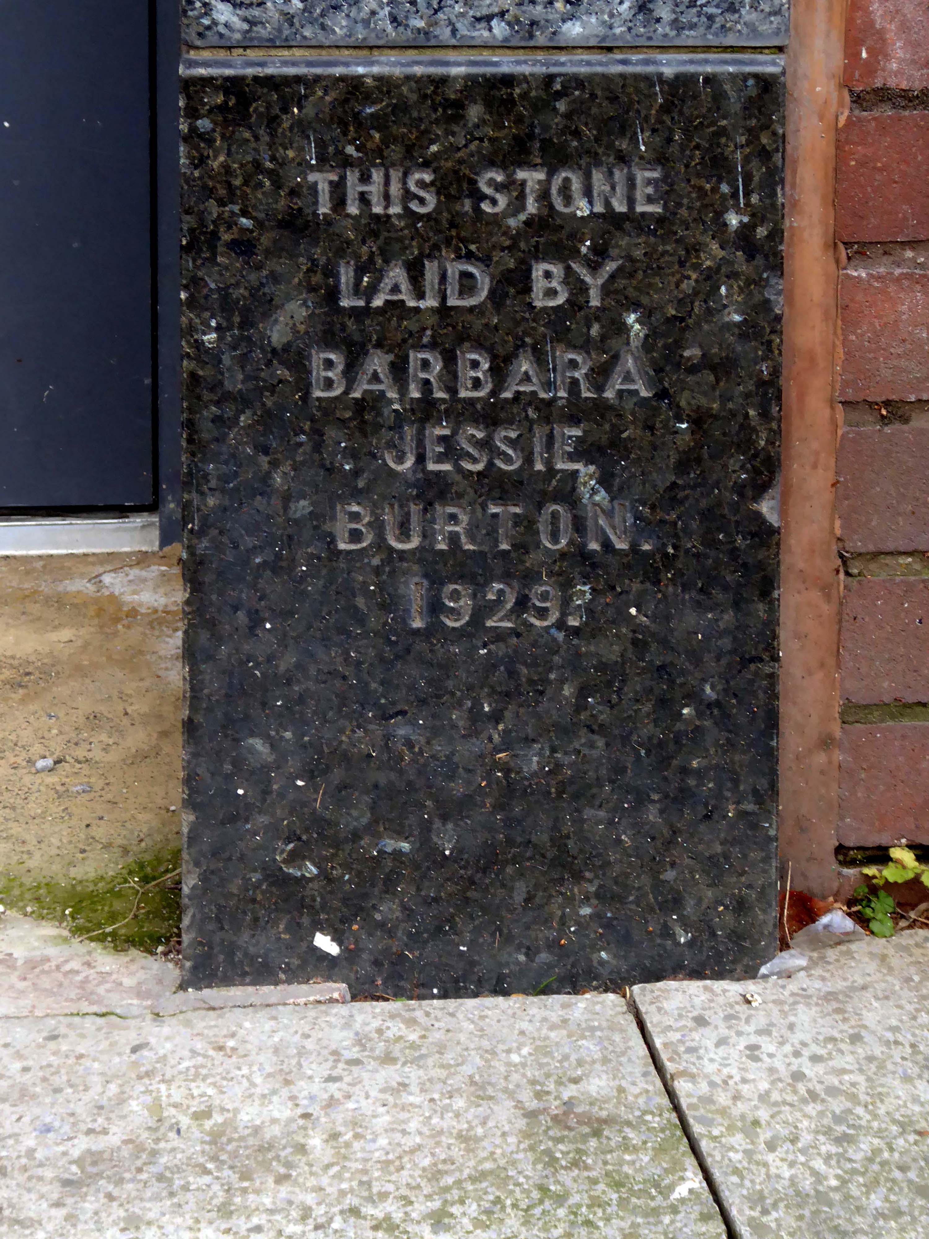
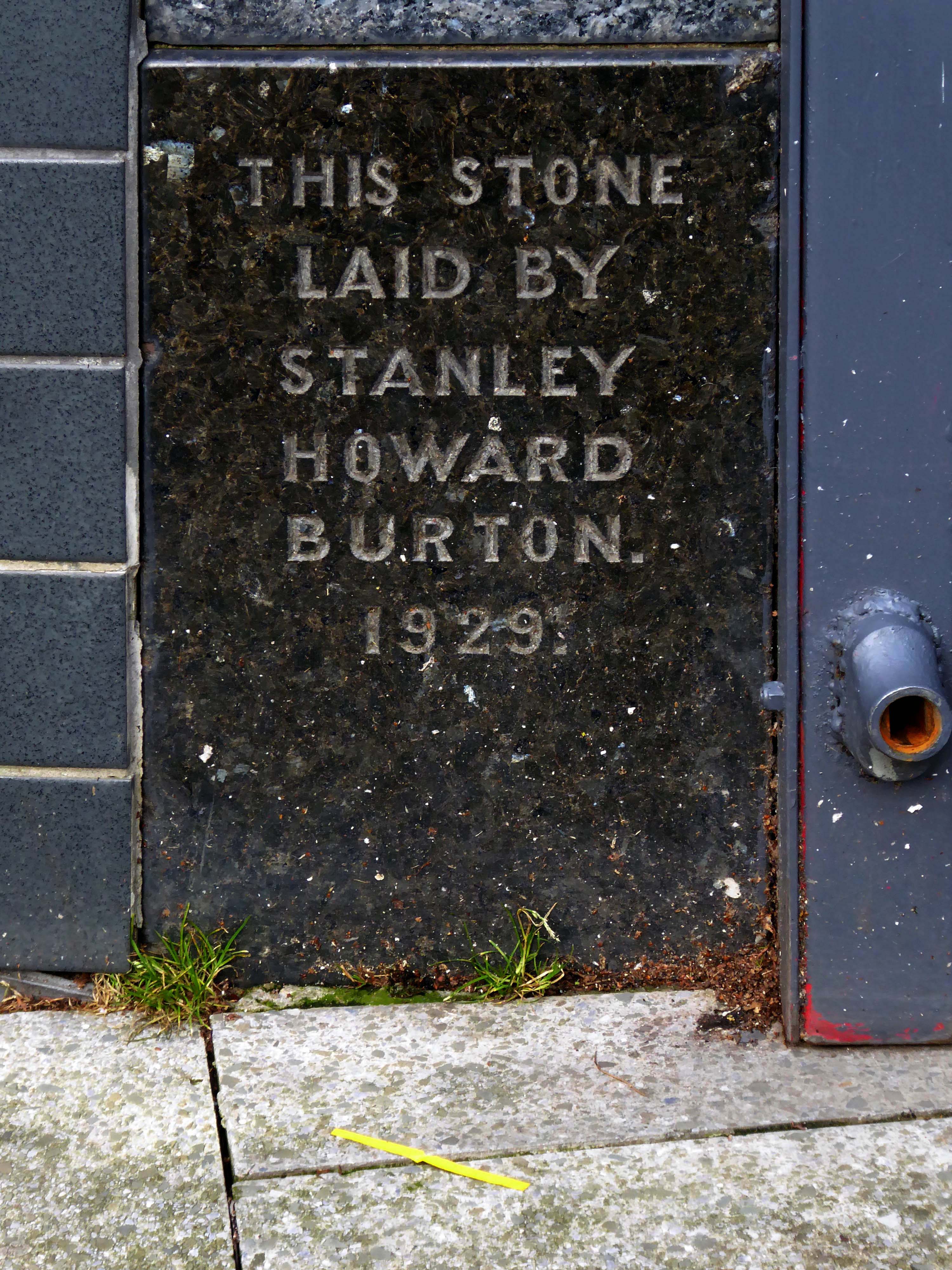
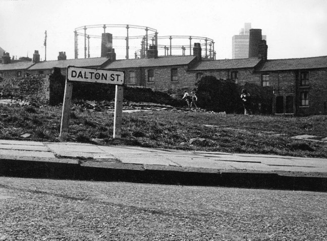
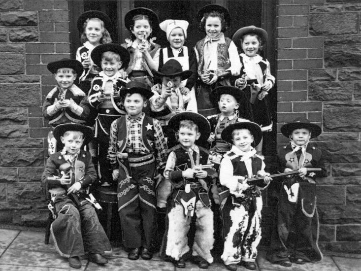
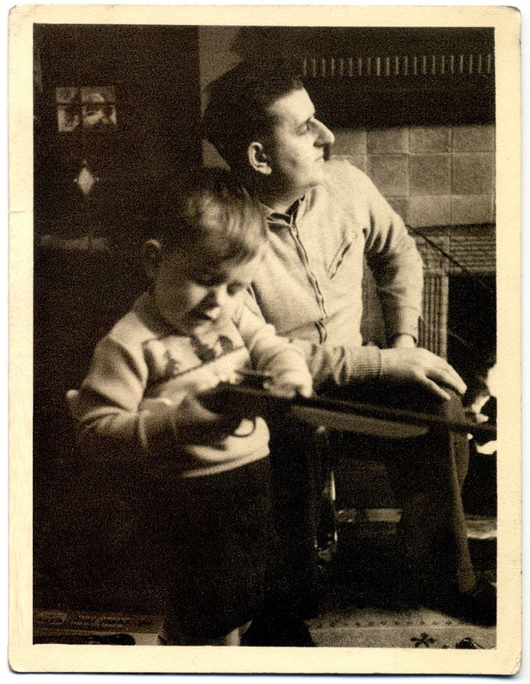
Drawing from found imagery and photographs taken by my late Grandfather – M J Burgess – who like me grew up in Rochdale, I’ve been working with past and present residents to create a collective record of life in and around College Bank.
This project is ongoing, if you would like to share your stories of College Bank please get in touch via email – notesfromcollegebank@gmail.com
Here is a recent post from Municipal Dreams outlining the history state of play – Rochdale Housing Part II.
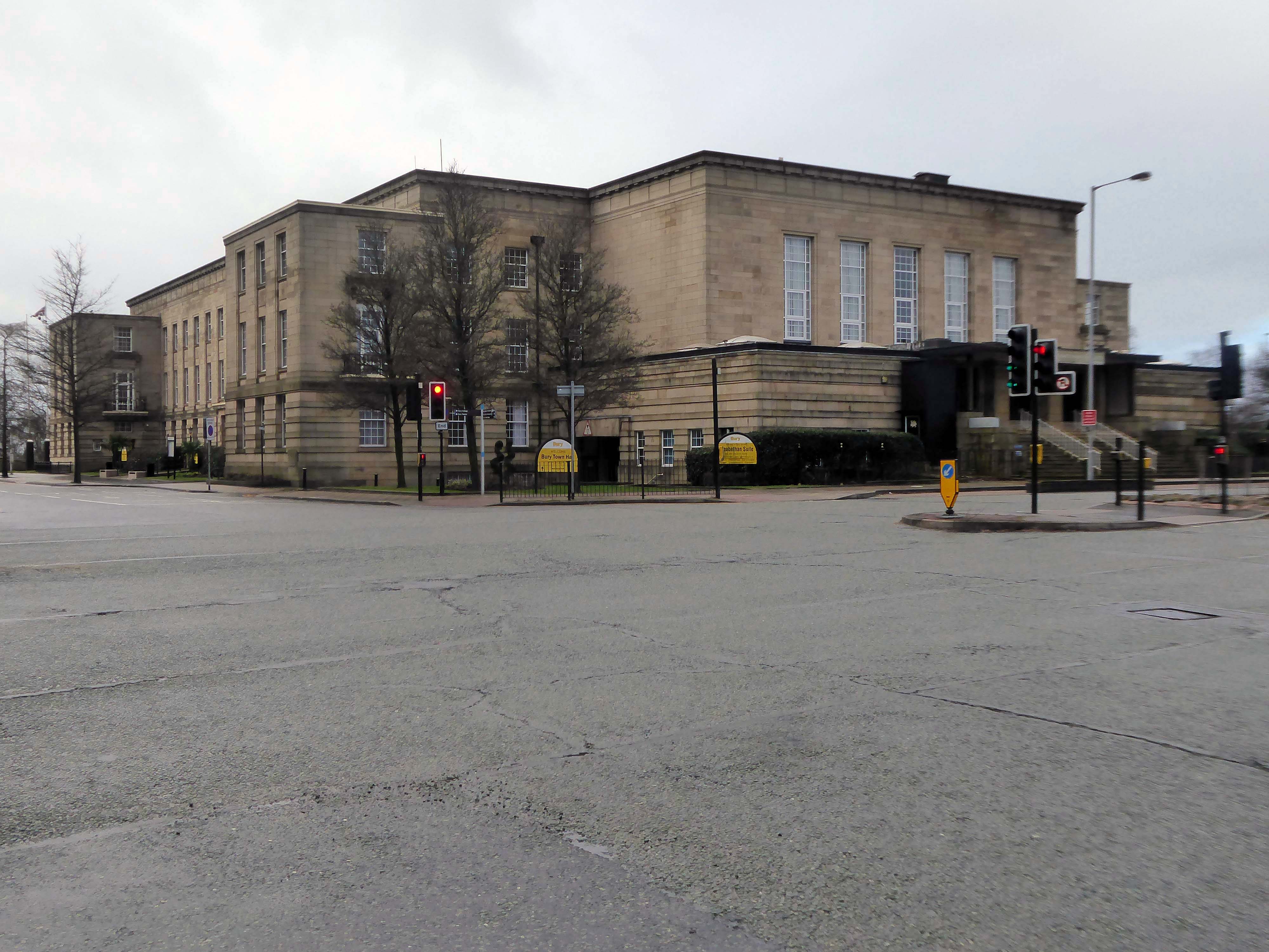
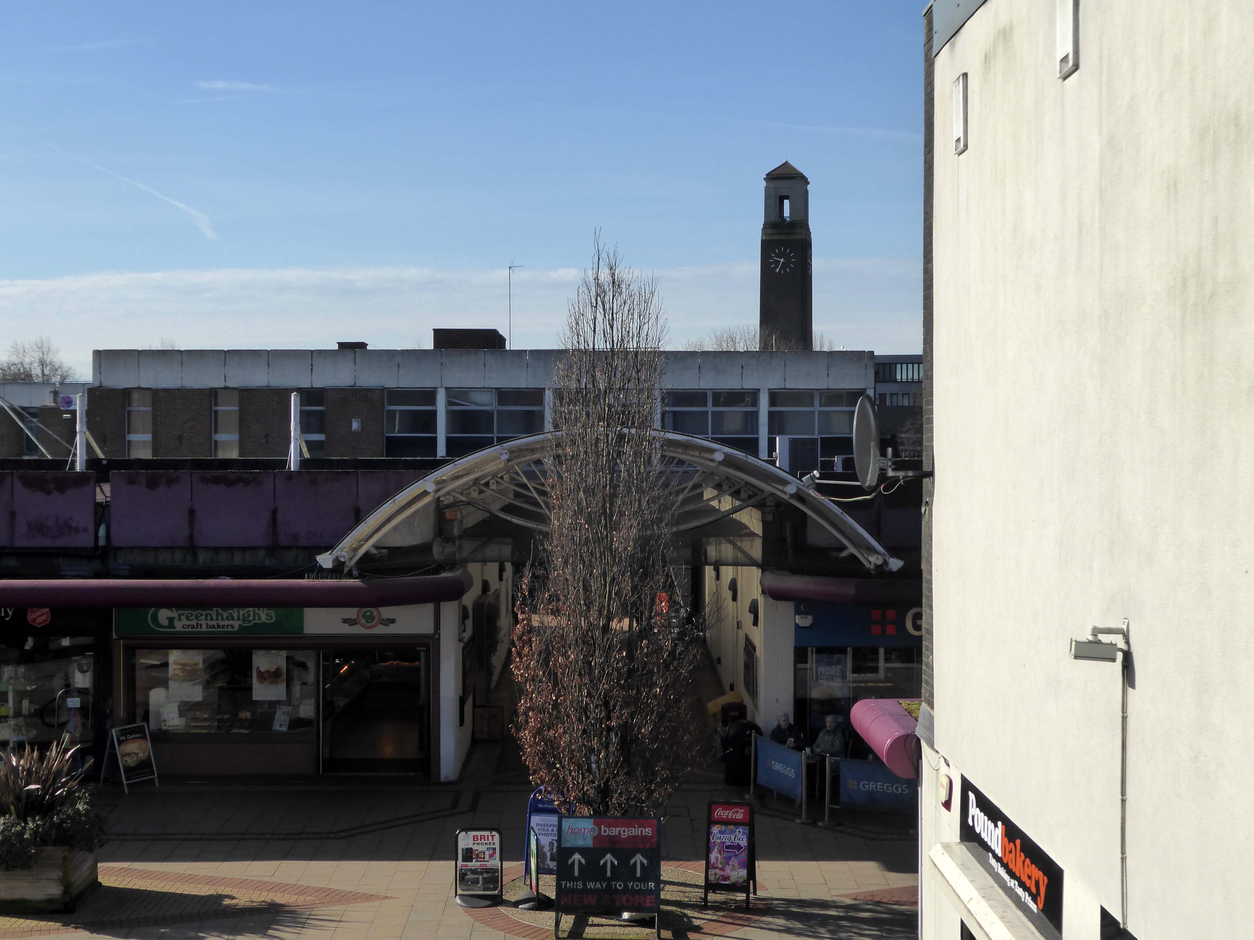
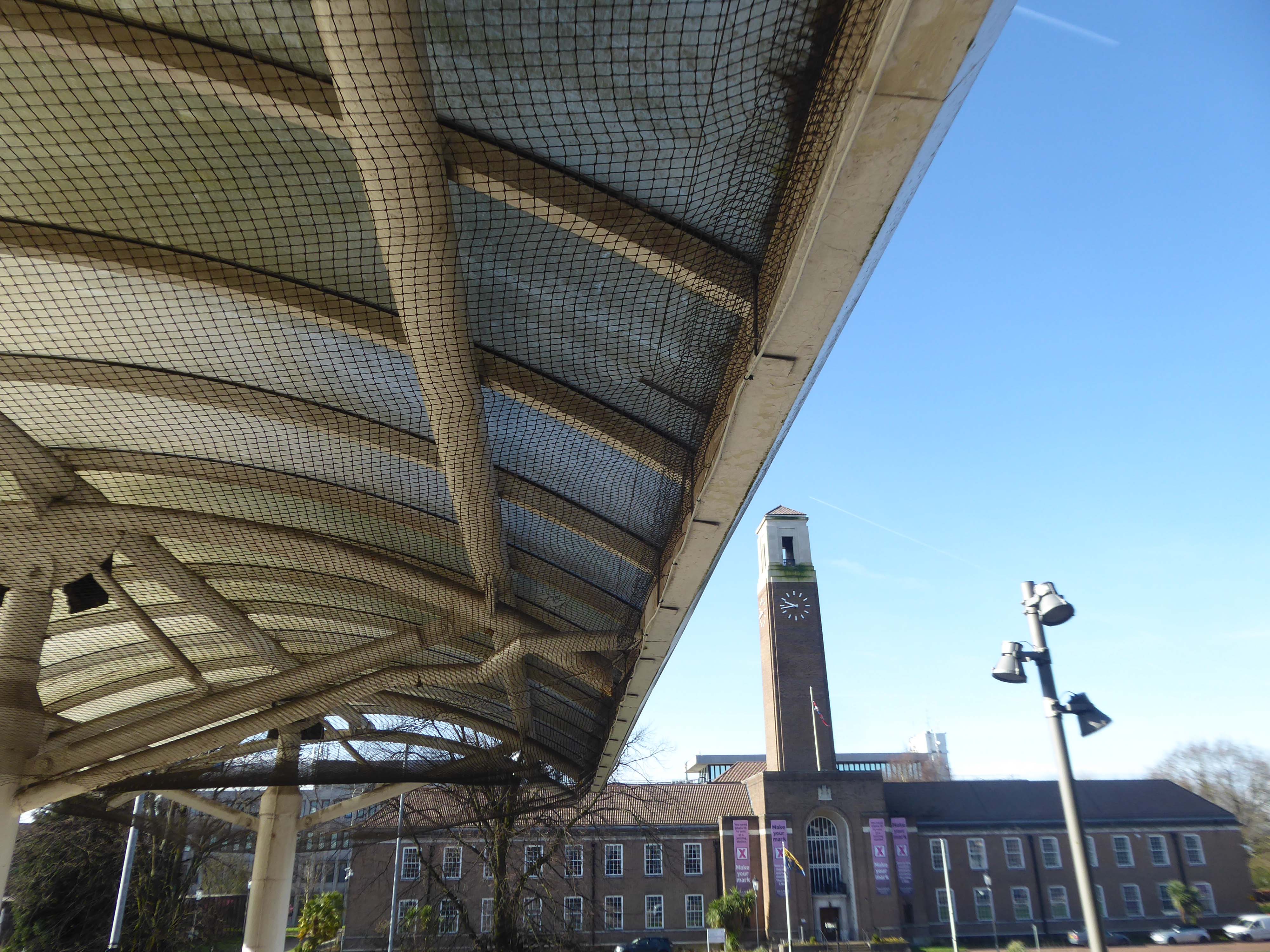
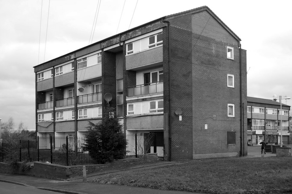
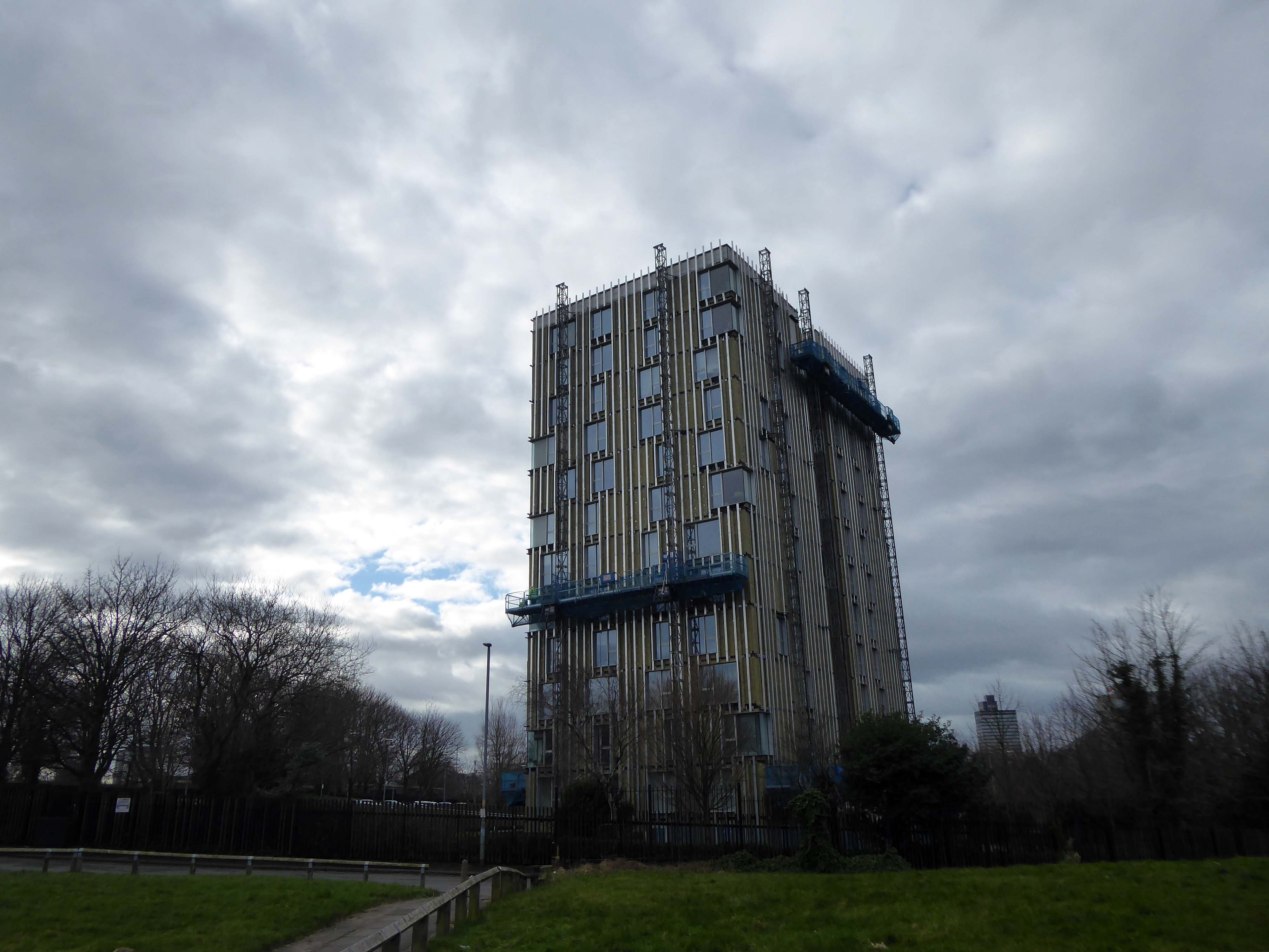
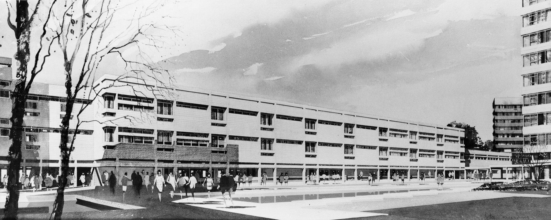
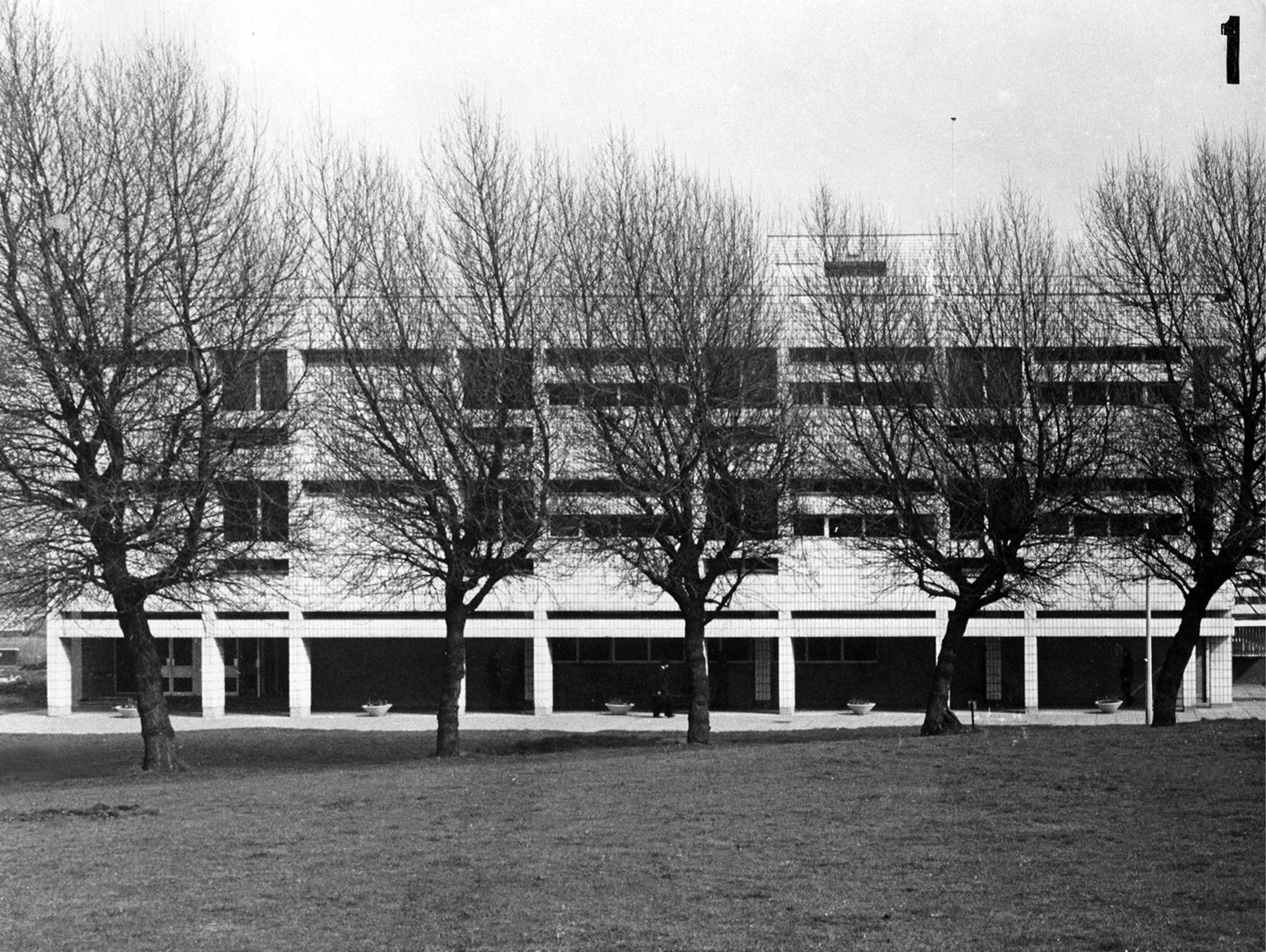
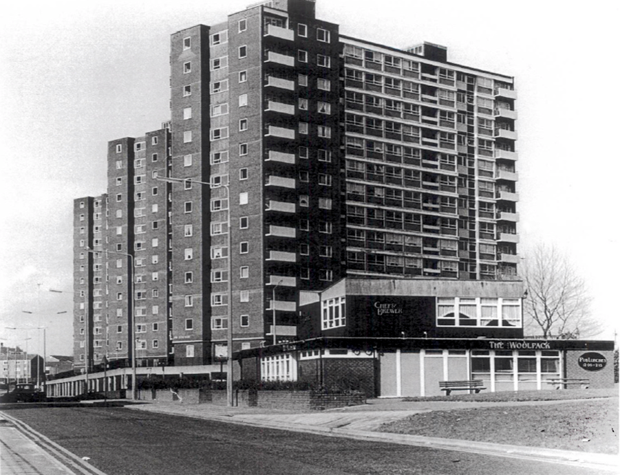
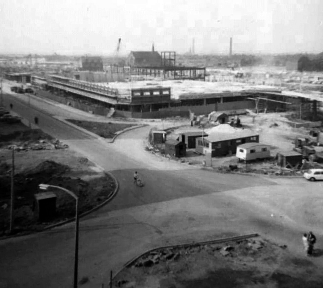
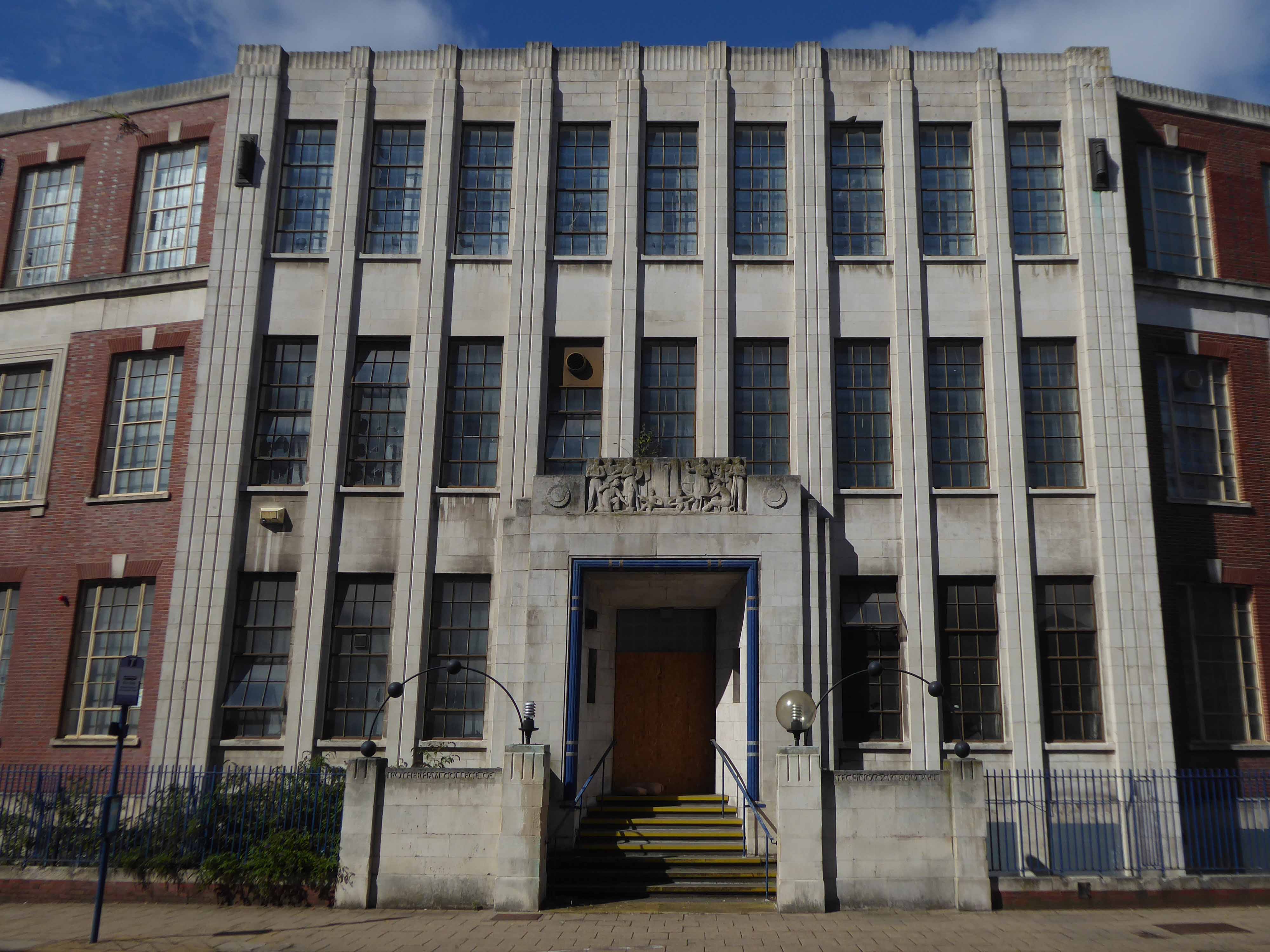
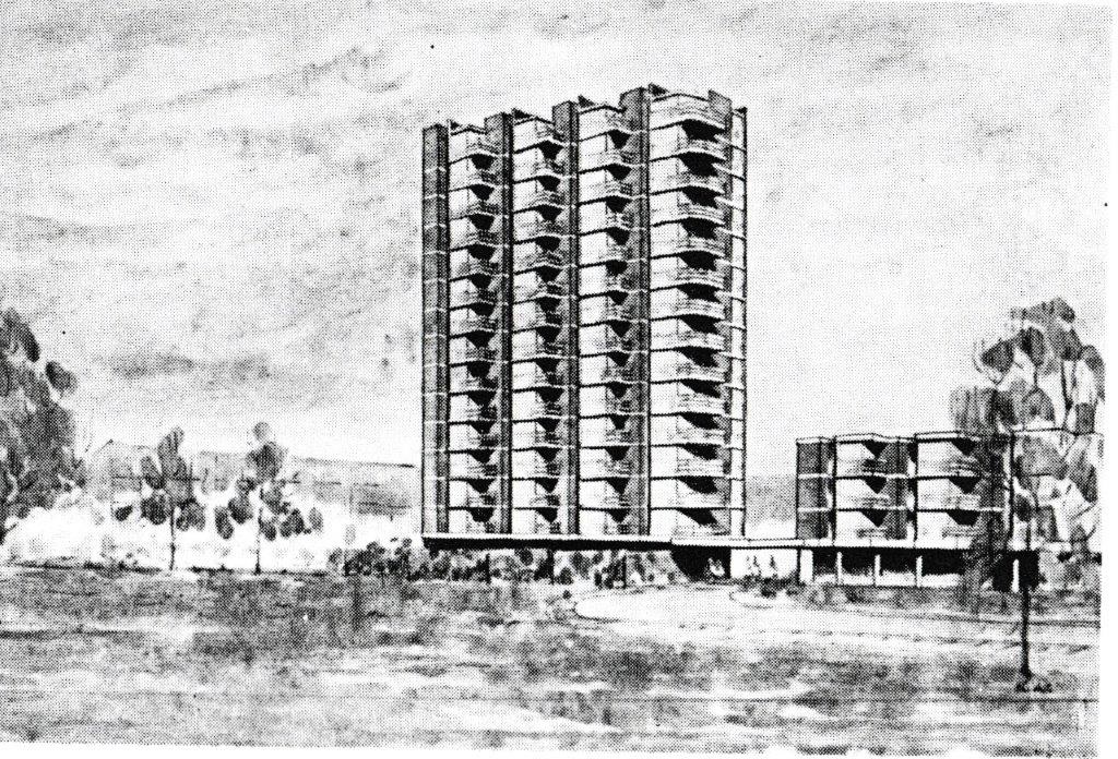
Fast forward to the present, the Seven Sisters still stand – an impressive architectural statement in the heart of Rochdale and, to my mind, as powerful a testament to municipal endeavour and aspiration as the town’s nearby town hall. But much has changed. In the slow evolution that affected council housing more broadly, the flats became less desirable, even, in some eyes, a ‘sink estate’. In Robin Parker’s view, the Council started re-housing people in the blocks ‘not suitable for high-rise living’ – a typical occurrence when the most vulnerable on the waiting list and those with least choice are allocated to so-called ‘hard to let’ estates.