The name Walsall is derived from Walh halh, meaning valley of the Welsh, referring to the British who first lived in the area. Later, it is believed that a manor was held here by William FitzAnsculf, who held numerous manors in the Midlands. By the first part of the 13th century, Walsall was a small market town with a manor house; the weekly market was introduced in 1220 and held on Tuesdays. The mayor of Walsall was created as a political position in the 14th century.
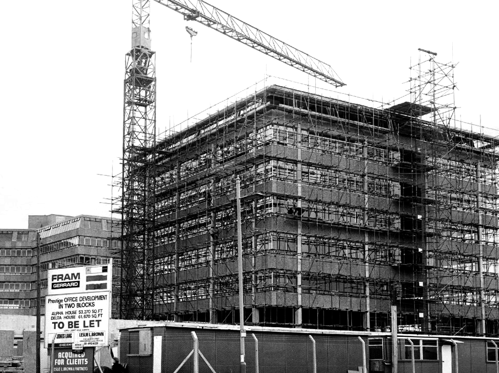
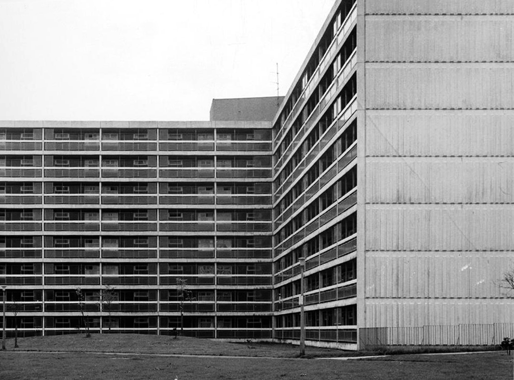
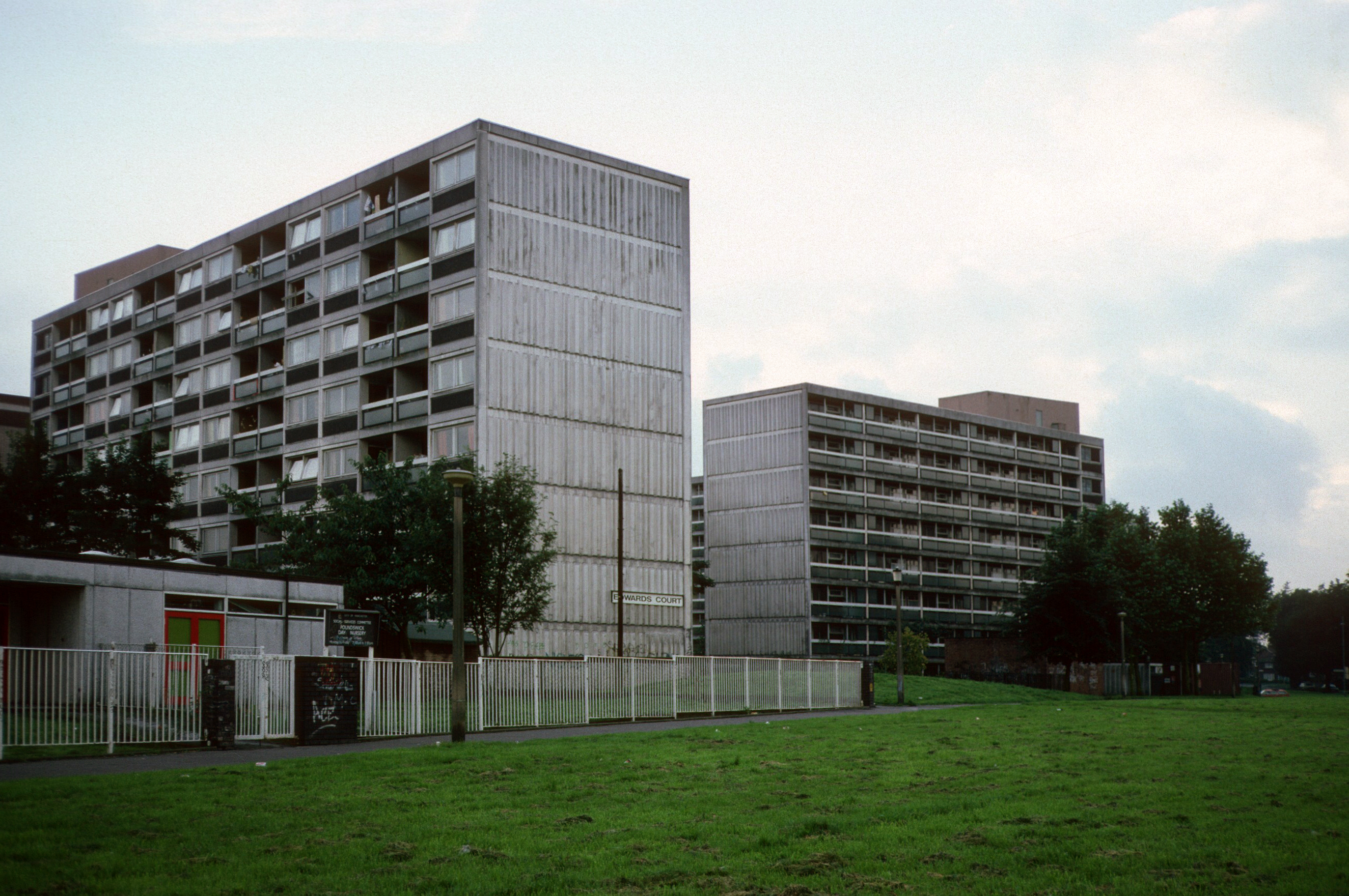
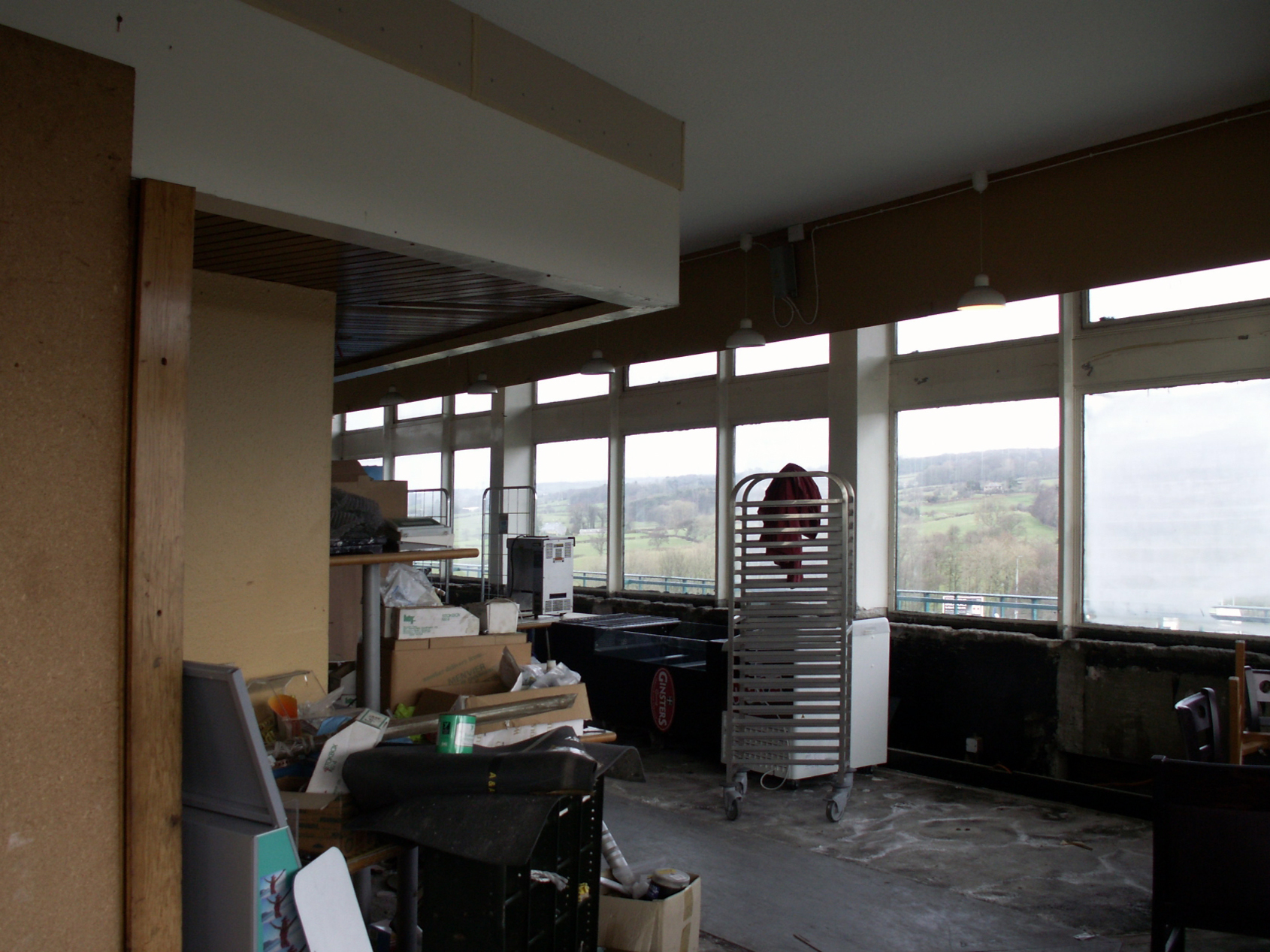
Significant developments also took place nearer to the town centre, particularly during the 1960s when a host of tower blocks were built around the town centre; however, most of these had been demolished by 2010.
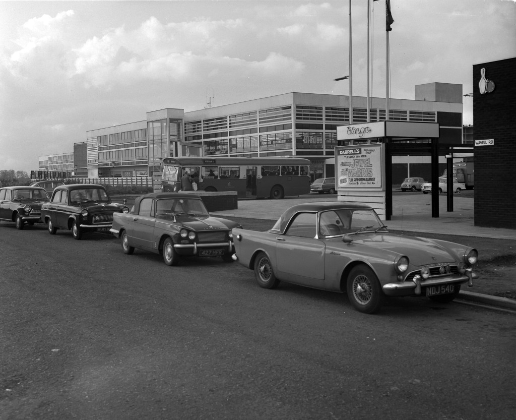
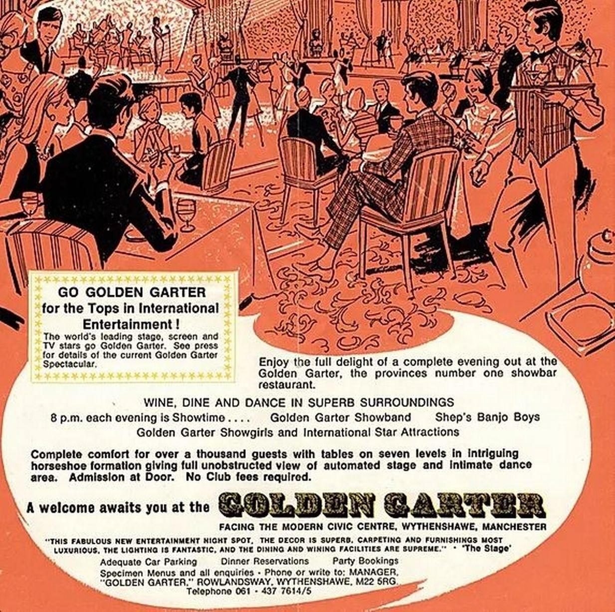
The Memorial Gardens opened in 1952, in honour of the town’s fallen combatants of the two world wars. The Old Square Shopping Centre, a modern indoor shopping complex featuring many big retail names, opened in 1969.
Much of the reconstruction of the post-war period was quickly reconsidered as ugly and having blighted the town. In 1959, John Betjeman advised that with sensitive restoration the old buildings of the High Street could become:
One of the most attractive streets in England.
Instead, almost every building was demolished.
There is to be further demolition on the High Street, to open up the vista between the Bus and Railway stations.
In 2021 Walsall secured funding of £11.4m from the Future High Street Fund. With further investment from Walsall Council we are now delivering the early phases of the Town Centre Masterplan, through the Walsall Connected Gateway Project.
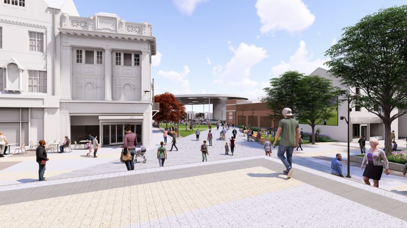
Approval has been granted to remodel the Saddlers Centre to create a more open and attractive arrival experience for train passengers whilst also opening up Park Street. Butler’s Passage, which has in the past been the centre of antisocial behaviour, will disappear as some of the buildings are removed to create a large open walkway, connecting the rail and bus hubs.
Former Railway station 4th March 1978 – photo by Walsall 1955
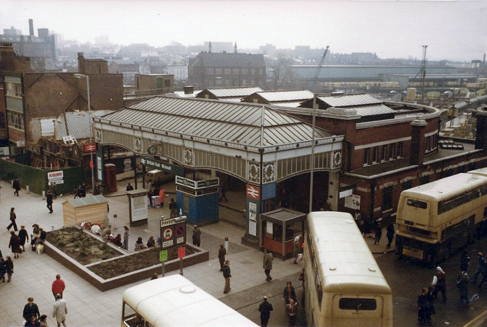
The station was about to be closed, demolished and replaced by a new Marks & Spencers and the Saddlers Centre.
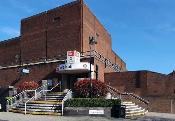
The existing entrance to the railway station on Station Street.
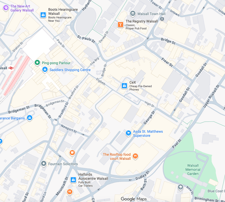
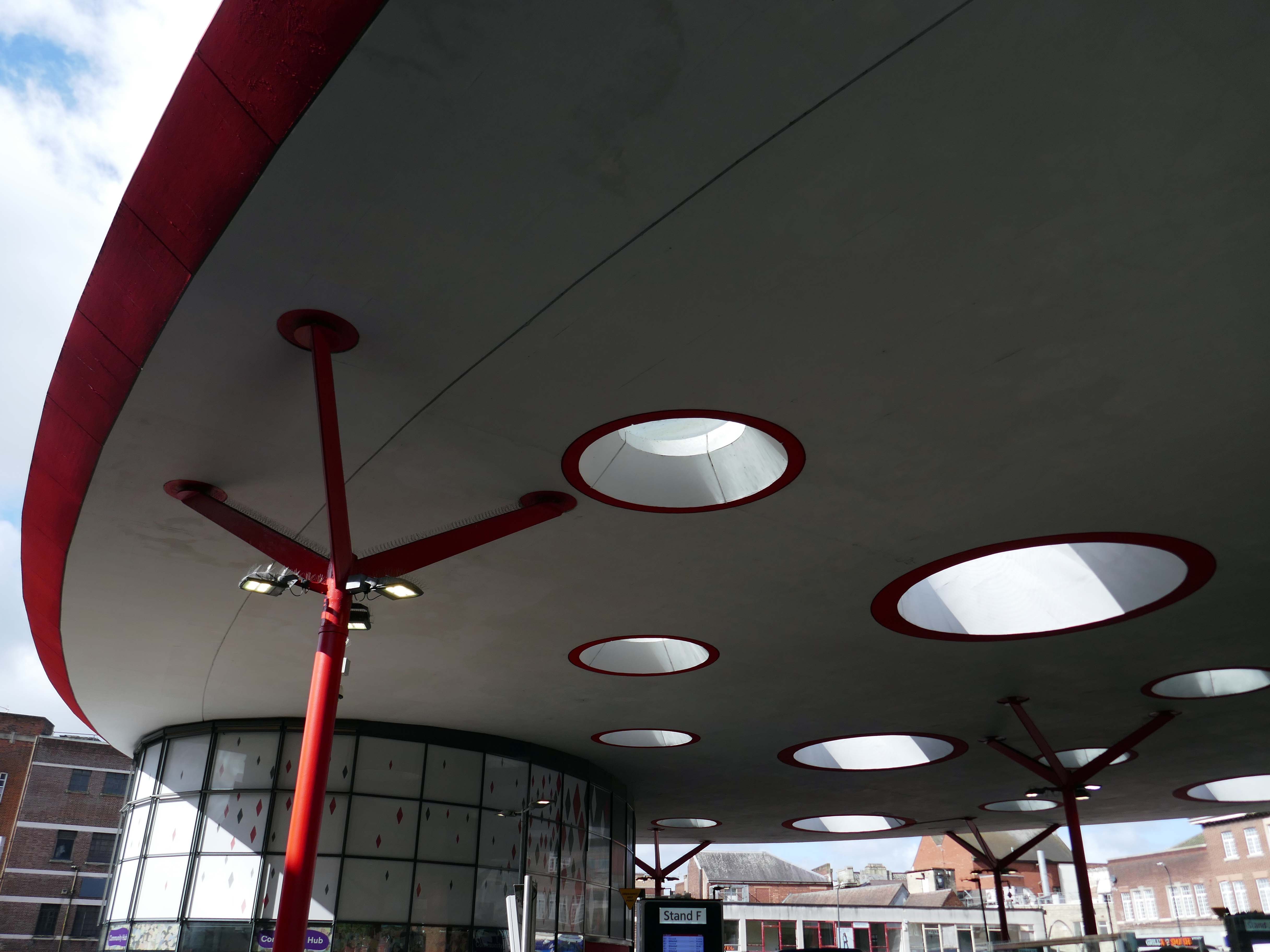
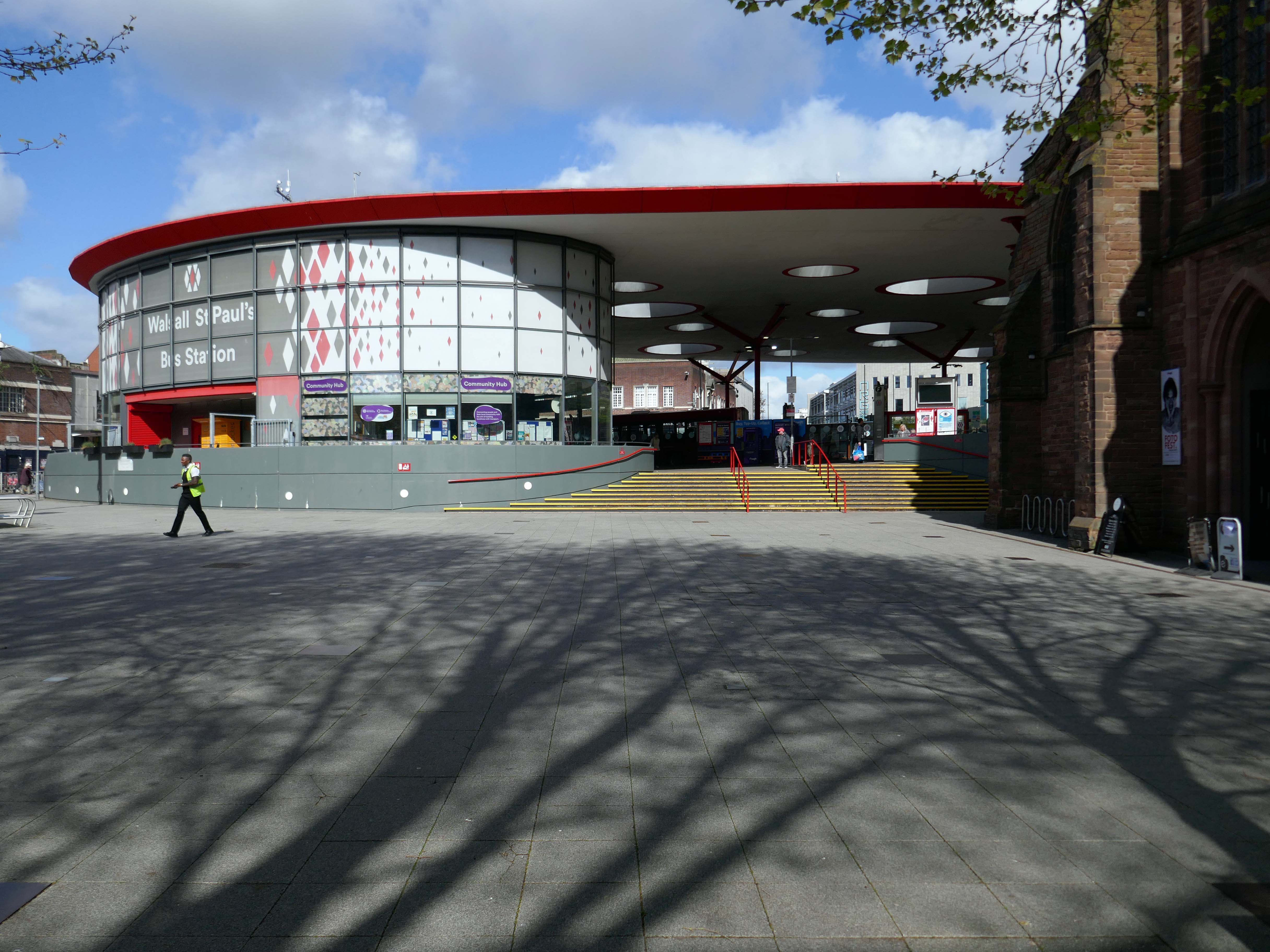
Let’s begin at the St Paul’s bus station or Hub – if you will, complete in September 2000.
The 1936 St Pauls Street bus station closed in February 1975, and was completely demolished, rebuilt and opened in August 1975.
Photo by: Walsall 1955
Allford Hall Monaghan Morris designed the building for Centro. The structural engineers were Atelier One, Shepherd Construction Ltd were the contractors, Watkins Dally were the landscape architects and Clark Smith Partnership were the civil engineers.
The project cost £6.5 million.
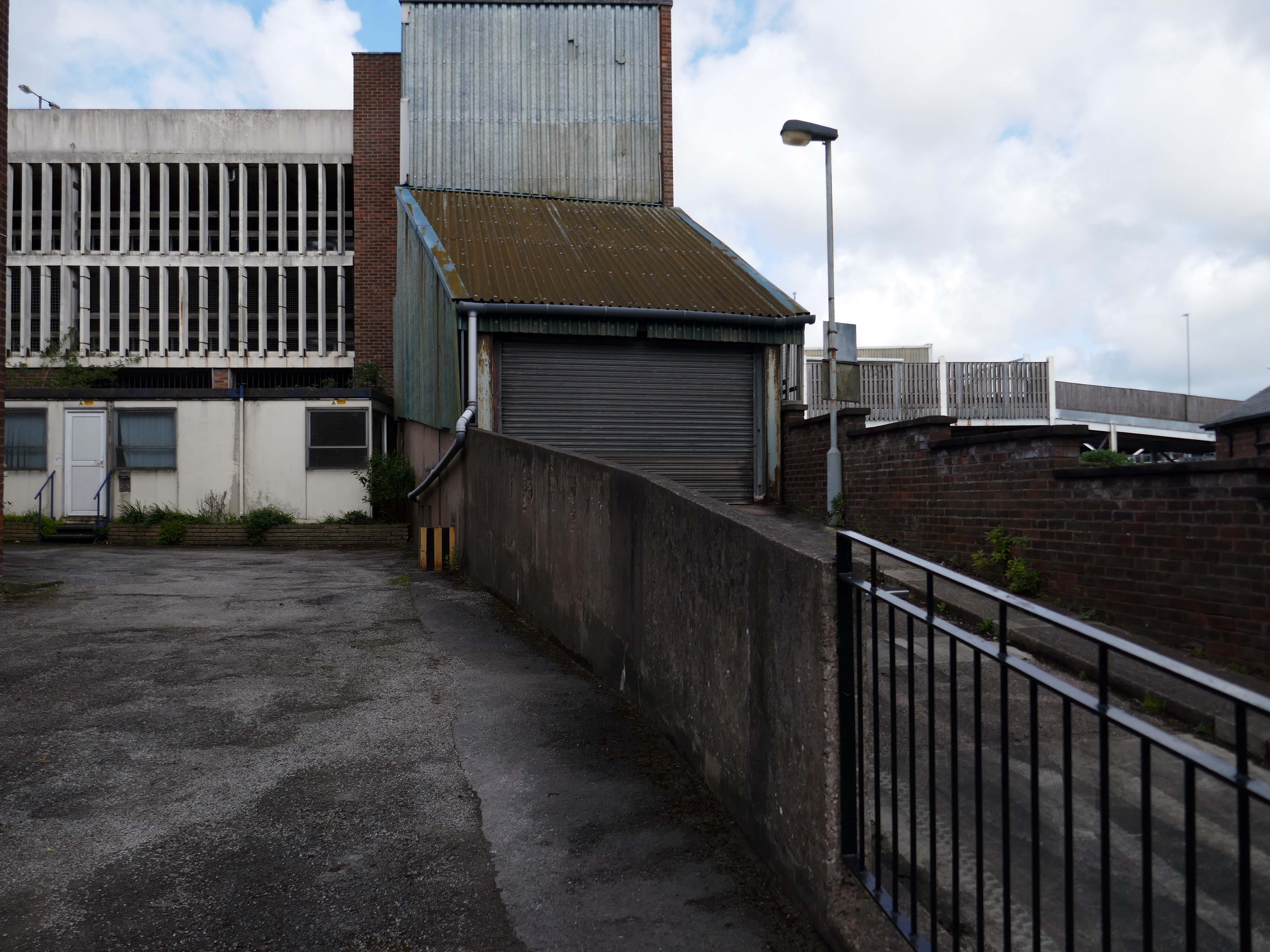
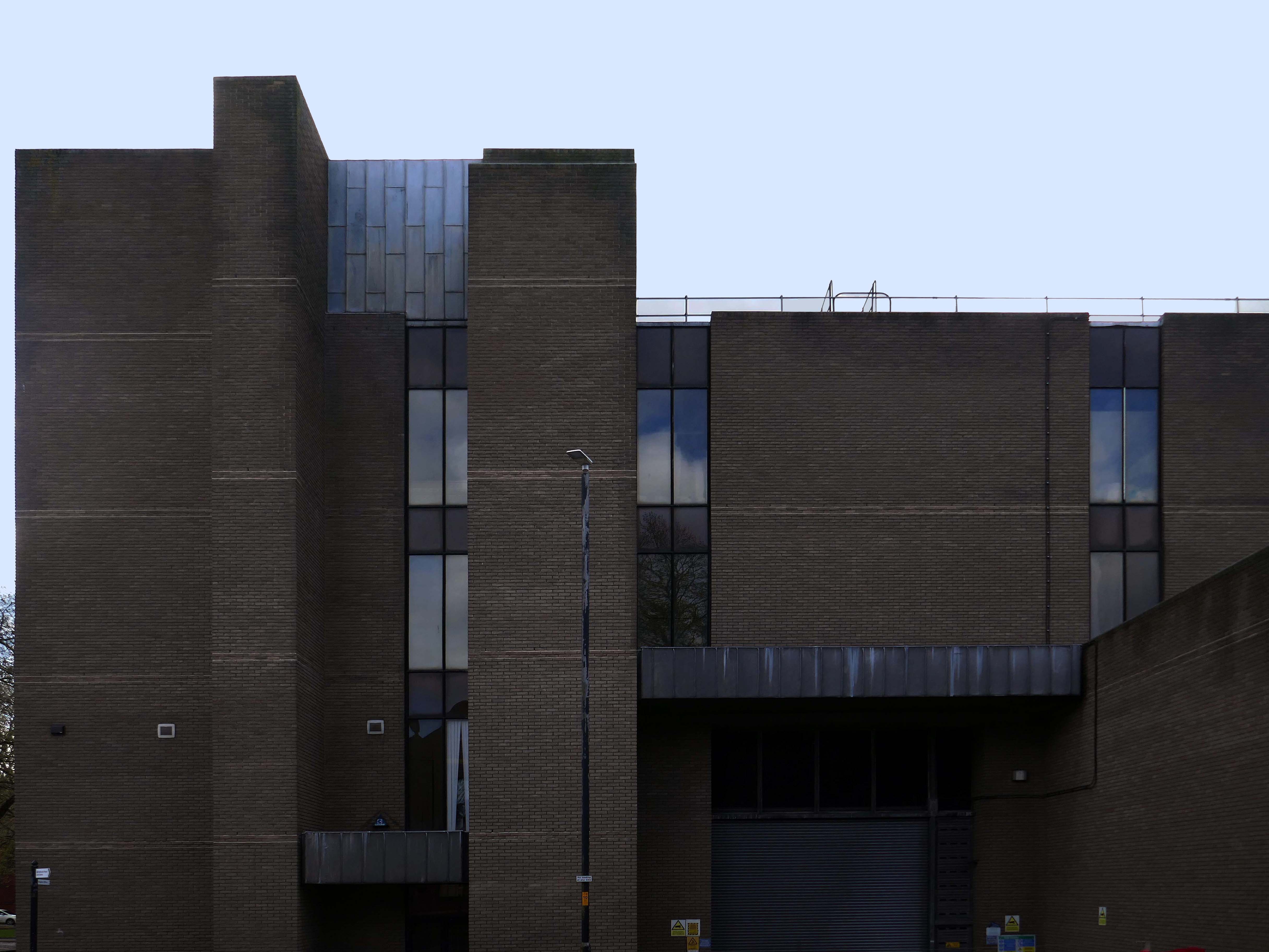
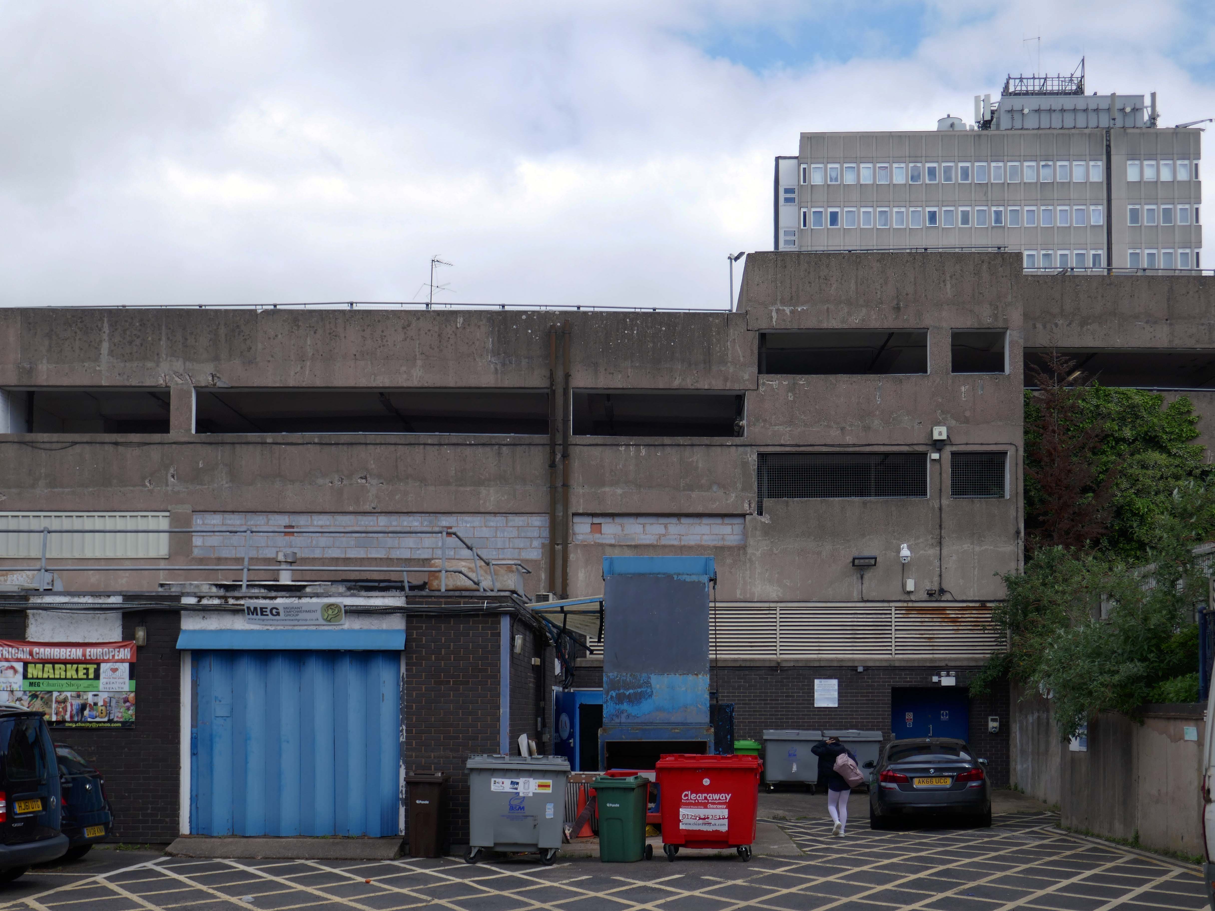
Next, a glimpse of Hatherton Road multi-storey car park.
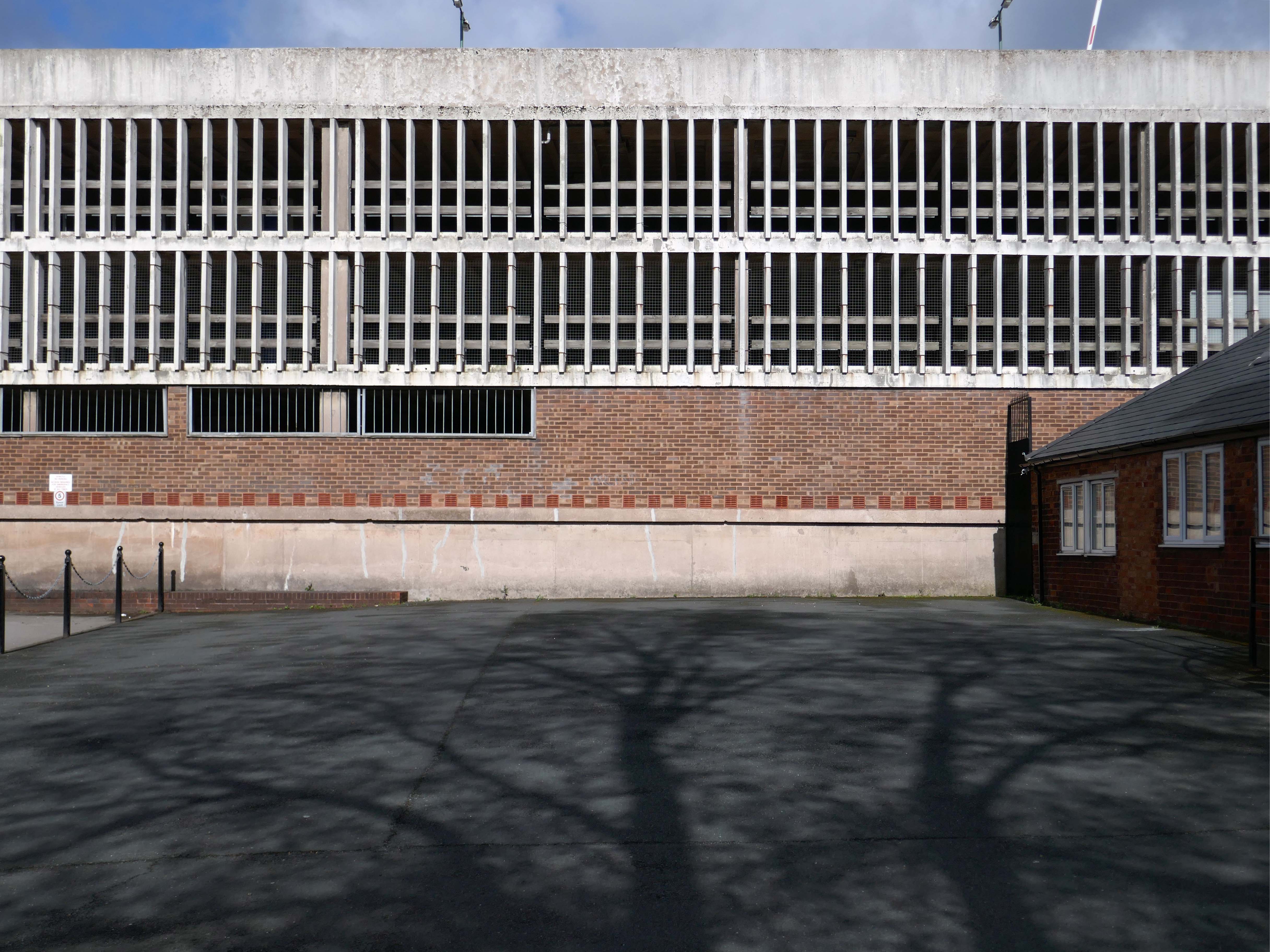
Though it appears to be closed.
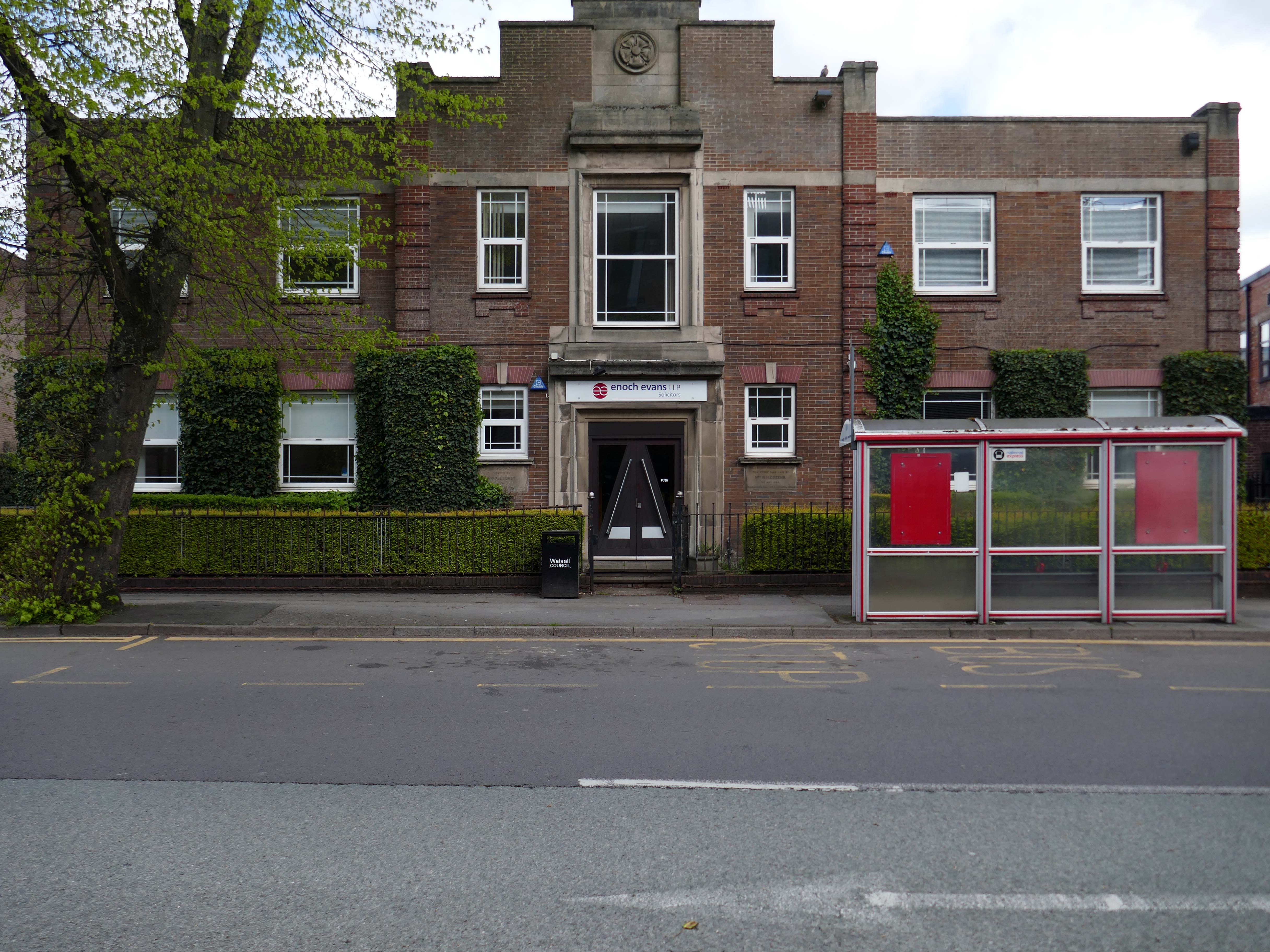
Adjacent to Enoch Evans Solicitors, their offices housed in one of the many imperious inter-war buildings dotted around the town.
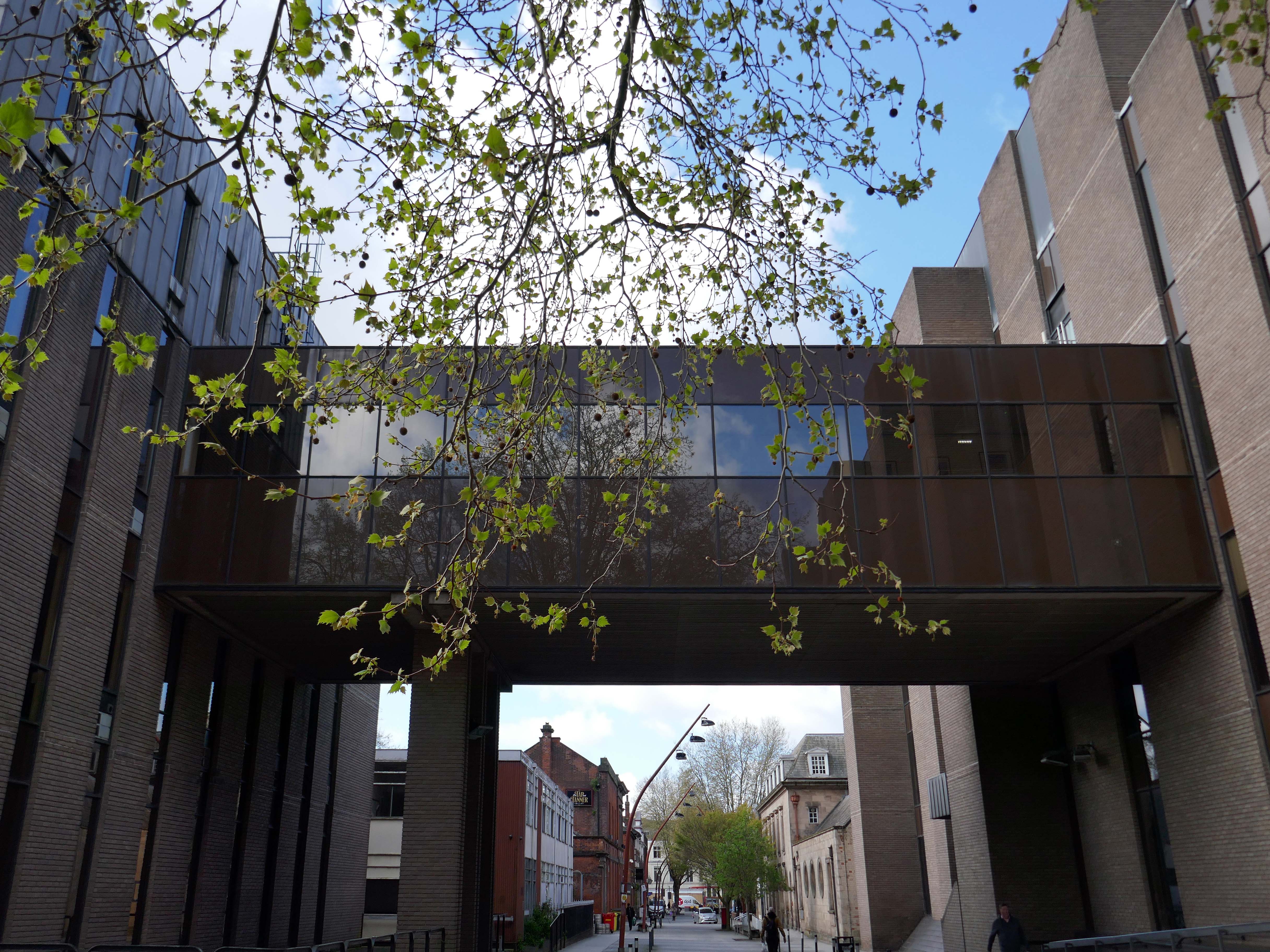
Which faces onto the back of the Civic Centre.
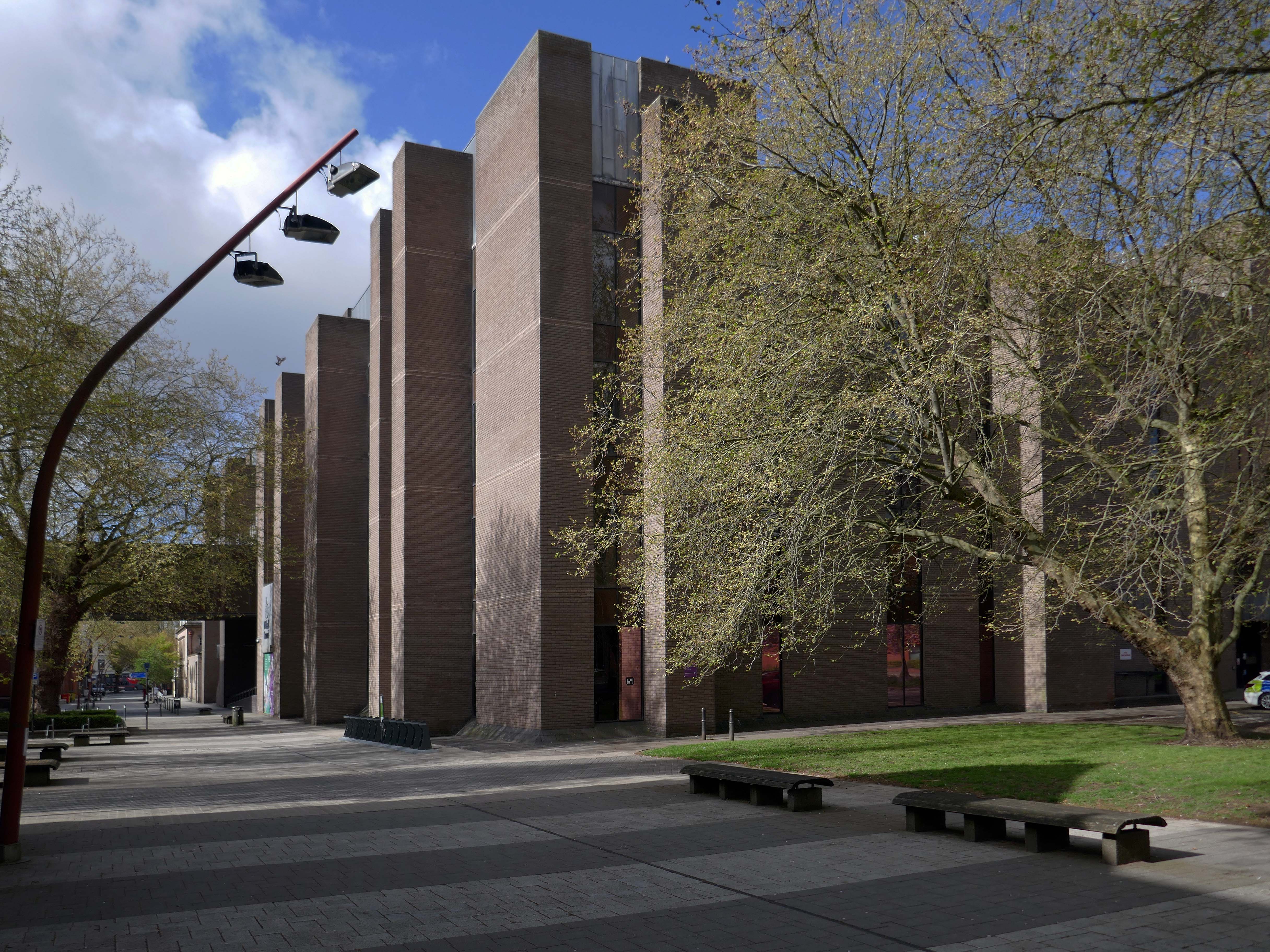
Following the formation of the Metropolitan Borough, the new Civic Centre in Darwall Street opened in 1976, architect Stanley W Bradford Walsall MBC Director of Architecture.
Central roof garden.

Leaving the Civic Quarter on the left is the Imperial
The Imperial started life as an agricultural hall, constructed in 1868-69, and designed by the architect GB Nichols of West Bromwich. At that time, it was used for a variety of community activities including shows and dancing, it was also hired out to travelling film showmen. The main feature of the early building was a principal ground floor hall.
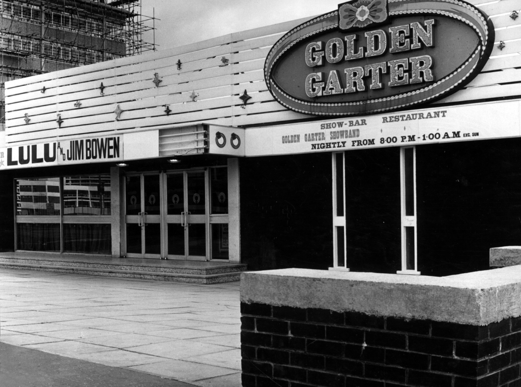
In June 1914, the Imperial was closed to allow for conversion to a cinema, designed by West Midlands-based architects Hickton & Farmer.
The Imperial was converted to a bingo club in 1968, and in 1996 it was converted into a pub, which closed in 2016.

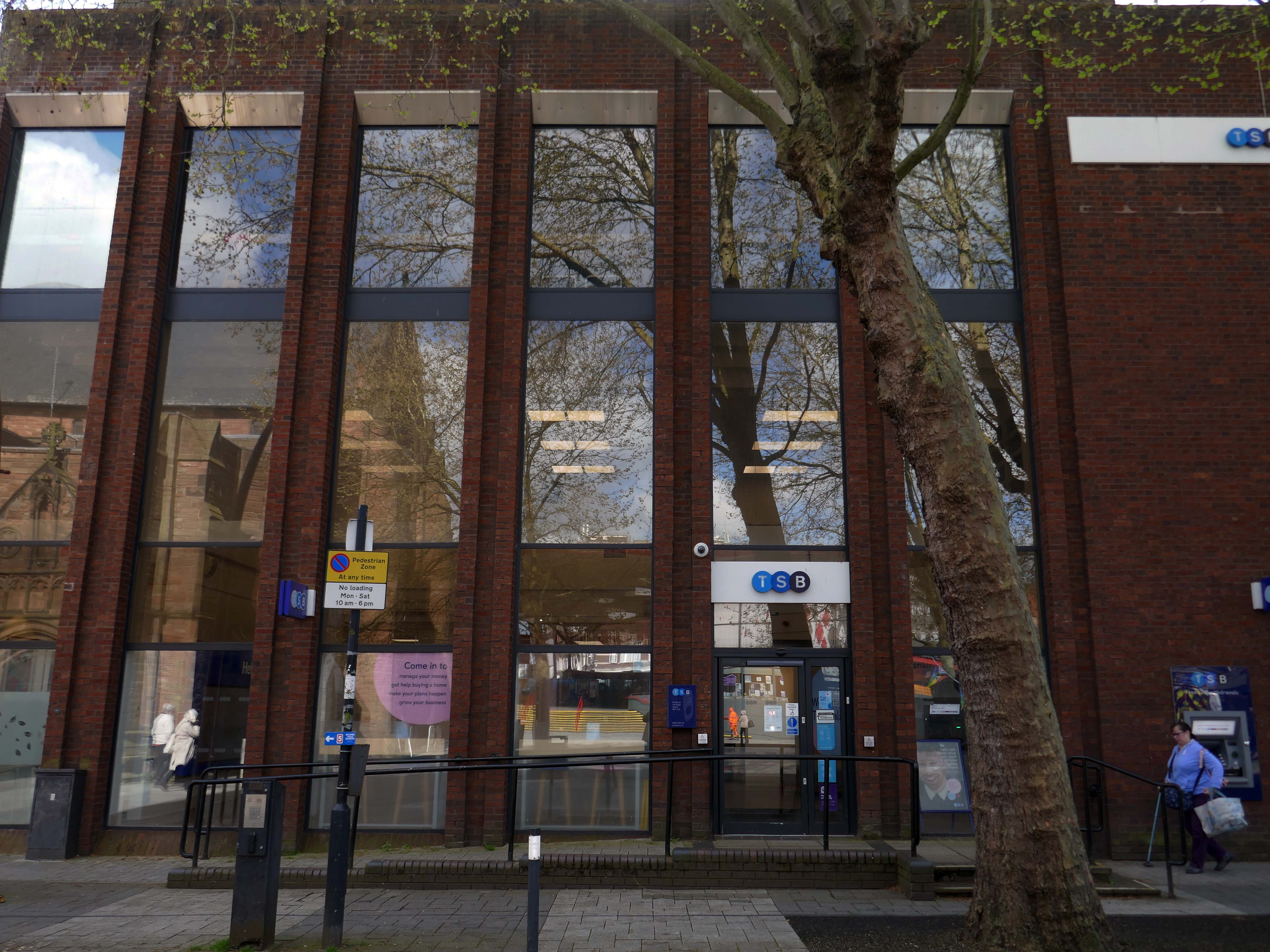
Next to the TSB Bank.
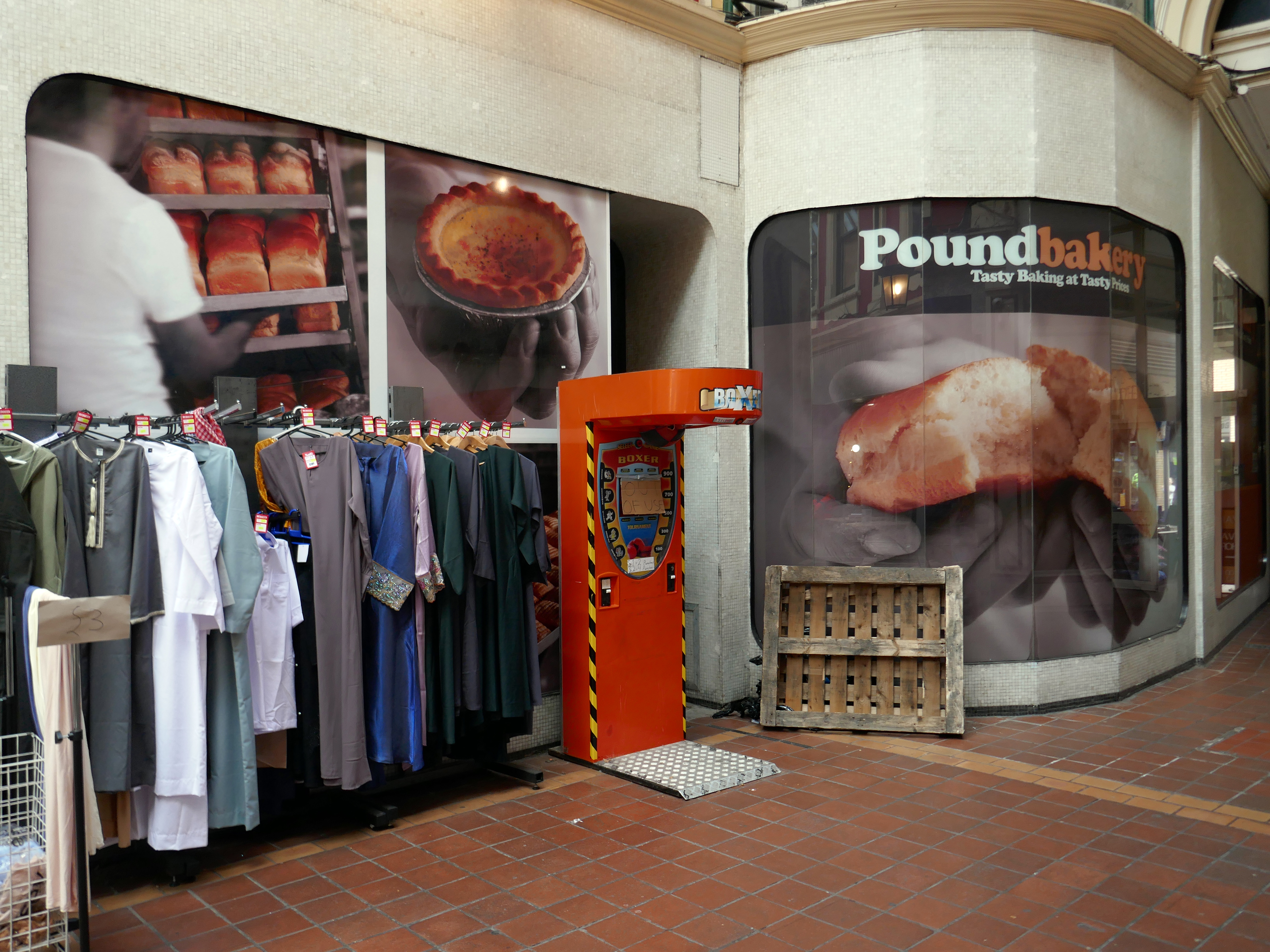
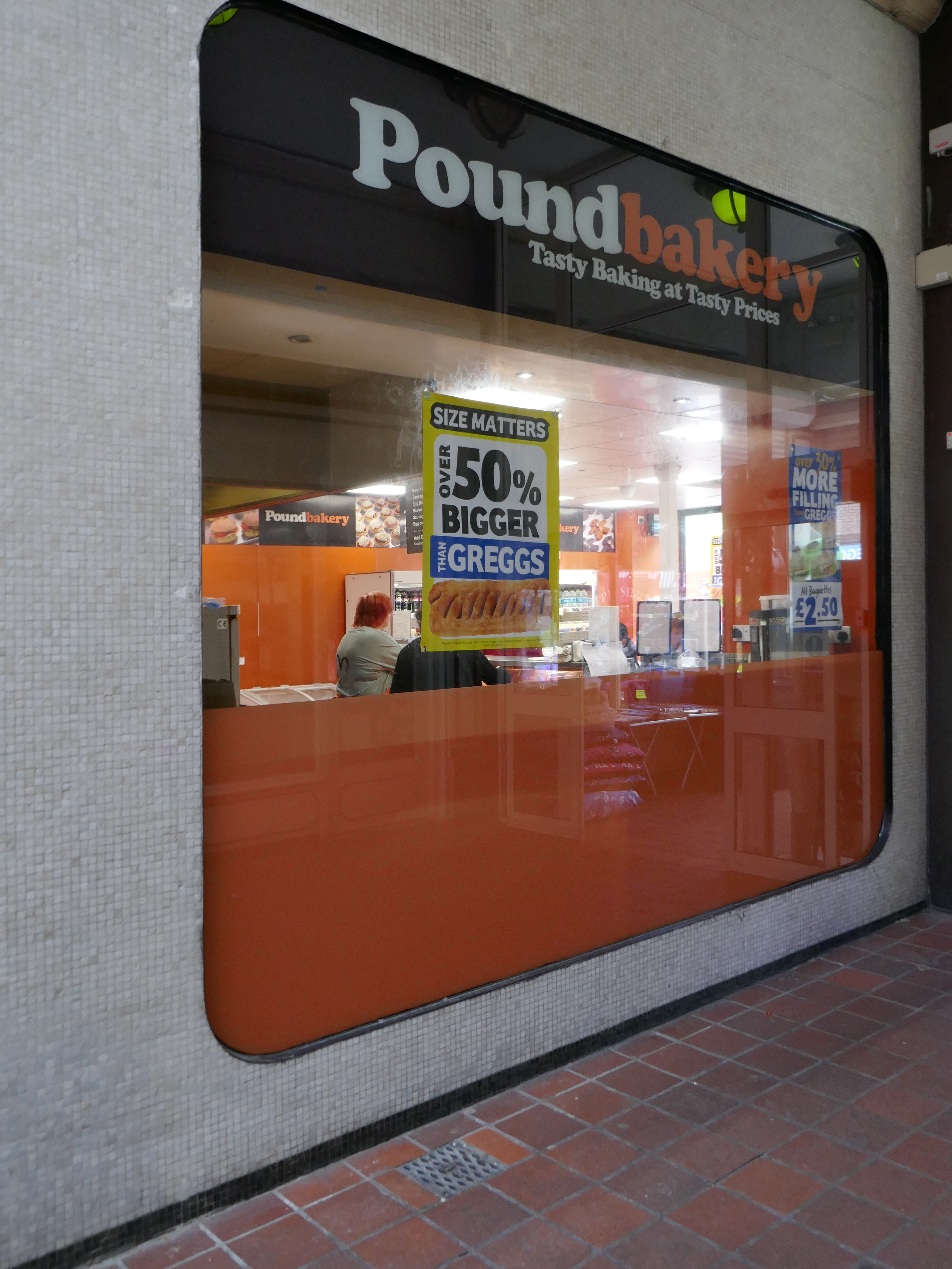
At the end of the otherwise period correct Victorian Arcade is a space age Pound Bakery.
Across the way a former Barclays Bank architects: John HD Madin & Partners.
Next door an anomalous disco themed fascia.
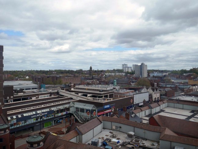
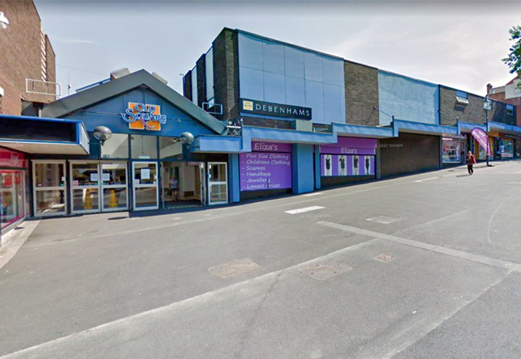
From here up the hill to the Old Square.
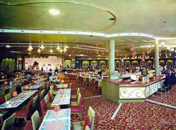
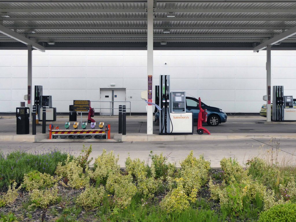
Sainsbury’s Old Square store in the early 1970s photo Will Parker.
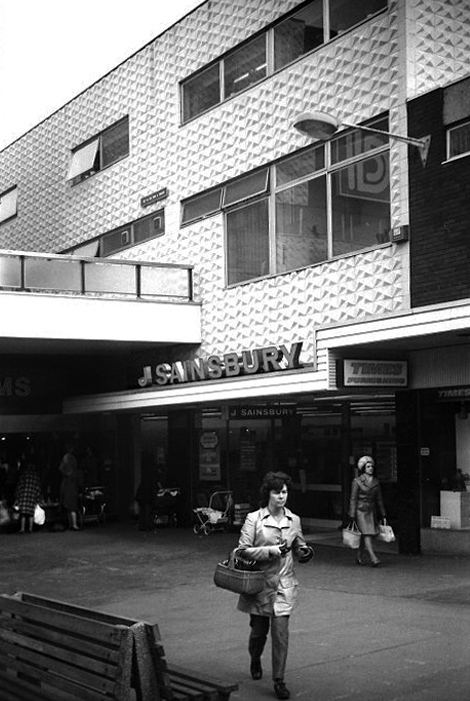
The majority of the Shopping Centre was demolished in 2014.
I remember when I was about fifteen in 1990, Coca-Cola were doing these yo-yos and if you went upstairs by the cafe, I think it was you could earn a gold coloured yo-yo. You just had to perform three tricks with it to earn one. I did walk the dog, the sleeper and I think it was around the world! Proud as punch with that I was. I know my uncle was Father Christmas for a few years on the bounce as well, when they used to have a grotto.
Dan Bracknall
These are the remnants.

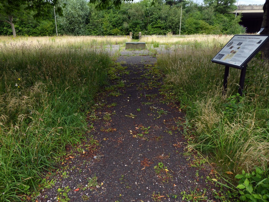
Ascending to the dizzy heights of the Grade II Listed Memorial Gardens 1953 by Geoffrey Jellicoe designed as a memorial to the dead of the two World Wars and said to mark a significant stage in the evolution of his principles of design.
Sir Geoffrey Jellicoe was one of the century’s greatest landscape architects. His contribution to landscape design has been described as equal to the 18th-century gardener Capability Brown. He was educated at Cheltenham College and then trained to be an architect at the Architectural Association. It was while at the AA that his interest in landscape was first kindled.
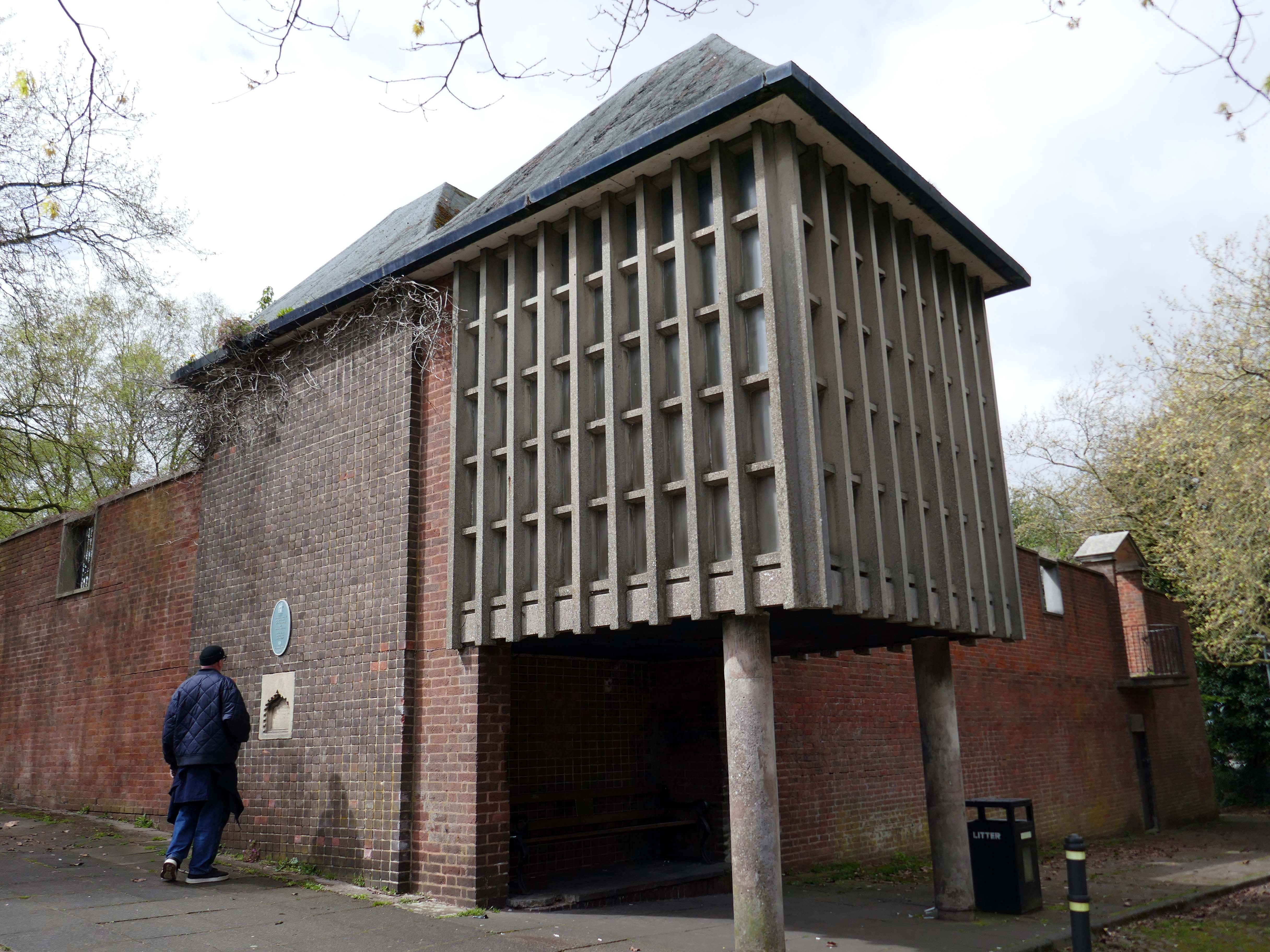

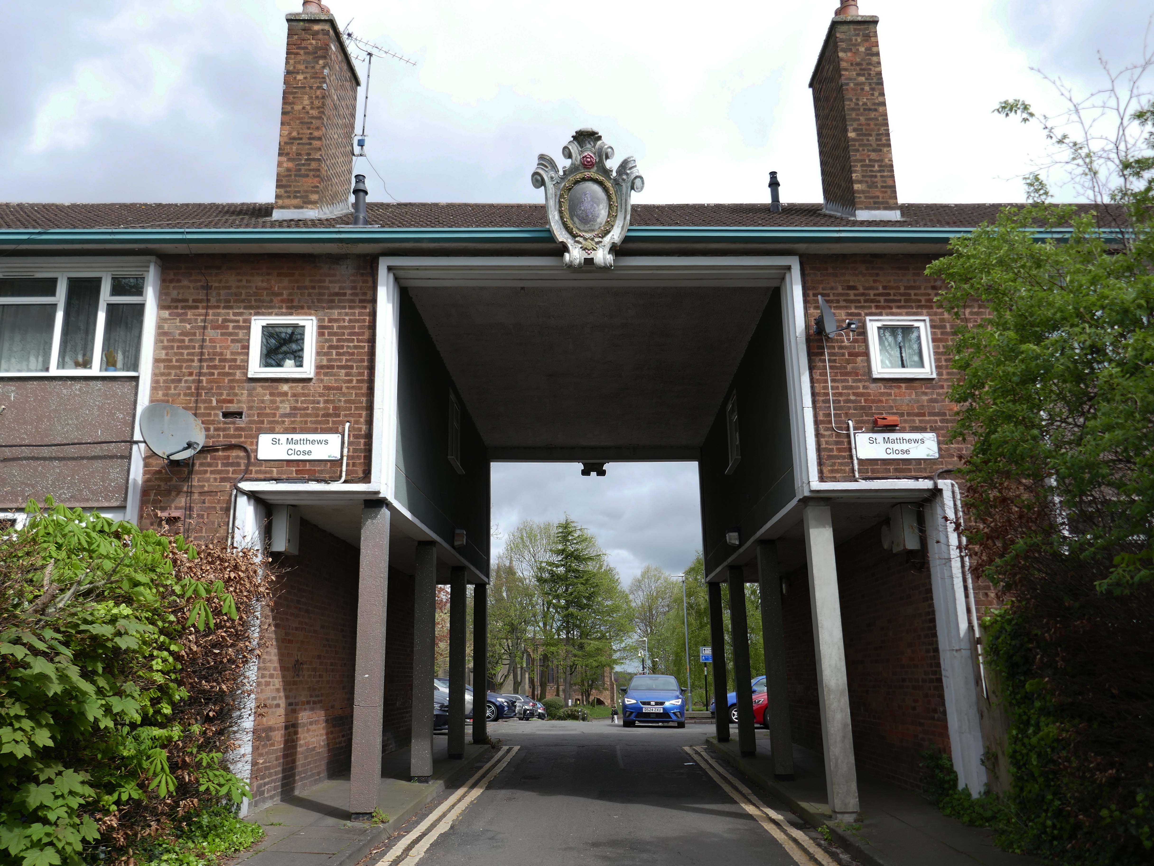
The second phase, comprising the building of the memorial chapel in the Memorial Garden, and the flats and Brotherhood or Church Hall to the south of the open space known as St Matthew’s Close, was completed c 1960
Photo: History of Walsall
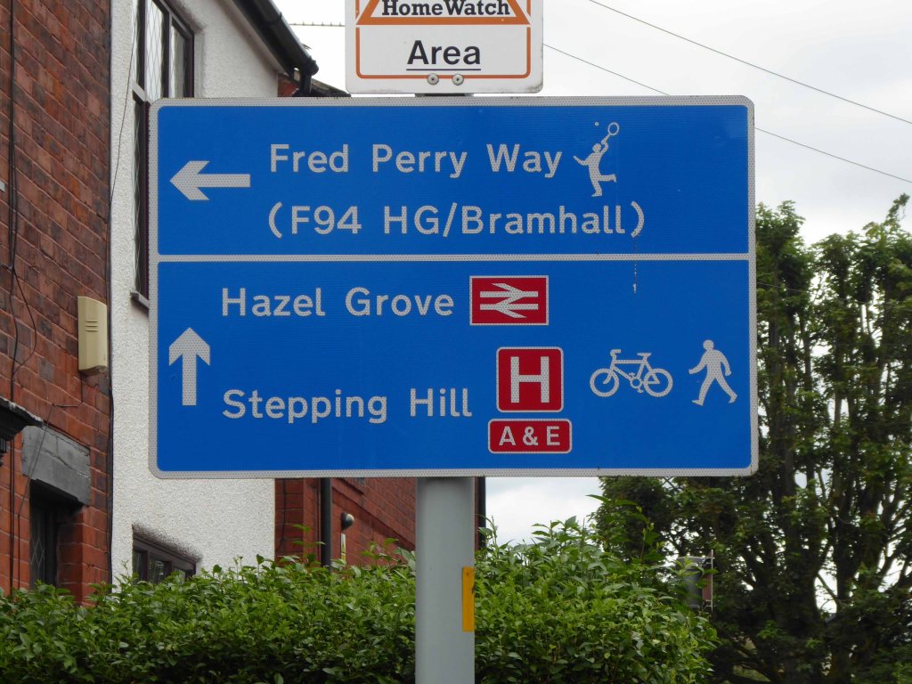
Of back down the hill onward to the Walsall School of Art.

Walsall’s art school’s history is a story of gradual growth and change, evolving from evening classes in a chapel to a modern art college. The Walsall School of Design and Ornamental Art, founded in 1854 as an evening class, operated from 1861 at the Goodall Street Baptist Chapel and eventually became the Walsall College of Art.
To celebrate Queen Victoria’s Golden Jubilee, the Walsall Science and Art Institute was opened in 1888 at Bradford Place. In 1897, it was transferred to the Town Council and renamed the Walsall Municipal Science & Art Institute. In 1926, the institute was renamed Walsall Technical College. Post-war demand led to the establishment of the Walsall and Staffordshire Technical College at Wisemore – now St Paul’s Street, in 1952. The Walsall College of Art officially merged with the College of Technology in 1992 to form Walsall College of Arts and Technology – now simply Walsall College. The college maintains strong historical ties to local industries, such as the leather trade.
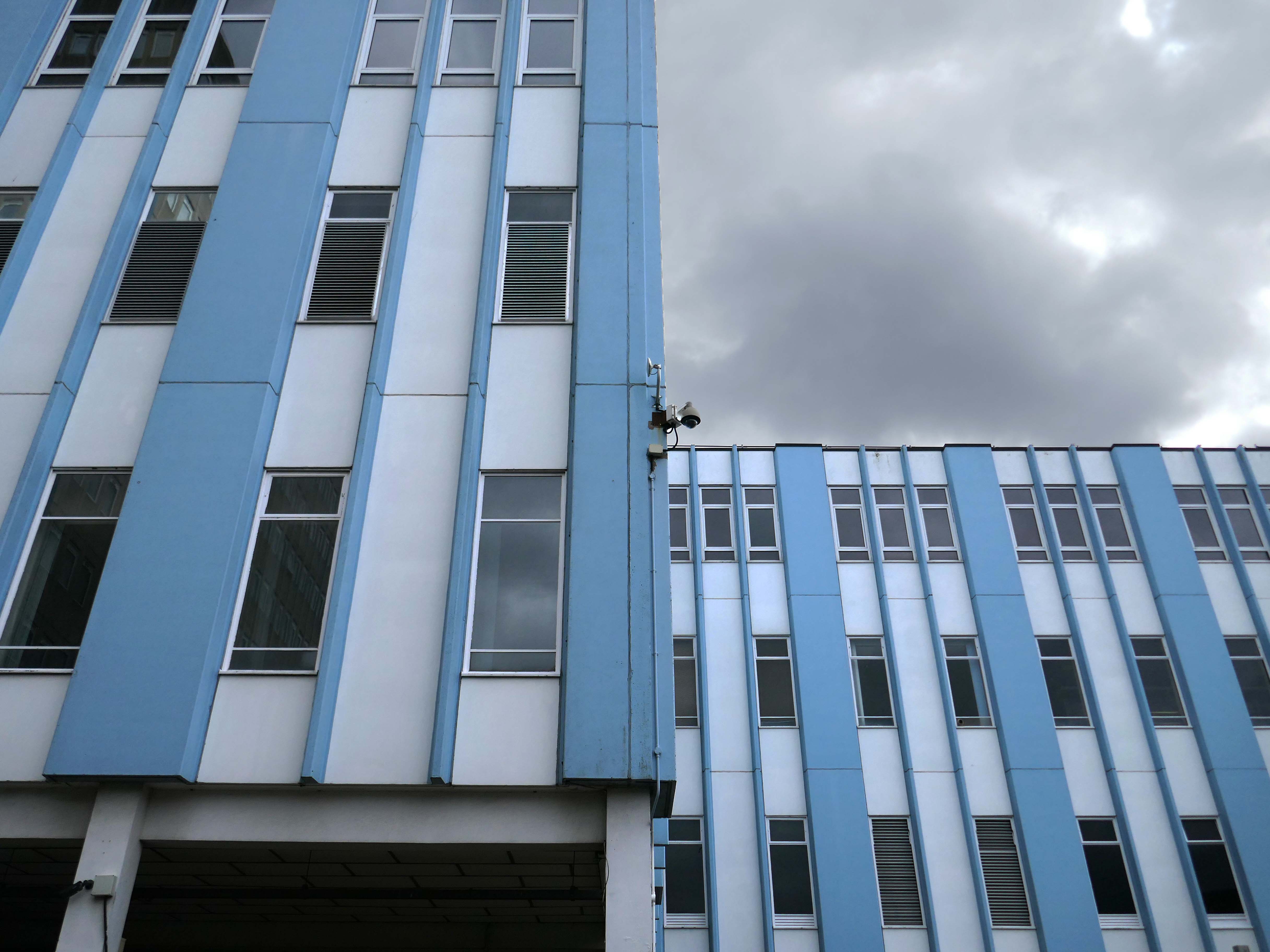
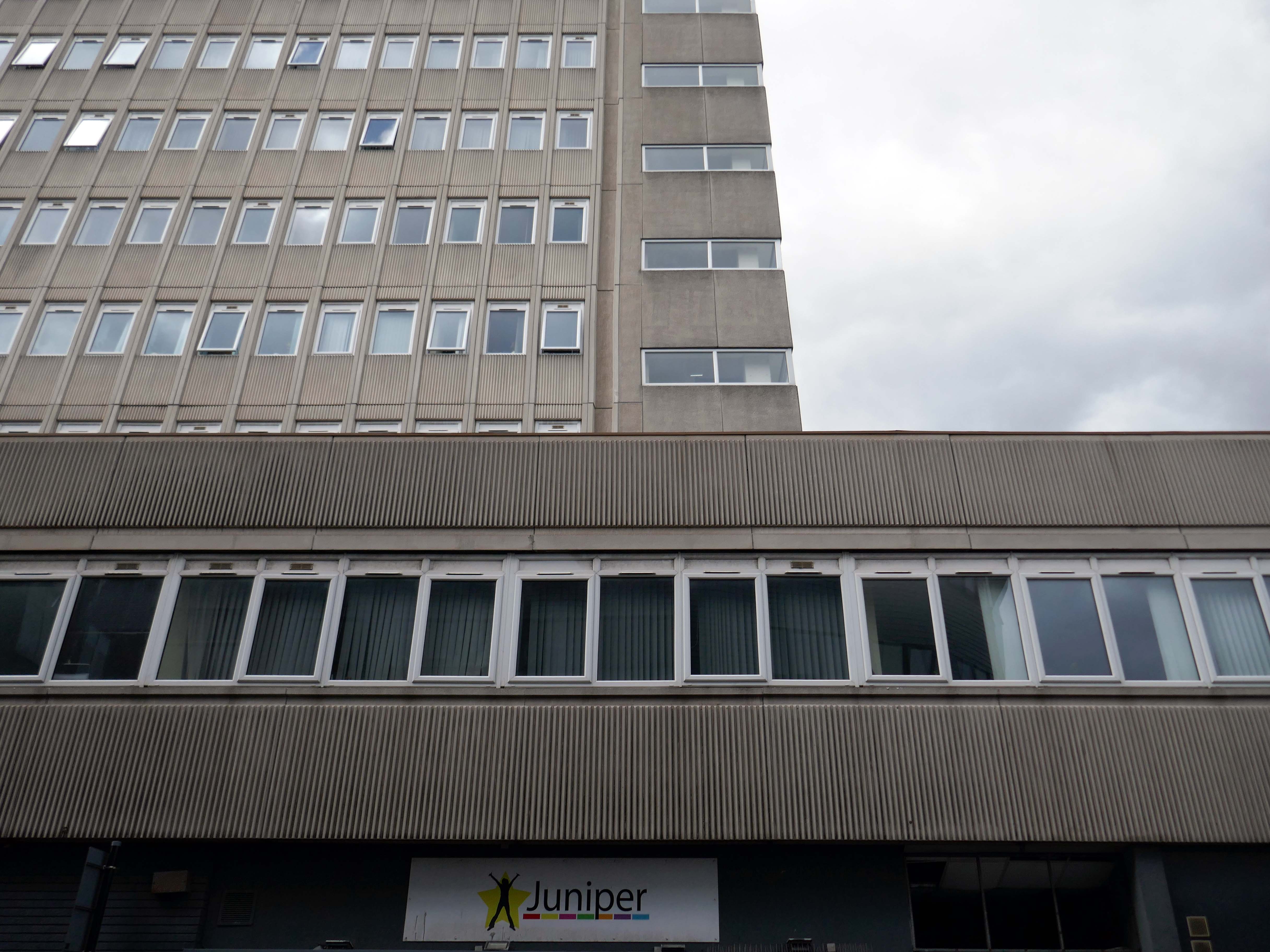
Further on there’s an enormous Telephone Exchange comprising fifties and seventies buildings.
Across the way a large system built block on a podium base.
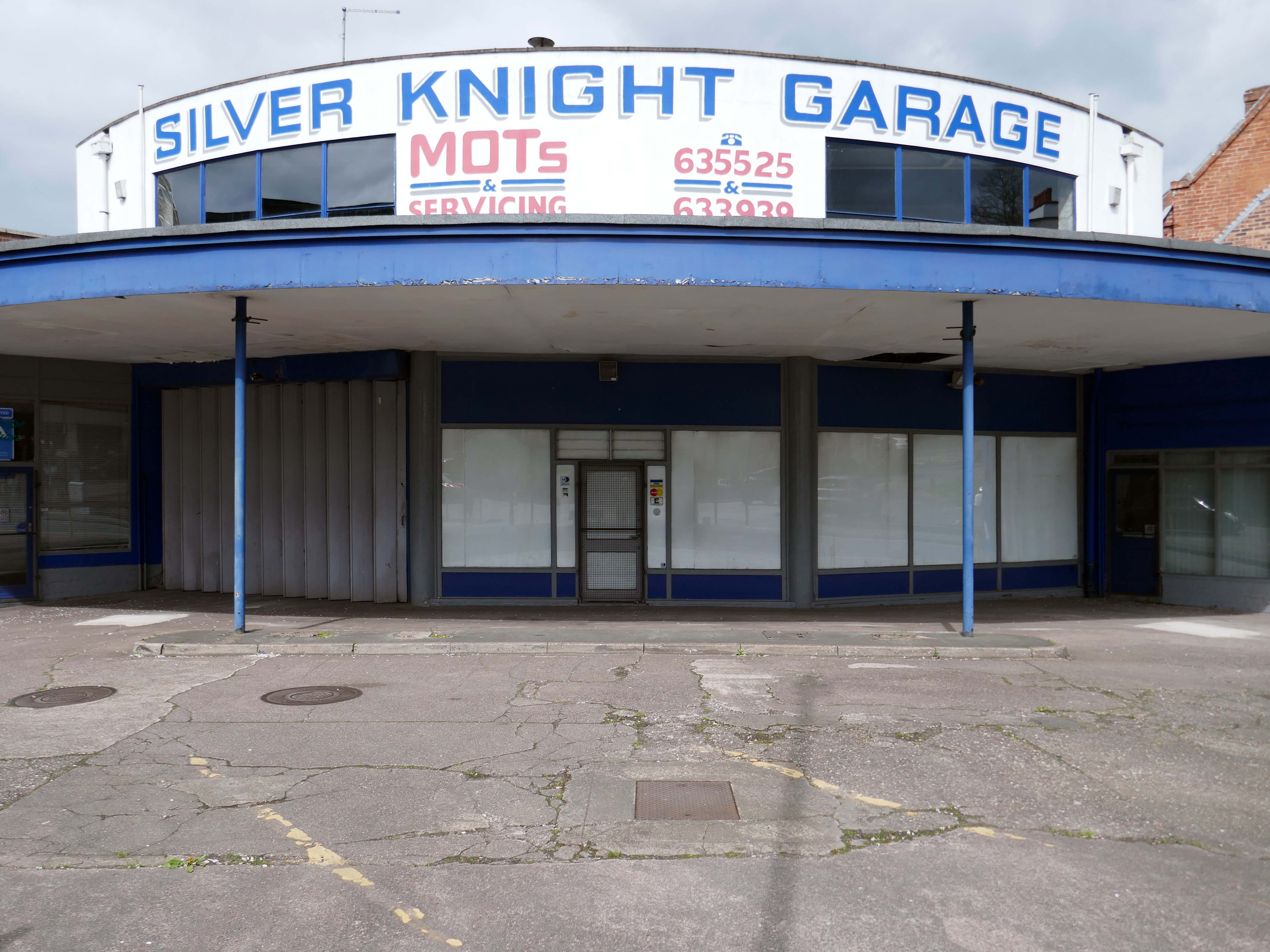
Standing on the corner where it has always stood the Silver Knight Garage.
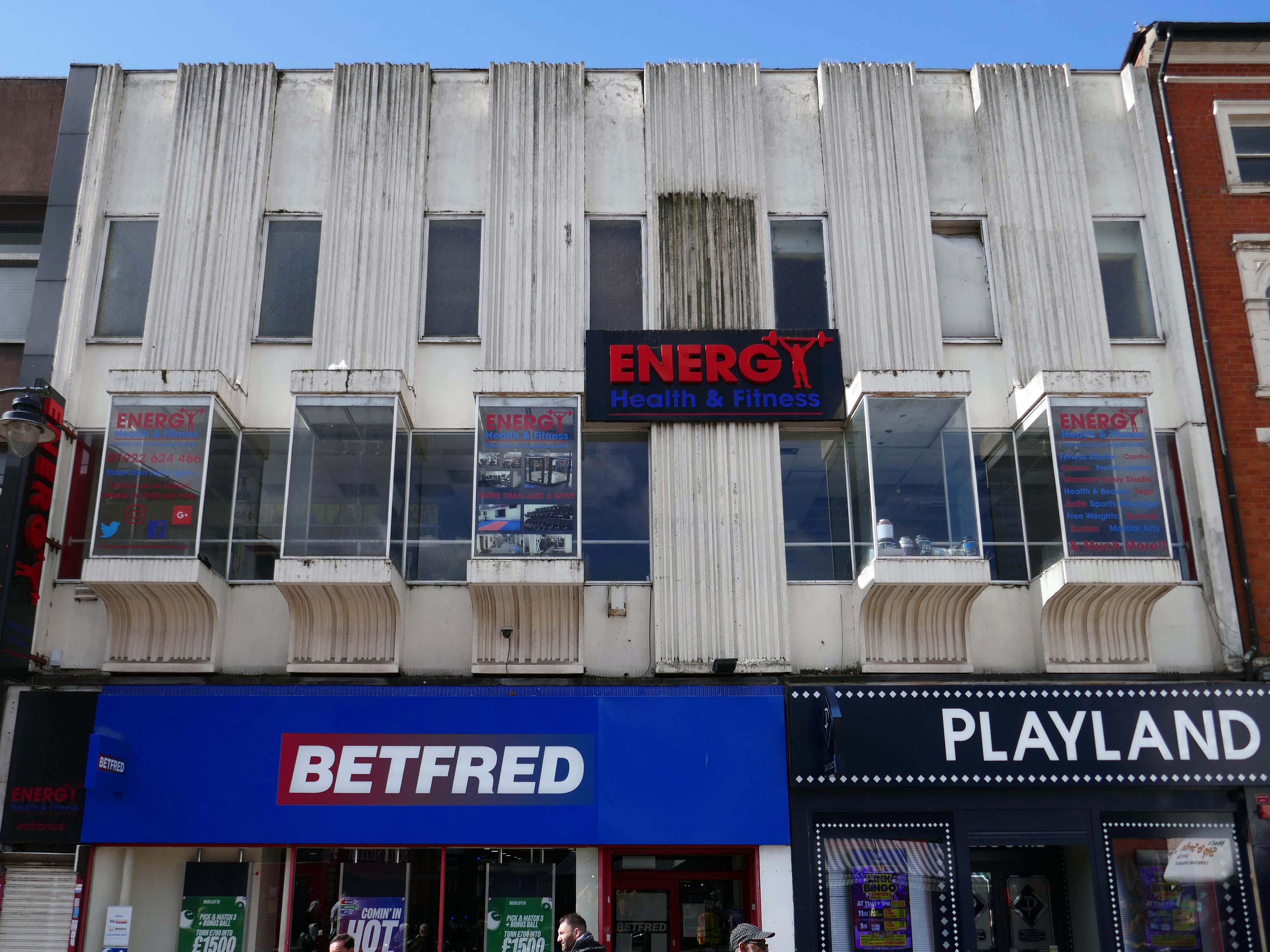
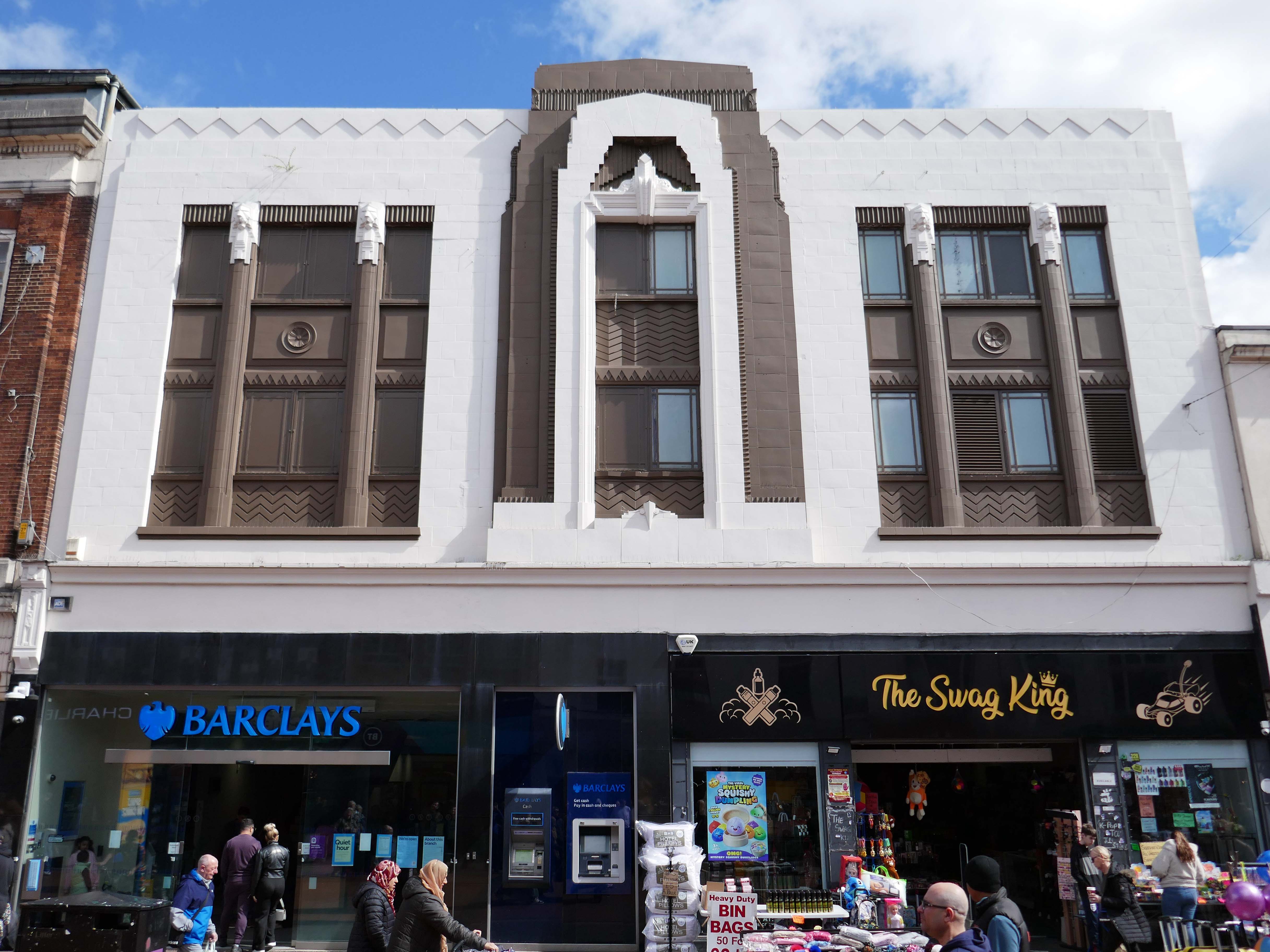
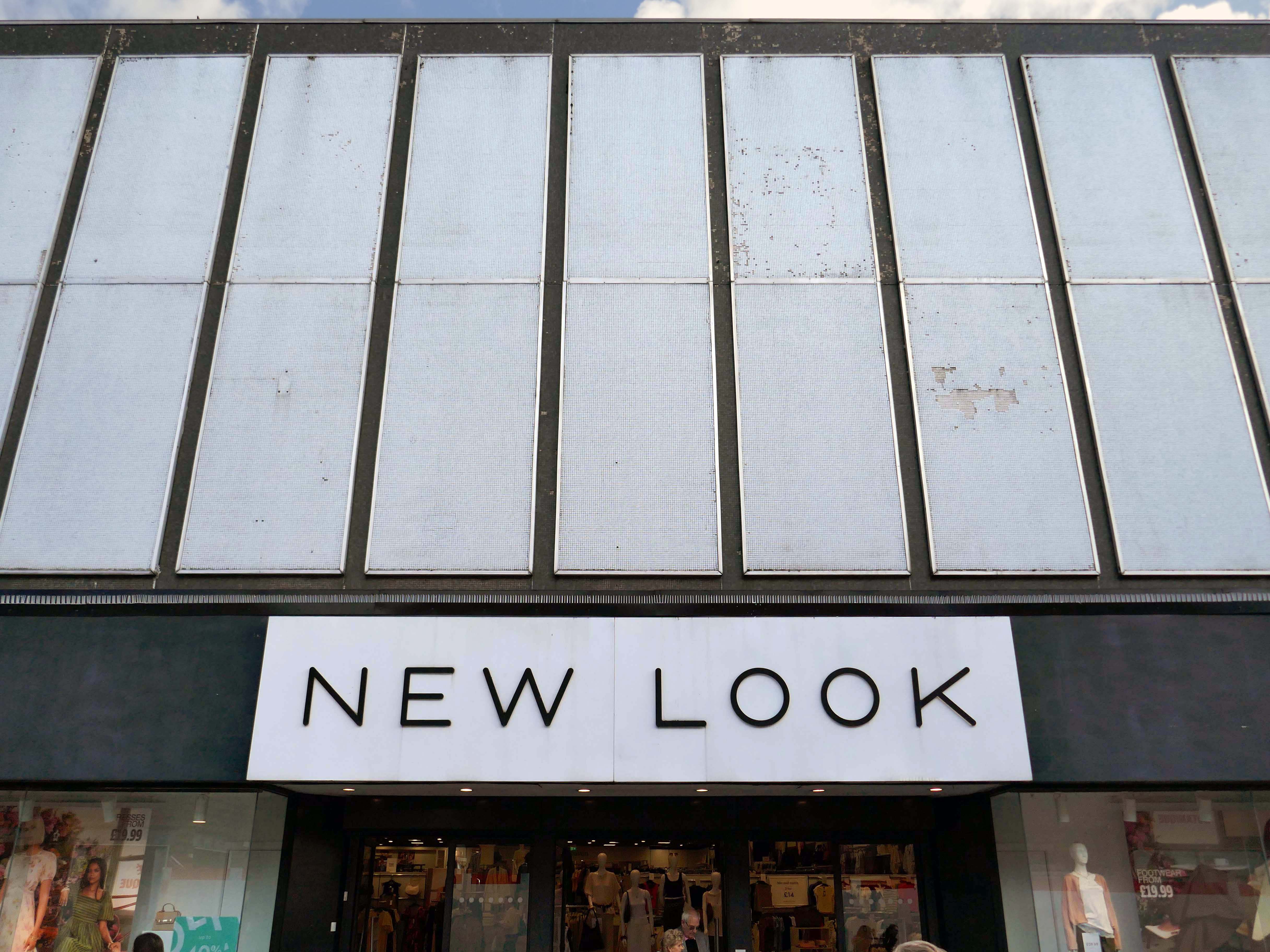
Heading back into the town centre, picking up on there’s a former Woolworths that looks like a Burton’s that thinks it’s a Barclays Bank, and also improbably a Swag King.
1933 by FW Woolworth Construction Dept – H Wimbourne
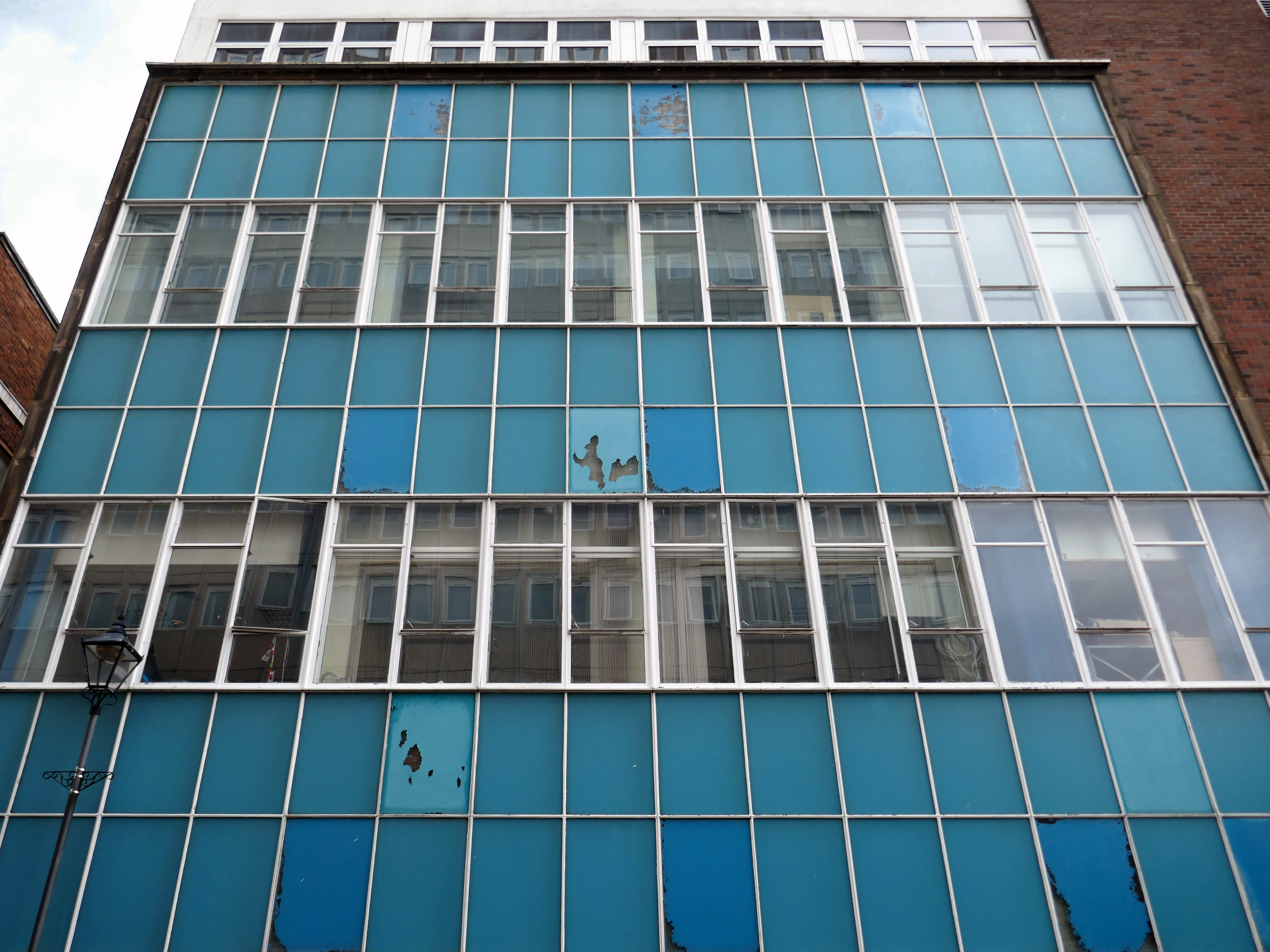
Next an indeterminate infill with pale blue panels and central pivoting metal window frames, soon to be demolished along with its neighbours, as part of the Connected Gateway Project.
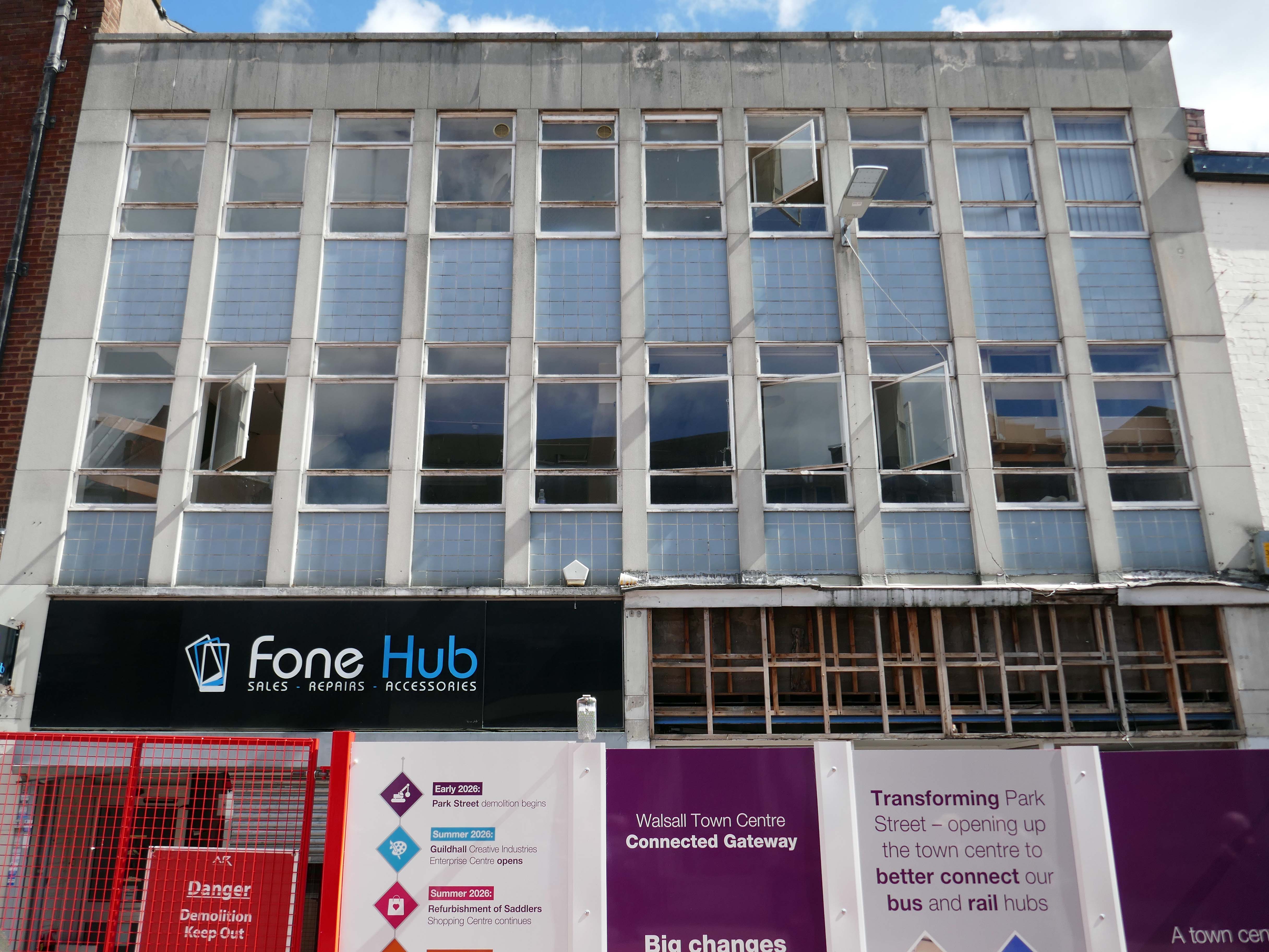
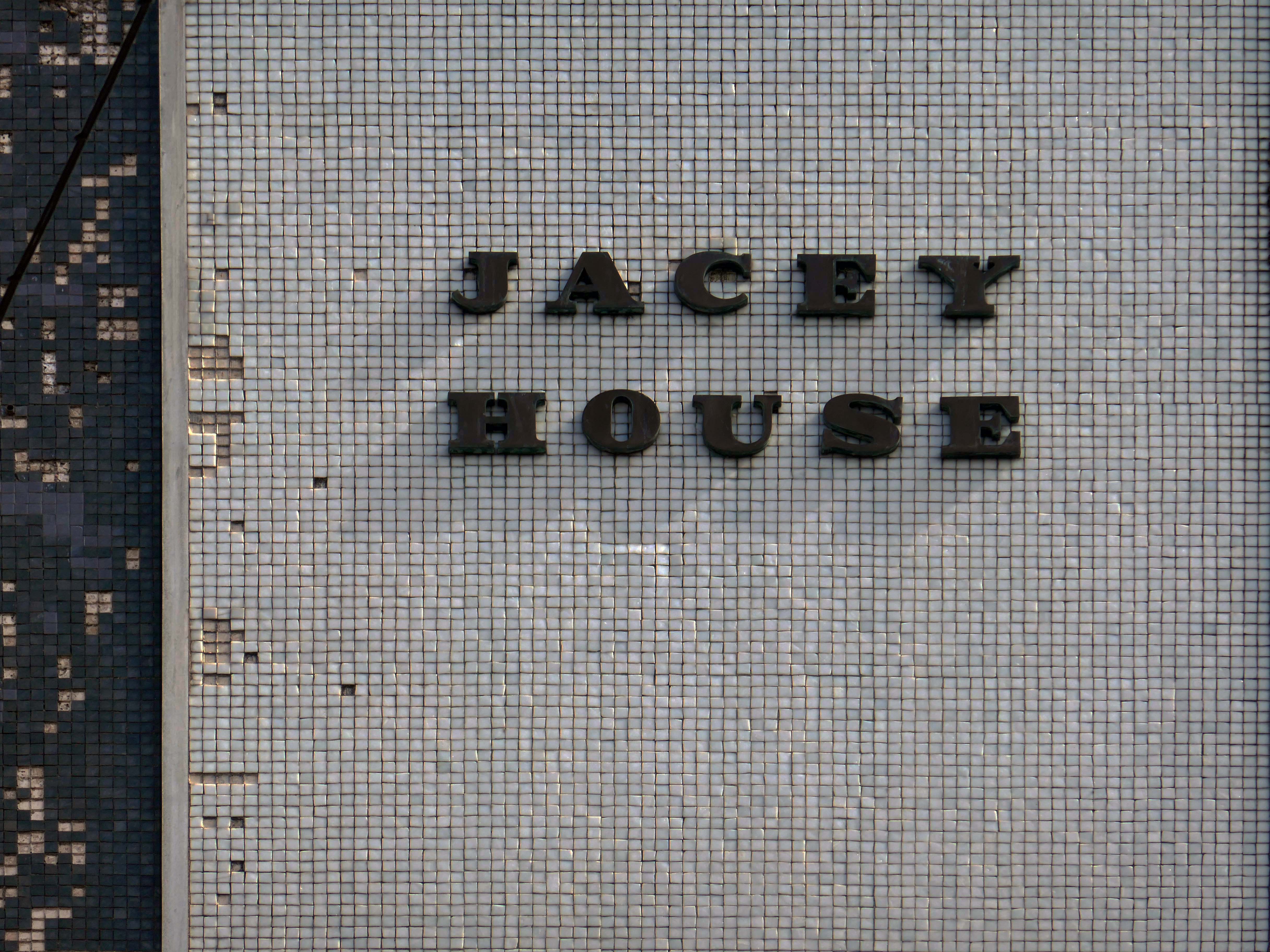
Possibly a former BHS – known as Jacey House.
Next up Park Place.
Ai says – notable features include Park Place Meats – a town centre butcher, and Park Place Shoe Repairs, which offers engraving and key-cutting services.

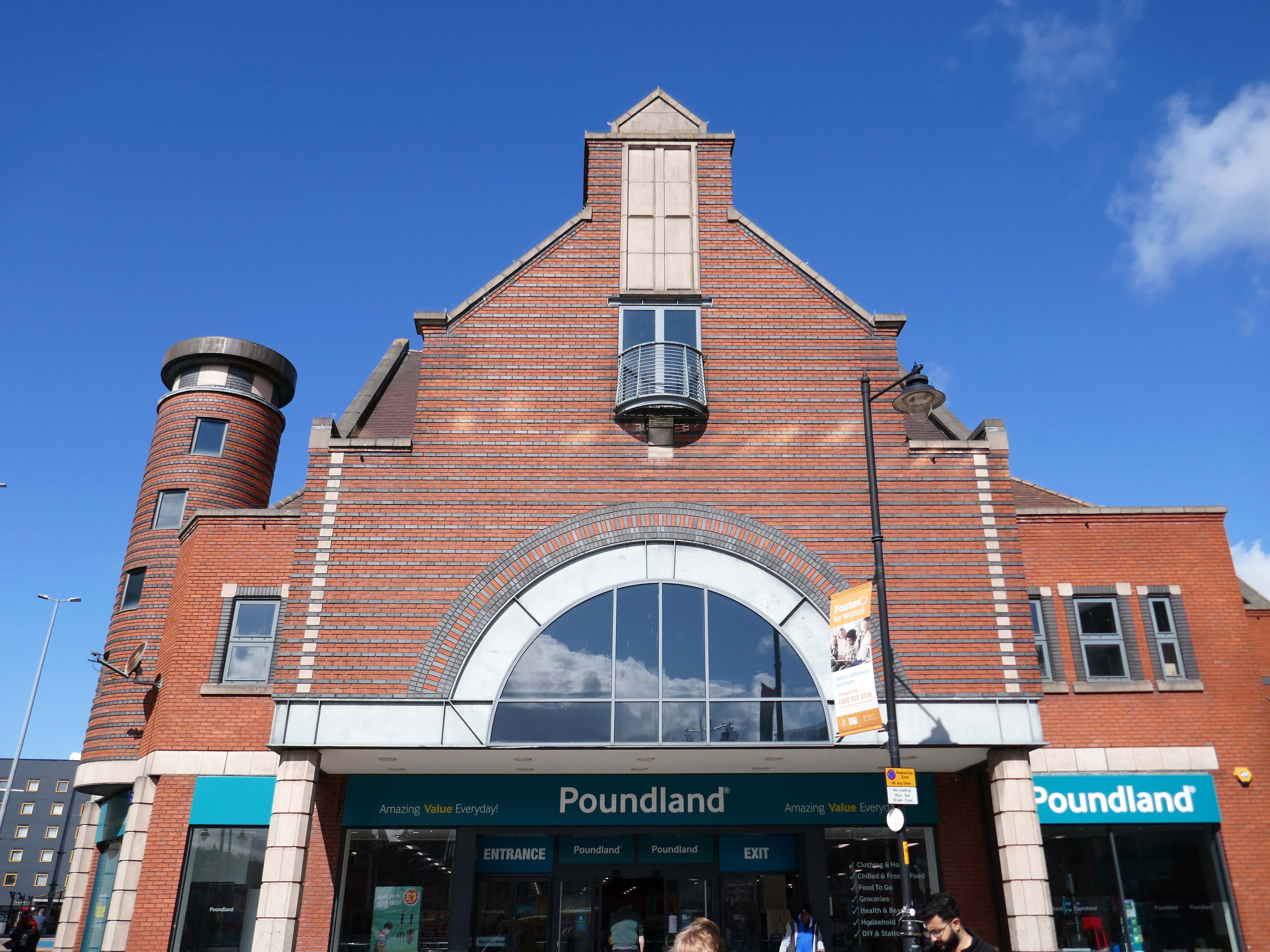
A Post Modern Poundland.
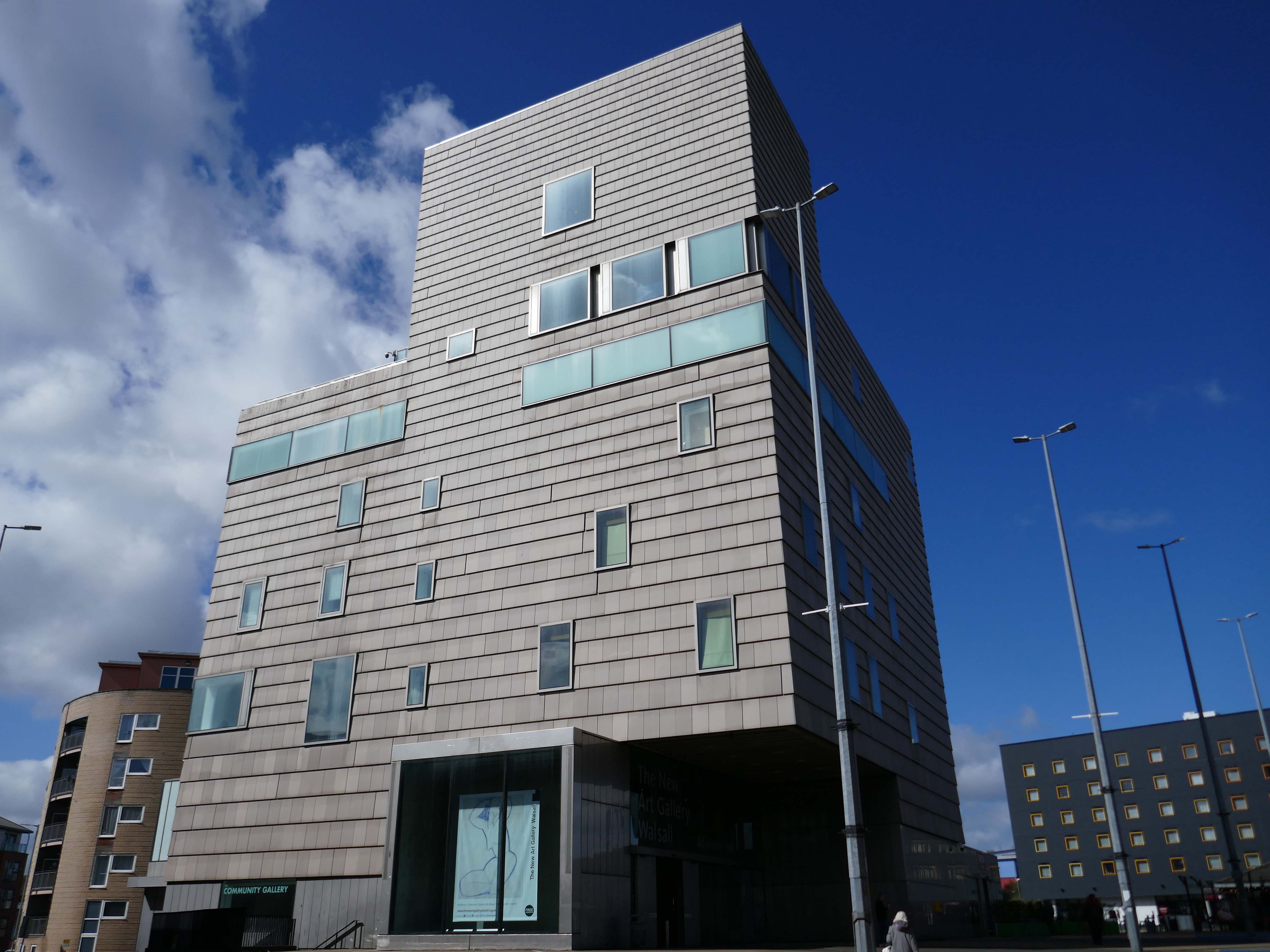
And last but not least a thoroughly Modern New Art Gallery.
Caruso St John Architects 1997-2000