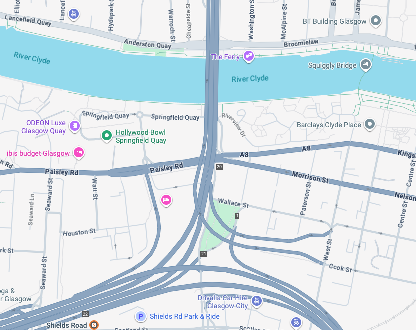
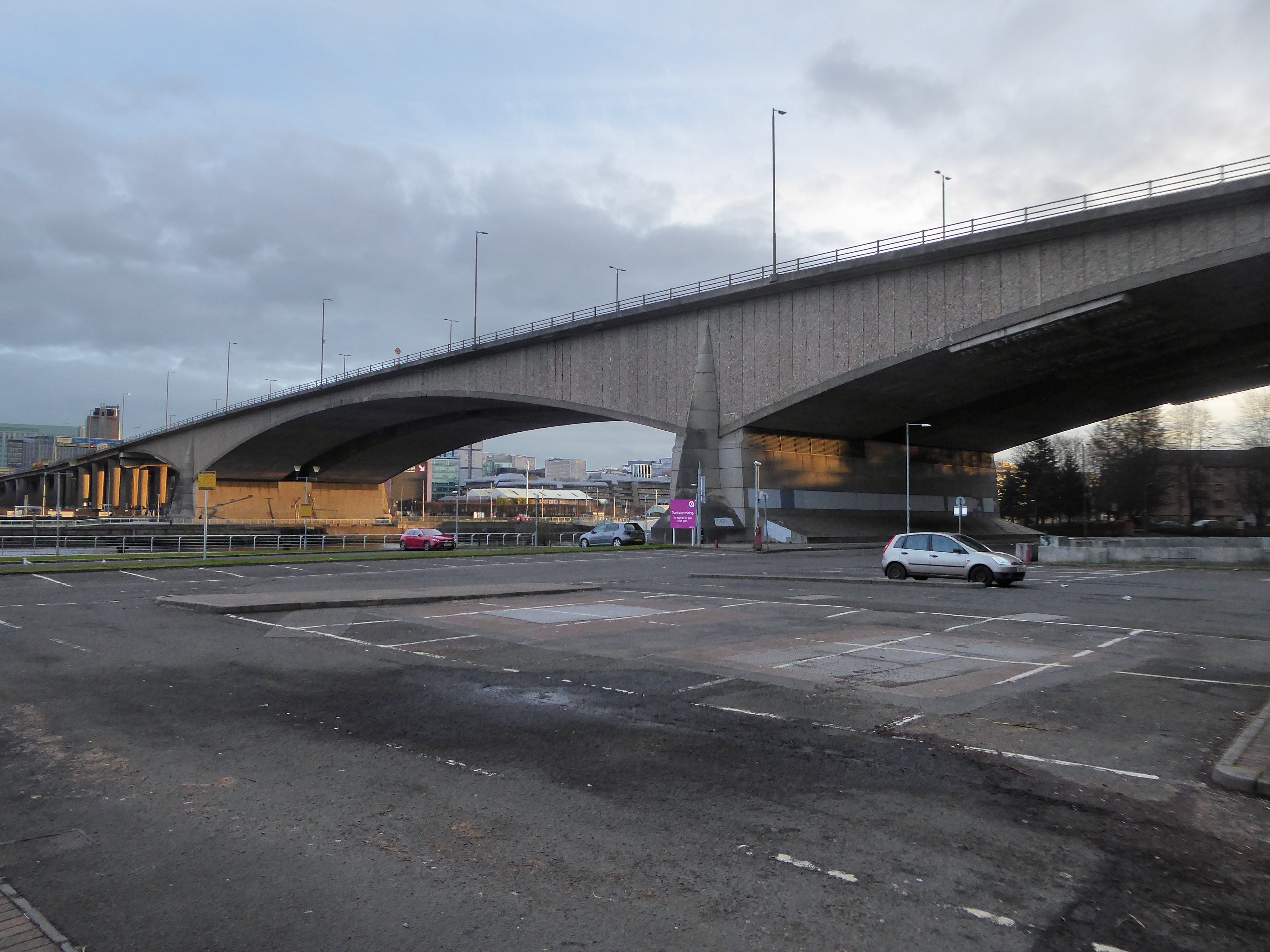
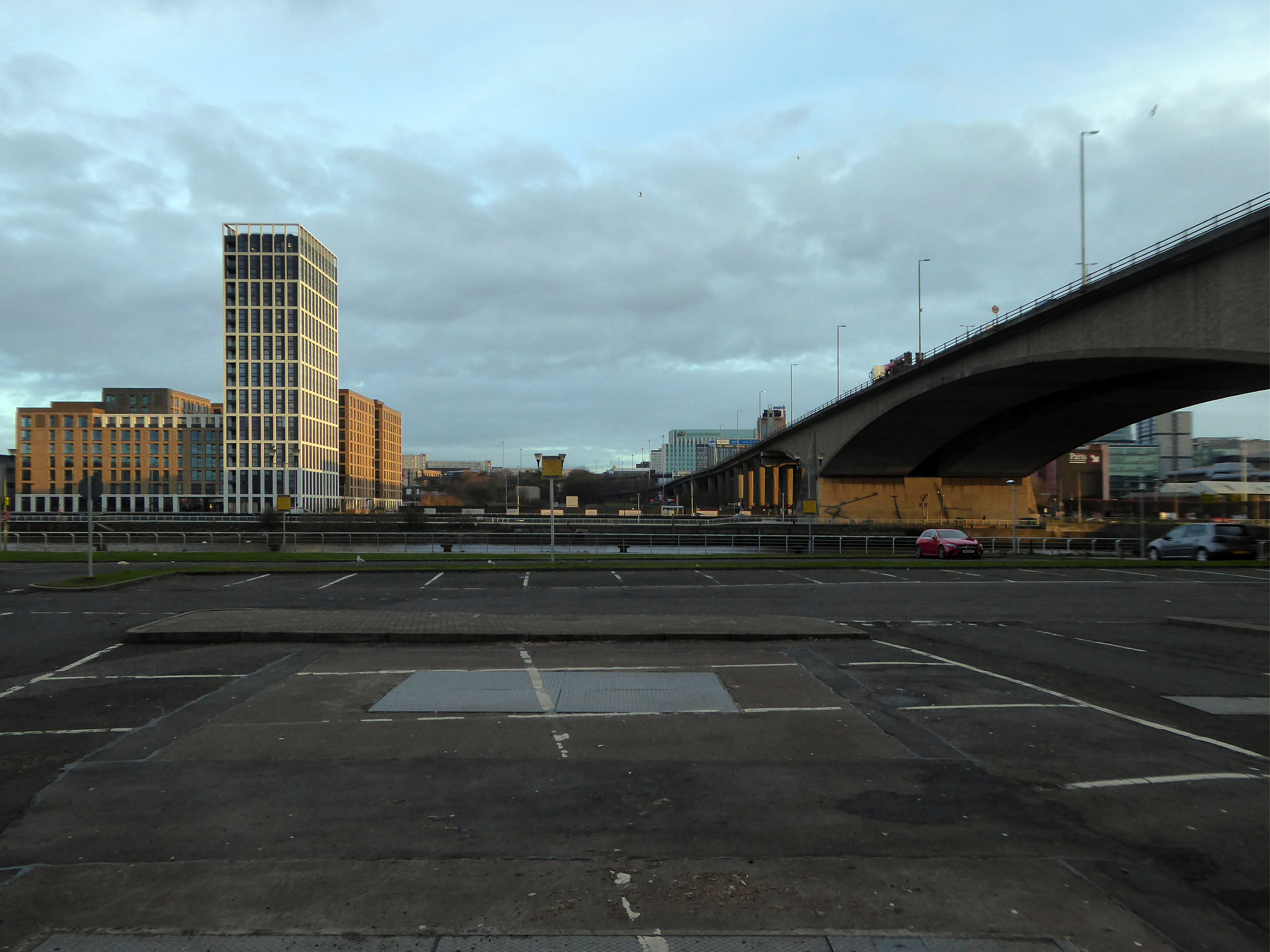
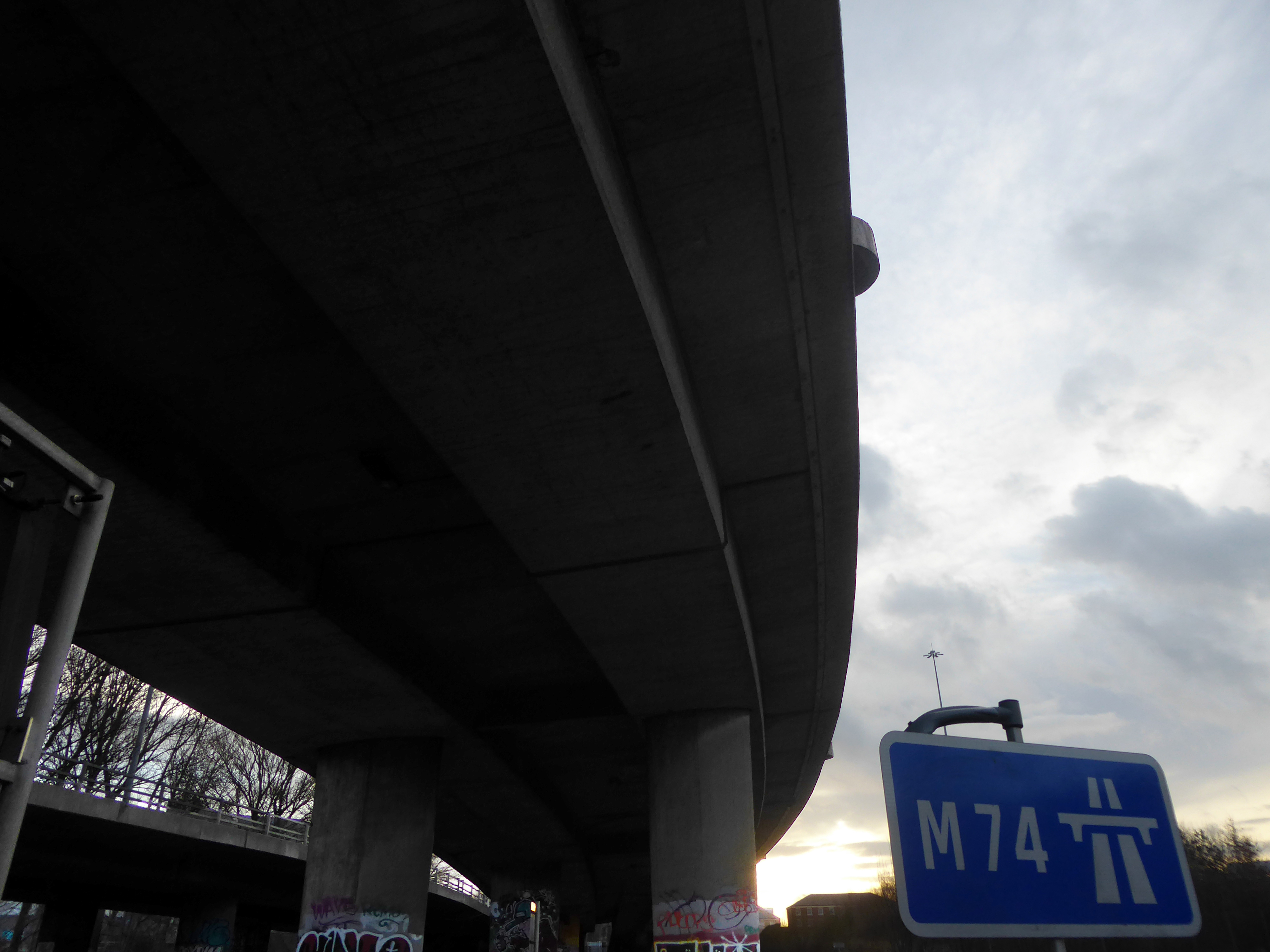
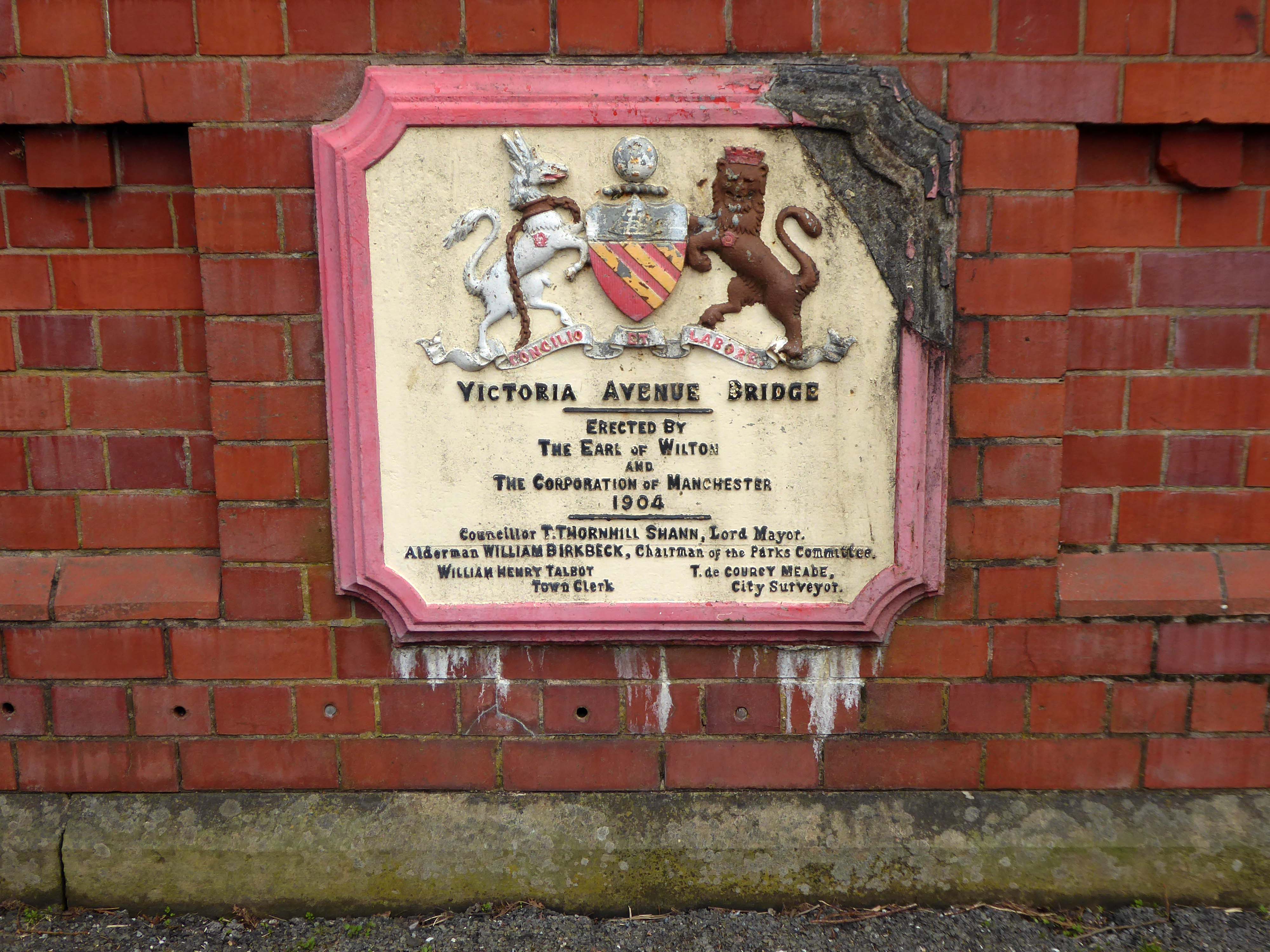
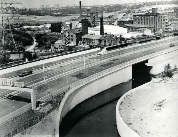
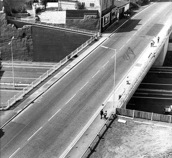
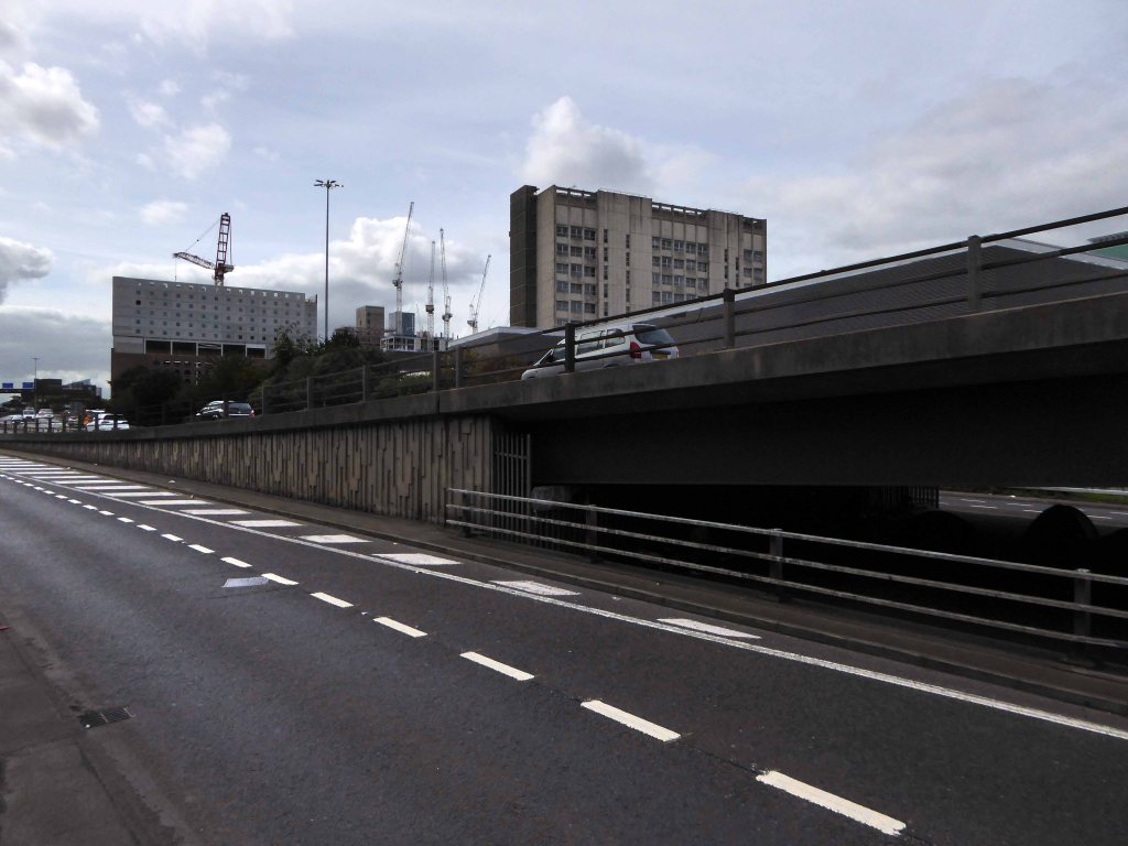
The bridge on the River Clyde – and access to the city’s motorway system.
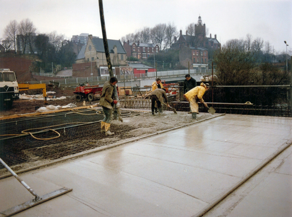
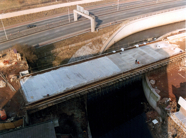
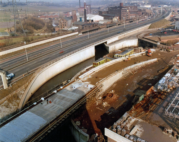
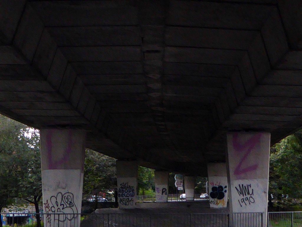
The Kingston Bridge is a balanced cantilever dual-span ten lane road bridge made of triple-cell segmented prestressed concrete box girders crossing the River Clyde.
Carrying the M8 motorway through the city centre, the Kingston Bridge is one of the busiest bridges in Europe, carrying around 150,000 vehicles every day.
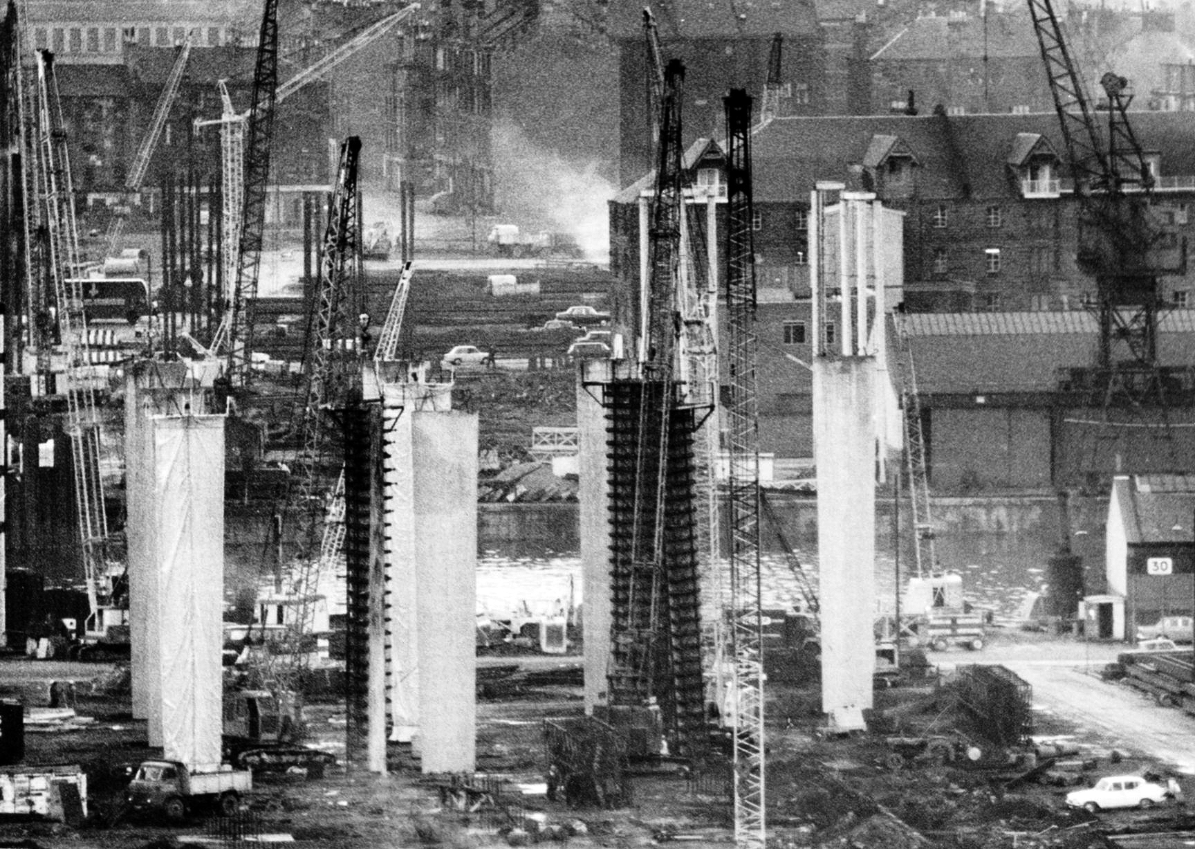
The bridge was first proposed in 1945 as part of the Glasgow Inner Ring Road scheme. After feasibility studies were carried out, William Fairhurst was appointed consulting engineer for the design of the bridge and its approaches and on 15 May 1967 construction began; this was a joint venture between Duncan Logan Construction Ltd and Marples Ridgway.
The eventual cost was £2.4m excluding the approach viaducts or around £11m in total.
On 26 June 1970 Kingston Bridge was opened by Queen Elizabeth the Queen Mother.
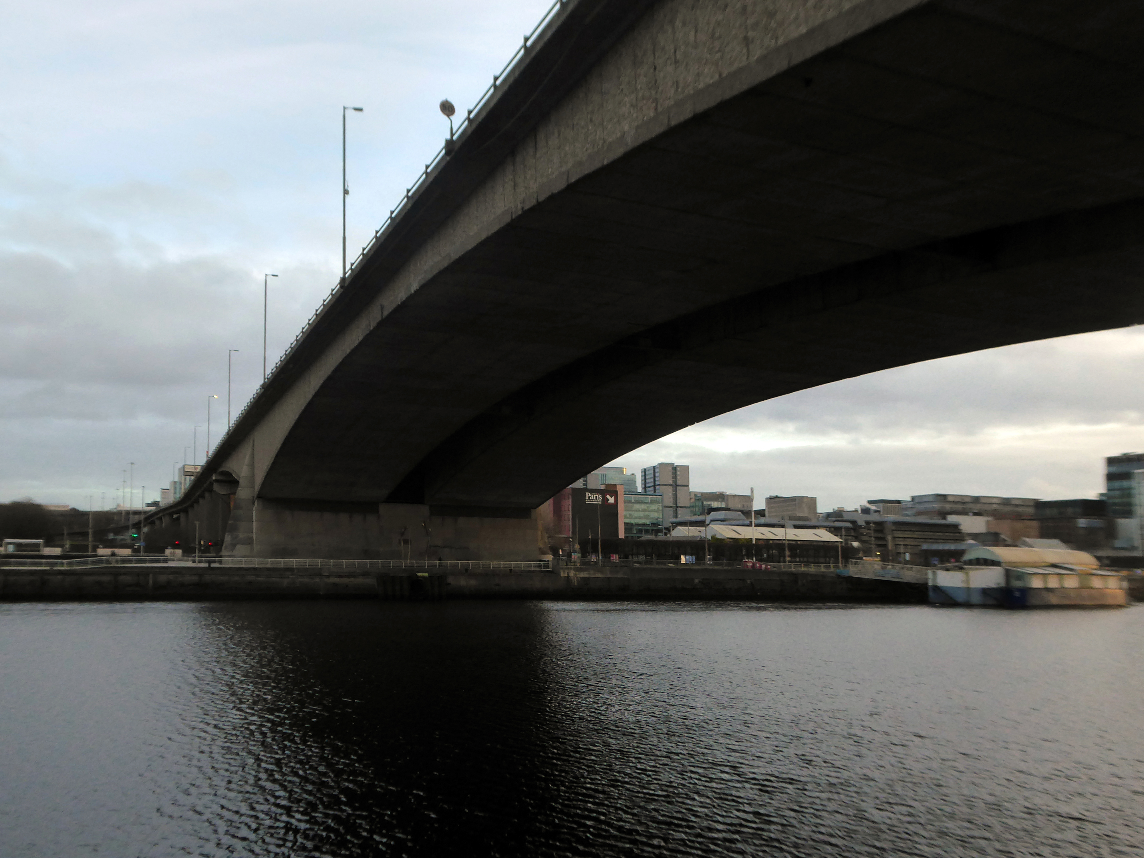
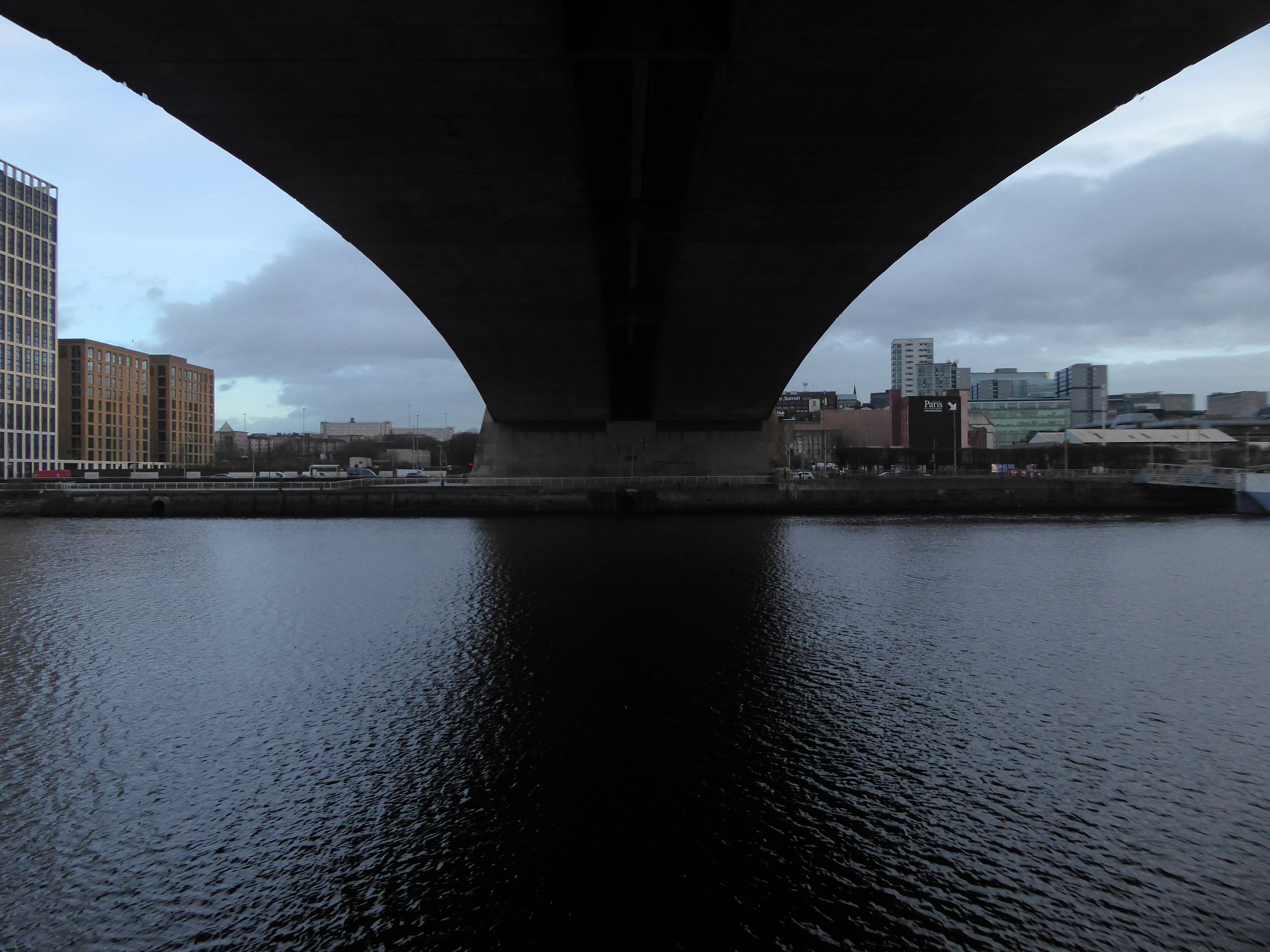
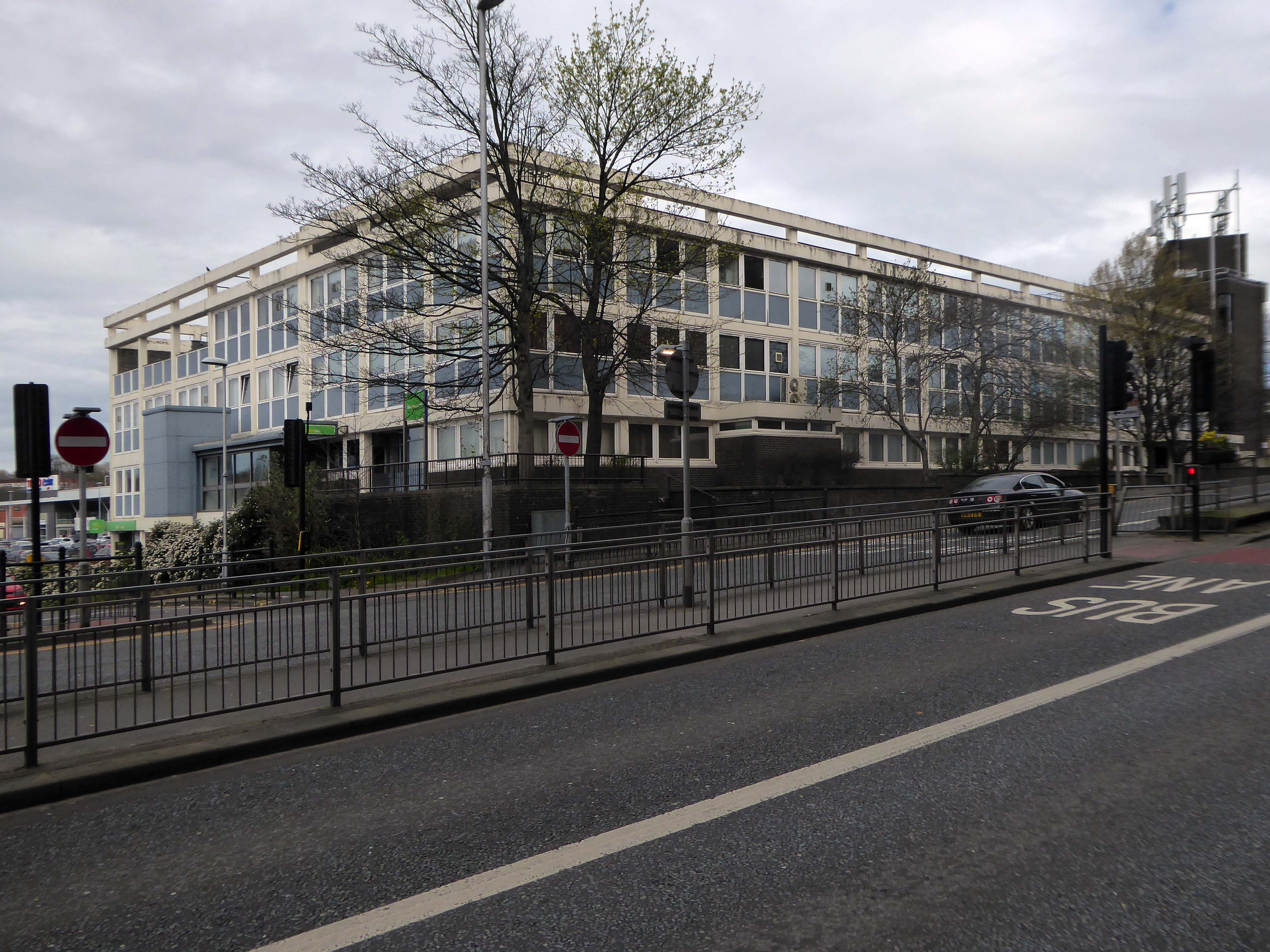
Co-operative House was the former headquarters of the Scottish Co-operative Wholesale Society and today is a mixed residential and commercial development.
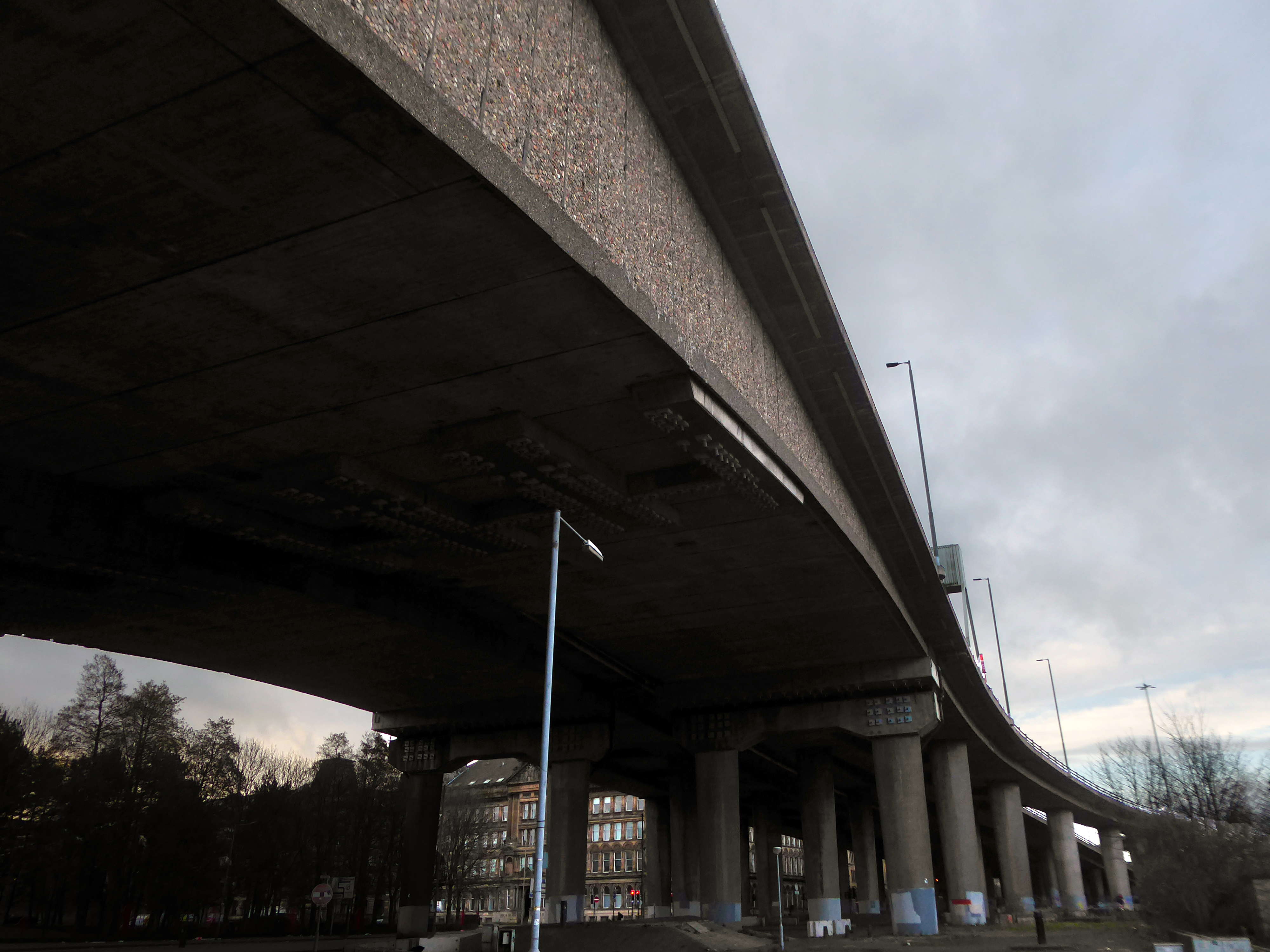
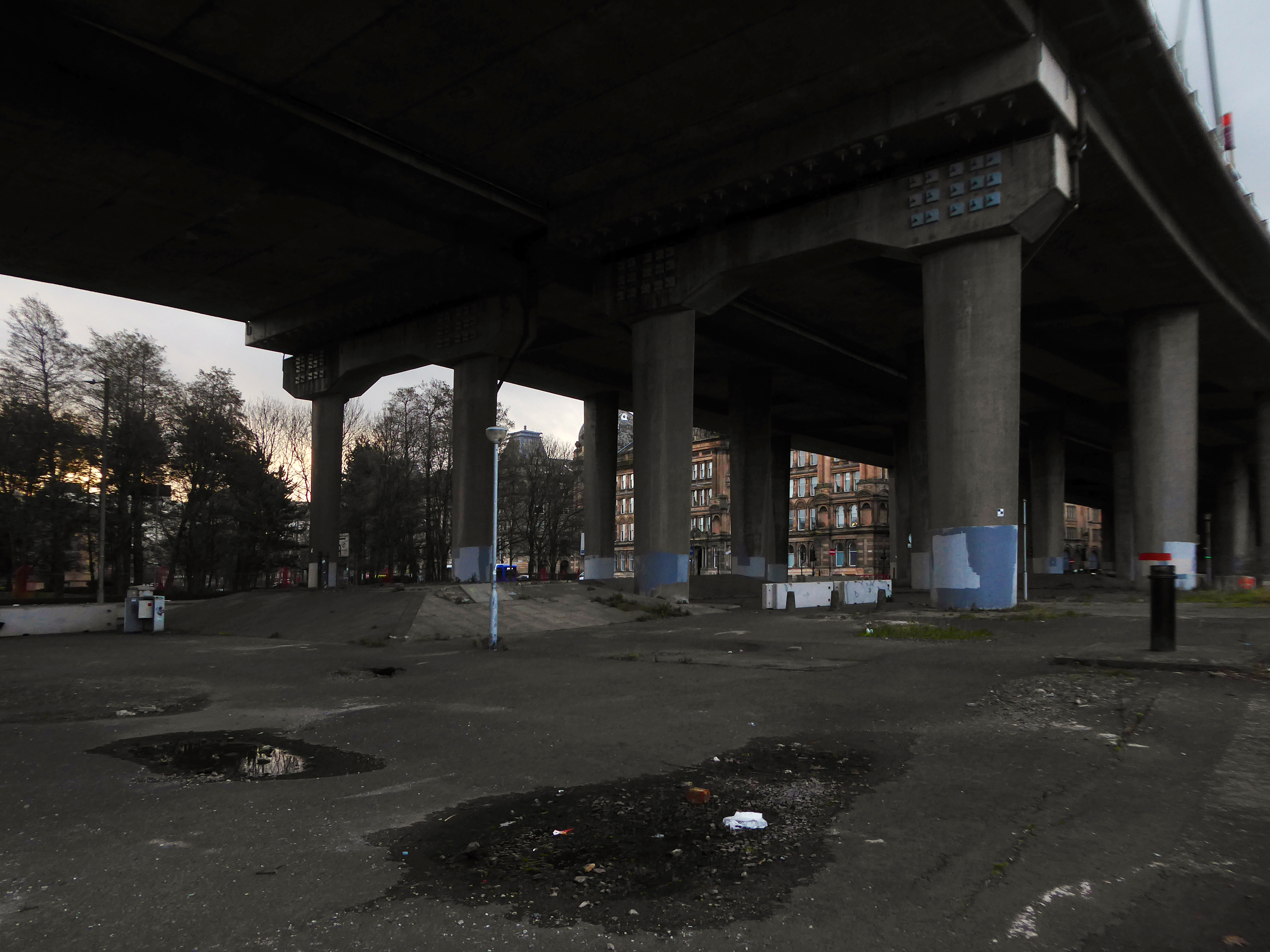
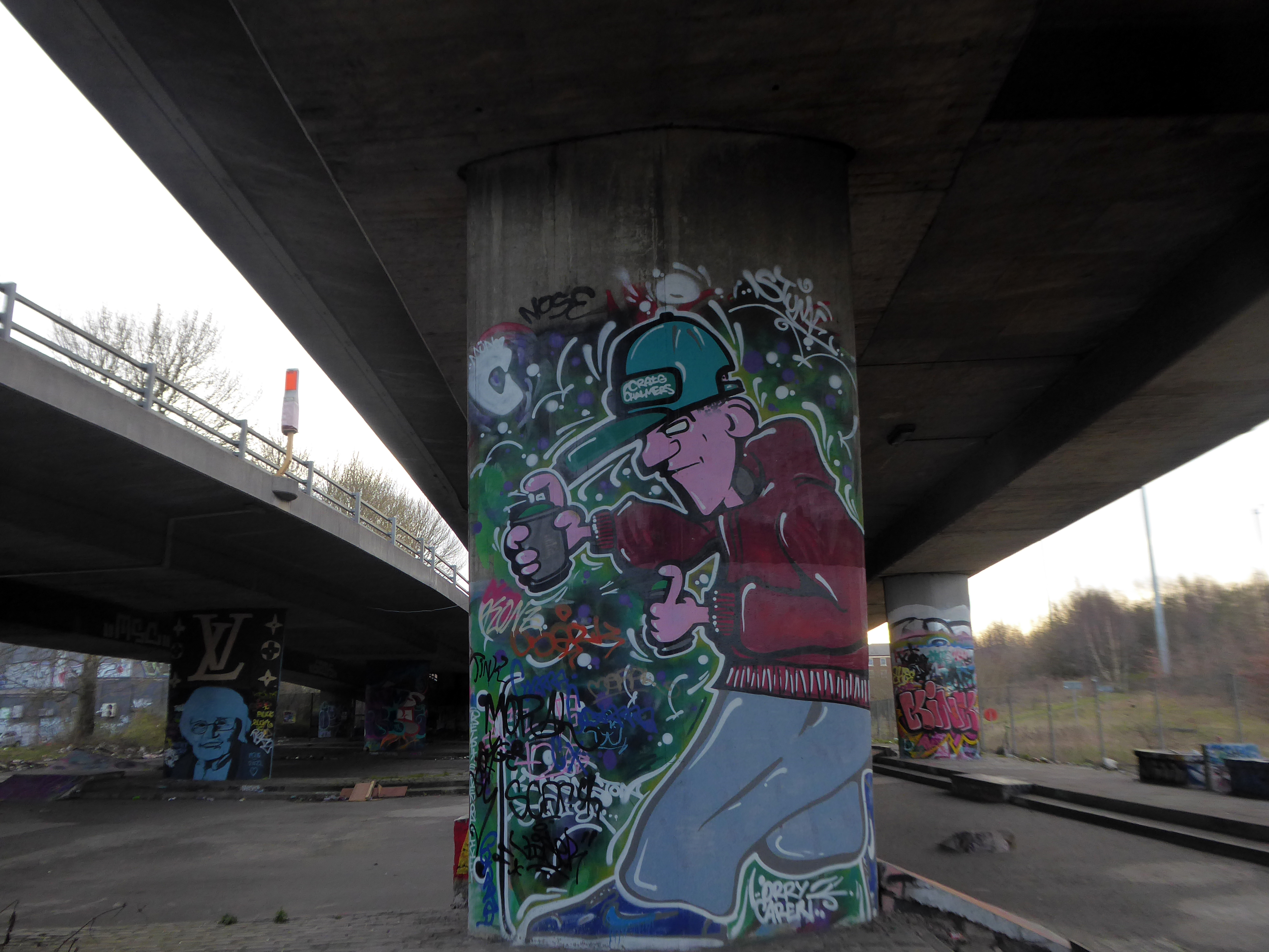
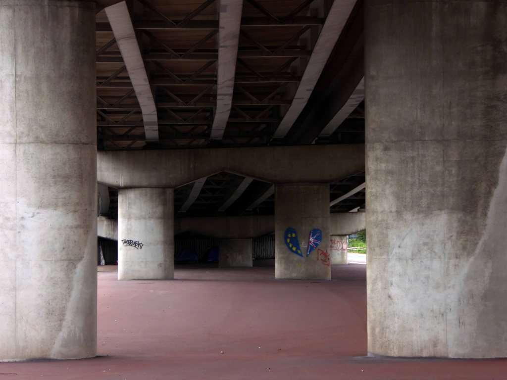
There is a dubious urban myth that the fourth man in the Williamwood bank robbery, Archie McGeachy, is buried in the pillars of the bridge.
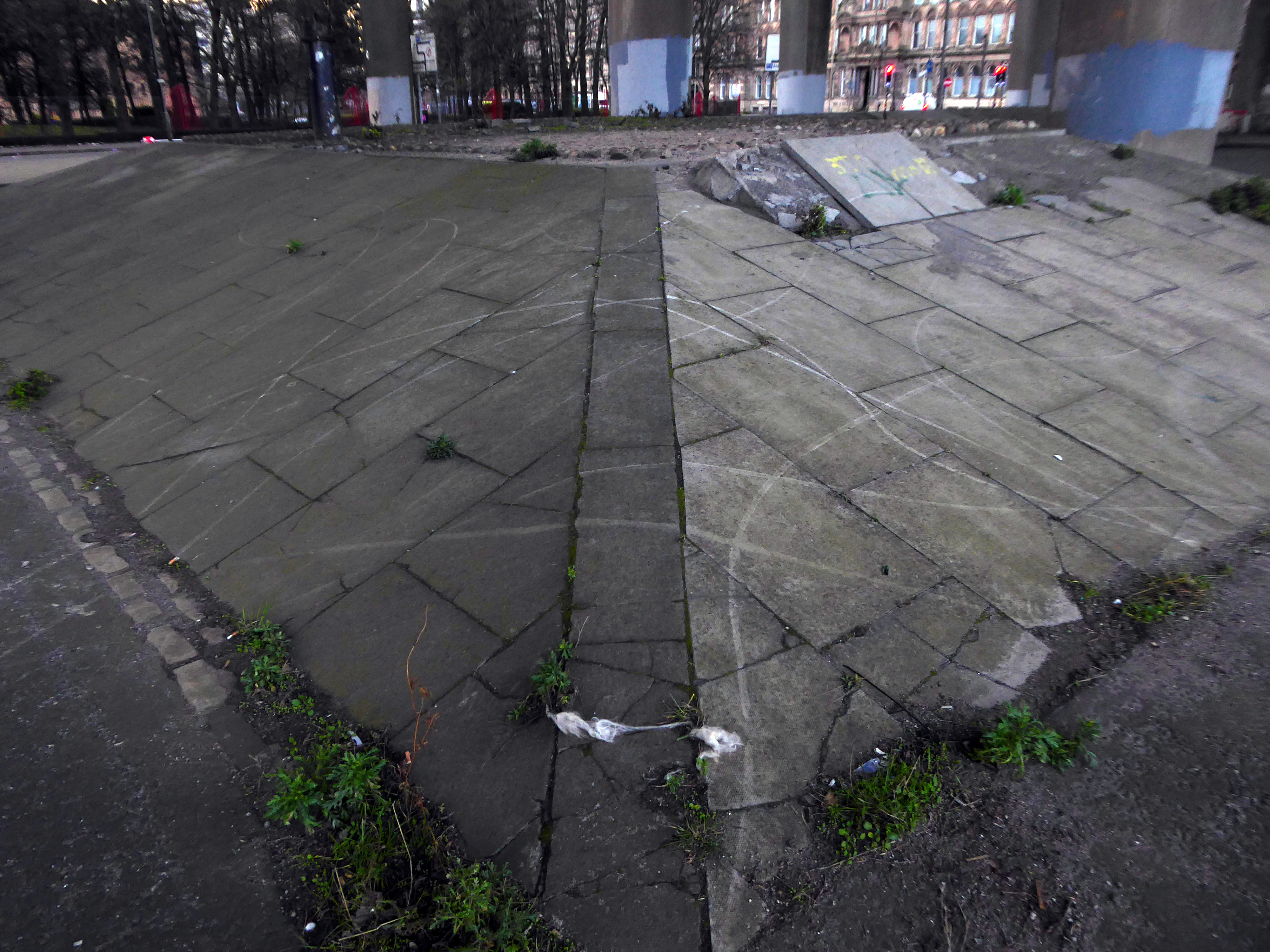
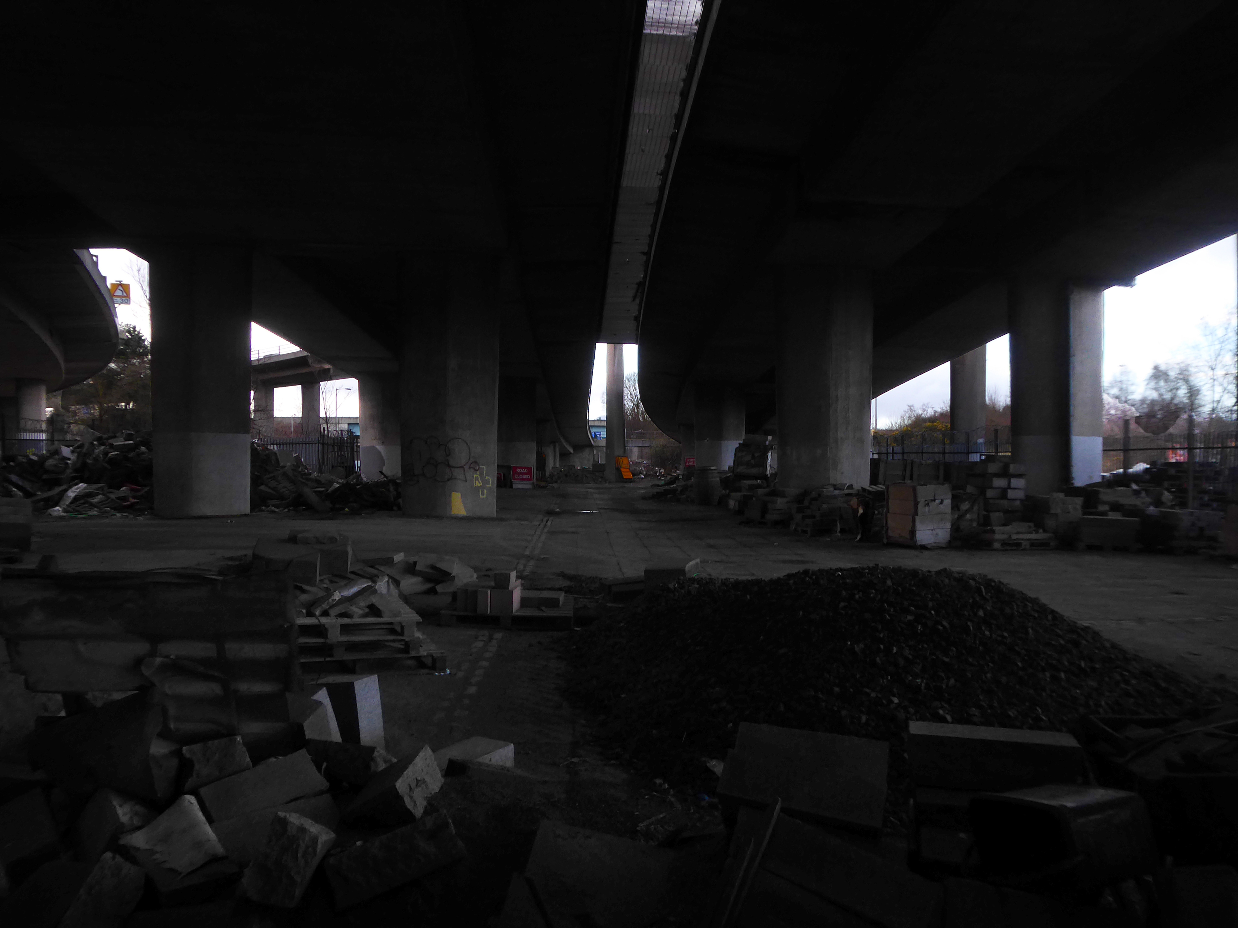
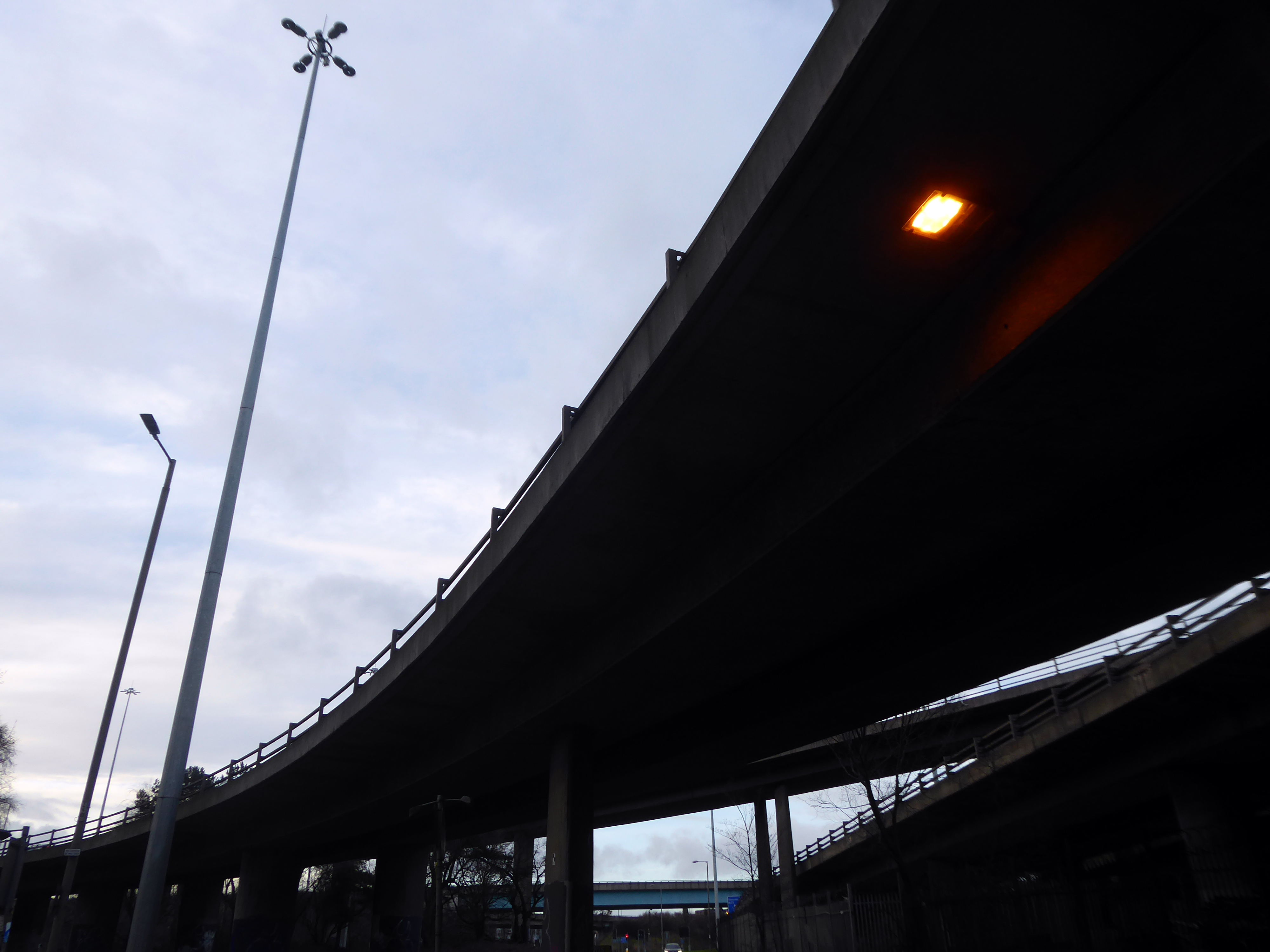
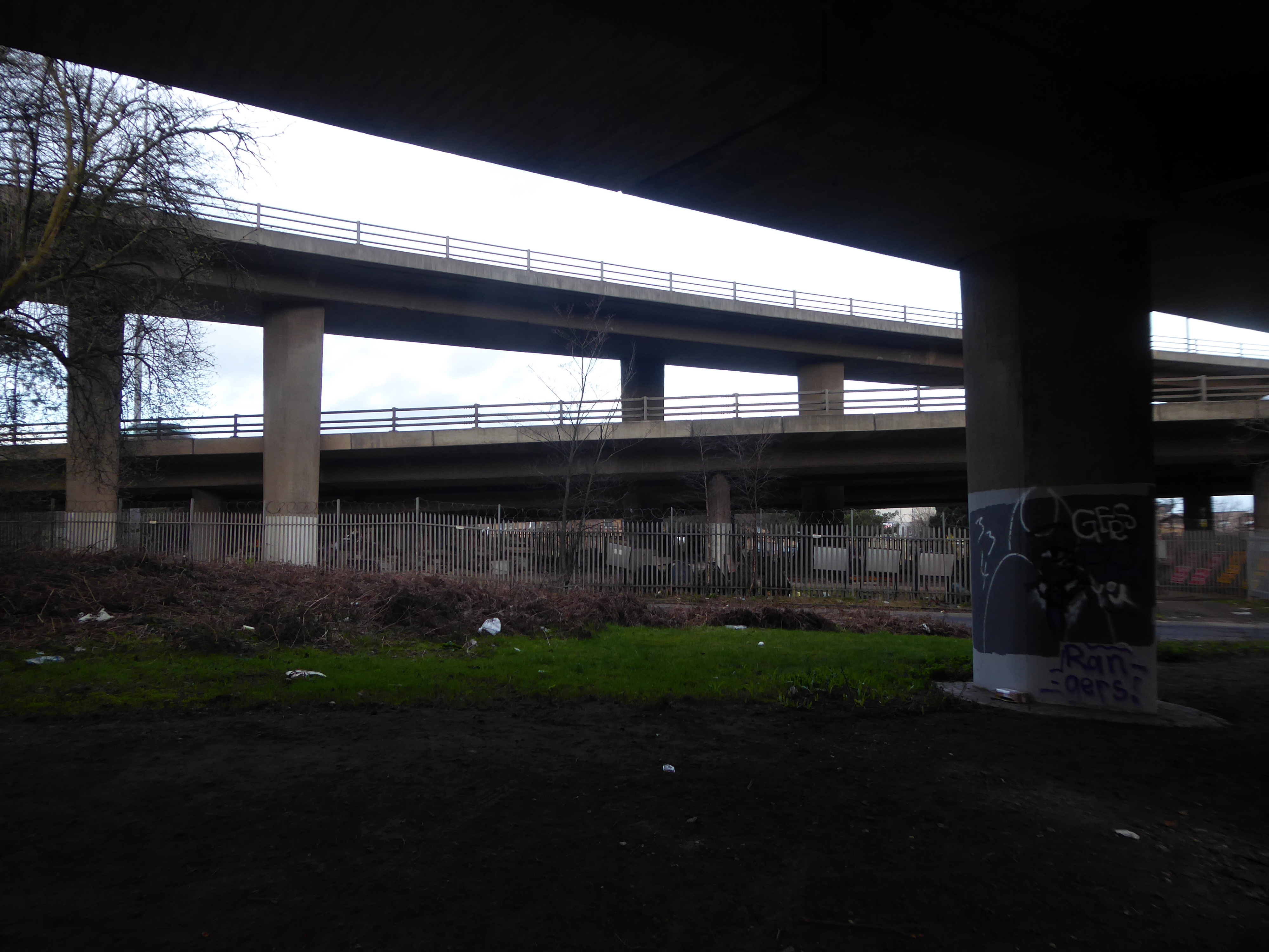
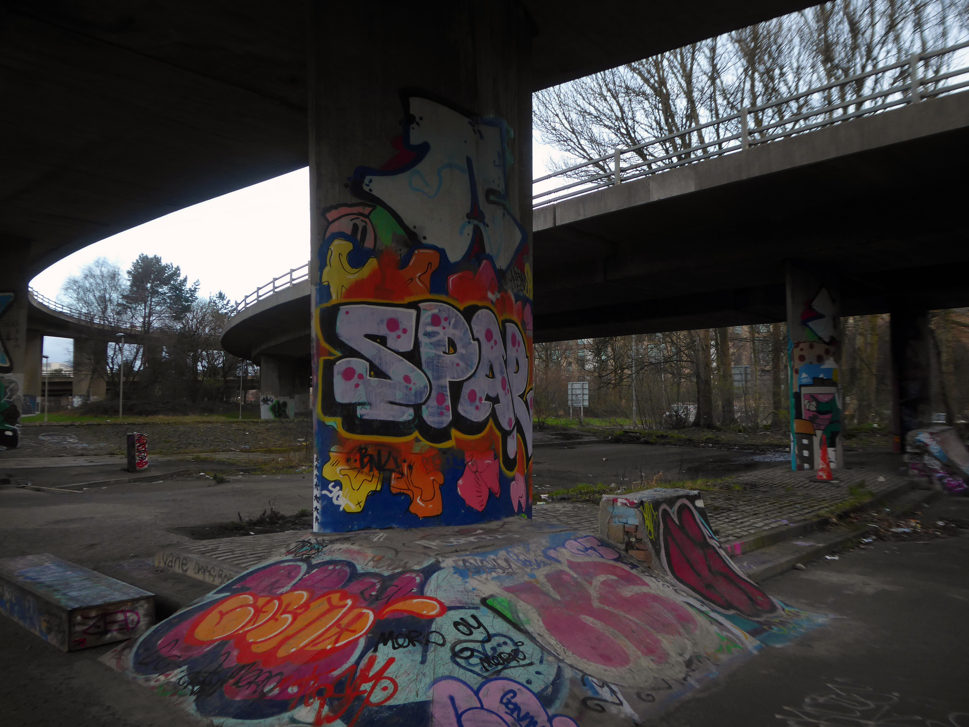
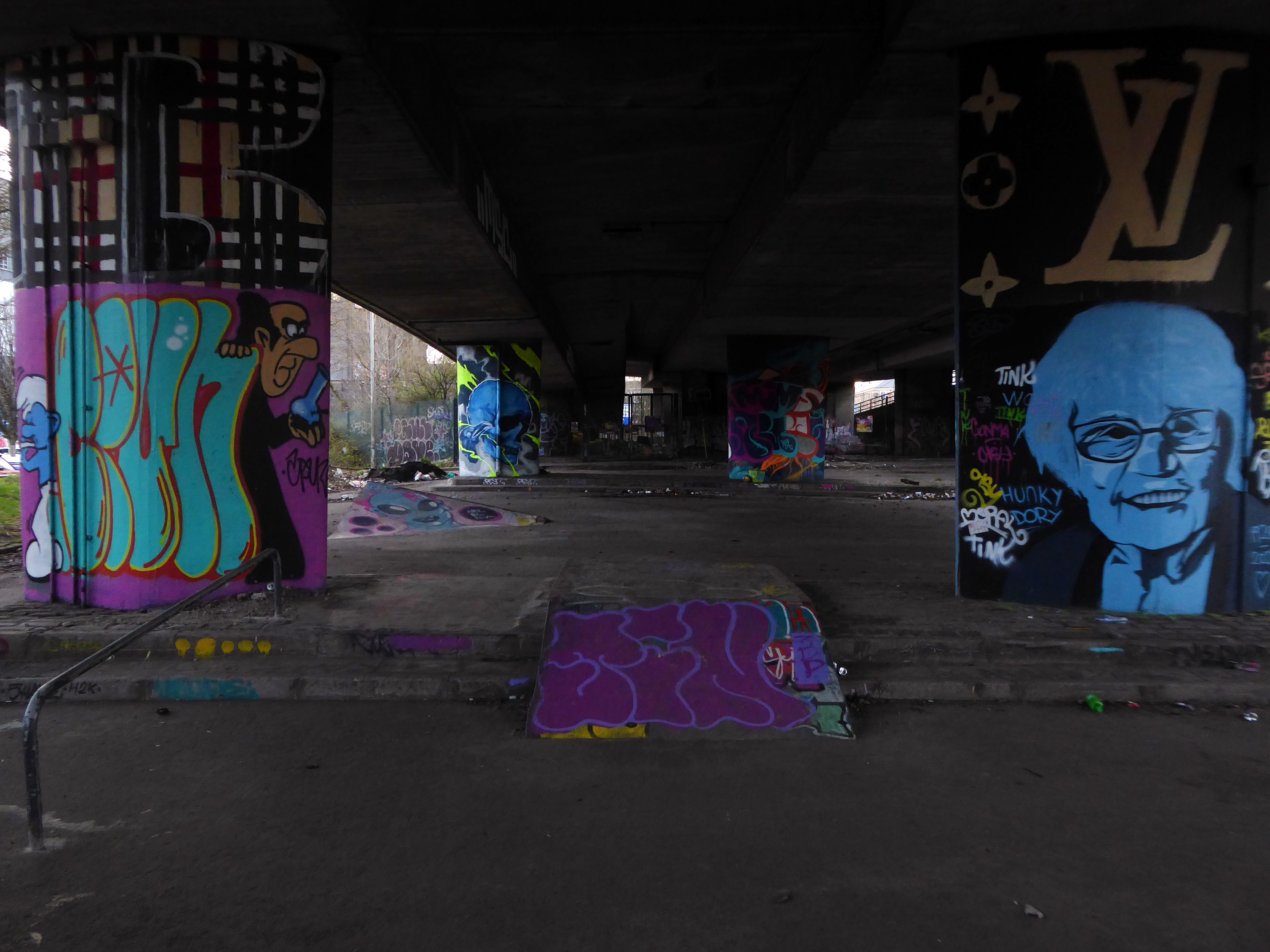
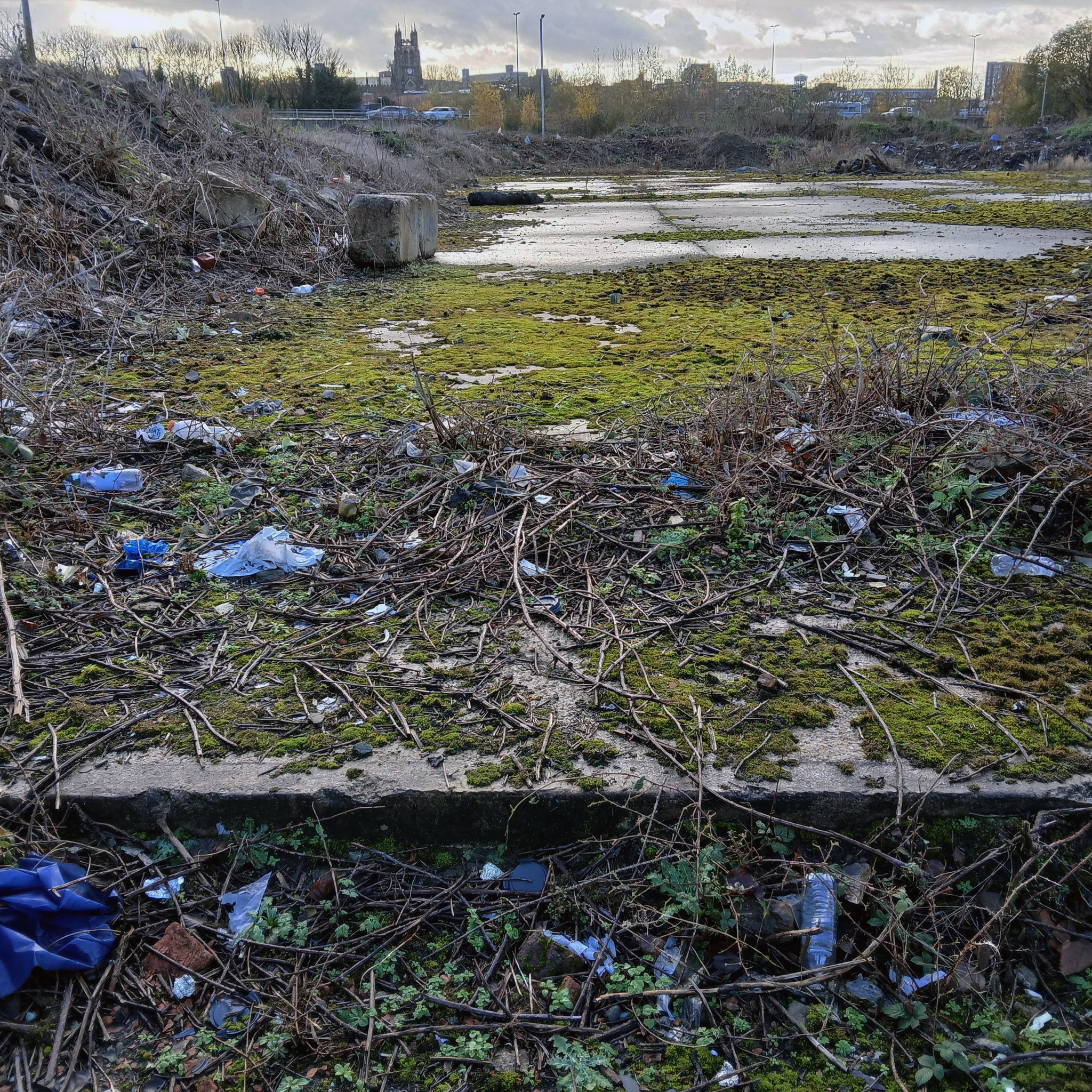
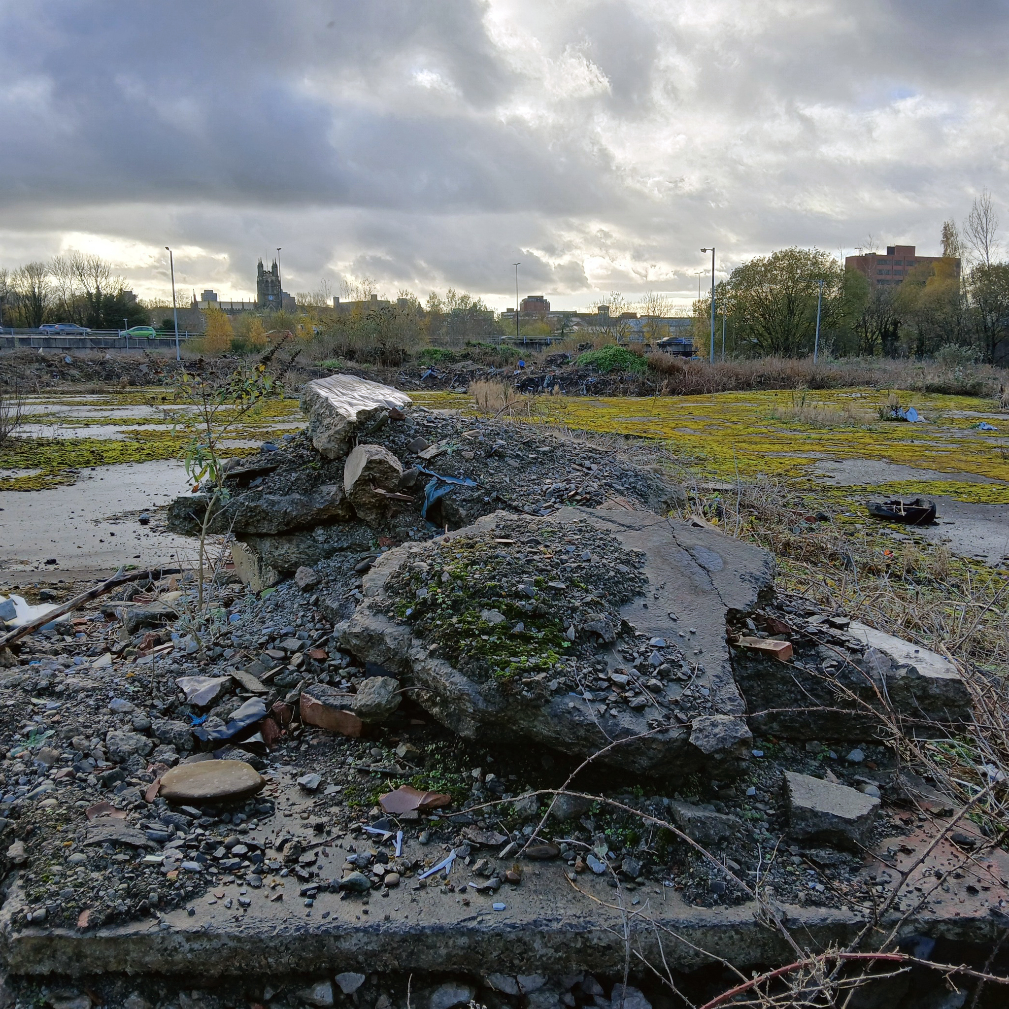
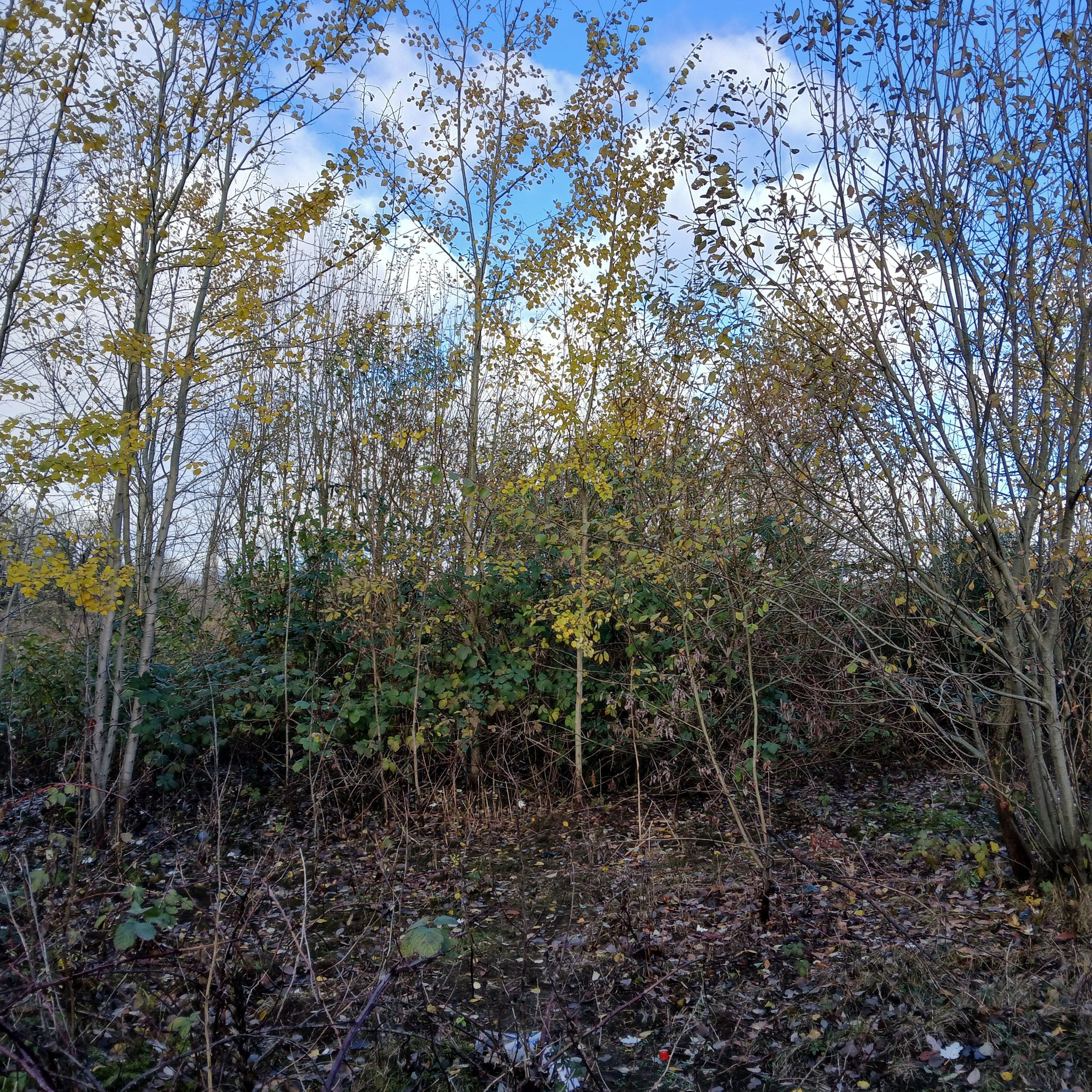
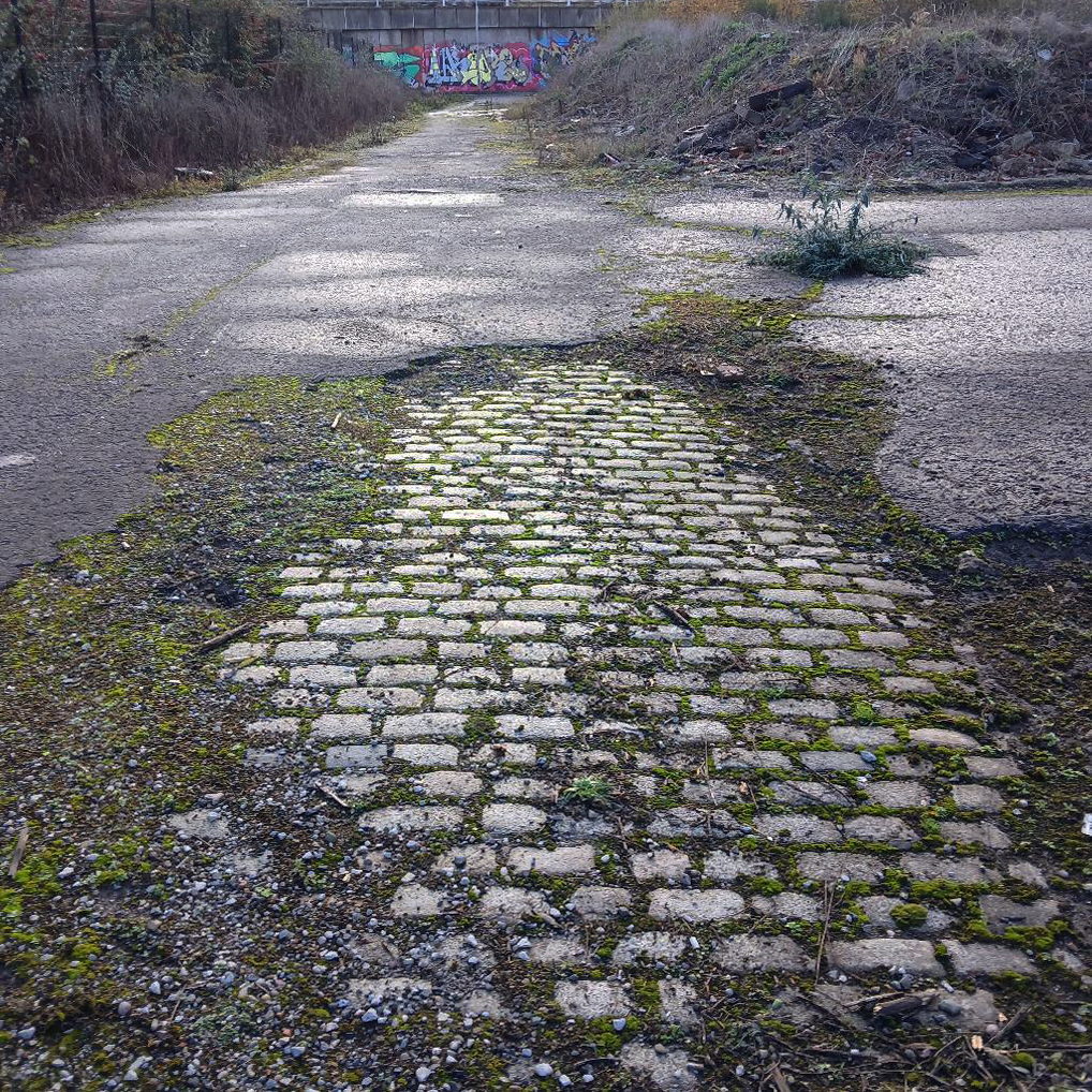
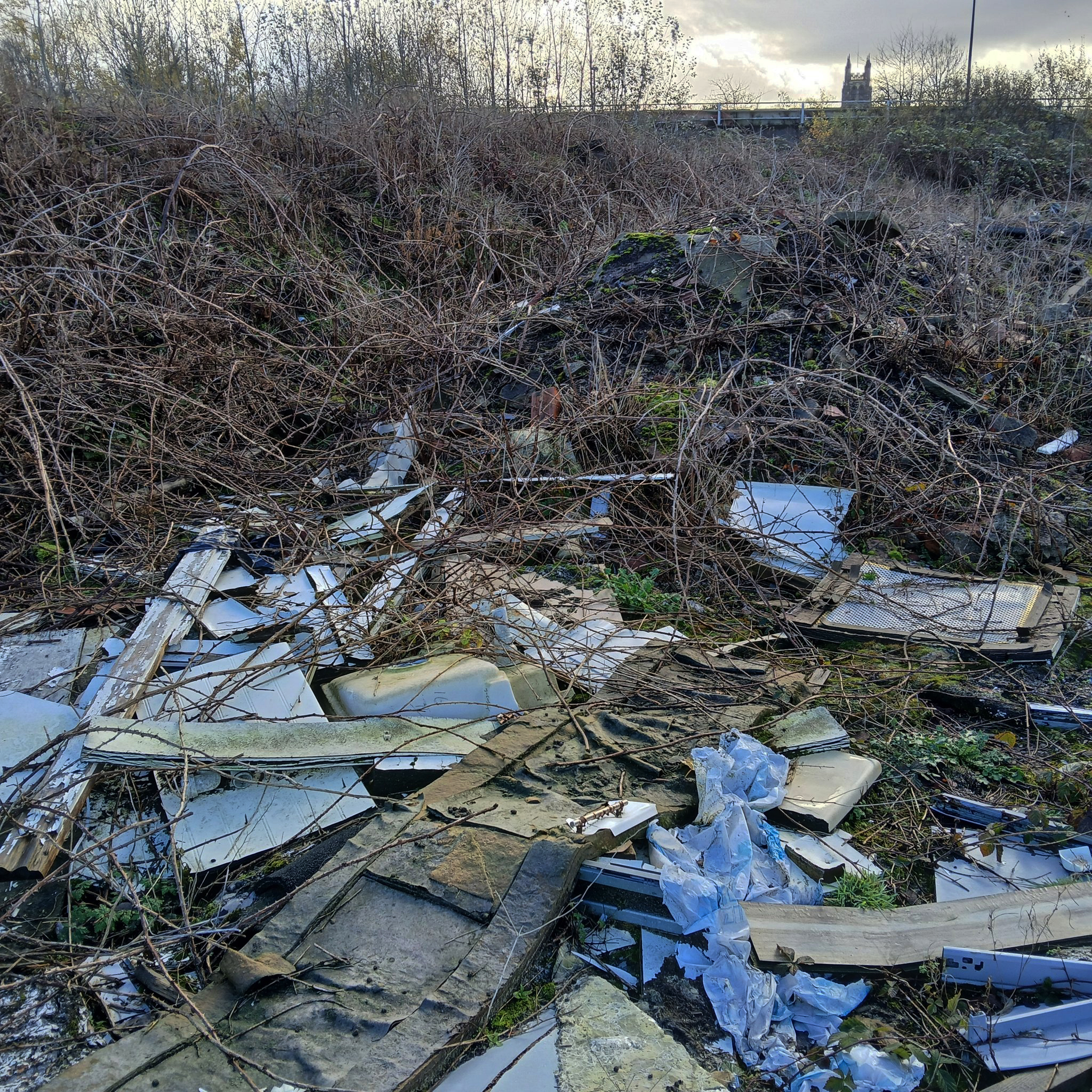
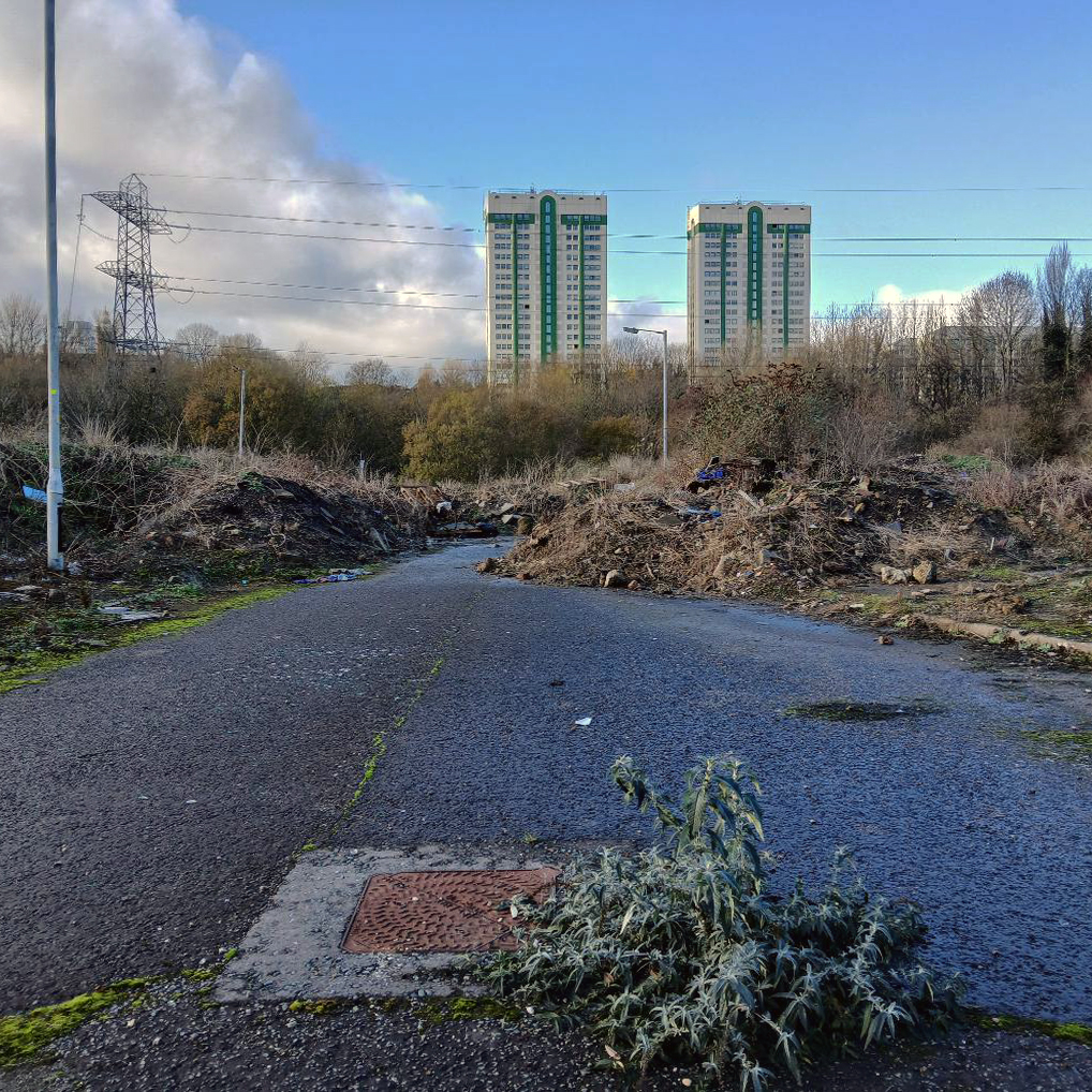
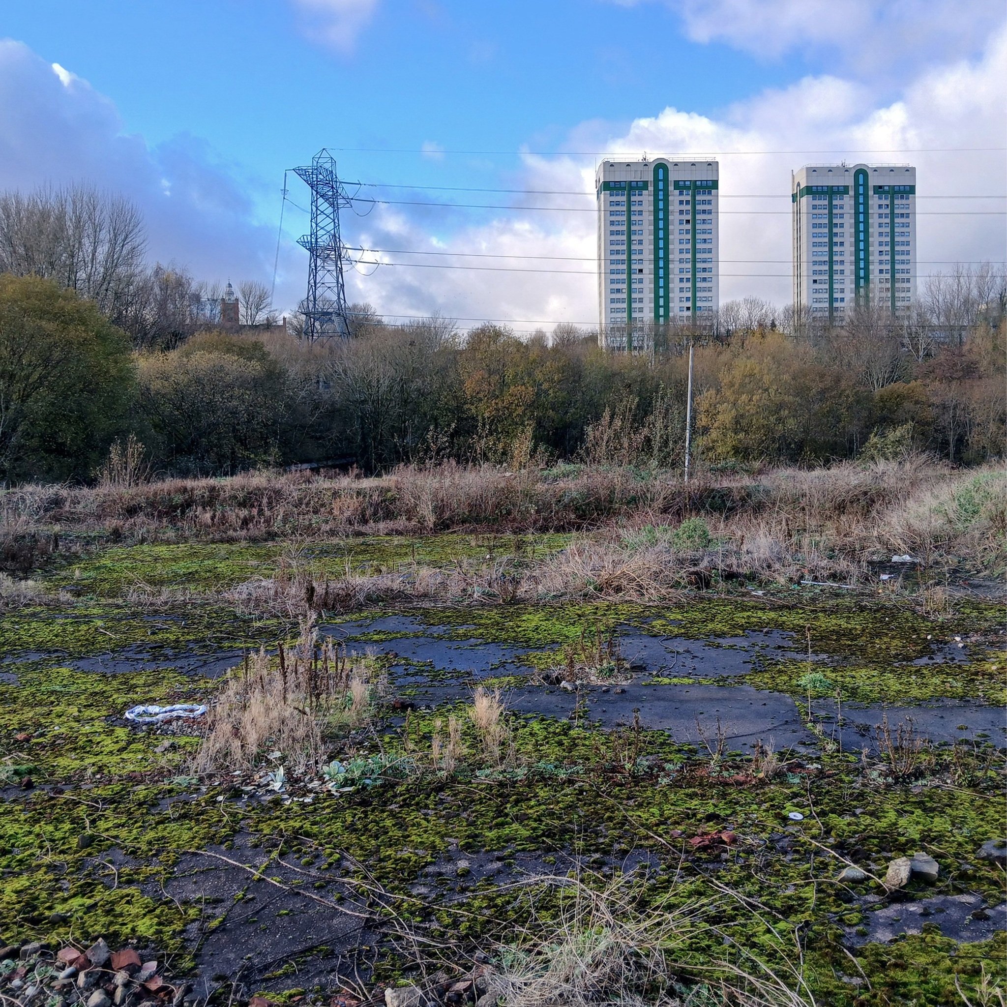
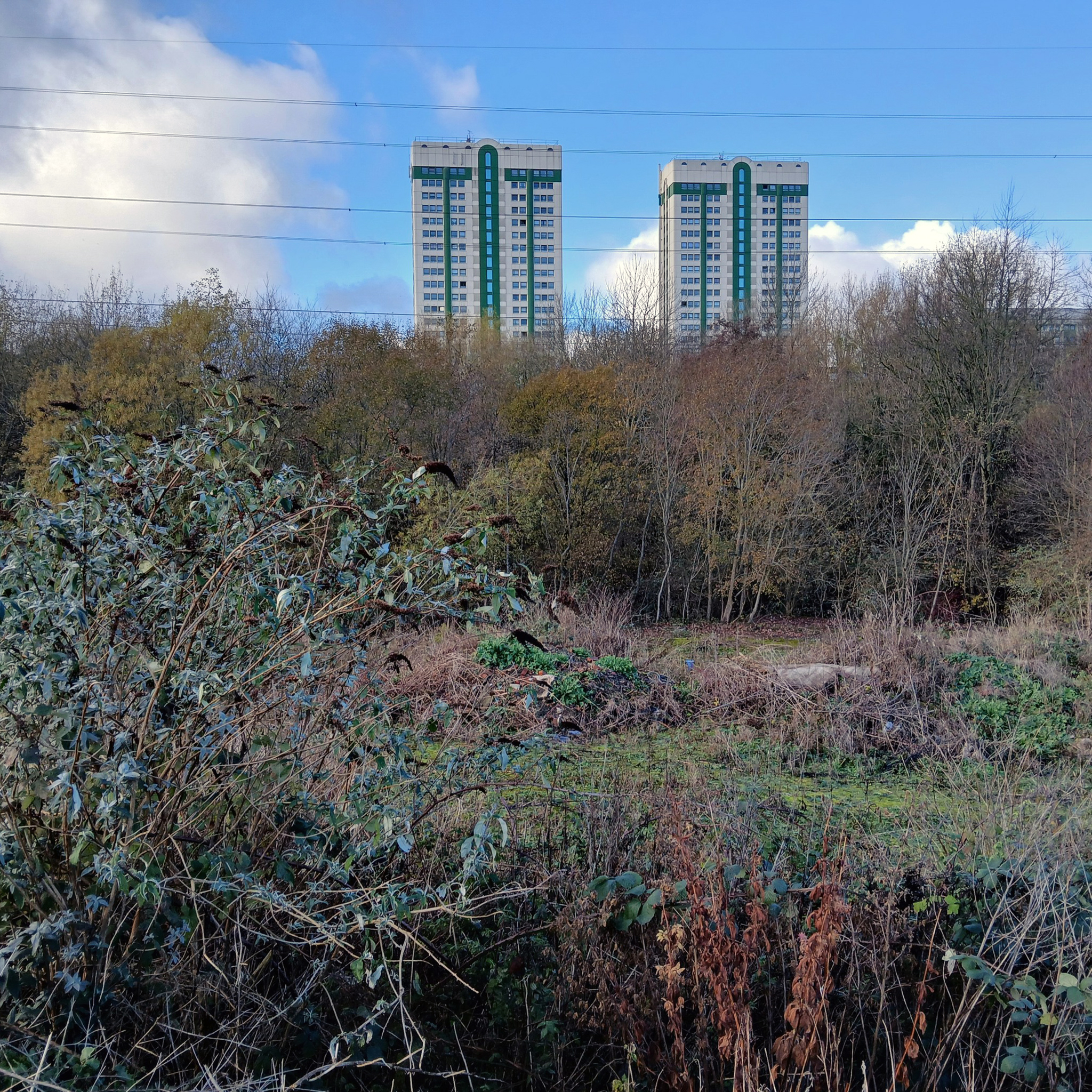
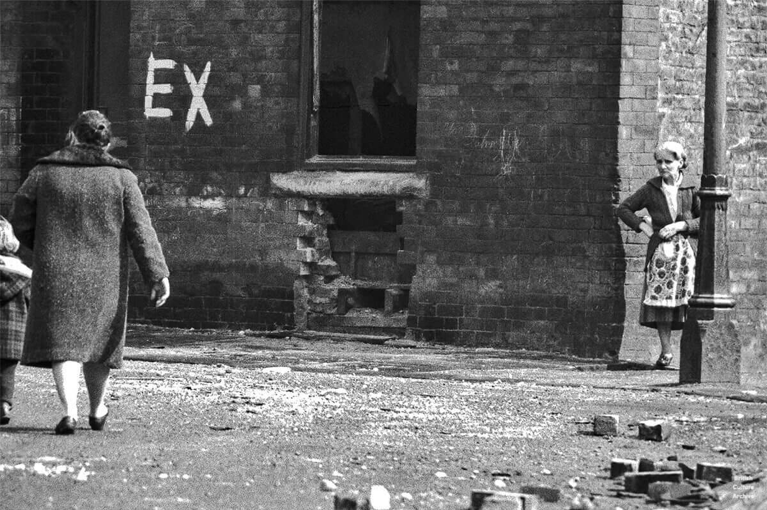
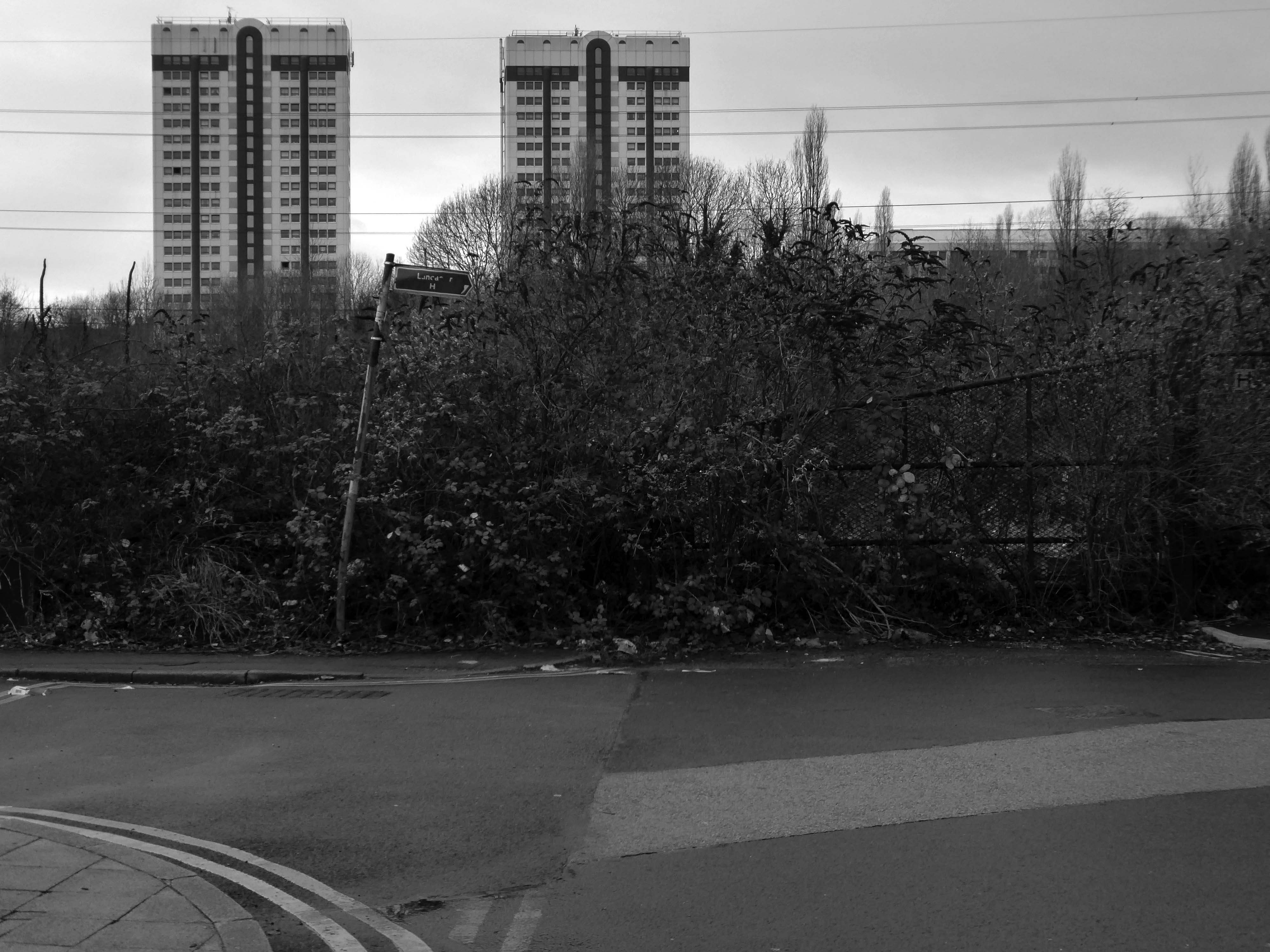
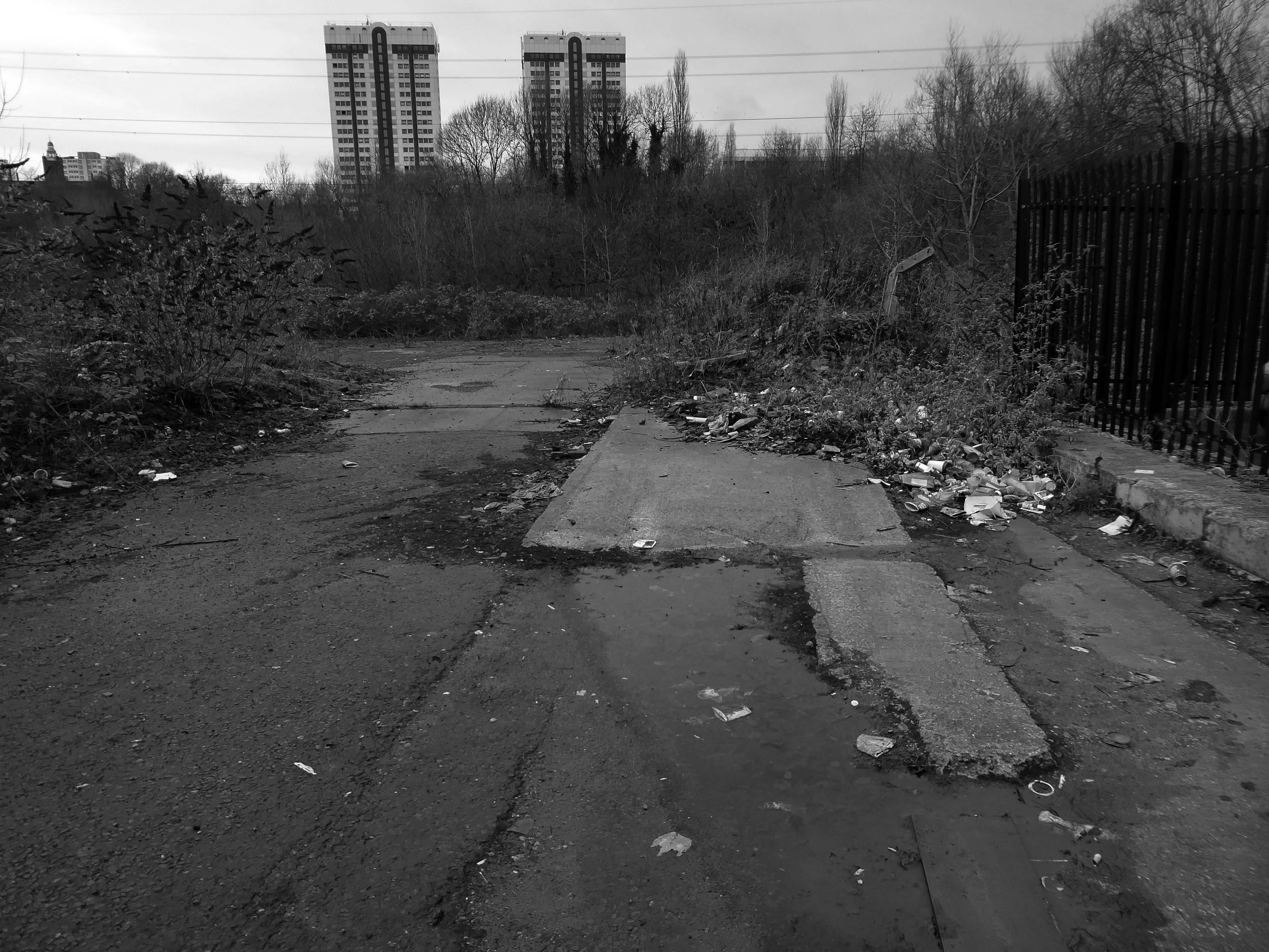
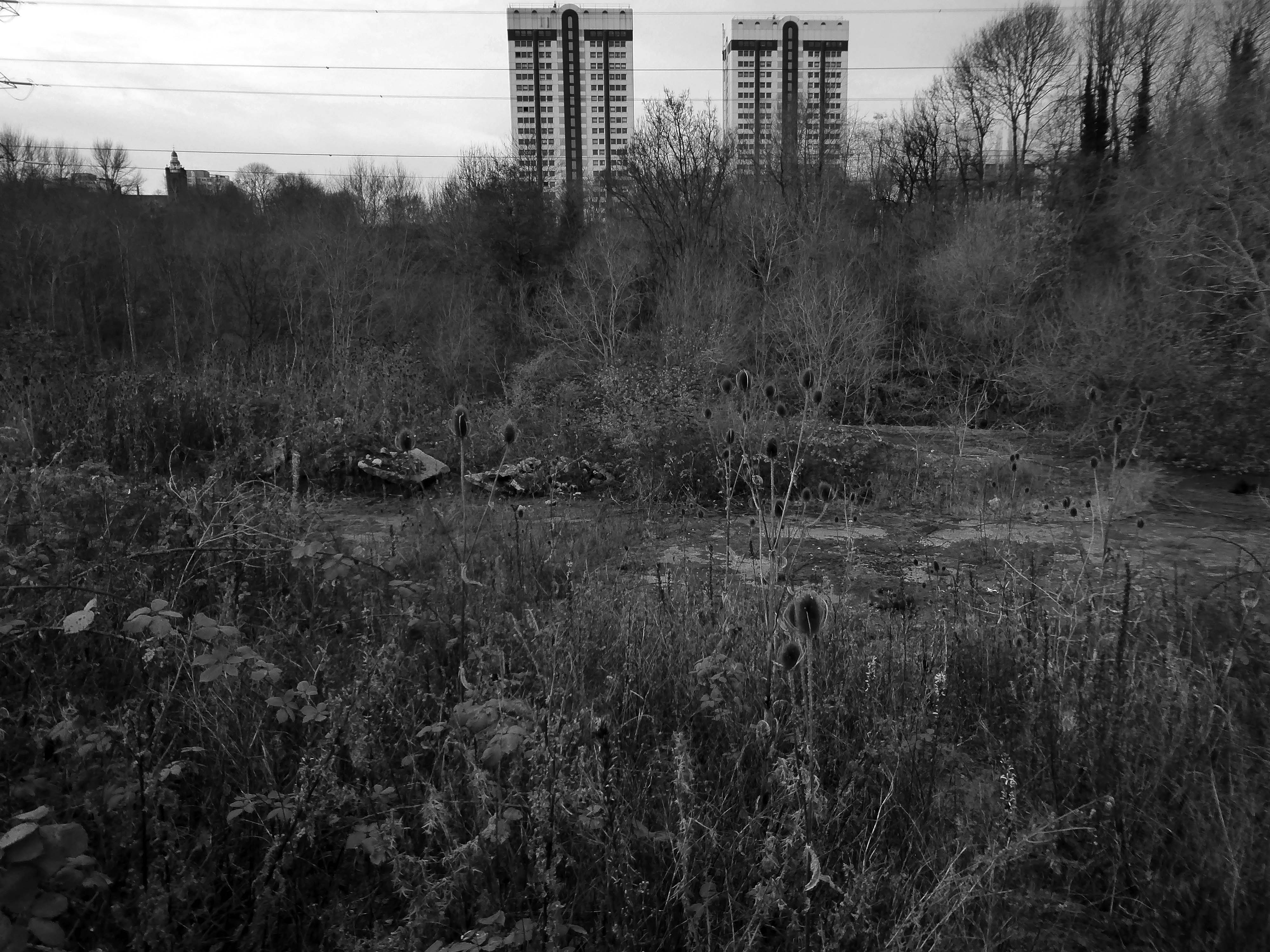
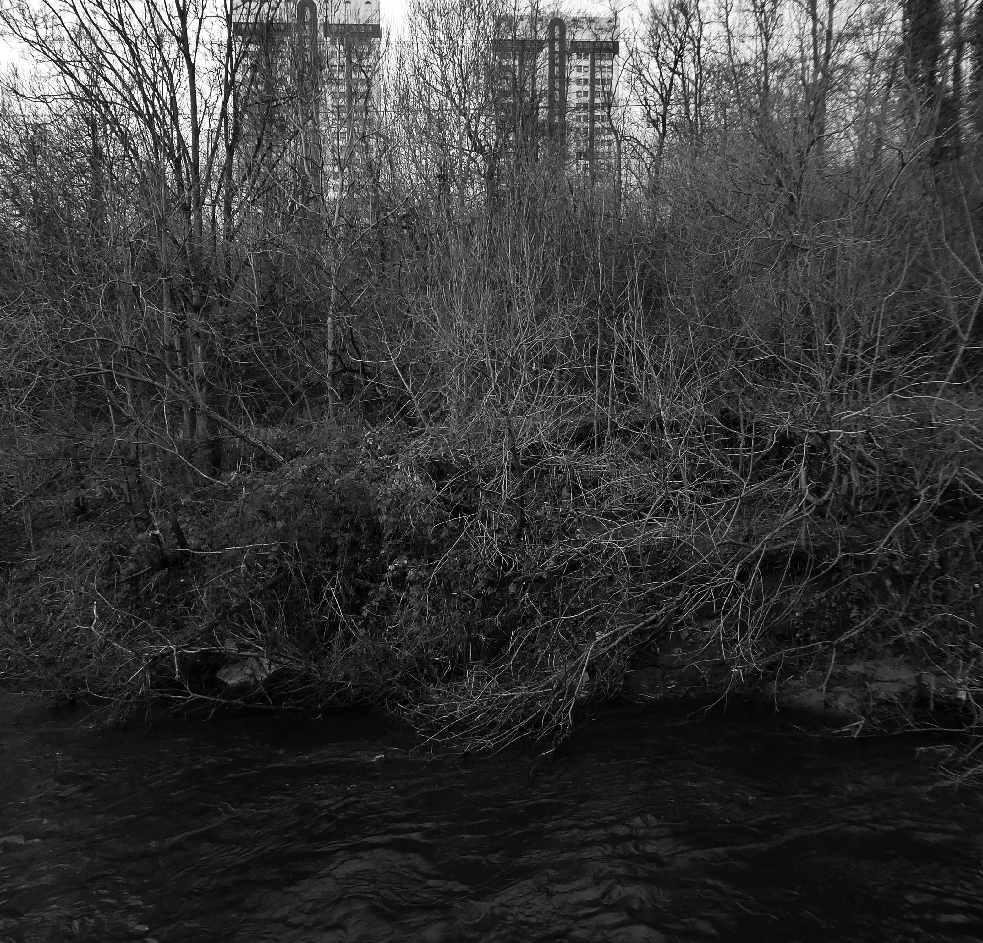
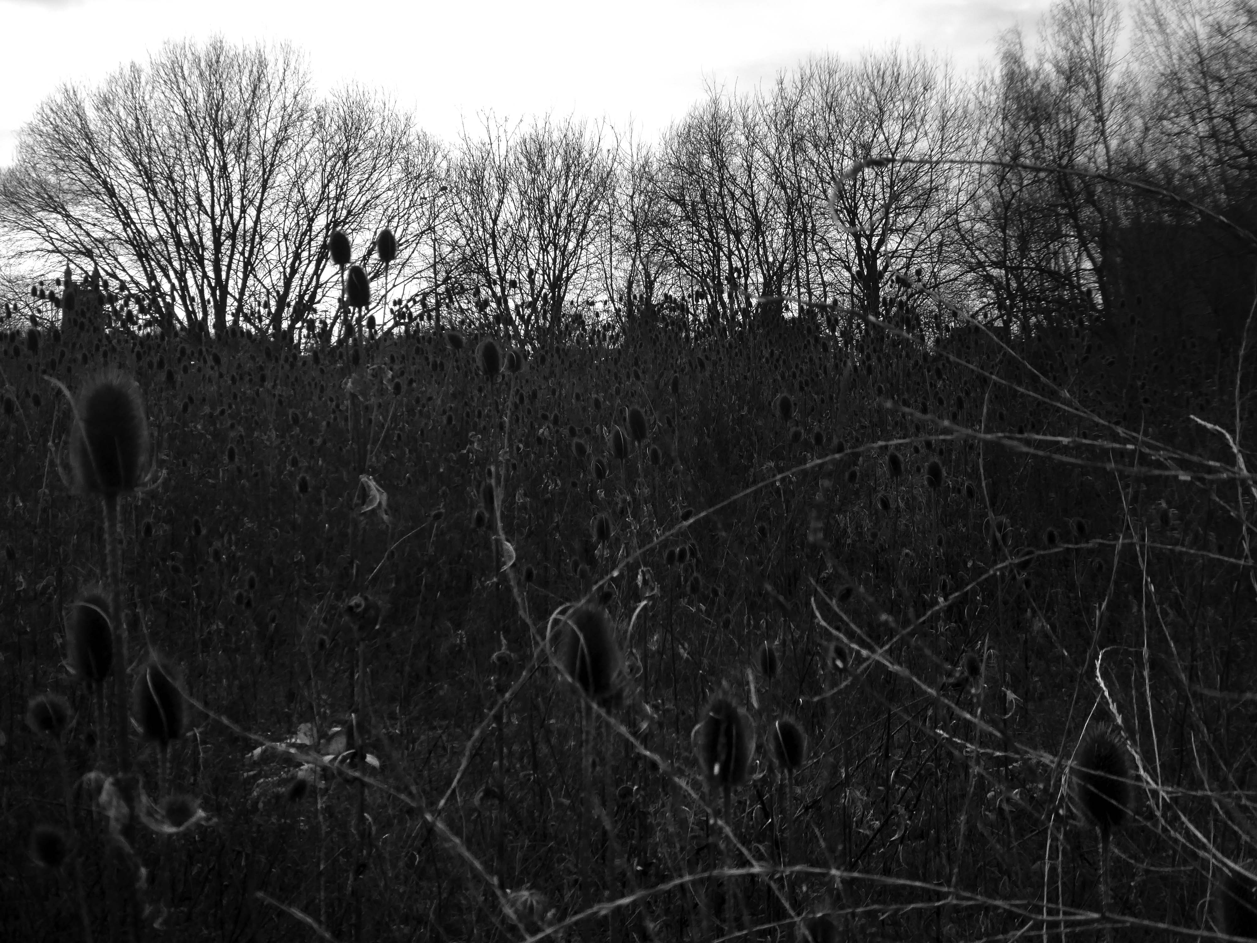
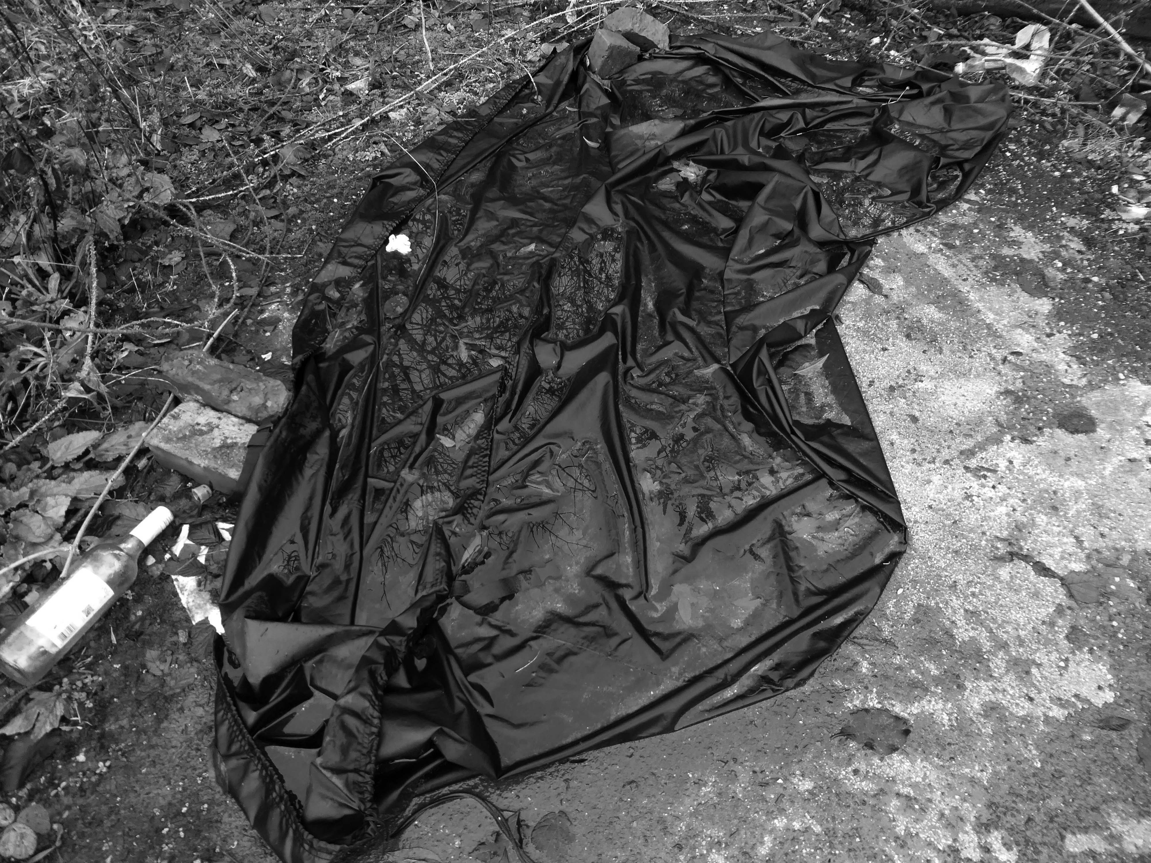
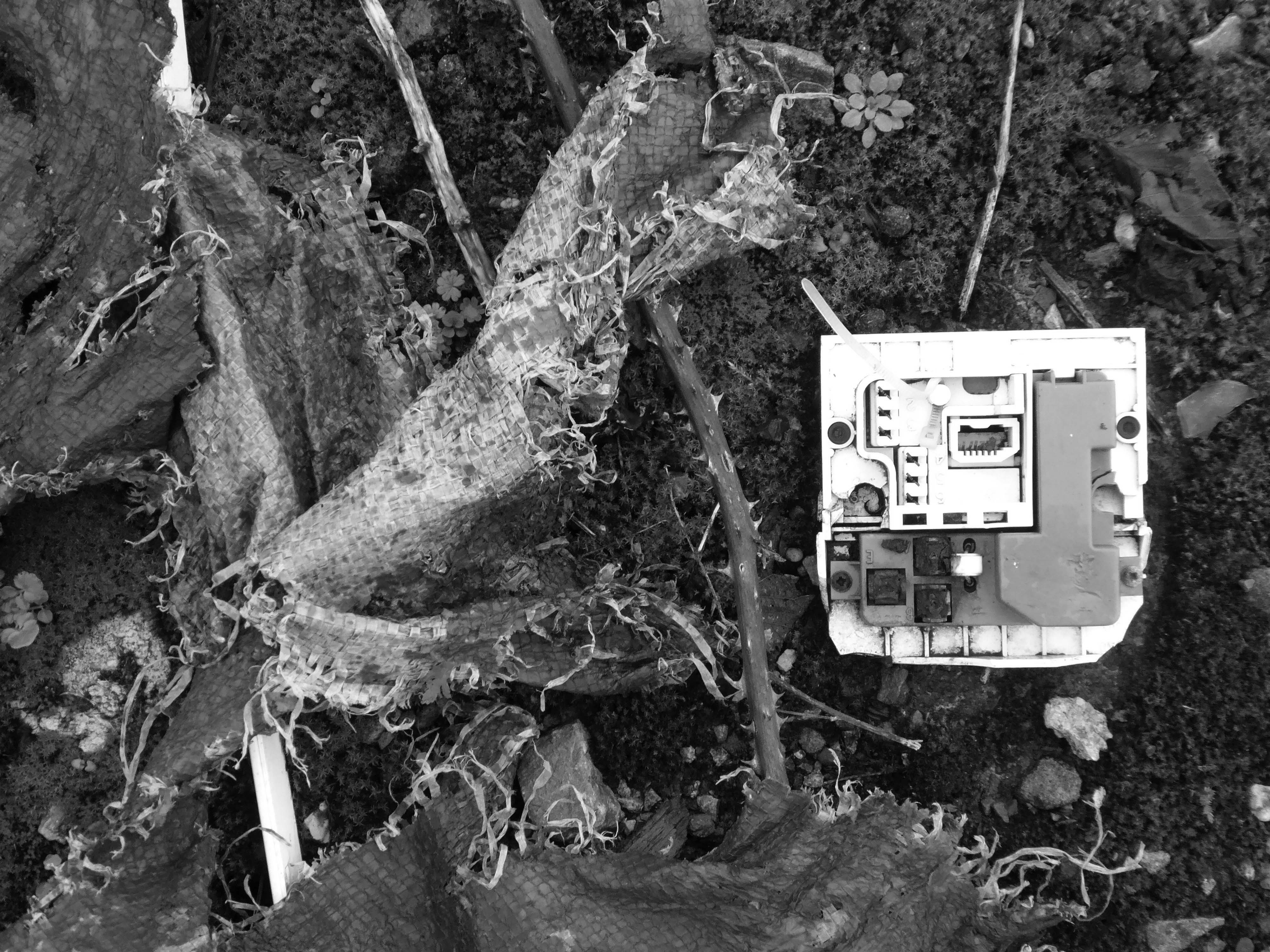
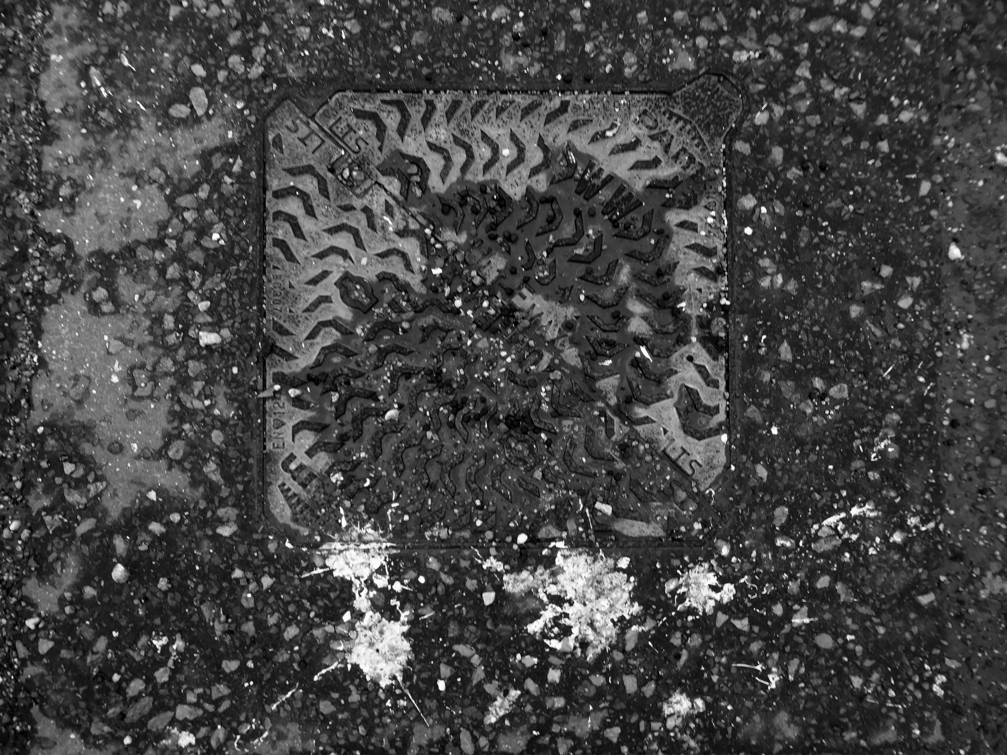
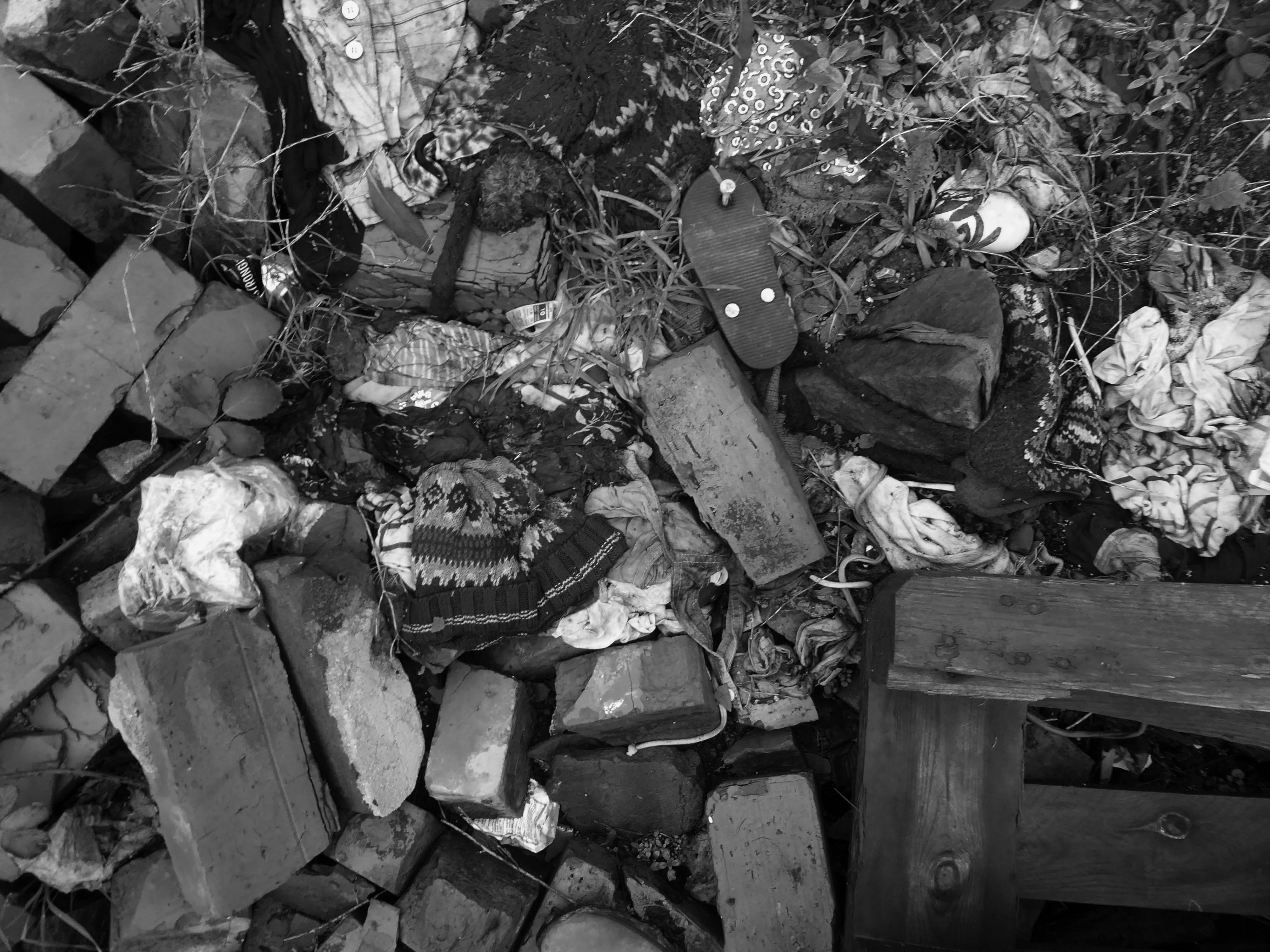
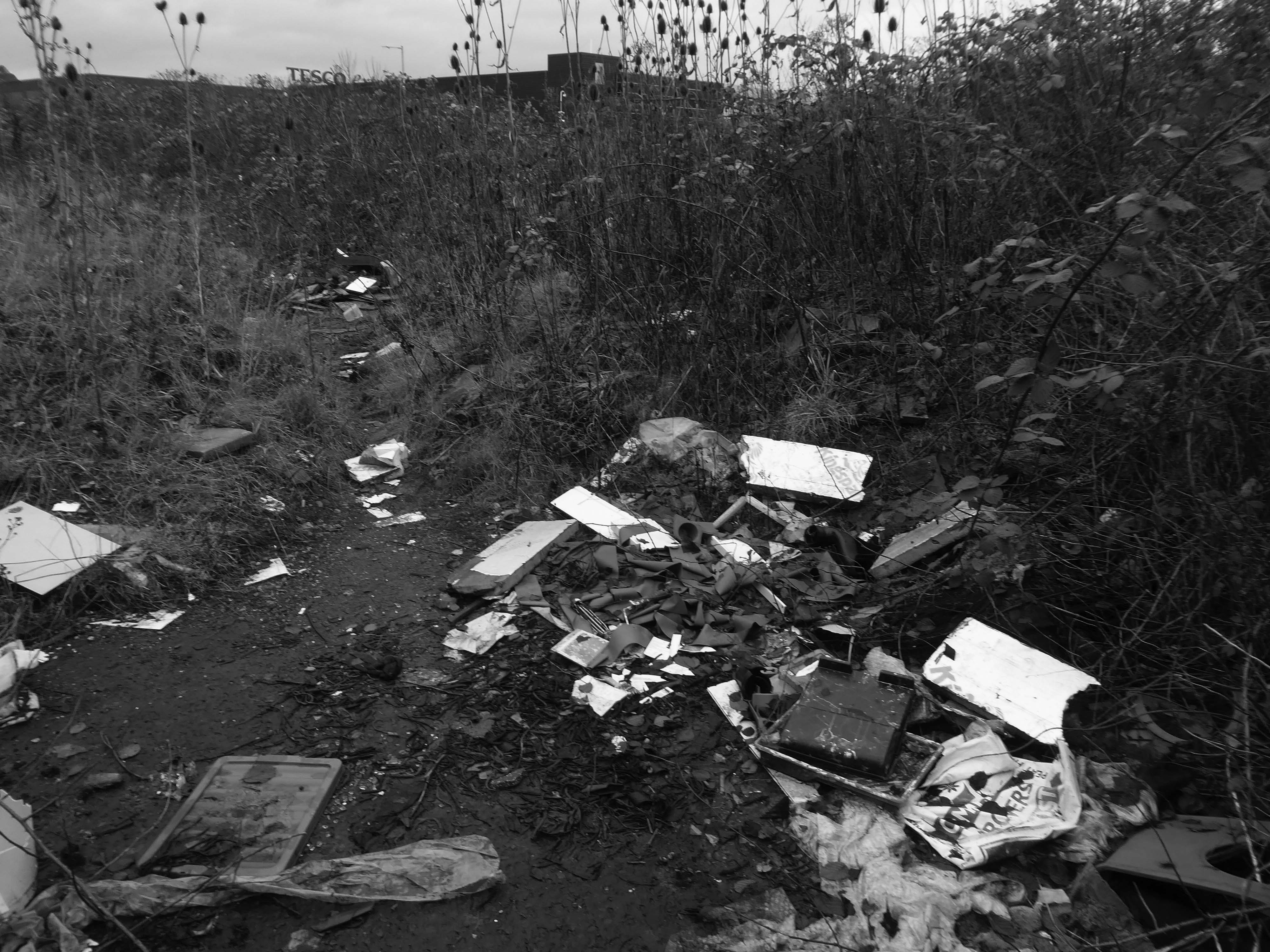
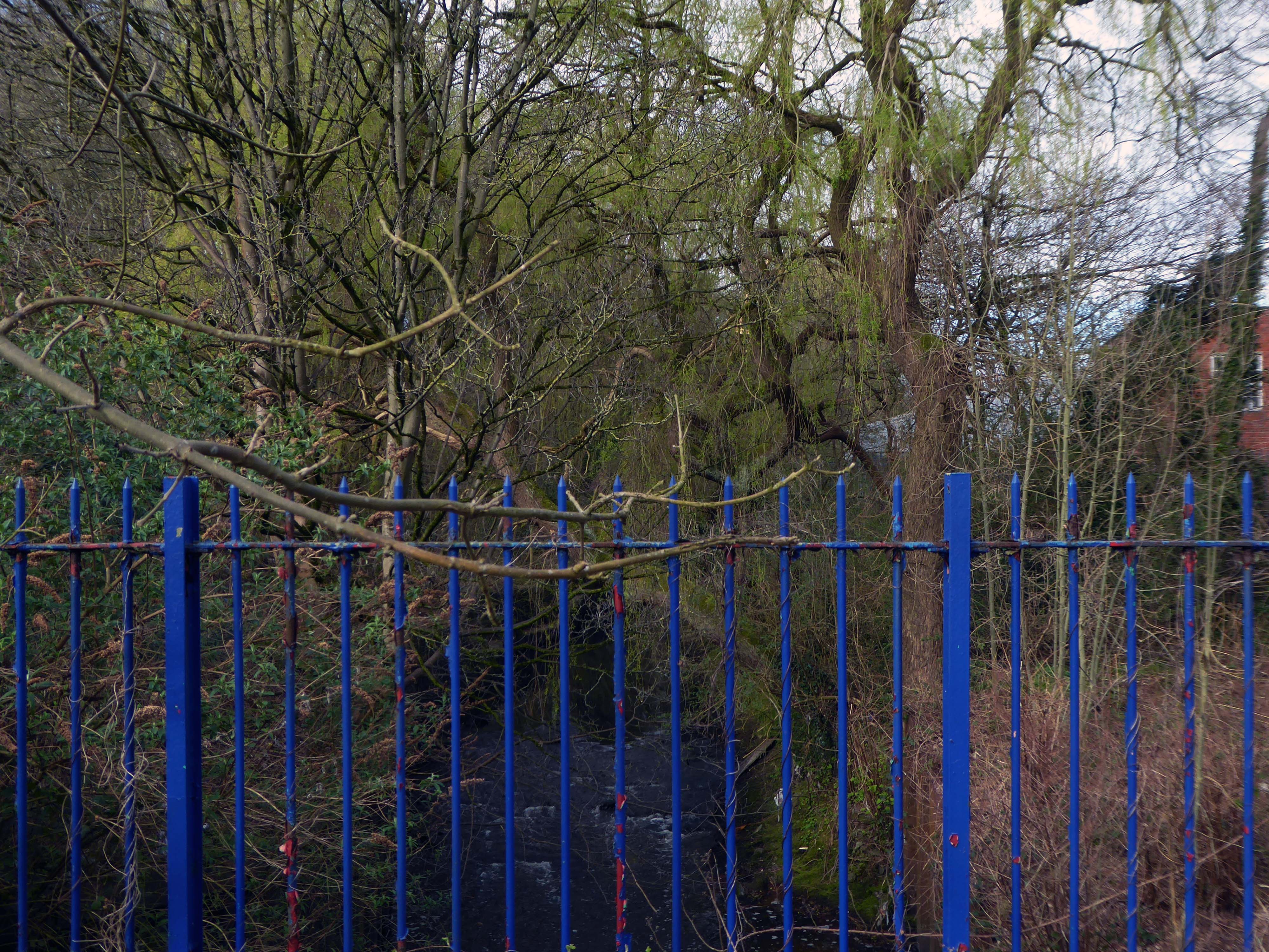
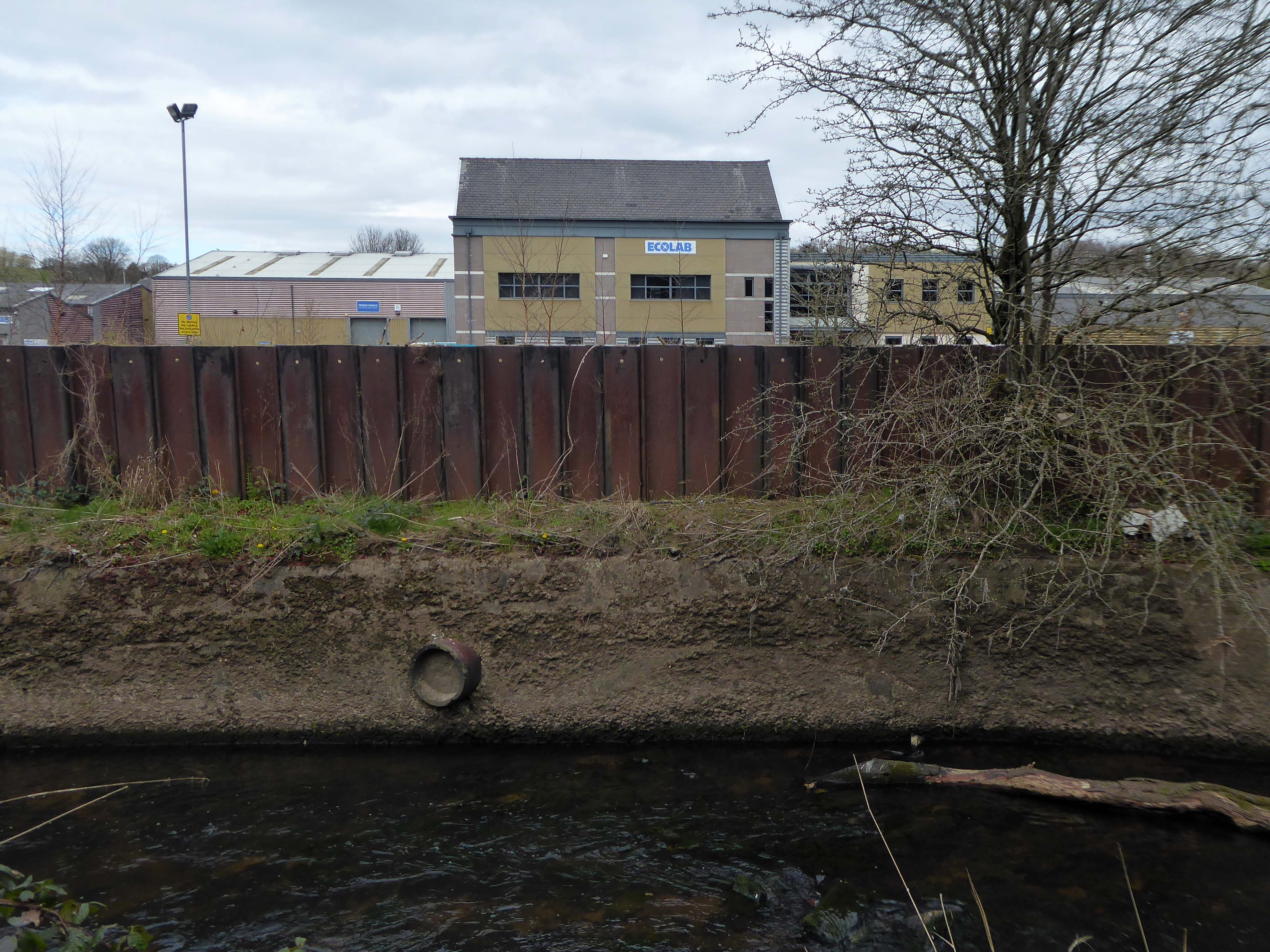
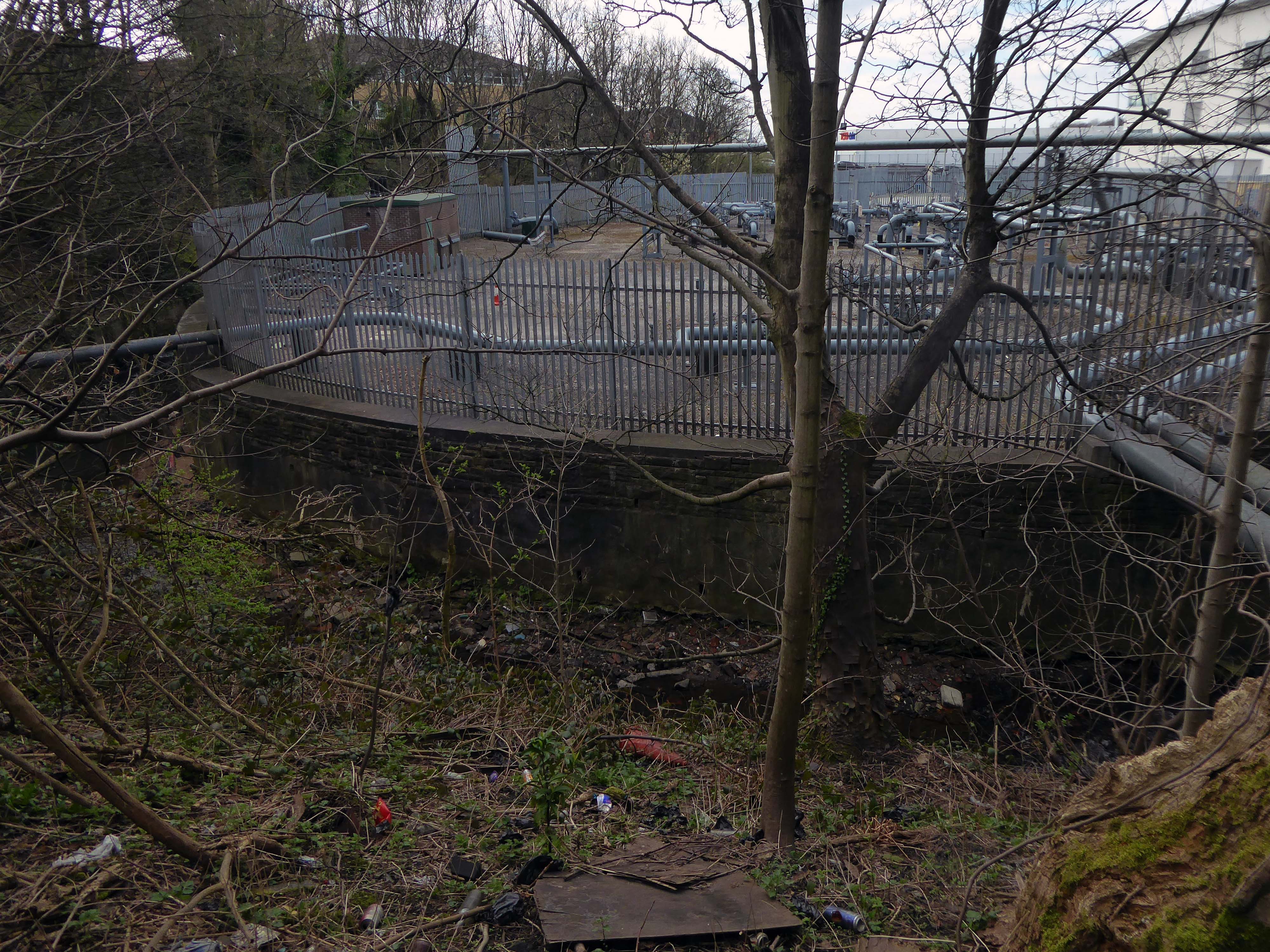
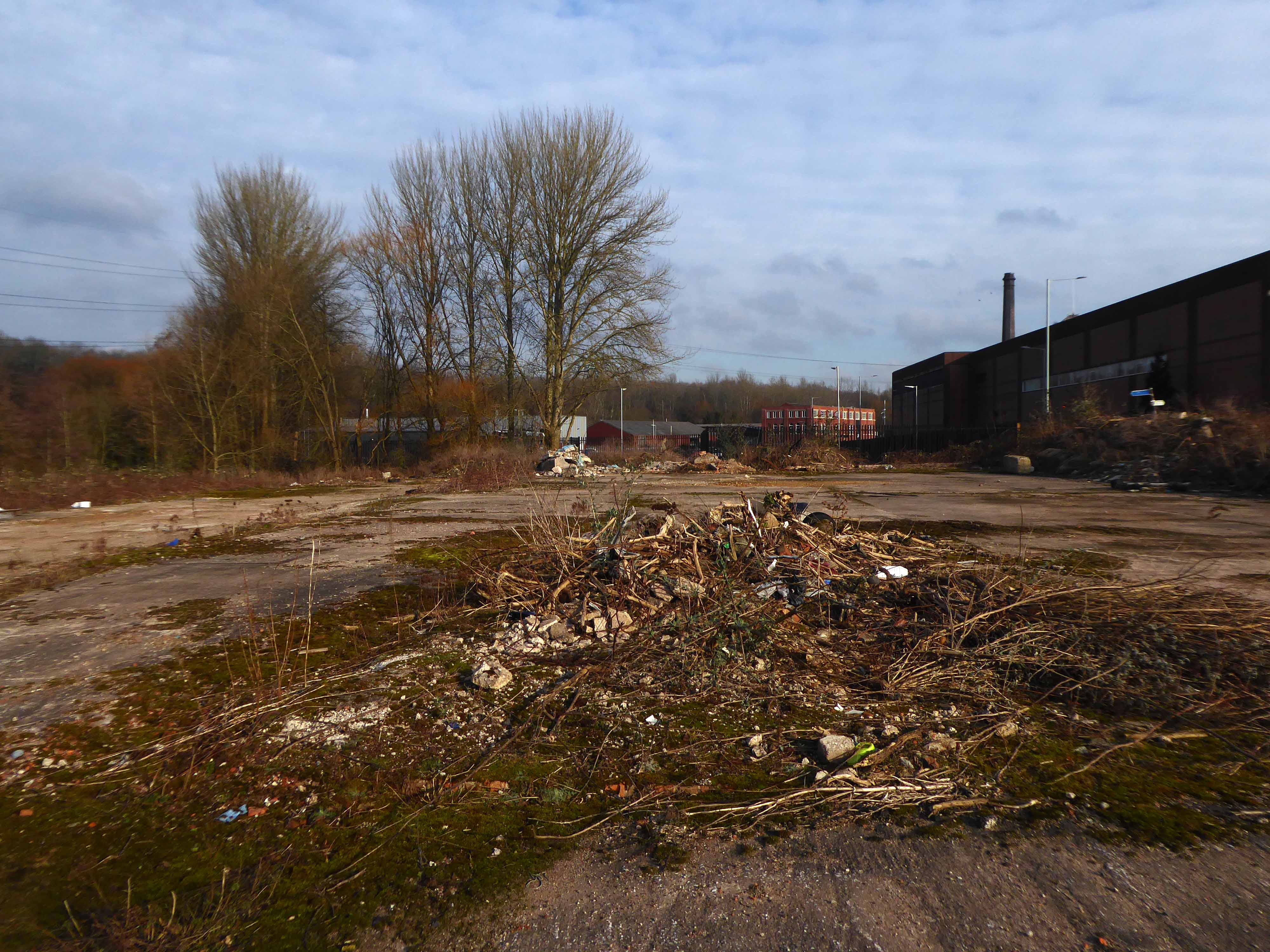
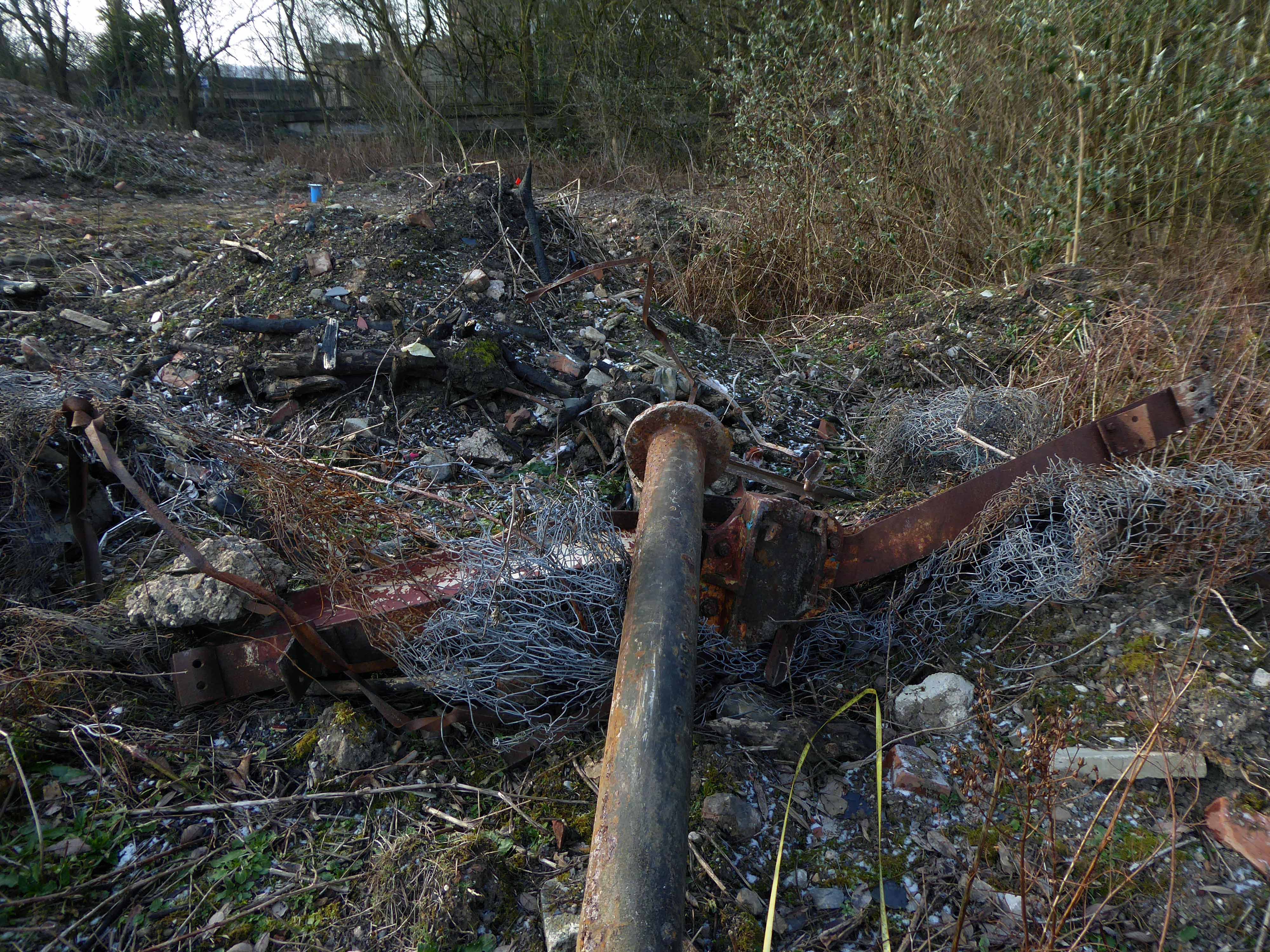
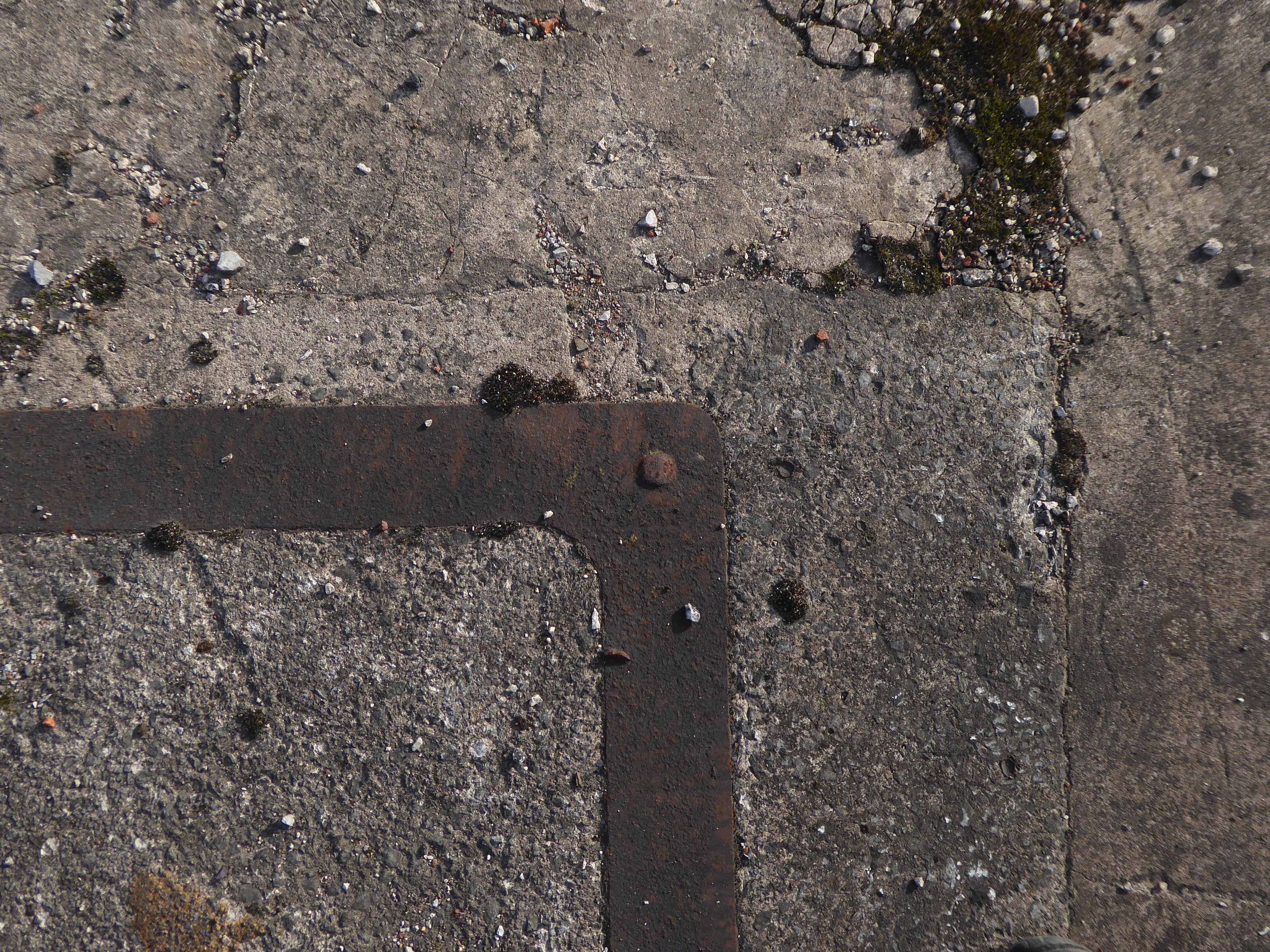
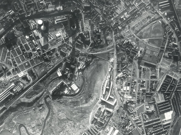
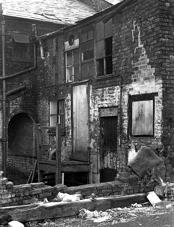
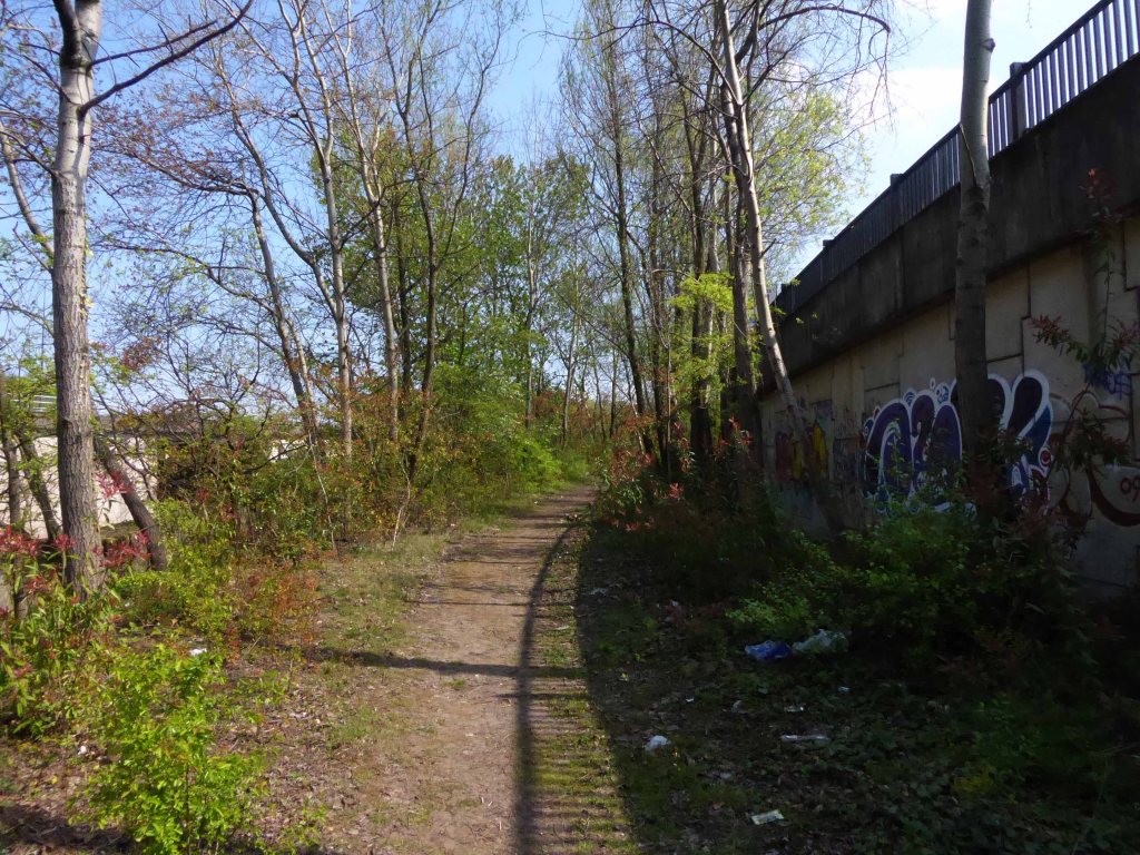
We can see the remains of the road system of this former industrial site, now colonised by brambles and greenery, the imposition of earth mounds and fly tipping.
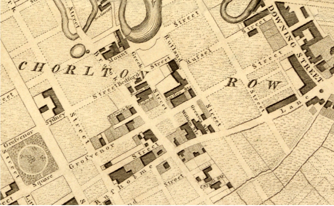
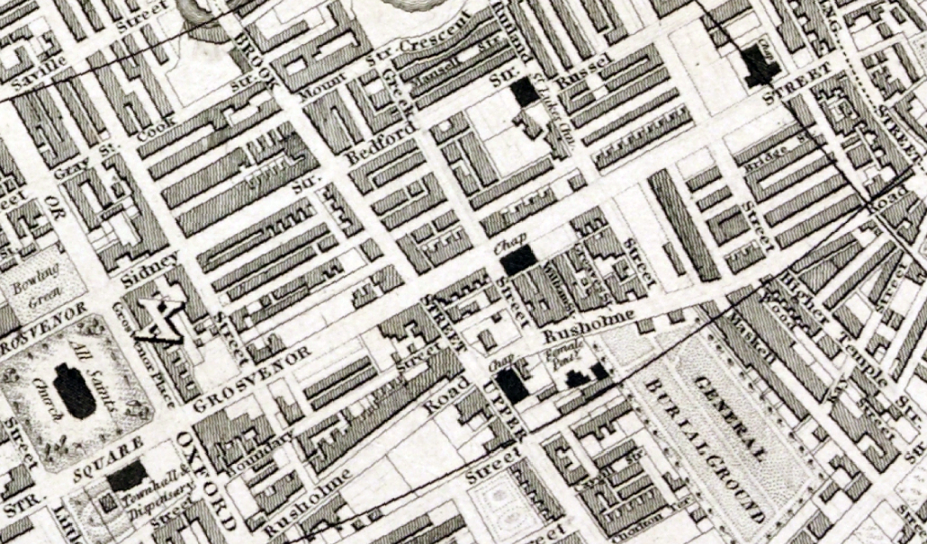
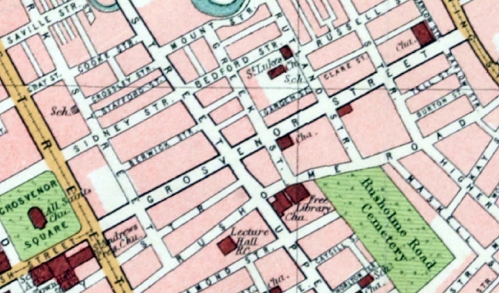
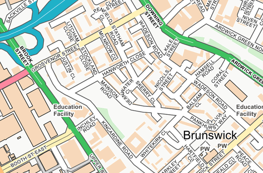
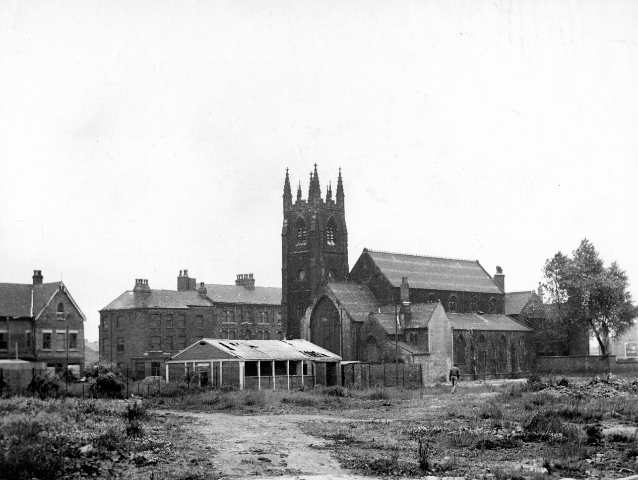
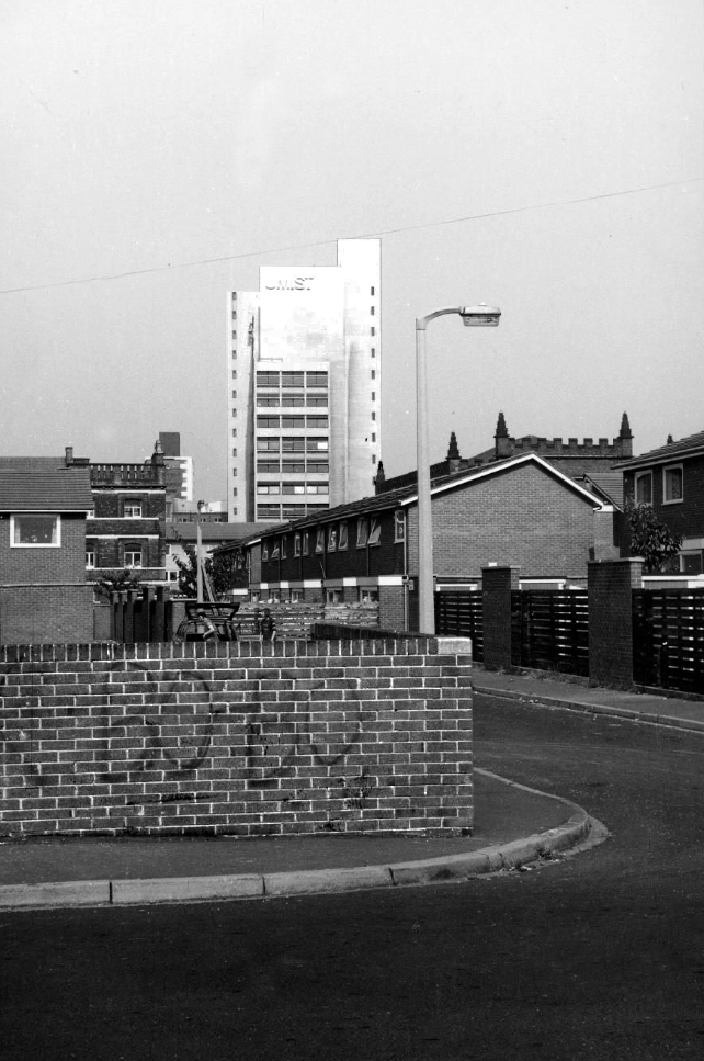
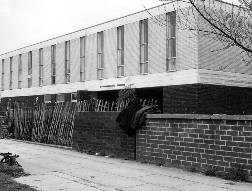
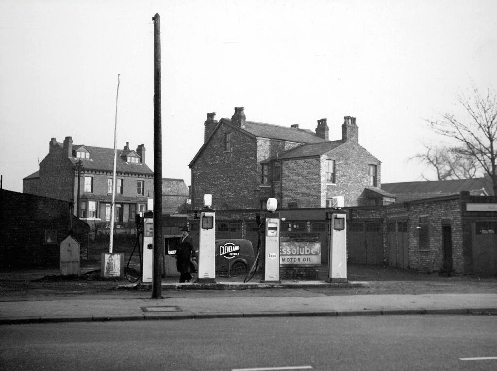
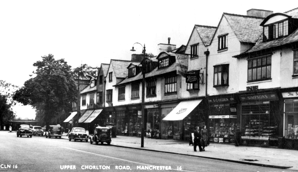
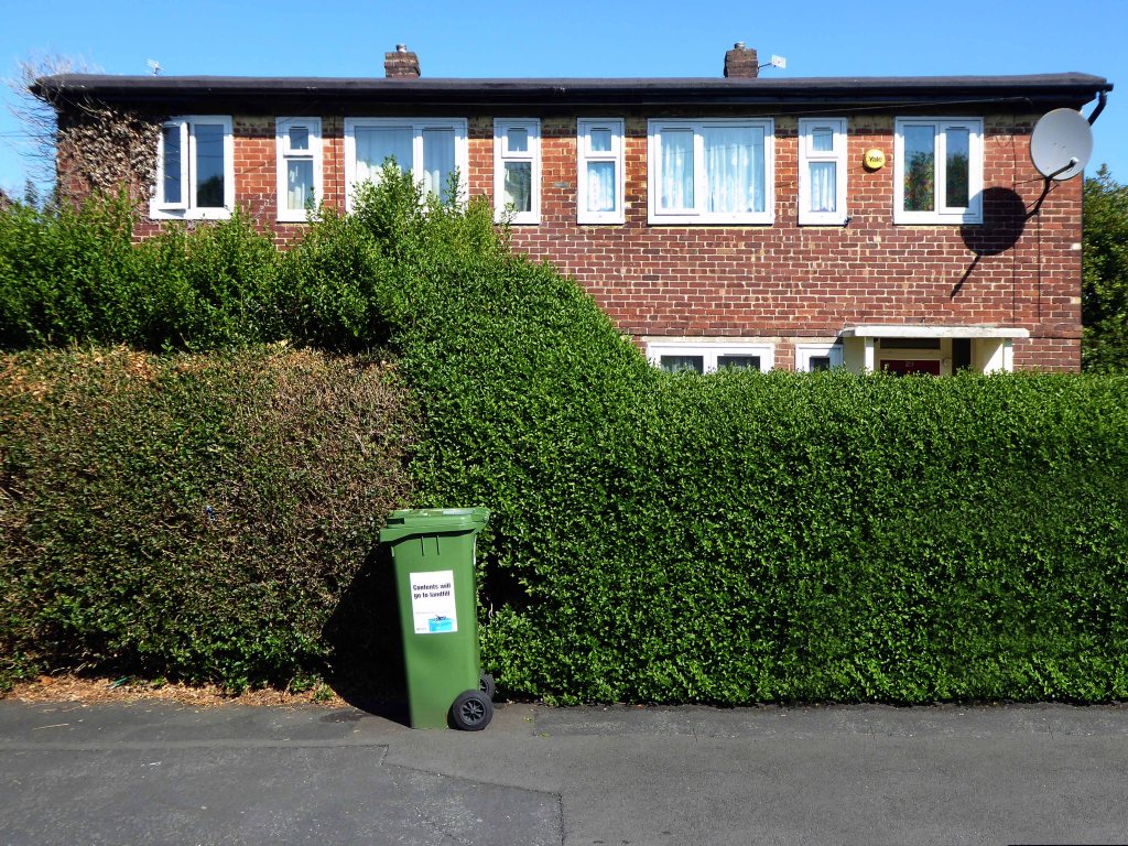
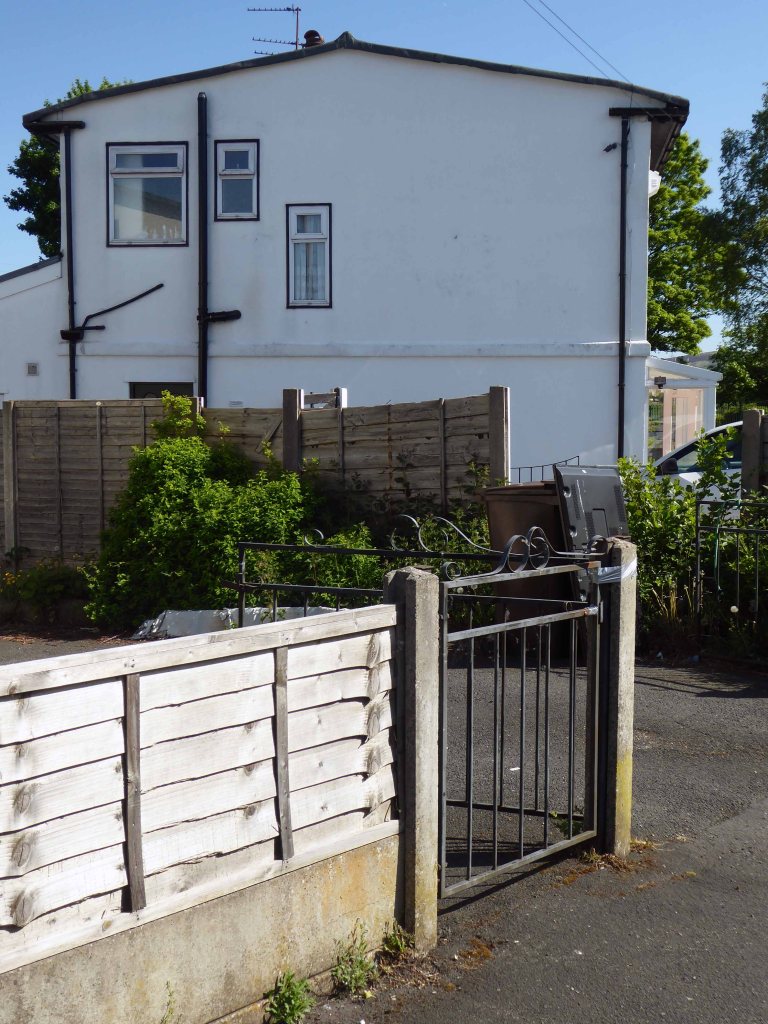
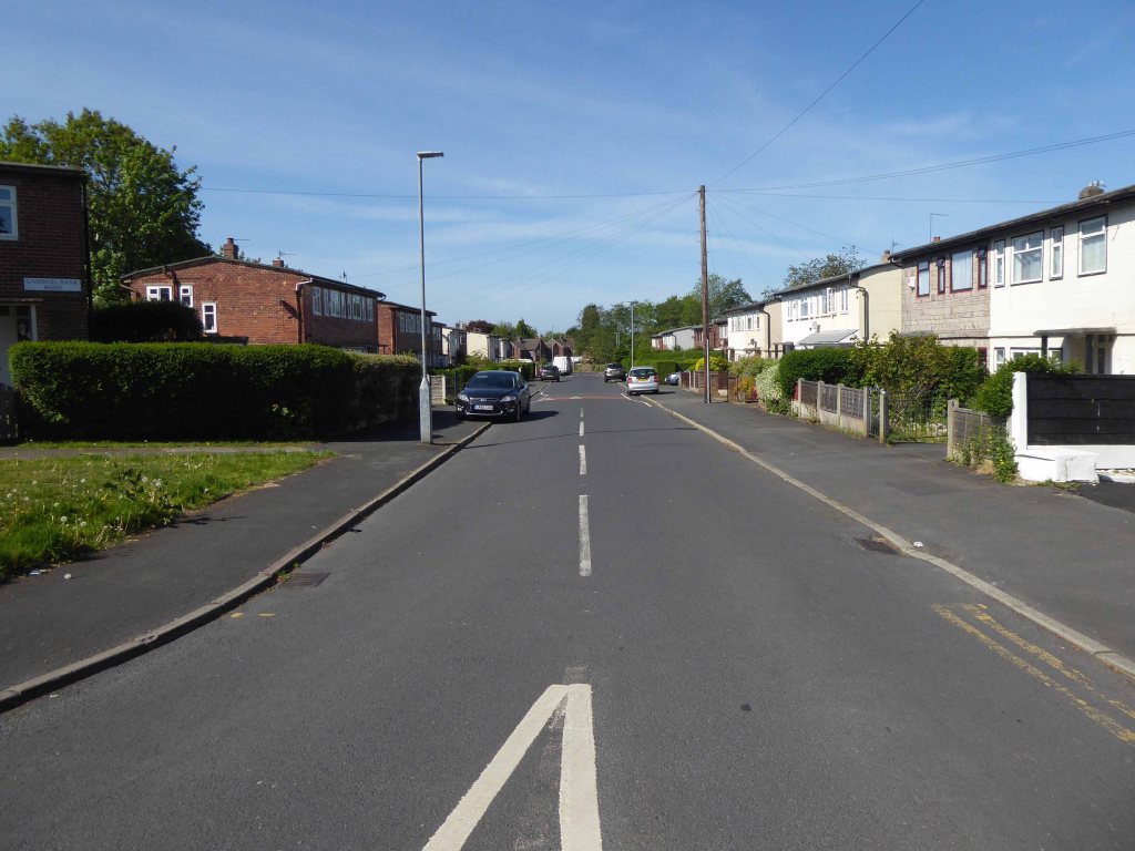
I was walking around town, with a view to updating my Ardwick Walk.
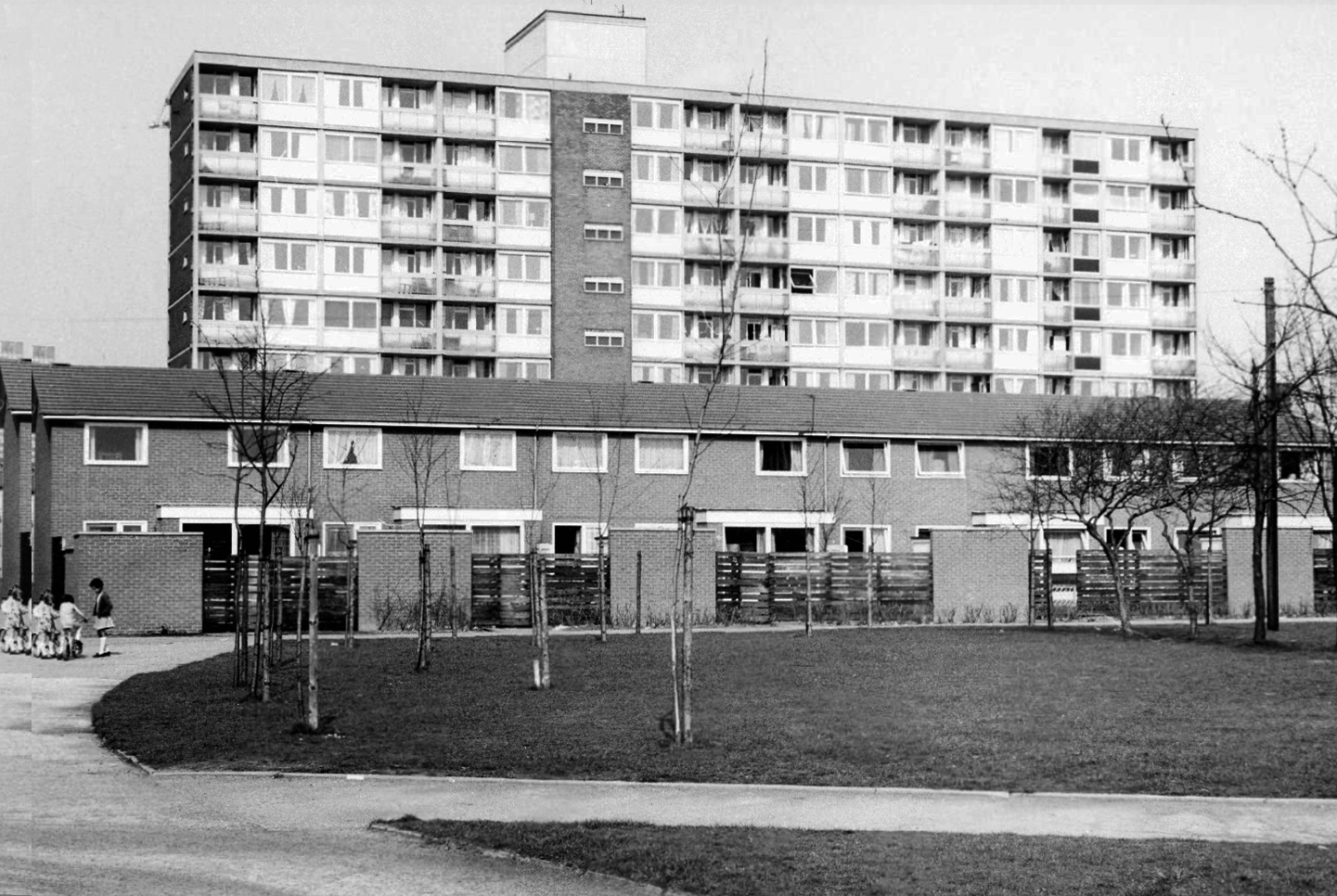
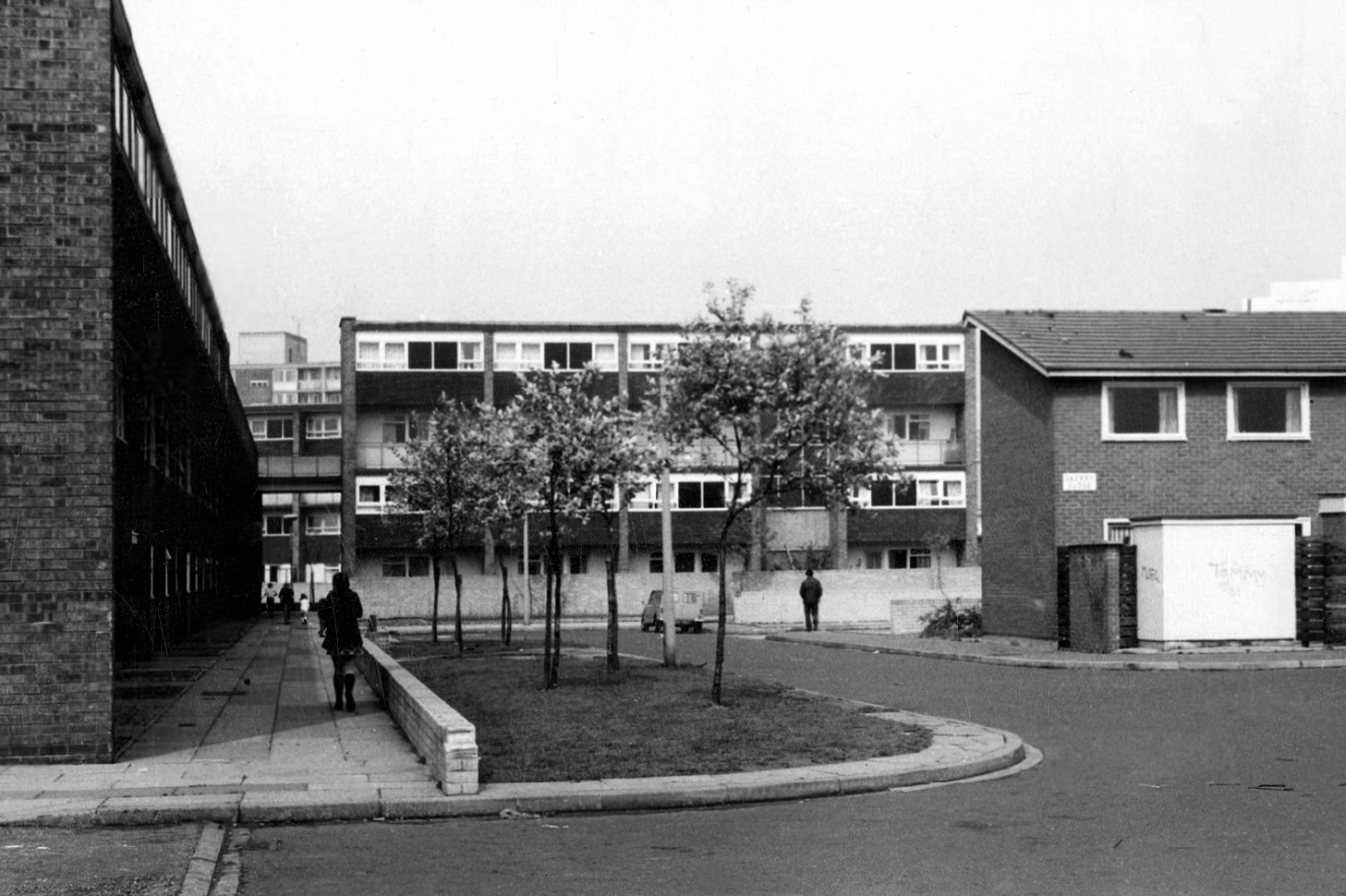
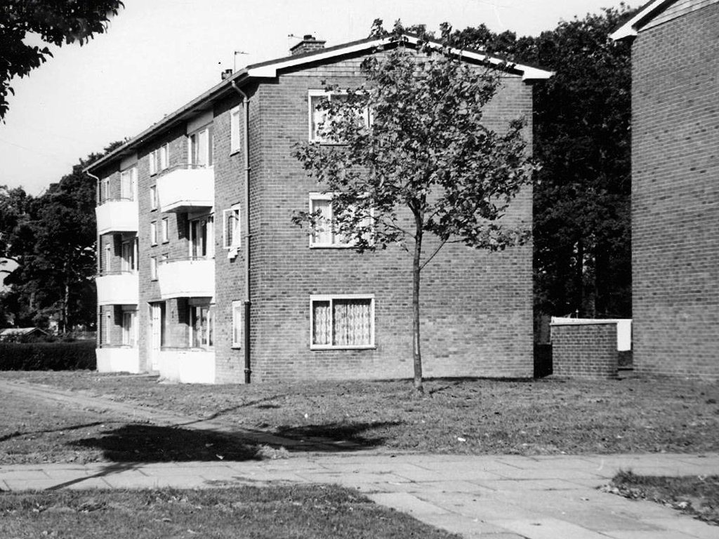
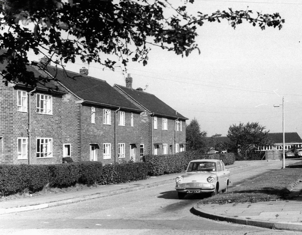
Idle curiosity took me toward the Brunswick Estate – that pocket of housing nestle twixt the Mancunian Way/River Medlock, Ardwick Green, Brunswick Street and Upper Brook Street.
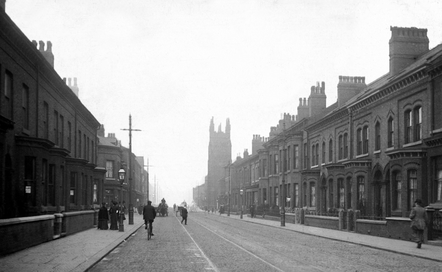
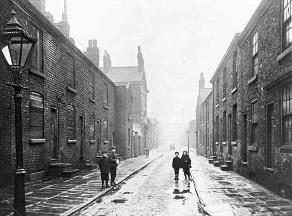
Back in 1813, a web of streets and enclosed fields, and more fields, along with small groups of higher status housing, but by the early 20th century it was very much a working class district, within which industry began to grow.
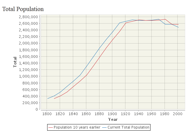
The population of Manchester expanded unstoppably throughout the nineteenth century.
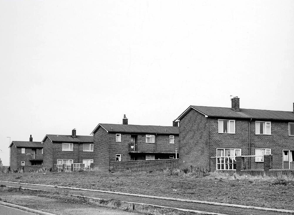
Extensive slum clearance in the nineteen sixties saw the area and its street names change, some erased forever in the new build.
In Manchester, in a vast belt immediately outside the central area of the city, there still exist all too many remnants of a planless, knotted chaos of dark, dismal and crumbling homes. Many of these crossed the verge of uninhabit-ableness long before their most elderly inhabitants were born.
St Paul’s and St Luke’s Brunswick Street W Higham 1970
Lamport Court W Higham 1970
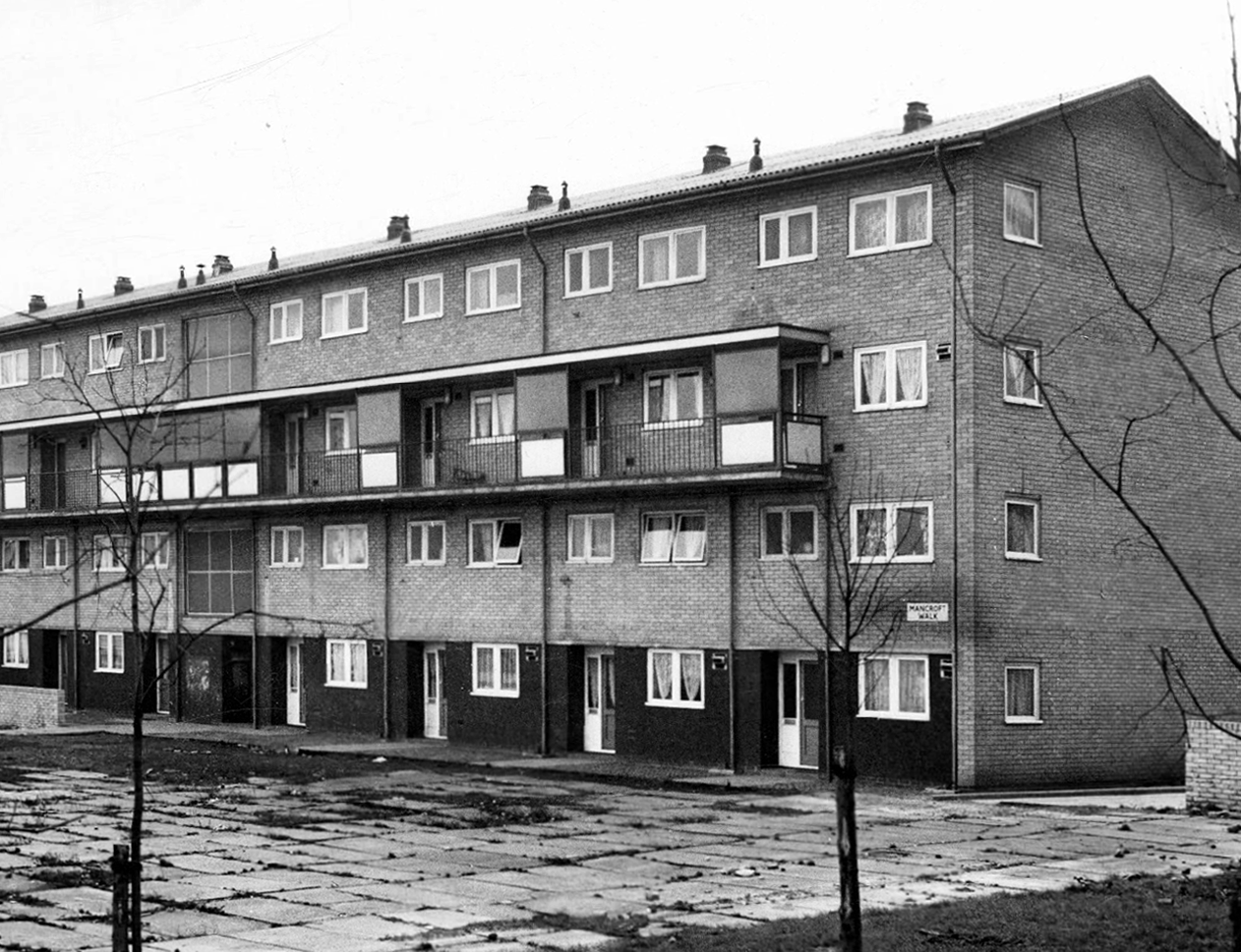
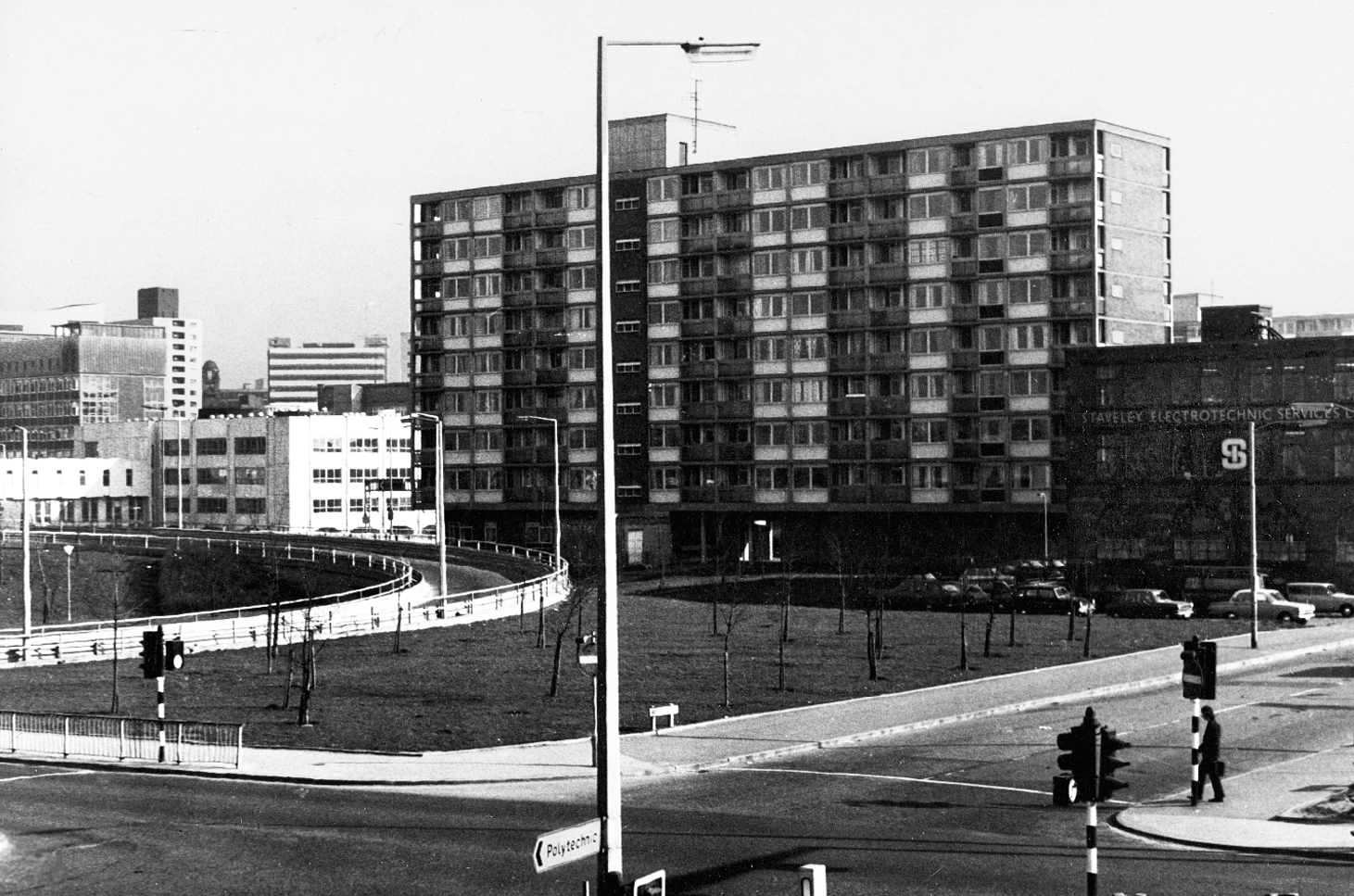
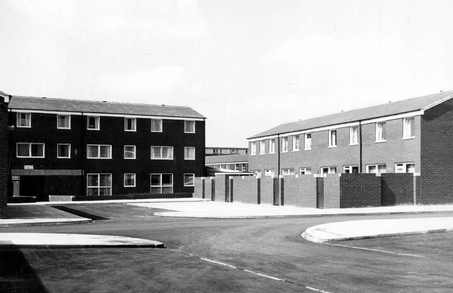
One of three nine-storey blocks, containing two hundred and nineteen dwellings; also including SilkinCourt and Lockton Court.
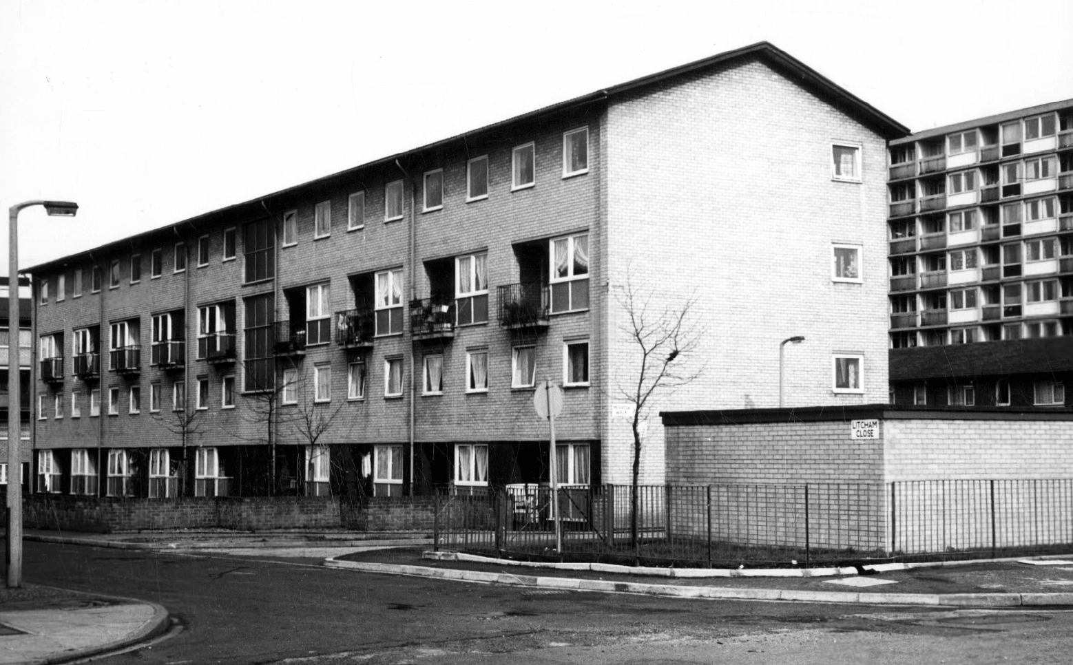
Litcham Close W Higham 1970
Harry Milligan 1903 – 1986 worked as the photographer at Manchester Central Library until his retirement in around 1968. He was instrumental in setting up the Manchester Region Industrial Archaeology Society in 1965. He volunteered at the North Western Museum of Science and Industry from 1968, assisting with reprographics requests. His knowledge of the history of photography in Manchester and the UK led to him taking on the role of Honorary Curator of Photography at the museum.
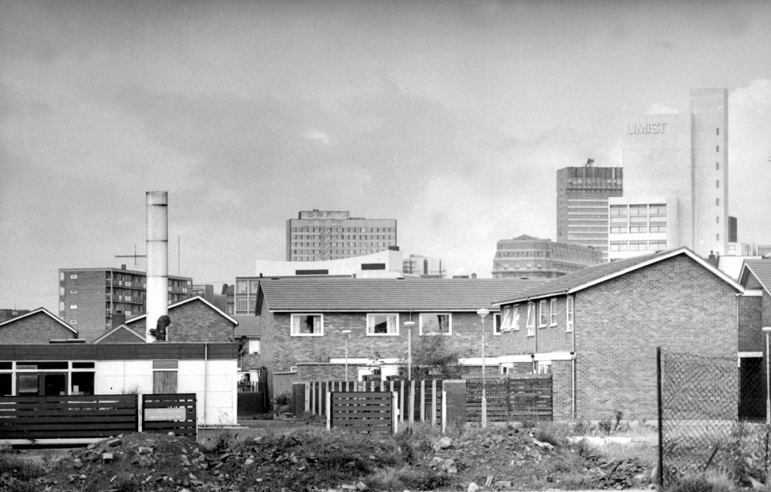
Panorama of Brunswick with UMIST in the background.
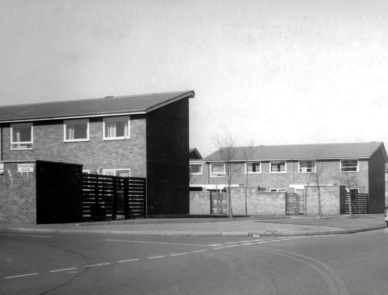
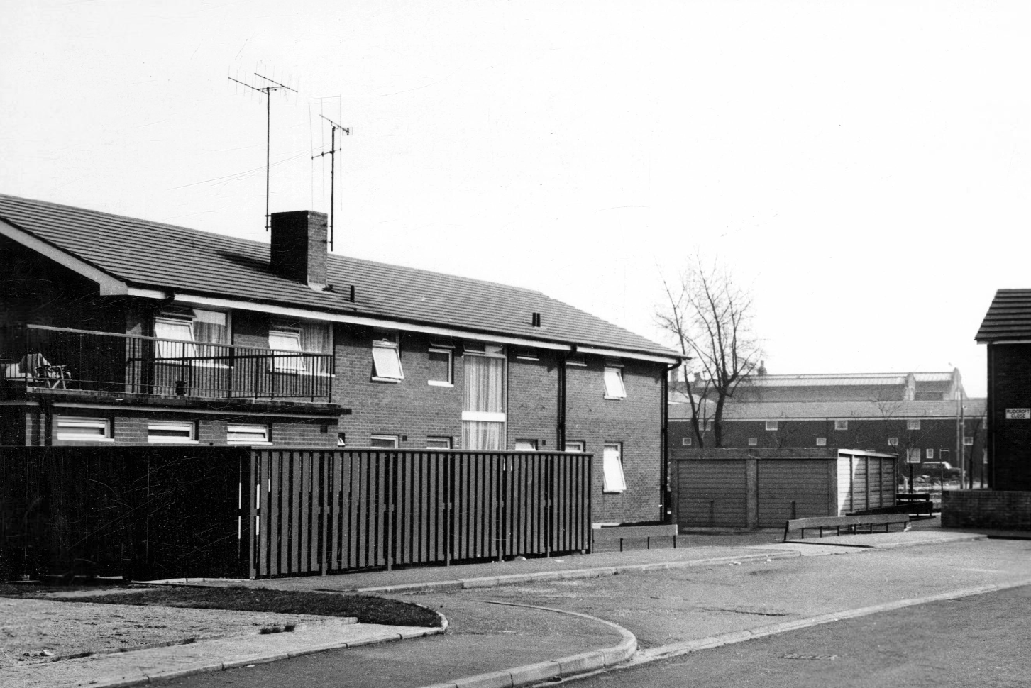
Hanworth Close area terraced housing and flats 1972.
Staverton Close
Melcroft Close
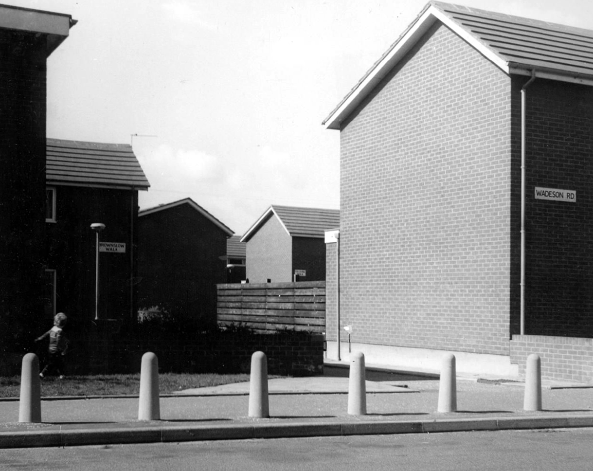
Wadeson Road
Helmshore Walk – Skerry Close
Cherryton Walk
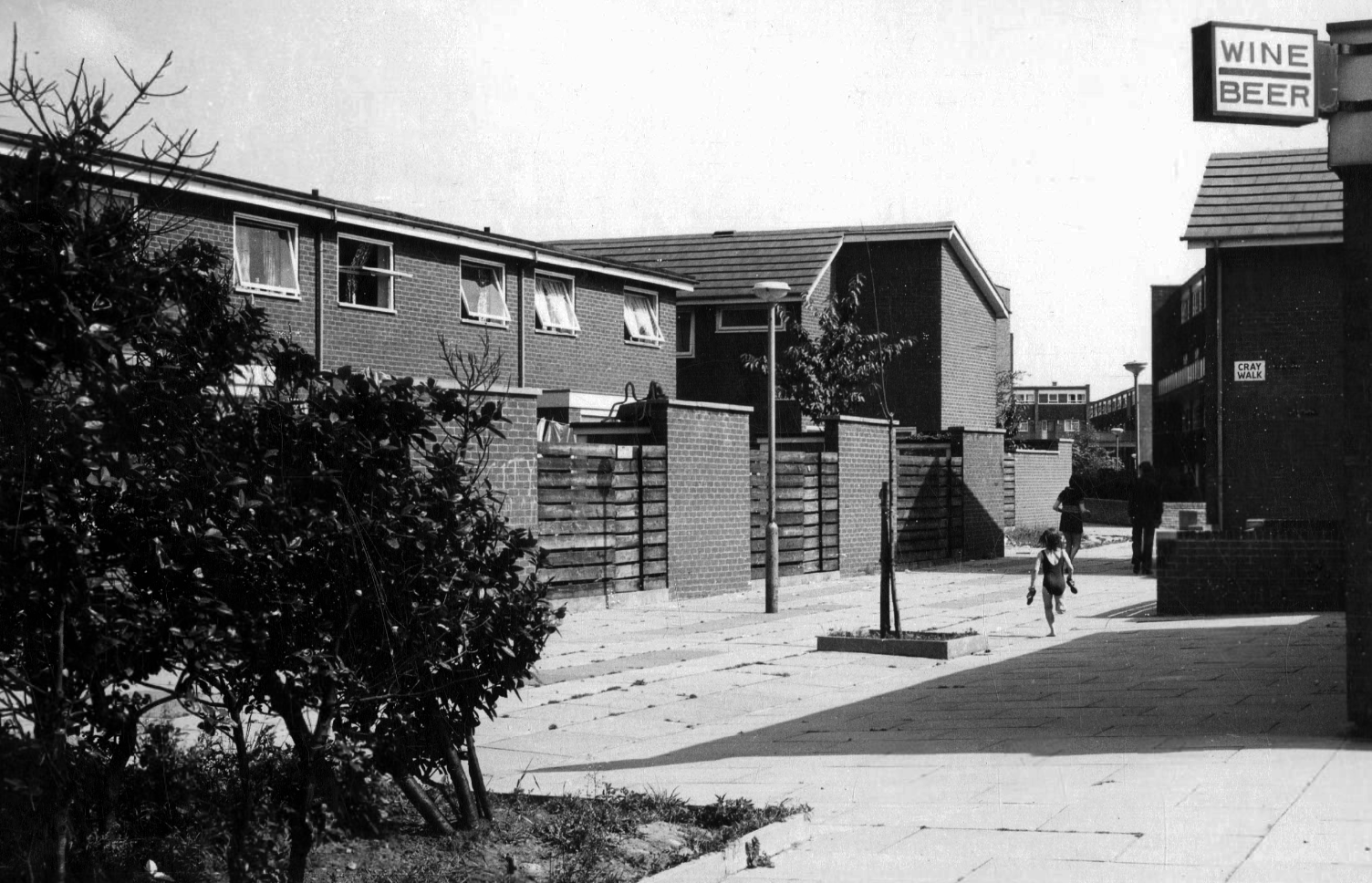
Cray Walk
Wadeson Road
Hanworth Close
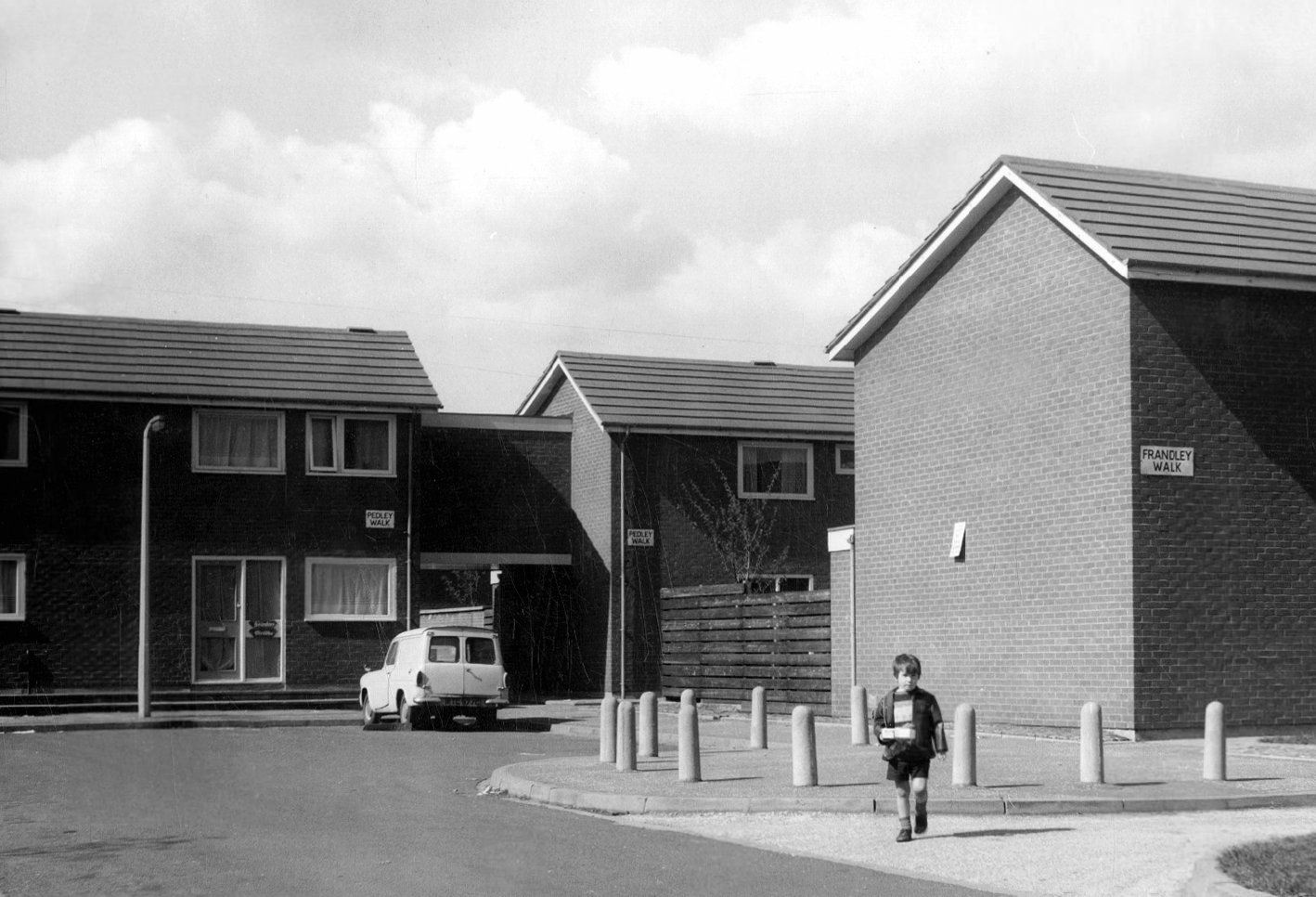
Pedley Walk
Cray Walk – note the decorative brick relief
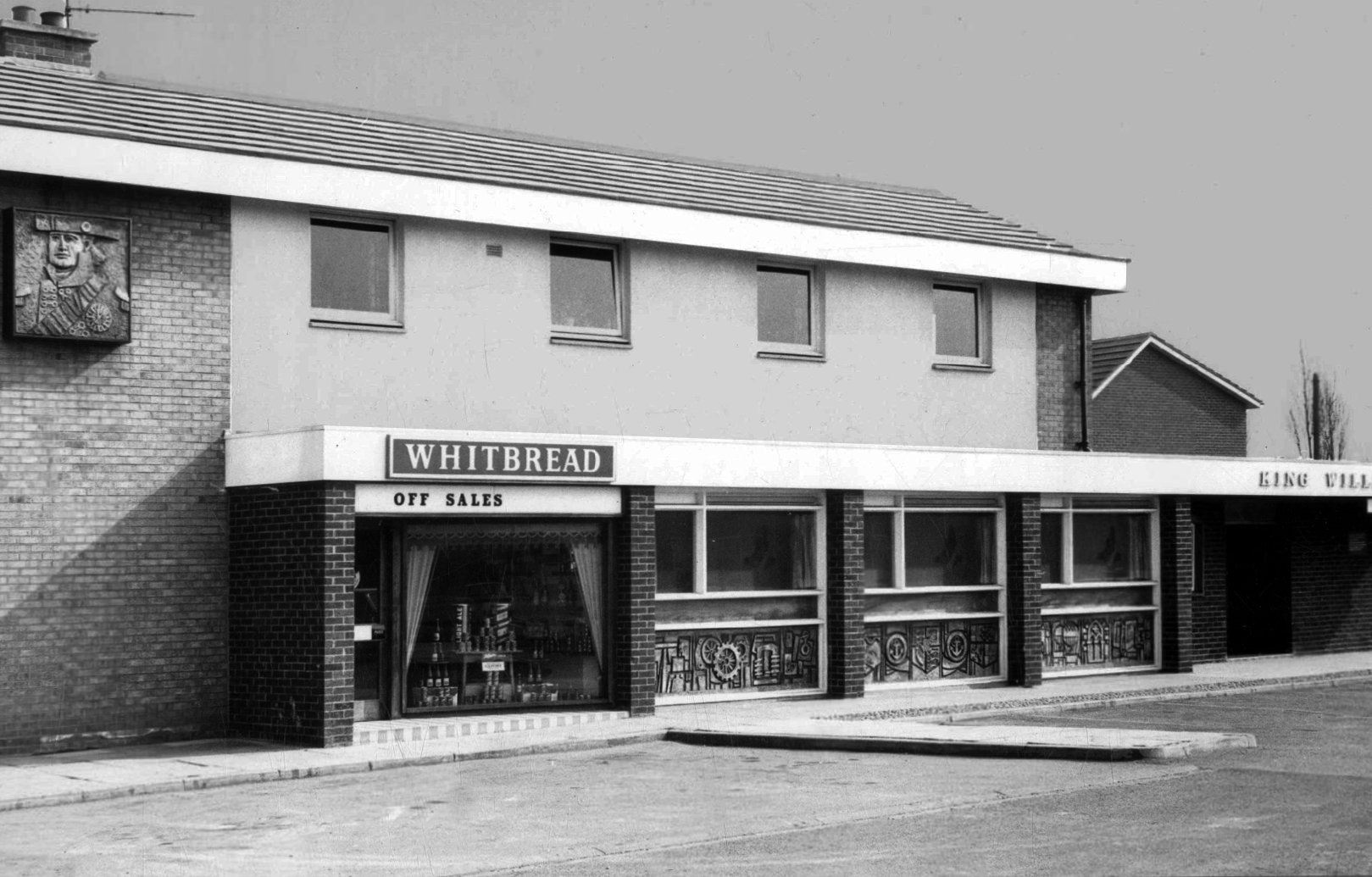
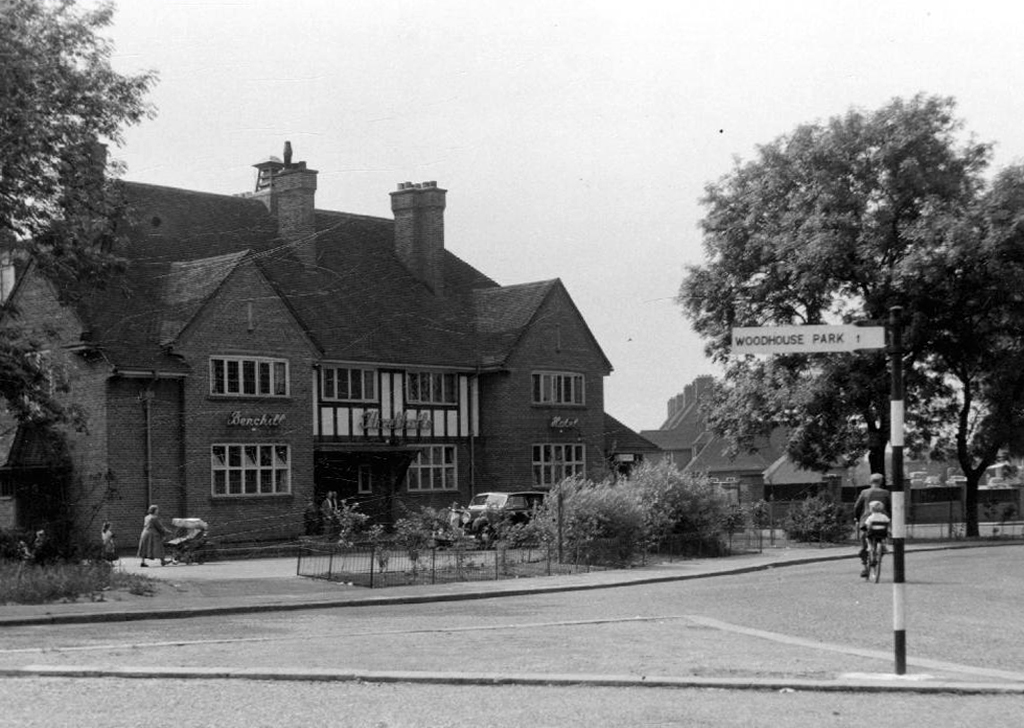
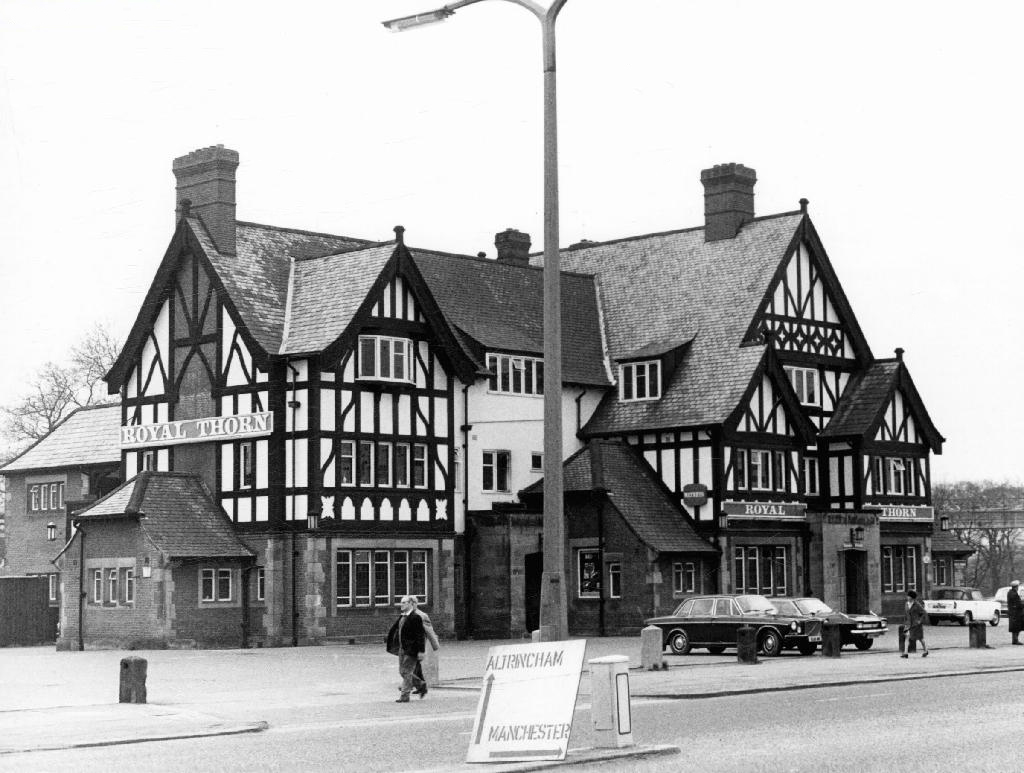
King William IV
Former Chesters then Whitbread estate pub was built in 1967. Closed in 1996 when it was converted to residential property. It had a brief spell 1991 to 1995 as brewery premises for the Dobbin’s West Coast Brewery, during this period the interior was stripped out to accommodate the brewery paraphernalia.
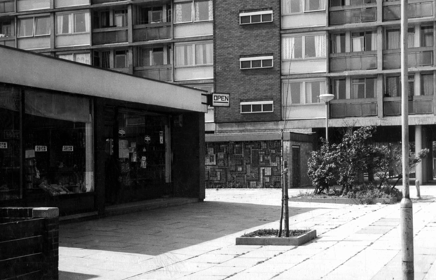
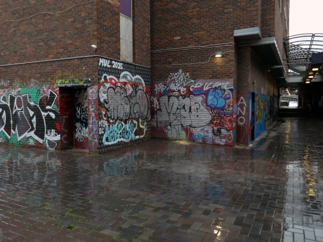
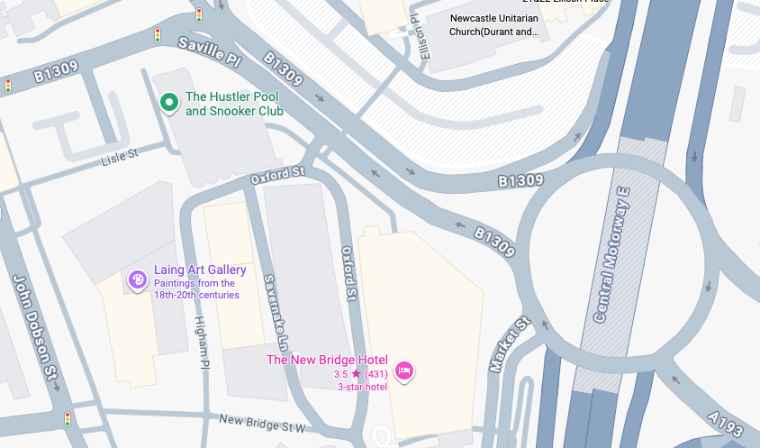
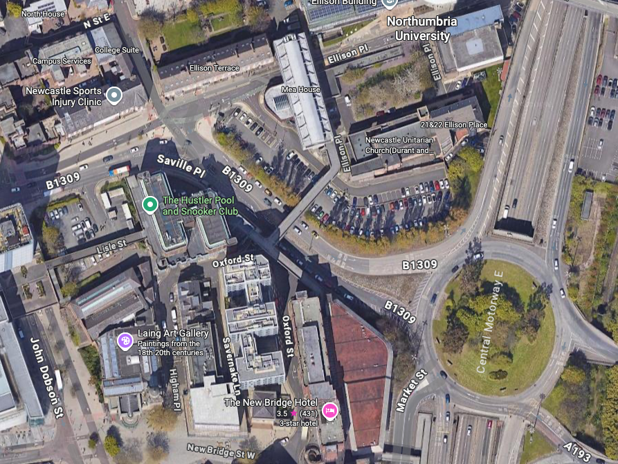
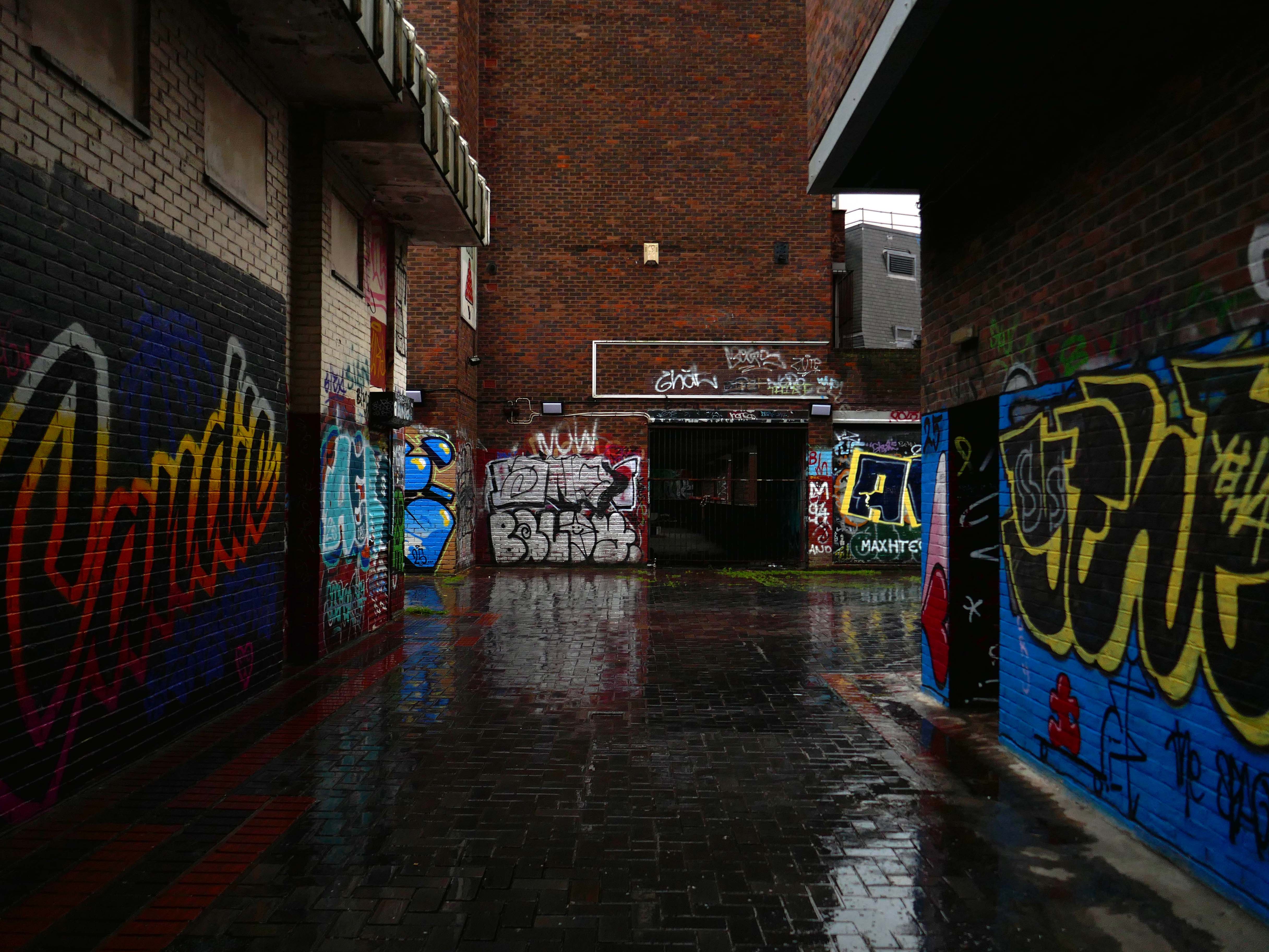
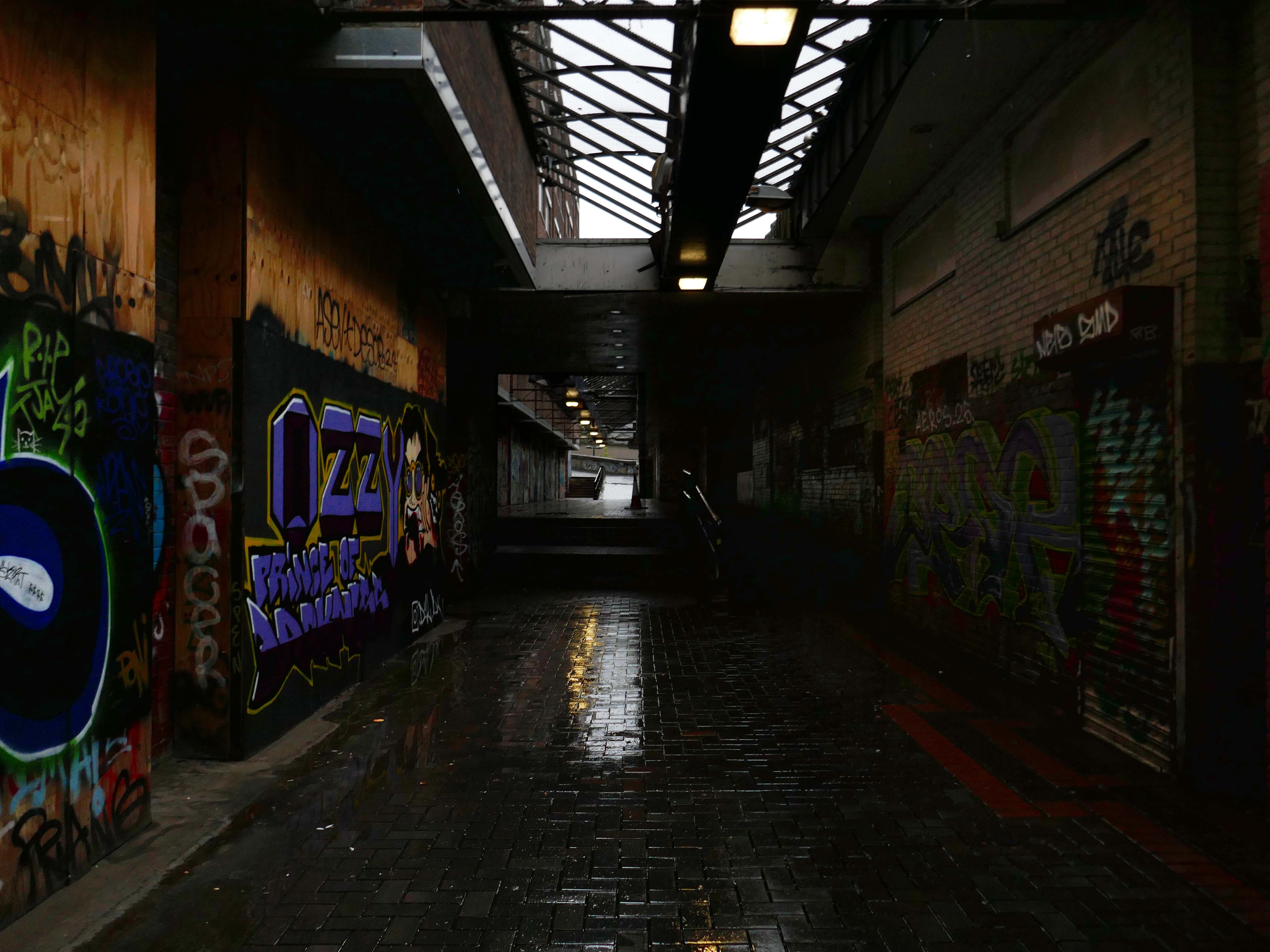
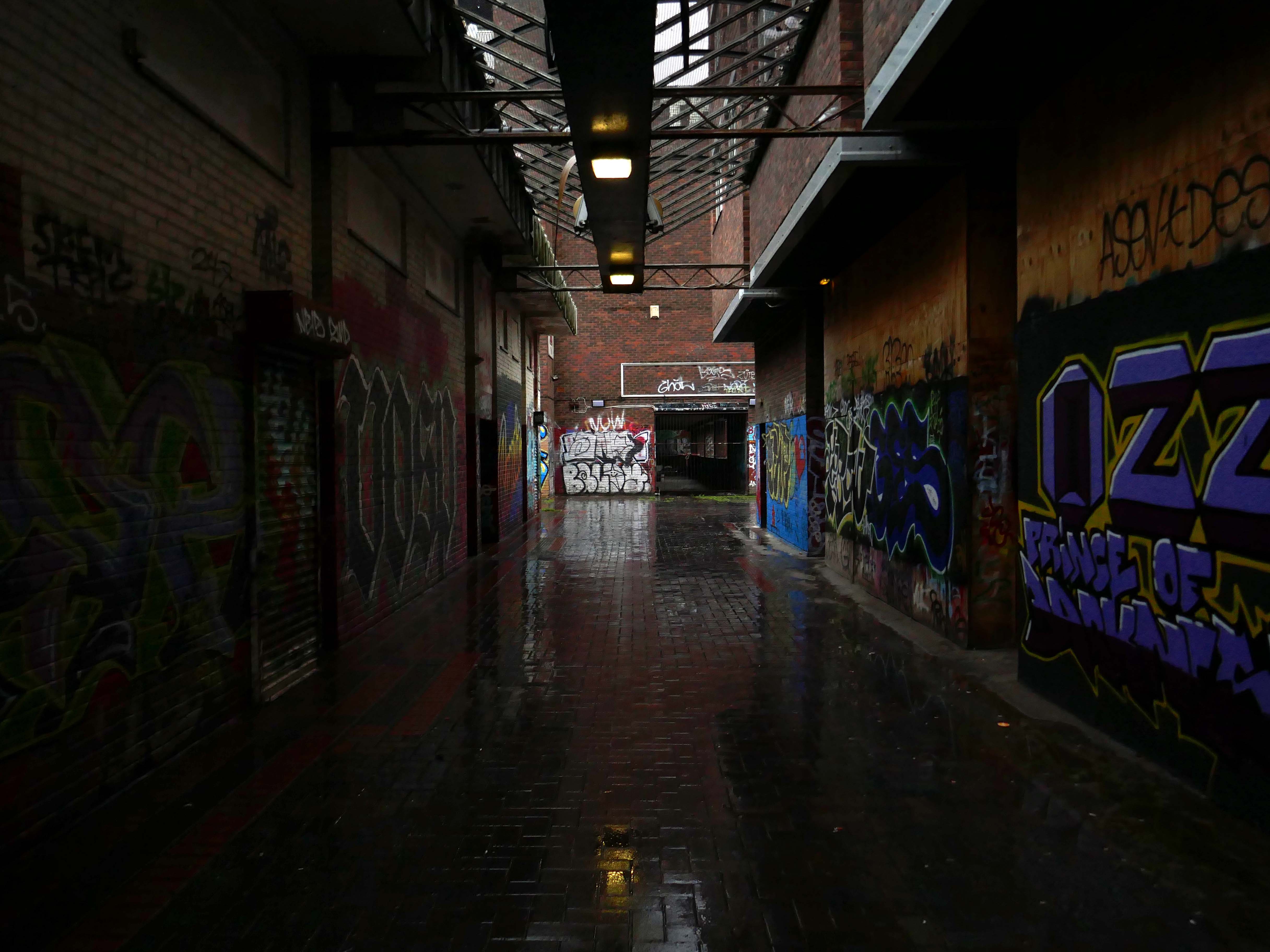
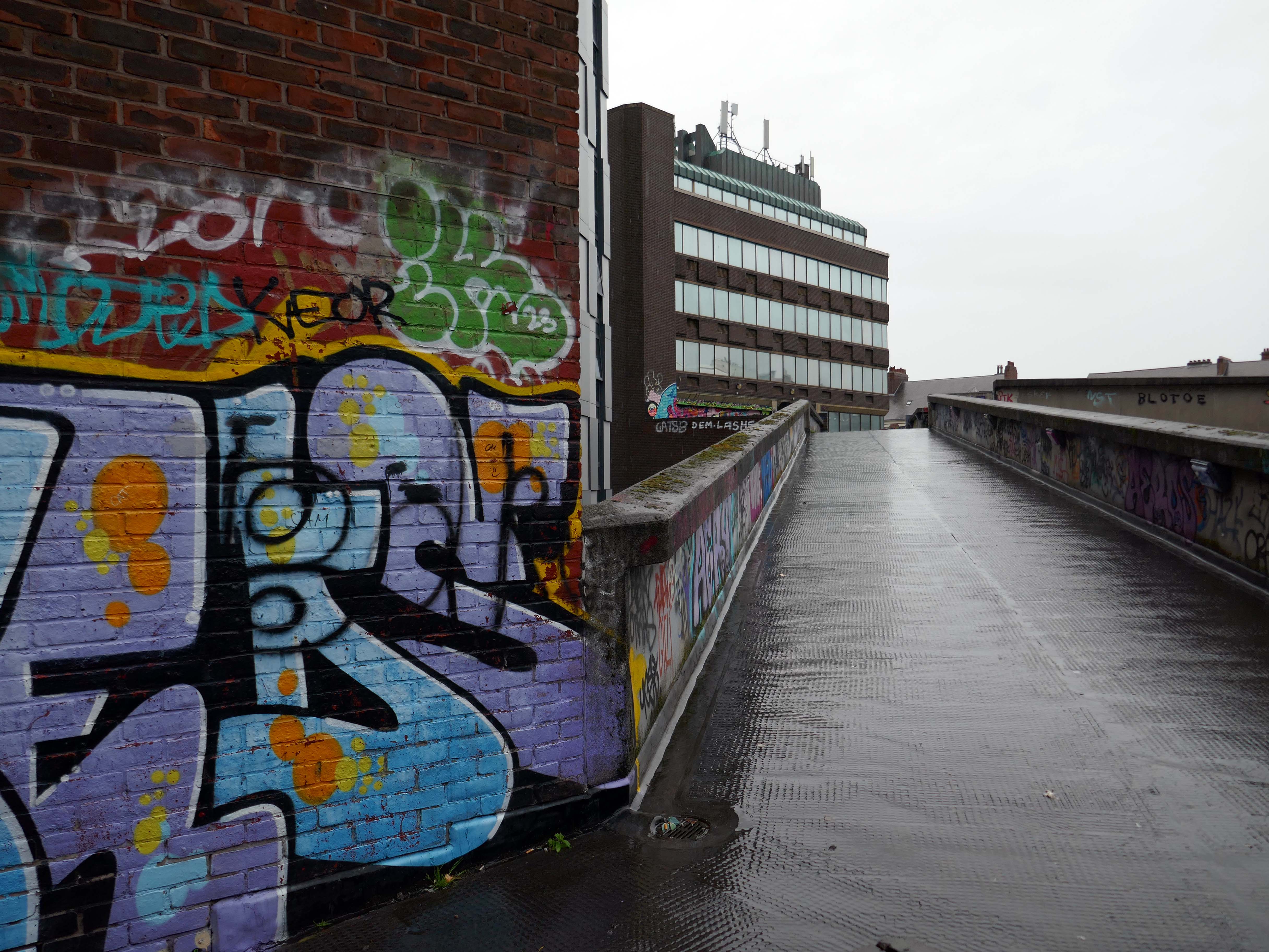
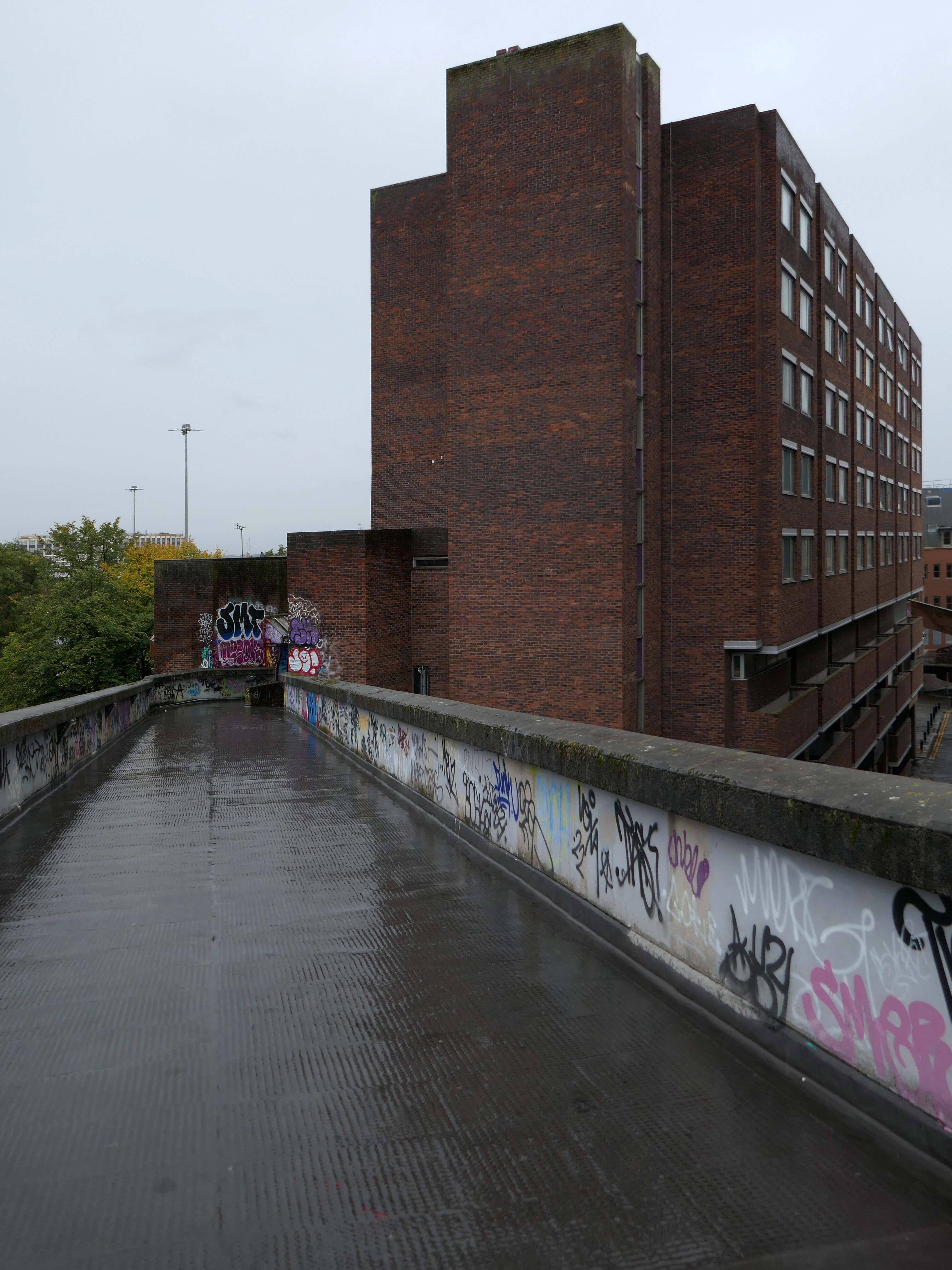
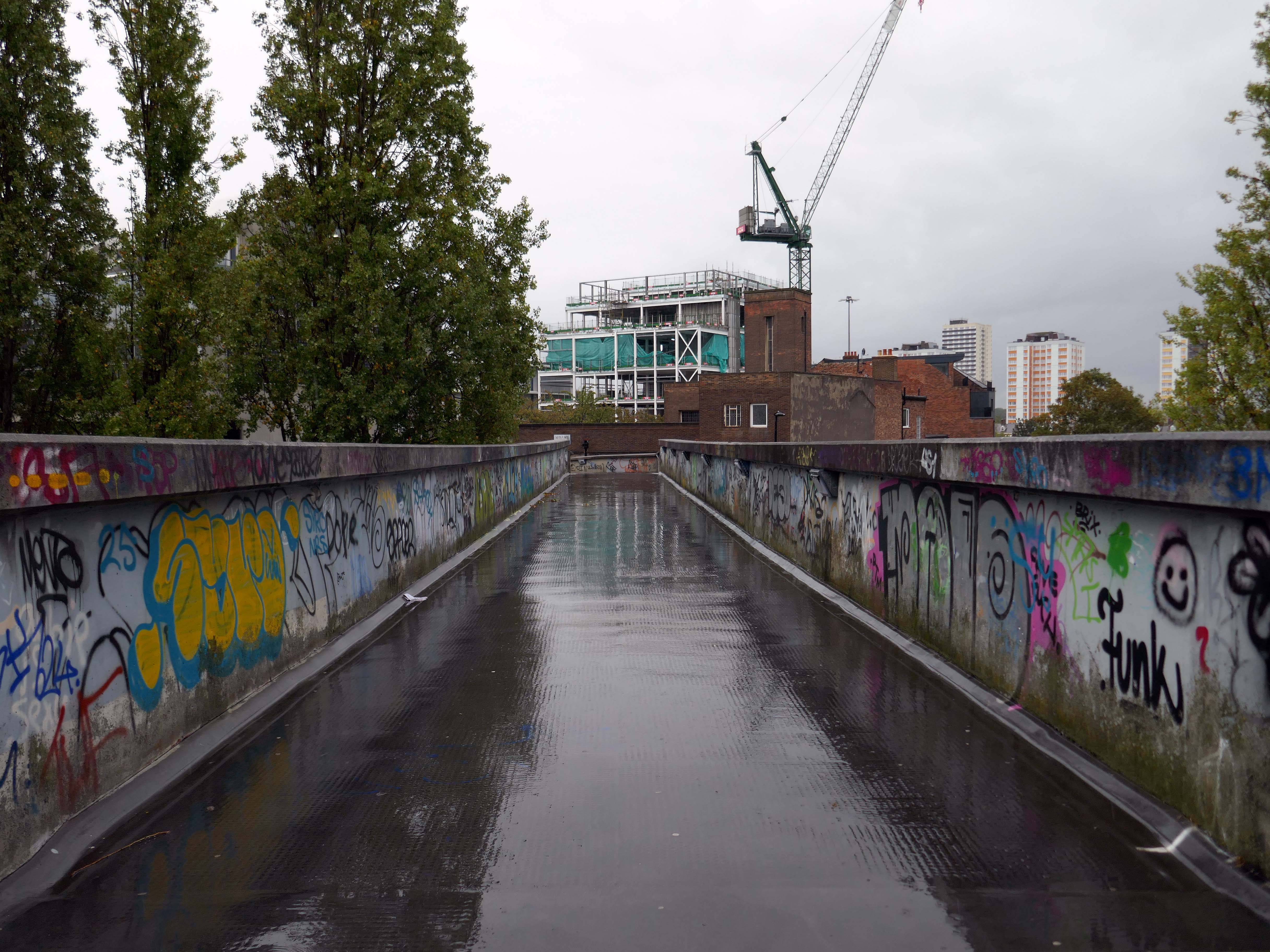
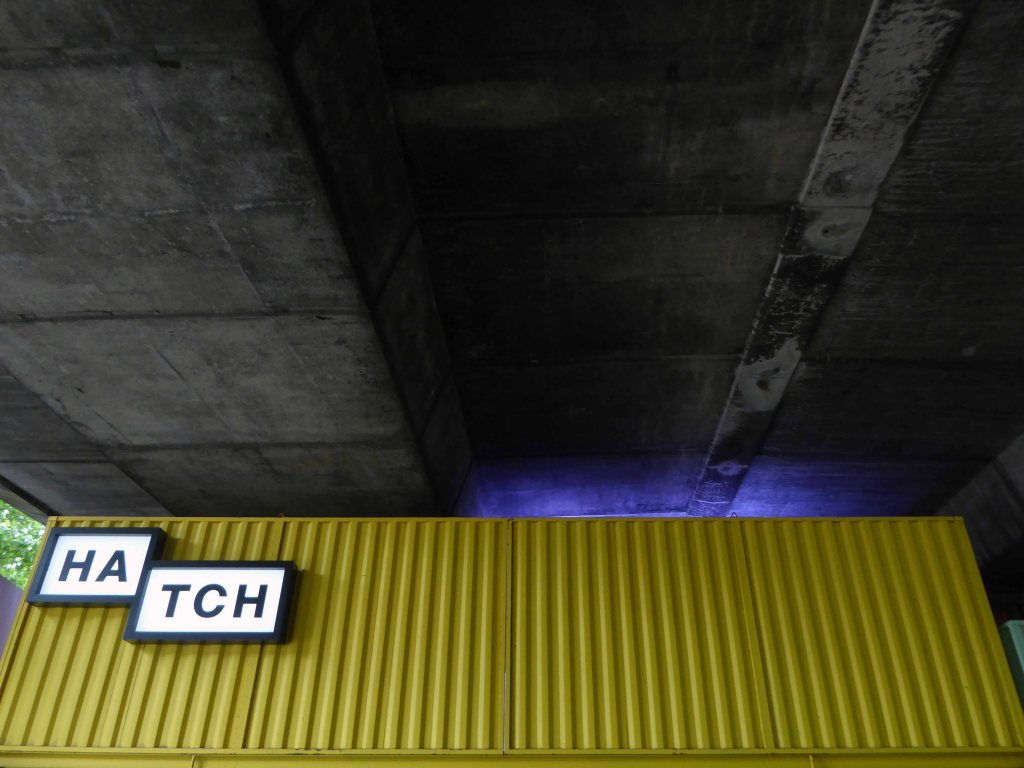
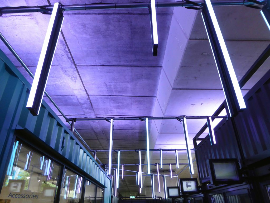
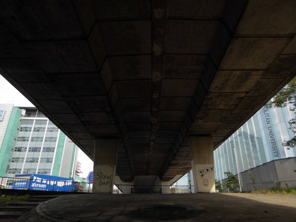
These are the streets in the sky passing between the Central Motorway, Saville Place and Oxford Street.
Streets constrained by infrastructure, a University and doomed leisure provision.
Welcome to Newbridge Hotel Newcastle upon Tyne – a charming oasis located in the heart of the vibrant city, just a short stroll from the renowned Theatre Royal and beautiful St James’ Park. Whether you’re visiting for business or leisure, the location ensures that you have easy access to the best of Newcastle, including fantastic shopping at Eldon Square and local attractions like the Metro Radio Arena.
Discover the essence of Newcastle from Newbridge Hotel, where every stay becomes a unique experience tailored to your needs.
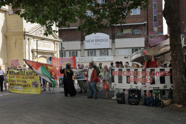
Two sets of protestors gathered outside the New Bridge Hotel in Newcastle, as “Newcastle Welcomes Refugees” stood up to “Send Them Back” protesters who want an end to migrants being housed in the hotel.
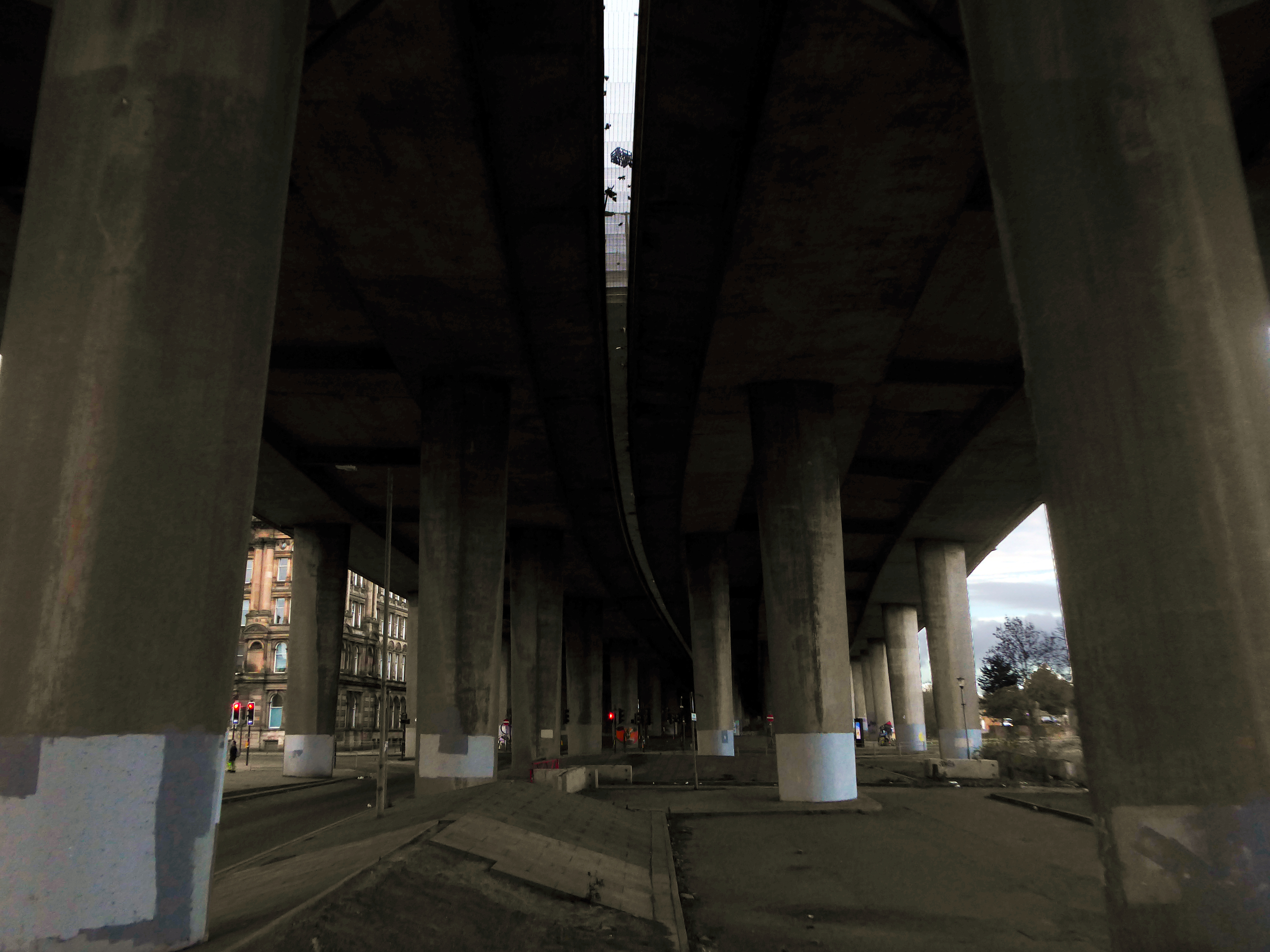
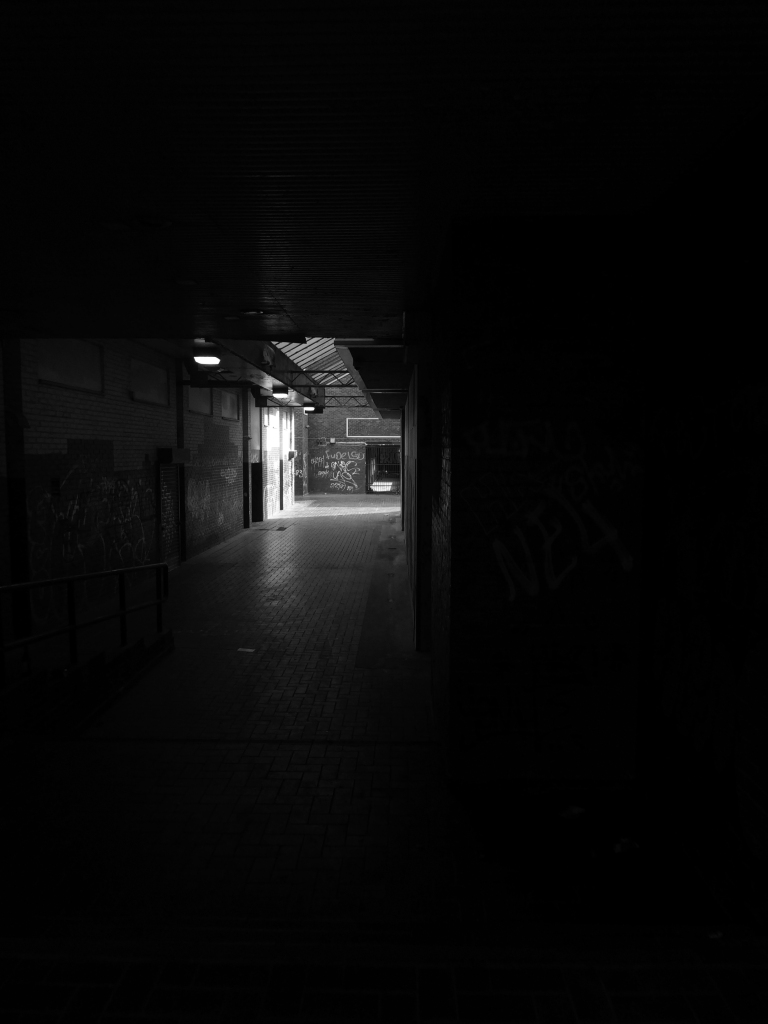
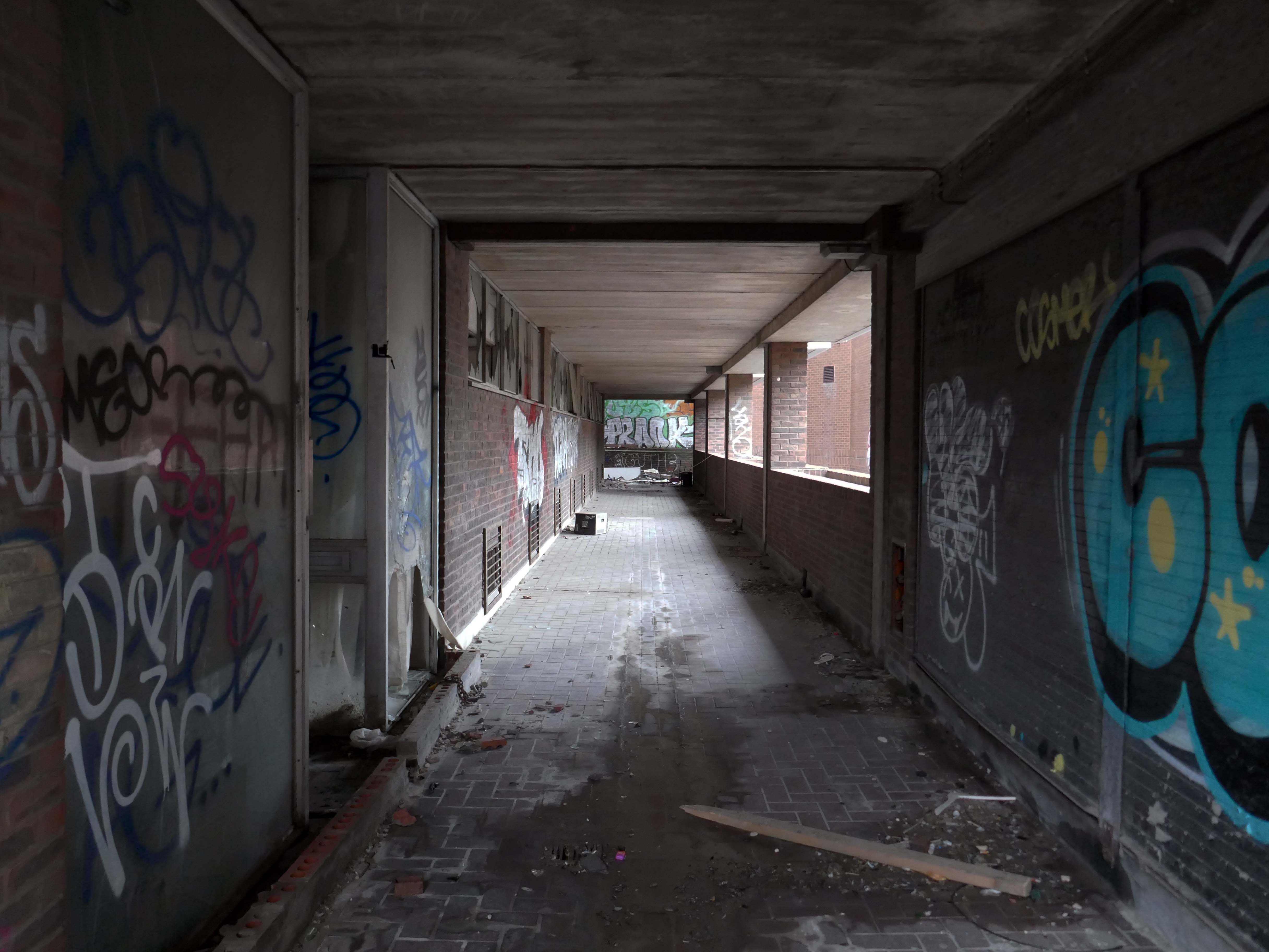
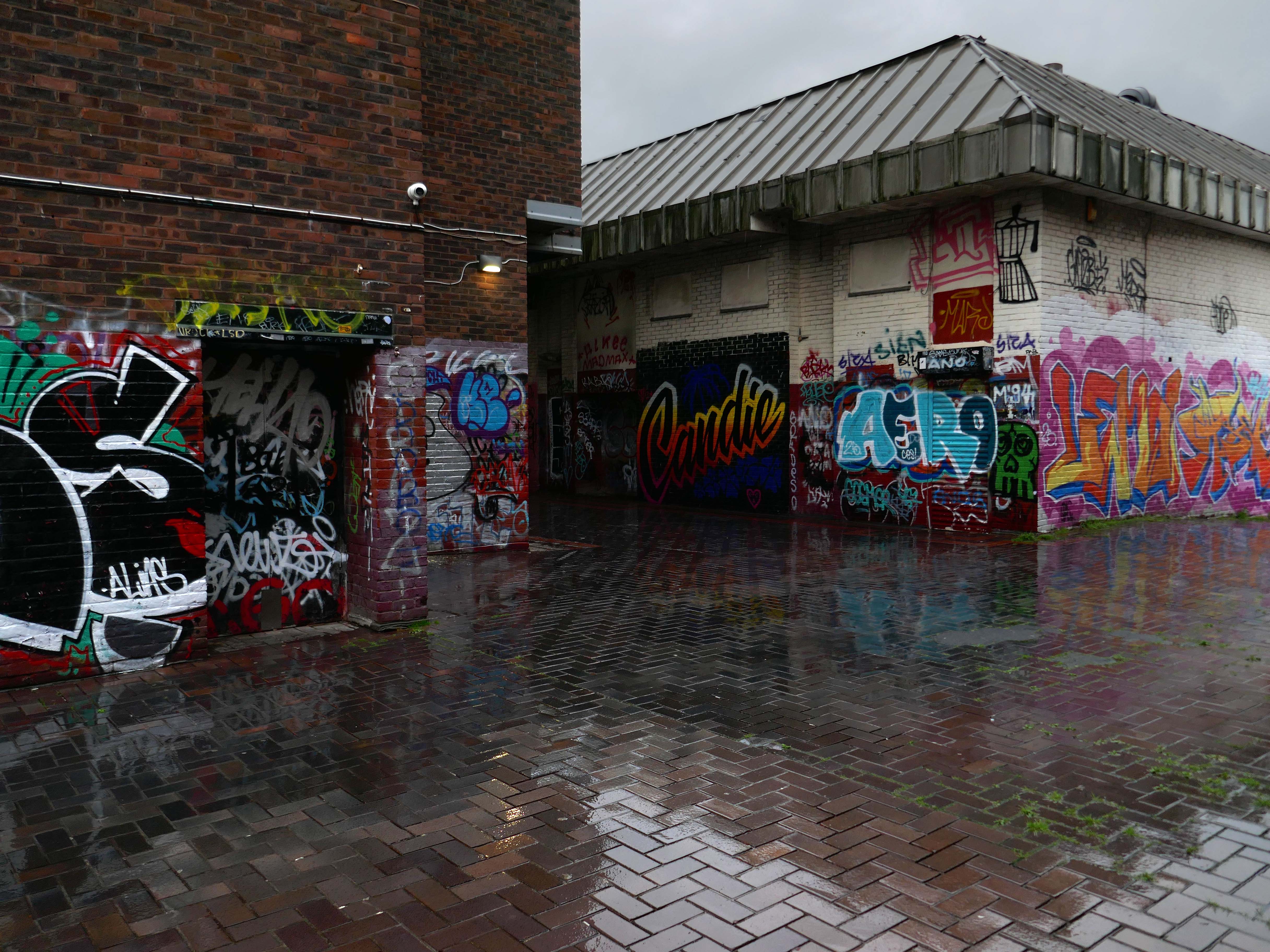
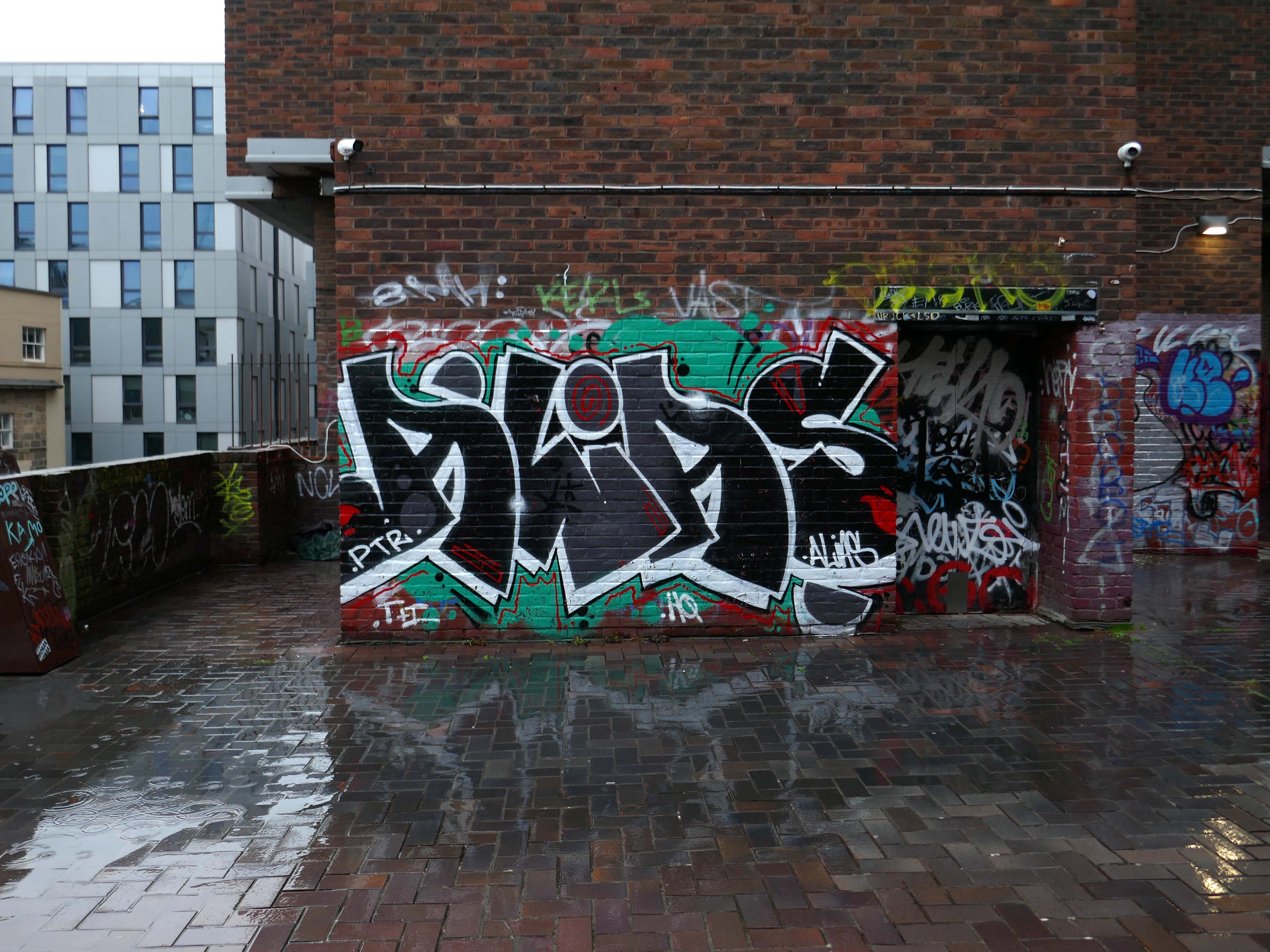
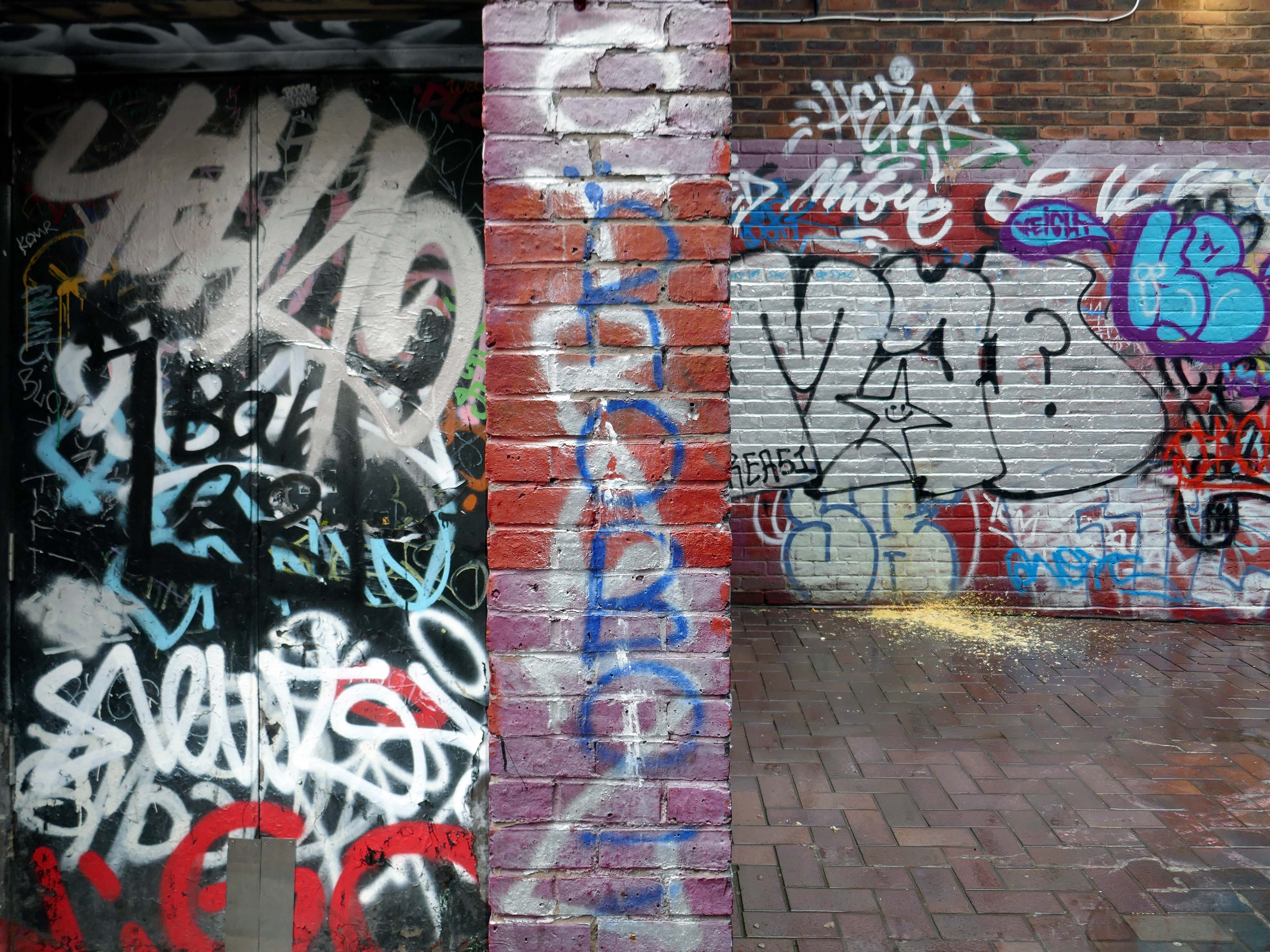
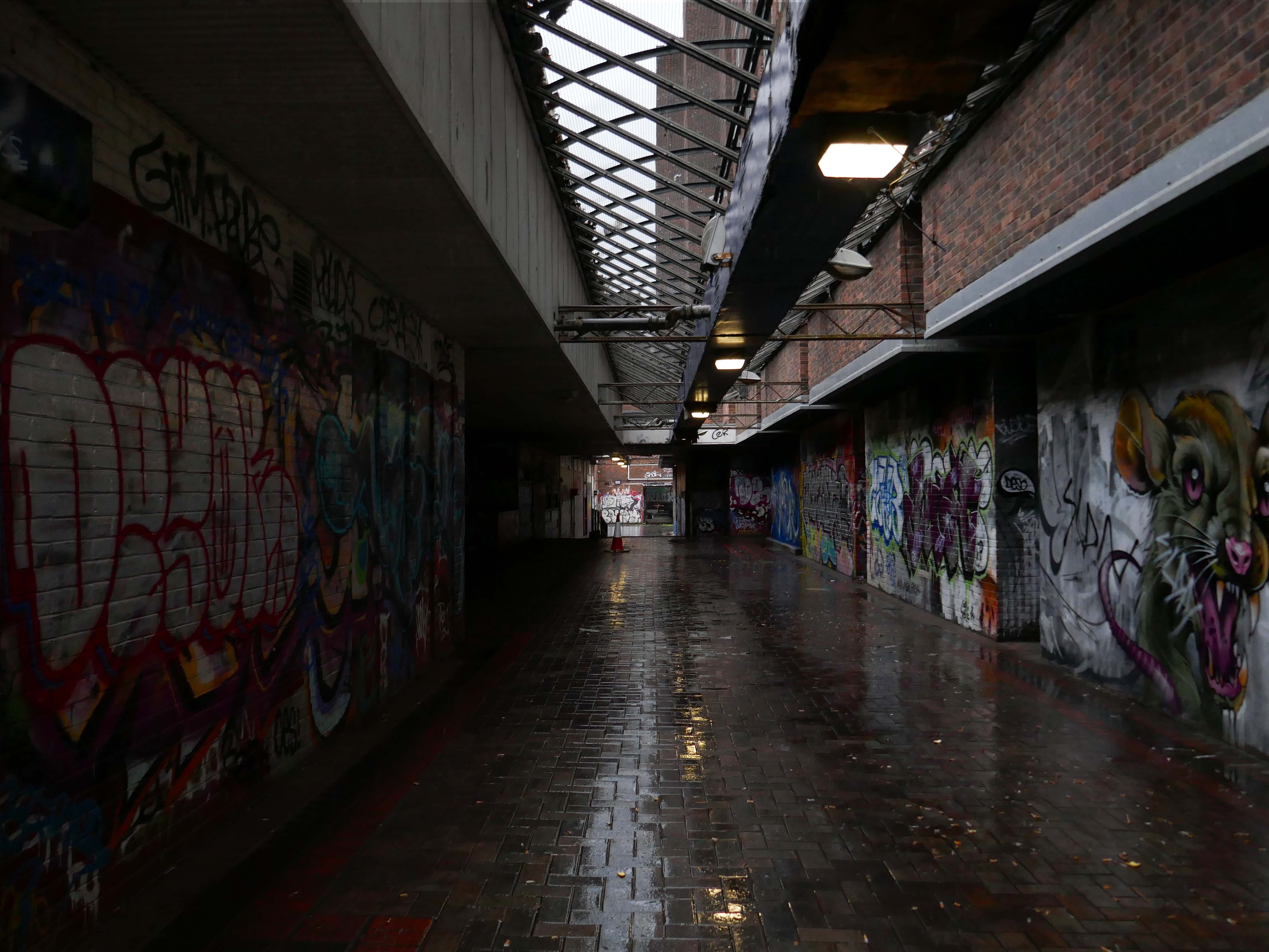
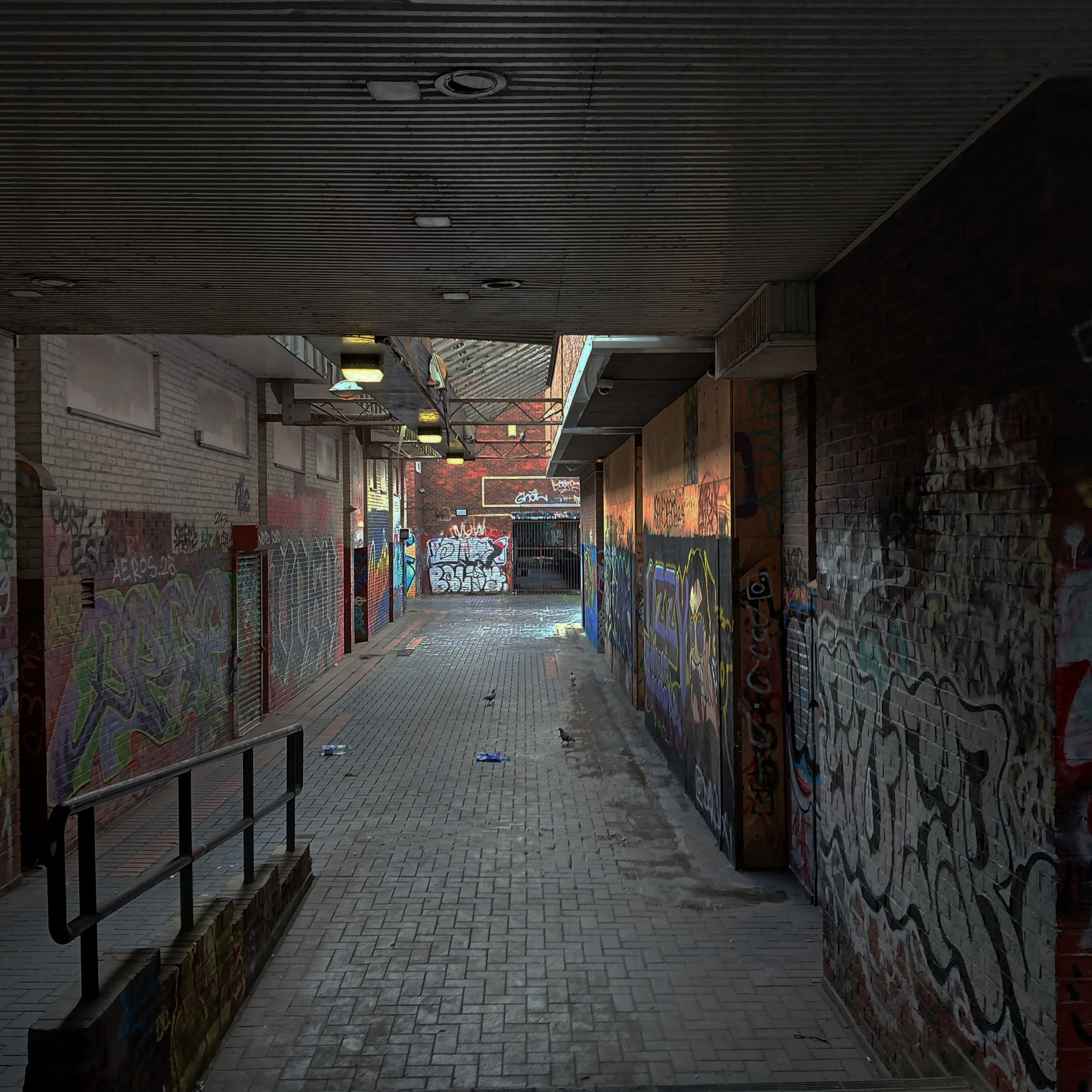
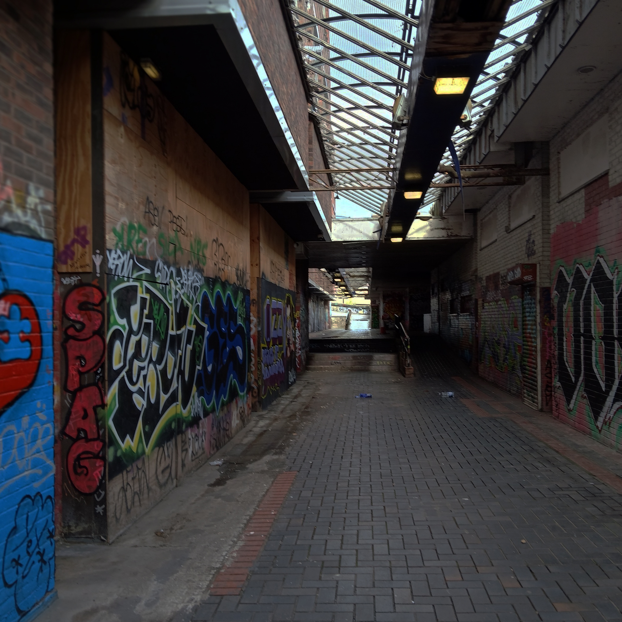
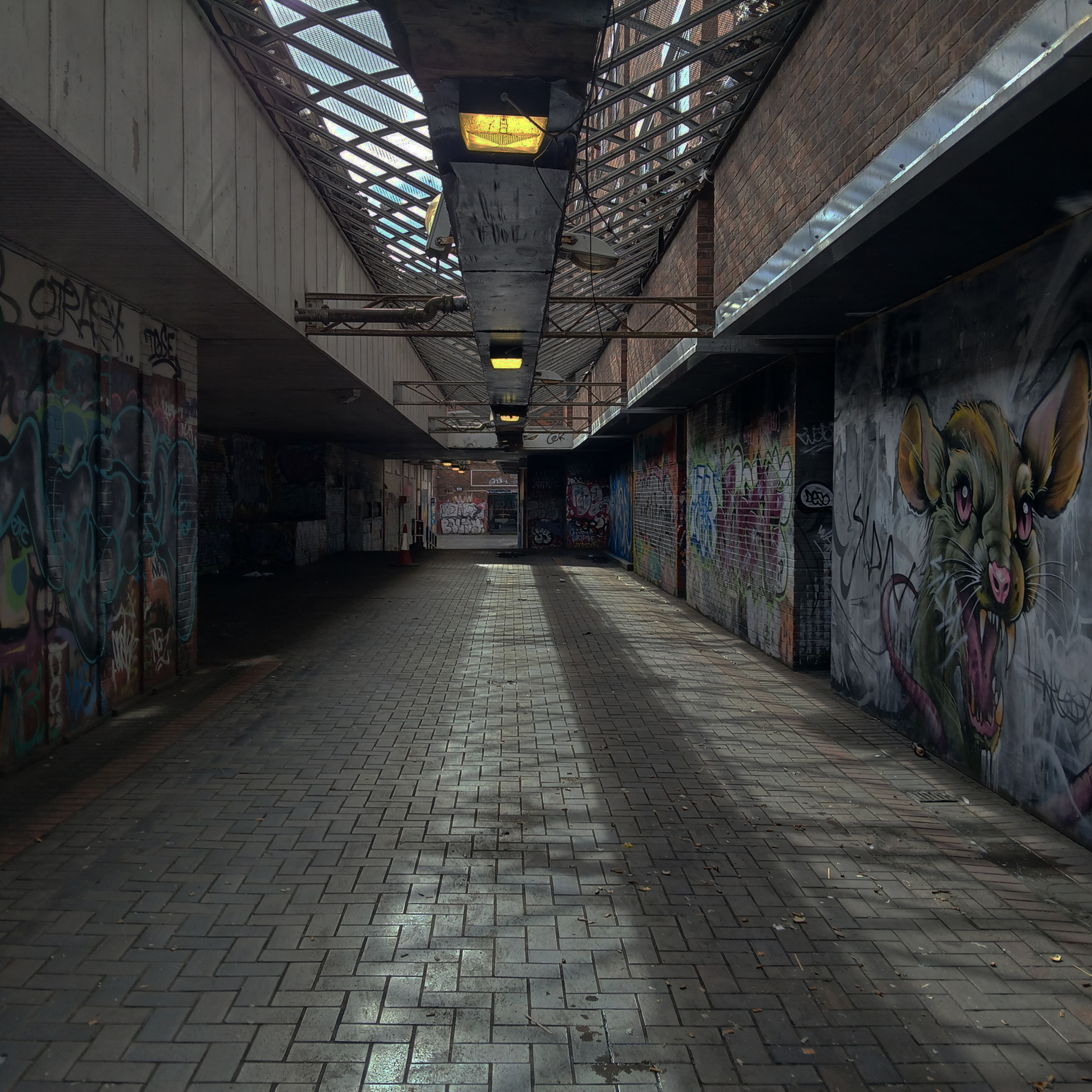
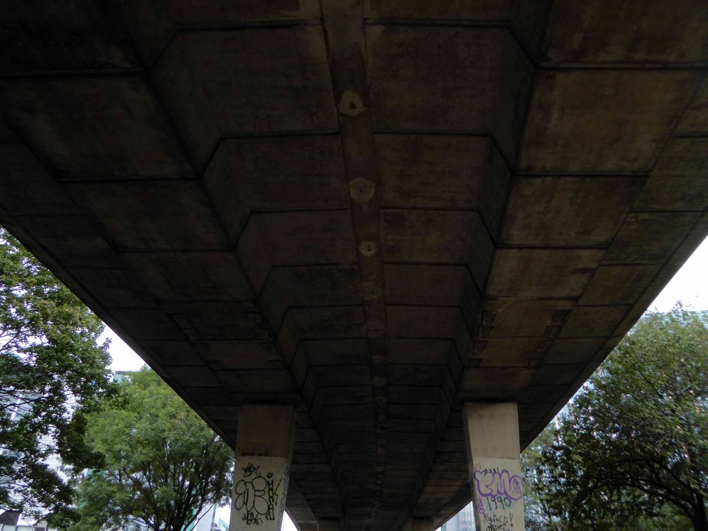
This is an inland island of anonymity, home to pigeons, shake can shakers and the terminally curious.
It always rains on Saturdays.
Happily, the sun always shines on Sunday.
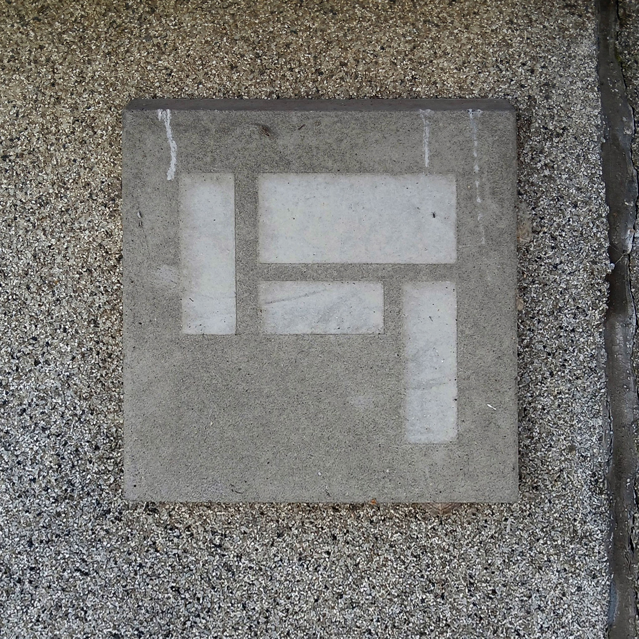
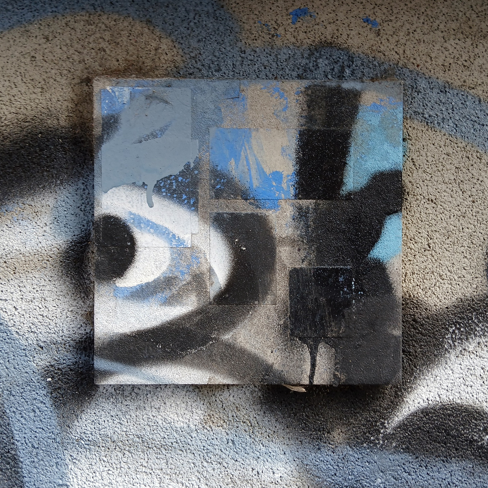
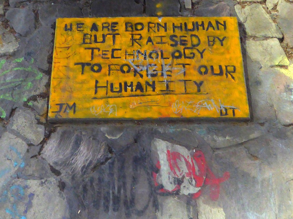
Hidden within and upon the walls of the walkways are these two cast concrete panels – the work of guerrilla artist Euan Lynn.
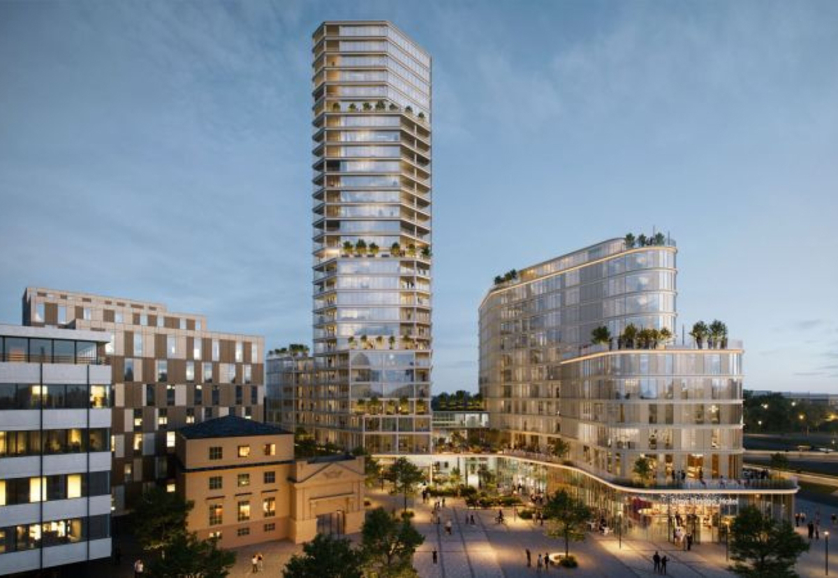
North east property group Gainford has unveiled its revised plan for a £170m residential and hotel project to transform Newcastle’s skyline.
It plans to redevelop a former Premier Inn site on New Bridge Street, with a 29-storey tower of 185 flats, alongside a separate 150-bedroom hotel, and bars, restaurants, and leisure space.
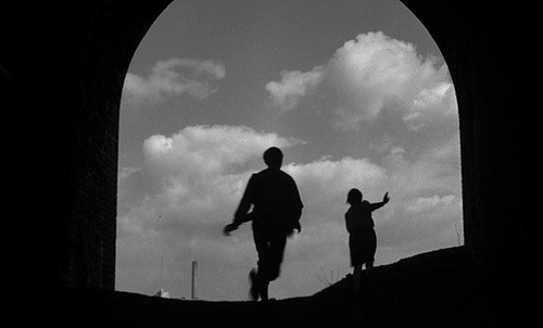
I began walking when quite young, then like Felix, I kept on walking, walking still.
The photograph was taking during the Whit Walks in 1958 – aged three, I was engaged in religious pilgrimage, as we know there are many reasons for walking, this is but one.
I was fortunate to grow up at a time when youngsters were permitted to roam freely, less traffic, less anxiety, gave me access to a wider axis of exploration.
The photograph would have been taken I assume, by my mam, on the Brownie 127. When aged nine I wandered alone through the local woods and exposed twelve frames of 44mm 127 film, the prints are long gone, yet I remember each of the photographs and locations clearly.
I went to school, then I didn’t, then I went to Art School, eventually becoming a teenage Constructivist, tutored by Jeffrey Steele, a leading light in the British Systems movement.
The rigidity of the grid, symmetry and orthogonal framing have stayed with me.
Then I went to work for a very long time indeed, then all of a sudden I didn’t. Taking early retirement aged 59 some ten years ago, subsequently taking to the roads, streets and hills of Britain in search of nothing in particular.
In recent years there has been a rapid development in the culture of walking, theories, films, guides, songs and literature. I am fully cognisant of such, yet believe at heart that walking can be free of such baggage, we can stride unhindered, atavistic and carefree/less.
Walk tall, walk straight and look the world right in the eye.
Getting lost is about the unfamiliar appearing.
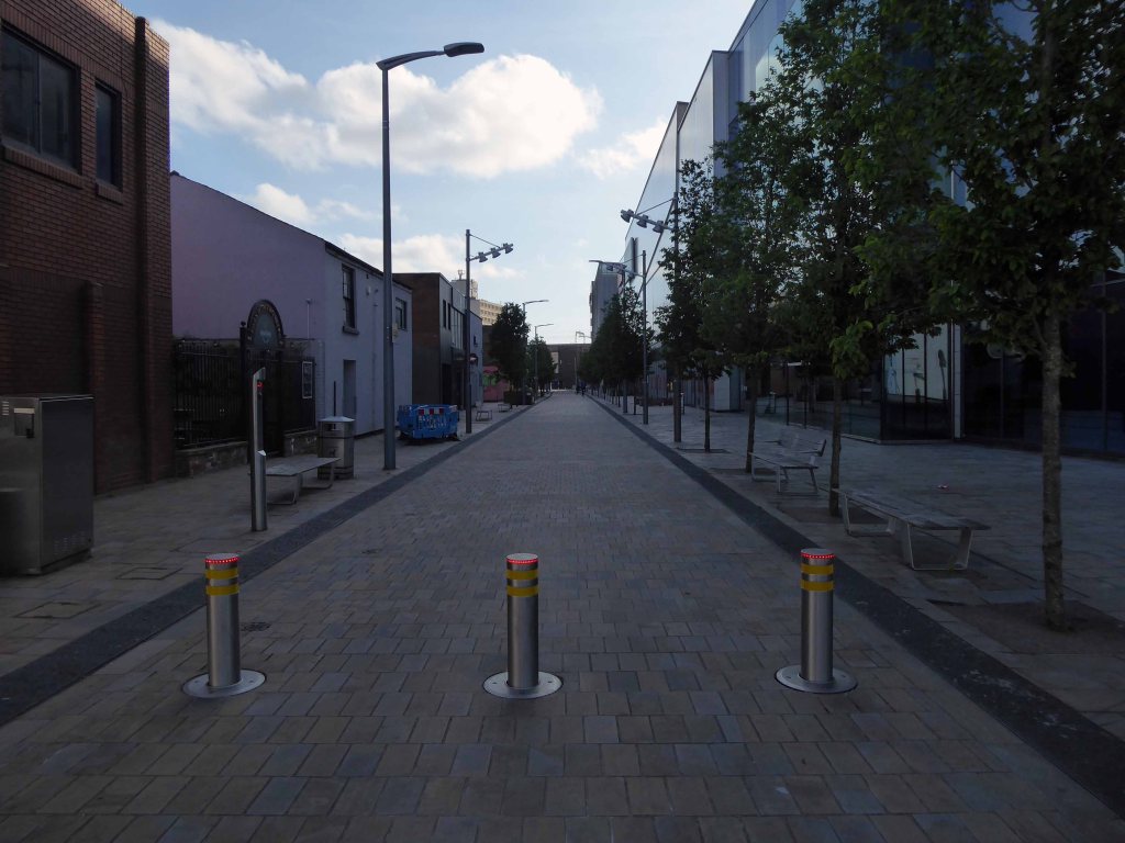
In my own small way, I have become part of that baggage, having been asked to lead a walk around Stockport by the the modernist neé Manchester Modernist Society.
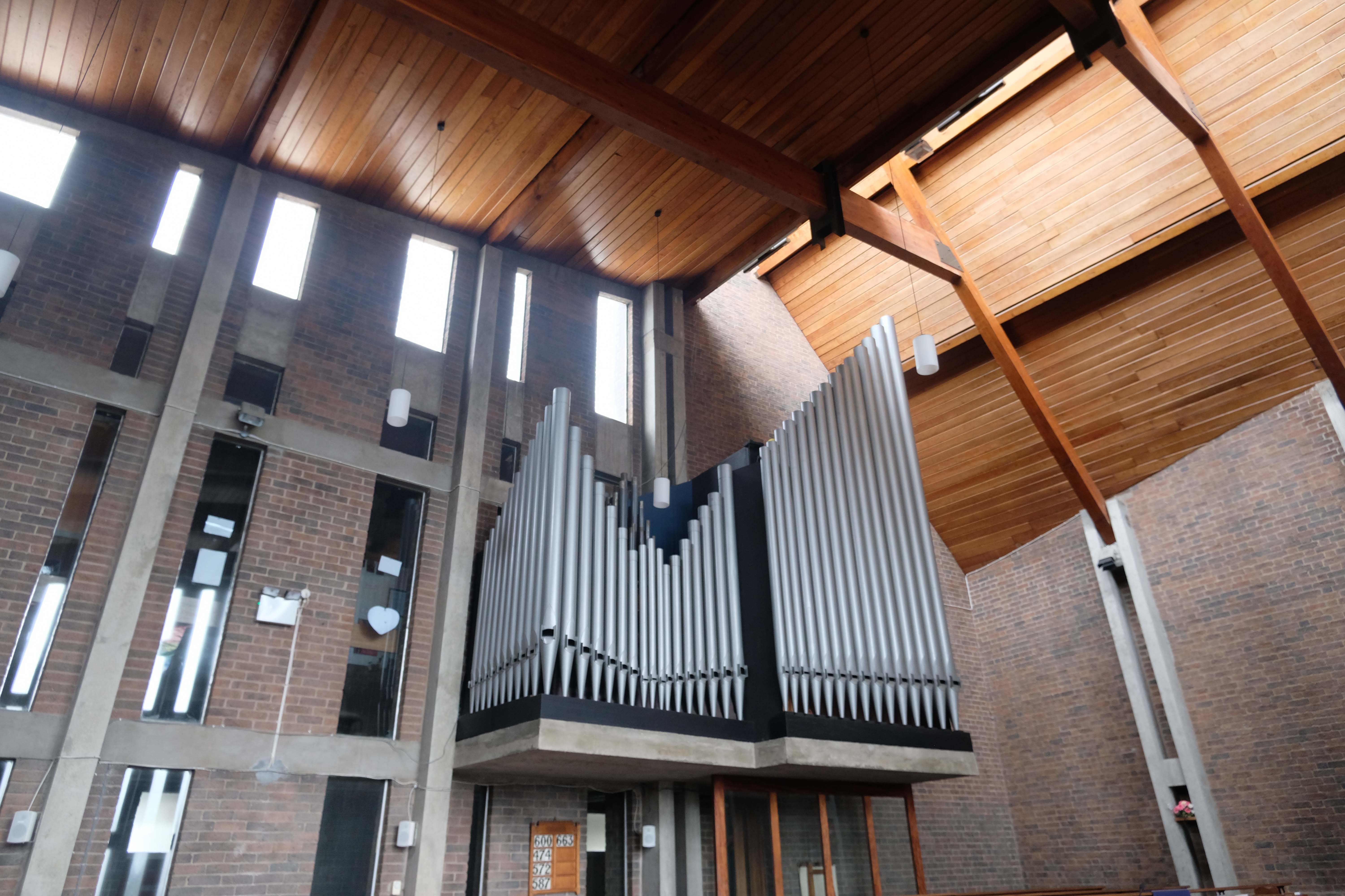
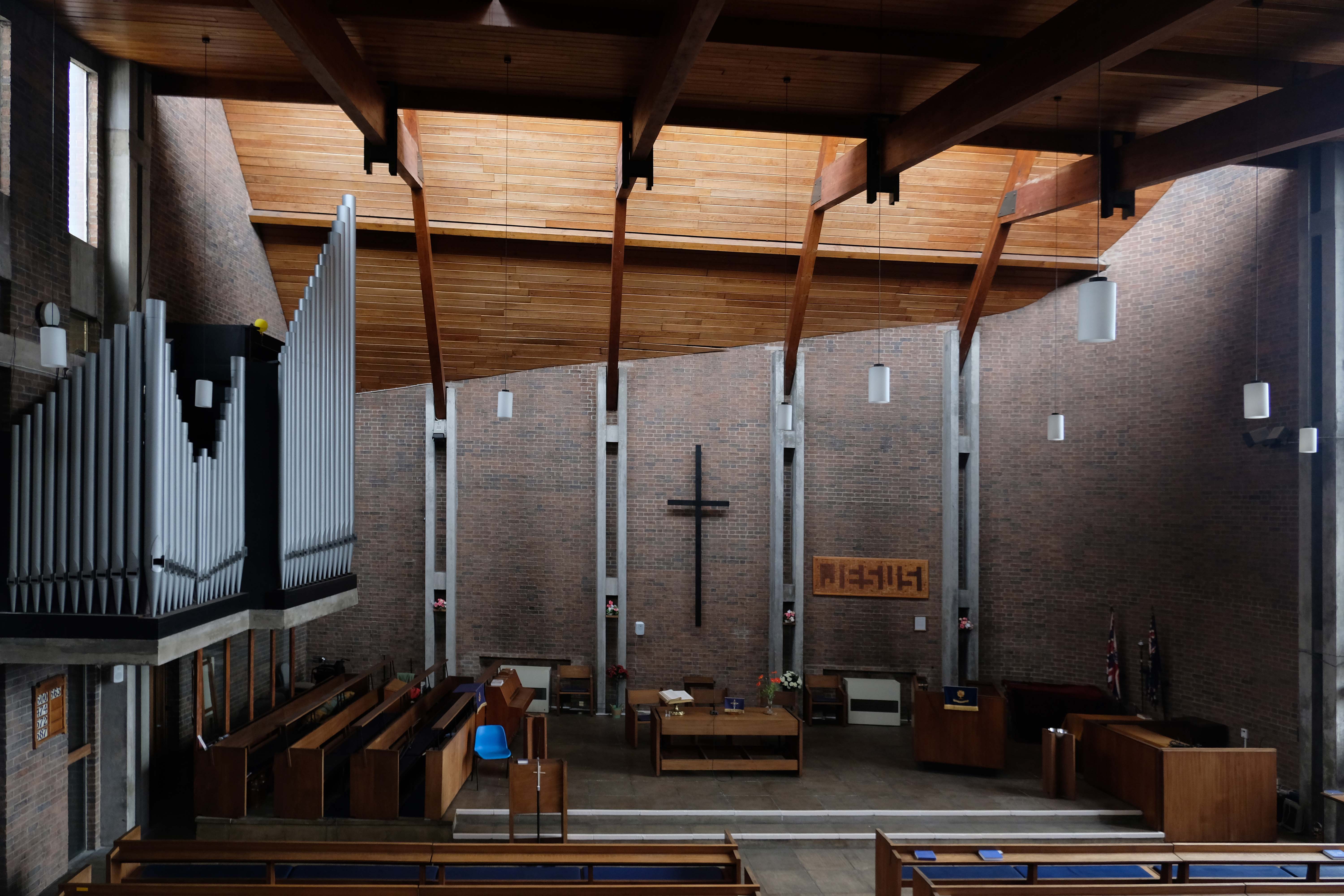
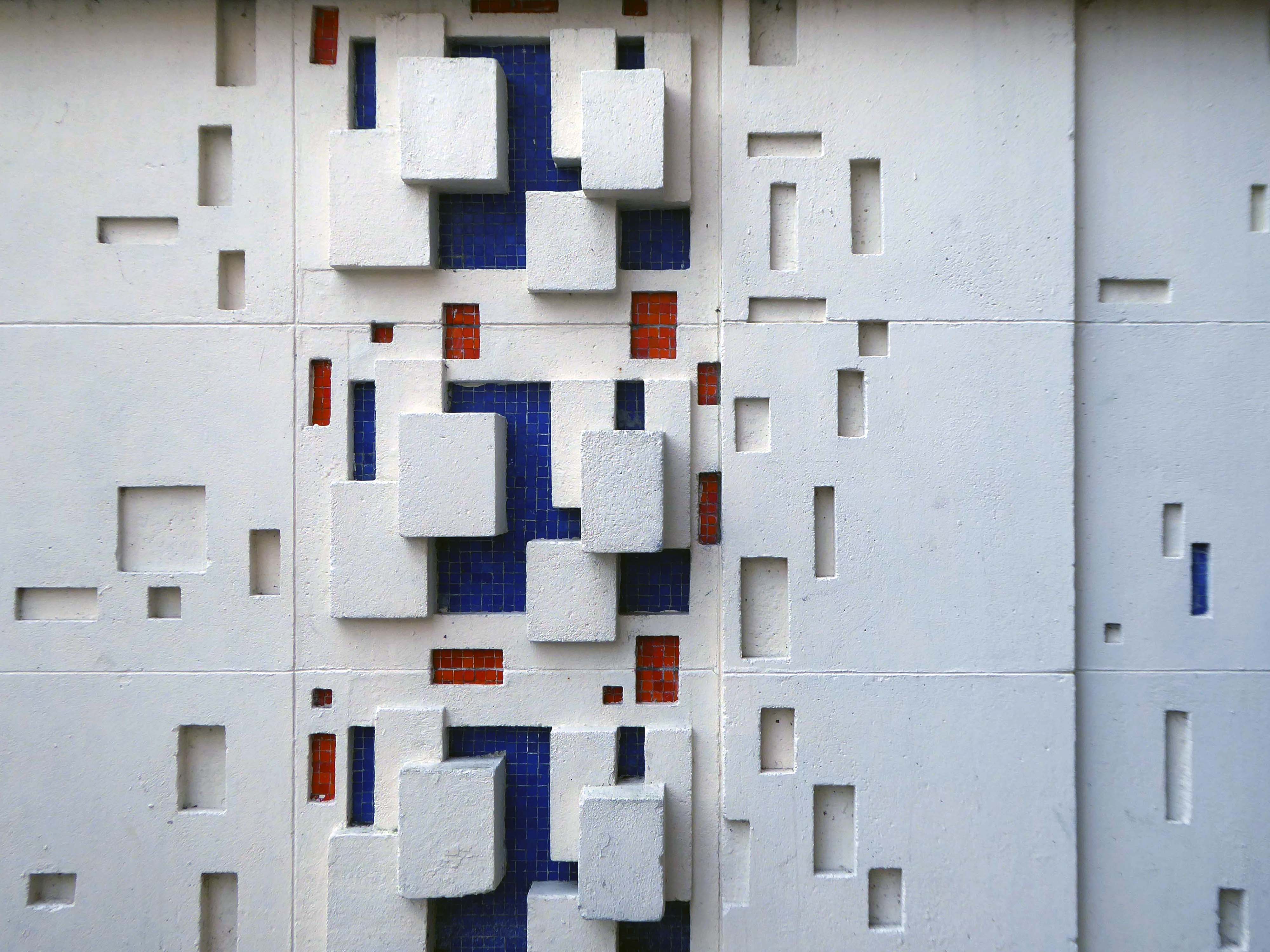
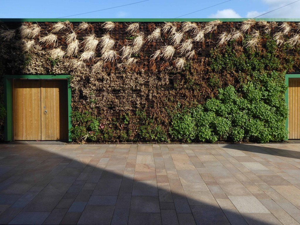
The photograph depicts Alan Boyson’s concrete screen wall, attached to the former Cooperative super store designed by Philip Andrew. The two worked to gather on the Hull Cooperative store, which is adorned by Alan’s huge Three Ships mosaic.
Philip was a childhood friend of Alan Boyson and it was Alan’s father, manager of the Marple Co-operative Society, that recommended Philip for an apprenticeship job in 1951 to the chief architect at the CWS in Manchester HQ.
In preparation for the tour, I visited the town’s Local Heritage Library and read extensively from serendipitous charity shop finds.
The two hour route was designed around an economy of distance and elevation, allowing time for others to take in, what may be for them unfamiliar surroundings. A group of around twenty or so folk became sociable and engaged, with a suitably concise and apposite contribution from myself. There are those who busied themselves taking snaps along the way, chatting amiably or simply gazing in amazement.
The service building above the former Debenham’s store.
Famed as an imaginary TV police station, this civic building is a civic building I simply can’t resist. I return on a regular basis to wander and snap. This is an open public space that seems little loved and has few visitors.
From then onwards I have been taking folks on Modernist Mooches on a regular basis, two or so a month, during the less inclement times of year.
At about the same time I was asked to exhibit my photographs in Stockport, I chose to mooch about at night. Walking around an almost deserted town, avoiding the glare of streetlights, there is a mild frisson to be about when nobody else is about. The air feels different, exposures are longer, the almost waking world feels arrested, by the low available light.
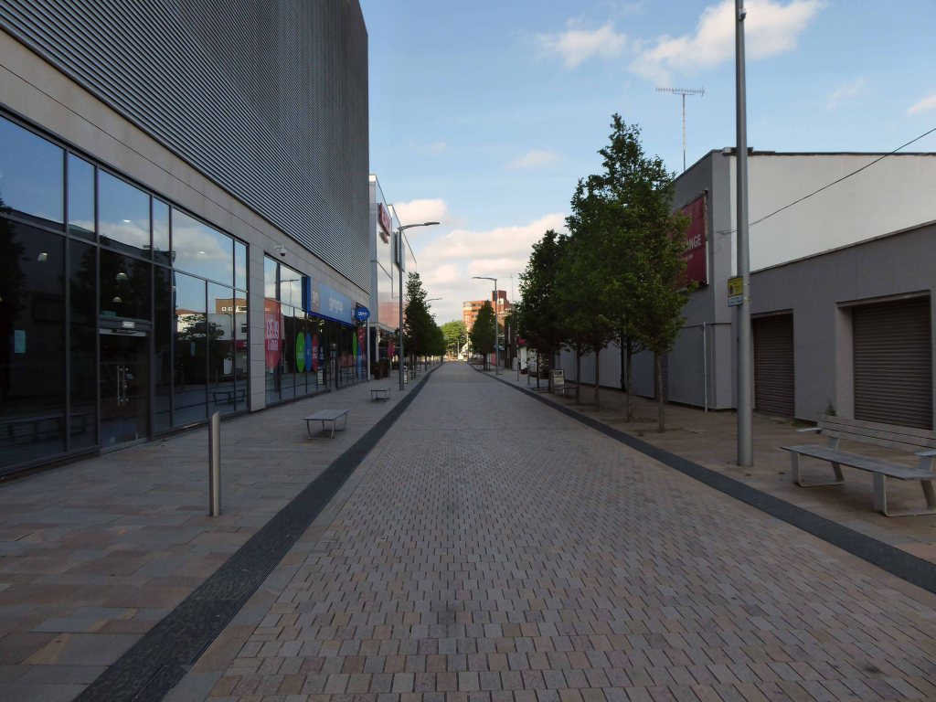
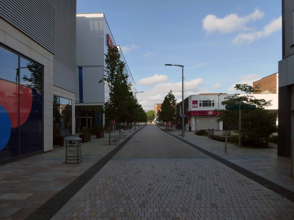
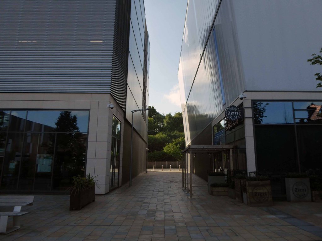
My local shopping centre and as such part of my weekly walking and shopping life.
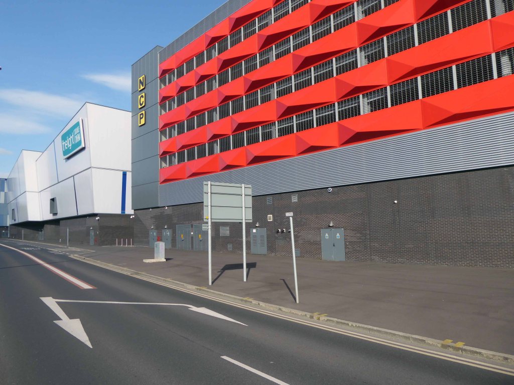
NCP Car Park located on Stockport Station approach.
Regent House
Asda superstore
I found a copy of Charlie Meecham’s book Oldham Road in a charity shop.
Inspiring me in 2014, to walk in mostly straight lines, though often as not zig zagging along the main arterial roads of Manchester.
Taking pictures on Sunday mornings, in order to avoid traffic, mildly amused to be ignoring the primary function of the routes.
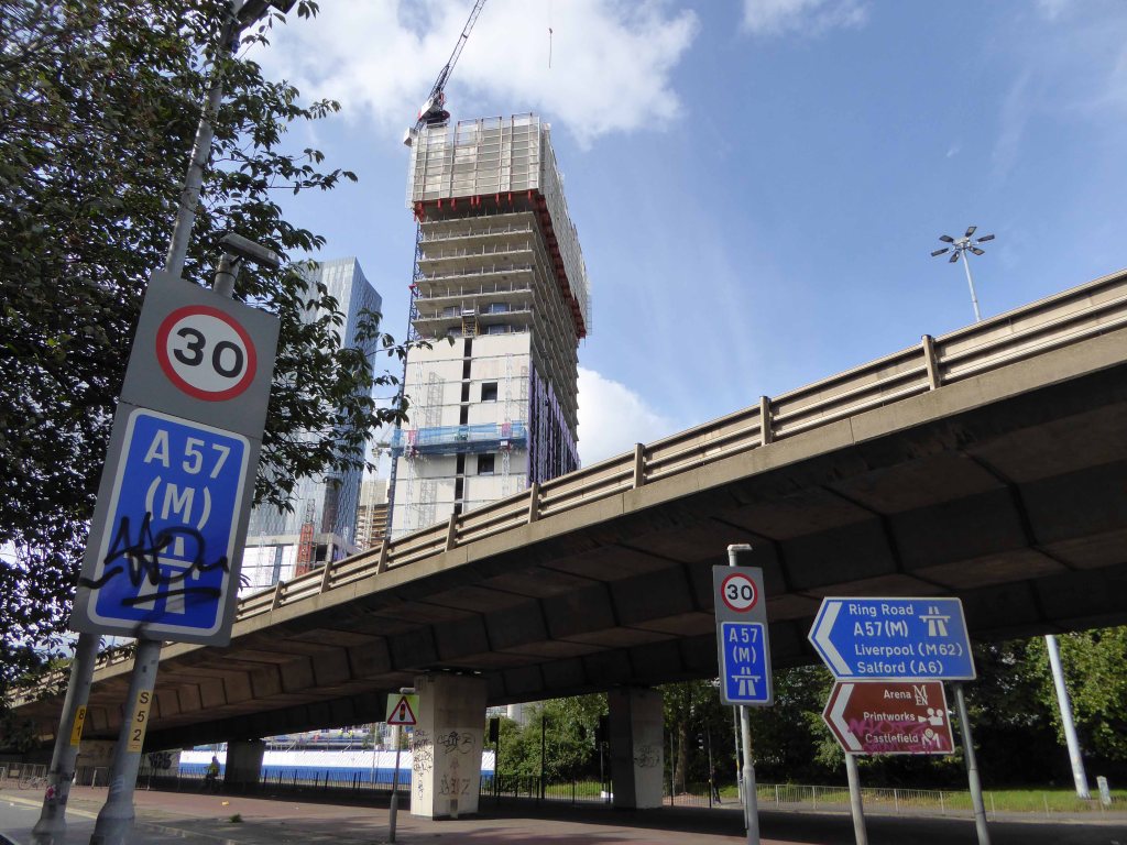
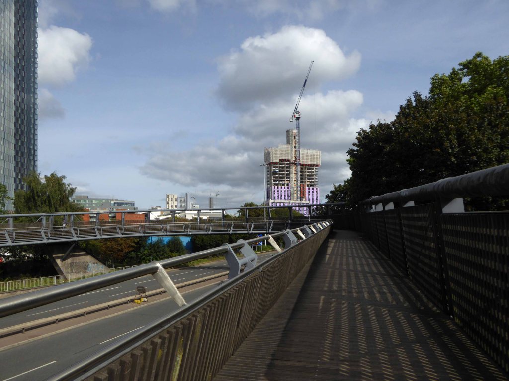
This is one of the more familiar roads, having walked up and down several times over several years. It was to have been an extension of the Mancunian Way, forming a trans-pennine motorway. Much of the property lining the route was cleared in preparation, it was never built, and for years a strange semi-deserted ambience hung over the A57.
Bus Depot
Railway Bridge
The car showrooms which later became an African Evangalist church.
Having cleared away both Victorian and Sixties housing, new architectural forms arose in West Gorton.
Now, everywhere I go, I see launderettes – so arriving in Hanley with time on my hands, wandering around I found this exemplary example.
Having a blog entitled Manchester Estate Pubs, the national media became interested in my photographs. I had spent quite some time, wandering around in search of this endangered architectural typology.
This was Billy Greens in Collyhurst, named for a local boxer, now demolished.
Which in turn became the second modernist calendar.
Followed the following year by fish and chip shops.
So building a vocabulary for my mooching, discovering yet another chippy, laundry, pub, Burton’s, telephone exchange, glazed stairway or underpass.
These things find you, yearning for some small amount of attention and affection.
The Trawl – my favourite peg board menu, my favourite Bridlington chippy.
We are now coming to the end of the car park year – seen here on the wall of my command centre.
Home to William Mitchell’s Totem, the homes long gone and the Council pledged to move the totem too.
The state of play this week, the detritus removed and the base filled in, repaved and safe for a while.
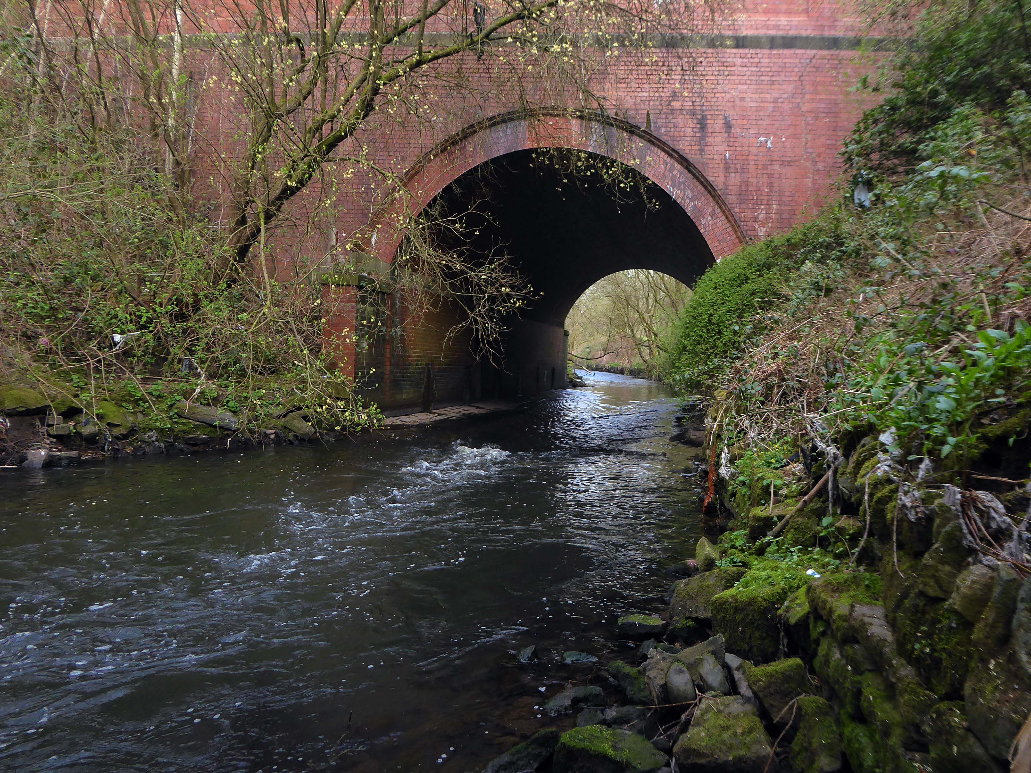
Off now to the Weaver Valley another day another river, passing under Weaver Viaduct
The looking toward KouraGlobal – leader in the development, manufacture, and supply of fluoro products and technologies, opened a new HFA 152a production facility at their Runcorn site in the UK.
Further rural Modernism as we pass under and traverse the M62, whilst walking around the Piethorn Valley
The newest of the Modernist Mooches was to Burnley where we visited the Keirby Hotel.
The former GUS Offices with a mural by Diane and William Morris.
Plus the Charles Anderson concrete relief at the Crow Wood Hotel.
Finally a little light relief – a visit to the Boots factory in Nottingham.
Having innocently board a bus outside the station with a Boots head code , I alighted within the factory gates. Then innocently walking around taking snaps, unheeded until the men in the van stopped me in my tracks.
Who are you, what are you doing?
I am the Modern Moocher going about my business – well it turns out this was not permitted and I was red carded by the earnest security guards and asked to leave forthwith. Suitably rebuked, I politely bade them farewell and headed for the gates.
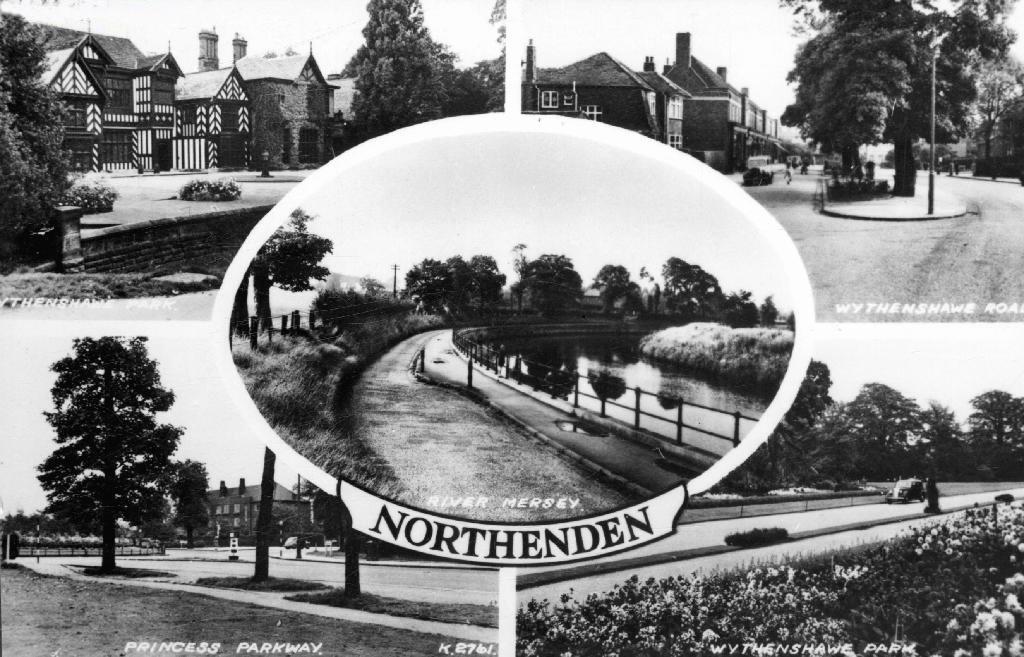
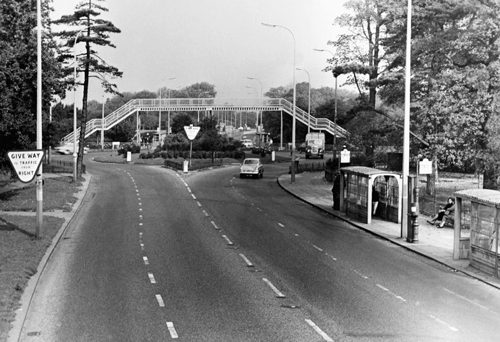
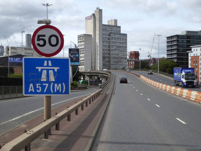
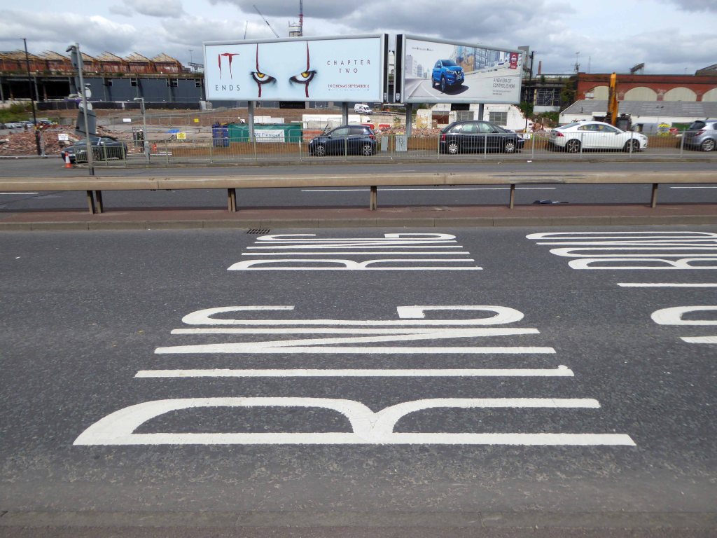
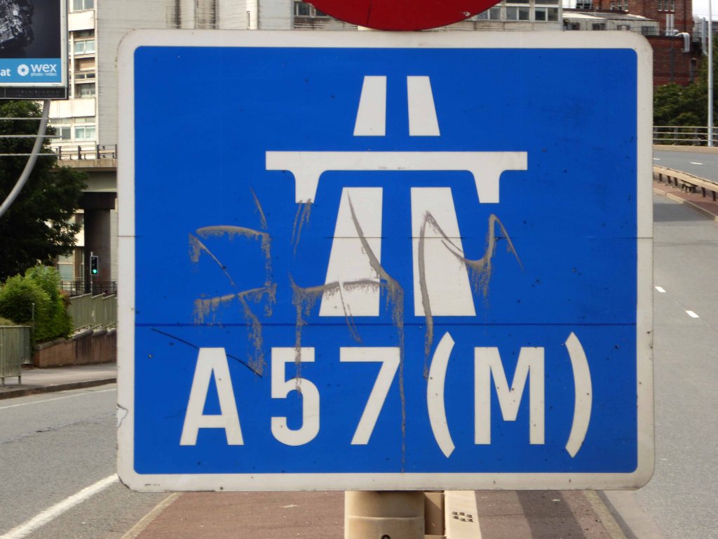
The A5103 is a major thoroughfare running south from Piccadilly Gardens in Manchester city centre to the M56 in Northenden. The road is two-lane dual carriageway with a few grade-separated junctions. It is used by many as a link to the airport and to the motorway network south.
The road starts at Piccadilly Gardens where it meets the A6. It heads along Portland Street – at one time it ran along the parallel Mosley Street, past fast-food outlets and off-licences and then meets the A34 Oxford Street. It multiplexes with that road north for 200 yards into St Peter’s Square and then turns left into Lower Mosley Street, initially alongside the tramlines and then past the former Manchester Central station, now a conference centre with the same name. The road becomes Albion Street and goes over the Bridgewater Canal and under the railway line east of Deansgate station. The road then meets the A57(M) Mancunian Way at a roundabout interchange. This is where most of the traffic joins and leaves.
The road is now 2×2 dual carriageway with the name Princess Road. It passes under the Hulme Arch, a grade-separated junction with the A5067, with an unusually large central reservation. This is presumably because of the proposed plans from the 1960s of a motorway. However, after passing under the junction, there are innumerate sets of traffic lights, with the B5219, the A6010 and the A5145, as well as many other unsigned roads. There are also many speed cameras set at 30 mph.
The road picks up pace as we exit the sprawl of South Manchester and the road becomes Princess Parkway, with a 50 mph speed limit. We cross the River Mersey and almost immediately hit the M60 at J5.
Except for the Manchester City Centre section – which was numbered A5068, this road did not exist on classification in 1922. Princess Road was built in 1932 to serve the new southwestern suburbs; initially it ran between the B5219 and A560 and was numbered B5290, with the road later extended north into the A5068 on the southern edge of the city centre and renumbered A5103.
The northern extension through Hulme initially followed previously existing roads, so followed a zigzag route. As part of the road’s upgrade and the reconstruction of Hulme in the 1970s the road was straightened and the original route can no longer be seen. The A5068 was severed around this time with the construction of the A57(M) and the A5103 took on its city-centre section, taking it to the A6.
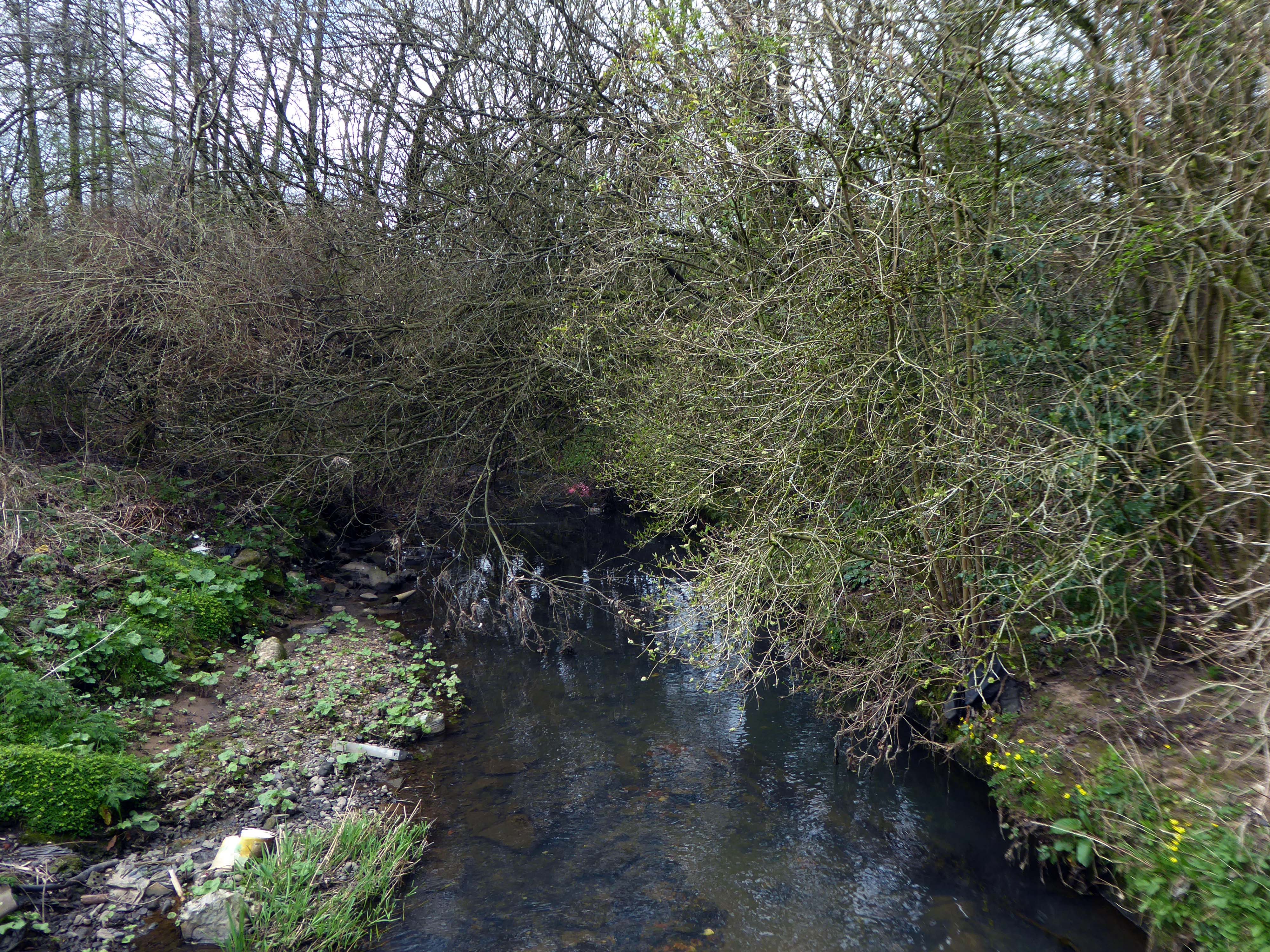
The 19th-century industrial concentrations in the above-named urban areas resulted in the Tame being a much polluted waterway. As well as industrial pollution from the dyes and bleaches used in textile mills, effluent from specialised paper-making cigarette papers, engineering effluents, including base metal washings from battery manufacture, phenols from the huge coal-gas plant in Denton, rain-wash from roads and abandoned coal spoil heaps there was also the sewage effluent from the surrounding population. Up to two-thirds of the river’s flow at its confluence with the Goyt had passed through a sewage works. The anti-pollution efforts of the last thirty years of the 20th century have resulted in positive fauna distributions.
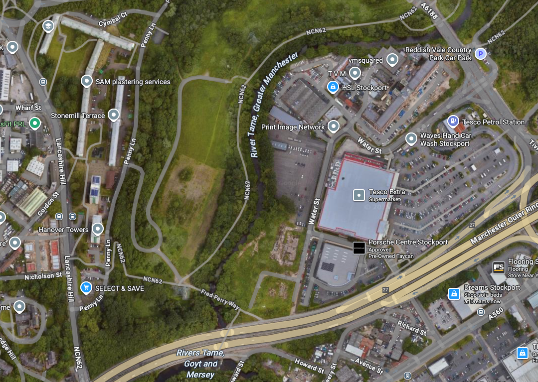
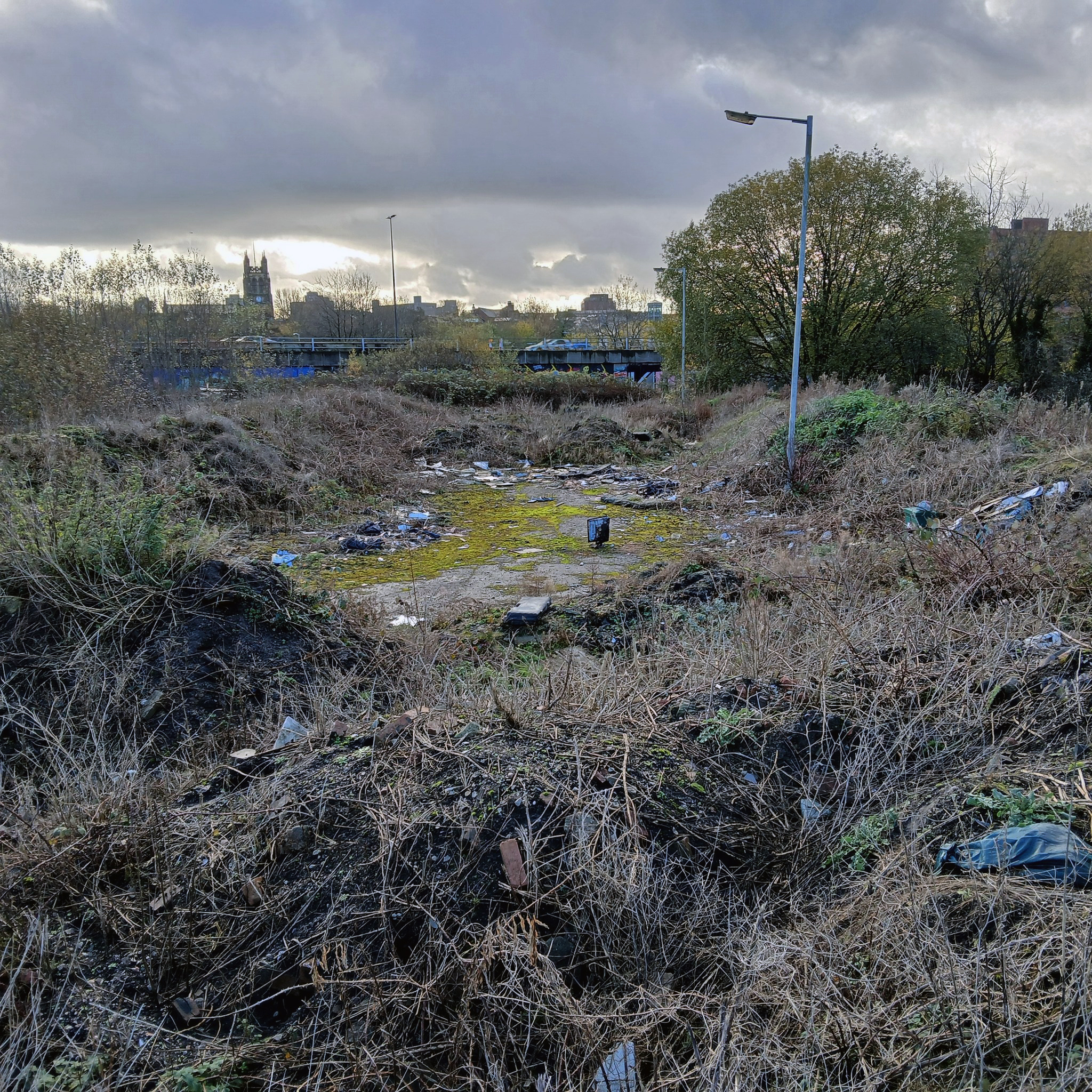
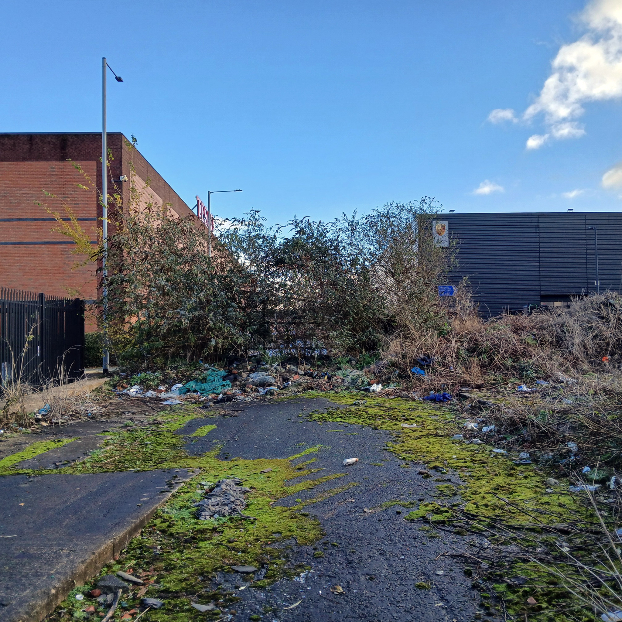
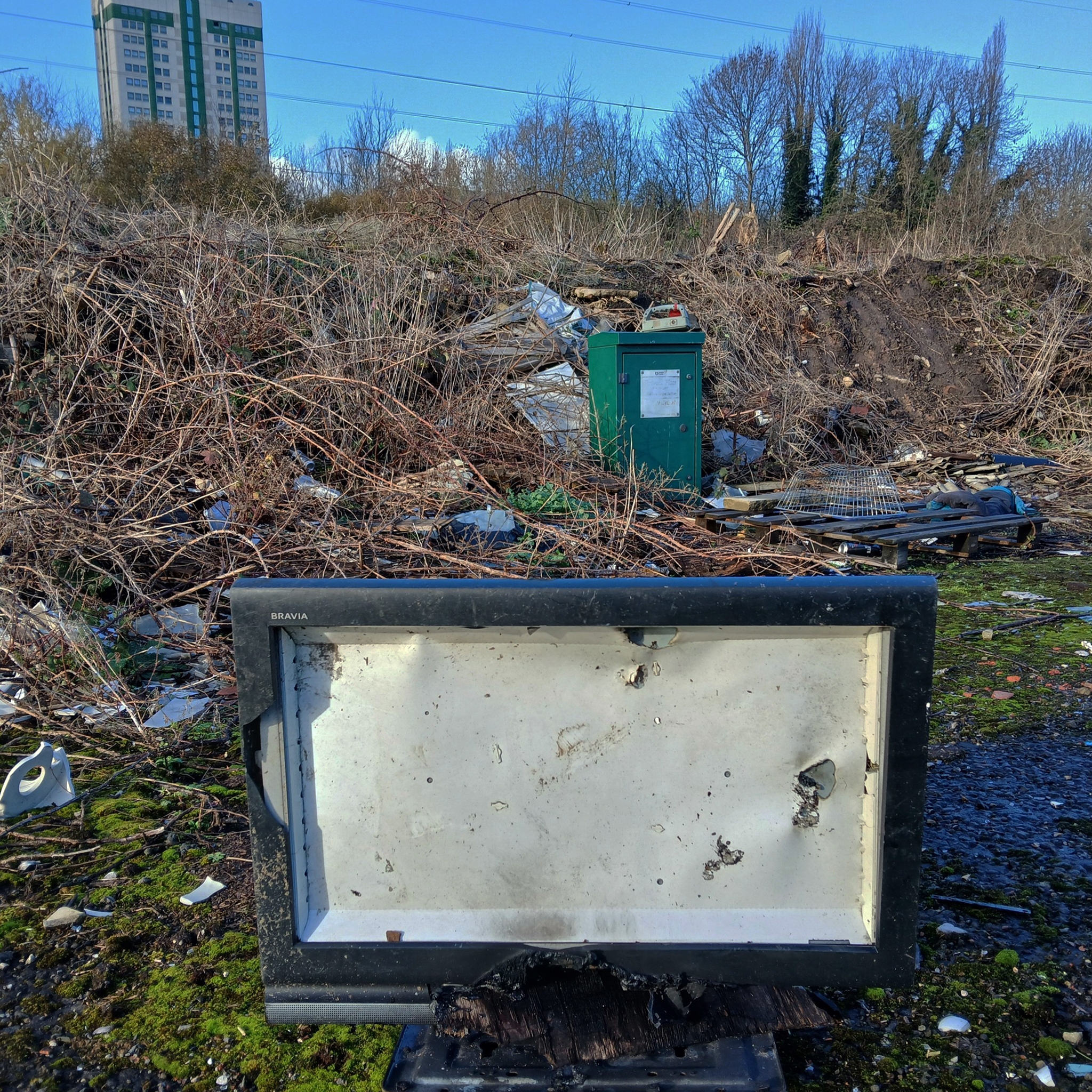
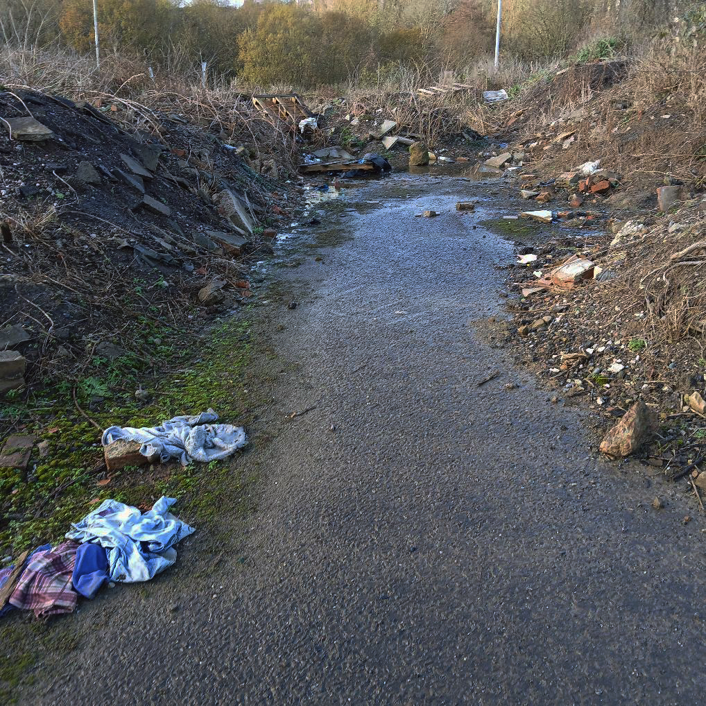
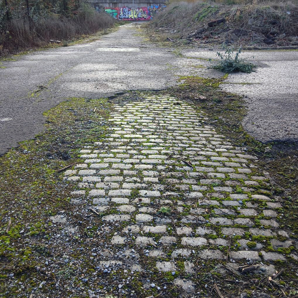
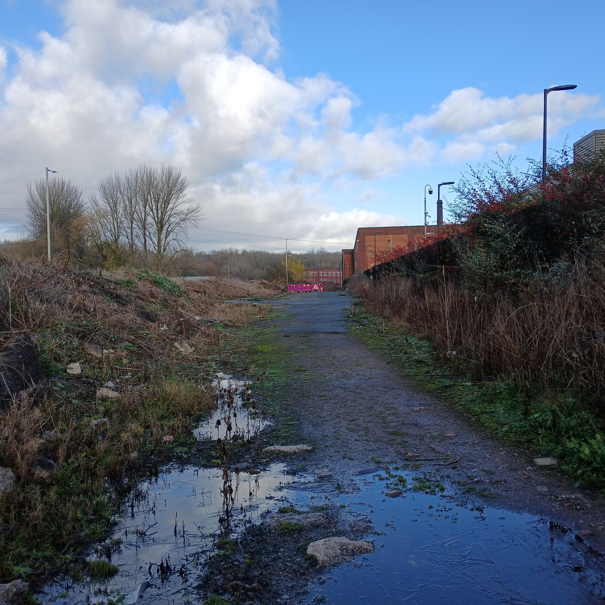
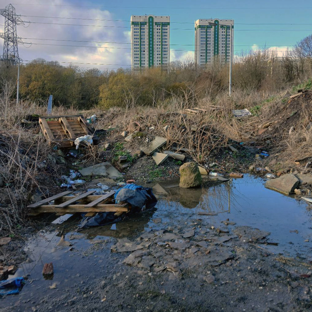
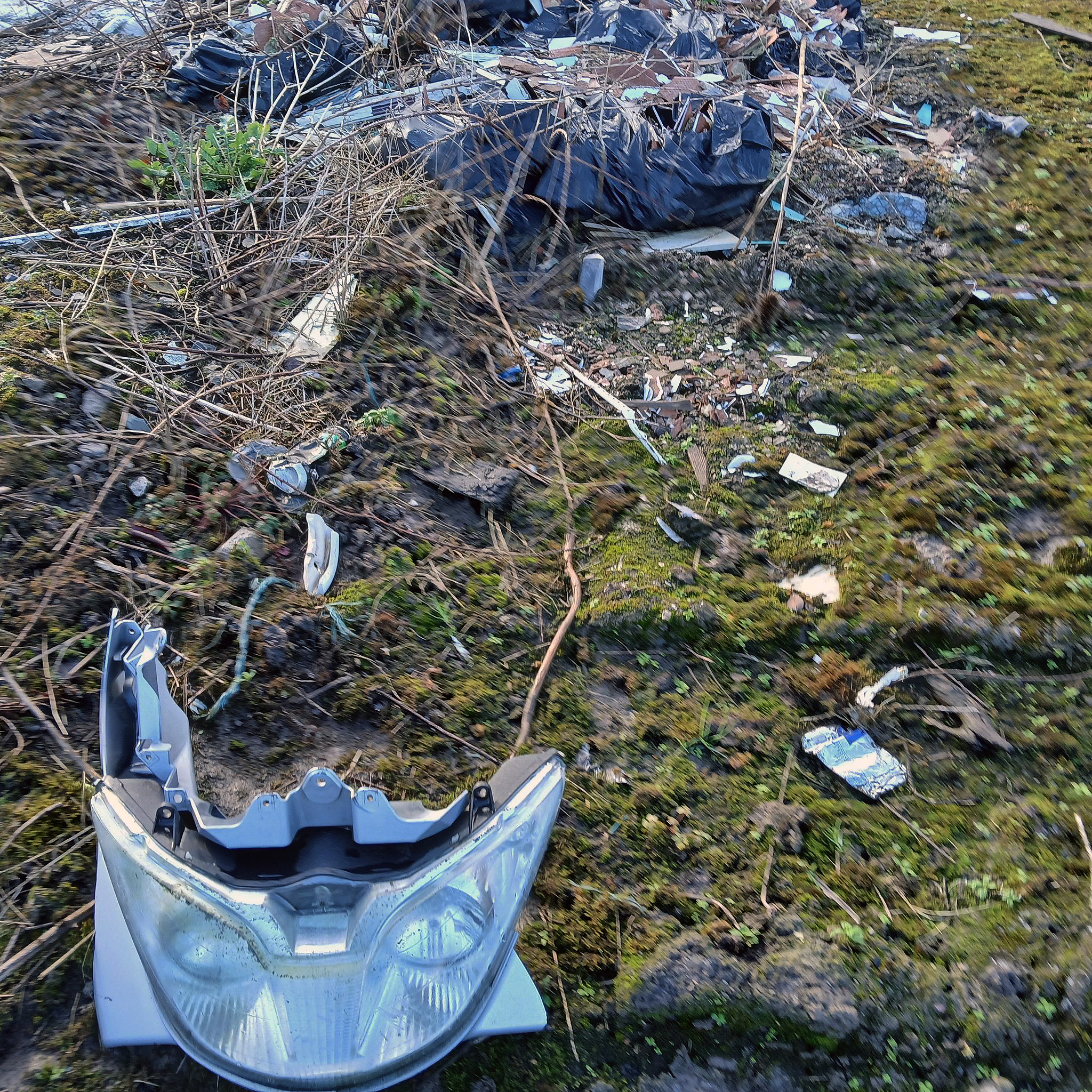
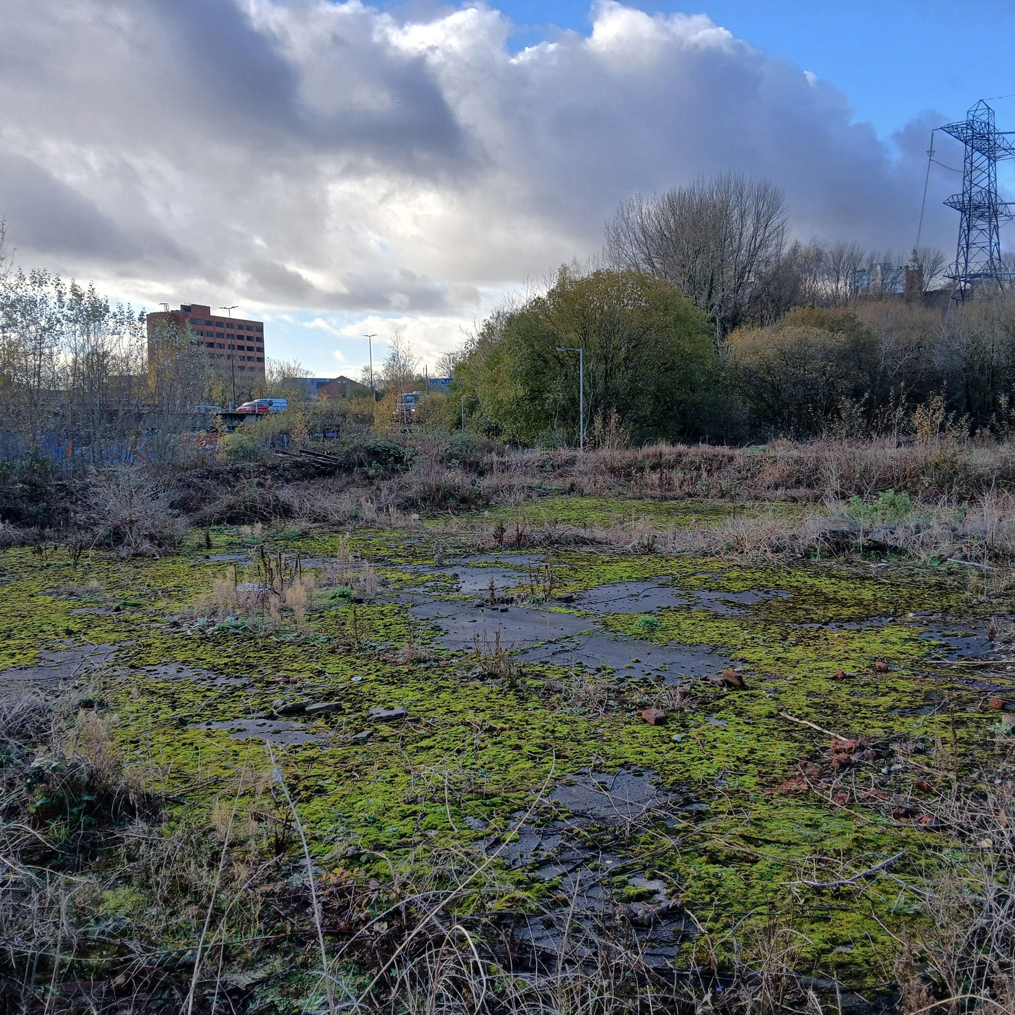
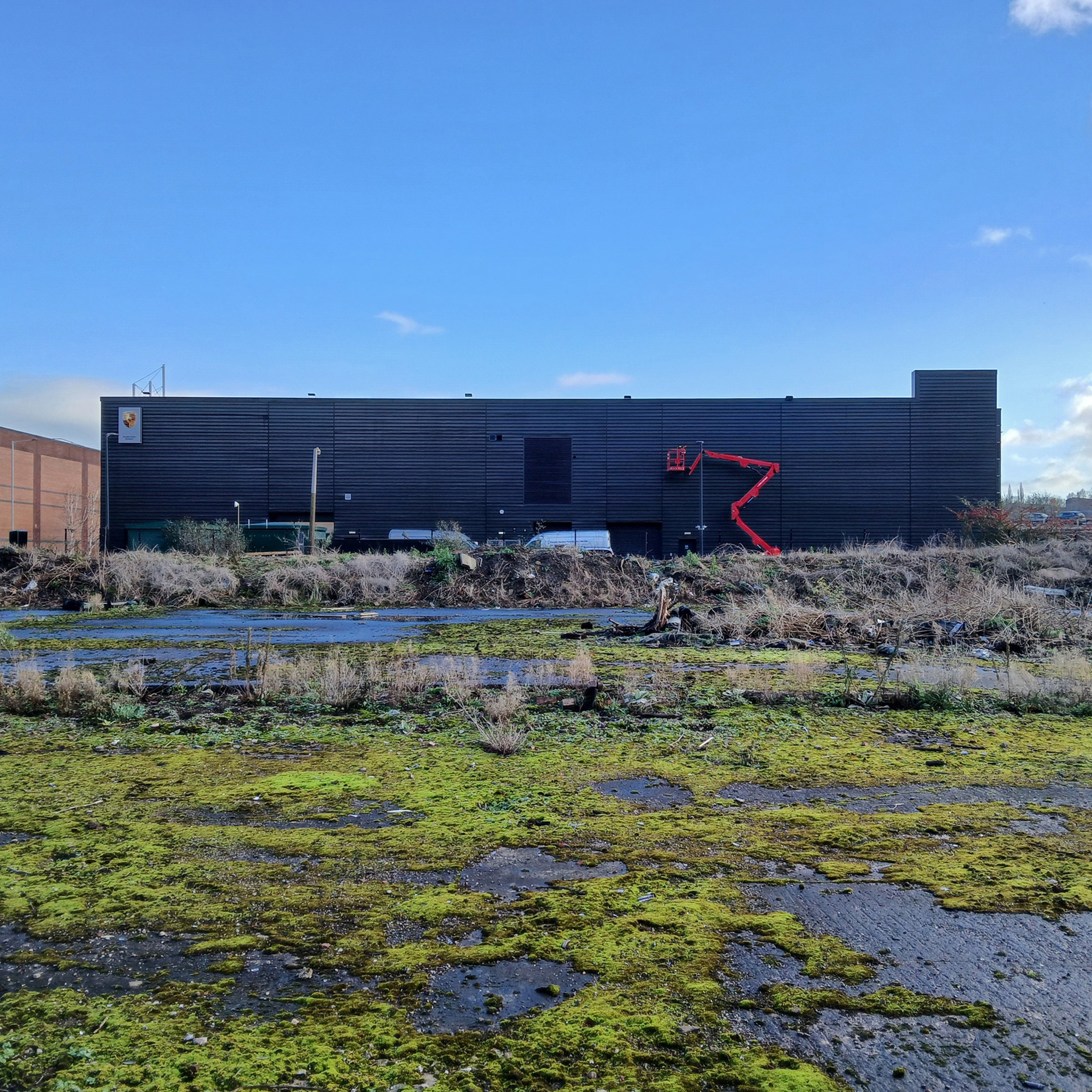
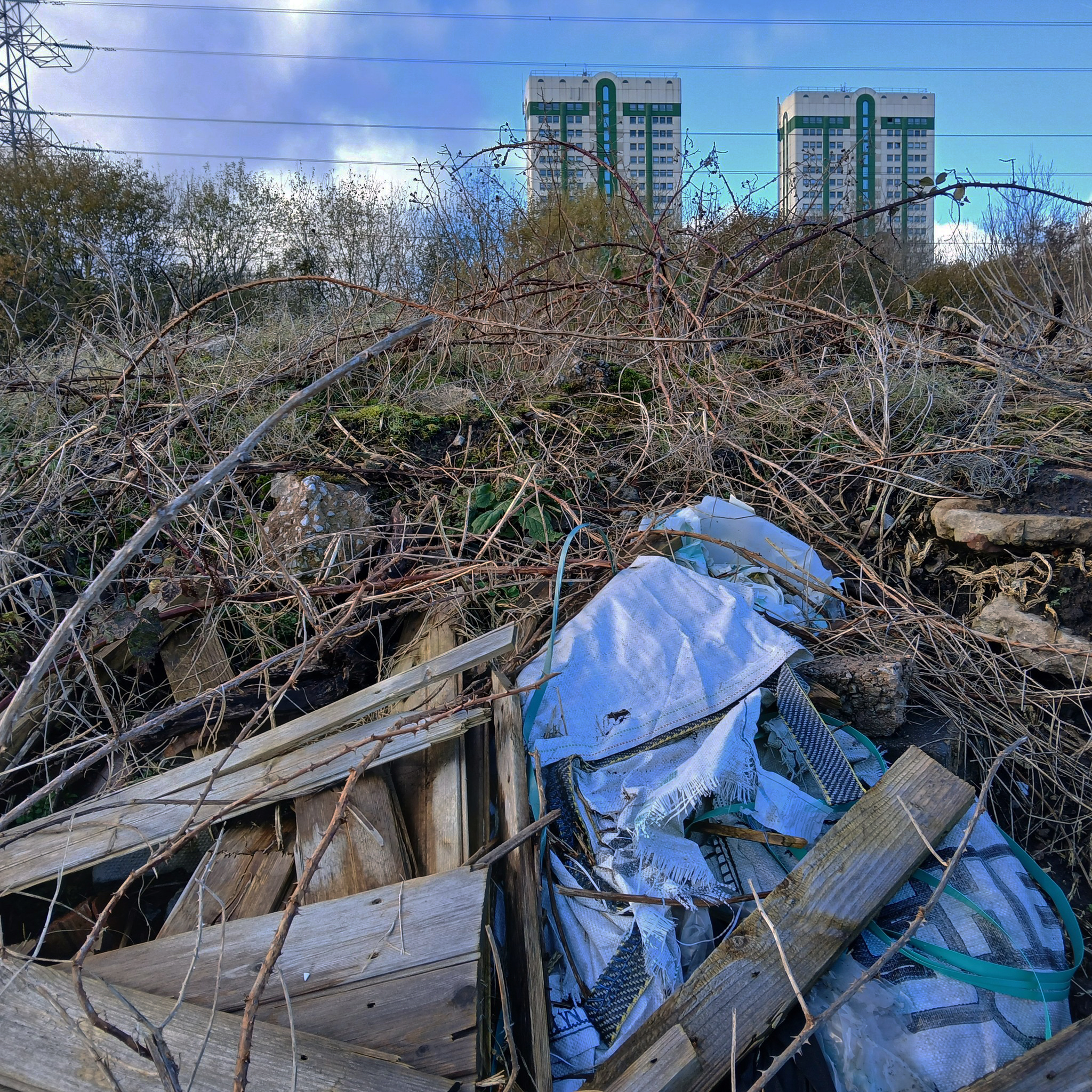
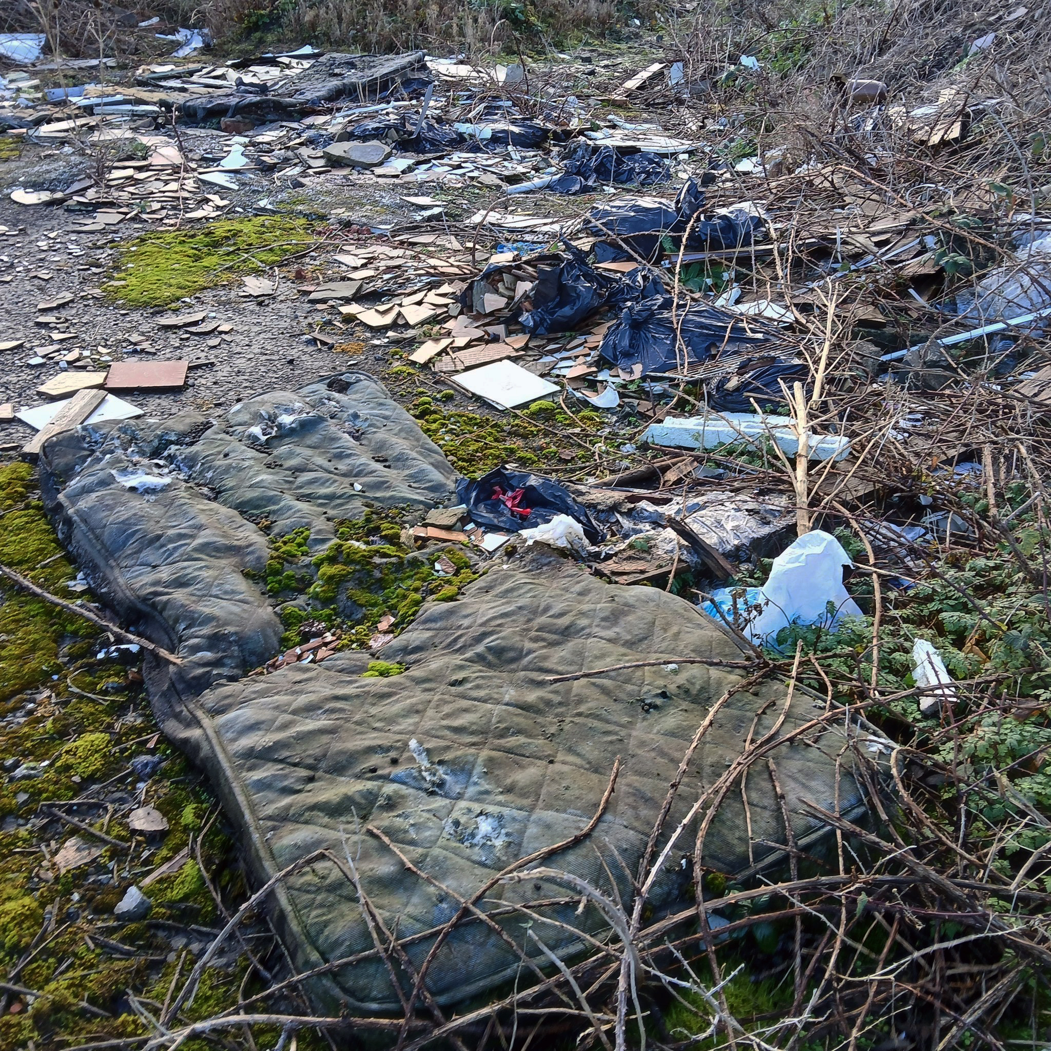
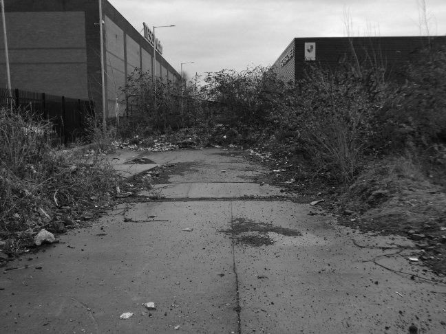
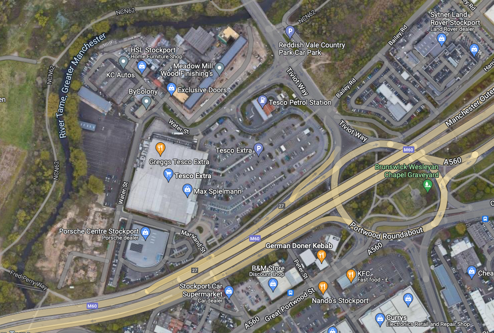
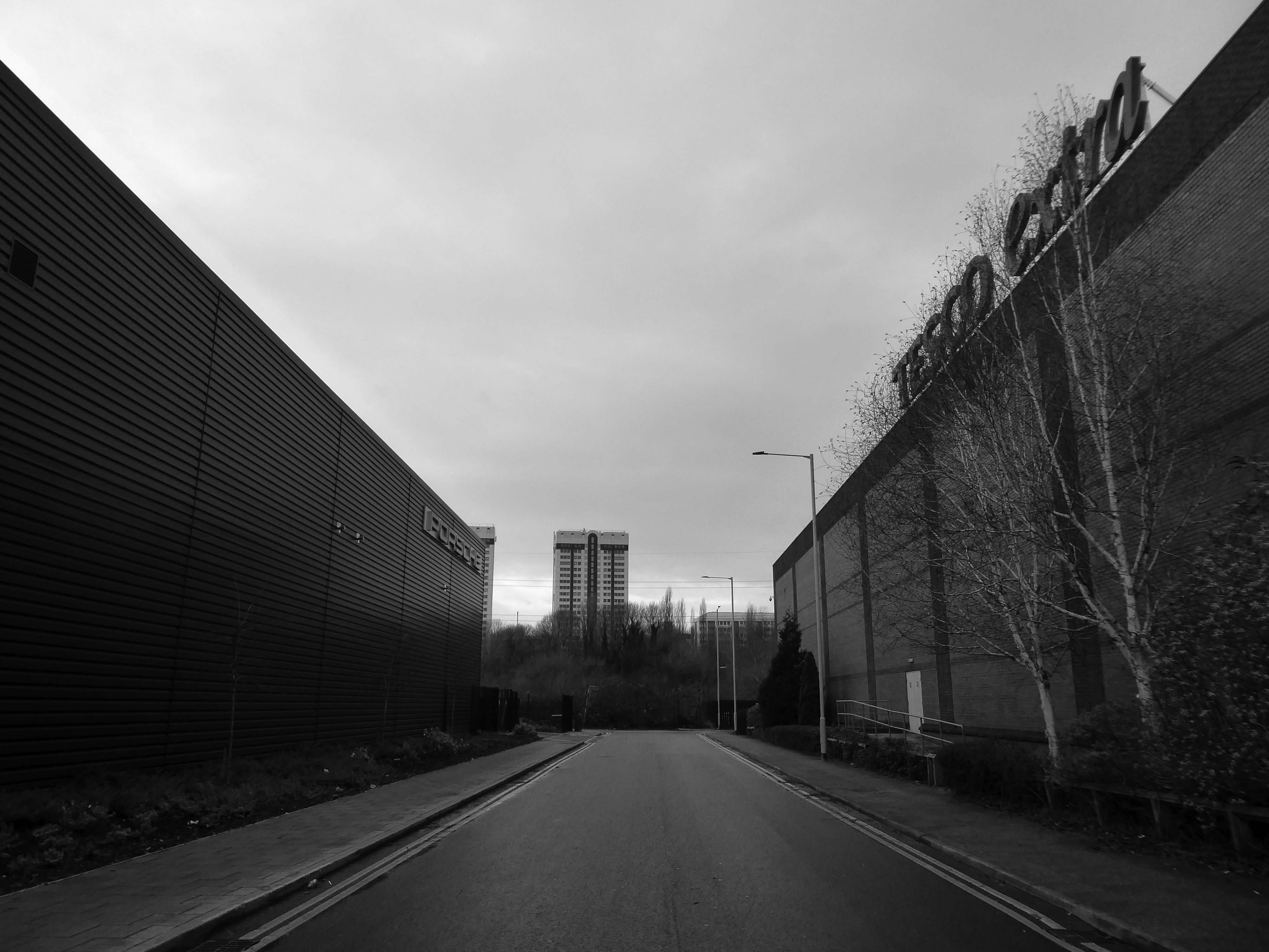
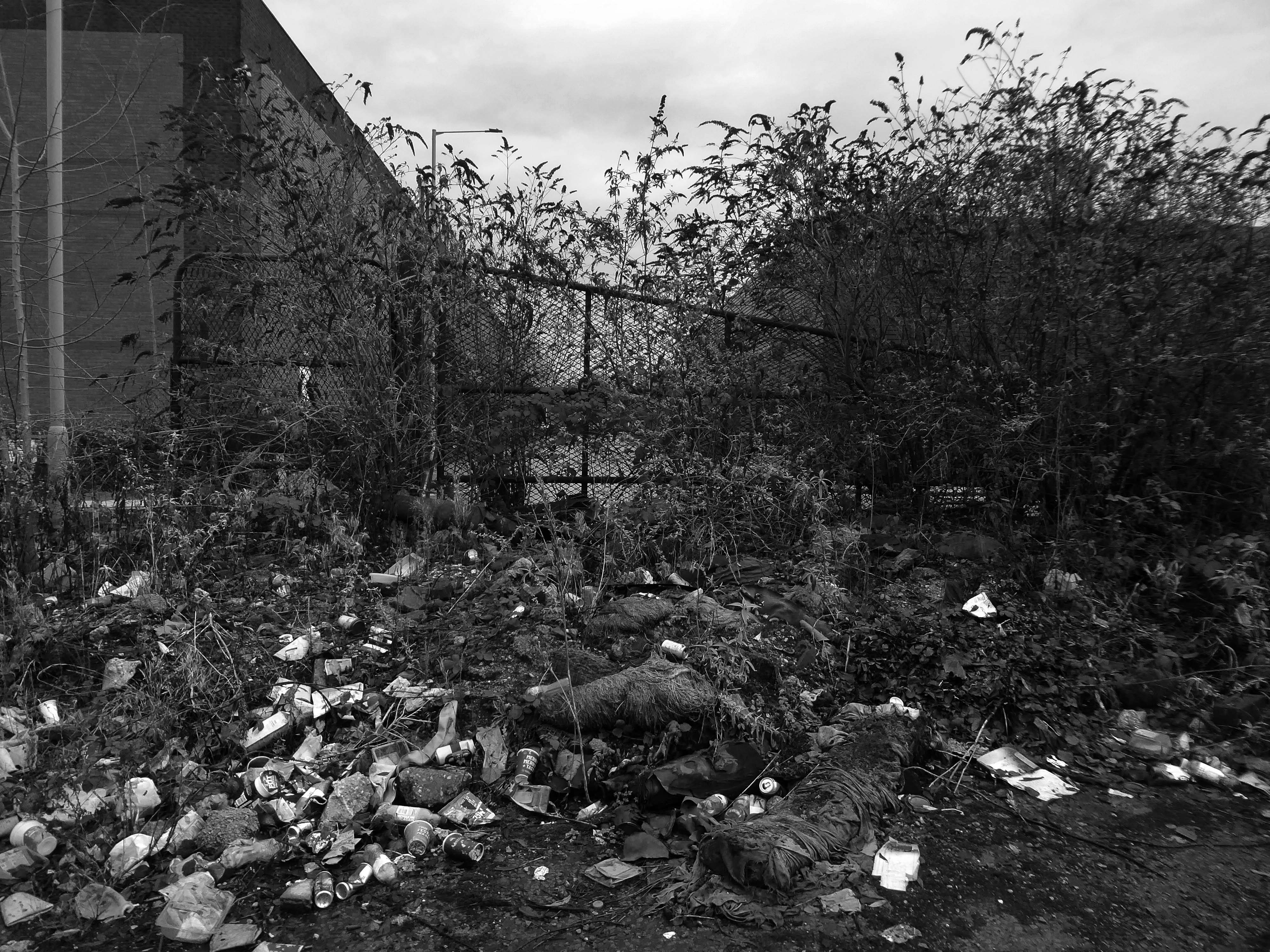
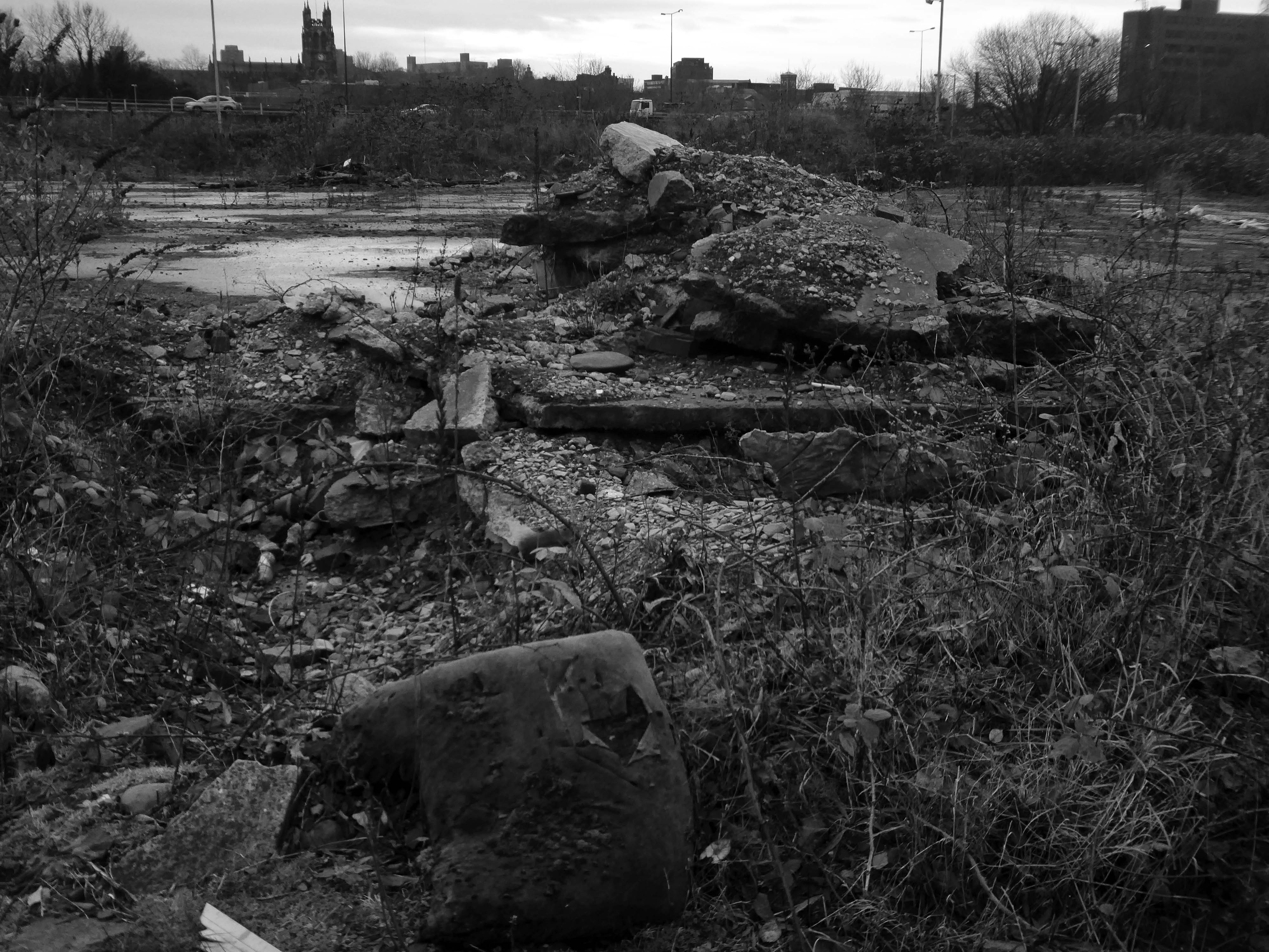
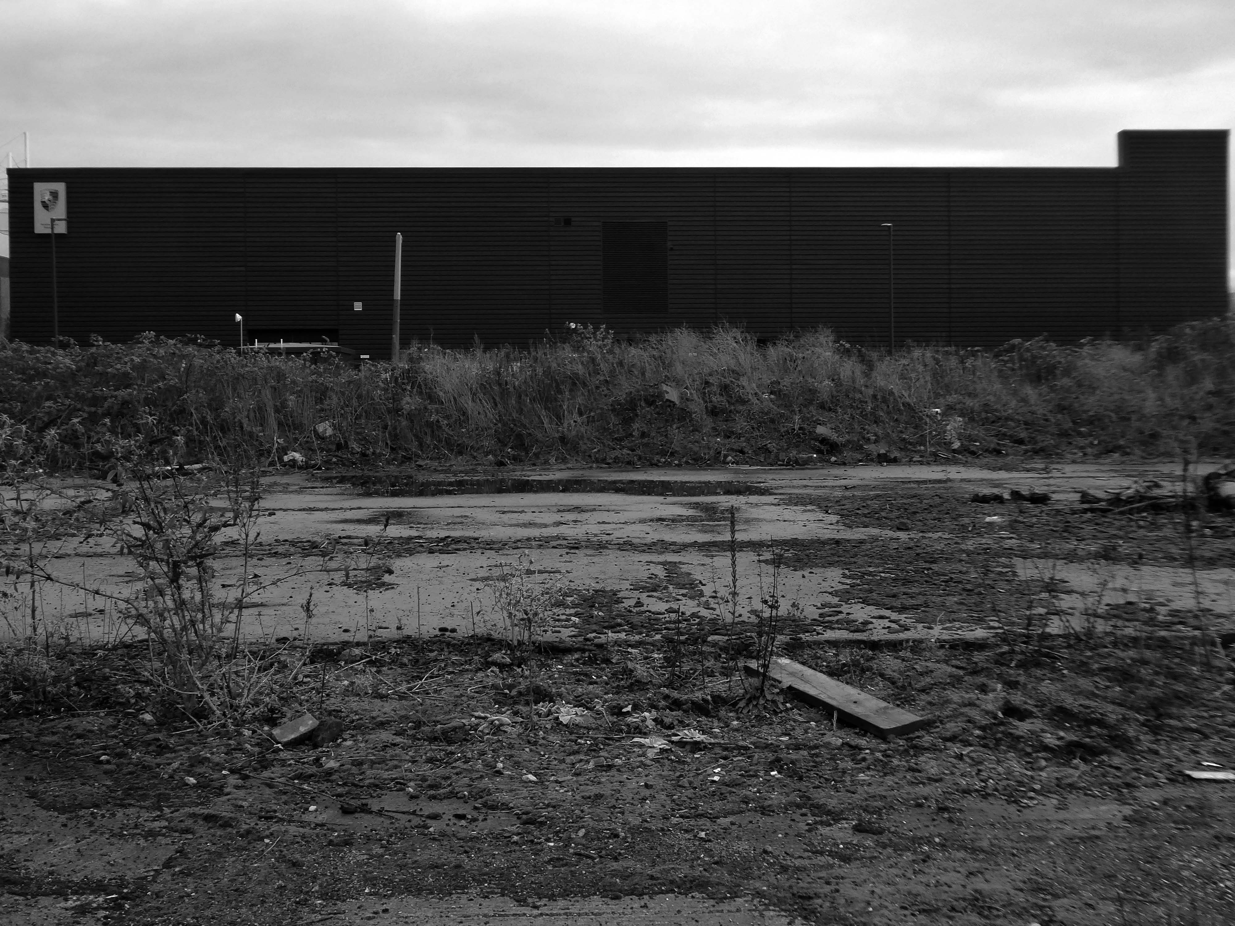
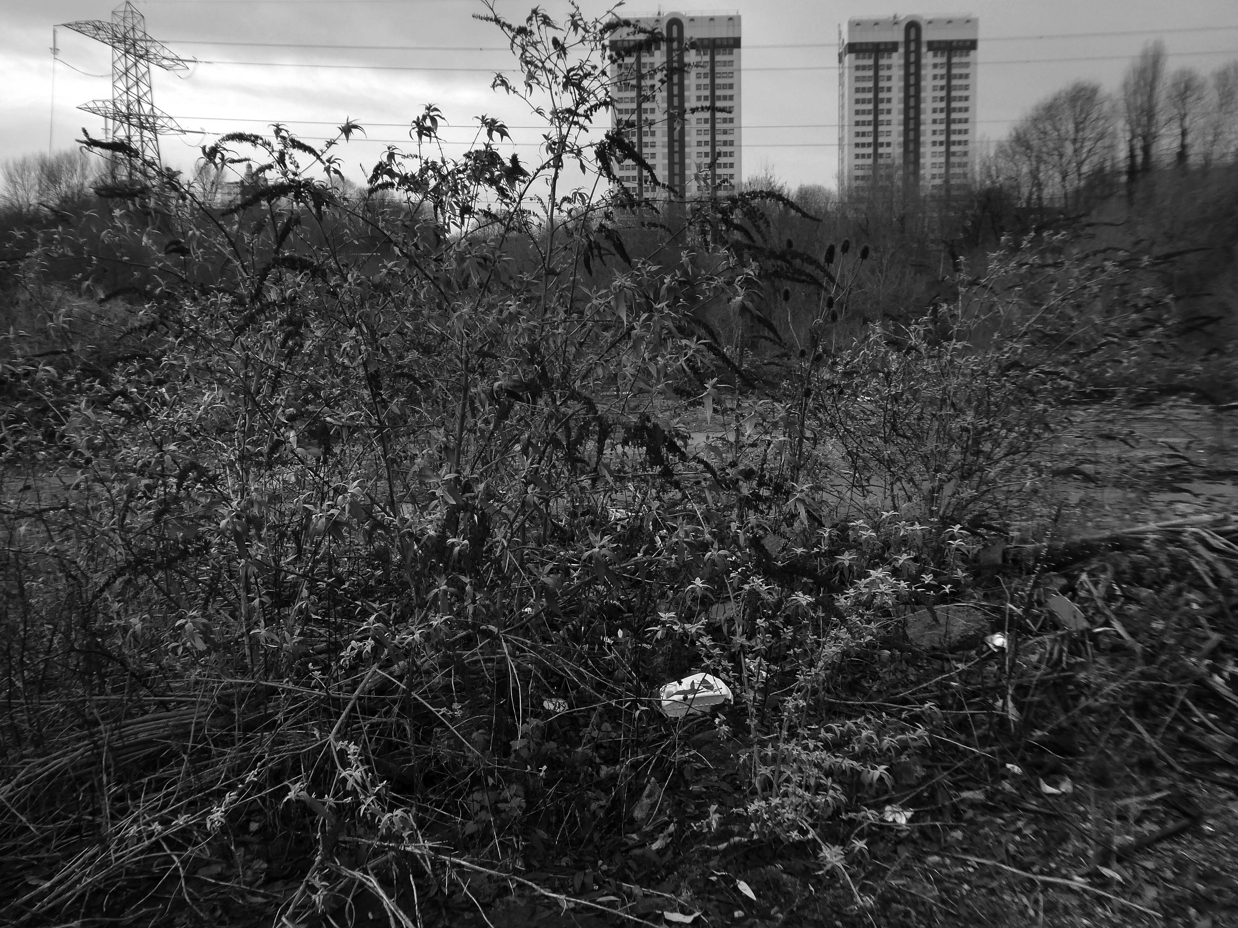
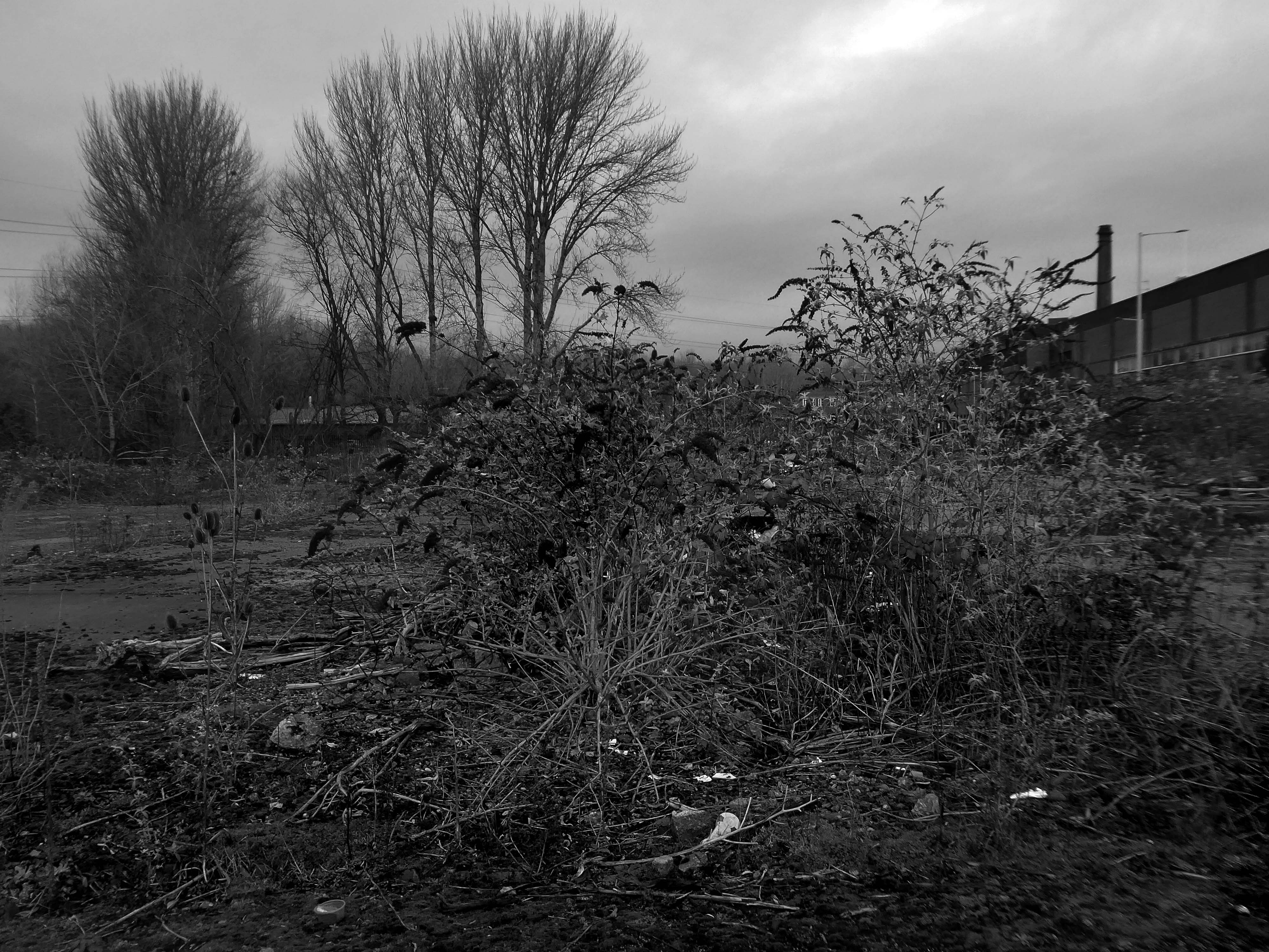
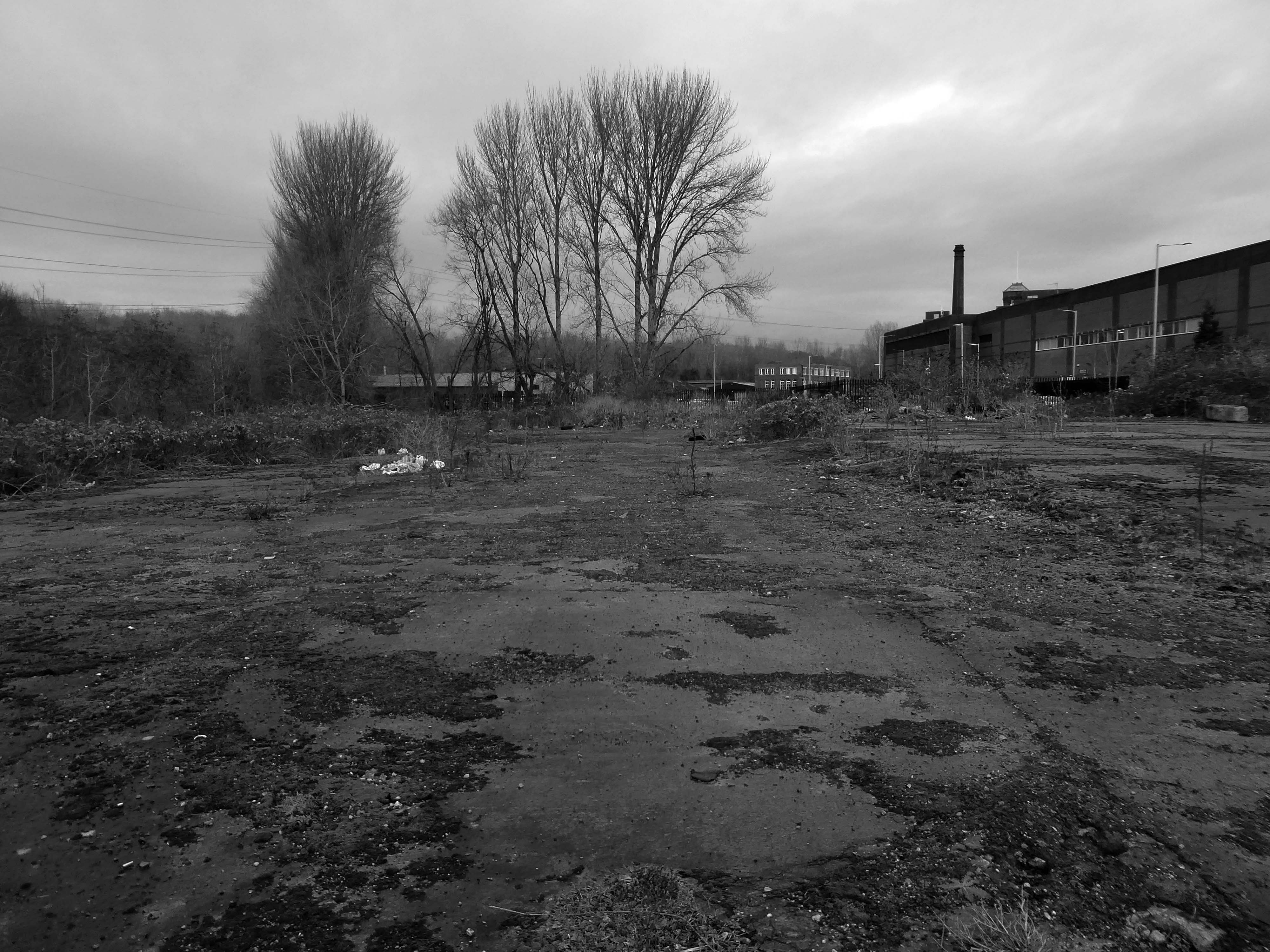
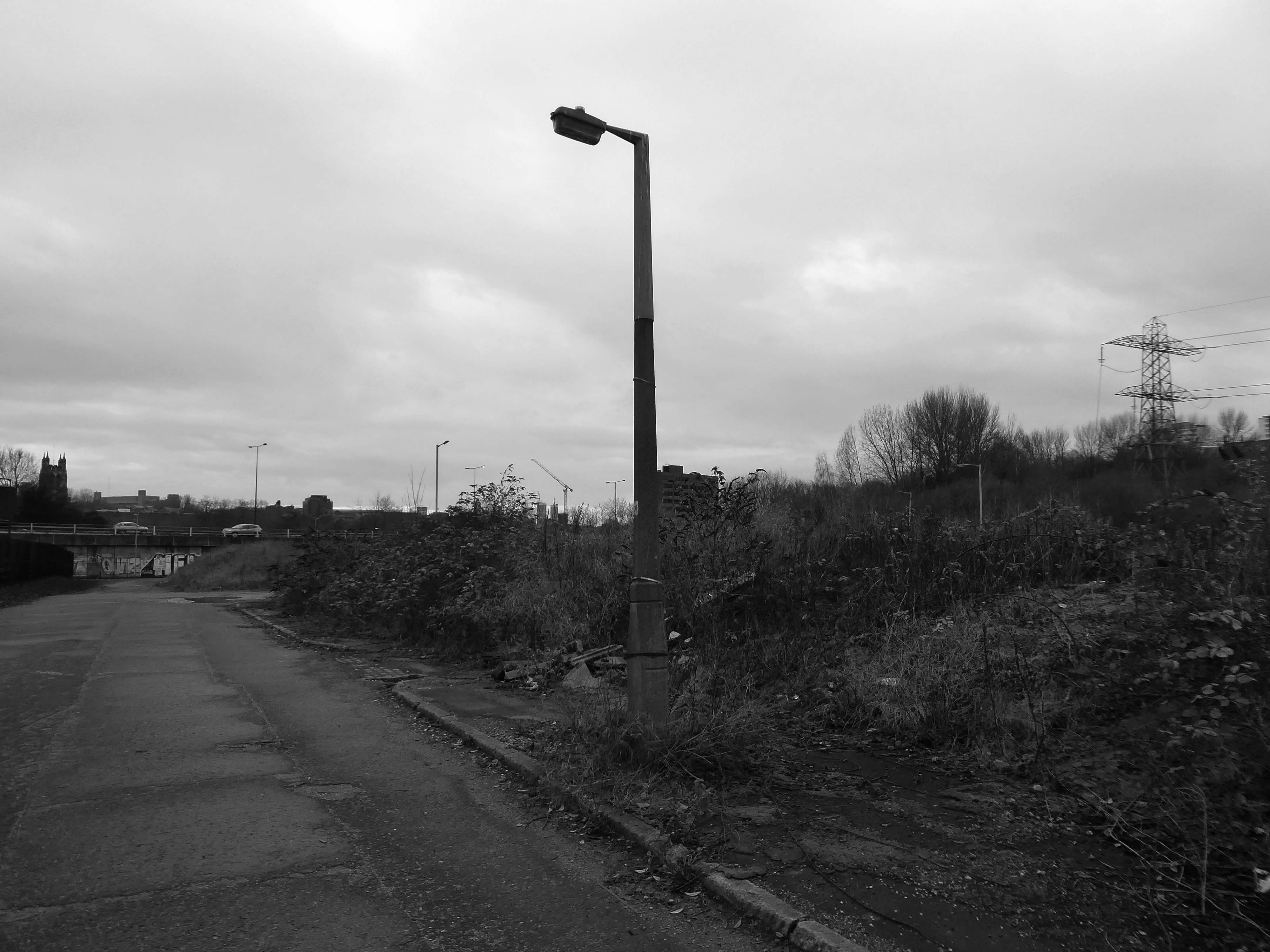
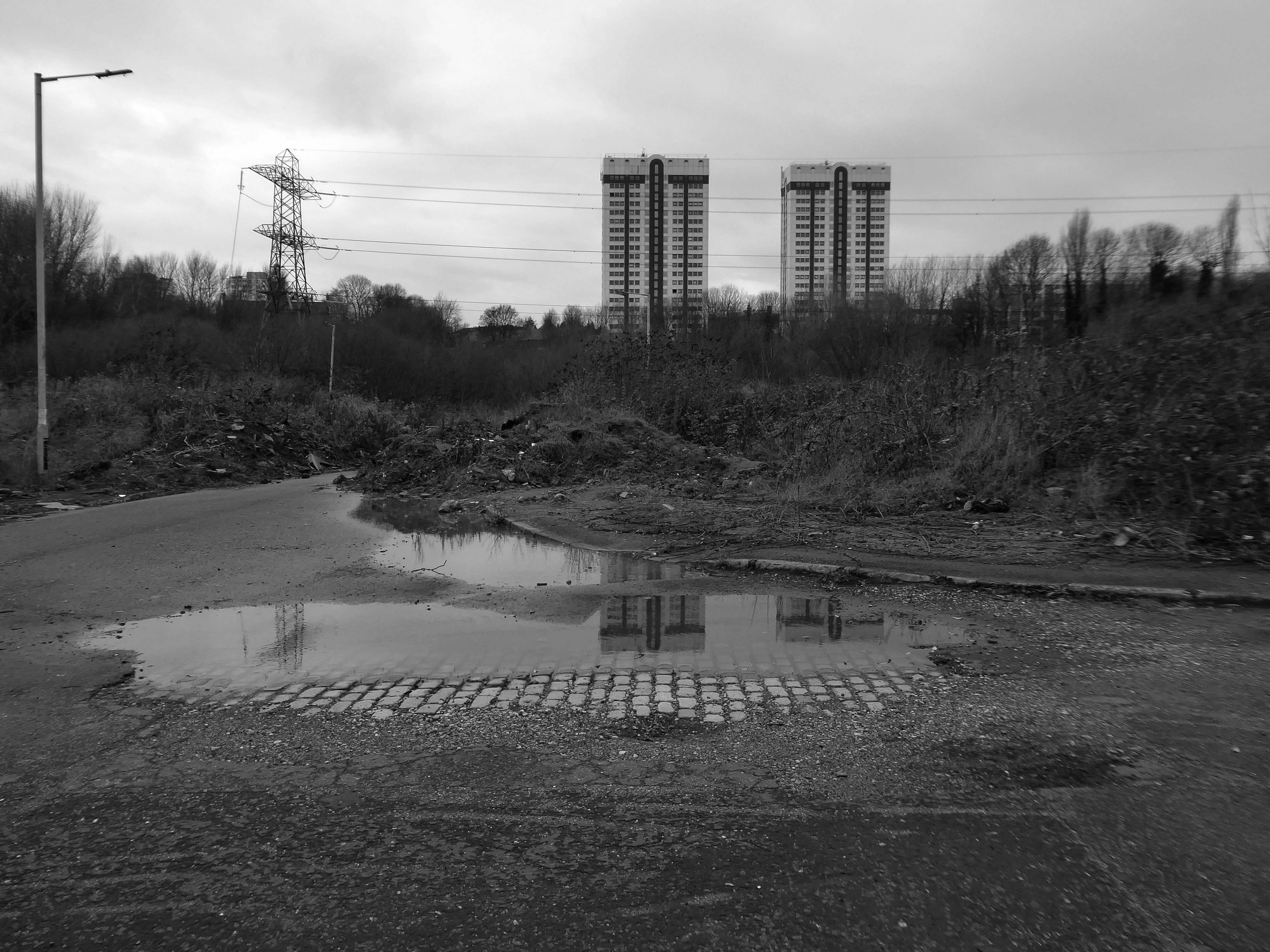
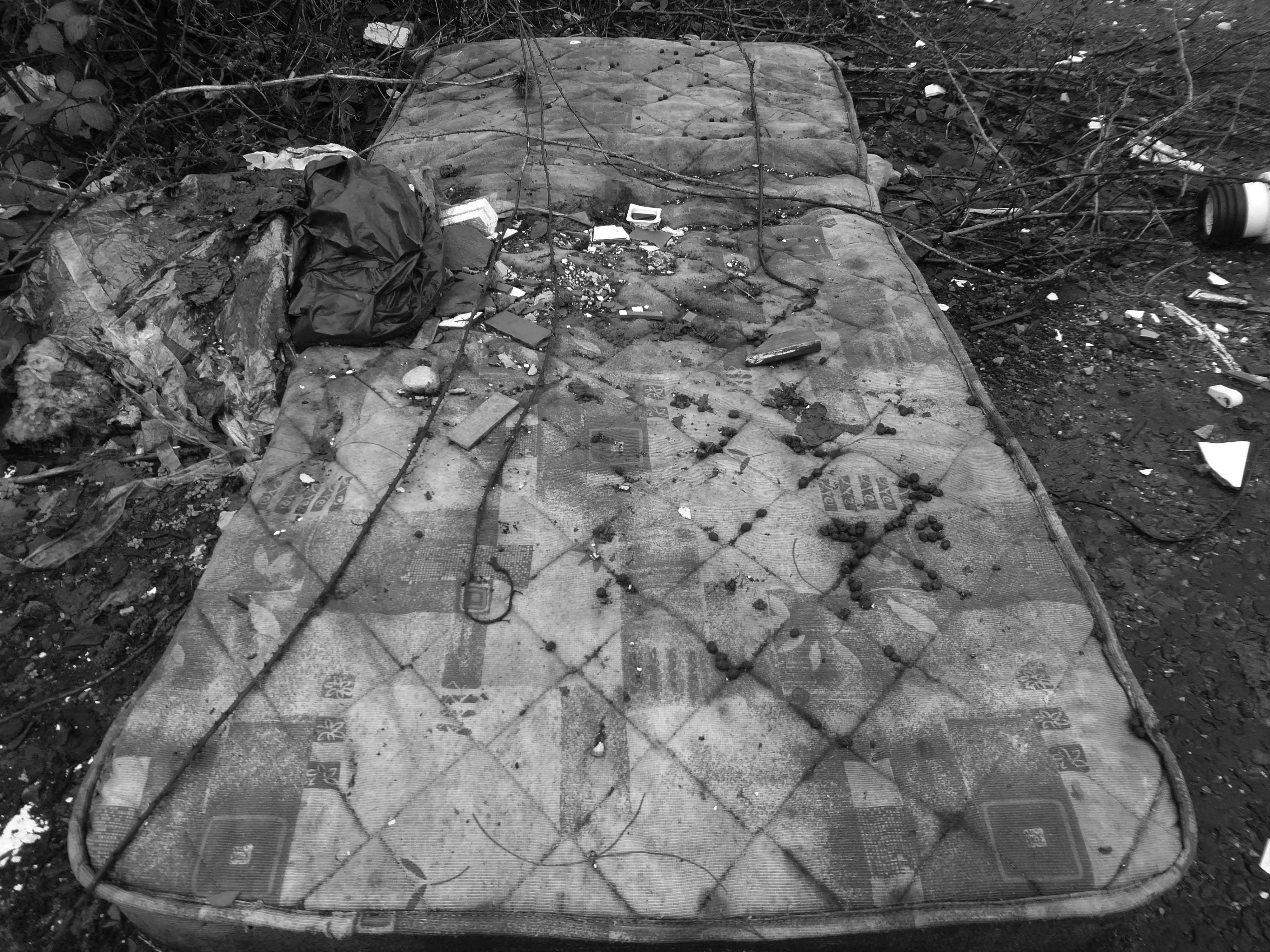
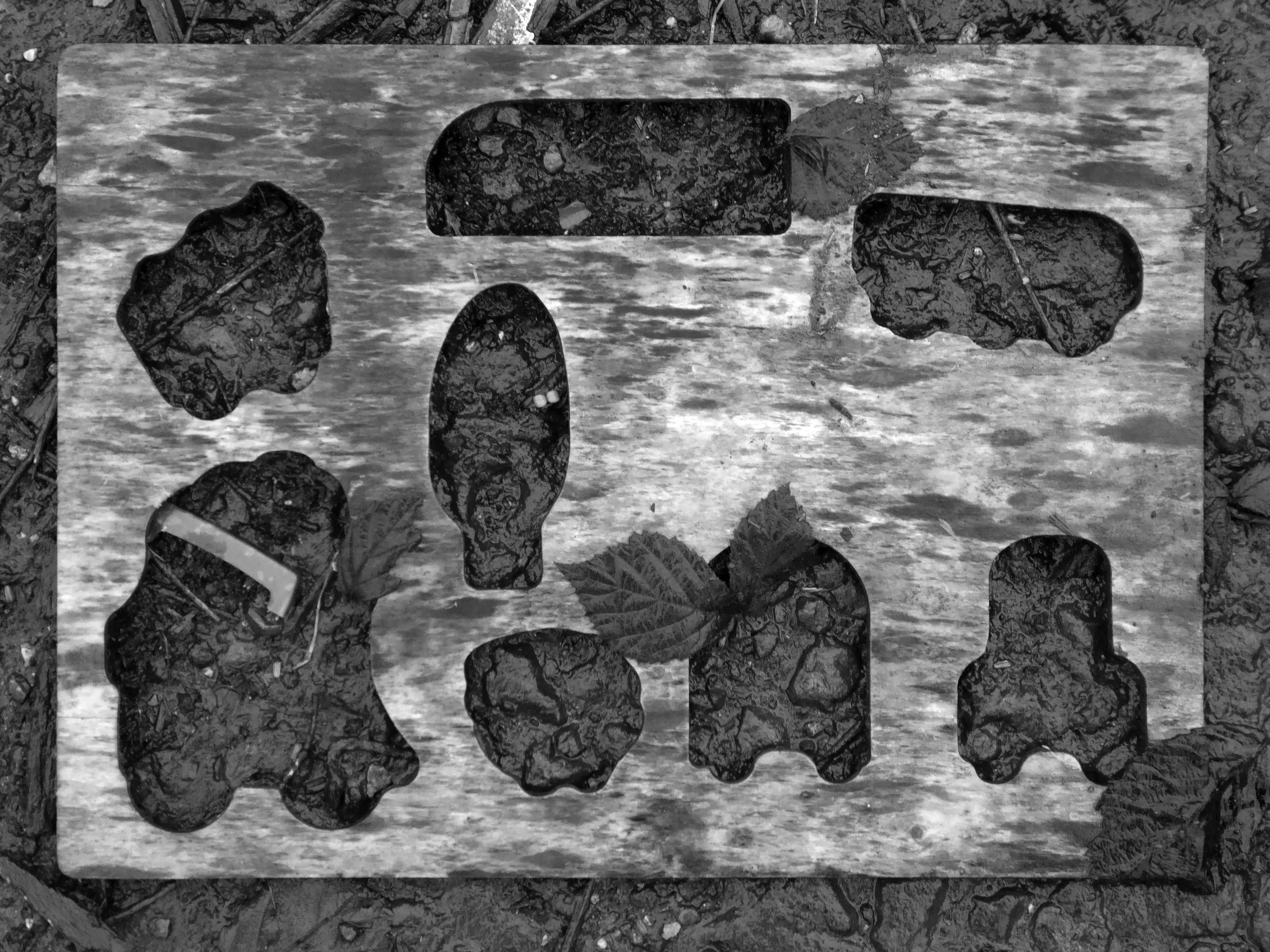
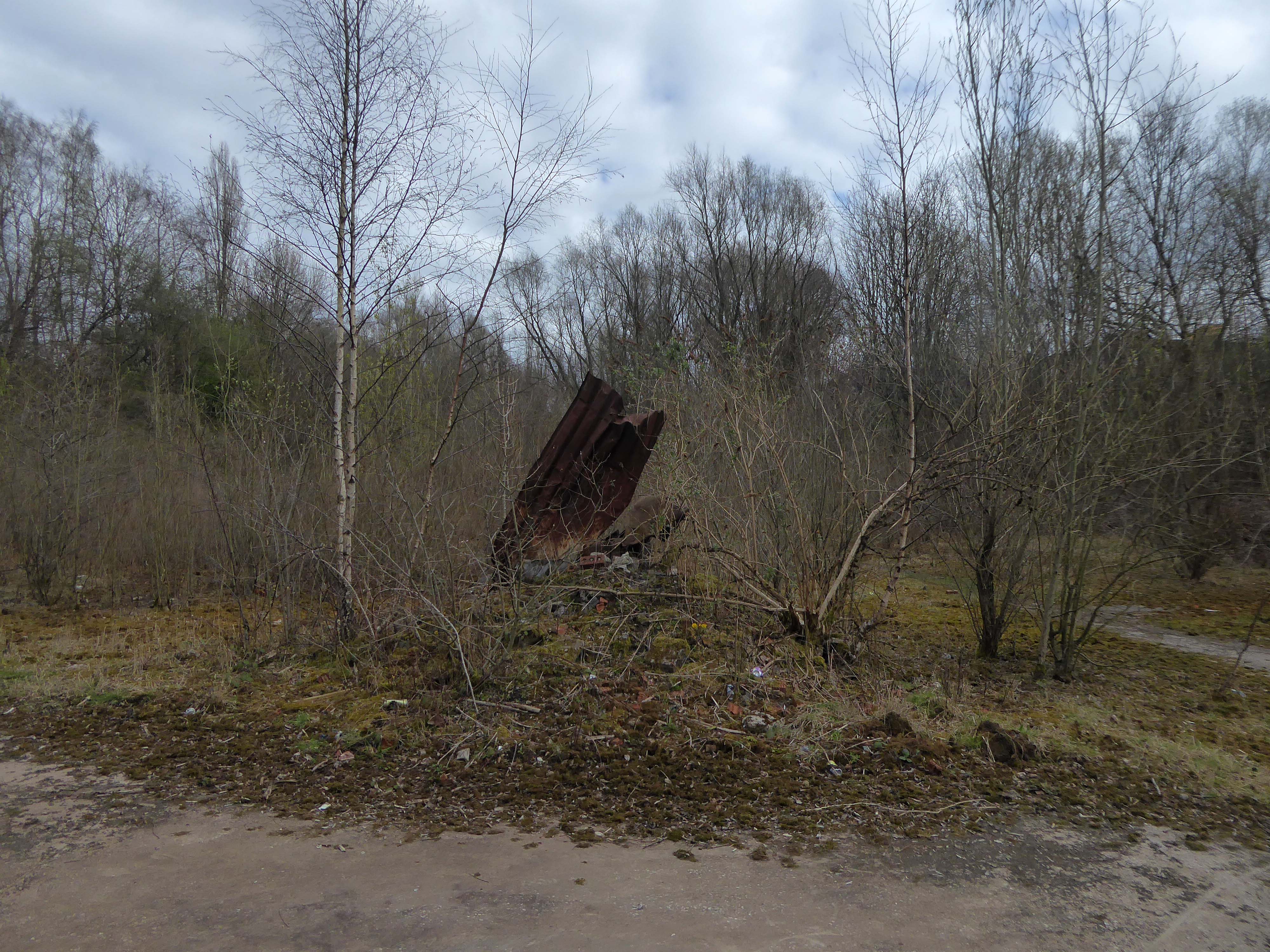
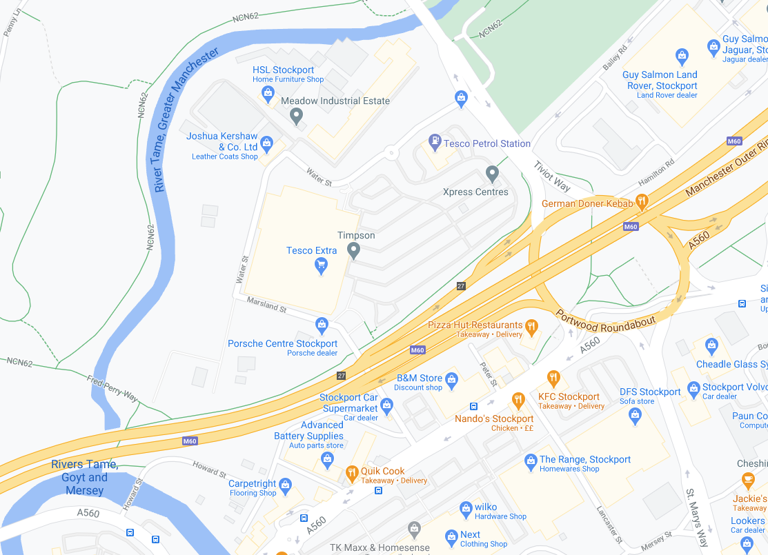
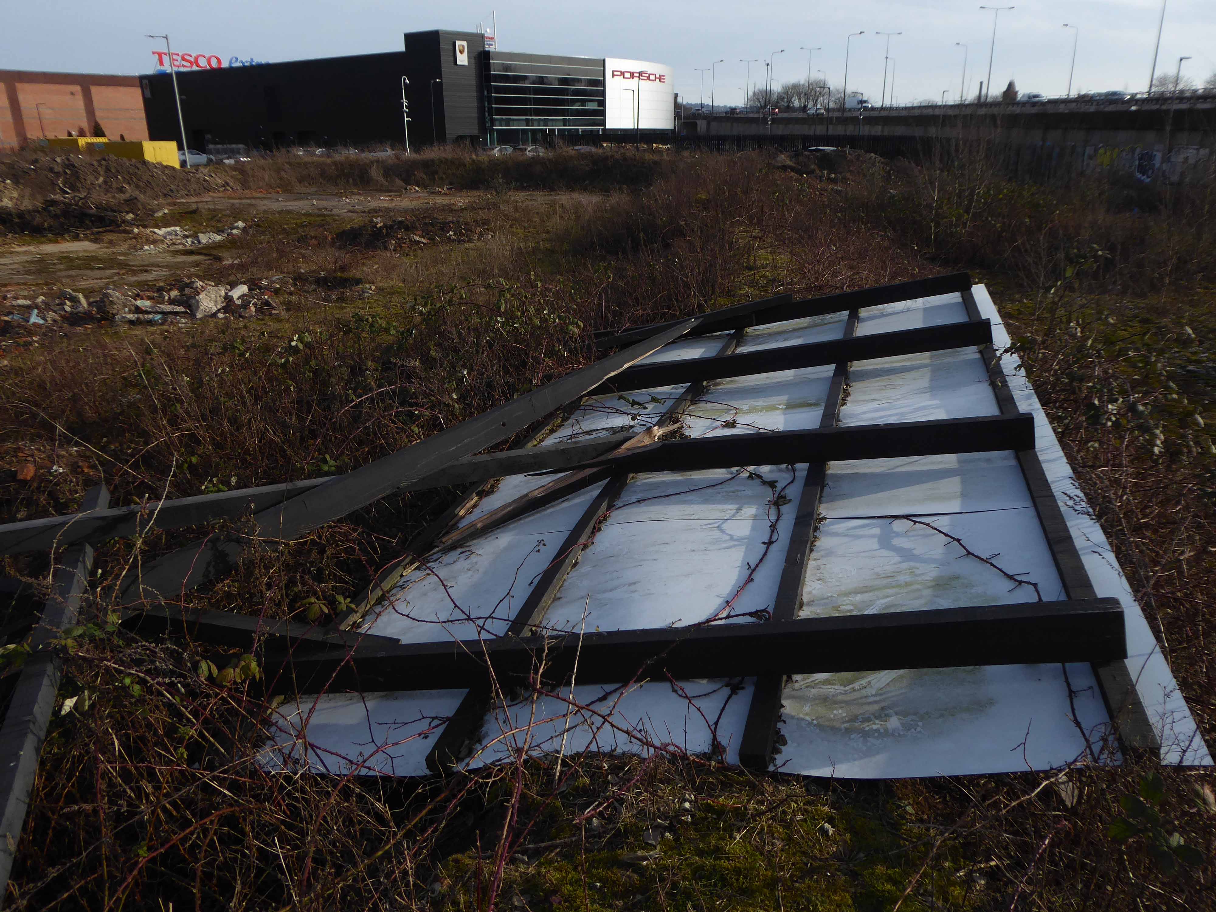
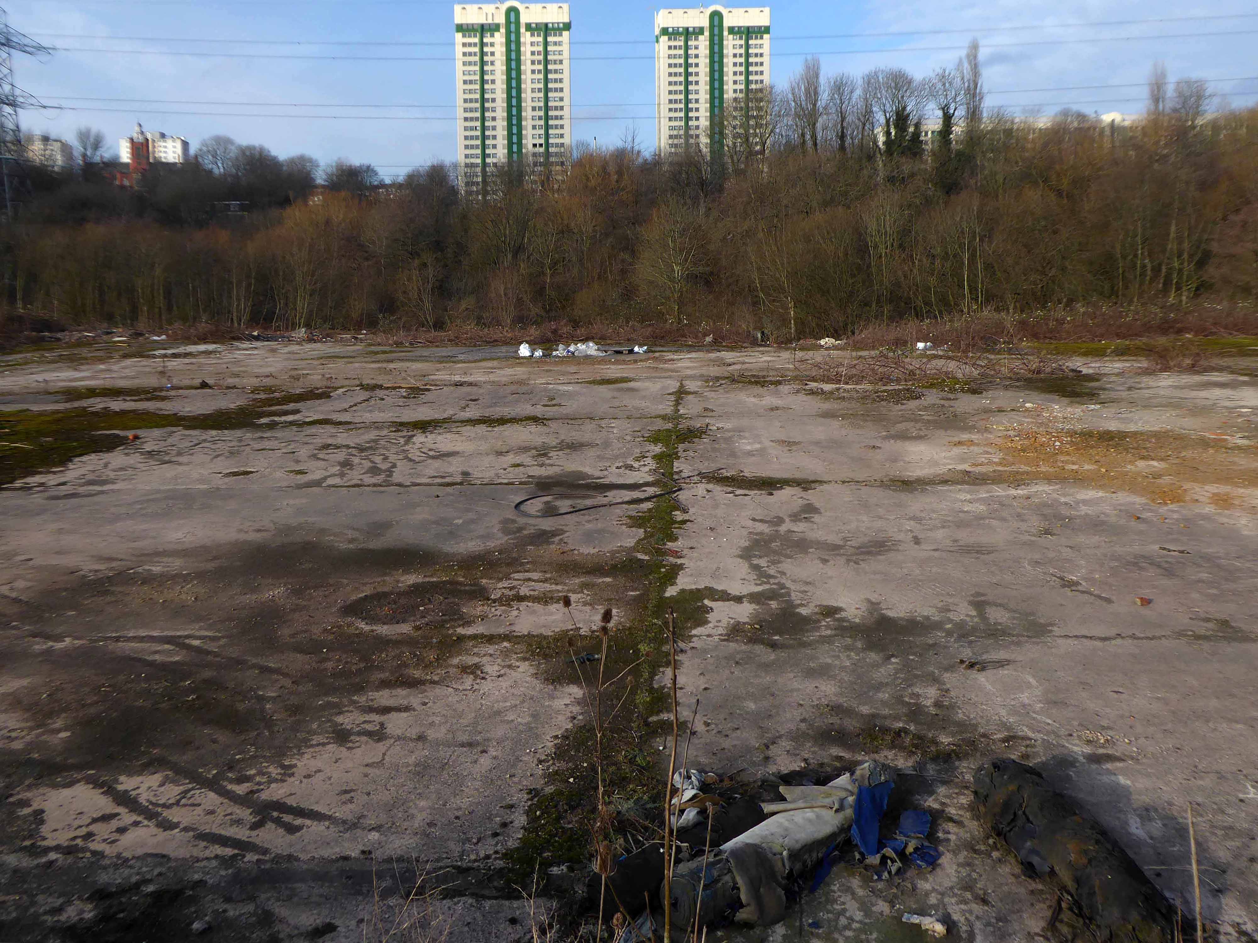
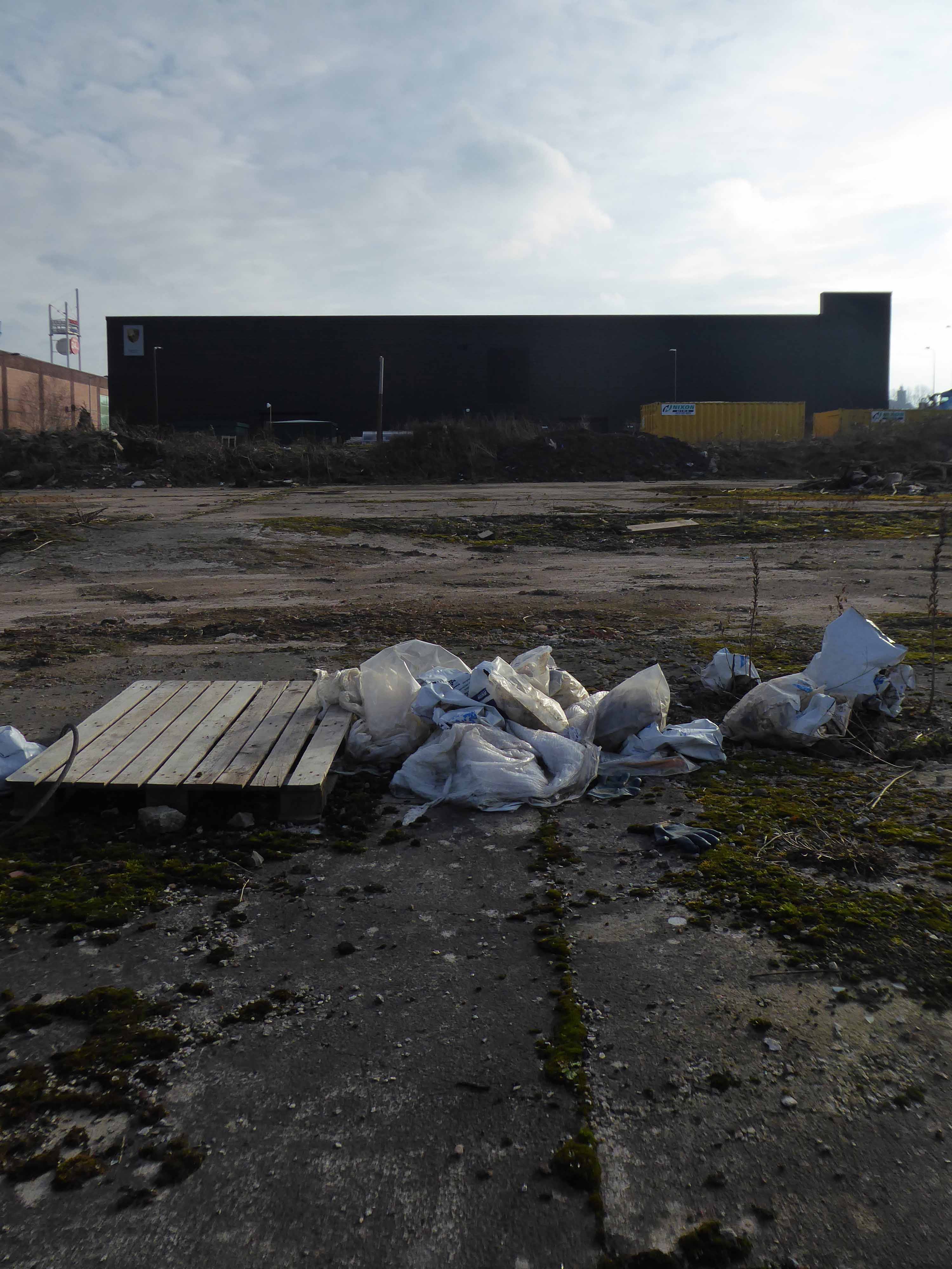
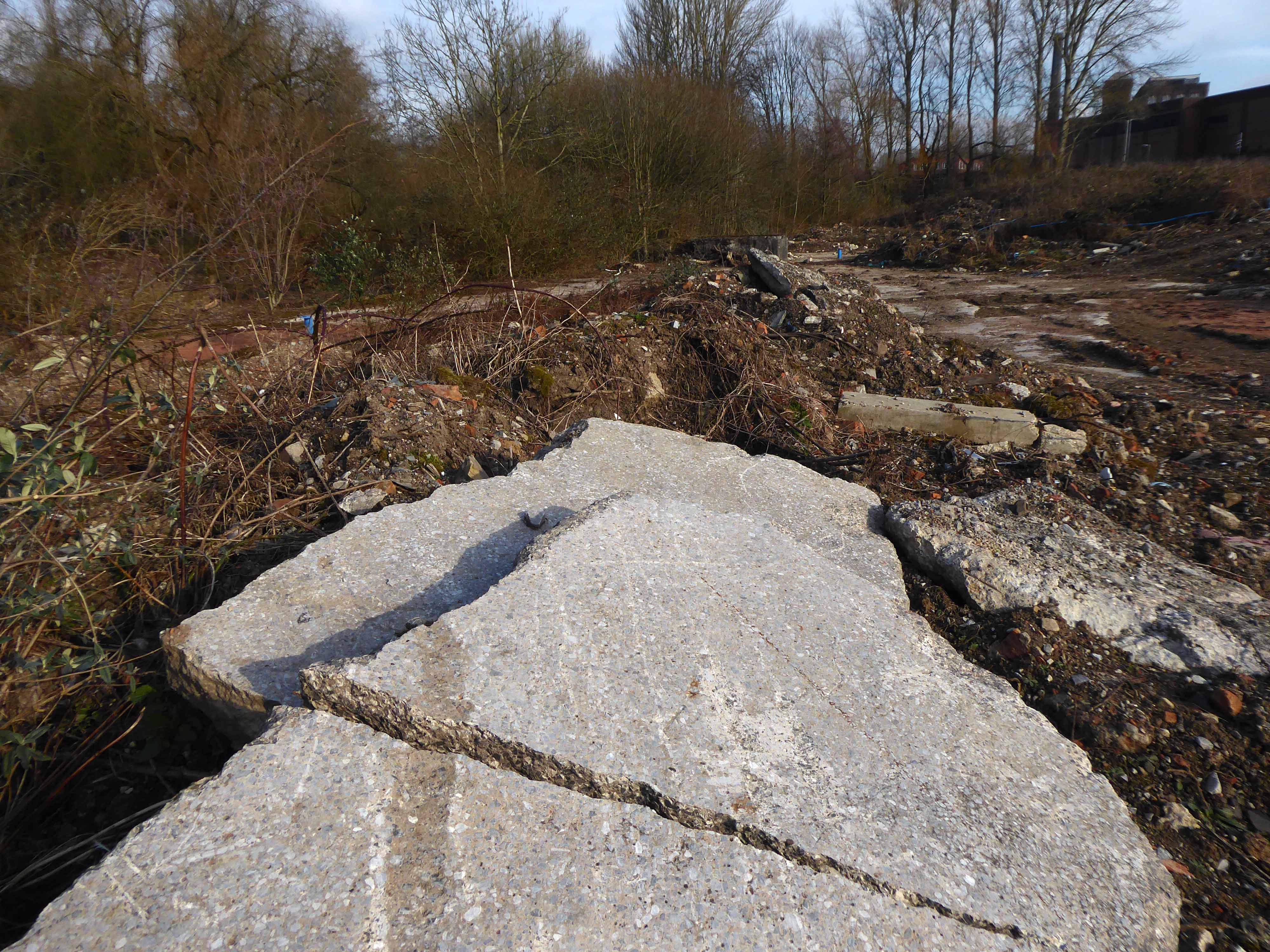
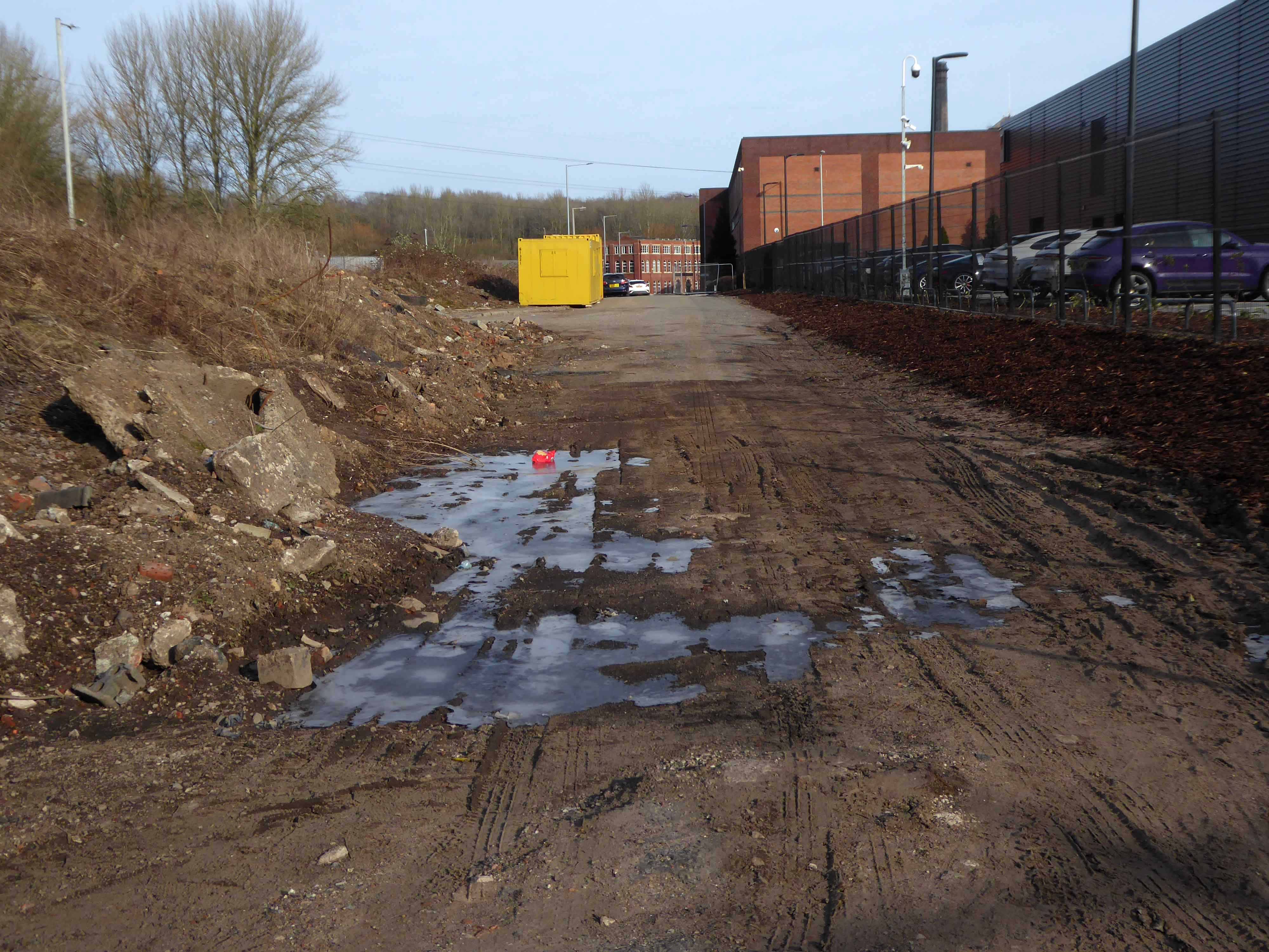
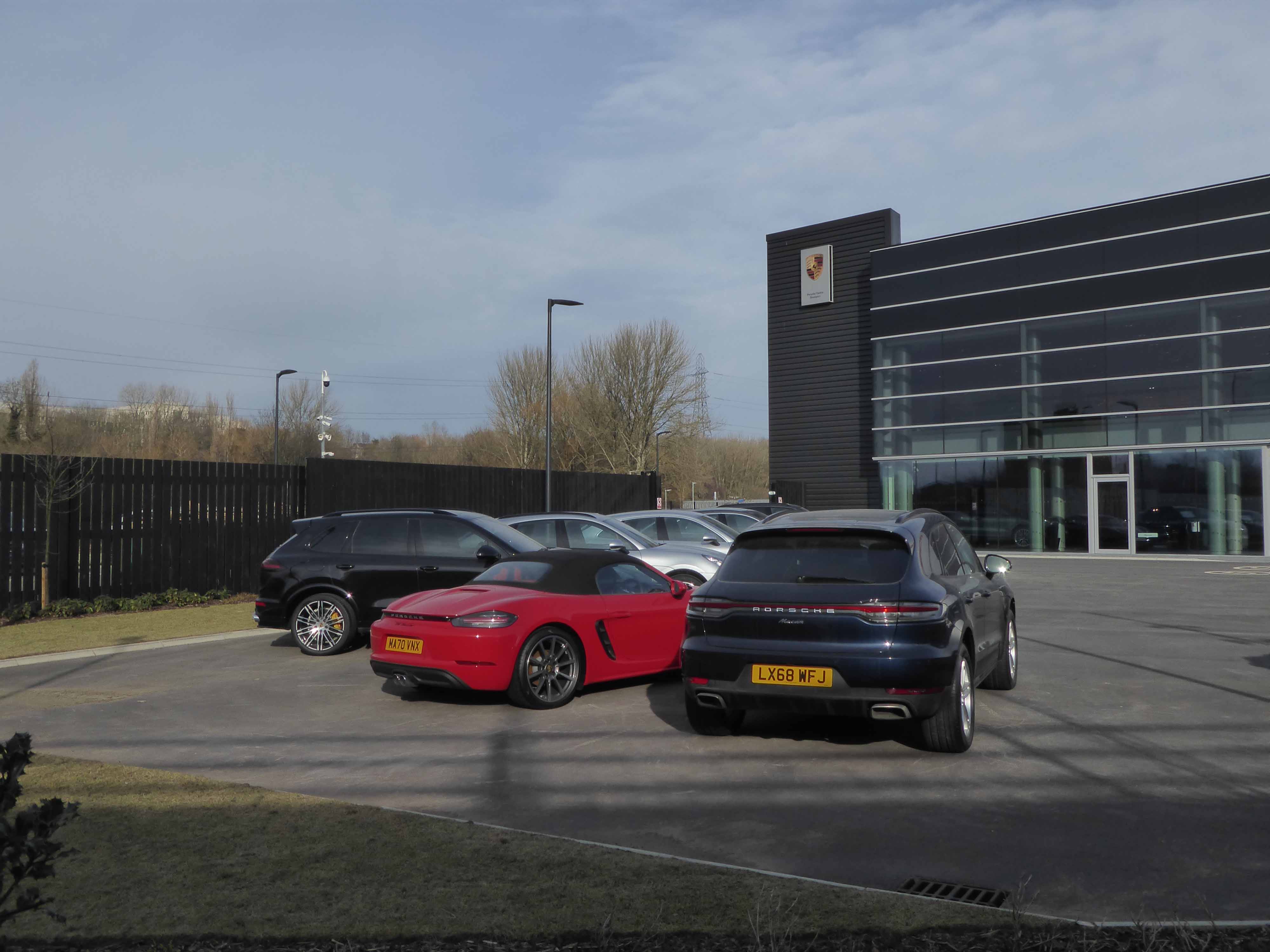
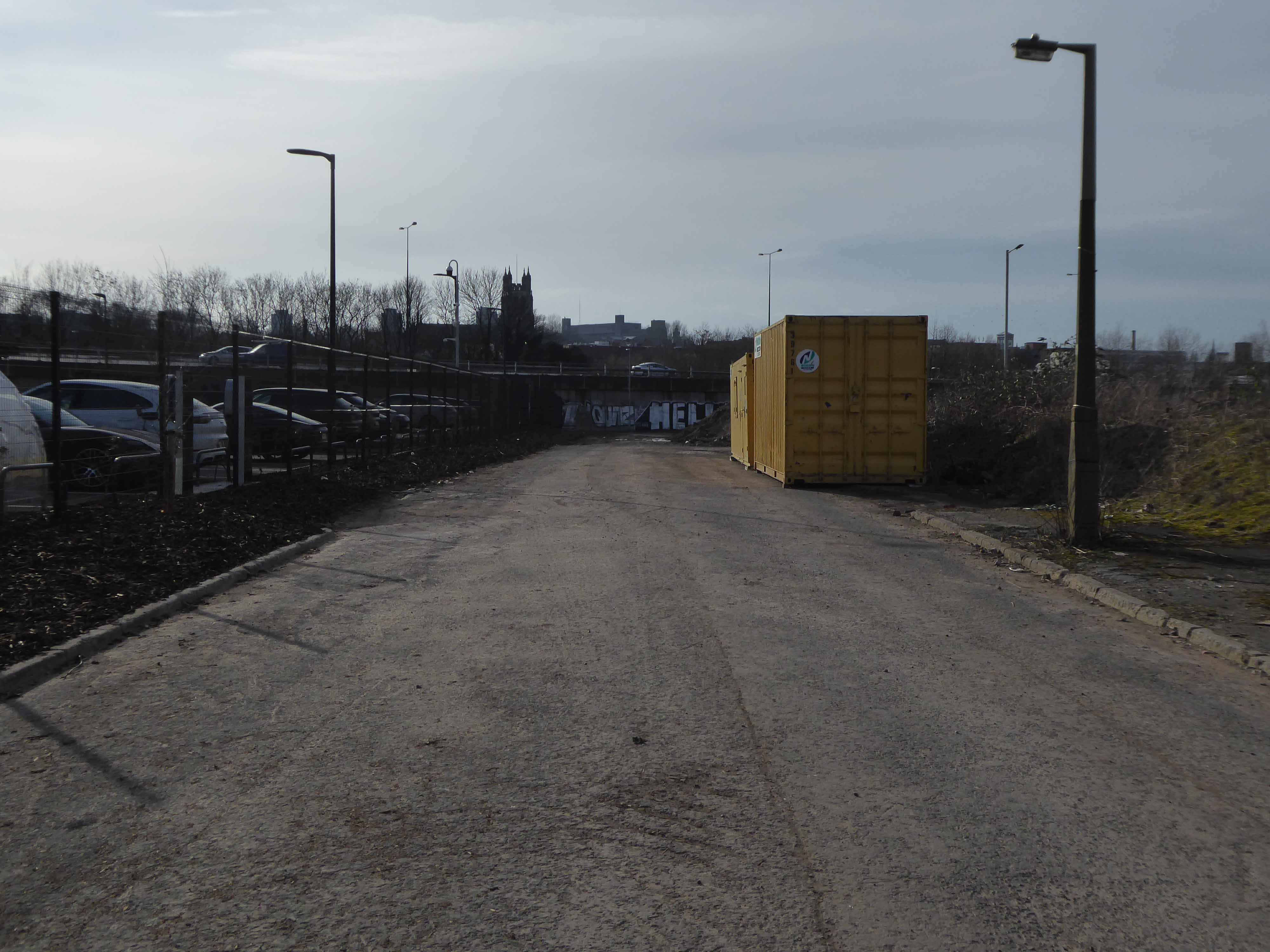
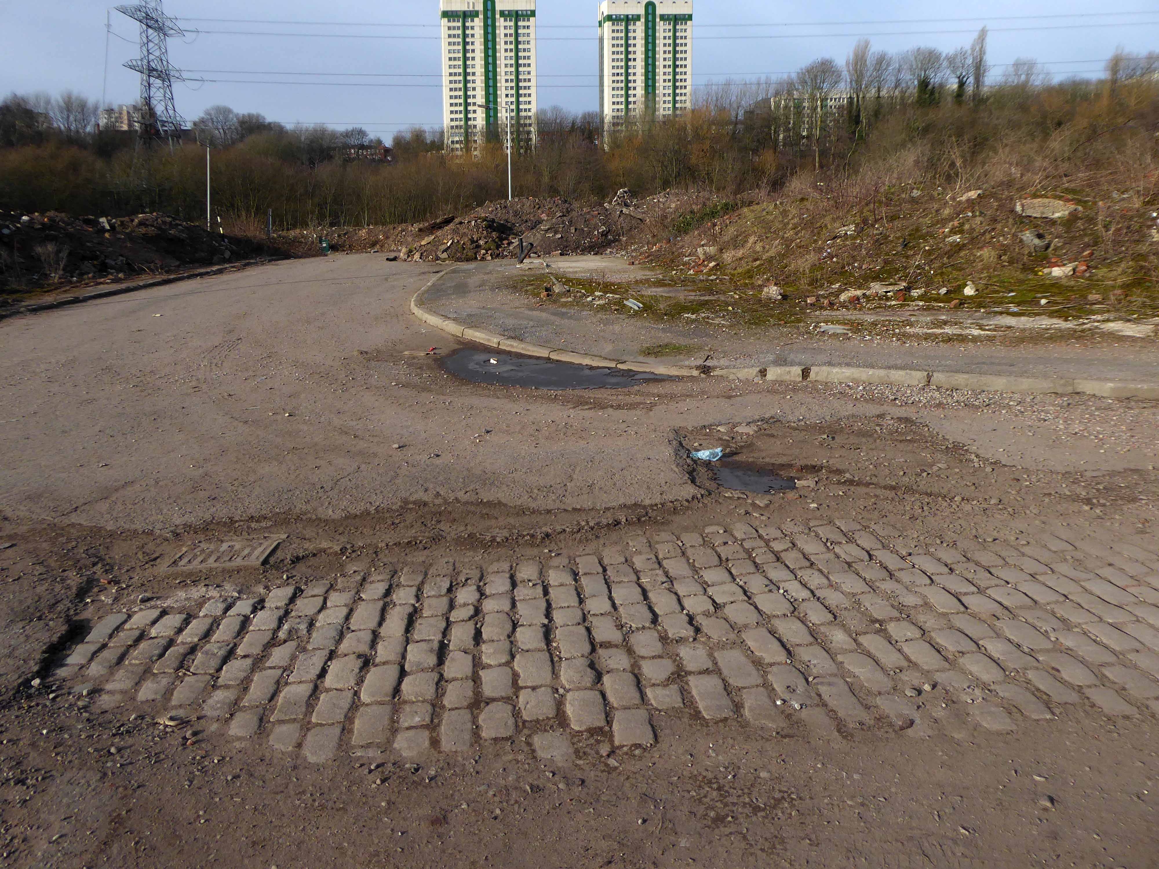
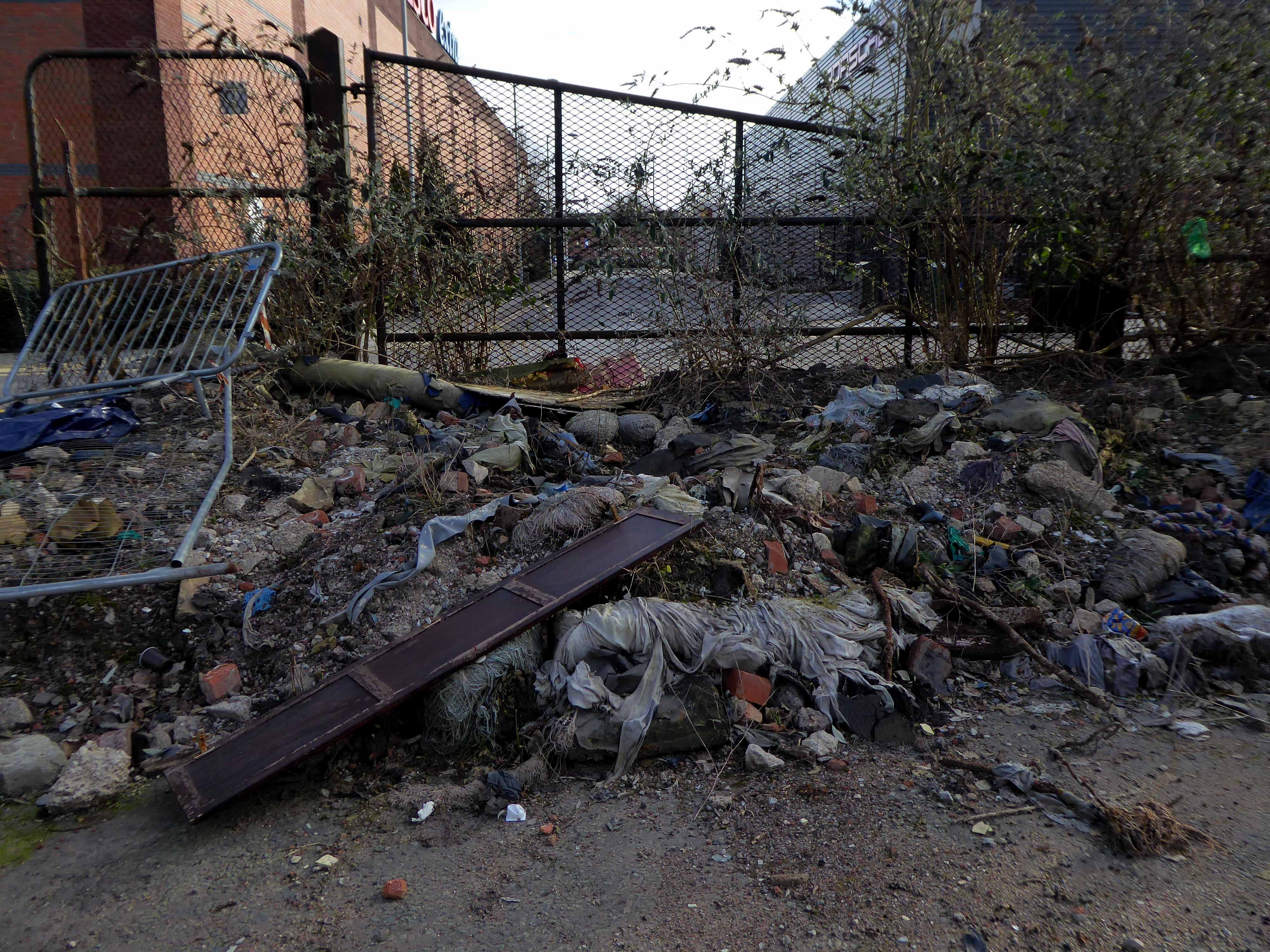
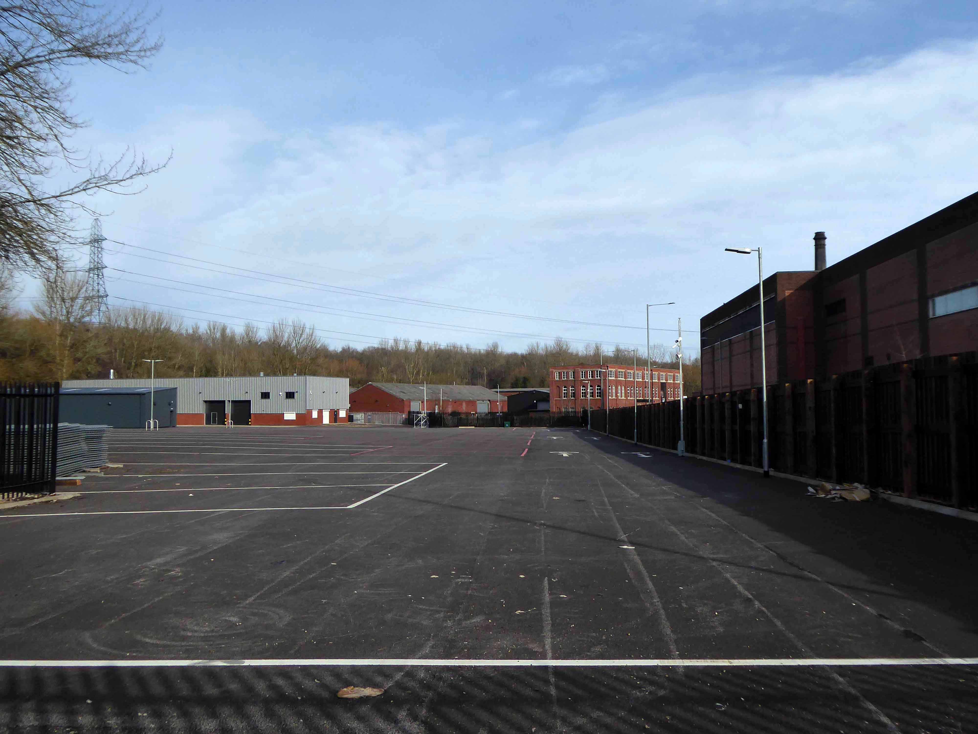
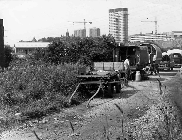
There is a plot of land to the left of Porsche which remains undeveloped, I often walk around this area, what would have once been for myself and others the place of childhood high jinx.
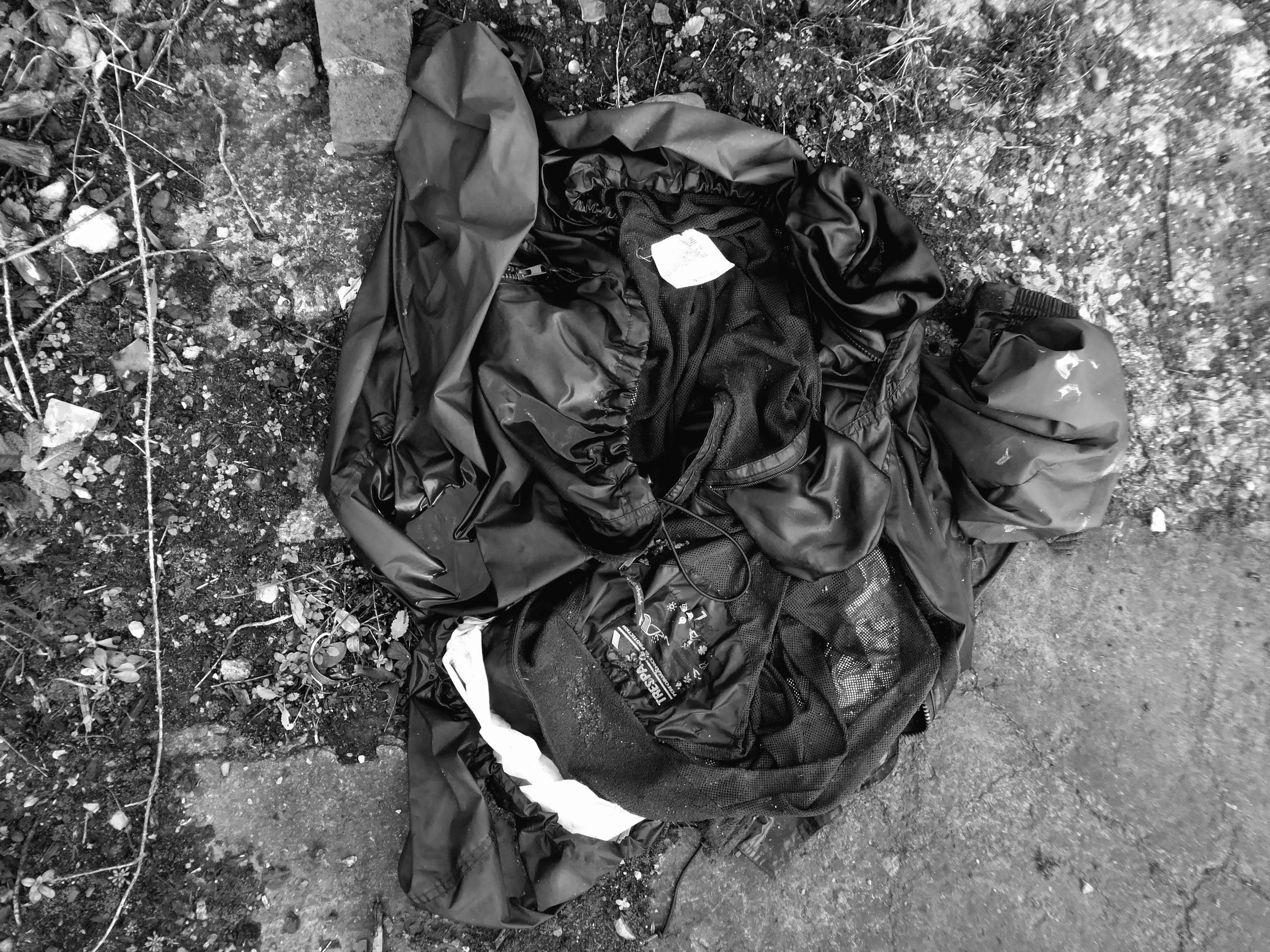
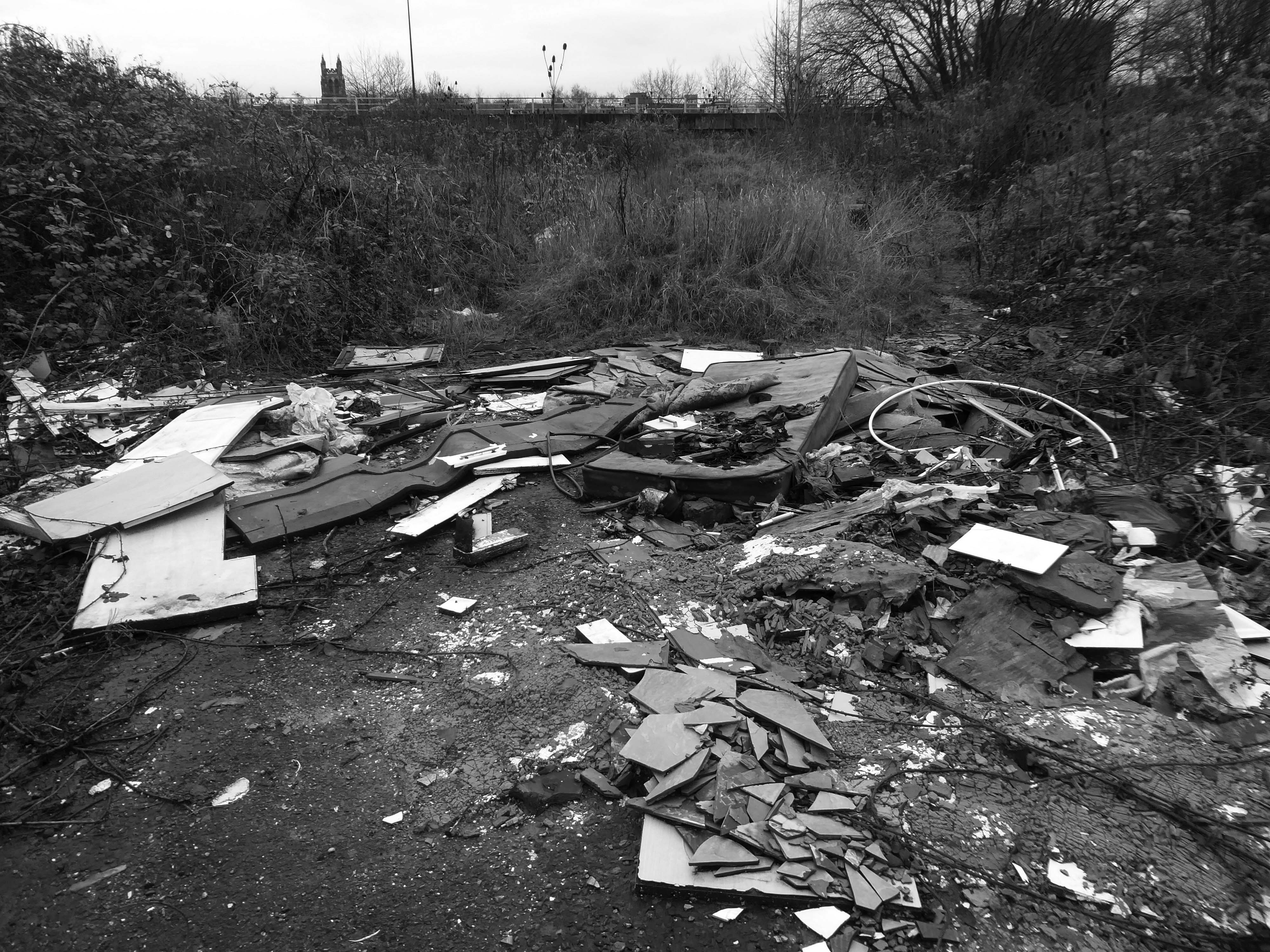
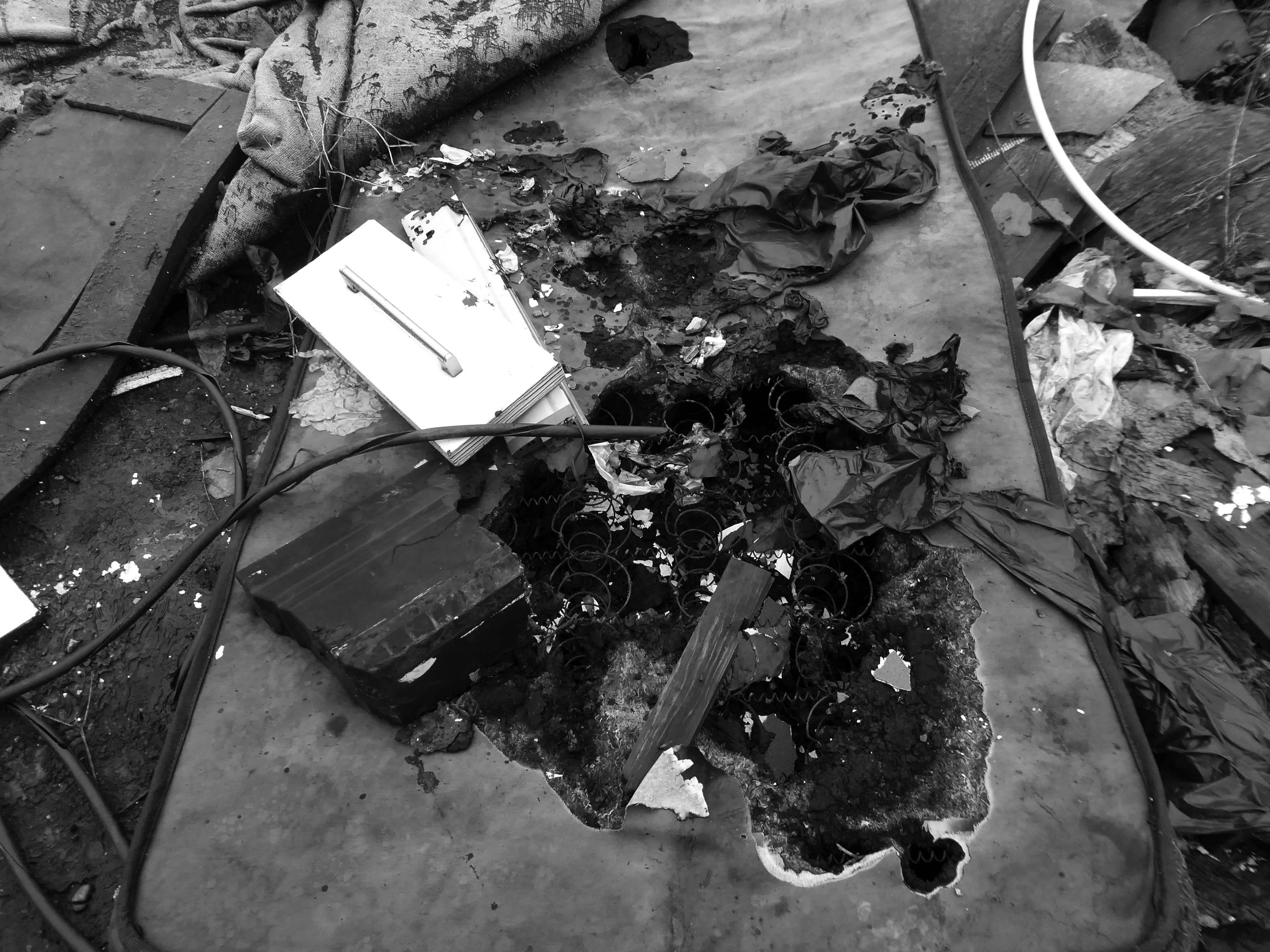
Now it is the domain of the fly-tipper, the home of the homeless, a war zone for a species which has declared war upon itself.
A desert of detritus, interpolated with tangles of brambles, seas of teasels and the ubiquitous buddleia.
This is the unofficial showroom for the unofficial Anthropocene Epoch – always crashing in a different car, during increasingly unseasonal weather, the superabundance of abundance.
It seems that the sun may set on us, before the sun finally sets.
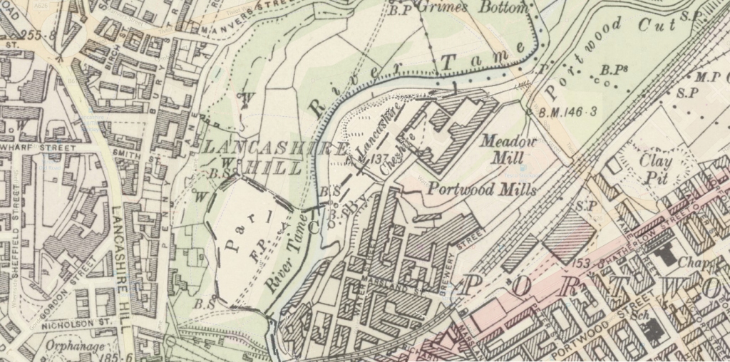
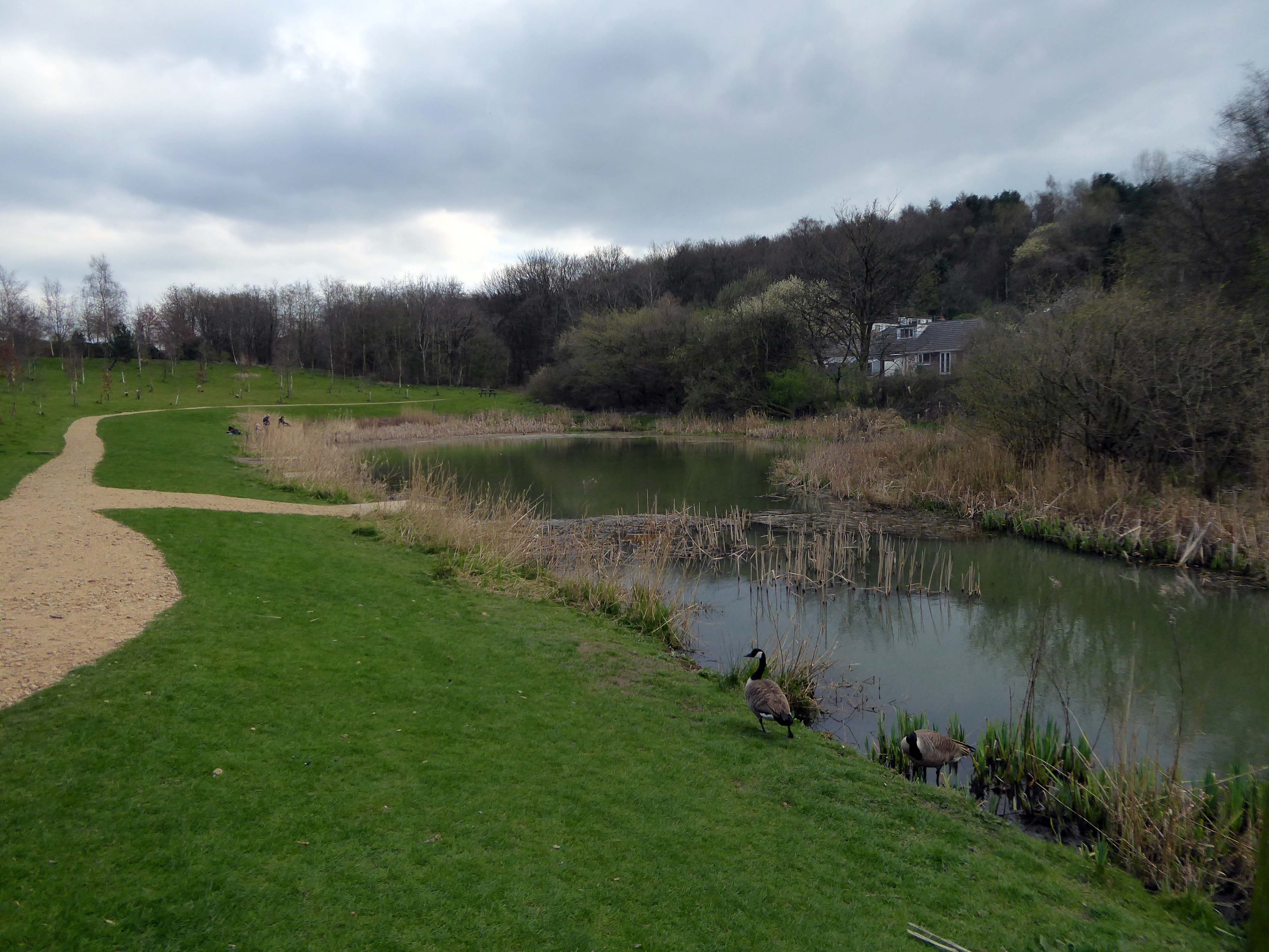
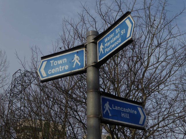
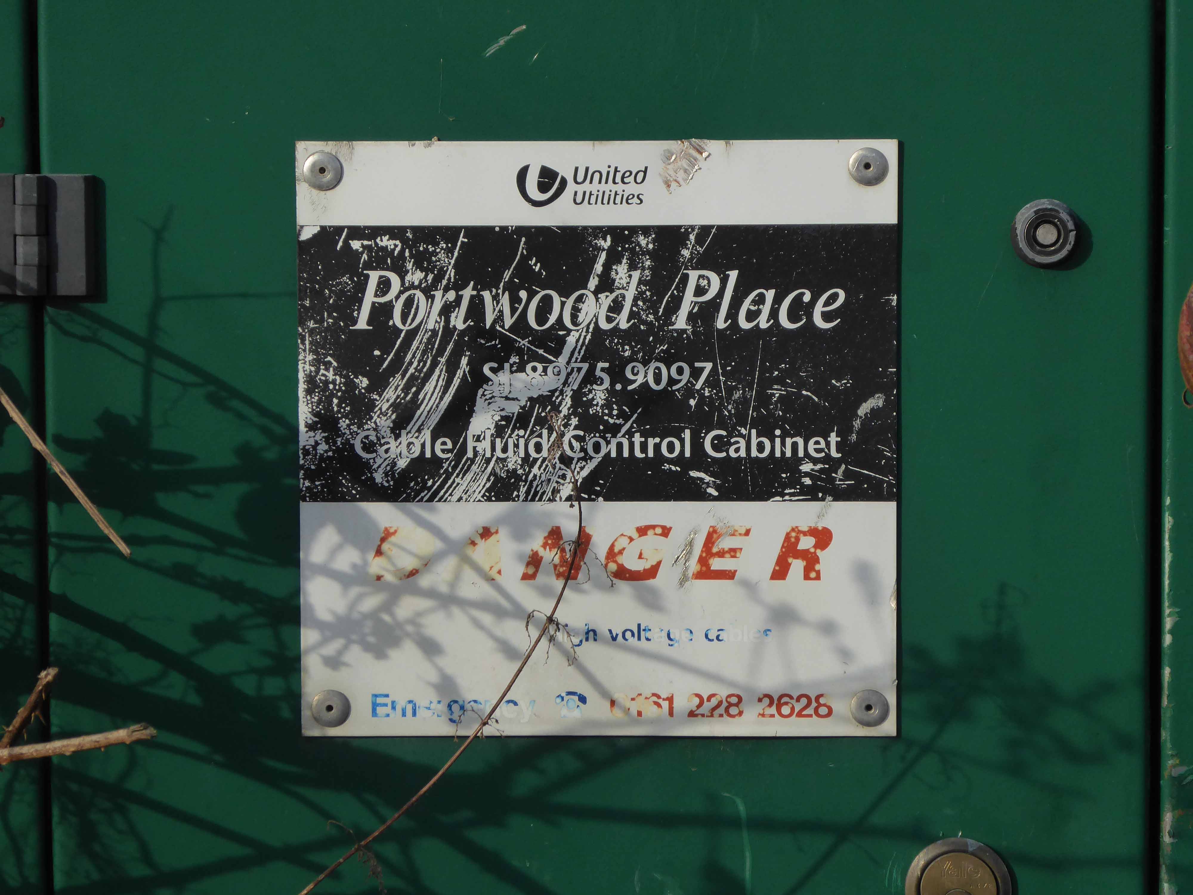
Let’s take a peep at Portwood.
Game over.
Vehicle use affects our whole quality of local life. Traffic can be dangerous and intimidating, dividing communities and making street life unpleasant, whilst air pollution and traffic noise can make urban living uncomfortable.
The impacts of mass consumption are: Misuse of land and resources, exporting pollution and waste from rich countries to poor countries, obesity due to excessive consumption, a cycle of waste, disparities and poverty.
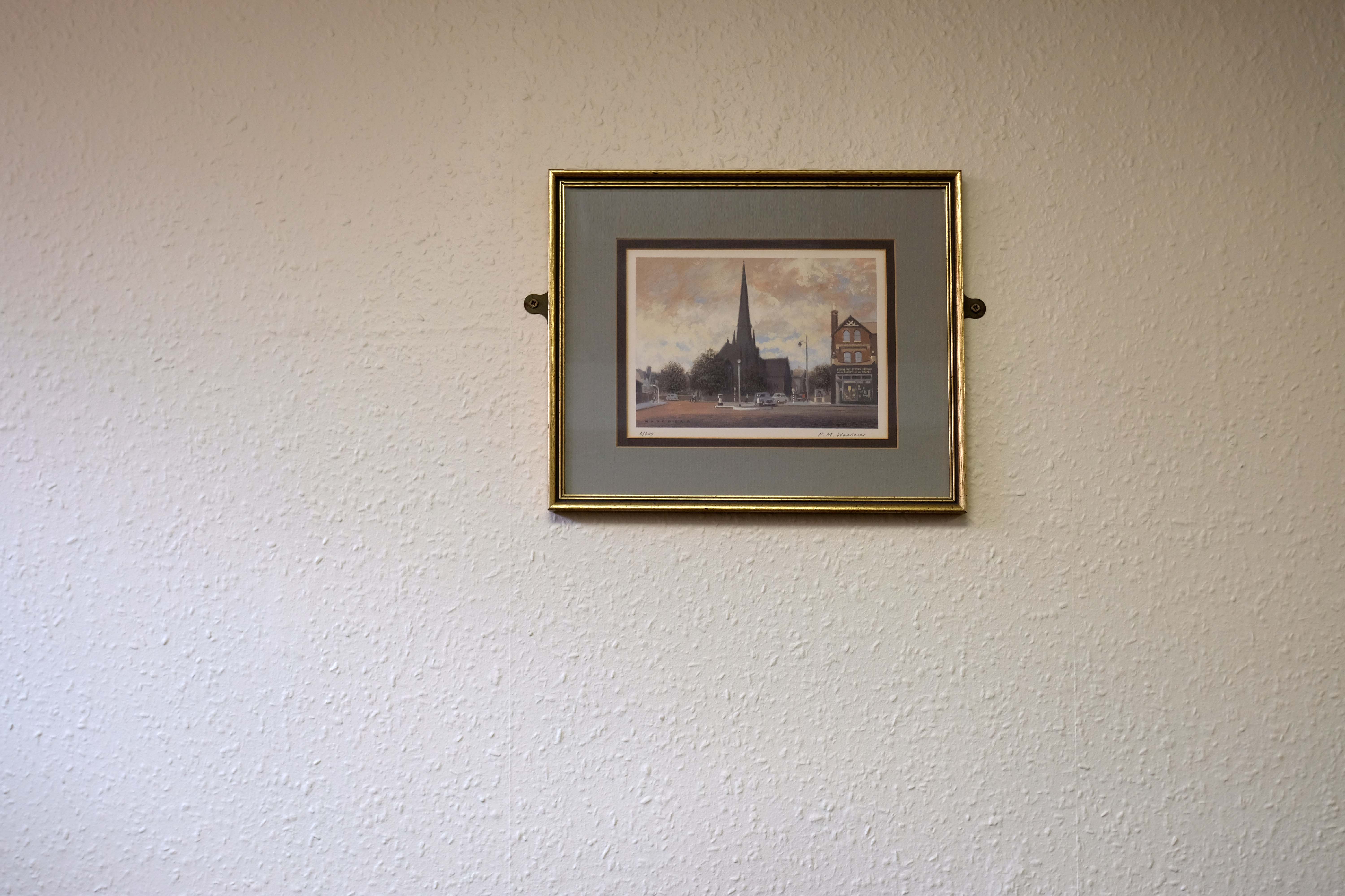
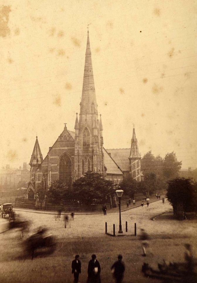
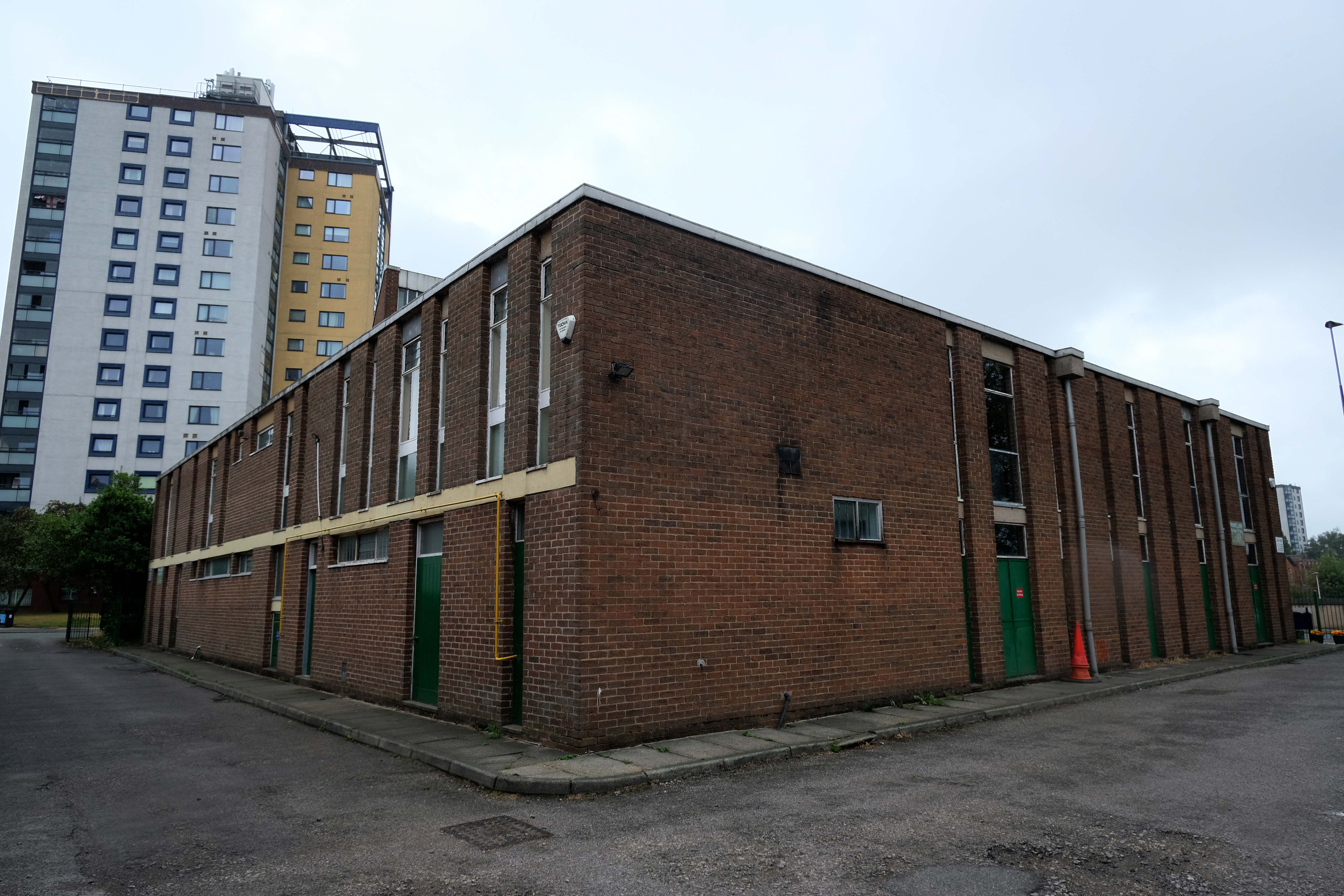
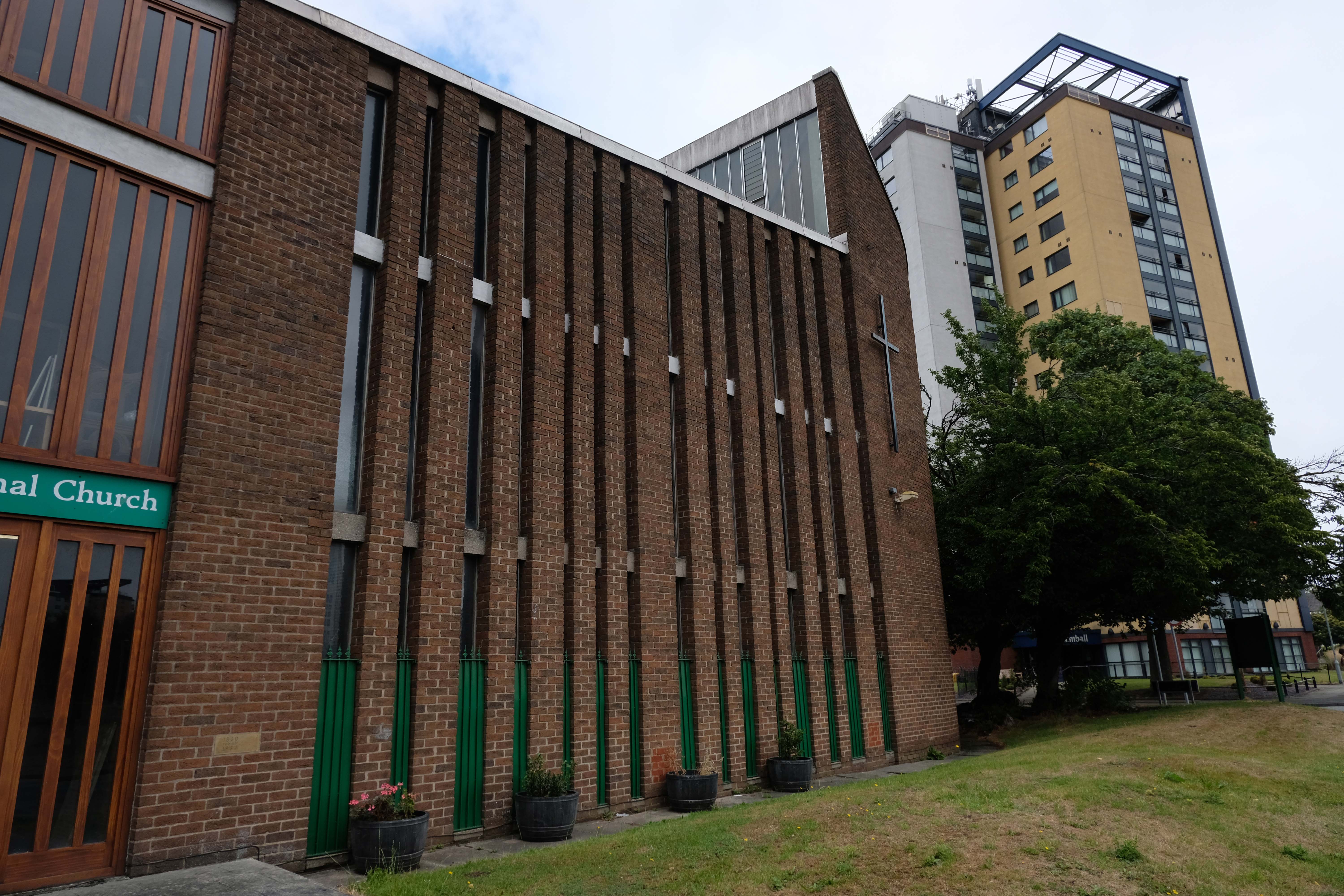
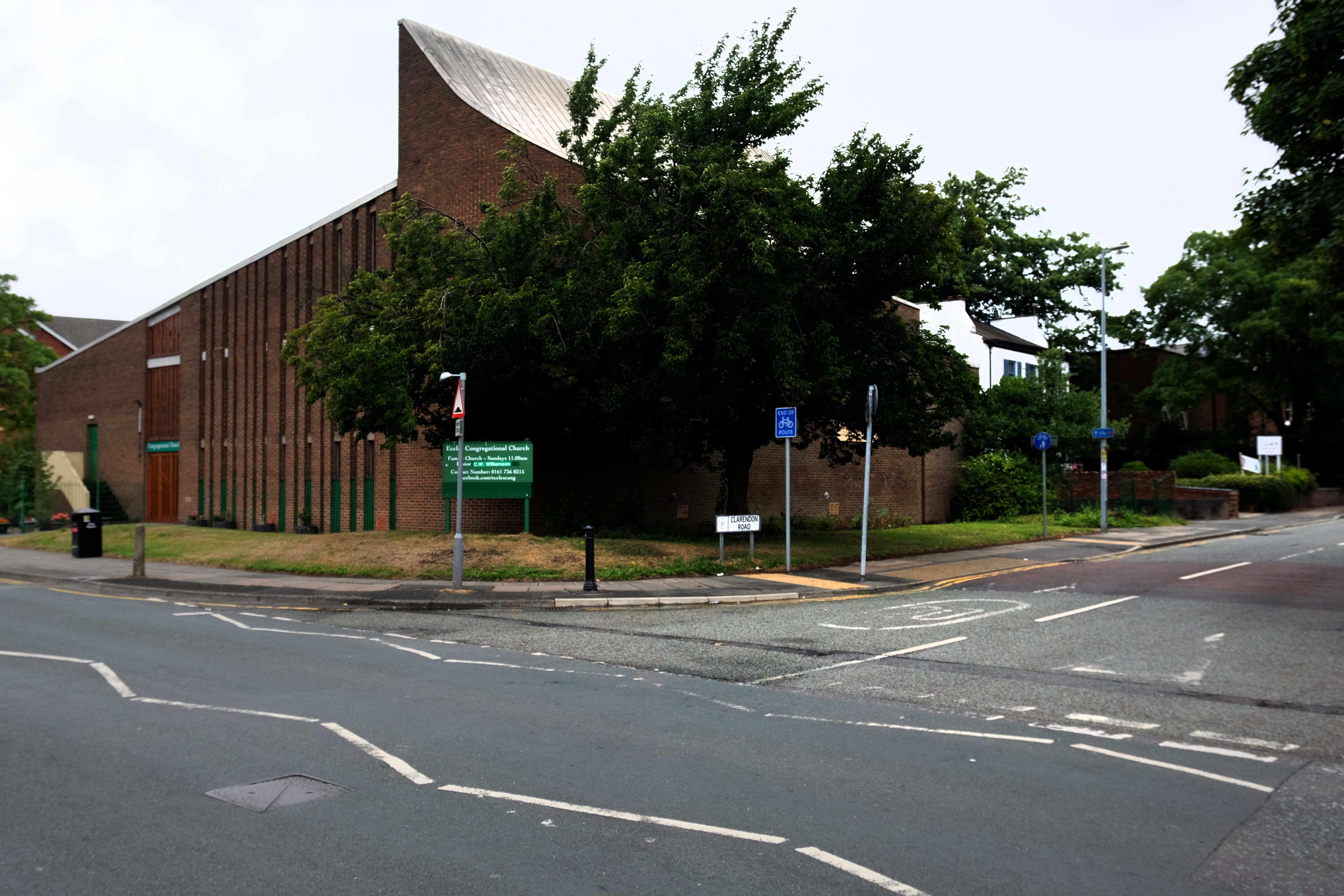
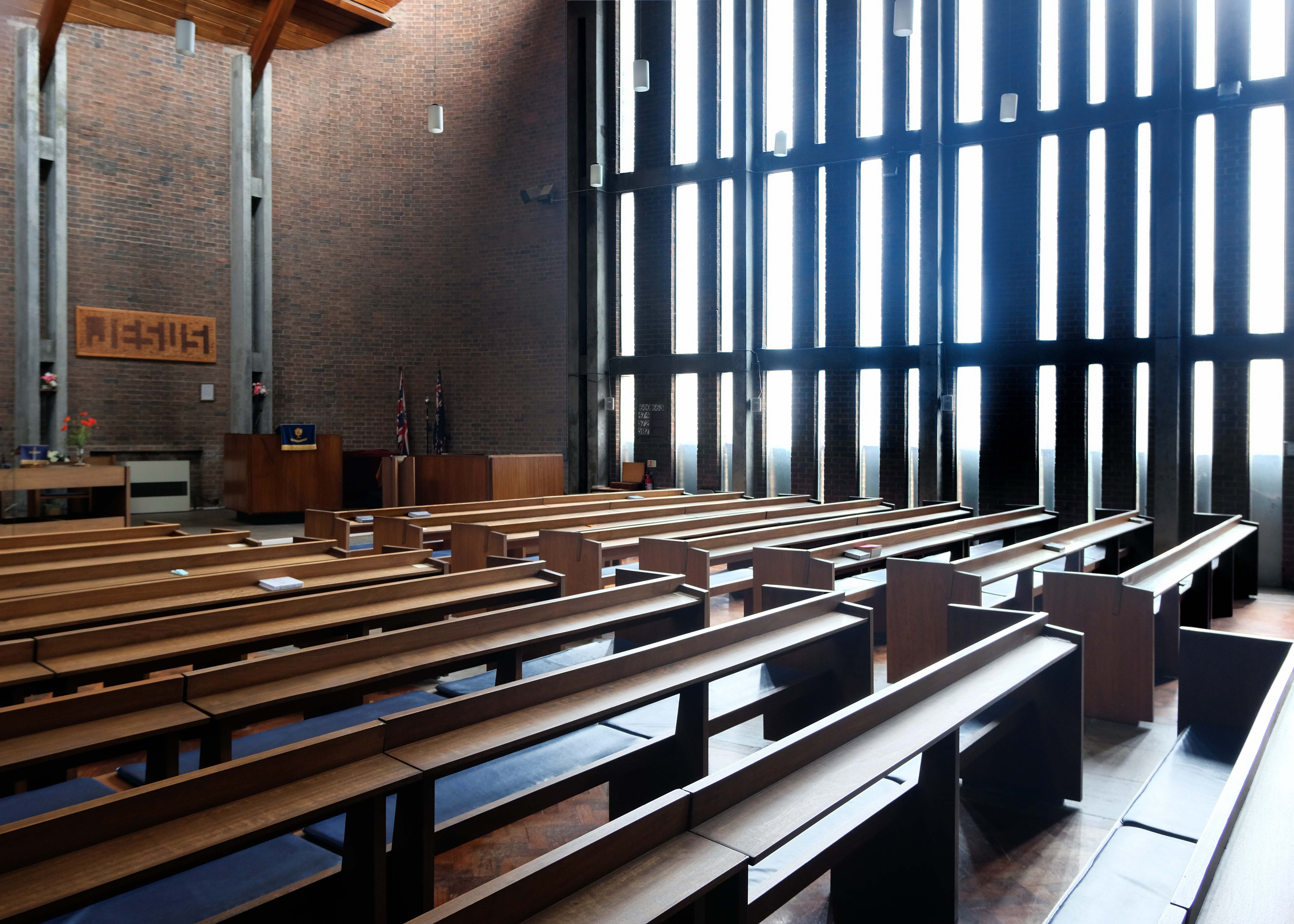
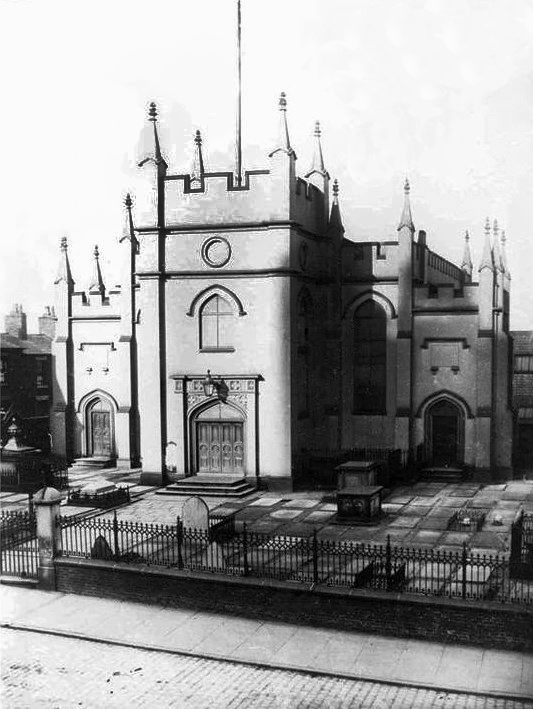
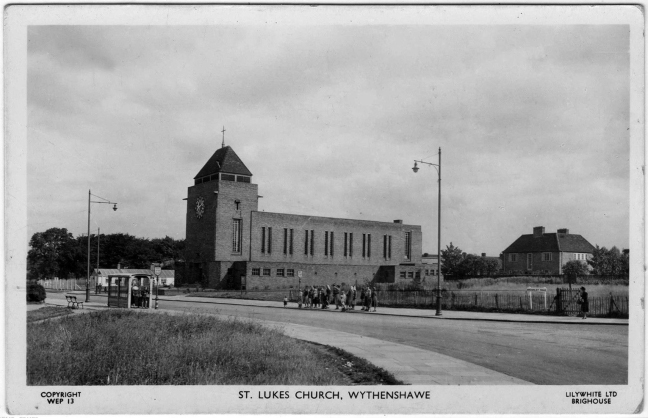
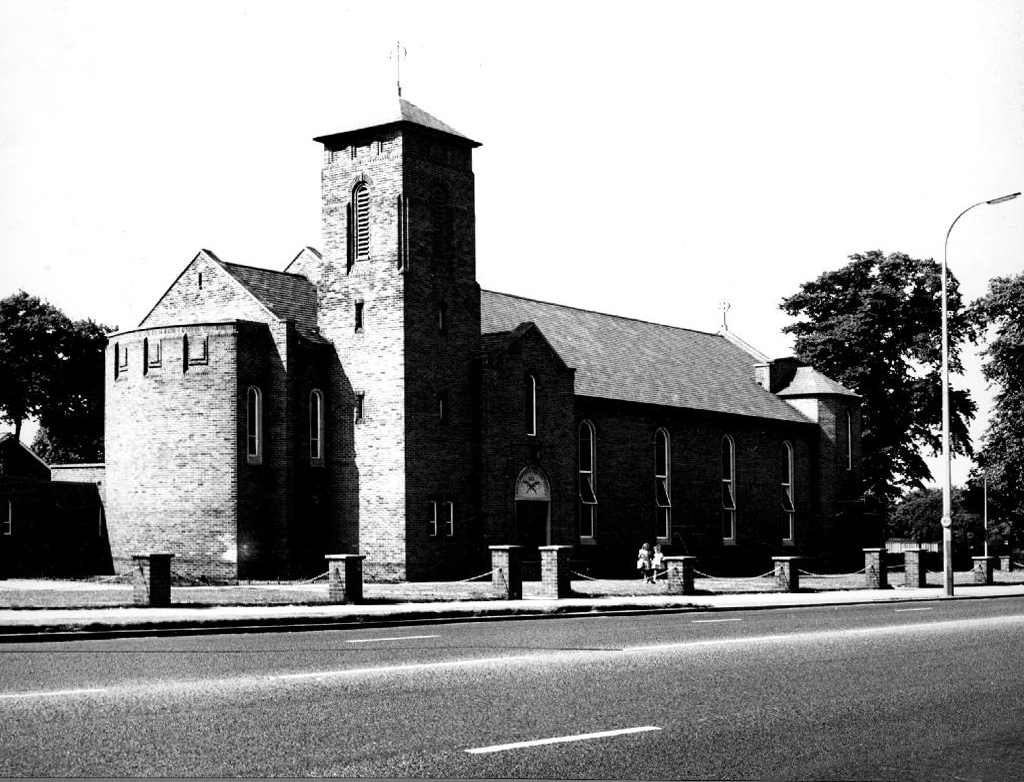
The Cornerstone of the building was laid in front of a crowd of 2,000 on Good Friday 1859 and the church was opened for public worship on Good Friday 6th April 1860. In the press of the day, the church was described as – a Cathedral looking church.
Photo: Flickrcabinet photograph by Enos Eastham of Eccles.
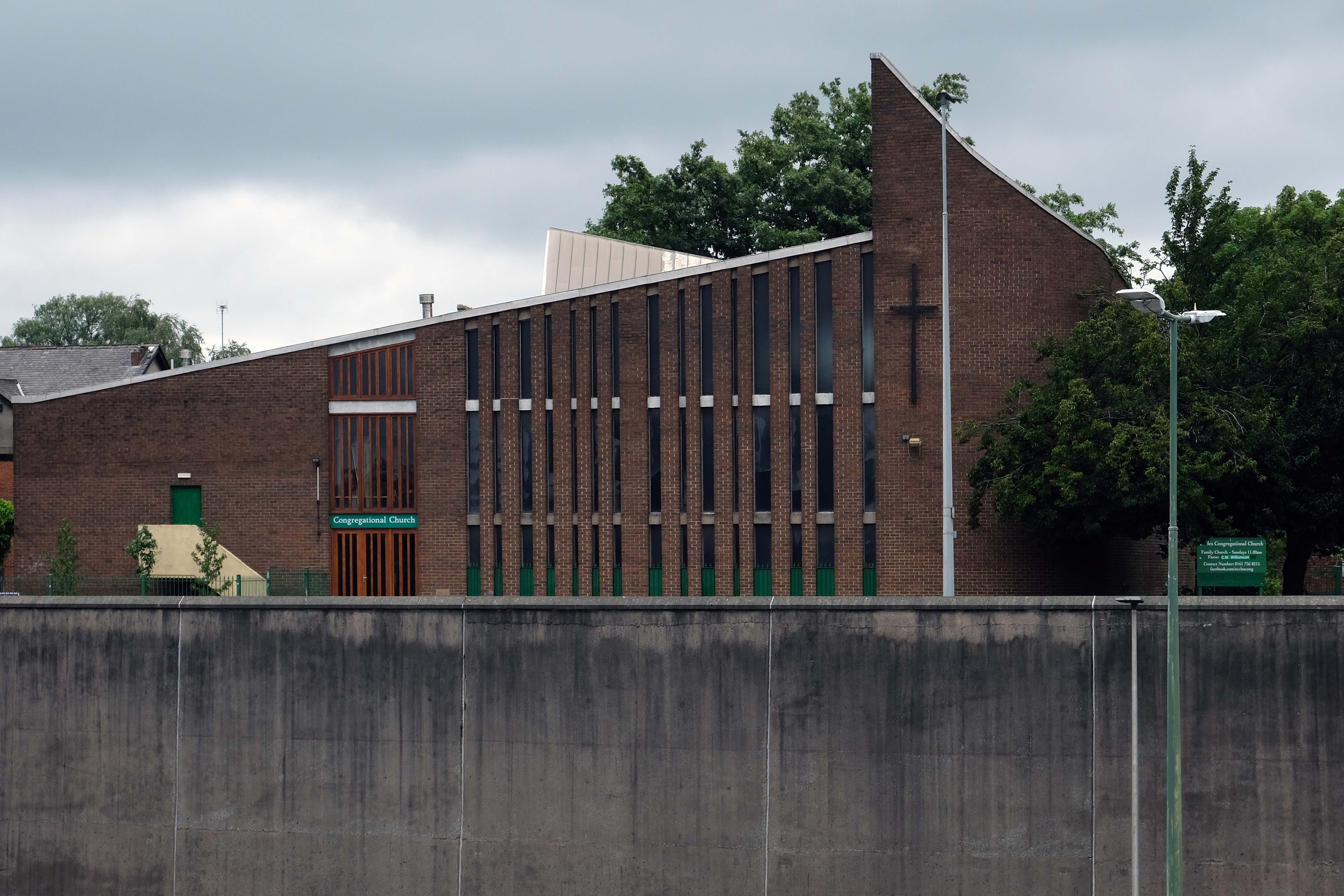
In 1965 it was announced that a new Eccles motorway would be built through the church land.
Work began to demolish the Church and replace it with a new smaller church, but the old church did not go down without a fight as workers could not pull down the steeple. After eleven days of battering and buffeting by eighteen pounds of gelignite and two eight ton bulldozers, the steeple finally surrendered.
Then there wasn’t – then there was this:
On Friday 11th July 1969, the new church officially opened with a splendid ceremony. A minor hitch occurred when the organ blew a fuse during the second verse but the Congregation sang through it while organist Mr Kenyon frantically fumbled about and rectified the matter.
The M60 was developed by connecting and consolidating the existing motorway sections of the M63, M62, and an extended M66. It came into existence as the M60 in 2000, with the completion of the eastern side opening in October.
The original plan called for a completely new motorway, but policy change led to the plan which created the current motorway. As soon as it opened, the motorway got close to its projected maximum volume on significant sections.
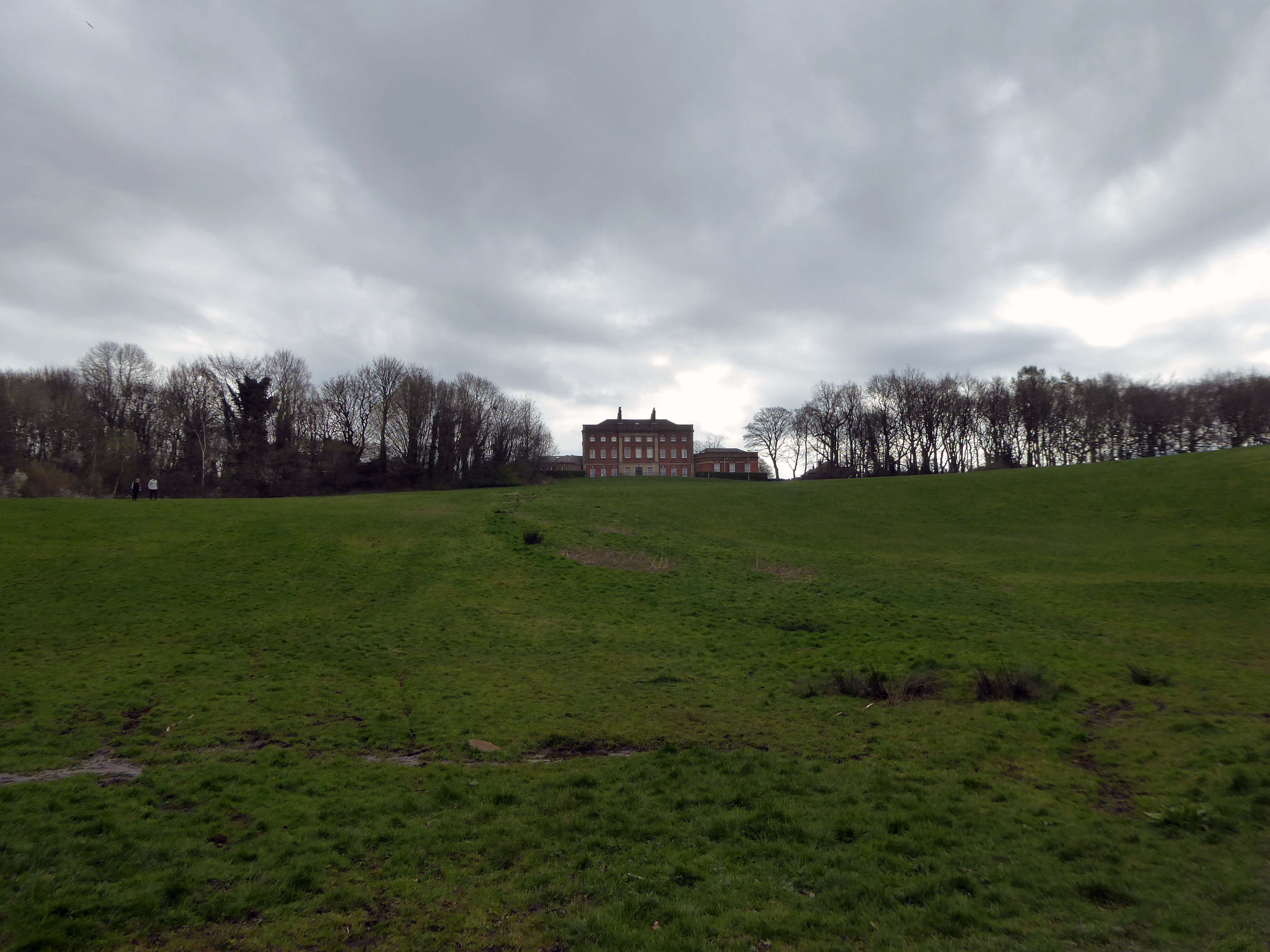
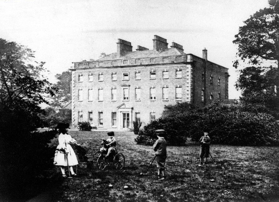
This Palladian mansion was designed and built in 1736 by renowned architect, Giacomo Leoni, who had also been responsible for significant alterations to Lyme Hall during the same period.
Offering an infusion of historical significance coupled with an abundance of living space throughout, Alkrington Hall East, simply must be viewed to be appreciated in full.
During the early 1770’s, the Hall became the largest museum outside of London, when the Hall’s owner, Sir Ashton Lever, exhibited his private collection of natural objects, including live animals. Remaining as an imposing symbol of Leoni’s work, Alkrington Hall remains one of only a few surviving examples throughout England.
In modern times, the Hall has since been carefully and sympathetically separated into 4 sections, and we are pleased to be offering for sale the largest portion of the Hall, with a total floor area comprising of over 7500 SQFT, and living accommodation spread over 4 floors.
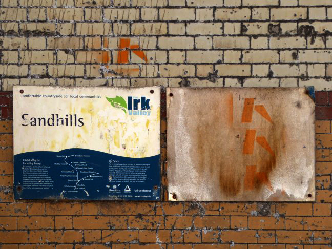
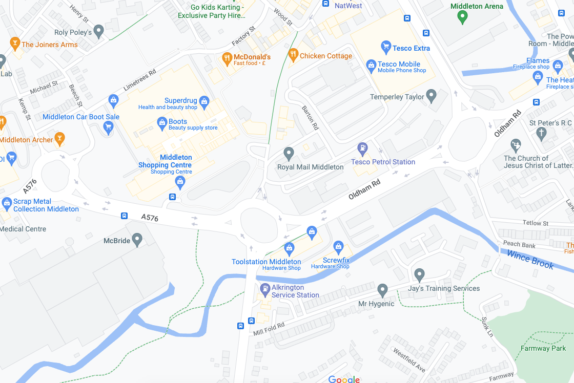
Next thing you know you find yourself in Middleton, where the Irk sort of disappears – you sort of get lost and sort of follow the wrong track, eventually ending up back where you should have been in the first place.
Don’t follow Wince Brook – it’s so far from right that it’s wrong – right?
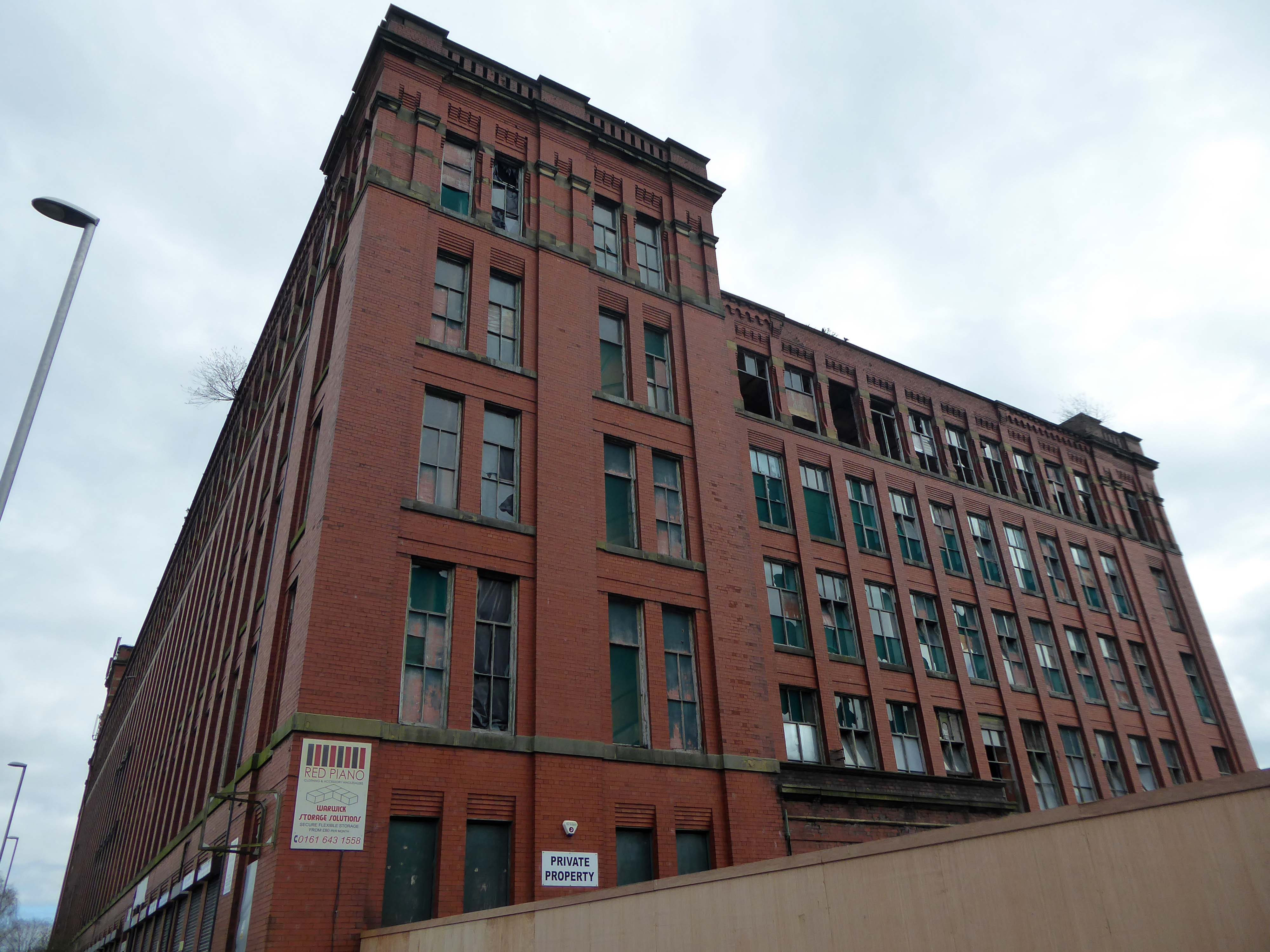
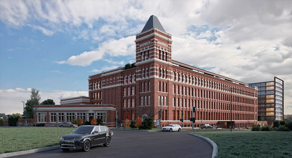
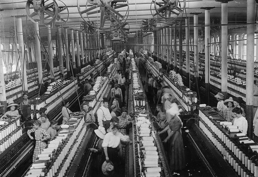
Take a walk up Oldham Road to see Warwick Mill instead.
1907 by G Stott of J Stott and Sons – Red brick with internal cast-iron frame.
There was and Oval Partnership planning for a retail development in 2014 which failed to materialise.
The converted building will provide a showcase for Chinese manufacturers of construction-related products looking to enter the UK and wider European markets. Products on display will include tiles, lighting, furniture, kitchenware, sanitary ware and curtains. A second phase will see the construction of a new building alongside effectively doubling the floor space. In addition the brief includes a range of restaurant, leisure, culture and entertainment facilities threaded through the building. The conversion will open up the existing building in a dramatic way, maximizing permeability and providing a strong visual connection back into the town, promoting public access through the building to the attractive south-facing waterside of the mill.
Permeability failed to be maximised, sadly.
Ambitious plans to refurbish Grade II listed Warwick Mill to create new homes and breathe life into an important building and part of Middleton’s history have been drawn up.
Warwick Mill has recently changed ownership and the new owners, Kam Lei Fong (UK) Ltd, have been working with Rochdale Borough Council over the last nine months to develop proposals to redevelop the site.
A Middleton couple has saved the oldest surviving mill in the town after a two-year renovation project.
Located on Townley Street, Lodge Mill was built in the mid-1800s and was originally a silk weaving mill. It went on to cotton weaving and cloth dying, then to a home for many different small local businesses. Sadly, in the early 2000s, it fell into disrepair and became derelict.
Martin Cove and Paula Hickey bought Lodge Mill on 1 April 2019 and immediately set about replacing and repairing the roof. They also installed a 19.4kw solar PV system so the mill became its own little power station that summer.
In August 2019, the couple opened a small ice cream shop on the ground floor of the mill – named the Ice Cream Shop at Lodge – selling locally-made ice cream from Birch Farm, Heywood.
The ice cream is made using cream from Tetlow Farm’s dairy herd at Slattocks – Martin explained.
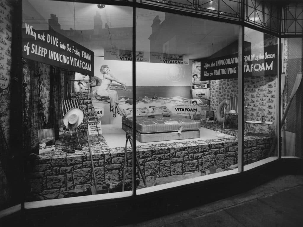
Founded in 1949 on £100 capital, Vitafoam started its original operation manufacturing latex foam products in Oldham, Greater Manchester.
After establishing the business, the company made a major move to its current site in Middleton, Manchester in 1955, acquiring two empty former cotton mills to cope with increased demand.
By 1963, Vitafoam had added the manufacture of polyurethane foam to its business and was providing product speciality for upholstery and bedding markets.
As Vitafoam entered the new millennium the company had made great strides in supplying external foam converters. These rely on Vitafoam to be their business partner and provide their foam needs. This trend continues to grow from strength to strength and is supplemented by our own group conversion companies.
Regaining the river at Chadderton Hall Park.
Its roots stretch back to the 13th century being the land on which Chadderton Hall once stood. It contains a large field area with a small football pitch, a playground area, several flower gardens and a small café situated next to the Park’s bowling green.
Chadderton Hall was first built in the 13th century by Geoffrey de Chadderton, this first hall was in Chadderton Fold slightly to the east of the current park. In 1629 a new hall was built at the site of the current park and was present there until the 20th century when it was demolished in 1939. It was at the end of the 19th Century that the area surrounding Chadderton Hall began to be used for public recreation. A boating lake and a menagerie, including a kangaroo and a lion, were established as part of a Pleasure Garden. These features have long since been demolished but evidence of the boating lake can be seen by the hollowed out area where the playing fields now stand.
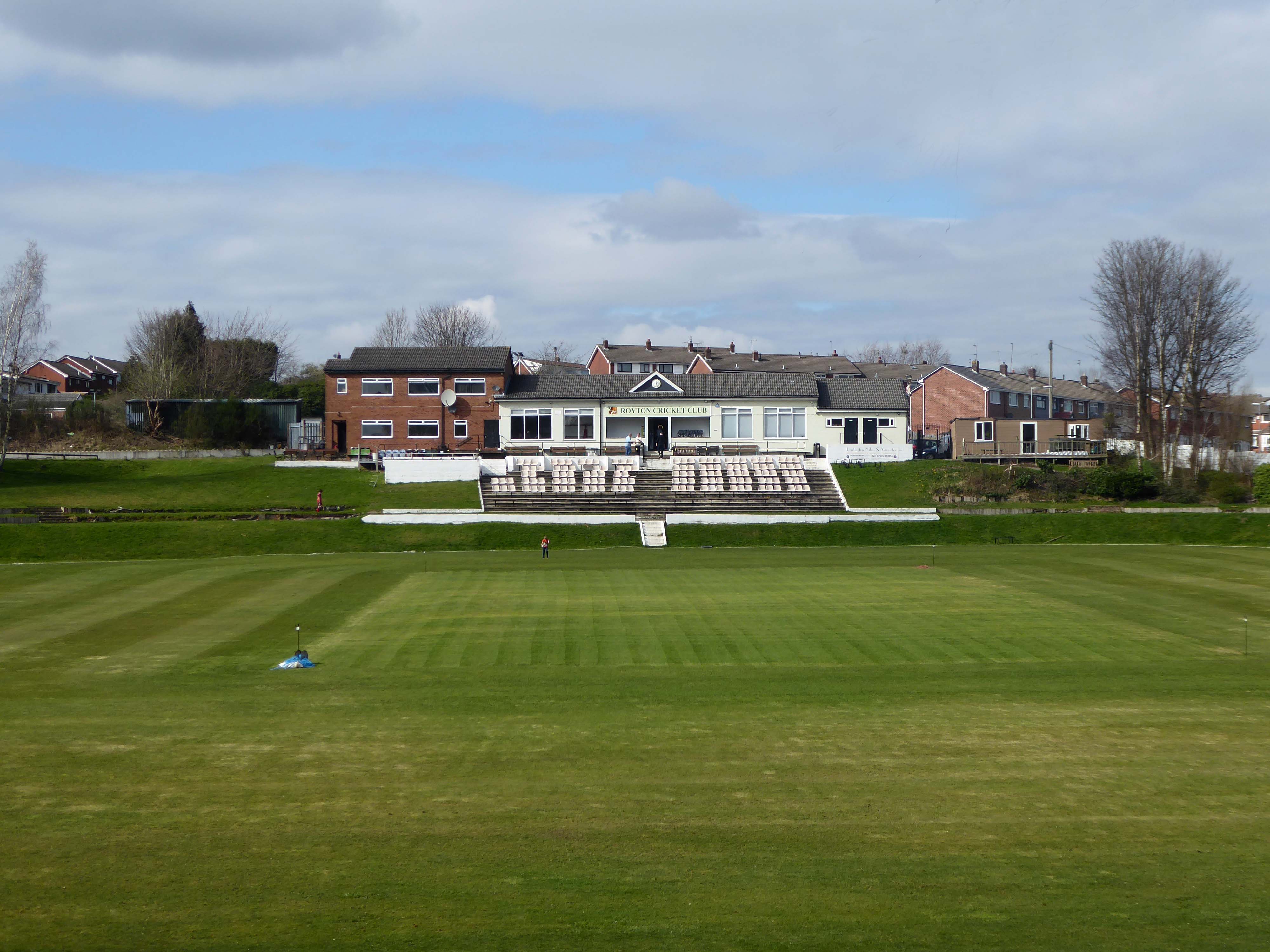
Based in the heart of Thorpe Estate – Royton Cricket, Bowling & Running Club offers a family friendly environment whilst hosting strong, competitive cricket throughout the summer. Bowling throughout the summer along with a Running section – Royton Road Runners, who operate all year round. Along with seasonal events such as our well known firework display along with St Georges Day celebrations – with plans in the pipeline for improvements on current events as well as new exciting projects – it’s a great time to be apart of the club & community!
I have very fond memories of visiting with my dad Eddie Marland as he followed Ashton in the Central Lancashire League – both watching cricket and seeing my dad crown green bowling here.
These now full memorial forests were originally donated to Life for a Life by Oldham Metropolitan Borough Council. Salmon Fields meadow sits adjacent to a lovely pond that is used regularly by fishing enthusiasts and is frequently used as a breeding site for Canadian Geese.
Life for a Life planting areas are natural environments where we encourage wildlife and plantlife to flourish, as such additional items should not be added to the tree or the space around it, especially as they can cause damage to the tree.
Please be aware that any prohibited items left on or around memorial trees will be removed.
Although these sites are now full to the planting of new memorial trees if you have an existing memorial tree dedicated you can still upgrade memorial plaques, add additional ashes to a memorial tree, order memorial keepsakes etc.
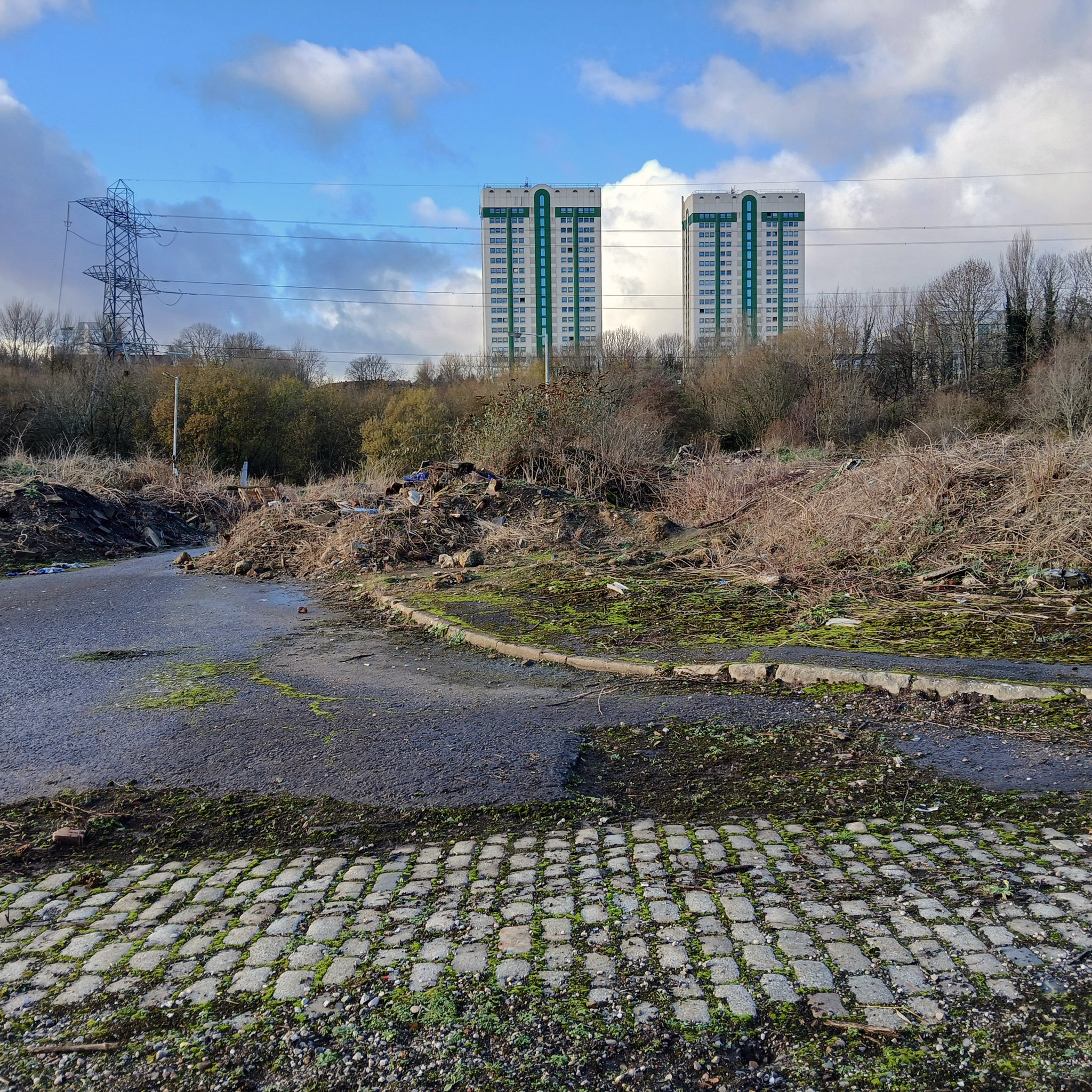
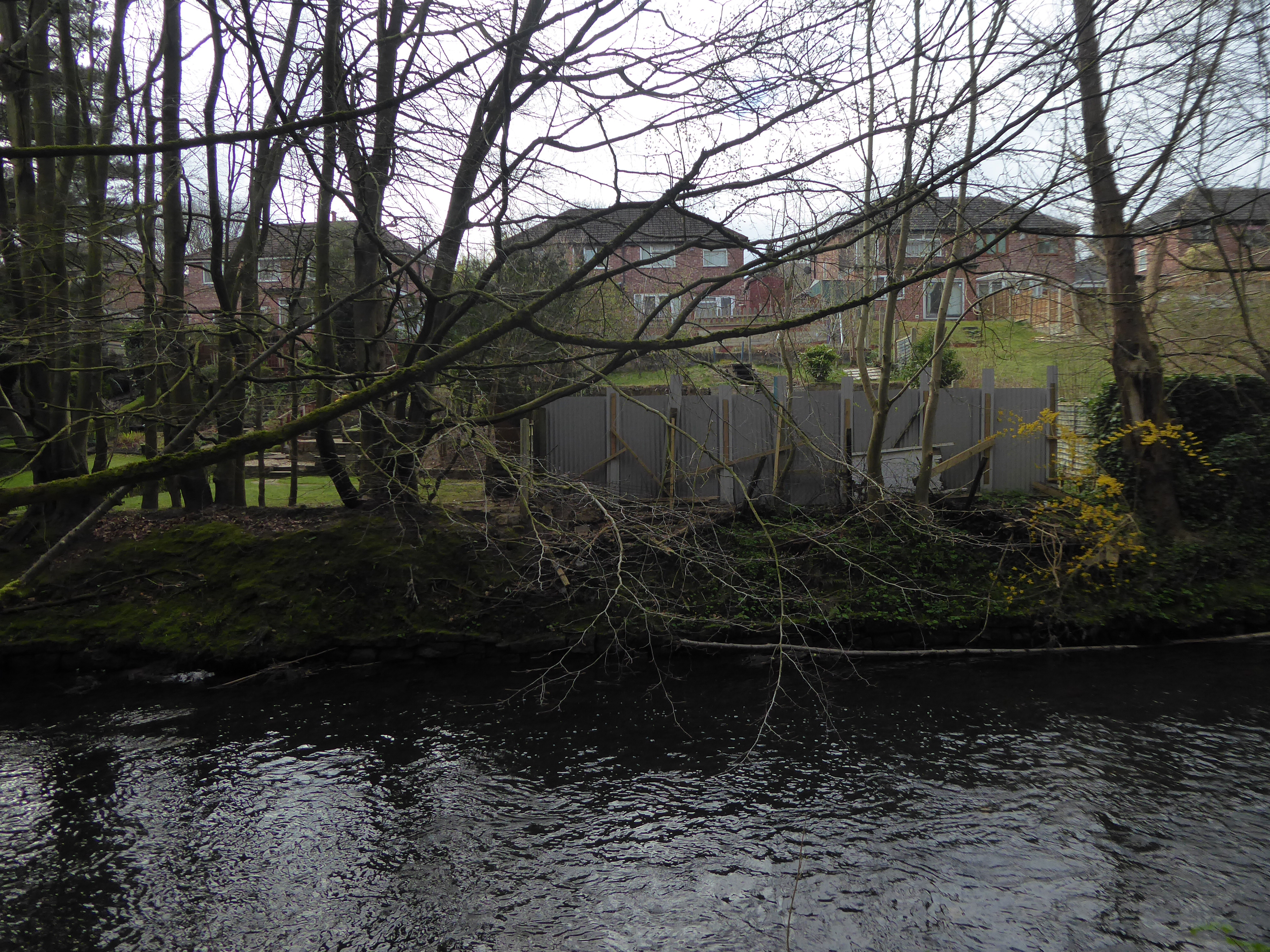
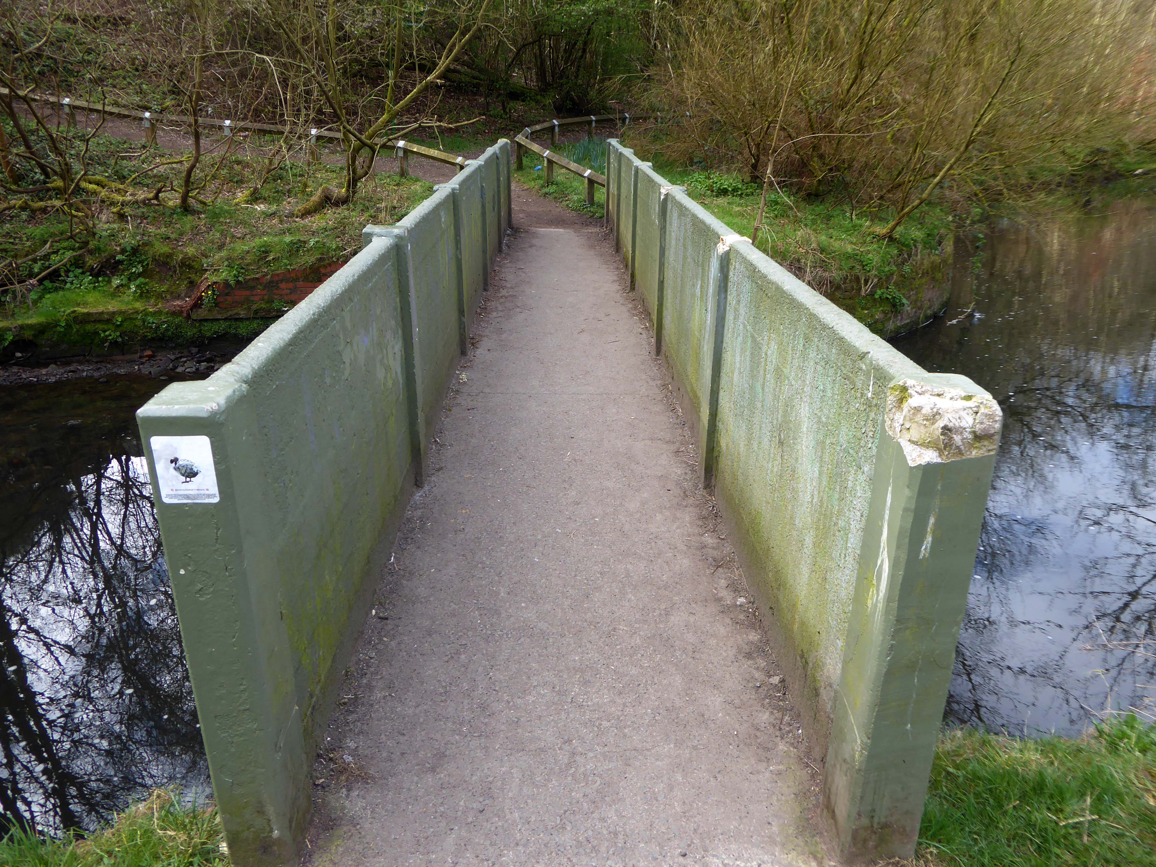
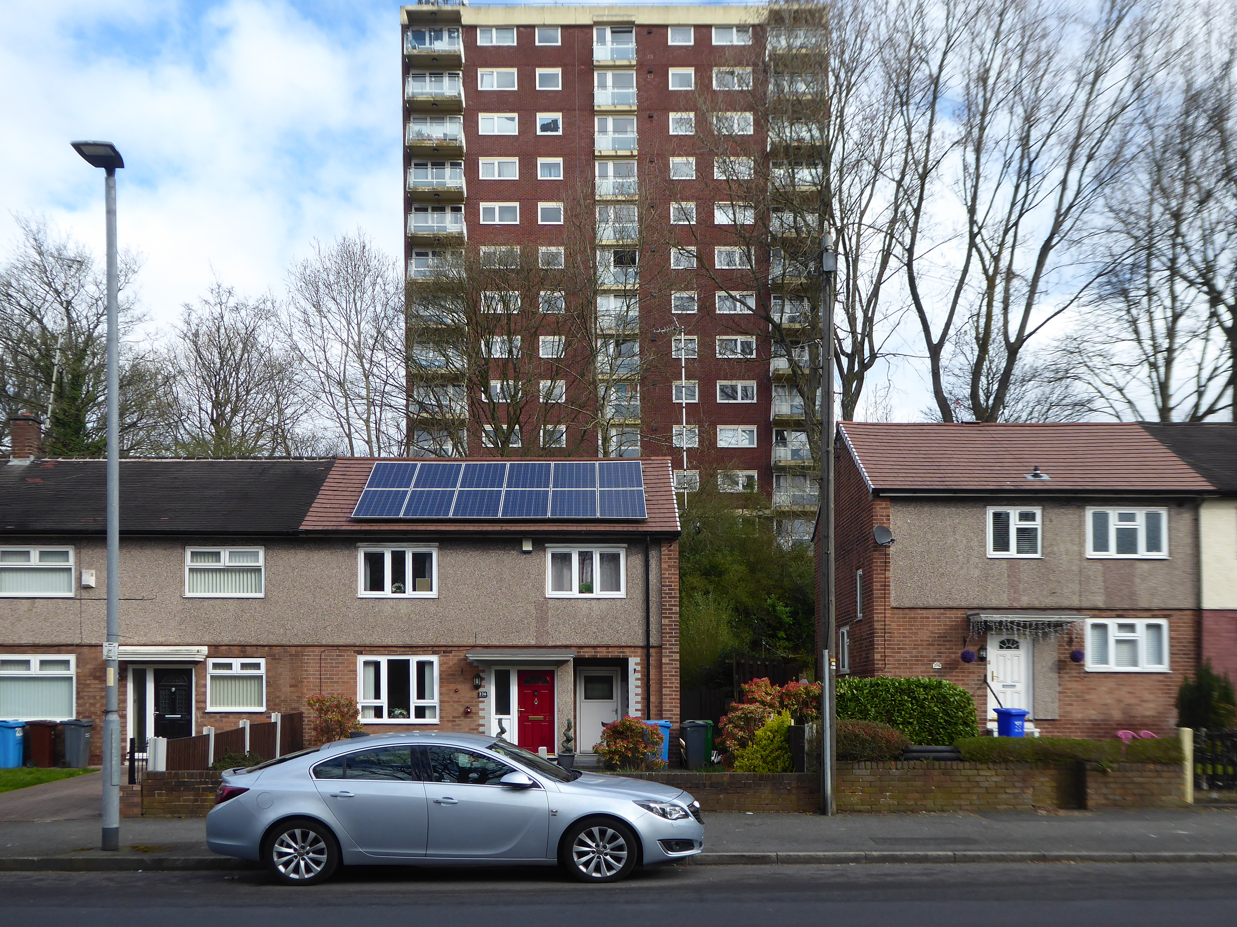
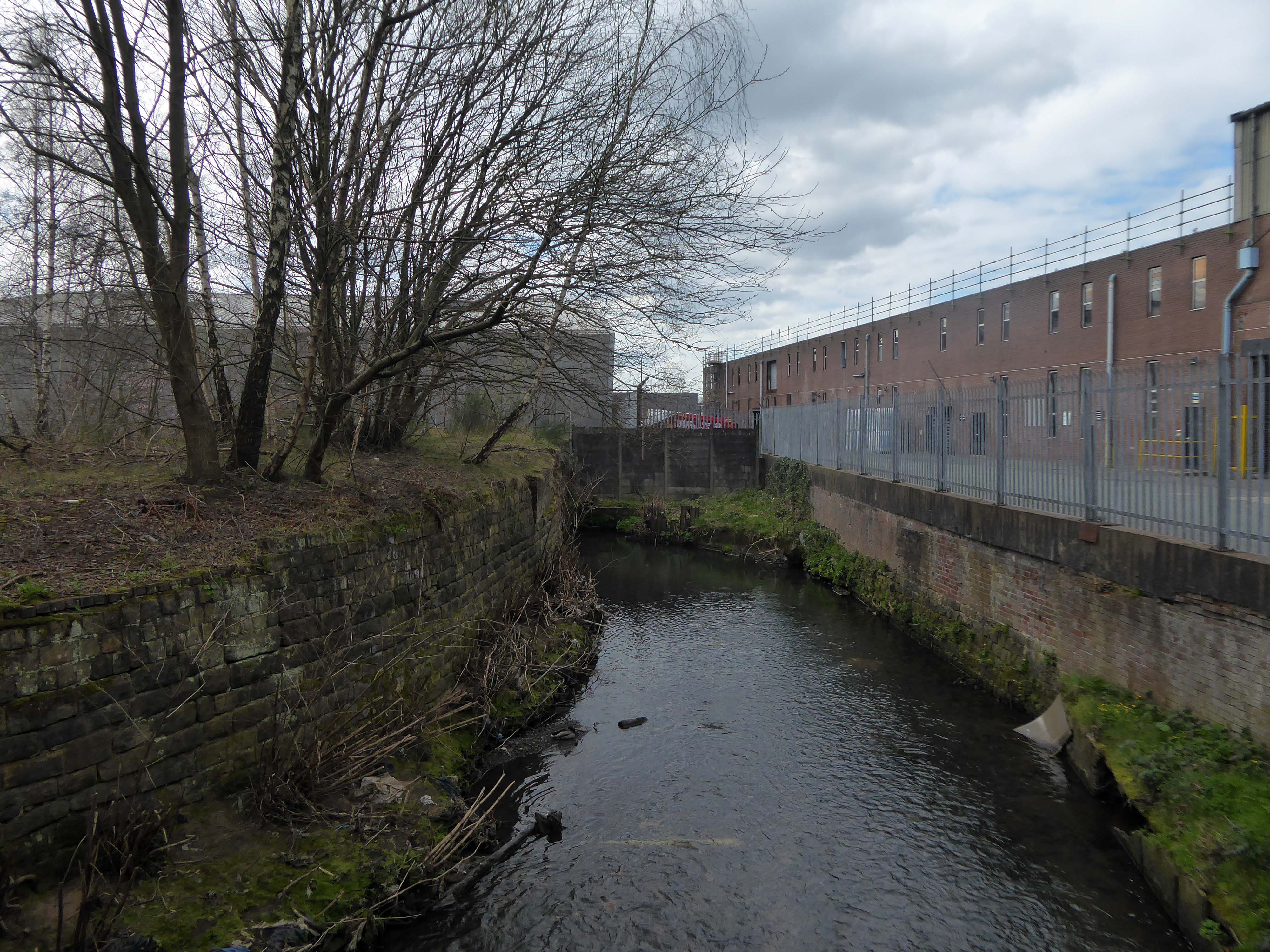
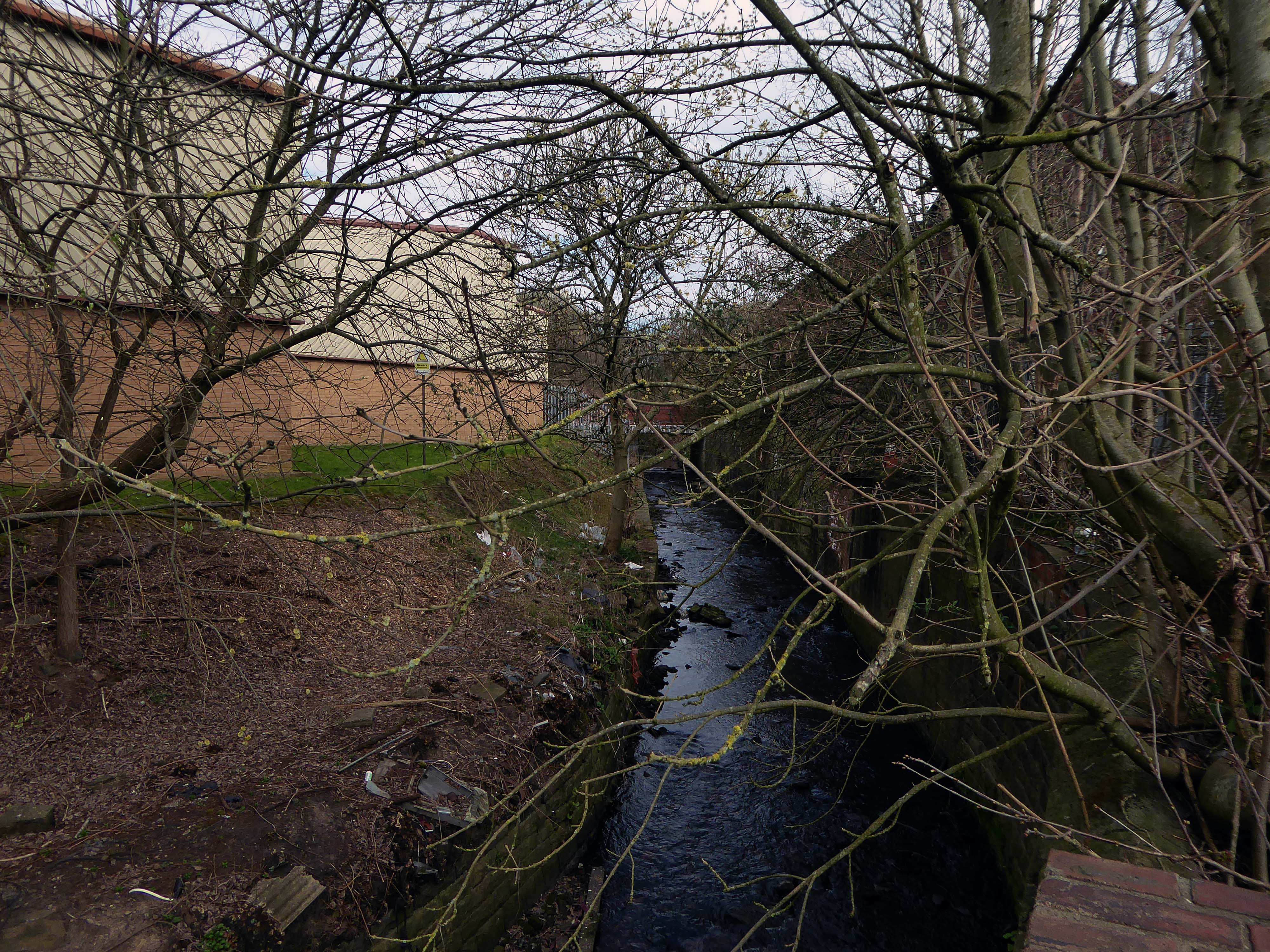
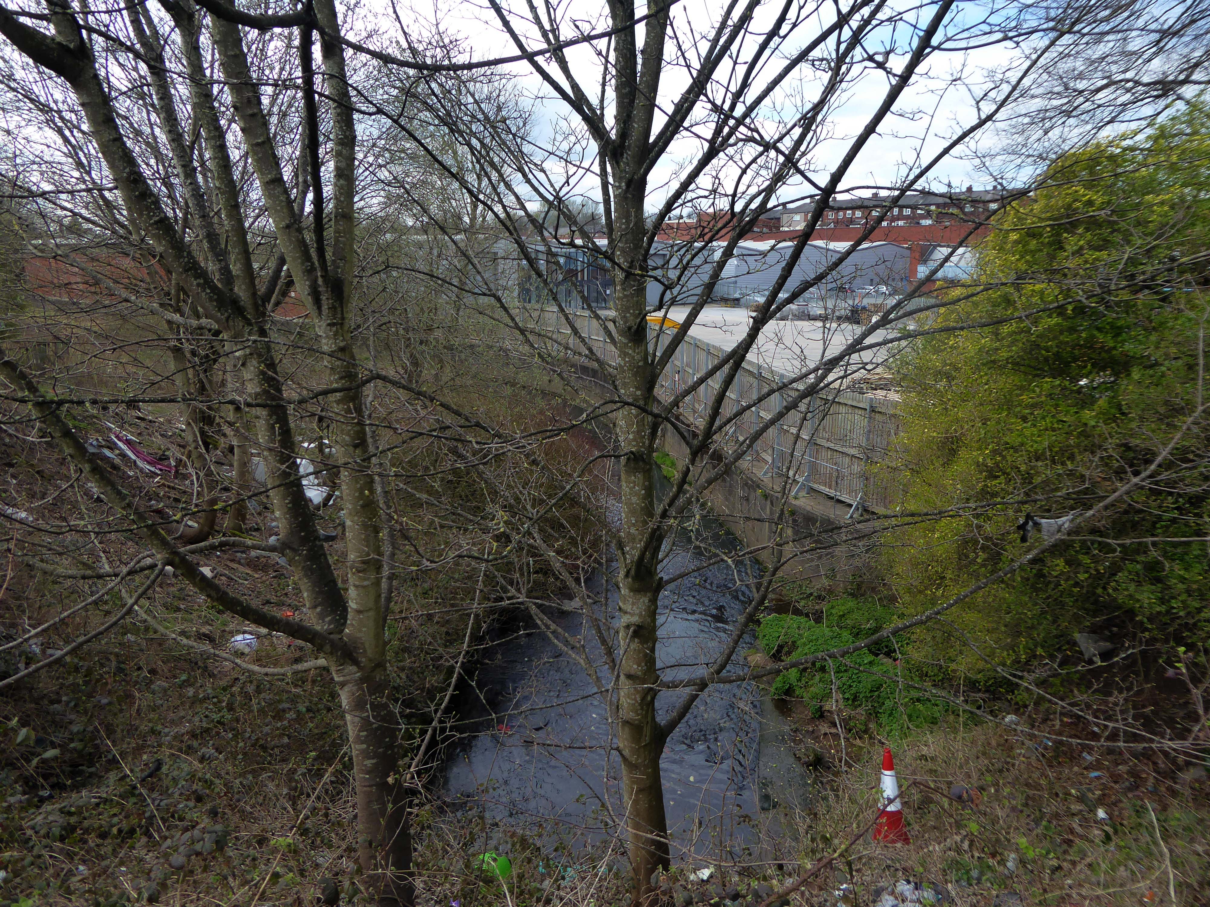
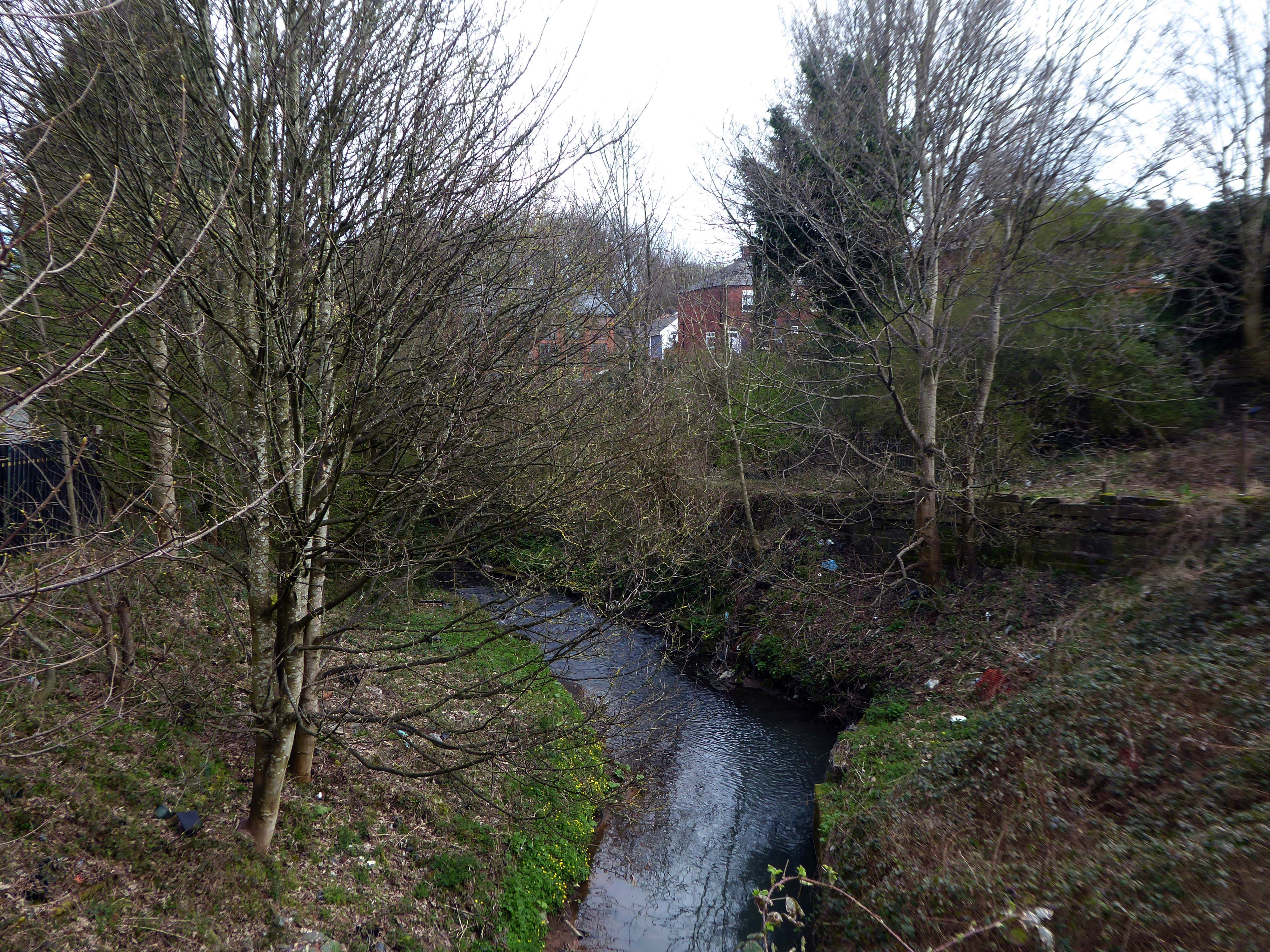
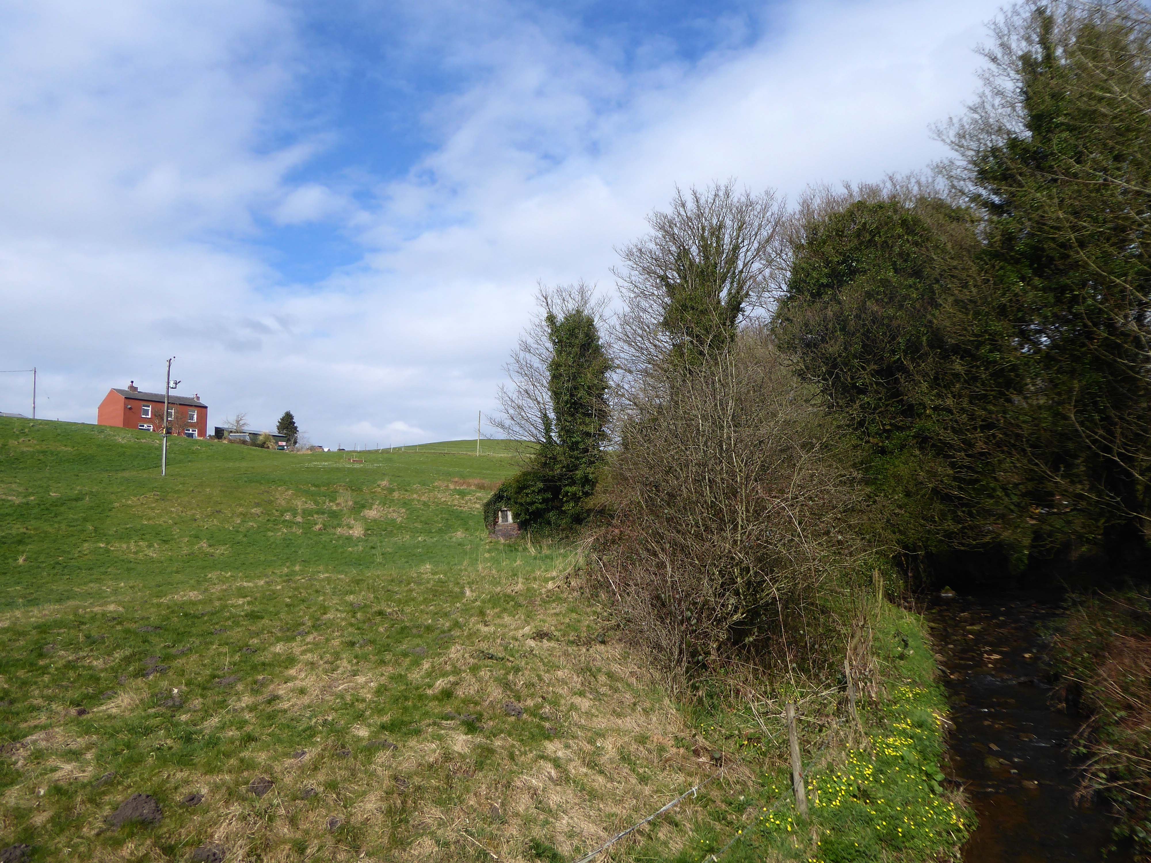
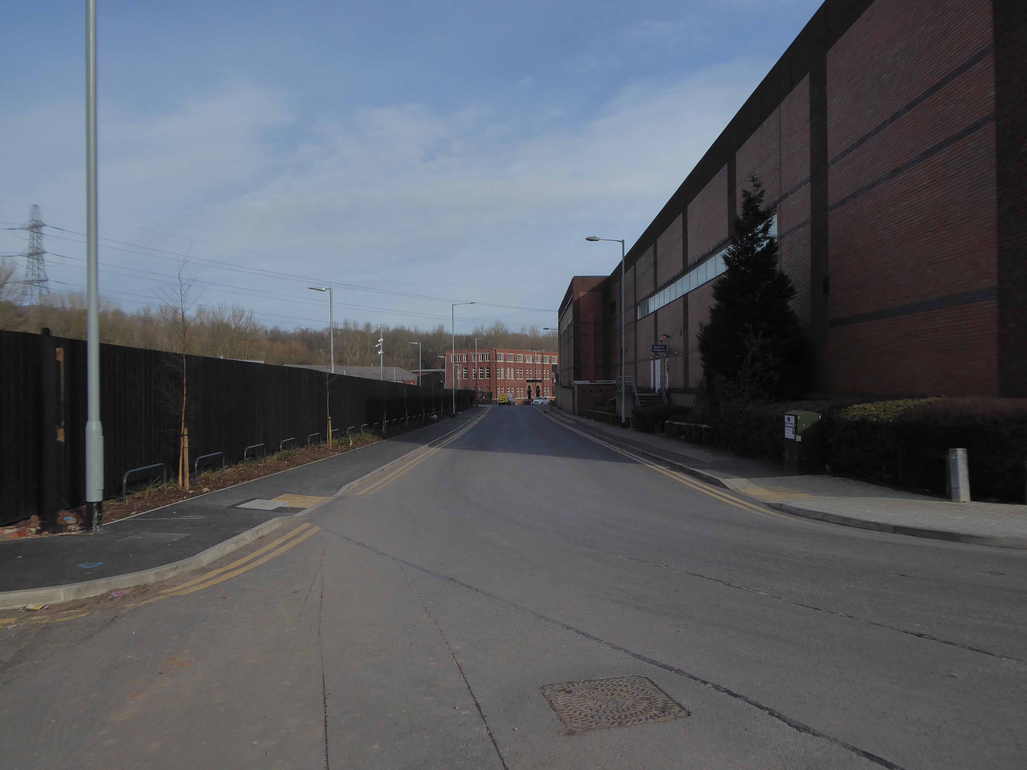
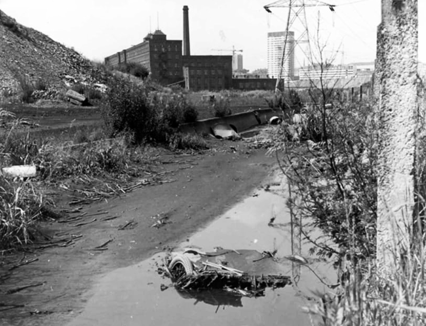
I often walk around here, the space enclosed by the River Tame and the M60, it was a maze of busy streets, home to peoples’ homes, industry, pubs, clubs and railways.
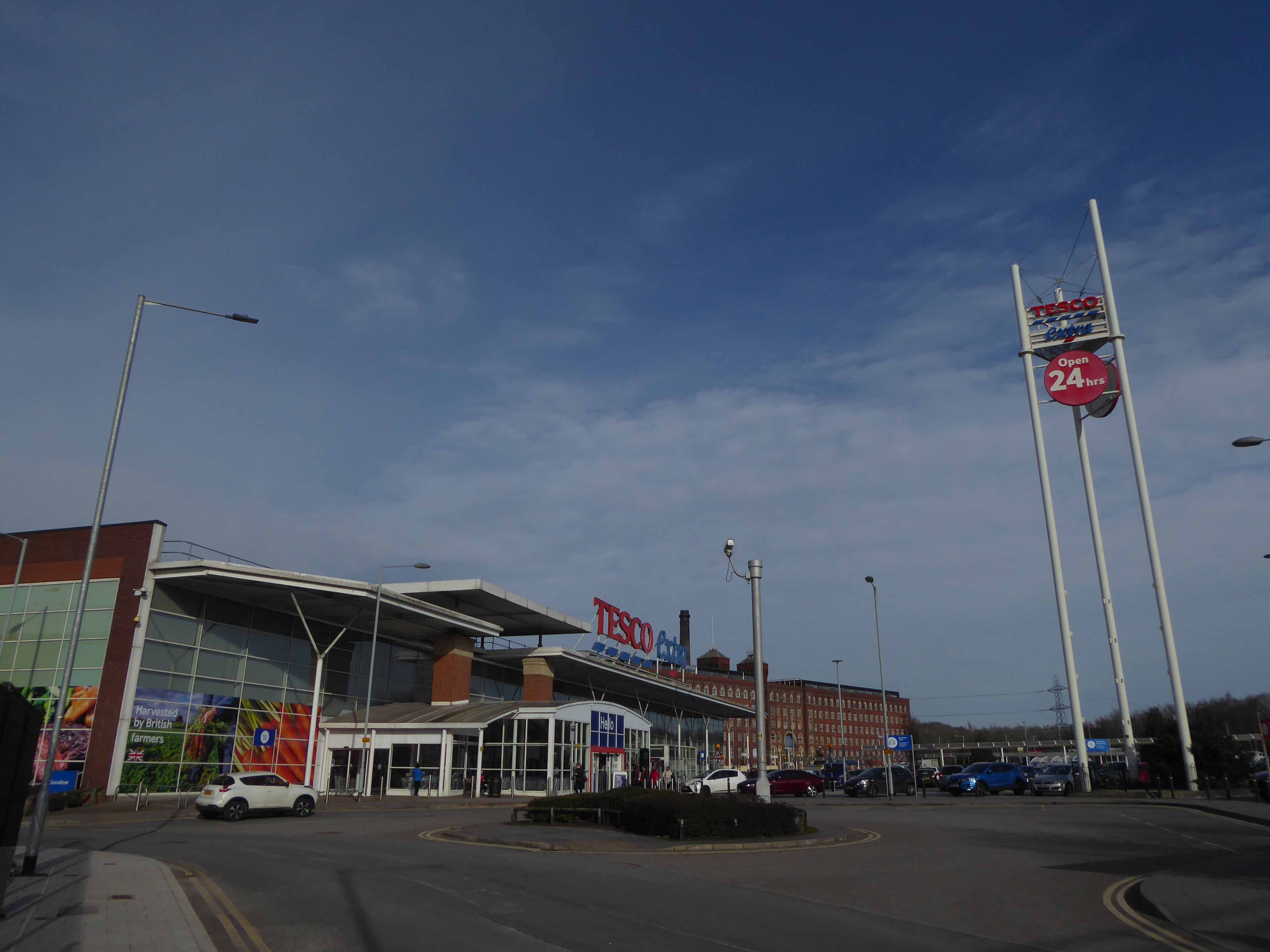
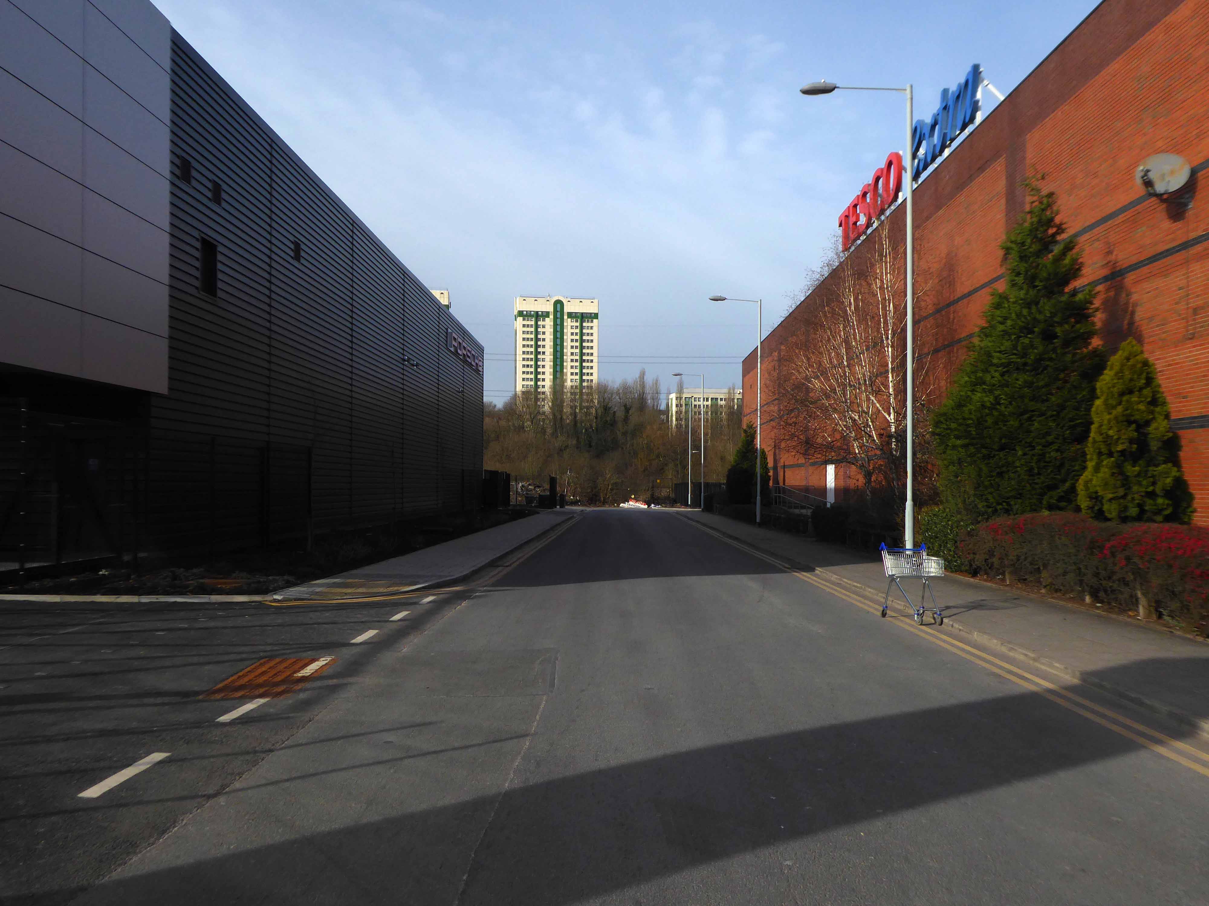
Much of that is now gone, either left to its own devices, untended rough empty ground, or overwritten by the newly built Tesco Extra and Porsche dealership.
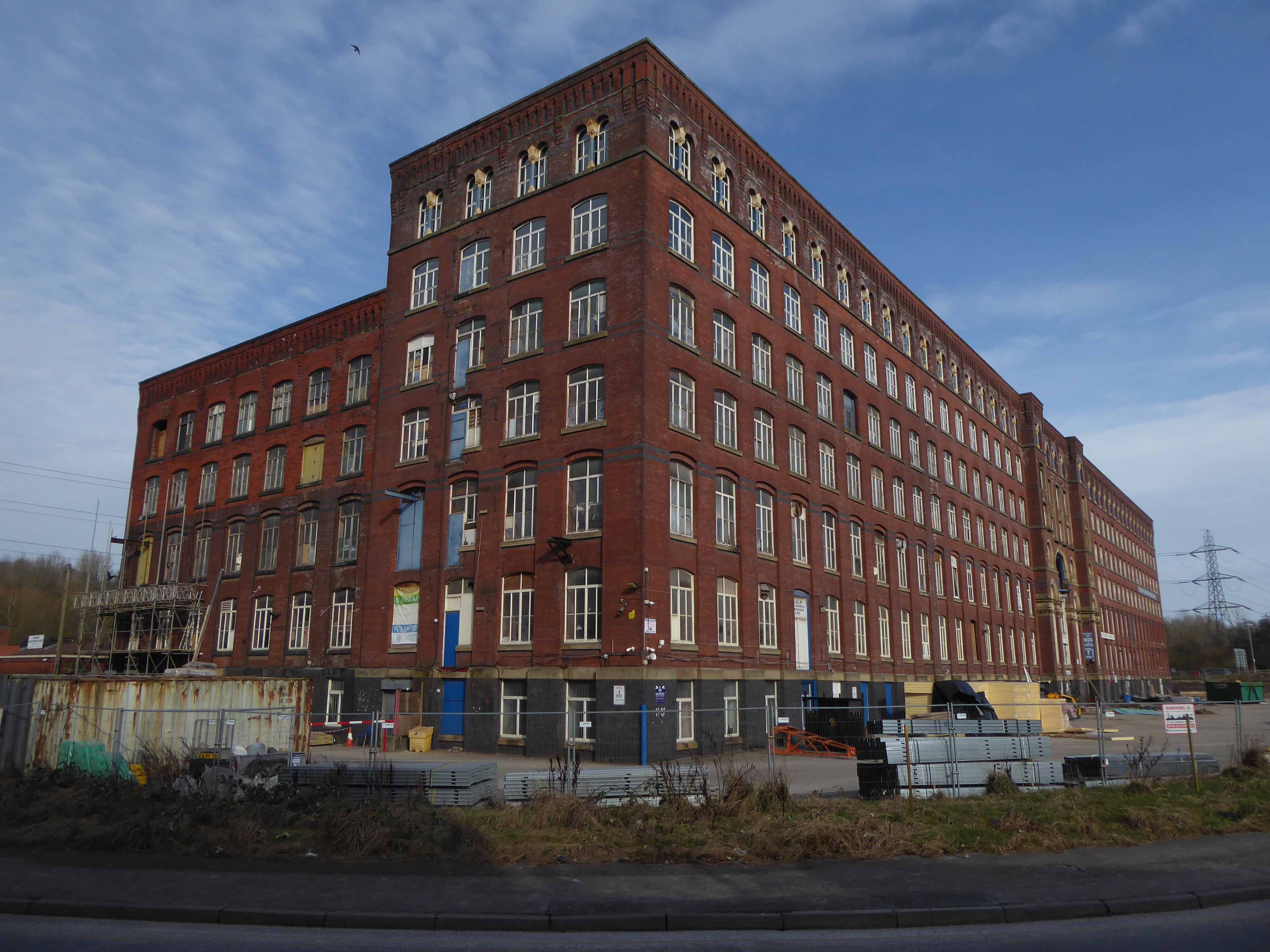
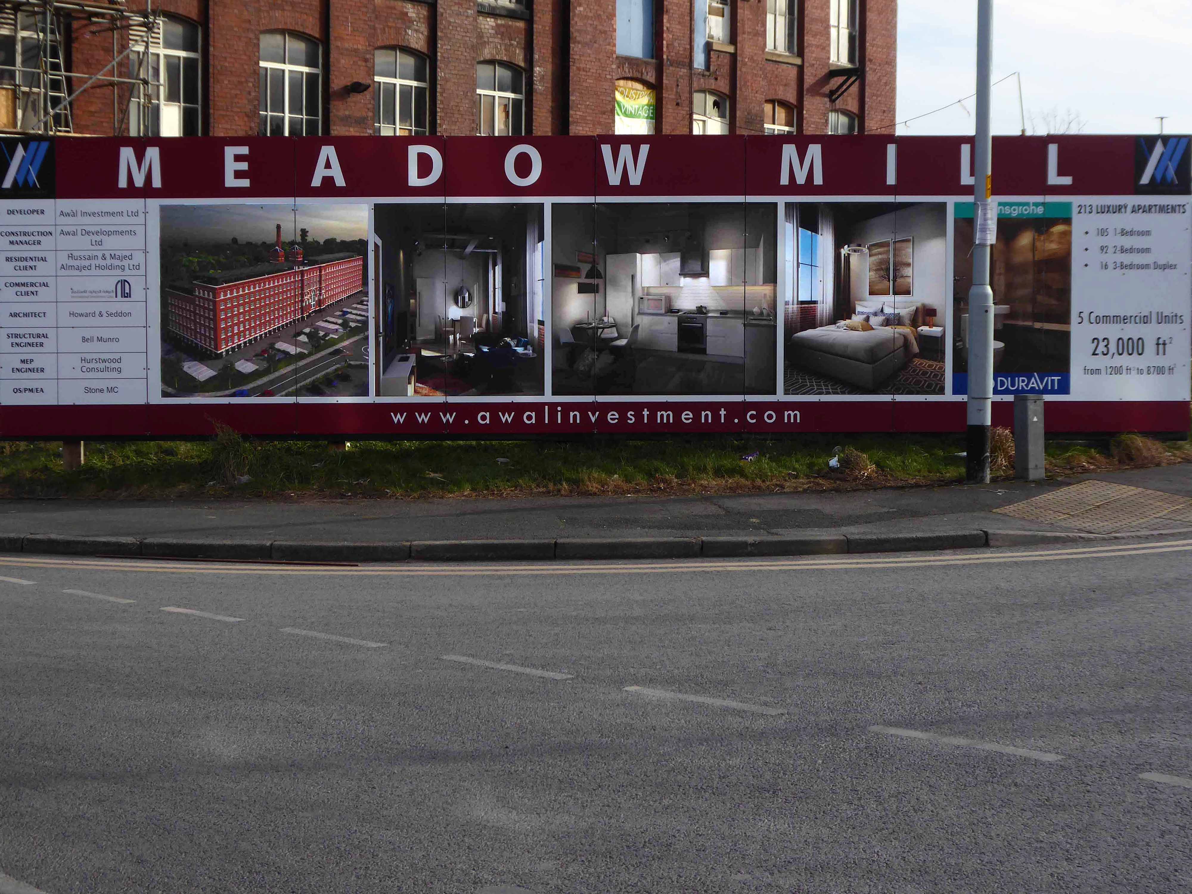
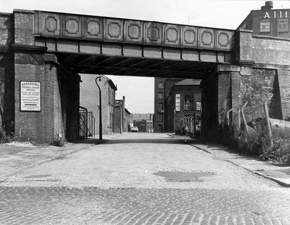
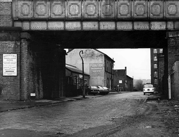
Water Street, Portwood looking north, taken from Avenue Street. Looking underneath the railway bridge, on the left hand side, the first building used to be a public house called ‘The Beehive’, further along was Kent & Swarbrick’s Tripeworks, now a precision engineers, then North West Concrete Works – Easymix. On the right is Coxson’s Brushworks, then the Portwood Mill, Kershaw’s Tannery and the Meadow Mill at the bottom of the street.
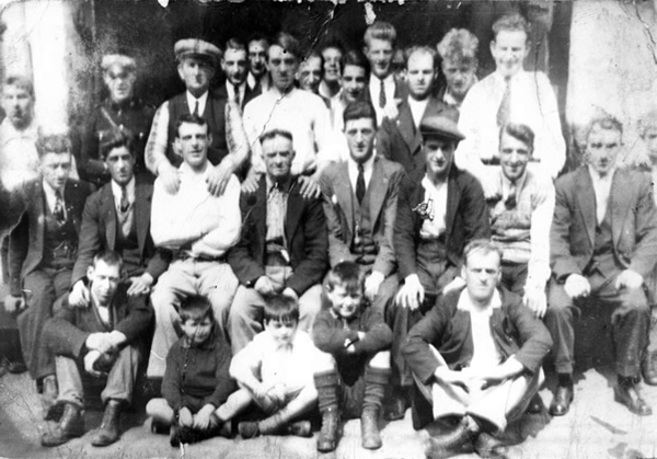
The area was also home to the Blood Tub boxing ring.
Outside the Blood Tub Back Water Street Portwood.
Centre row left to right Billy PittTaylor Micky PelhamJack HulmeJo Moran owner John MorryBobby RileyLaurie Glen a jockey
2nd row from the back – James Jimmy Rose.
Back row left to right – Charlie Dean An ambulance man Ike Irelands horse dealer – Team from Macclesfield.
Extreme right – Jo Mulrooney.
Front row left to right extreme left – Sidney Smith soft Sidney – a simpleton Jo Hulme.
Copied from a photograph lent by Eddie Pitt
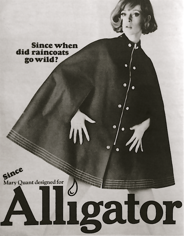
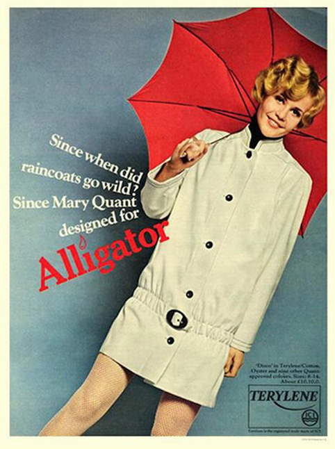
Alligator Rainwear – a British company, whose main factory was based in Beehive Mill. It was best known for its 1960s collaborations with Mary Quant in the design and production of her Wet Look collection of PVC raincoats.
The firm was started after the First World War by Reuben Satinoff, who had previously founded the London Waterproof Company – Silkimac. It was taken over by his sons after the Second World War. For decades, it manufactured traditional weatherproof raincoats in black, brown and beige, but the collaboration with Quant led to new fabrics including PVC and nylon, and a range of bright and vibrant colours.
At its peak in the 1960s and 1970s, Alligator had a turnover of £5 million per year and was exporting its products to Europe and North America. It was later owned by Baker Street Brands who describe it as one of their heritage brands.
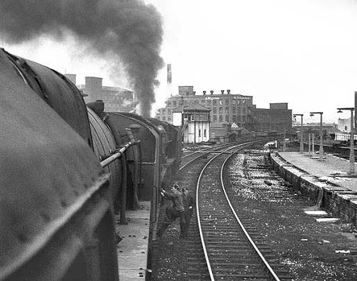
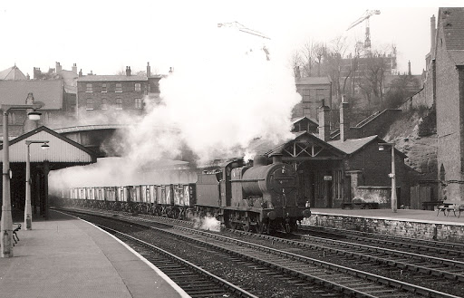
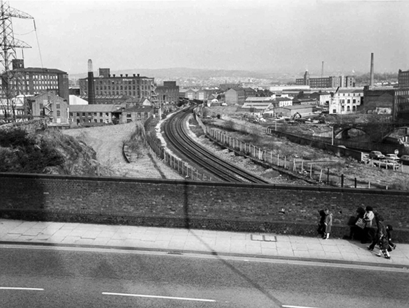
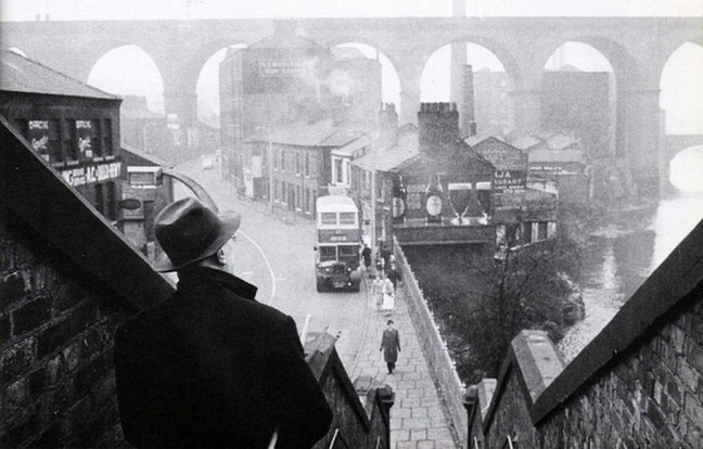
Viewed from Tiviot Dale Viaduct
Tiviot Dale station was located on the Cheshire Lines Committee (CLC) operated Stockport, Timperley and Altrincham Junction Railway line from Portwood to Skelton Junction, a section of what became the Woodley to Glazebrook line. It was situated at the bottom of Lancashire Hill, next to the present motorway bridge. It was opened on 1 December 1865 and was originally known as Stockport Teviot Dale. From 1880, Tiviot Dale was also served by long-distance trains running on the Manchester South District Railway to London St Pancras.
Tiviot Dale remained a part of the CLC, which was jointly owned from 1923 by the London and North Eastern Railway and the London Midland and Scottish Railway, until 1948 when it became part of the British Railways London Midland Region.
The lines through the station remained in heavy use by coal trains heading for Fiddlers Ferry power station near Warrington from the Woodhead Line. These, however, ceased in 1980 when damage was caused to the nearby Tiviot Dale tunnel during construction work on the M63 motorway – now M60 motorway and the line temporarily closed for safety reasons. The closure was made permanent west of Bredbury’s stone terminal in 1982, following the demise of the Woodhead route; the track was subsequently lifted in 1986 and the tunnel partially filled in. The area surrounding the station was further altered at the beginning of the 21st century to allow the construction of a supermarket and office buildings, which now block the old trackbed.
Portwood Railway Station was on the Stockport and Woodley Junction Railway – later becoming part of Cheshire Lines Committee – Glazebrook to Woodley line. According to Bolger it opened to passengers on 12 January 1863, along with the rest of the Stockport and Woodley Junction Railway, although Butt suggests it opened on 1 December 1865 when the Stockport, Timperley and Altrincham Junction Railway opened.
The station opened for goods traffic in 1865, closing to passengers on 1 September 1875, when it became a goods station. It remained in use until 25 April 1966 when it closed except for coal traffic which continued until 27 March 1972 when it closed entirely except for a private siding.
Today no trace of the station remains, the site being buried under a slip road of the M60 motorway.
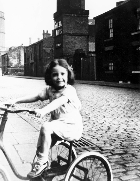
Monica Clarke on her tricycle in Marsland Street, behind her across the cobbled street is the Sheba Works – 1951.
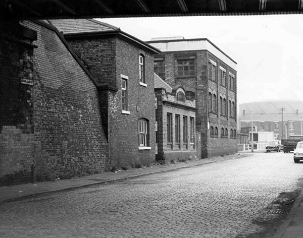
Marsland Street east, showing the Haymarket Chambers – 1967
The front of Haymarket Chambers Marsland Street.
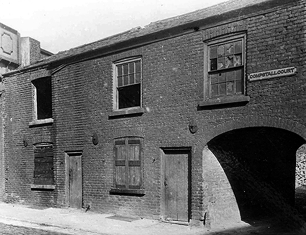
Boarded up dwellings on Compstall Court, off Marsland Street.
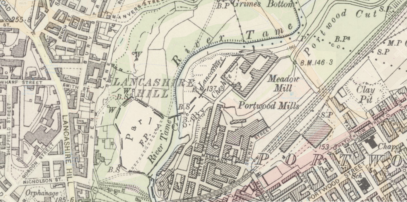
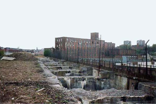
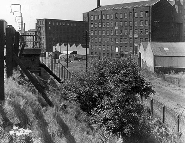
Portwood Cut 1968
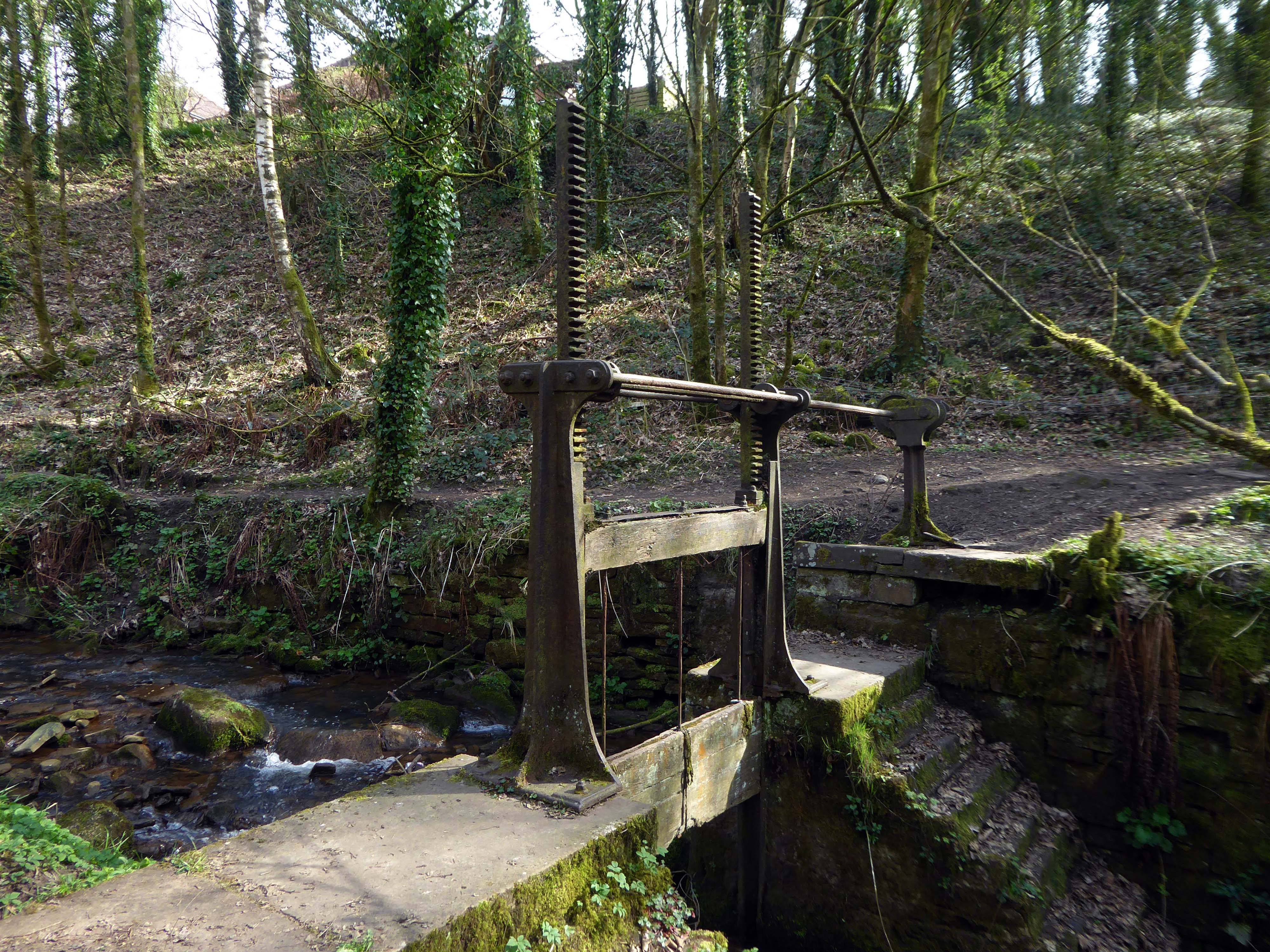
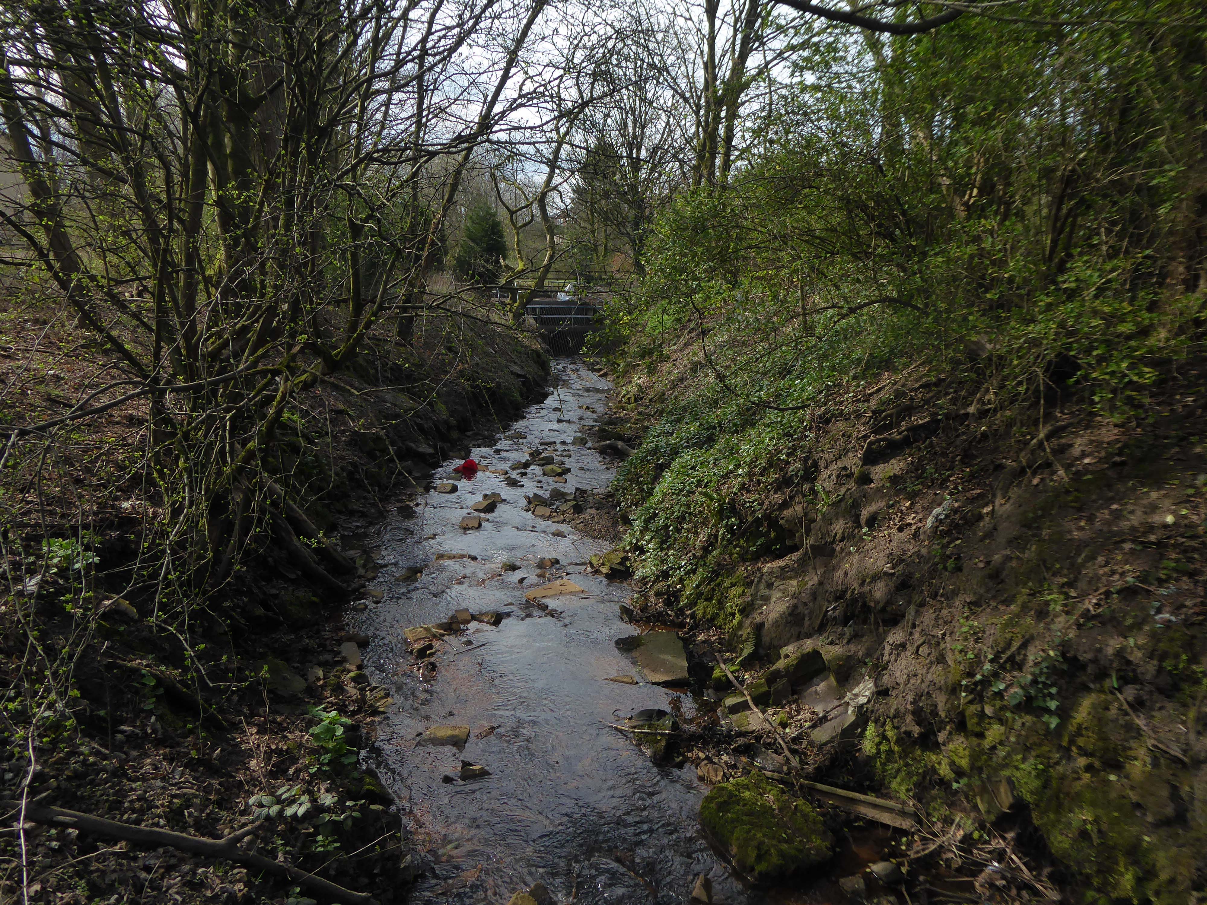
James Harrison bought the manor of Brinnington in the early 1780’s – by 1790 Harrison had three factories in Portwood and others were to follow. In 1796, to provide sufficient water-power to this industrial zone he constructed a substancial millrace. Known as the Portwood Cut, it carried water across the Tame, between his Reddish and Brinnington estates. Harrison also planned the construction of factories at Wood Hall but that particular scheme was abandoned after his death in 1806.
Harrison’s Weir still survives on the river. To the south sections of the Portwood Cut also survive within Reddish Vale Country Park, both as a shallow depression and as water-filled, if somewhat silted and overgrown channel.
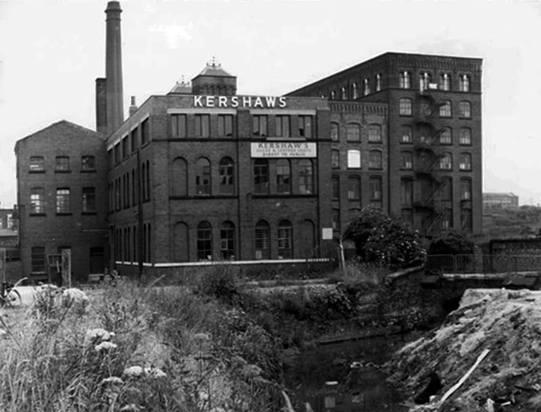
Kershaws is one of the only original businesses which still trades in the area.
Established back in 1855 by Joshua Kershaw, the company has gone from strength to strength.
Way back then, it was just a tannery. Today, seven generations on, Edward Kershaw heads a company that is known and respected for it’s quality leather in Europe, America and the Far East.
Kershaws also provide white leather for masonics and bagpipes.
Brewery Street – a view of the steps leading to the railway footpath to Tame Street – 1967.
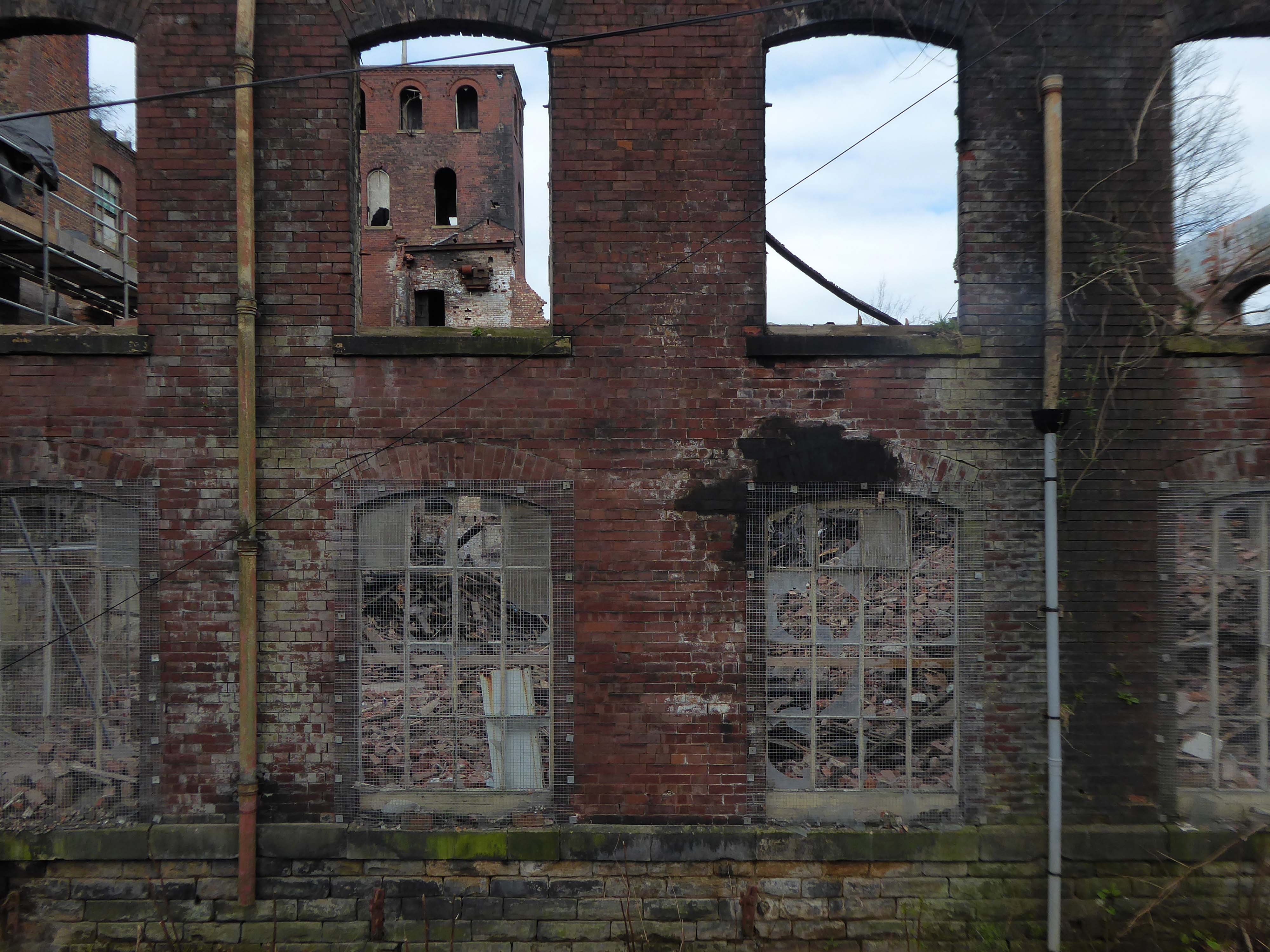
The mill in the foreground is the Portwood Spinning Mill now called Portwood Mill – on the front of the mill it states Sir Richard Arkwright Portwood Mill.
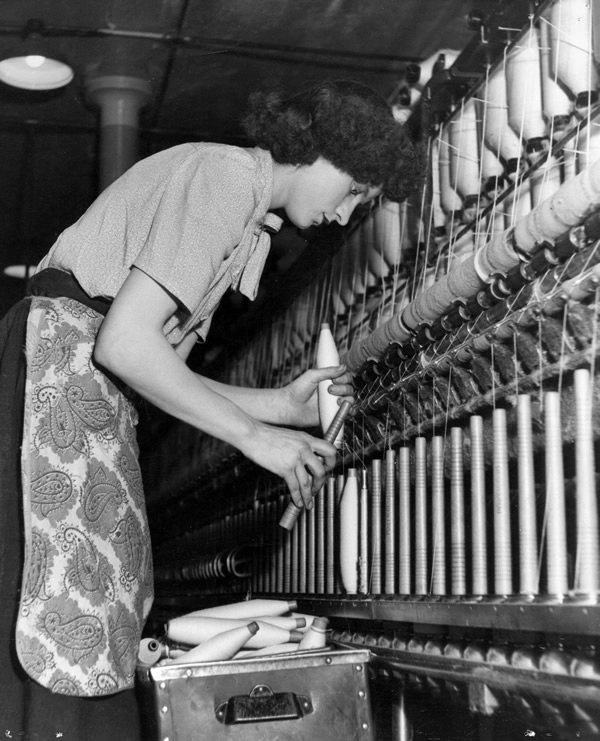
Employees – Portwood Spinning Company
Coal drops and yard at the rear of the Beehive Spinning Mill
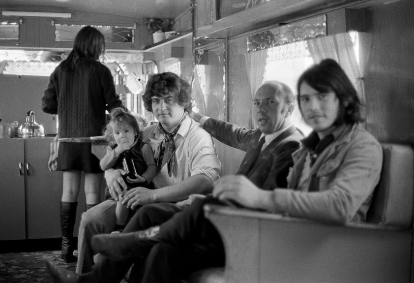
Tame Street gave motorized access to the Cut and here the caravans of travelling folk were parked several times a year, usually until the police ‘moved them on’. The men collected and sold scrap metal, the women sold clothes pegs and told fortunes from door to door. Many of the local people treated them with suspicion and some local pubs would not admit them.
Building work on Lancashire Hill can be seen in the background – 1968
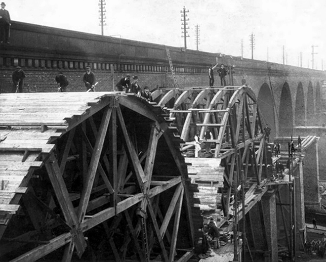
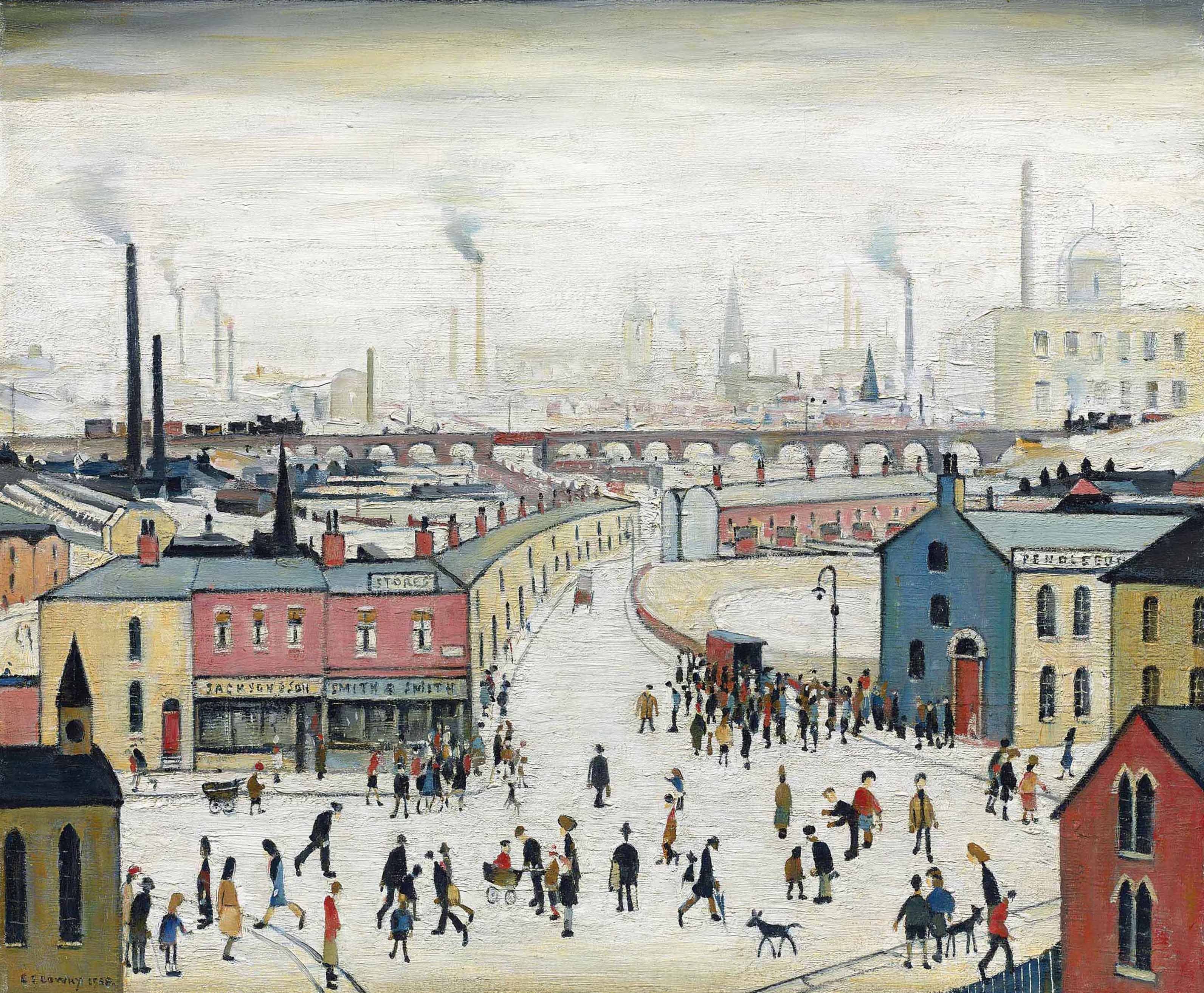
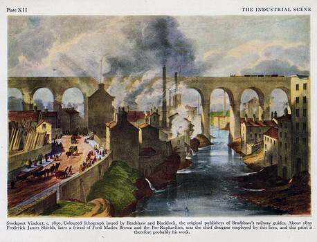
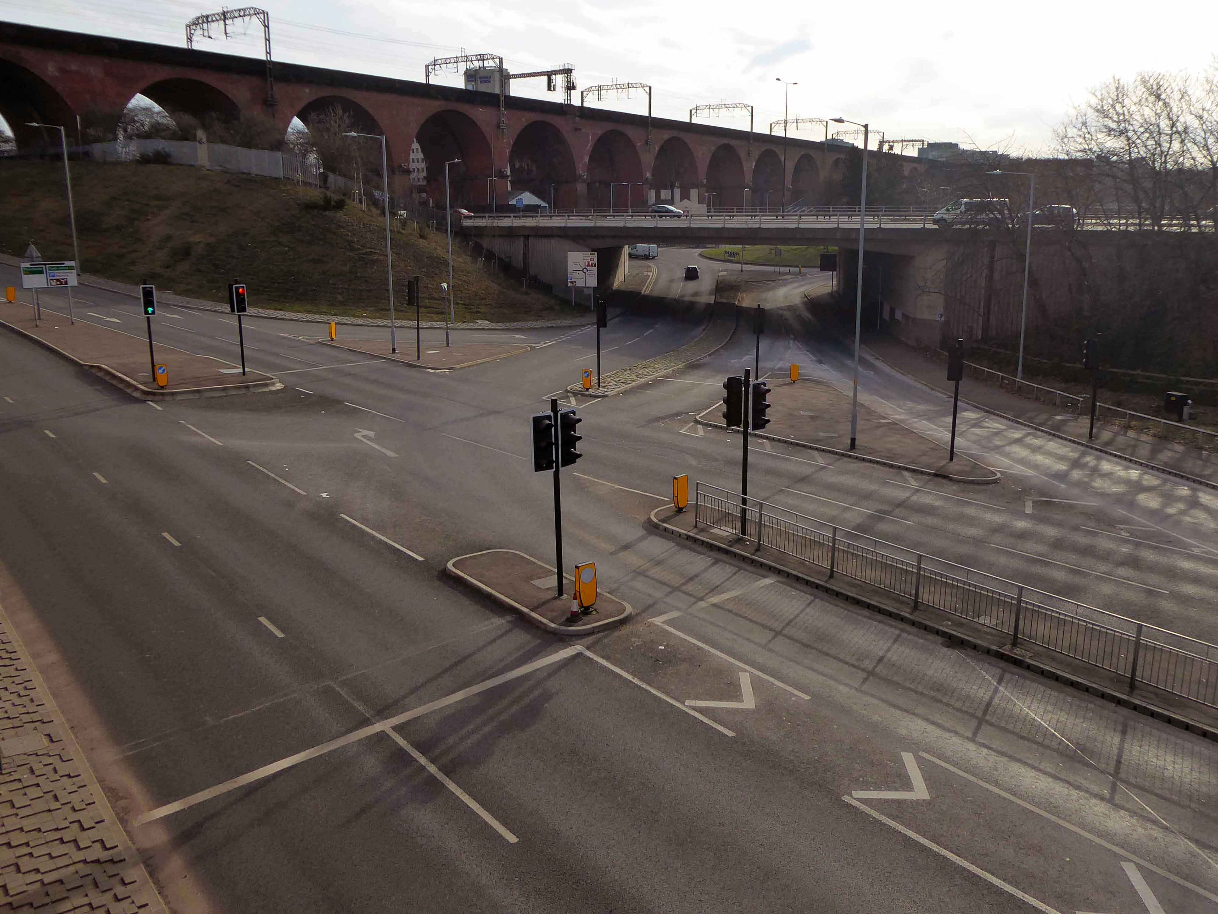
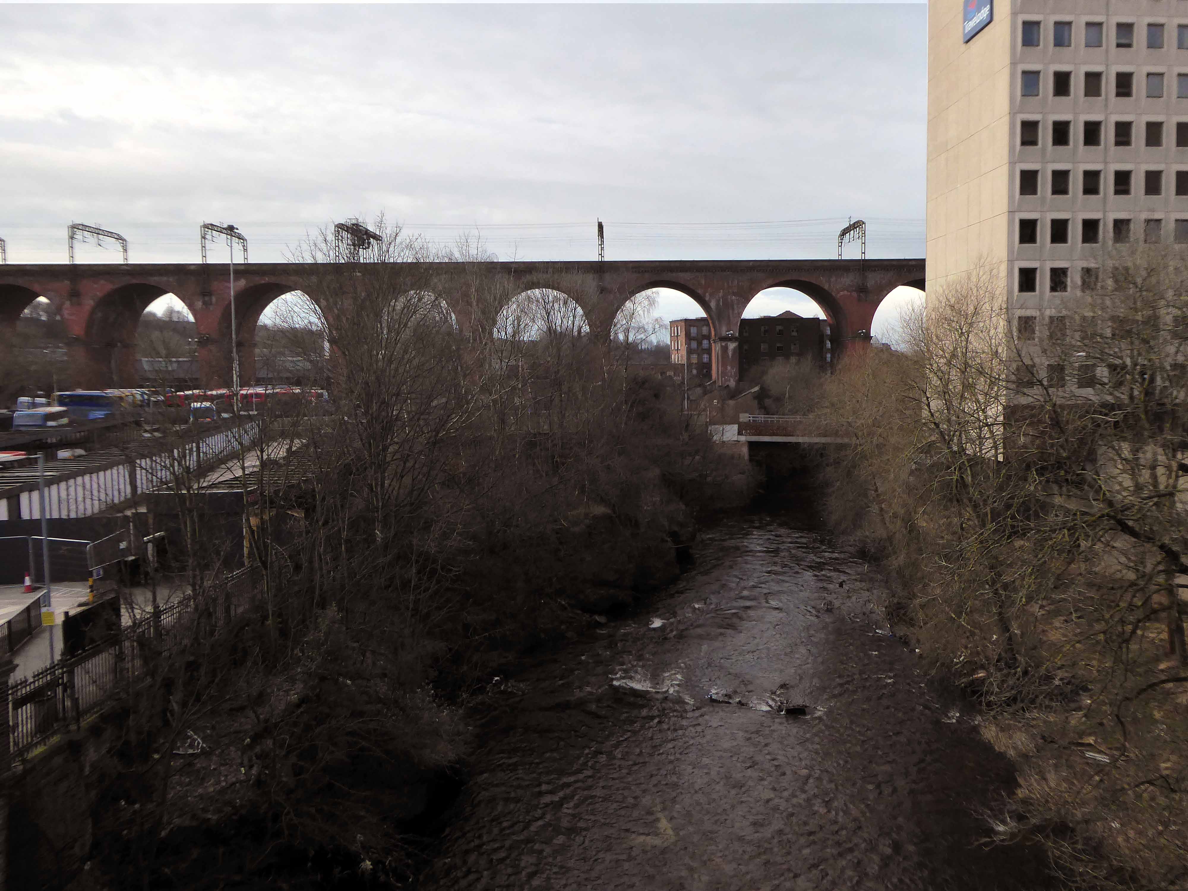
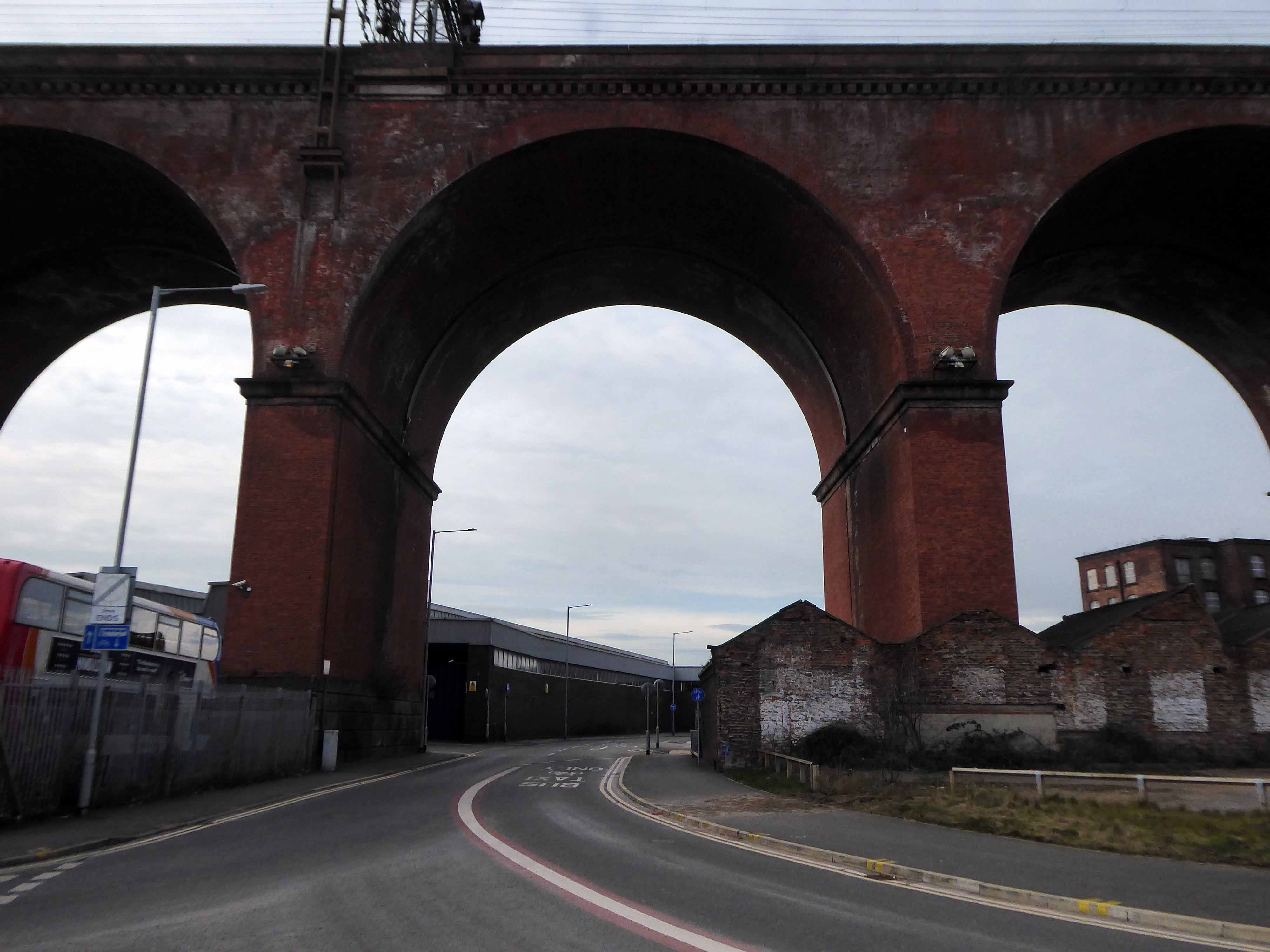
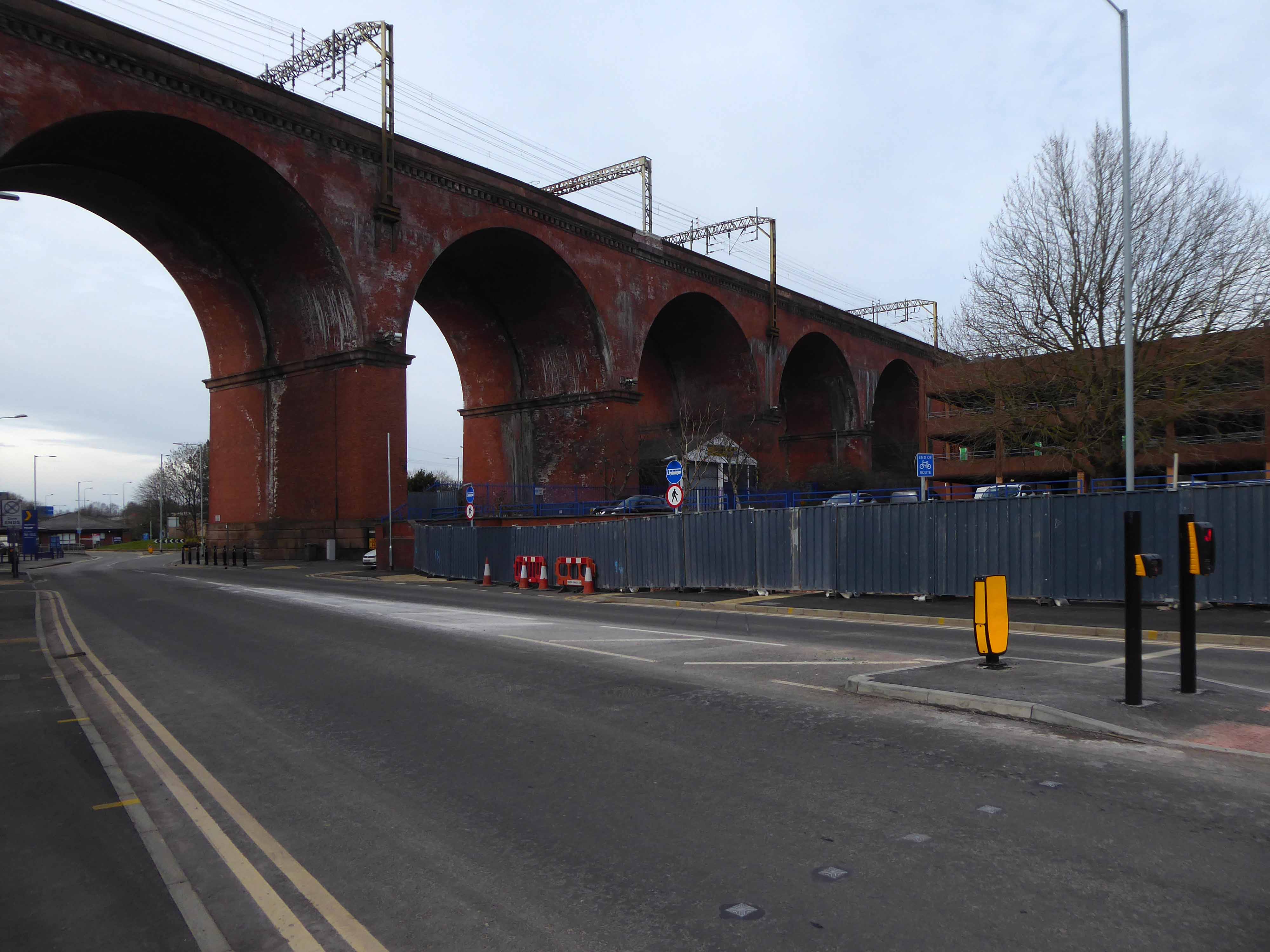
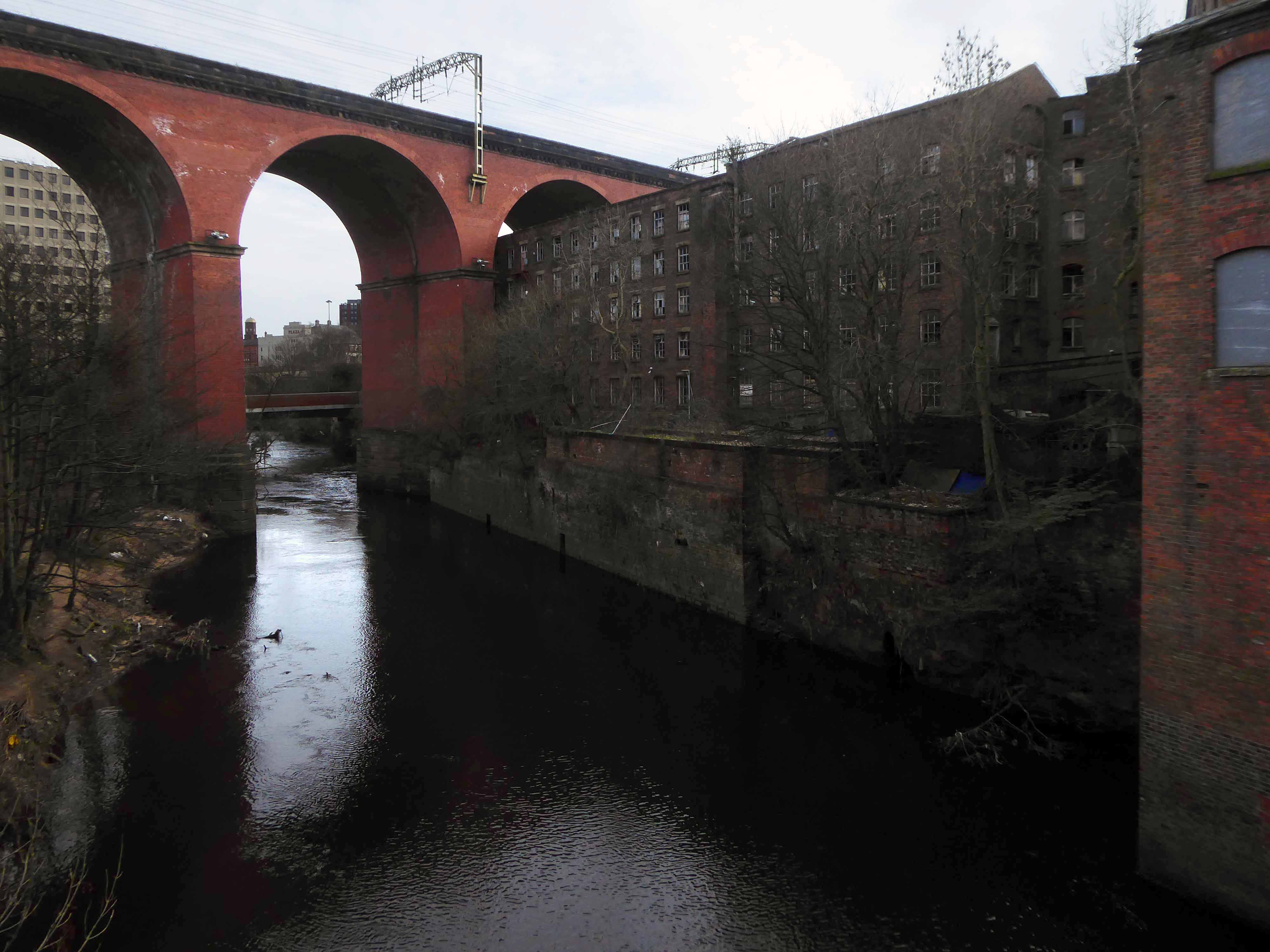
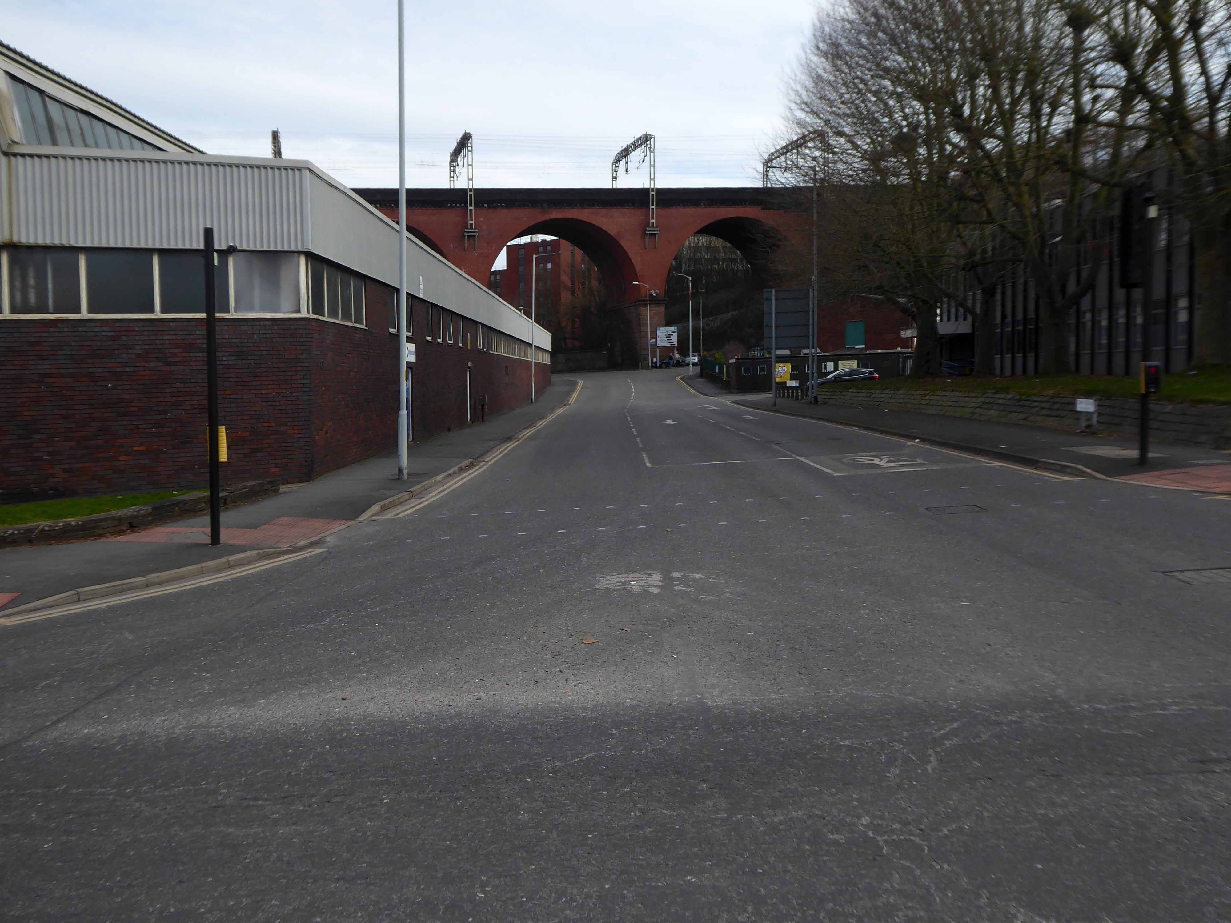
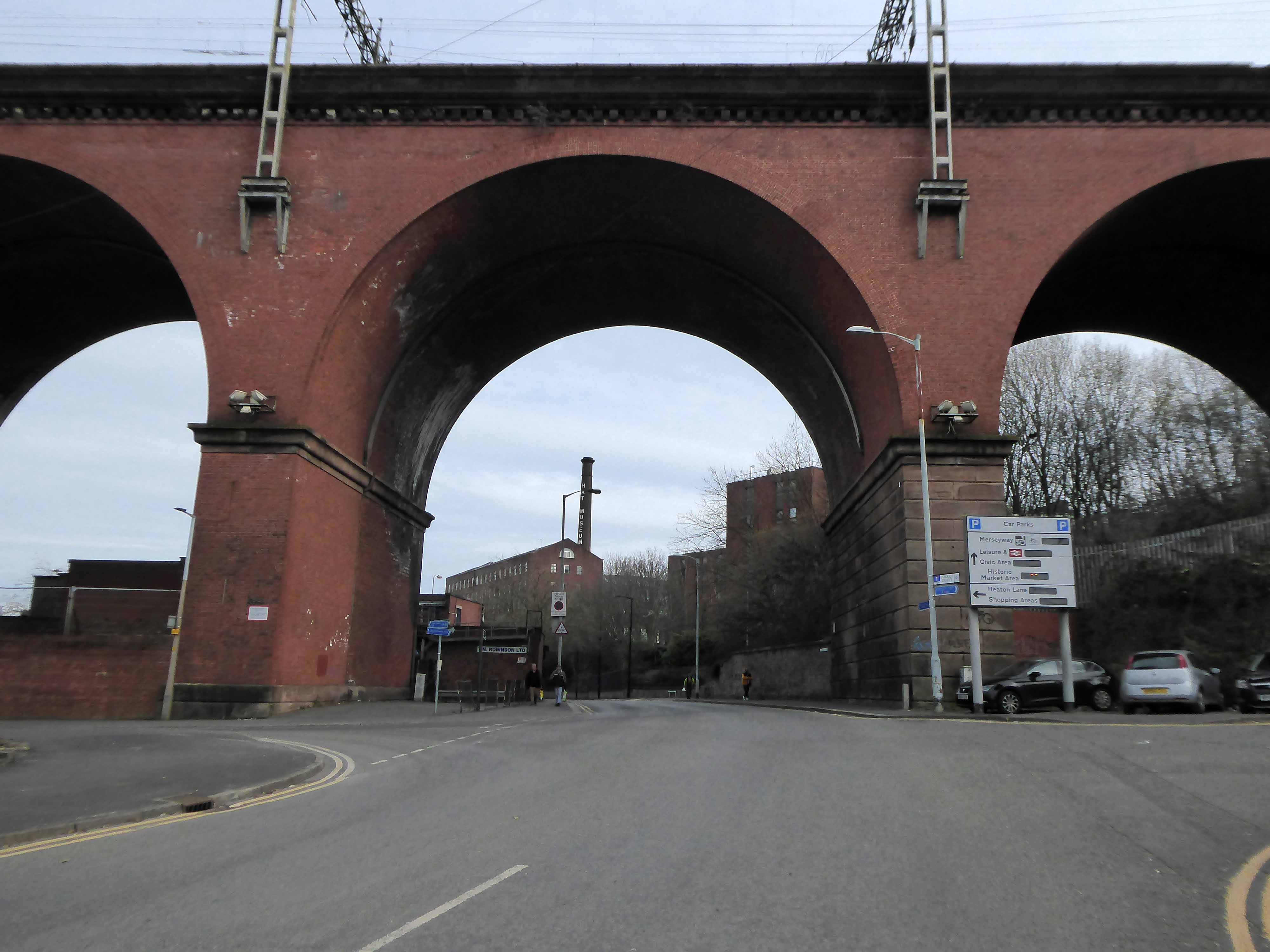
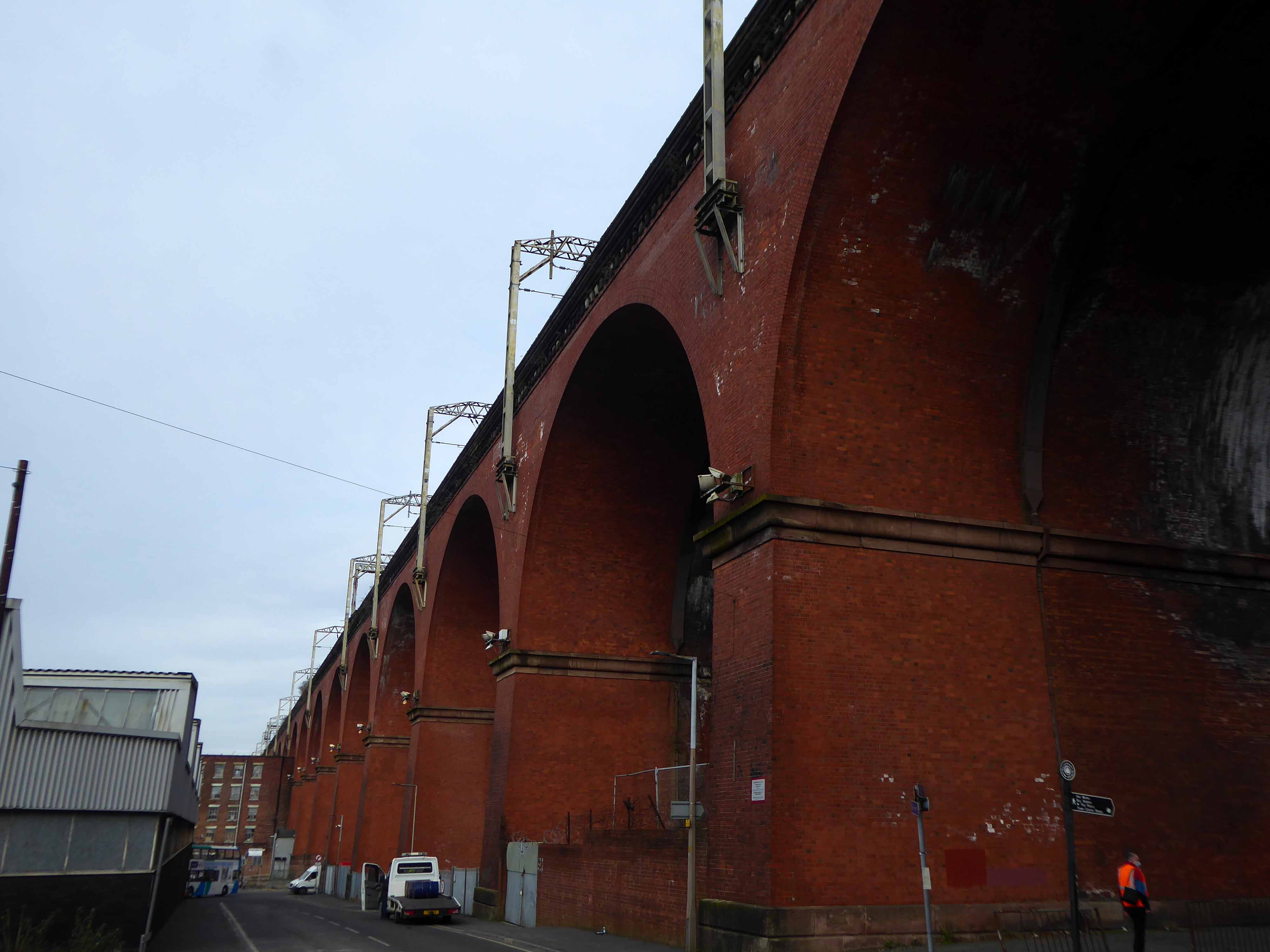
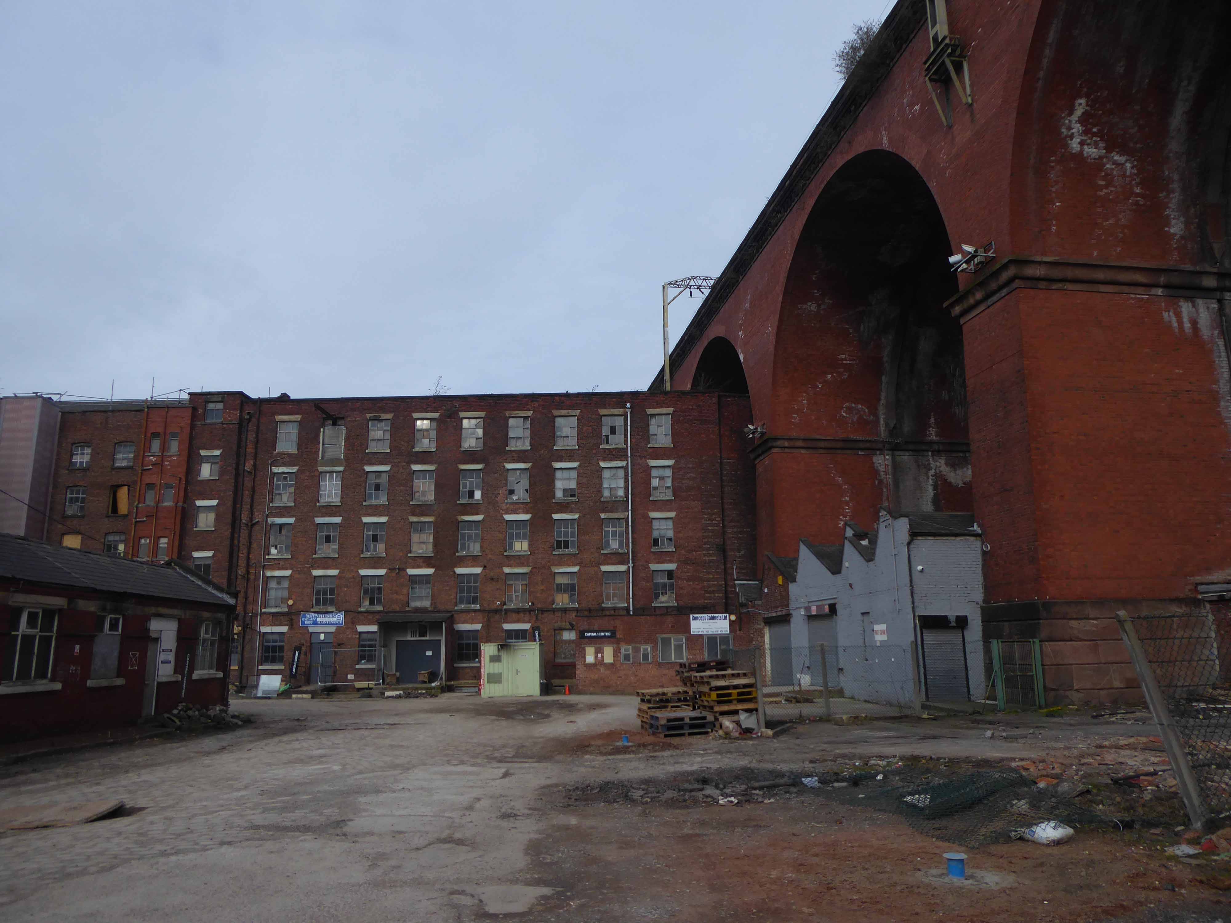
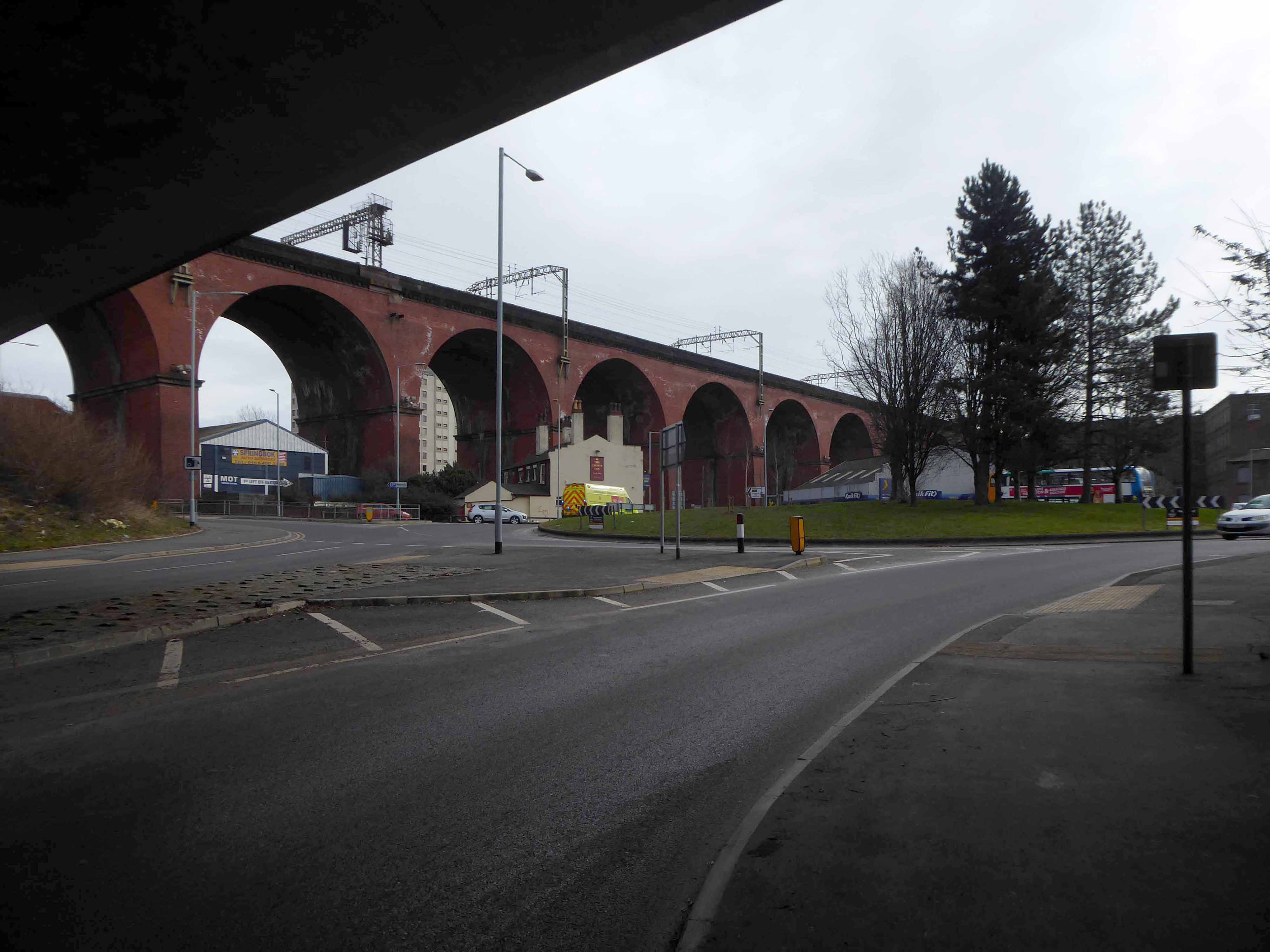
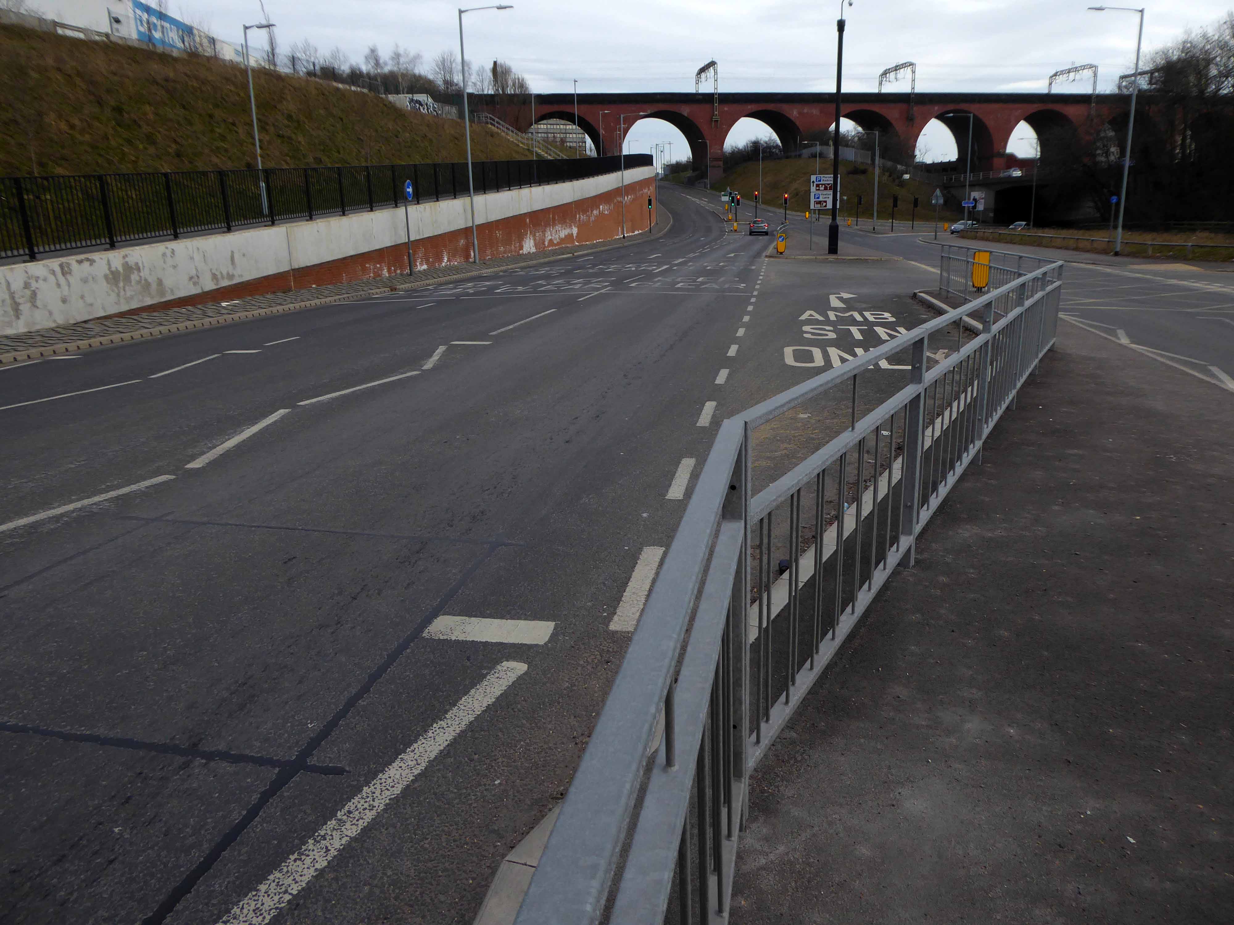
Stockport Viaduct, carries the West Coast Main Line across the valley of the River Mersey in Stockport, Greater Manchester, England. It is one of the largest brick structures in the United Kingdom, as well as a major pioneering structure of the early railway age.
Stockport Viaduct was designed by George Watson Buck for the Manchester and Birmingham Railway. Work began in 1839 and was completed in 1840. Roughly 11 million bricks were used in its construction; at the time of its completion, it was the world’s largest viaduct and a major feat of engineering. The viaduct is 33.85 metres high.Stockport Viaduct is a Grade II* listed structure and remains one of the world’s biggest brick structures.
In the late 1880s, the viaduct was widened to accommodate four tracks instead of two. In the 1960s, overhead catenary lines were installed by British Rail for the West Coast Main Line electrification scheme. In the second half of the twentieth century, the M60 motorway was built, passing through two arches of the viaduct.
The structure is central to the visual landscape of the town – it has been the subject of both literature and art, most notably in the work of LS Lowry.
I believe that this composite composition of a northern landscape, is firmly embedded in the psyche of Stopfordians.
A notion that we are able to apprehend the whole of the structure in one panoramic sweep.
Our present perceptions are inextricably linked to past experience, possibly an illusory past.
My photograph below, was taken before access was prohibited.
Though has this uncluttered view ever actually existed?
The area has been a constantly evolving jumble of buildings, in, under and around the viaduct.
This raises the question – when did you last see your viaduct?
I live moments away on Didsbury Road – so why not take a look, circumnavigating the site in search of an answer?
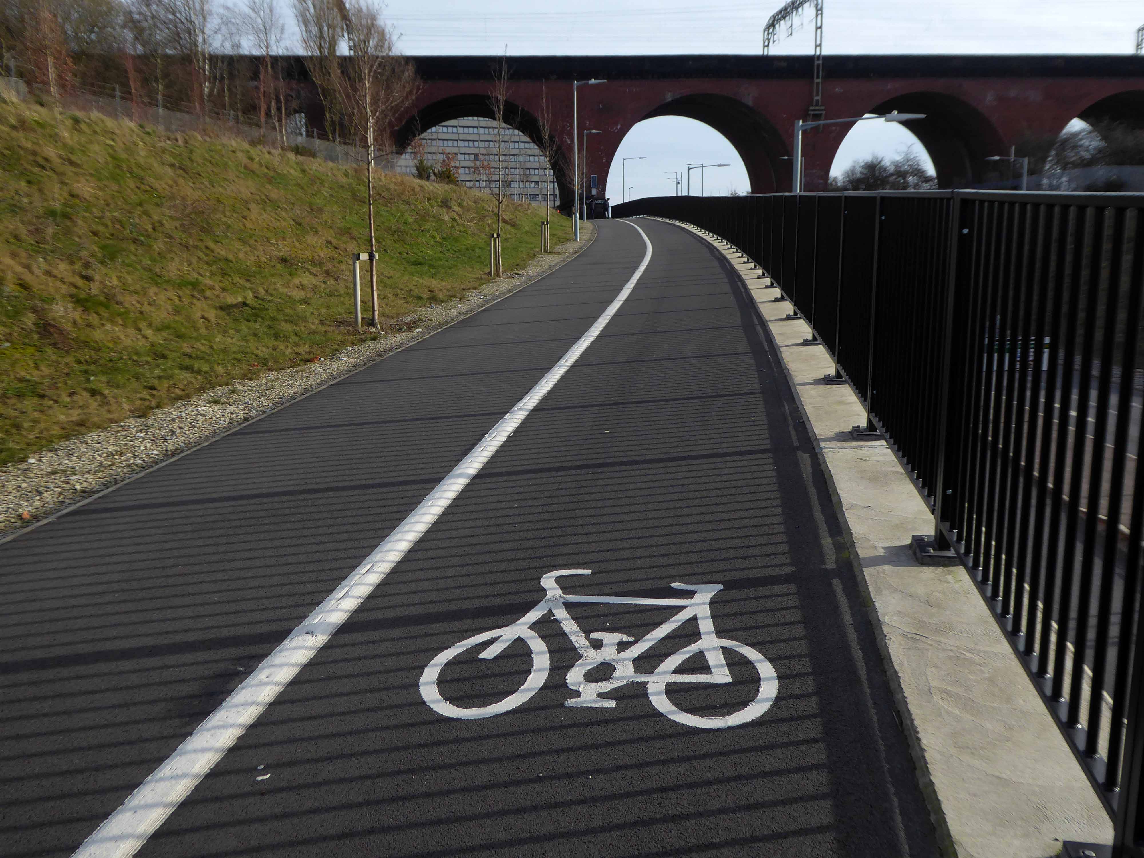
From the recently constructed pedestrian and cycleway a view south across multiple roadways.
Approaching the arches from the west.
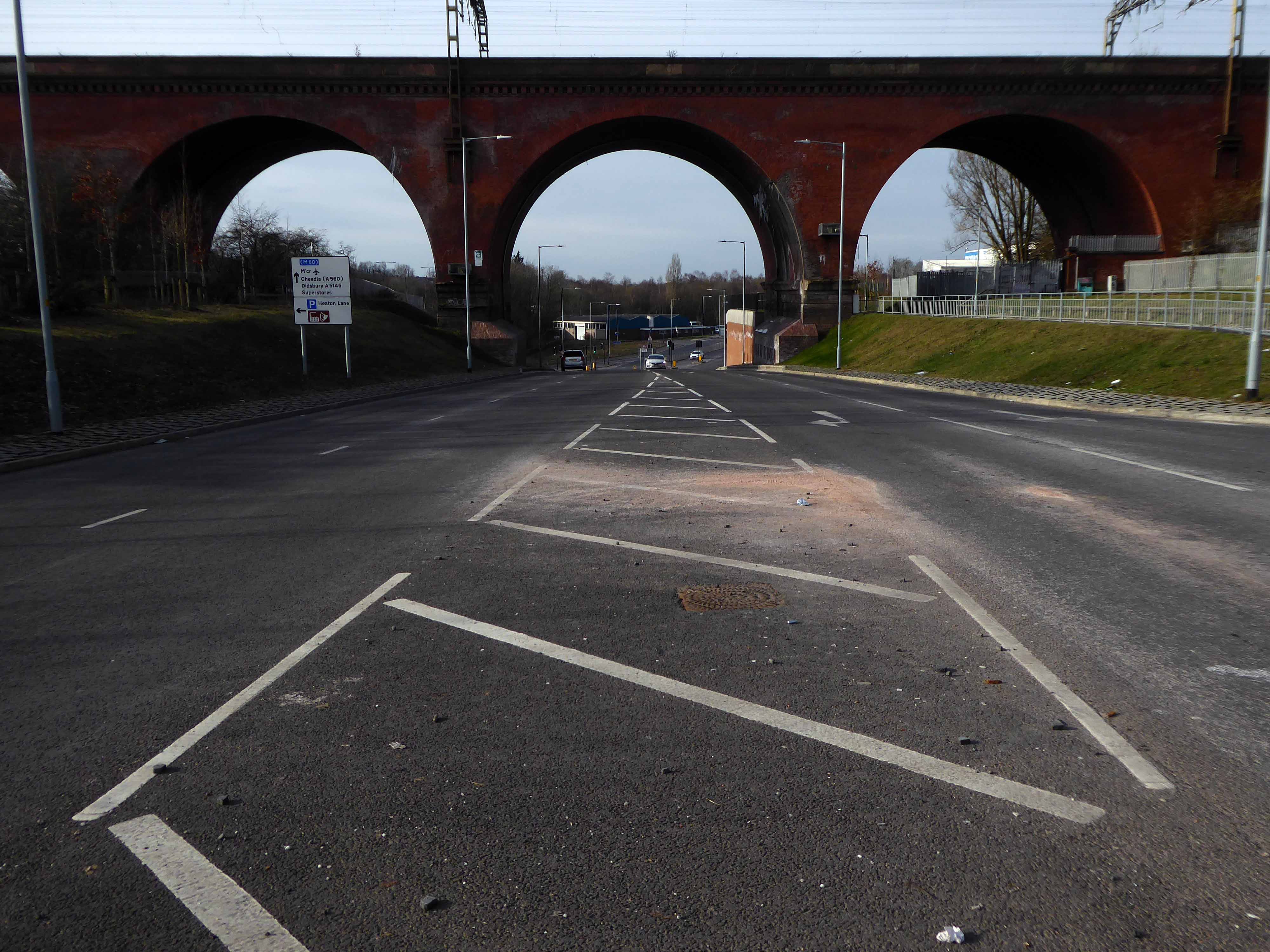
Looking east from Wellington Road North and the newly constructed A5154 link road.
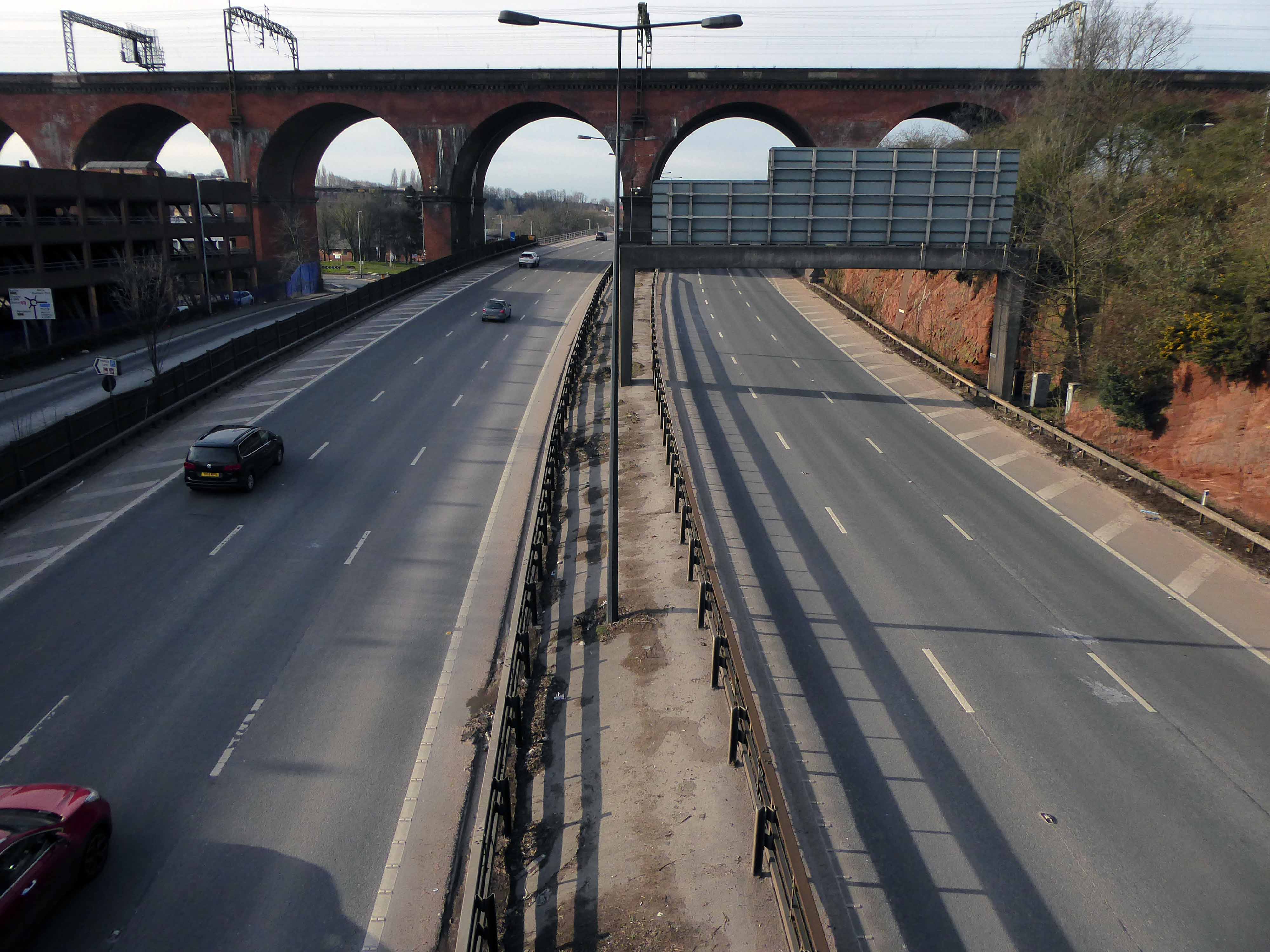
Looking along the M60.
Looking along Heaton Lane, to the left Regent House.
Looking along the River Mersey
The Lowry Steps.
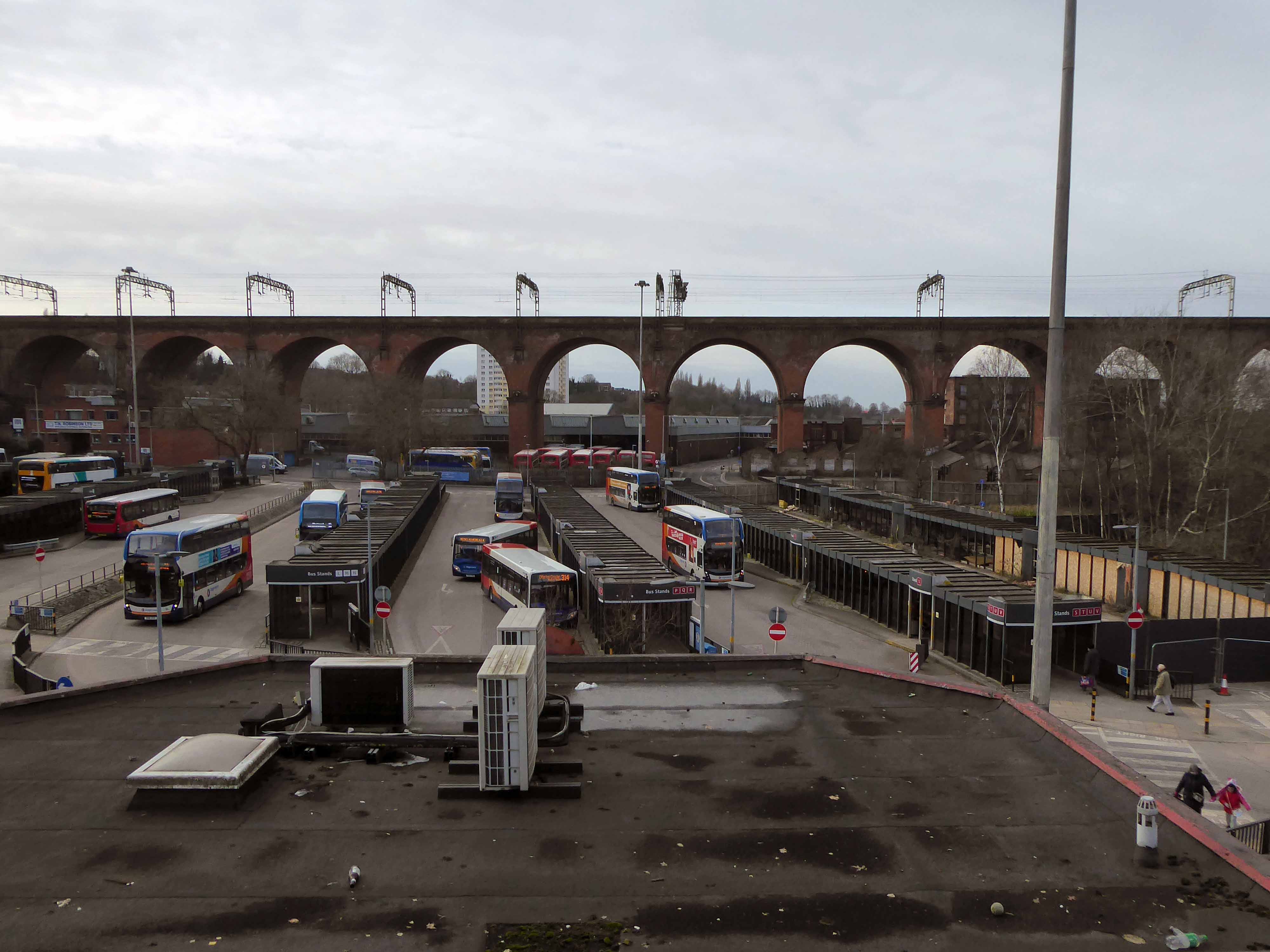
The view over the soon to be redeveloped Bus Station.
The view along Daw Bank.
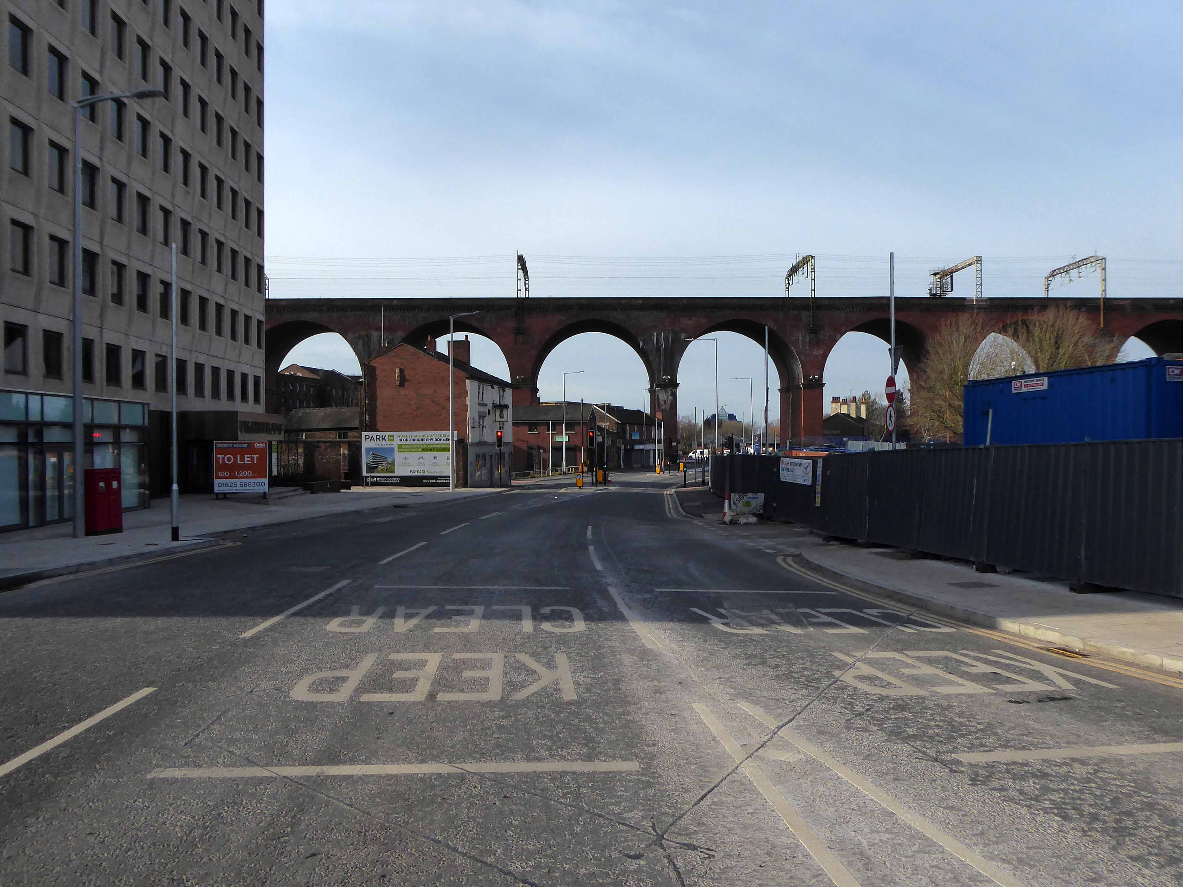
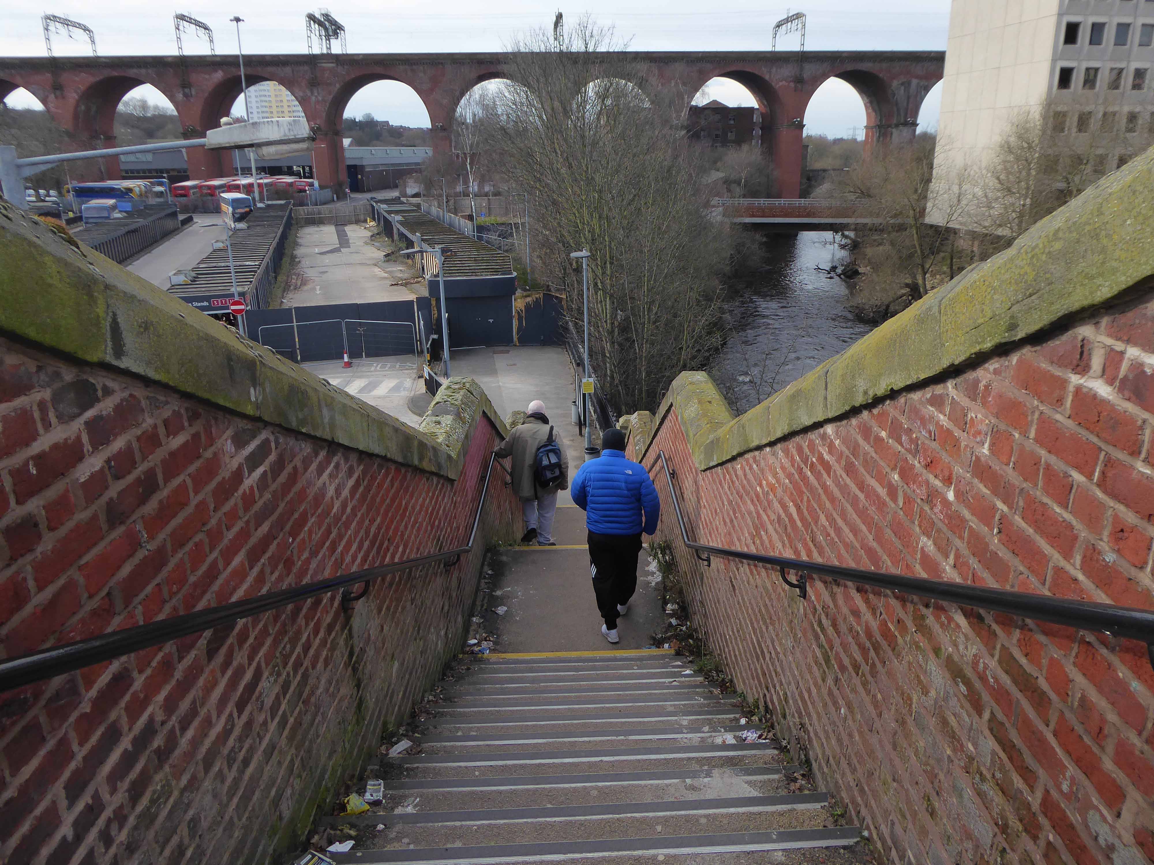
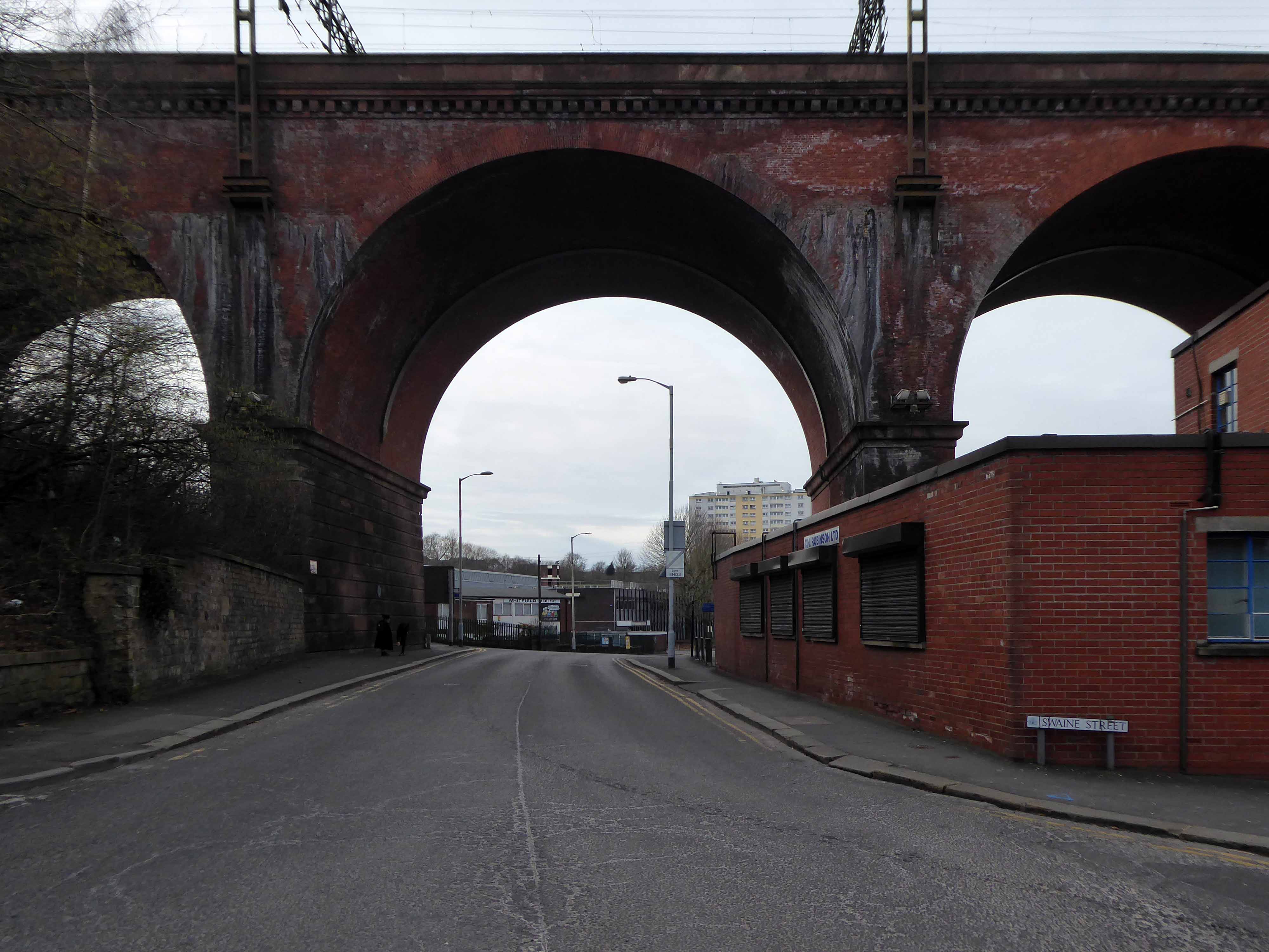
One of the most complete perspectives along Swaine Street.
Swaine Street and Astley Street junction.
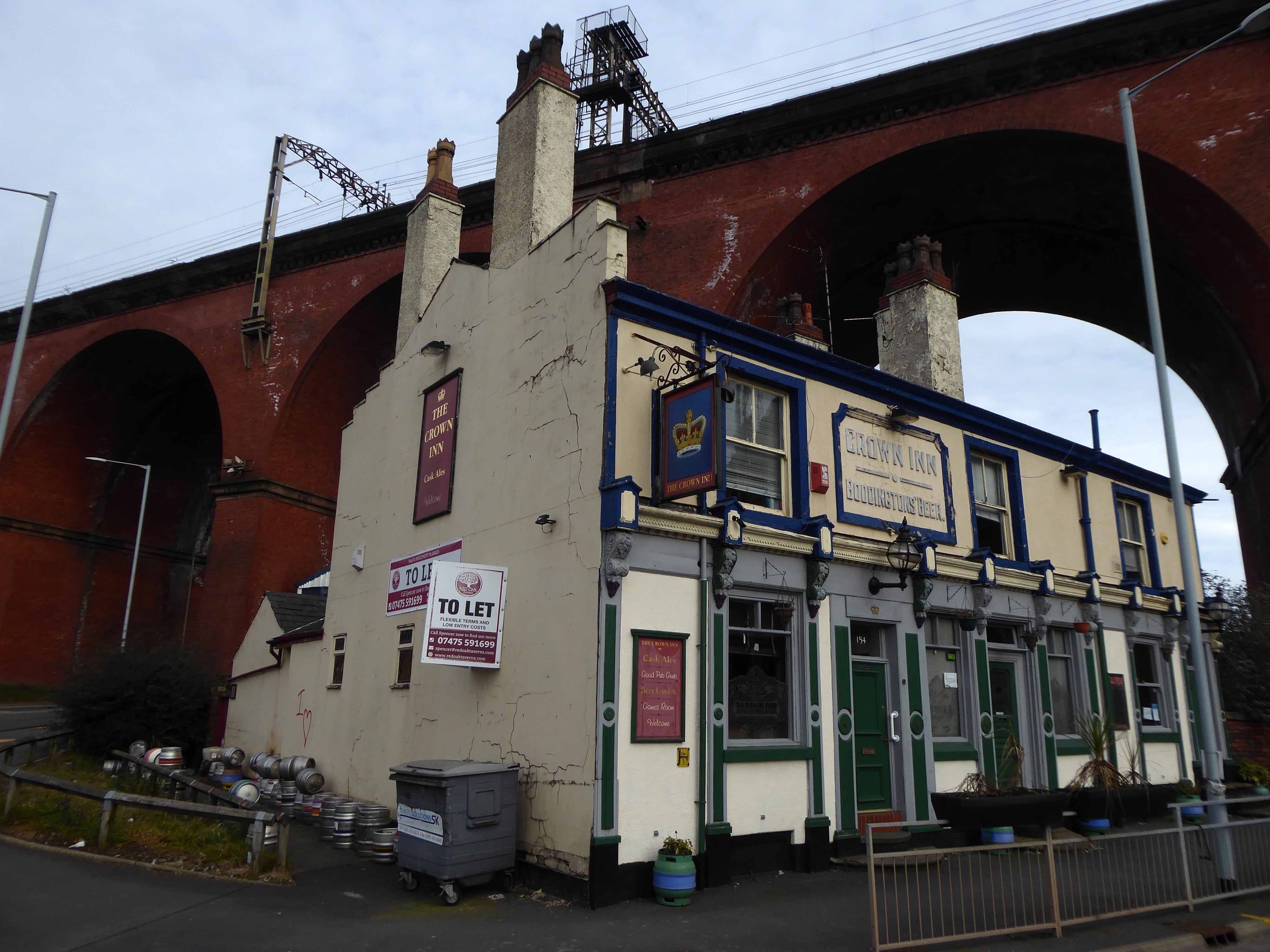
Crossing the new bridge to Heaton Lane.
Looking back towards the Crown Inn.
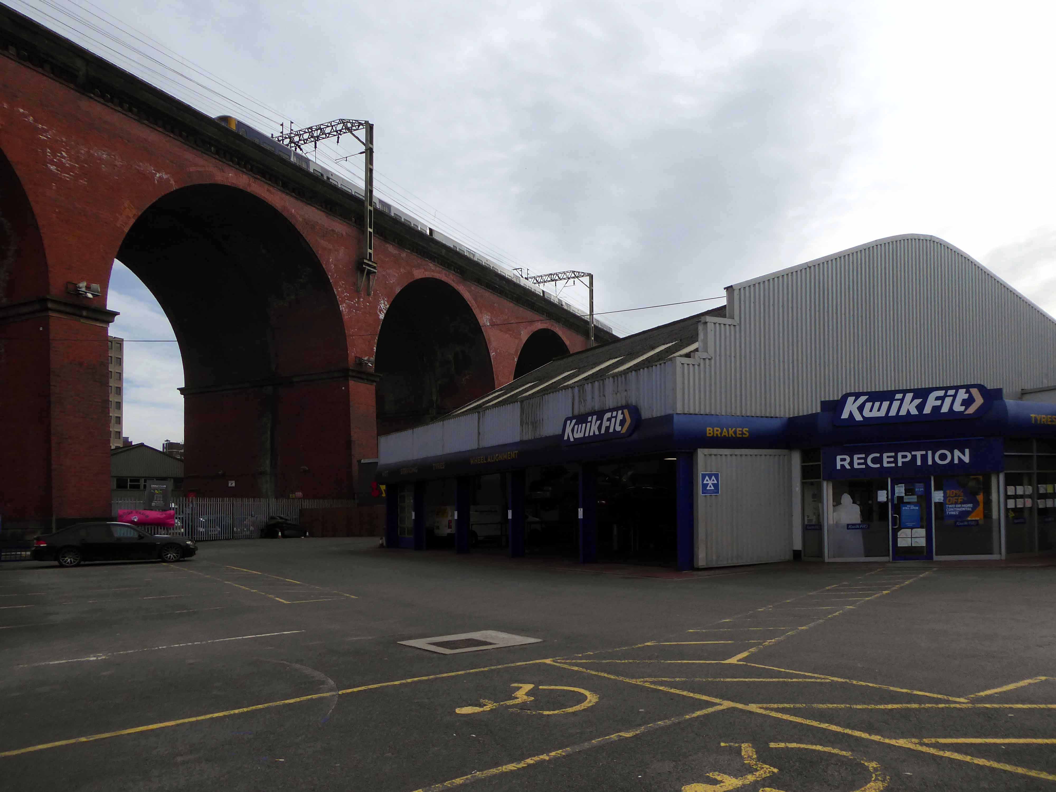
The view over Kwik Fit.
Looking east along the River Mersey, beside the rear of Weir Mill.
The view between the Stagecoach Bus Depots.
Looking east along Daw Bank.
Another clear perspective along Viaduct Street.
Beside Weir Mill.
Beneath the M60.
Looking east along Travis Brow.
This is one cold day in Covid February, the traffic a little lighter, few folk on foot.
Another day would produce another series of views, the light shifts, leaves appear on trees, the regeneration of Stockport sees the built environment shift and shimmy with an alarming regularity.
The landscape formed by the second Ice Age, gouging out a glacial valley and subsequently a conjoined river, is all part of a passing parade; it is acted out over millennia, you yourself are party to but one small part, make the most of it, get out and about take a look.
All this life is but a play, be thou the joyful player.
The city, however, does not tell its past, but contains it like the lines of a hand, written in the corners of the streets, the gratings of the windows, the banisters of the steps, the antennae of the lightning rods, the poles of the flags, every segment marked in turn with scratches, indentations, scrolls.
Italo Calvino – Invisible Cities
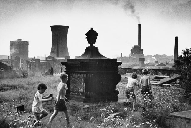
Paul Dobraszczyk posted this Shirley Baker photograph, he was puzzled by its exact location, it puzzled me too.
For nearly all that is depicted here, is now no longer extant, save one hopes, for the group of playmates.
All that is solid melts into air, all that is holy is profaned, and man is at last compelled to face with sober senses his real conditions of life, and his relations with his kind.
Shirley Baker was a renowned documentary photographer, who worked extensively in Greater Manchester.
I love the immediacy of unposed, spontaneous photographs and the ability of the camera to capture the serious, the funny, the sublime and the ridiculous. Despite the many wonderful pictures of the great and famous, I feel that less formal, quotidian images can often convey more of the life and spirit of the time.
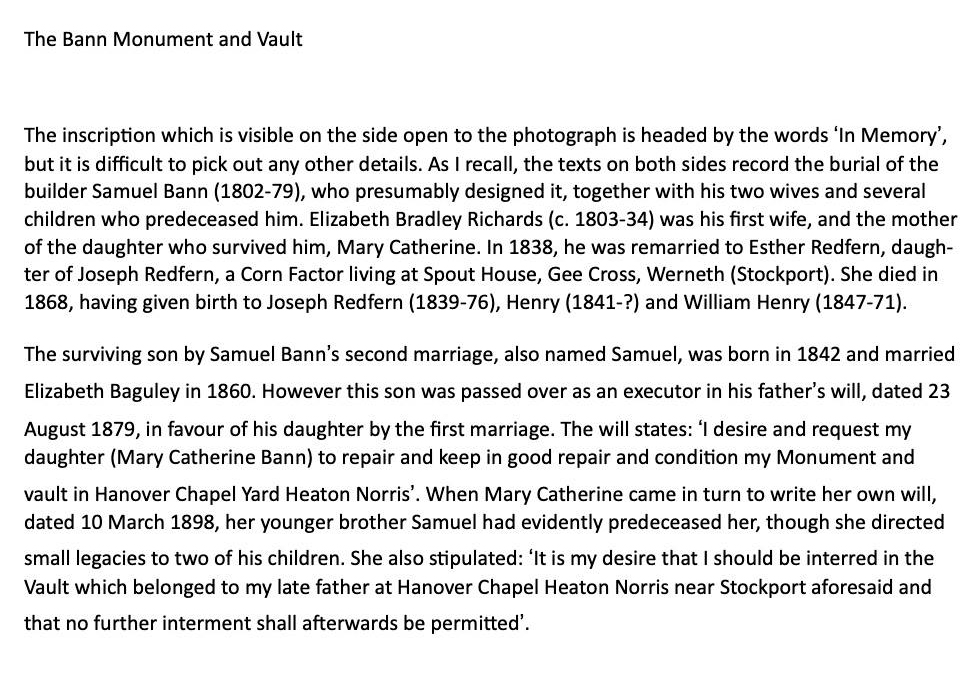
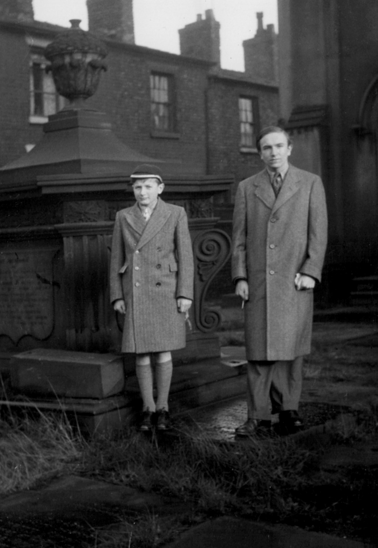
I am grateful to Stephen Bann who has identified the monument as the Bann Family vault:
Stephen Bann and his younger brother – many thanks for the text and photograph Stephen.
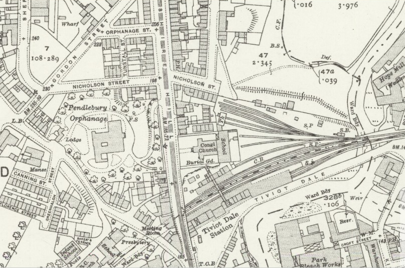
Her photograph was taken in Stockport 1967 – I first assumed it was taken from St Mary’s Church, looking toward the former power station.
I was mistaken.
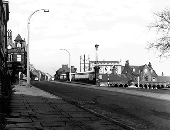
Using the Stockport Image Archive, I found the possible site, in this photograph of Tiviot Dale Station.
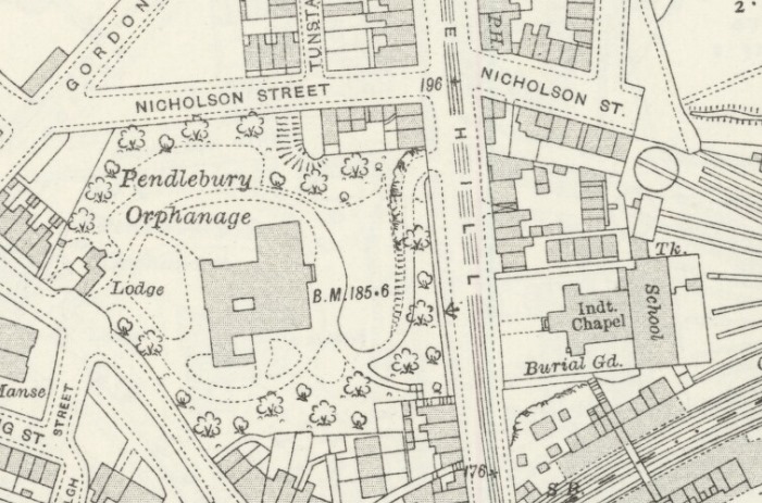
There on the eastern edge of Lancashire Hill – Hanover Chapel.
Seen here on the maps of 1917 and 1936.
An area of intense activity, road, rail, housing and infrastructure.
Hanover Chapel closed 1962 – though we may assume from Shirley Baker’s photograph, that following its demolition the graveyard remained intact but untended.
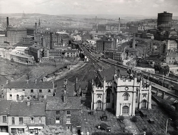
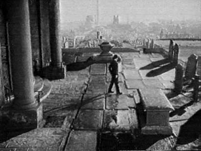
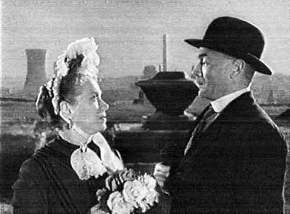
The chapel is thought be seen in the 1954 film Hobson’s Choice, directed by David Lean and starring John Mills, here awaiting his bride to be – the parish church of St Mary’s on the skyline.
Though closer examination reveals that this is not Hanover Chapel – where did those pillars come from?
Where are we, in a labyrinth of invention with a superimposed Stockport backdrop?
My thanks to Robert Collister for these observations.
Improbably out of time, the cooling towers are yet to be built, or blown up.
Here John is joined by Salford born Brenda Doreen Mignon de Banzie, playing Maggie.
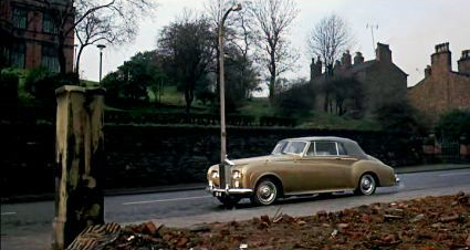
The demolished chapel rubble appears in the foreground of Albert Finney’s gold Roller CB 1E in Charlie Bubbles.
The film’s screenplay was the work of Shelagh Delaney, whose previous work A Taste of Honey also used local locations.
Where Finney has pulled up, feeling proper poorly.
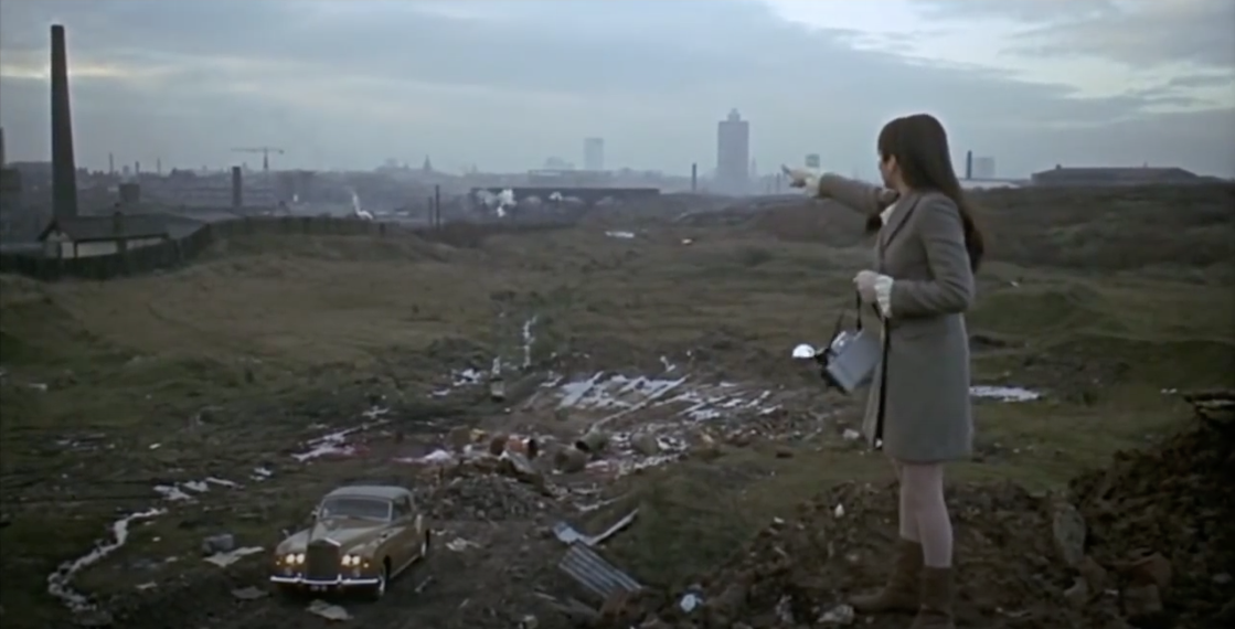
As a serendipitous symmetry, Charlie Bubbles co-star Liza Minelli plays a photographer recording Salford’s disappearing streets.
Bit by bit everything disappears, Tiviot Dale Station closed completely on January 2nd 1967.
Where once there was a continuous run from the chapel to the town centre, the motorway has since intervened.
The Tiviot Dale pub on the right is no more, closed in 2013.
We had people from all parts of the country turn up on our final day,some of them brought their children who wanted to come because they remember the pub so fondly from their childhood. It was really humbling to see that our pub had touched so many lives.
I remember this pub as a Boddingtons house in the 1970’s. Excellent bitter served by handpump from small vault at the front and a larger “best room” behind, both very narrow given the width of the pub. The landlord employed an unusual method of ensuring everyone got a full pint; a half pint glass of beer was kept between the pumps and your pint was topped up from the half which was constantly replenished to keep it fresh. I have not seen this practice in any other pub.
Phil Moran
When’s the next tram due?
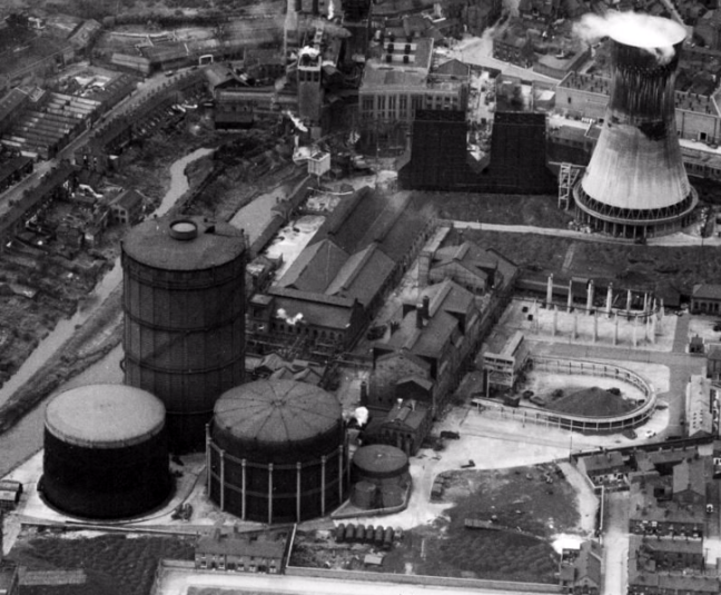
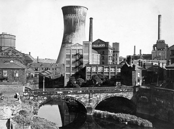
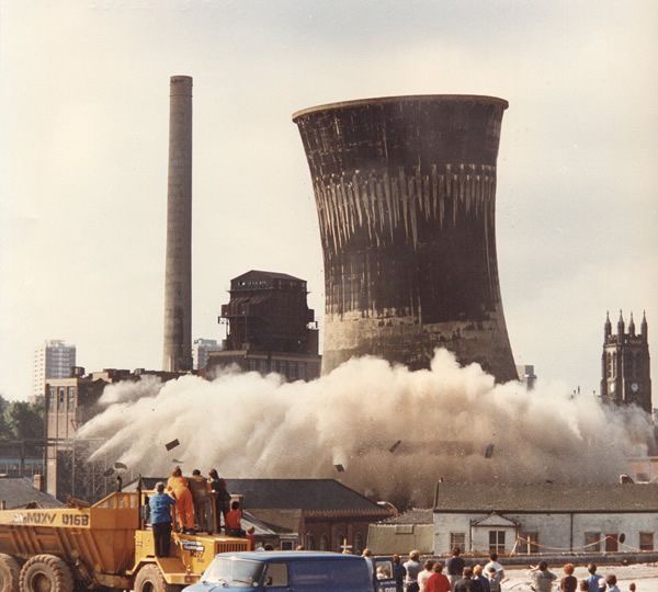
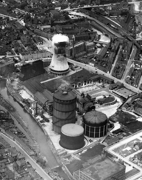
Millgate Power Station operated until 1976.
At the adjacent gas works – gas holder number three was dismantled in 1988, gas holders one and two were removed in 2019.
The nature of infrastructure, housing and industry has changed radically.
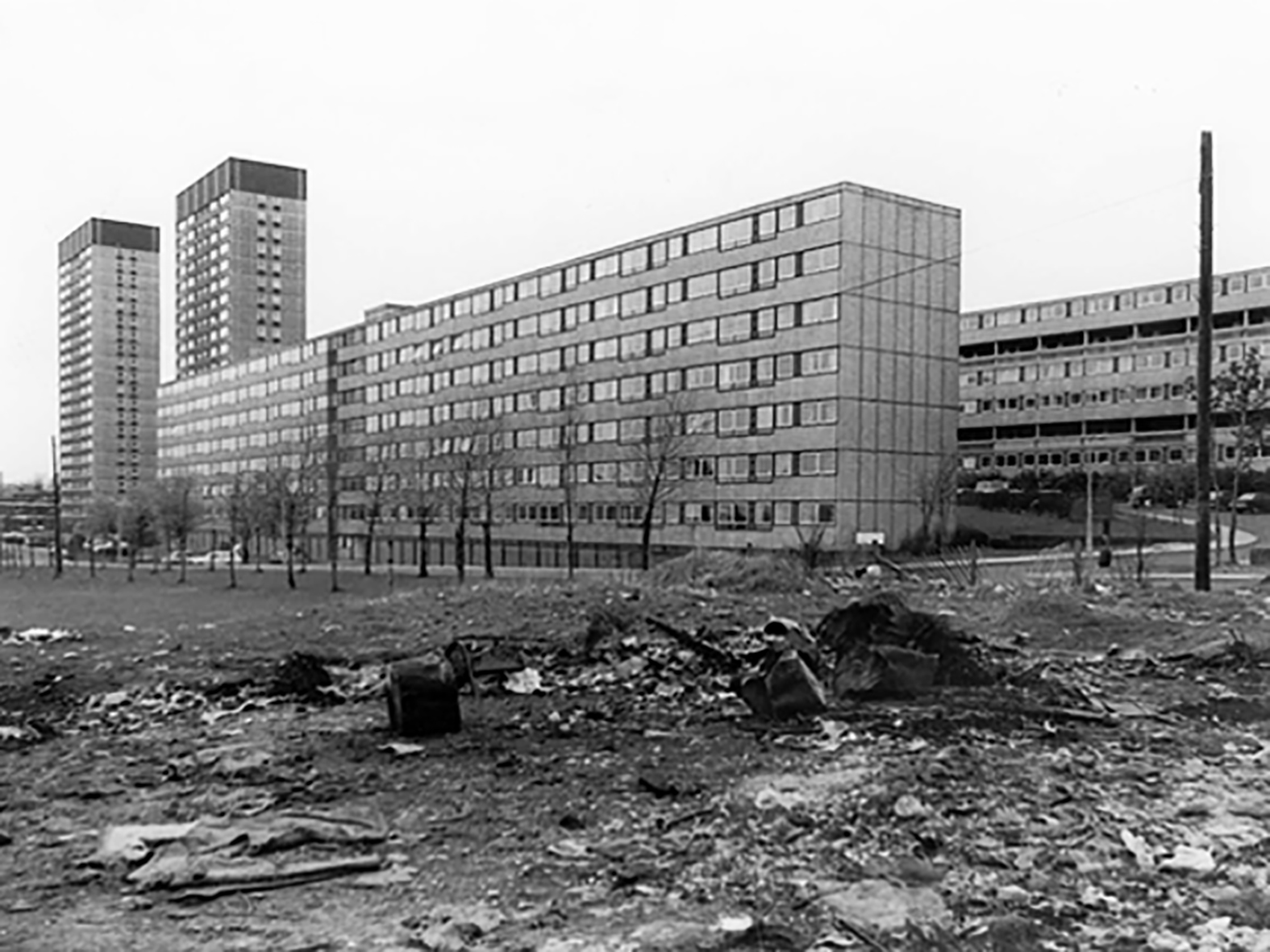
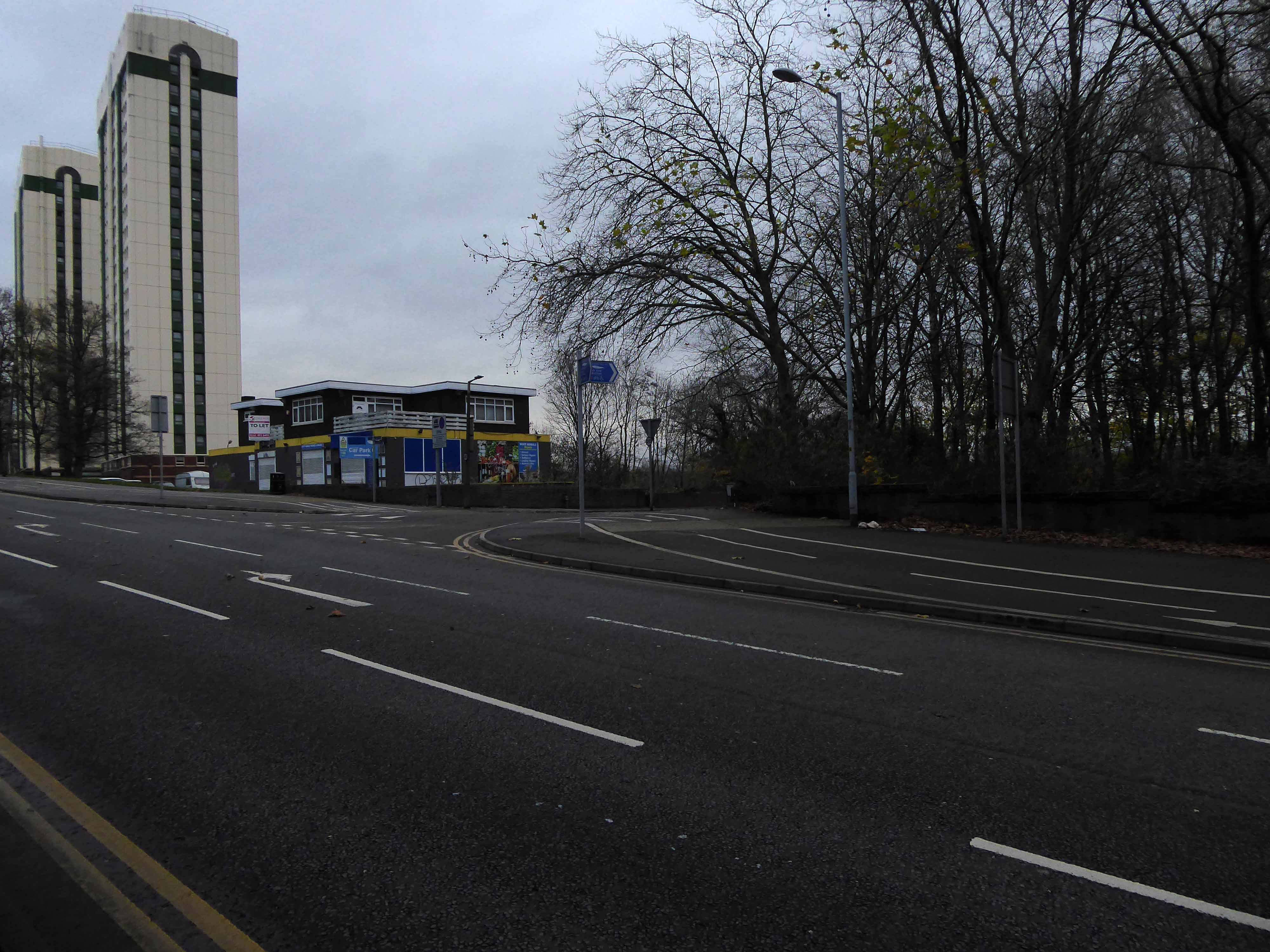
Lancashire Hill flats were built in the 60s, designed by City Architect JS Rank, two seven storey blocks containing 150 dwellings; two six storey blocks containing 120 dwellings.
Replacing tight rows of terraced housing.
They themselves clad and revamped.
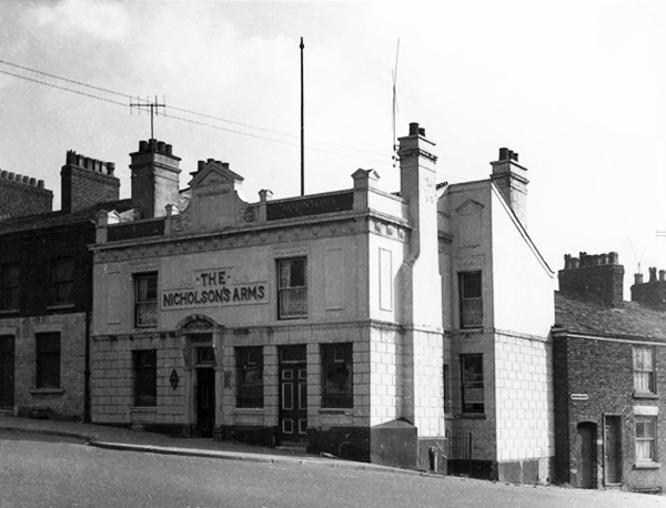
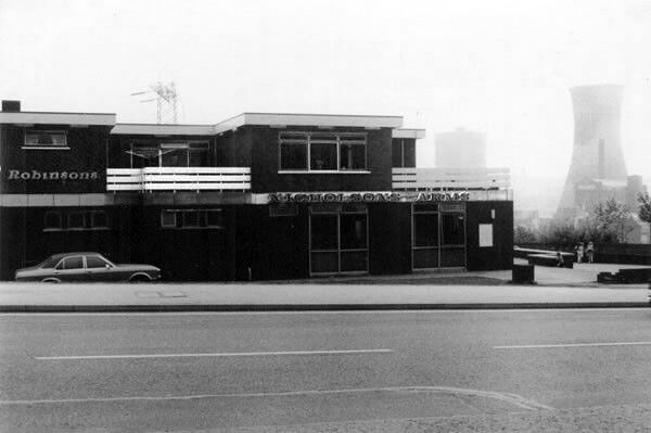
The Nicholson’s Arms built to serve the flats closed and currently empty, signs say to let – replaced an earlier pub, sited on the corner of long gone Nicholson Street.
Today from the road there’s simply no trace of the site’s past purpose.
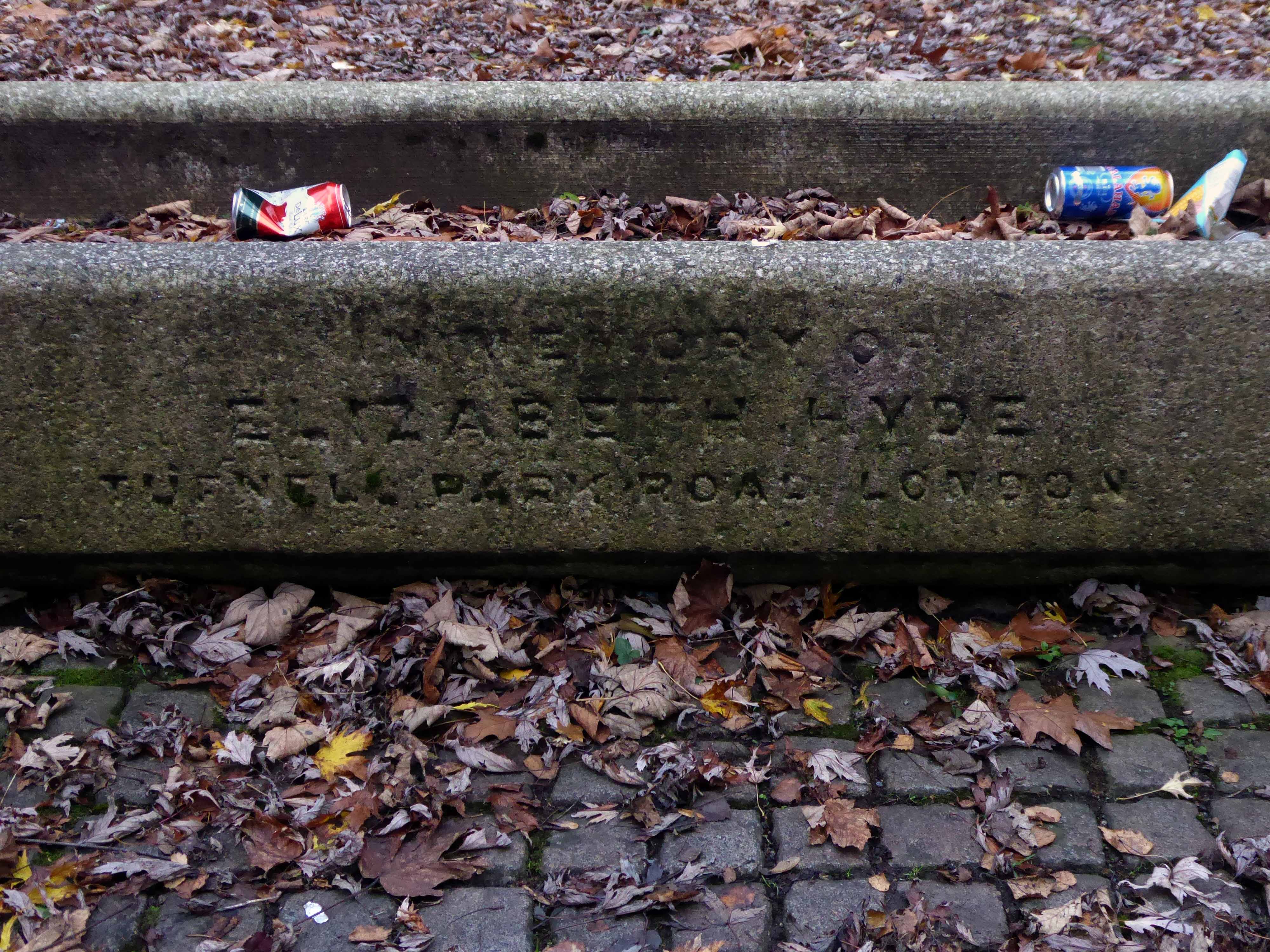
At the centre of what is now a compact civic grassed area – a trough.
Incongruously in memory of Elizabeth Hyde of Tufnell Park Road London.
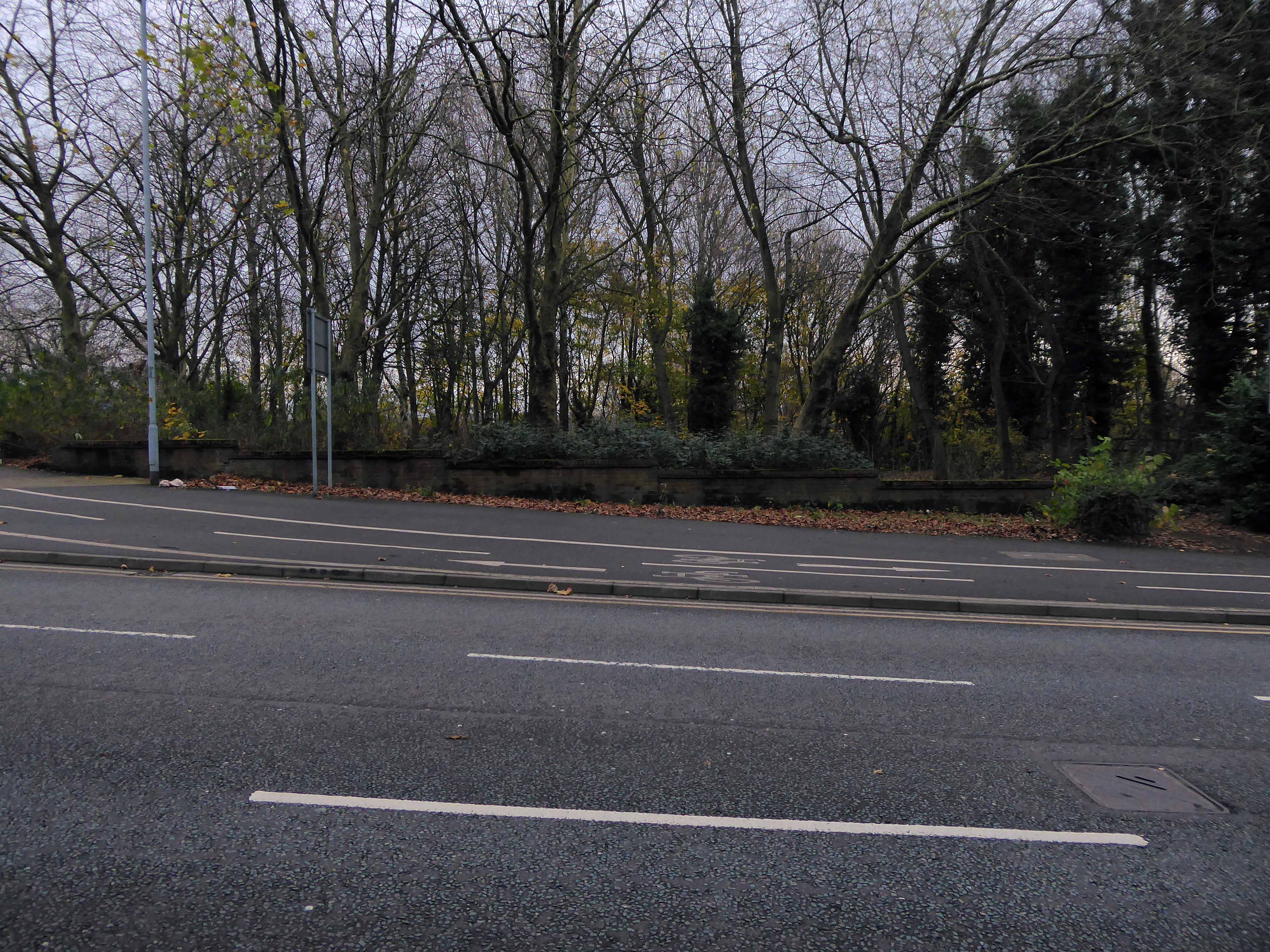
The dense stand of trees is impenetrable – no longer a view of the non existent power station and beyond.
And they that shall be of thee shall build the old waste places: thou shalt raise up the foundations of many generations; and thou shalt be called, the repairer of the breach, the restorer of paths to dwell in.
Isiah 58:12
As a footnote I did meet brothers Stephen, Derek and Peter who appeared in this Shirley Baker photograph 55 years ago – she promised them an ice cream each – they never ever received an ice cream.
They are seen in Sunnyside Street Ordsall – long since demolished.
A commemorative plaque from the Chapel still exists, sited now on the wall of Wycliffe Congregational Church Georges Road Stockport.
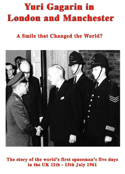
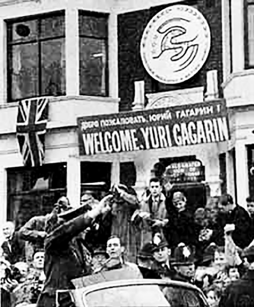
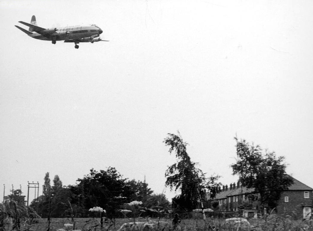
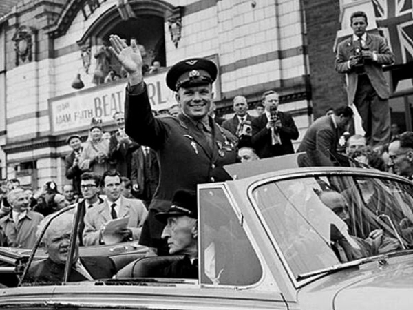
Exactly three months to the day after his flight in Vostok I had ushered in a new age of space exploration, on 12 July 1961, the trim figure of Yuri Gagarin strode down the gangway of a British Viscount airliner and walked briskly out across the runway of Manchester airport towards a sea of expectant faces, and flashing camera bulbs.
A loose approximation of what he may have see on that day in 1961.
We were allowed out of Brownley Green school to line the road as he passed, great memories.
I stood on Chester Road with my mum, I was 4 years old, but still remember it.
At that time, I was a student, working my socks off in the Central Library, I went outside into St. Peter’s Square to watch him pass, he gave everyone a big smile.
Still tell my children, tiny at the time – you saw the first man in space, I remember his smile.
Worked in an office in Albert Square – had a grandstand view of him arriving at the Town Hall.
I can remember a police escort taking Yuri to Albert Square via Princess Parkway through Withington, Fallowfield and Moss side, there were hundreds of people lined up watching a waving at him.
When Gagarin visited Manchester he was given a bronze bust of Lenin made by the Amalgamated Union of Foundry Workers. Four were made in total and my Dad owns one of them.
My Grandad’s funeral was on the day he came, as we passed down Altrincham Rd onto the Parkway policemen who were holding back the crowds saluted, he would have loved it.
Yeah I seen him stood up in a big car with a green uniform on. It was going down Brownley Rd passing Meliden Crescent heading for the Airport in Wythenshawe, I was about 6 years old.
Working for Manchester Parks as a 20 yr old on Princess Parkway and he came past me as I was mowing the grass, in an open top Rolls or Bentley, he saluted me personally as he passed, of course I stood to attention and returned the salute – Magic Moment
St AmbroseA well-detailed, relatively modest post-war design by Reynolds & Scott, with an impressive and largely unaltered vaulted interior. The dedication relates to St Ambrose Barlow, a Catholic martyr from nearby Barlow Hall.
Barlow Moor Road
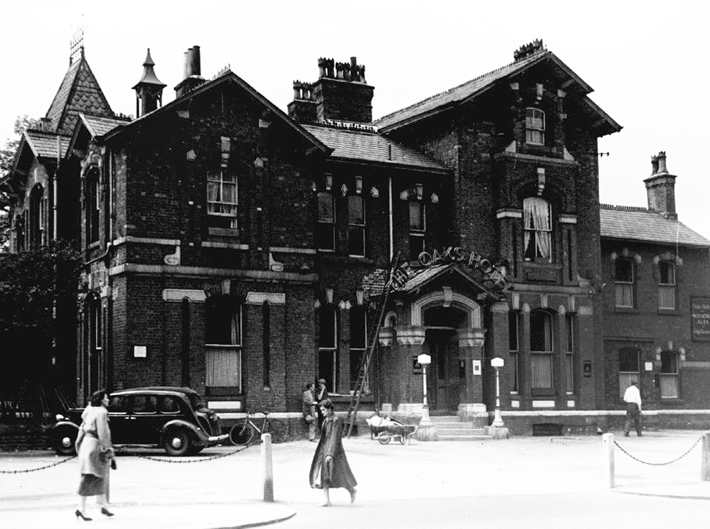
The Oaks demolished in the early 1990s following a brief life as the Sports Bar
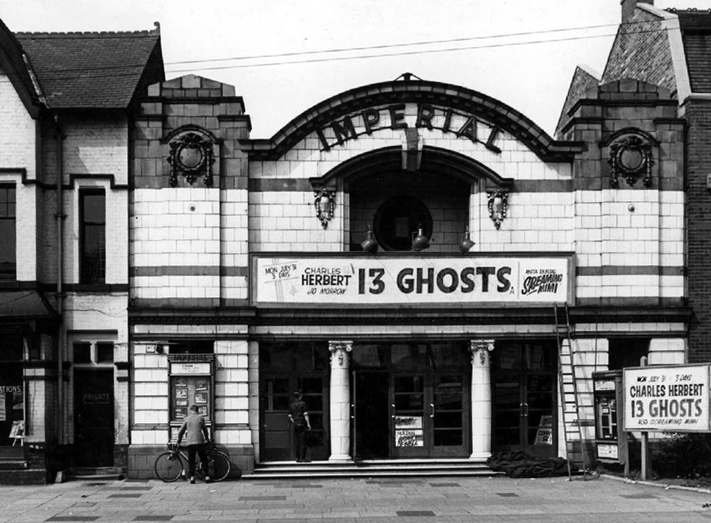
Imperial Picture Theatre – was opened in 1914. Seating was provided in stalls level only. It had a 5 feet deep stage and two dressing rooms. There was also a café in the cinema. Around 1929 it was equipped with a Western Electric sound system.
Architect W.H. Matley
The Imperial Picture Theatre was closed on 15th January 1976 with Charlotte Rampling in Caravan to Vaccares and Jean-Claude Brialy in A Murder Is a Murder Is a Murder.
I’ve cycled by here for some fifty years or more – always admiring its serrated roof.
Way back when we would roam around on our bikes, exploring the waste ground adjacent to Jackson’s Brickworks.
Where we would scavenge tape from the Rotunda tip.
I remember it as a Remploy Centre.
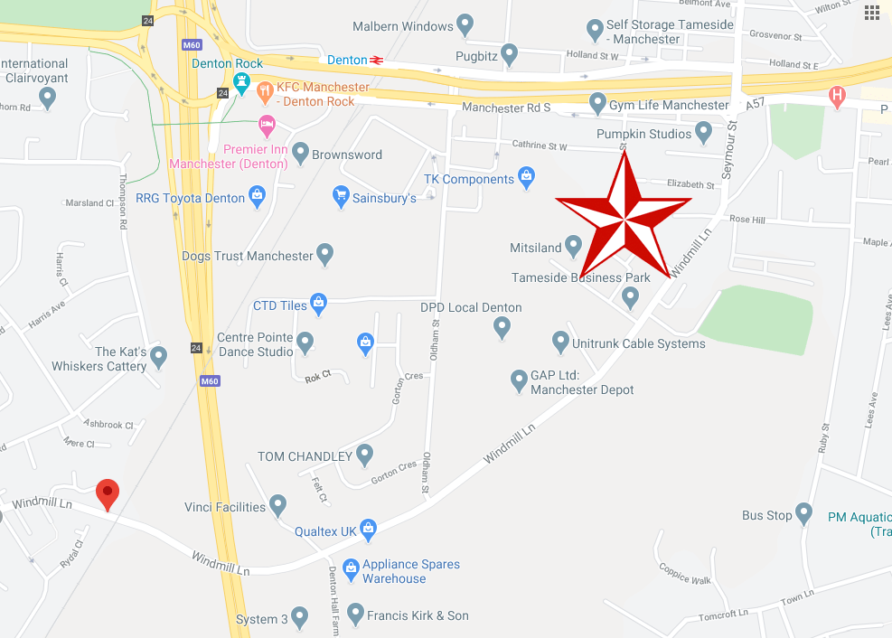
My last 13 years prior to retirement last May were spent at the centre, on Windmill Lane, Denton. Just before I left, a lot of demolition work was done, prior to redevelopment of much of the site.
I seem to remember the place always being referred to locally as Th’ Rehab – the Rehabilitation Centre, a Government training centre, where skills were taught, such as joinery, bricklaying etc, and there was also a Remploy Unit housed there.
Local men could go for a free haircut, administered by a well supervised trainee.
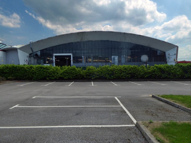
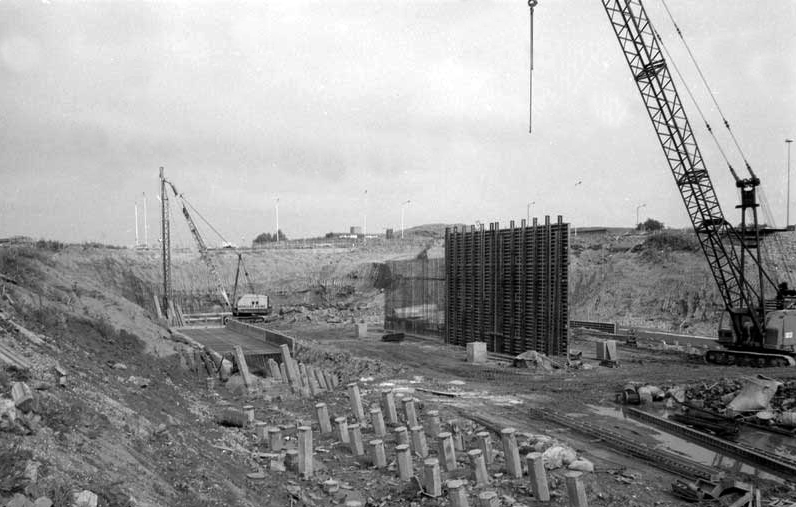
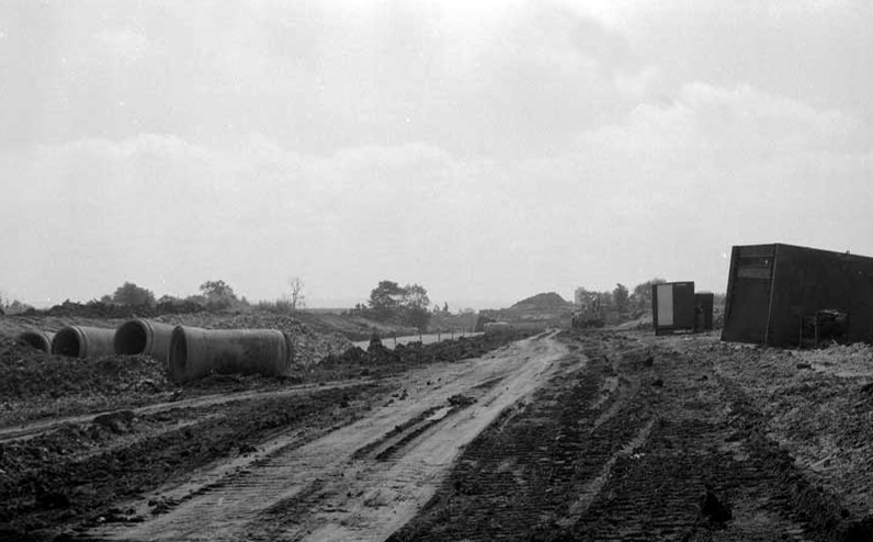
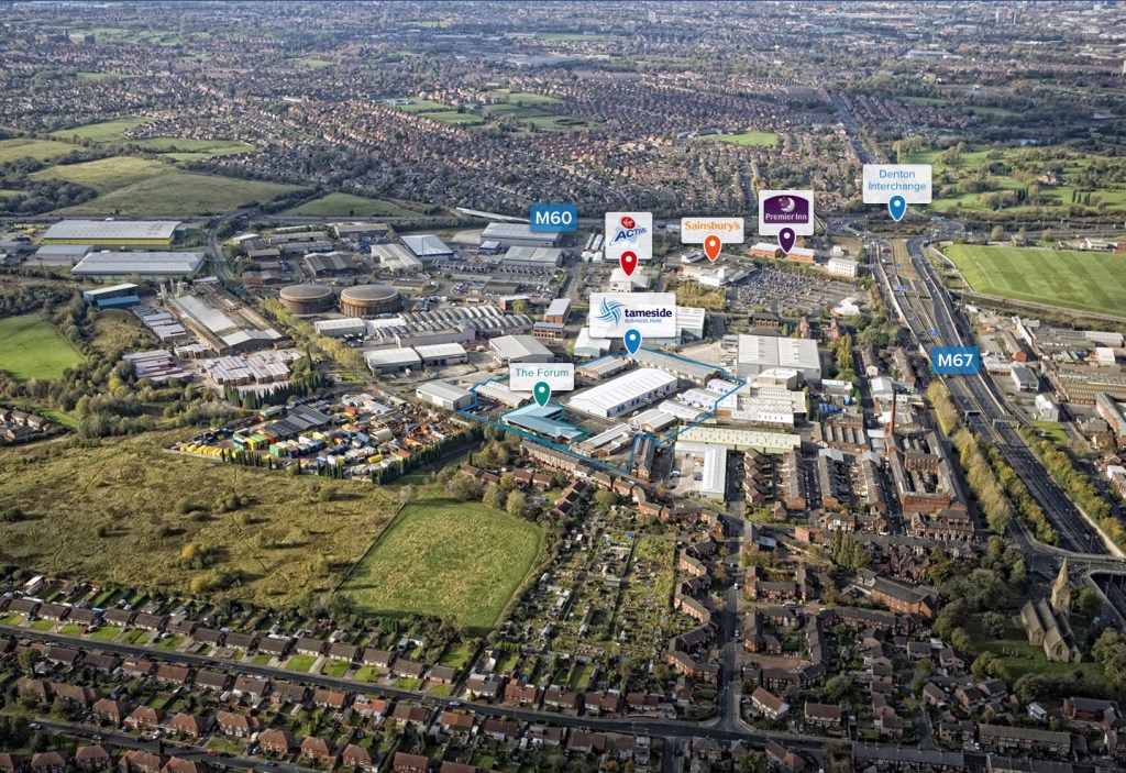
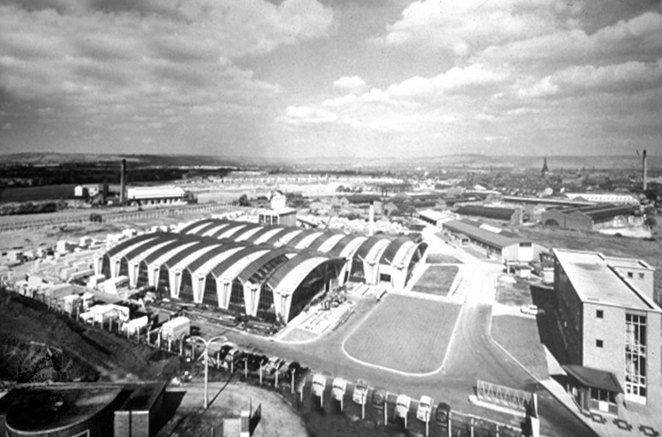
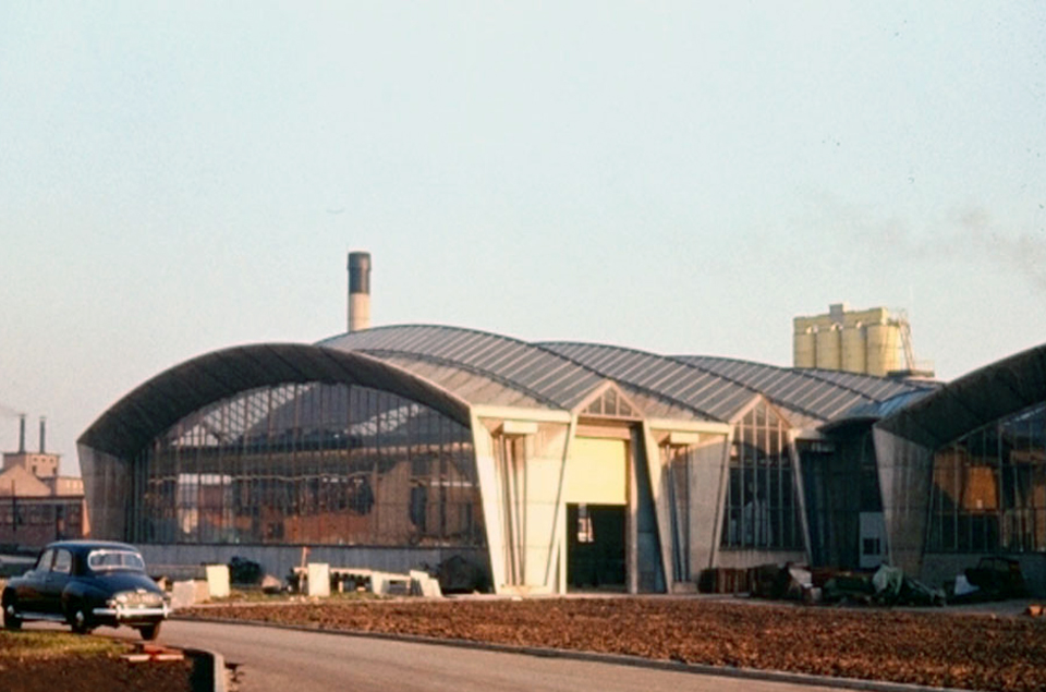
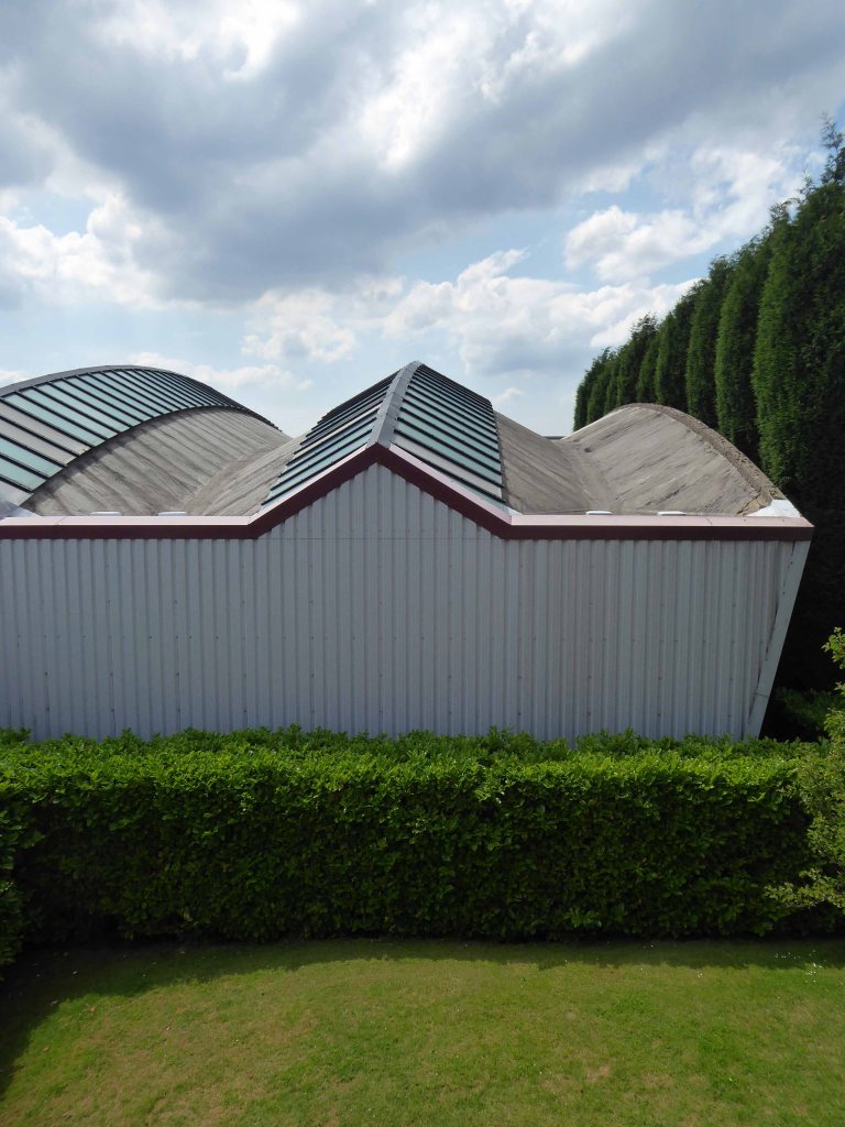
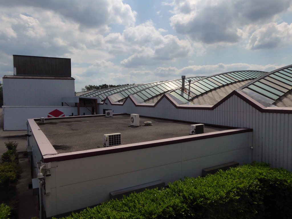
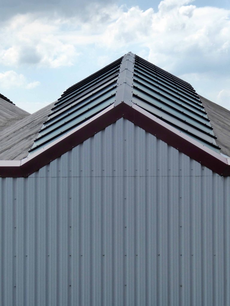
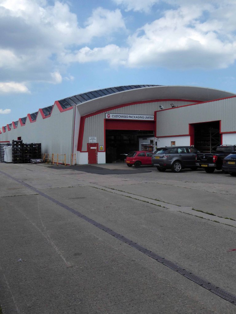
Proximity to the M60, seen here under construction is paramount to its future success.
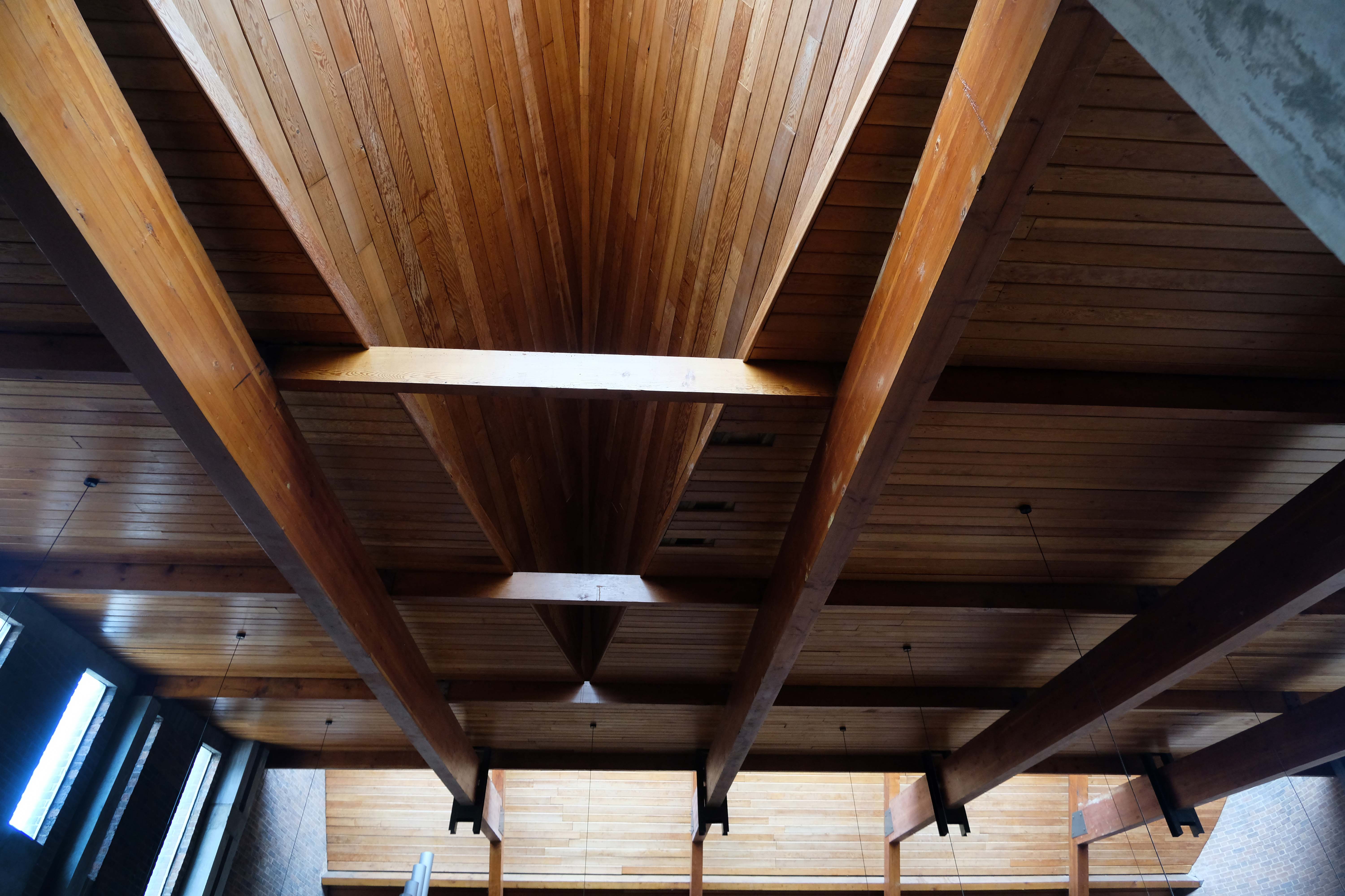
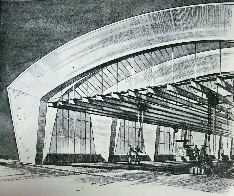
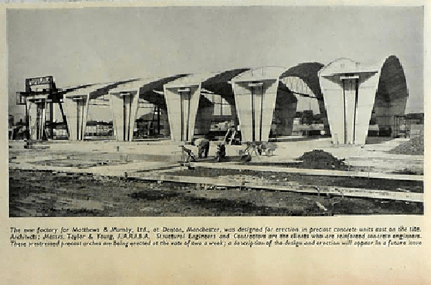
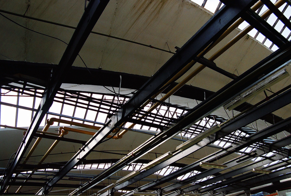
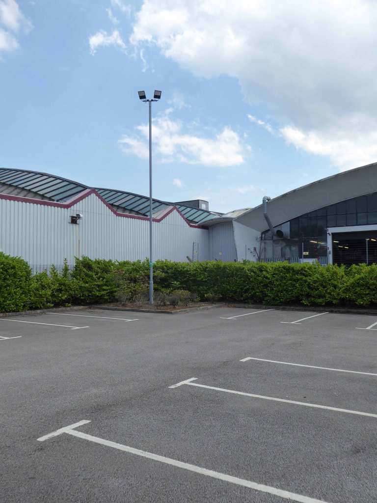
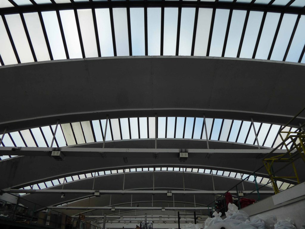
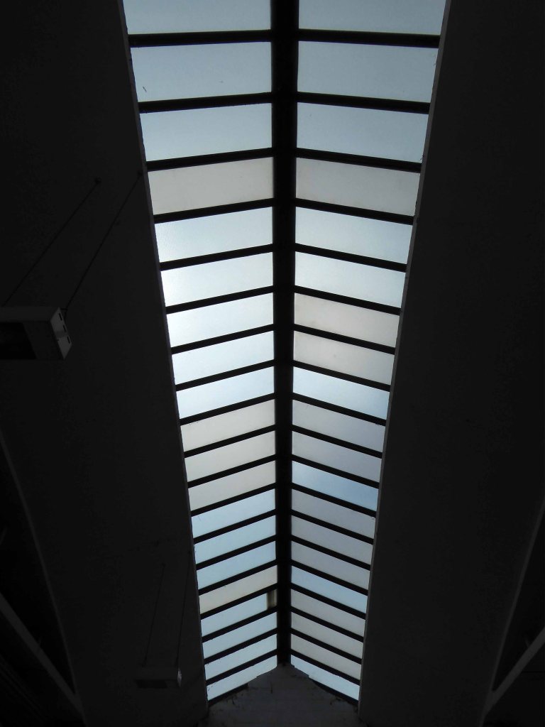
This former production plant for concrete components is now sadly partitioned and houses a number of businesses, only one of which still has a manufacturing base. The engineer for the project was also the client; reinforced concrete engineers, Matthews & Mumby. The intention was to create large floor areas, free from columns, to accommodate fourteen casting beds of about fifty metres in length. The structure of the two sheds was formed from arch units assembled on the ground, jacked into position and post-tensioned to form large tied span arches. Each arch spans approximately thirty metres and was designed to carry up to fourteen one tonne loads along the monorail hangers that ran the length of the factory, centred to each casting bed and suspended from the arches. Lantern section glazing hugs the curve of the arches that act as a reflective surface to provide an even light across the factory floor. The rails and hangers added a further louvered filter to the light, described at the time as ‘the ‘venetian blind’ effect. Originally the elevation between the V shaped columns was also glazed, this has now been filled and significantly reduces the aesthetic presence of the exposed structure and a distinctly ‘modern’ building of the time.
Mainstream Modern – my thanks to Richard Brook for the text and archive images.
So one sunny day last week, on a lockdown walk I went to take a look around.
The addition of cladding is never an uplifting sight on any site – the integrity of the building is seriously challenged.
Sometimes a former Rehabilitation Centre can do without rehabilitation it seems.
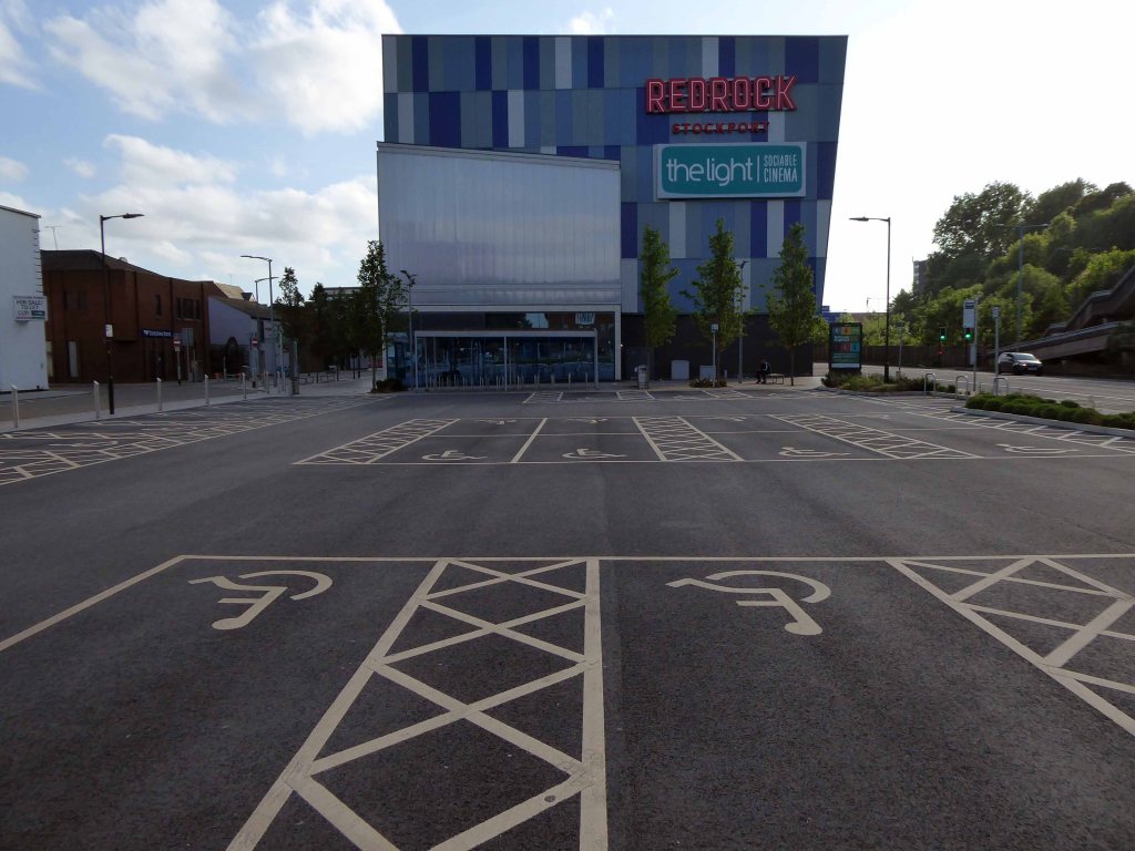
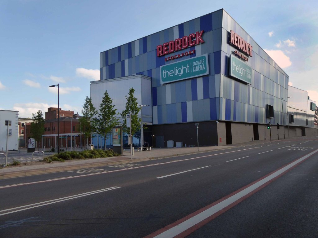
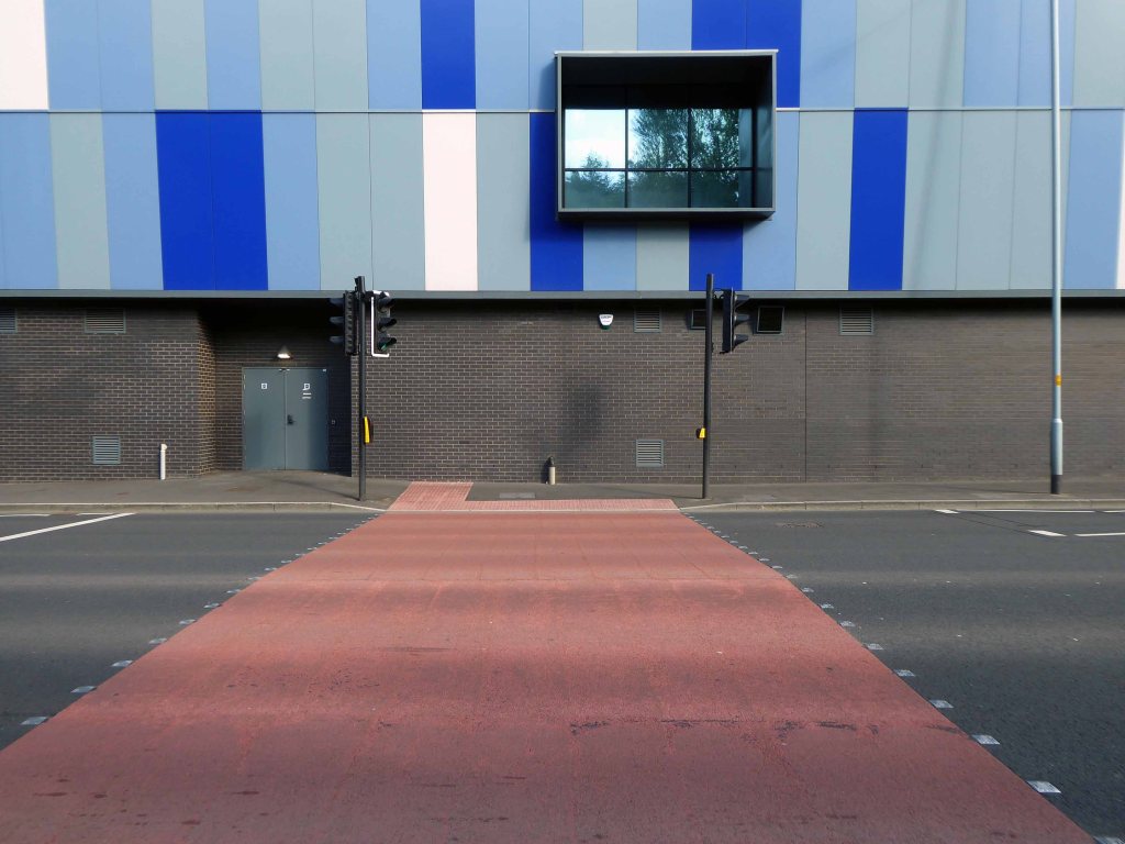
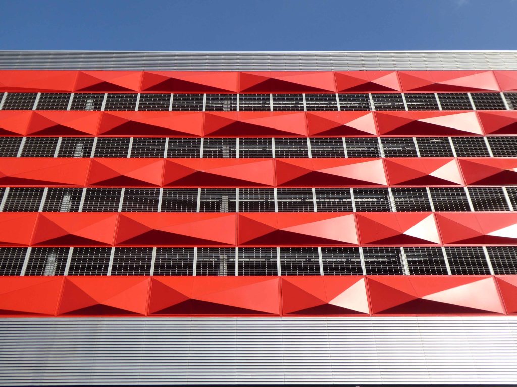
Much maligned, universally loathed – the Stockport leisure facility everyone loves to hate.
What’s the story?
No more darkness, no more night. Now I’m so happy, no sorrow in sight. Praise the Lord, I saw the Light.
1900
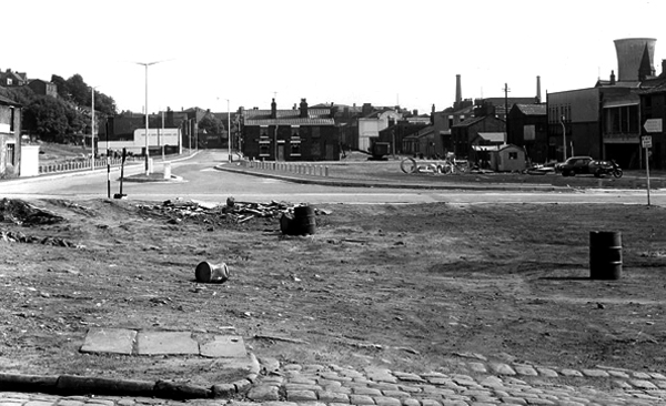
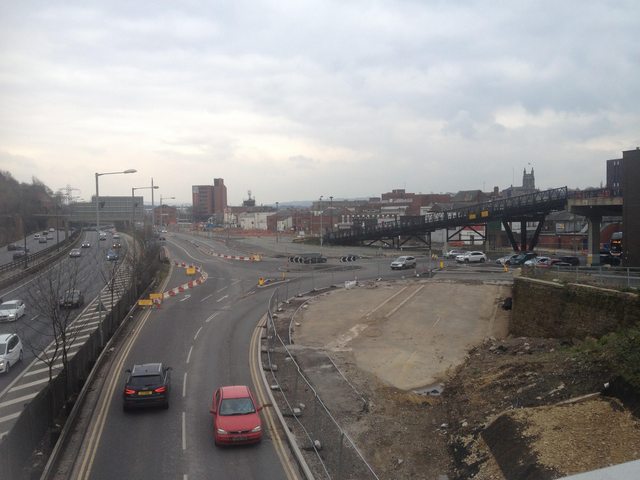
The area between Princes Street and Bridgefield Street was a tight warren of housing, shops and industry, eventually demolished in the 1970s, designated as slum clearance.
Prior to the arrival of the ring road the space remained undeveloped and turned over to car parking.
Little changes as the M60 is opened.
Images TS Parkinson – Stockport Image Archive
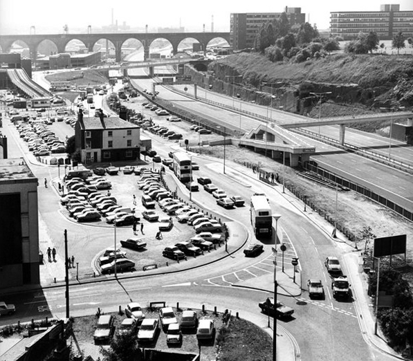
So for over forty years the land lies pretty vacant, but far from pretty.
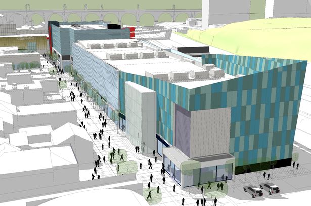
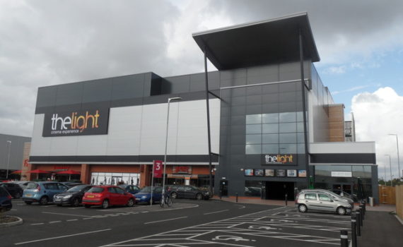
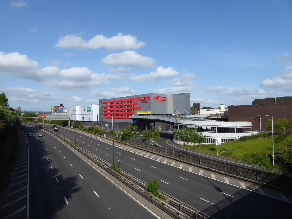
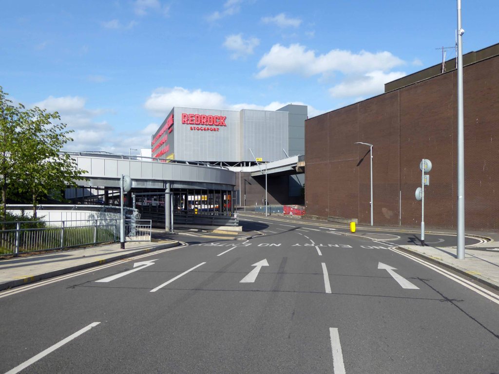
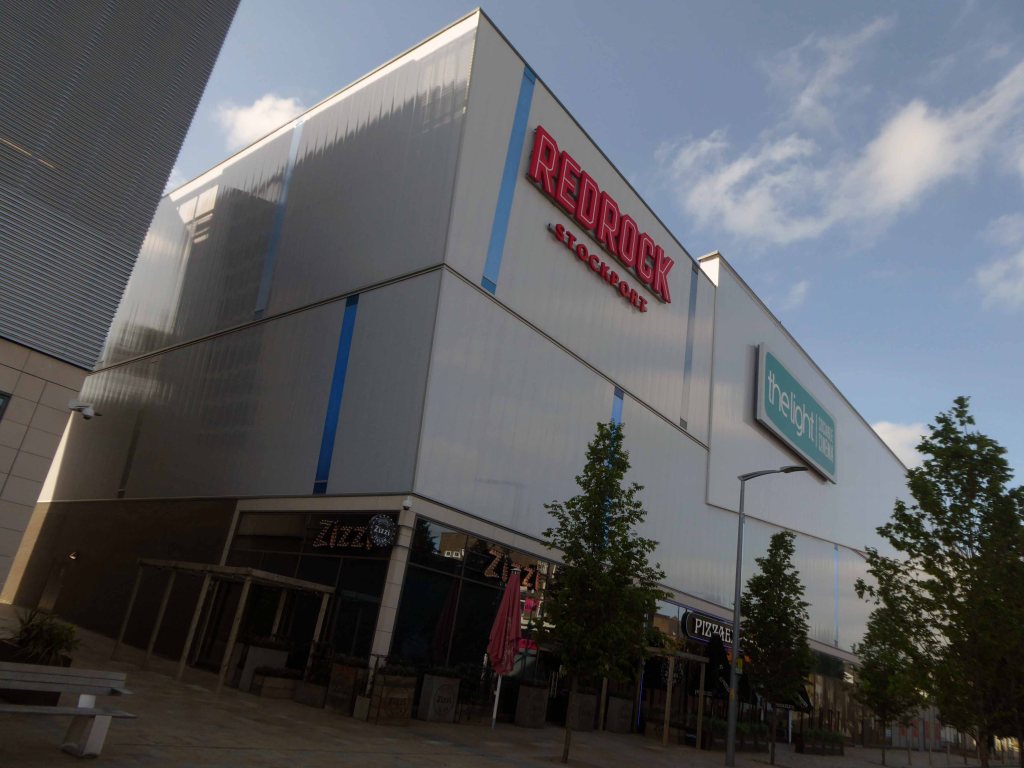
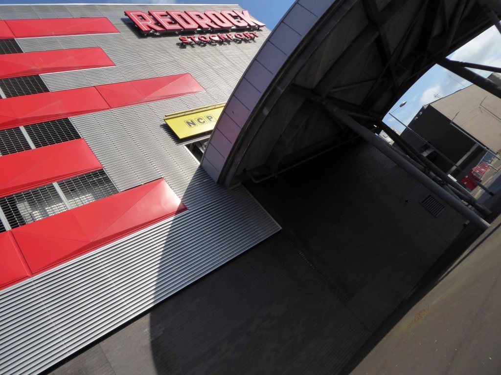
Until 2015 when planning permission is granted for the £45m Redrock leisure scheme, which includes a 10-screen cinema, restaurants and shops.
Councillor Patrick McAuley, the council’s executive member for economic development and regeneration, said:
This is a very exciting time for Stockport. Developments such as these help our ambition of putting Stockport on the map to bring more people to work, shop and socialise here. We have been keen to involve the public in plans for both developments, by holding various consultation exercises.
We look forward to an exciting few years improving Stockport’s offer.
So good bye to all this, the local authority is making serious progress, developing Stockport’s future, against a background of structural decline and the dominance of Manchester city centre.
The architects for the scheme are BDP – the building was not well received as it was awarded the Carbuncle of the Year 2018.
Judges were left unimpressed by the – awkward form, disjointed massing and superficial decoration, while readers called it an absolute monstrosity.
Though to be fair The Light has a house style that leans heavily towards the anonymous industrial shed.
Sittingbourne
The development has however become a commercial success – once inside customers seem more than happy with the facilities.
The people of Stockport have welcomed us with open arms since opening in 2017. We’ve now had over one million guests join us for everything from the latest blockbusters to opera, theatre and concerts.
It’s been that busy that we’ve just added two additional screens and now offer freshly made pizzas, burgers and sliders. We’ve got plenty more exciting additions up our sleeve for next yeartoo!
Yet it continues to attract wave after wave of criticism on local Facebook groups, perhaps the former car parking area should be reinstated, or the Victorian slums rebuilt?
I went to take a look for myself during lockdown – see what you think.
Real attempts have been made to make the landscaping and street view amenable to pedestrians, it feels like an attractive and safe urban space.
The view from the north is less successful, the scale and decorative work looks over ostentatious and confused.
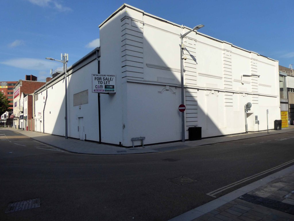
Look away if you wish, it won’t be here forever – and if you fancy something different try The Plaza or The Savoy.
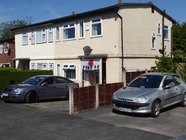
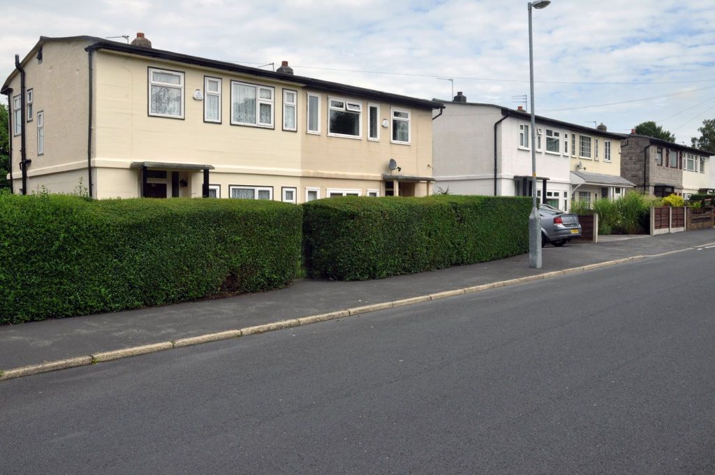
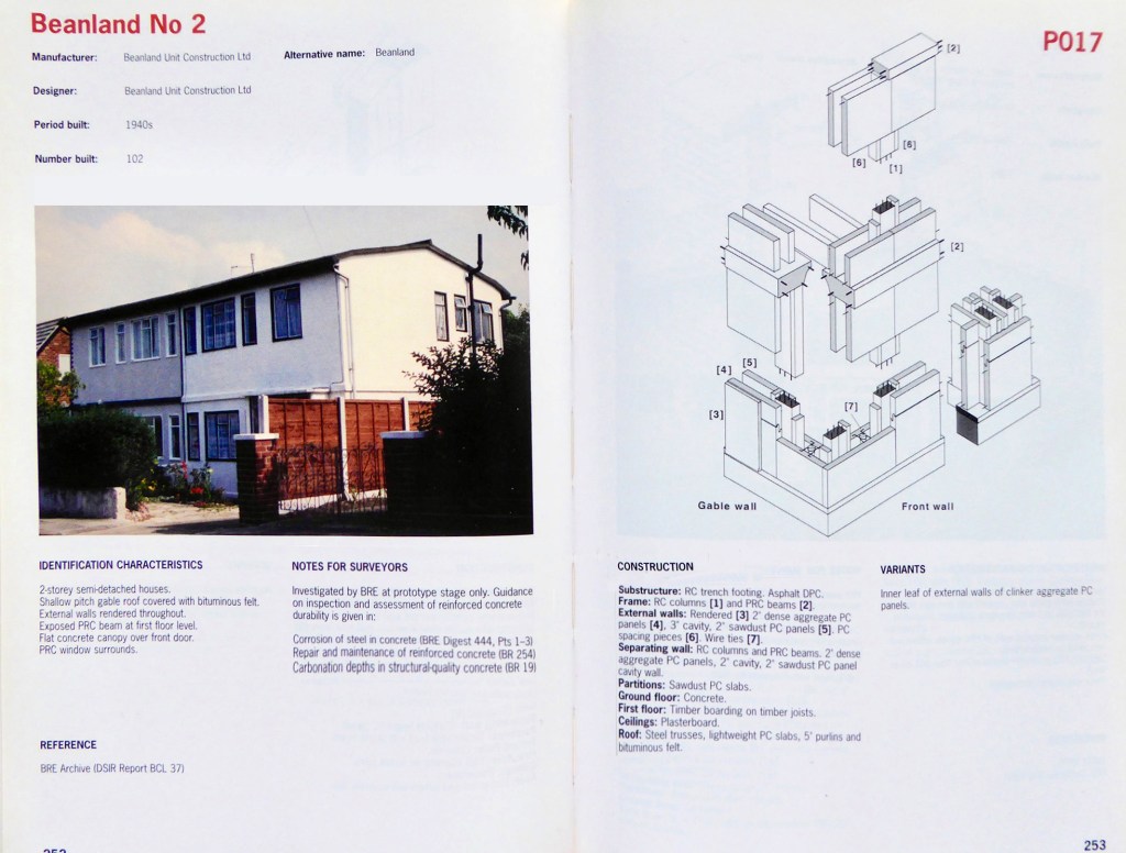
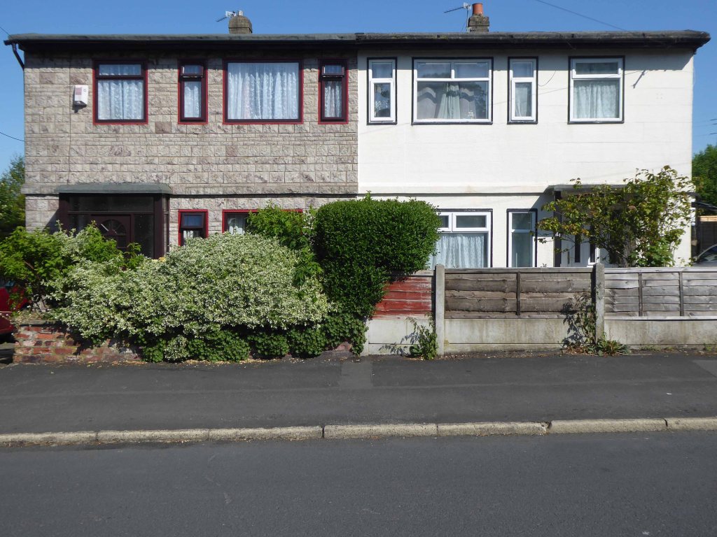
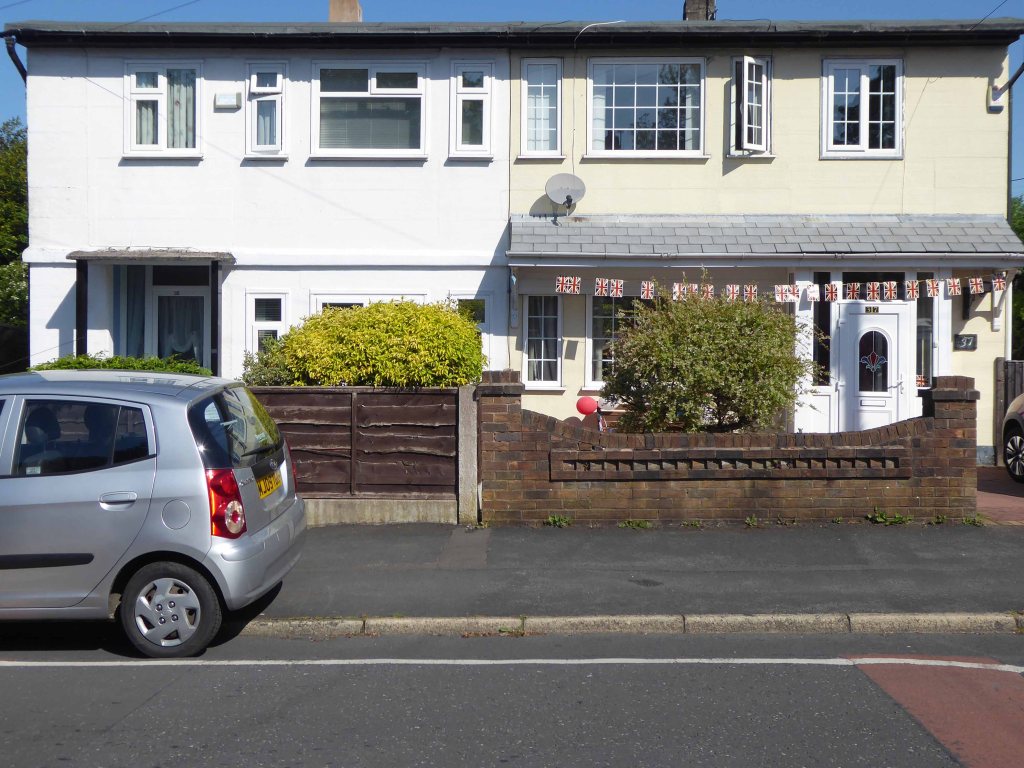
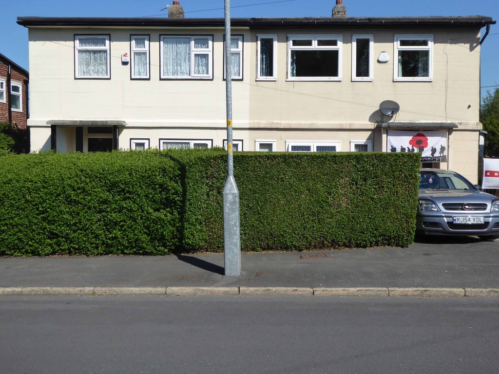
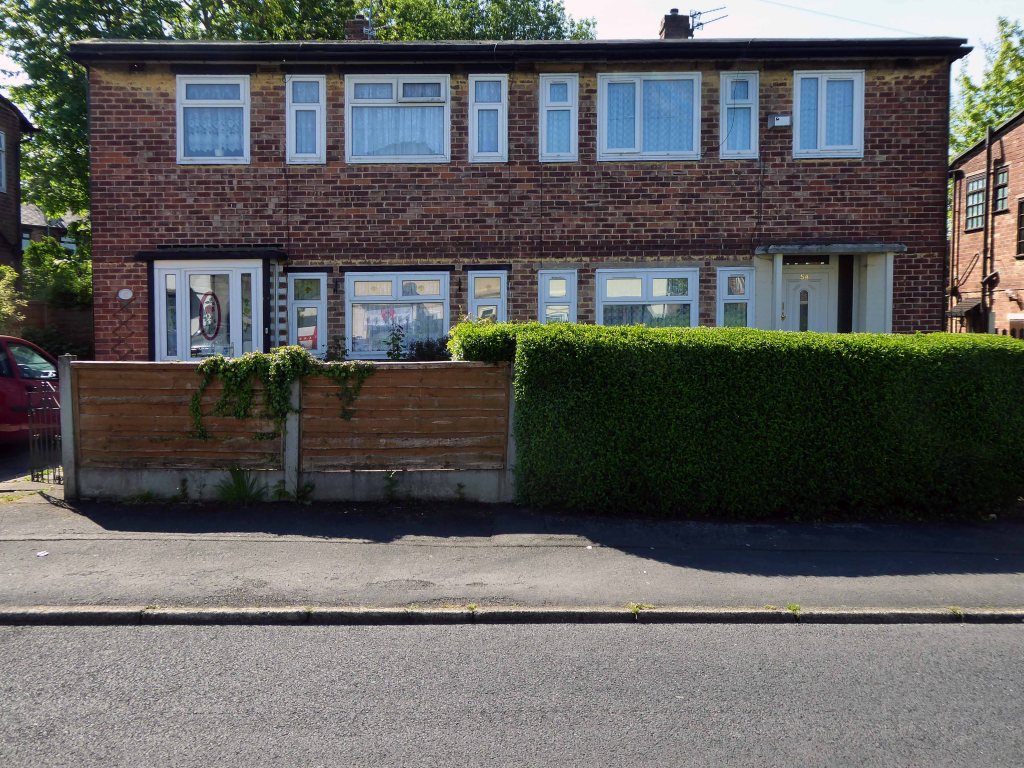
I have been here before in 2015 en passant, snapped the homes chatted to a resident and off, she had informed me that they had been post-war experimental concrete homes.
I thought no more about it – but subsequently I did, returning to the road to take another look.
Here’s one I didn’t make earlier.
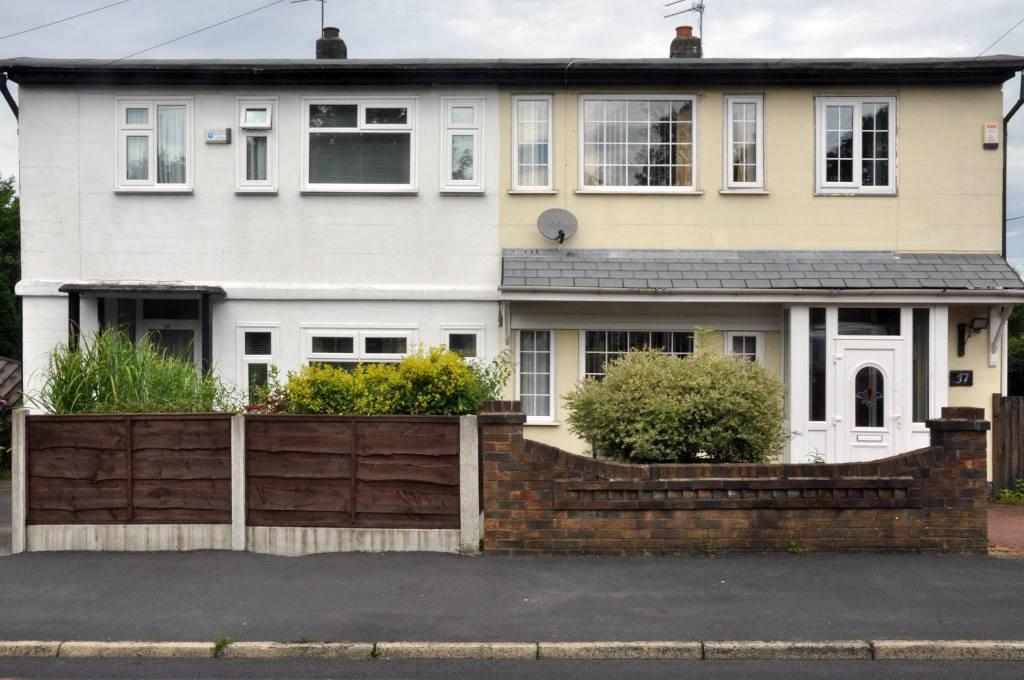
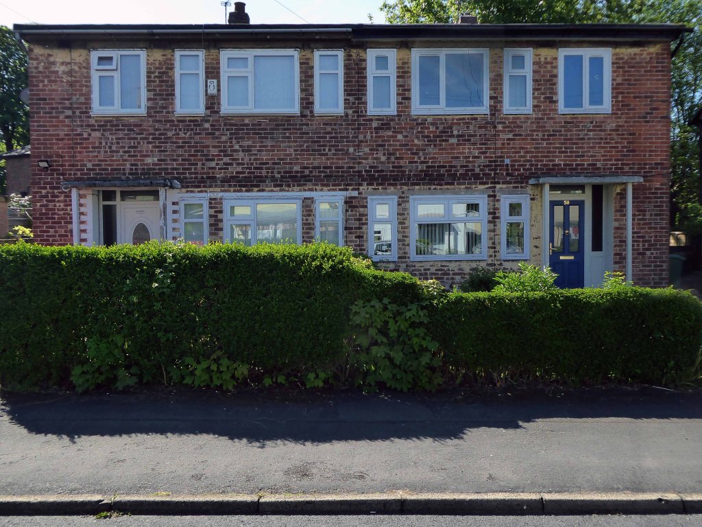
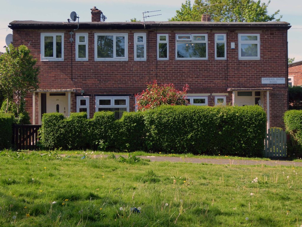
There are four semi detached homes constructed from concrete, rendered painted and clad over the years, windows replaced, additions and amendments made.
Though the basic design characteristics have been retained.
There are no local archival images or histories, I assume that they were post-war, an addition to the inter-war Smallshaw council estate.
In an area which in 1848 was given over to mining and agriculture.
I have subsequently learnt from an online contact Mr Sid Cat, that the homes are Beanland No 2.
They are listed on the BISF site – 102 were built.
More than this I cannot say – further searches for Beanland proving largely fruitless.
In addition there are also several semi detached houses of identical shape and proportion faced in brick – why?
Suffice to say here we are now and here they all are.
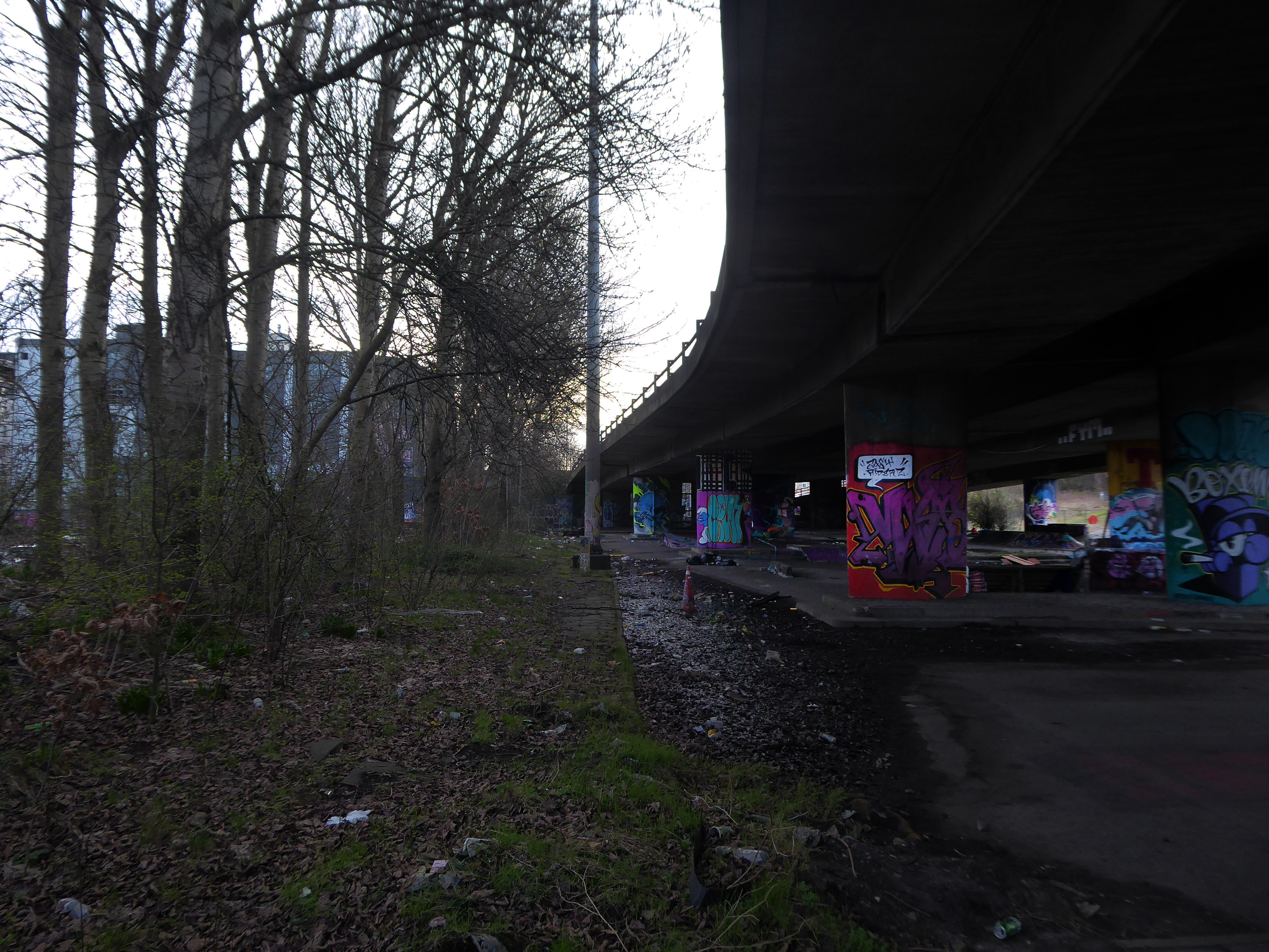
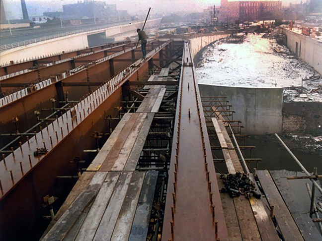
He reached the foot of the embankment, and waved with one arm, shouting at the few cars moving along the westbound carriageway. None of the drivers could see him, let alone hear his dry-throated croak, and Maitland stopped, conserving his strength. He tried to climb the embankment, but within a few steps collapsed in a heap on the muddy slope.
Deliberately, he turned his back to the motorway and for the first time began to inspect the island.
Maitland, poor man, you’re marooned here like Crusoe – If you don’t look out you’ll be beached here for ever. He had spoken no more than the truth. This patch of abandoned ground left over at the junction of three motorway routes was literally a deserted island.
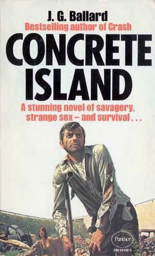
JG Ballard Concrete Island
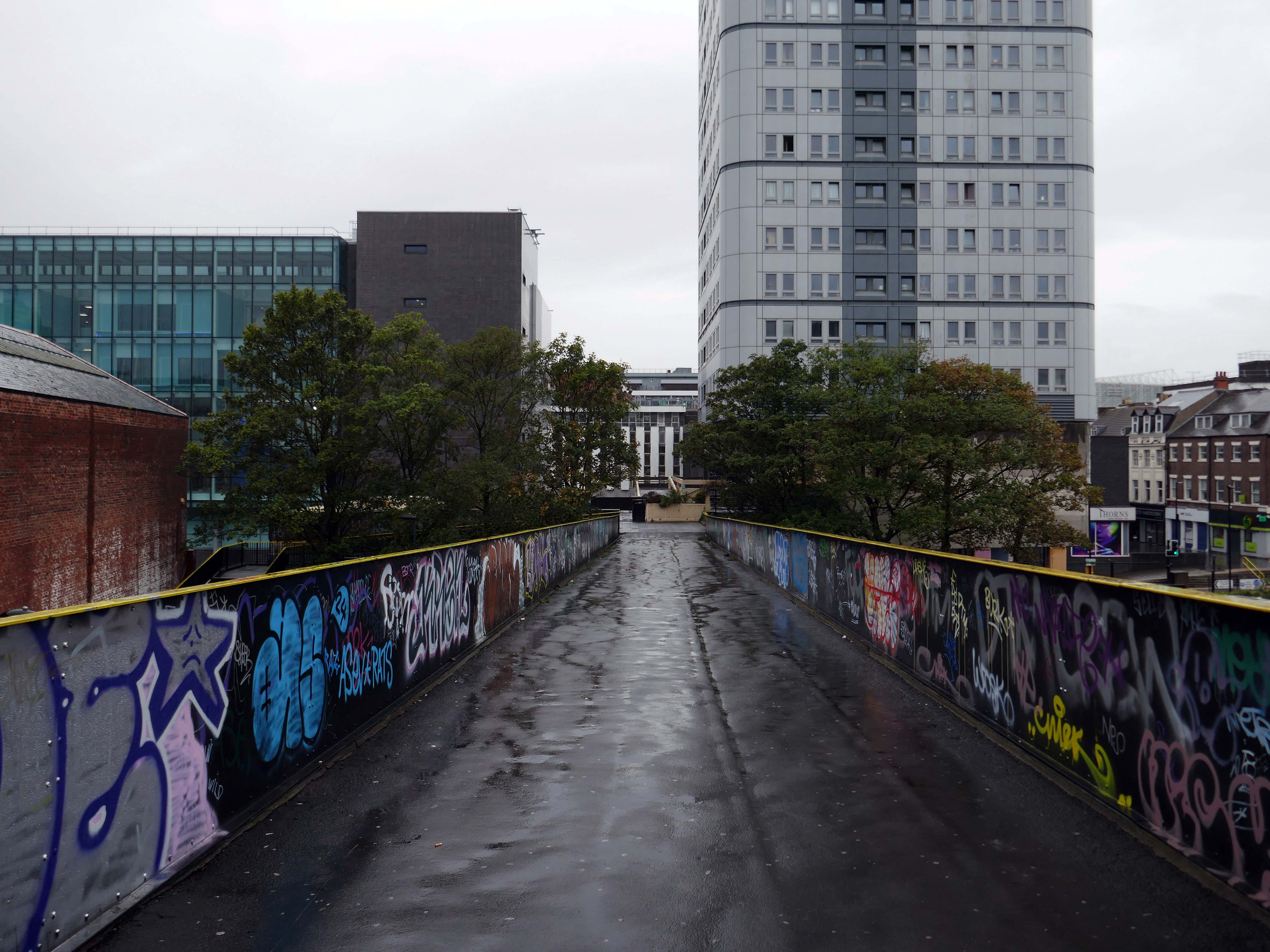
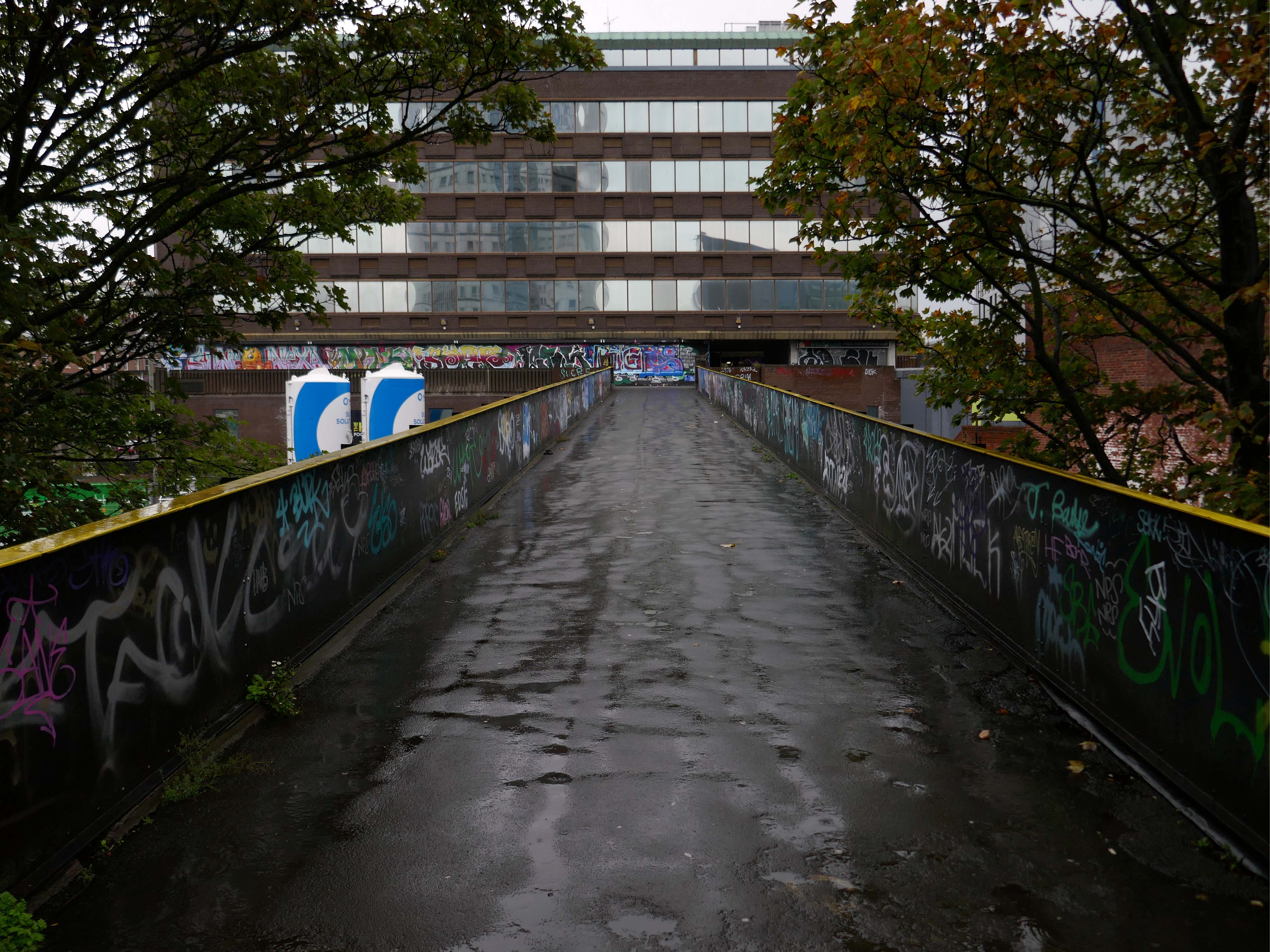
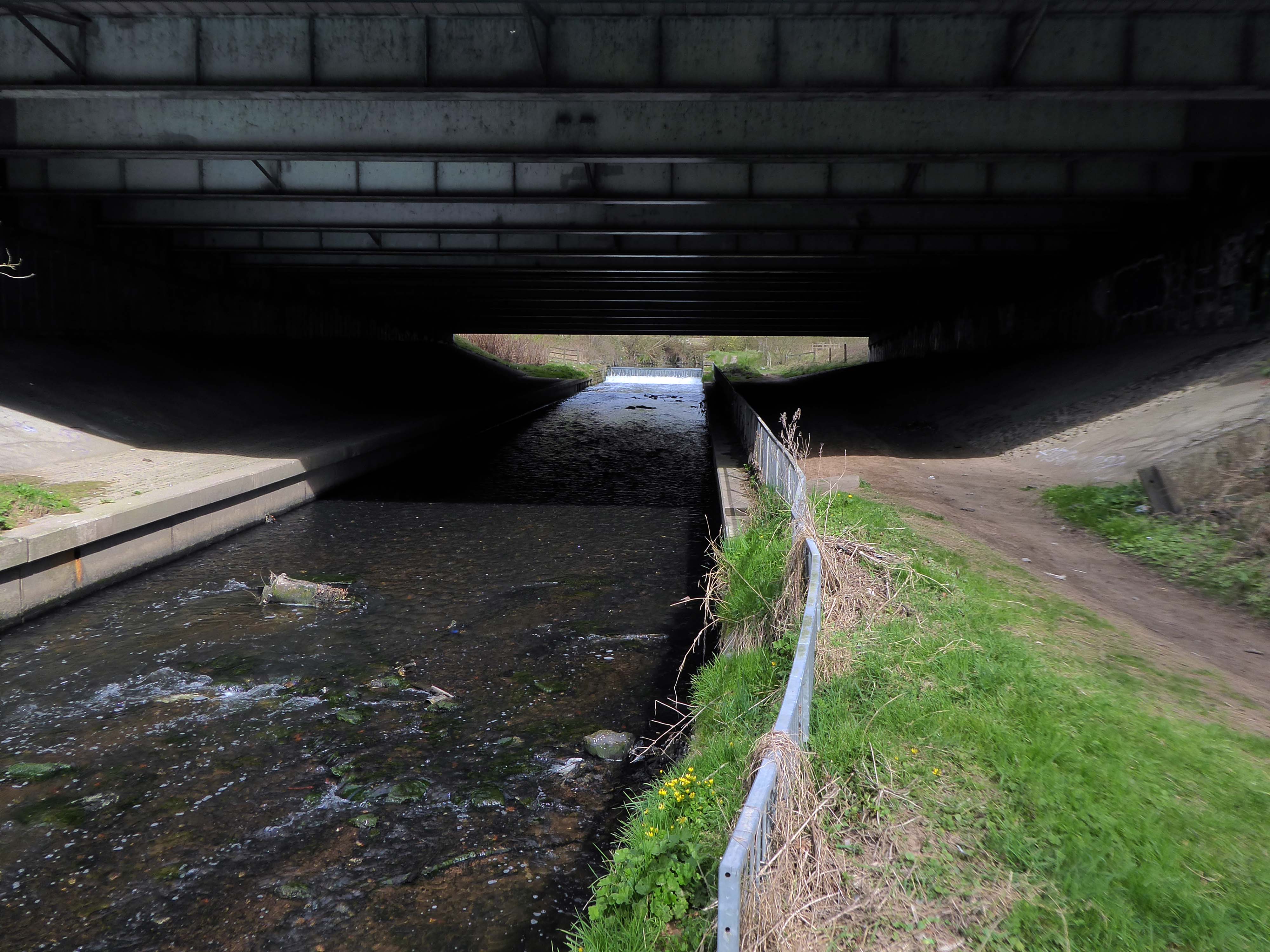
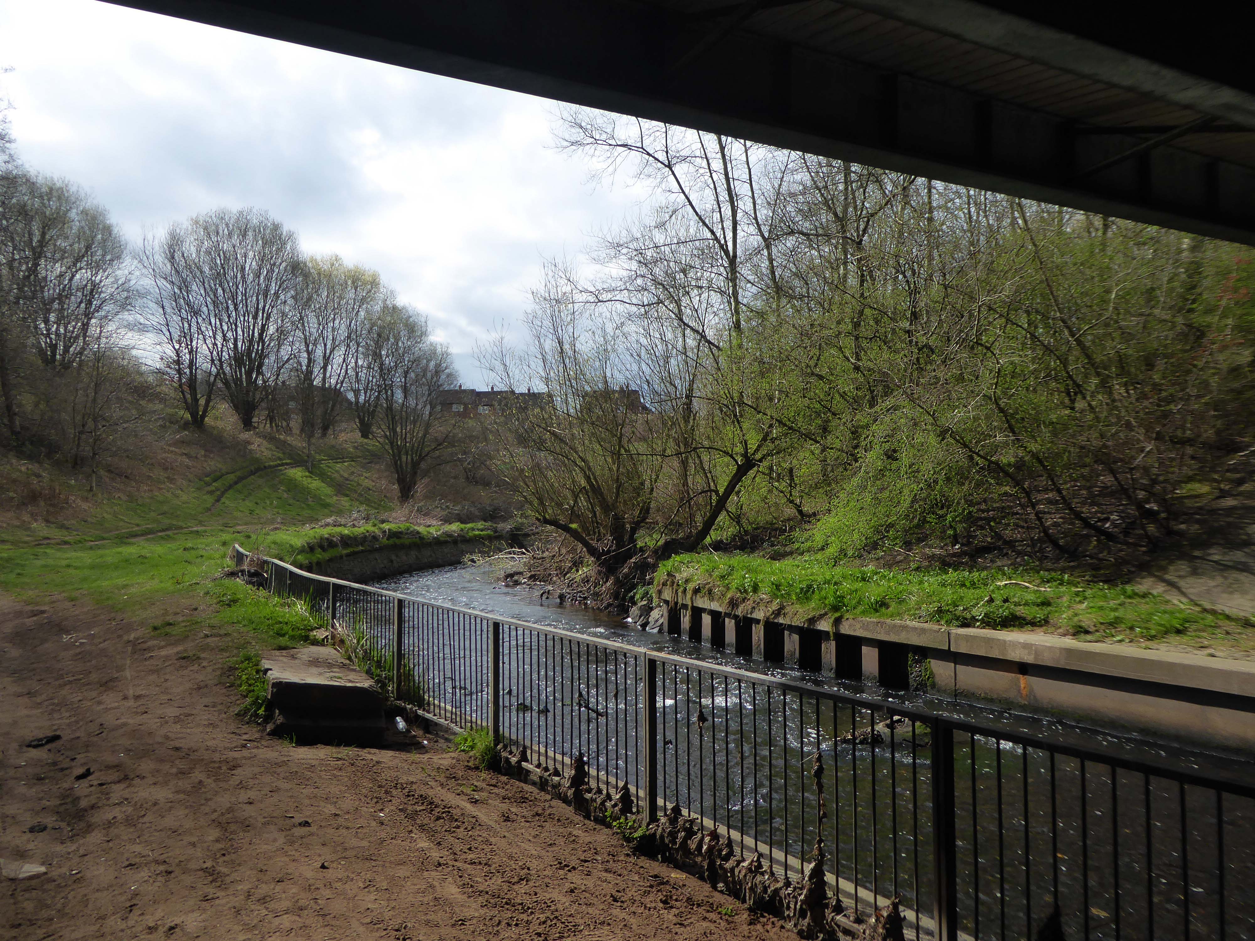
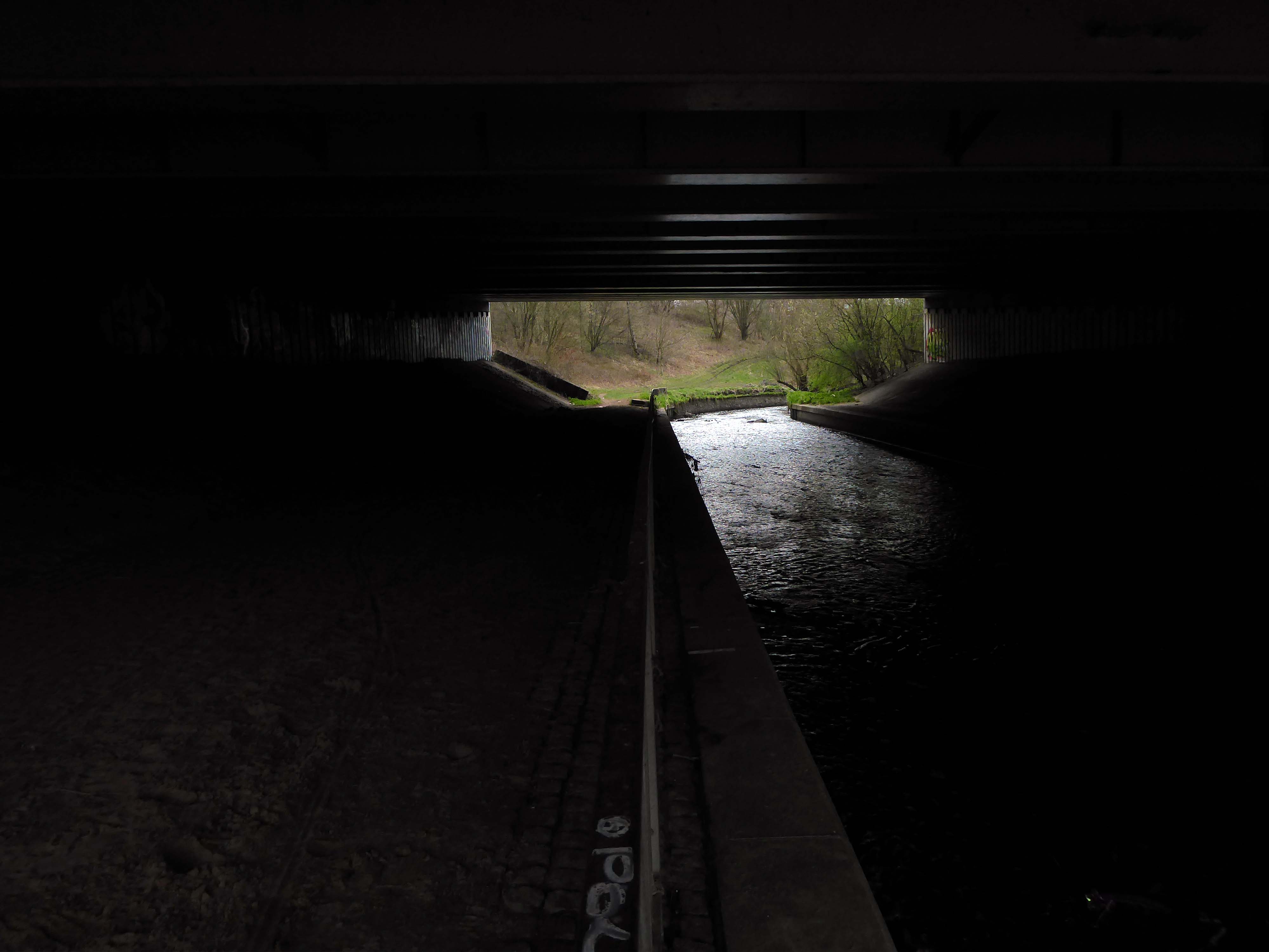
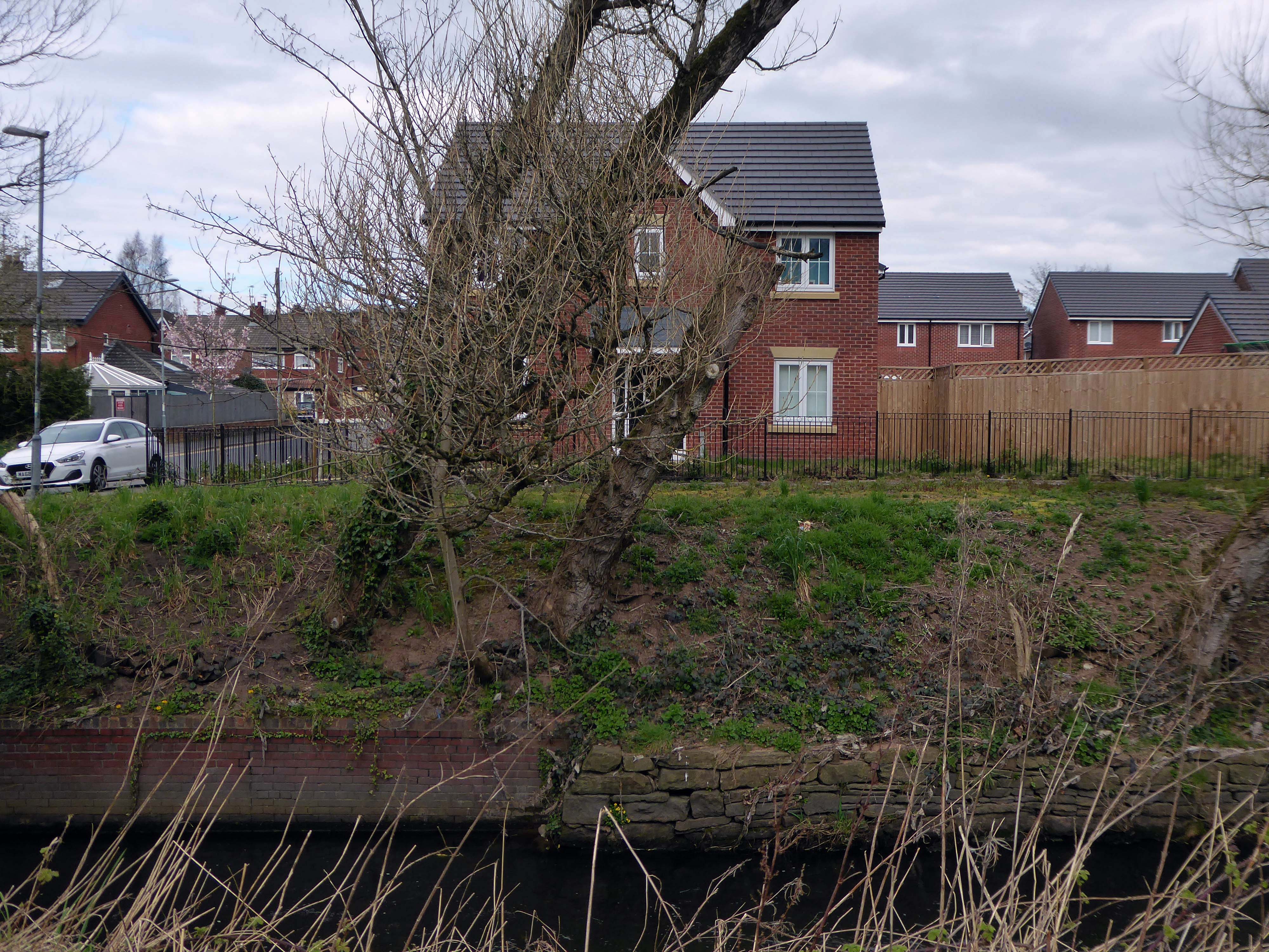
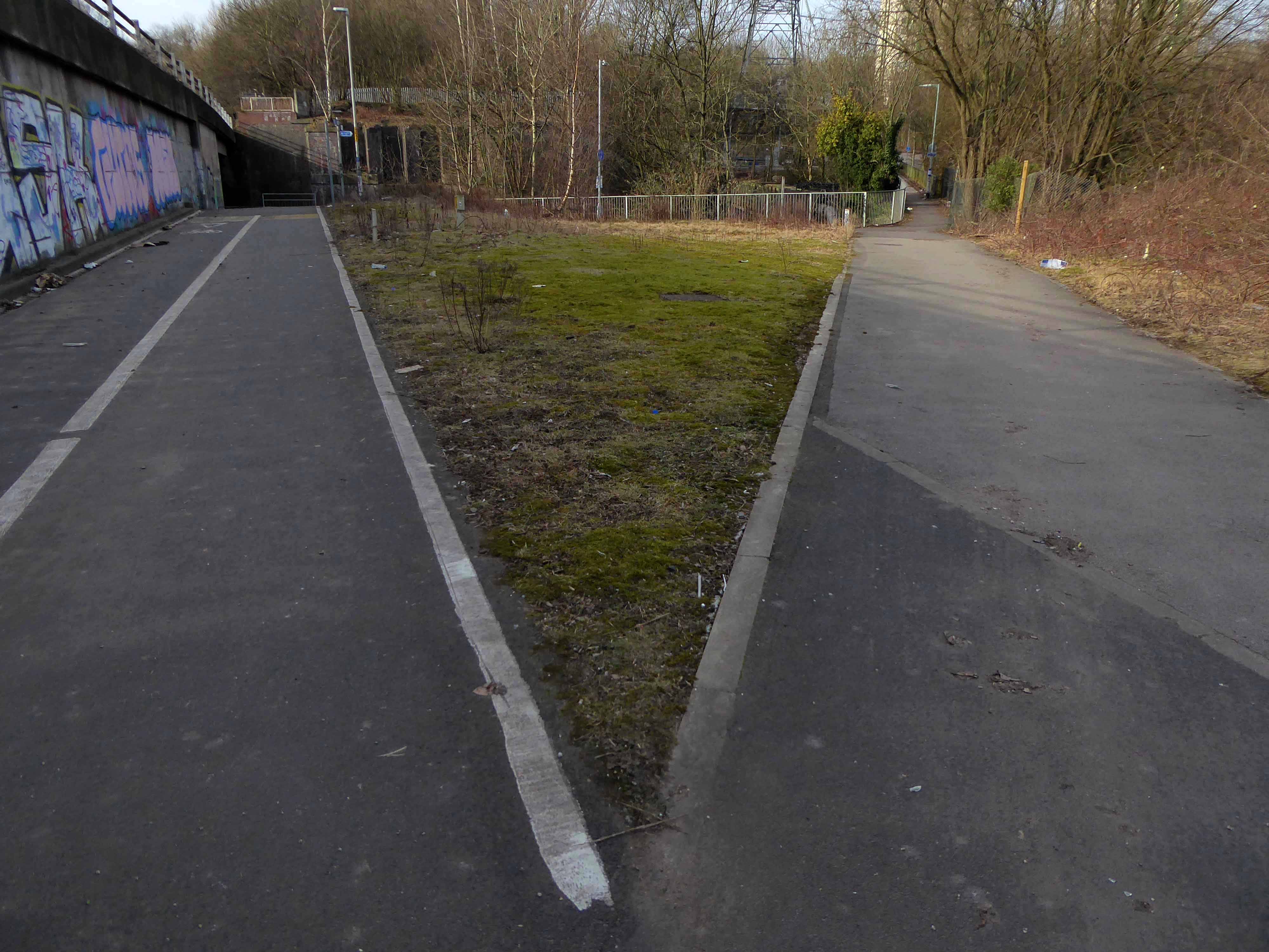
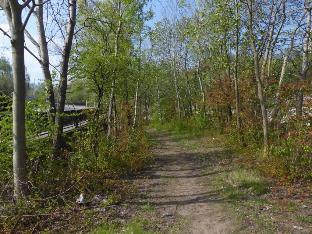
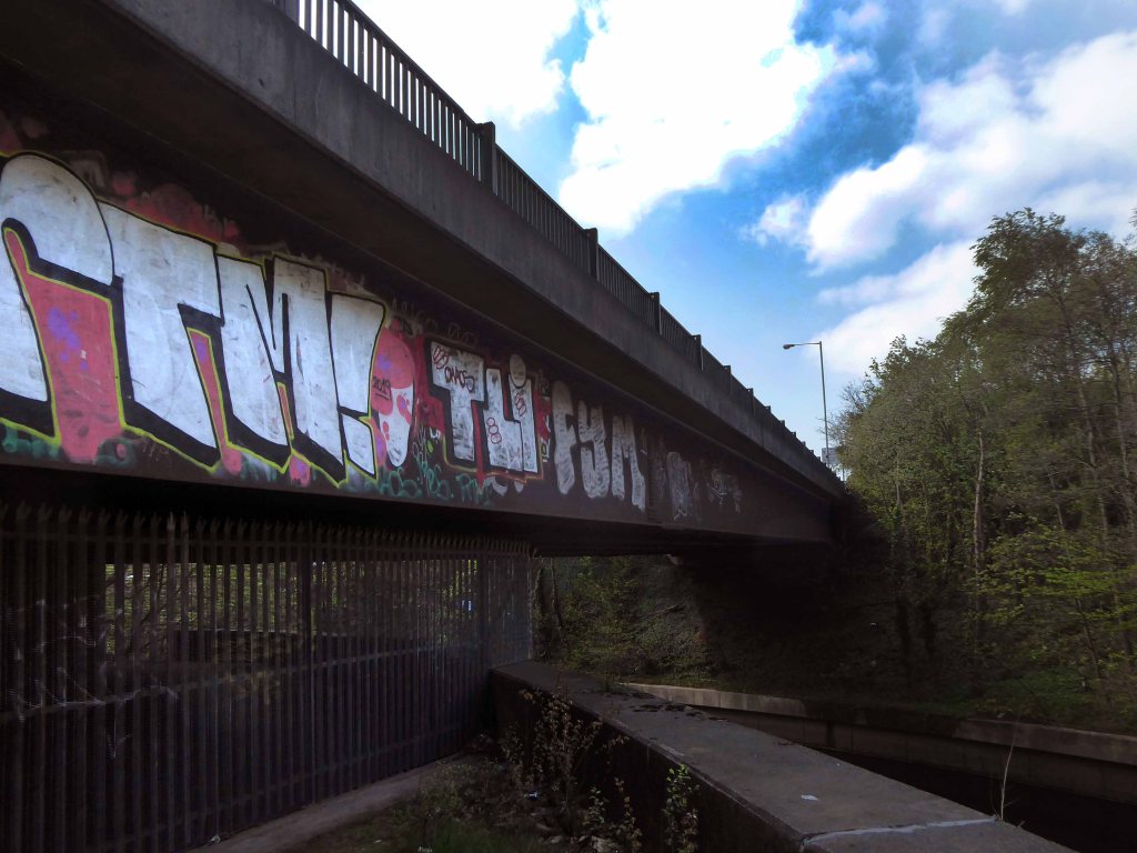
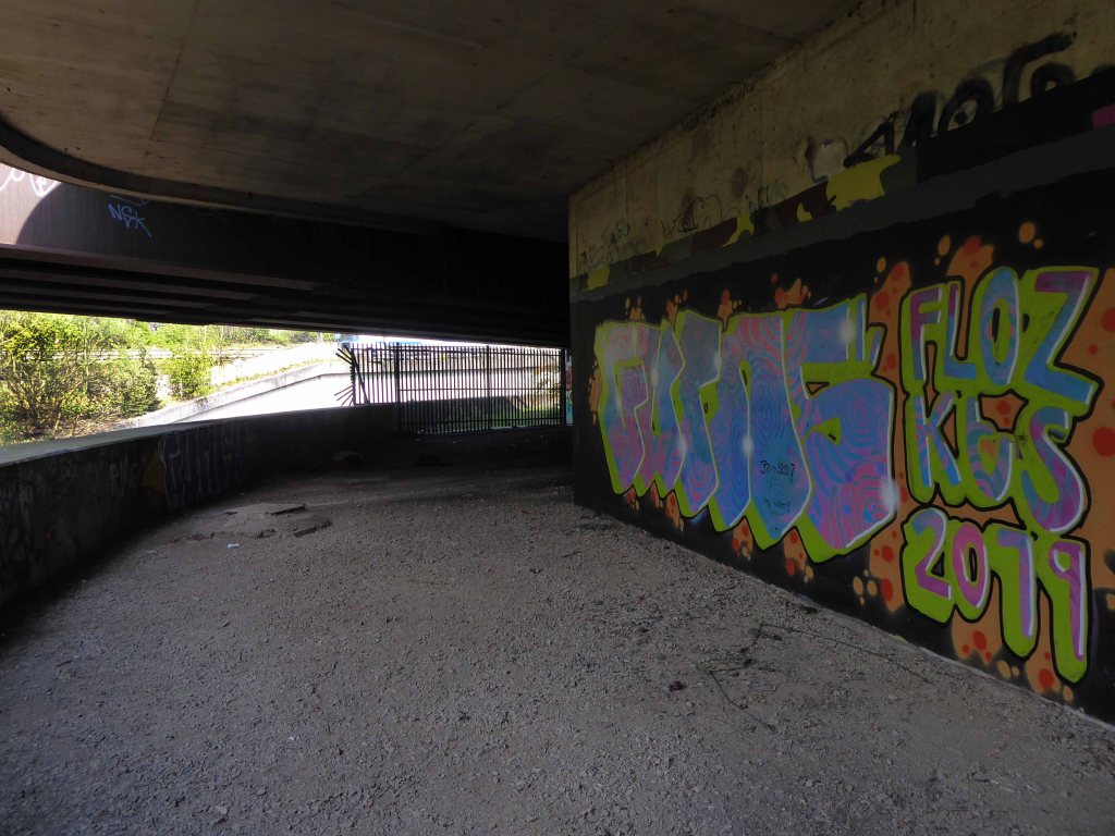
I’m in a different place – the same but different, whilst out walking I went through an open gate, following a well worn path, for the very first time.
Leading who knows where.
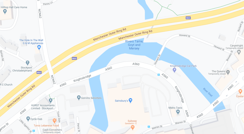
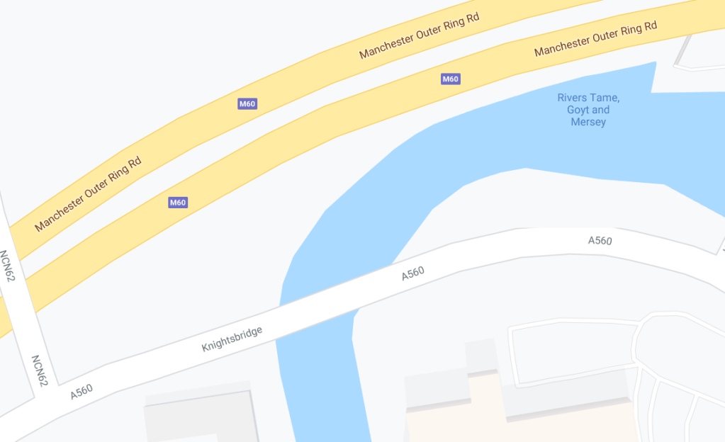
The confluence of three rivers, the meeting of motorway and main road.
I ventured further – where if anywhere are we going?
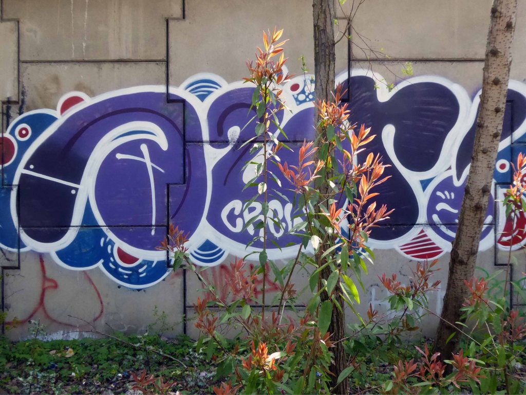
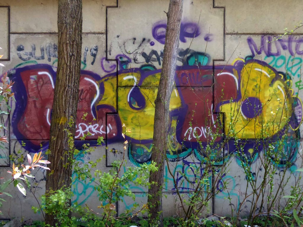
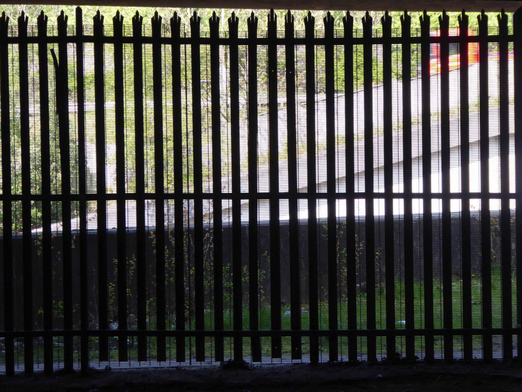
This tight tree lined and paint daubed triangle offers no answers.
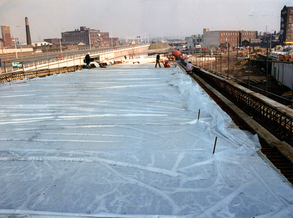
Tamed thirty years or so ago, with concrete and steel.
Further and further.
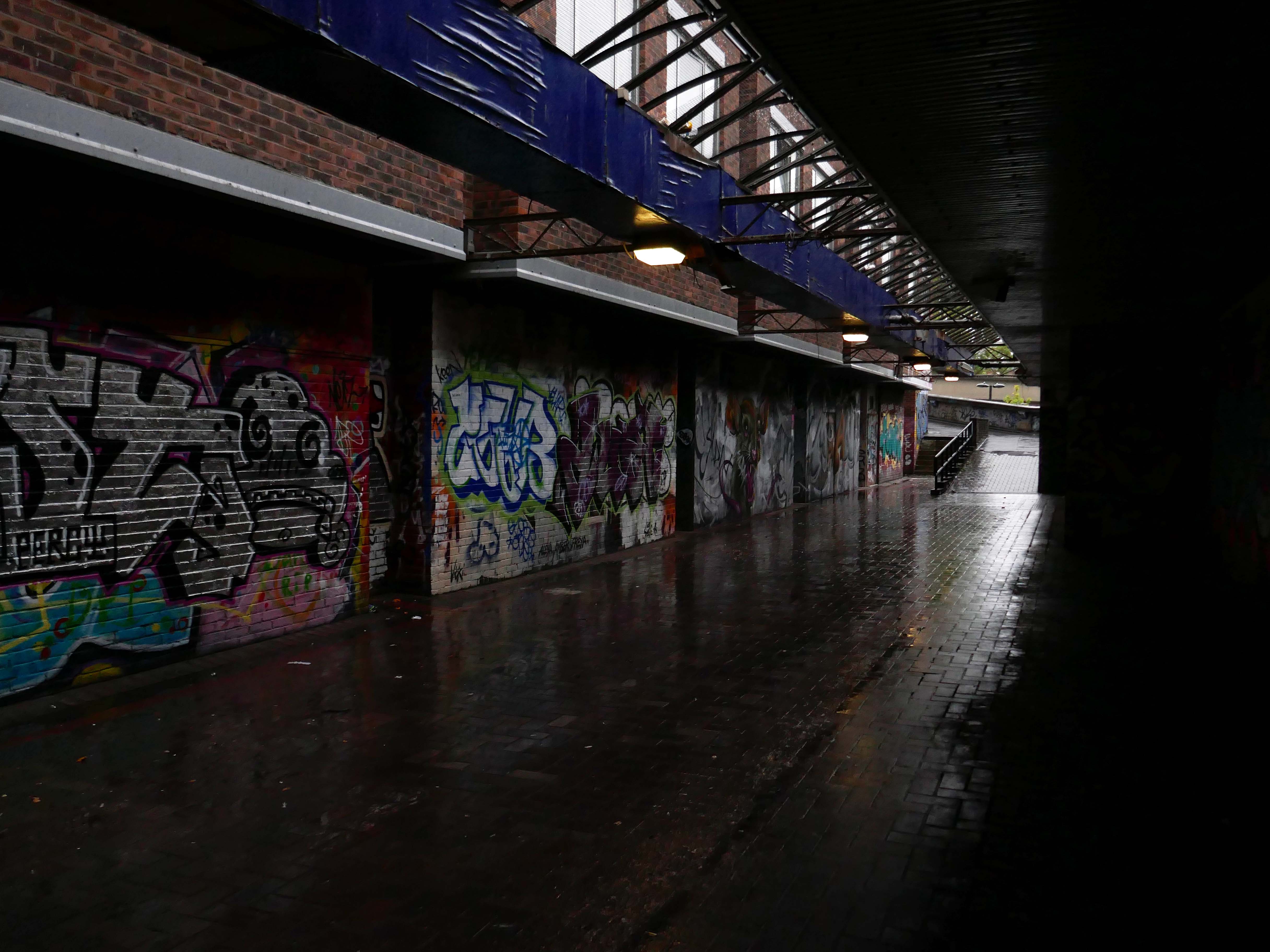
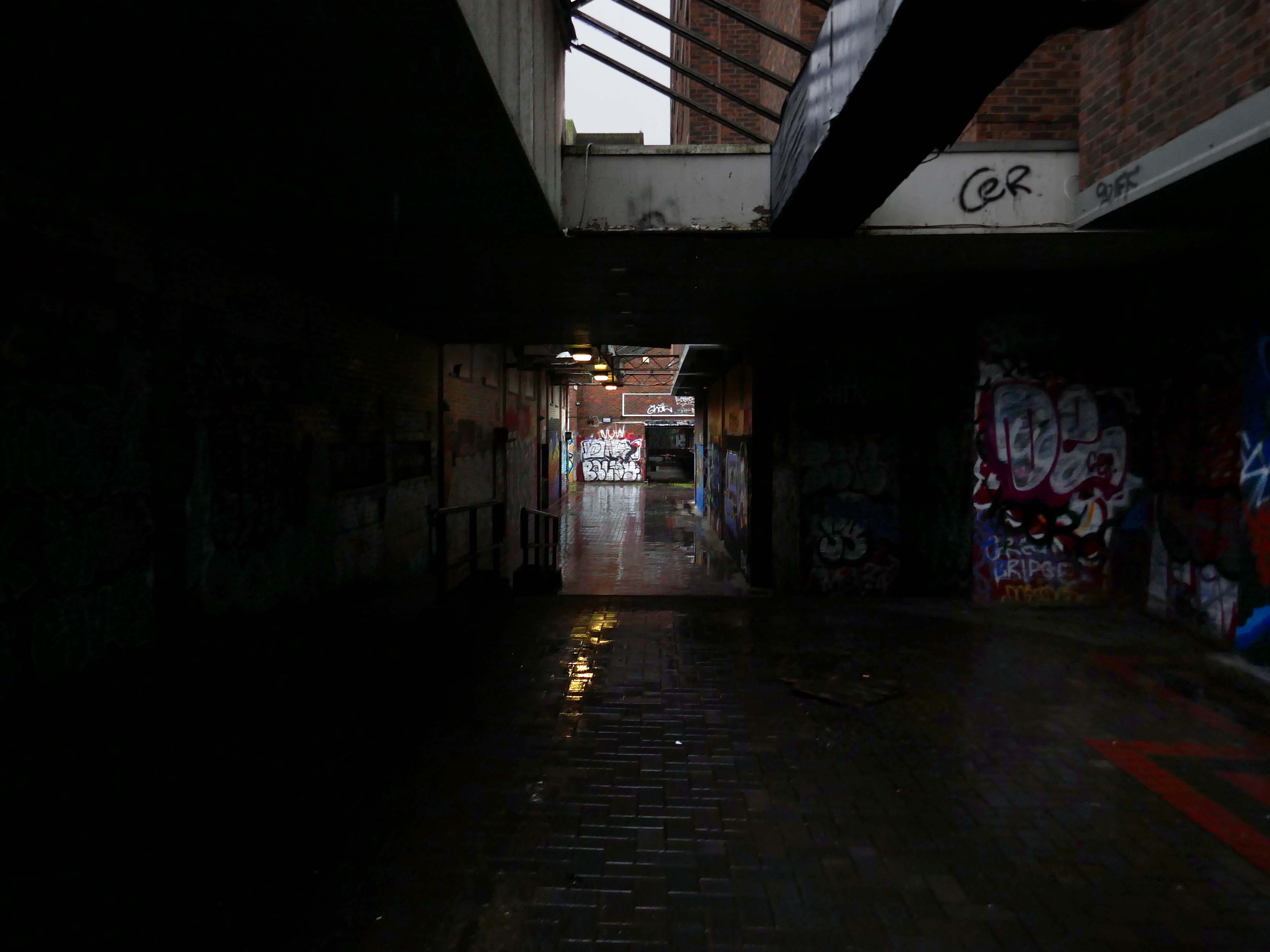
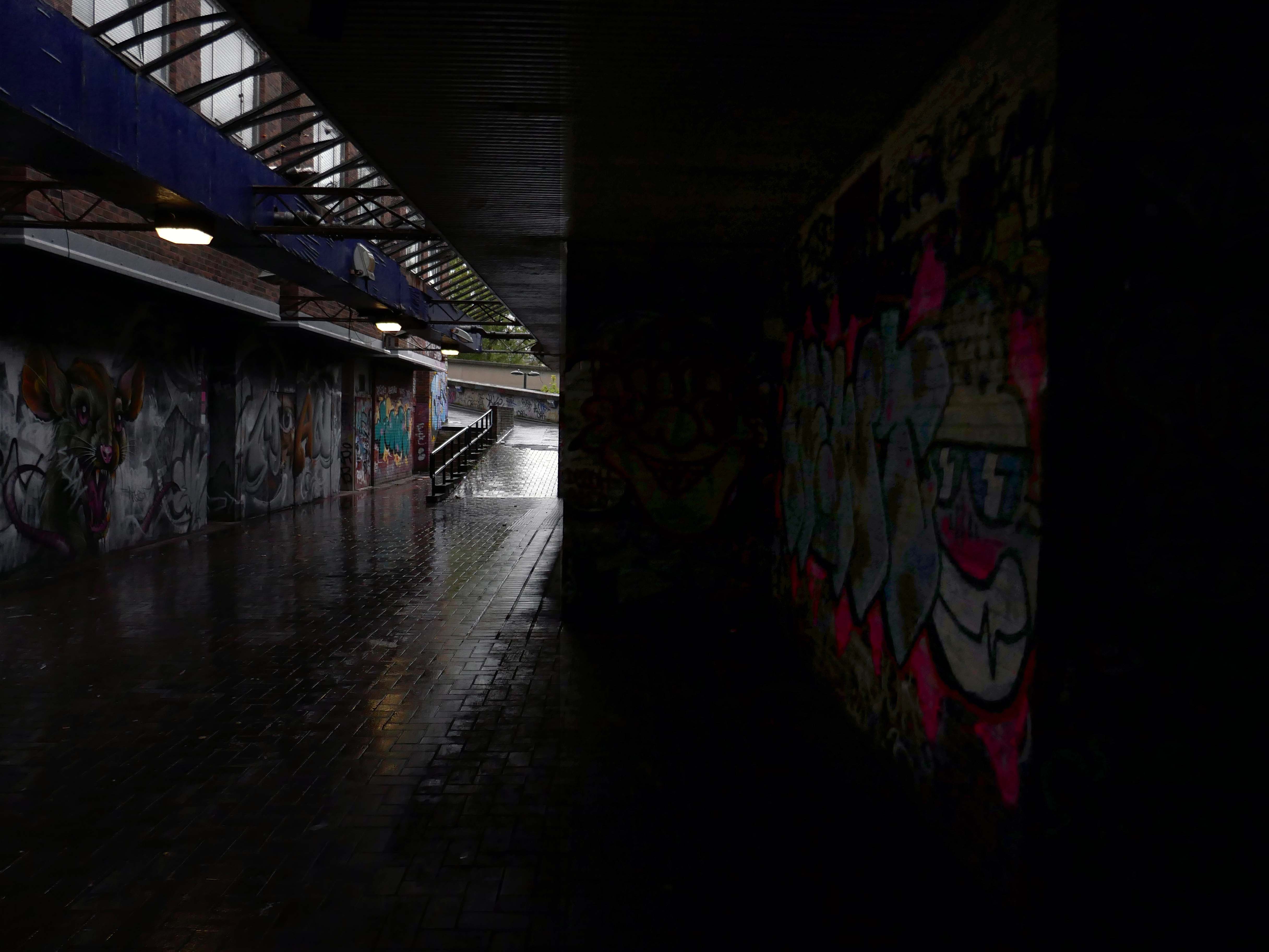
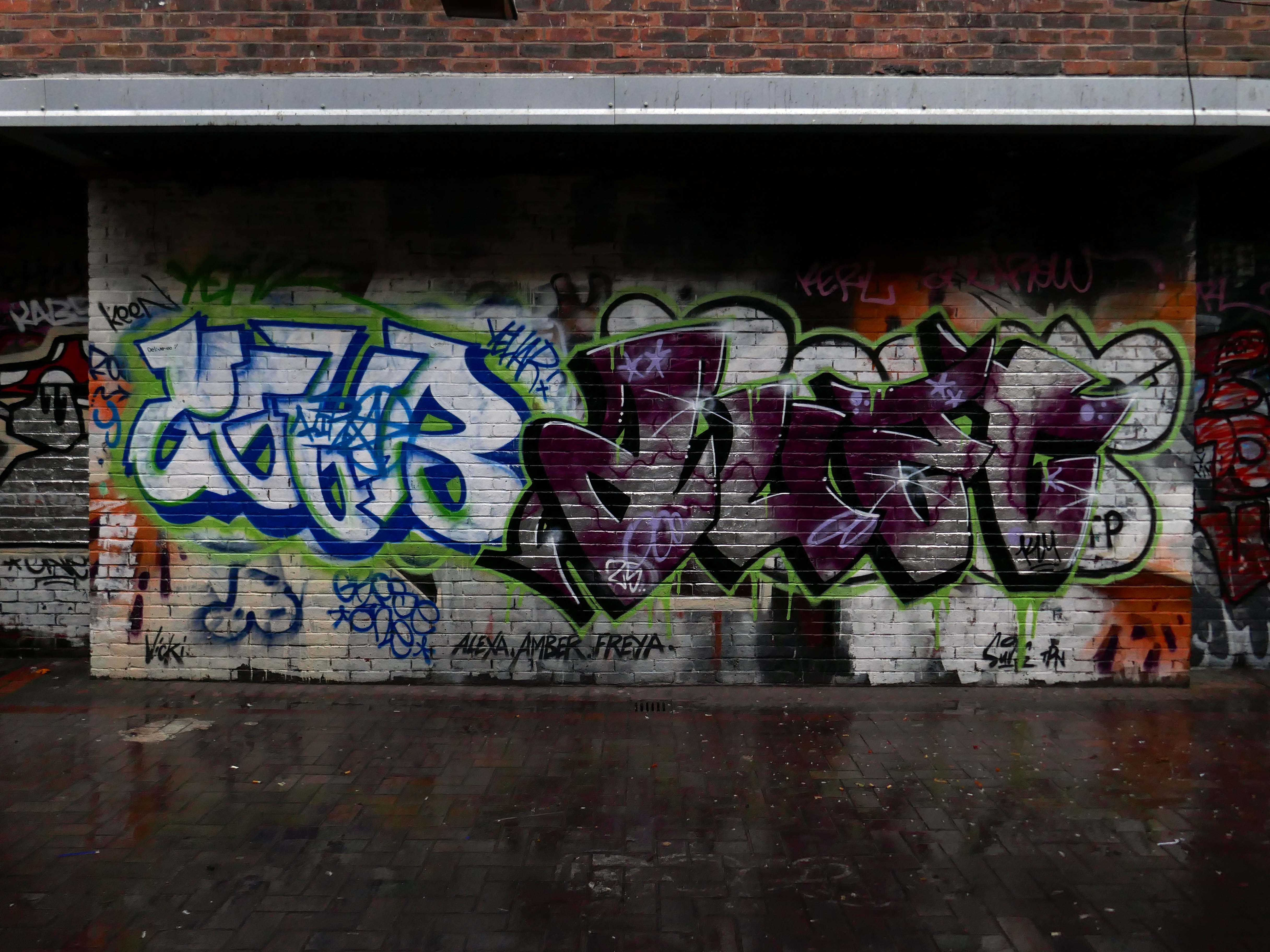
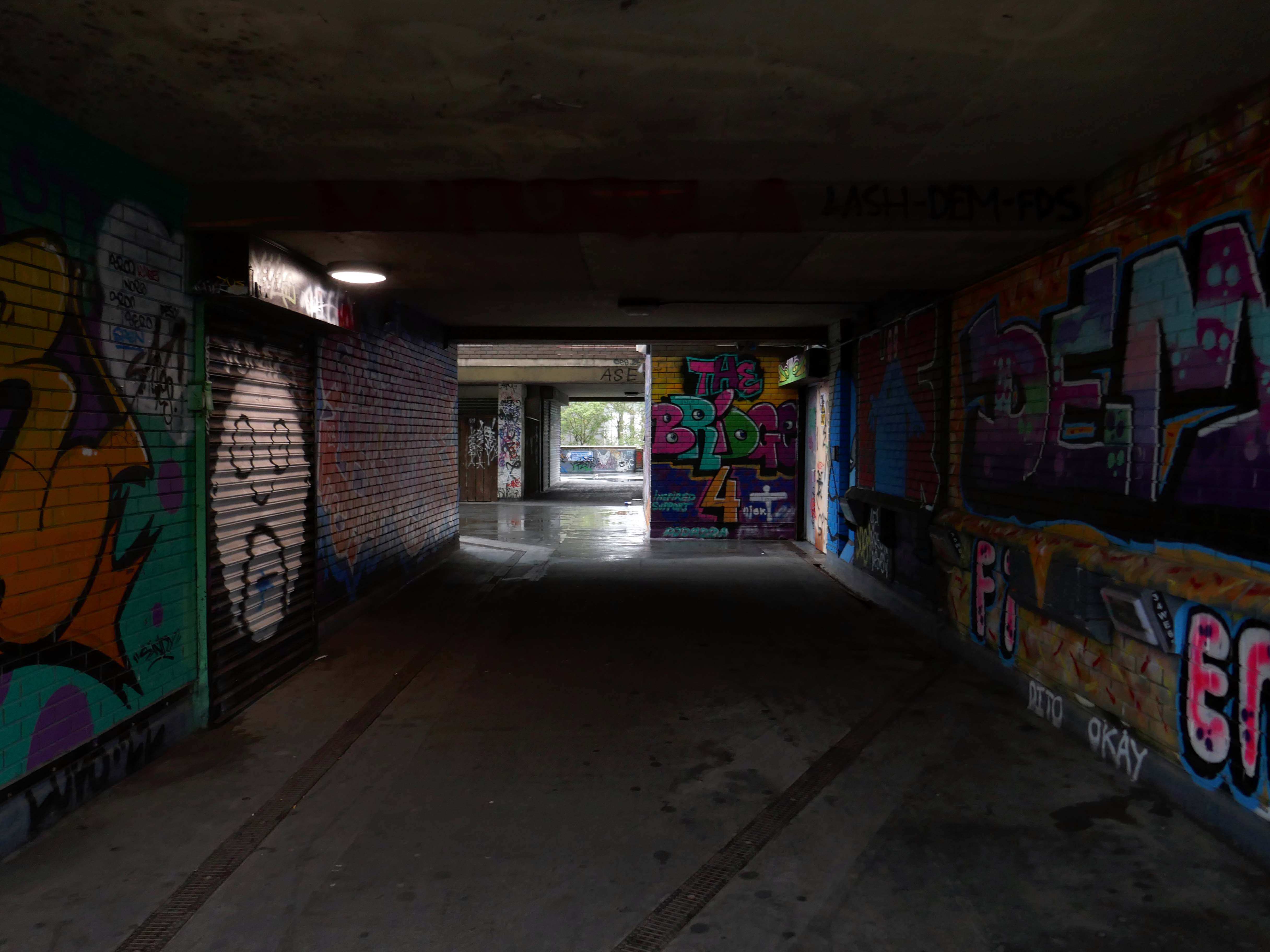
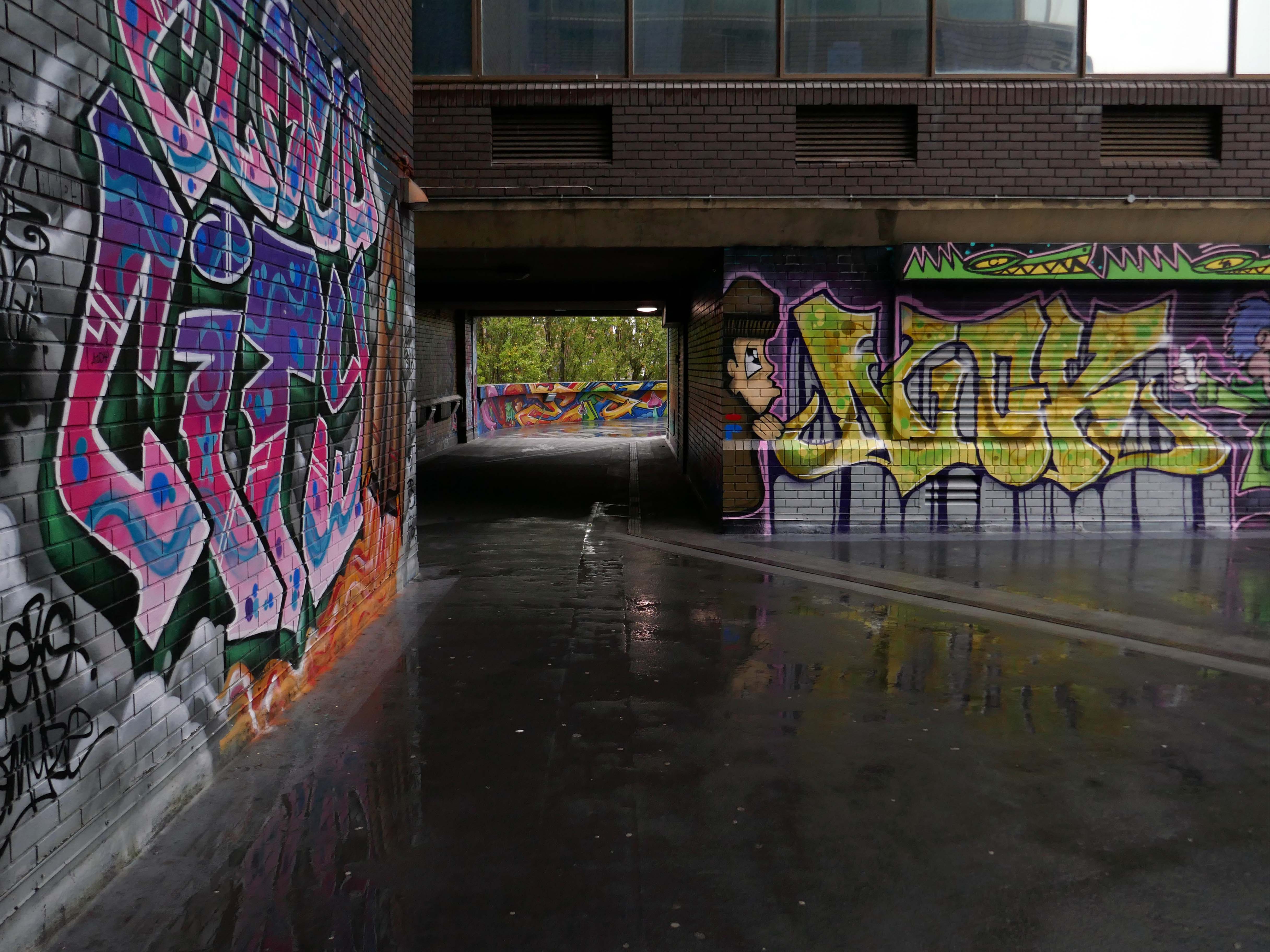
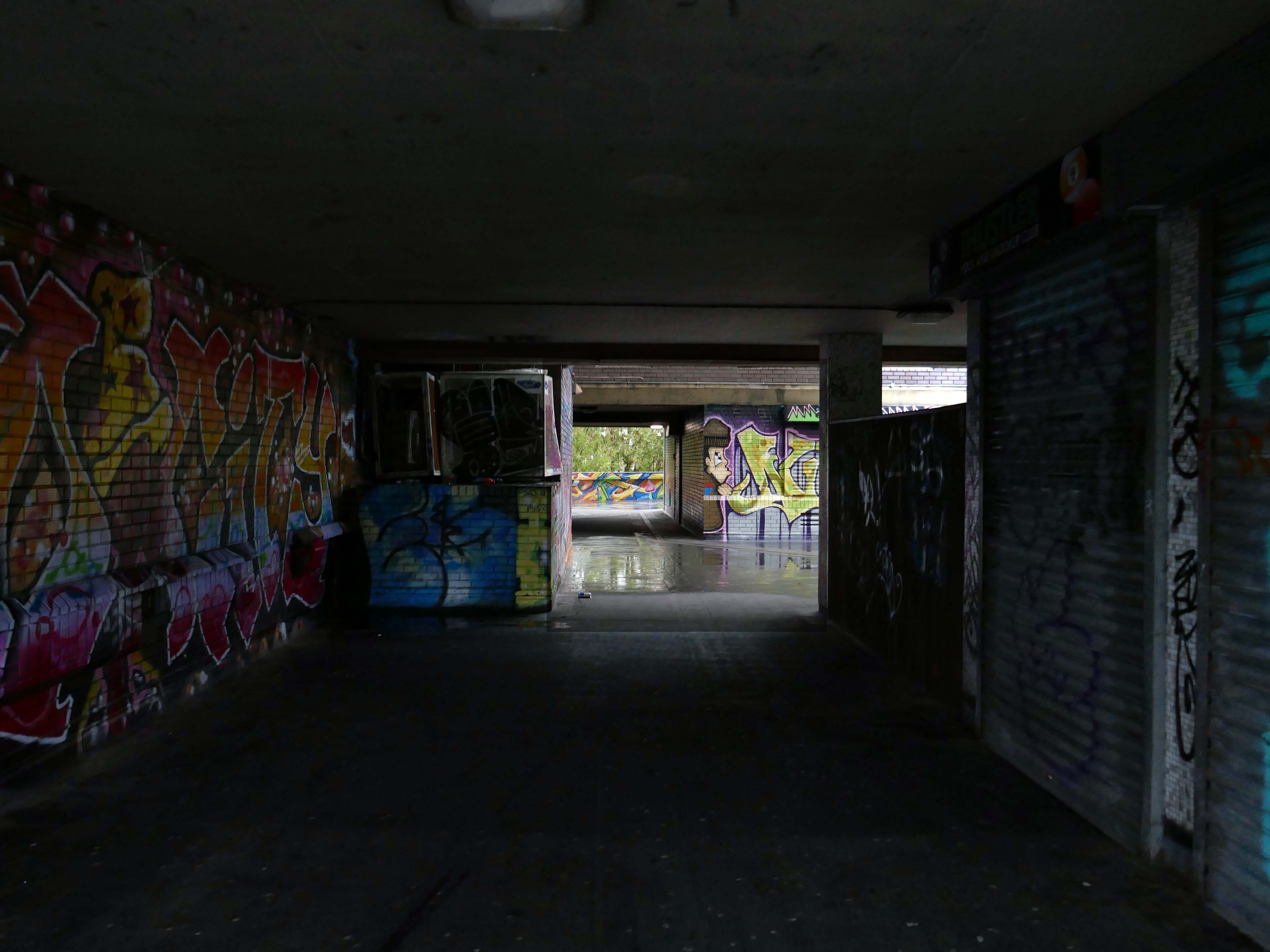
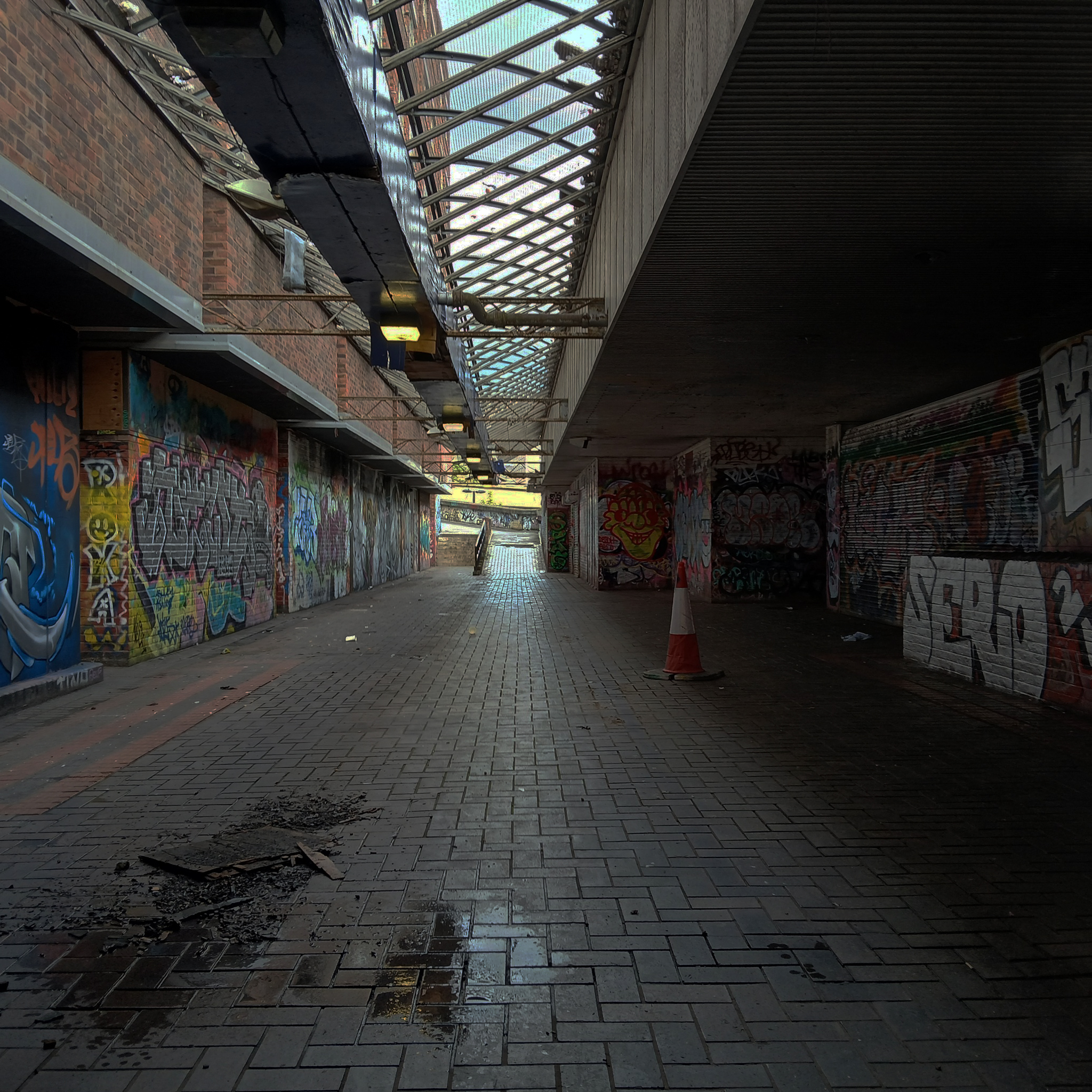
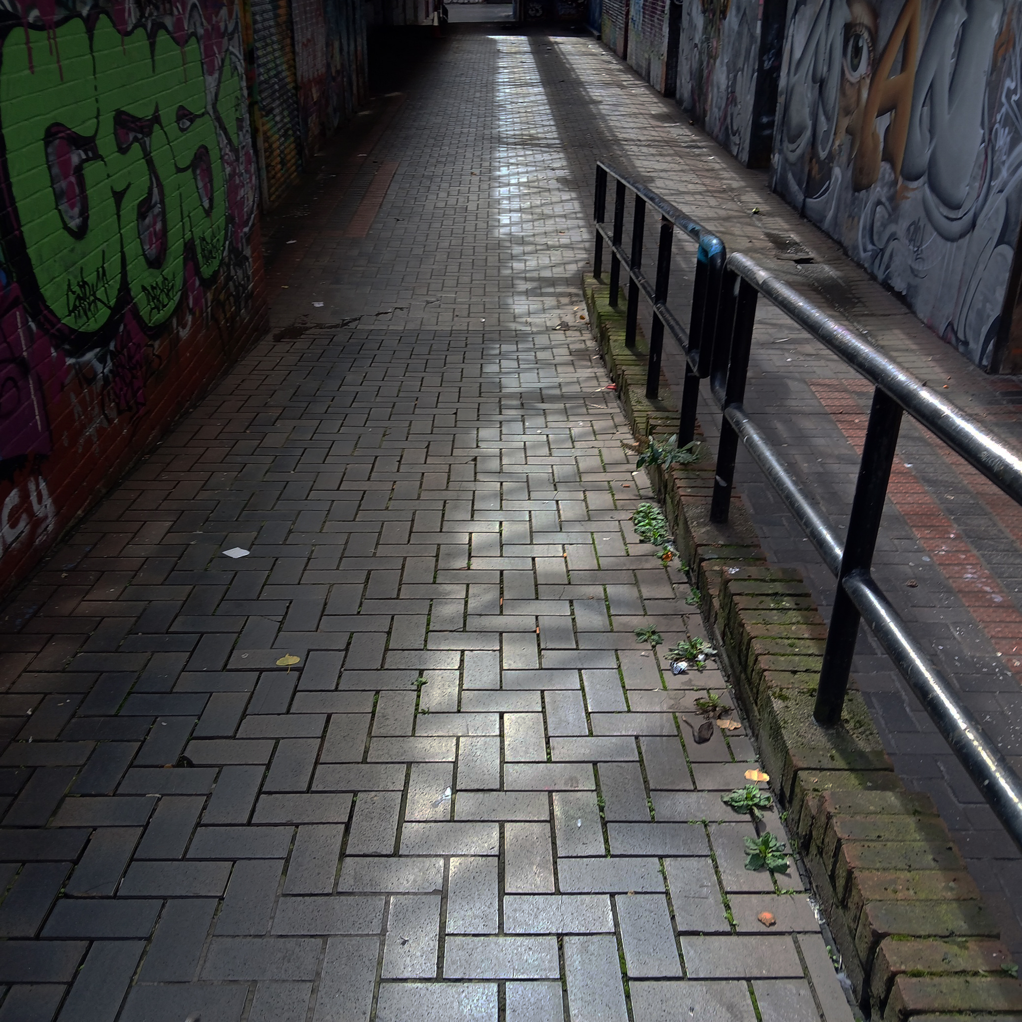
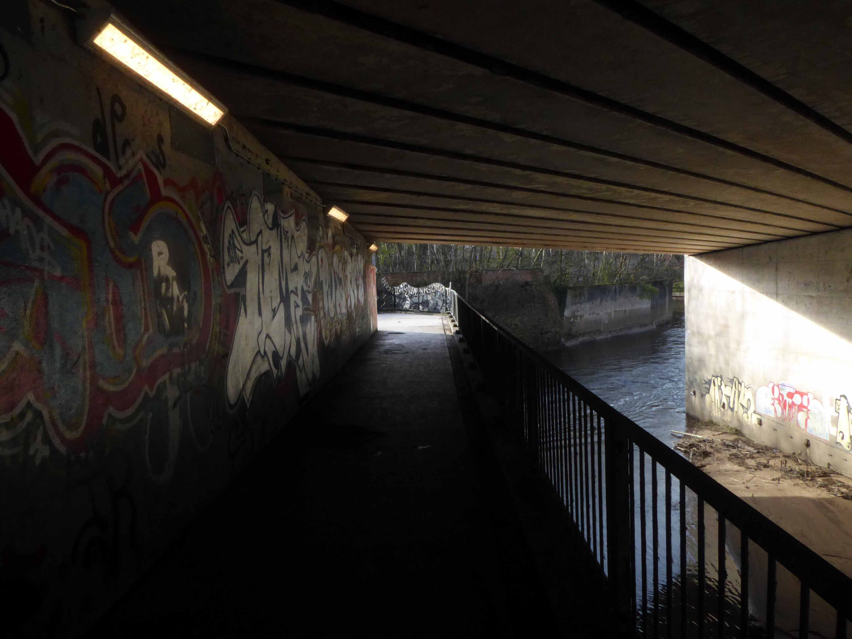
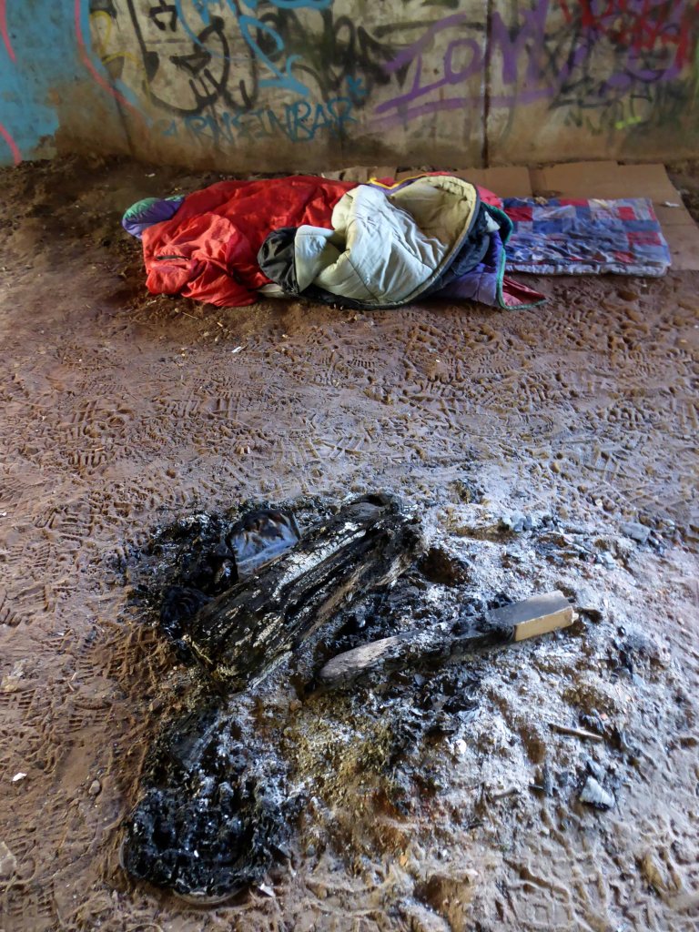
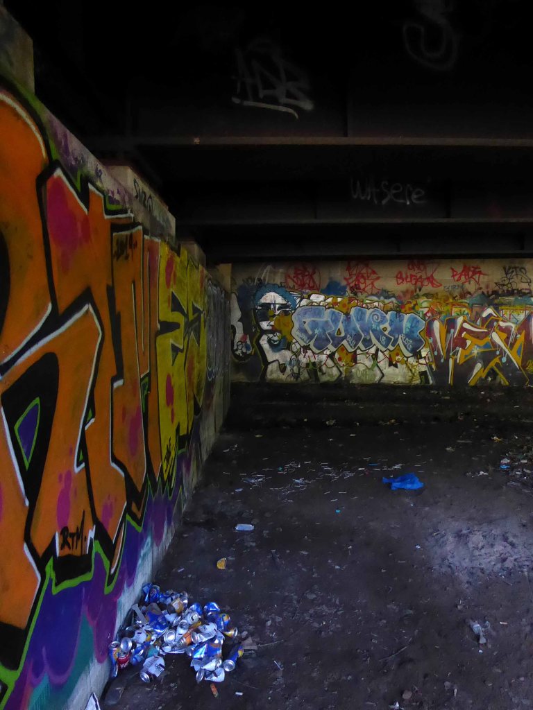
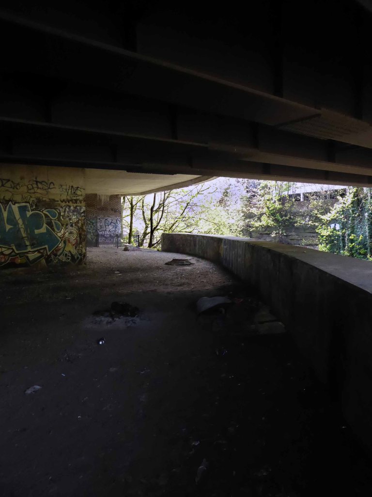
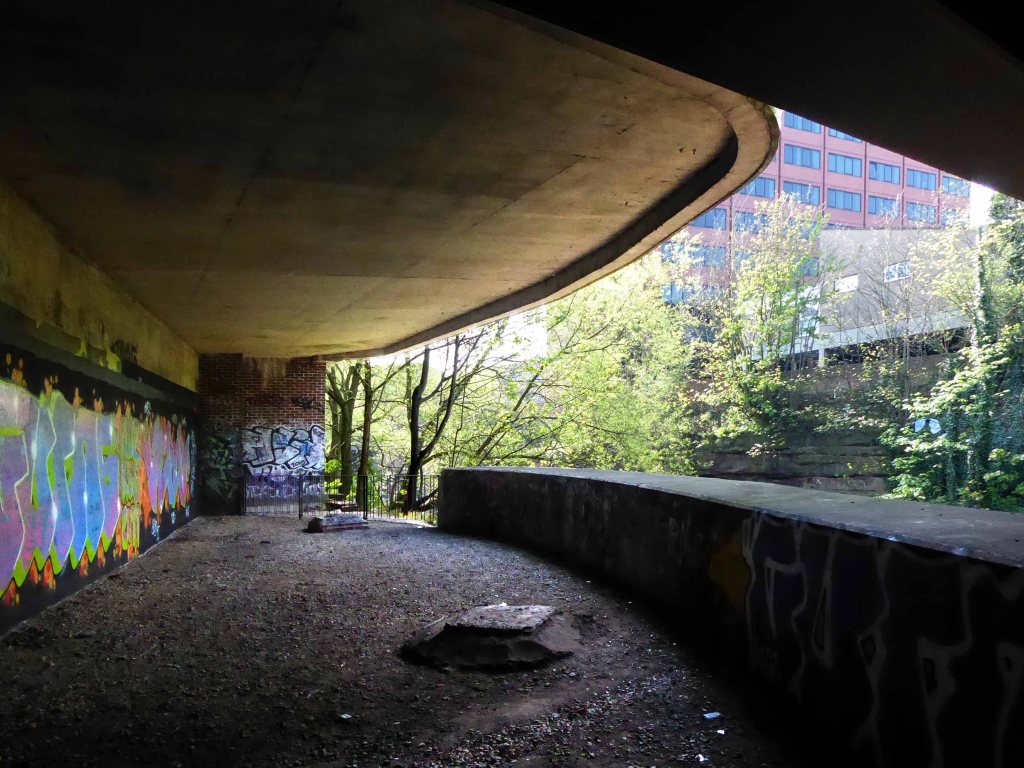
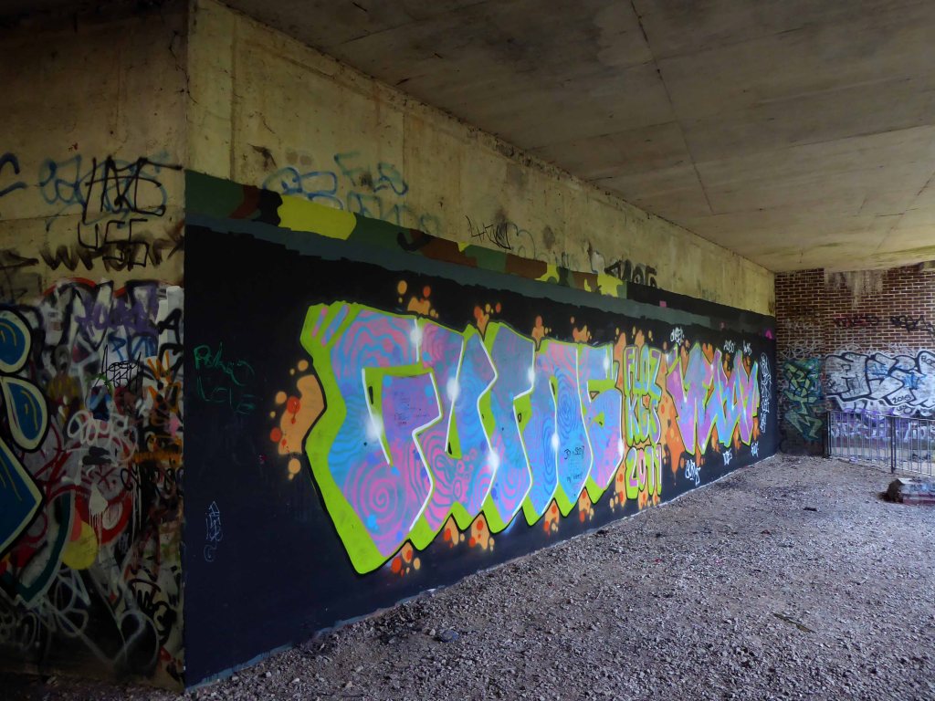
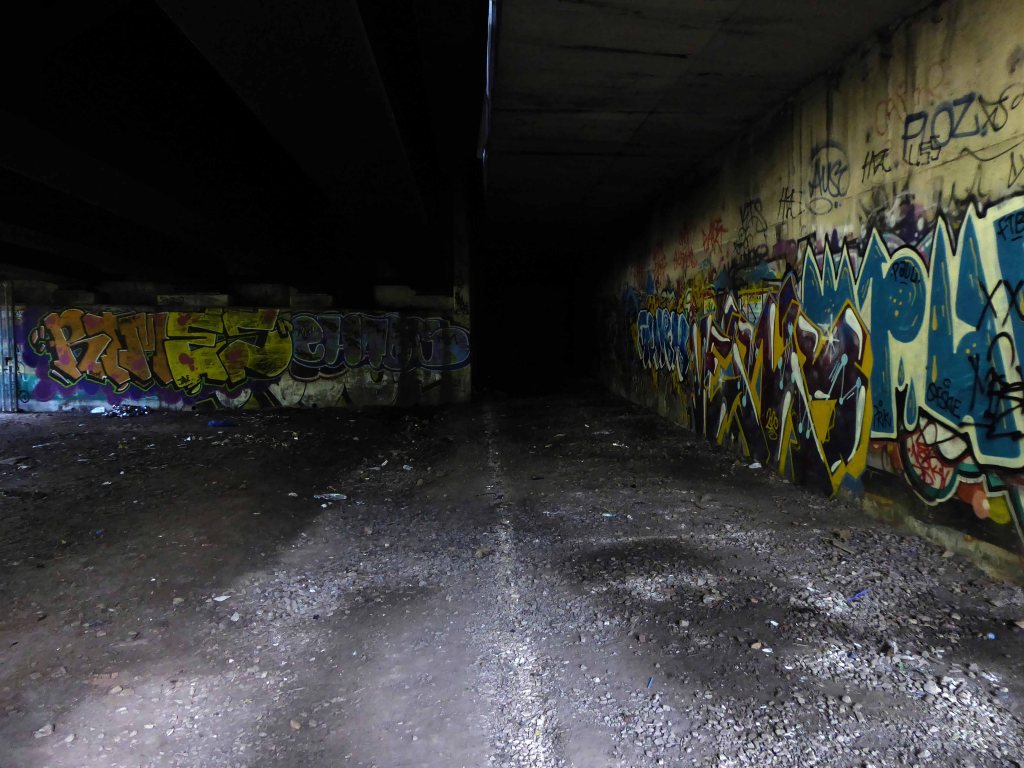
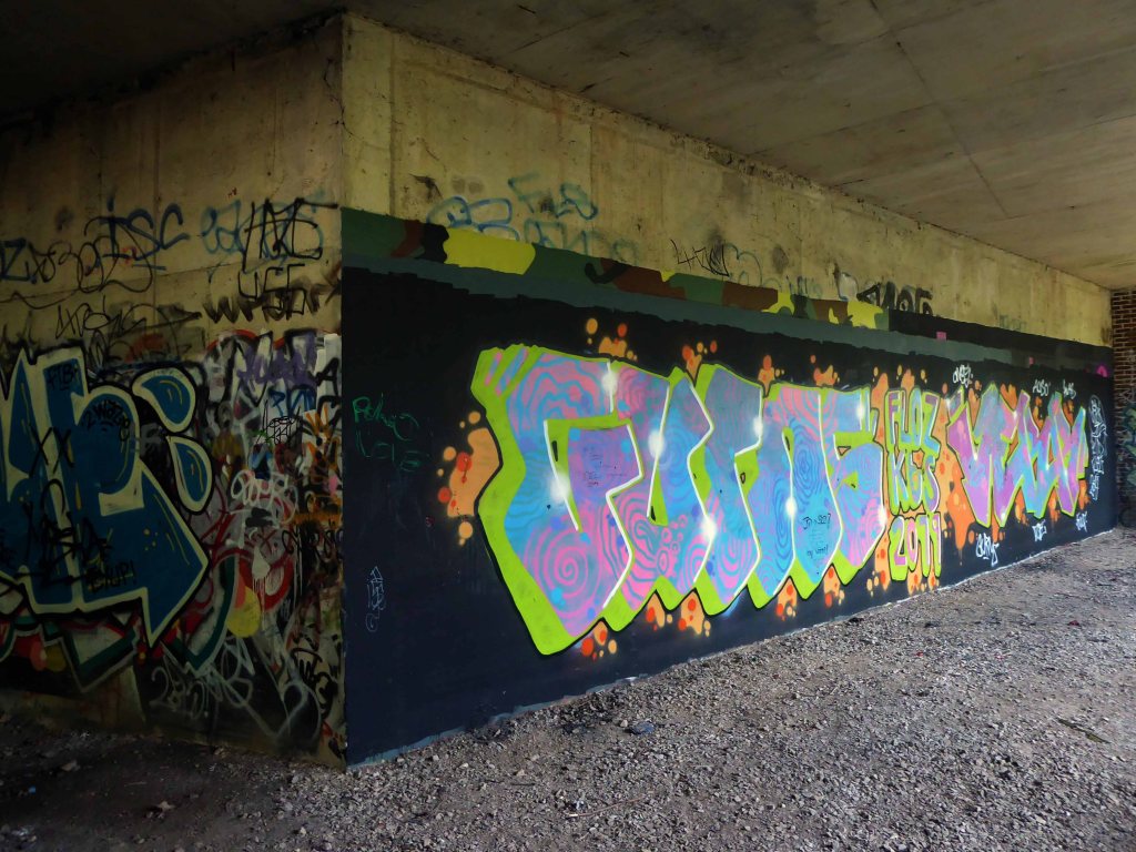
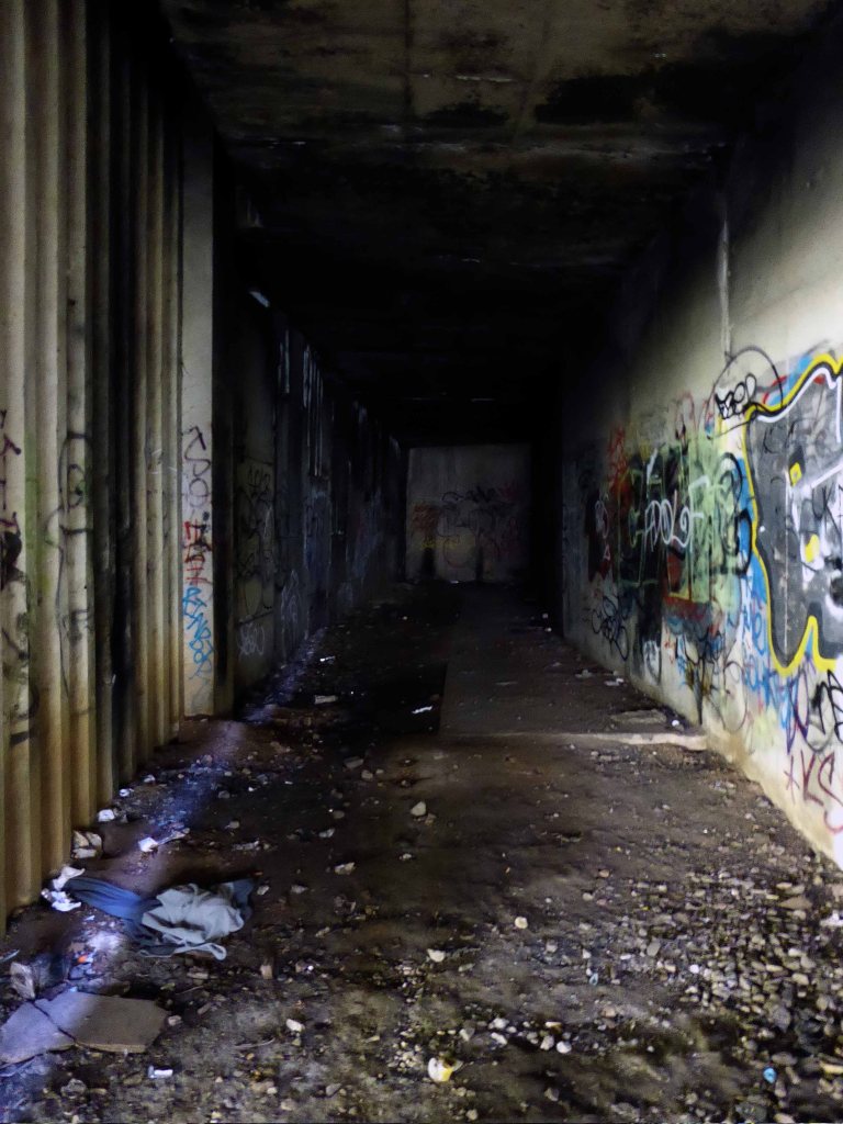
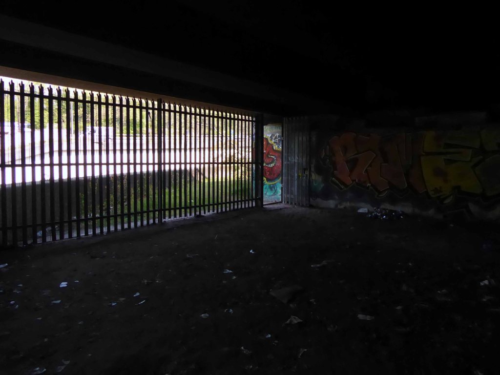
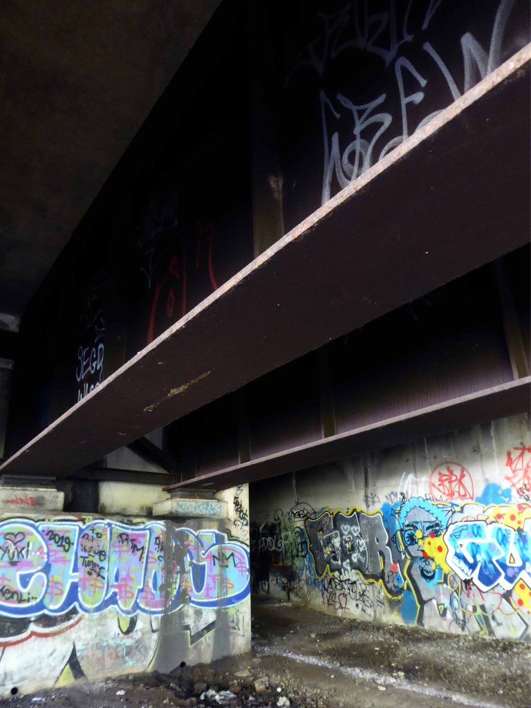
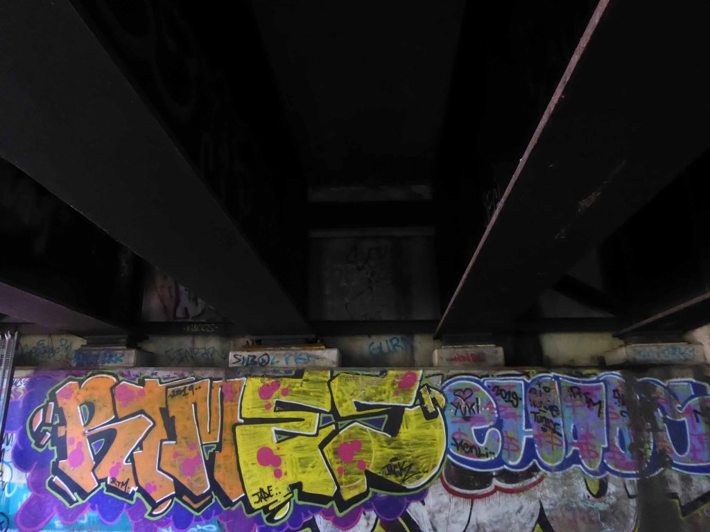
Into an underground world.
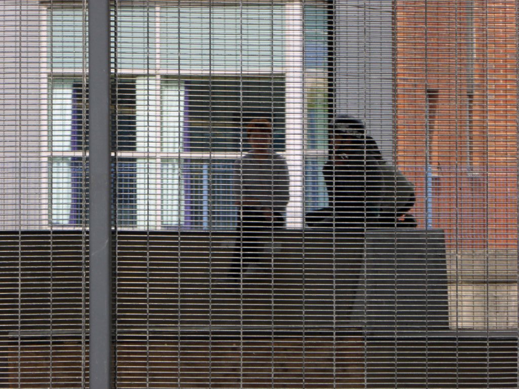
Through the railings and into a void – a void that had become home to the otherwise engaged, seeking solace somewhere, finding shelter from the storm. A storm of Twenty First Century austerity, man made – moving money around until those without are out, out in the open, nowhere else to go but here.
How often have I lain beneath rain on a strange roof, thinking of home.
Previously posted as historical journey – this, as they say, is the real deal, one foot after another, one sunny afternoon in September.
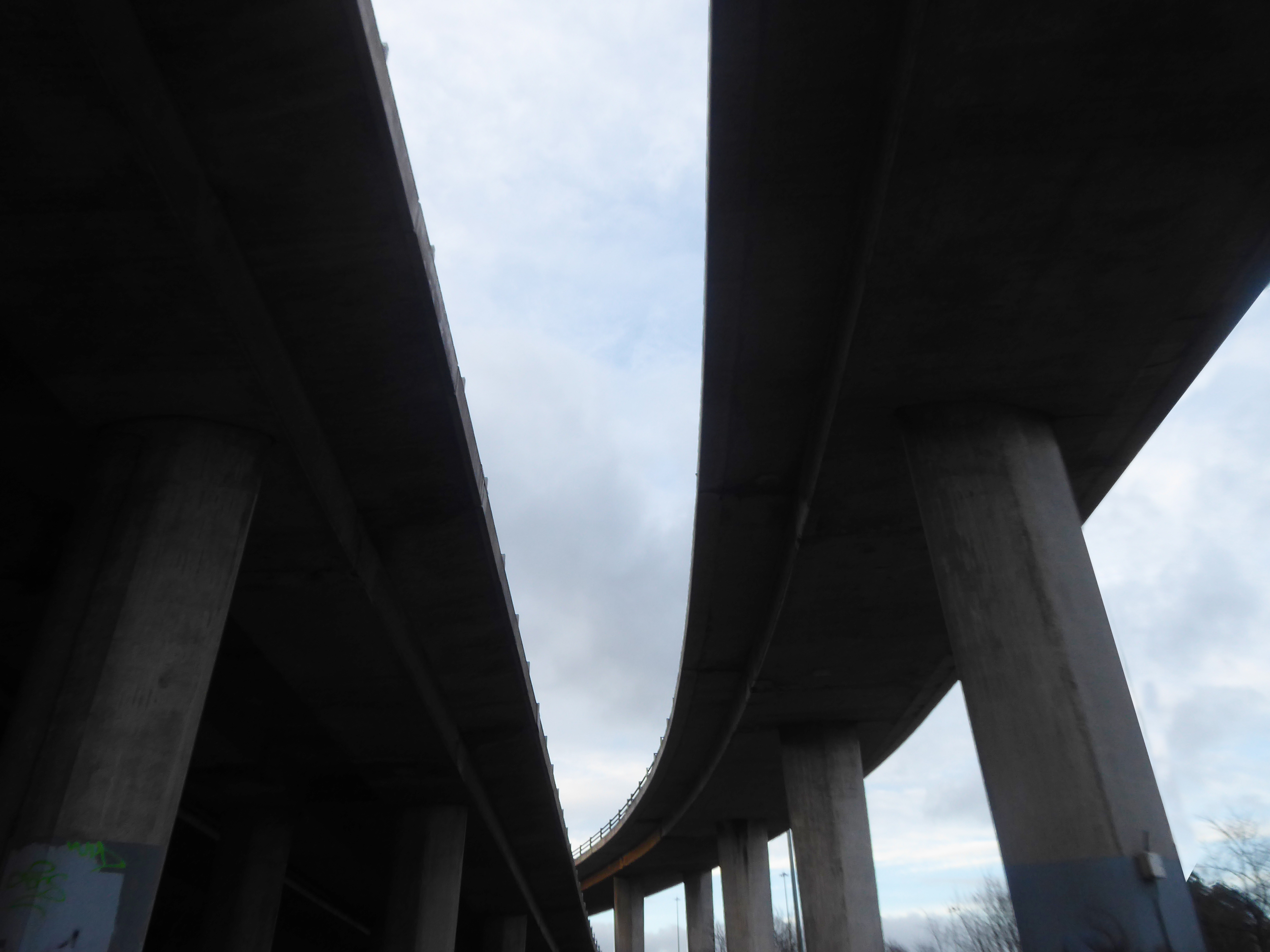
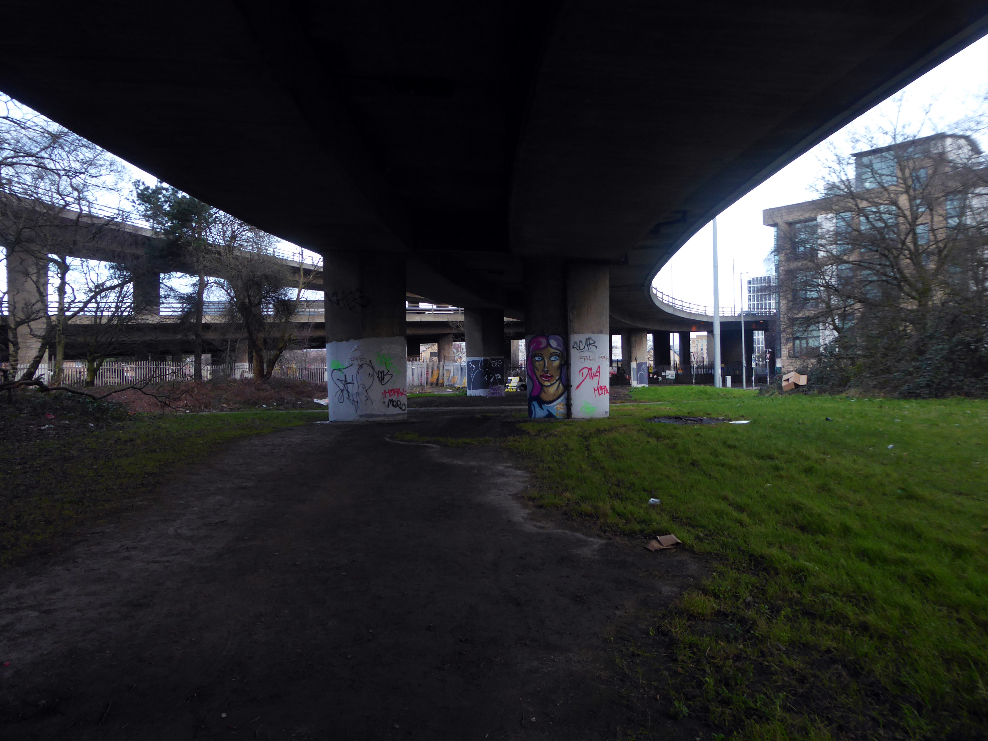
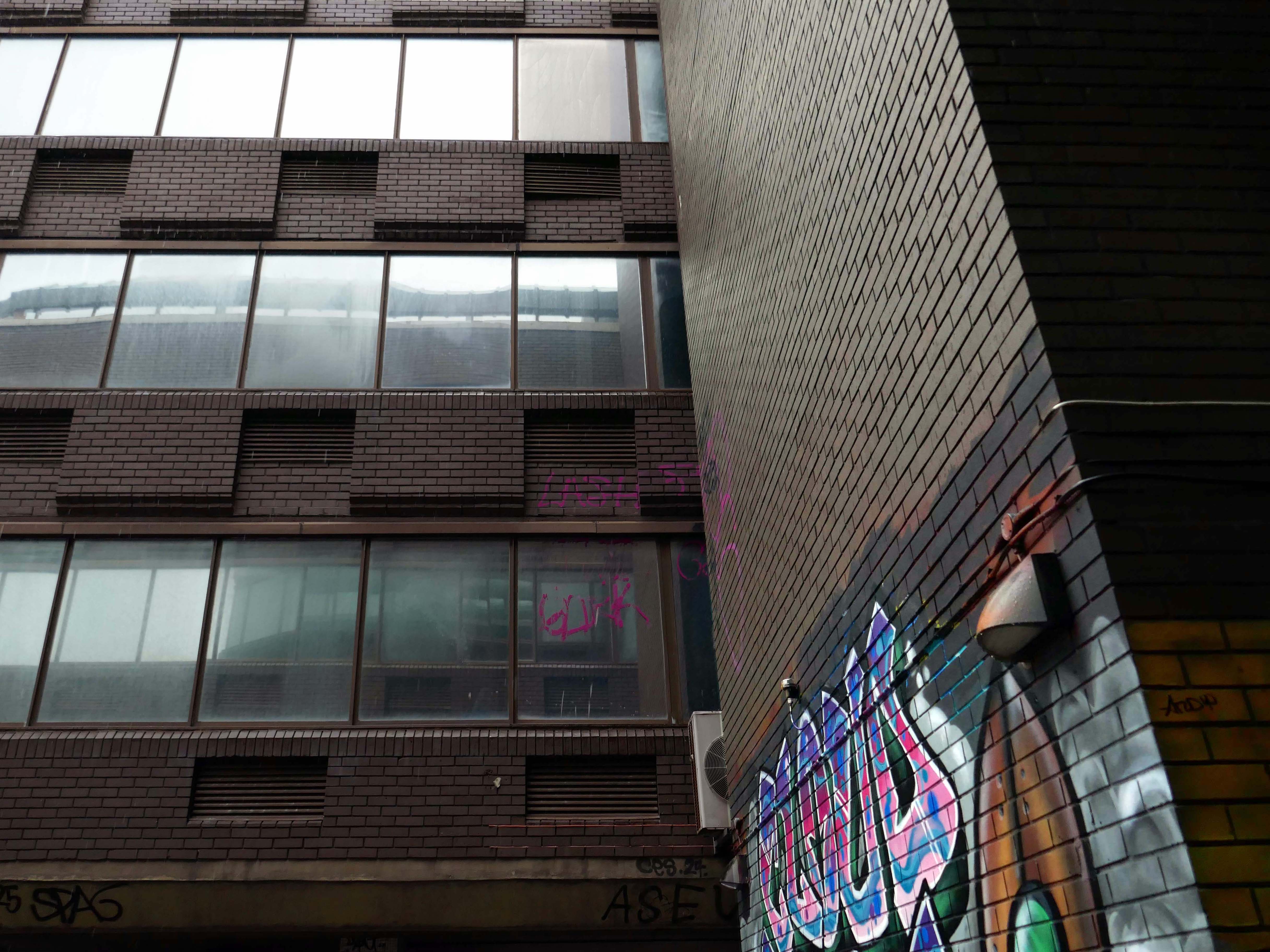
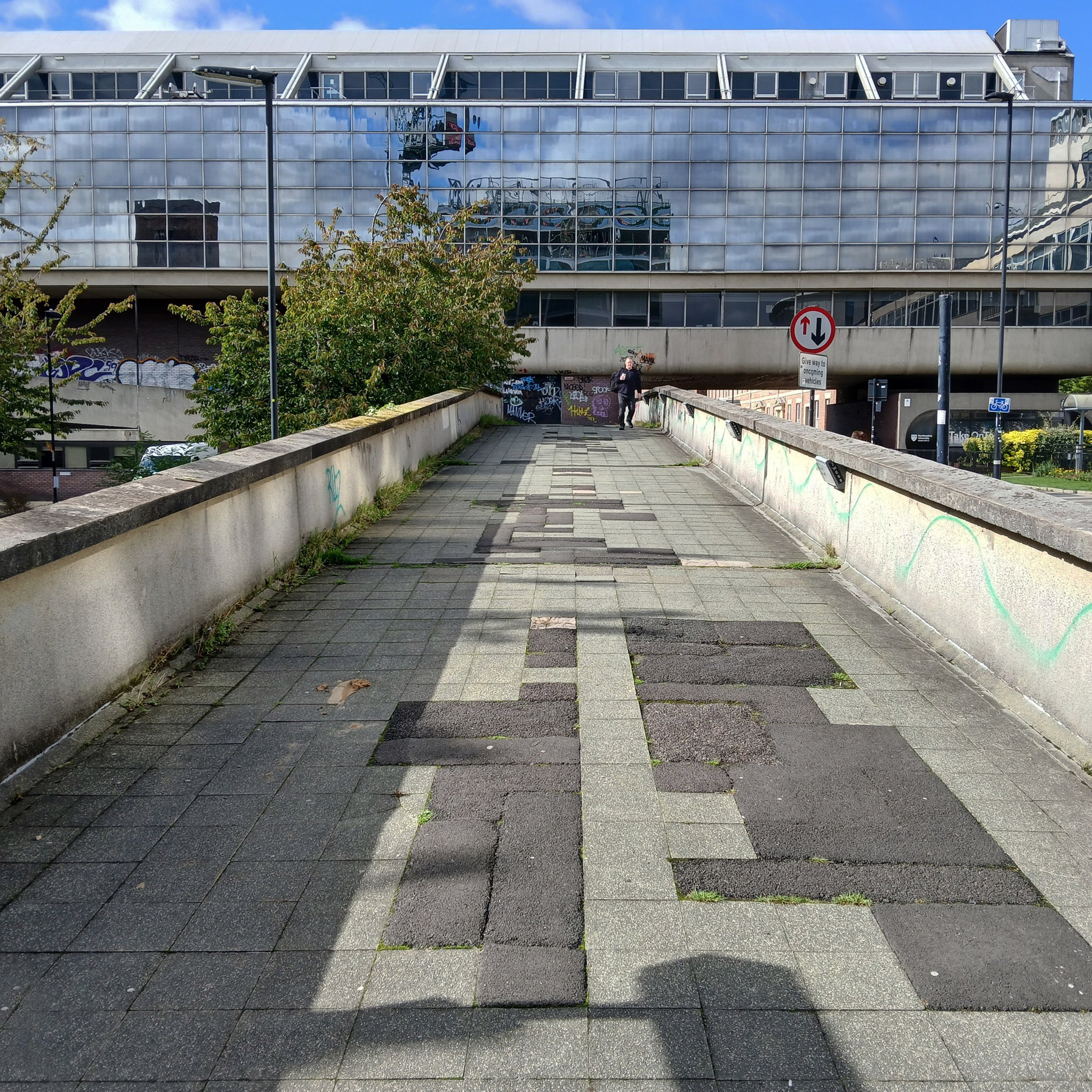
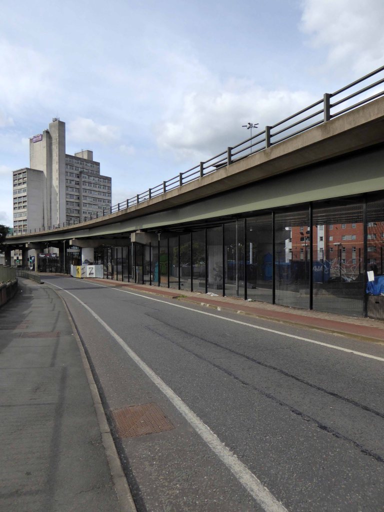
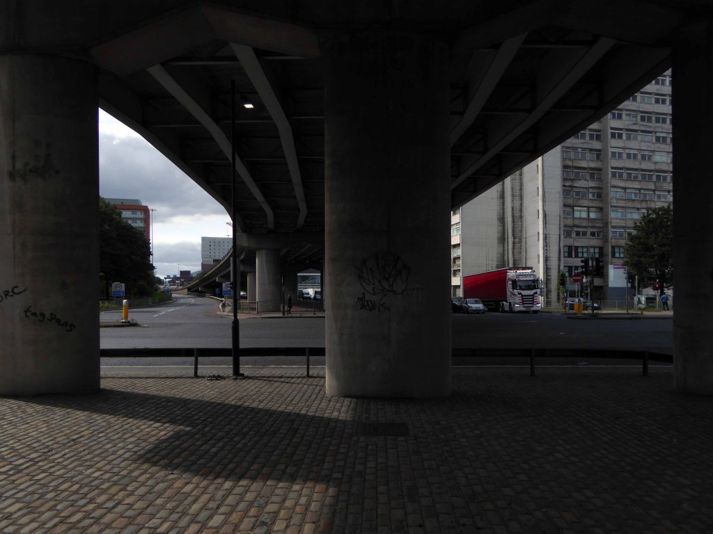
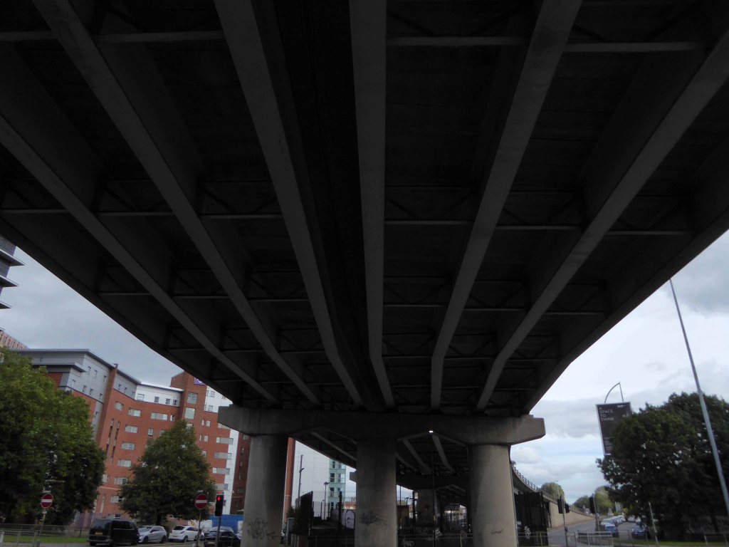
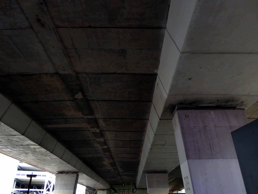
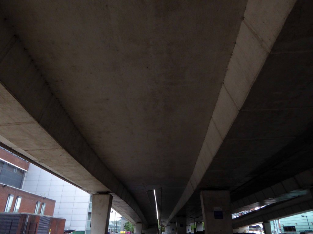
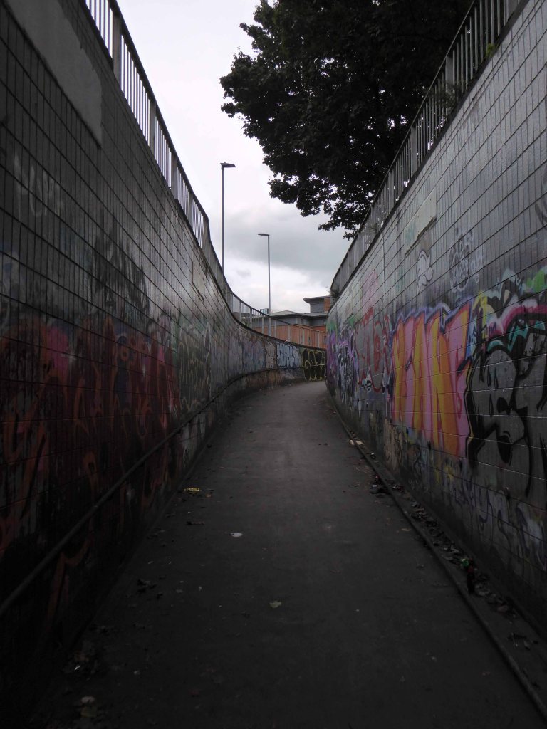
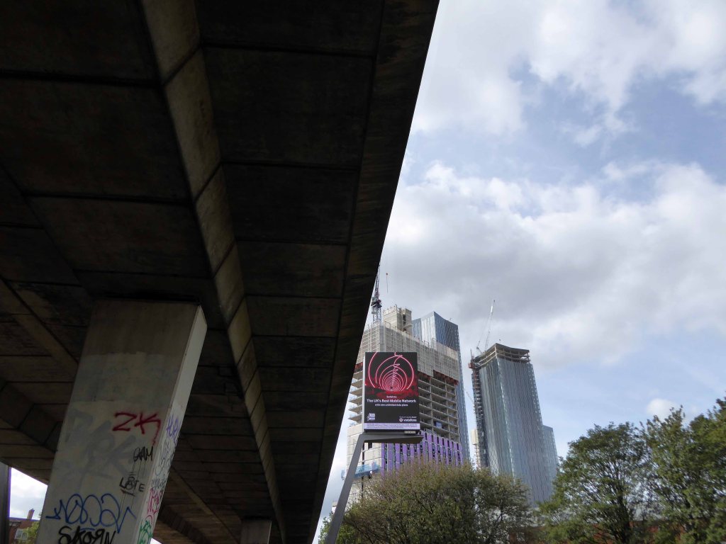
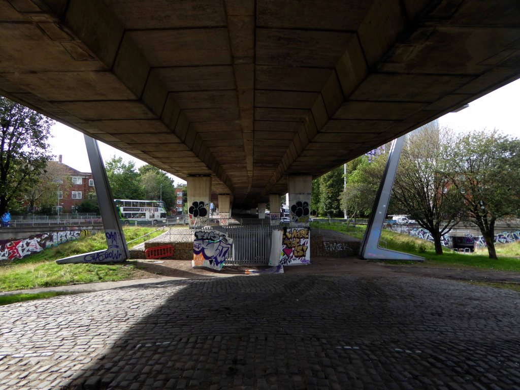
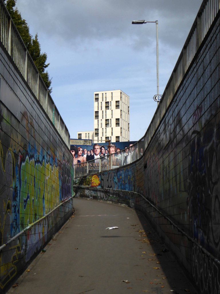
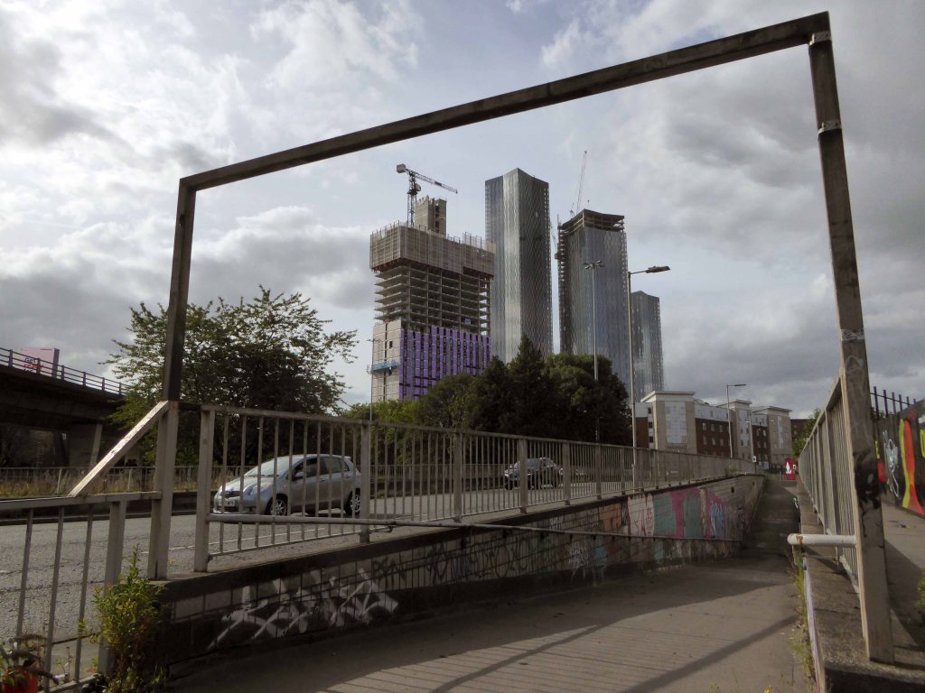
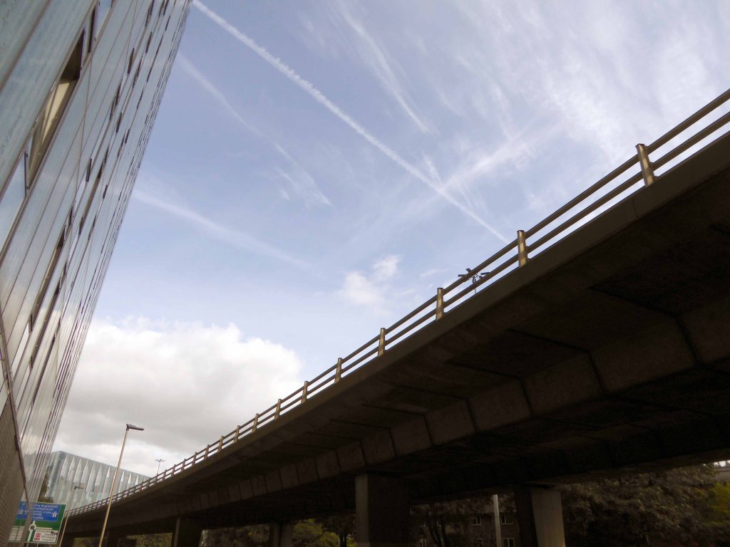
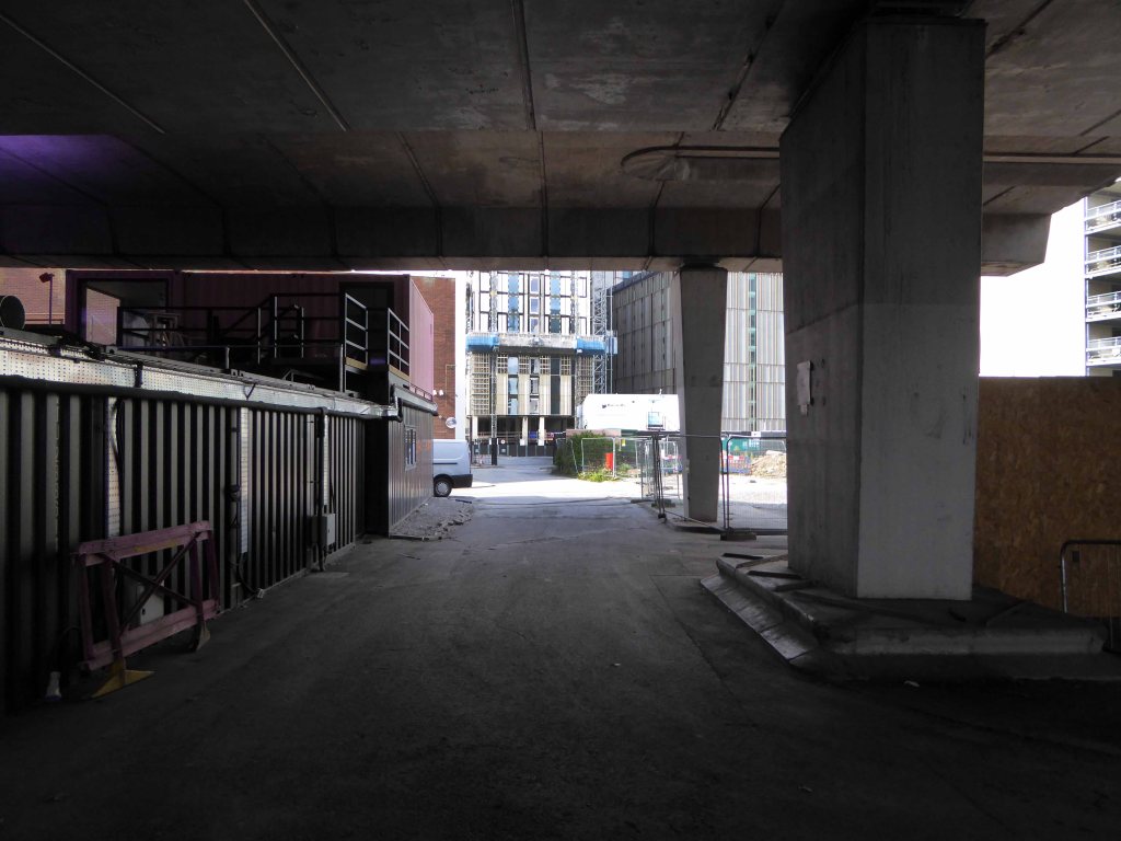
From east to west and back again – in or on, under and around our very own Highway in the Sky.
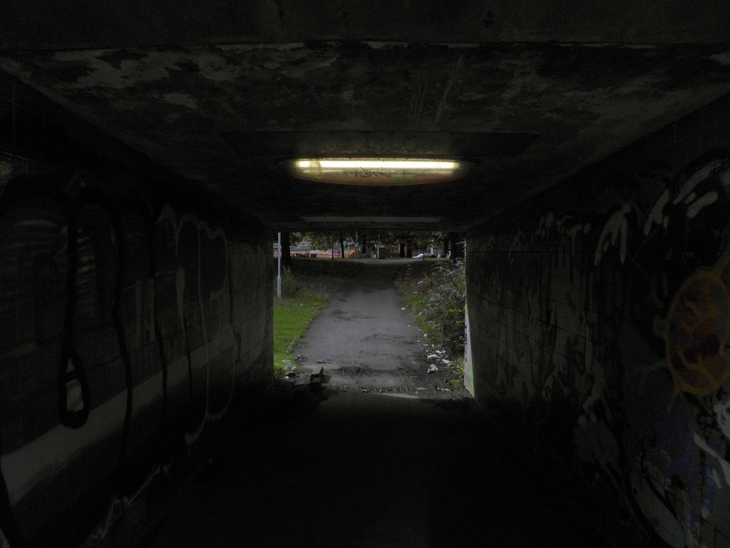
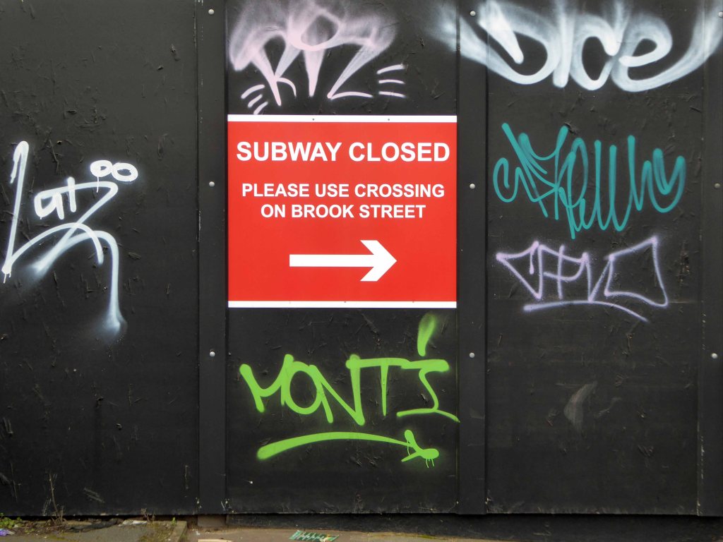
Part of the ever changing patchwork of demolition and development which defines the modern city. The carriageway prevails, whilst the pervasive rise and fall continues apace, its forlorn pedestrian underpasses may soon be superseded by wider walkways.
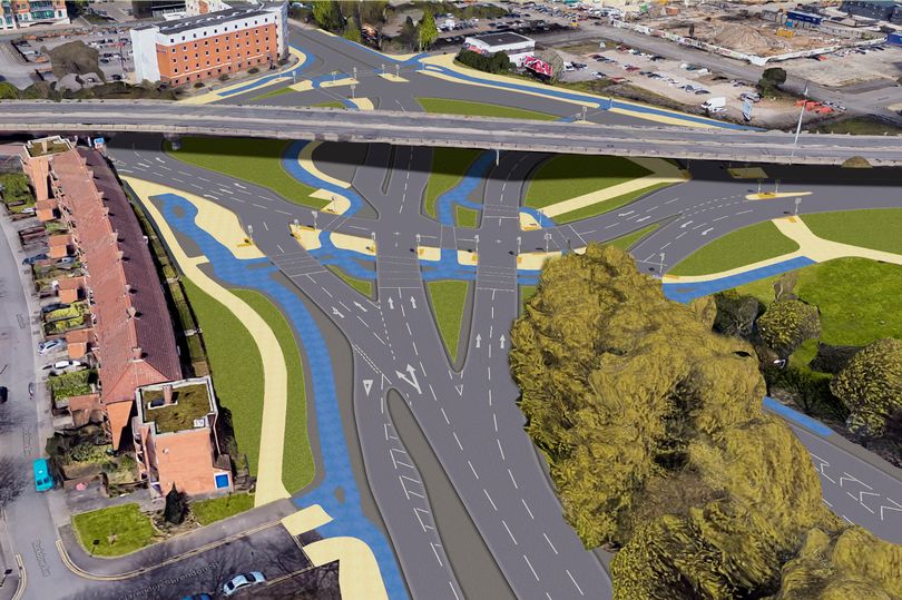
Manchester City Council is spending around £10million to make major changes to the junction where Princess Road meets the Mancunian Way and Medlock Street.
Much to the chagrin of local residents, who value the solace of their sole soulful green space and the frequent users, passing under the constant waves of sooty traffic.
What you see is what you get today, tomorrow is another kettle of concrete, trees, traffic and steel.