

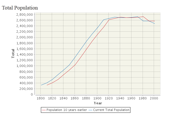
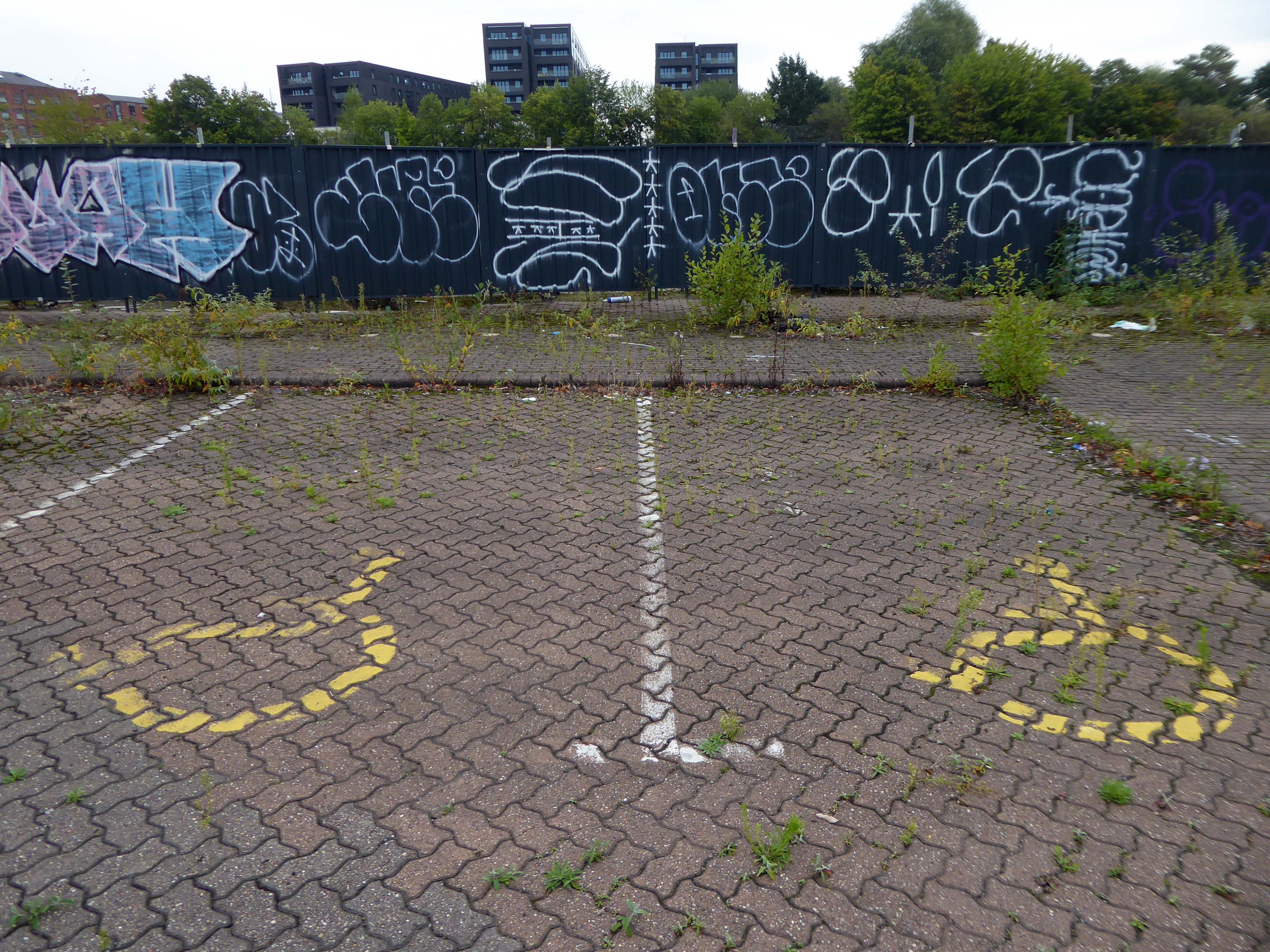
It’s been four years since our 2022 Wigan Walk – so time to see if there has been a refreshing change.
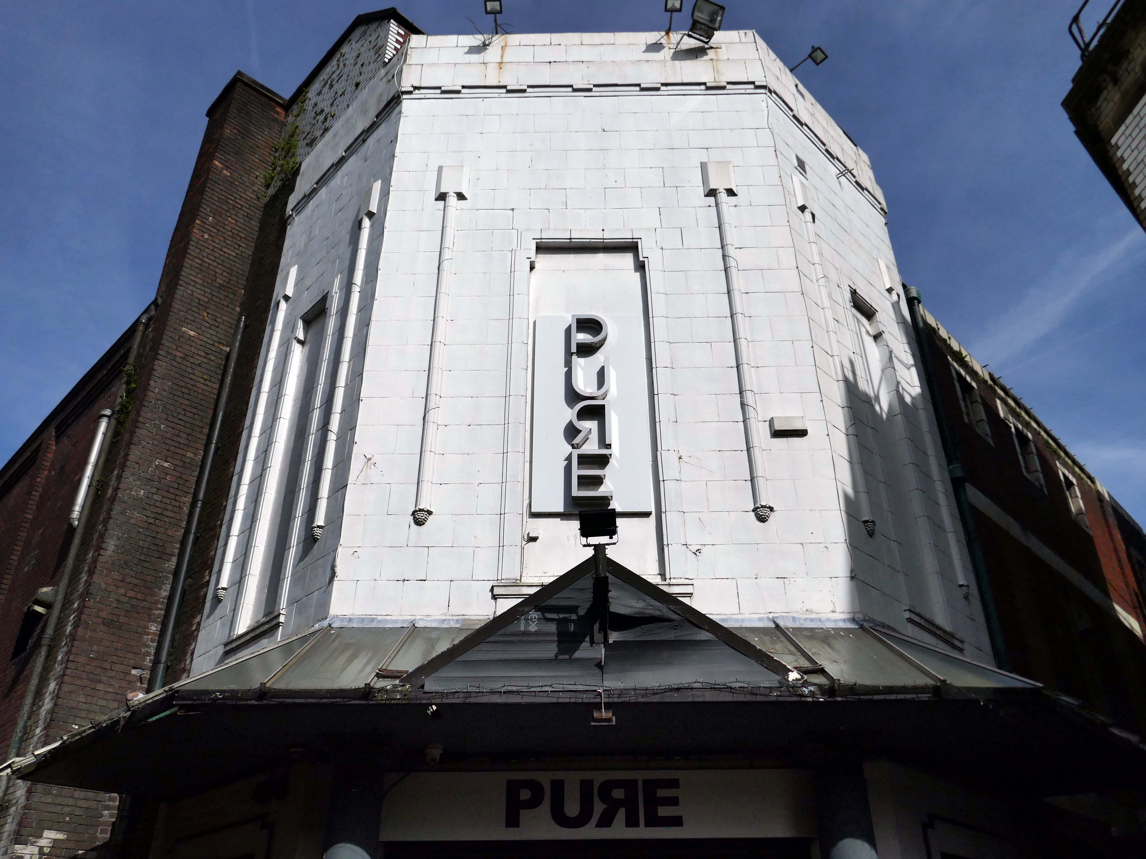
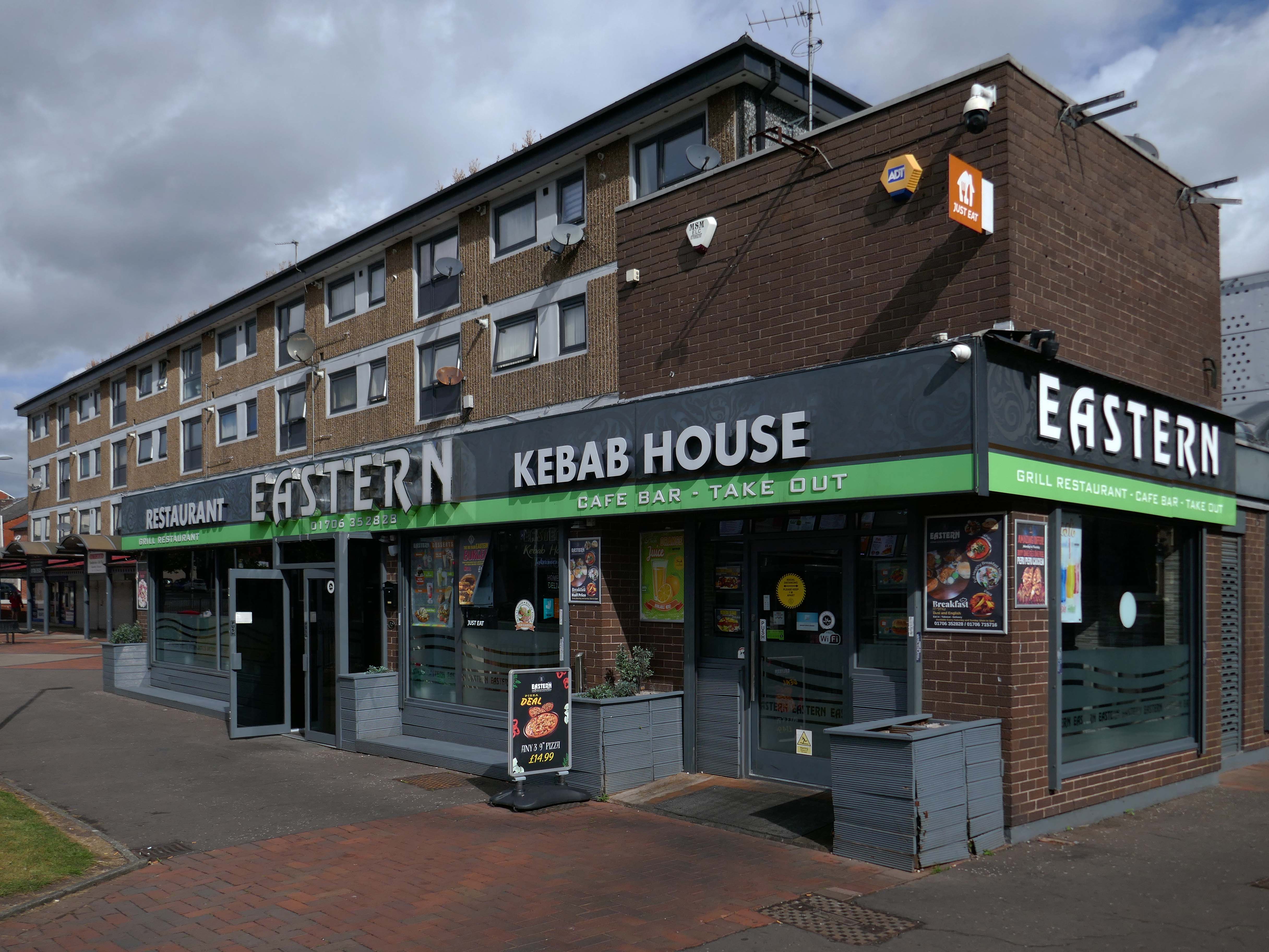
Beginning with a trip to the former flicks, the Princes Cinema now trading as Pure nightclub, sometimes home to Singo Bingo.
Originally the site of New Princes Theatre, opened on the 1st May 1911, the cinema was demolished and replaced, on an adjacent plot, by Princes Cinema in 1933.

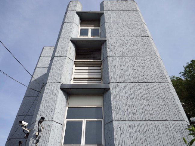
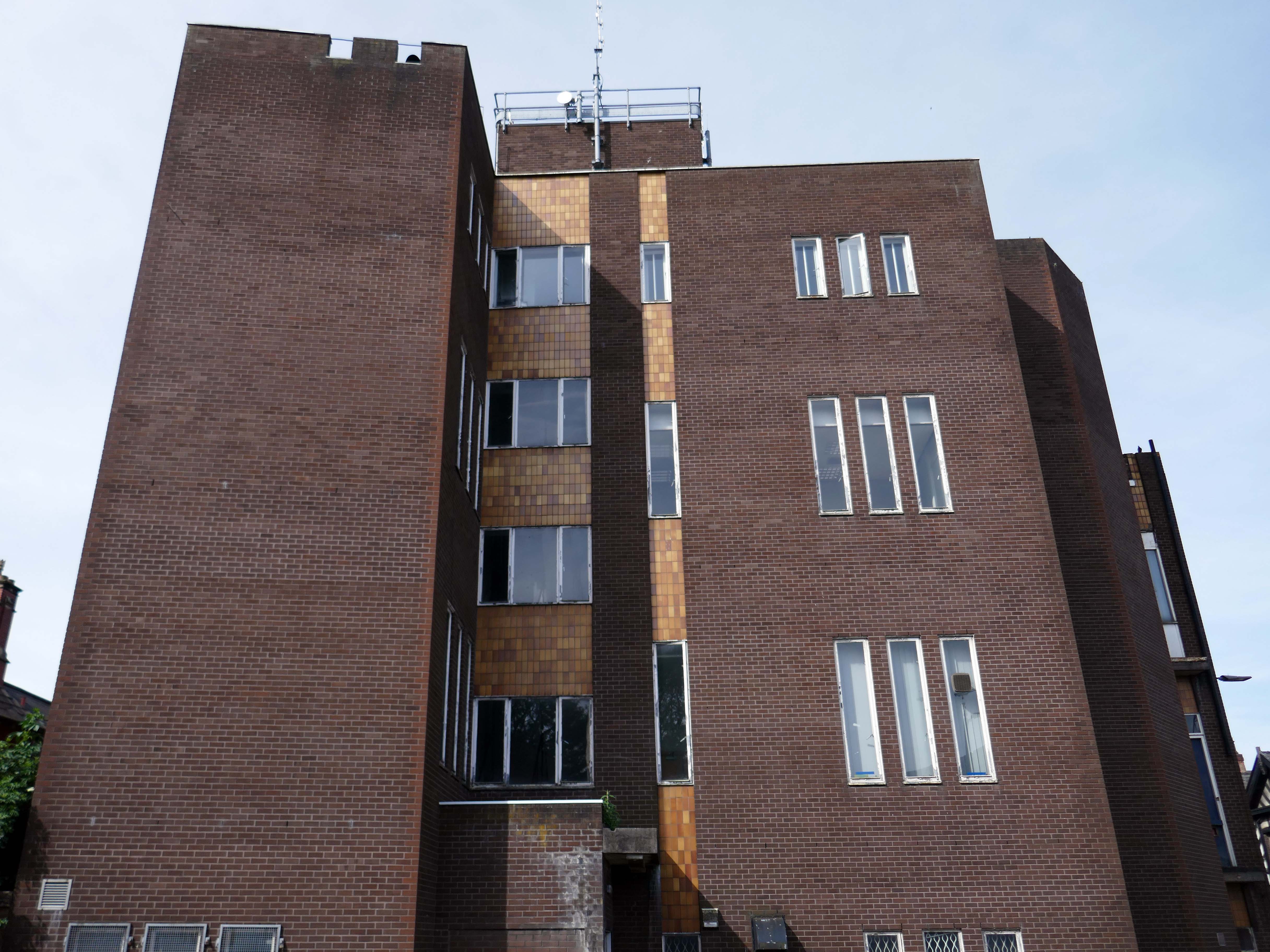
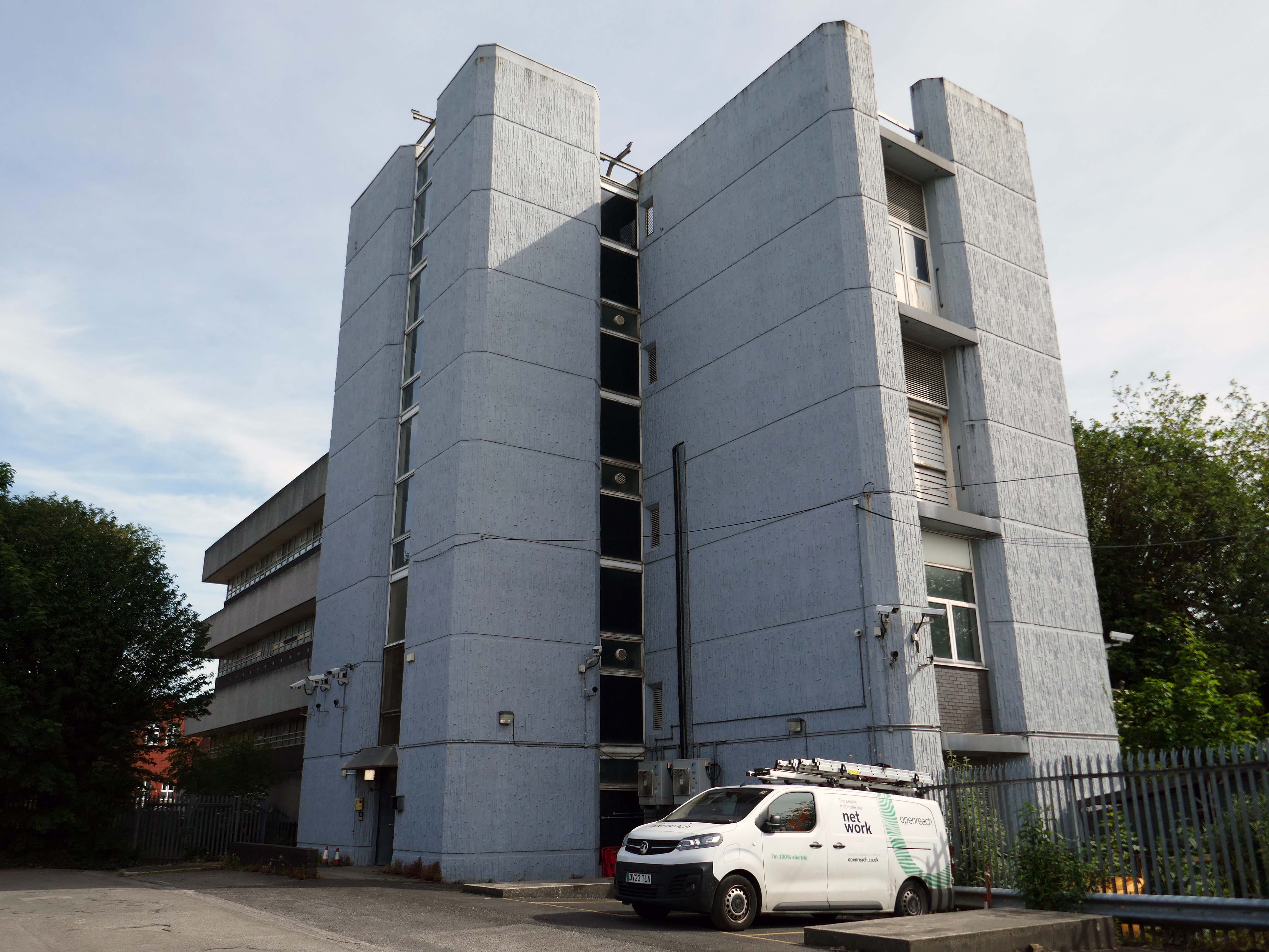
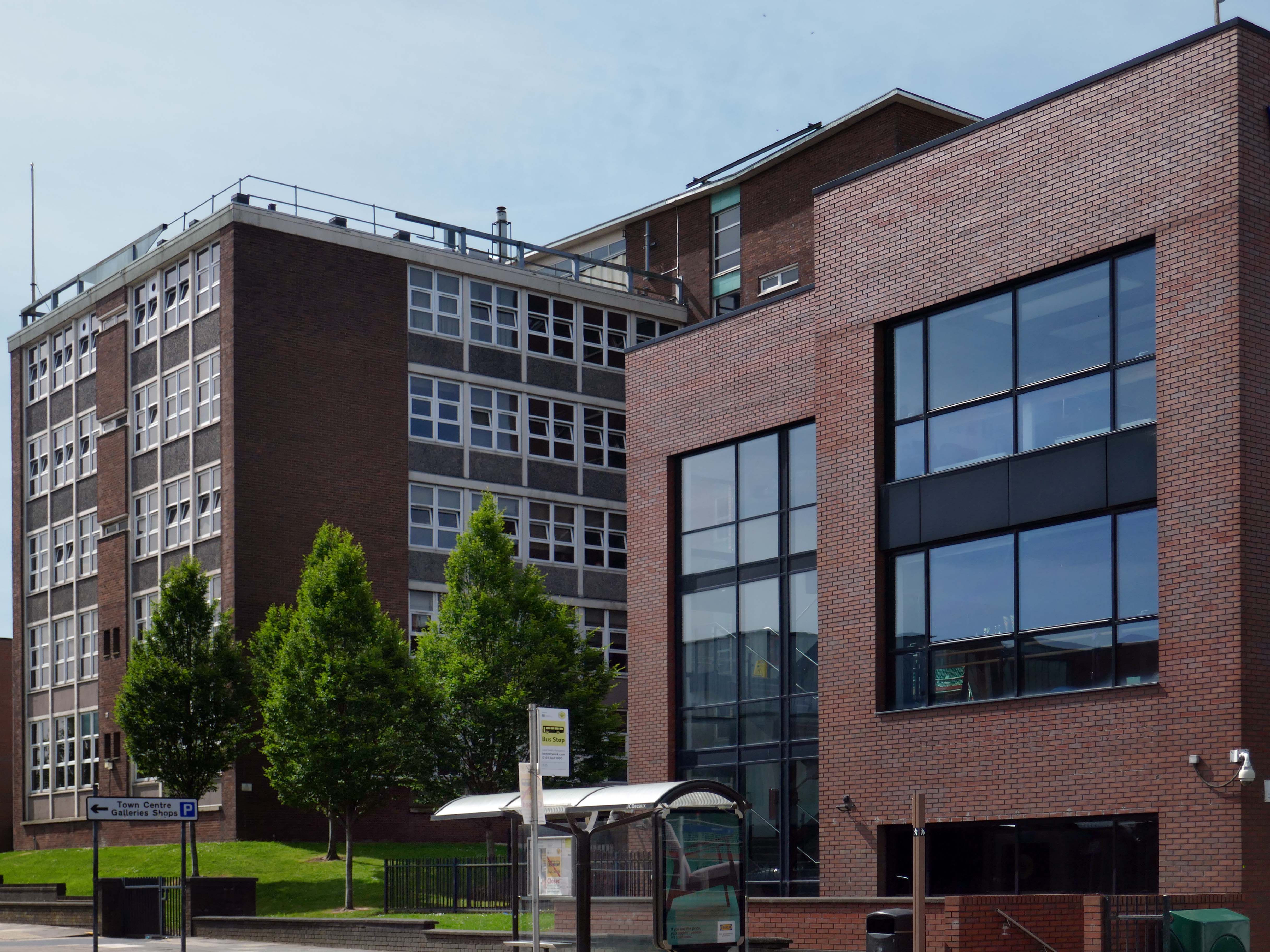
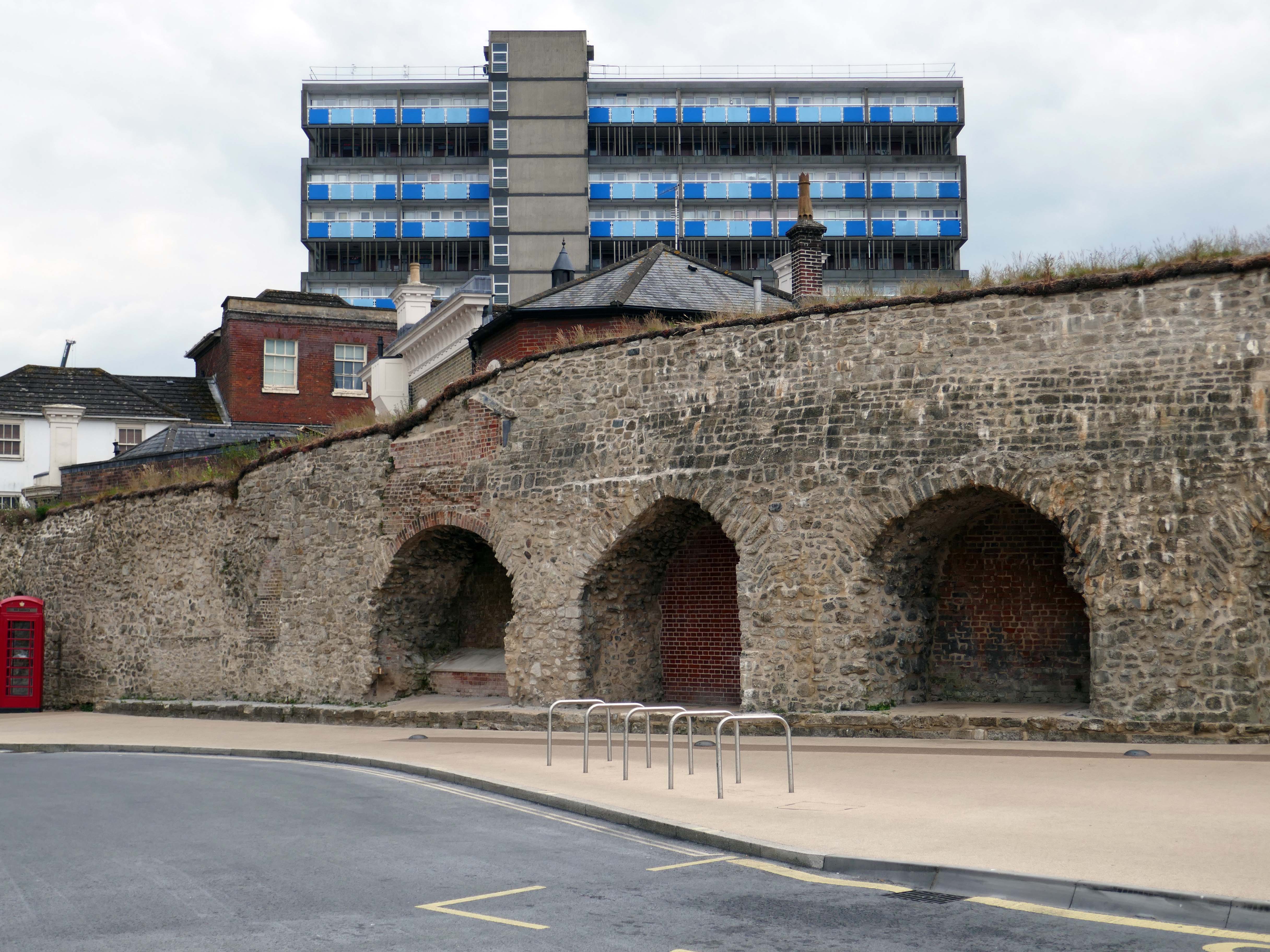
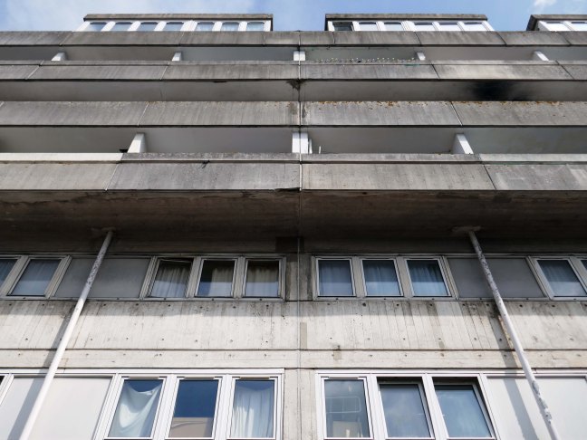
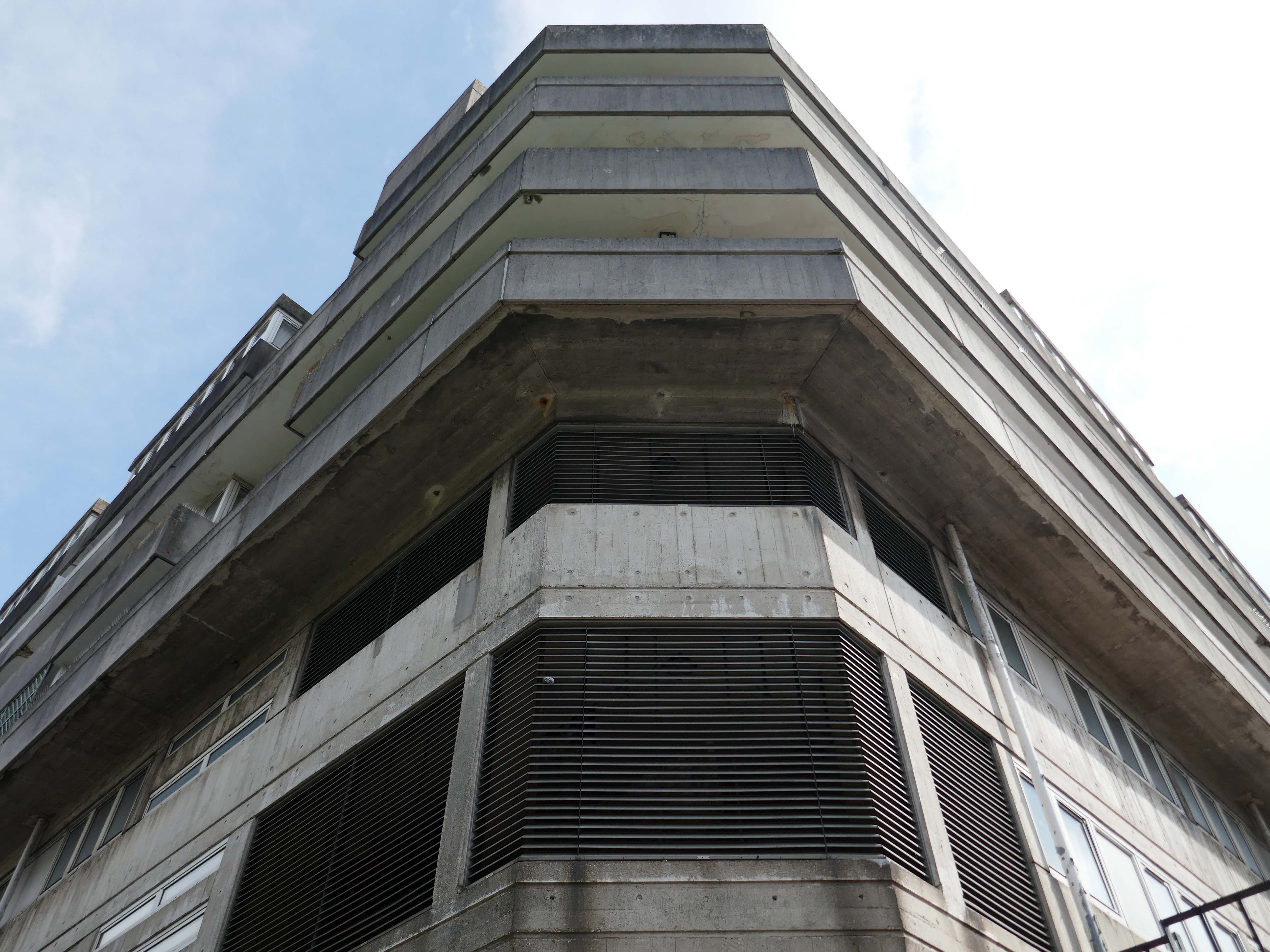
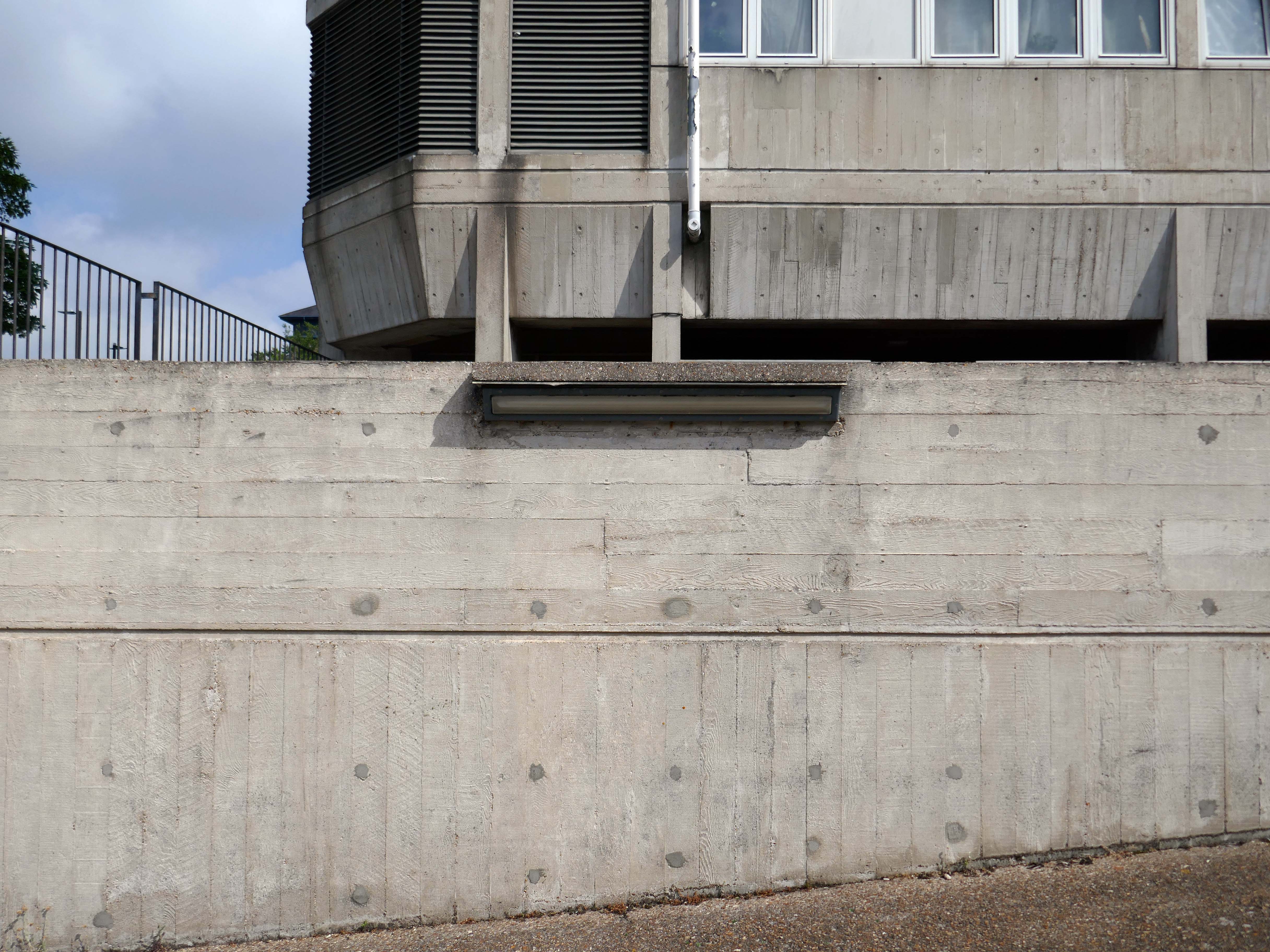
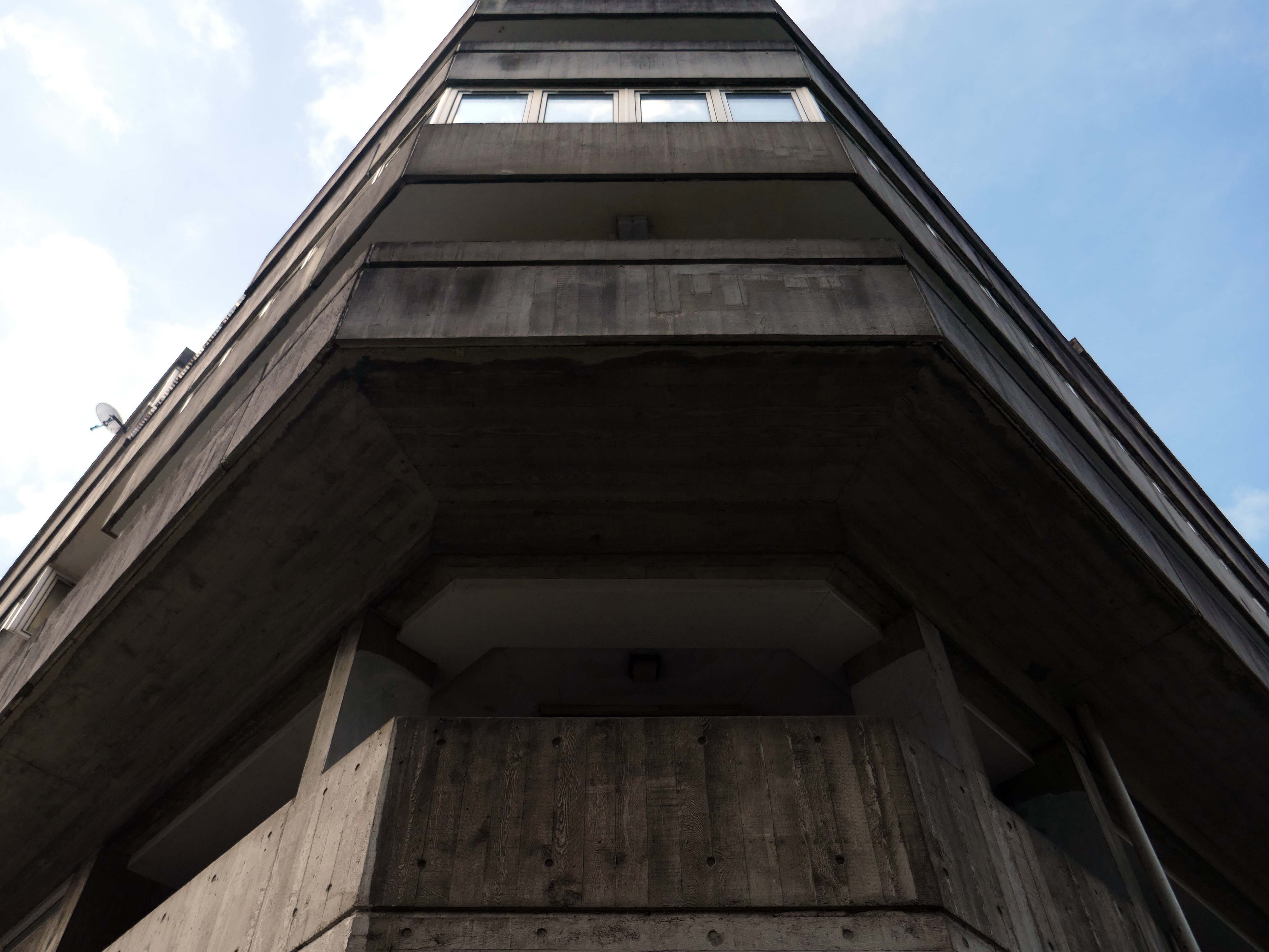
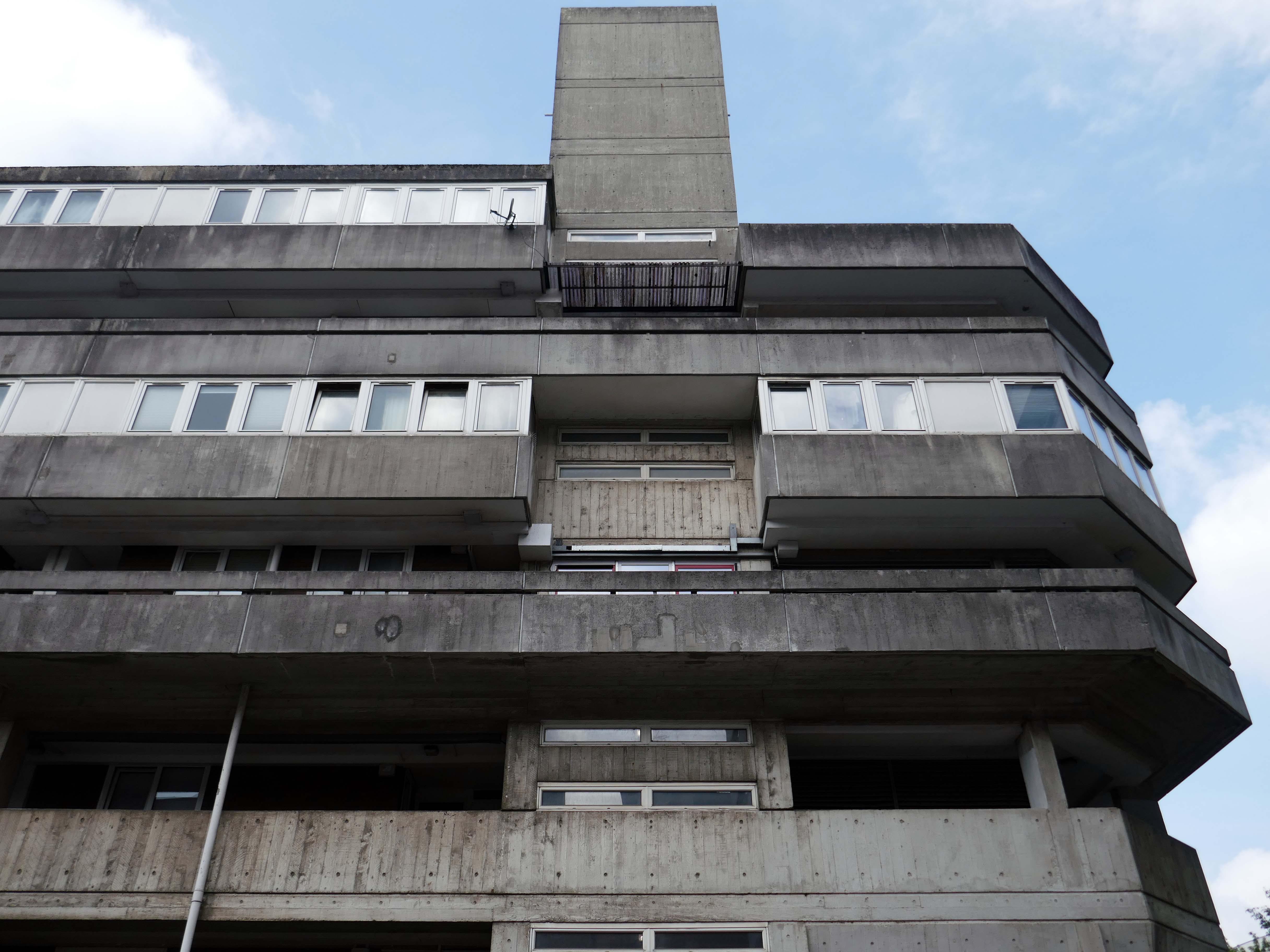
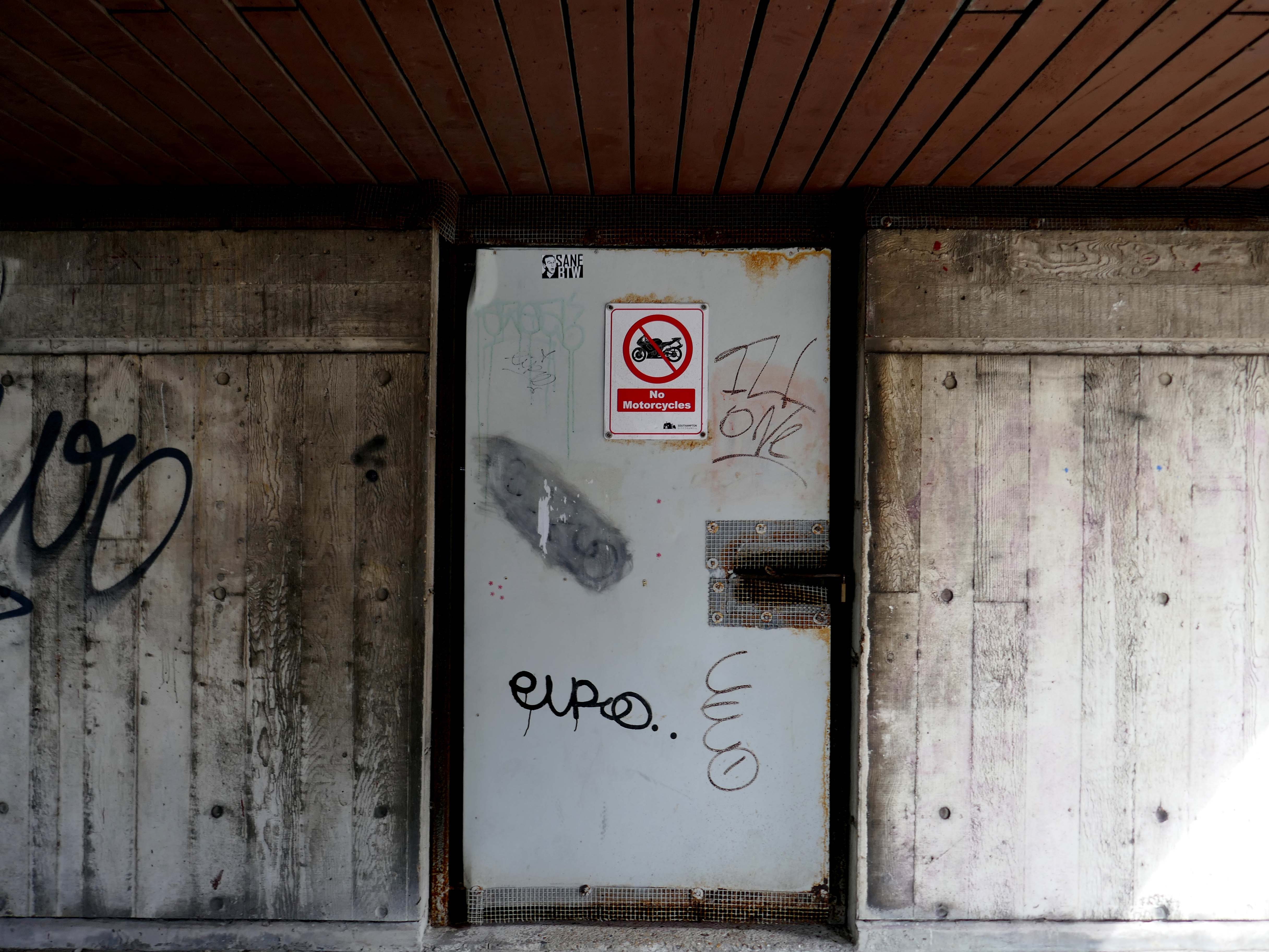
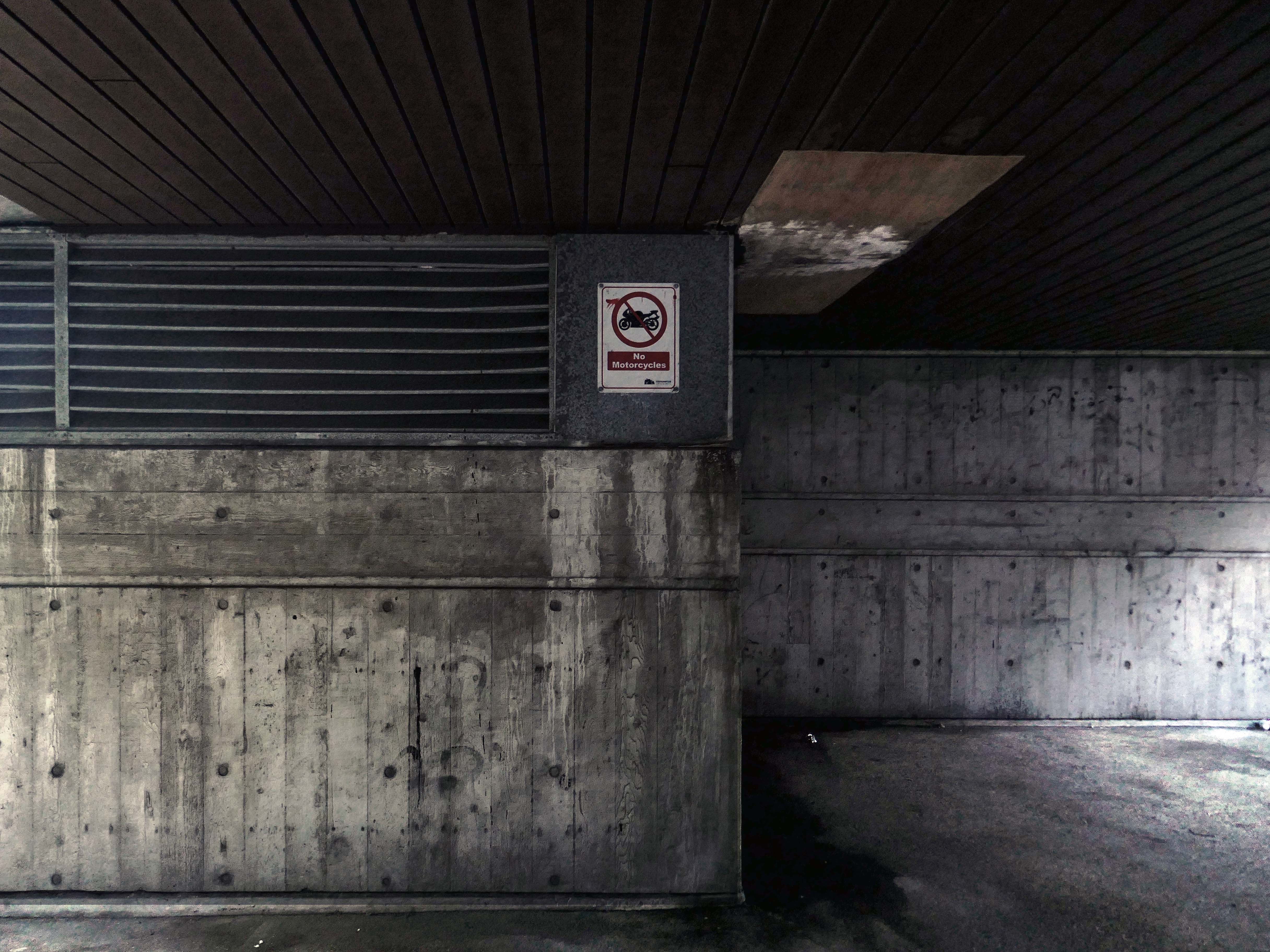
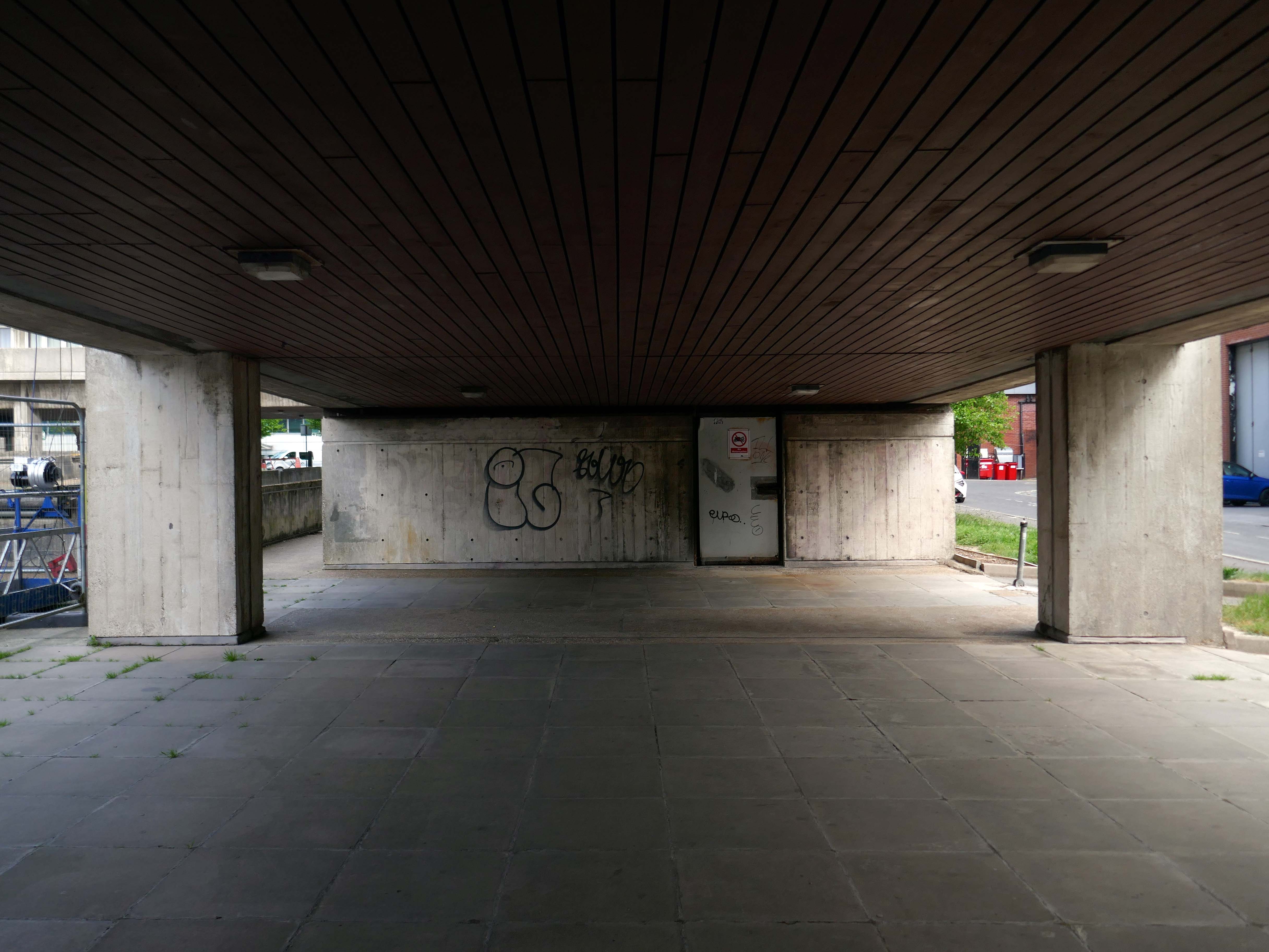
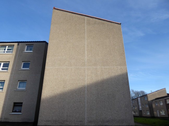
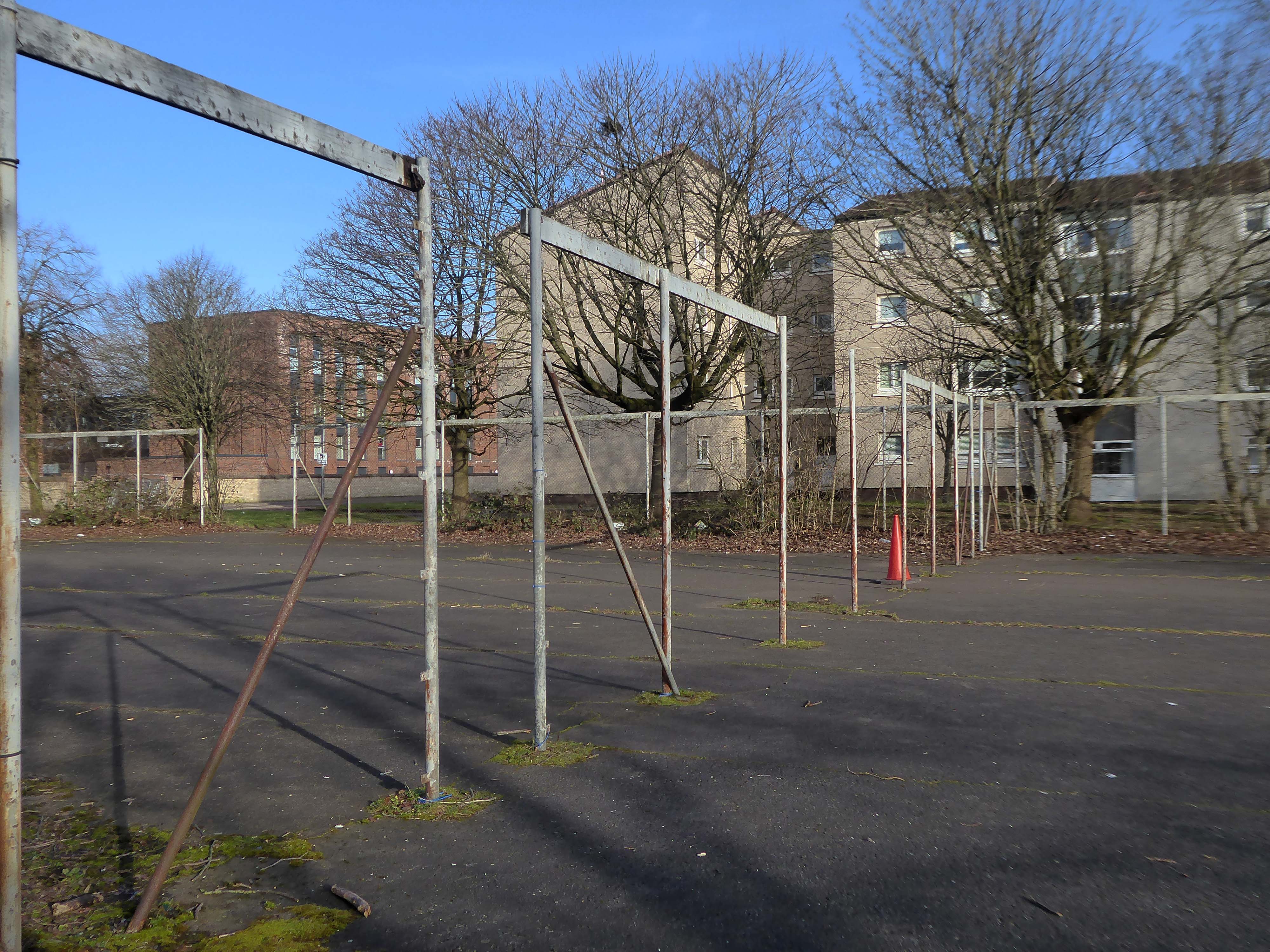
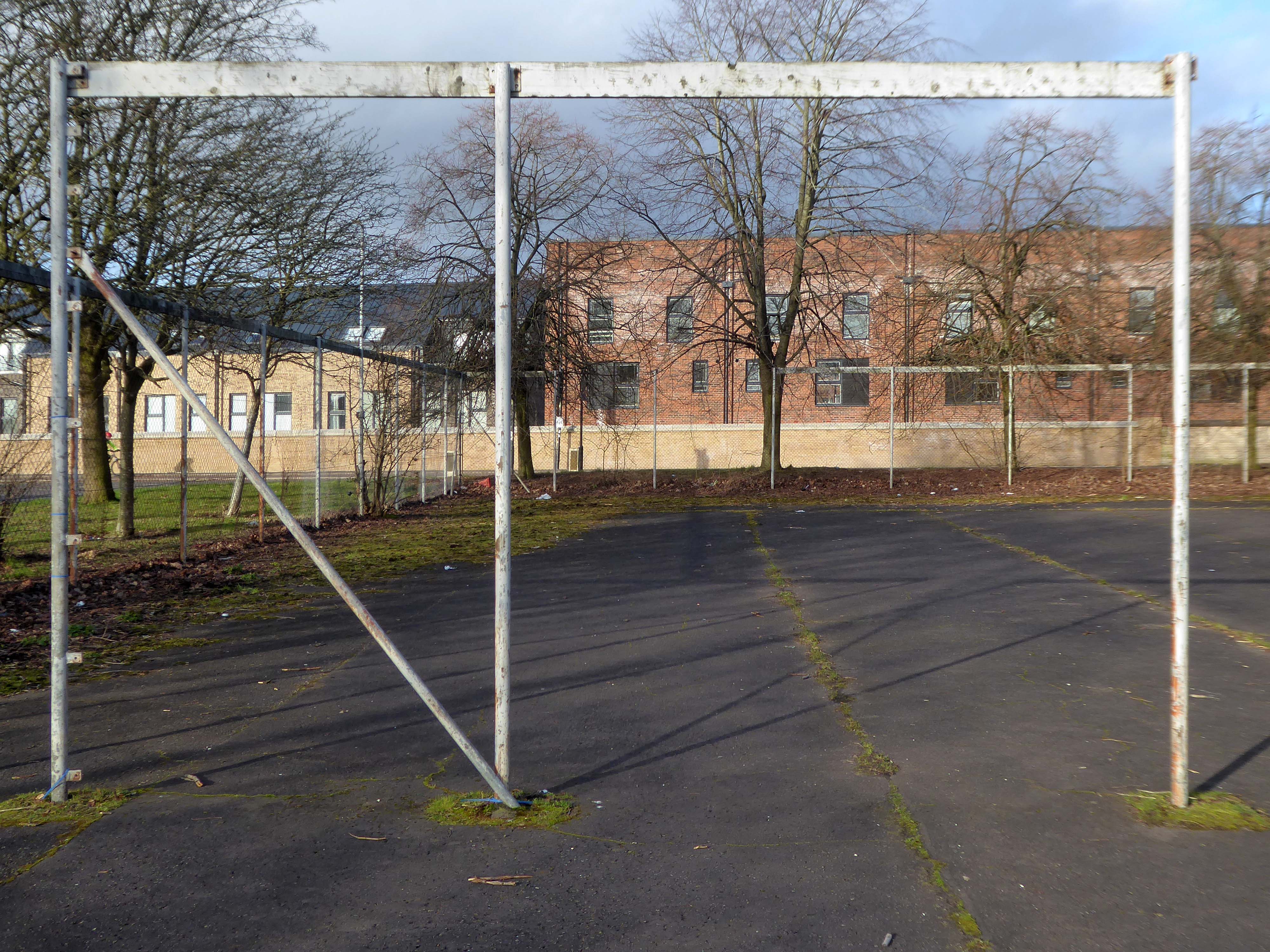
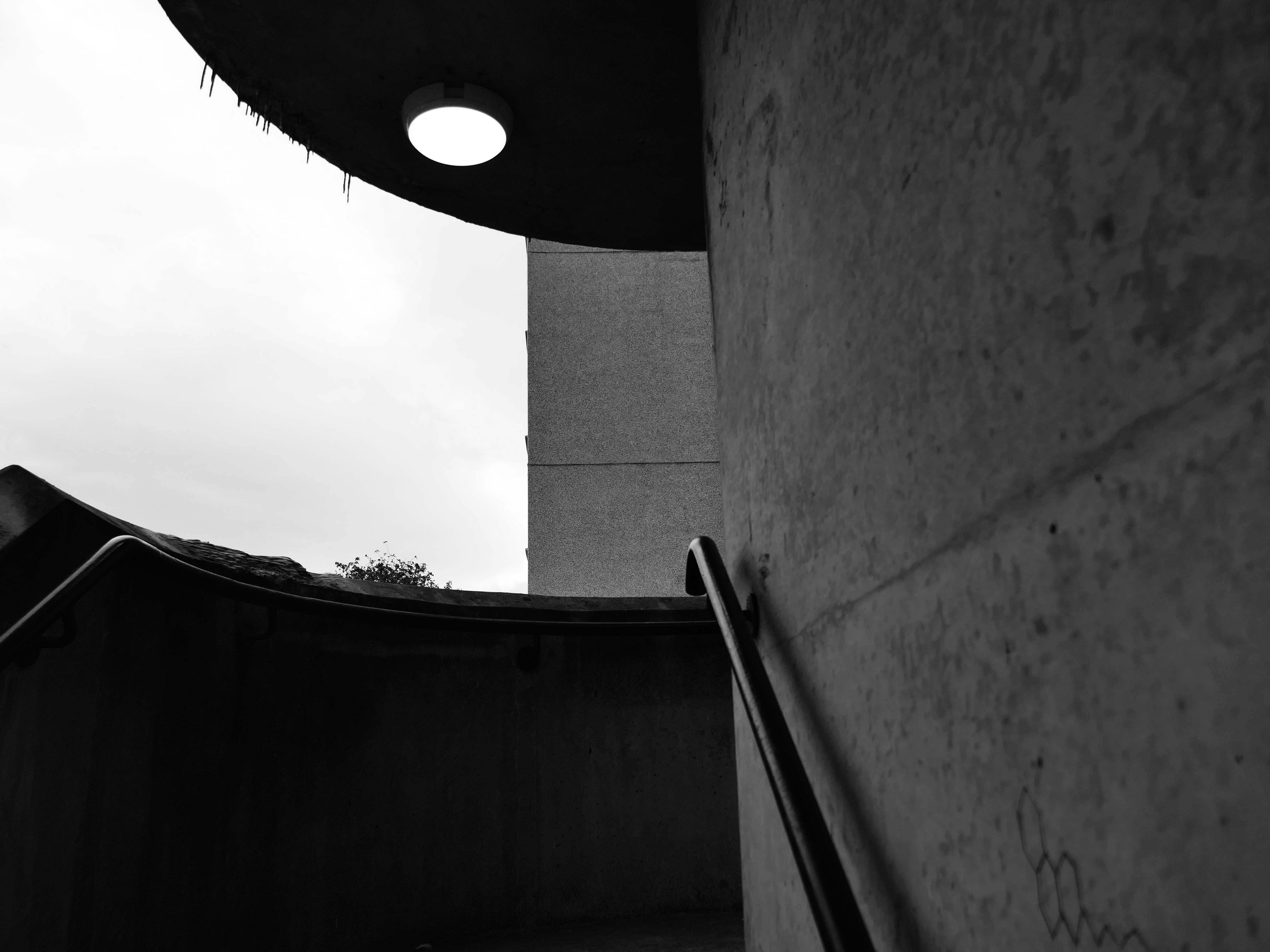
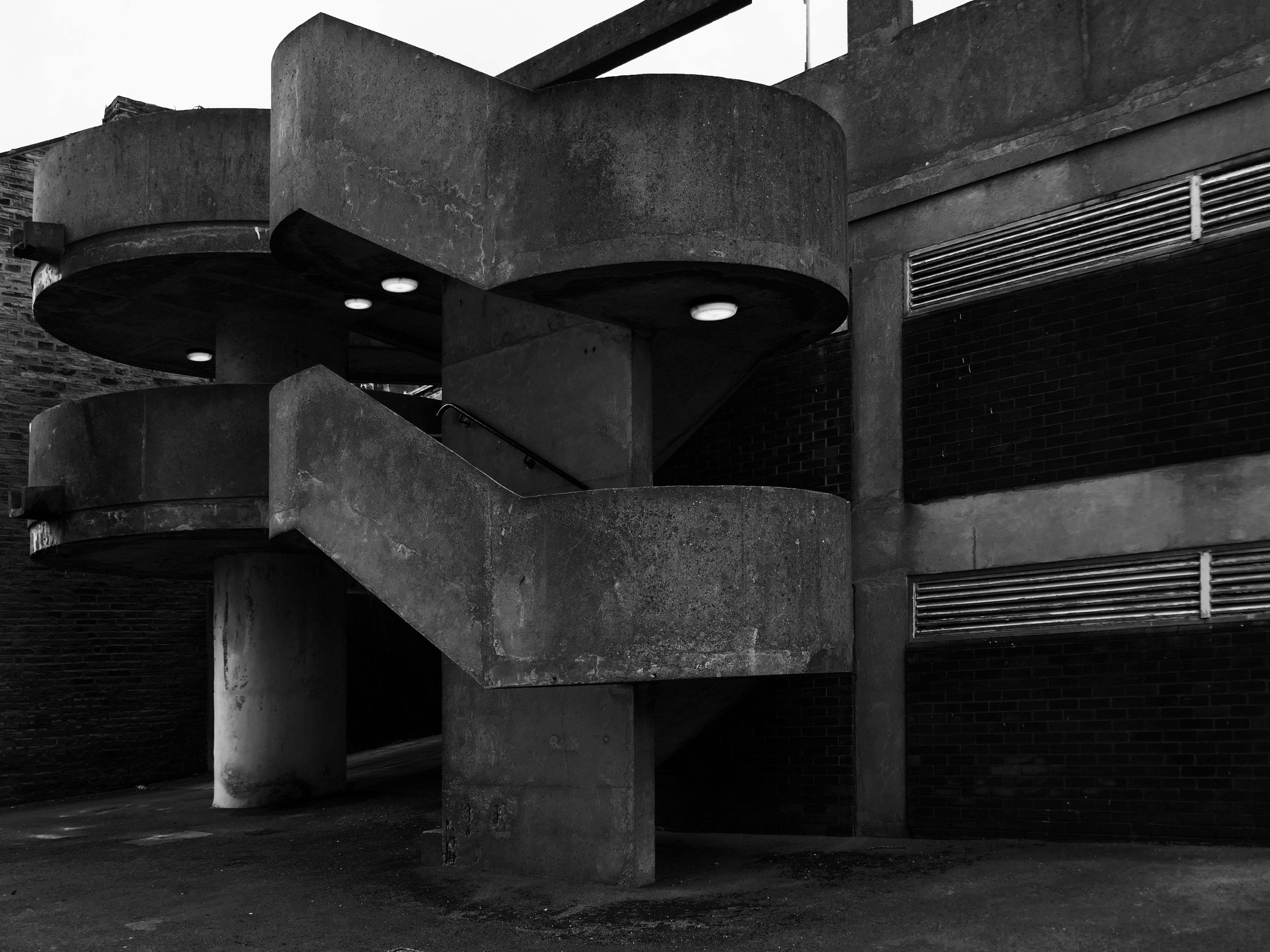
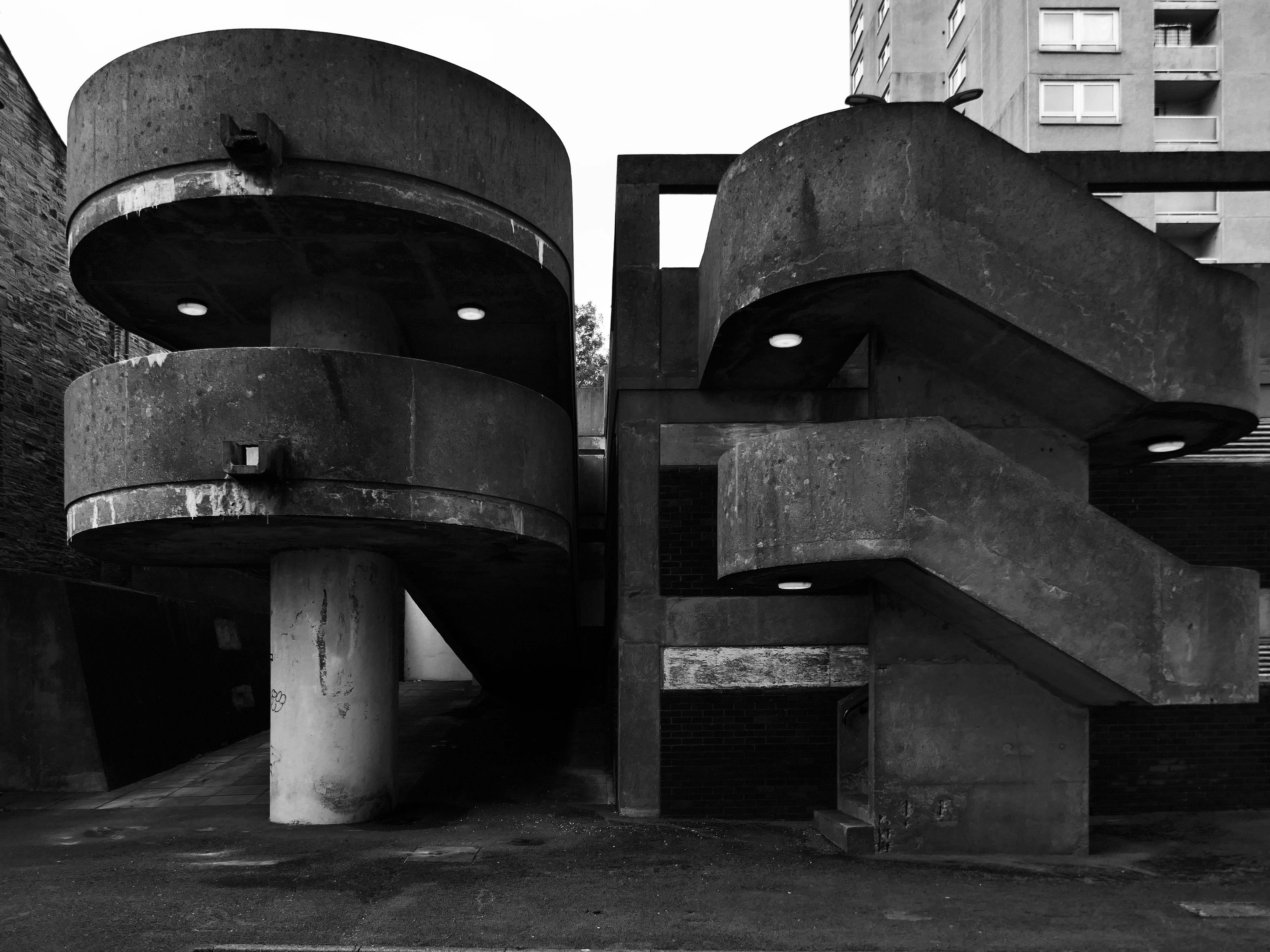
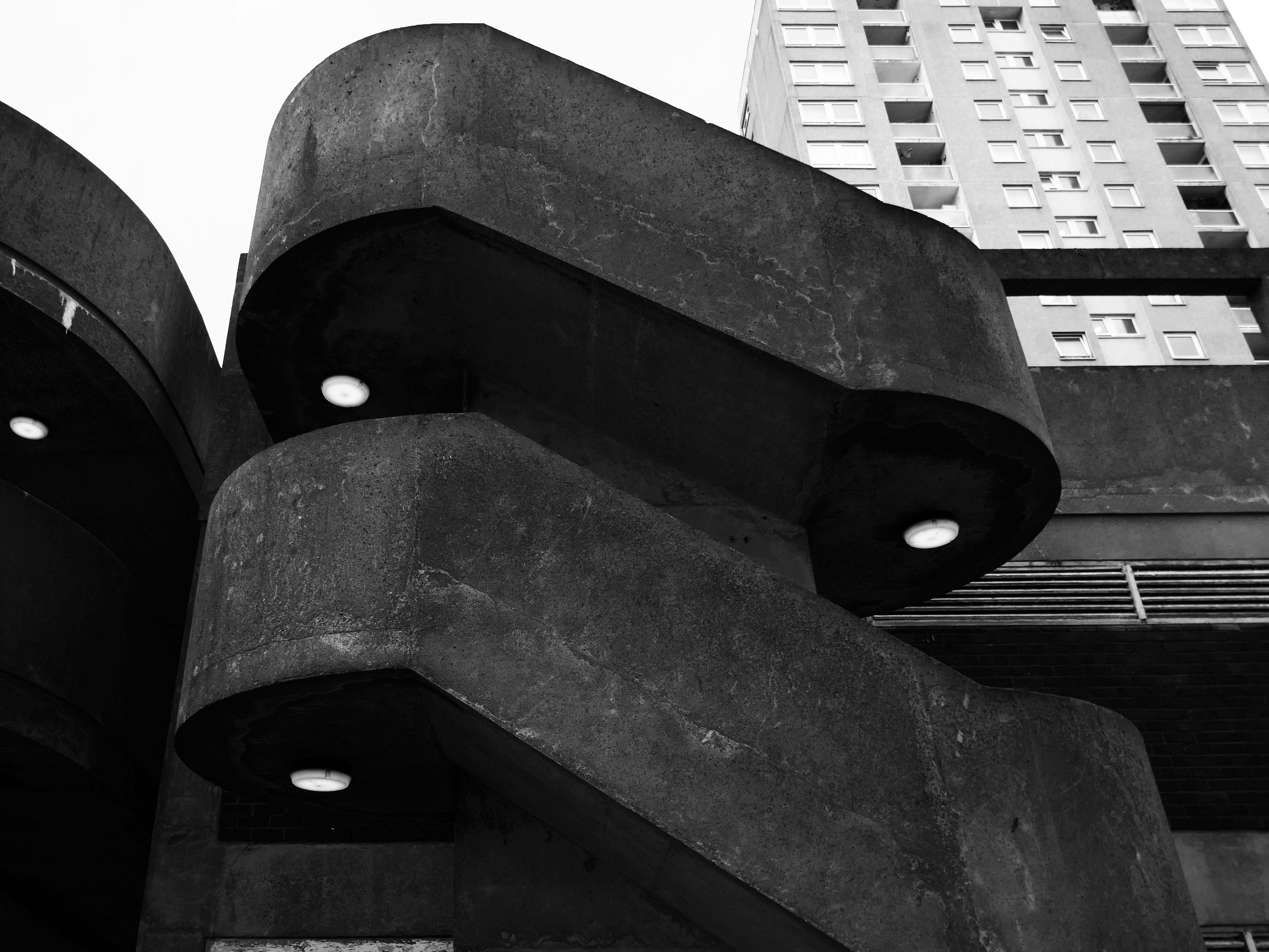
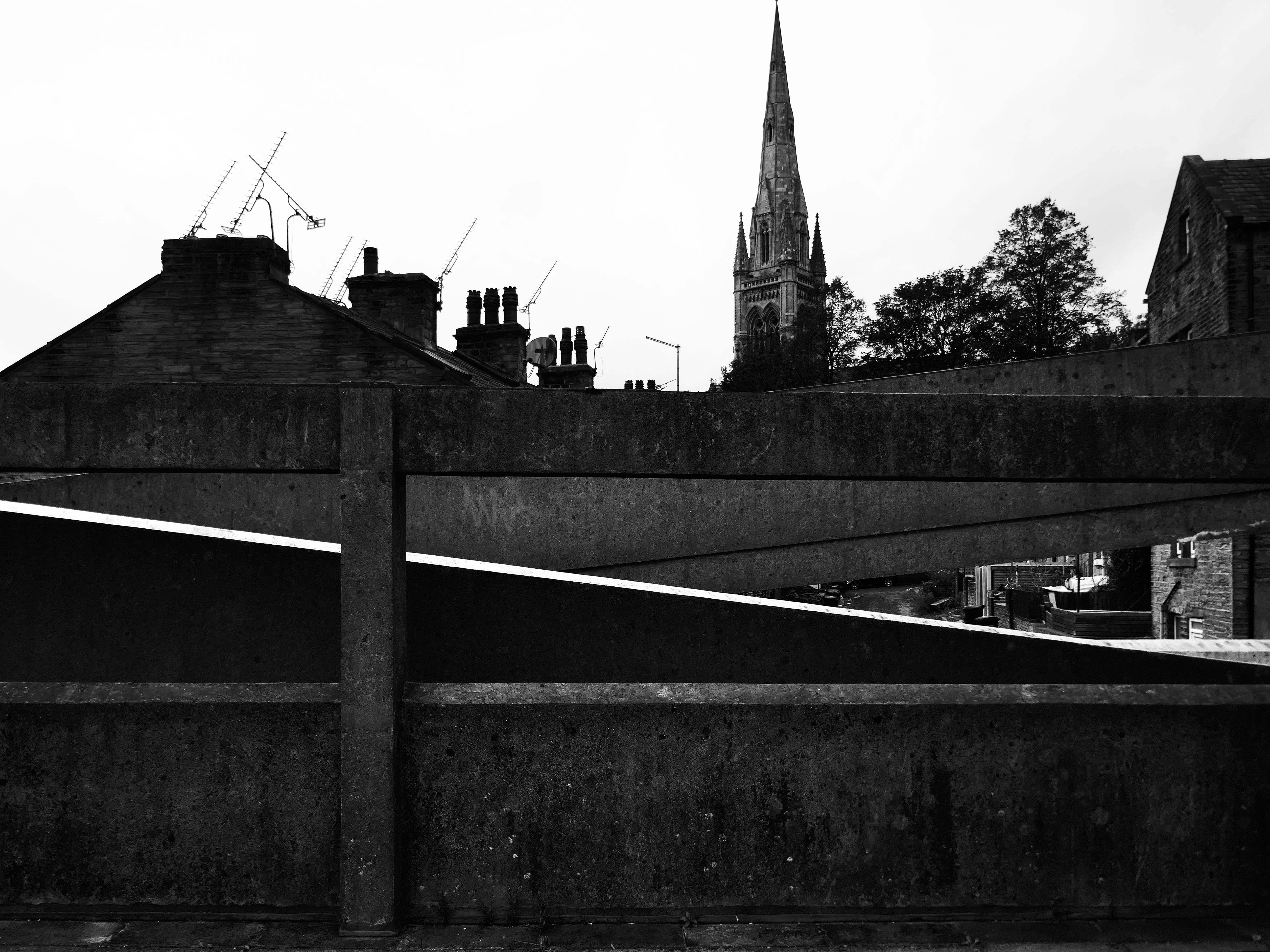
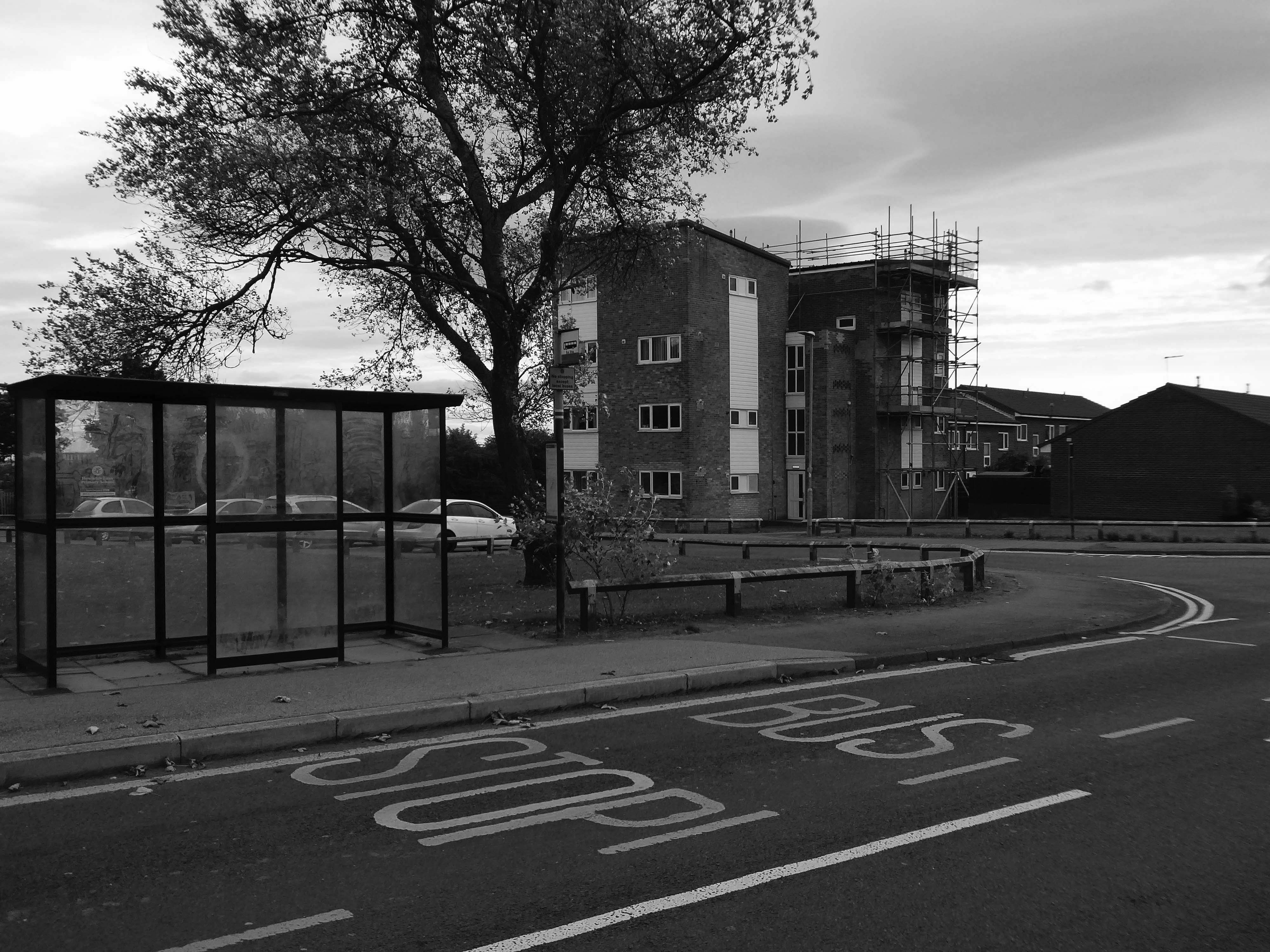
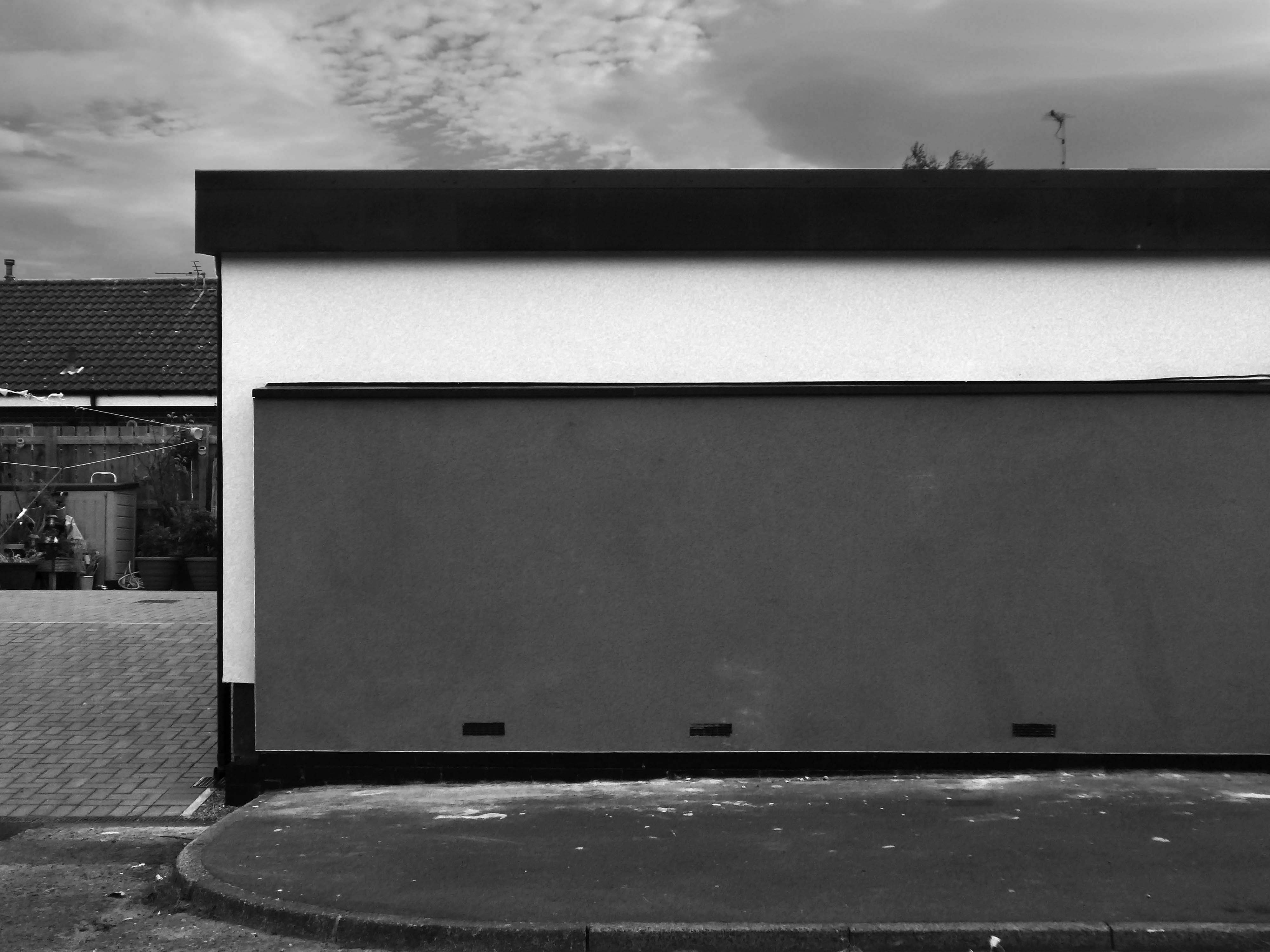
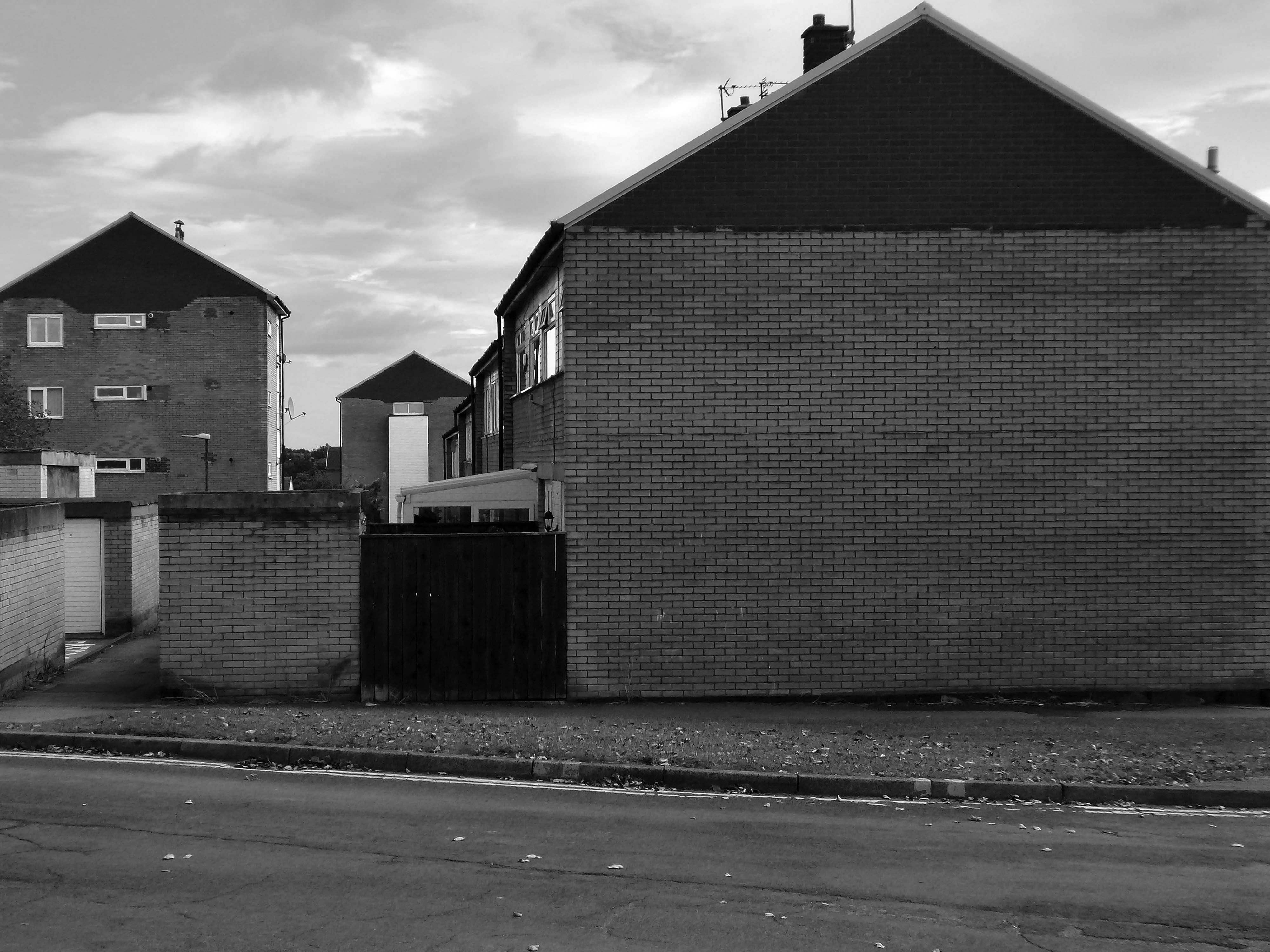
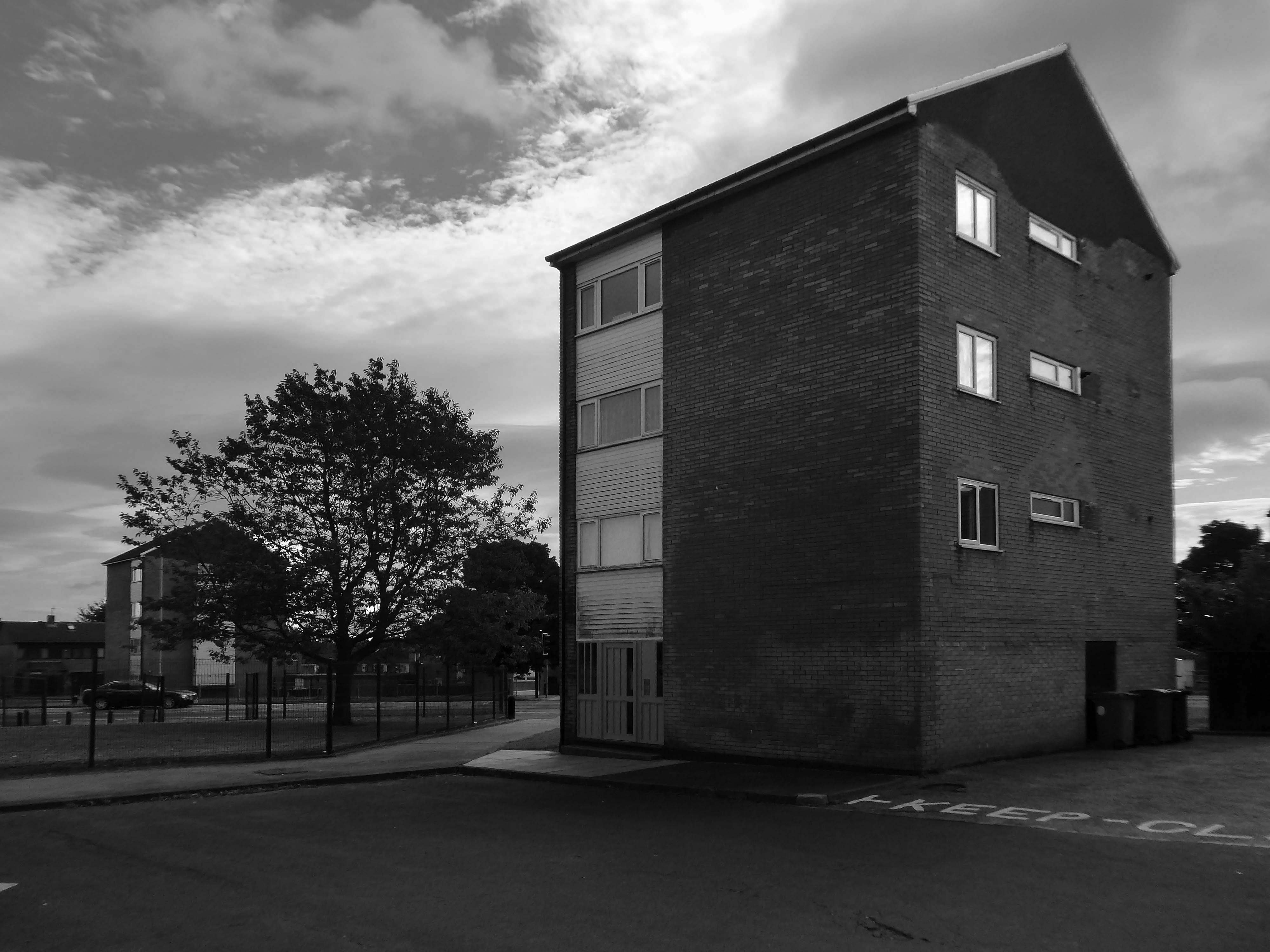
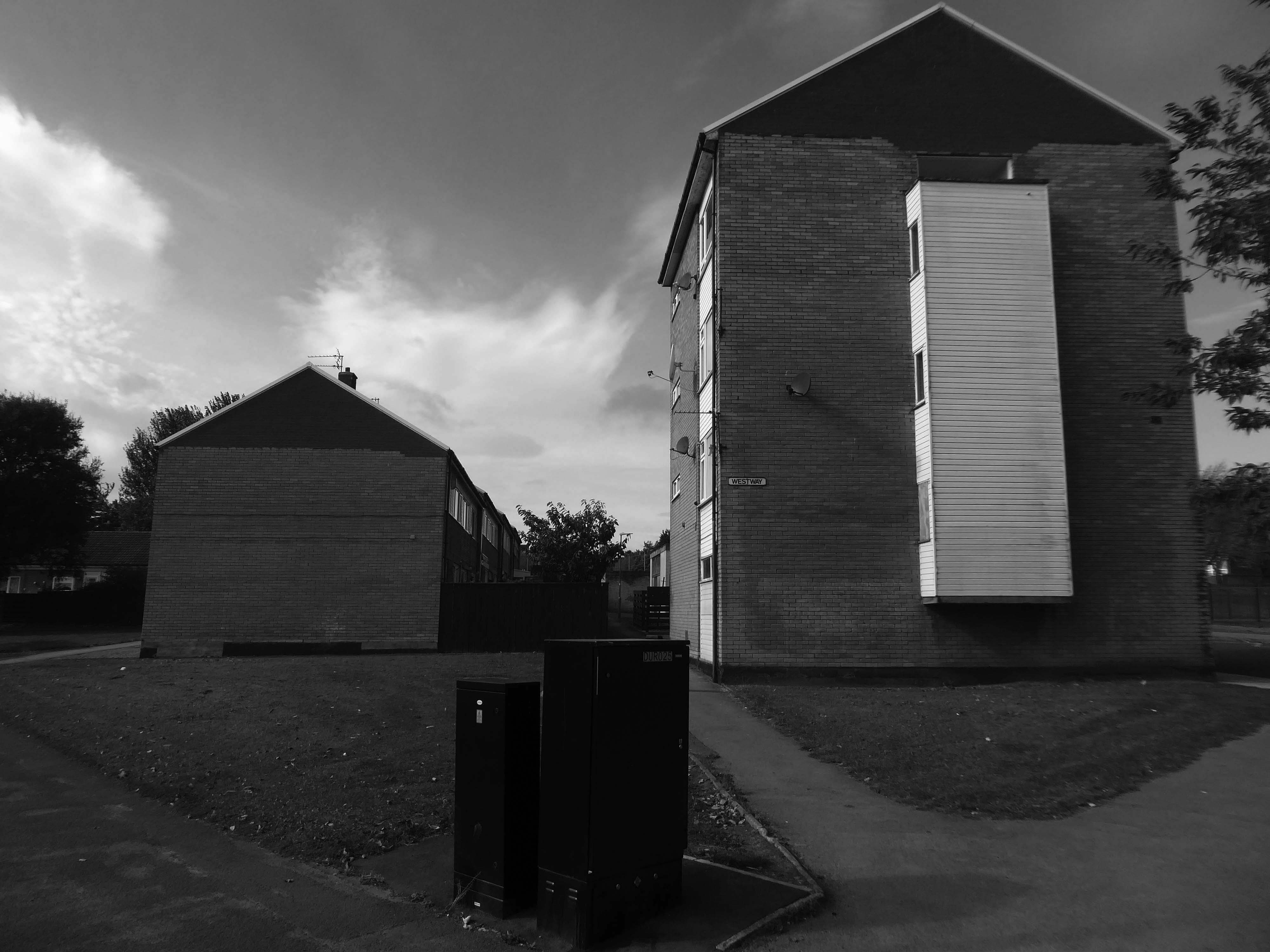
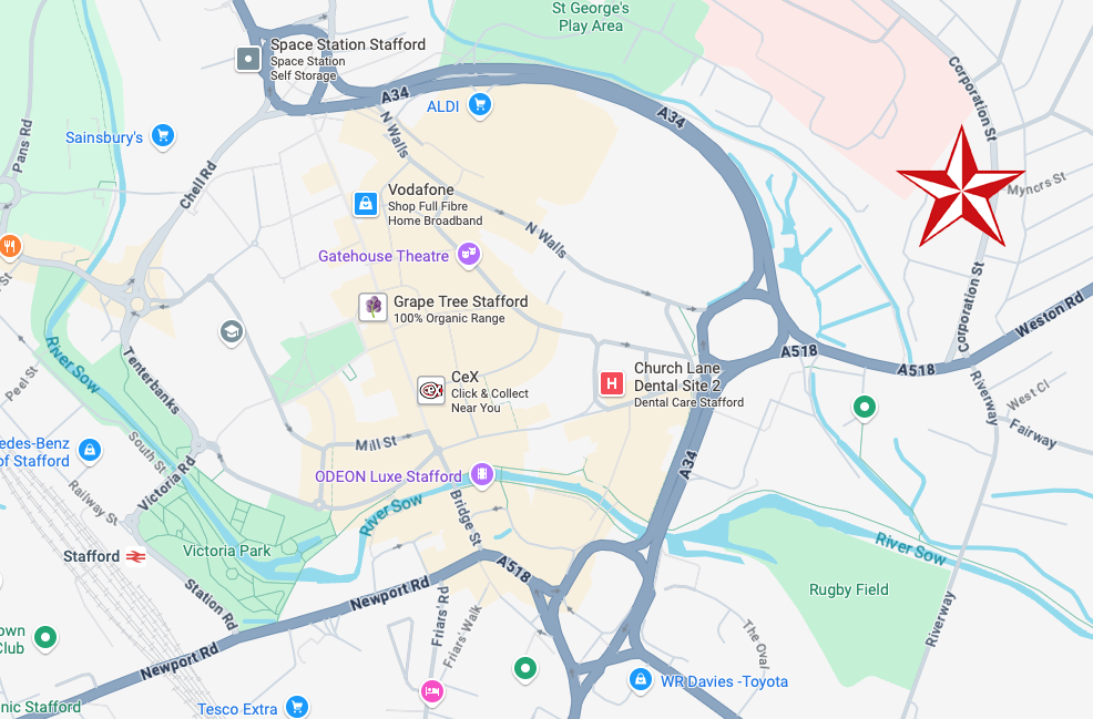
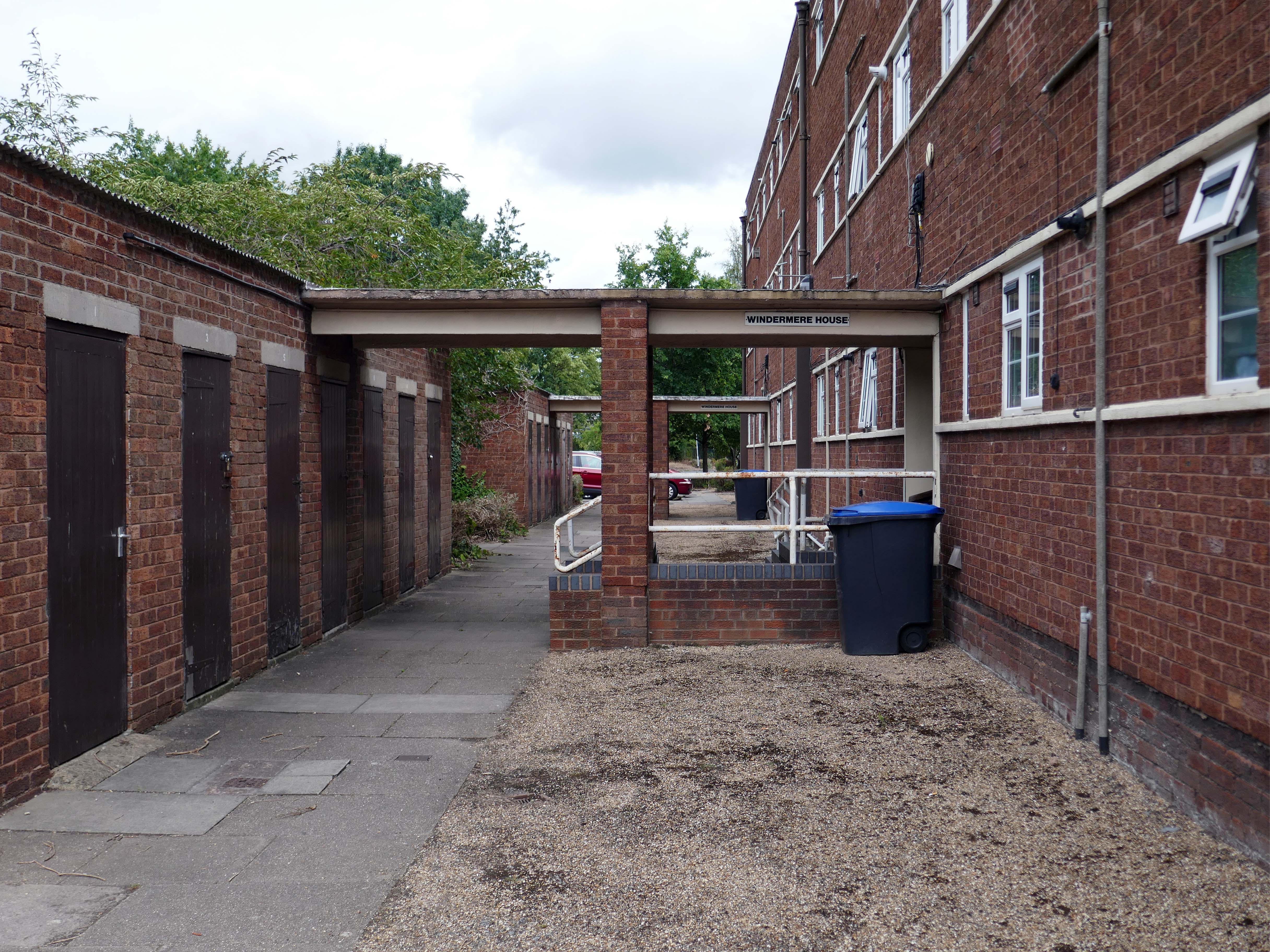
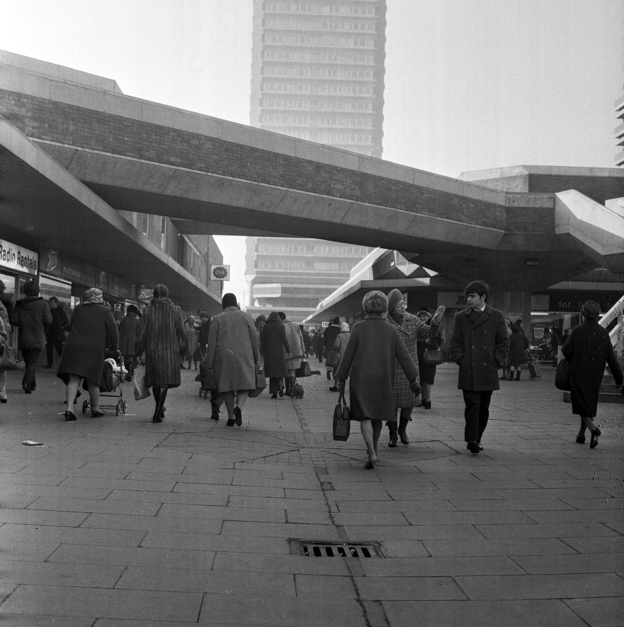
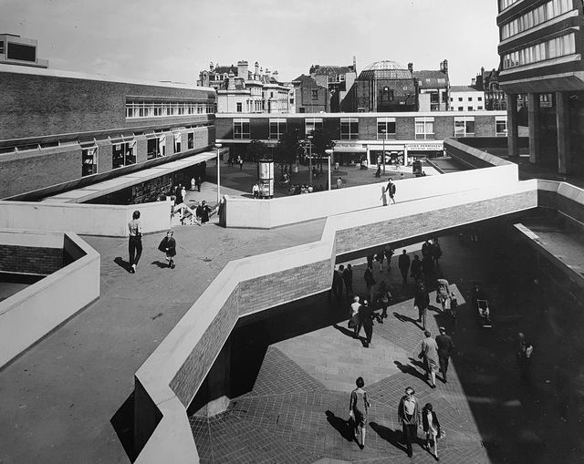
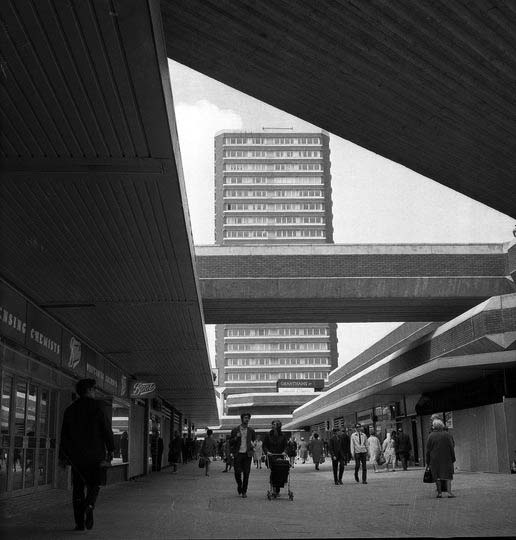
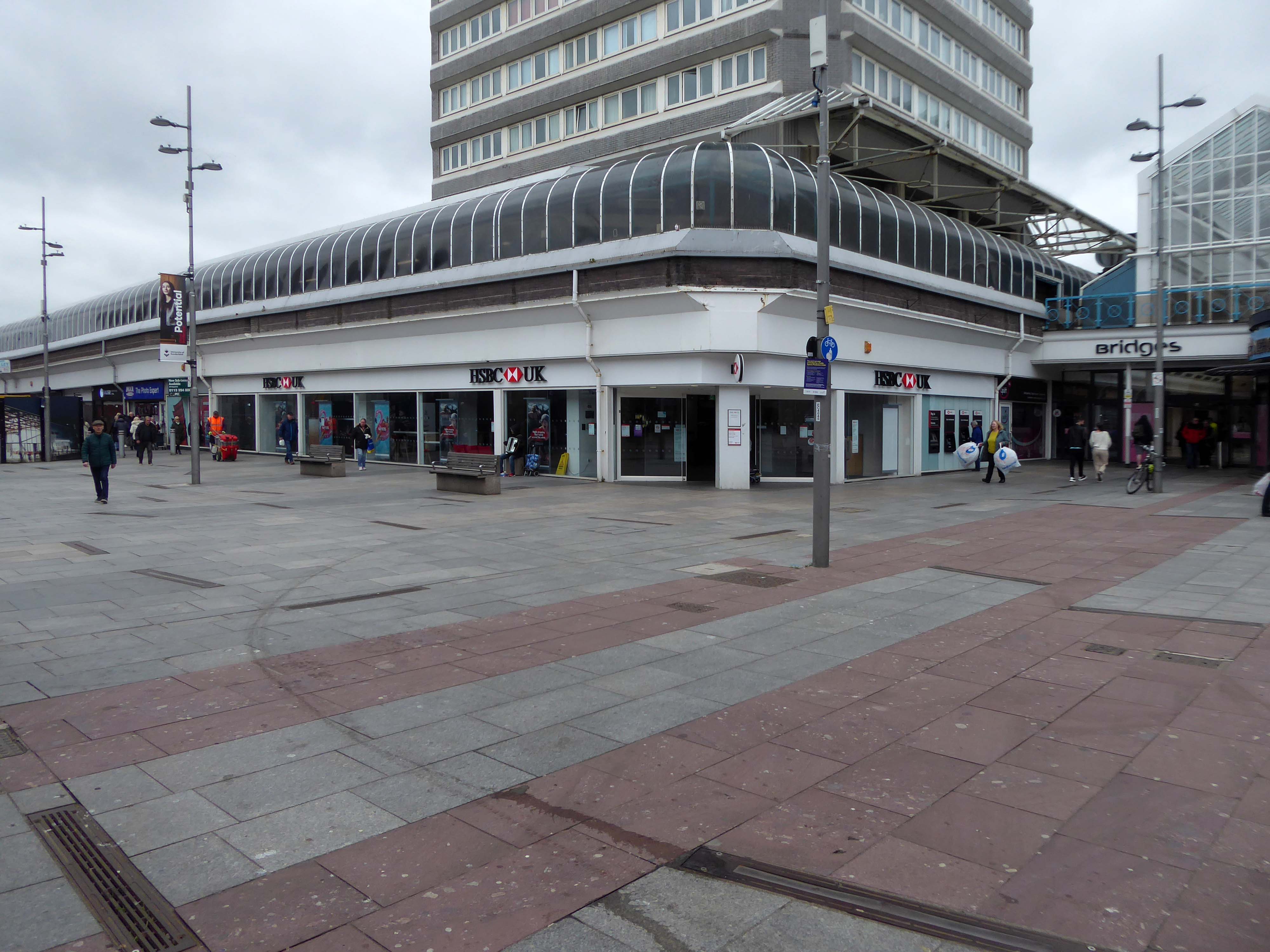
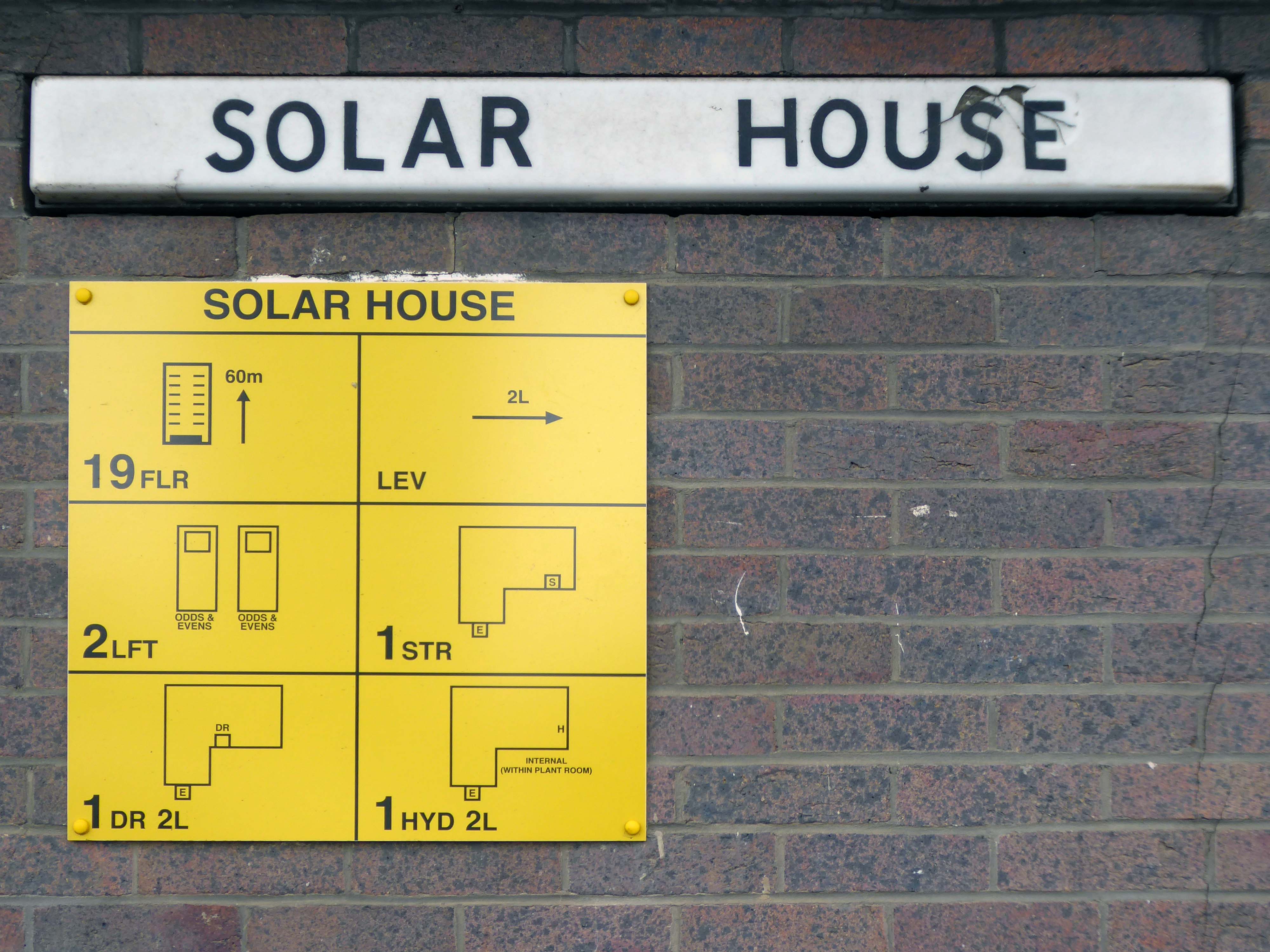
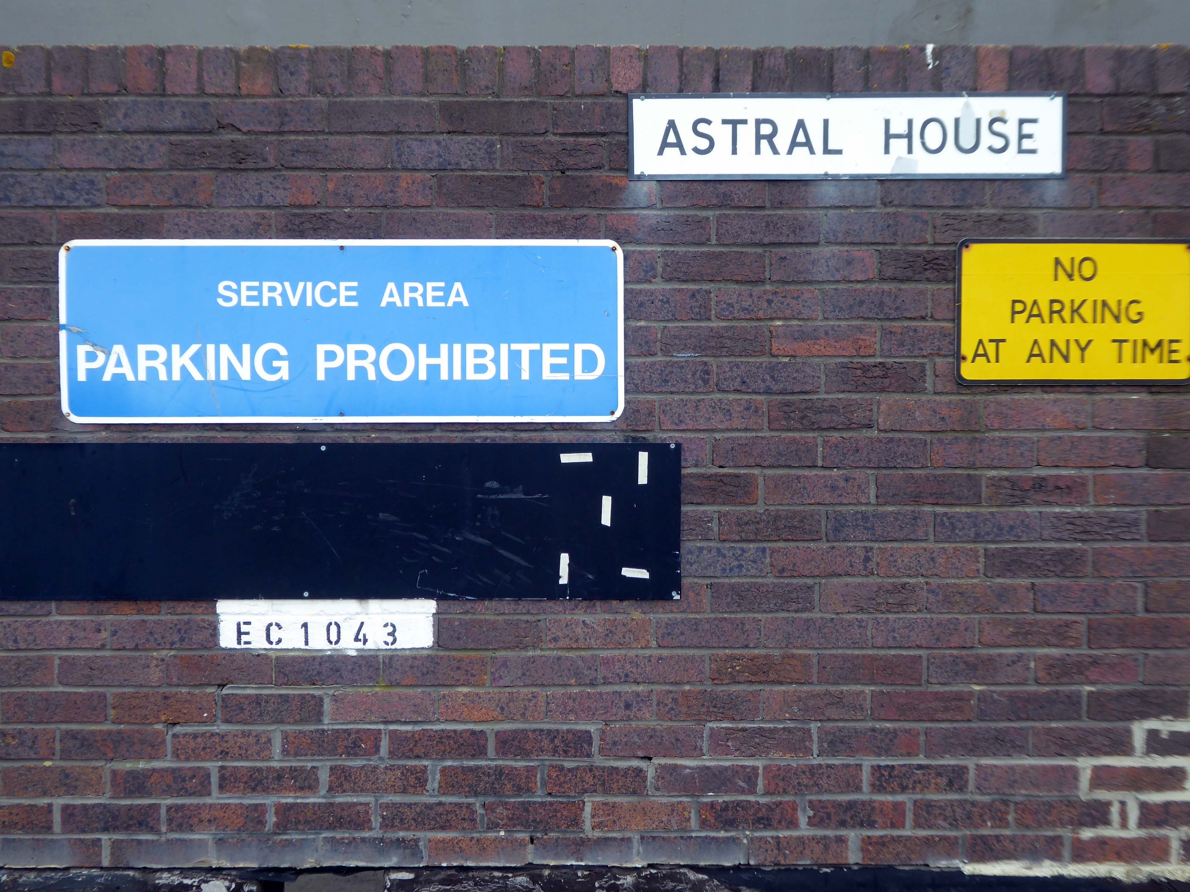
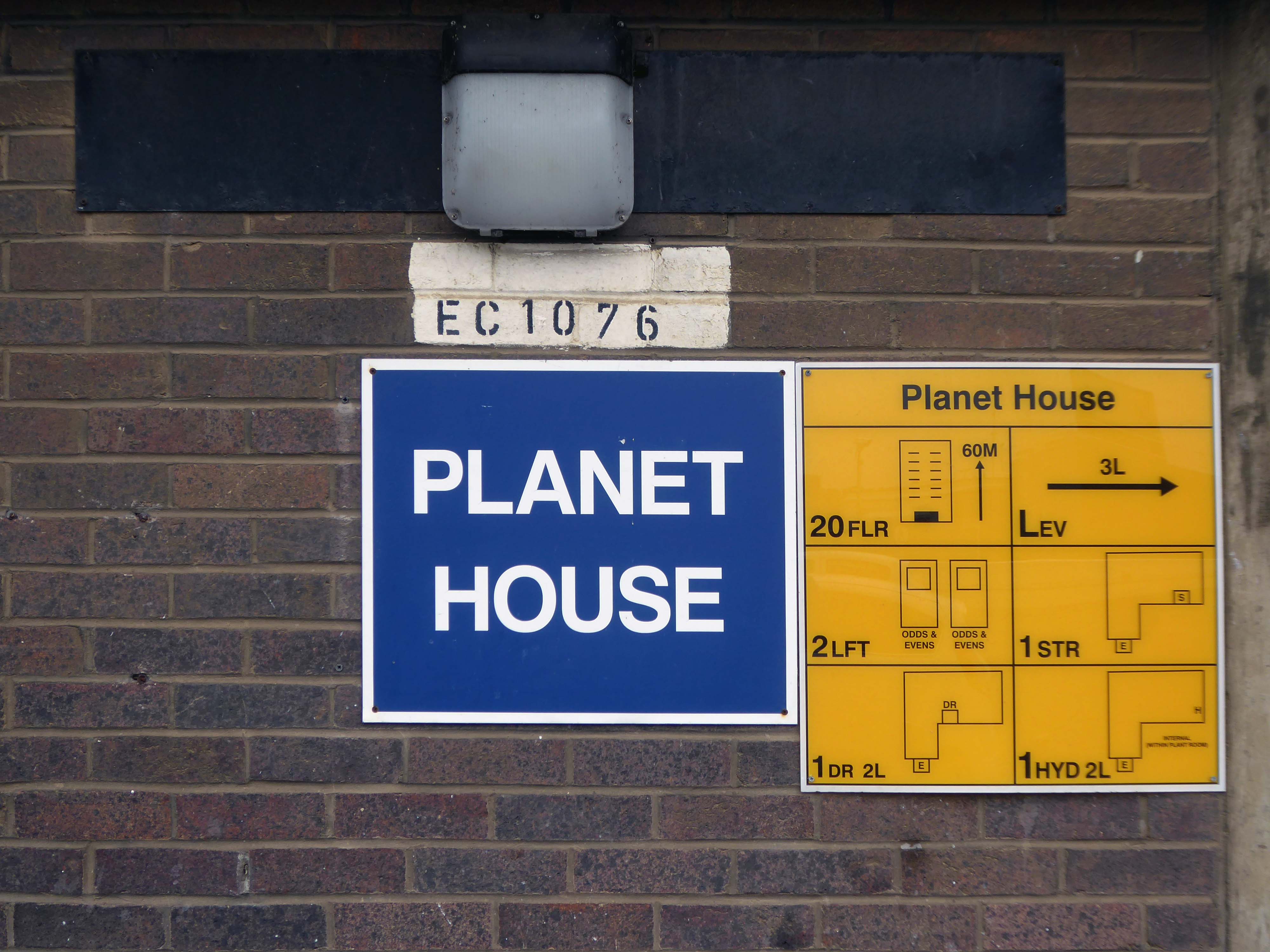
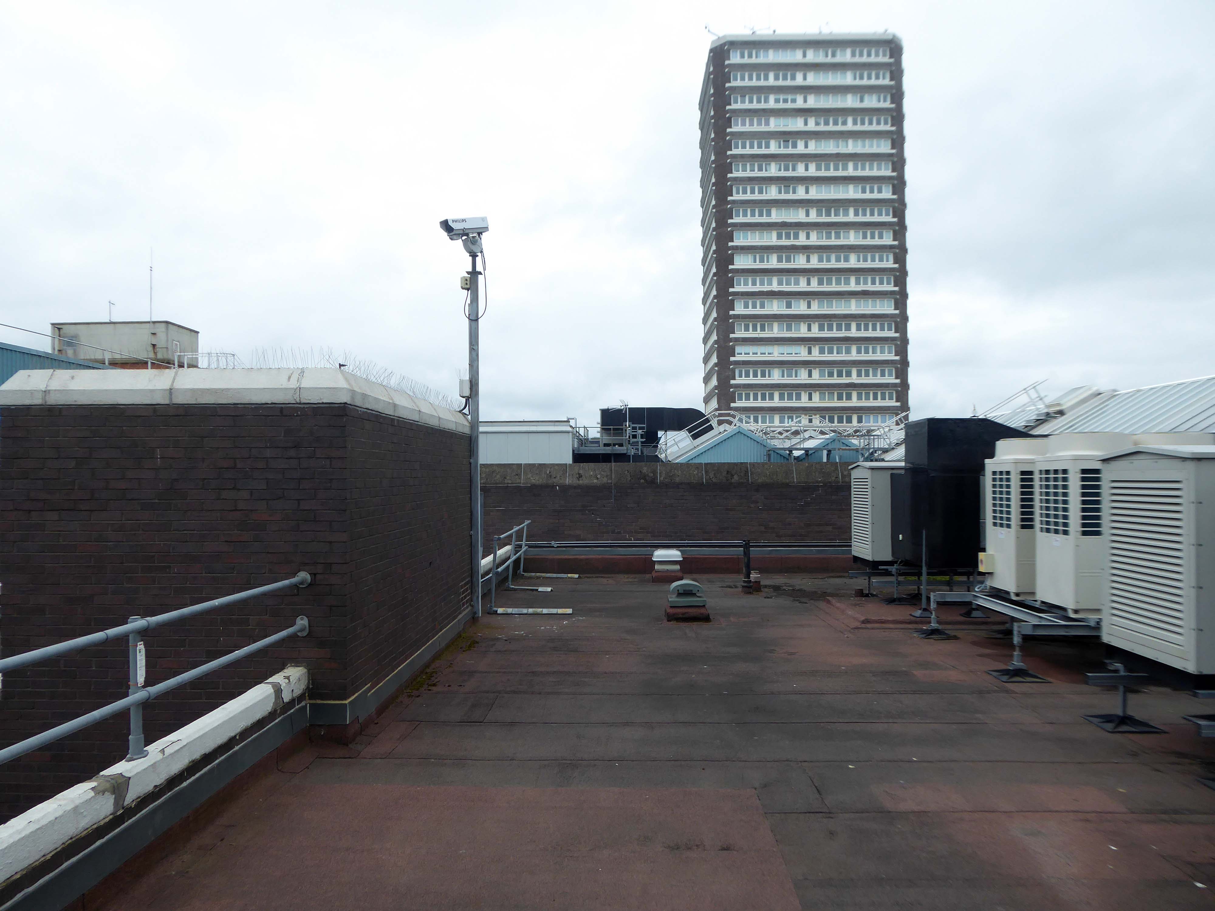
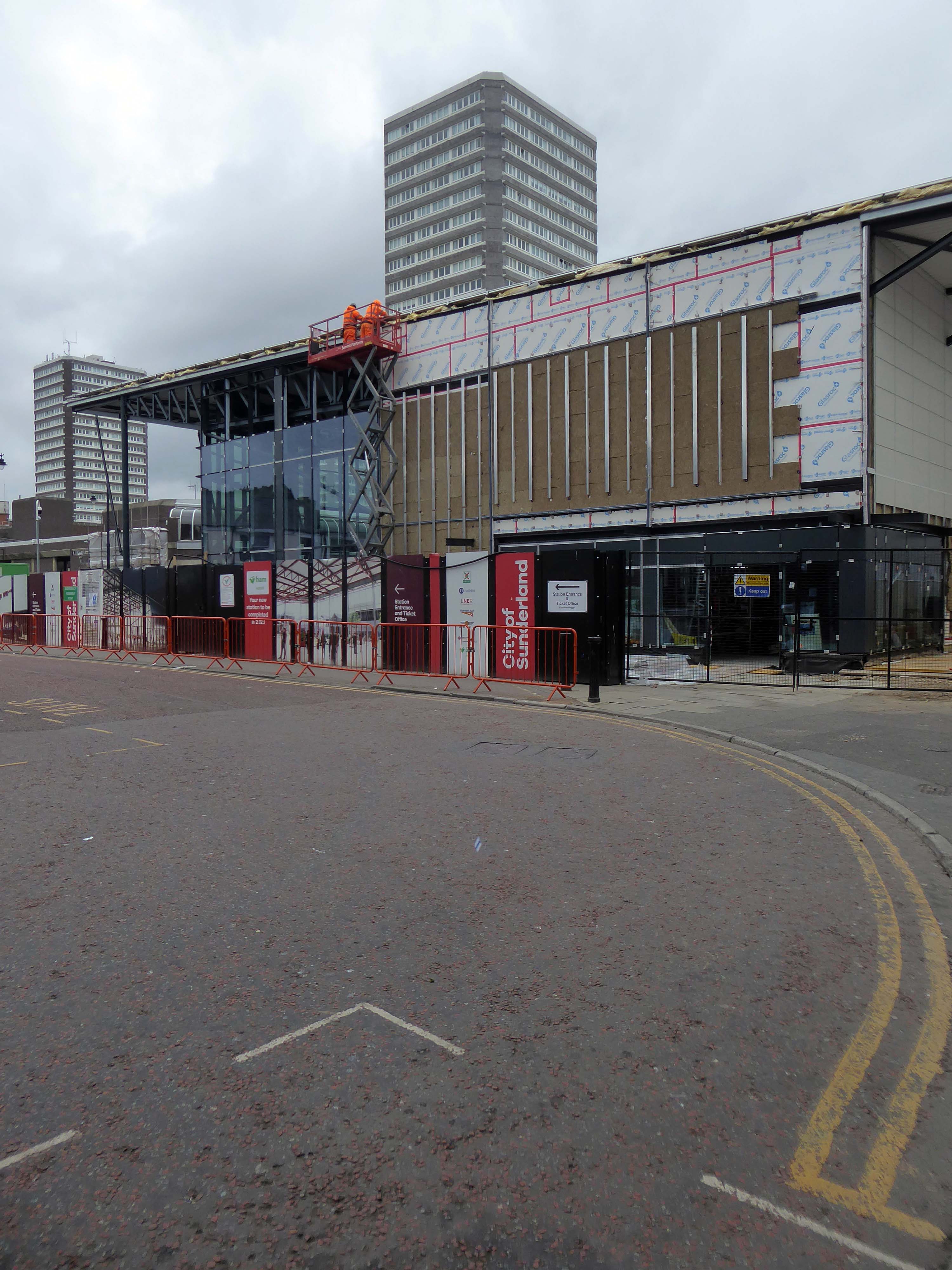
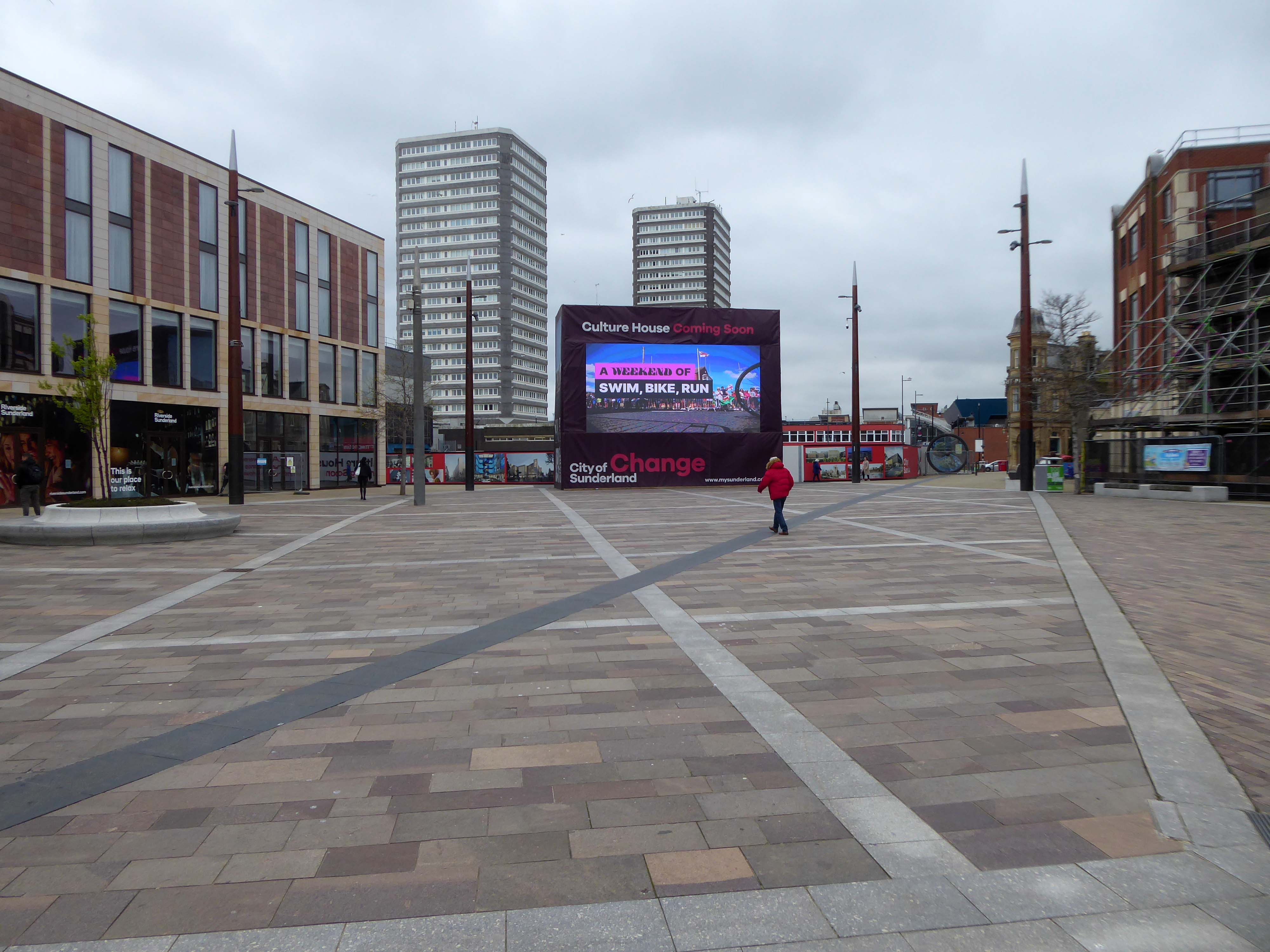
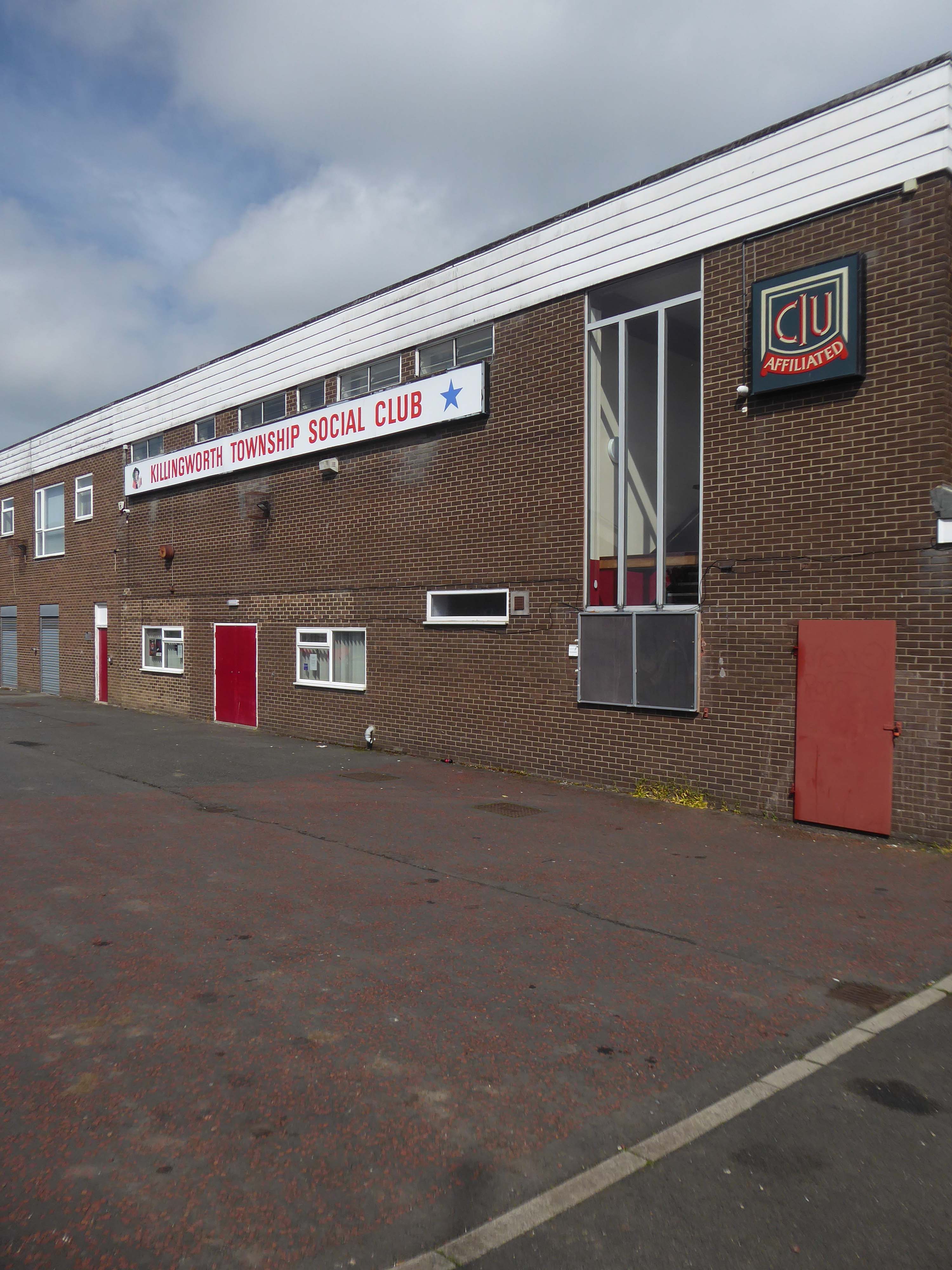
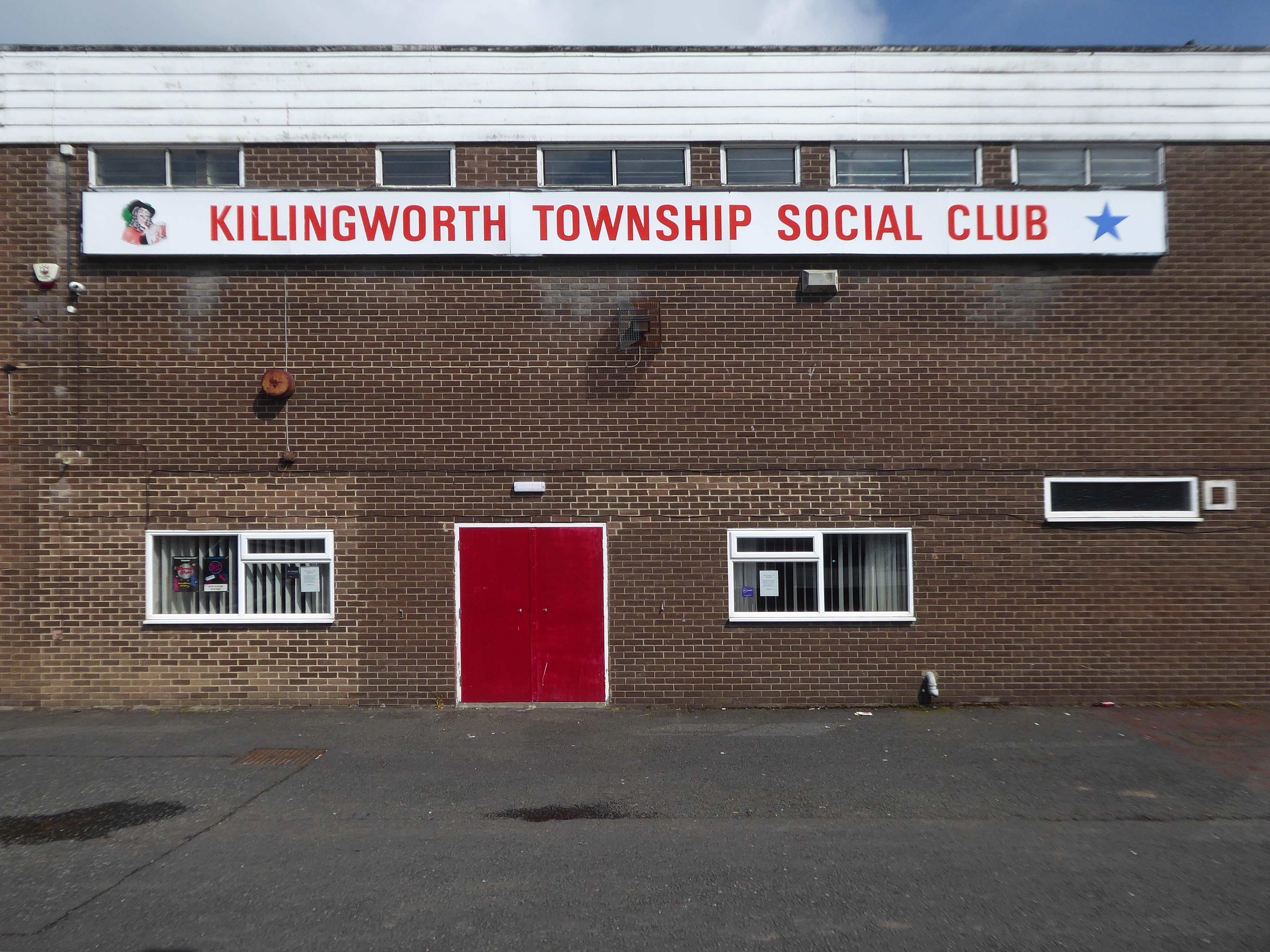
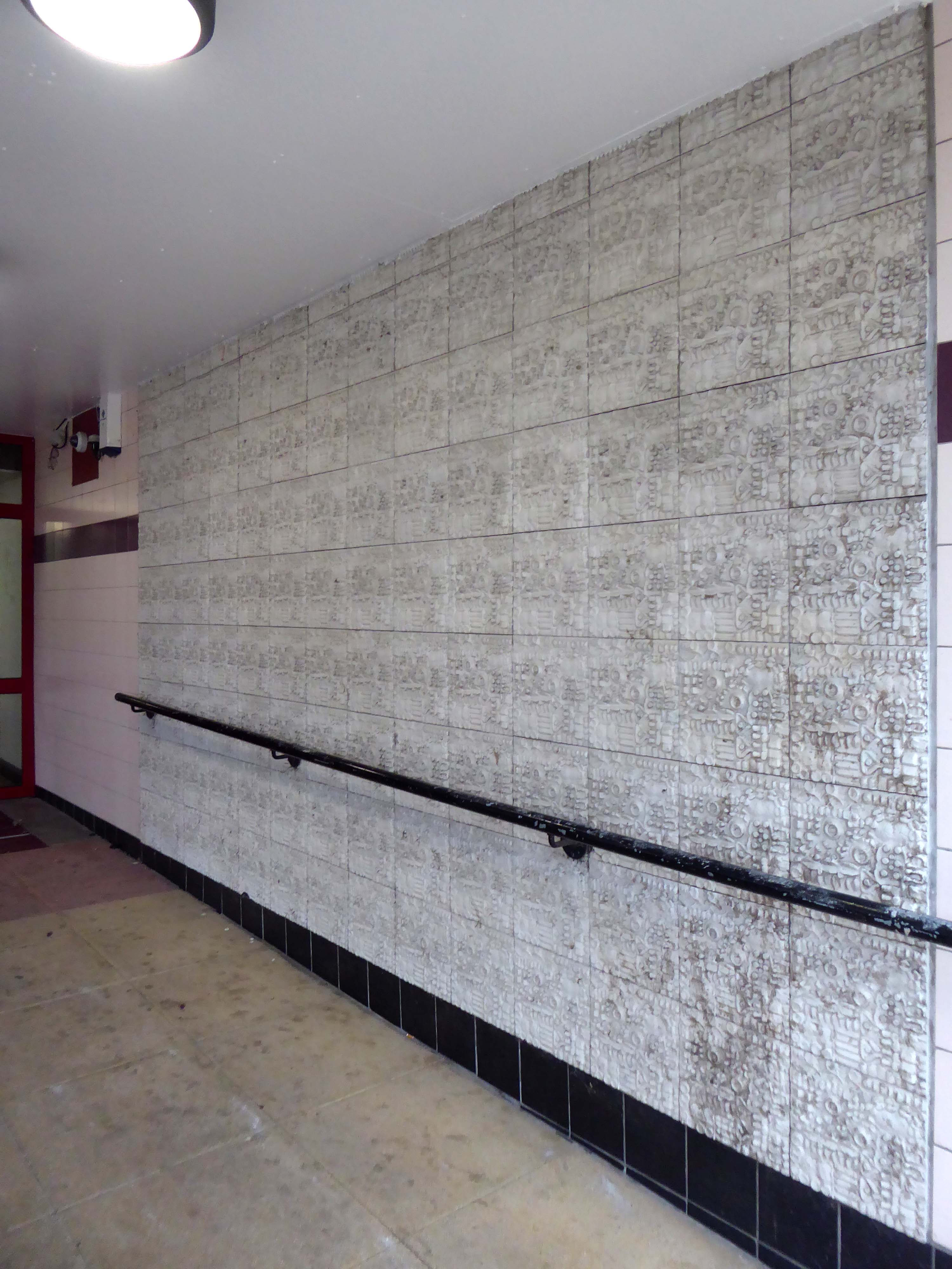
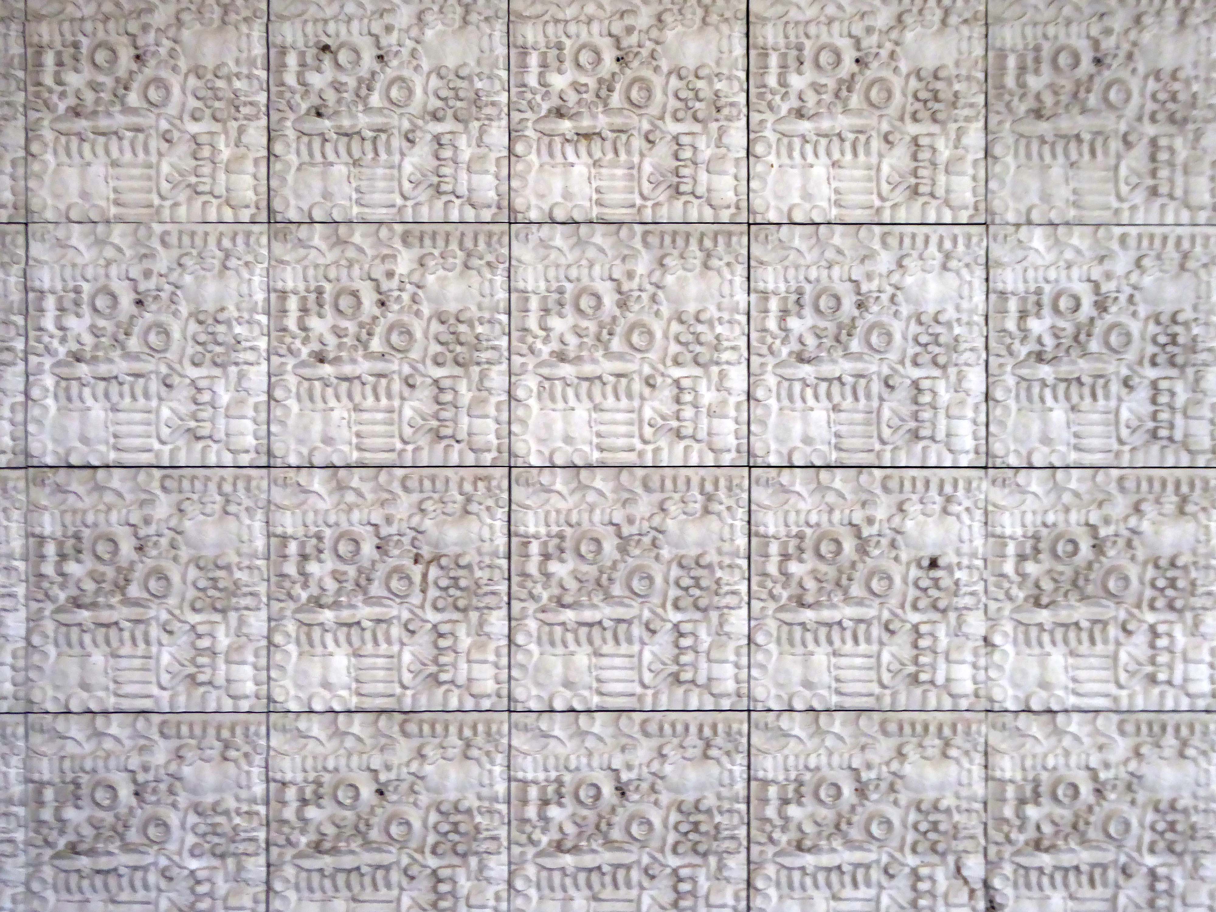
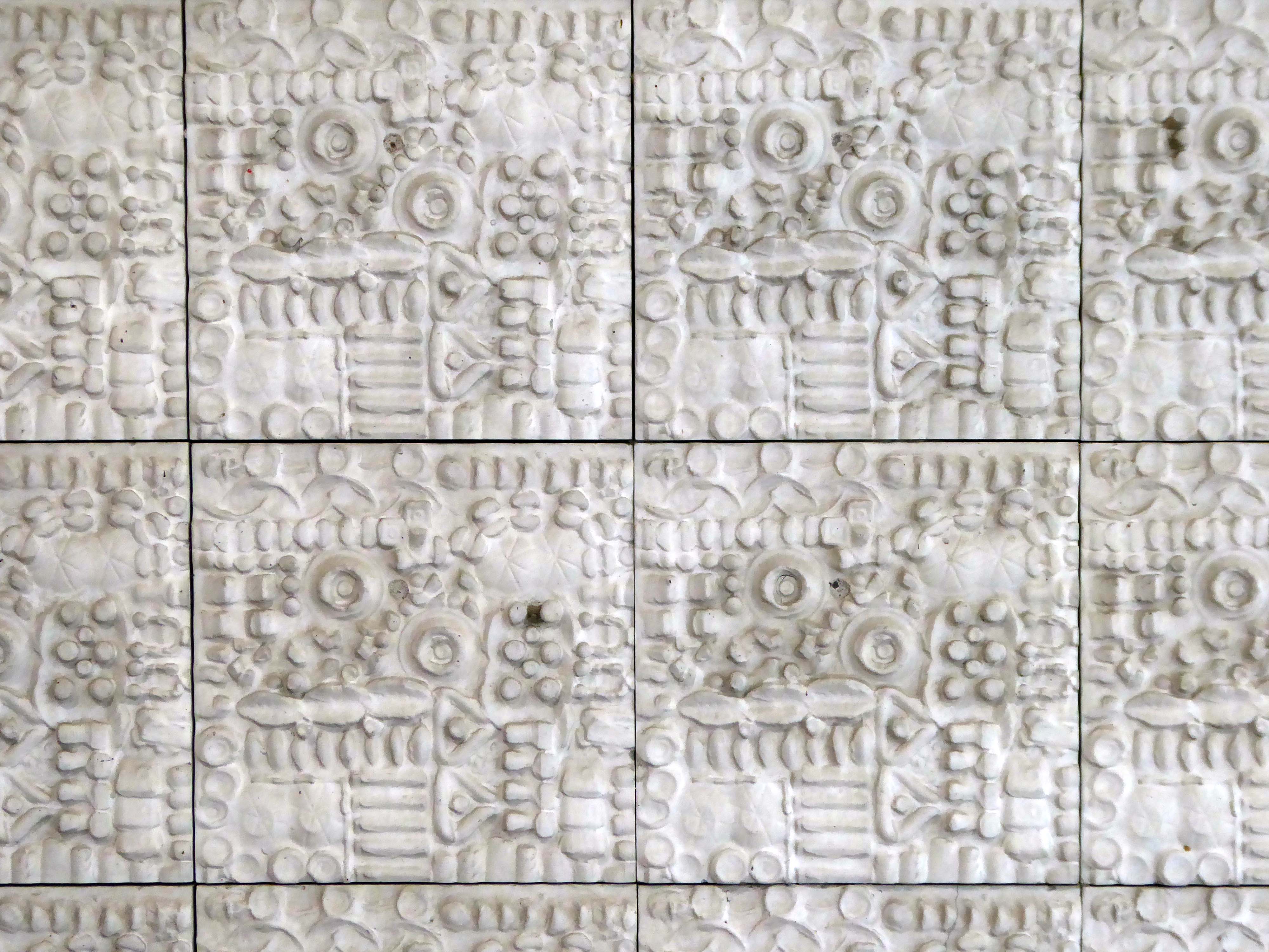
Onward now to see the three Telephone Exchanges.
Interwar
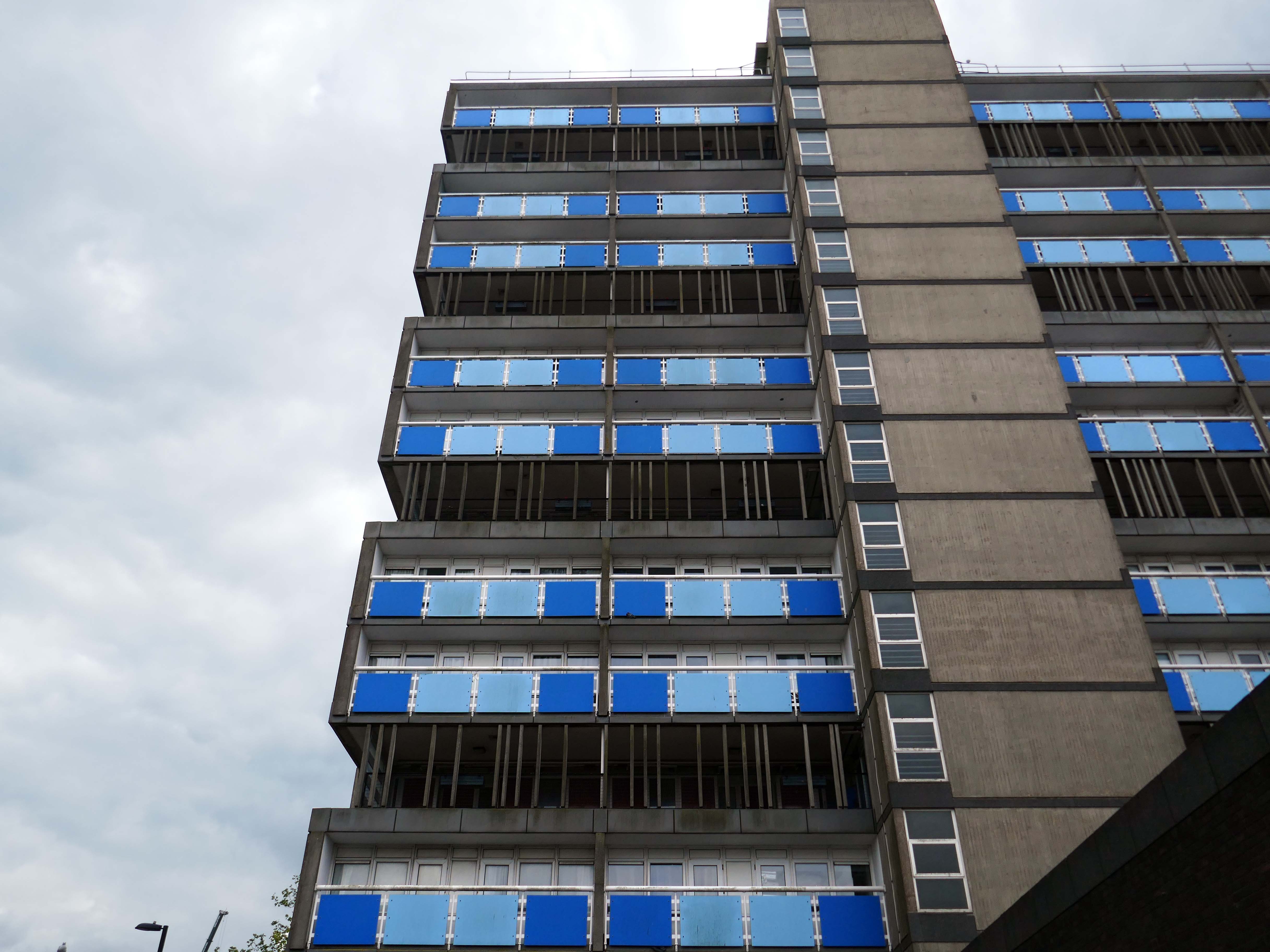
Sixties
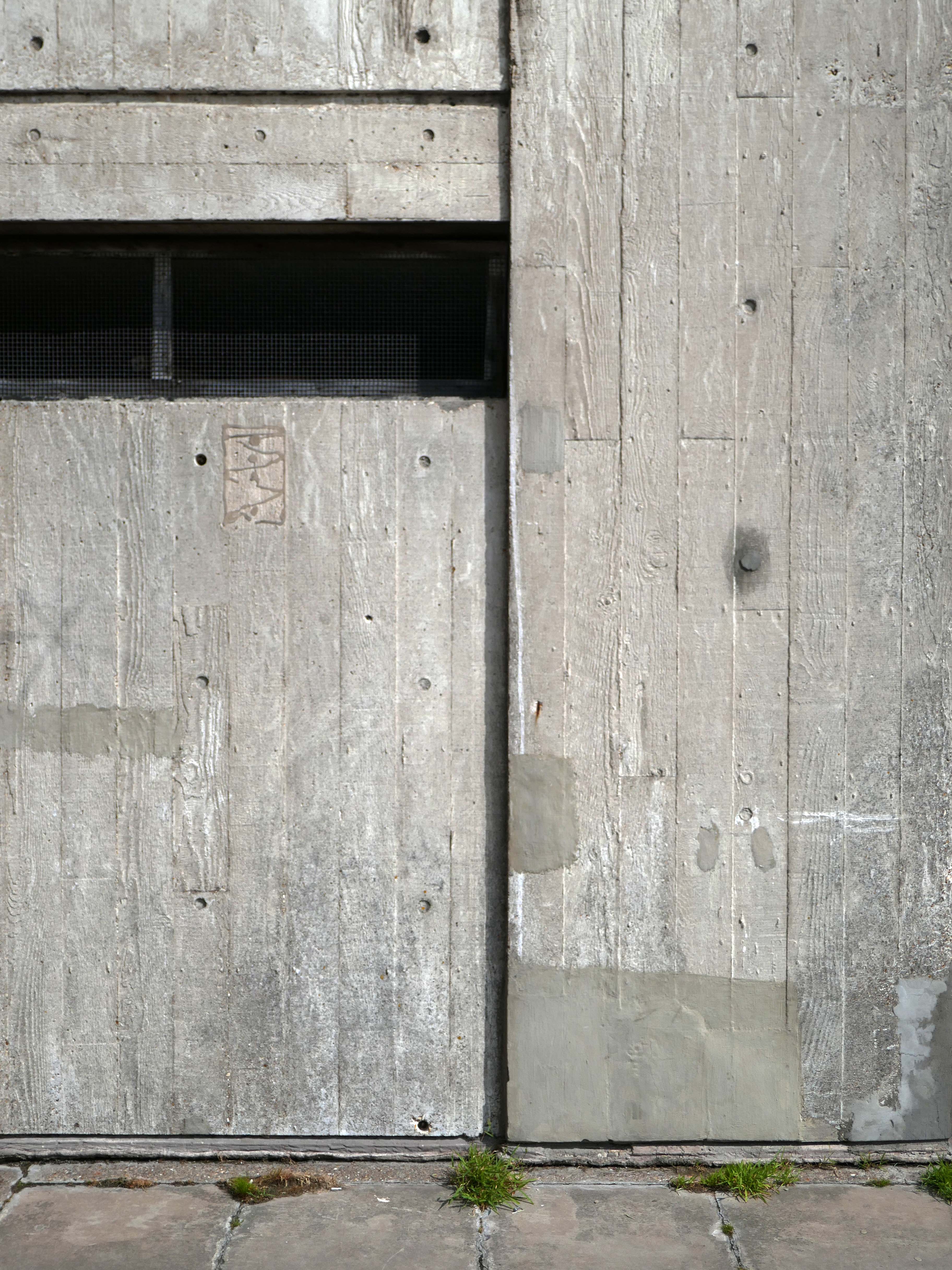
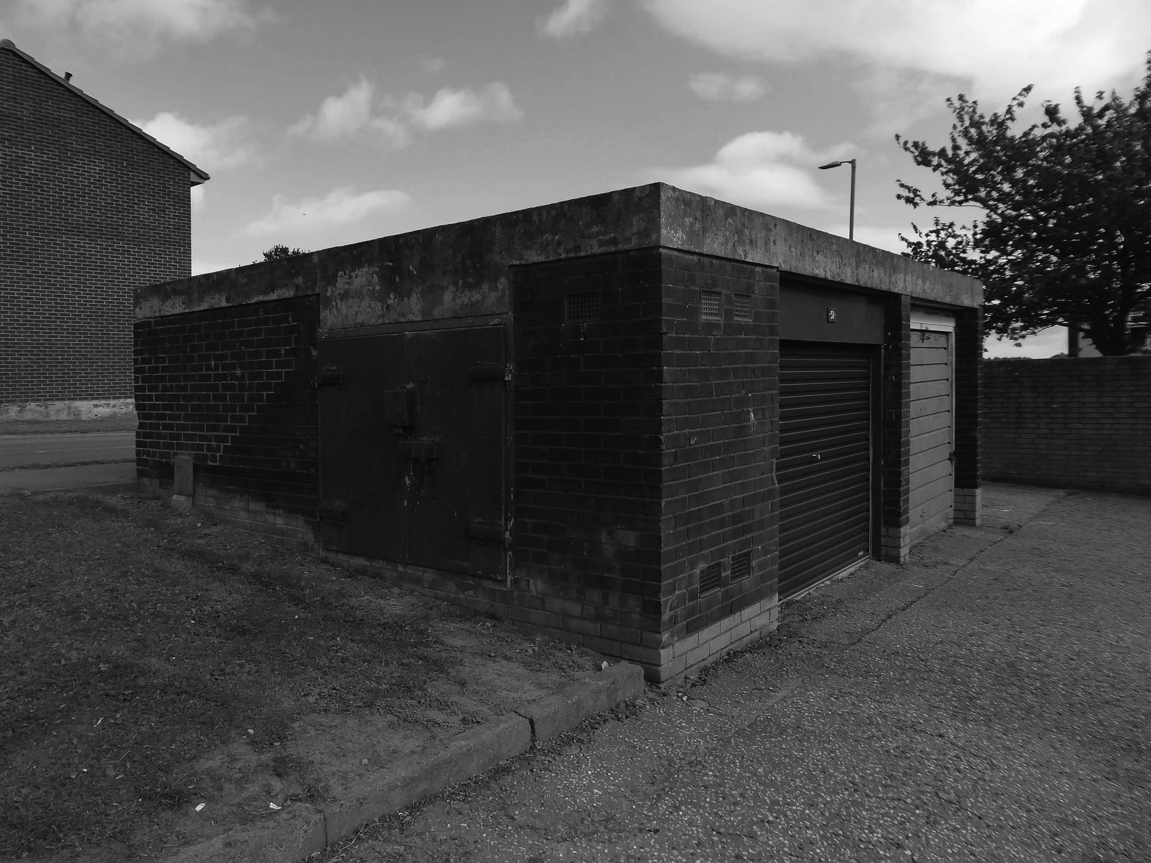
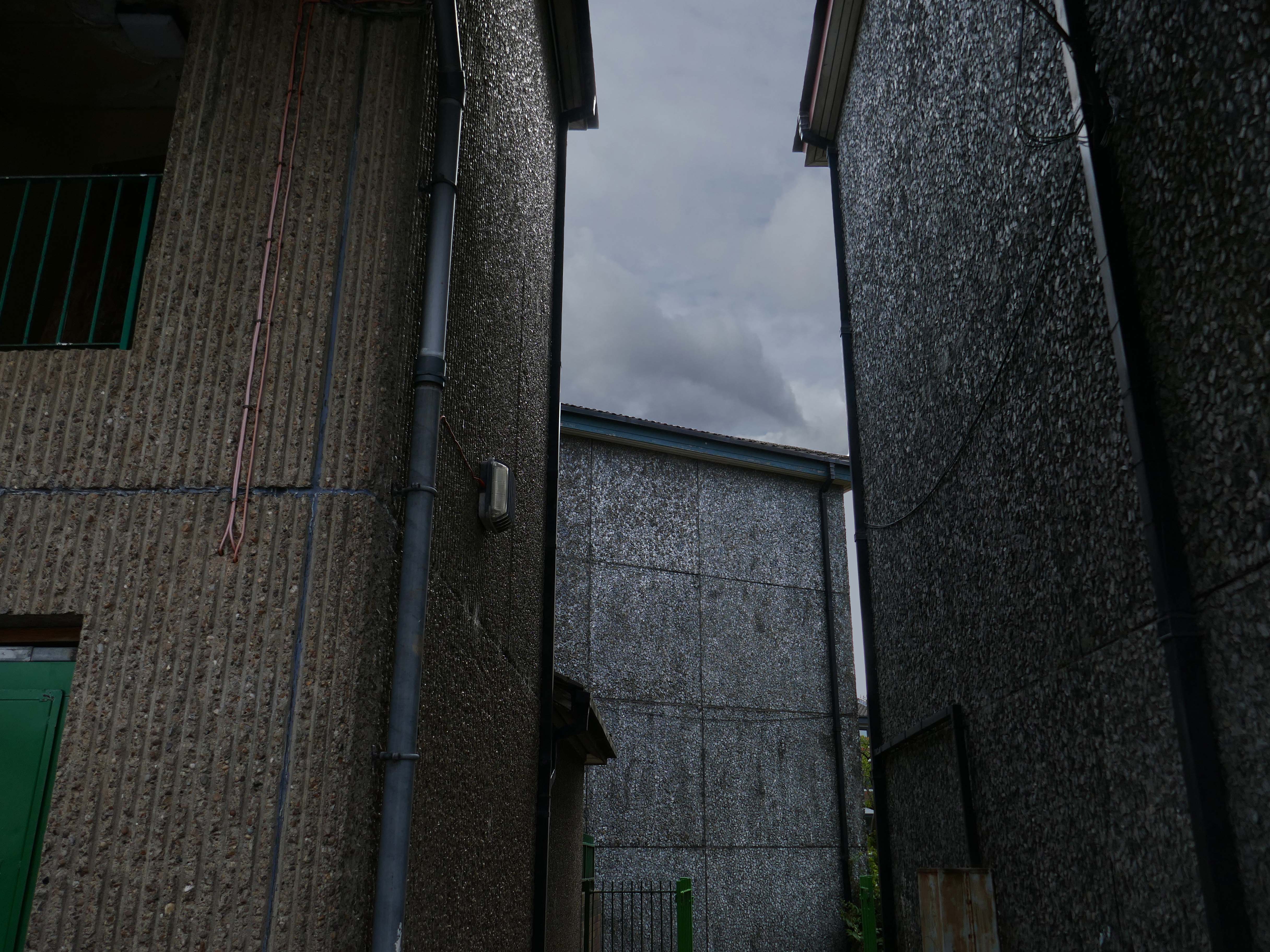
Ofd special note the adjacent Electrical Substation of the day.
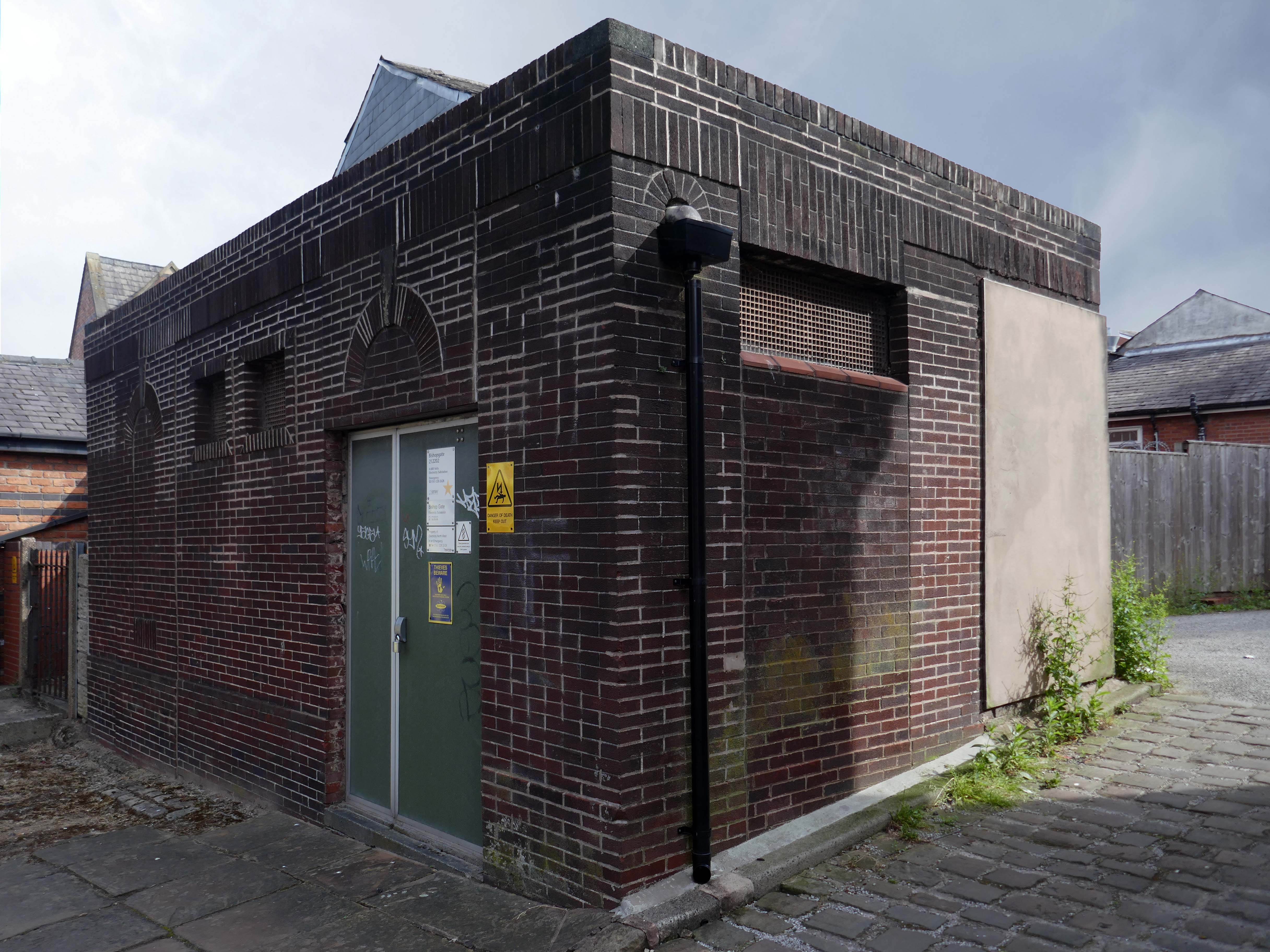
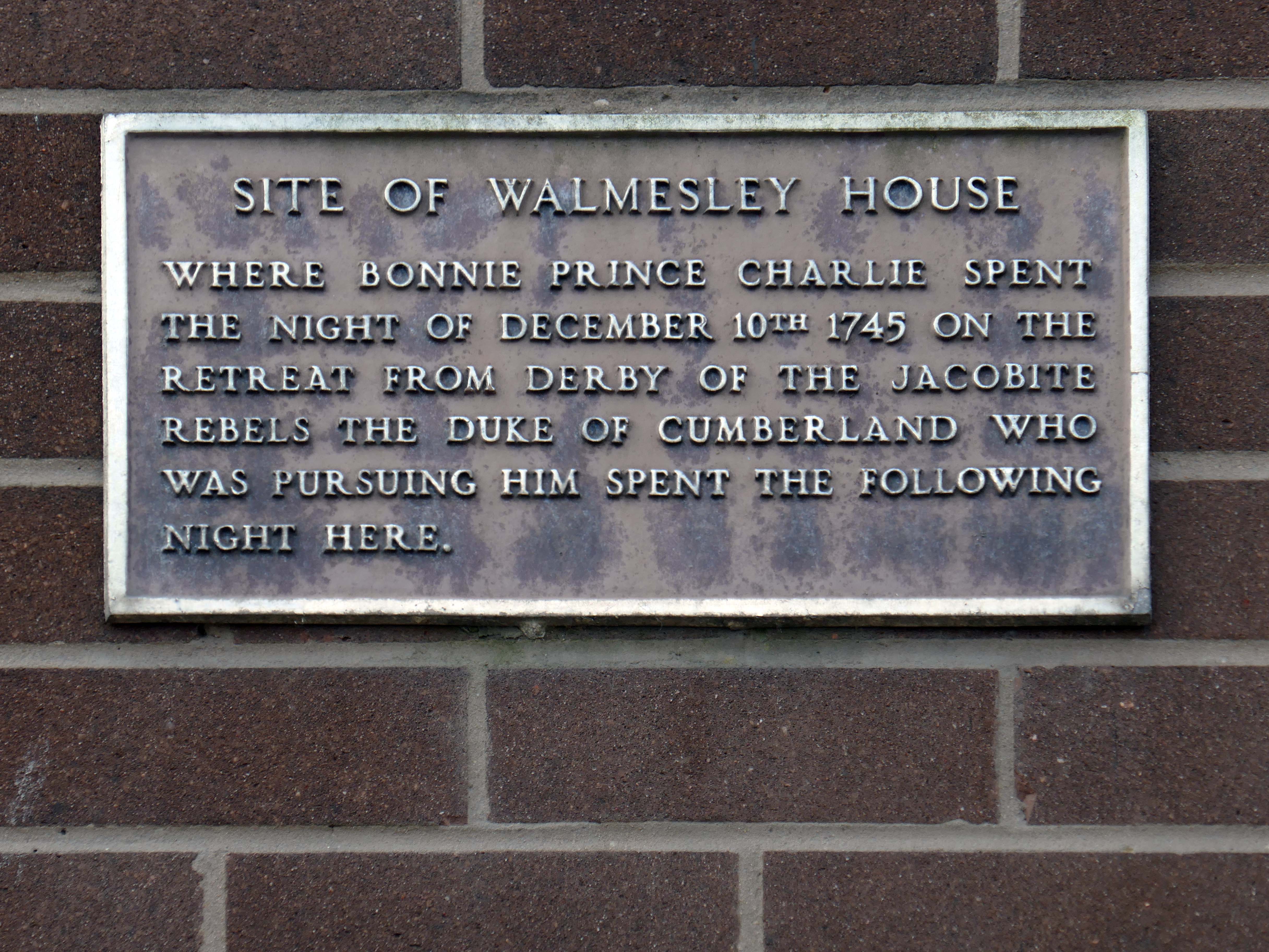
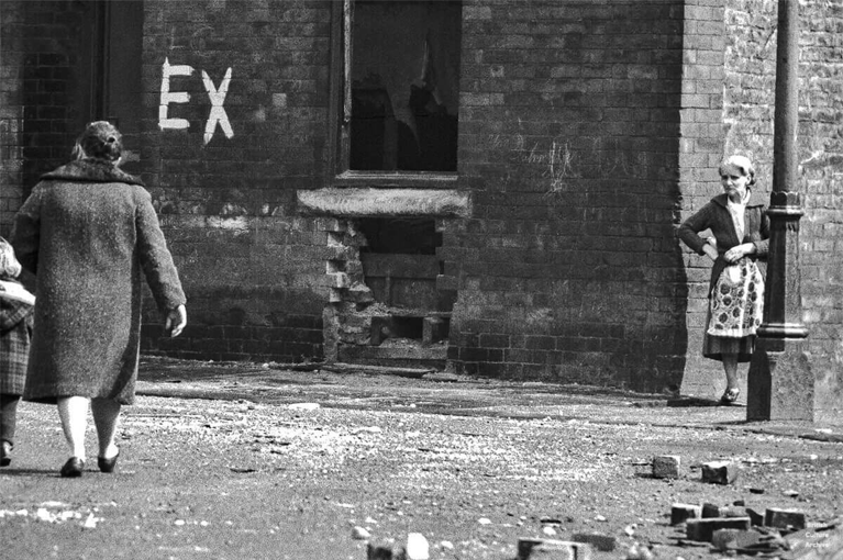
Plus extra added military history.
Seventies
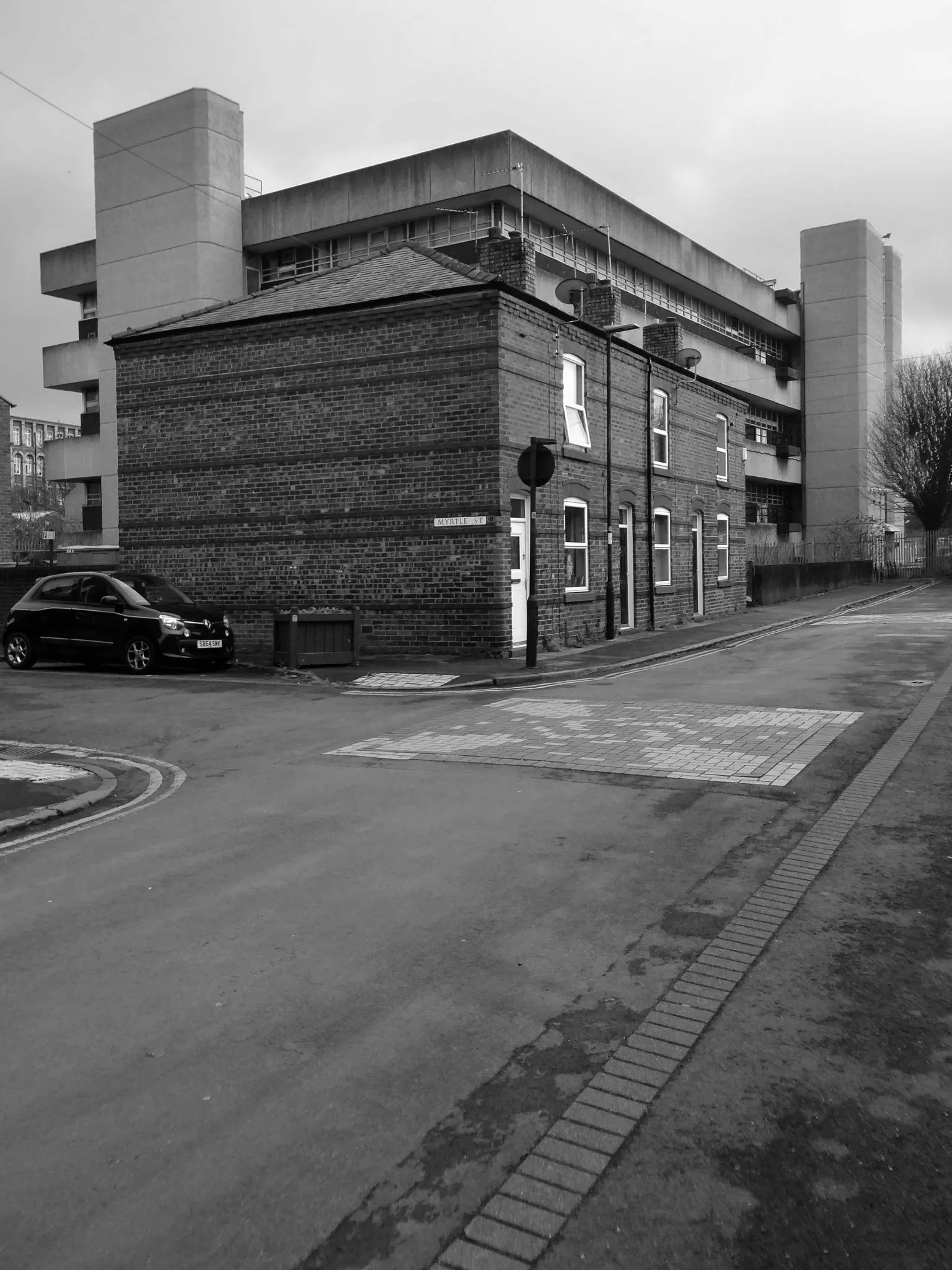
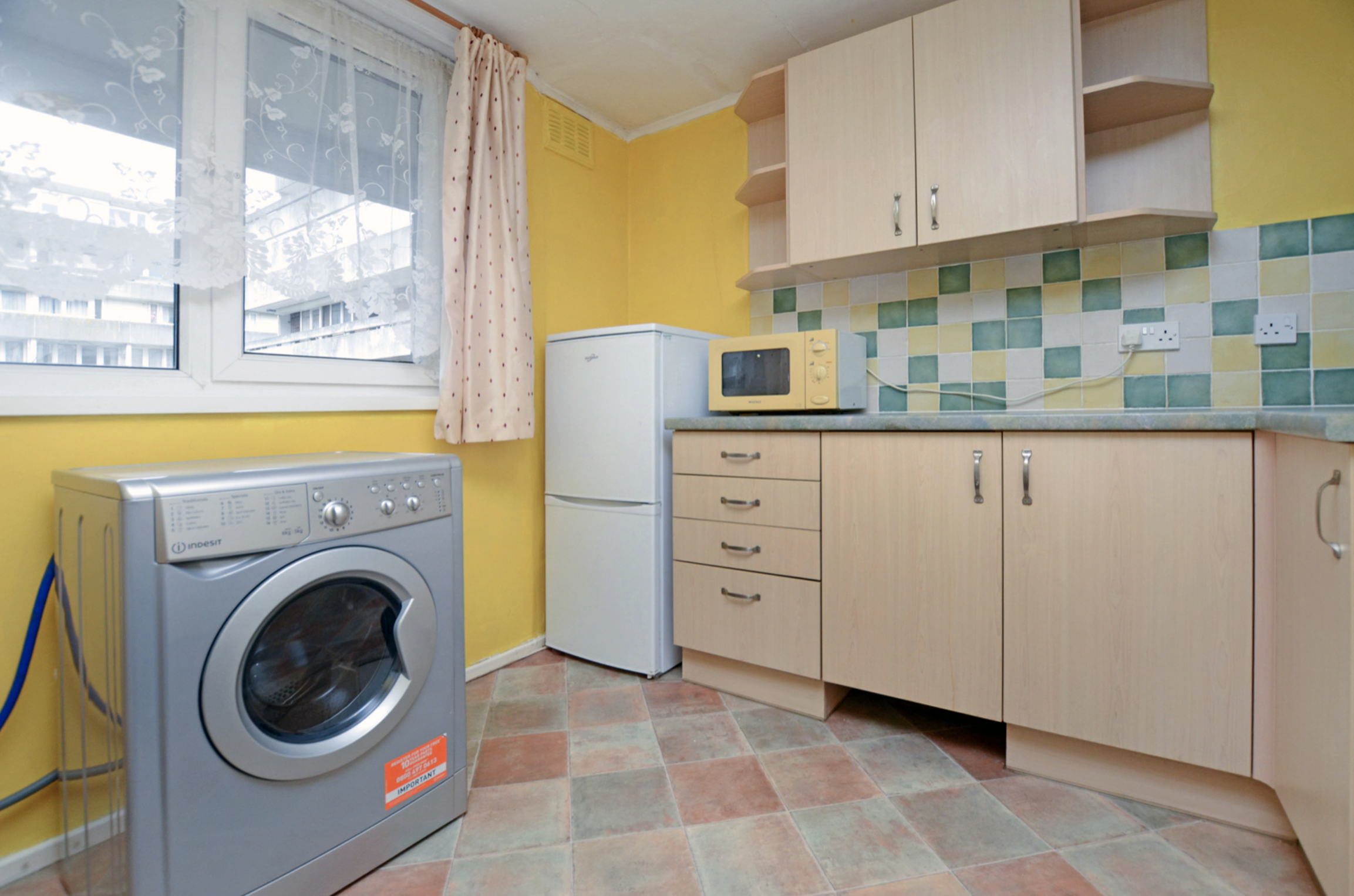
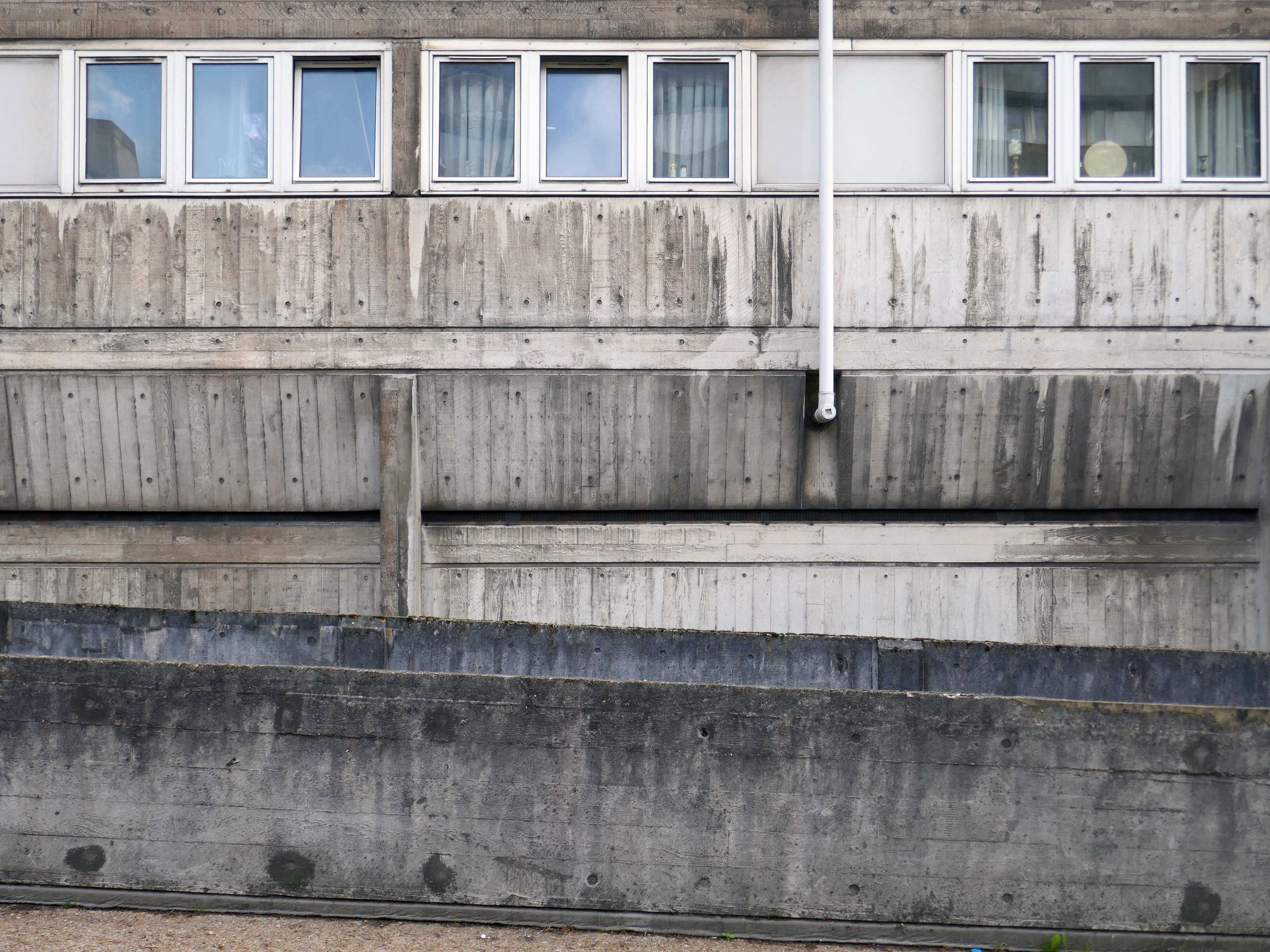
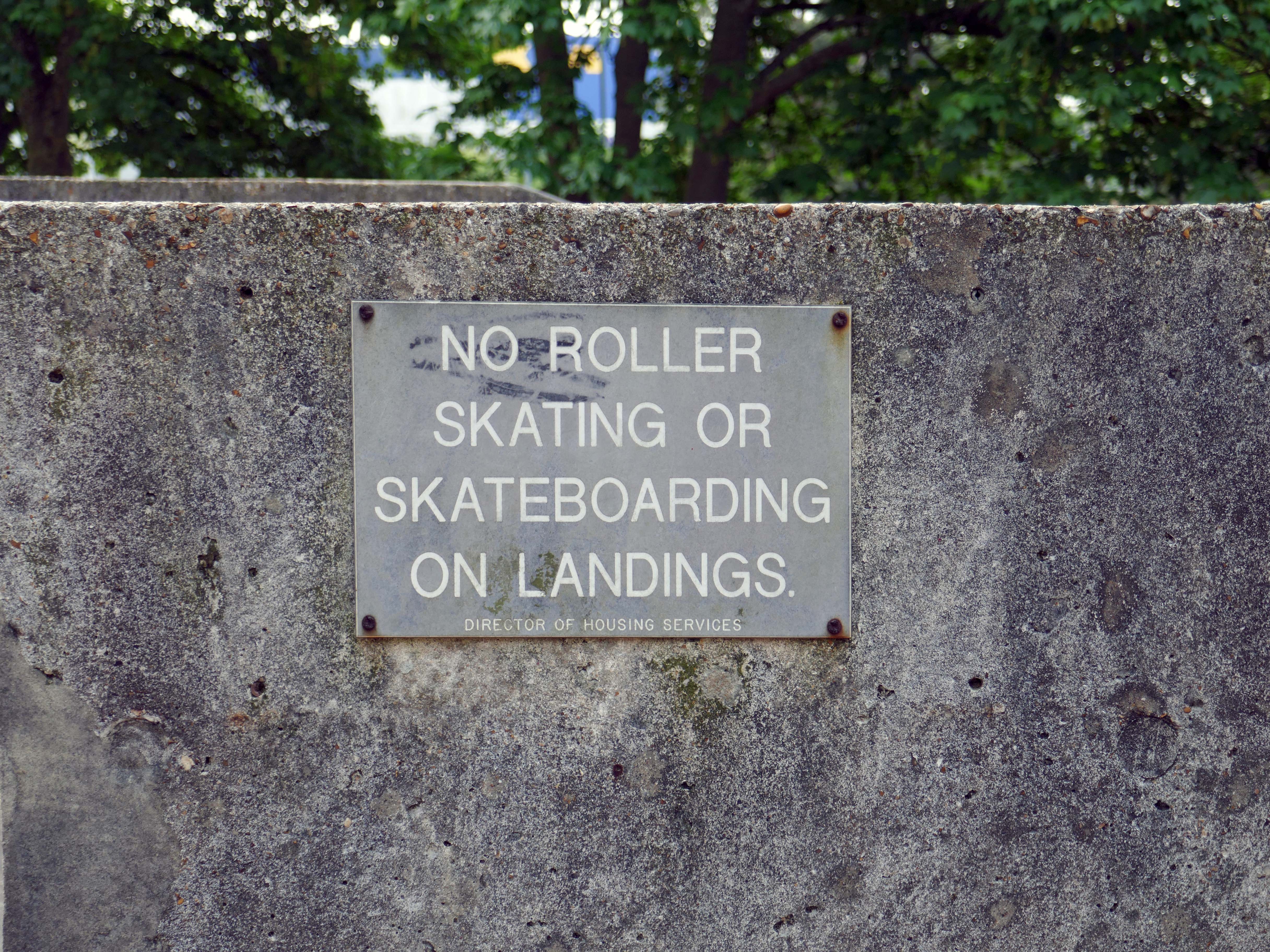
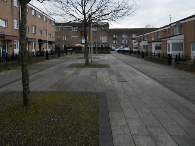
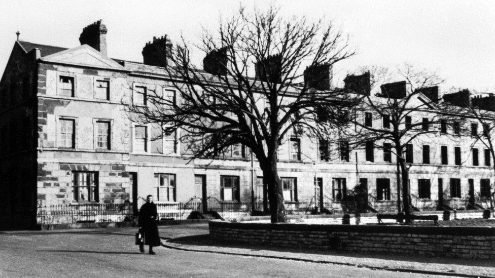
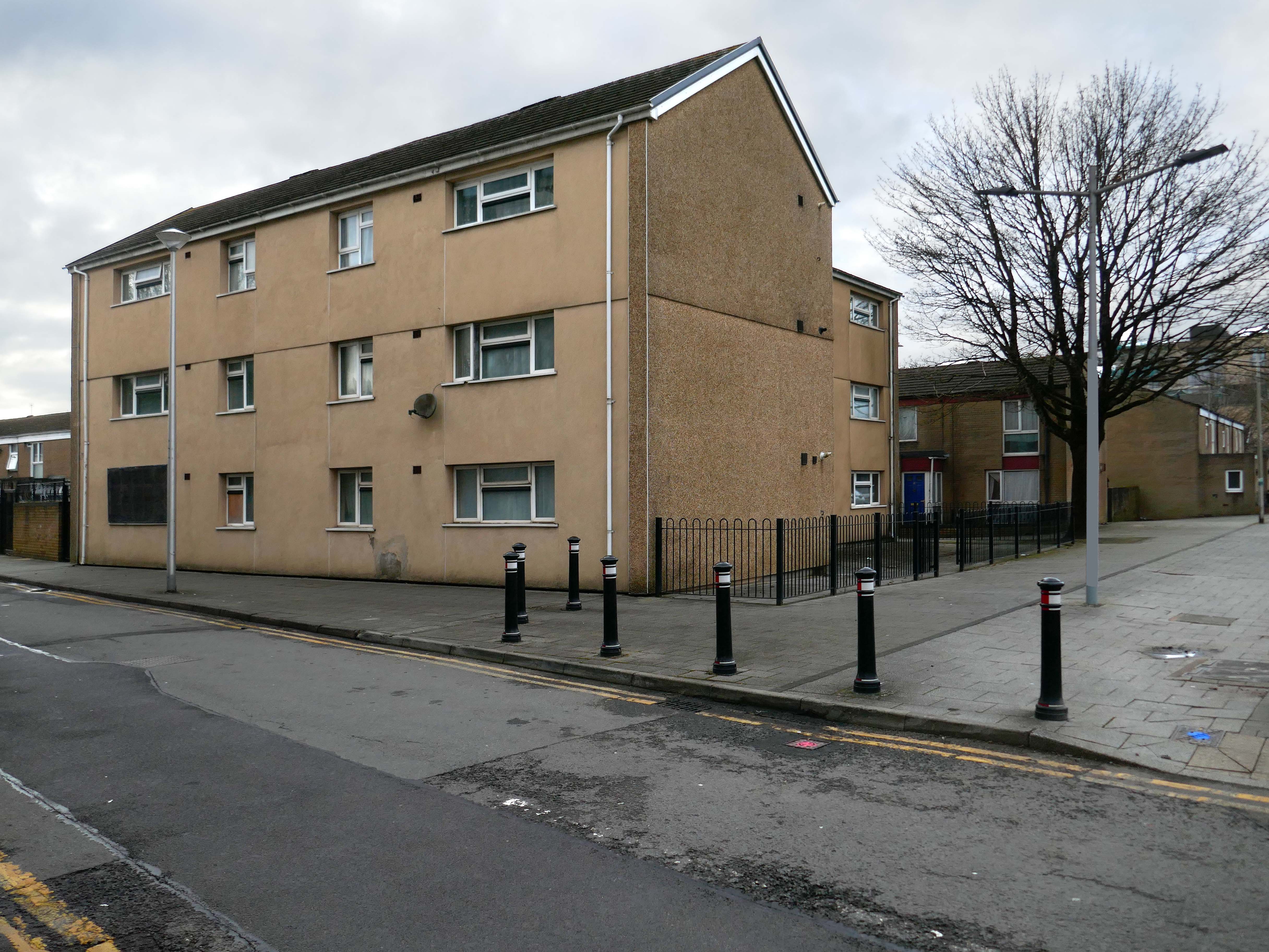
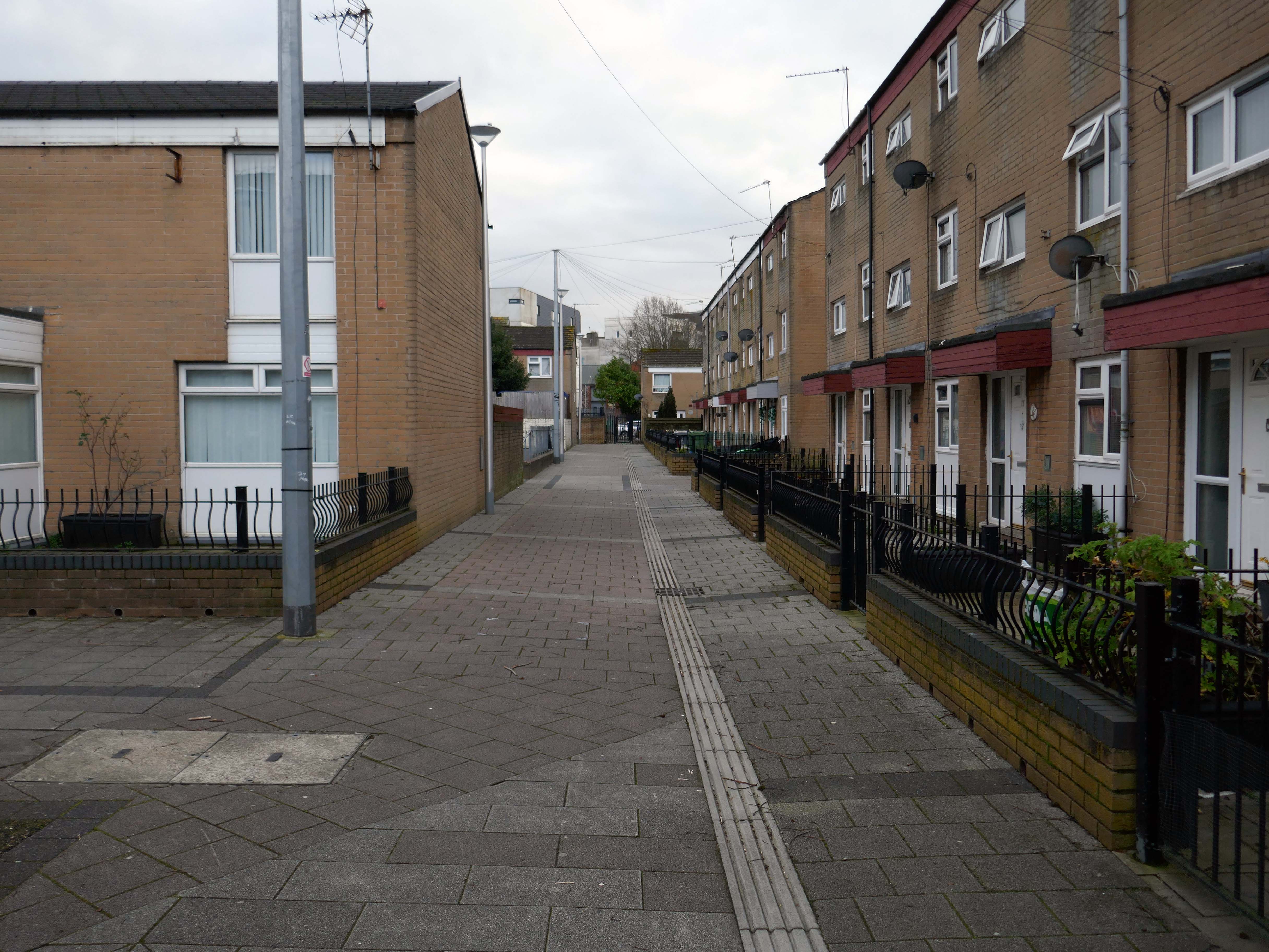
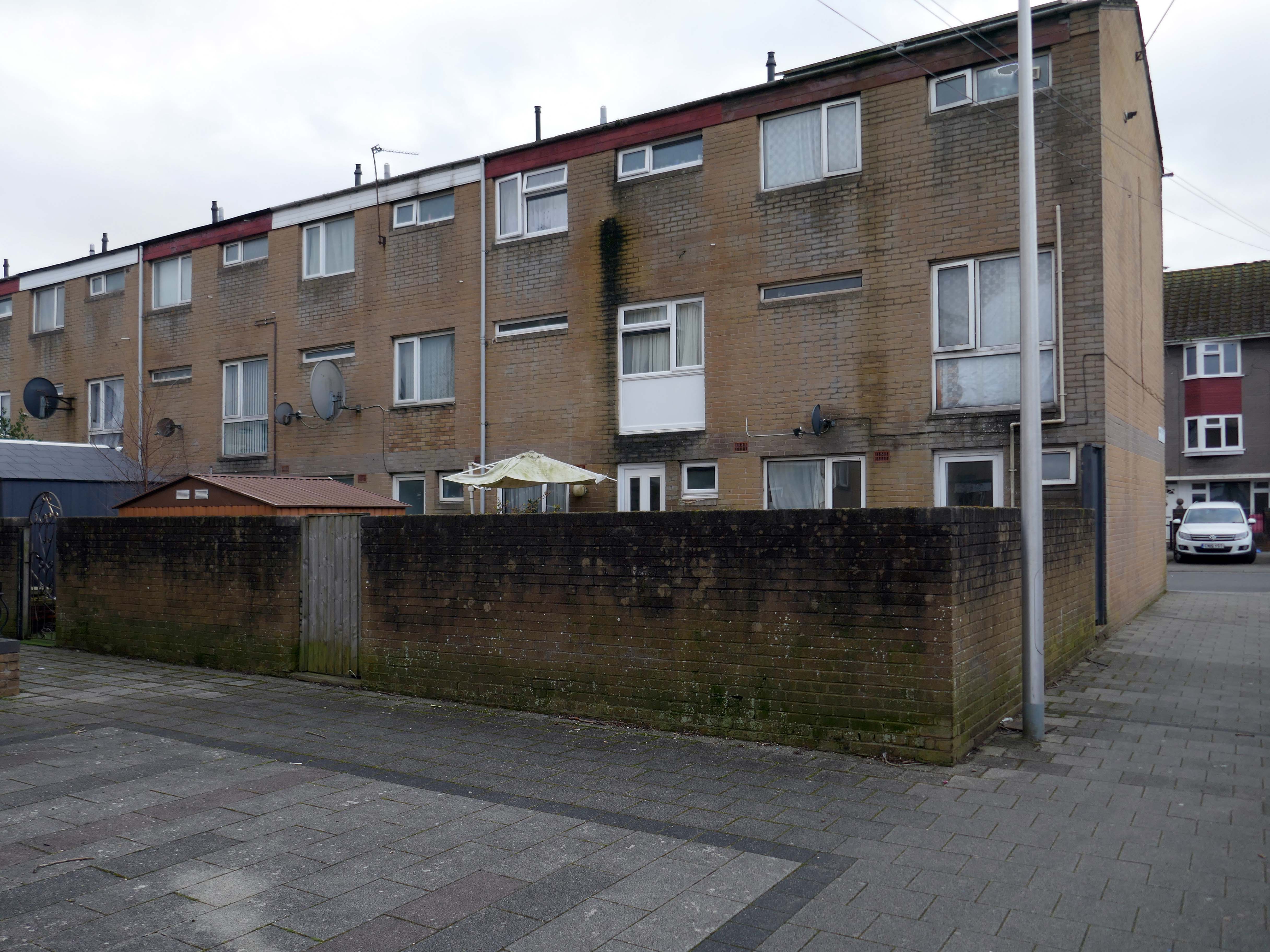
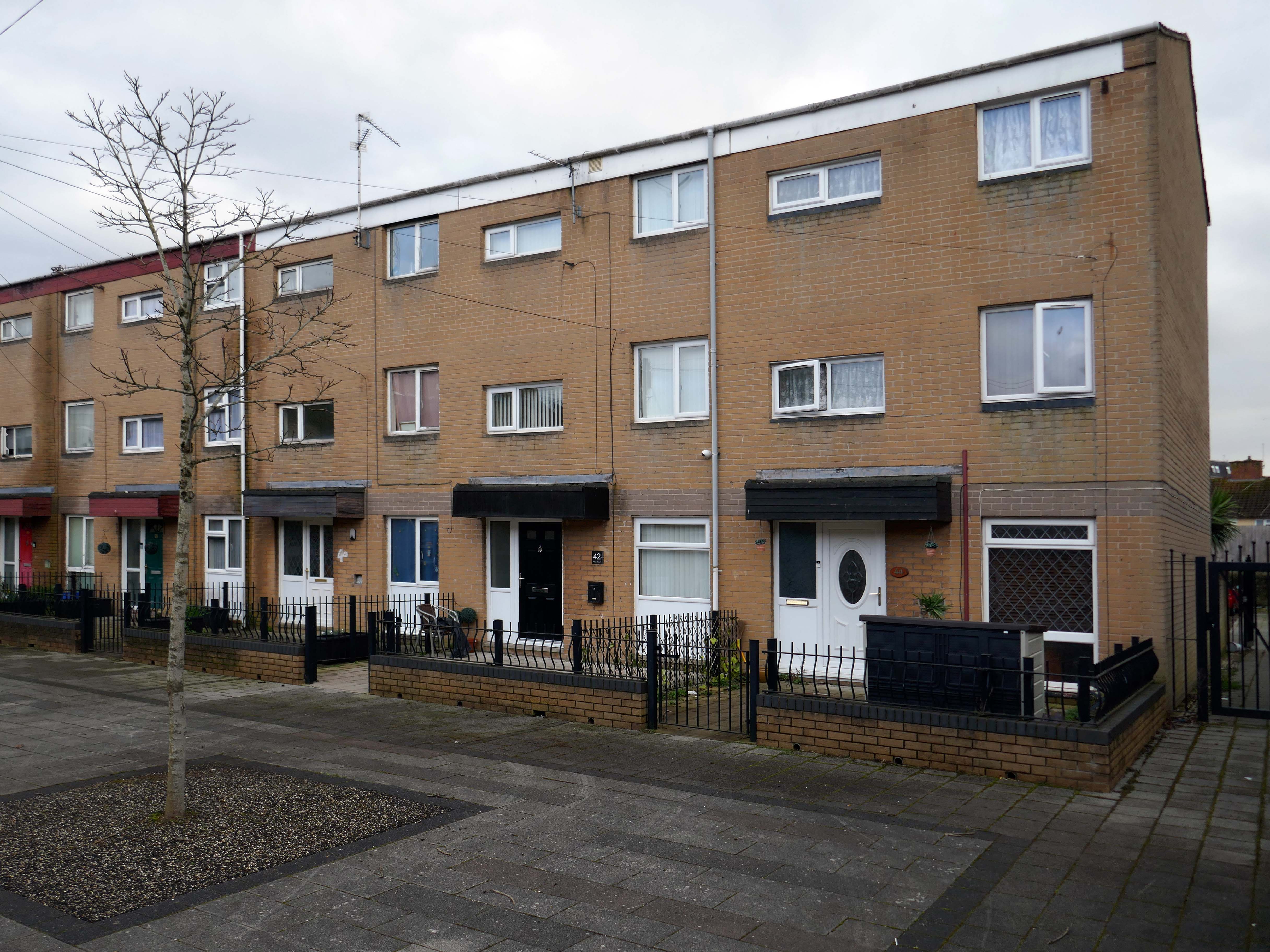
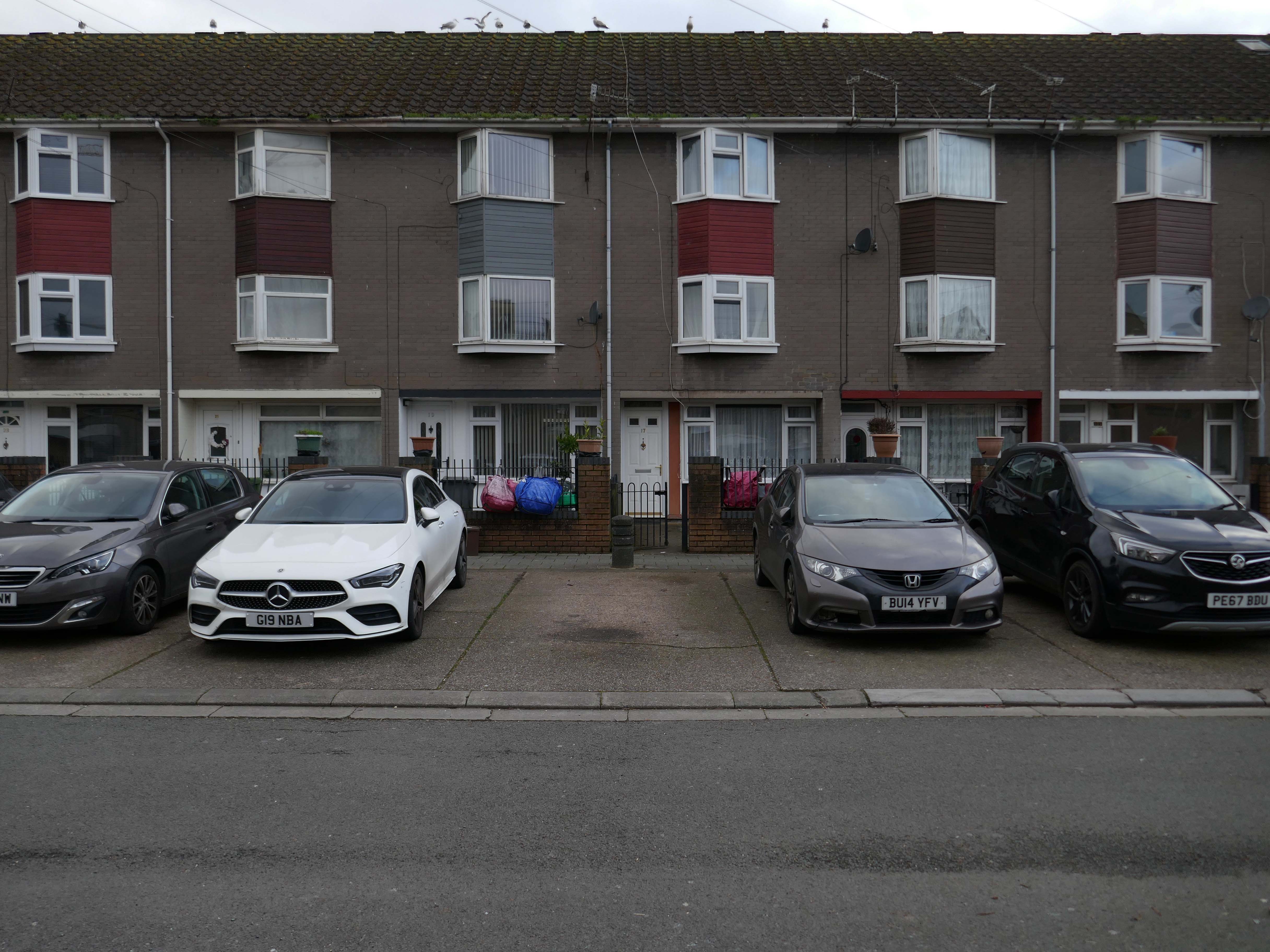
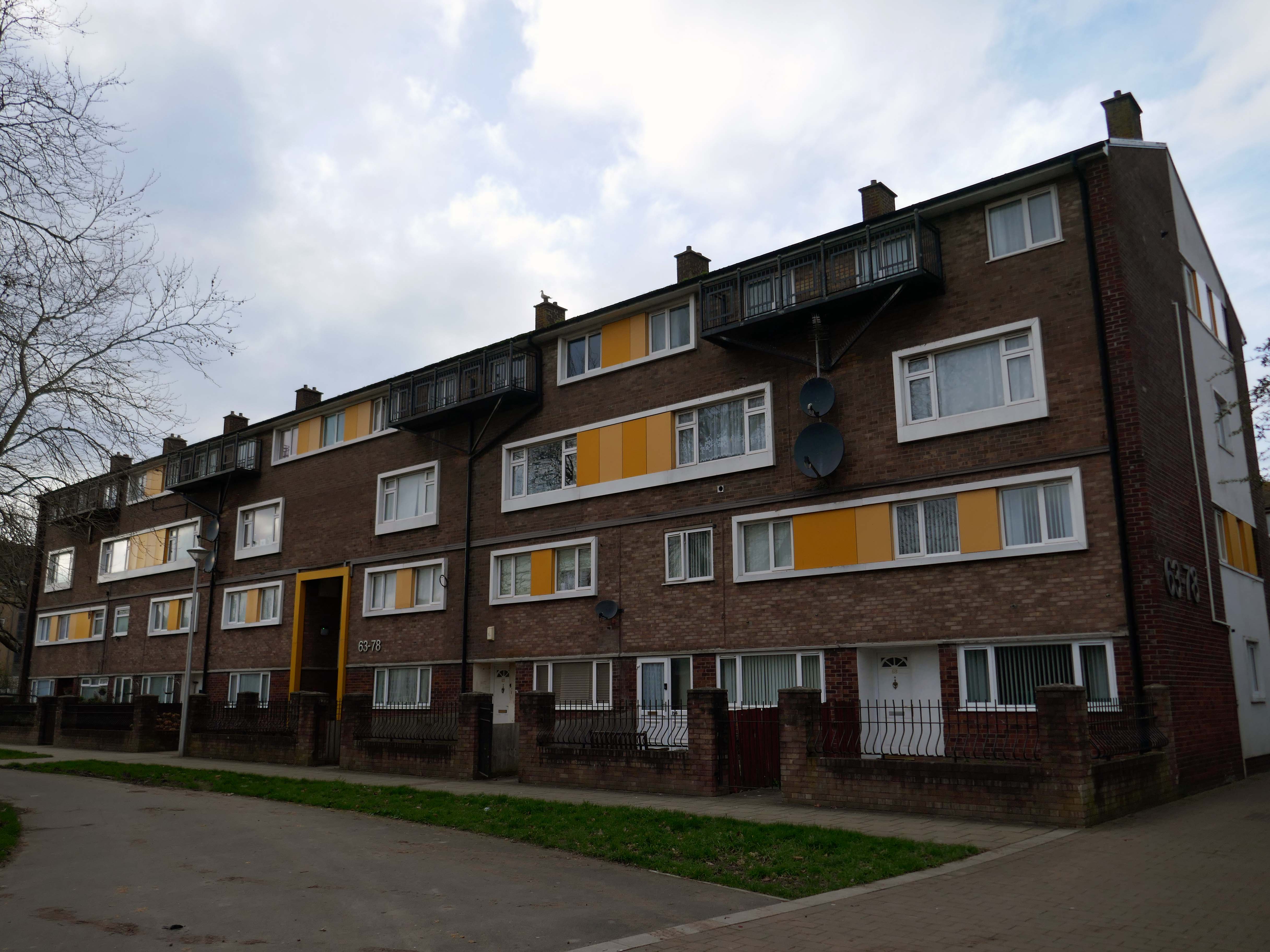
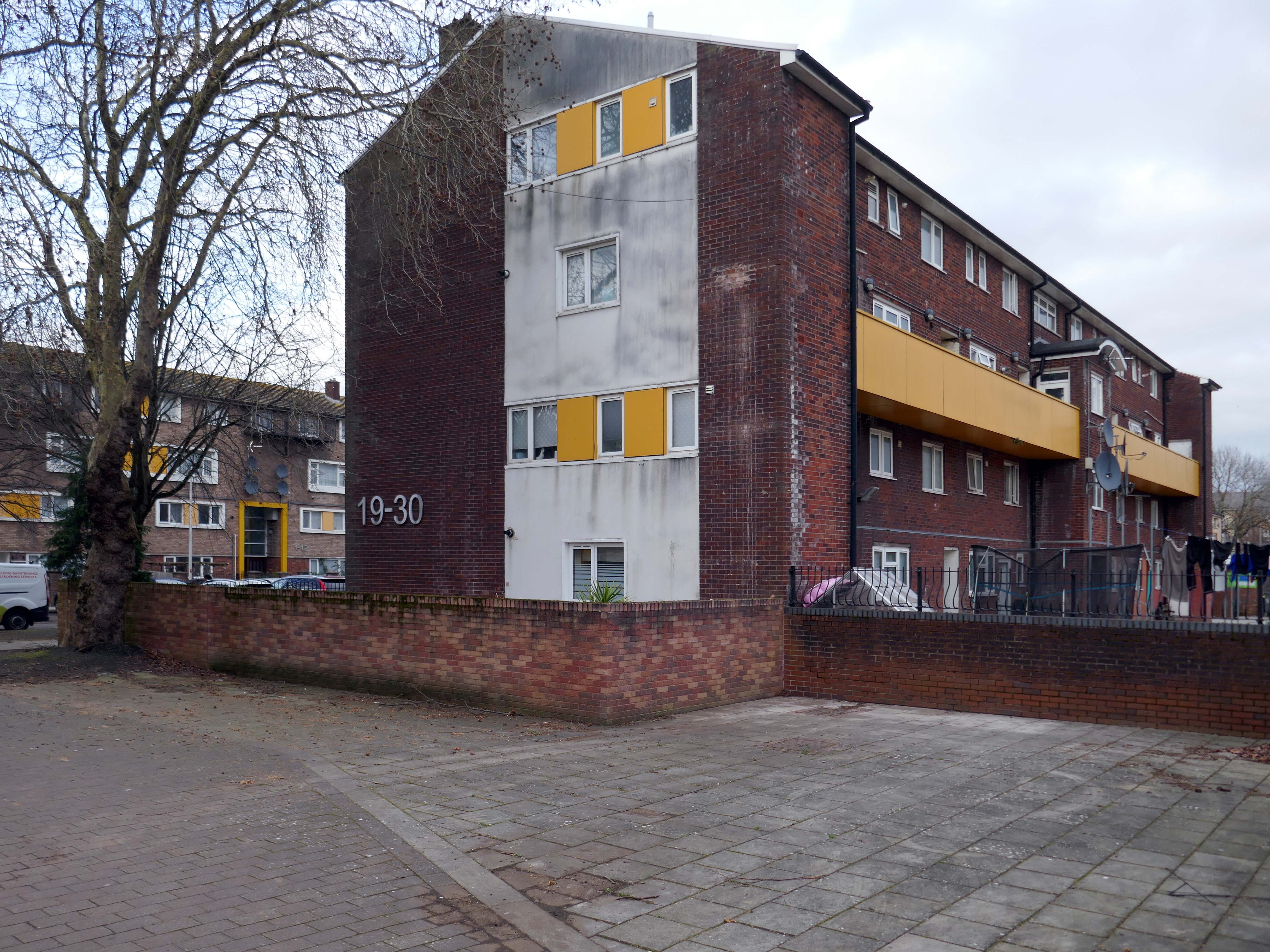
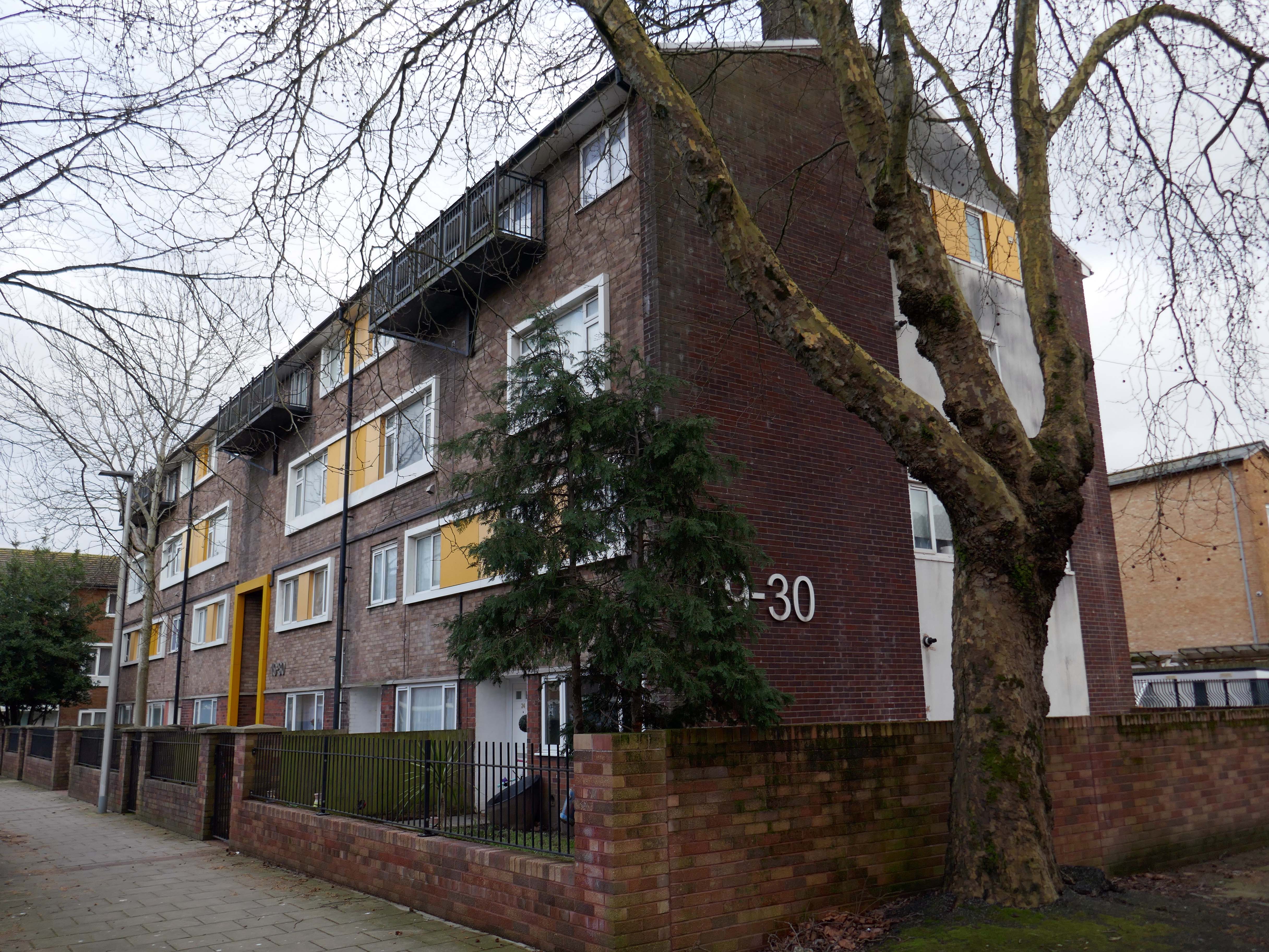
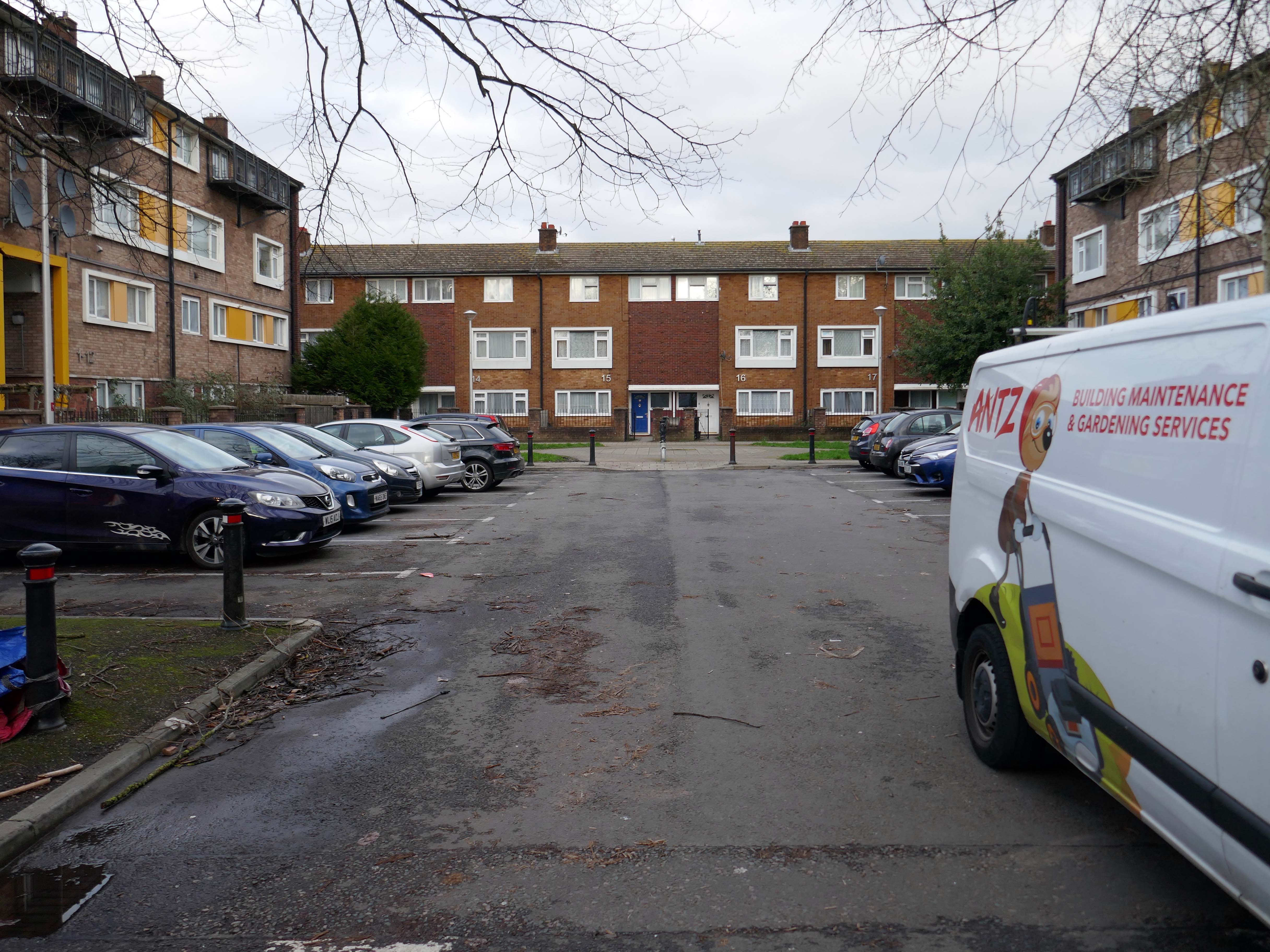
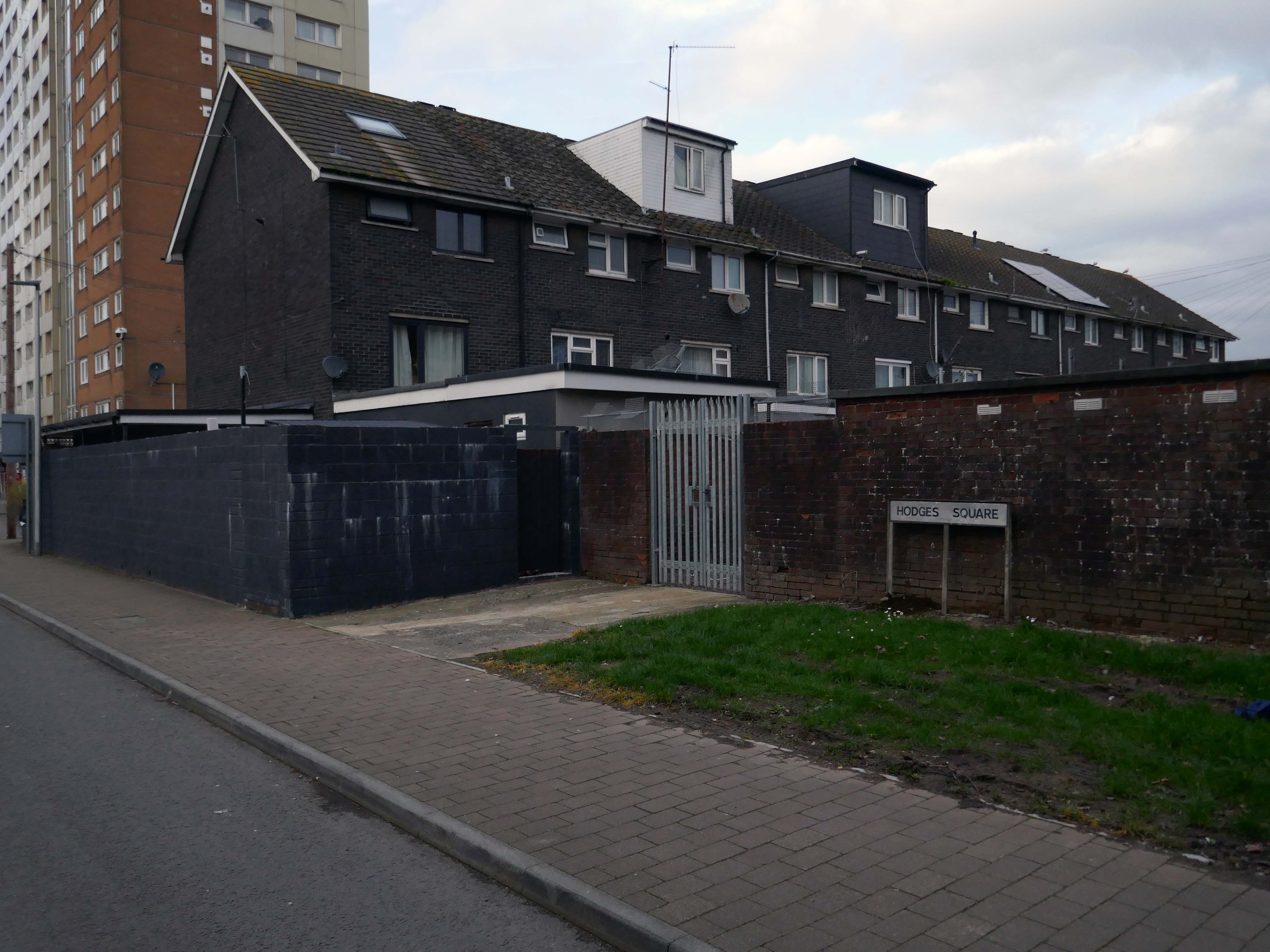
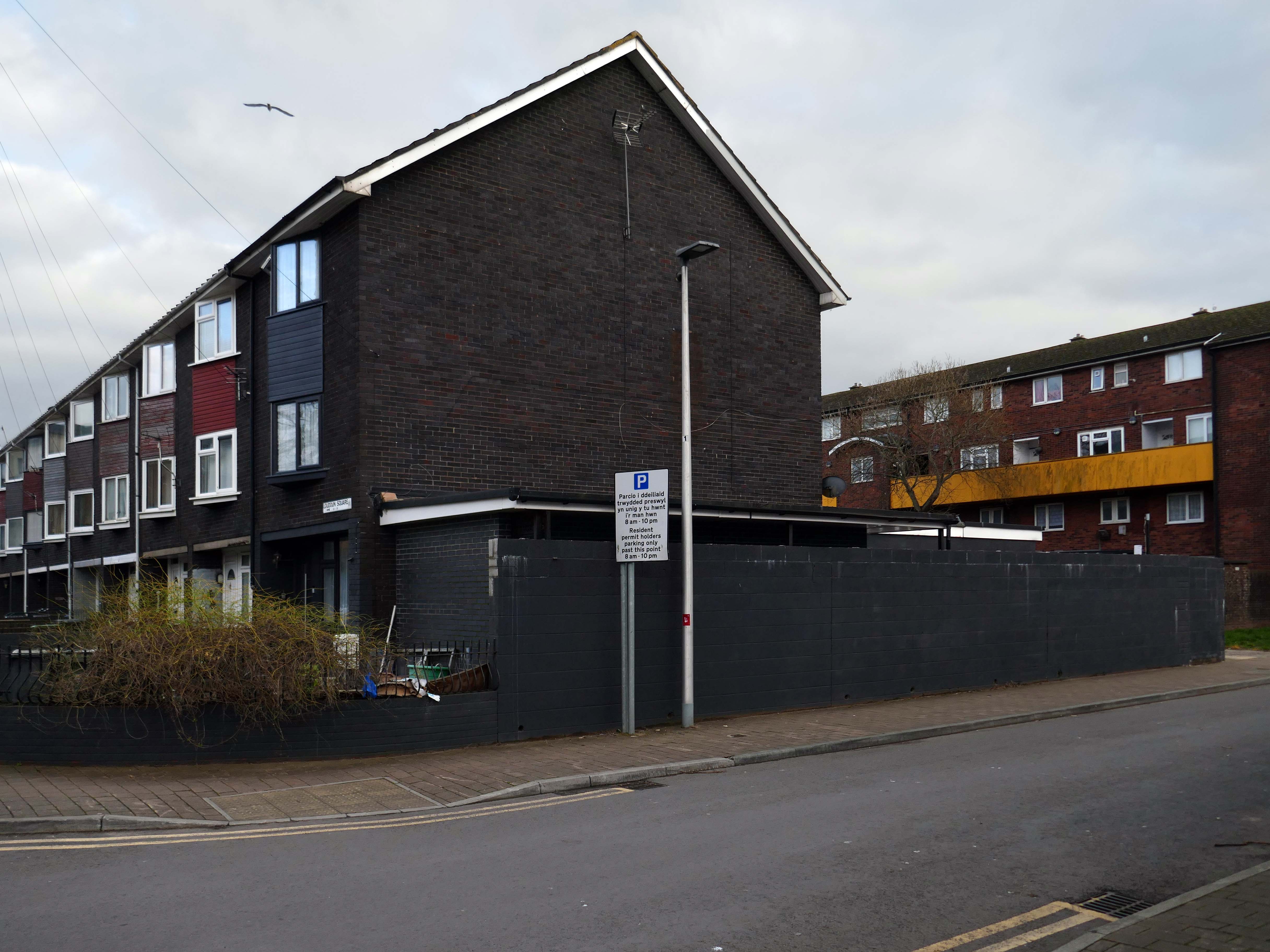
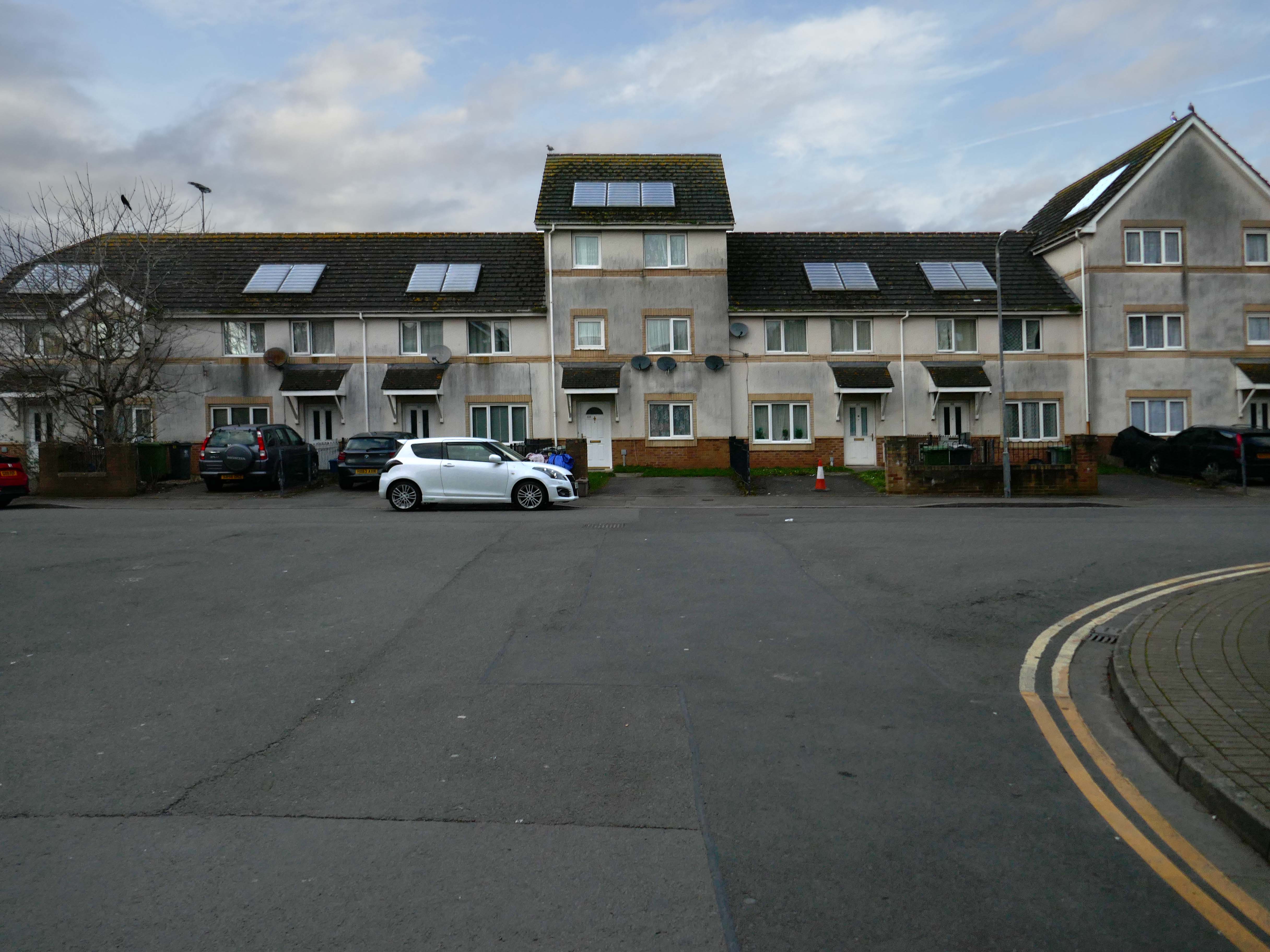
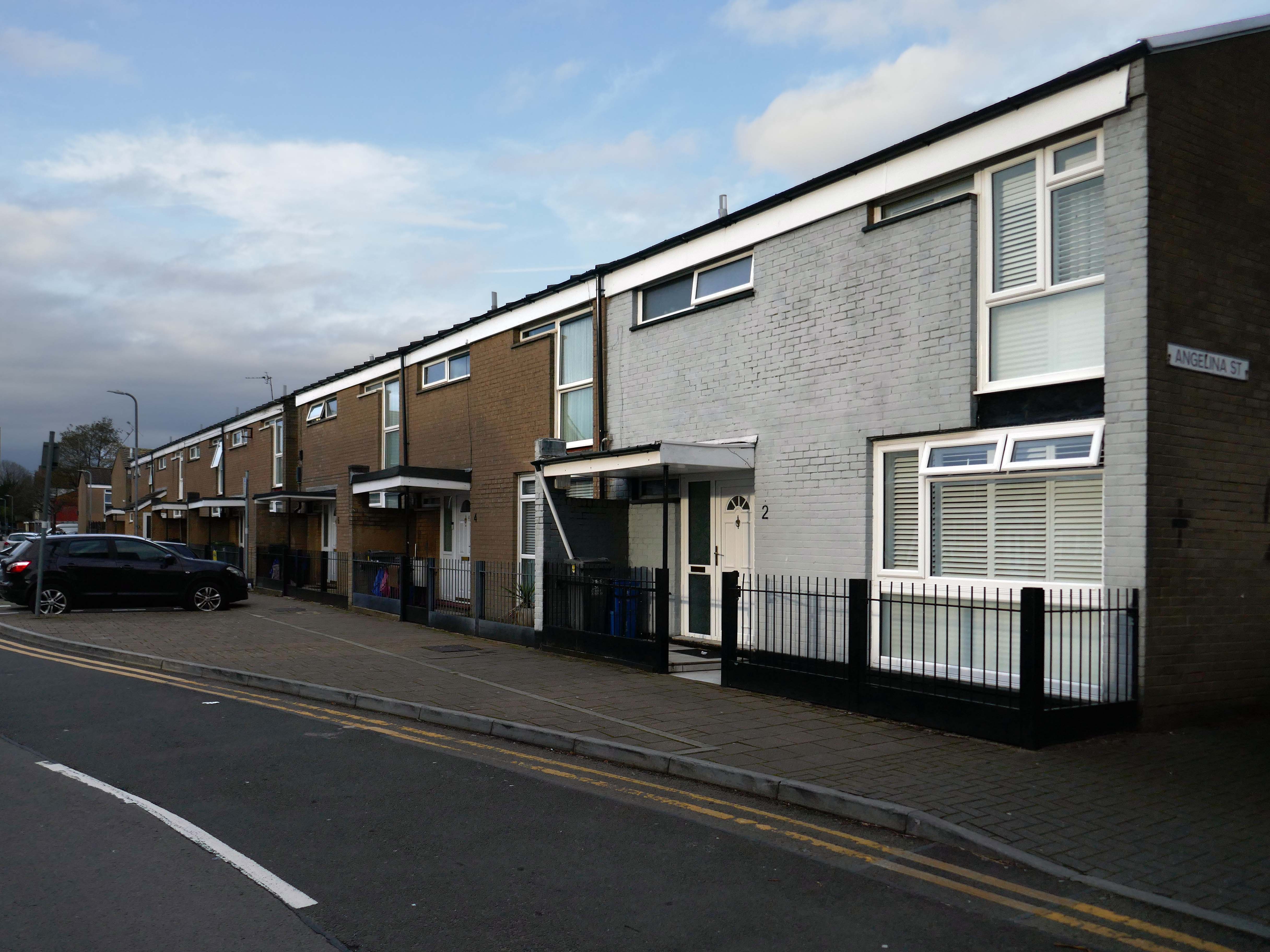
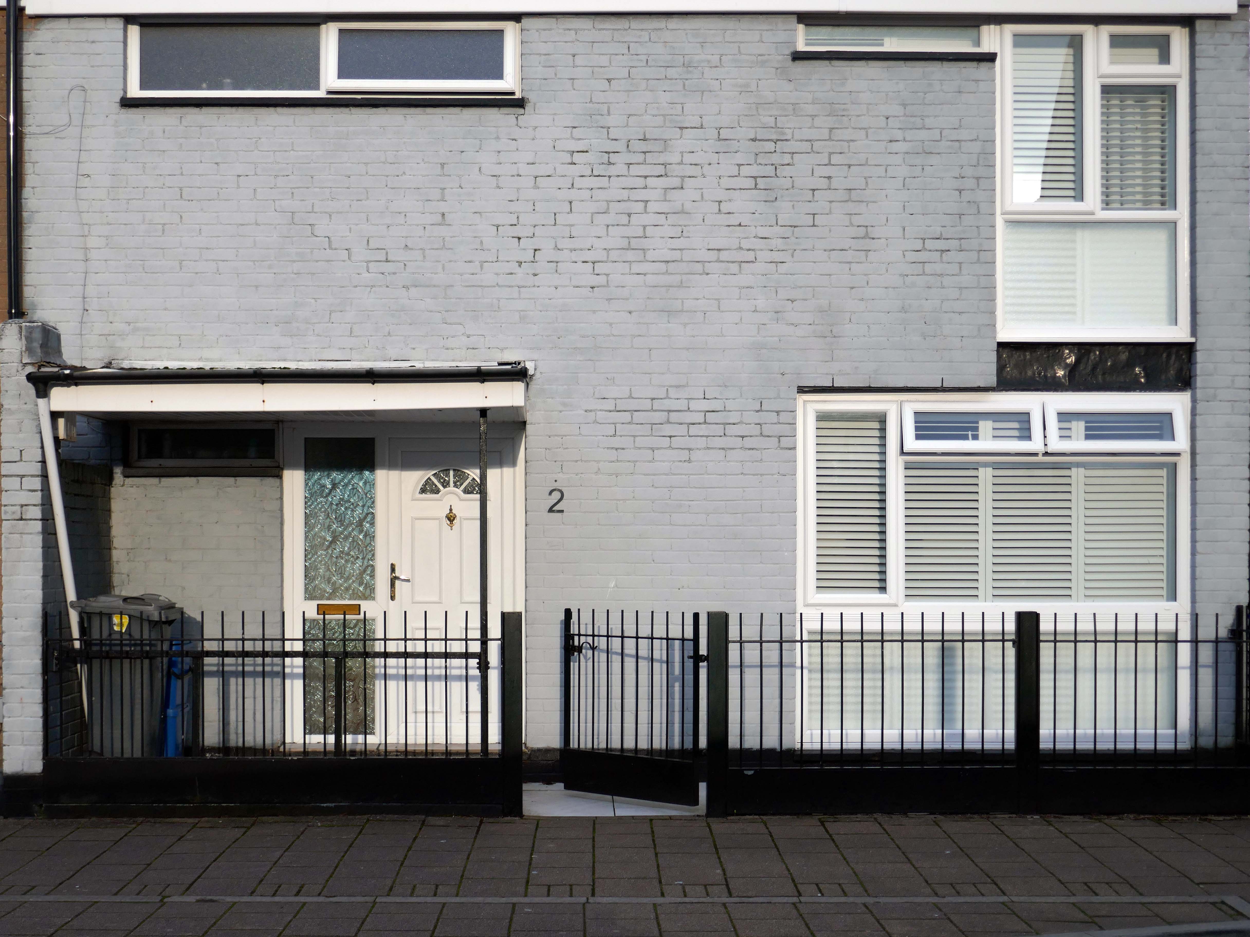
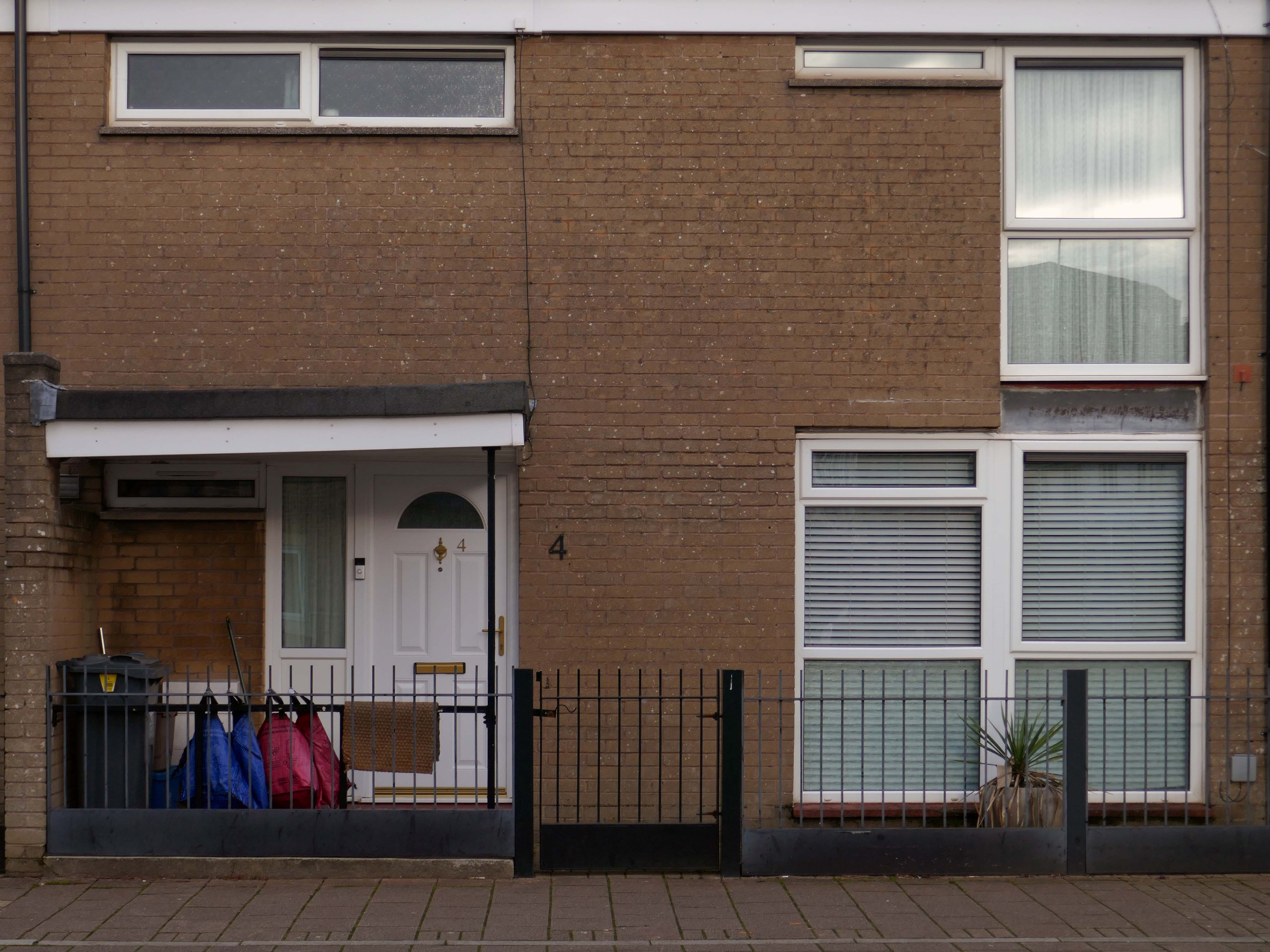
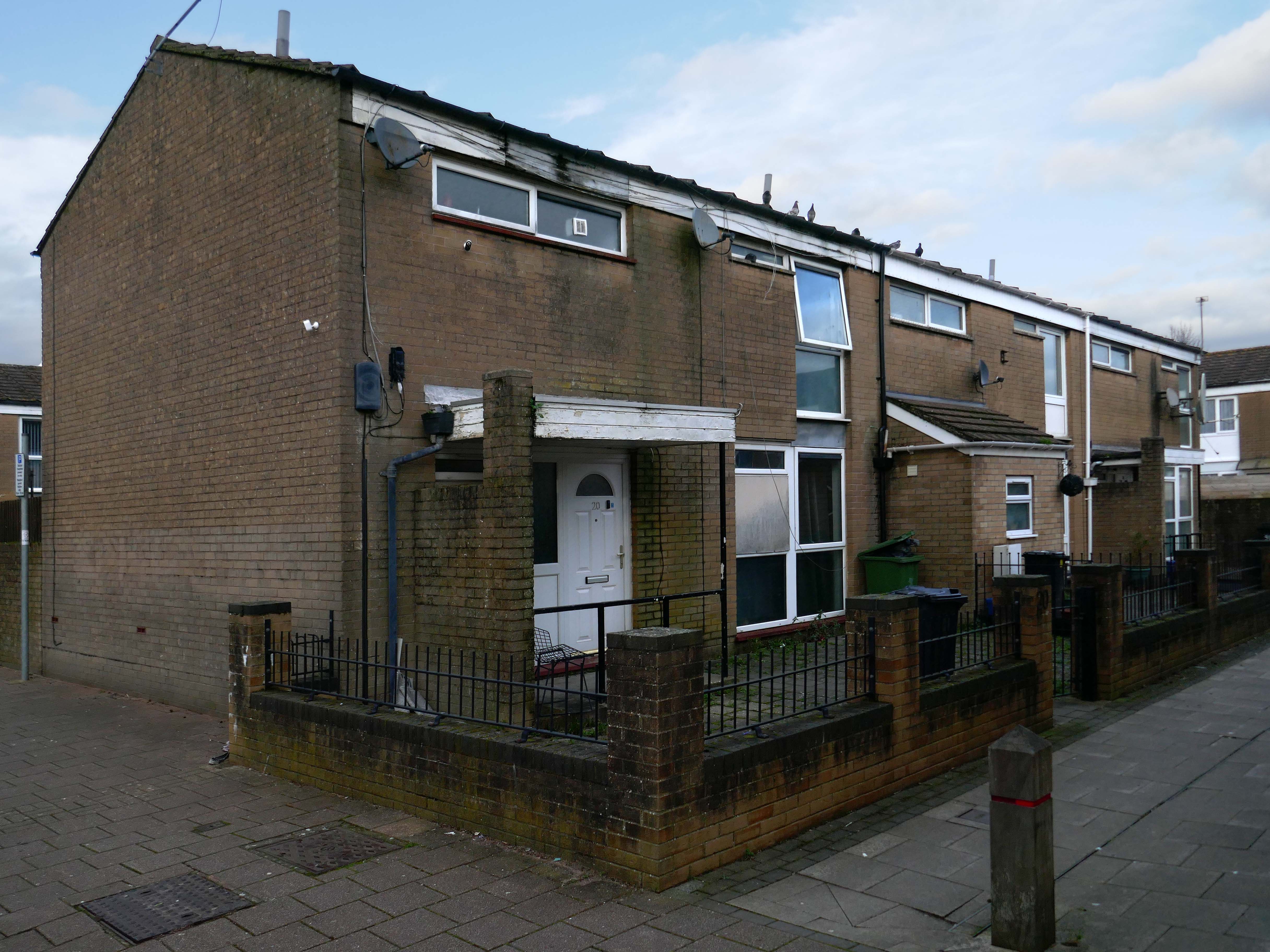
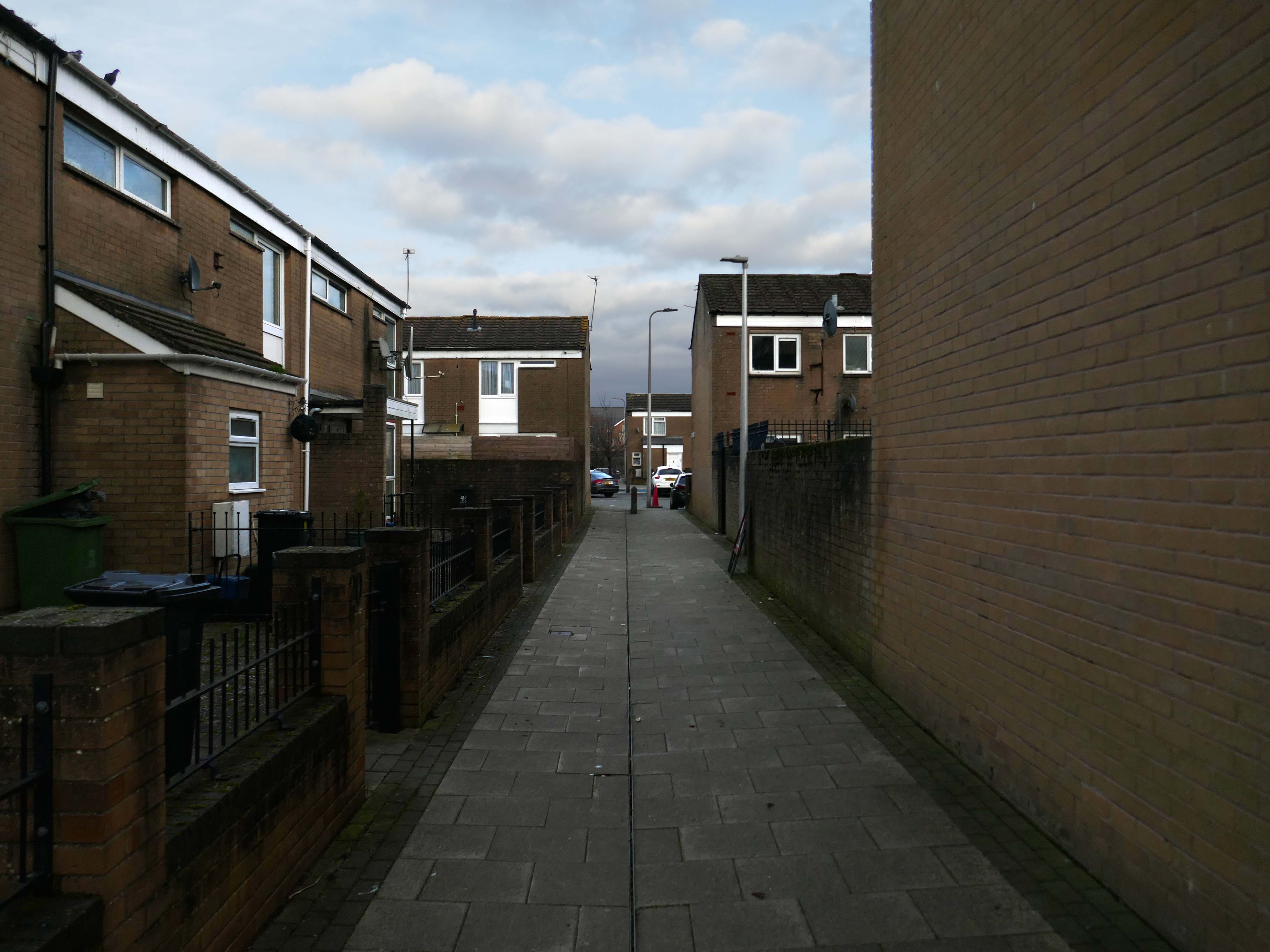
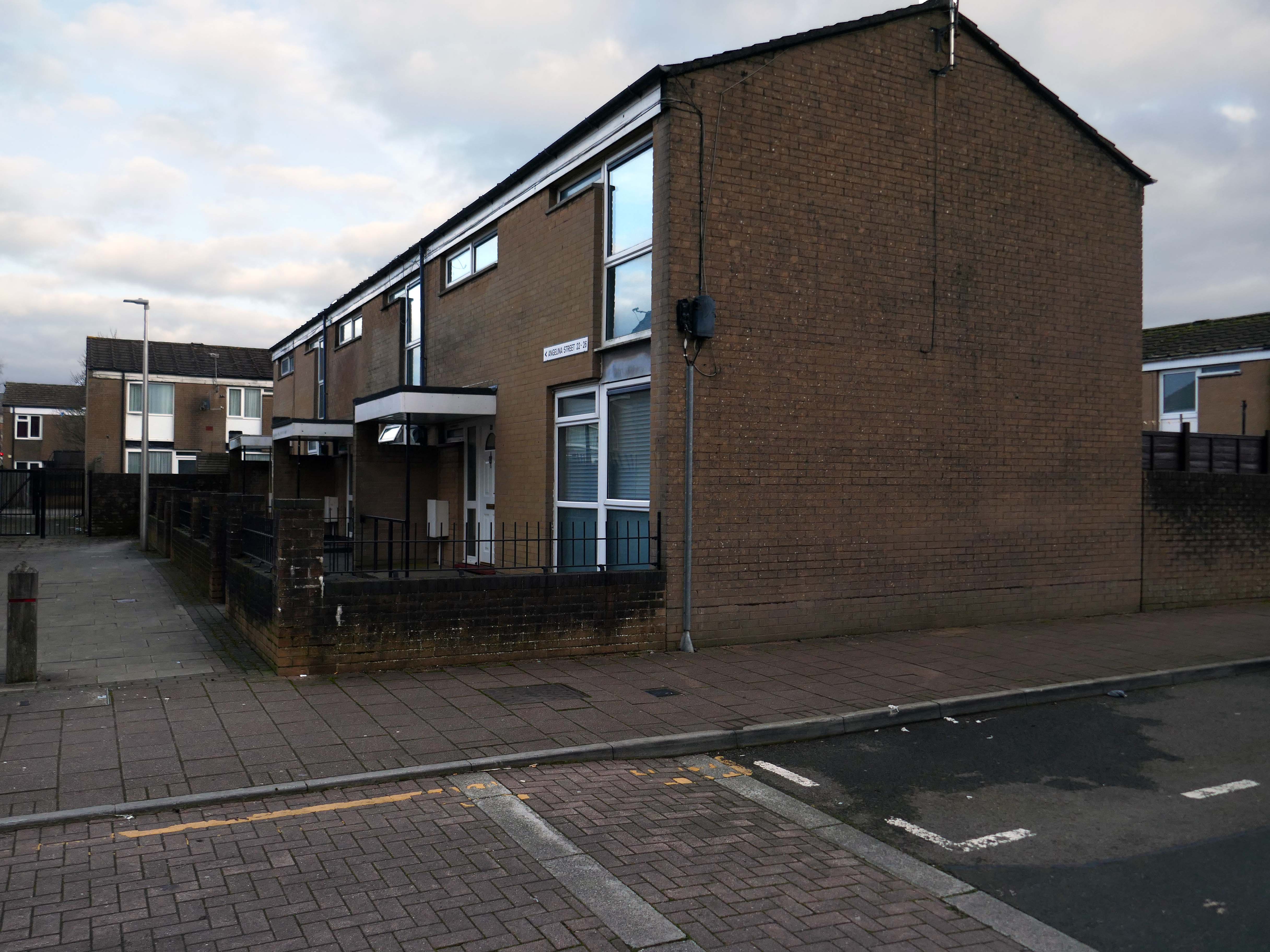
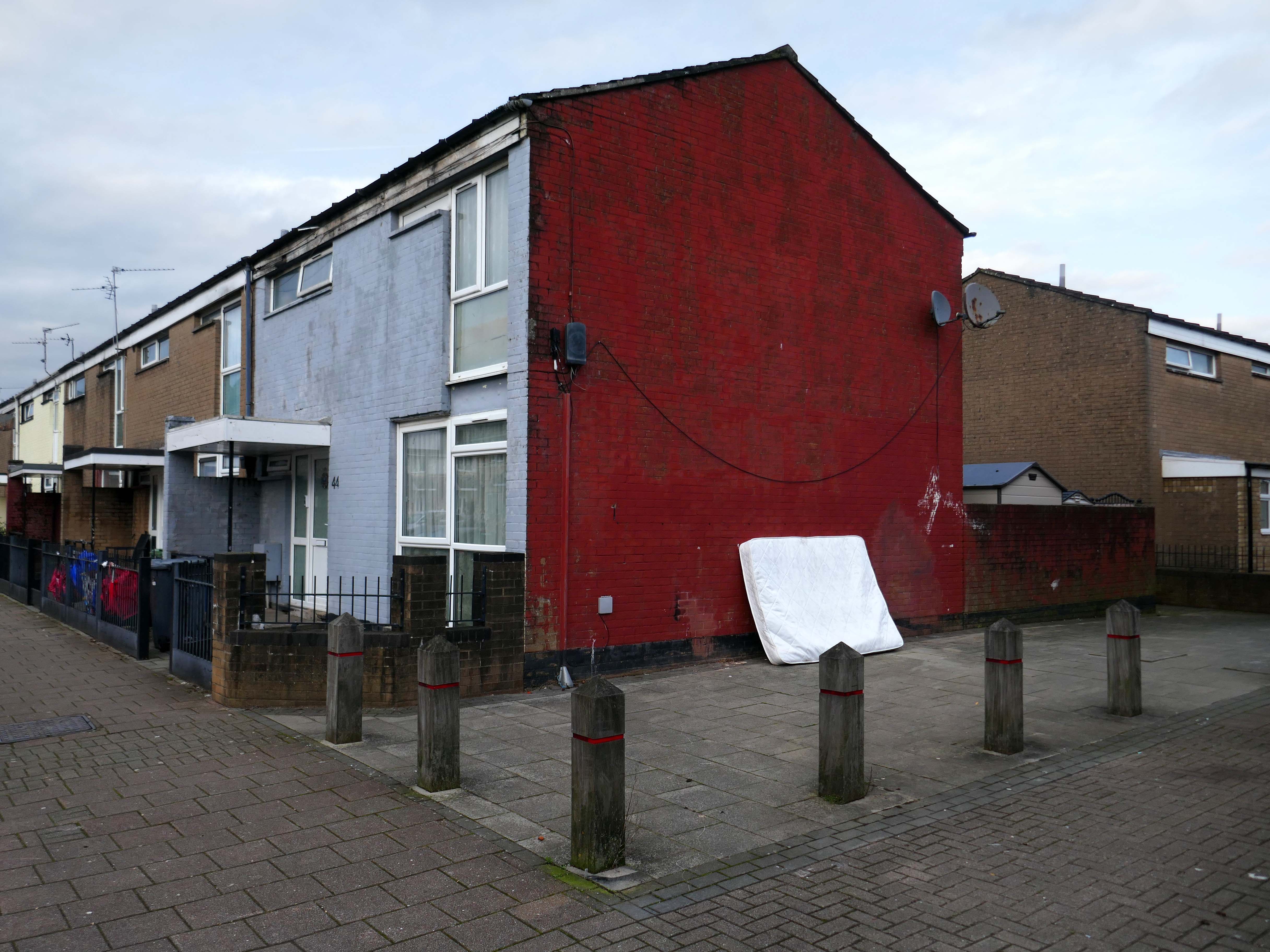
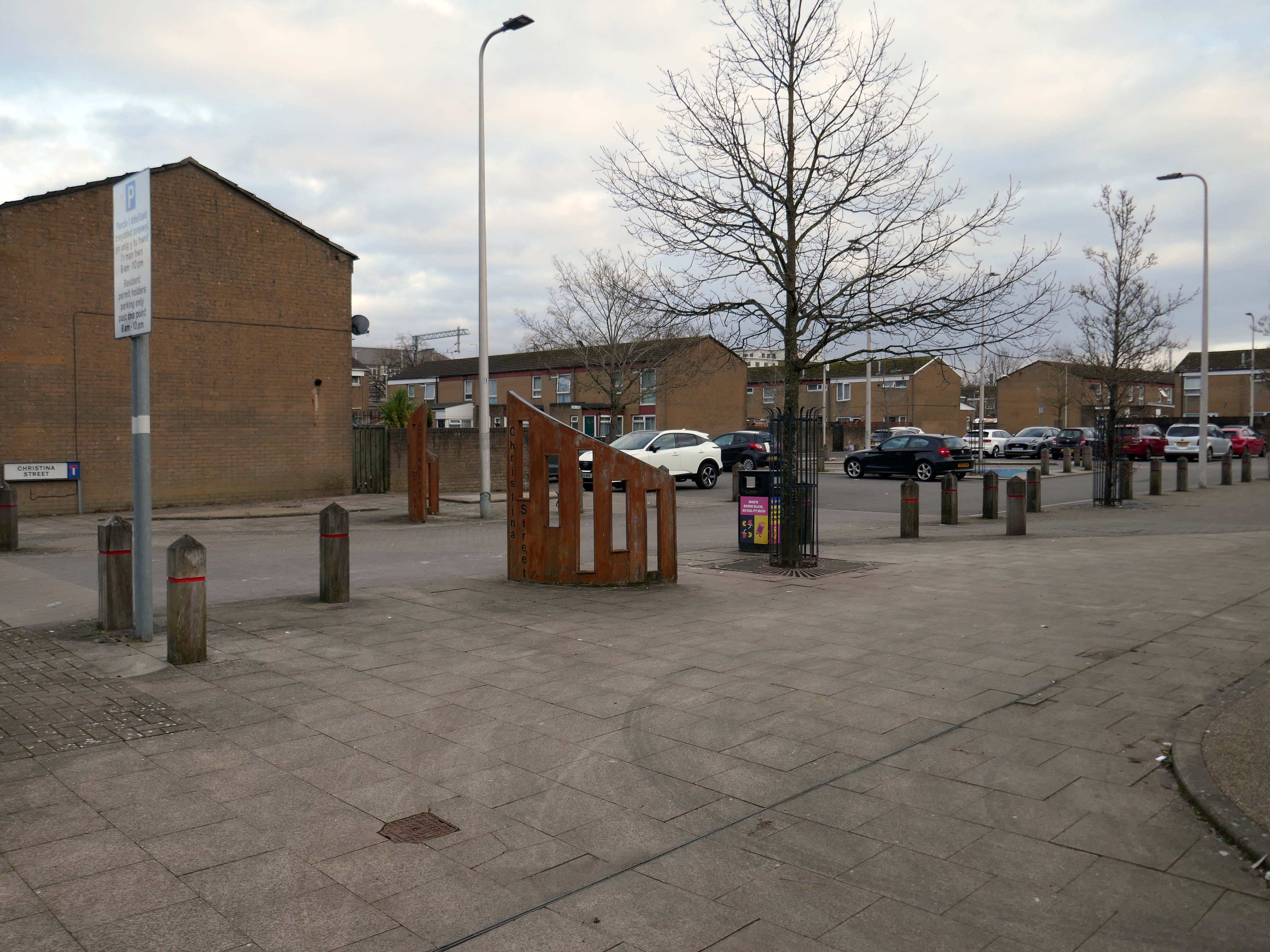
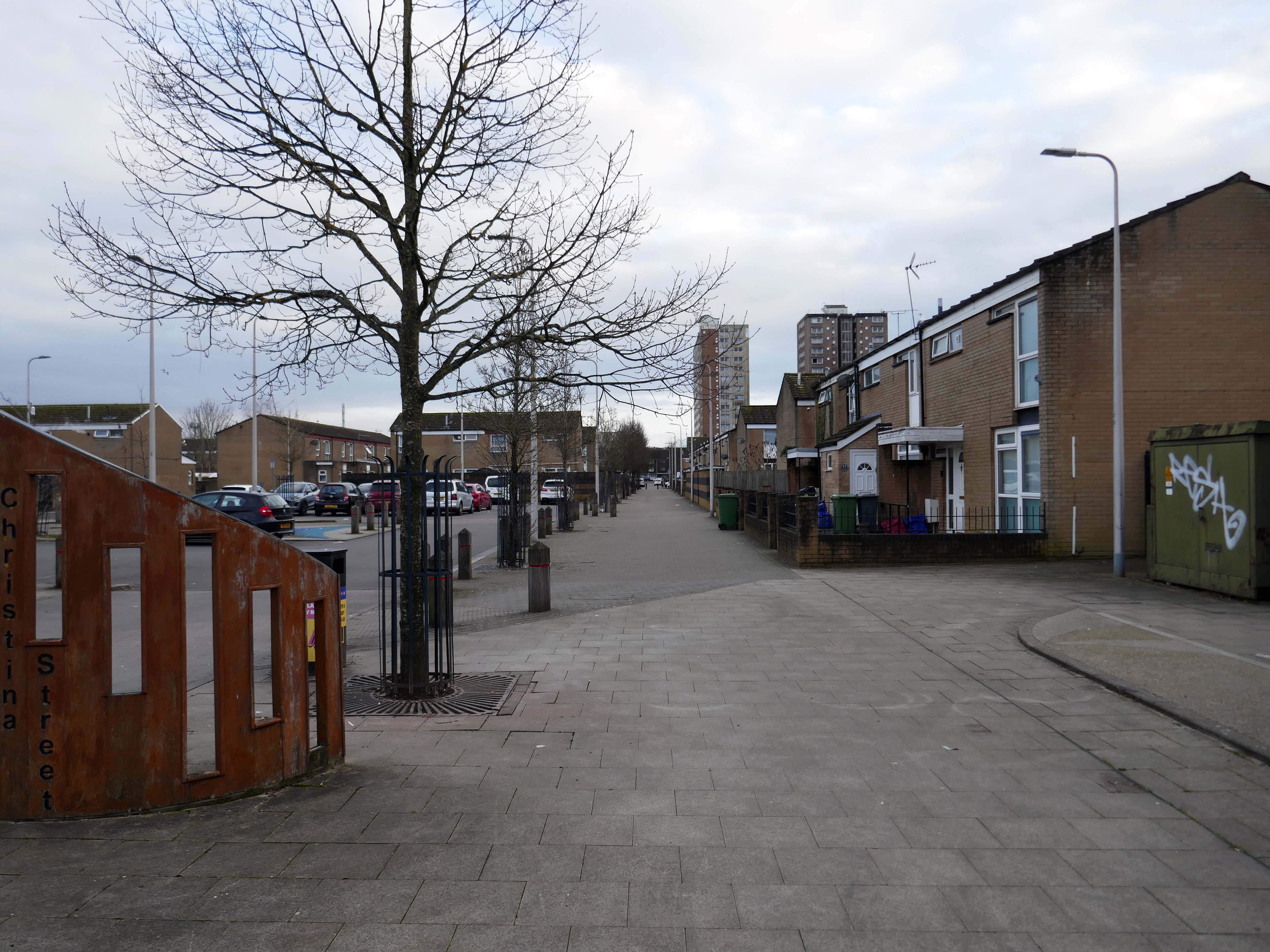
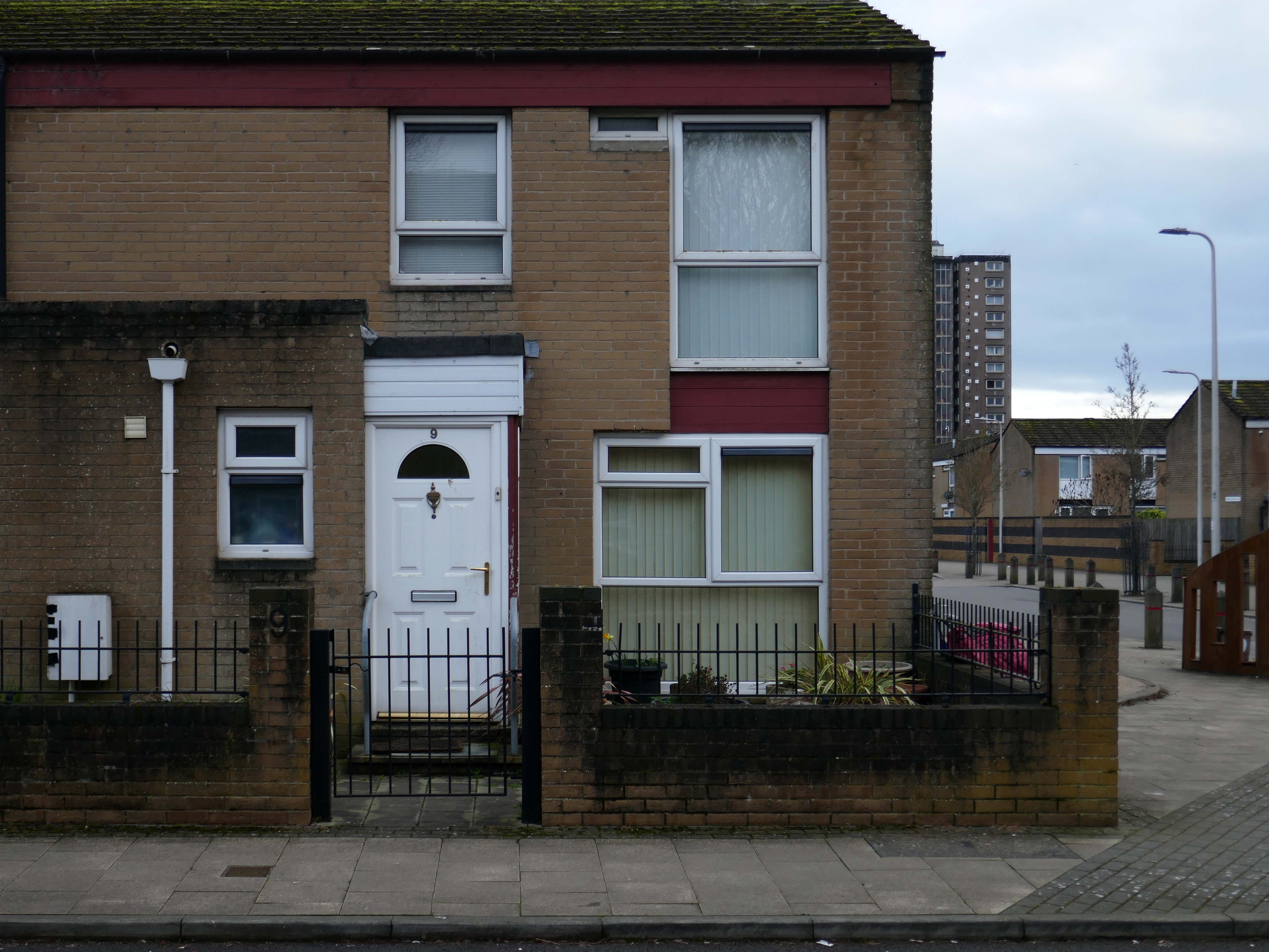
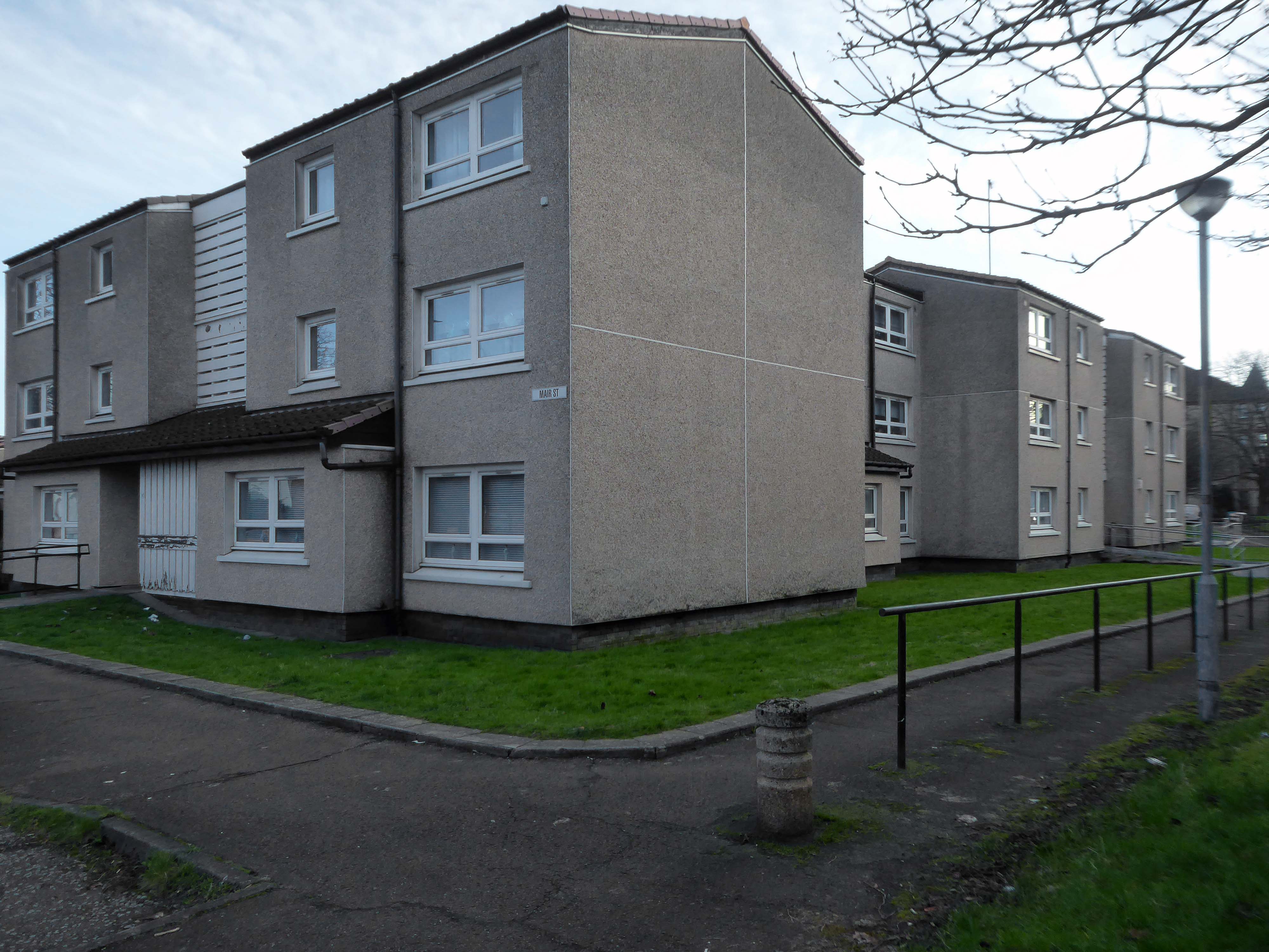
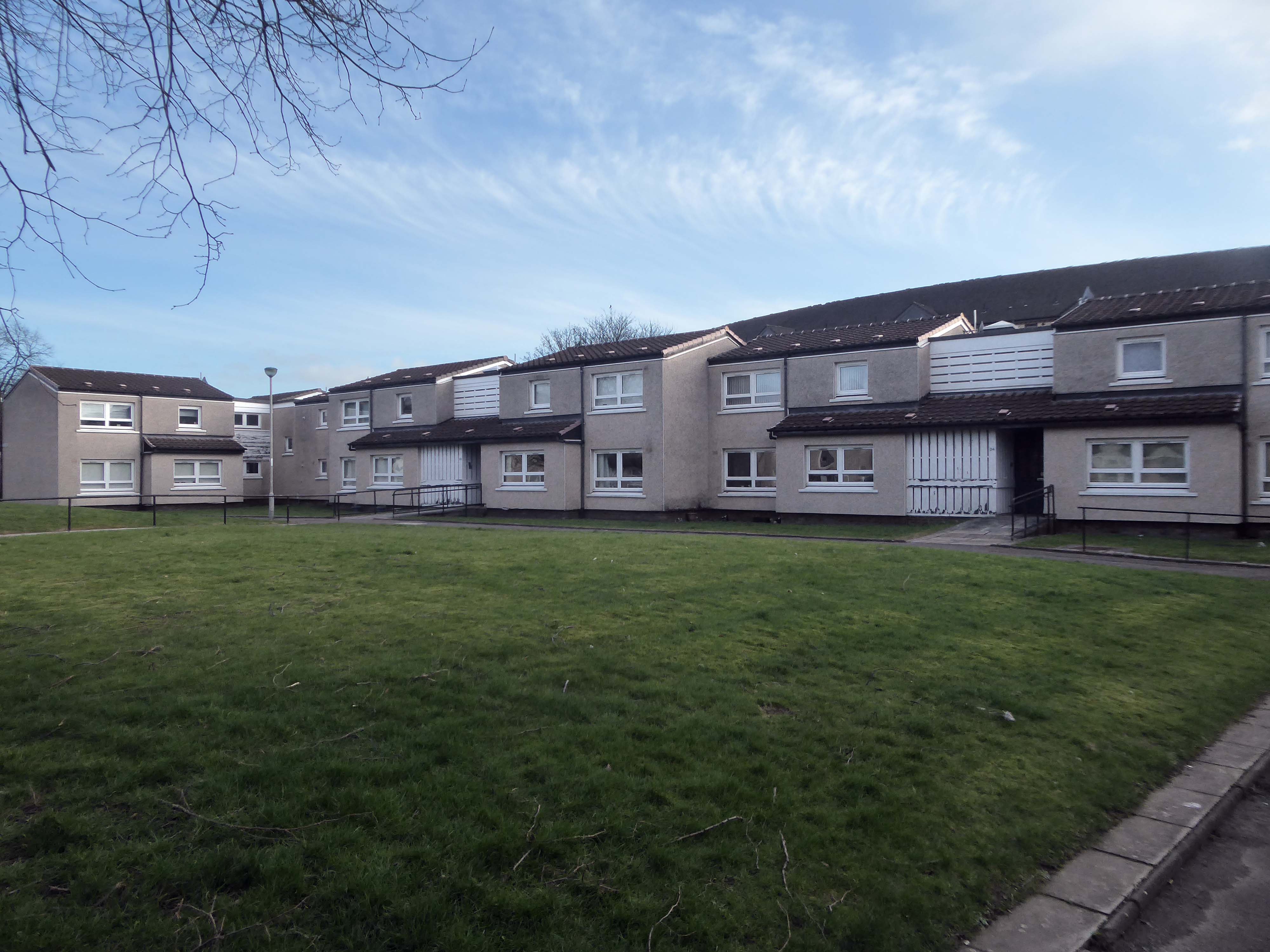
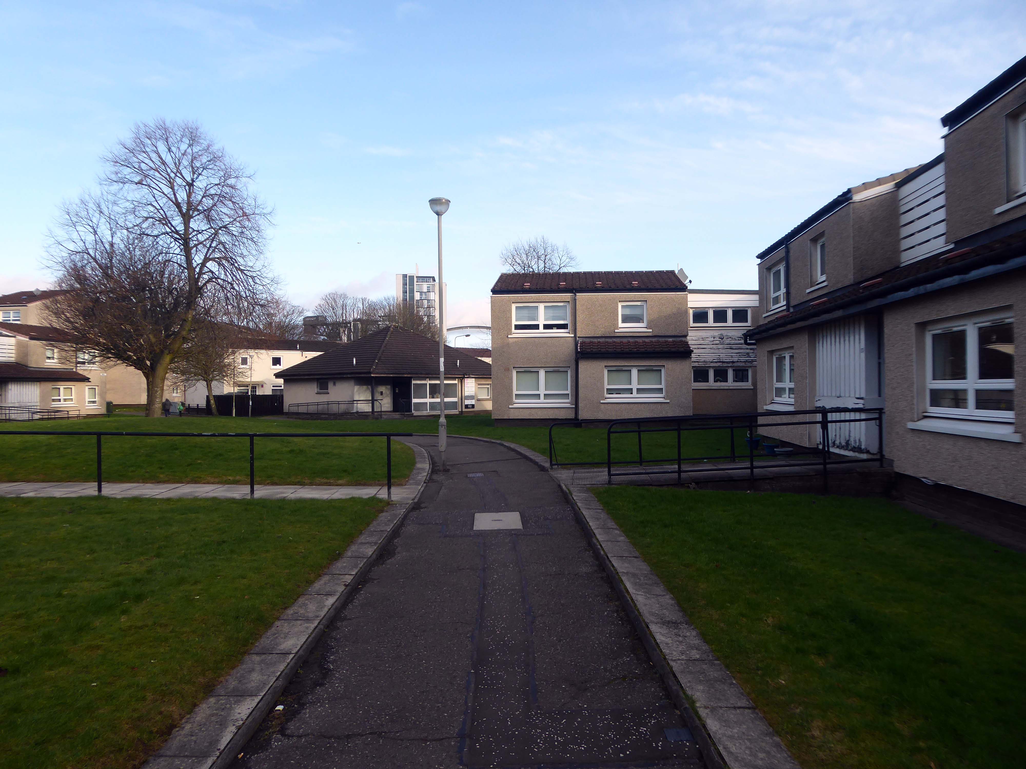
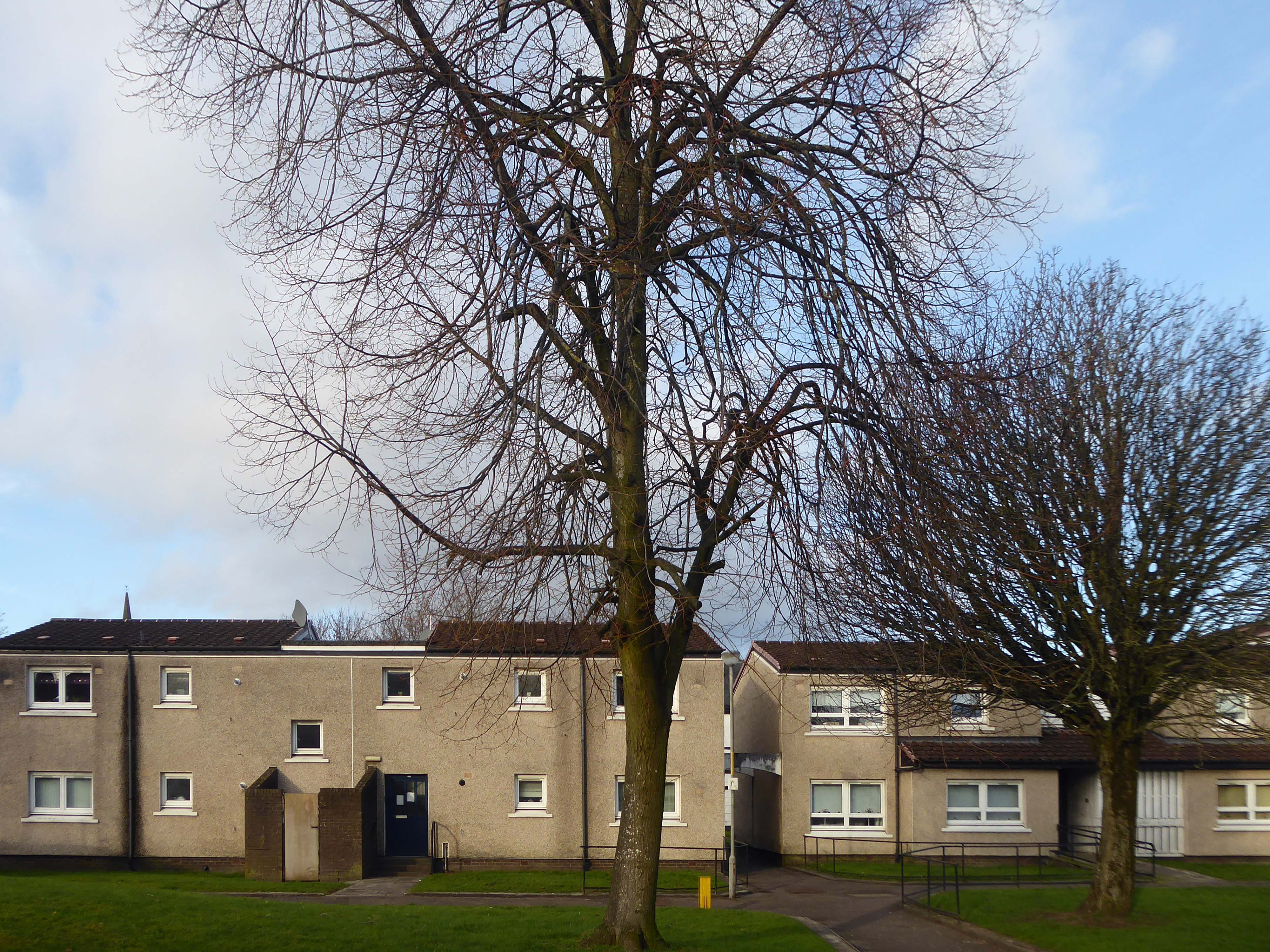
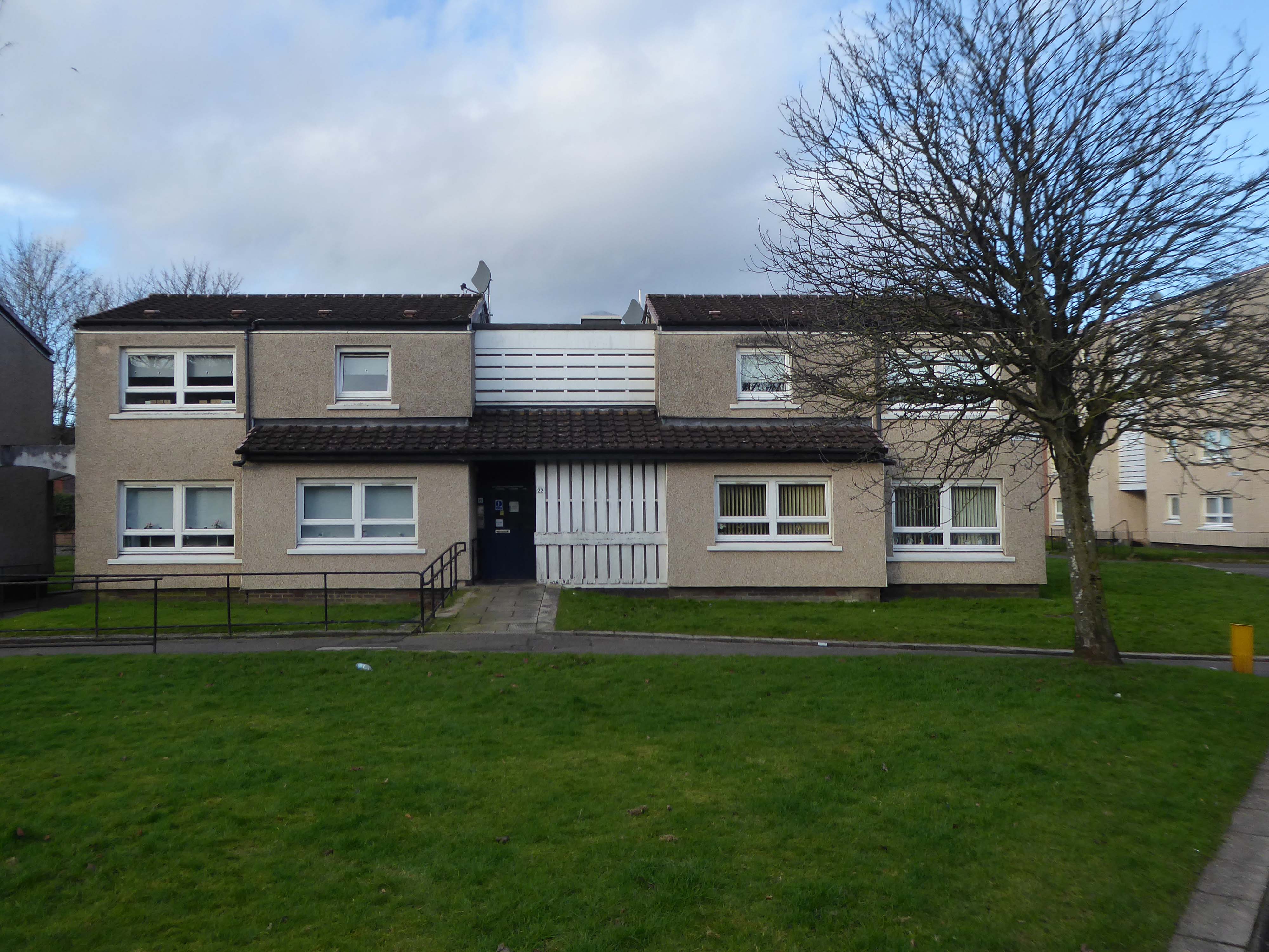
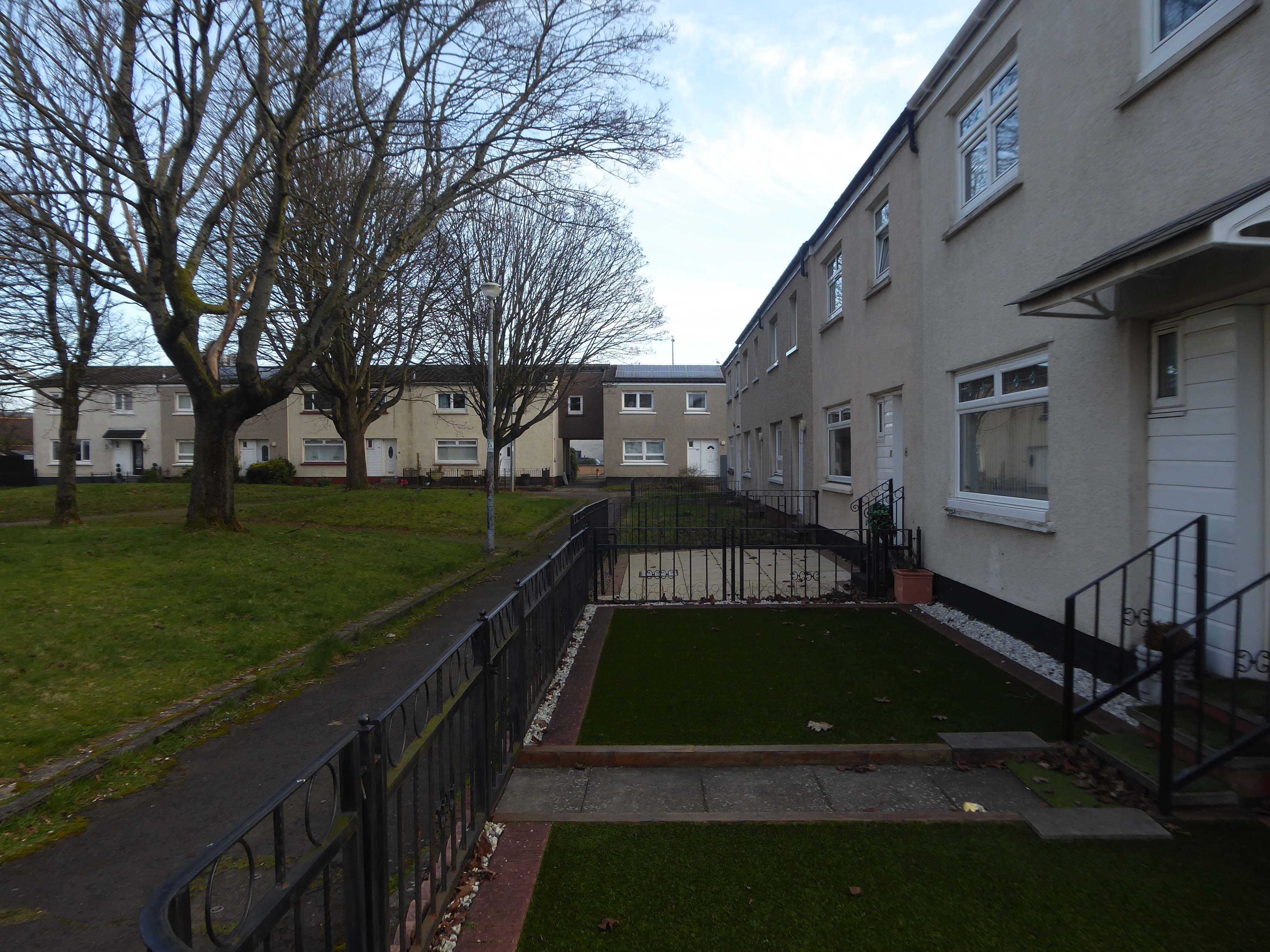
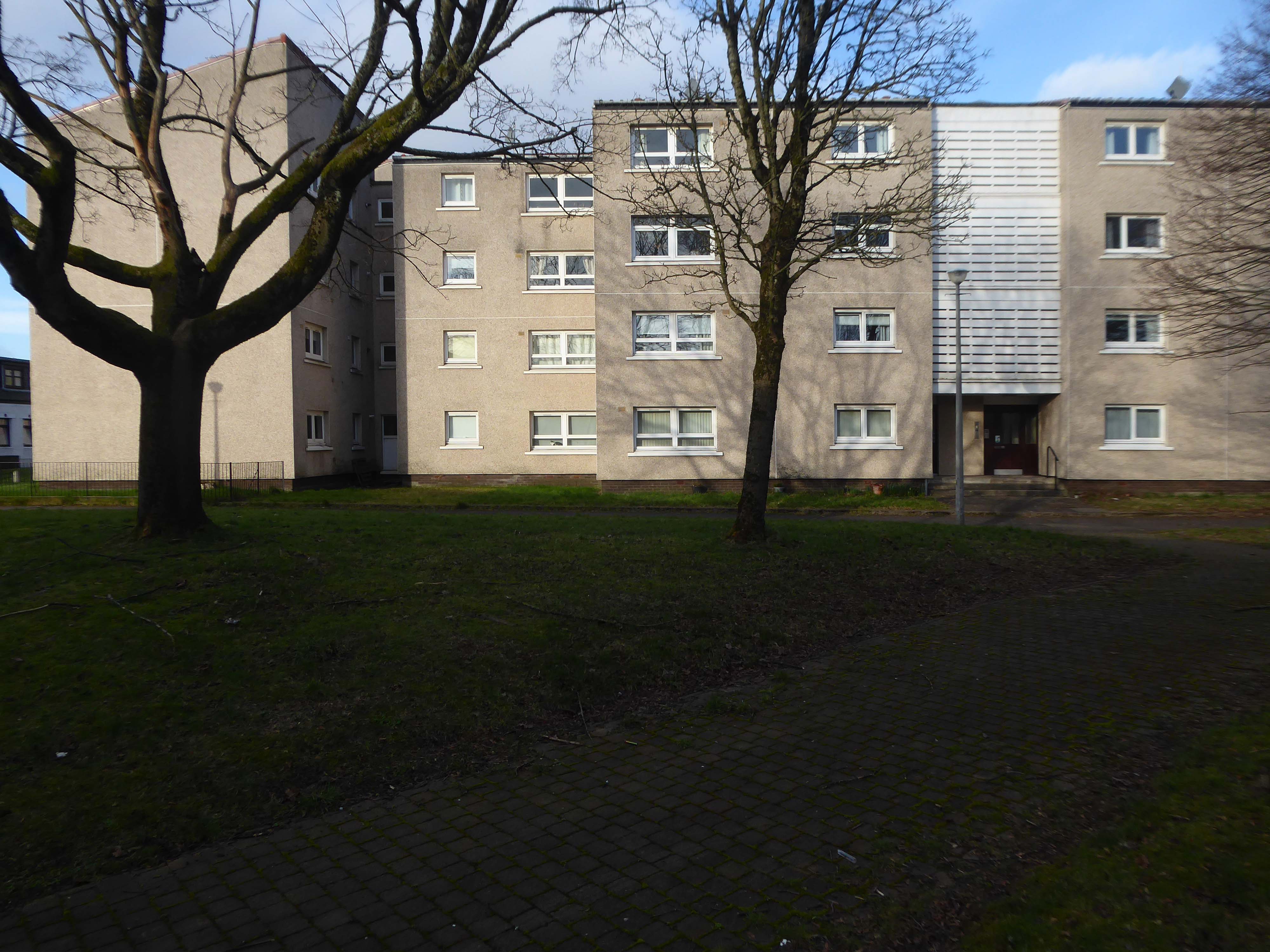
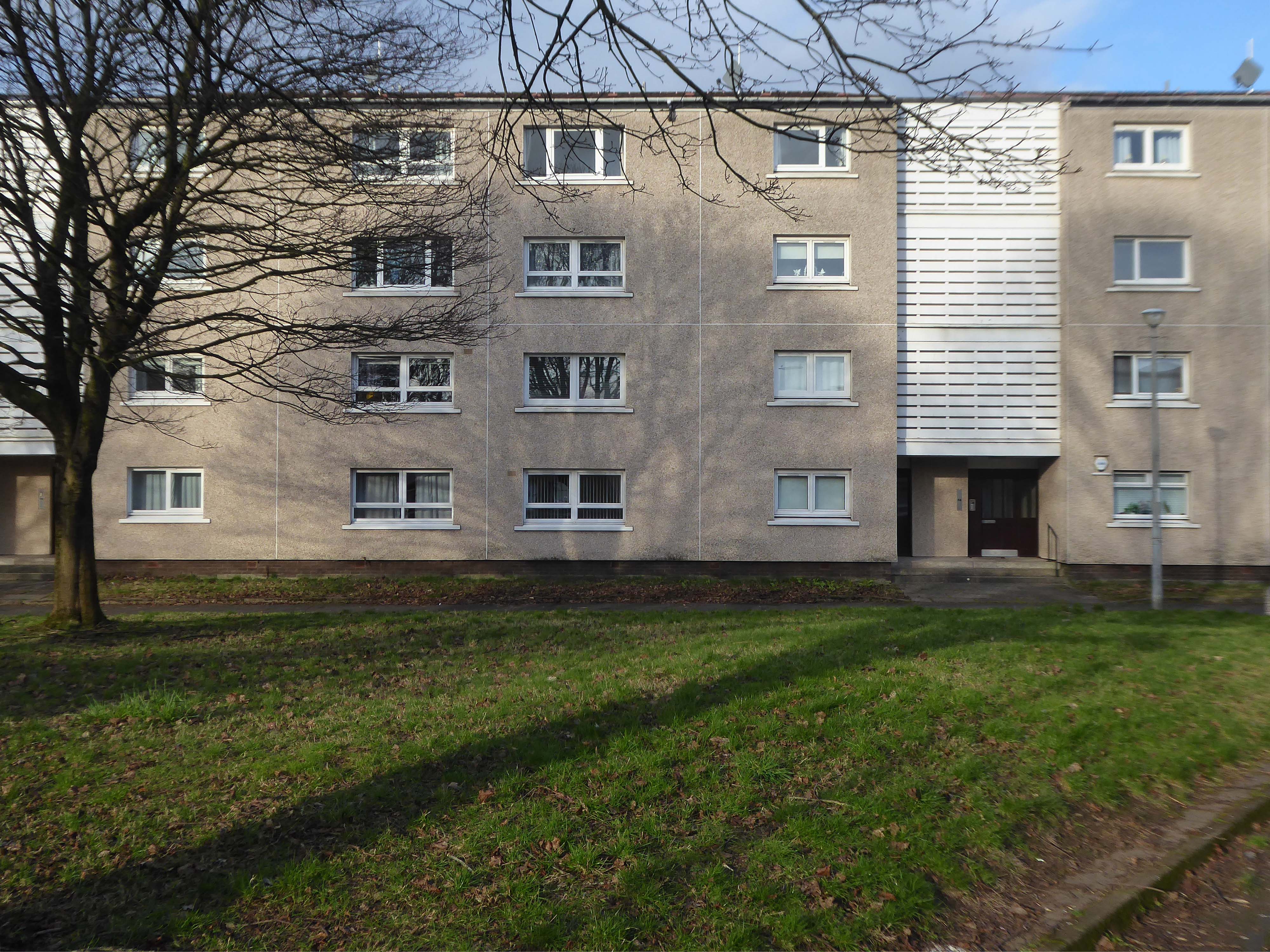
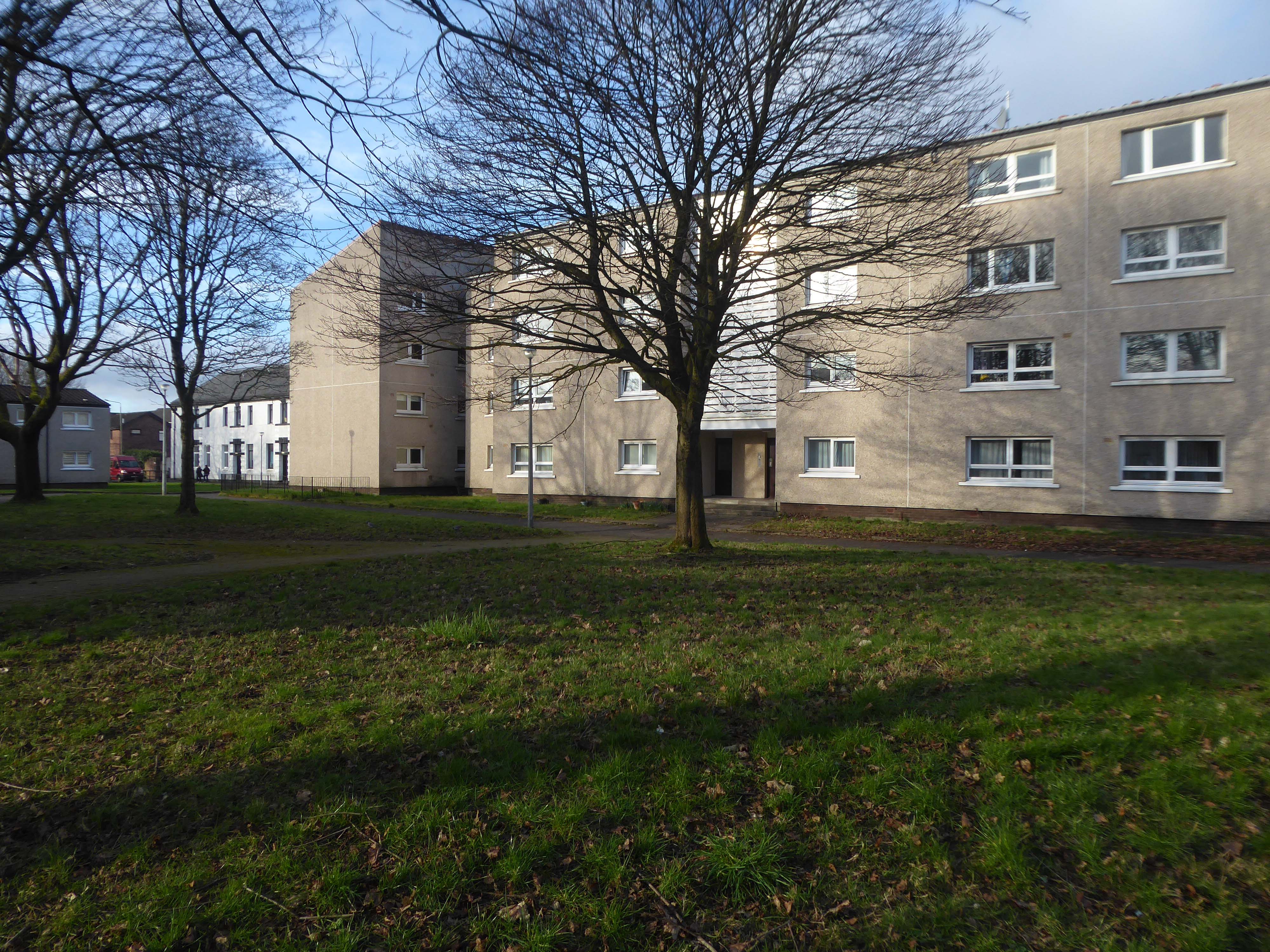
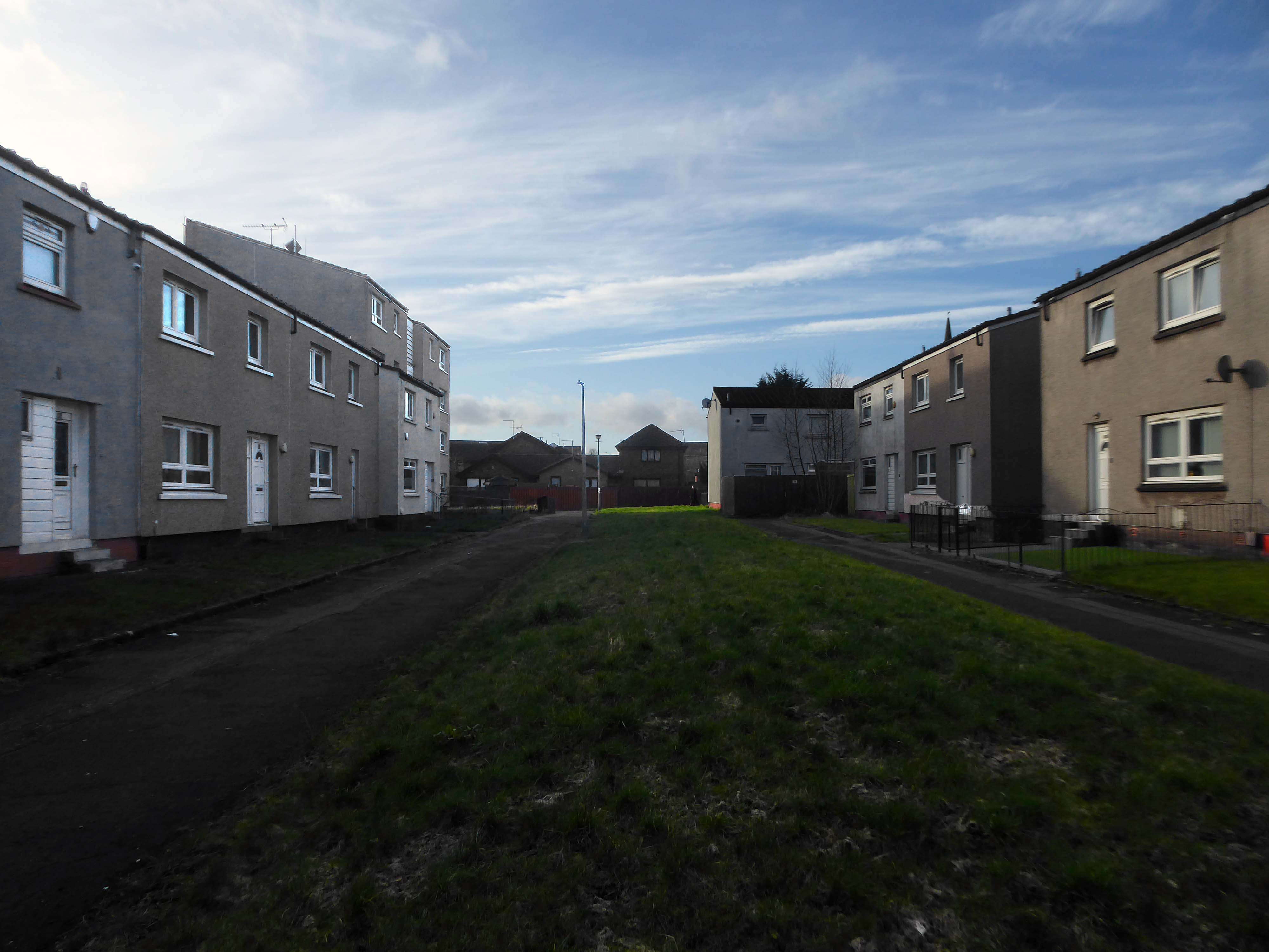
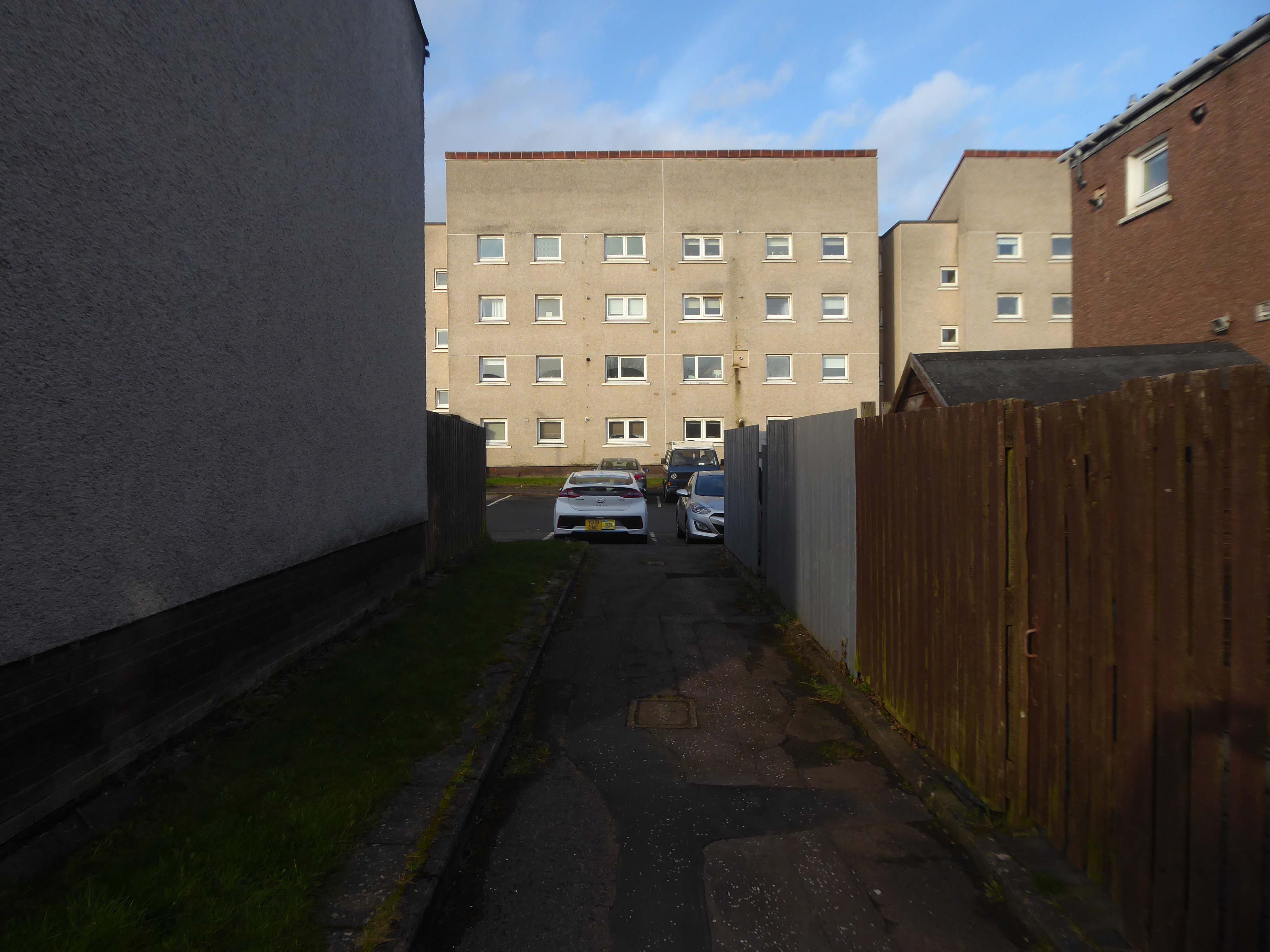
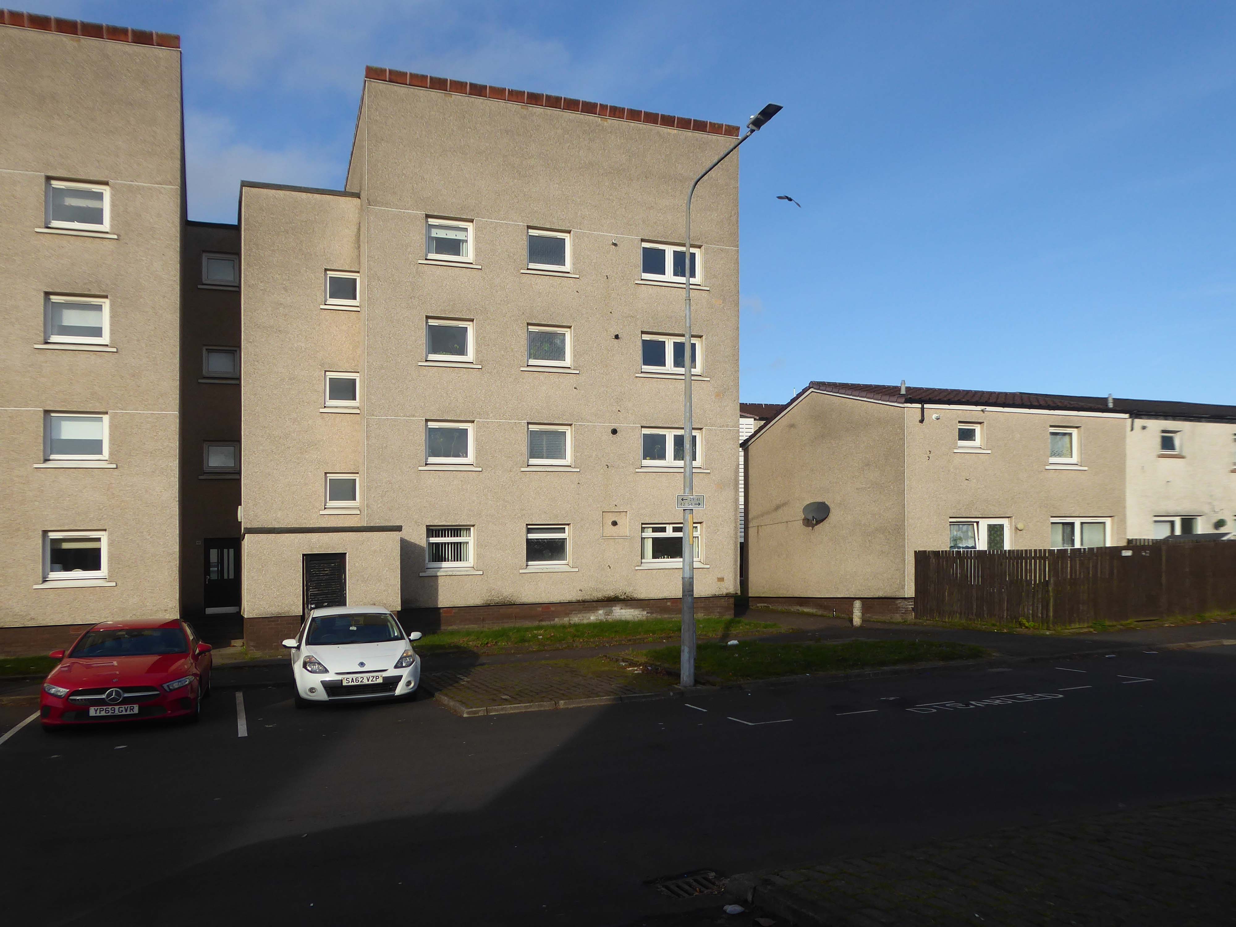
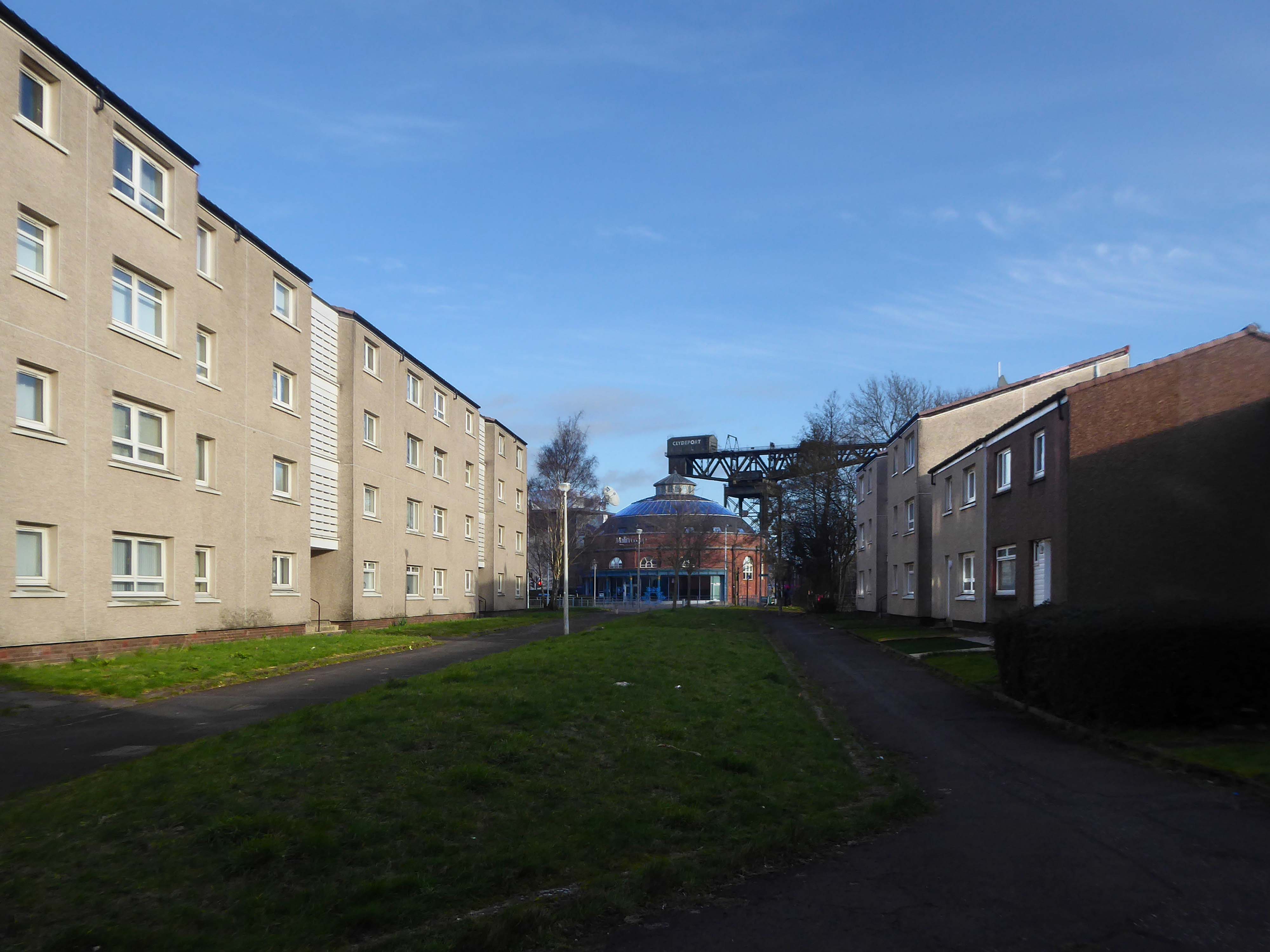
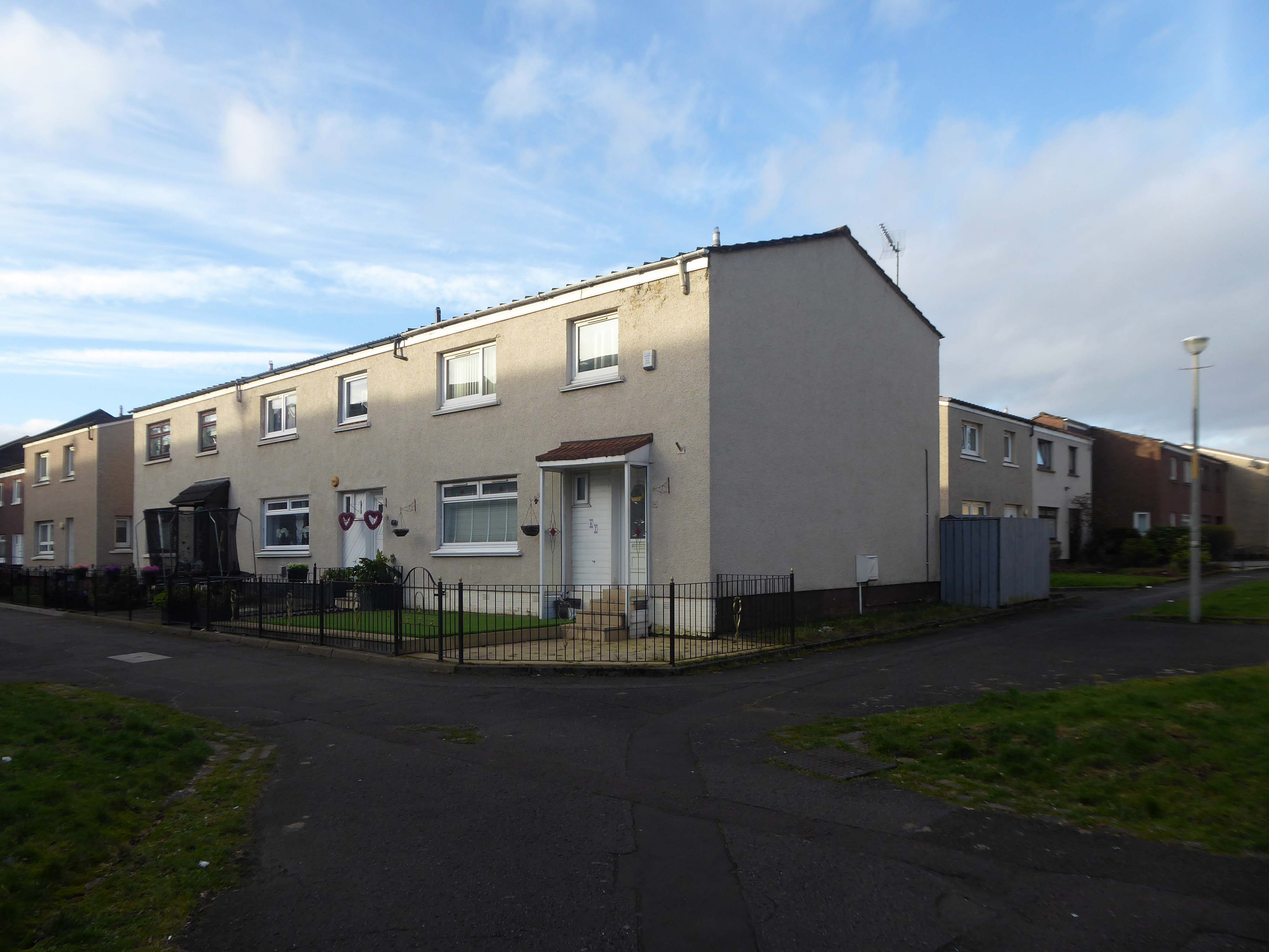
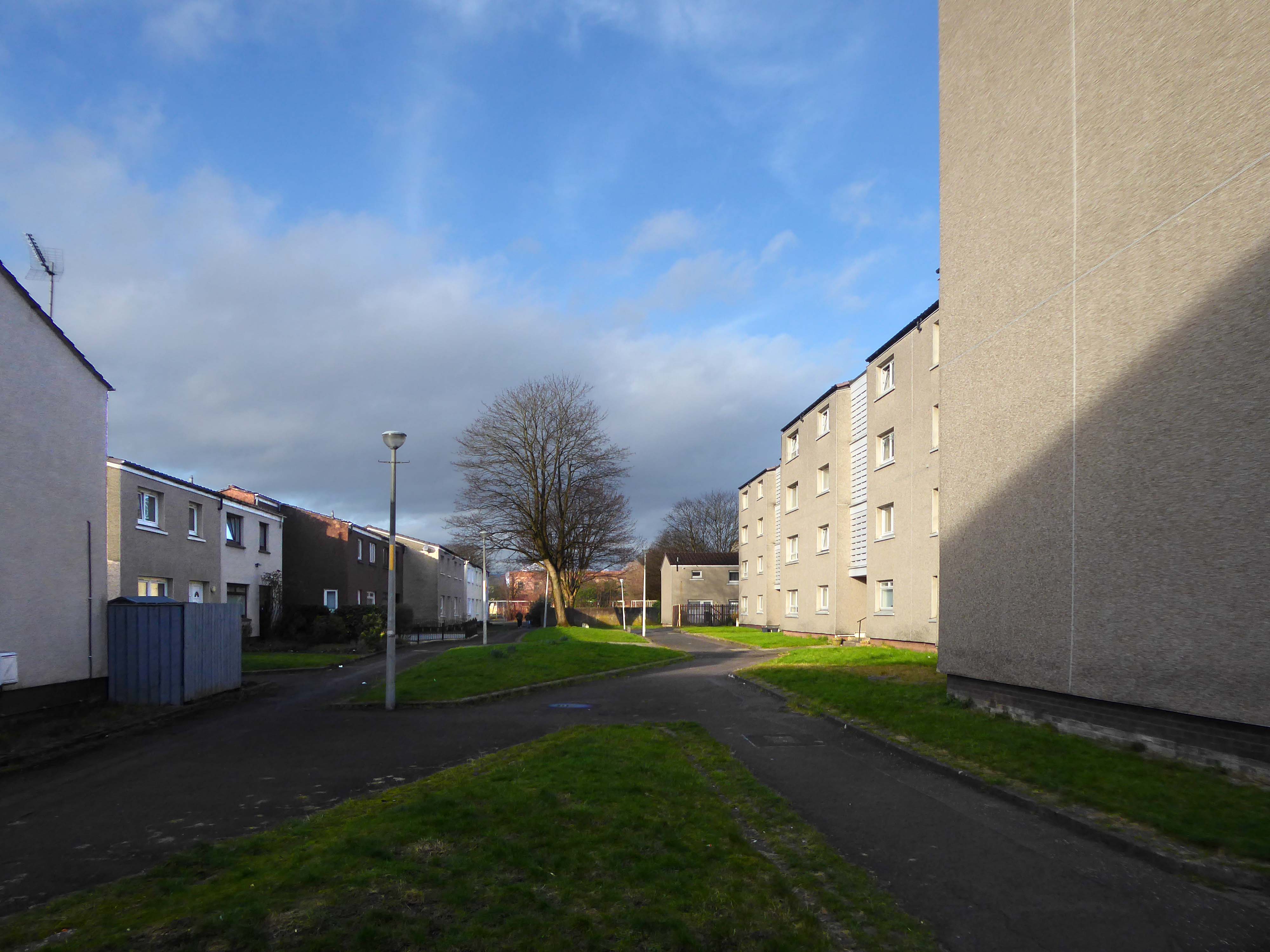
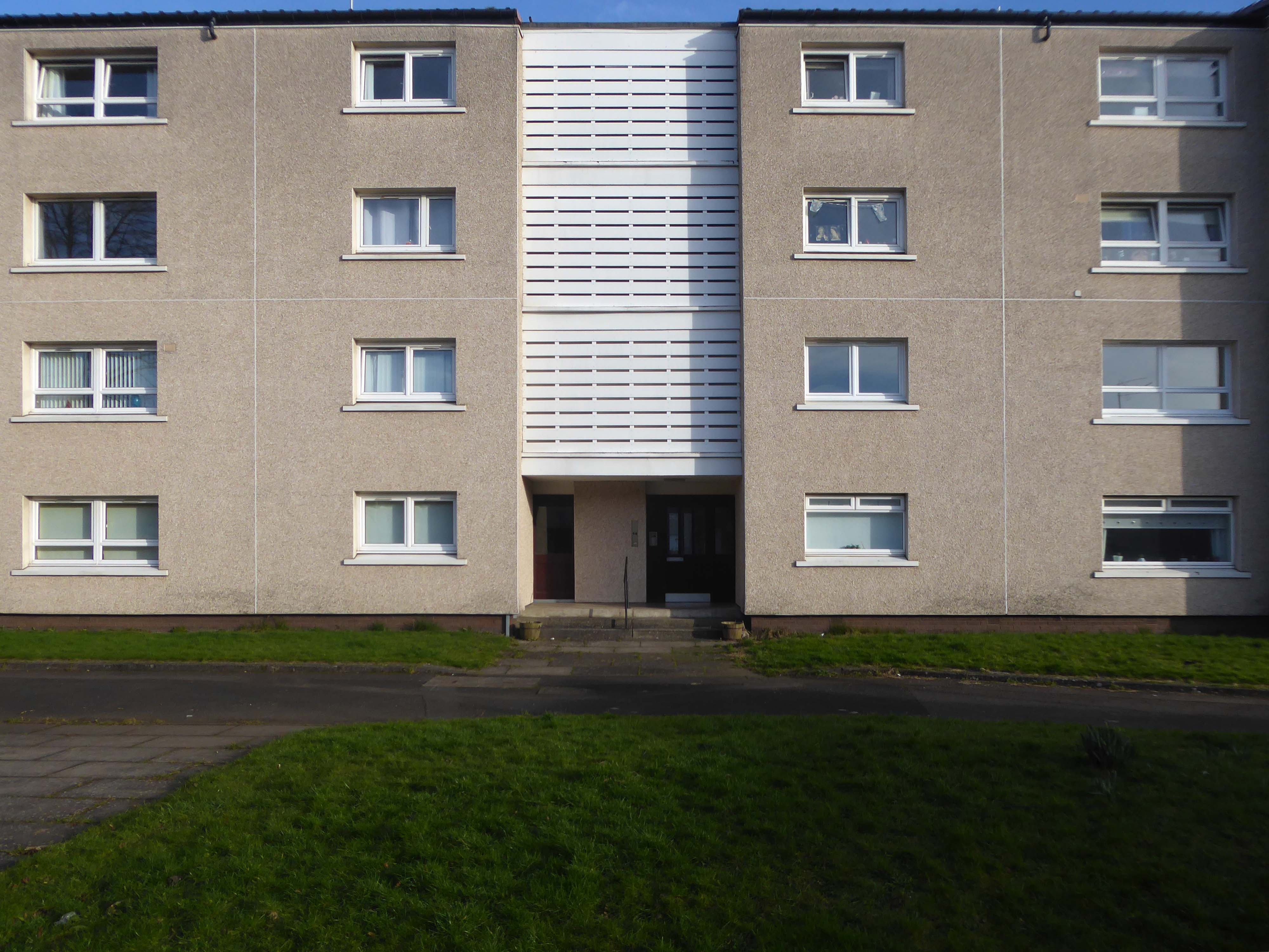
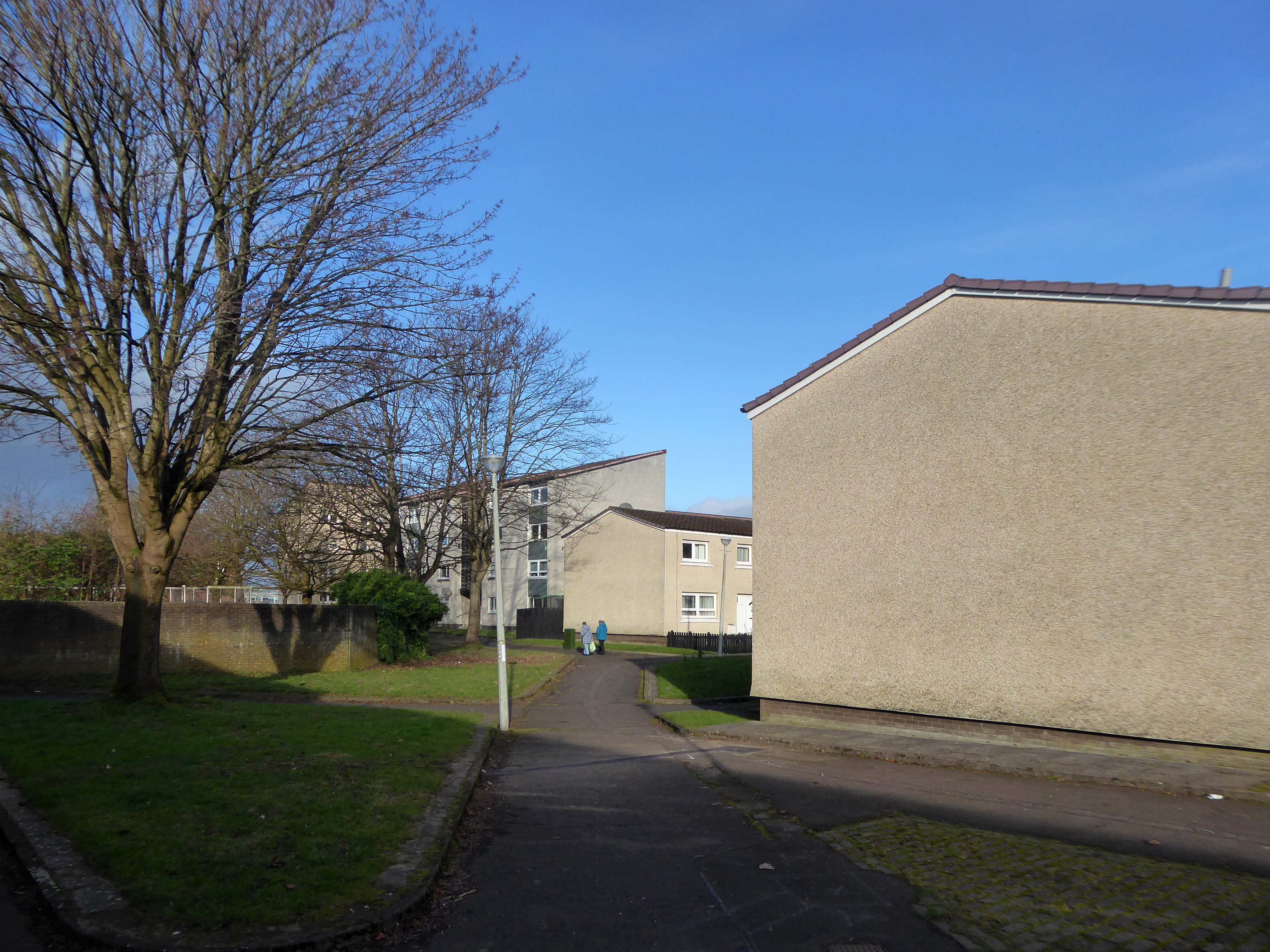
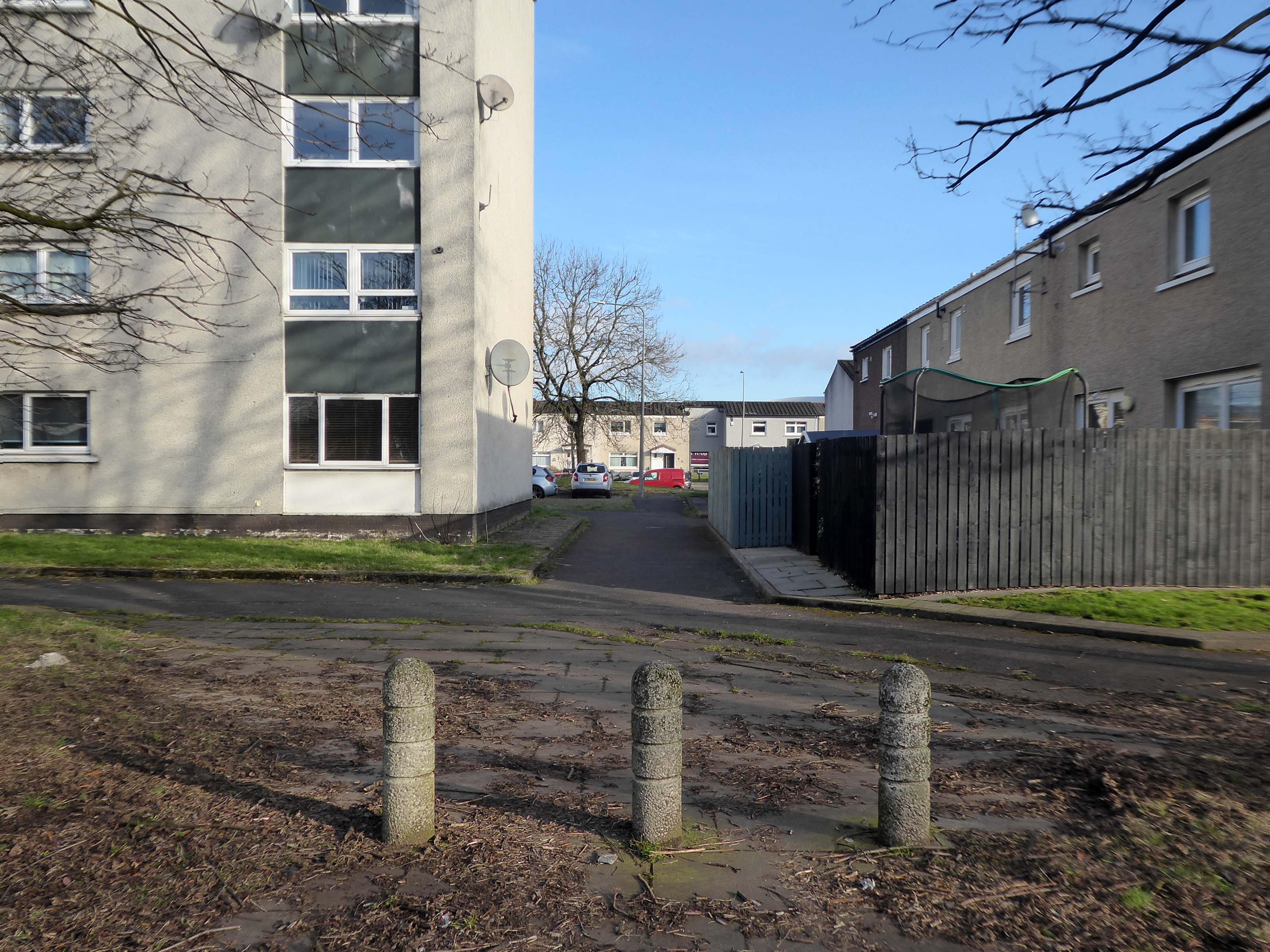
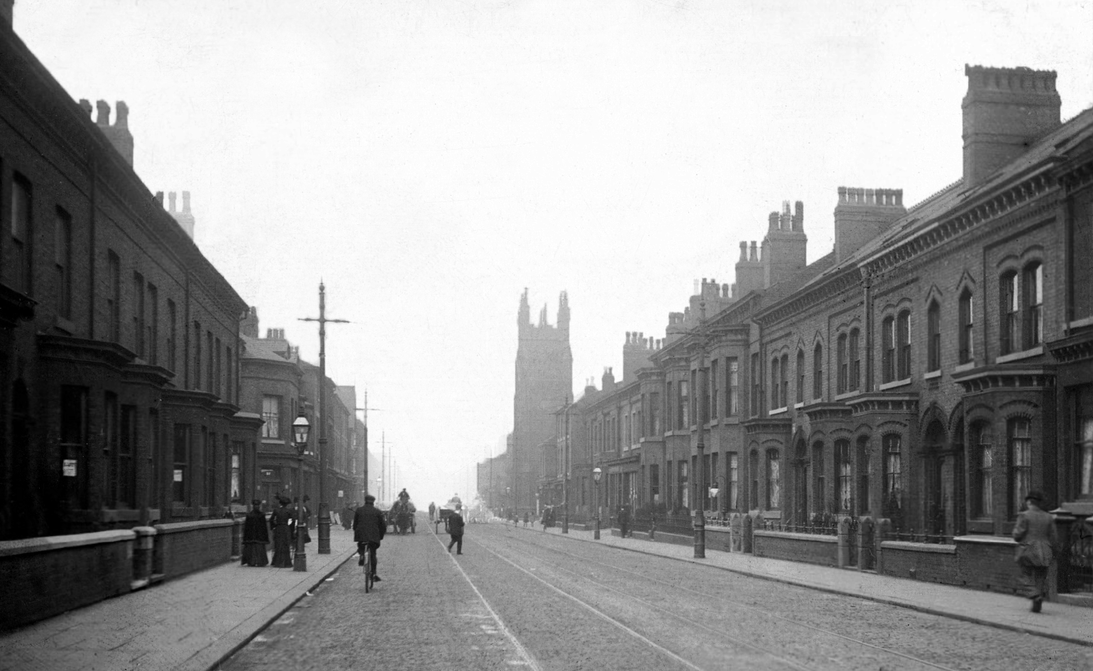
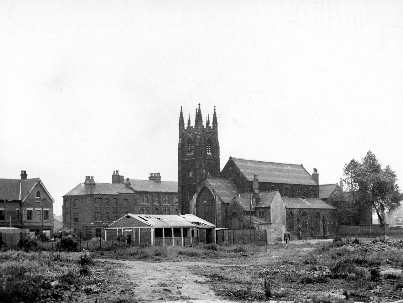
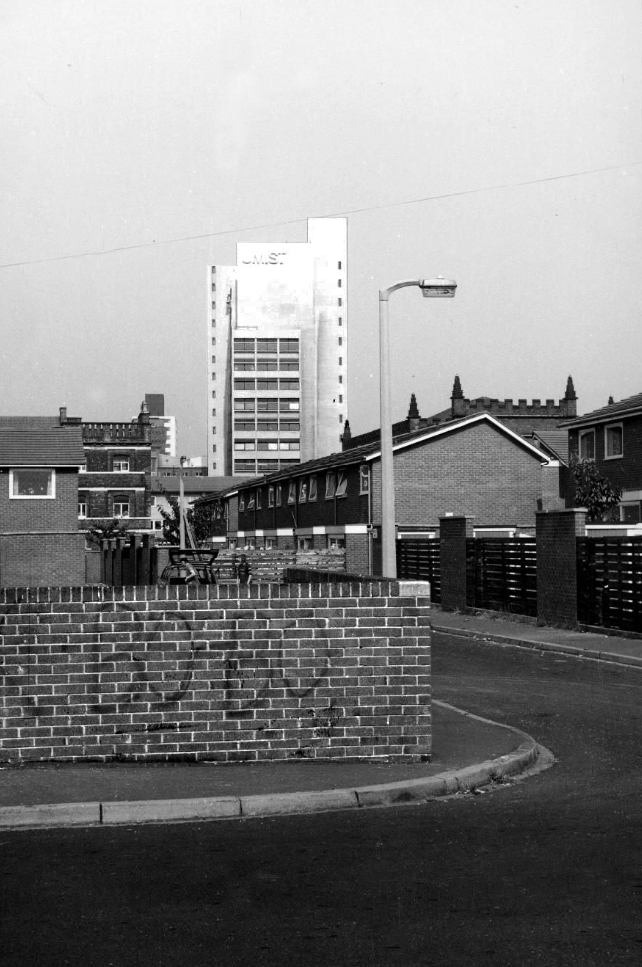
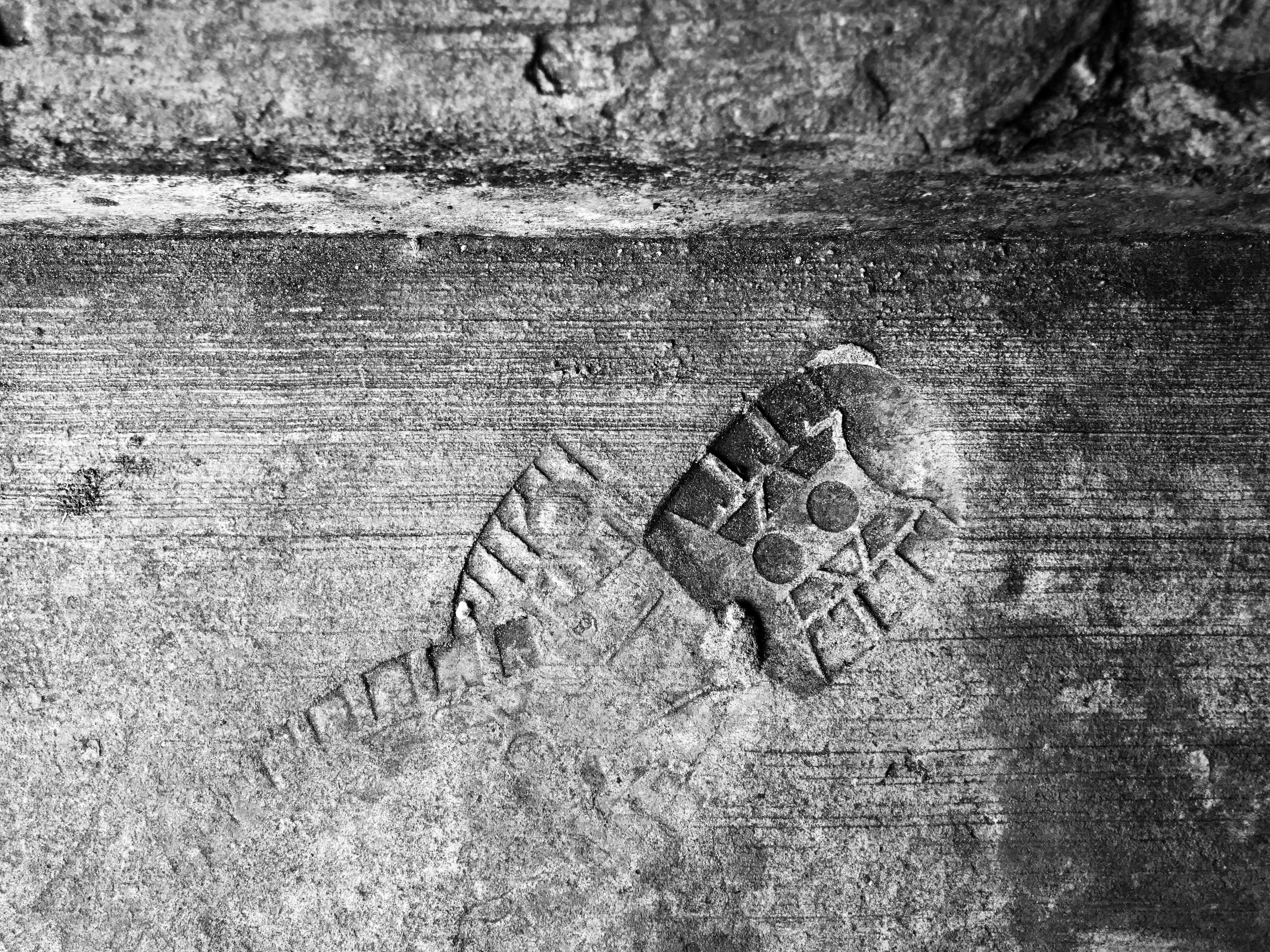
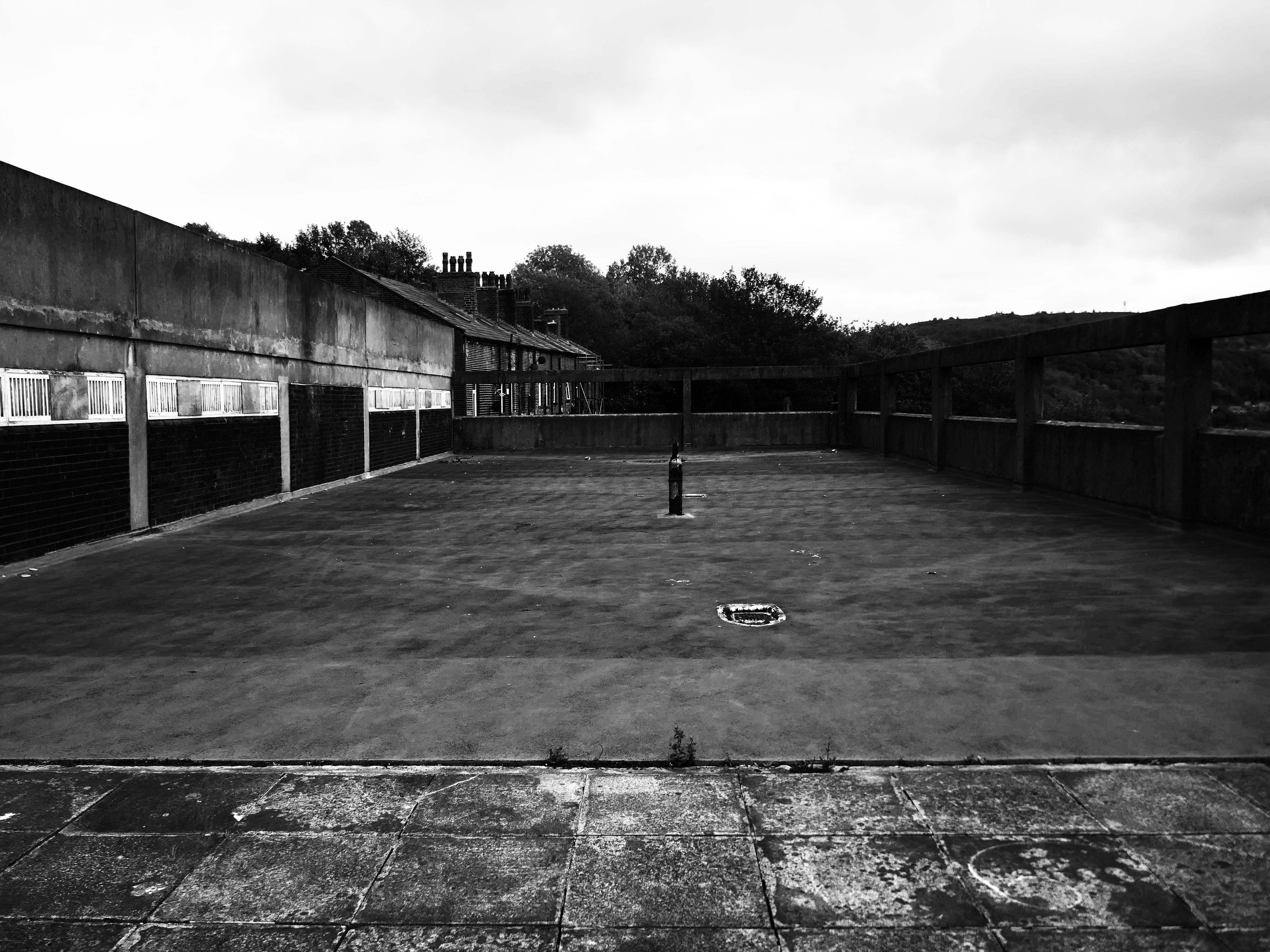
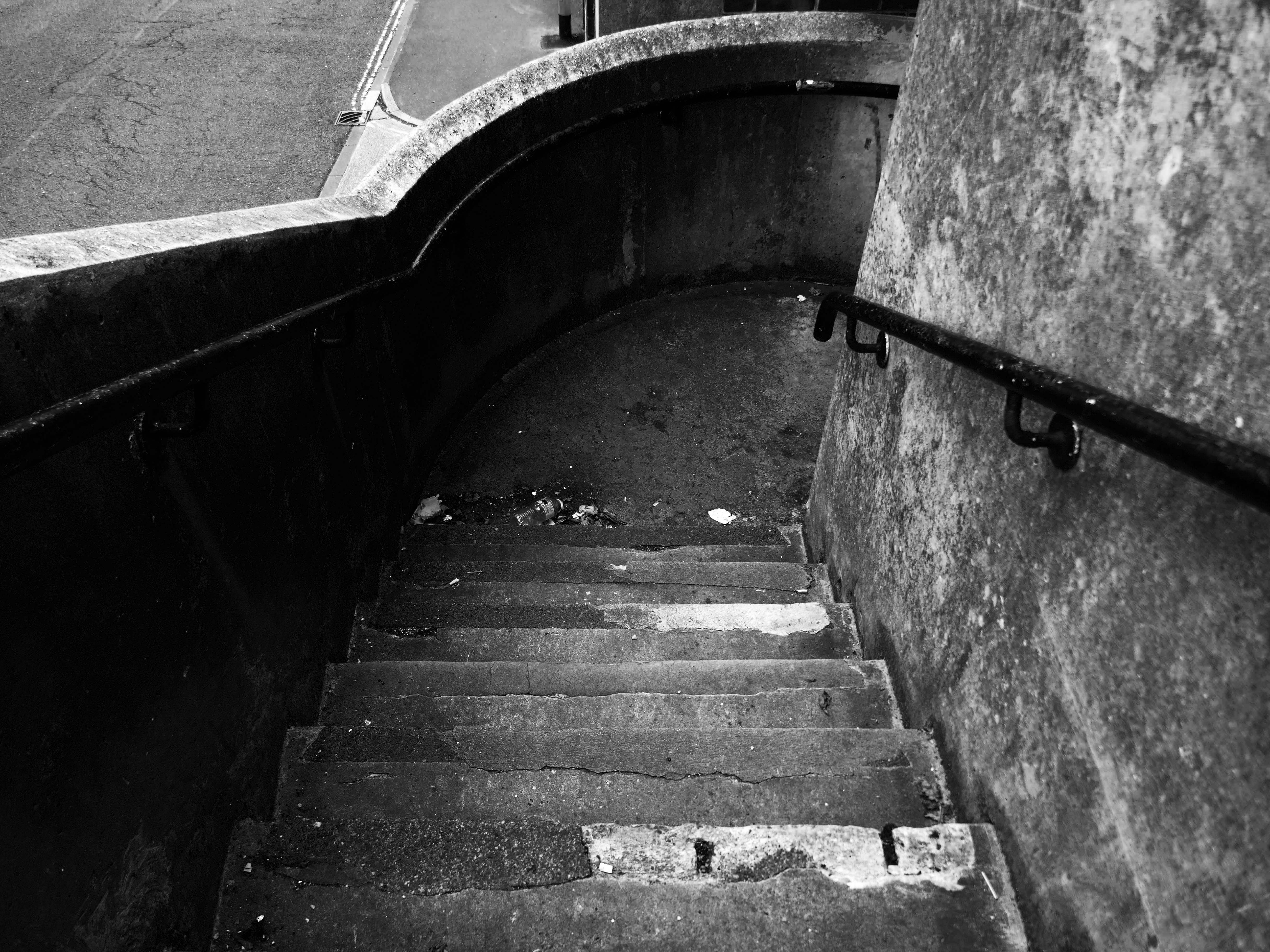
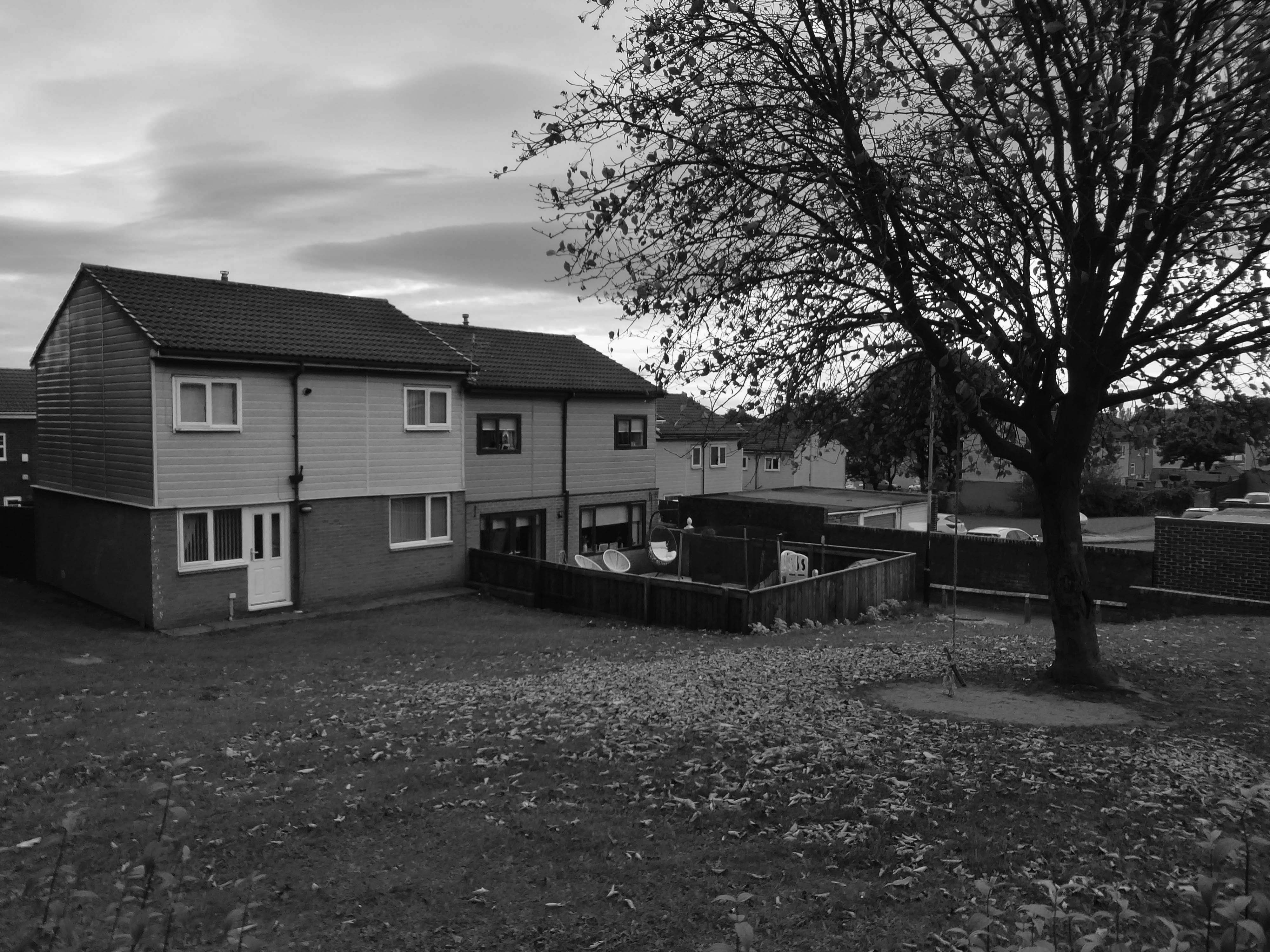
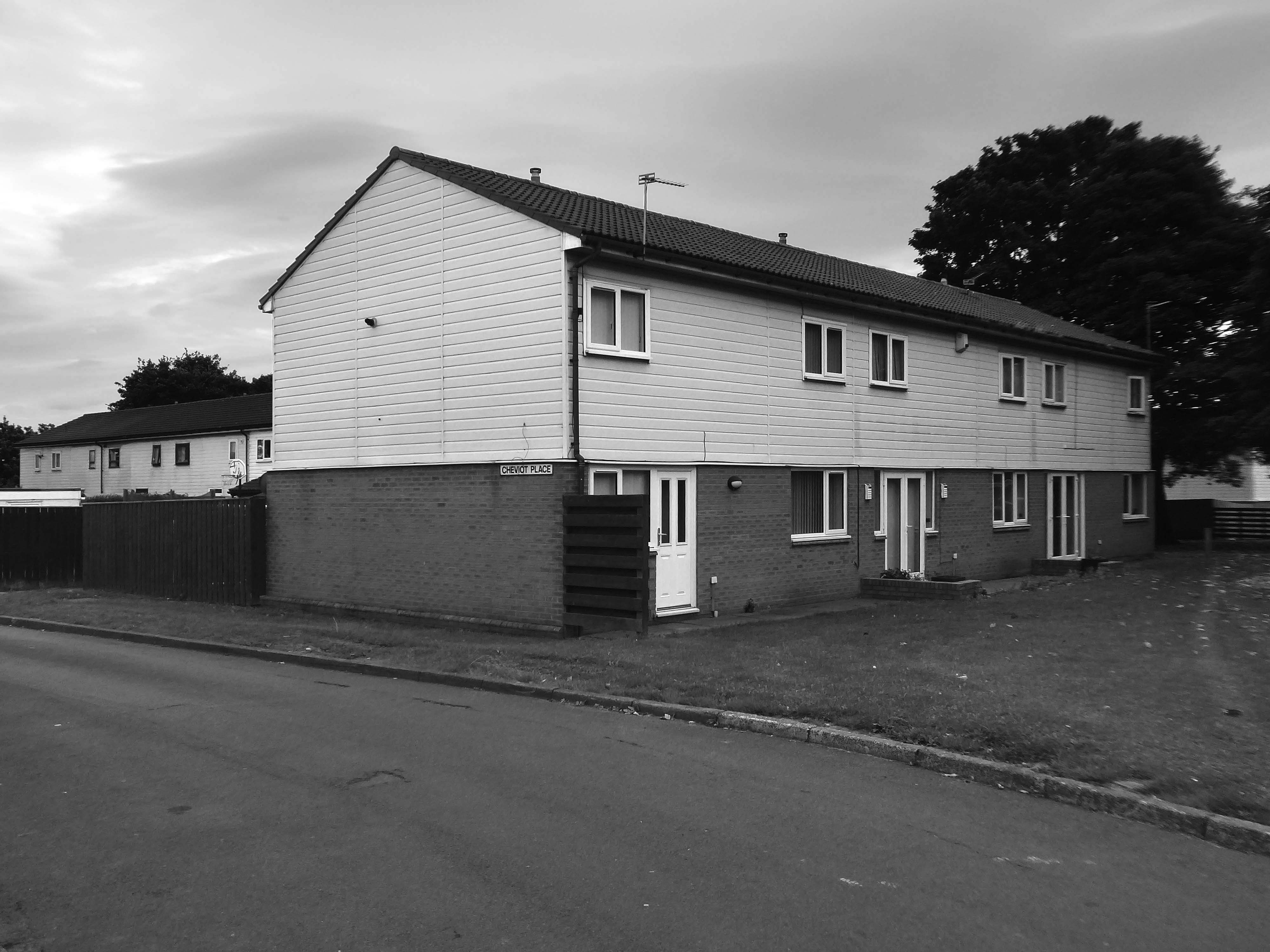
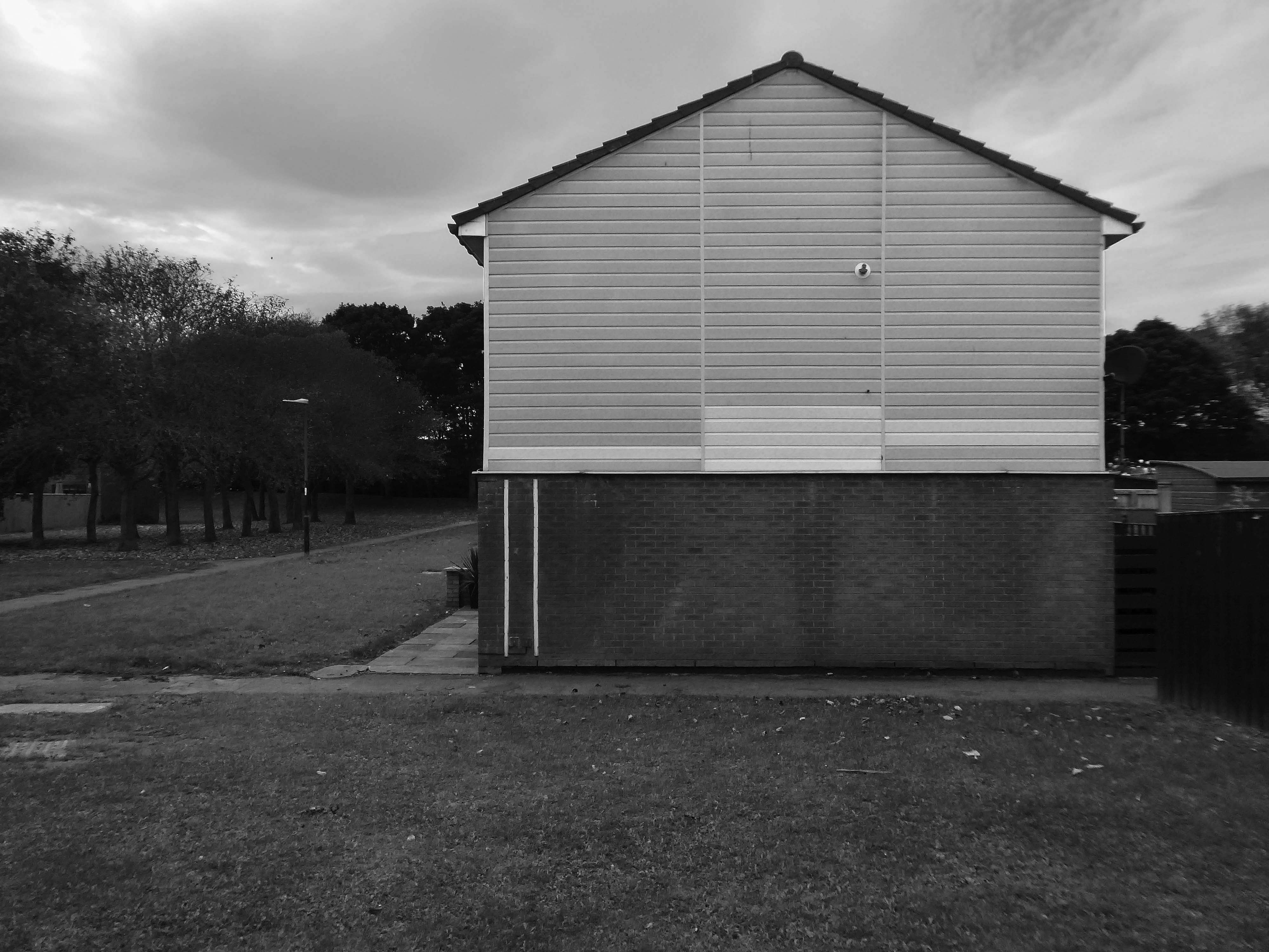
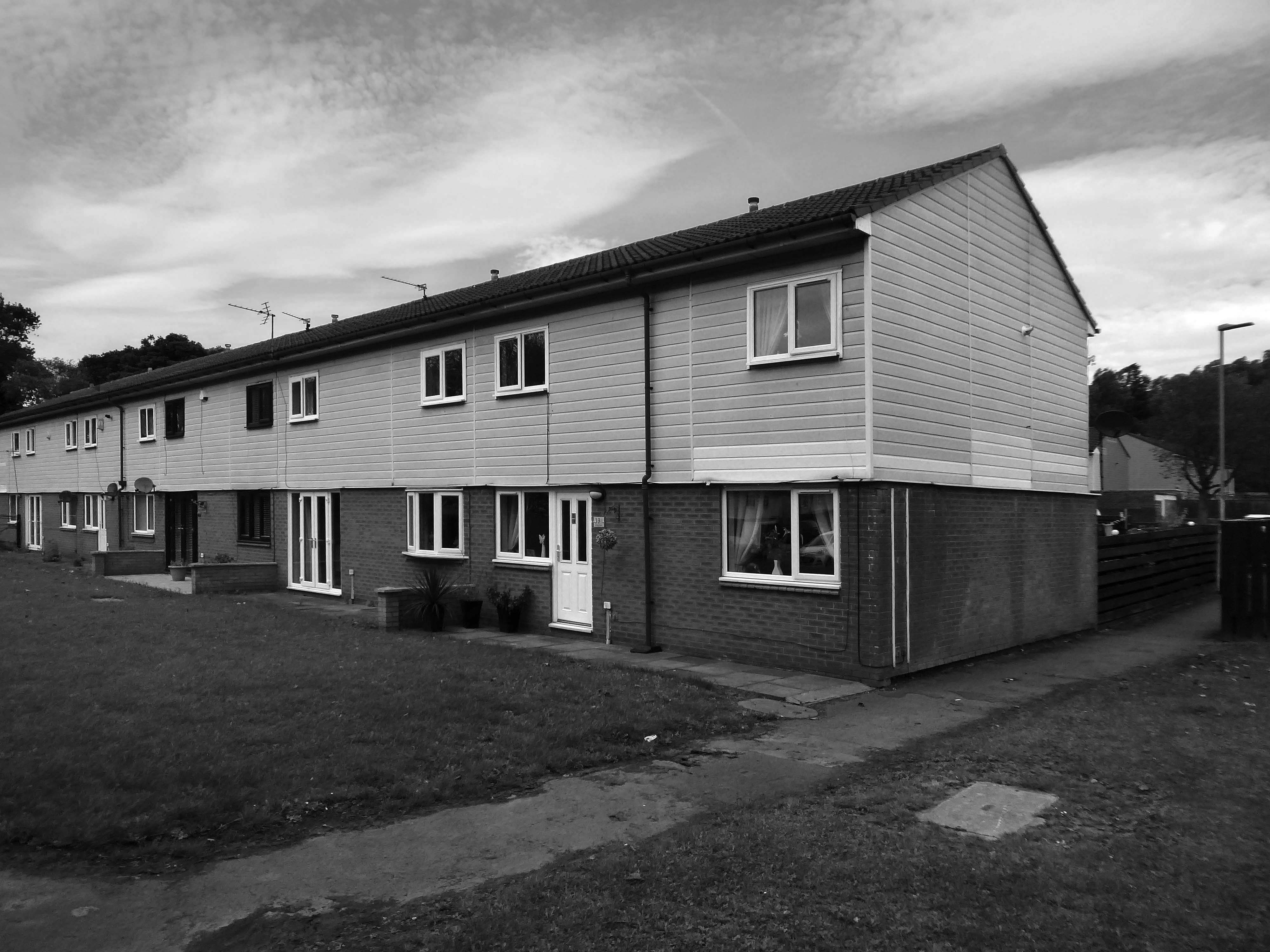
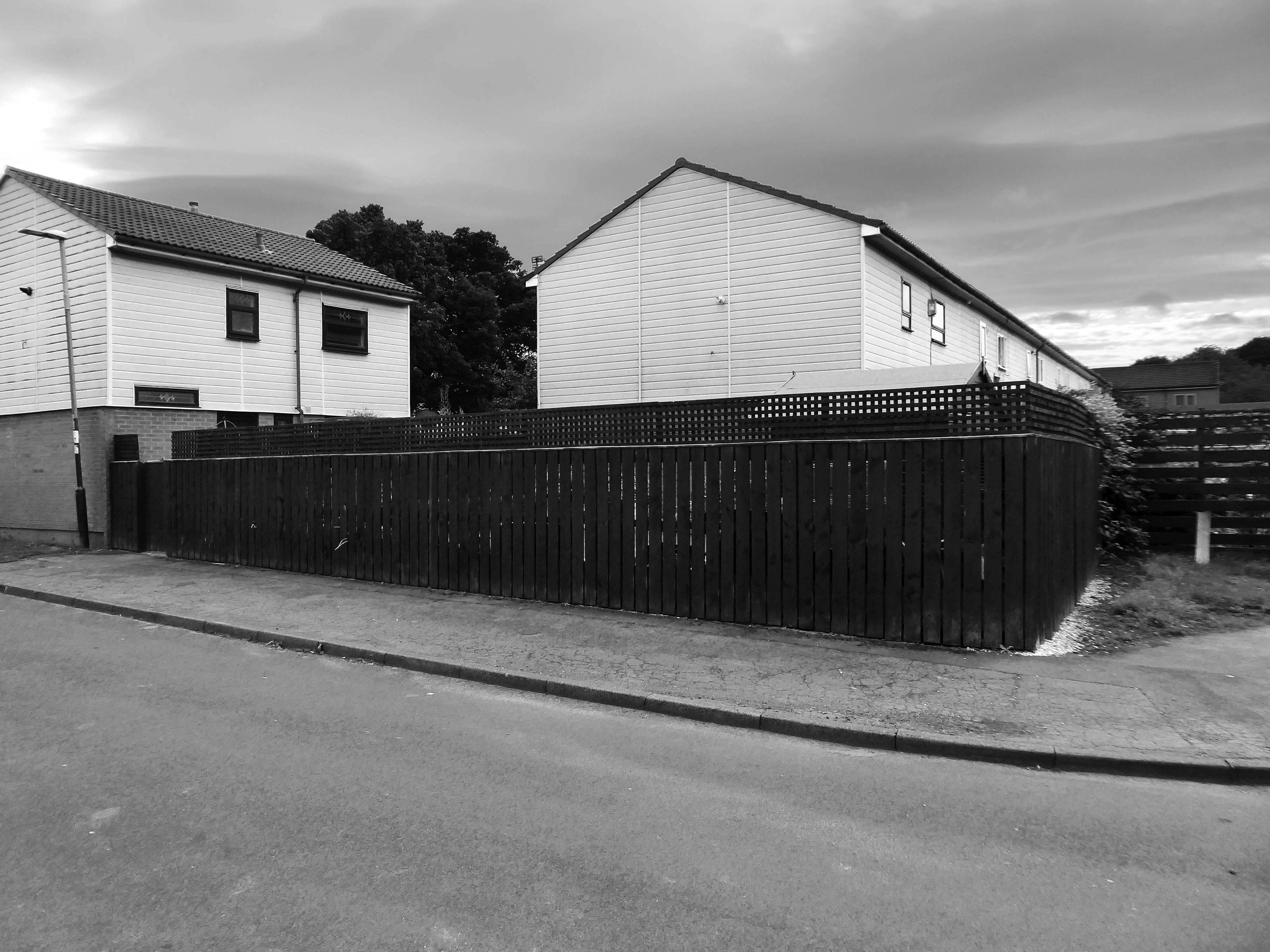
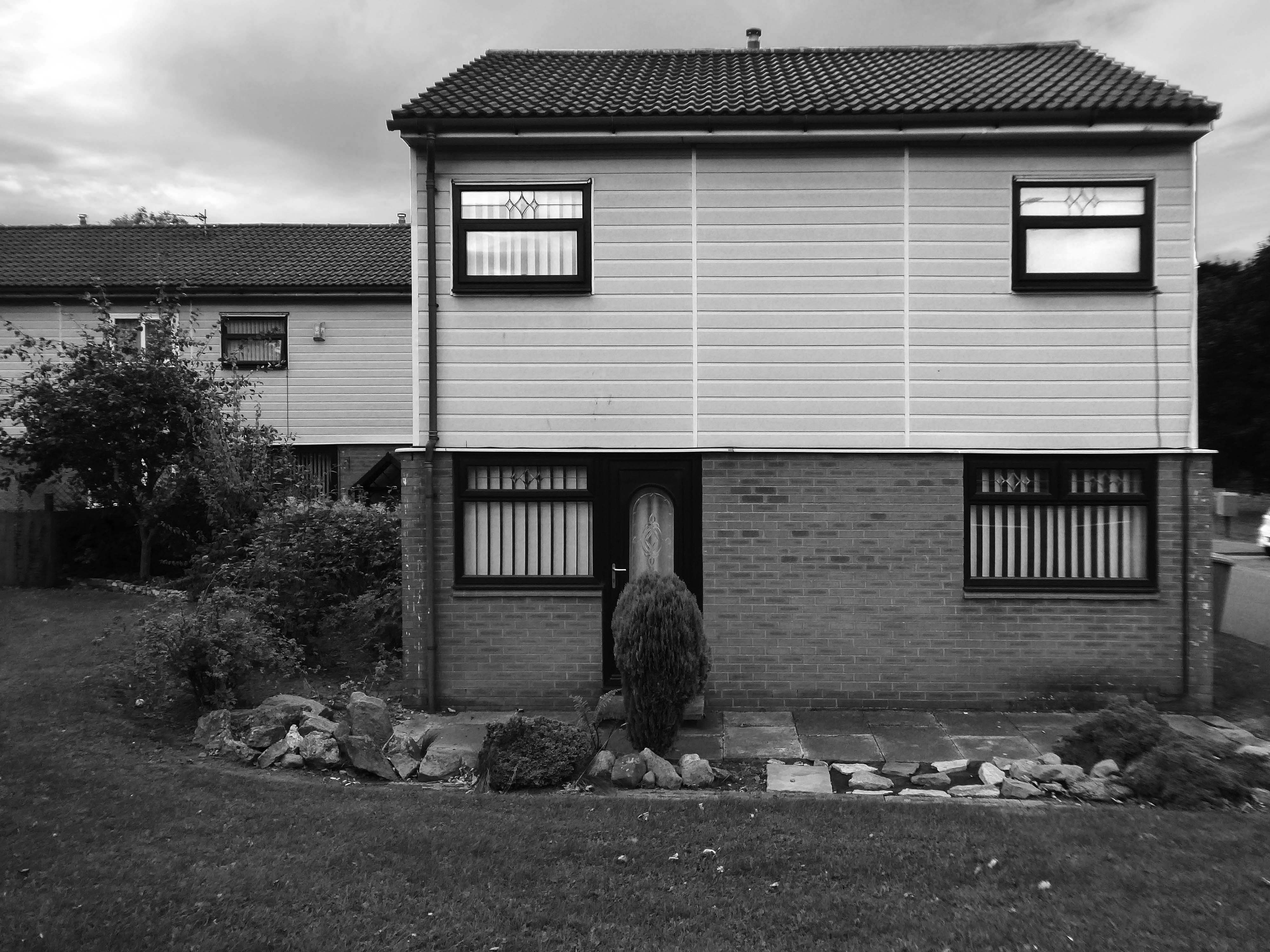
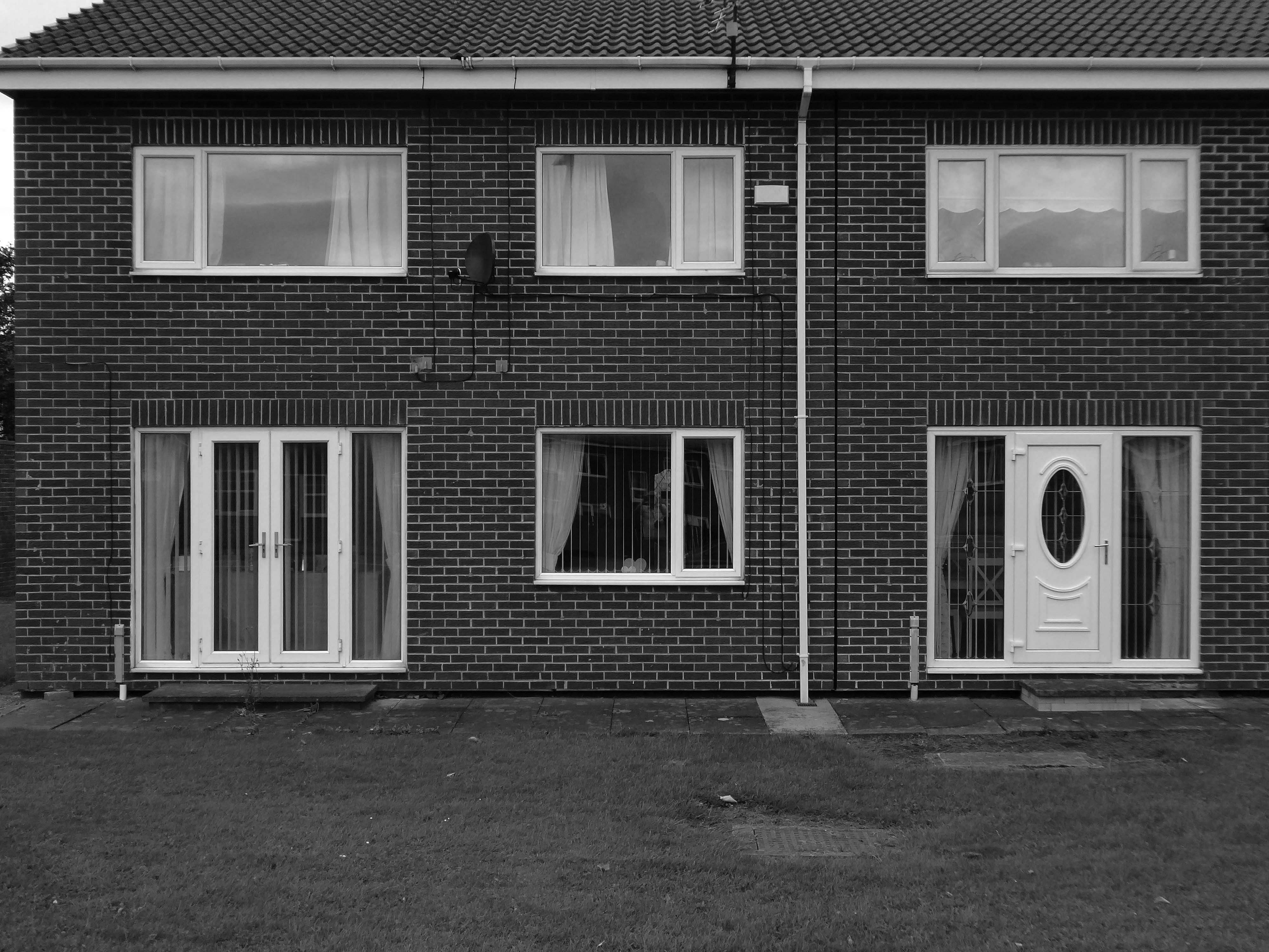
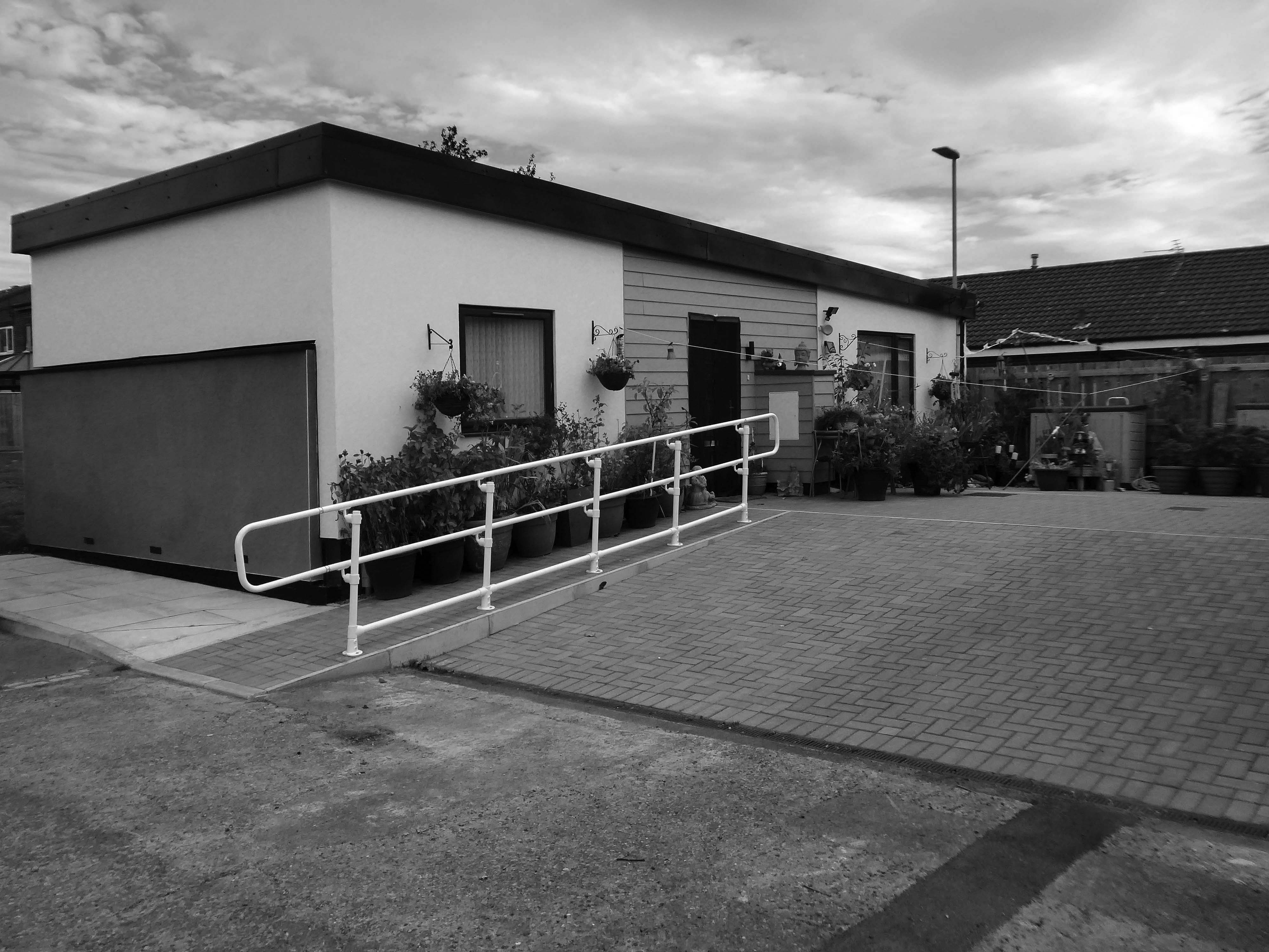
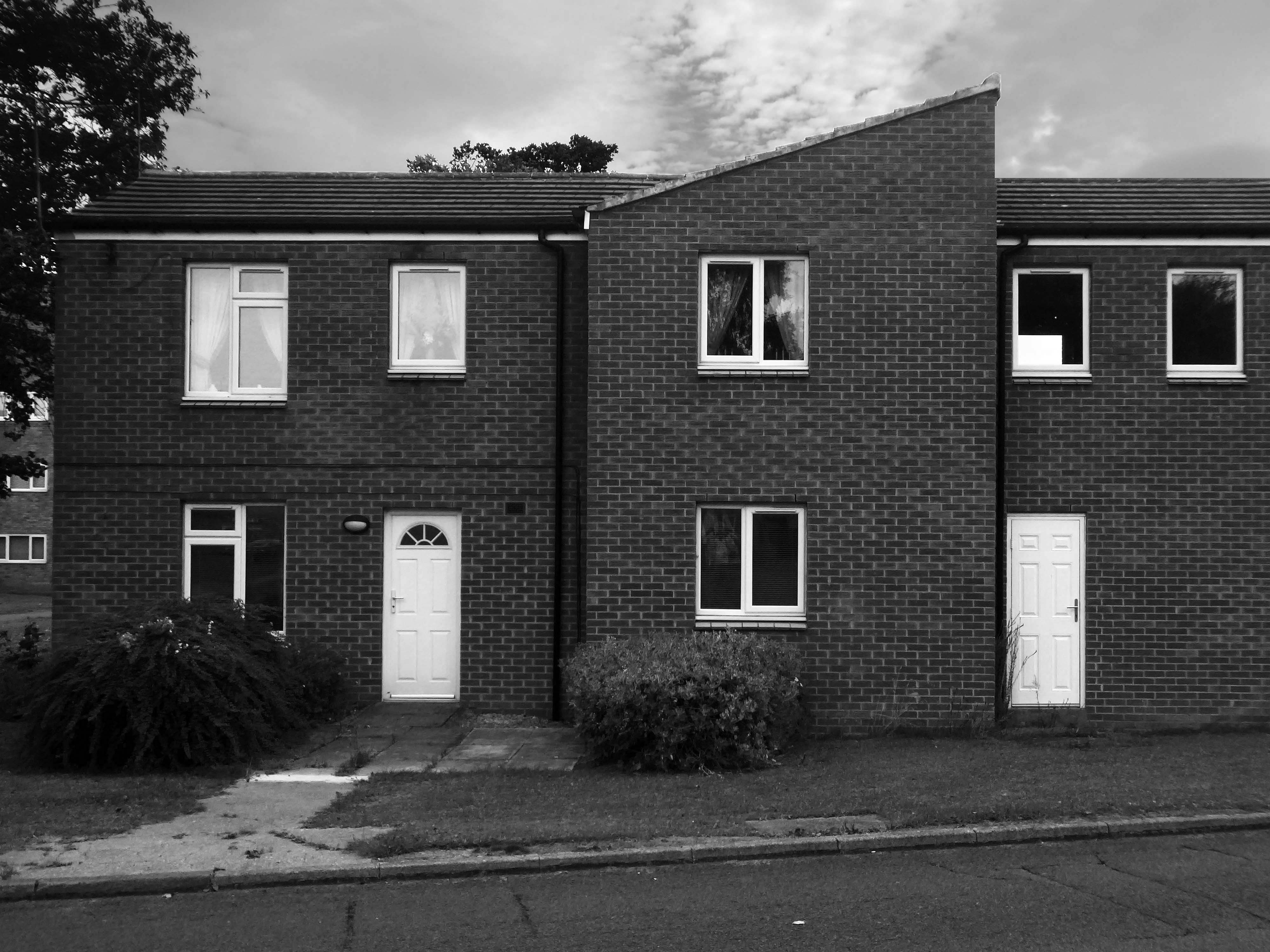
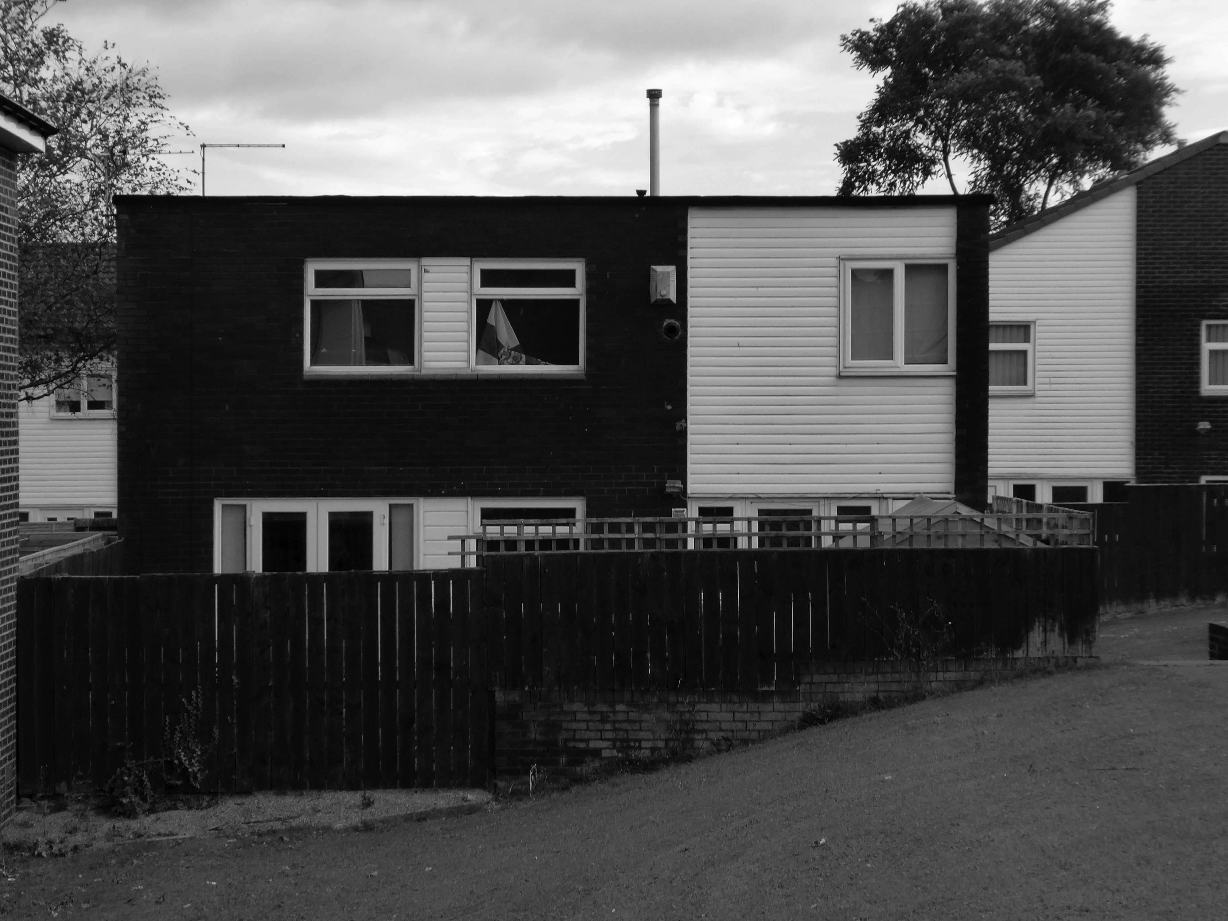
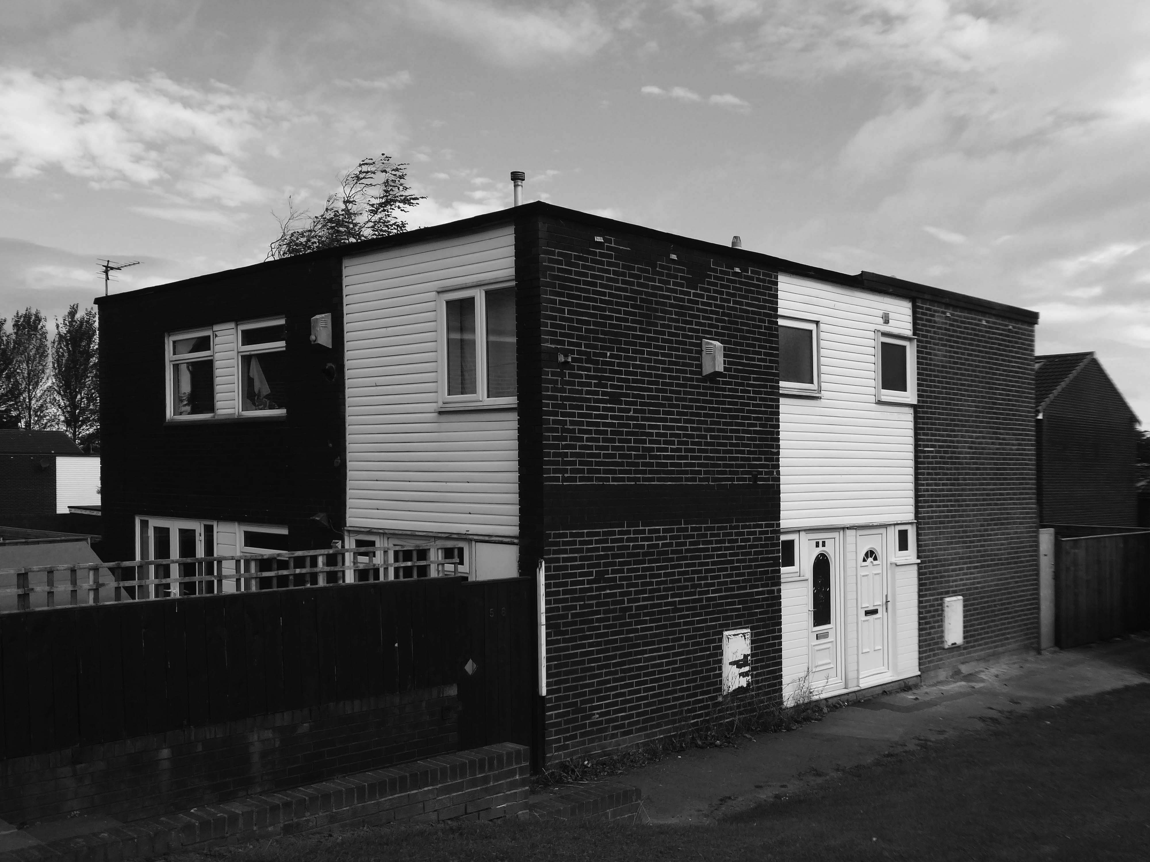
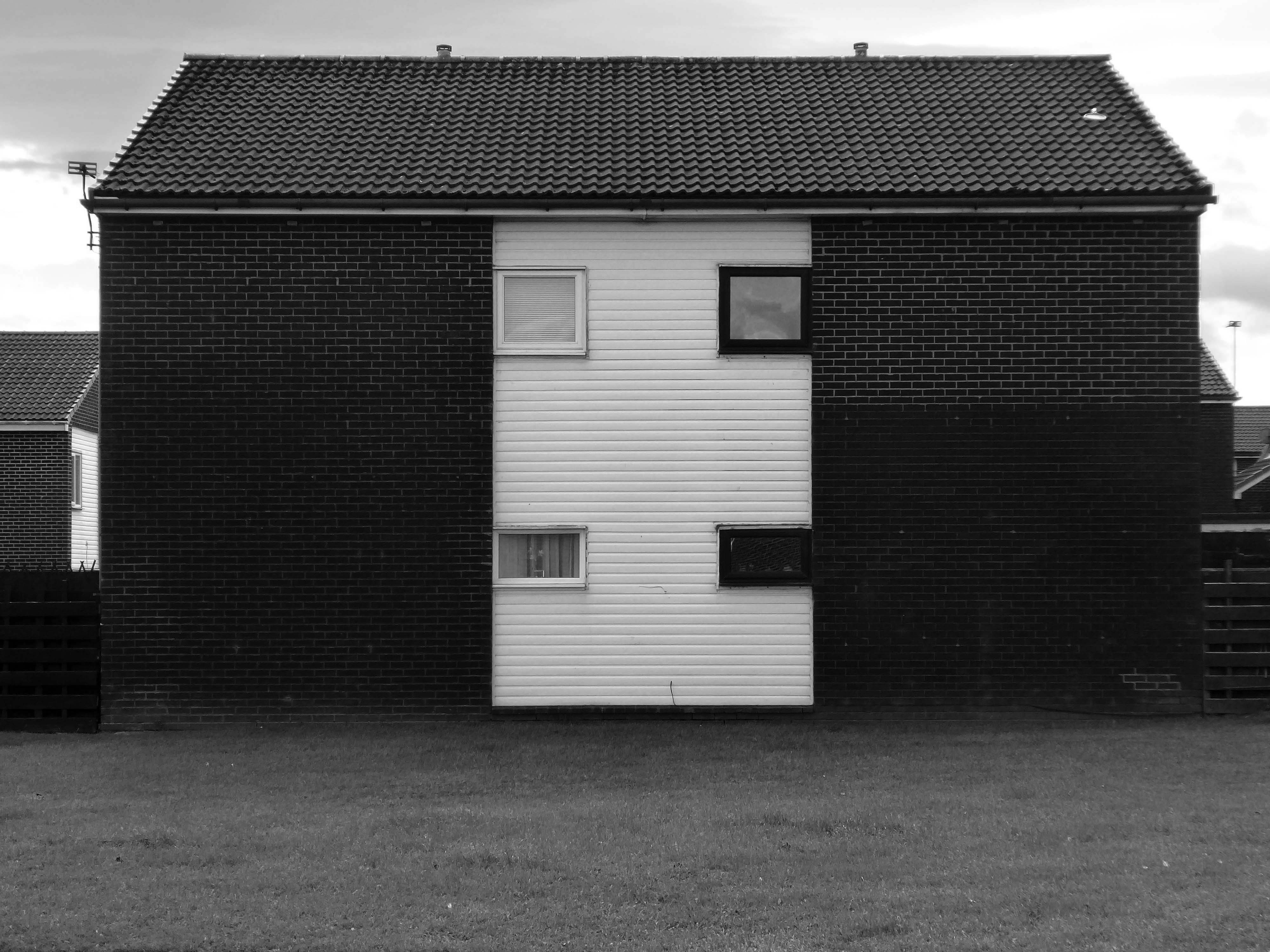
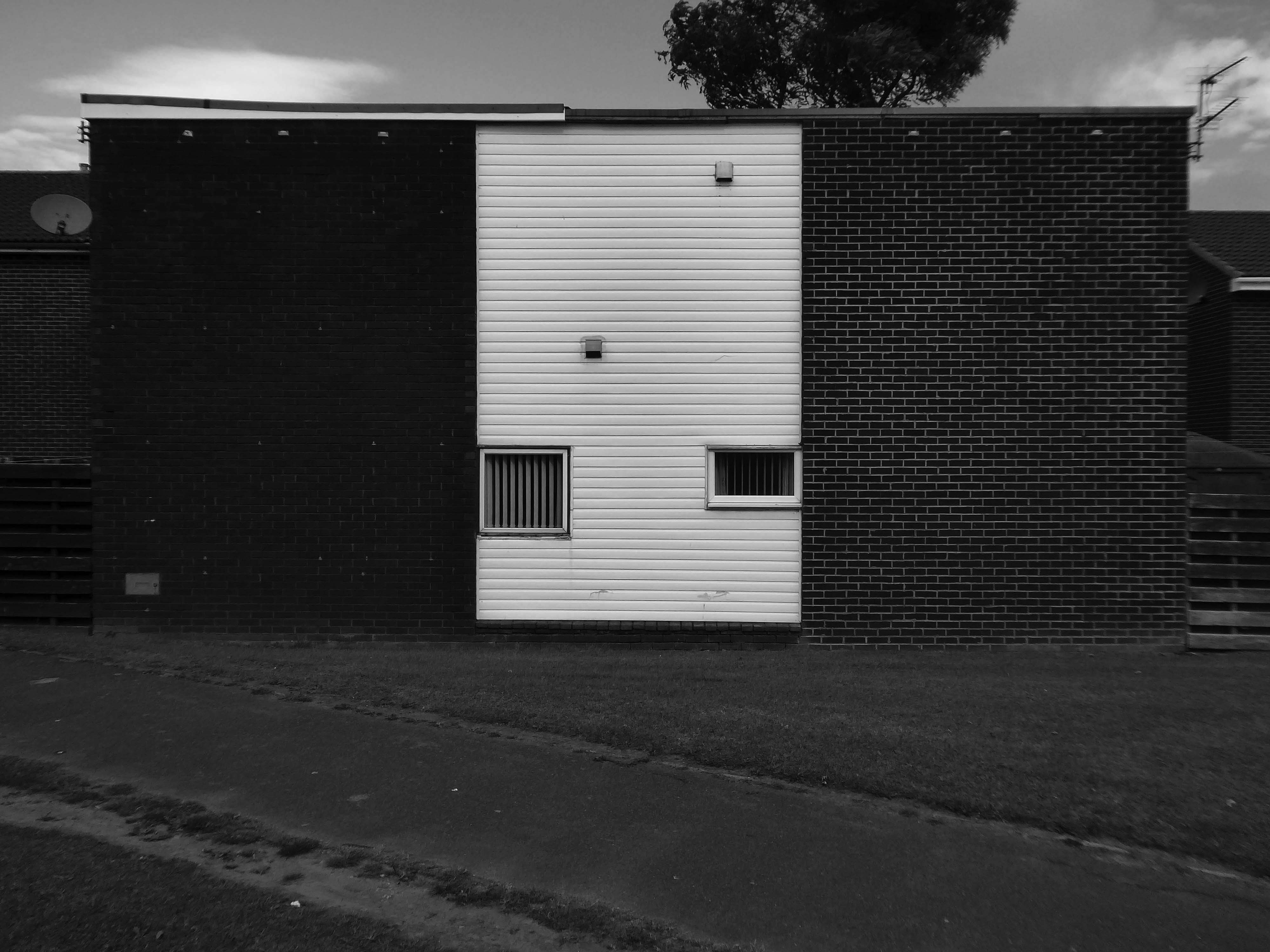
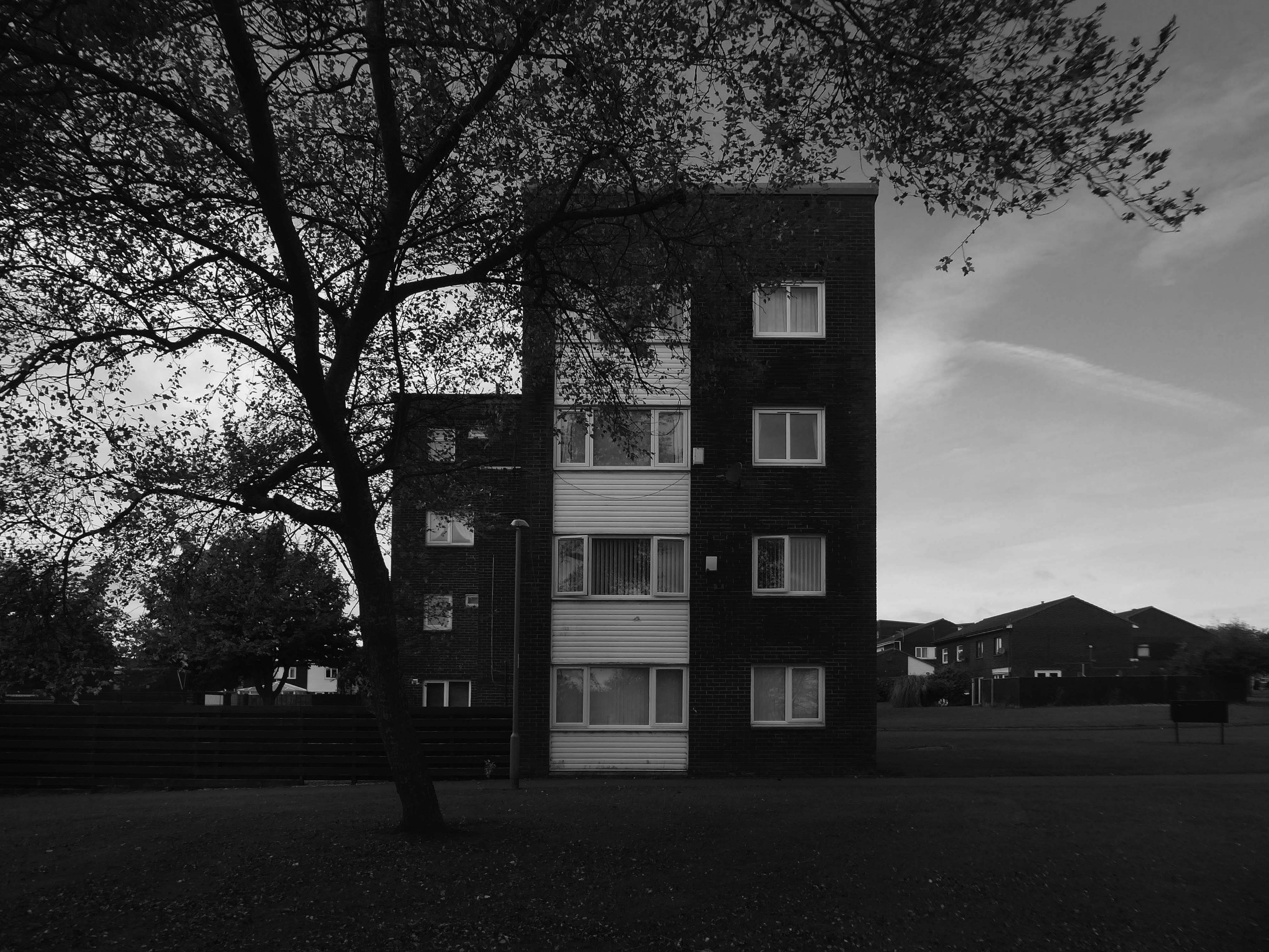
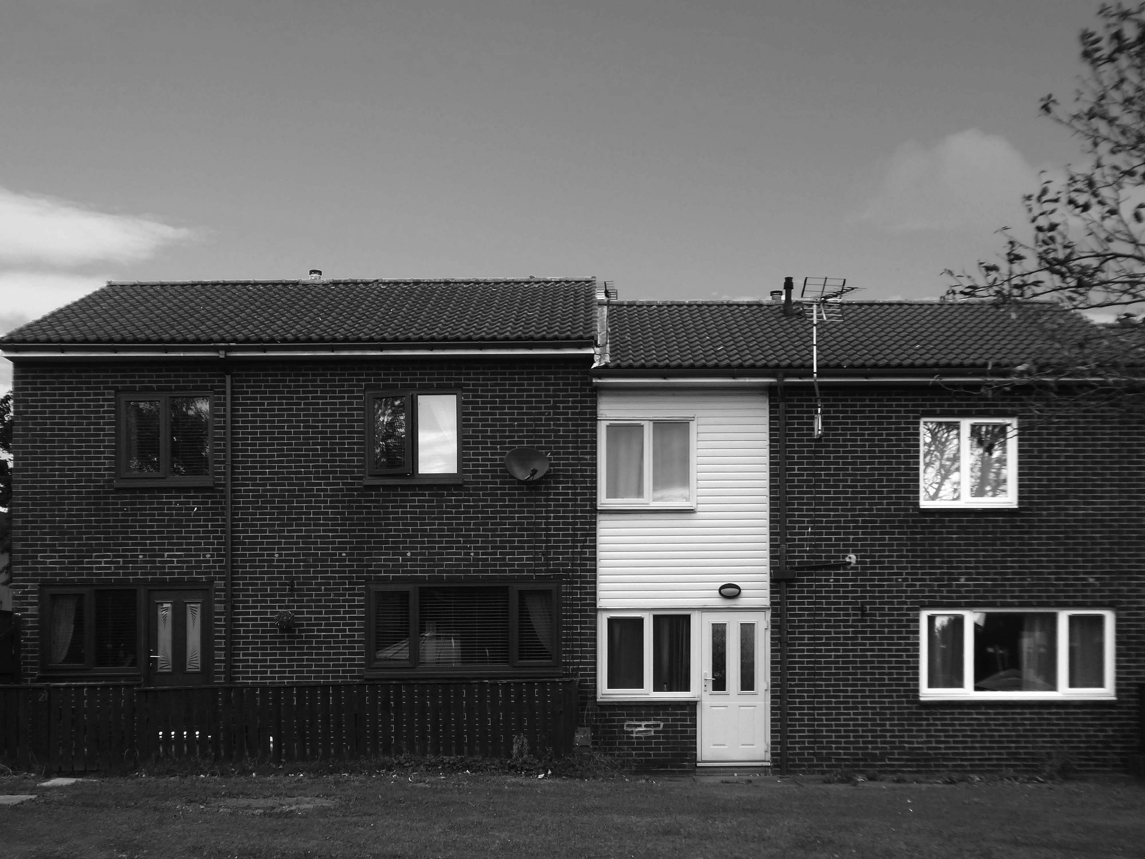
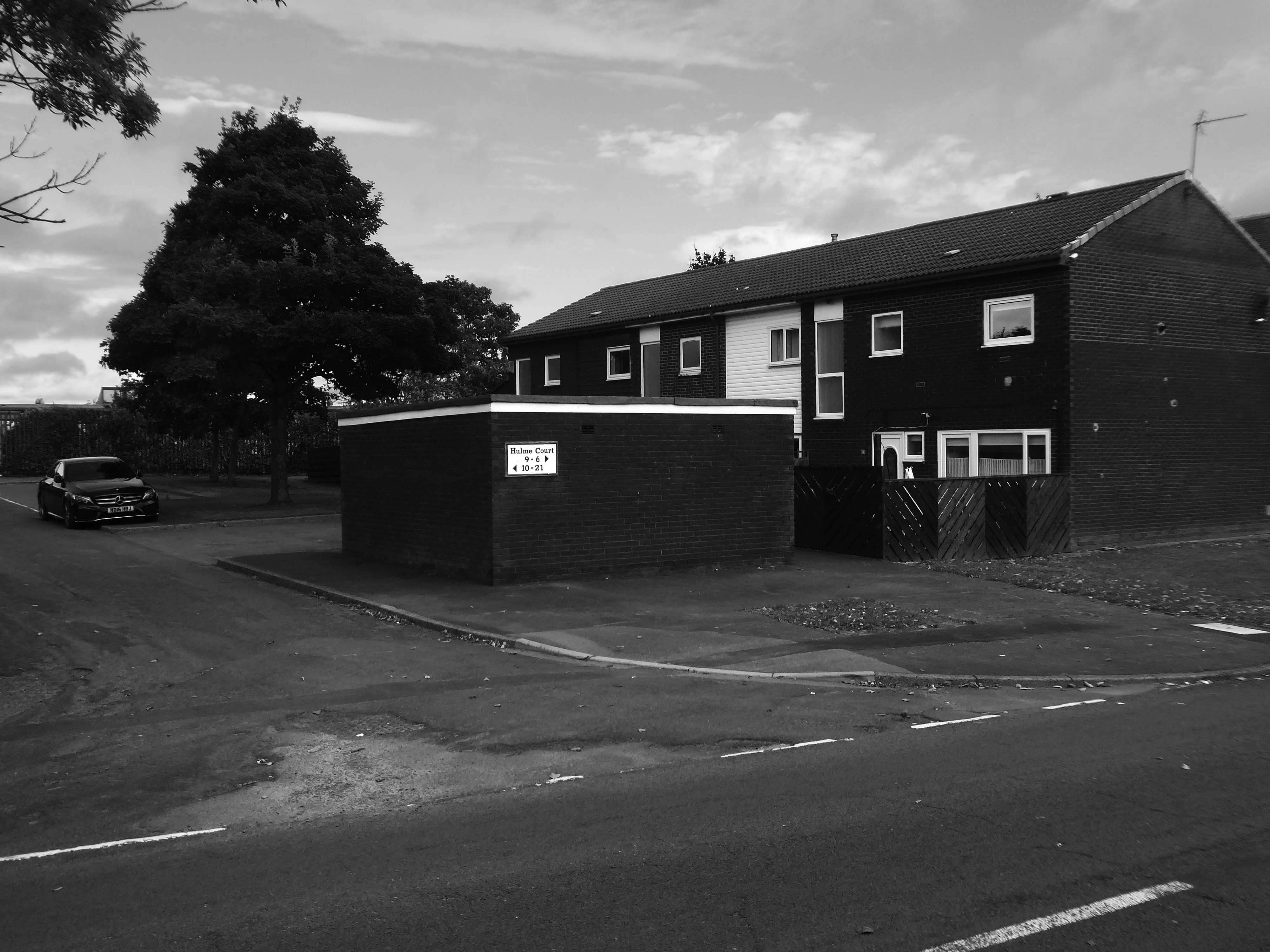
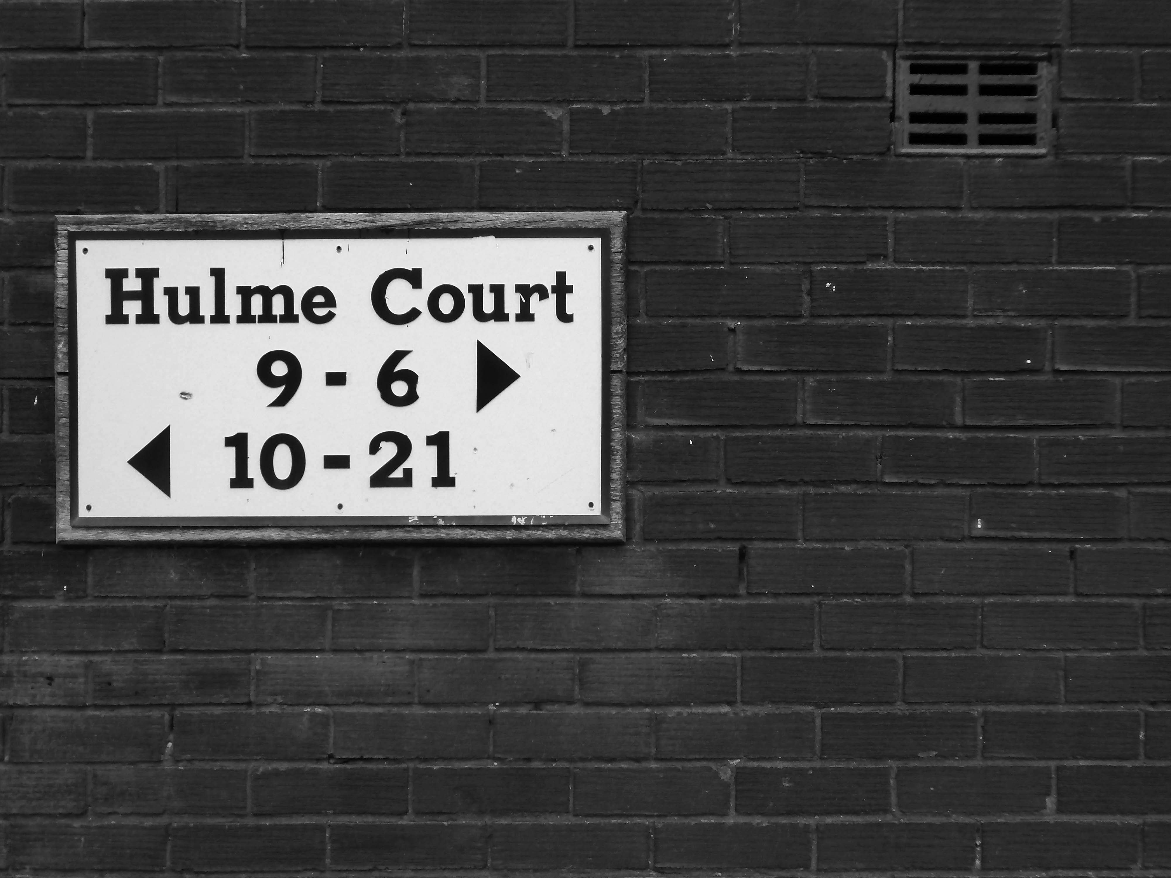
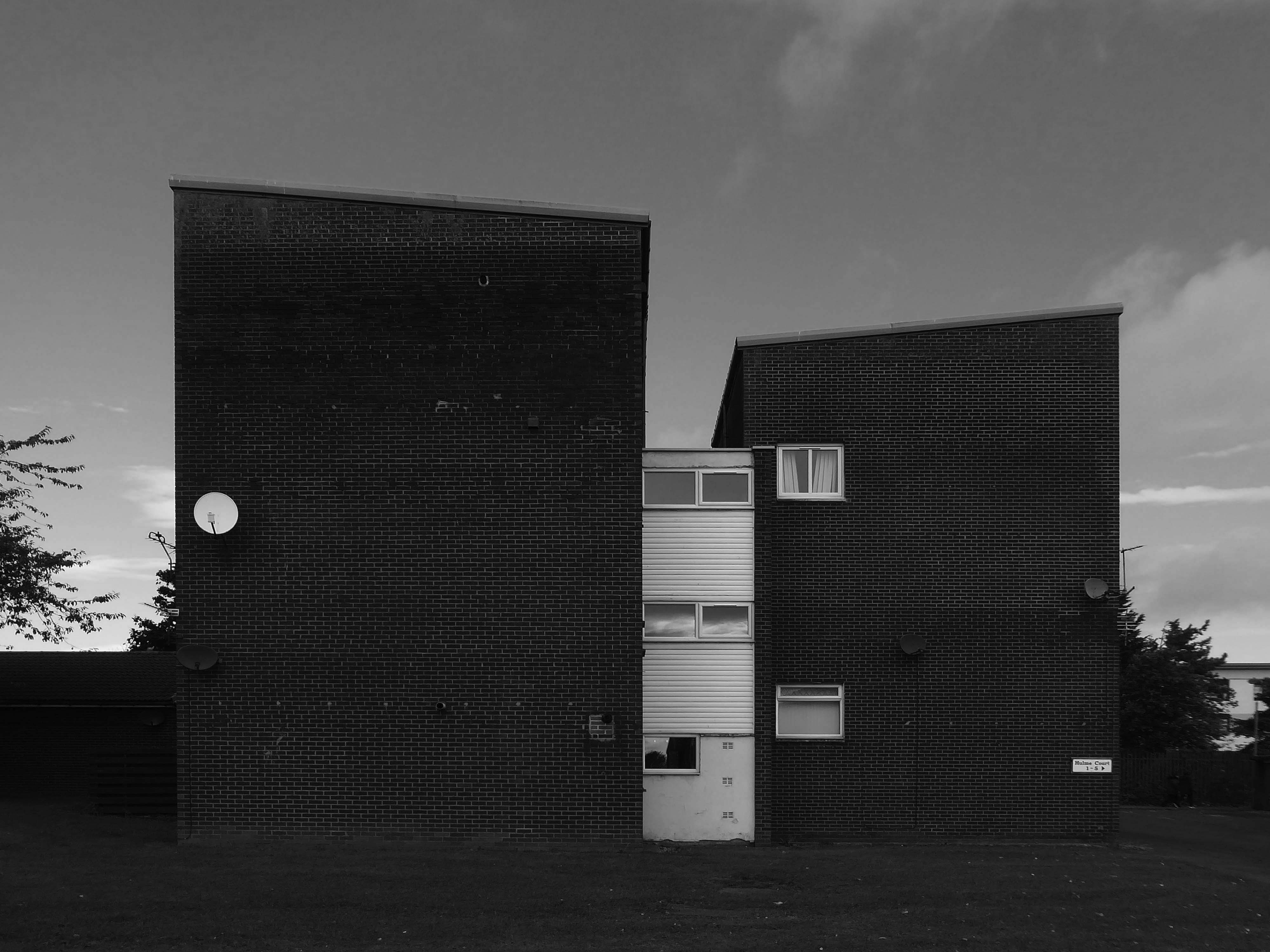
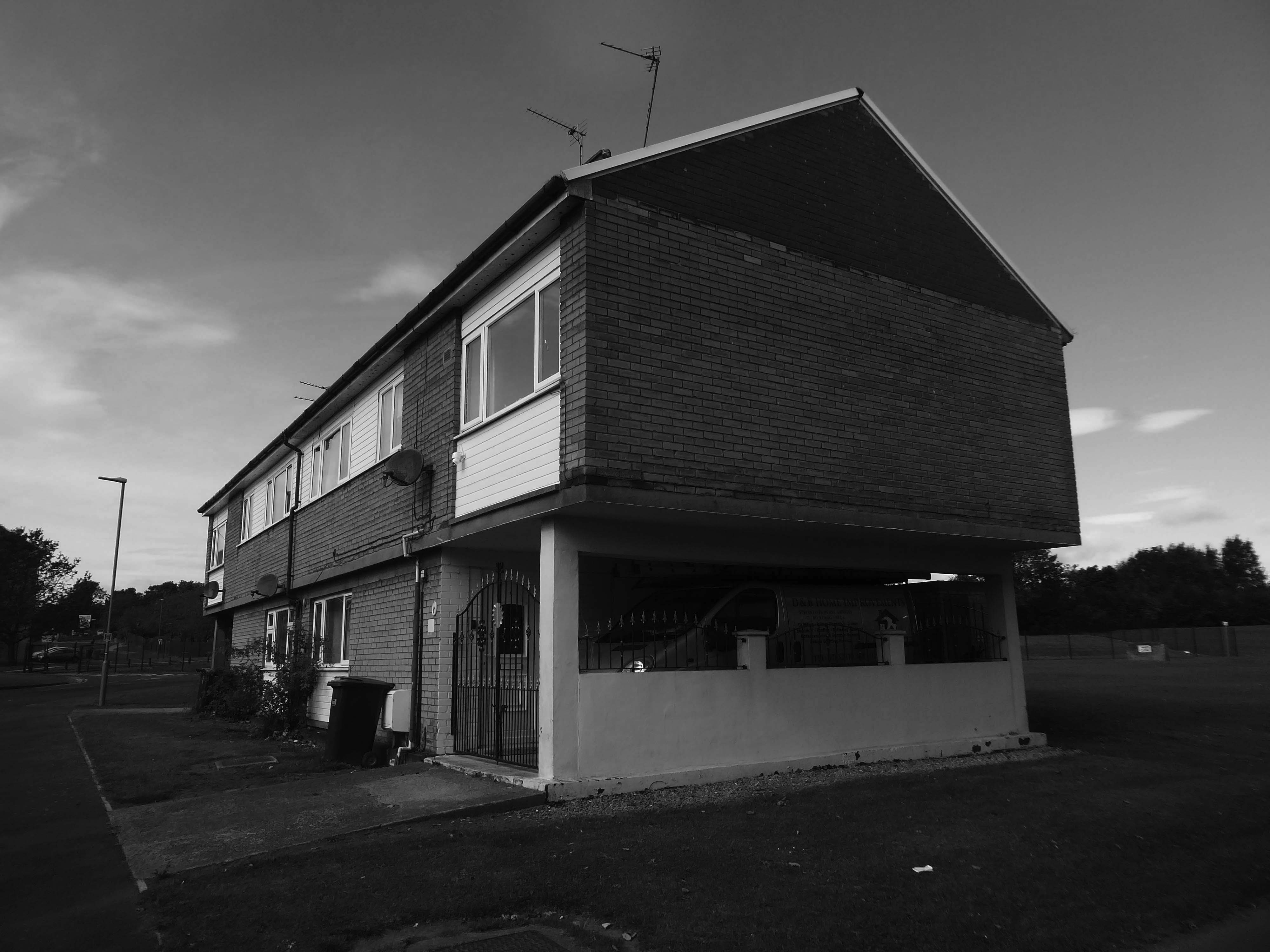
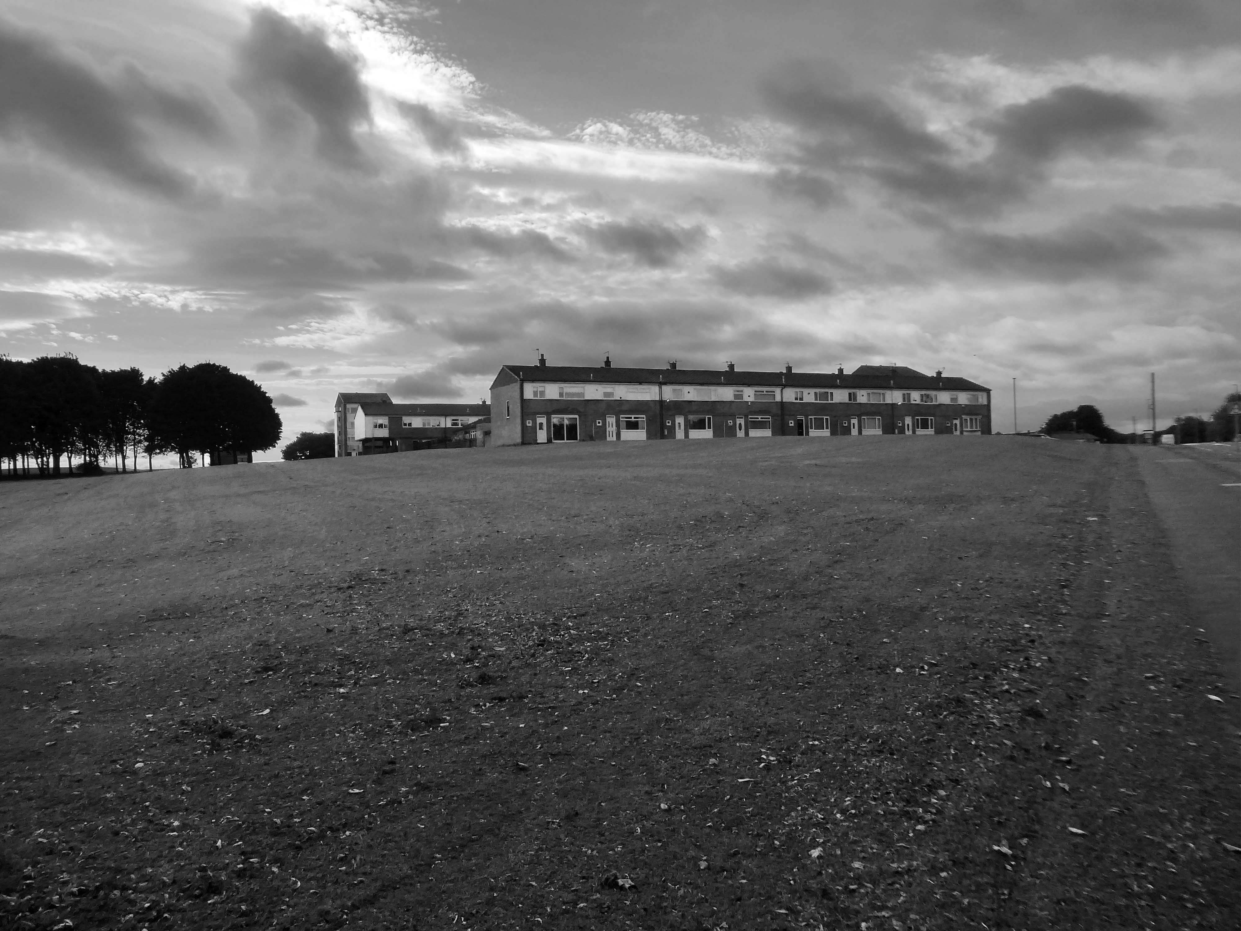
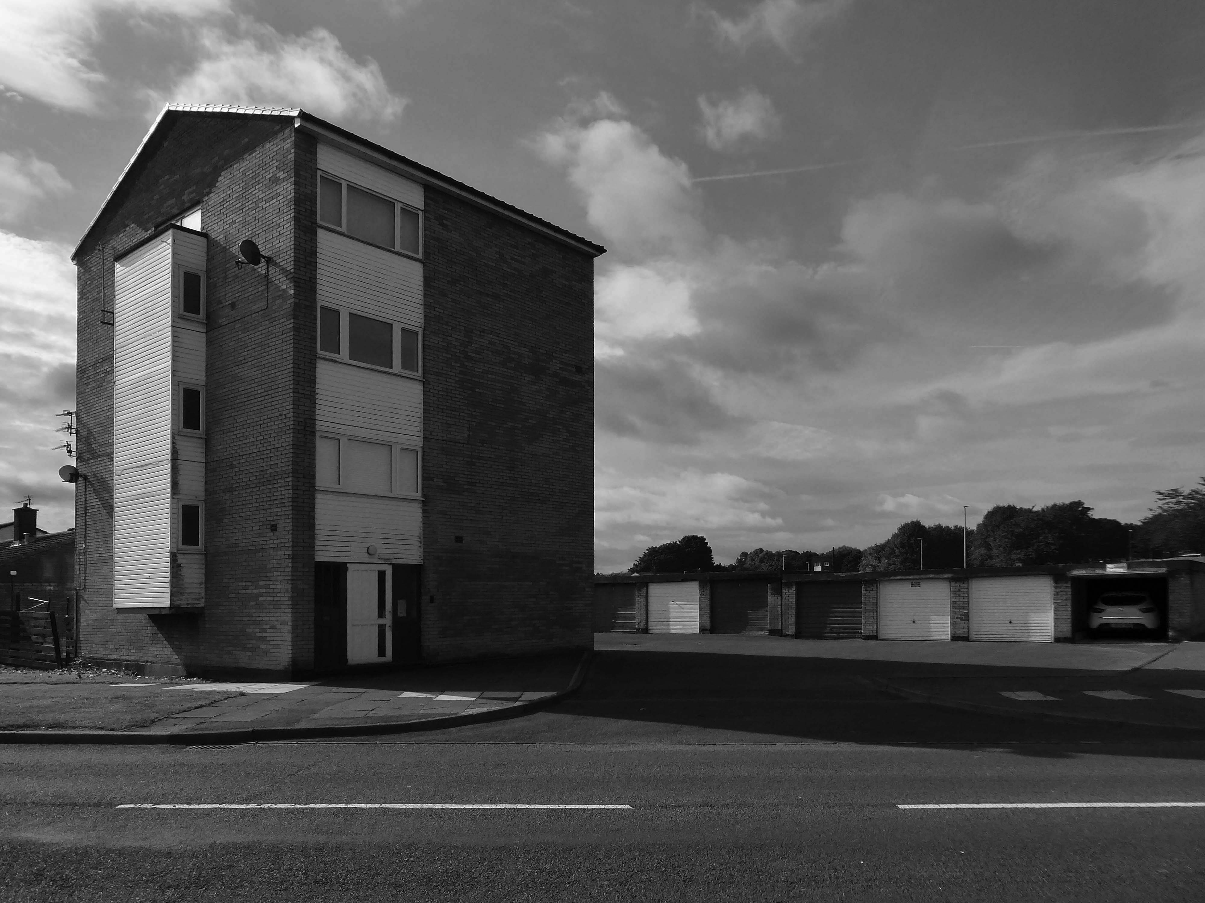
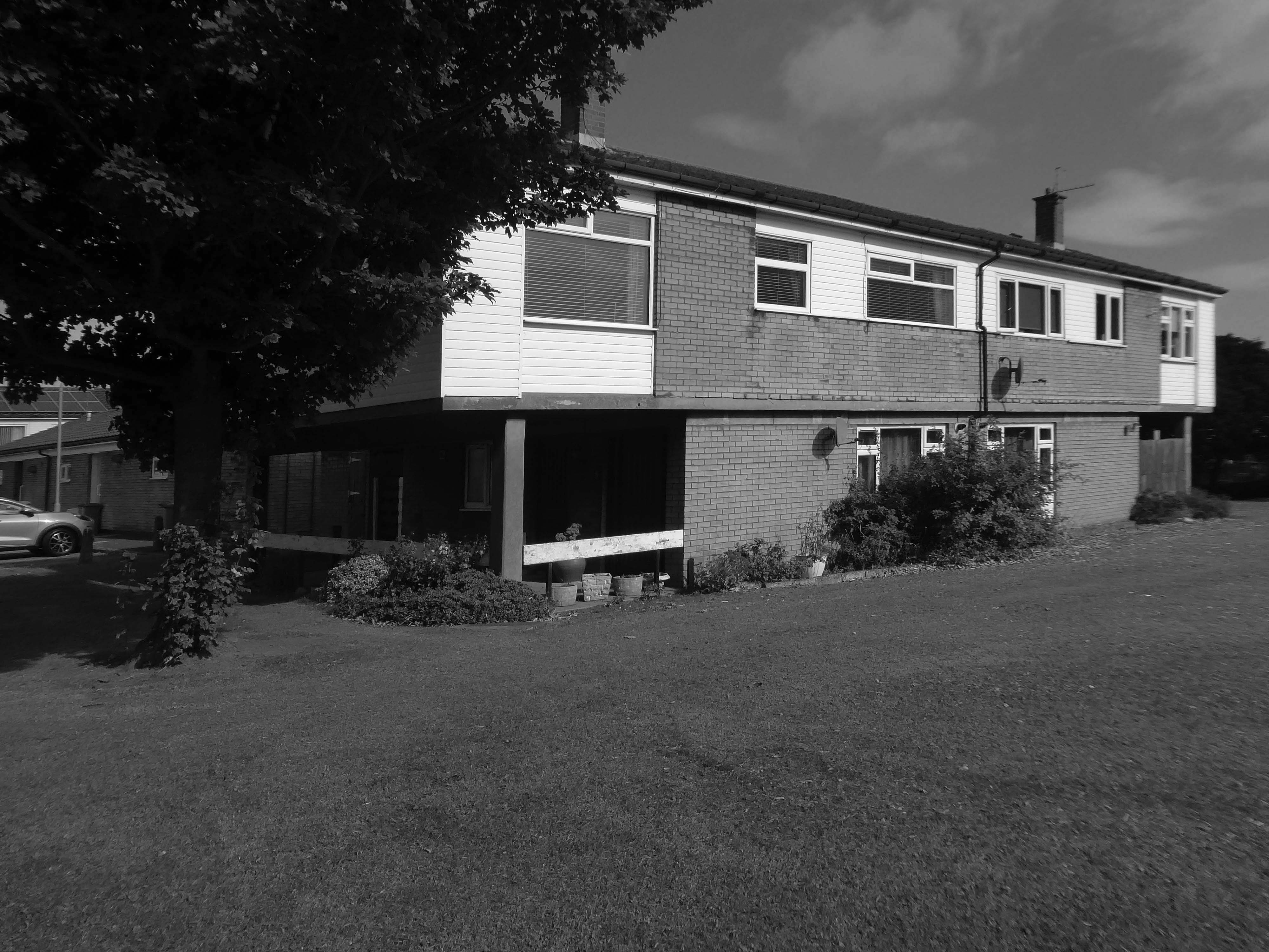
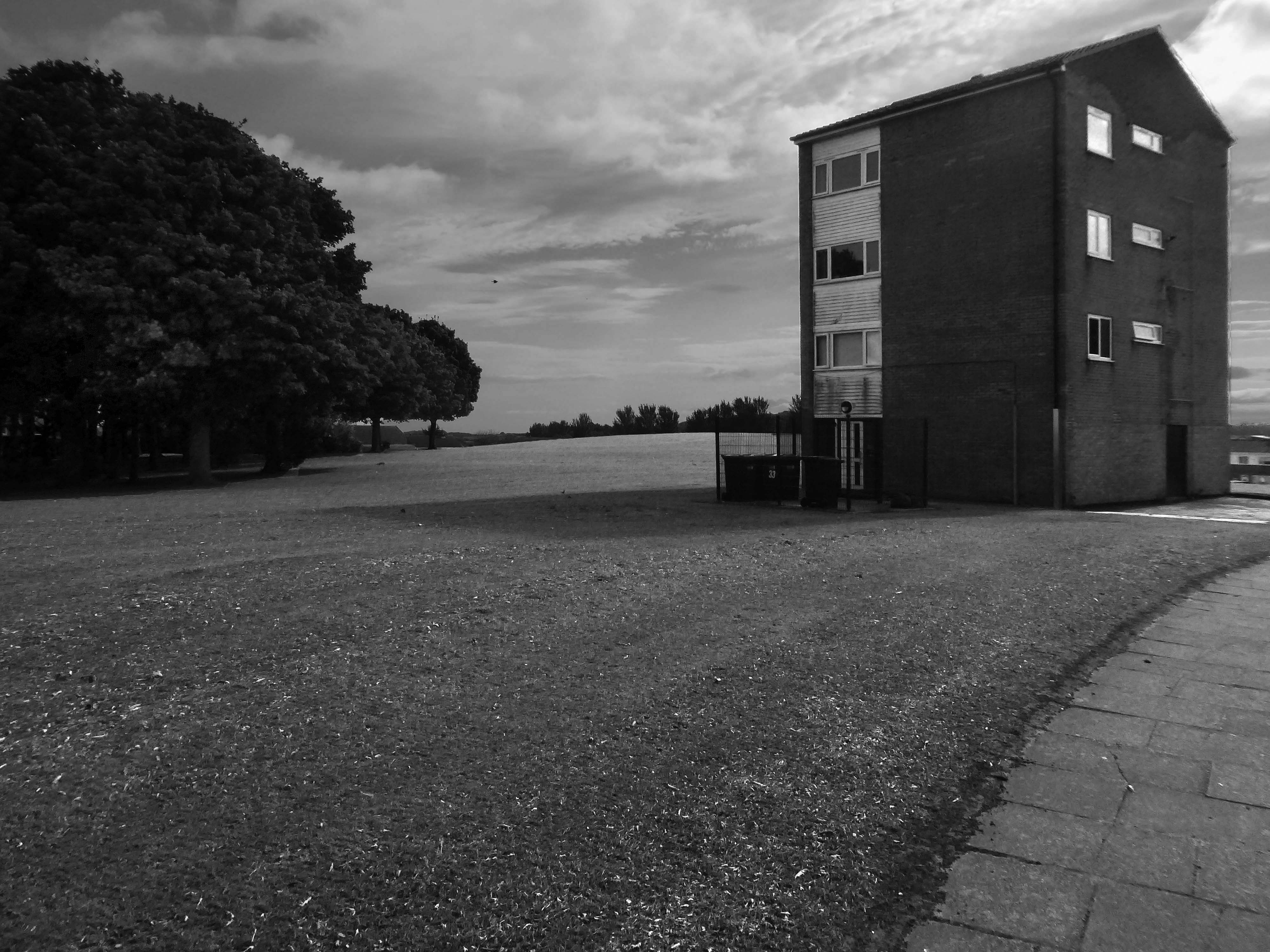
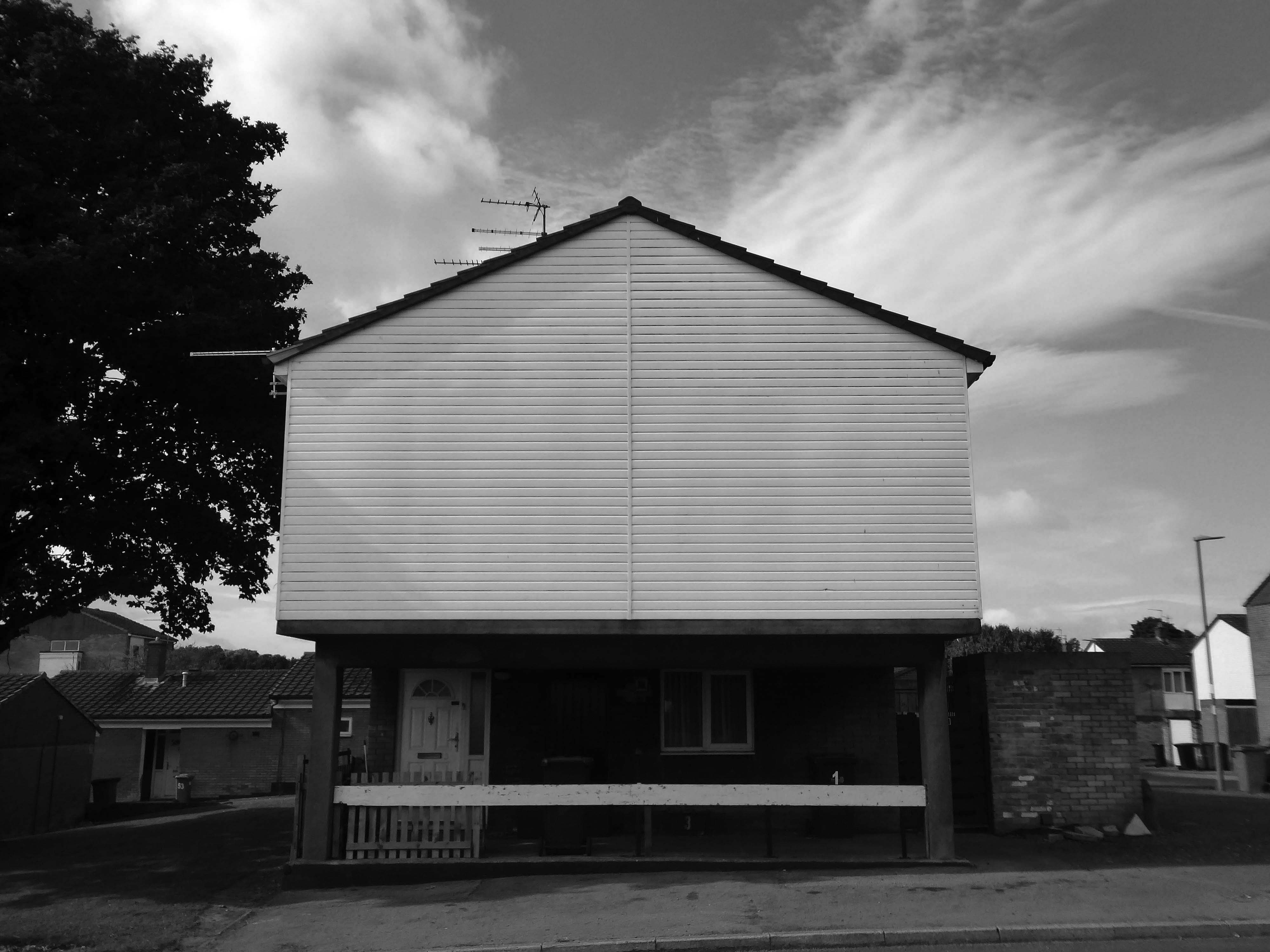
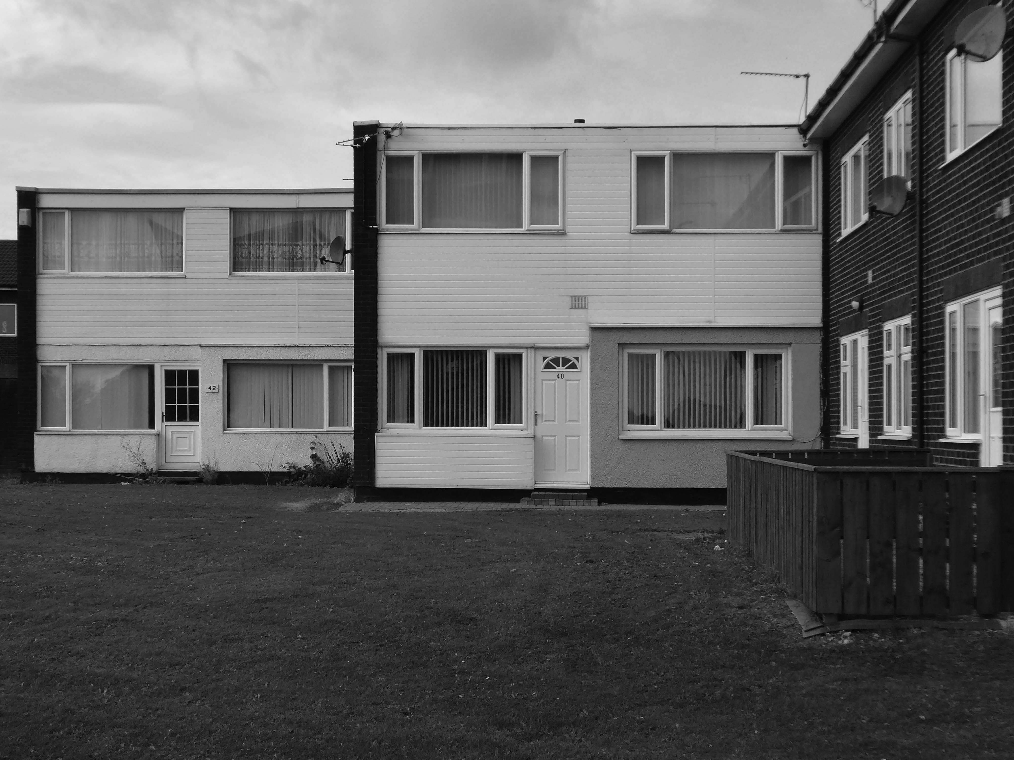
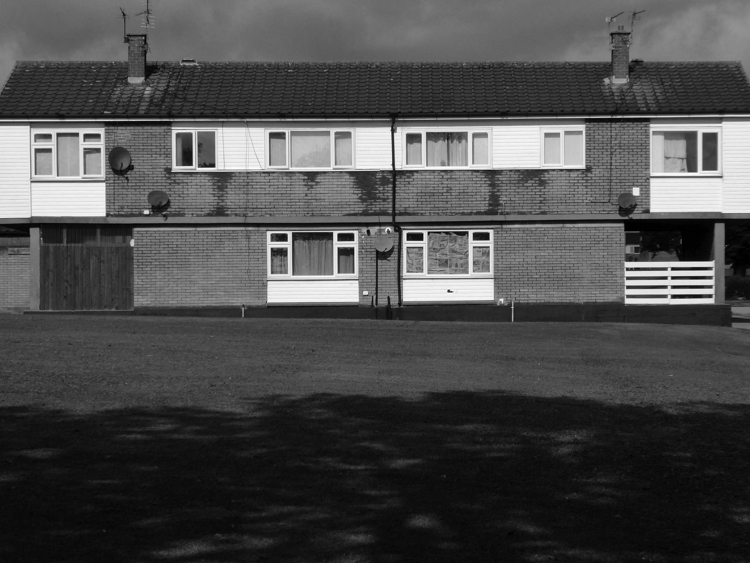
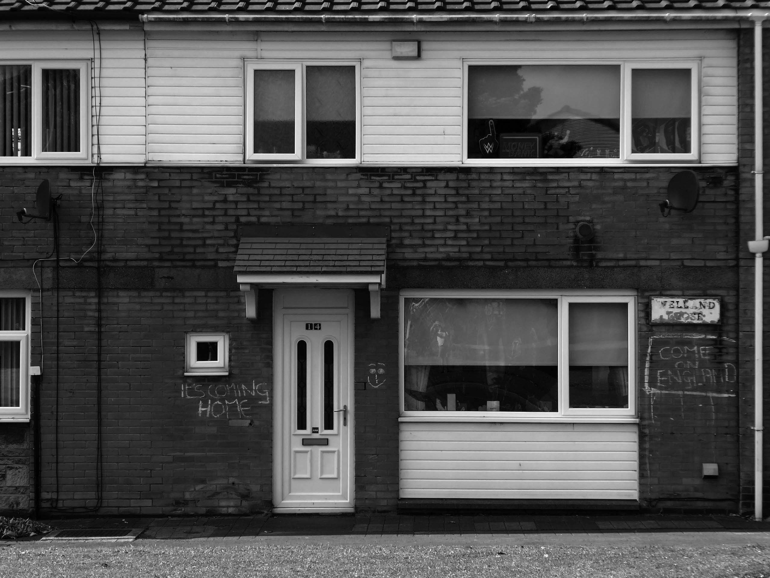
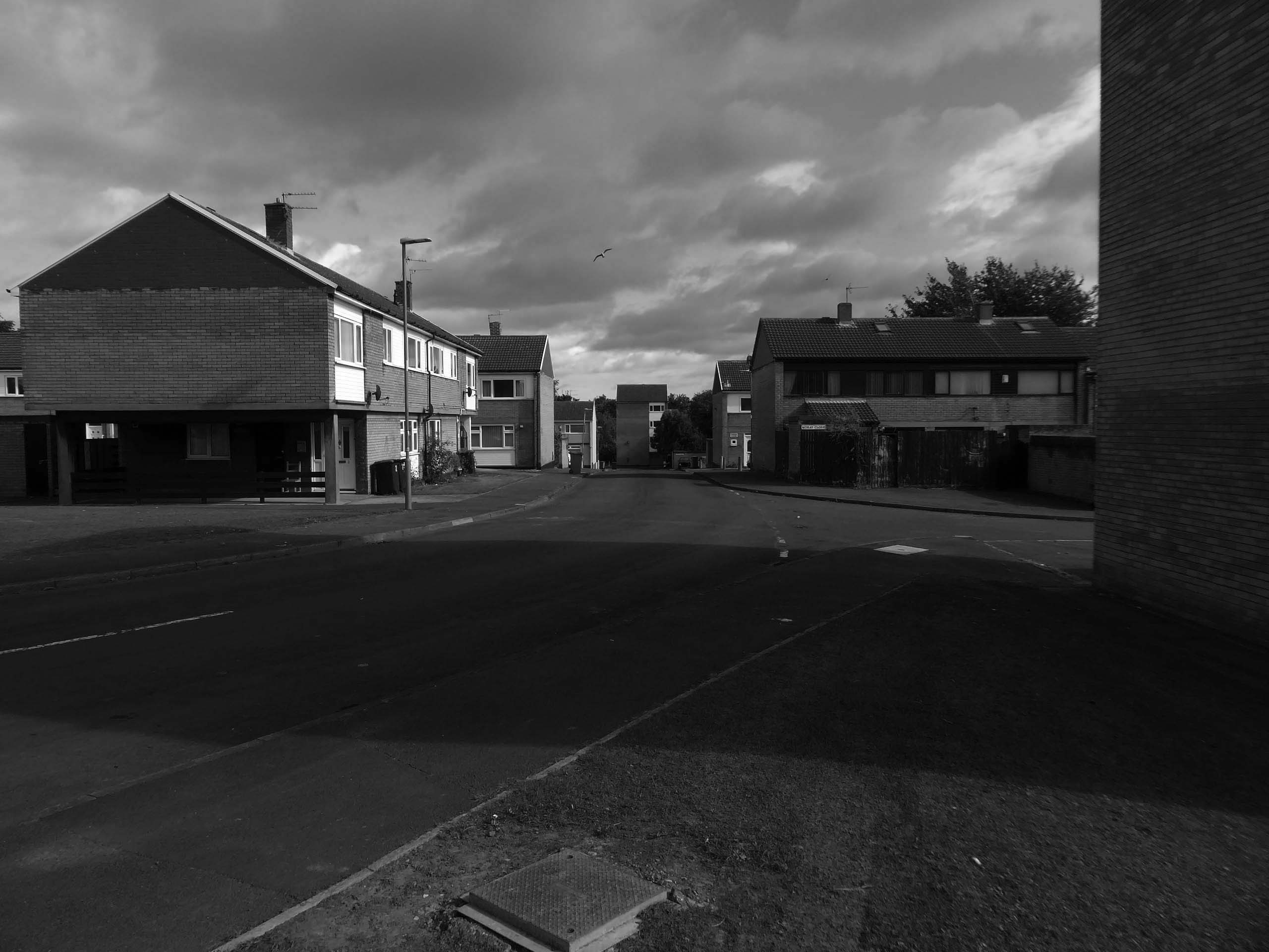
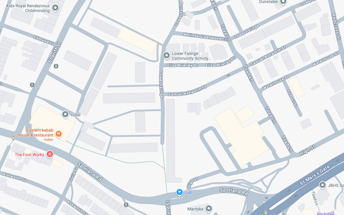
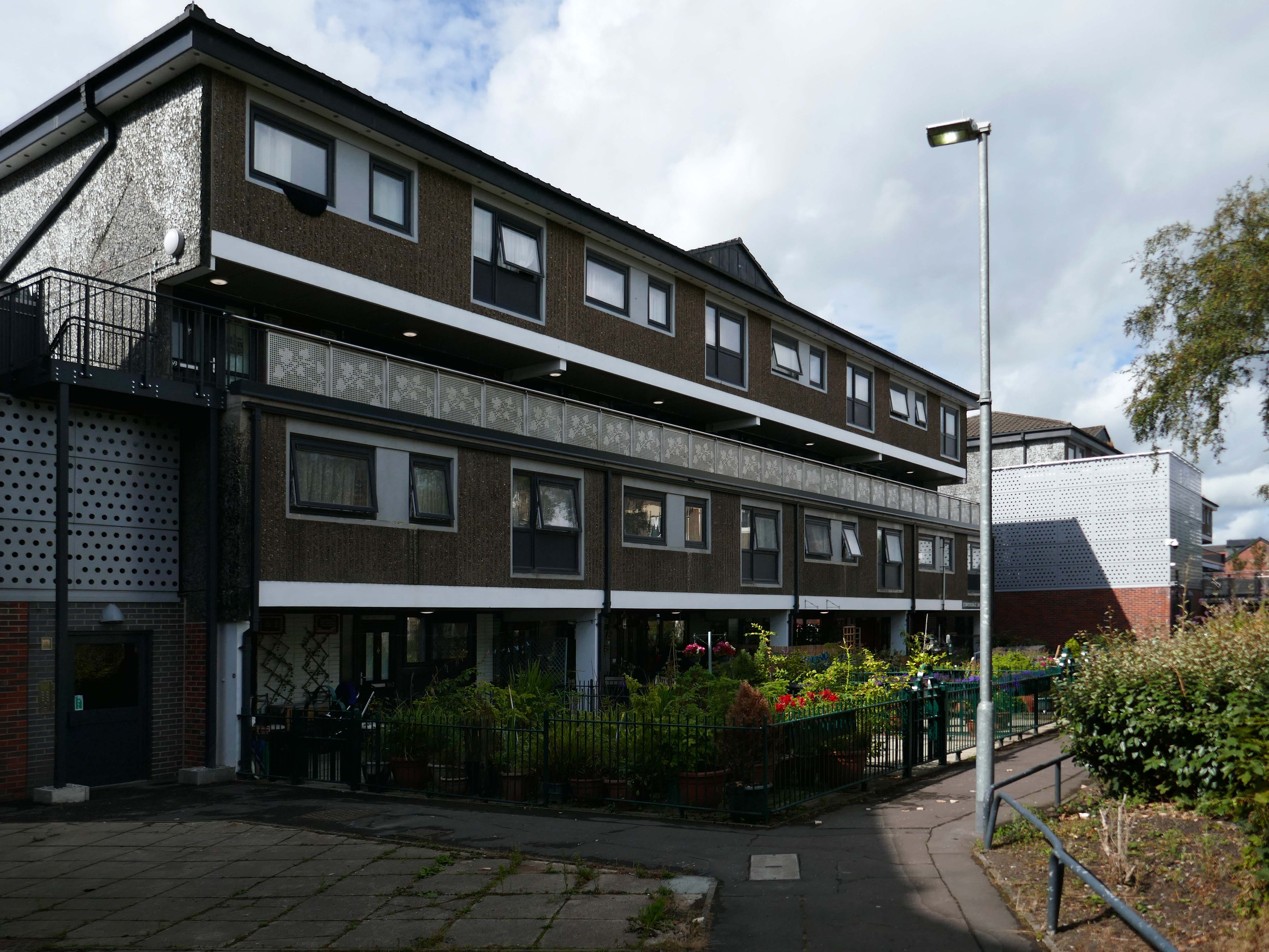
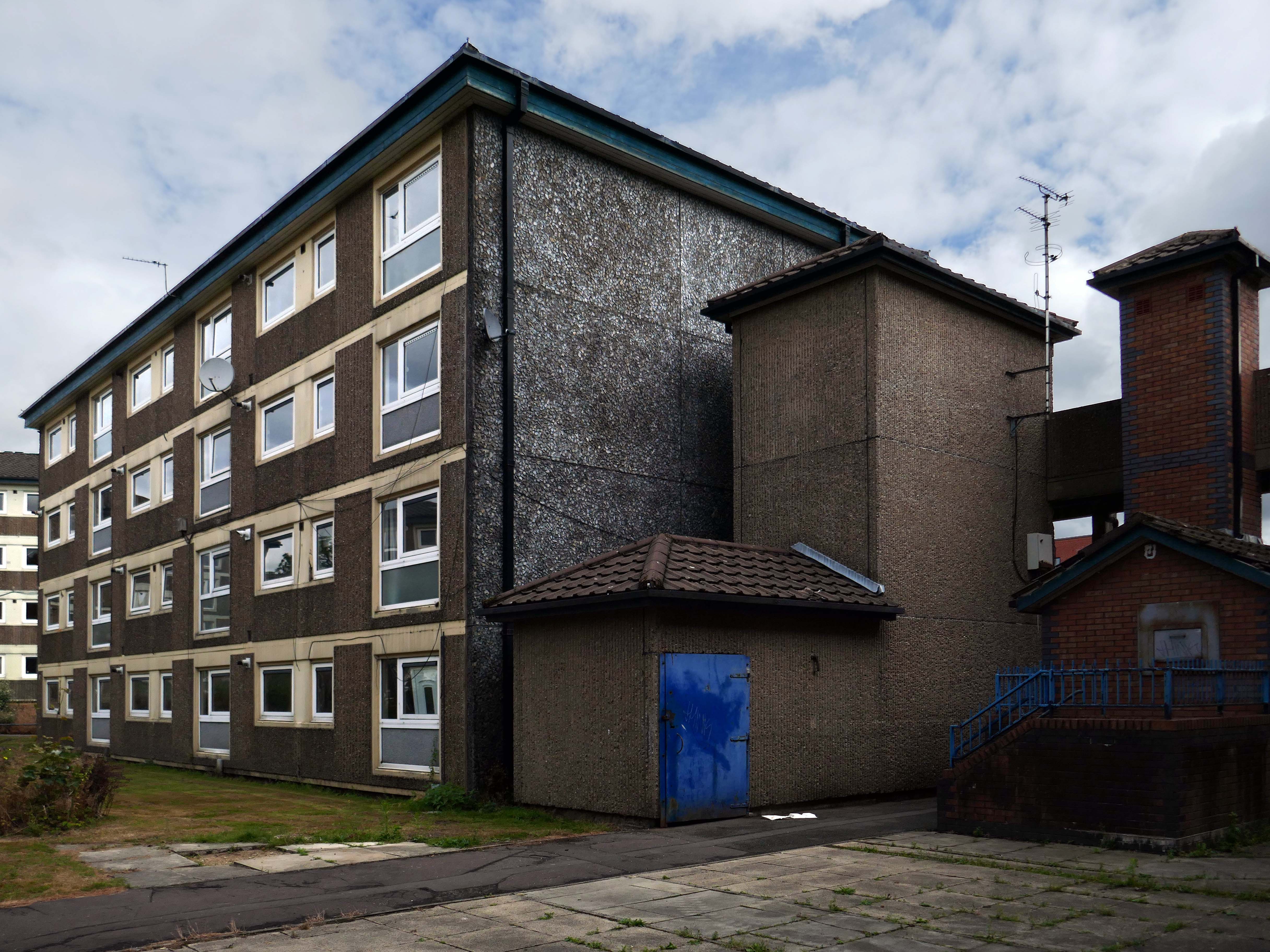
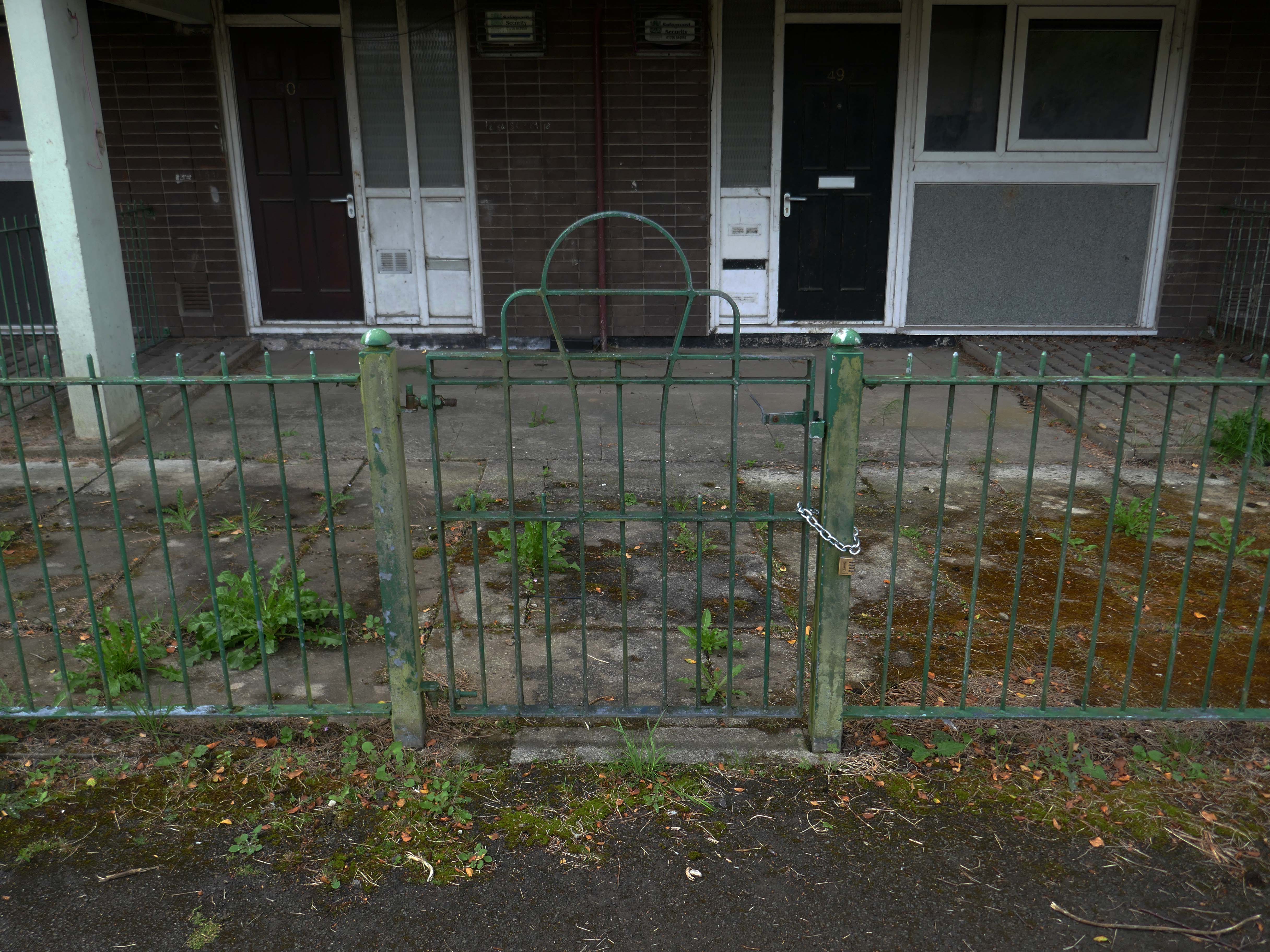
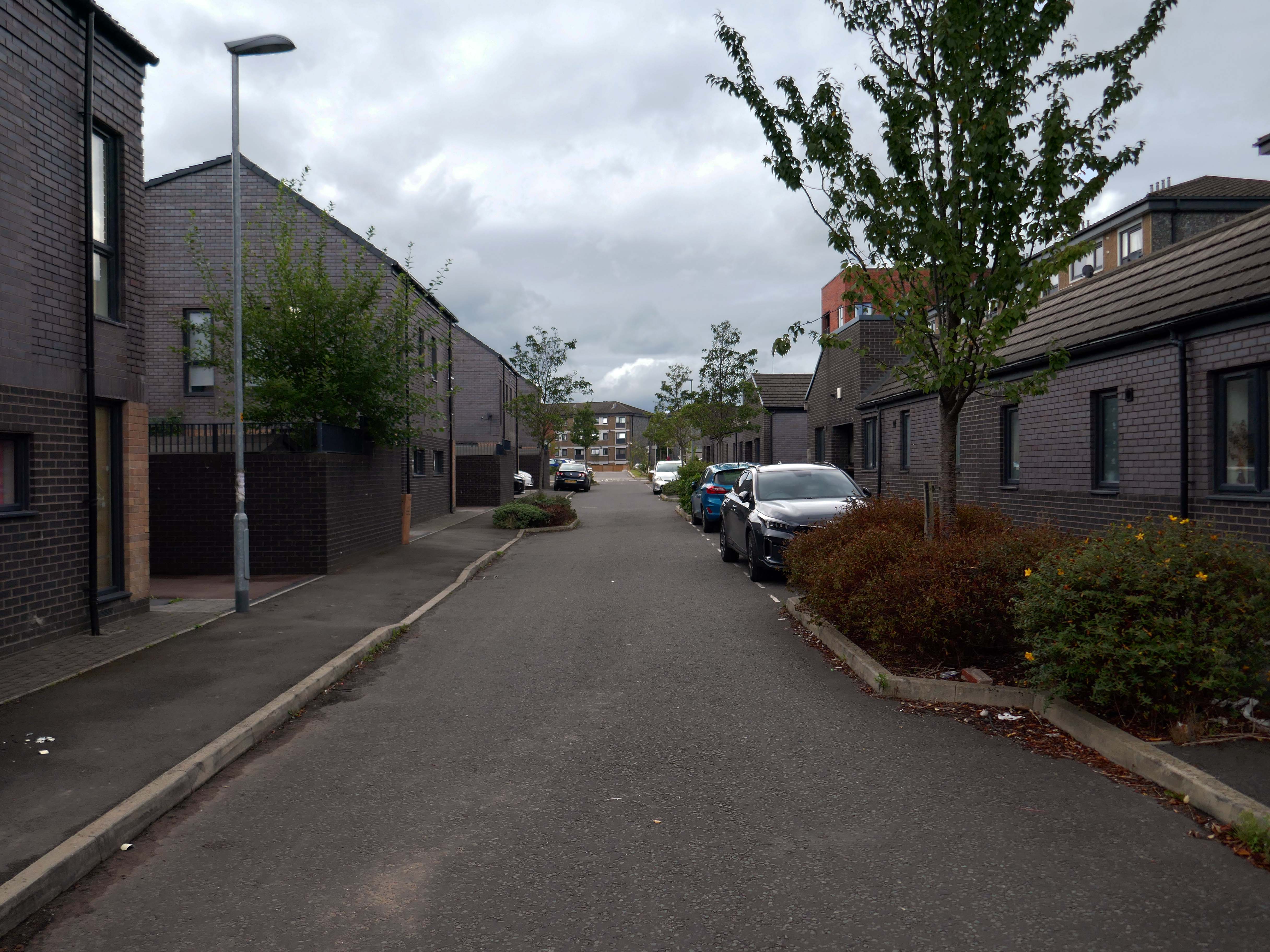
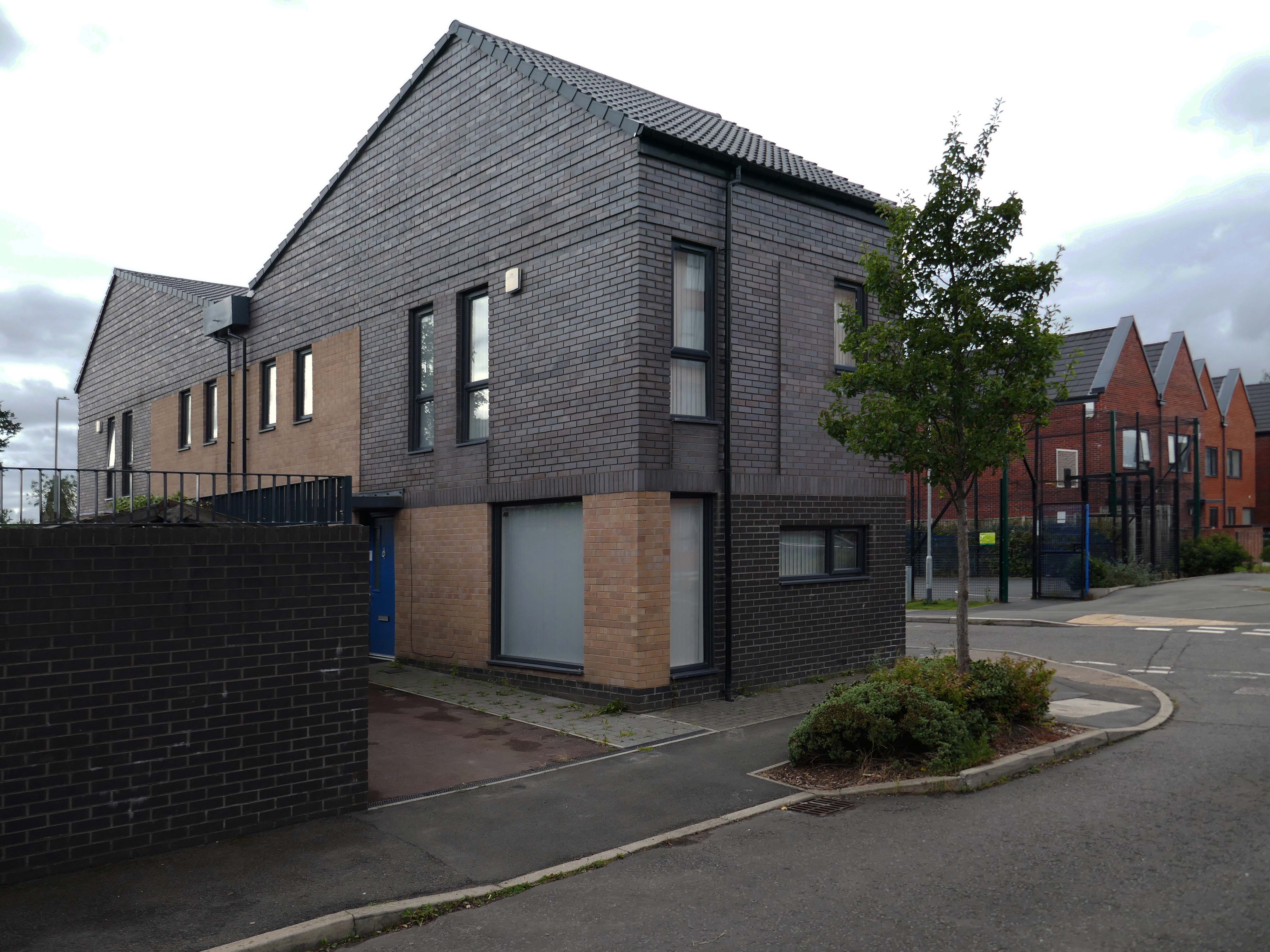
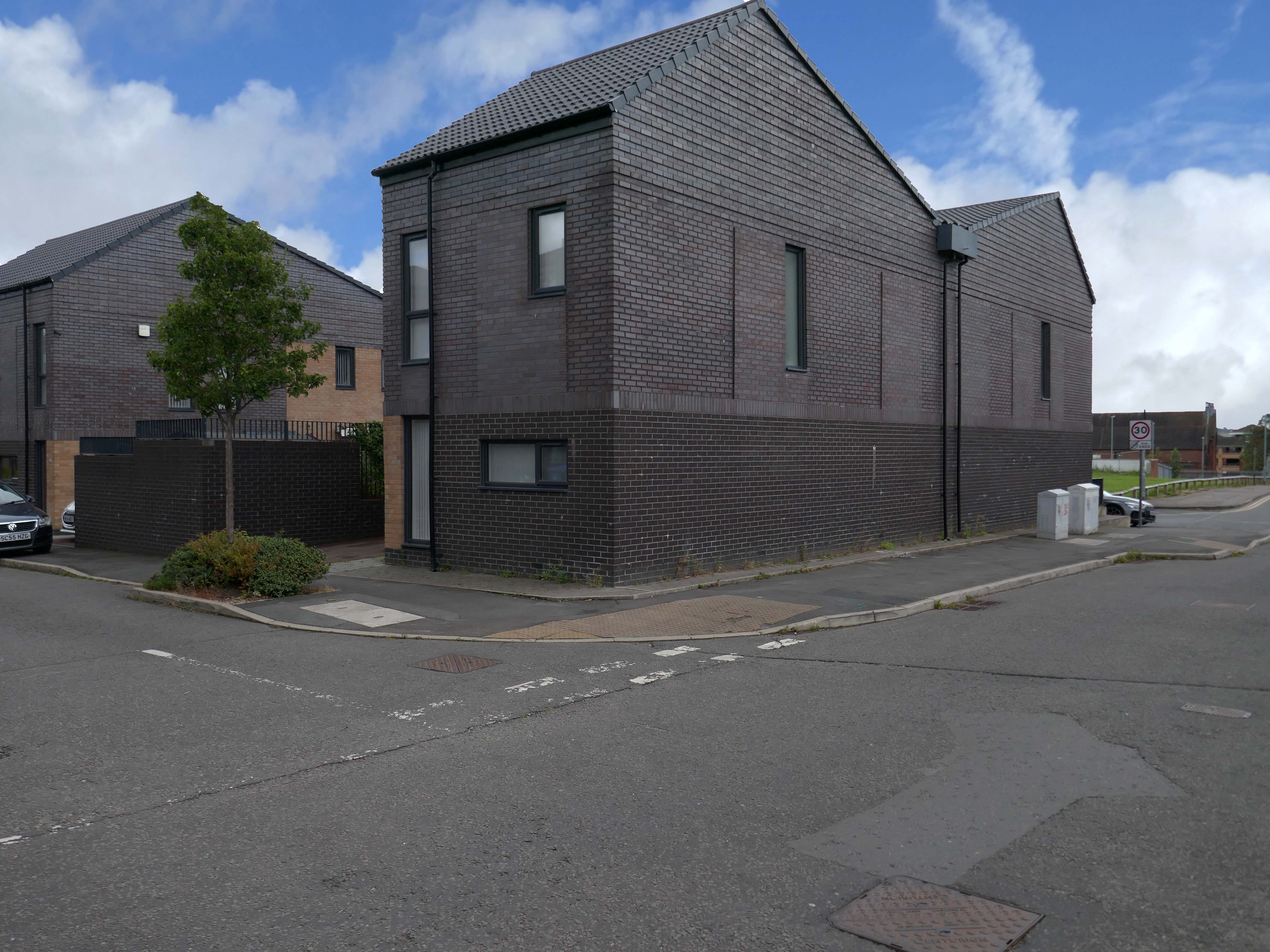
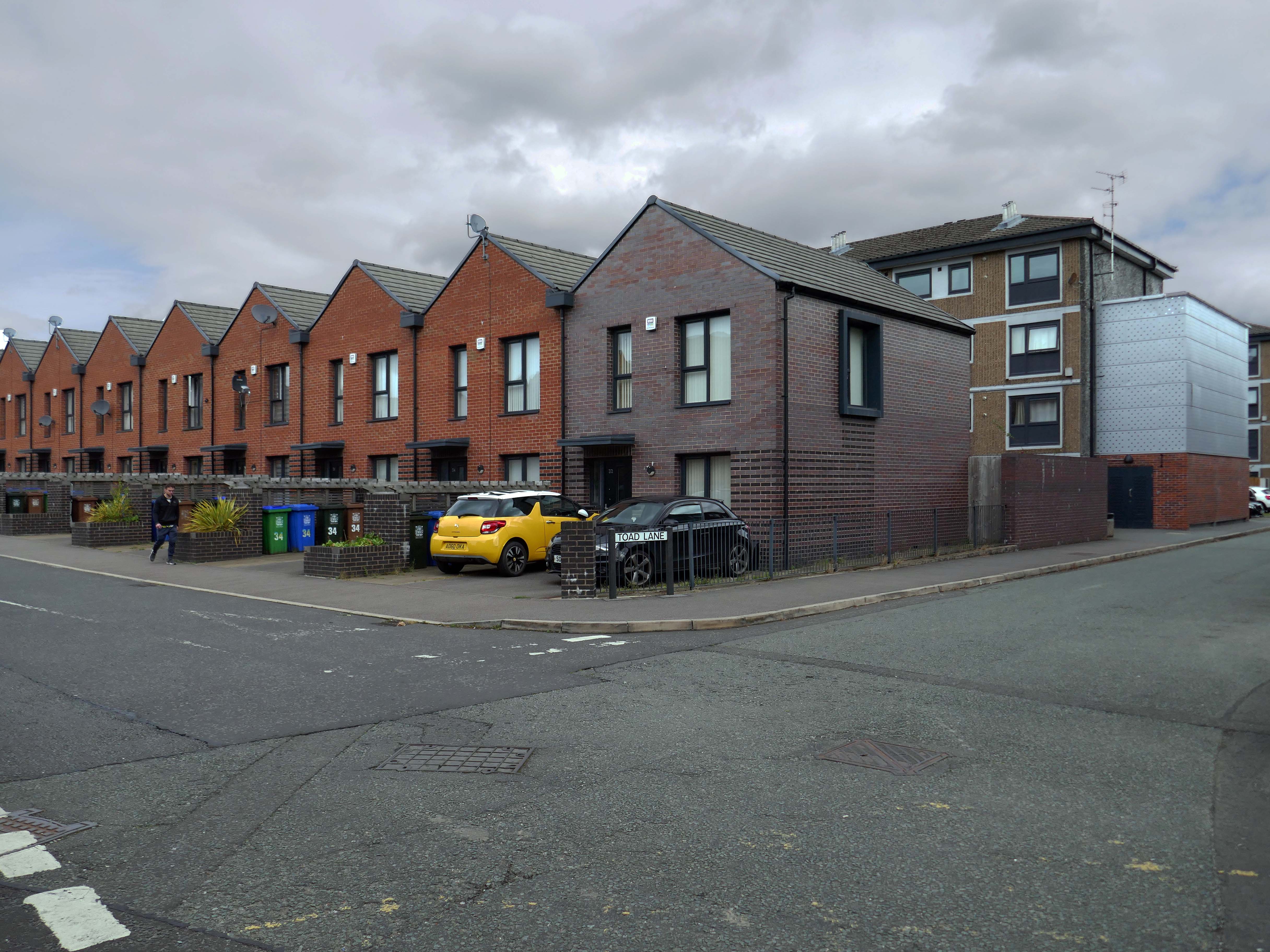
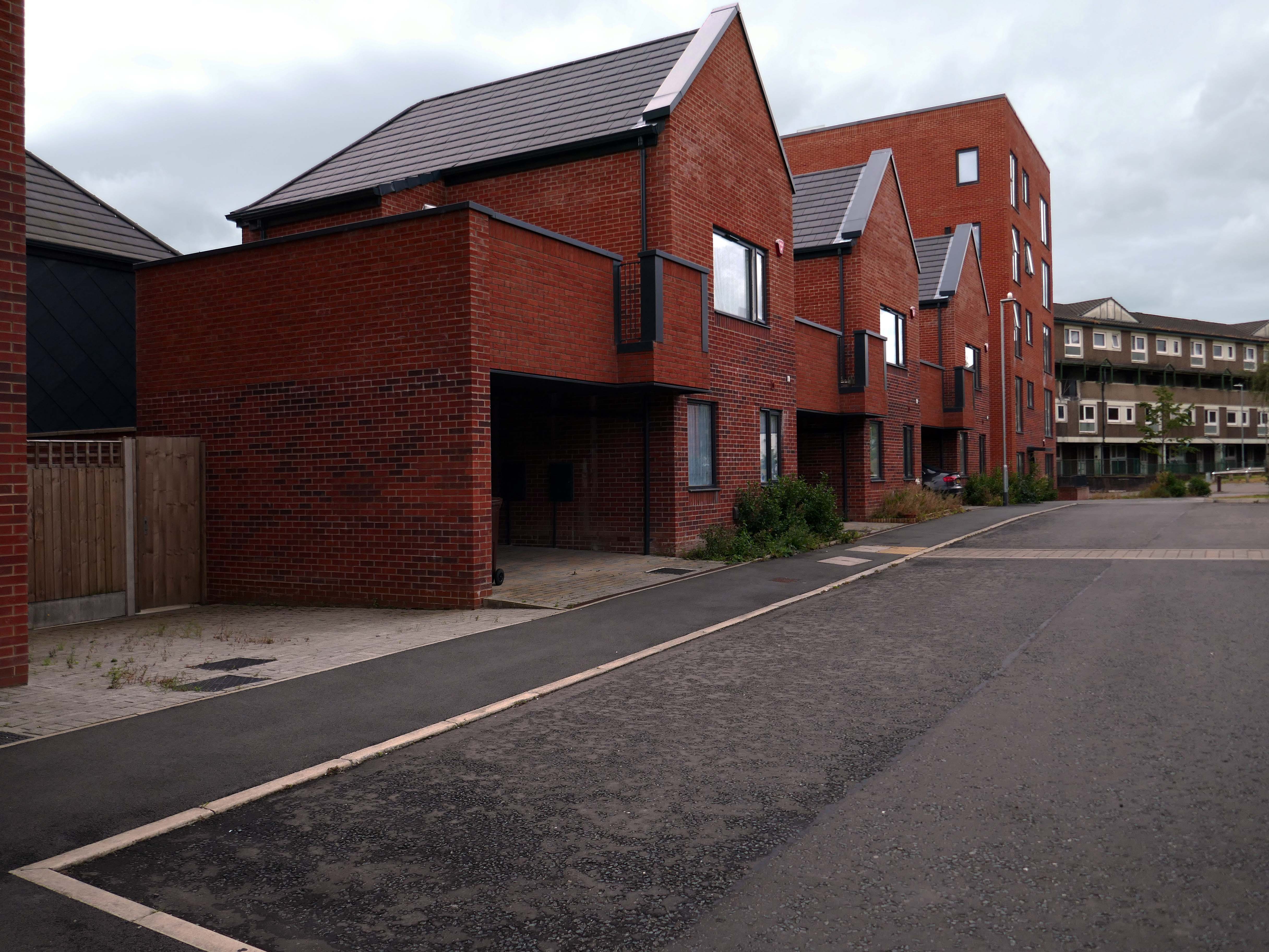
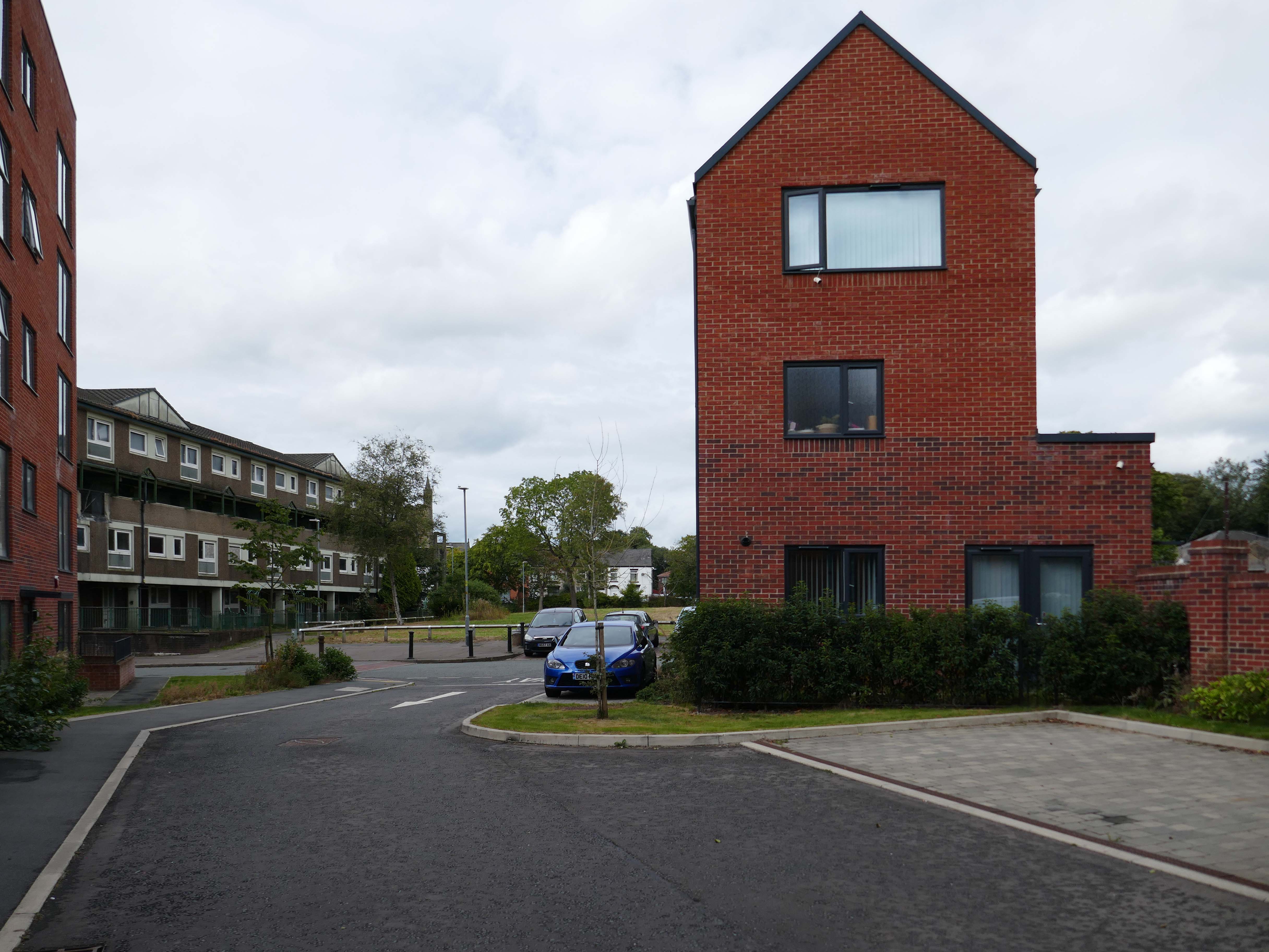
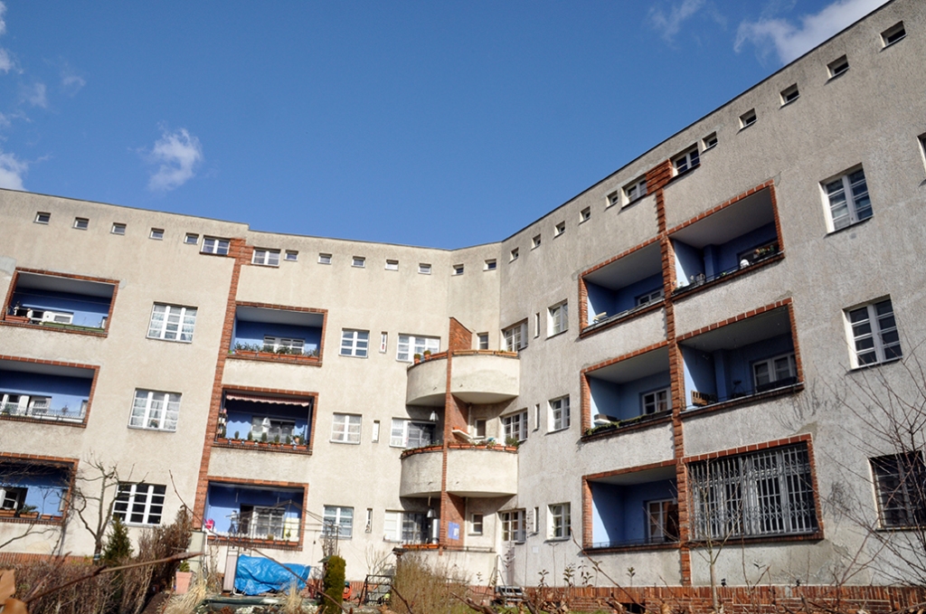
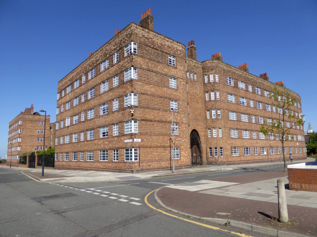
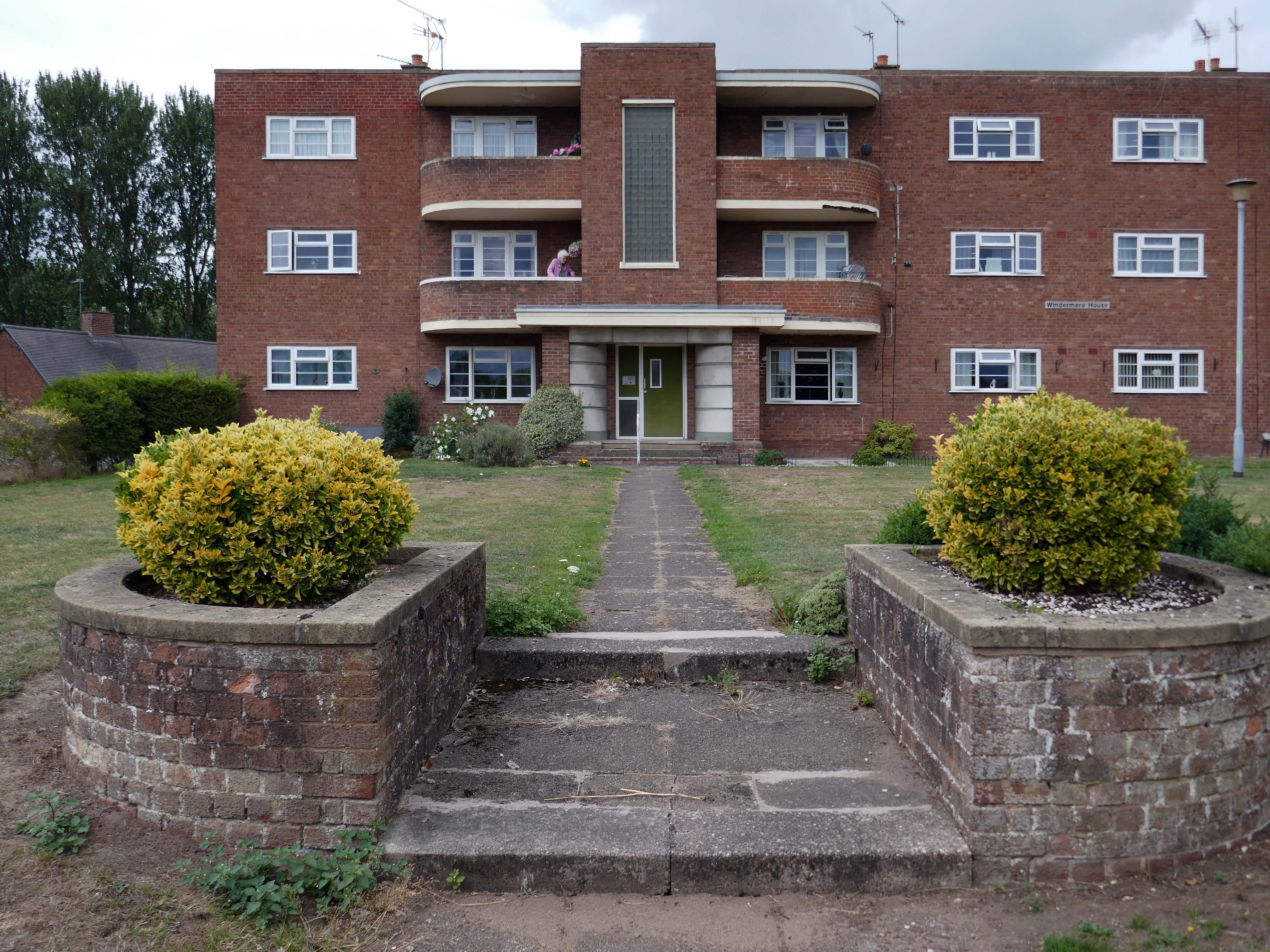
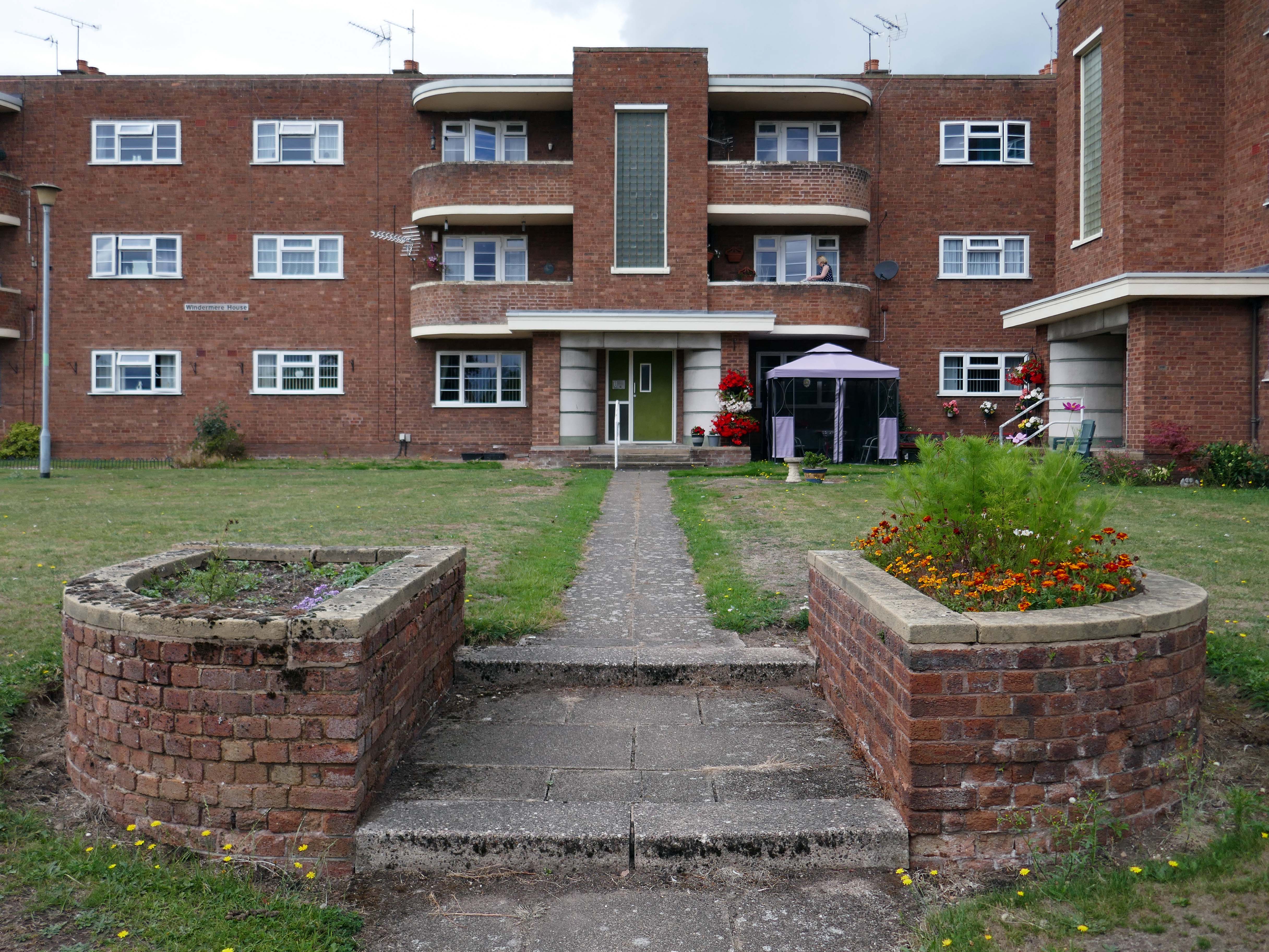
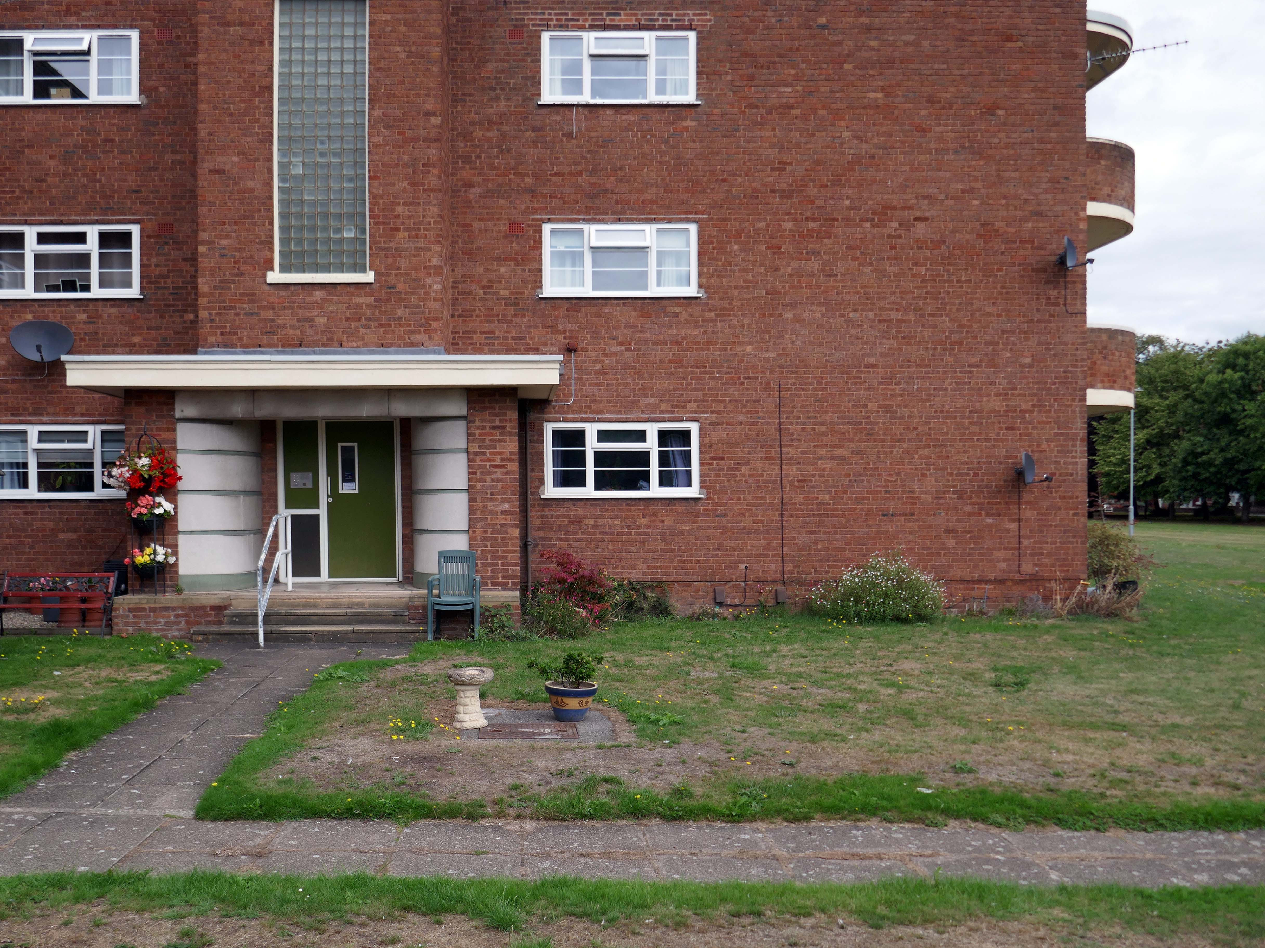
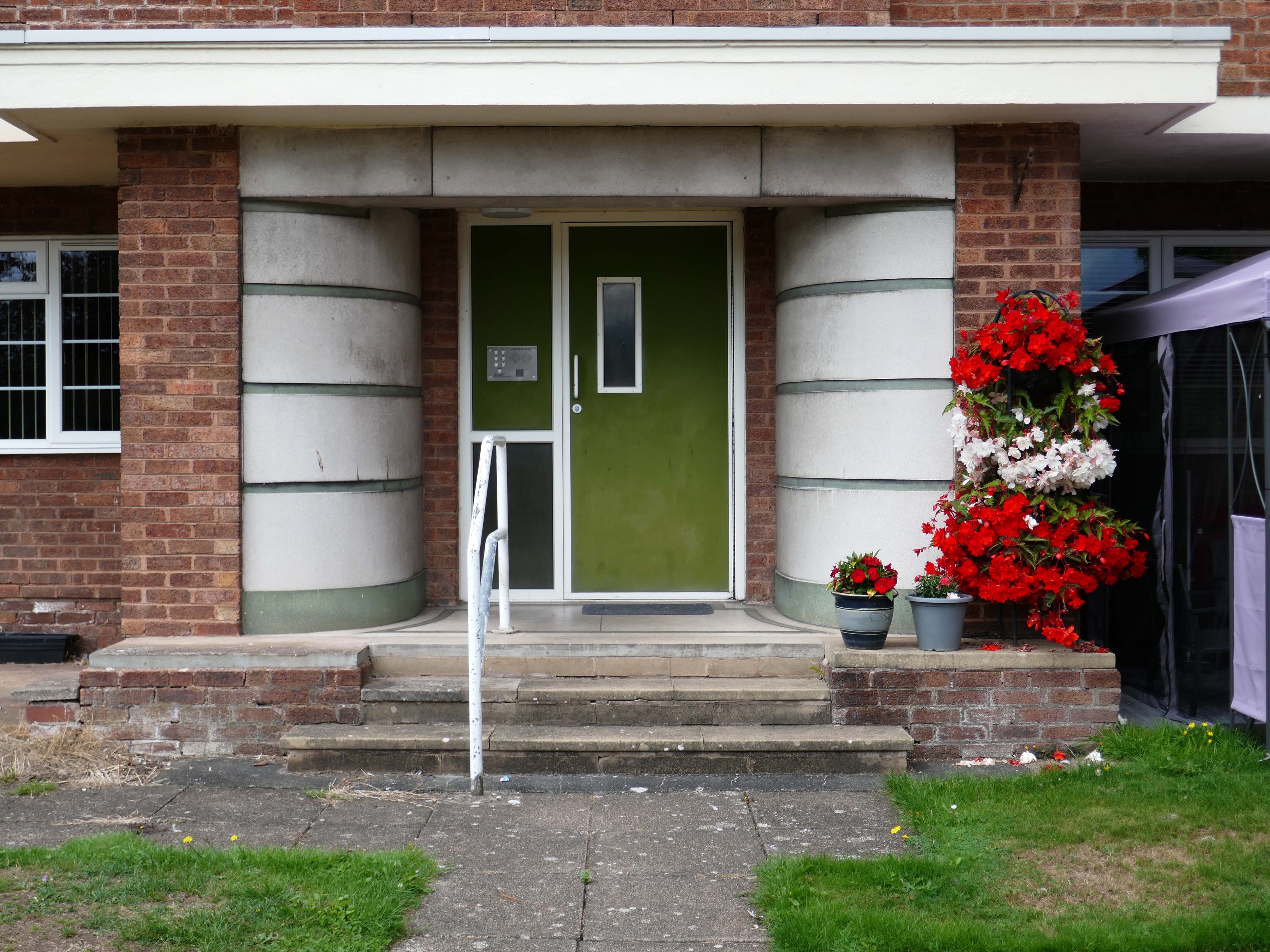
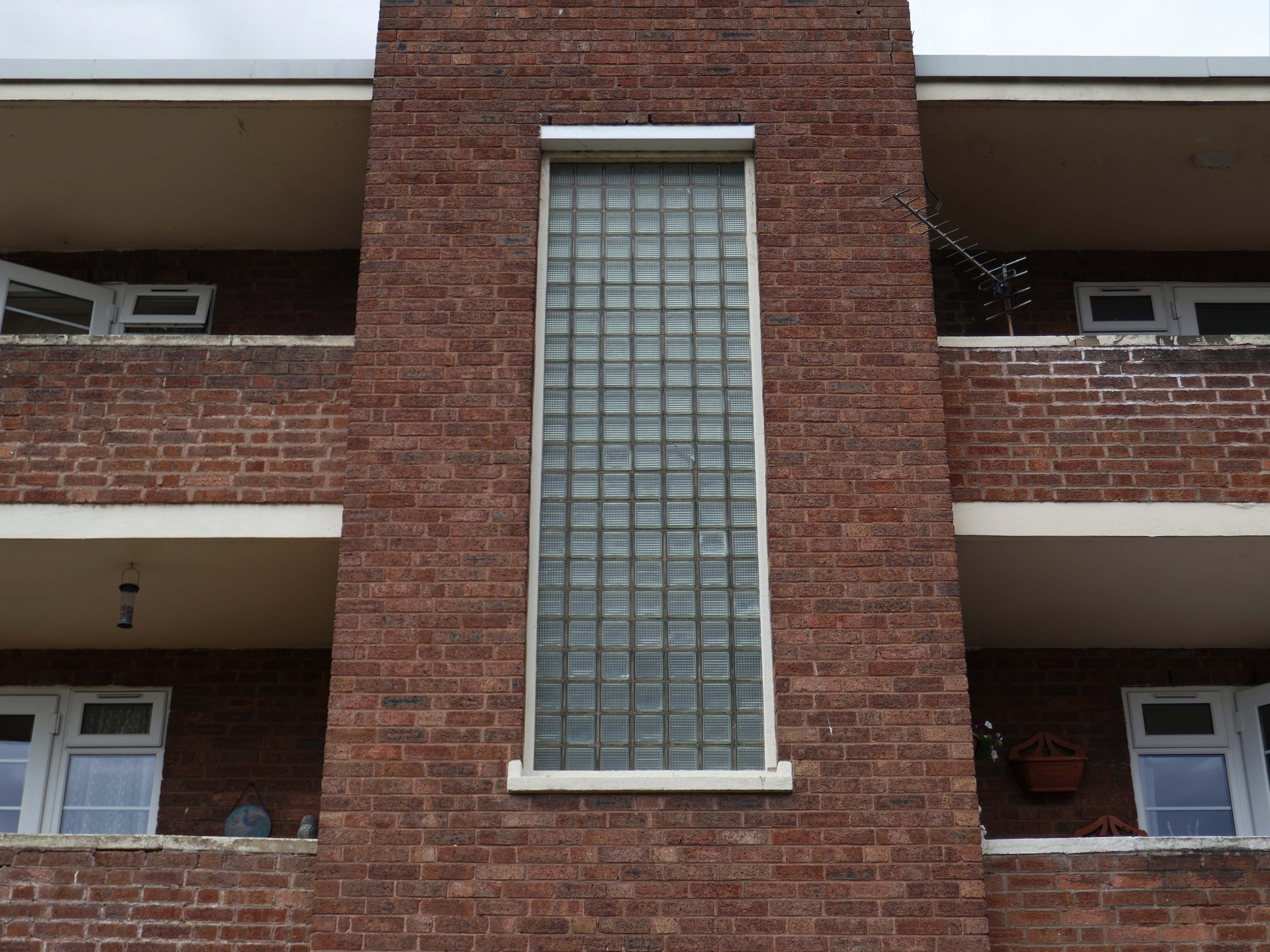
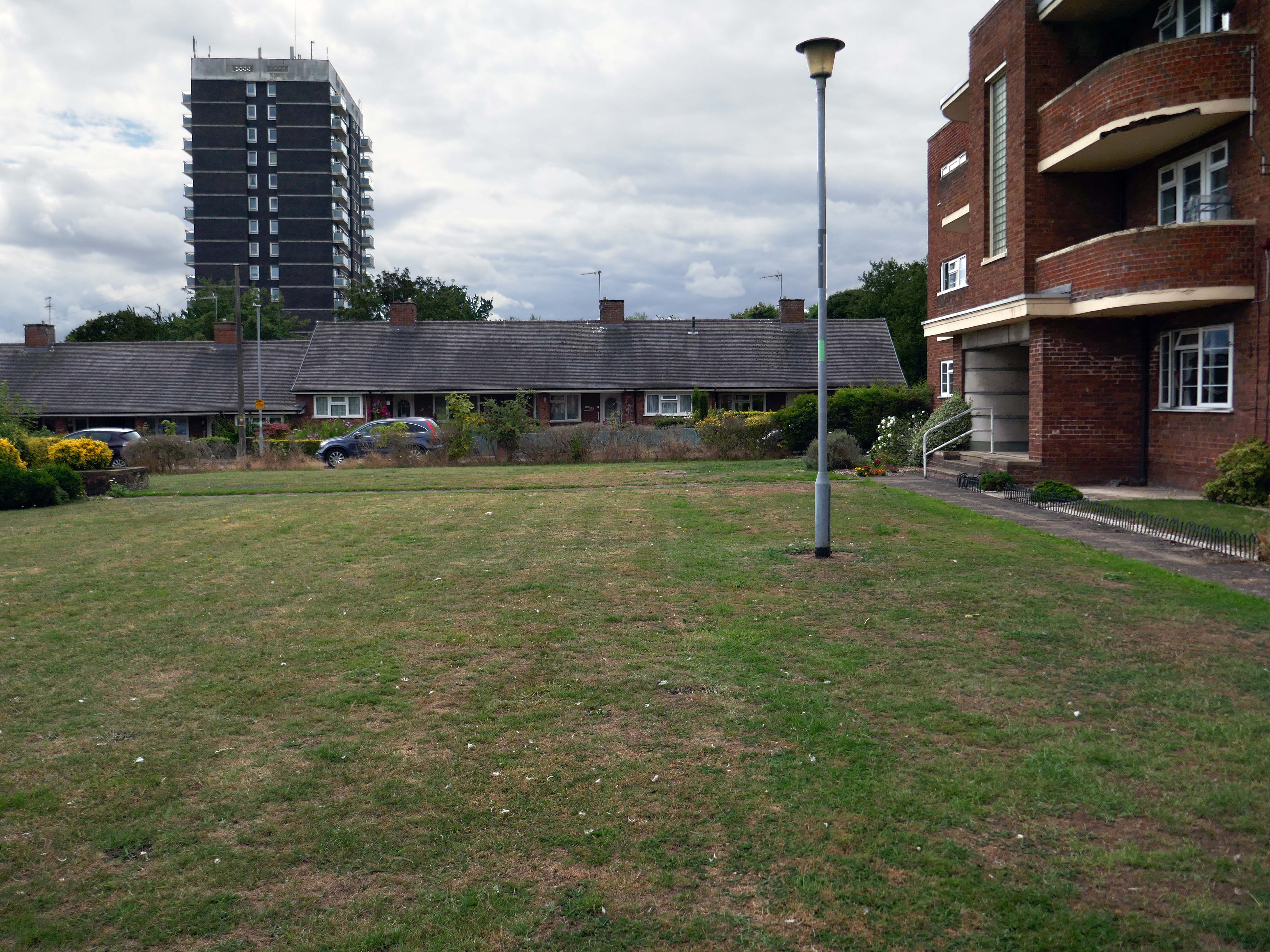
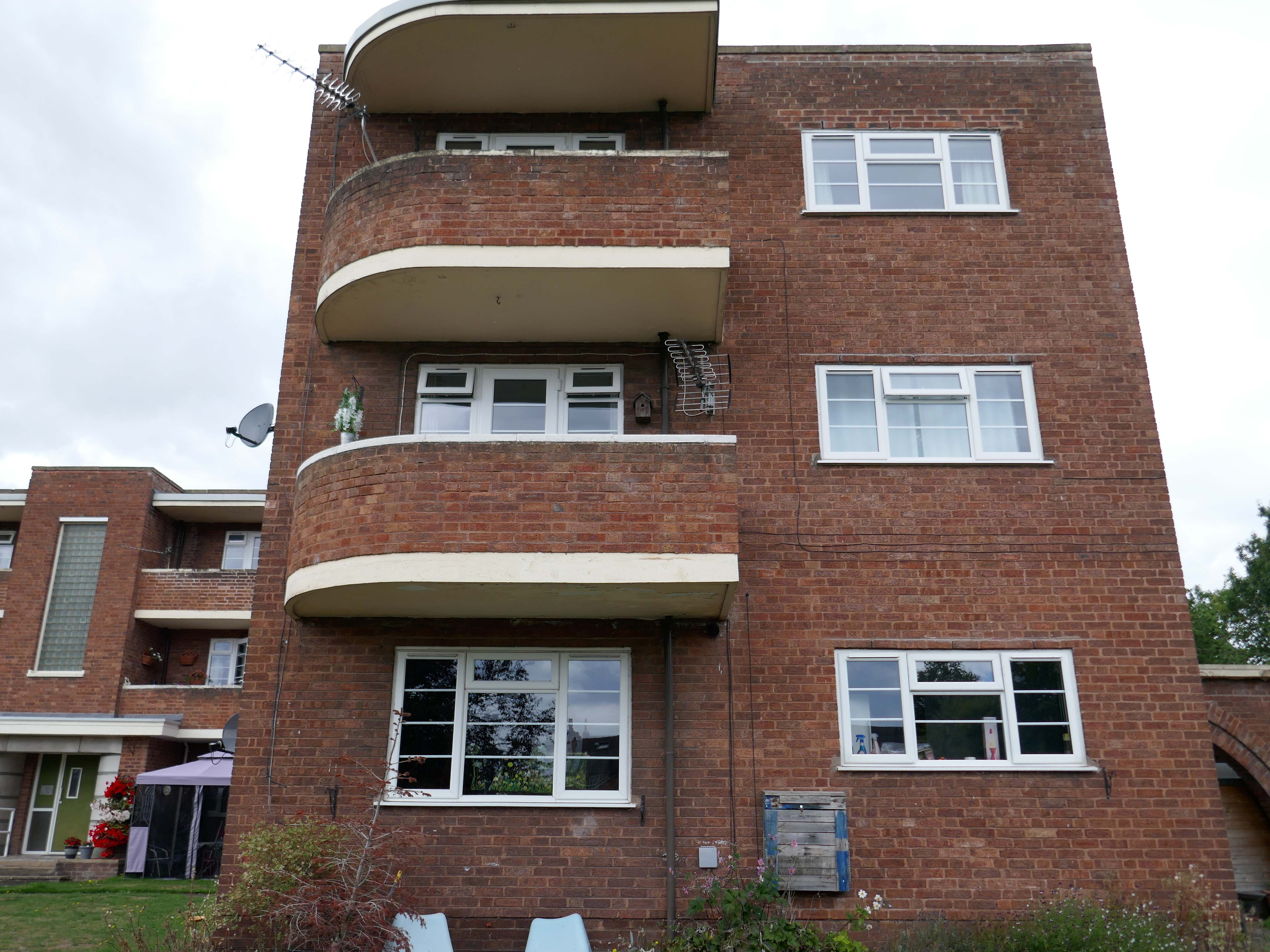
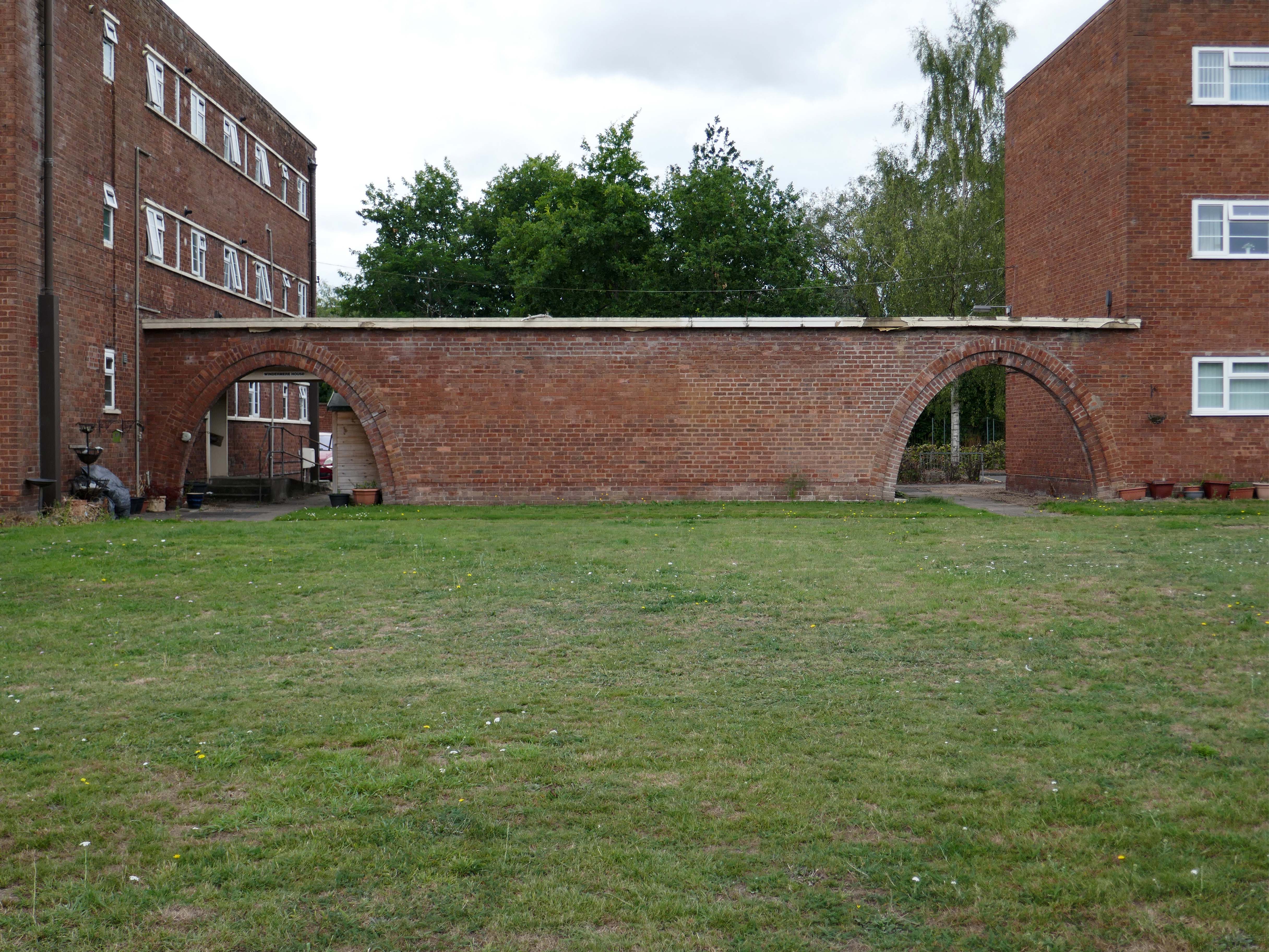
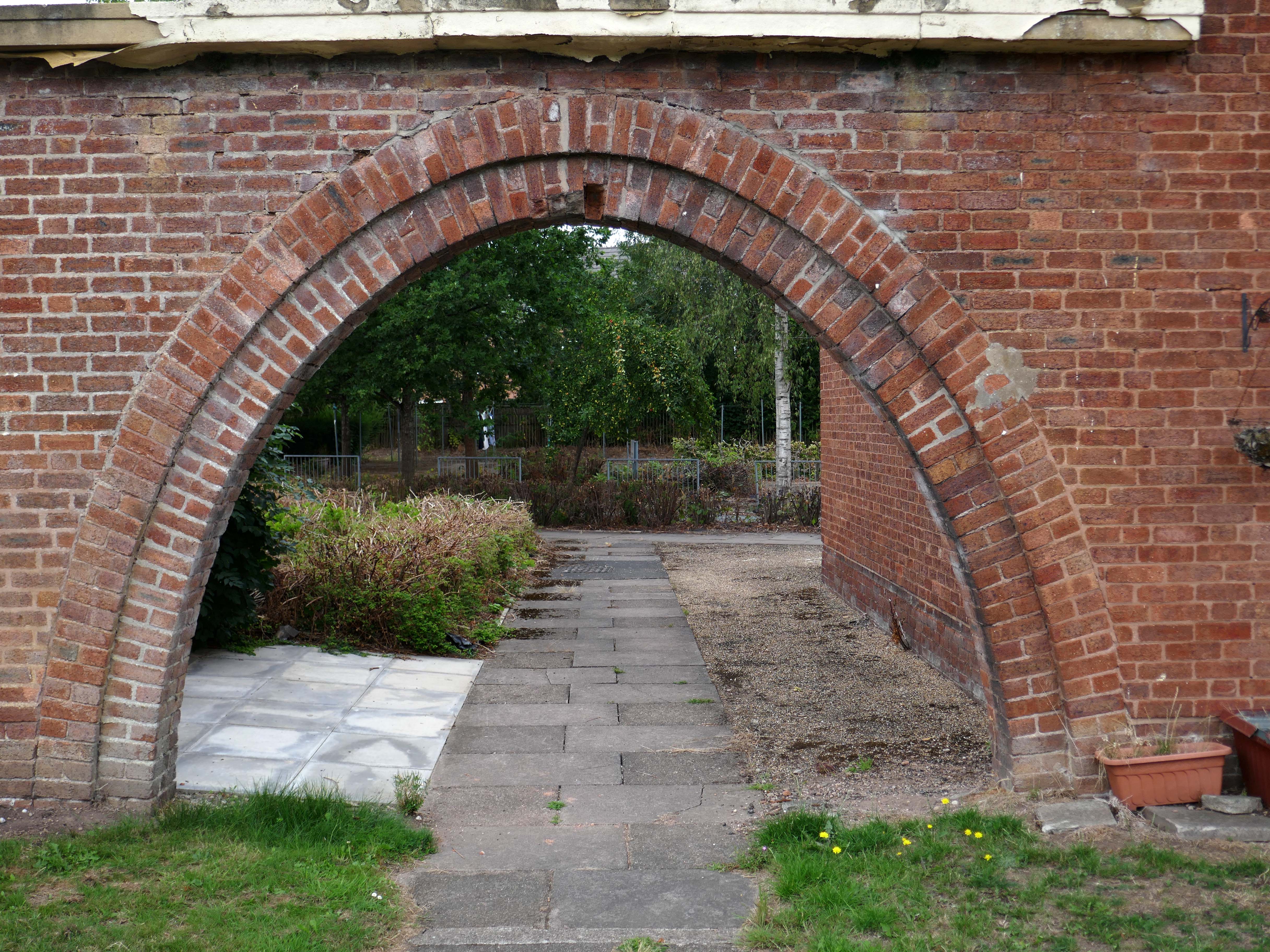
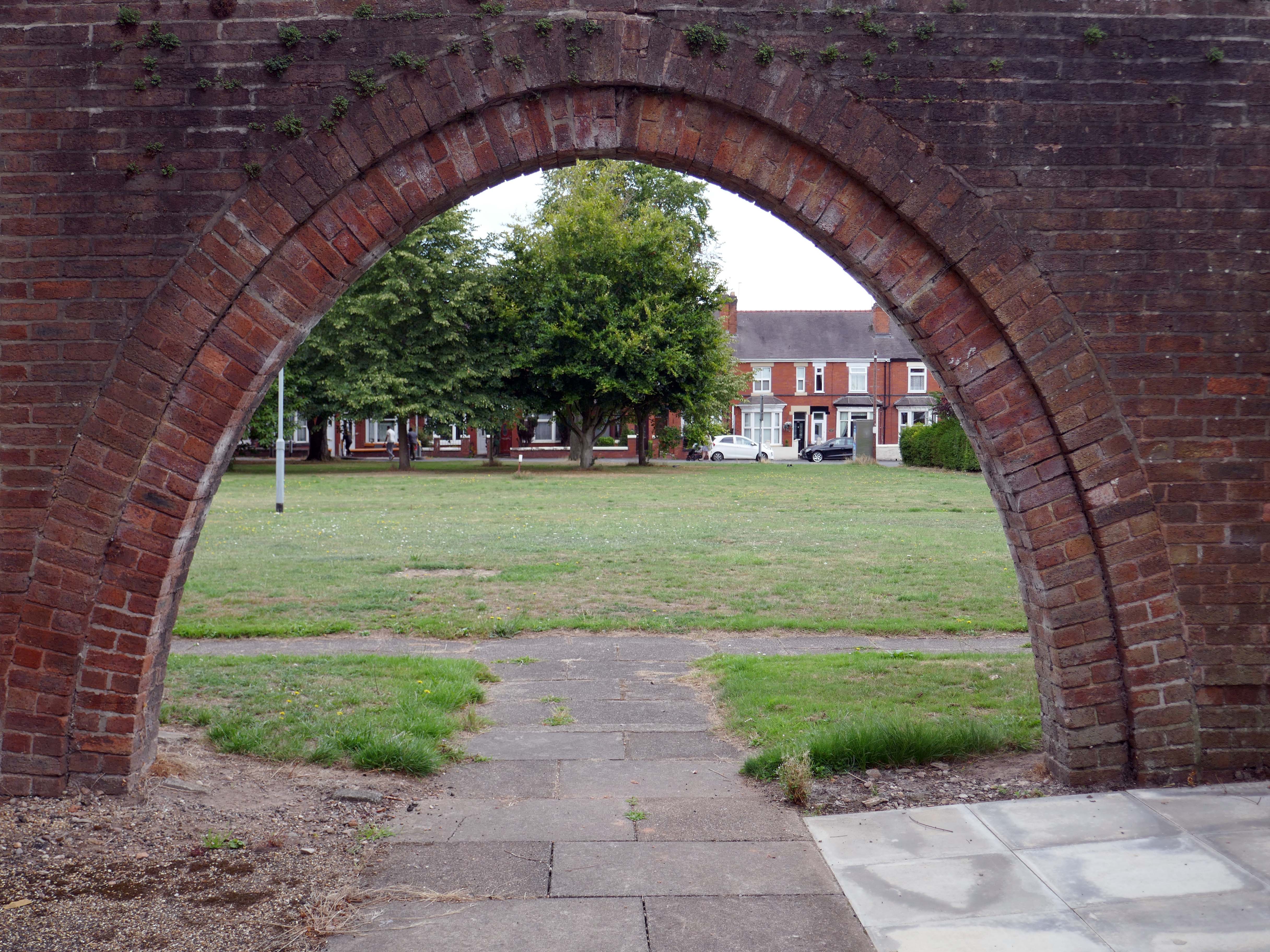
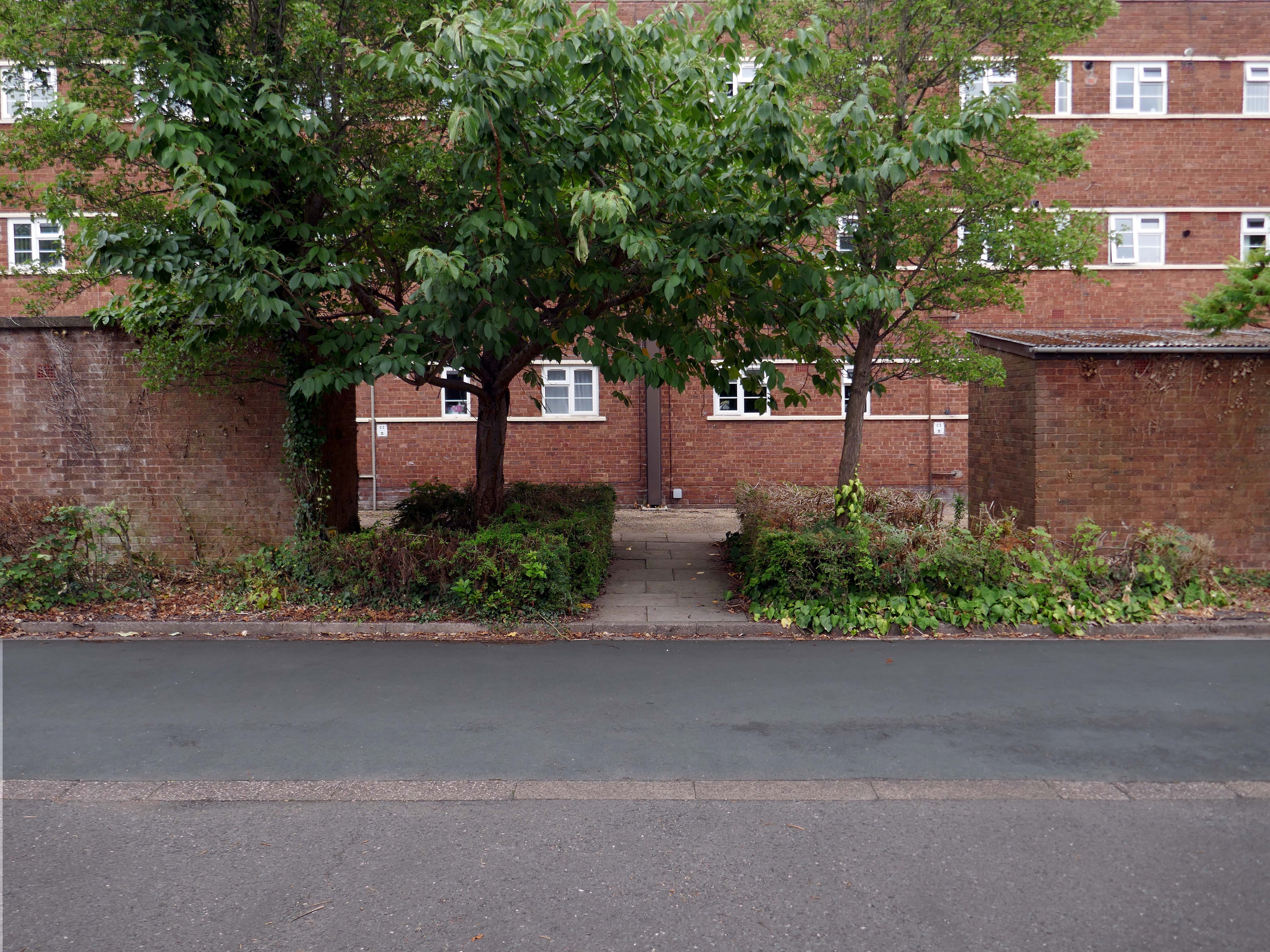
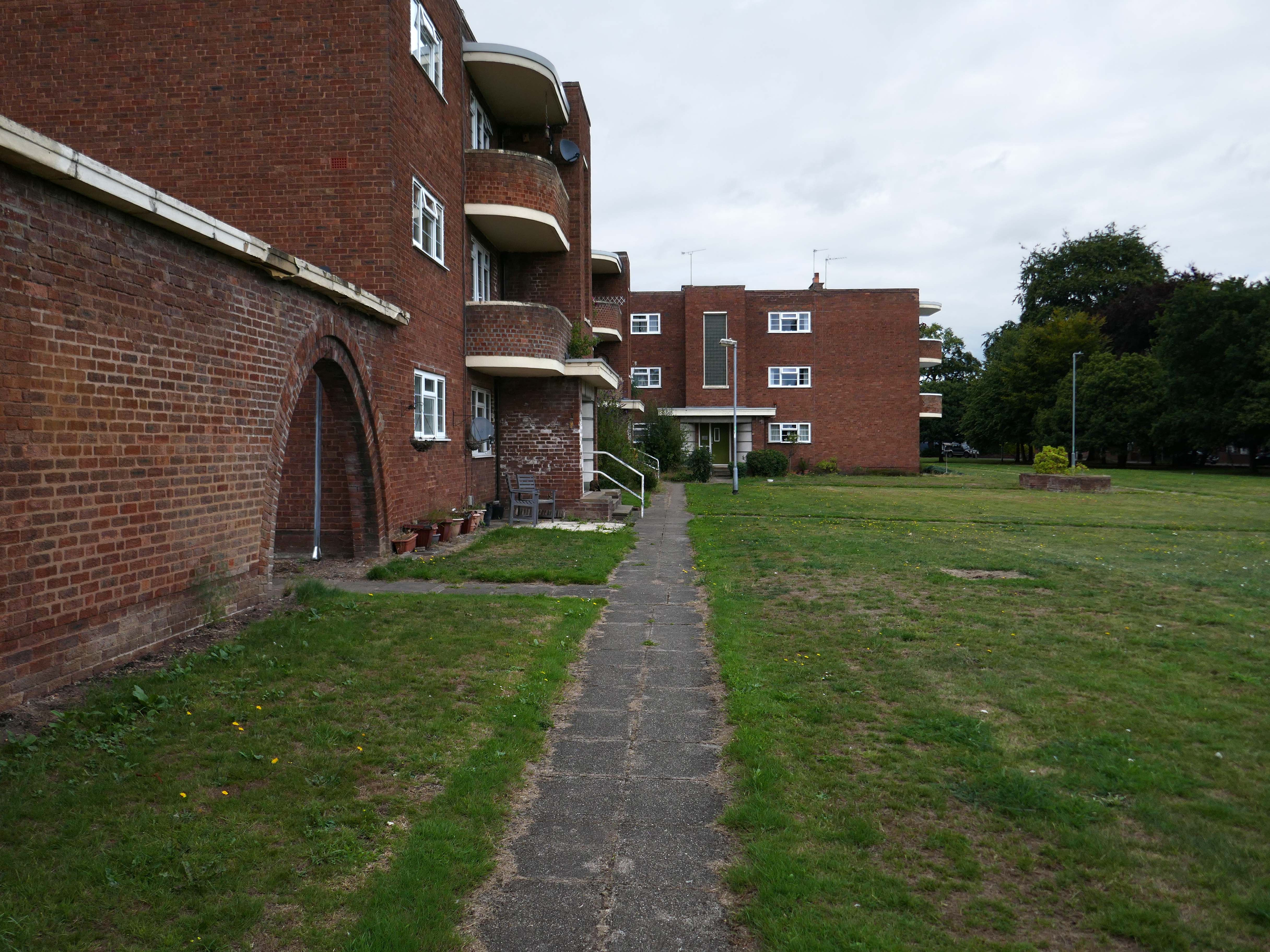
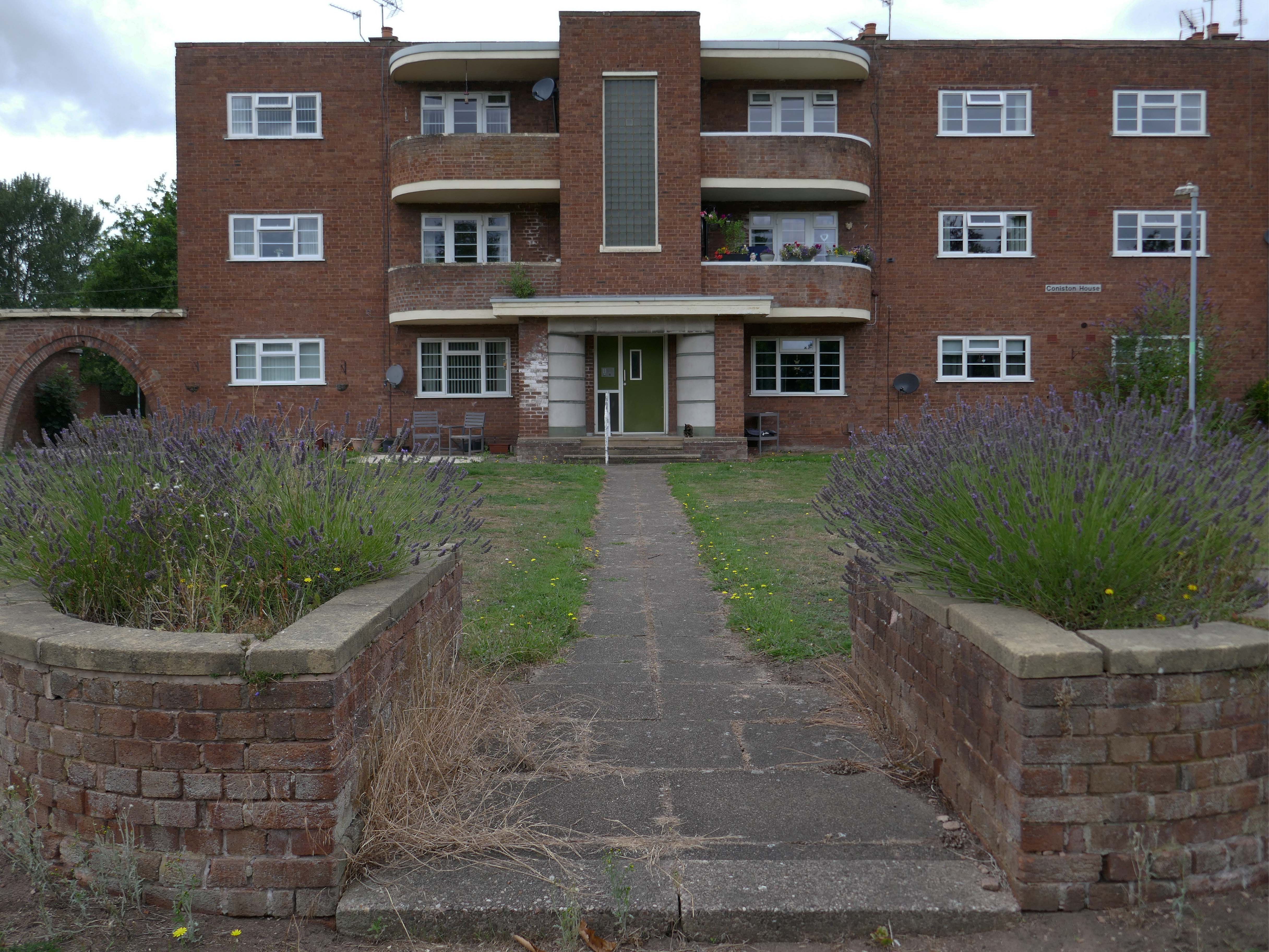
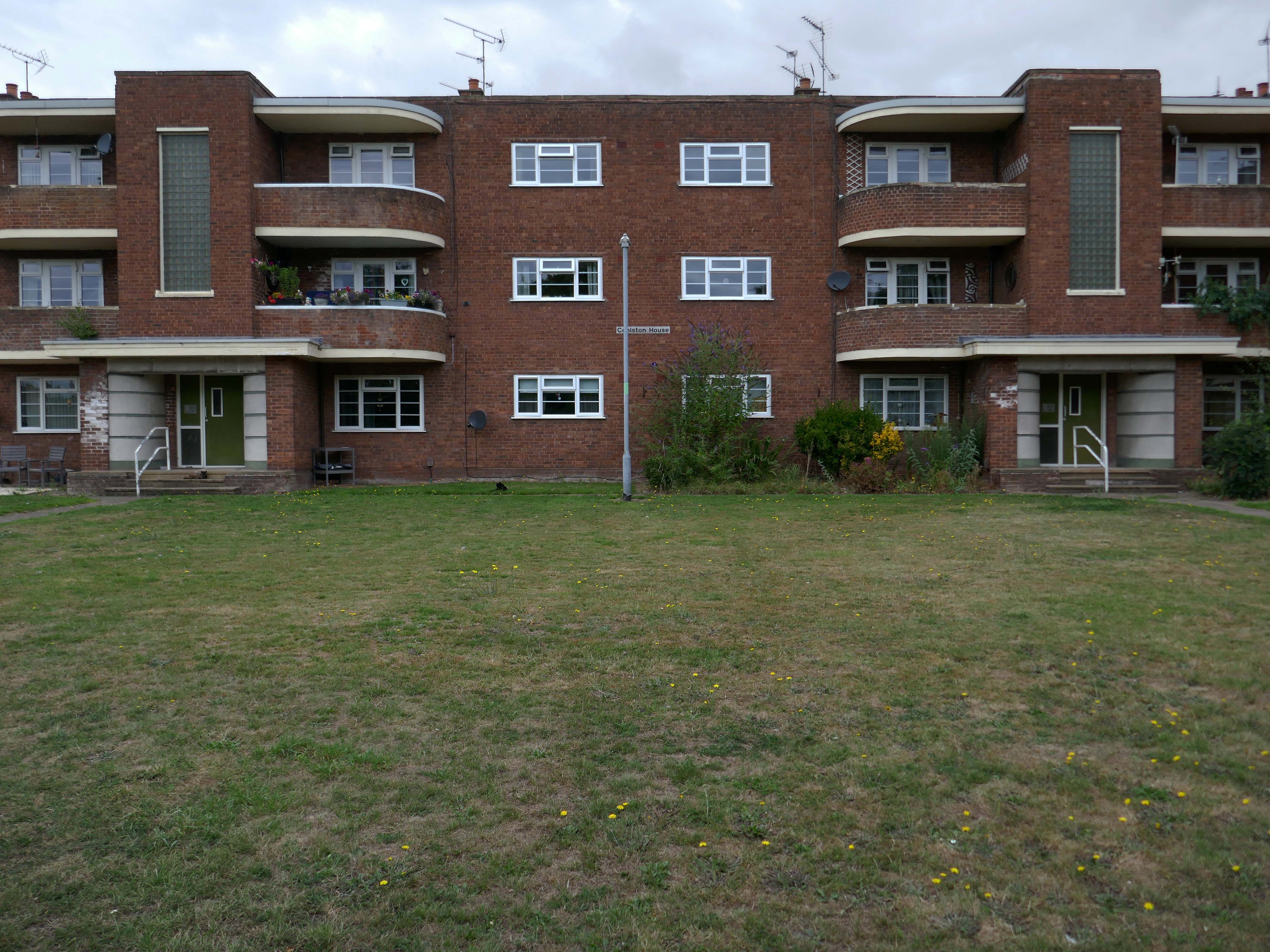
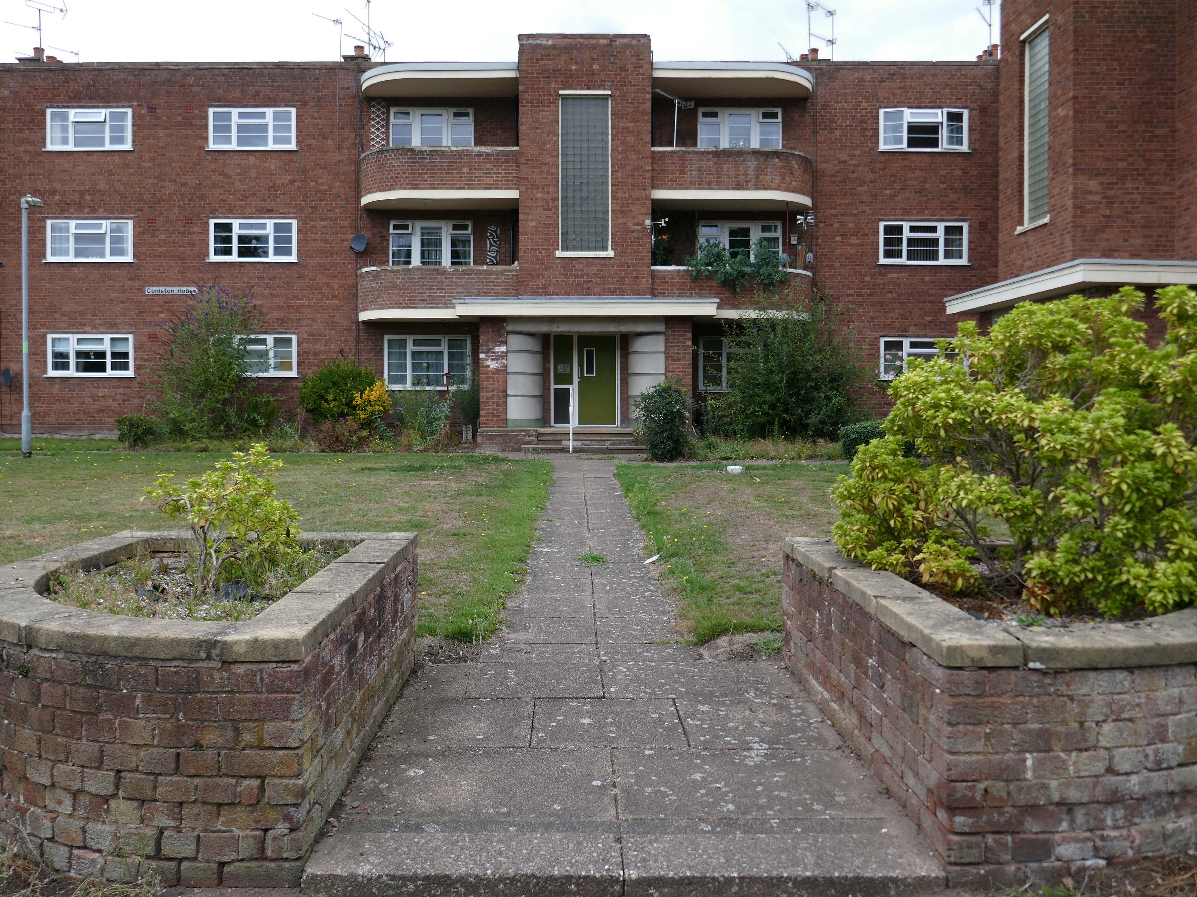
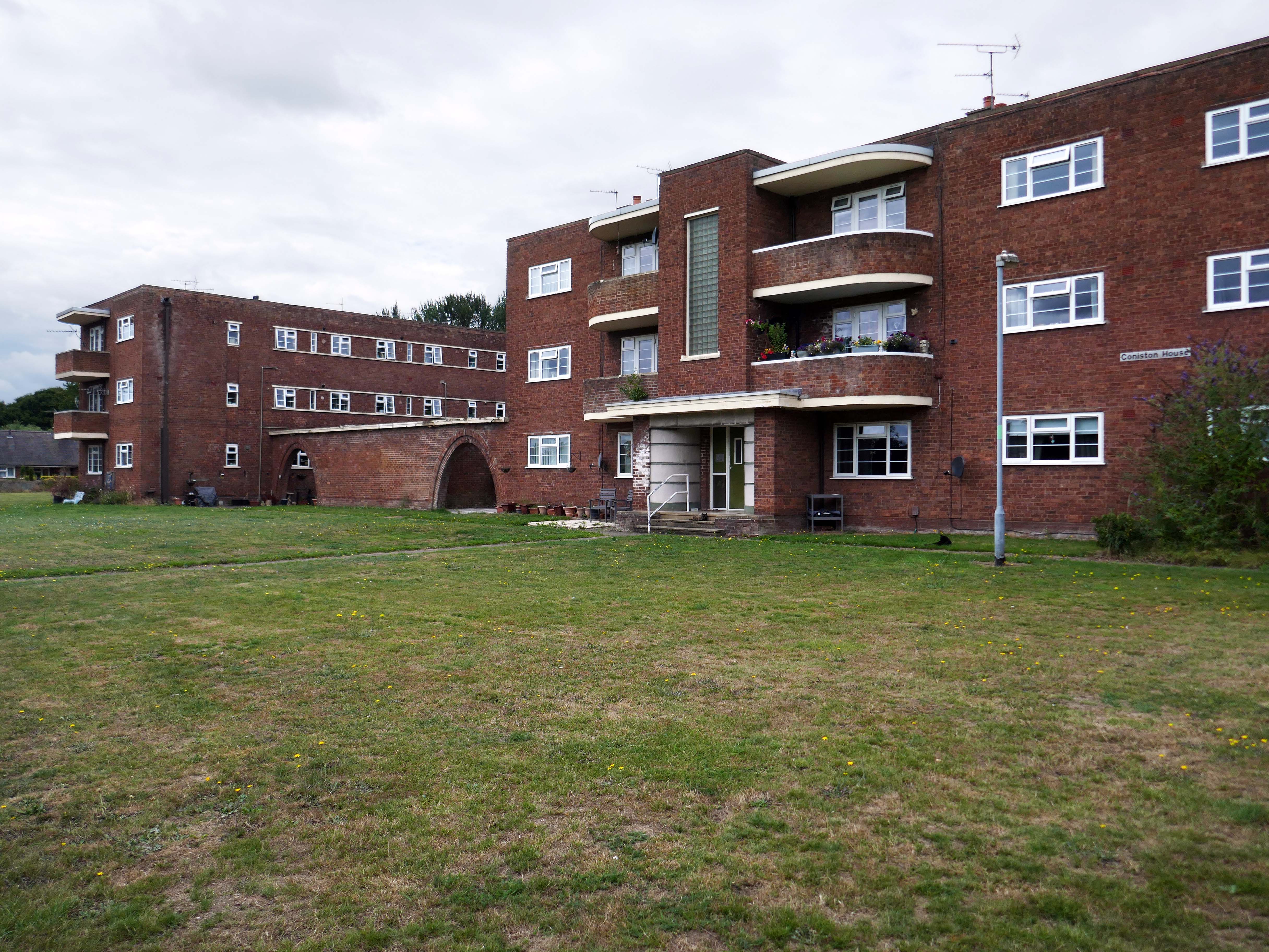
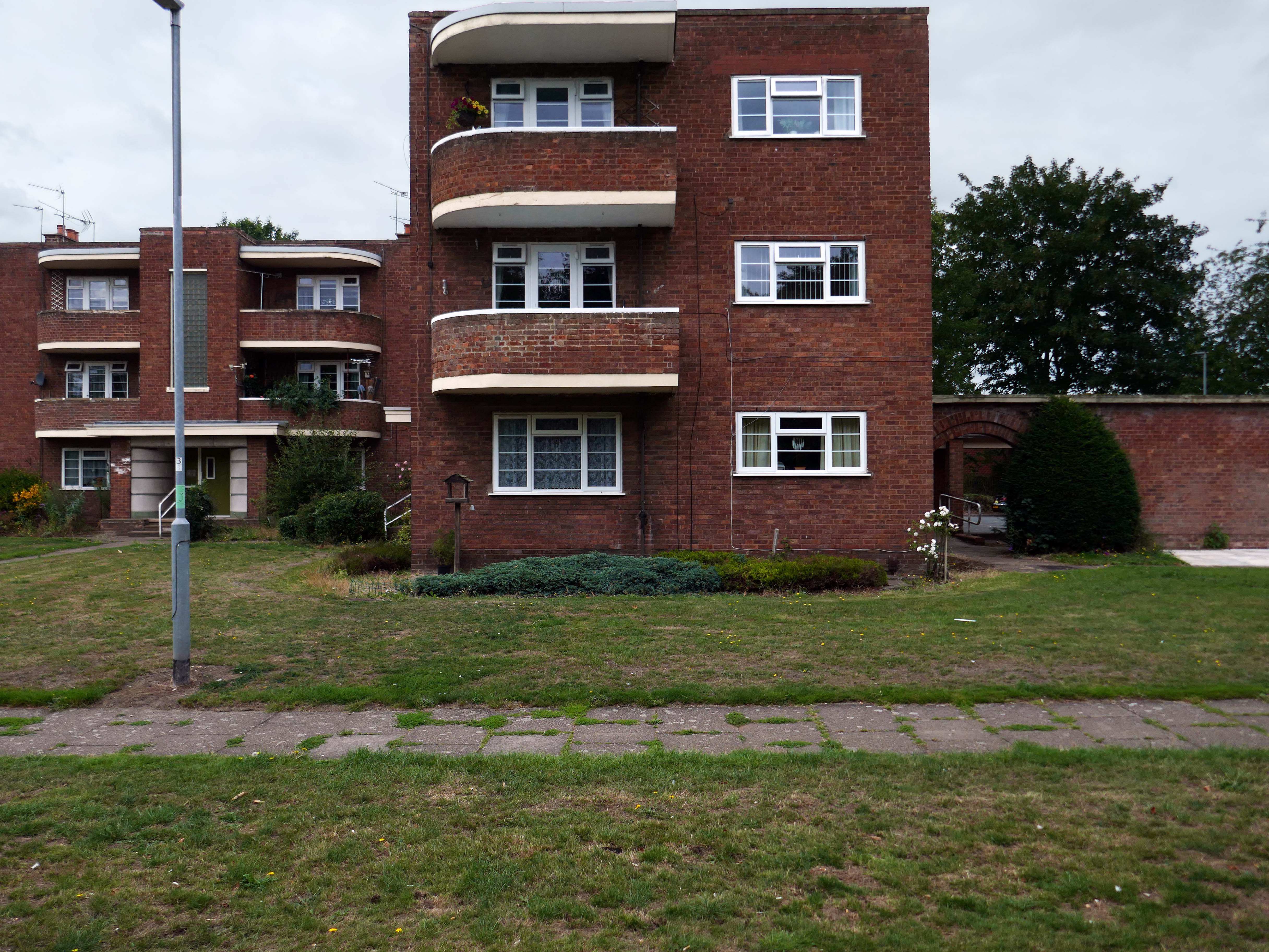
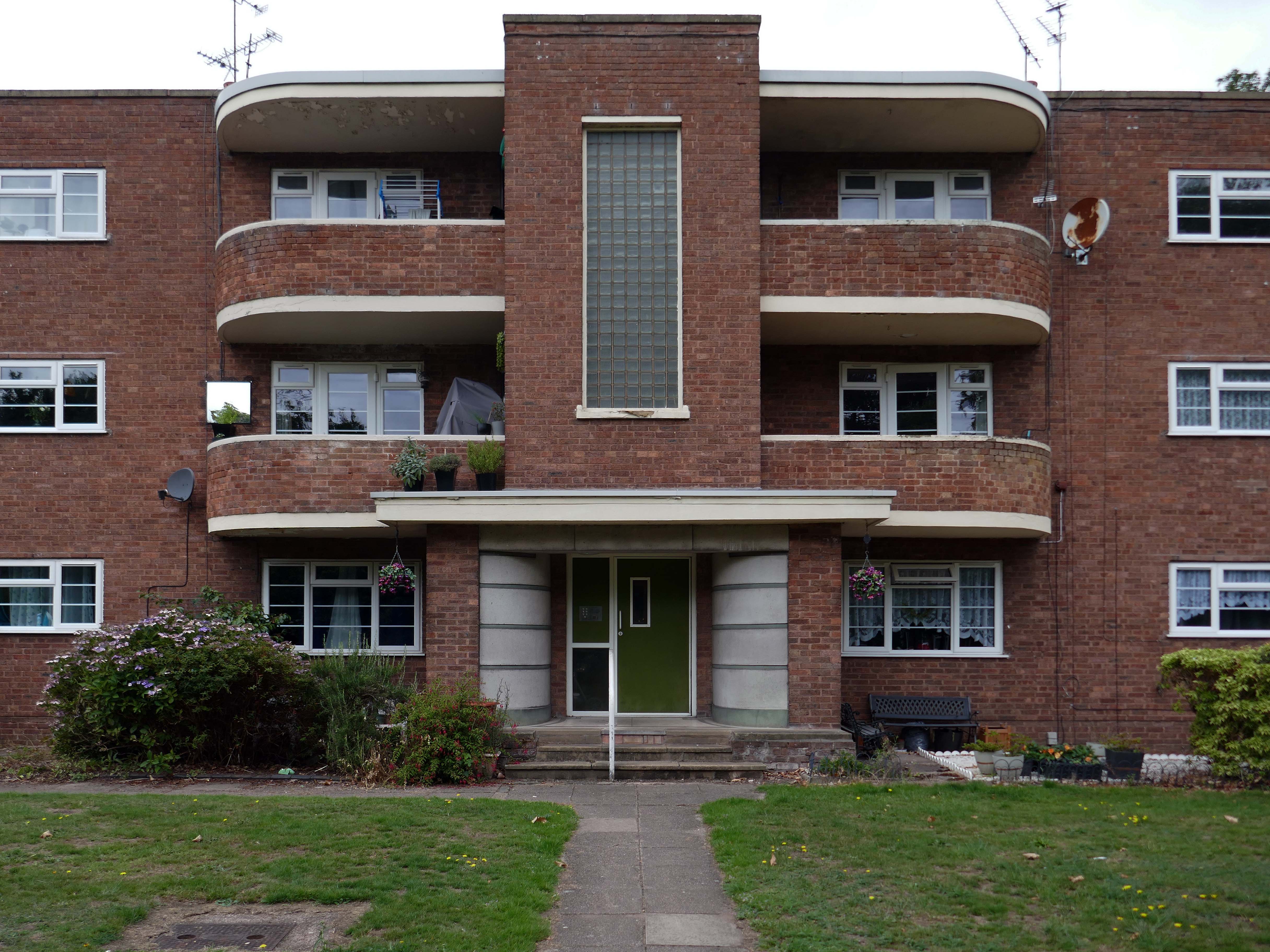
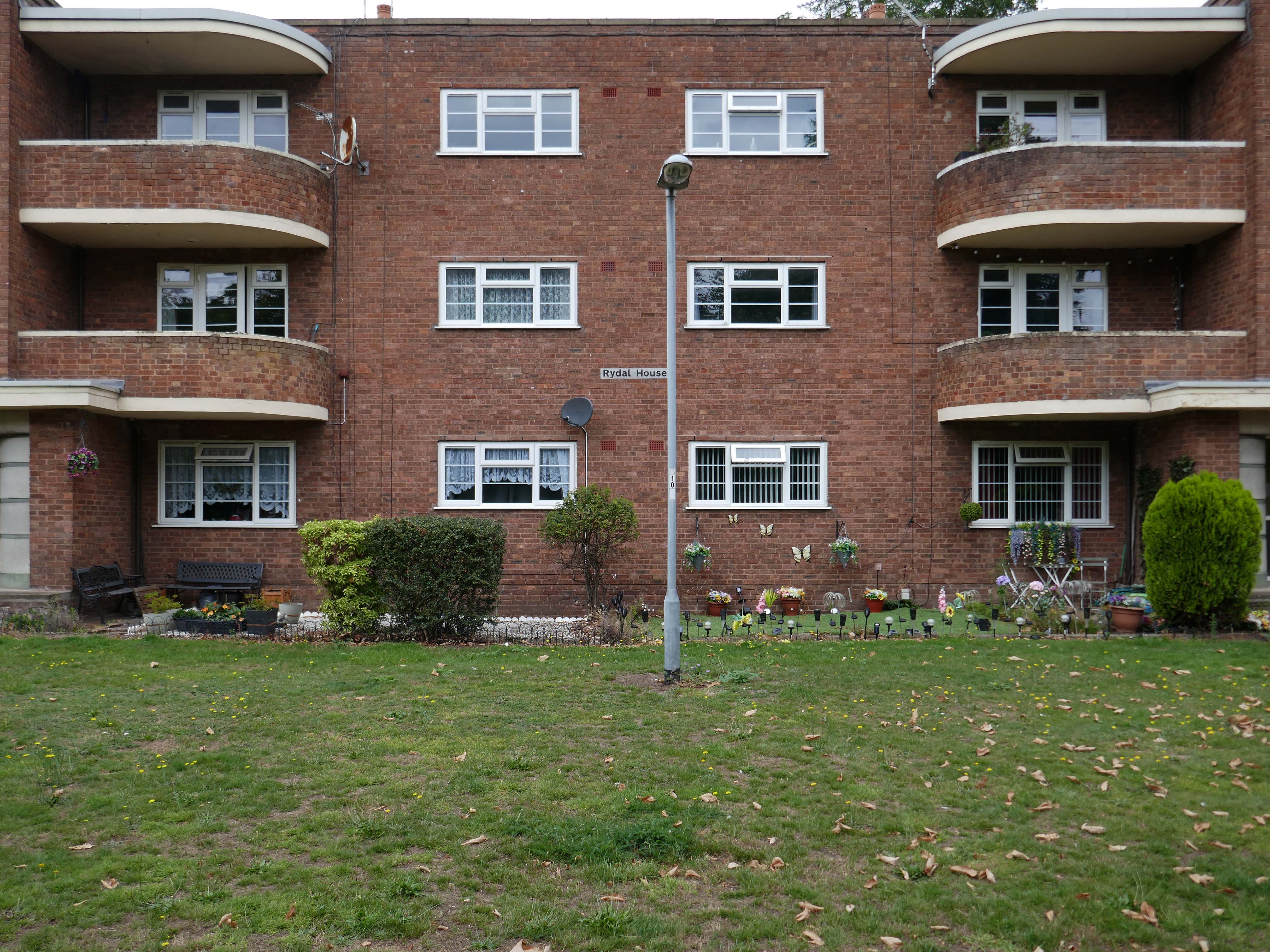
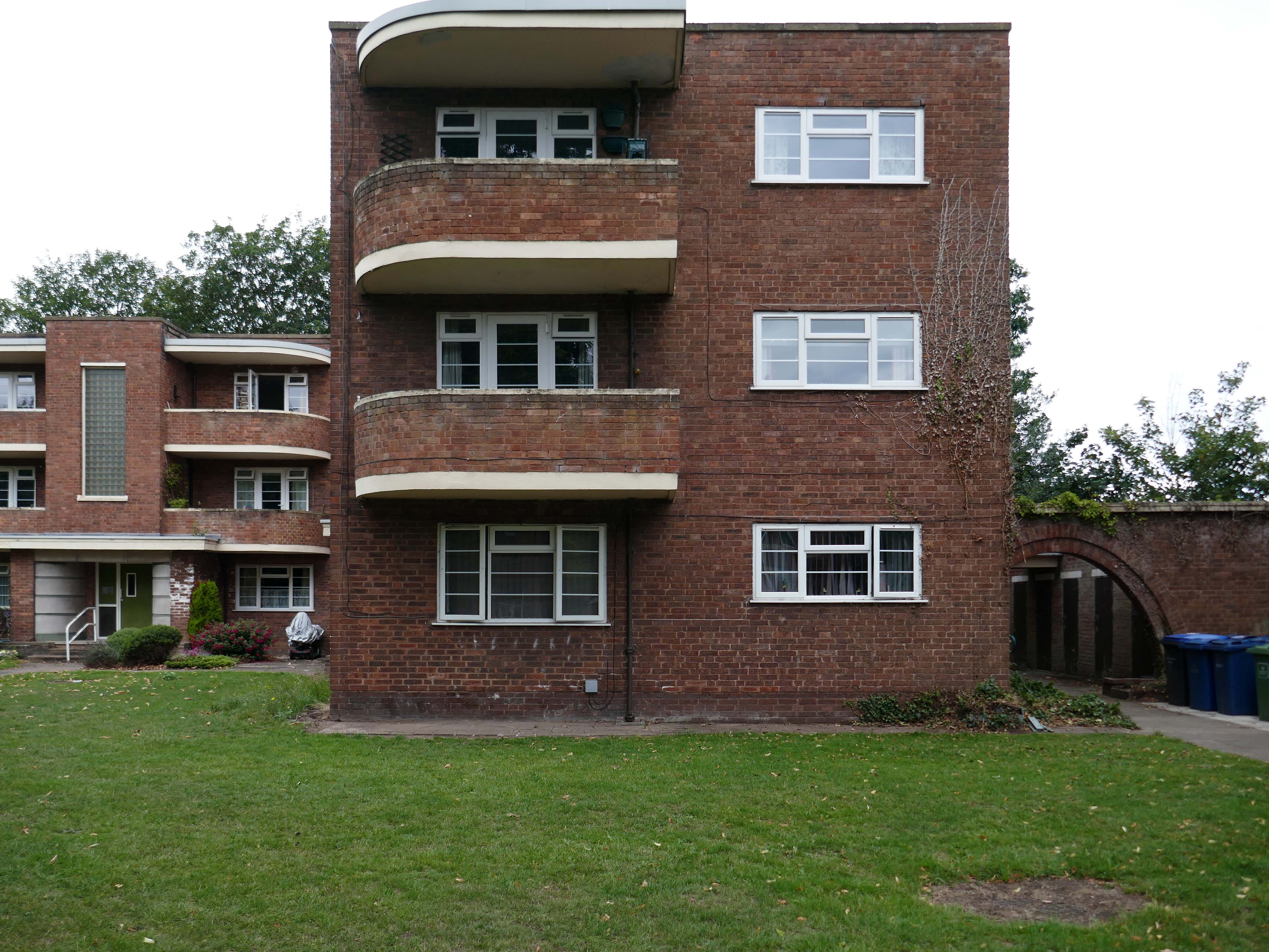
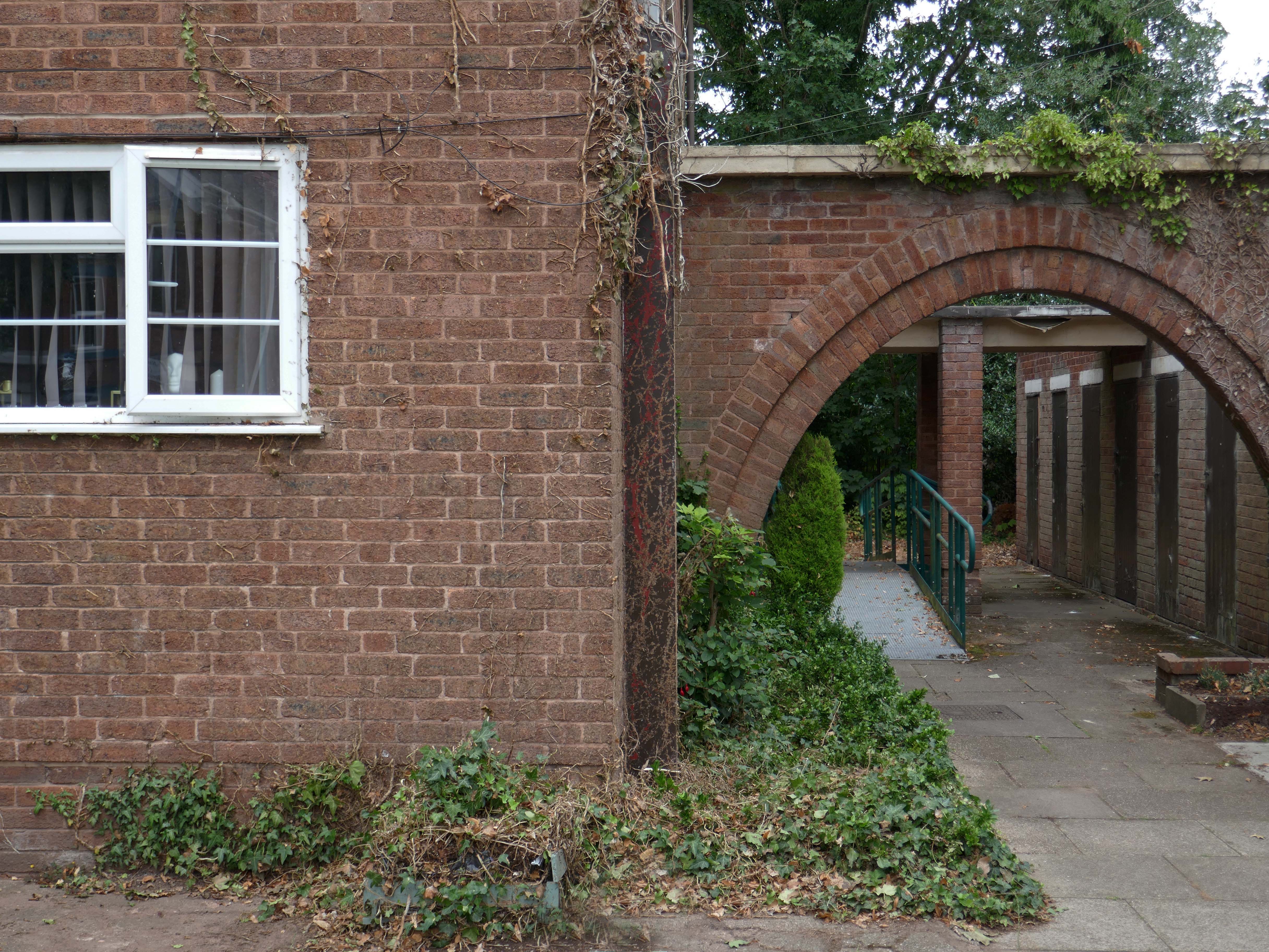
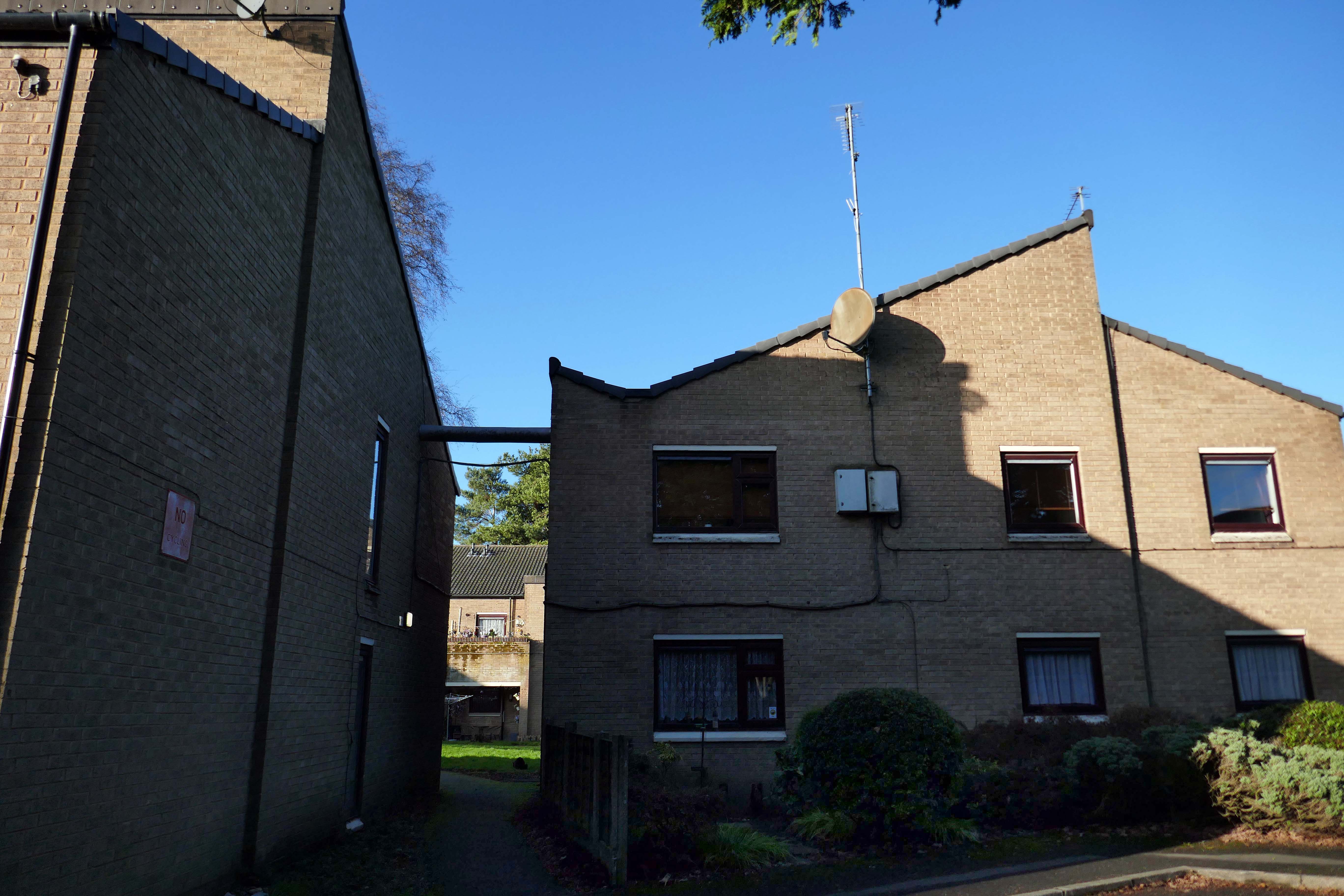
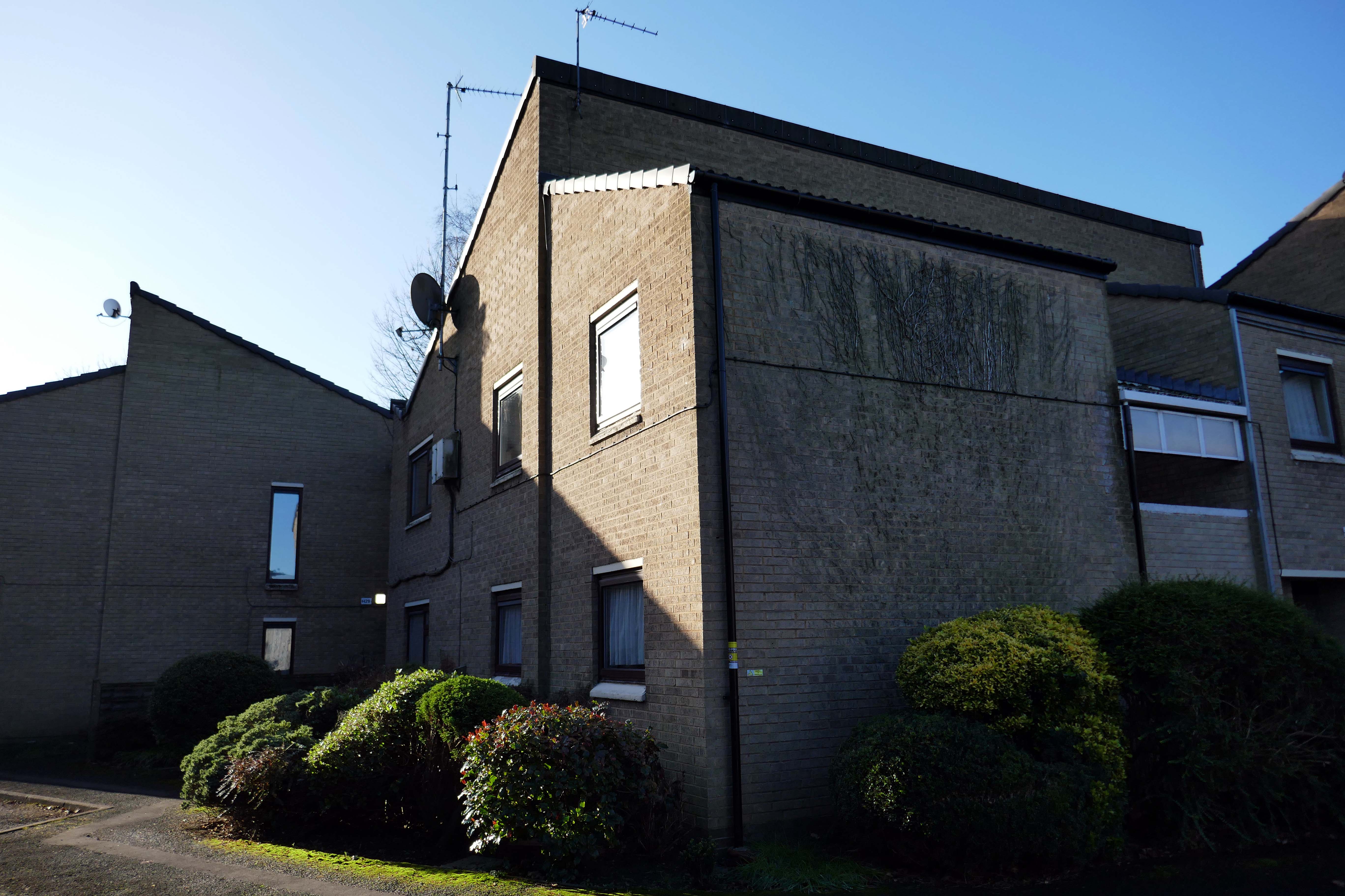
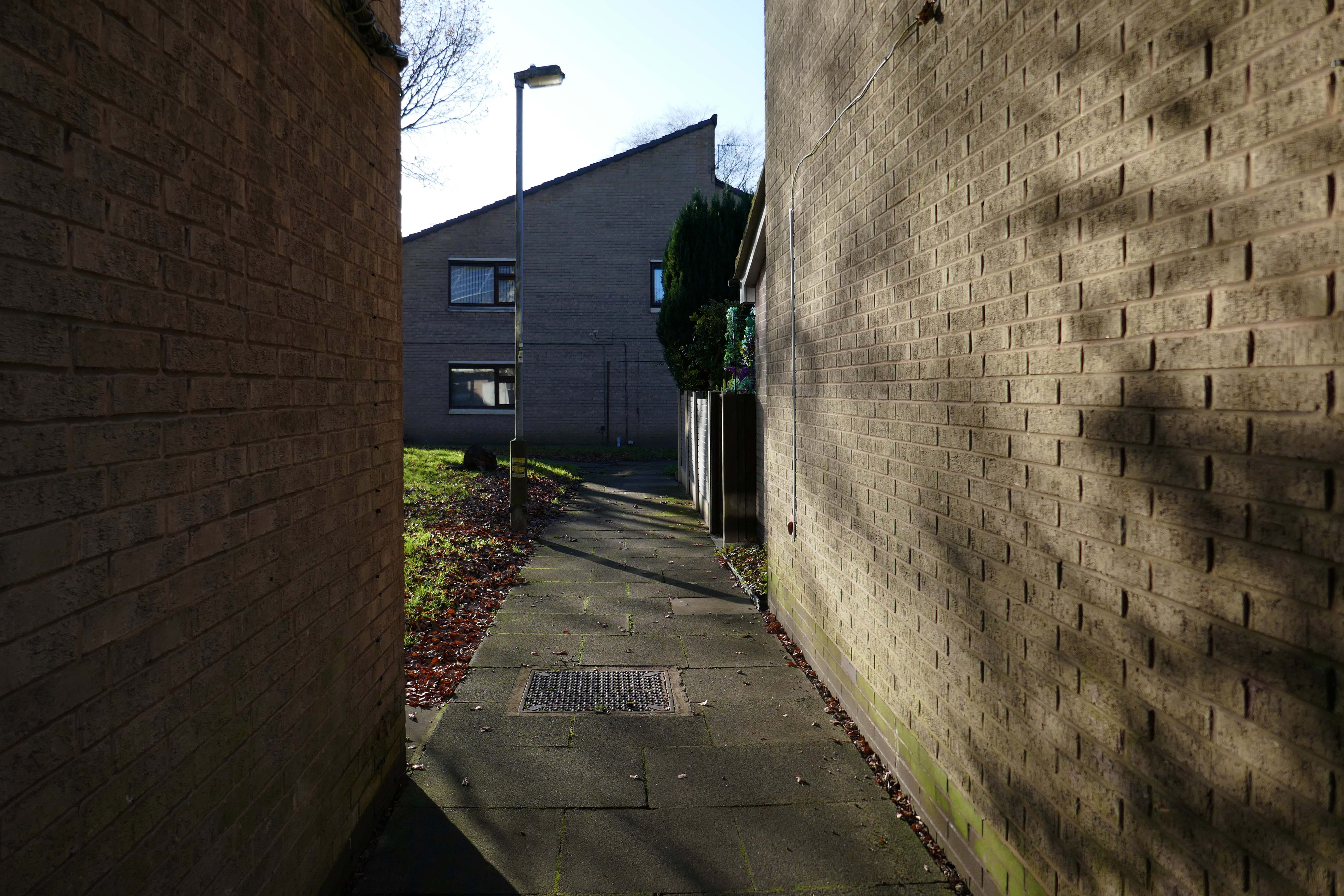
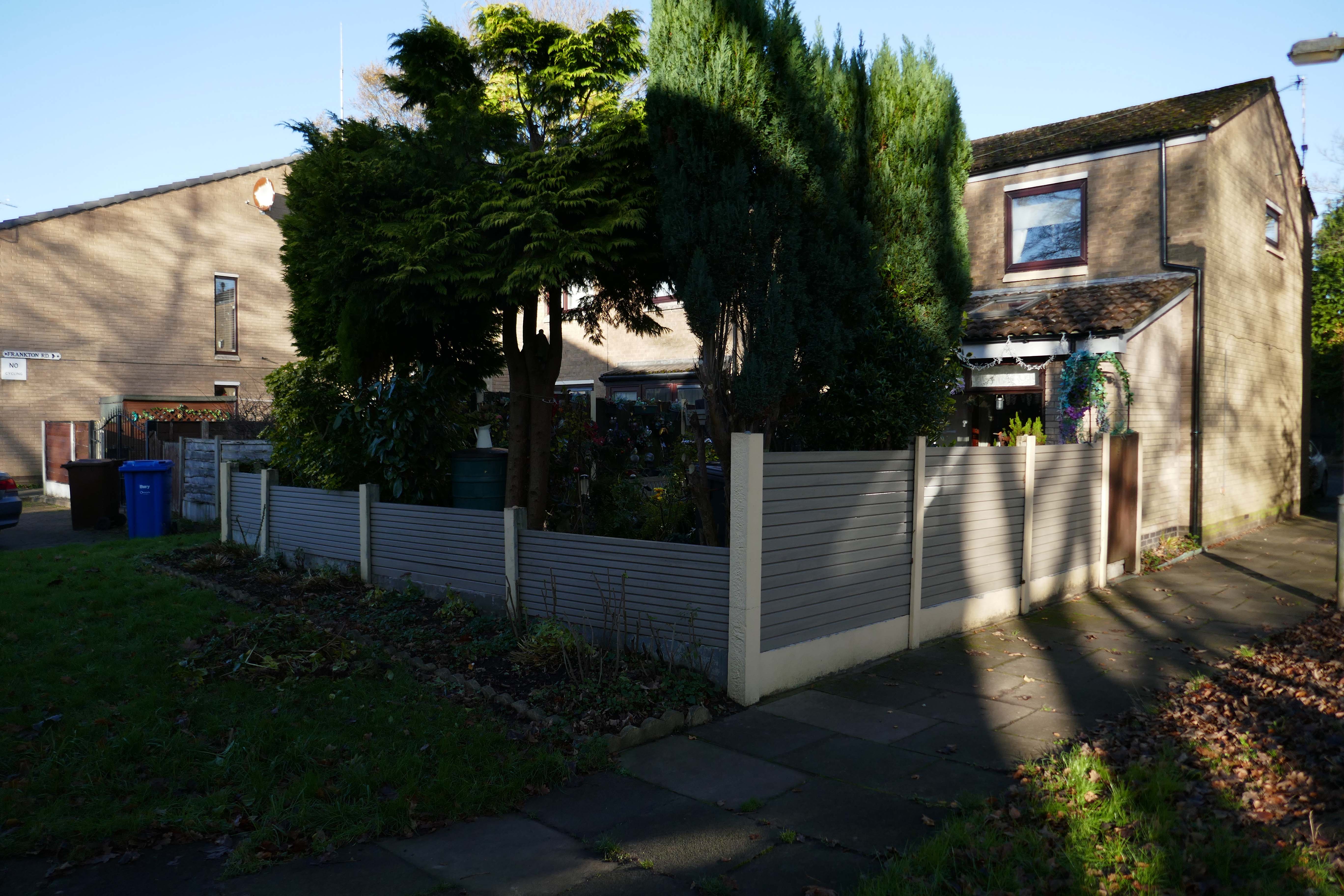
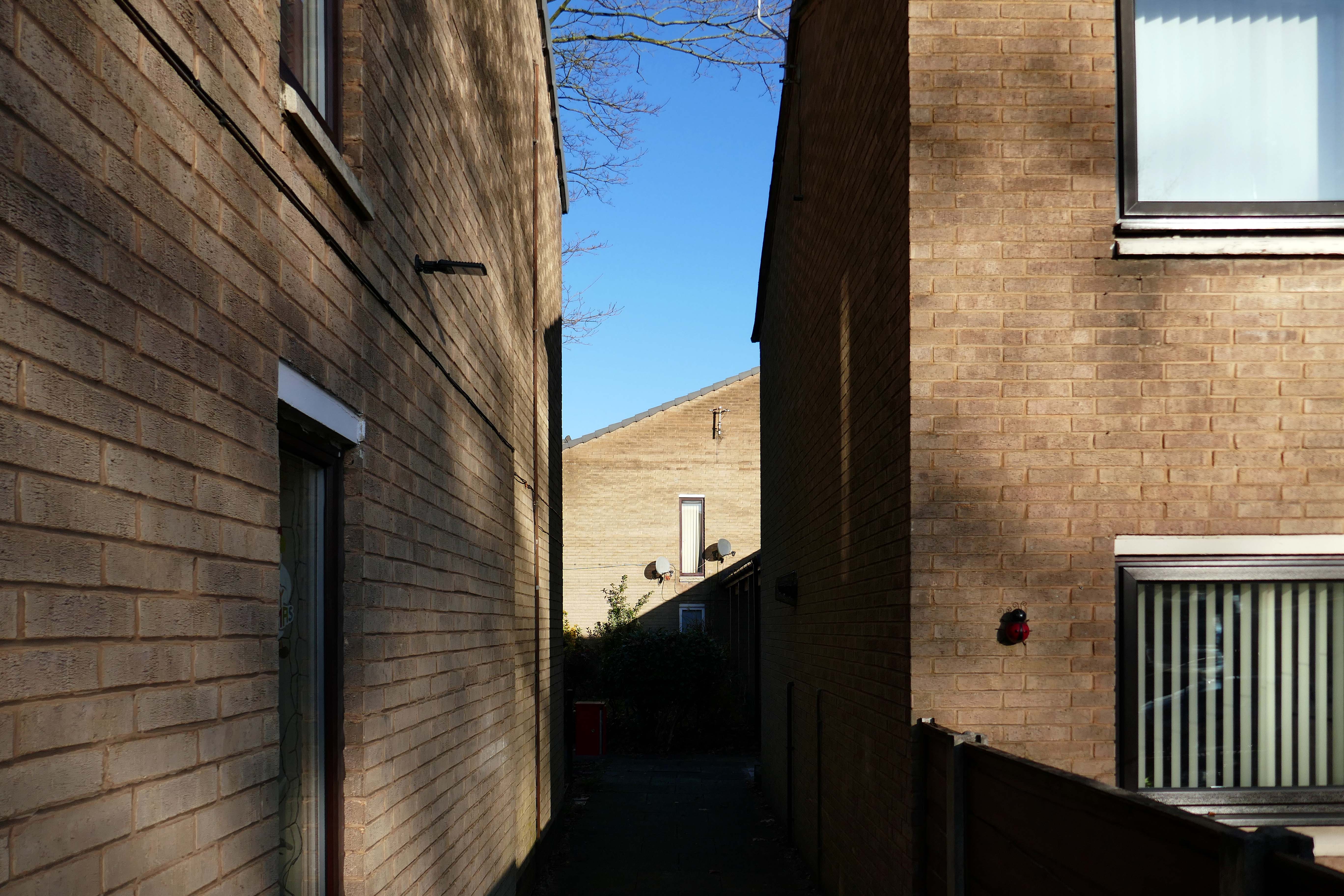
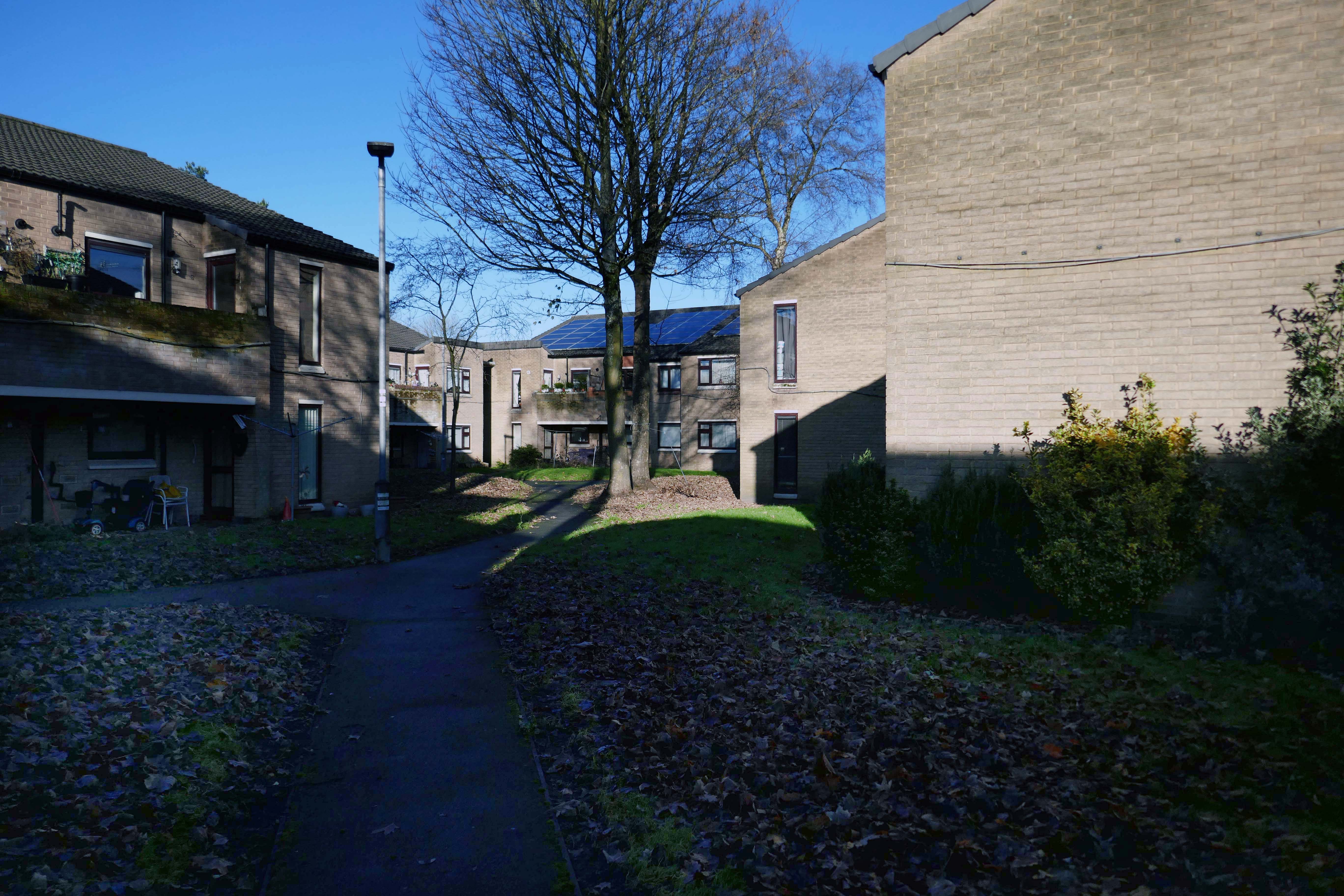
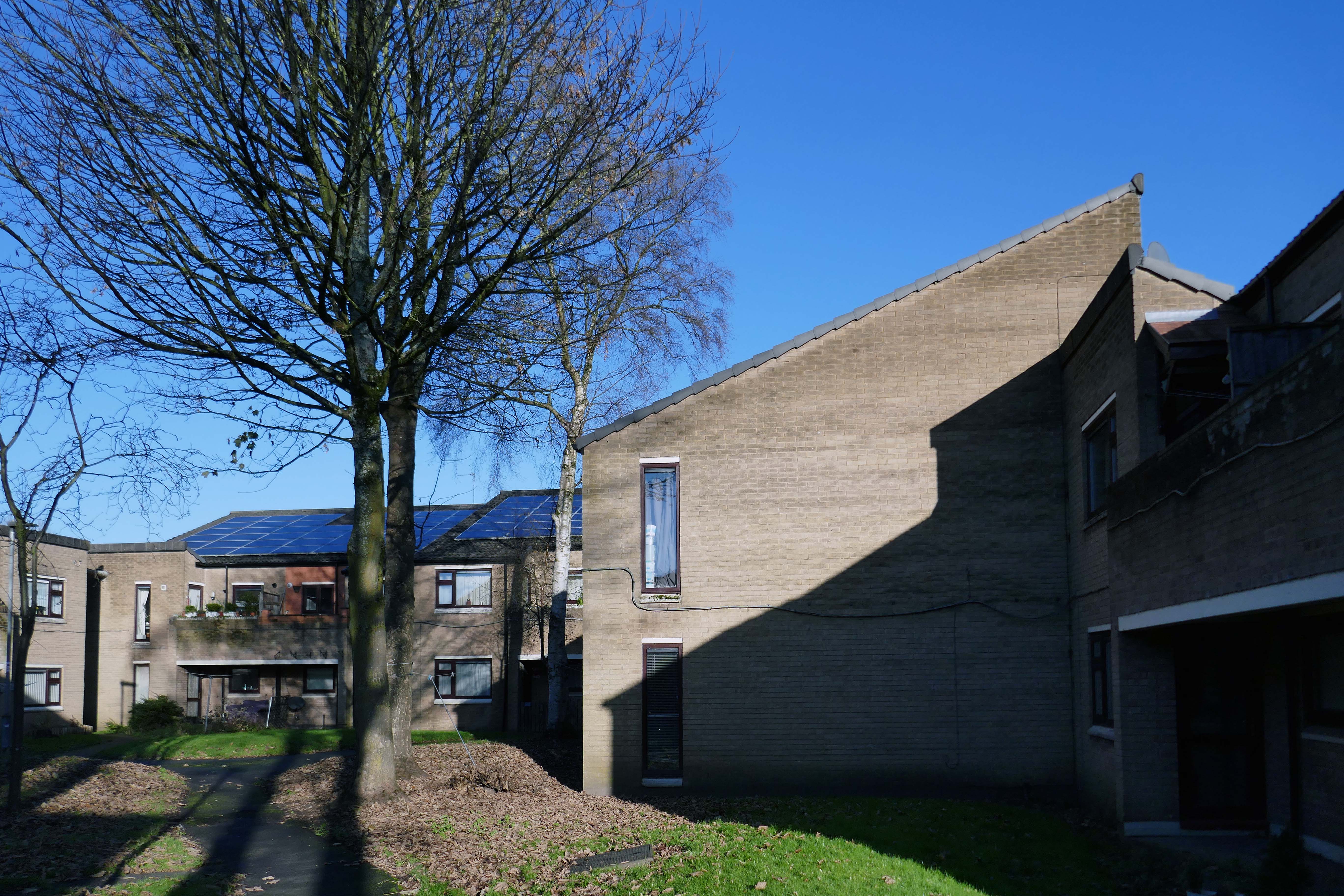
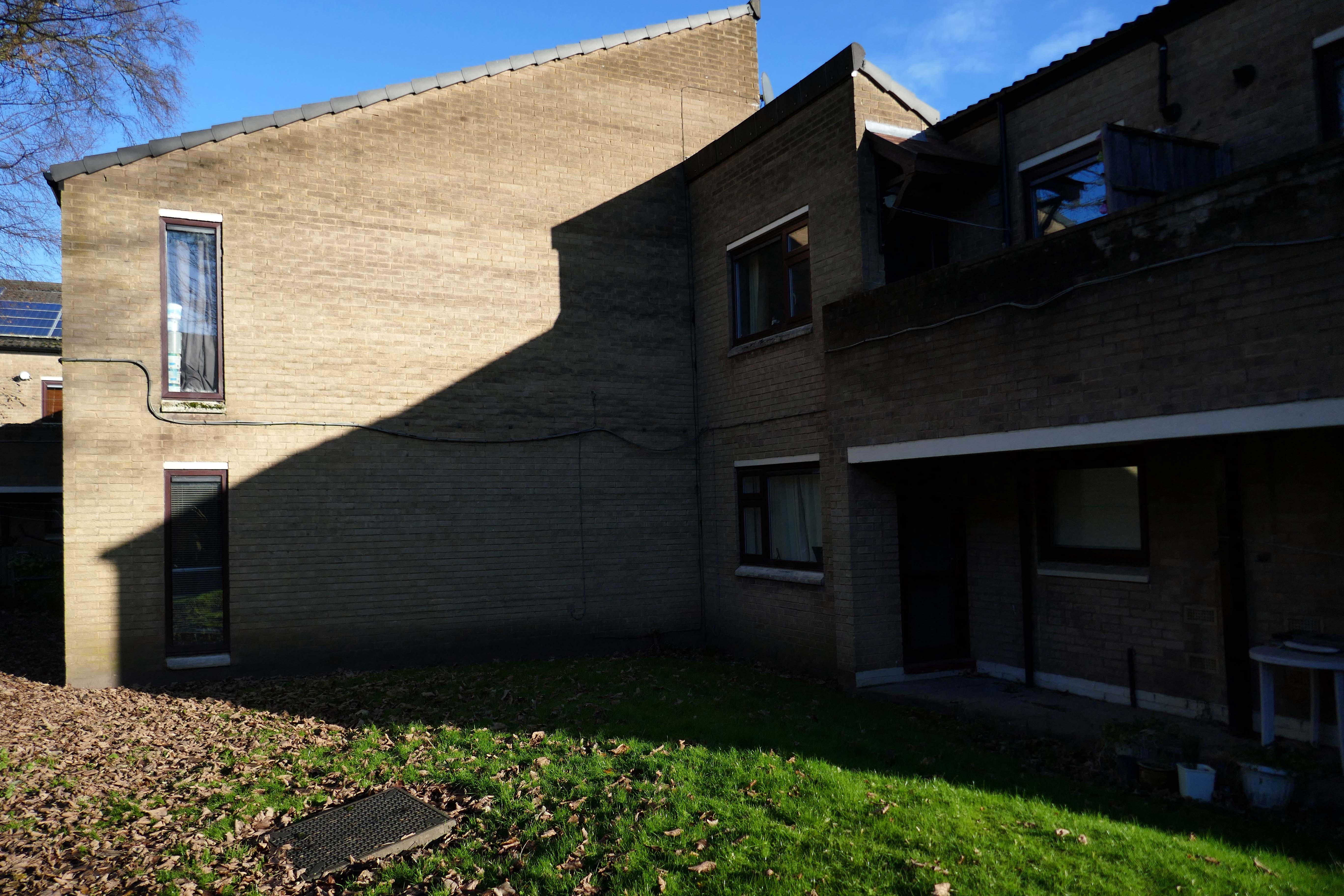
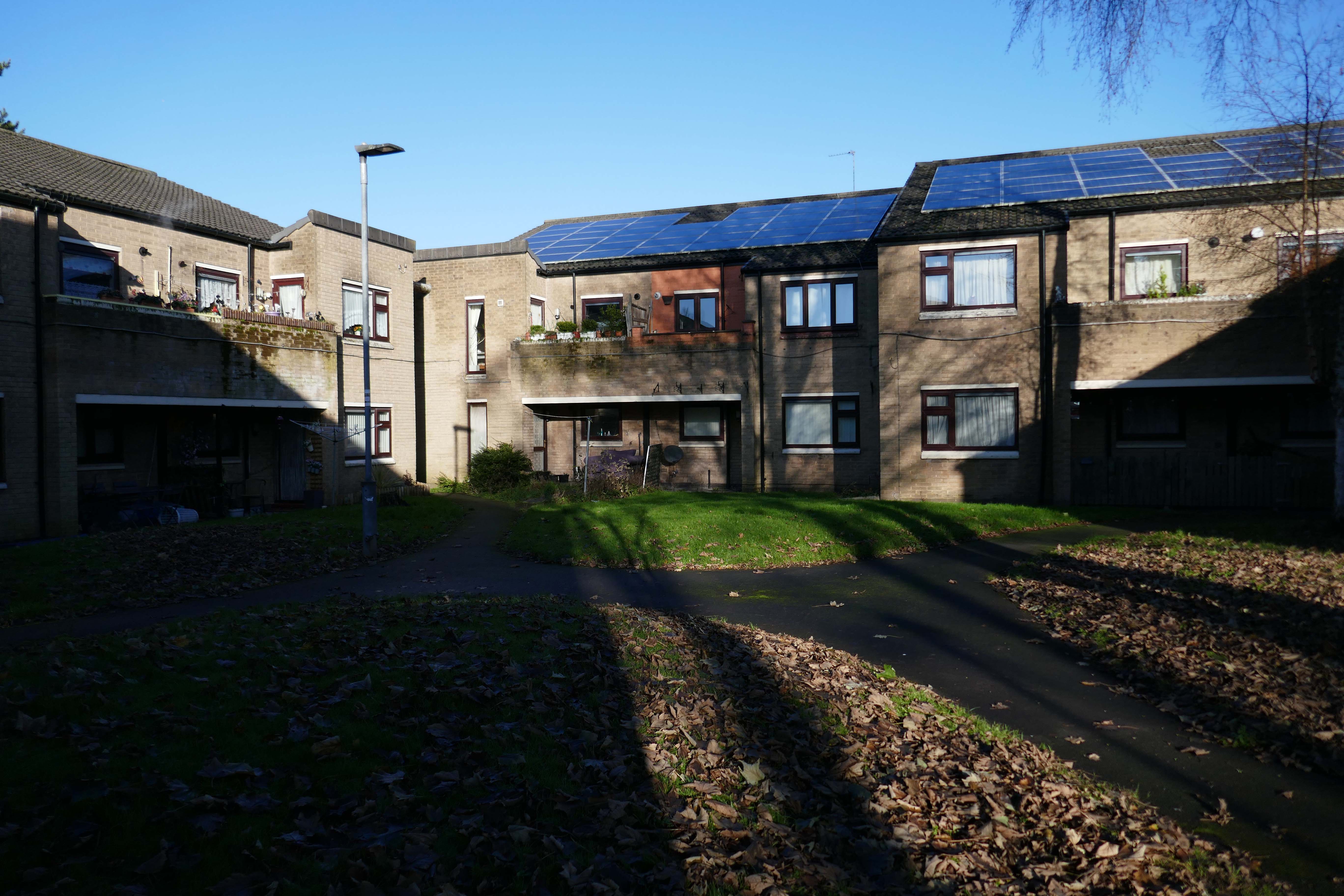
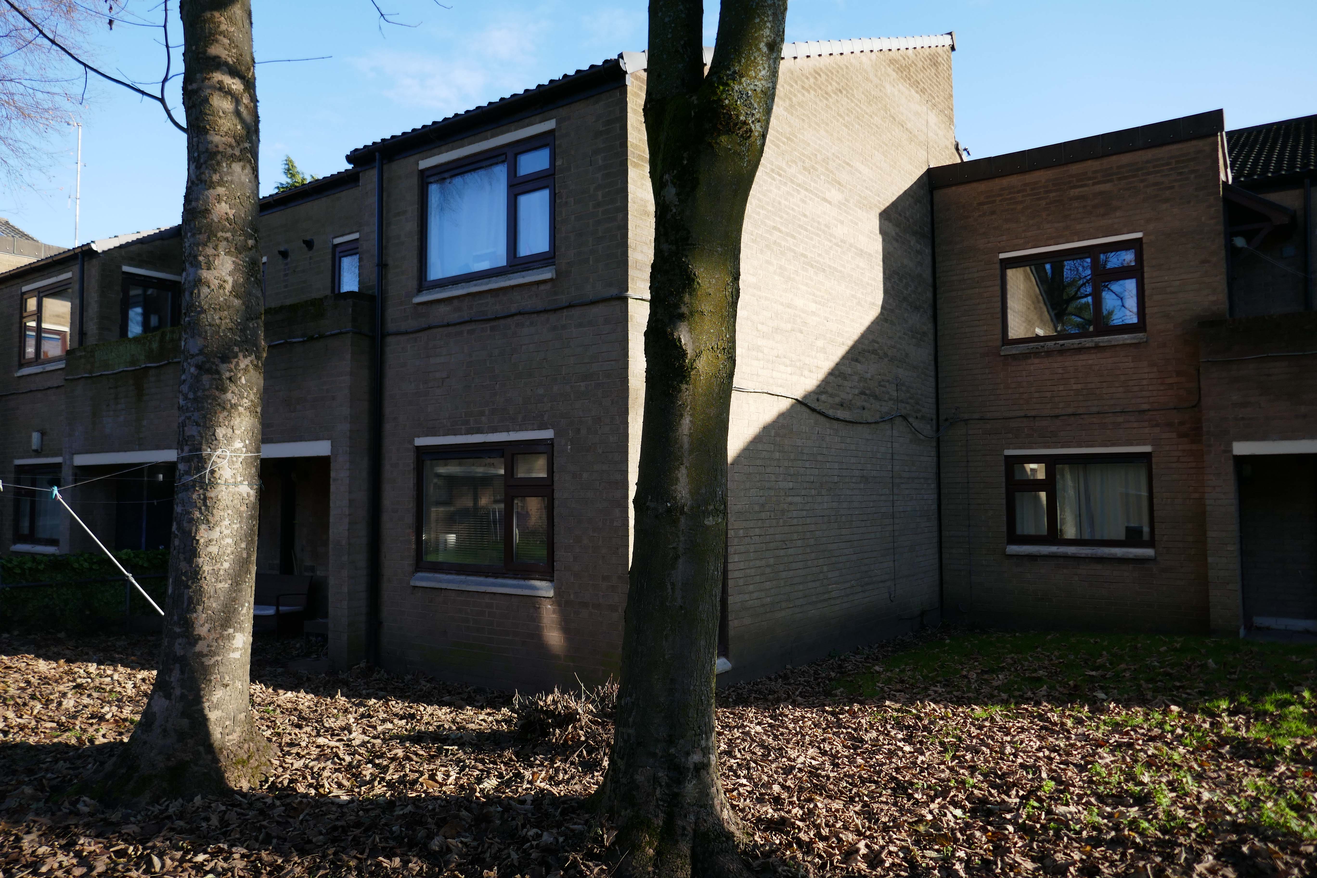
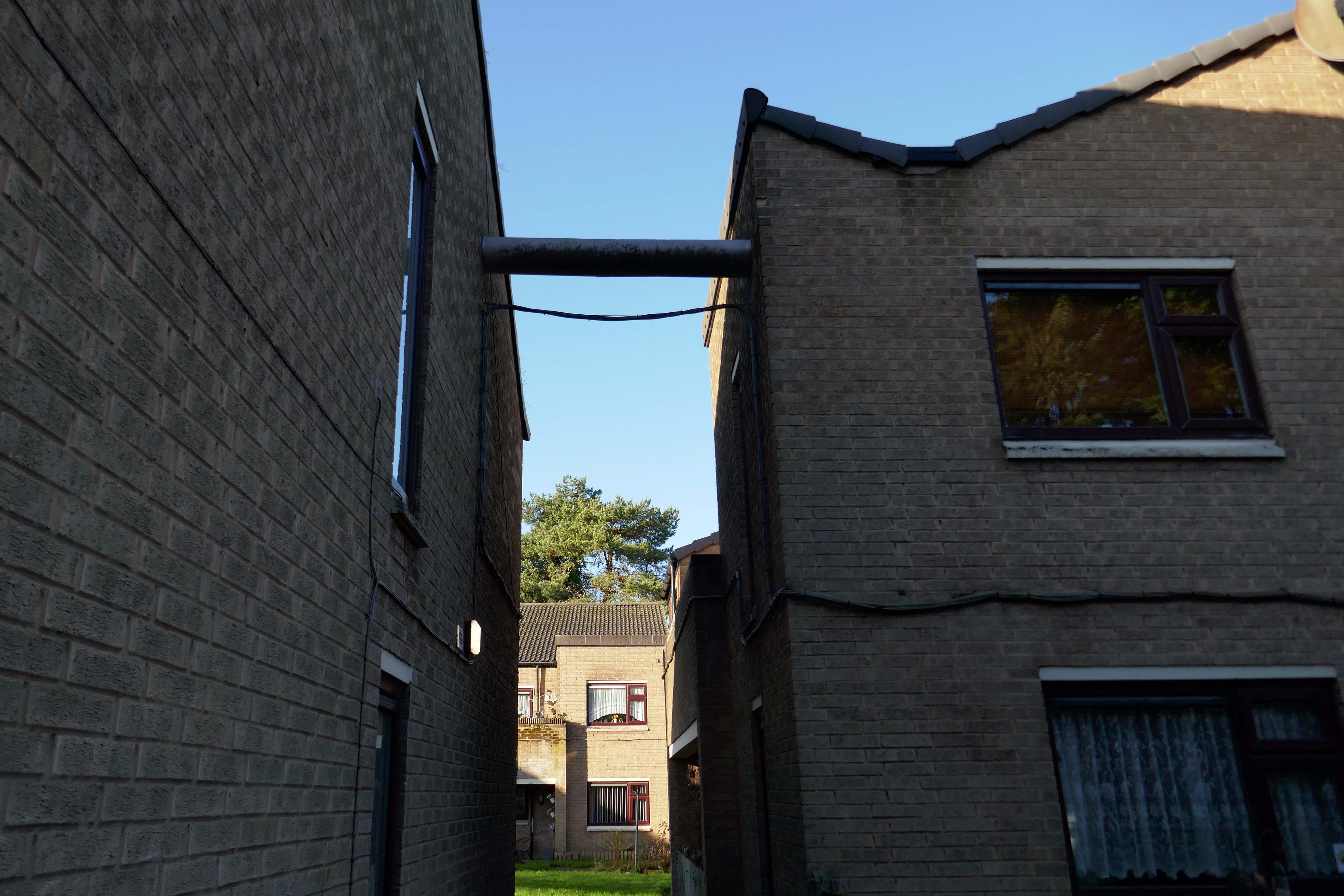
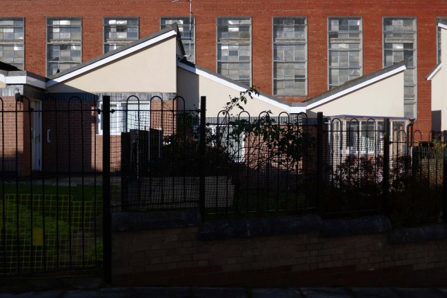
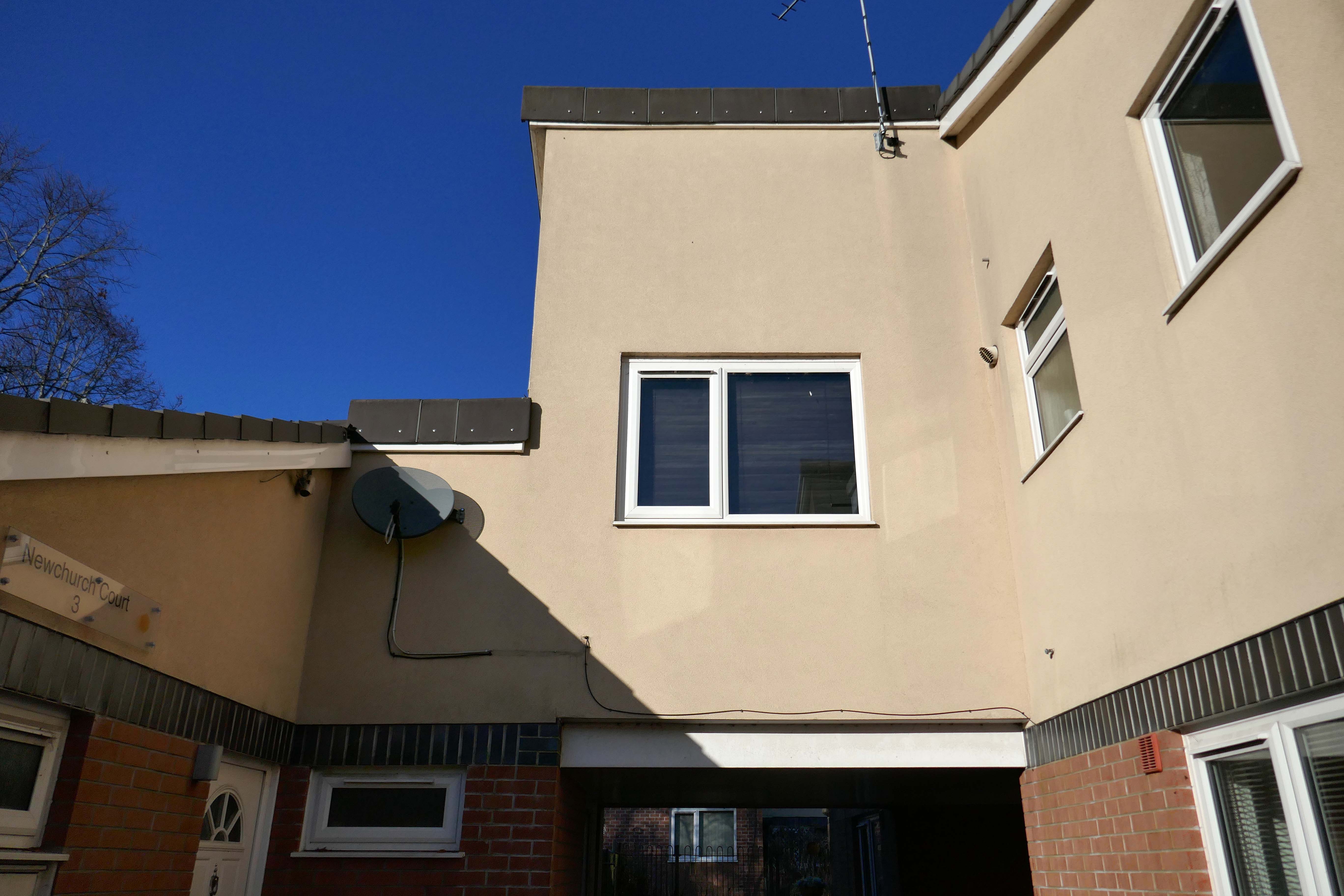
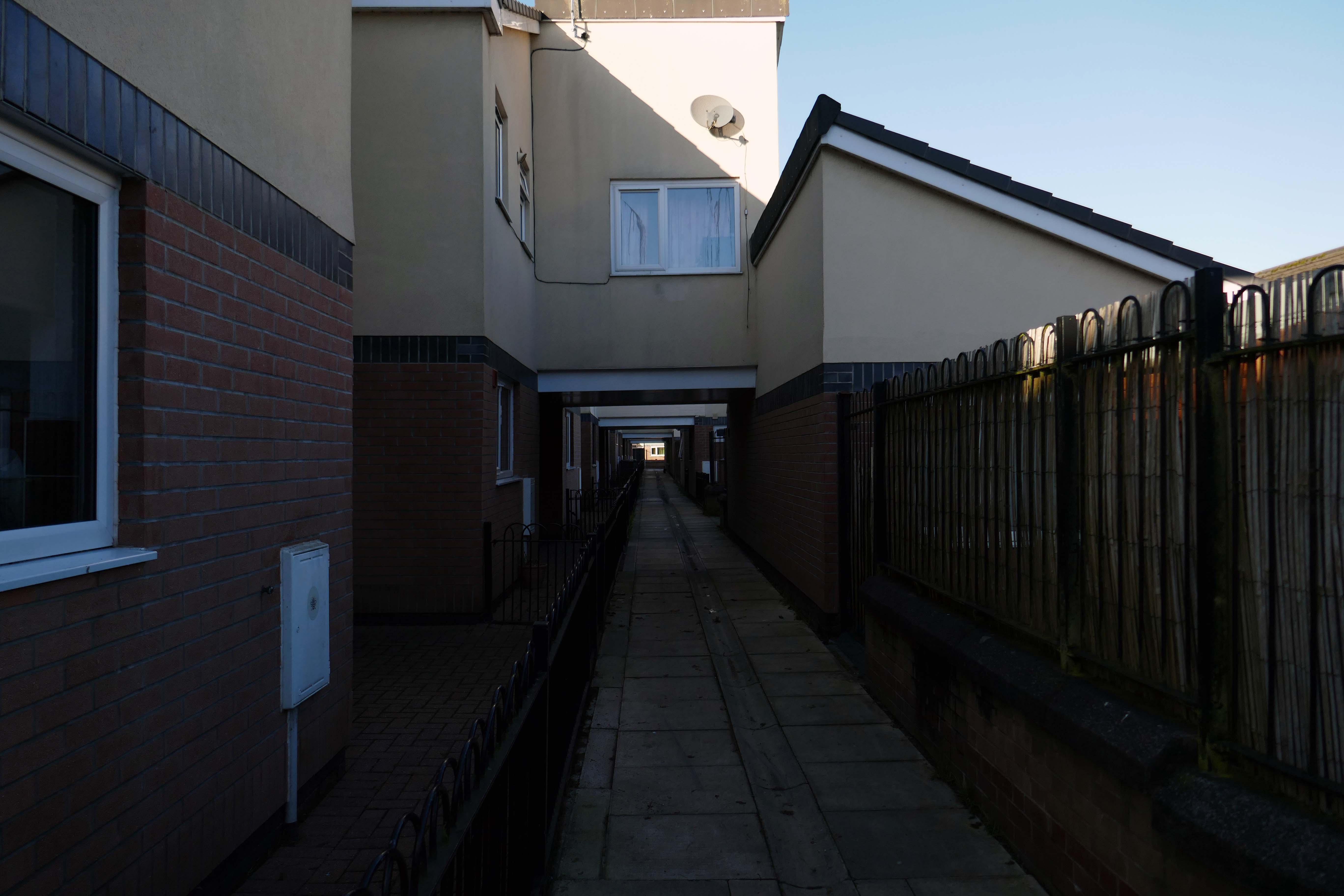
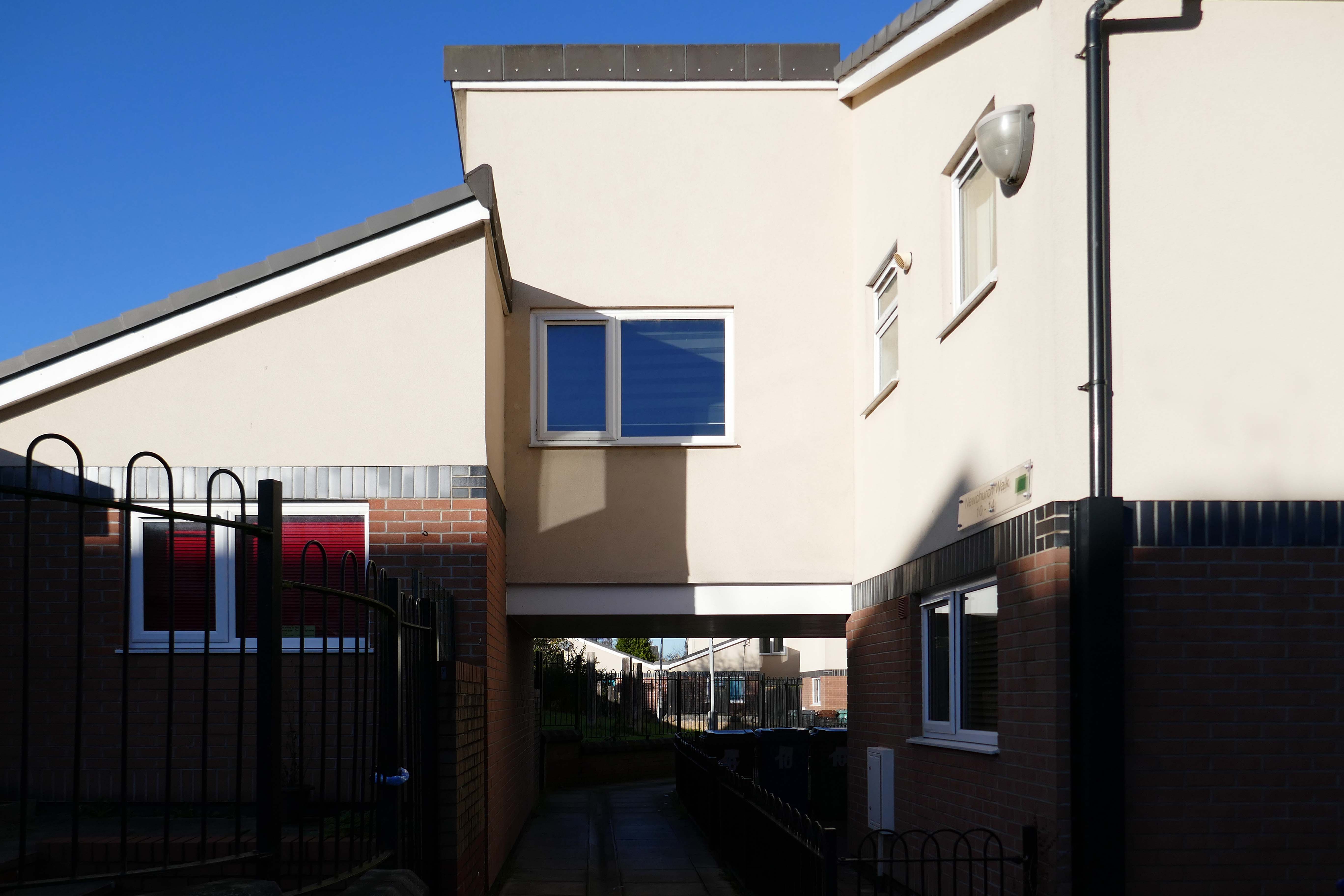
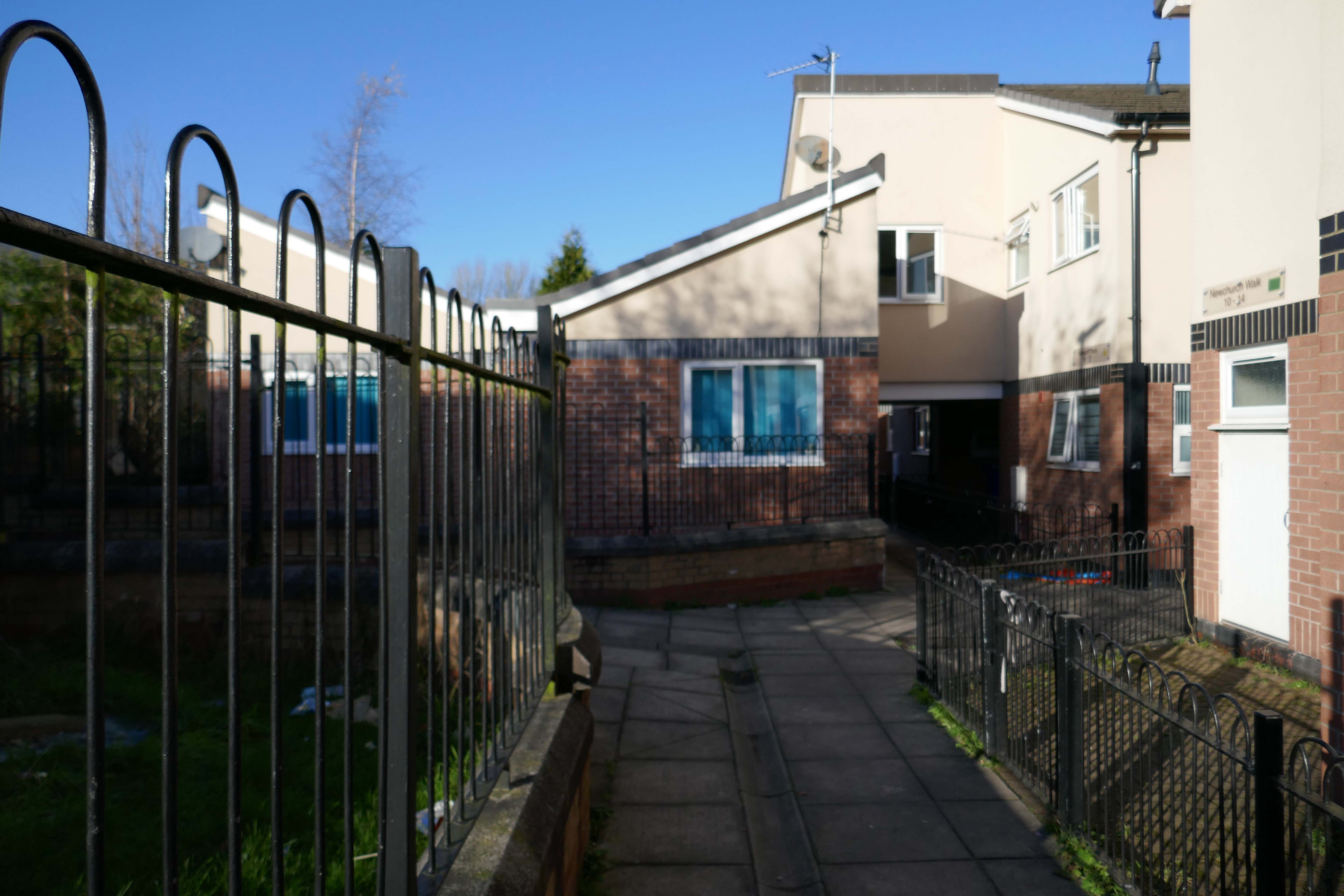
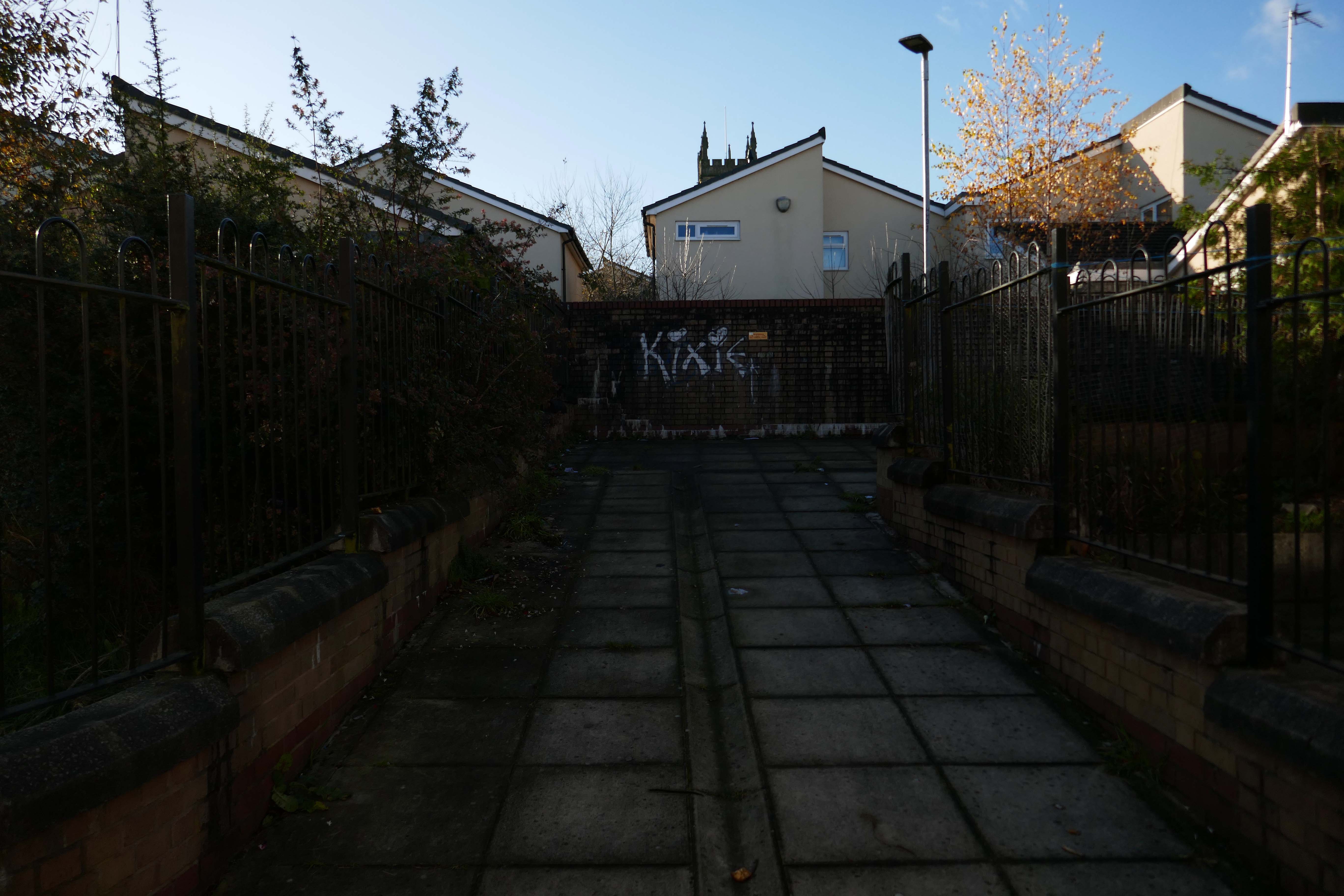
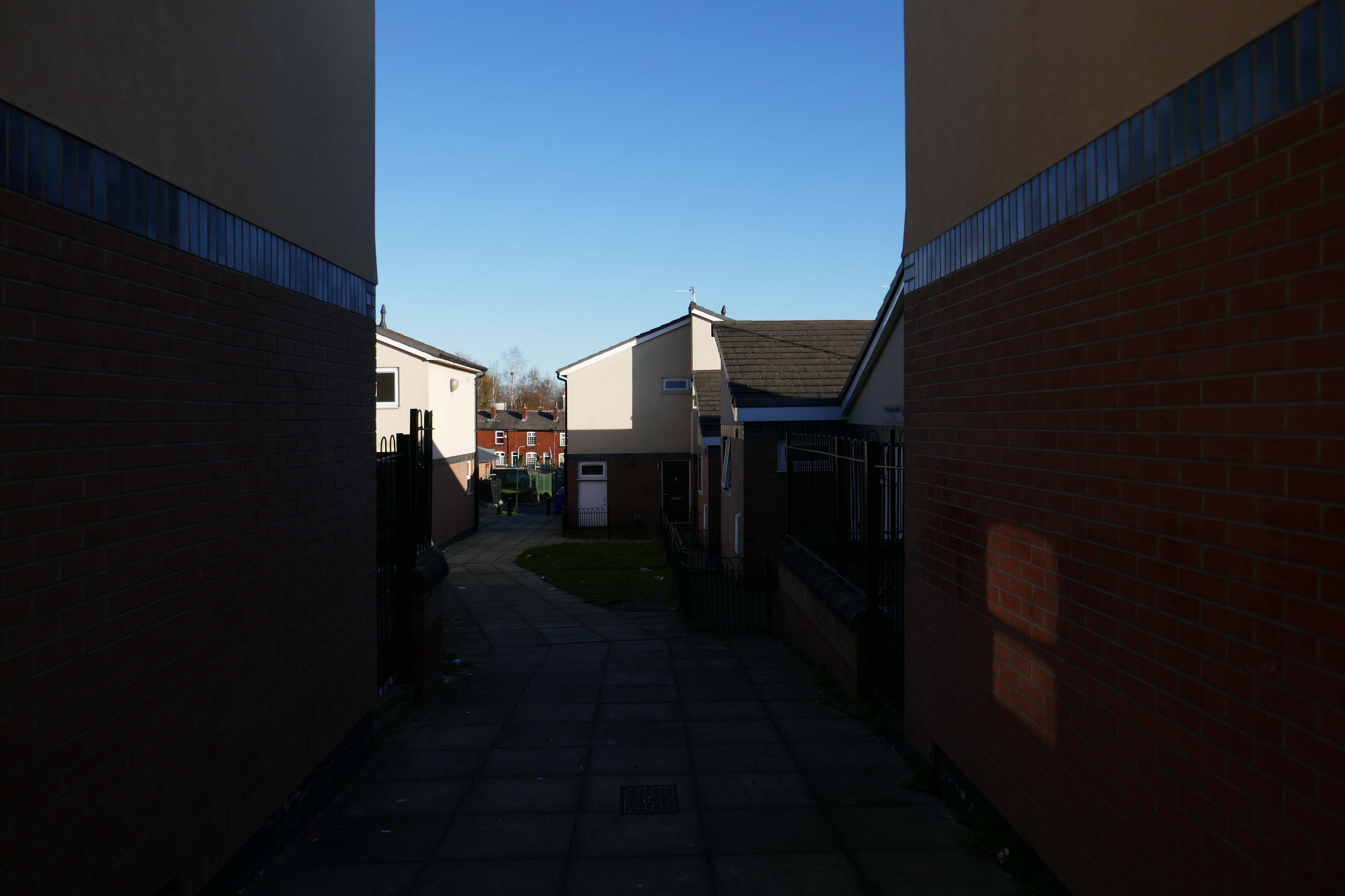
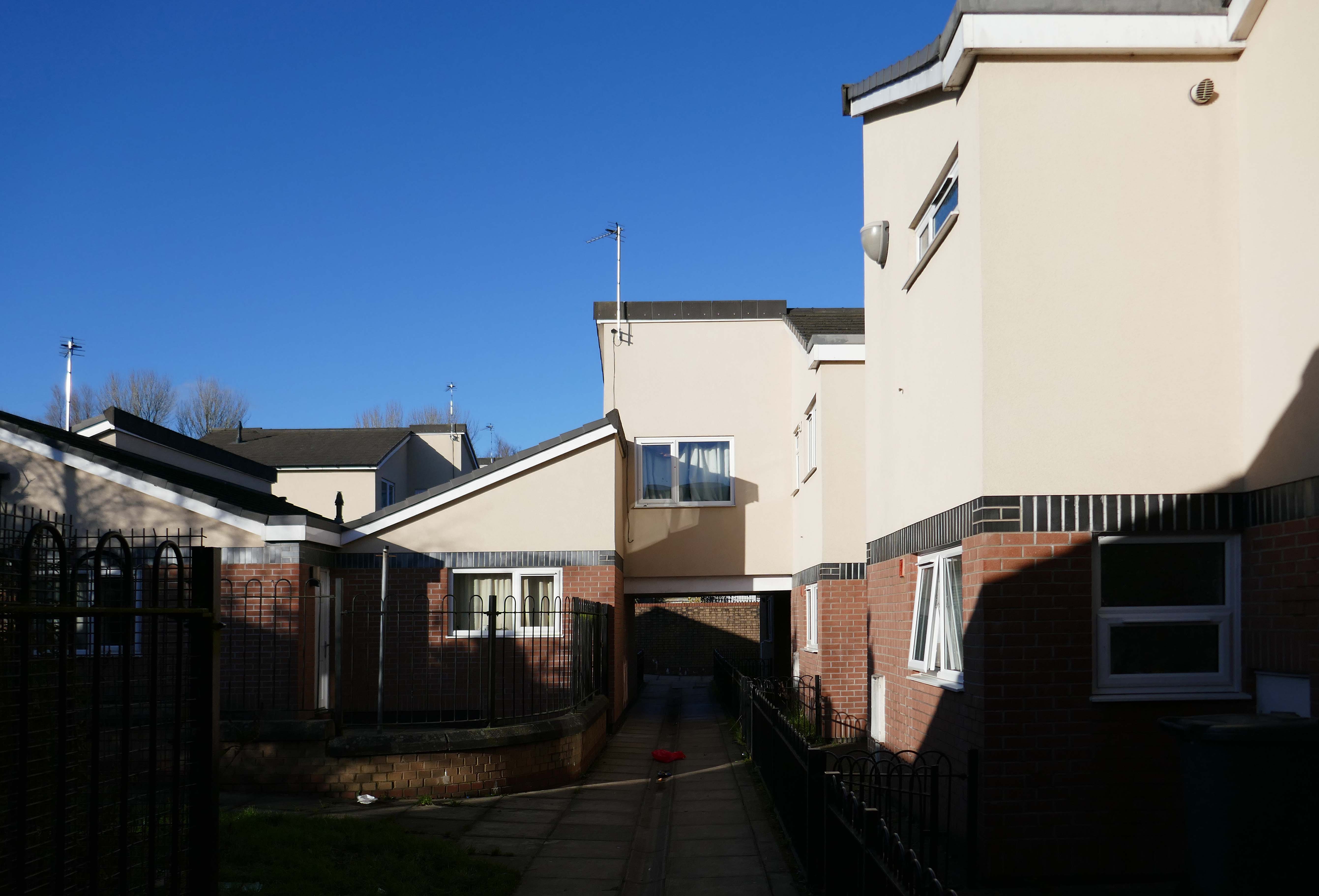
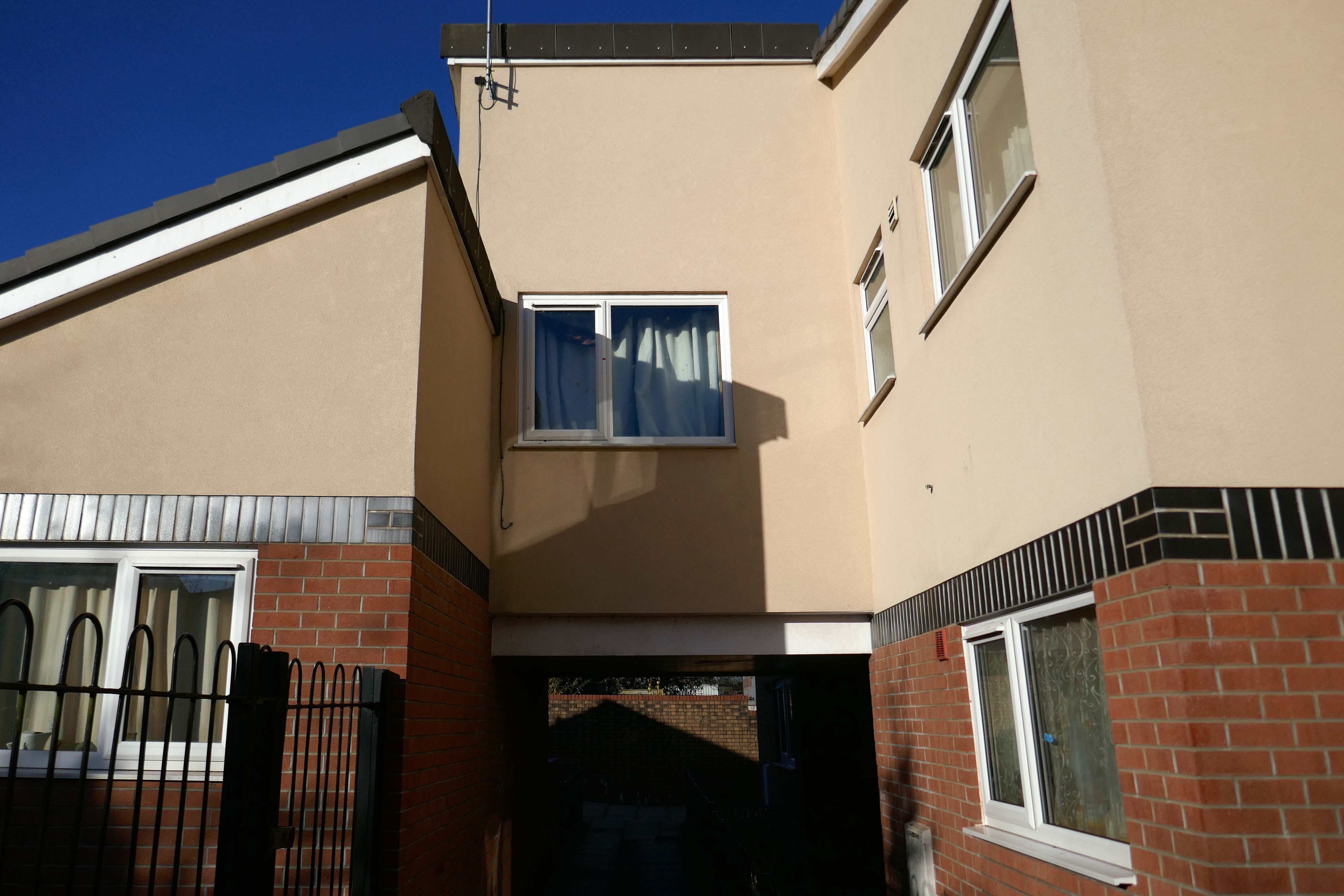
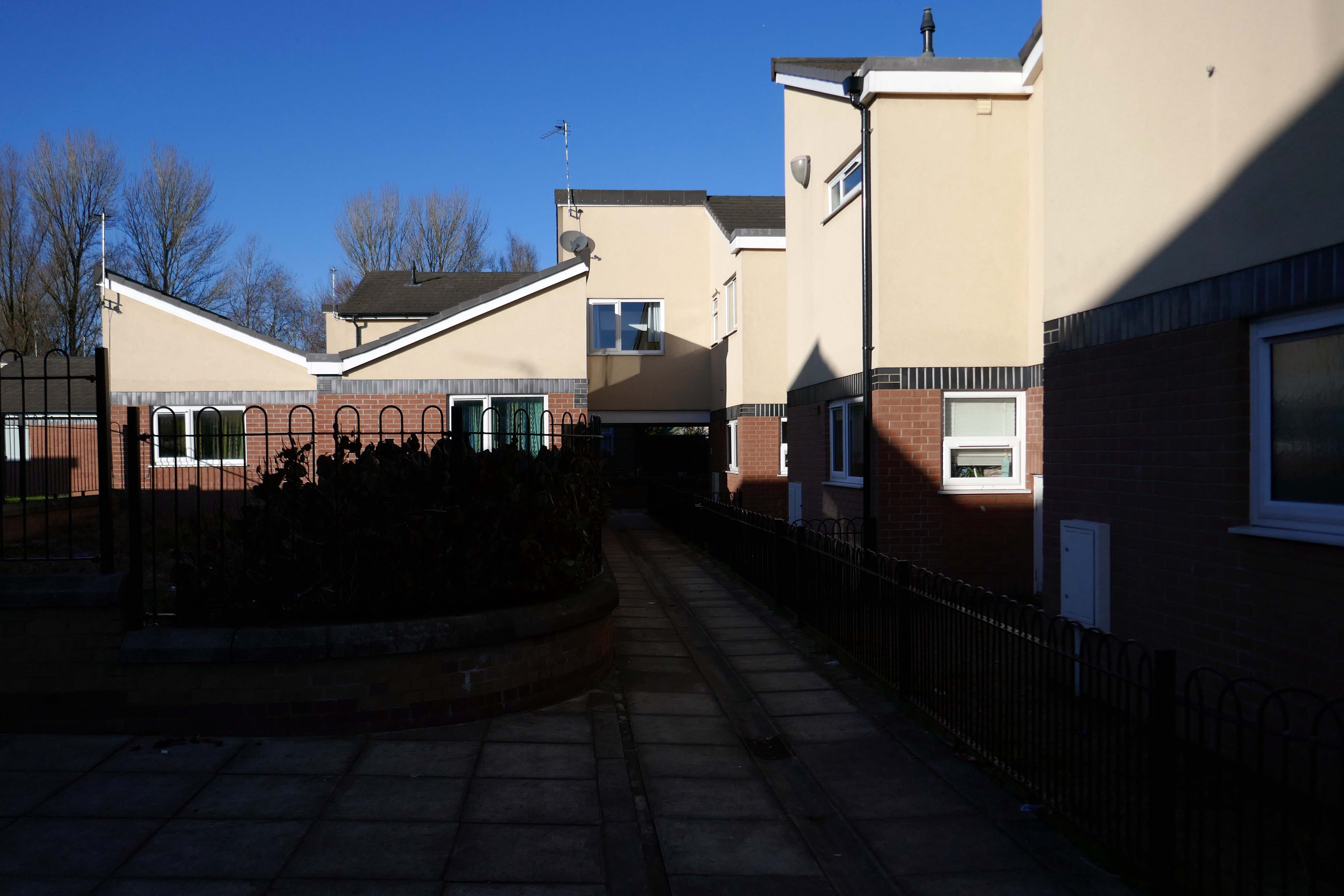
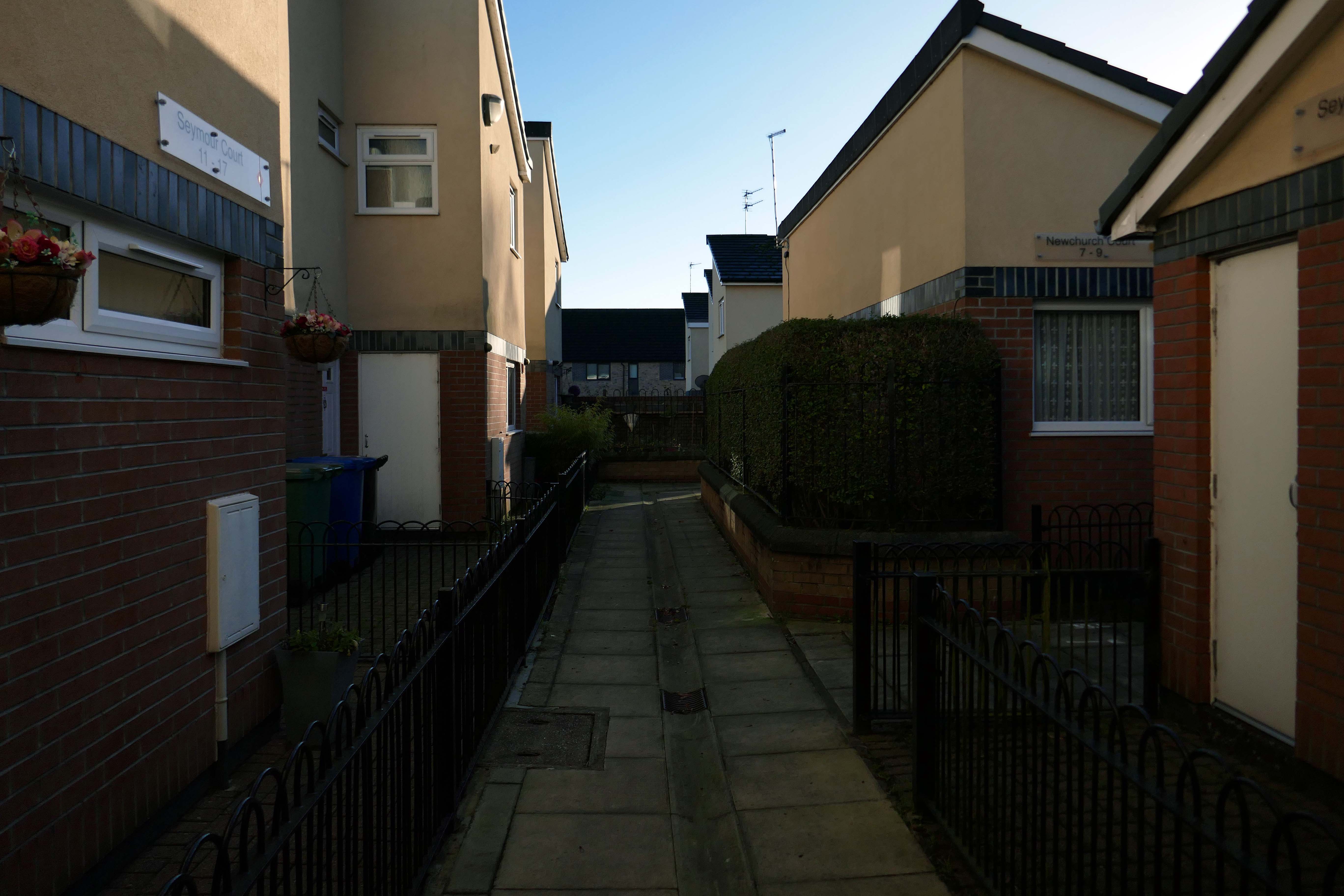
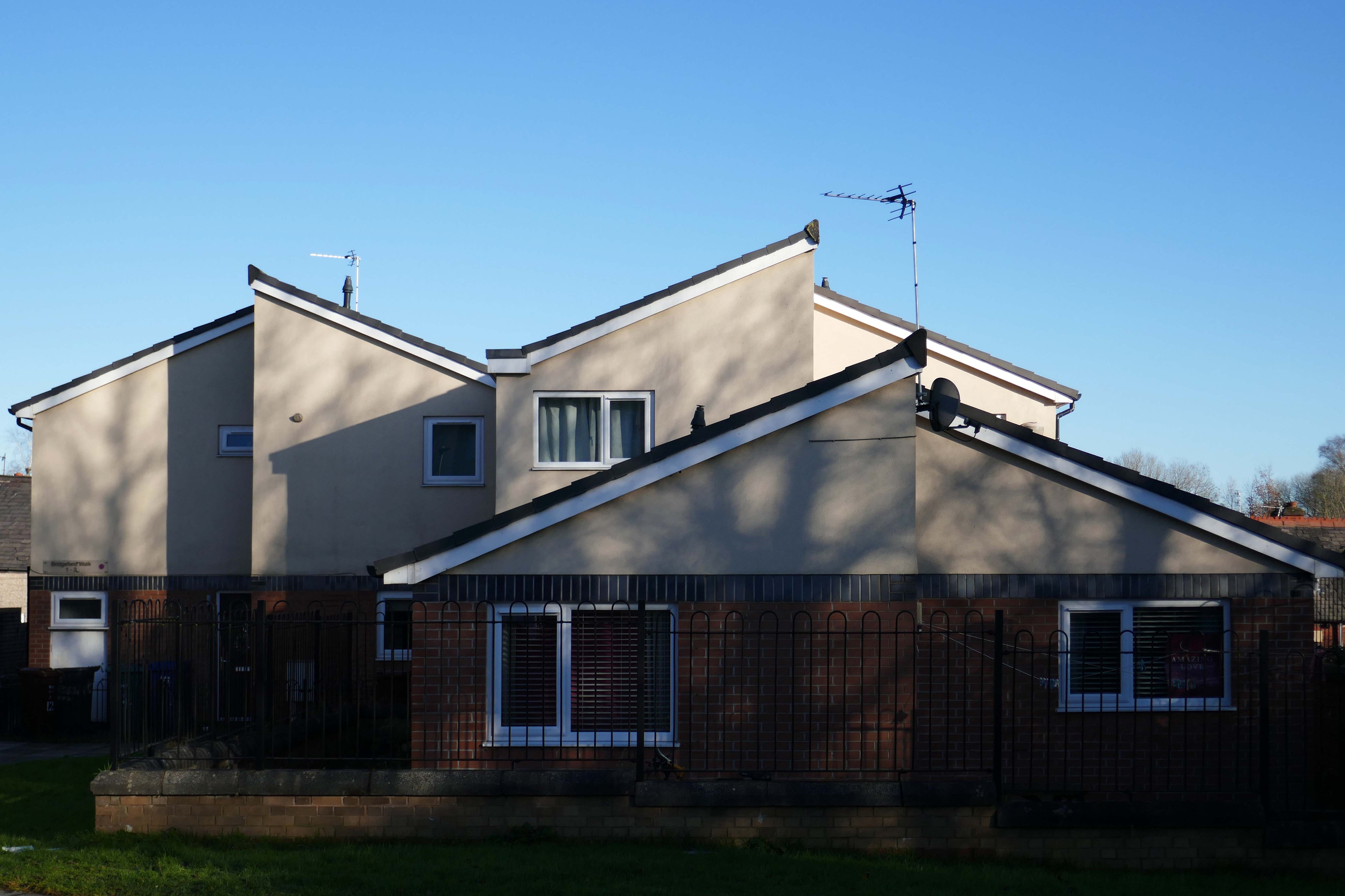
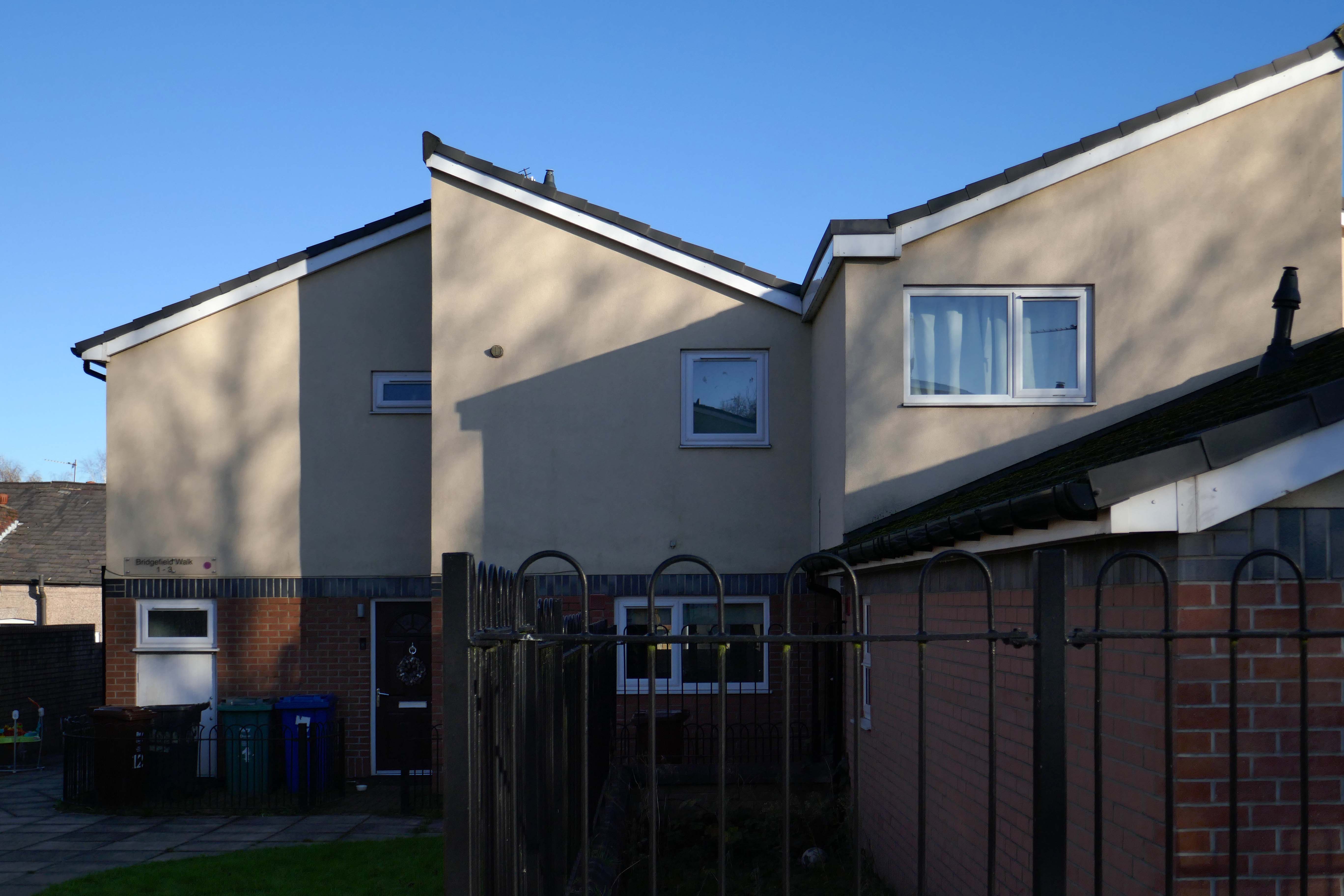
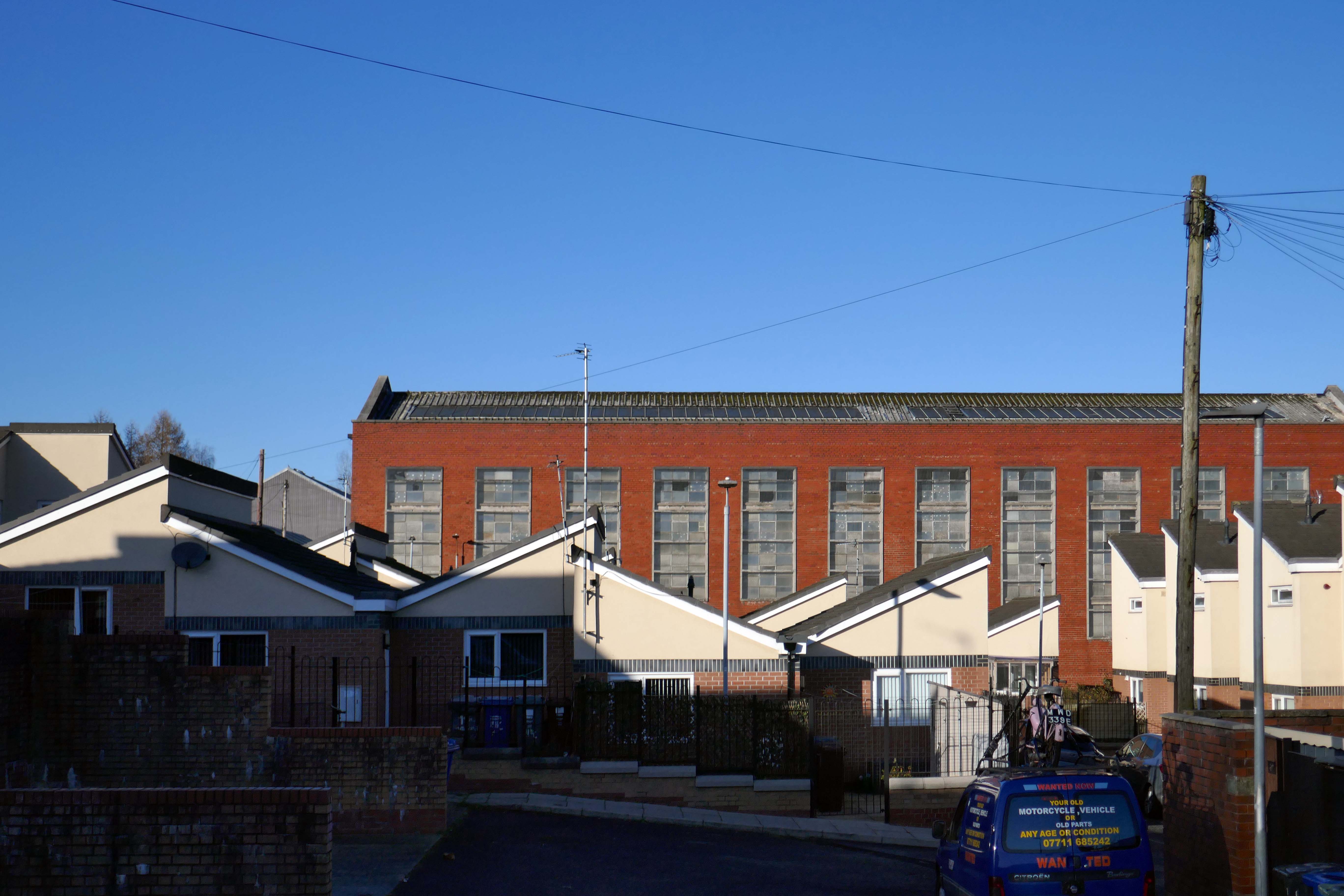
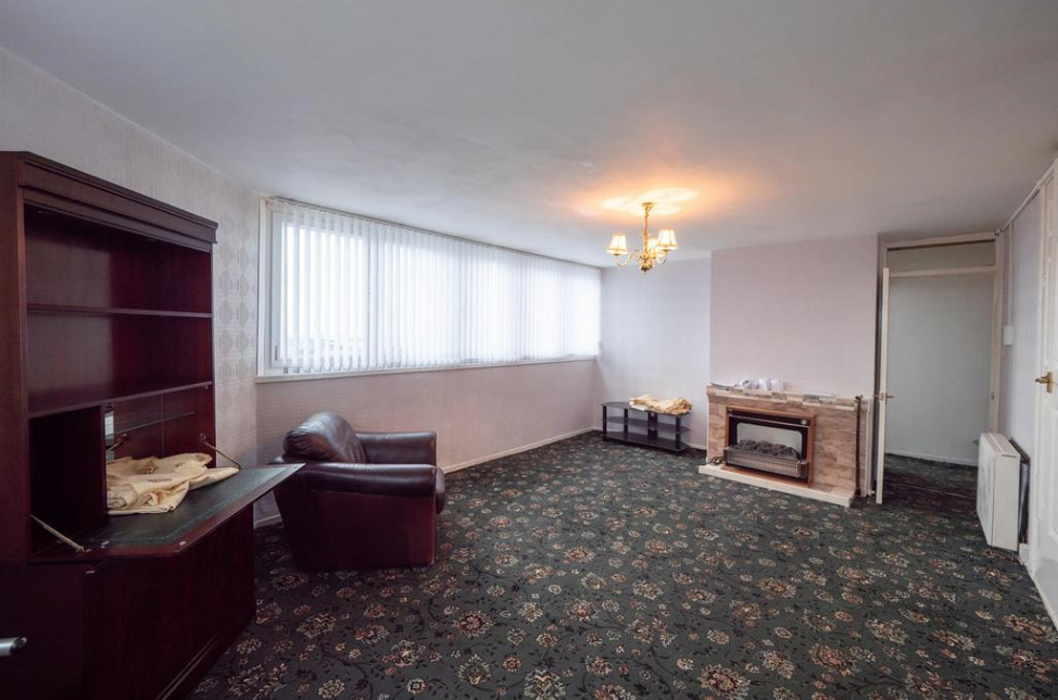
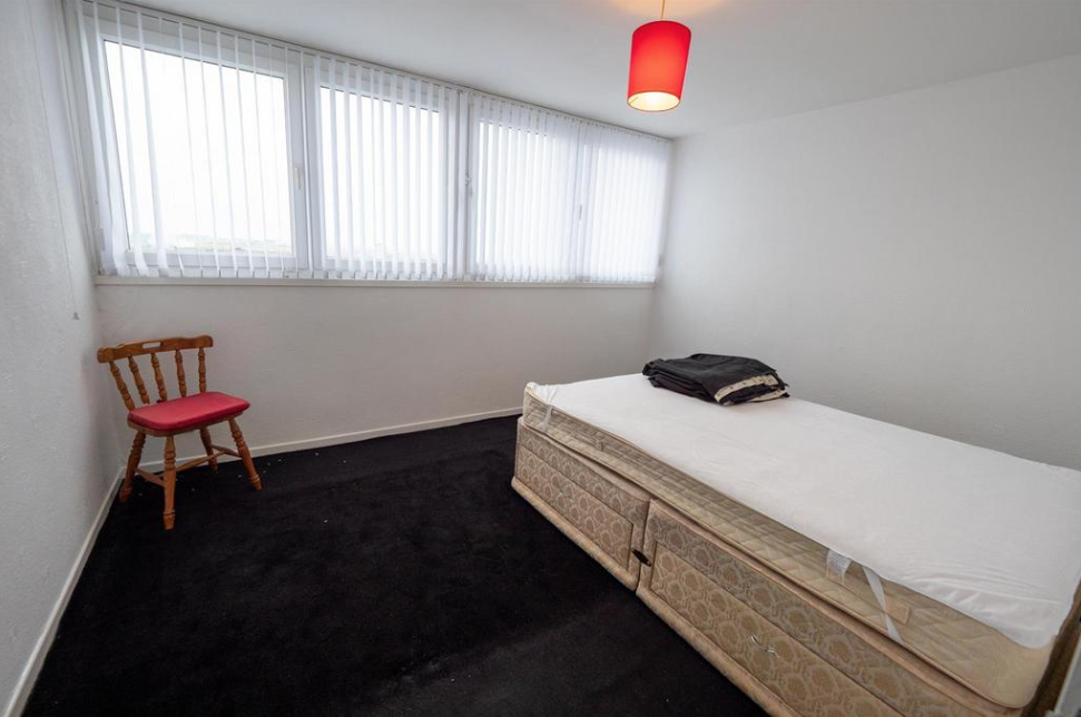
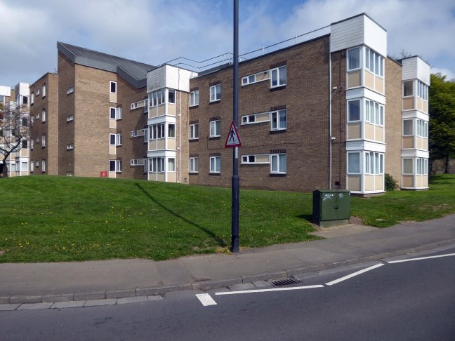
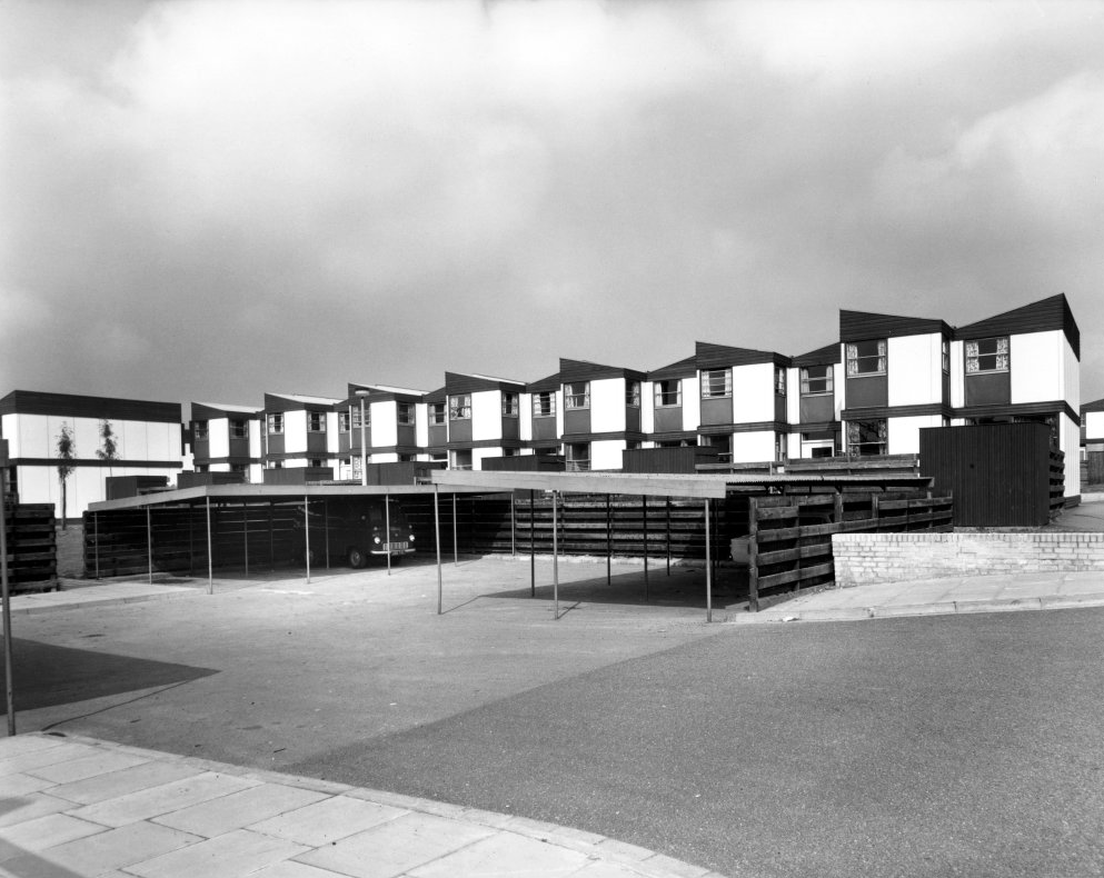
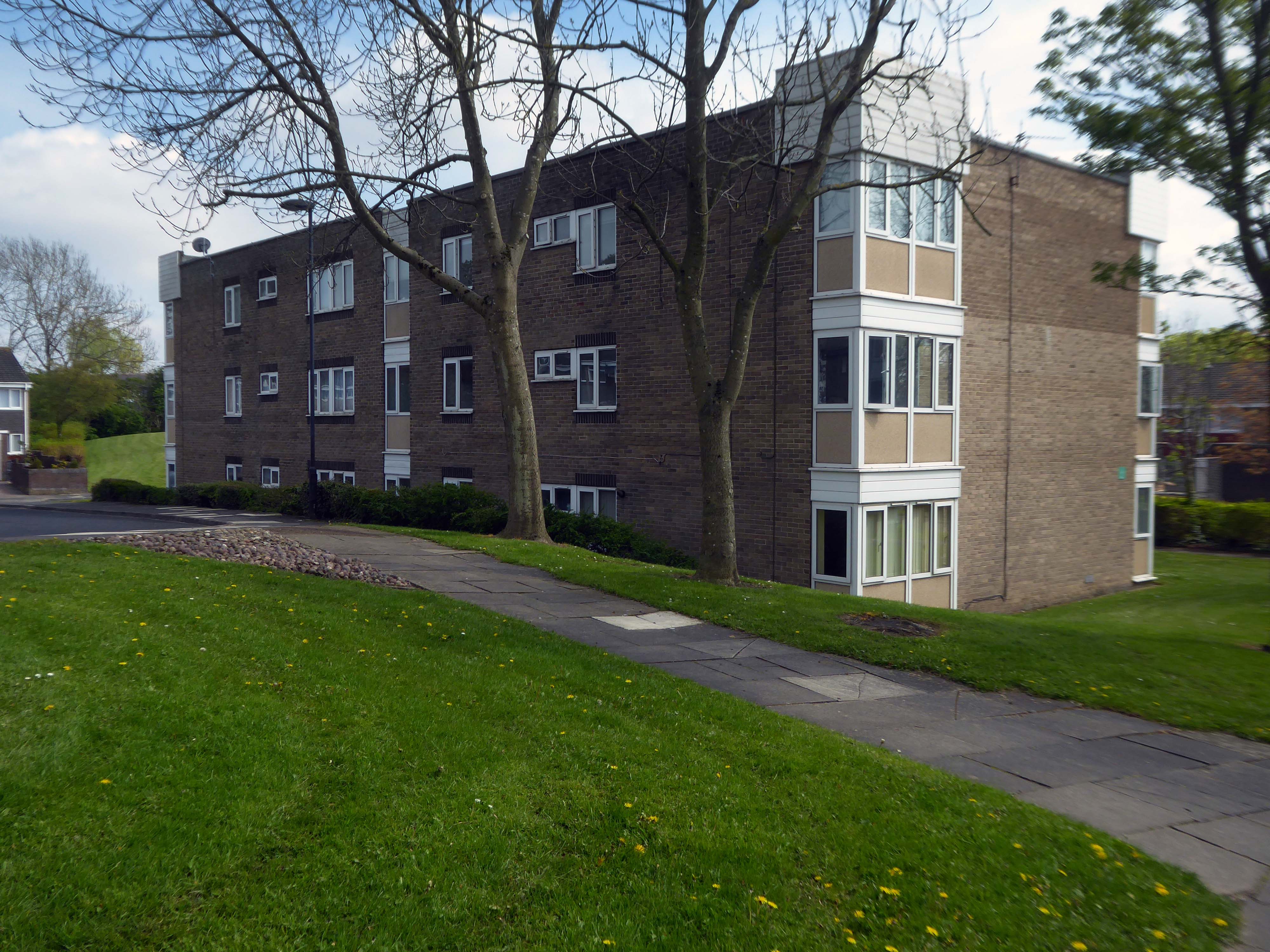
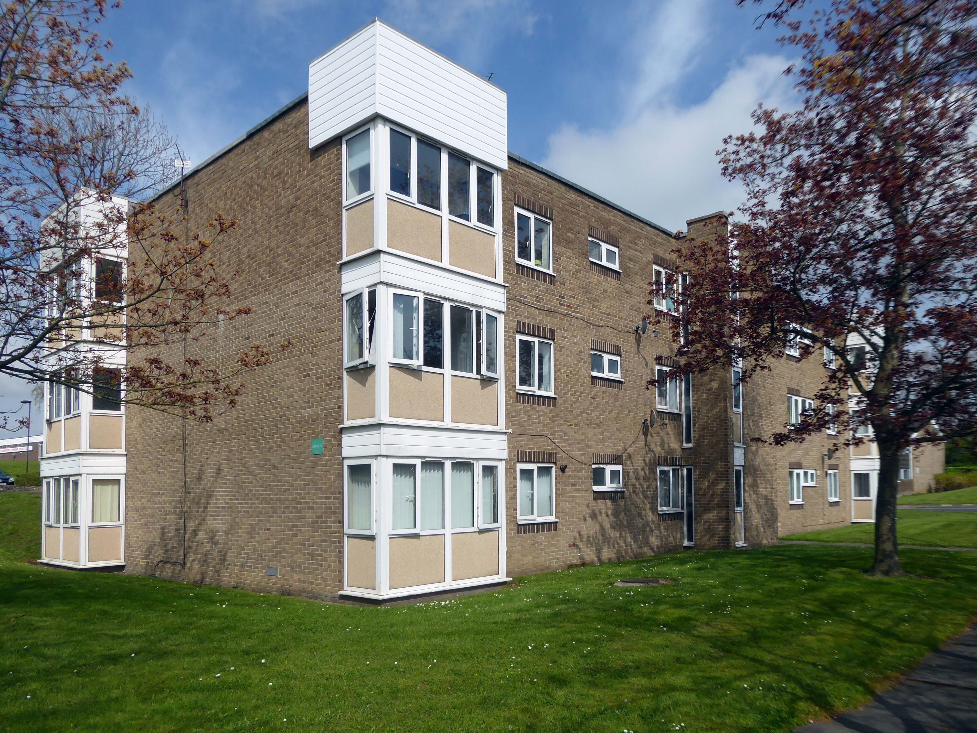
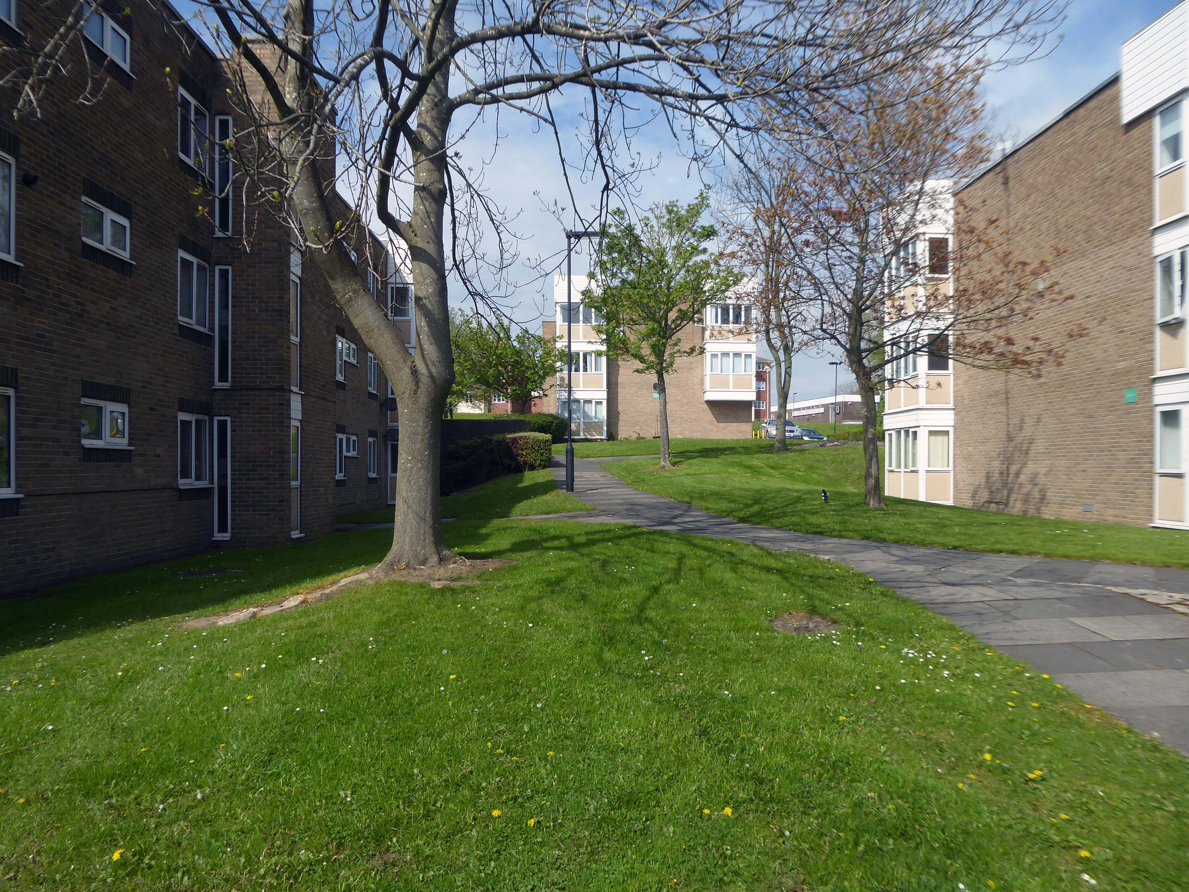
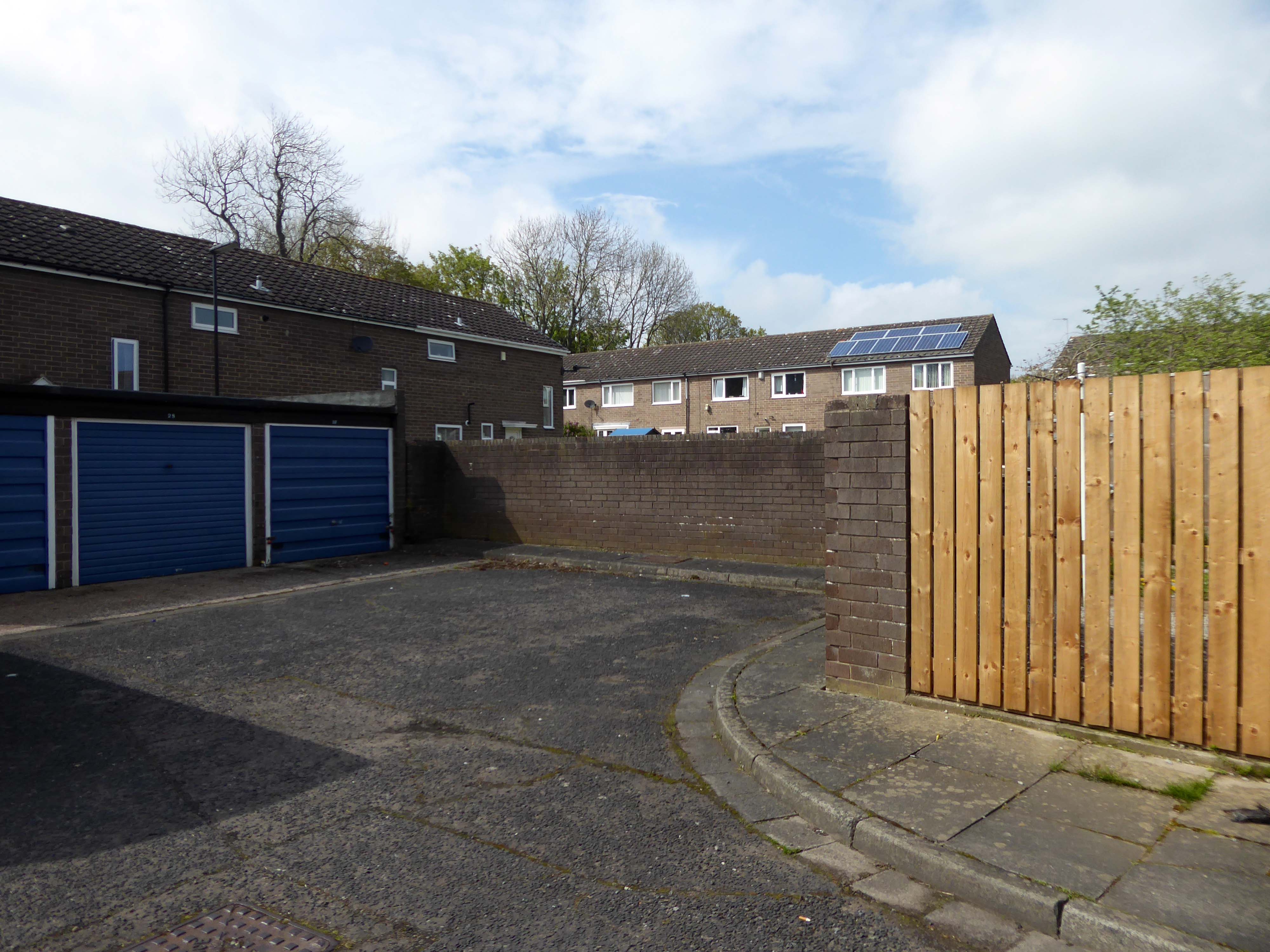
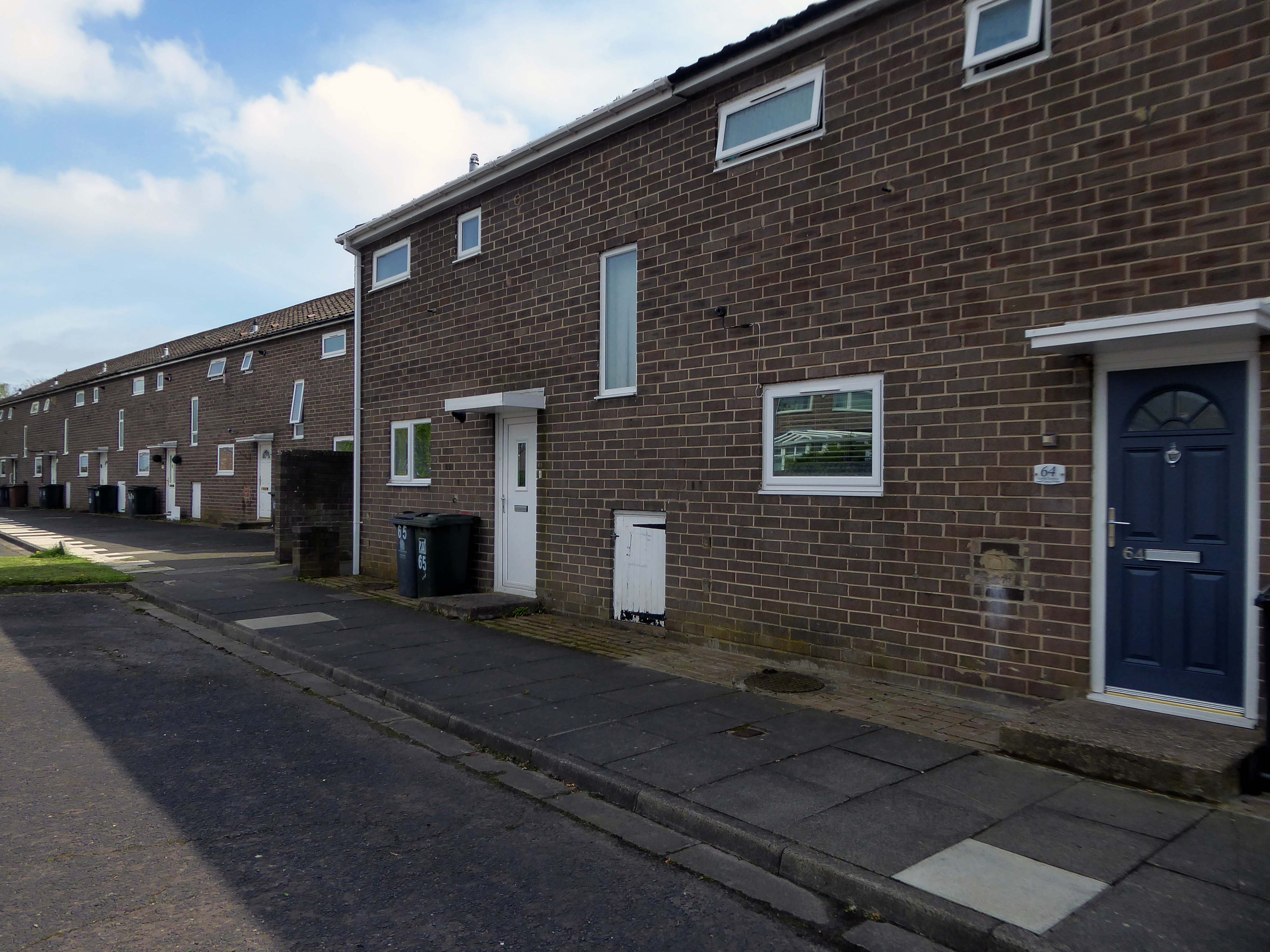
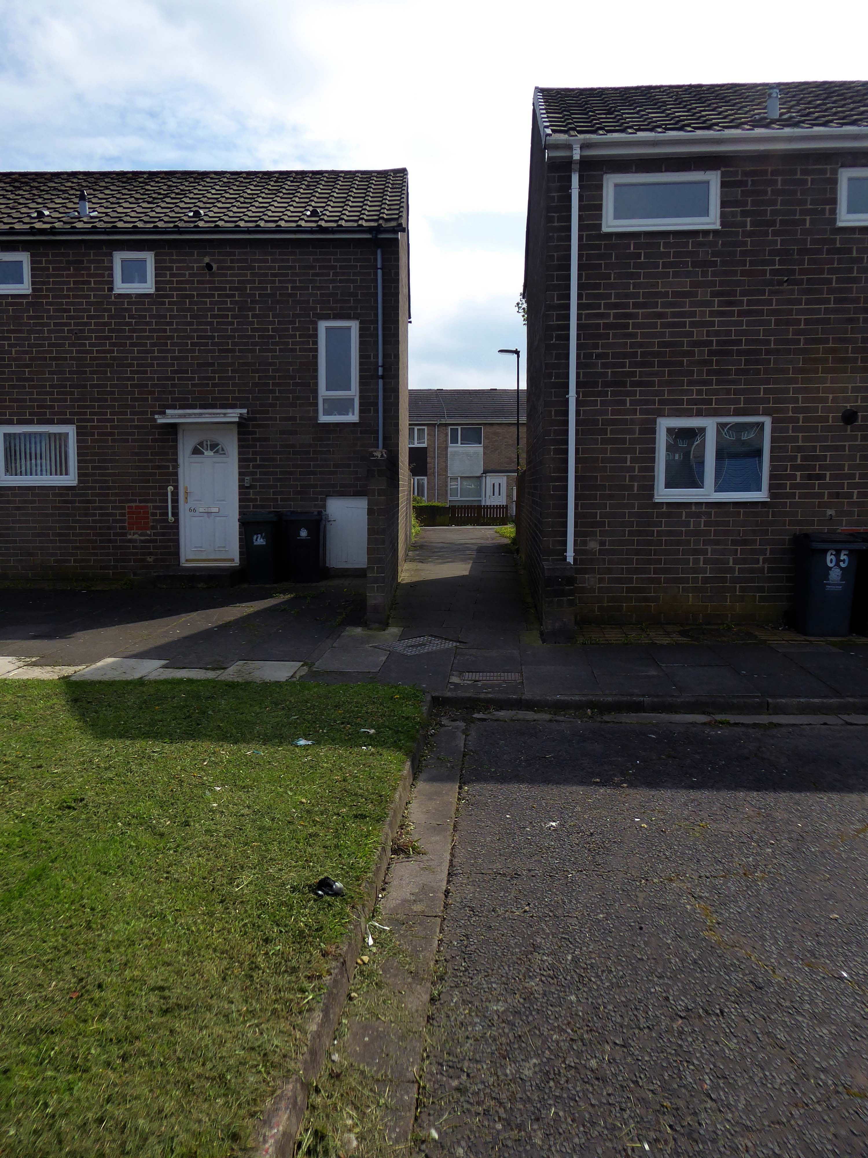
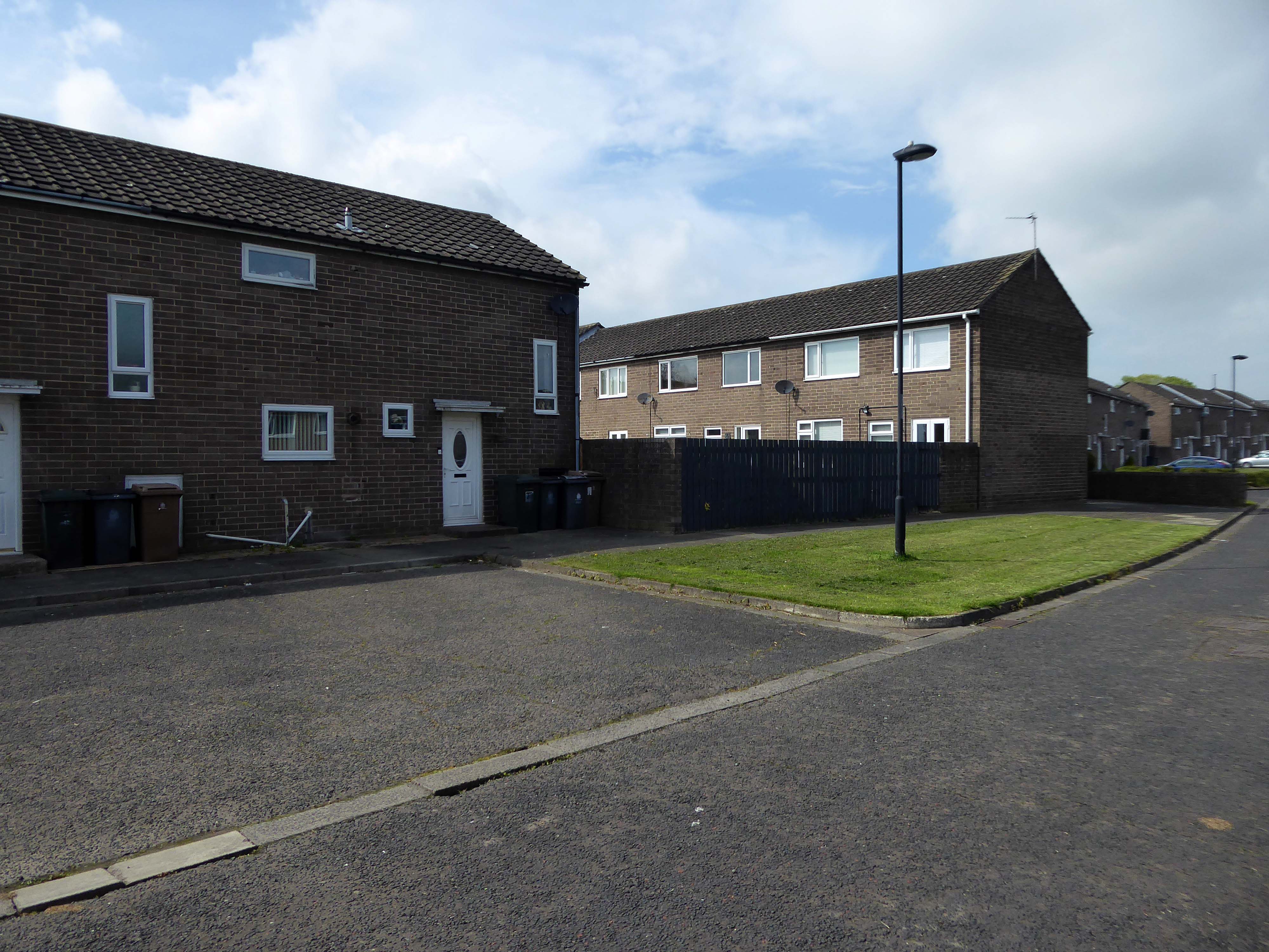
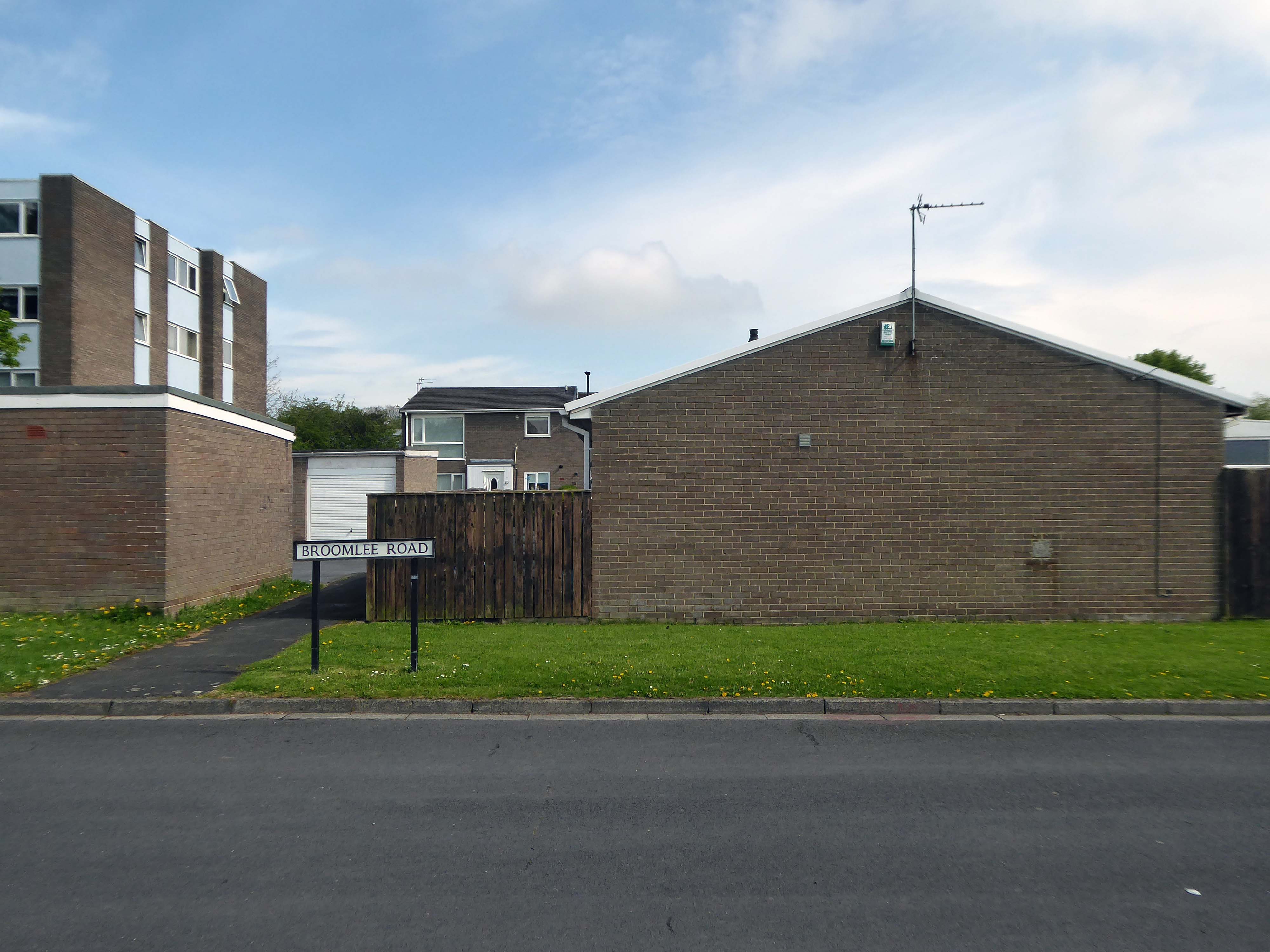
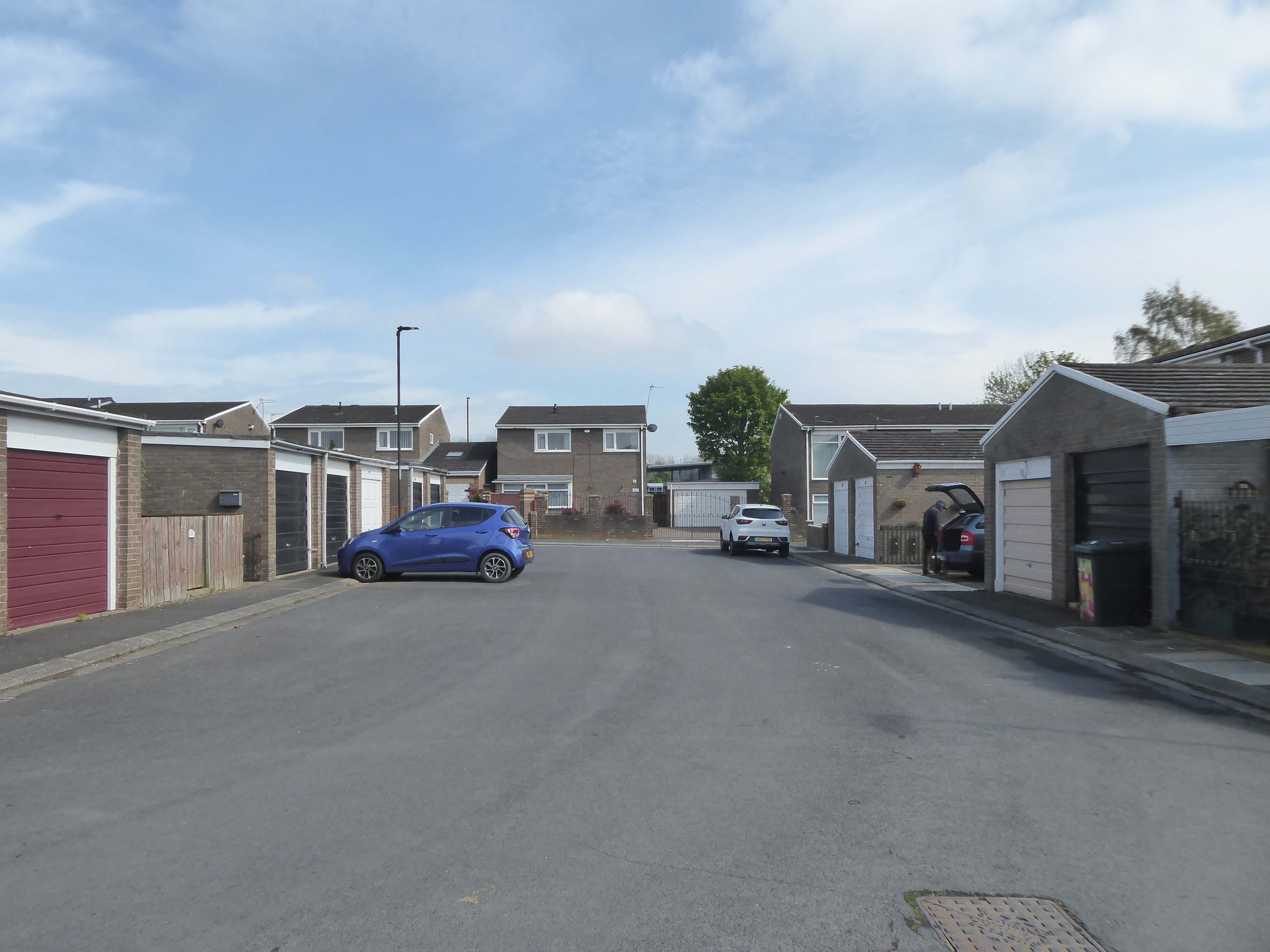
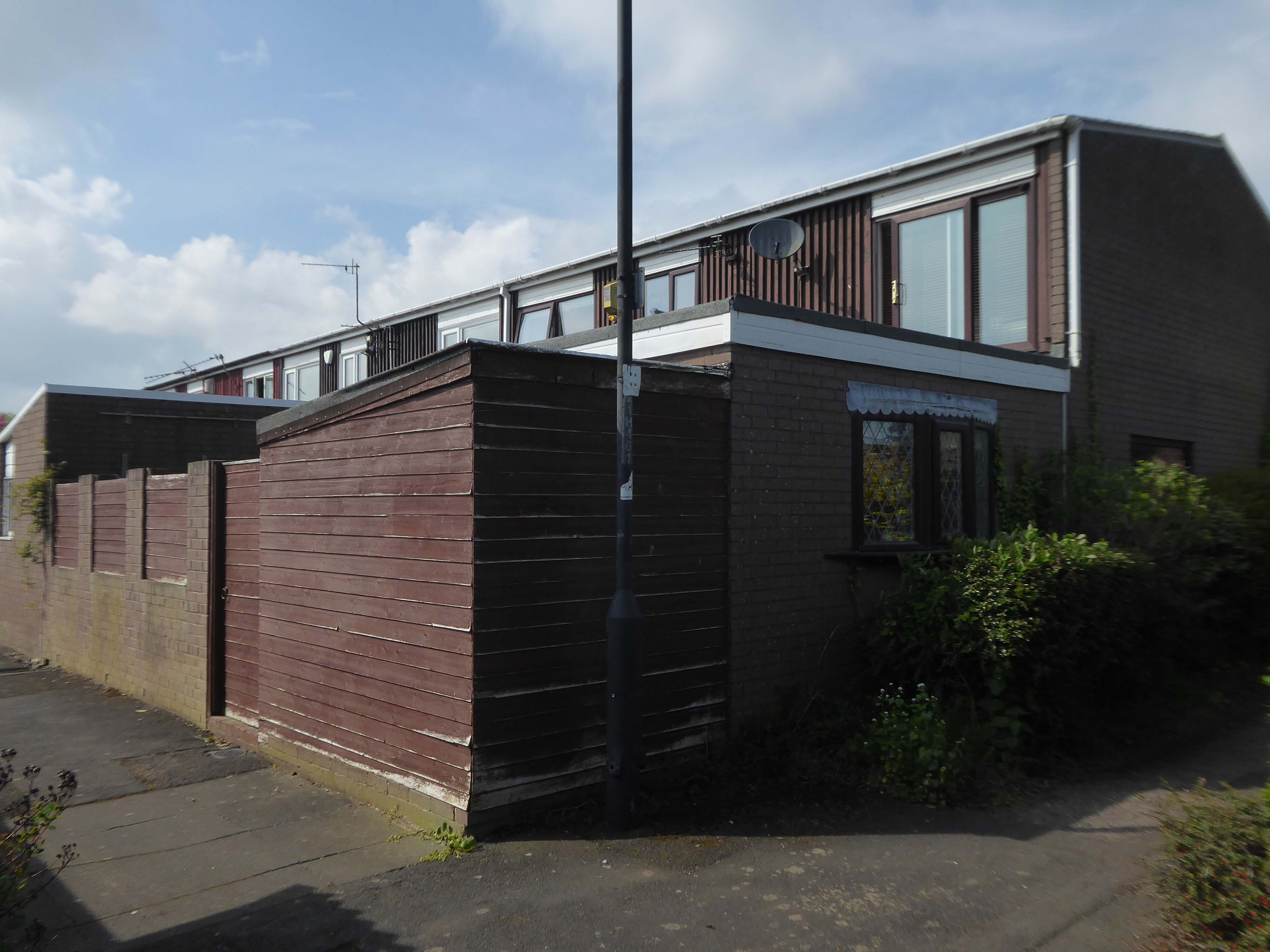
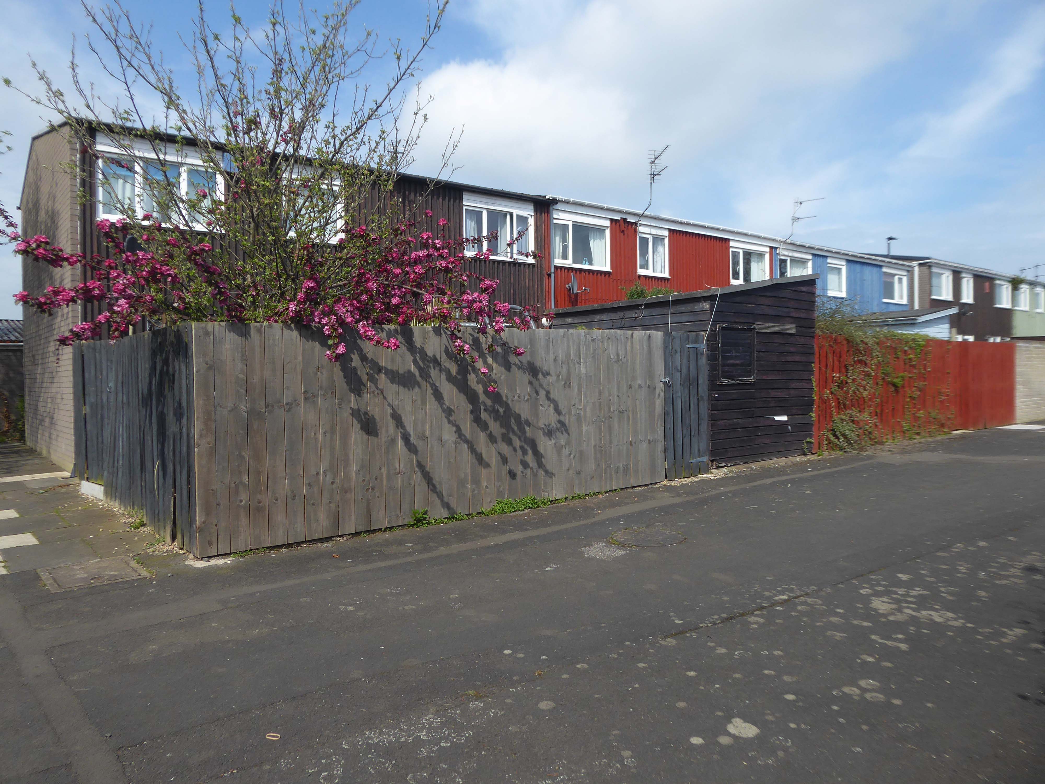
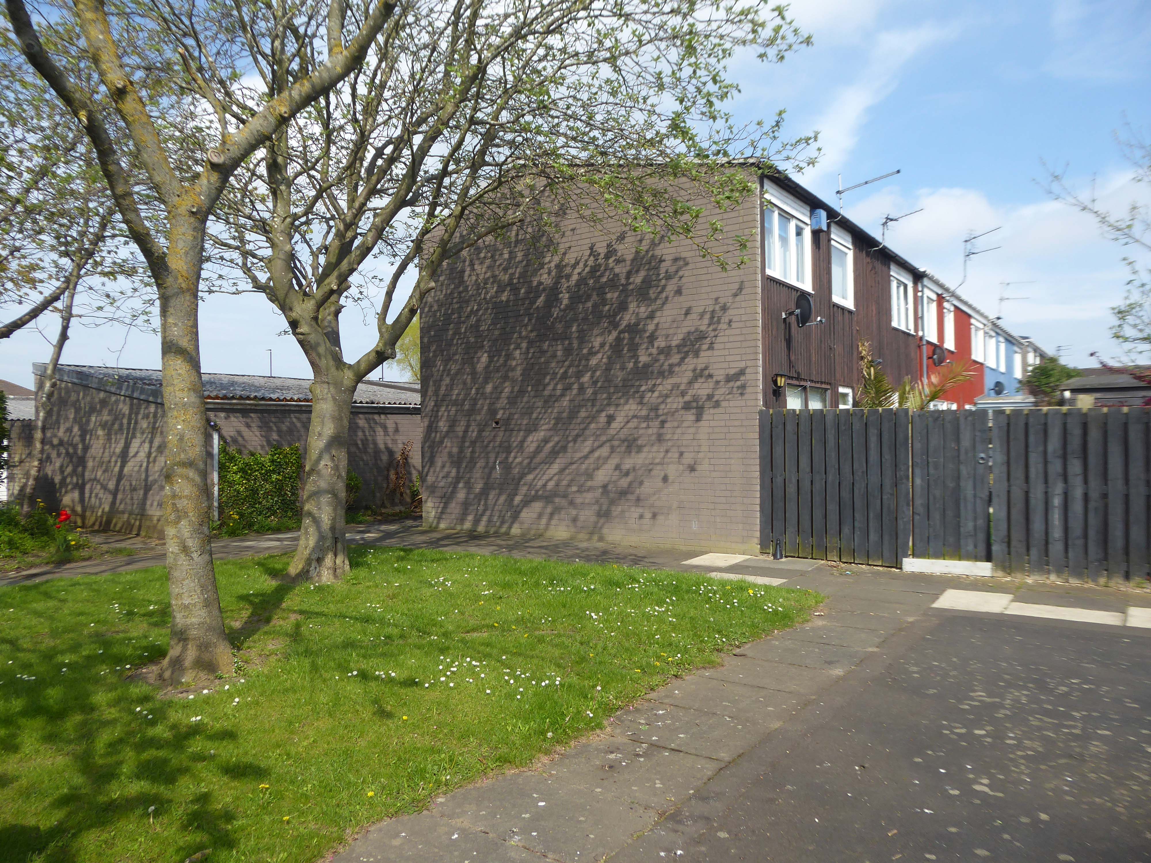
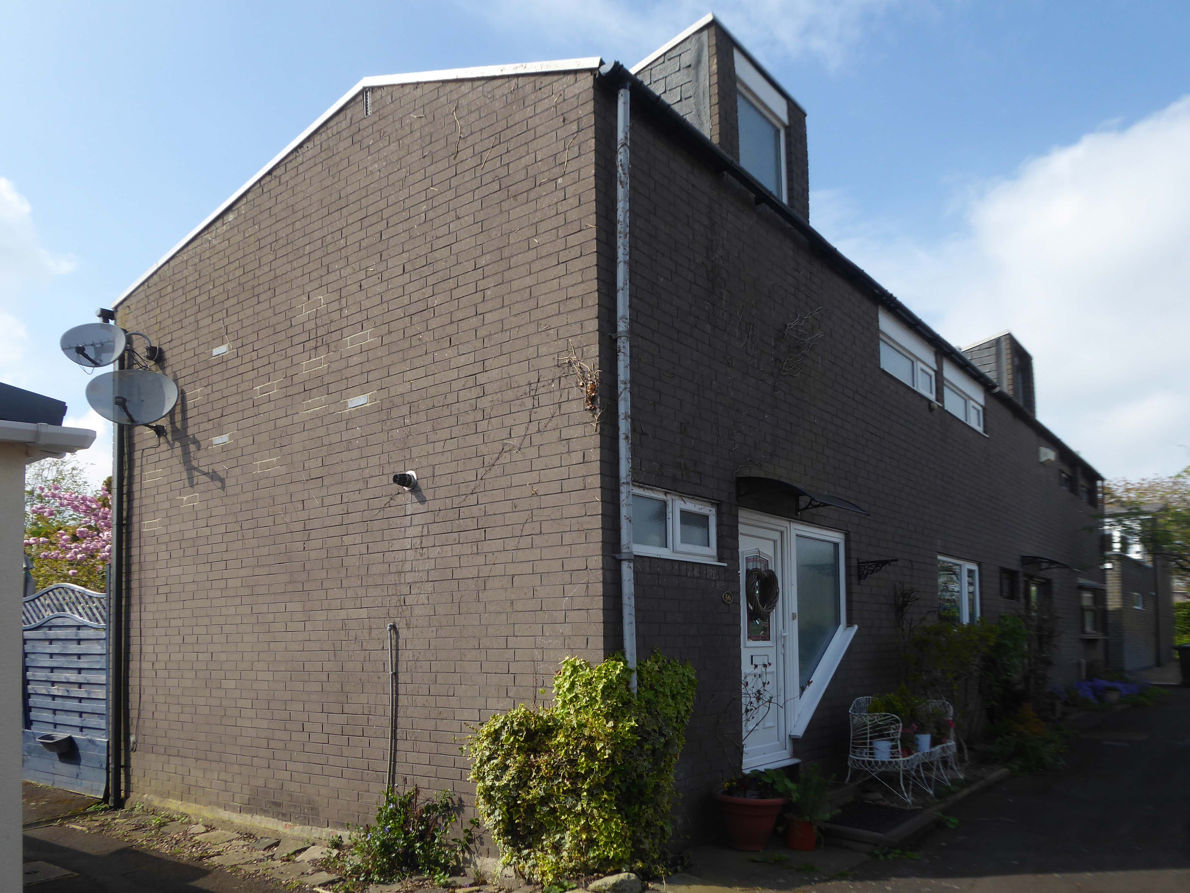
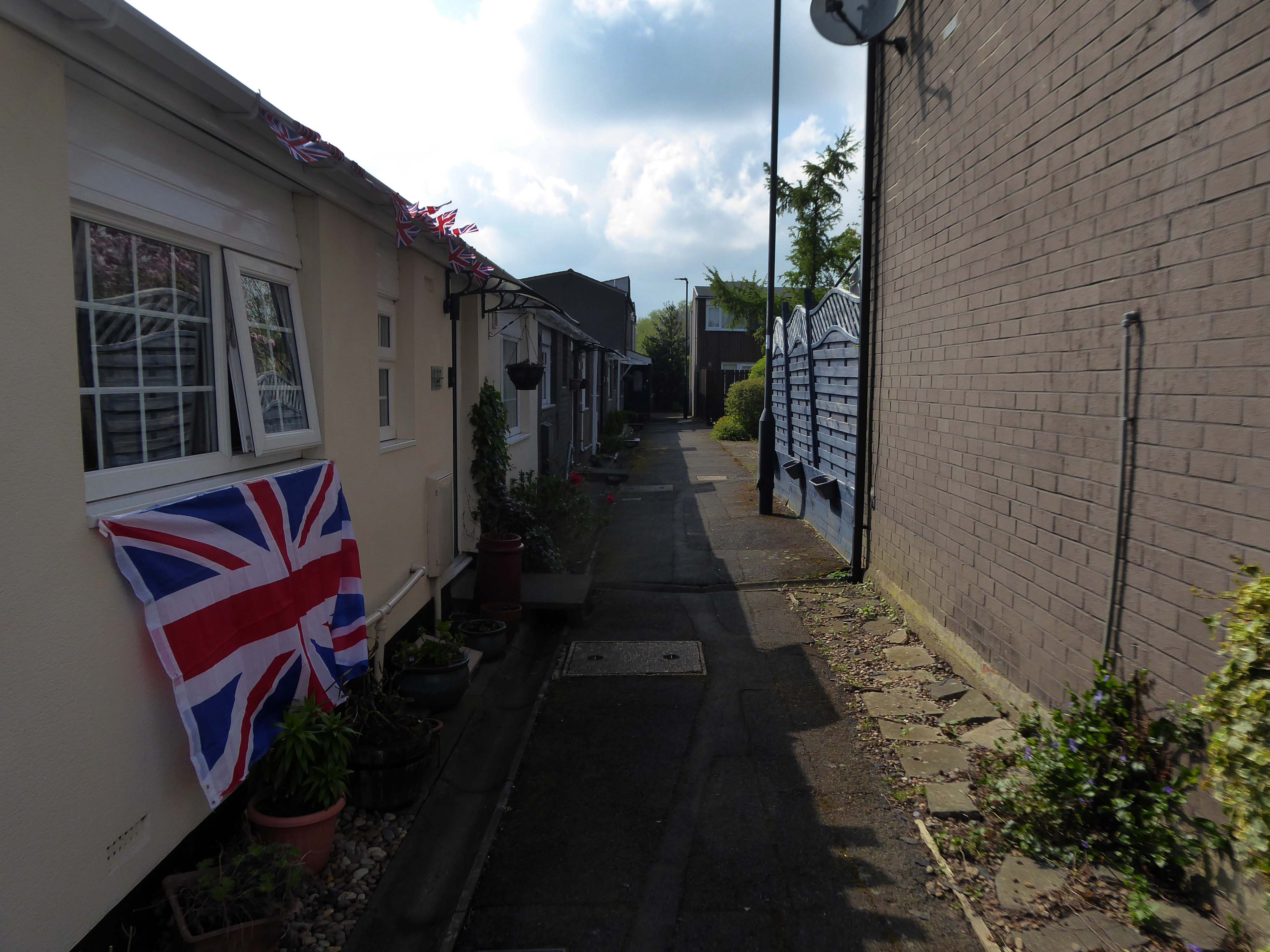
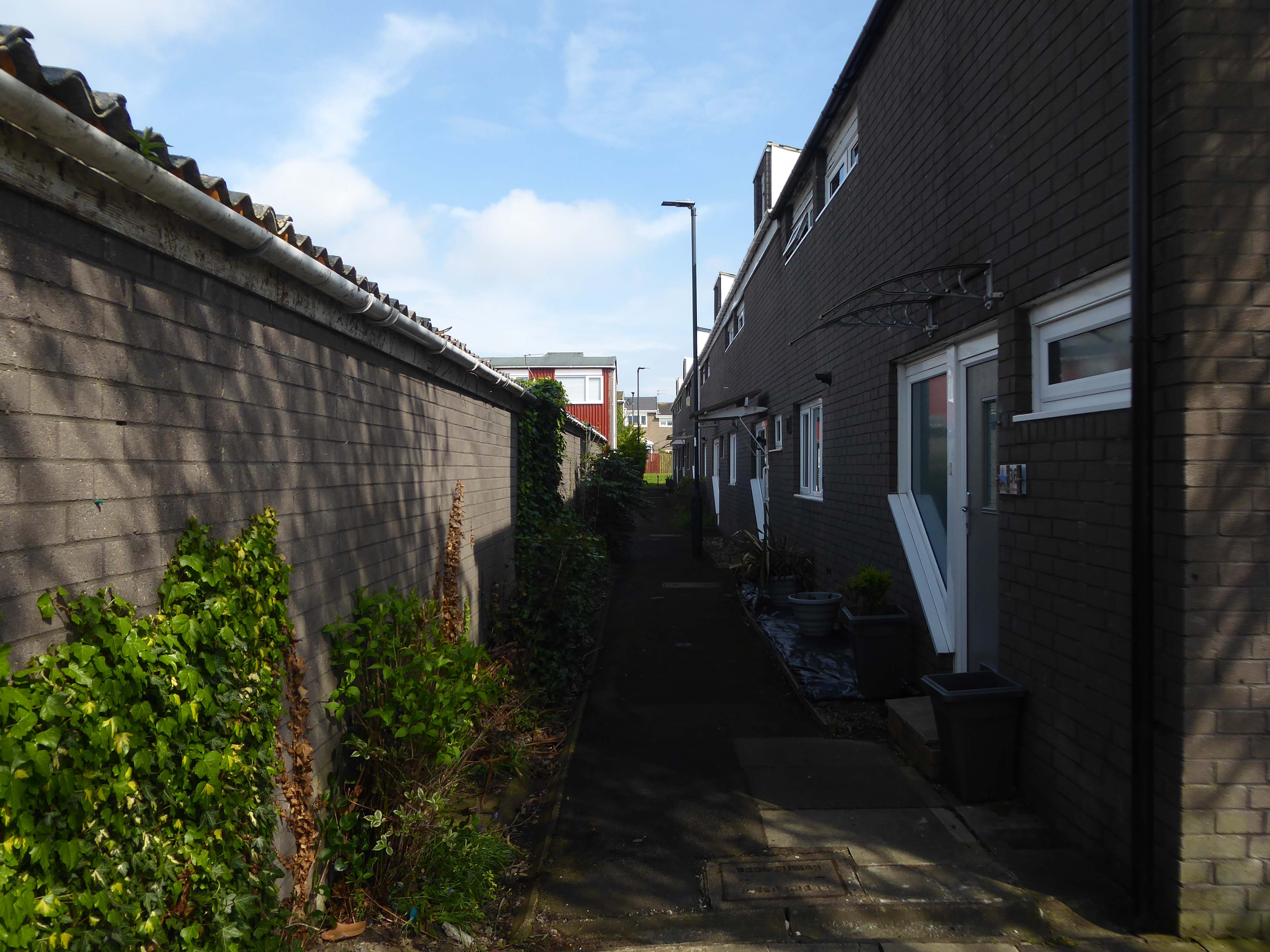
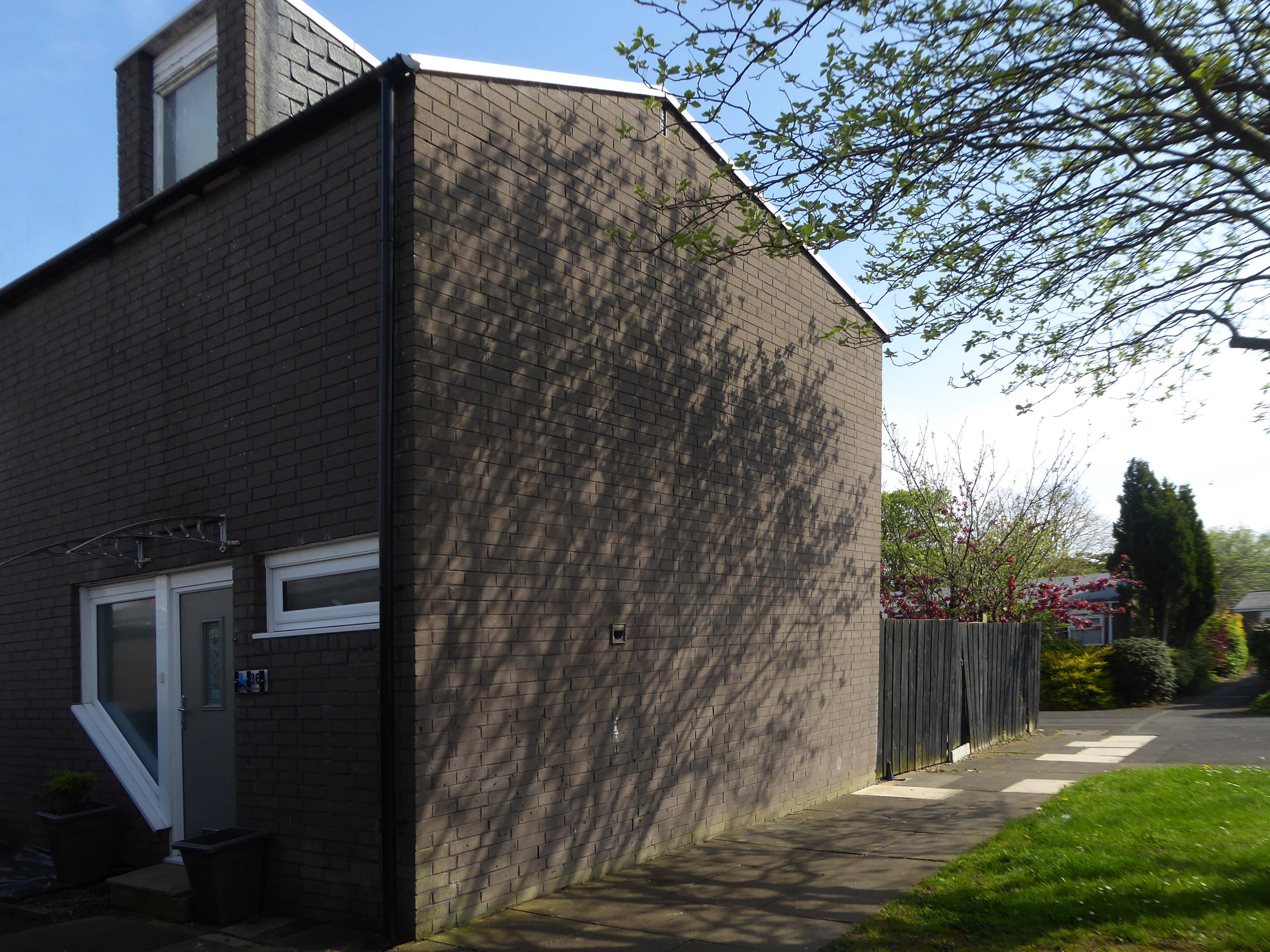
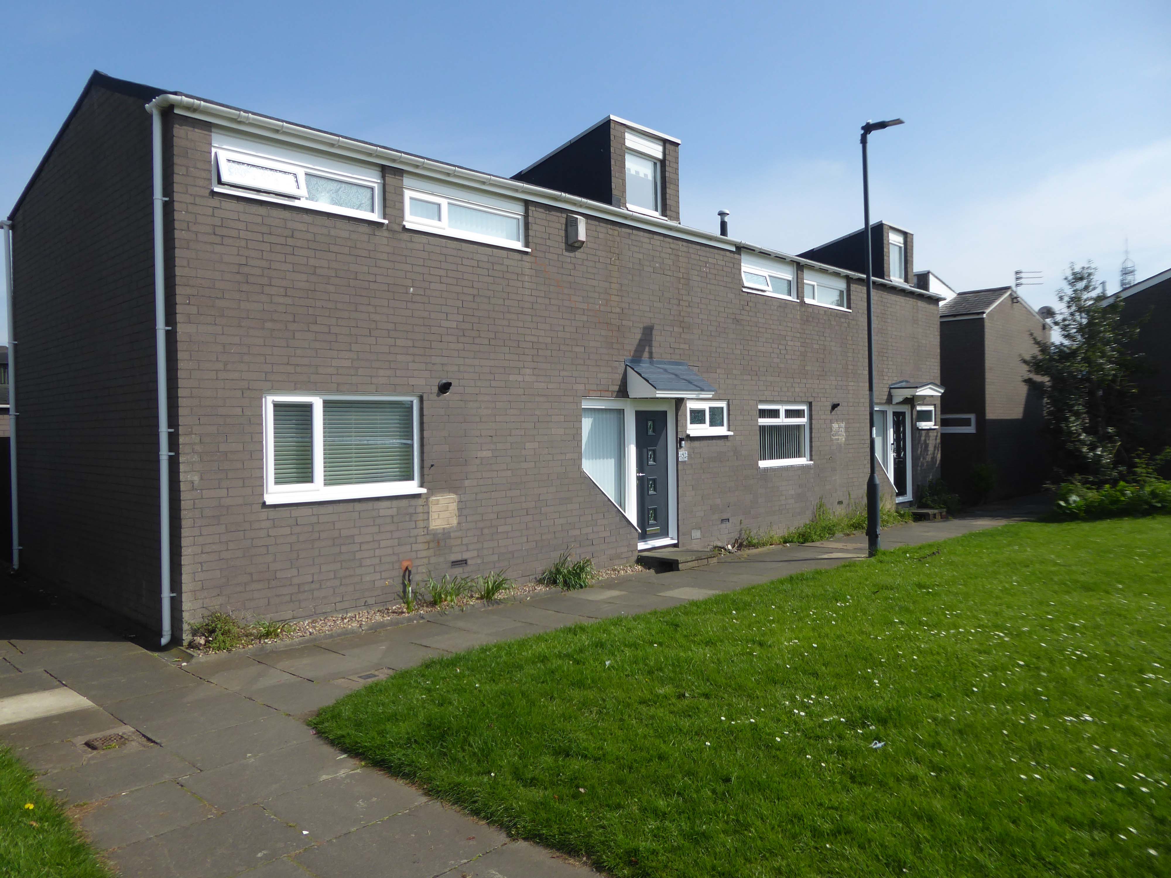
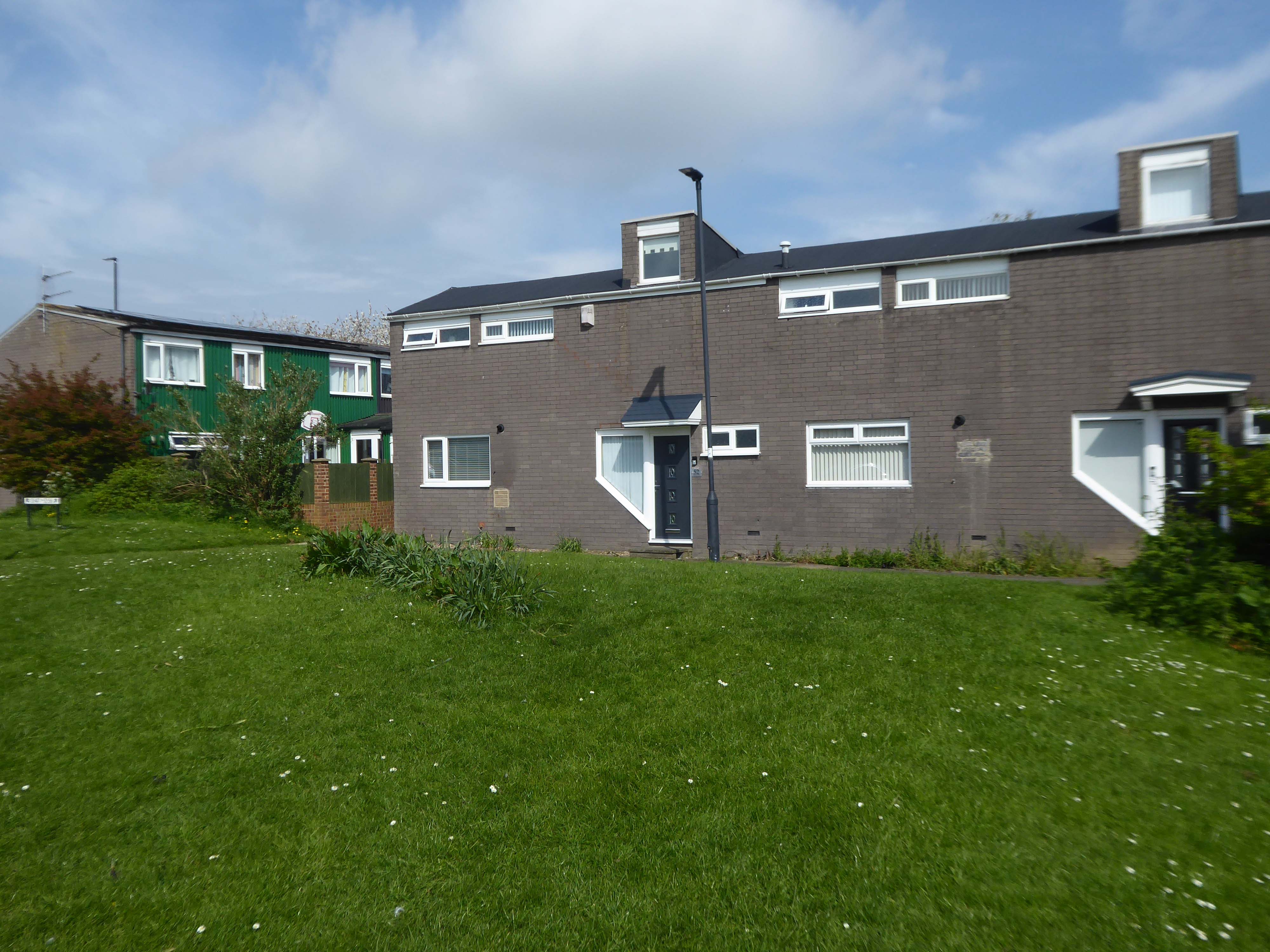
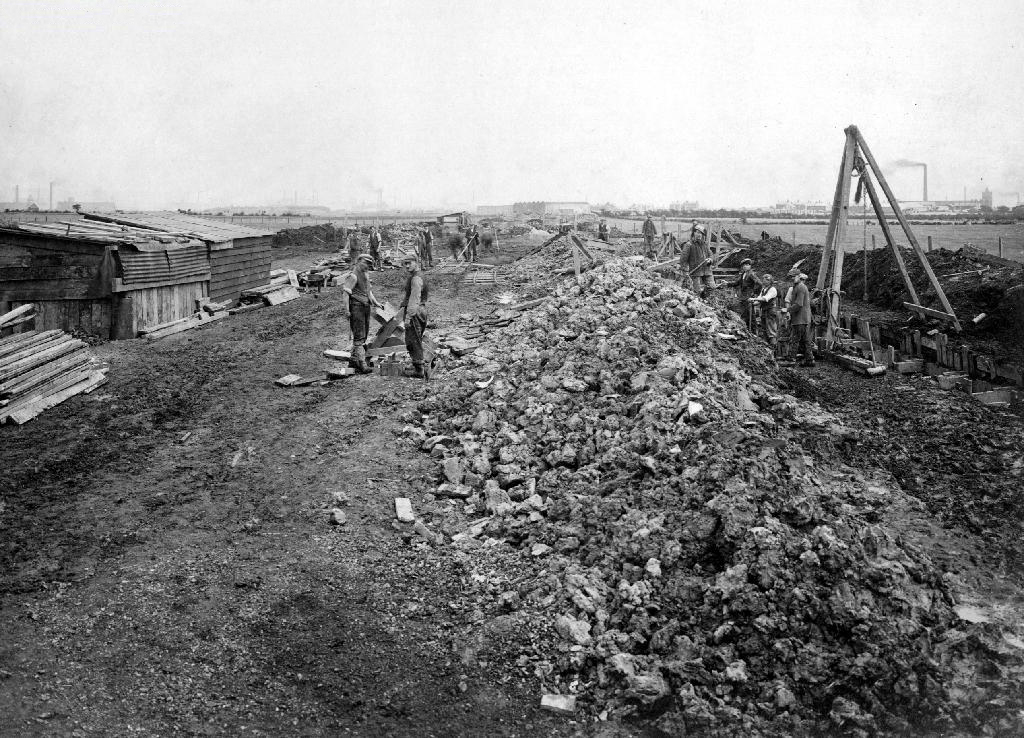
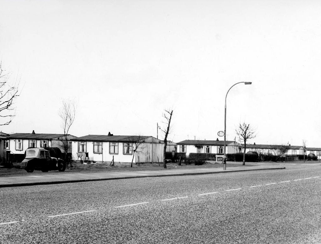
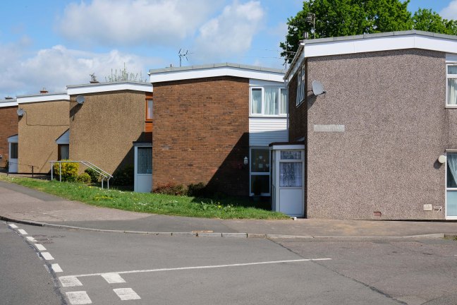
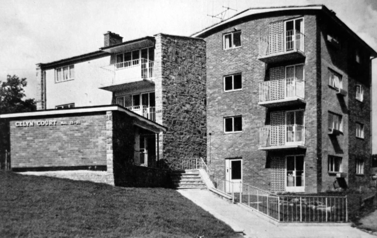
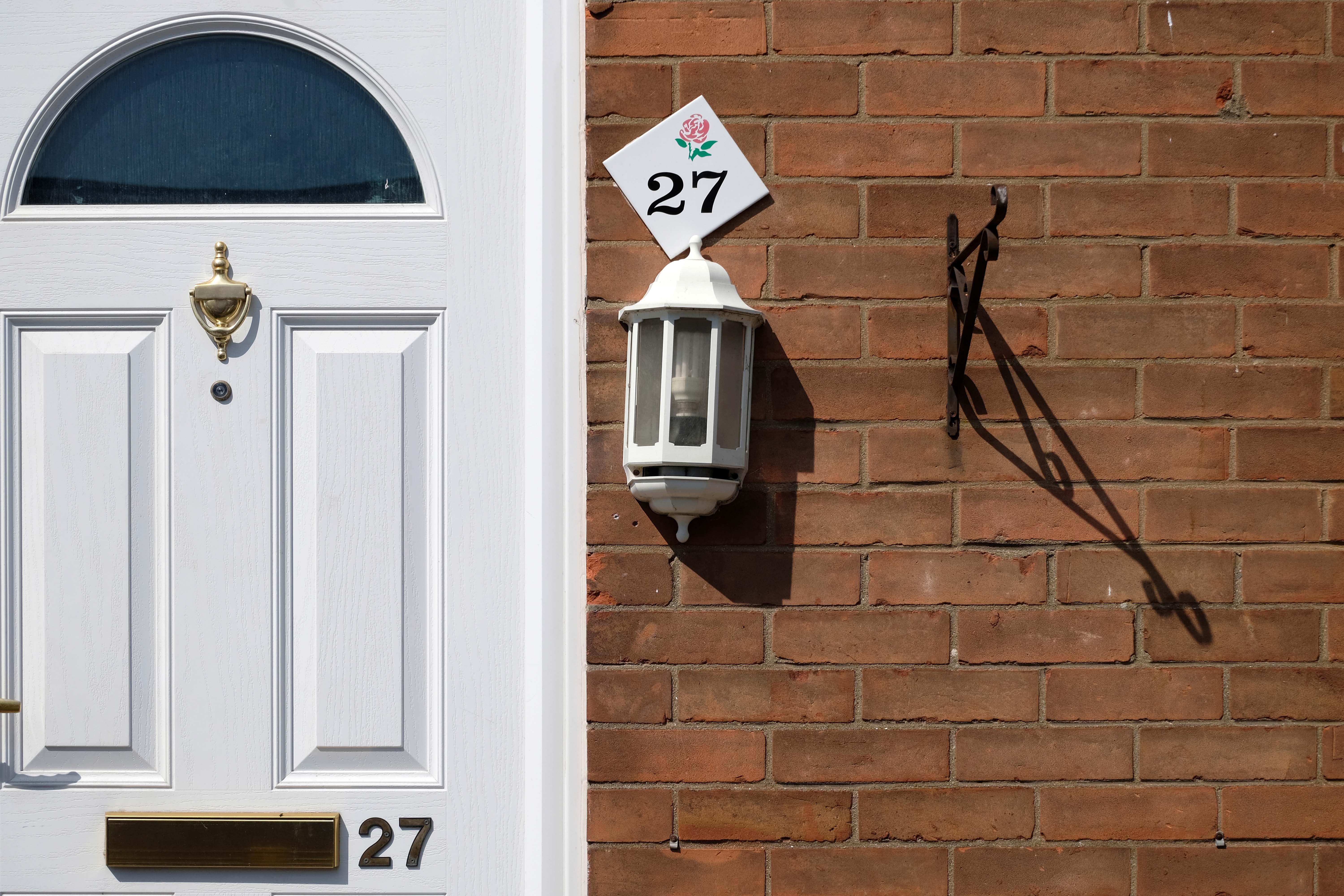
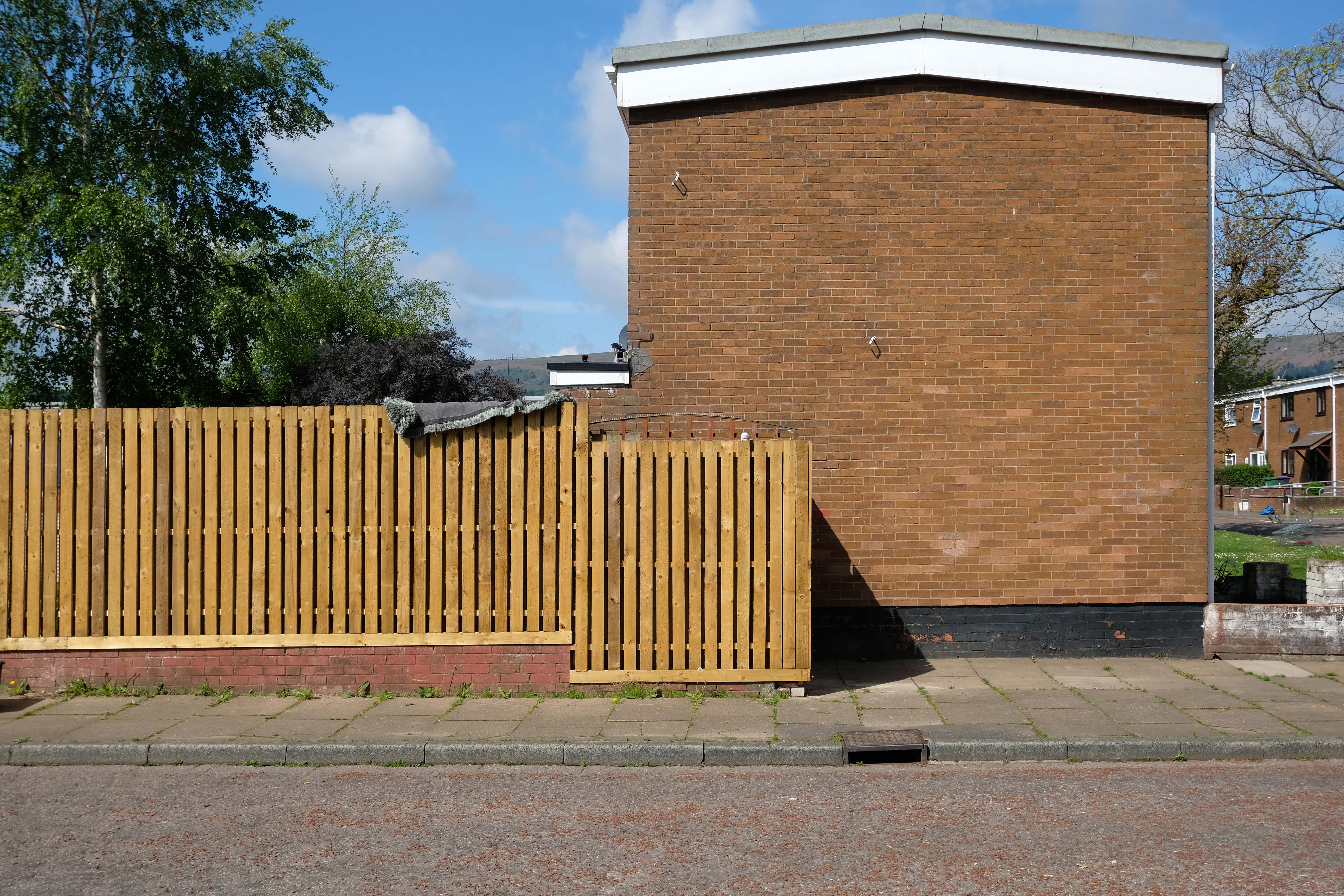
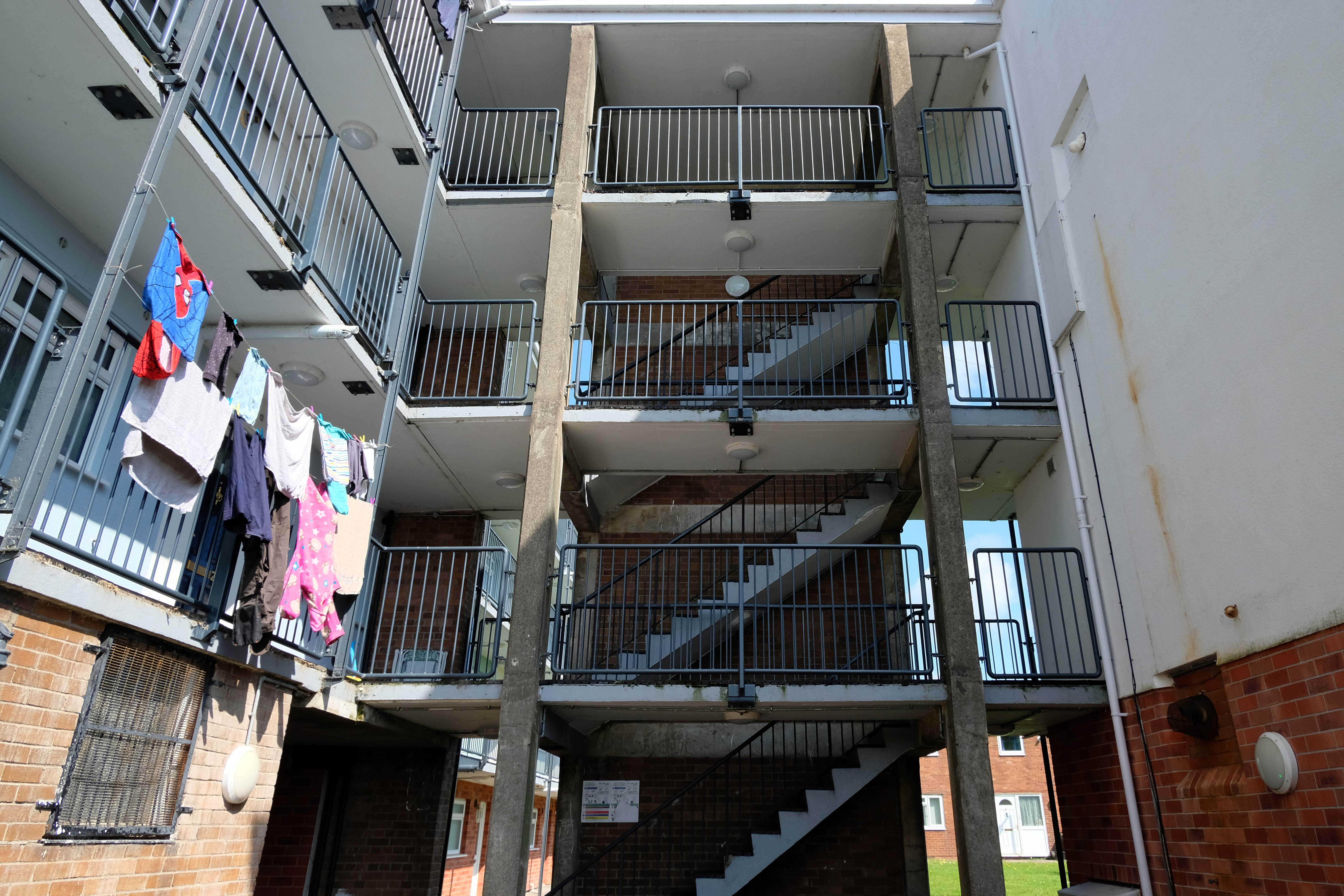
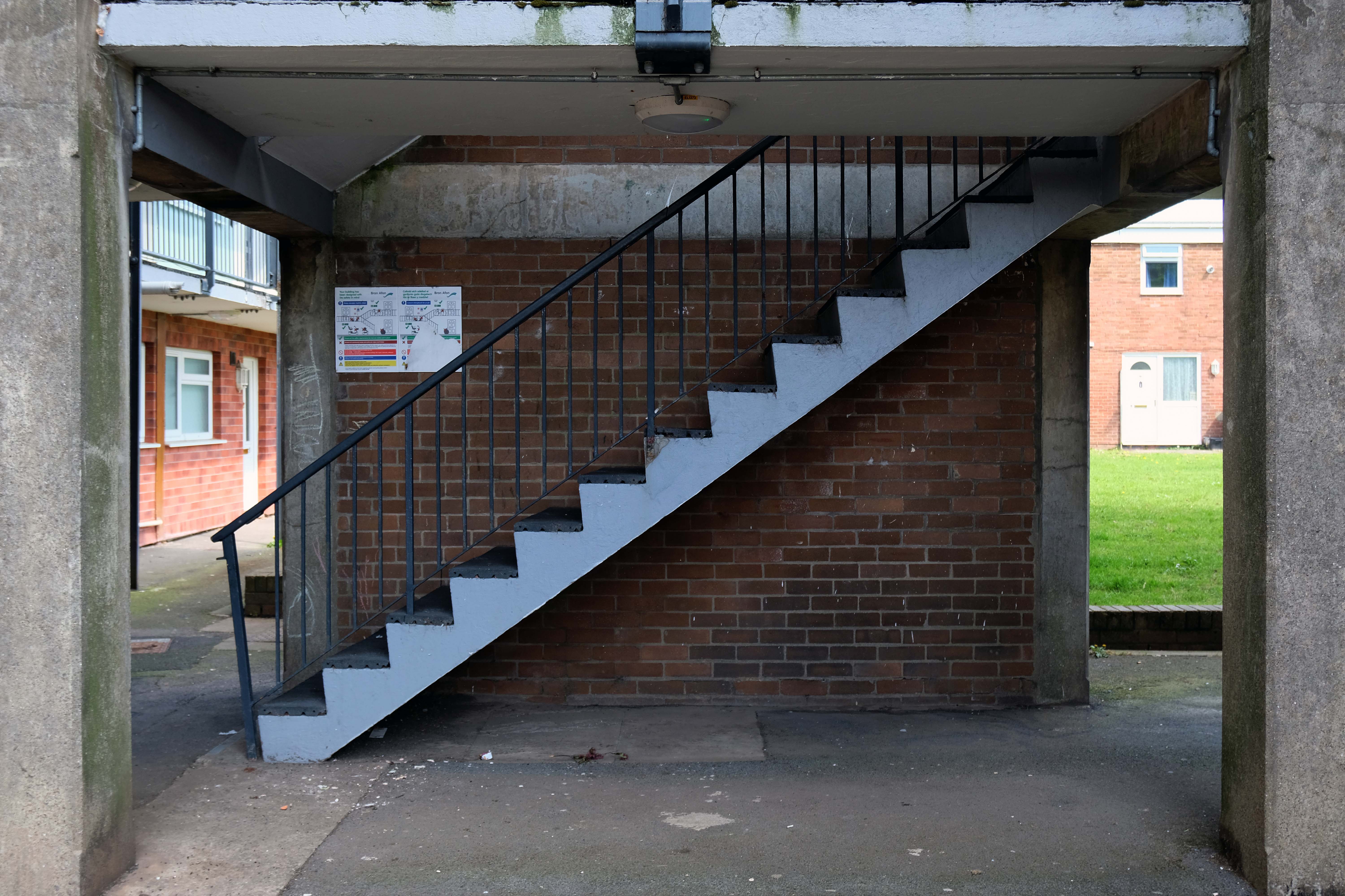
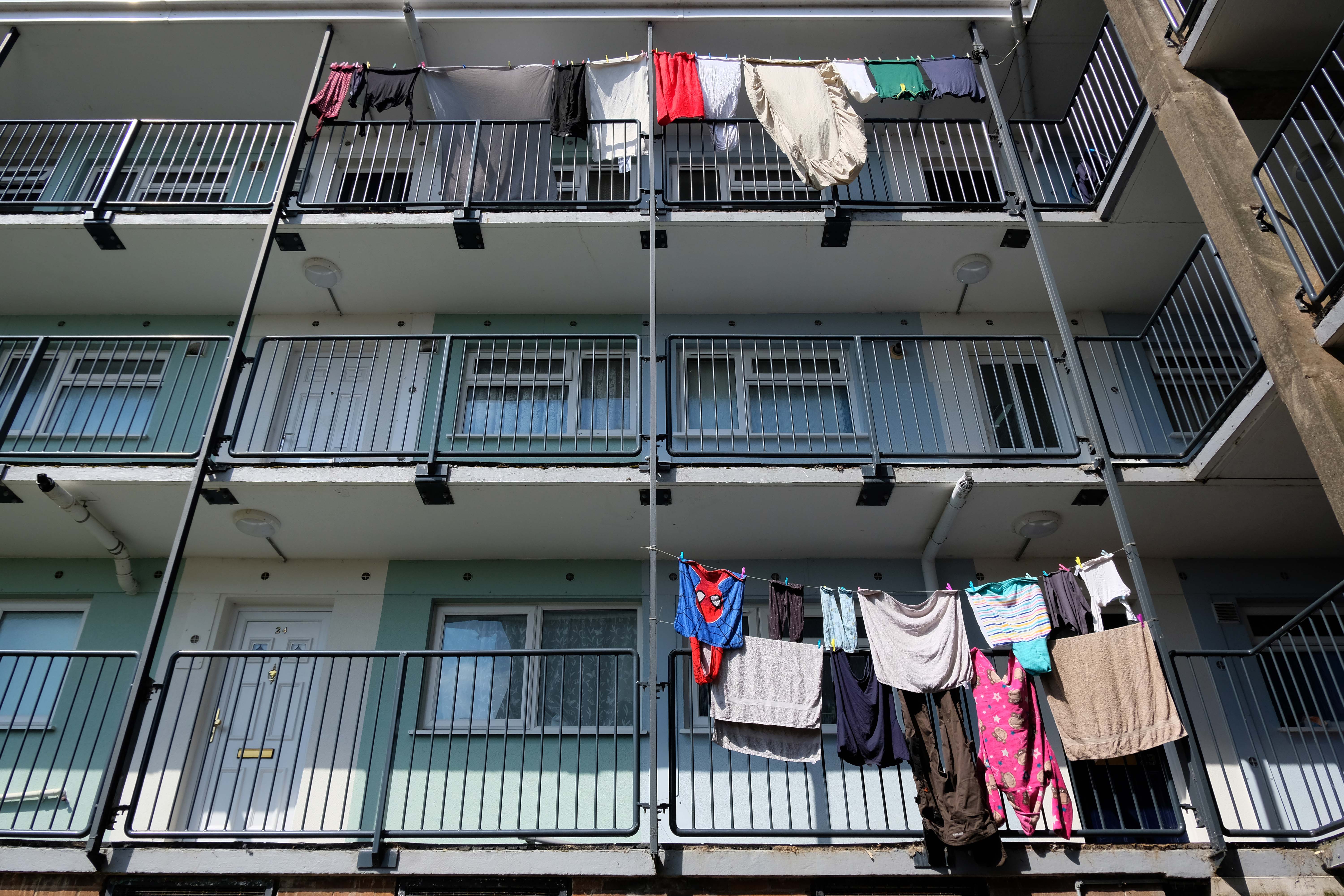
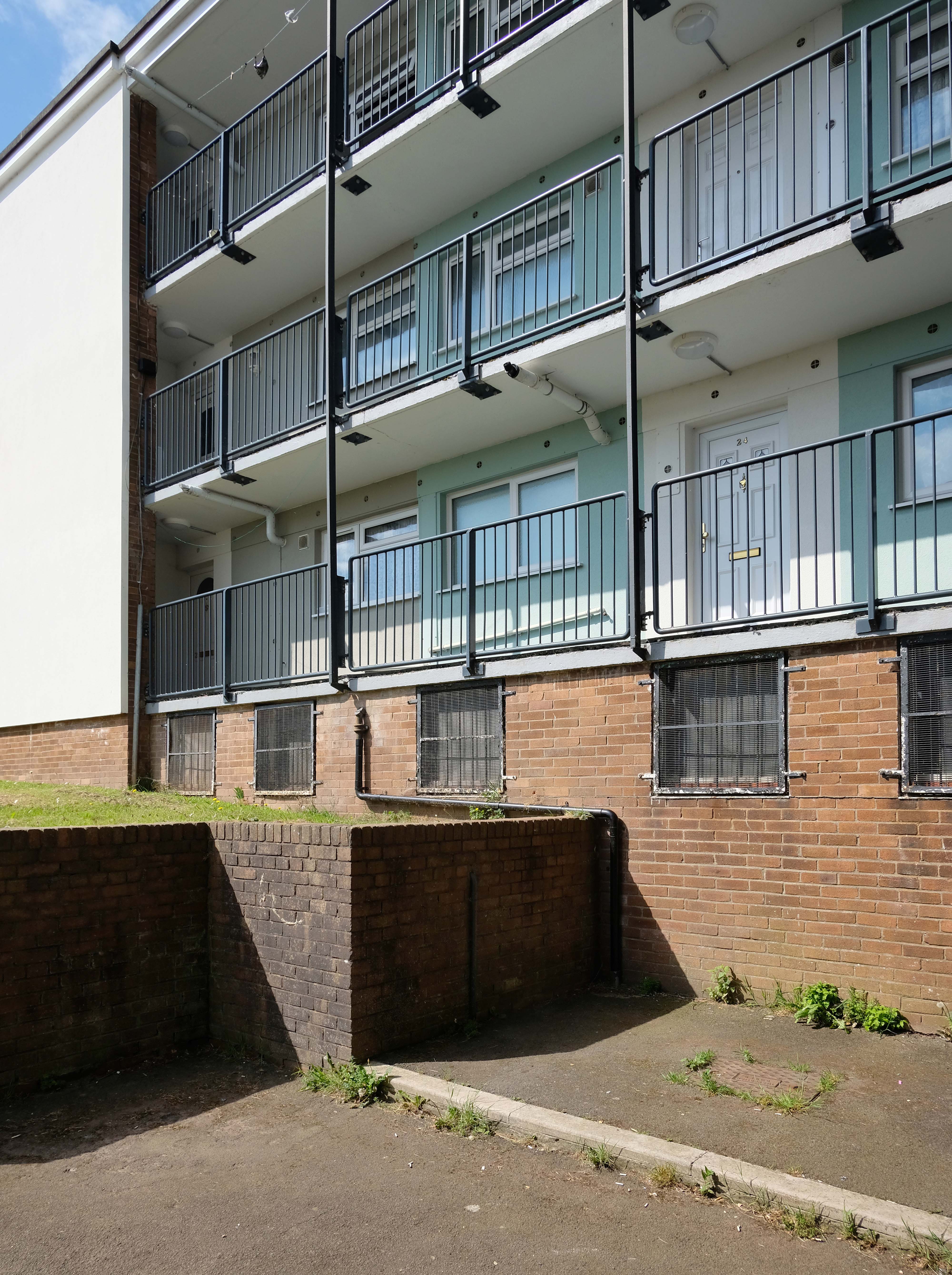
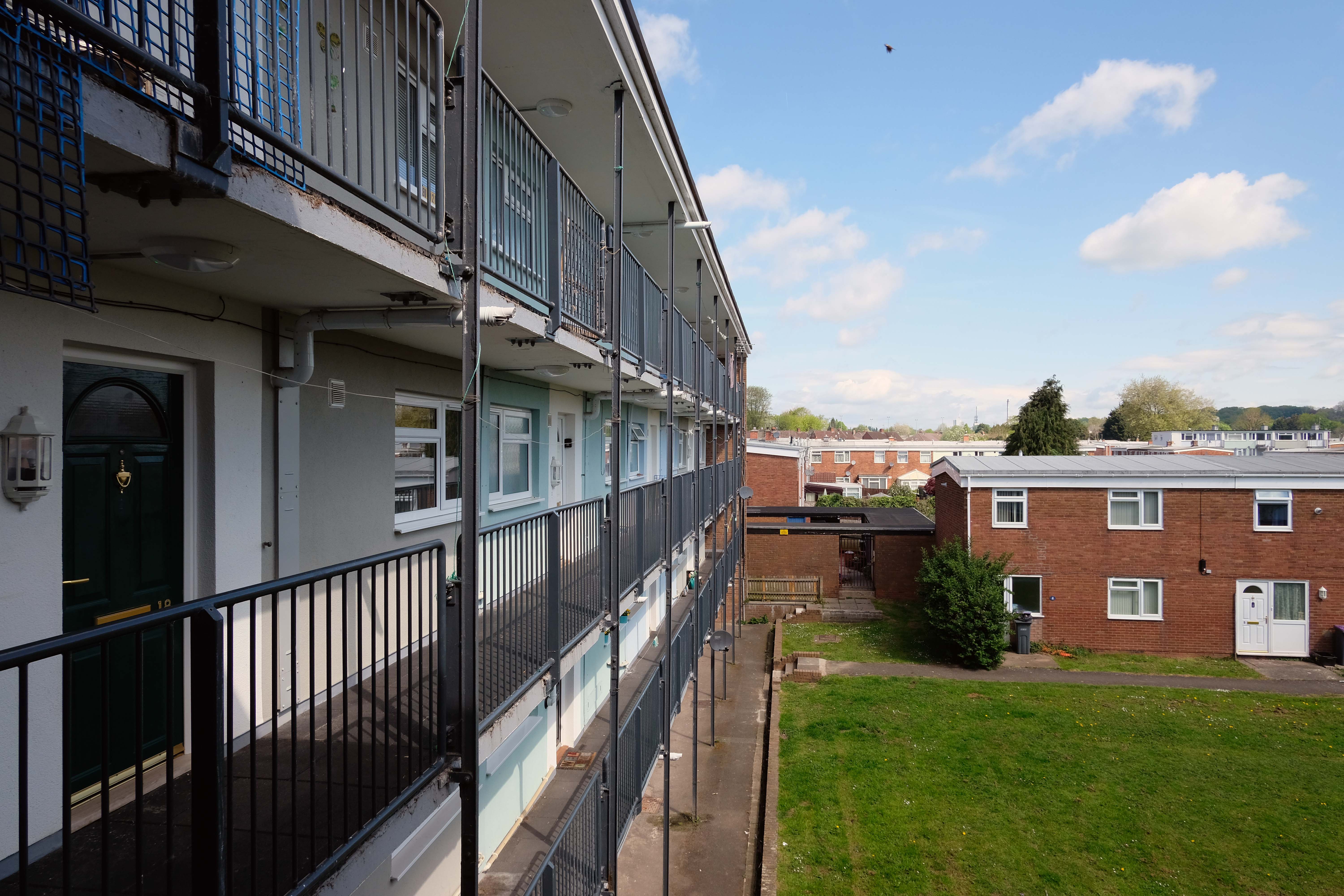
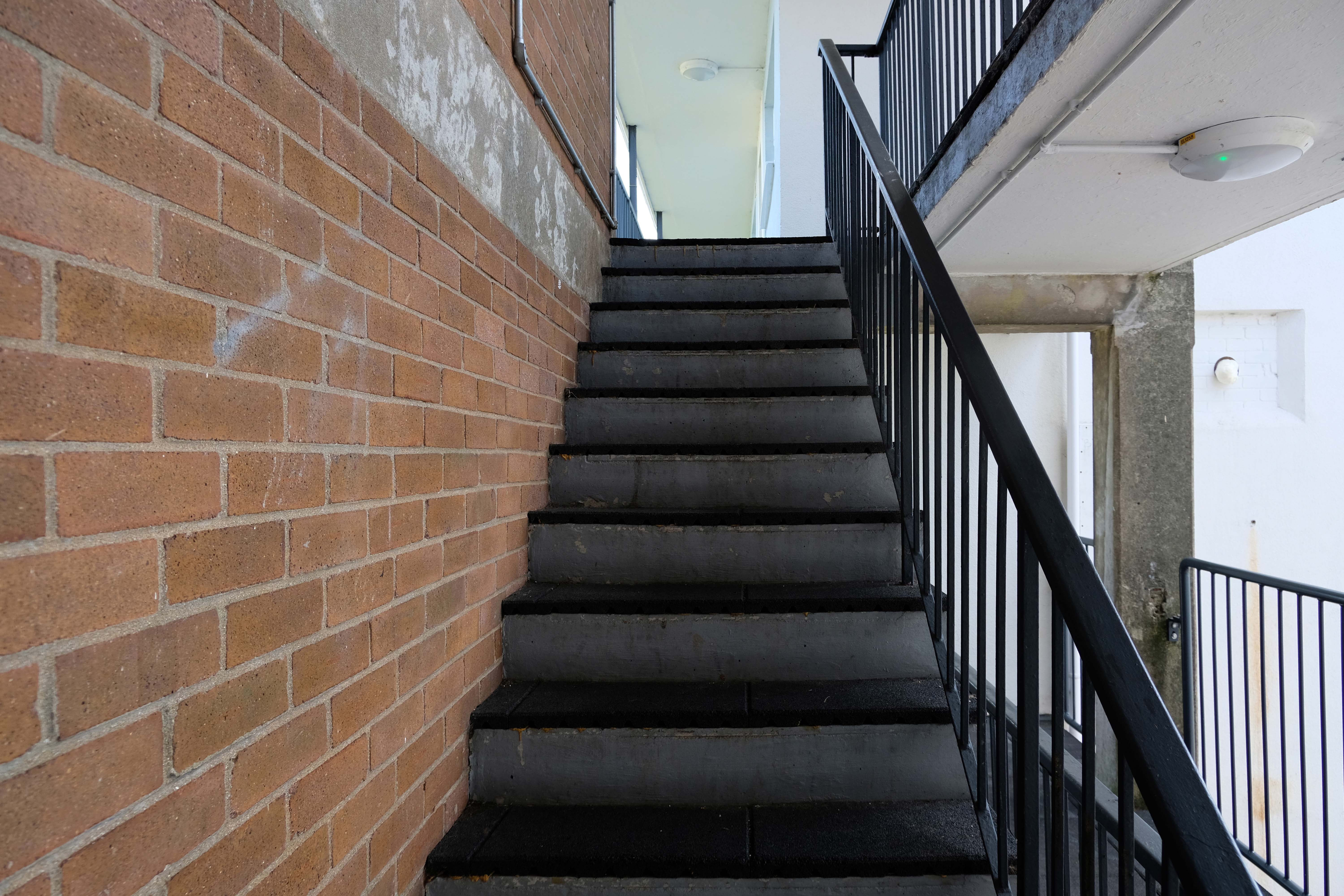
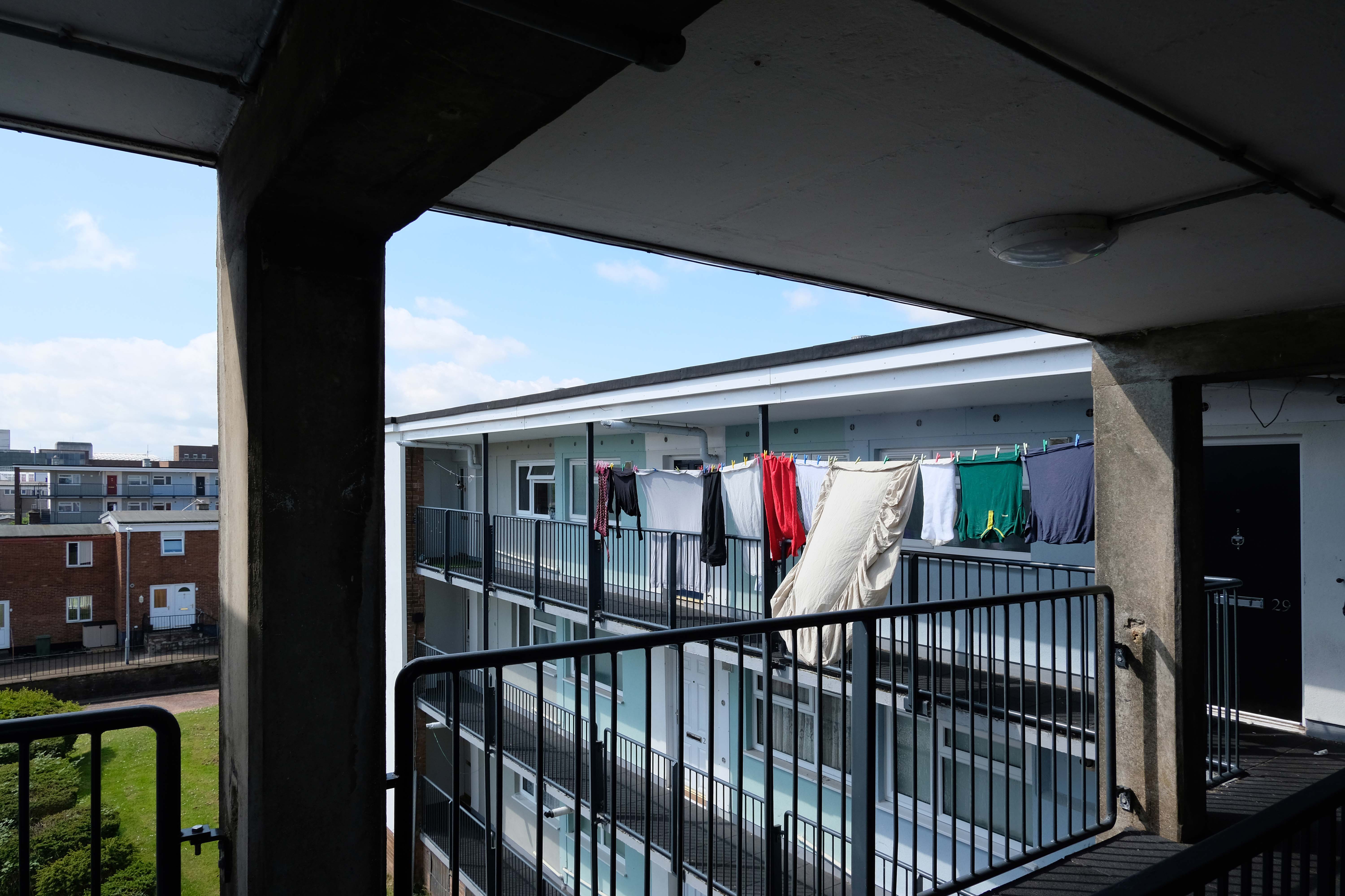
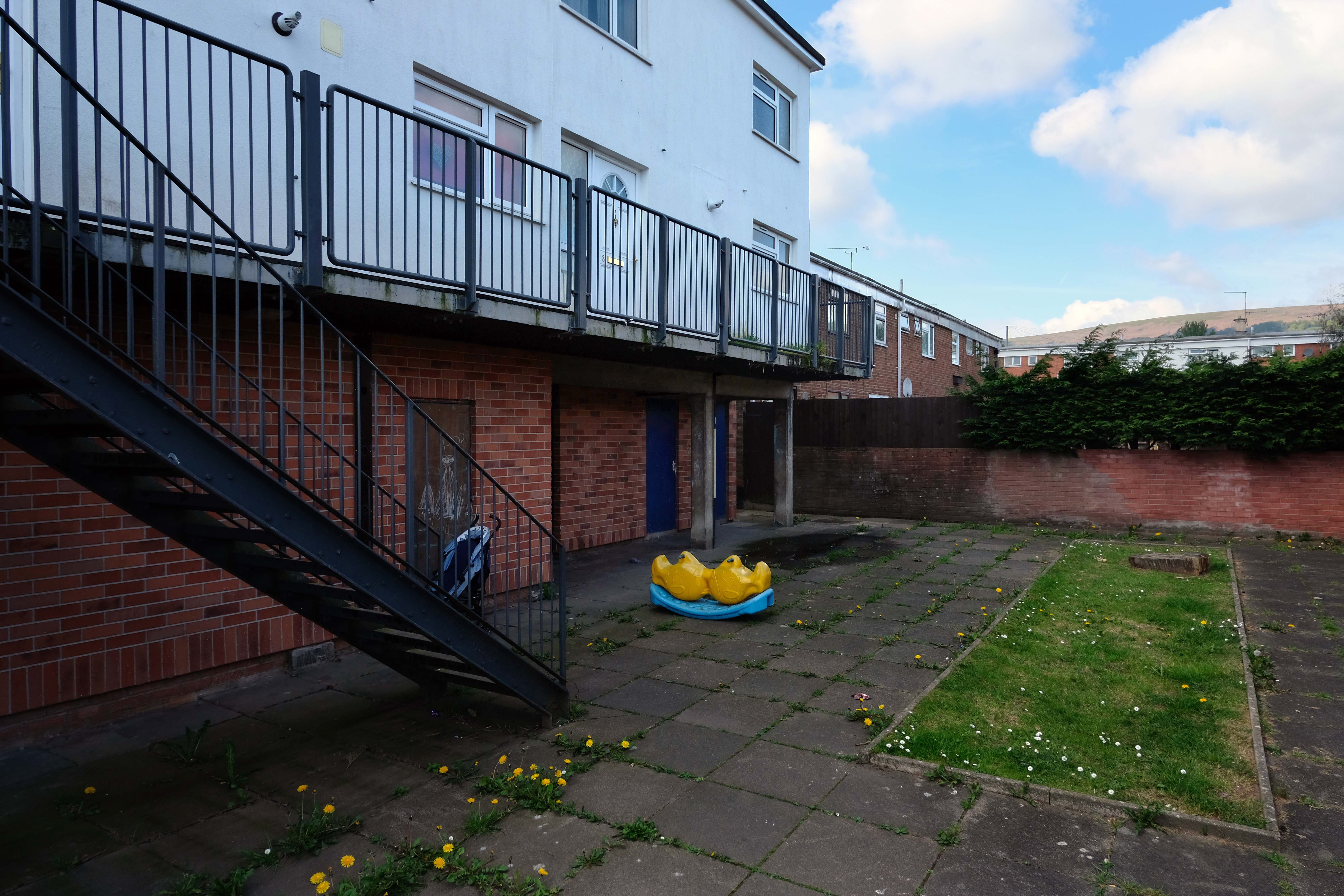
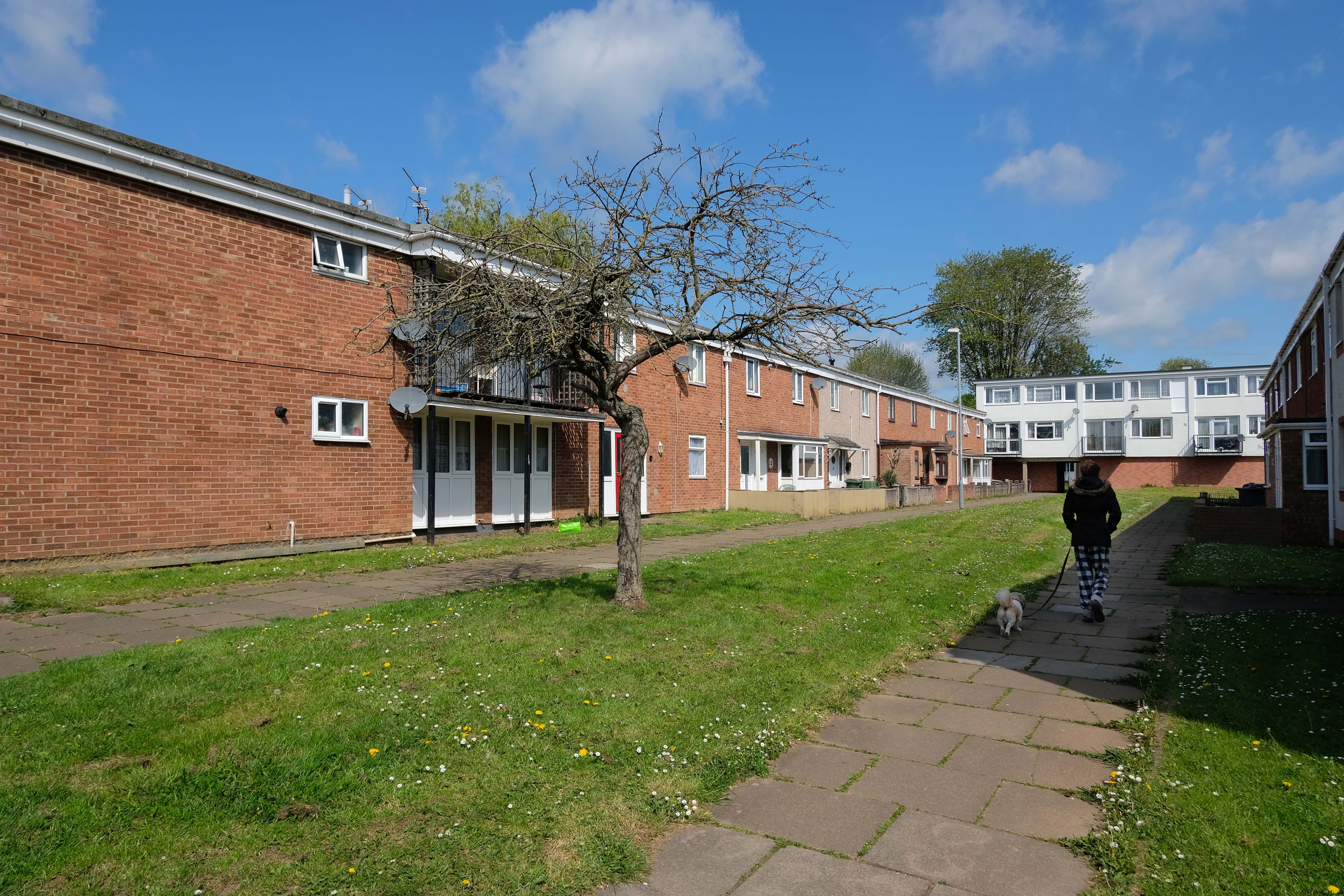
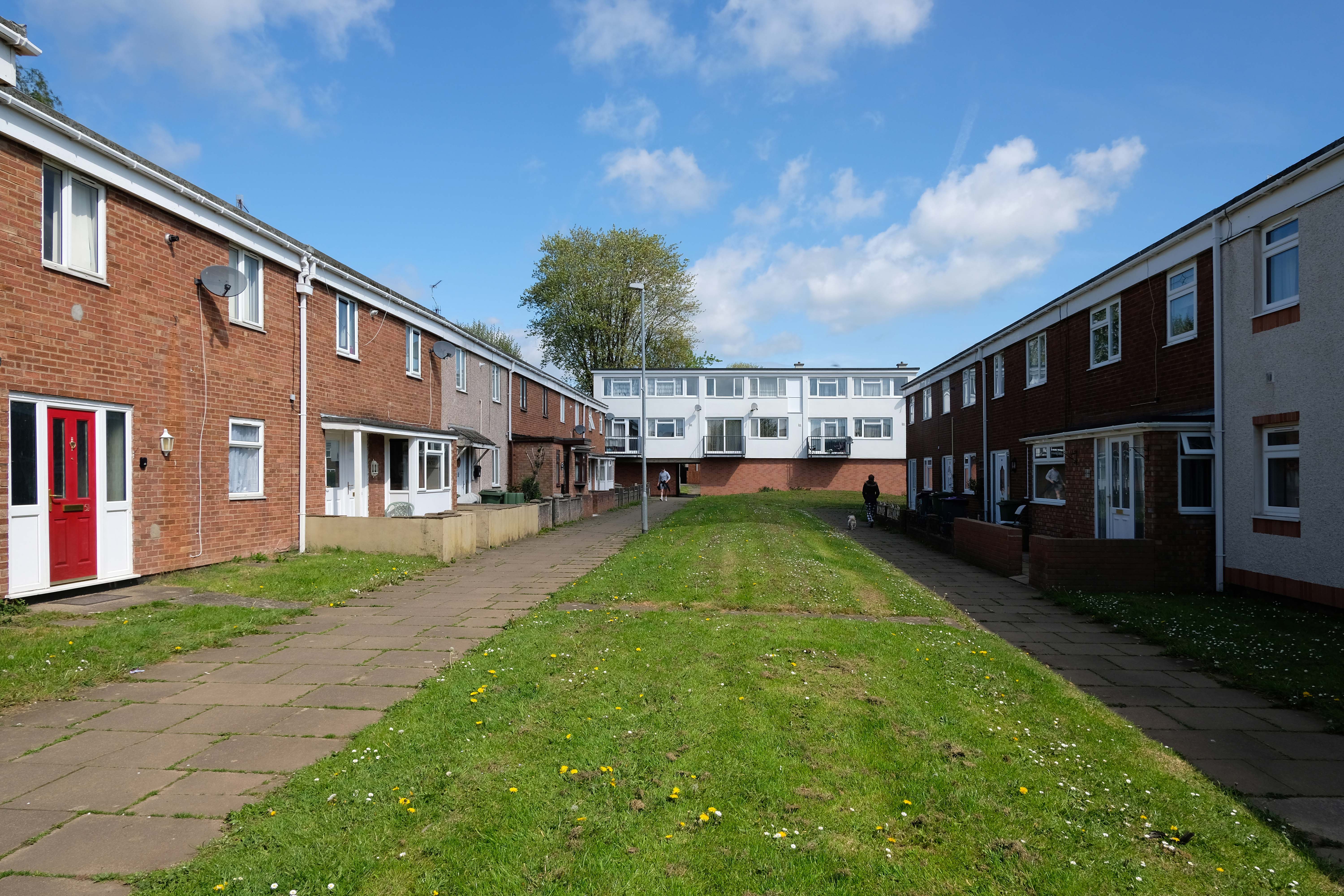
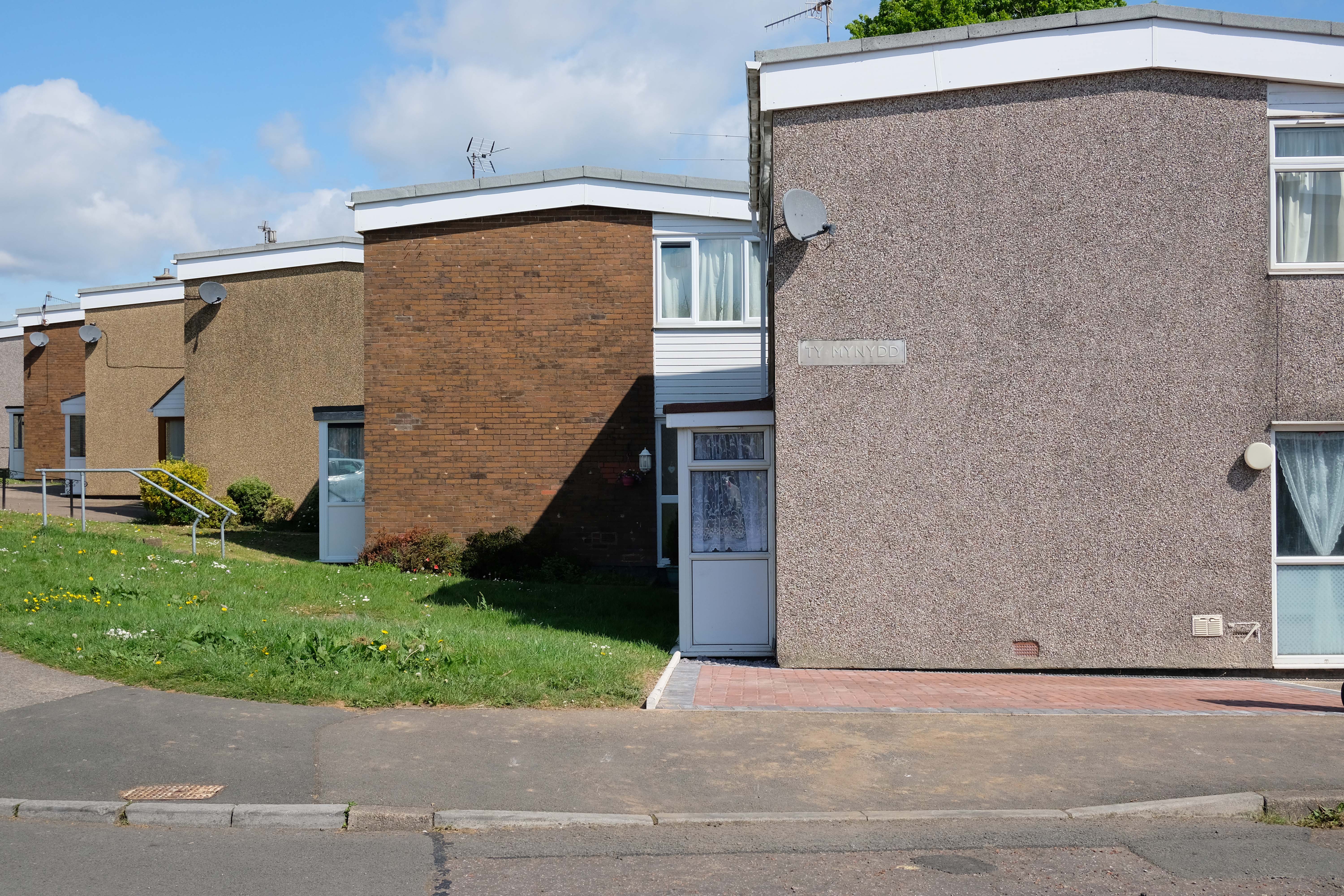
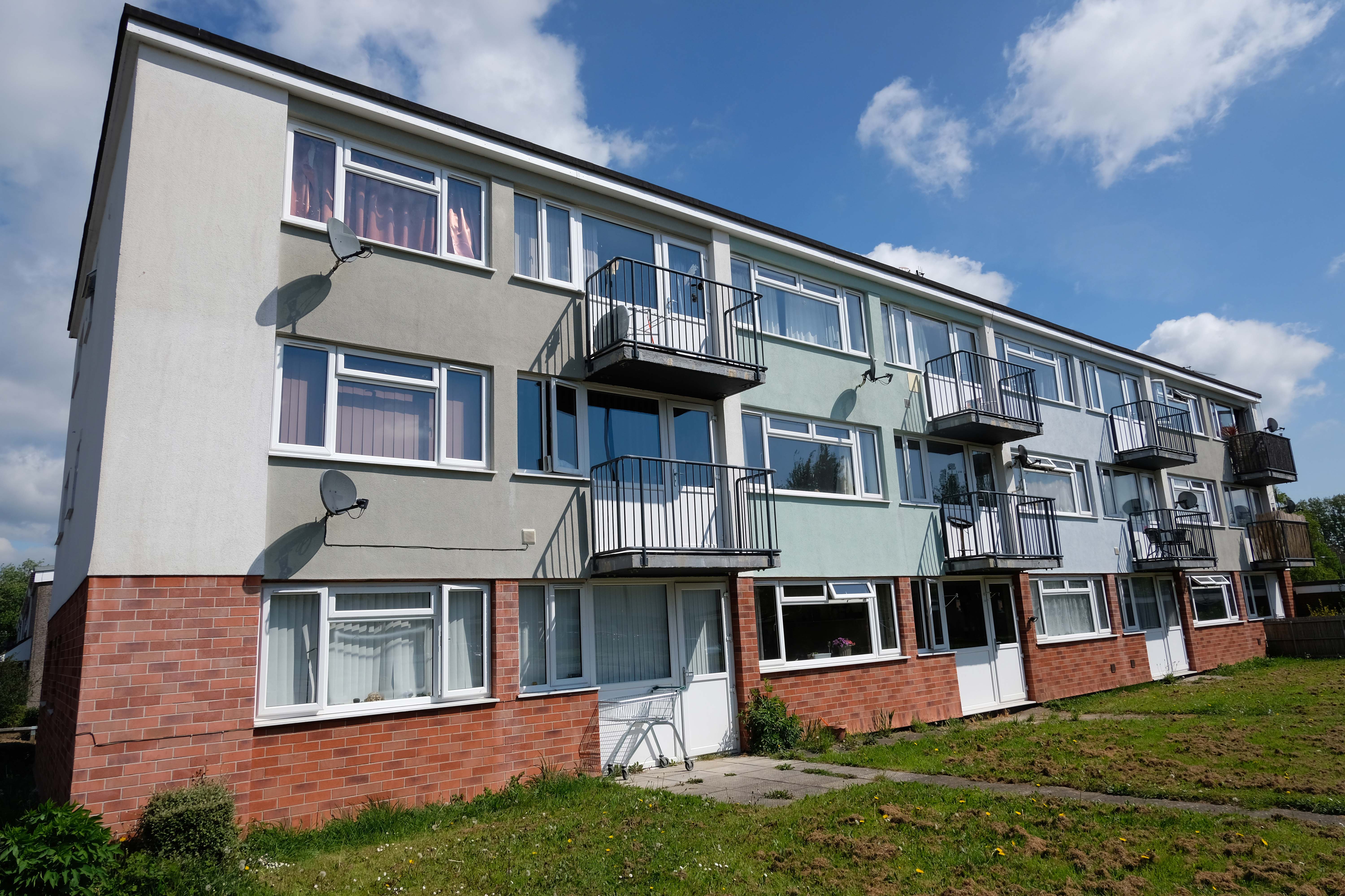
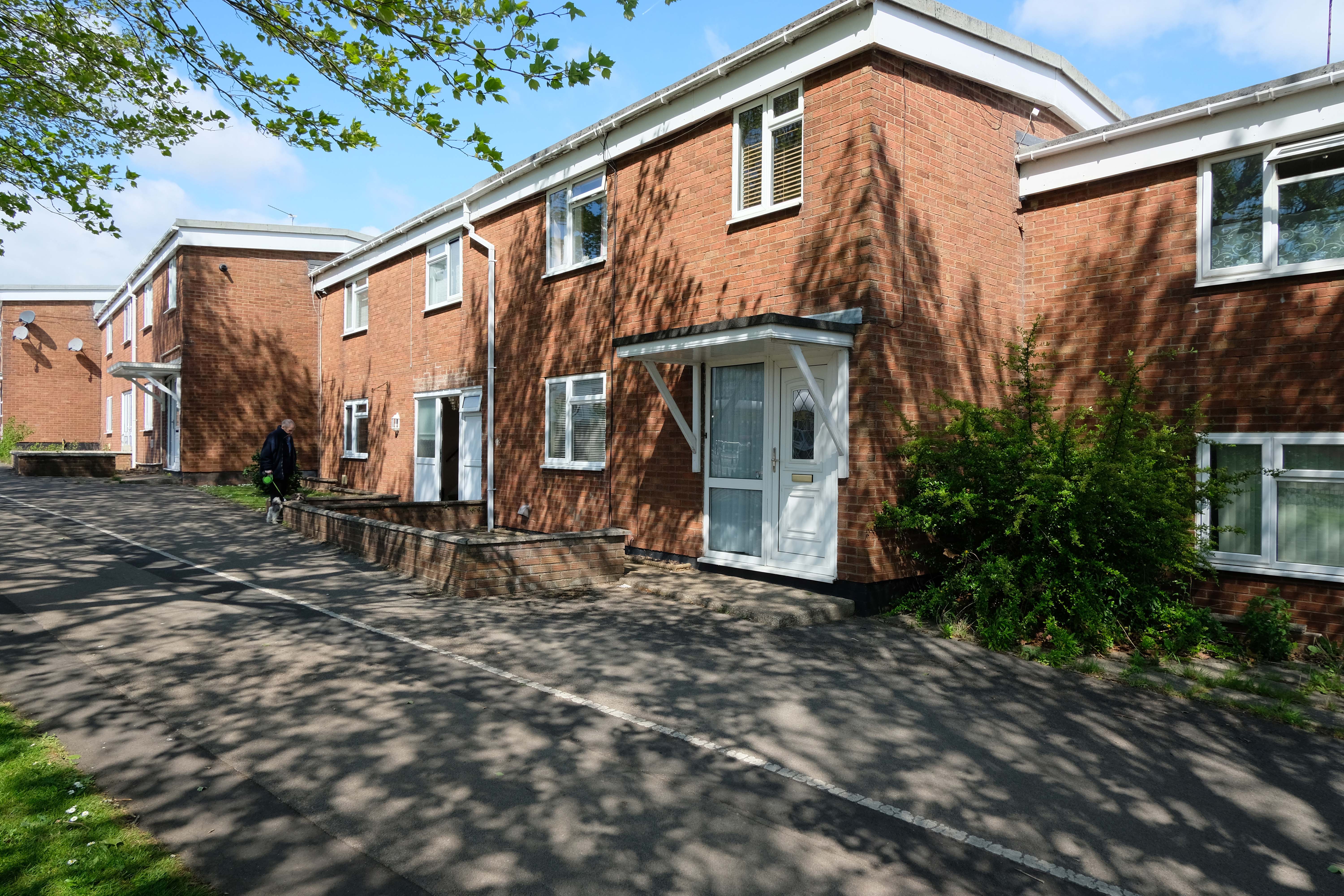
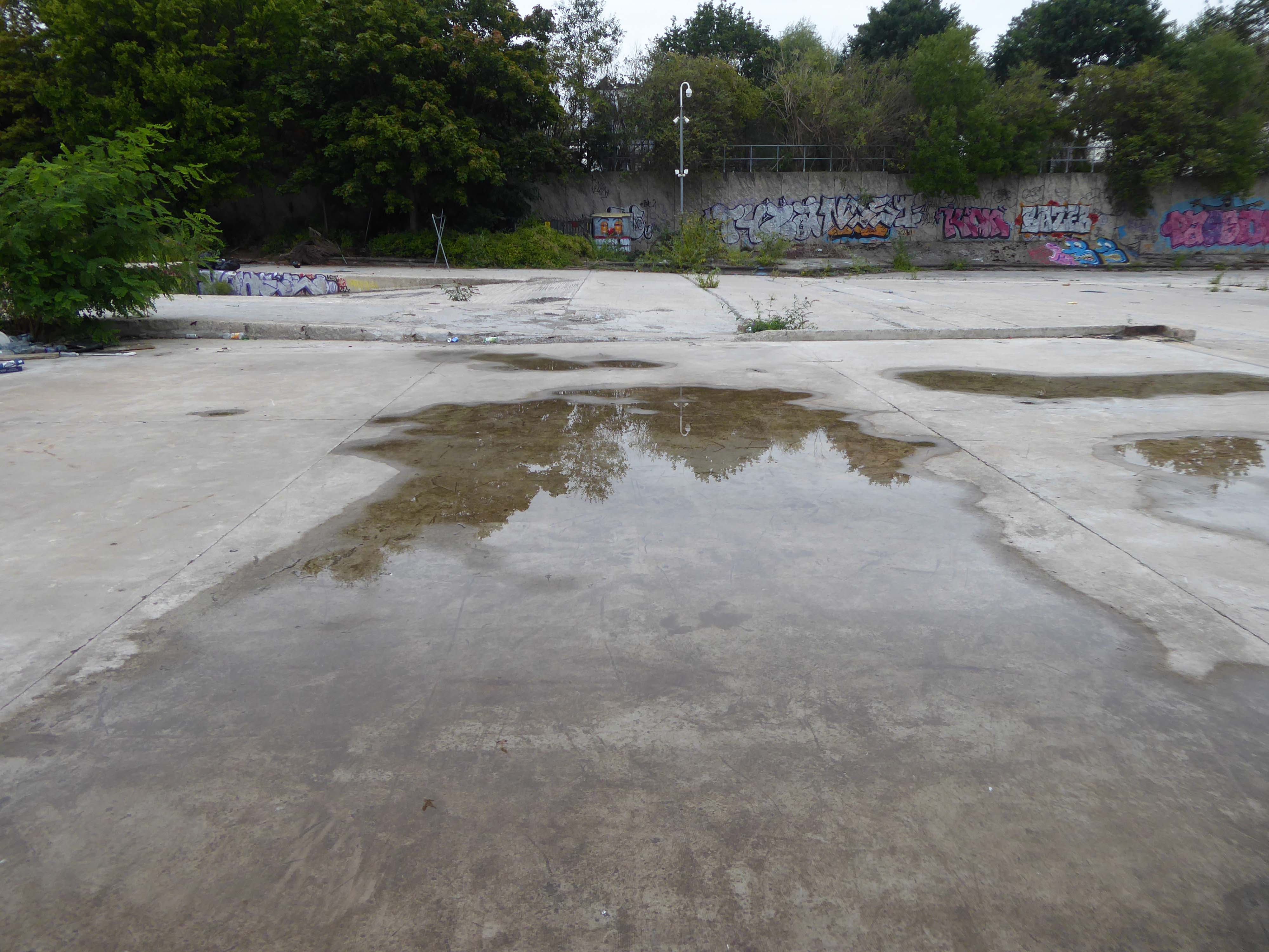
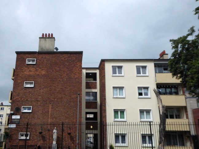
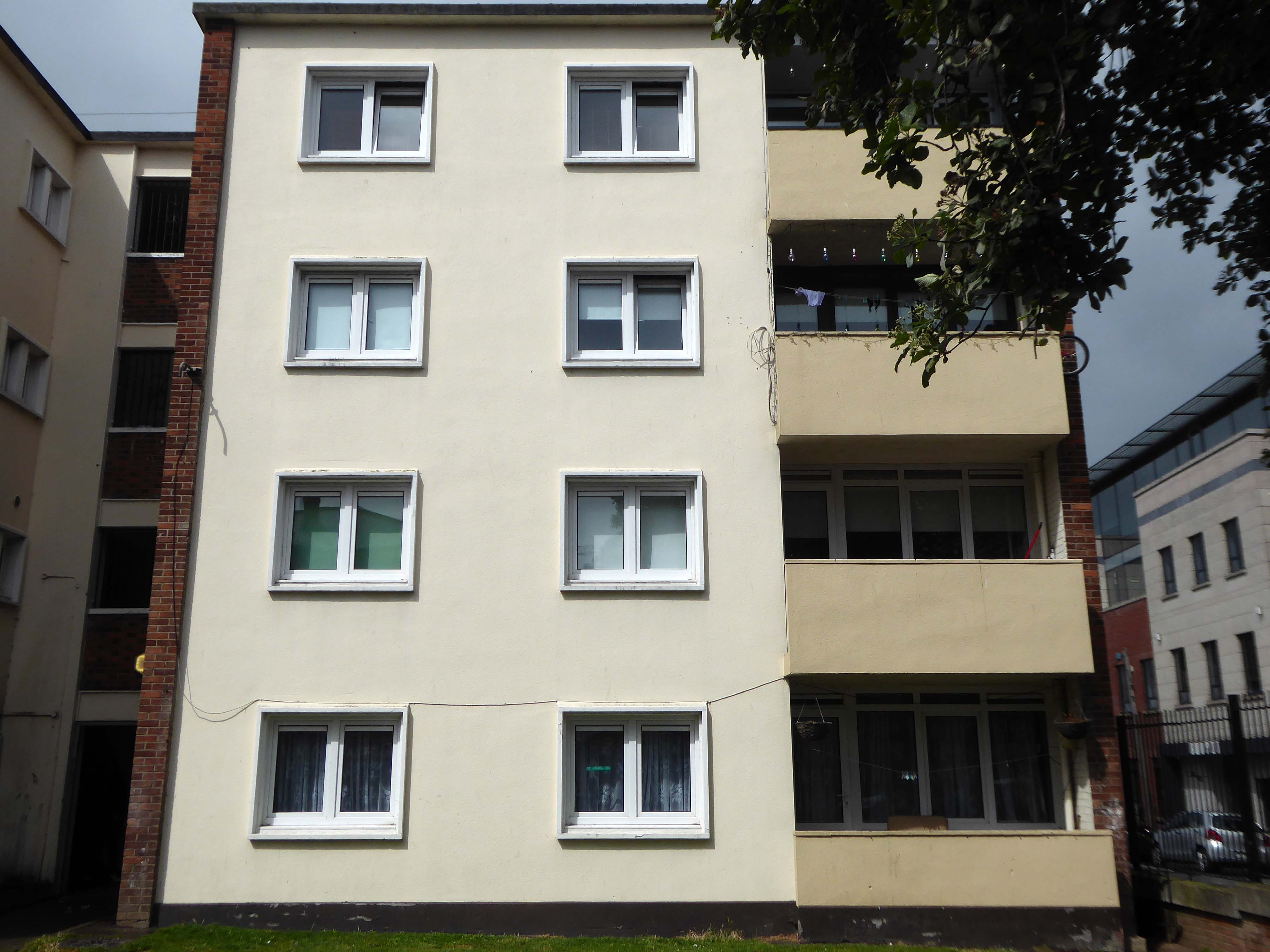
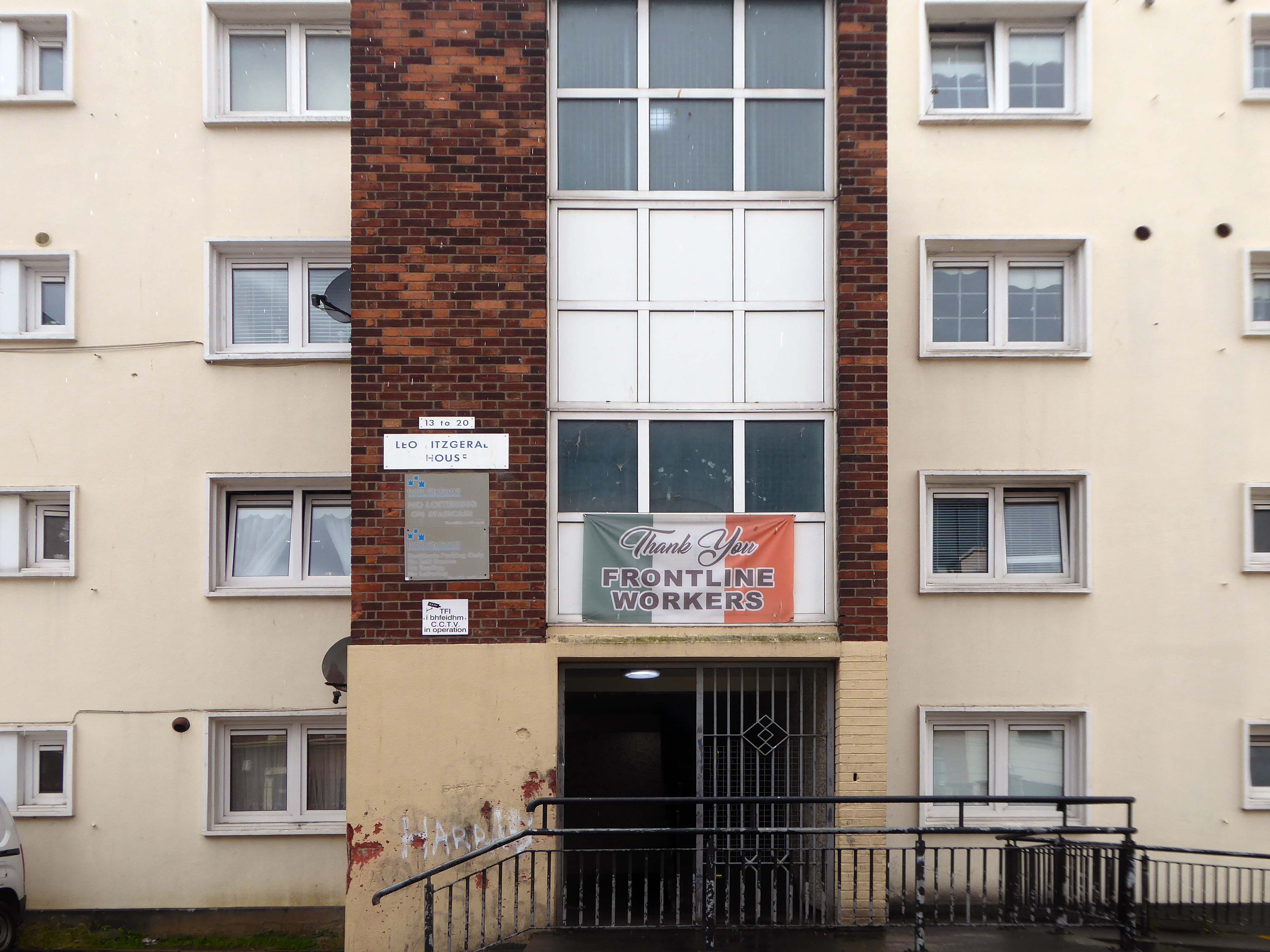
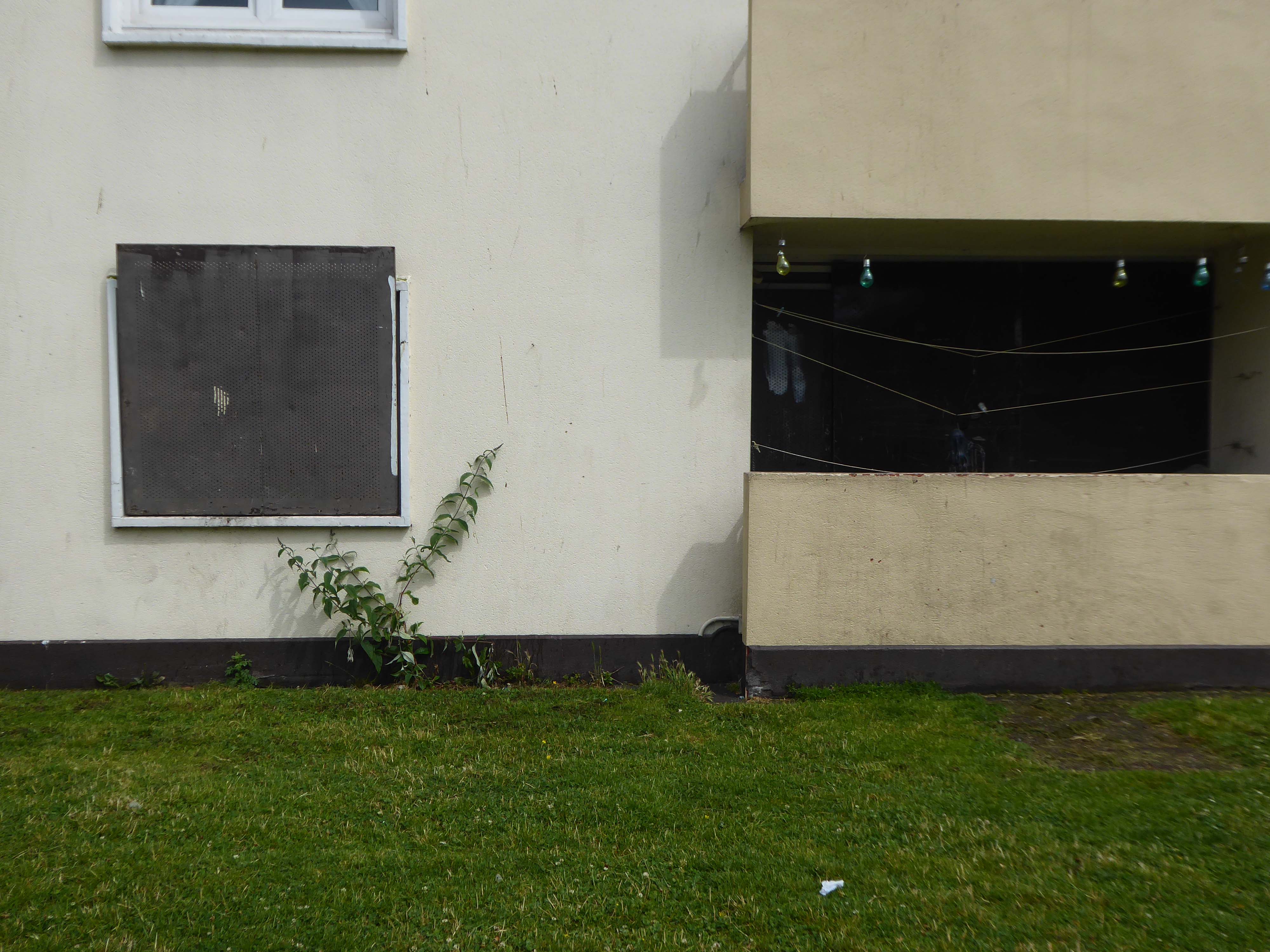
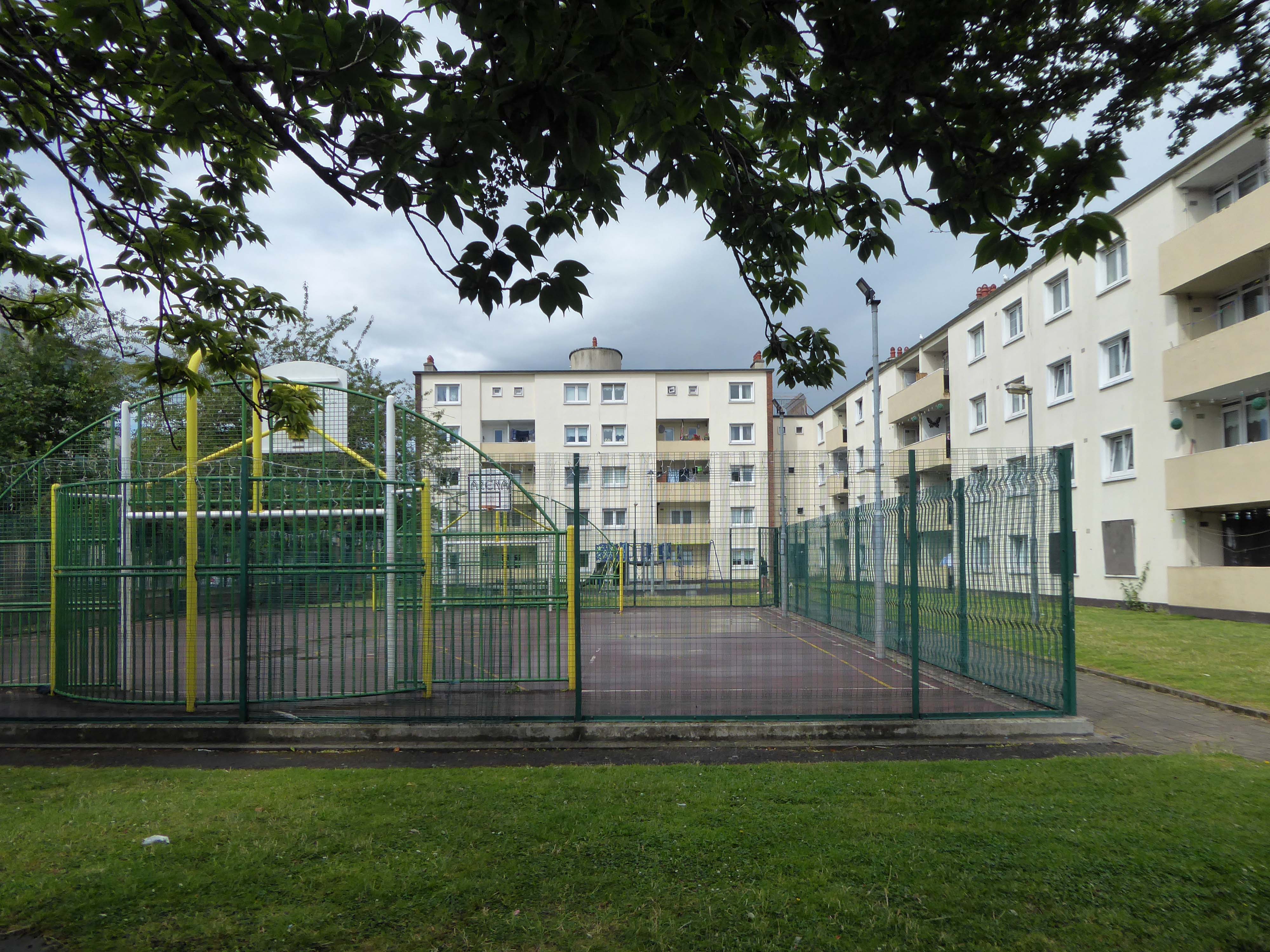
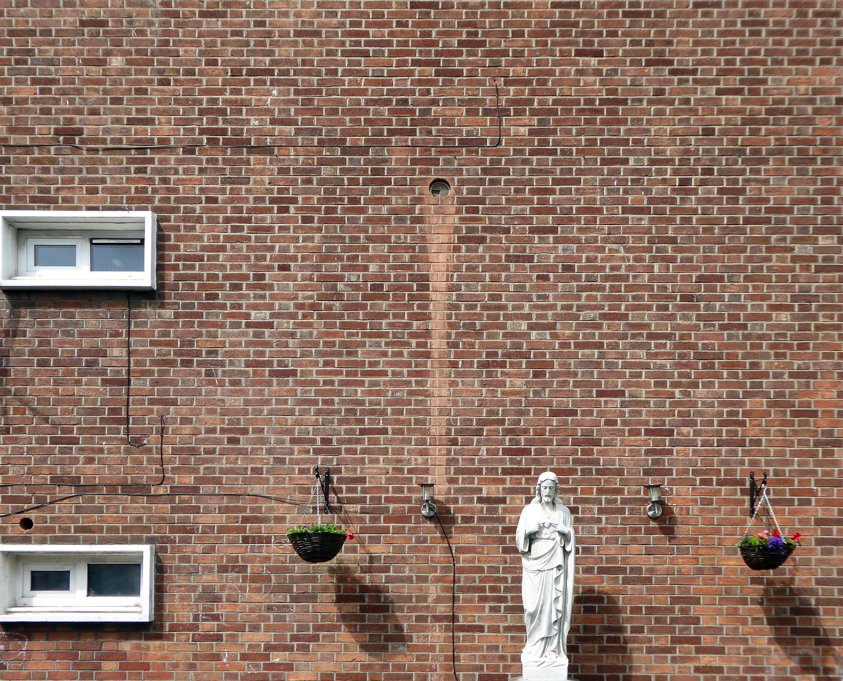
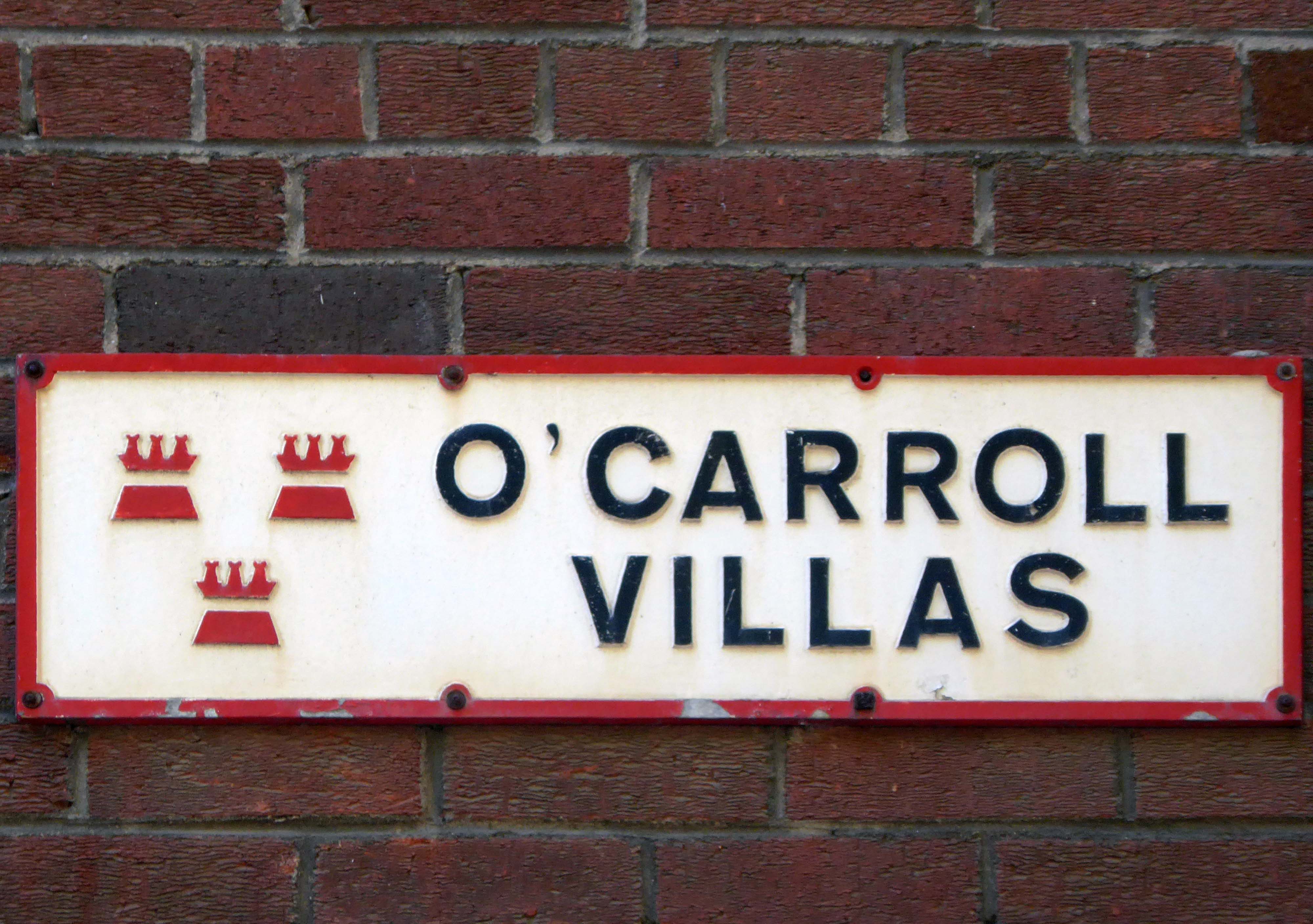
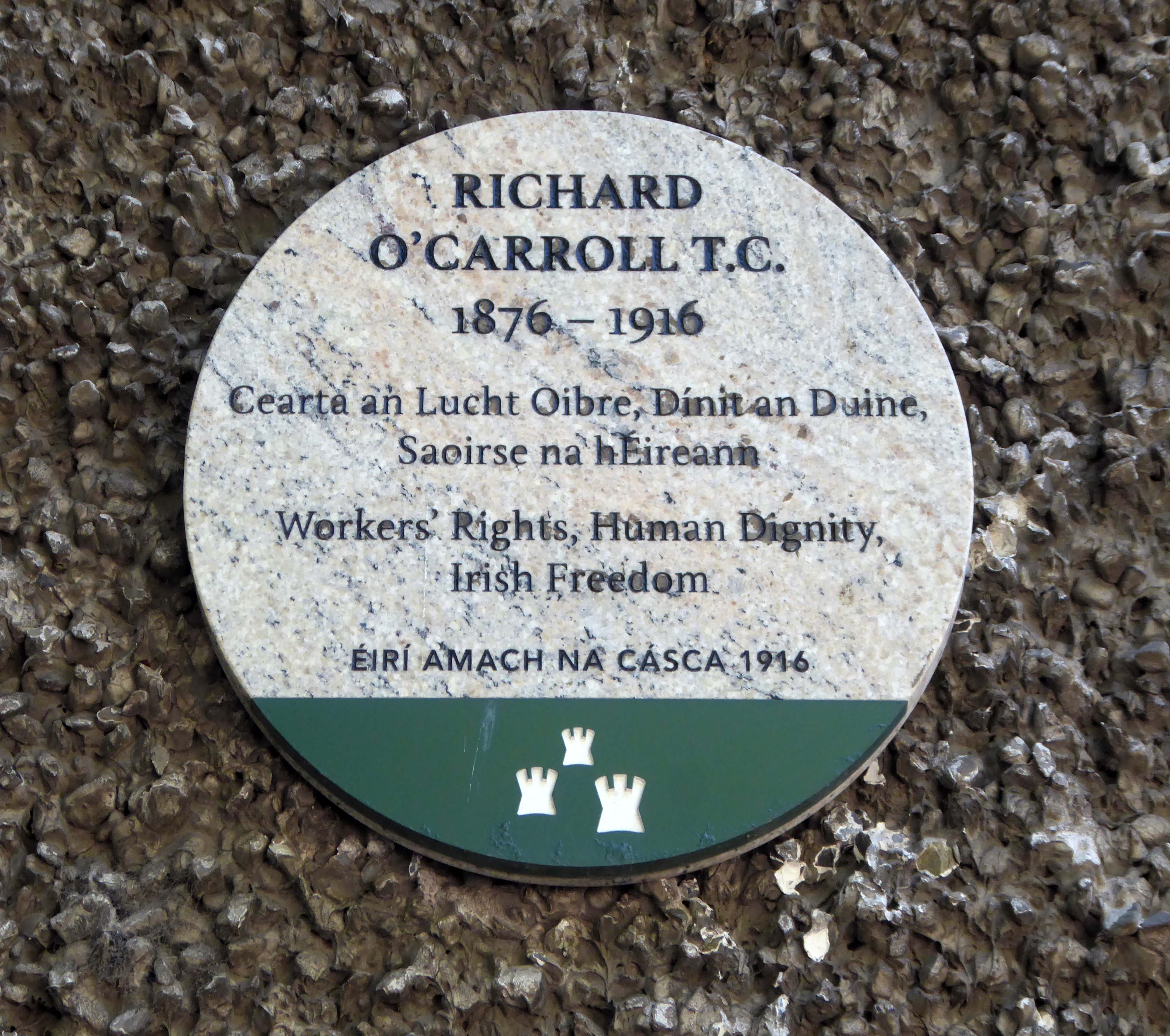
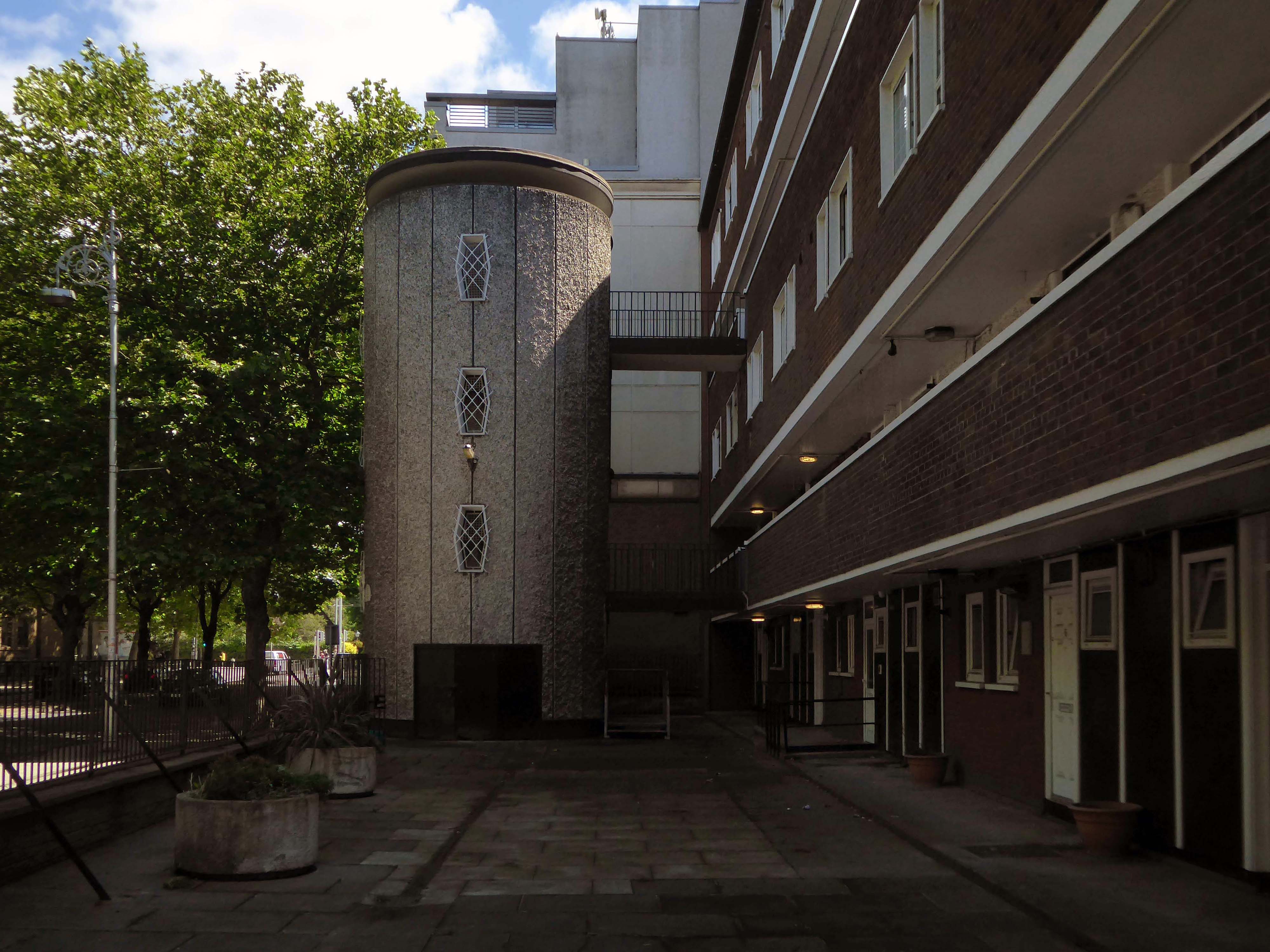
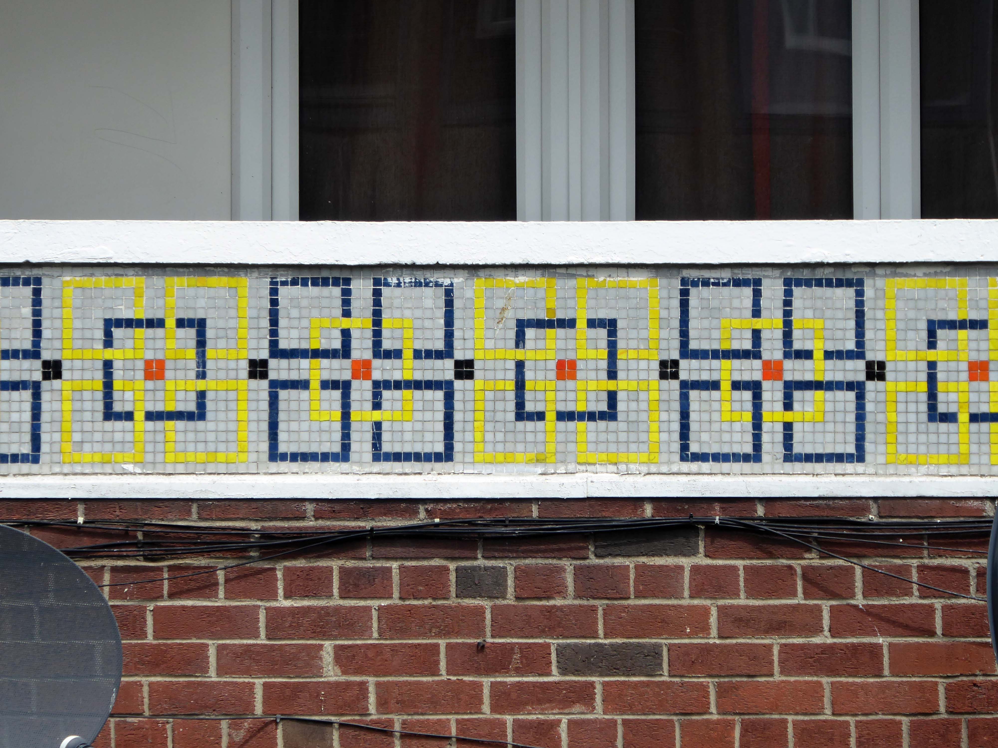
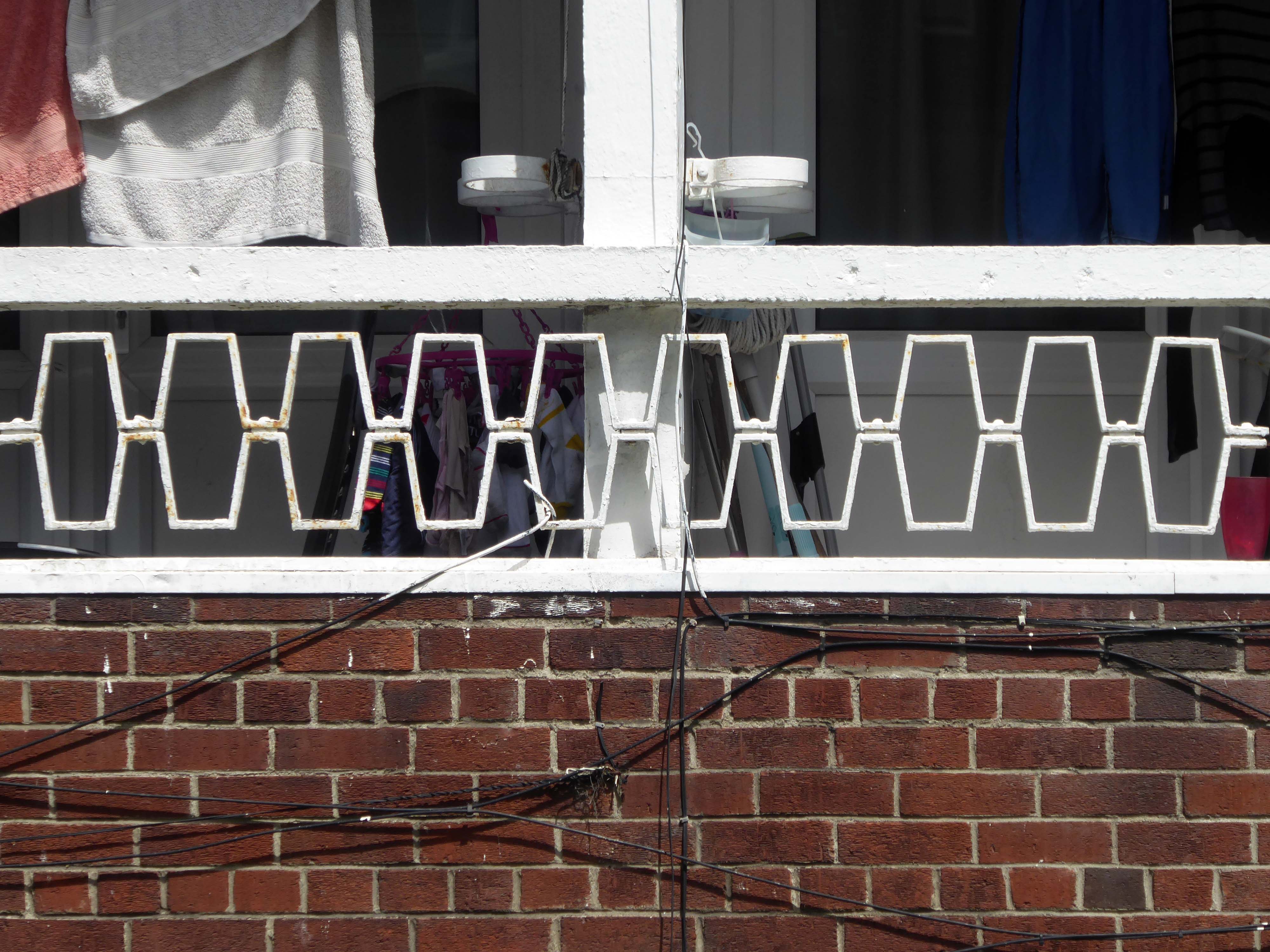
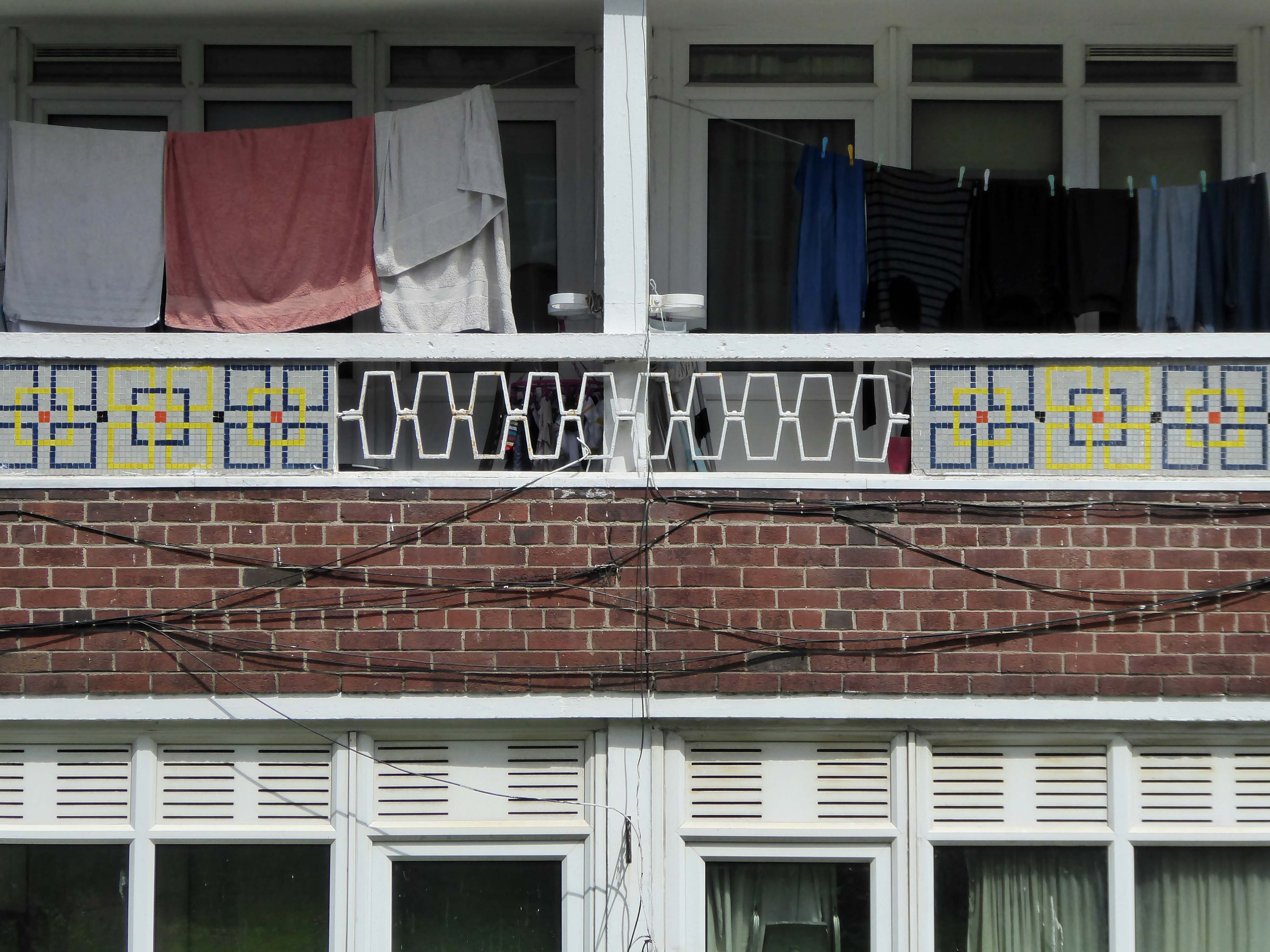
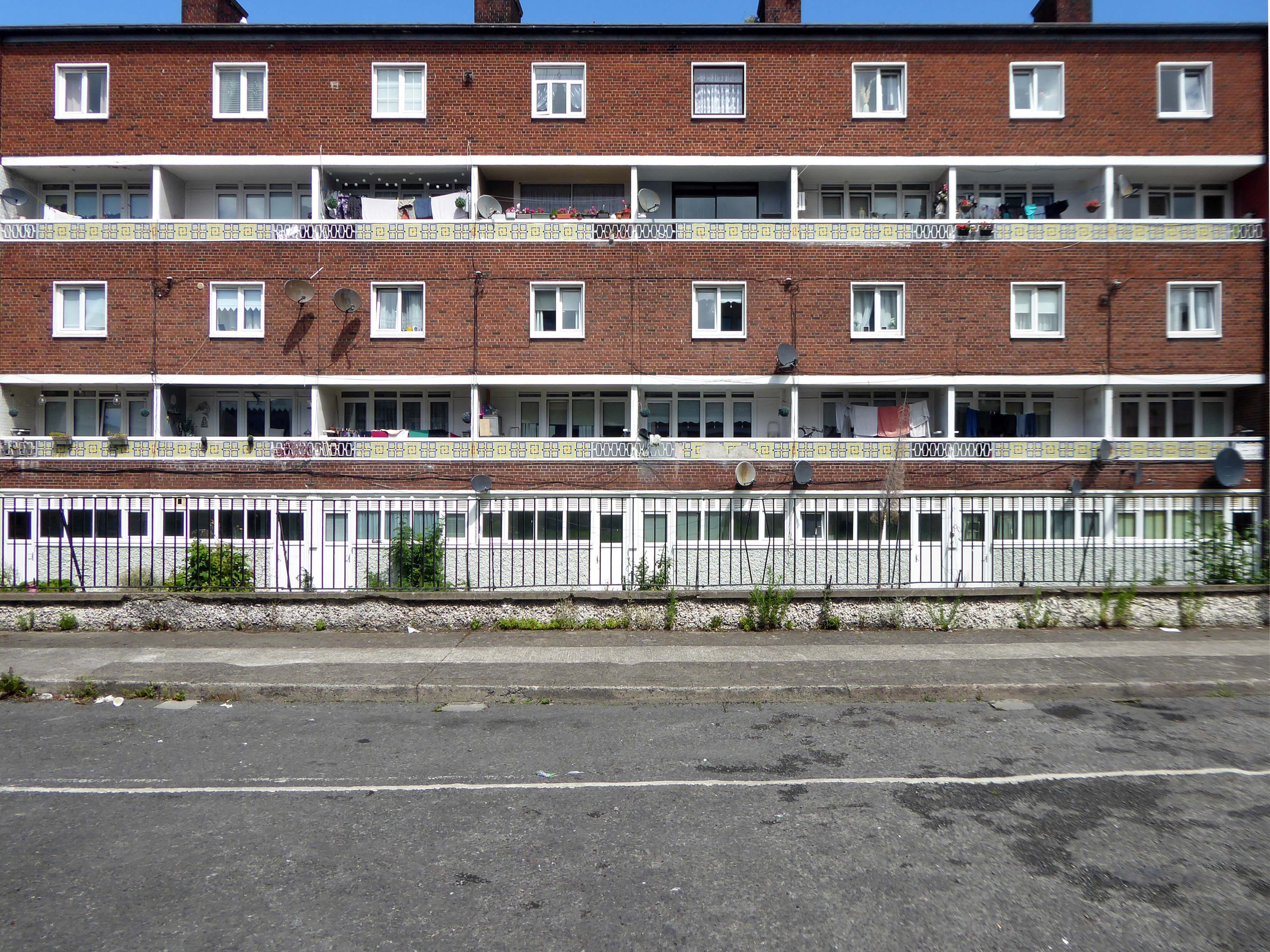
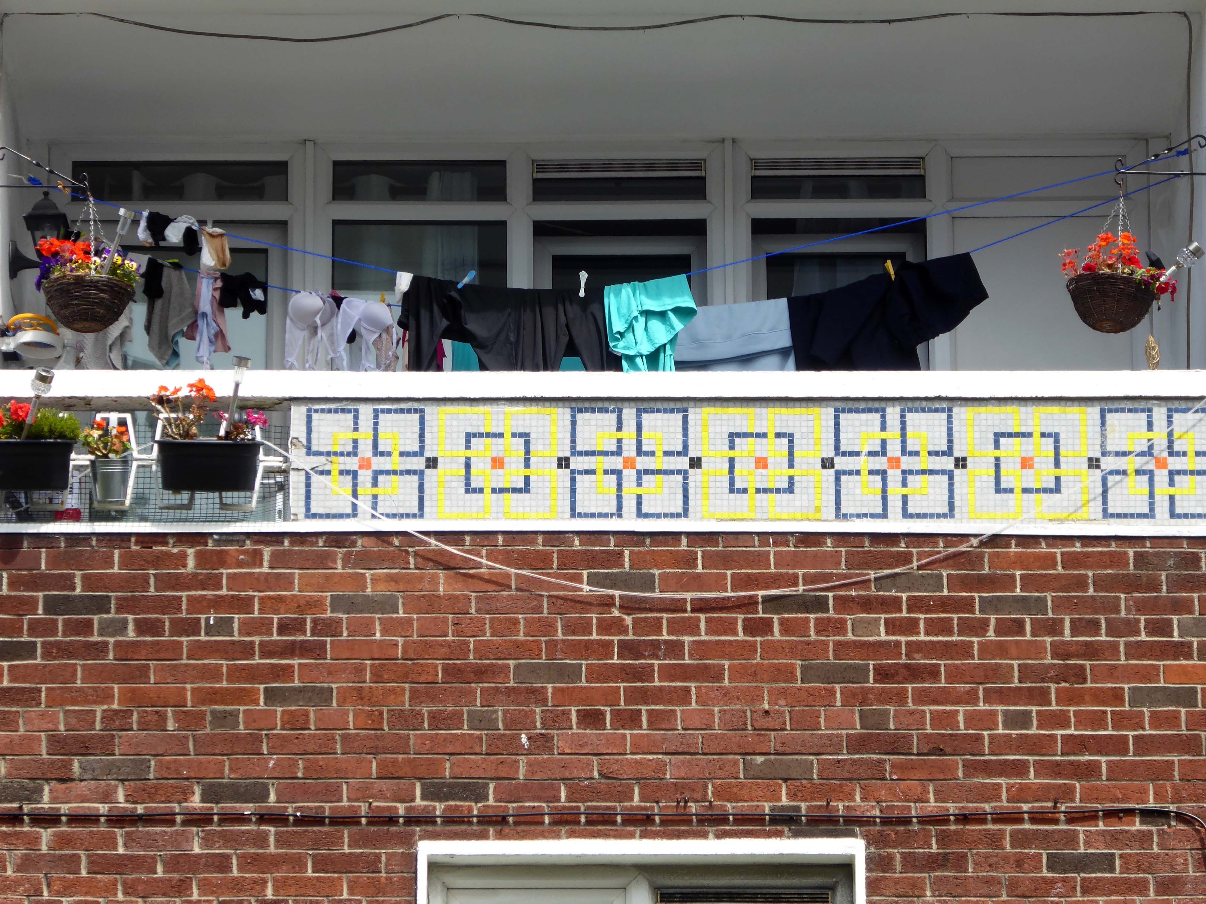
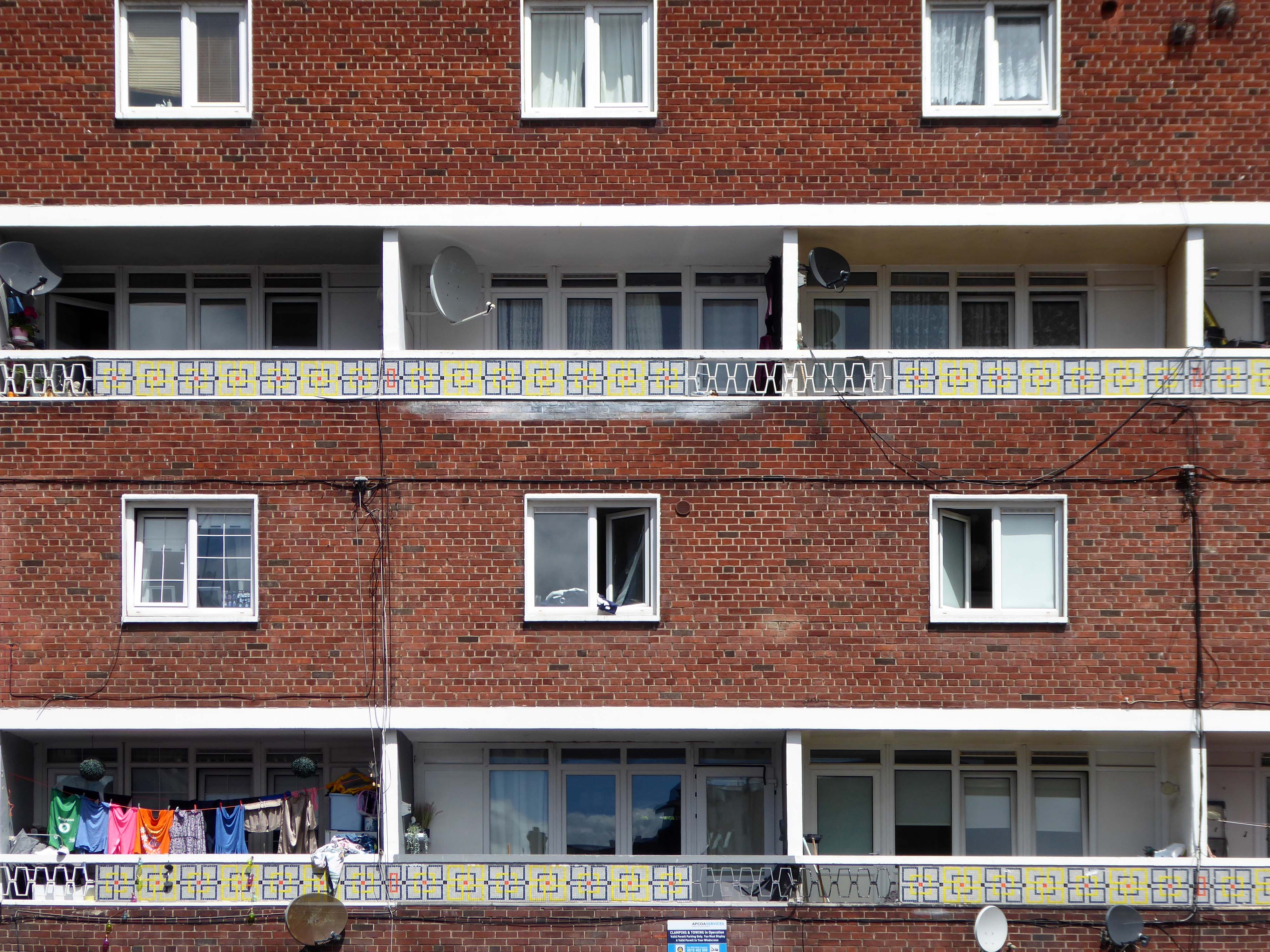
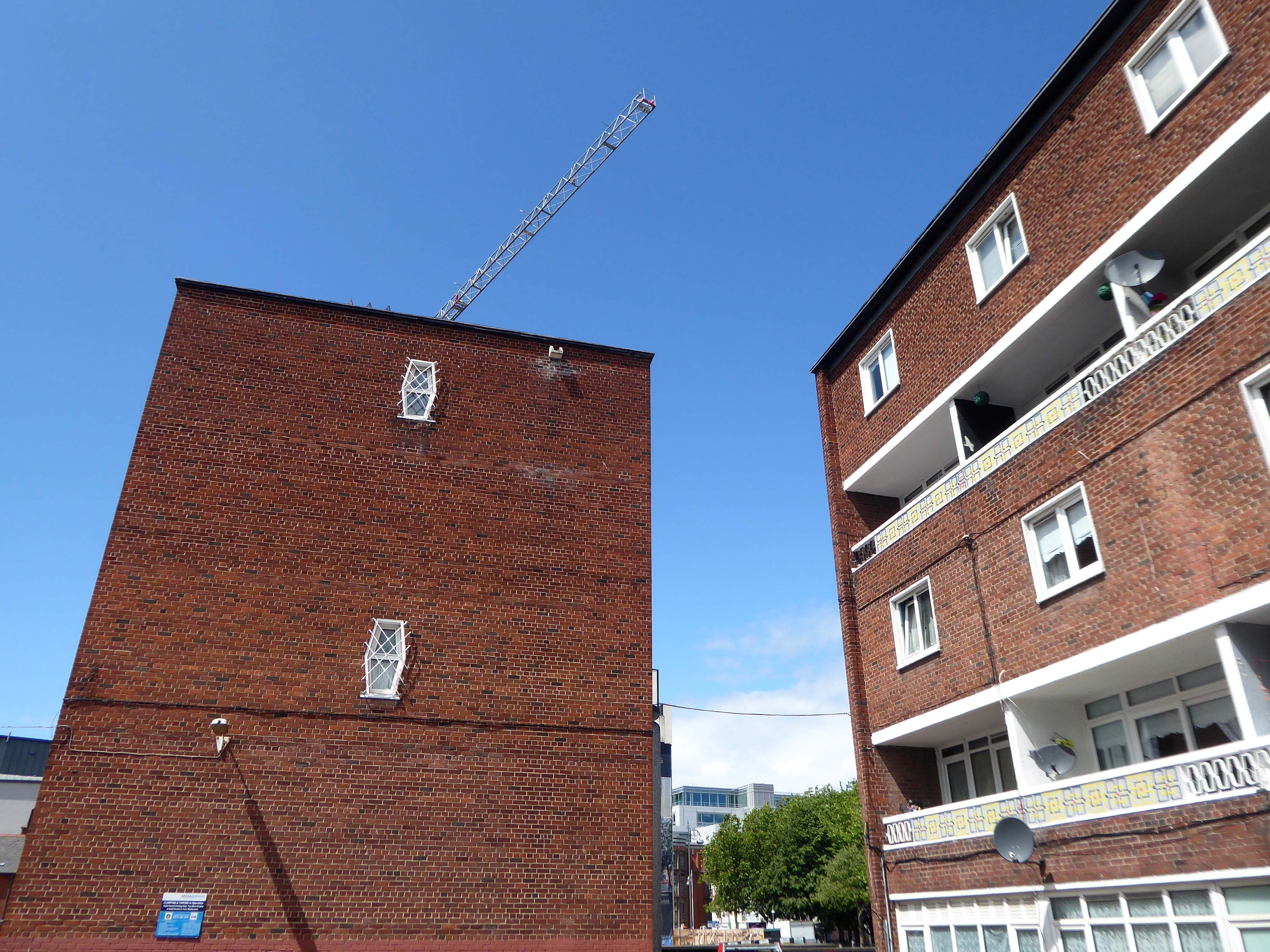
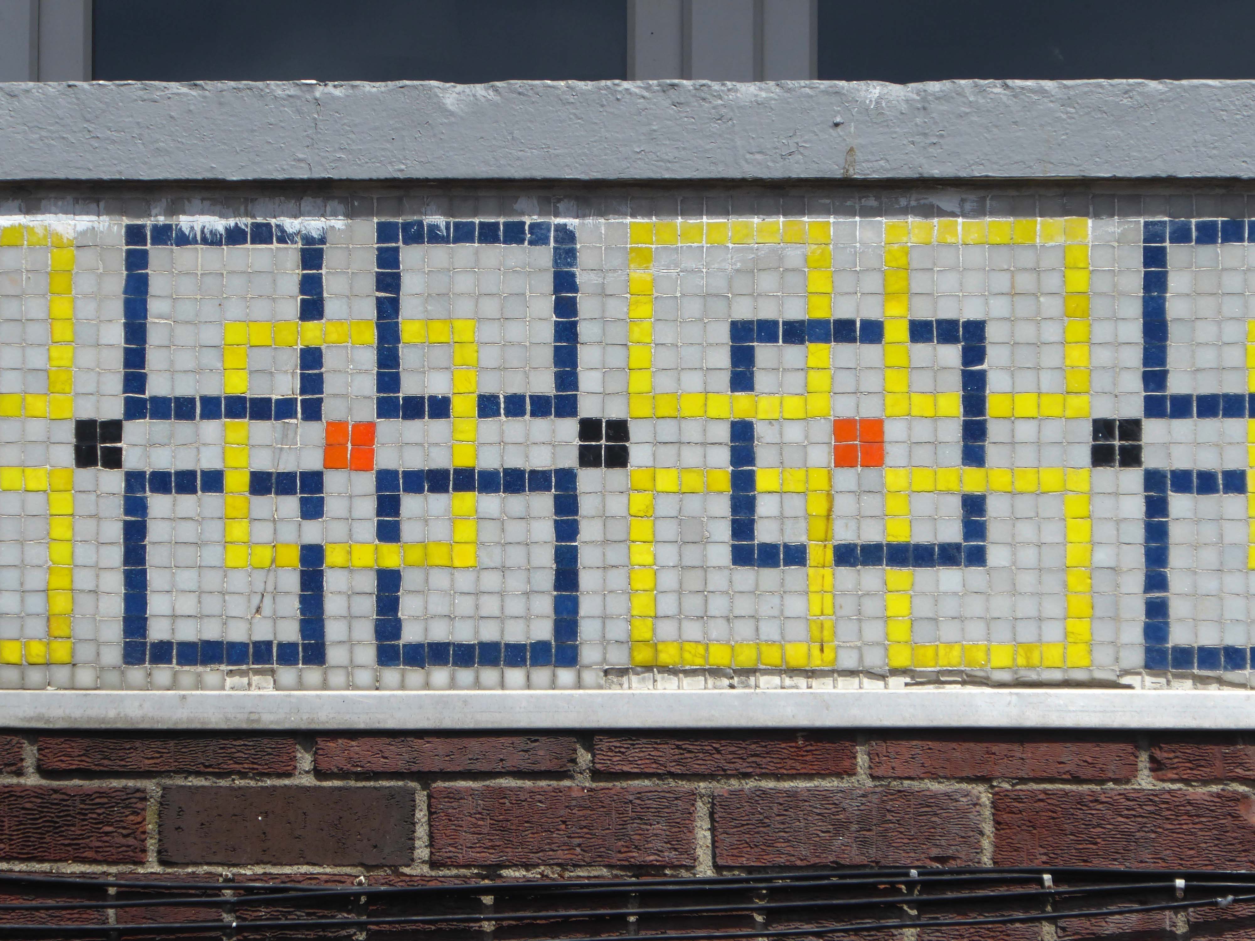
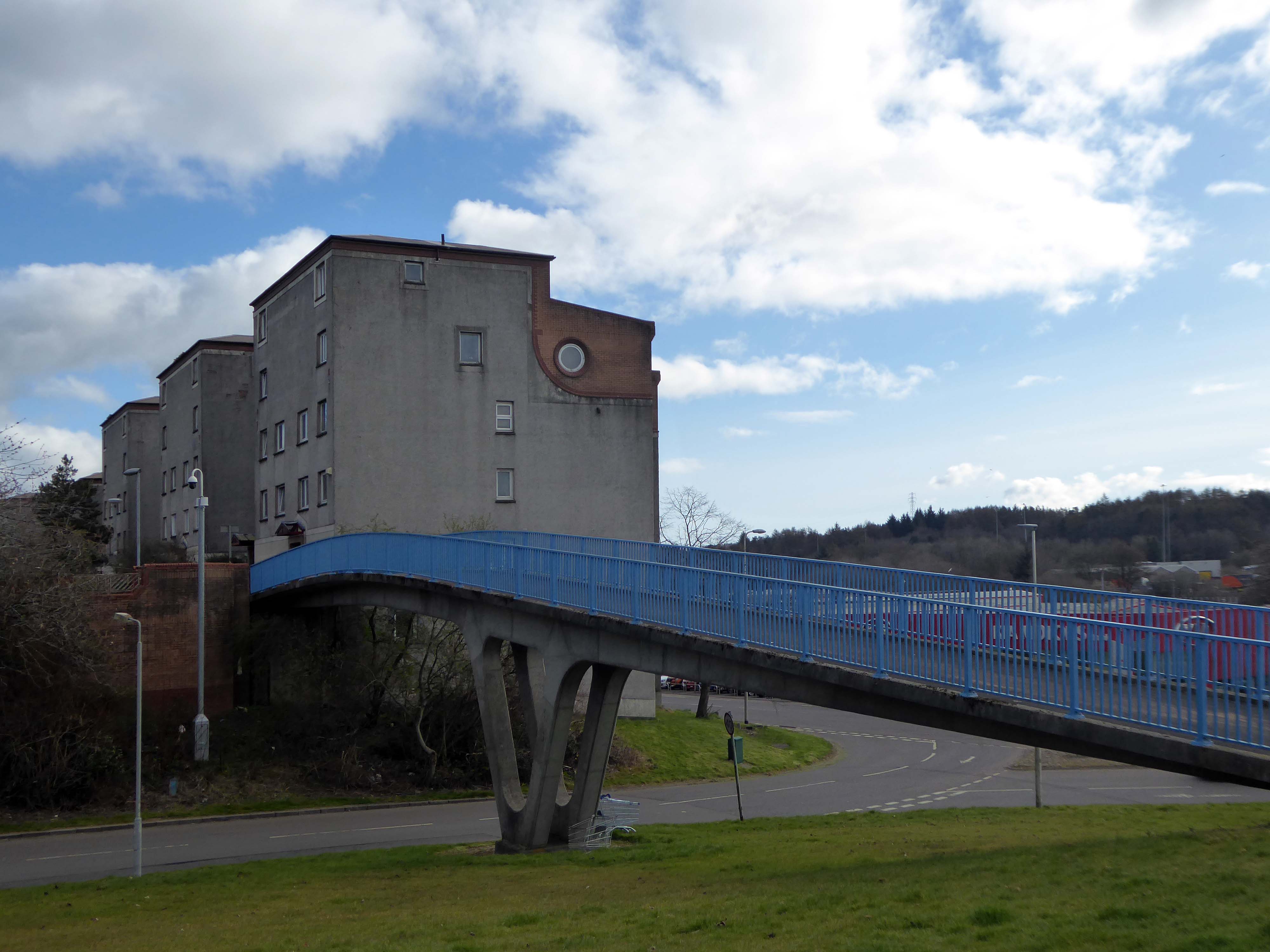
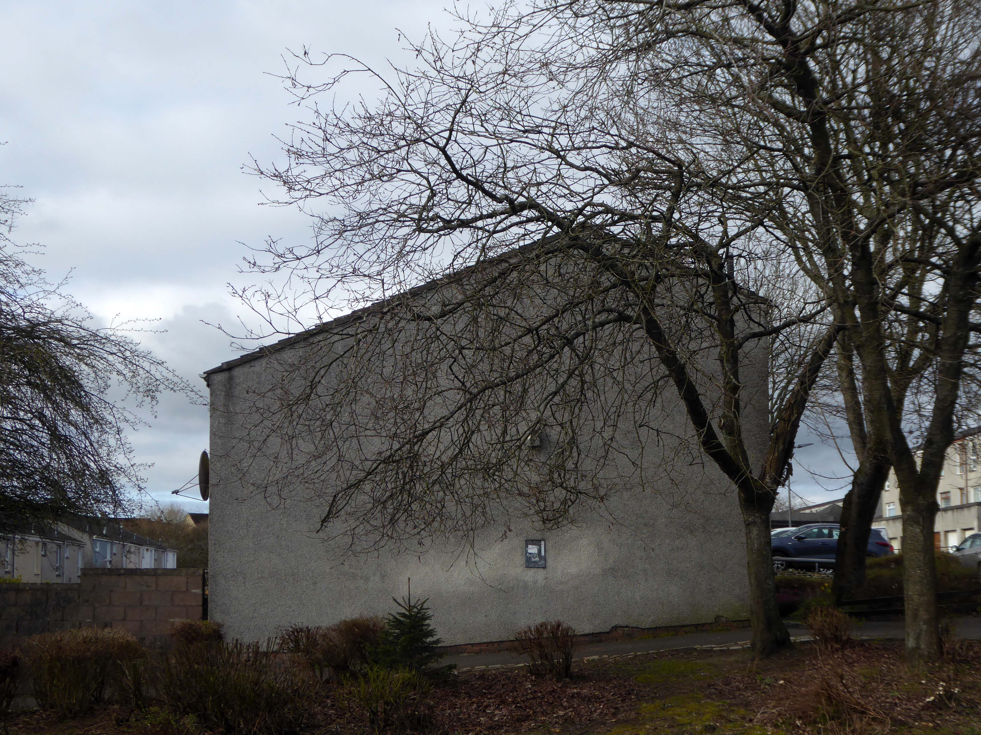
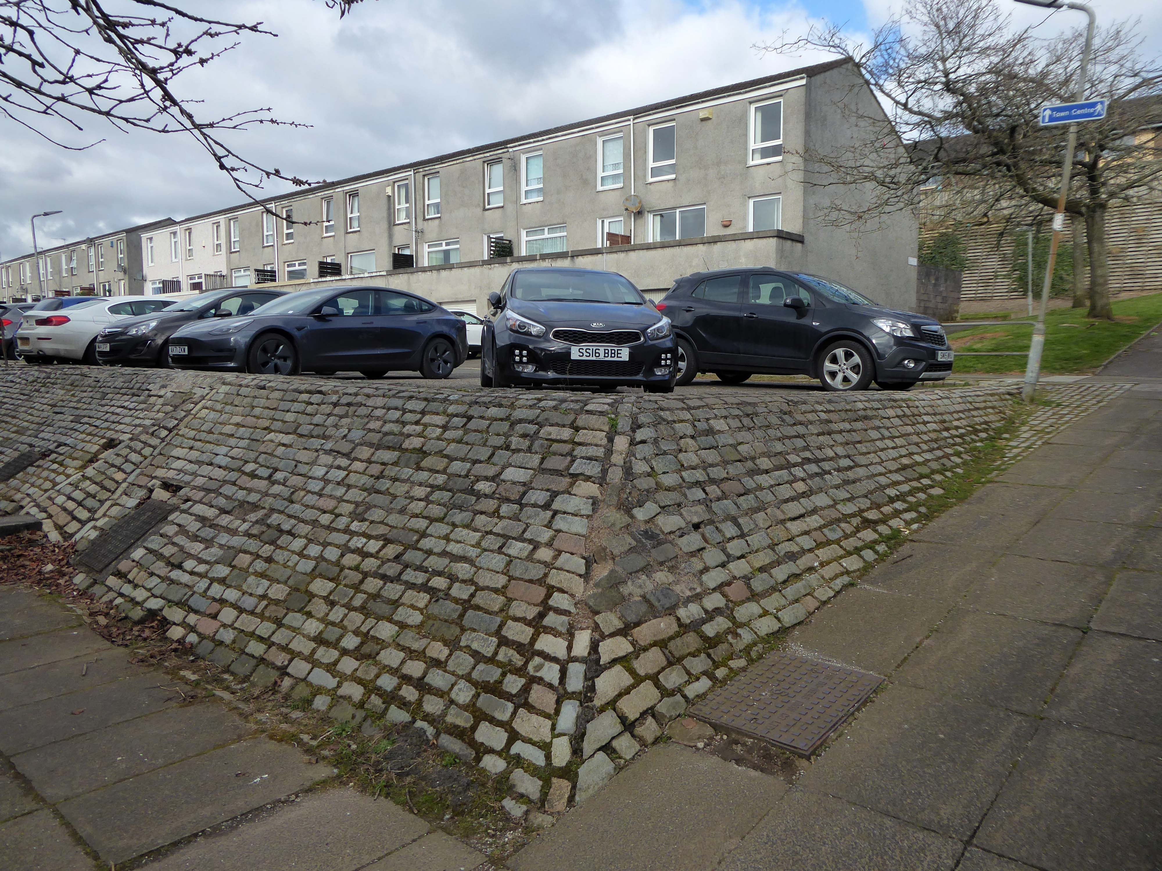
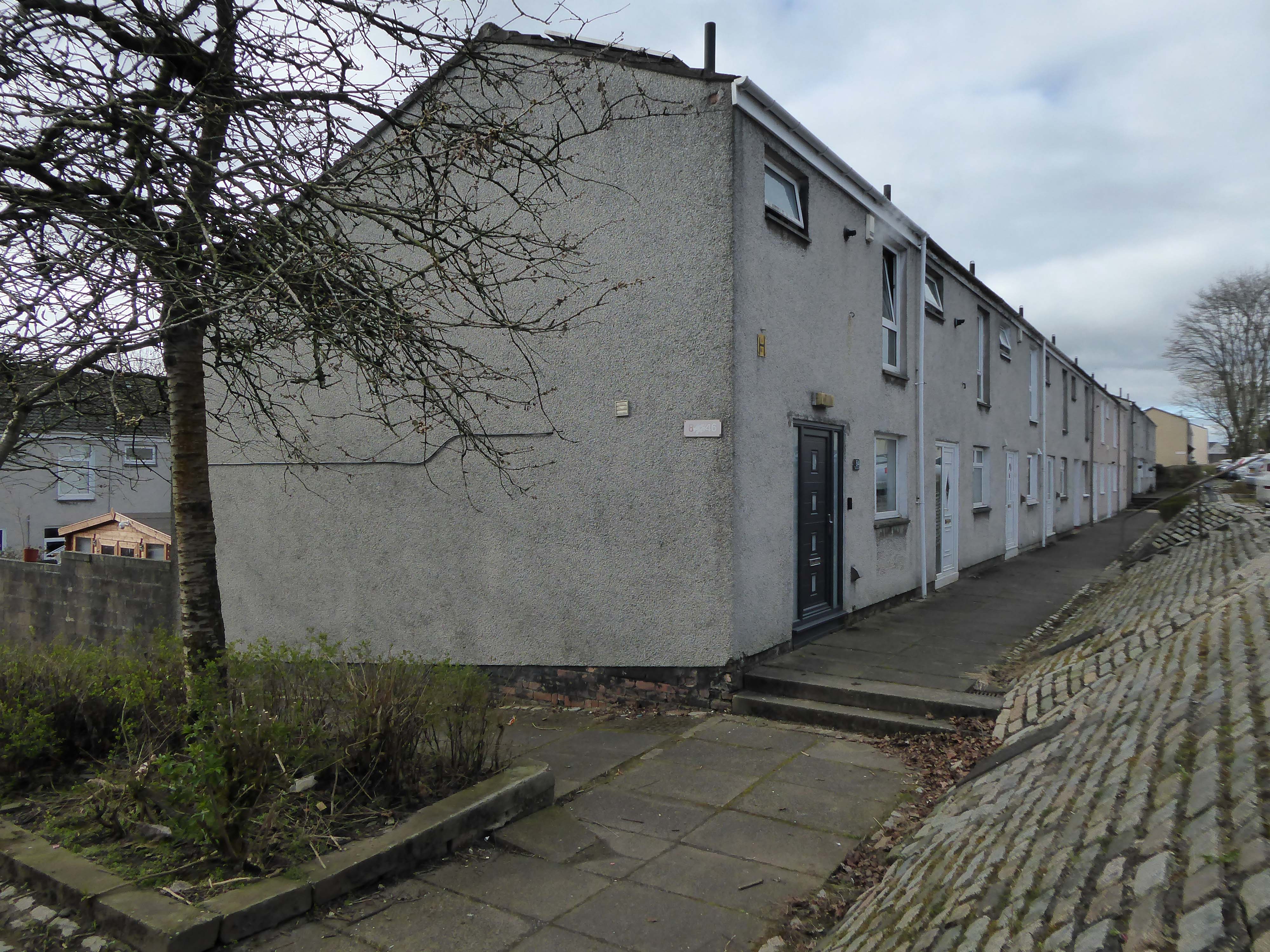
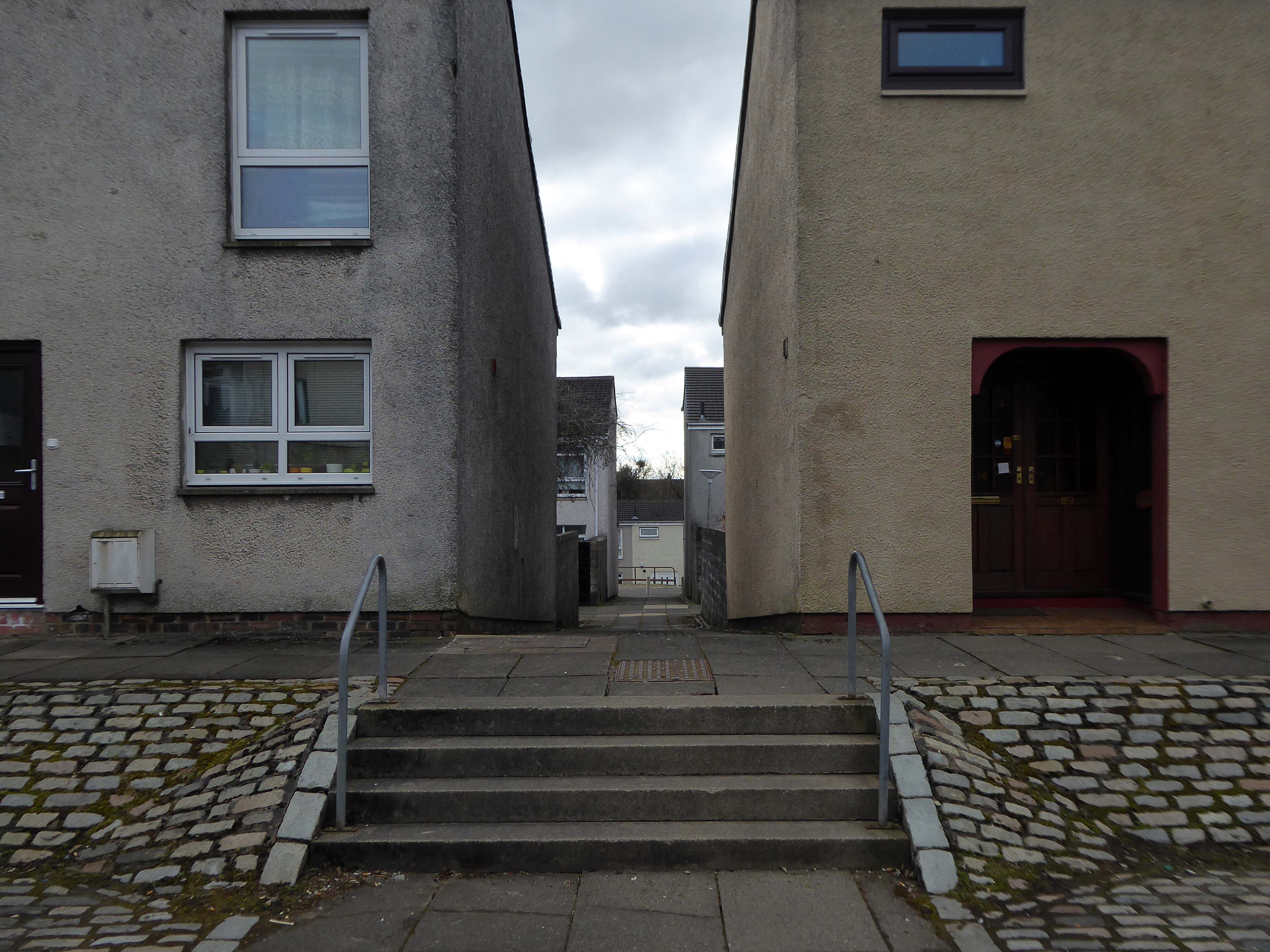
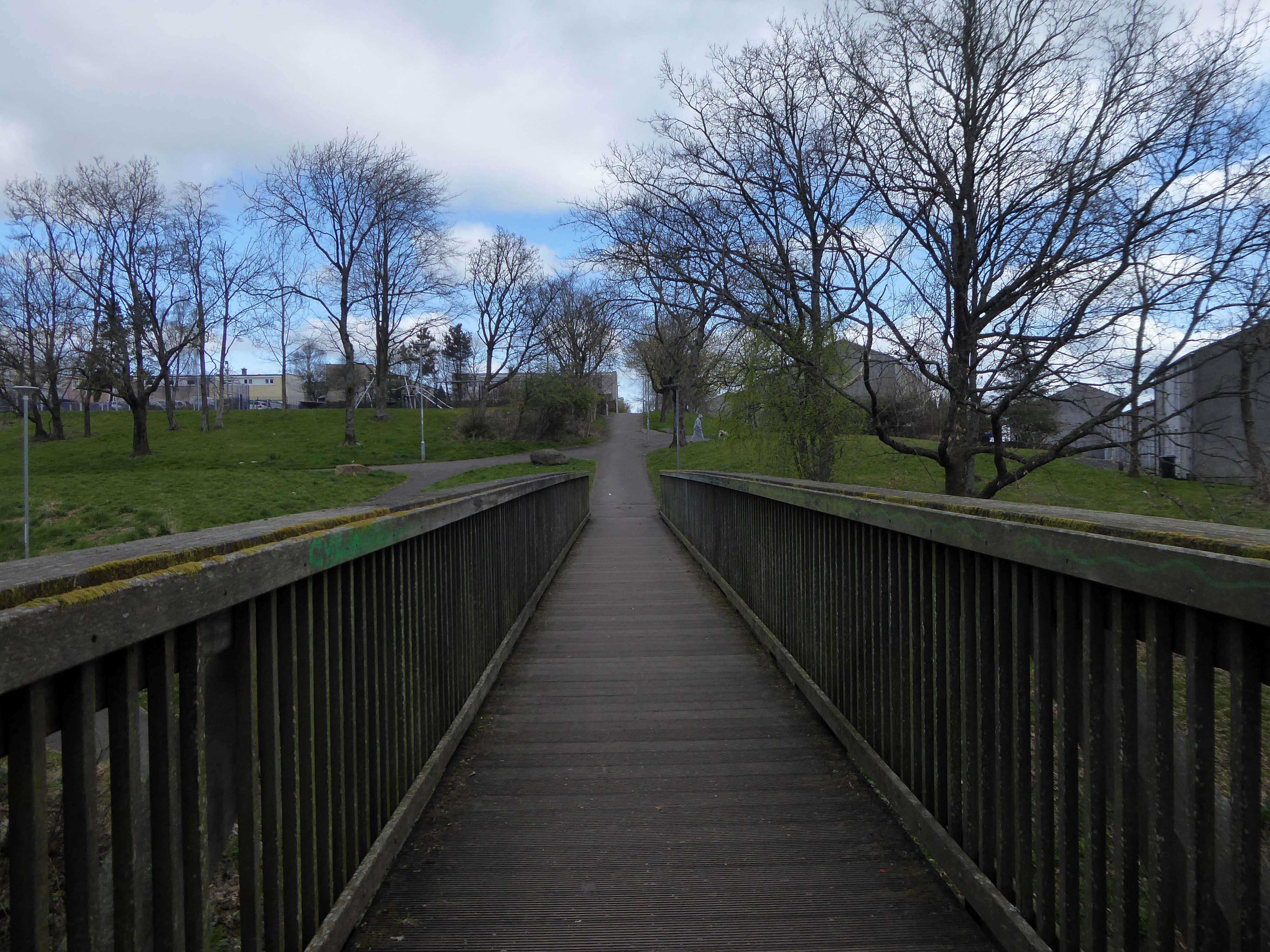
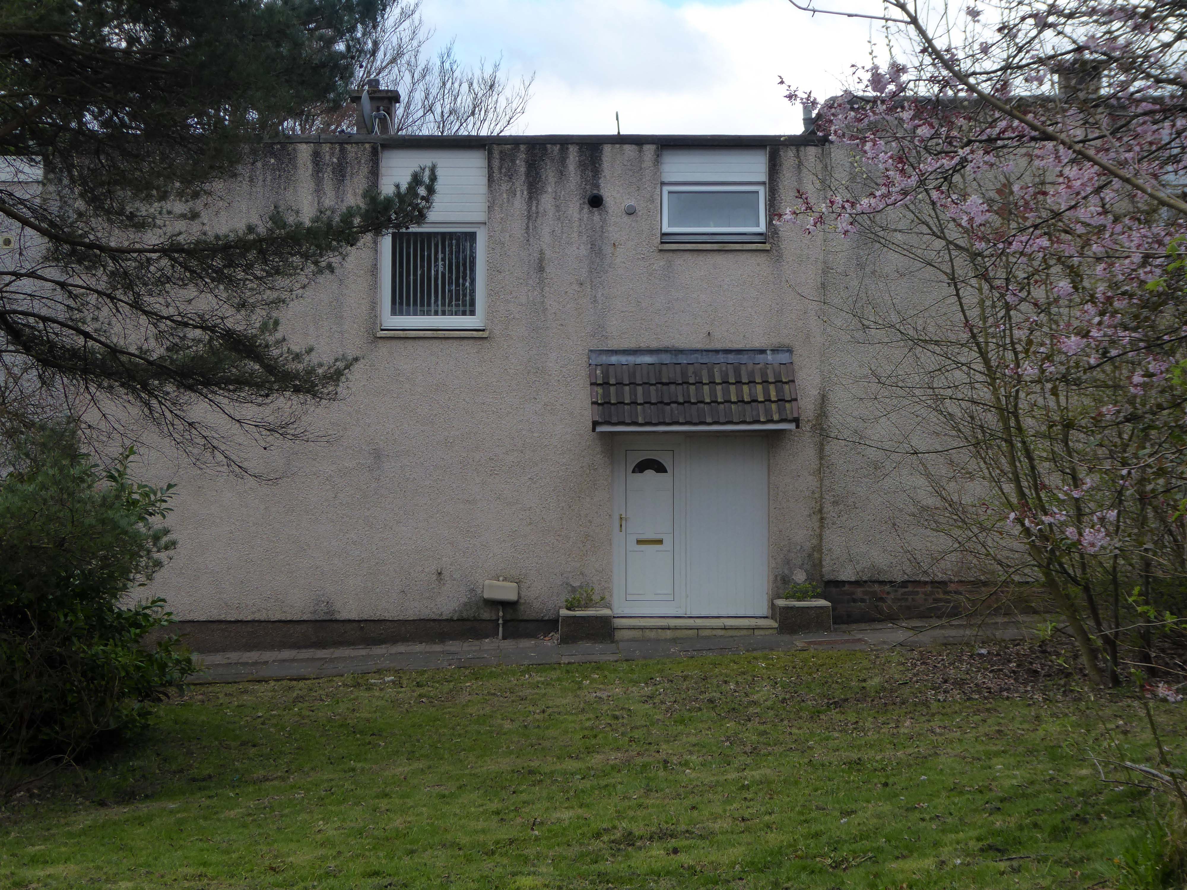
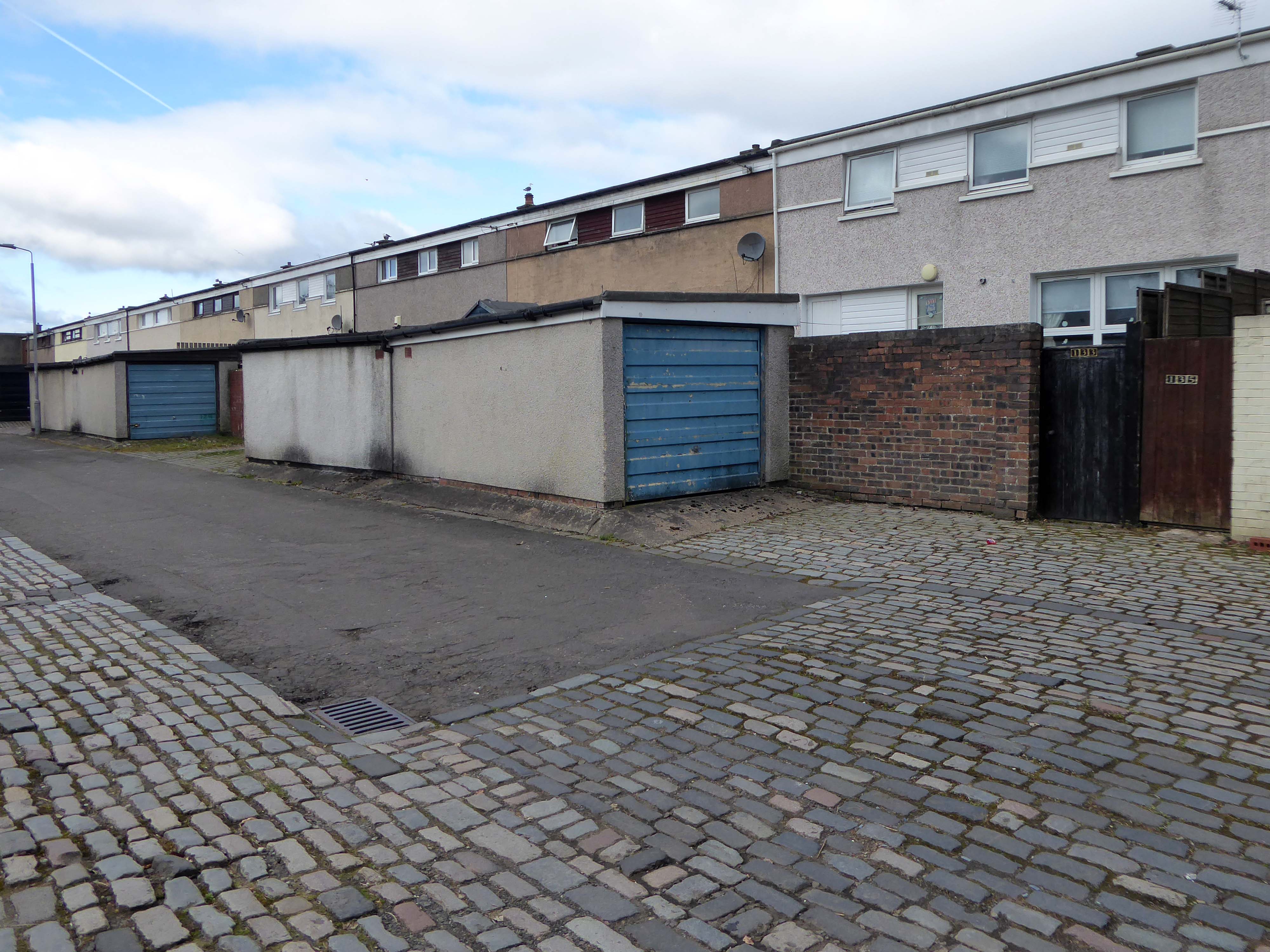
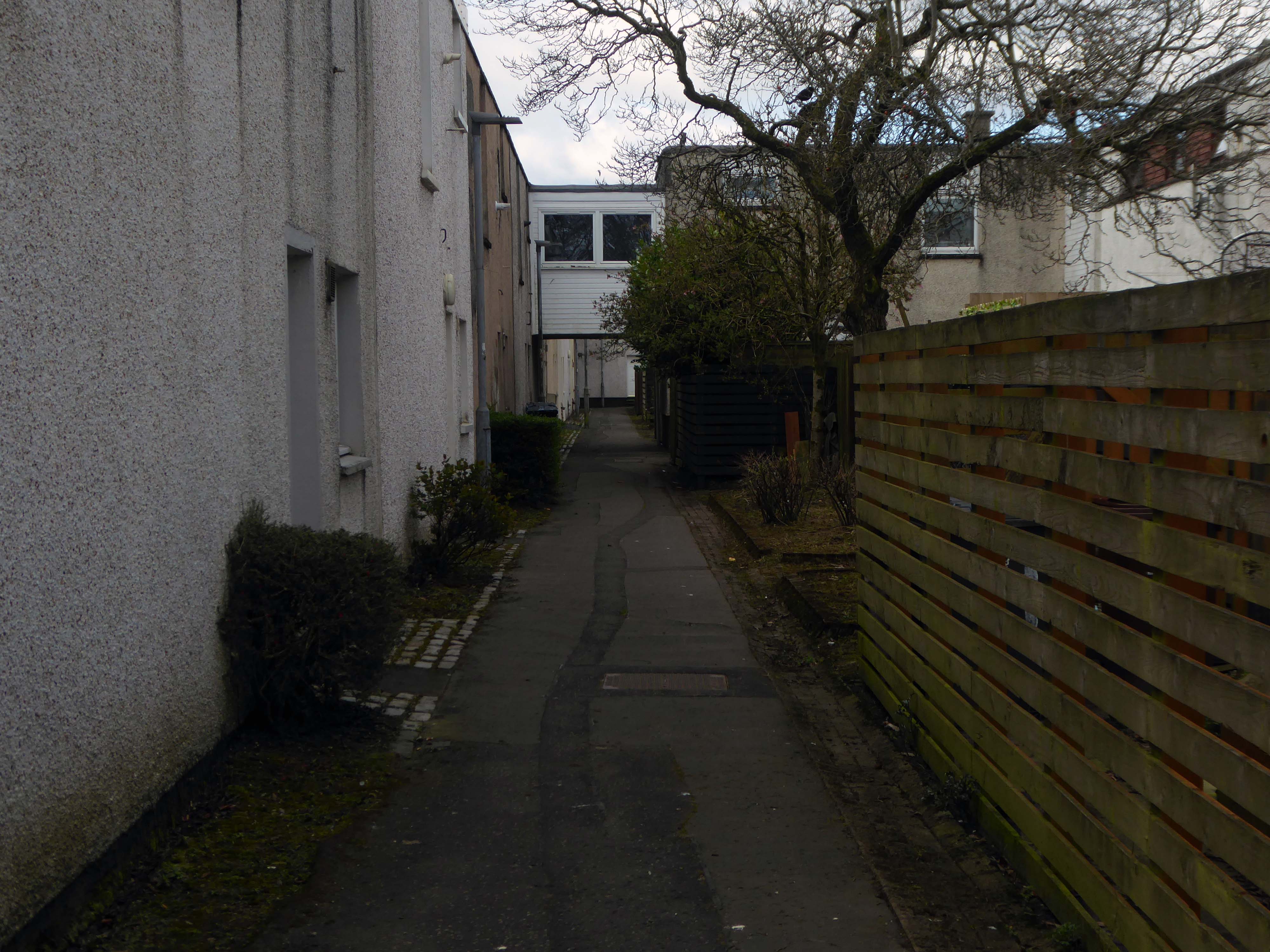
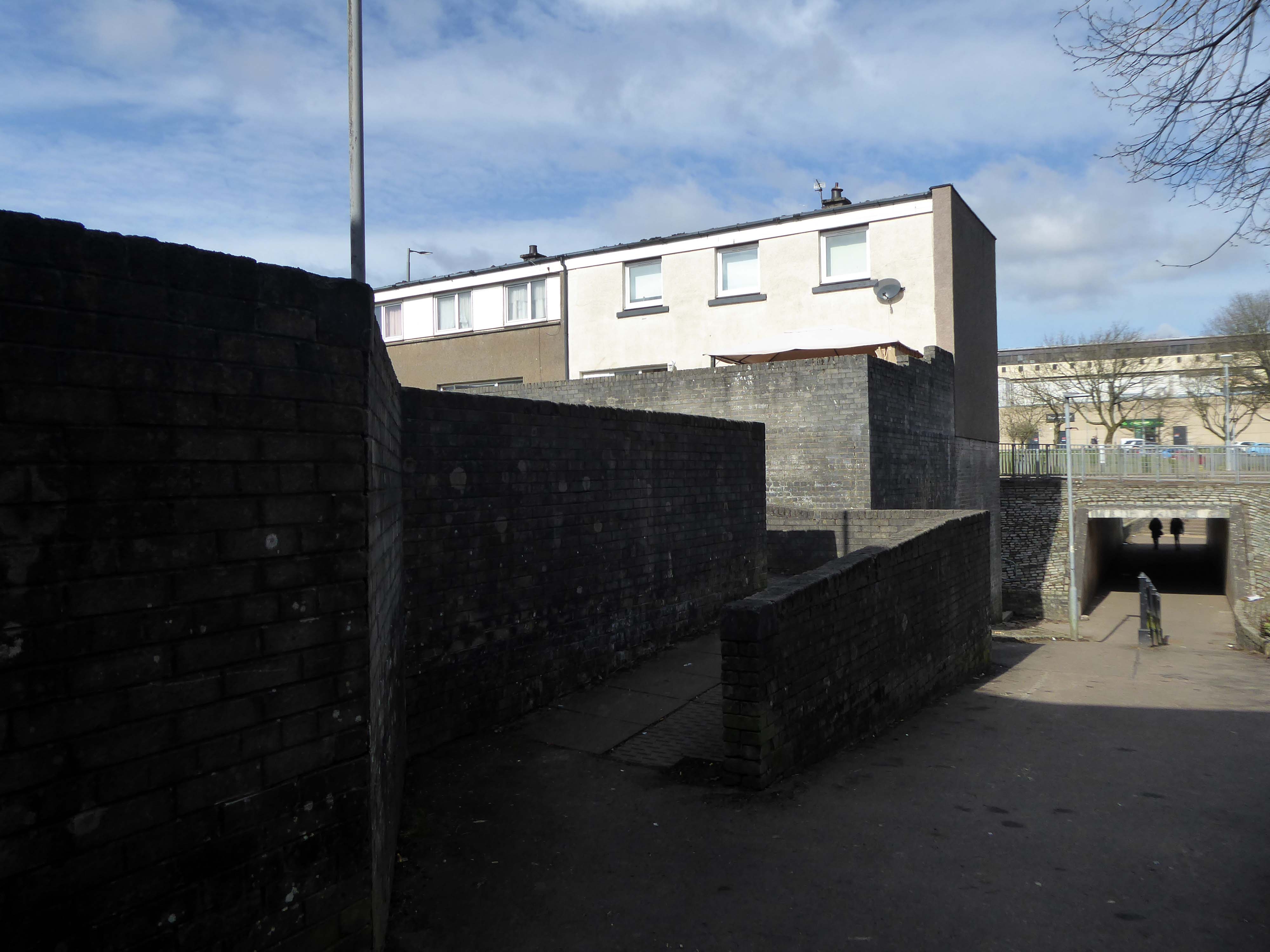
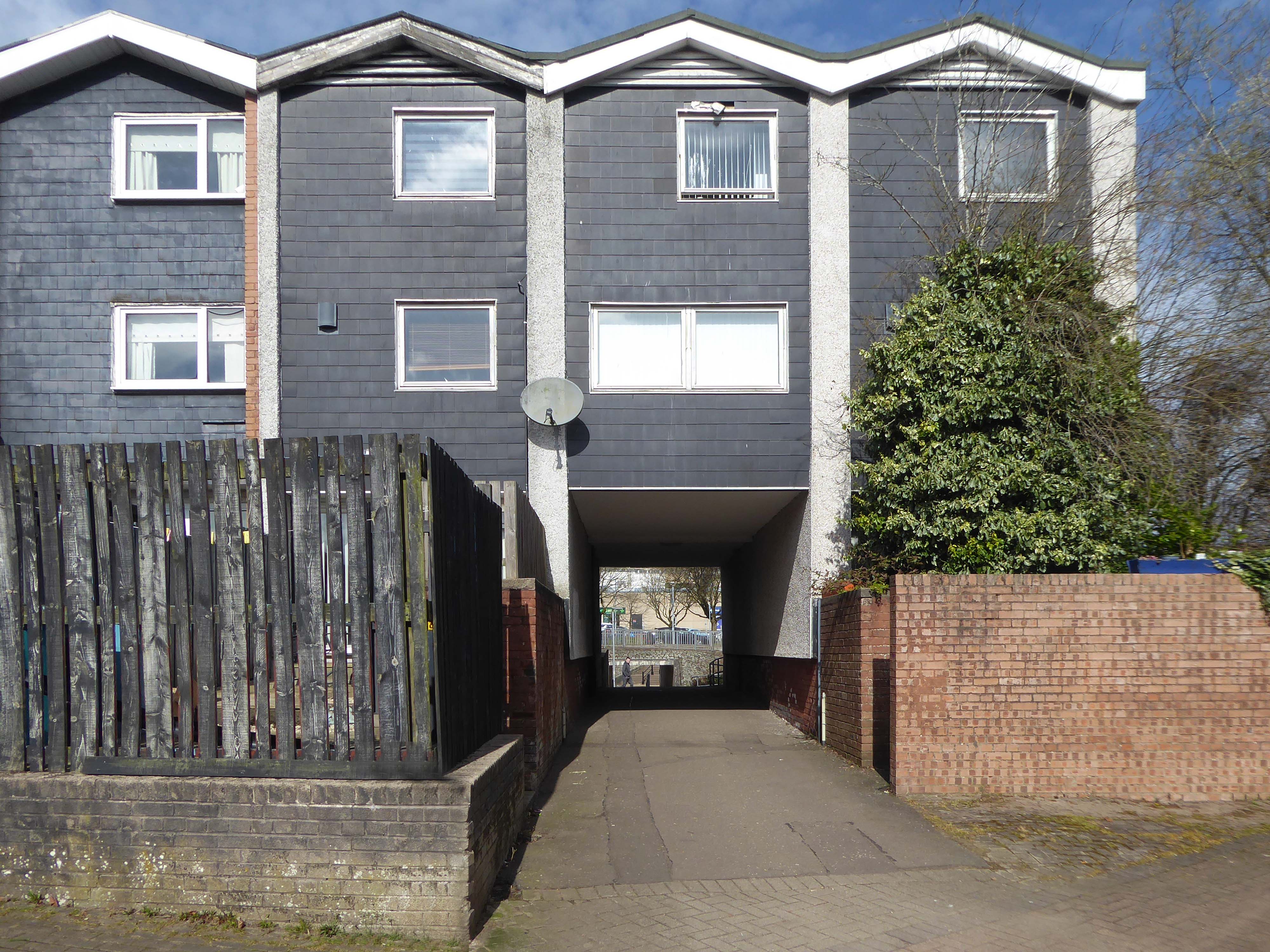
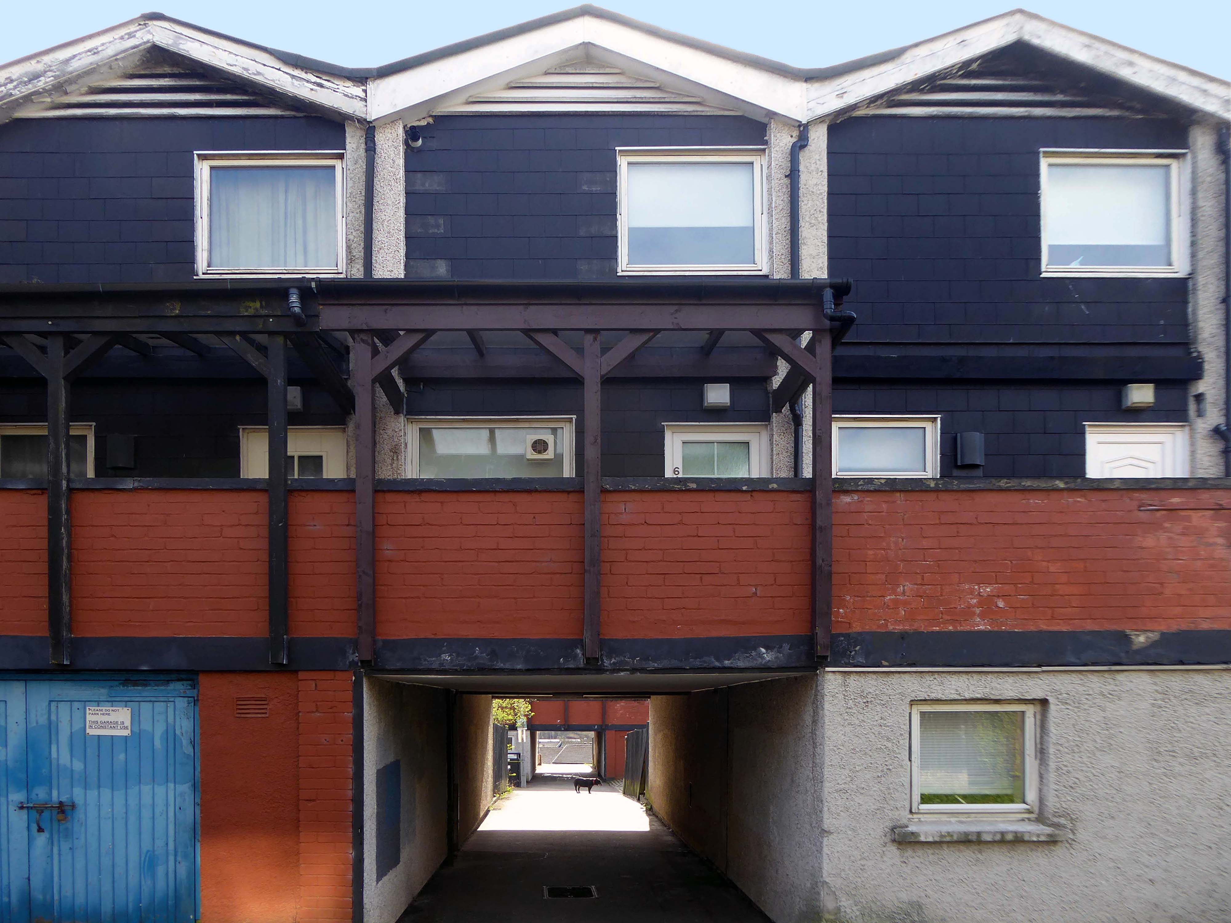
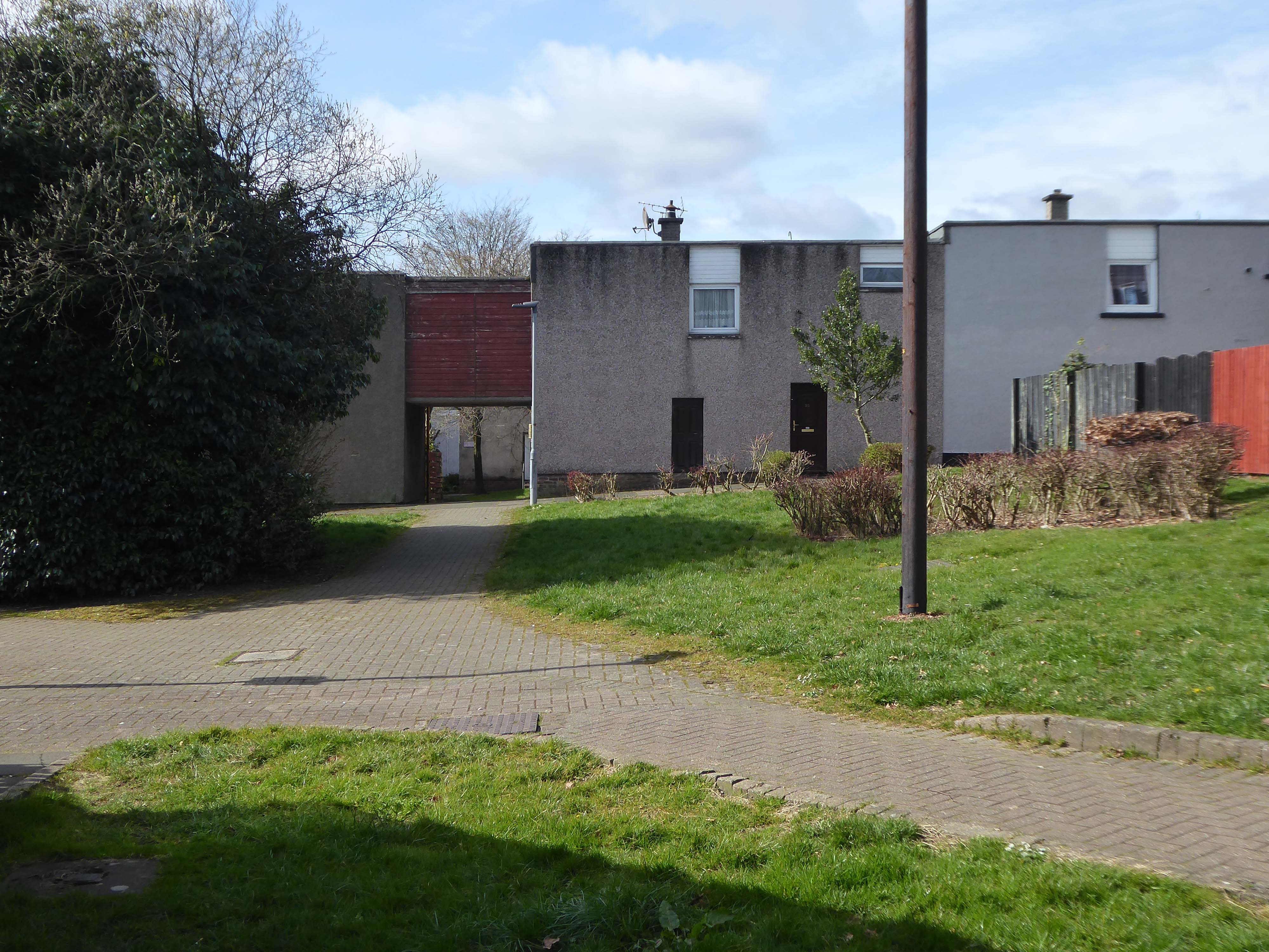
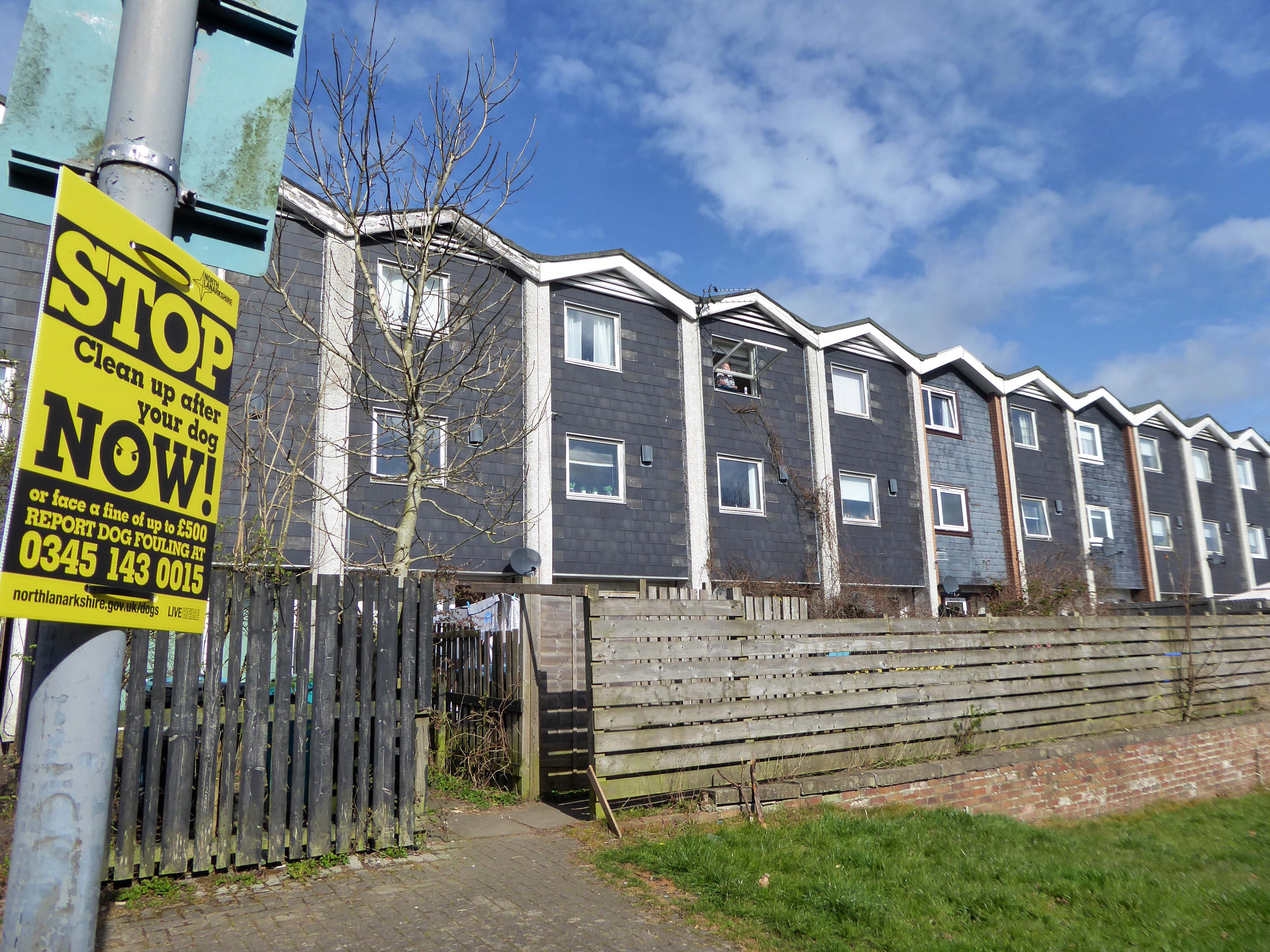
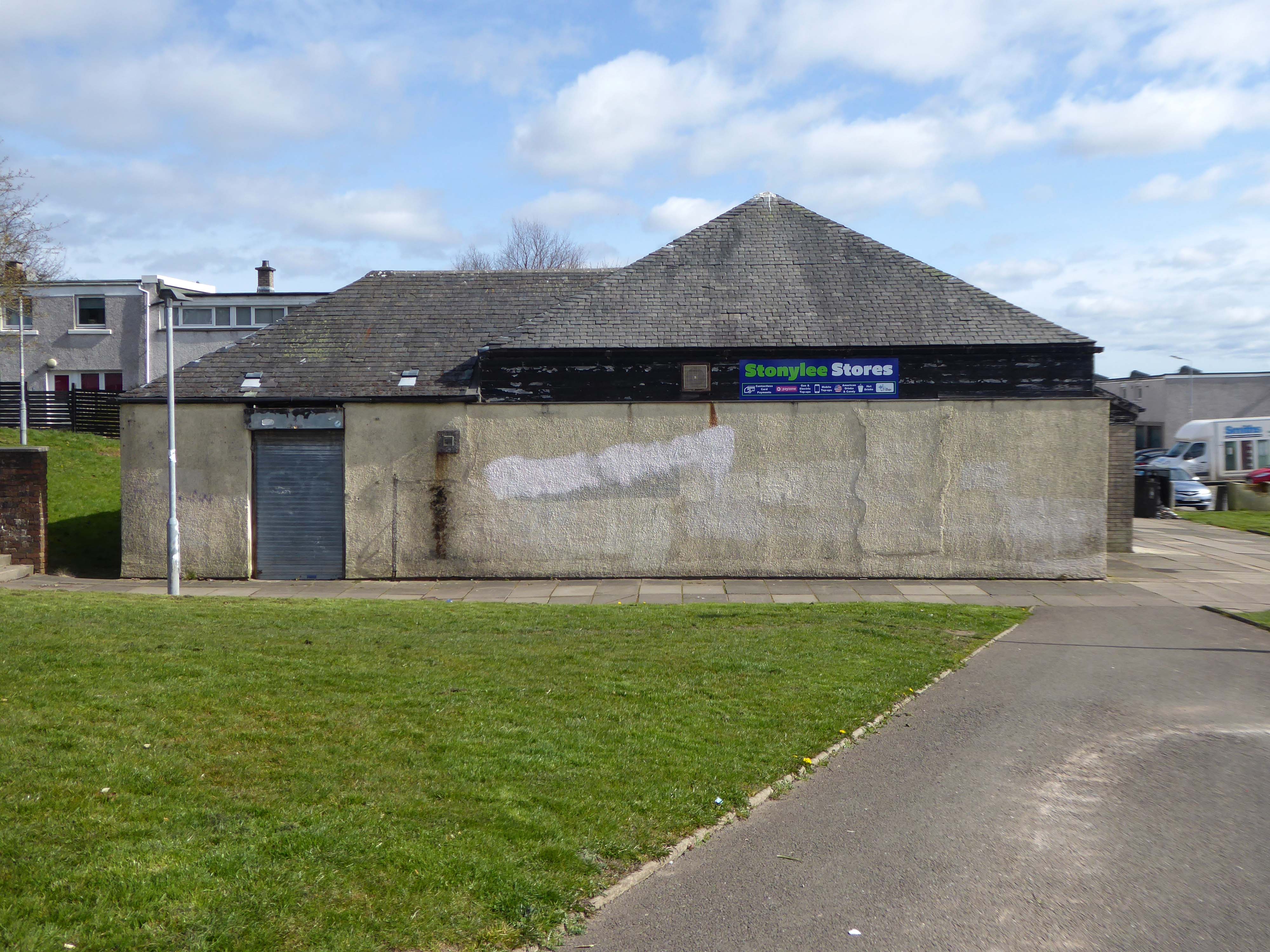
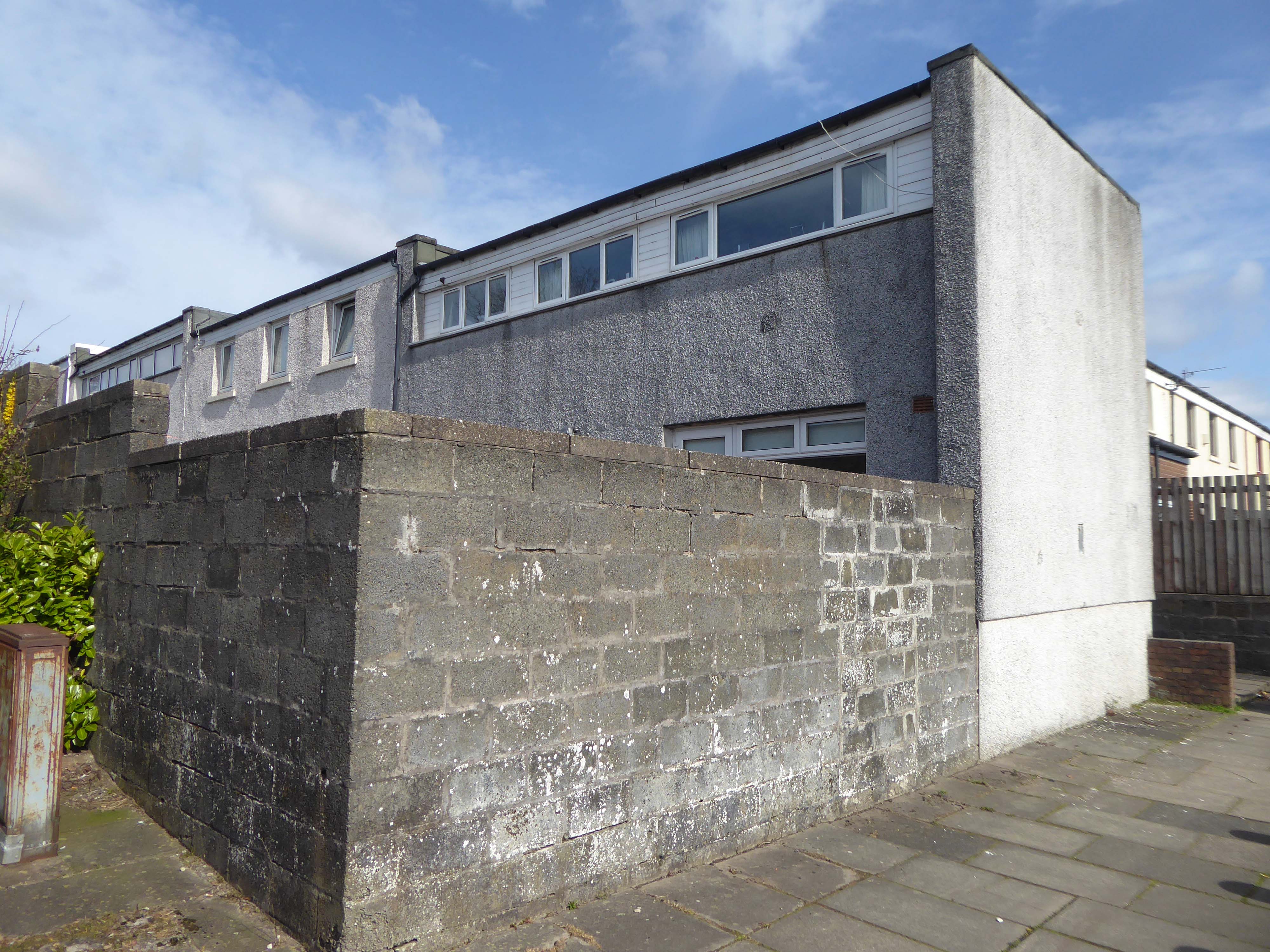
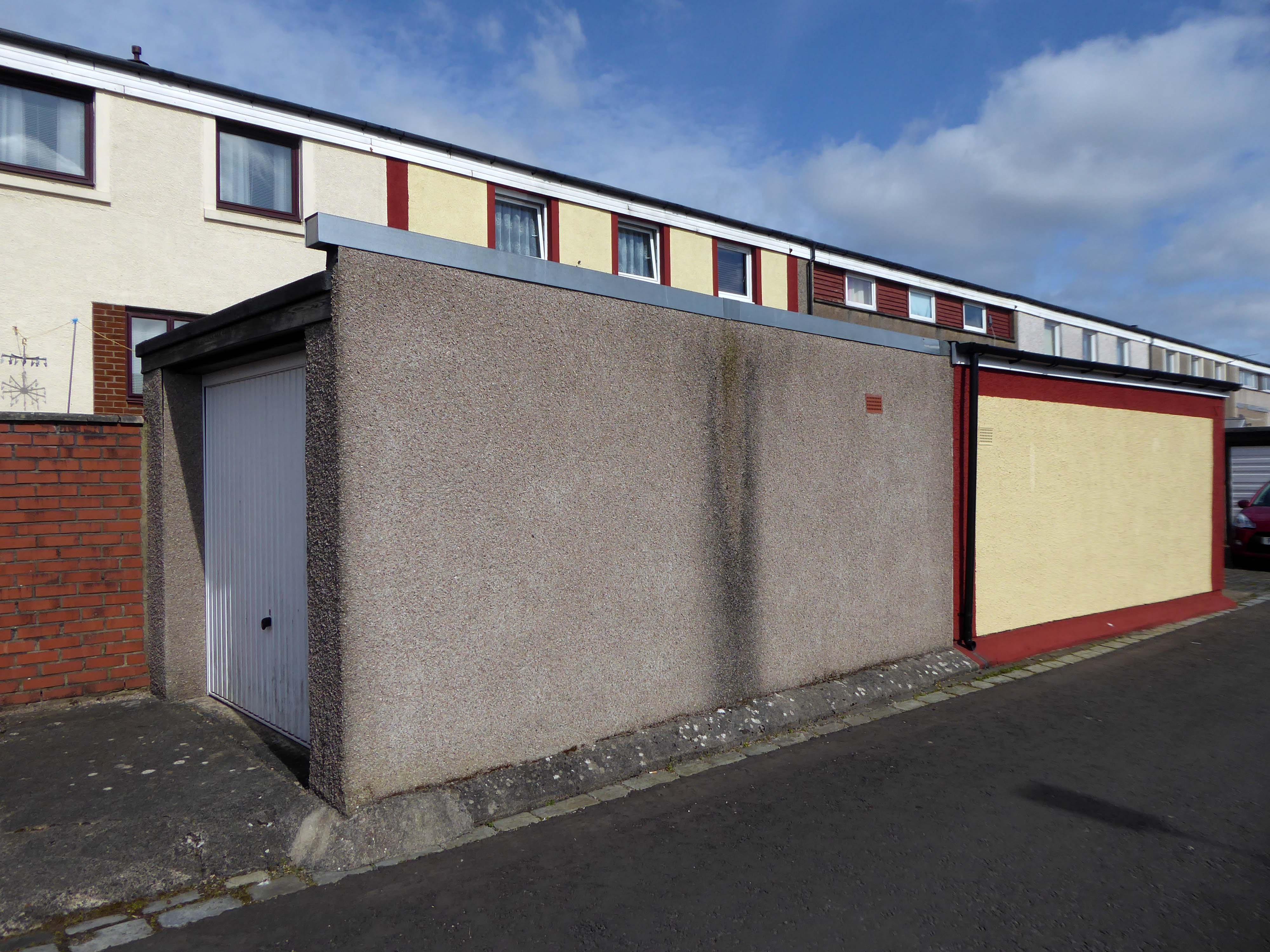
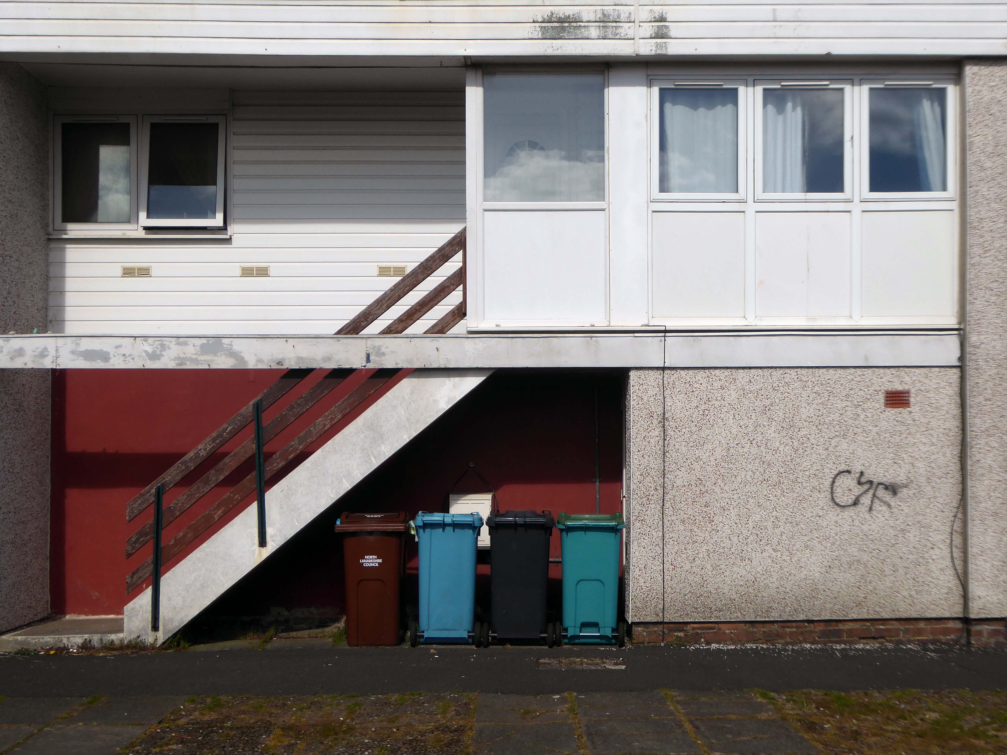
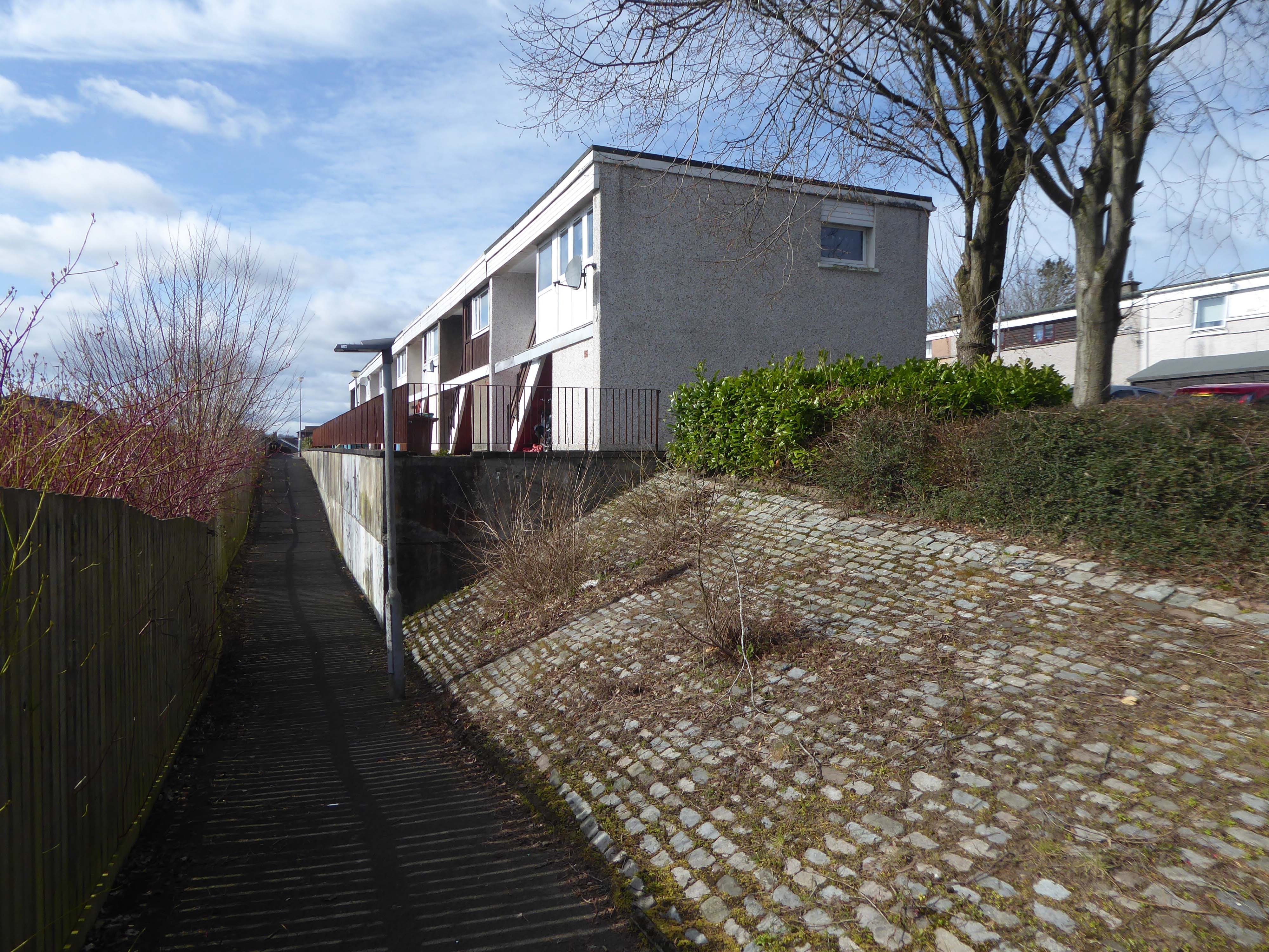
Tucked in behind the Telephone Exchange are several streets of Edwardian social housing – the Spring Gardens Scheme of 1905.
The property is practically paying its way, and all the present generation has to find is a small sum of ninety odd pounds for sinking funds. For this we get fifty-nine families decently housed, the rateable value of the town increased, a slum abolished, an eyesore removed, the health of the inhabitants remarkably improved, their environment made clean, refined, and elevating, whilst our successors in 1959 will inherit an unencumbered estate.
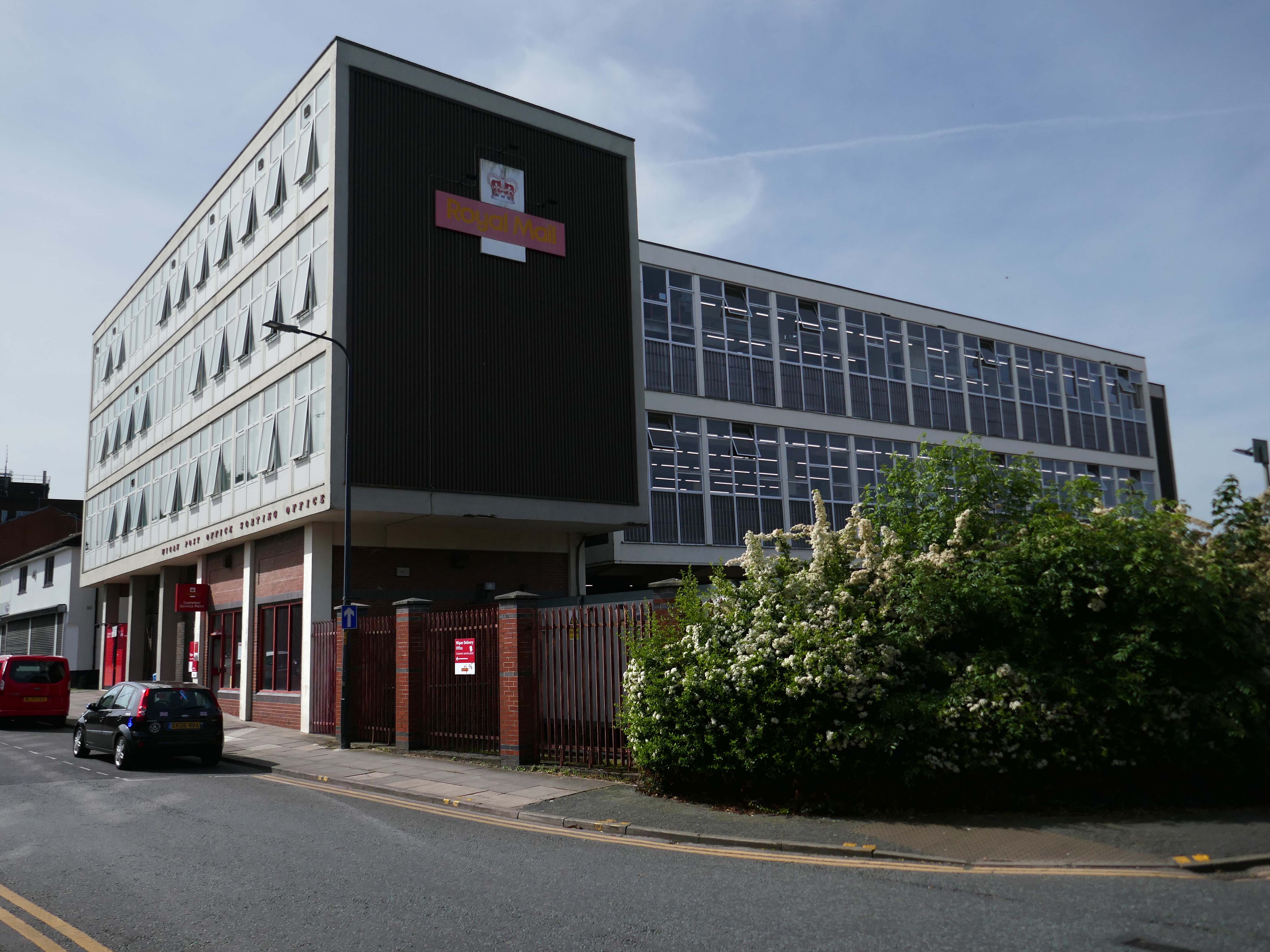
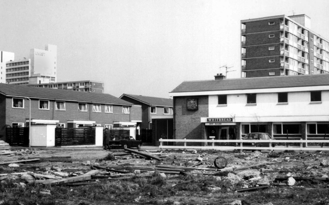
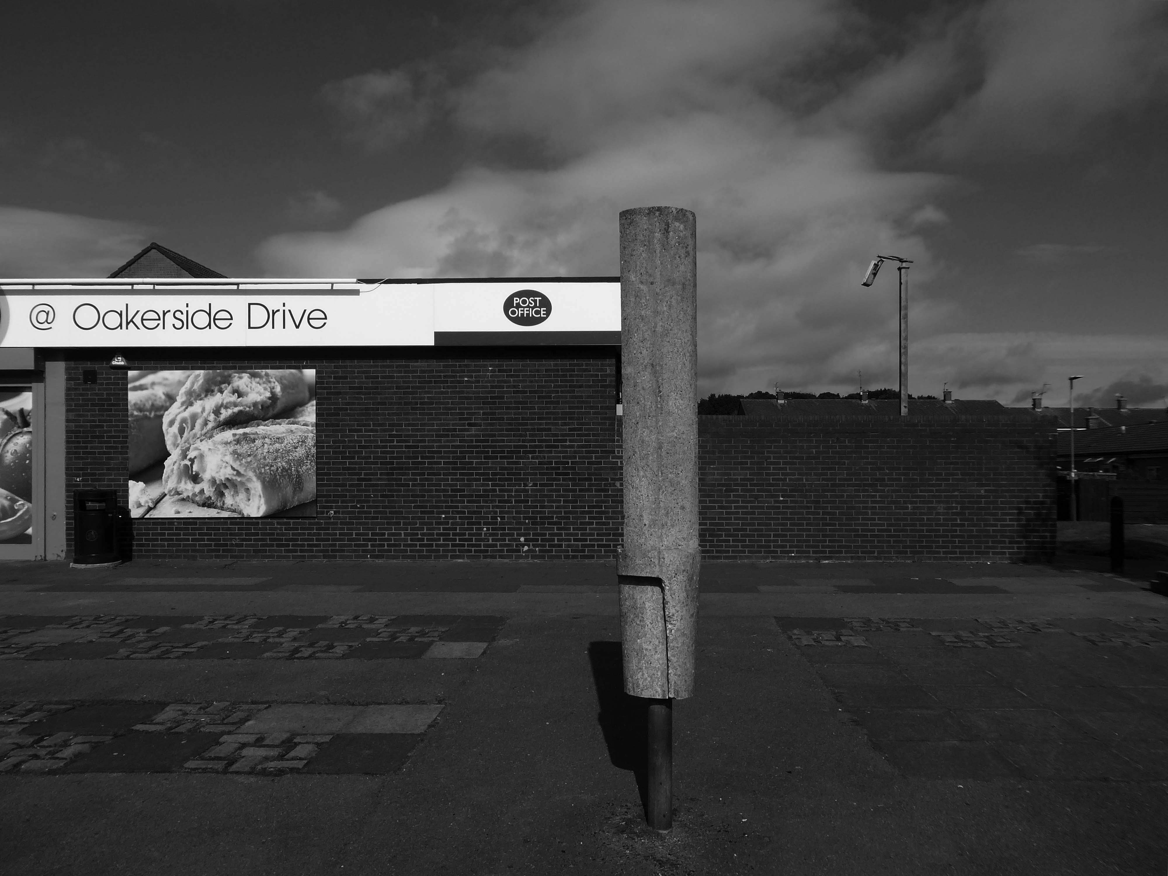
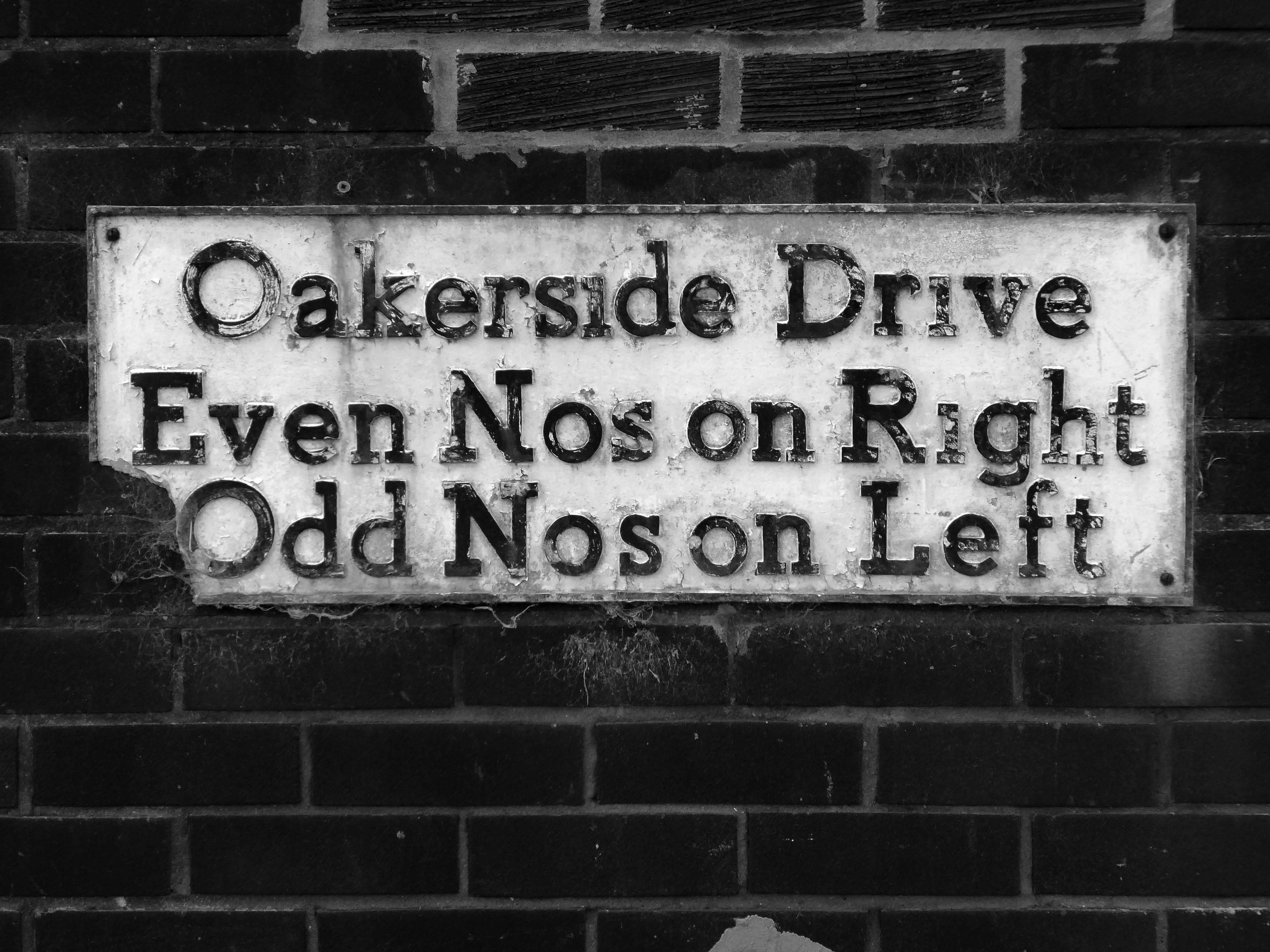
Next to the Wigan Post Office Sorting Office 1959.
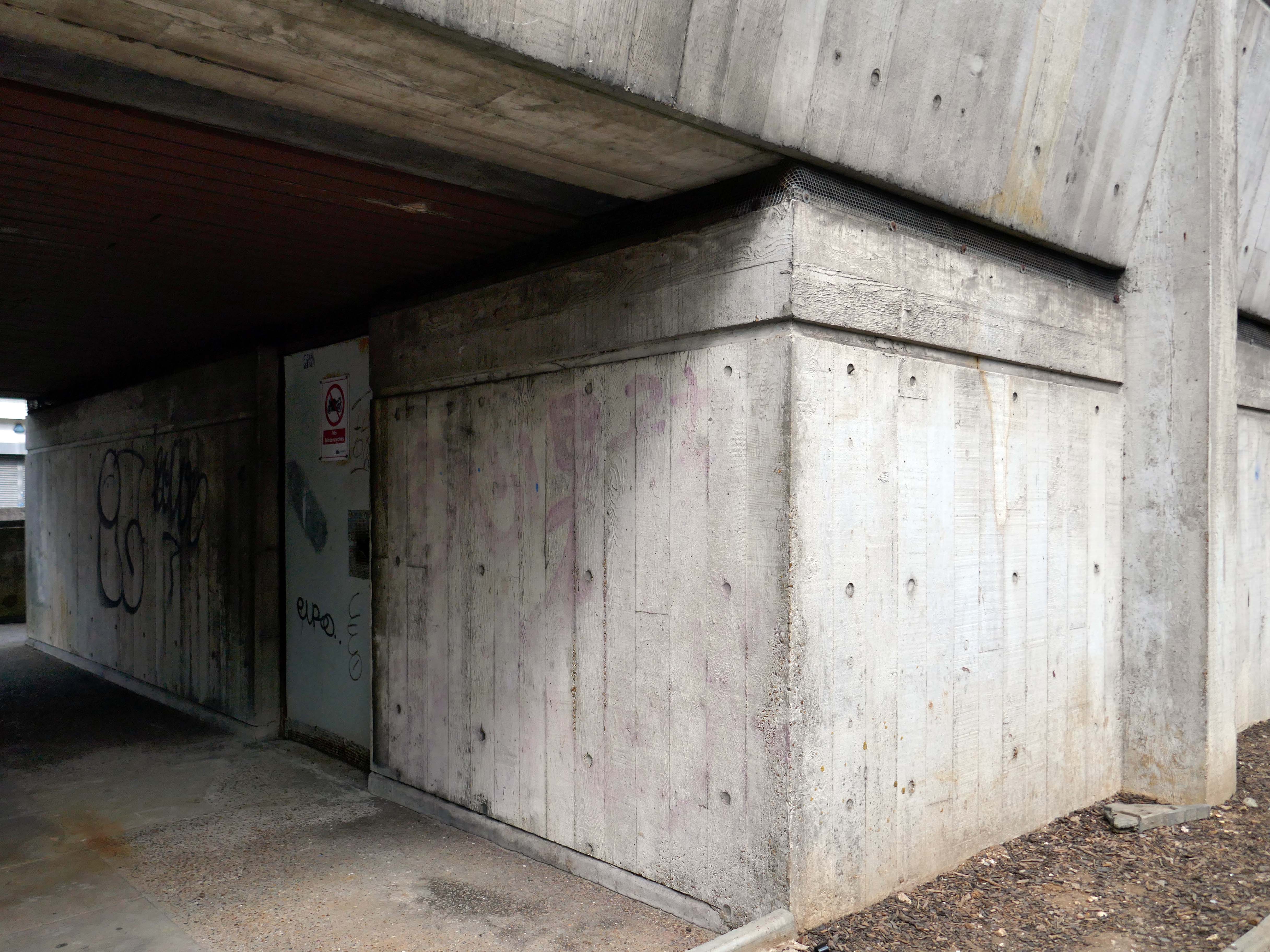
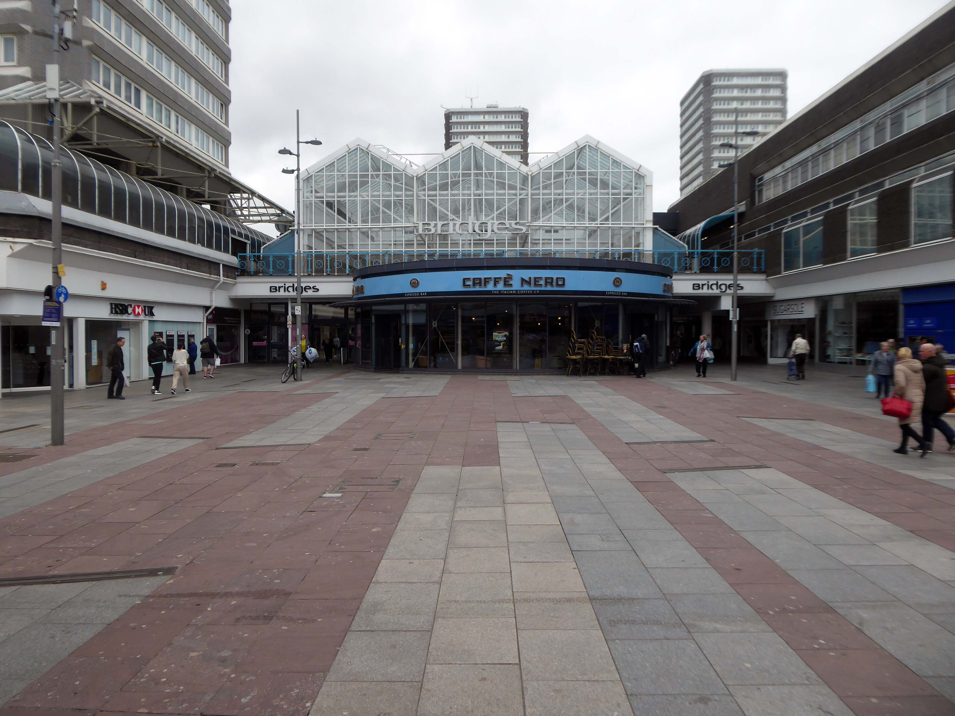
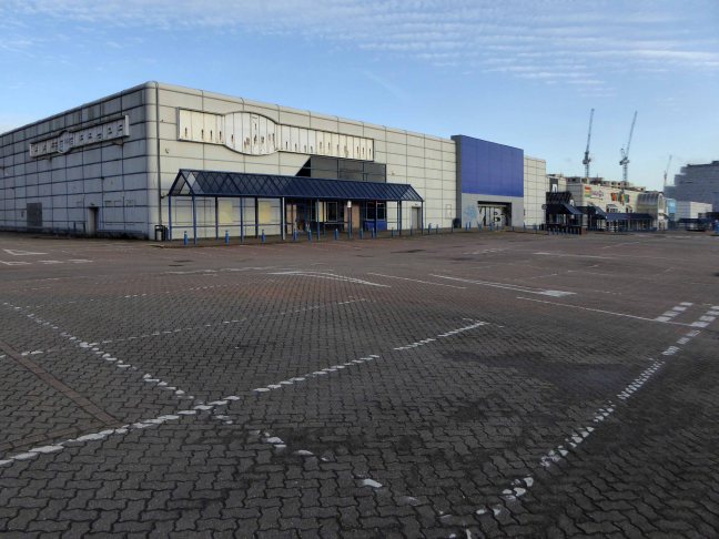
Next we take a look at the Bus Station.
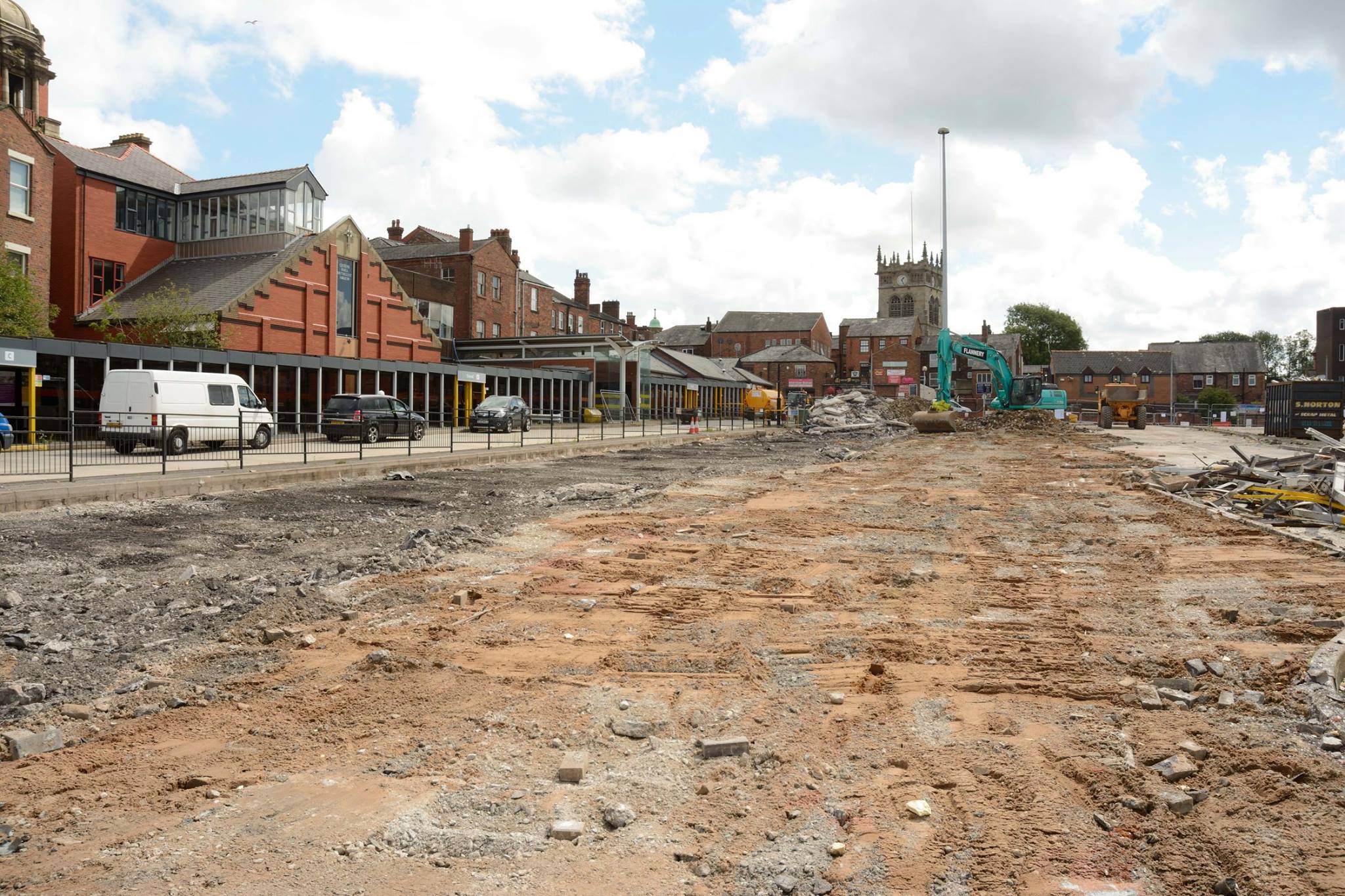
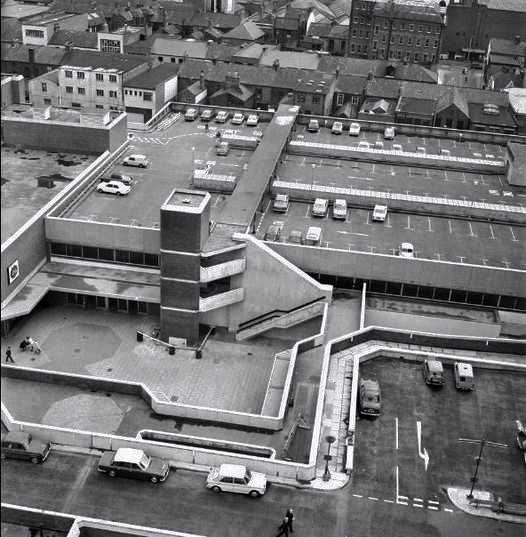
Wigan’s original bus station was on Market Square.
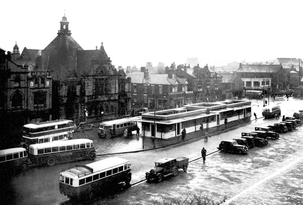
Image Wigan World
It was demolished in 1985 as part of a wider redevelopment of the town centre to make way for the Galleries Shopping Centre. A new bus station, built at a cost of £2.3 million, began construction in April 1986, and opened in November 1987.
Wikipedia
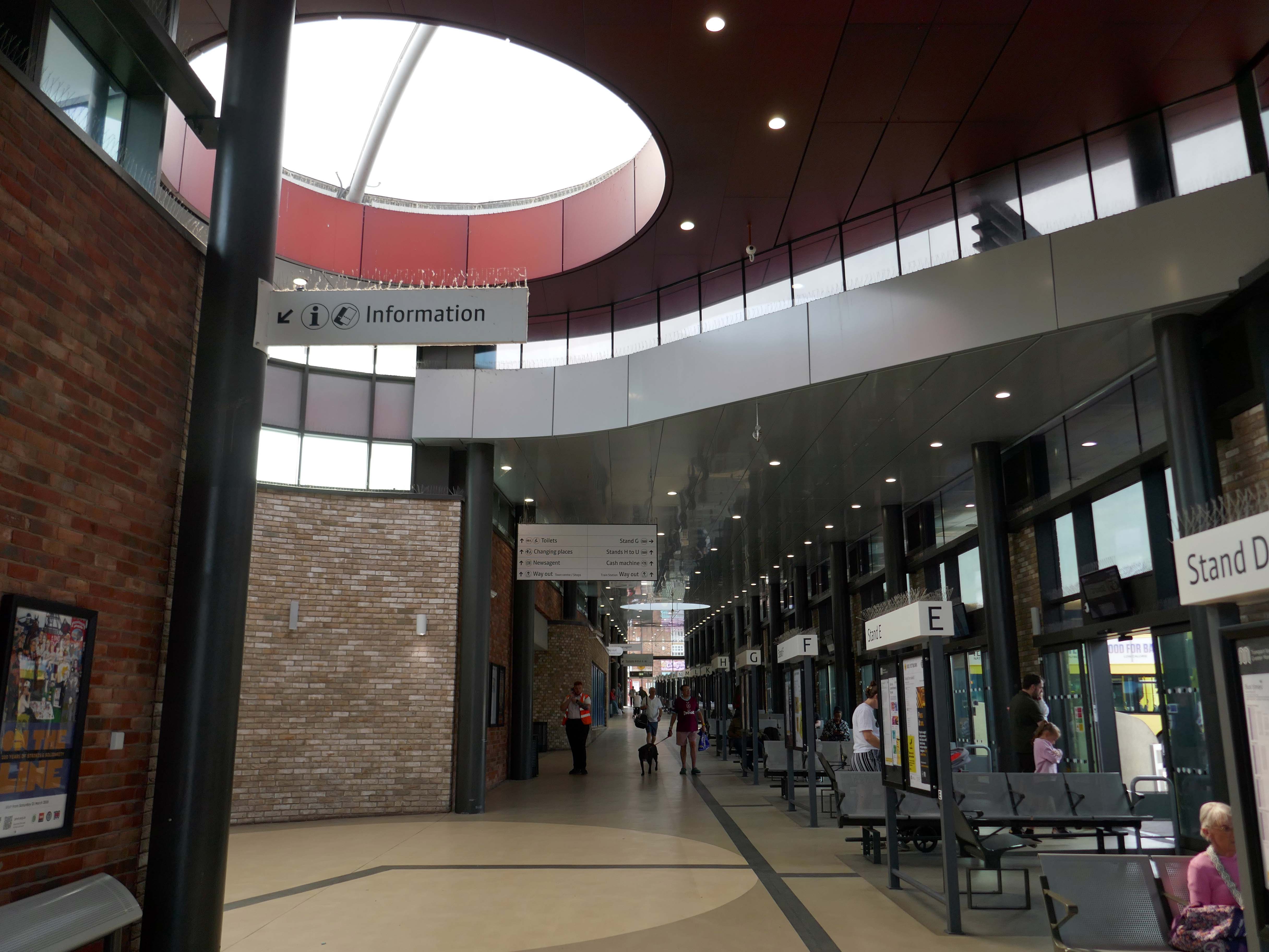
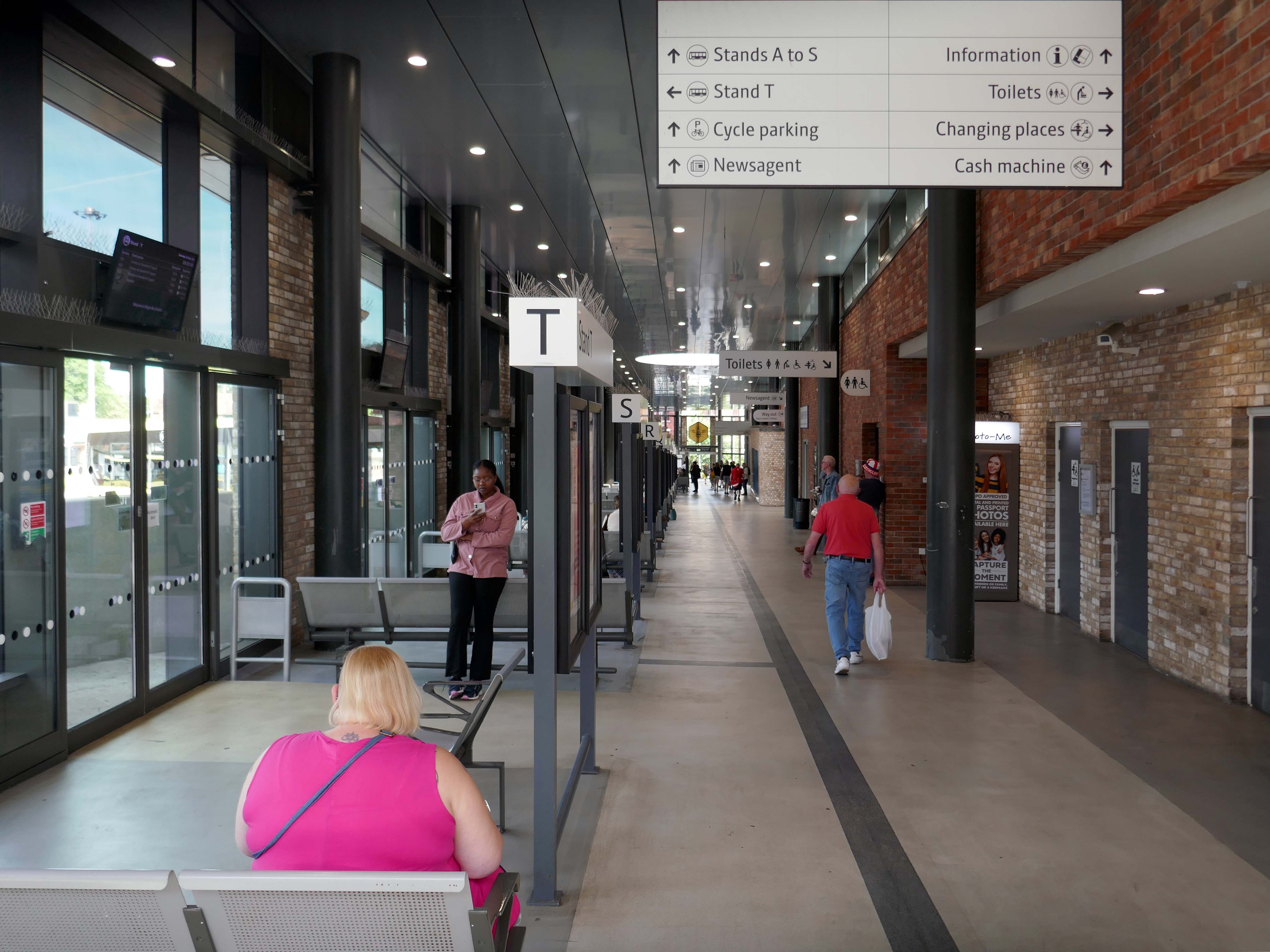
Transport for Greater Manchester commissioned Austin-Smith:Lord to design a replacement nineteen stand £15.7m bus station in Wigan Town Centre, the project was completed in October 2018.
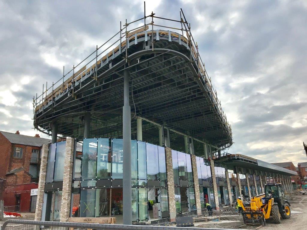
Construction images – Bee Network.

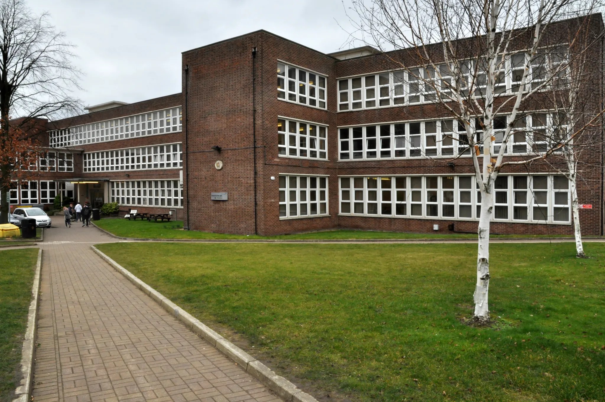
Around the corner to the Wigan & Leigh College.
The original building of 1954 by Howard V Lobb G Grenfell Bains & Hargreaves, with later extension.
There have been several phases of redevelopment and new build in recent years.
This block of the Technical School has been demolished since my last visit.
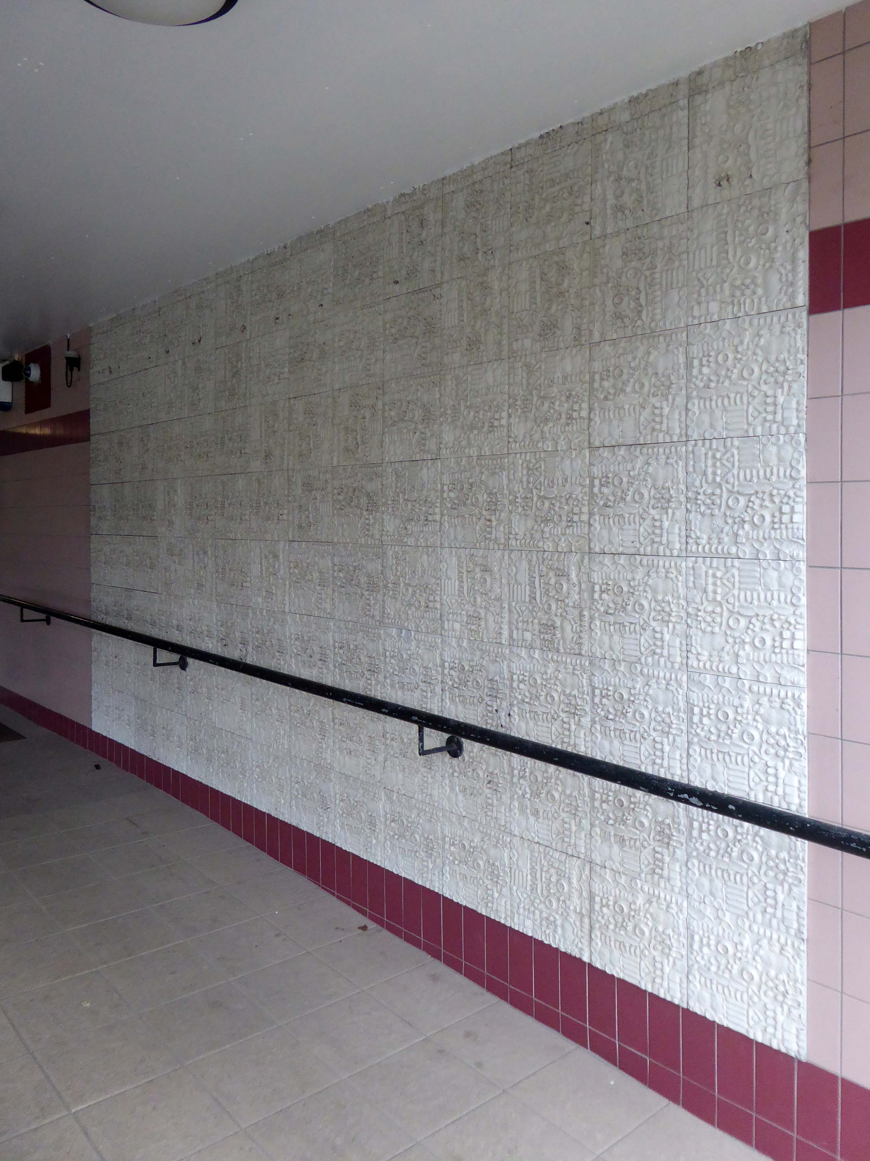
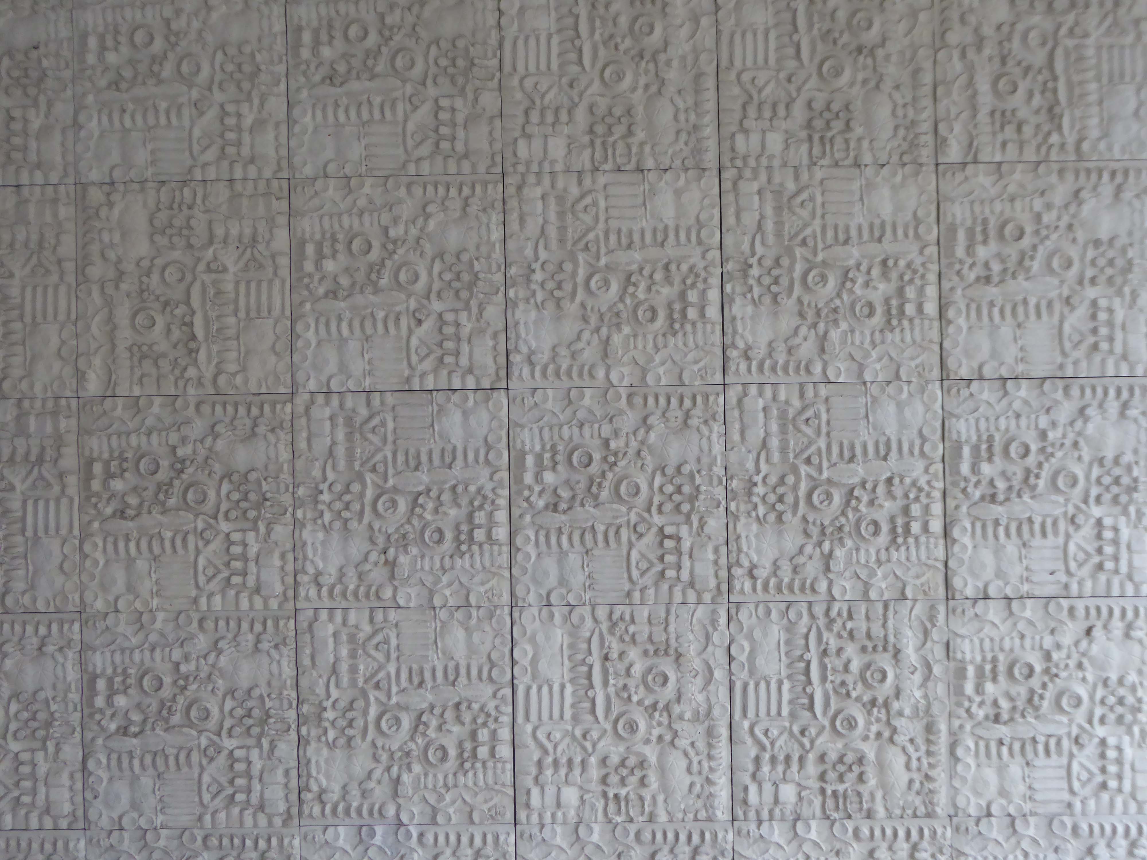
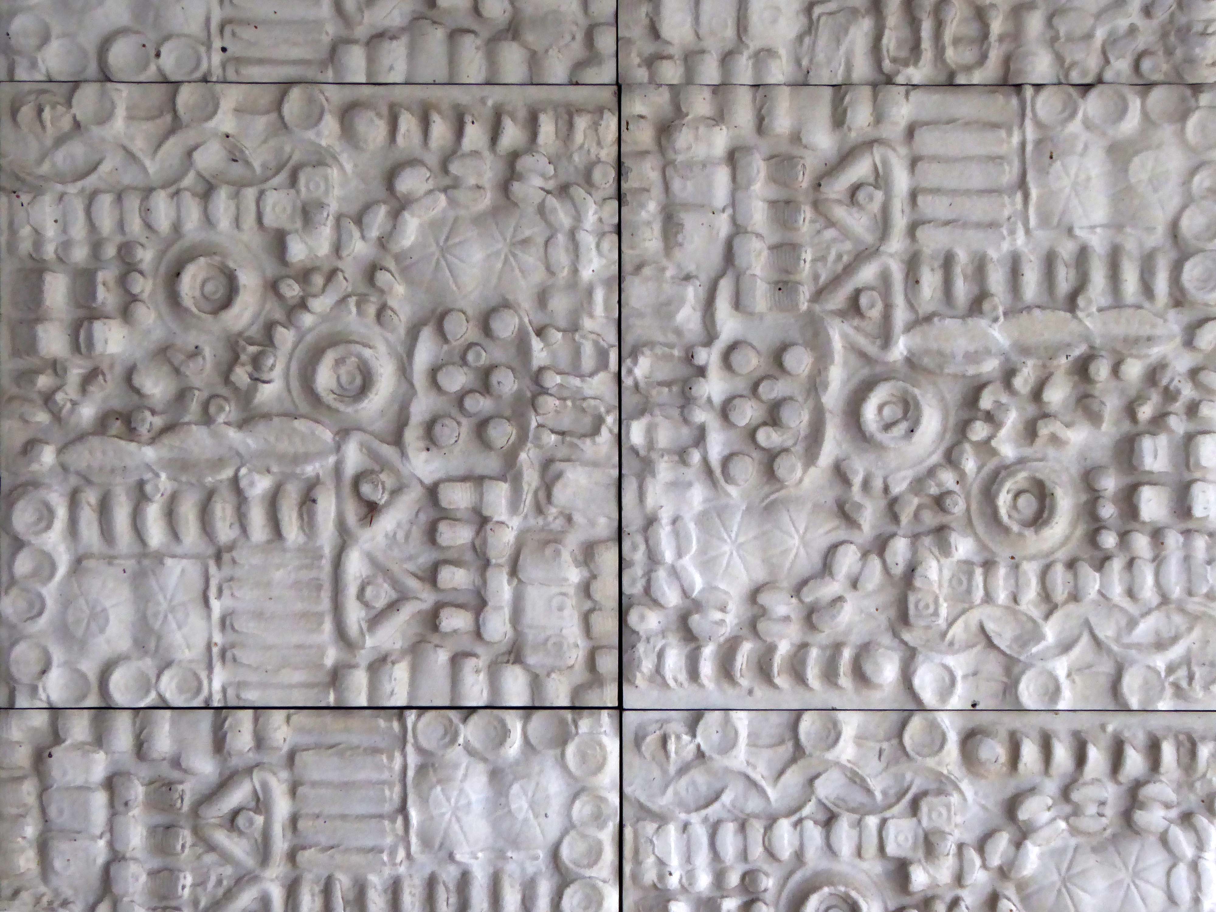
Thomas Linacre Technical School for Boys mural 1954.
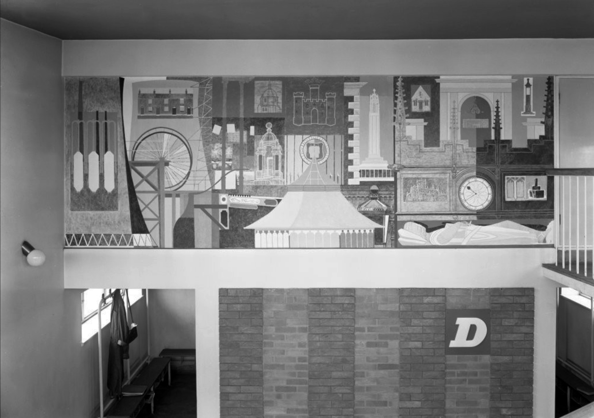
Image – RIBA pix
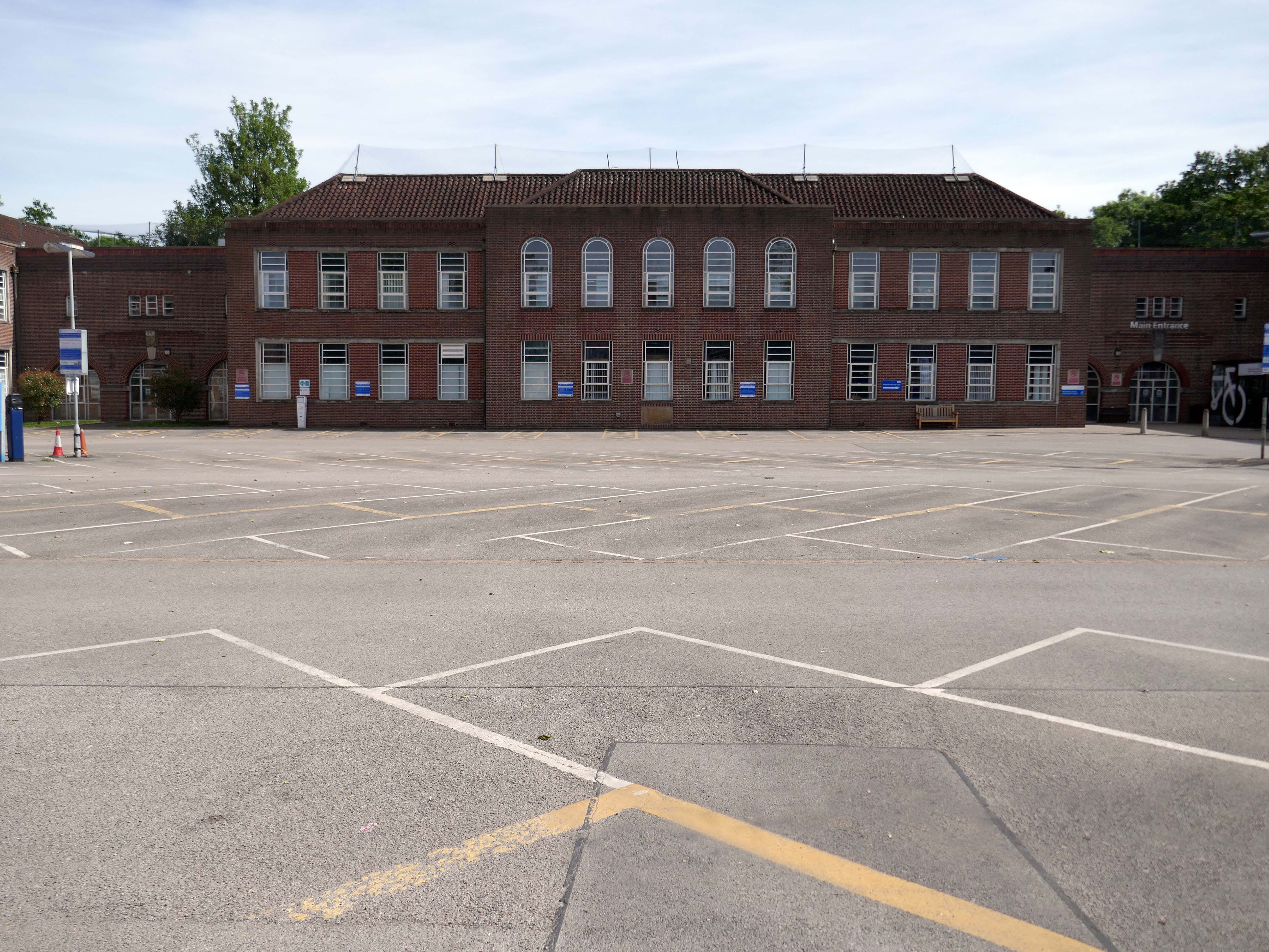
Across the road the former Grammar School.
Wigan Grammar School was founded in 1597 and closed in 1972, as part of the comprehensive education movement.
It then became Mesnes High School, and subsequently Wigan College’s Mesnes Building in 1989.
Since 2003, it has been known as the Thomas Linacre Centre and is an out-patient department for the Wrightington Wigan and Leigh NHS Trust.
It was designated a Grade II listed building in 1997.
Architect: A E Munby
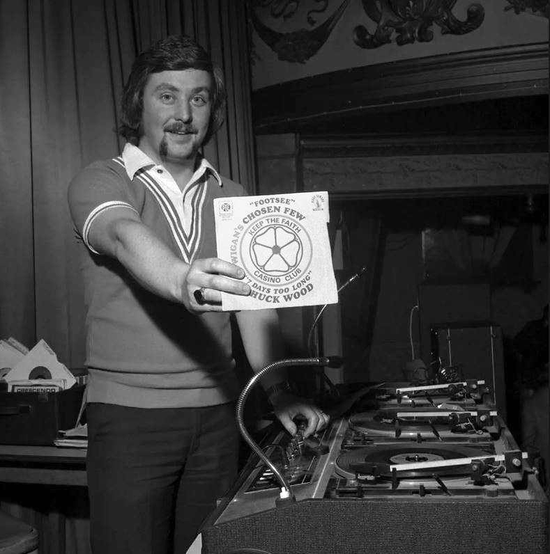
DJ Russ Winstanley was a former pupil, here he is in 1975 at the Wigan Casino holding up a copy of Footsee by Wigan’s Chosen Few b/w Seven Days Too Long by Chuck Wood.
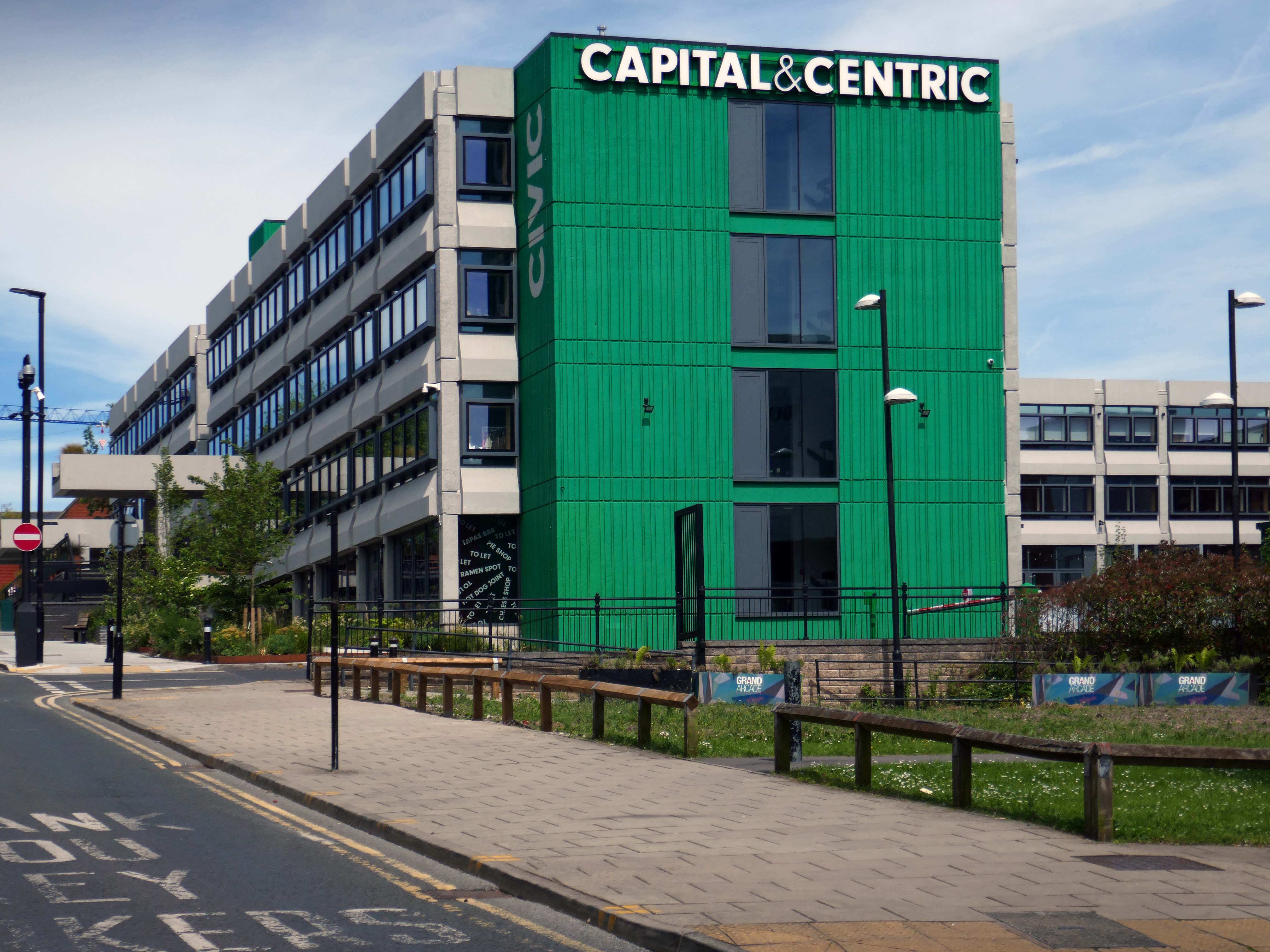
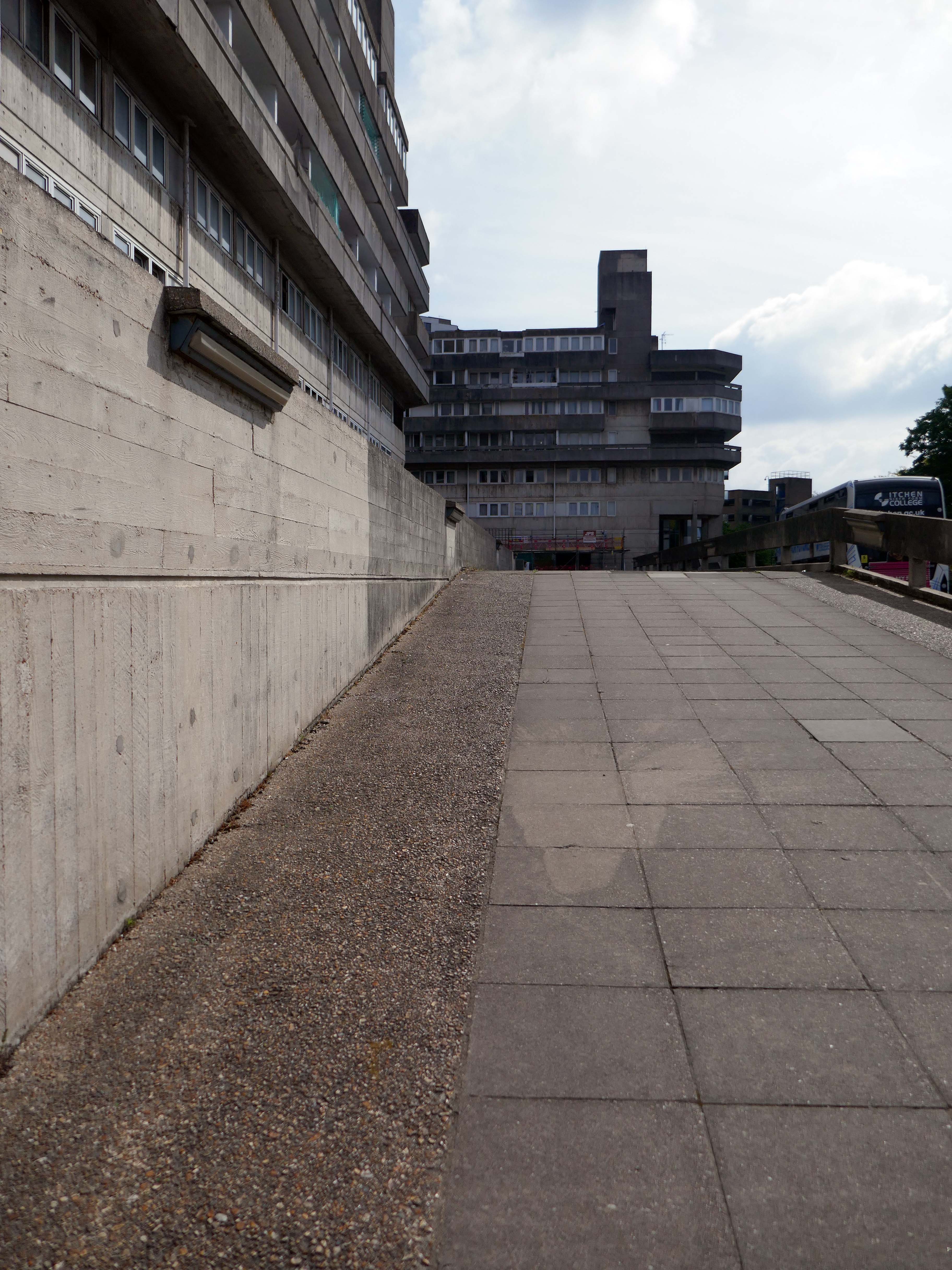
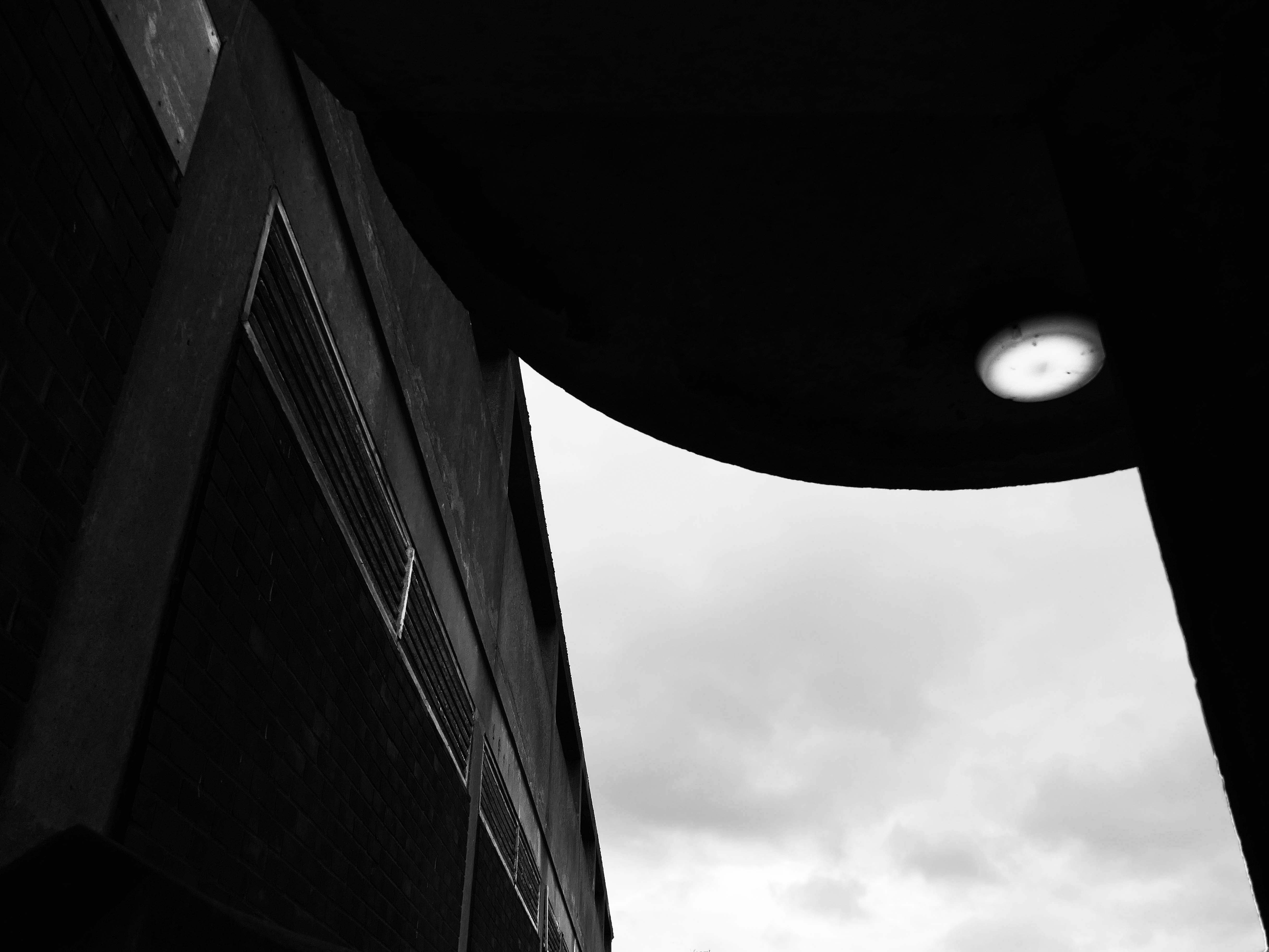
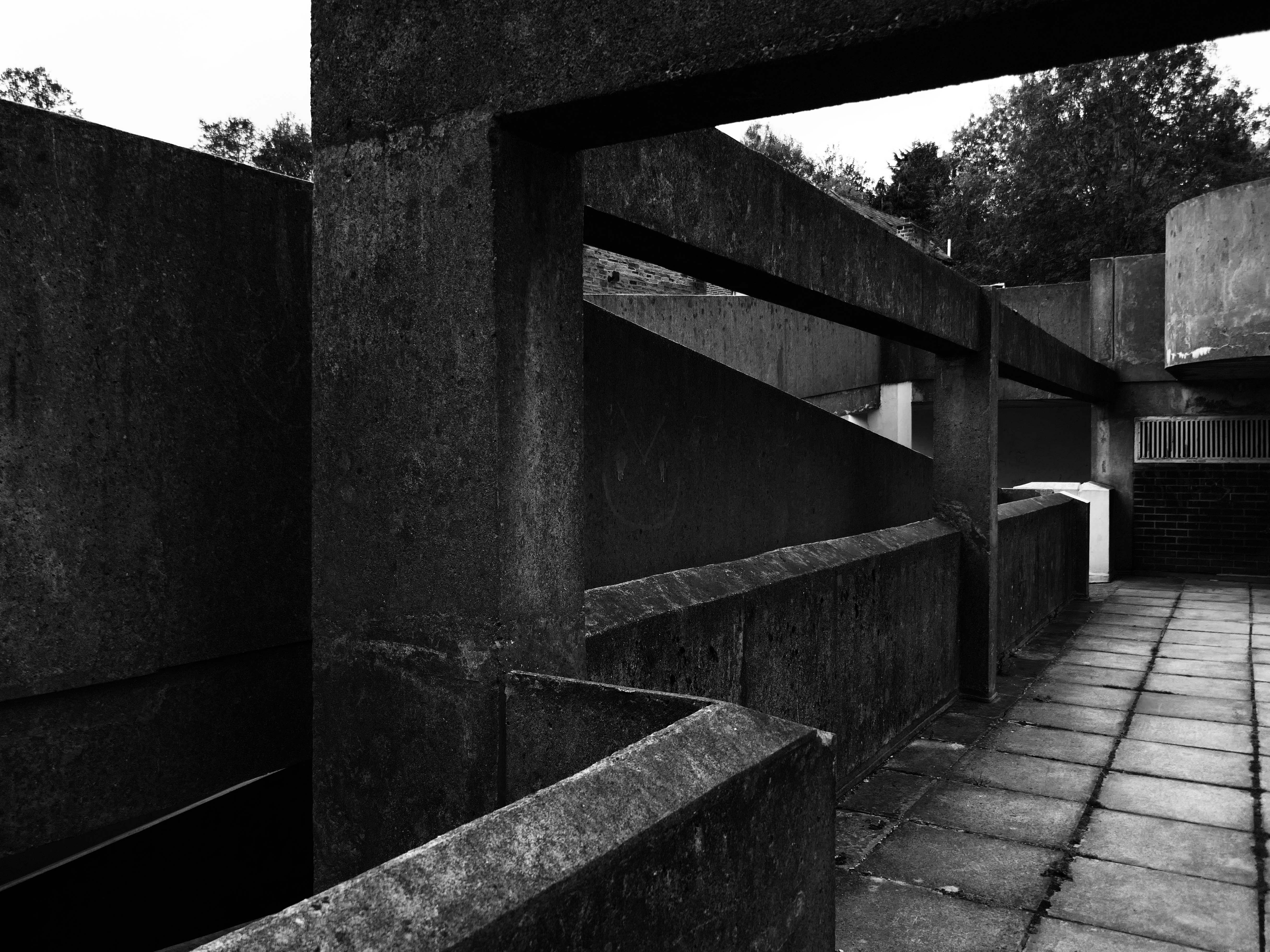
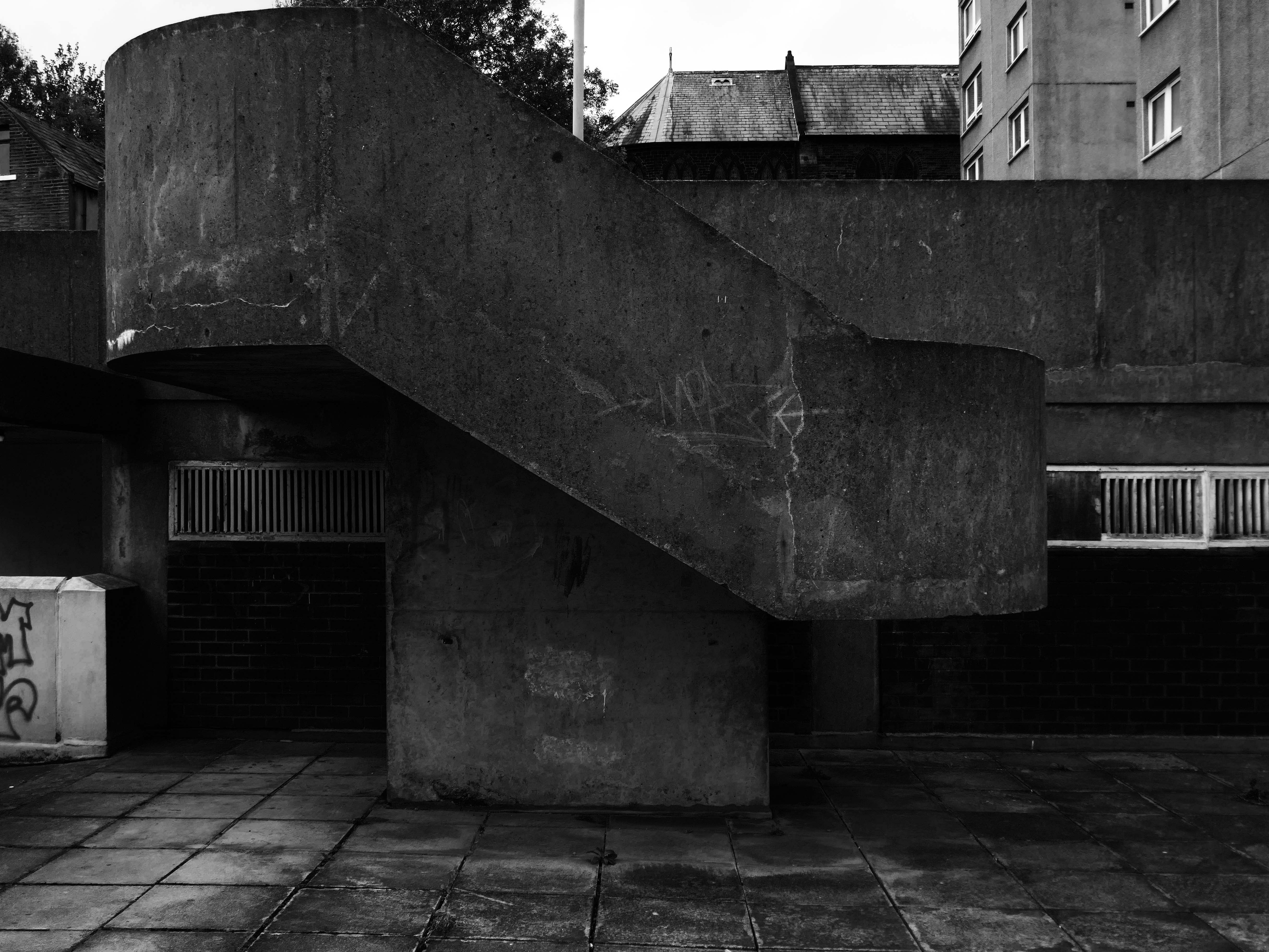
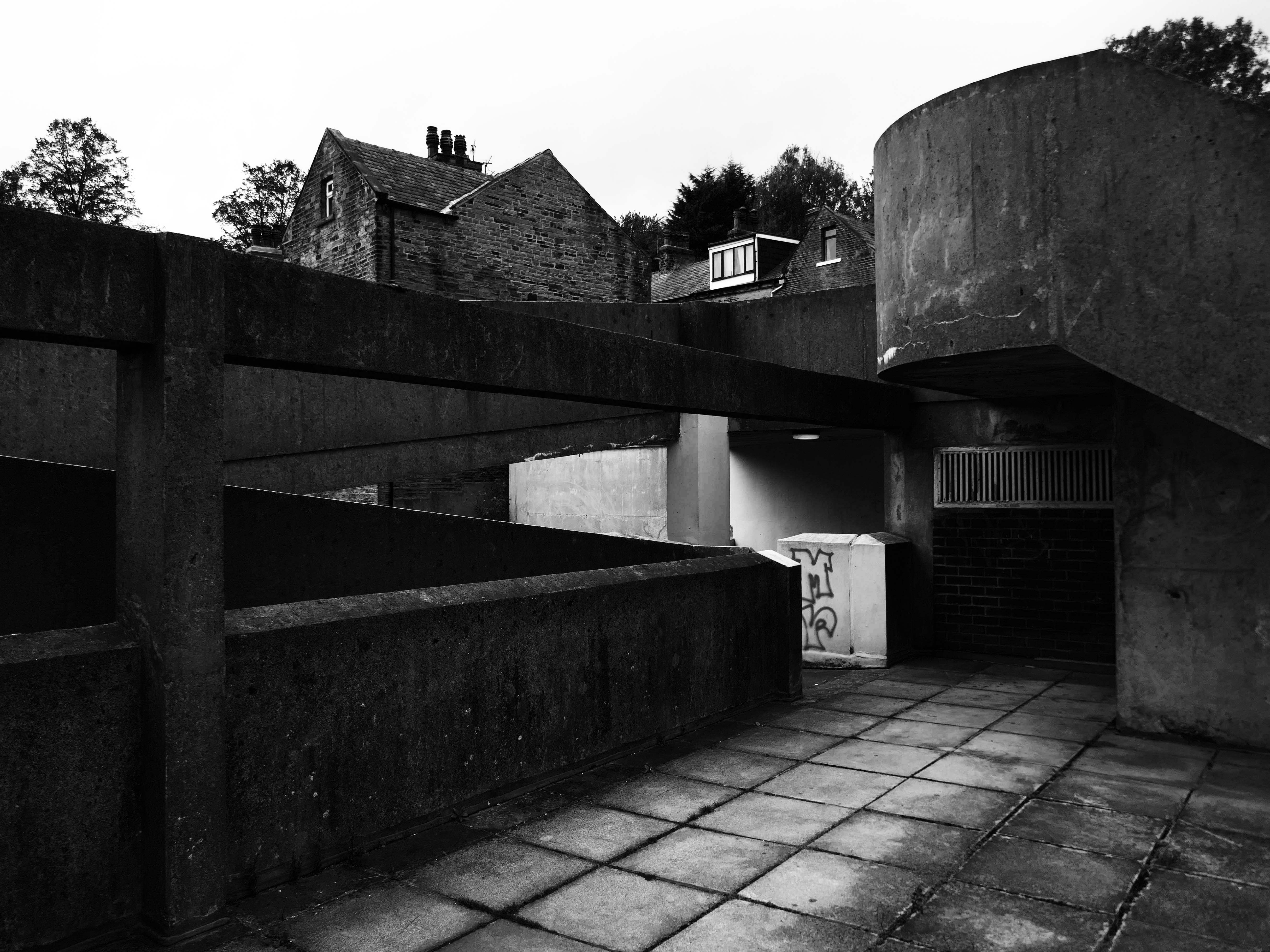
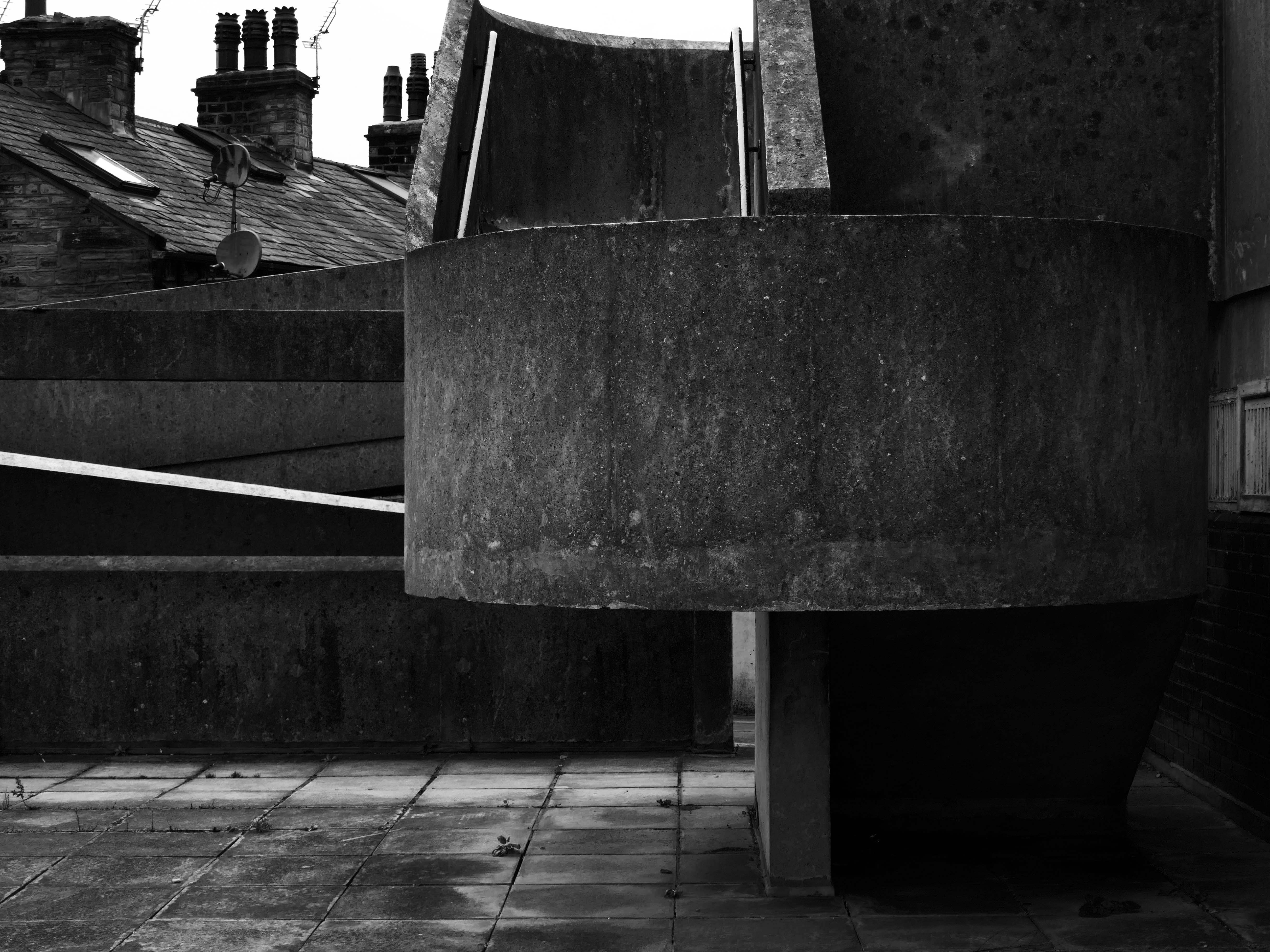
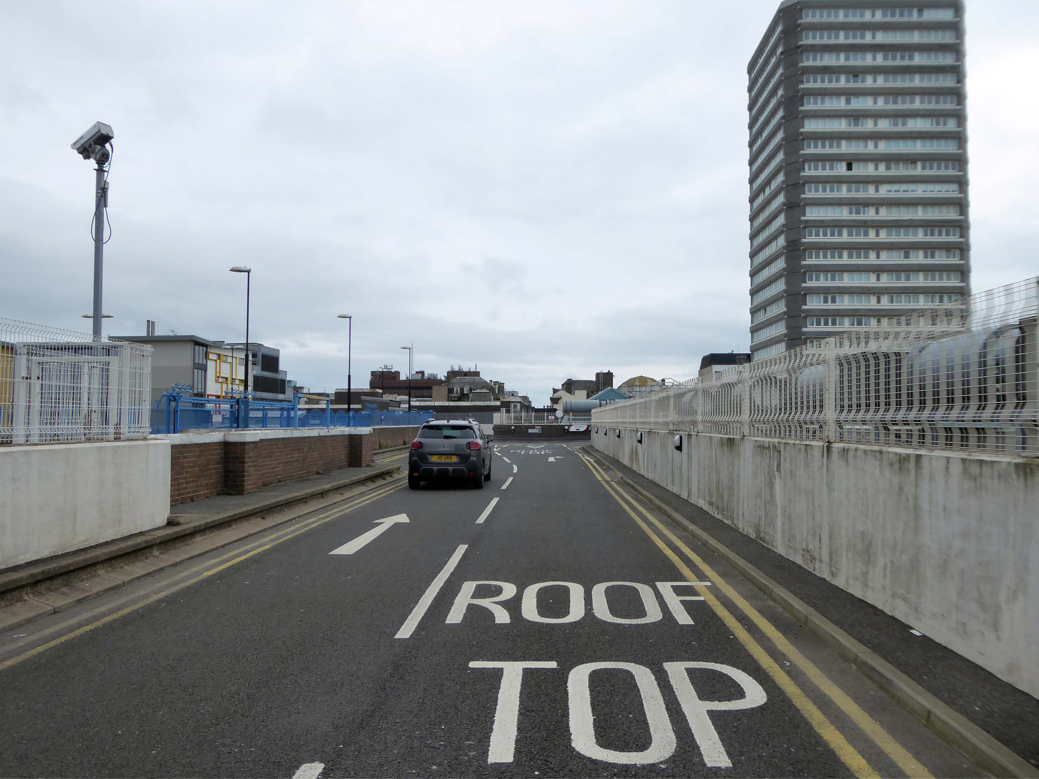
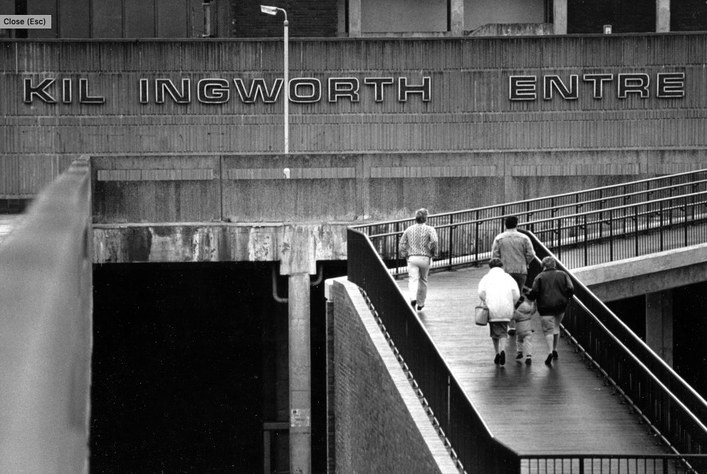
On Millgate we find the former Wigan Civic Centre.
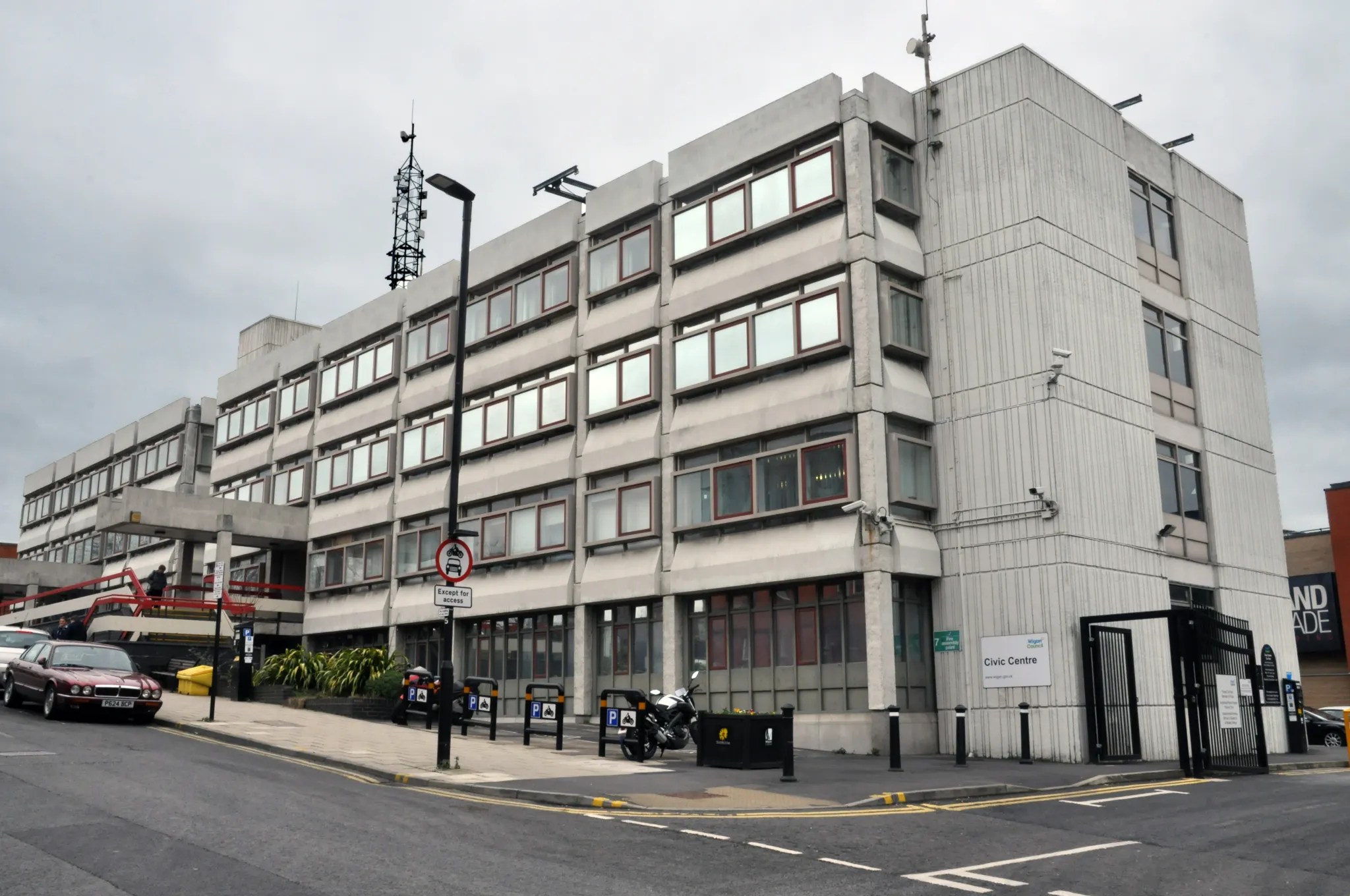
Once it was all boarded up with nowhere to go.
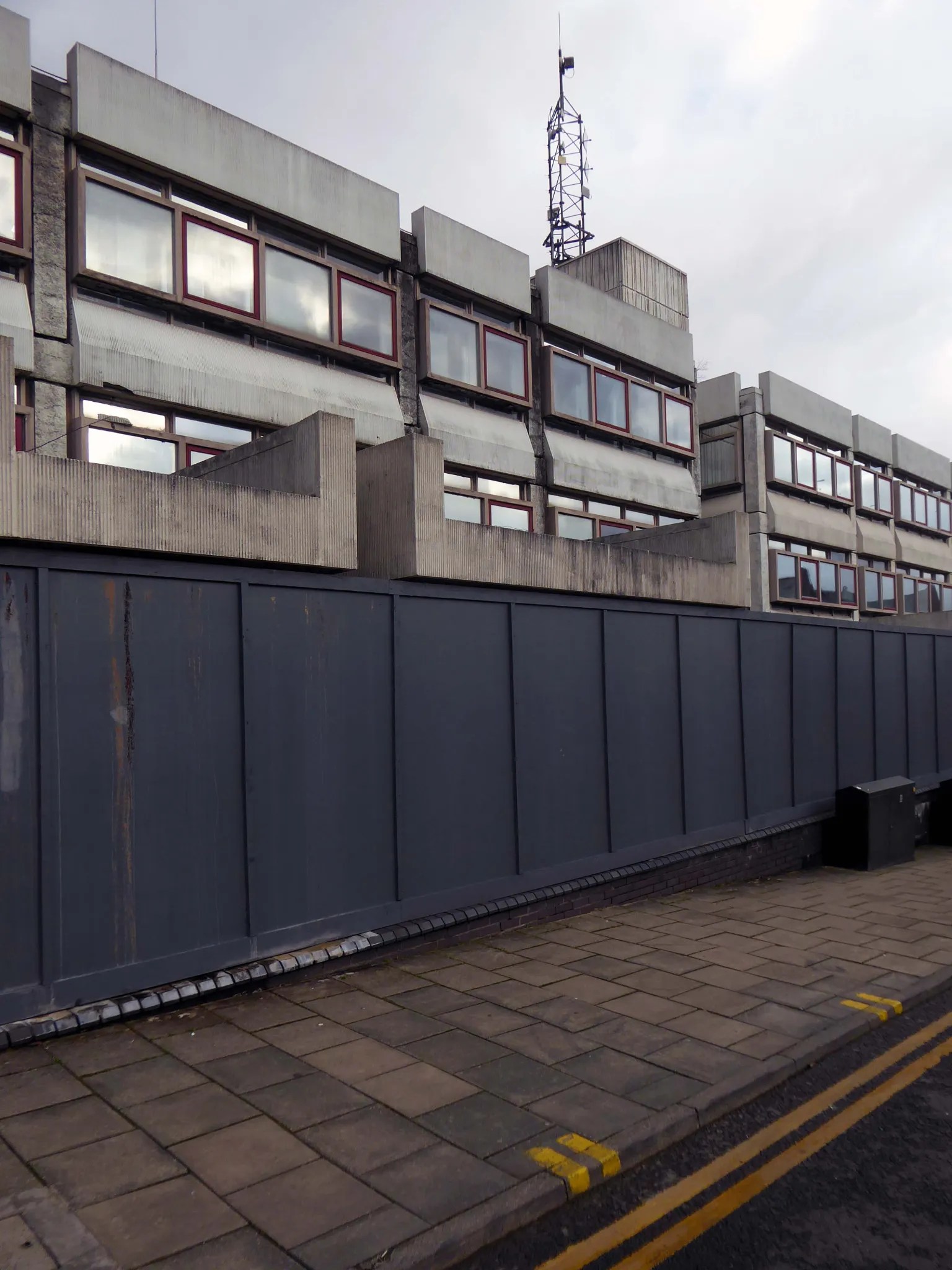
Subsequently resuscitated by Capital&Centric.
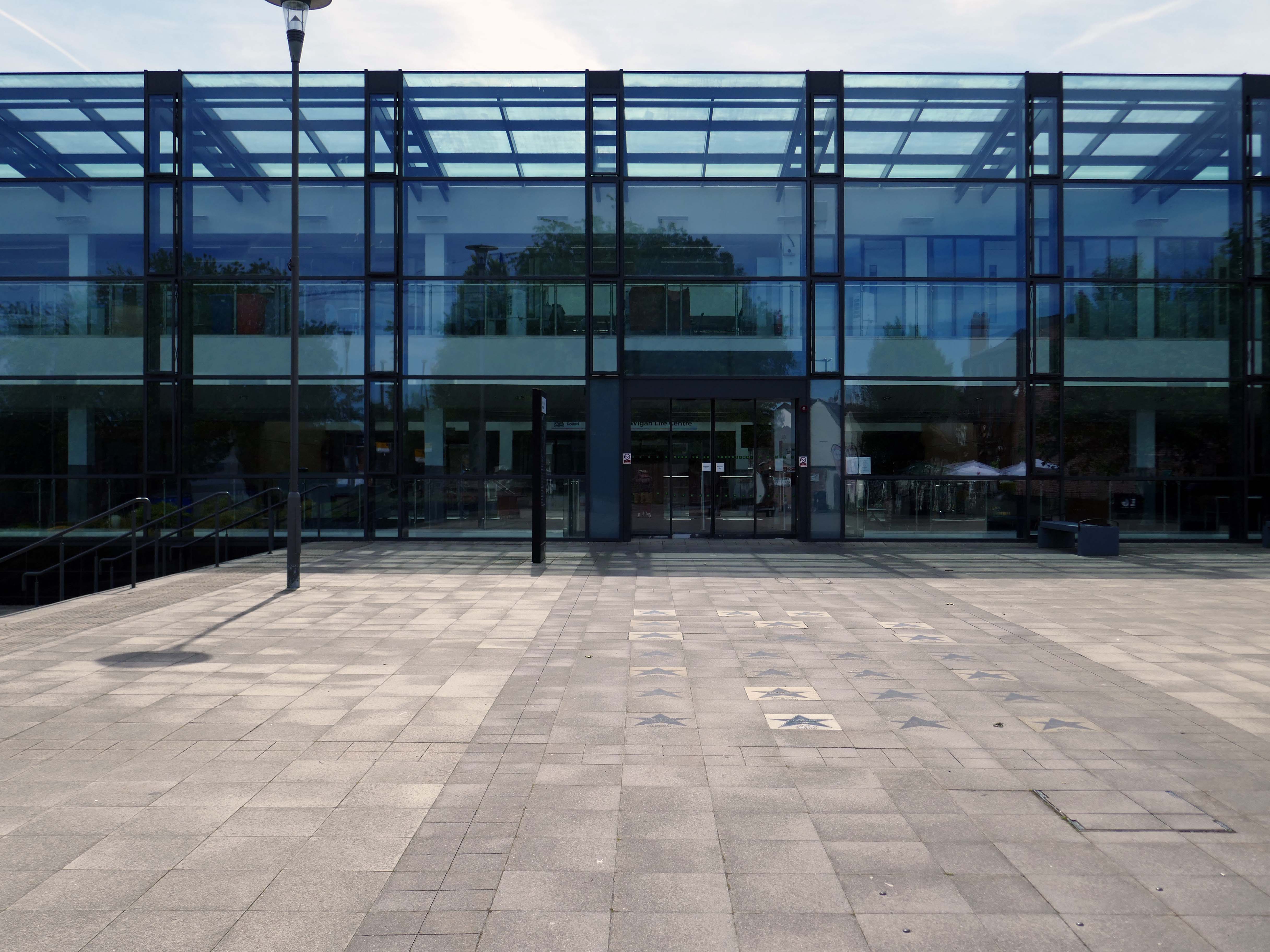
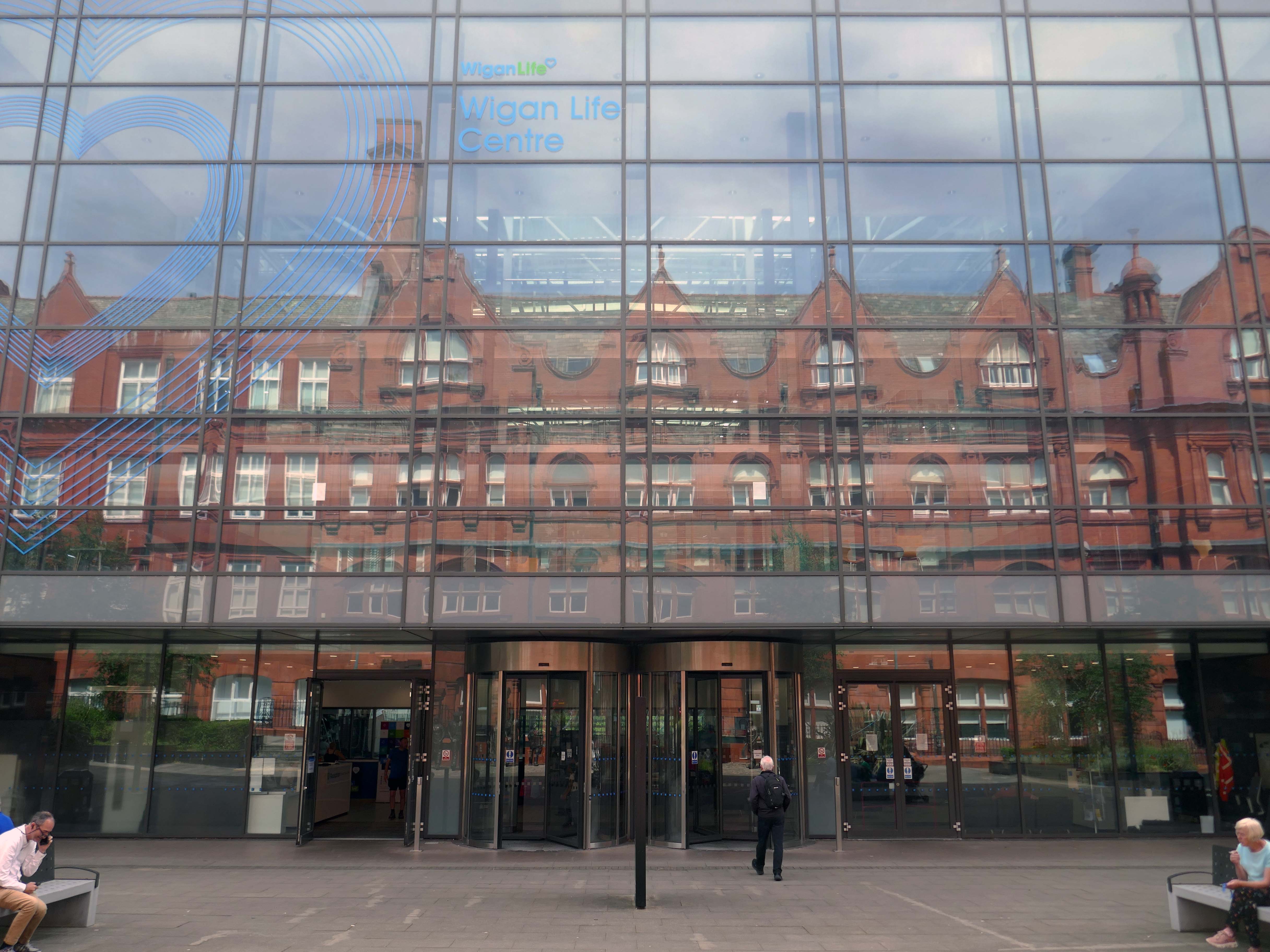
Across the way the new Library and Life Centre by Astudio and LCE Architects.
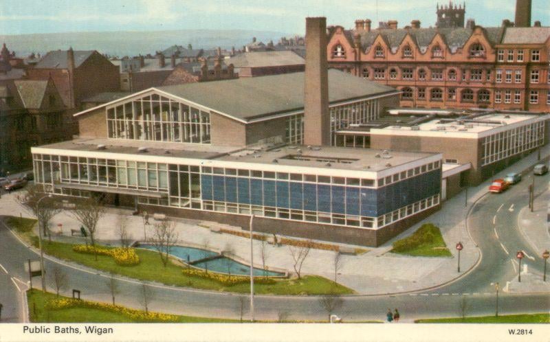
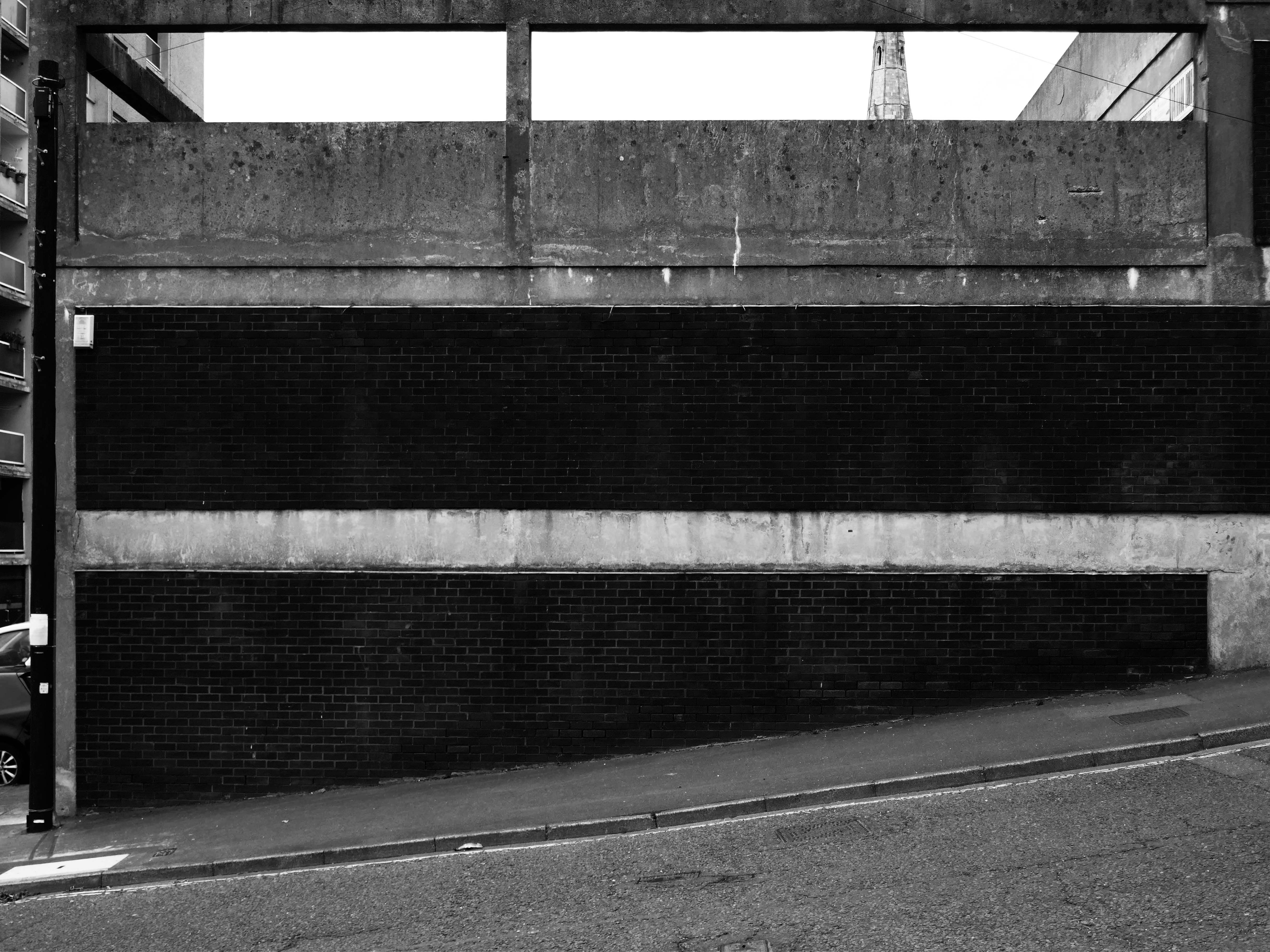
Down the road is the recently refurbished Leisure Centre.
Built on the site of the International Swimming Pool – opened 1968 demolished 2010.
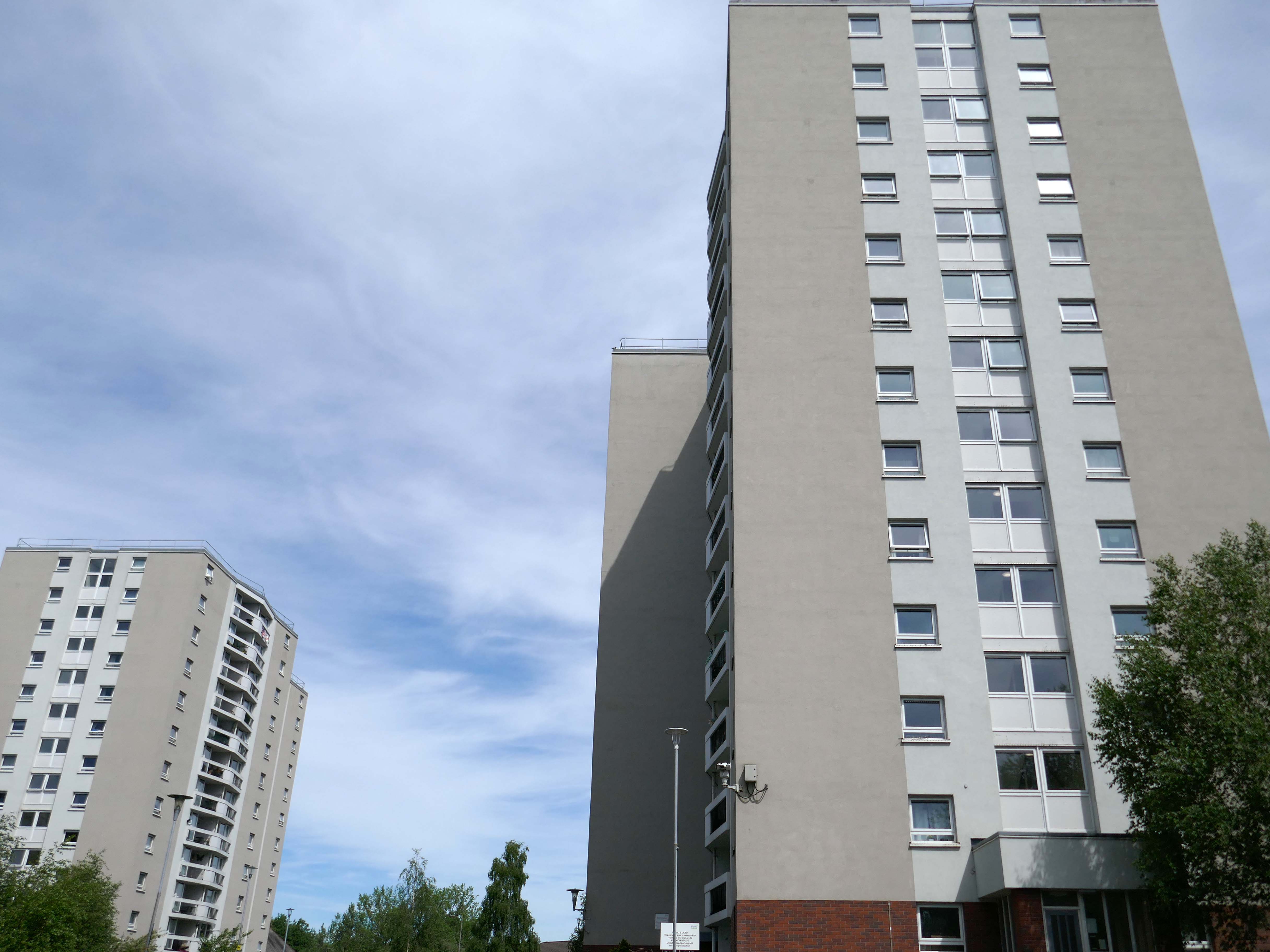
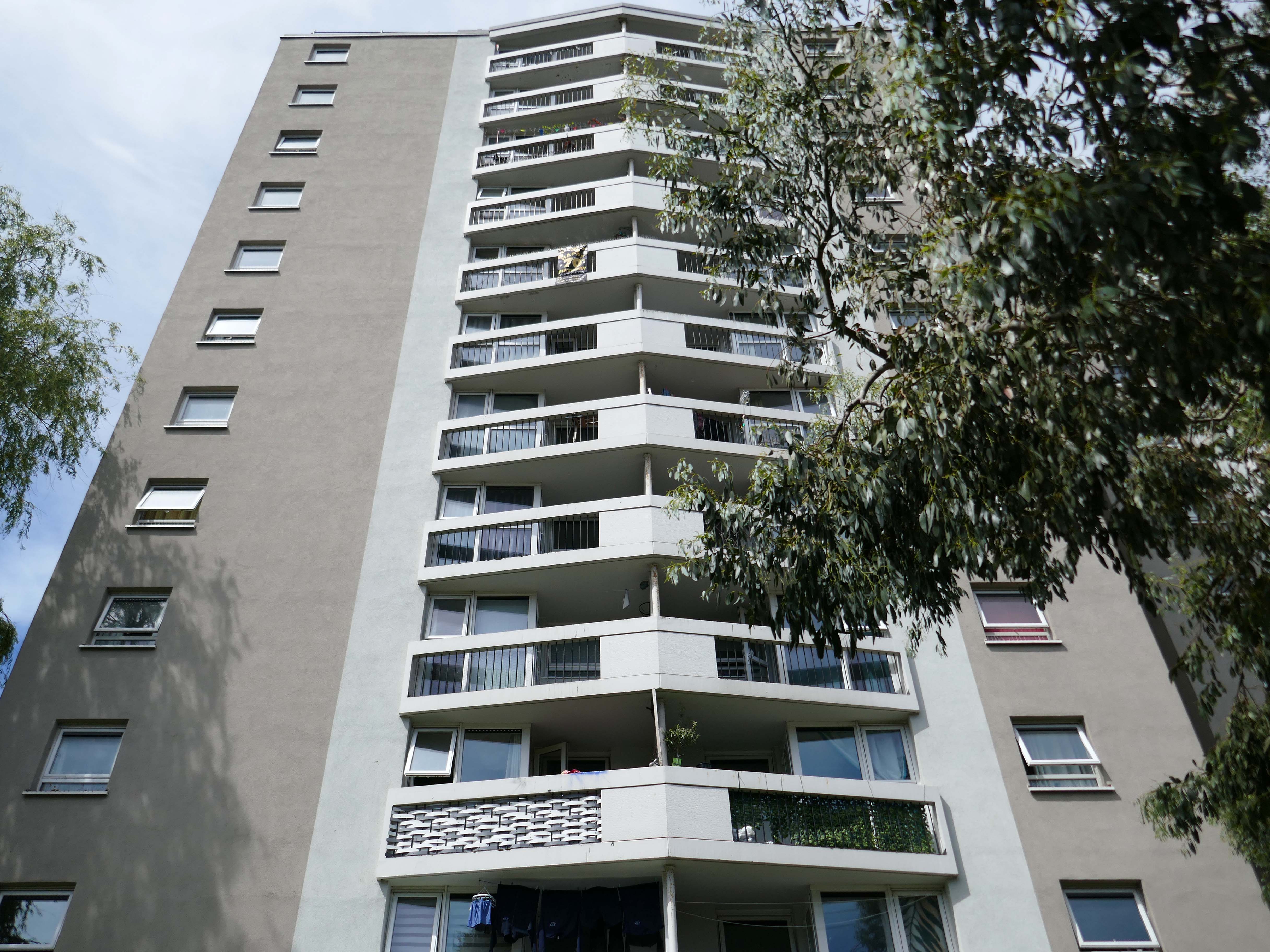
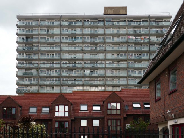
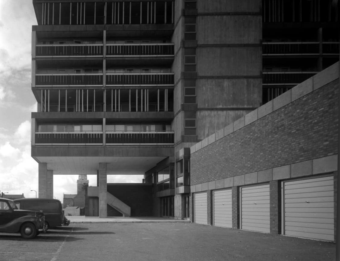
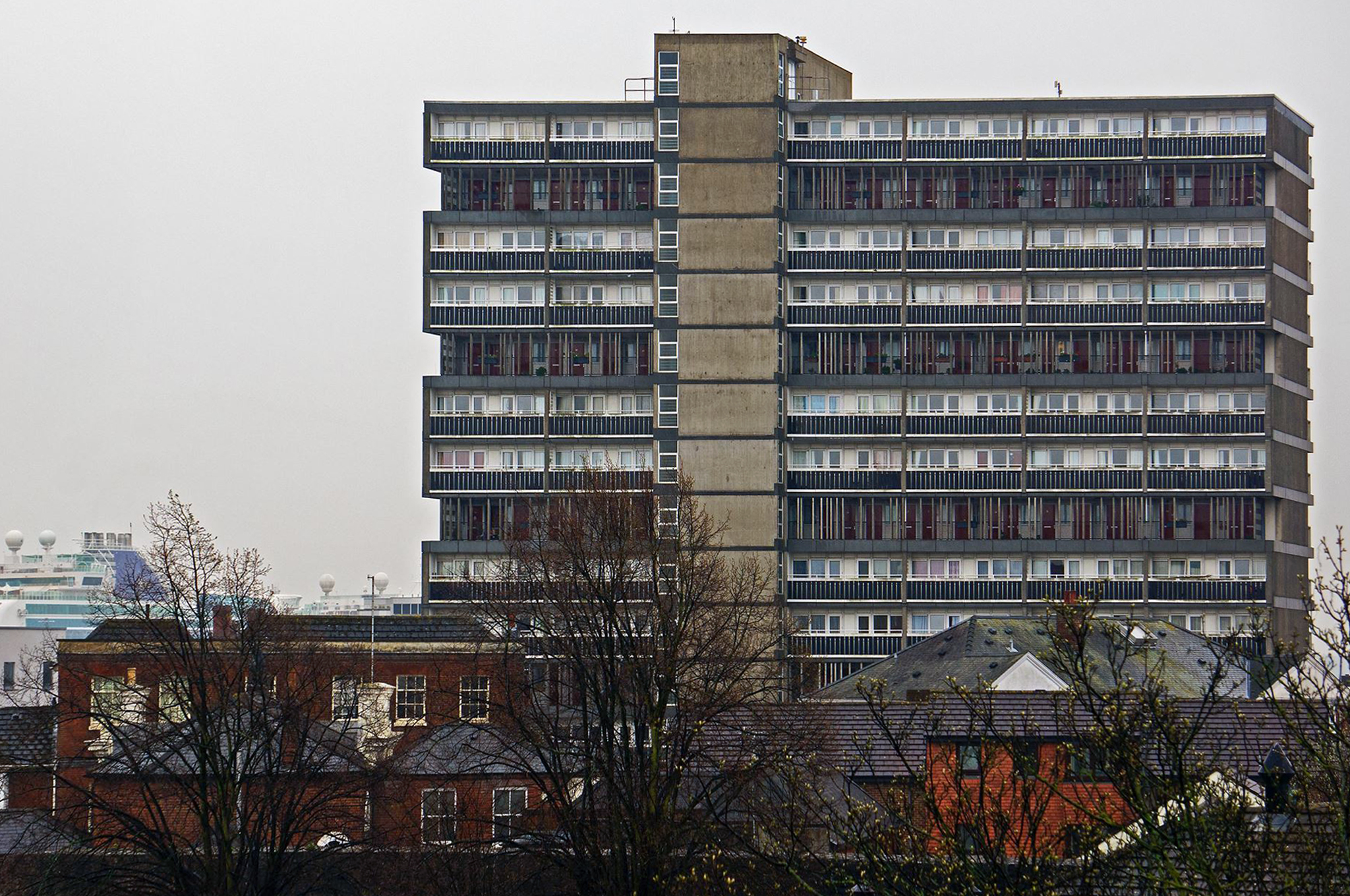
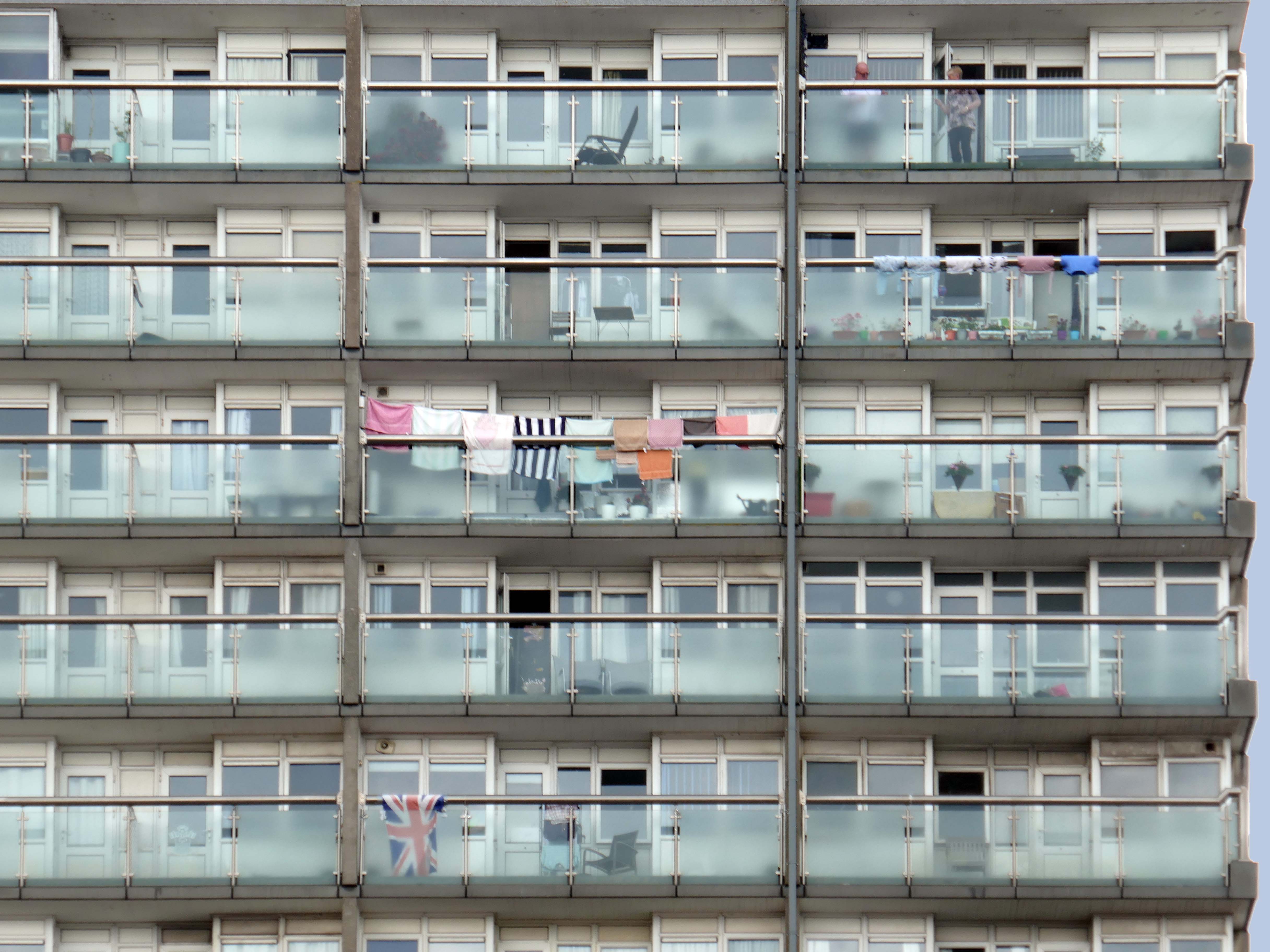
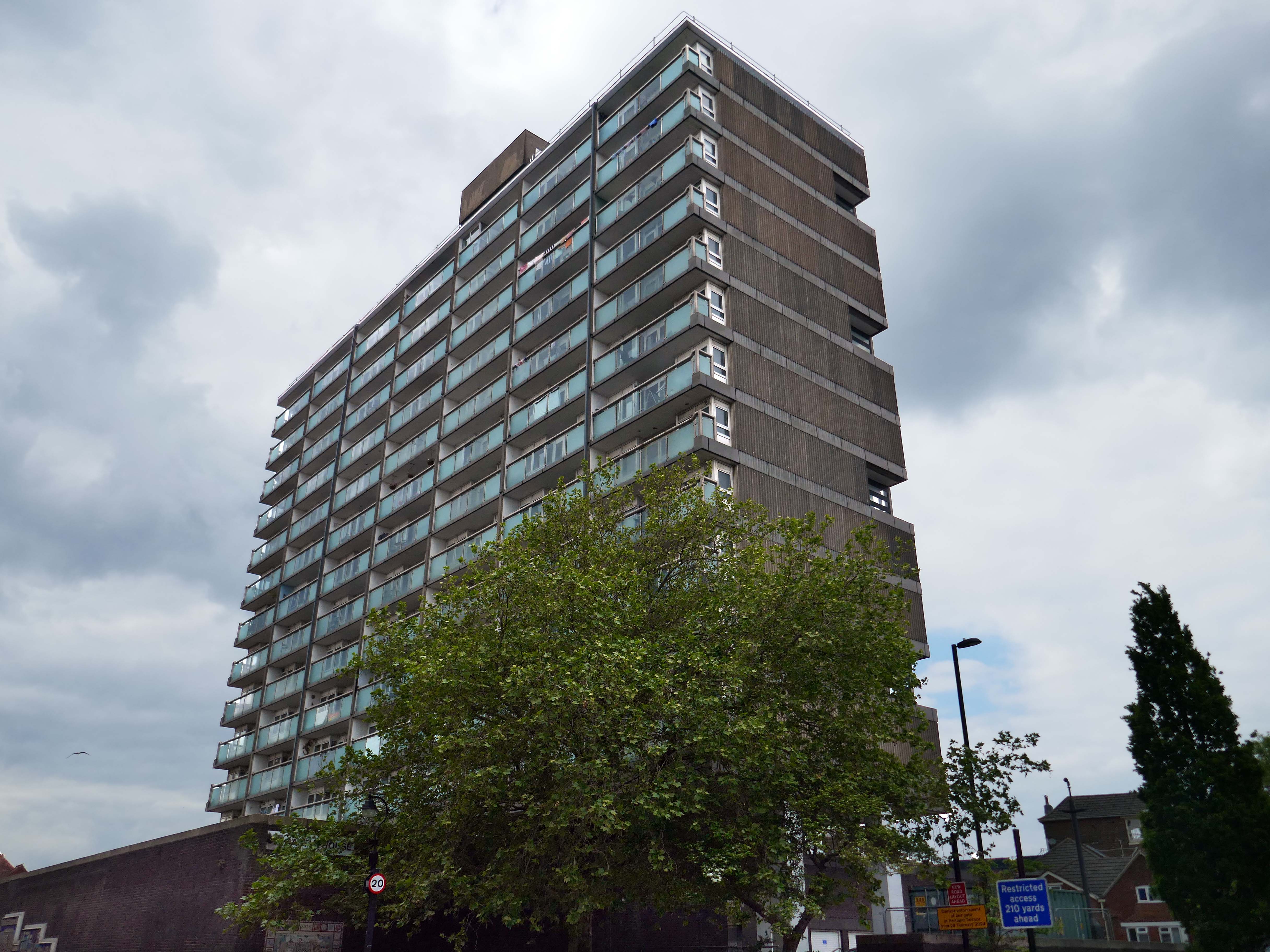
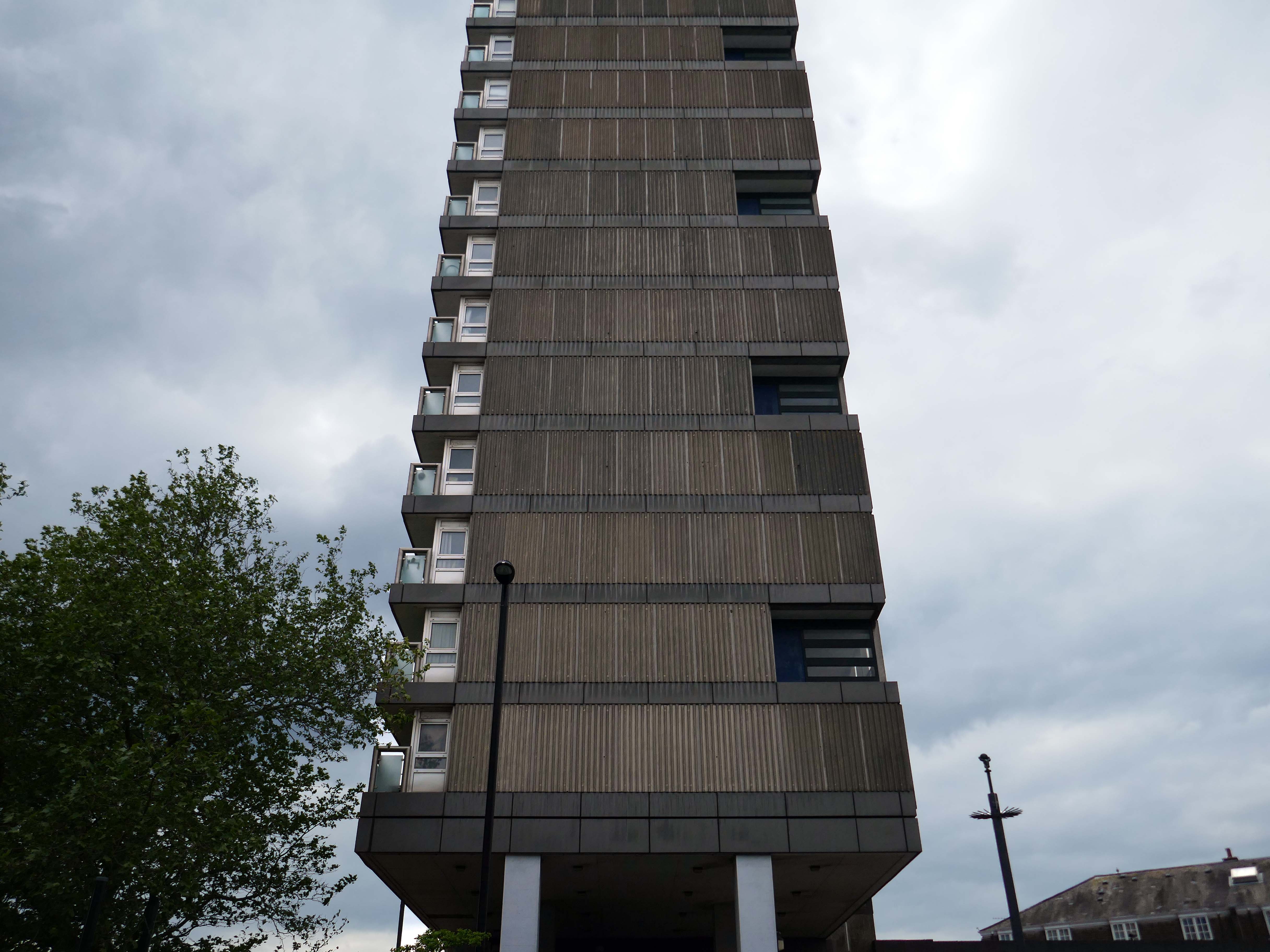
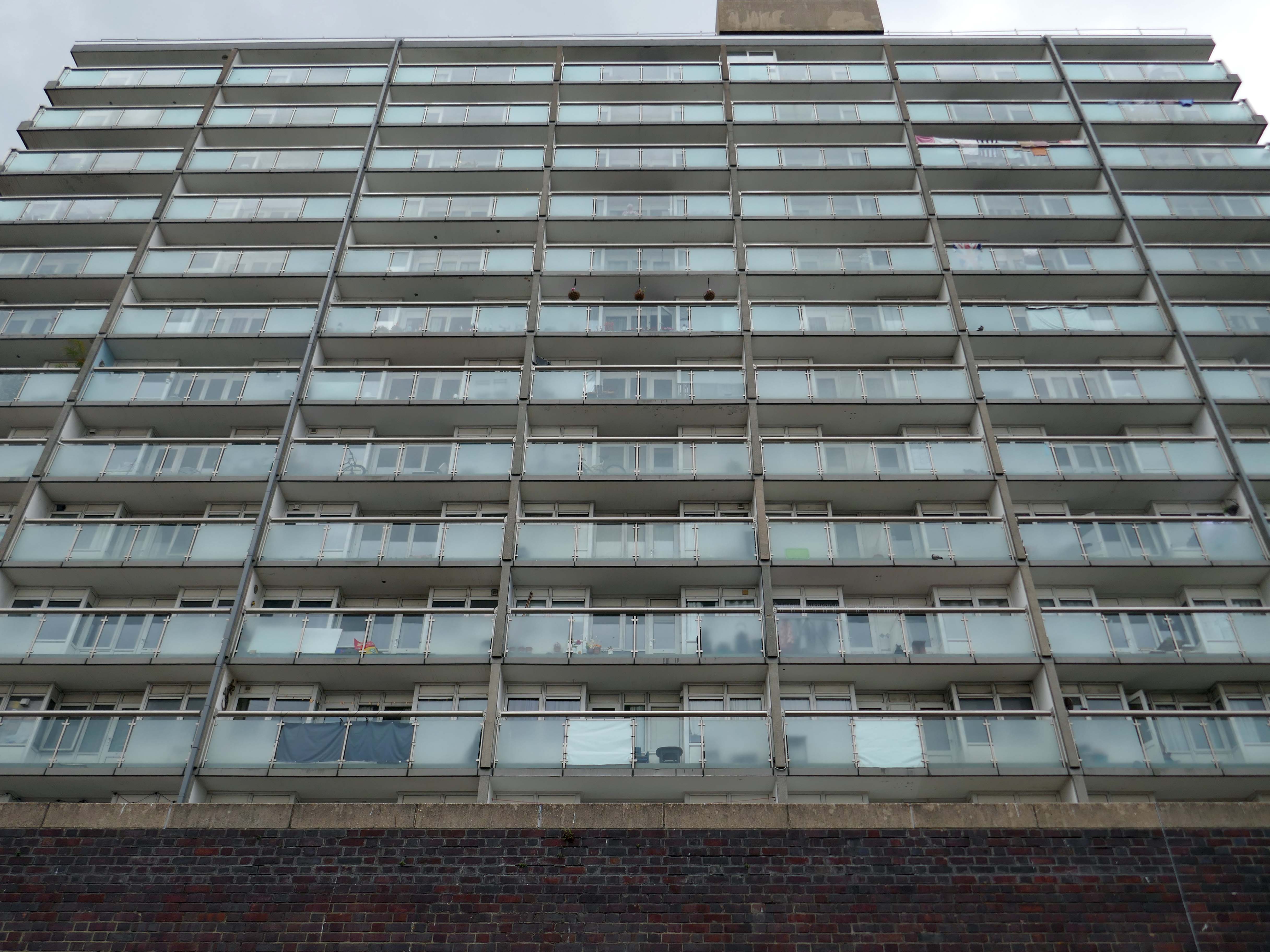
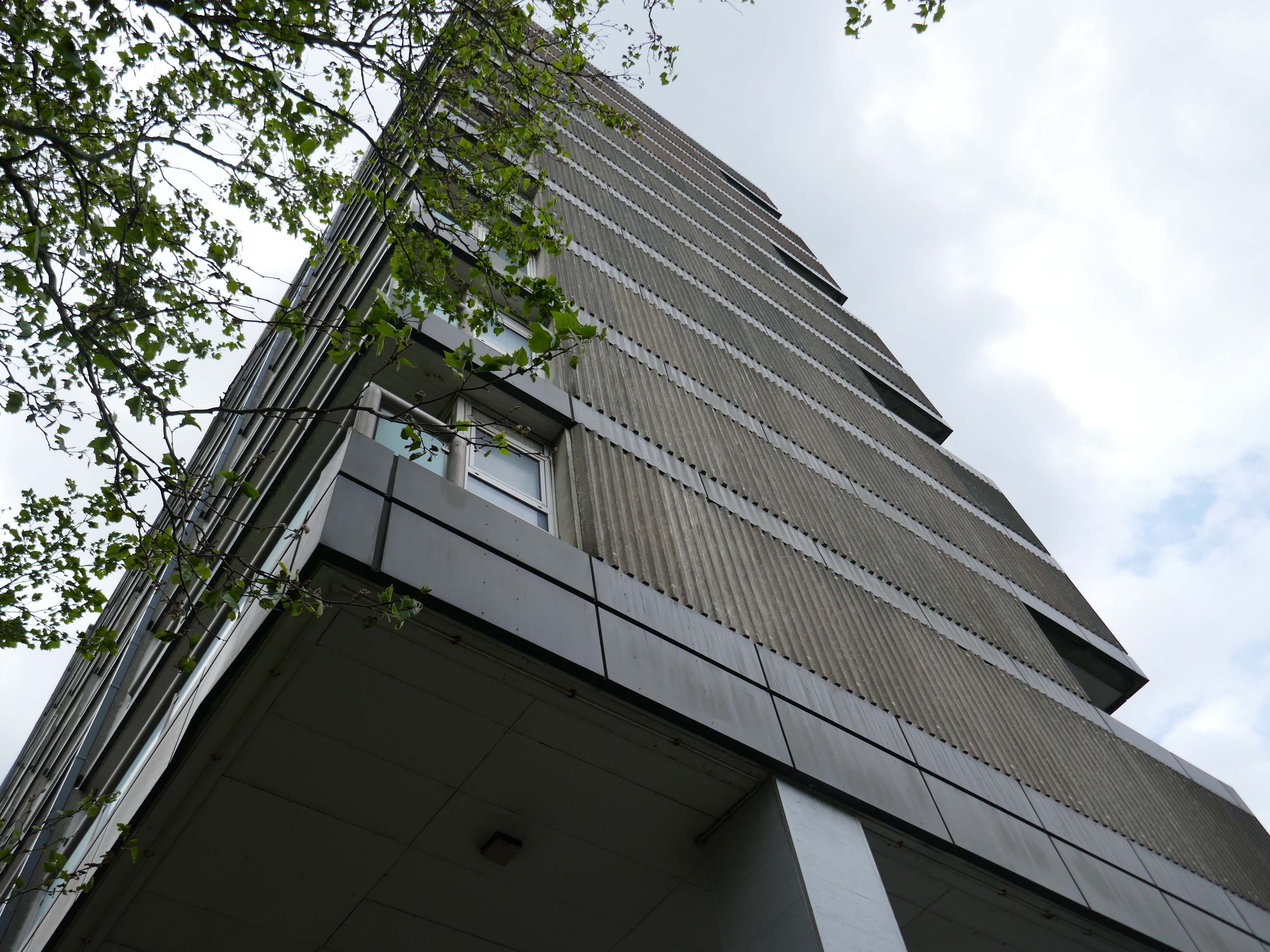
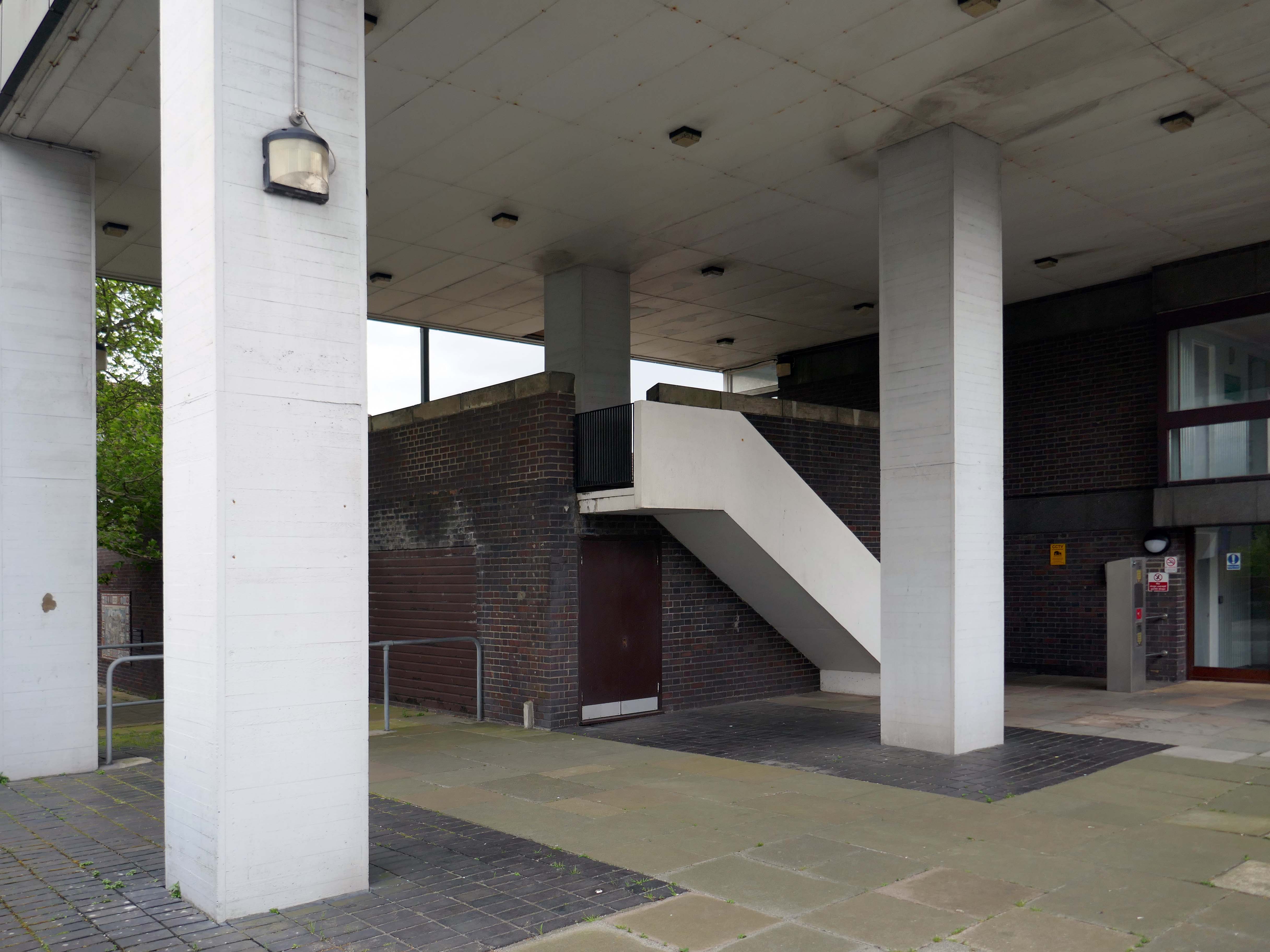
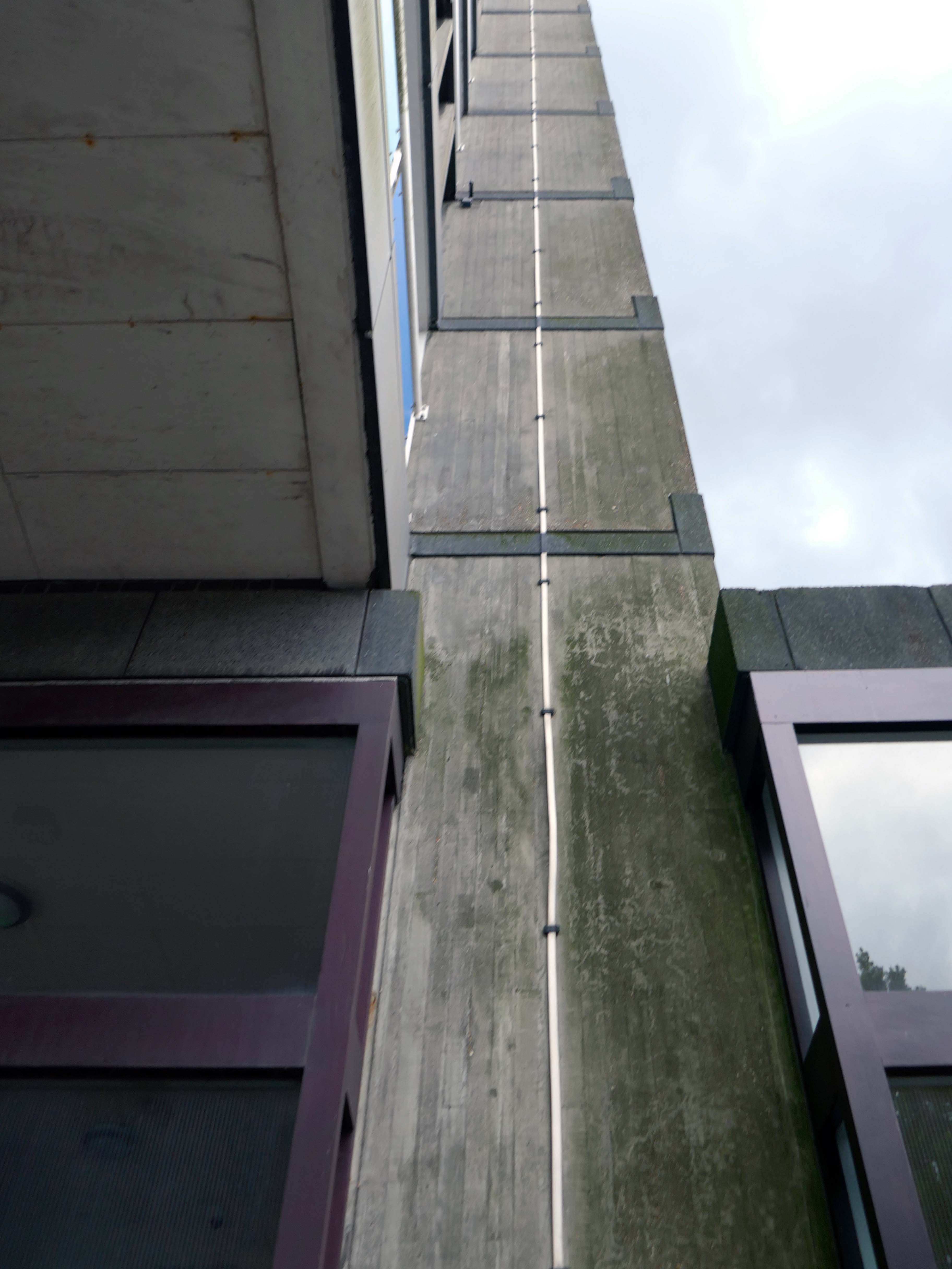
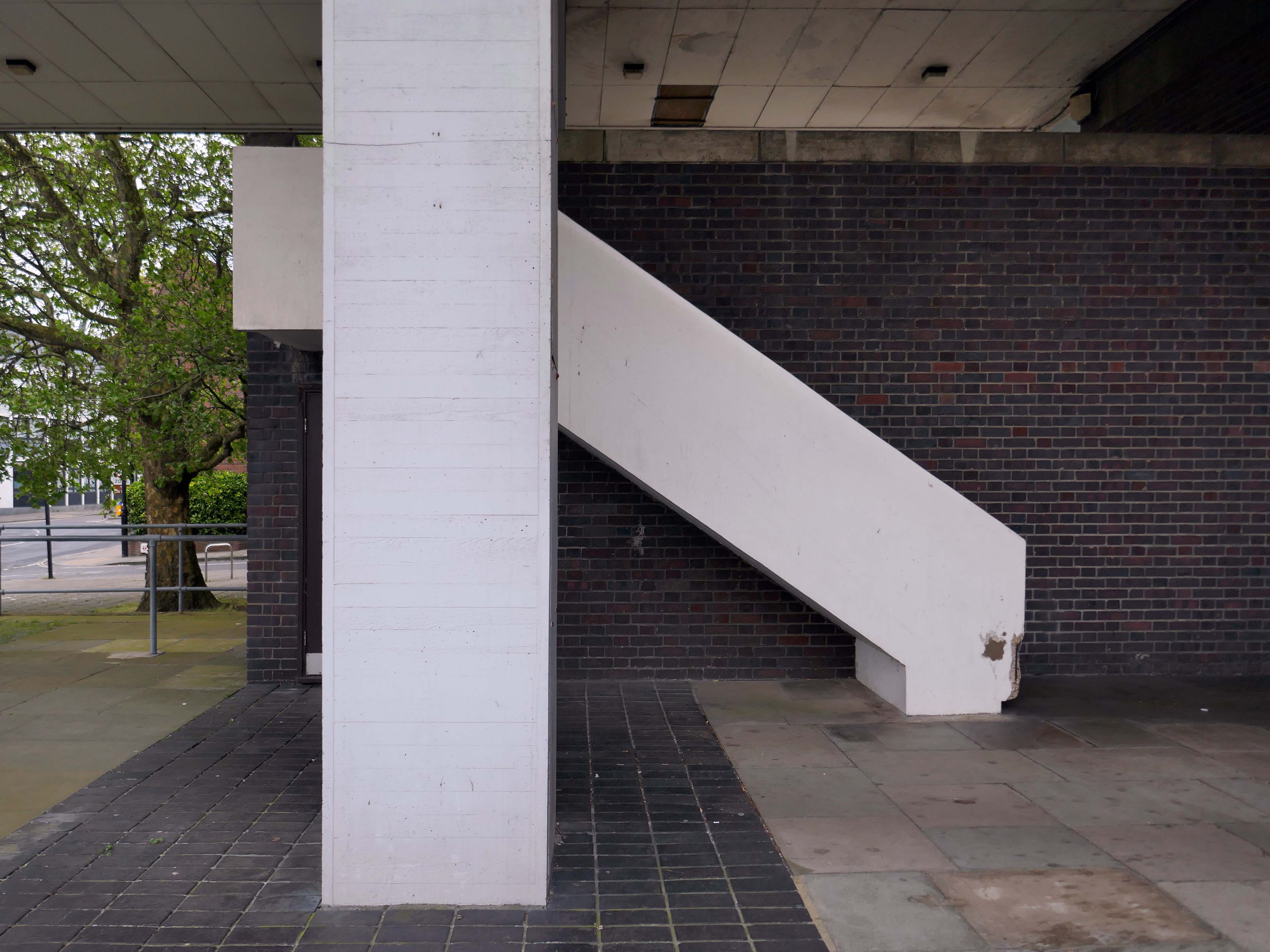
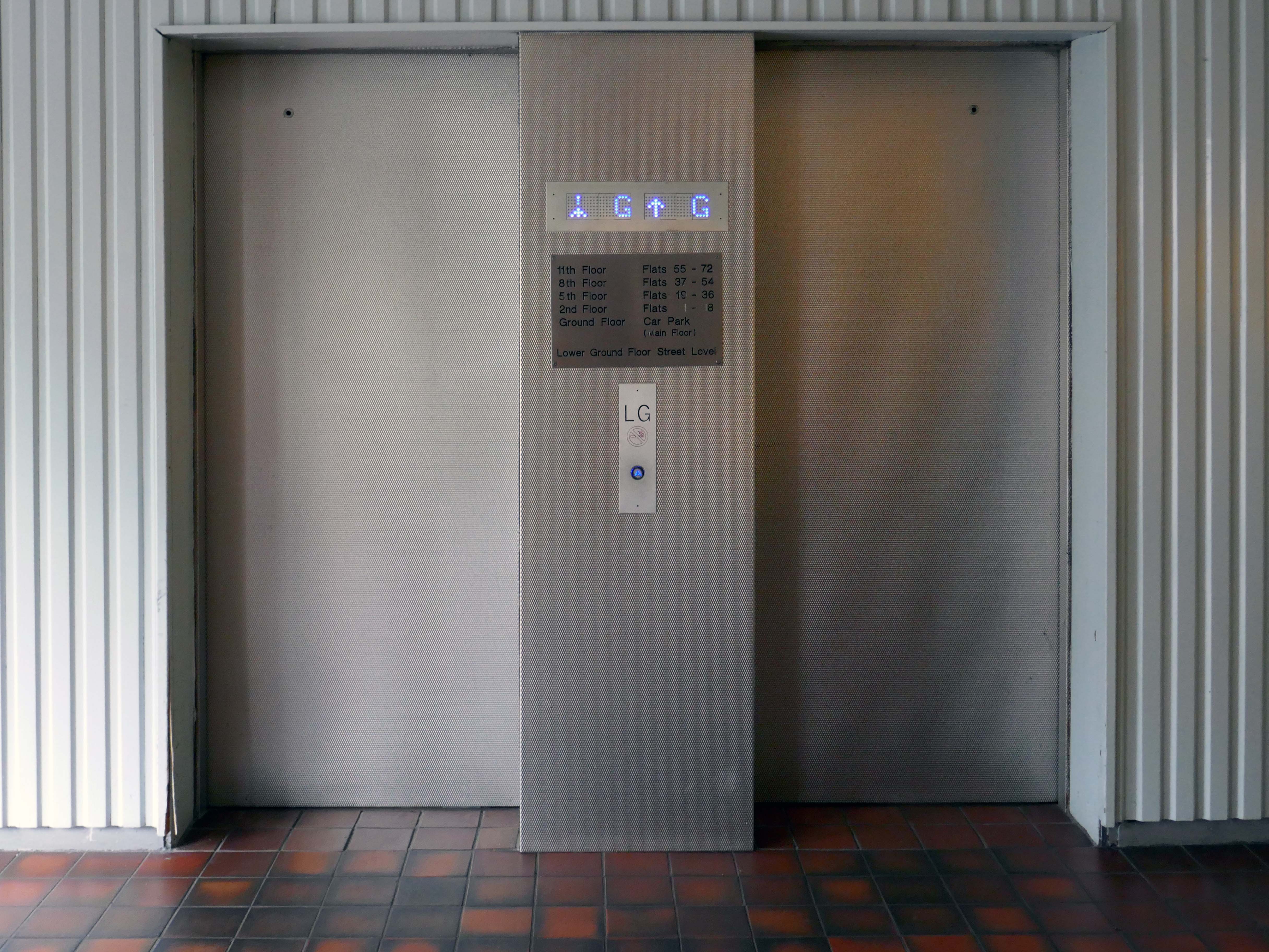
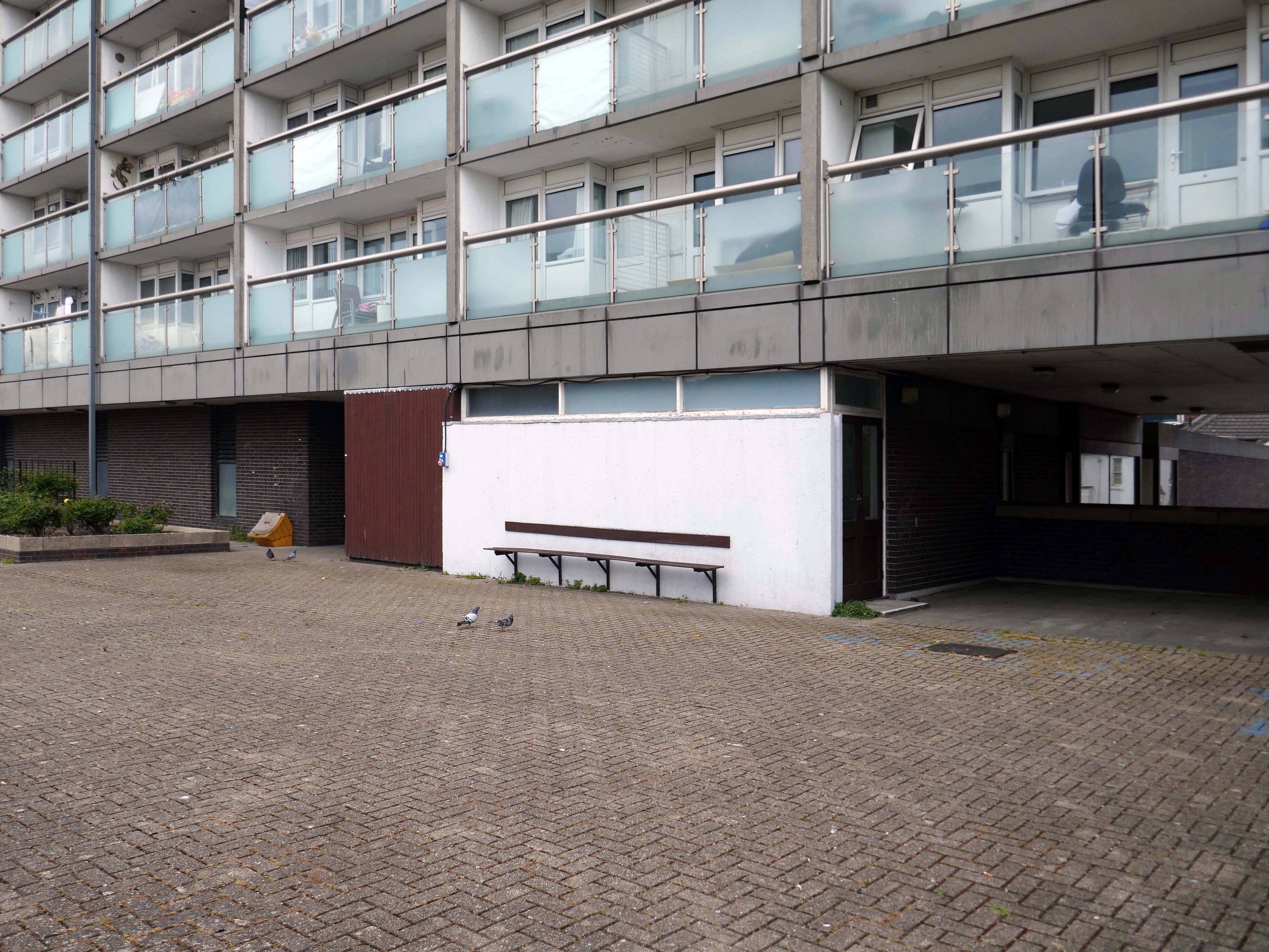
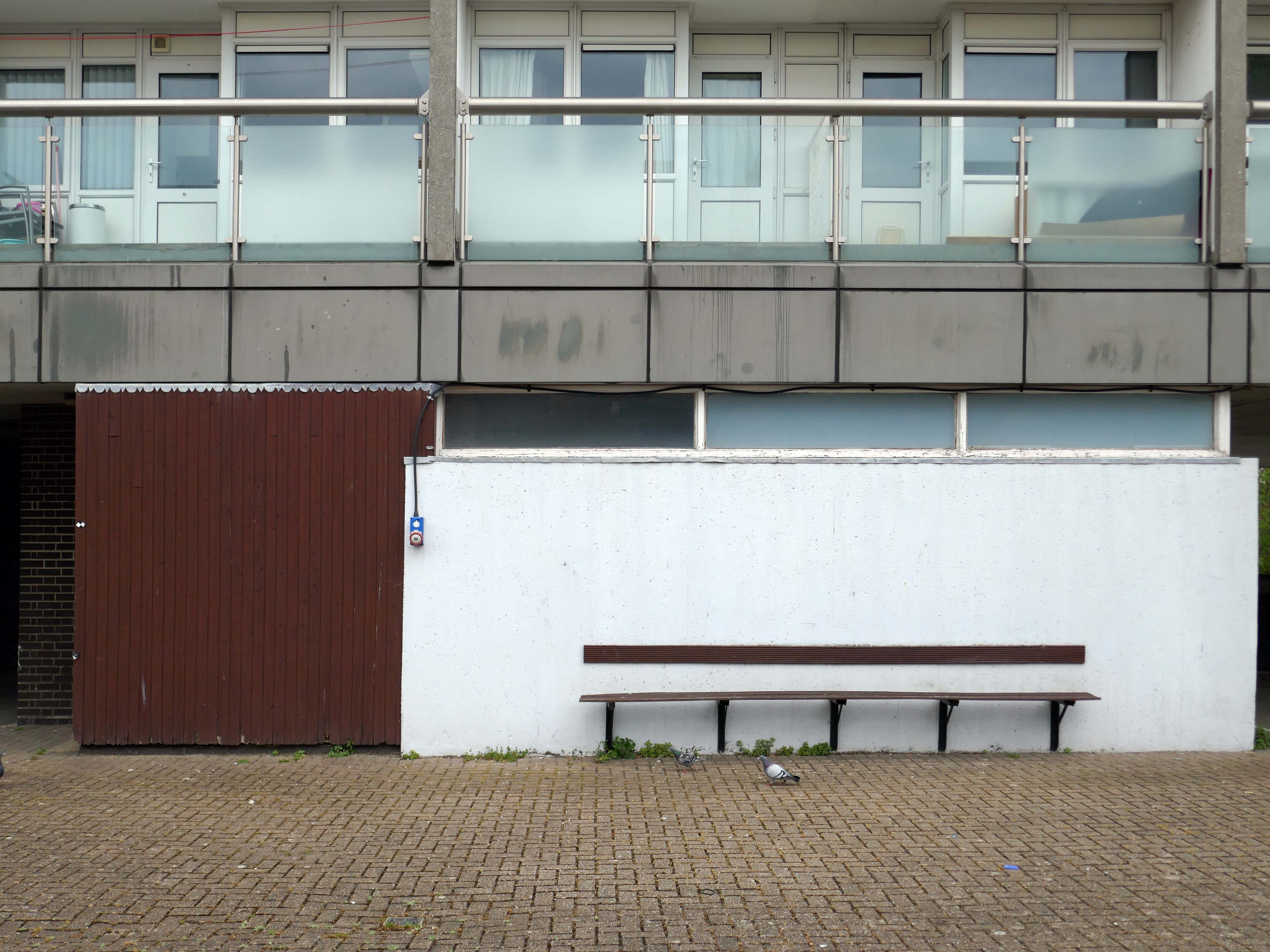
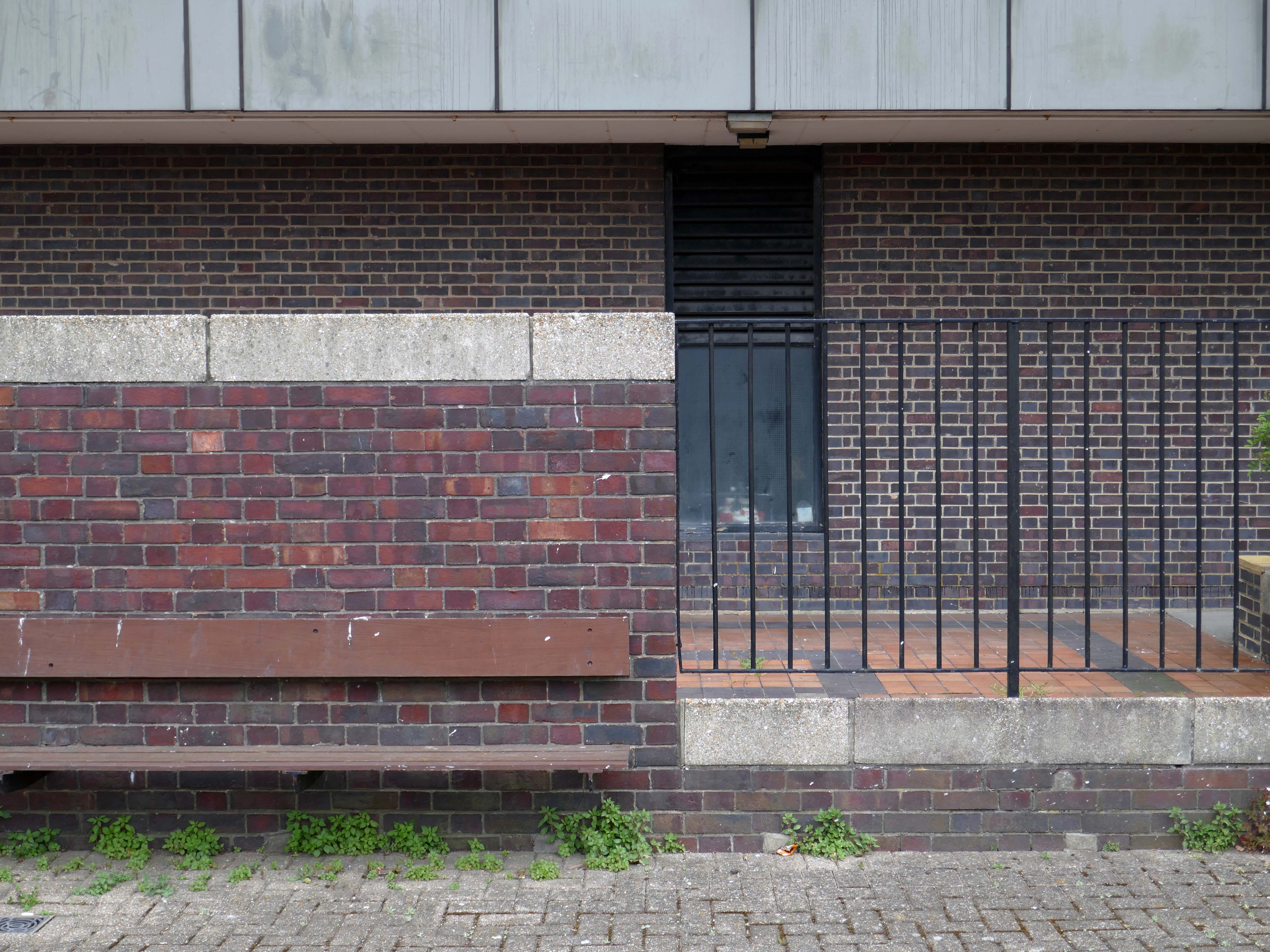
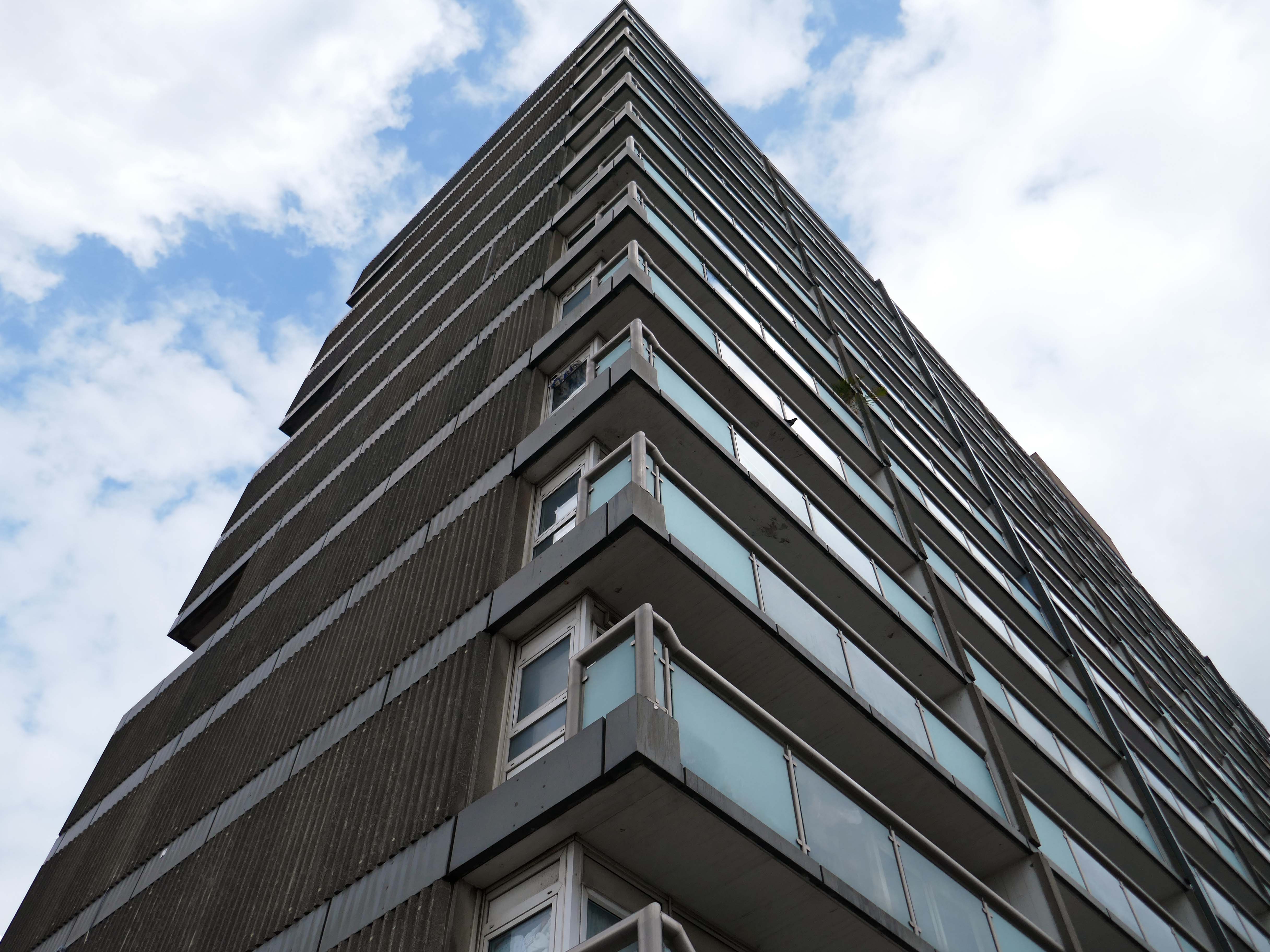
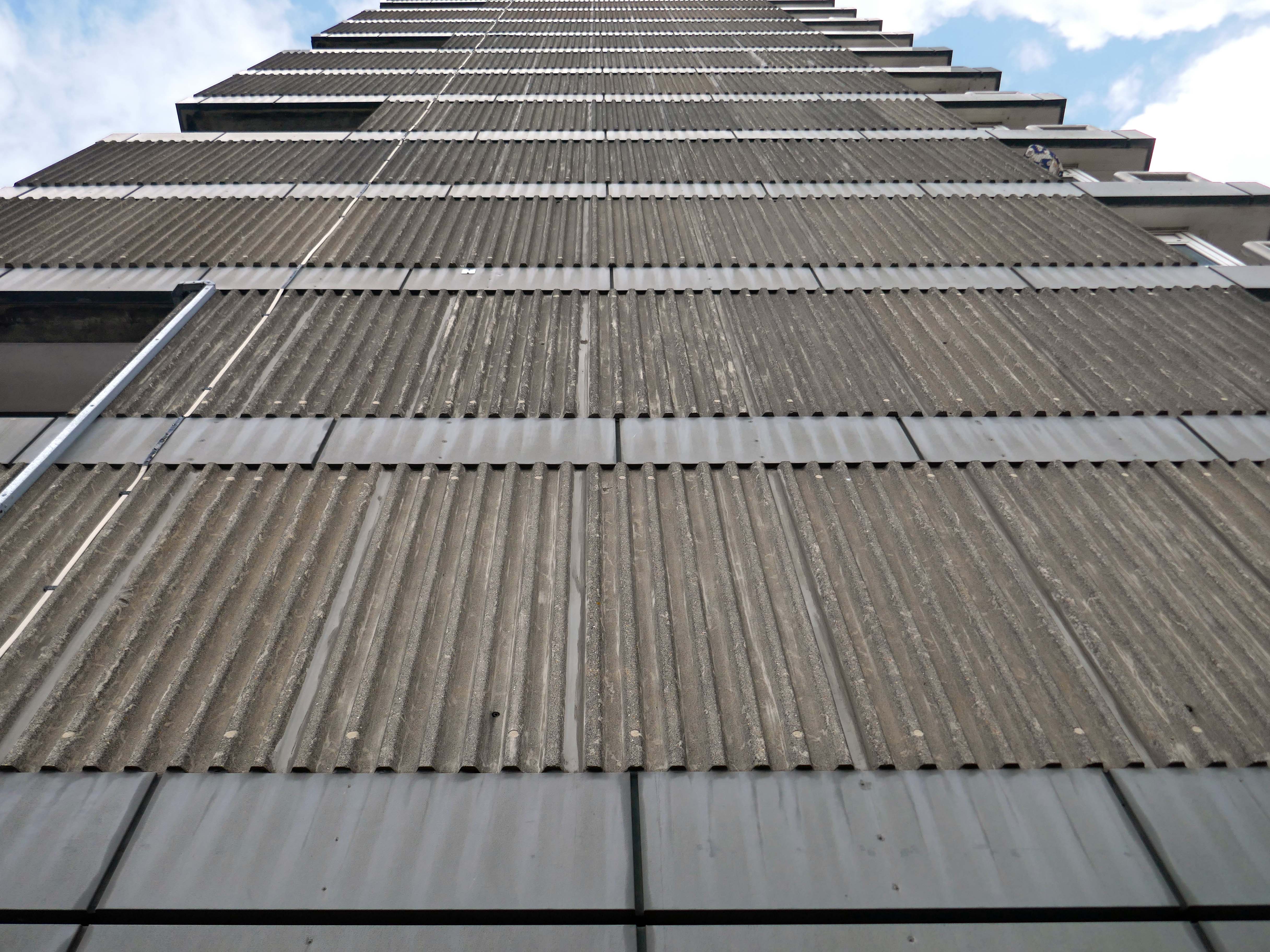
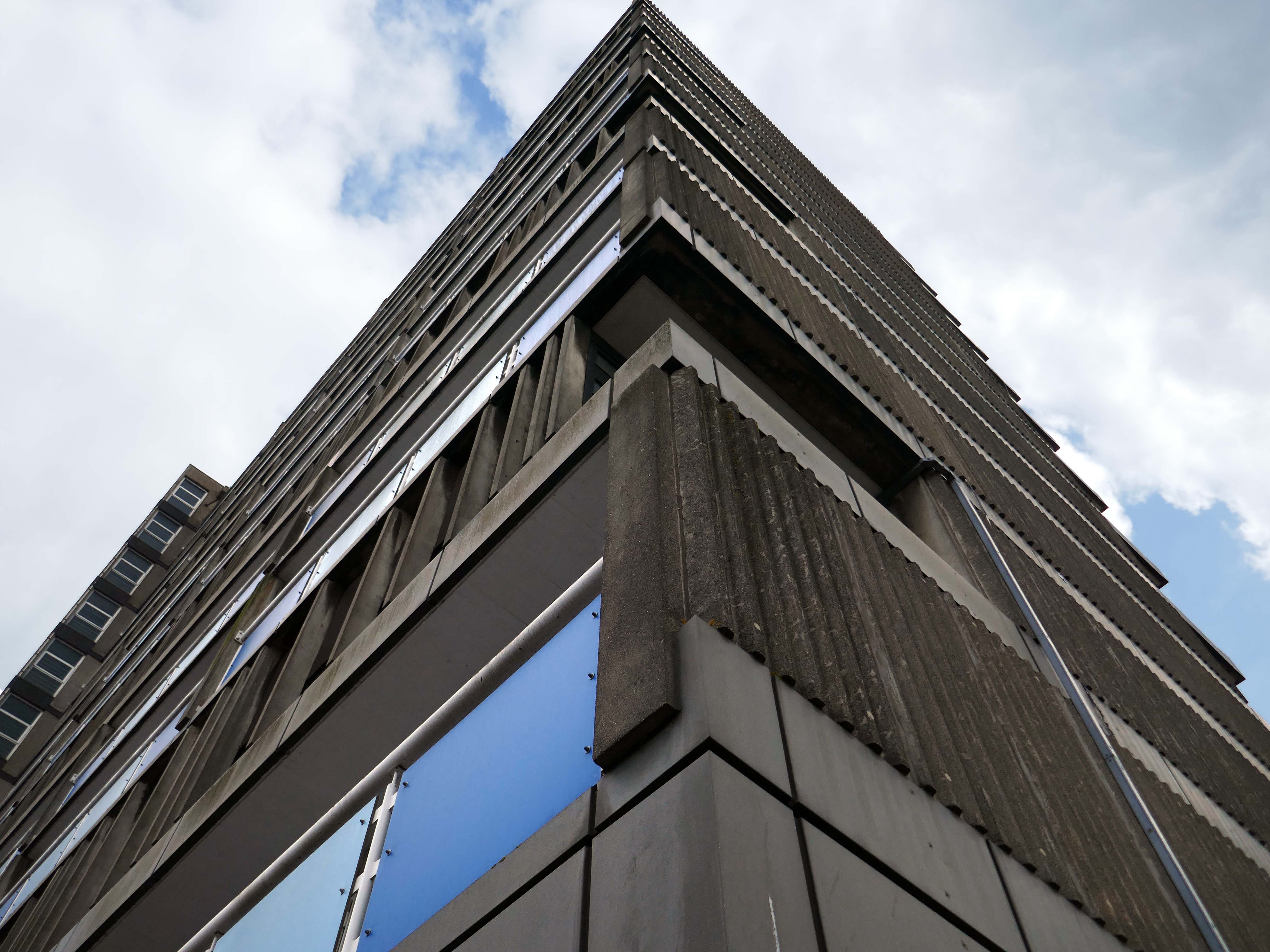
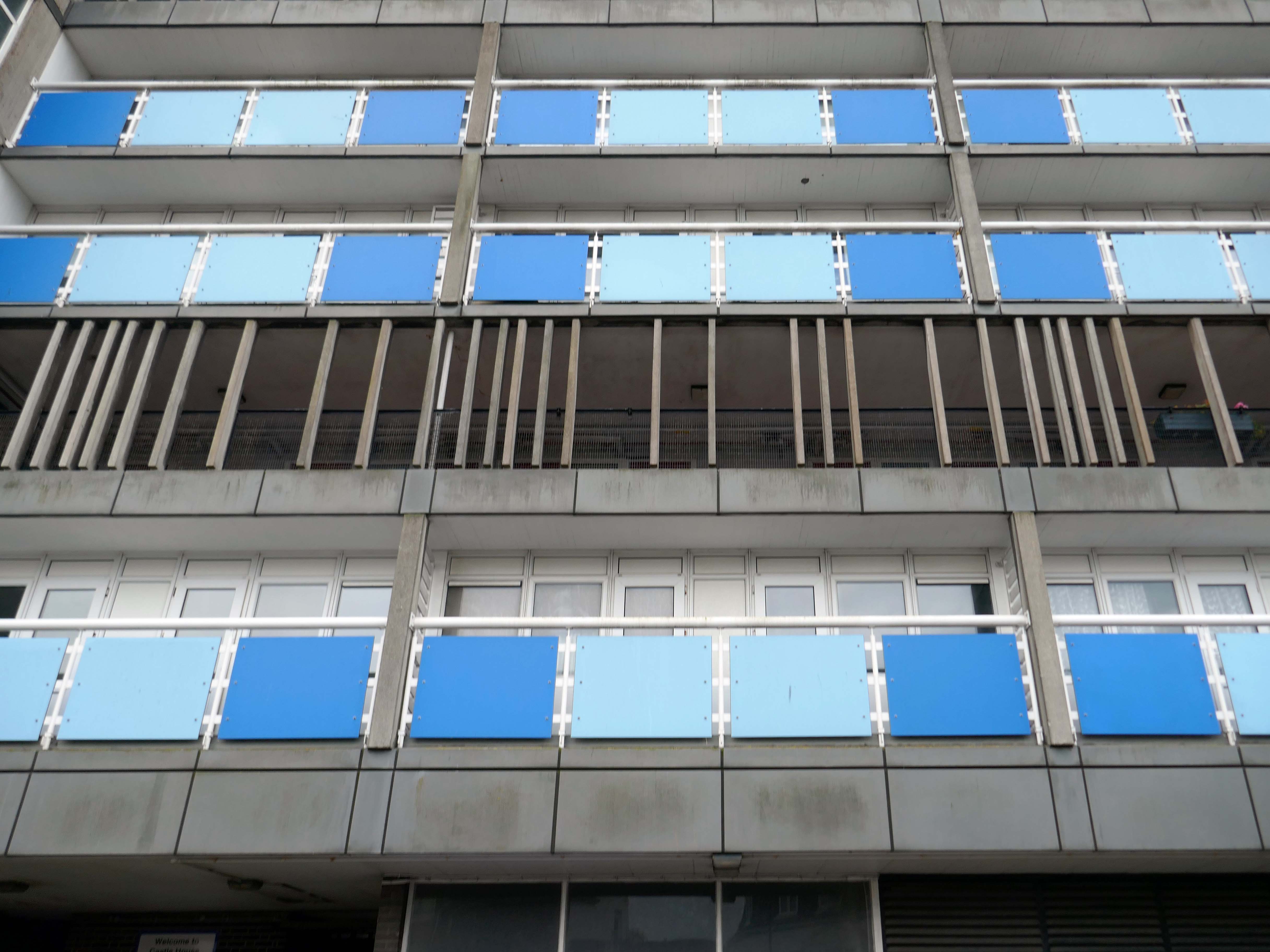
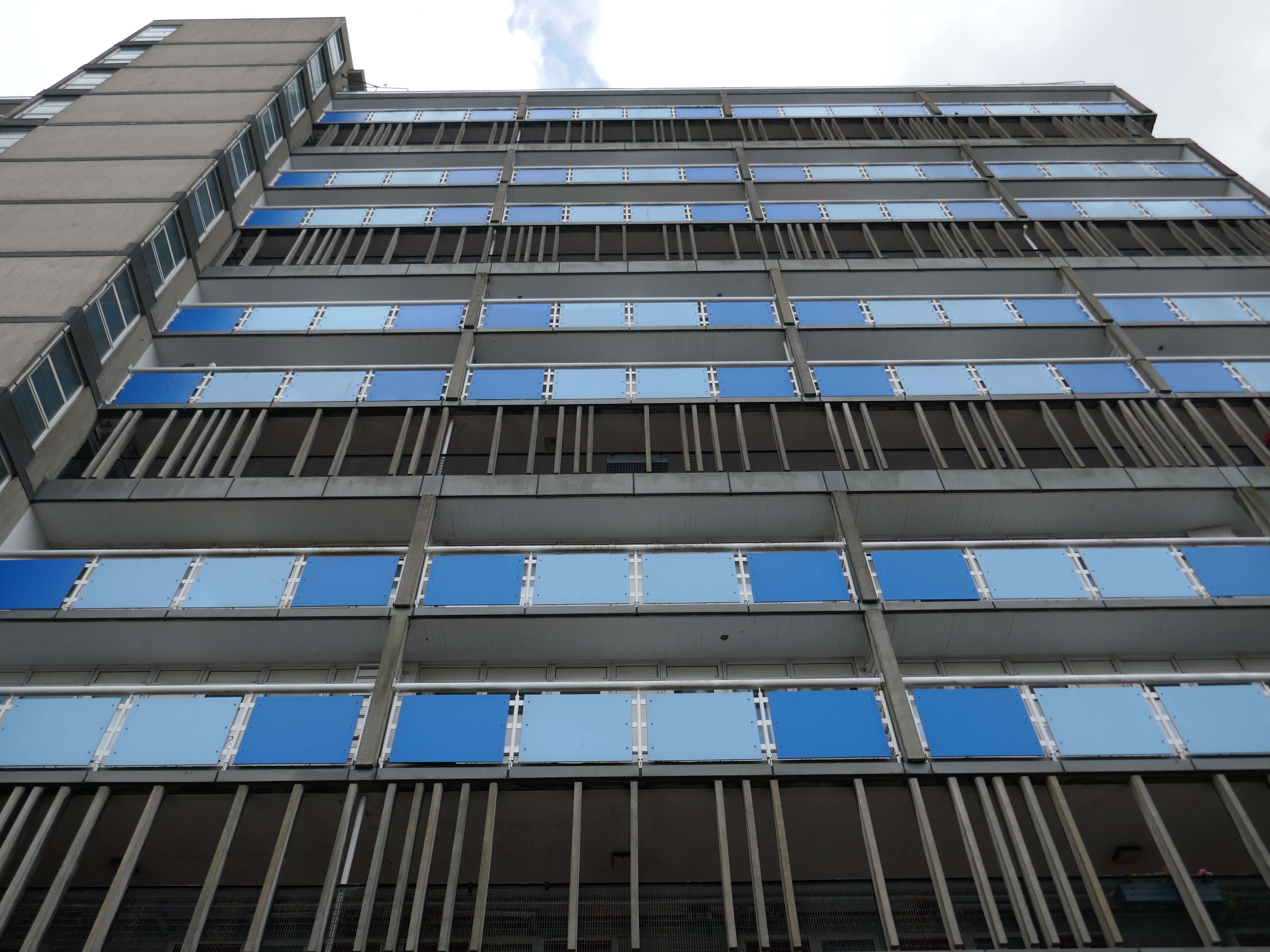
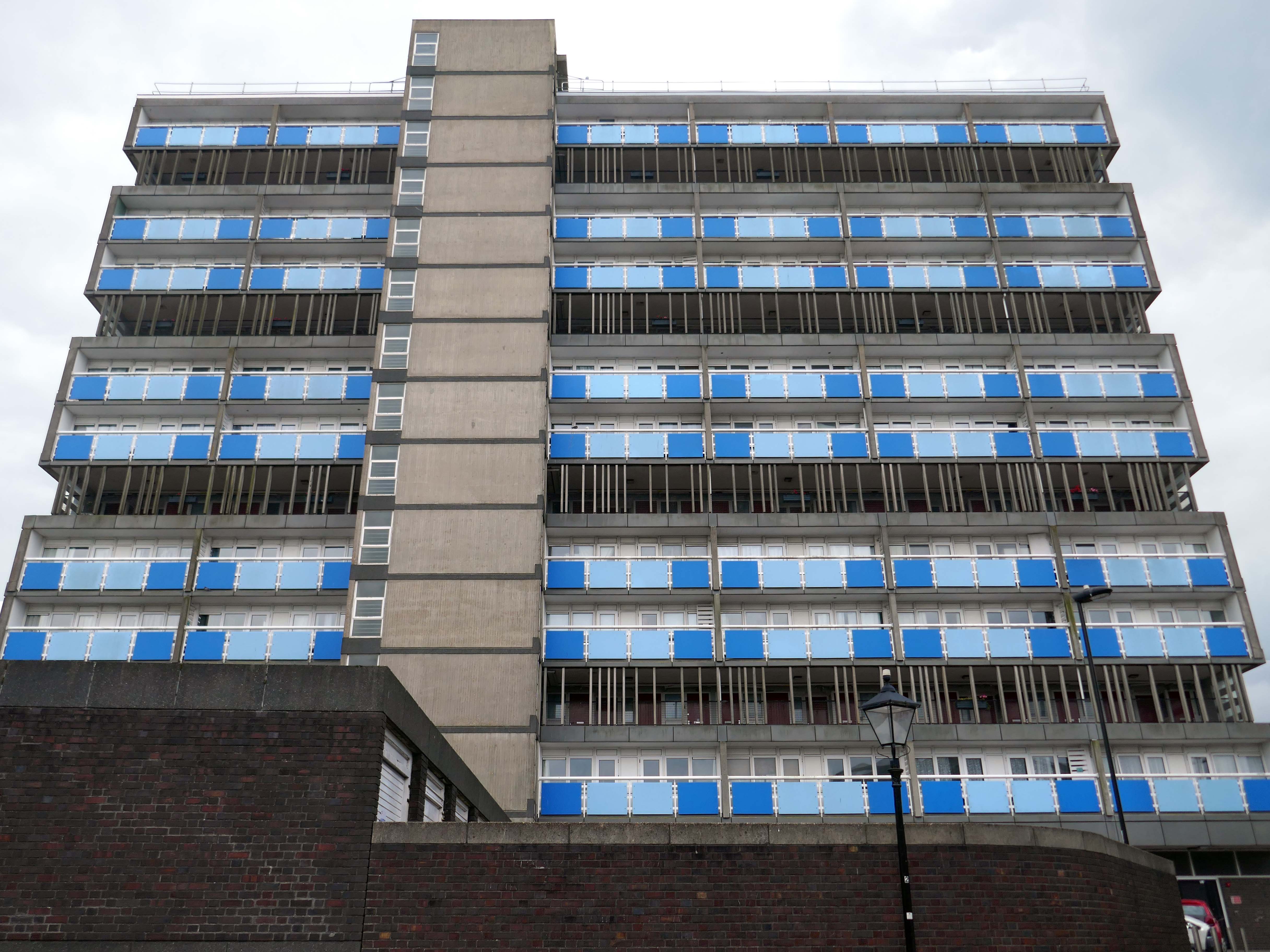
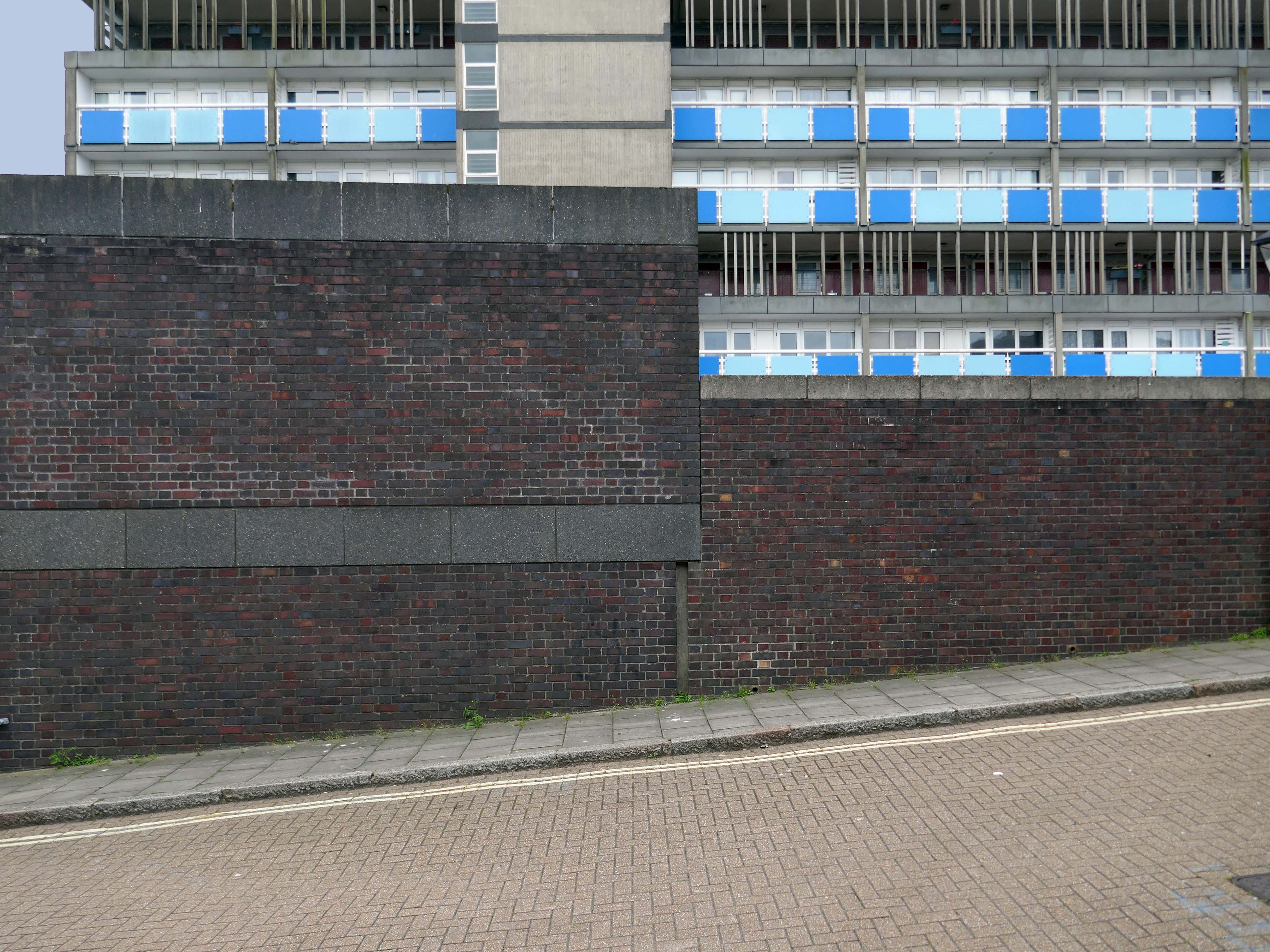
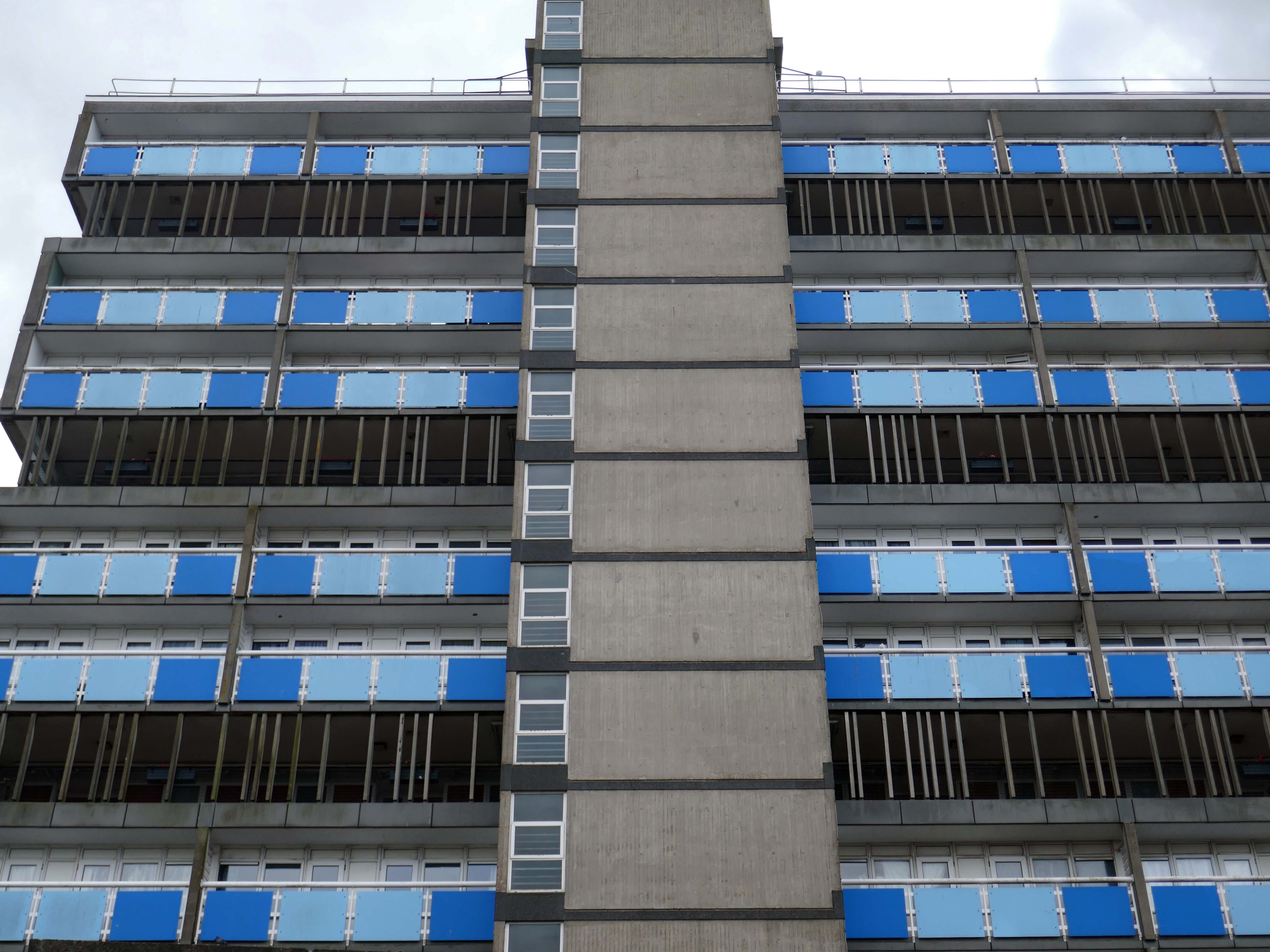
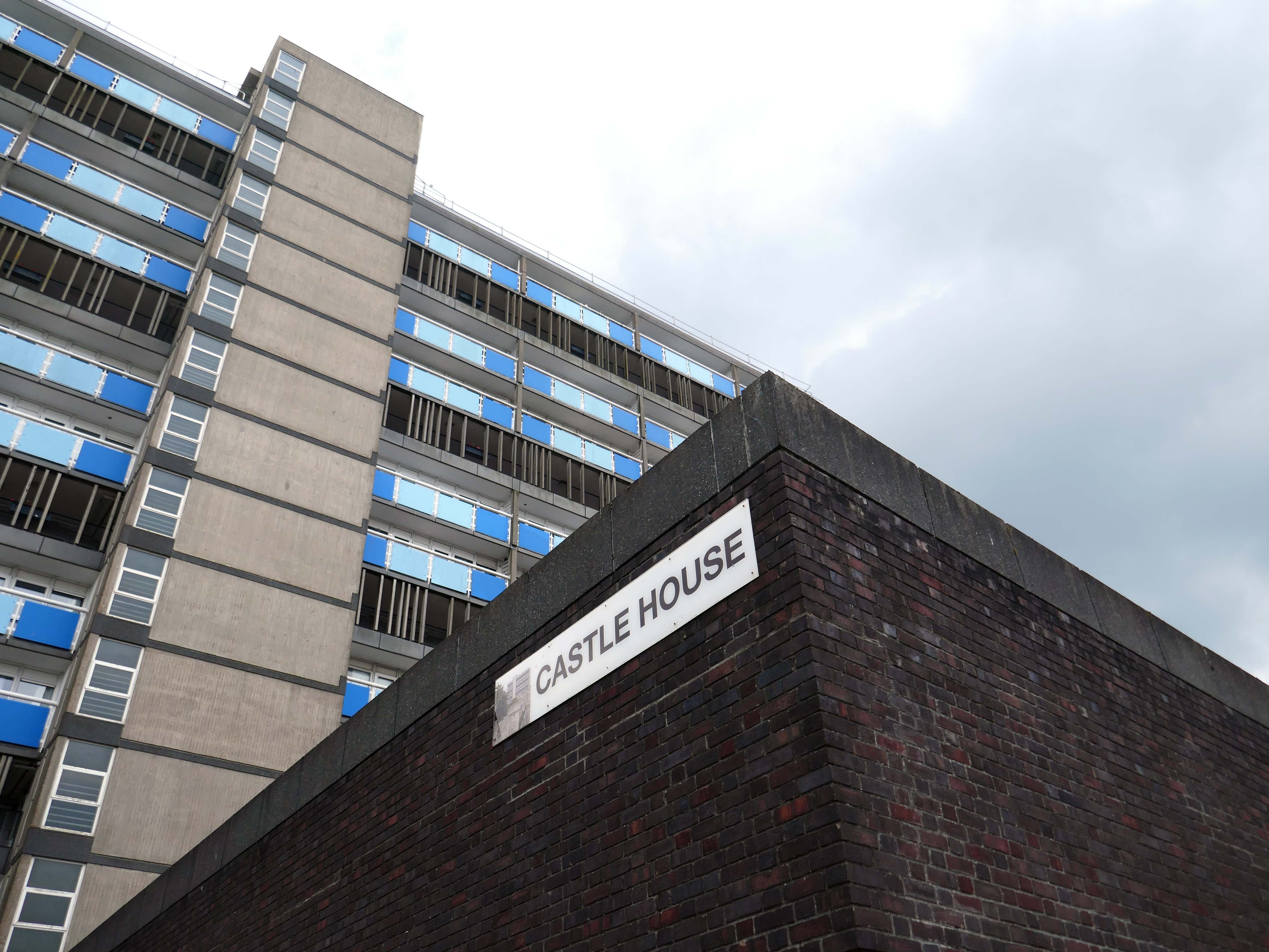
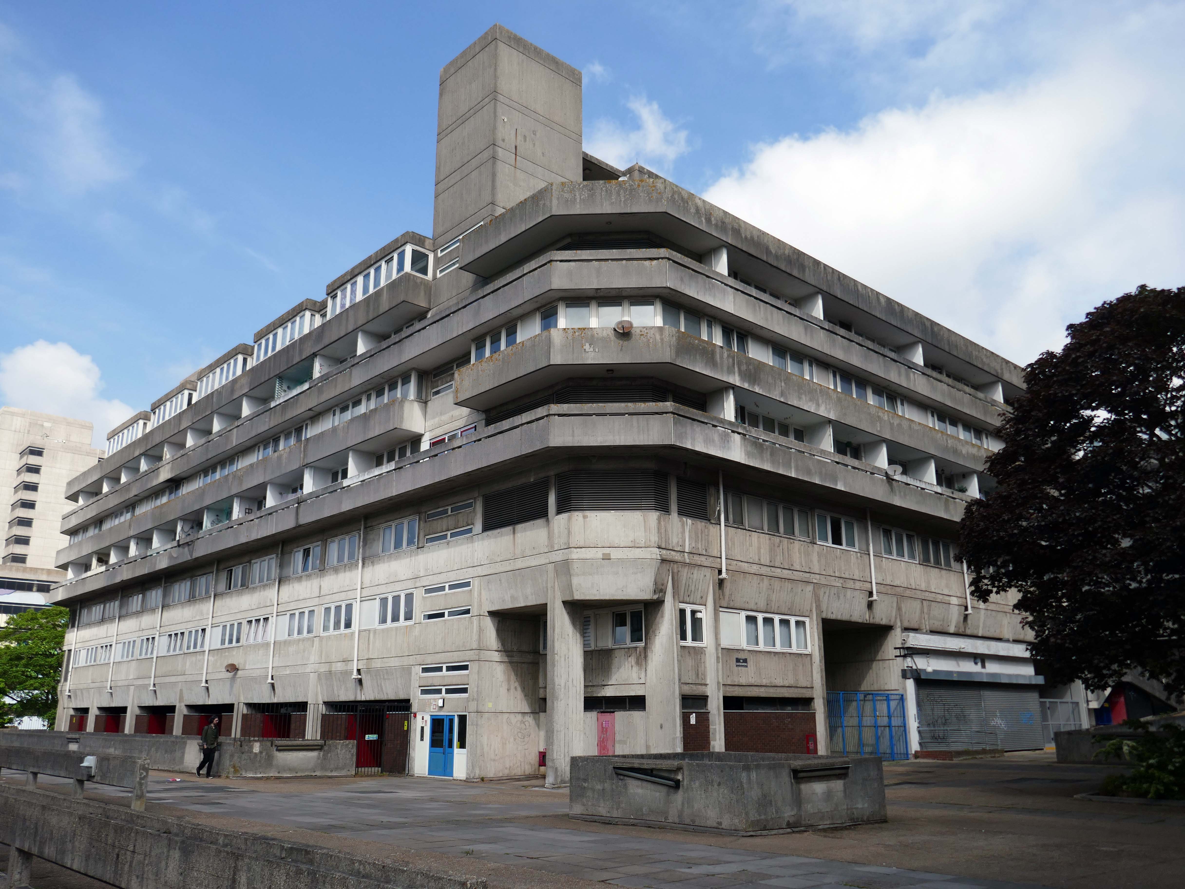
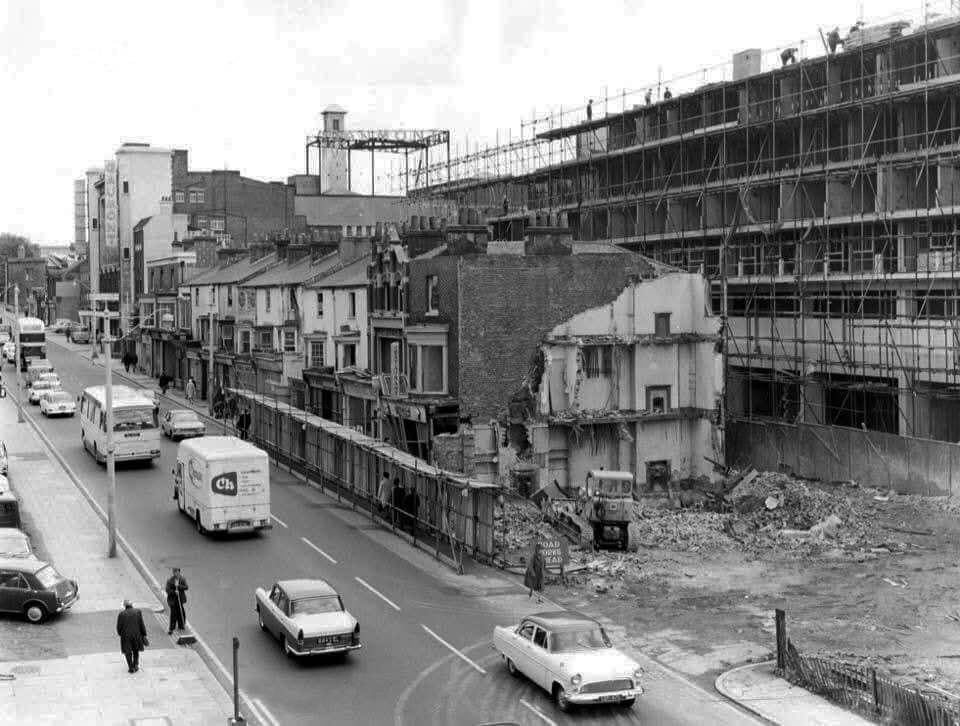
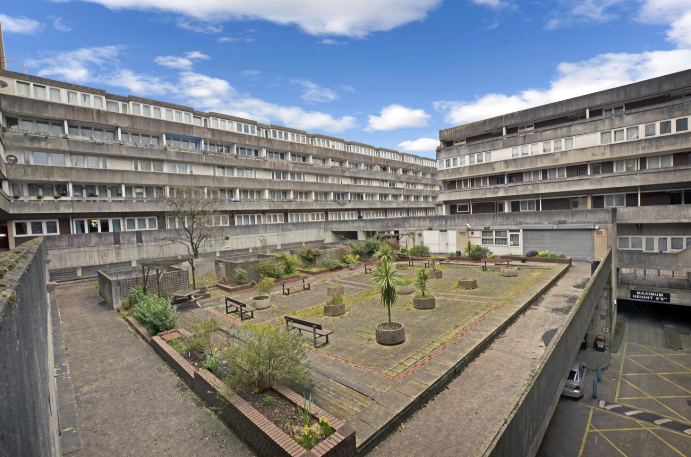
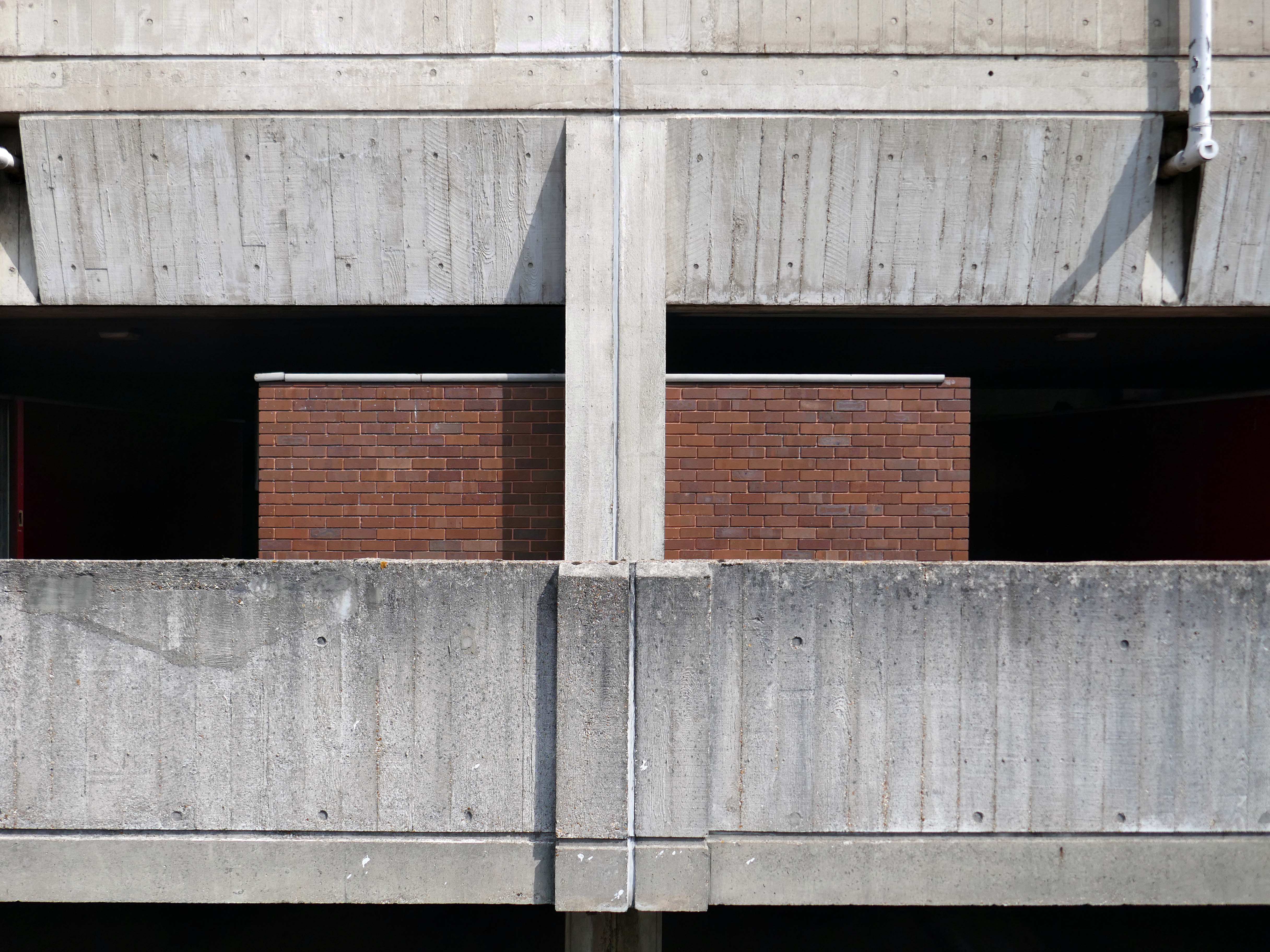
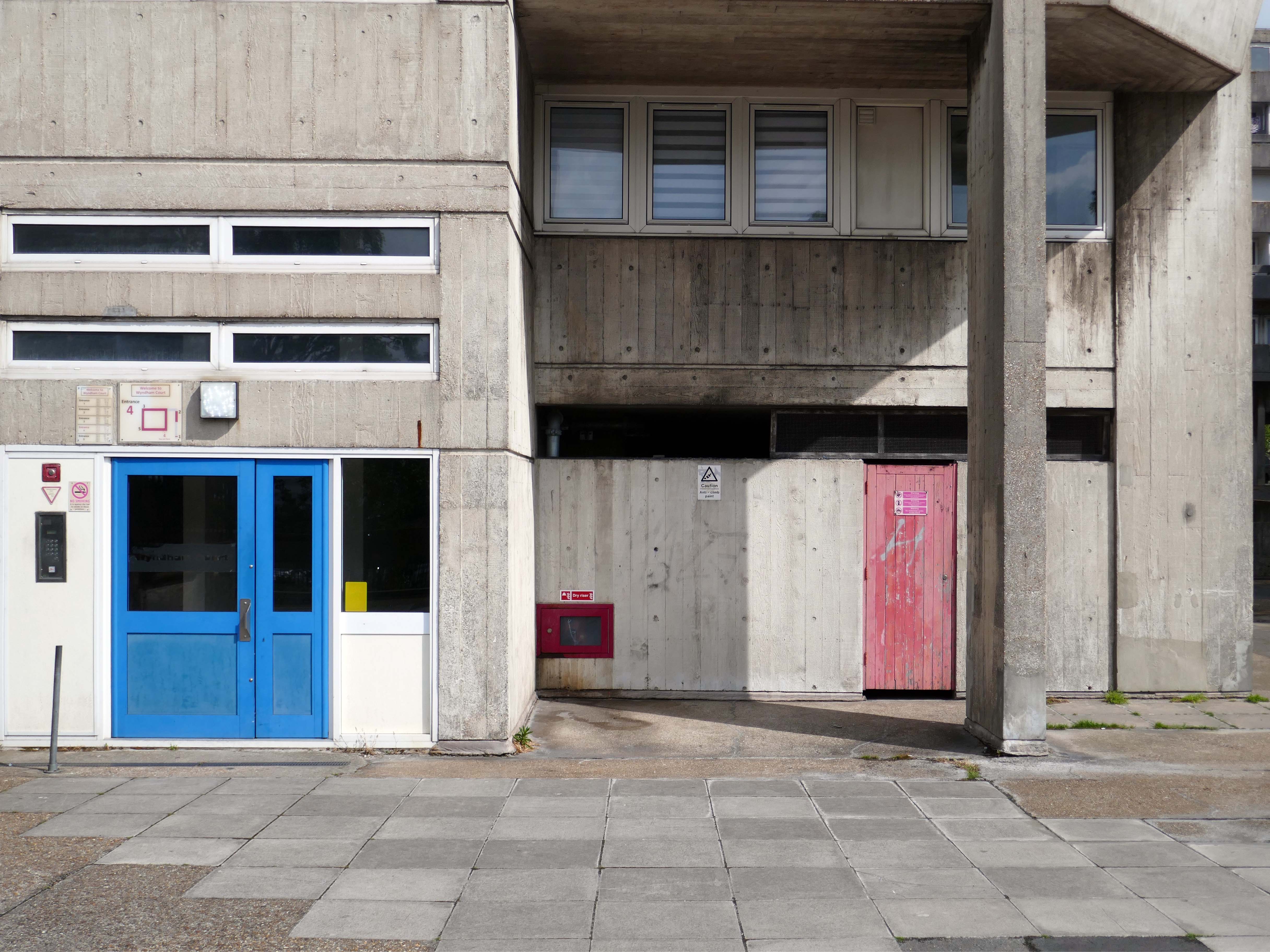
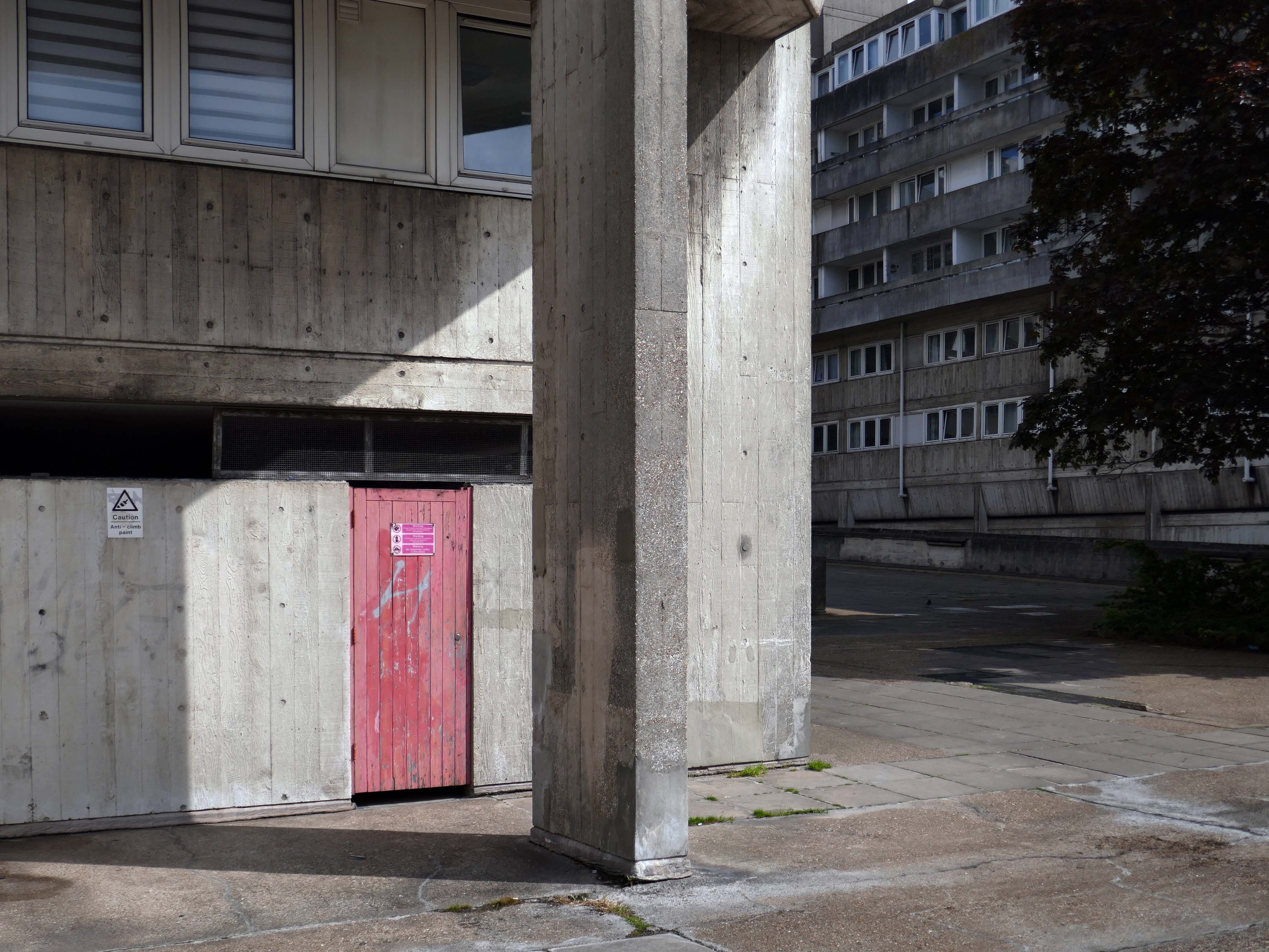
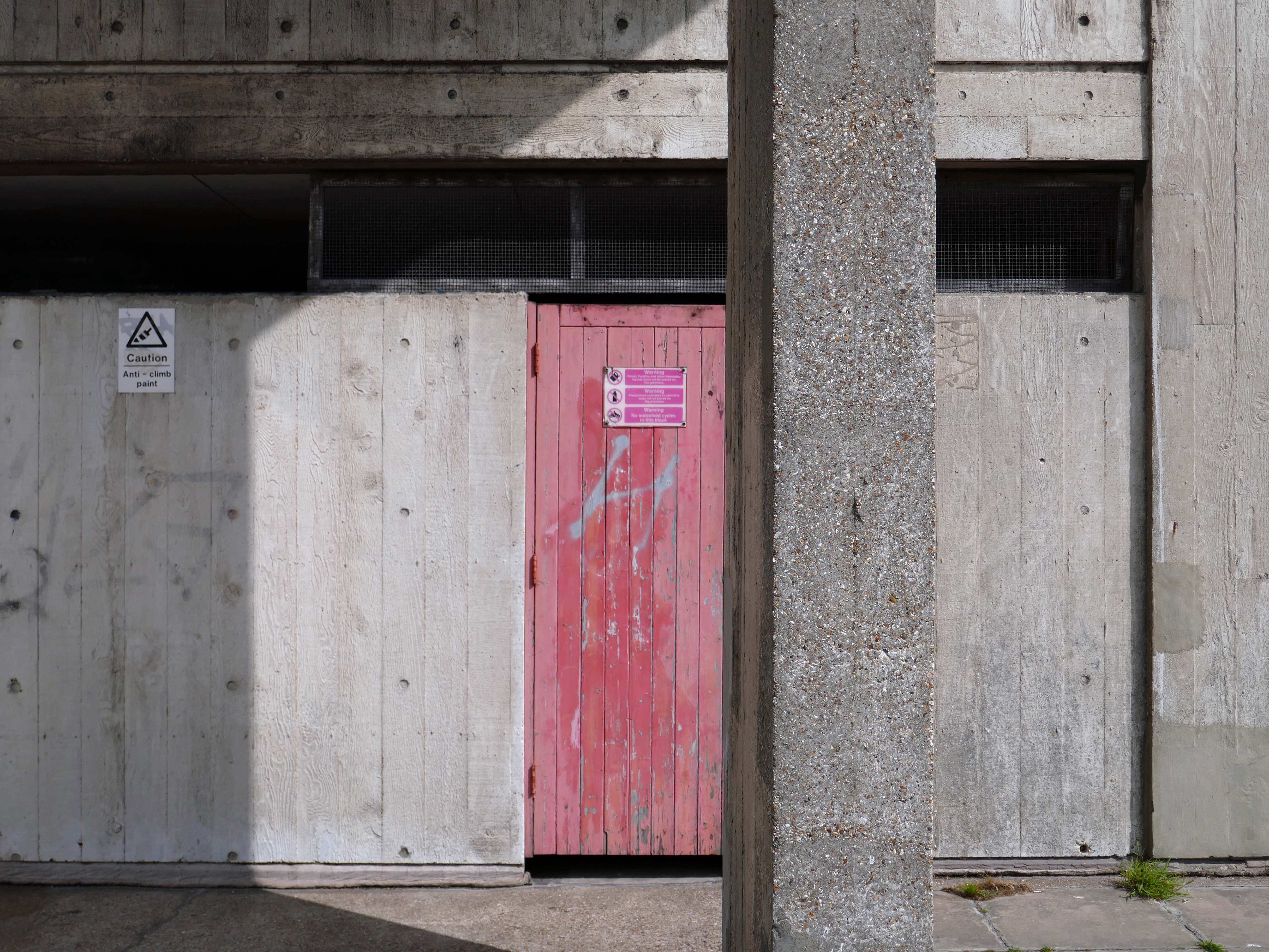
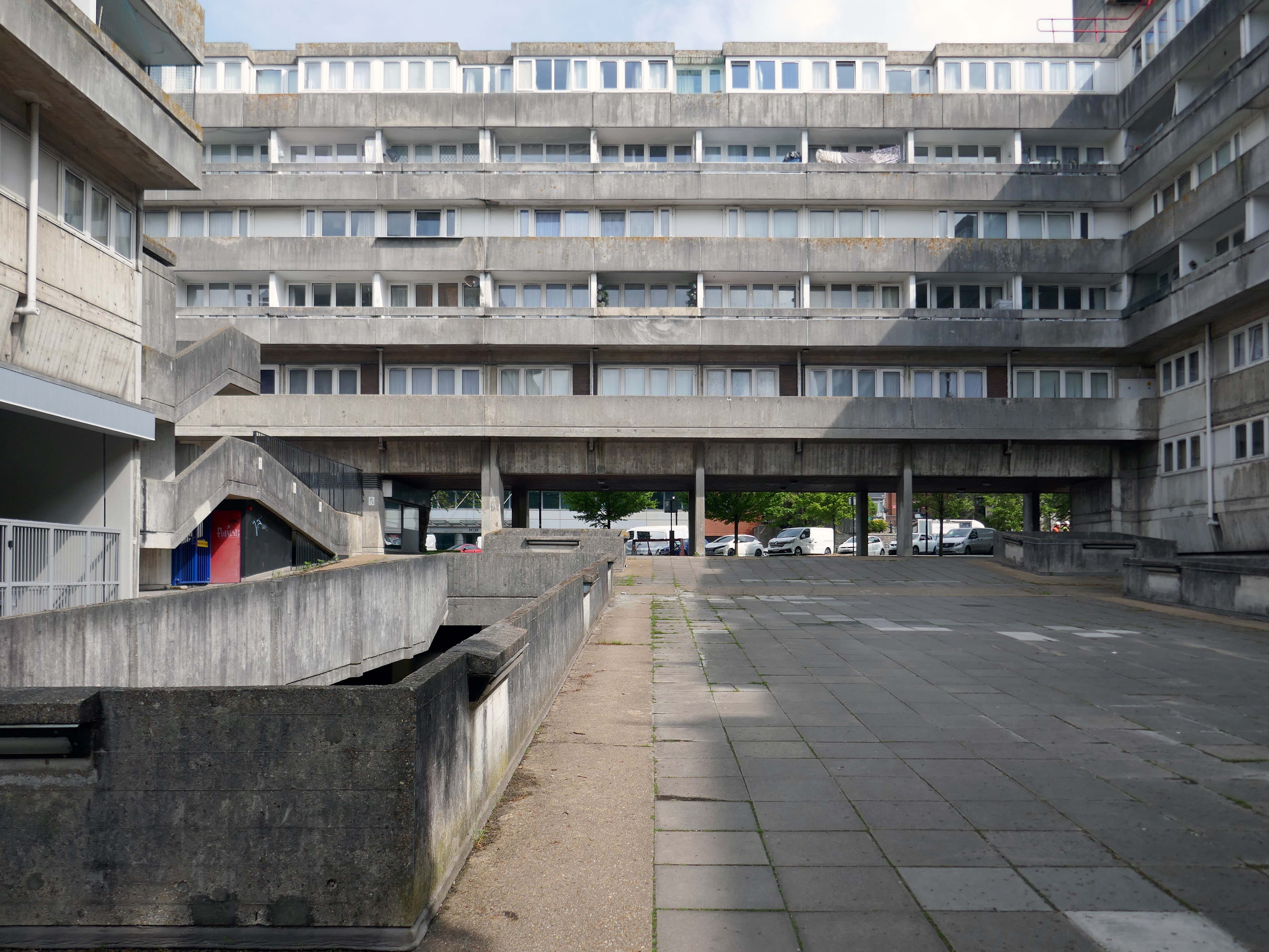
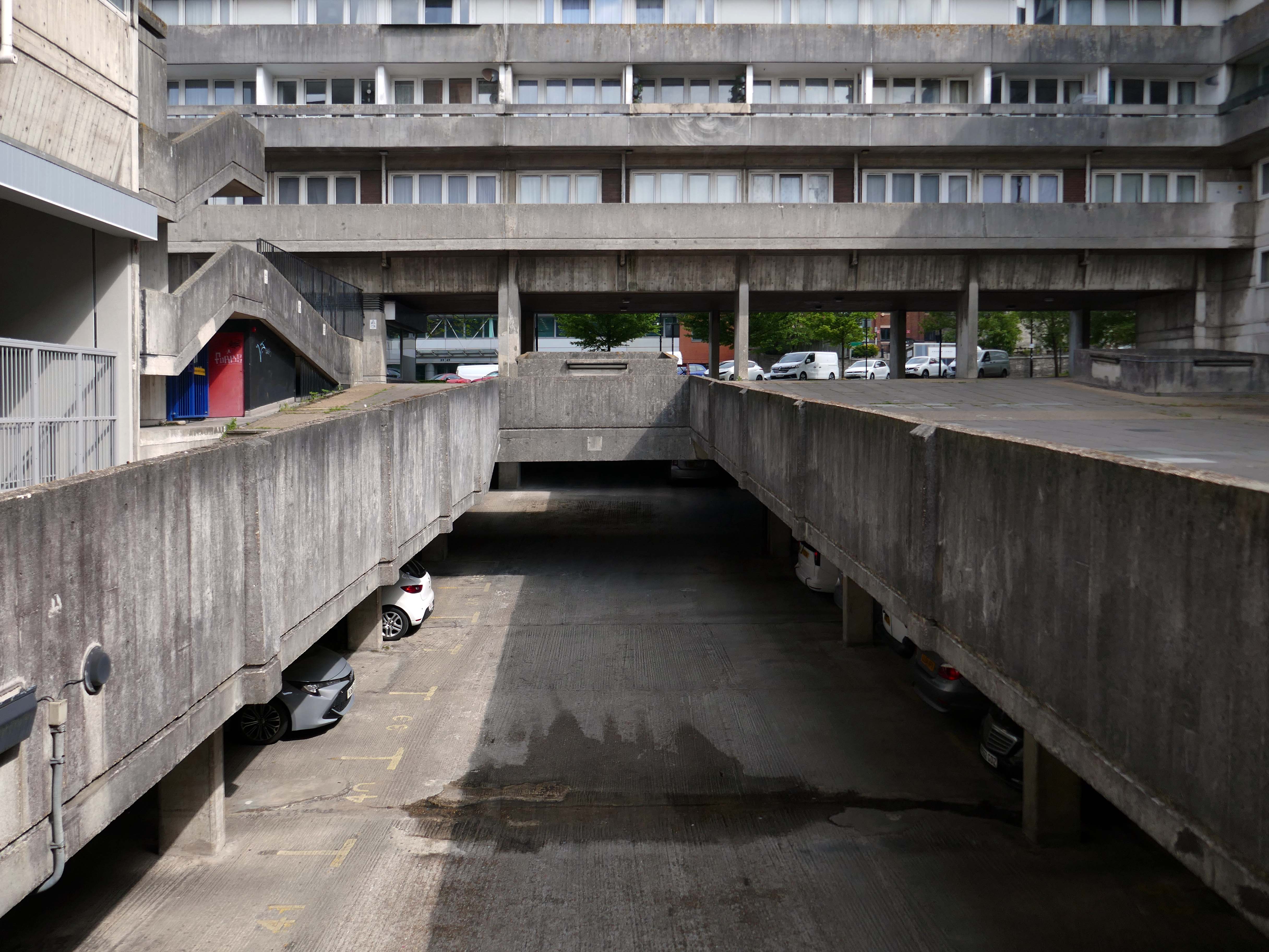
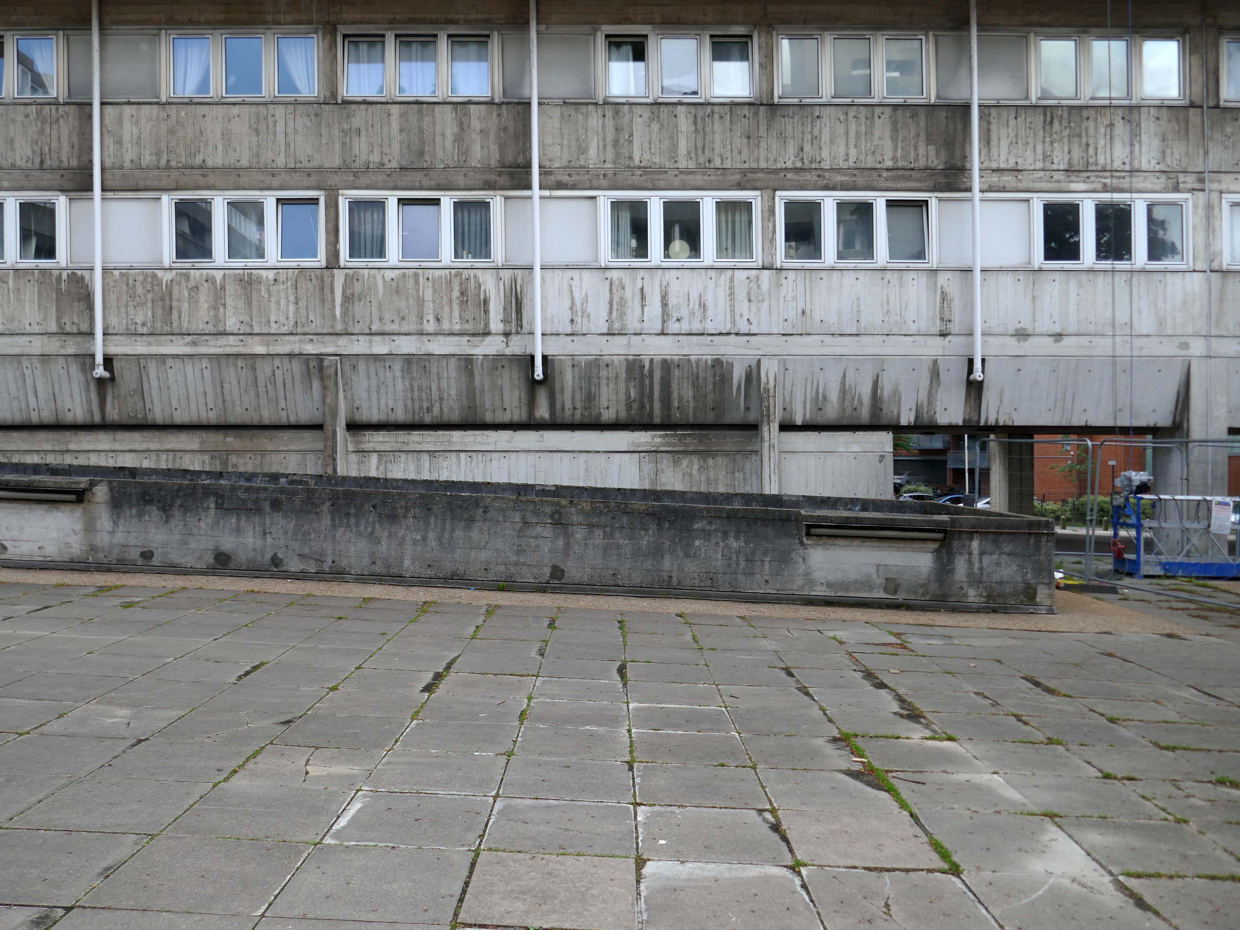
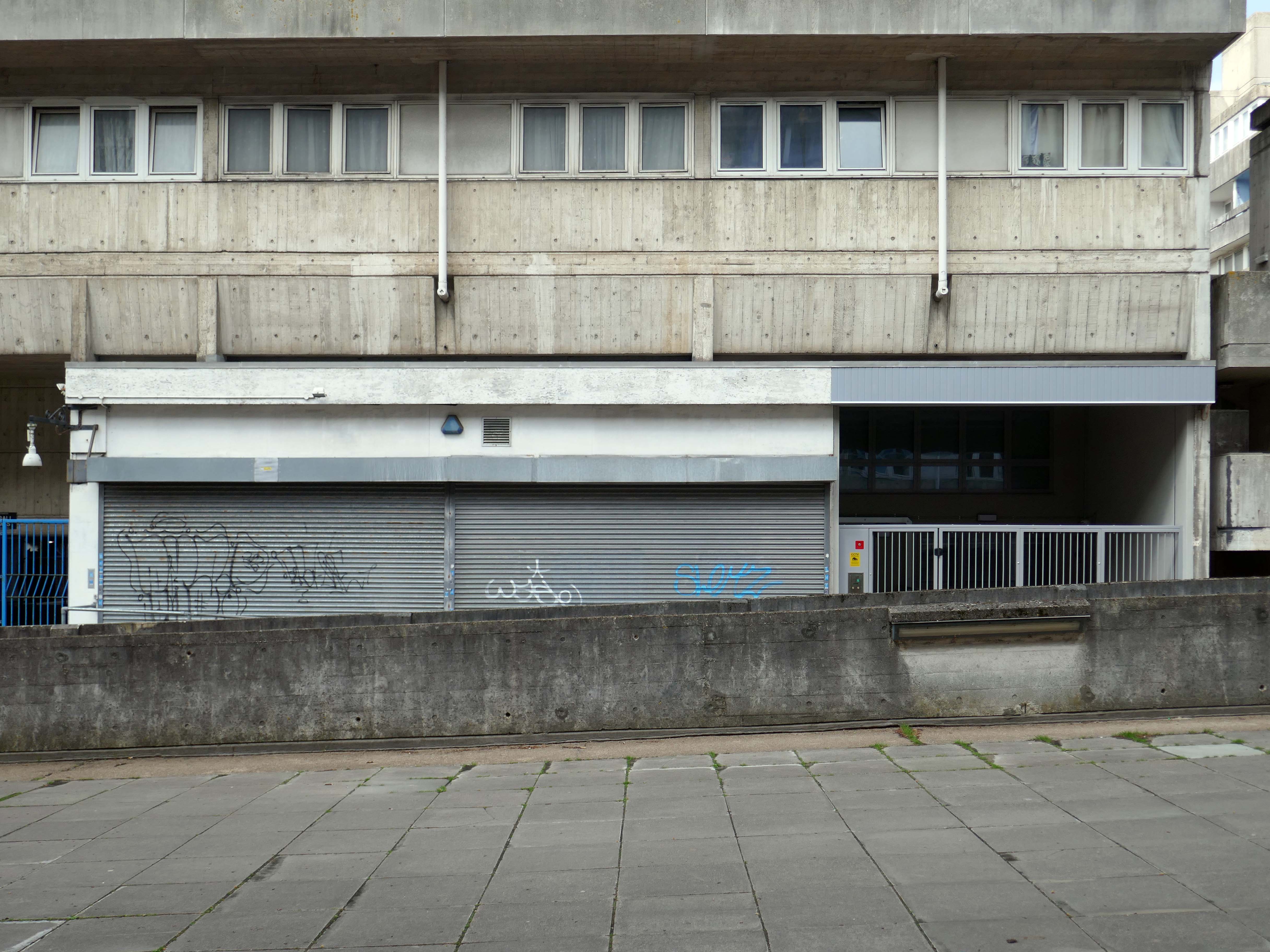
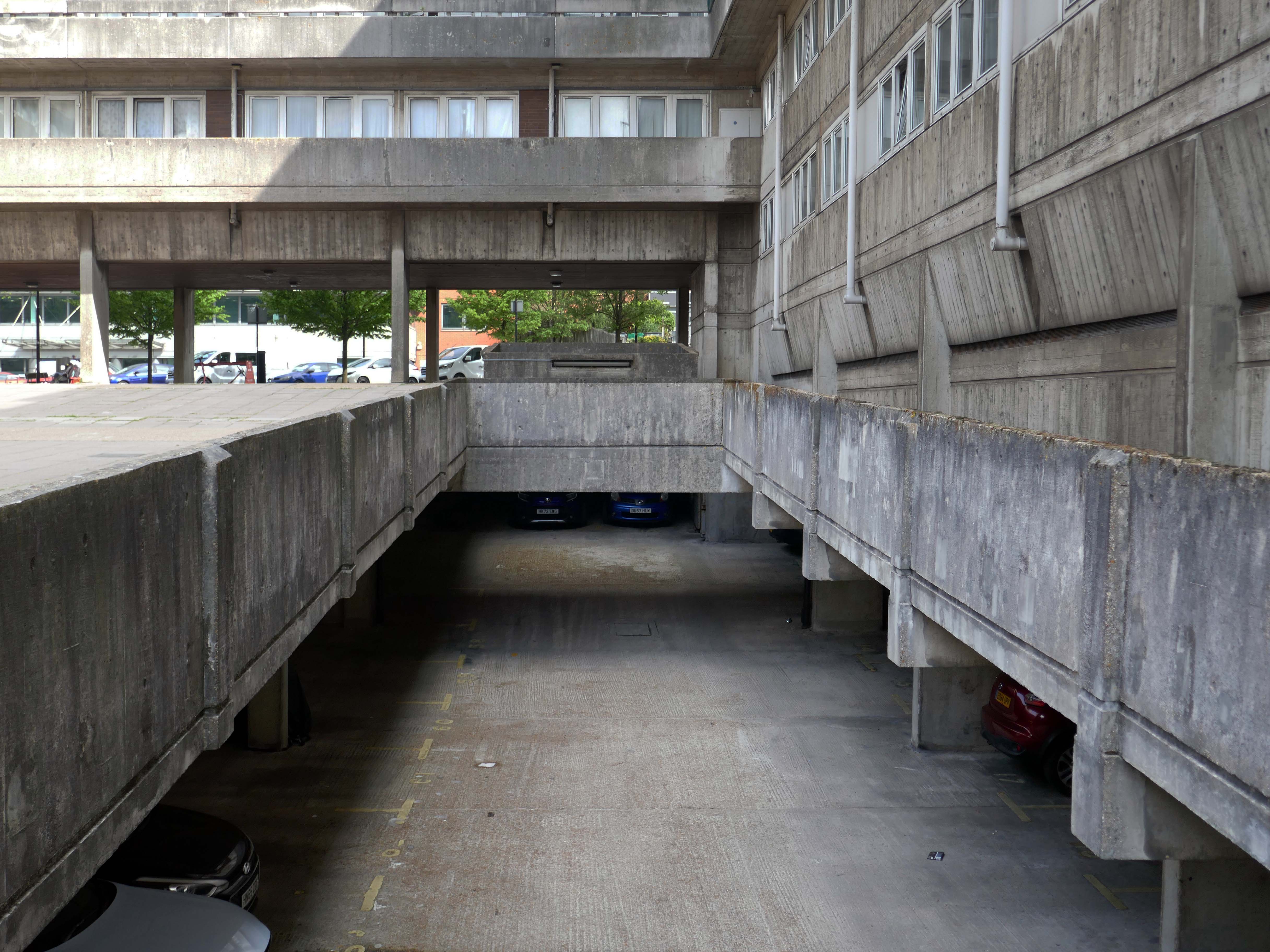
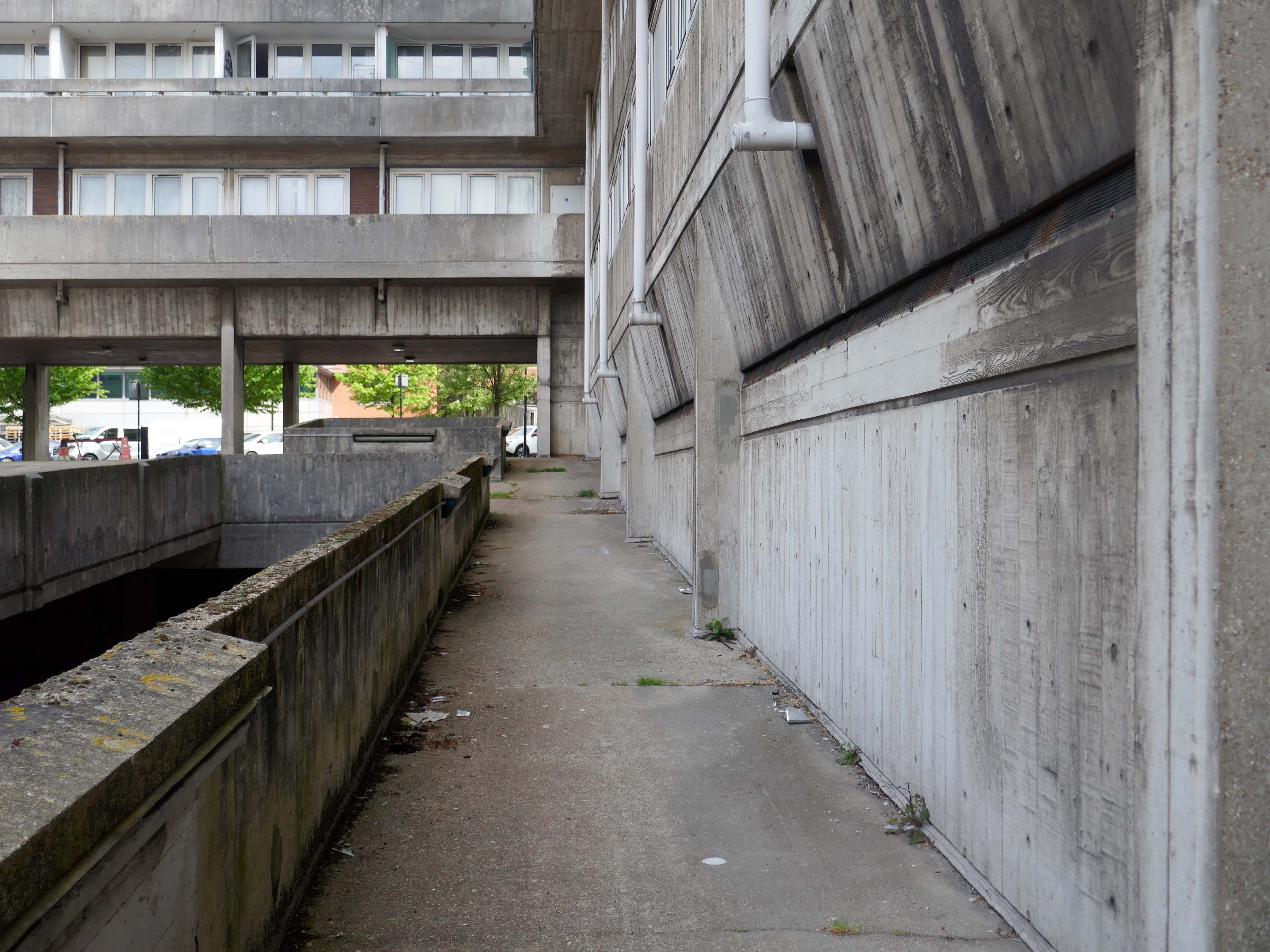
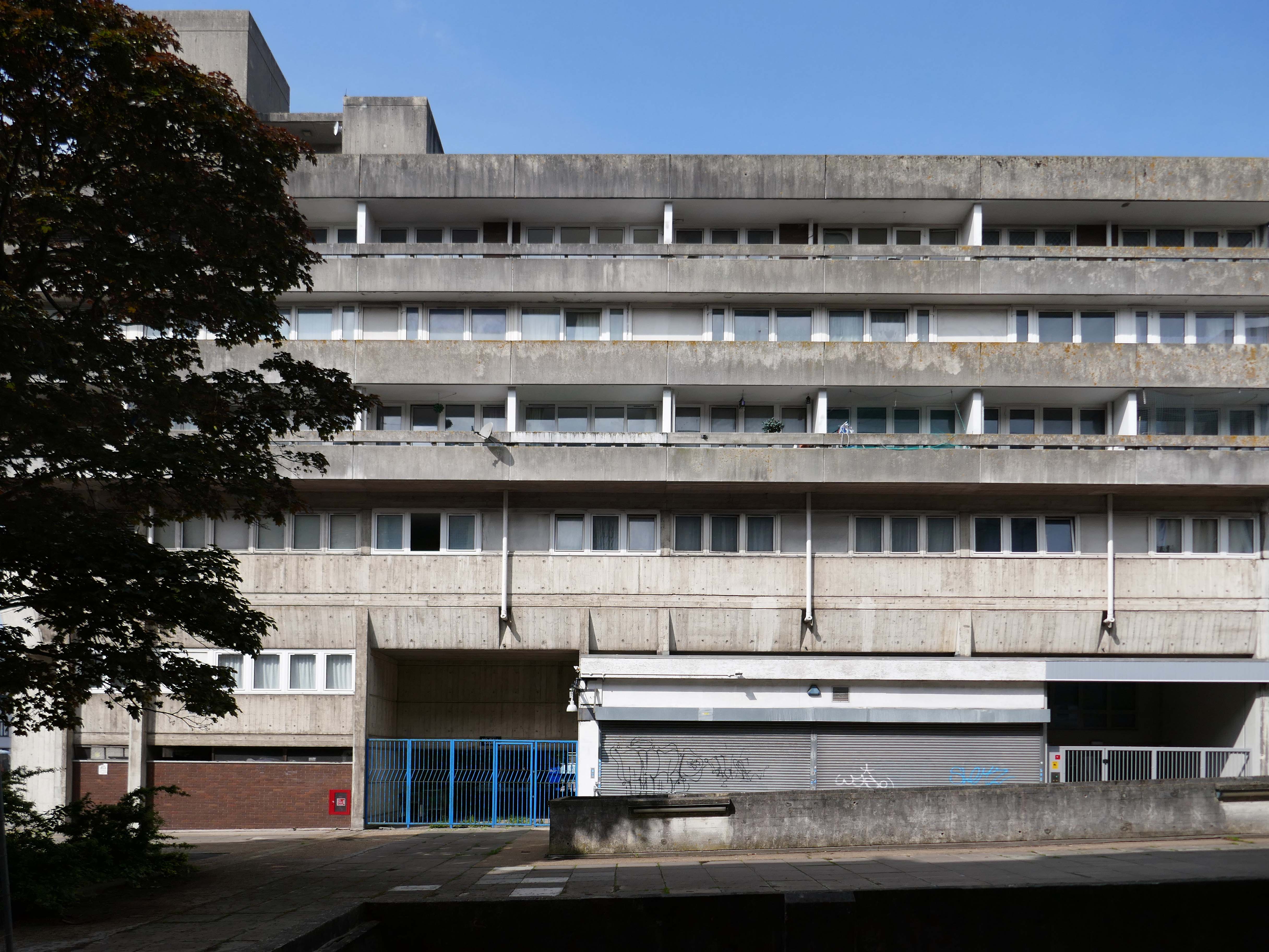
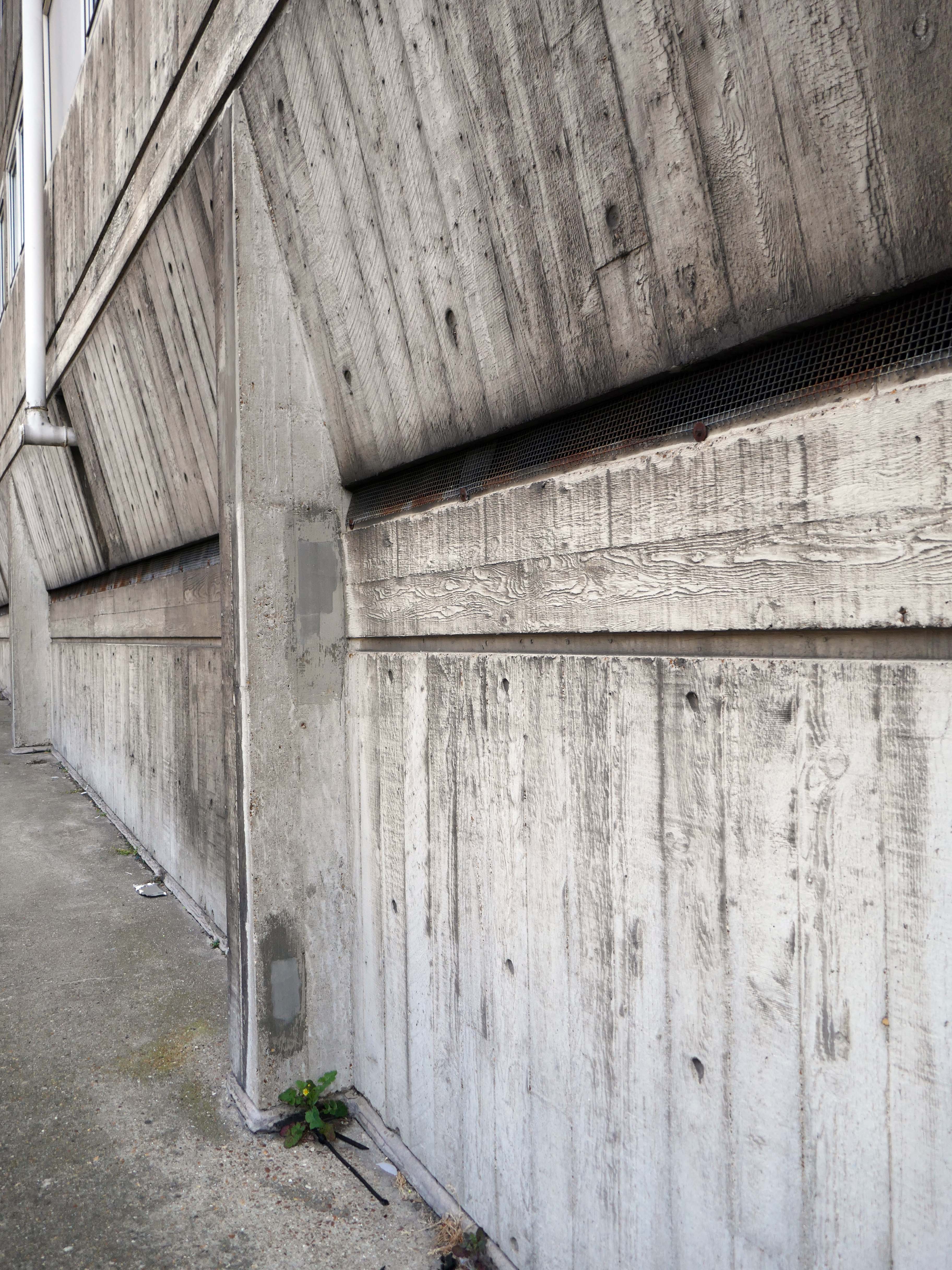
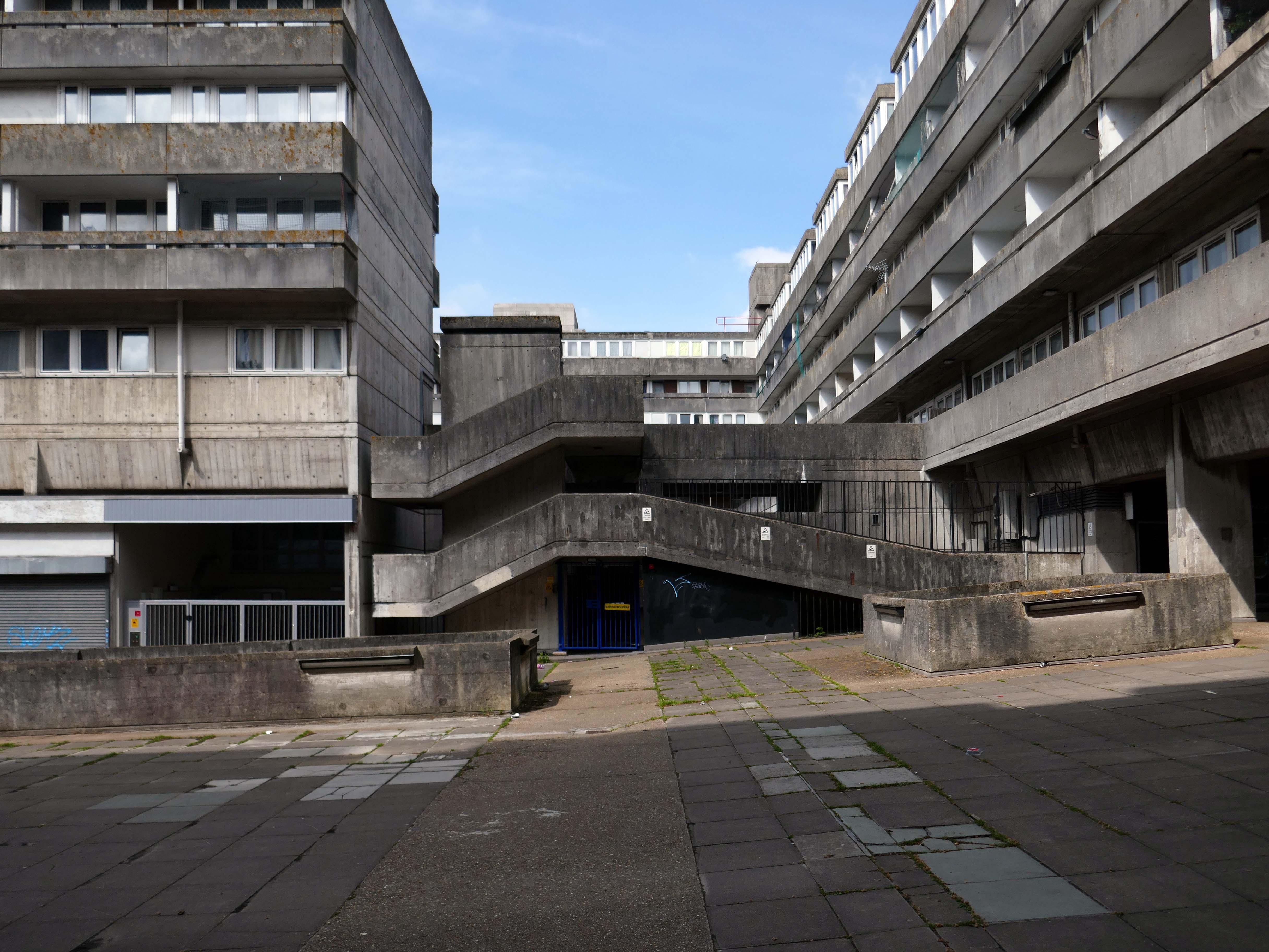
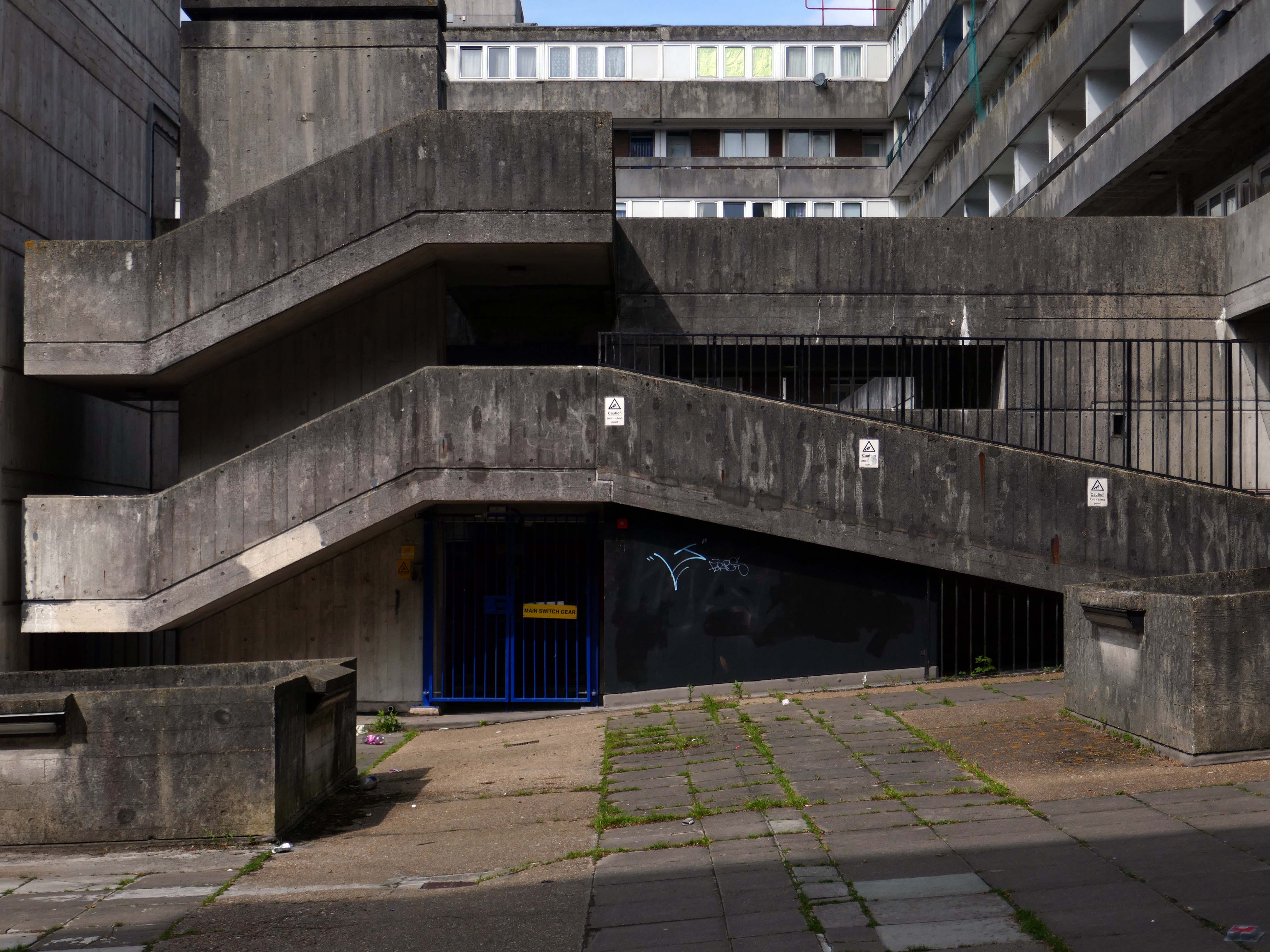
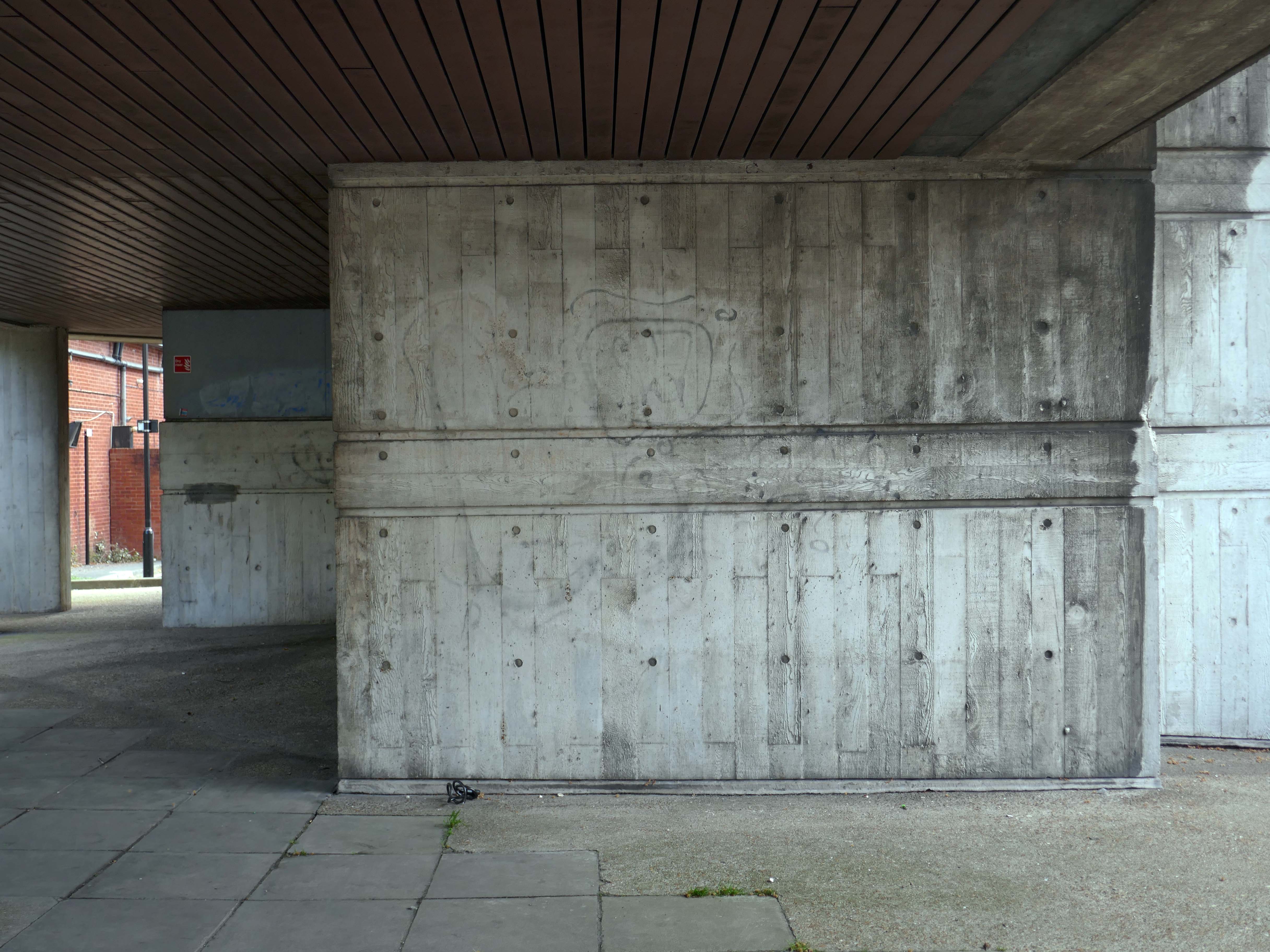
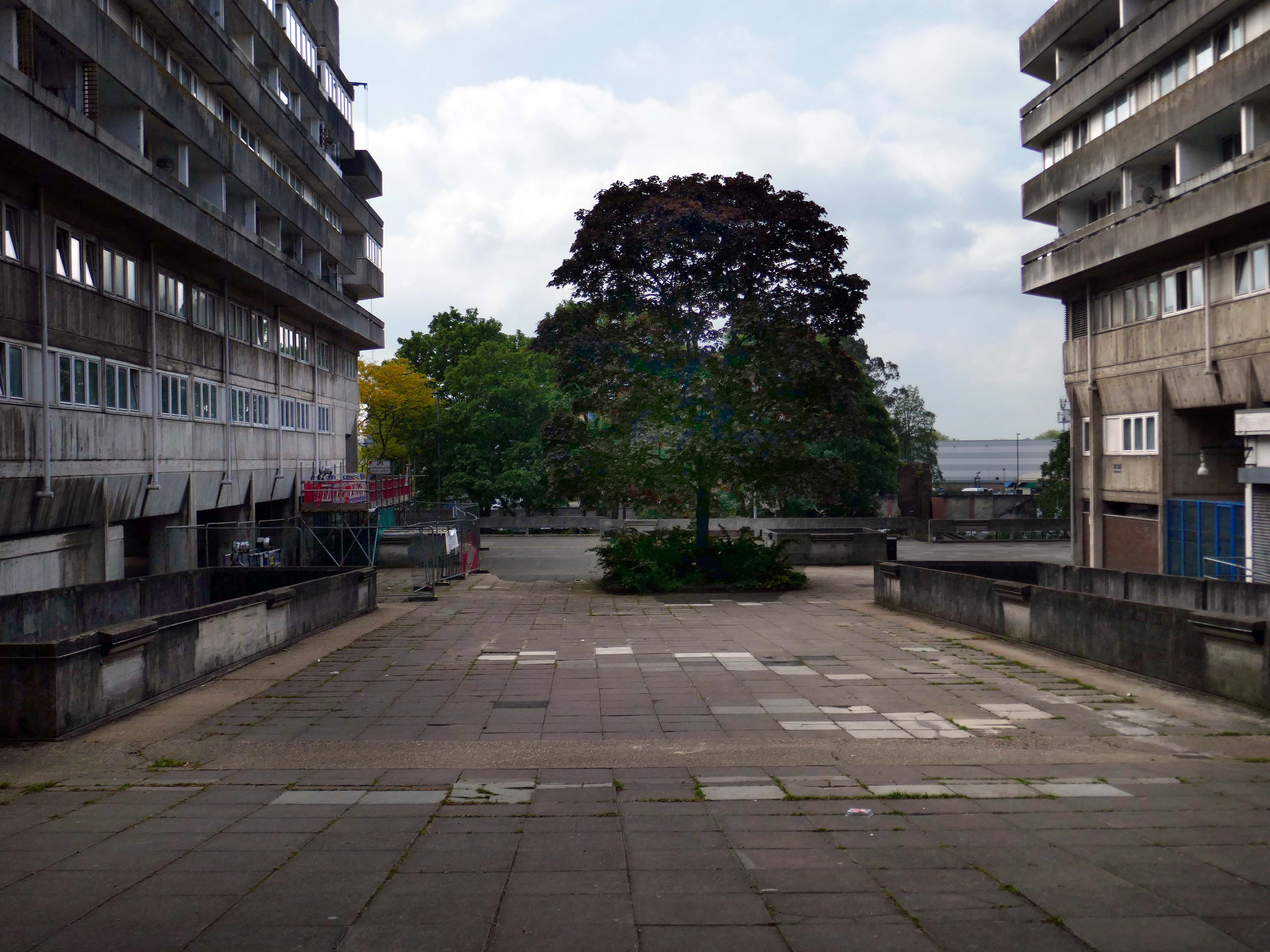
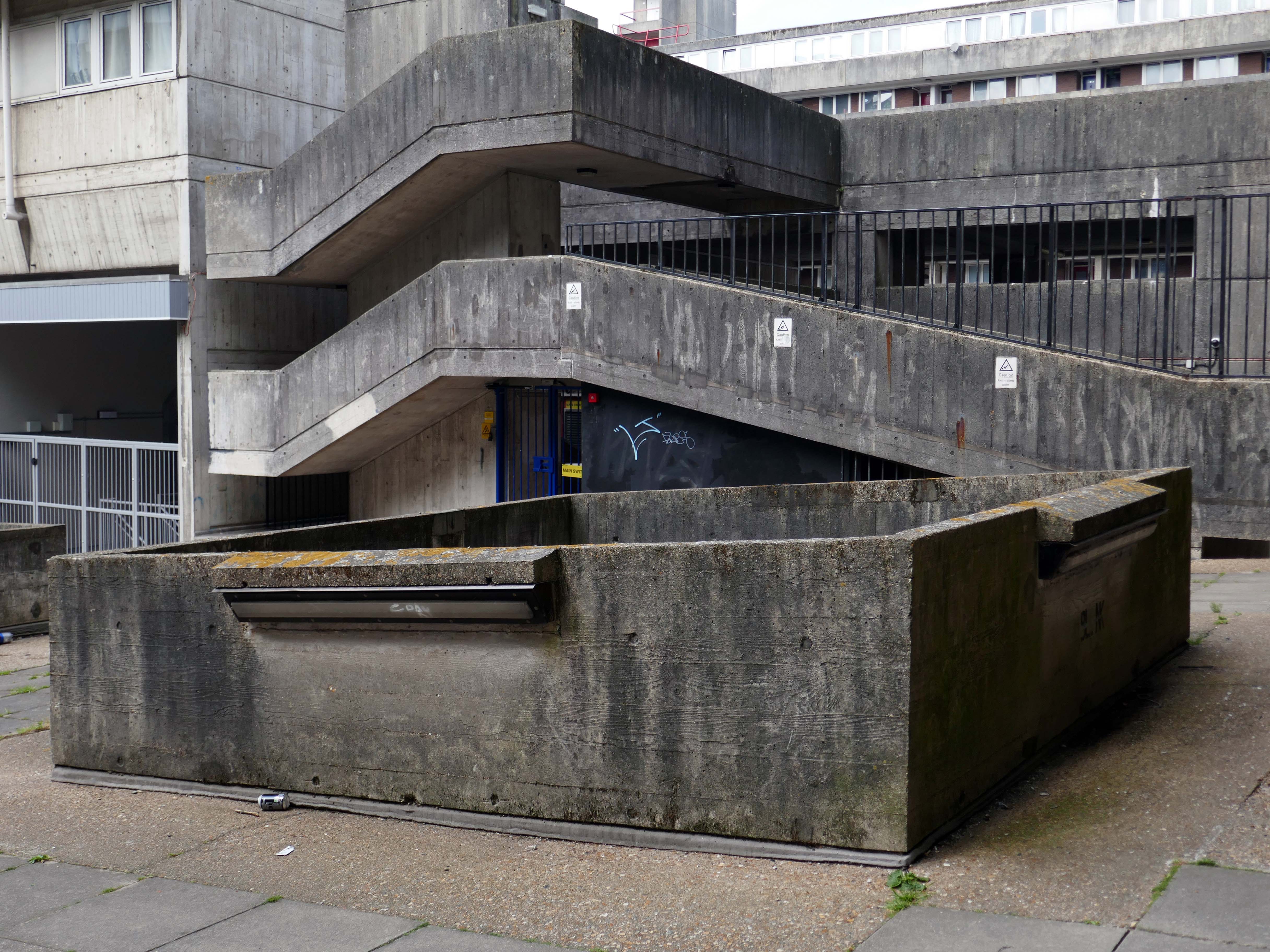
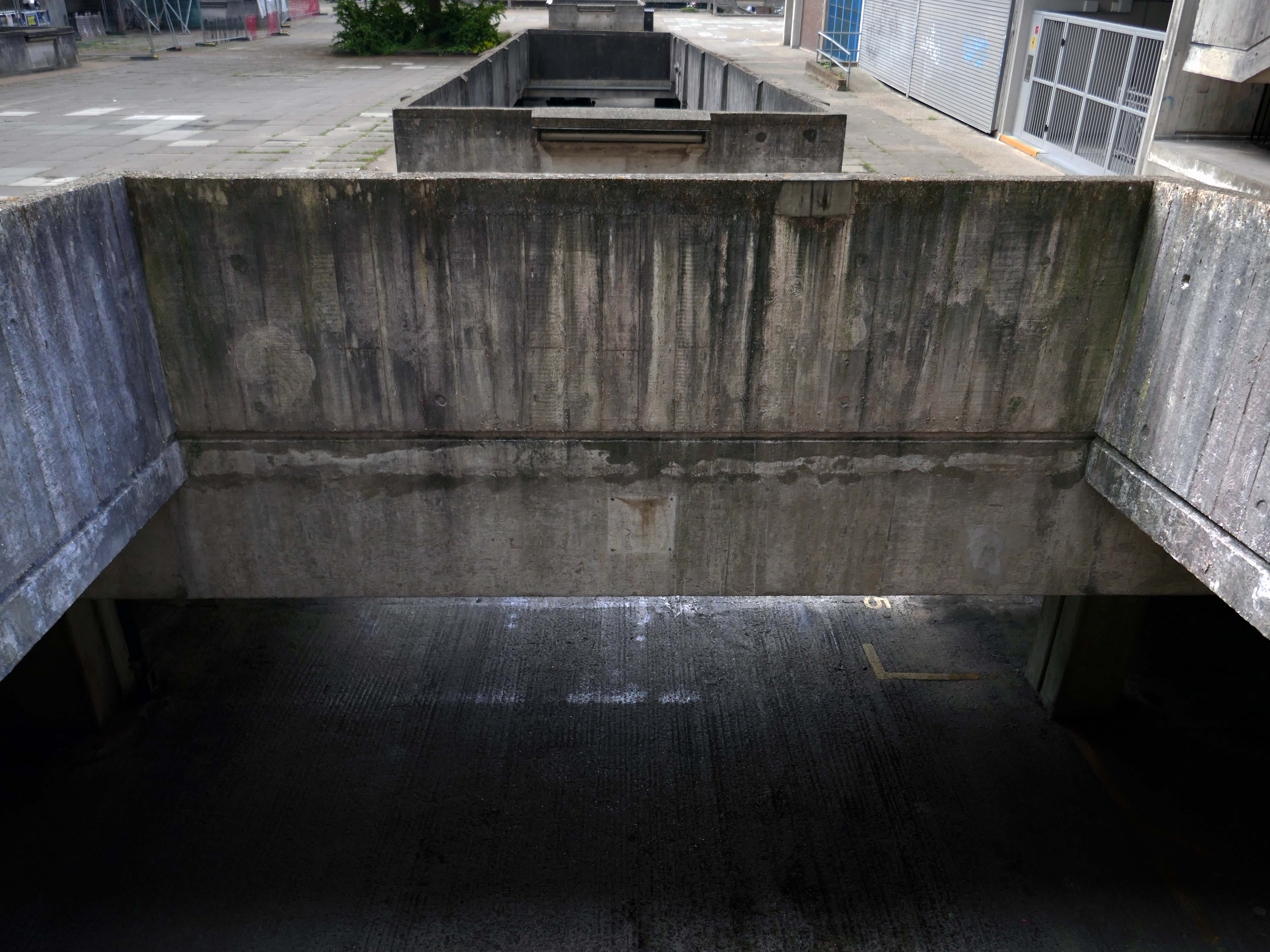
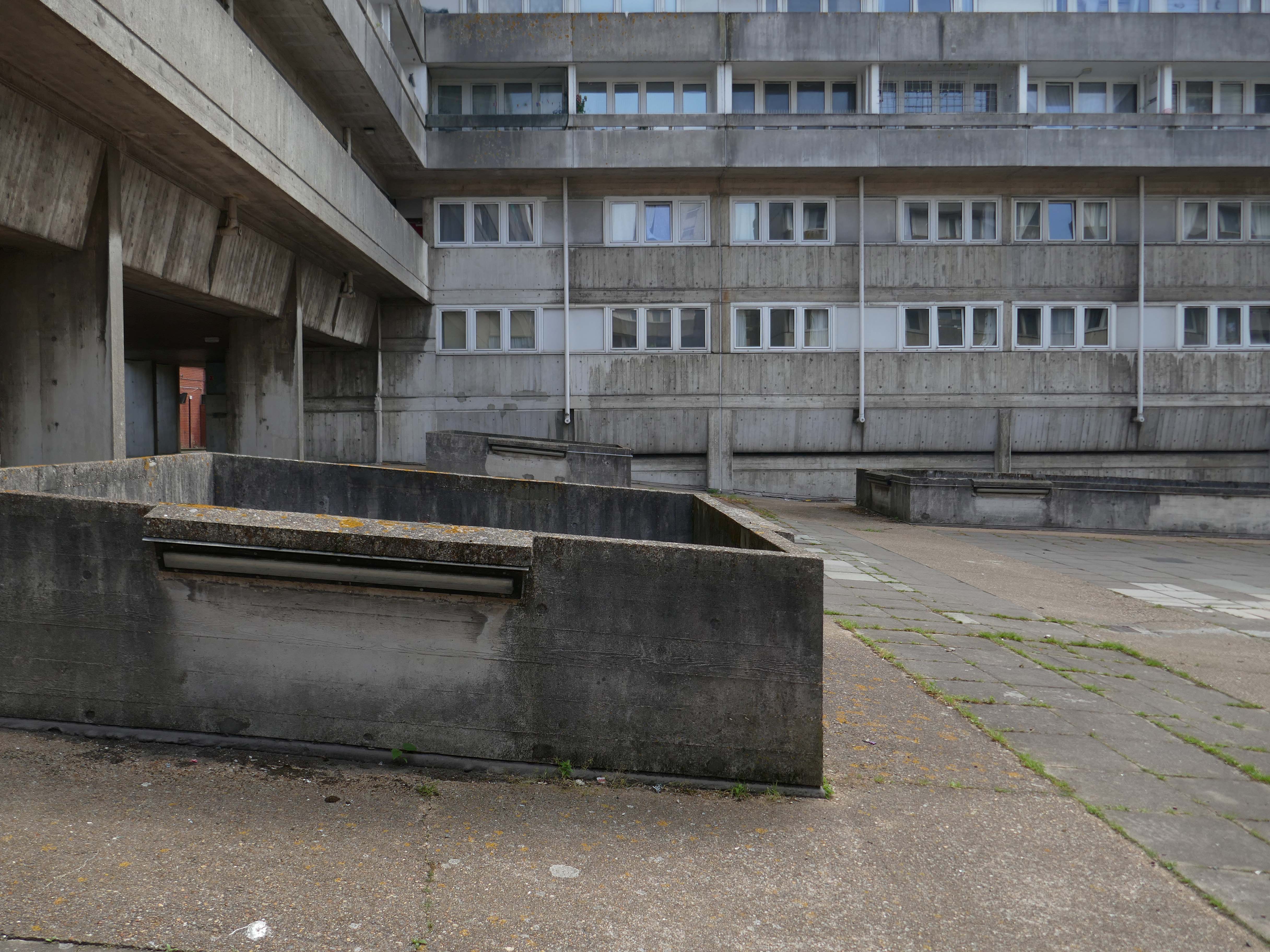
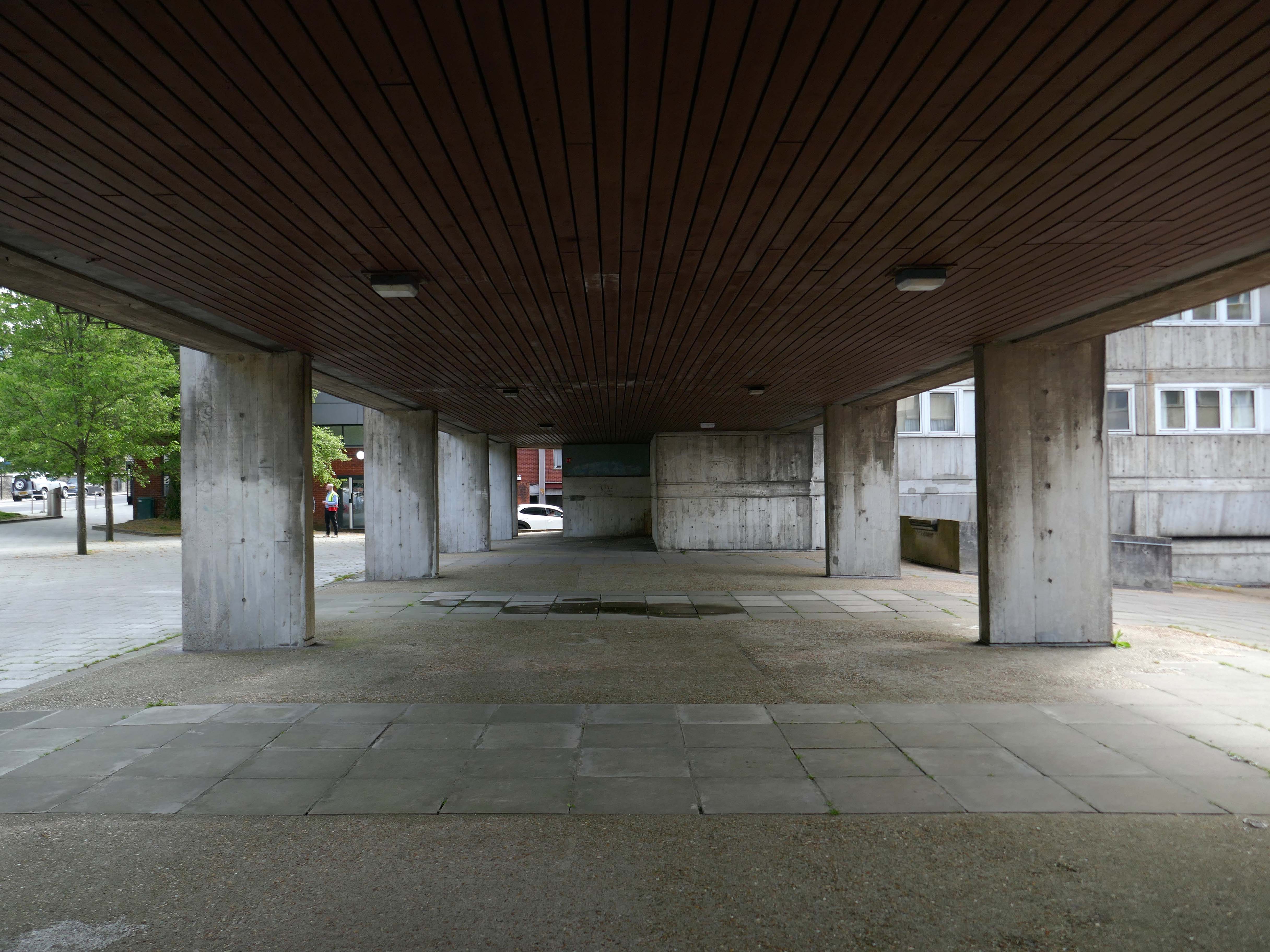
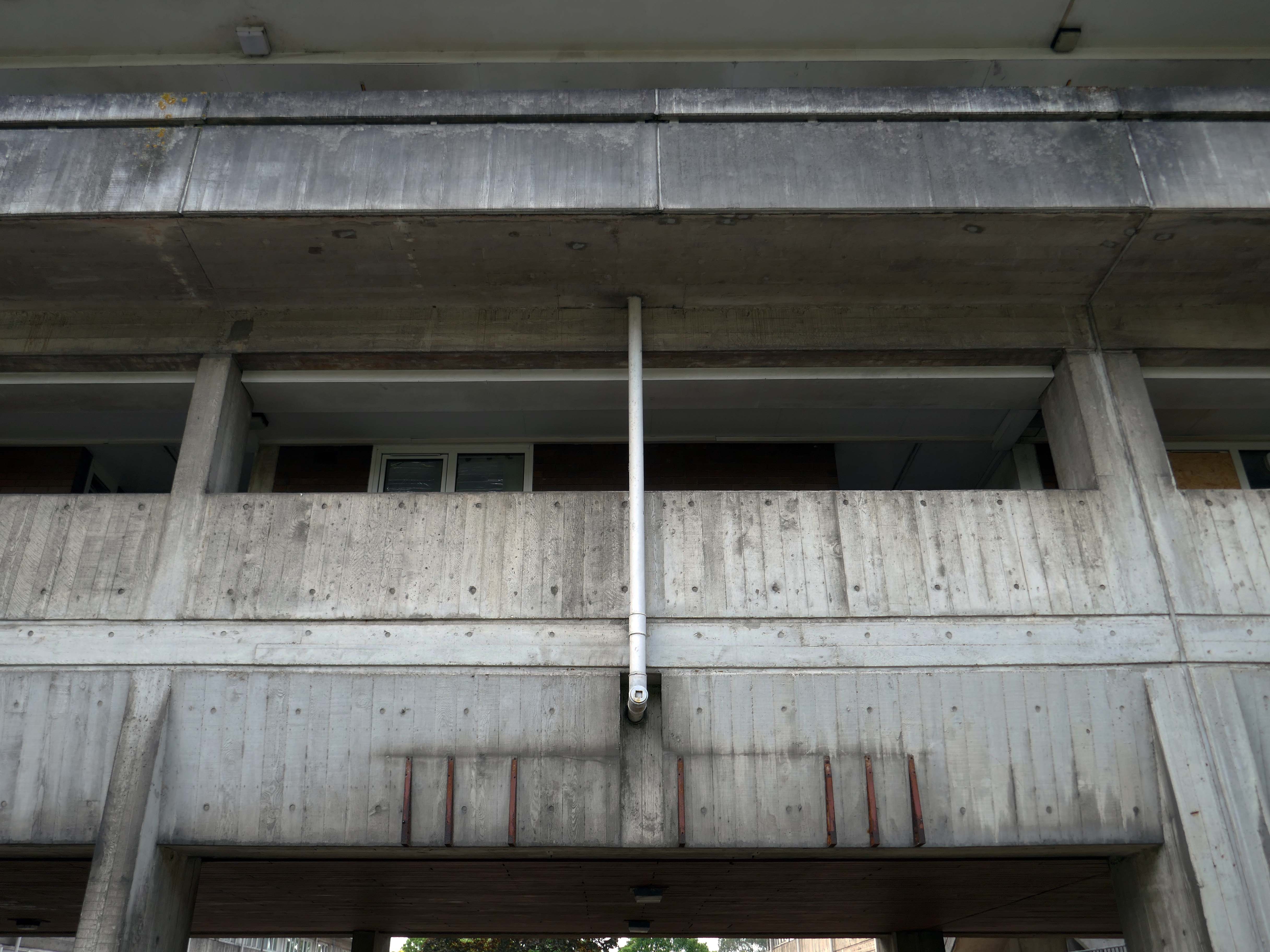
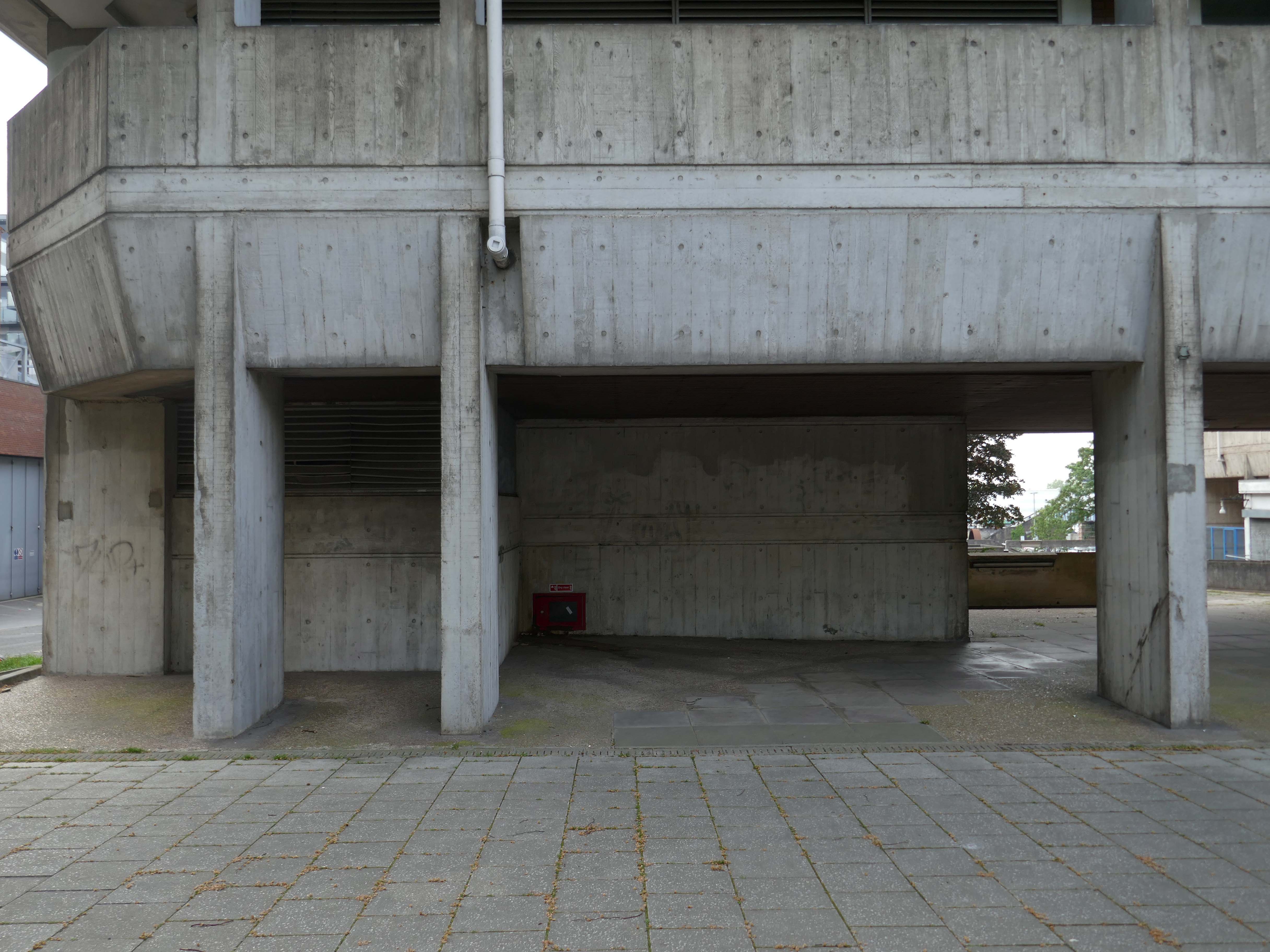
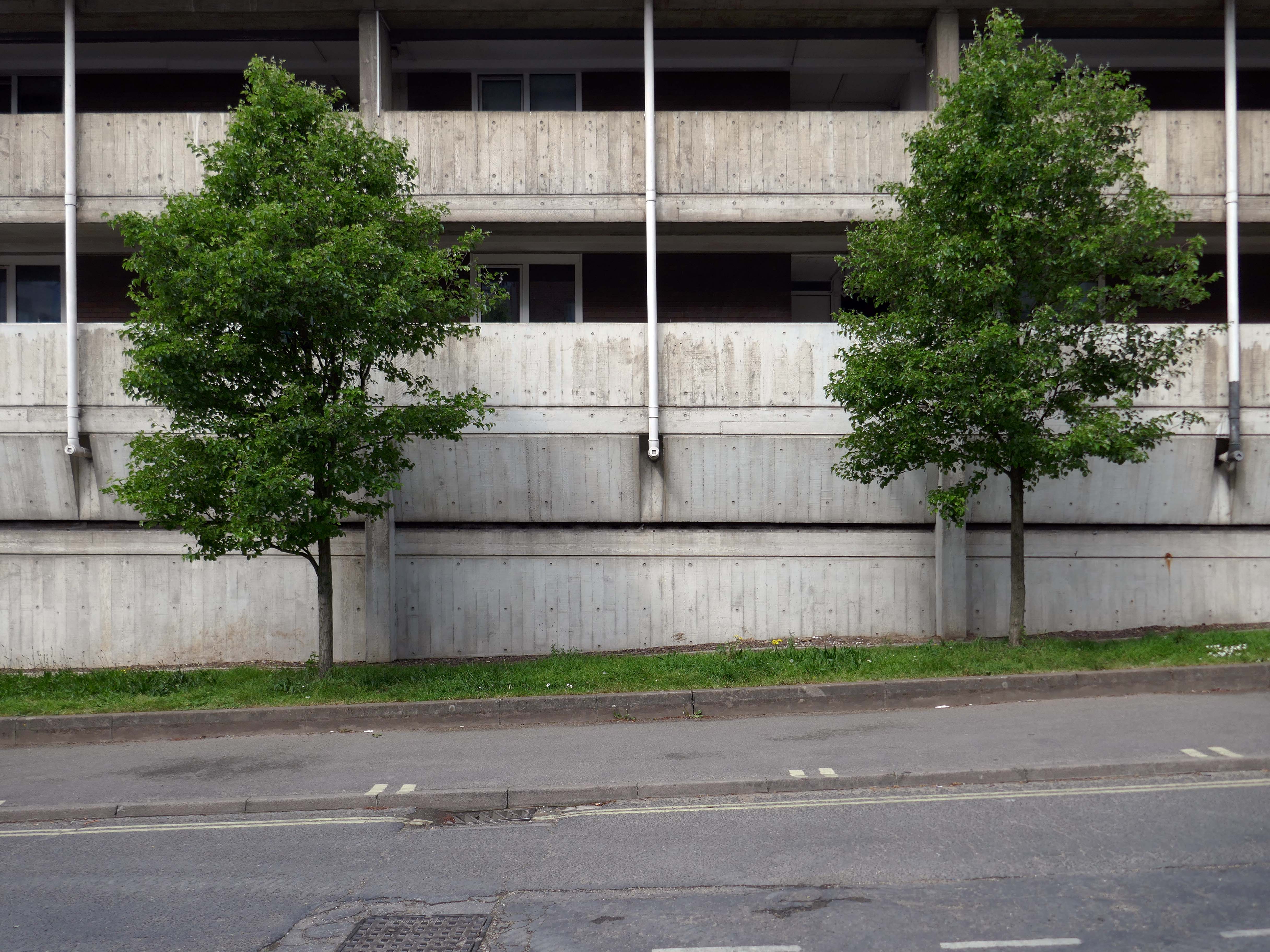
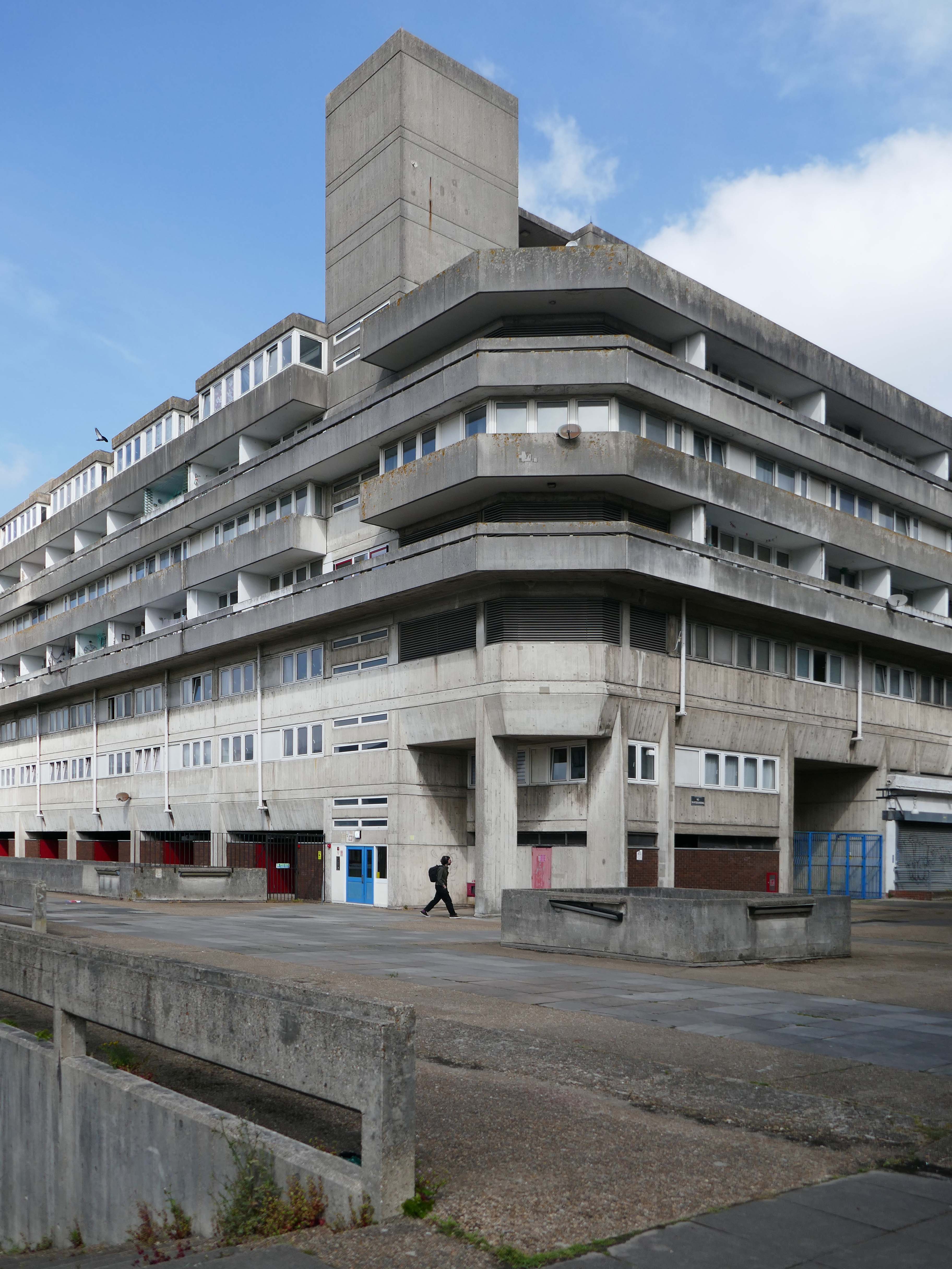
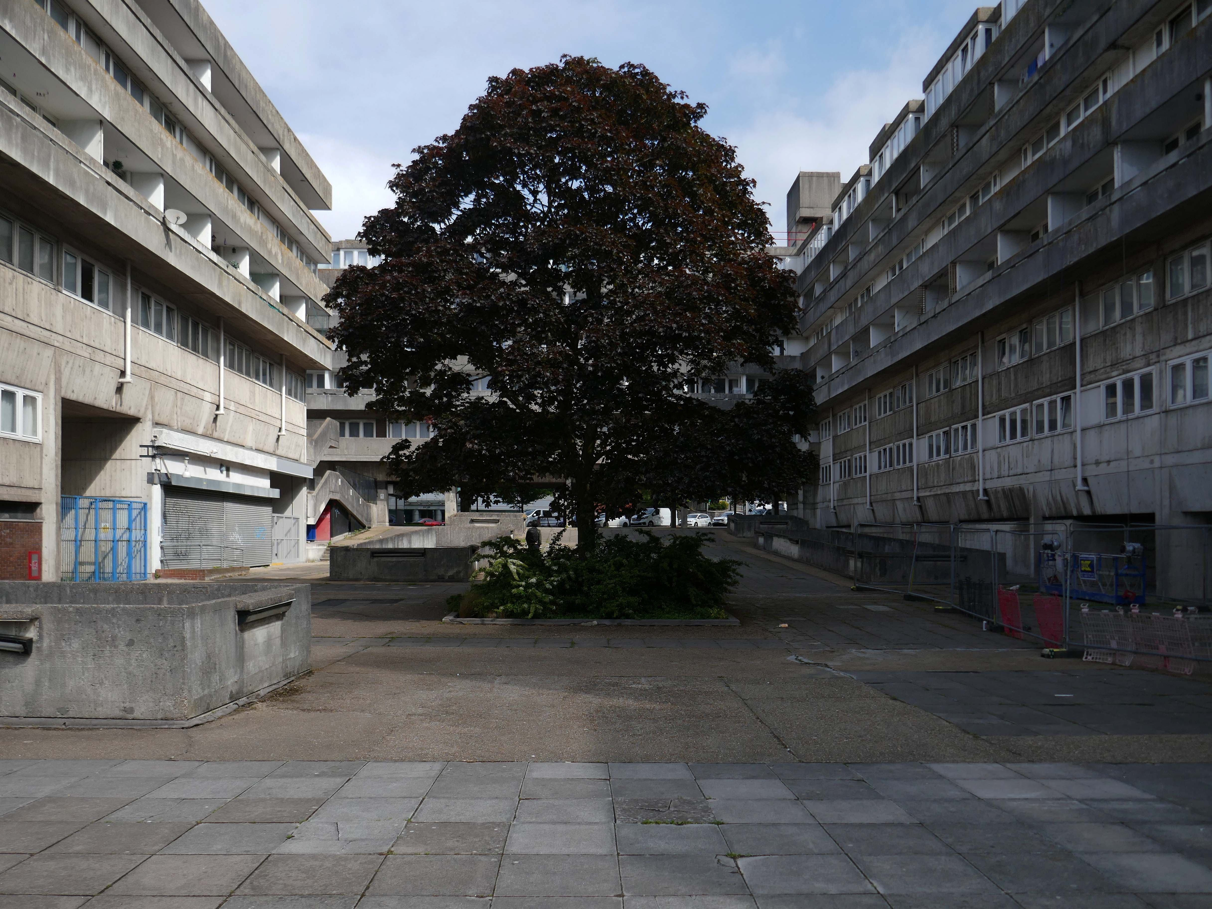
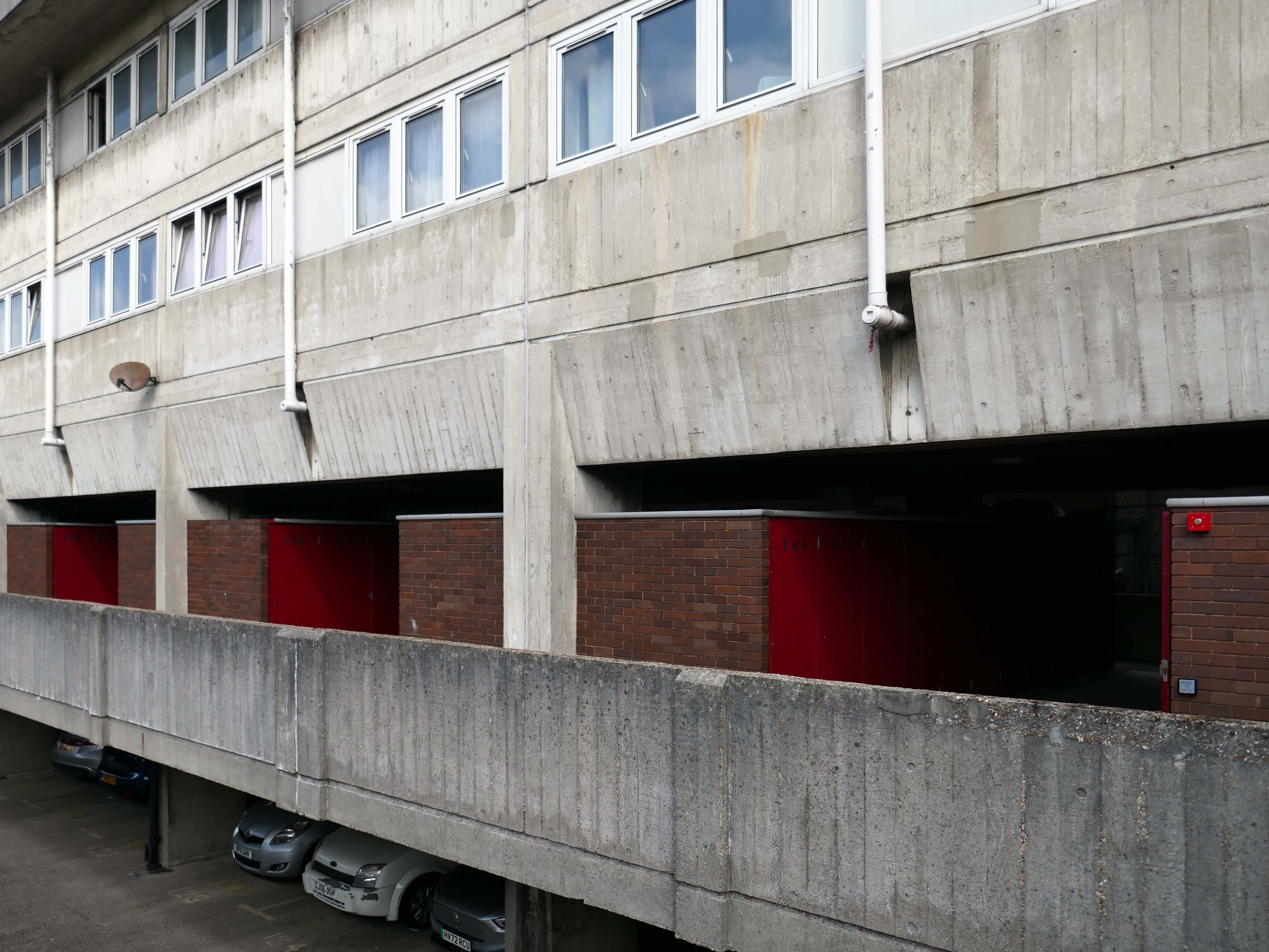
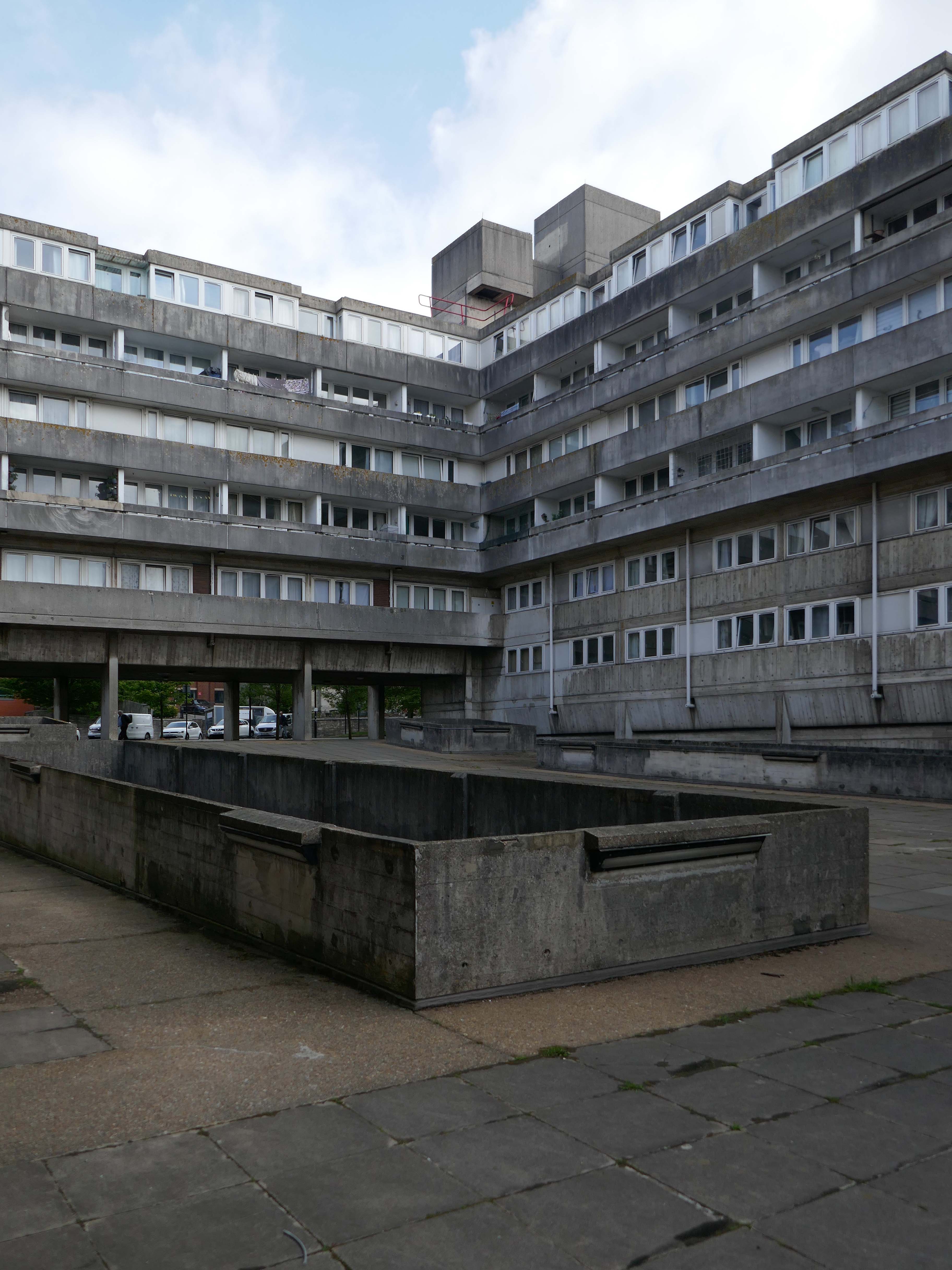
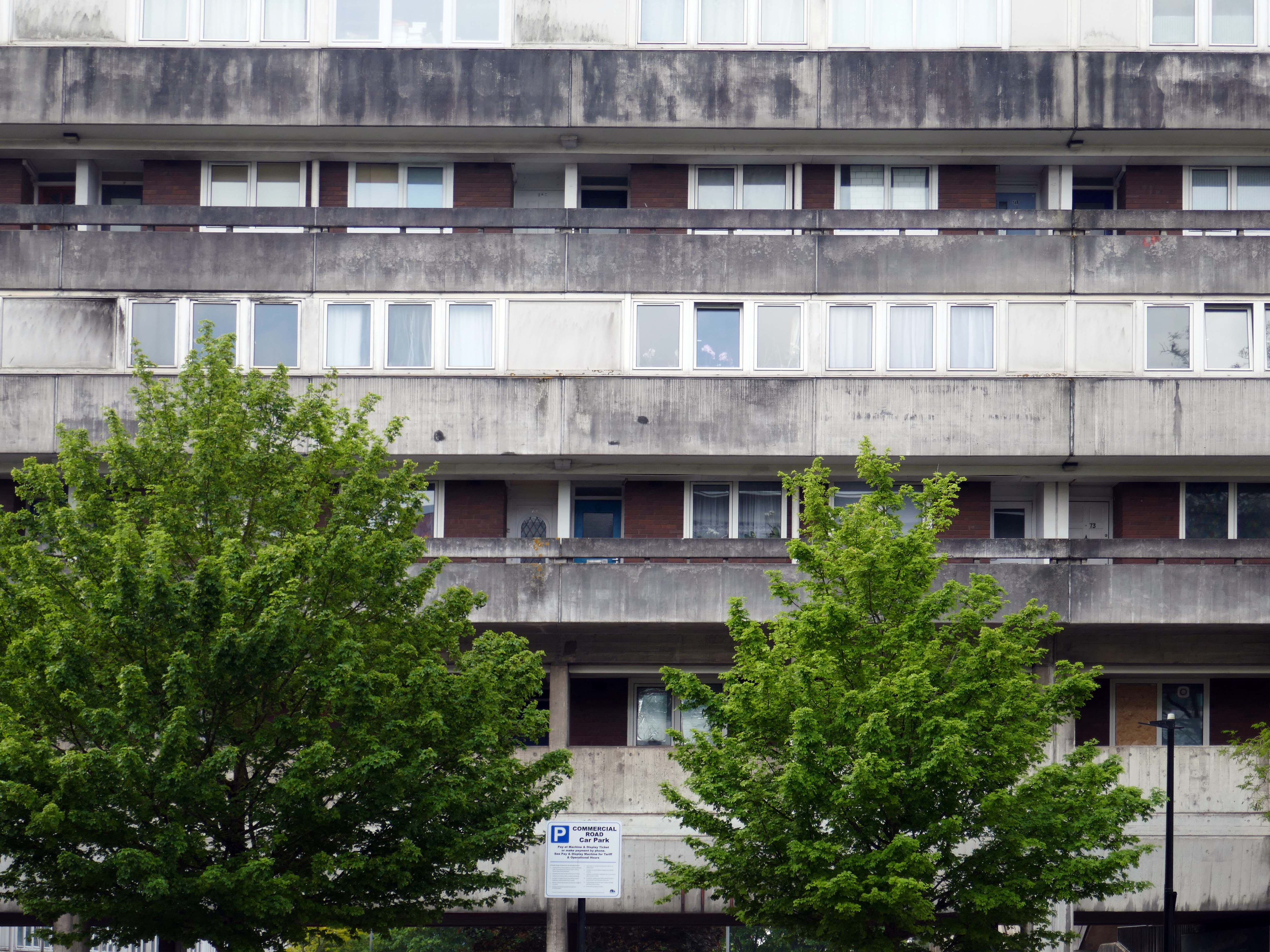
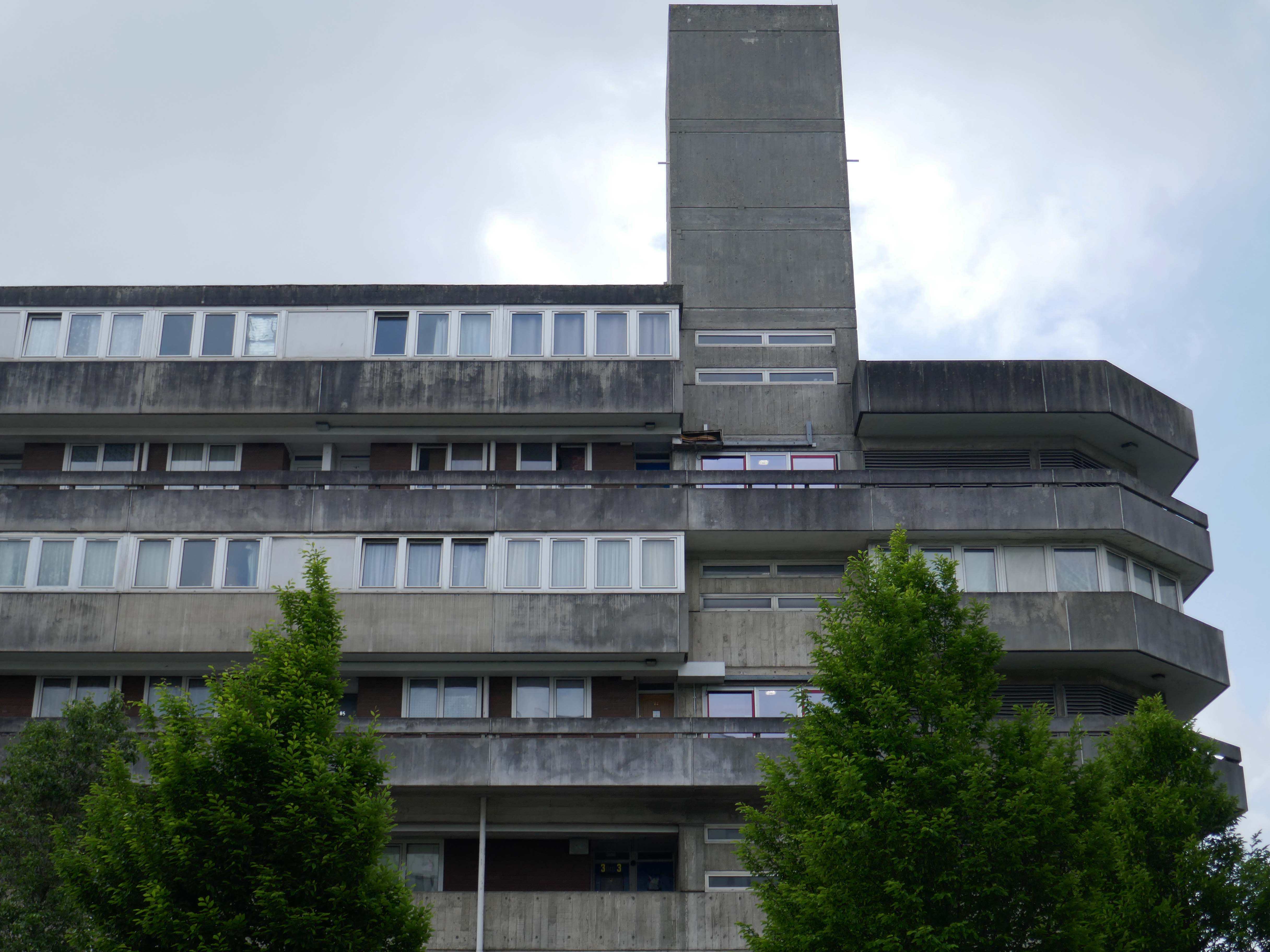
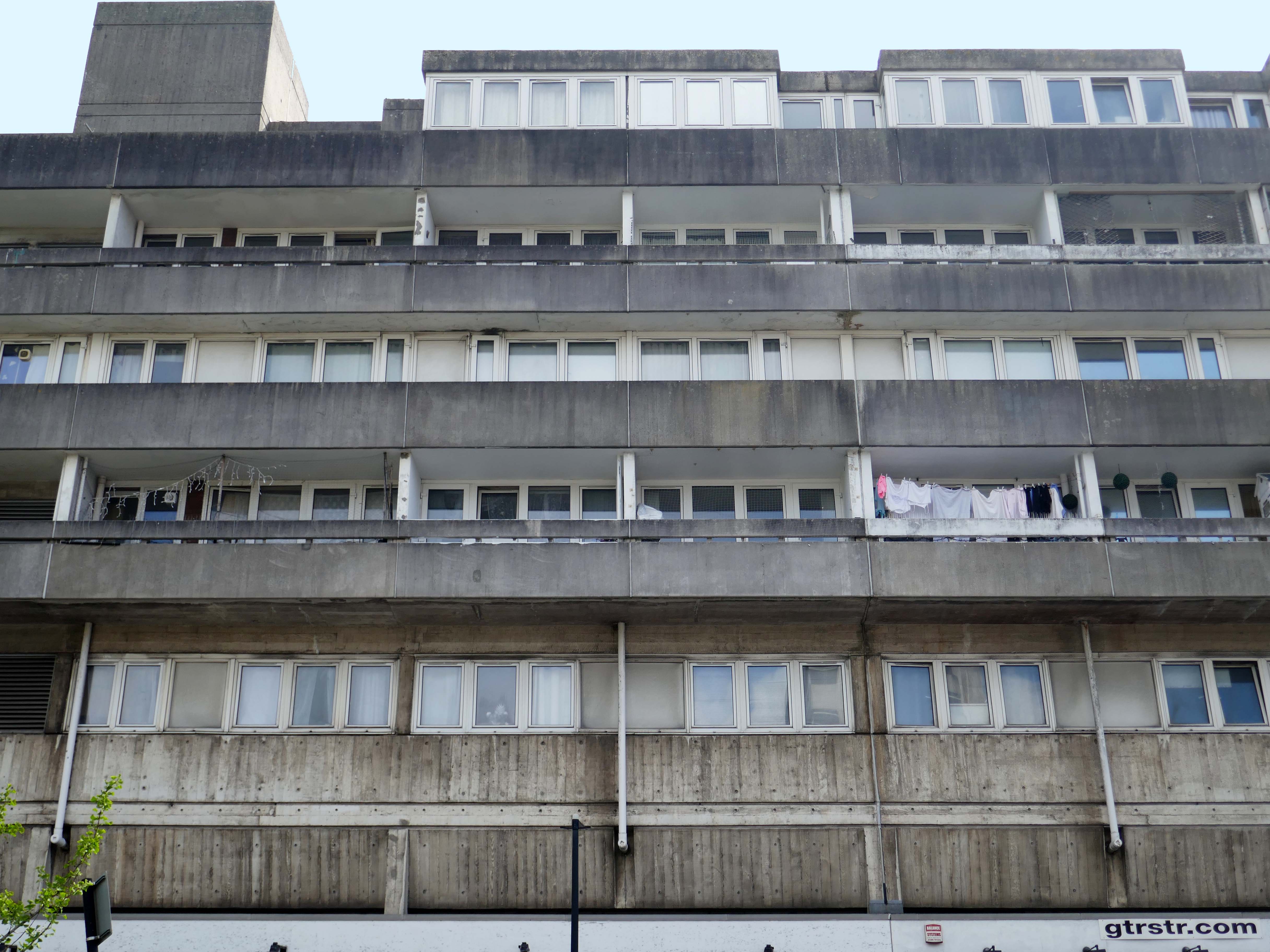
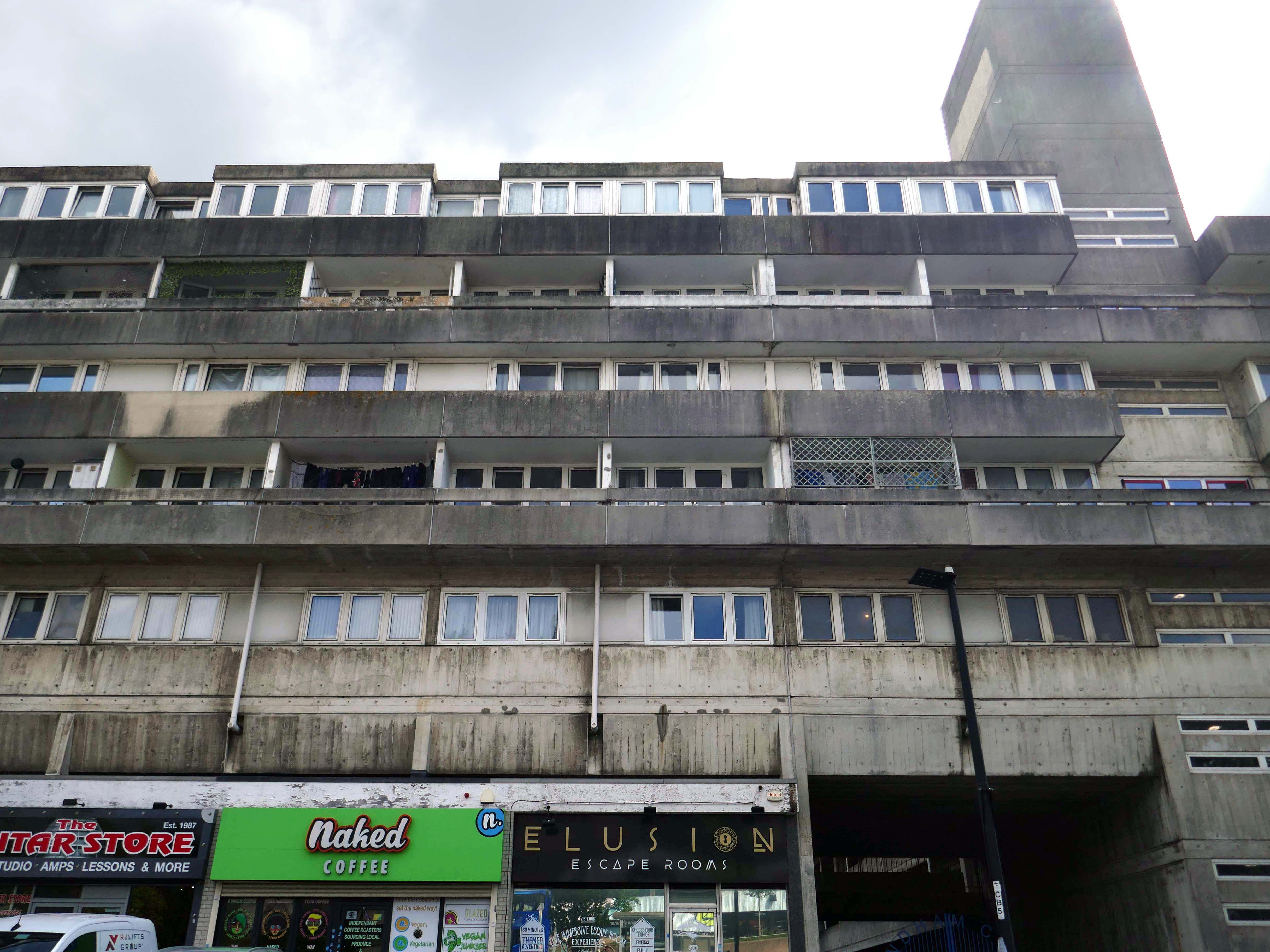
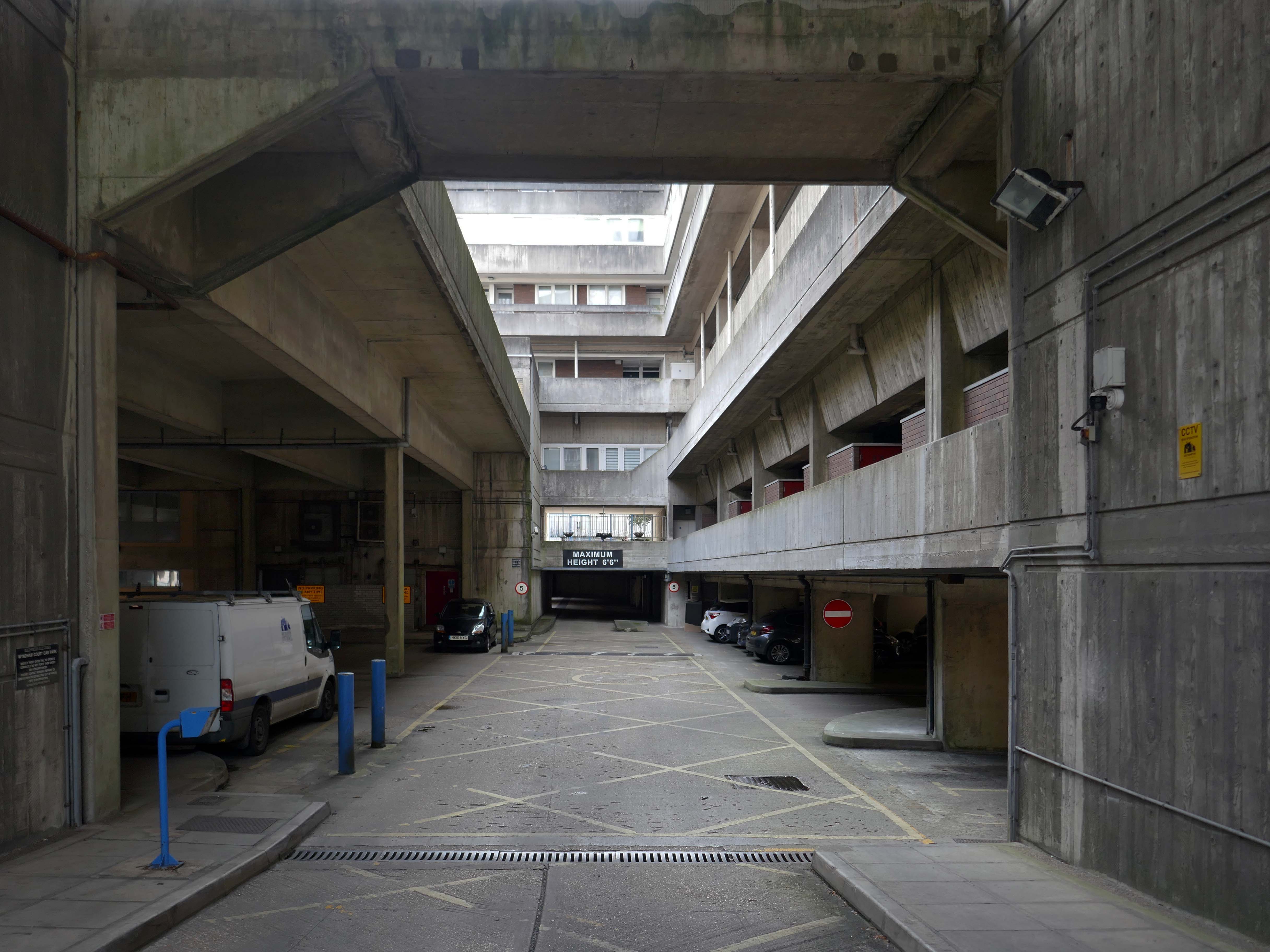
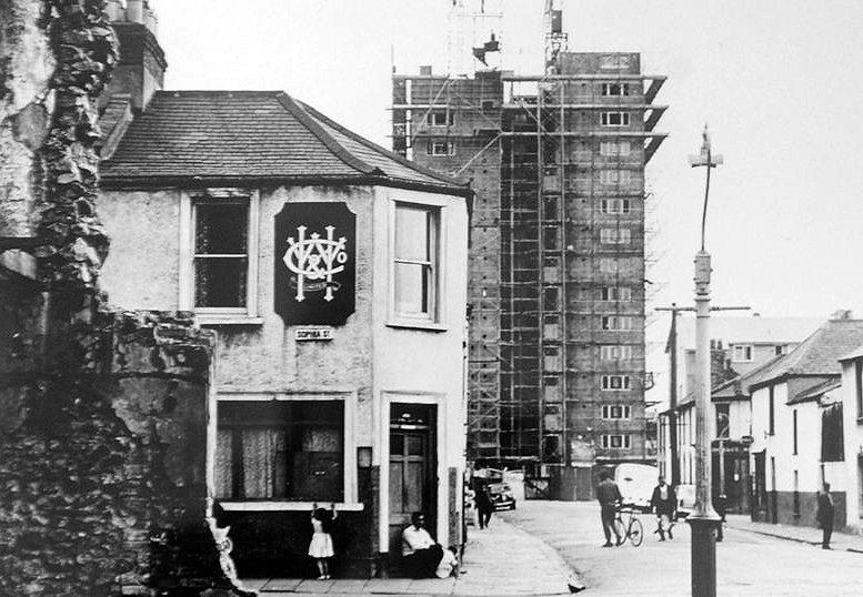
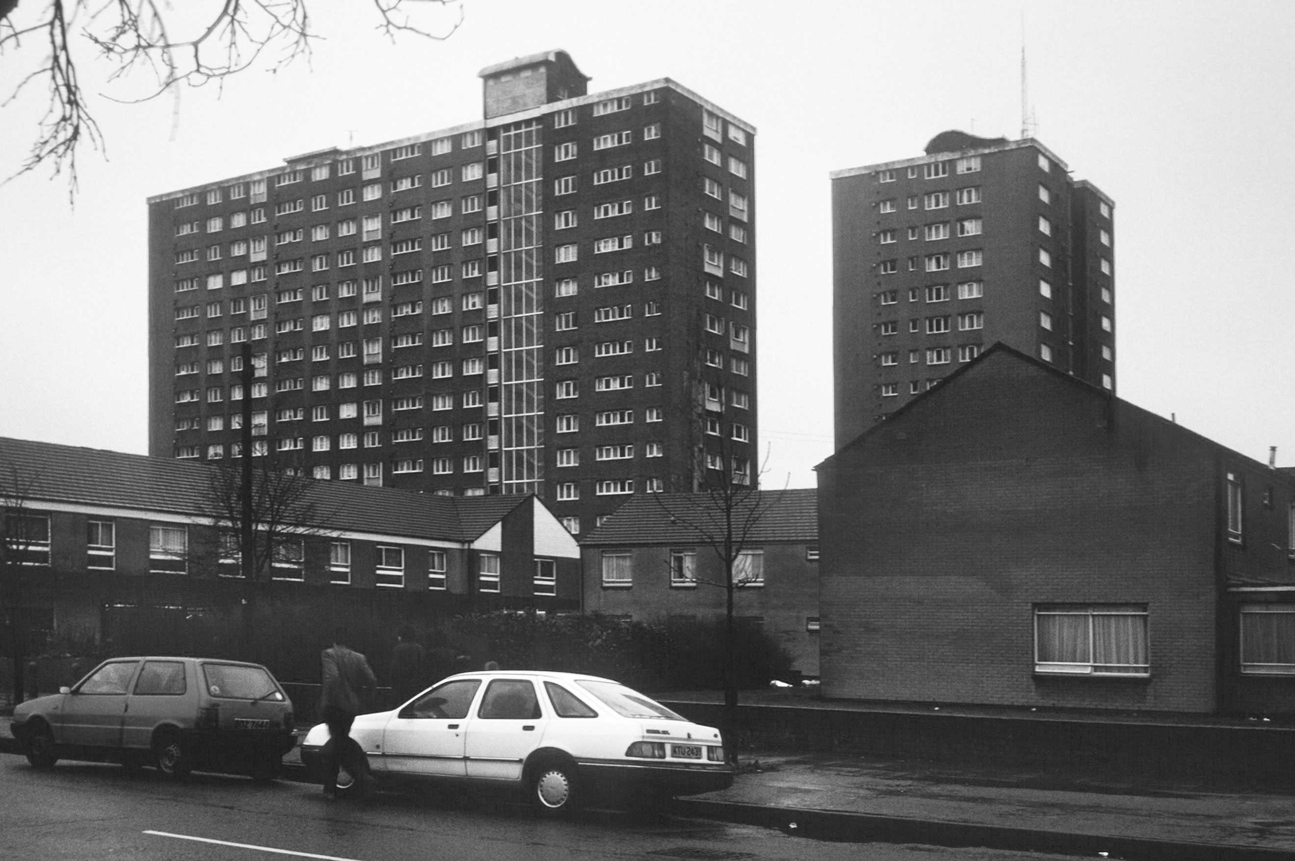
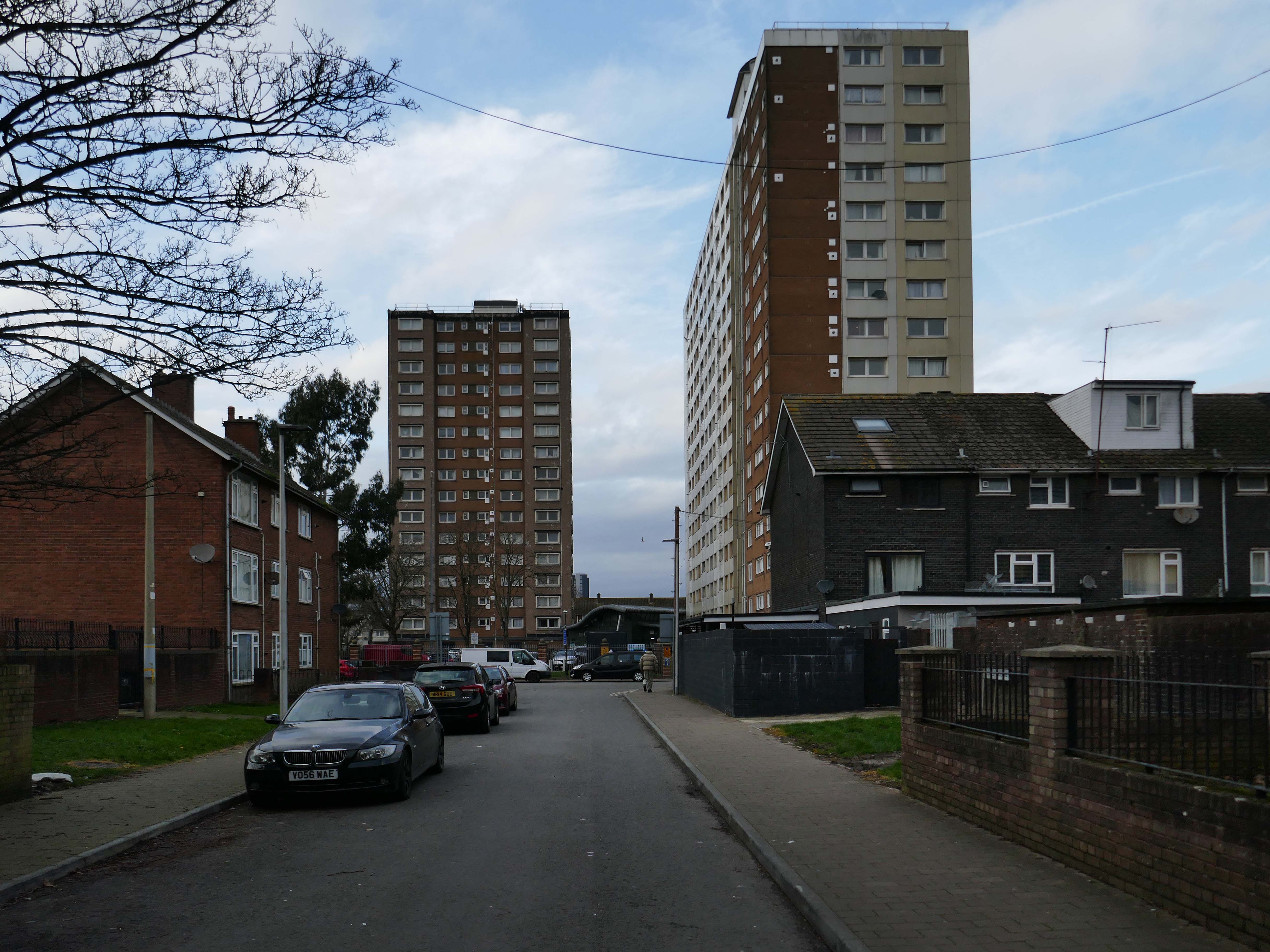
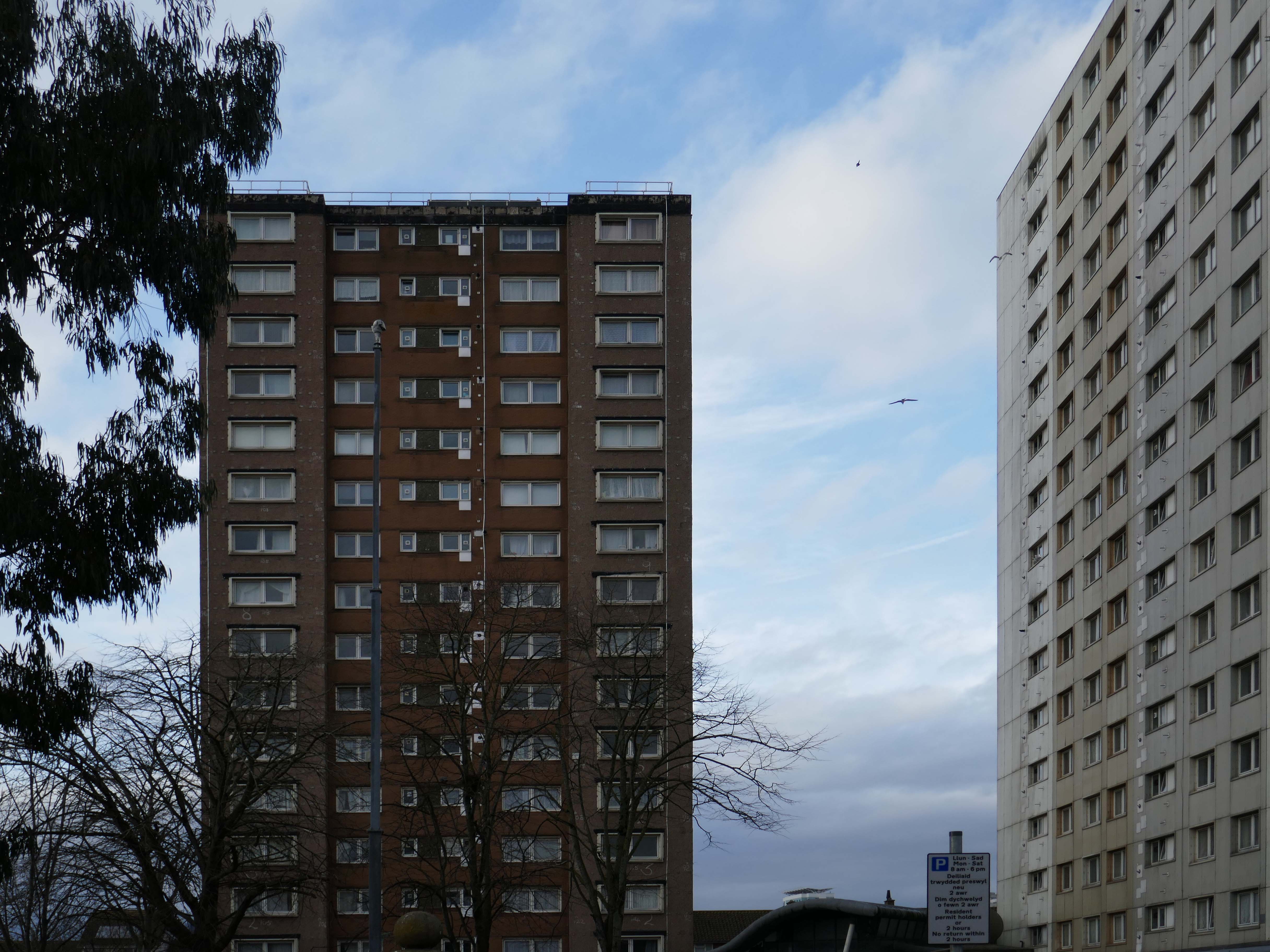
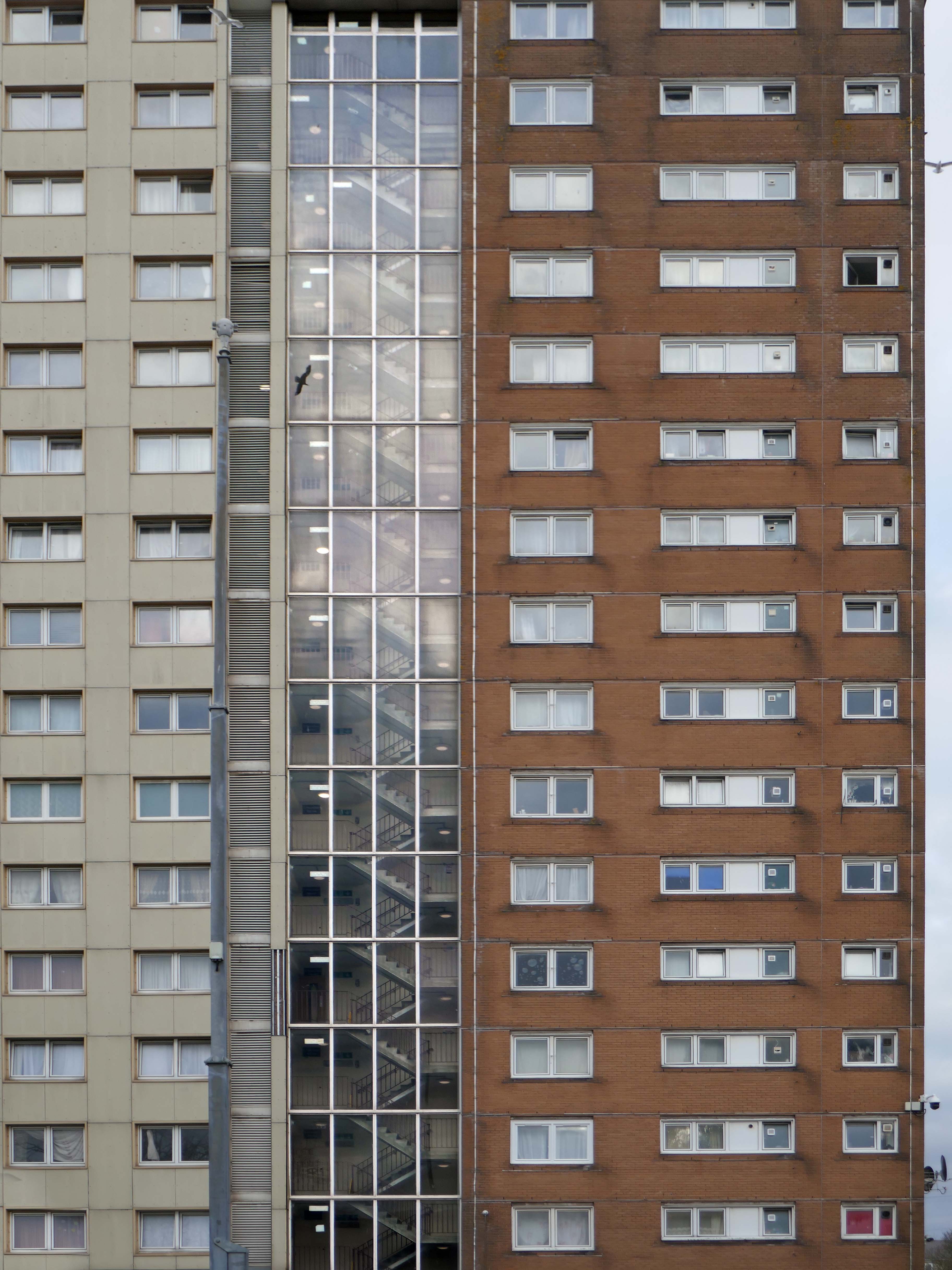
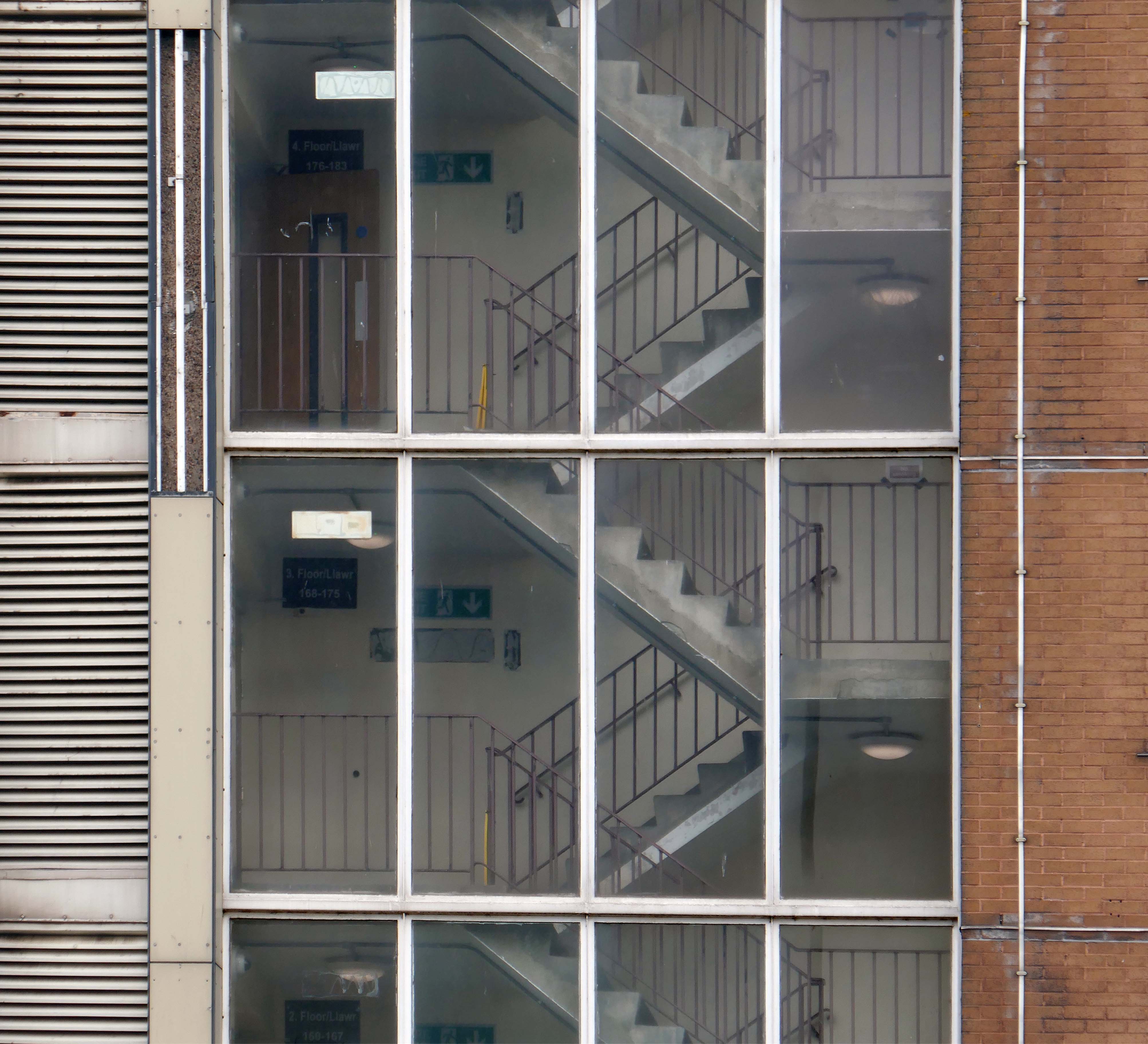
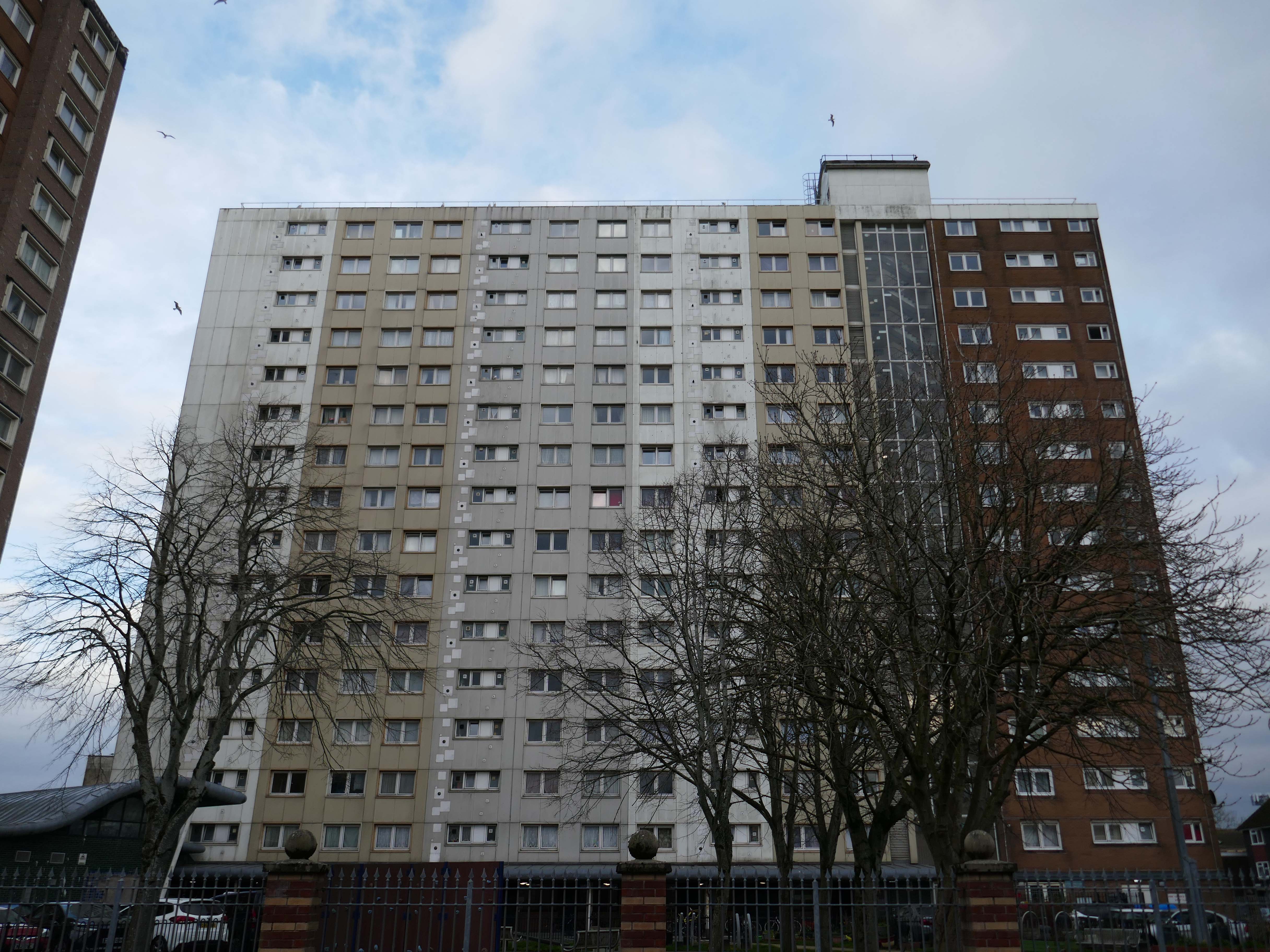
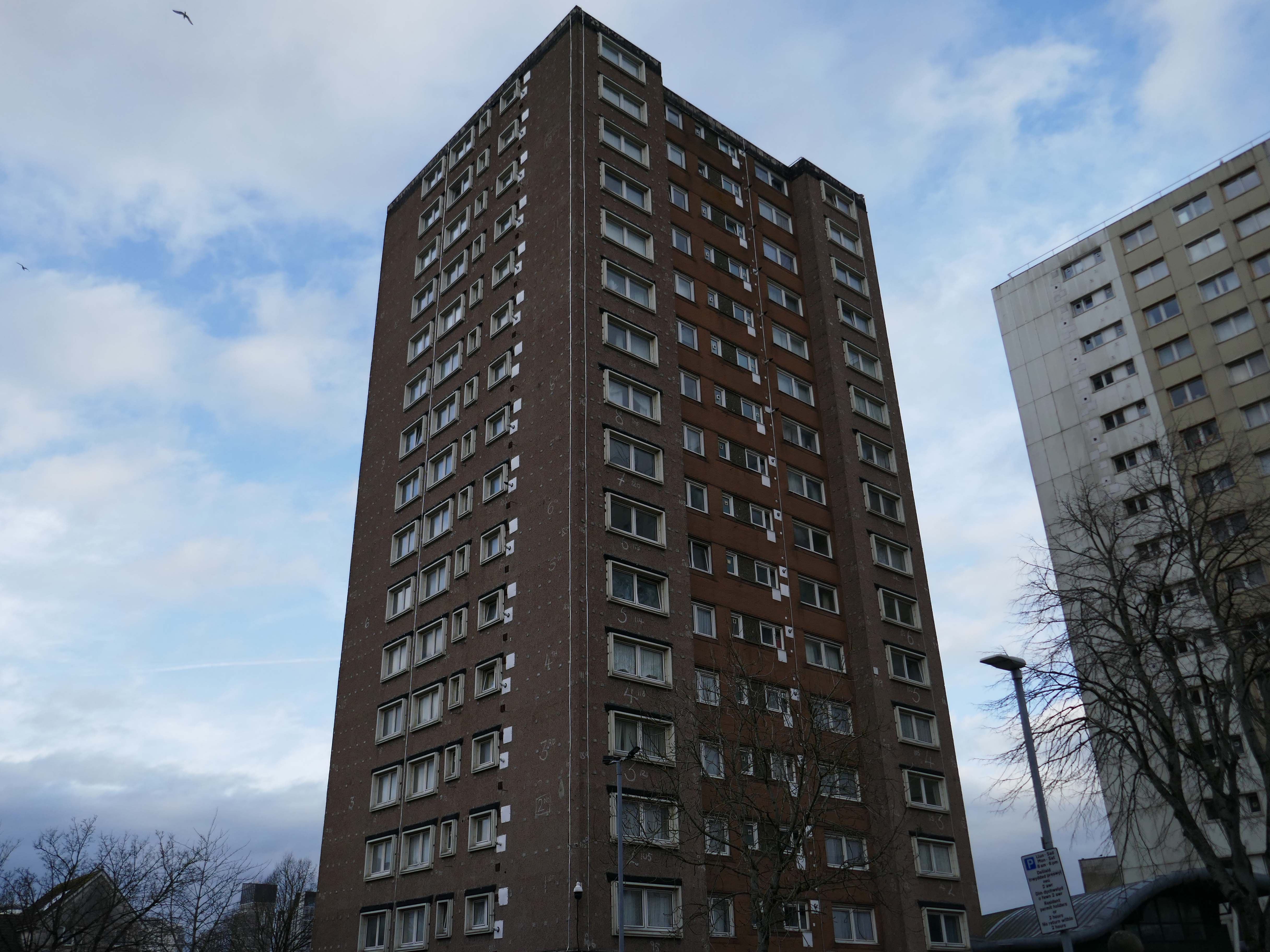
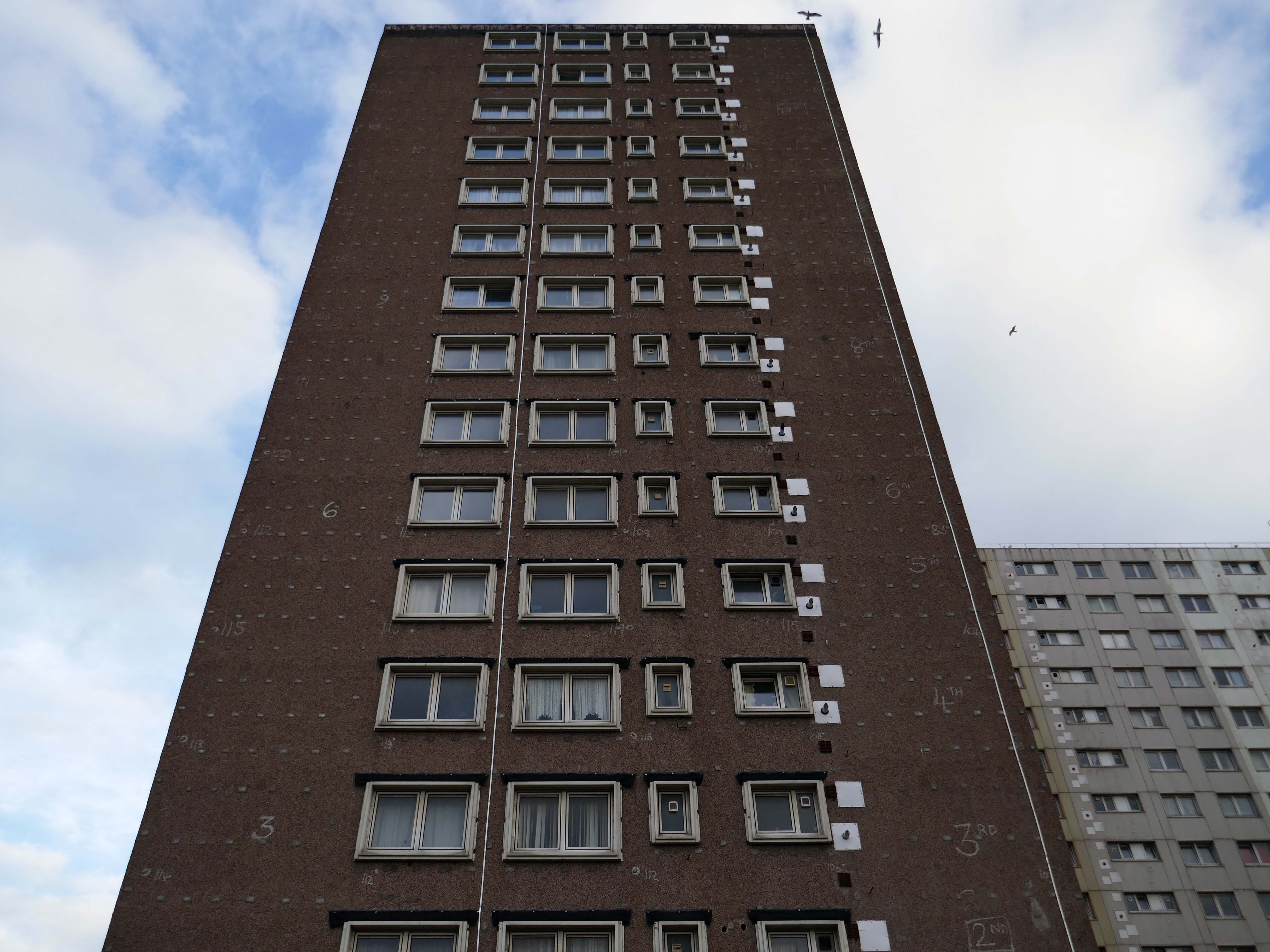
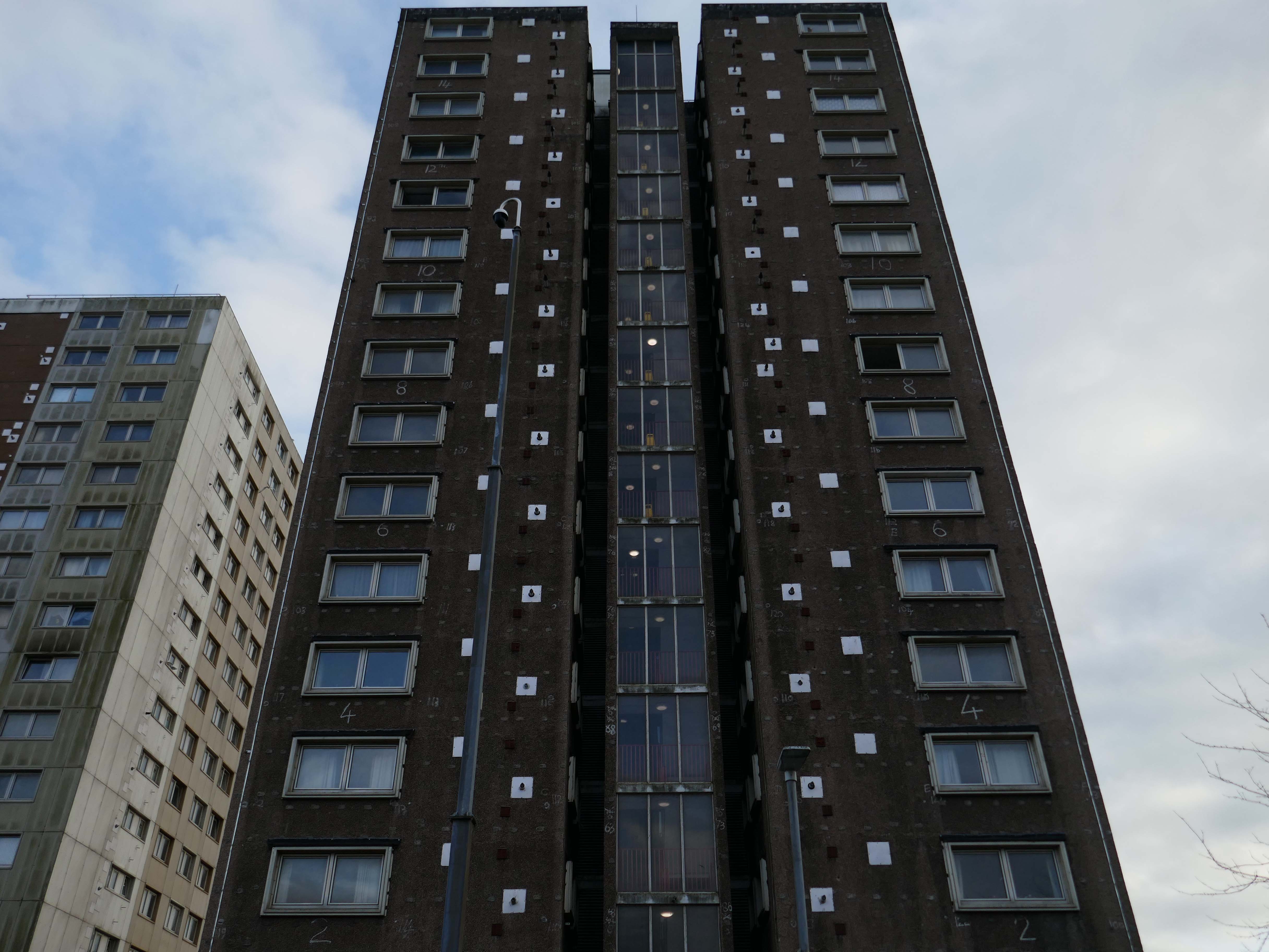
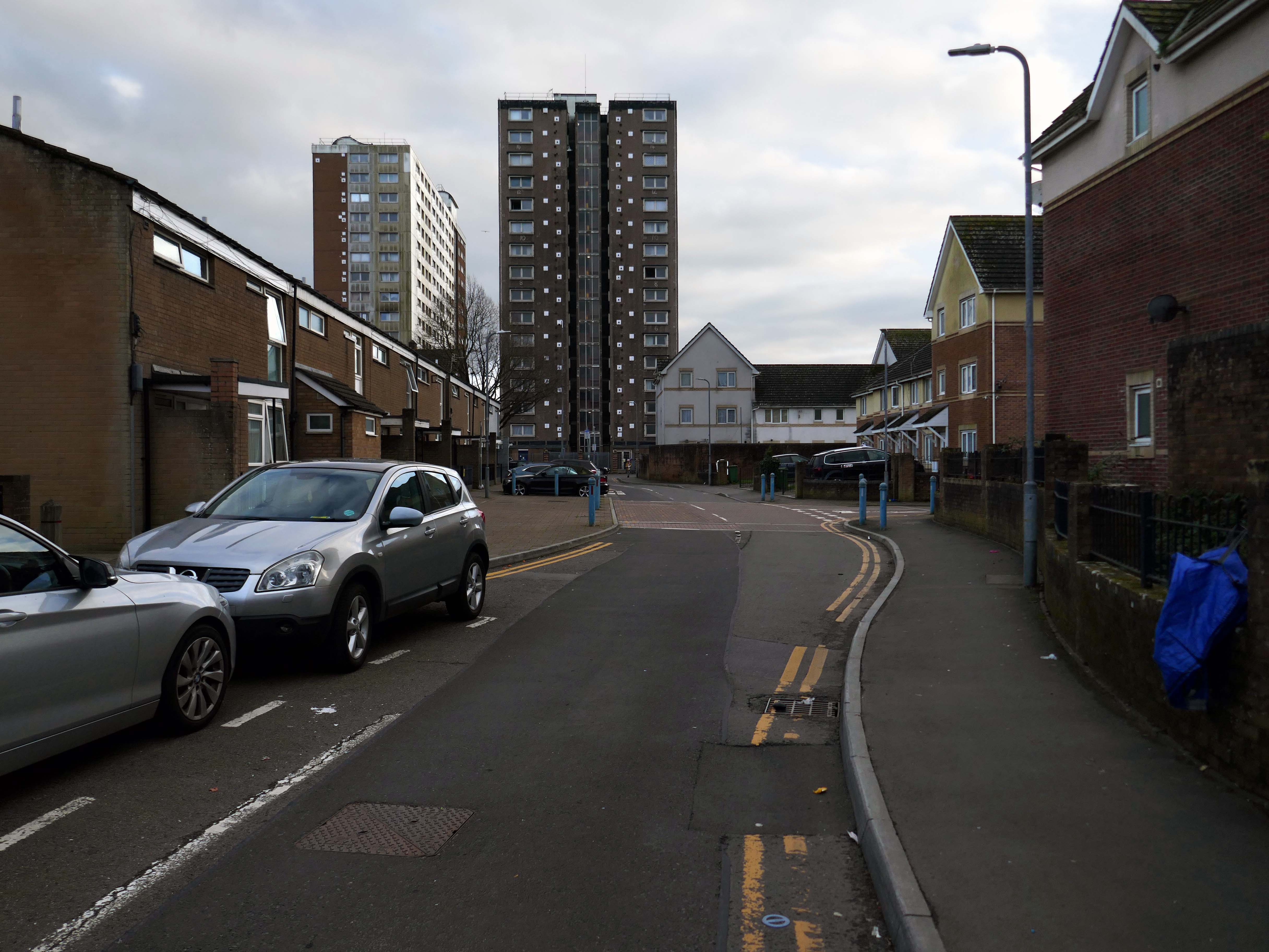
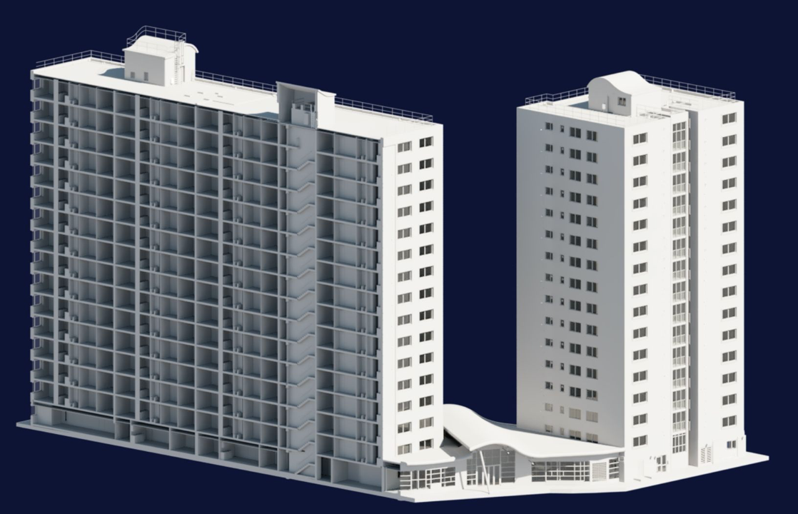
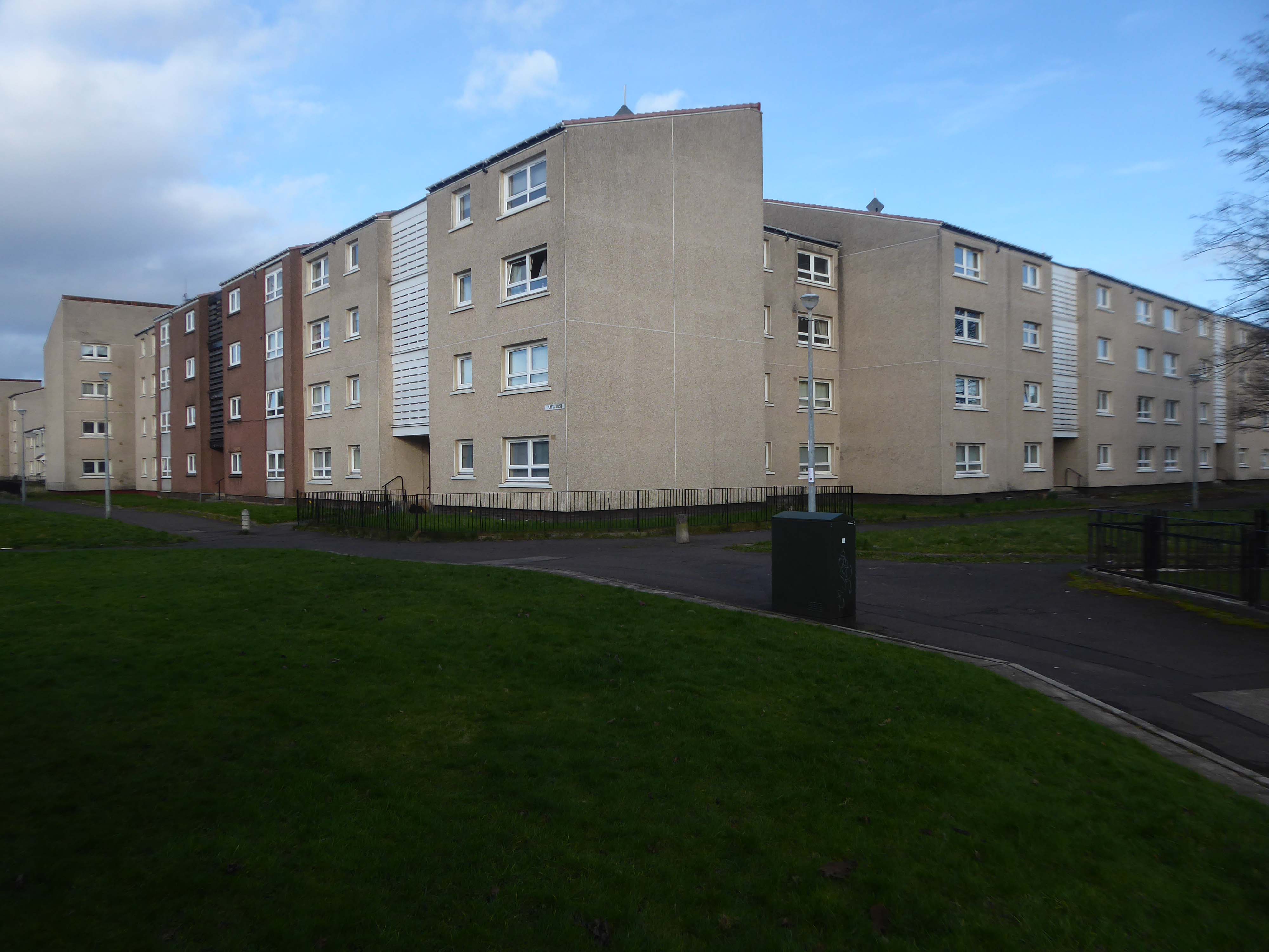
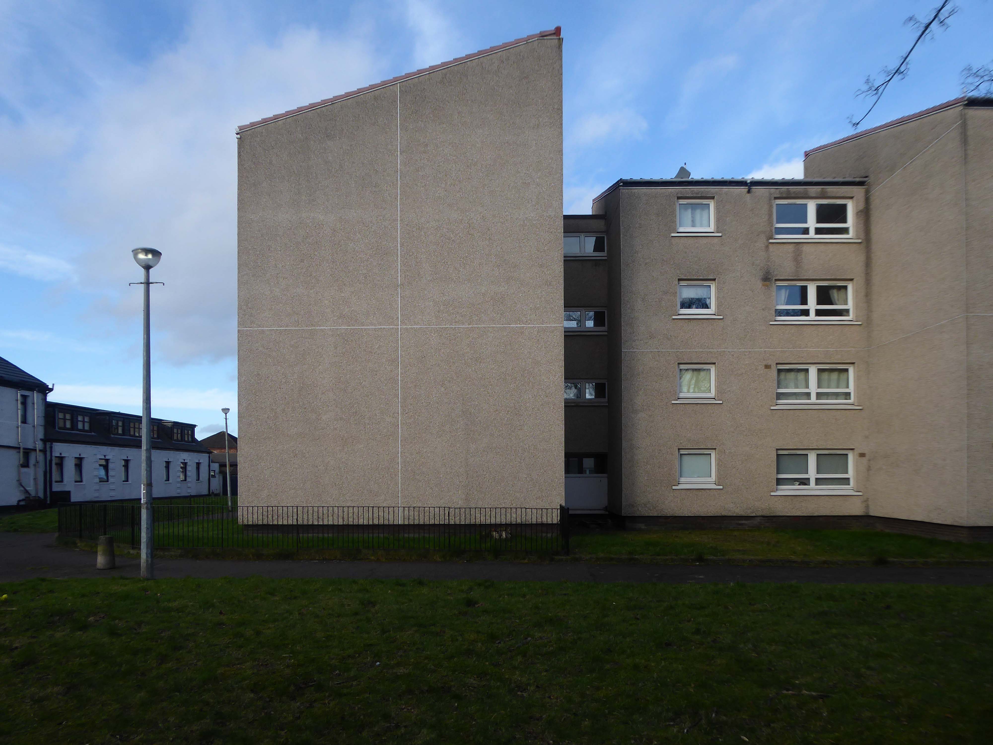
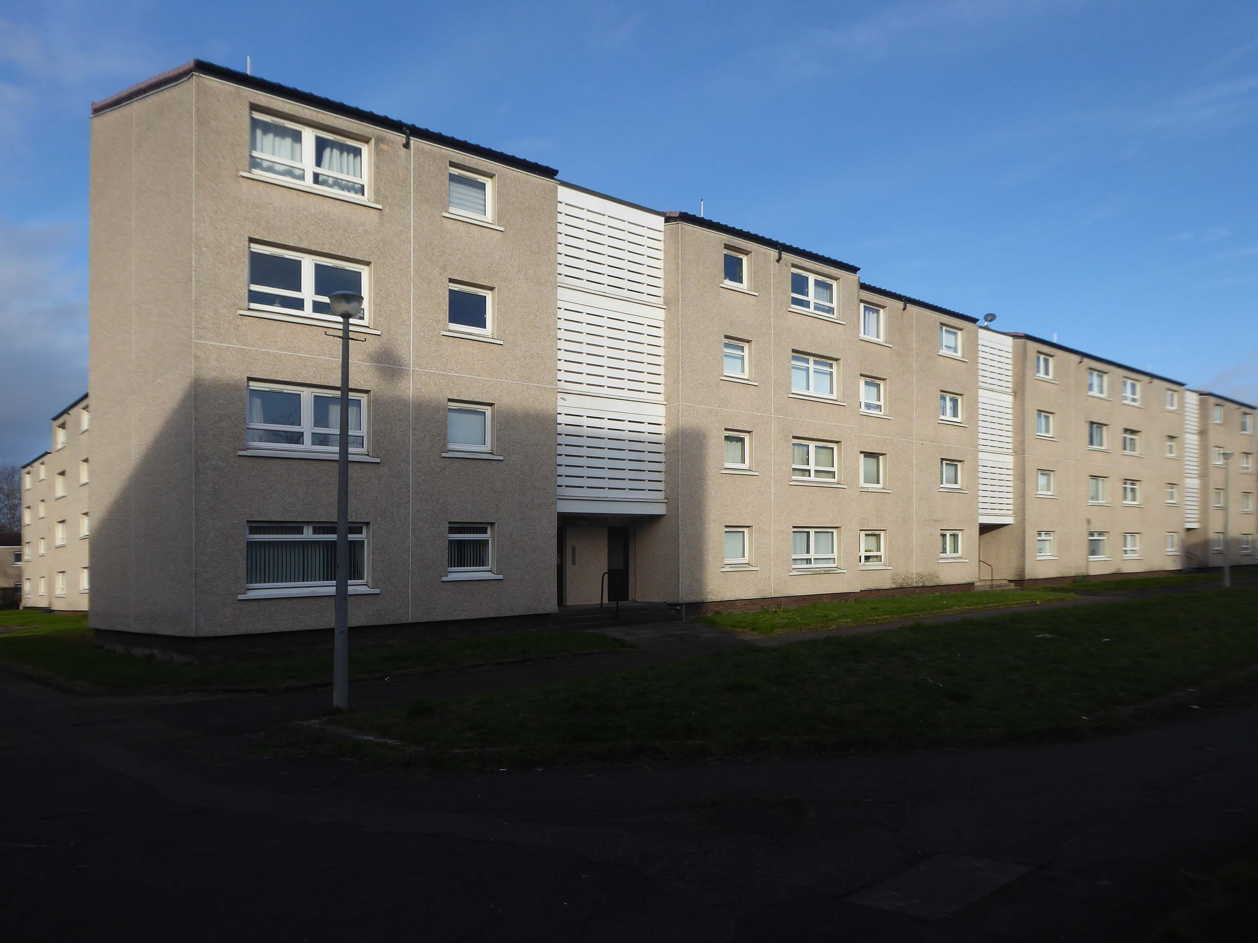
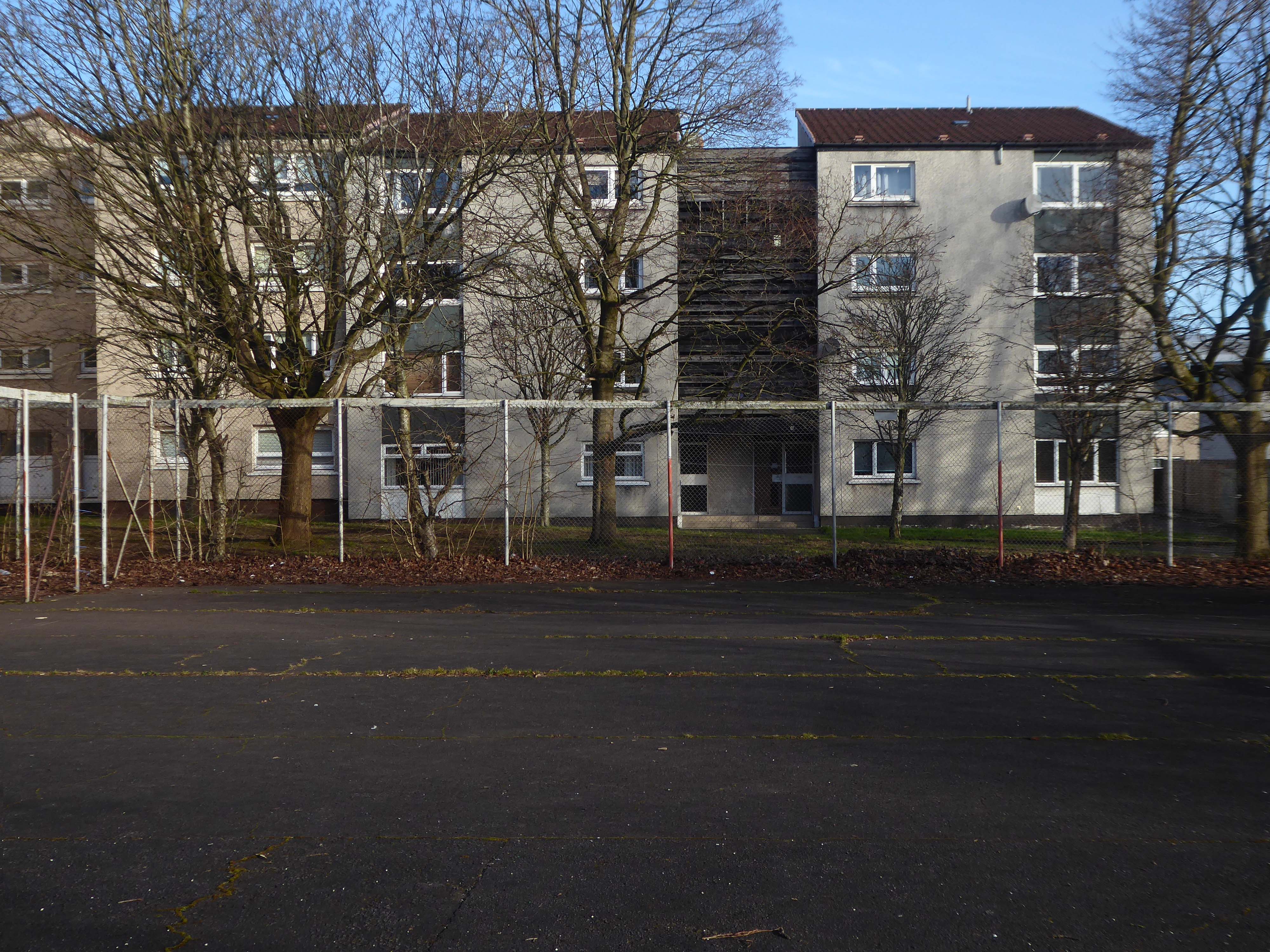
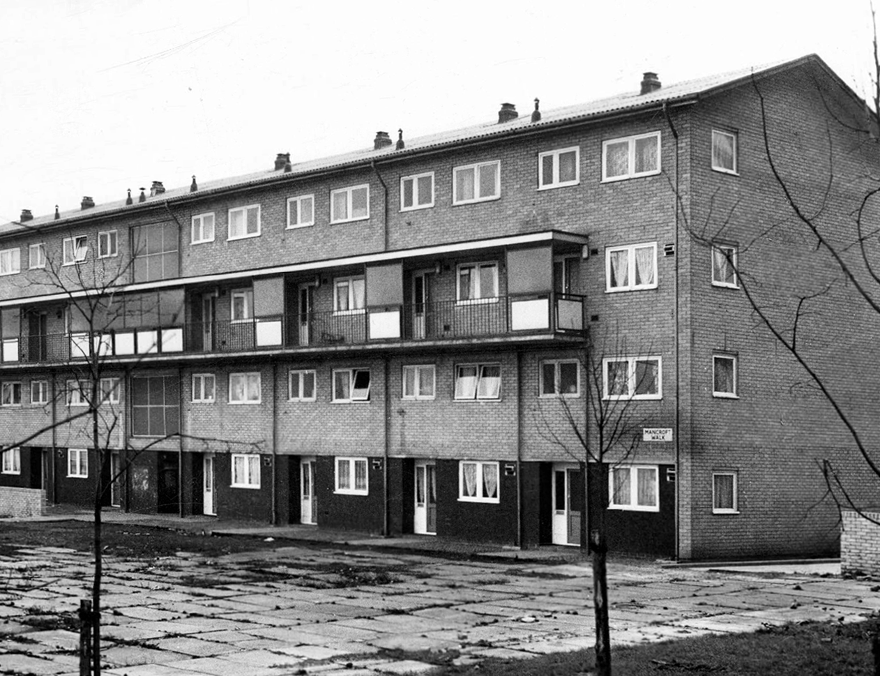
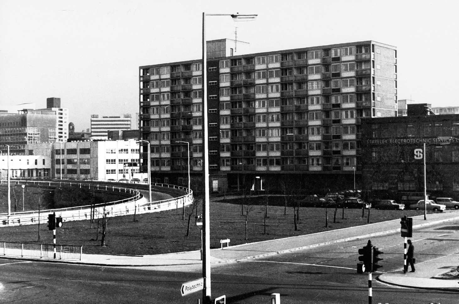
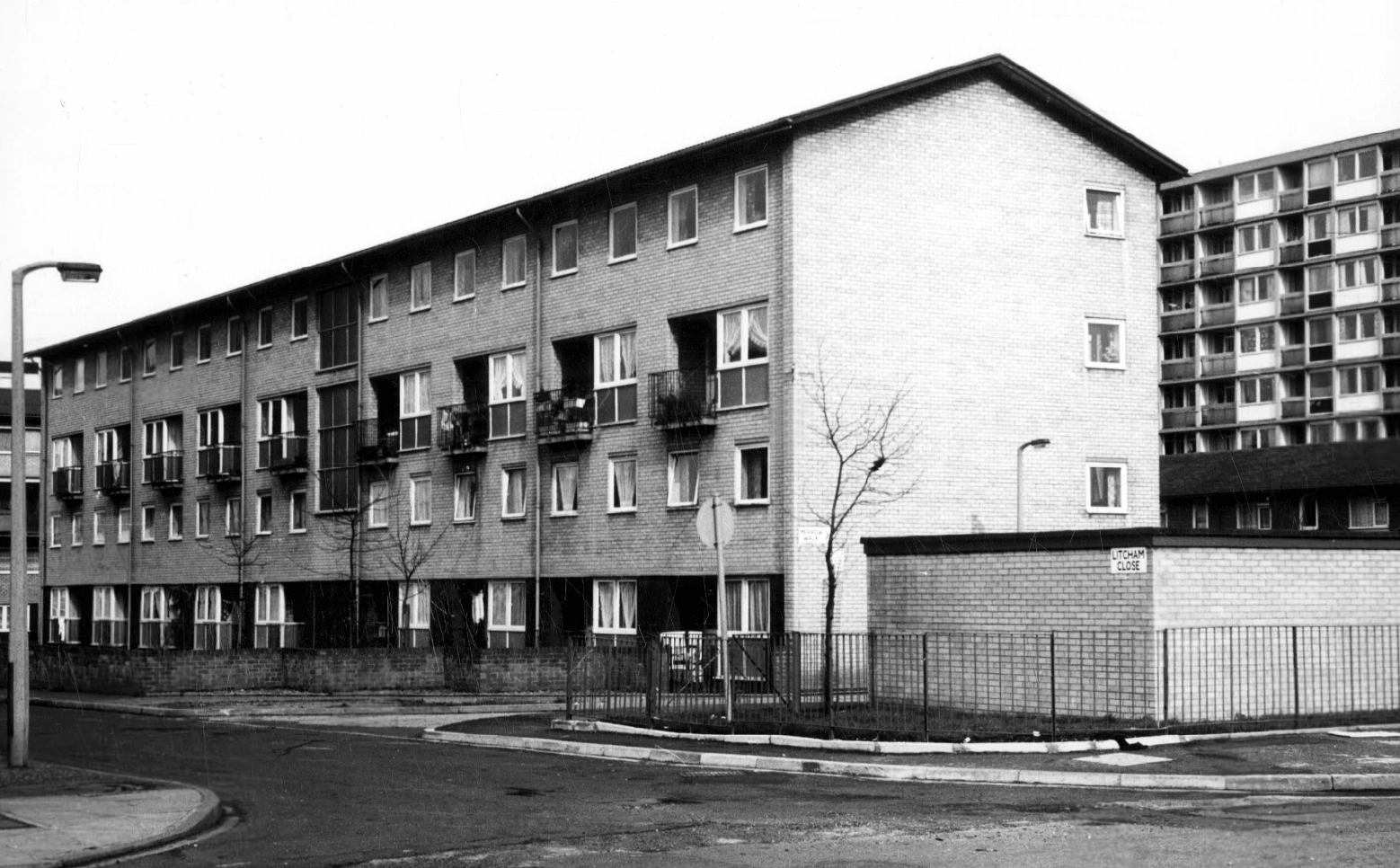
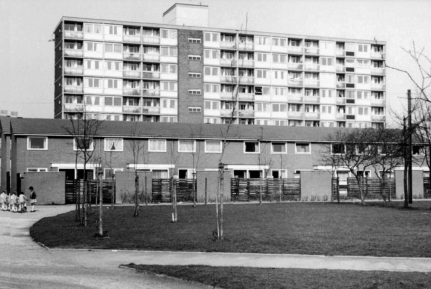
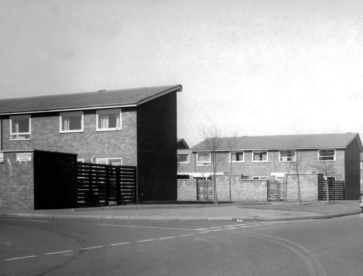
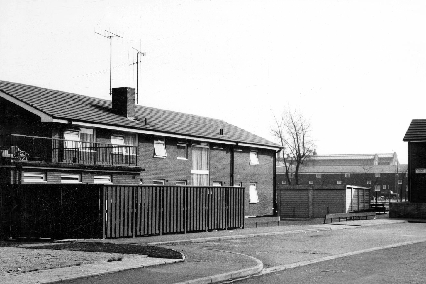
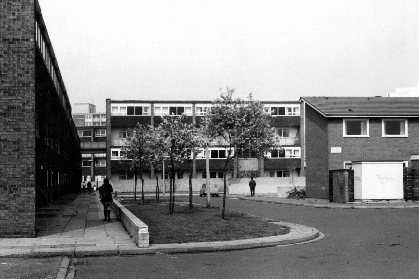
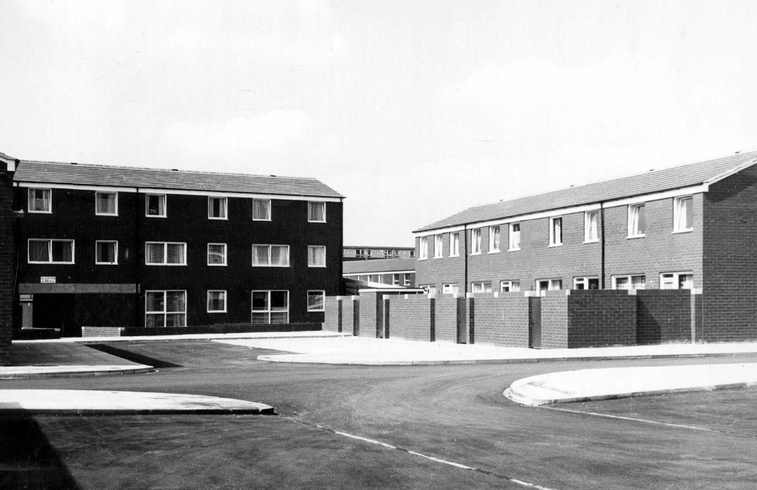
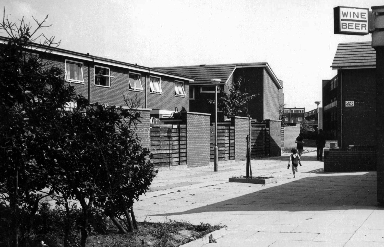
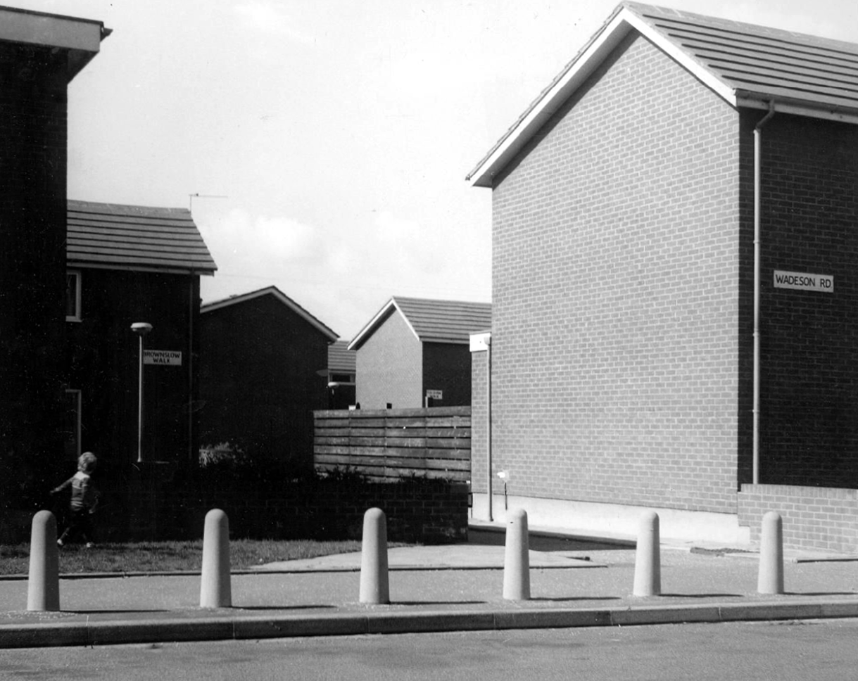
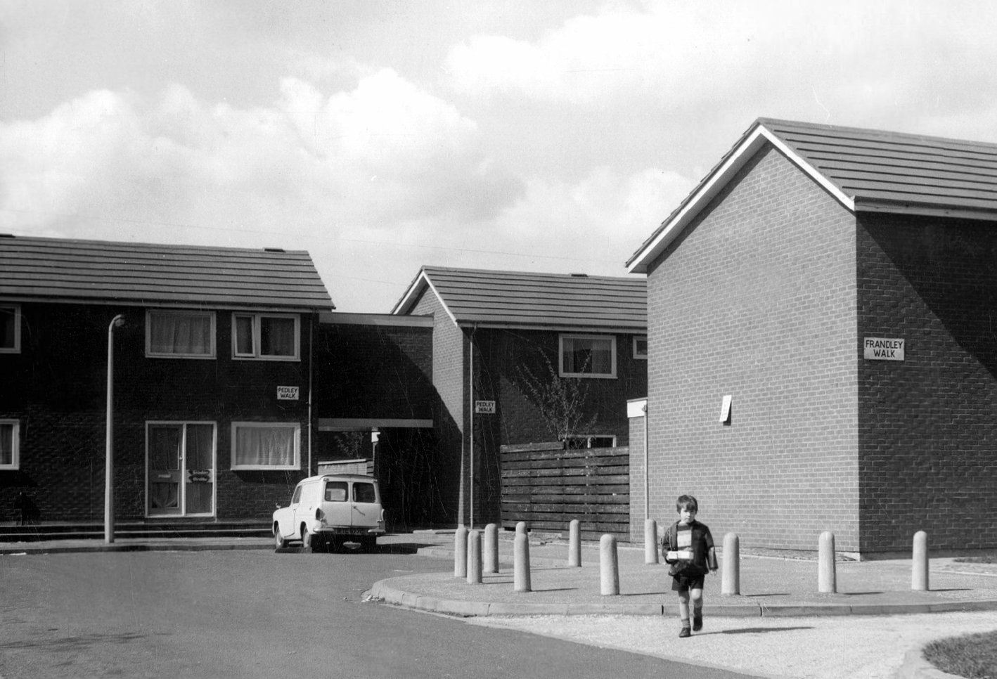
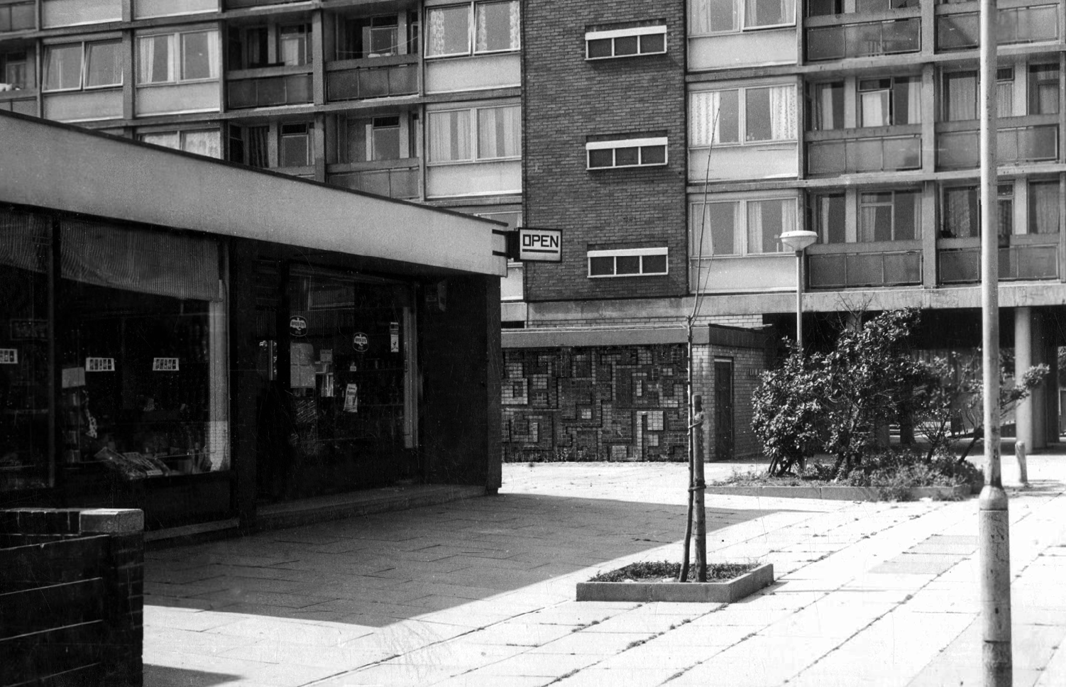
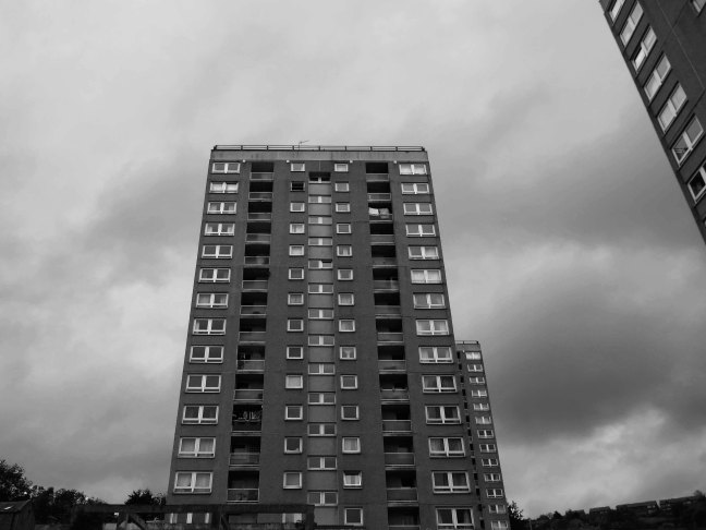
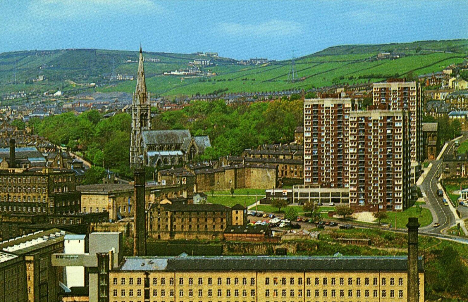
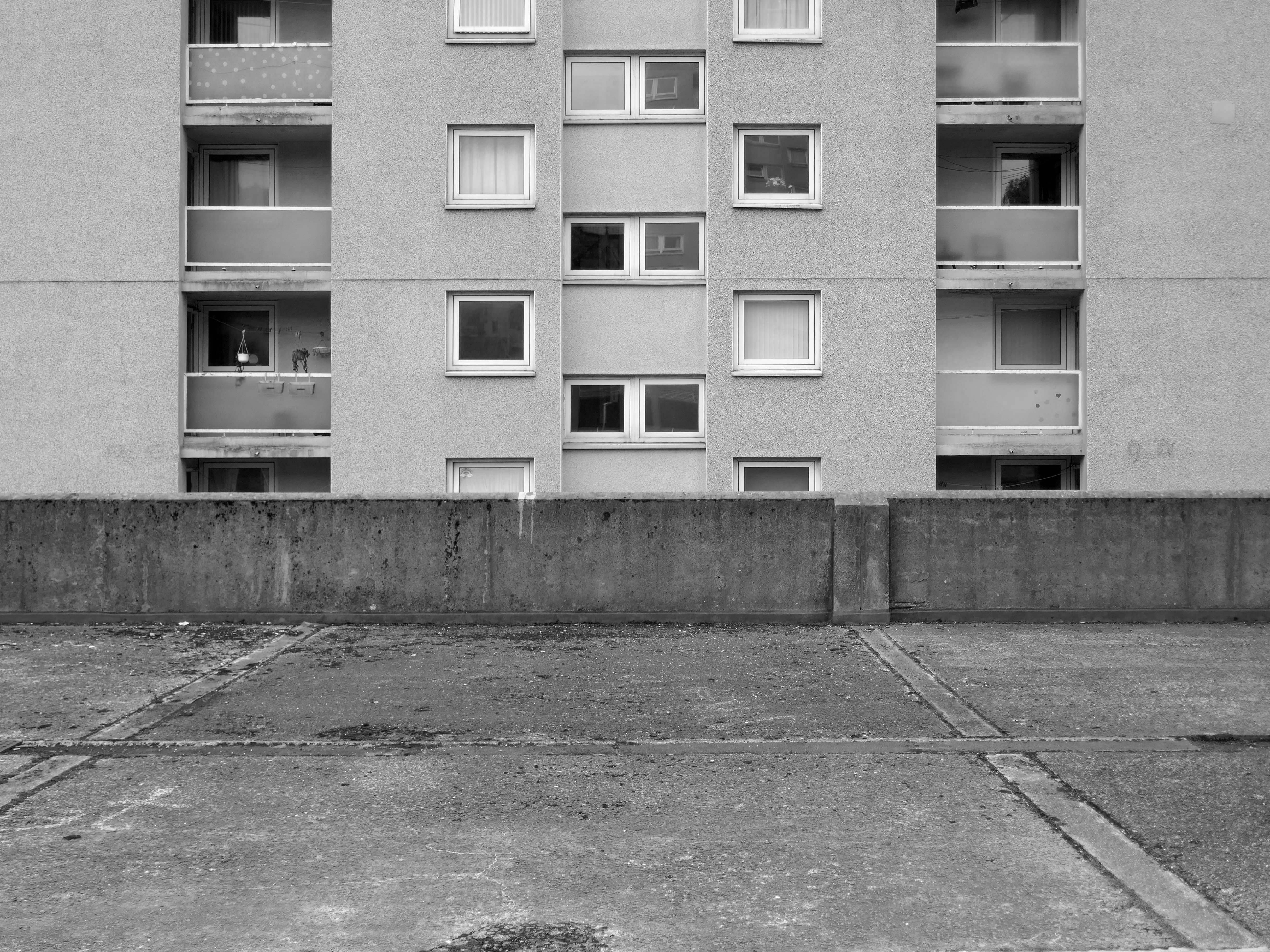
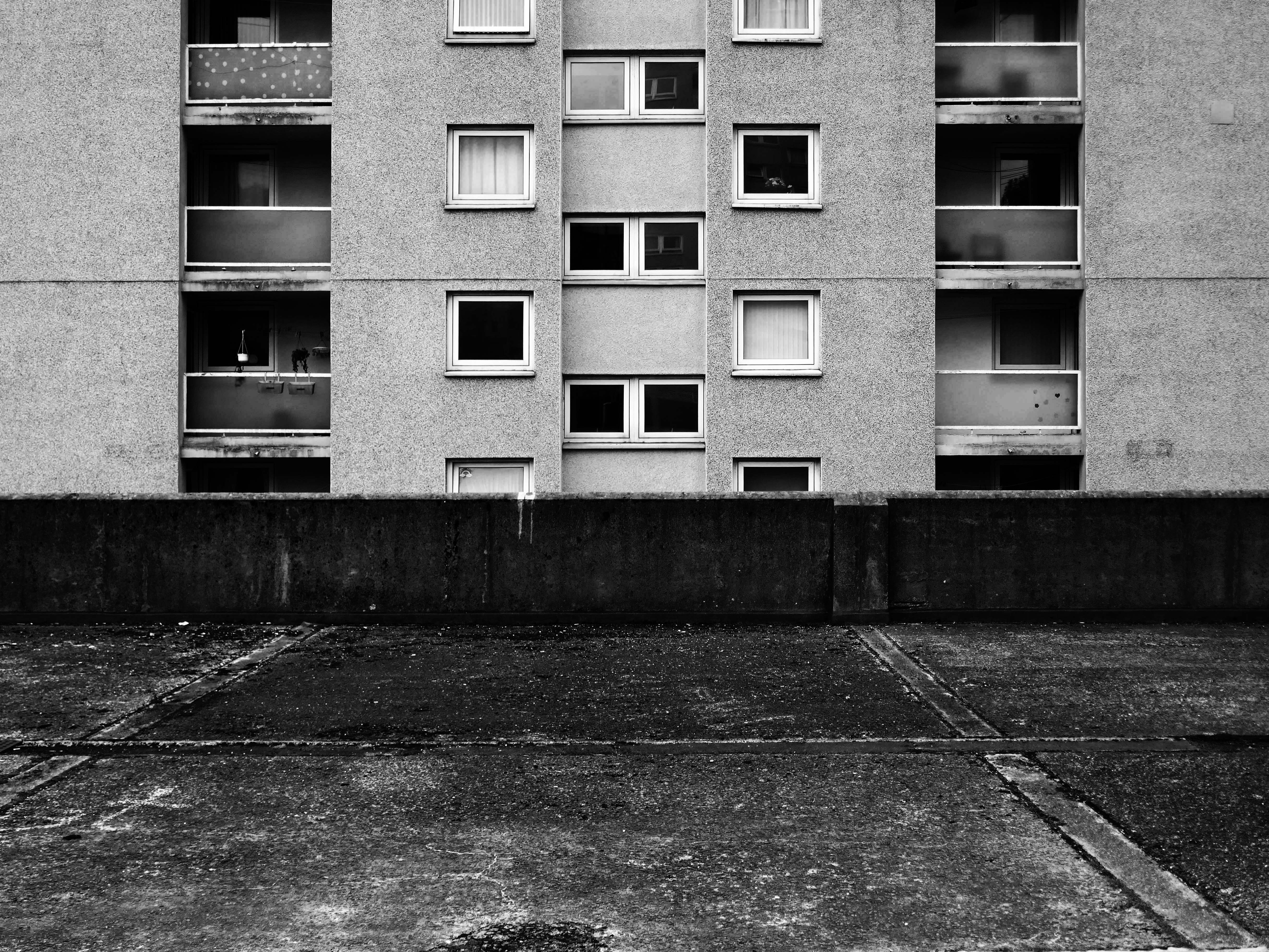
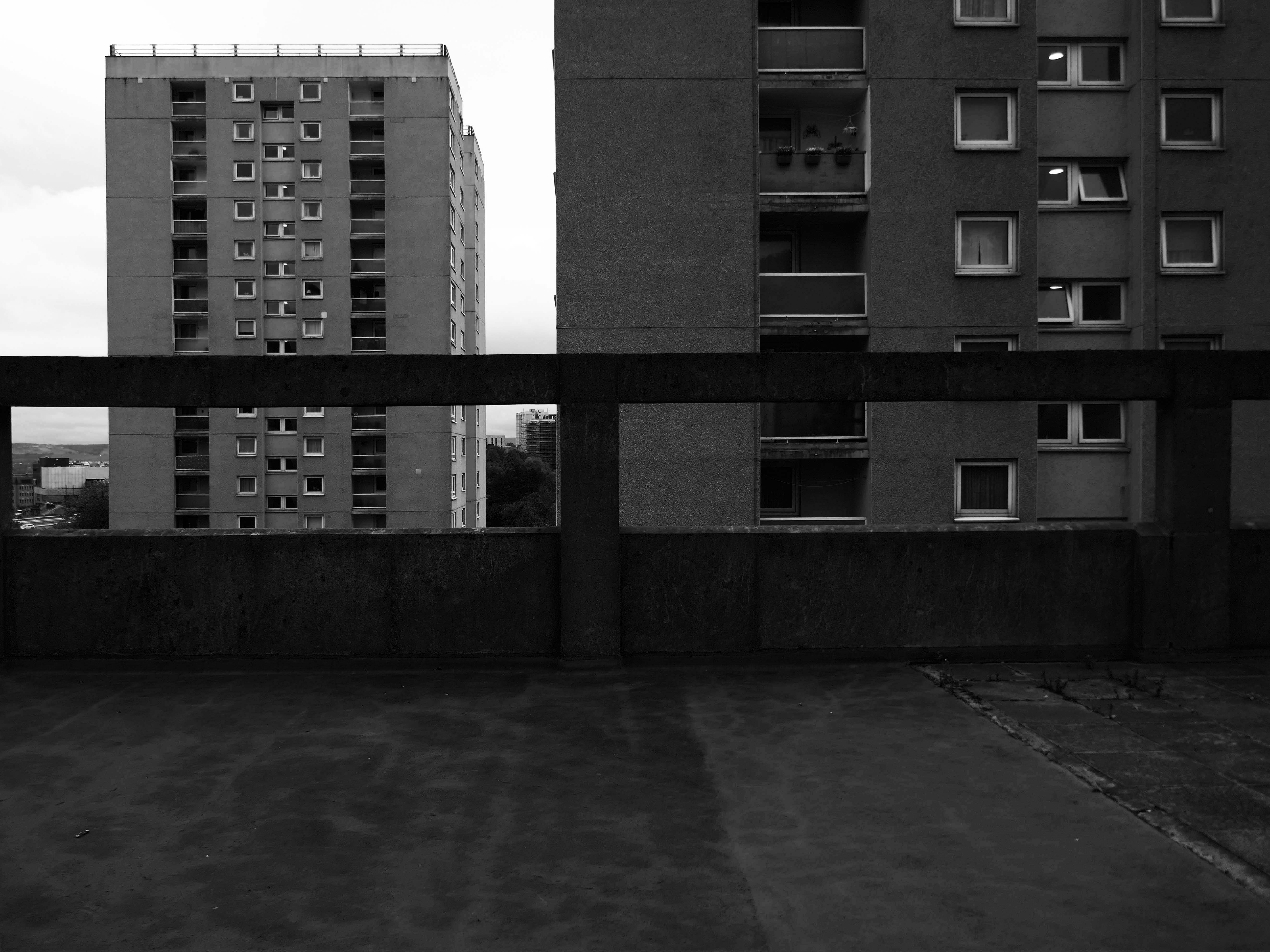
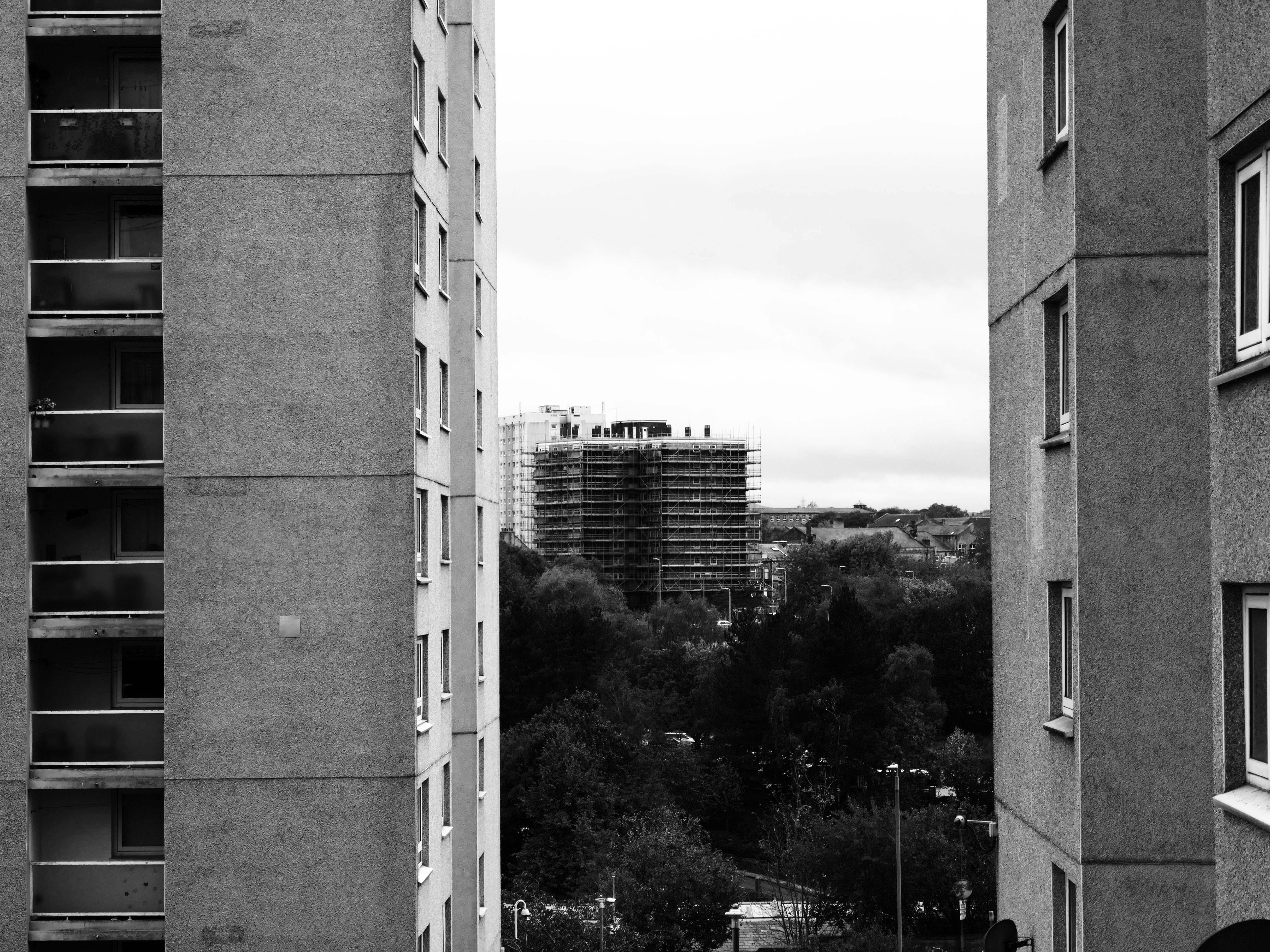
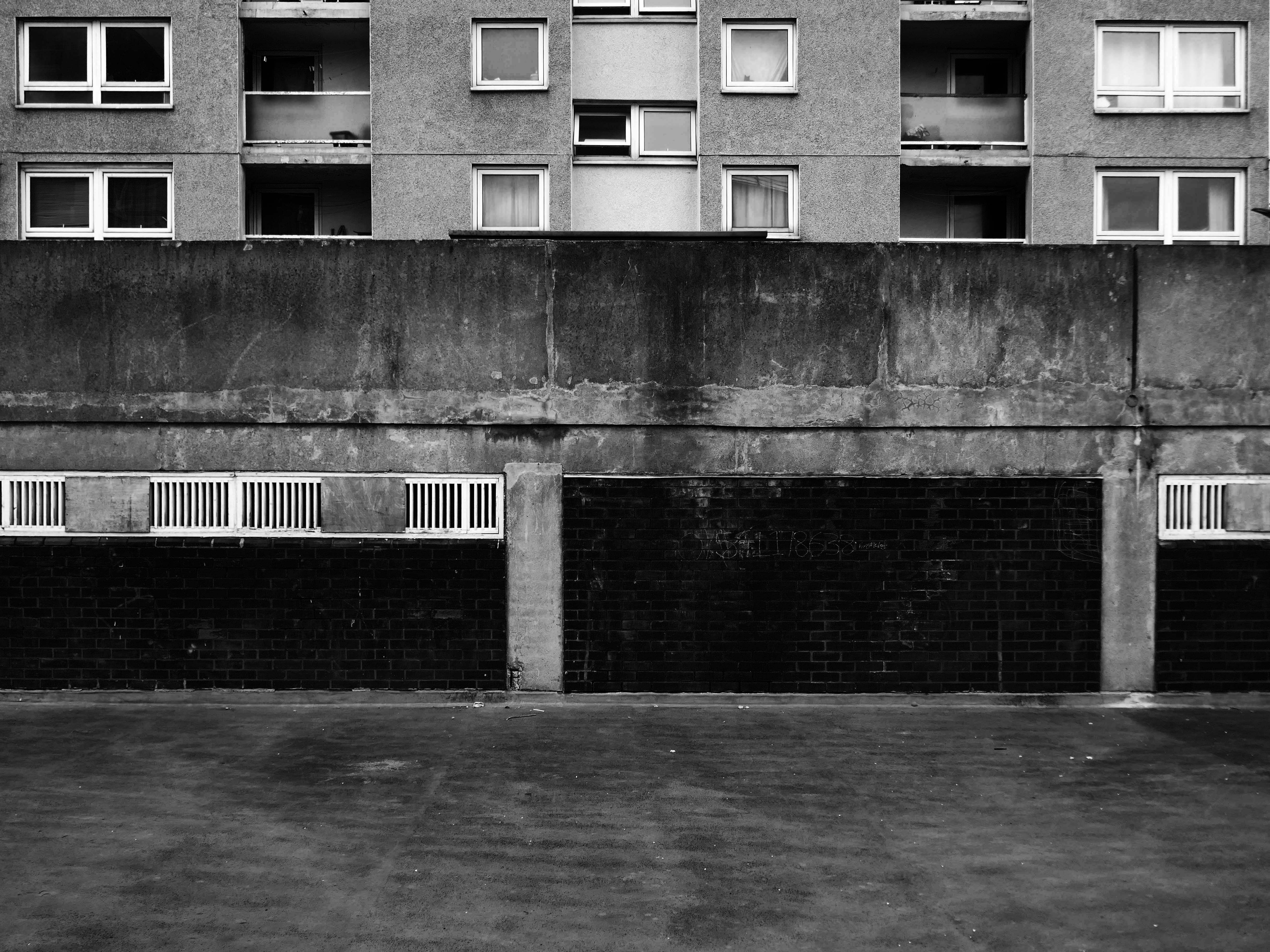
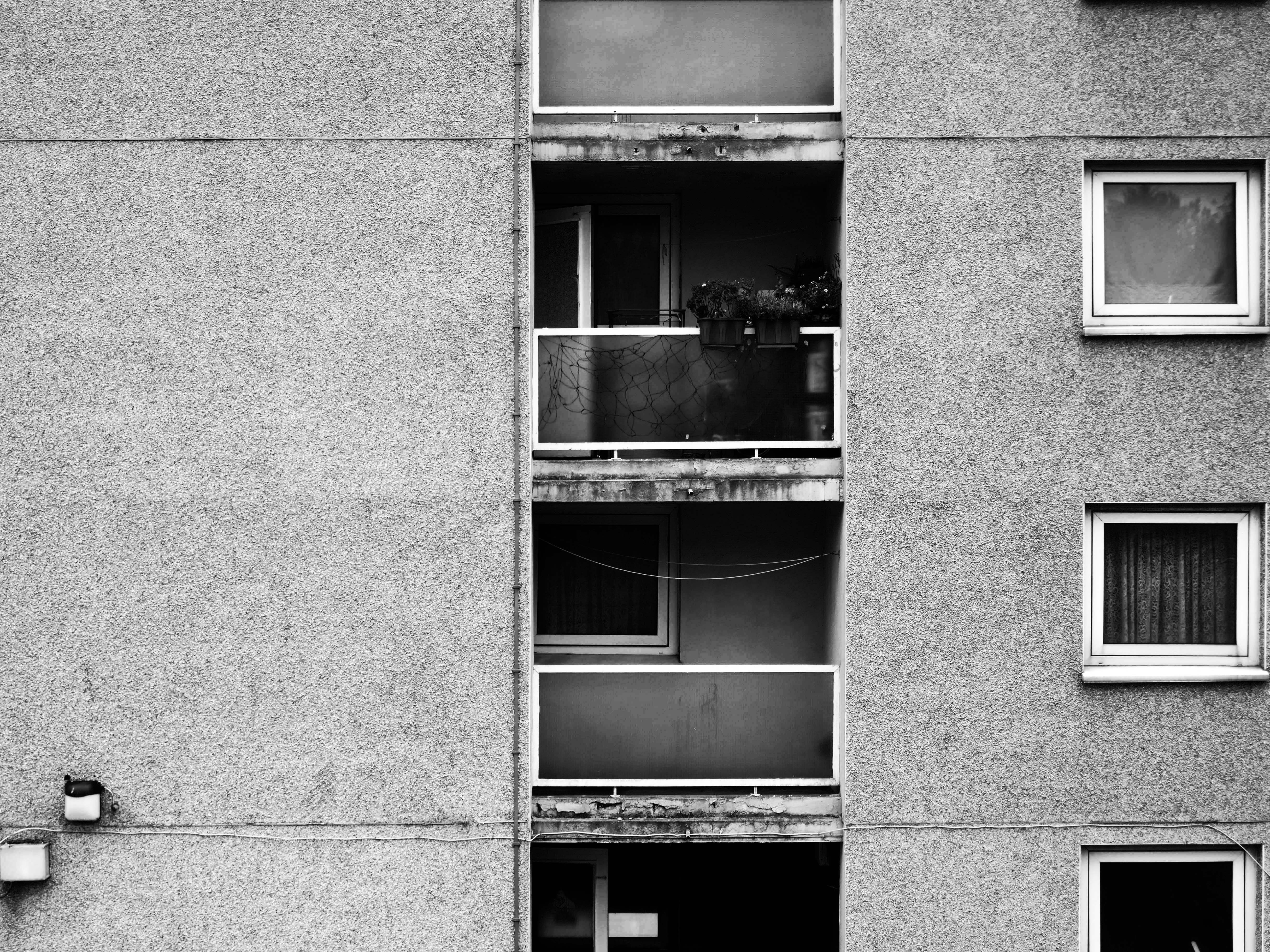
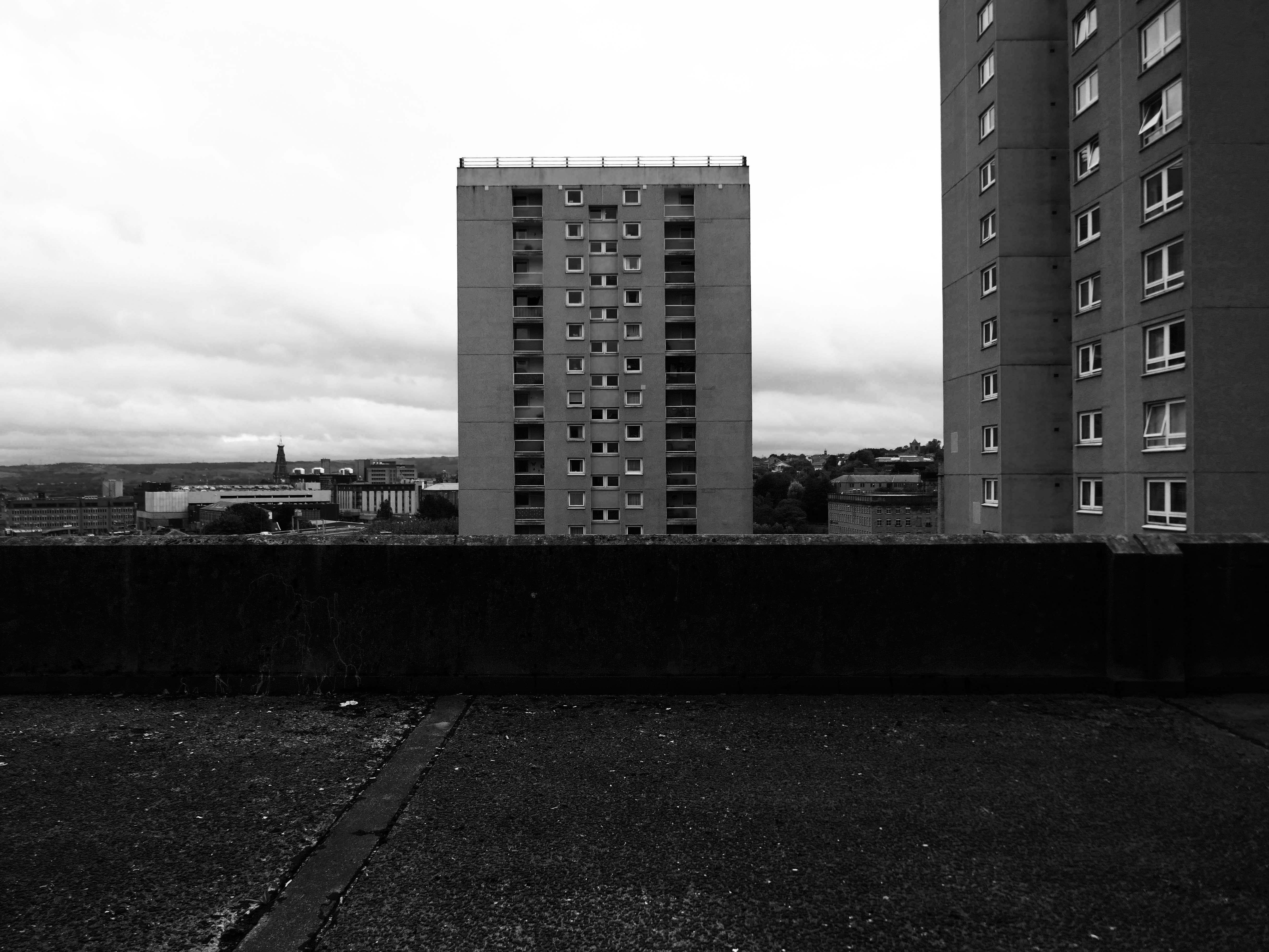
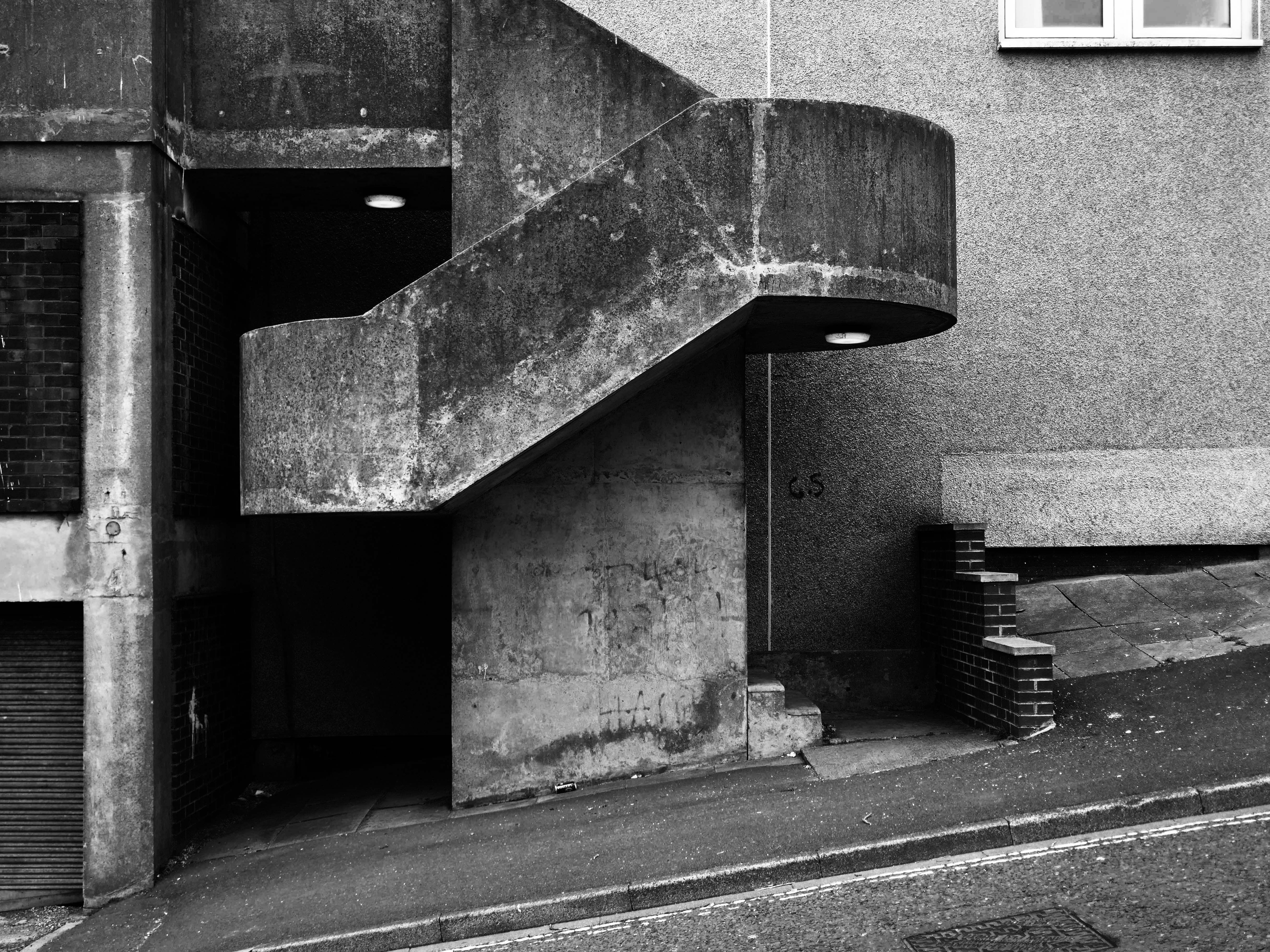
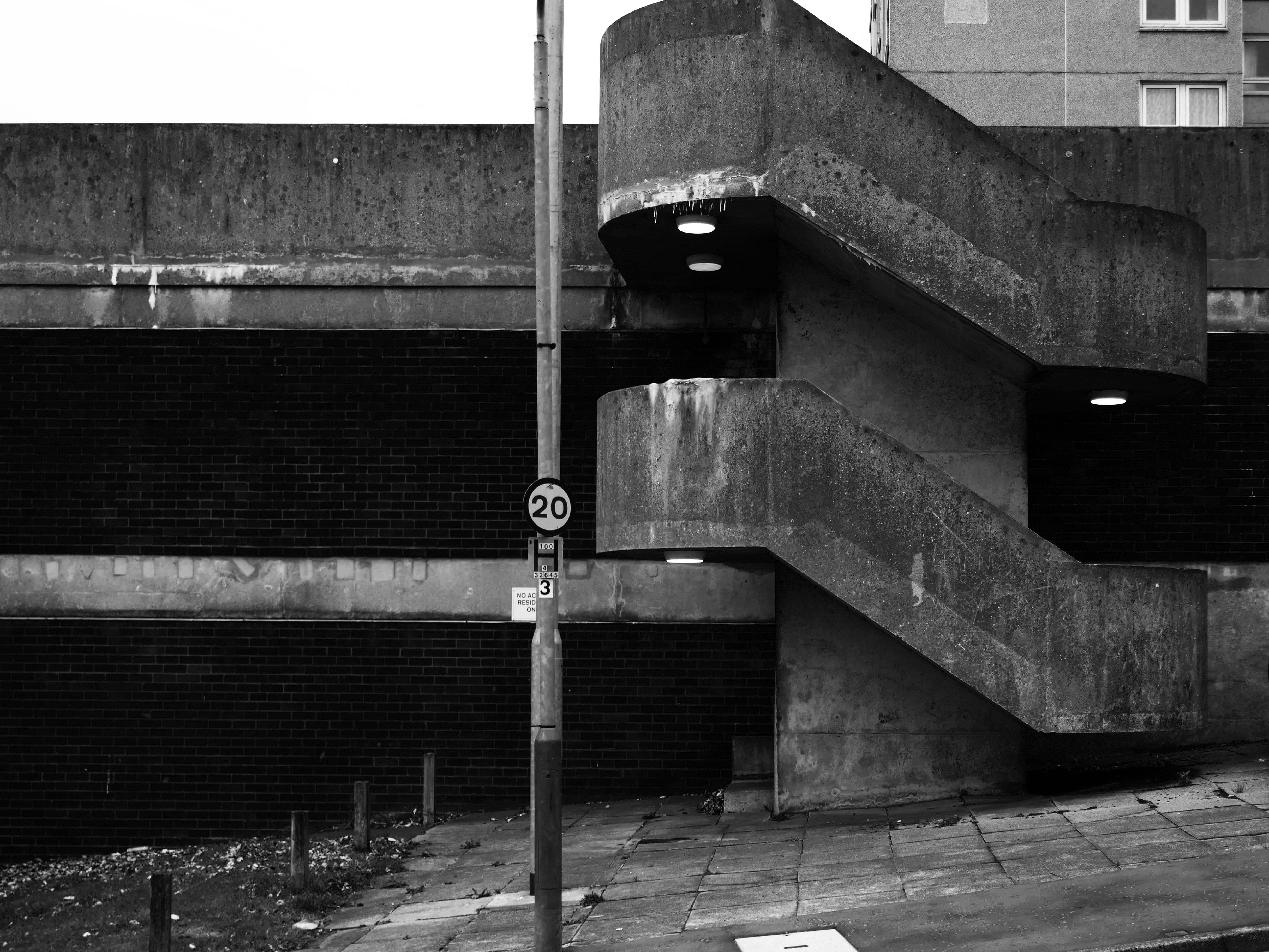
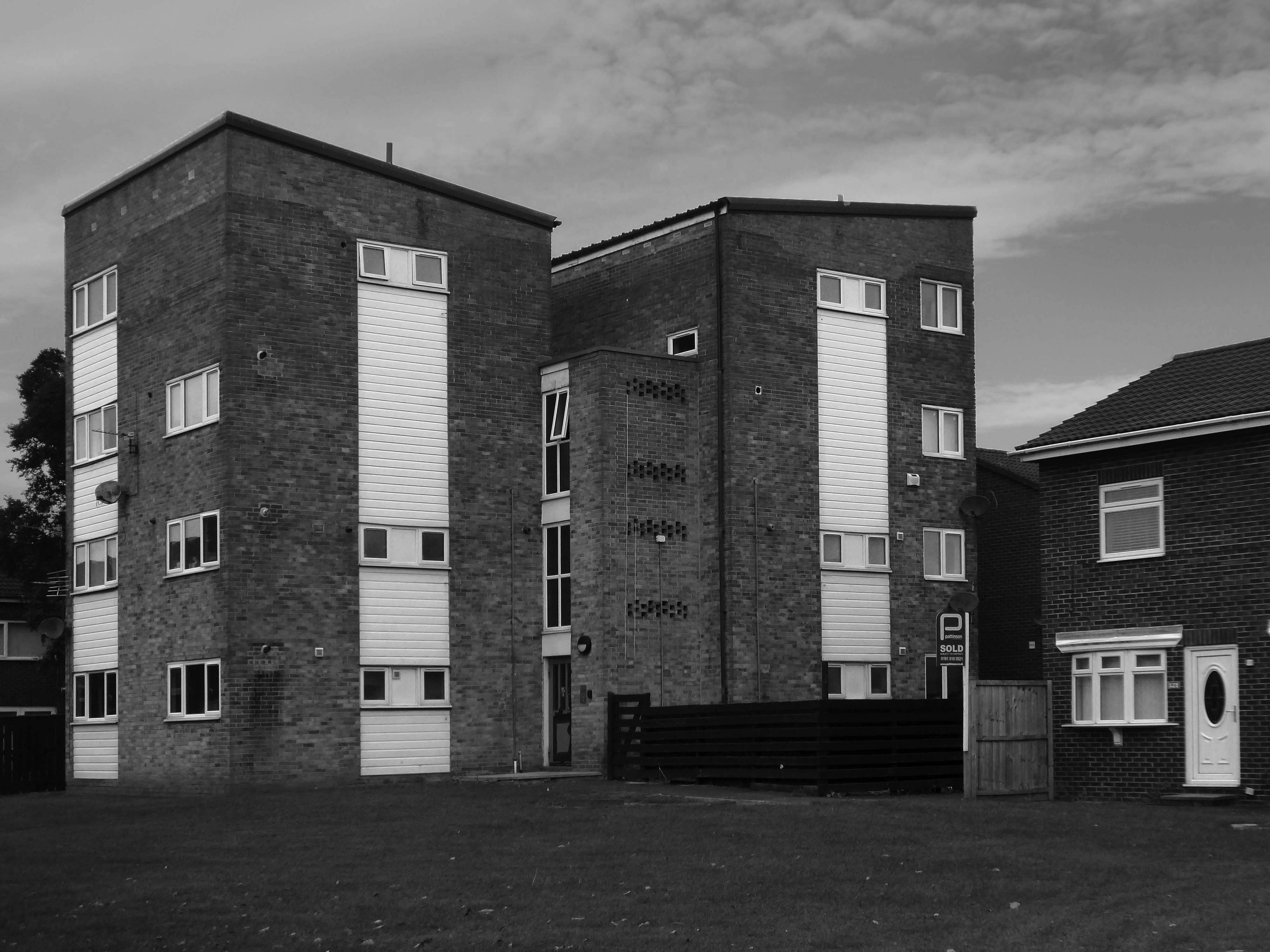
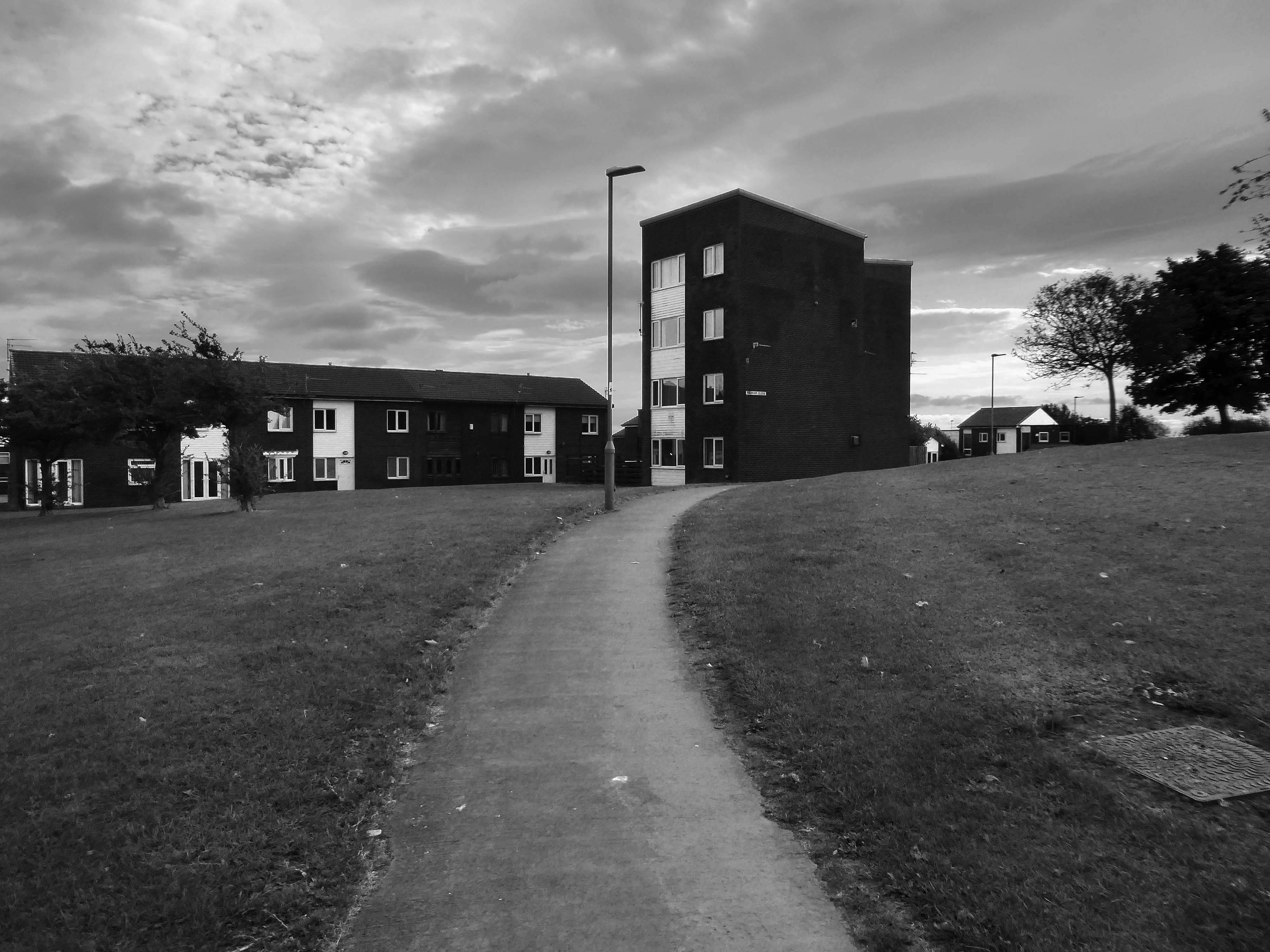
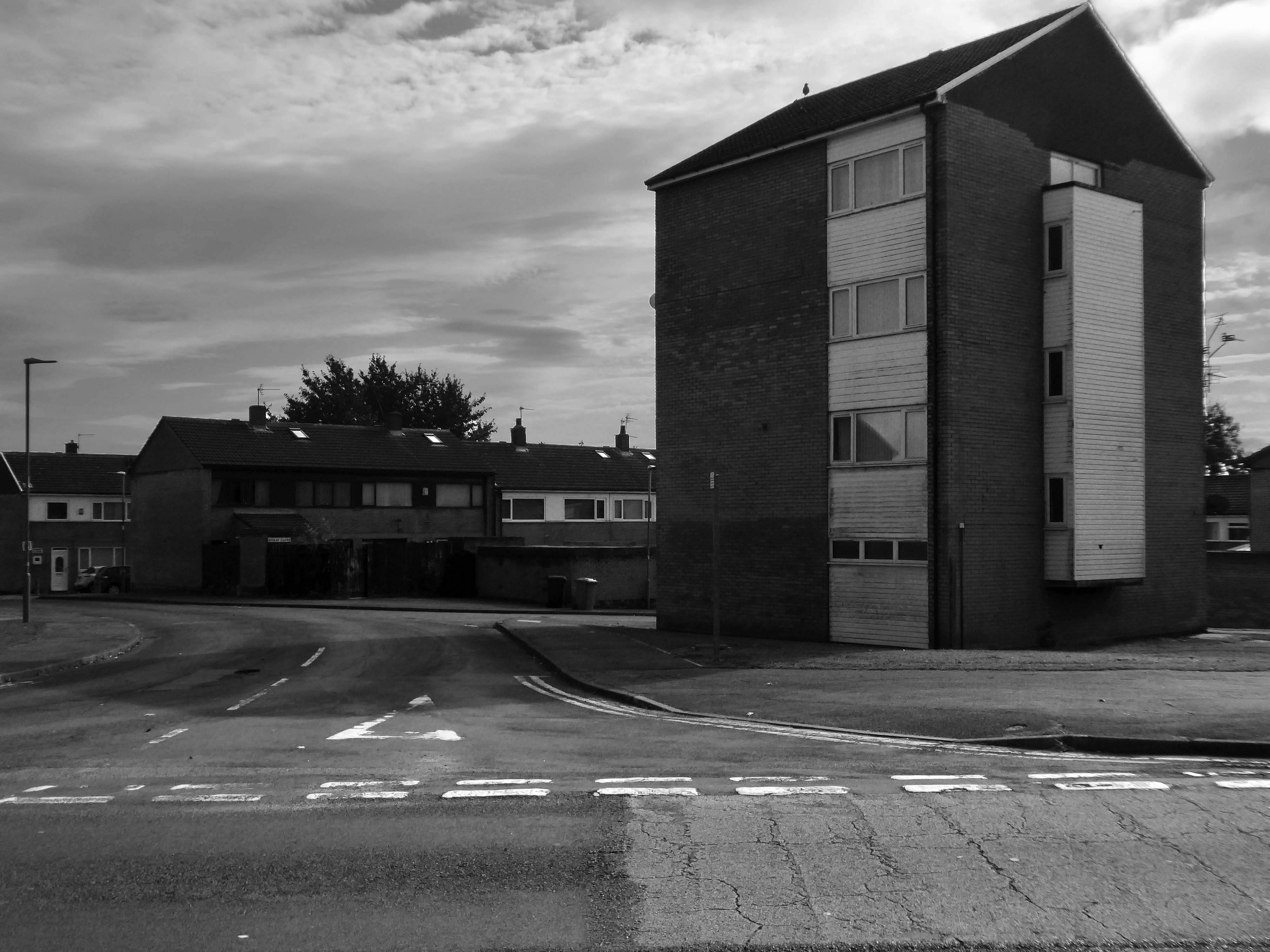
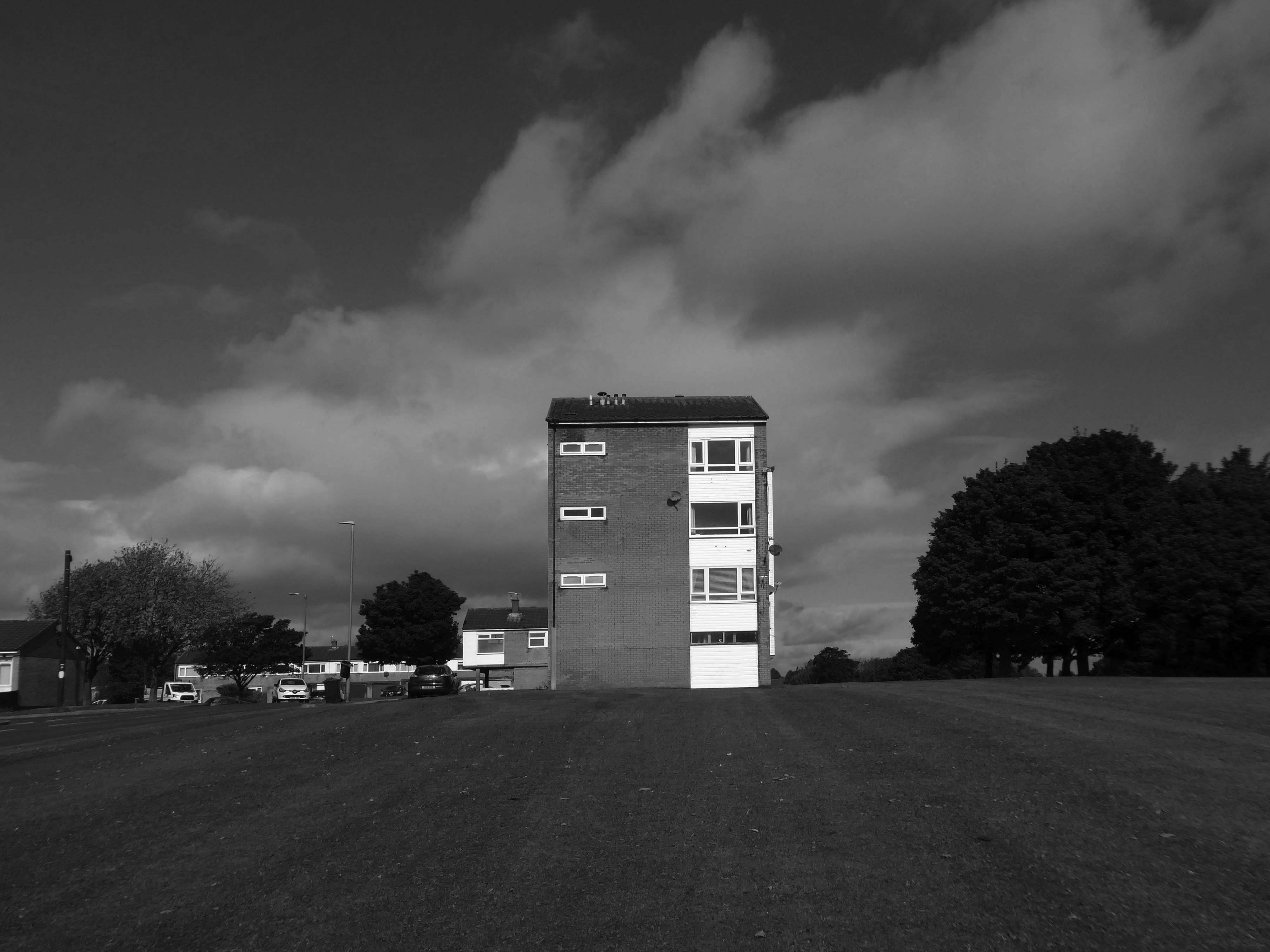
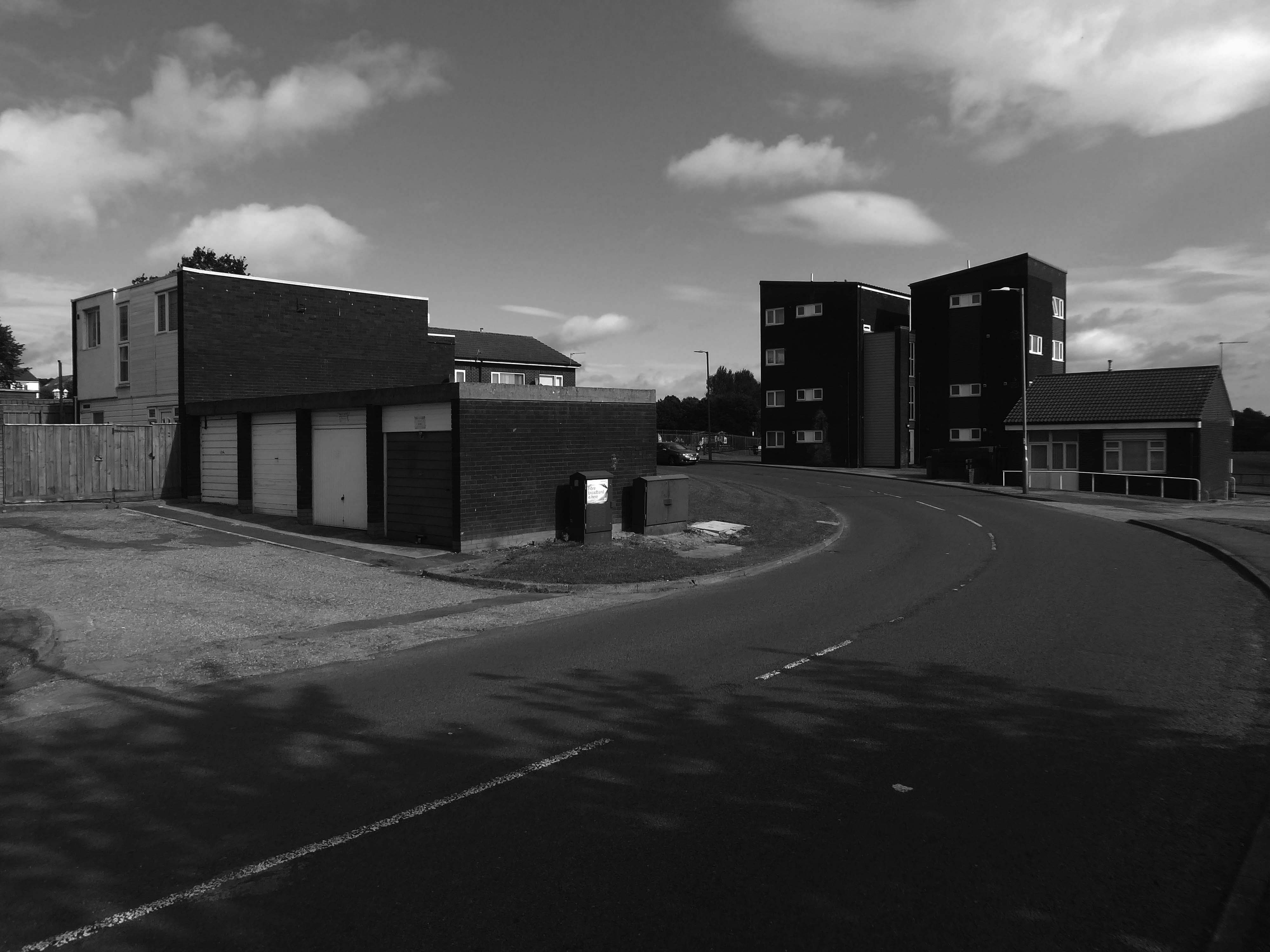
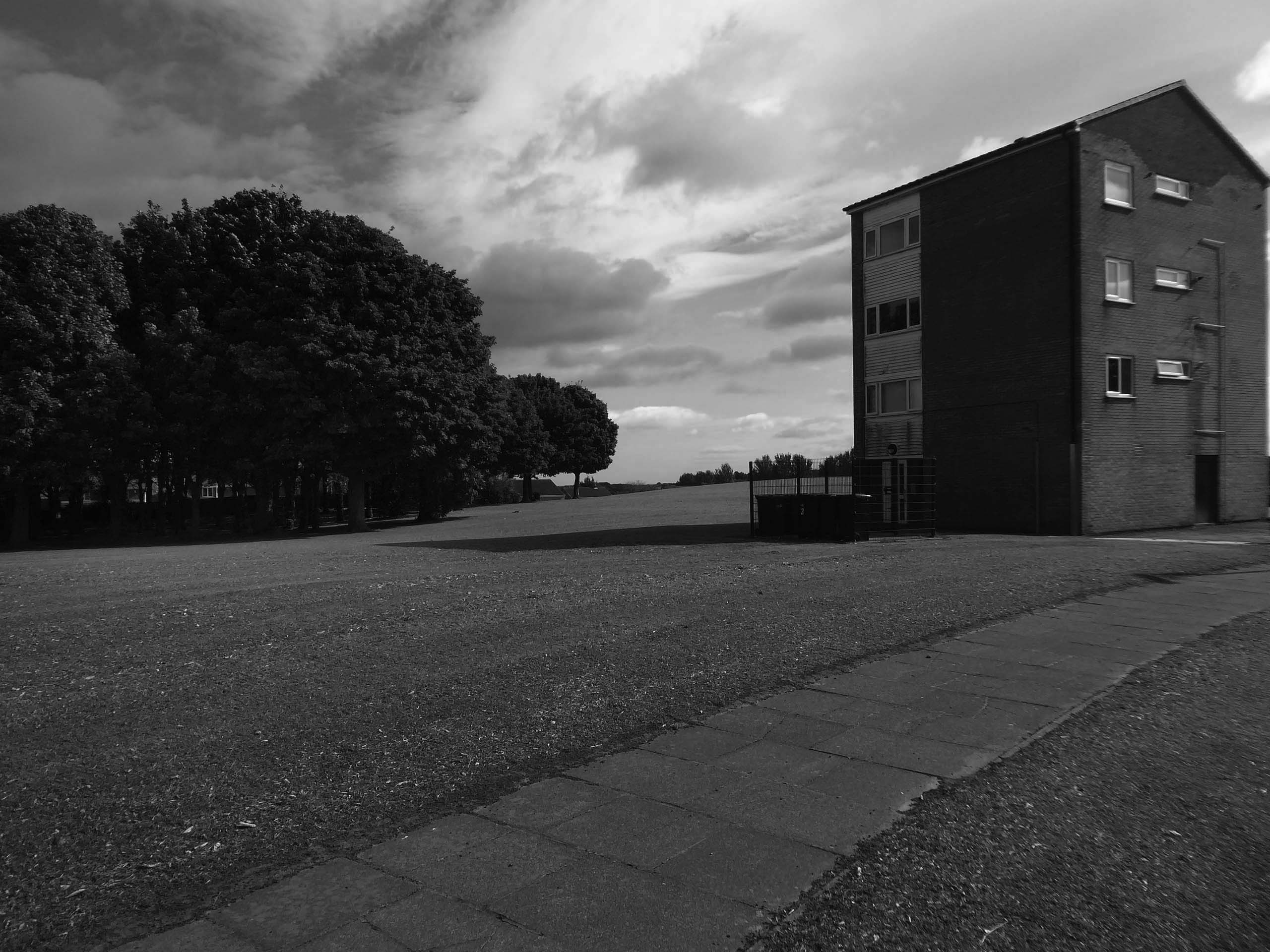
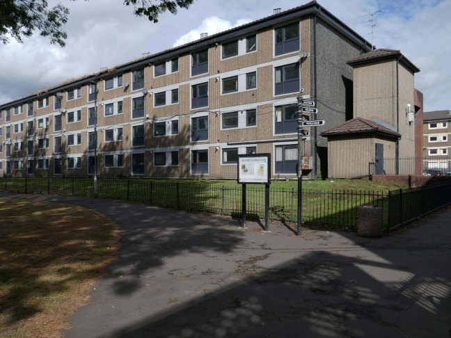
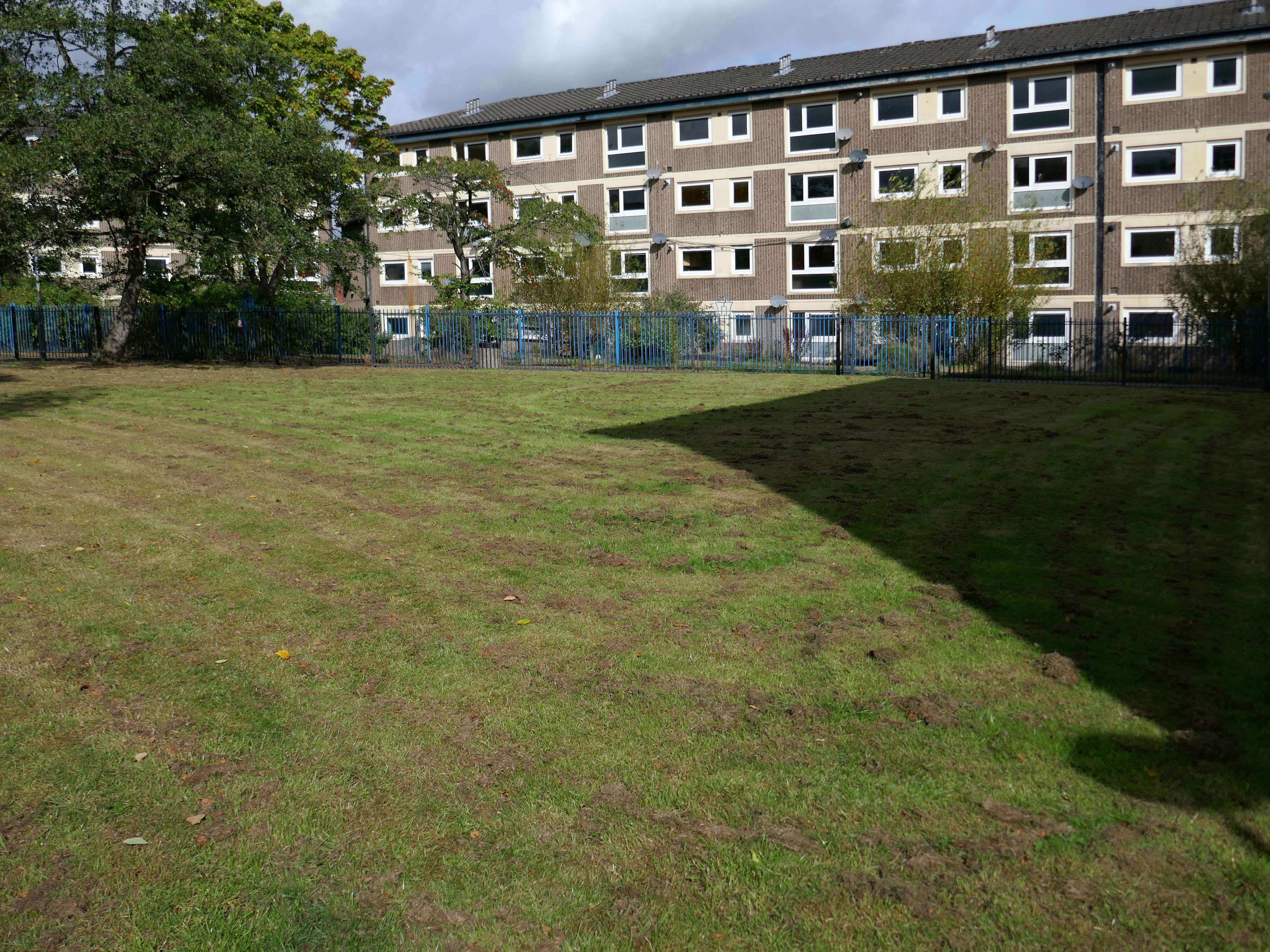
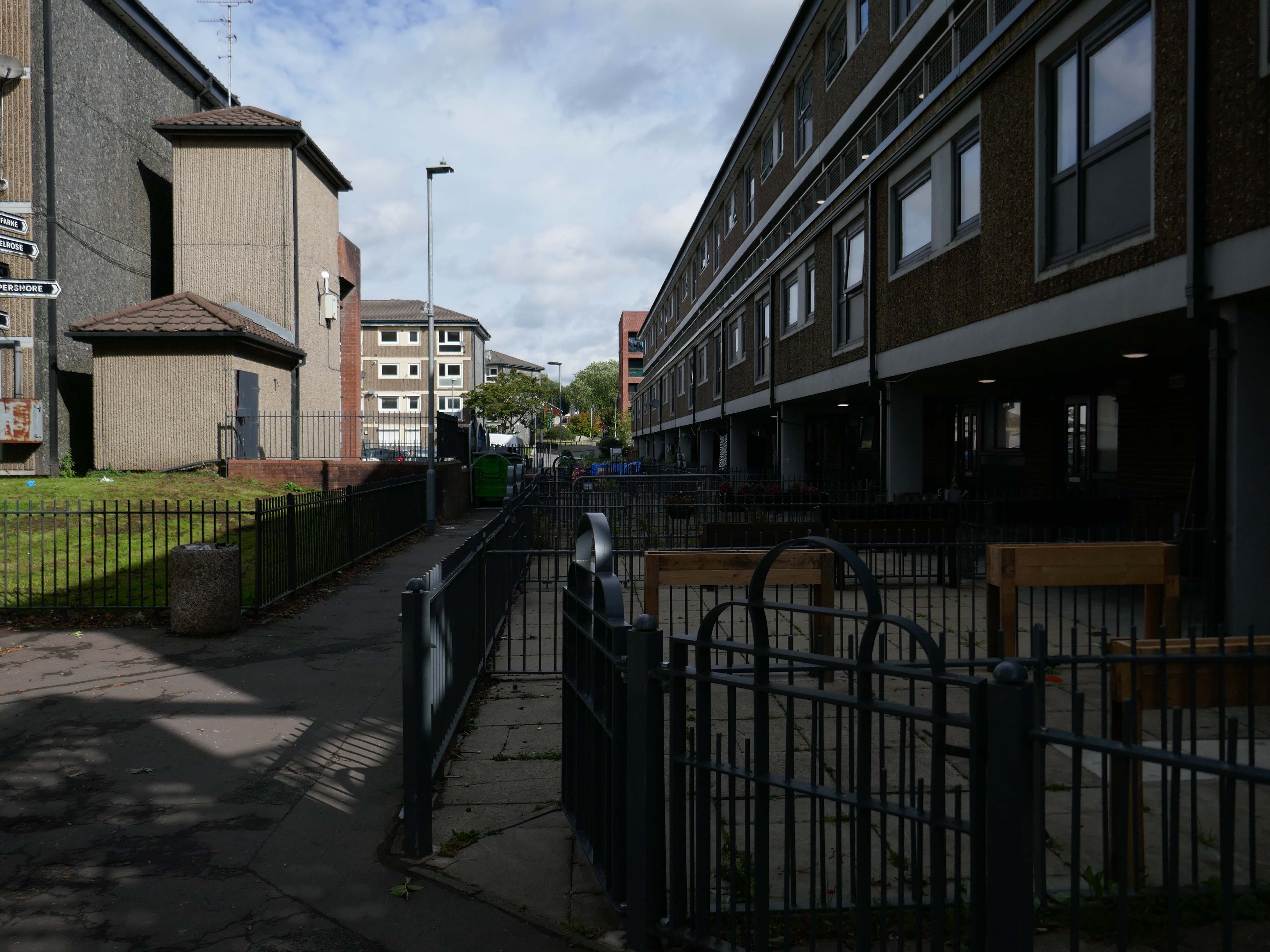
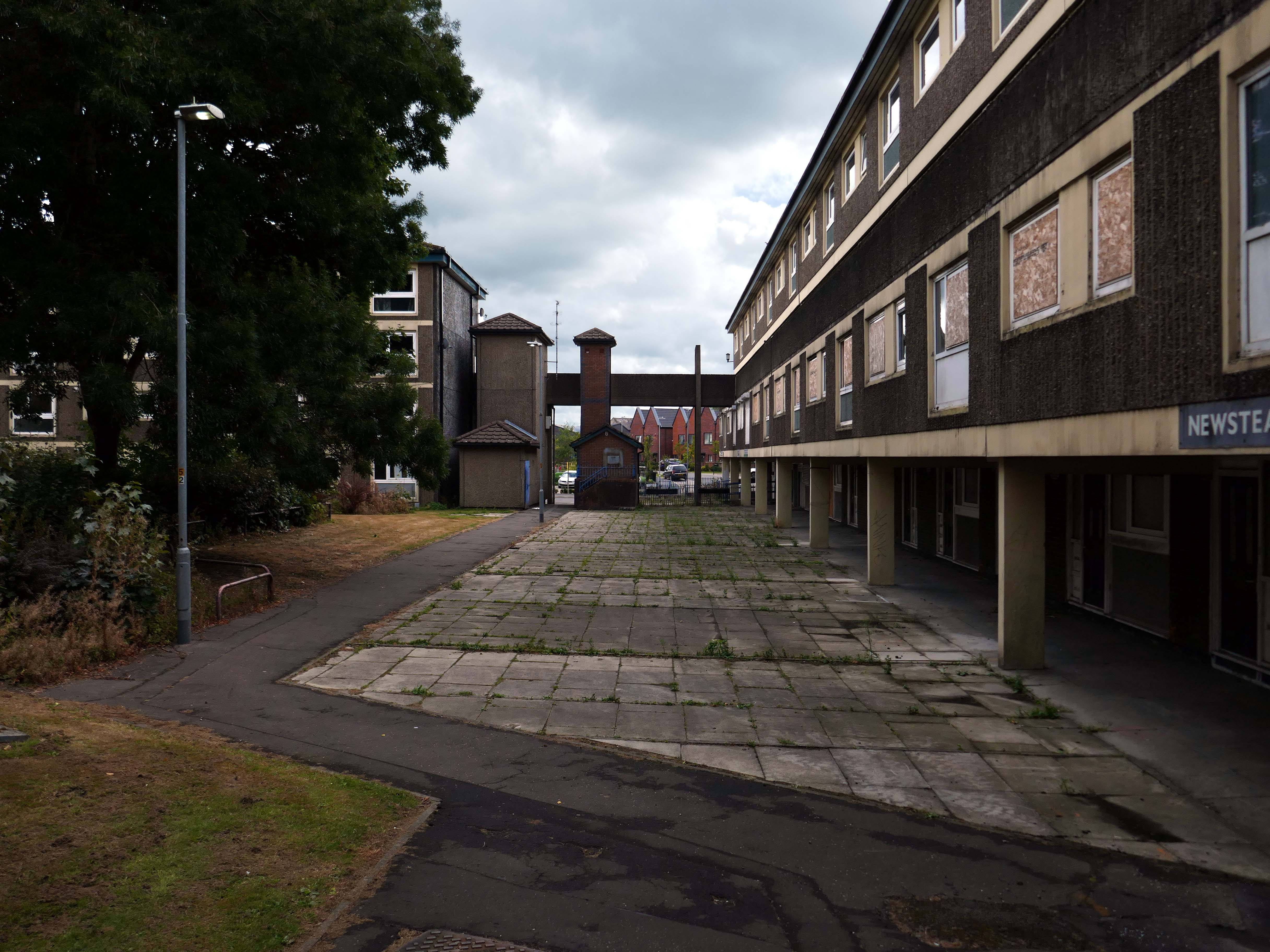
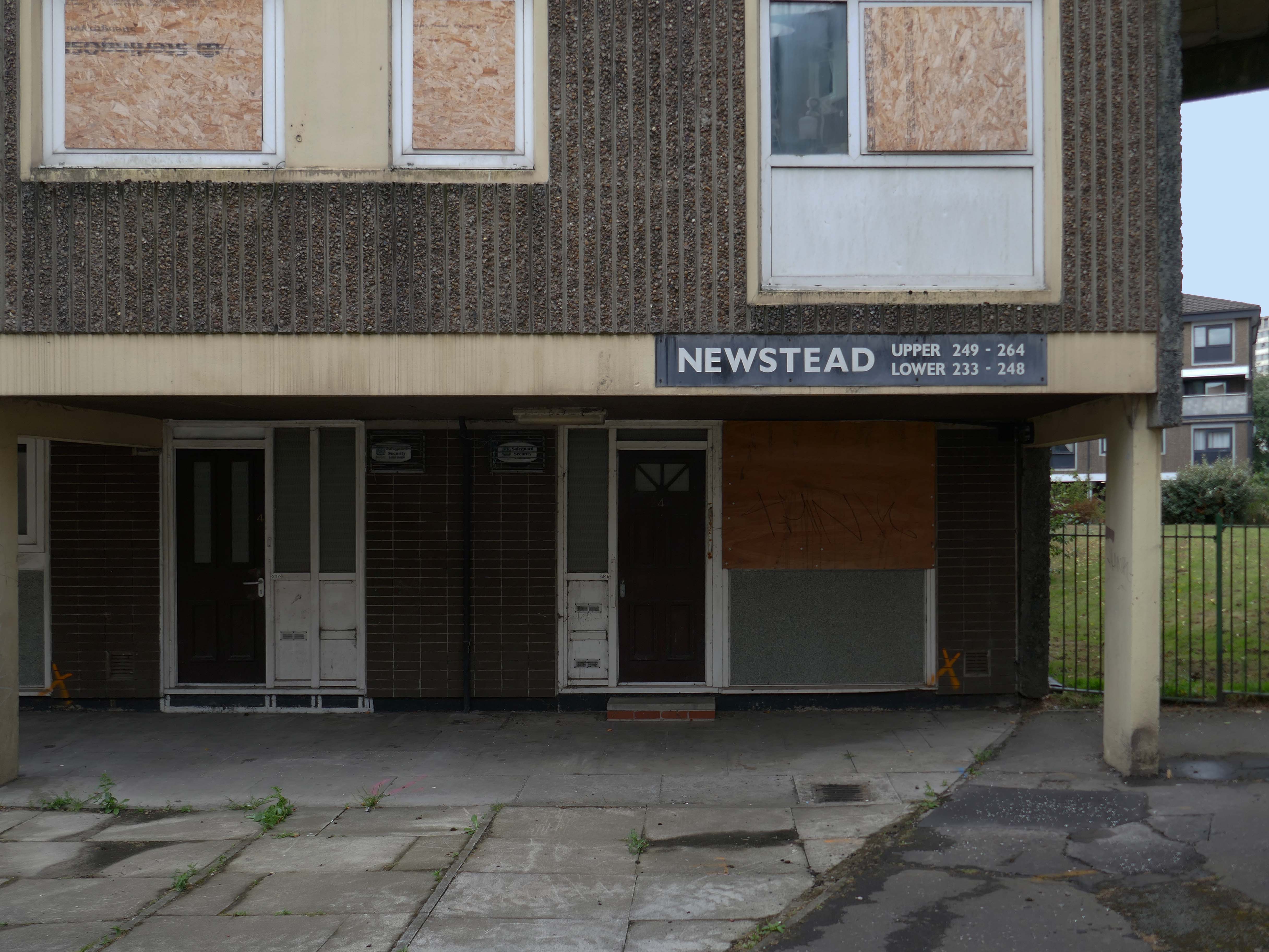
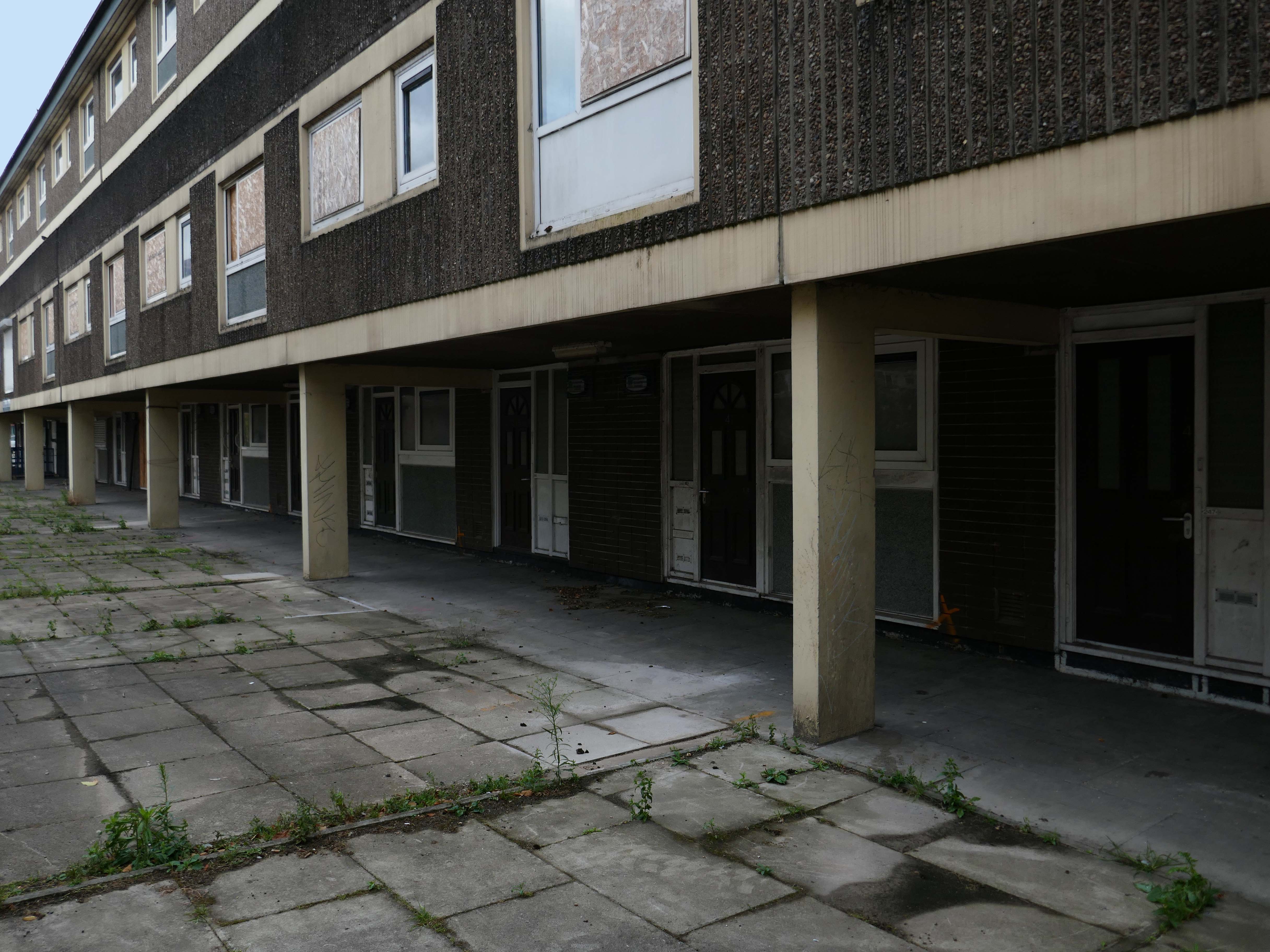
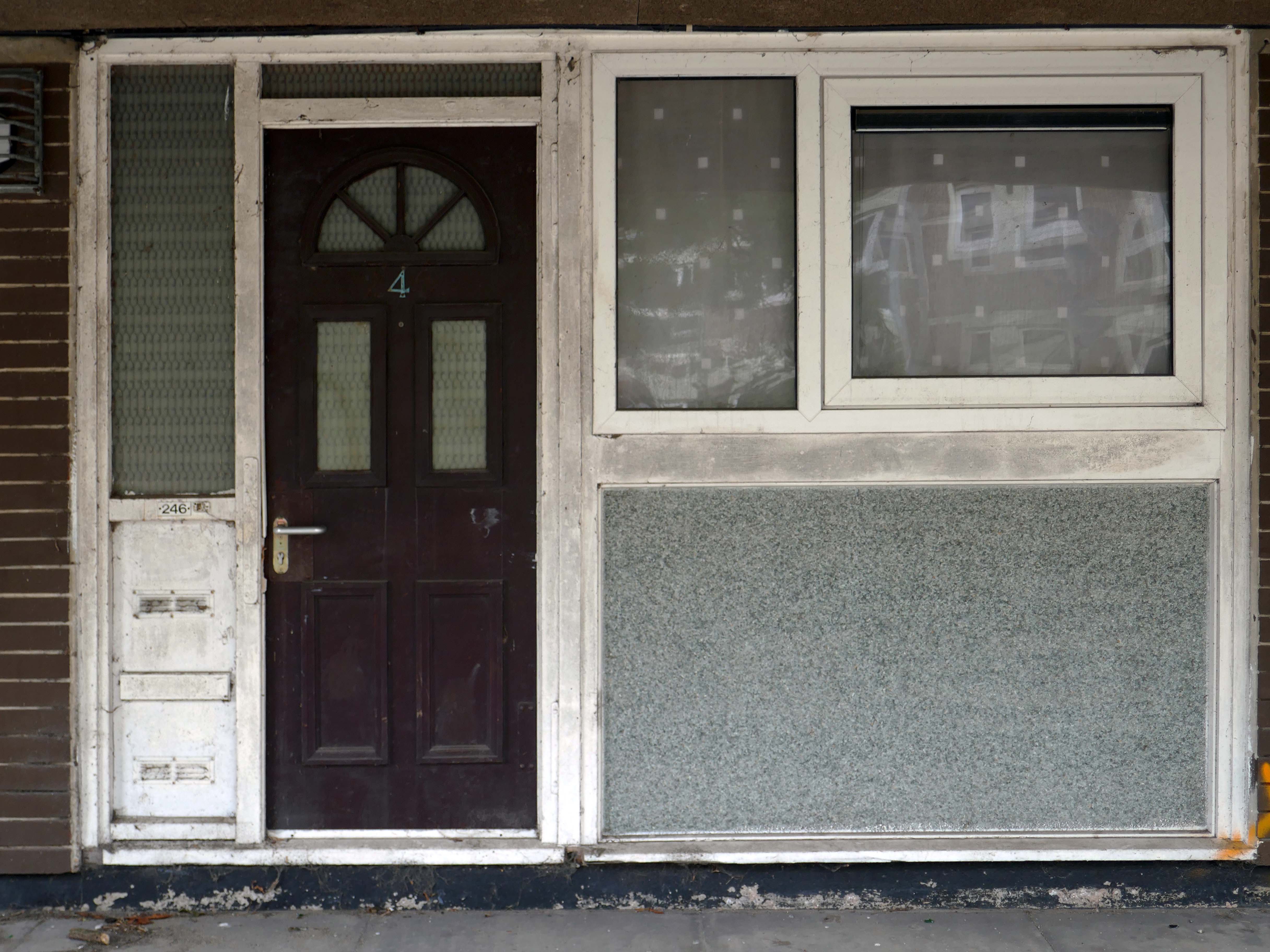
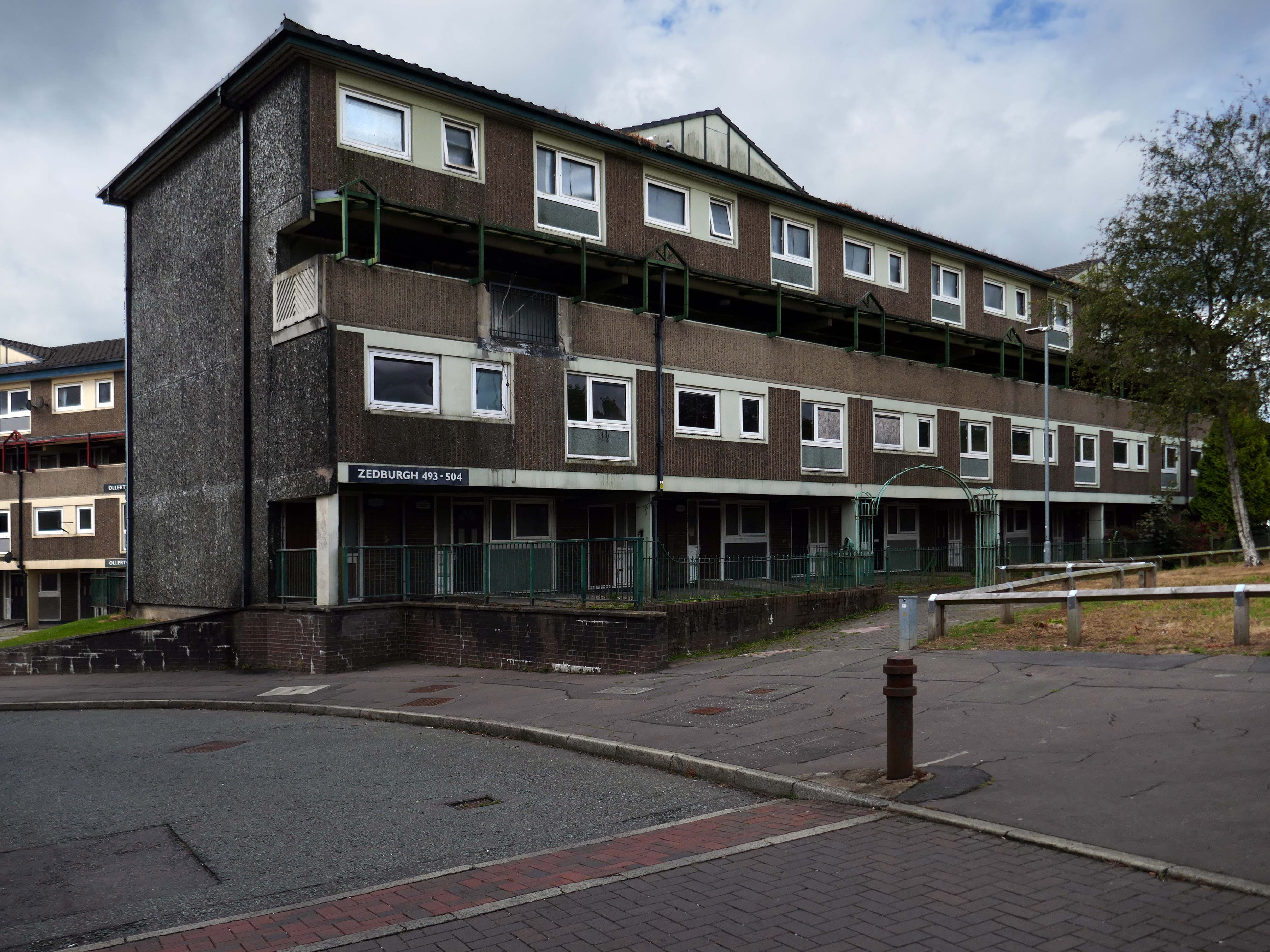
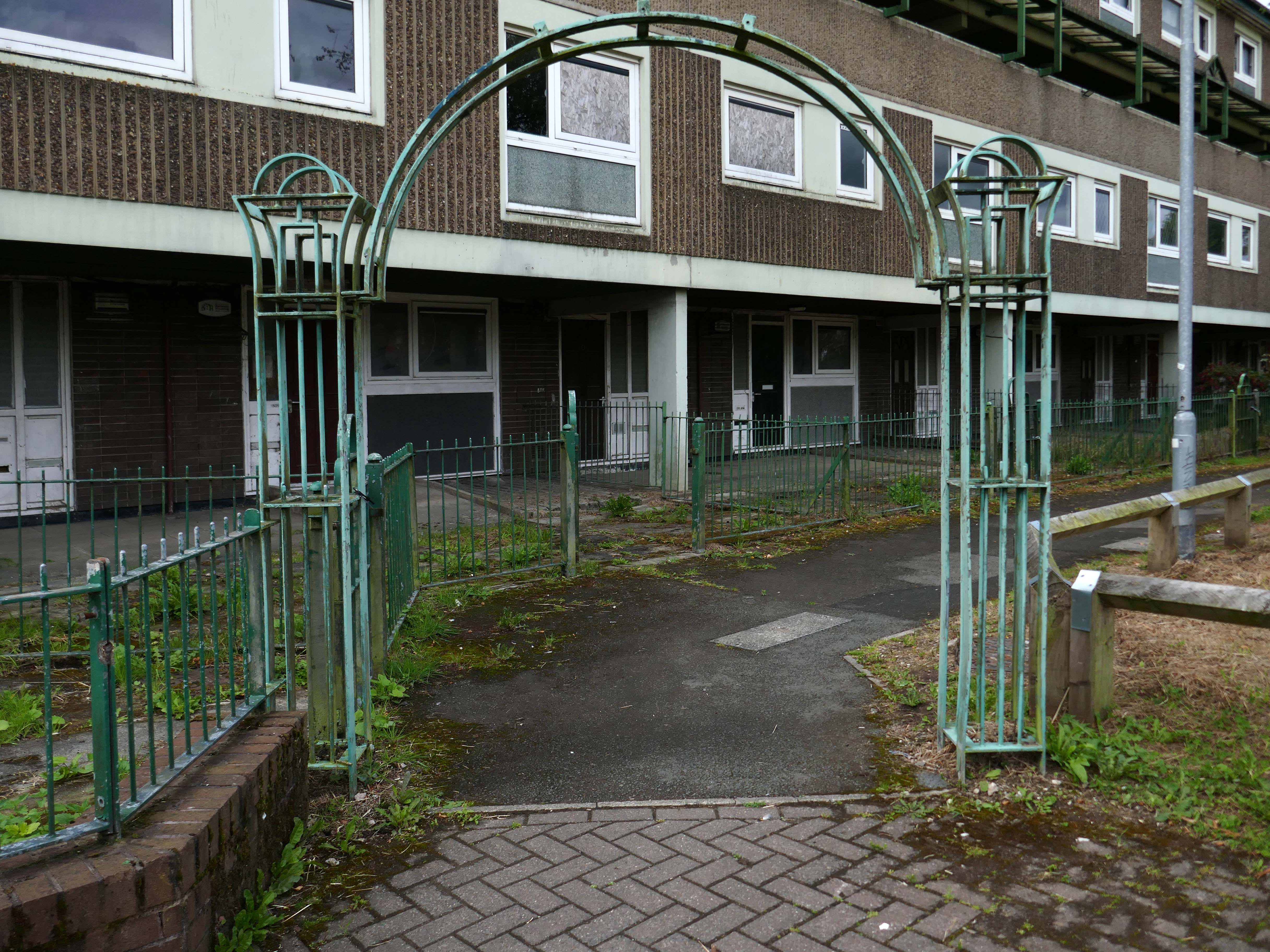
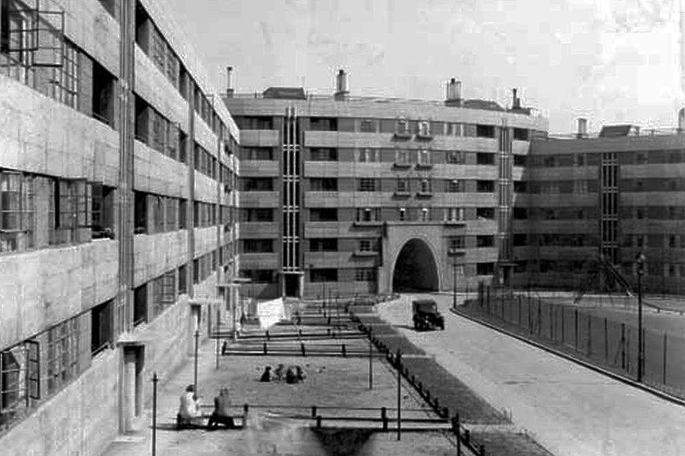
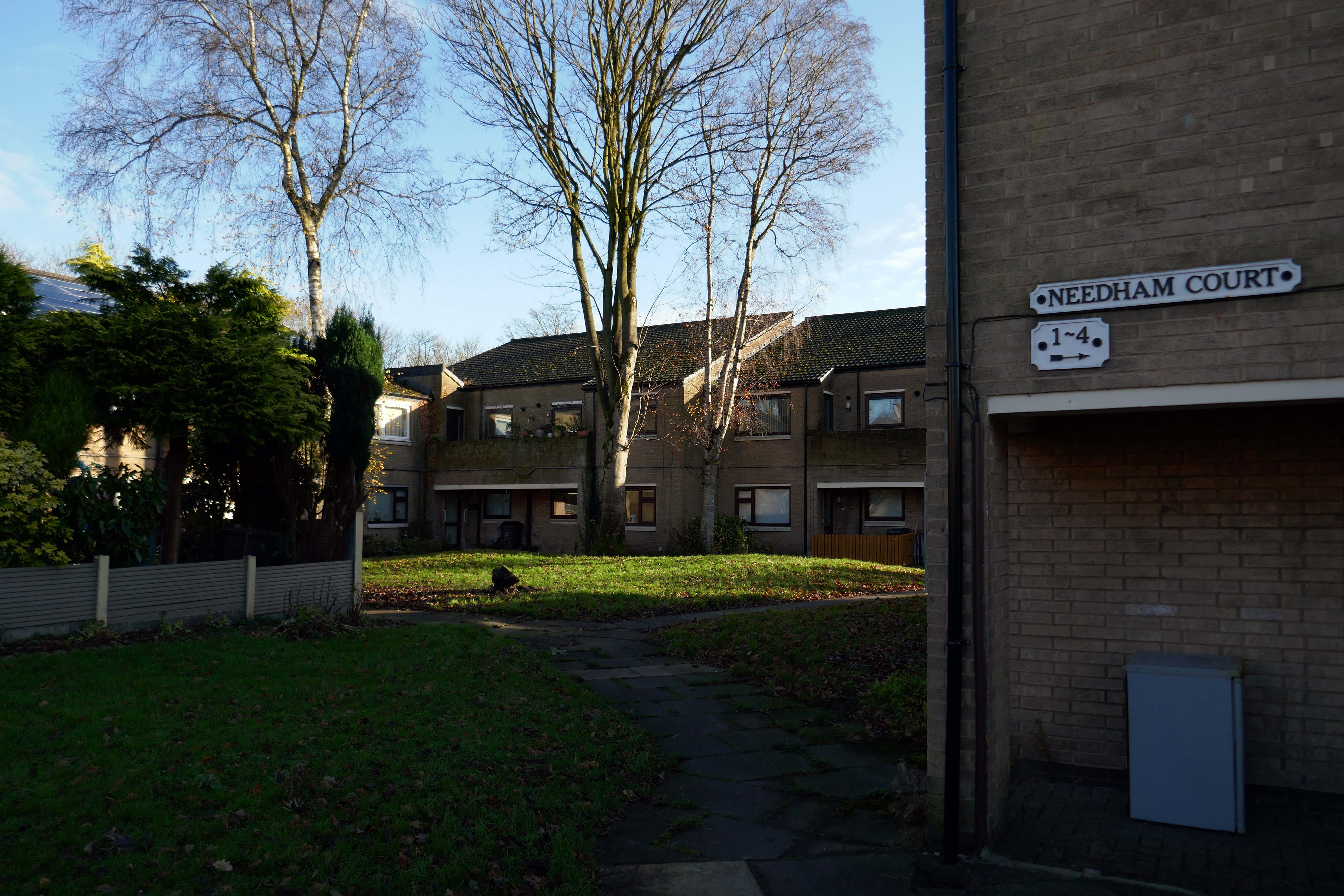
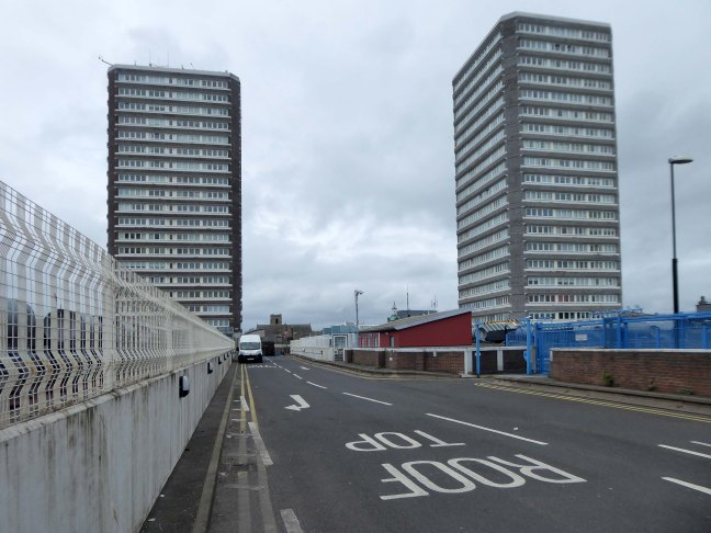
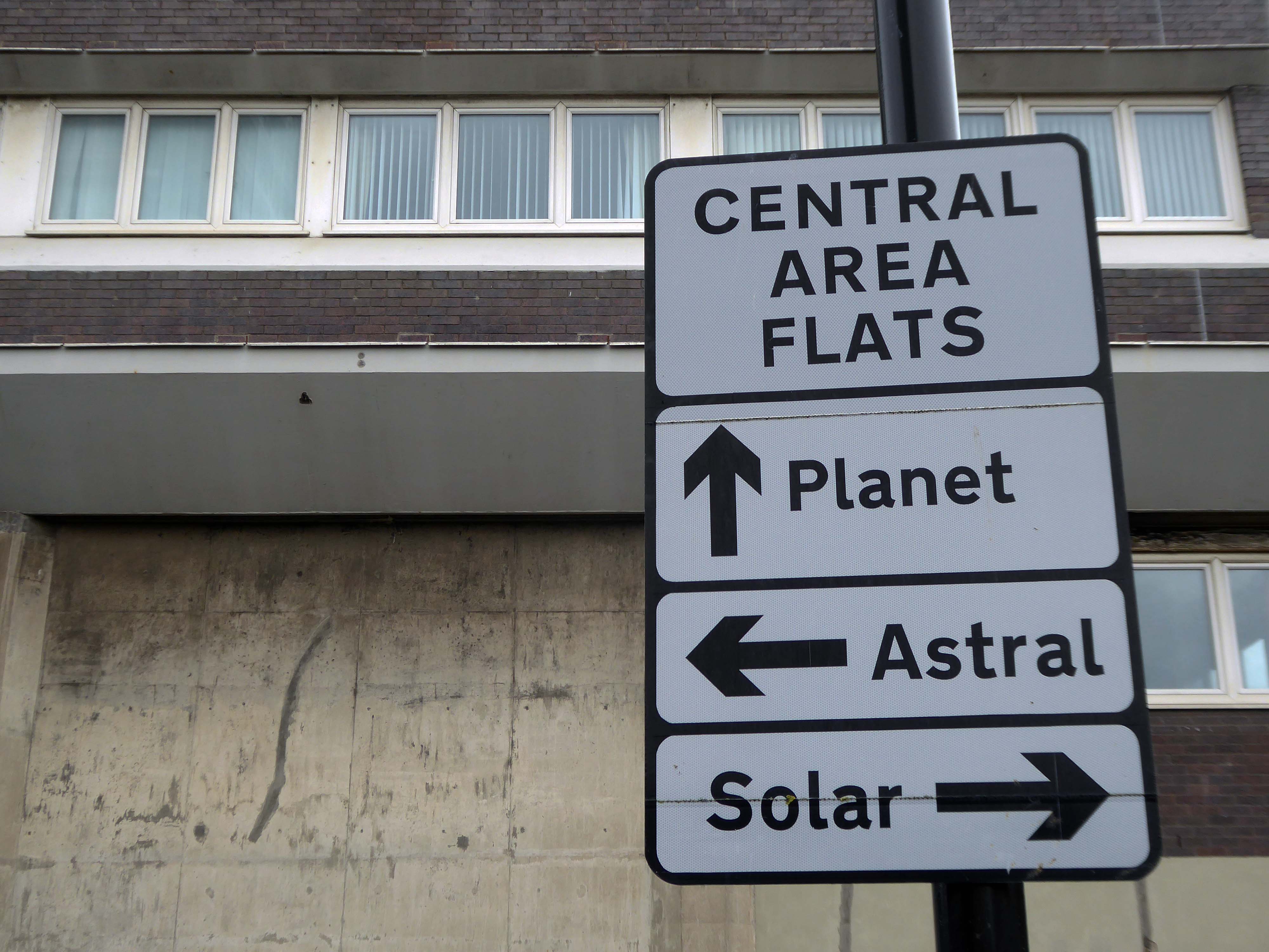
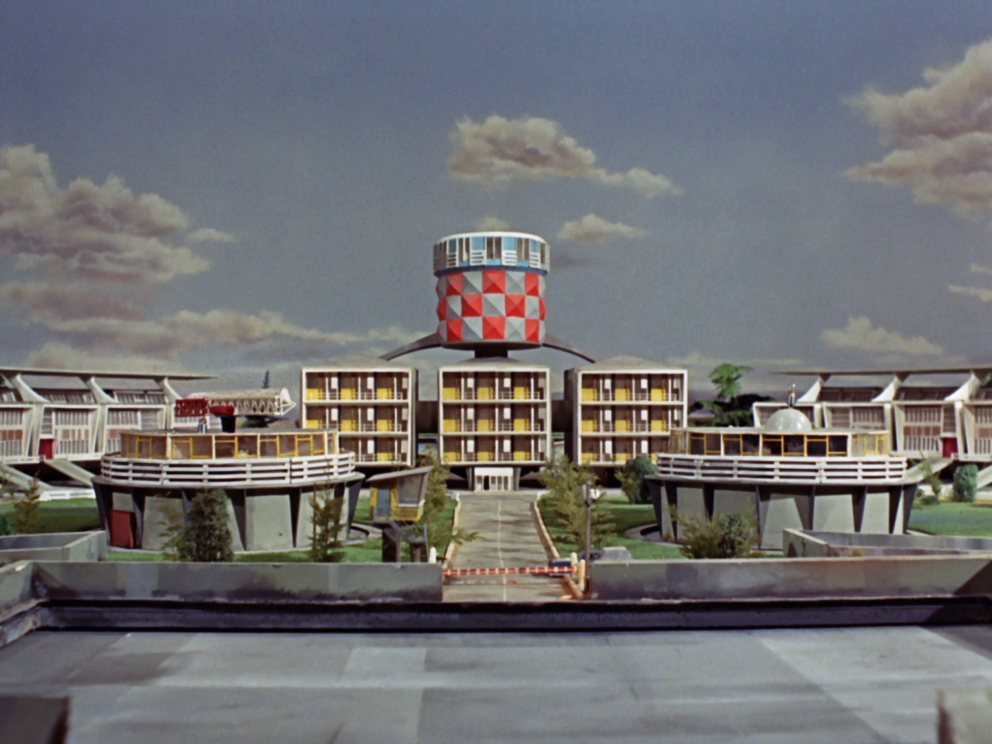
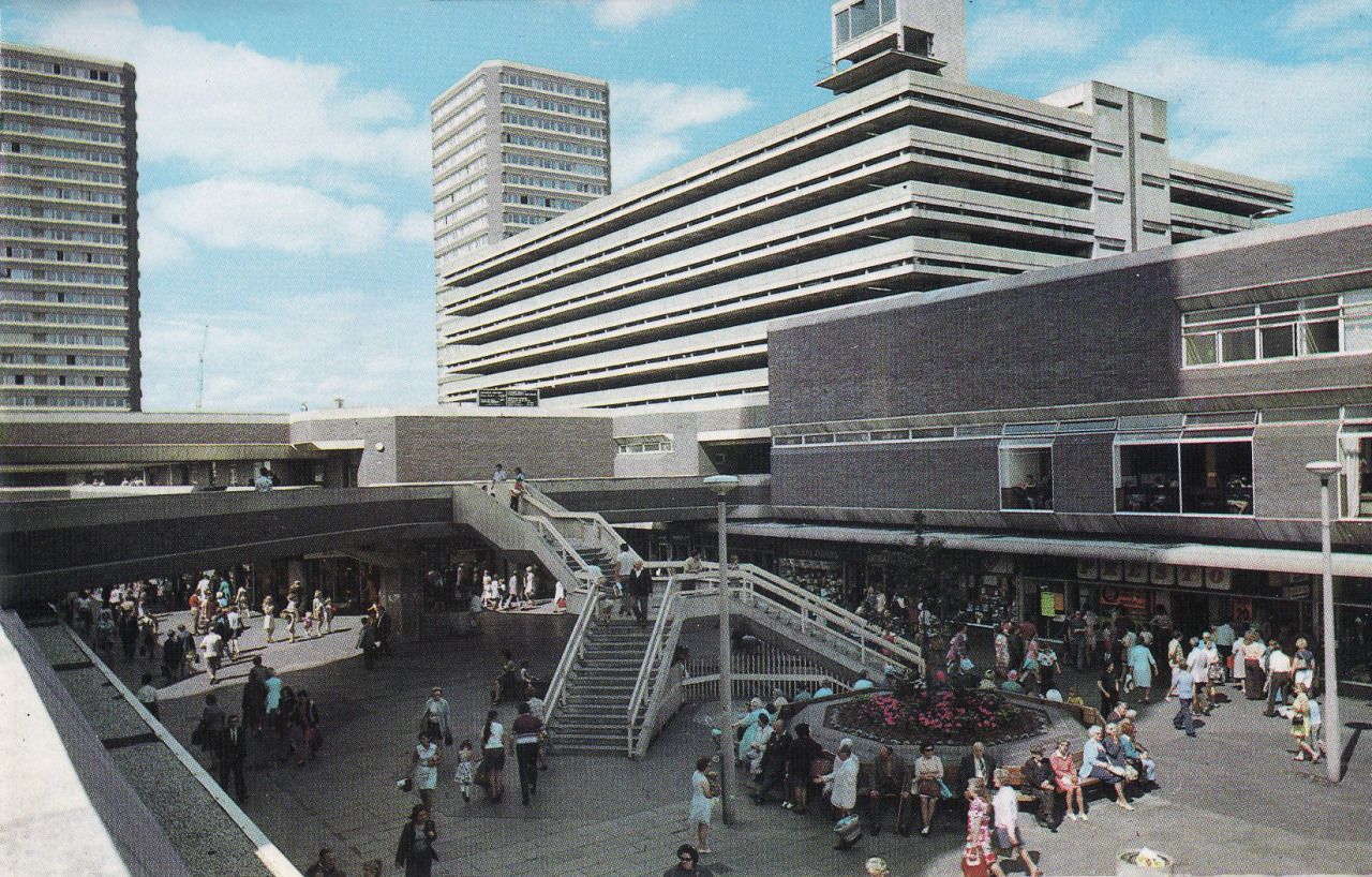
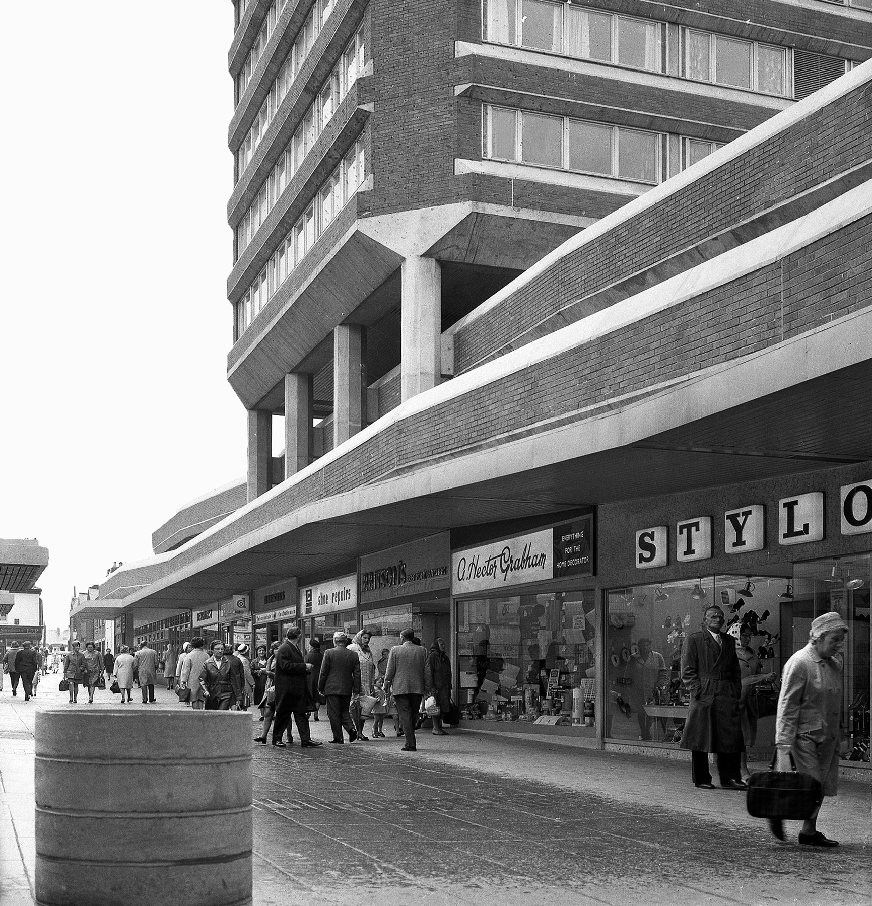
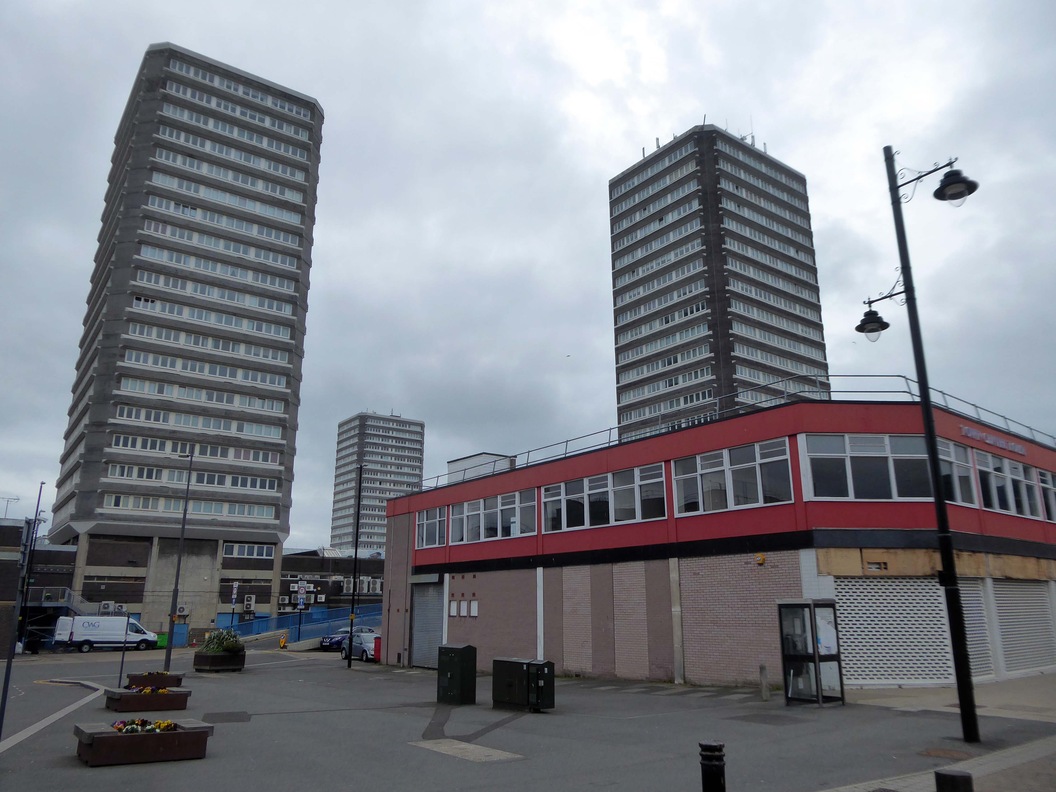
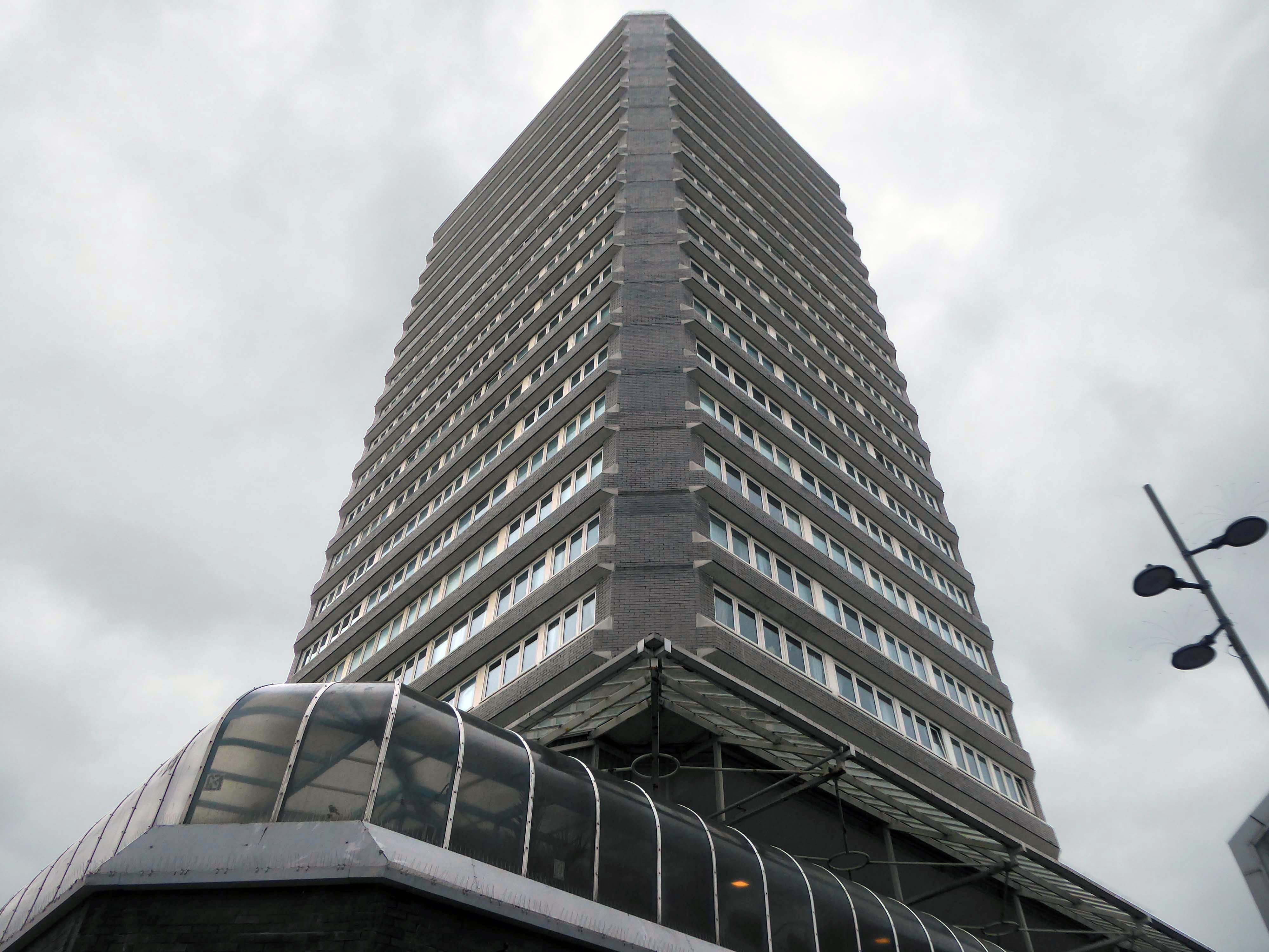
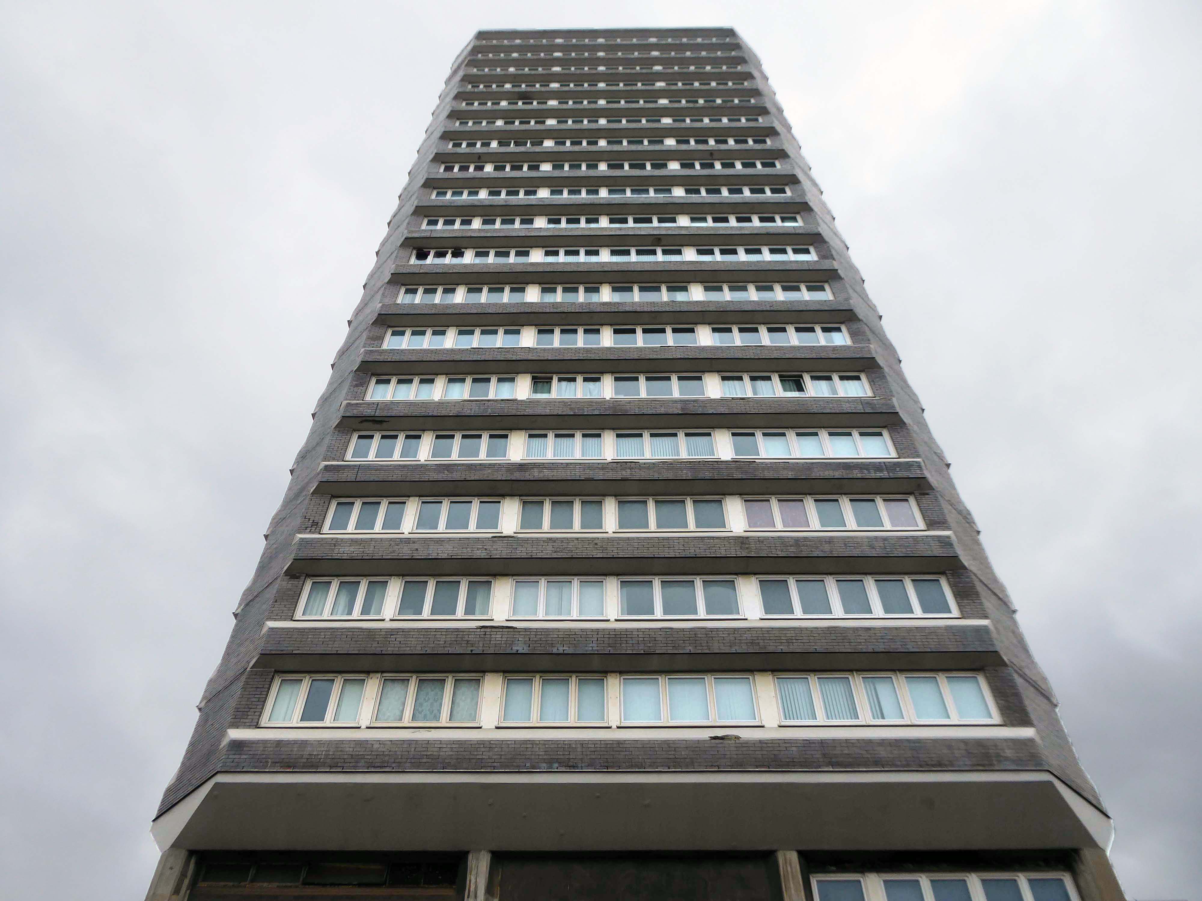
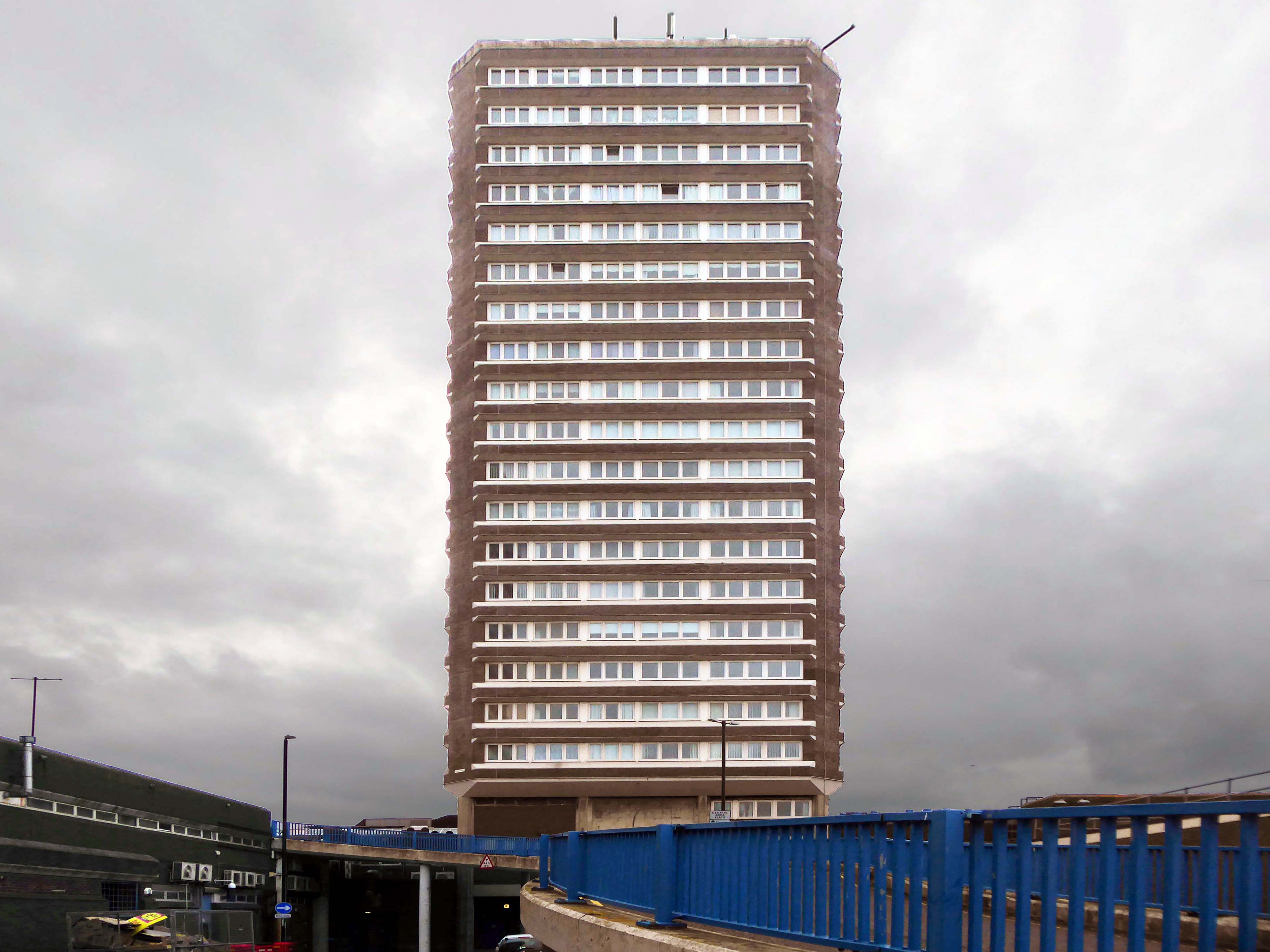
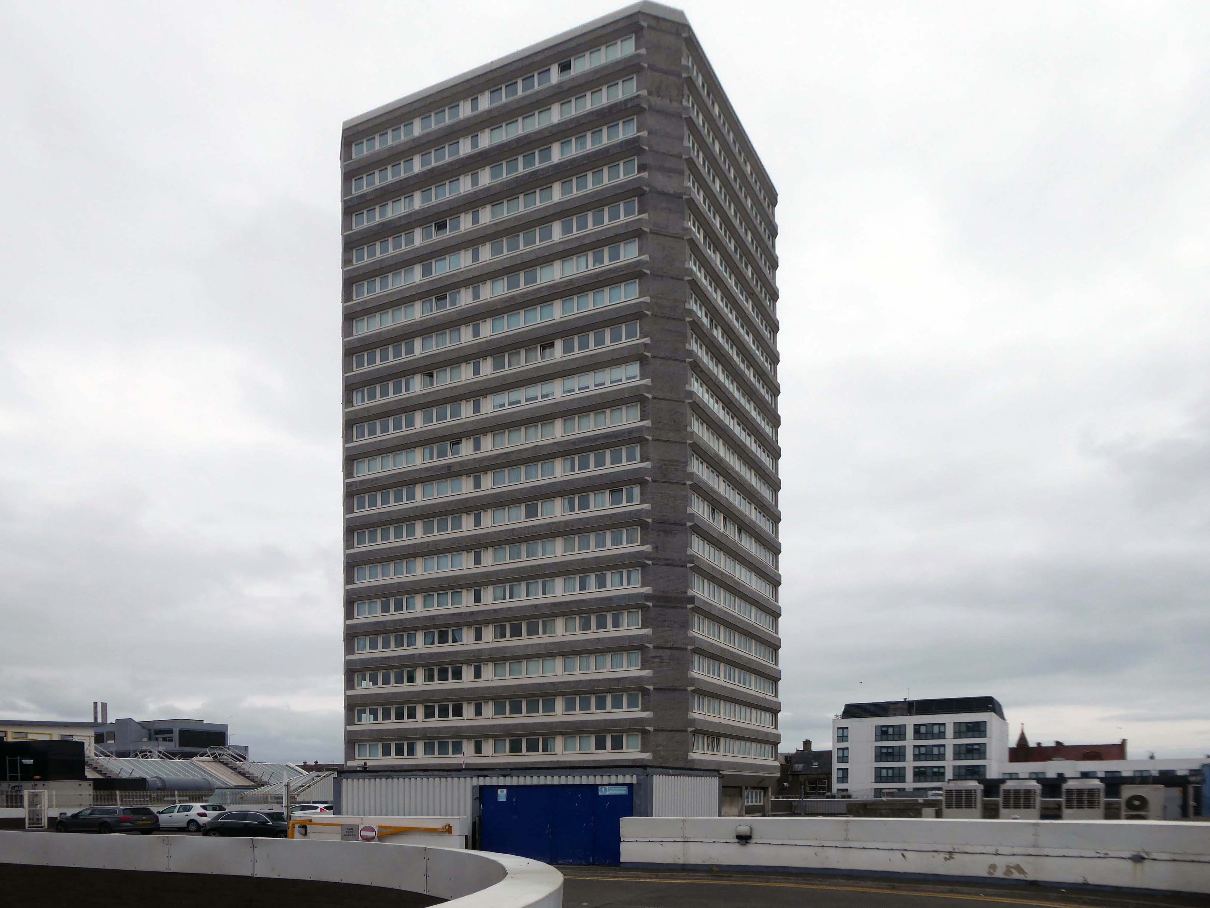
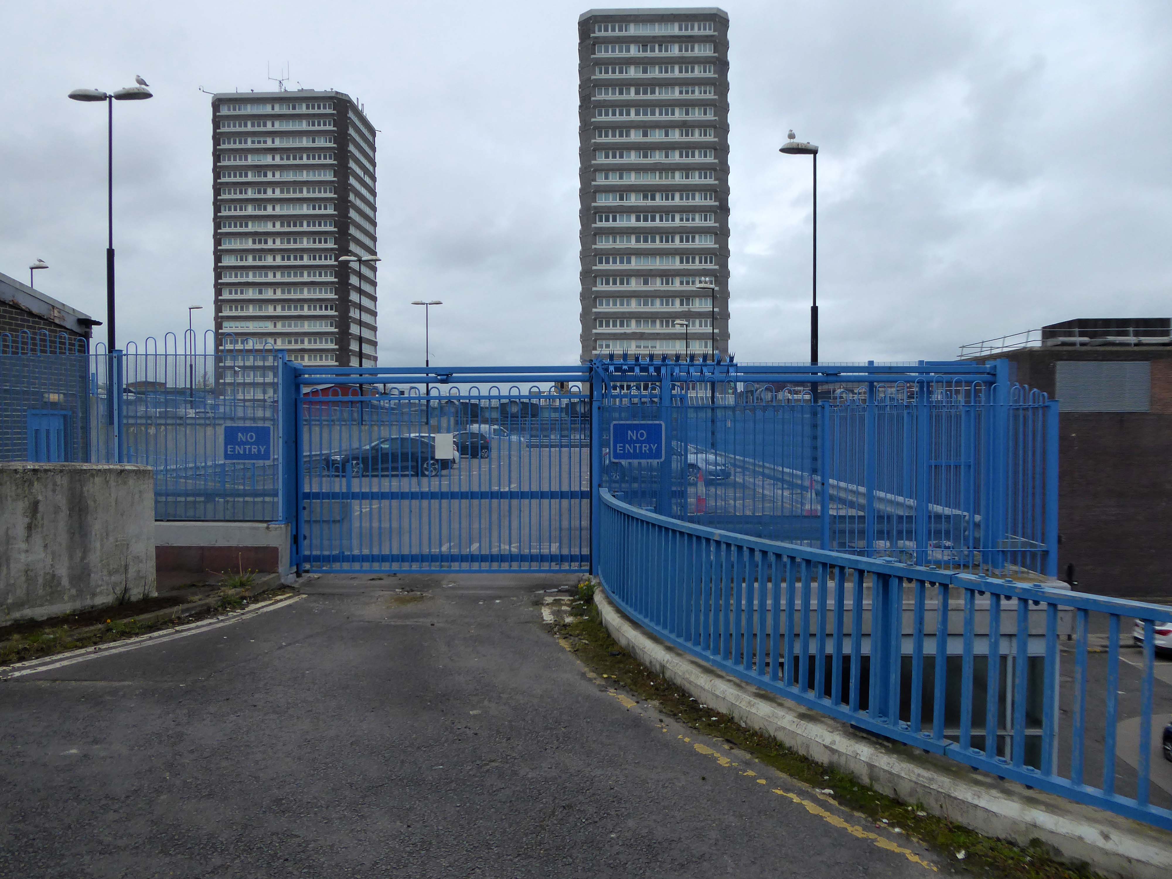
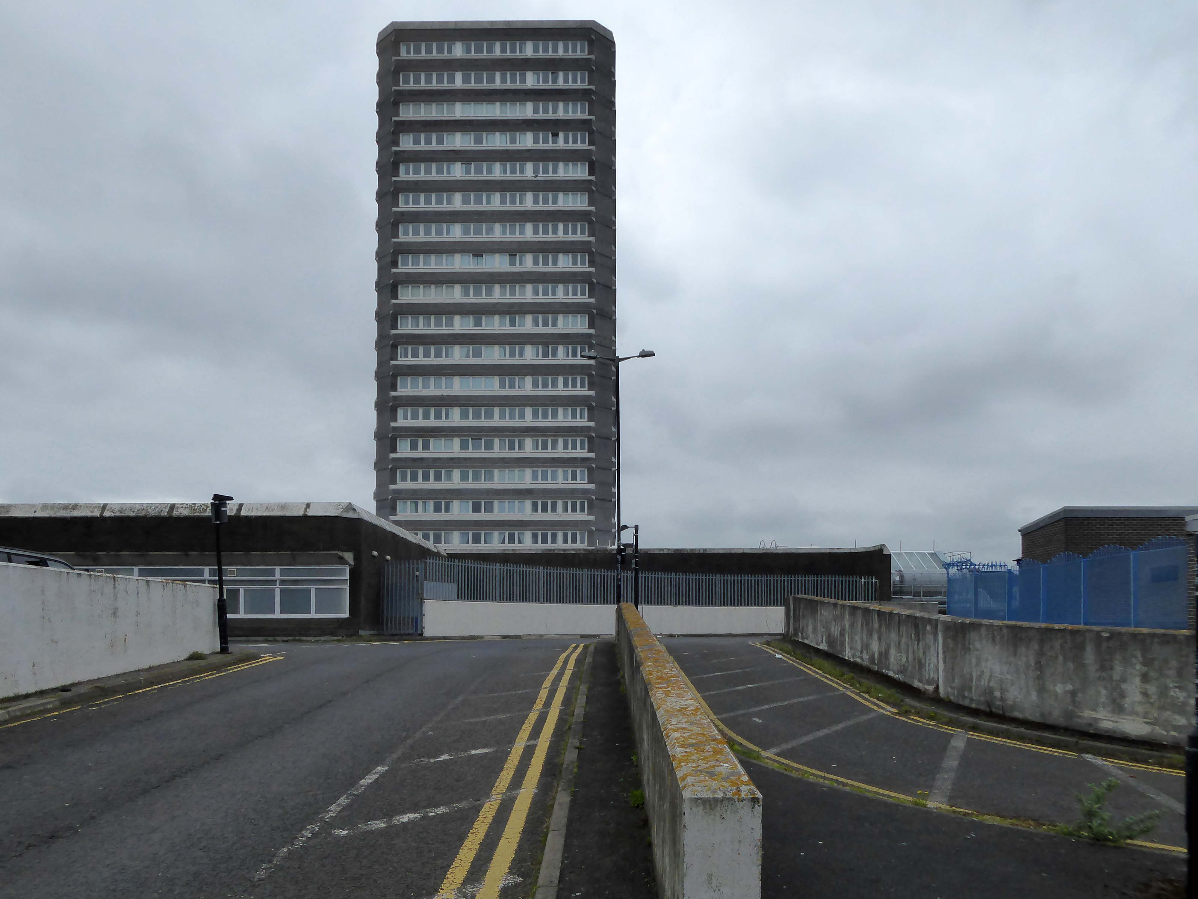
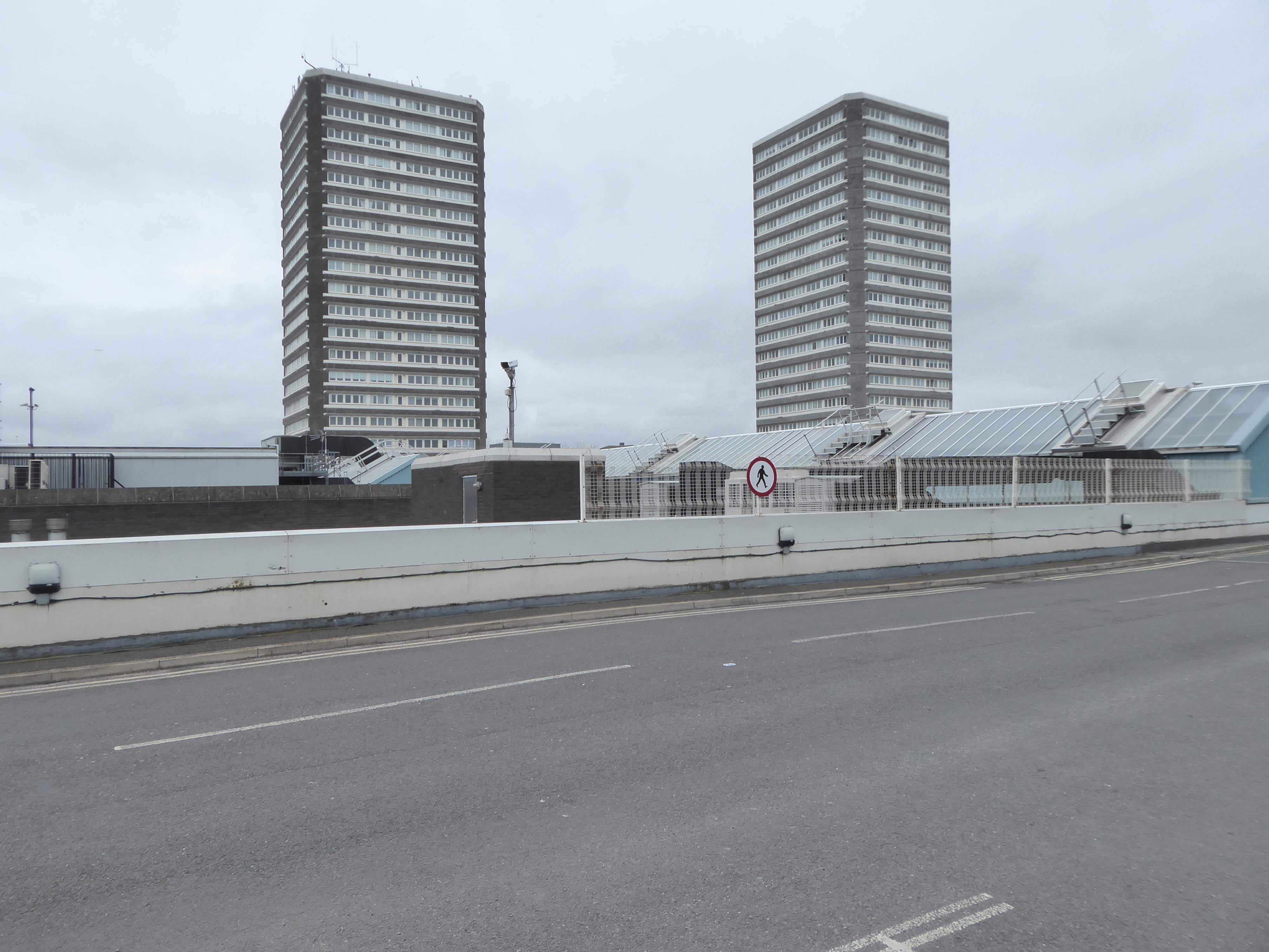
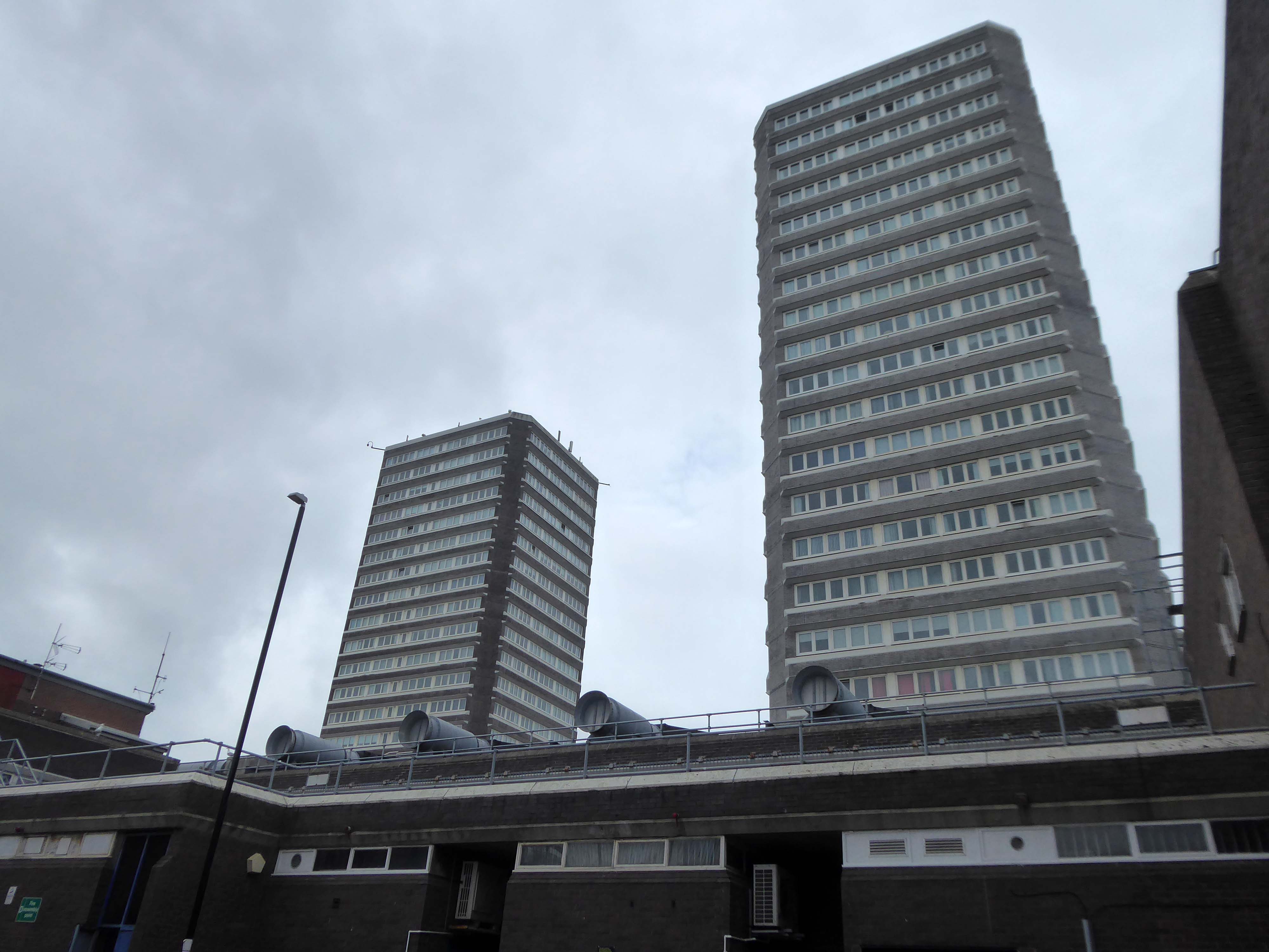
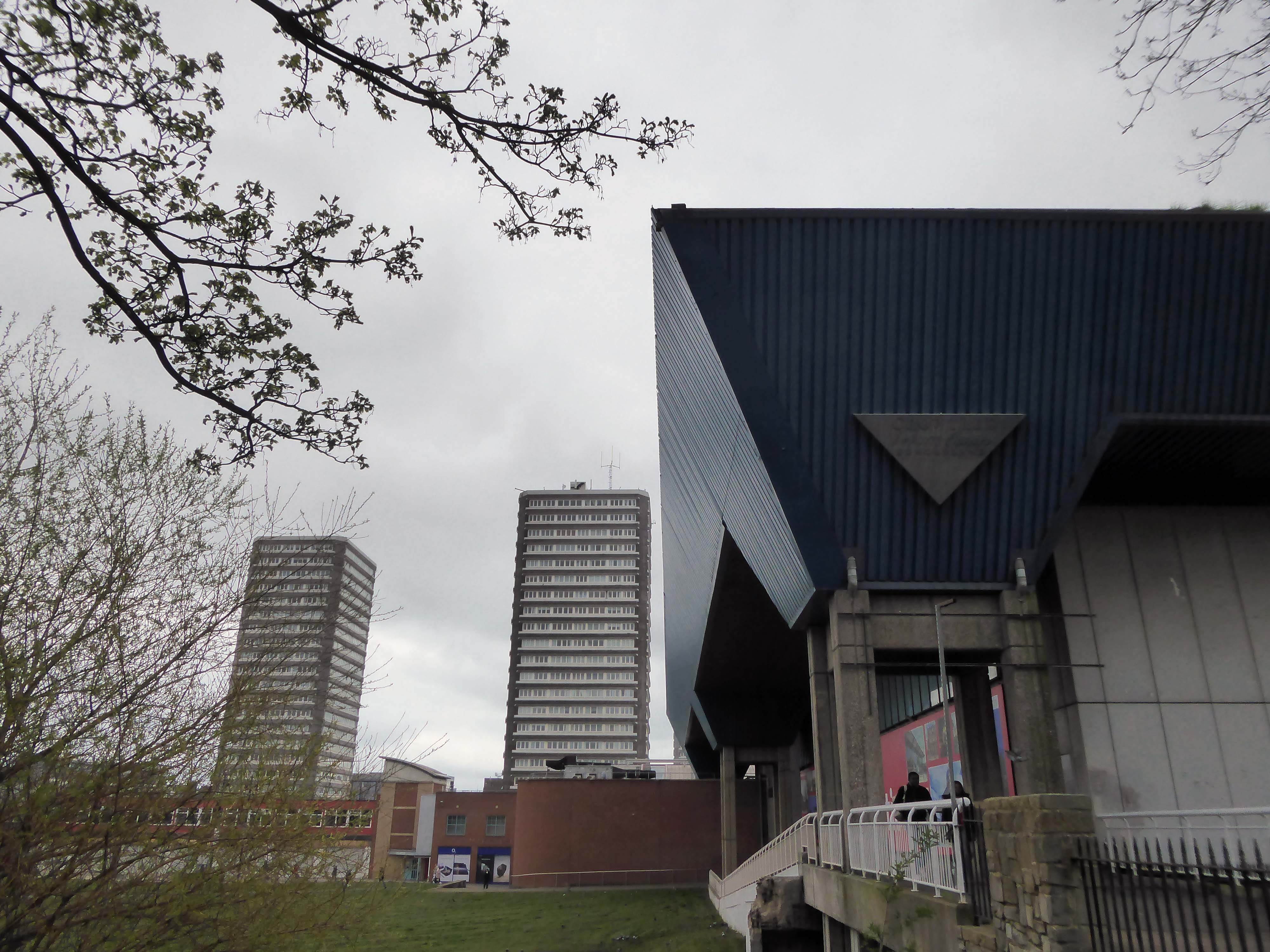
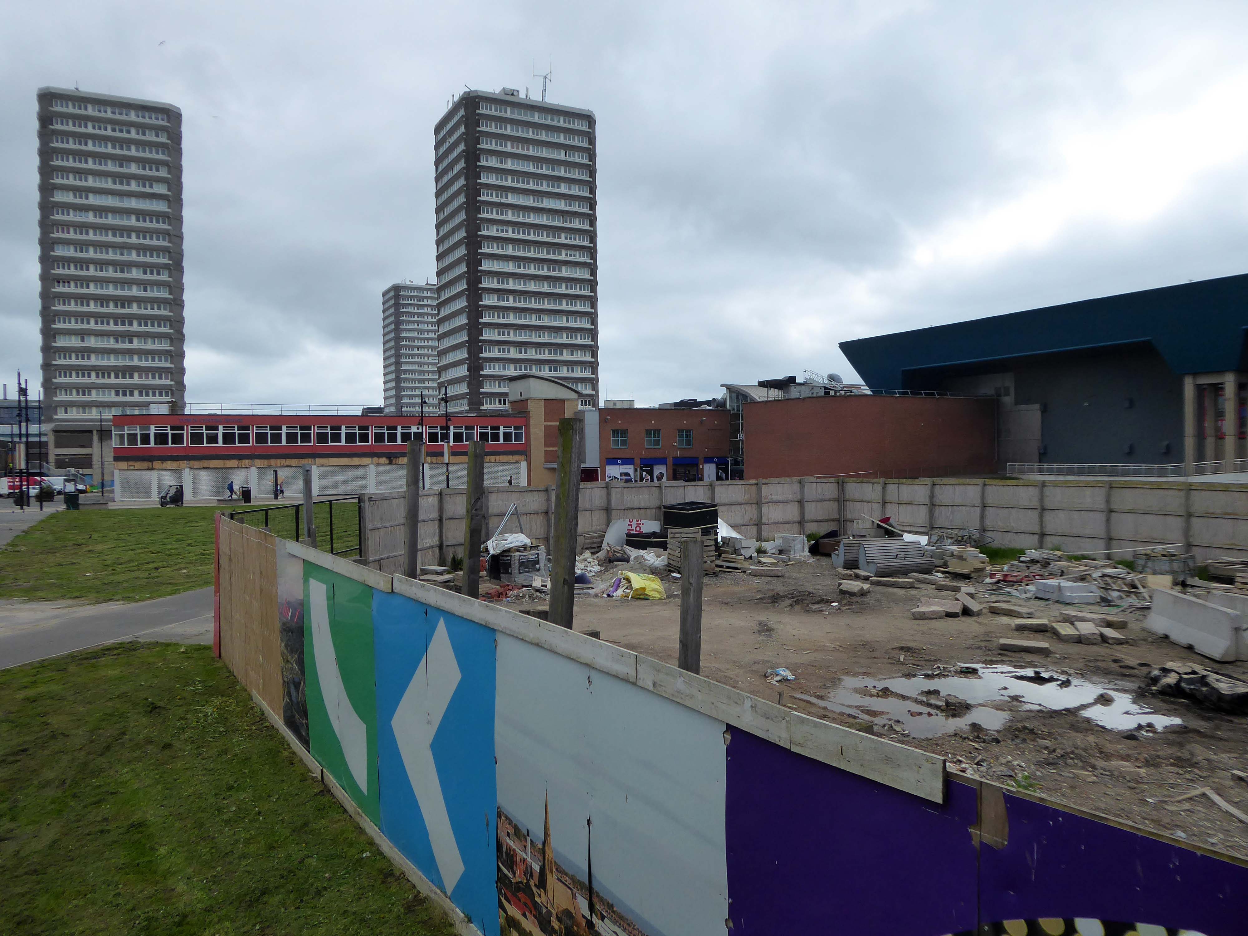
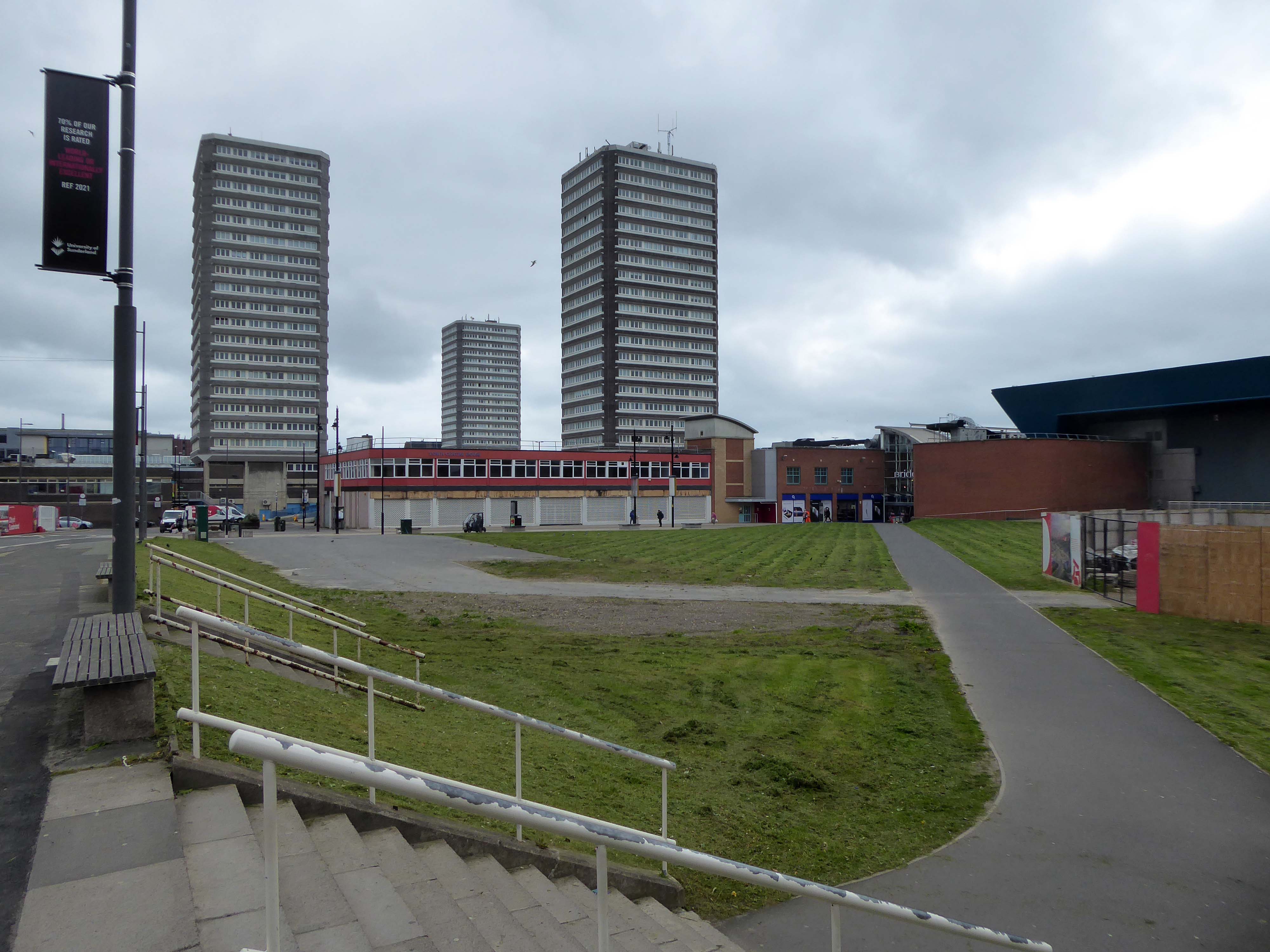
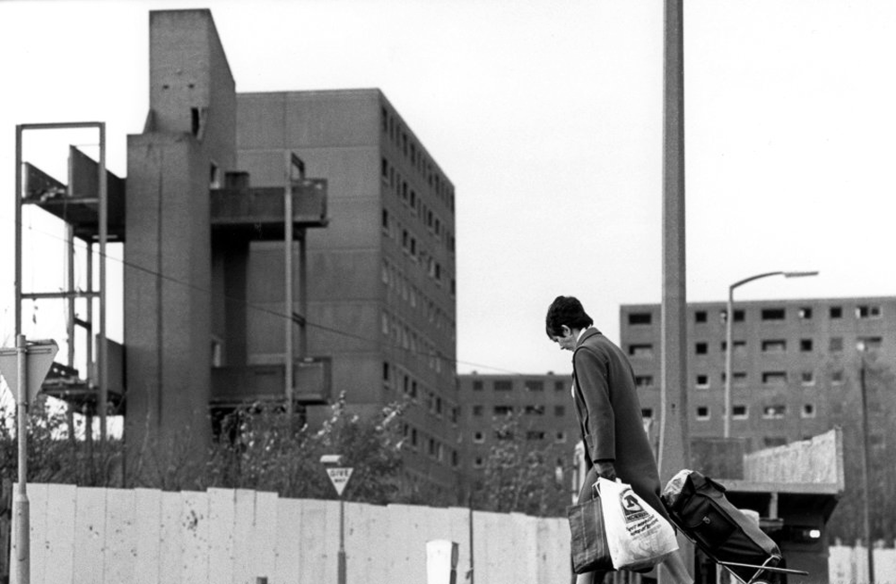
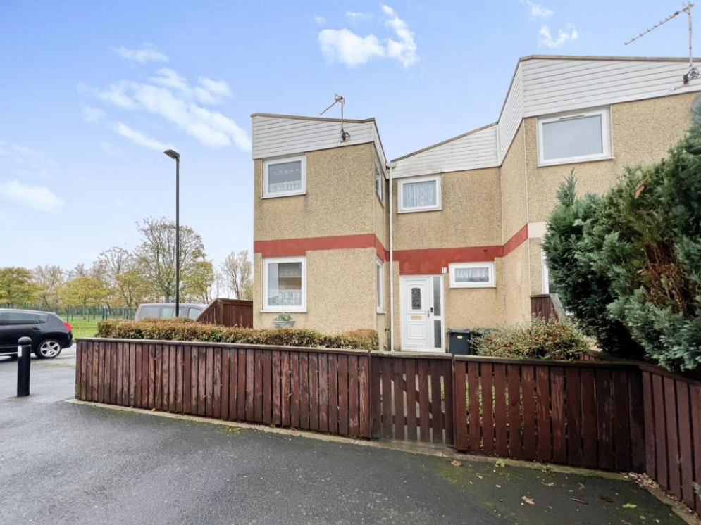
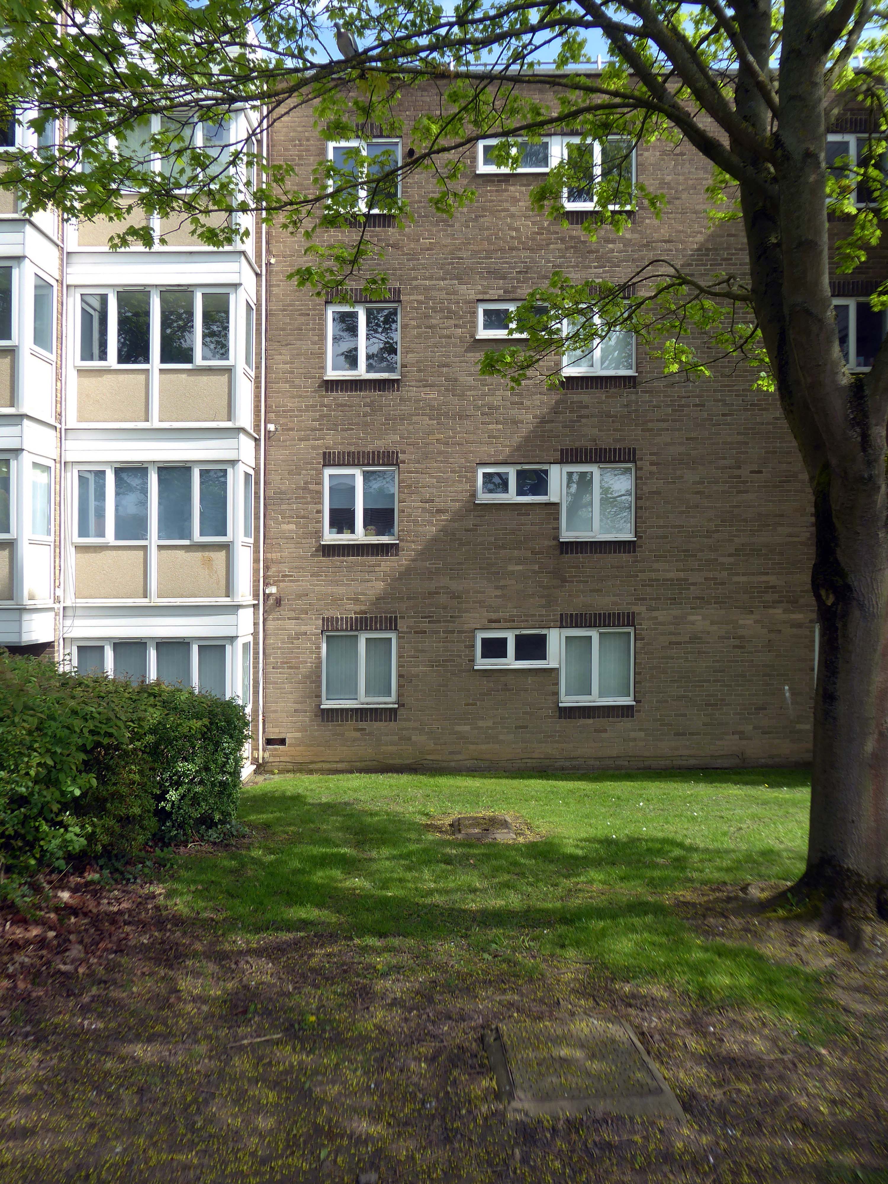
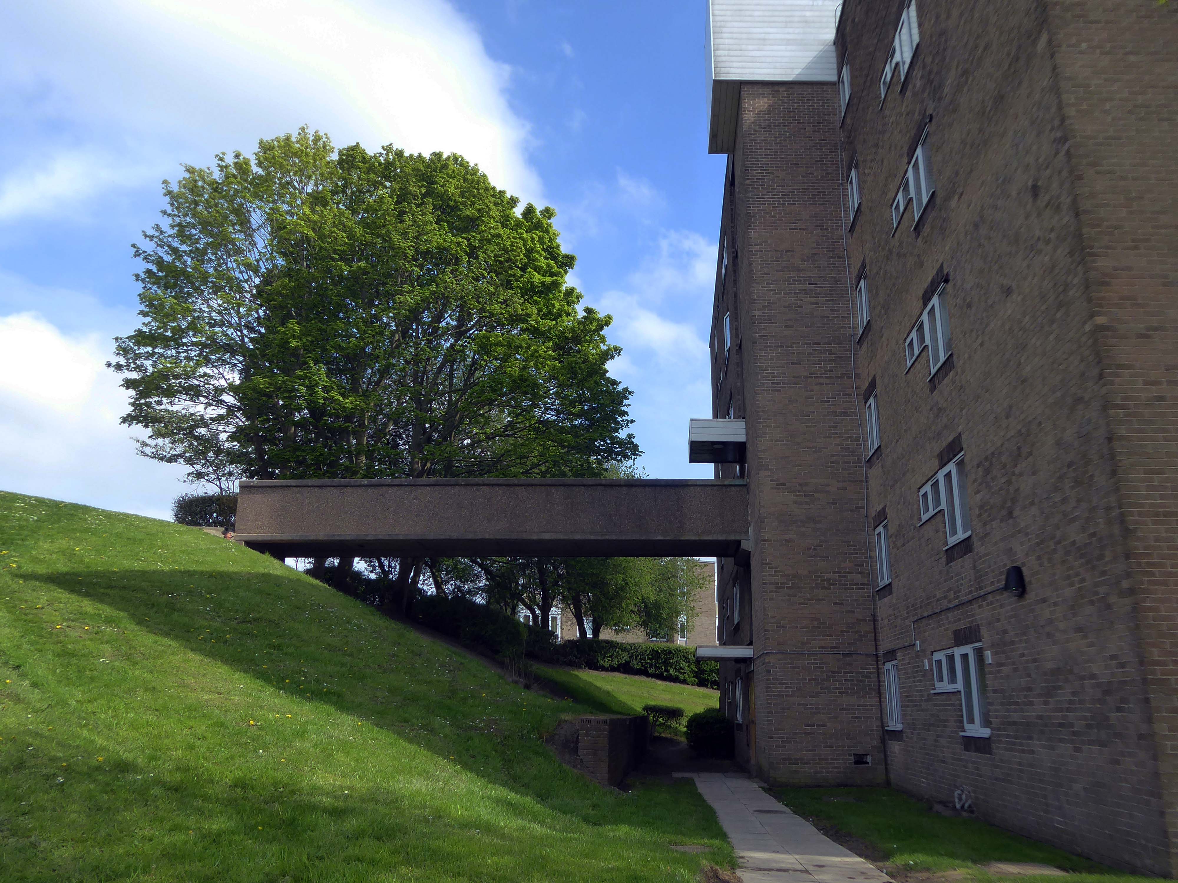
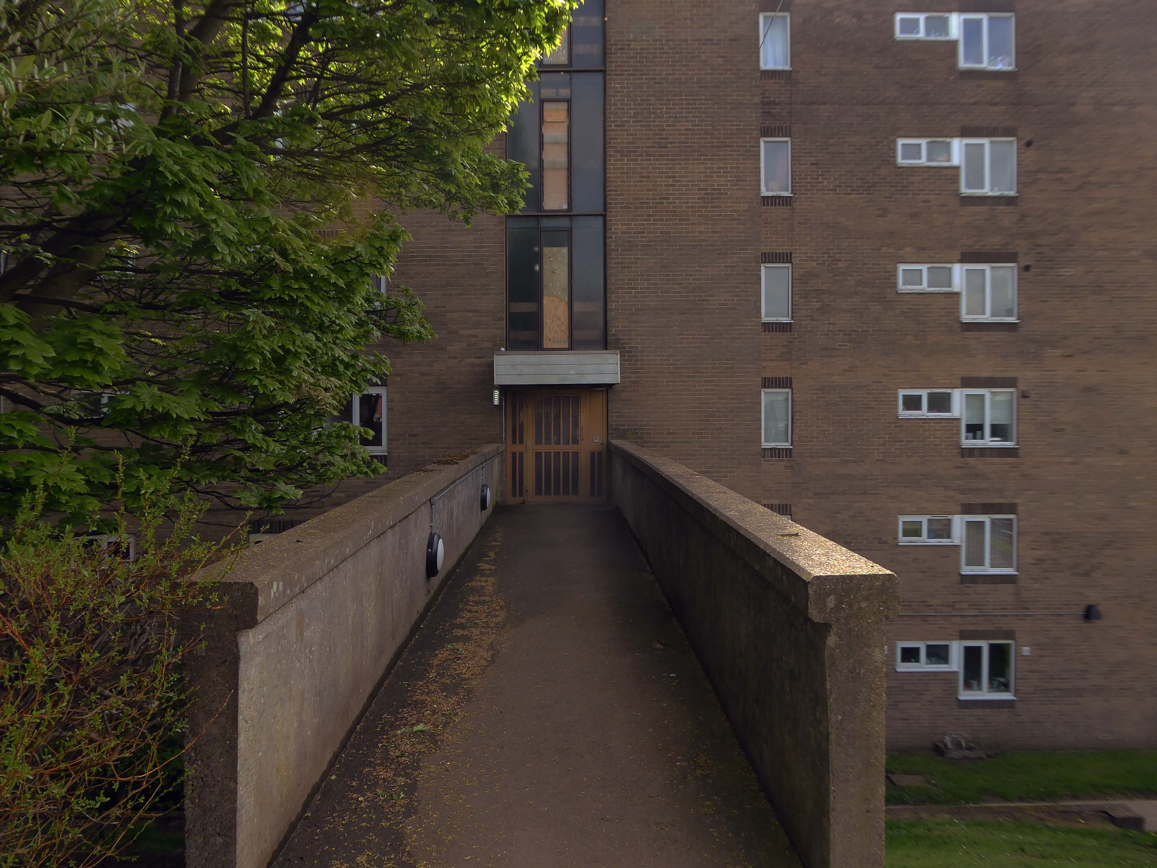
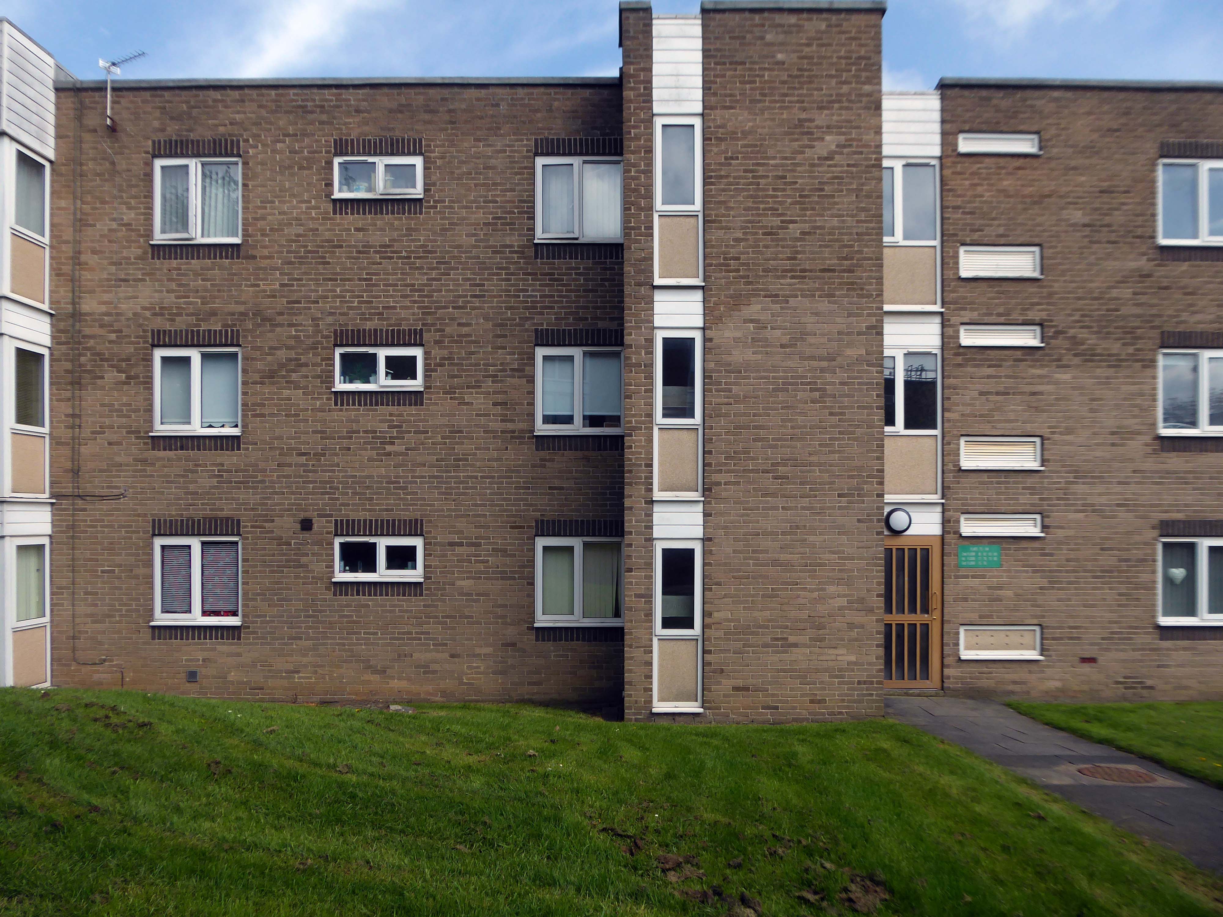
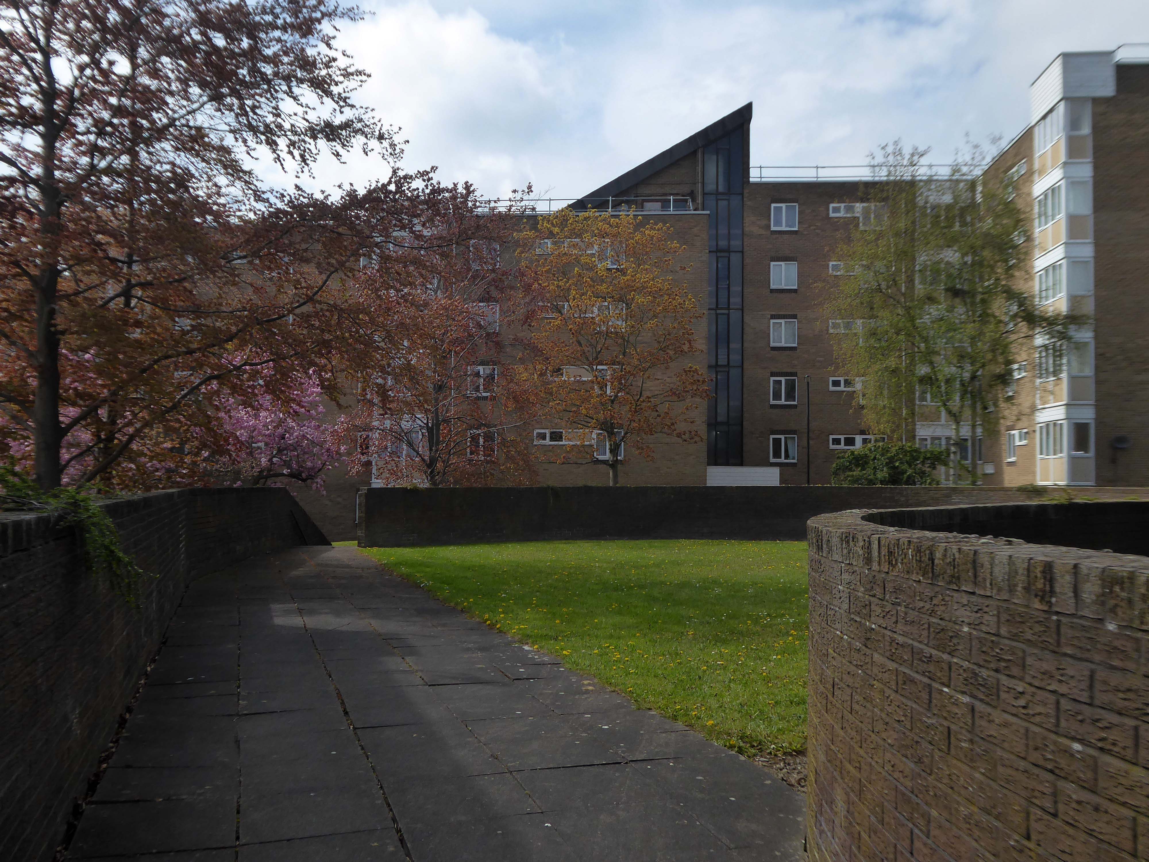
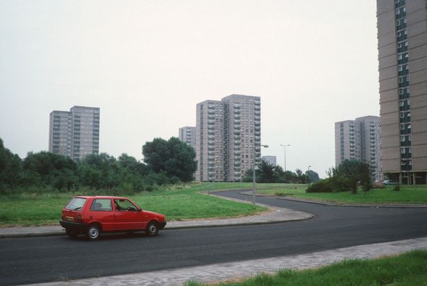
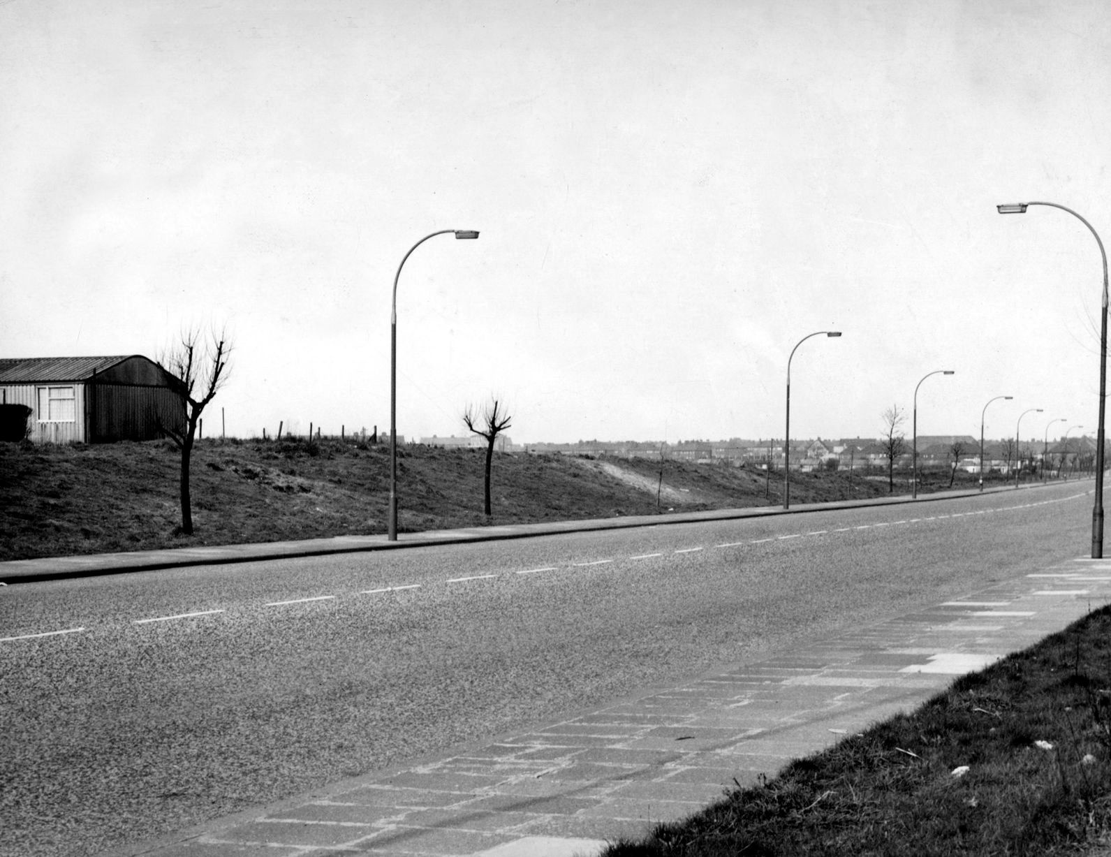
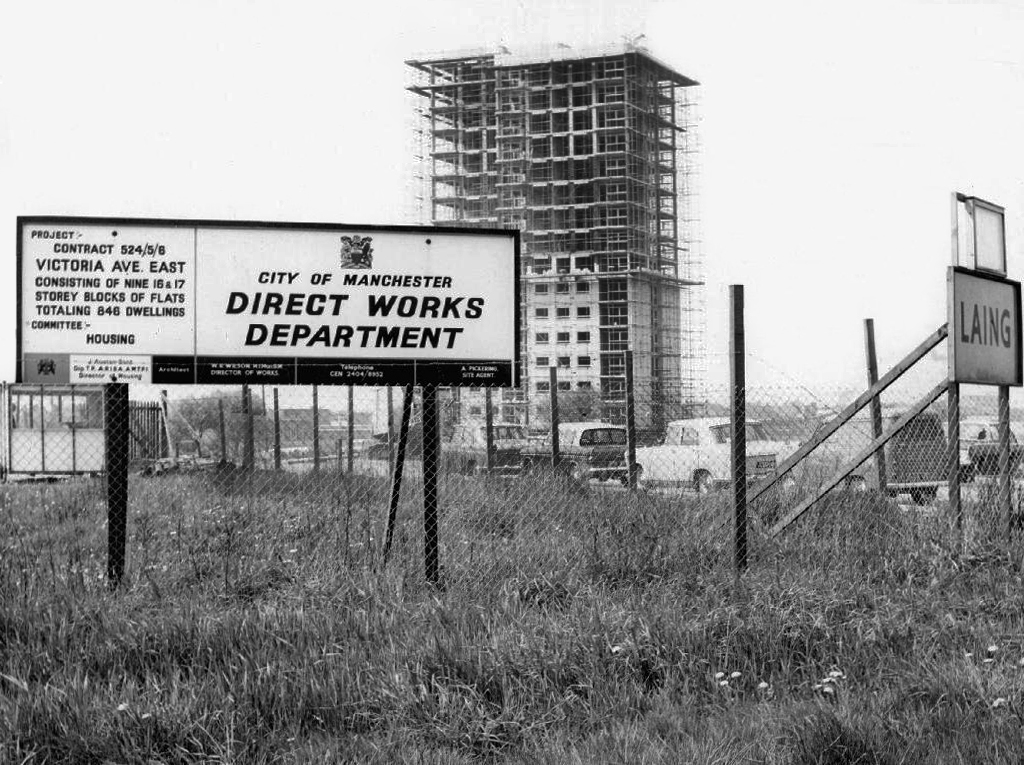
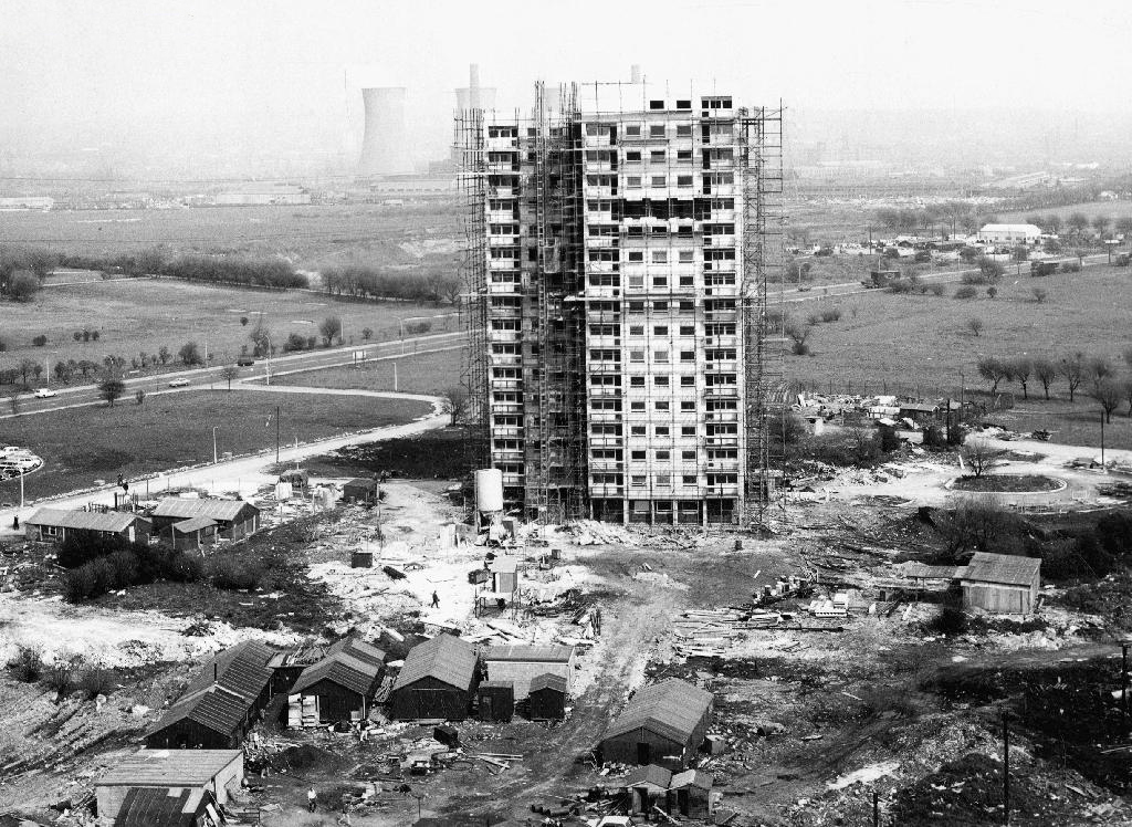
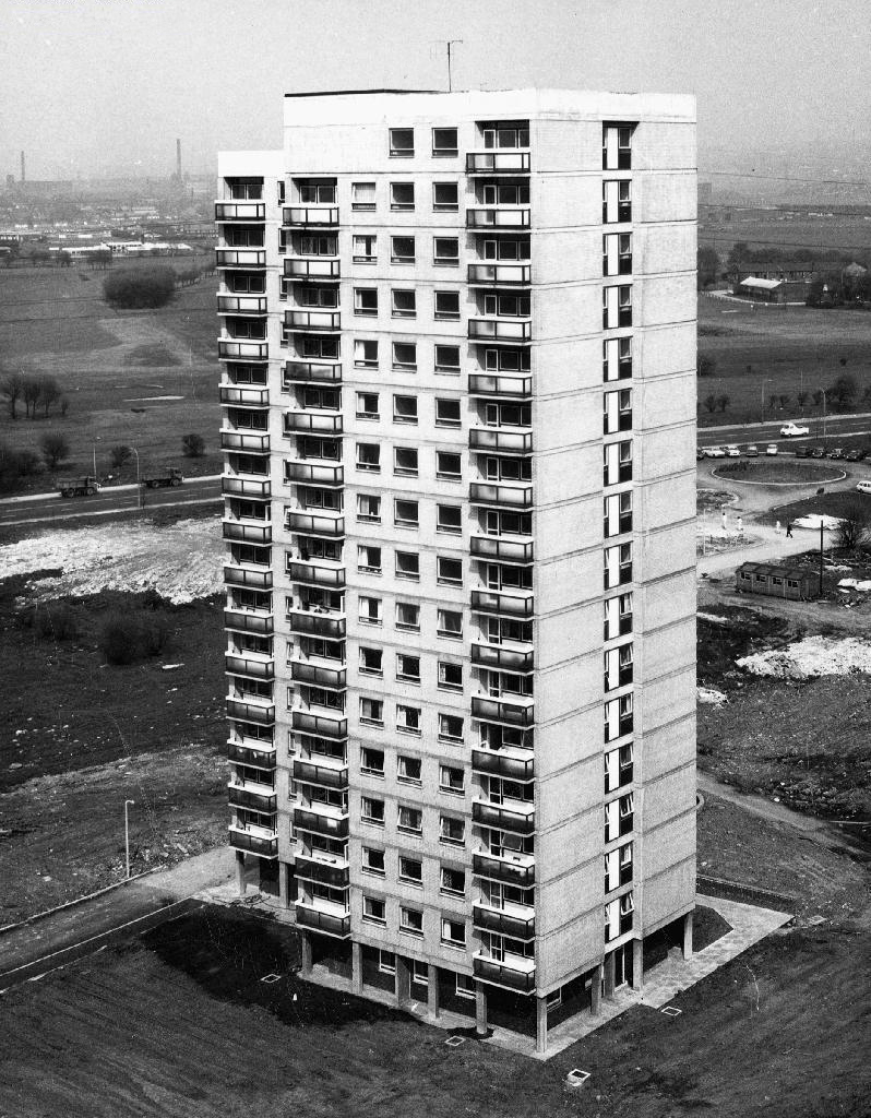
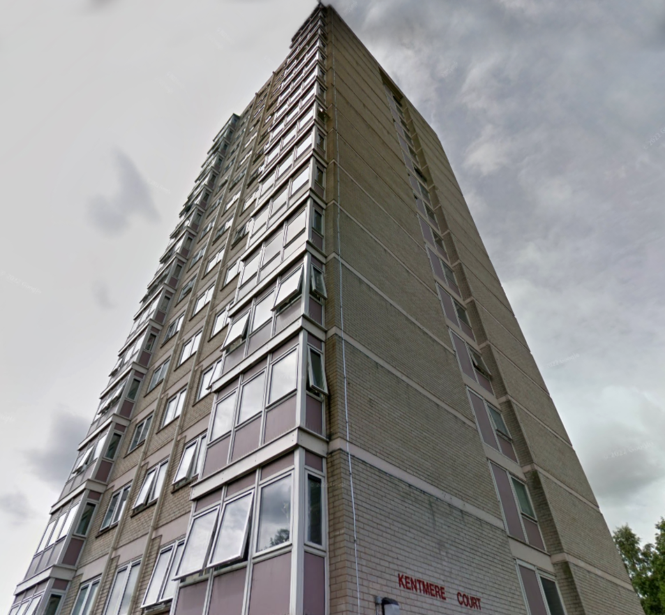
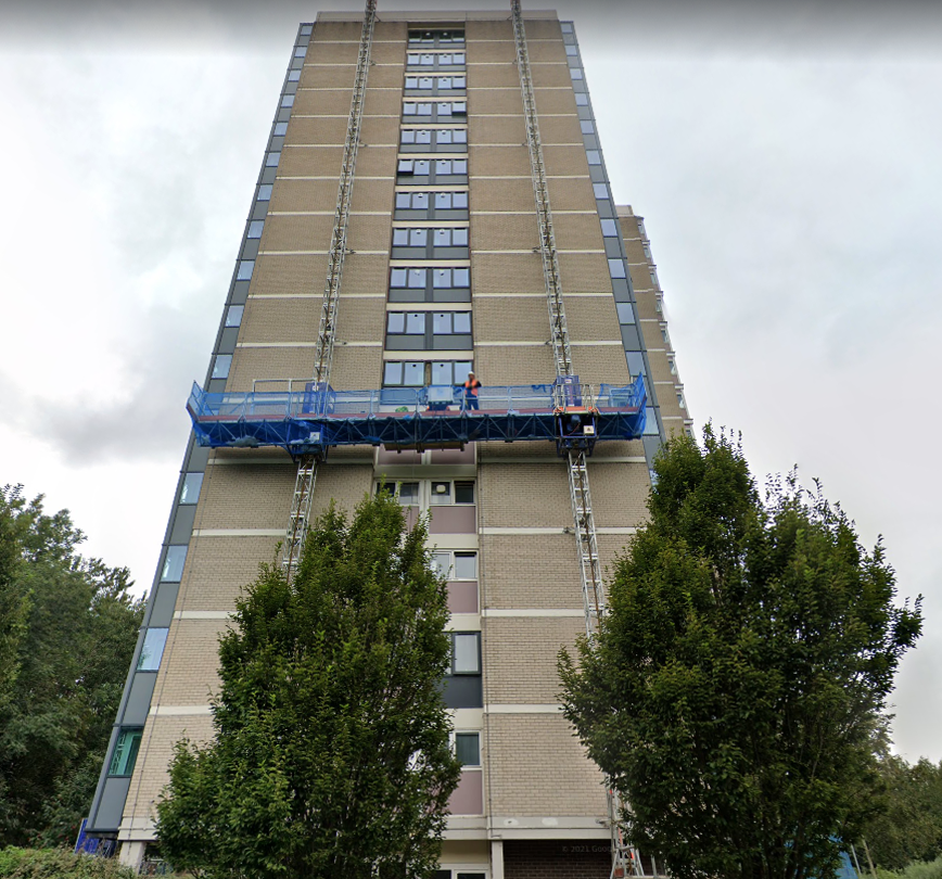
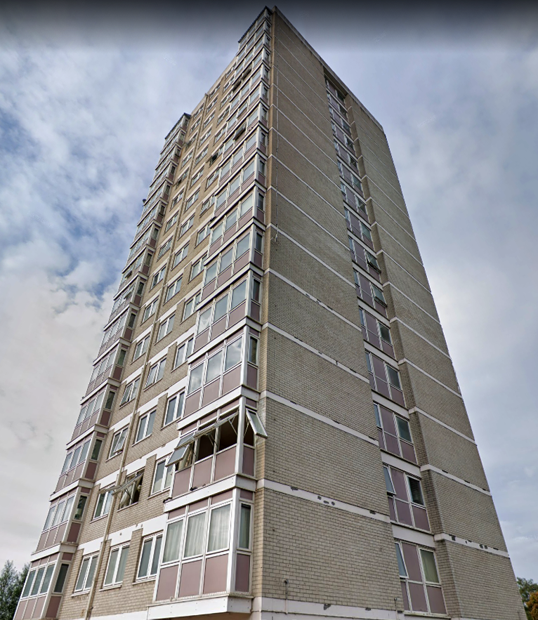
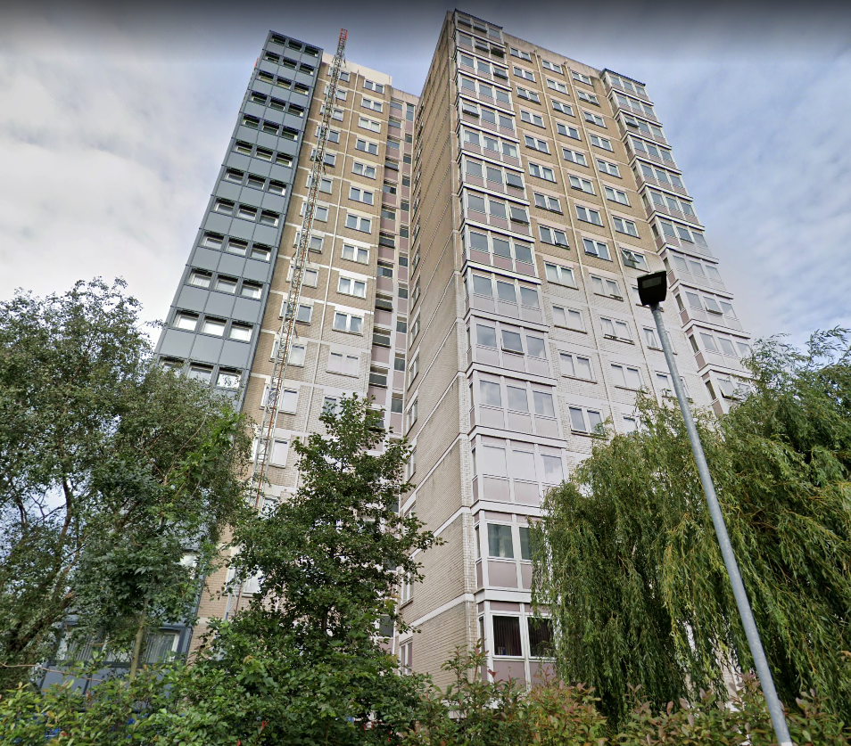
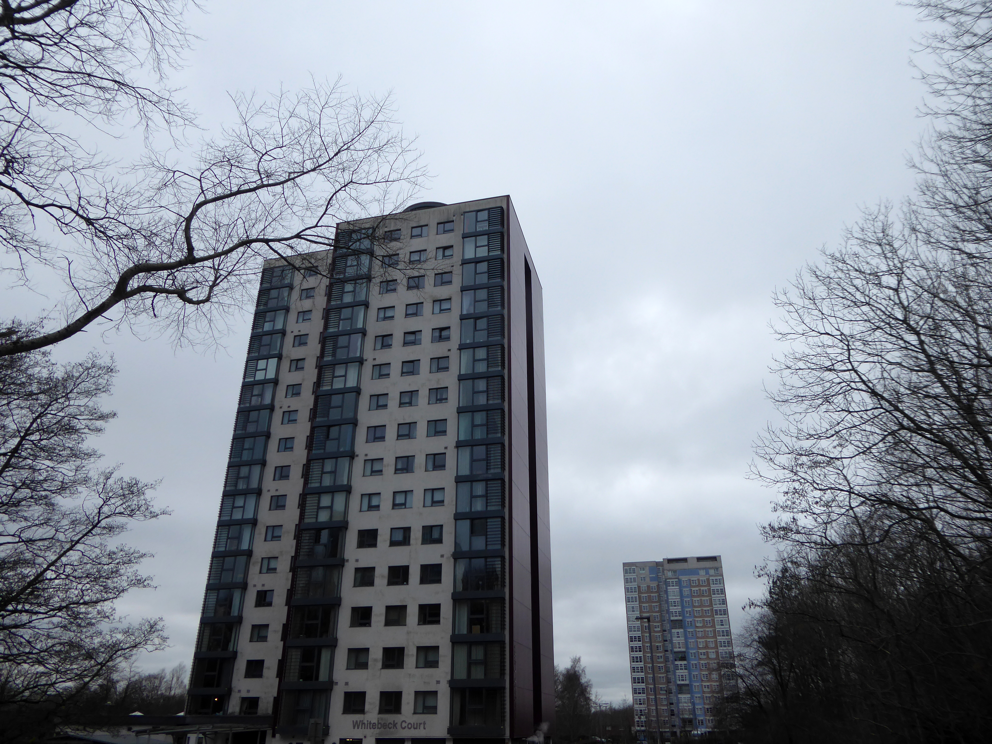
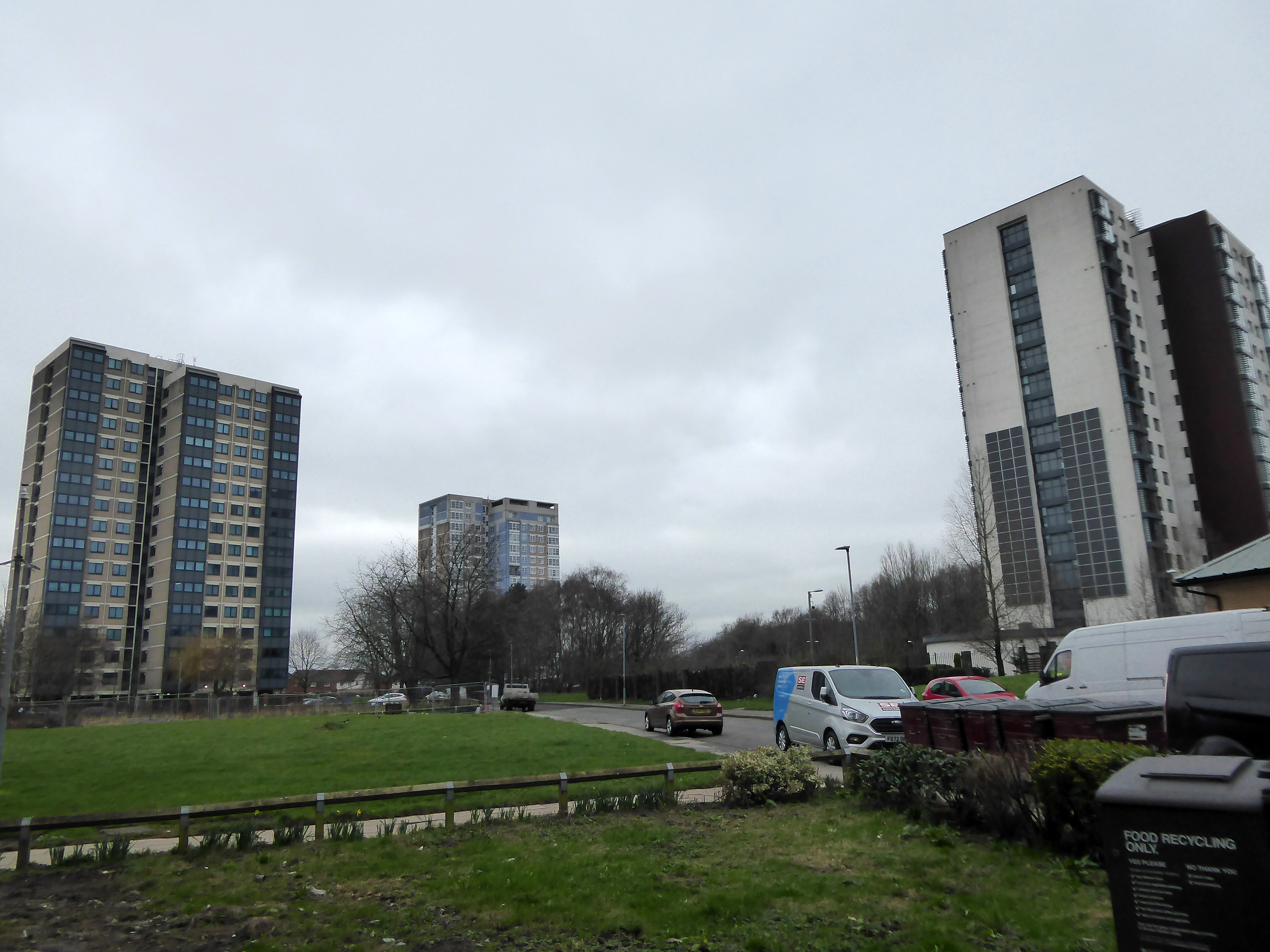
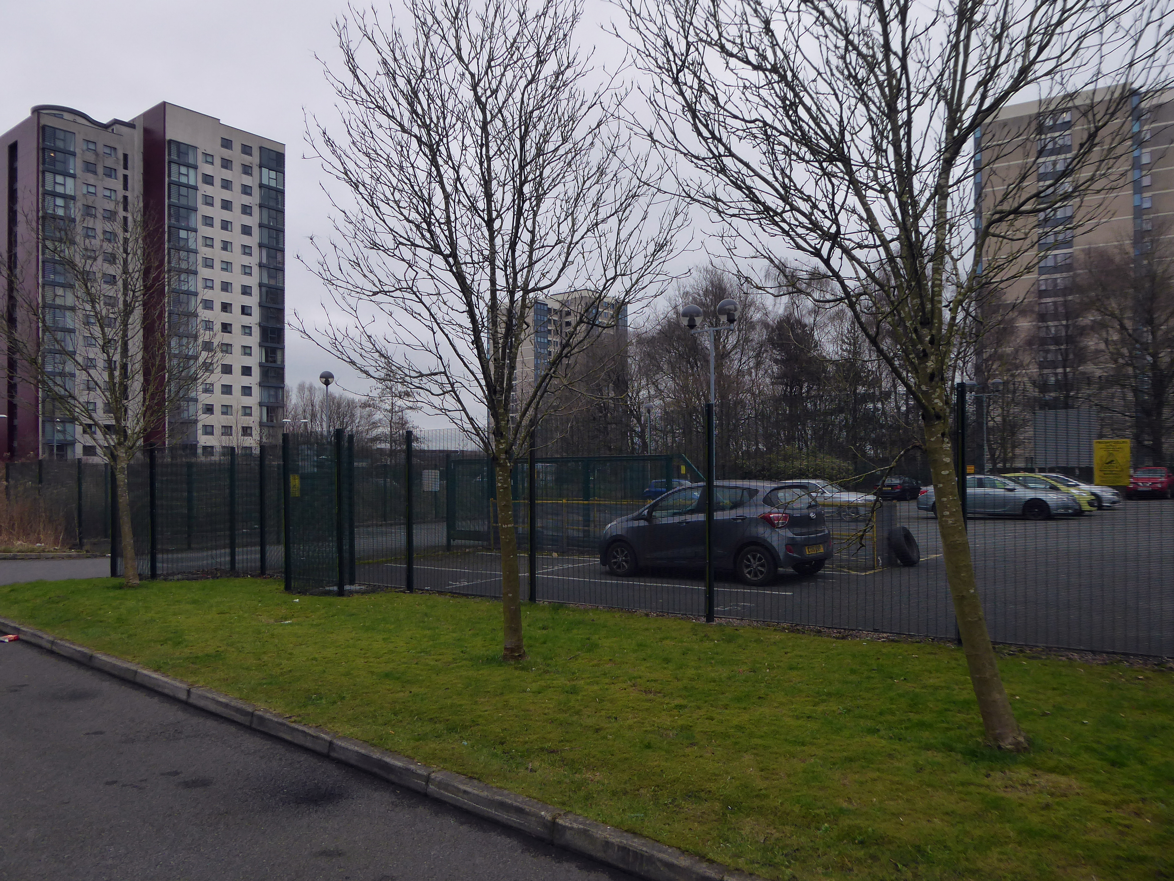
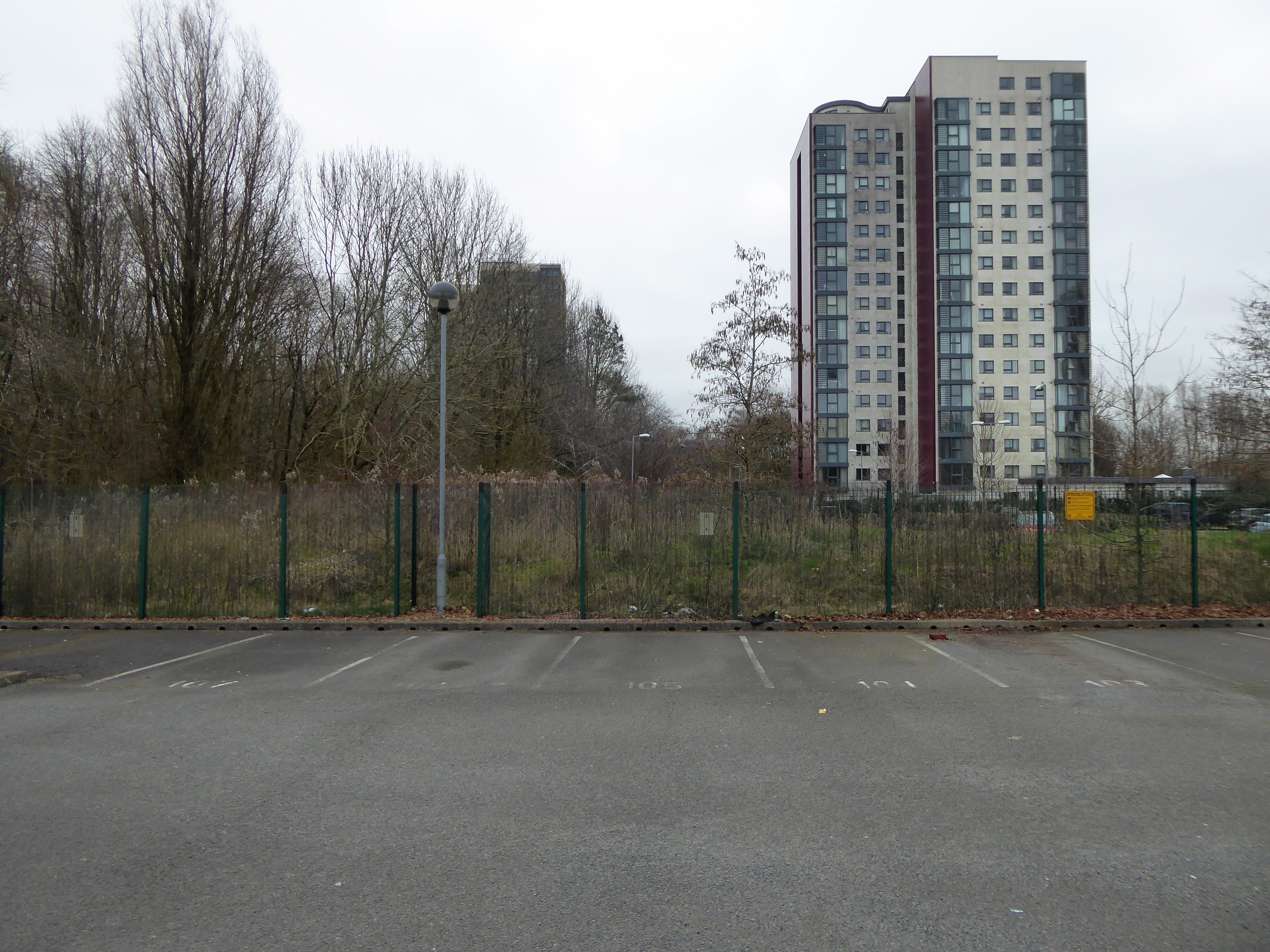
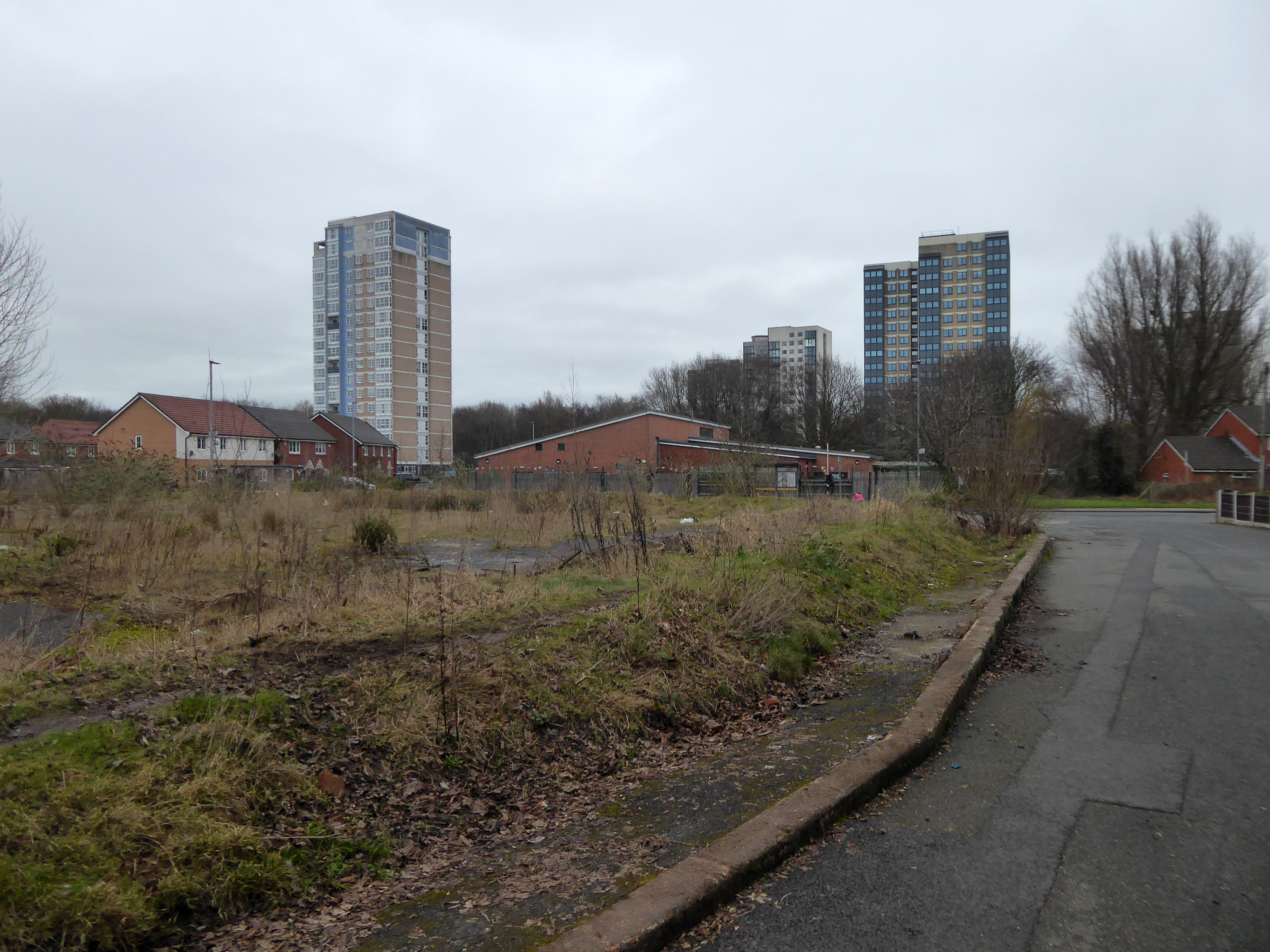
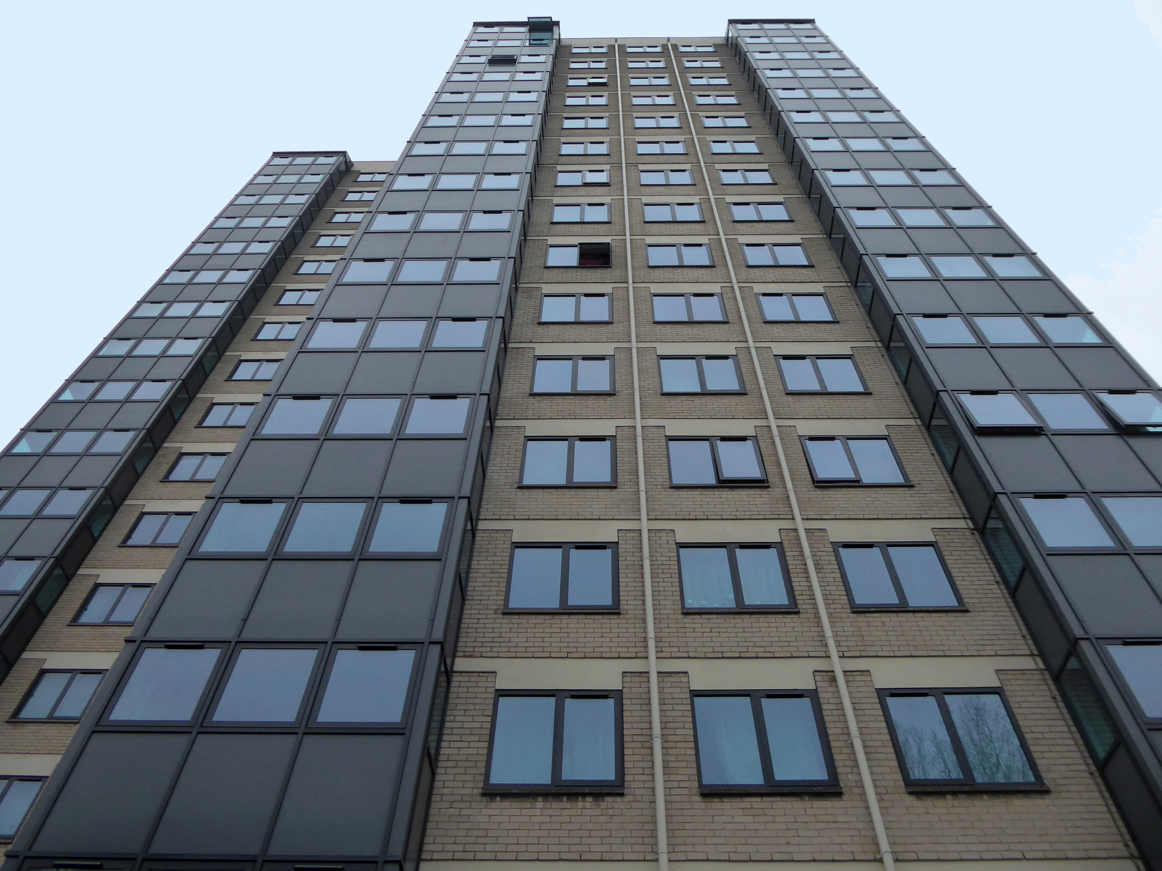
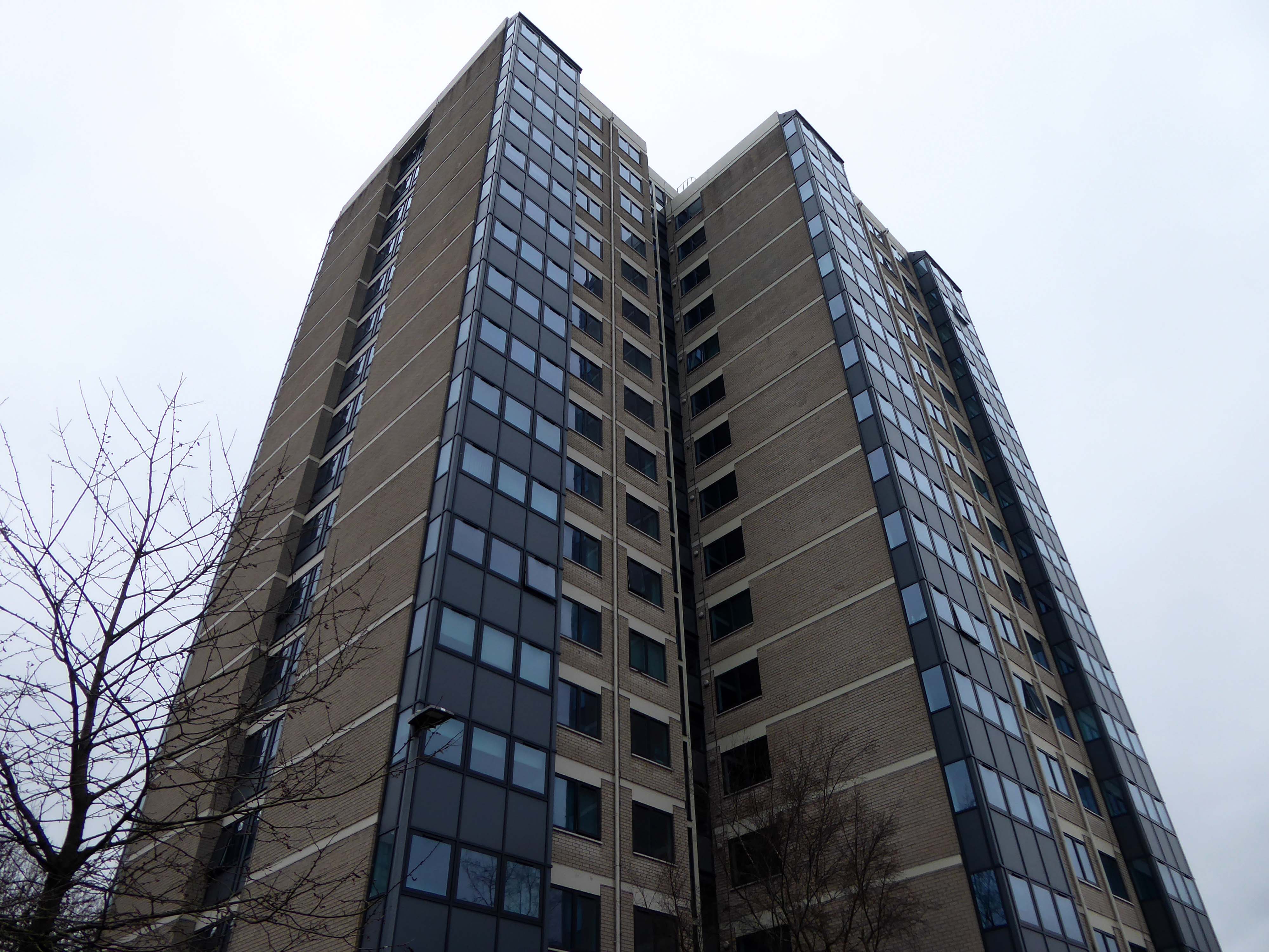
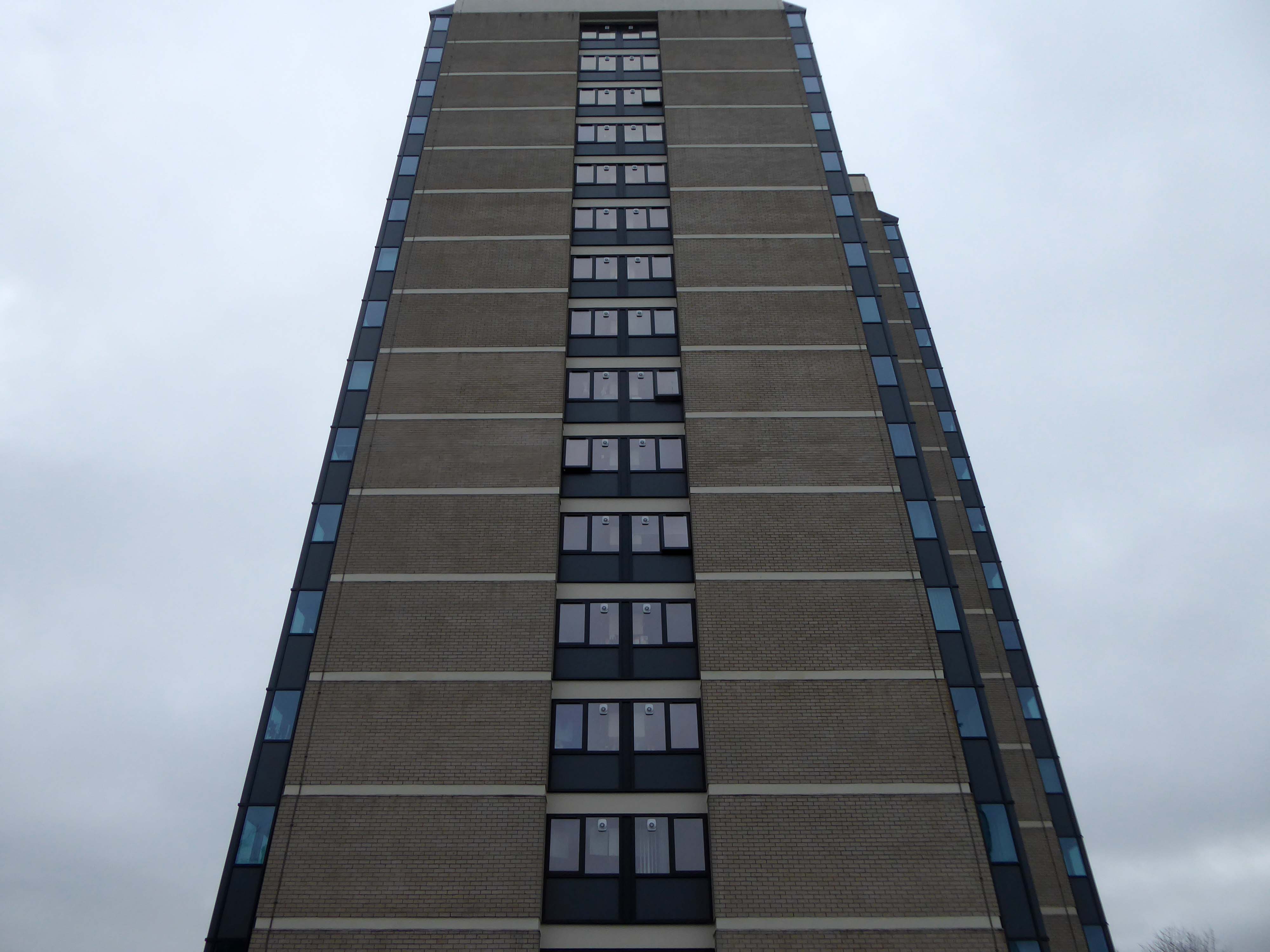
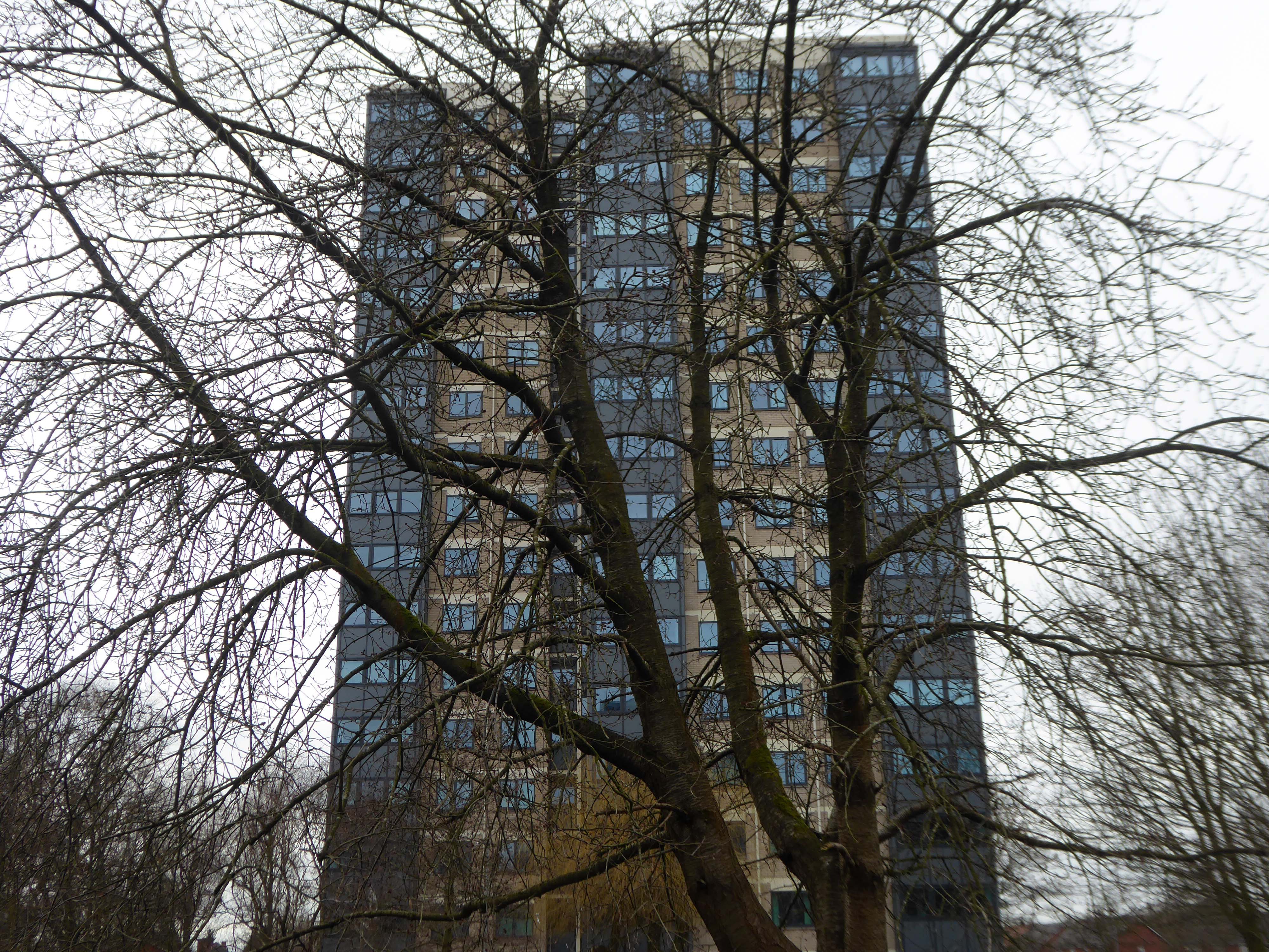
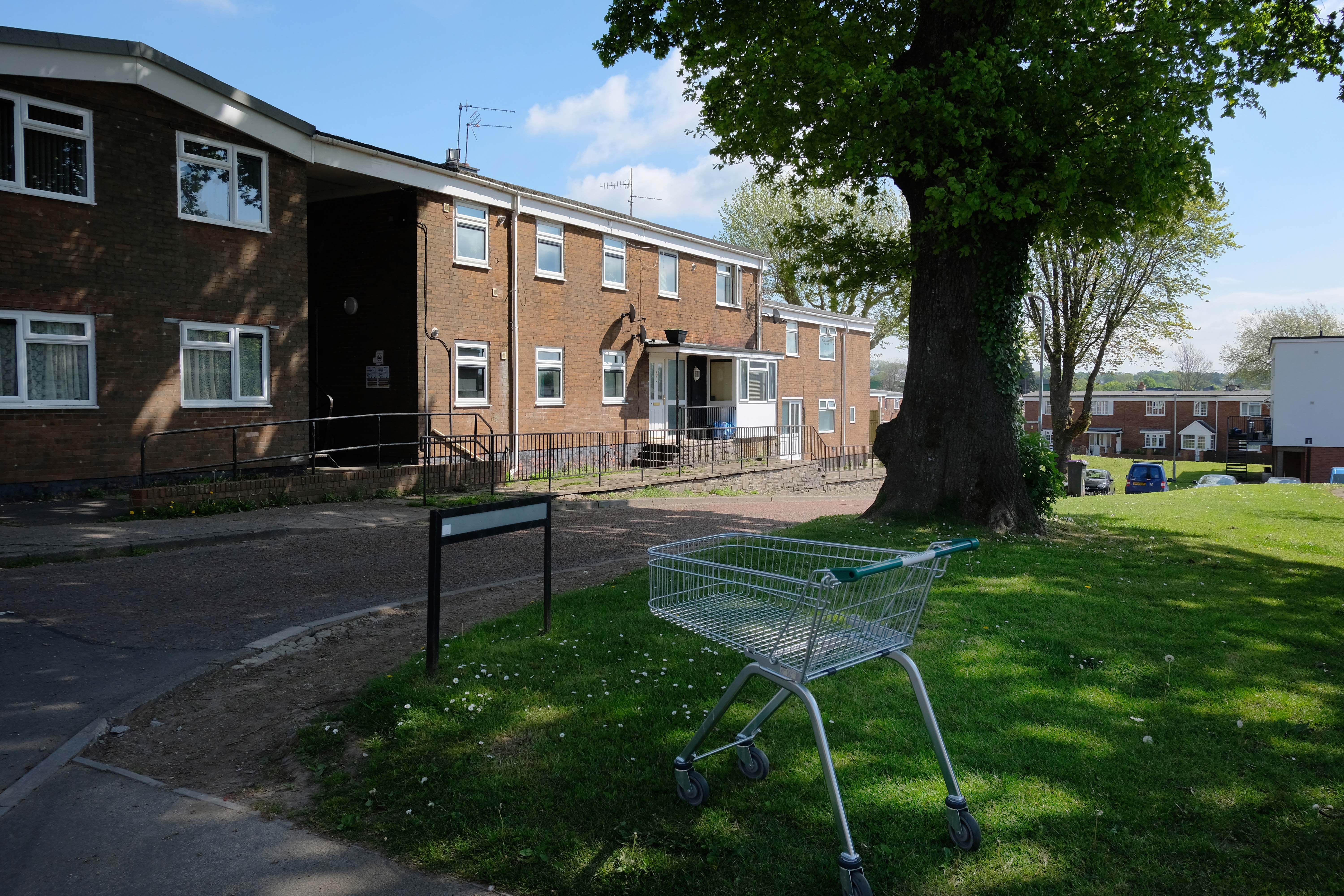
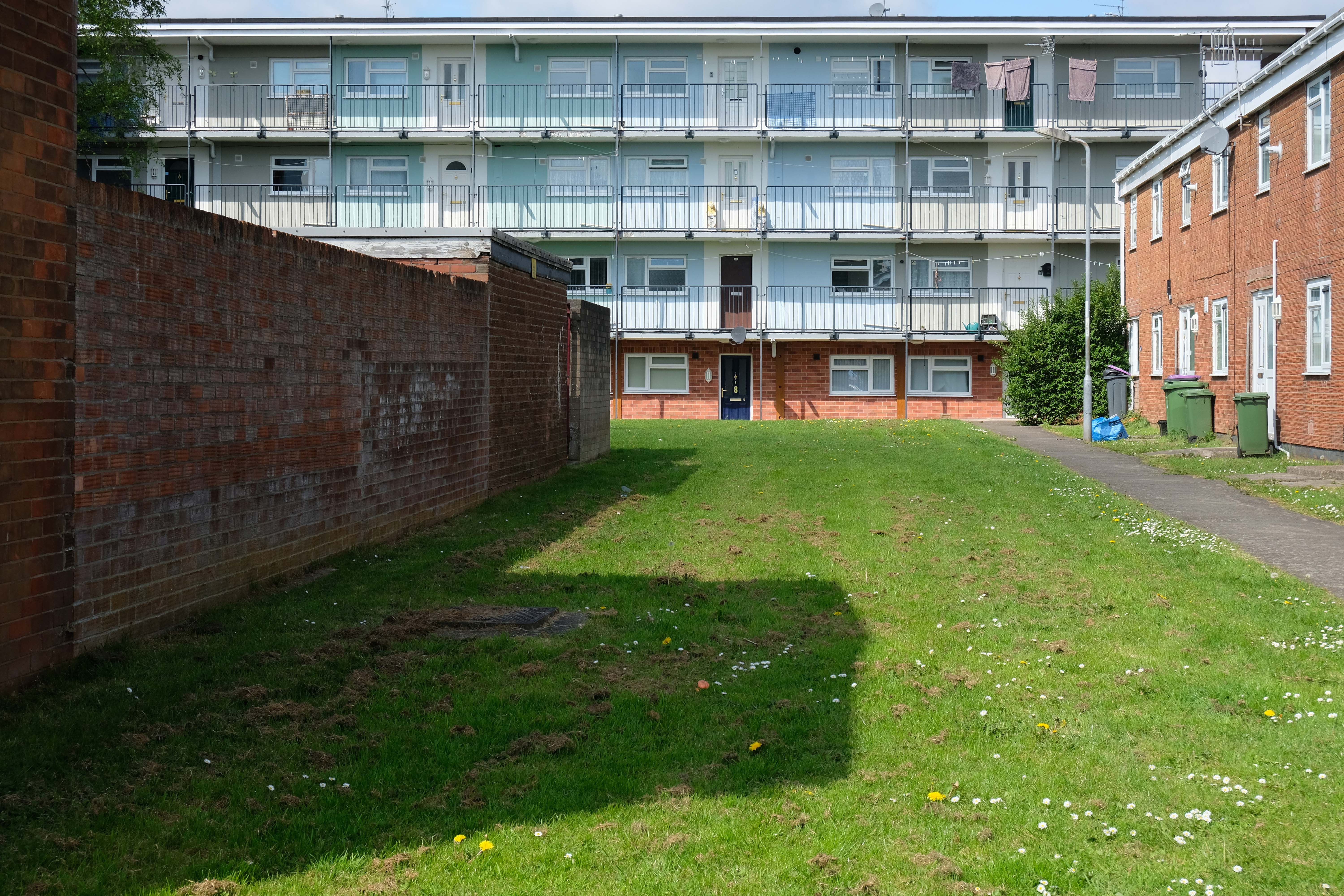
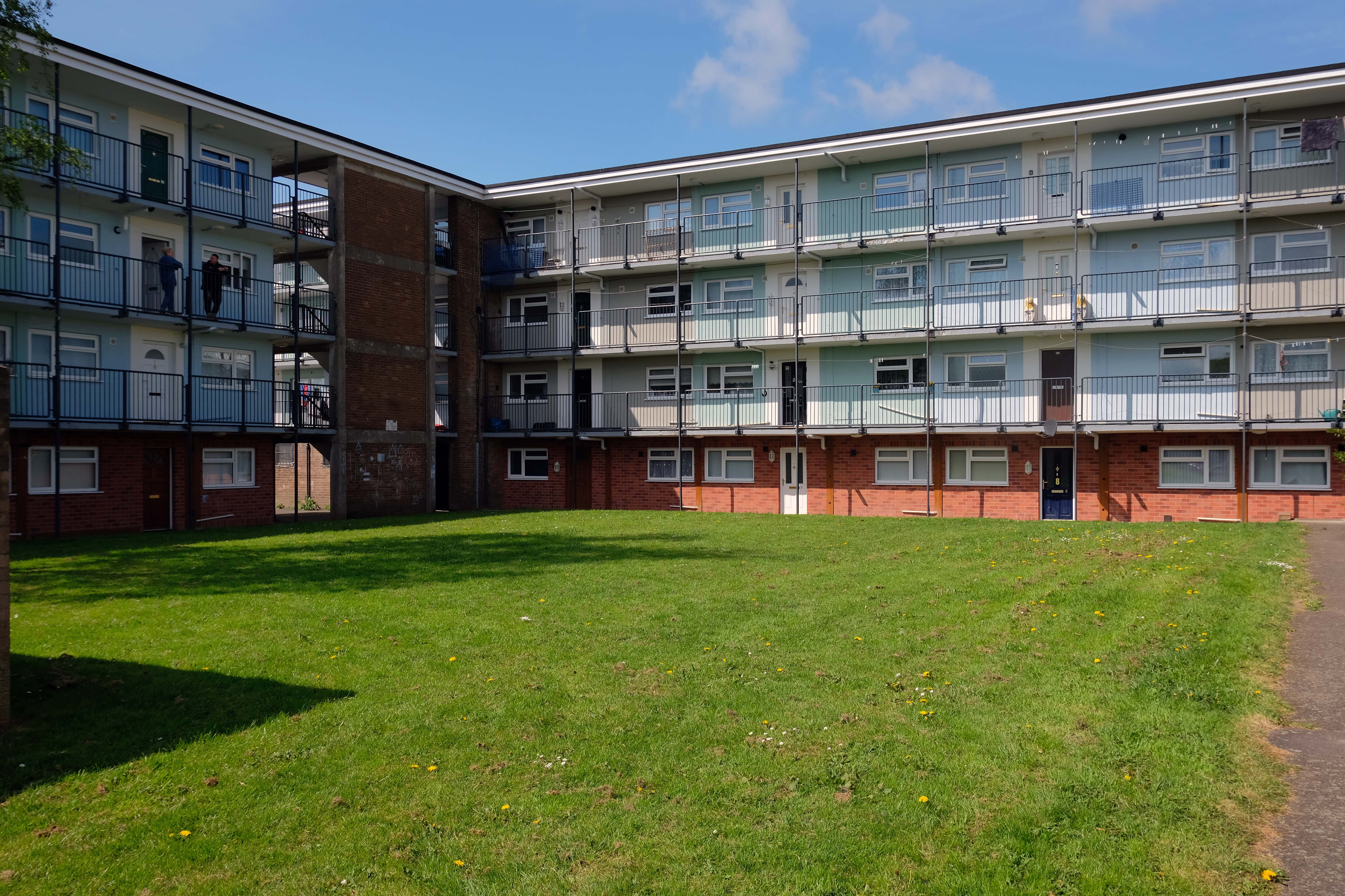
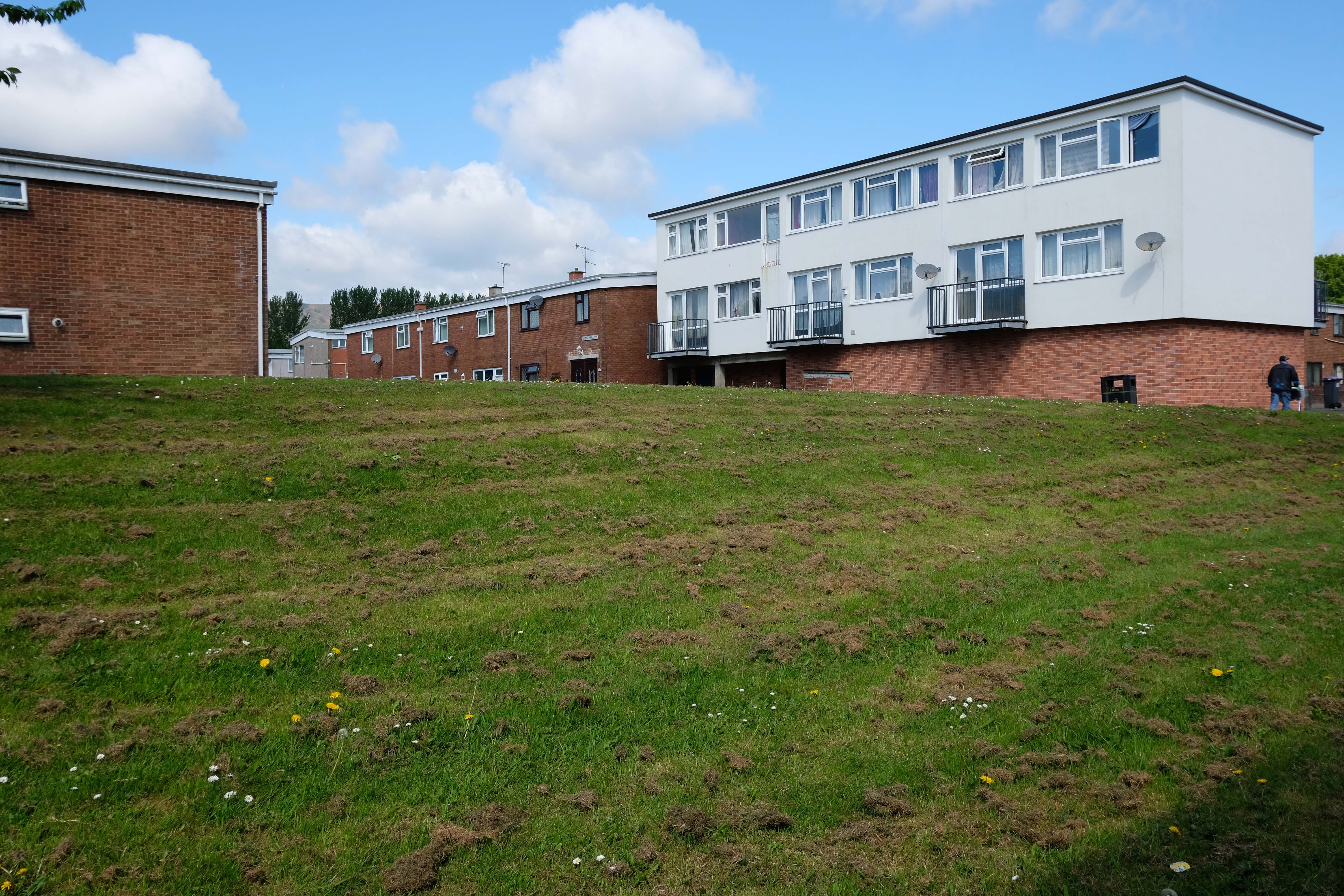
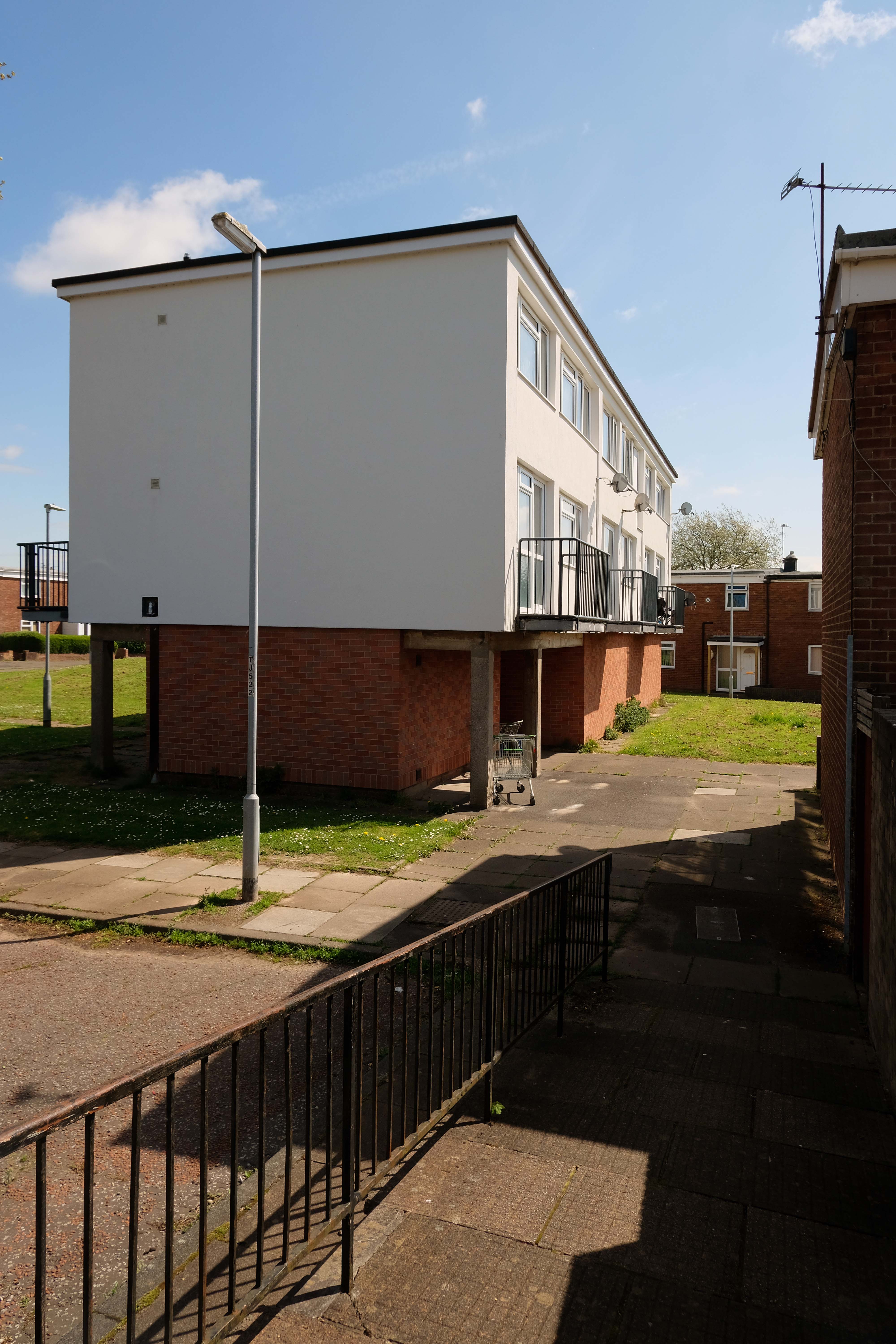
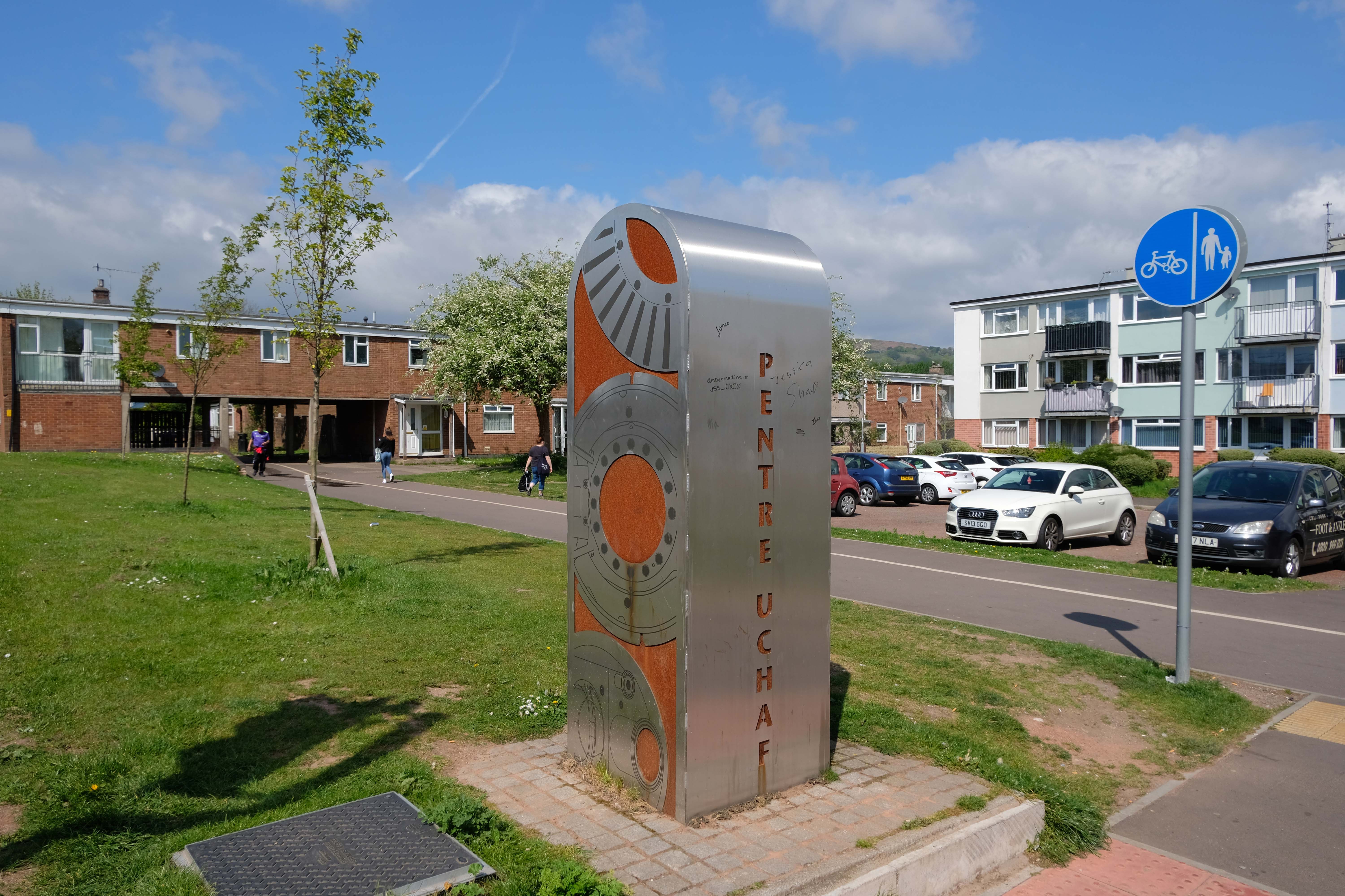
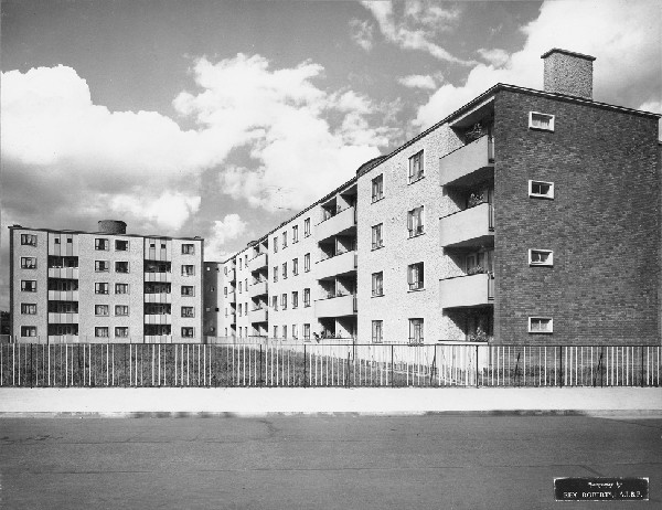
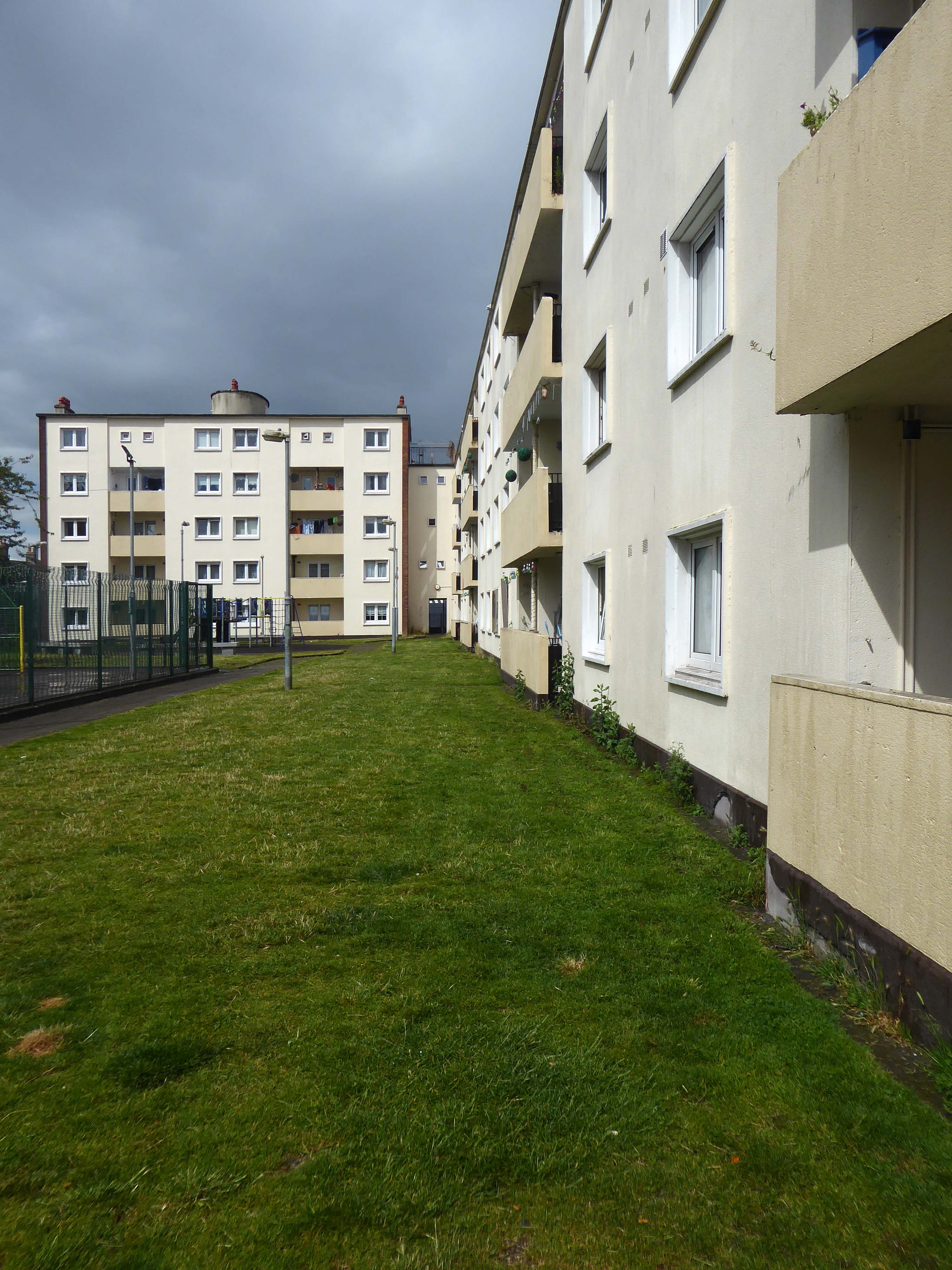
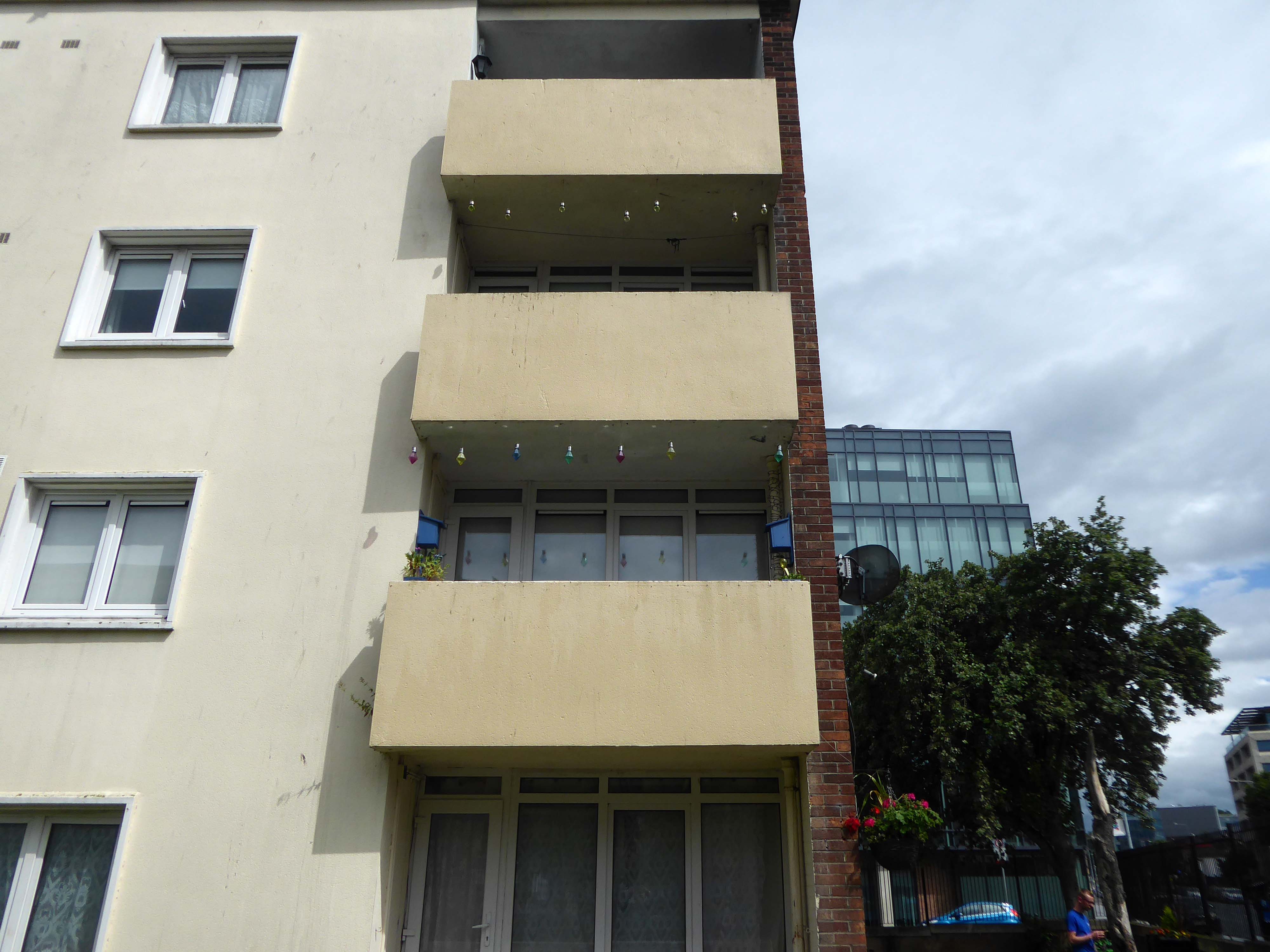
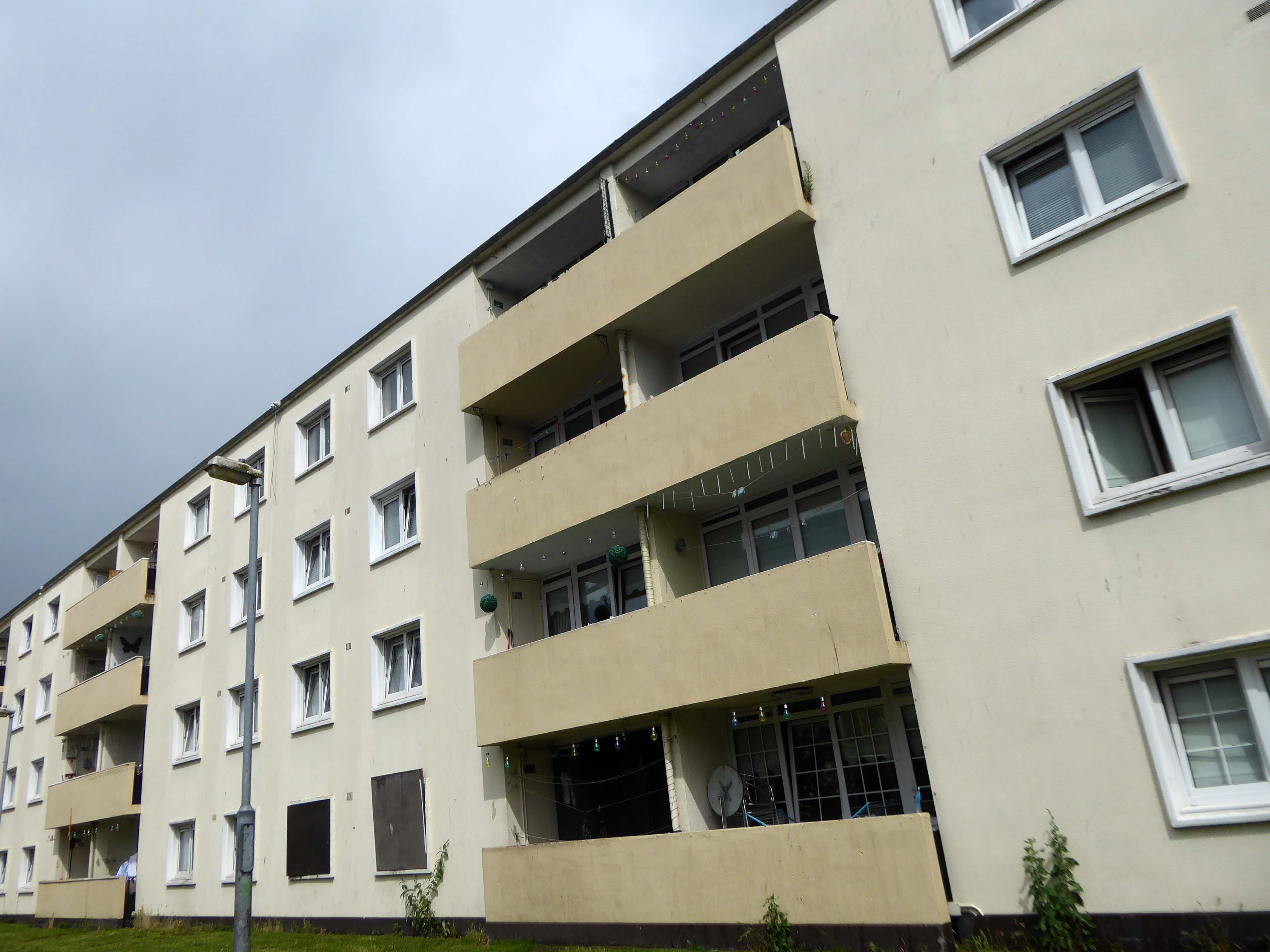
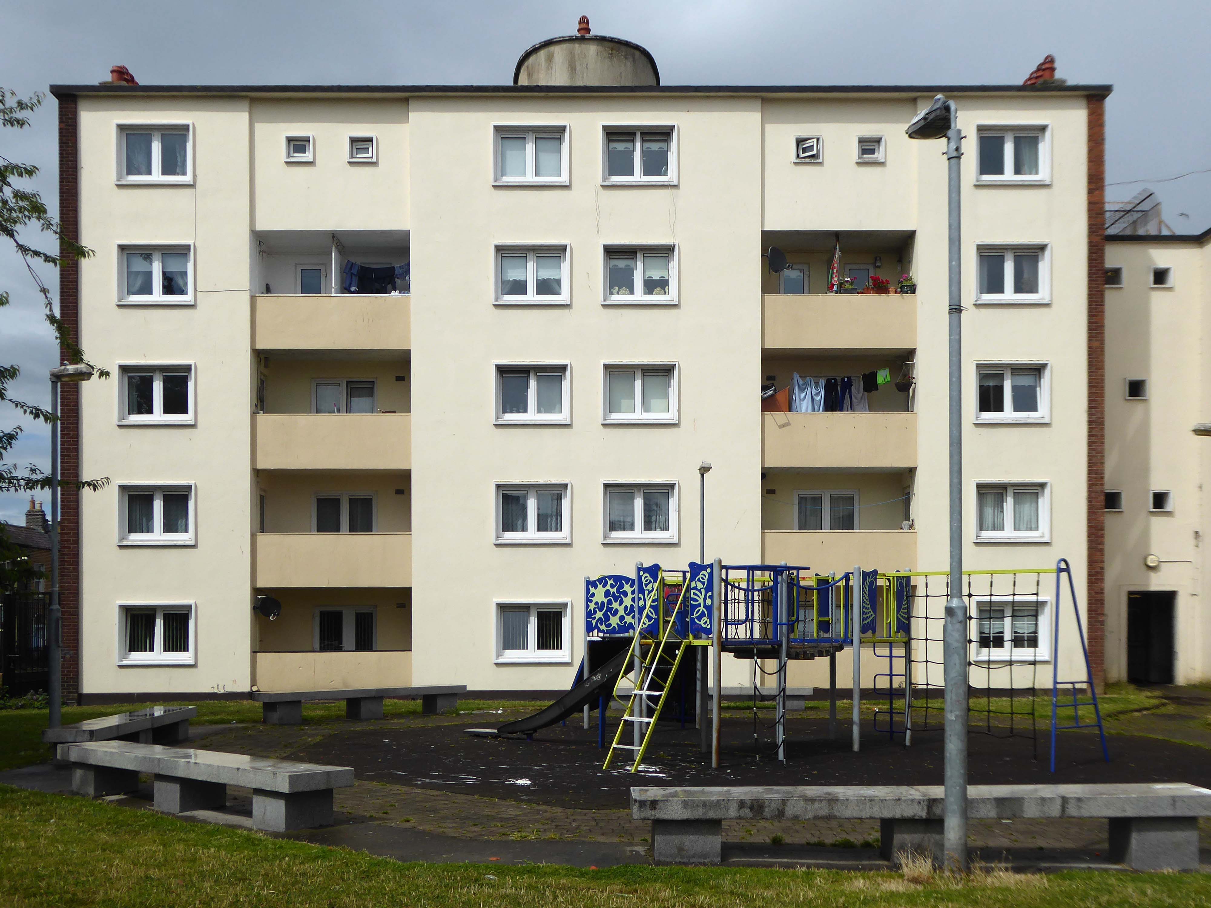
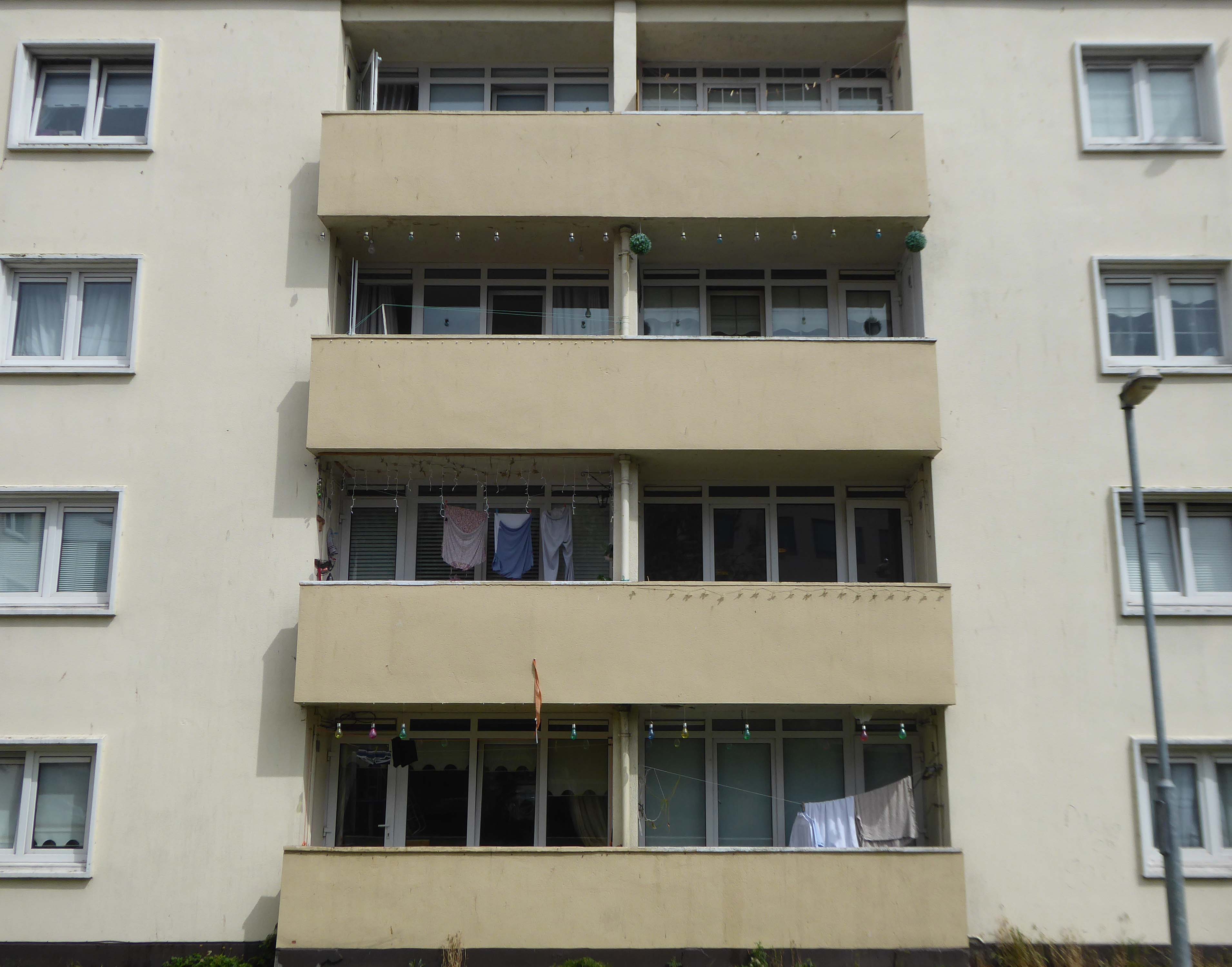
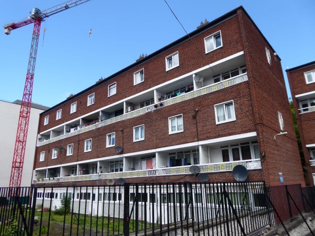
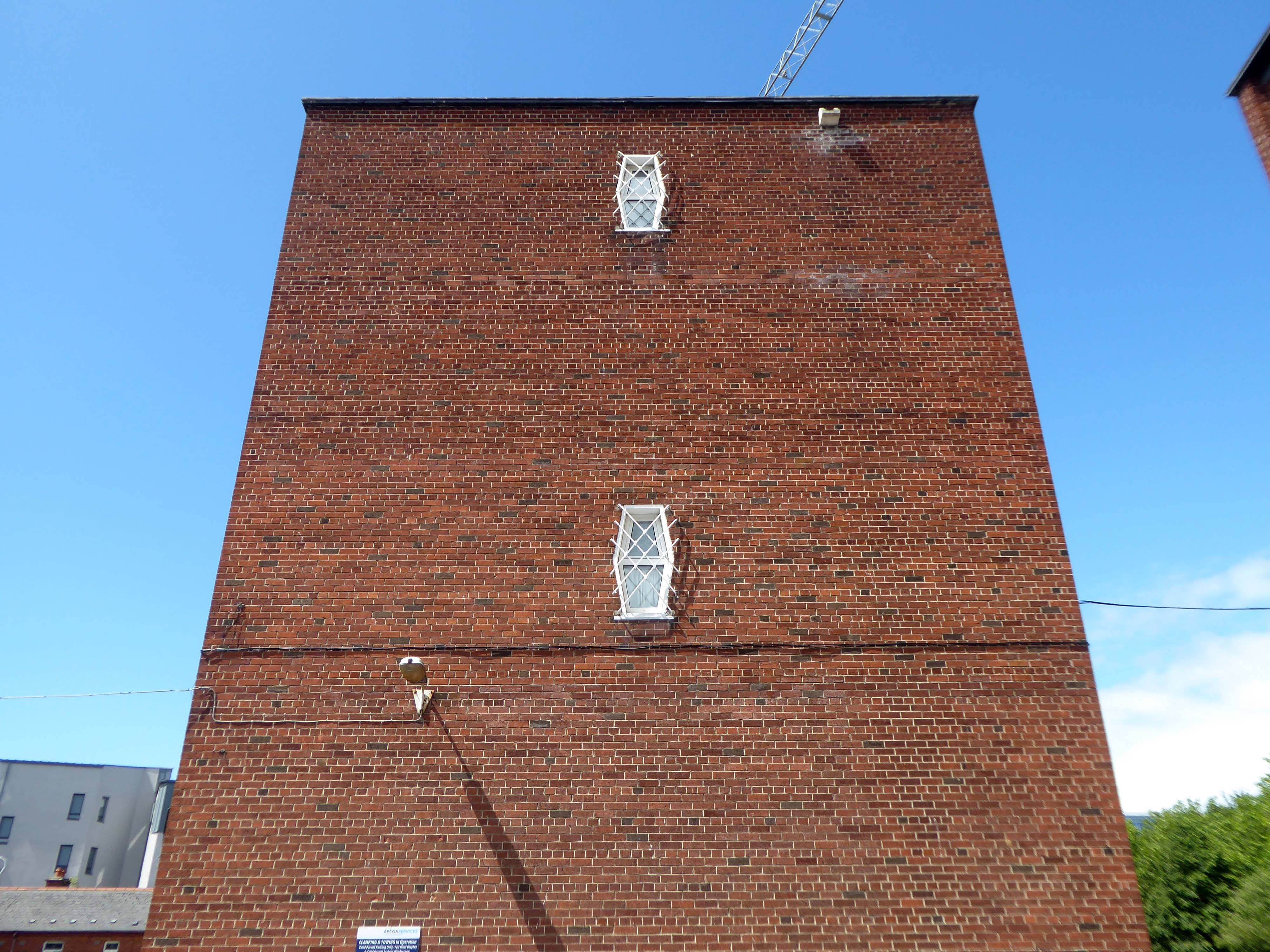
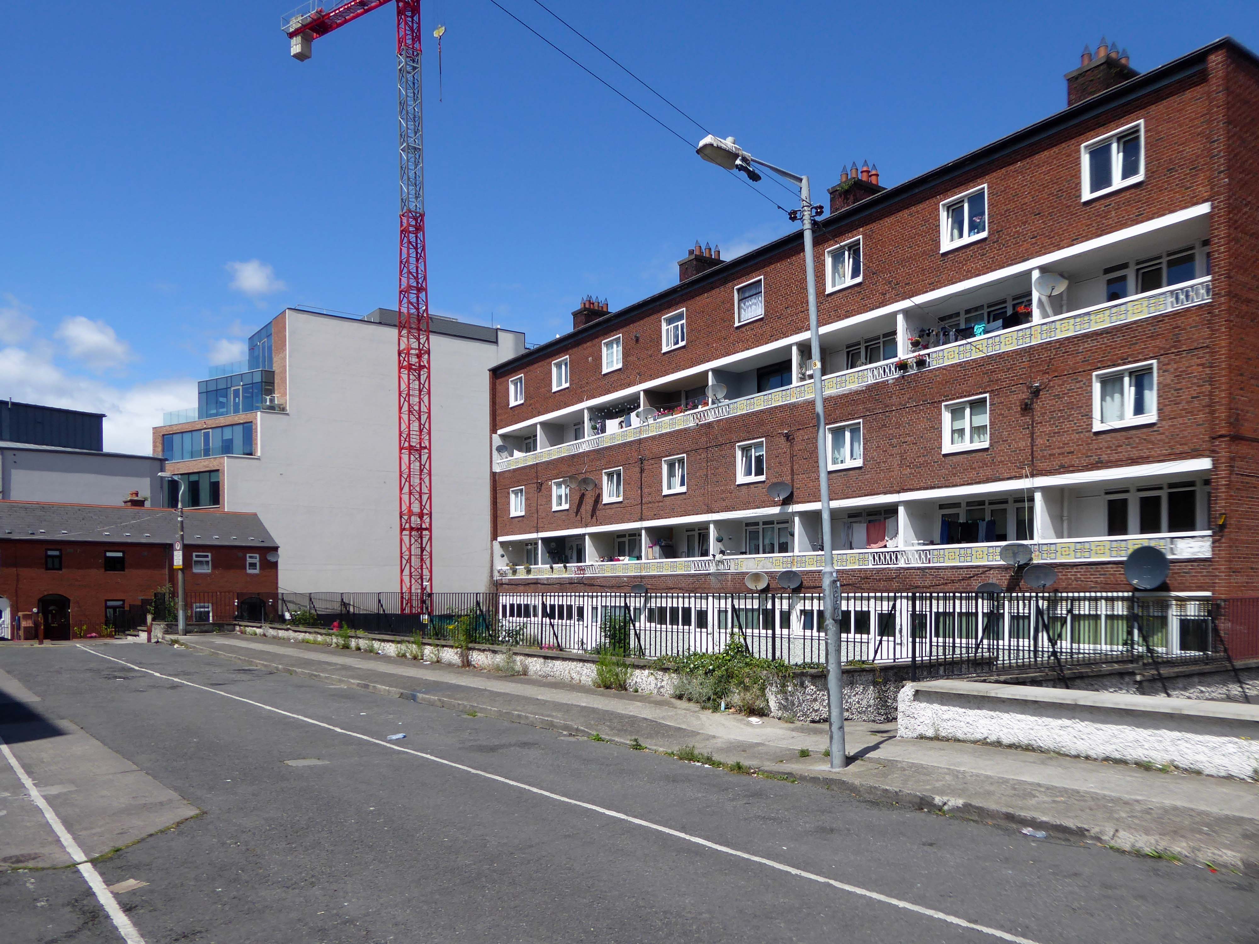
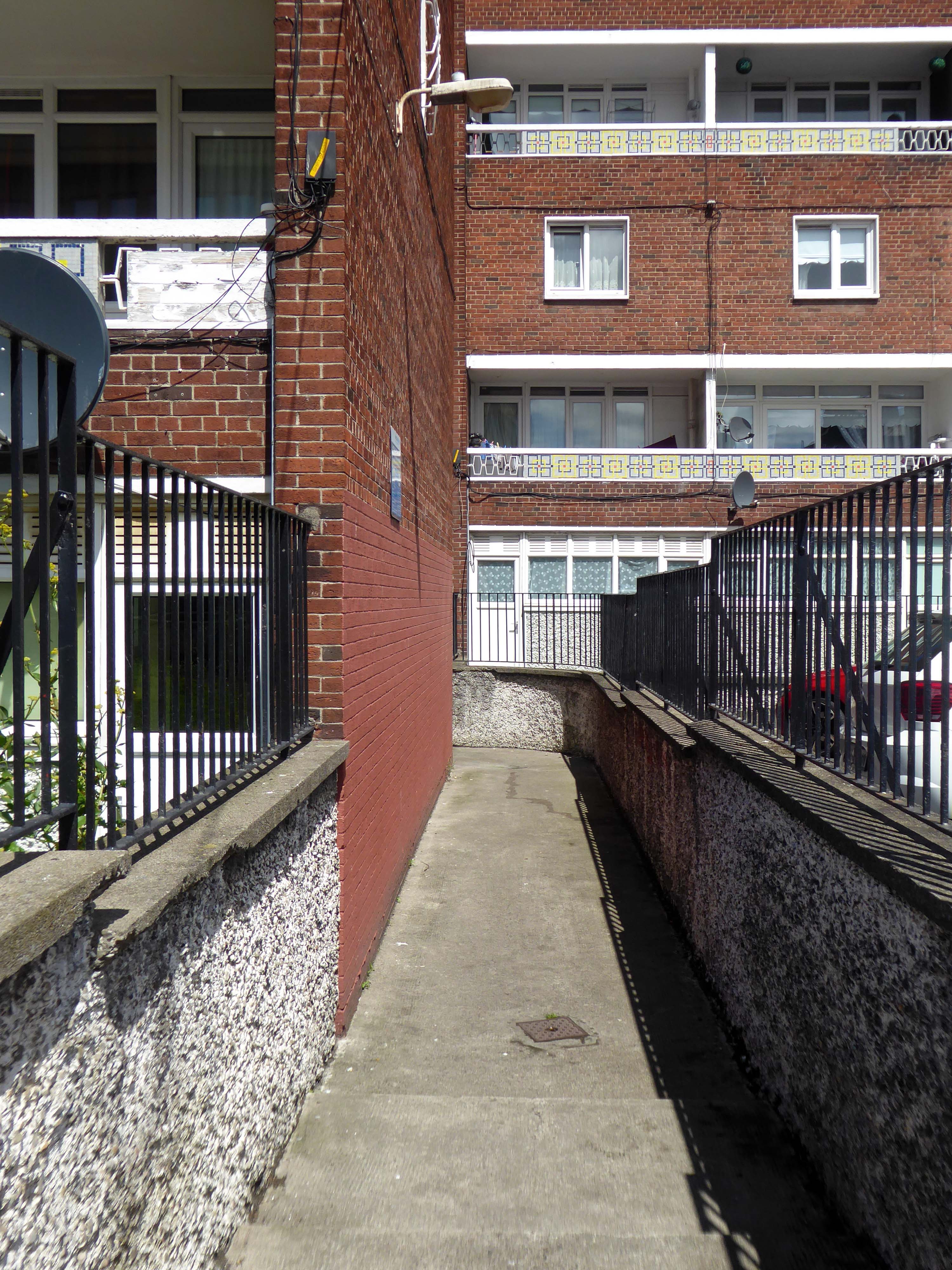
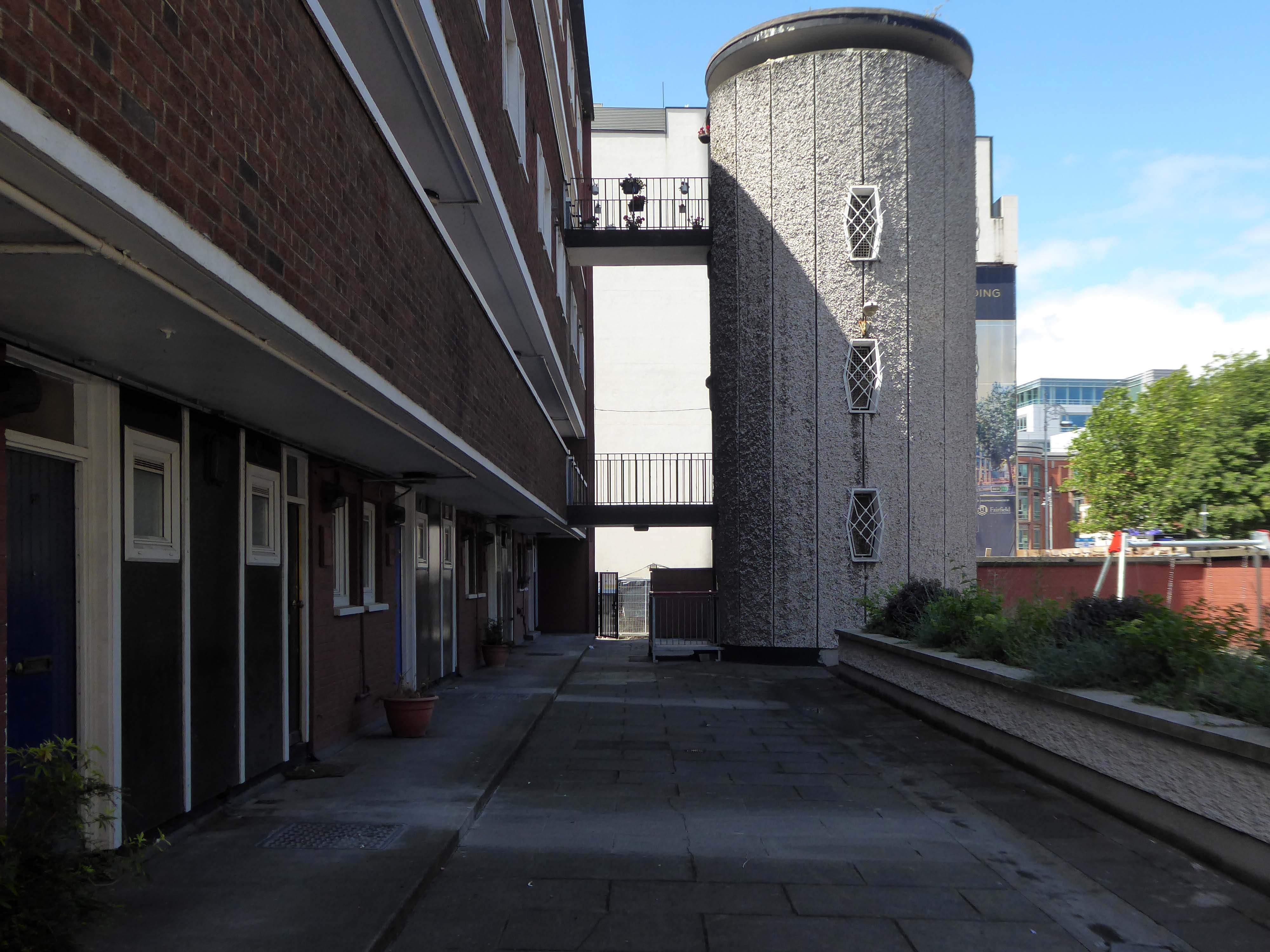
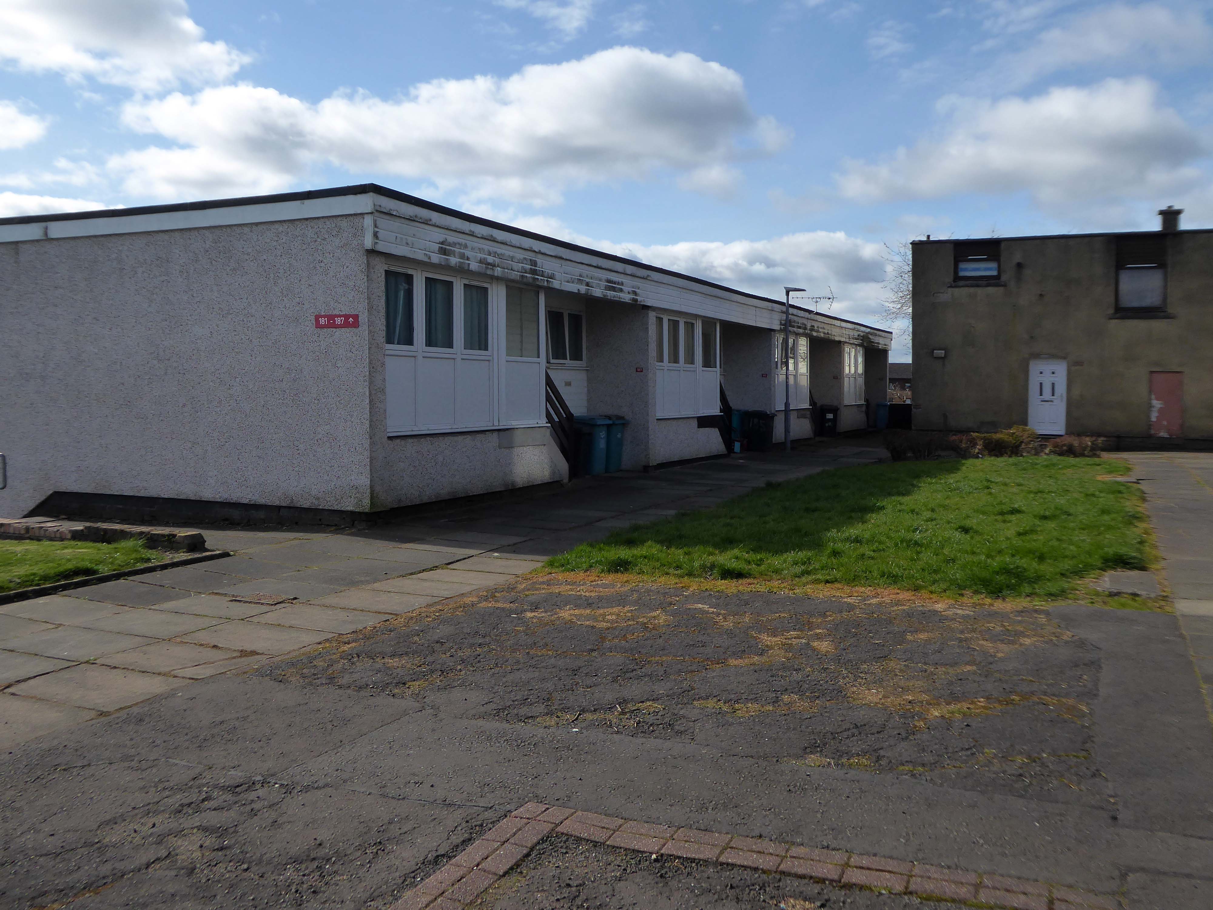
Across the way to Scholes Comprehensive Development 1964
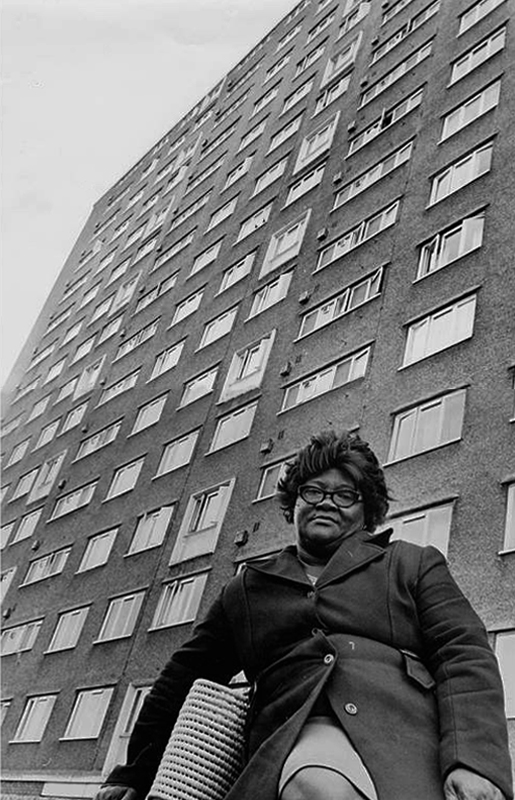
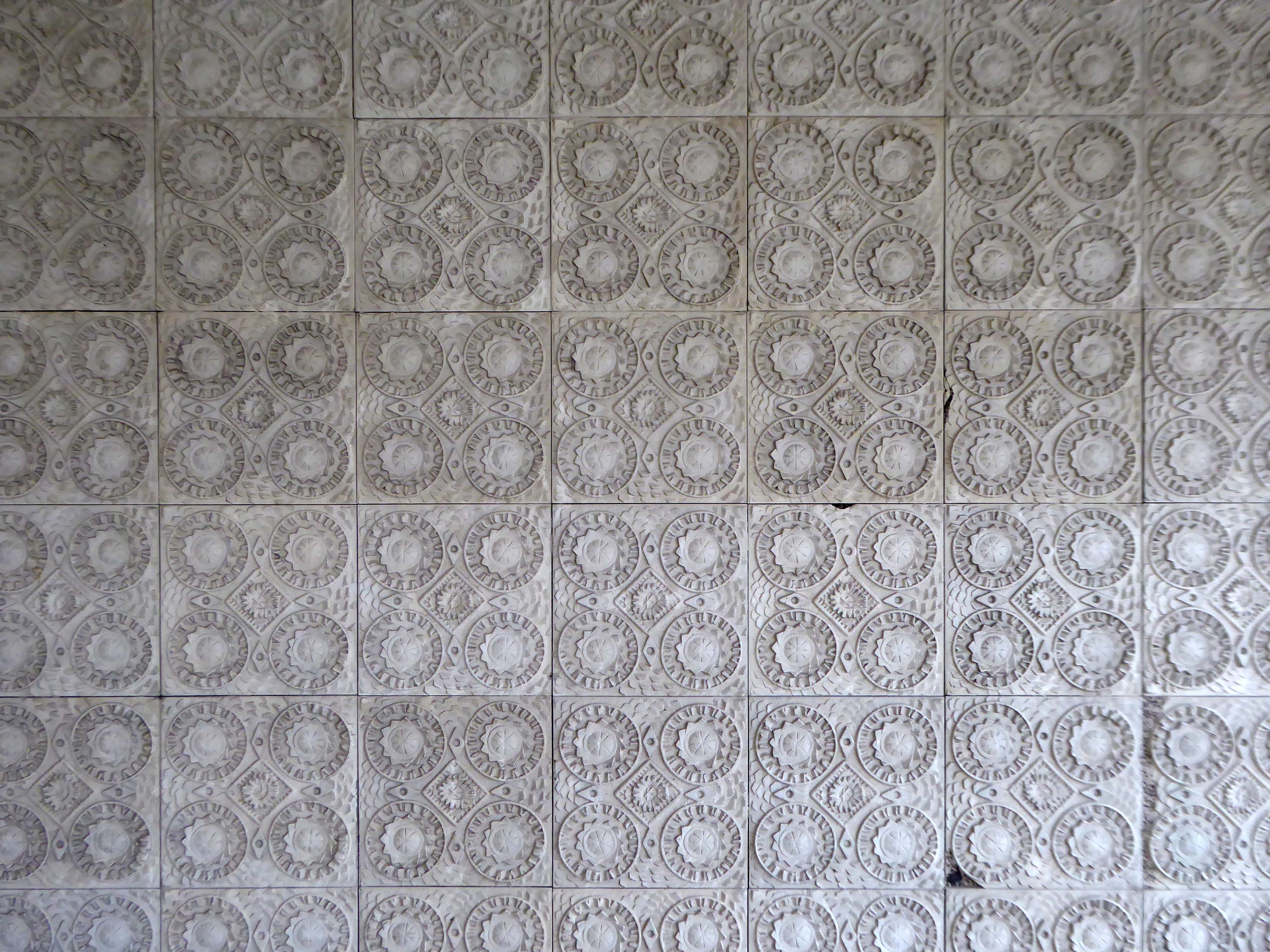
Five thirteen-storey tower blocks adjacent to Douglas House in Scholes were approved in 1964. Lower-rise housing and flats spread to the east. In 1968, a further 13-storey block, Boyswell House, was built at this eastern end of the Scholes Comprehensive Development Area. Almost 500 slum houses, housing 566 families, were demolished that same year and 581 new council homes completed.
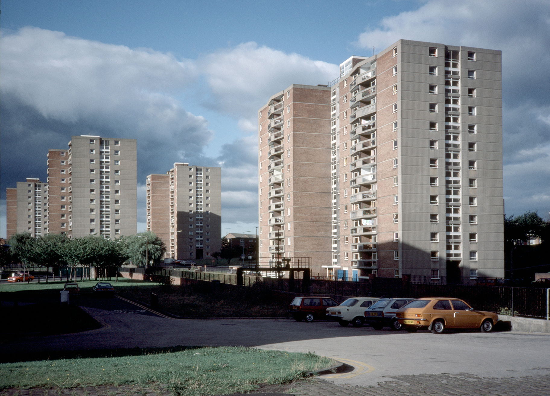
Image – Tower Block 1987
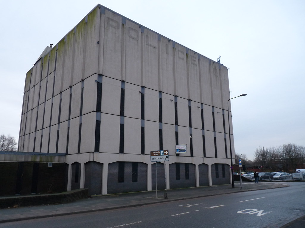
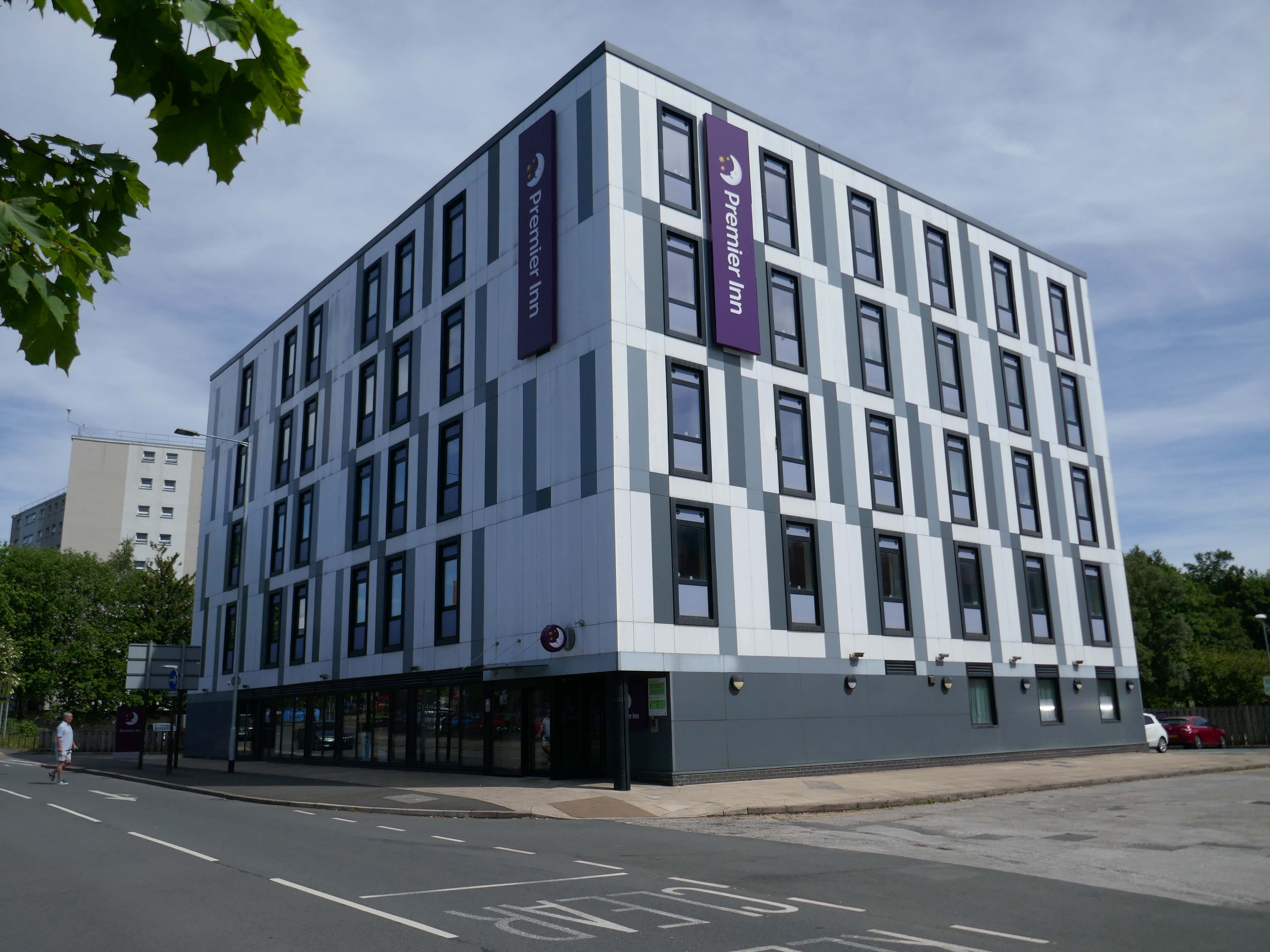
Next to the Roger Booth cop shop that became a Premier Inn.
A super-comfy bed, blackout curtains, a powerful shower and free Wi-Fi – our double rooms have everything you’ll need for a great night’s sleep.
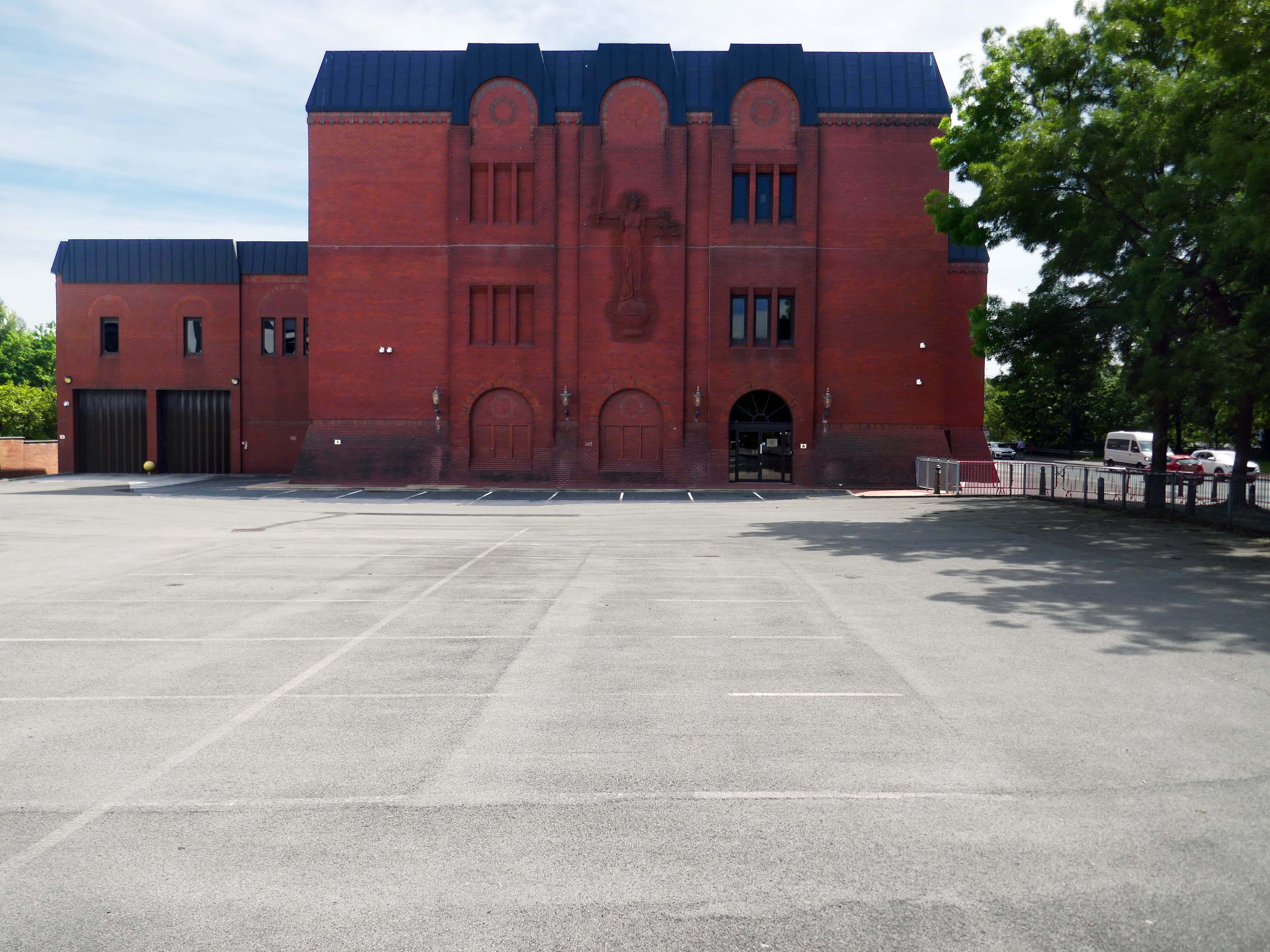
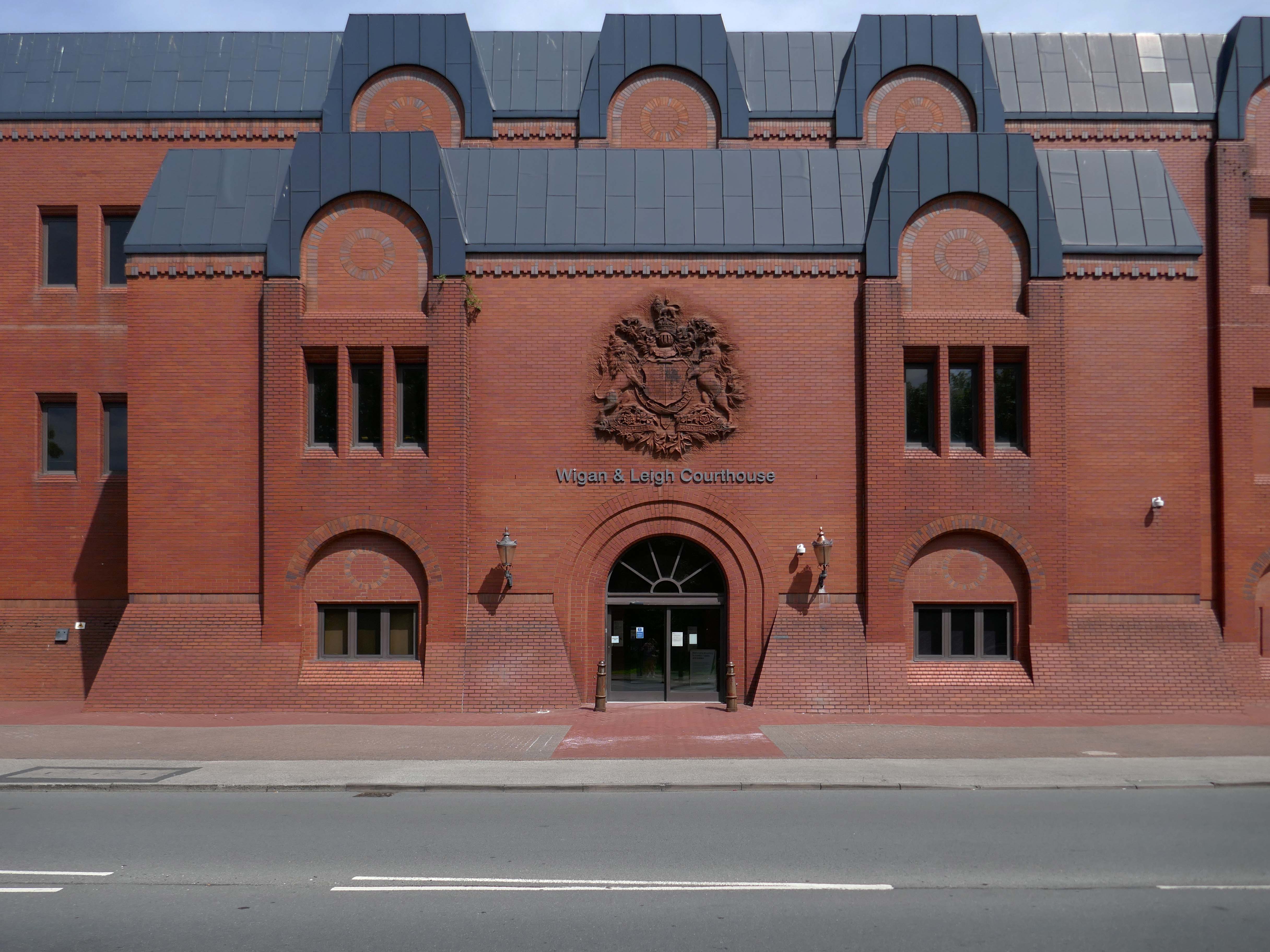
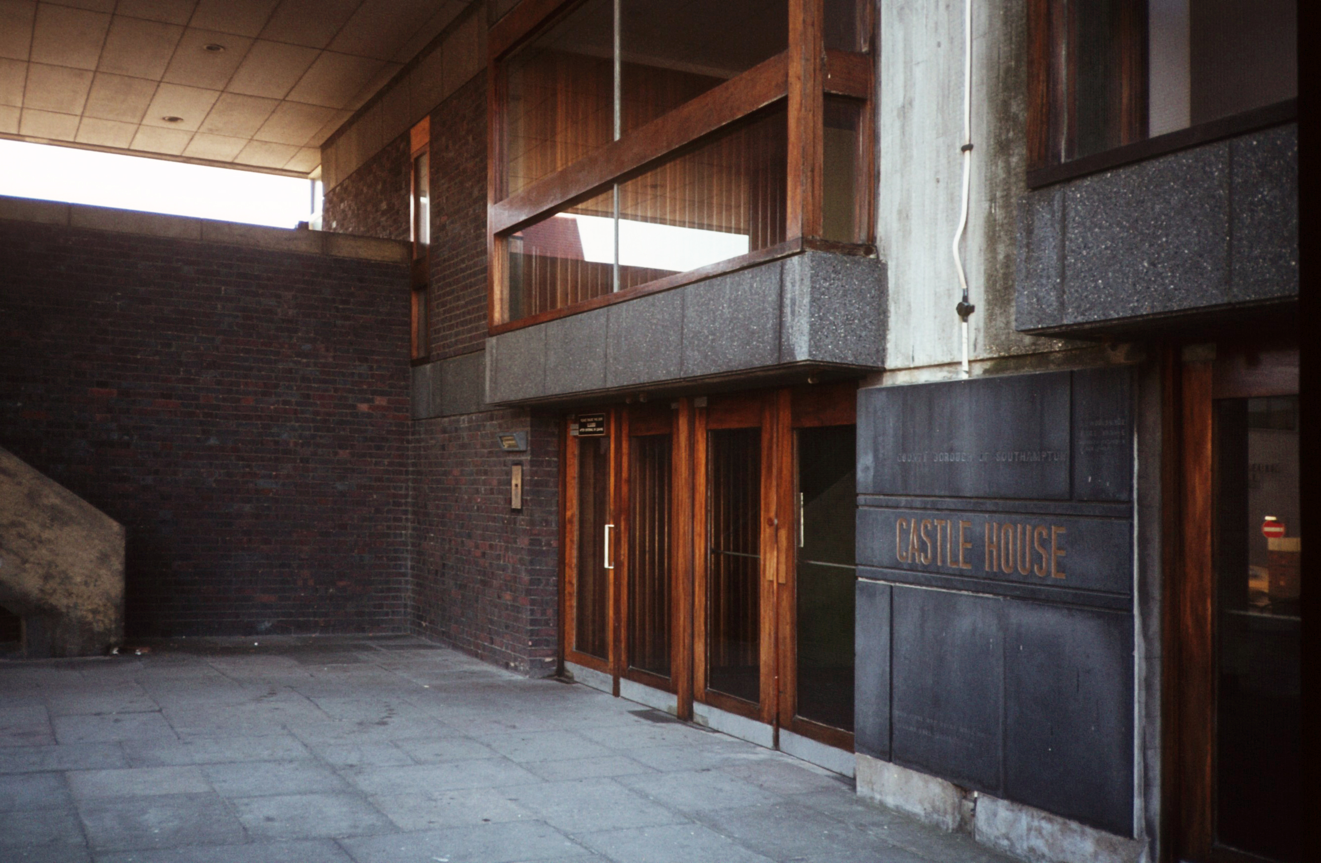
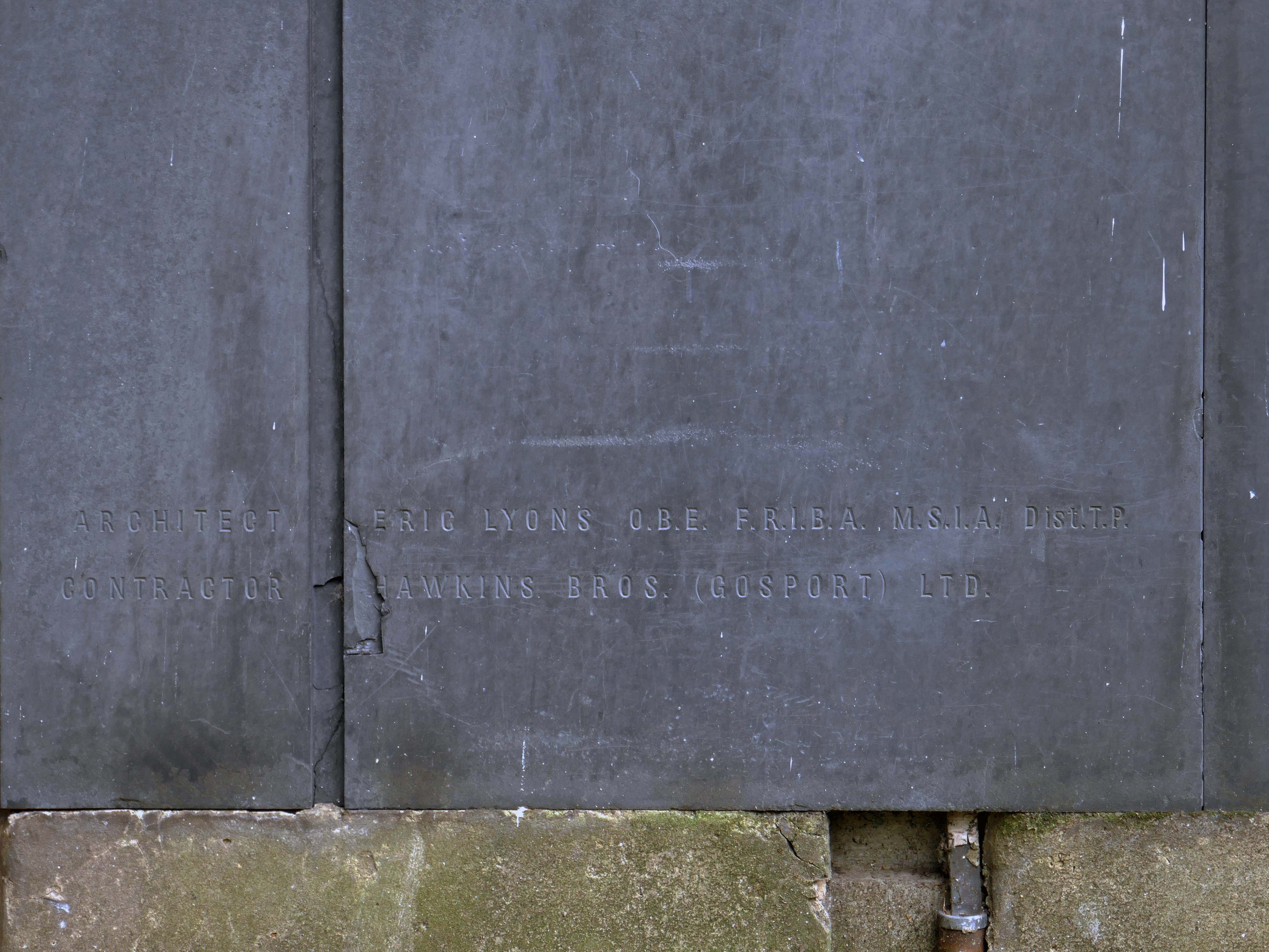
Next door the Wigan & Leigh Courthouse 1992 Wigan MBC Architect.
Relief figure of justice by Christine Ward.
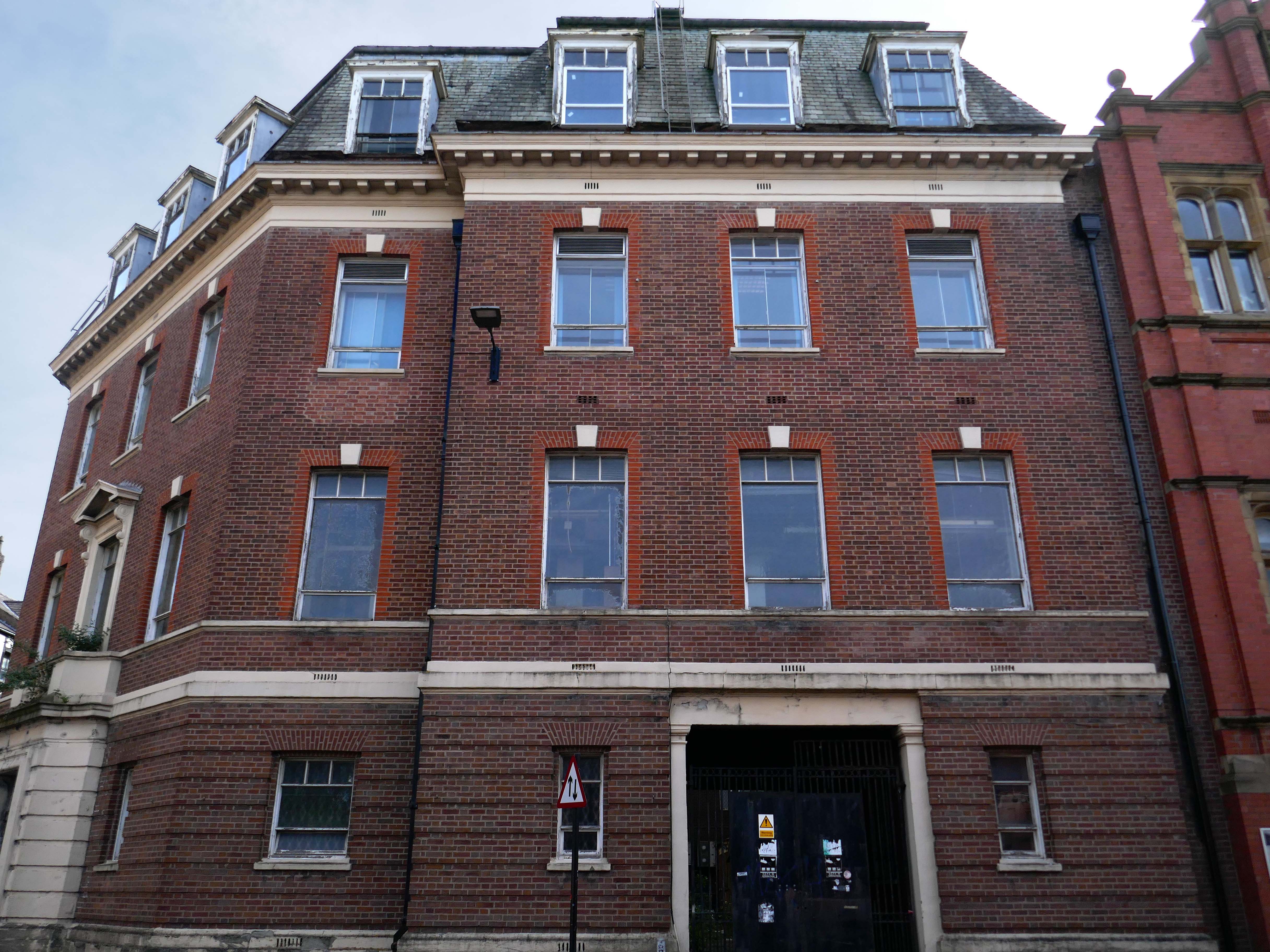
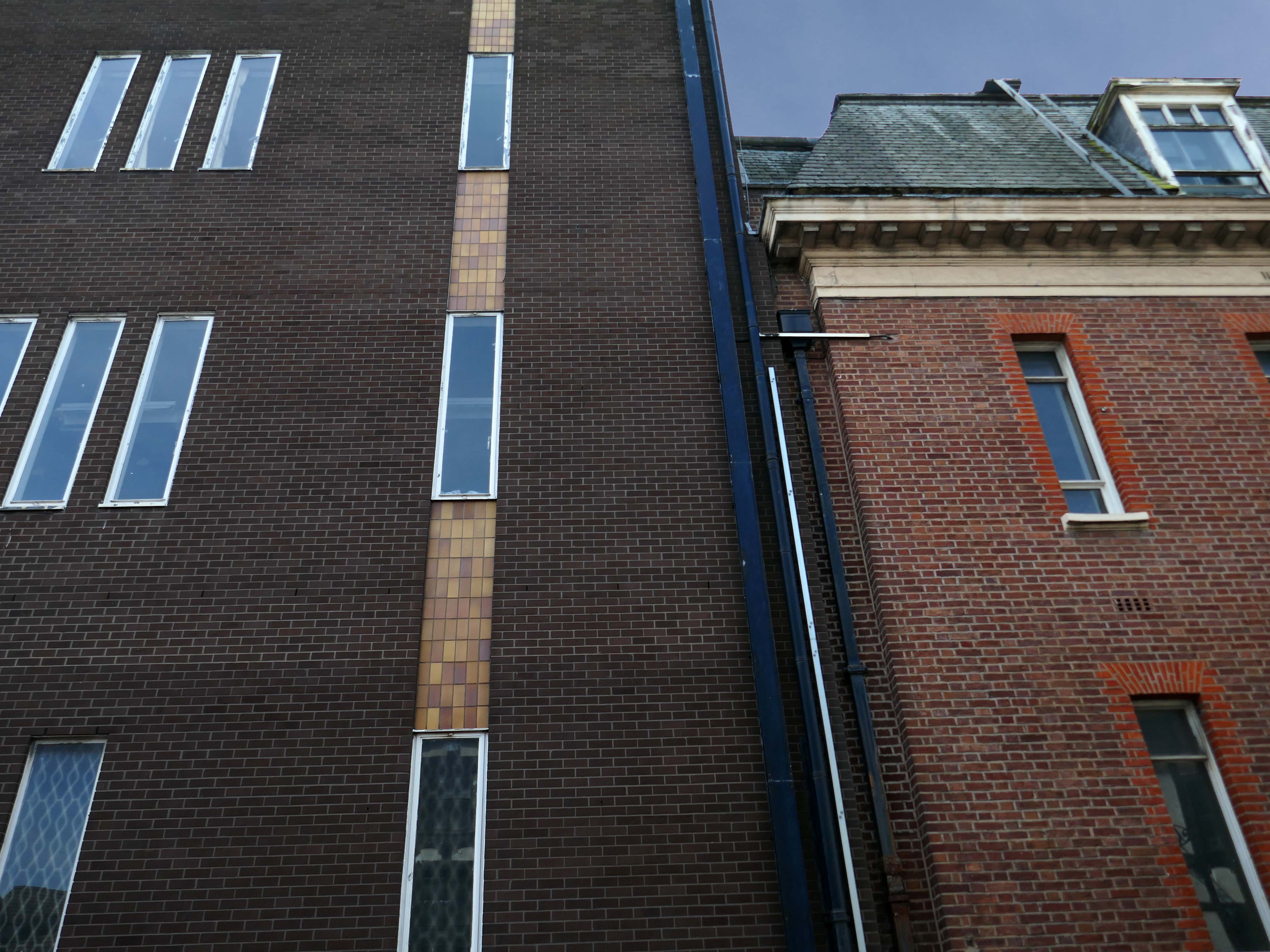
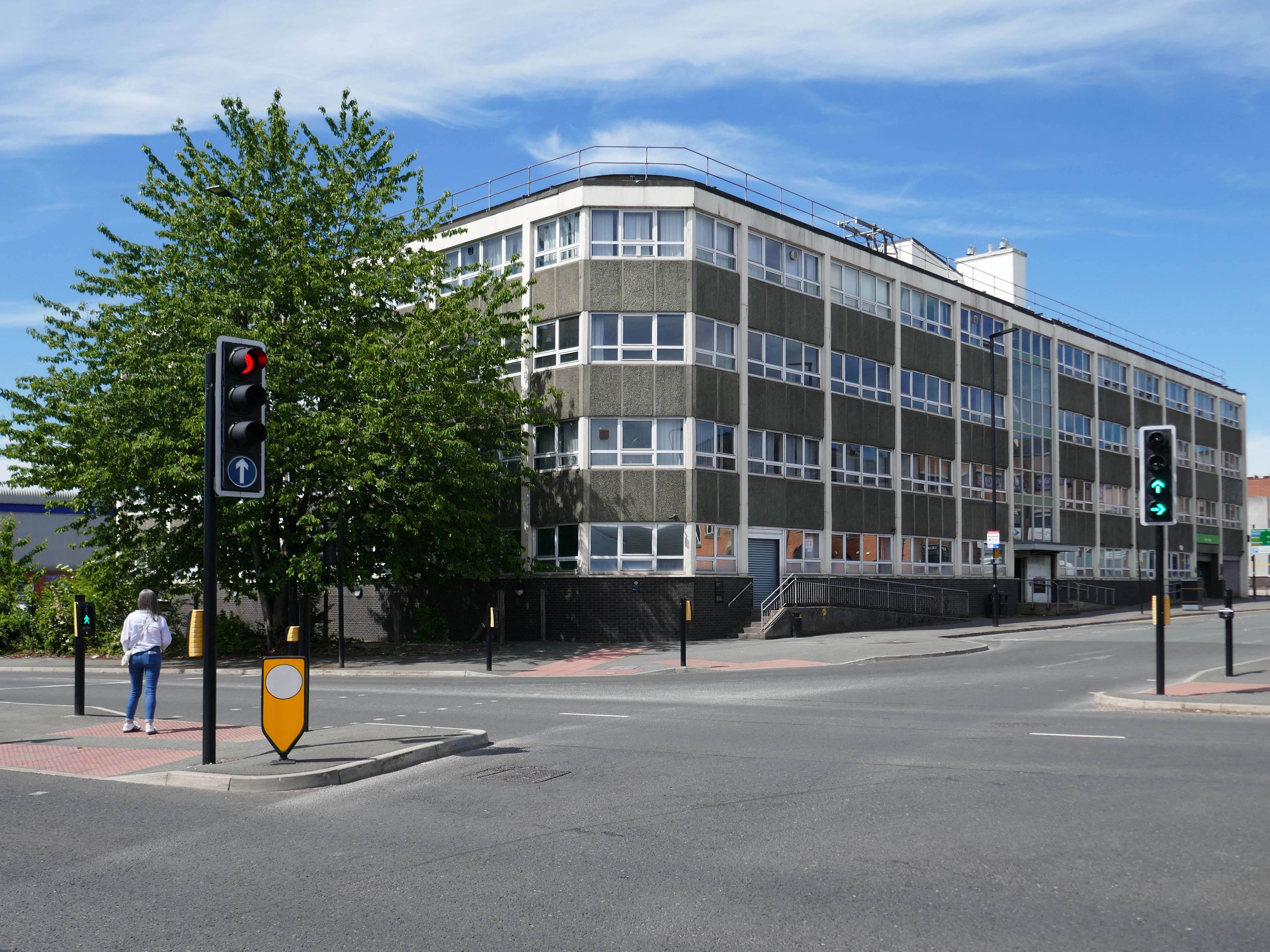
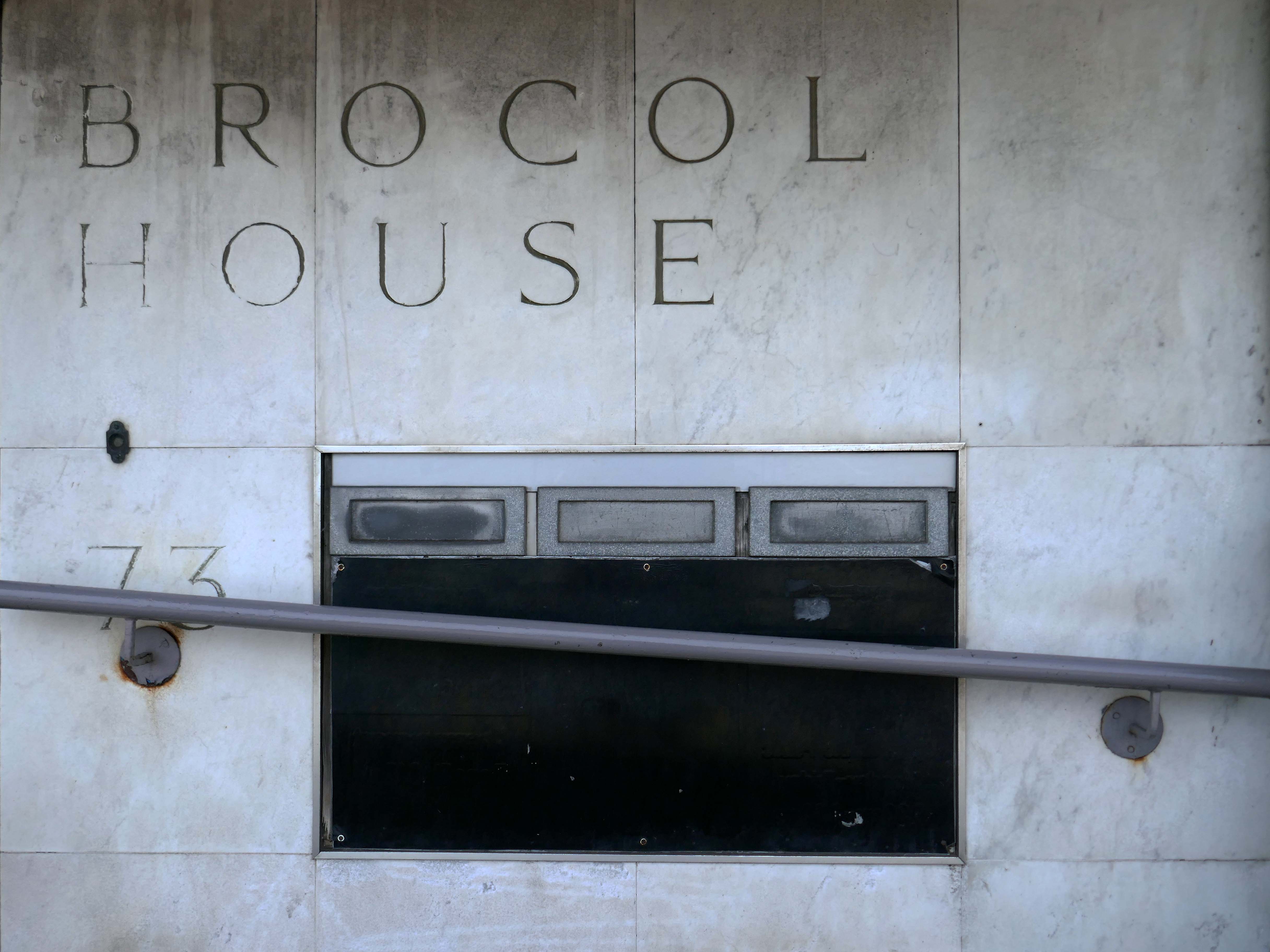
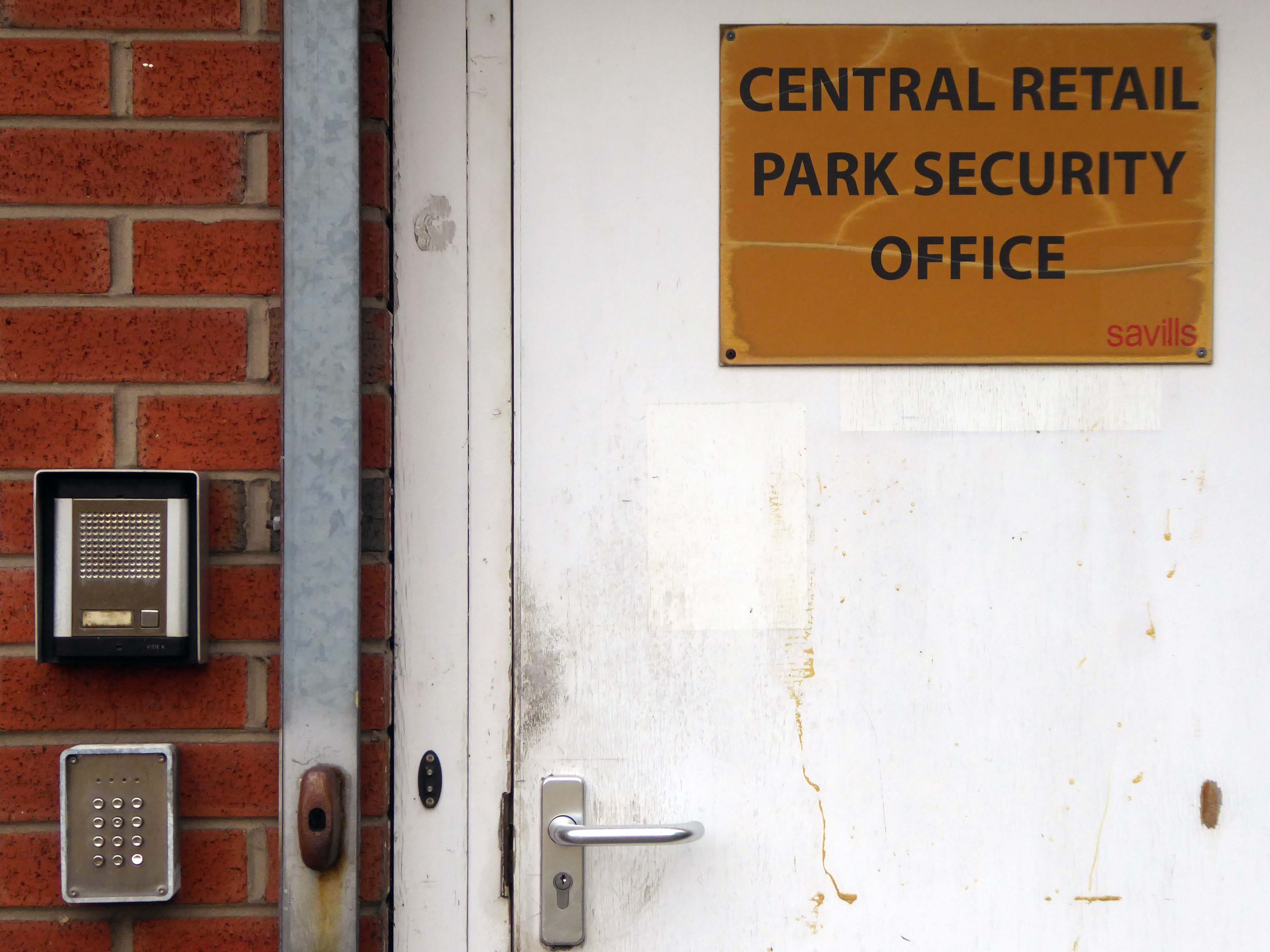
Onward to Brocol House – currently home to the Job Centre
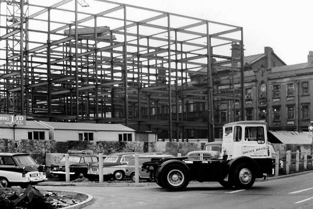
Image – Wigan Peers
Originally built for the Inland Revenue one the site of the Brewers Arms – has the welcoming charm shared by the majority of Ministry of Works buildings of the period.
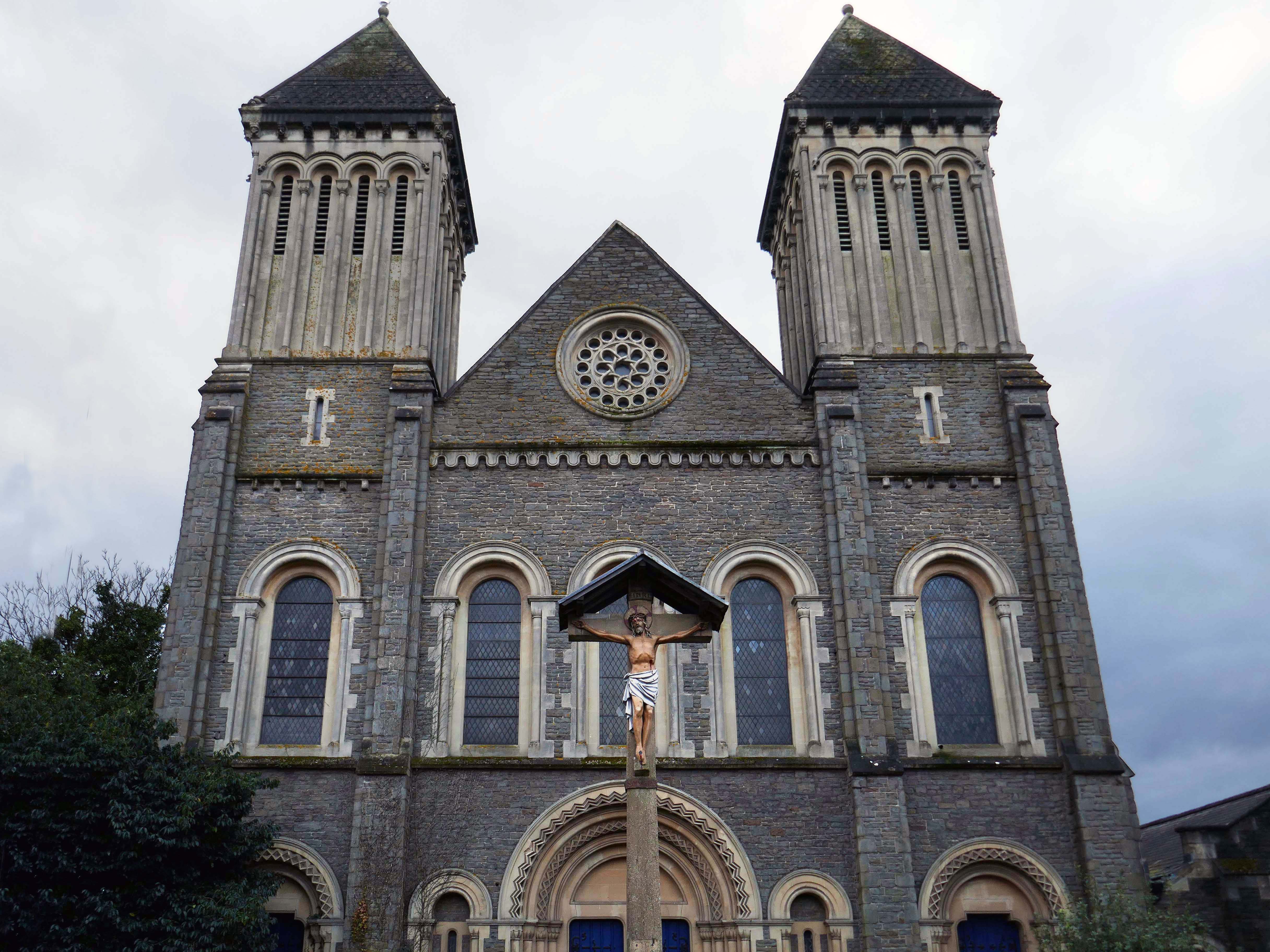
Nearly done – up the road to the County Playhouse.
Which masquerades as Ibiza.

The club’s atmosphere is defined by thumping music and a vibrant crowd eager to dance and celebrate. Its modern interior design complements the lively ambience, creating an inviting space for locals and visitors alike.
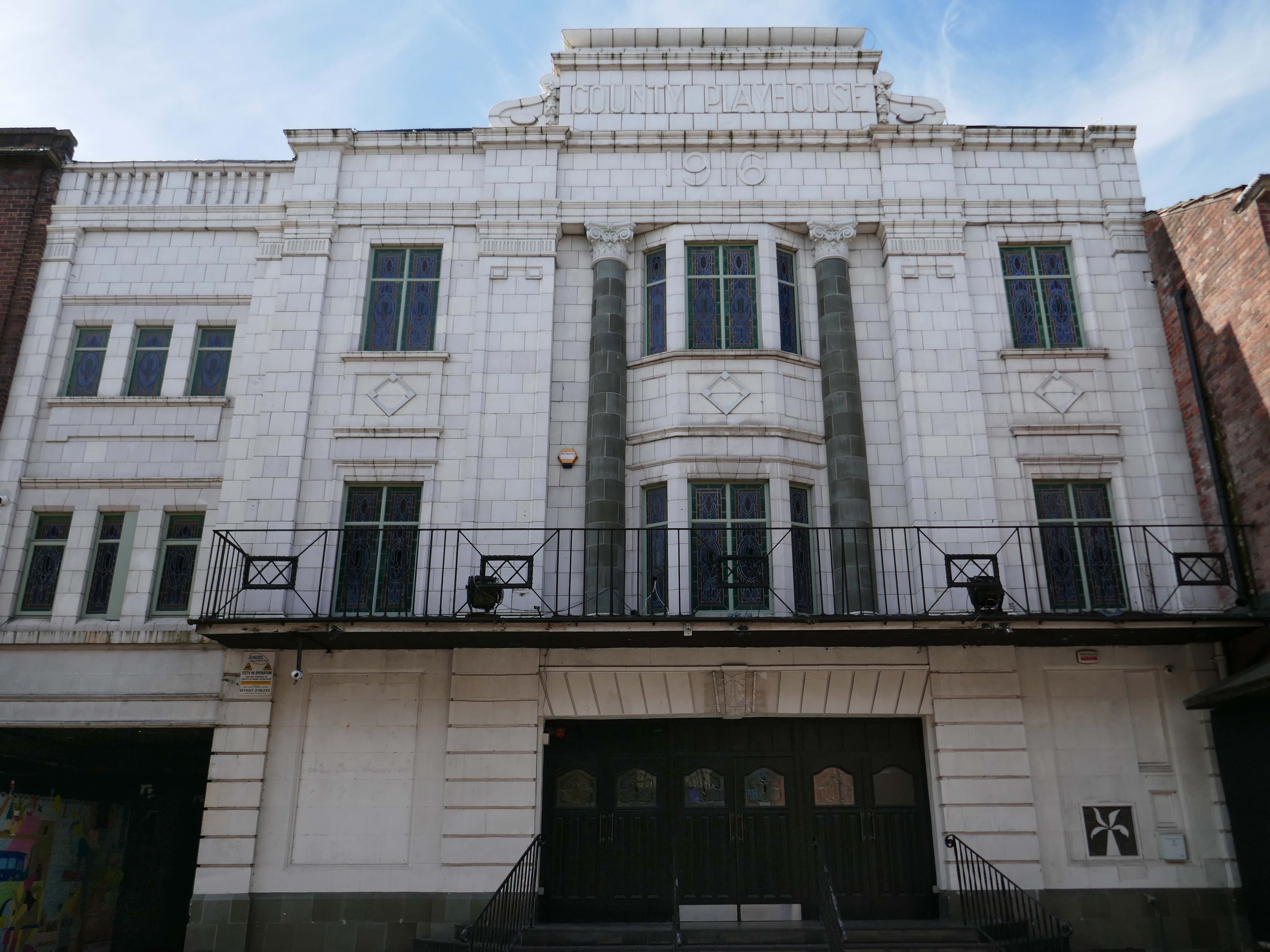
Construction began on the County Playhouse in 1916. However, due to a shortage of materials and labour during World War I, it was not completed until 1919.
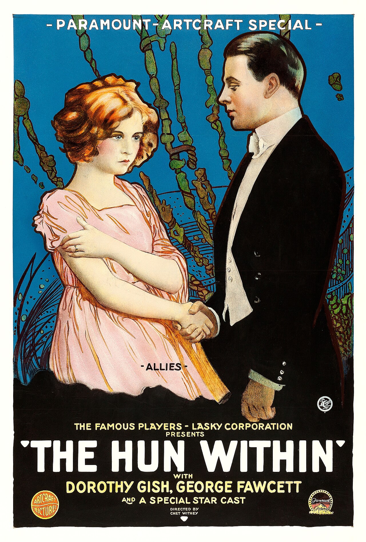
Finally opened on 22nd December 1919 with The Hun Within – starring Dorothy Gish.
The County Playhouse closed on Sunday 13th November 1966 with Disney’s “The Sword and the Stone”. It was taken over by the Leeds Based Star Cinemas chain and they converted it into Star Bingo and Social Club opened on 24th November 1966.
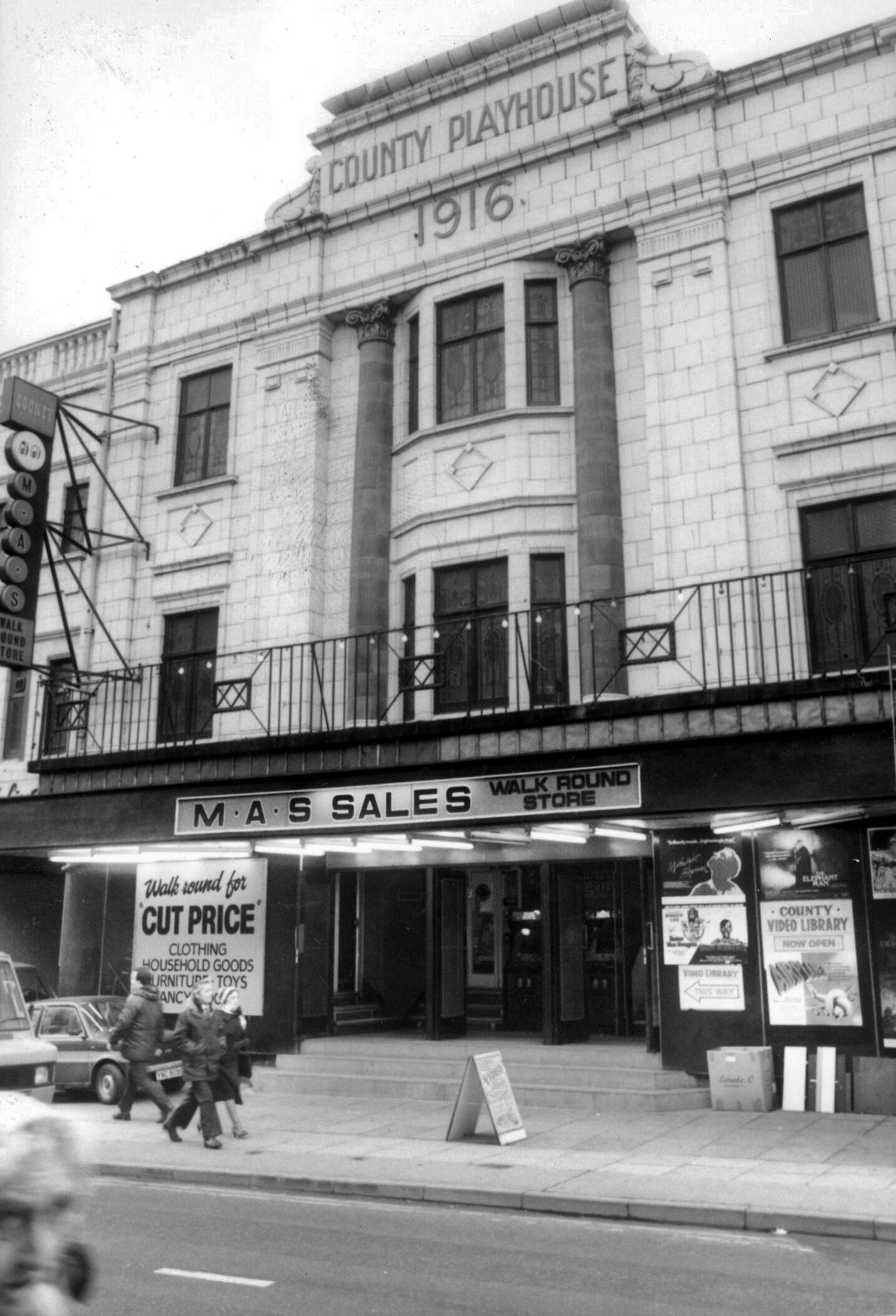
MAS sales store 1982 – Frank Orrell Photography
The building has since been used as a discount store and Playhouse Club Café. It then became home to the 1,200 capacity Pure Nightclub. In the early-2000’s it became the Ibiza nightclub. The Pure nightclub move into the former Princes Cinema
Time for a swift half in The George to end your tour?
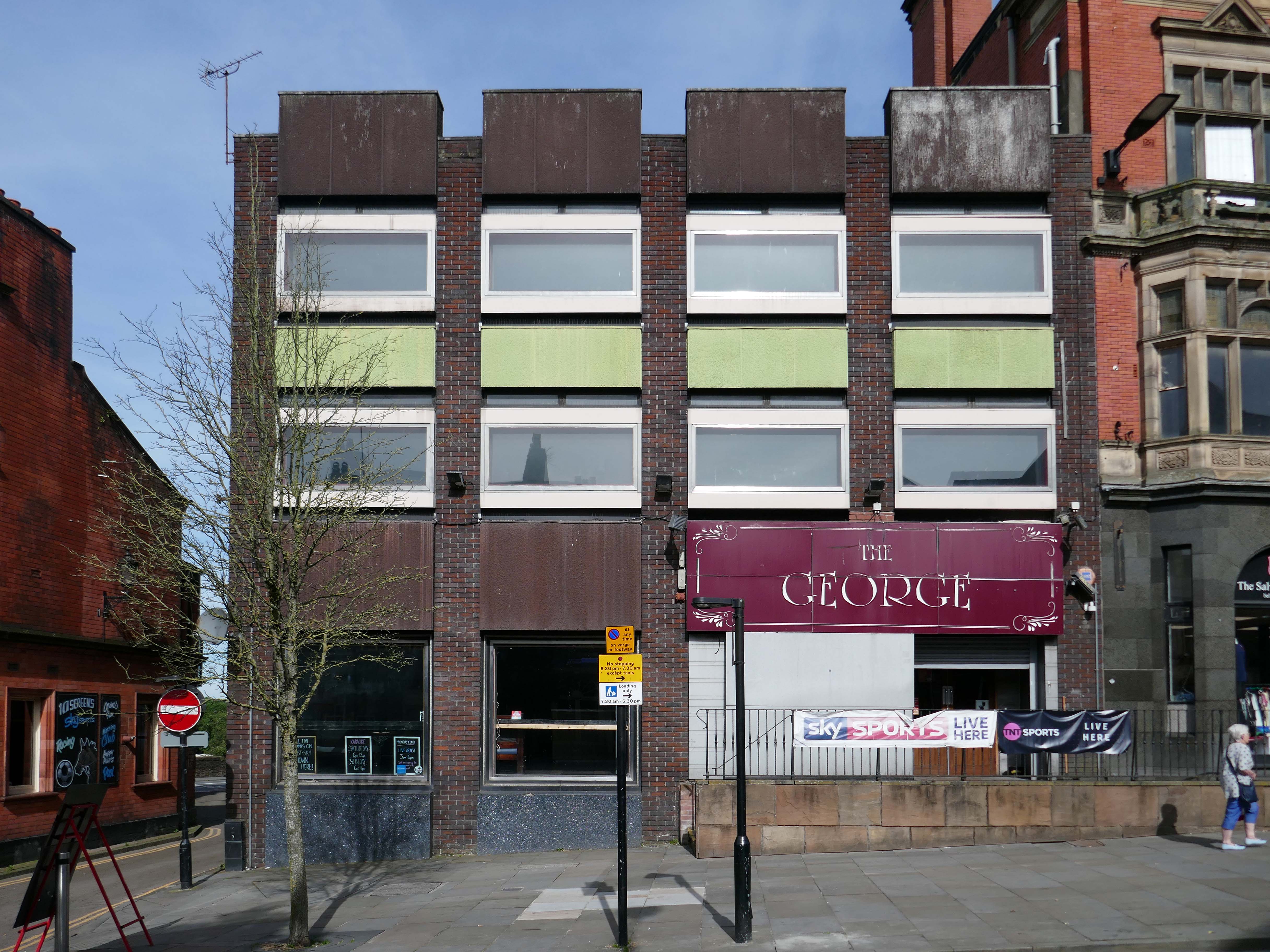
Great for a local pint one of the cheapest in Wigan I believe, slightly rough at times but no fights just real local people who are generally friendly. Proper drinking gaff, and karaoke on certain nights.


