Following my previous visits to the University of York, recording the history and the Fred Millett Reliefs, I have searched the RIBA pix archives to find further images.
They mainly illustrate the Derwent and Langwith Colleges – both built using the CLASP system of construction.
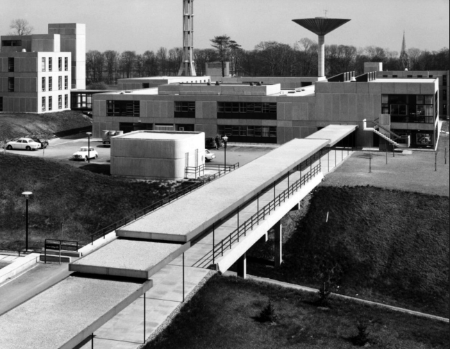
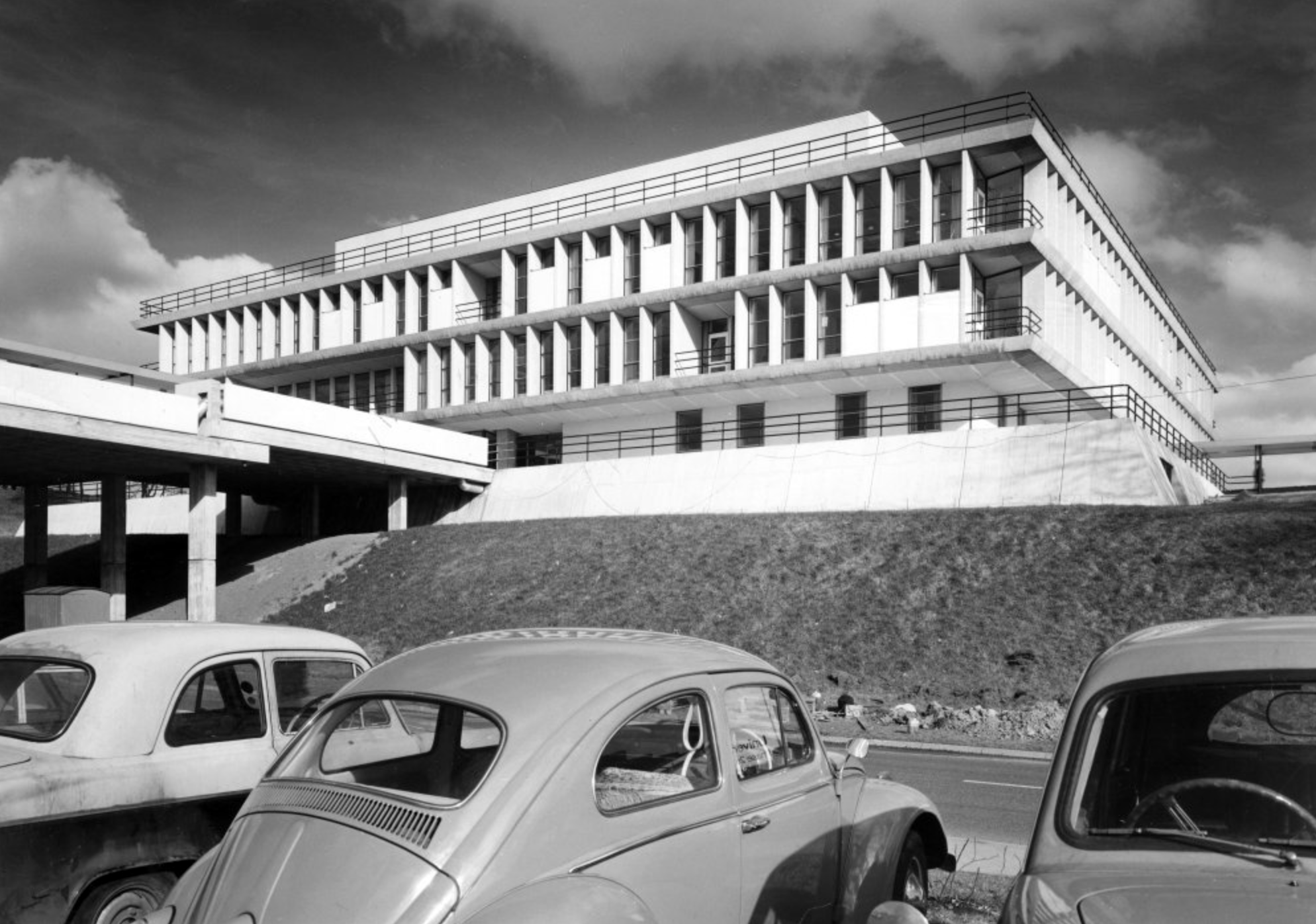
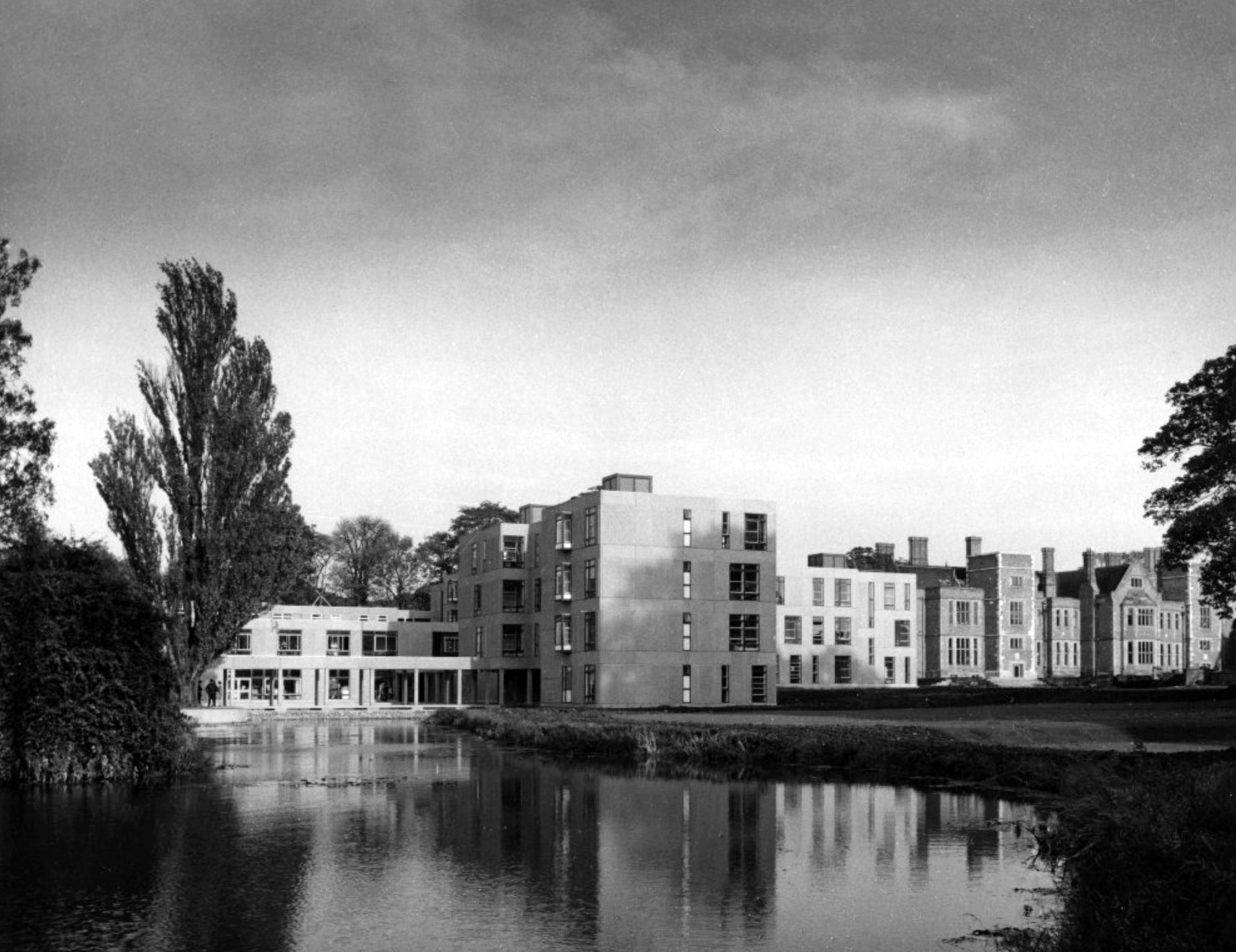
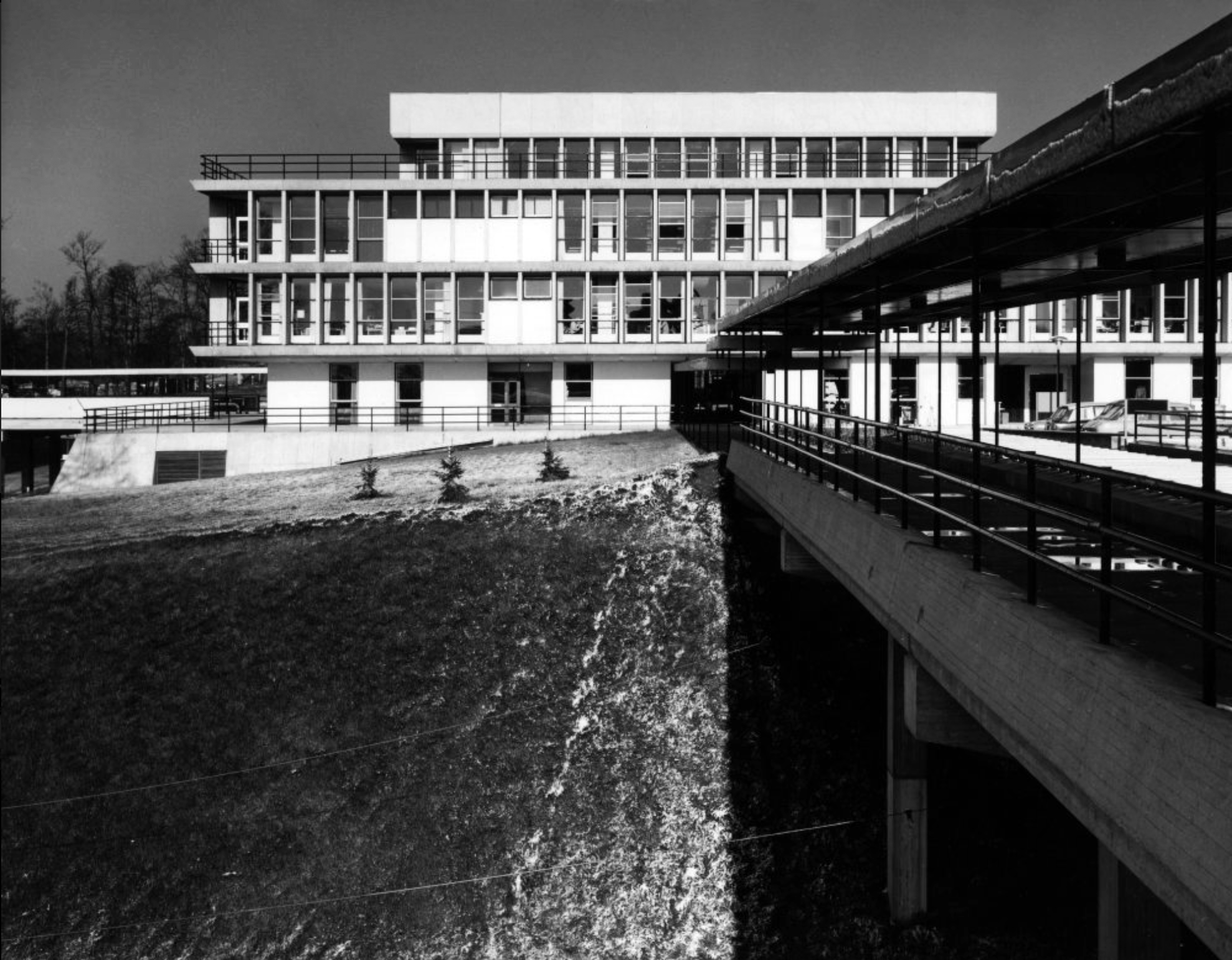
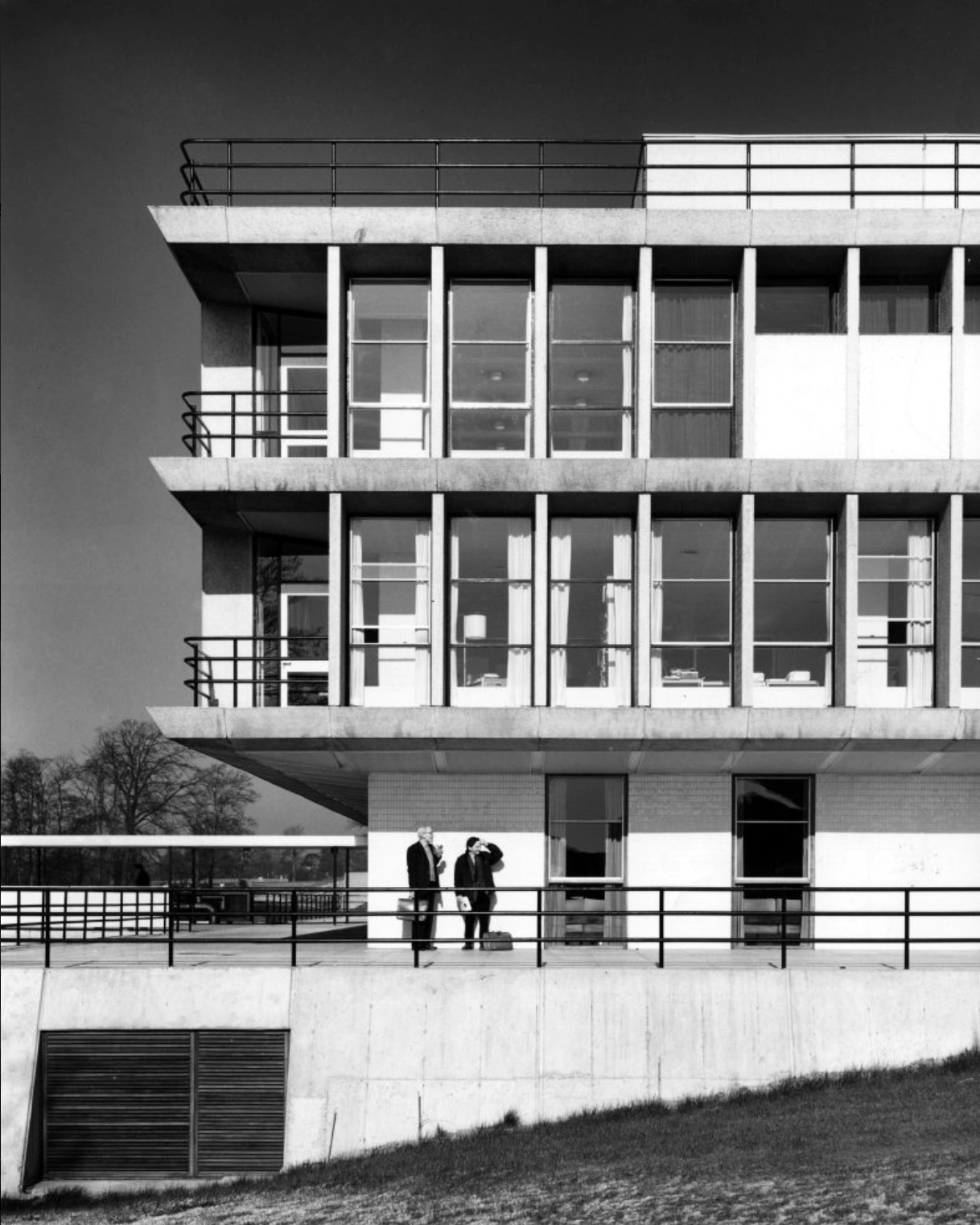
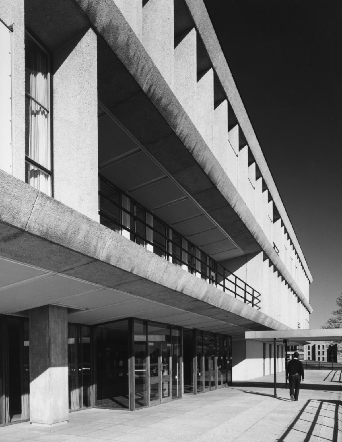
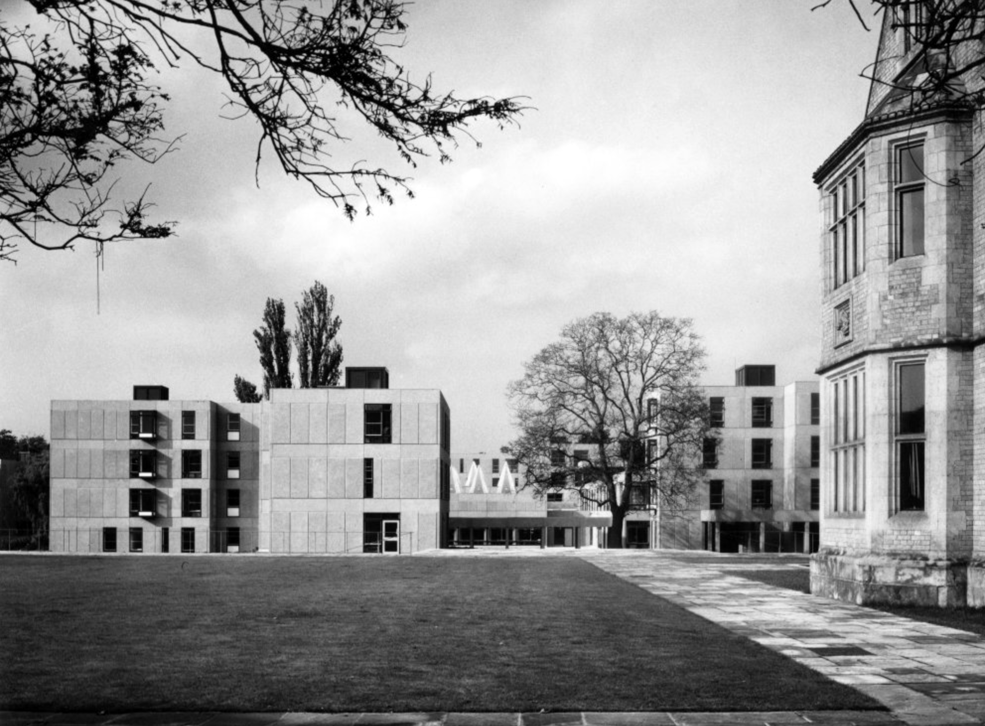
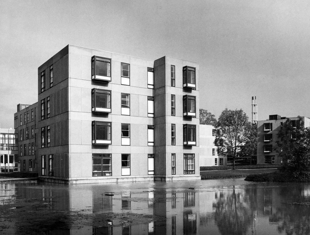
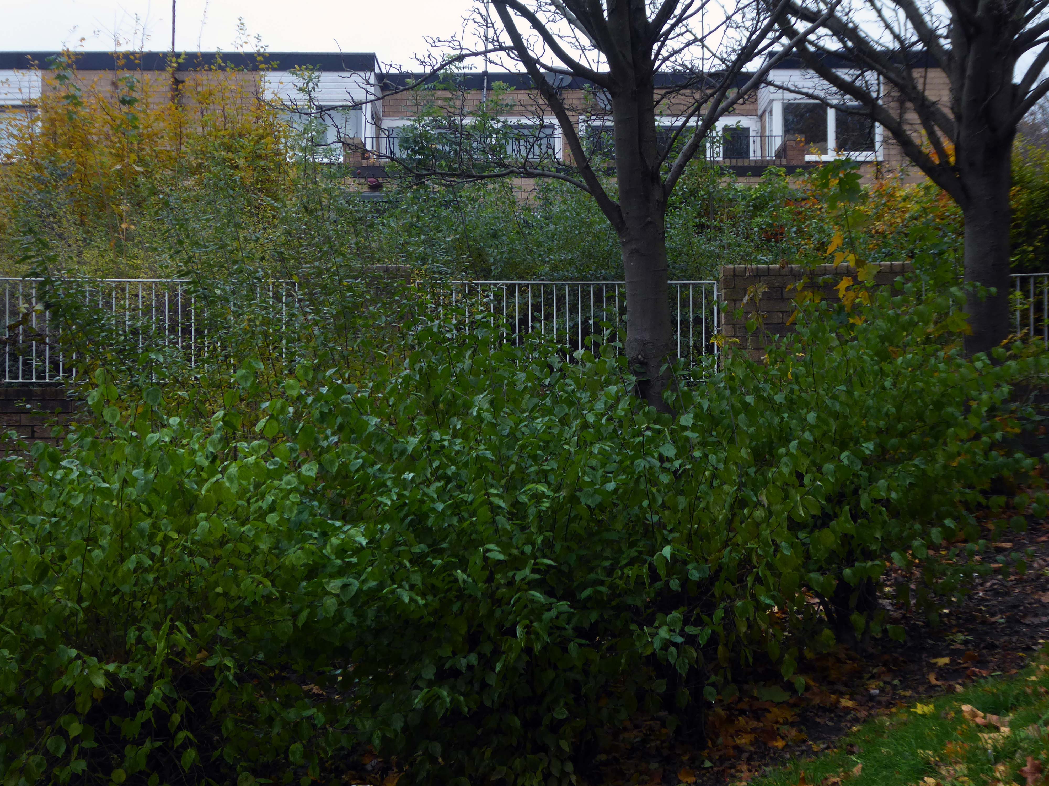
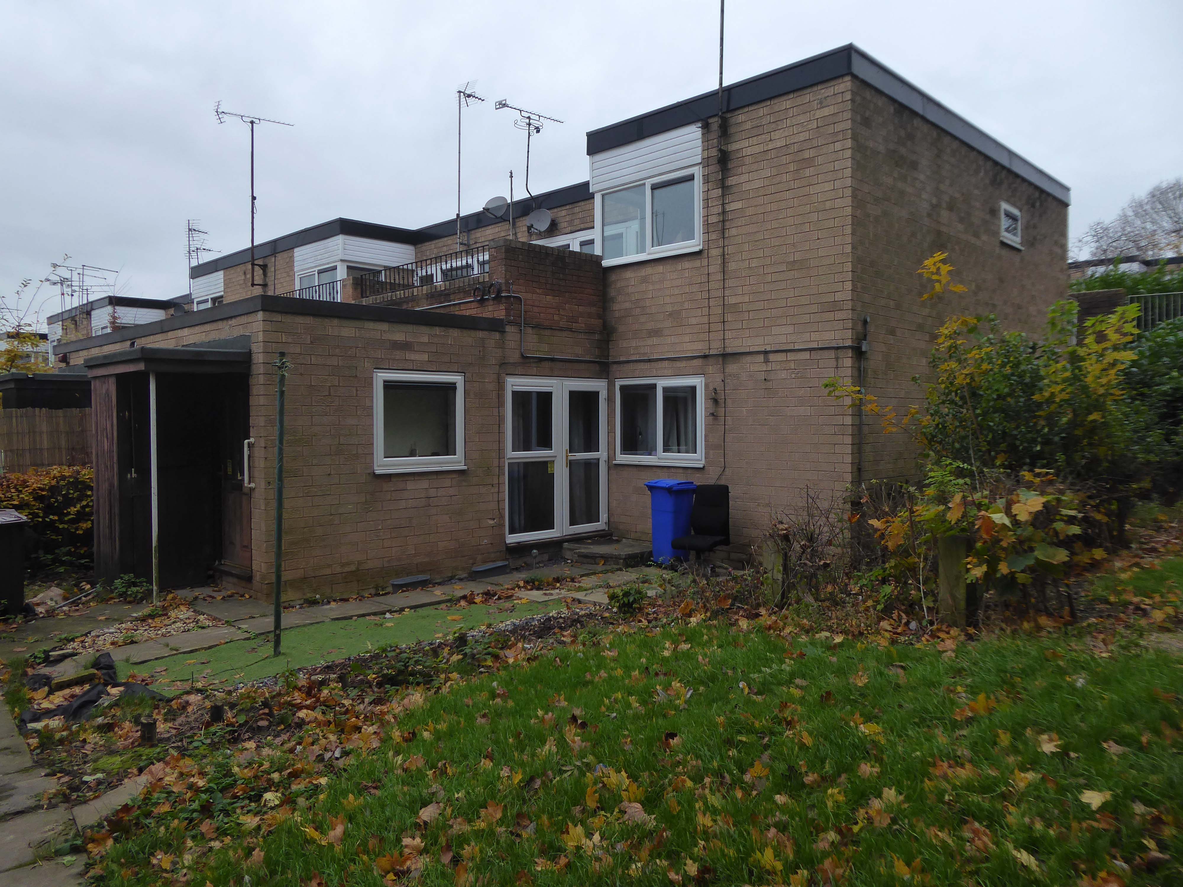
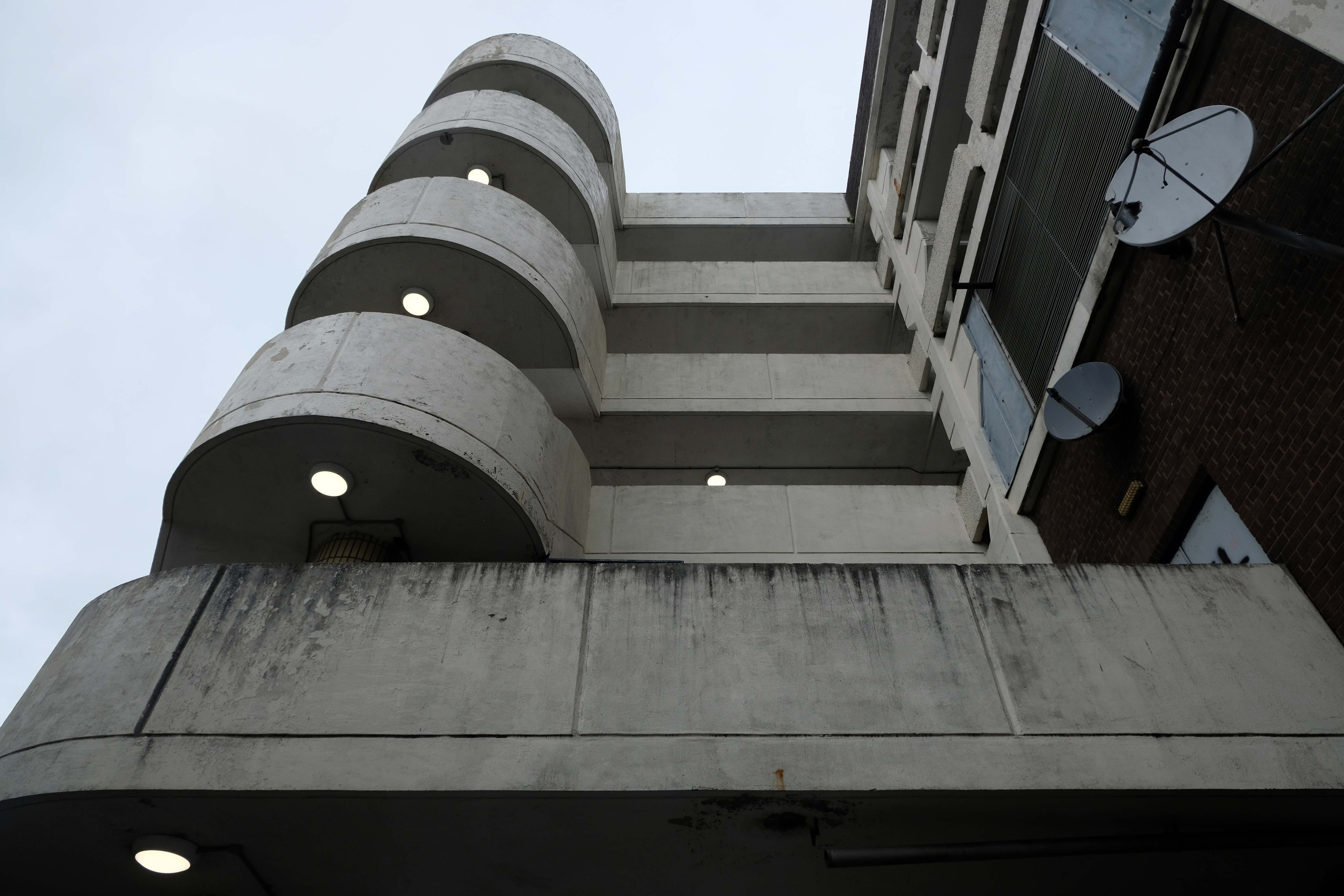
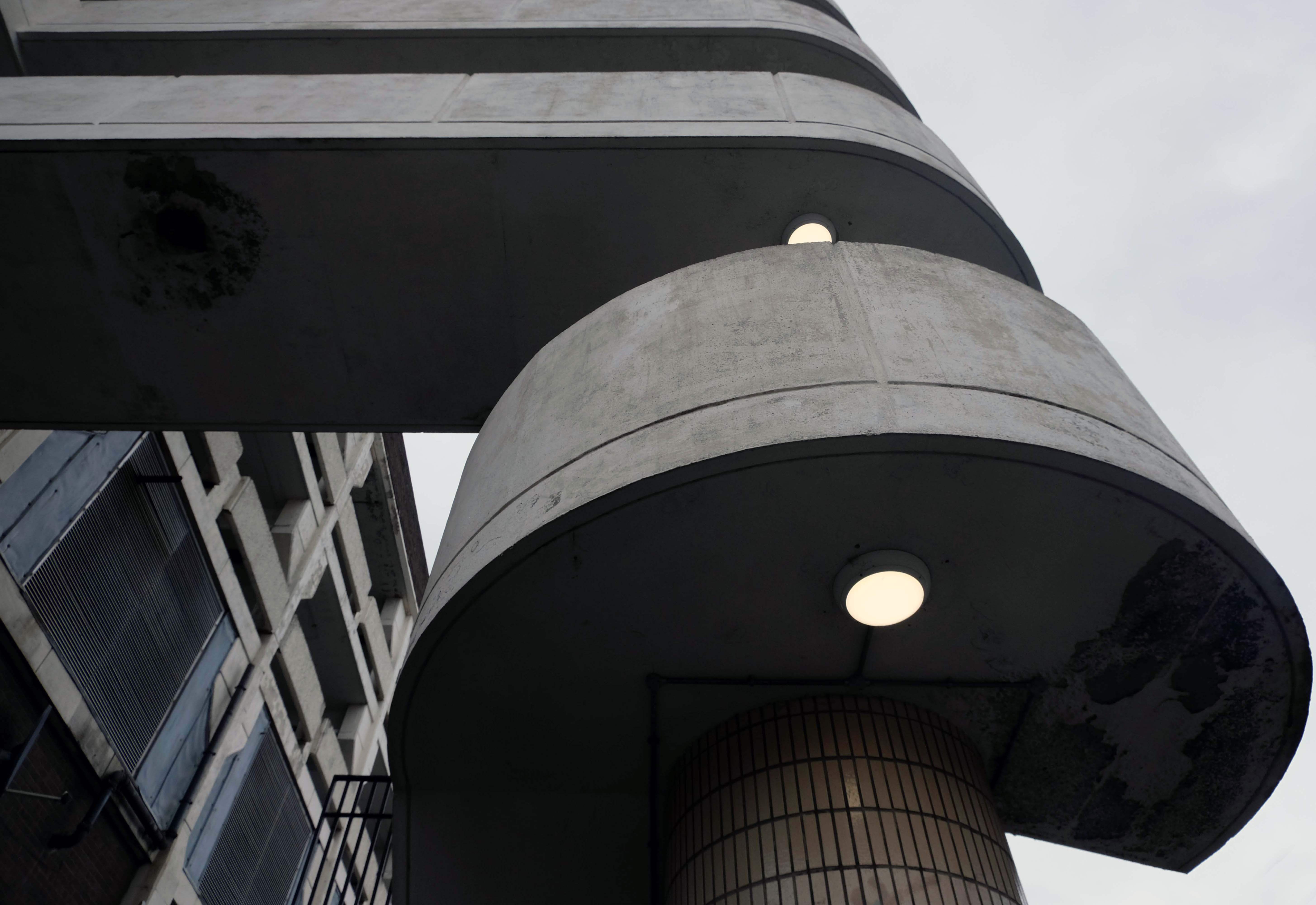
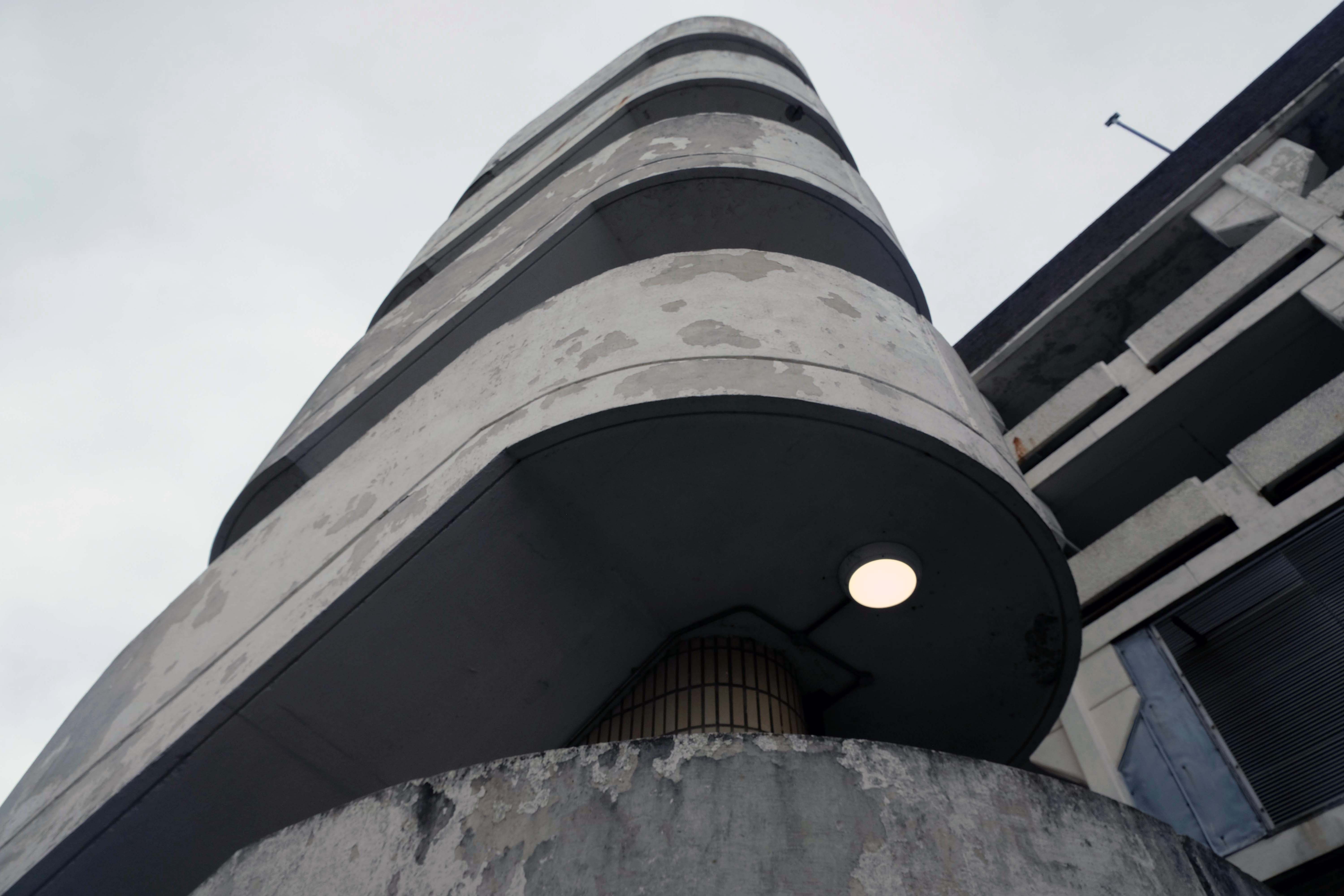
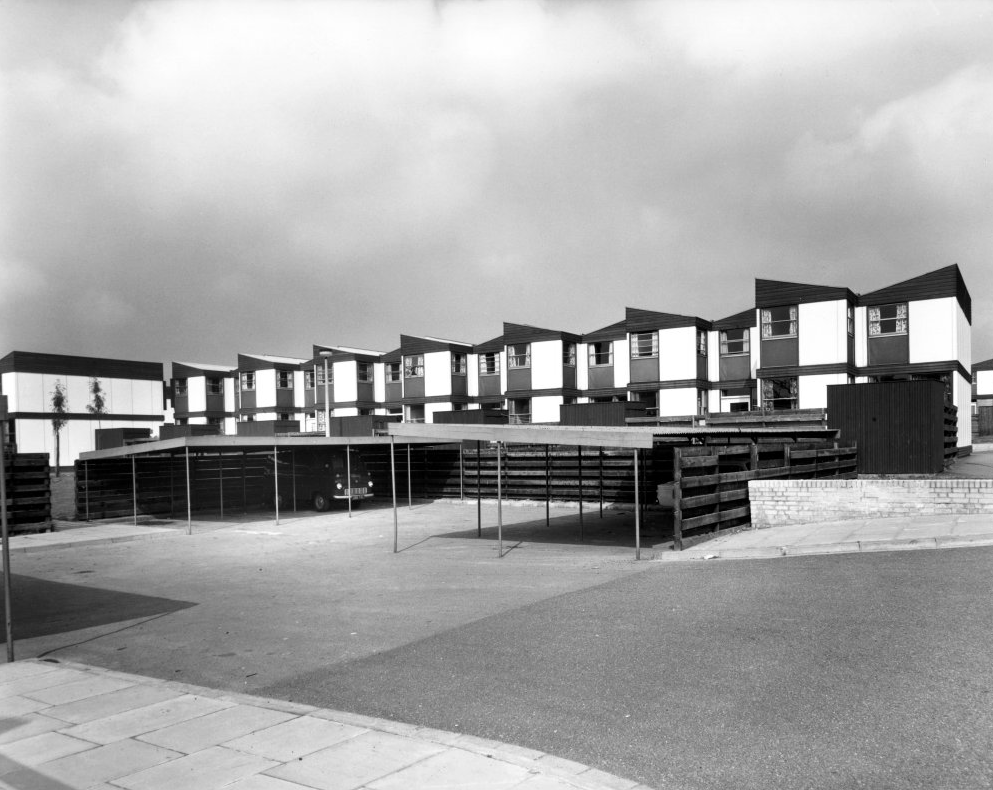
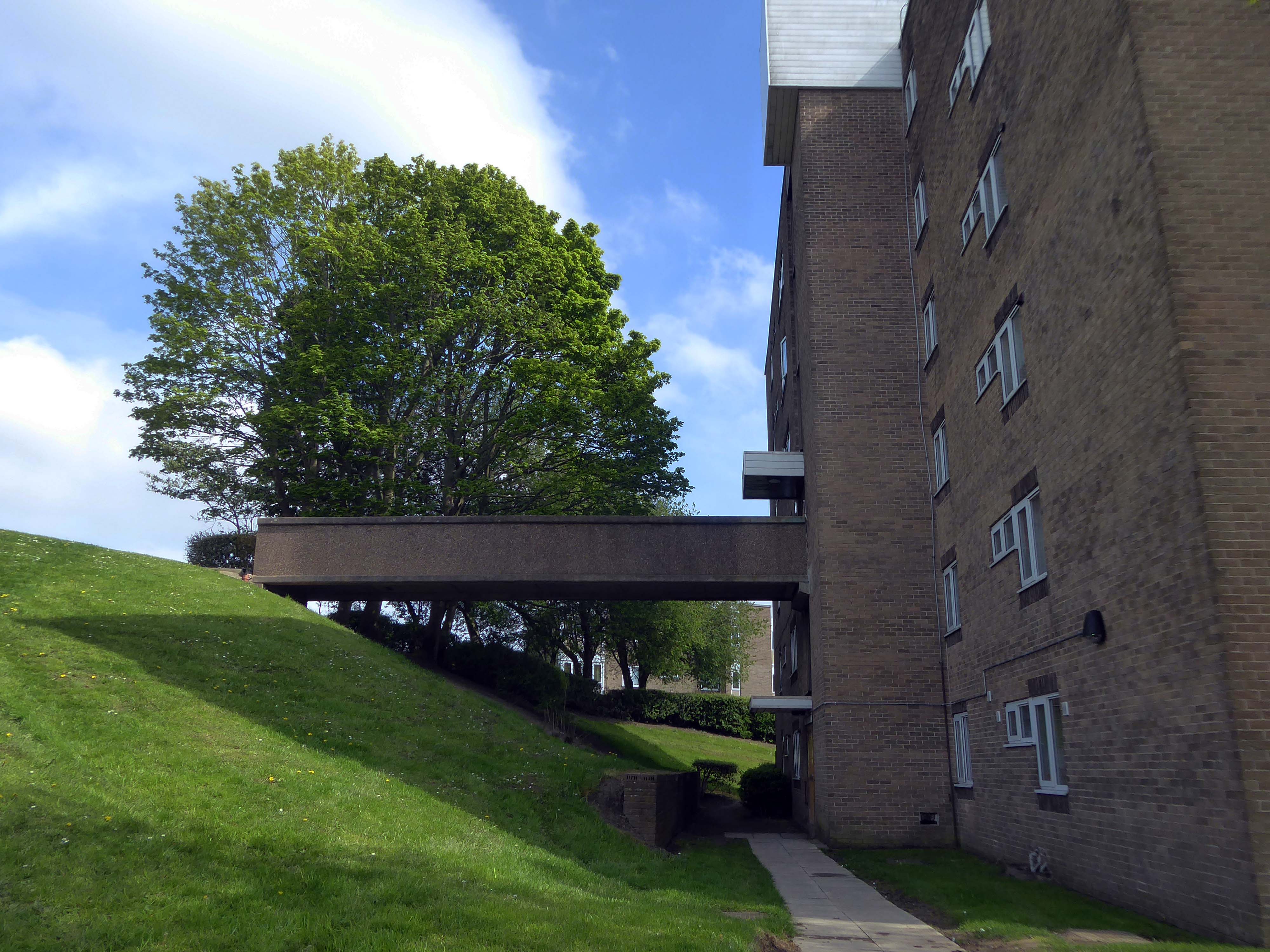
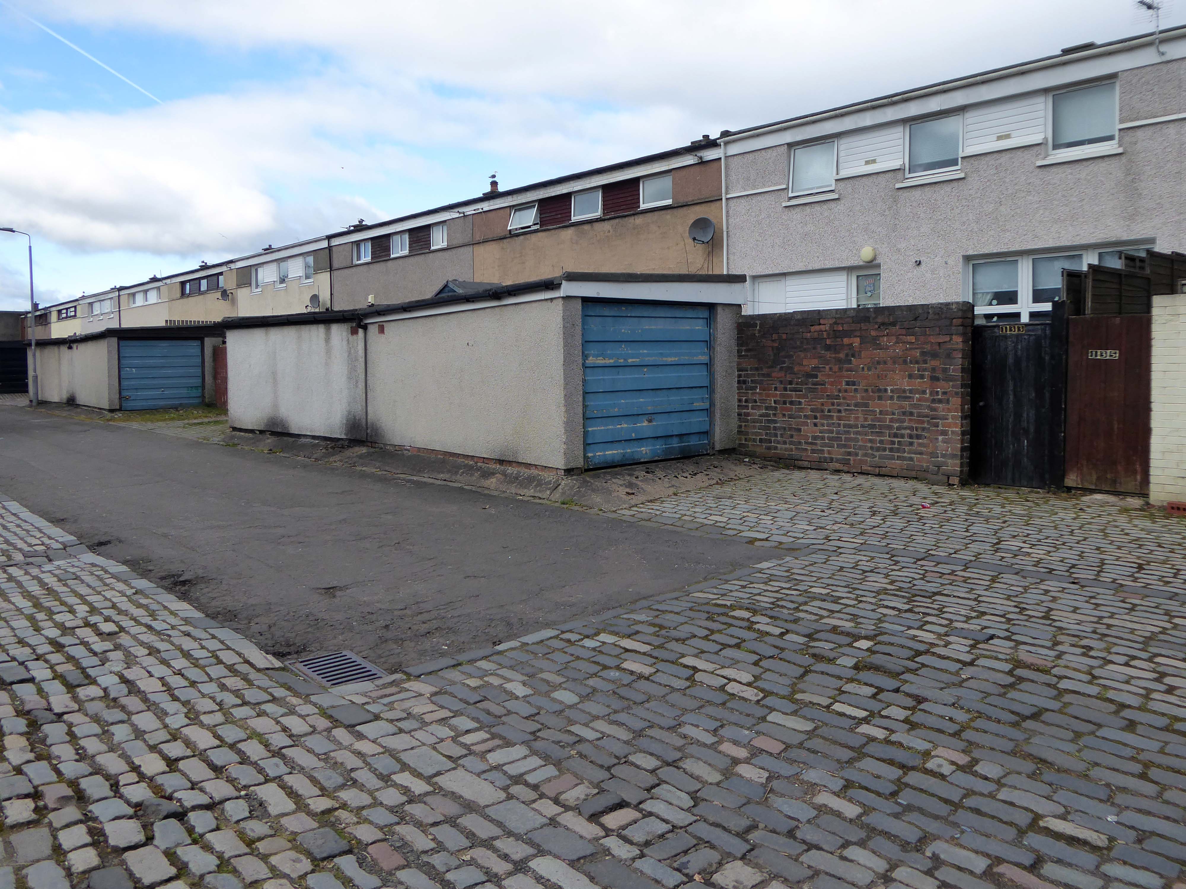
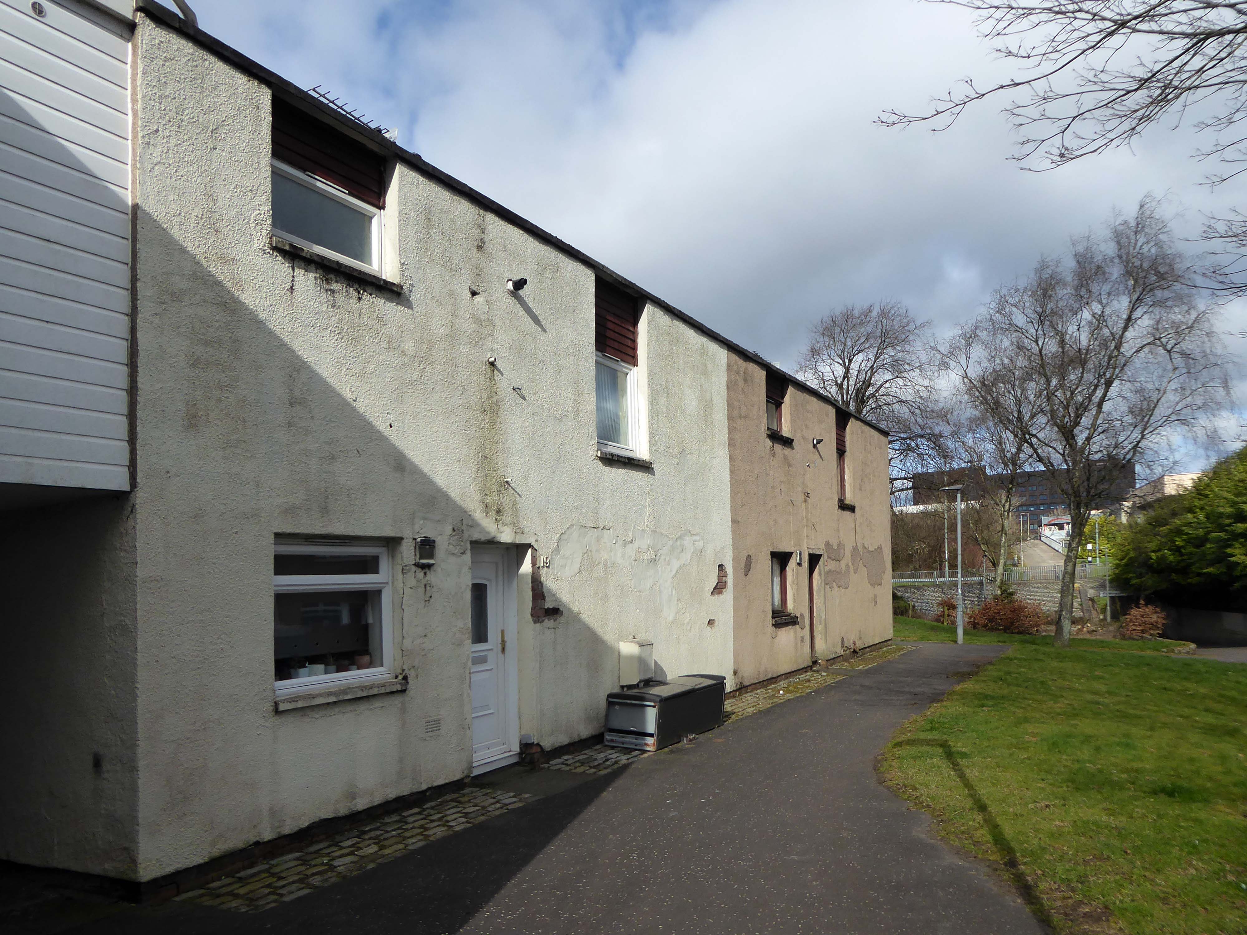
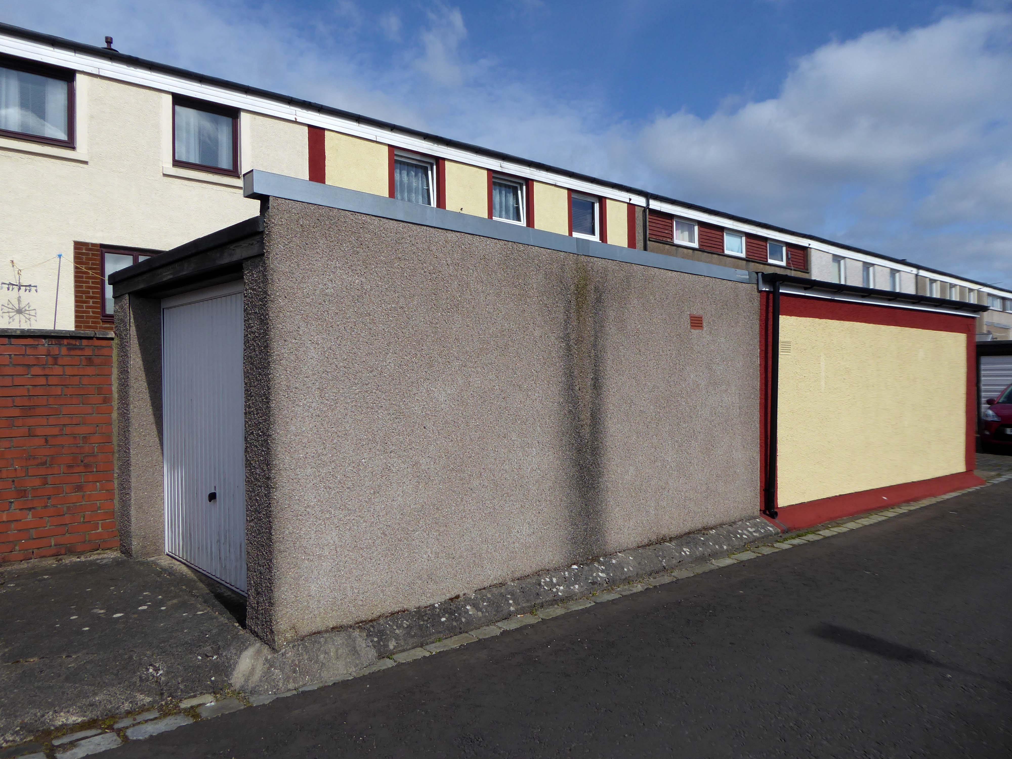
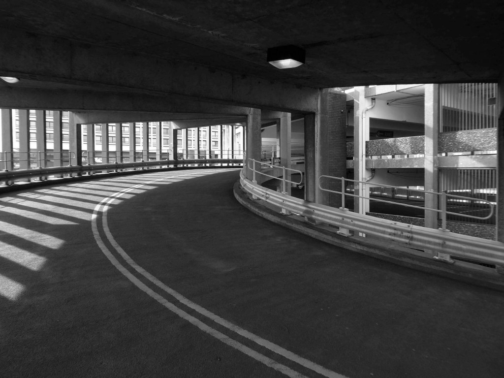
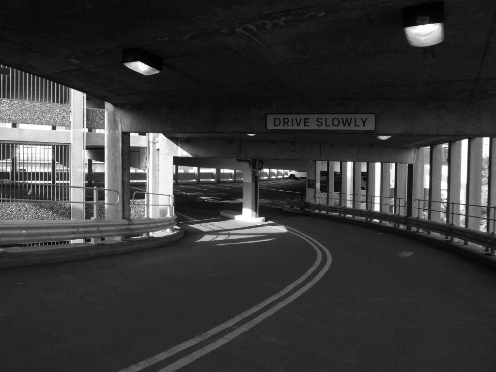
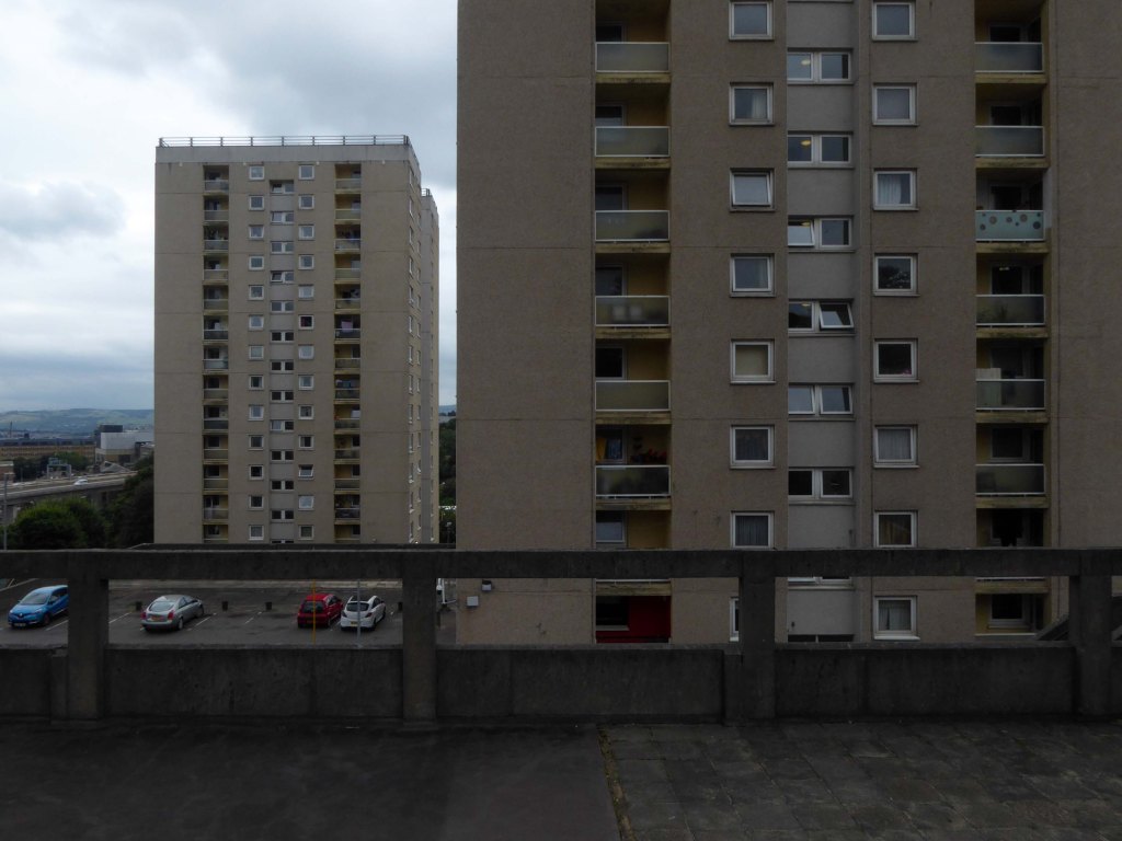
The University of York was founded in 1963 and work on its campus facilities in the grounds of Heslington Hall was begun in 1964. The first two colleges, Langwith and Derwent, accepted residential students for the autumn term of 1965. The original buildings were designed by Sir Andrew Derbyshire of Robert Matthew Johnson-Marshall & Partners, and assembled using the CLASP system of prefabricated construction.
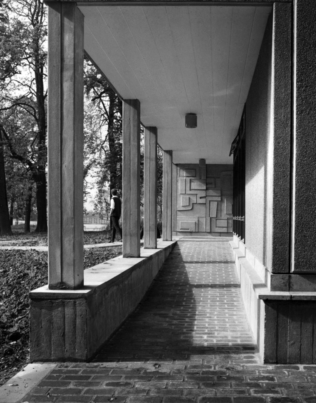
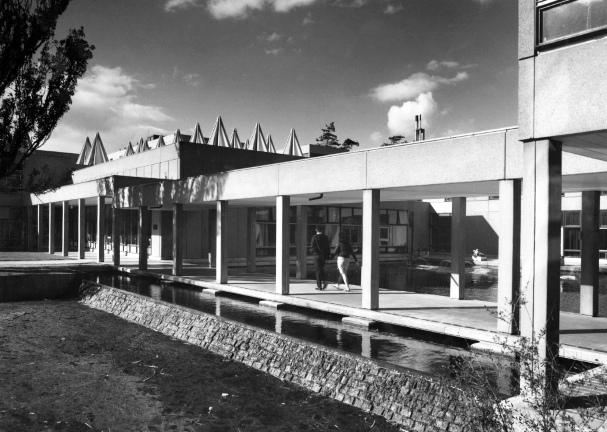
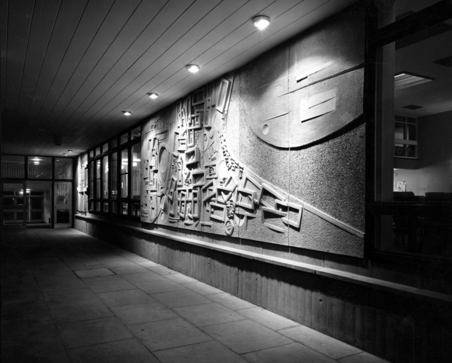
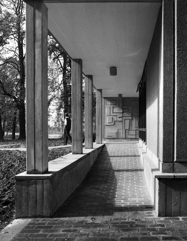
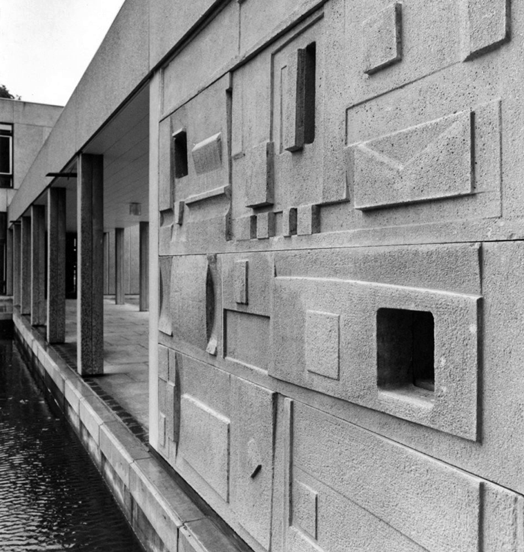
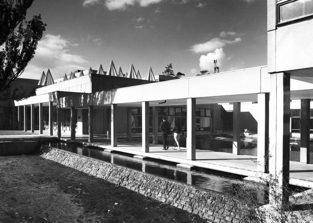
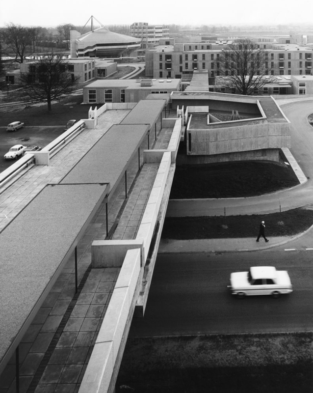
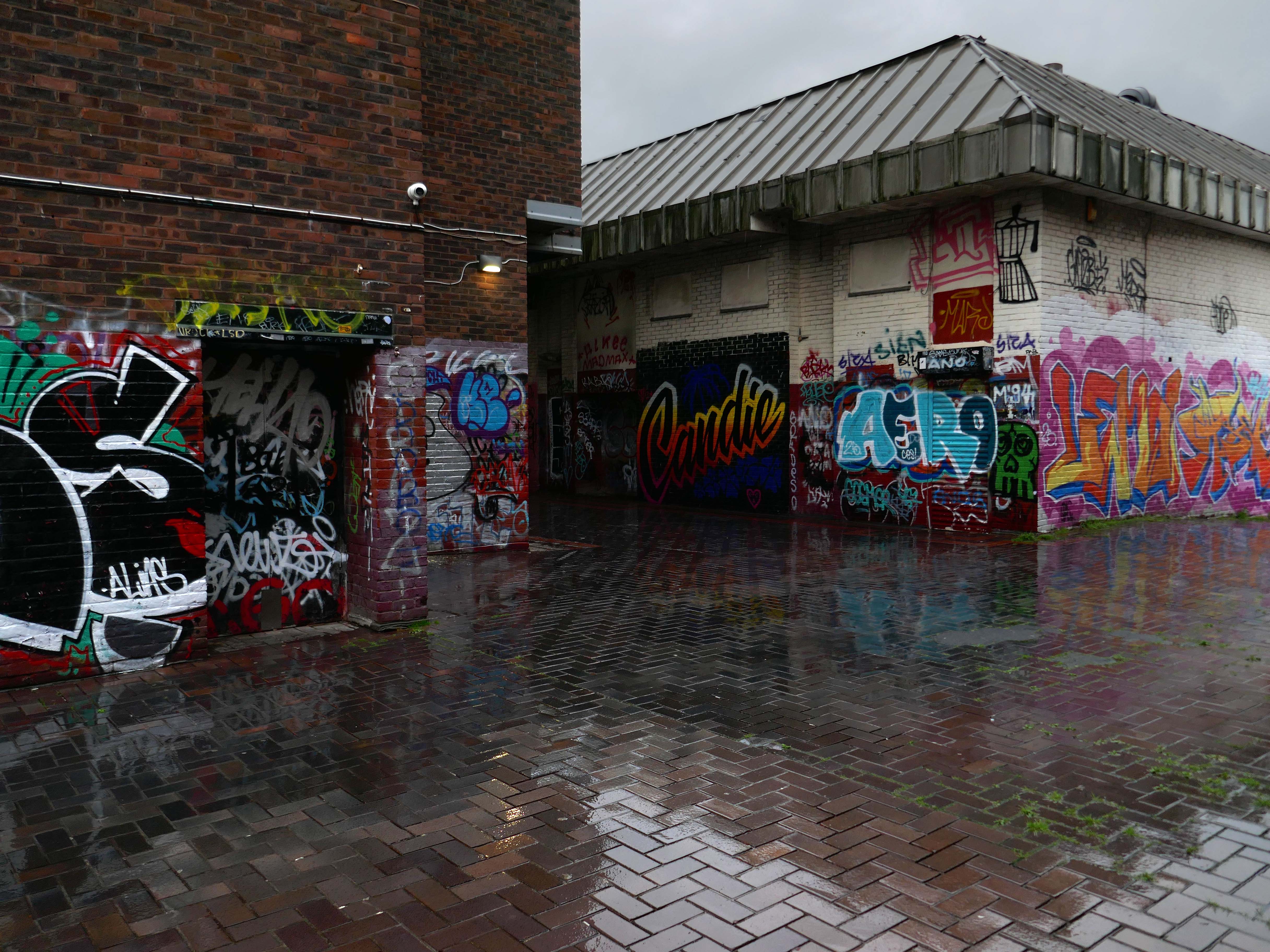
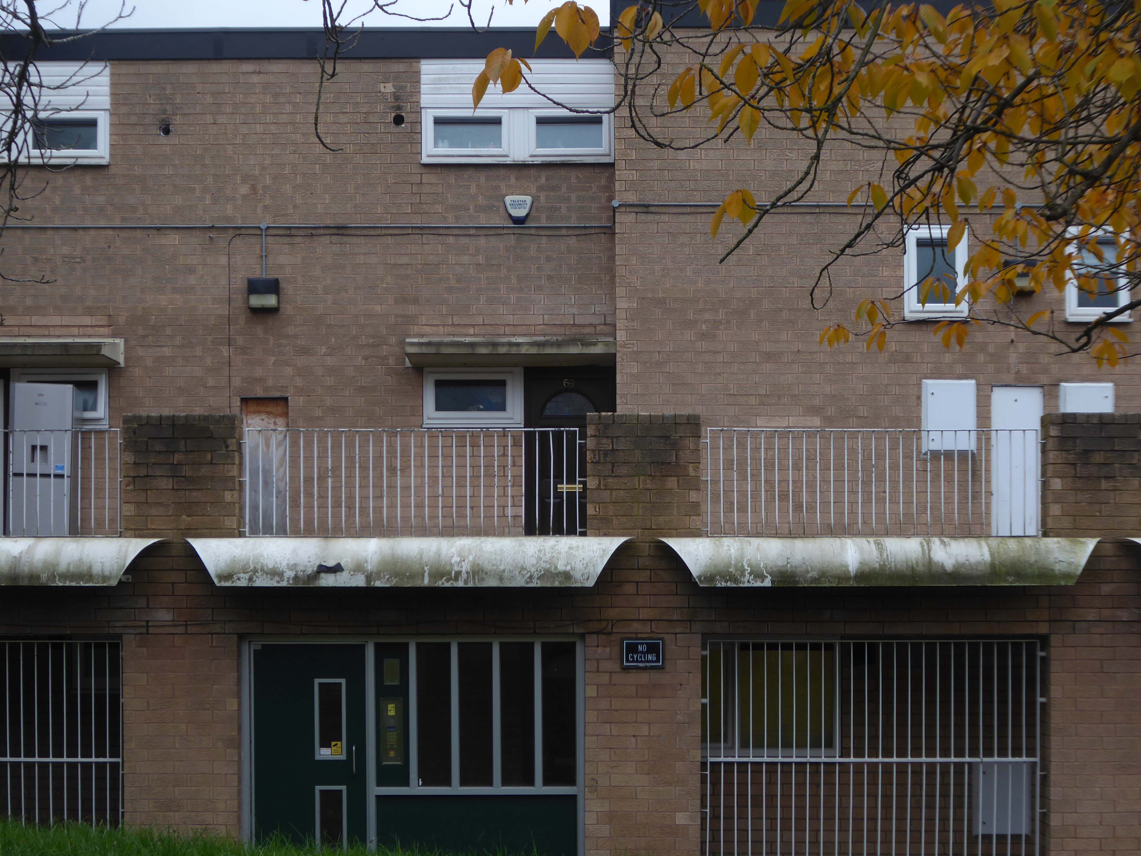
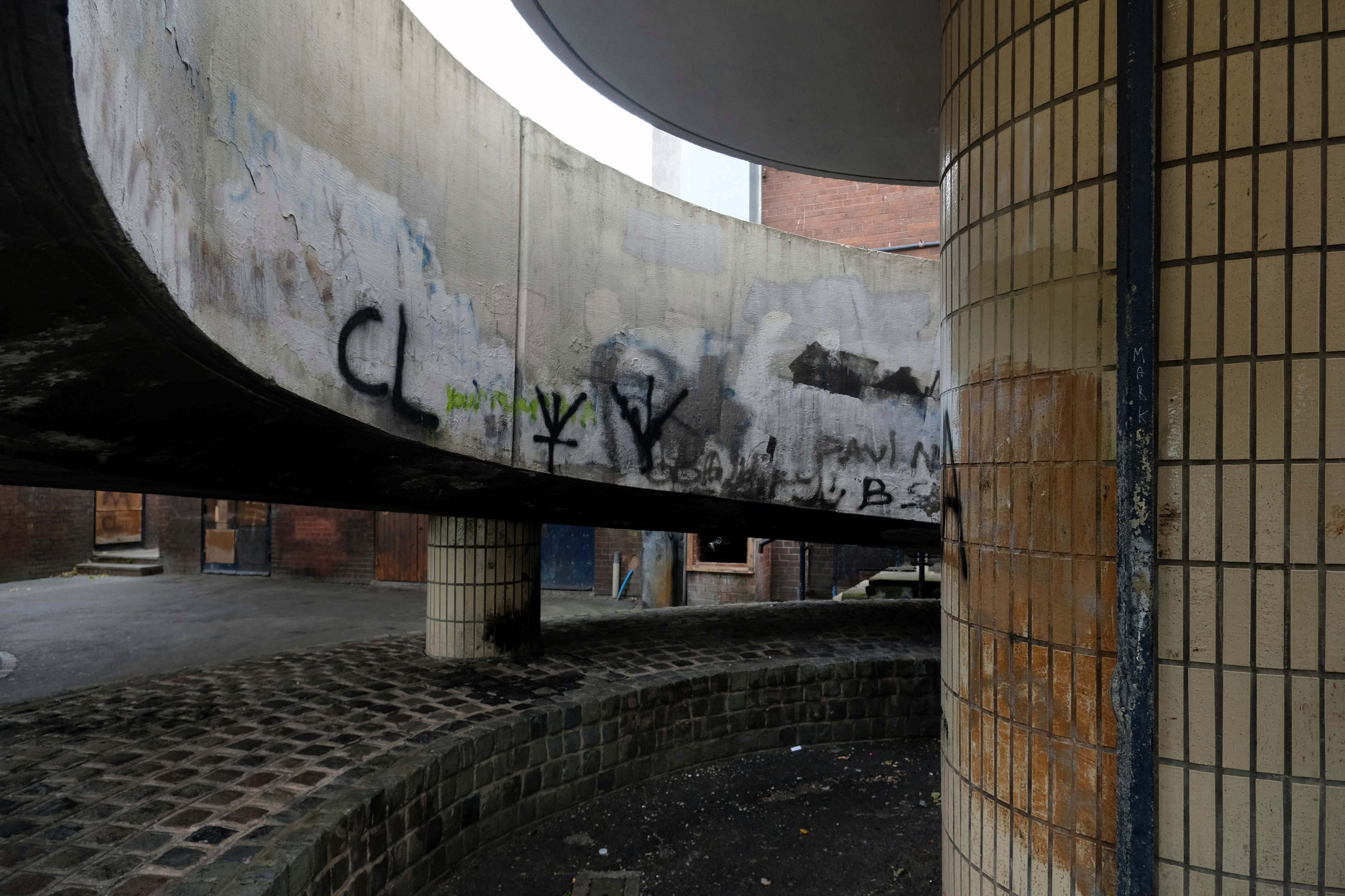
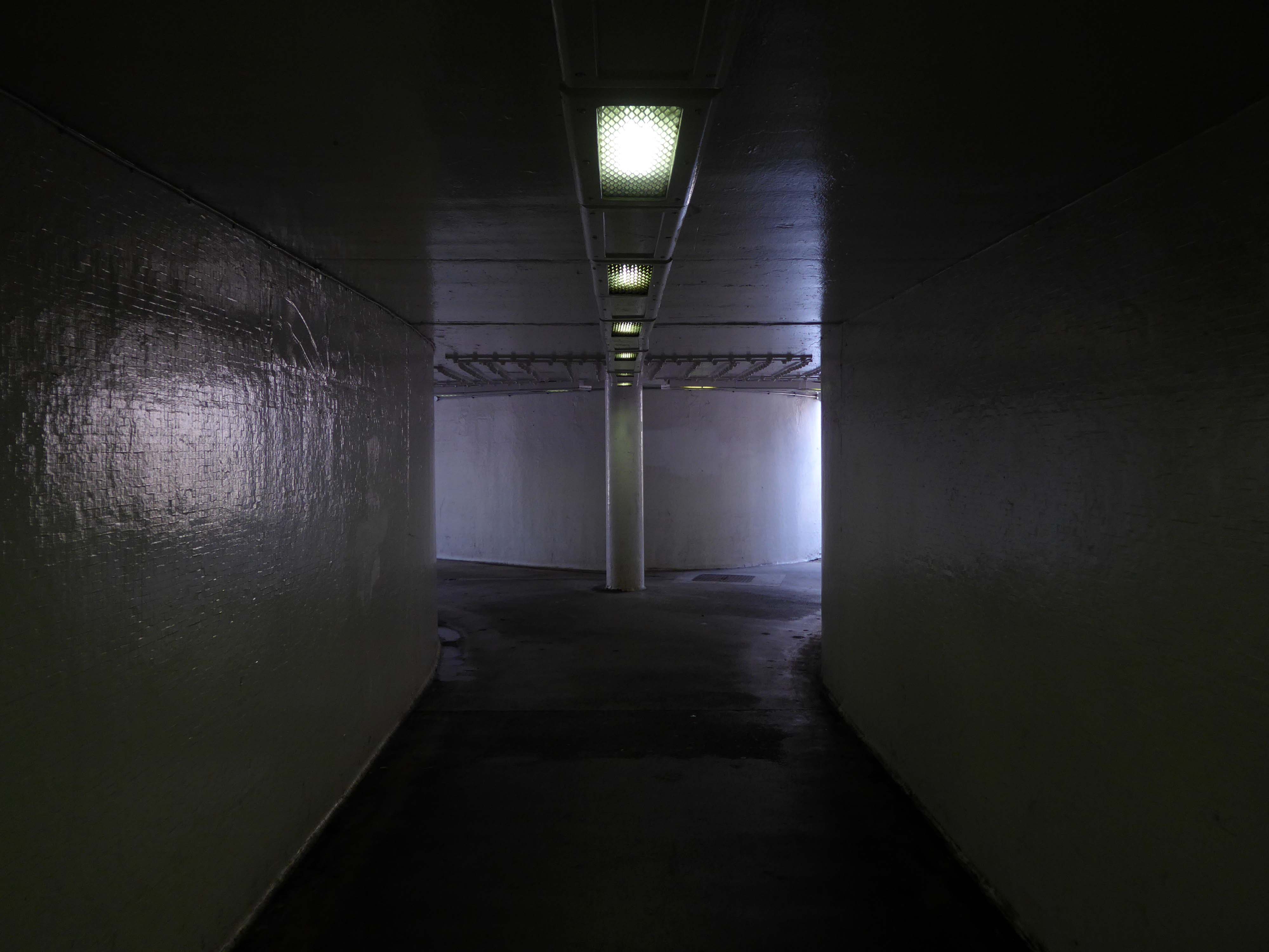
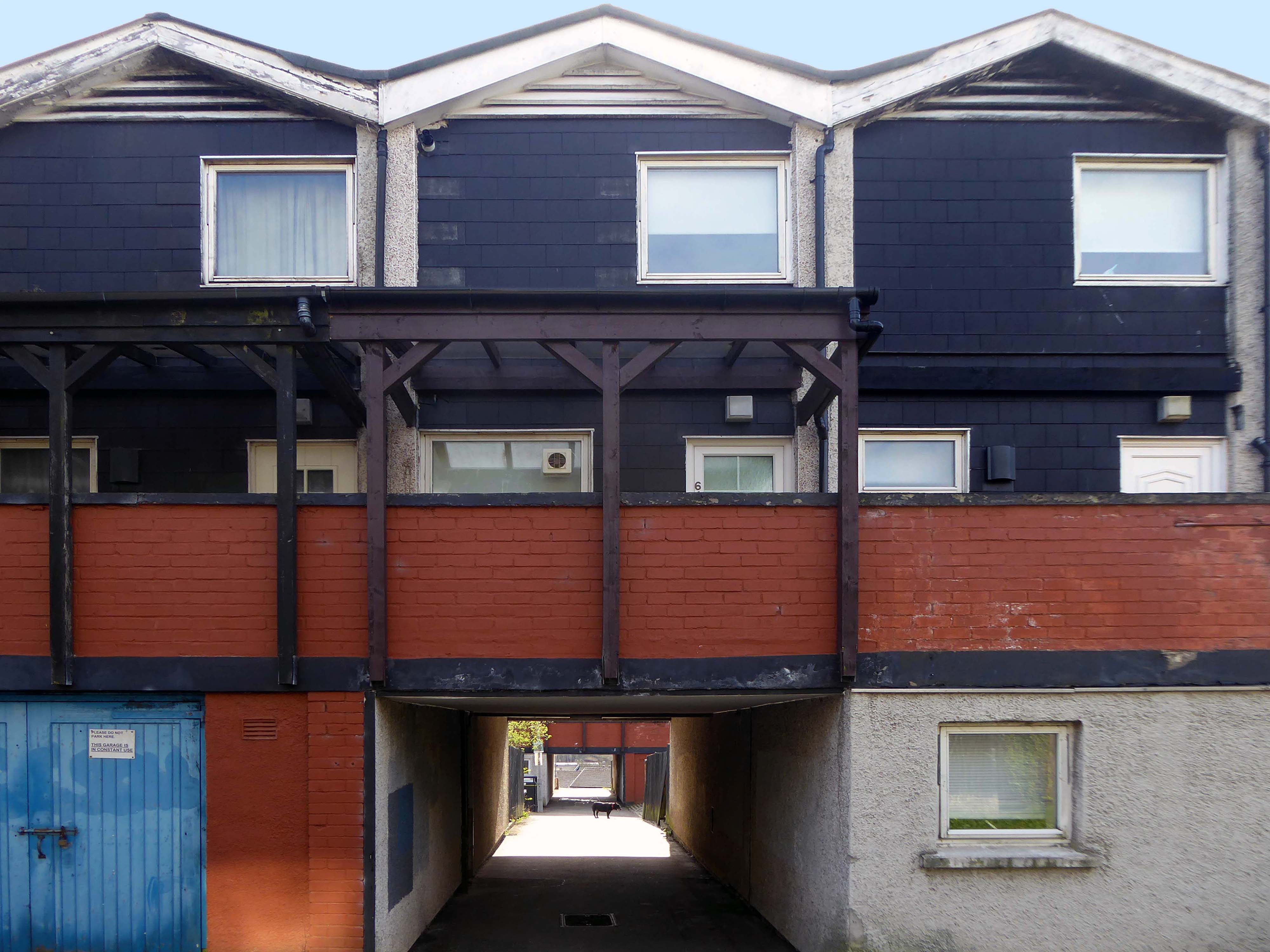
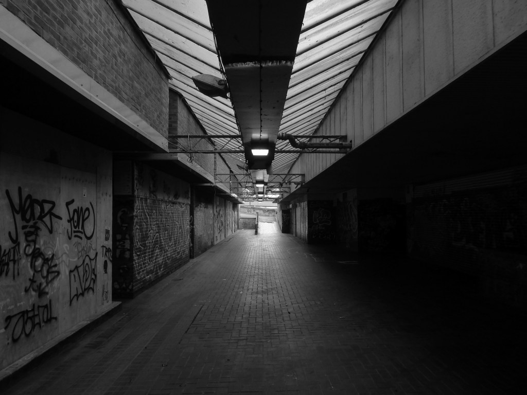
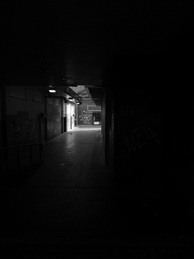
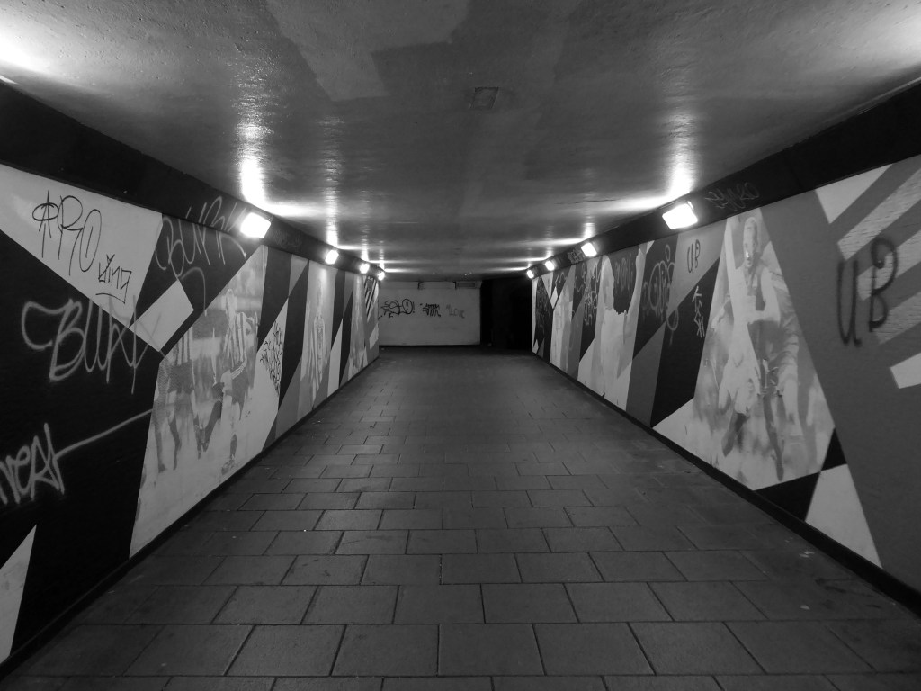
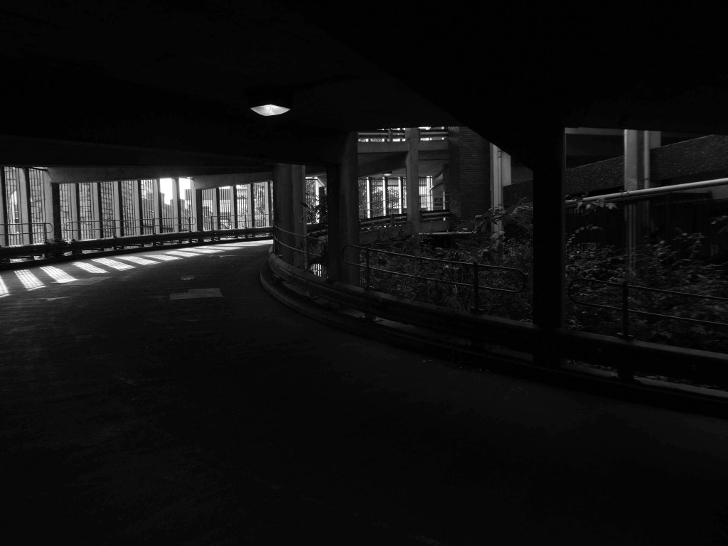
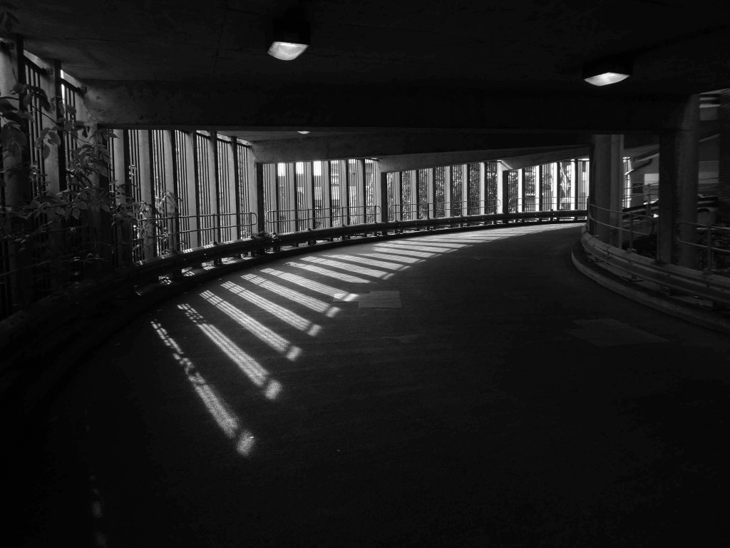
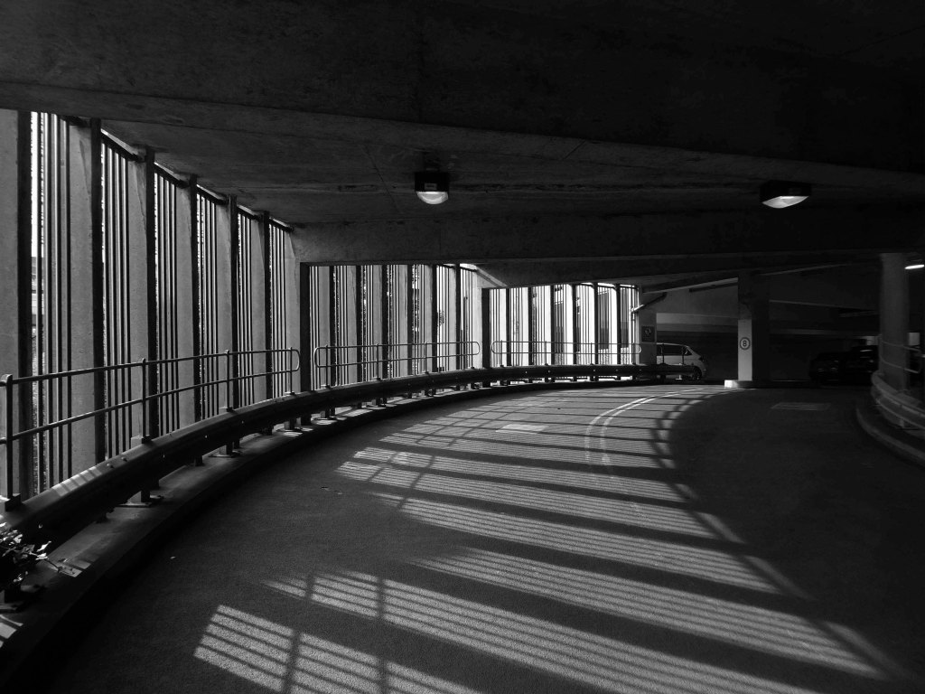
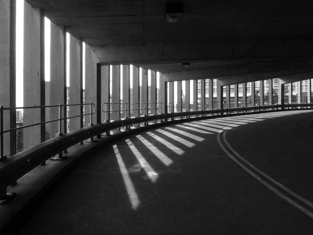
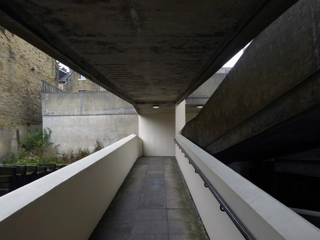
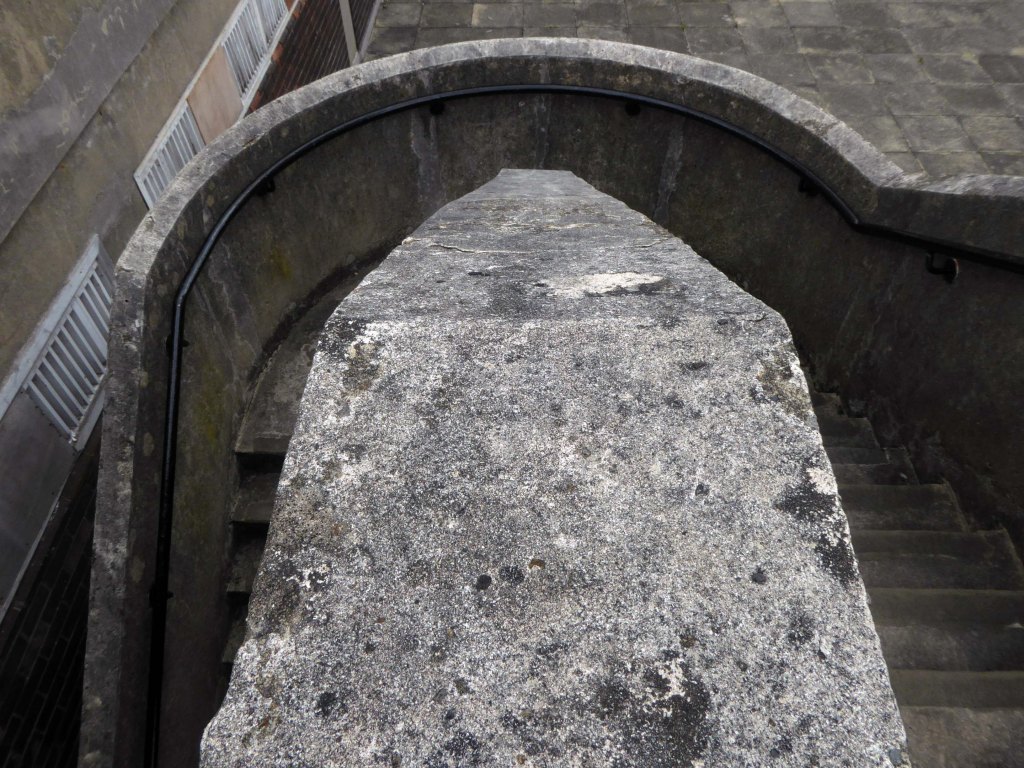
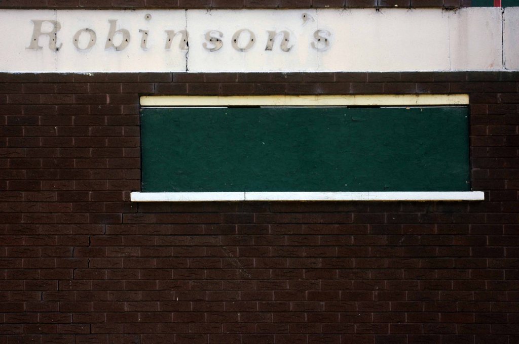
Derwent College: one of the two covered walkways linking the college buildings with sculptural relief by Fred Millett at the far end.
Photographs 1965 – Reginald Hugo de Burgh Galwey.
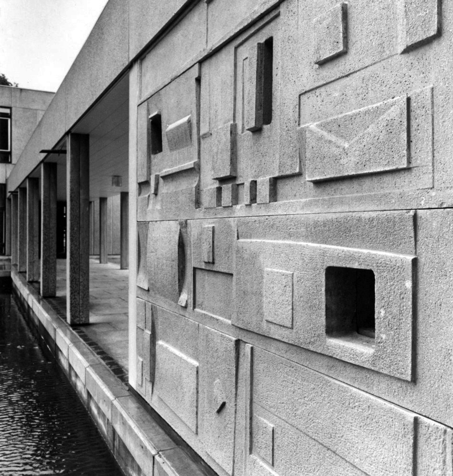
Derwent College: a concrete panel sculptured by Fred Millett.
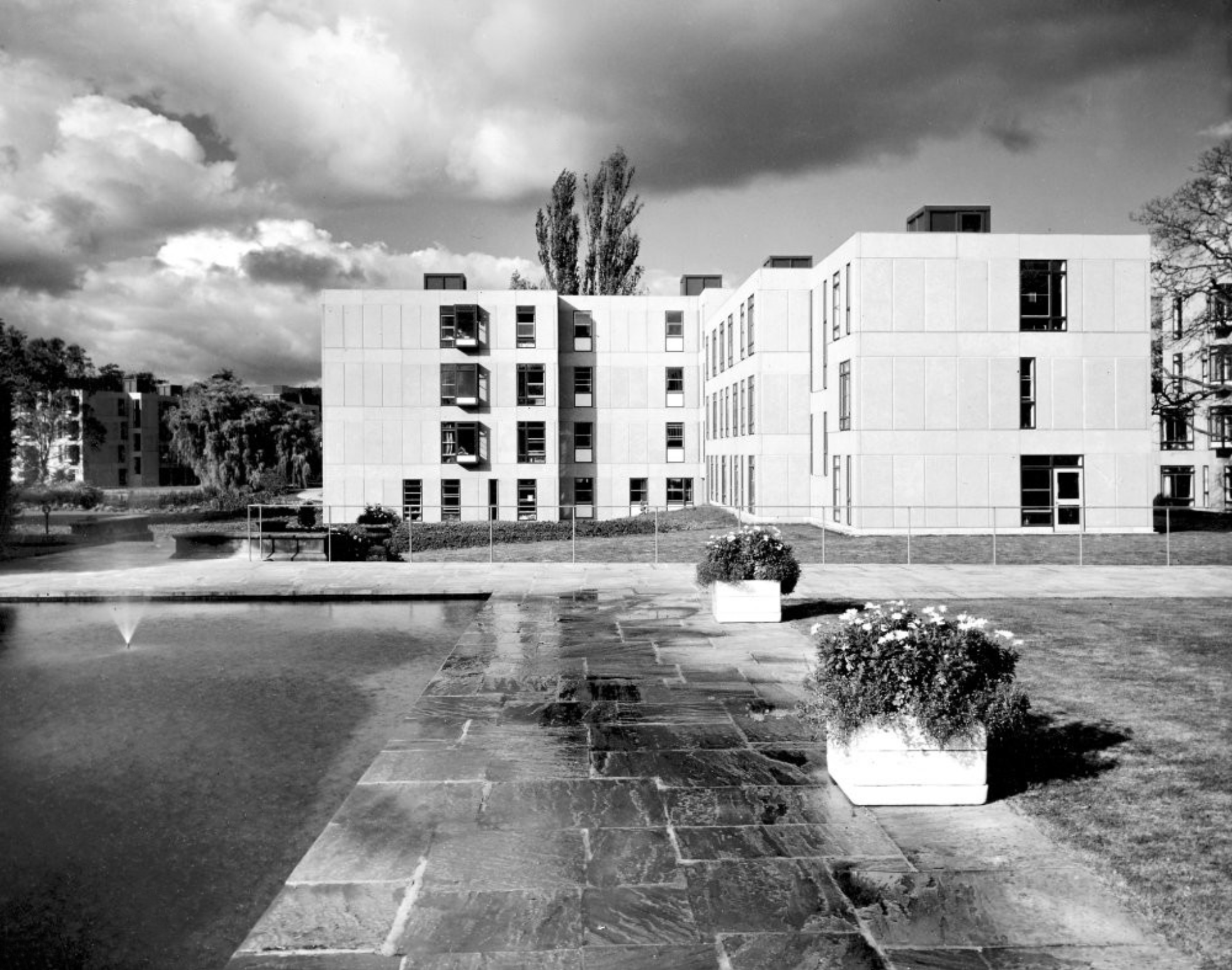
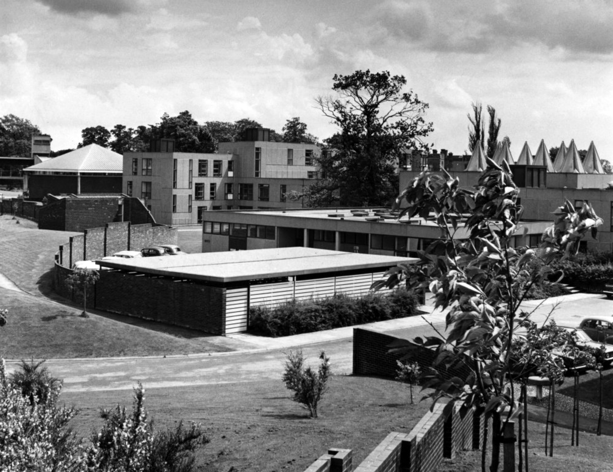
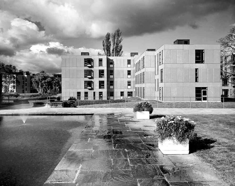
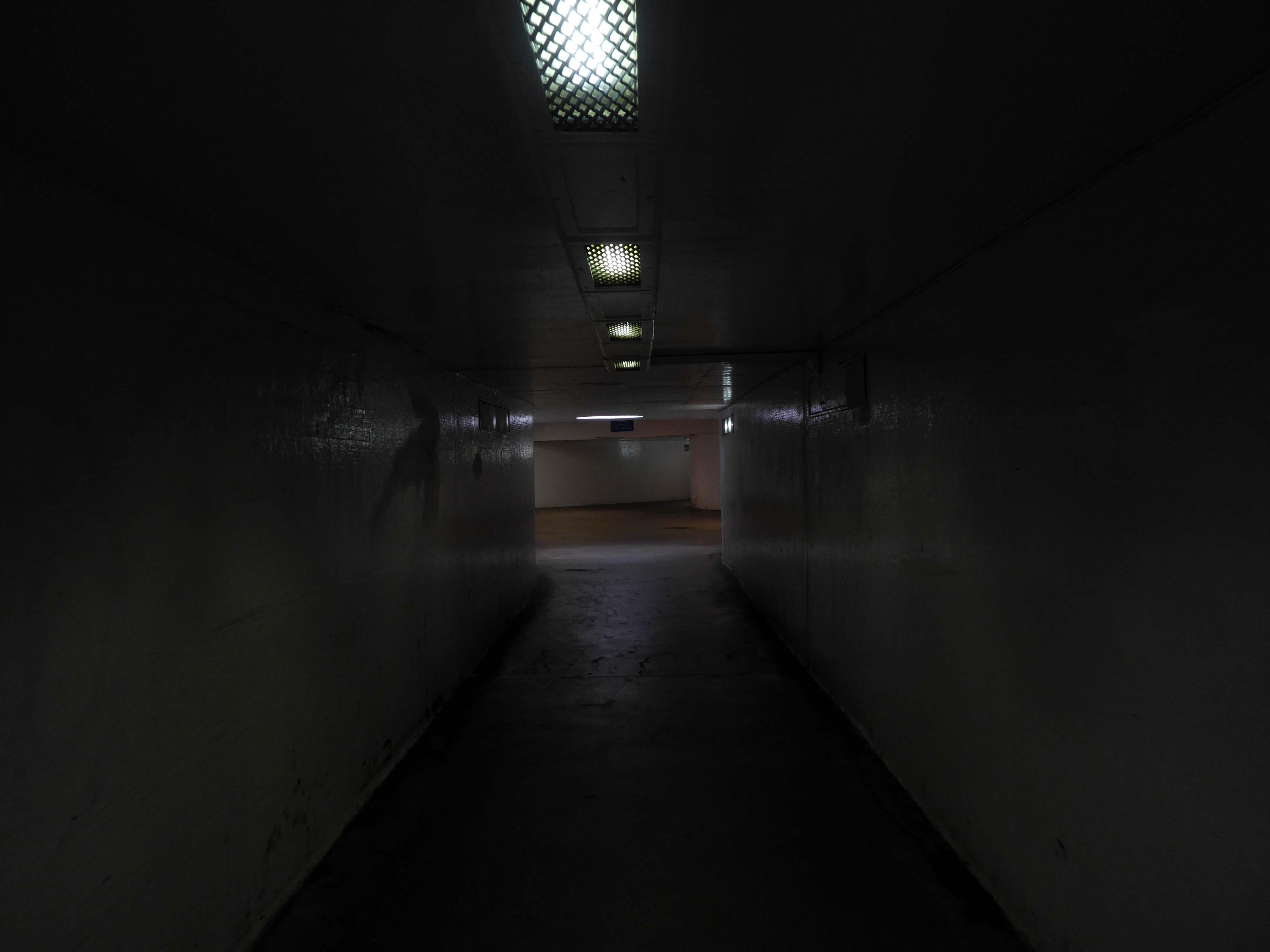
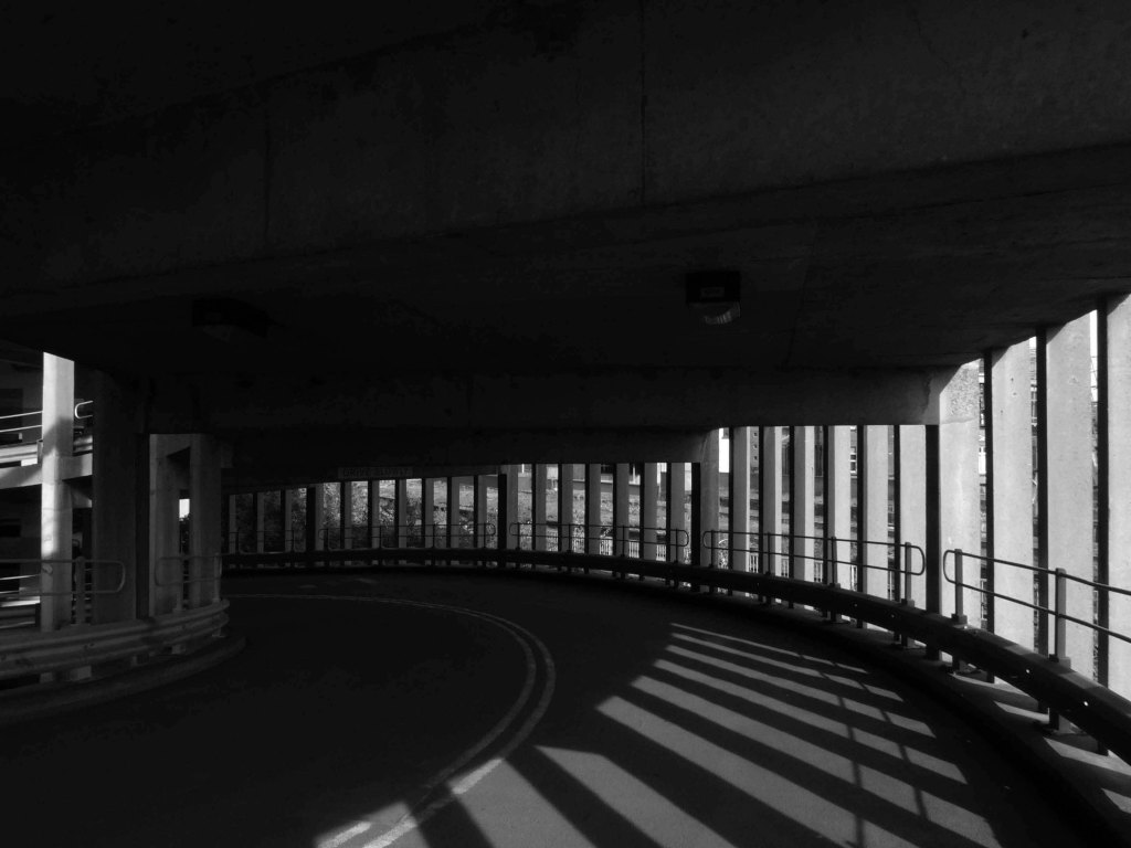
Derwent College.
Photographs 1965 Keith Gibson.
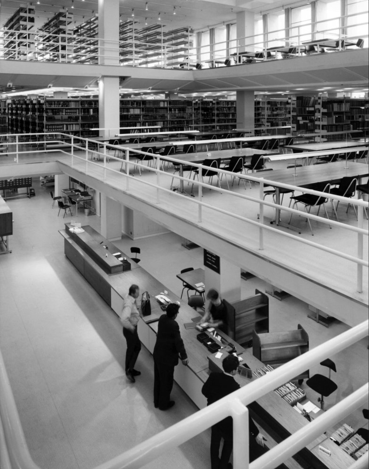
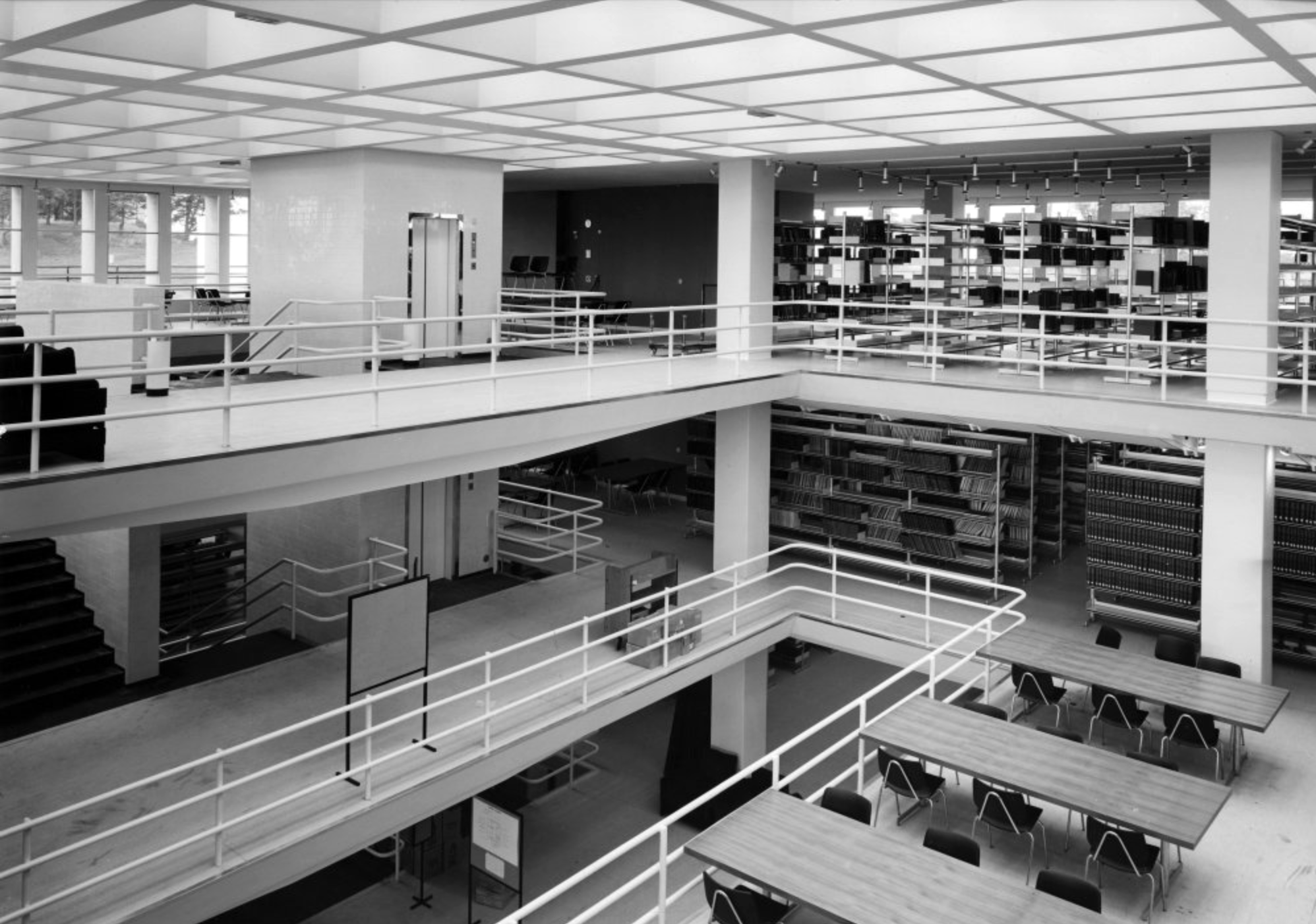
JB Morrell Library.
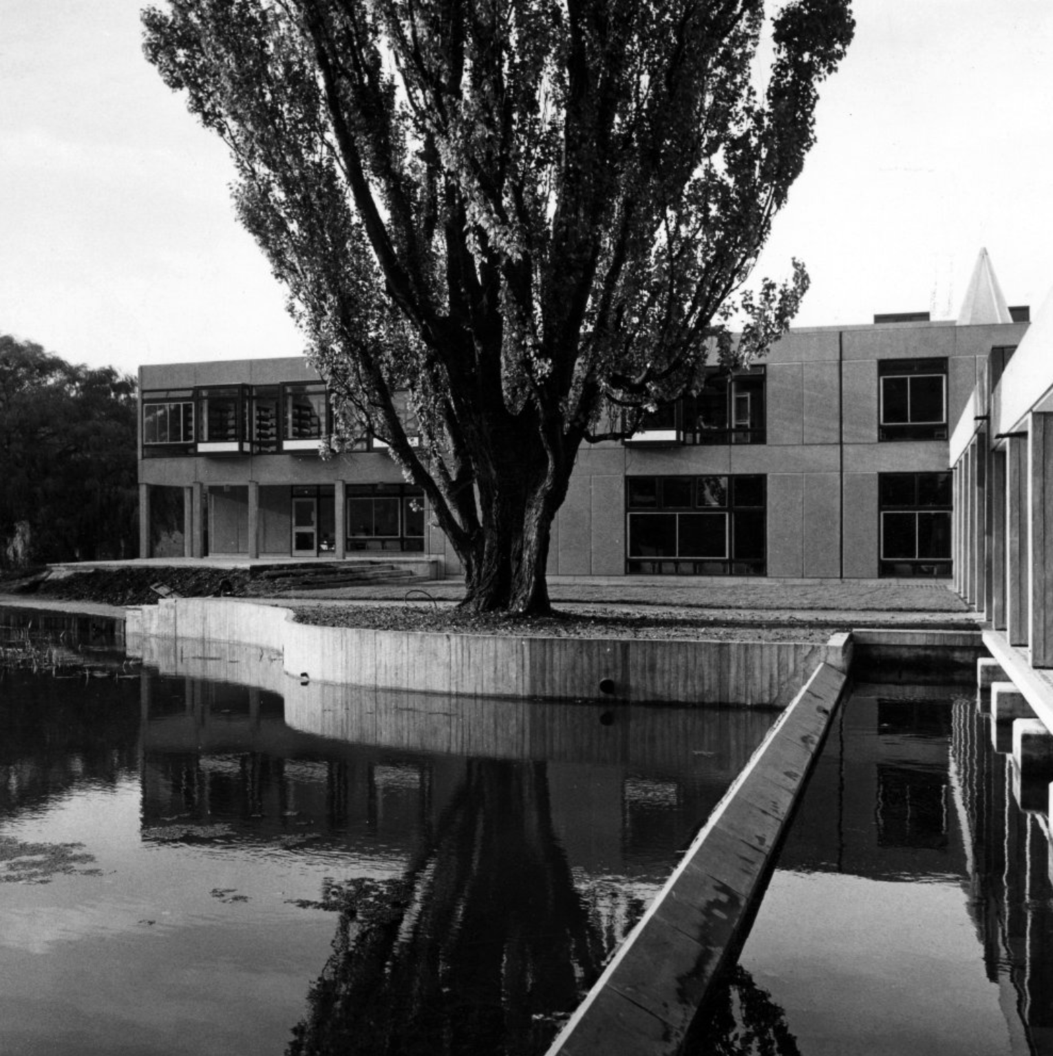
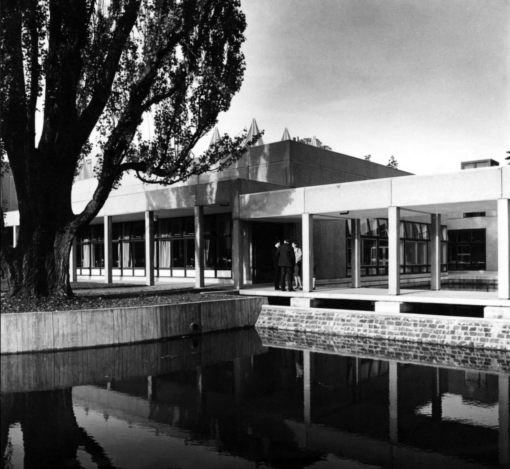
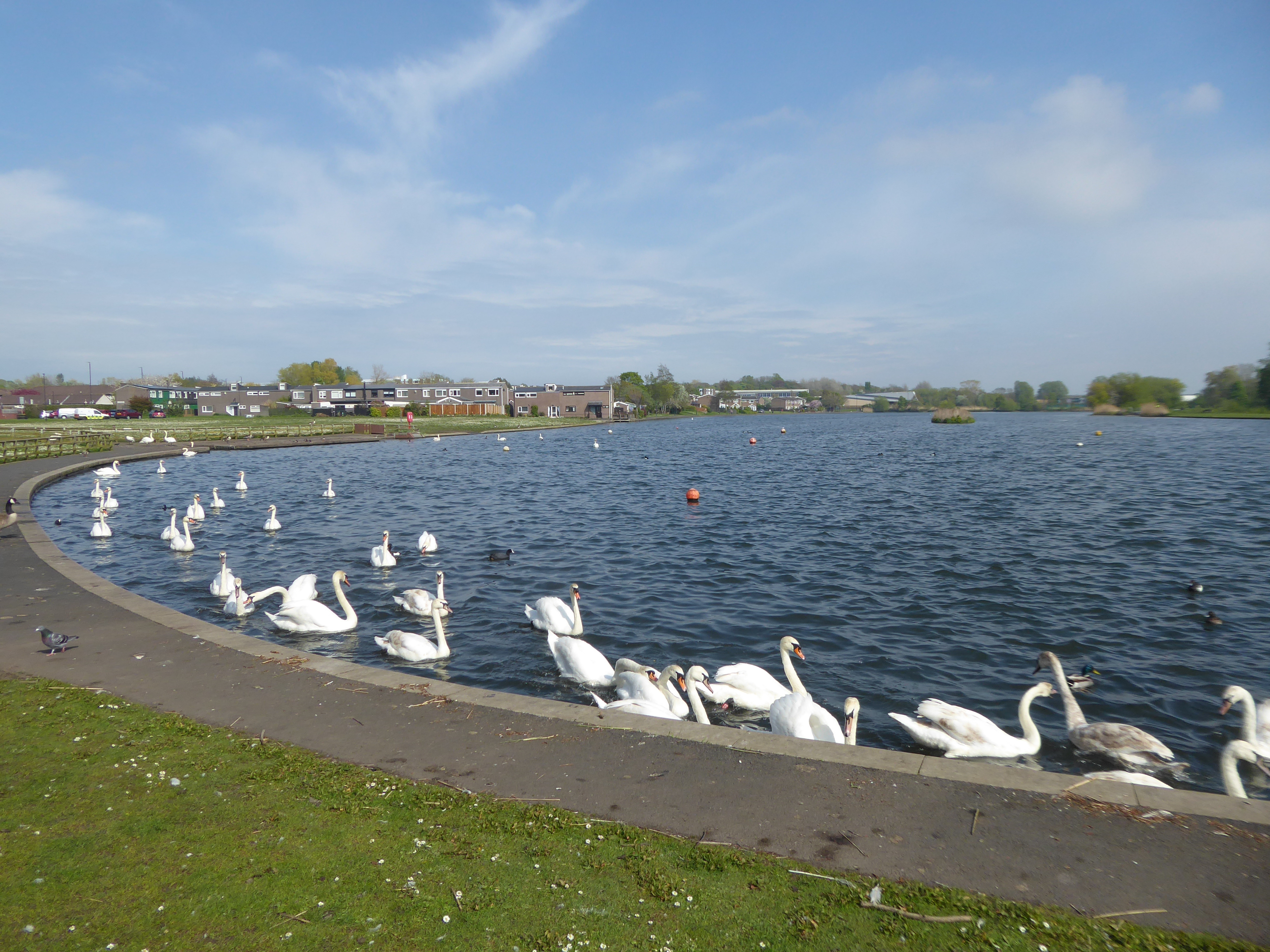
Derwent College: a covered walkway over the lake.
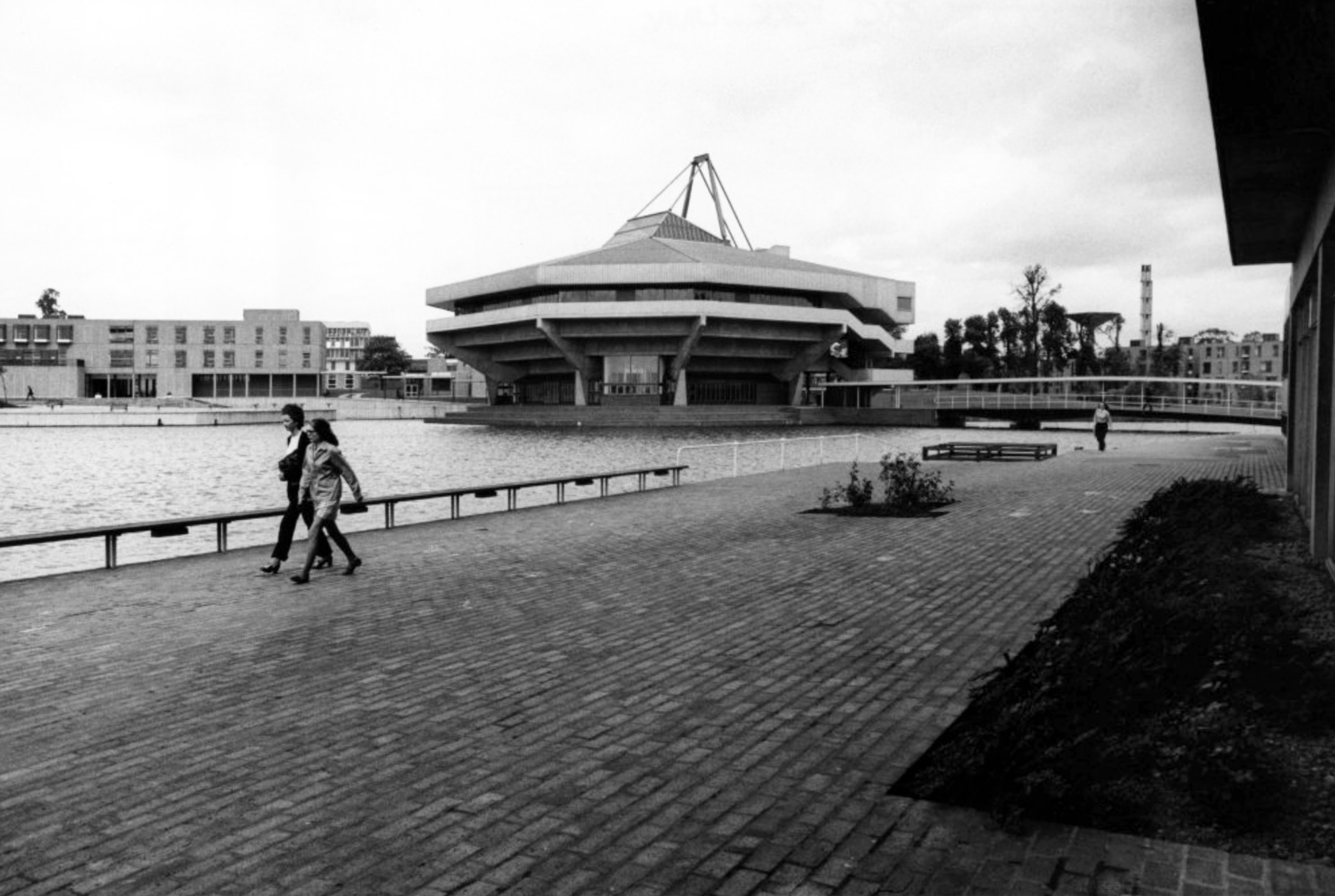
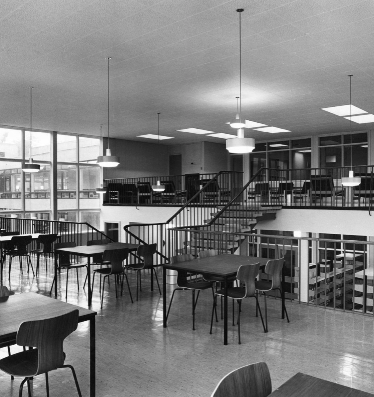
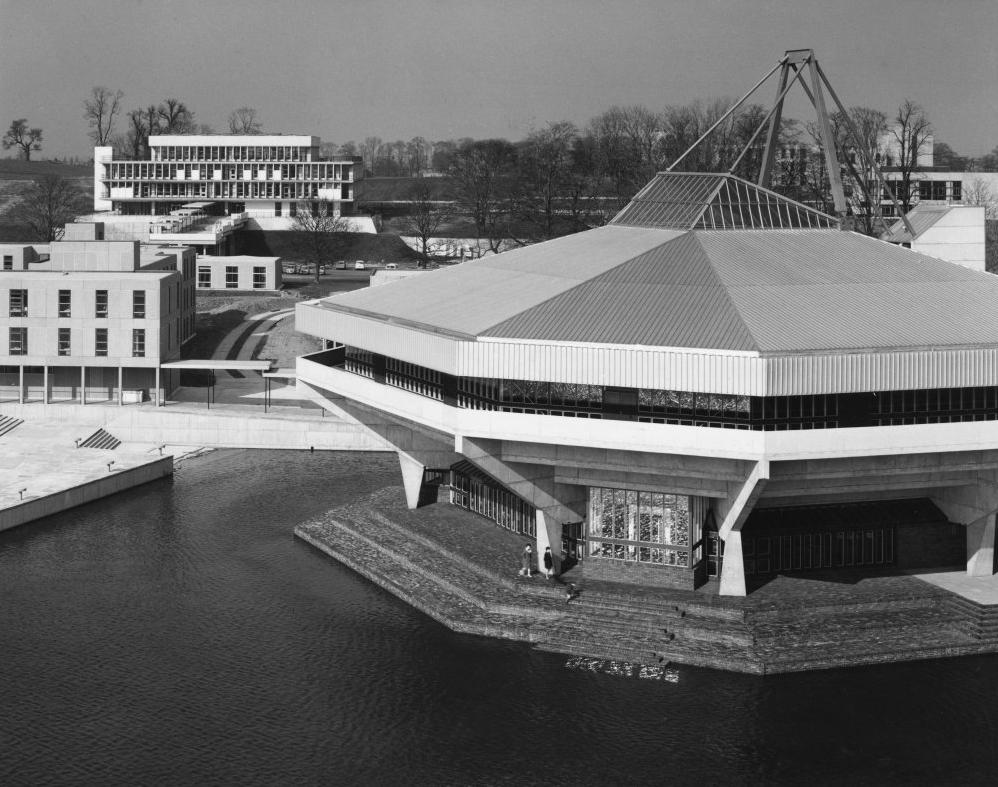
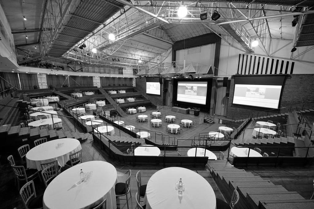
Central Hall.
Photograph 1972 Bill Toomey.
Vanbrugh College: stepped roof to the covered way leading down to the lake.
Photograph 1972 Peter Bairstow.
Derwent College and Heslington Hall.
Photographs 1965 – Reginald Hugo de Burgh Galwey.
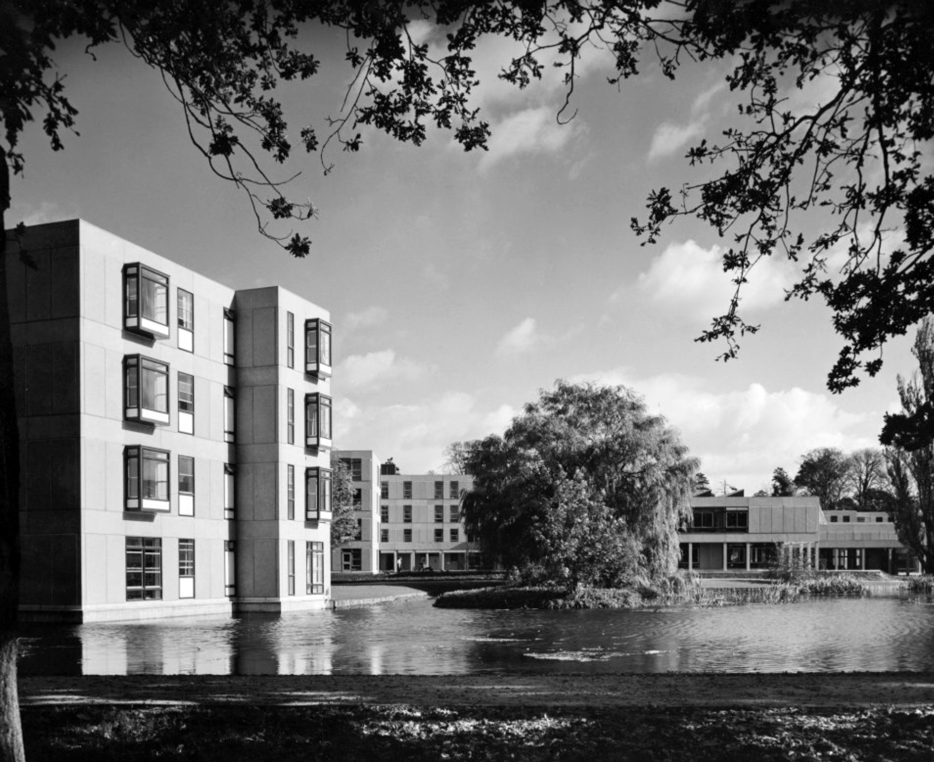
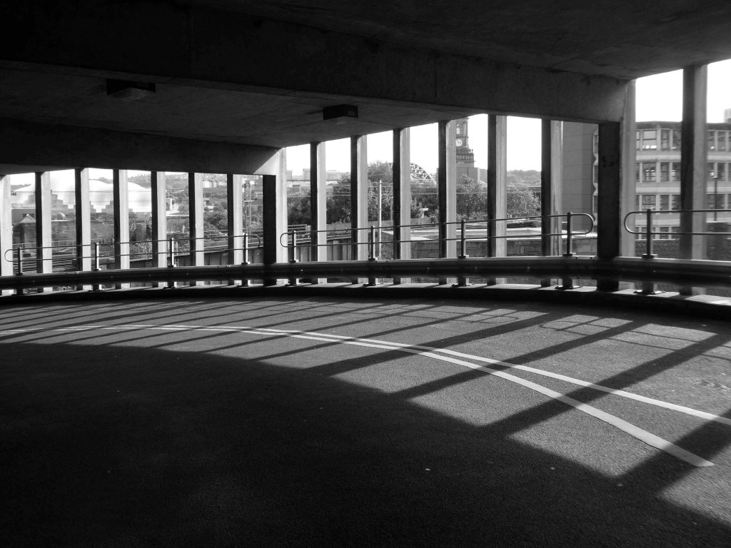
Langwith College, seen from the lake.
Langwith College.
Photographs 1965 Bill Toomey.
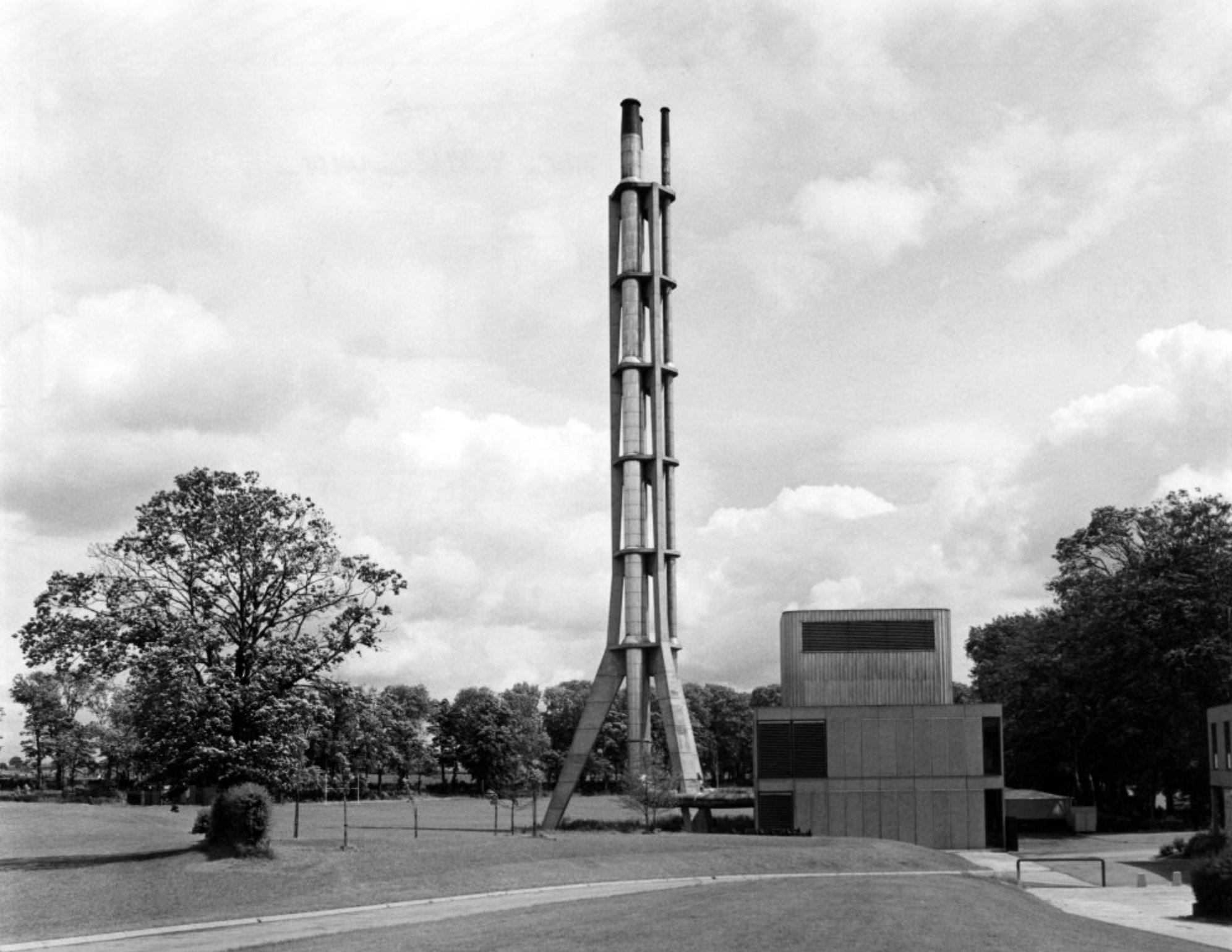
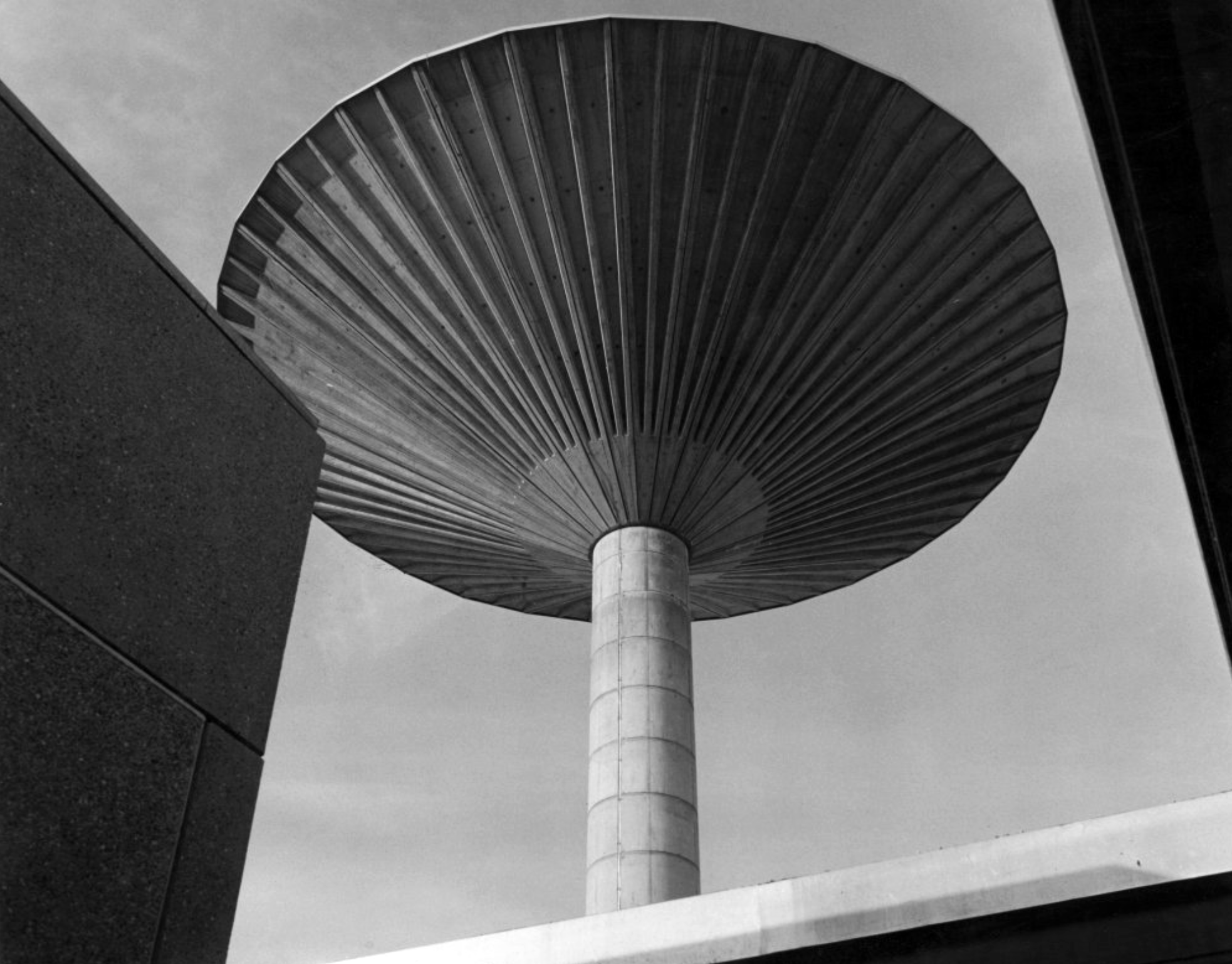
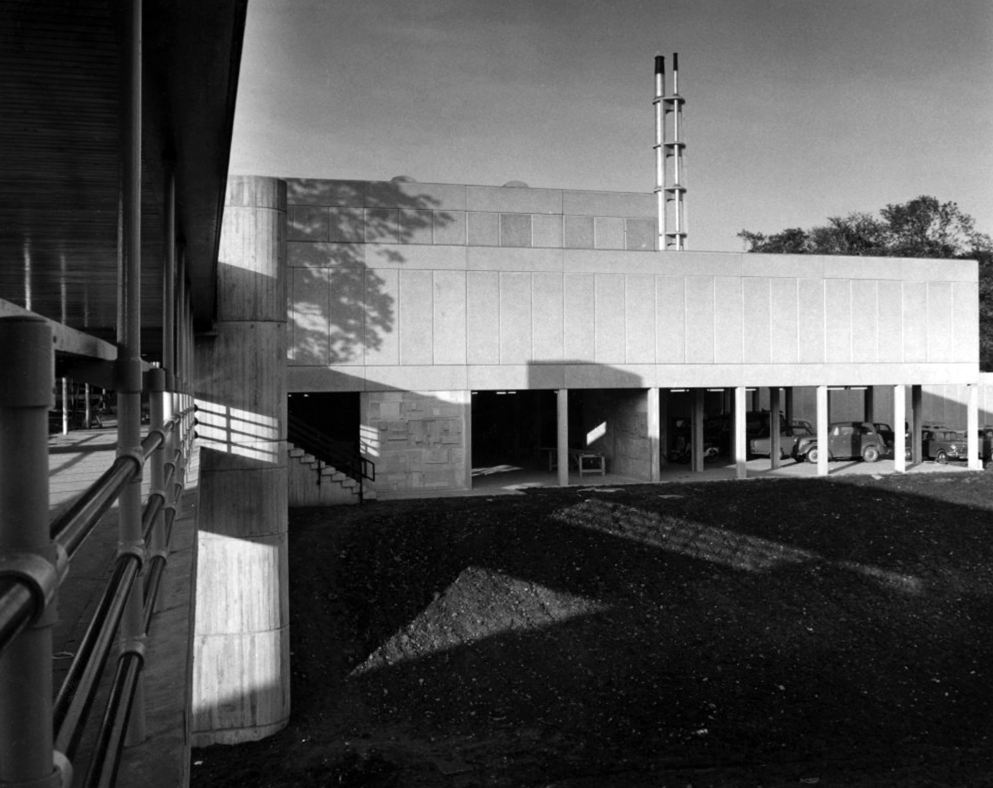
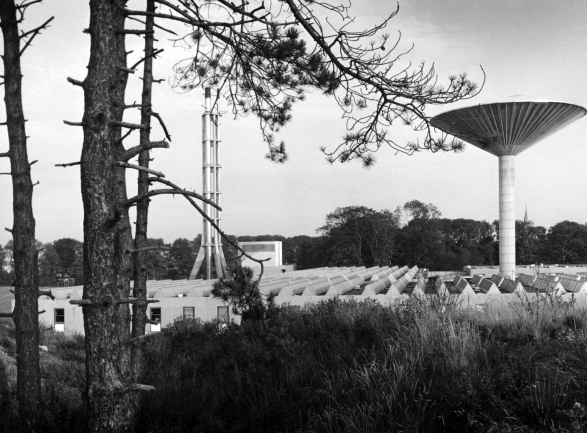
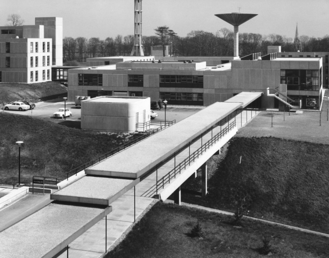
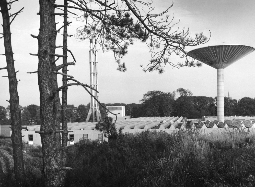
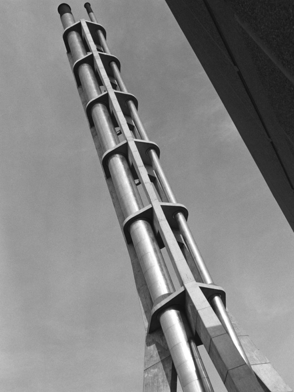
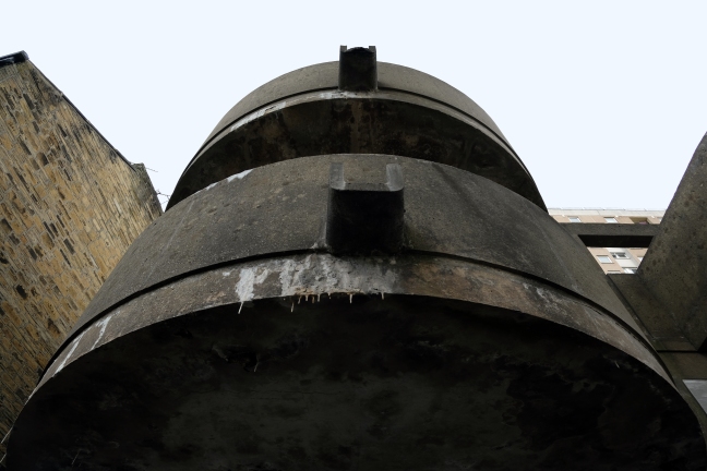
David Brown Laboratories: the flue stack.
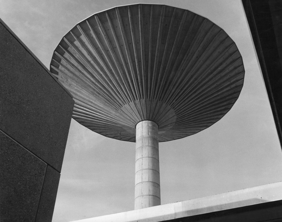
David Brown laboratories: the water tower.
Photographs 1965 – Reginald Hugo de Burgh Galwey.
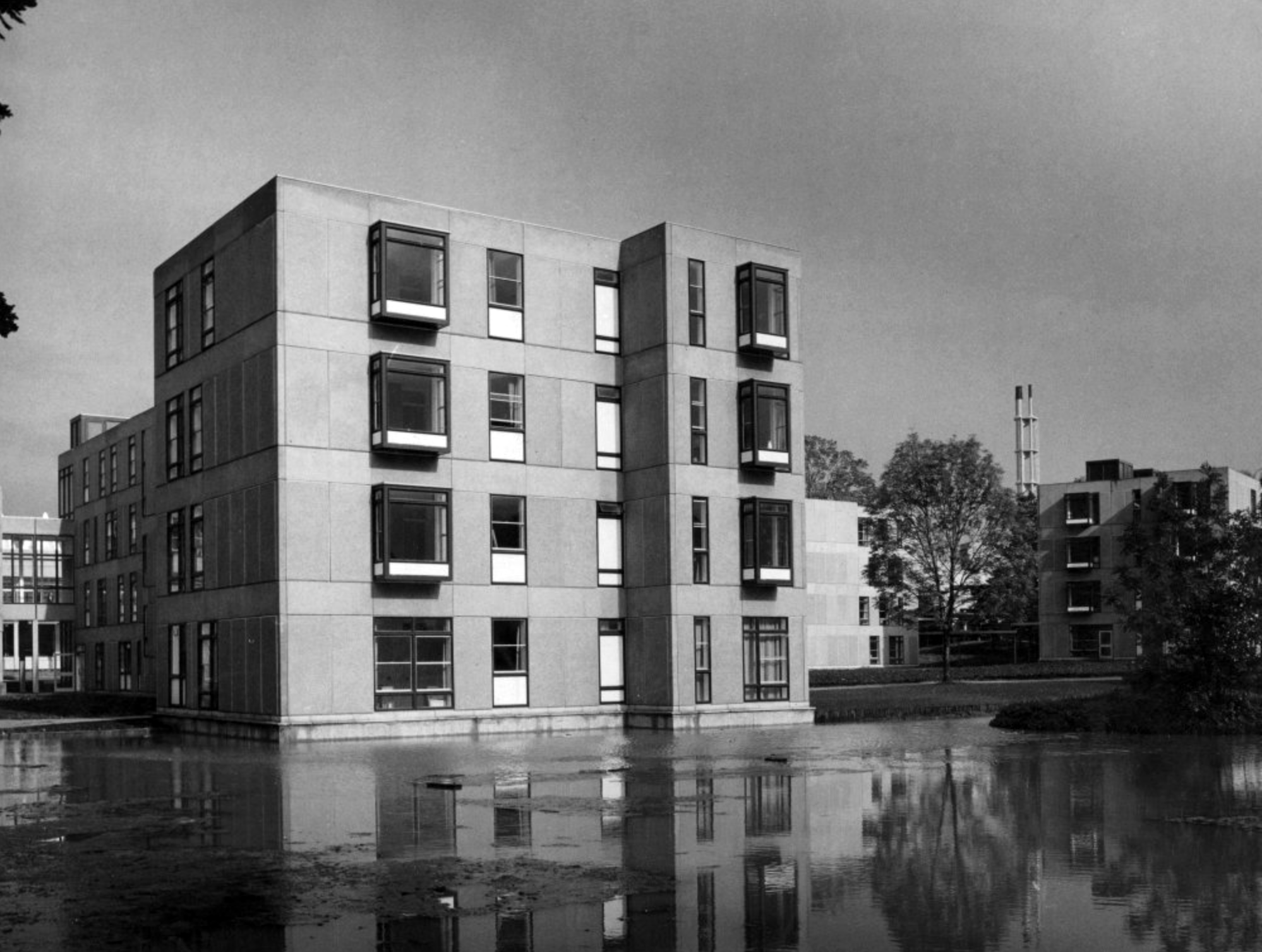
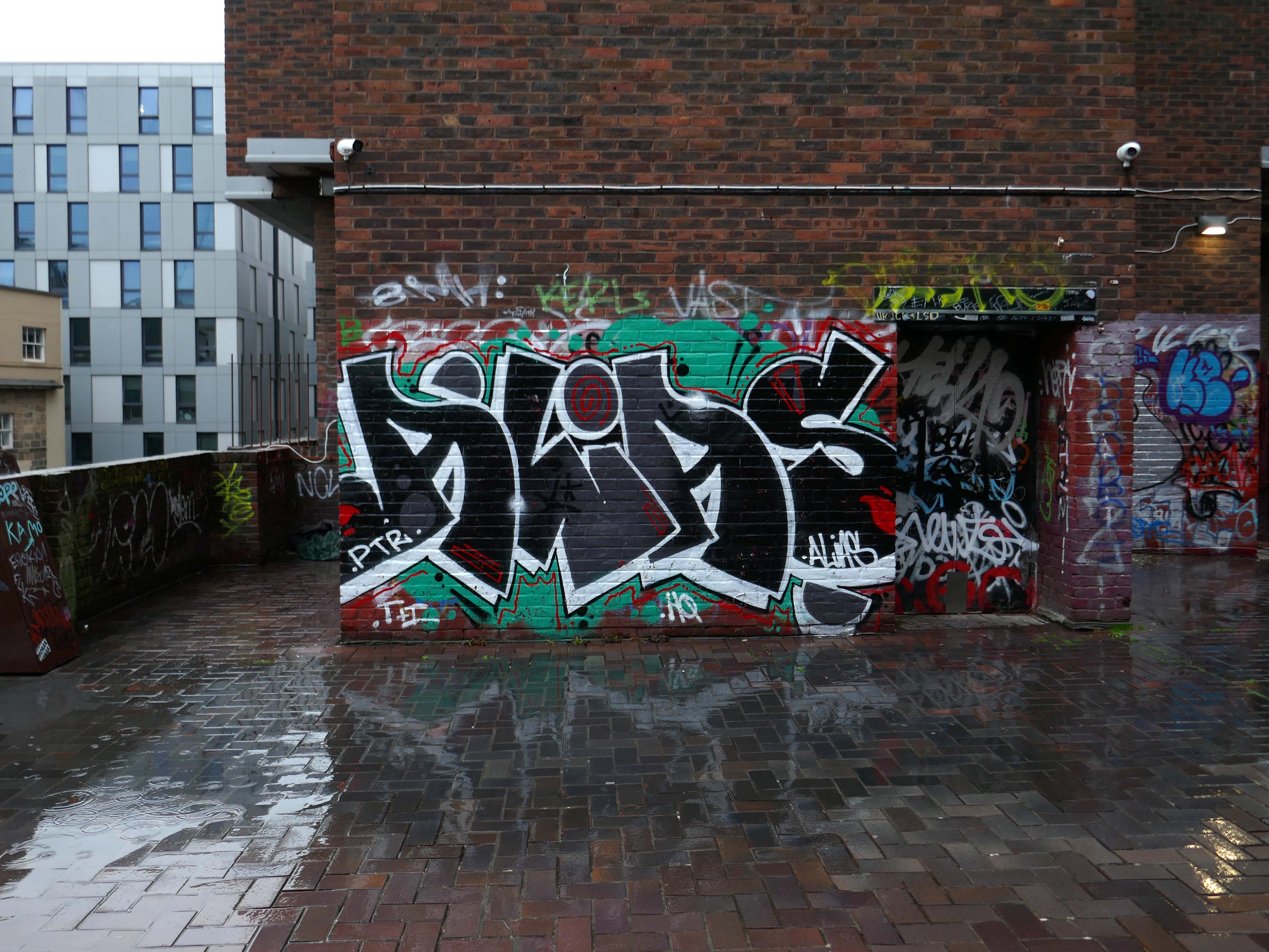
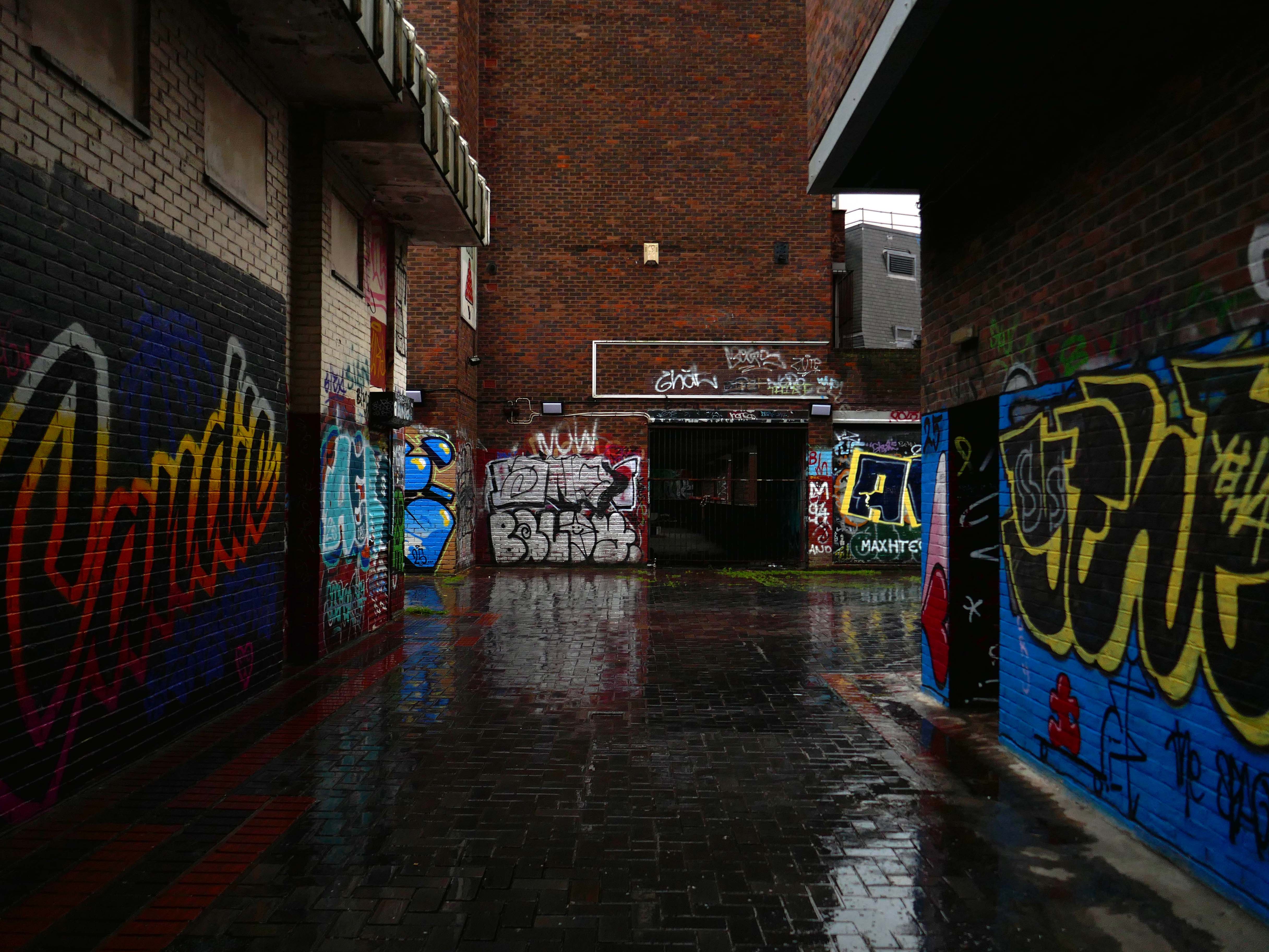
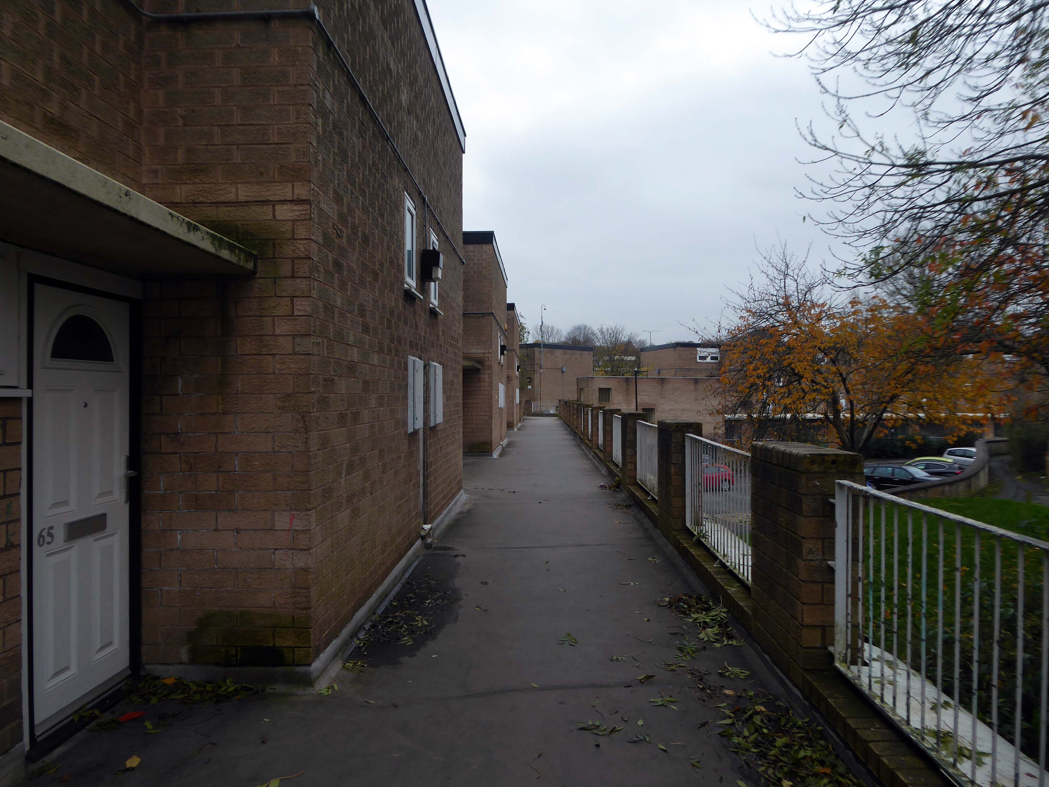
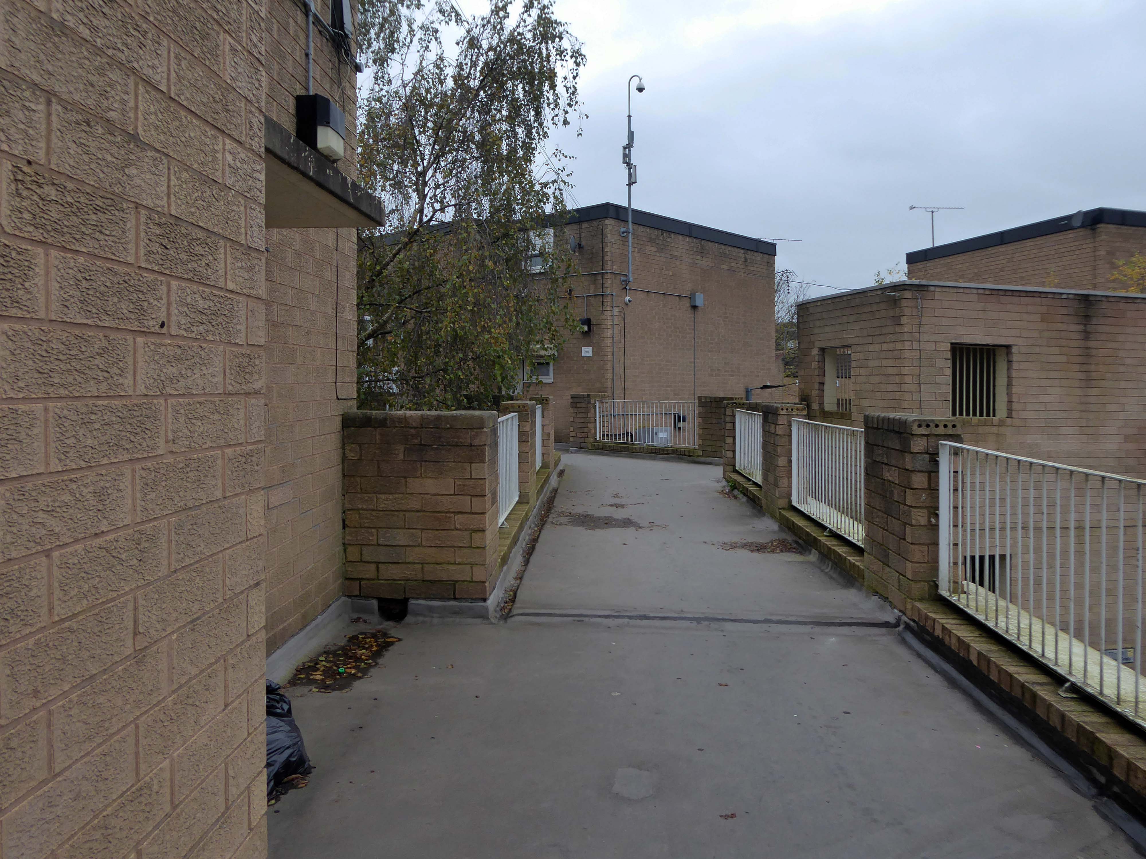
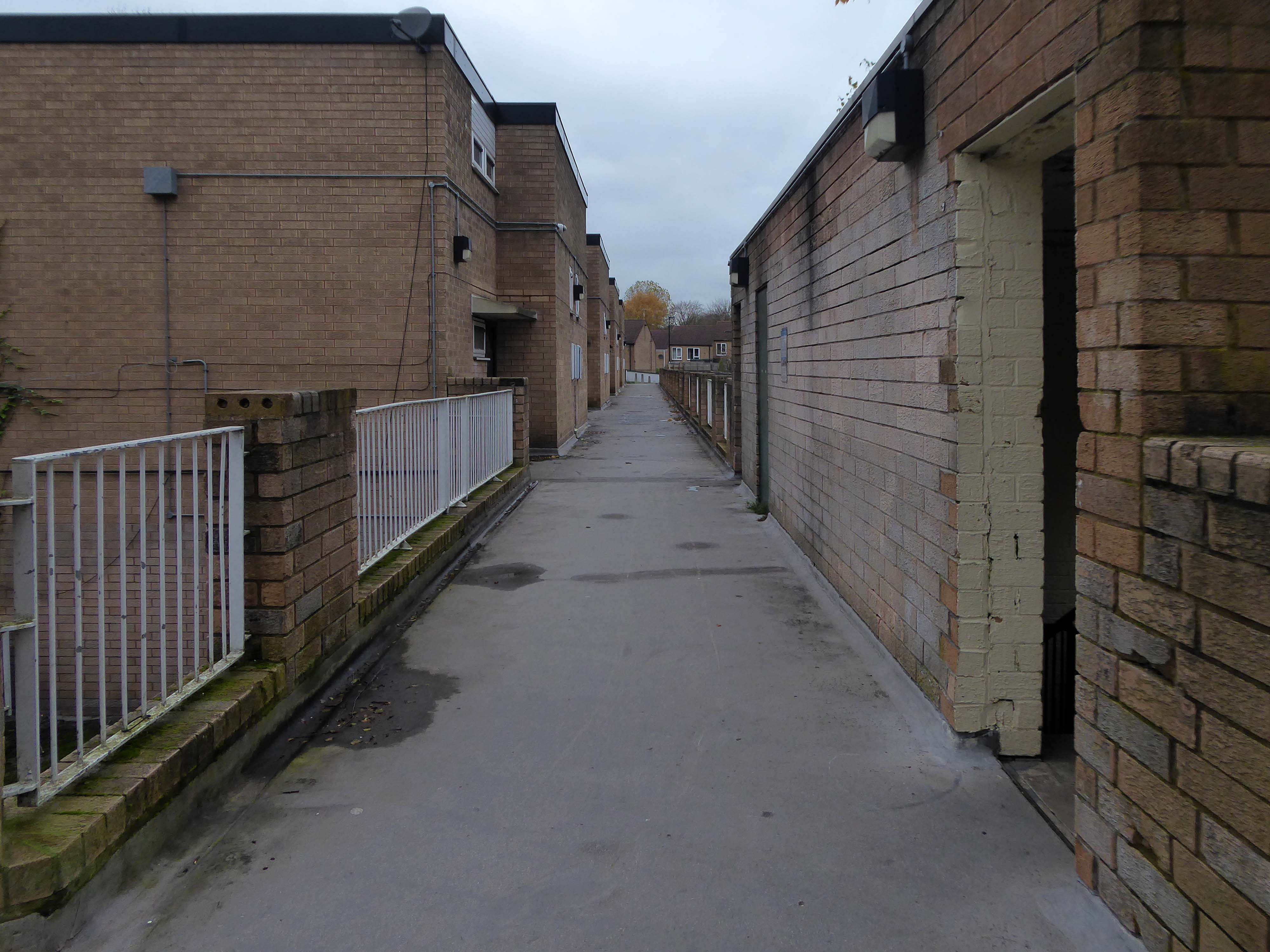
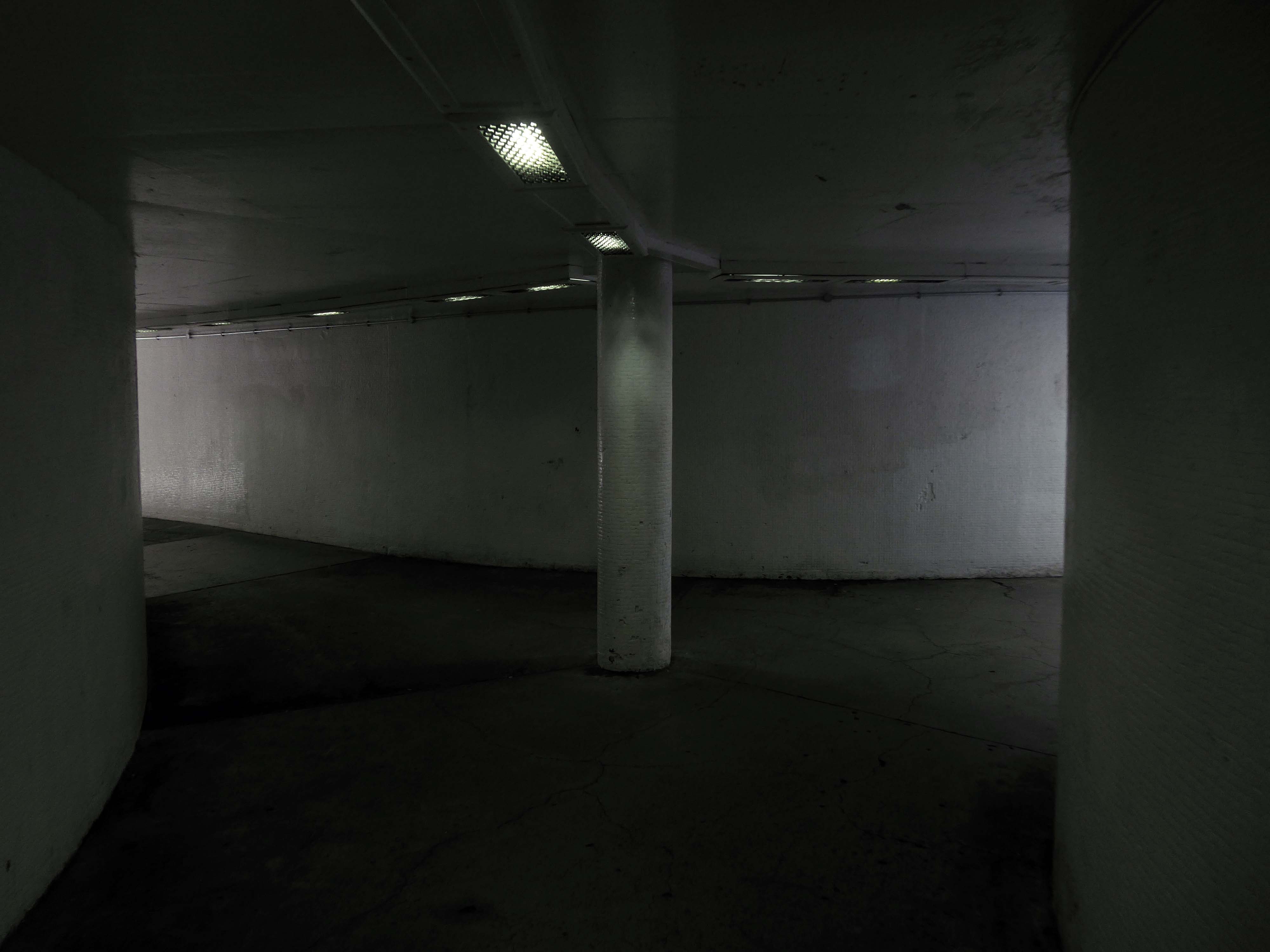
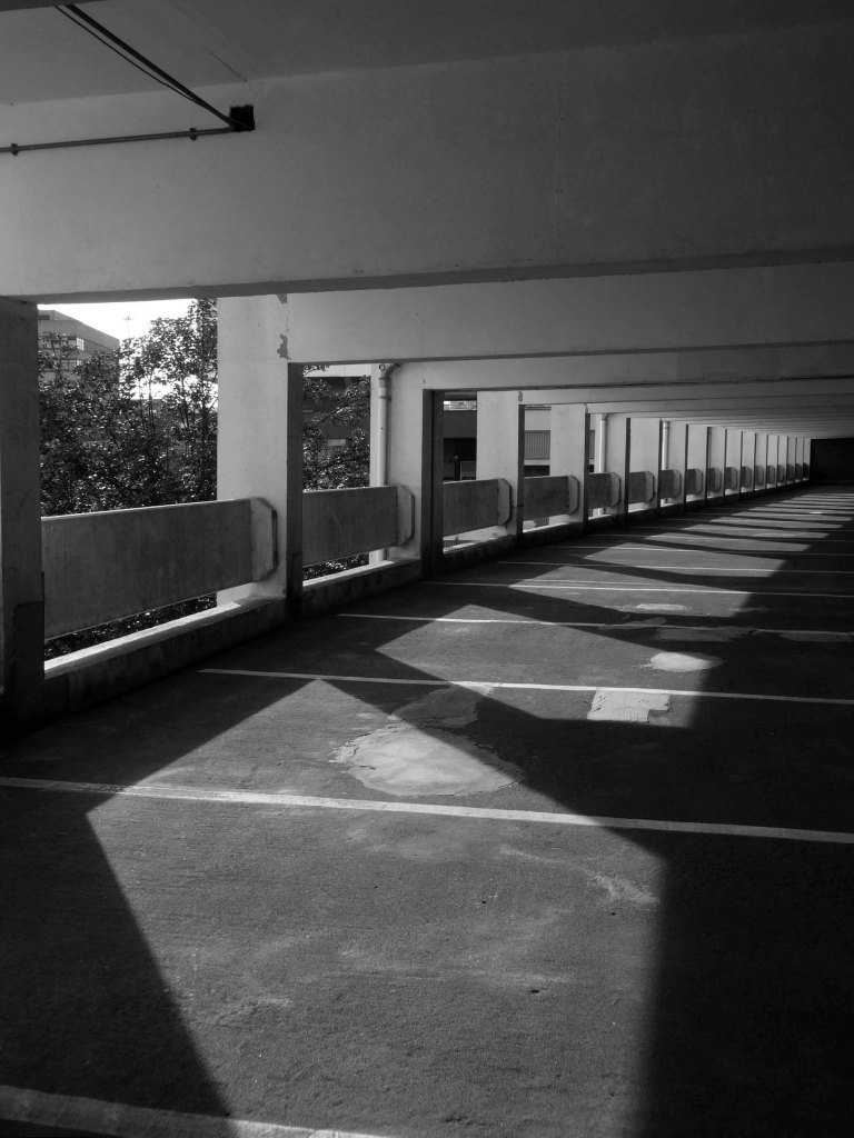
Derwent College.
Derwent College.
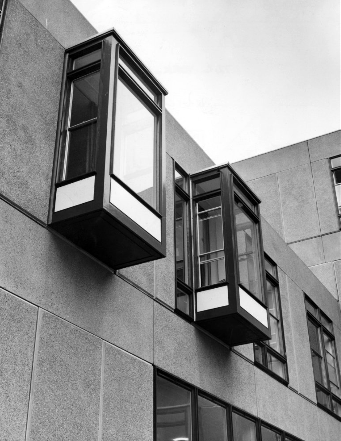
Langwith College: close-up of the oriel windows.
Photographs 1965 Bill Toomey.
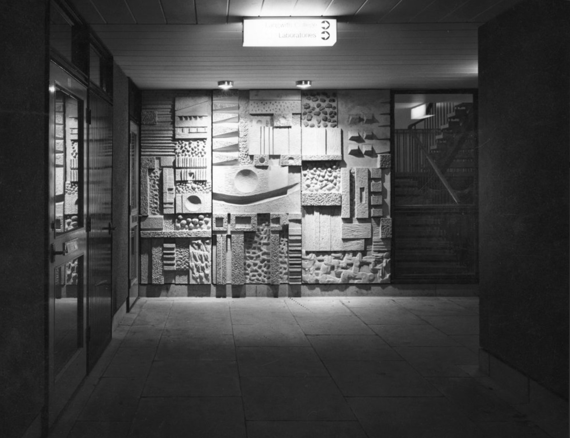
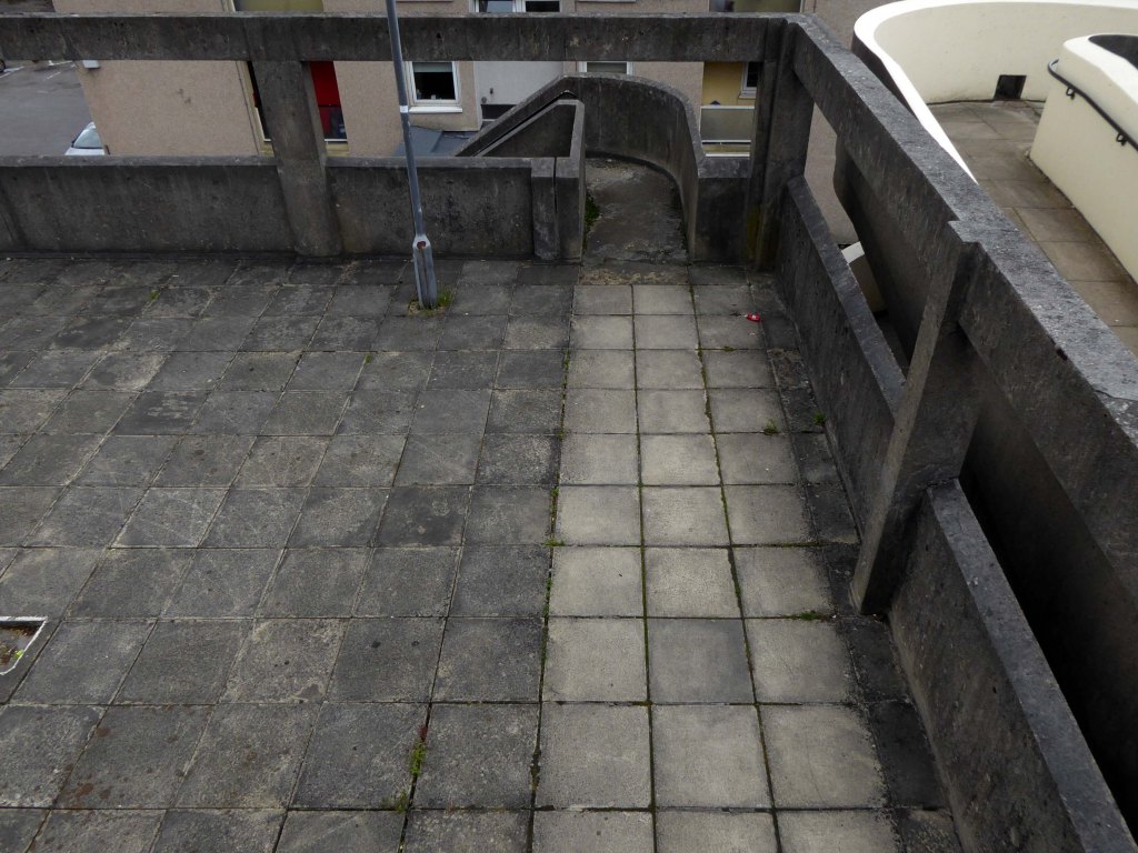
Derwent College: a concrete sculptured screen flanking a covered way.
Derwent College: a concrete sculptured screen flanking a covered way.
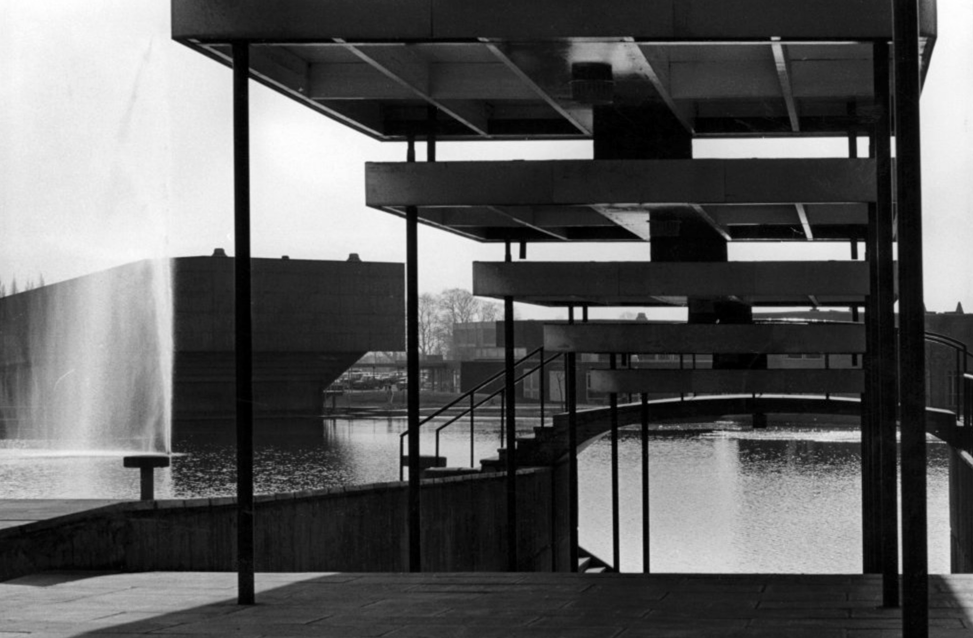
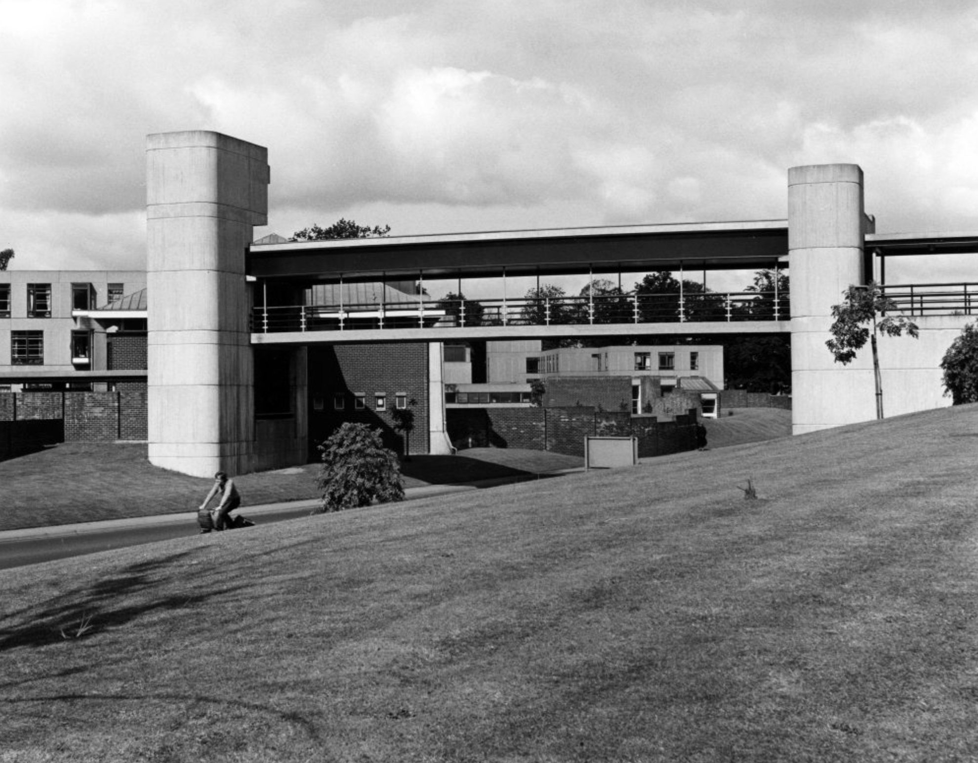
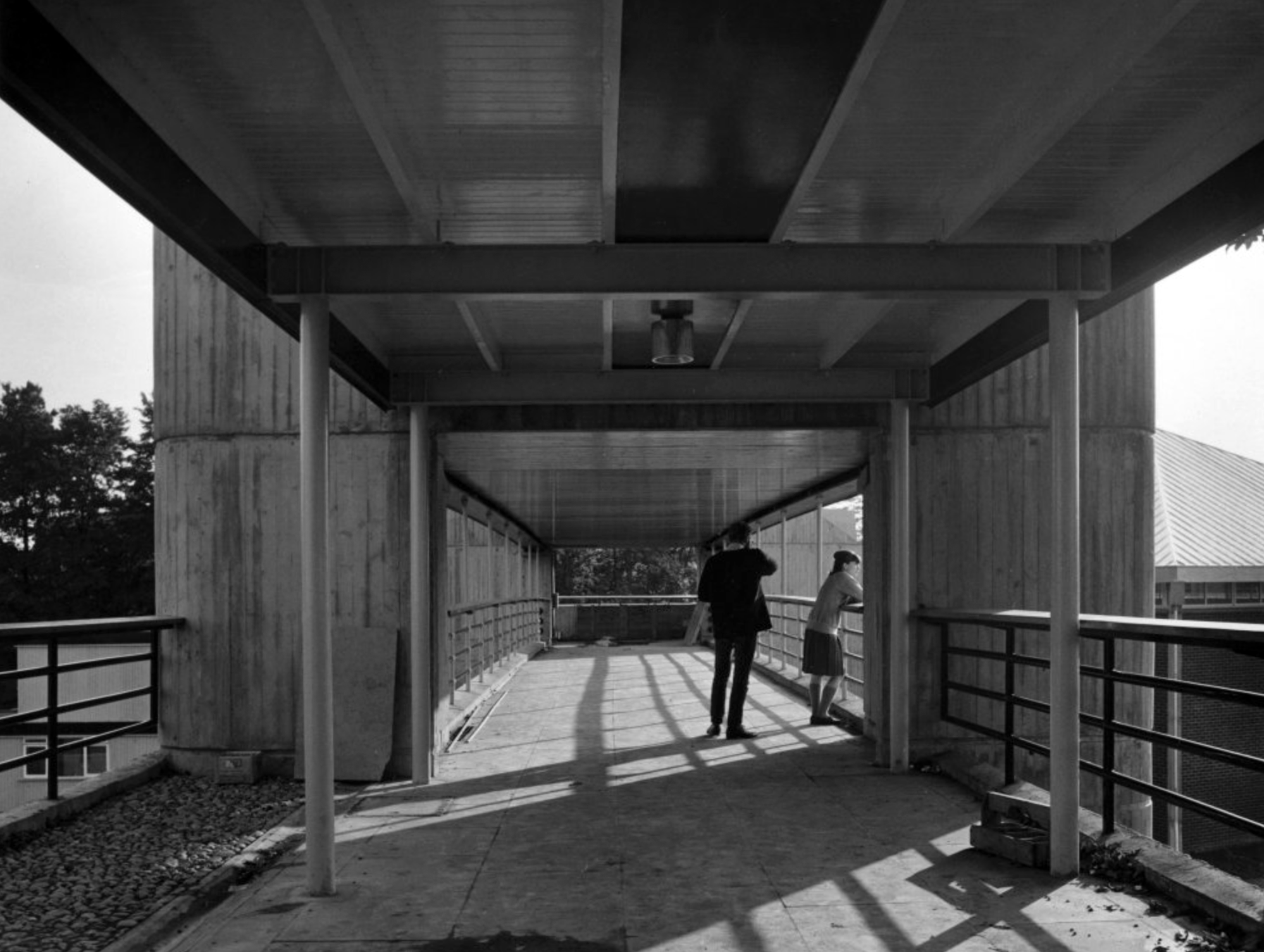
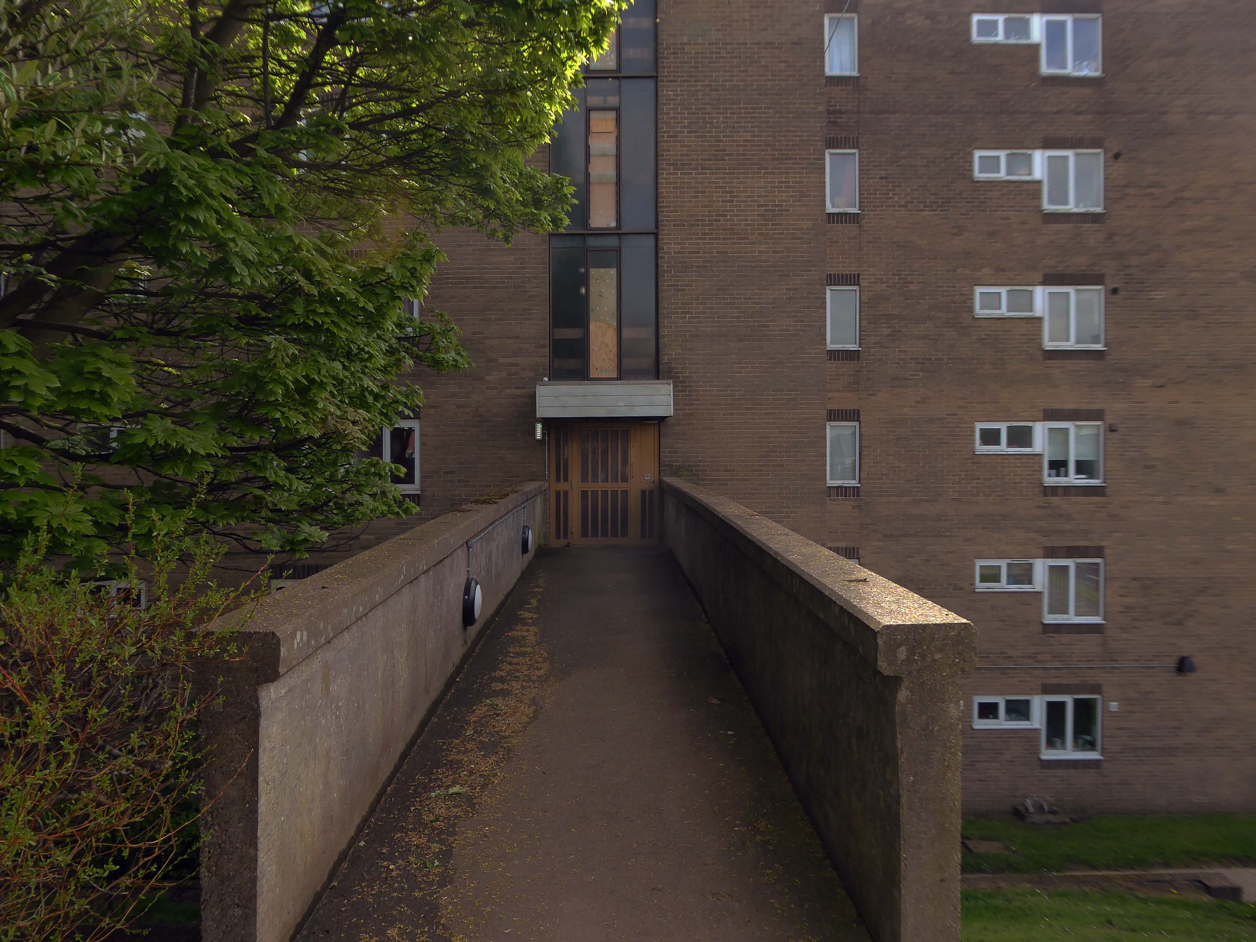
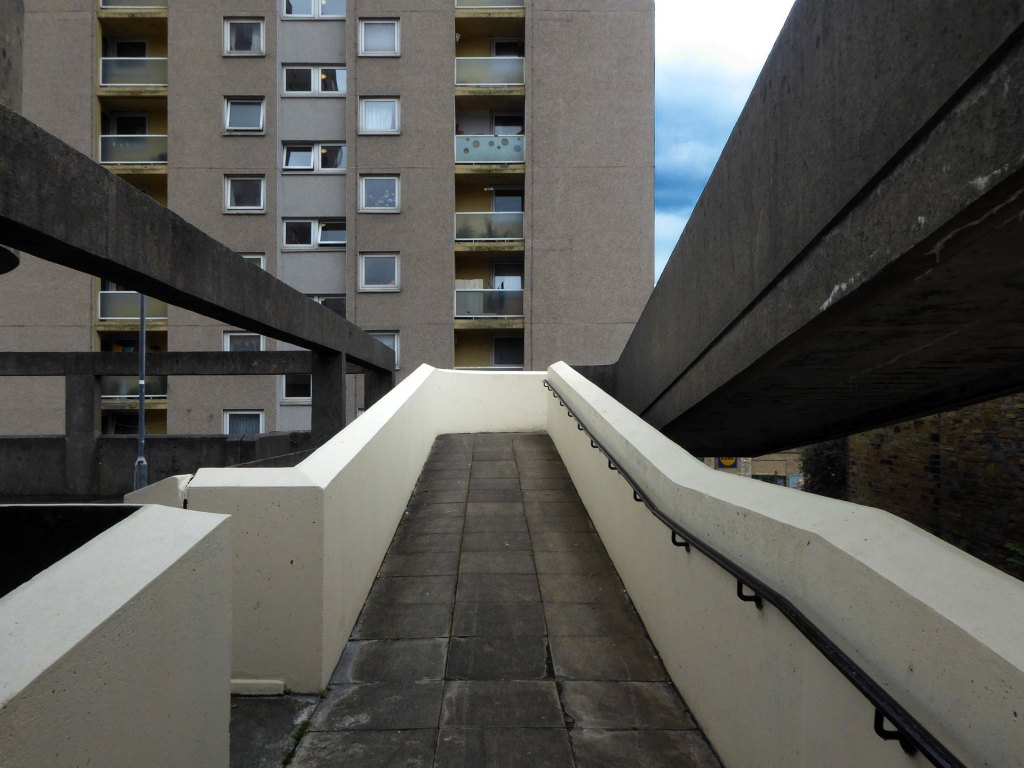
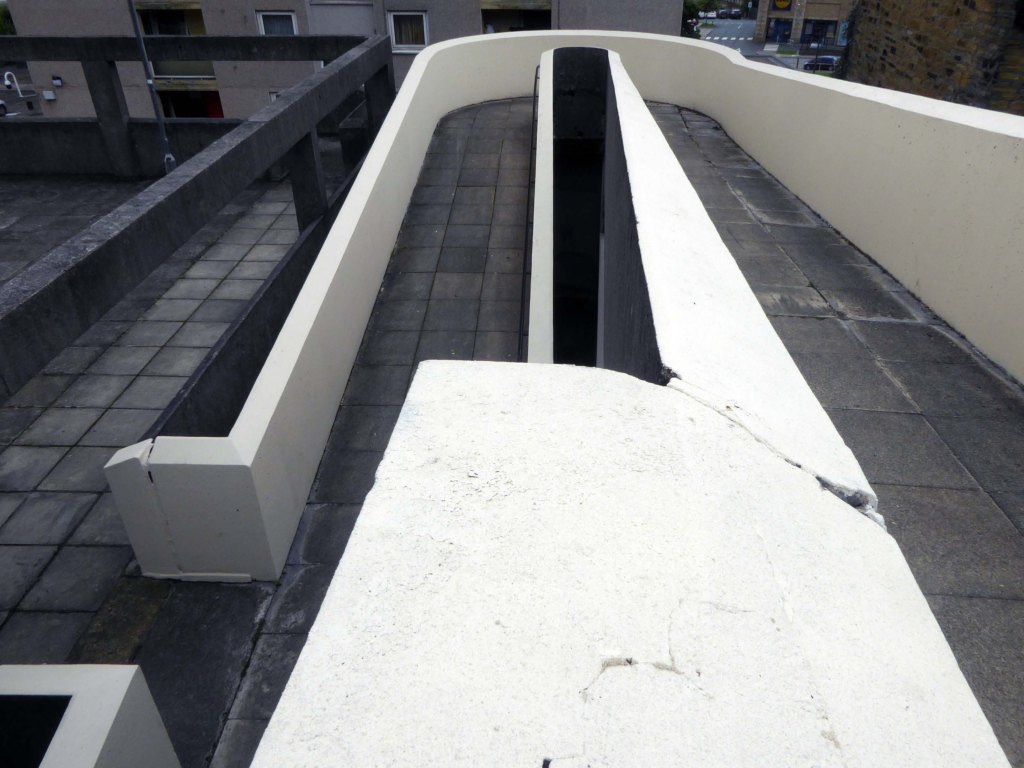
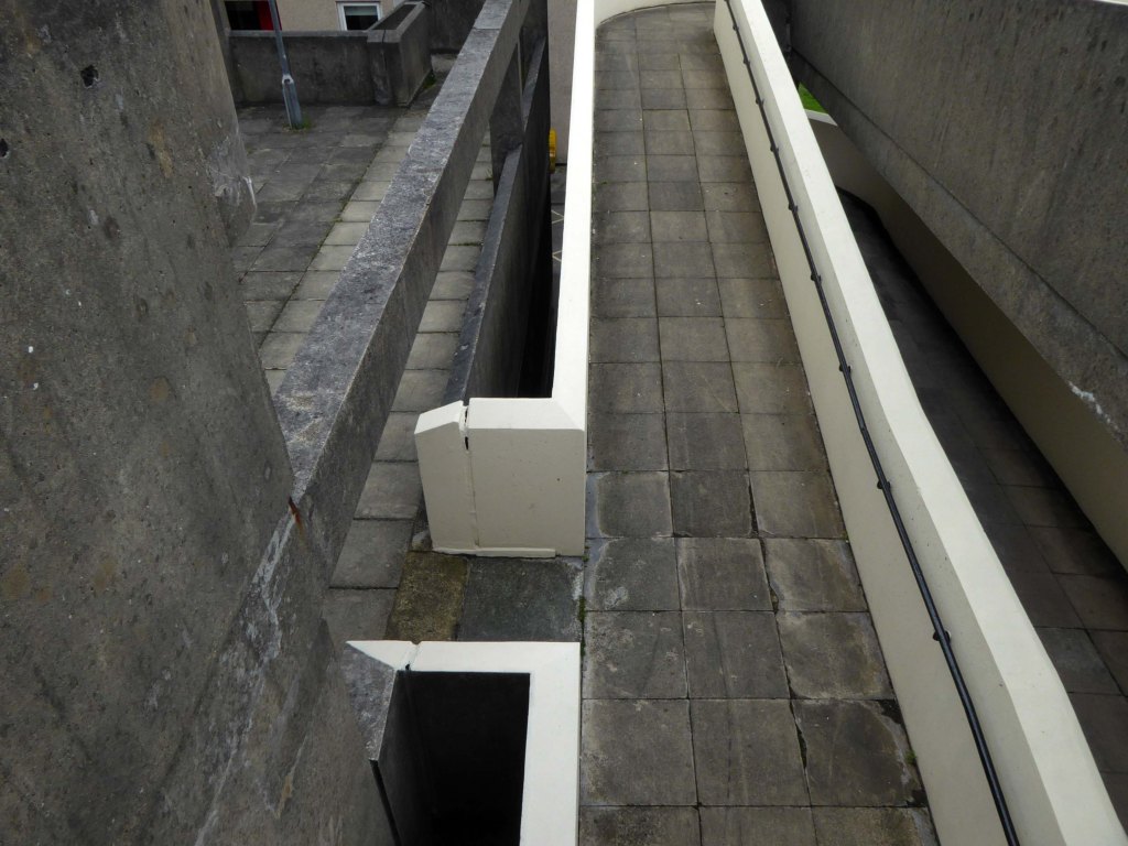
One of several concrete link bridges.
Another of the several concrete link bridges.
Photographs 1965 – Reginald Hugo de Burgh Galwey.
David Brown laboratories: seen from one of the link bridges.
David Brown Laboratories: the flue stack and water tower rising above the laboratory blocks.
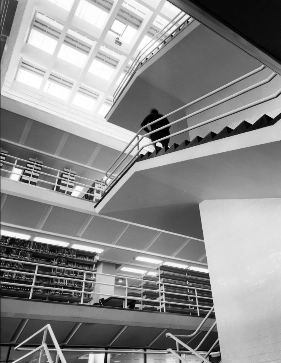
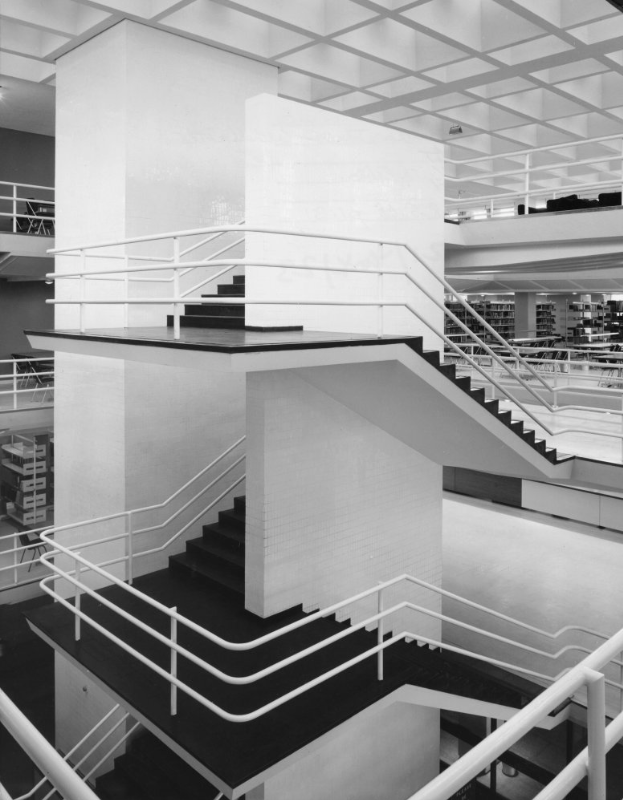
J. B. Morrell Library: the central staircase and lift tower.
Photographs 1965 Keith Gibson.
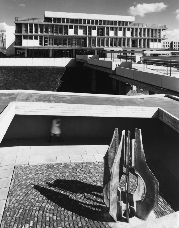
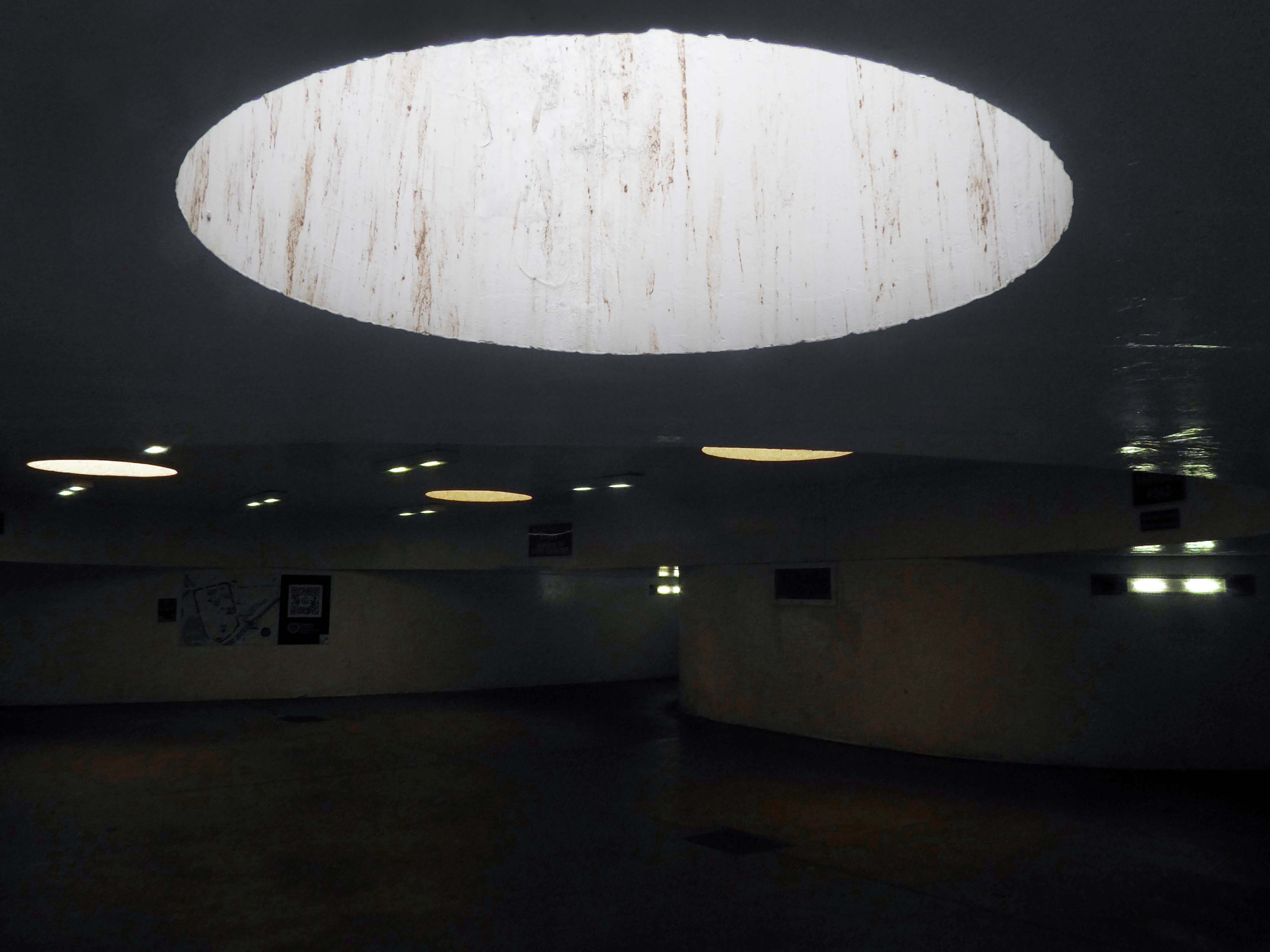
Central Hall.
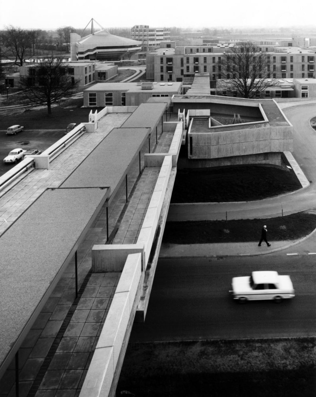
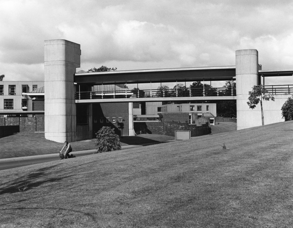
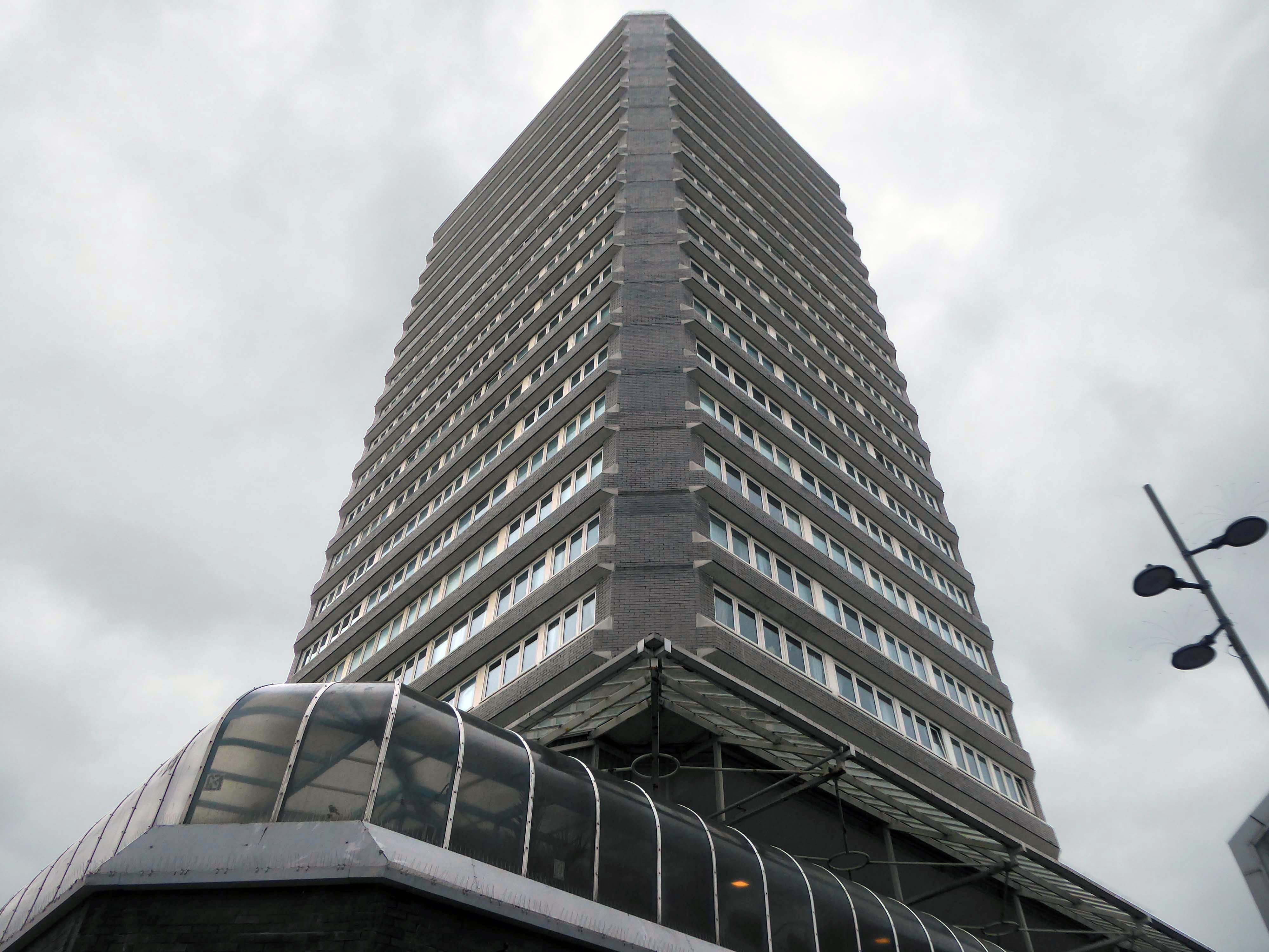
JB Morrell Library, University of York, seen from the south side of Heslington Road with linking pedestrian bridge and ramp in foreground and cast aluminium sculpture by Austin Wright
JB Morrell Library: the covered pedestrian bridge linking the library to the southern side of the campus.
JB Morrell Library.
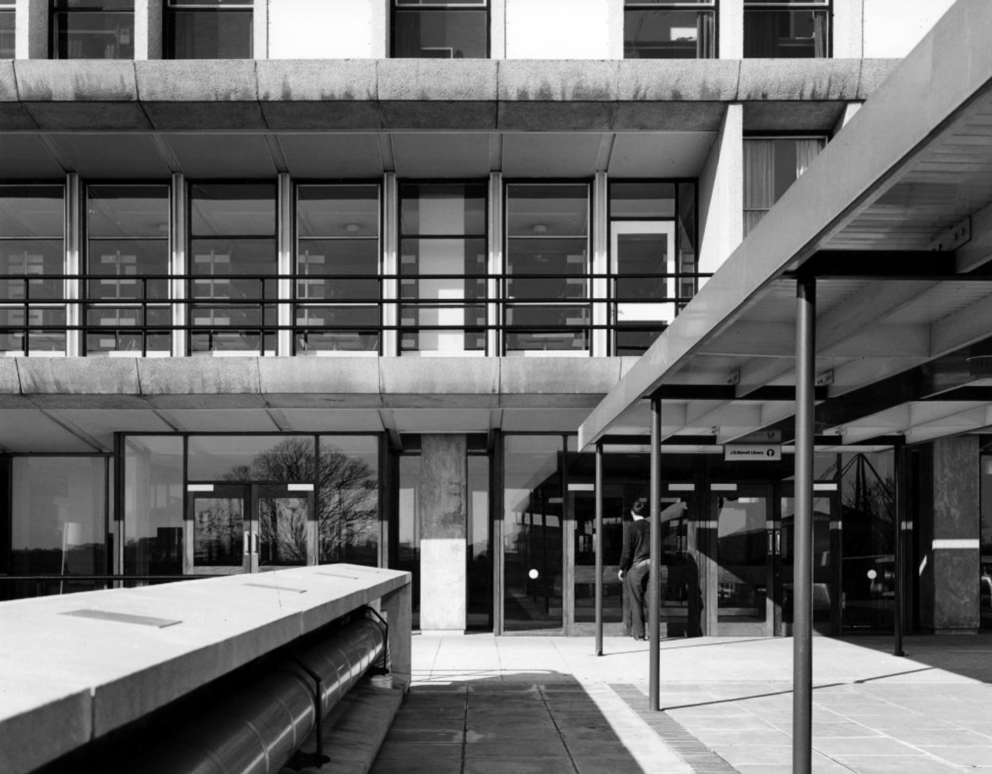
JB Morrell Library: the main entrance and terrace.
JB Morrell Library: the issue counter seen from the second floor.
JB Morrell Library: viewpoint from the fourth floor.
The covered pedestrian bridge linking the southern side of the campus to the JB Morrell Library on the north side.
Though plans for a university in York first appeared as early as 1617, it would be over three centuries before they came to fruition. In 1960, permission was finally granted for the University of York to be built, marking the beginning of our journey.
Before the Second World War, Heslington was a quiet rural retreat with a local aristocracy, and a working agricultural village.
Fresh, young, forward-looking and enthusiastic, the University of York was known for its friendly atmosphere before it even opened its doors.
Planning and building the University happened with astonishing speed. In April 1960 the Government approved the establishment and less than three years, on 9 October 1963, the first students walked through the gates of Heslington Hall.
In the 1970s, college social life began to blossom.
Central Hall was the venue for The Who, The Kinks, Fairport Convention, John Martyn, Ian Dury and the Blockheads, Hot Chocolate, Humphrey Littleton, Acker Bilk, Paul Tortelier, Julian Bream, John Williams and others.
Paul and Linda McCartney appeared one day out of the blue with their new band Wings and performed a concert in Goodricke College Dining Room.
The beginning of the 1980s came with significant challenges for the University.
The decade saw the start of cuts across higher education. Staff were exhorted to make economies including turning down their thermostats, recycling, and making telephone calls as short as possible. There was also a fire in the Department of Chemistry.
In 1990, the Vice-Chancellor, Berrick Saul, recounted to court that York had been described by a senior member of the Universities Funding Council as “a well-run university with a relatively low profile.”
What a difference a decade makes.
By the end of the 1990s, York was dominating national league tables for research and teaching and was receiving international press coverage for achievement across the disciplines.
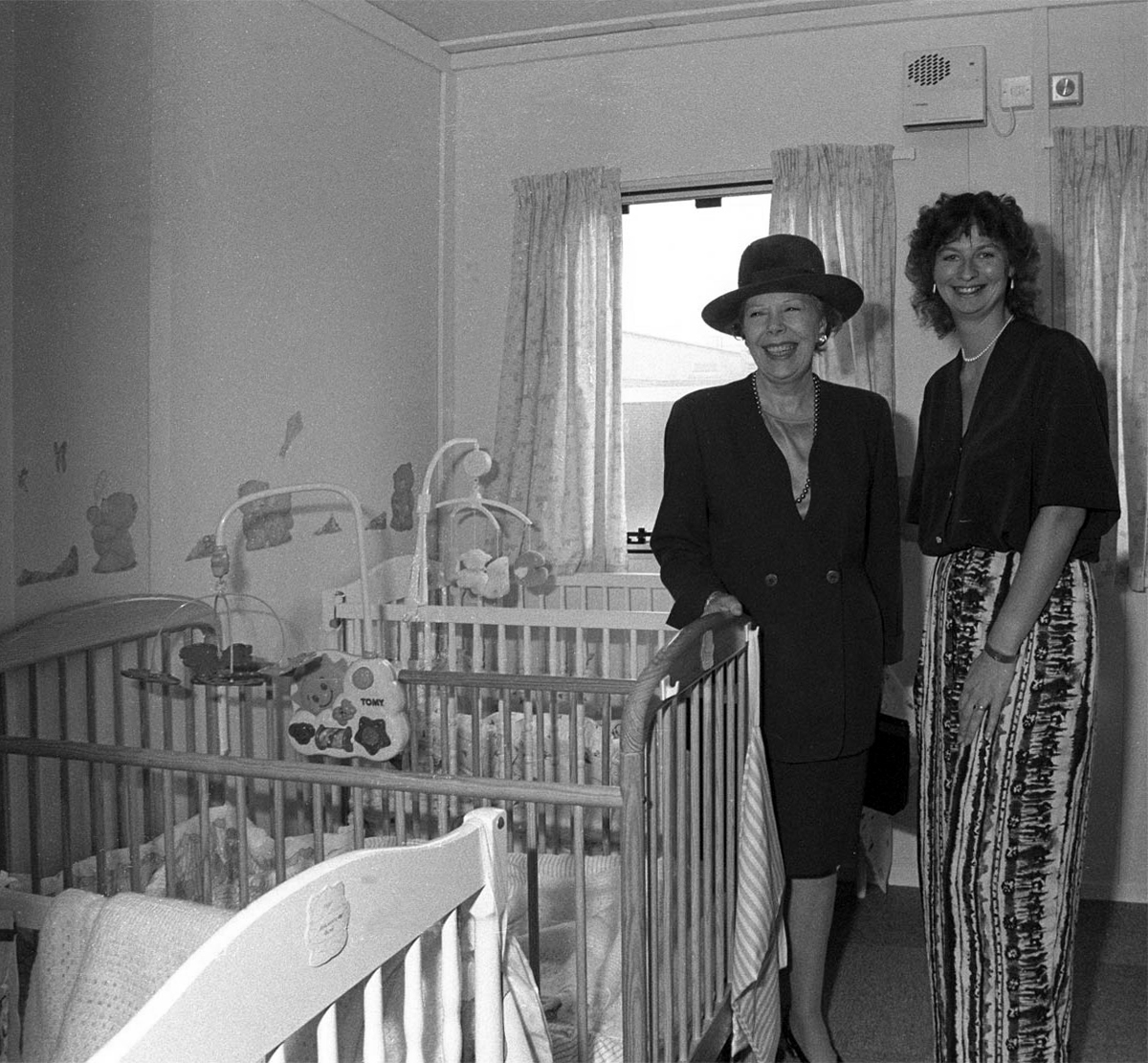
University Chancellor Dame Janet Baker at the opening of the University’s Baby Unit, October 1994 – York Digital Library
The 90s was characterised by advancement and recognition. York remained a popular choice among prospective students growing from 4,300 to 8,500 students without compromising its high entry standards. As the Sunday Times pointed out, “elitism does not appear to be the price of excellence at York”. York was one of only very few universities whose entry from state schools and colleges (around 80 per cent) was the same as the proportion of A-level students in the state system.
The introduction of official quality assessments and the proliferation of newspaper league tables saw the University’s stock rocket. After years of academic advancement, York began to get the recognition it deserved. National recognition attracted additional funding and investment. Research grants rose to over £20m per annum, and the University enjoyed one of the highest incomes per researcher in the higher education sector.
The Sir Jack Lyons Music Research Centre is opened by Roger Wright, controller of BBC Radio 3, 2004
The planning for Heslington East began in earnest in 2002 with the arrival of Brian Cantor as Vice-Chancellor. It took years of master-planning, liaison with interest groups, negotiations with land-owners and local communities, an 8-hour city planning meeting and a Public Inquiry to achieve the purchase of land and complex planning permissions for a site equal to the size of the original Heslington West campus. In 2009, the new Goodricke College opened as the first building on Heslington East.
At the time of the 40th anniversary in 2003, we wrote about Heslington East:
It will be everything that the designers of the original campus hoped for – integrated, landscaped and traffic-free, with a large expanse of water, and a very eager populace.
On 25th November 2010, we were named “University of the Year” at the Times Higher Education Awards, achieving praise from the judges for our “success in combining academic excellence with social inclusion, as well as its record in scientific discovery”.
The development of Campus East continued throughout the decade, with four new sites to accommodate academic departments and a variety of support and social buildings, including the Ron Cooke Hub and York Sports Village.
Campus West also saw much expansion and redevelopment during the 2010s, with the opening of the £13.8m Spring Lane Learning and Teaching Building and £16m Biology teaching and laboratory facility in 2016.
The University of York was founded in 1963 and work on its campus facilities in the grounds of Heslington Hall was begun in 1964. The first two colleges, Langwith and Derwent, accepted residential students for the autumn term of 1965. The original buildings were designed by Sir Andrew Derbyshire of Robert Matthew Johnson-Marshall & Partners, and assembled using the CLASP system of prefabricated construction.
RIBA
Founded in 1956 by architects Robert Matthew and Stirrat Johnson-Marshall, RMJM’s first offices were based in London and Edinburgh.
RMJM is now one of the largest architecture and design networks in the world. Services include architecture, development management, engineering, interior design, landscape design, lead consultancy, master planning, product design, specialist advisory services, and urban design
Langwith College 1965 – photo Reginald Hugo de Burgh Galwey
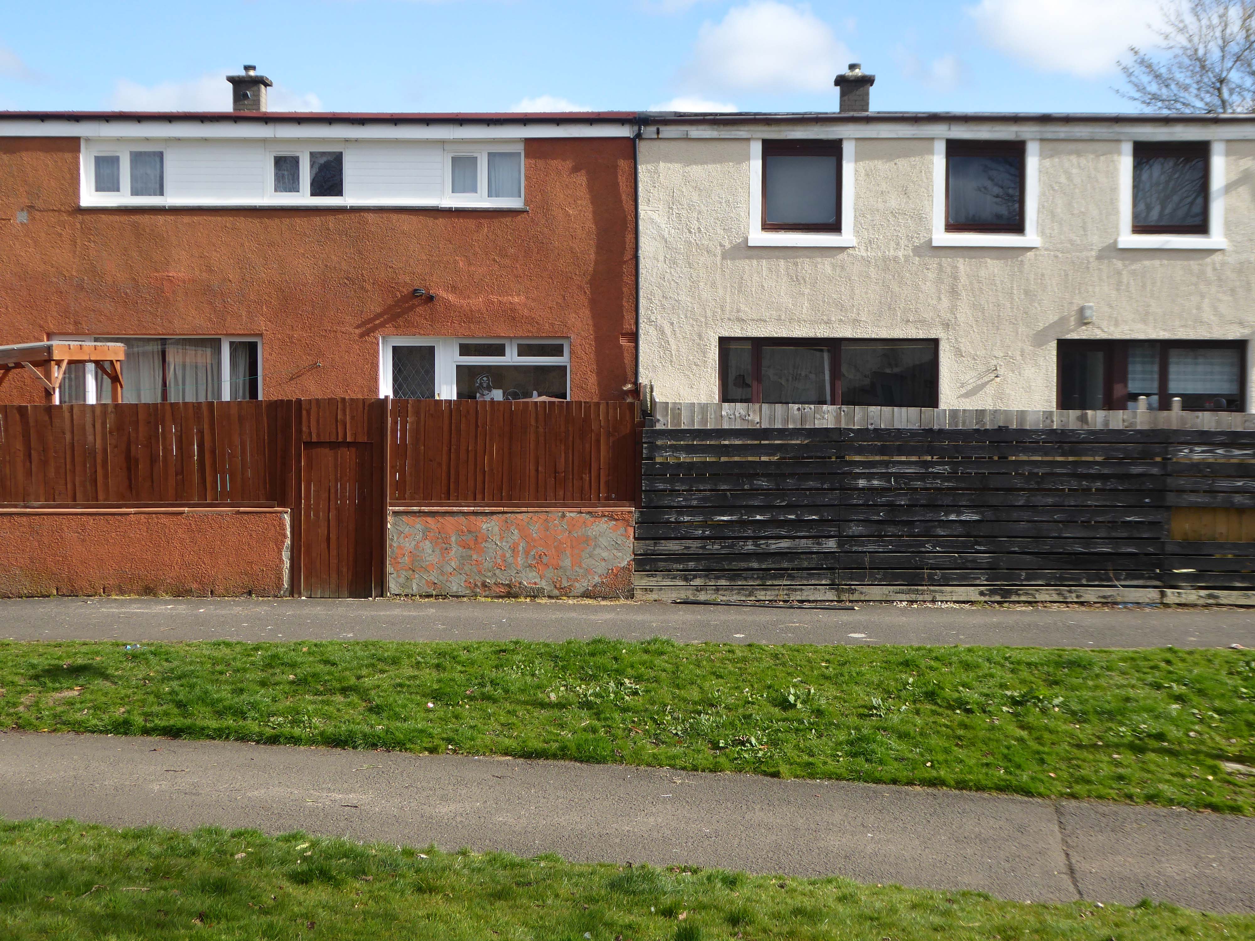
Constructed using the Consortium of Local Authorities Special Programme – CLASP system, formed in 1957 by Local Authorities in England to develop a shared prefabricated system for the construction of school buildings. The resulting CLASP building system was initially developed by Charles Herbert Aslin, the county architect for Hertfordshire.
CLASP’s popularity in coal mining areas was in part because the system permitted fairly straightforward replacement of subsidence-damaged sections of building, and the lightness of the structures. The system was also later used for the construction of railway stations, offices, university buildings, and churches until the late 1970s.
Today, 3000 examples are still in use.
Photo – Keith Gibson 1965
The system utilised prefabricated light gauge steel frames which could be built economically up to a maximum of four storeys. The frames were finished in a variety of claddings and their modular nature could be employed to produce architecturally satisfying buildings. Initially developed solely for schools, the system was also used to provide offices and housing.
The cynics’ definition of the CLASP acronym, circulating in the 1970s, was:
collection of loosely assembled steel parts.
CLASP buildings fell out of favour in the late 1970s. Budgetary advances and changing architectural tastes made the scheme obsolete.
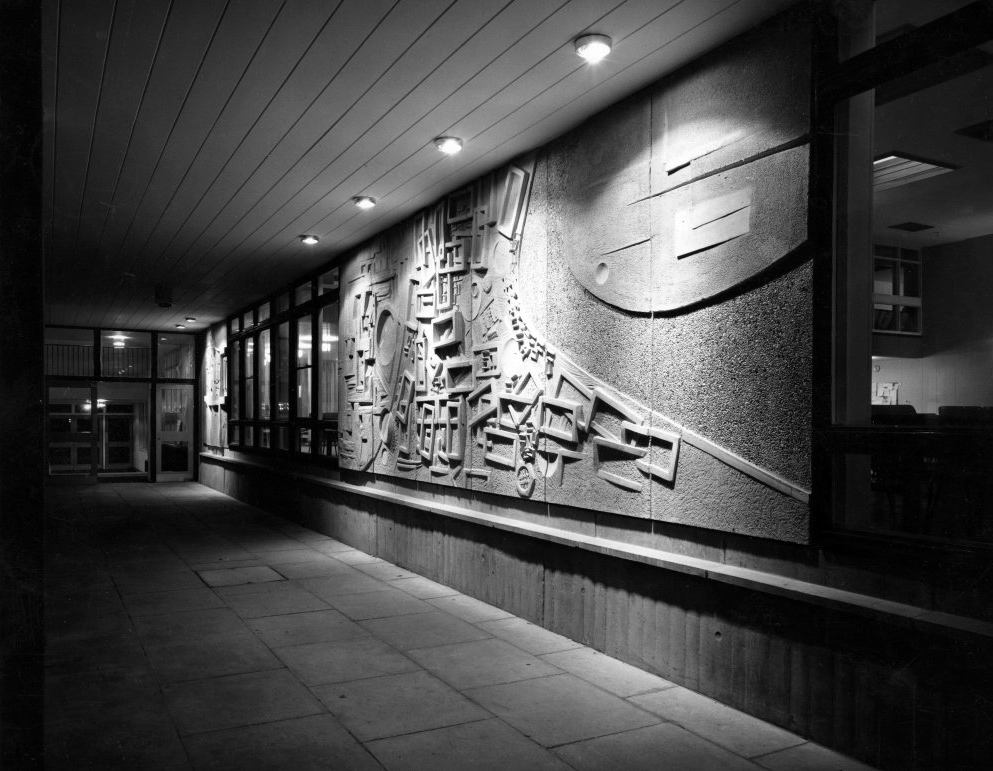
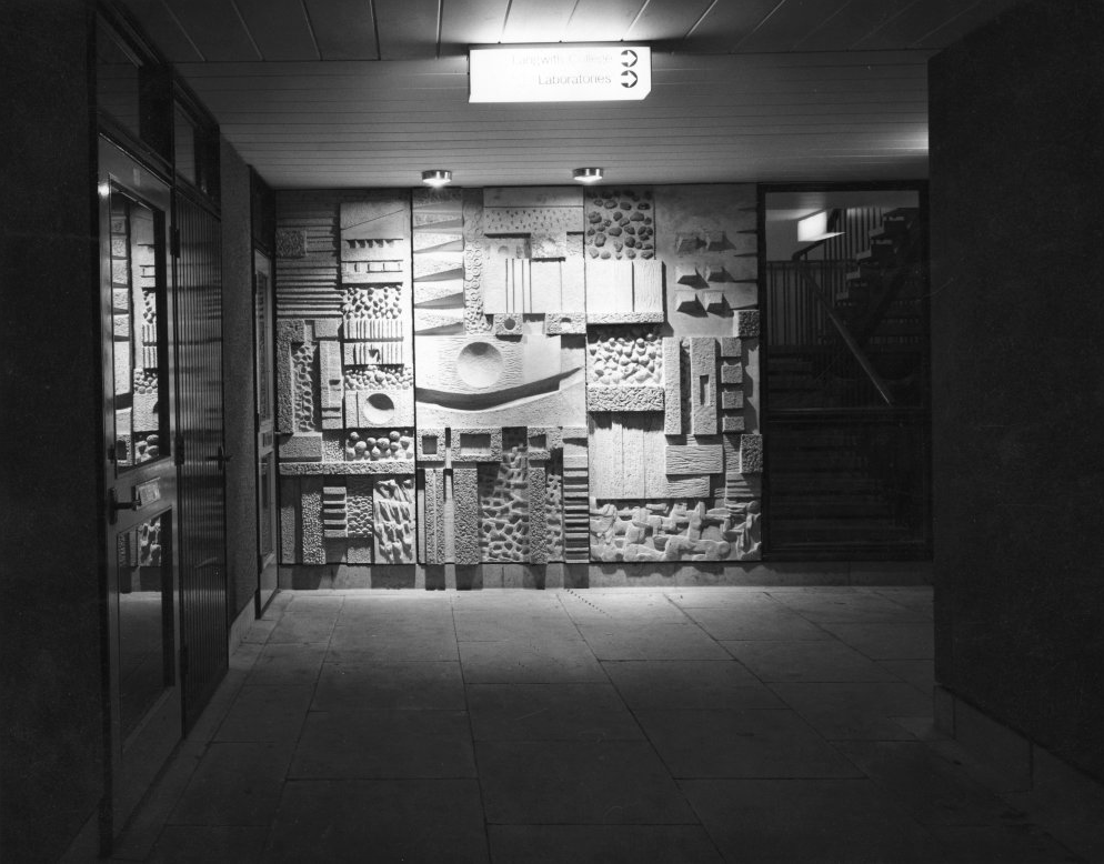
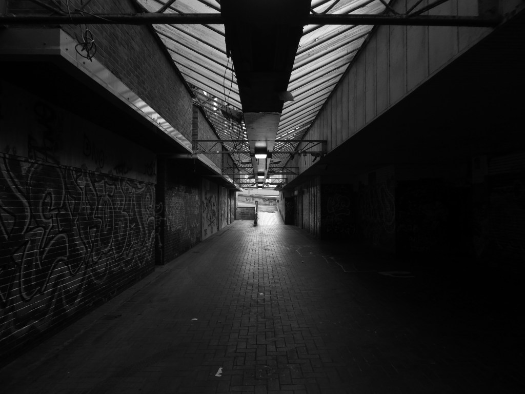
Walkway Derwent College with concrete relief by Fred Millett 1965
Photos 1965 Bill Toomey
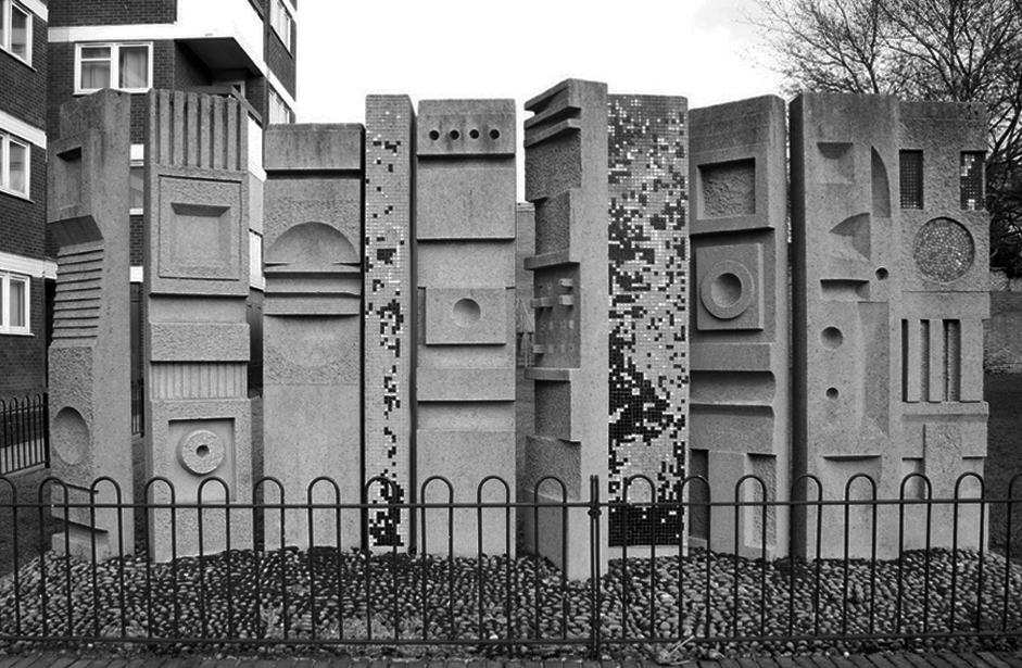
Fred Millett 1920–1980 was a muralist and poster artist who exhibited at the Festival of Britain and was commissioned by London Transport, National Westminster Bank, University of York and the General Post Office. He also taught Perception and Communication at the Polytechnic of Central London.
Fred Millett – Sculpted Wall Raglan Estate Camden 1965
Originally part of the children’s playground, the work is a feature of a post war estate designed by Frank Scarlett in Kentish Town
JB Morrell Library seen from the south side of Heslington Road with linking pedestrian bridge and ramp in foreground and cast aluminium sculpture by Austin Wright.
Austin Wright 1911-1997 is a significant post-war sculptor whose personal and professional lives were deeply intertwined with the city of York.
He was born on 4th June 1911 in Chester but spent his childhood in Cardiff. Though a largely self-taught artist, Austin took evening classes at Cardiff Art School. Austin attended New College, University of Oxford for his degree in Modern Languages before he started his teacher training. His first job as a teacher started in 1934 at The Downs, Malvern in Worcestershire. The school attracted artistic people. W.H. Auden taught English for example, and the art master organised a Dada exhibition one year. Here, Austin taught painting and sculpture as well as French and German.
Covered pedestrian bridge linking the southern side of the campus to the JB Morrell Library on the north side.
Central Hall
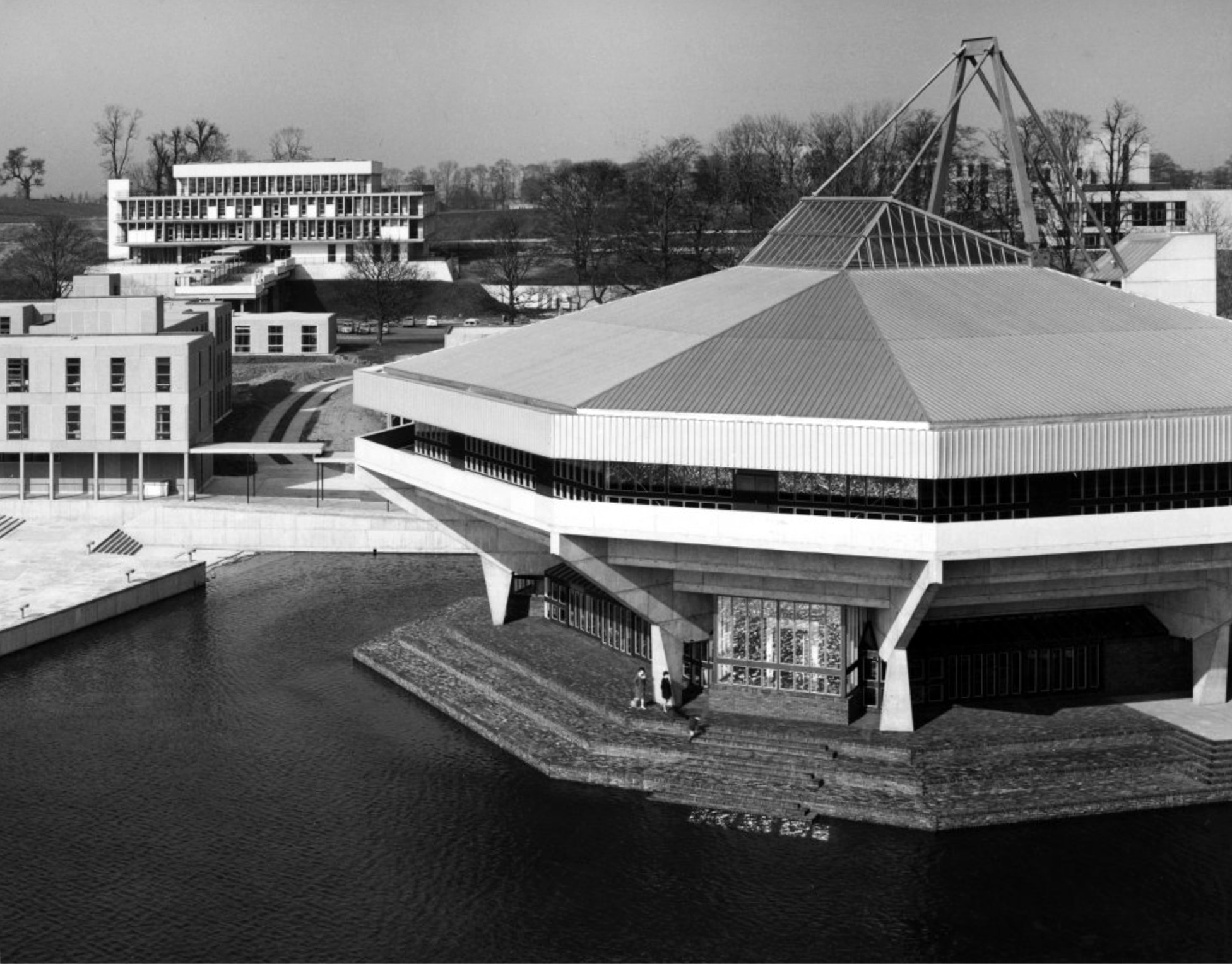
Colloquially known as The Spaceship designed by John Speight, constructed in 1966–1968. The hall is seen as a tour de force of the university, appearing on merchandise and often used as a background for university publicity.
Central lecture and recreation hall to the University of York, 1966-1968 by Robert Matthew, Johnson-Marshall & Partners with Stirrat Johnson-Marshall and Andrew Derbyshire as partners in charge, and John Speight as job architect.
* it forms part of a wave of seven new universities that improved access to higher education and marked the high point of publicly-funded architecture in post-war Britain;
* it is a physical manifestation of the University of York Development Plan, which was heralded as the beginning of contemporary university planning in Britain;
* it continues a historic tradition established by late-C19/early-C20 ‘red brick’ universities of featuring a great hall for special events.
* it has an imaginative and bold design with a striking architectural form and massing that is the focus of the most dramatic views across the campus lake;
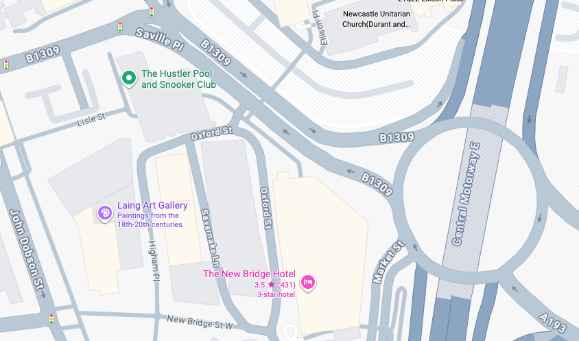
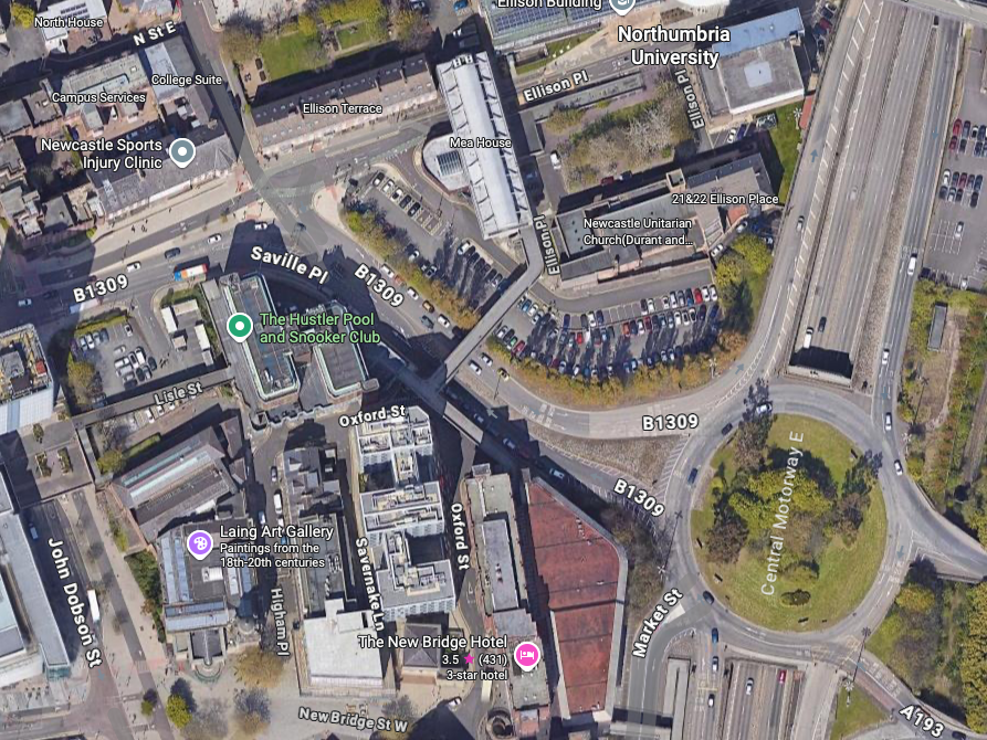
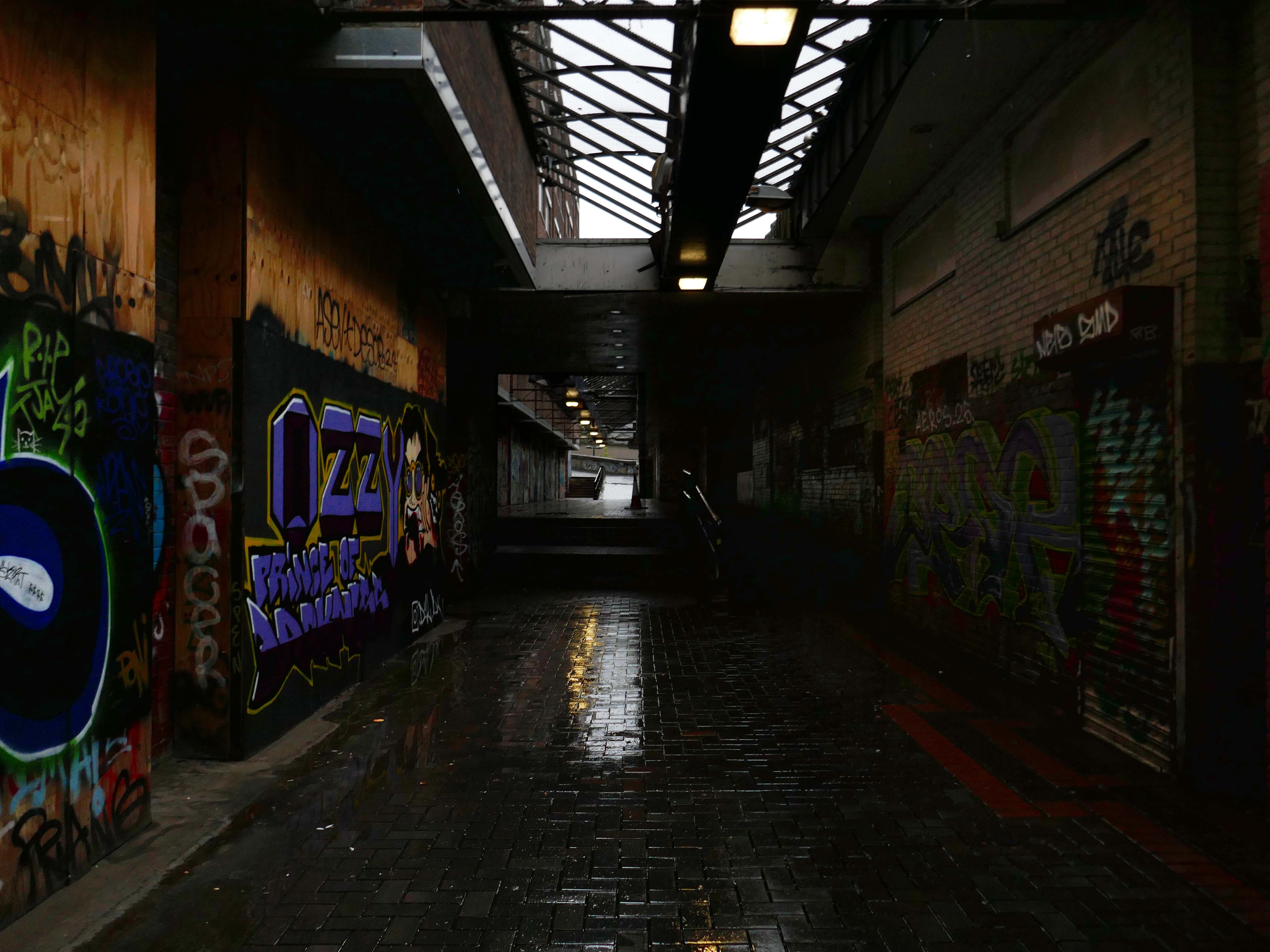
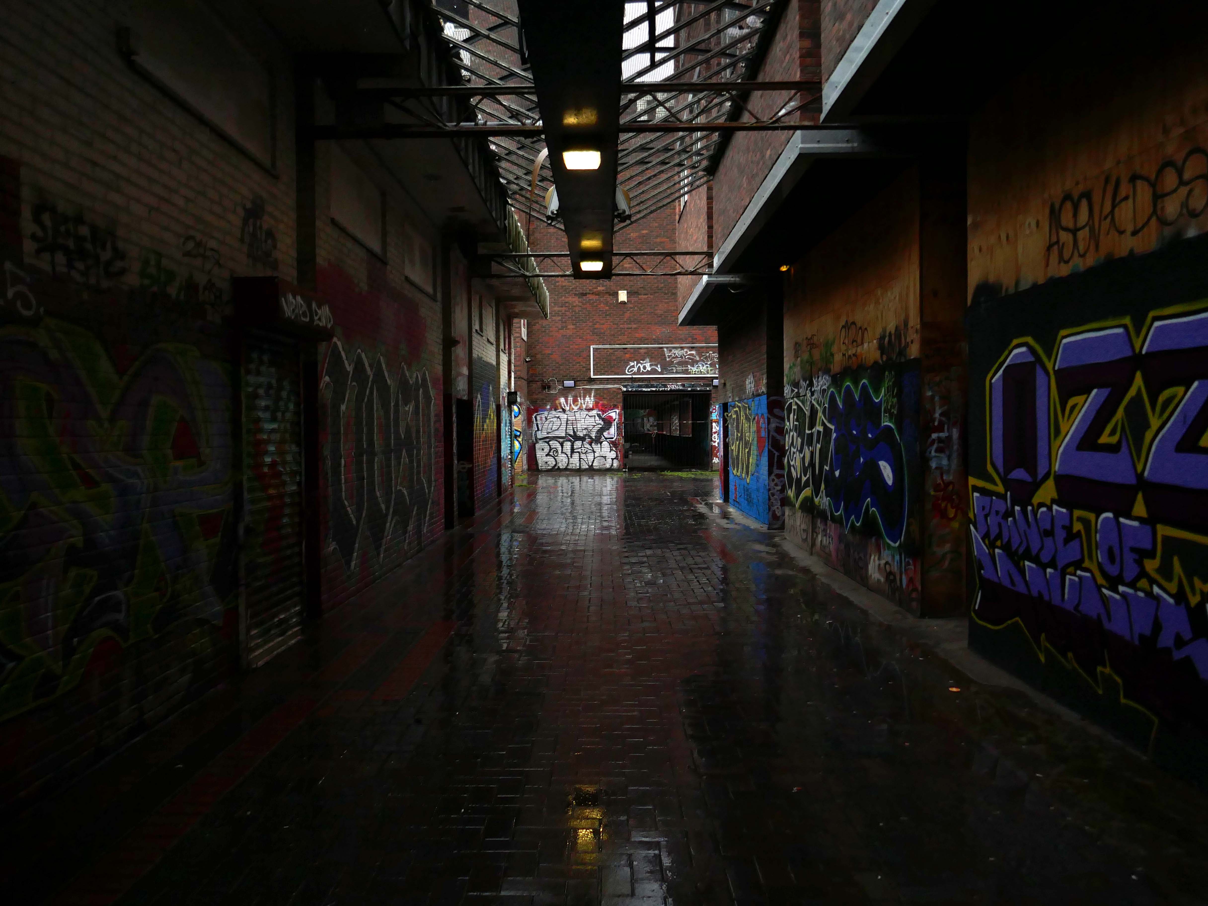
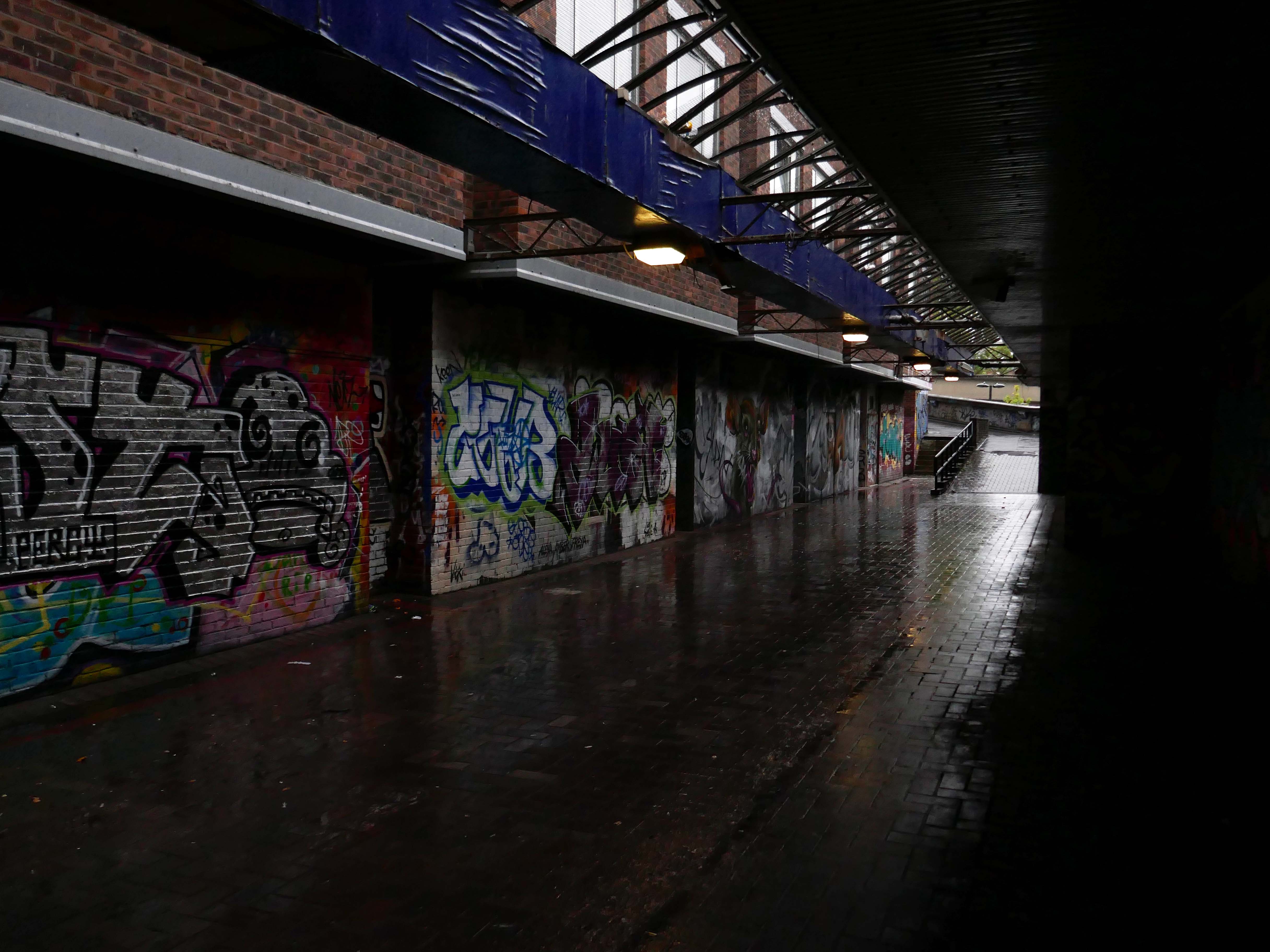
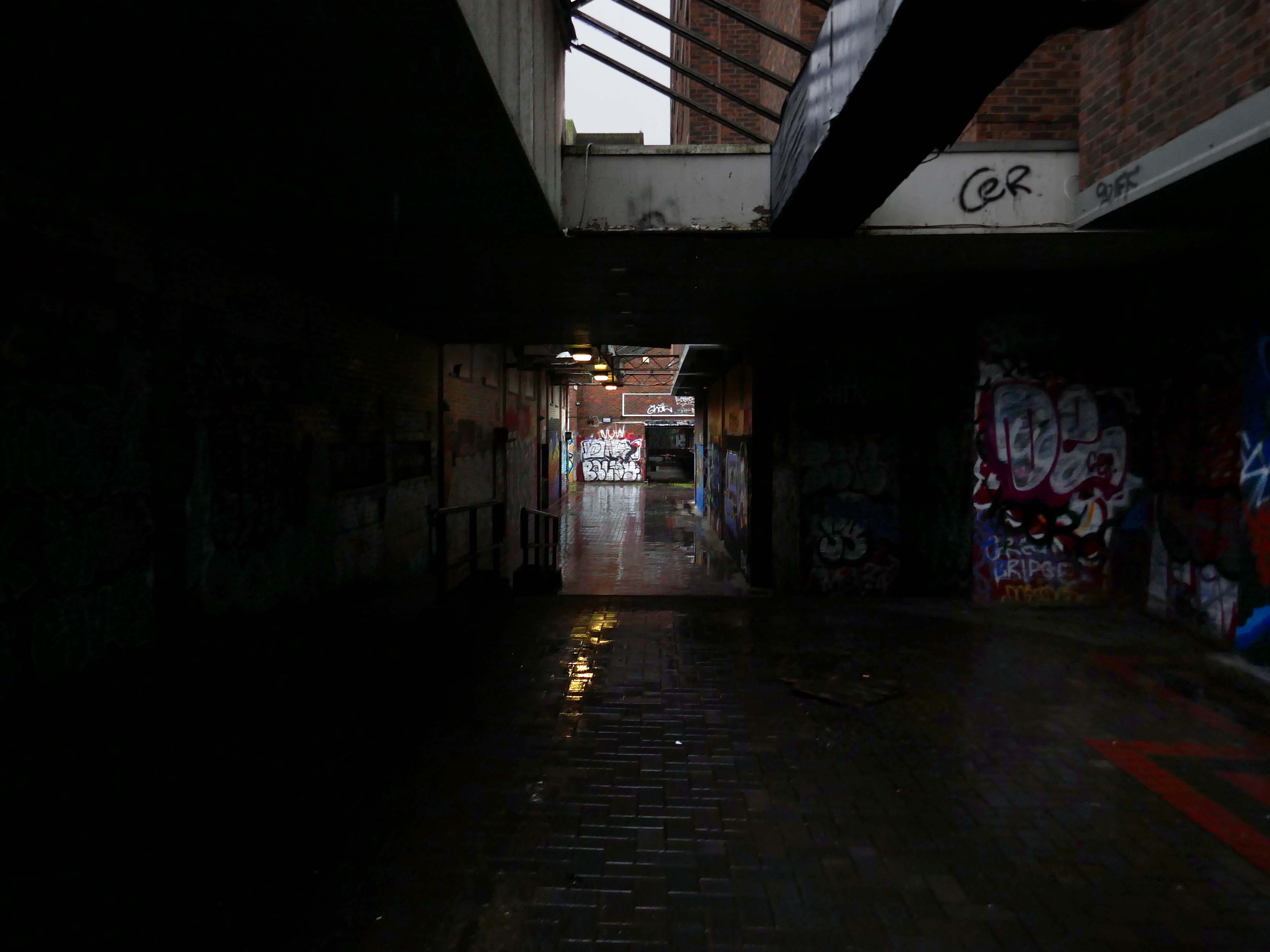
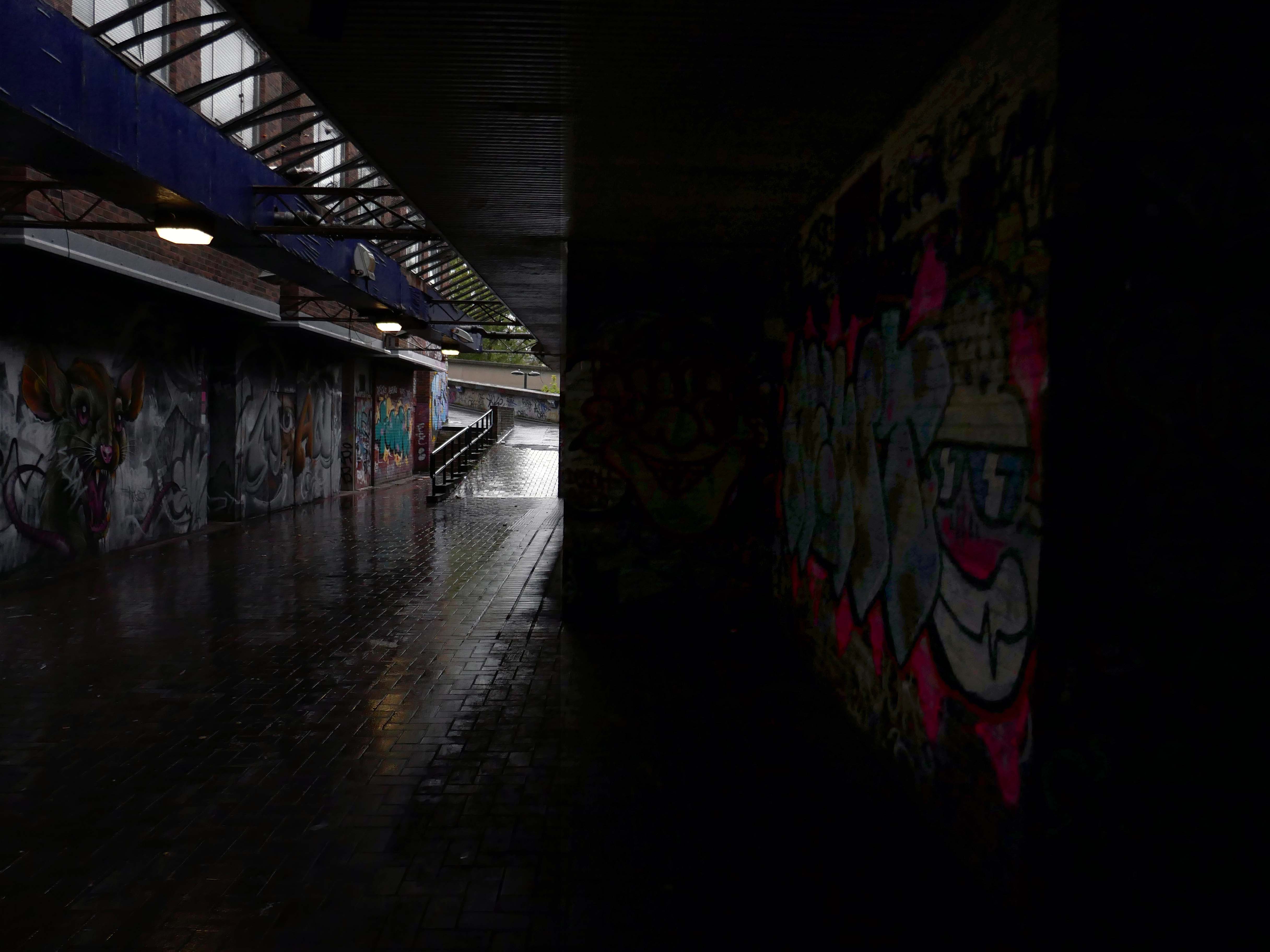
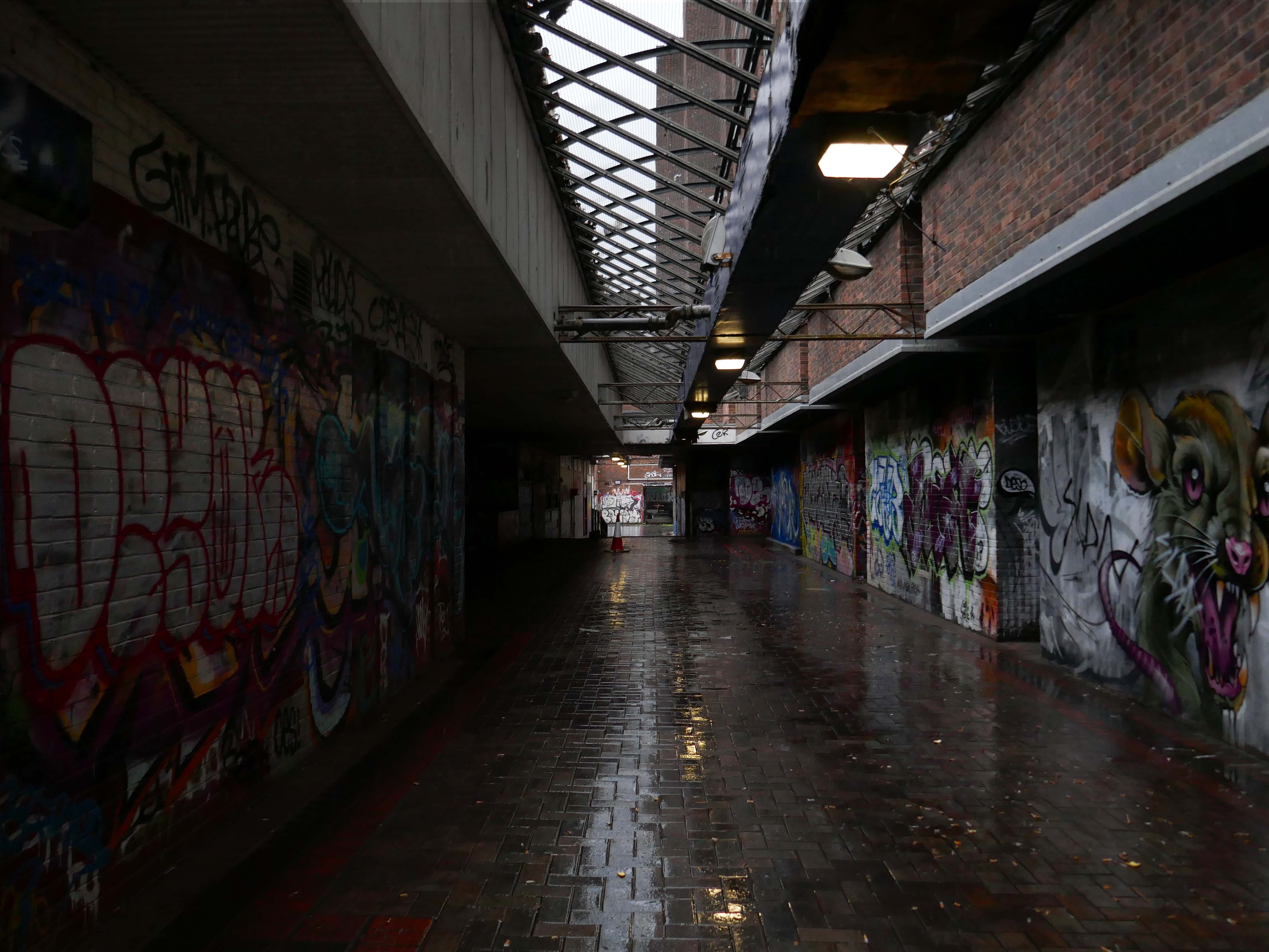
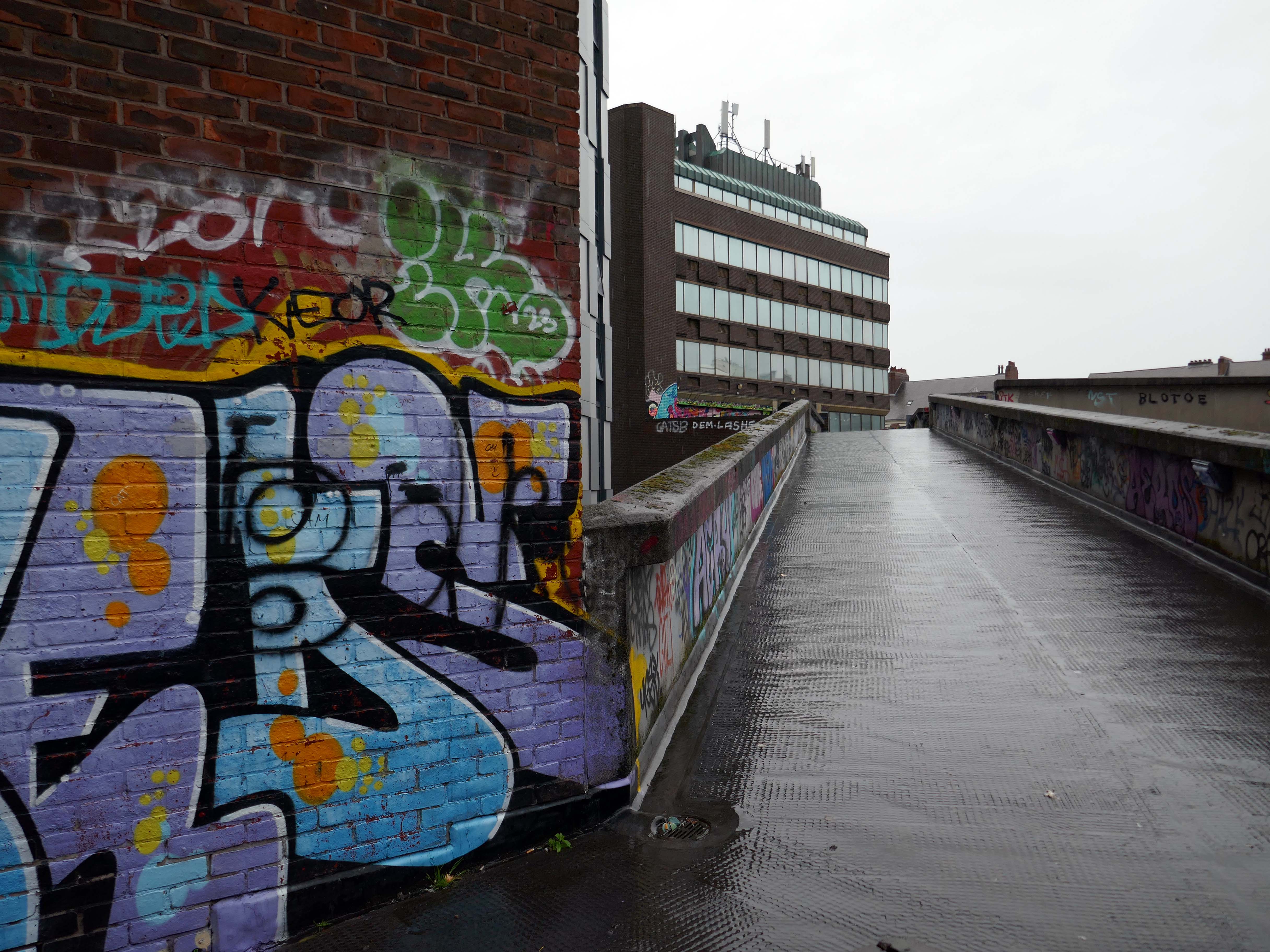
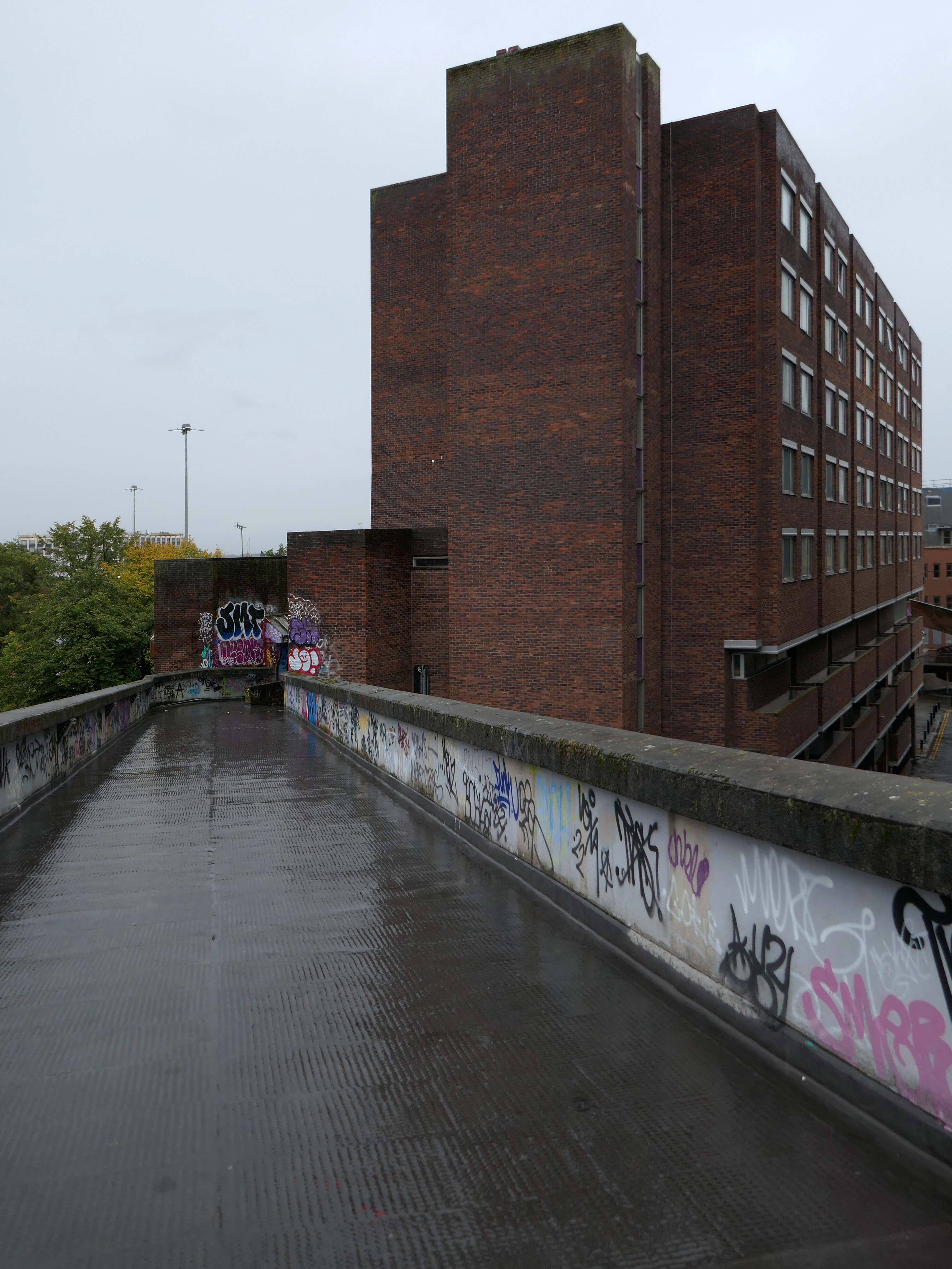
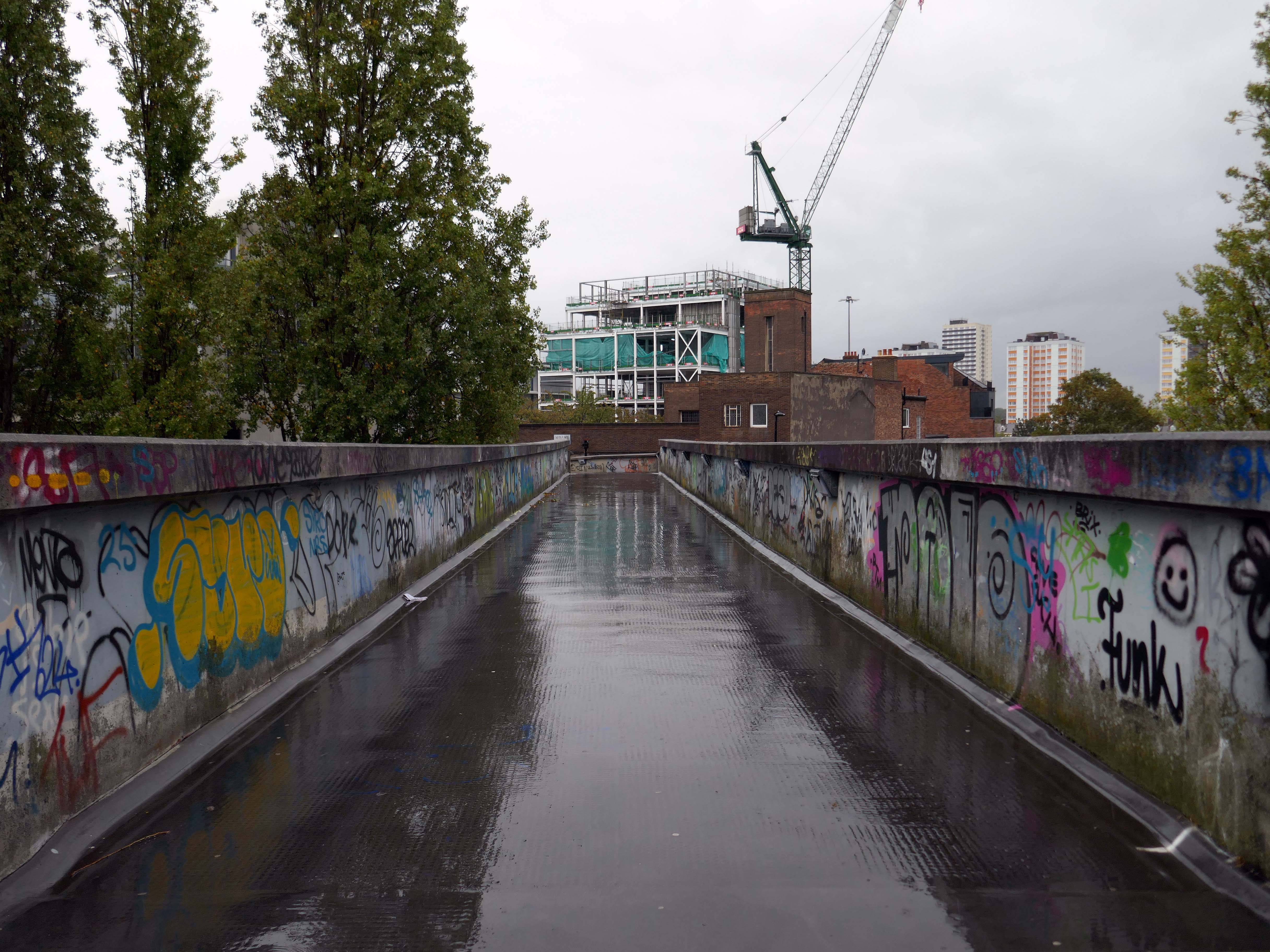
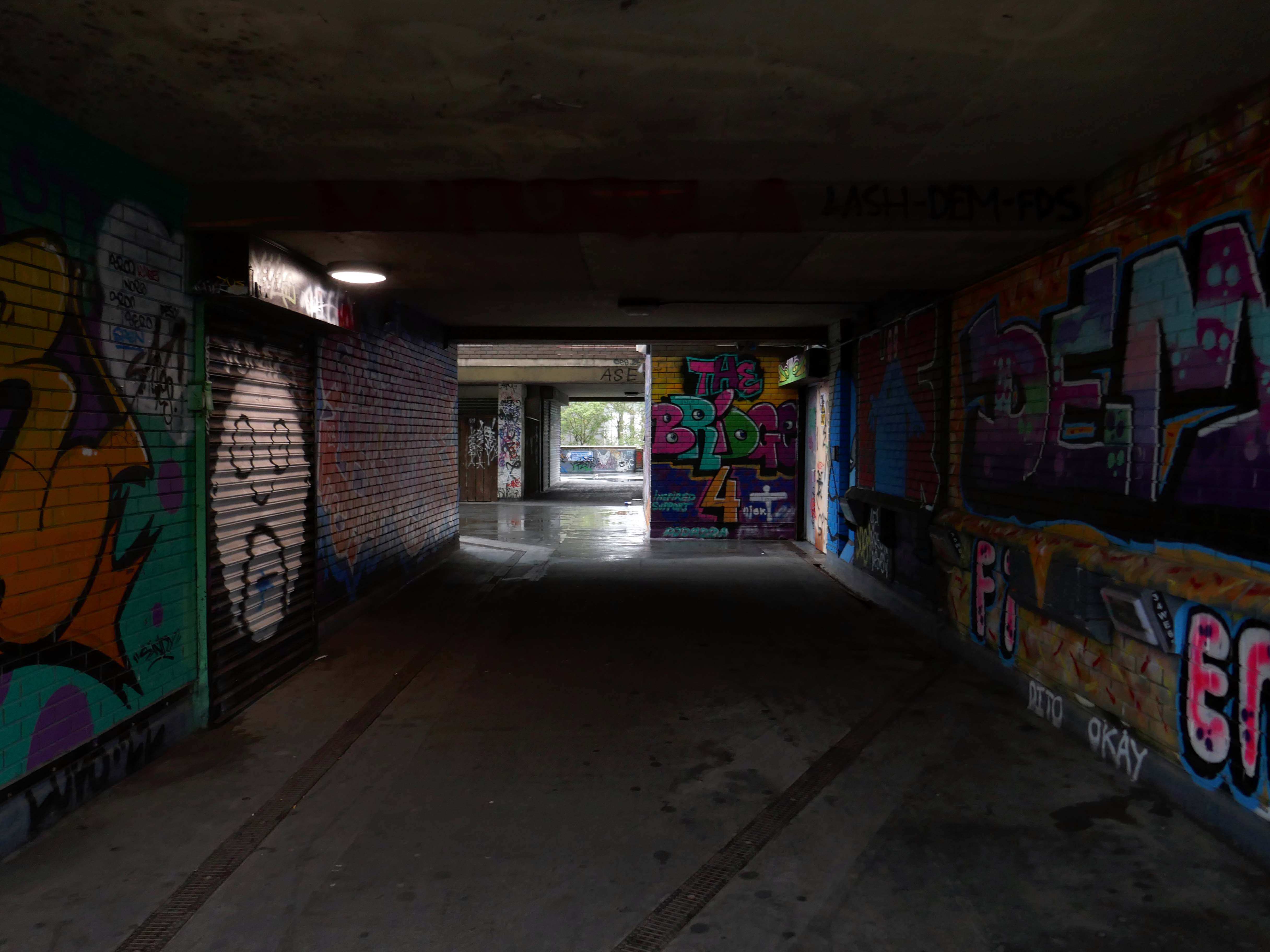
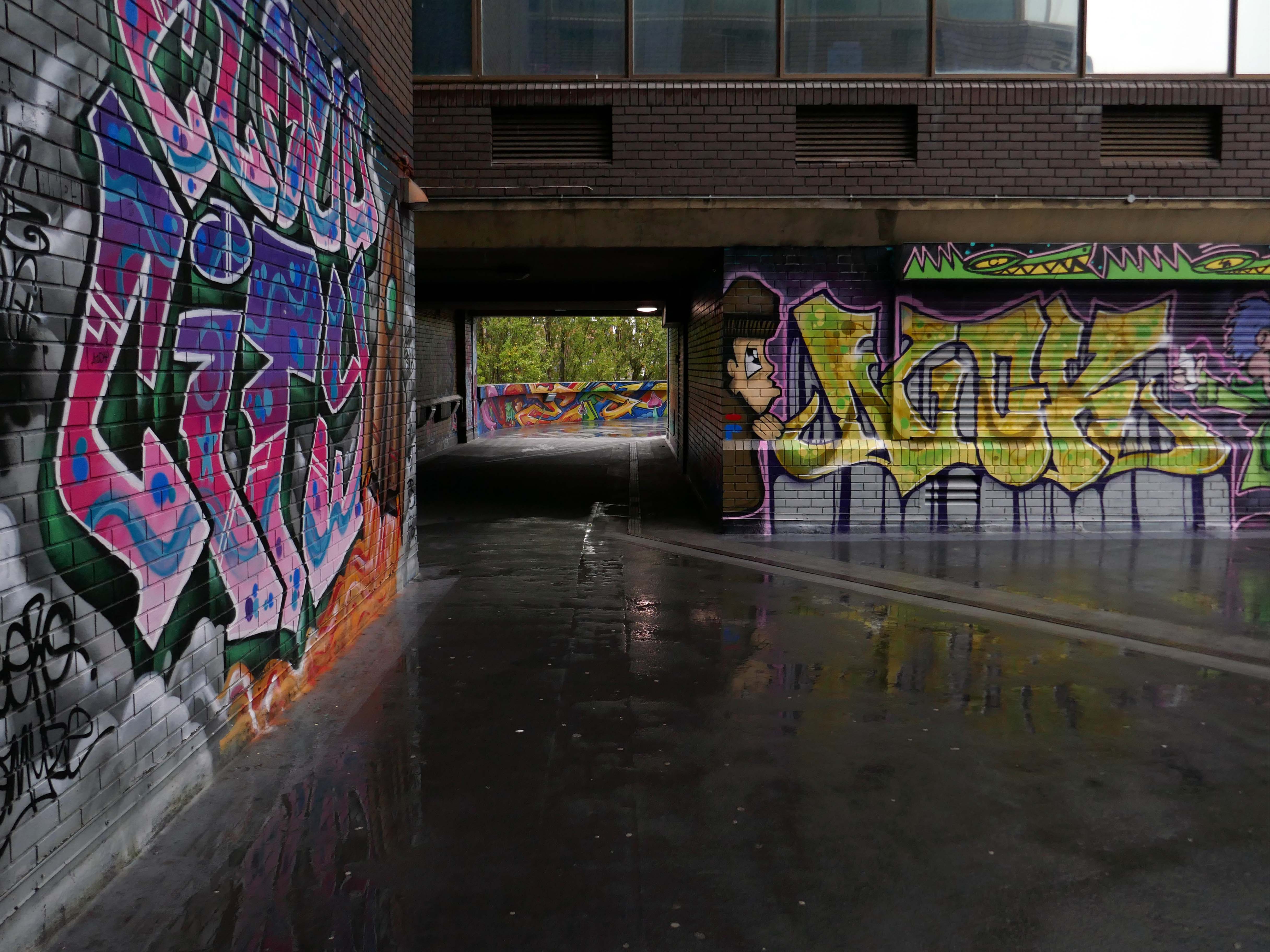
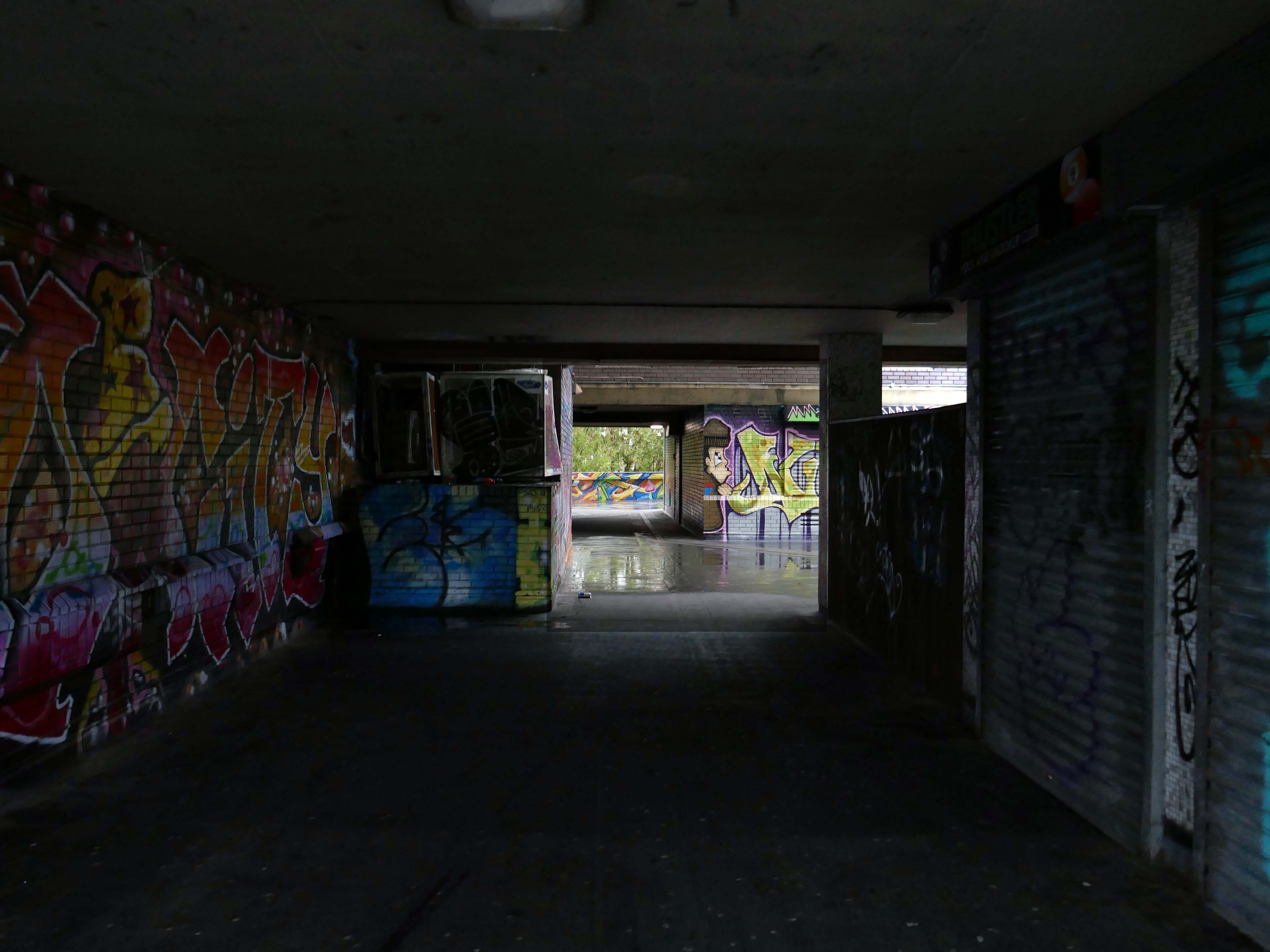
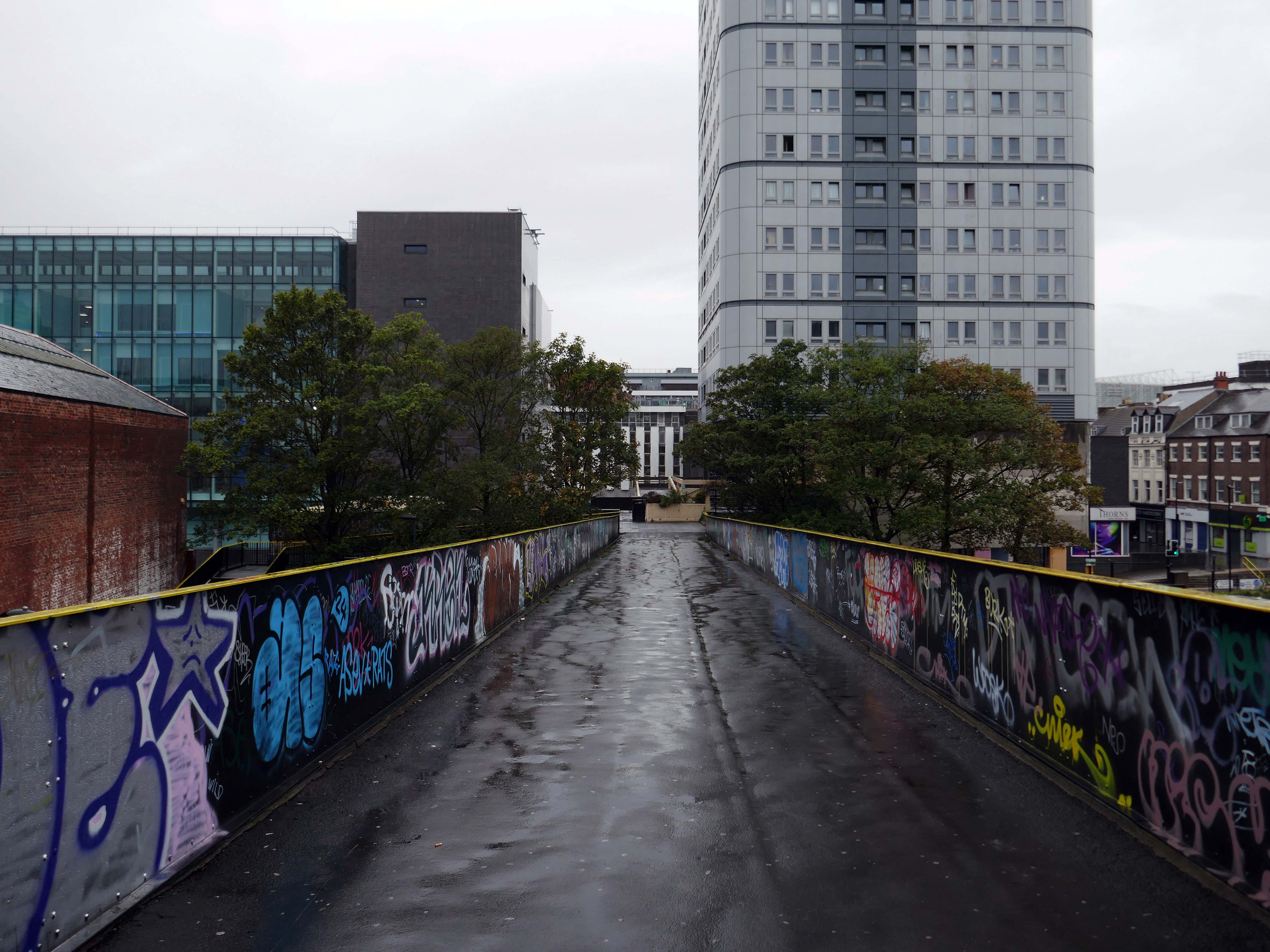
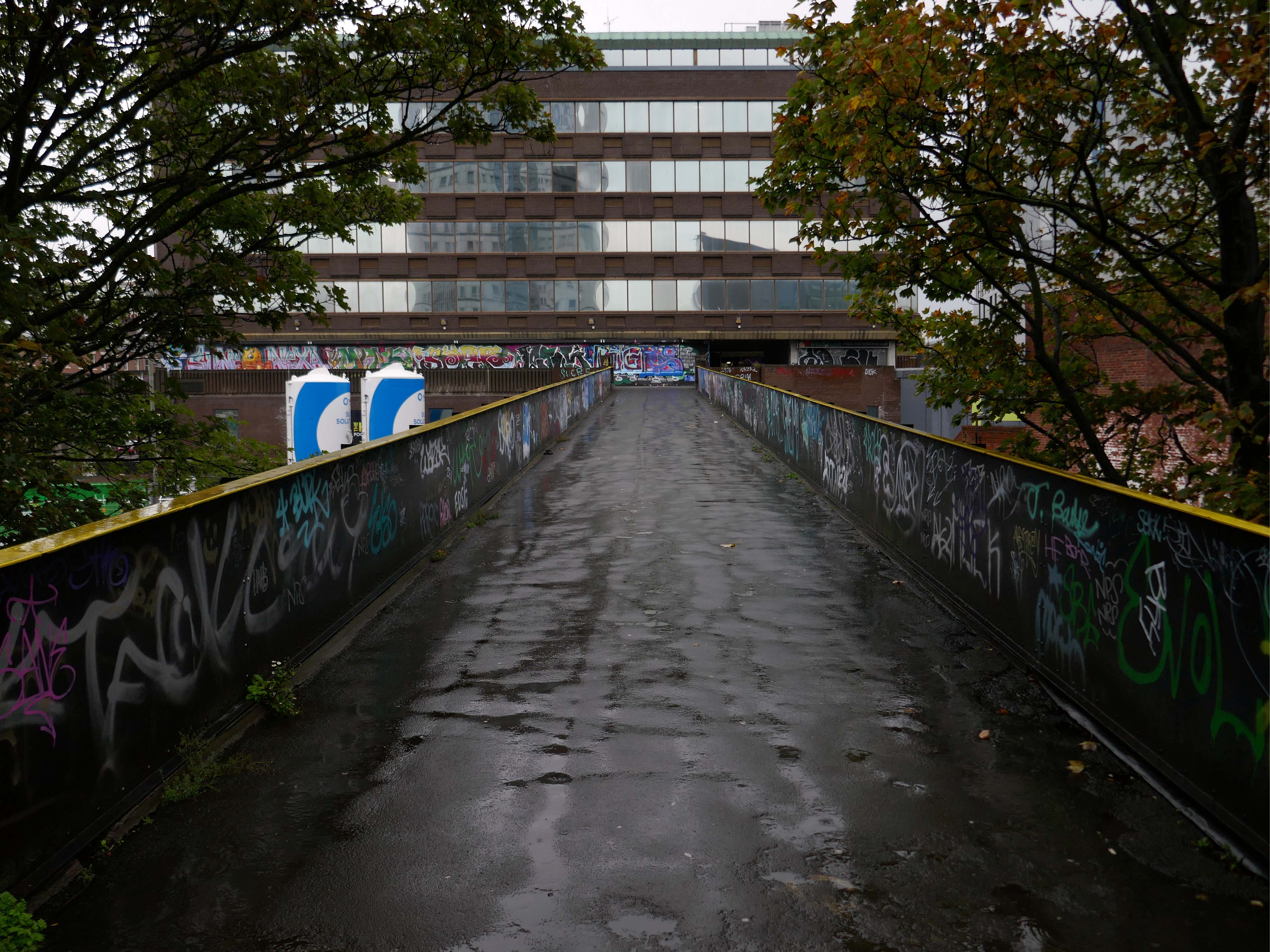
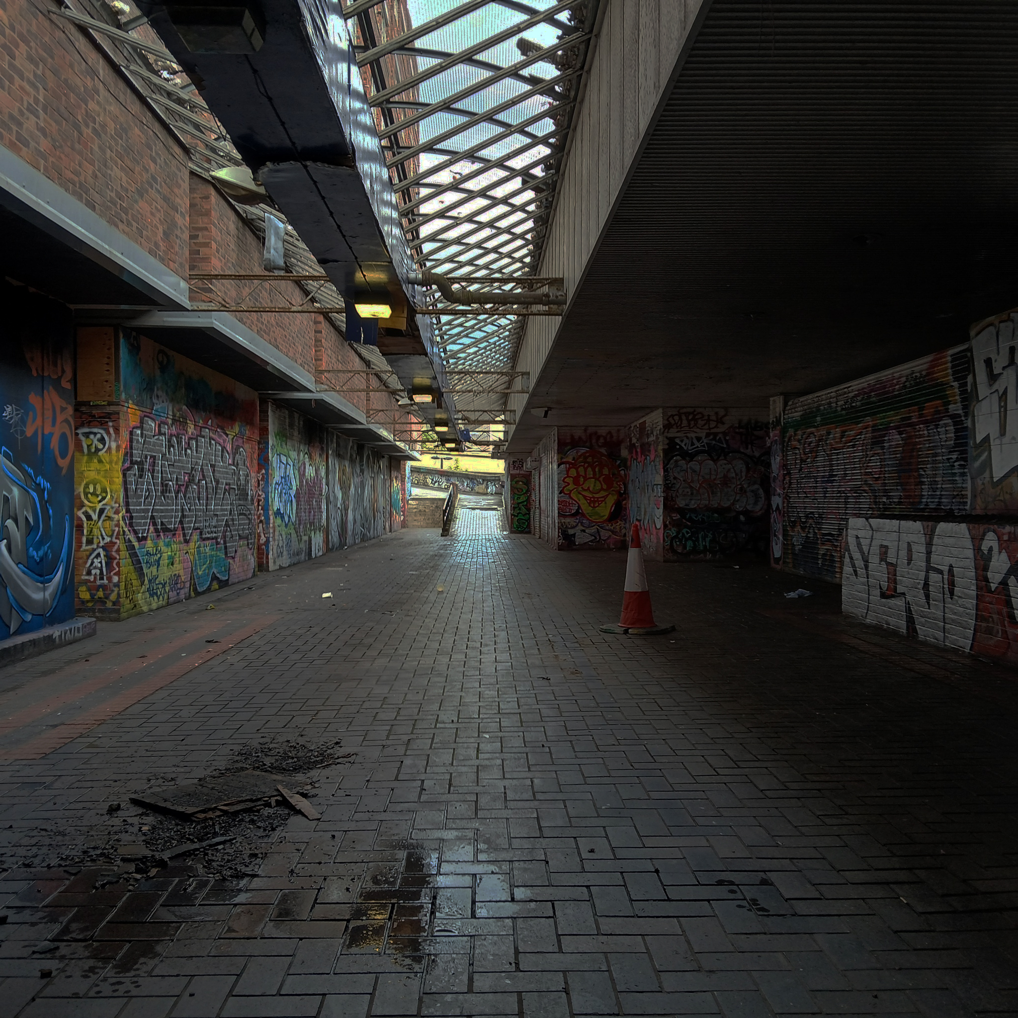
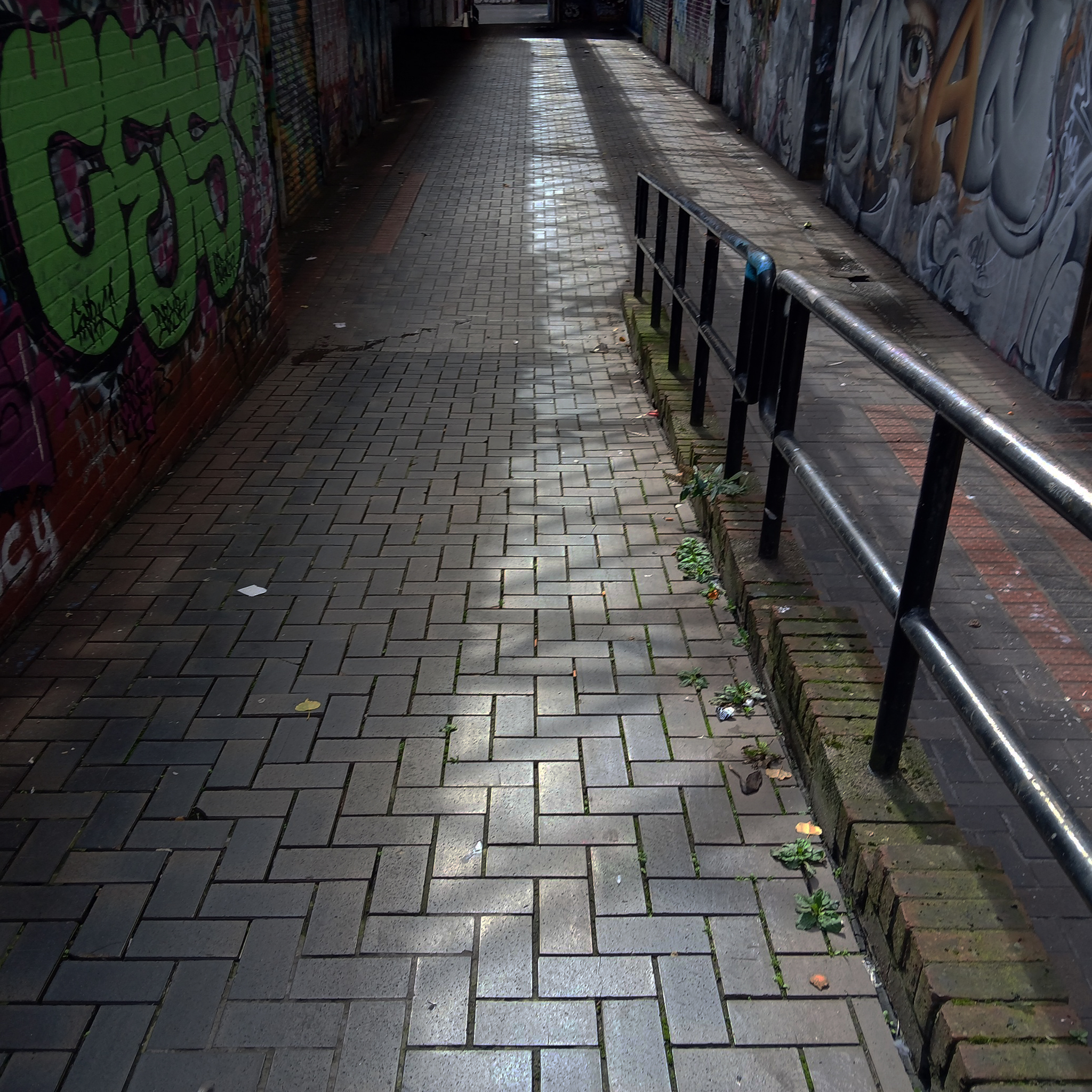
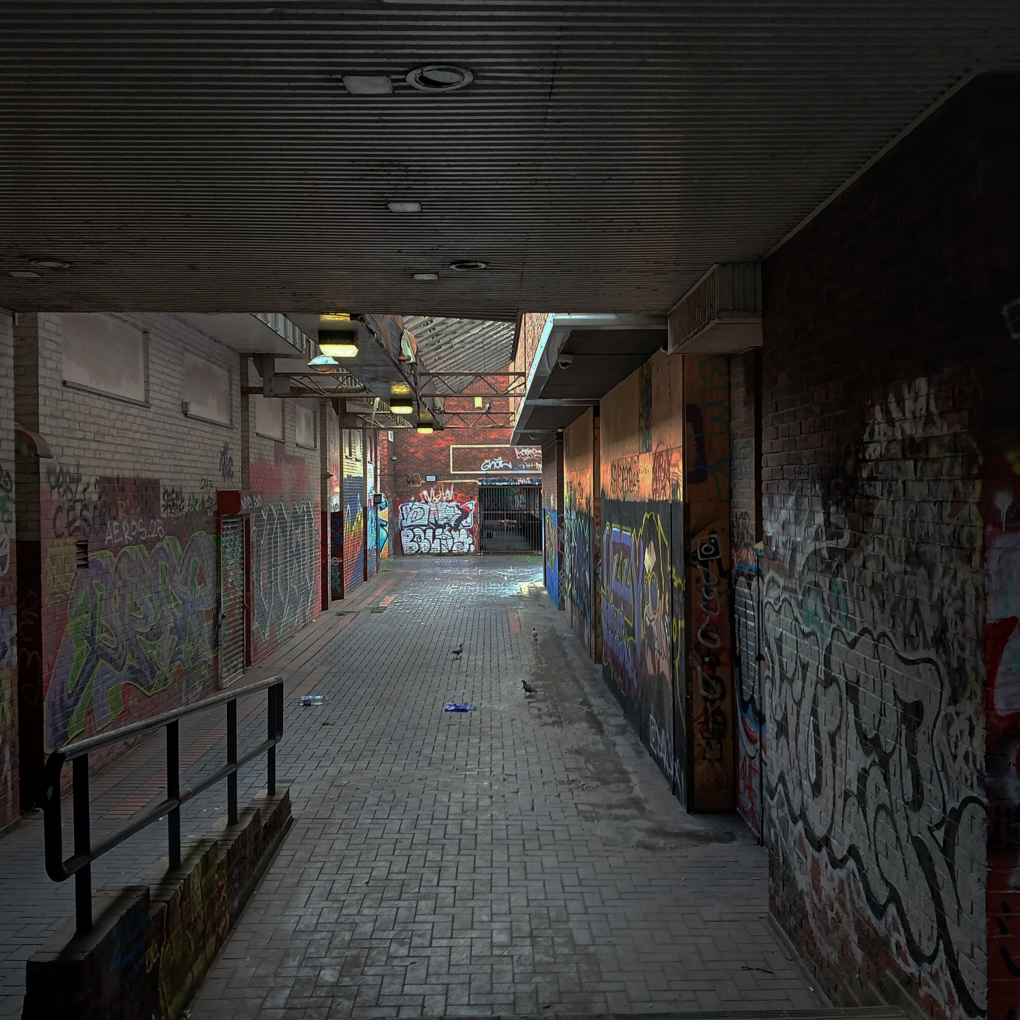
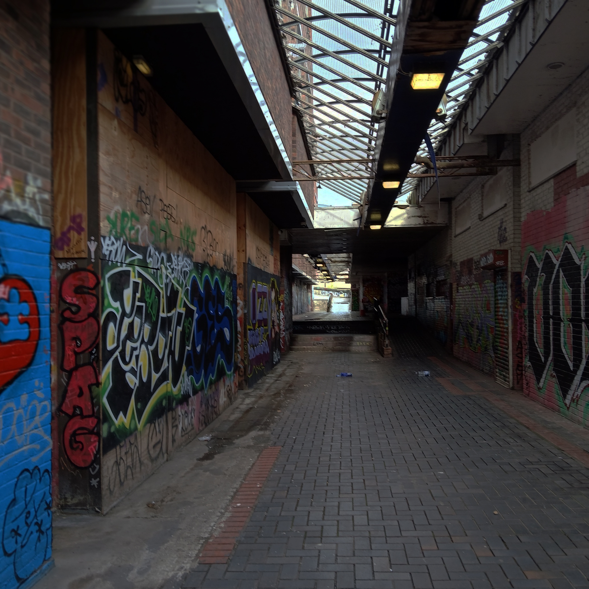
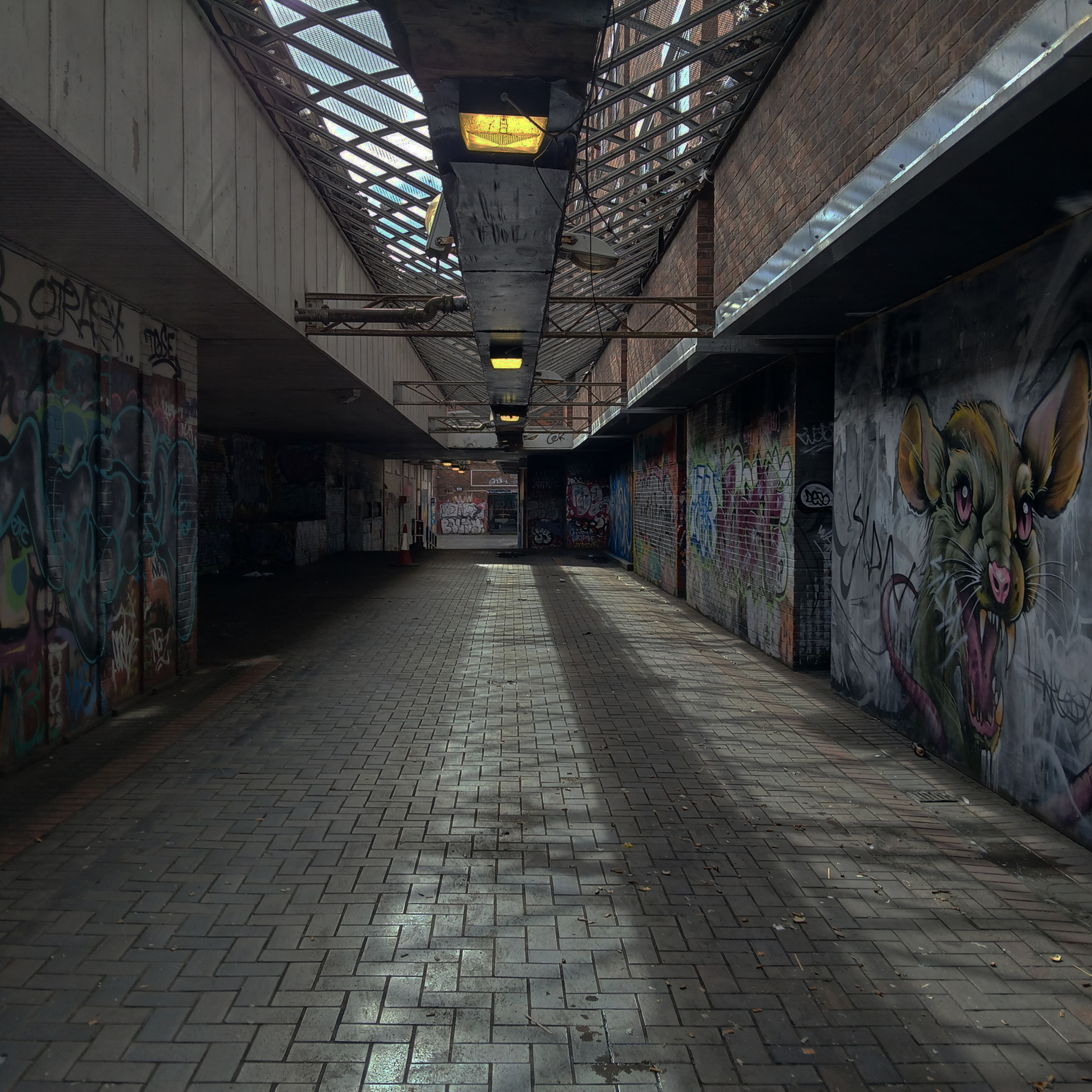
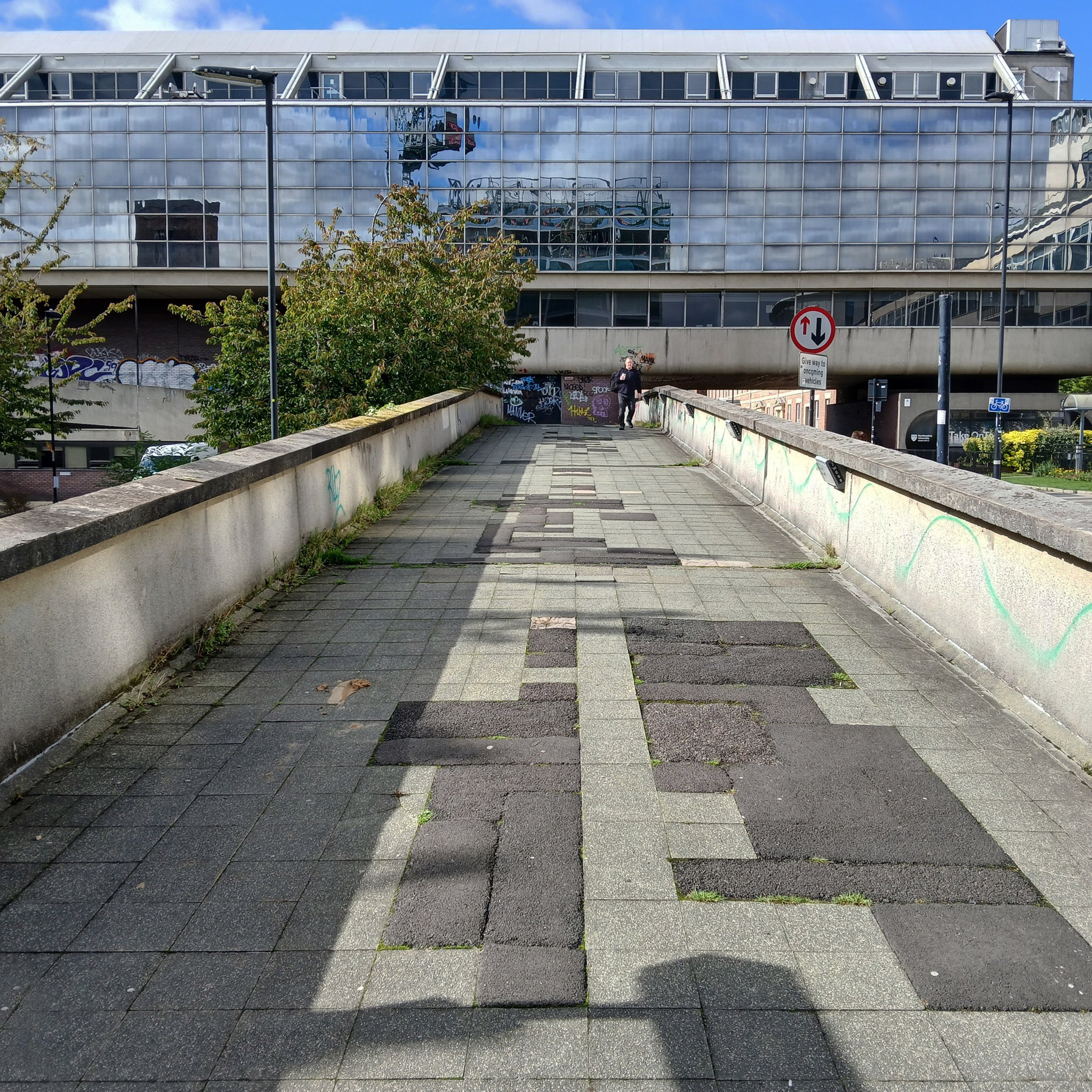
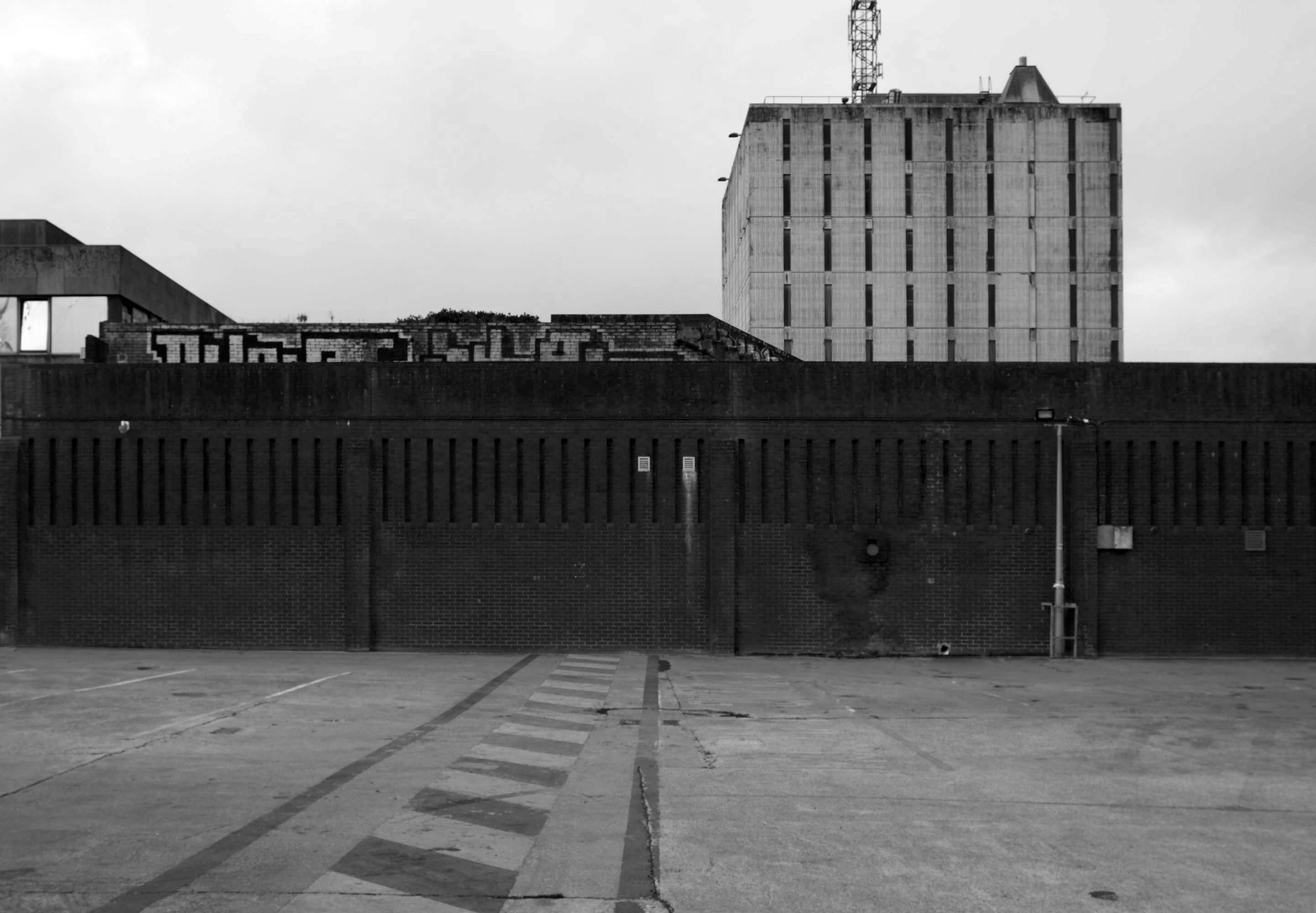
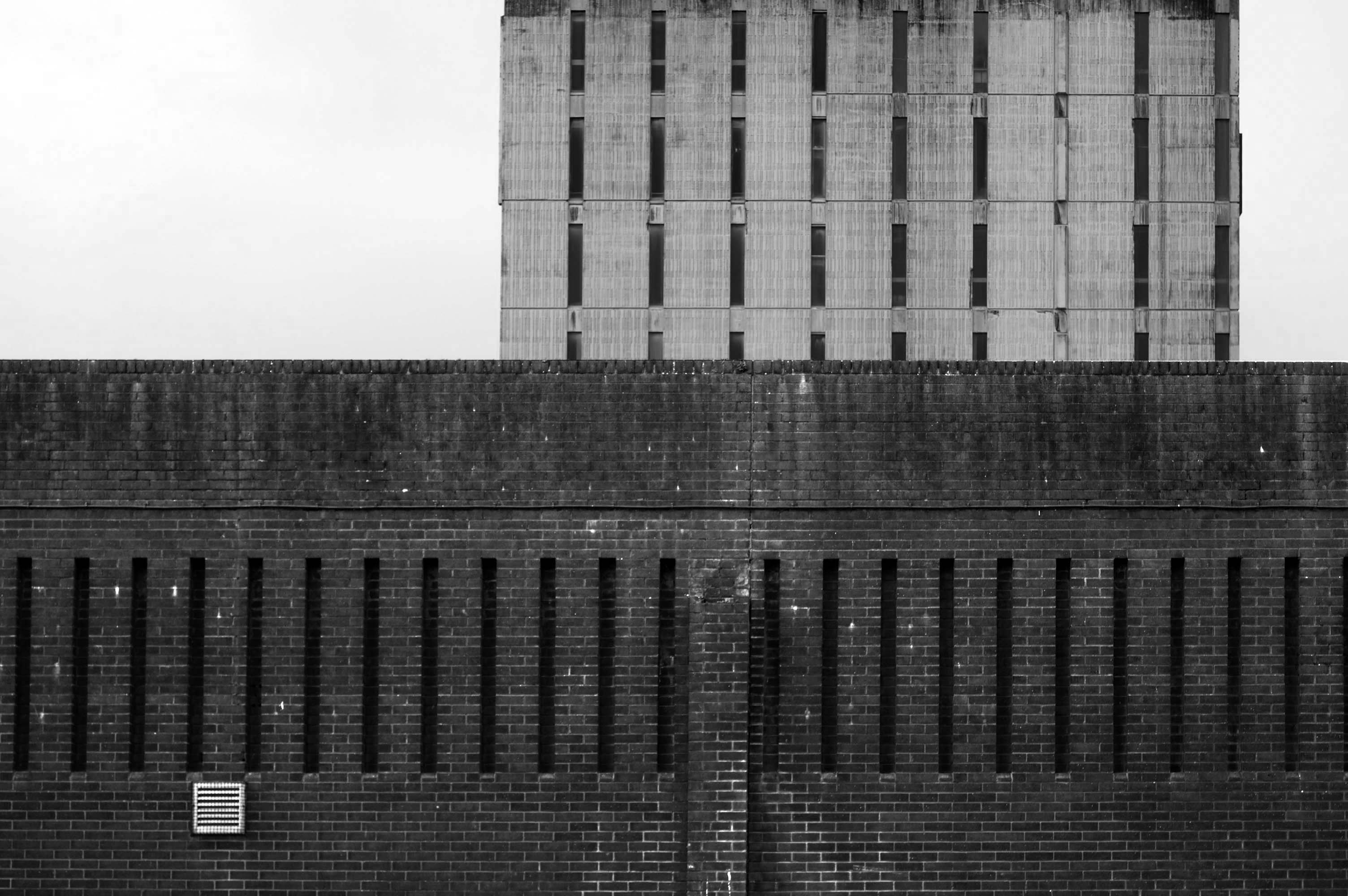
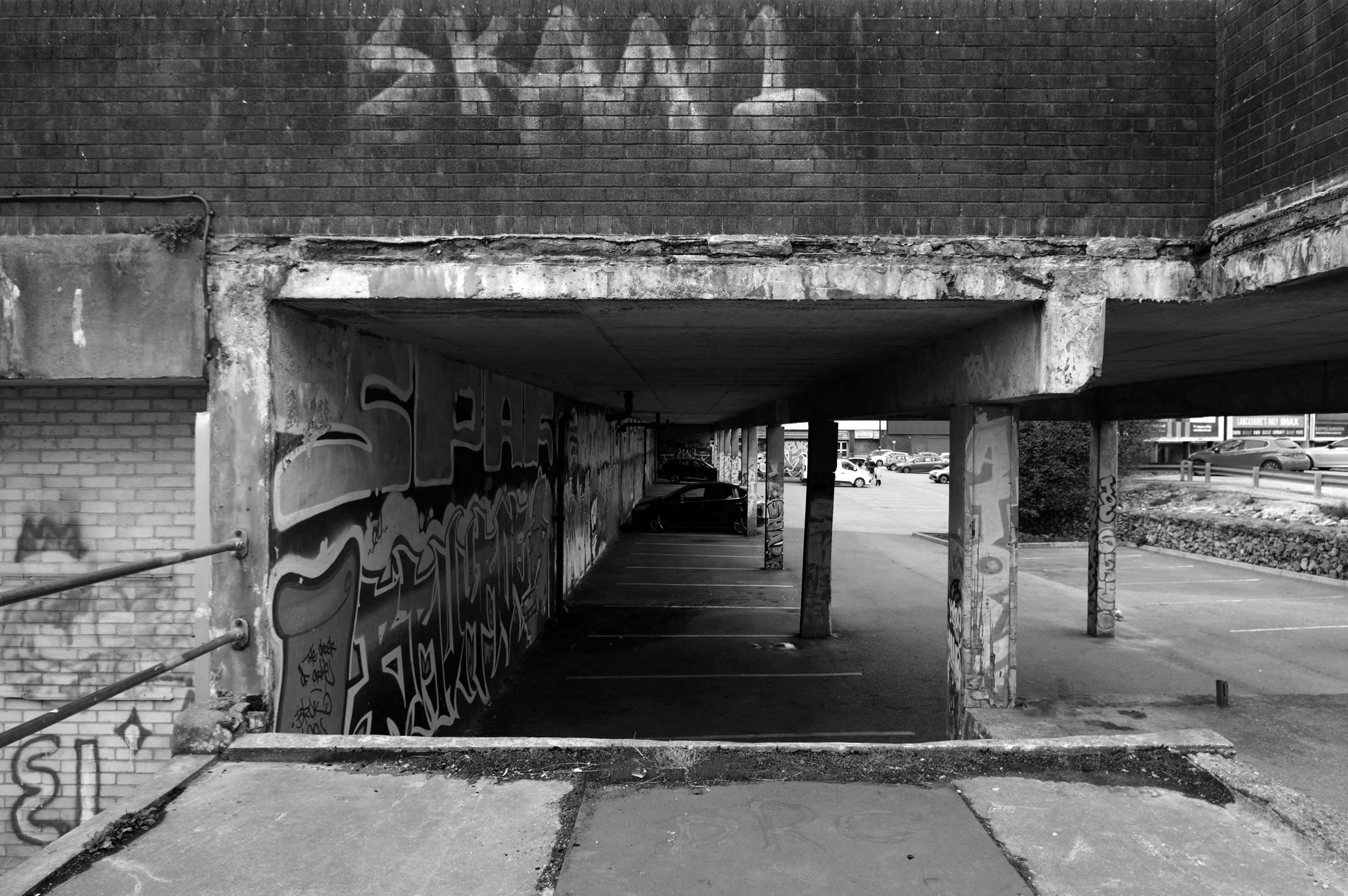
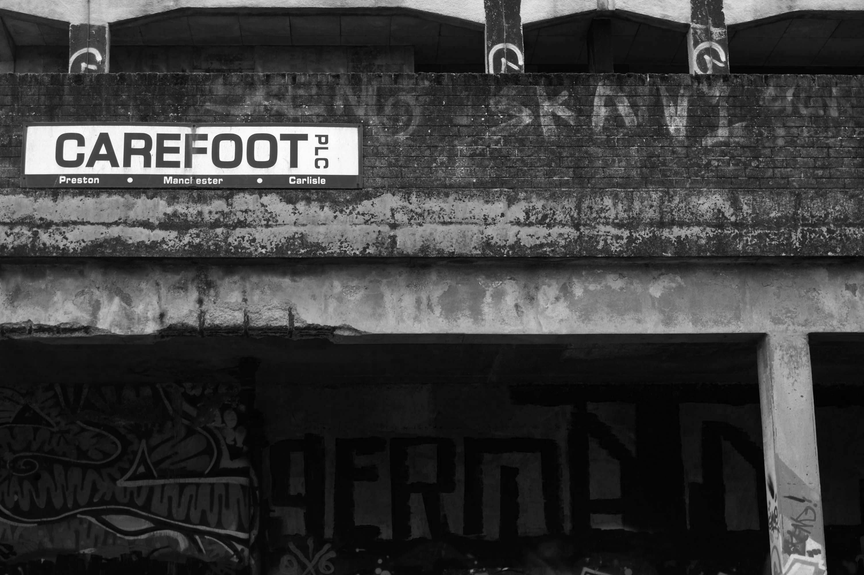
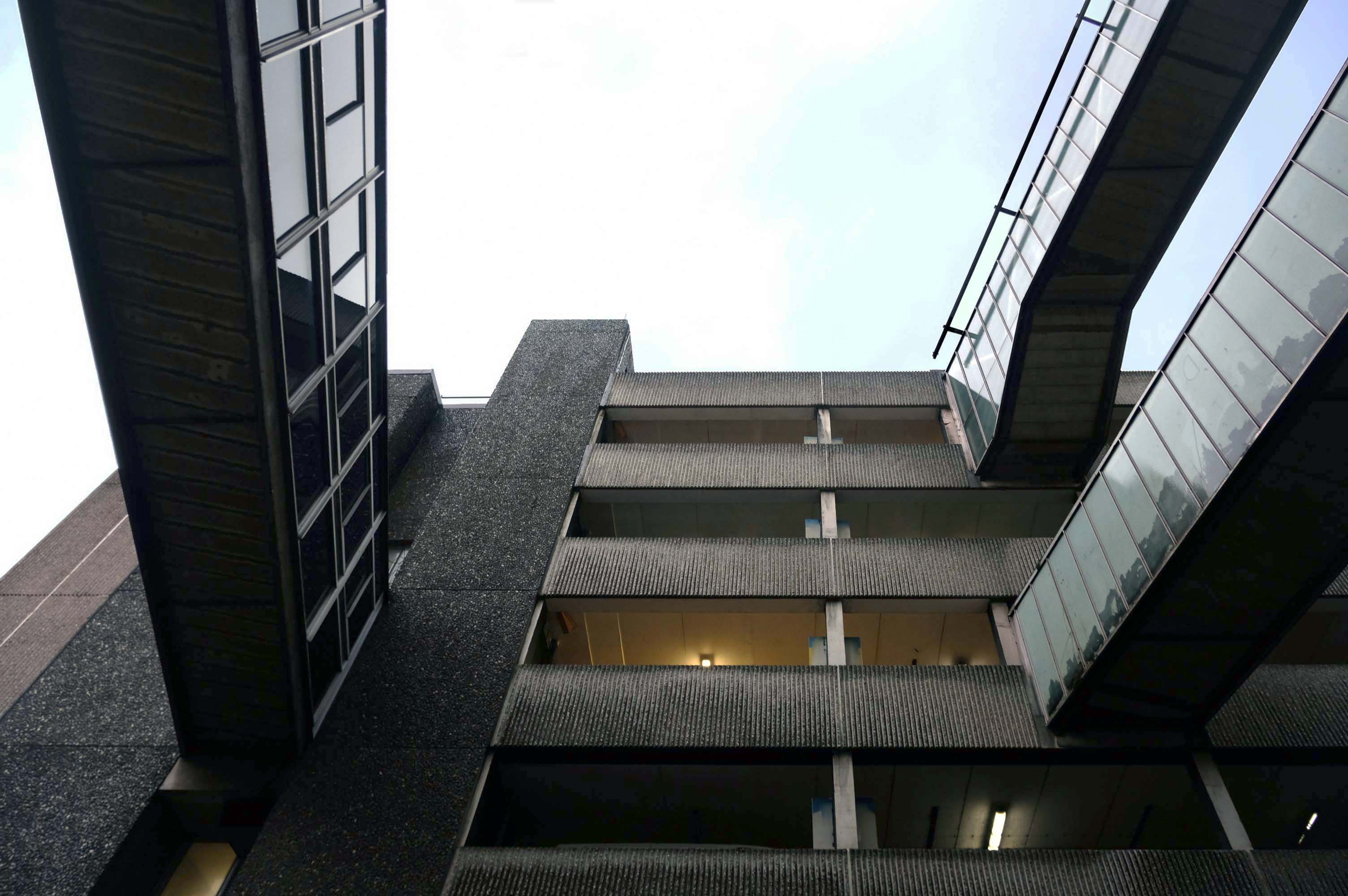
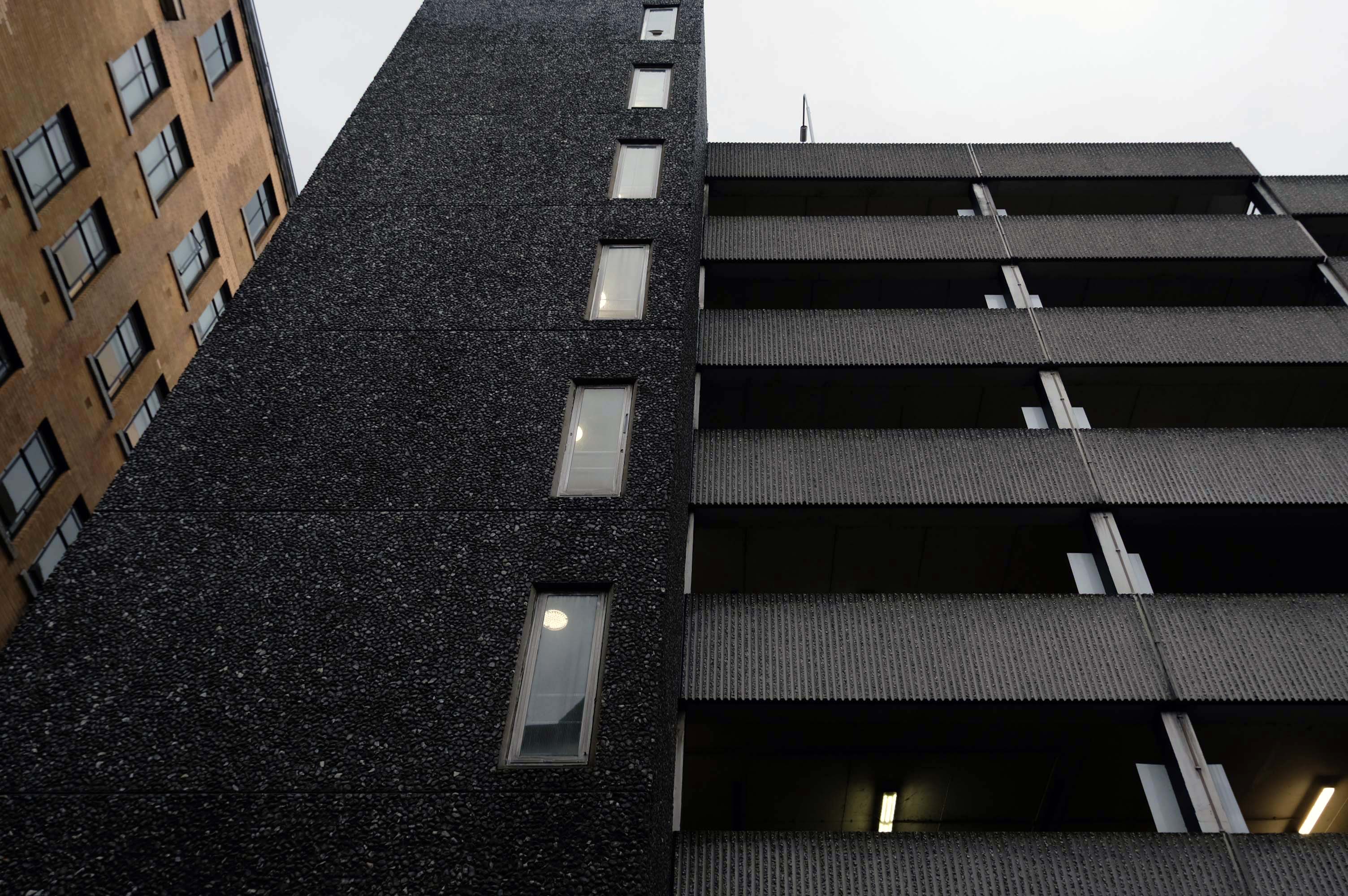
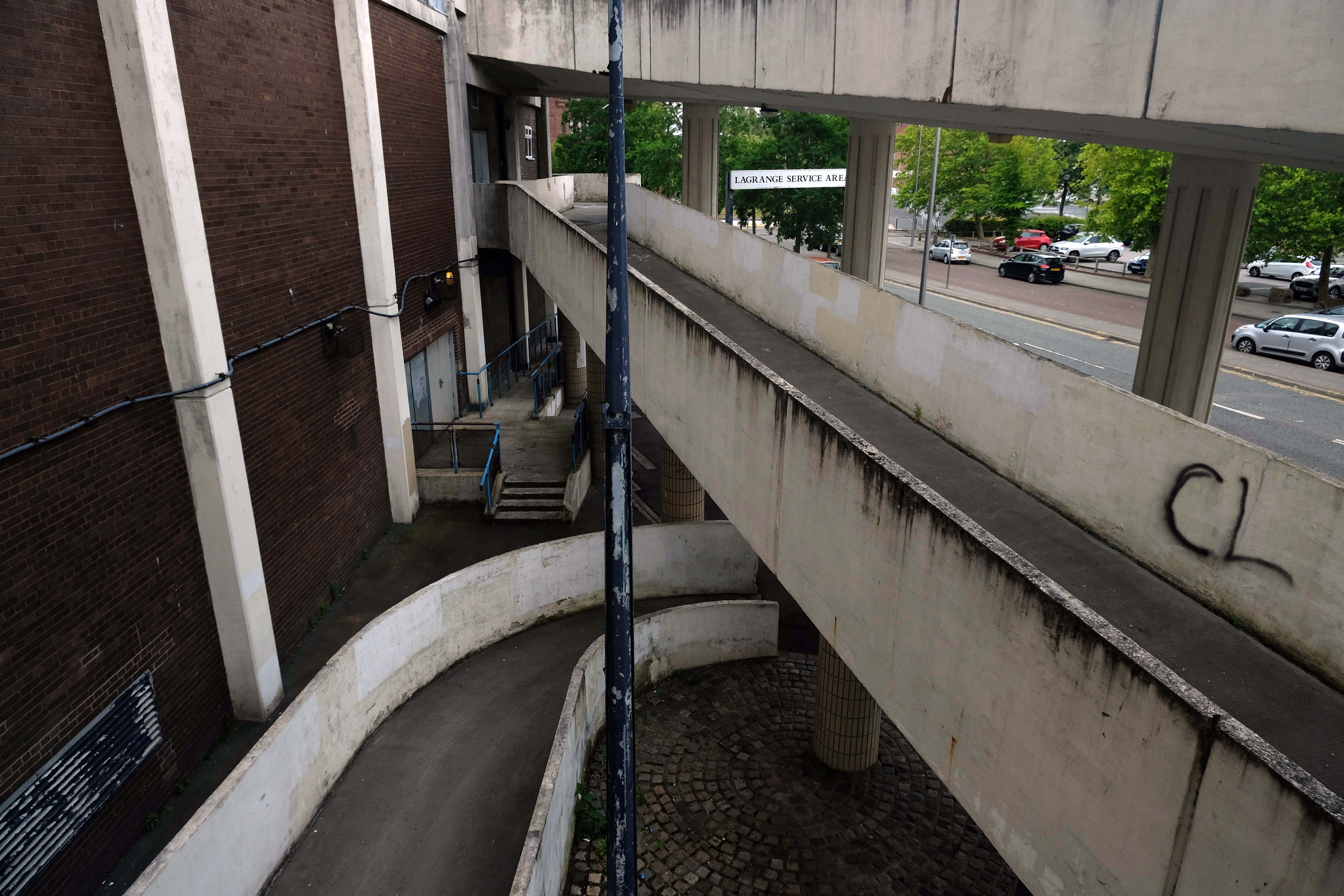
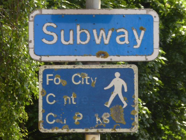
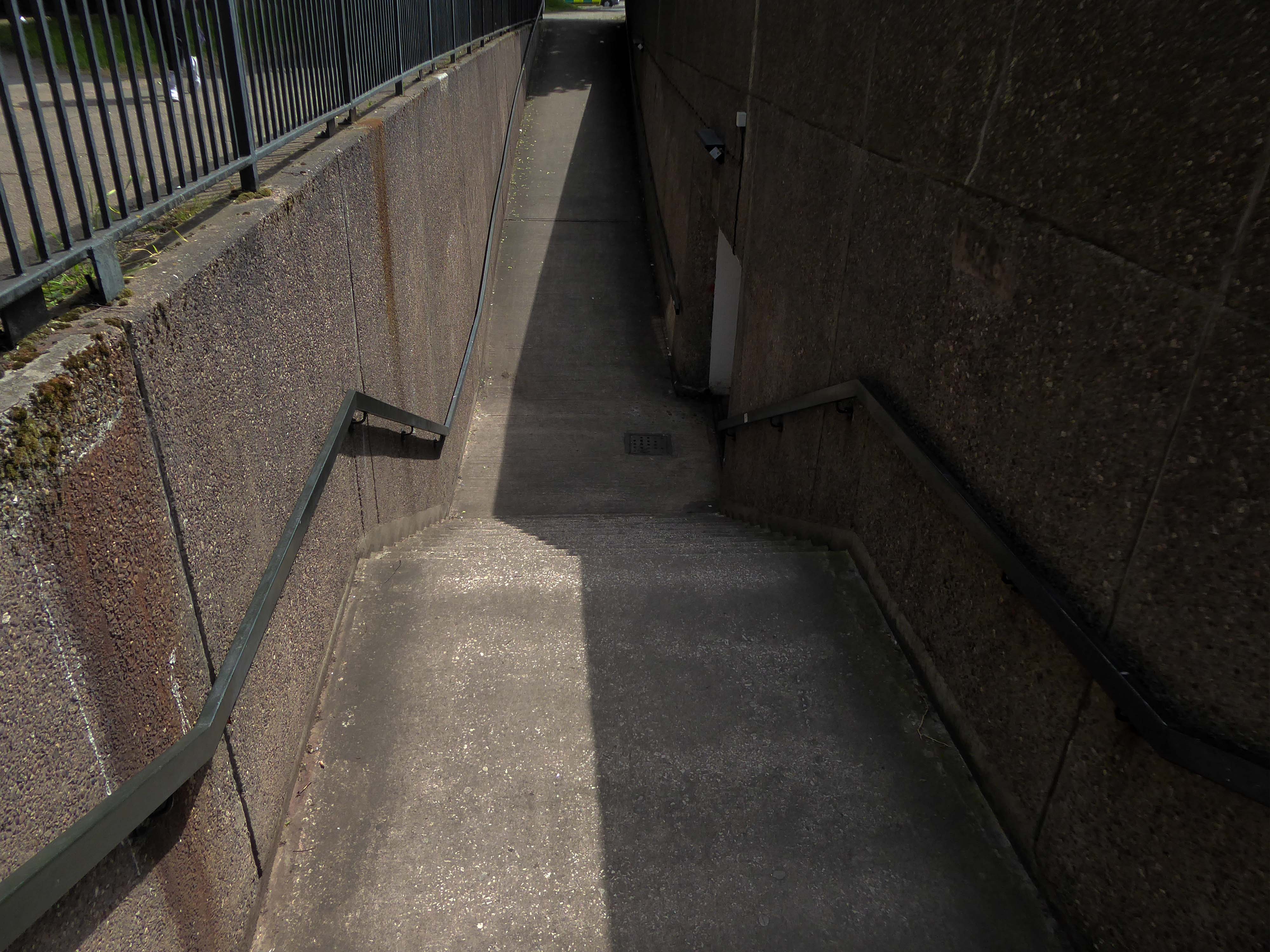
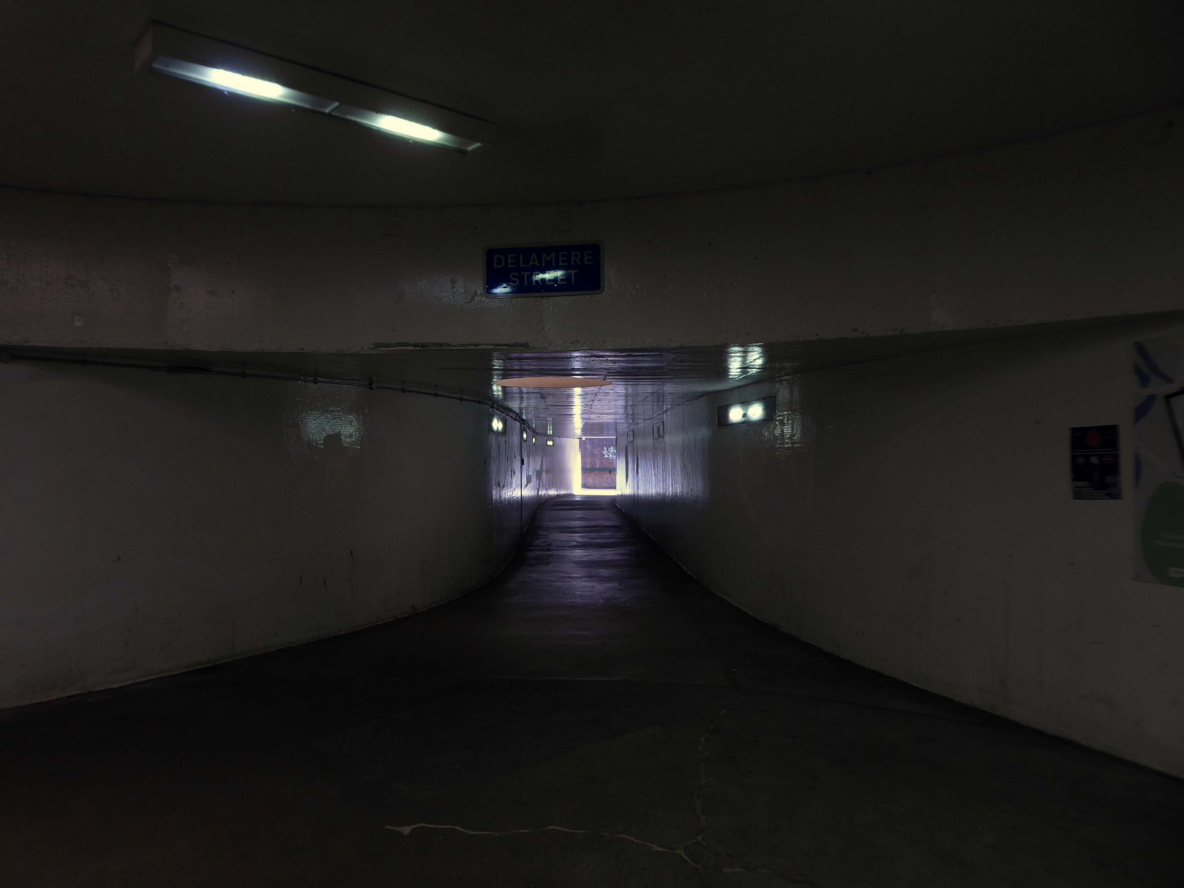
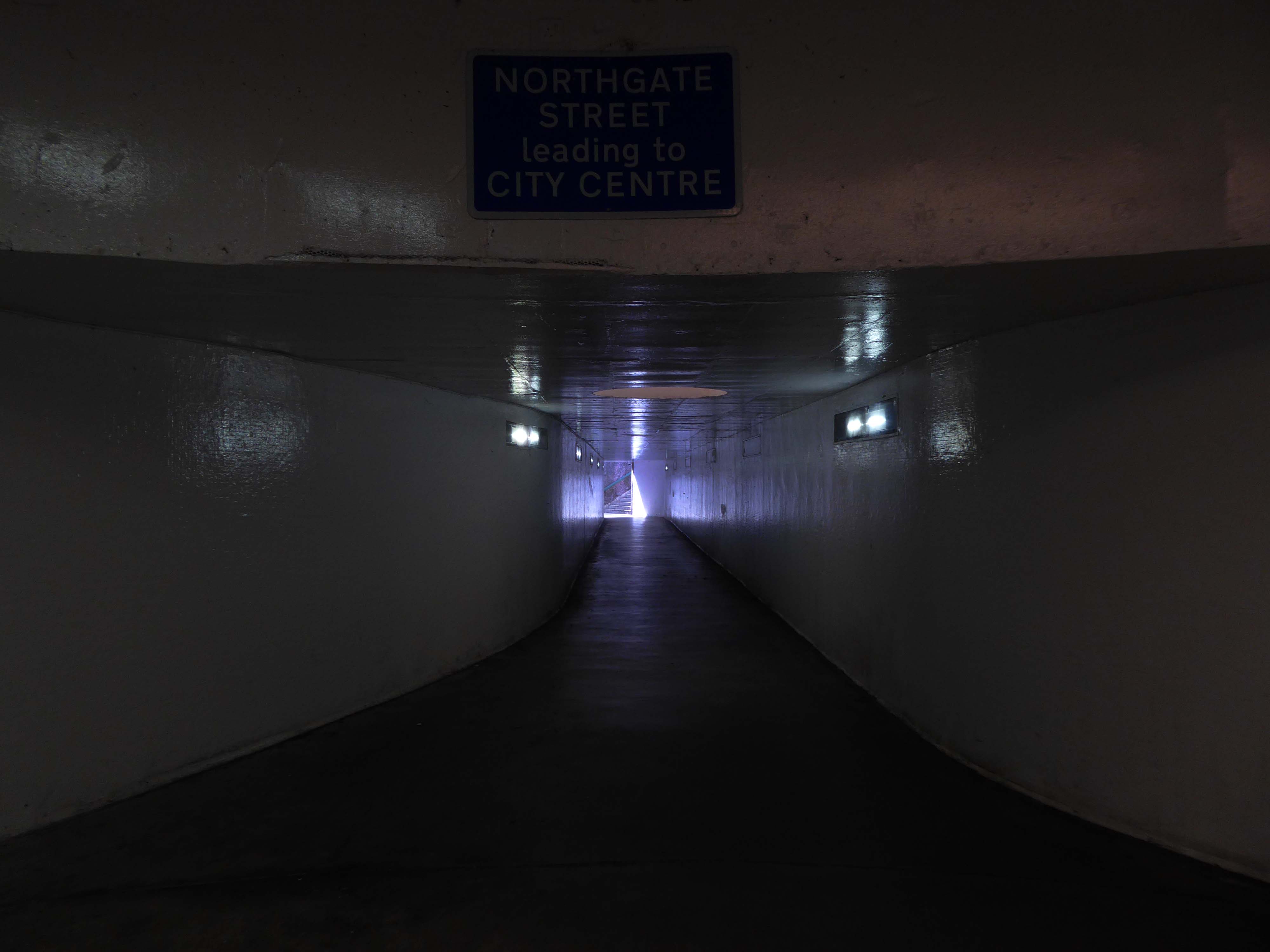
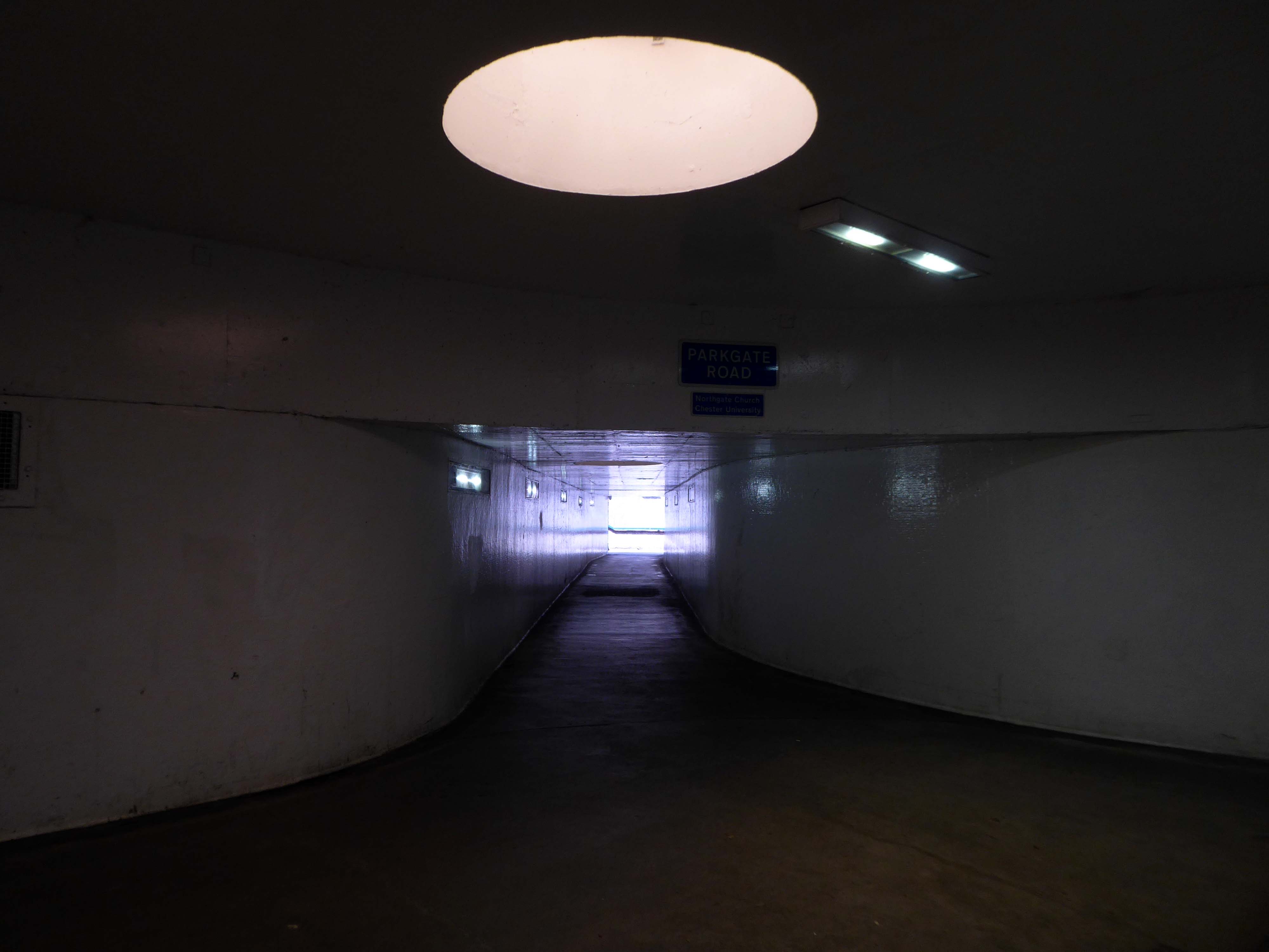
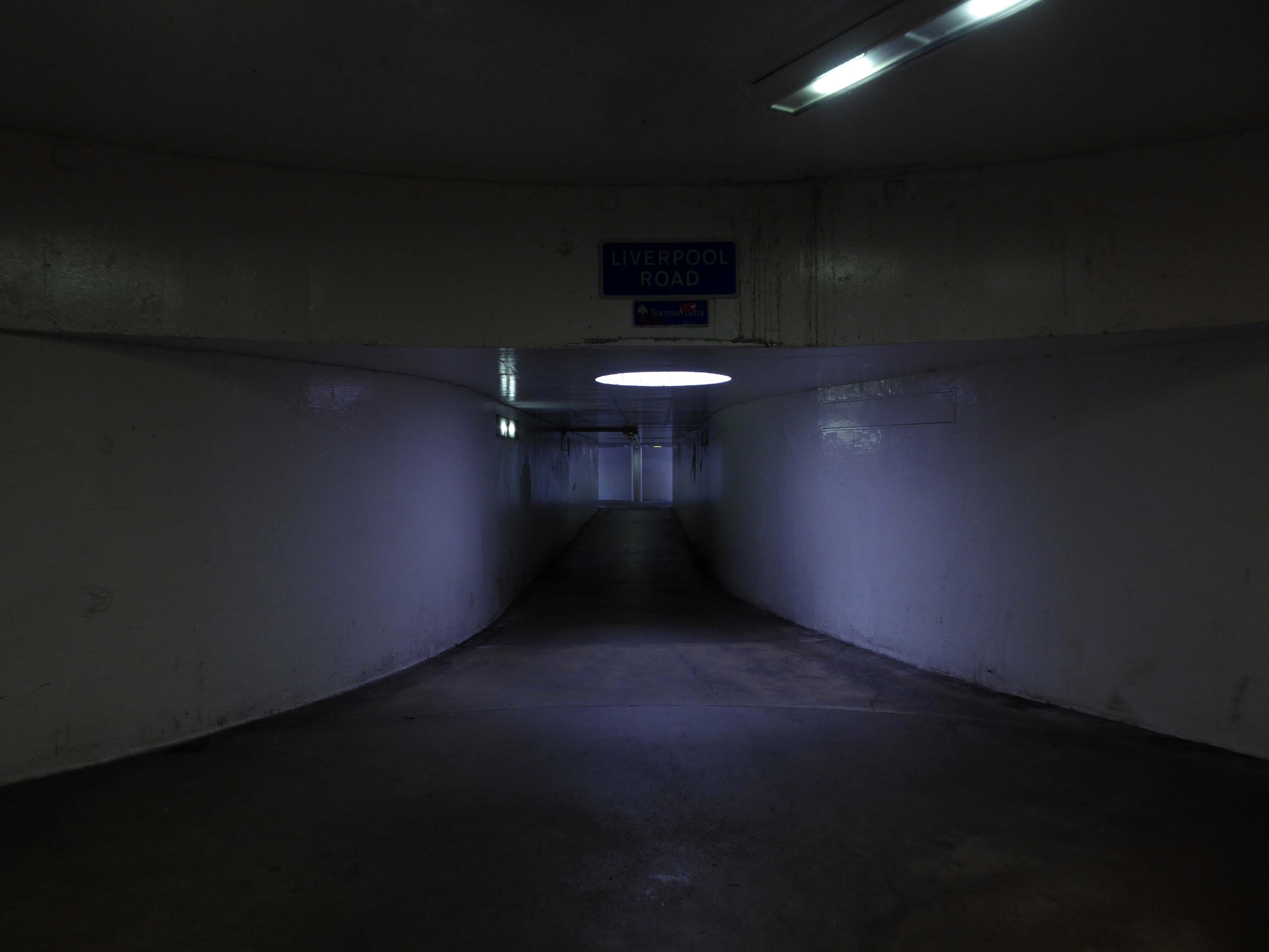
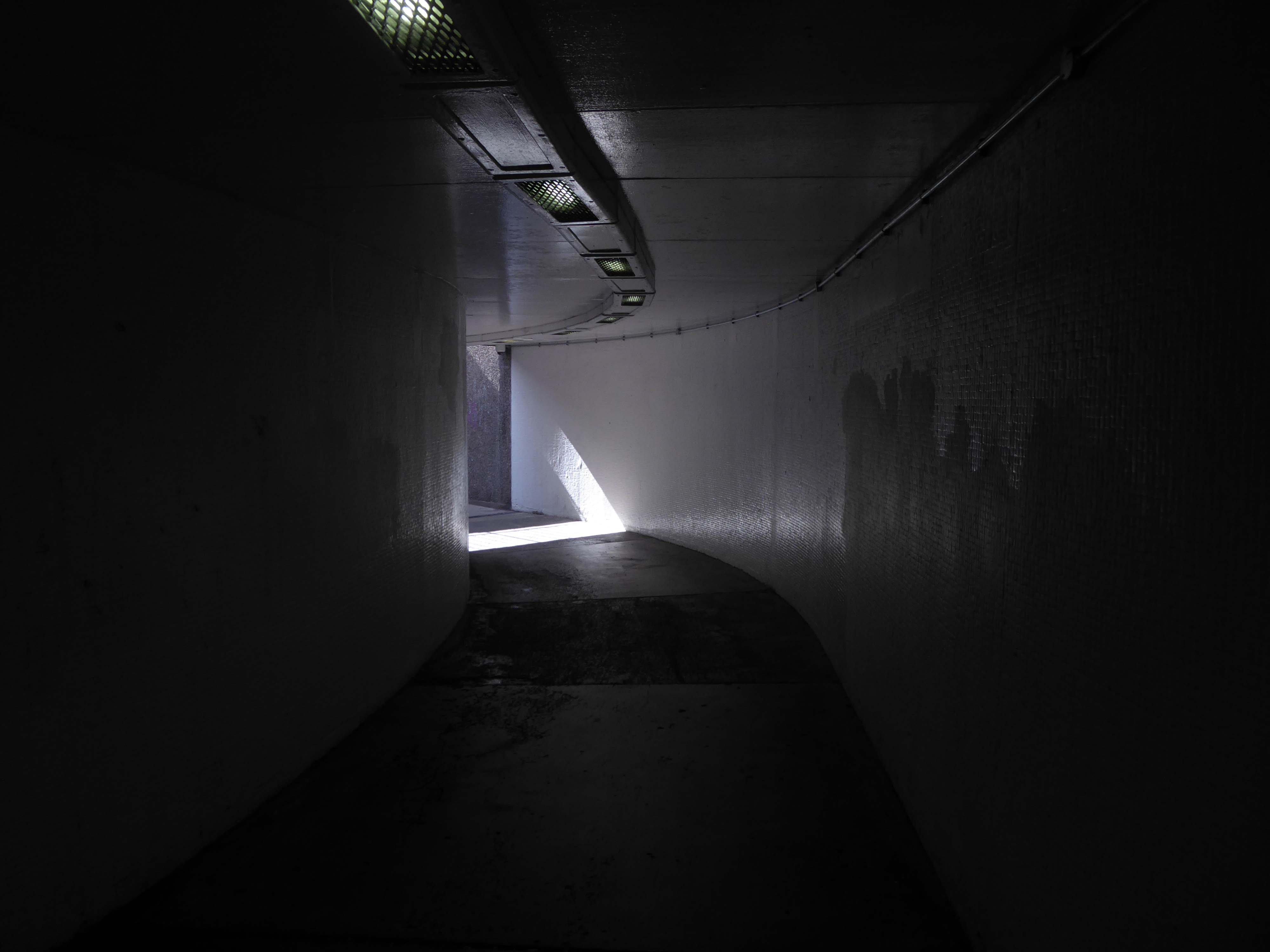
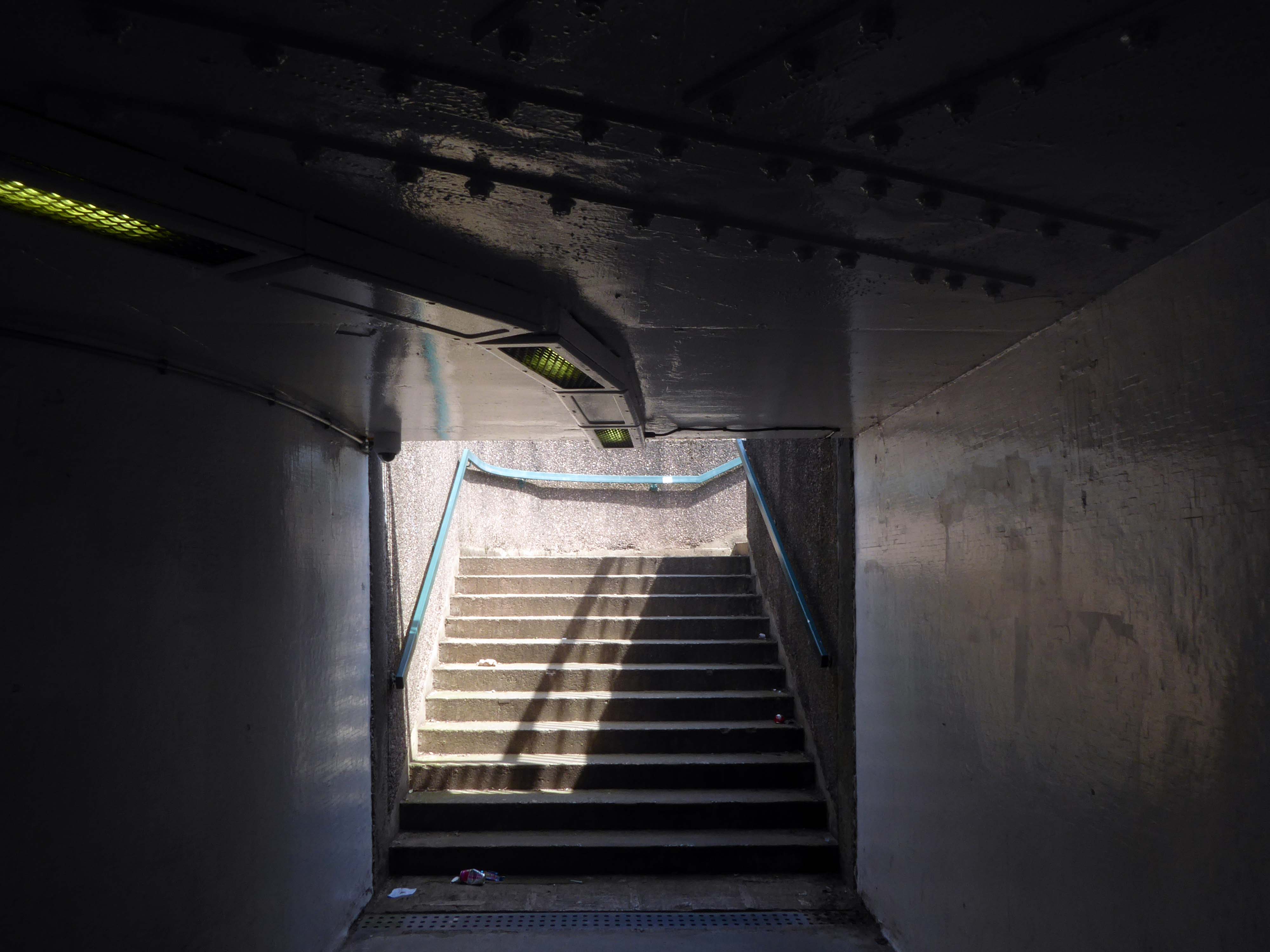
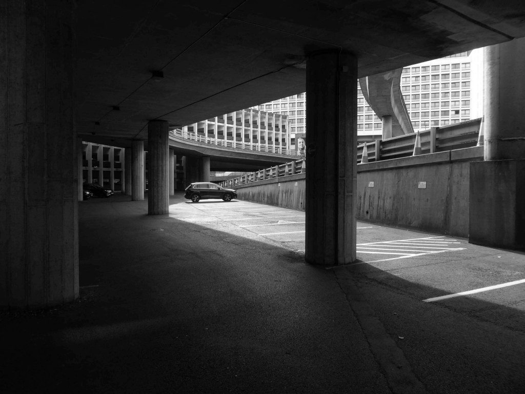
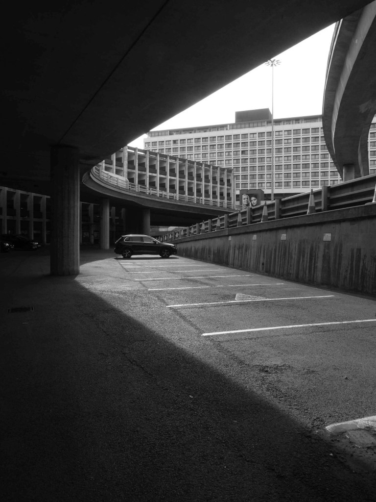
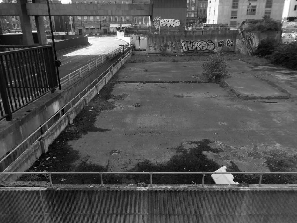
These are the streets in the sky passing between the Central Motorway, Saville Place and Oxford Street.
Streets constrained by infrastructure, a University and doomed leisure provision.
Welcome to Newbridge Hotel Newcastle upon Tyne – a charming oasis located in the heart of the vibrant city, just a short stroll from the renowned Theatre Royal and beautiful St James’ Park. Whether you’re visiting for business or leisure, the location ensures that you have easy access to the best of Newcastle, including fantastic shopping at Eldon Square and local attractions like the Metro Radio Arena.
Discover the essence of Newcastle from Newbridge Hotel, where every stay becomes a unique experience tailored to your needs.
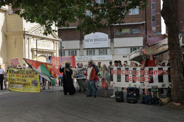
Two sets of protestors gathered outside the New Bridge Hotel in Newcastle, as “Newcastle Welcomes Refugees” stood up to “Send Them Back” protesters who want an end to migrants being housed in the hotel.
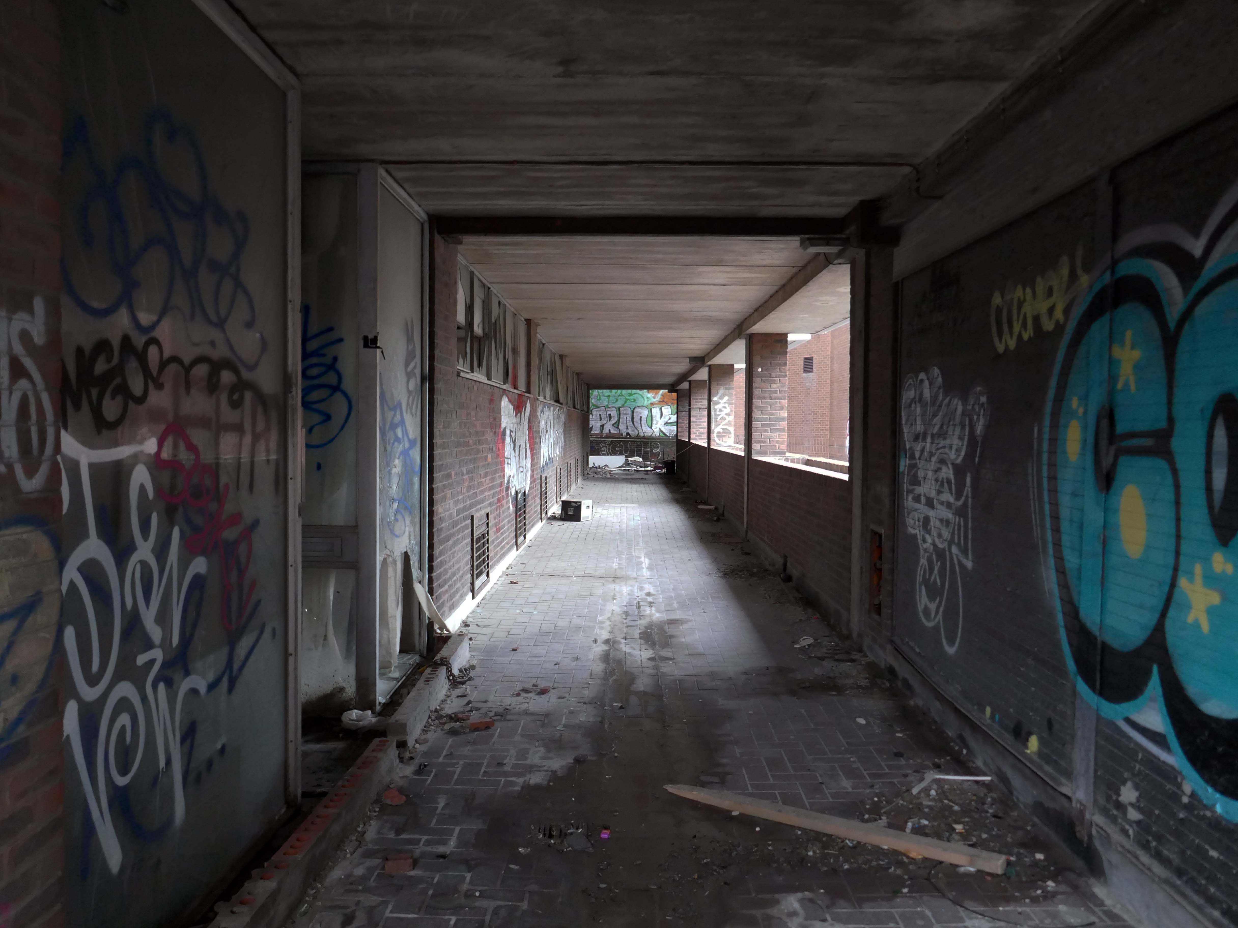
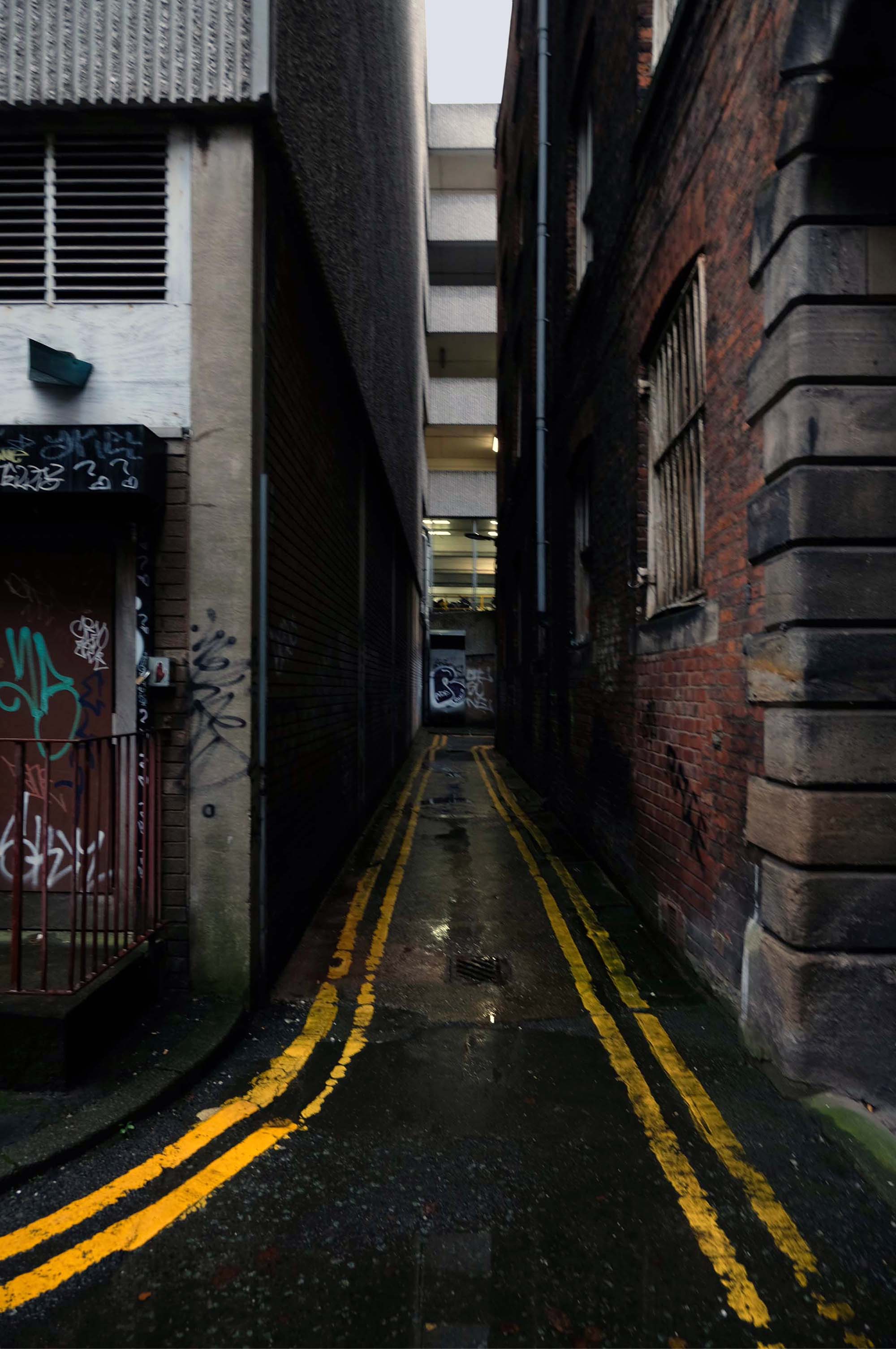
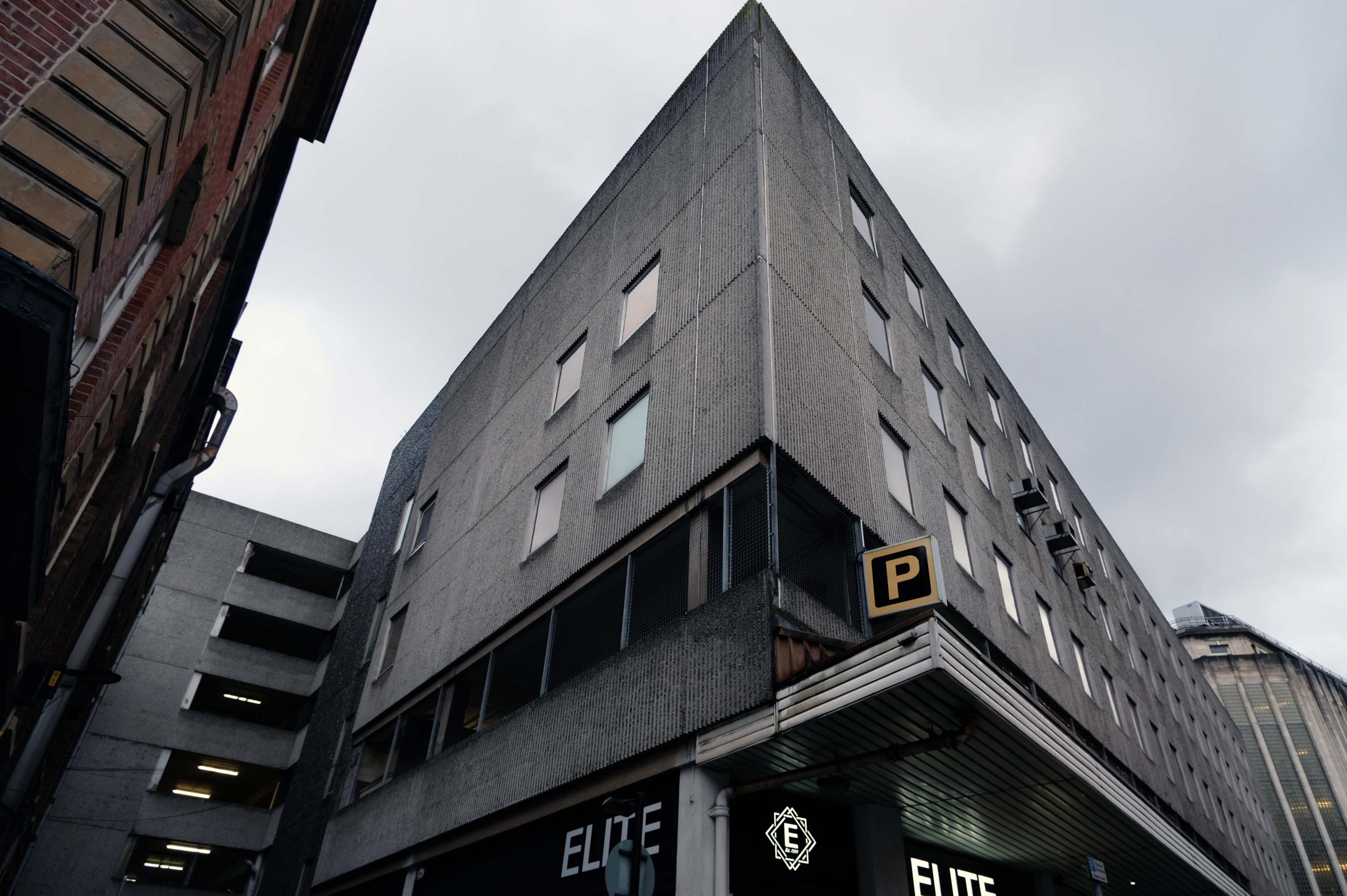
This is an inland island of anonymity, home to pigeons, shake can shakers and the terminally curious.
It always rains on Saturdays.
Happily, the sun always shines on Sunday.
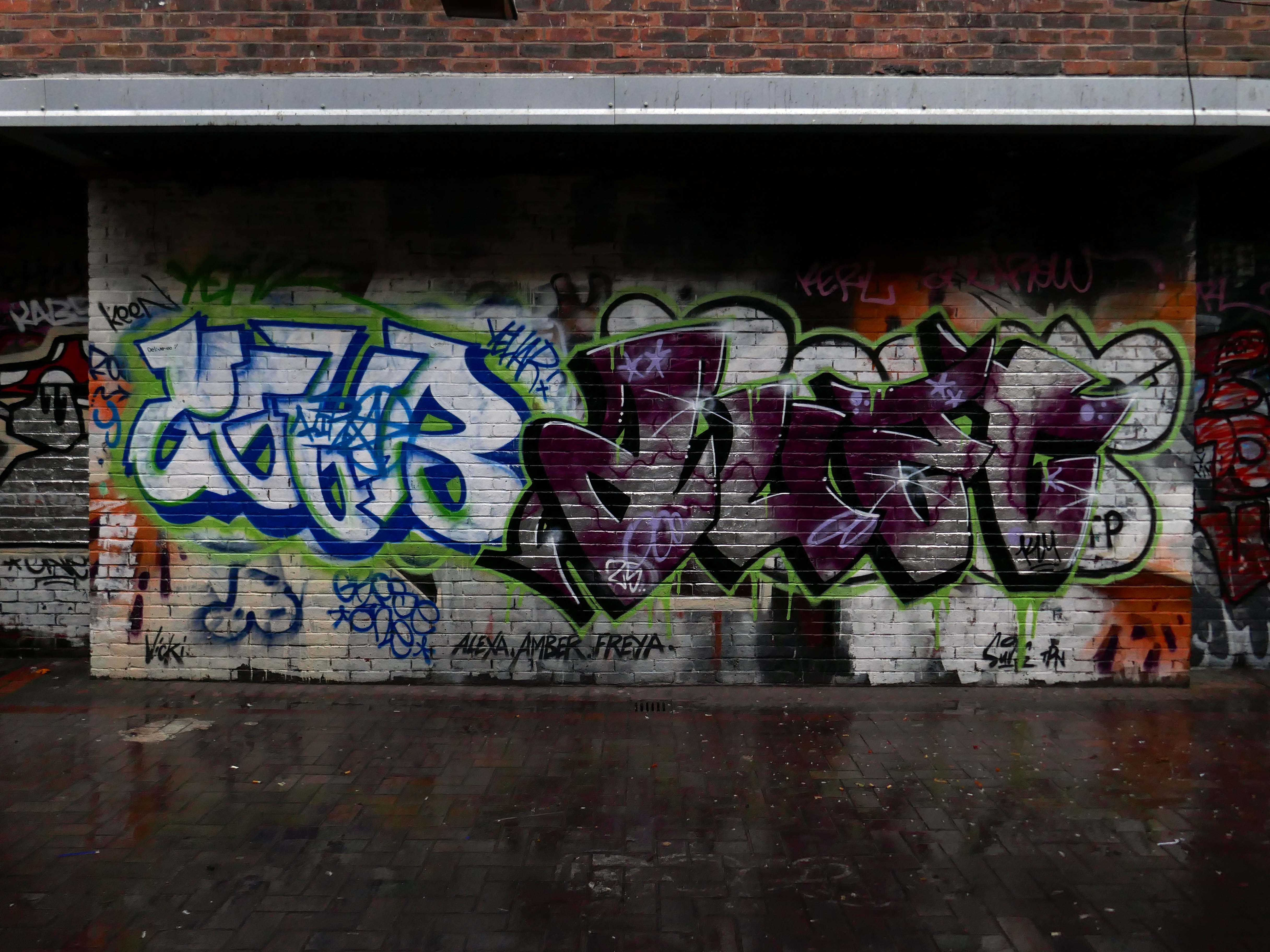
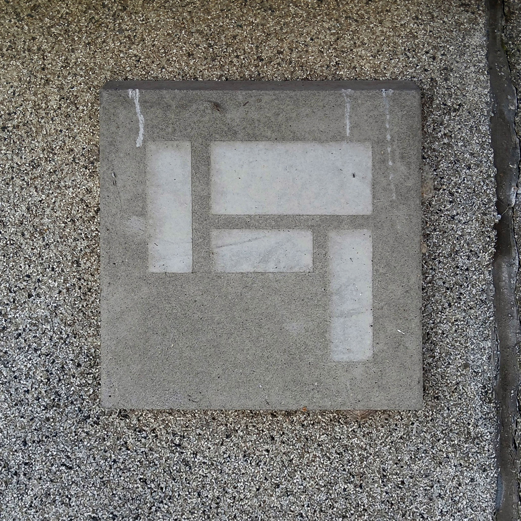
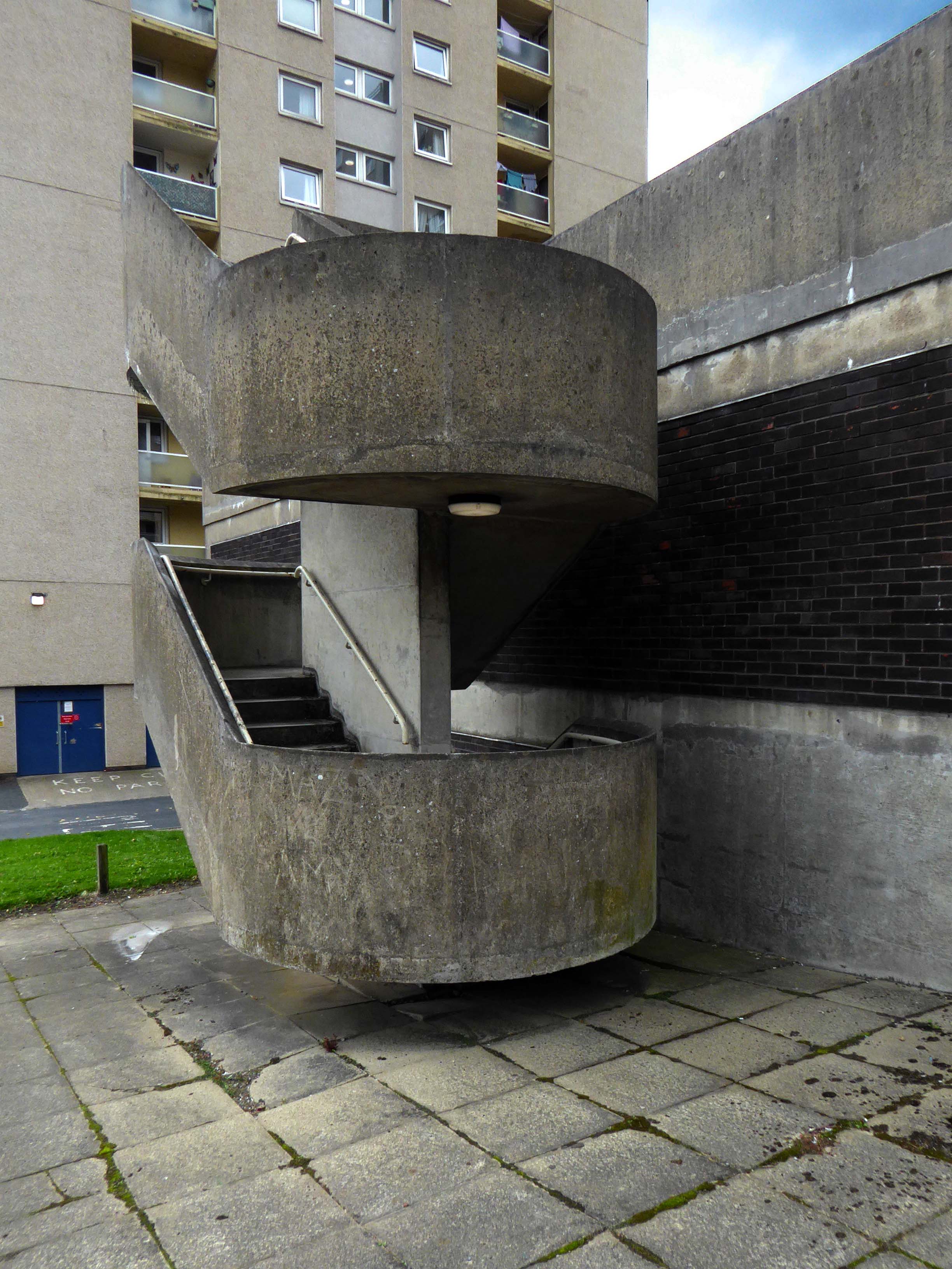
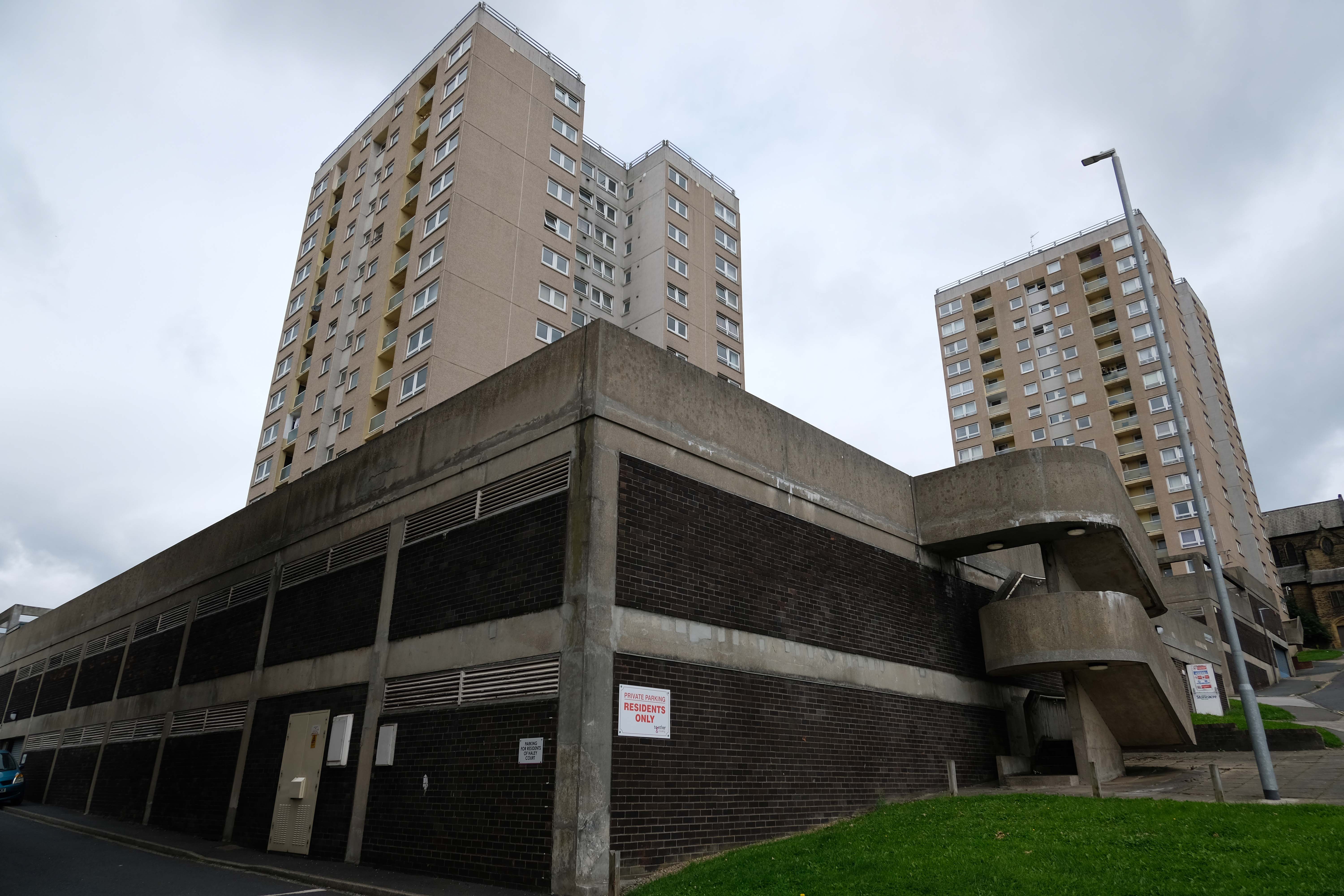
Hidden within and upon the walls of the walkways are these two cast concrete panels – the work of guerrilla artist Euan Lynn.
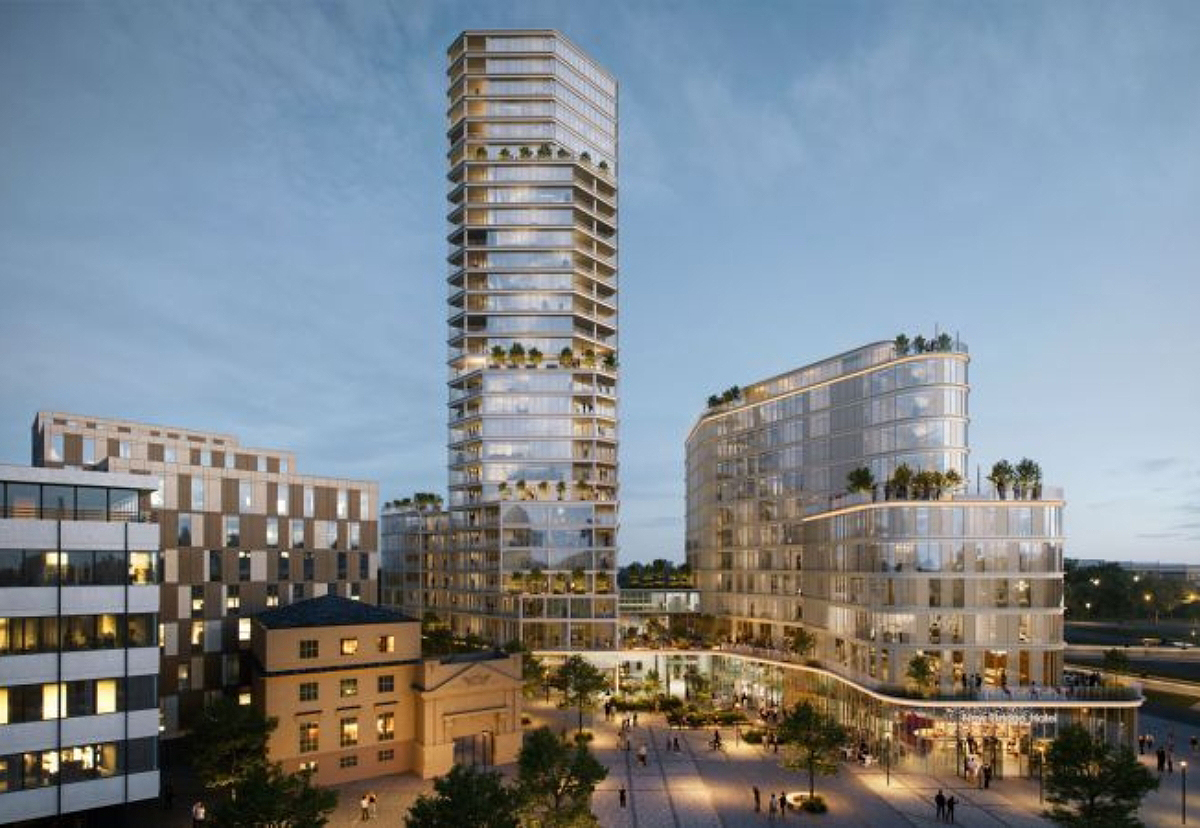
North east property group Gainford has unveiled its revised plan for a £170m residential and hotel project to transform Newcastle’s skyline.
It plans to redevelop a former Premier Inn site on New Bridge Street, with a 29-storey tower of 185 flats, alongside a separate 150-bedroom hotel, and bars, restaurants, and leisure space.
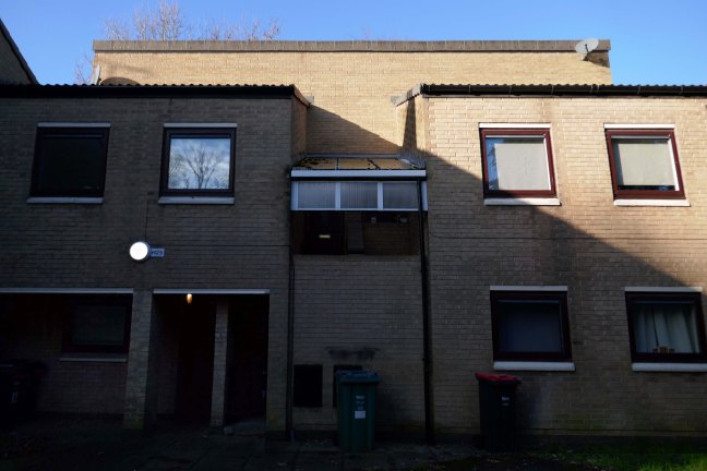
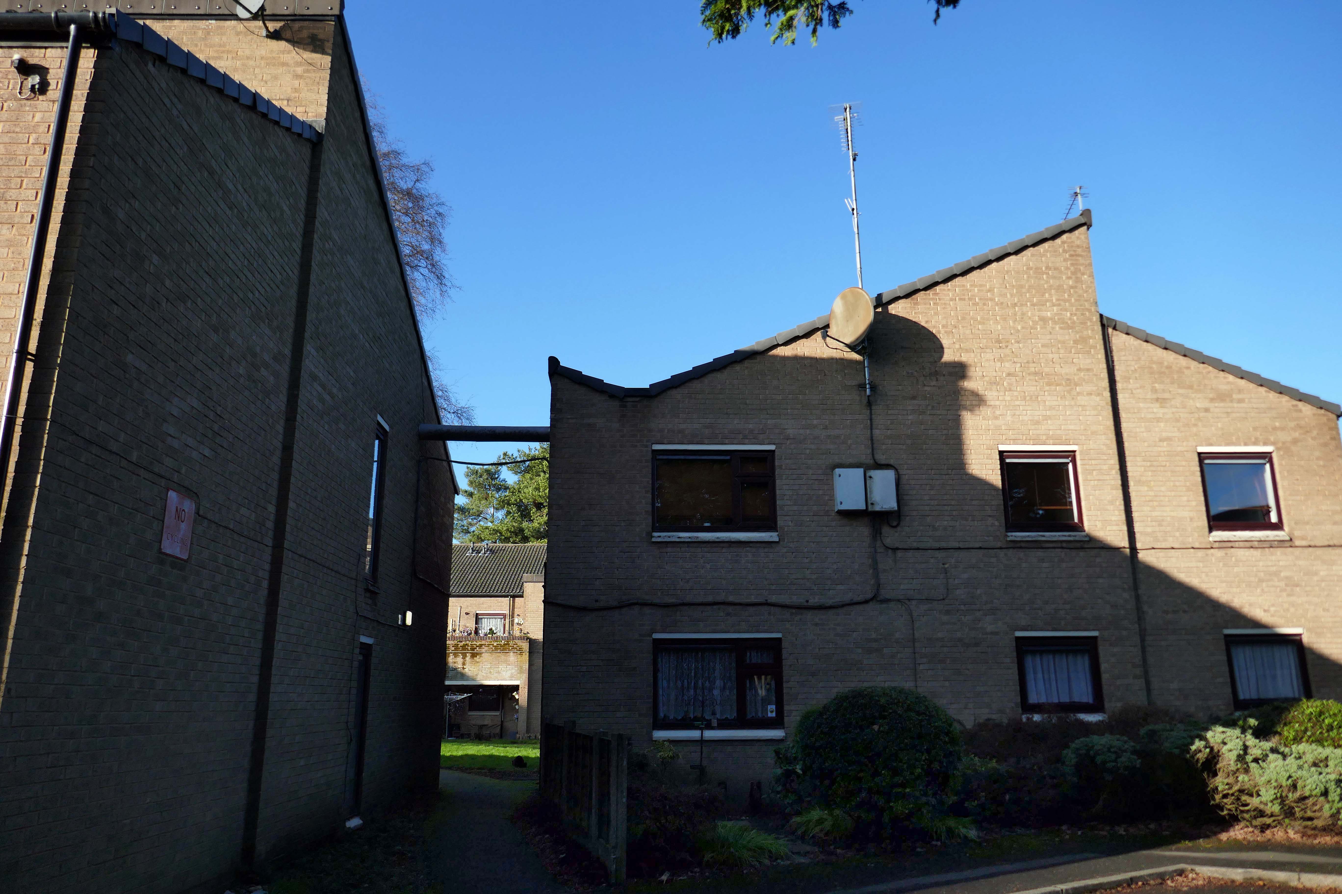
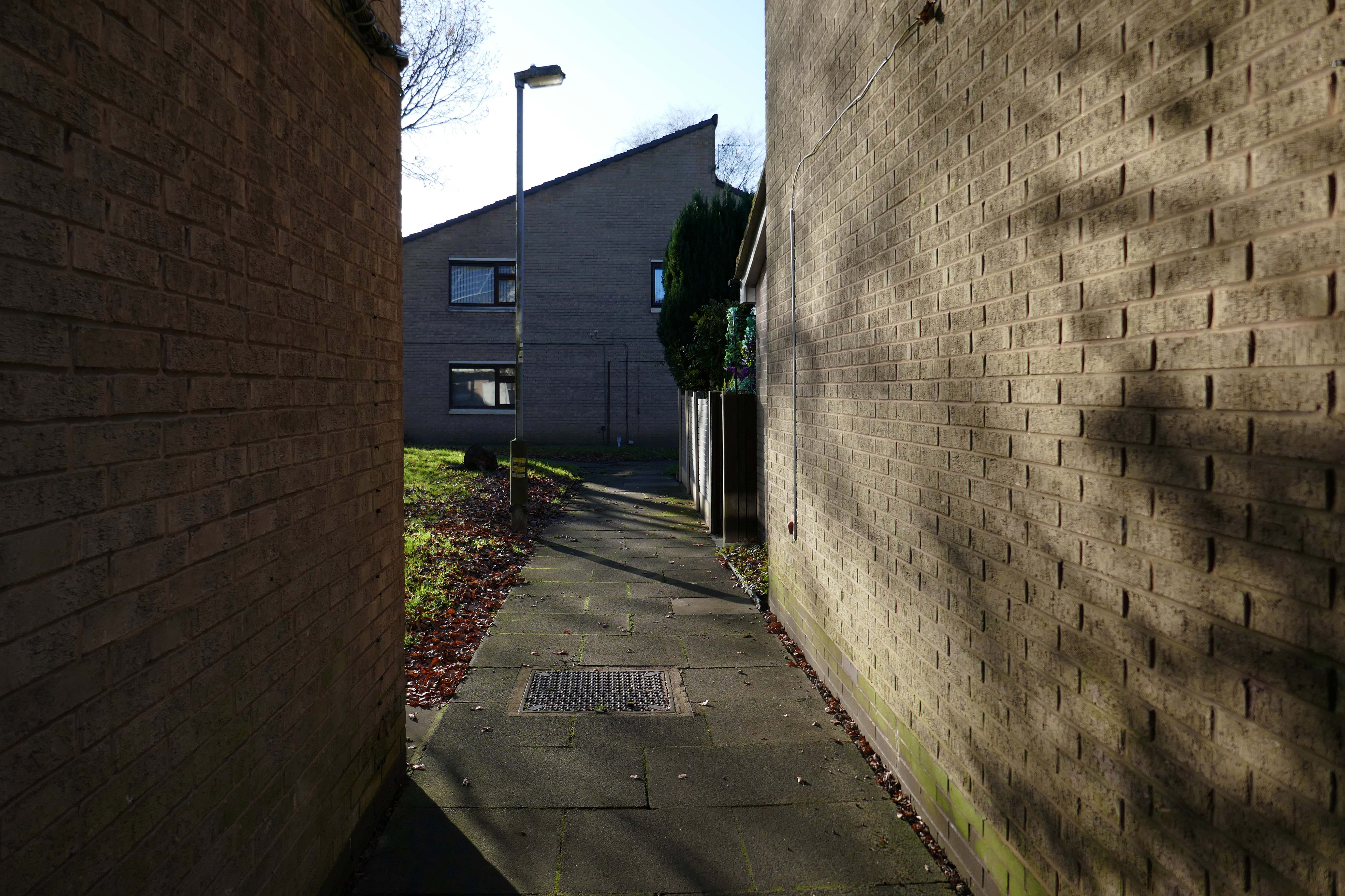
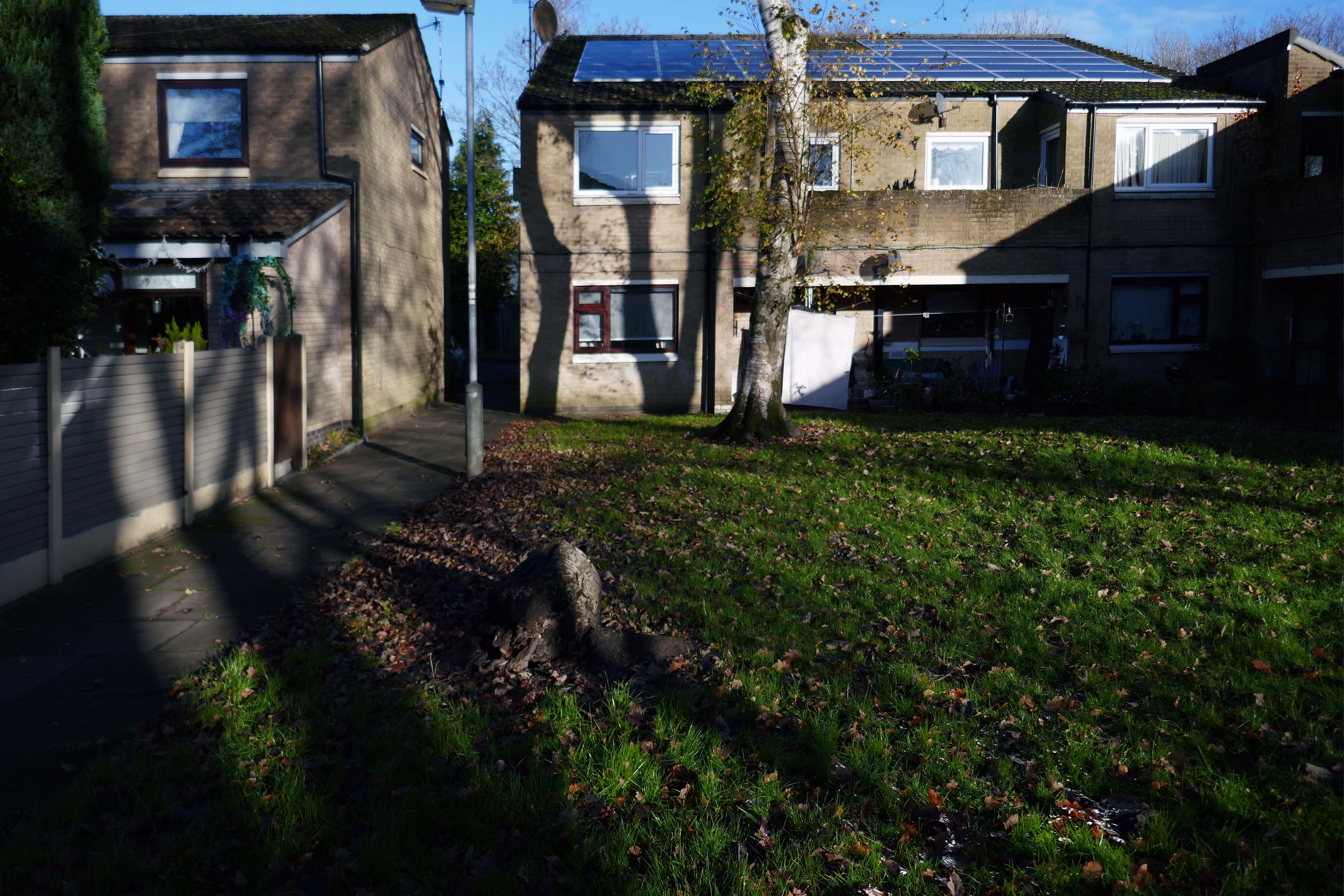
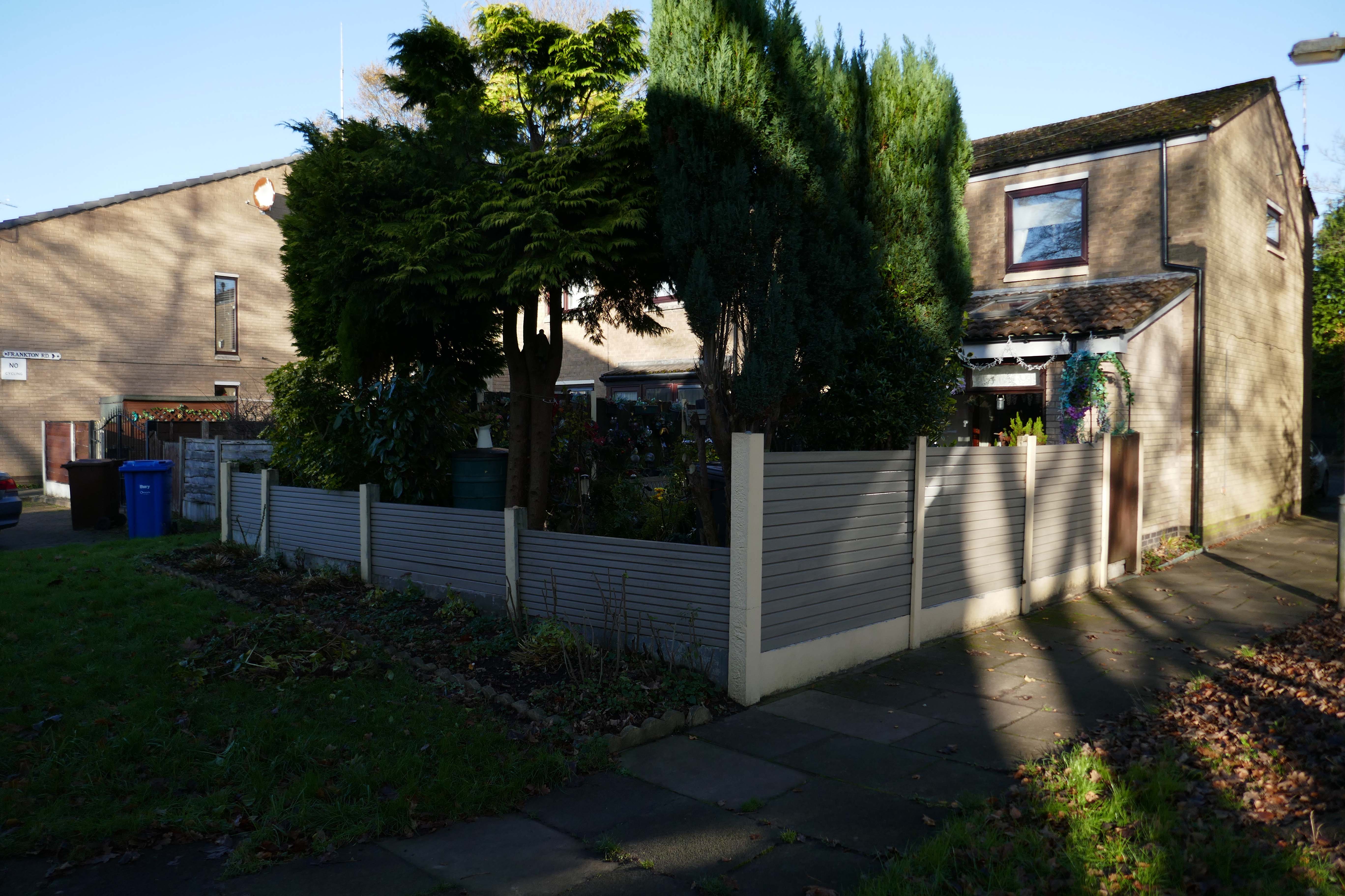
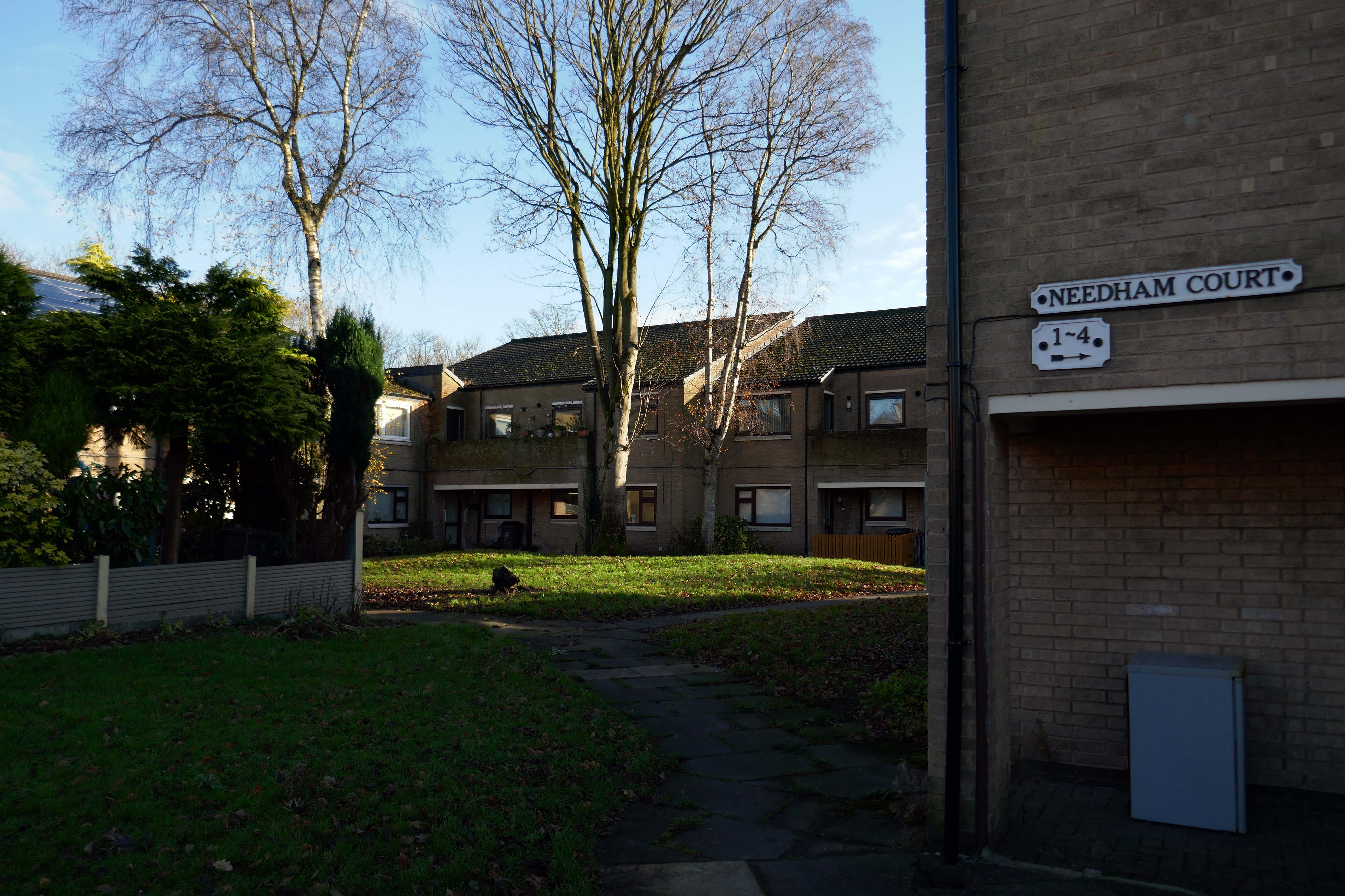
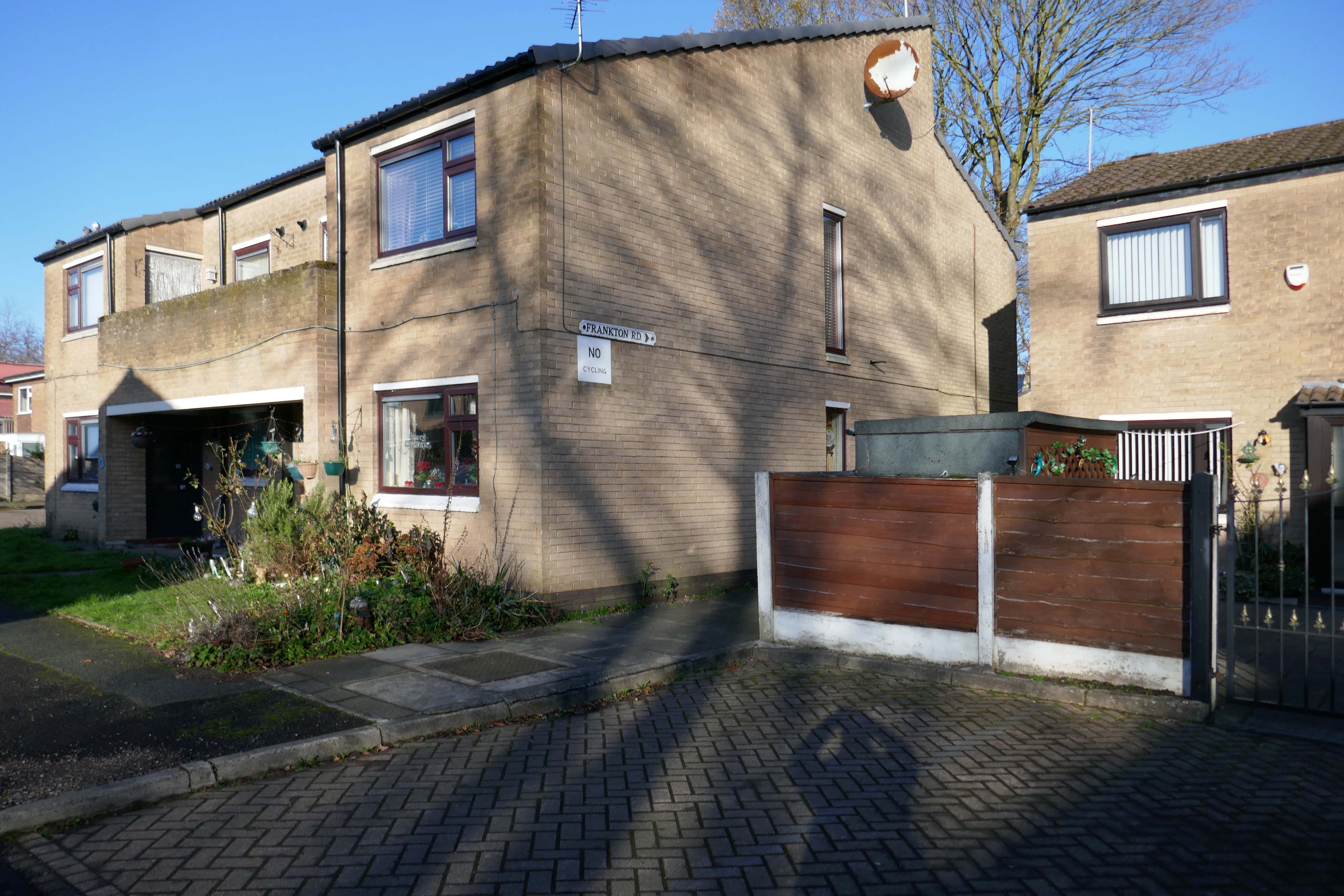
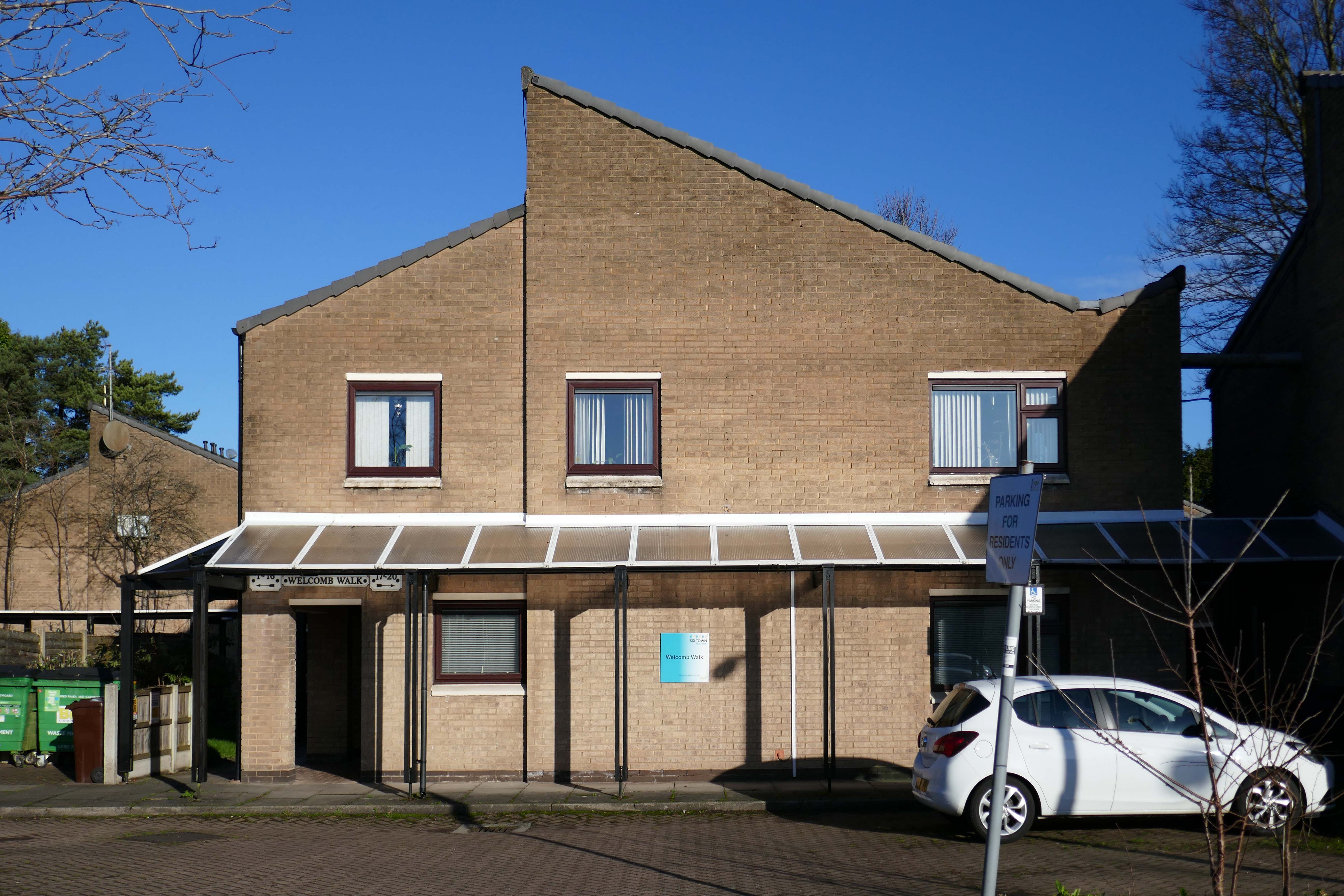
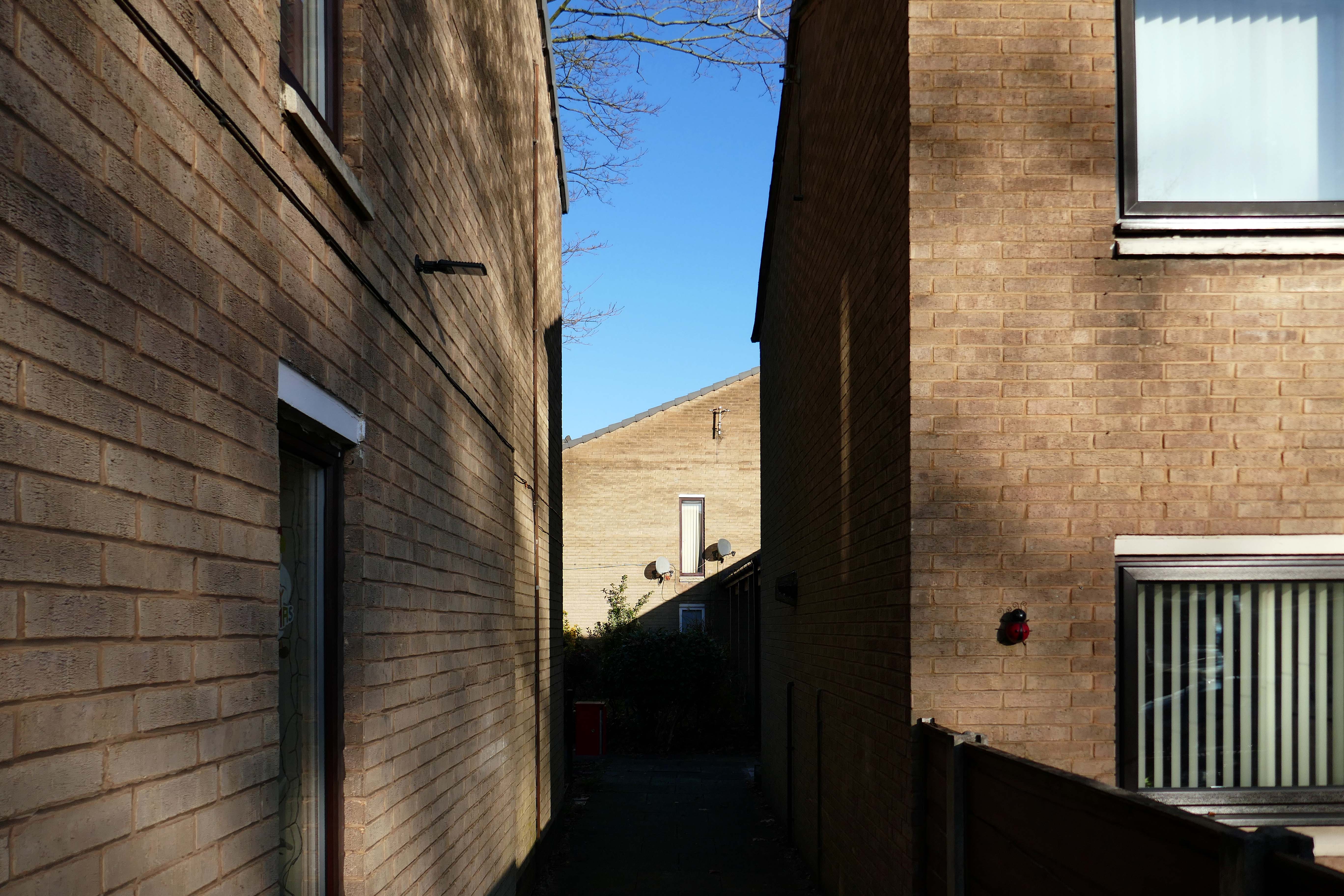
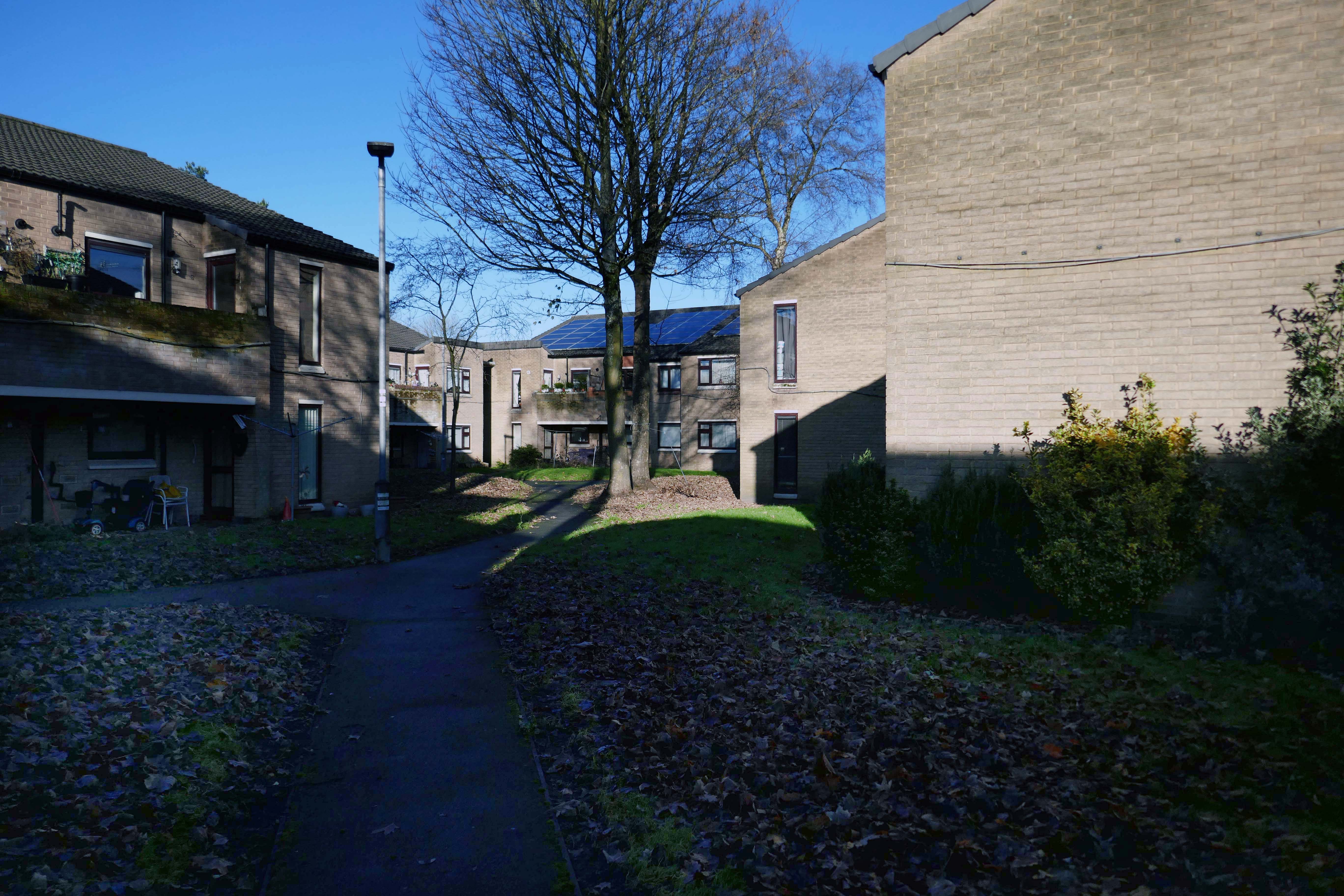
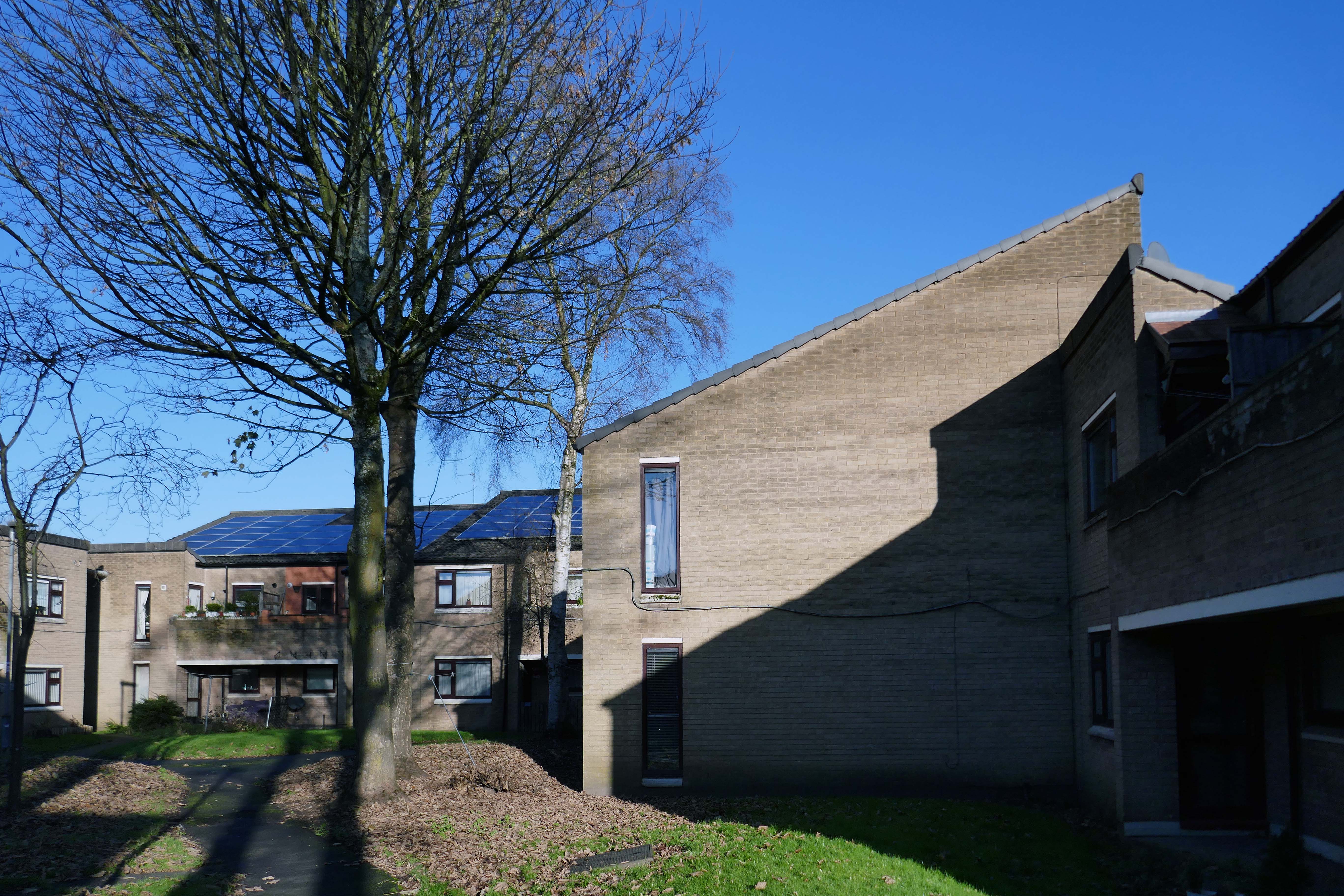
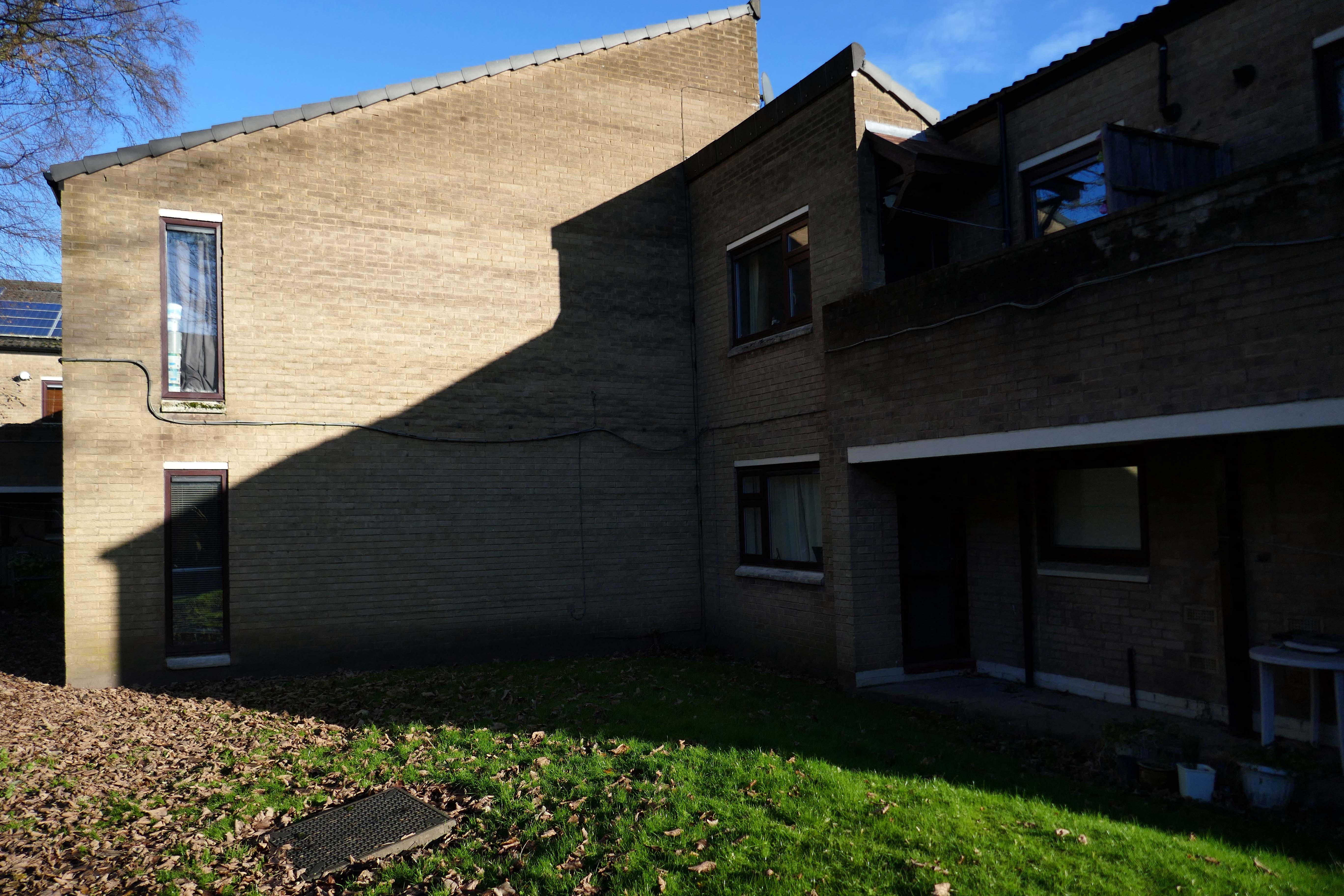
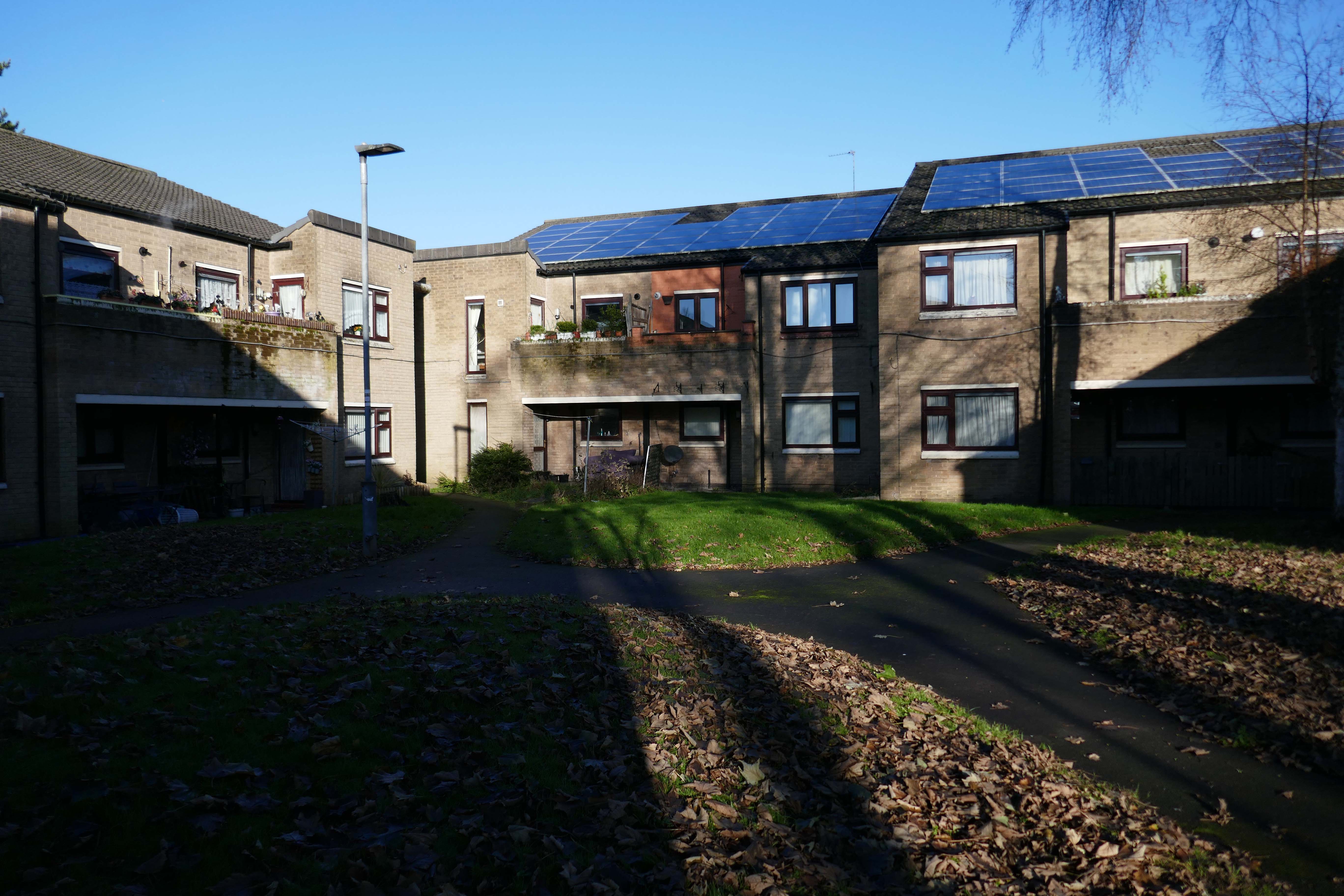
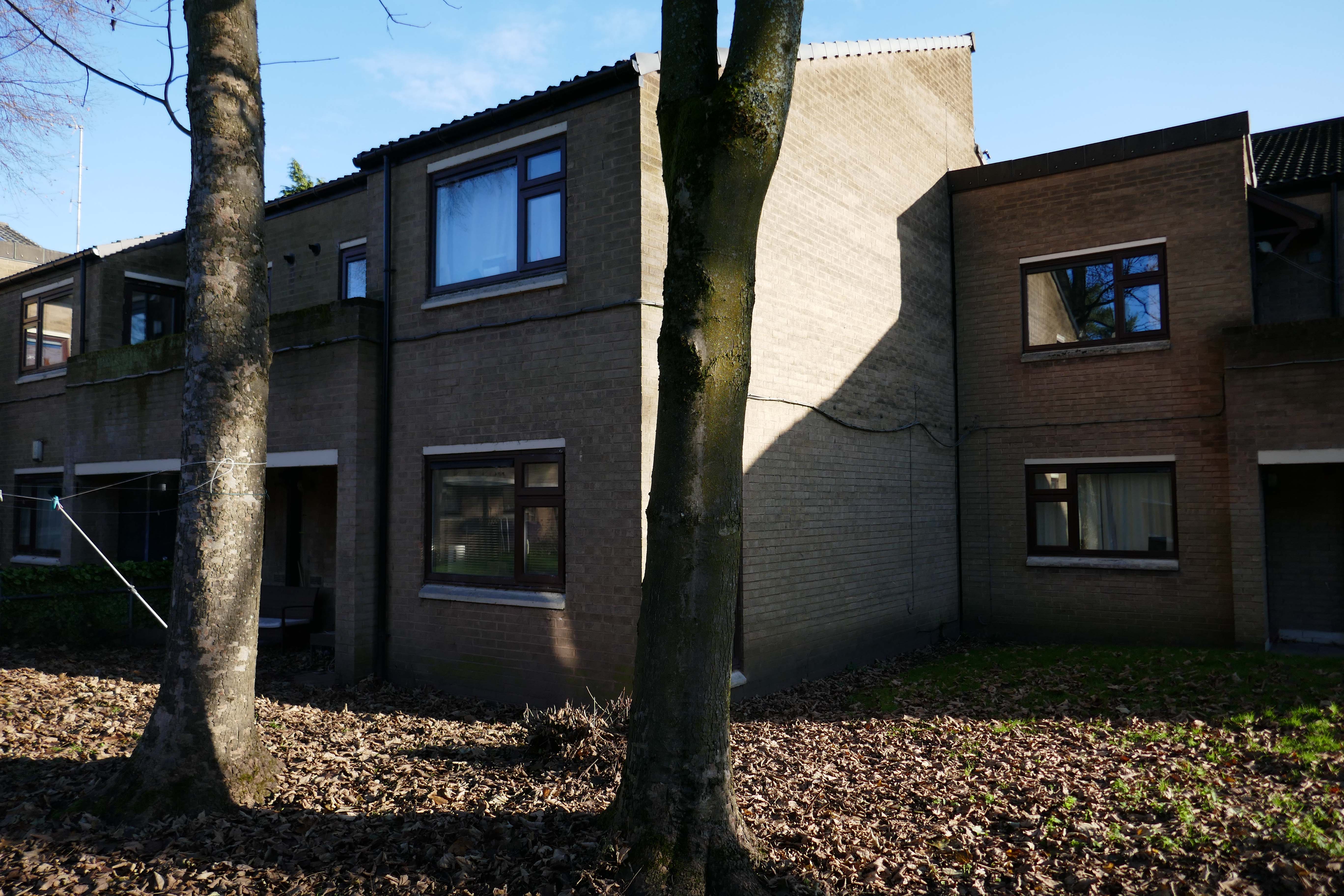
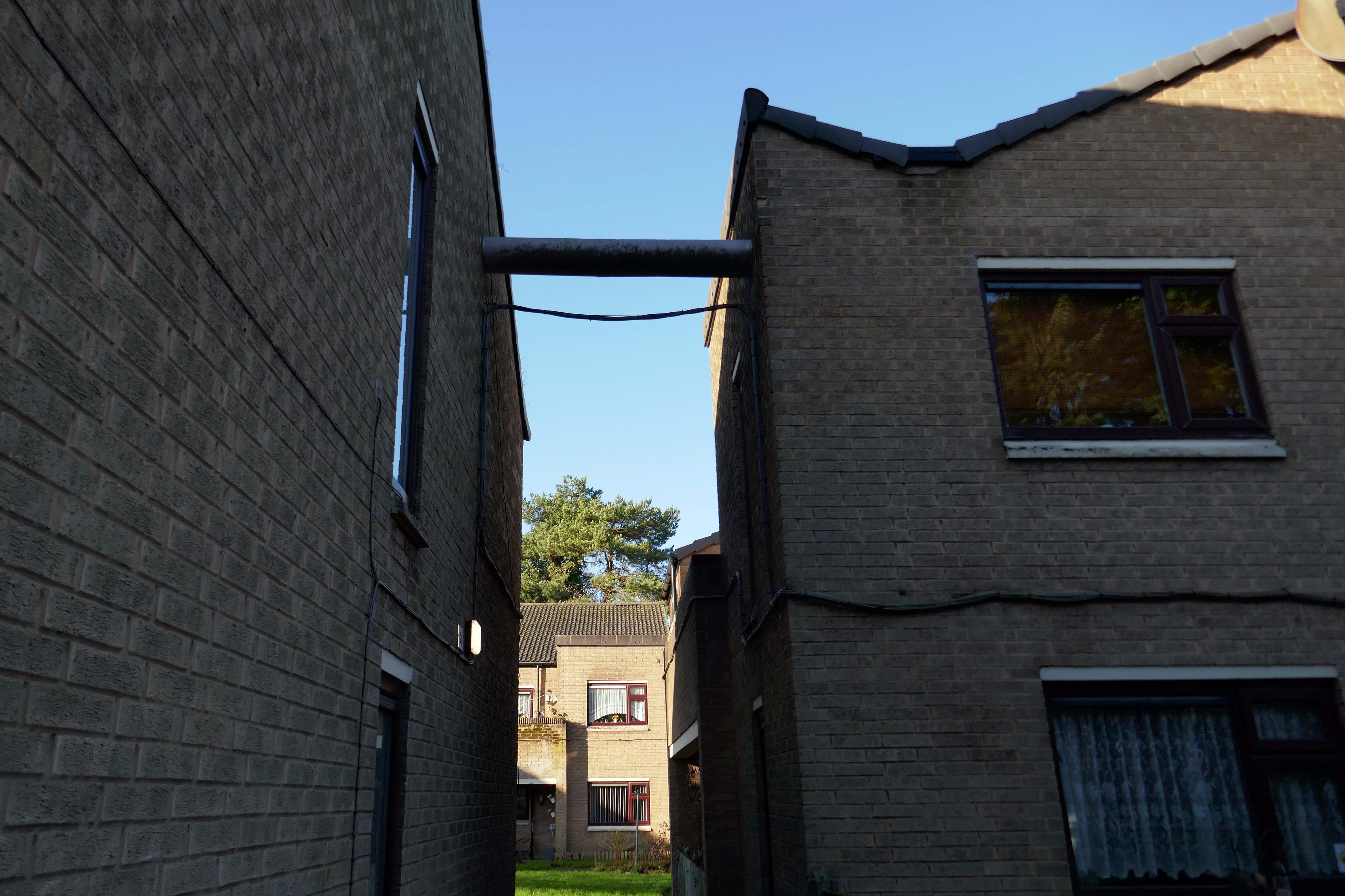
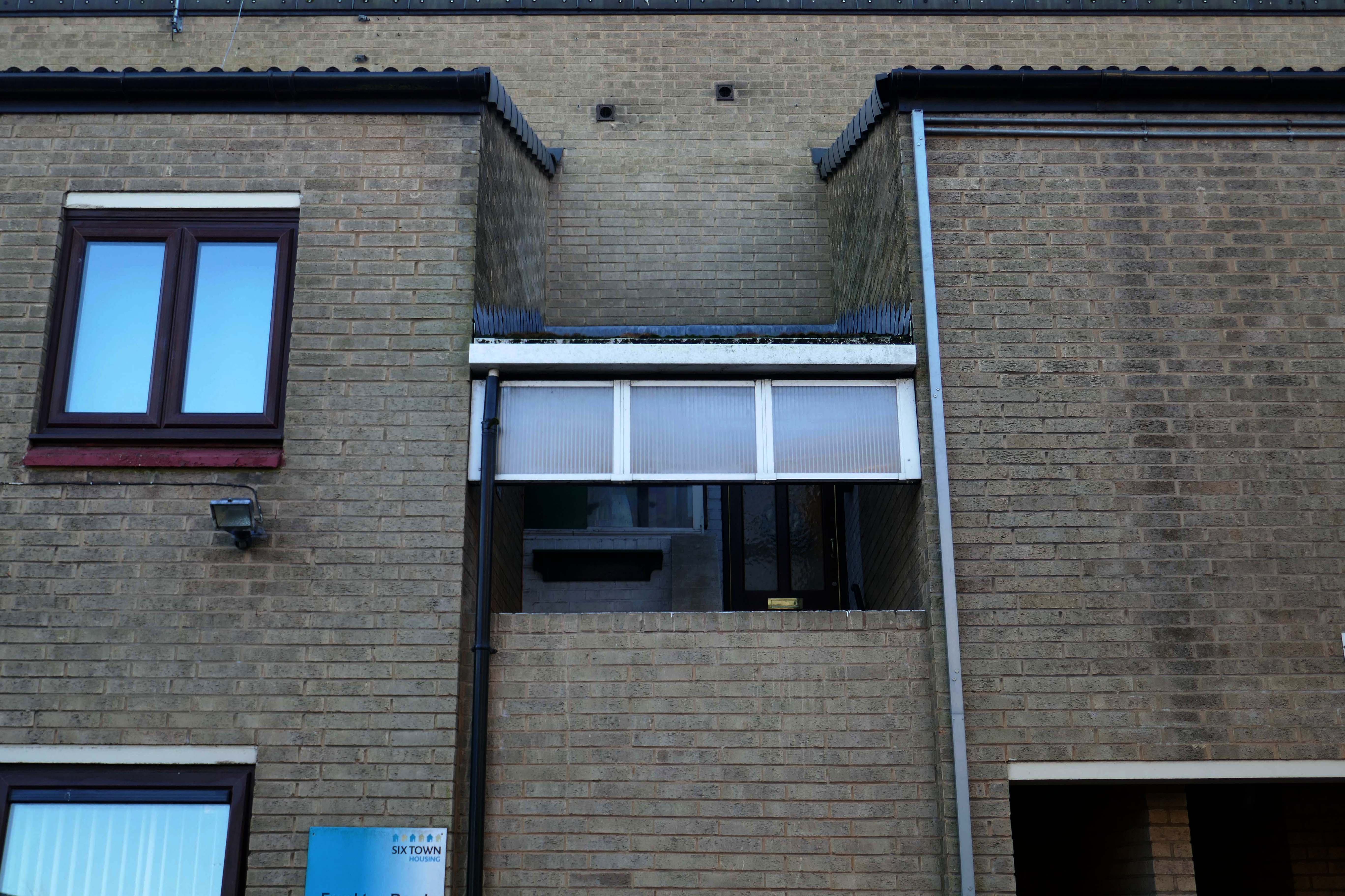
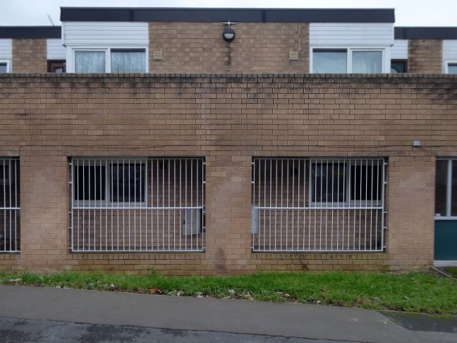
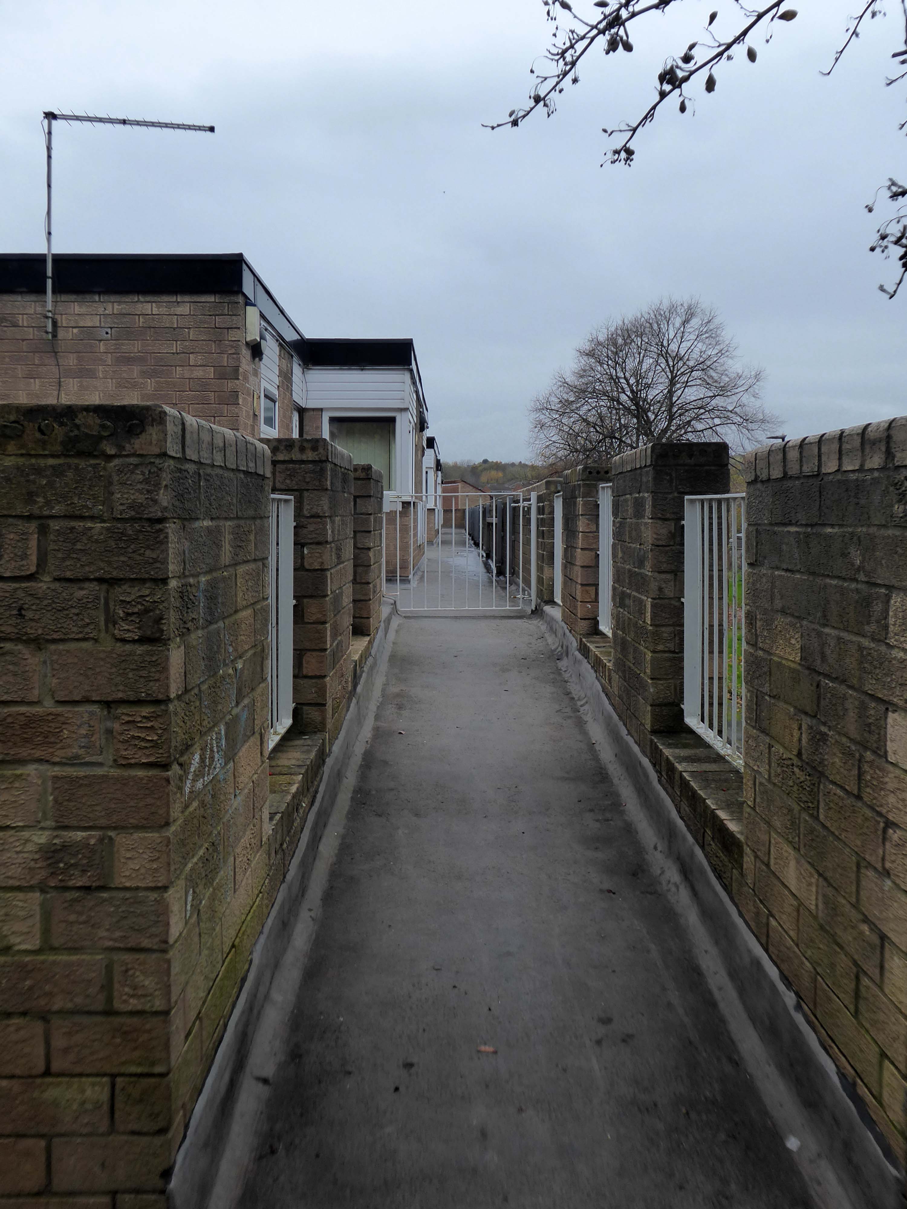
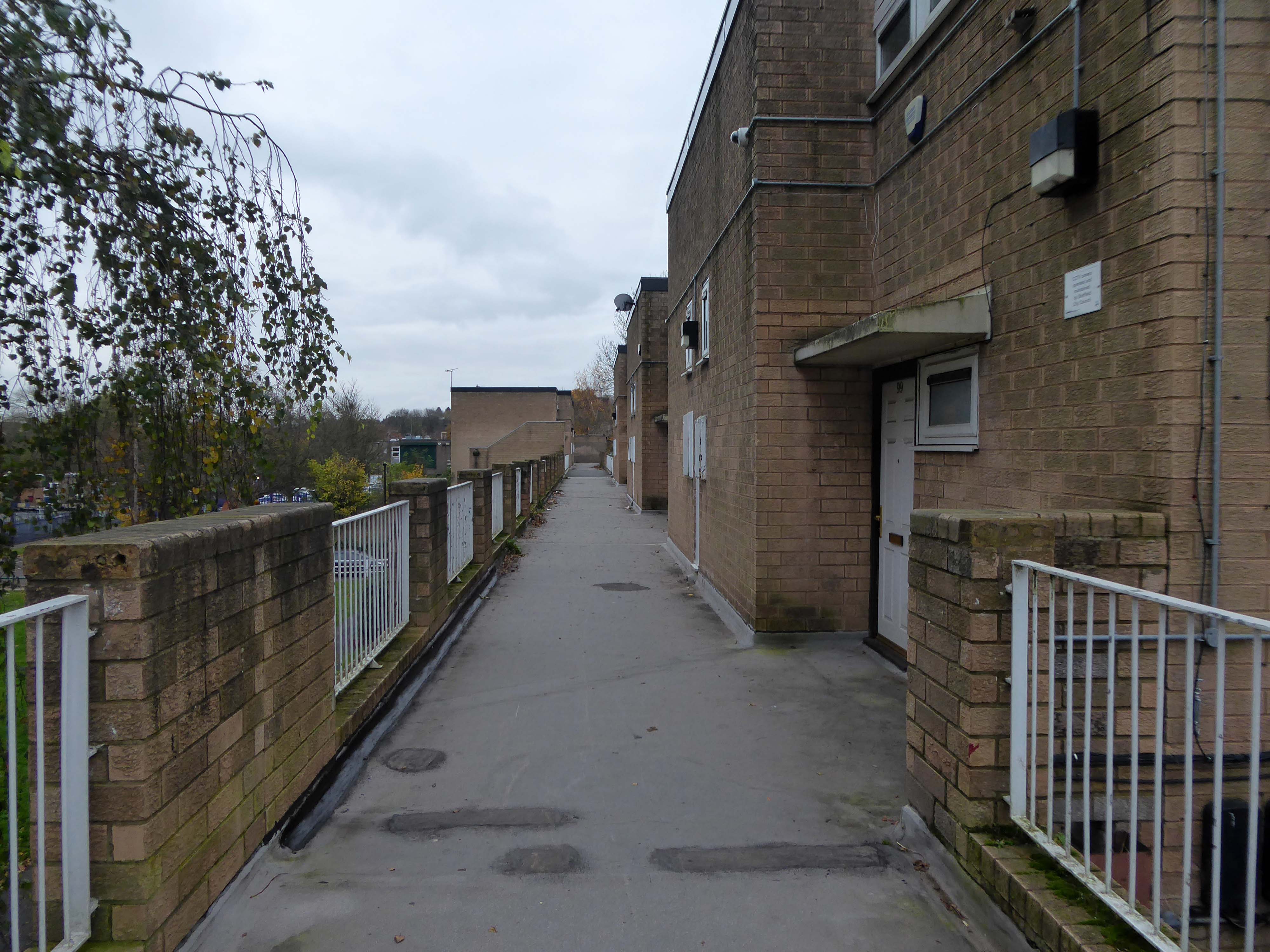
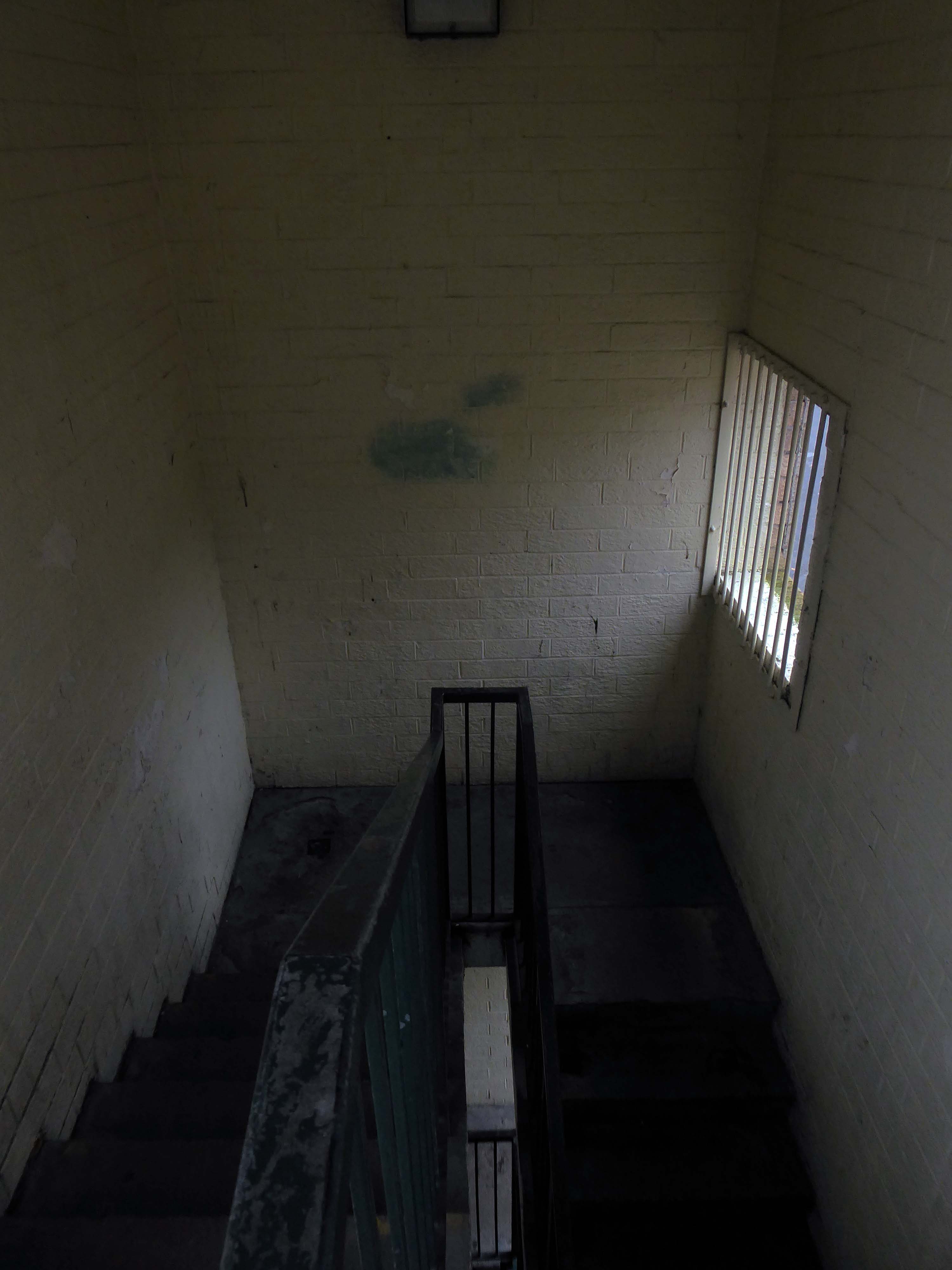
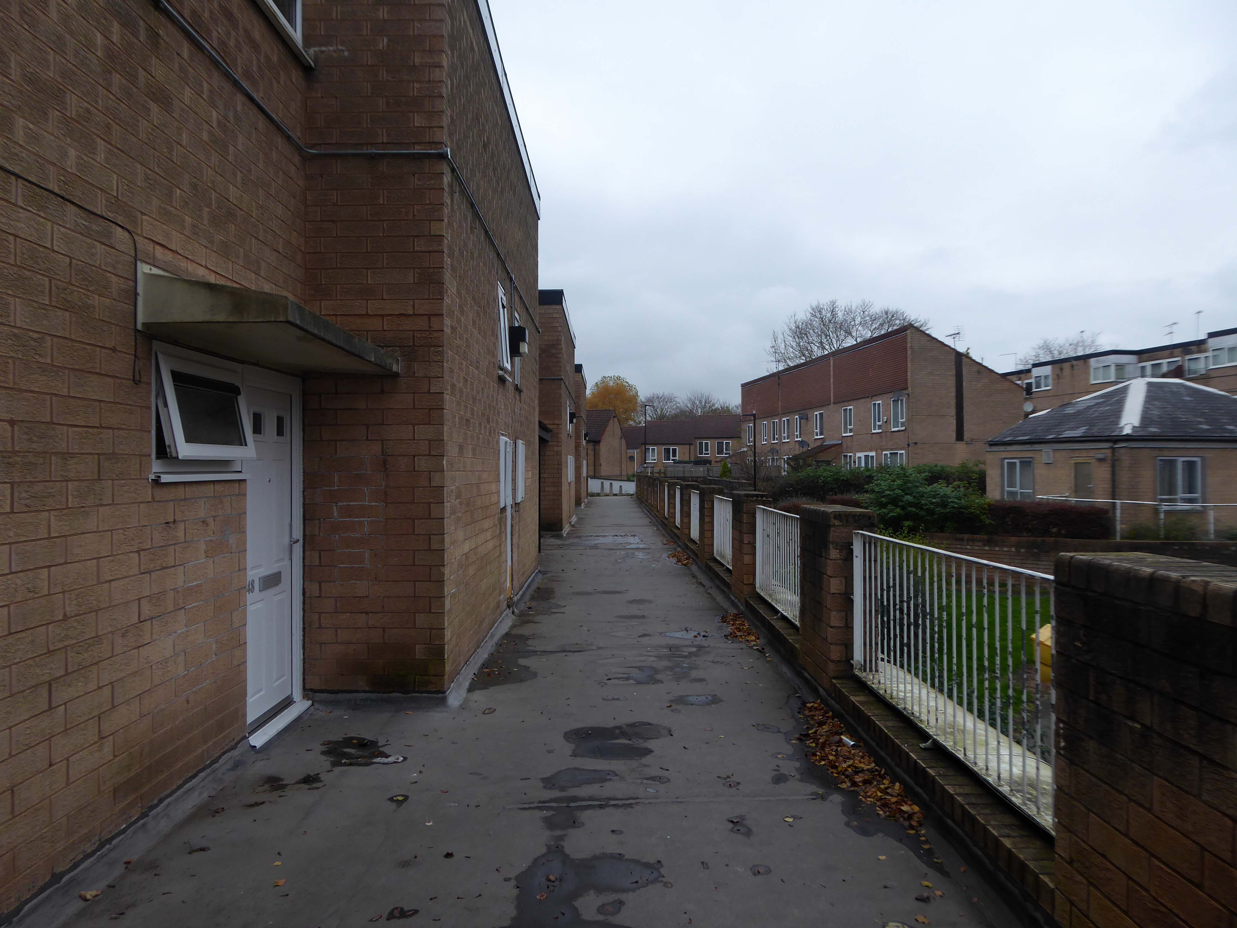
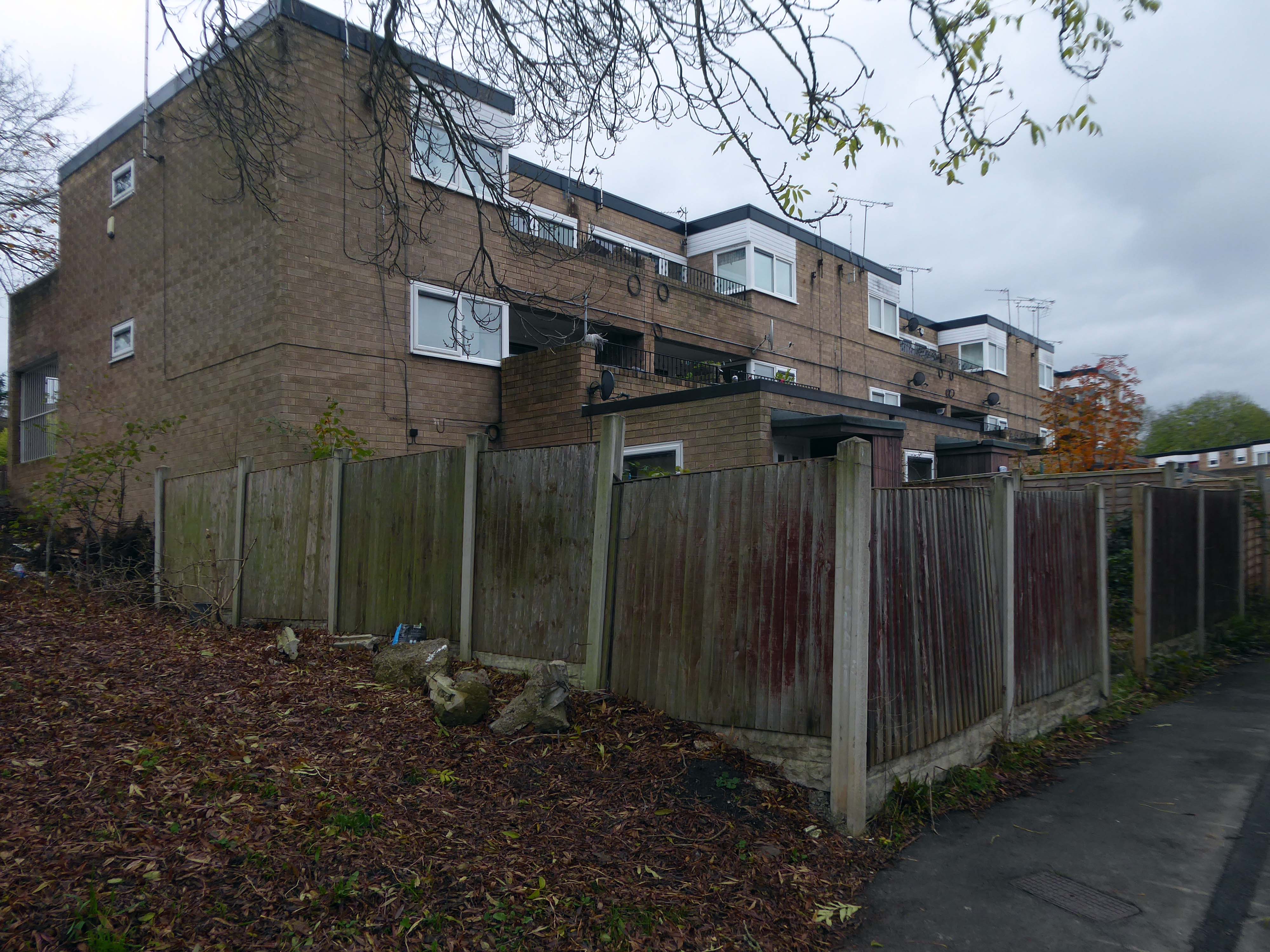
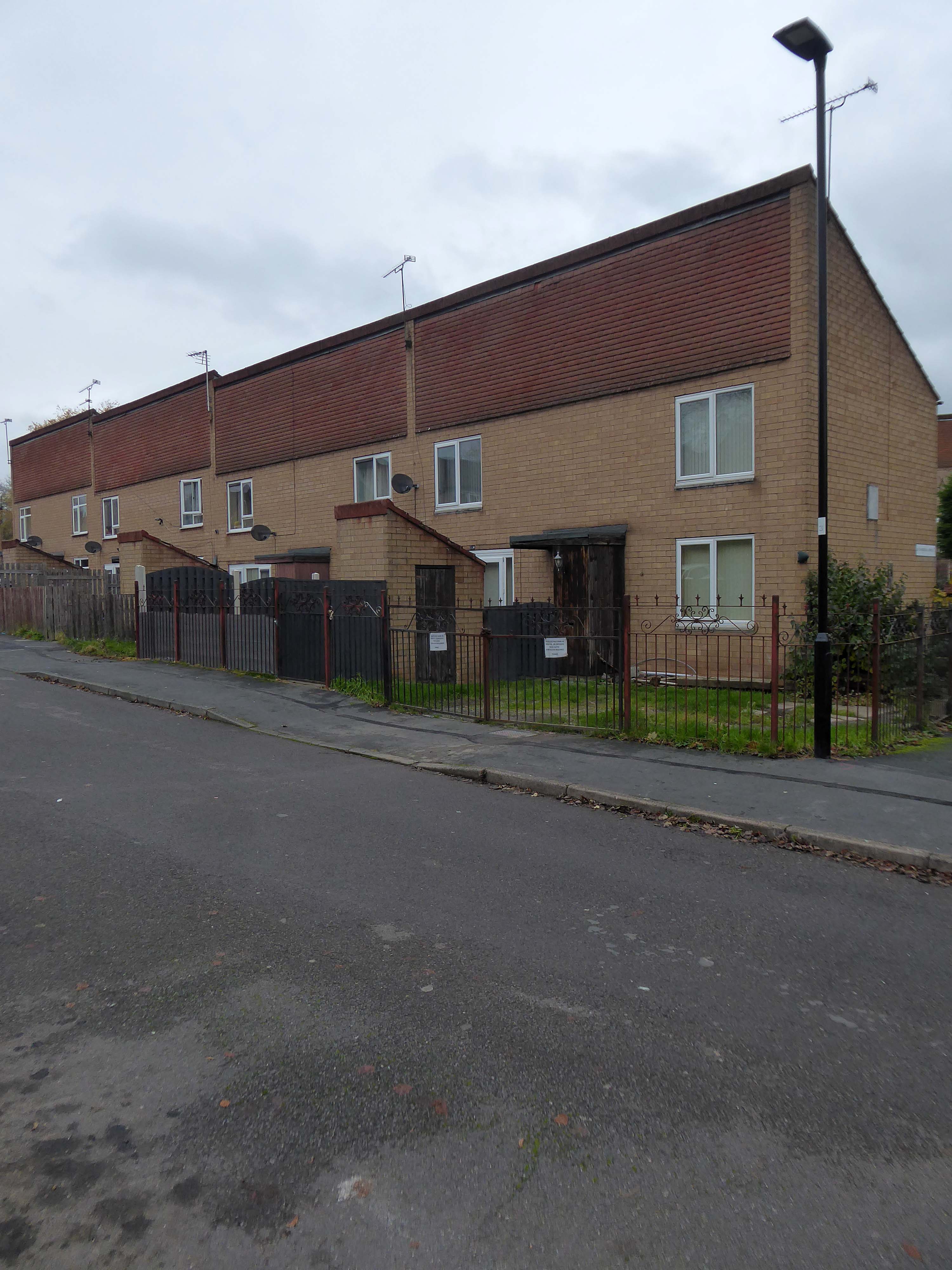
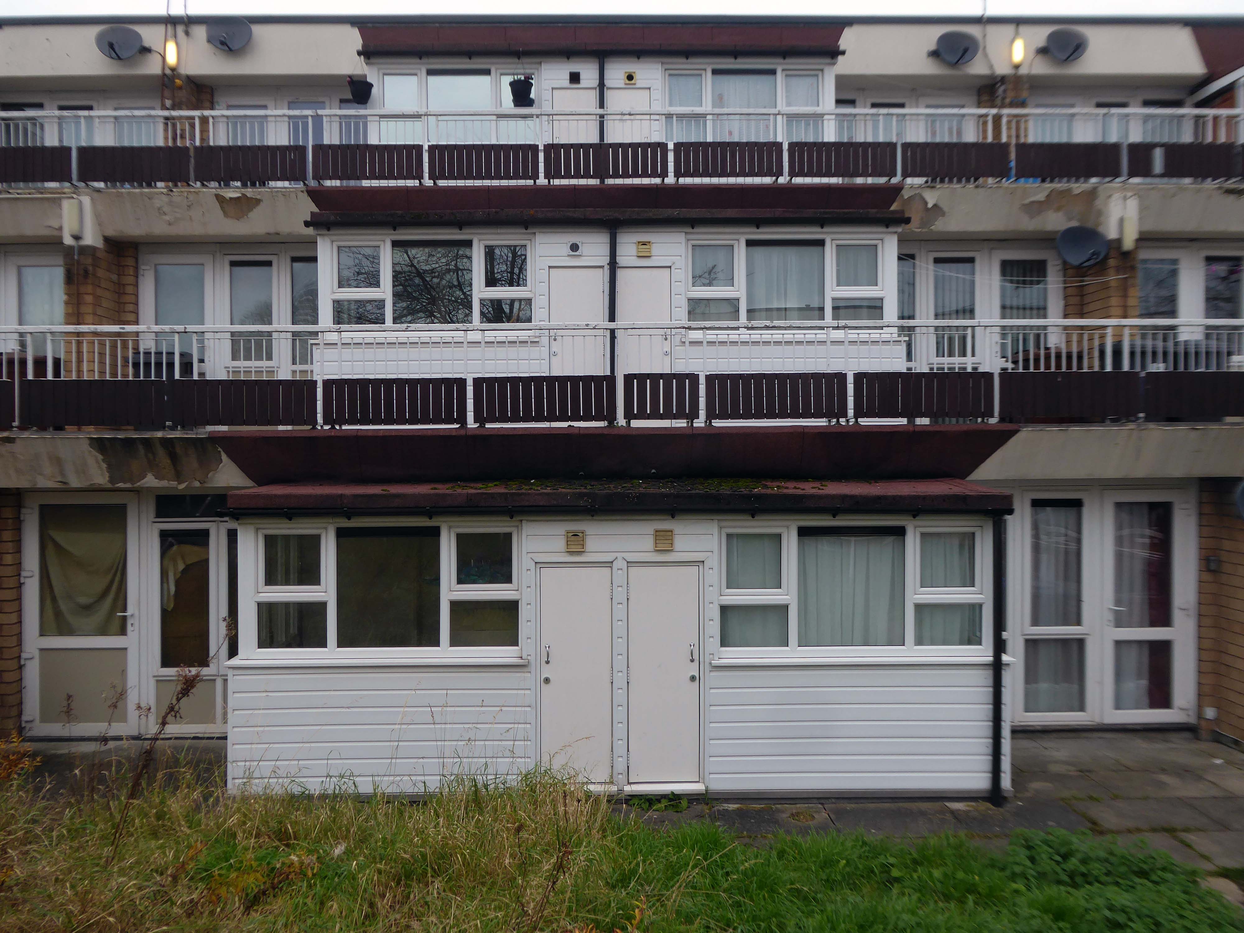
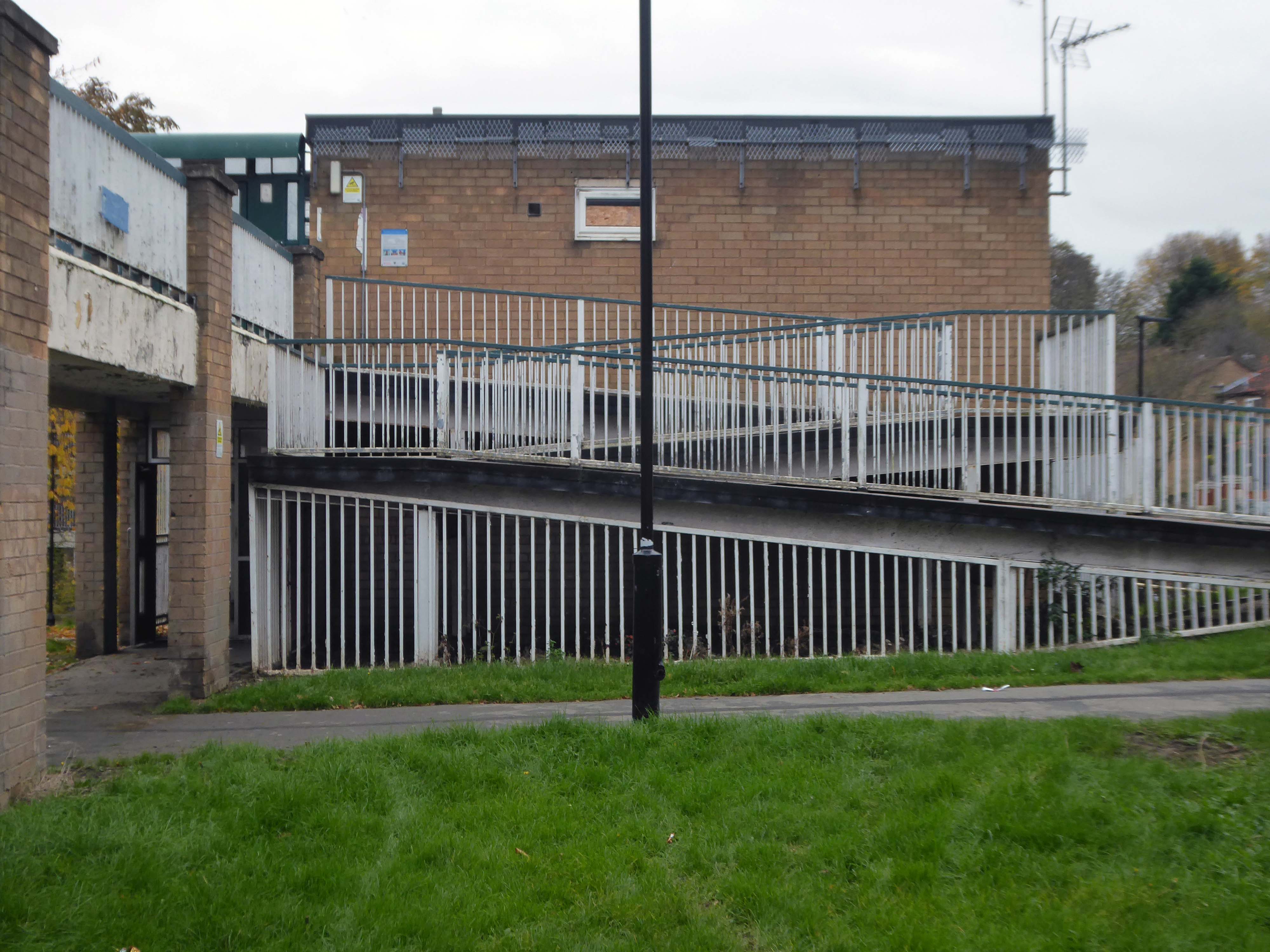
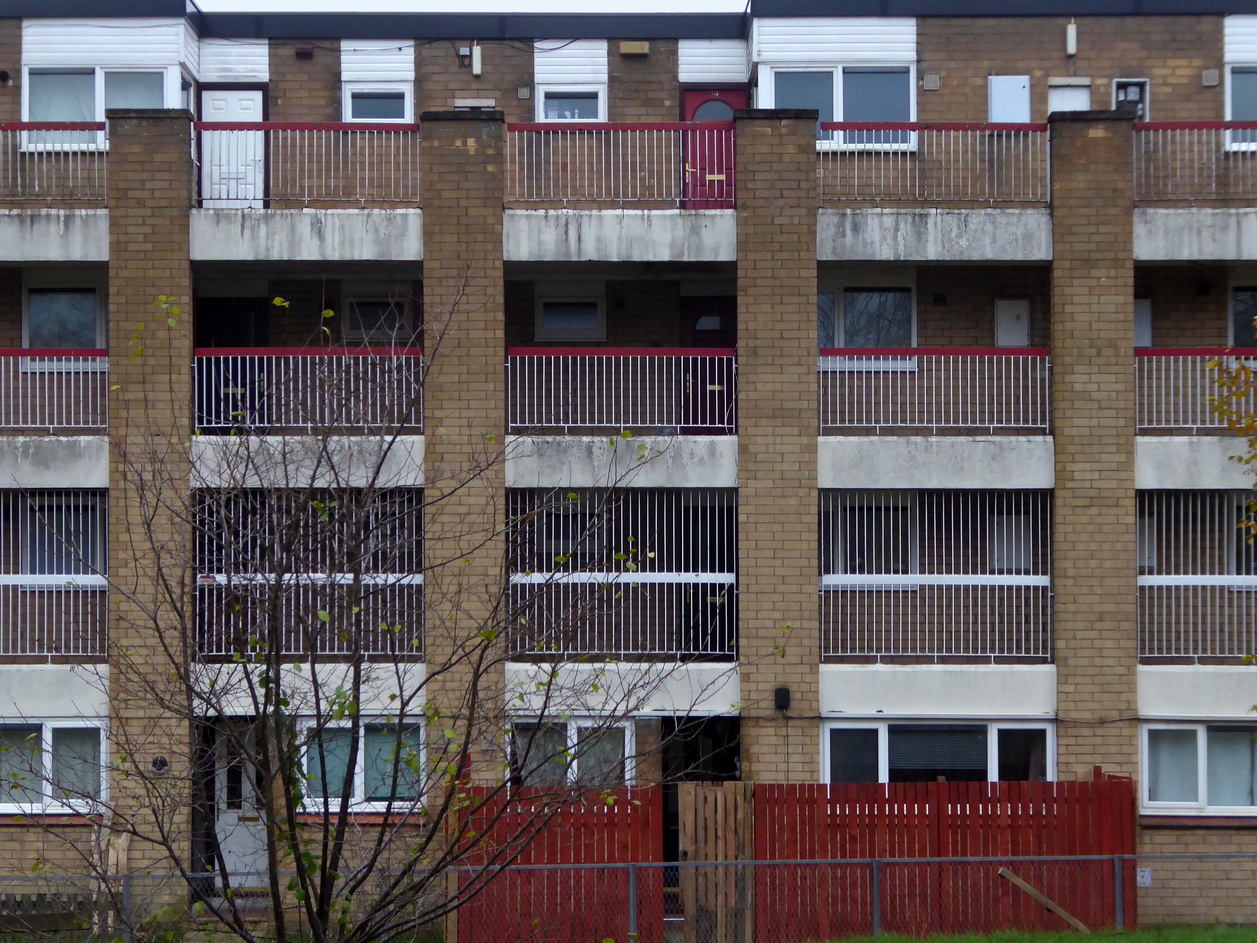
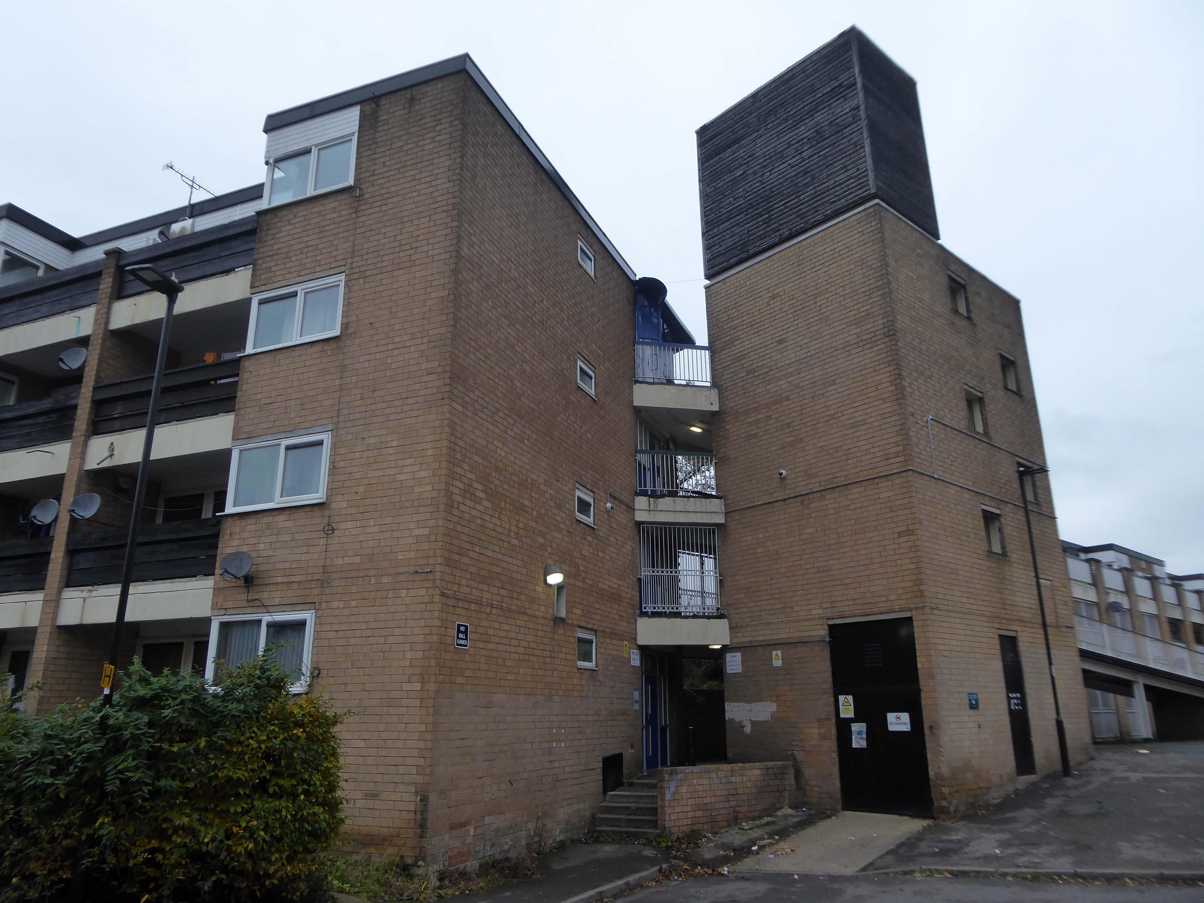
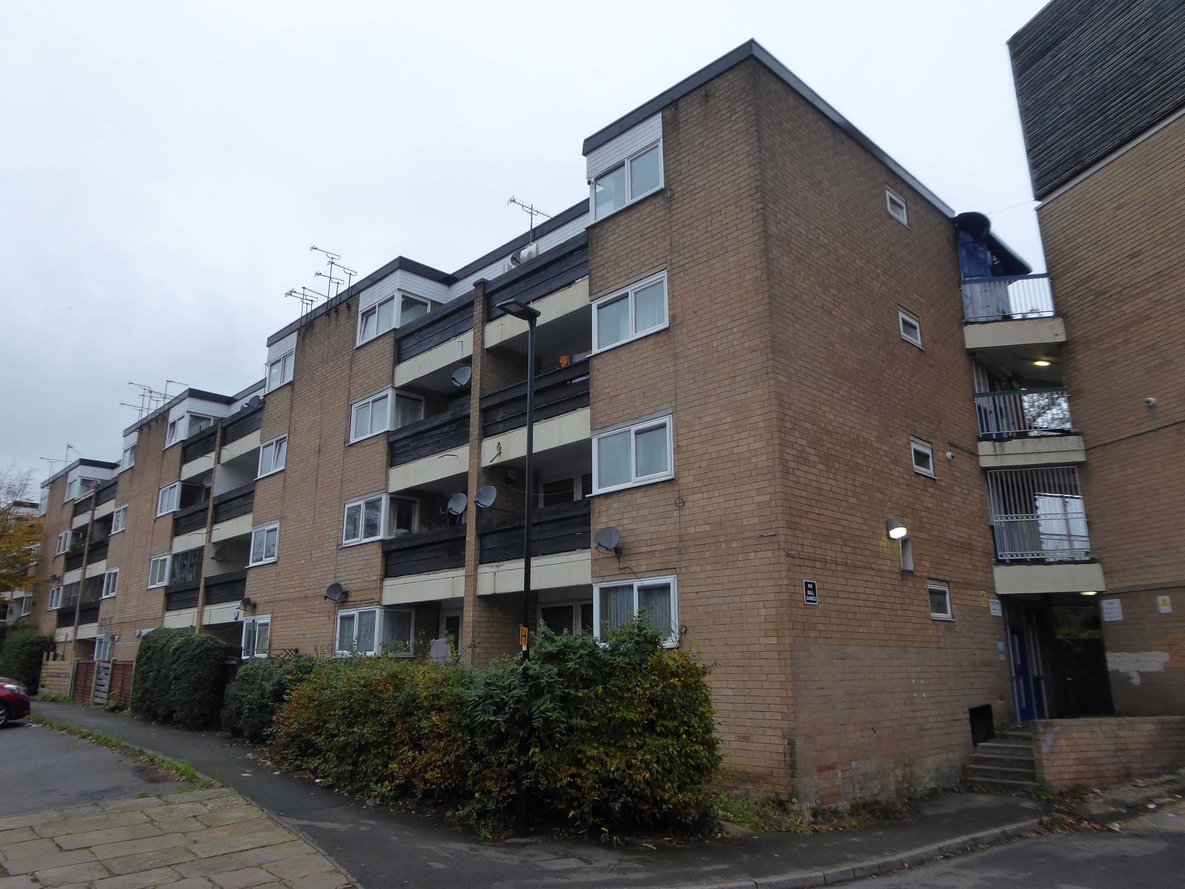
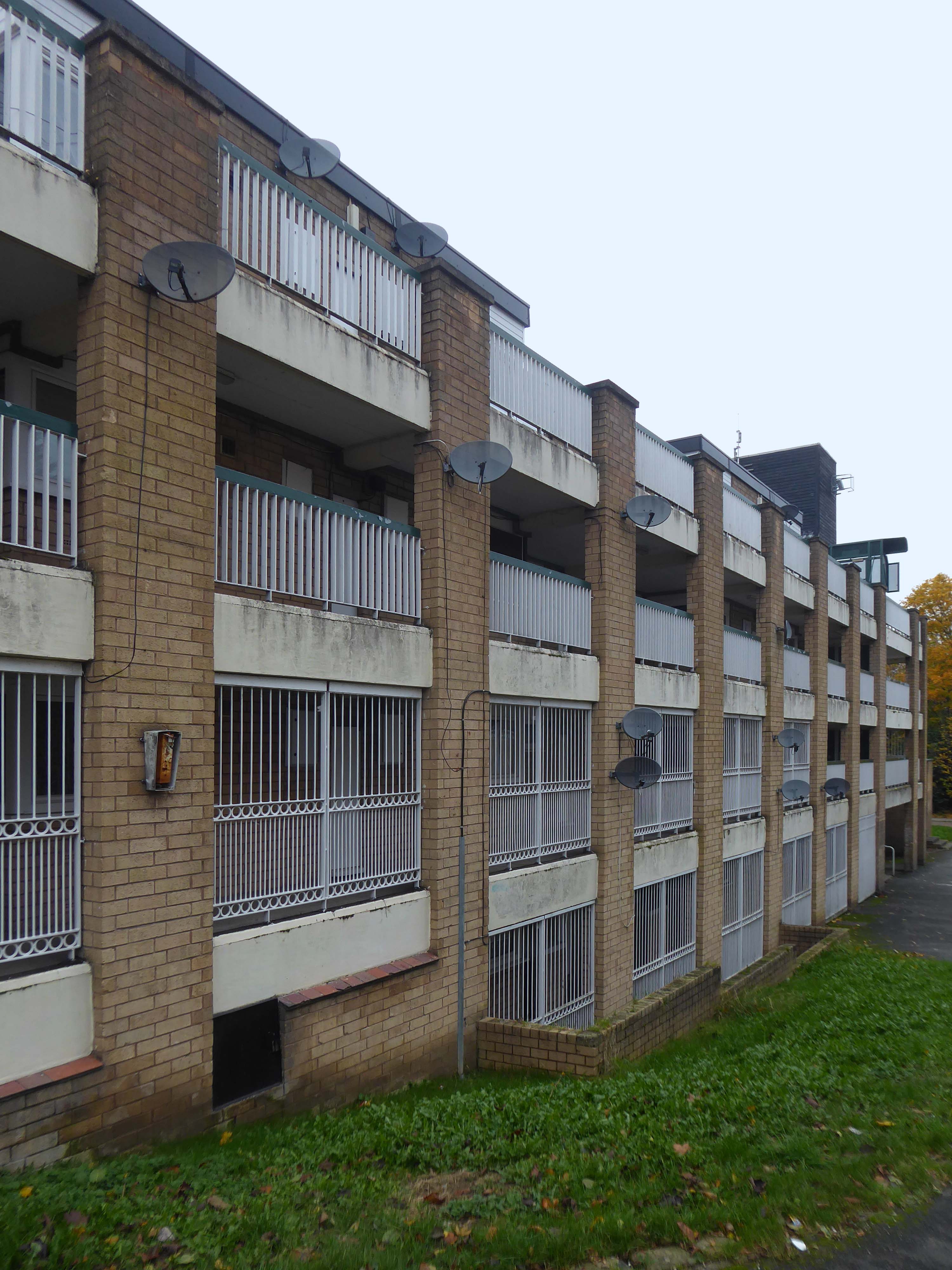
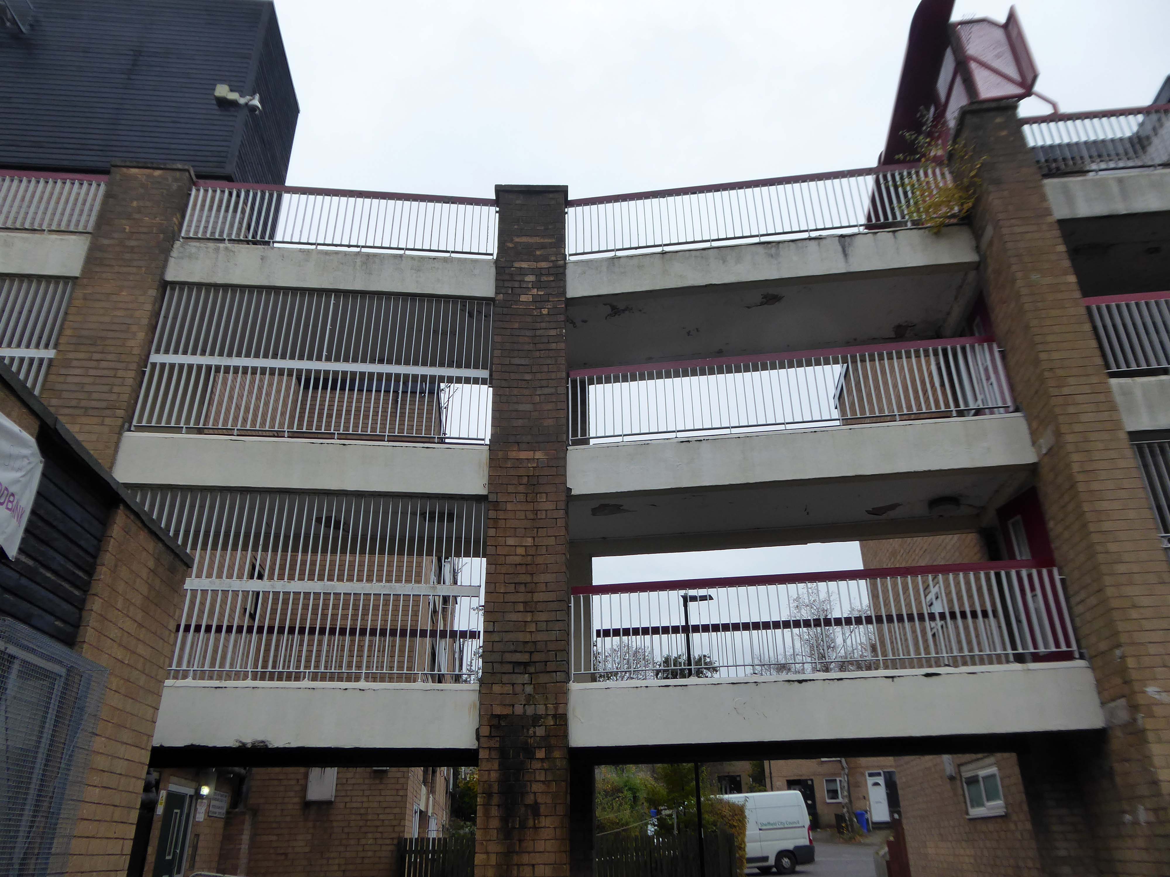
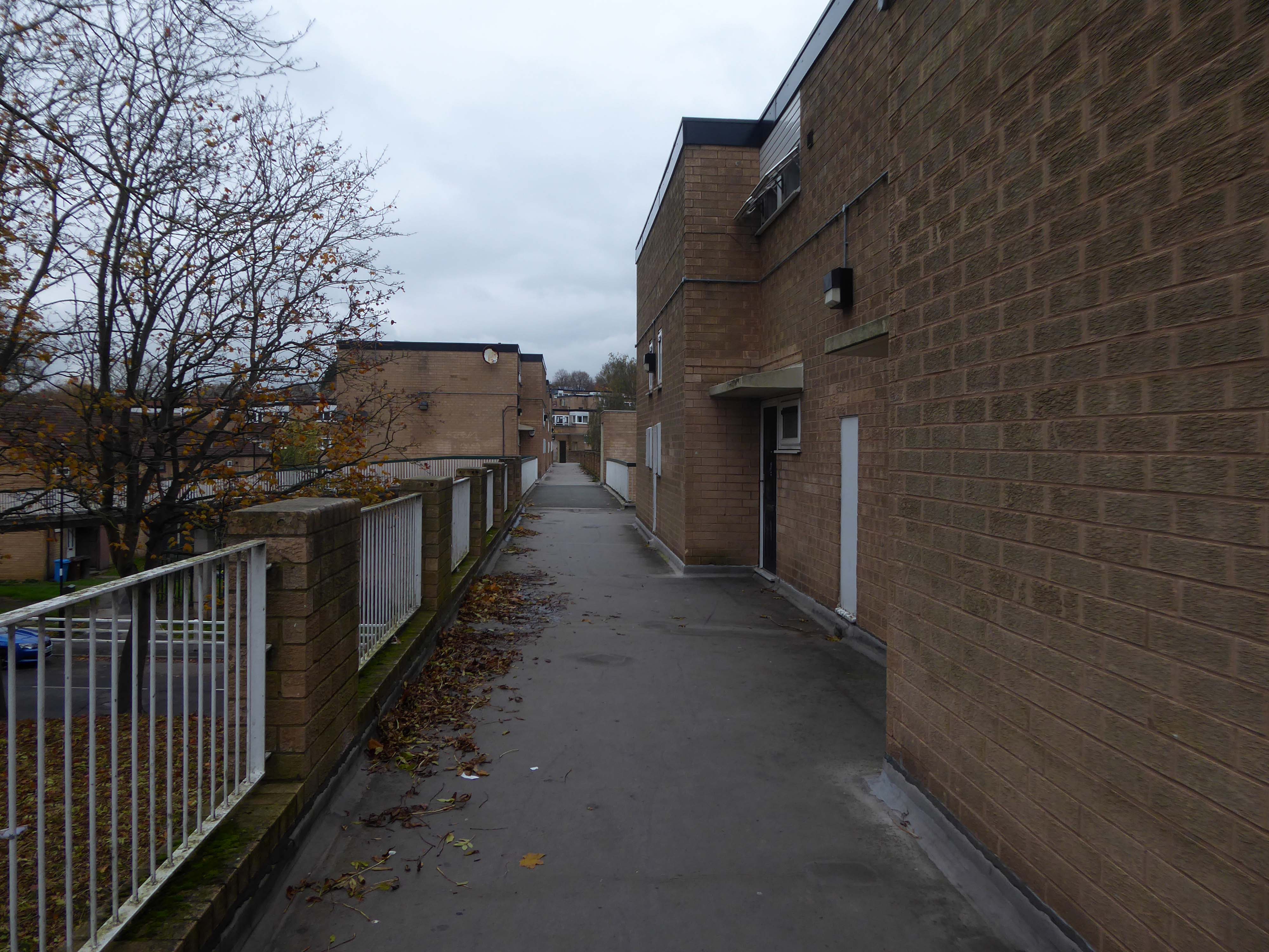
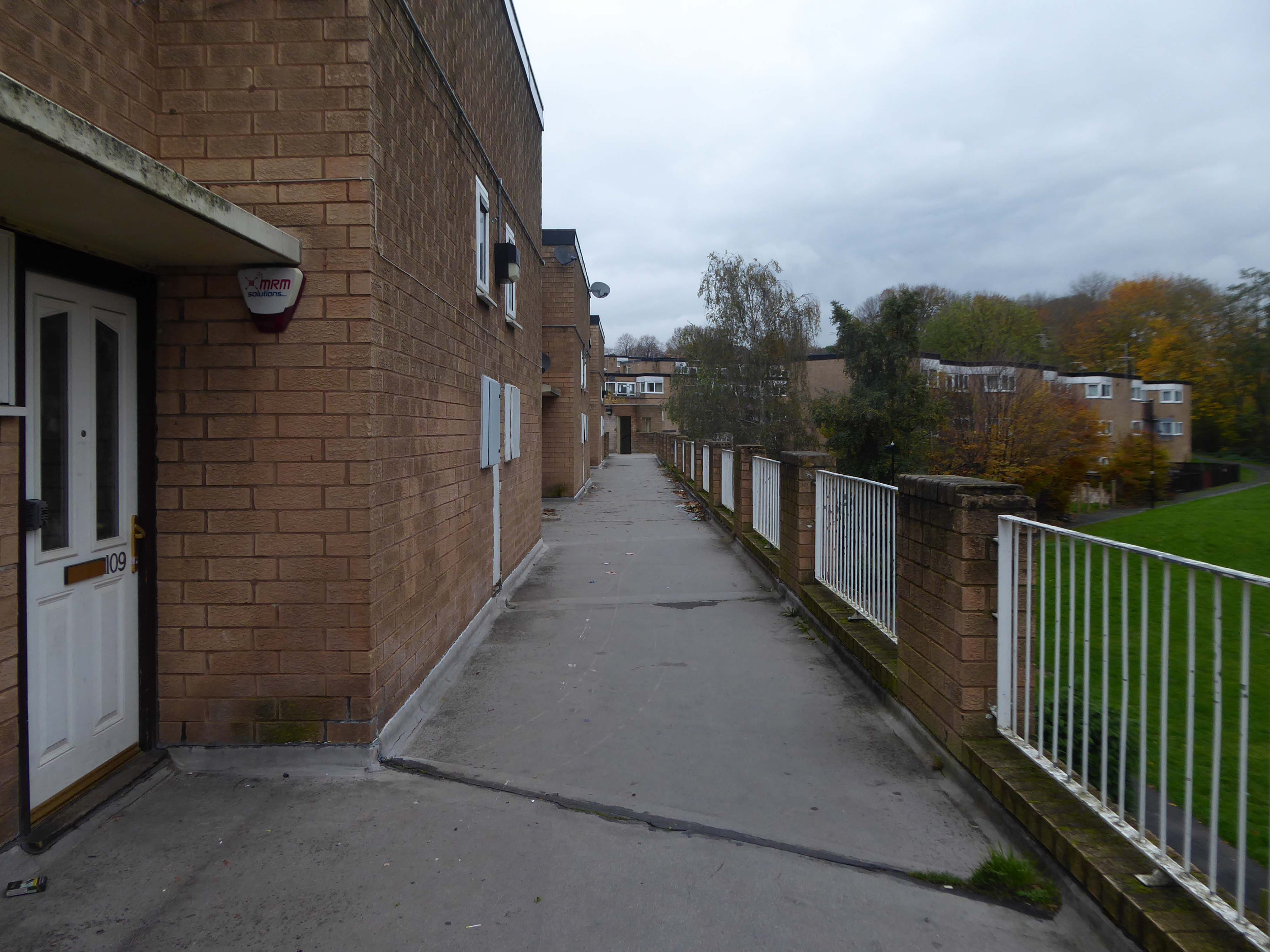
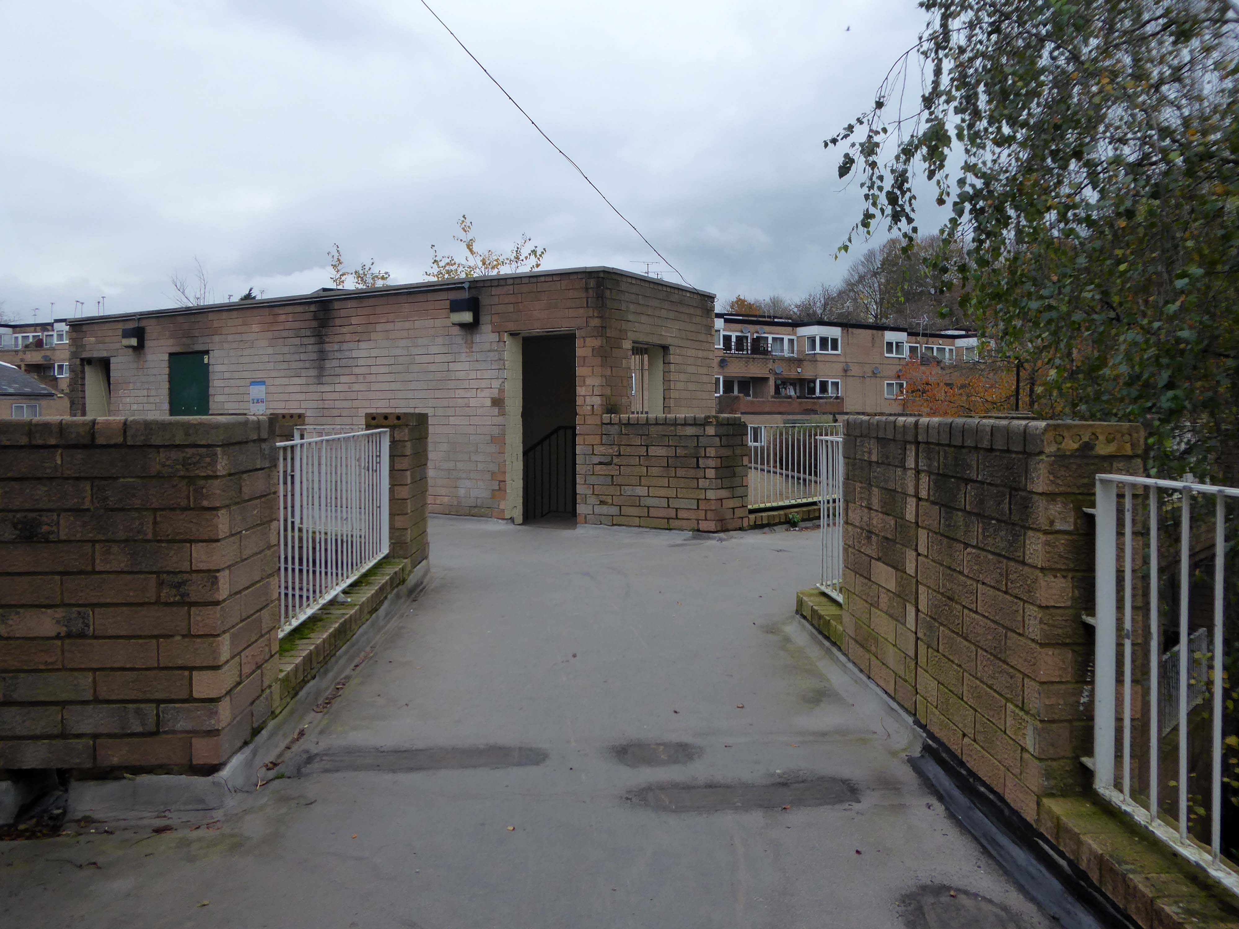
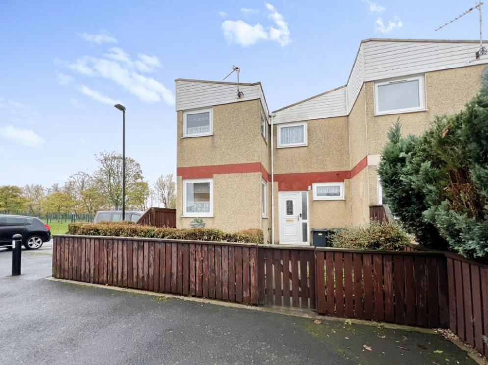
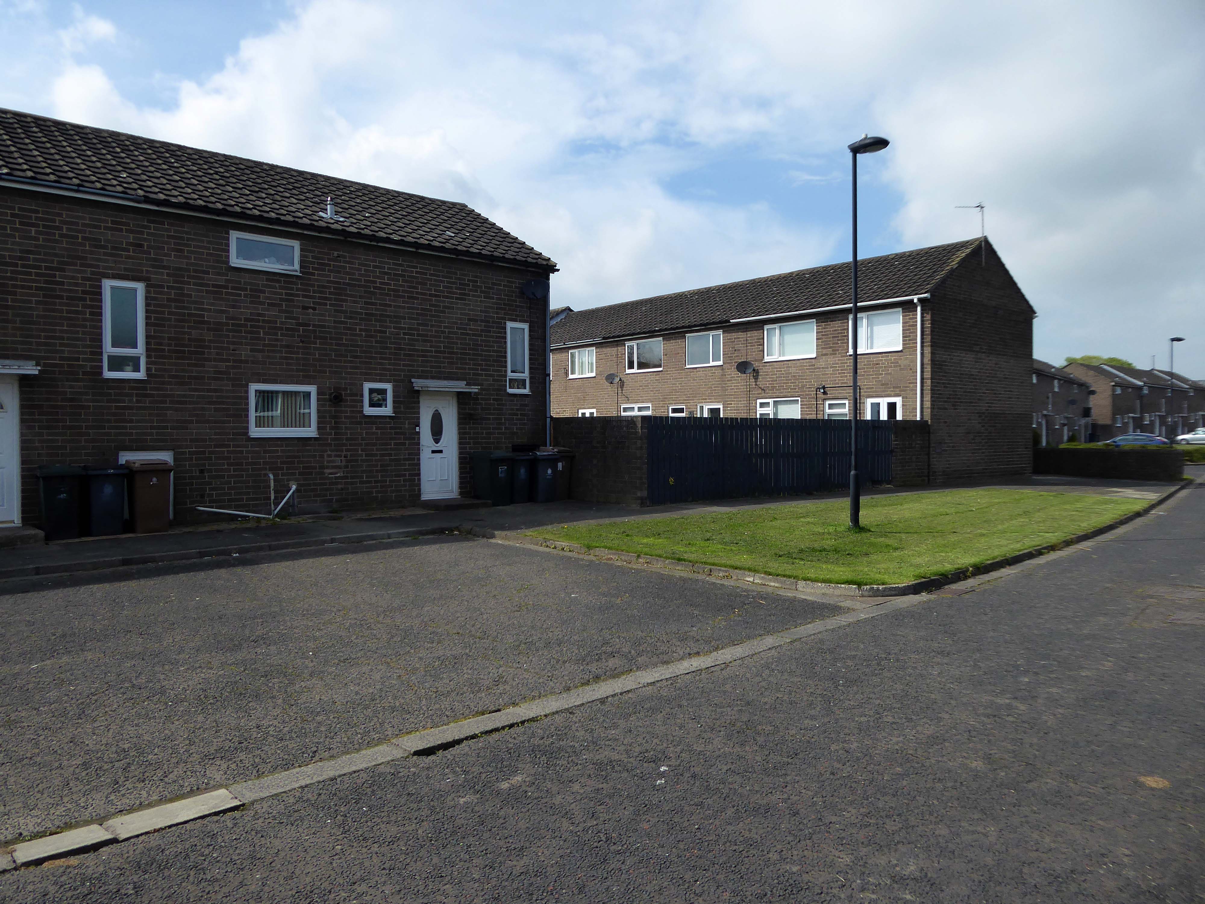
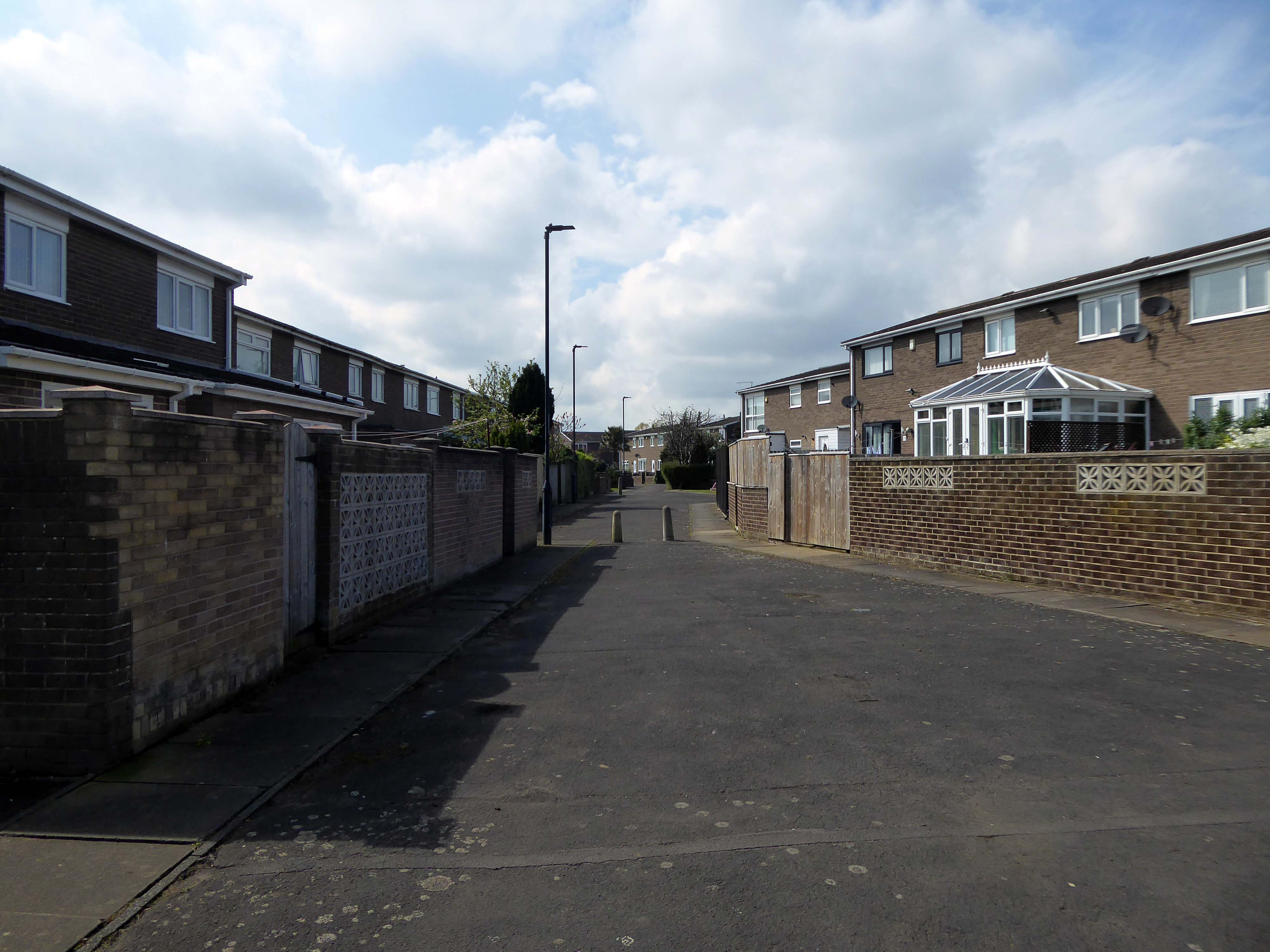
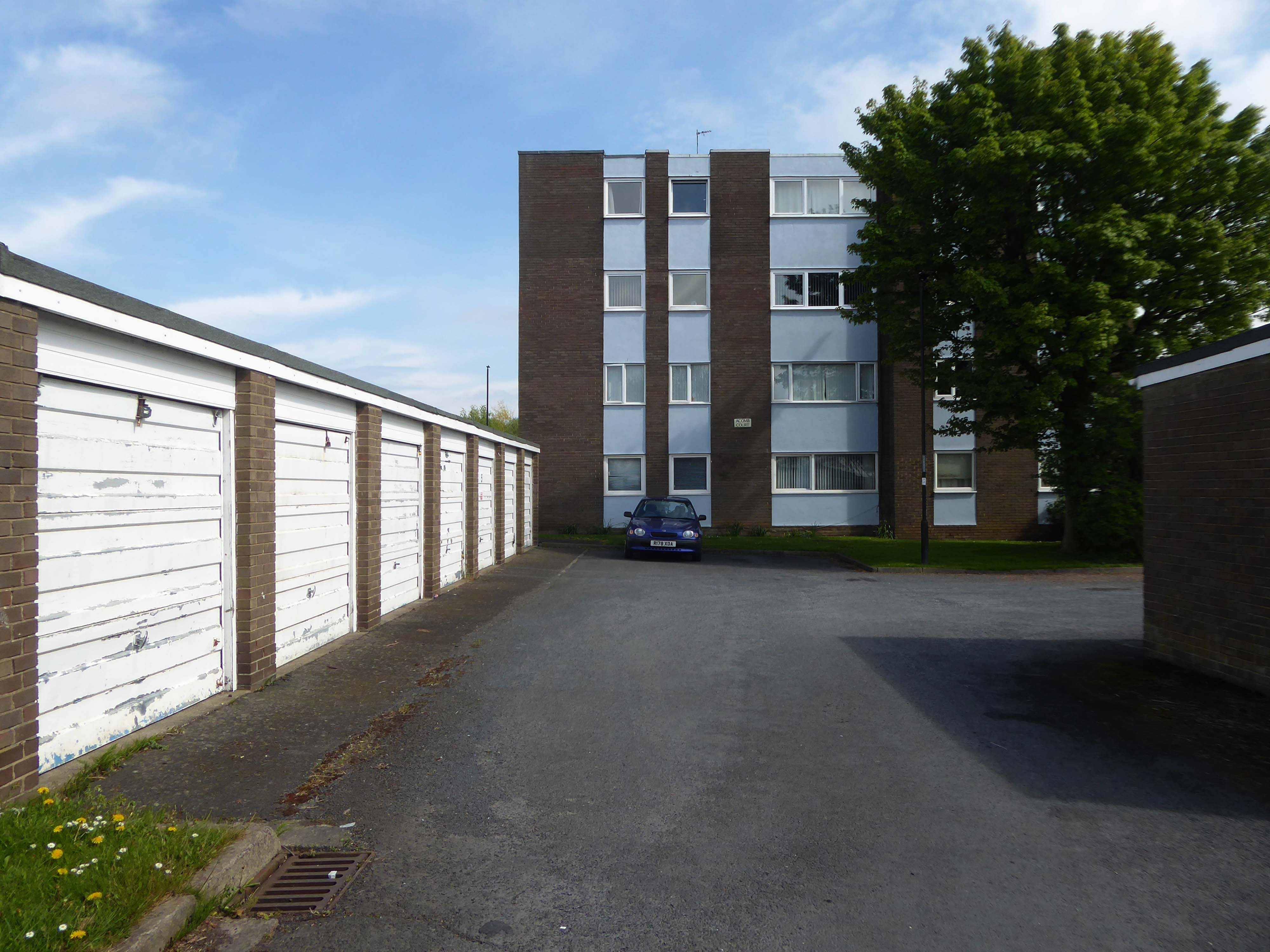
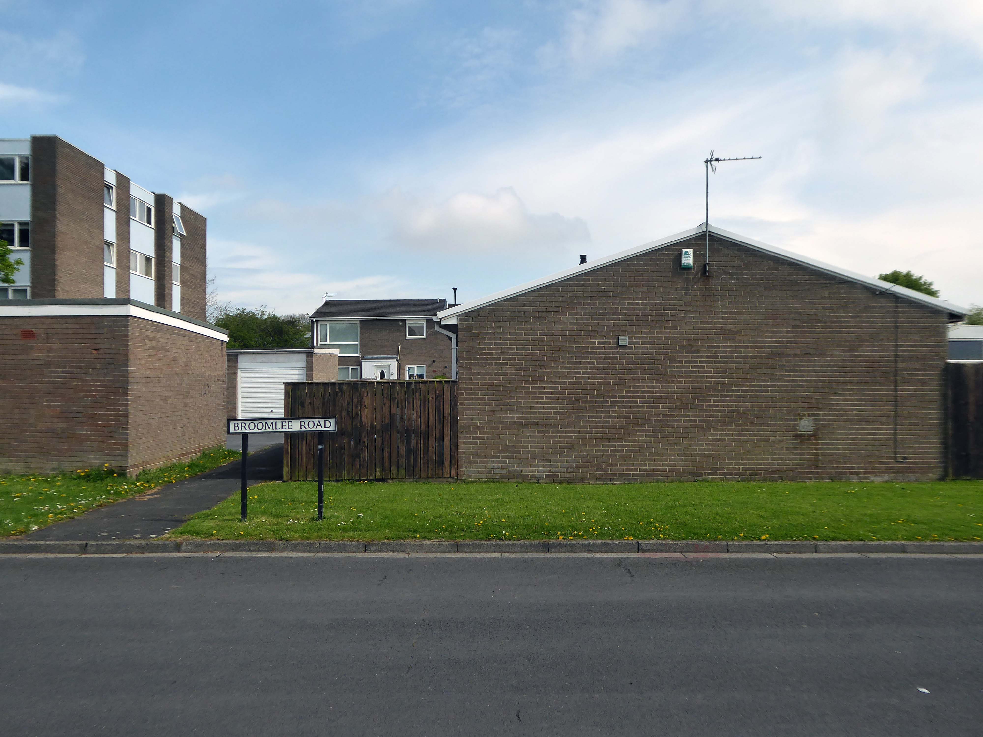
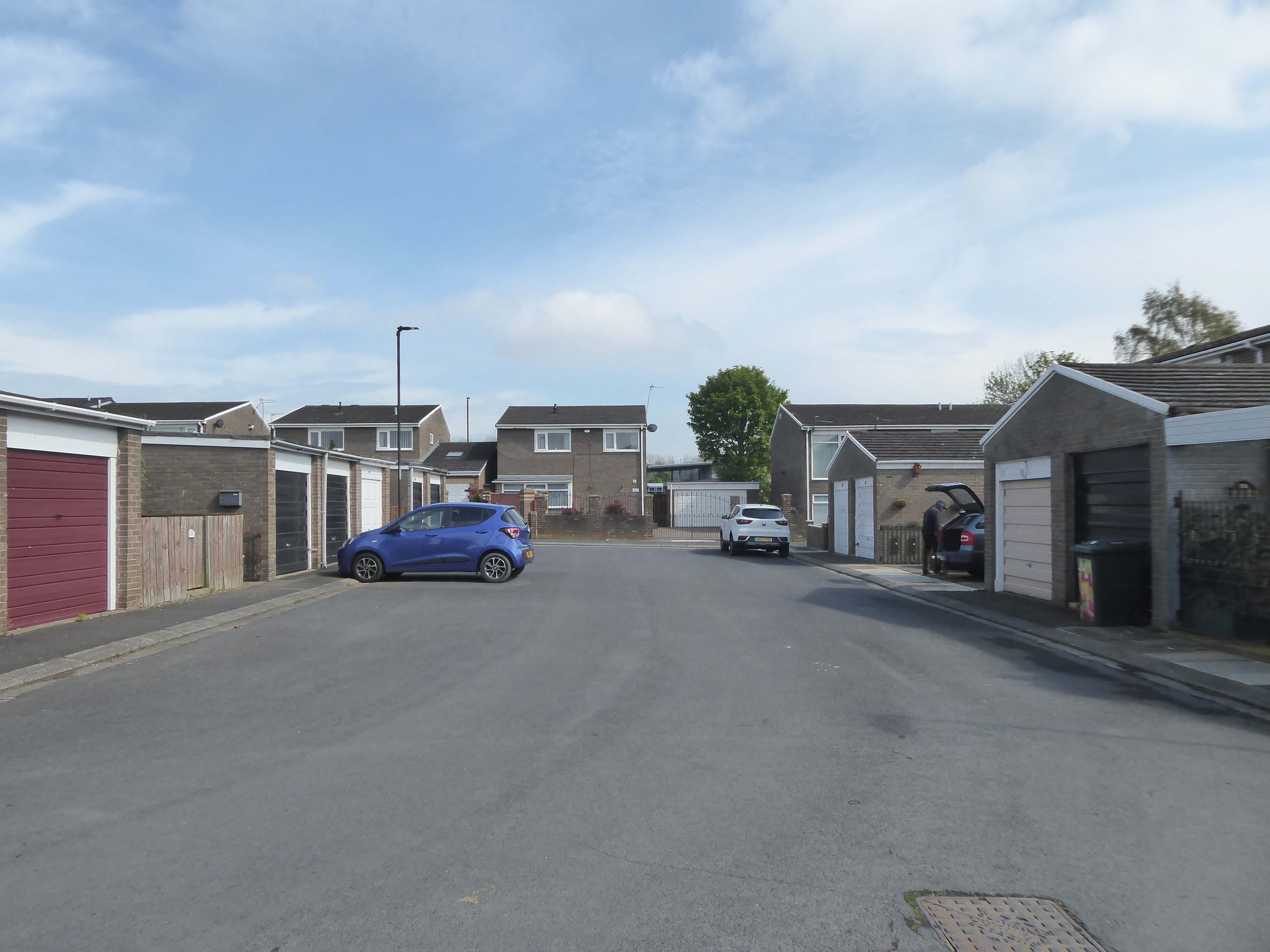
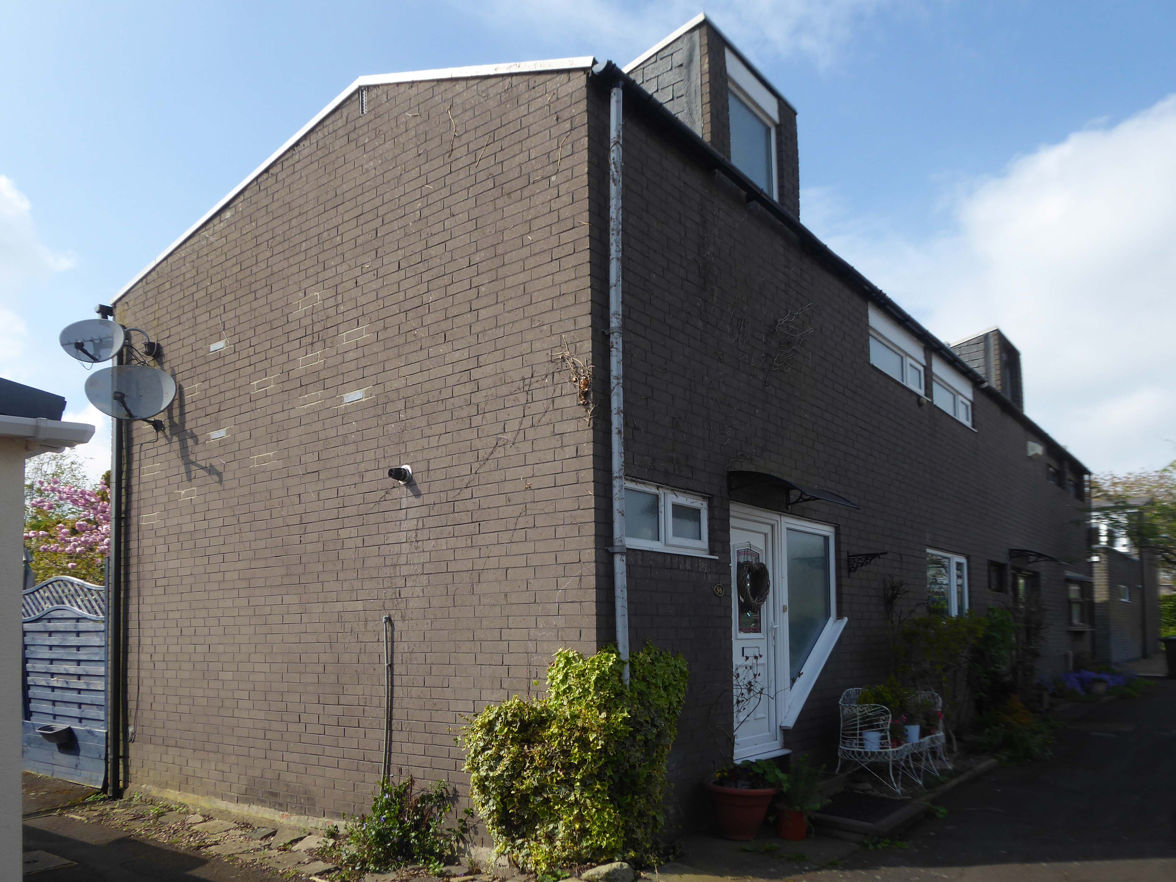
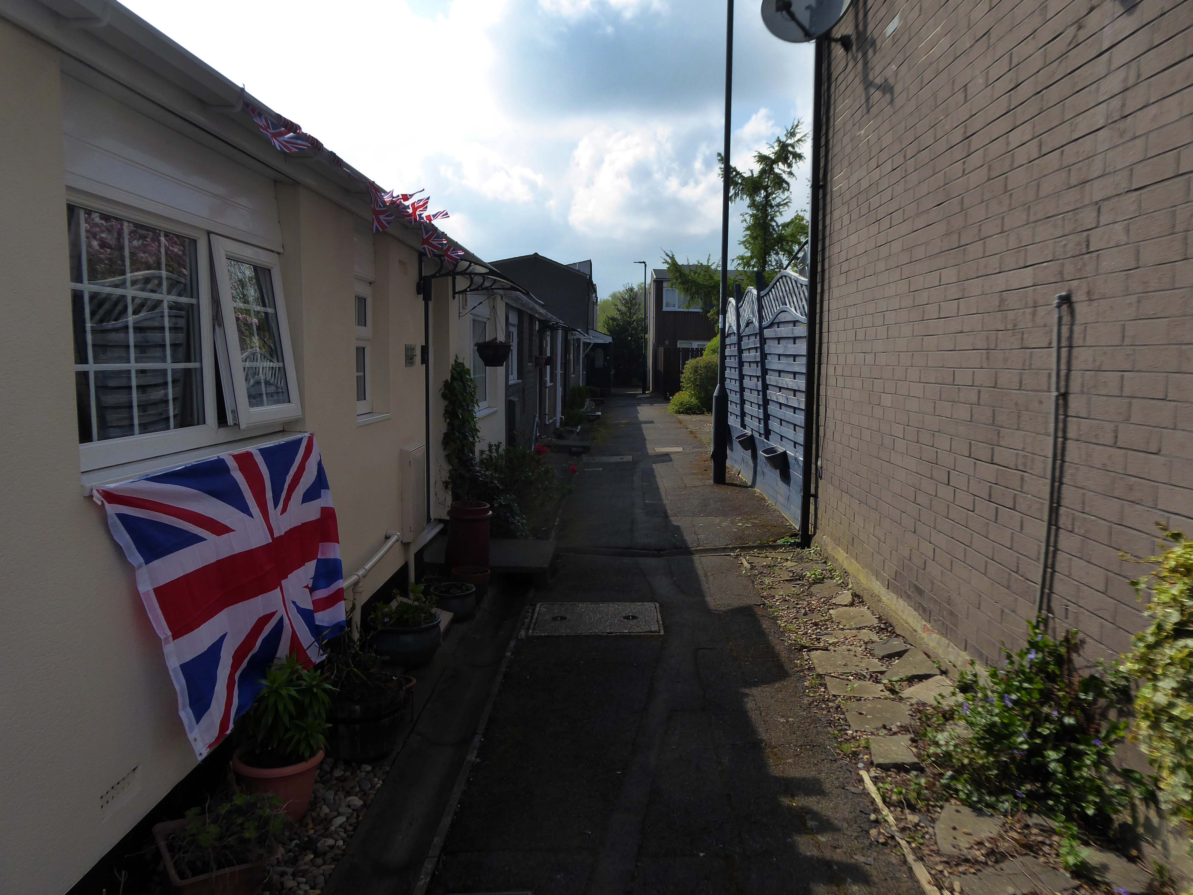
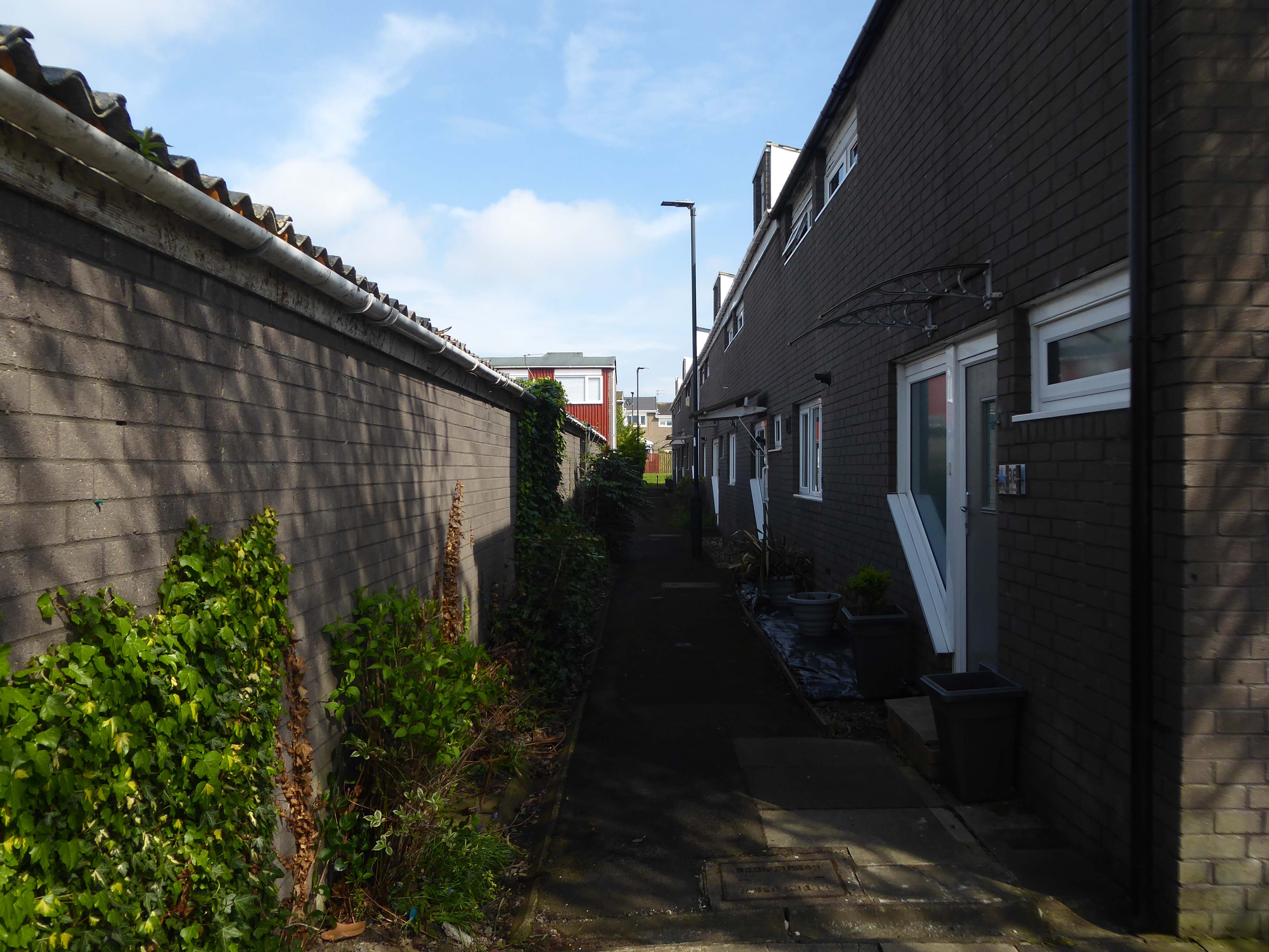
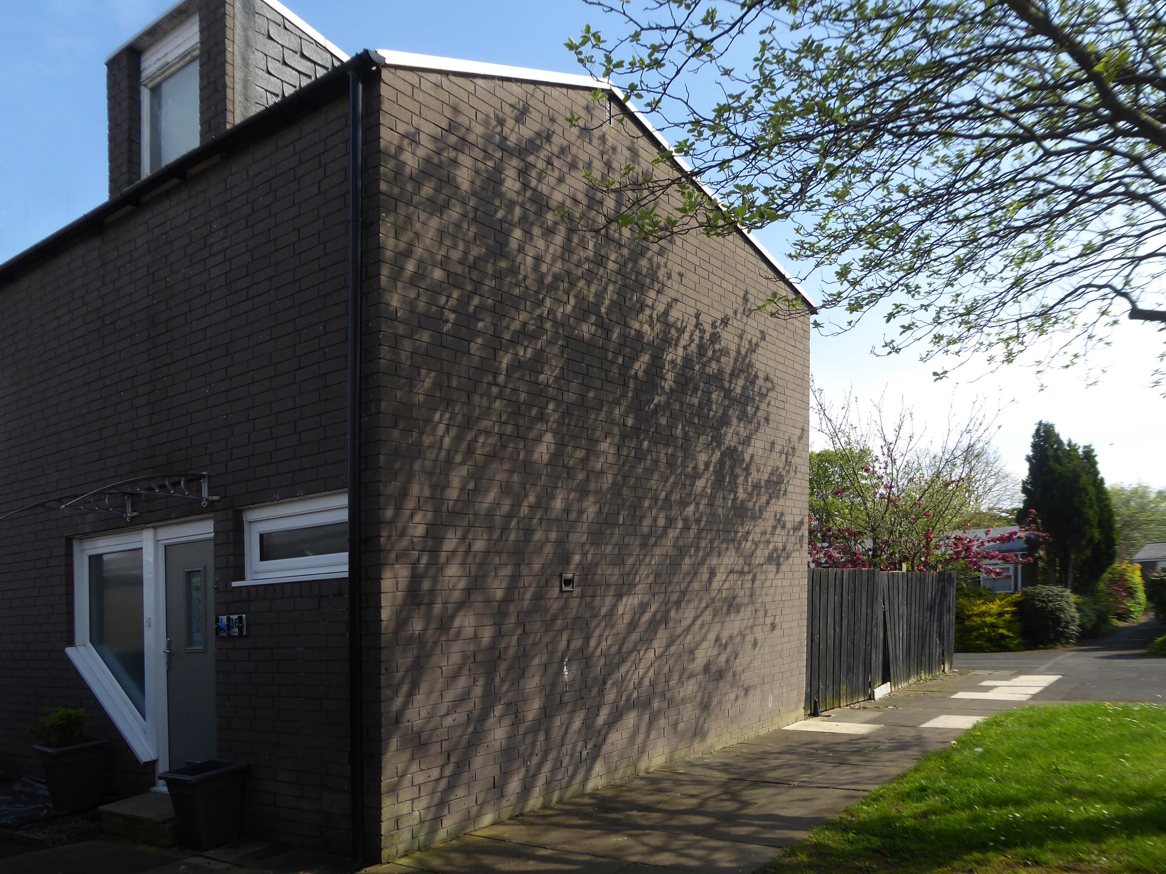
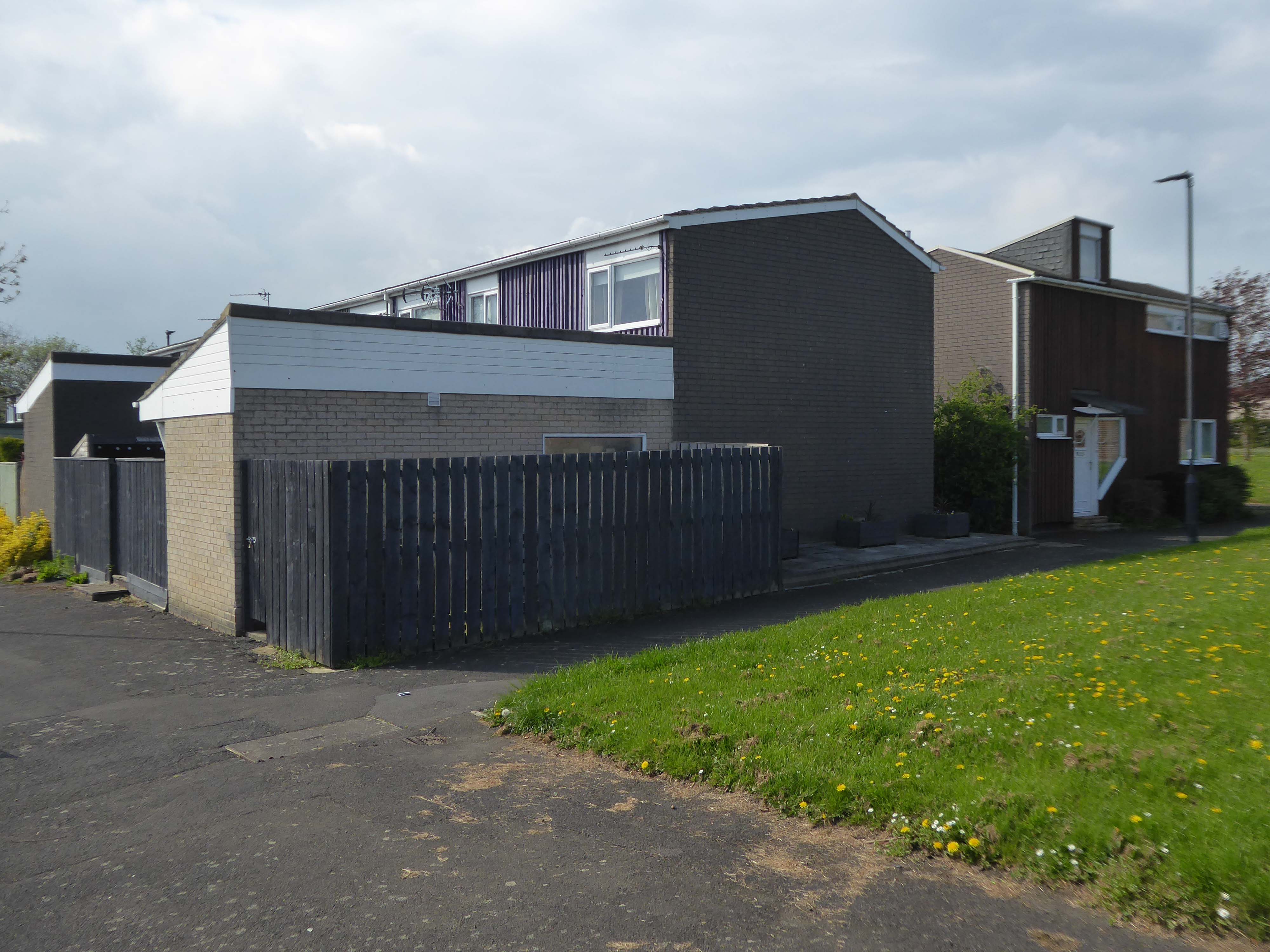
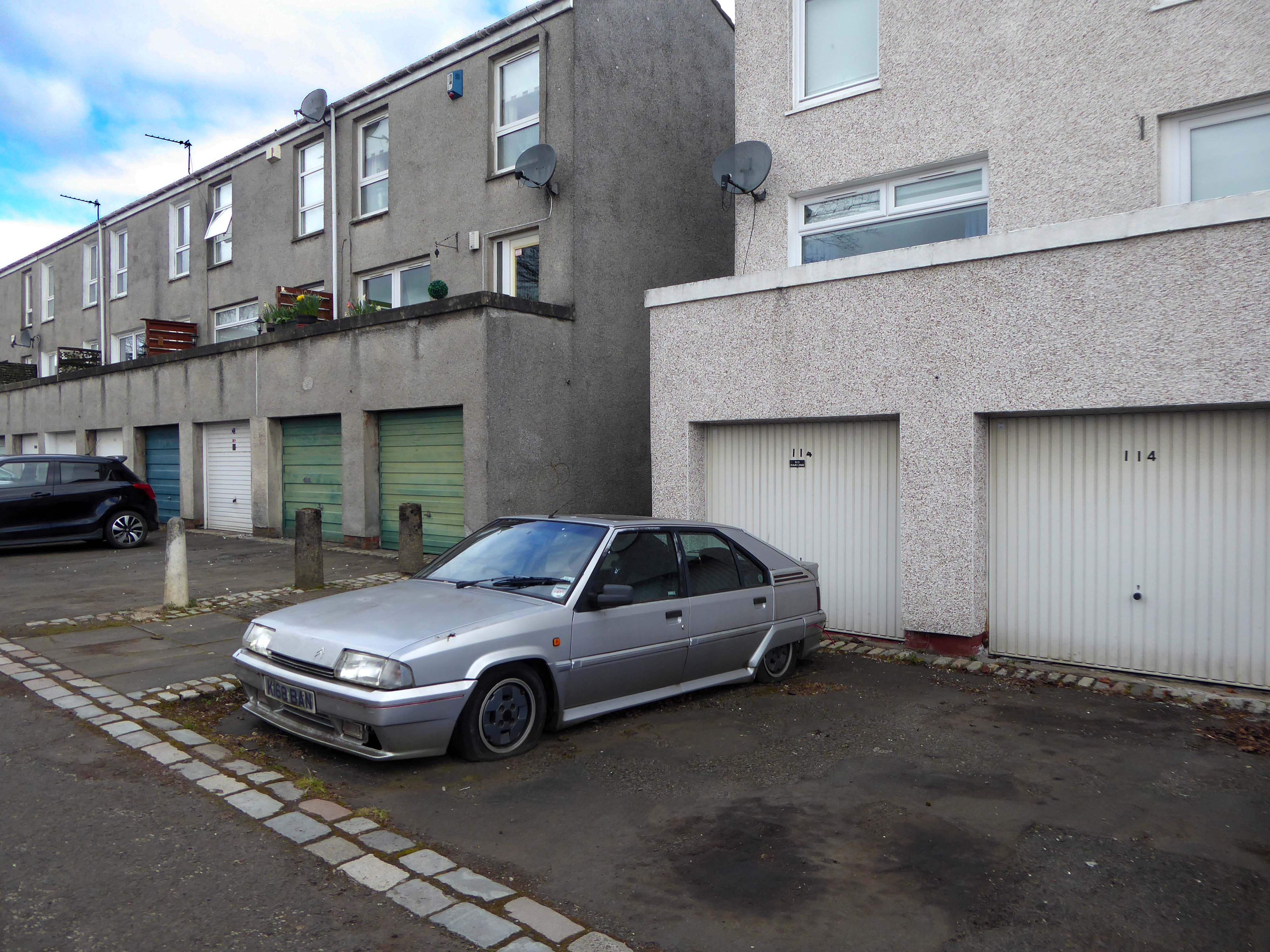
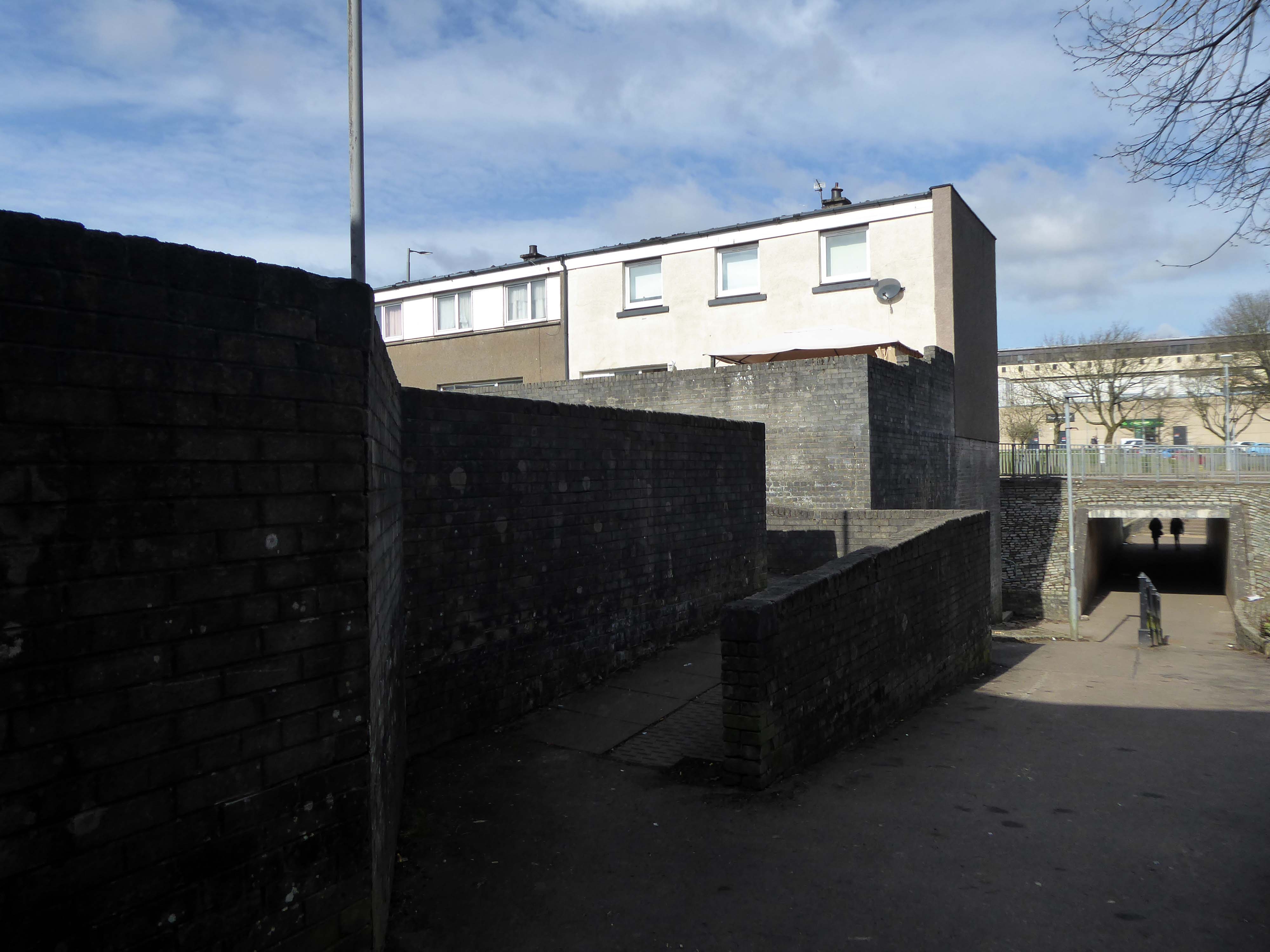
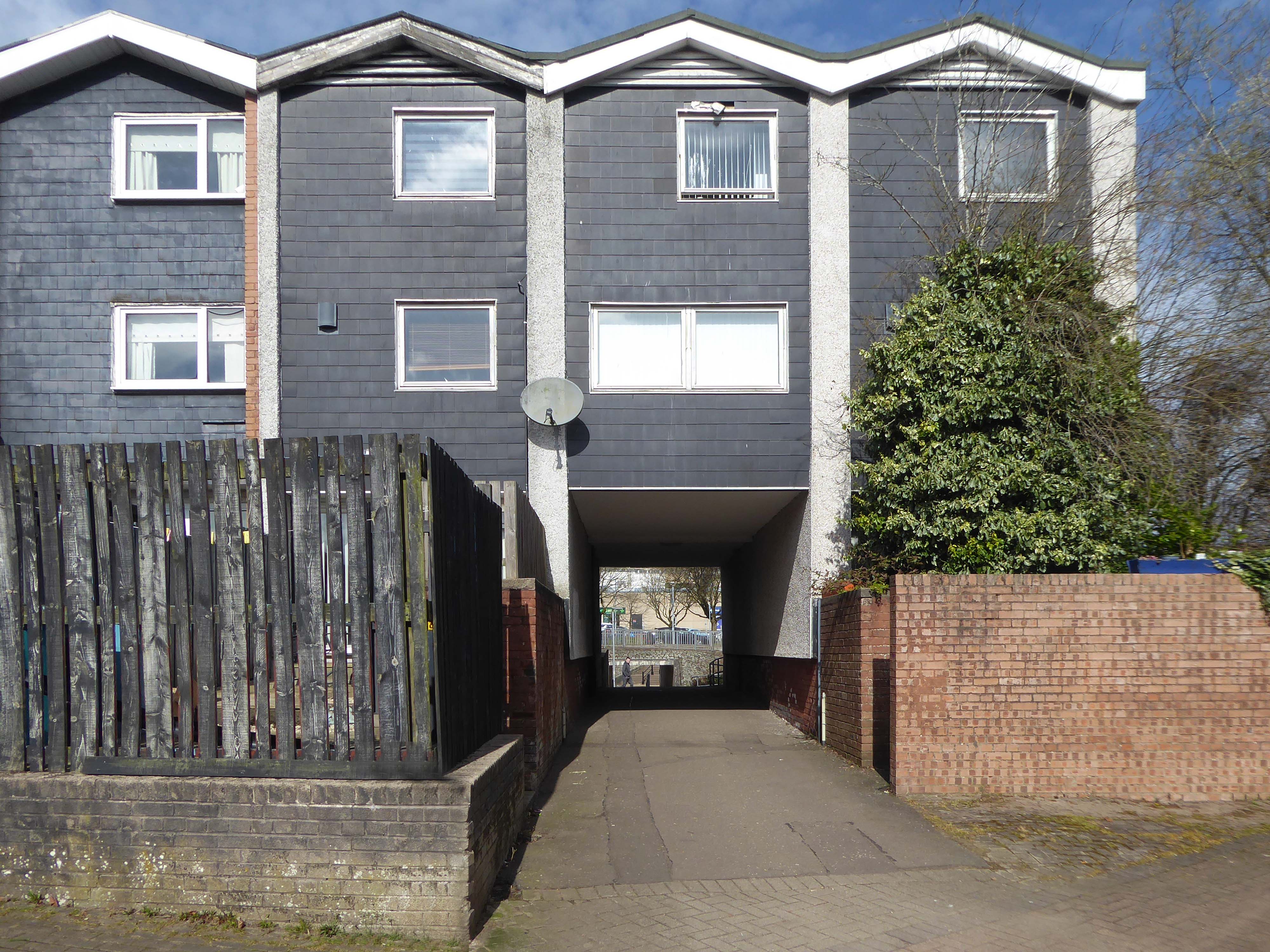
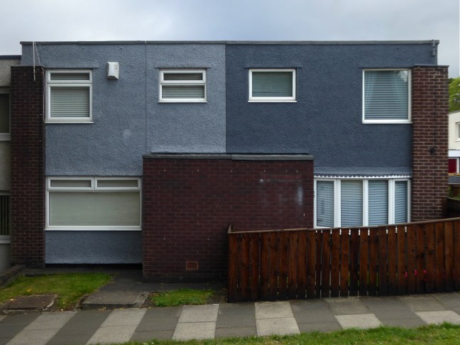
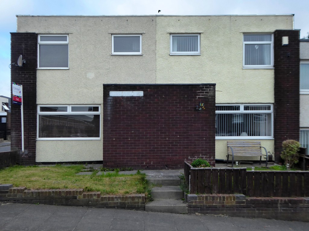
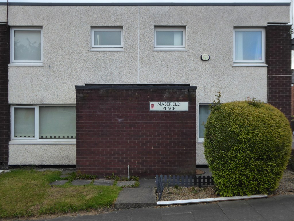
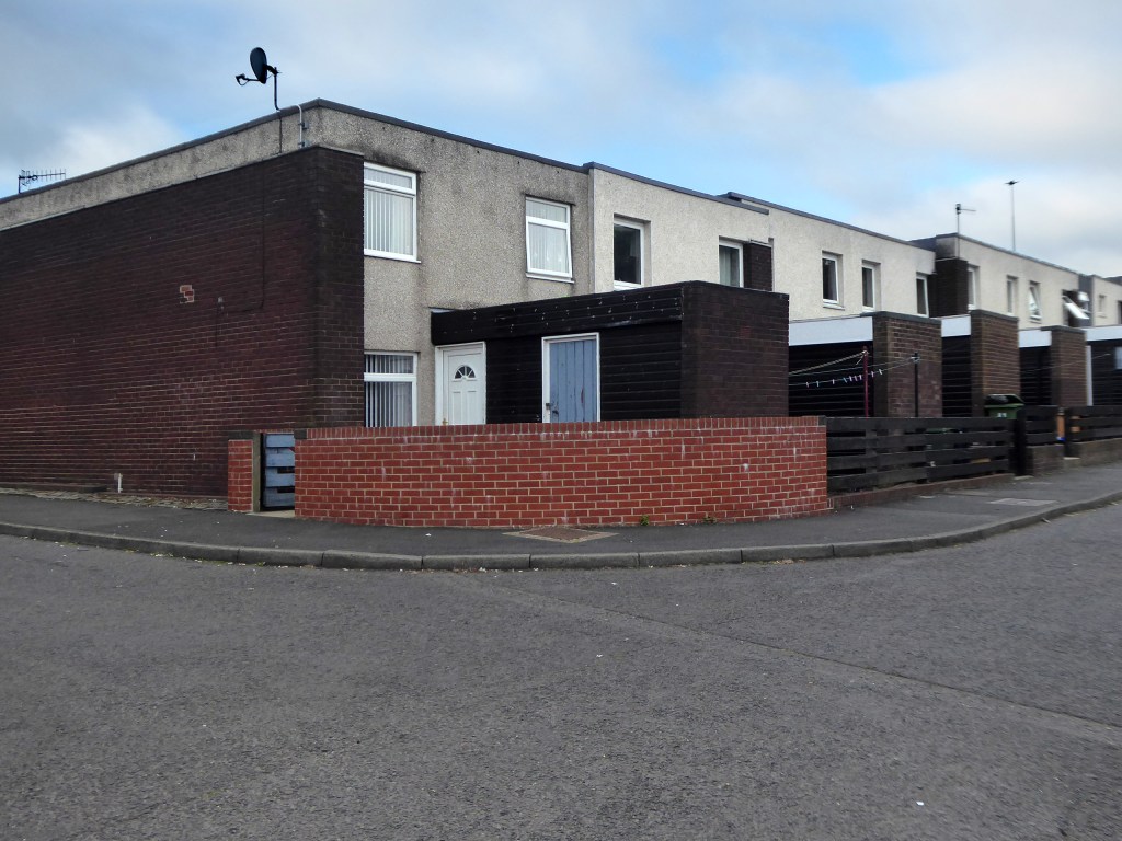
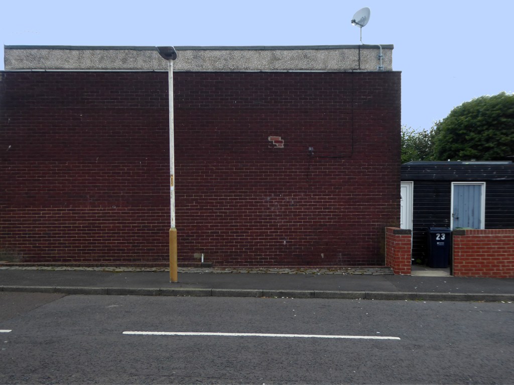
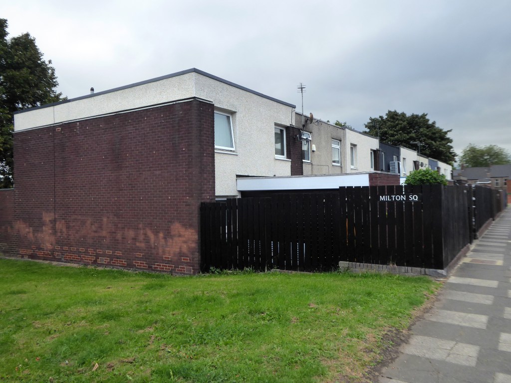
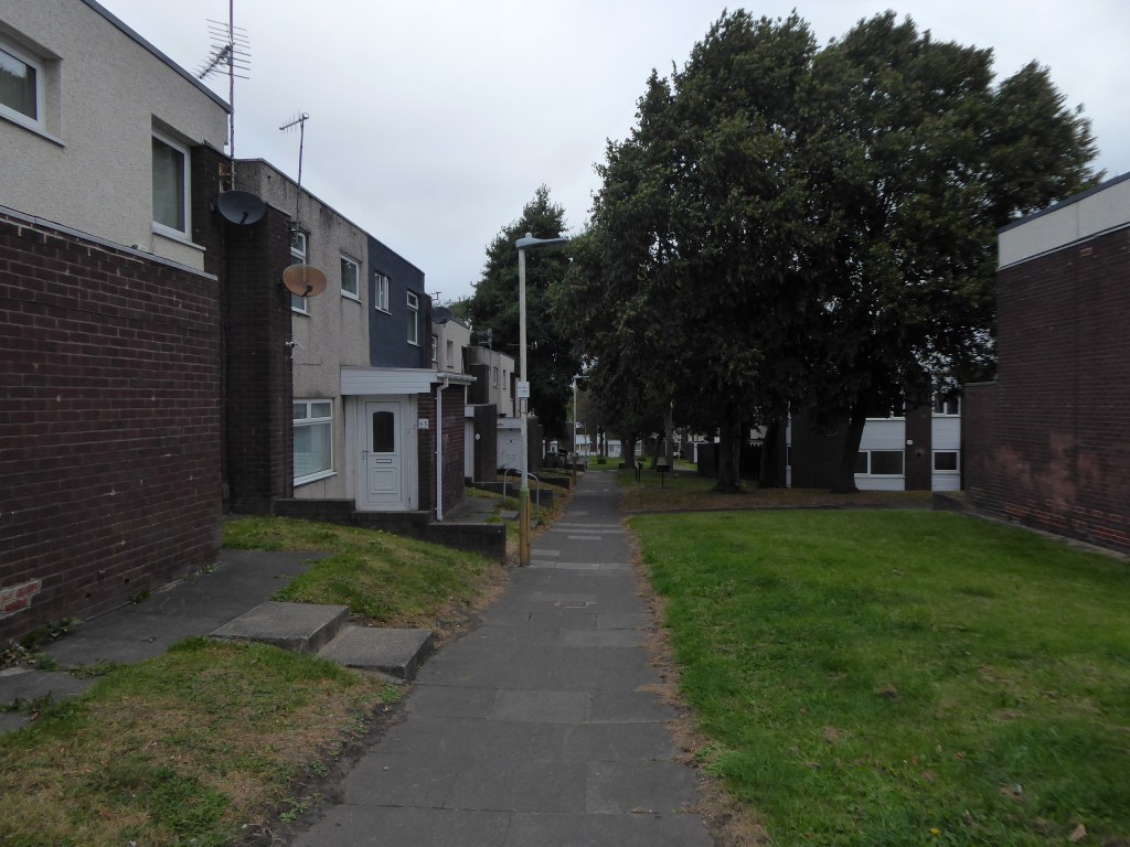
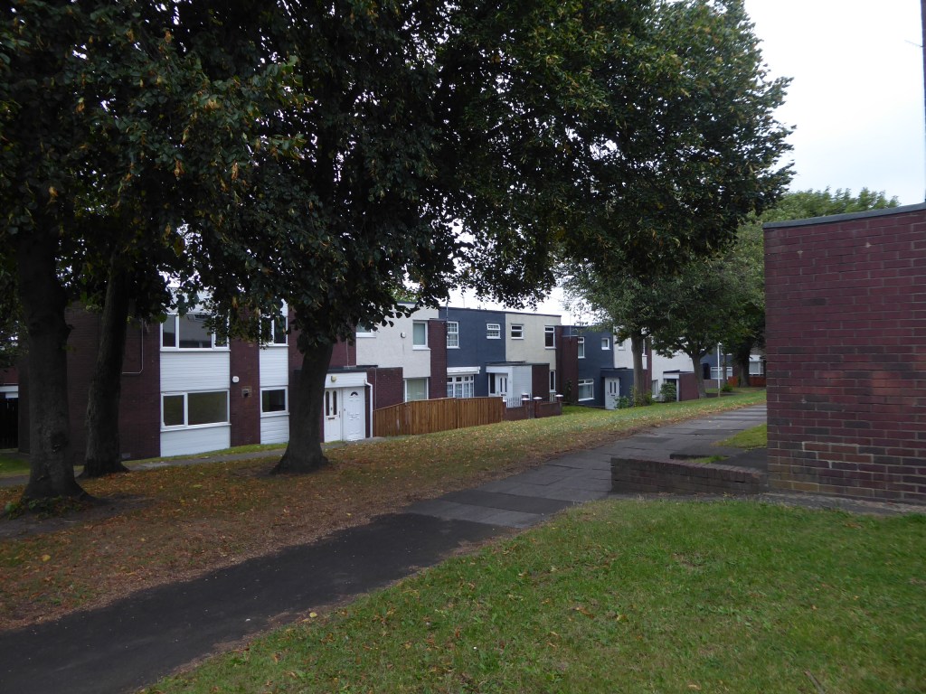
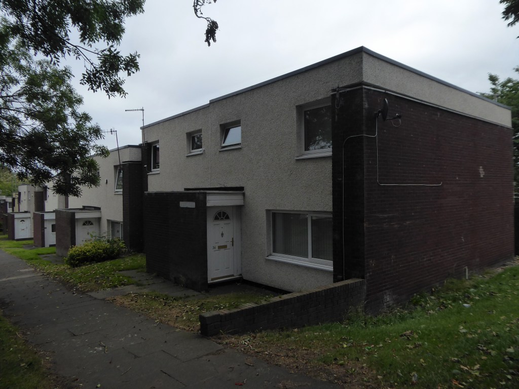
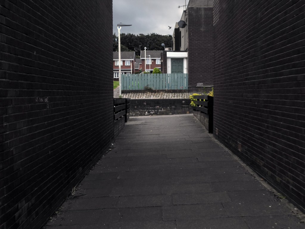
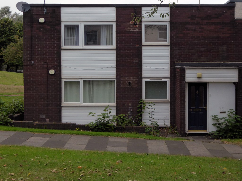
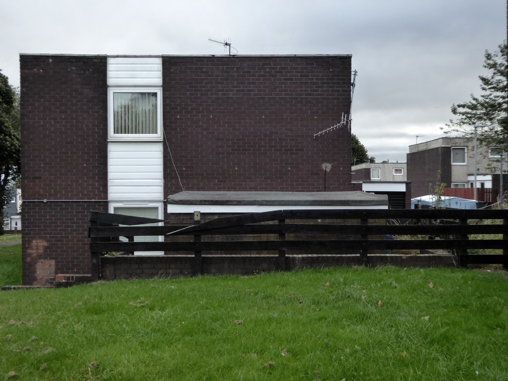
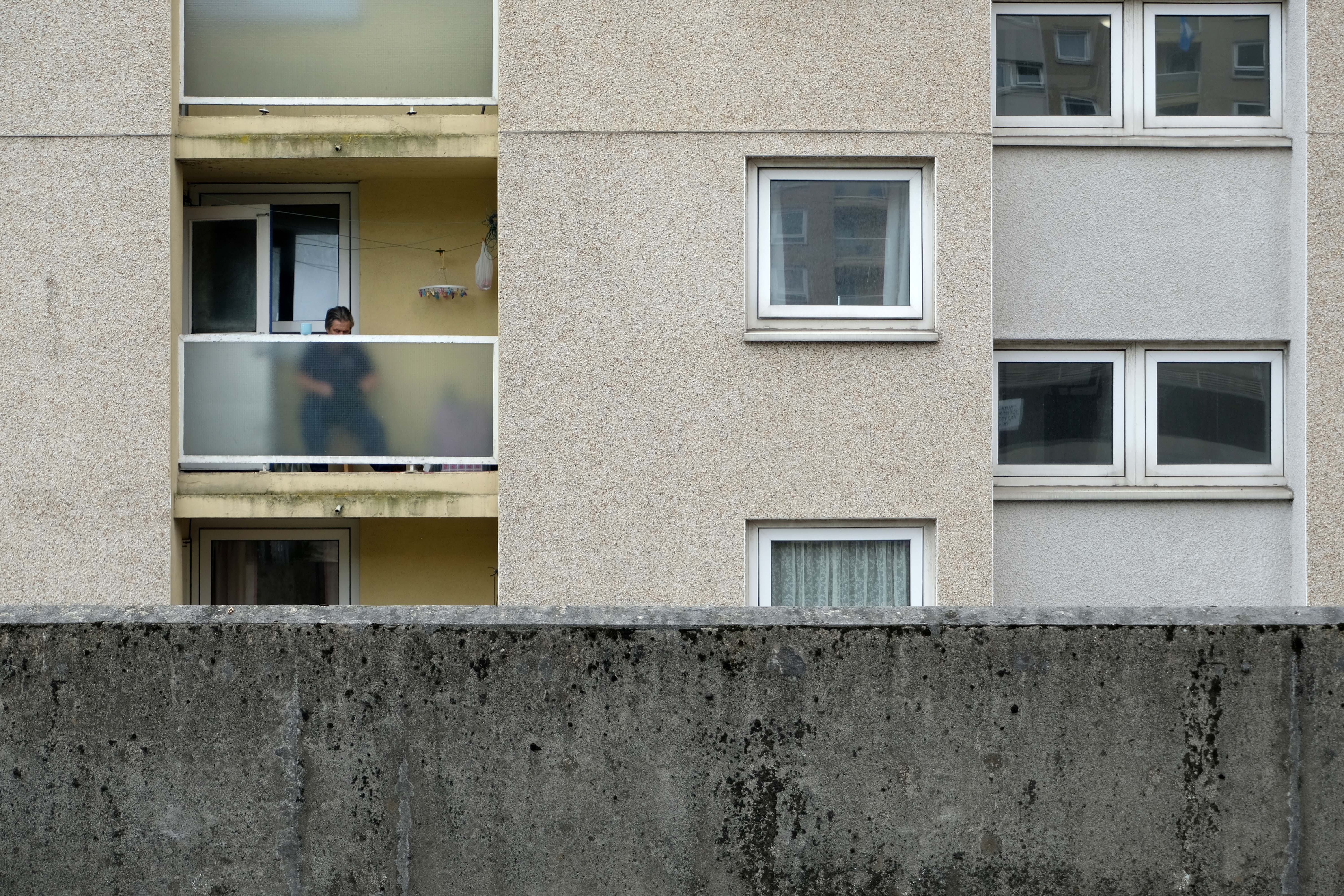
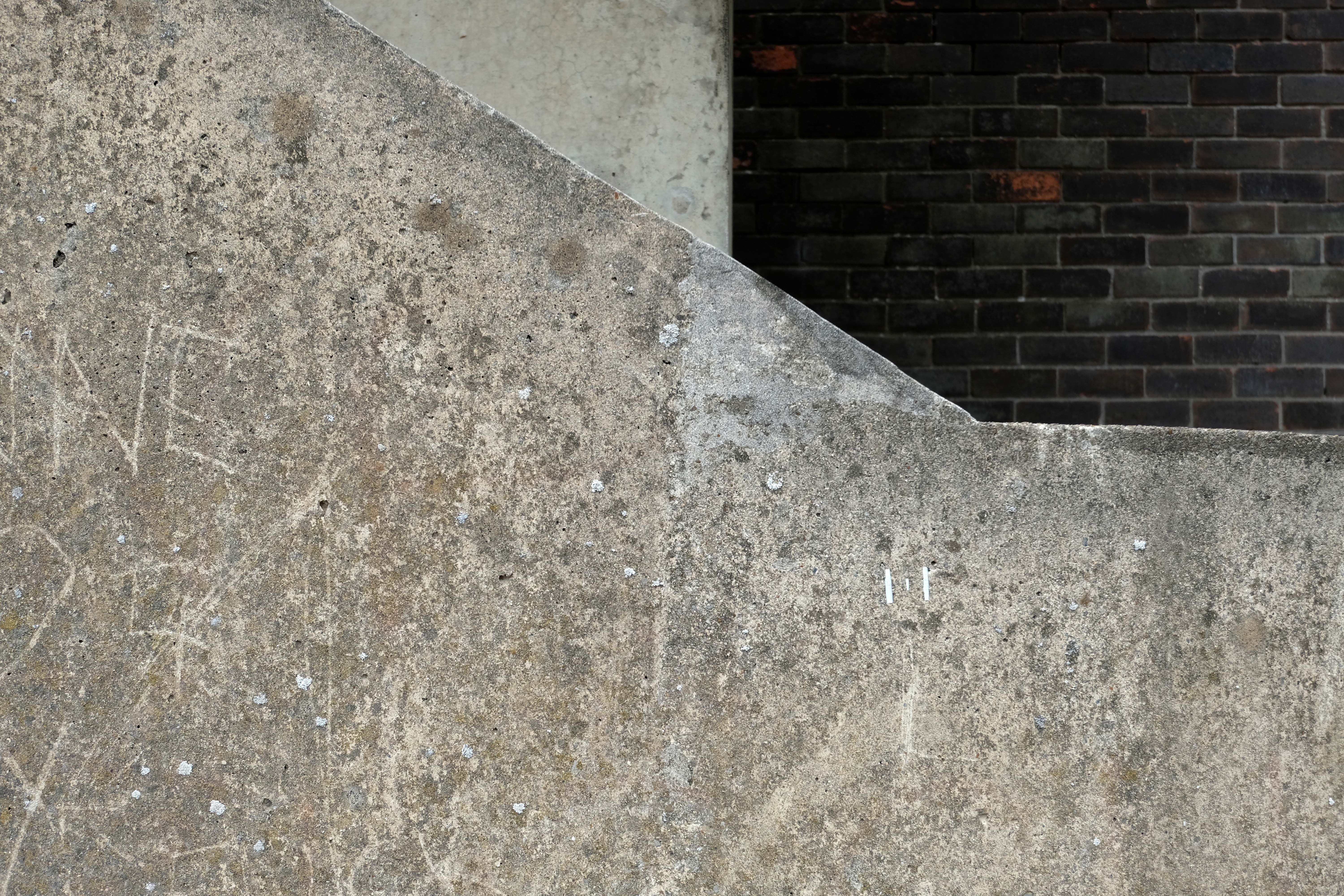
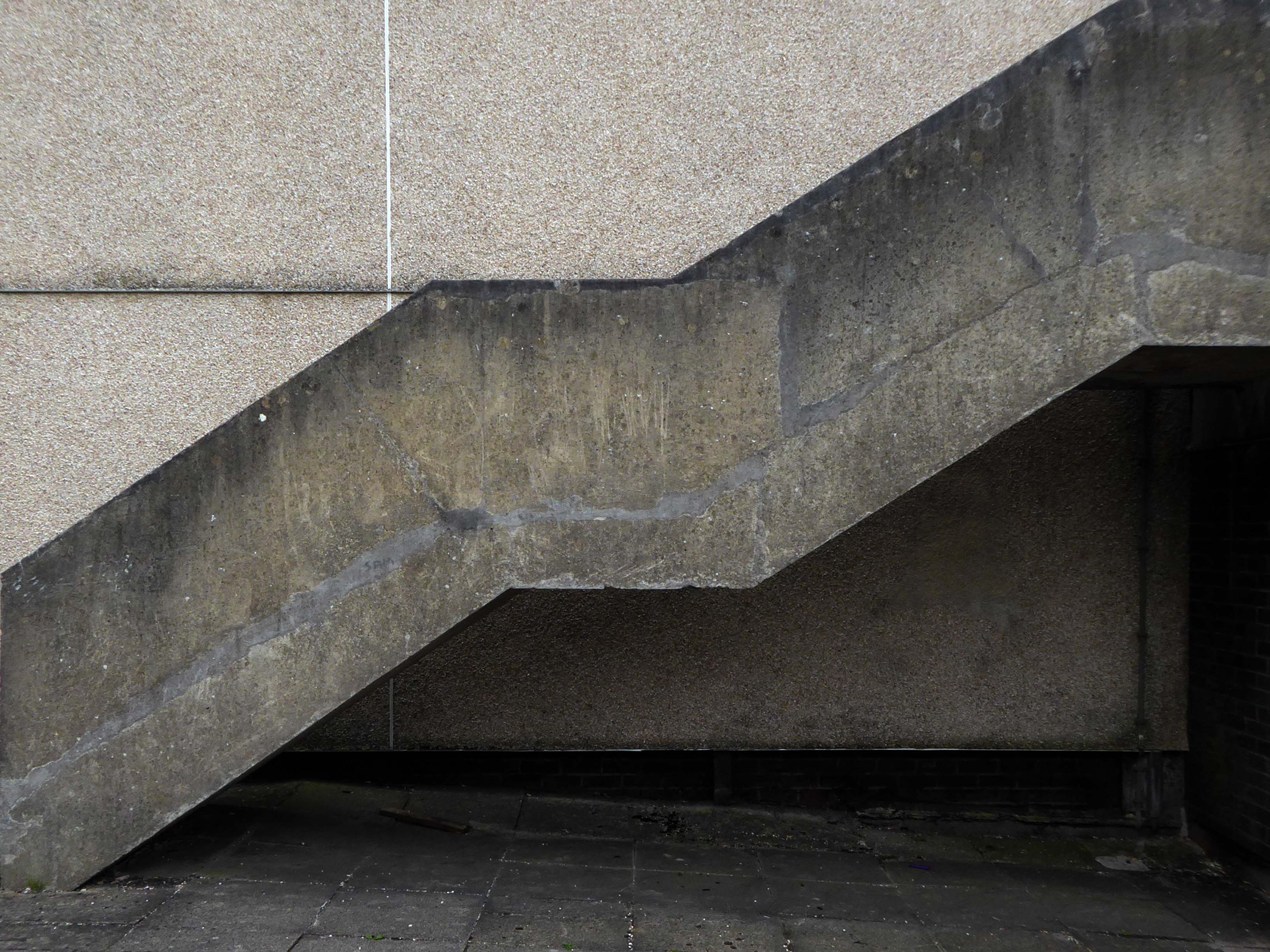
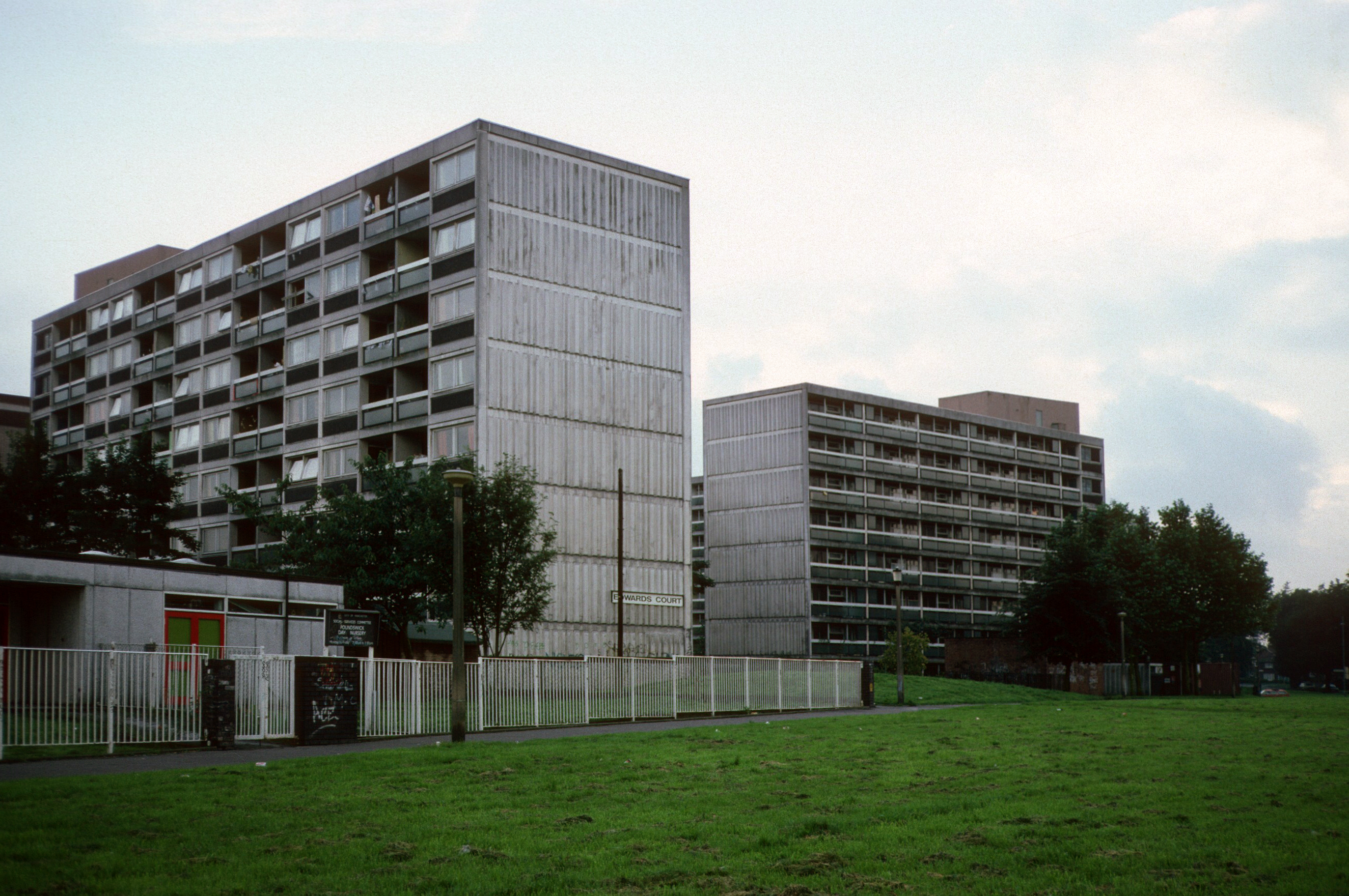
Whilst not seeking sheltered housing for my good self, I am always intrigued by small developments of interesting social housing, grouped around pedestrian walk ways and green space.
The residents with whom I chatted seems content with their homes and the management thereof.
I bade them adieu and went about my way, taking these few snaps.
The concrete and the clay beneath my feet Begins to crumble But love will never die
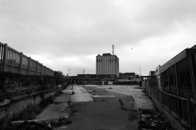
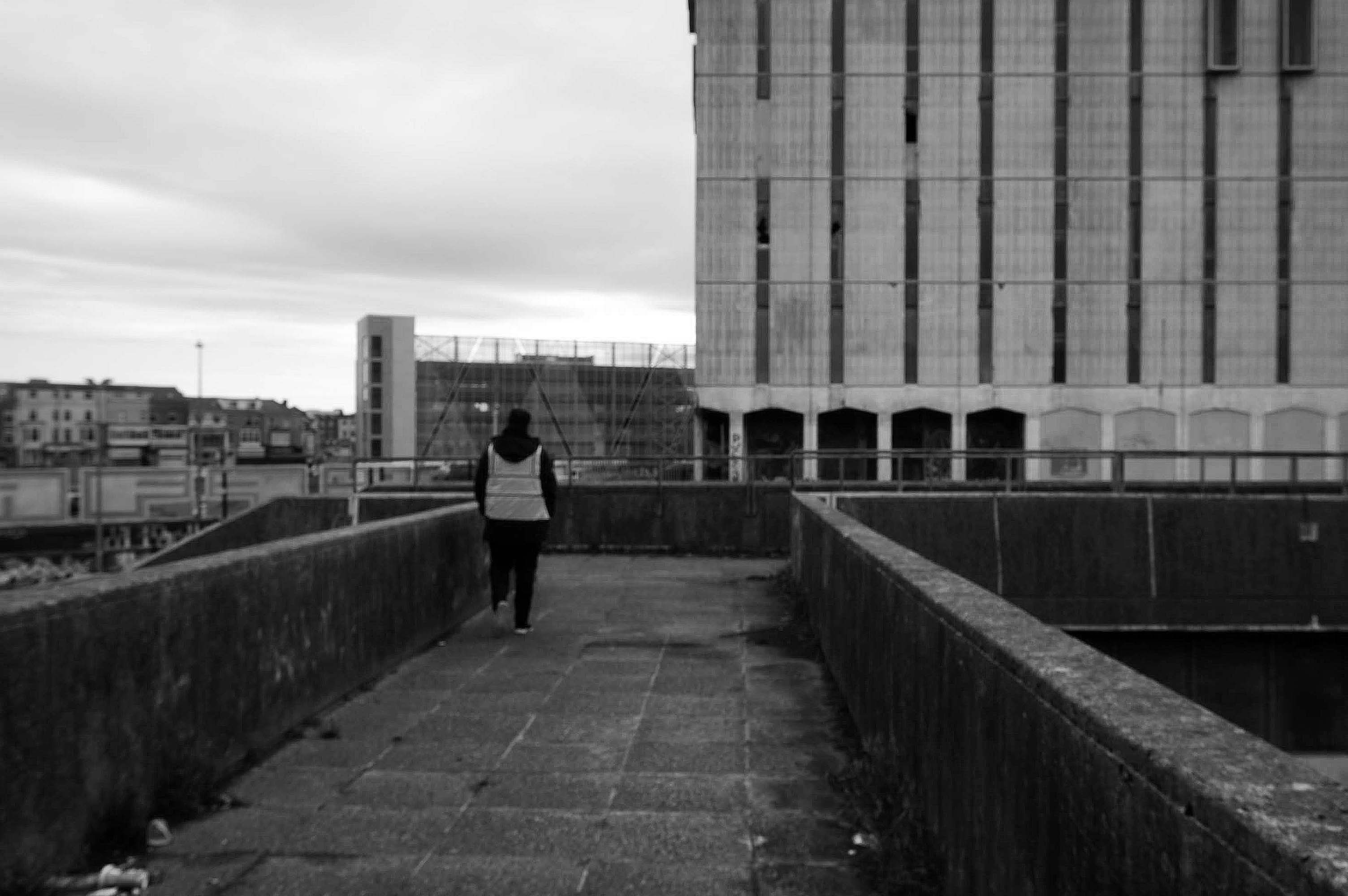
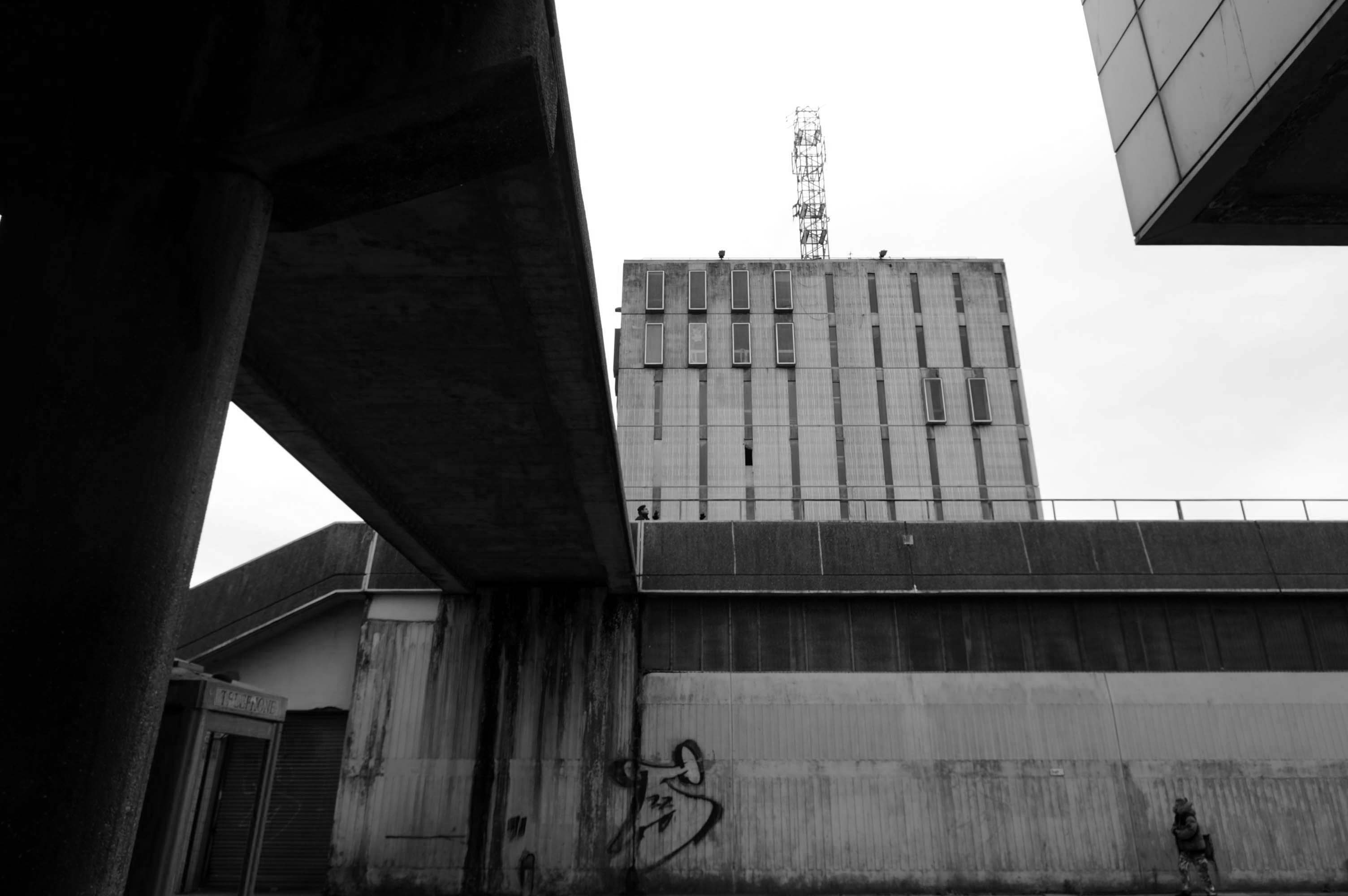
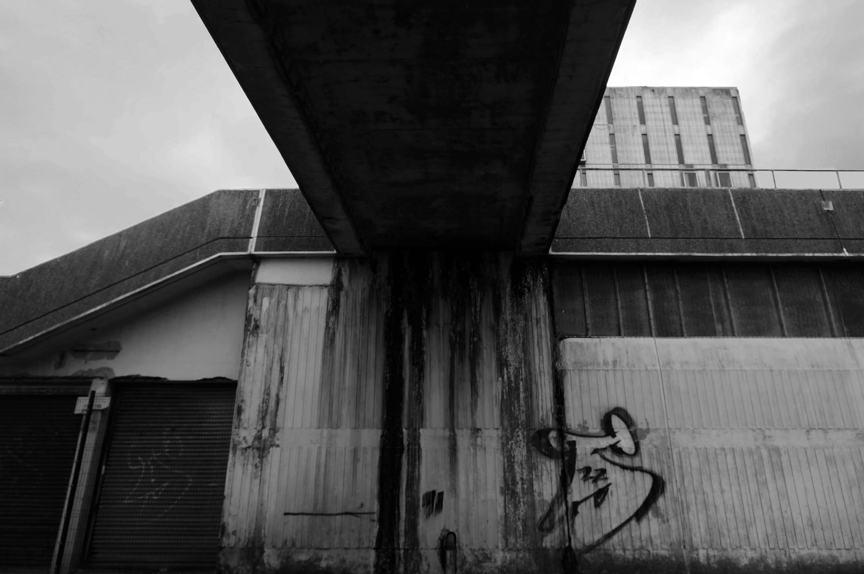
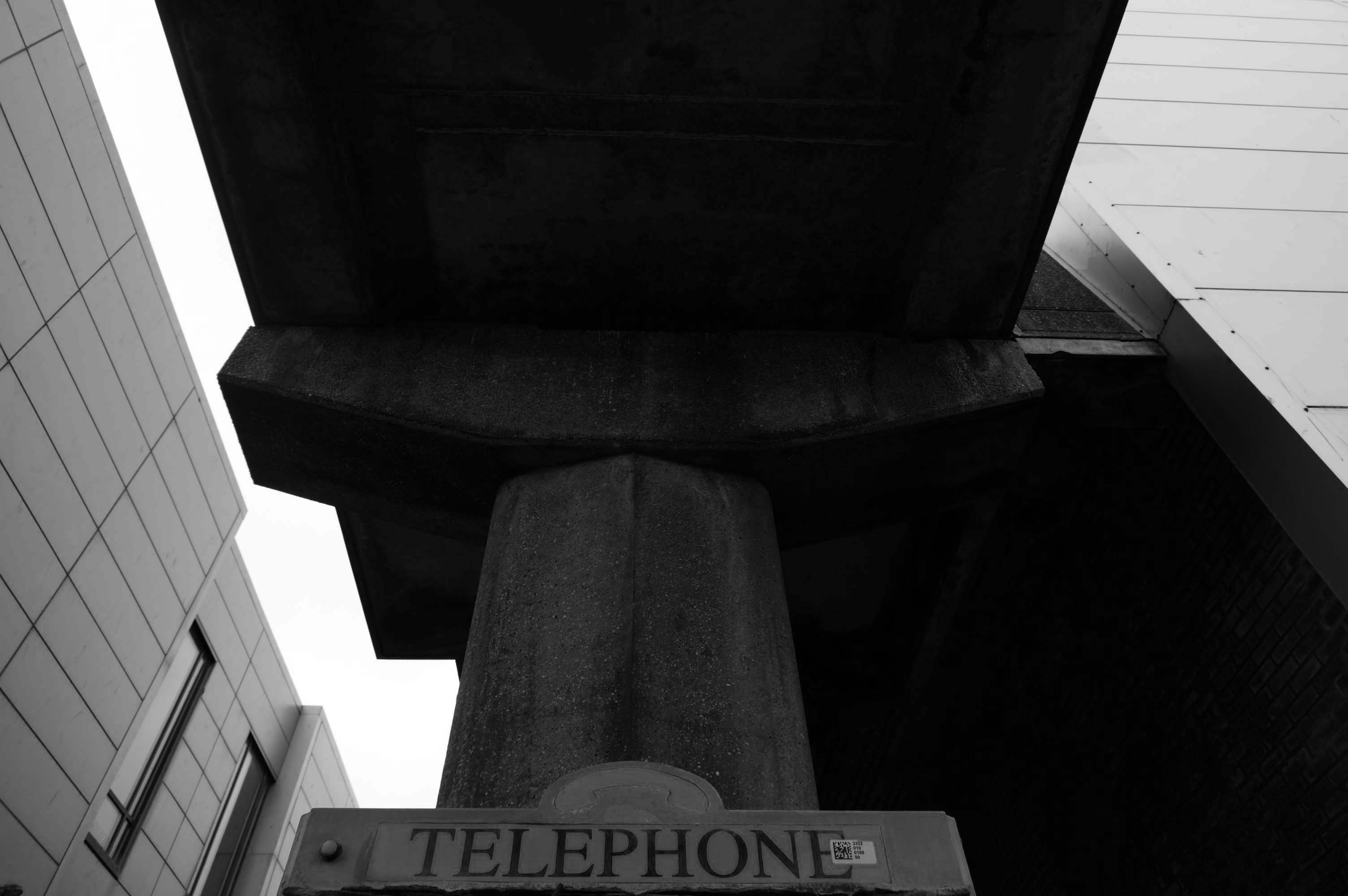
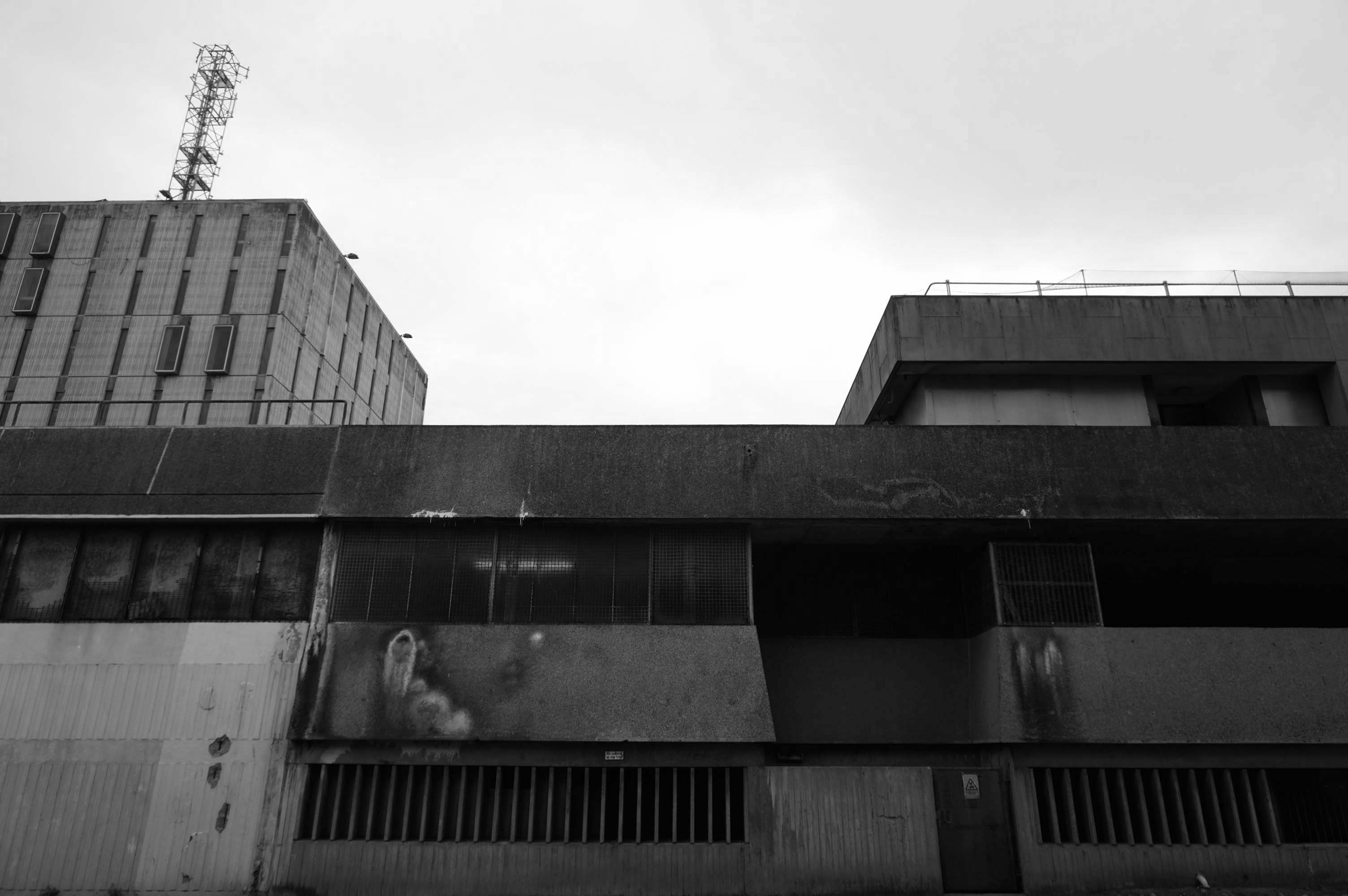
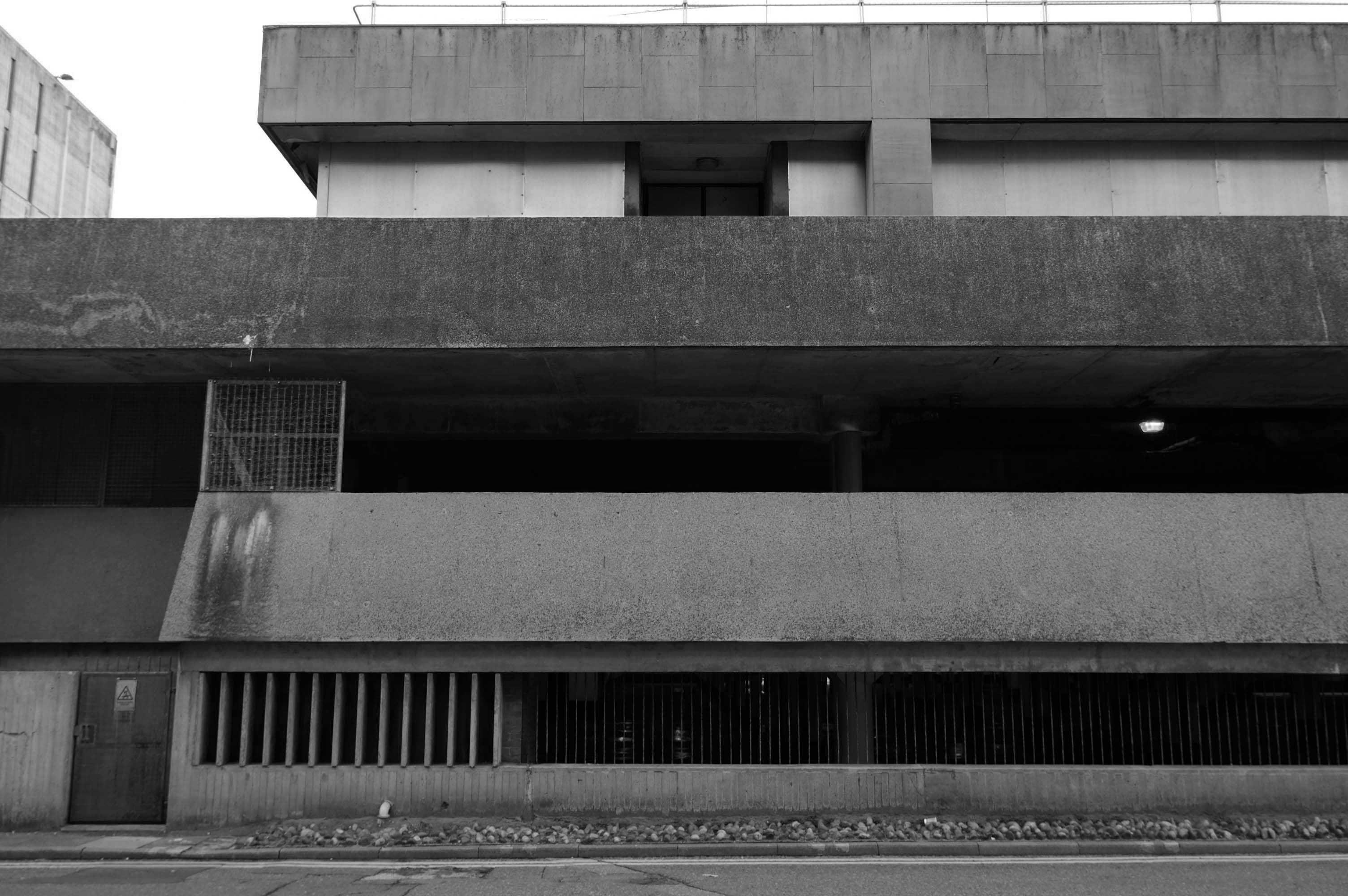
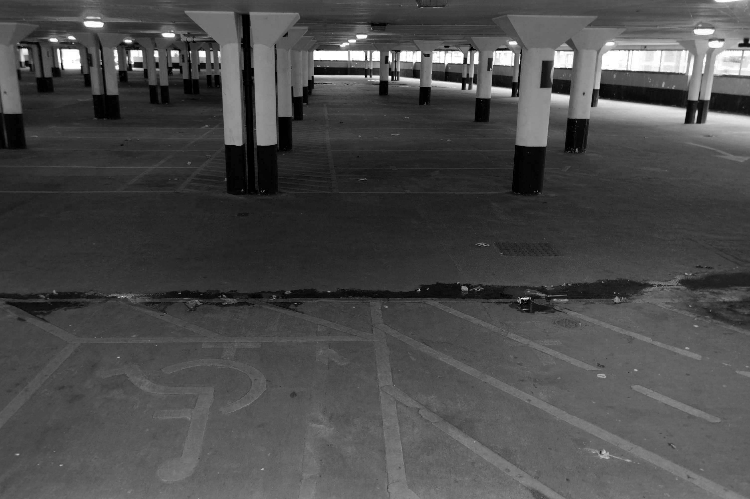
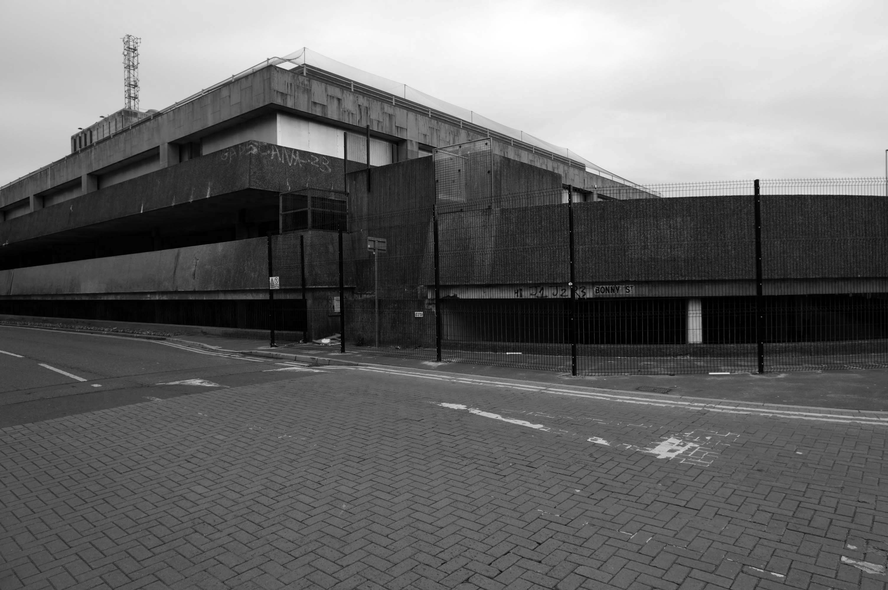
Doomed to face the demolition crew – the anti-social intrusions and falling masonry have enforced a fence, an impenetrable fence.
My requests for unforced entry were politely rebuffed by the hi-vis vest security guards.
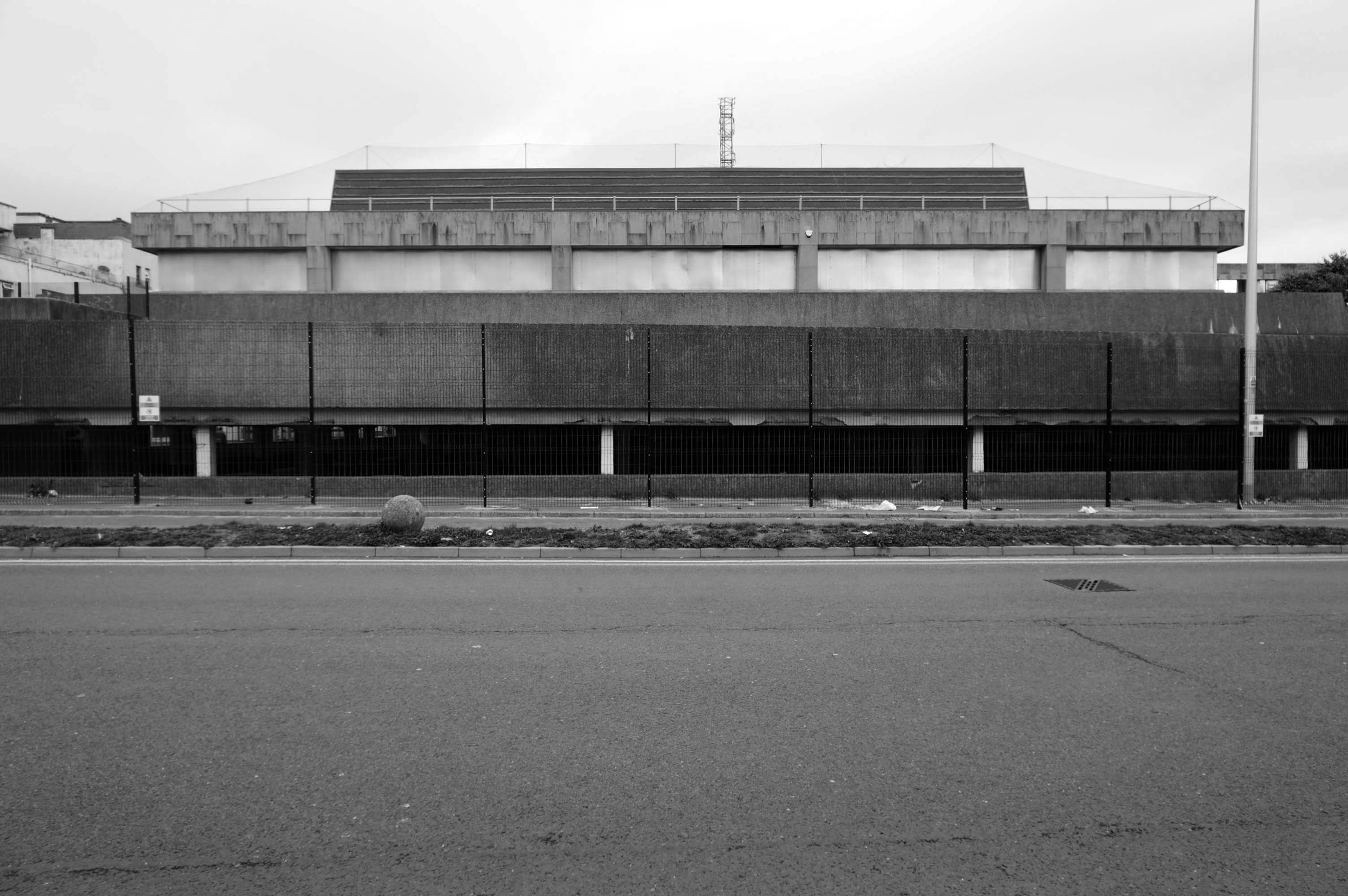
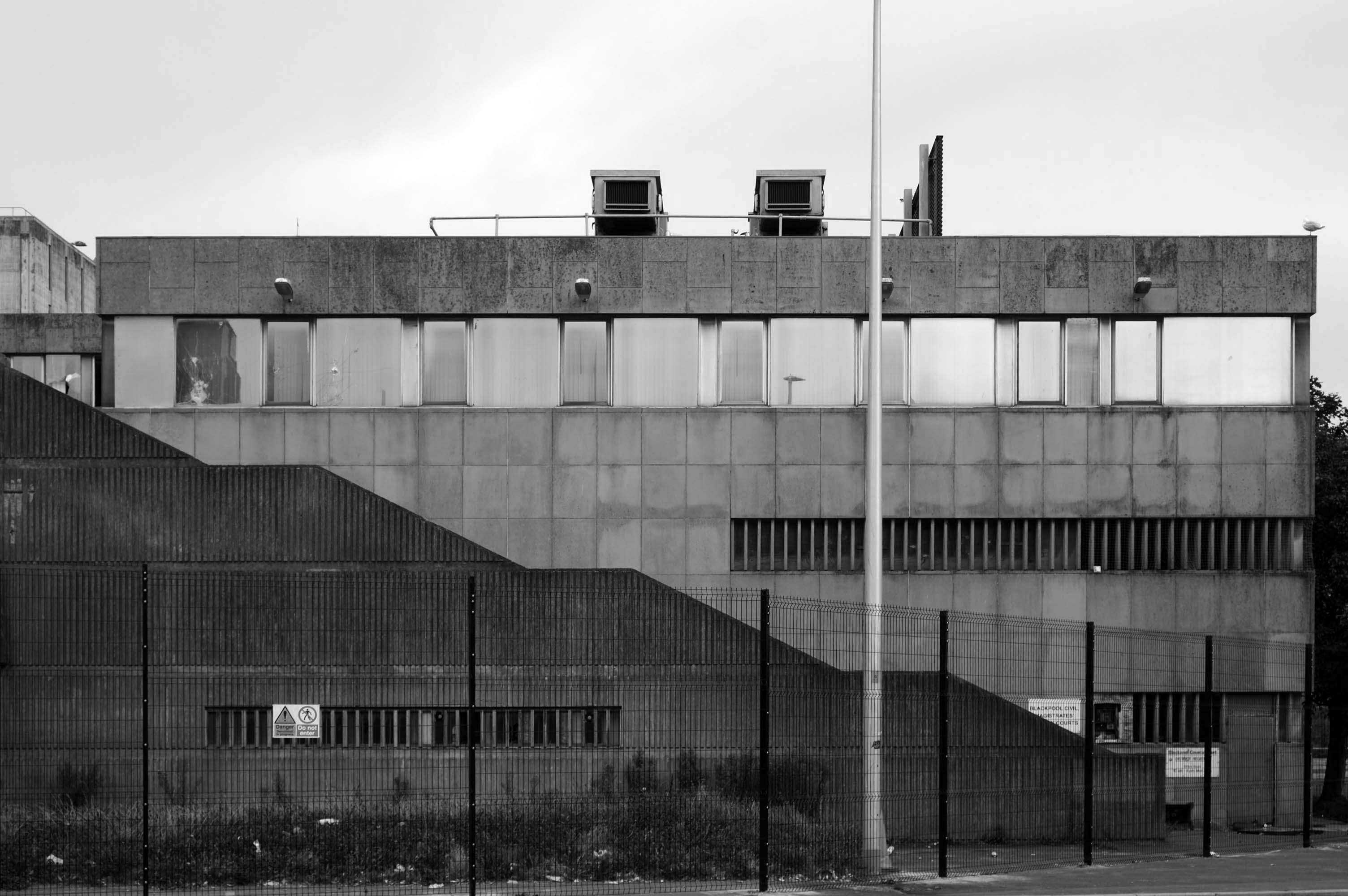
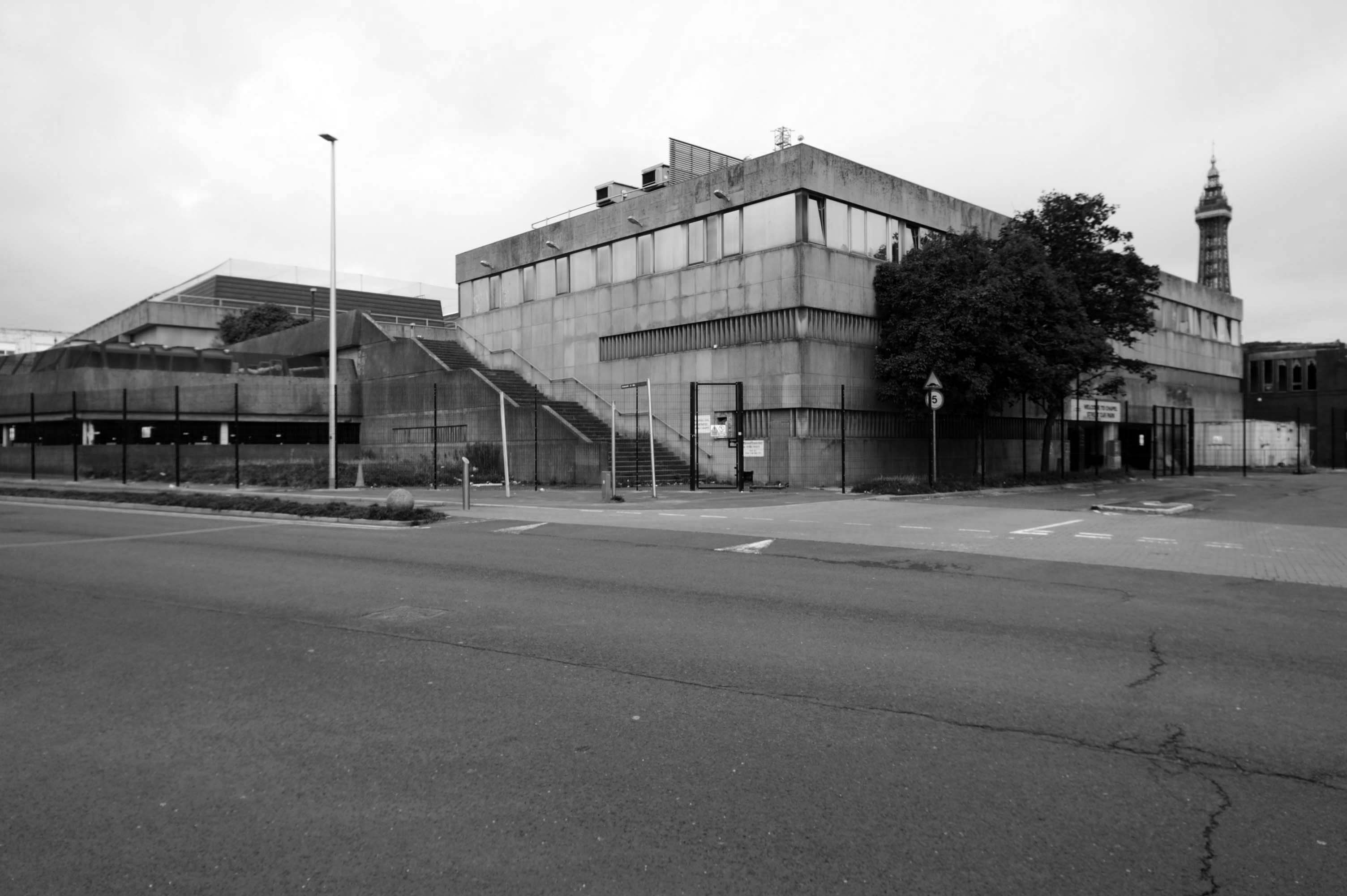
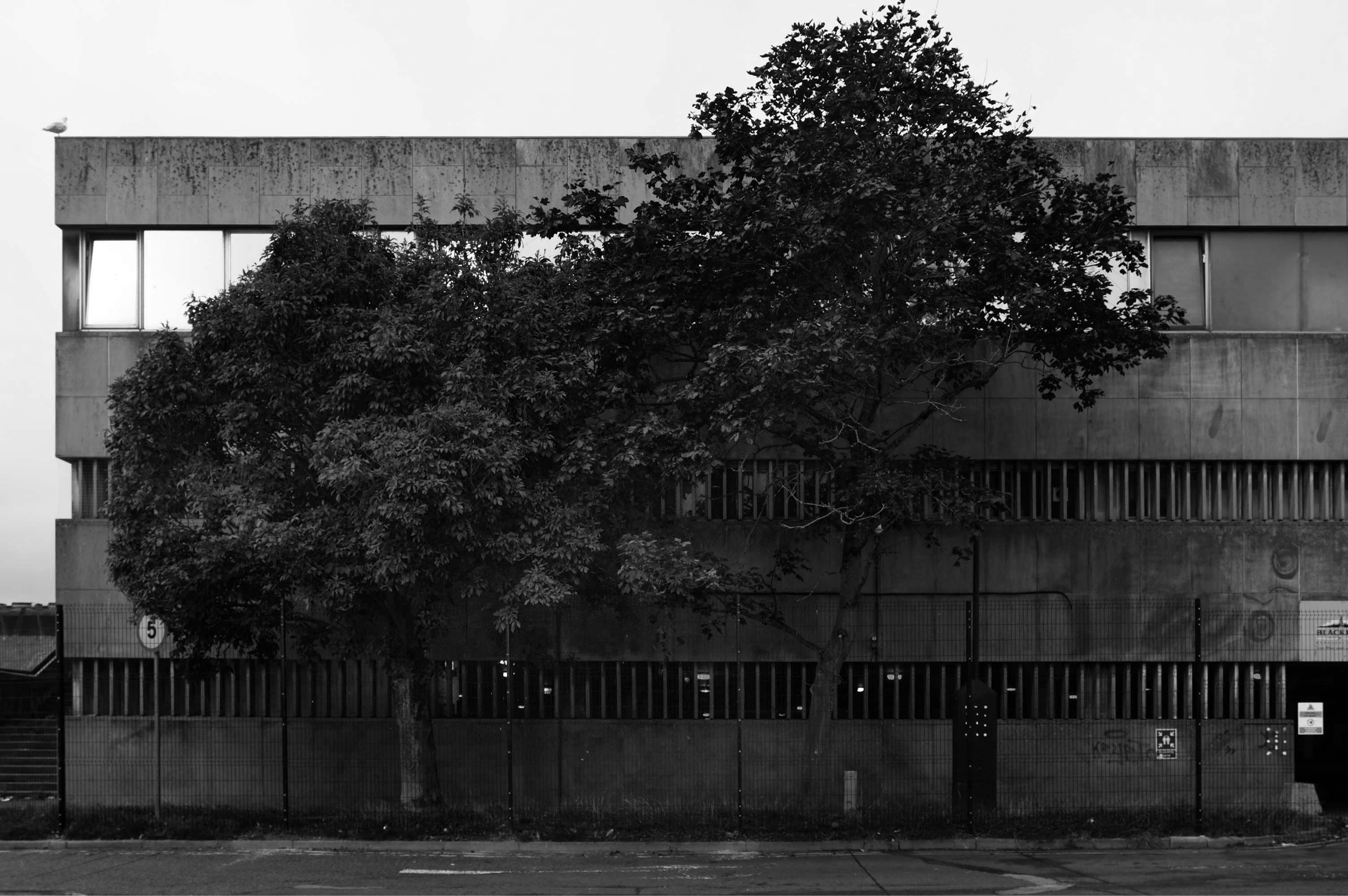
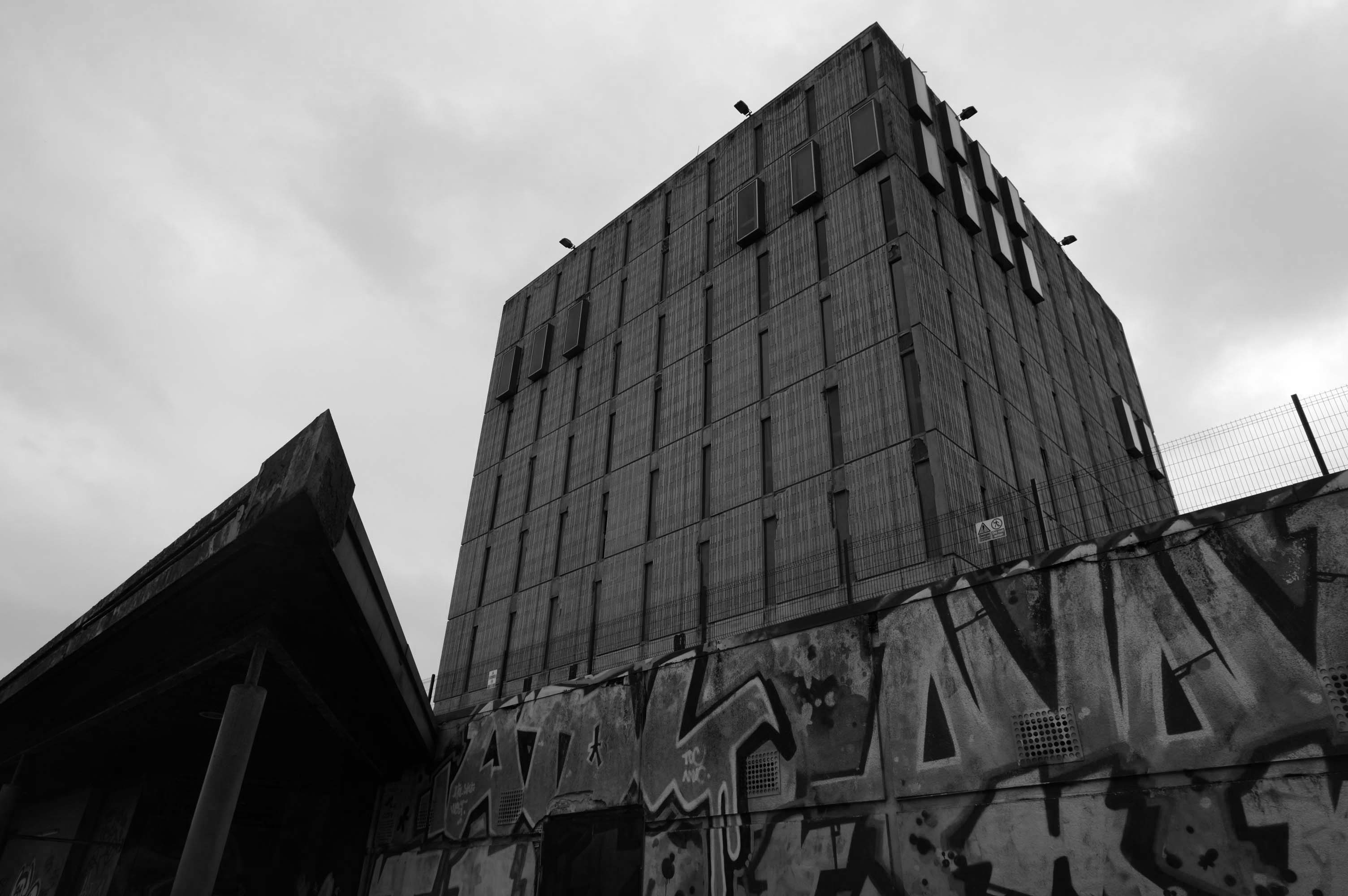
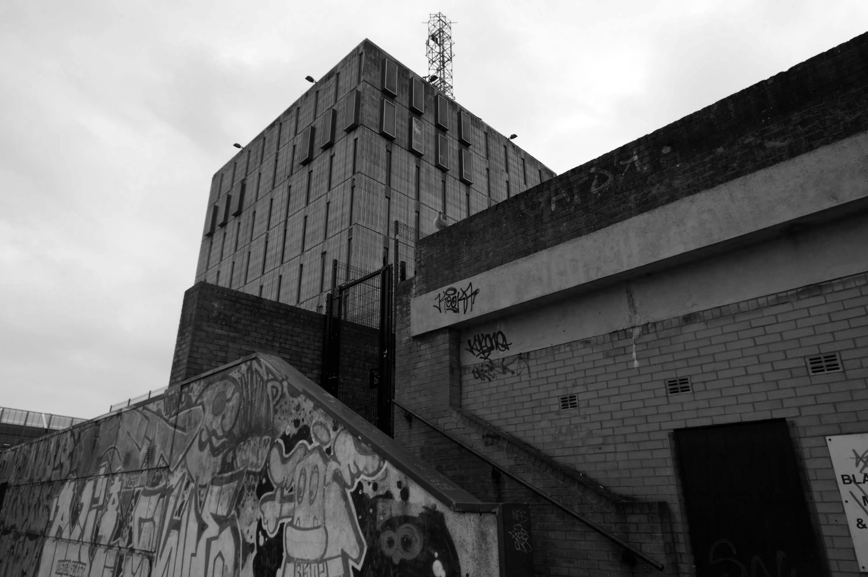
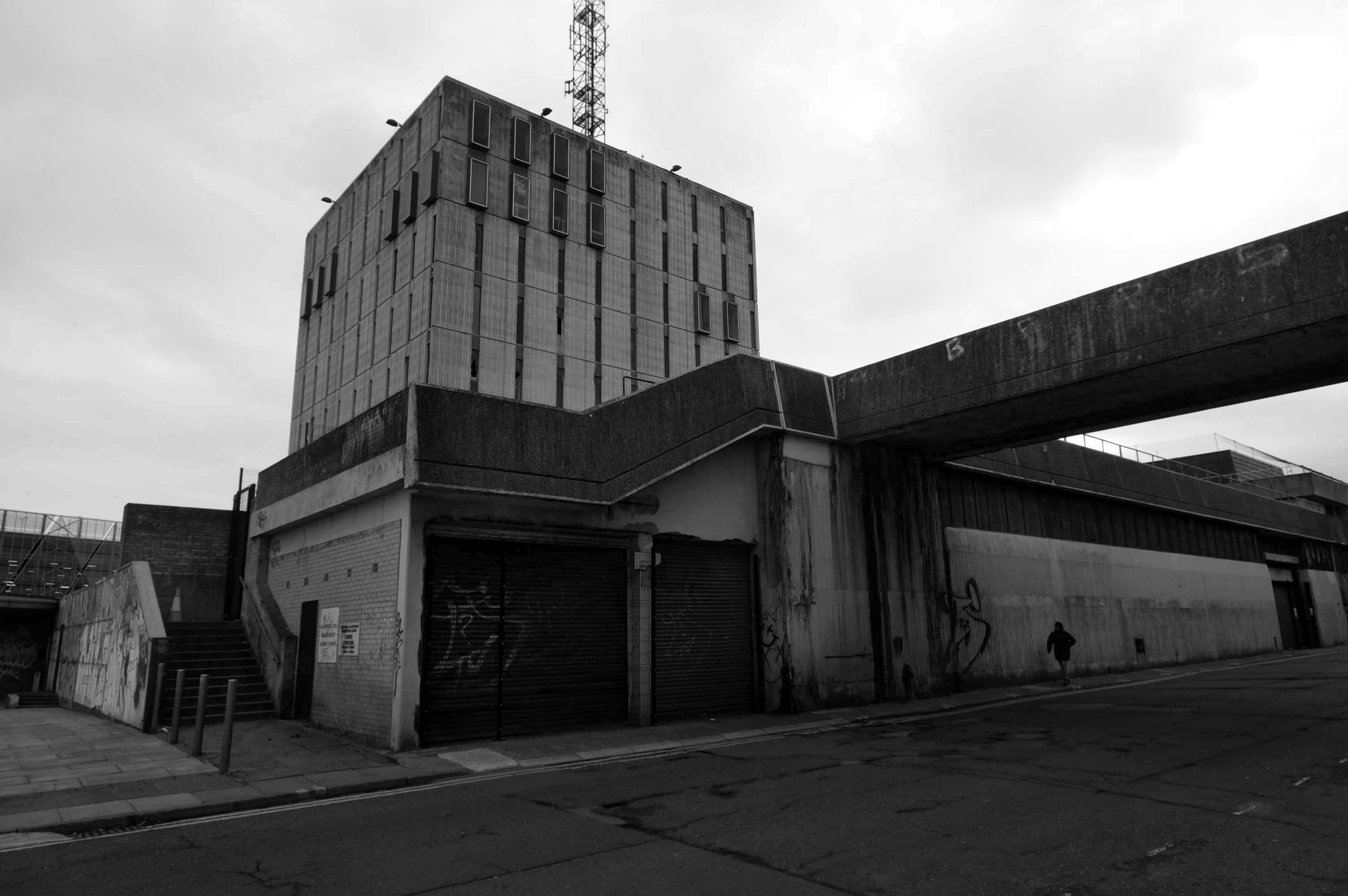
A former police station could finally be demolished this autumn after closing six years ago when officers moved to new headquarters.
Blackpool Magistrates’ Court, which is part of the same complex, will also be bulldozed after crumbling concrete was discovered in the building in January.
In recent months, the empty Bonny Street police station has become a target for anti-social behaviour.
Clearance of the site will pave the way for investment in leisure facilities including hotels and indoor theme parks by developer Nikal.
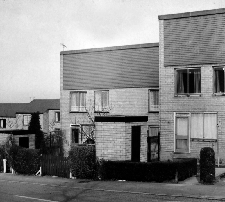
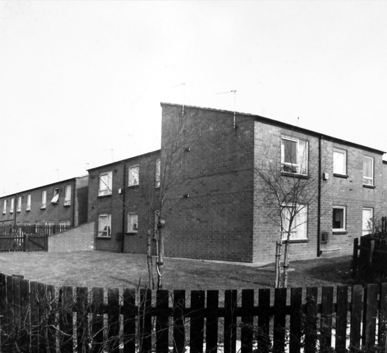
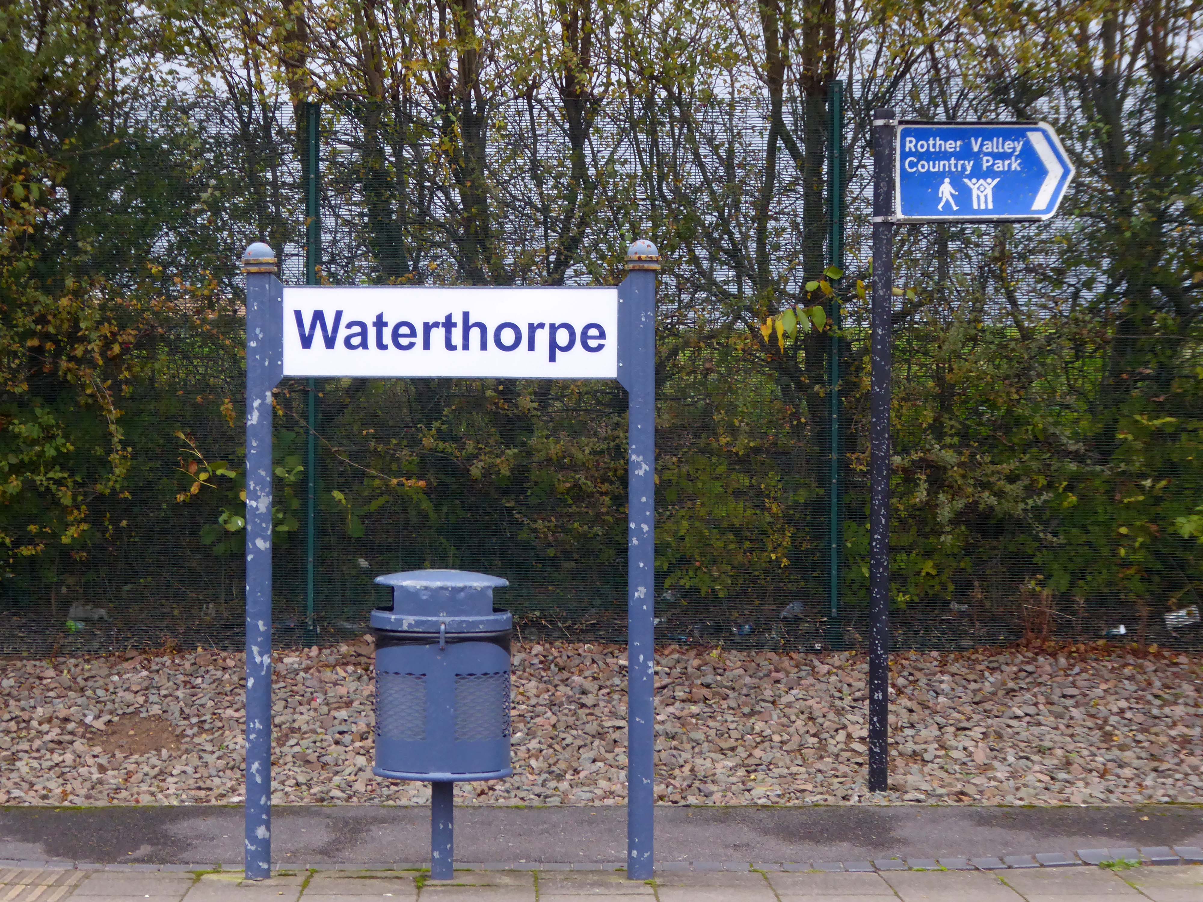
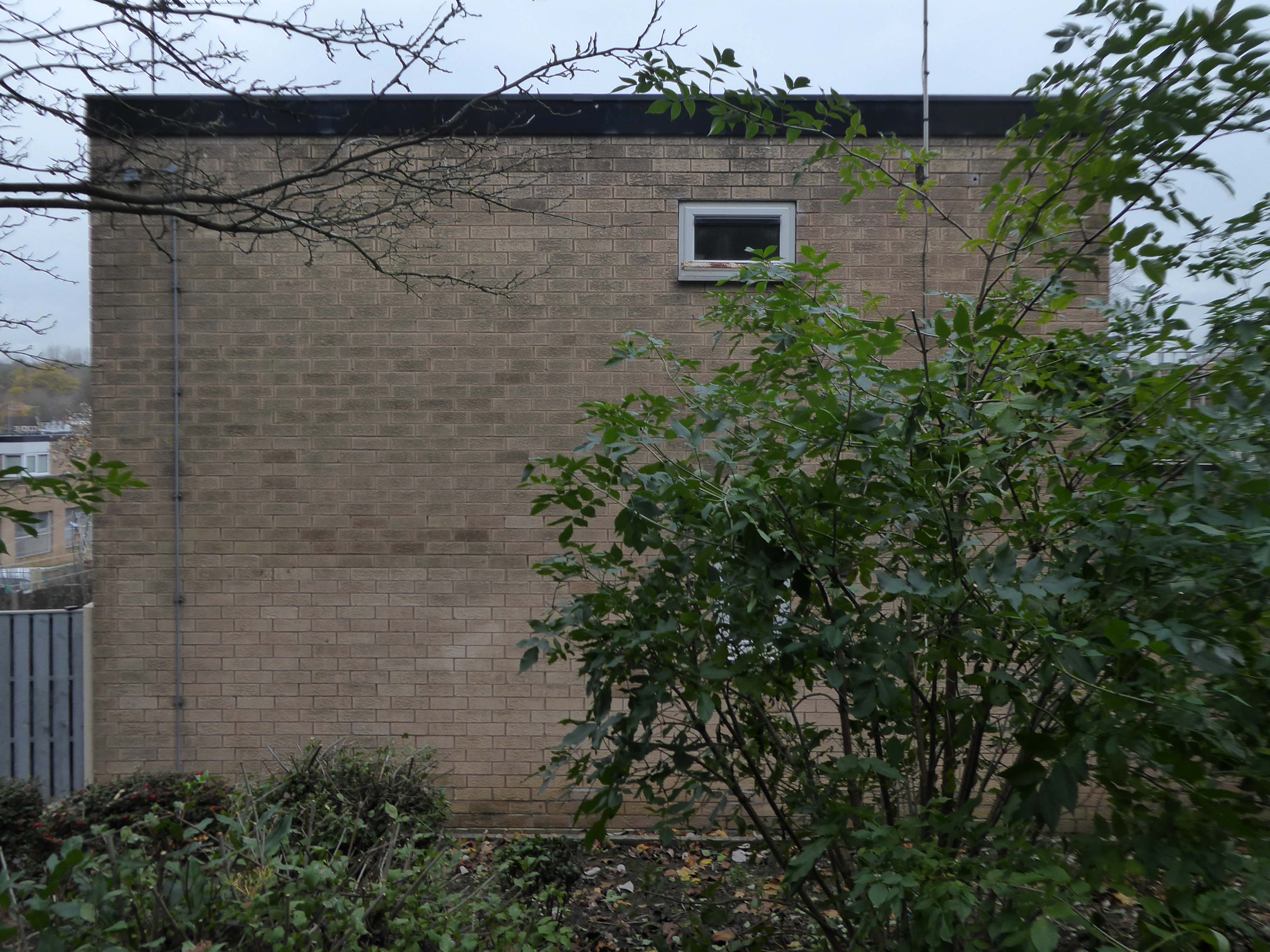
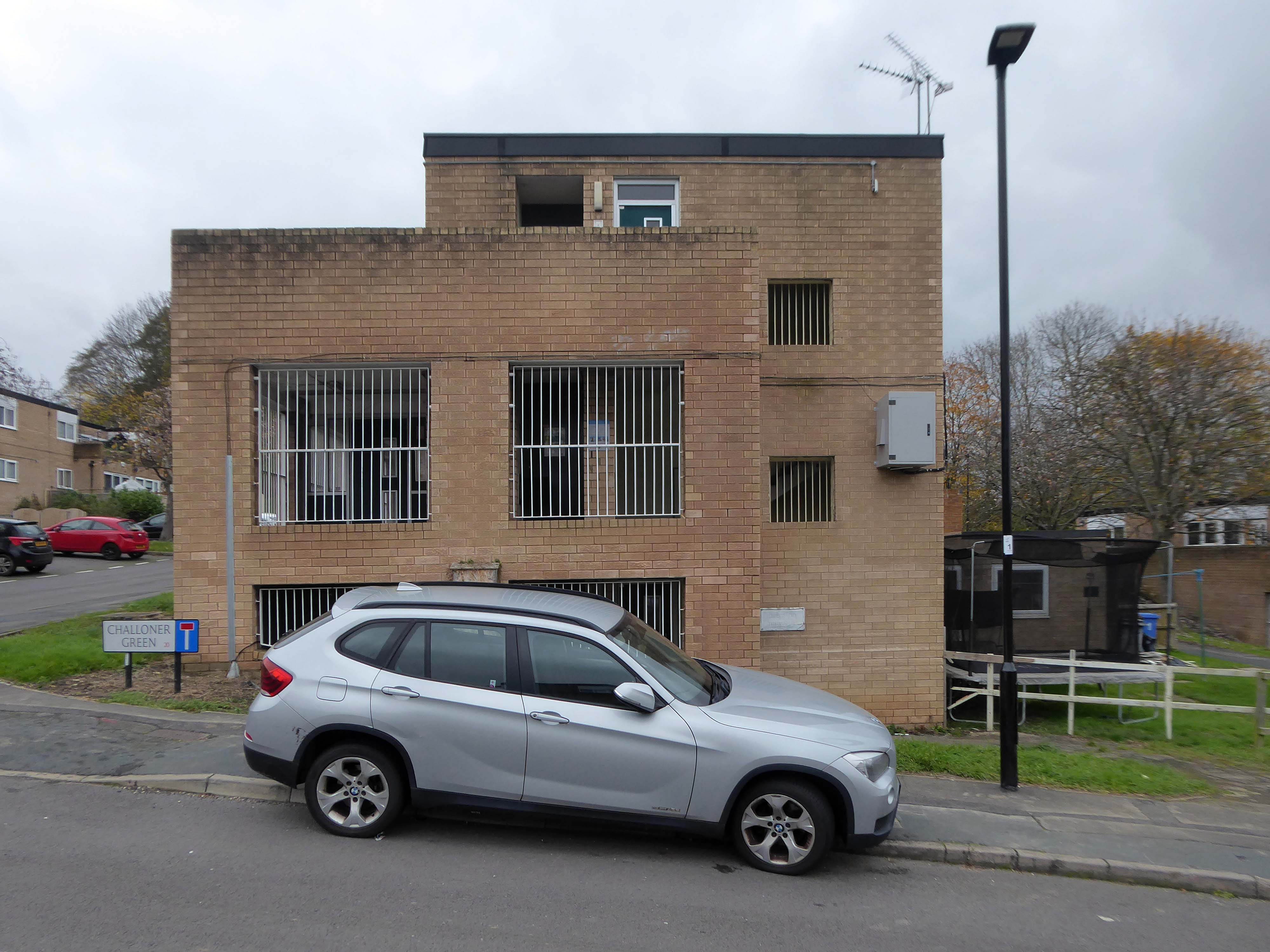
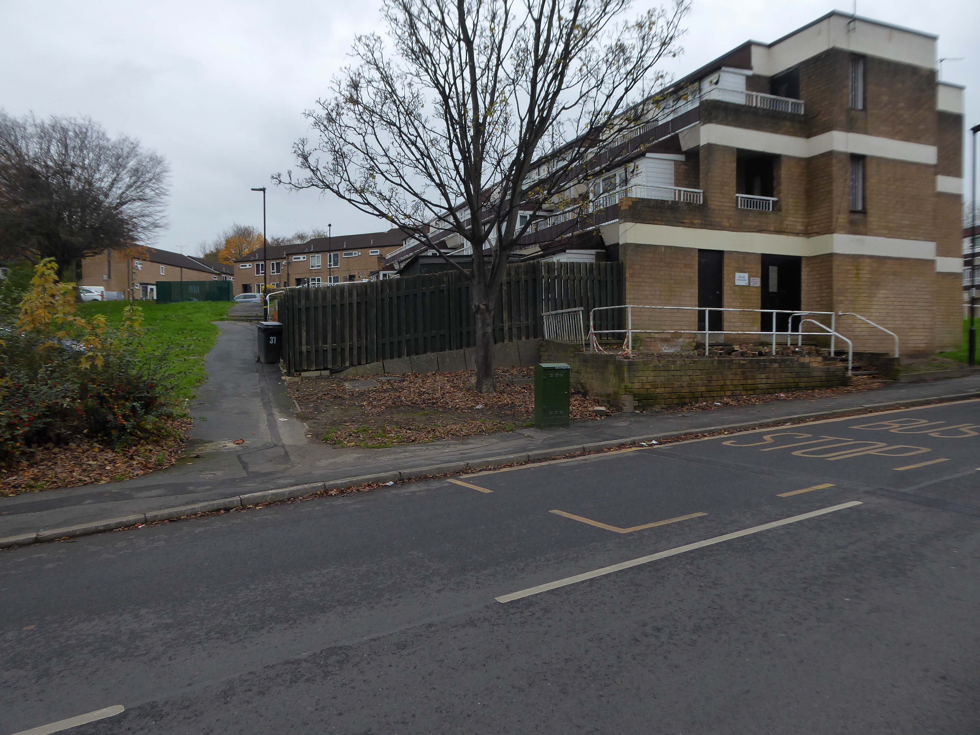
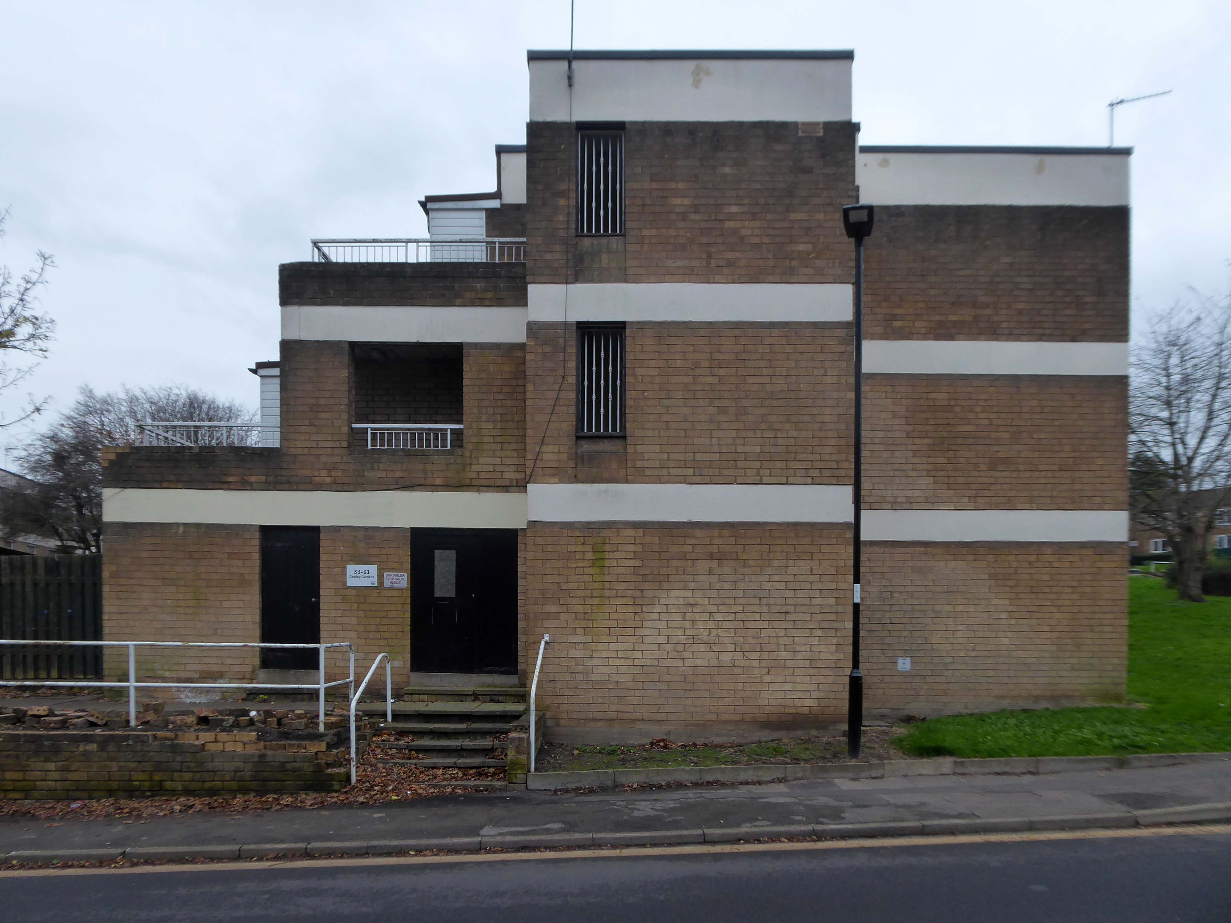
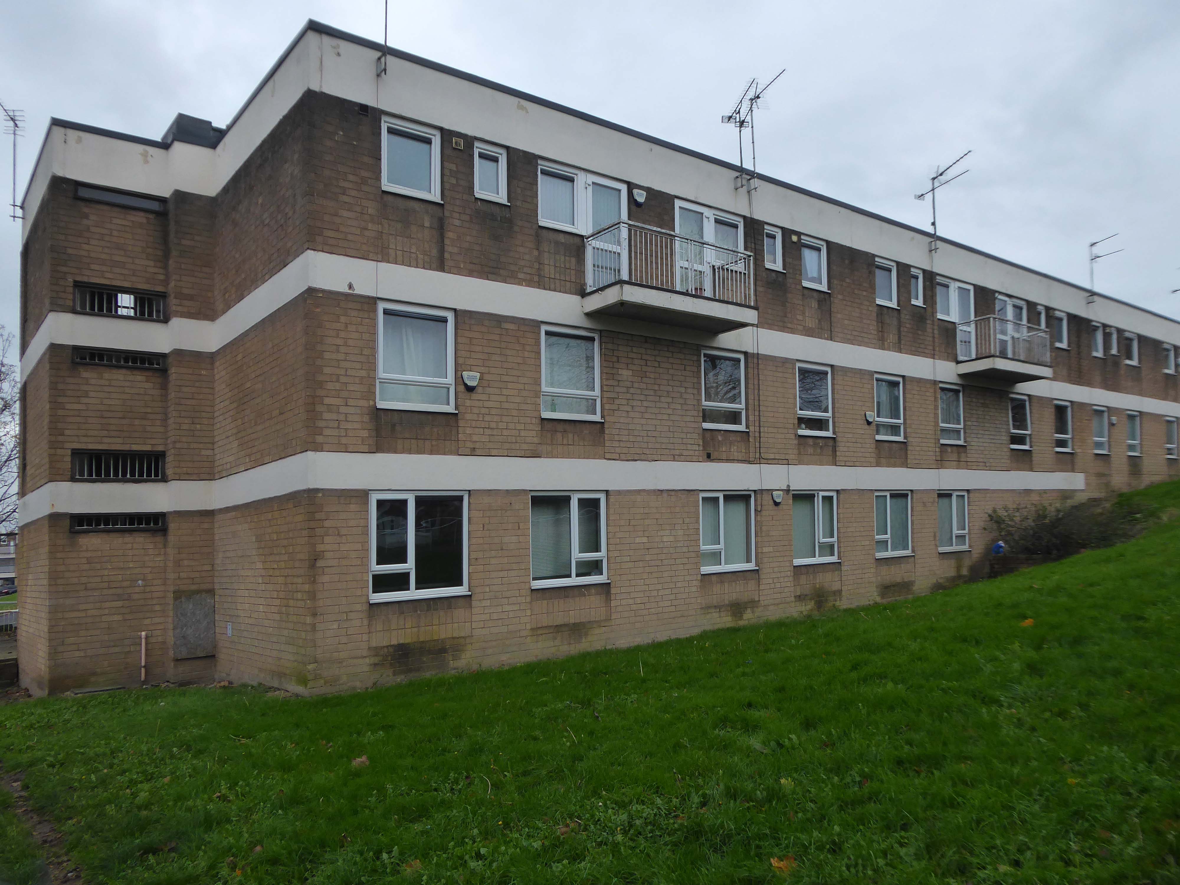
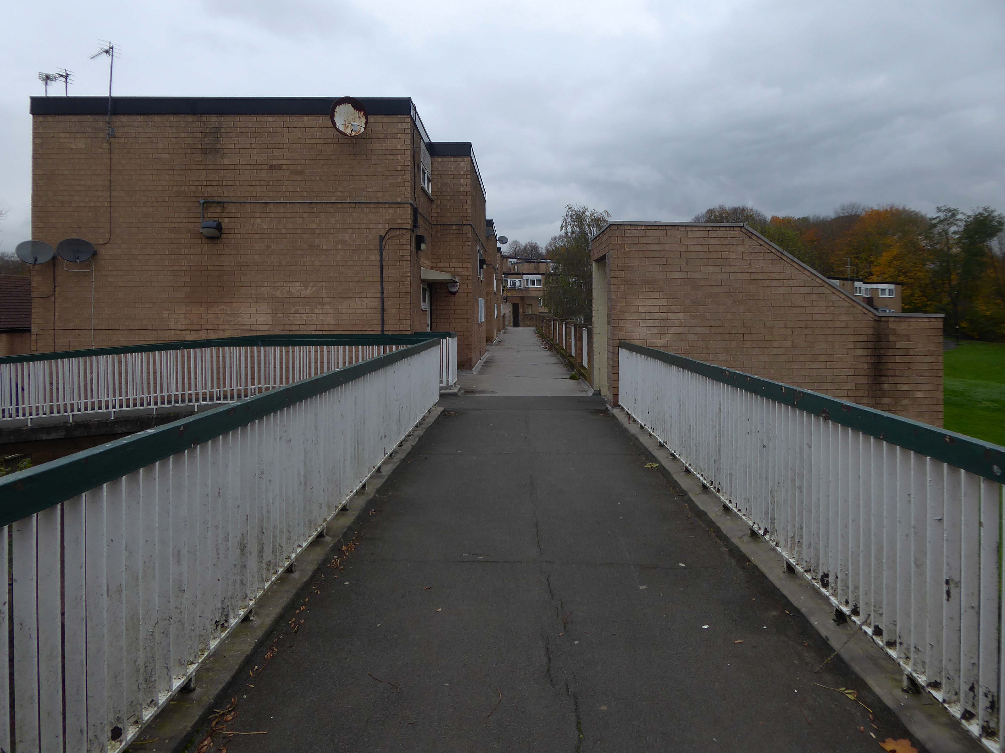
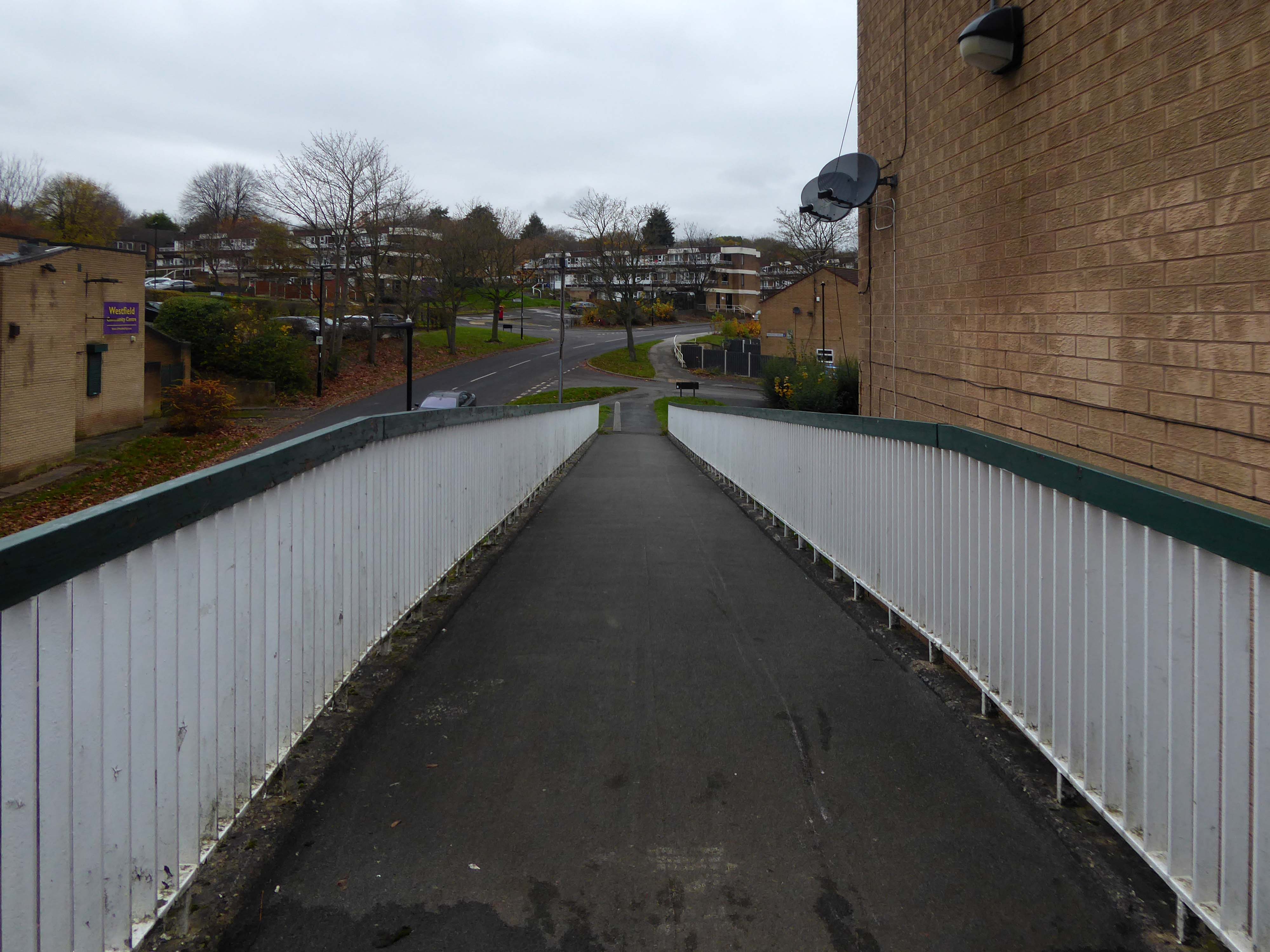
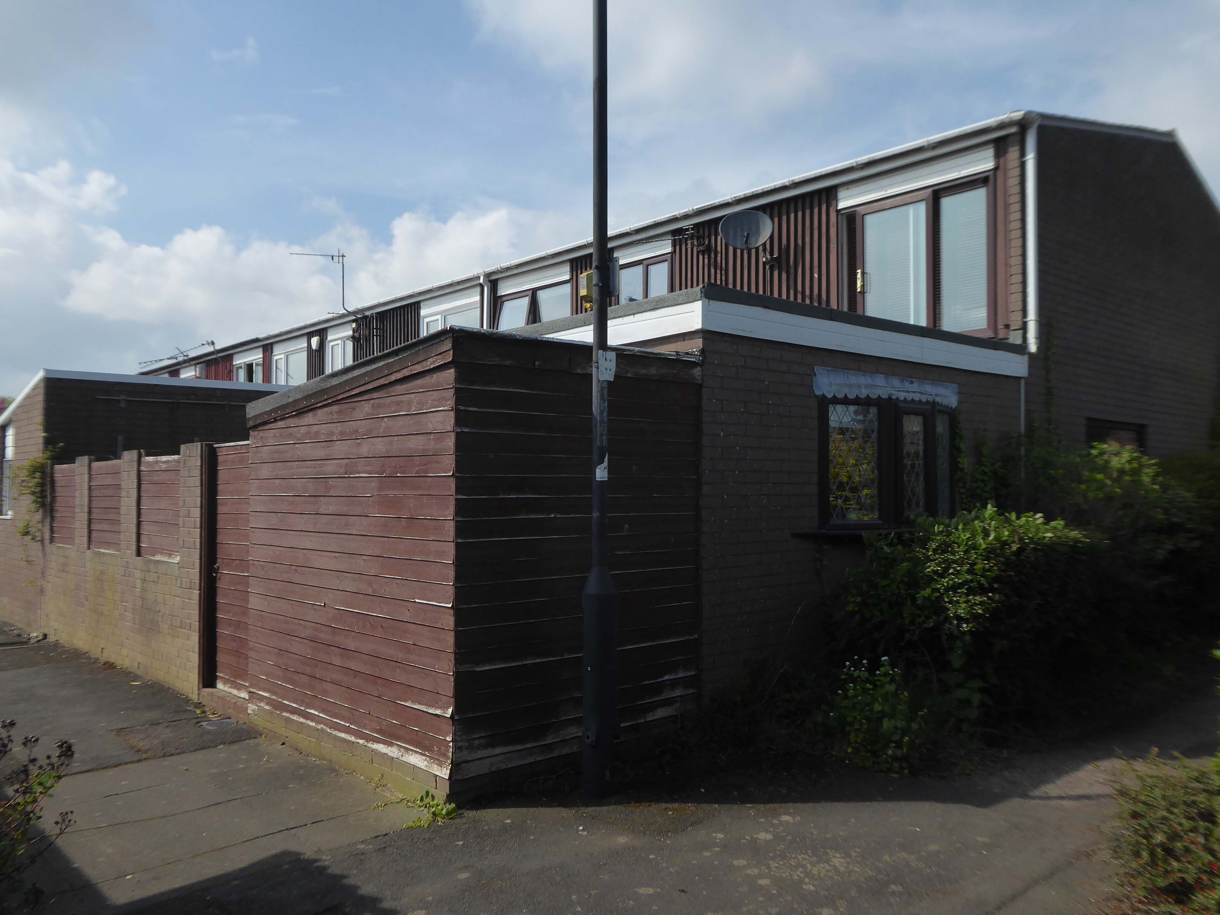
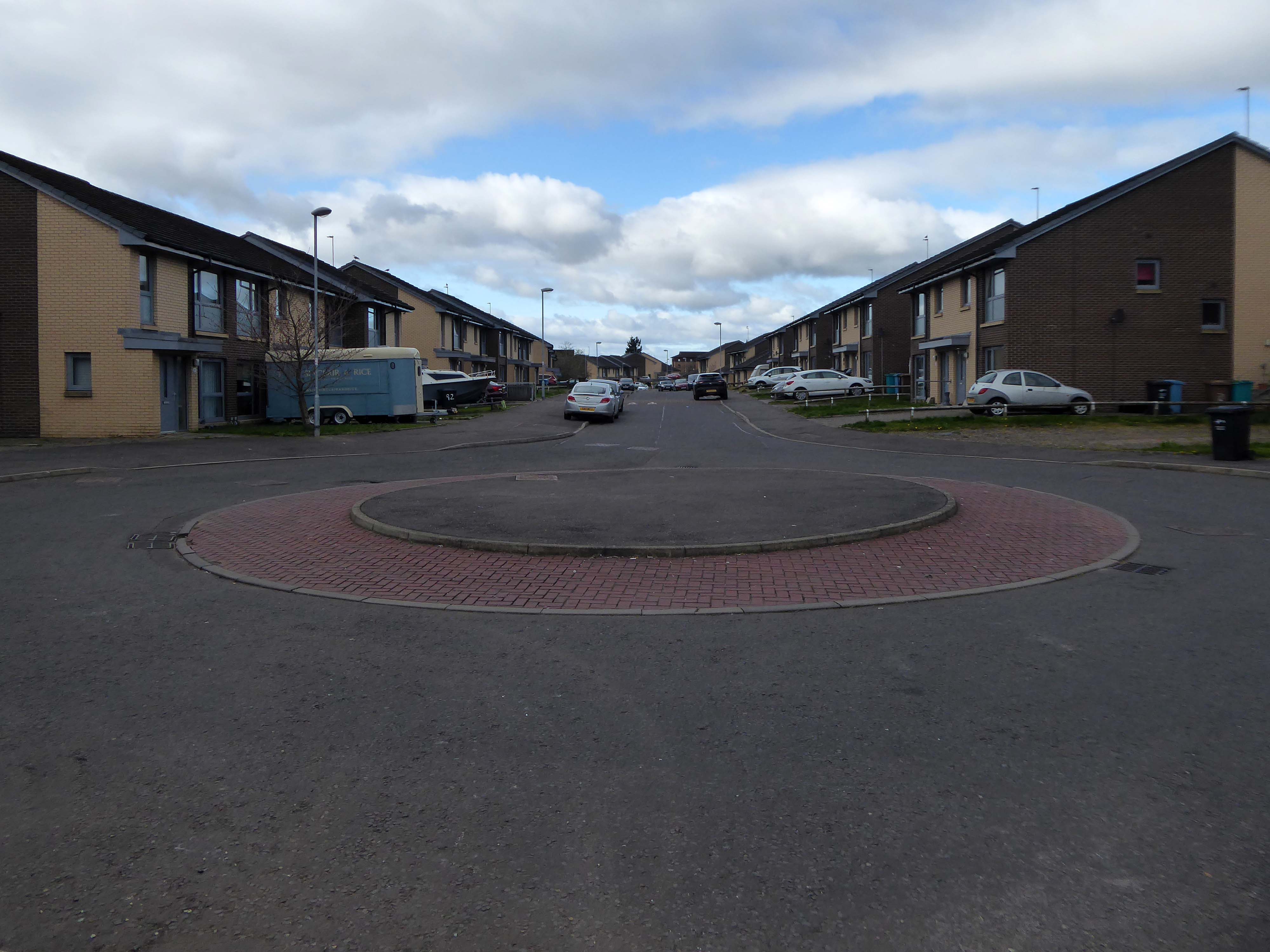
On the day, I was eager to visit the Westfield Estate for the first time.
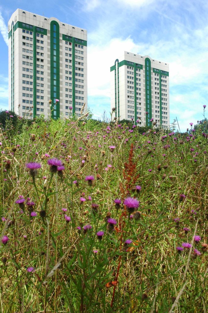
Westfield Estate Mosborough, formerly Waterthorpe Farm Estate, a rural township which was subsumed by Sheffield’s expanding housing schemes.
Mosborough, a vastly expanding village, eight miles North East of Chesterfield and six miles South East of Sheffield.
Waterthorpe Housing Estate near Beighton named after Waterthorpe – formerly Walterthorpe Farm.
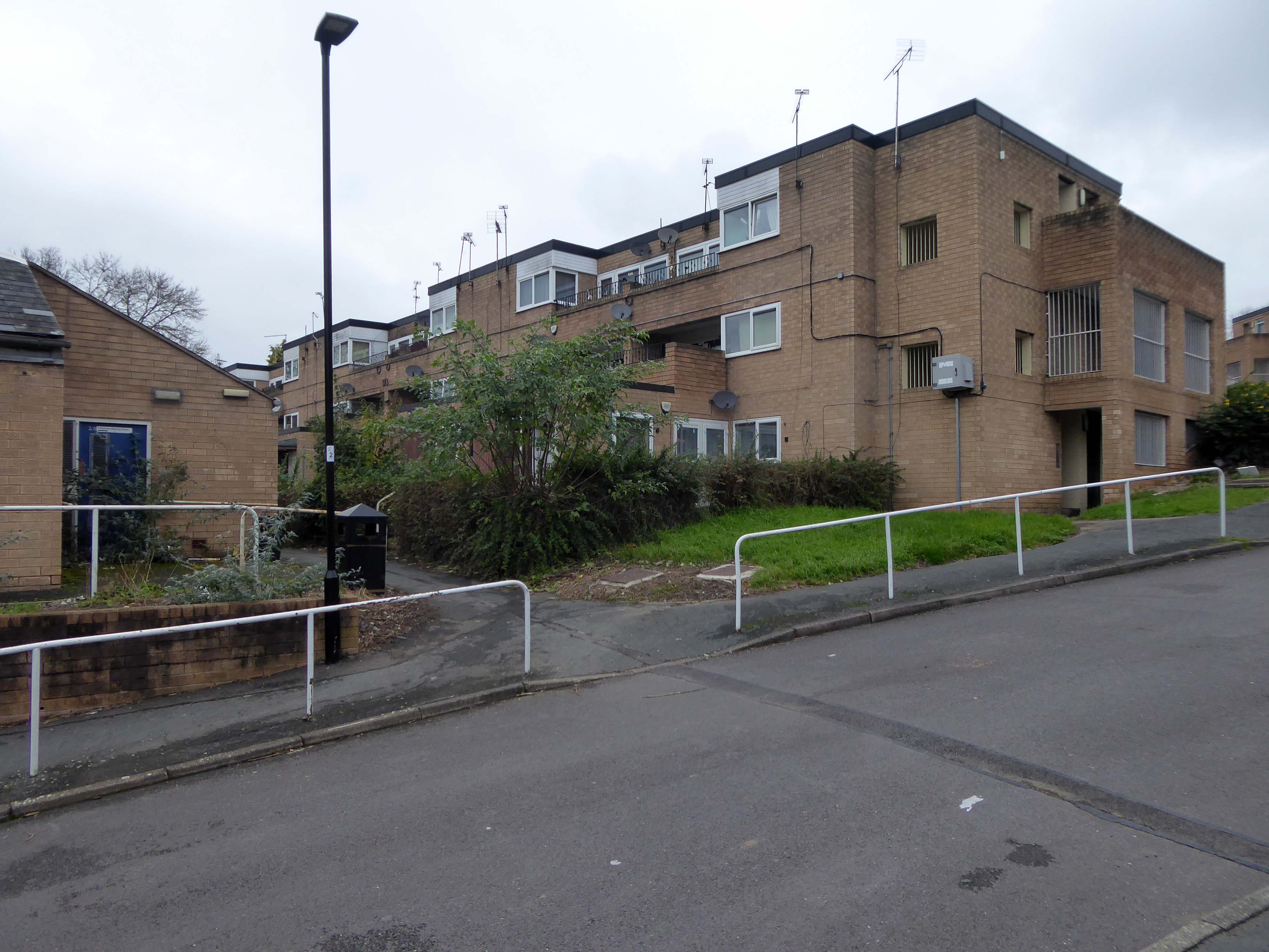
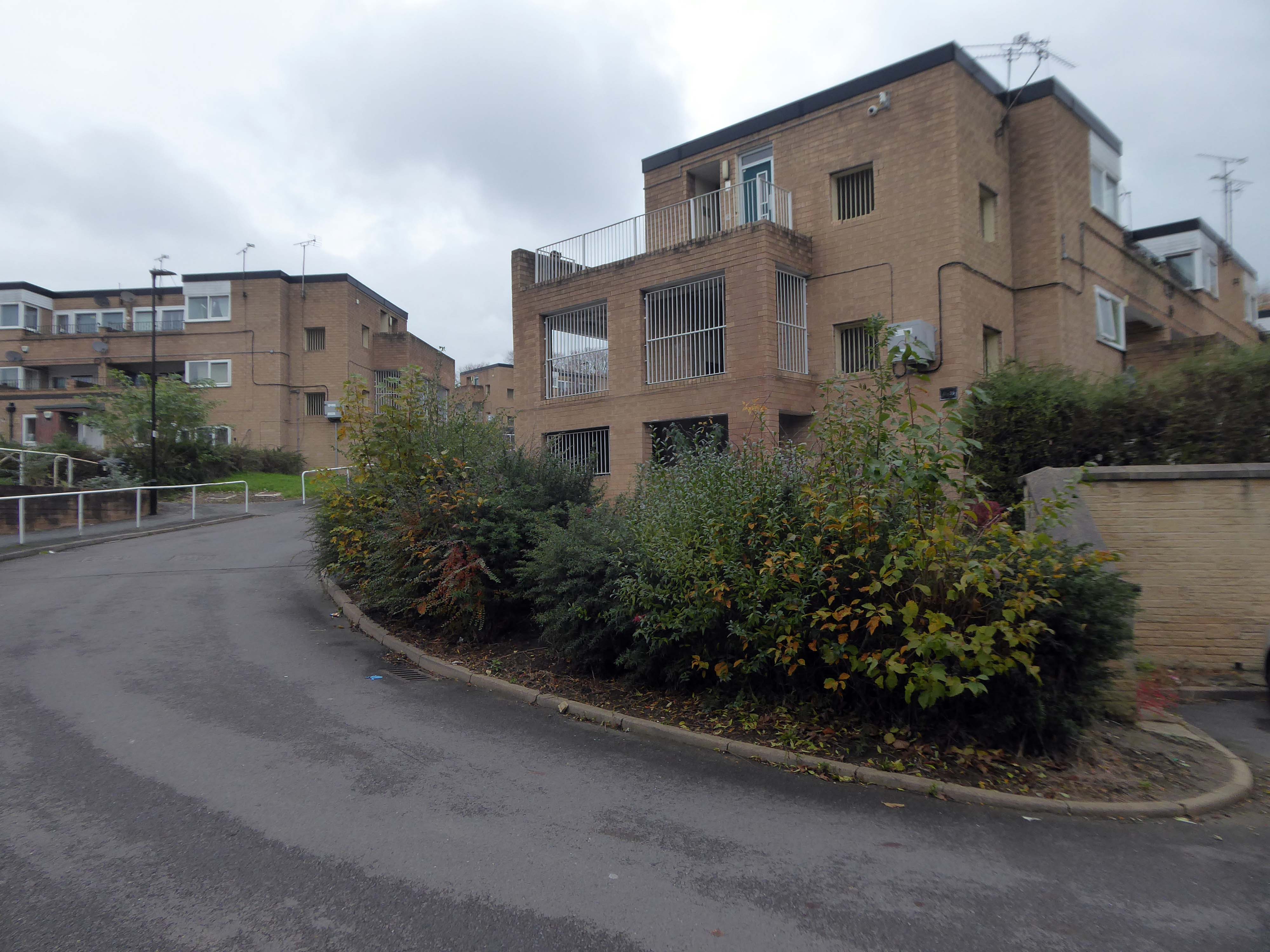
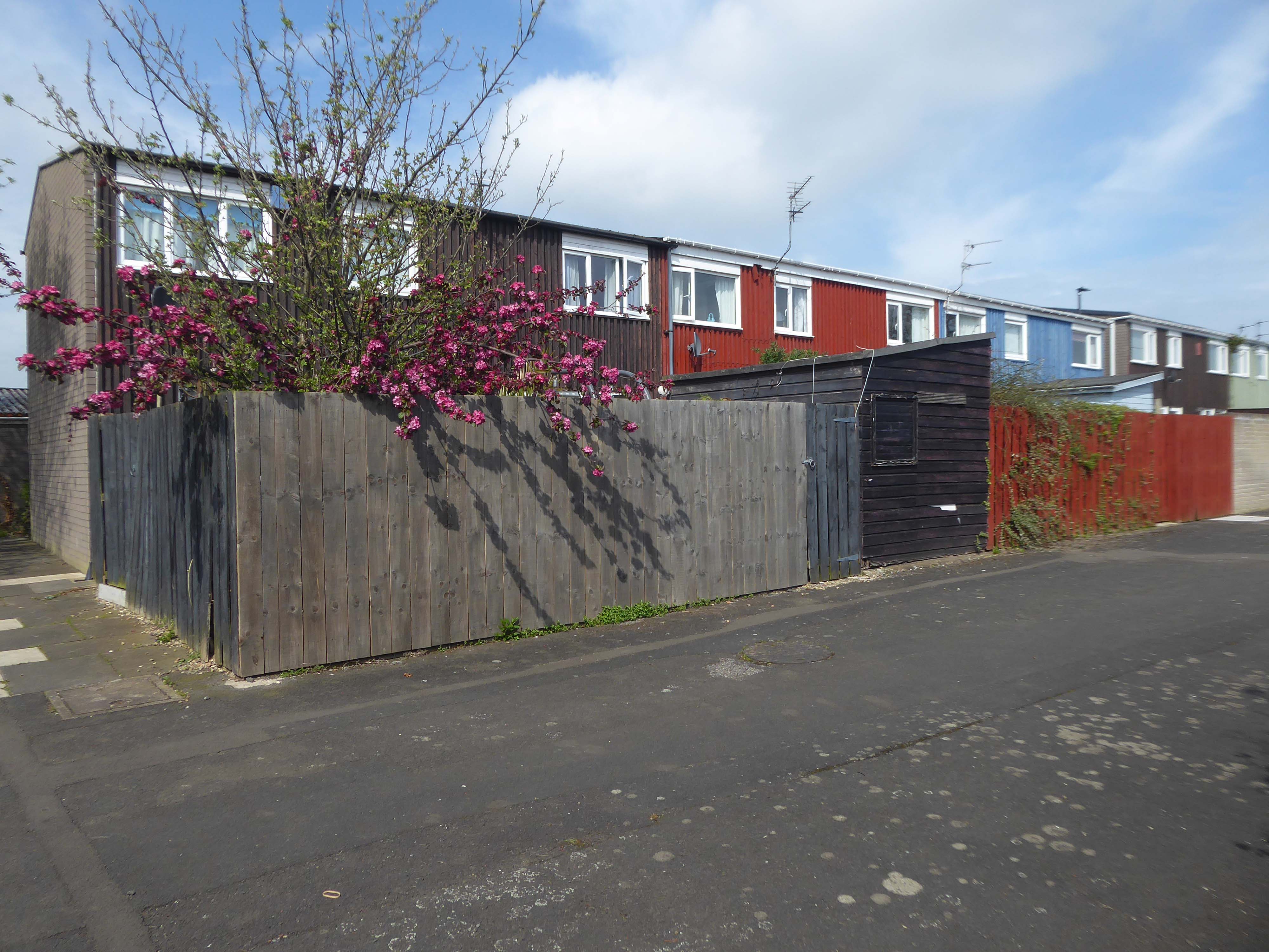
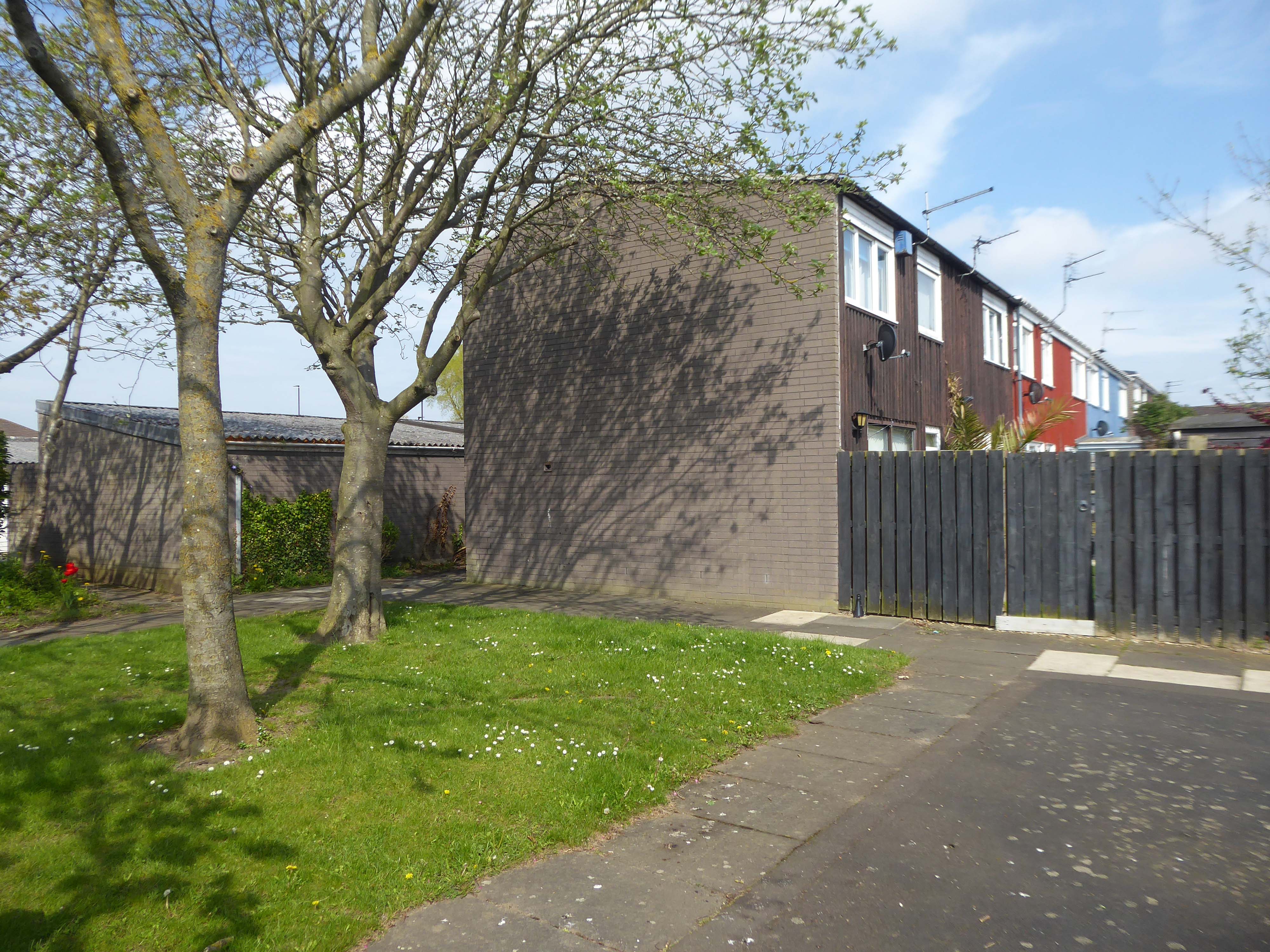
Path which goes behind houses on Short Brook Close 1974
The Waterthorpe and Westfield housing estates were built from mid-1970s and were added to over a number of years. Eventually linking with both the old council estate of Beighton and the new estate of Halfway, the estates house a condensed significant number of almost wholly local authority owned properties following the phasing down and demolition of the original estates around Parson Cross and Shiregreen in the north of the city.
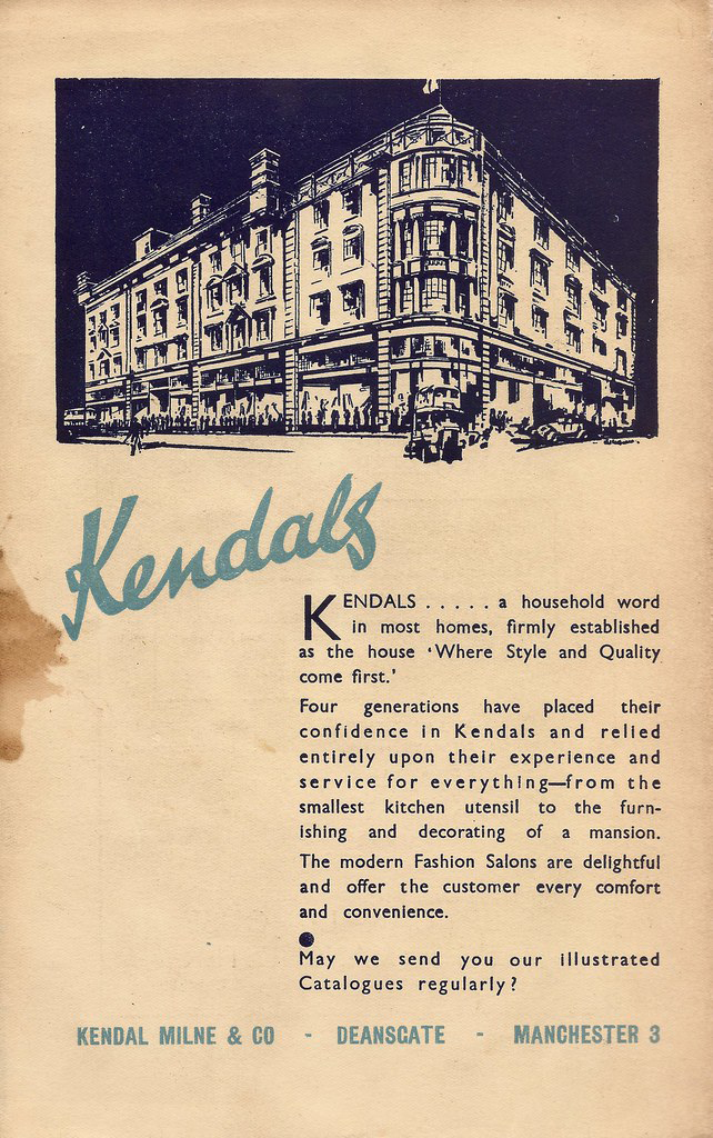
Kendals is of course long gone – absorbed by House of Fraser.
The store had previously been known during its operation as Kendal Milne, Kendal Milne & Co, Kendal Milne & Faulkner, Harrods or Watts.
The store was designed by Harrods’ in-house architect Louis David Blanc, with input from a local architect JohnS Beaumont, in 1938 and completed in 1939 – it is a Grade II listed building.
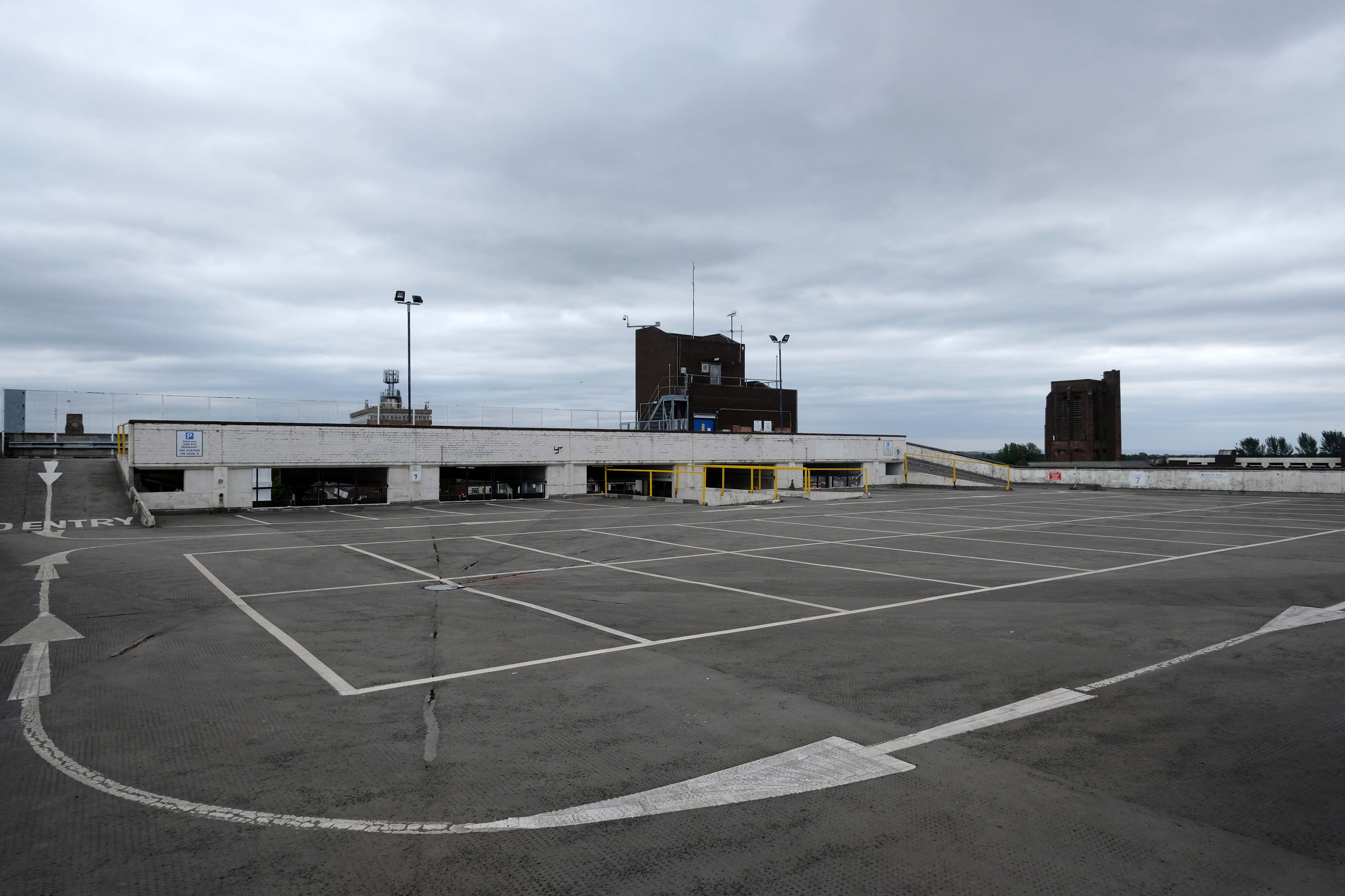
Great location but narrow roadway between floors. Pay in advance so you need to know how long you’re staying for.
£20.40 for four hours is expensive but you are minutes from Deansgate shops.
Only given one star because there wasn’t an option for zero.
Not secure, car broken into theft of personal effects, pedestrian gate was un locked, no CCTV that I could see anywhere. Cost me over £25 to park for six hrs and lost over £200 of personal effects, complained to council, no response. Wouldn’t park here ever again.
Get there whilst ye may.
The pedestrian in a car park presses on!
Manchester City Council is set to hand over a multi-storey car park and close a row of shops, including a Greggs and a barbers, in the hope of driving huge development in Deansgate. The multi-storey car park on King Street West, behind the iconic Kendals building, is set to be demolished if plans are passed by the council’s executive committee, with proposals to turn it into an office block.
The demolition of this car park and ground floor retailers would facilitate the redevelopment of the site, according to a report by the council’s strategic director, and will pave the way for the refurbishment of the adjacent grade II listed Kendals building, which currently has House of Fraser occupying it. Engagement with the retailers has been ongoing for some time, according to this report, with guidance being offered to them as to their next steps.
Plans were approved last year to transform the Kendals building into ‘high end’ offices with the car park to be turned into a 14-storey office block, along with improvements to the public realm. For this to go ahead the council will need to surrender the lease of the car park building, according to the report.
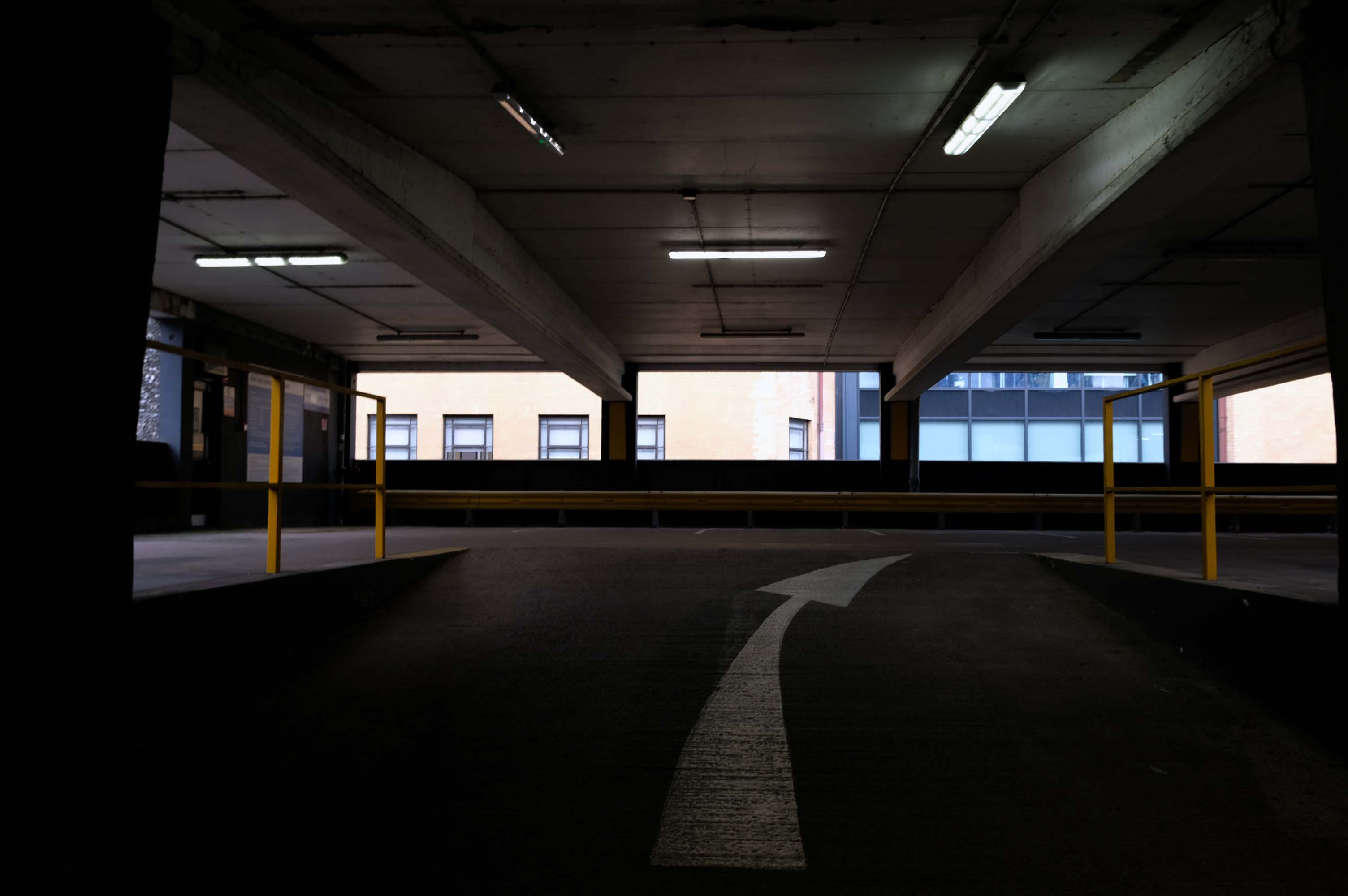
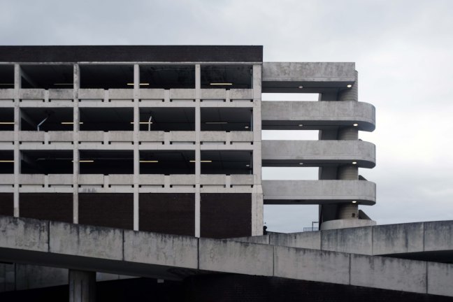
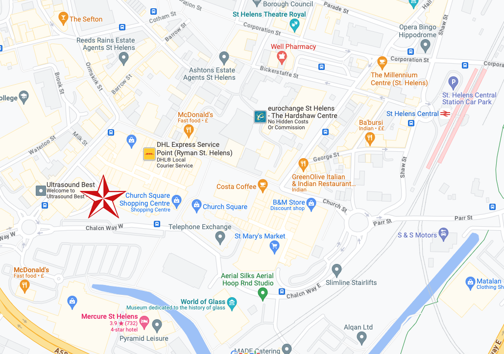
Tontine car park, the 255-space multi-storey car park in Exchange Street, St Helens, has been closed since February this year for a revamp.
This has seen a new lighting system, new signage and re-lined parking spaces installed throughout following an investment by St Helens Borough Council.
In a statement, the local authority said:
Old and failing pay on foot equipment has also been replaced with brand new pay and display machines which take cash.
St Helens Star 2020
Well that there Bauhaus has a whole heap to answer for – with its curves and its concrete.
Influencing the sweeps and swoops of the car ramps and pedestrian walkways.
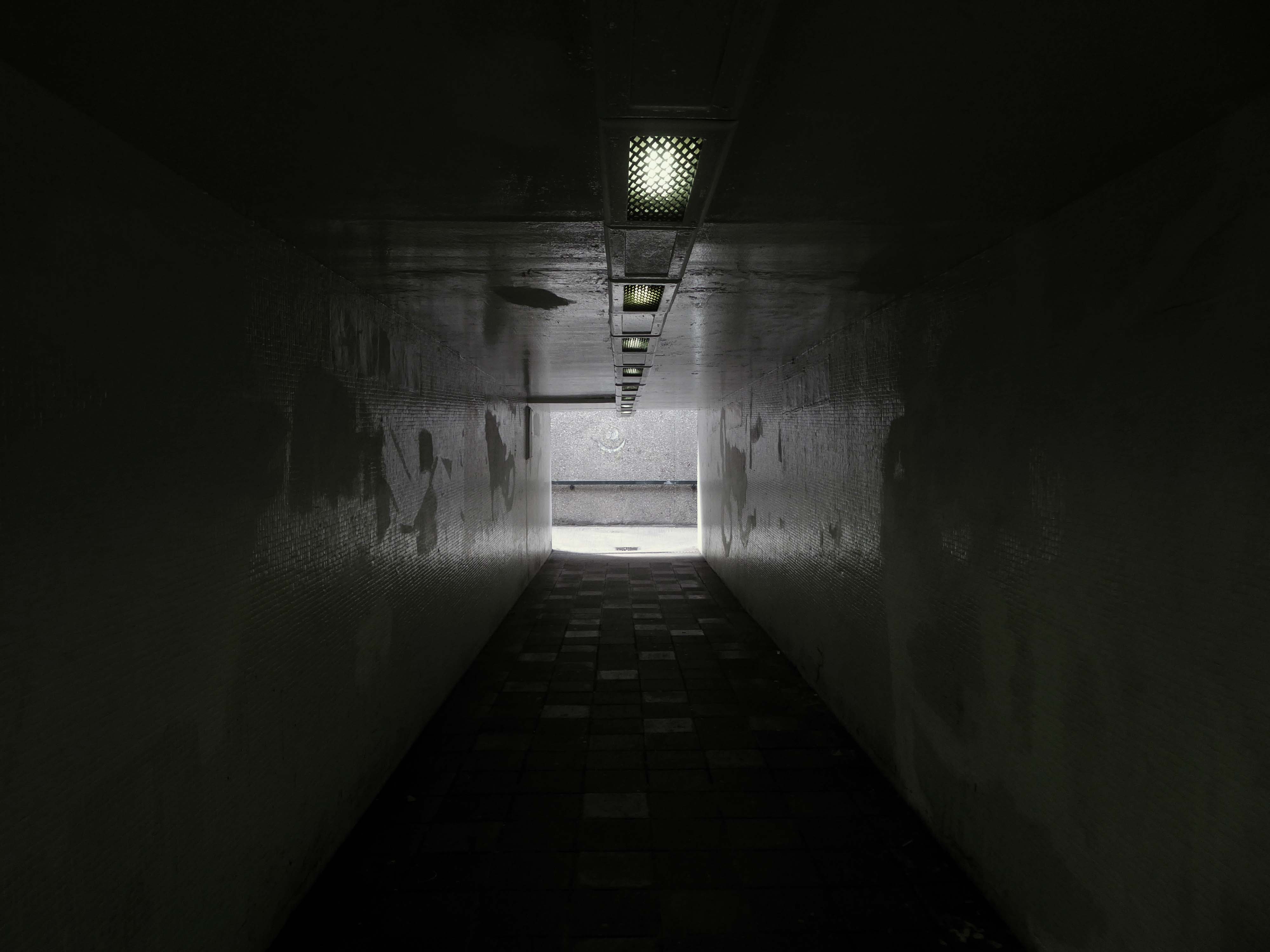
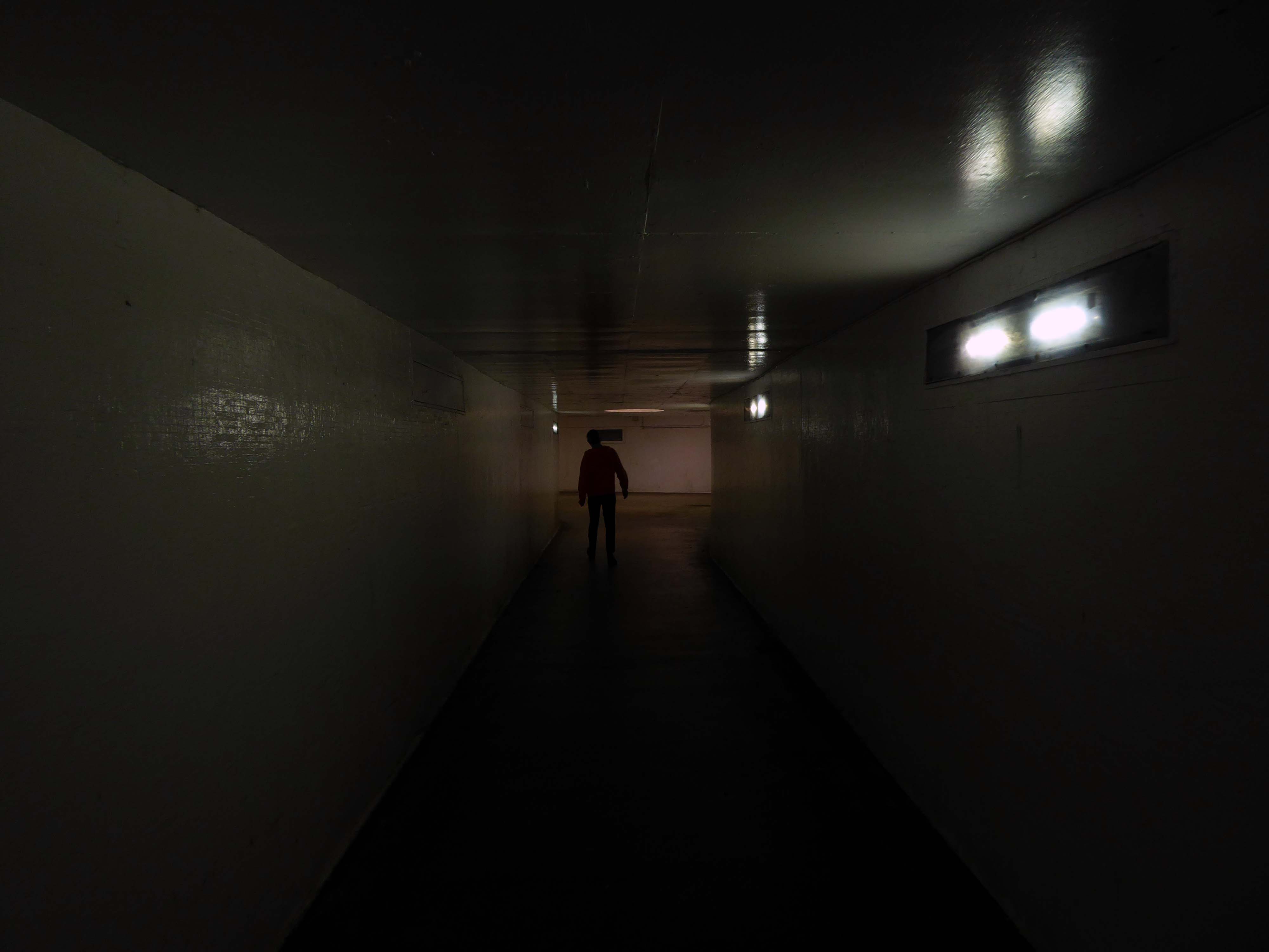
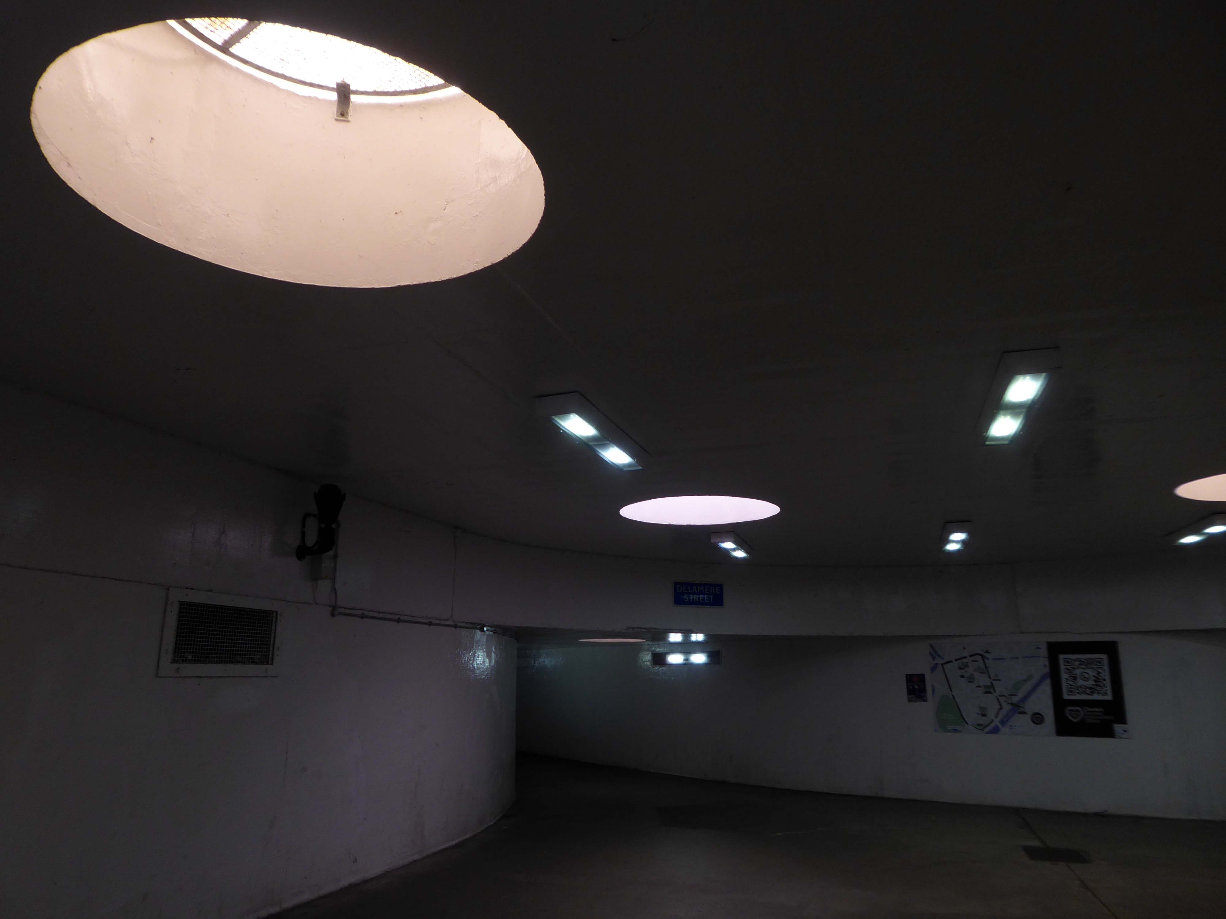
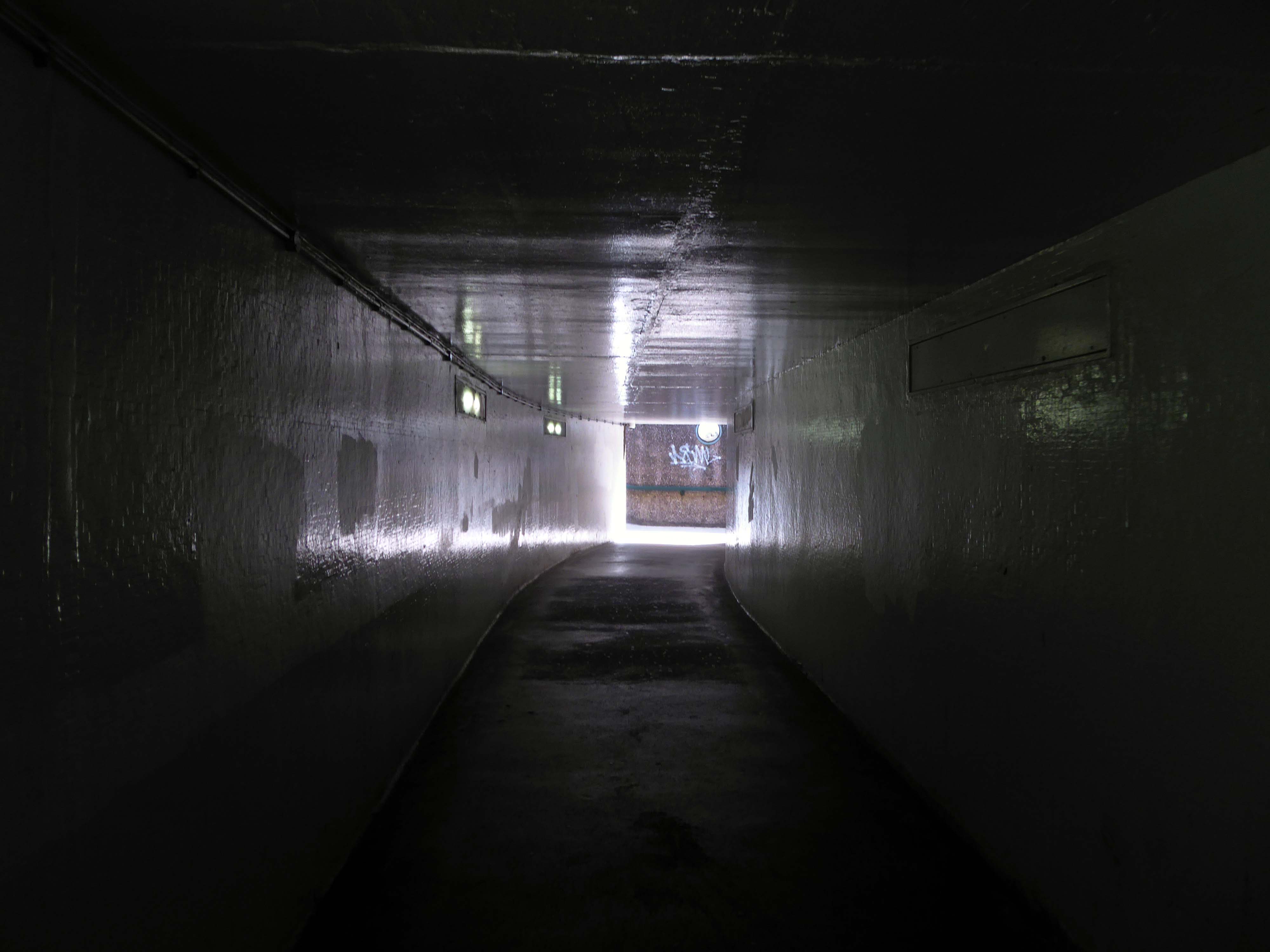
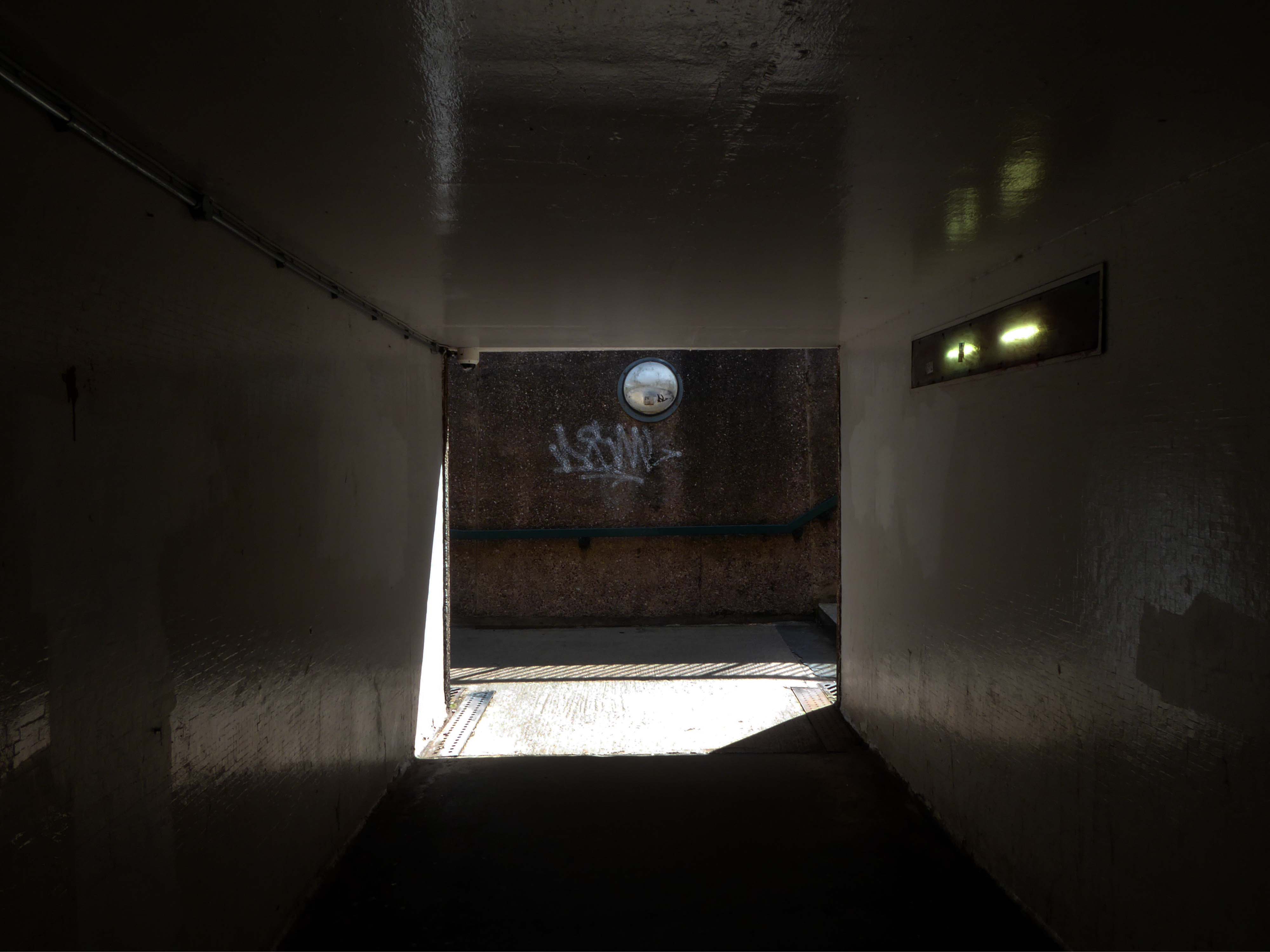
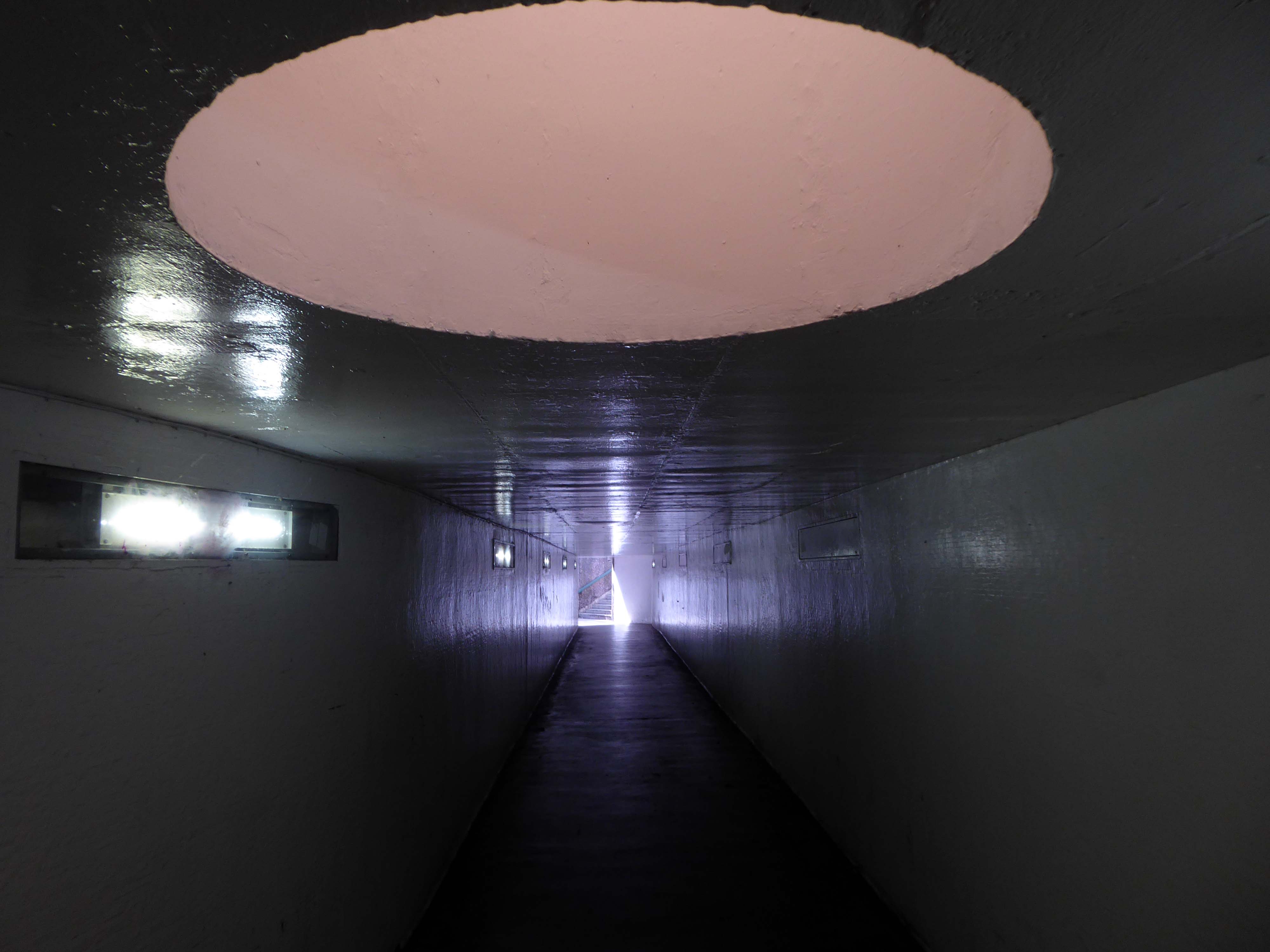
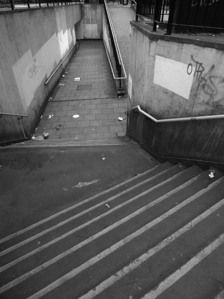
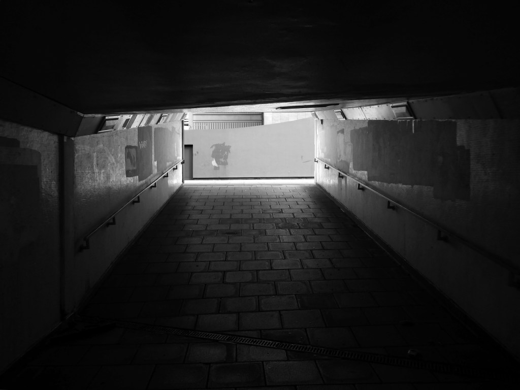
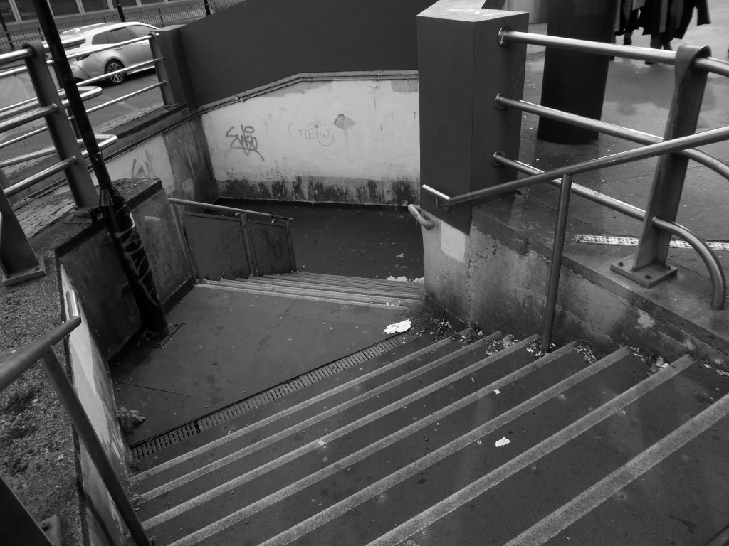
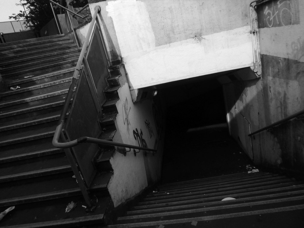
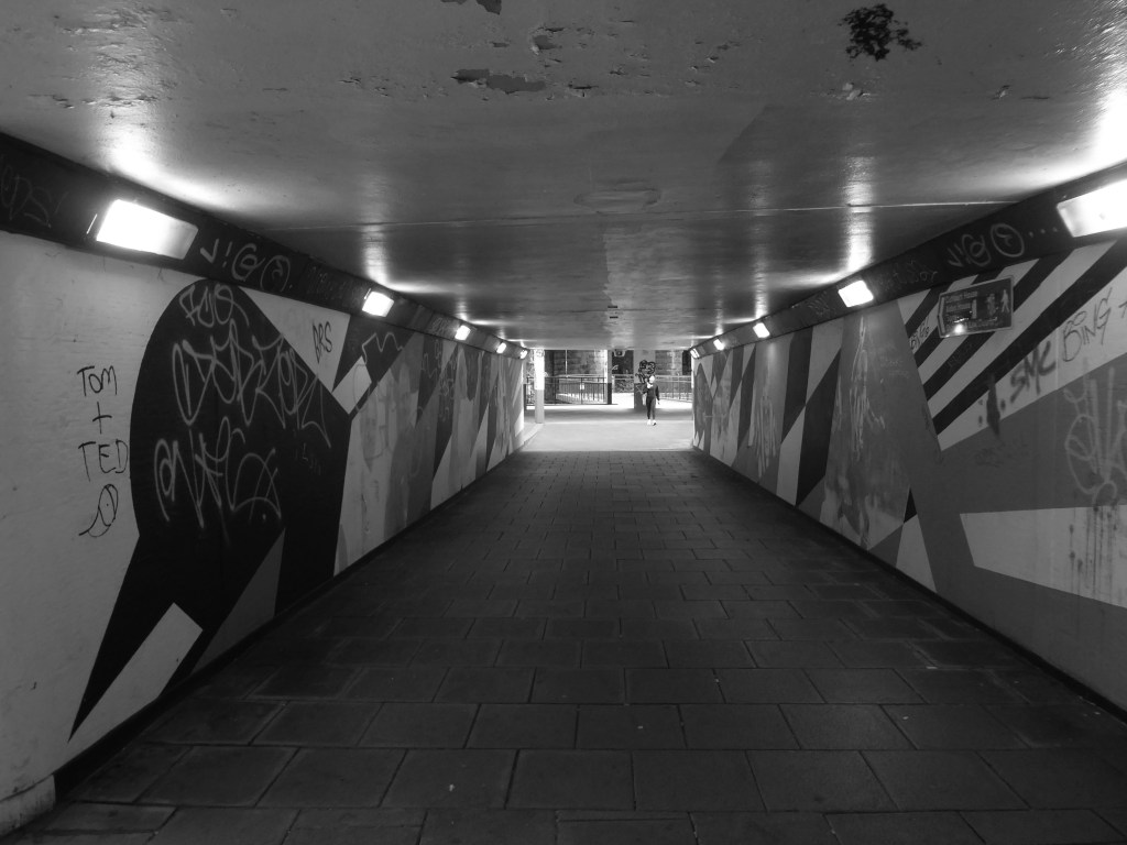
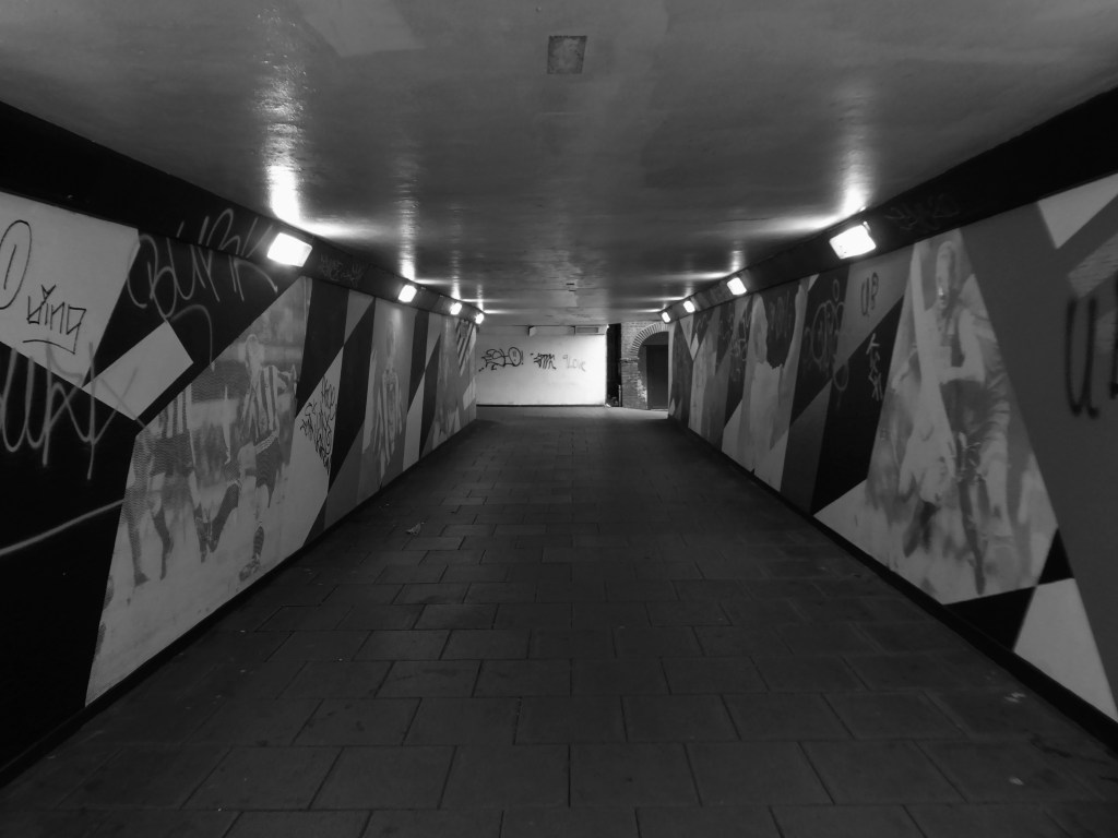
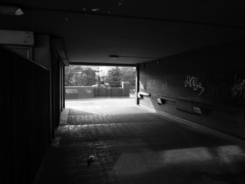
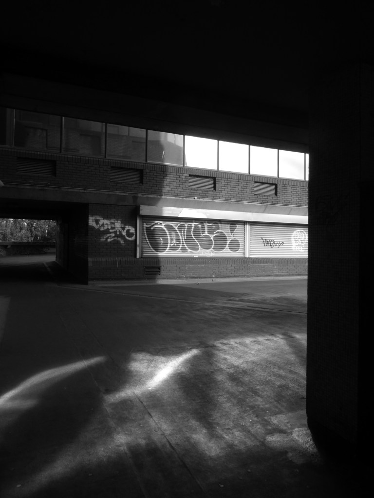
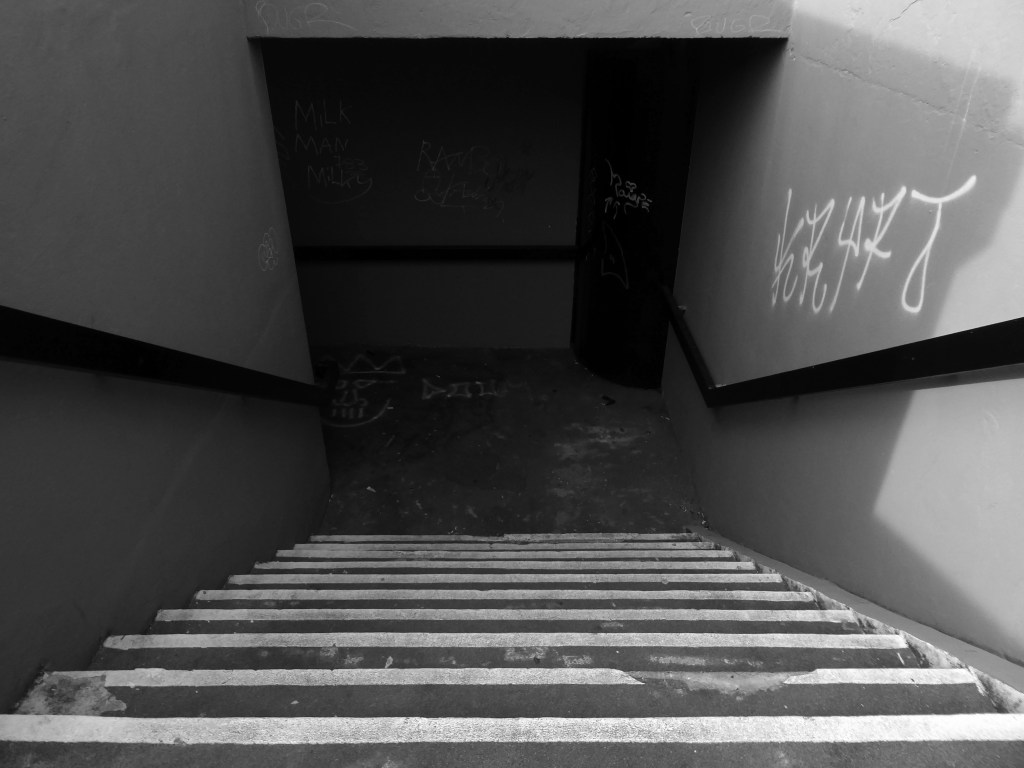
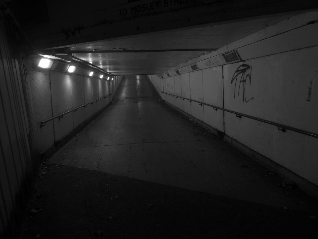
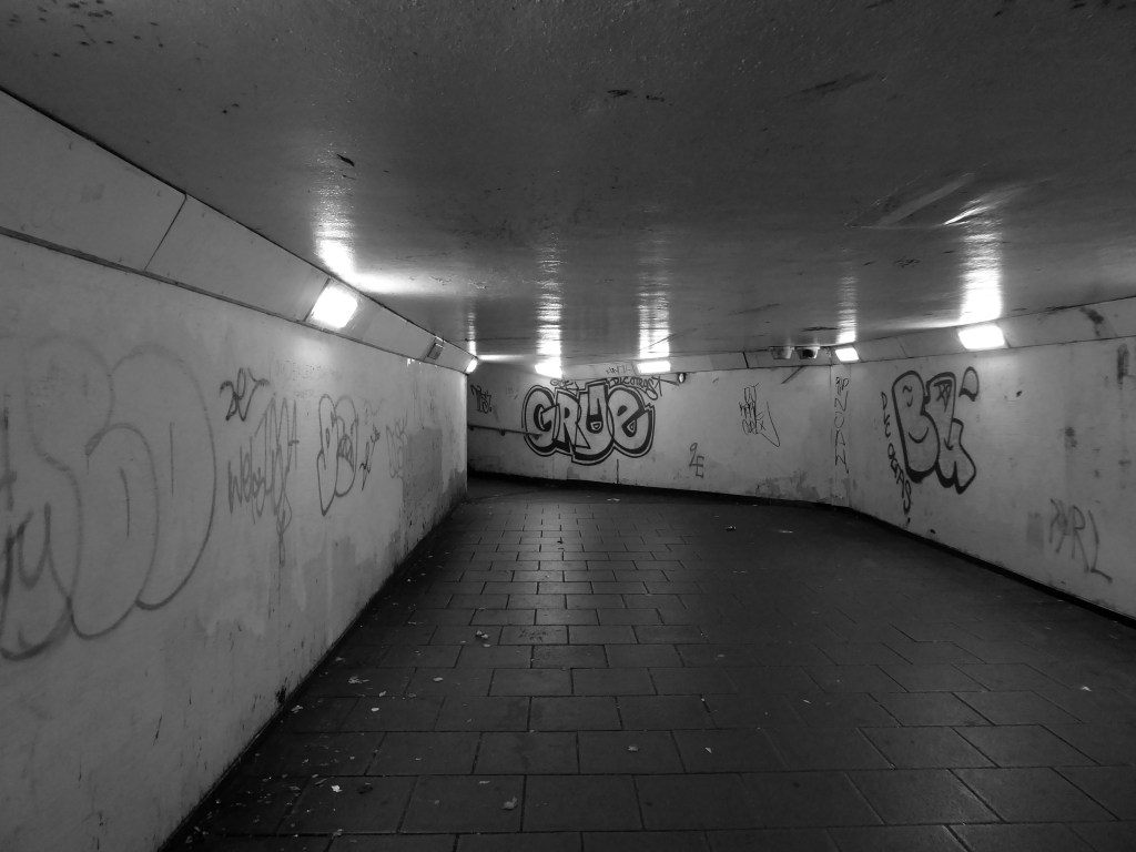
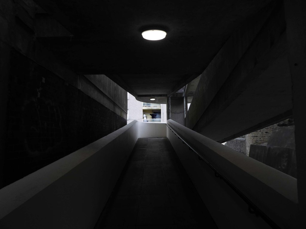
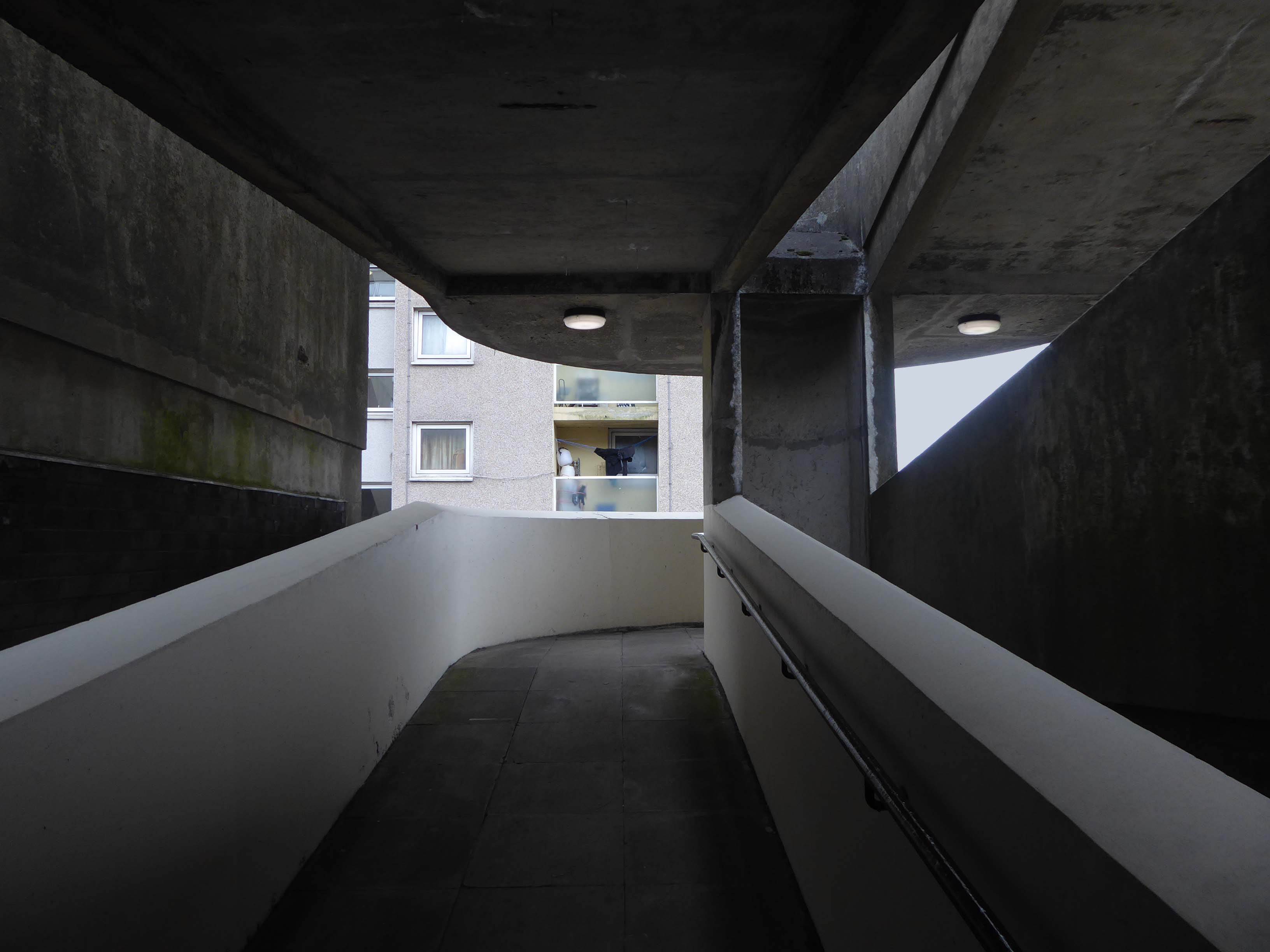
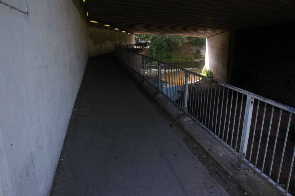
I’m overwhelmed by the underpass, where the passage of time is both slowed and hurried.
A feeling of unease will hasten your pace, a strange sense of transcendence allows you to linger longer.
There’s a world going on underground.
Rattle big black bones in the danger zone There’s a rumblin’ groan down below There’s a big dark town, it’s a place I’ve found There’s a world going on underground
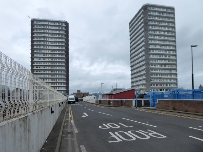
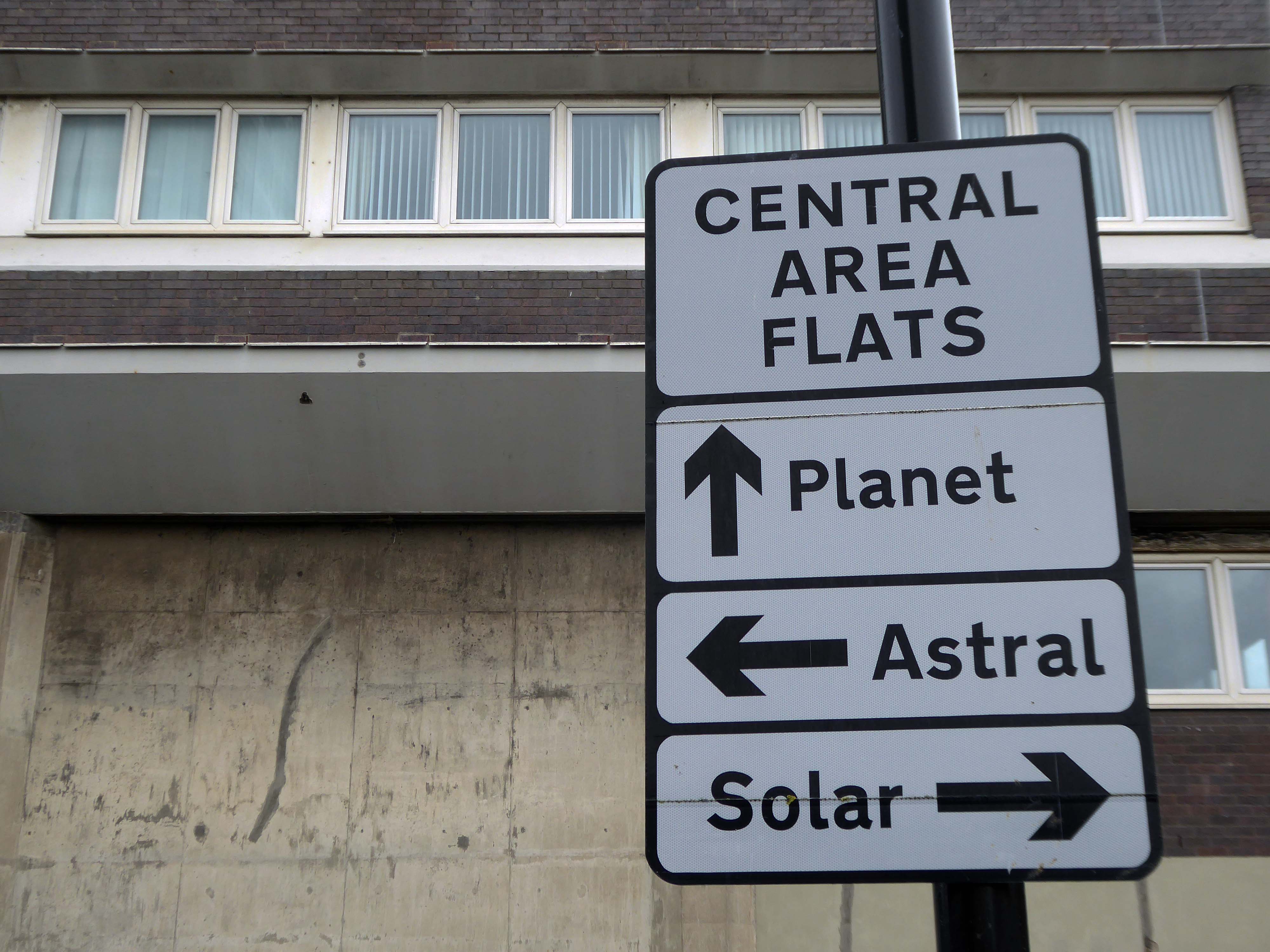
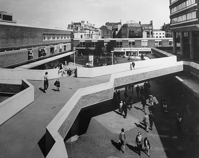
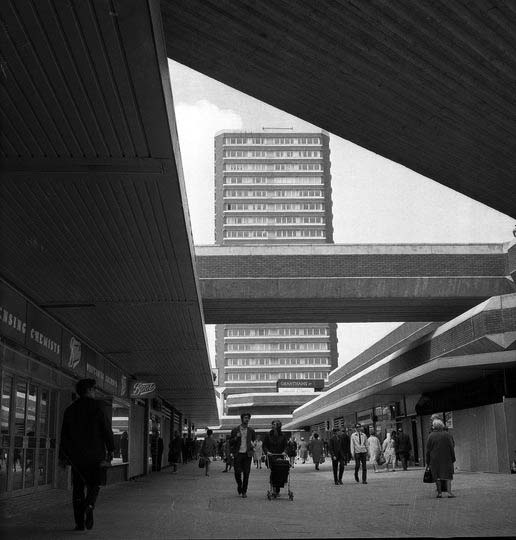
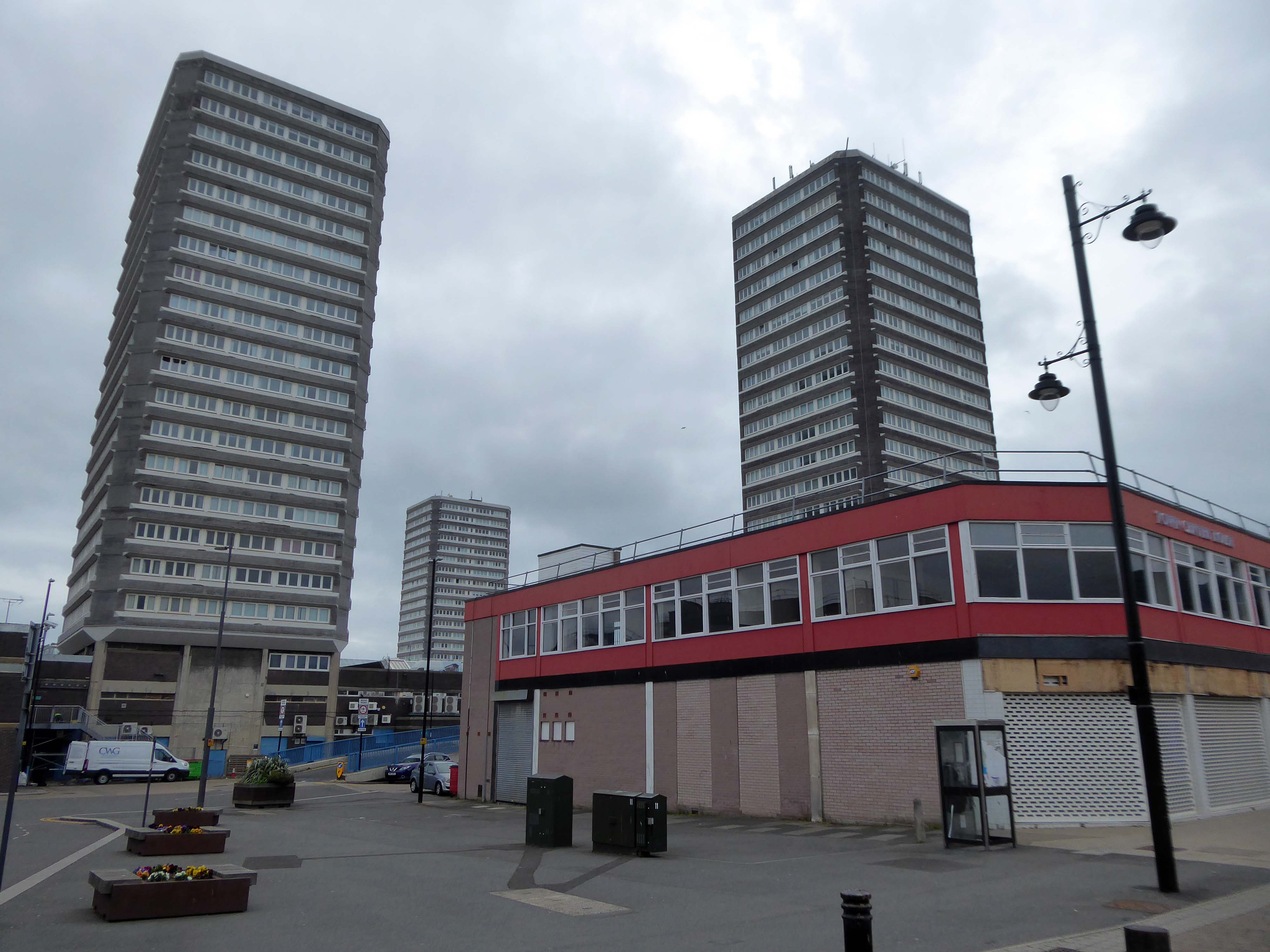
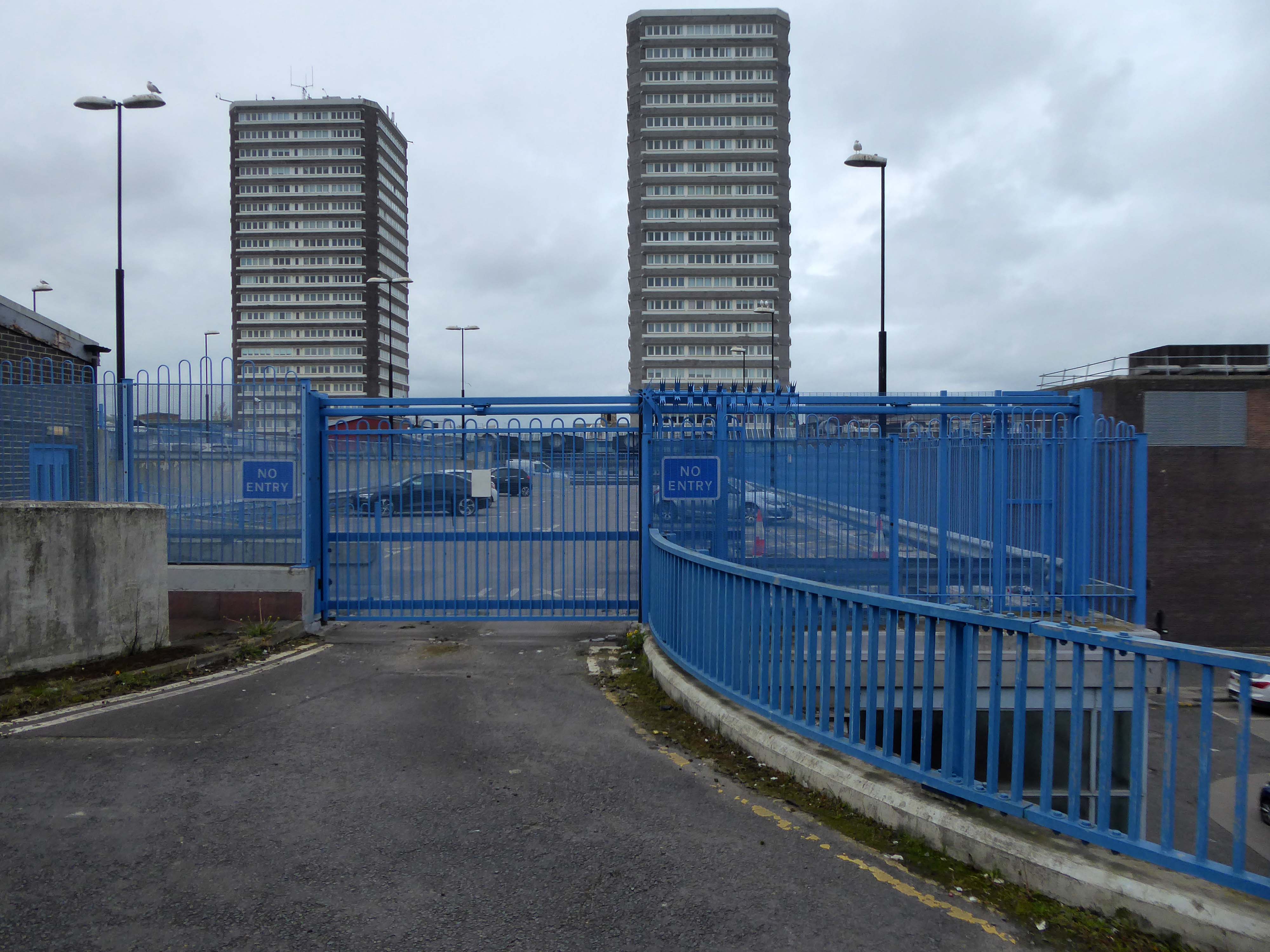
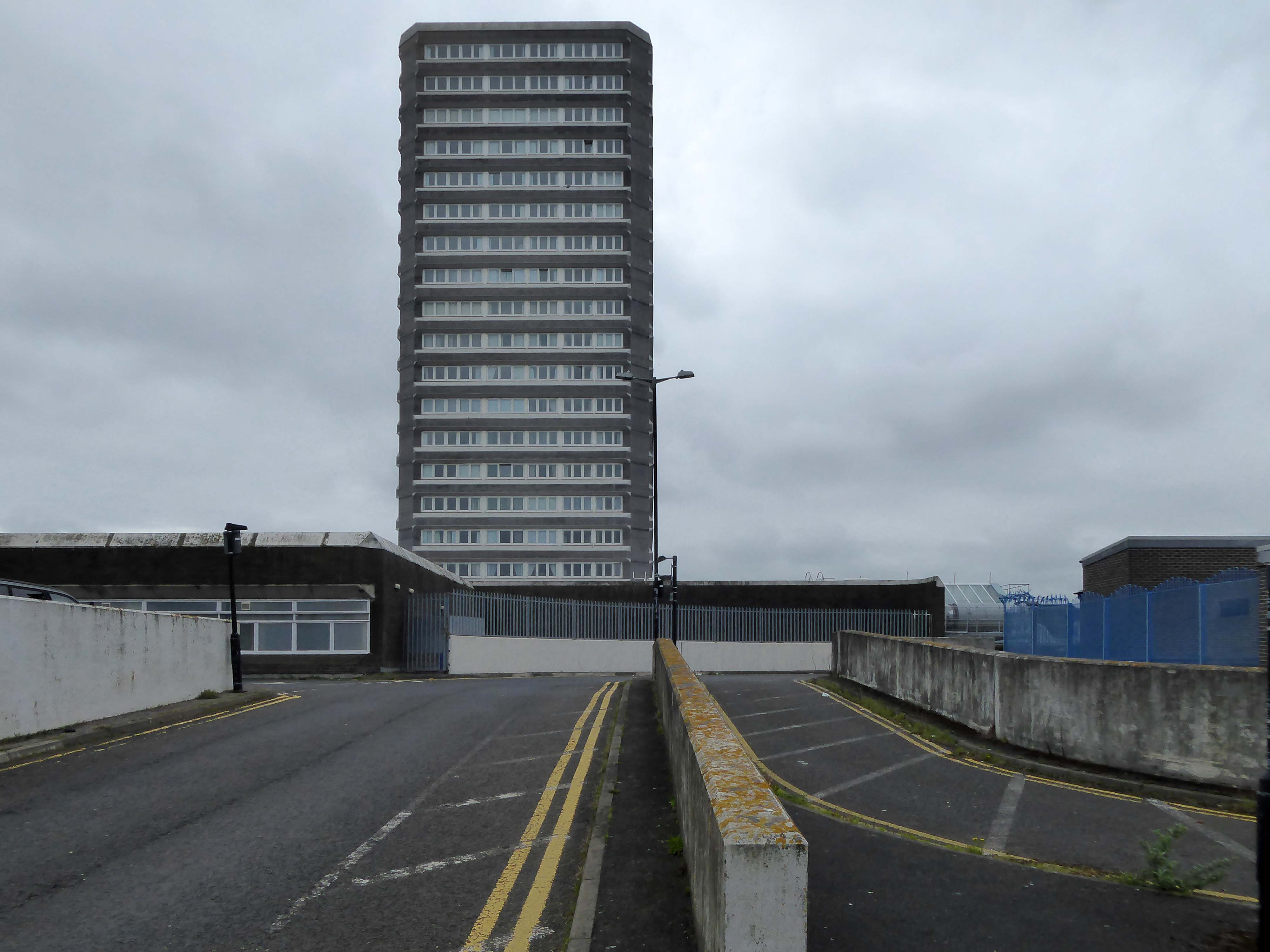
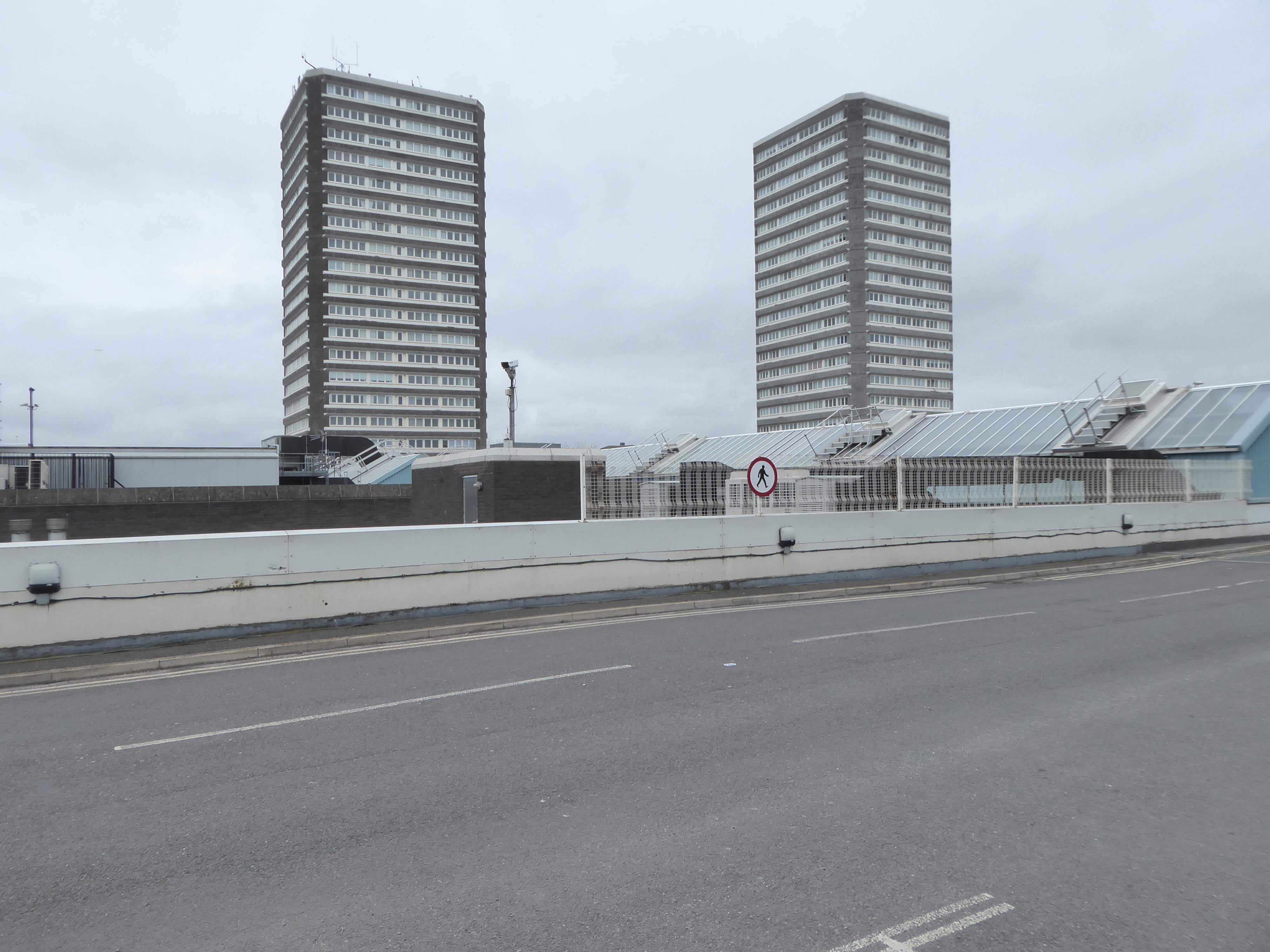
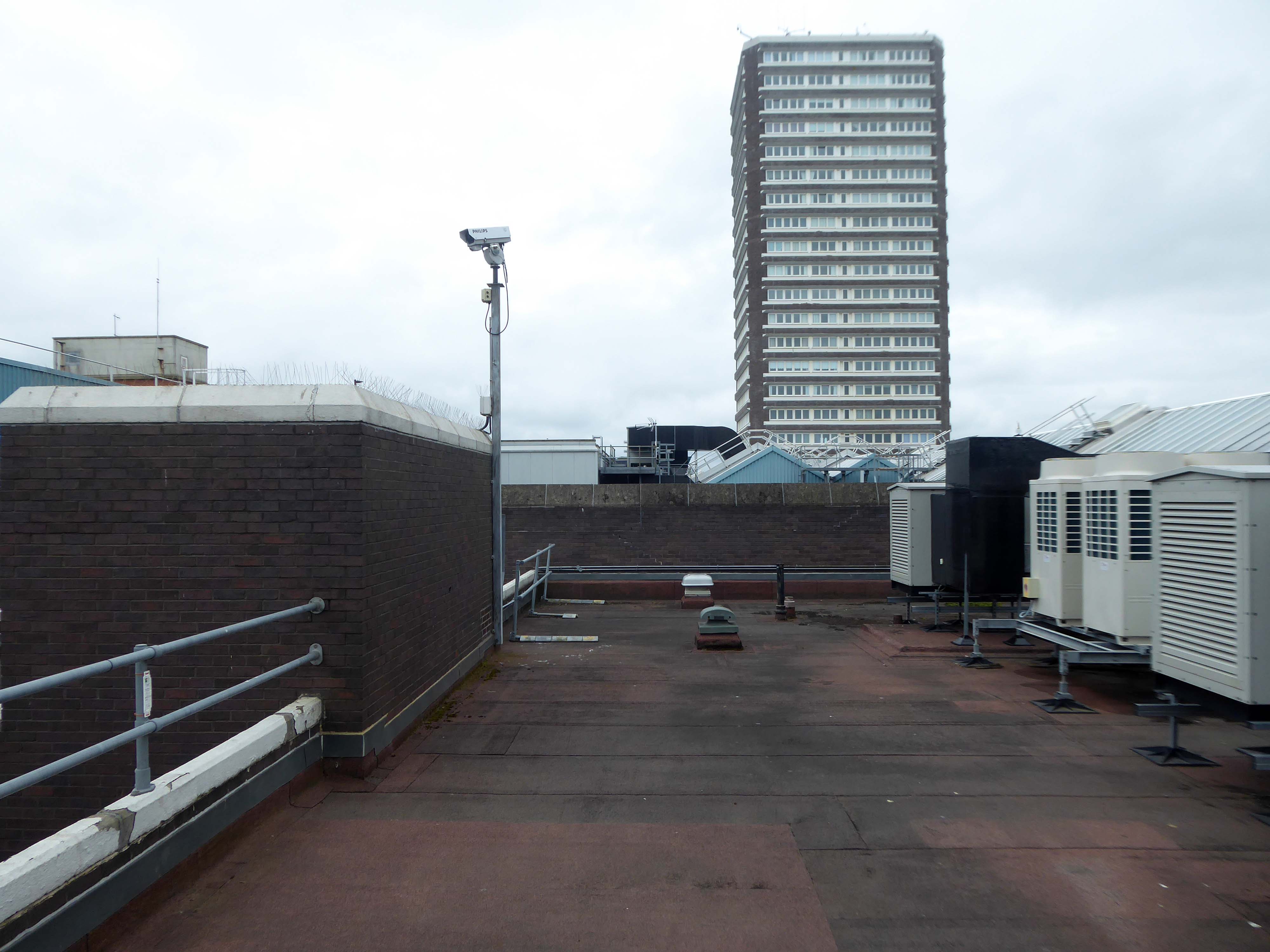
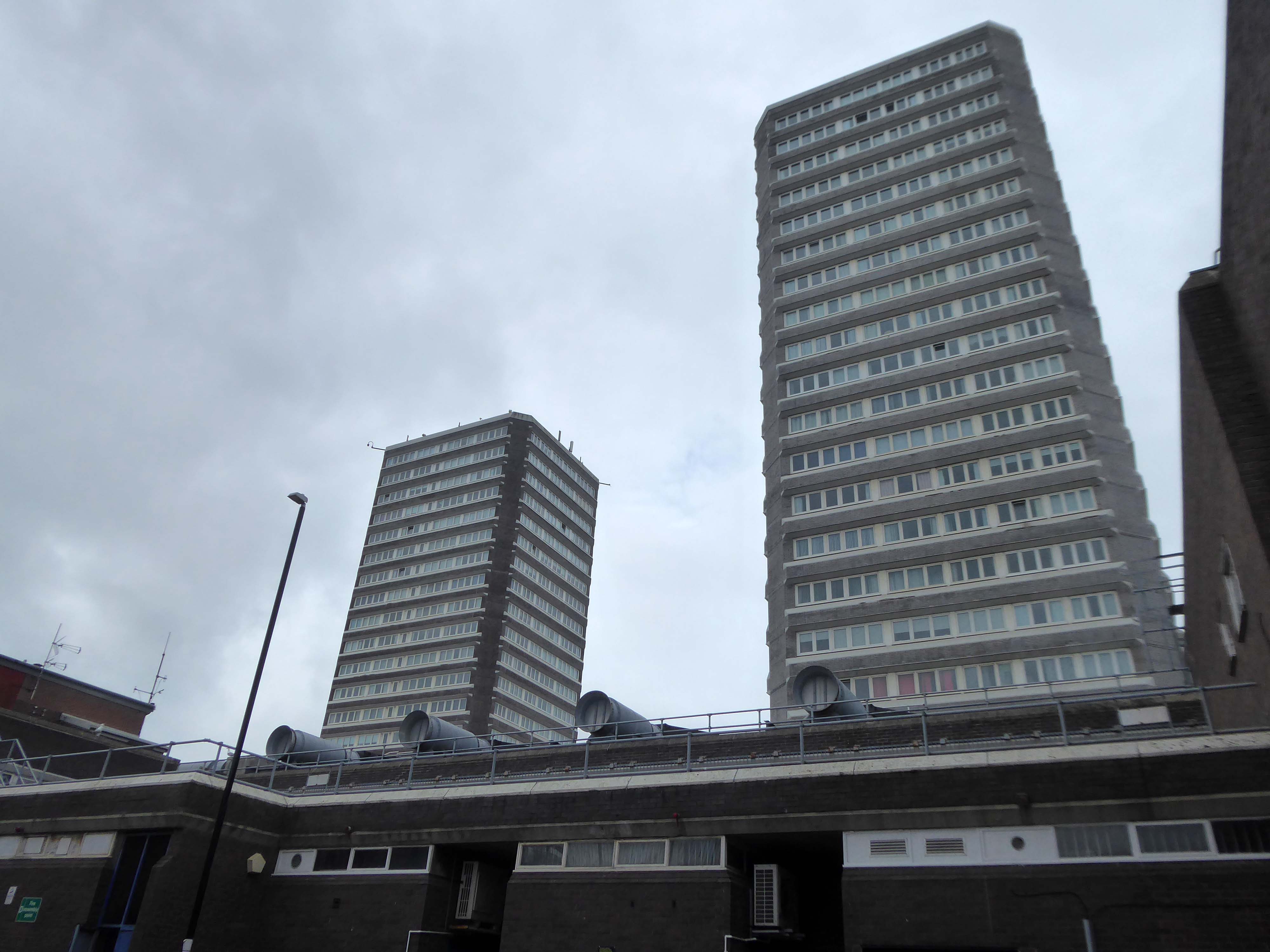
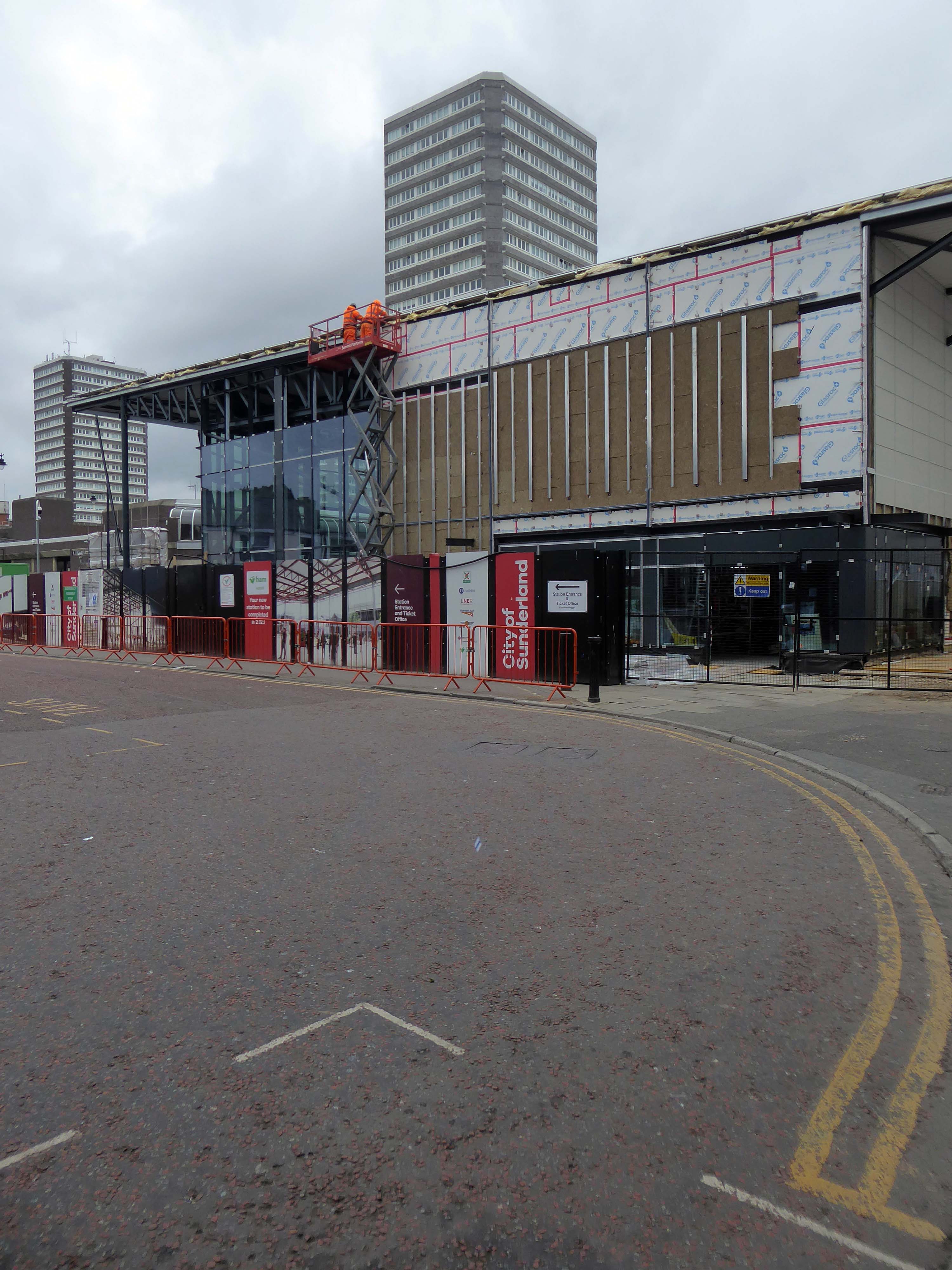
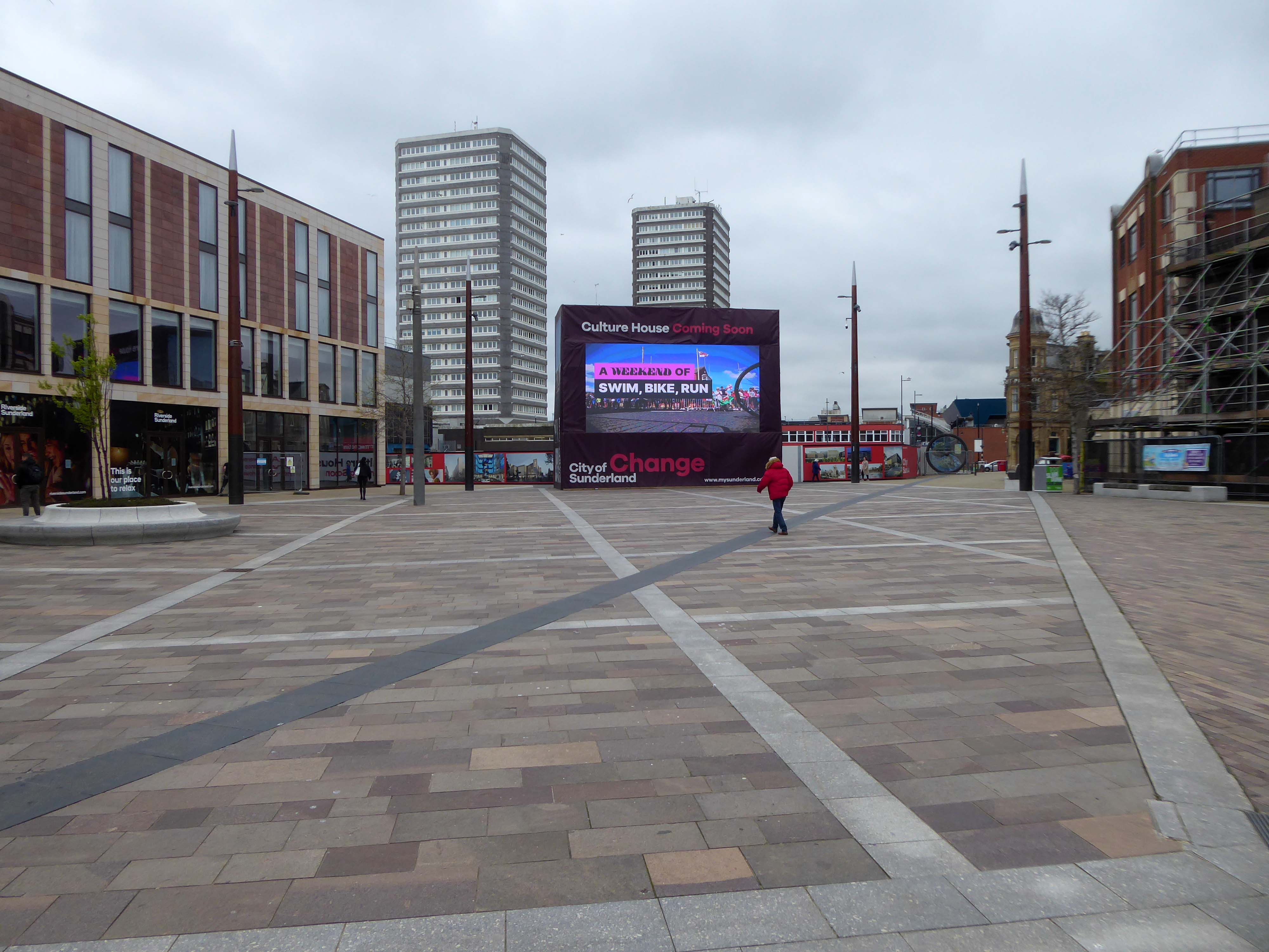
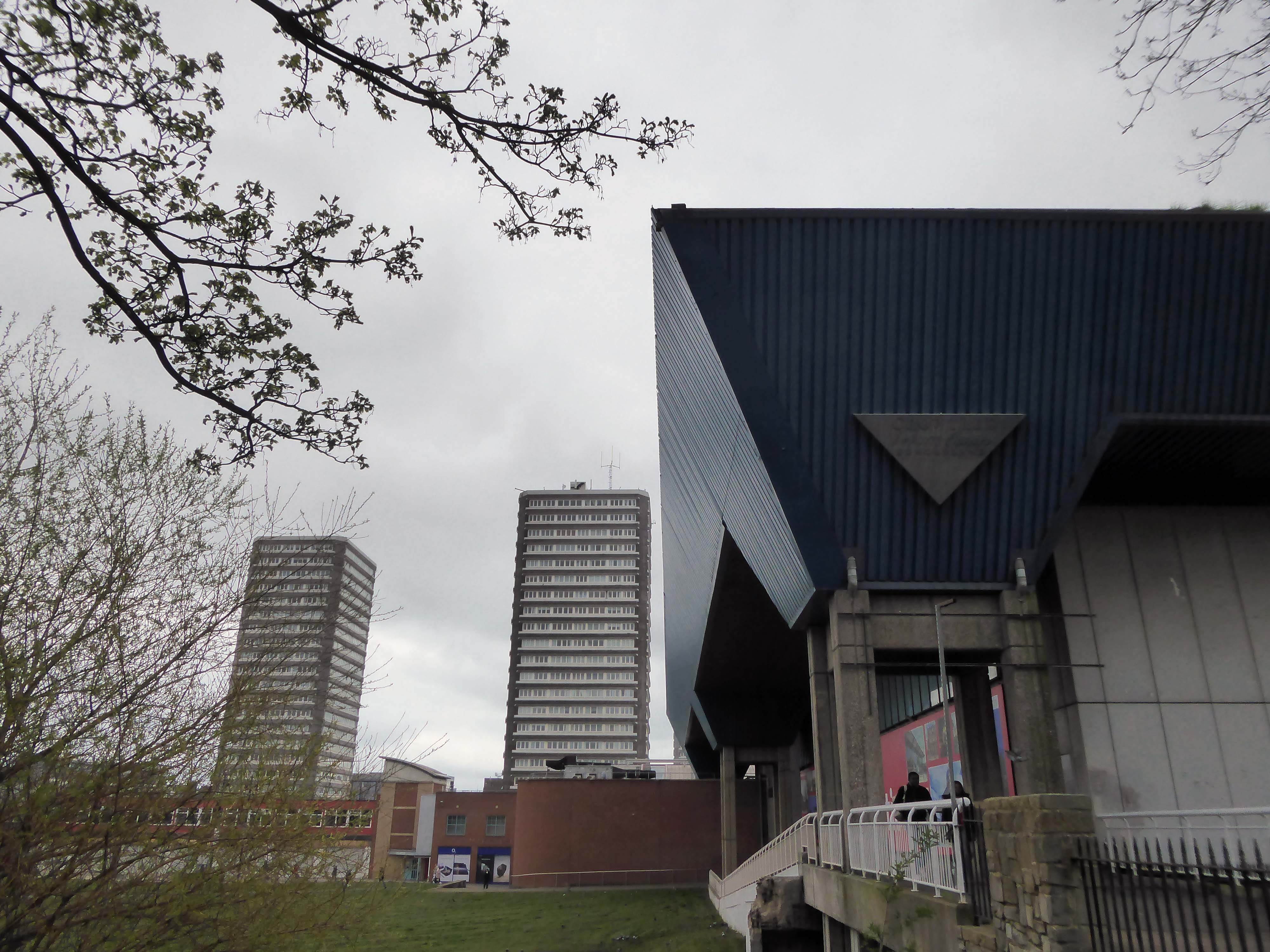
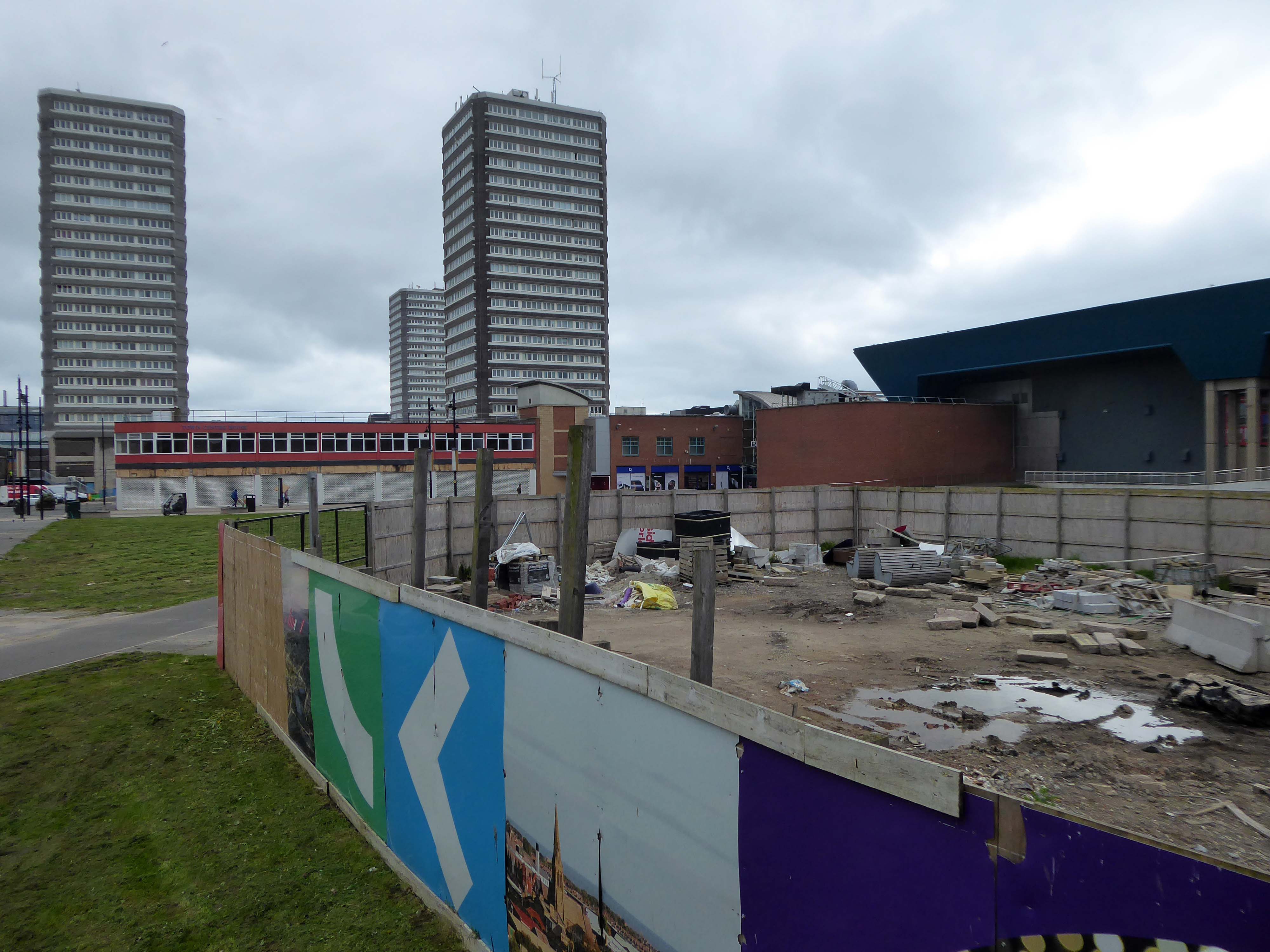
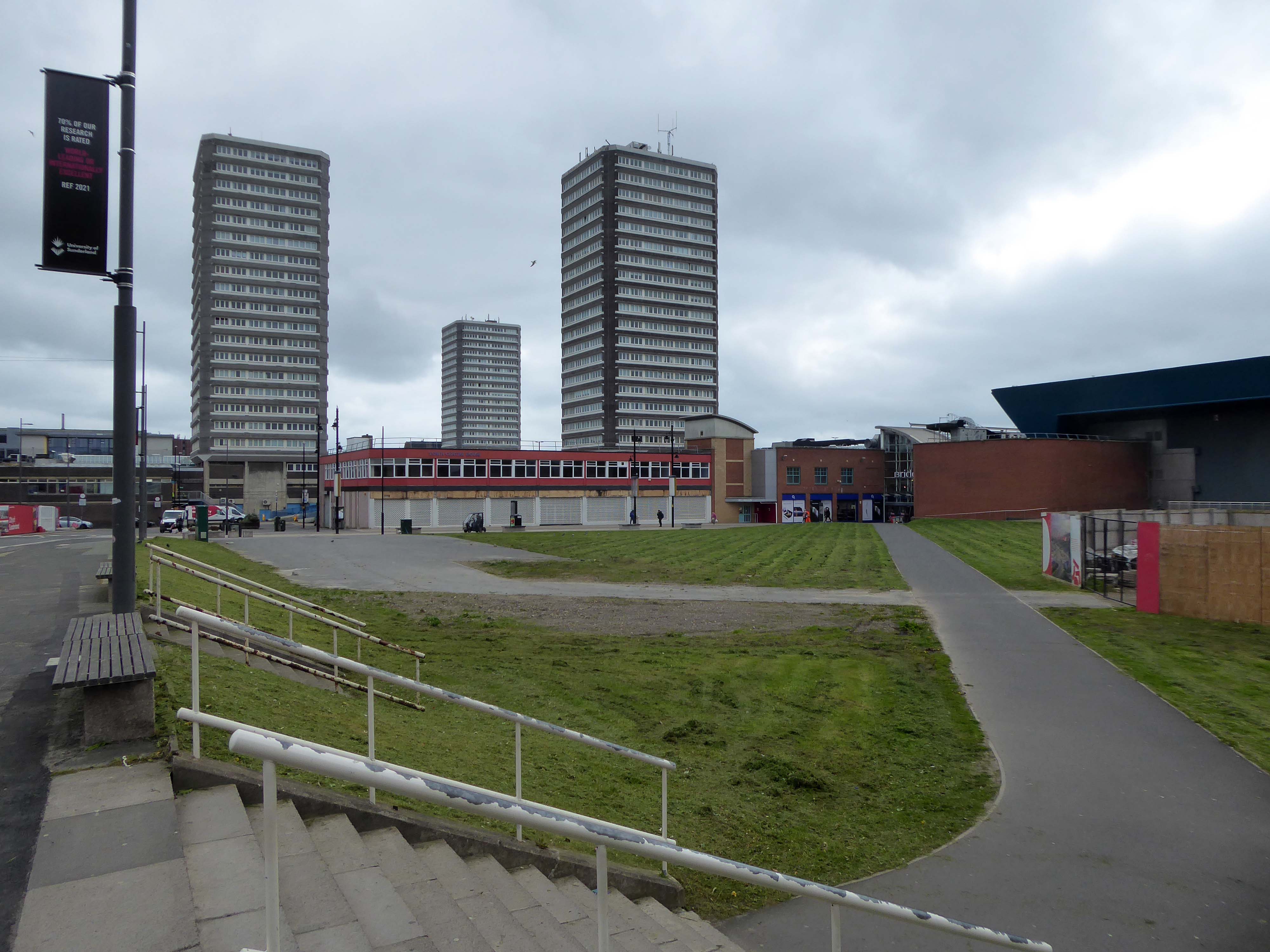
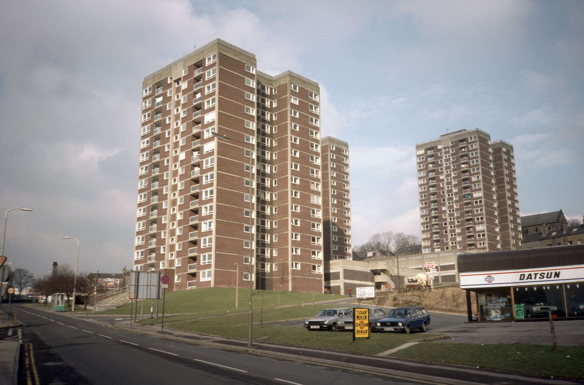
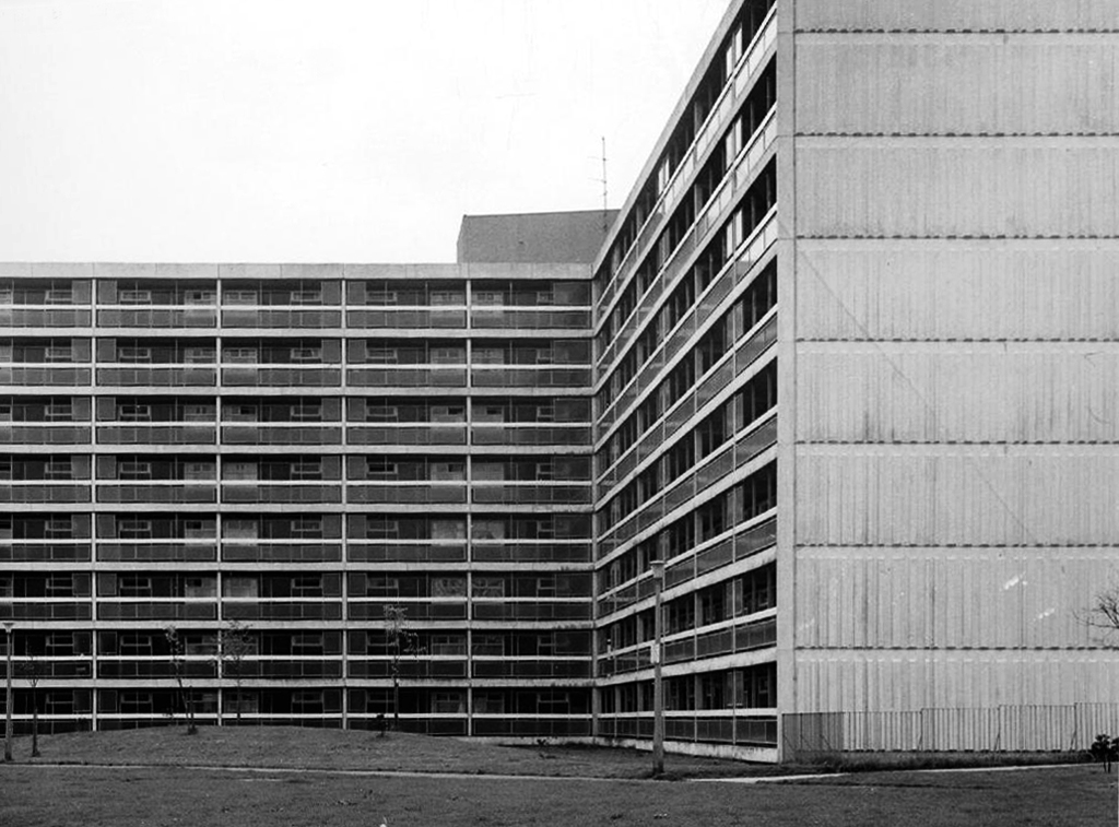
Three nineteen-storey point blocks built as public housing as part of the redevelopment of Sunderland town centre. The blocks contain 270 dwellings in total. Construction was approved by committee in 1967.
The blocks were constructed by Sunderland County Borough Council.
The developers of the Town Central Area were Town and City Properties Ltd. It is believed that they contributed £38,600 to the development of the blocks.
Ian Frazer and Associates were the architects for the sub-structural works only.
Llewelyn, Davies, Weeks and Partners were the structural and mechanical engineers in addition to being the architects for the tower blocks.
Gilbert-Ash Northern Ltd.’s tender for the contract was £959,258 – construction began in March 1967.
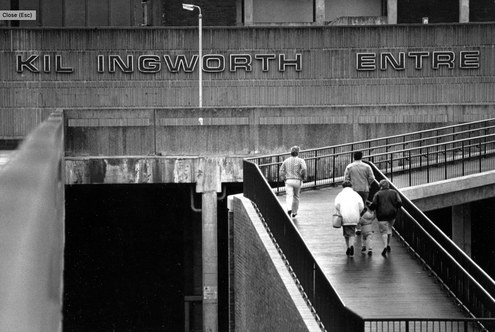
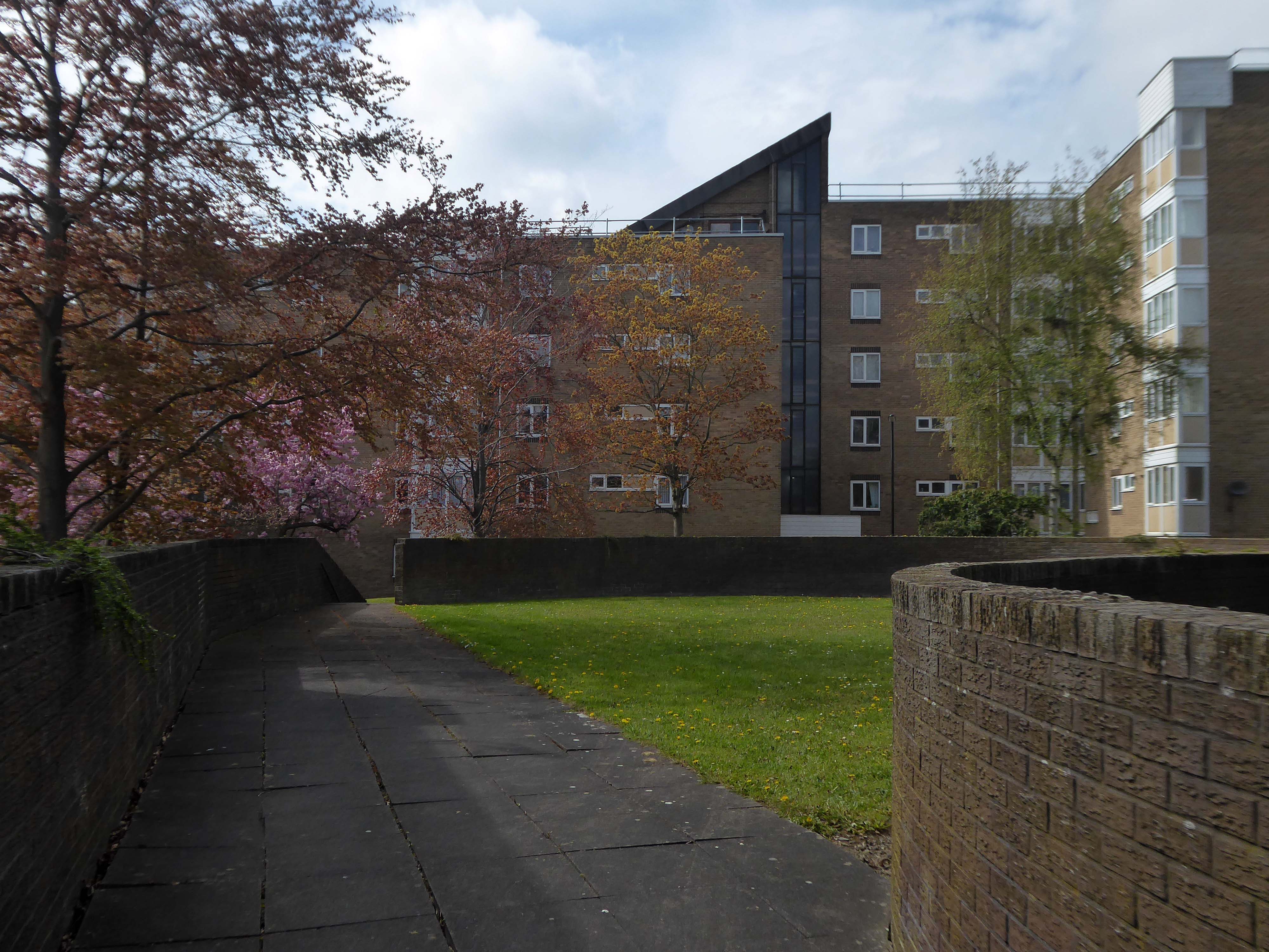
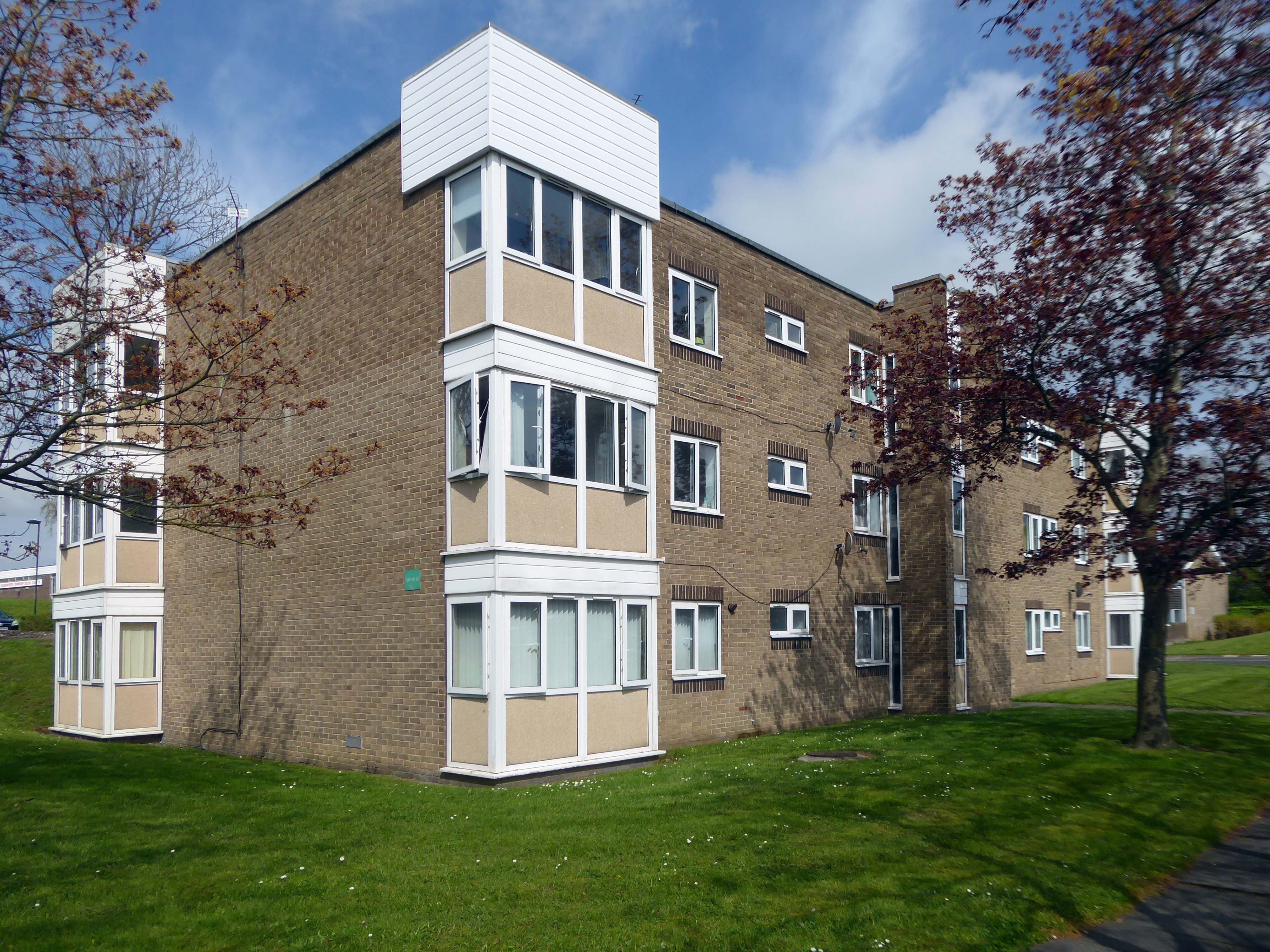
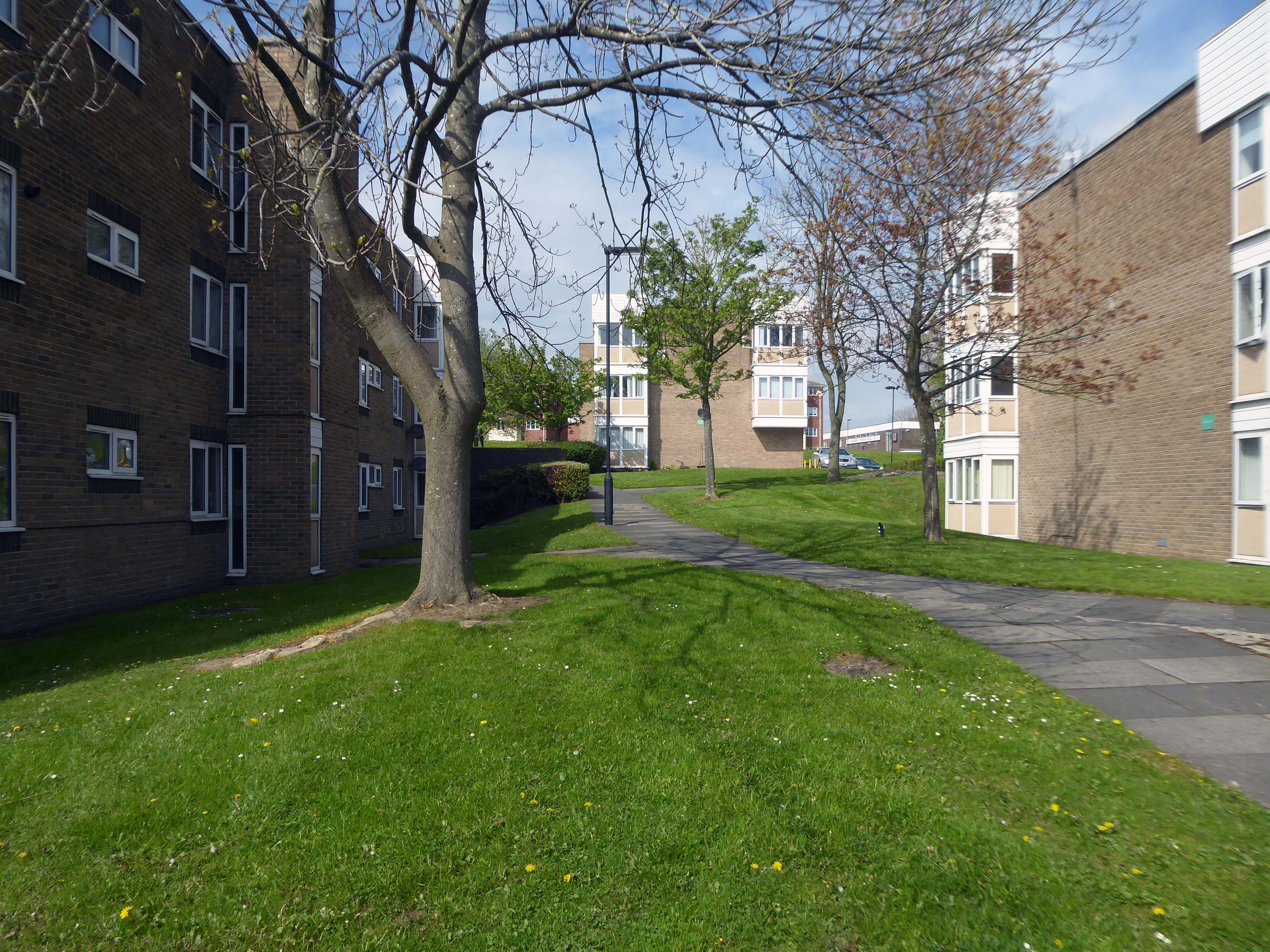
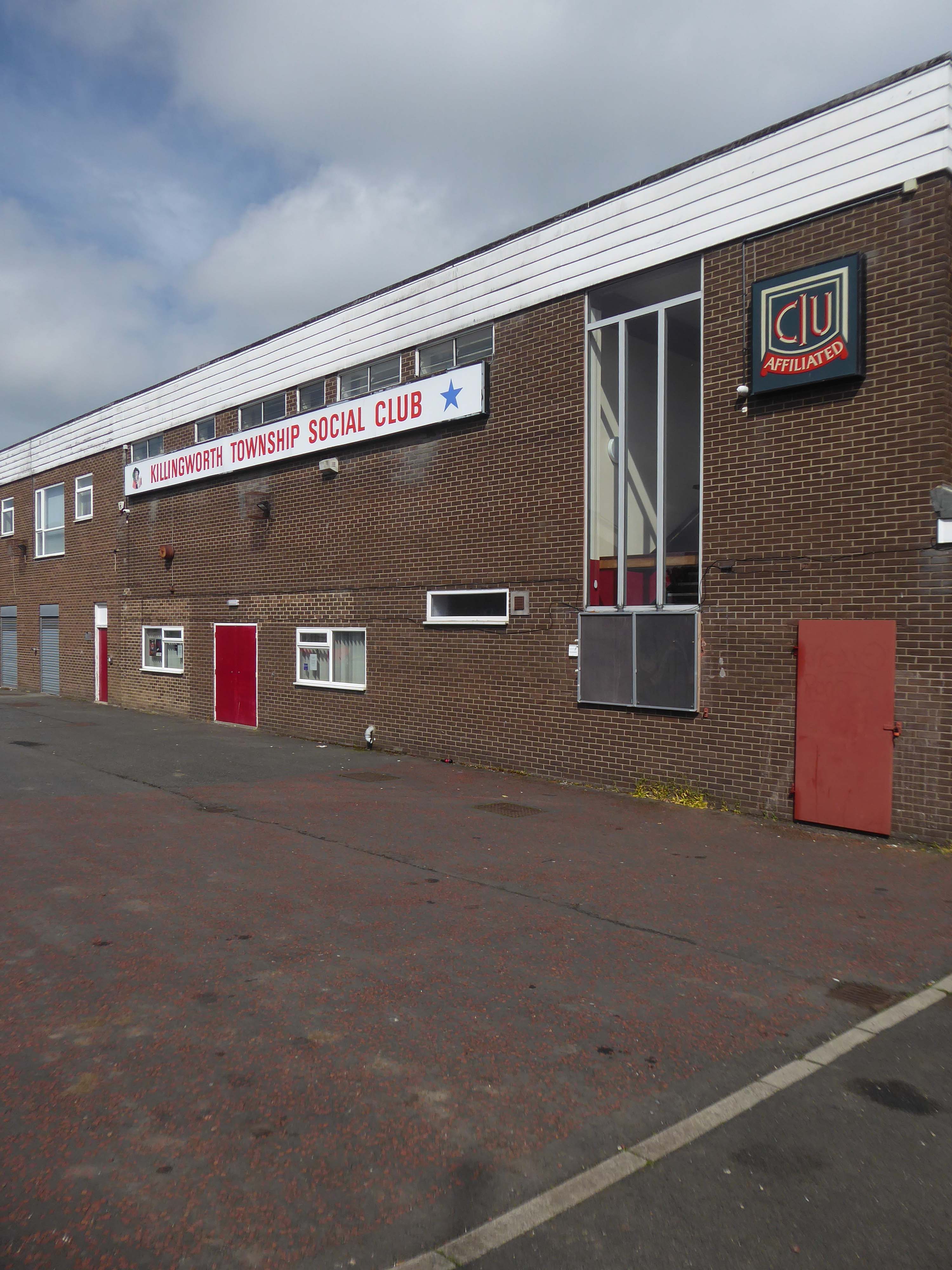
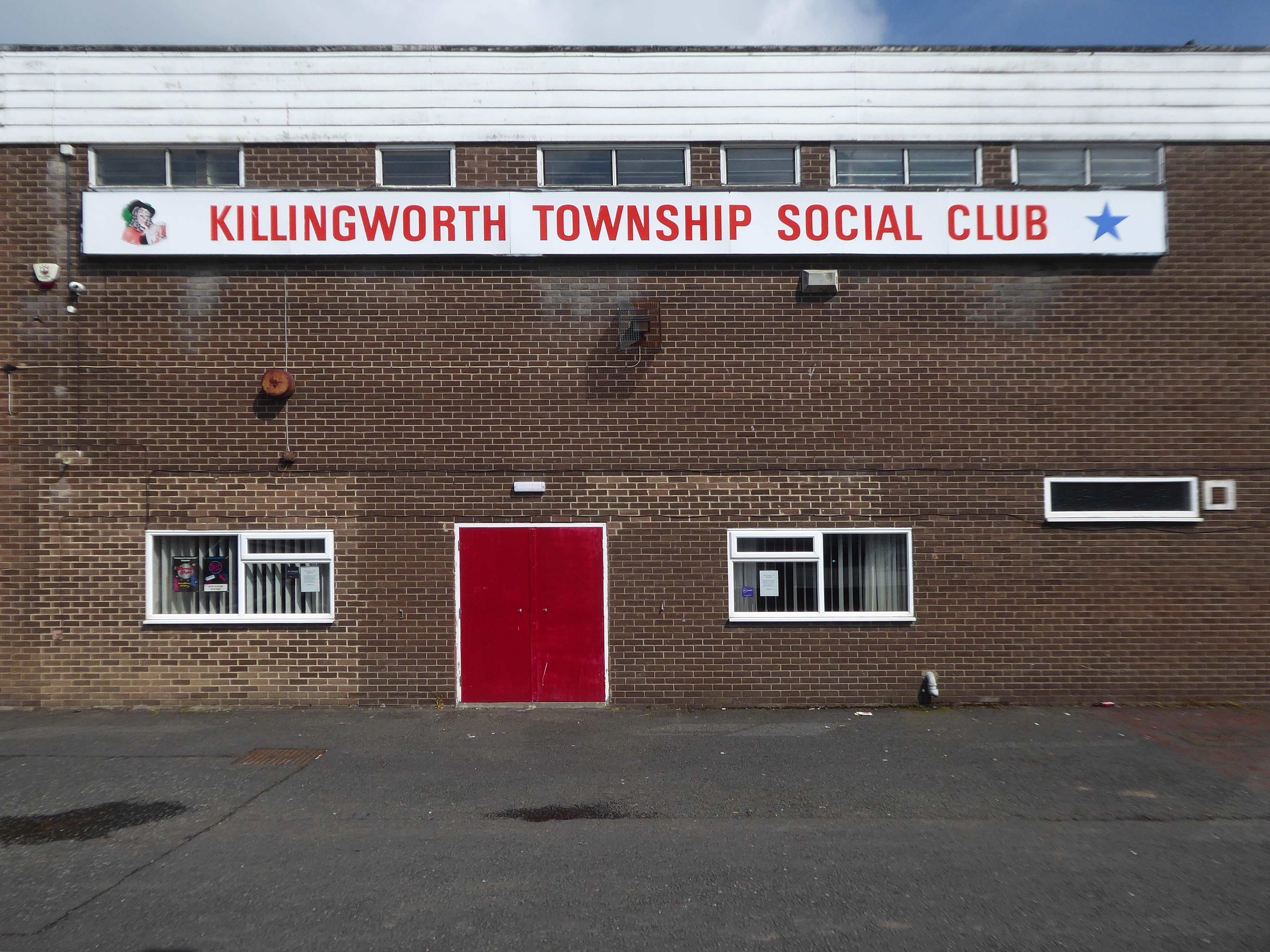
Construction of Killingworth, a new town, began in 1963. Intended for 20,000 people, it was a former mining community, formed on seven hundred and sixty acres of derelict colliery land near Killingworth Village. The building of Killingworth Township was undertaken by Northumberland County Council and was not formally a New Town sponsored by the Government.
Unlike that town, Killingworth’s planners adopted a radical approach to town centre design, resulting in relatively high-rise buildings in an avant-garde and brutalist style that won awards for architecture, dynamic industry and attractive environment.
This new town centre consisted of pre-cast concrete houses, with millions of small crustacean shells unusually embedded into their external walls, five to ten storey flats, offices, industrial units and service buildings, which often consisted of artistic non-functional characteristics, shops and residential multi-storey car parks, interconnected by ramps and walkways. These made up a deck system of access to shopping and other facilities, employing the Swedish Skarne method of construction.
Originally named Killingworth Township, the latter part was quickly dropped through lack of colloquial use.
Killingworth is referred to as Killy by many residents of the town and surrounding areas.
Around 1964, during the reclamation of the derelict pit sites, a fifteen acre lake south of the town centre was created; spoil heaps were levelled, seeded and planted with semi-mature trees.
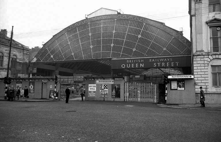
Sunday morning in Glasgow, I caught the first train out from Queen Street Station.
In October 2017, a £120 million project began on bringing the station up to modern standards, demolishing many of the 1960s buildings and replacing them with a new station concourse, which was completed in 2021.
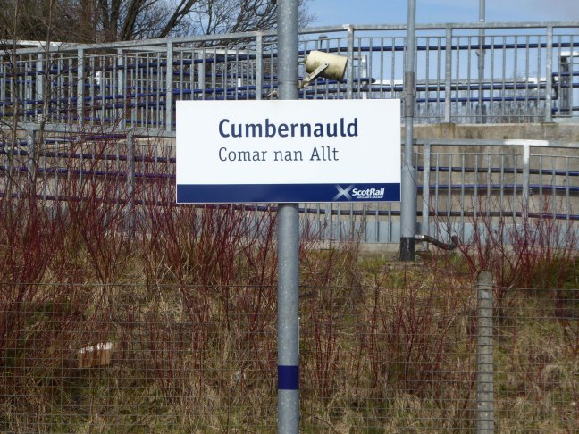
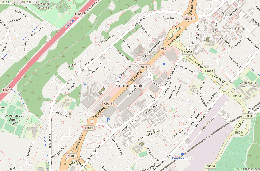
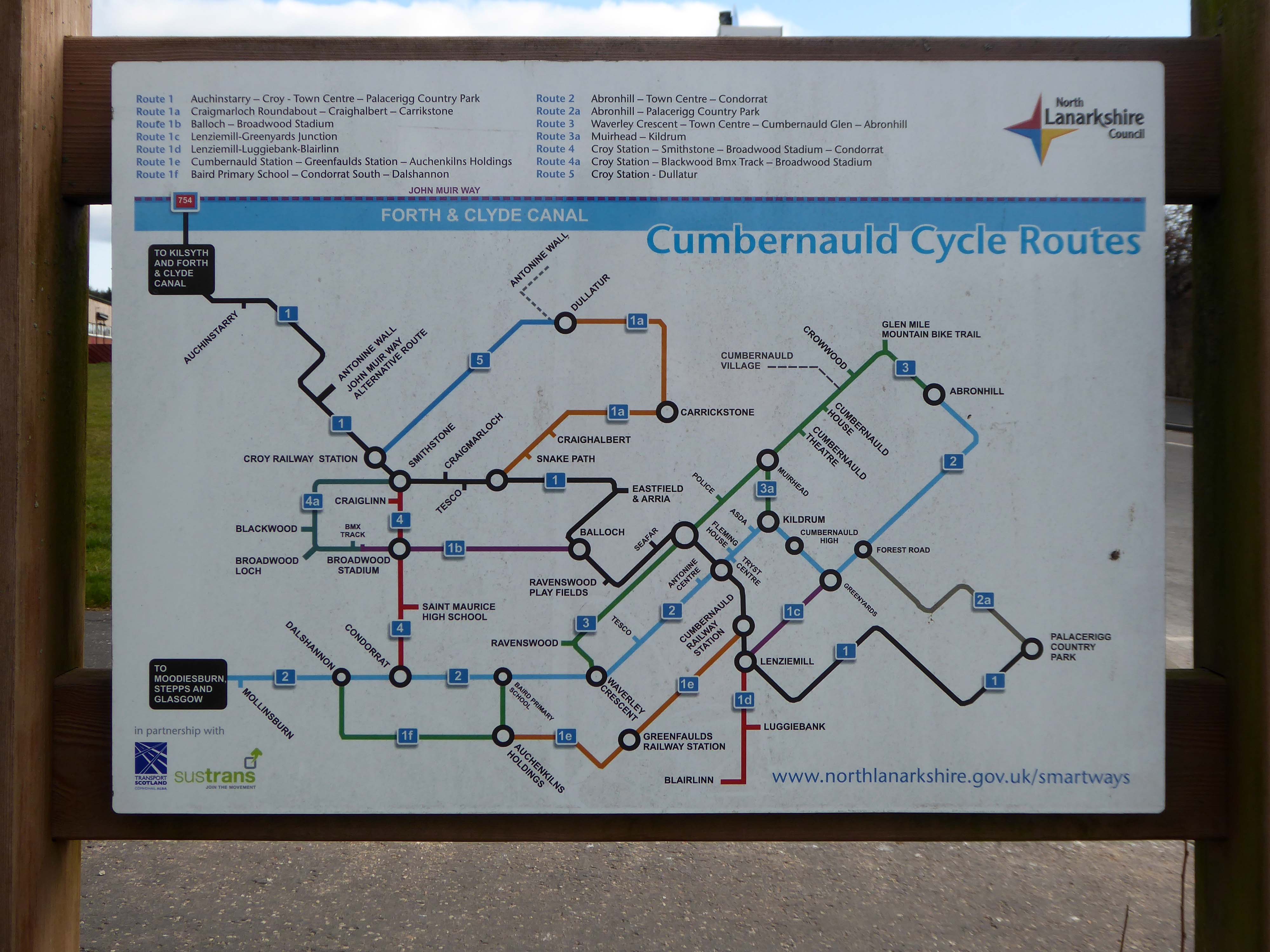
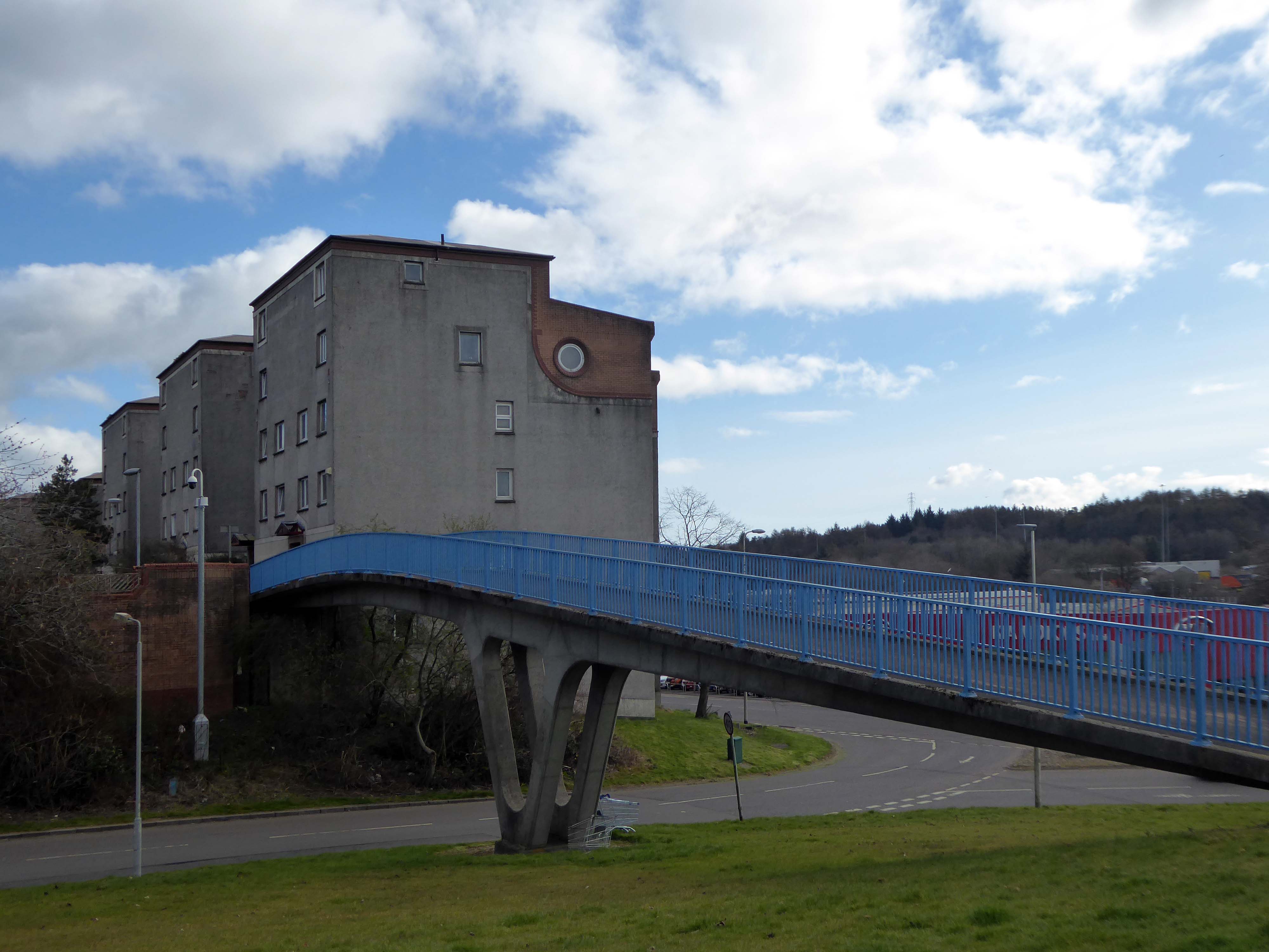
I arrived in Cumbernauld and walked toward the Central Way and back again.
Cumbernauld was designated as a new town in December 1955, part of a plan, under the New Towns Act 1946, to move 550,000 people out of Glasgow and into new towns to solve the city’s overcrowding. Construction of its town centre began under contractors Duncan Logan, chief architect Leslie Hugh Wilson and architect Geoffrey Copcutt – until 1962 and 1963, and later Dudley Roberts Leaker, Philip Aitken and Neil Dadge.
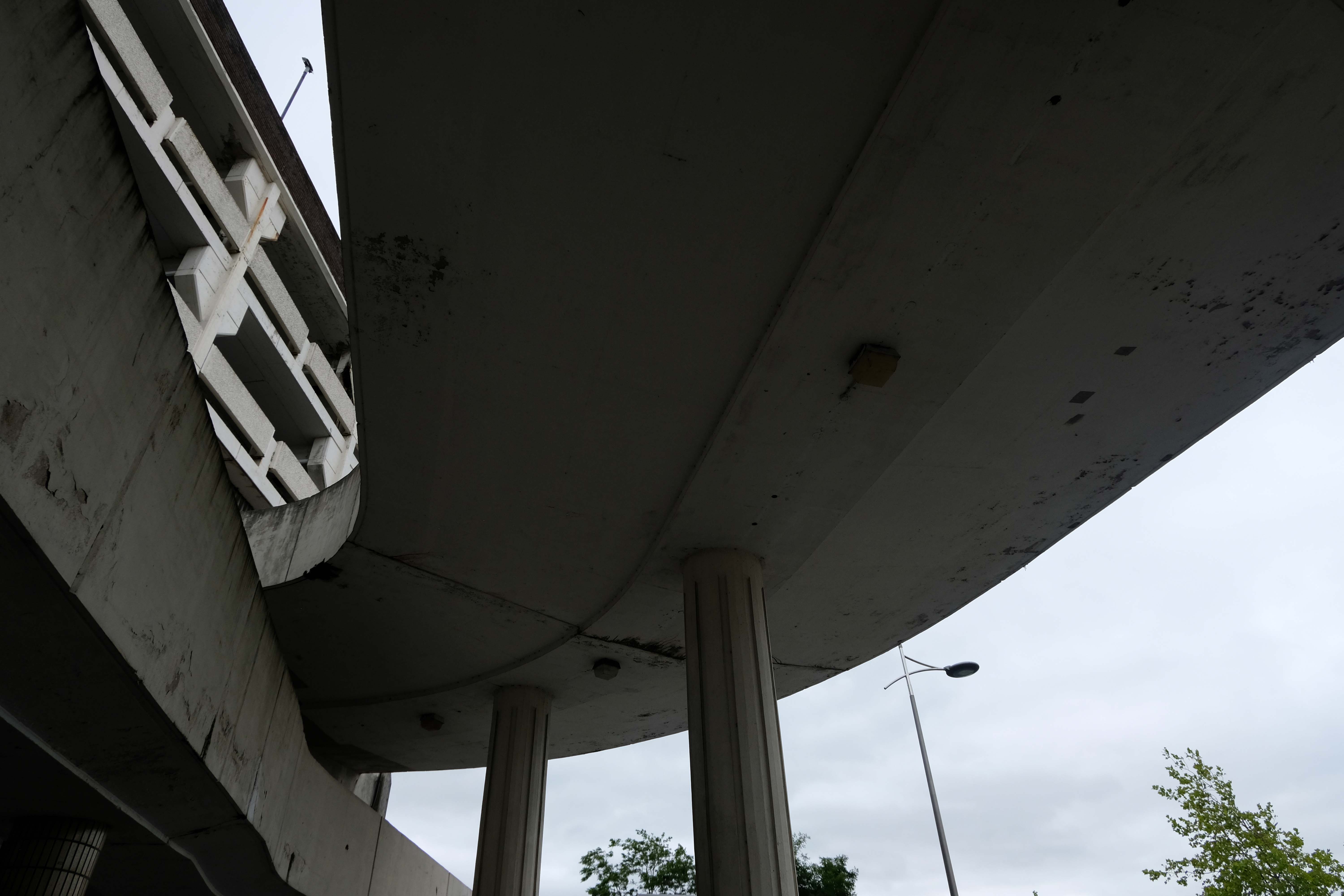
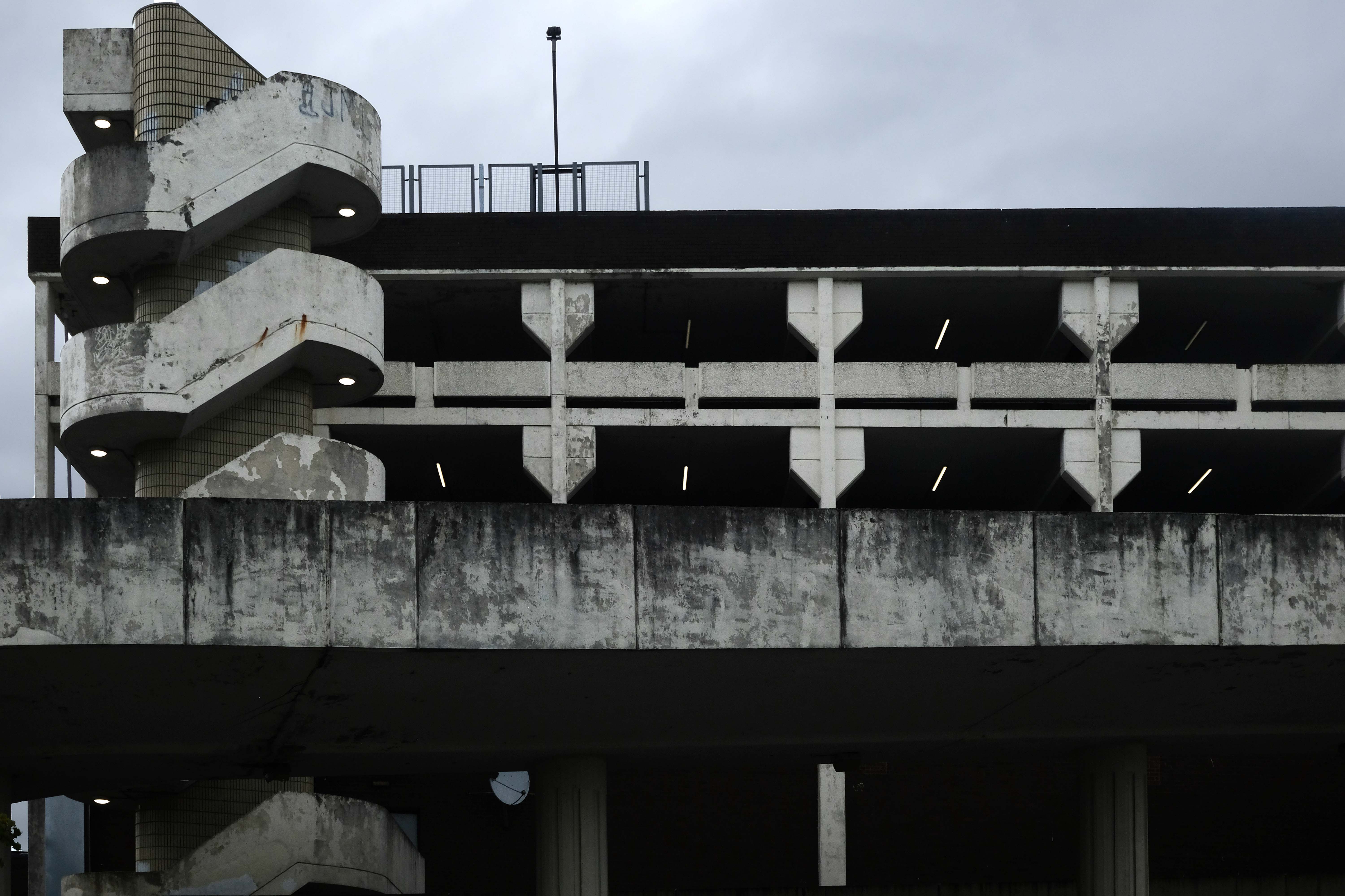
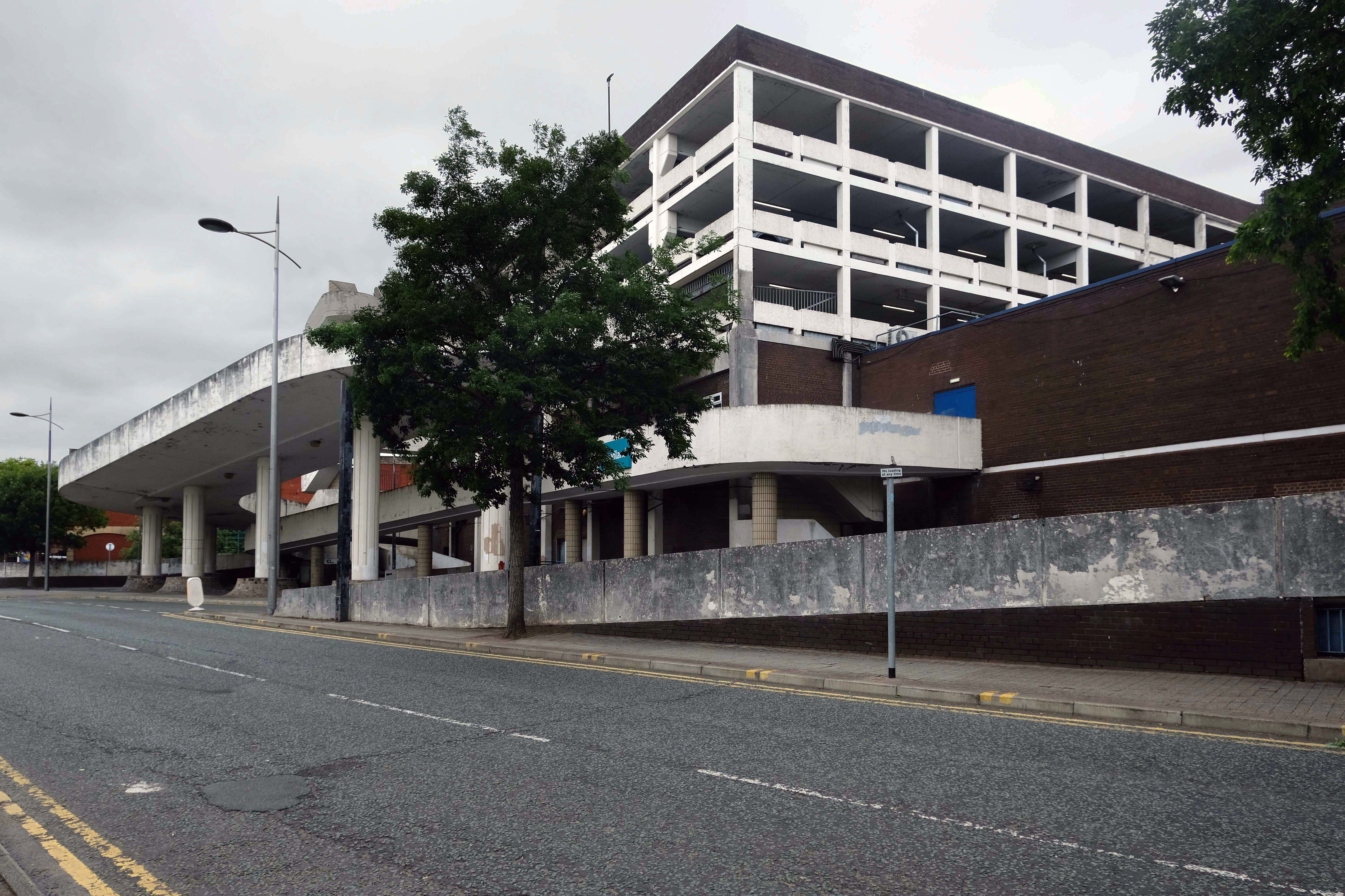
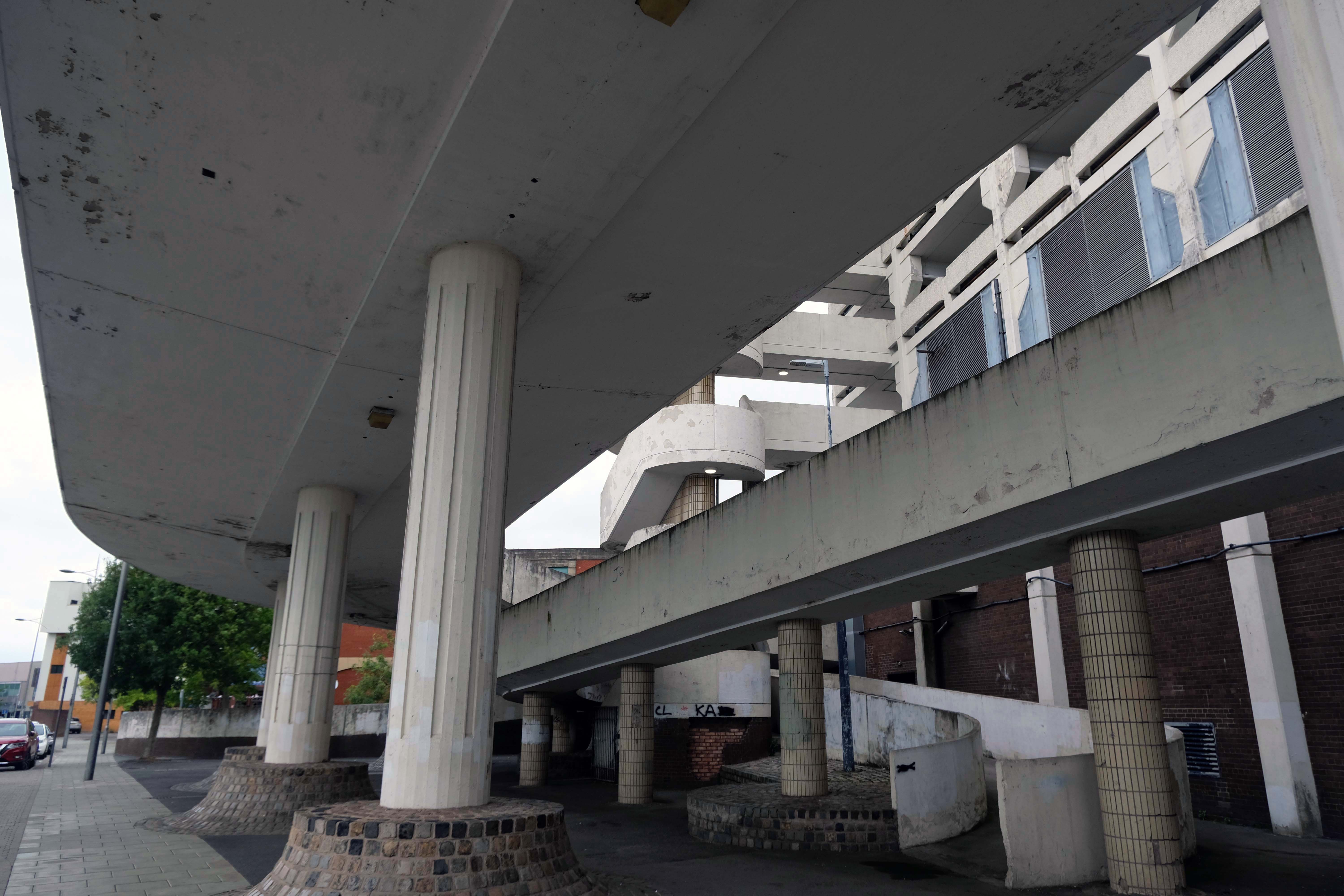
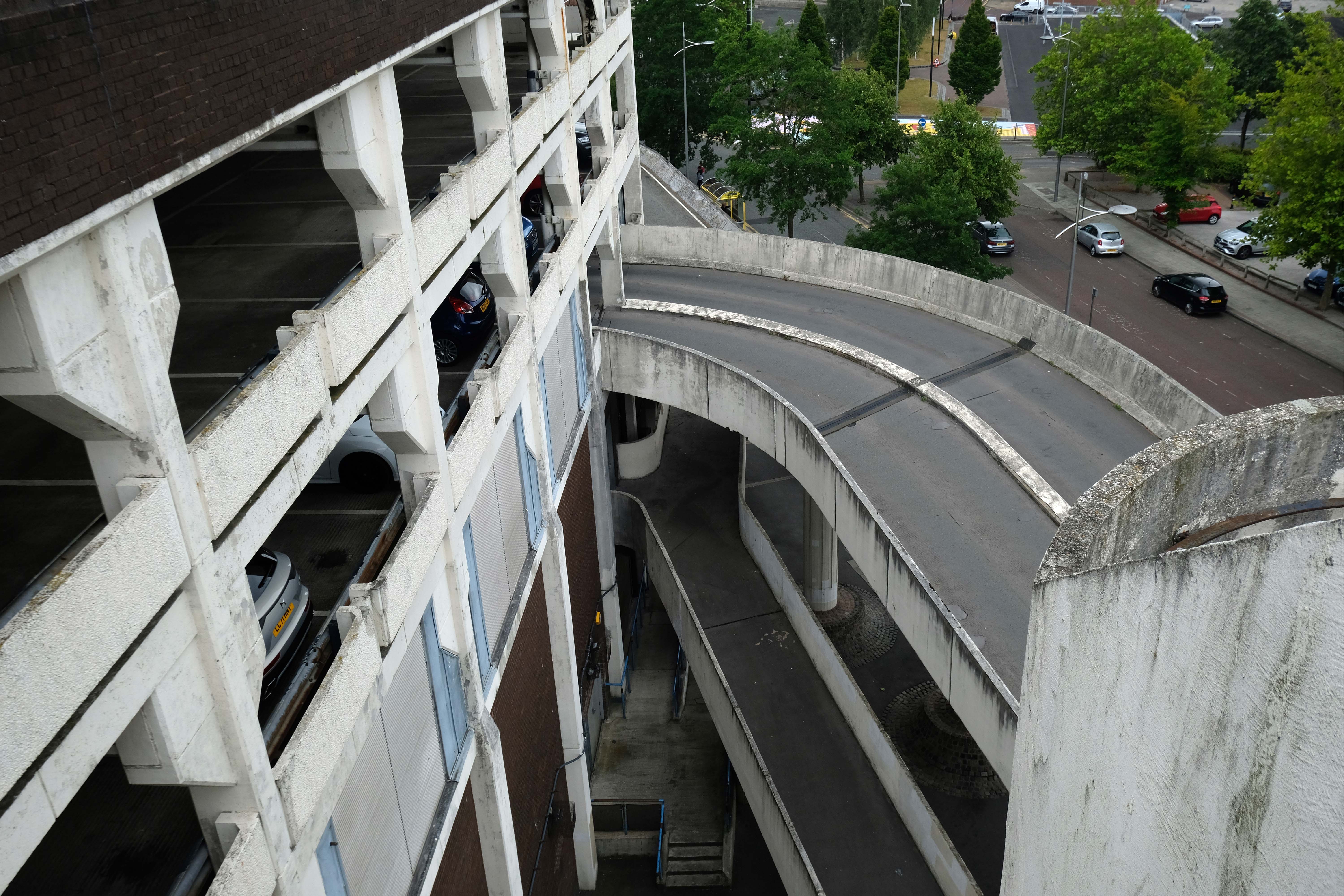
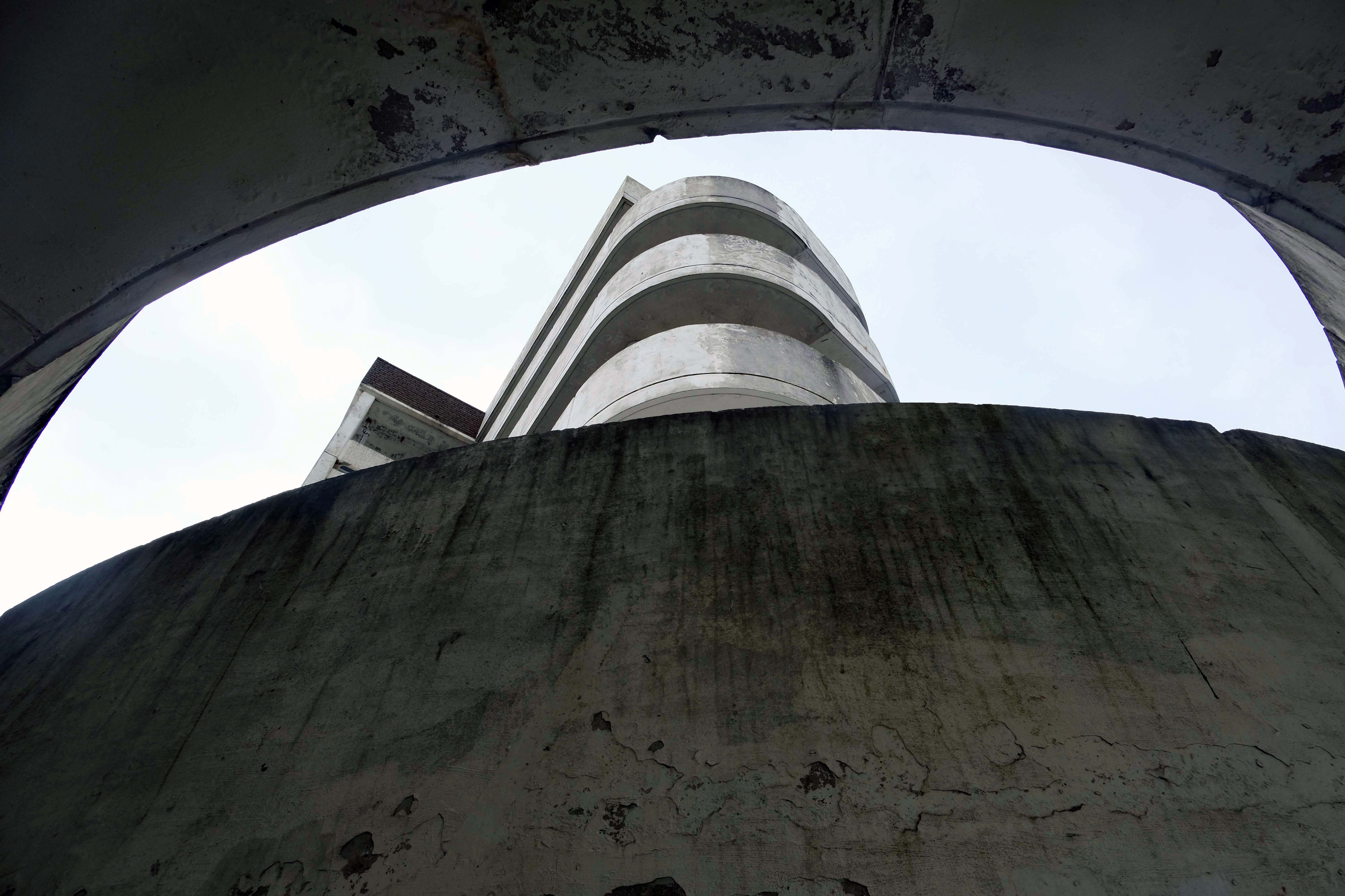
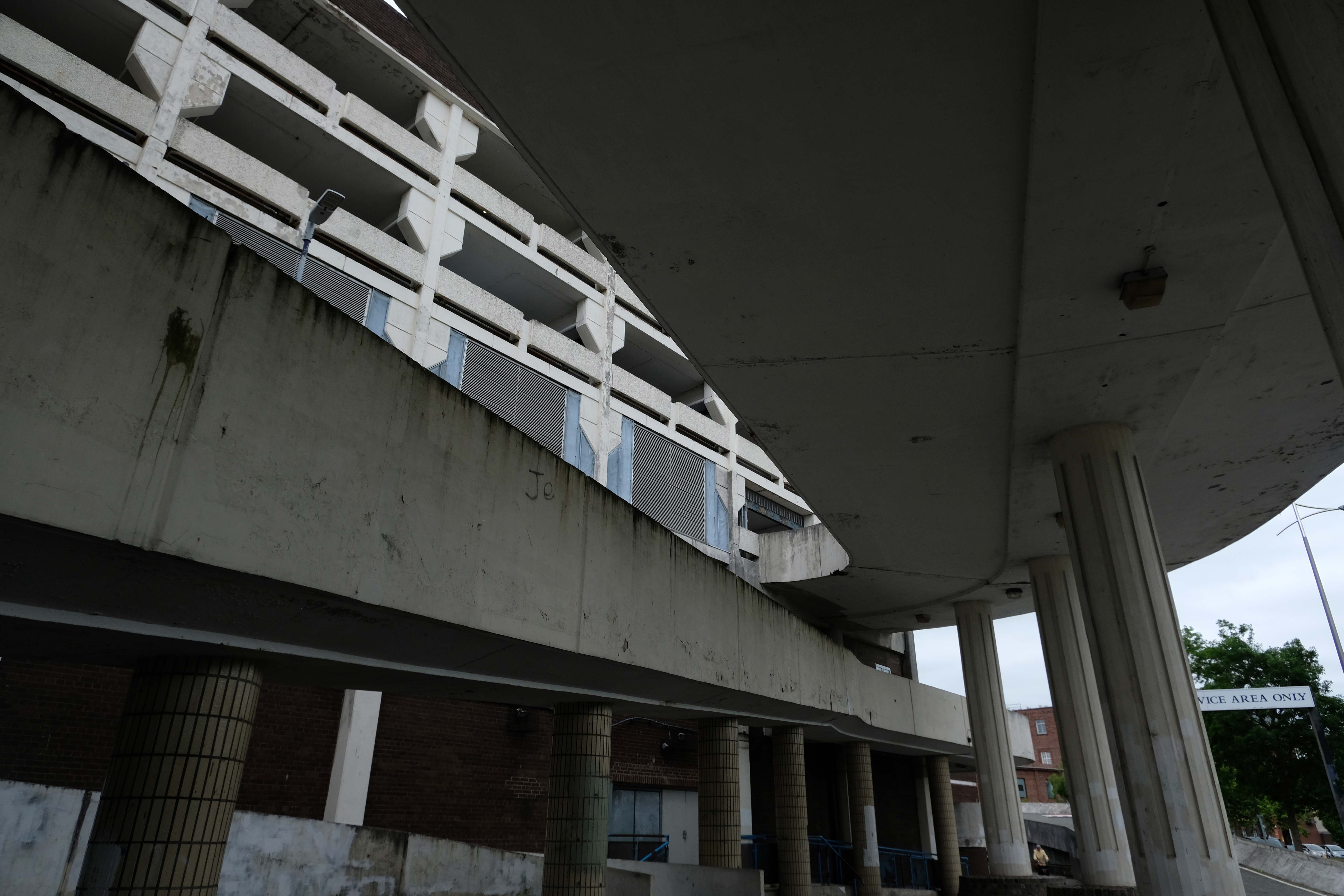
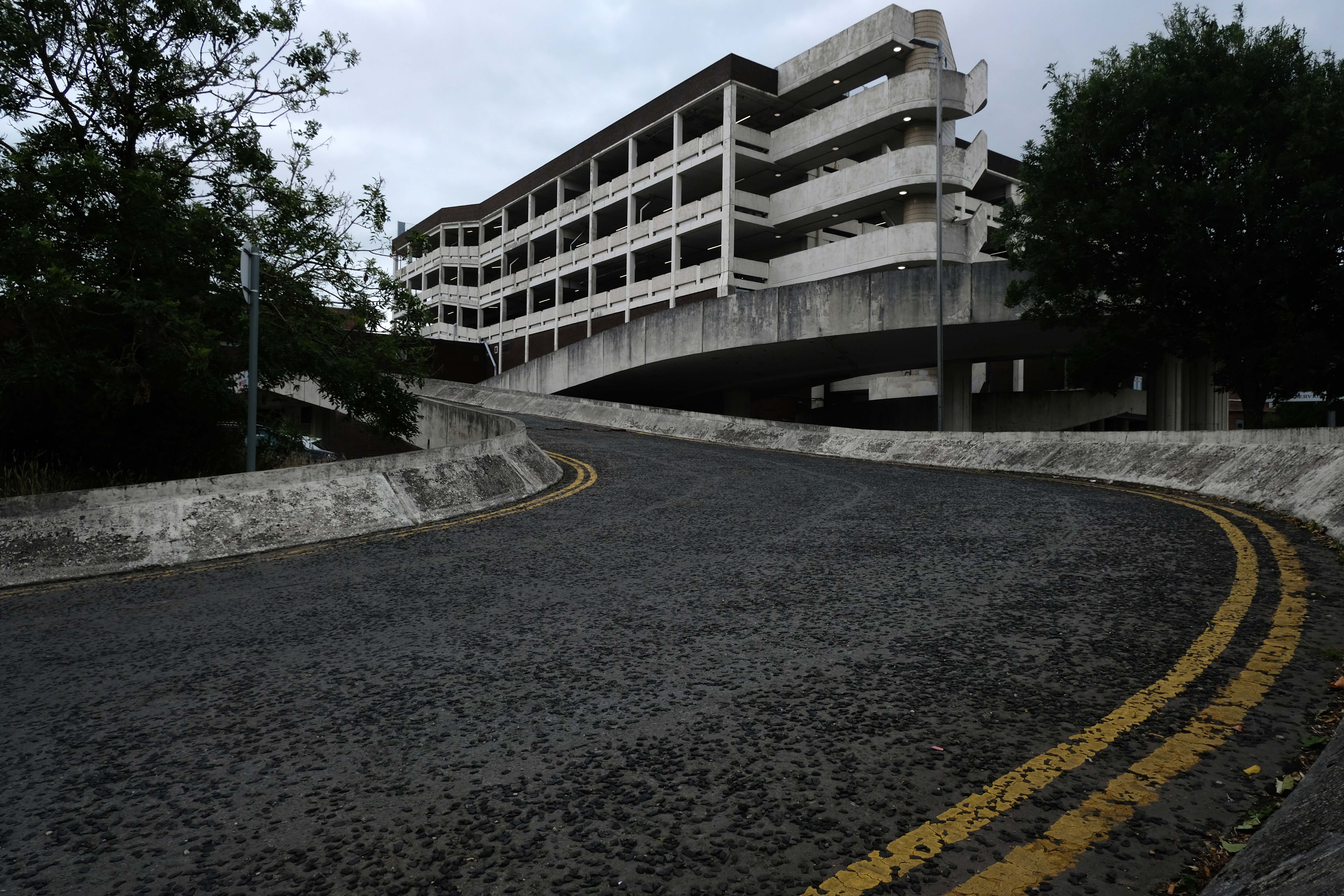
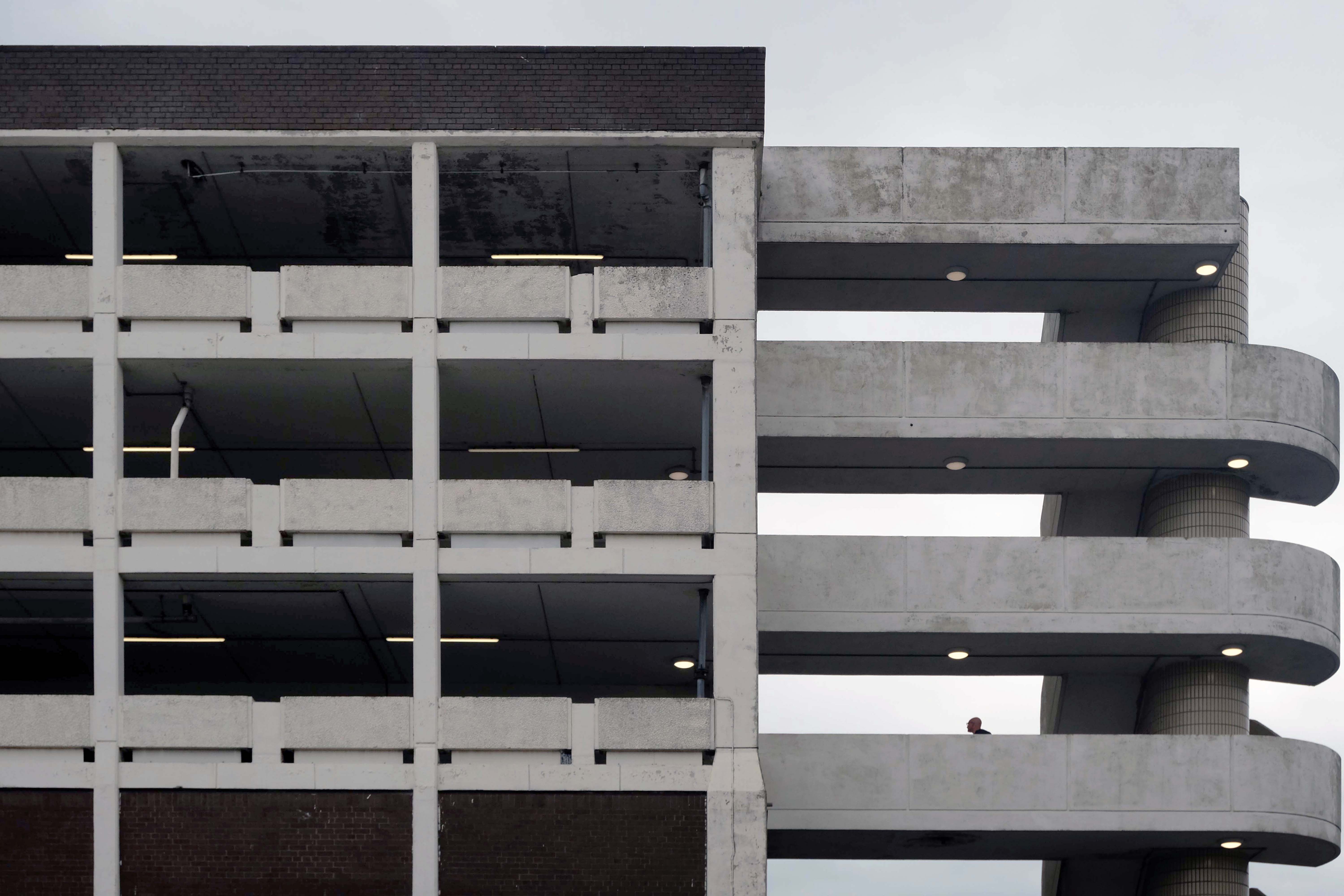
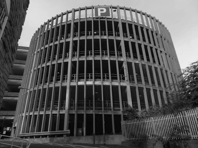
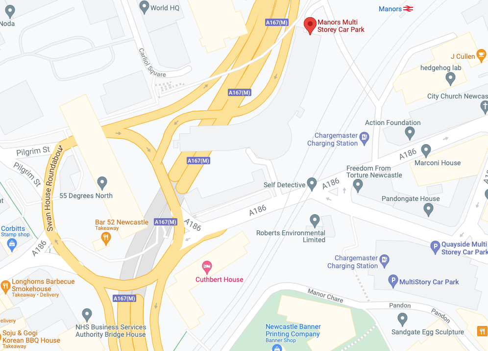
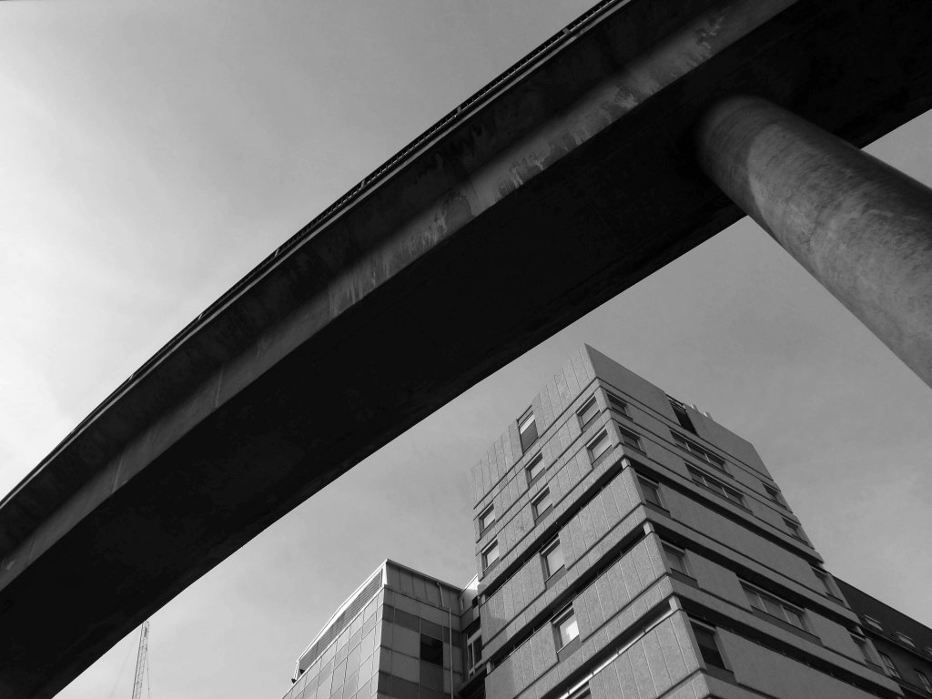
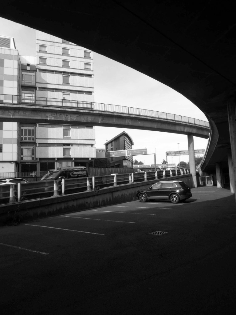
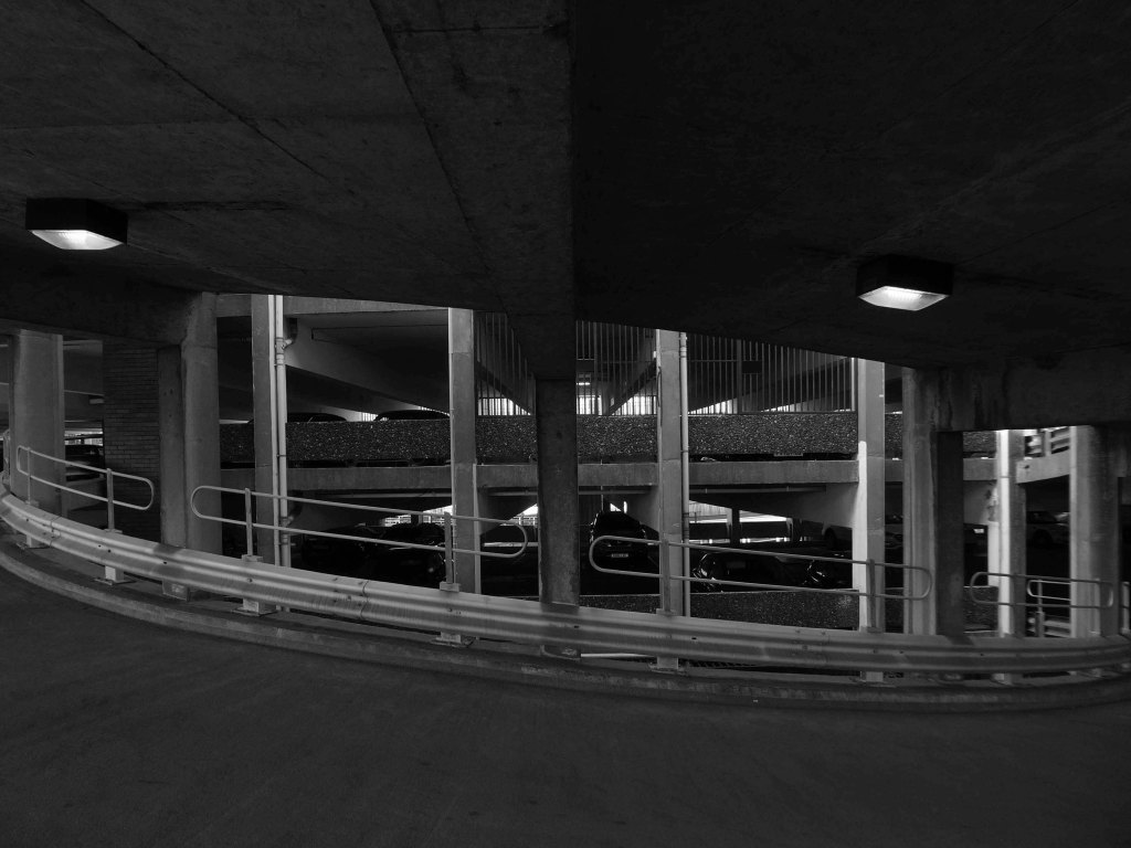
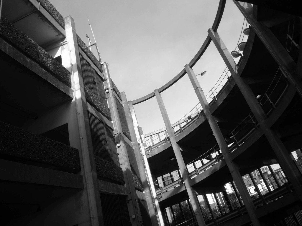
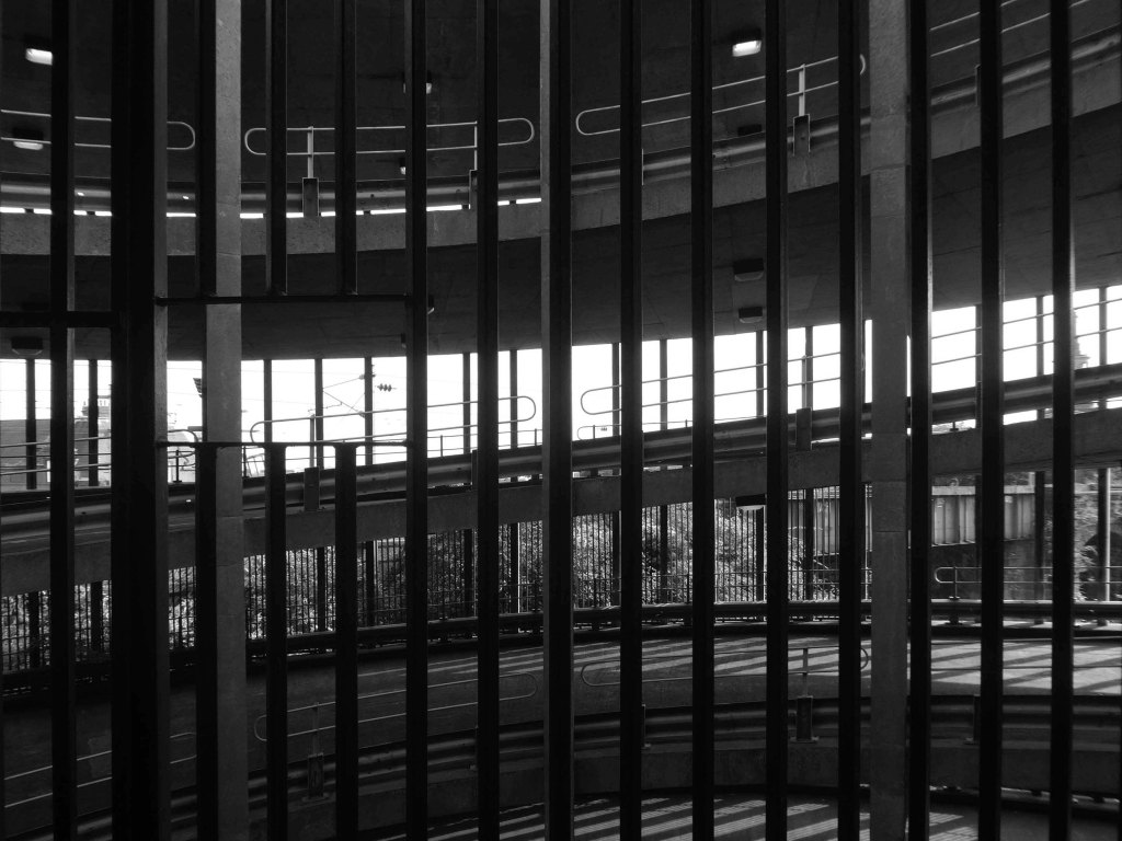
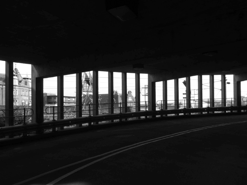
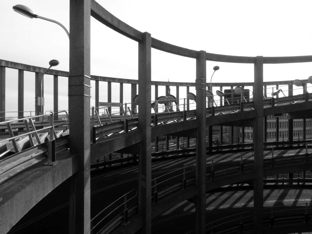
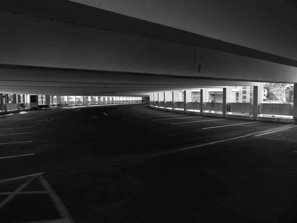
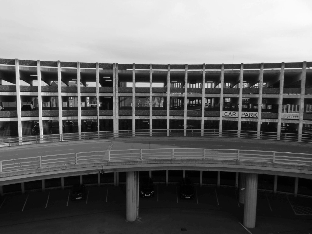
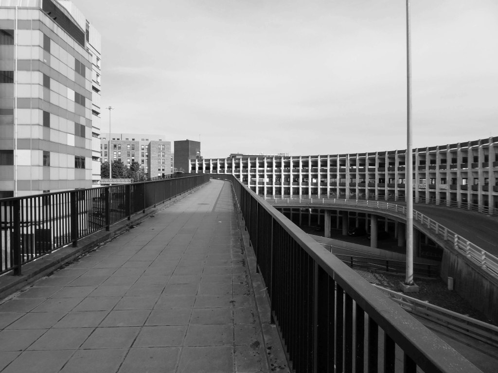
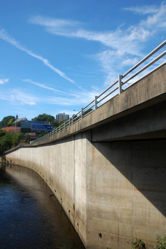
Manors Car Park’s distinctive form derives from the constraints of the train line to east which collided with the new Central East Motorway A167 M which dips beneath, shaping the car park between these constraints. The curvature of the concrete decks sweeps uniformally across the site, interrupted only by the circulation ramp. The car park was the first multi-story car park in Newcastle and marked the beginnings of Wilfred Burns car-centric plans for the modernisation of the city through the Central East Motorway Plan – 1963.
Burns plan aimed to increase the economic growth of the city through greater convenience for an emerging car owning populace and even went as far as to incentivised cars travel by offering limited free parking in the city centre.
Manors car park connected and accompanied by an equally dramatic and elongated pedestrian footbridge from Manors Train Station – today Manors Metro, touching the car park for access before swooping under Swan House on Pilgrim Street Roundabout. The bridge takes what feels like the longest imaginable route over the motorway, allowing pedestrians to bypass Northumberland high street and take in the theatrics of the swooping concrete forms and motorway traffic.
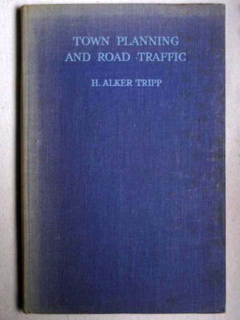
In the early 1960s, under the leadership of T Dan Smith and his chief planning officer Wilf Burns, Newcastle city council undertook a comprehensive re-planning of the city centre that, had it been carried out to its full extent, would have led to the construction of underground motorways and a series of raised pedestrian decks running along Northumberland Street in the main shopping zone. The plan was that the new city would encircle the historical core, which would be preserved; meanwhile vast swathes of Georgian housing to the east would be razed. There were also plans for high-rise towers in the centre, only one of which was built.
This tendency in town planning was due in part to the publication of H. Alker Tripp’s book of 1942.
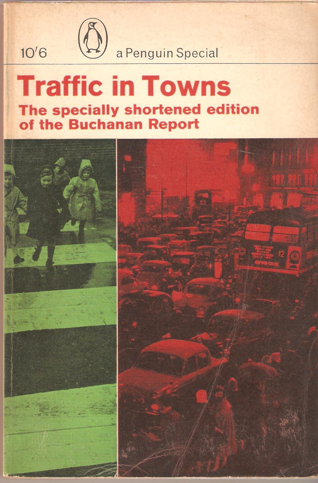
Along with Traffic in Towns an influential report and popular book on urban and transport planning policy published 25 November 1963 for the UK Ministry of Transport by a team headed by the architect, civil engineer and planner Colin Buchanan. The report warned of the potential damage caused by the motor car, while offering ways to mitigate it. It gave planners a set of policy blueprints to deal with its effects on the urban environment, including traffic containment and segregation, which could be balanced against urban redevelopment, new corridor and distribution roads and precincts.
These policies shaped the development of the urban landscape in the UK and some other countries for two or three decades. Unusually for a technical policy report, it was so much in demand that Penguin abridged it and republished it as a book in 1964.
Wikipedia
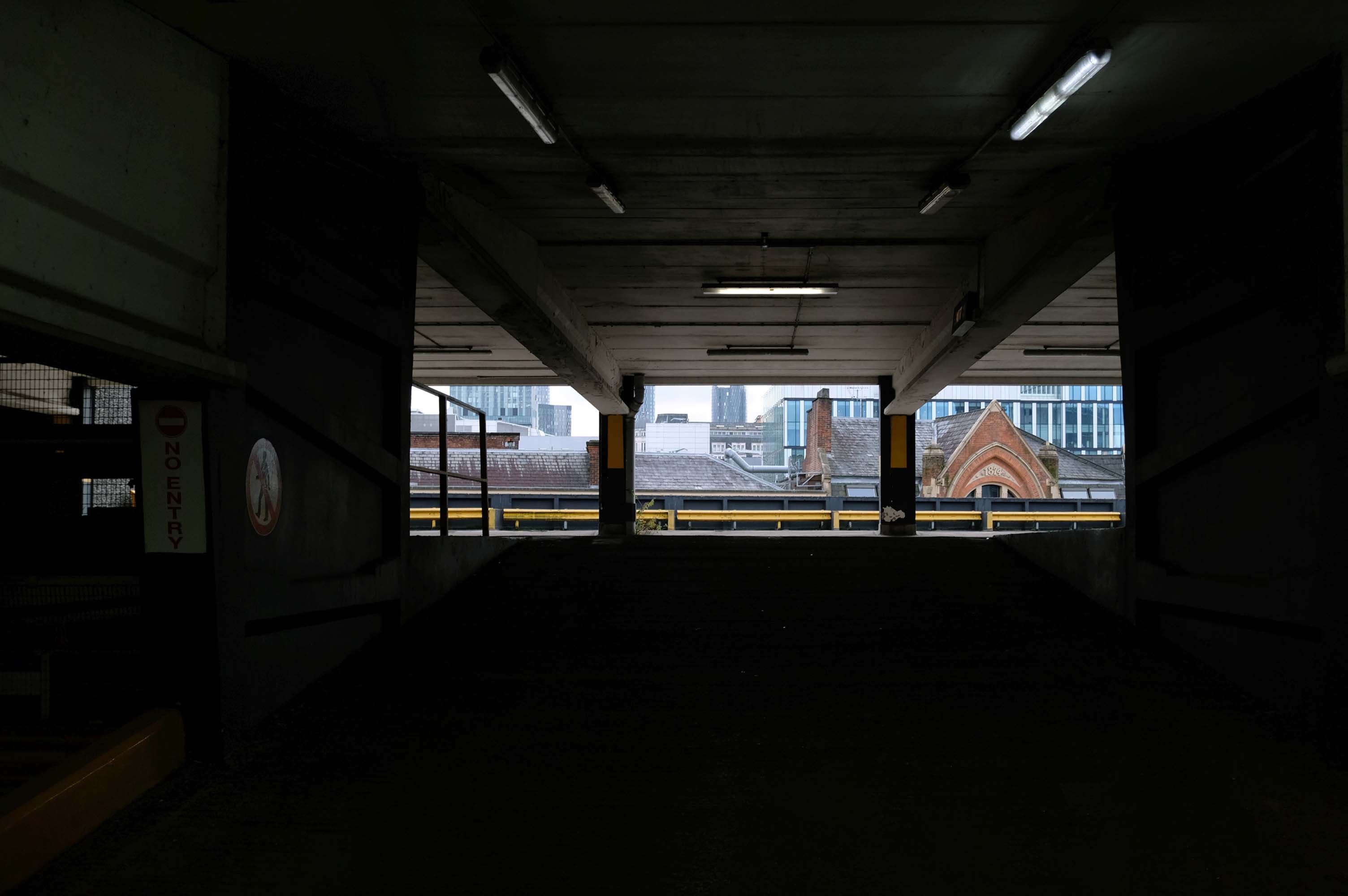
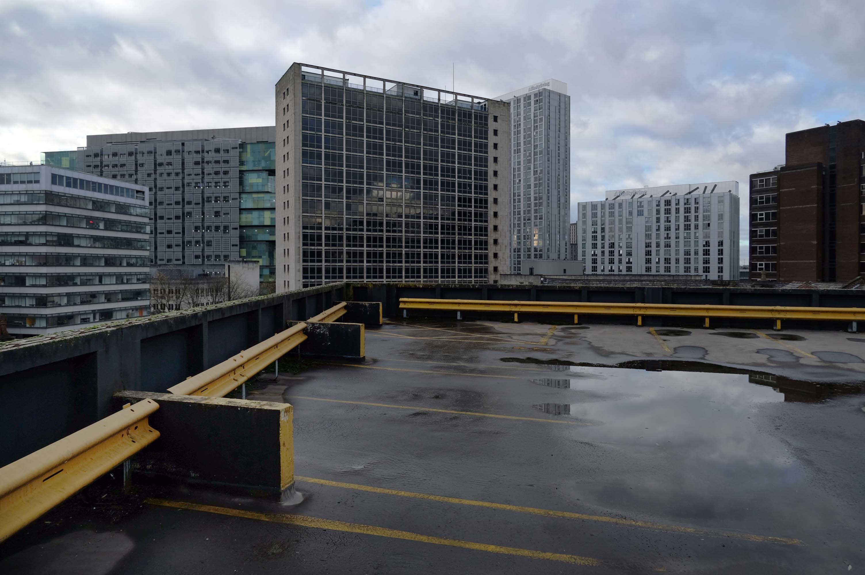
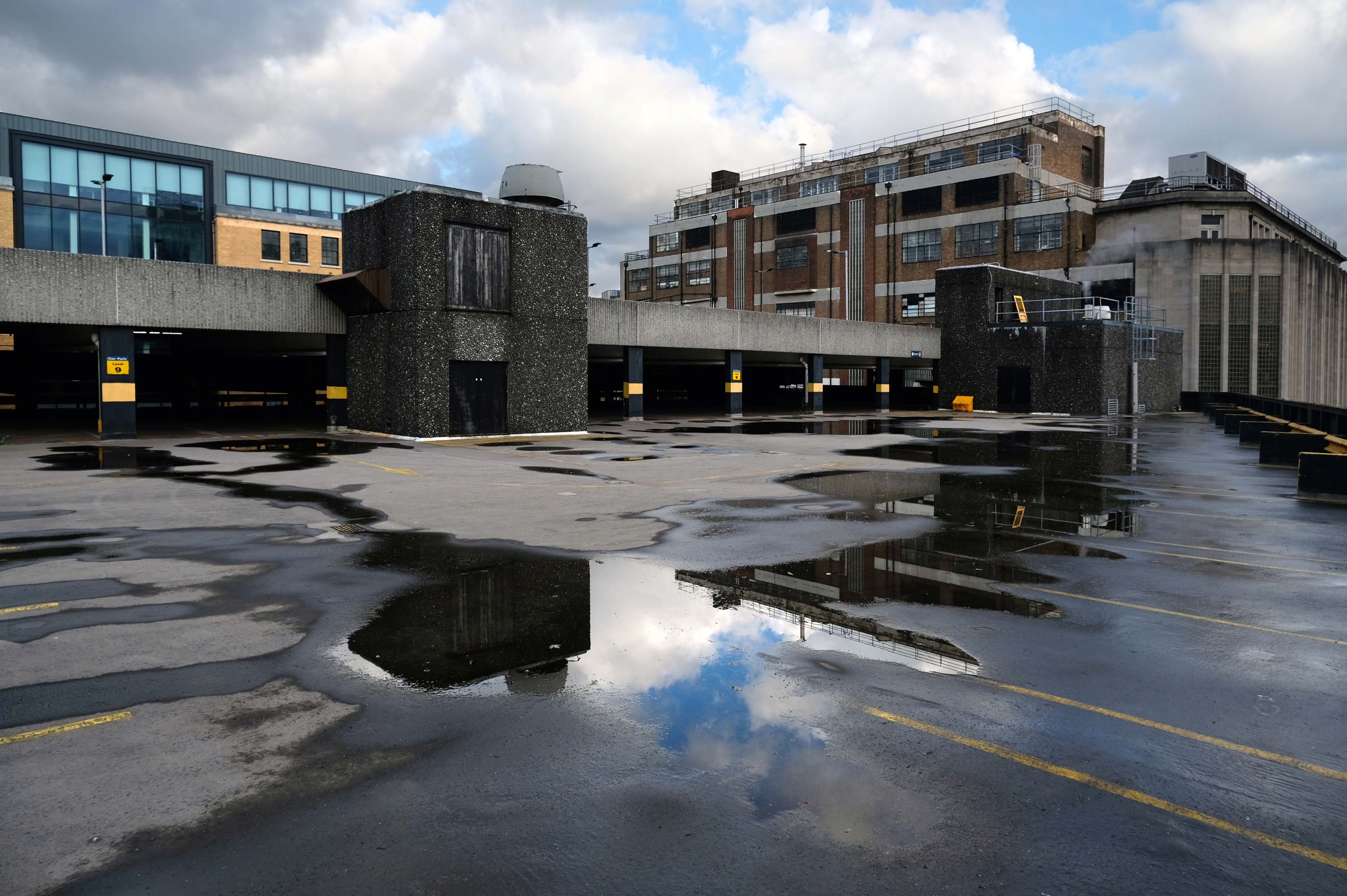
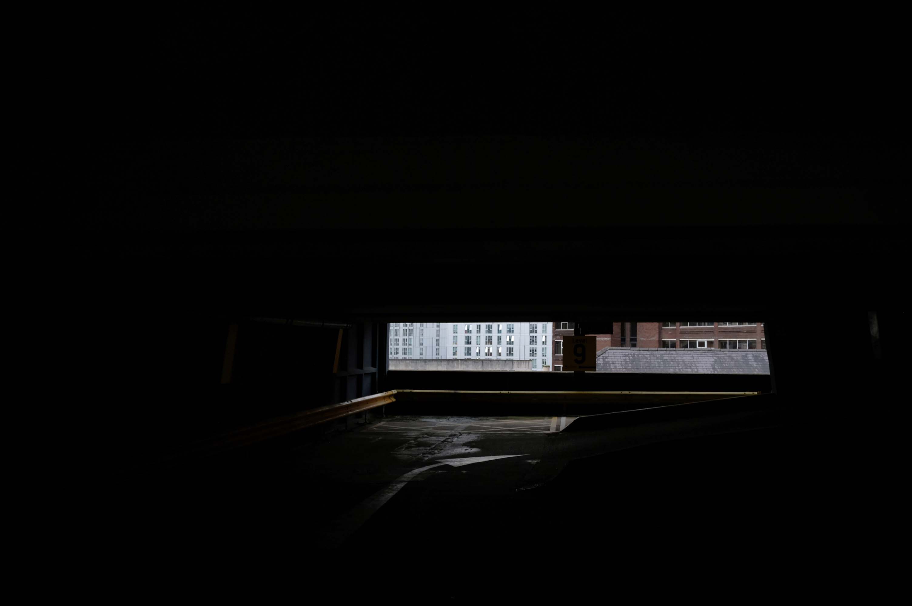
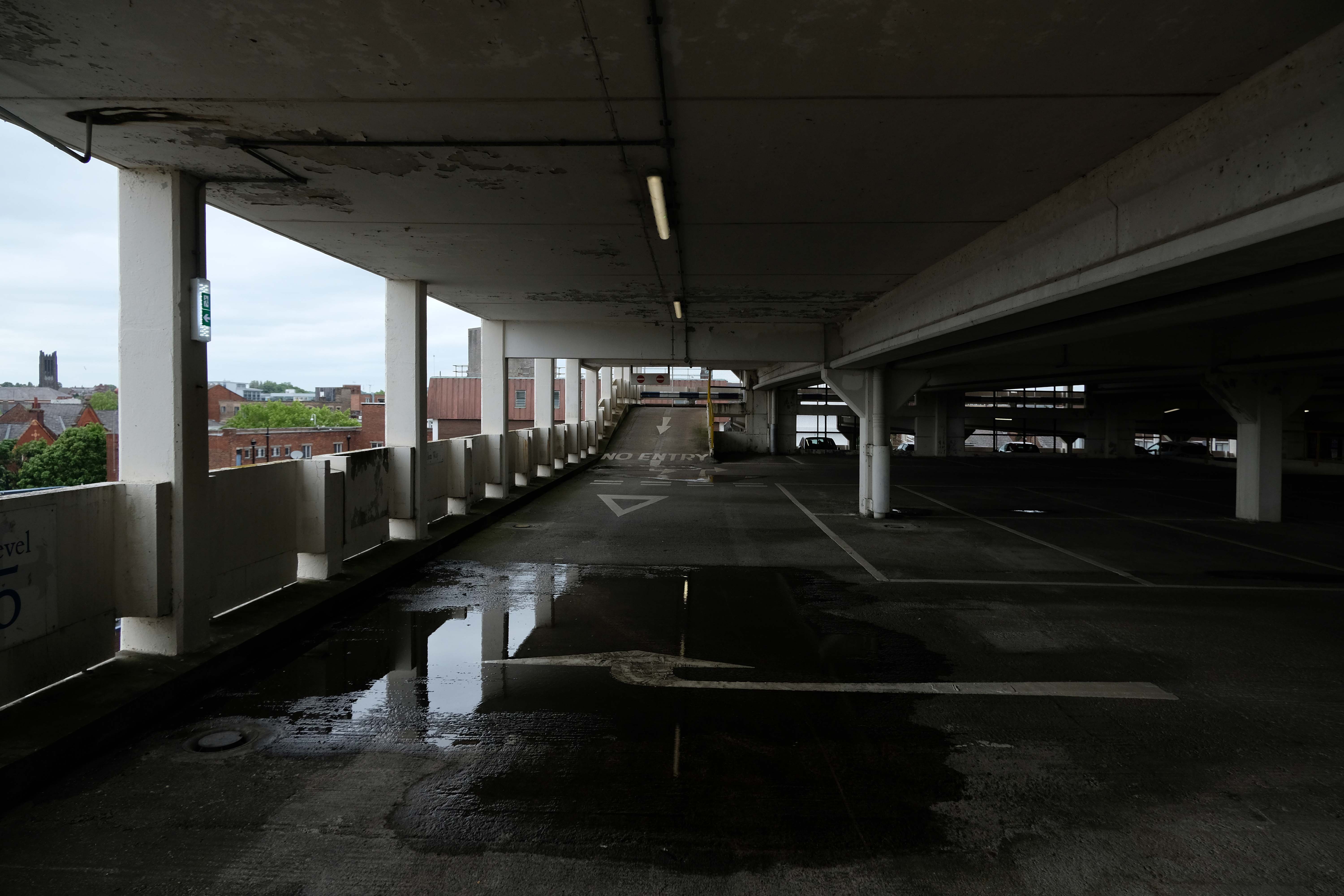
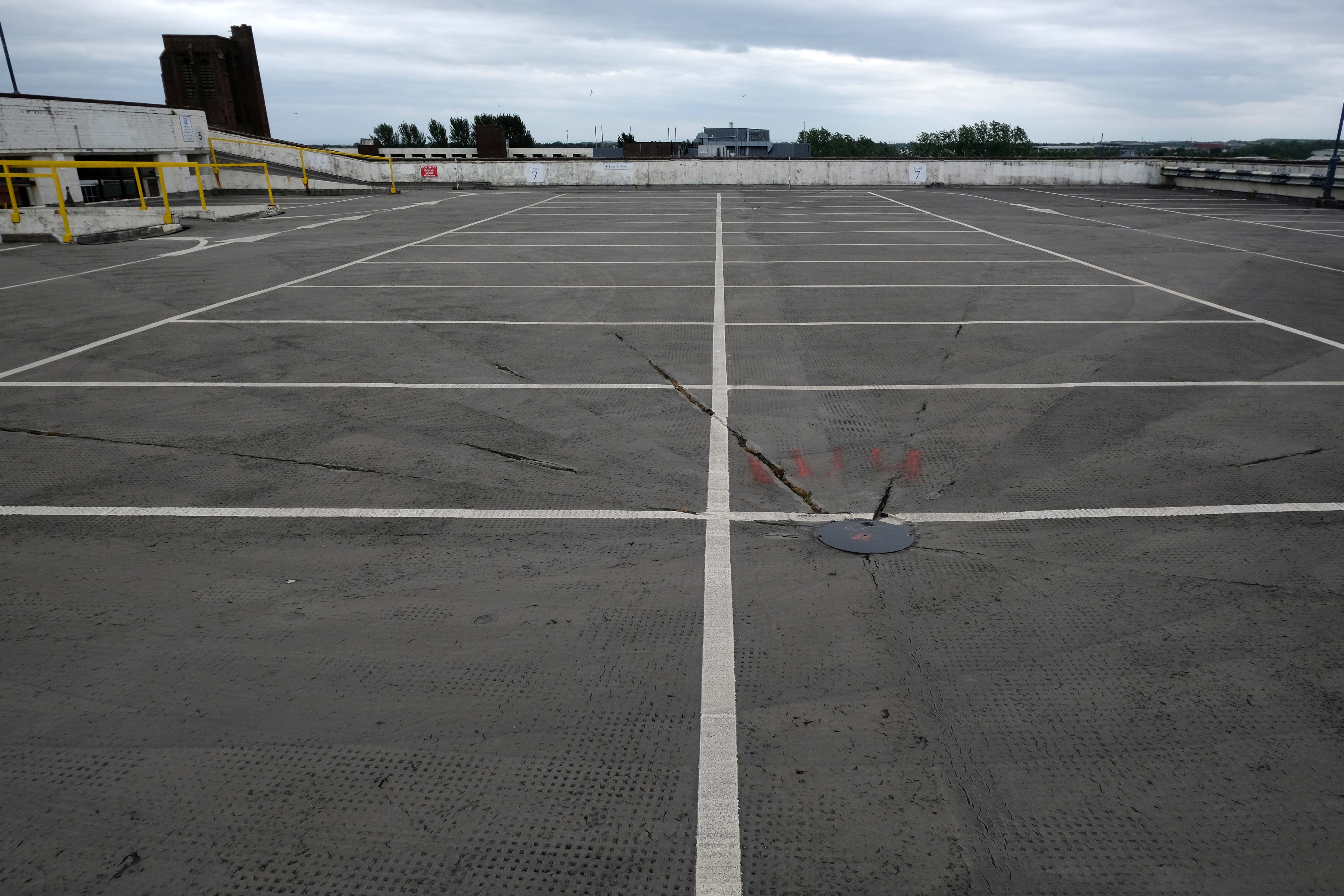
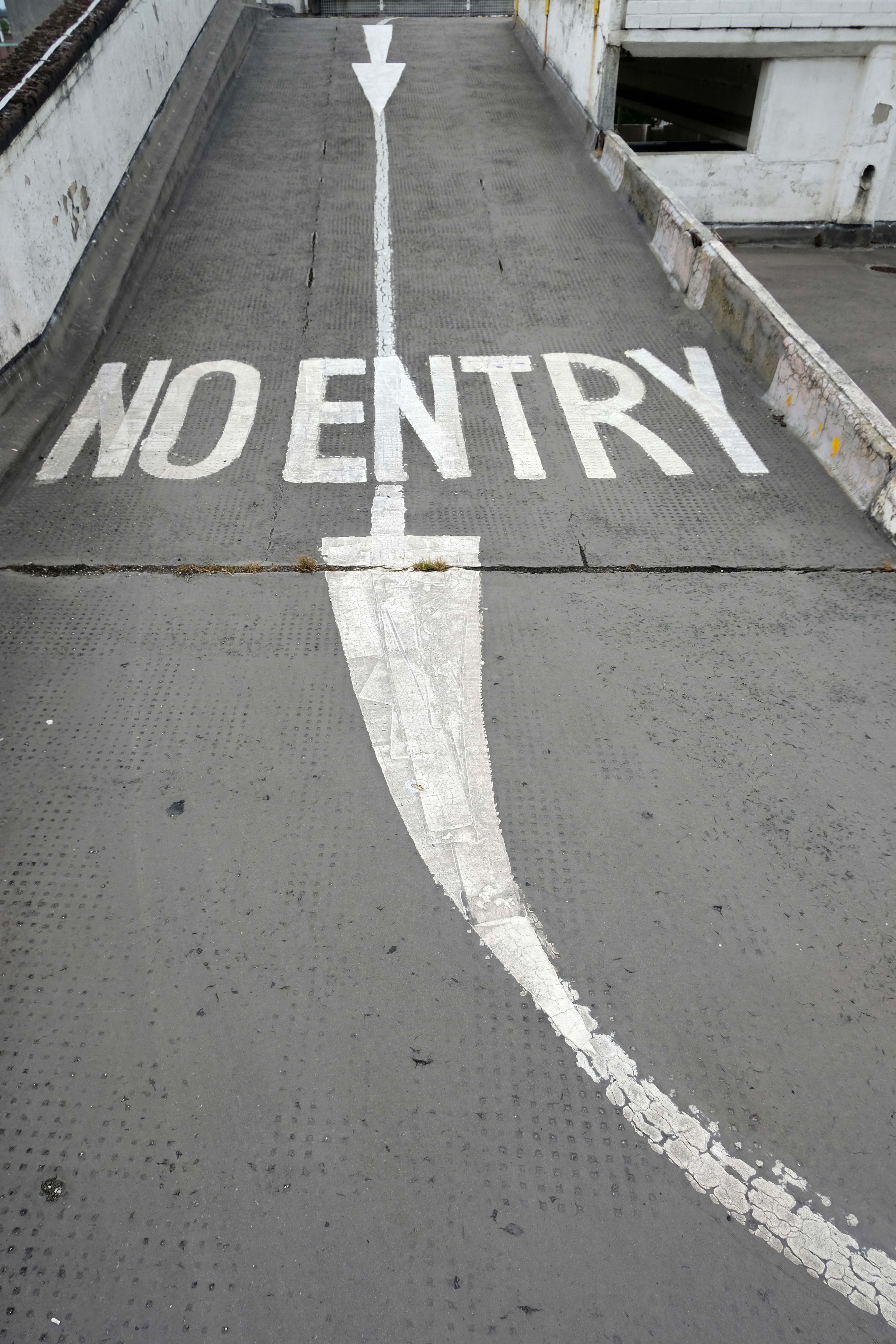
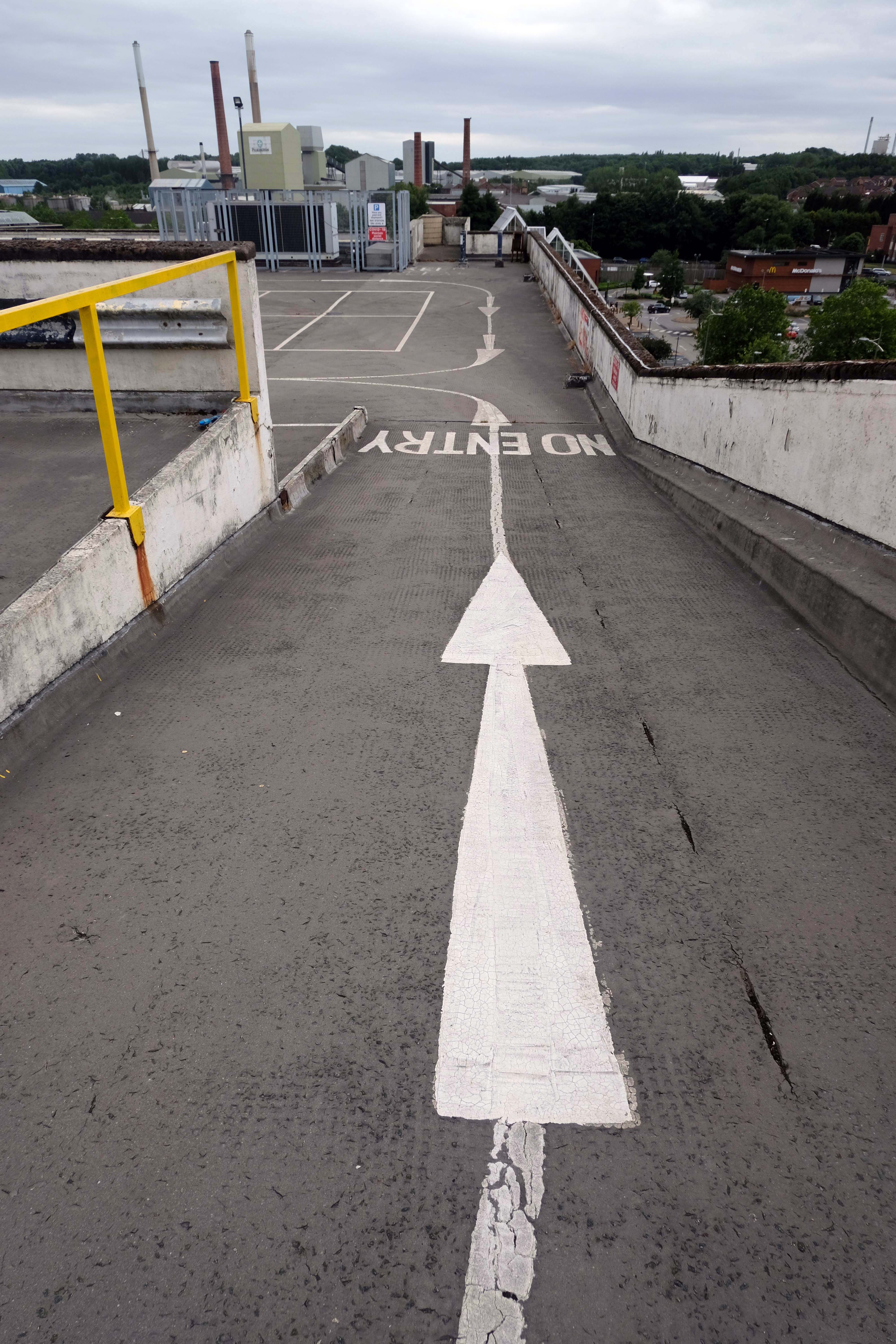
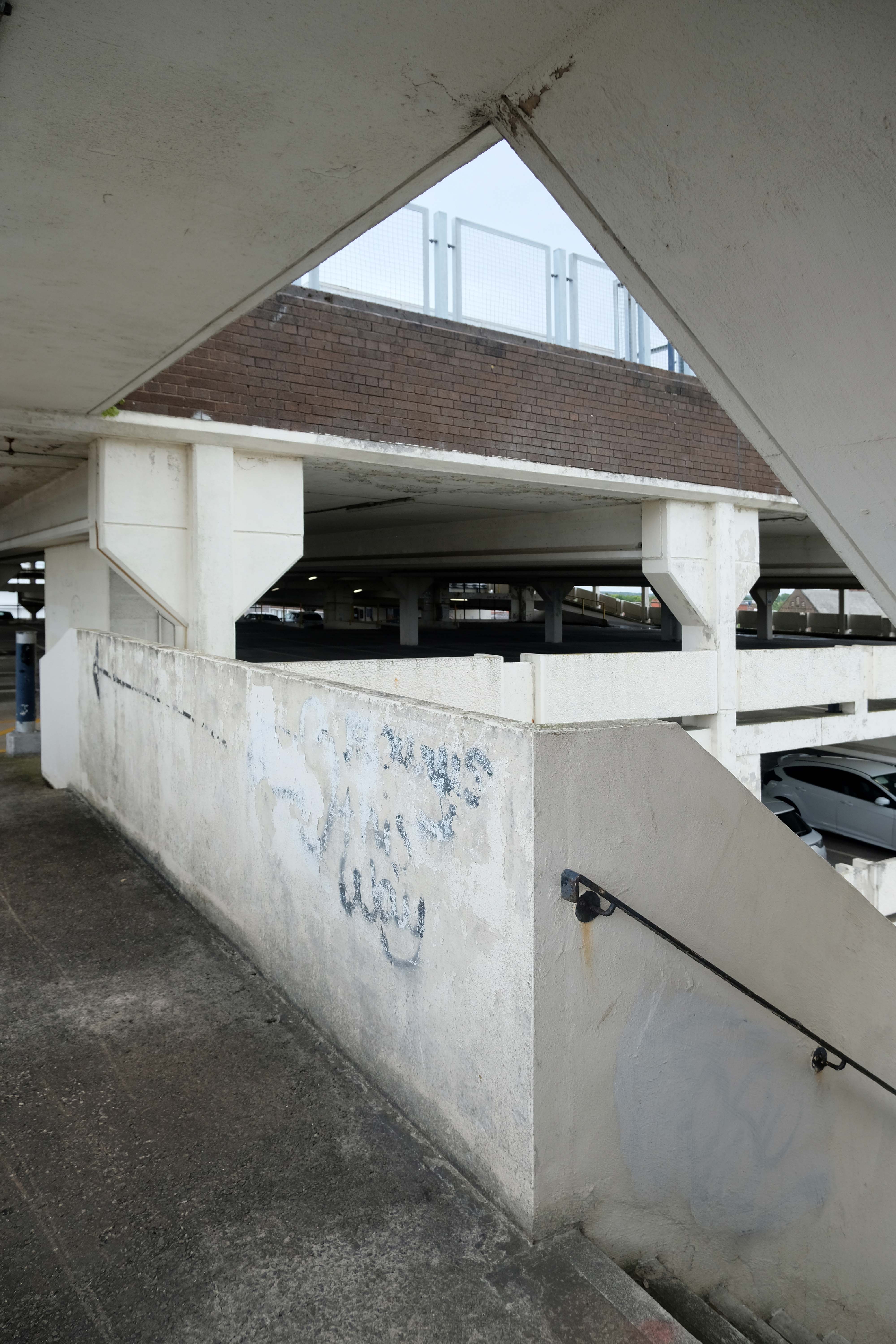
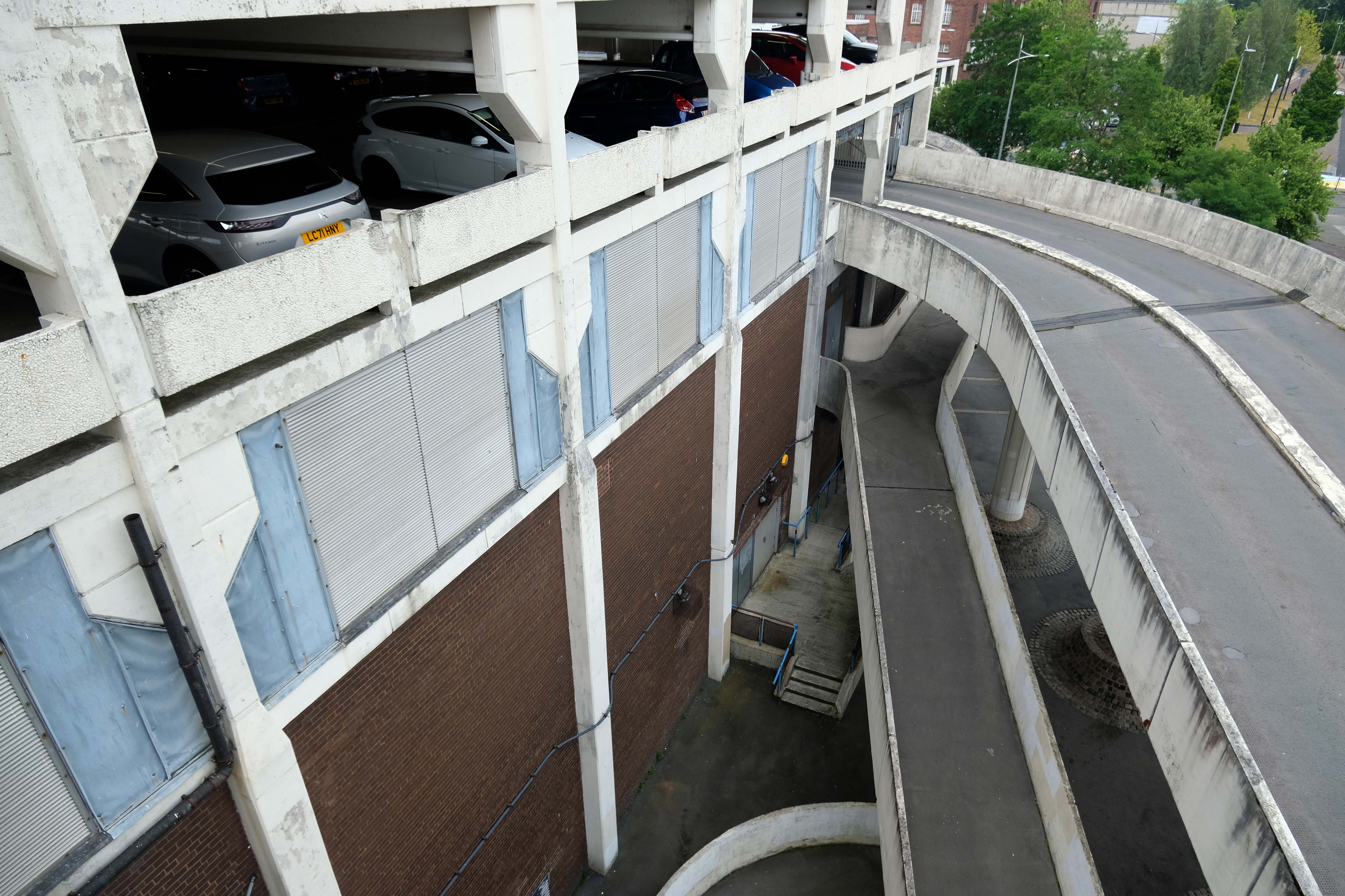
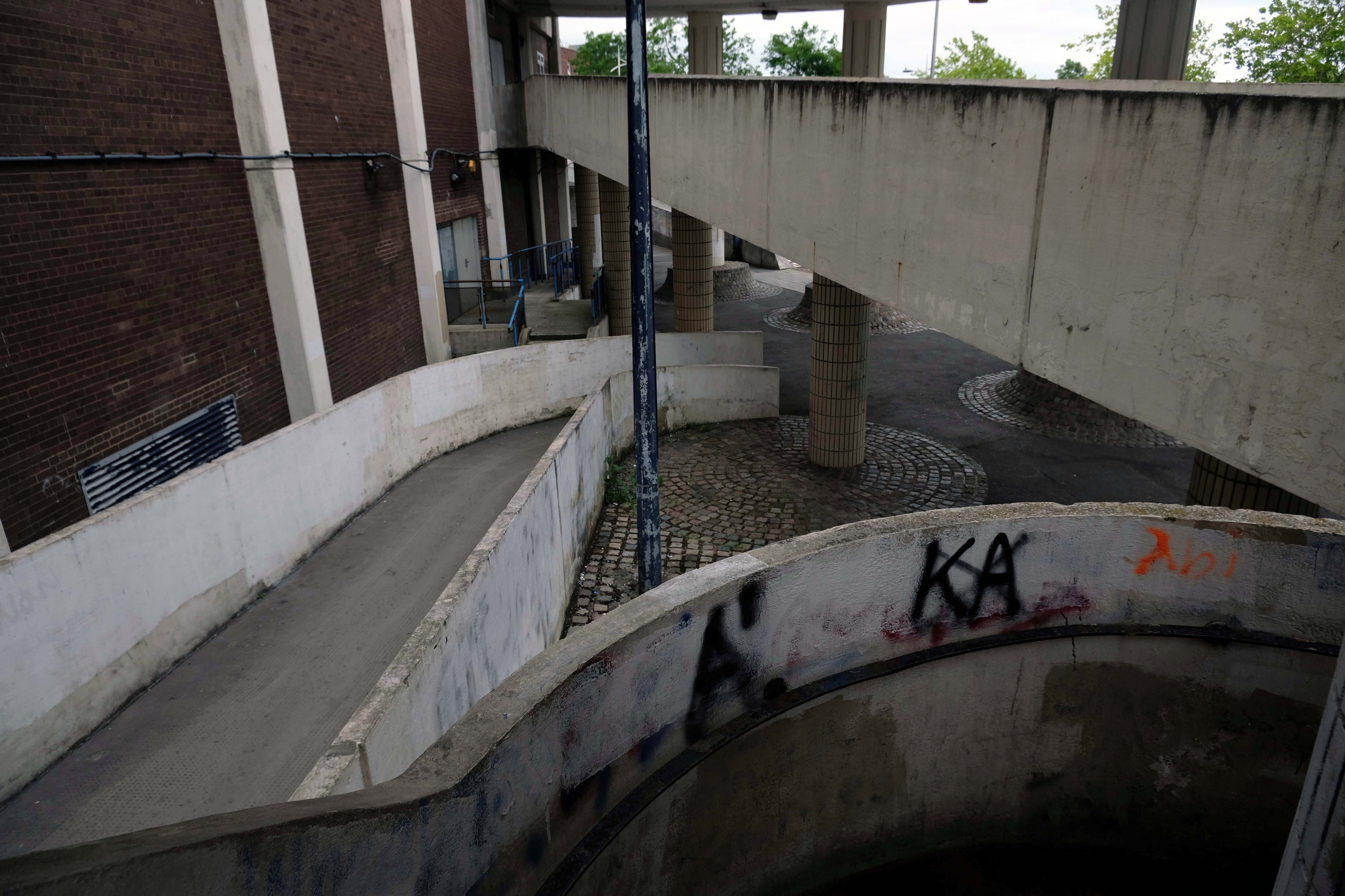
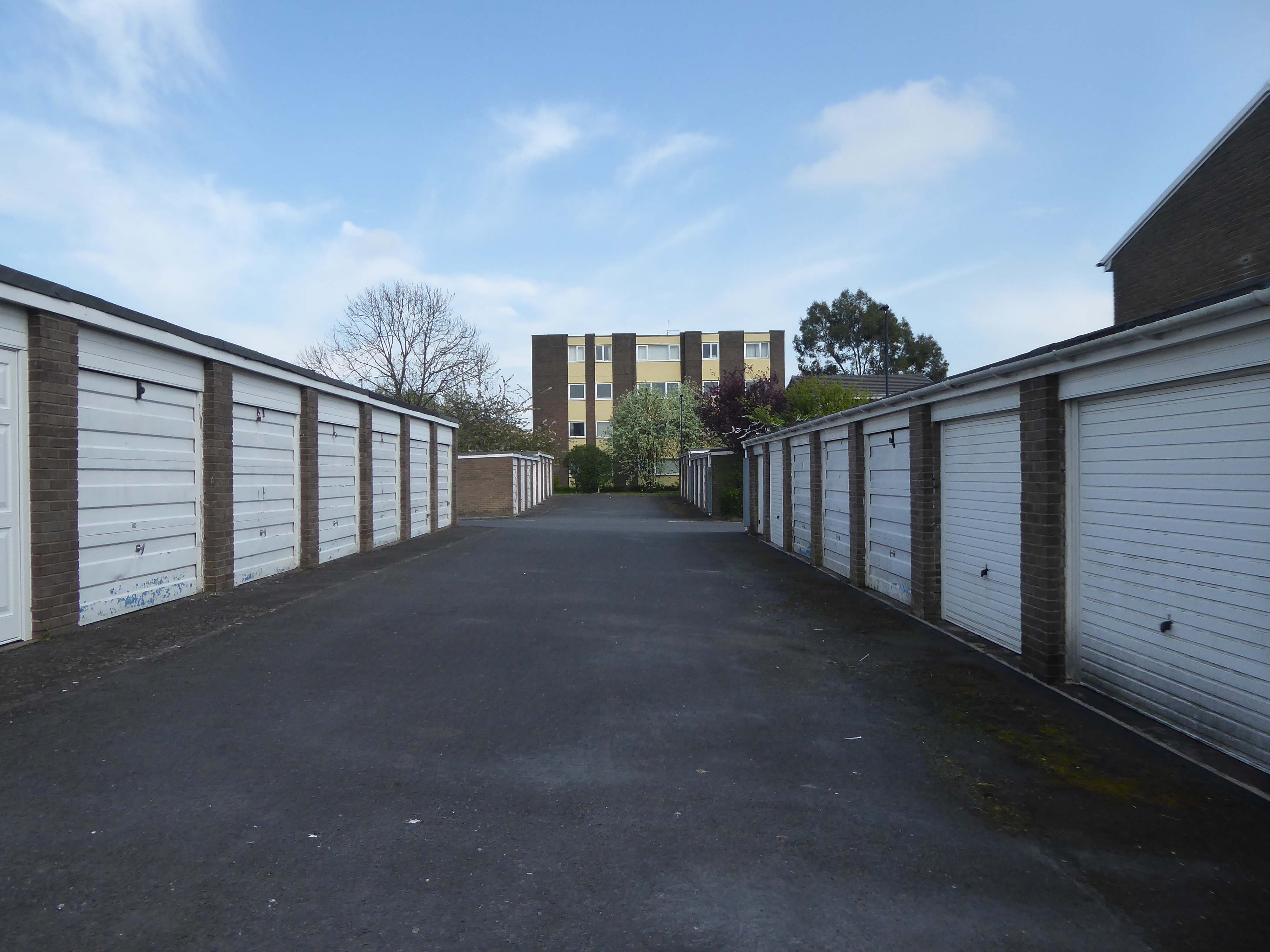
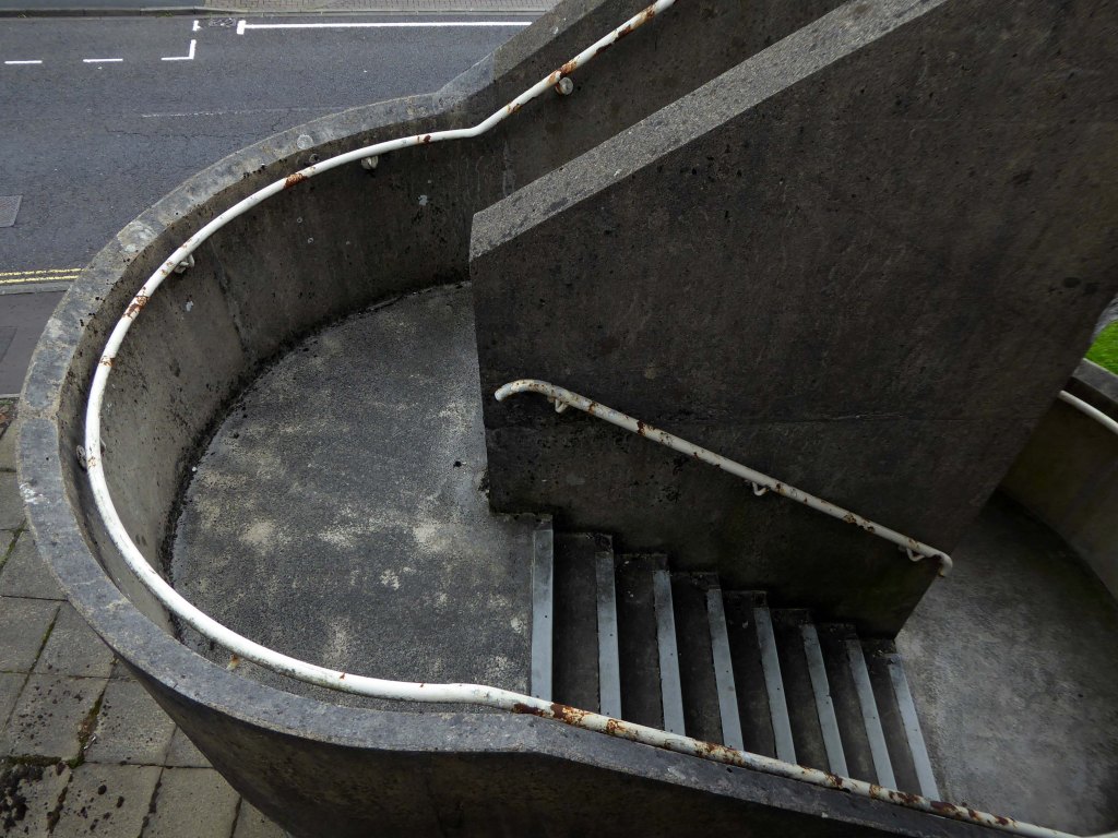
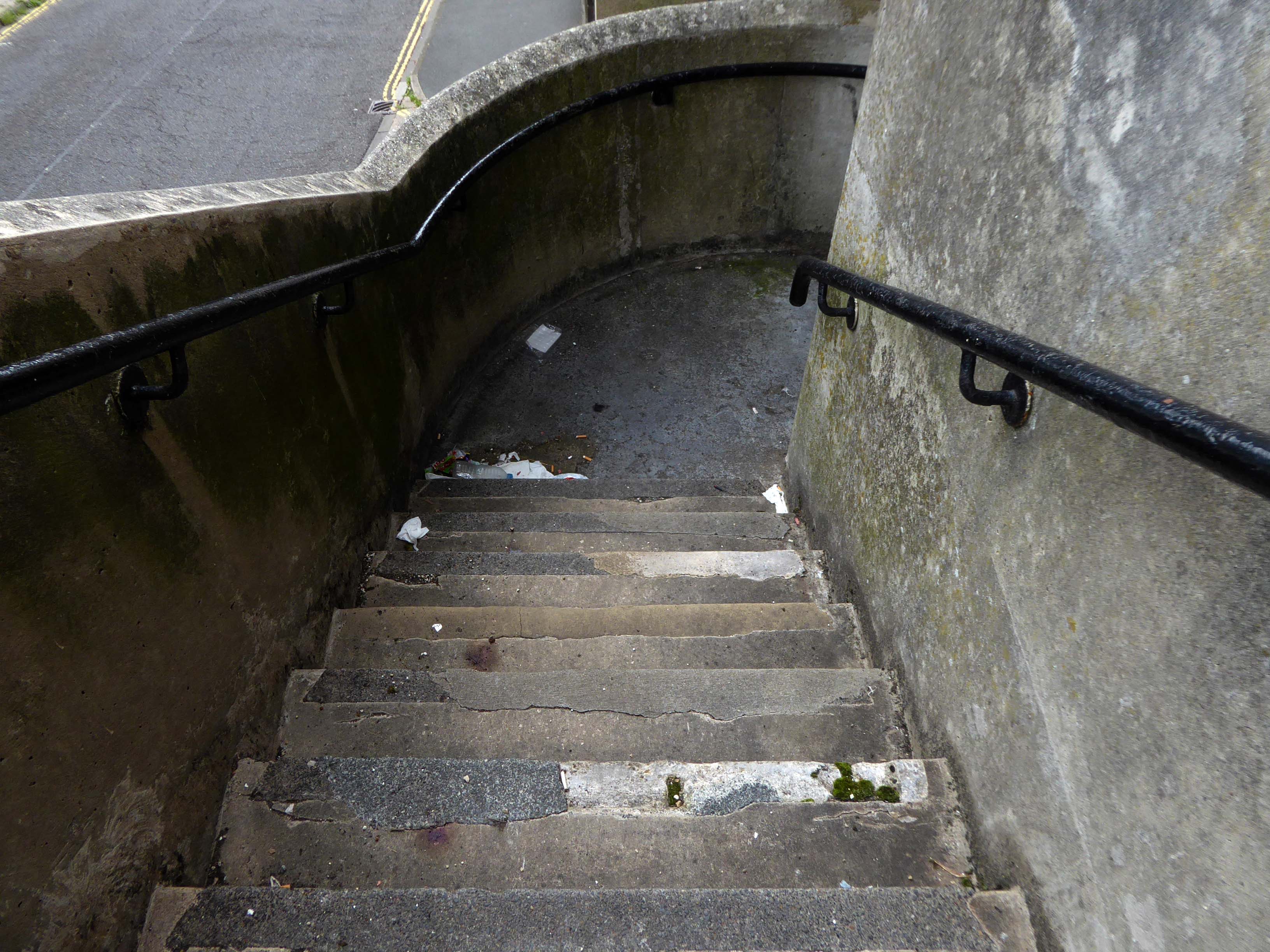
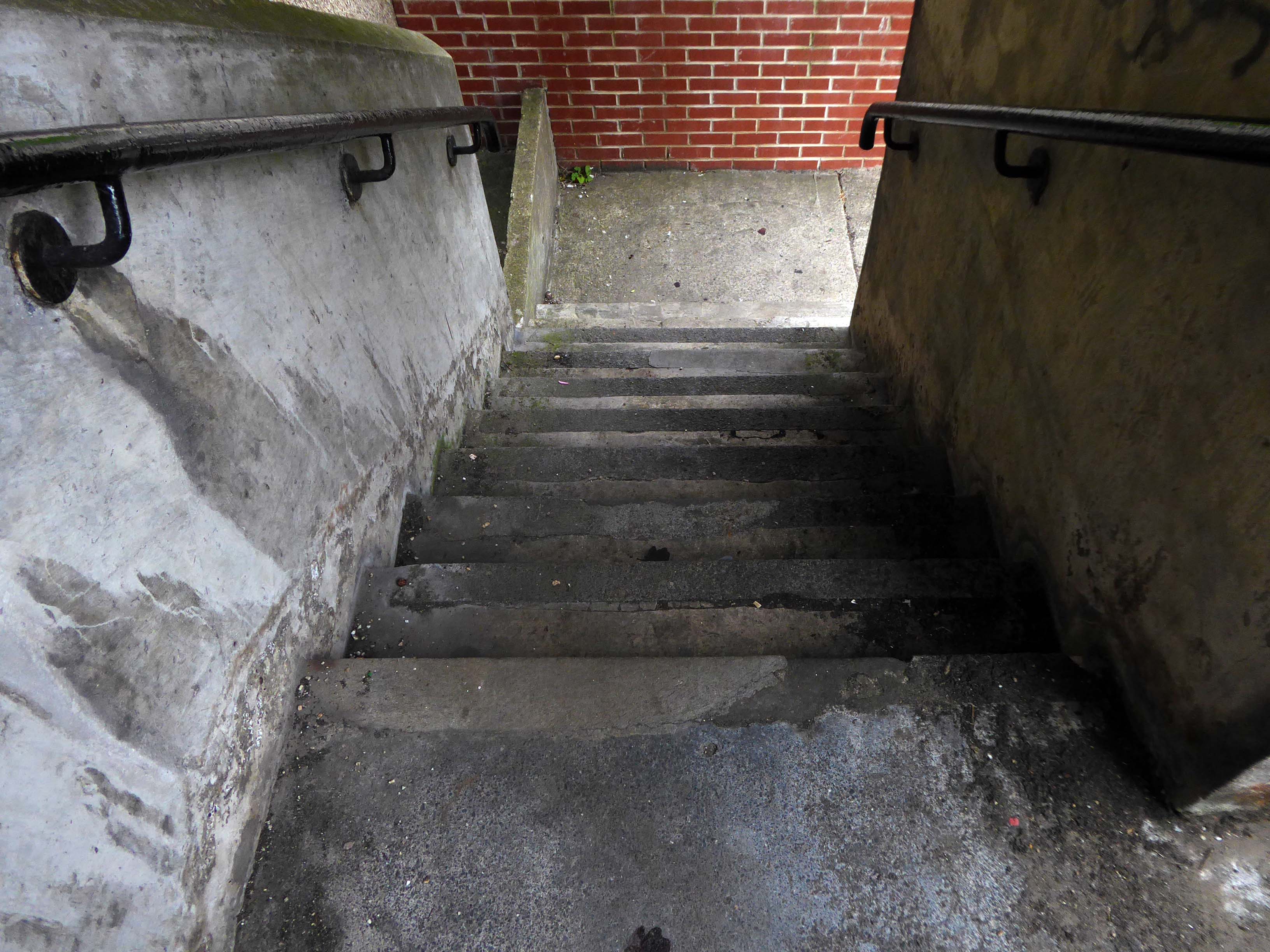
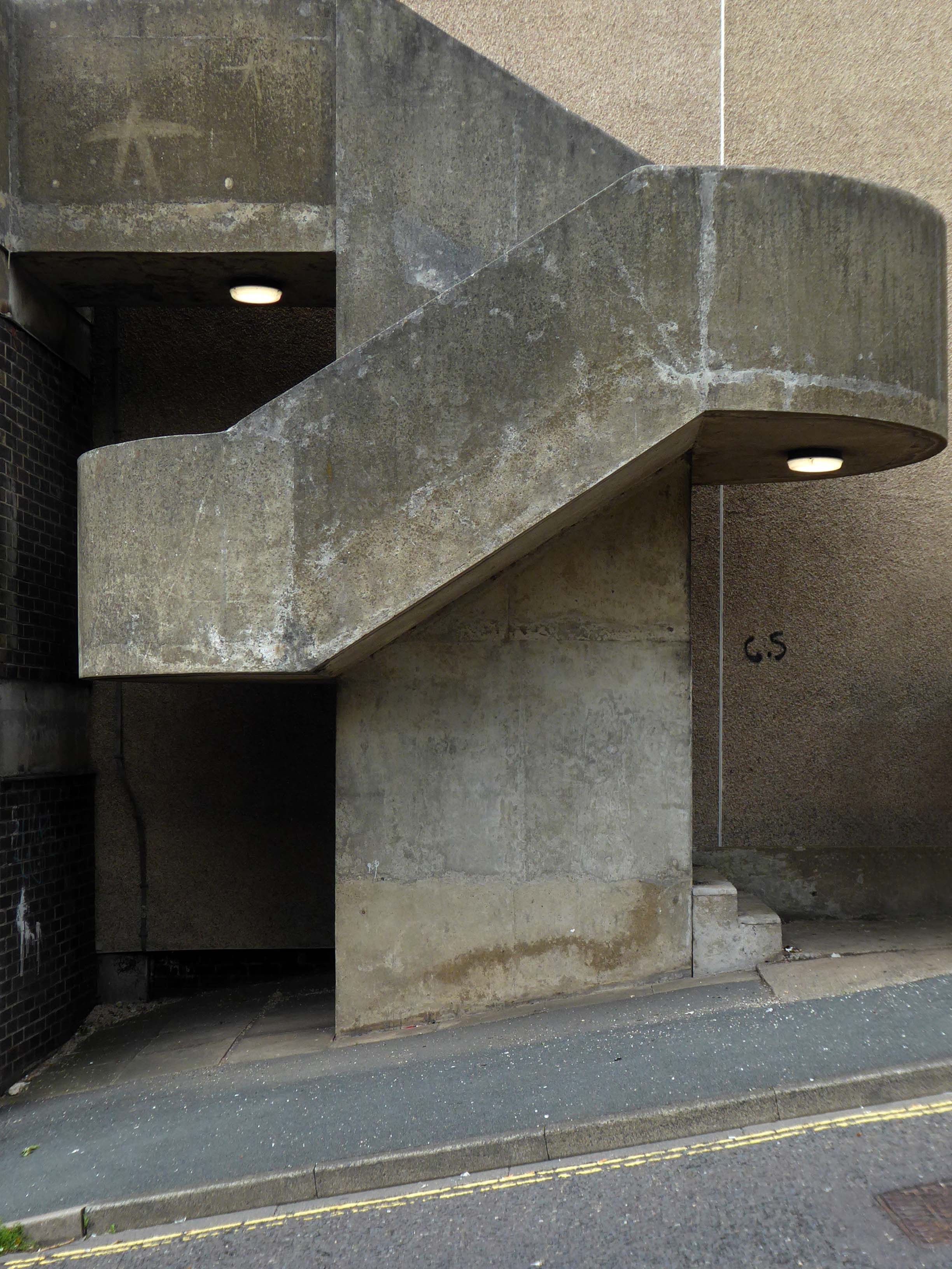
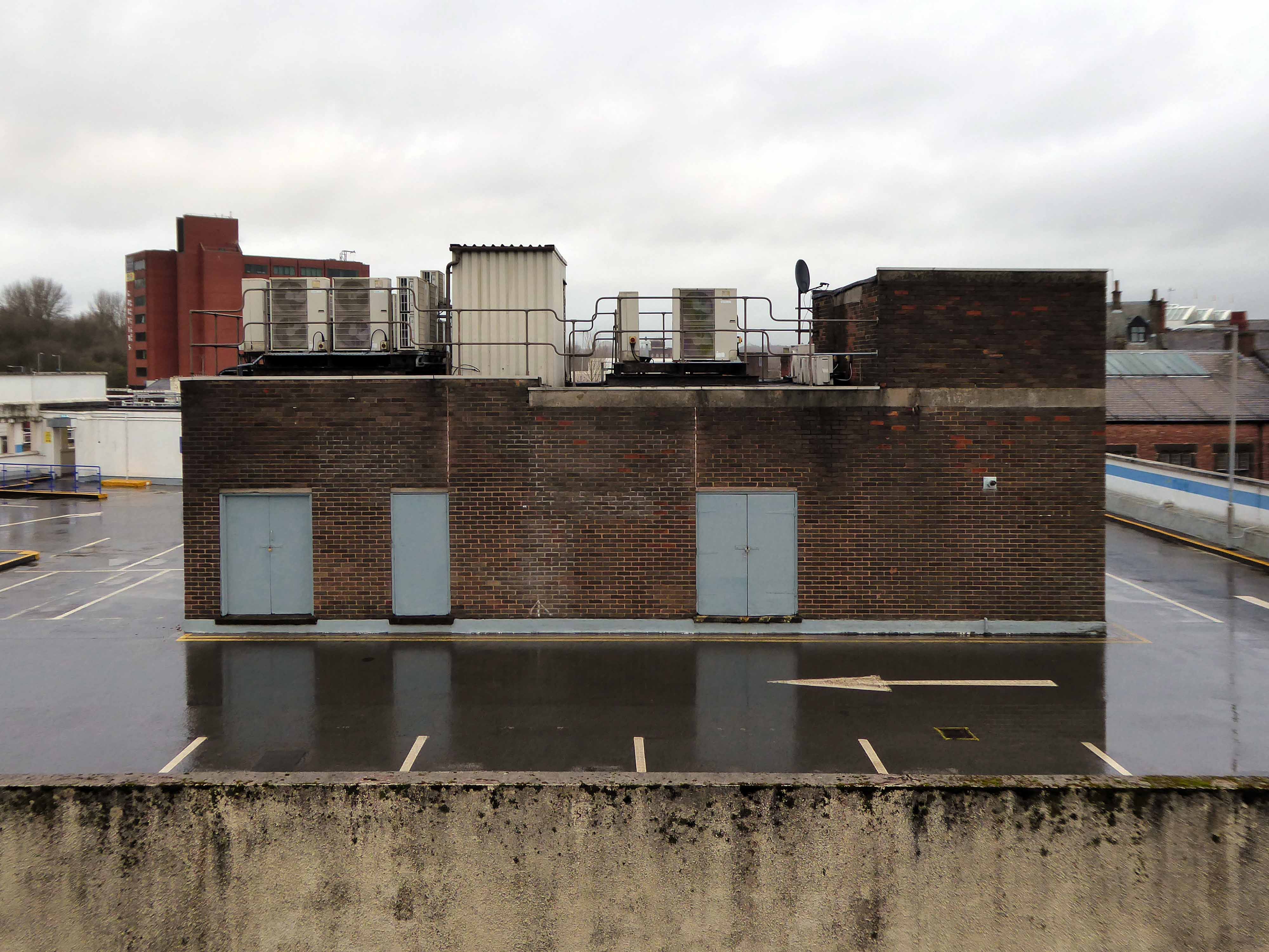
In a one man war against the segregation of traffic and pedestrian I often walk car parks, ramps and all.
Whilst cycling twixt Redcar and Newcastle one sunny Monday morn, I espied a tower on the distant horizon.
I pedalled hurriedly along and this is what I found.
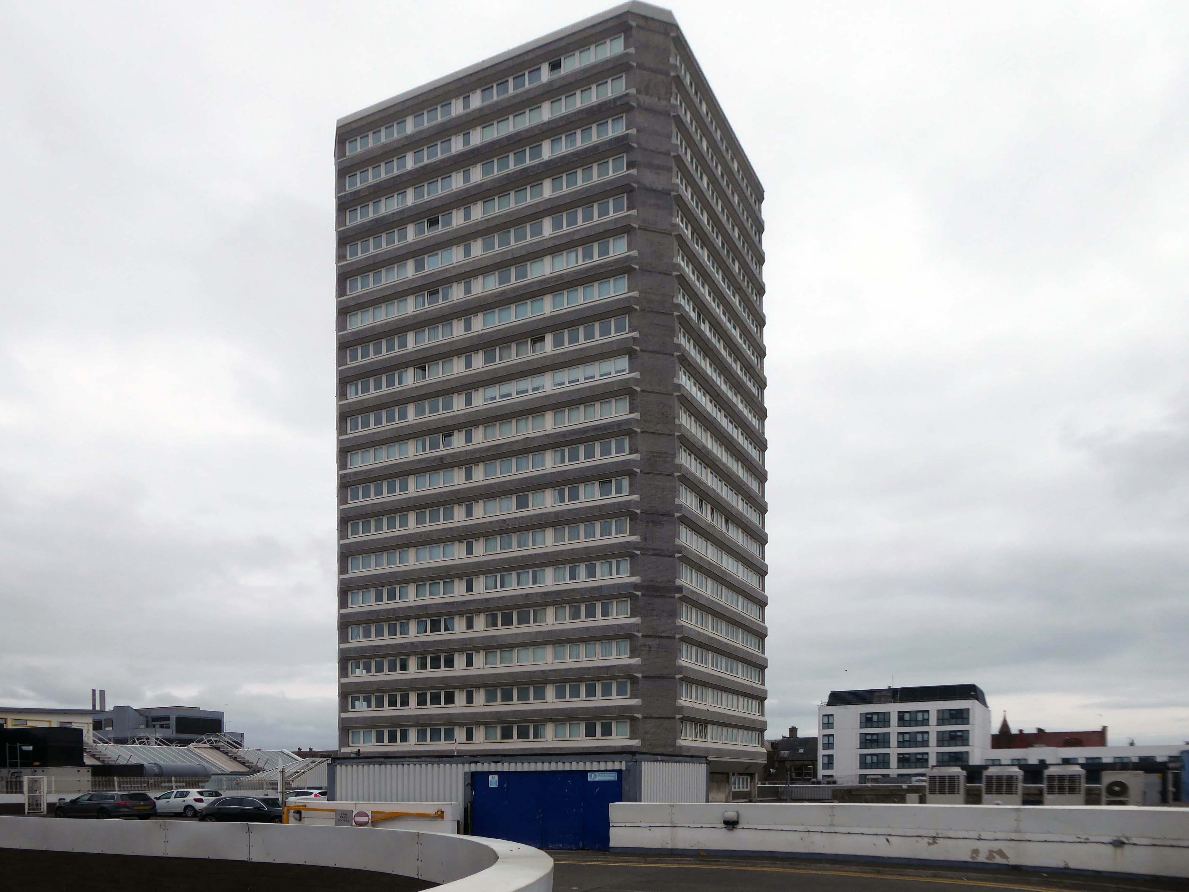
Dawson House aka Kingsway.
A fifteen-storey circular tower block of 60 one-bedroom flats and 29 two-bedroom flats, making 89 dwellings in total. The block was built as public housing at the western fringe of the Town Centre development that began in 1952. Approved in 1973, the block is of triangular concrete-beam construction.
The architects were Elder Lester Associates.
The block was built by Teeside County Borough Council.
Stanley Miller Ltd.’s tender for the contract was £778,850.
The tower block was opened on 3rd April 1975 by the Mayor of Stockton Borough Council, John Dyson.
The block is described as ‘gimmicky circular tower block’ in The Buildings of England: County Durham by N. Pevsner.
In November 2013, a time capsule was buried in front of The Family, under a stone with the inscription Forever Forward 30 11 2013.
The capsule is not to be unearthed until the year 2078.
Twenty million pound bid to take back control of the centre of Billingham.
The council says: Proposals include addressing the physical condition of Billingham town centre in support the Council’s ambition to take back control of the centre. Redevelopment would solve the challenges of changing retail trends that are contributing towards excess retail space and high vacancy rates.
This includes exploring options for mixed-use redevelopment and high-quality public spaces that improve accessibility within the town centre and a modern retail offering.
Built in 1968 by local architects Elder Lester and Partners as part of the expansive plans for the town centre along with the Forum, La Ronde nightclub was to form part of the expansive plans for Billingham focused on the pursuit of increased leisure time.
La Ronde’s distinct cylindrical form comes from the car park access ramp that winds around the stair core to the upper floors of the club. The elevated drum-like form inset with cross latticed concrete webs was cast entirely in-situ.
In 2006, the council demolished La Ronde and Forum House at the cost of £500,000 to make way for a supermarket.
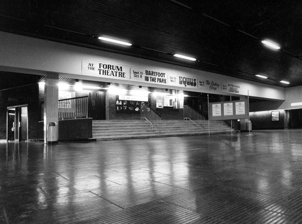
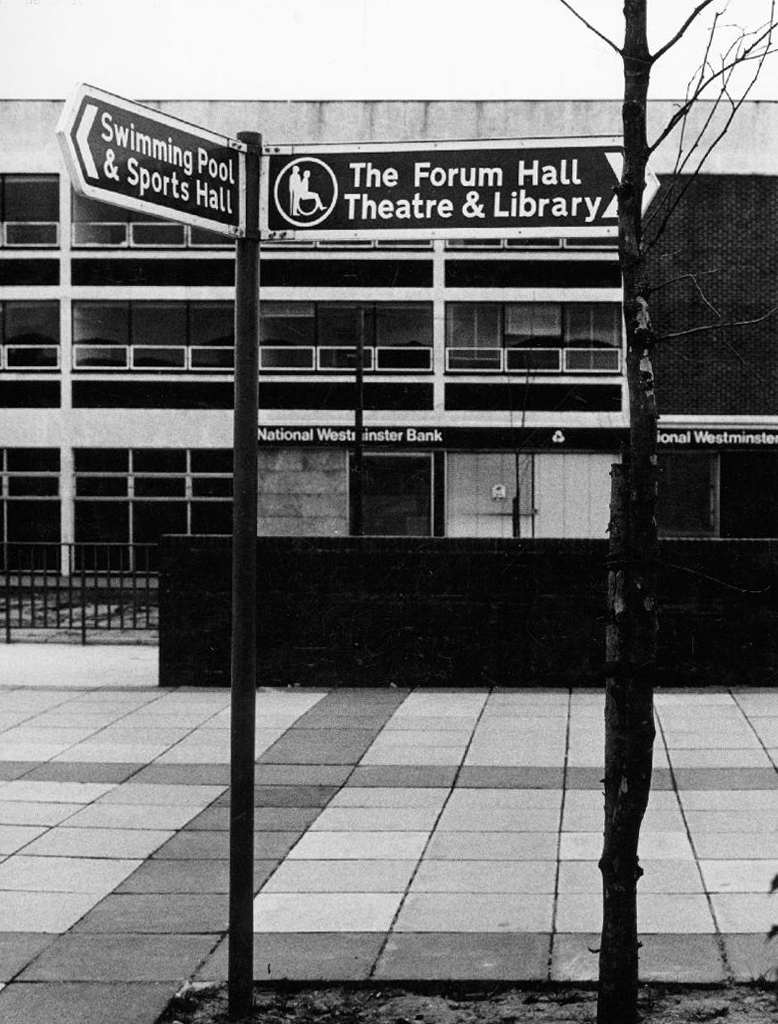
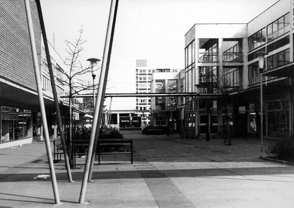
The Forum
In 1960, Billingham Urban District Council, began one of the most ambitious new leisure centres in Europe. The Forum was funded by the district’s new-found wealth – a product of the local petrochemical industry. It was designed by local architects Elder Lester and Partners and brought together a variety of recreational activities including an ice rink, swimming pool, sports centre, theatre, and bar all under one roof. The Forum opened in July 1967 to great enthusiasm. Weekly attendance over the first six months was between 20 000 and 30 000 people, far exceeding all expectations.
The inclusion of the theatre alongside the sports facilities broke new ground in recreational planning and in the shift from sport to the broader notion of ‘leisure’, the Forum predated architectural thinking of the time by nearly a decade. The building’s form is derived from the functions within, expressed in a variety of bulbous elements. The most distinctive is the canopy of the ice rink roof which is hung using steel cables running the length of the roof and cross-braced to achieve a clear 73m span.
Walking the stairwells, ramps and interlocking tiers, the curious pedestrian becomes aware of the ambition and complexity of the scheme. Often identified on local social media groups as an anachronistic eyesore, I feel that it is a thing of rare and precious beauty.
Knock most of the precinct down, free the river, but keep this wall and what is within.
Anon
Some are slaughtering imaginary white elephants, whilst others are riding white swans.
Currently under the ownership of Stockport Borough Council, changes are afoot.
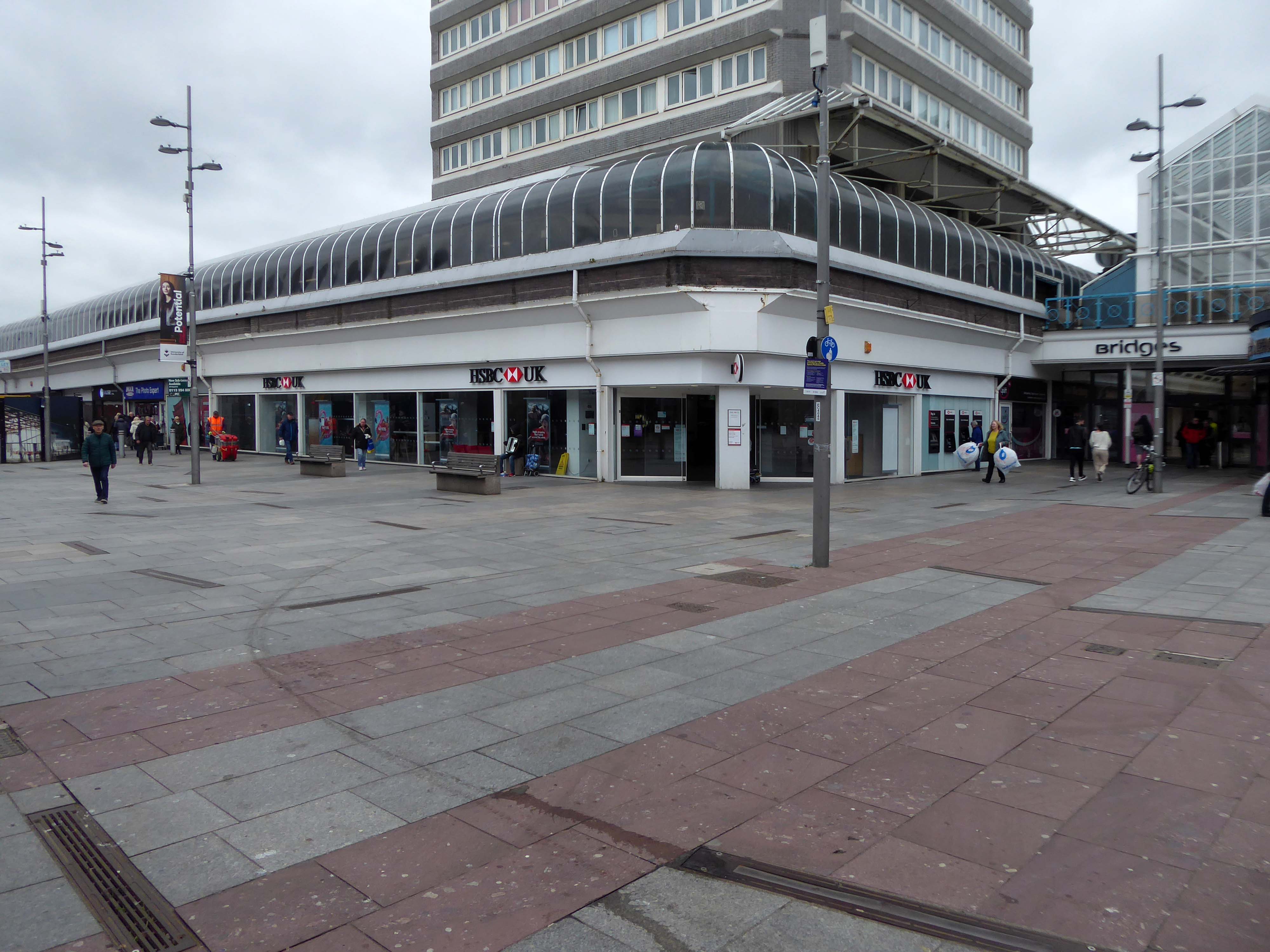
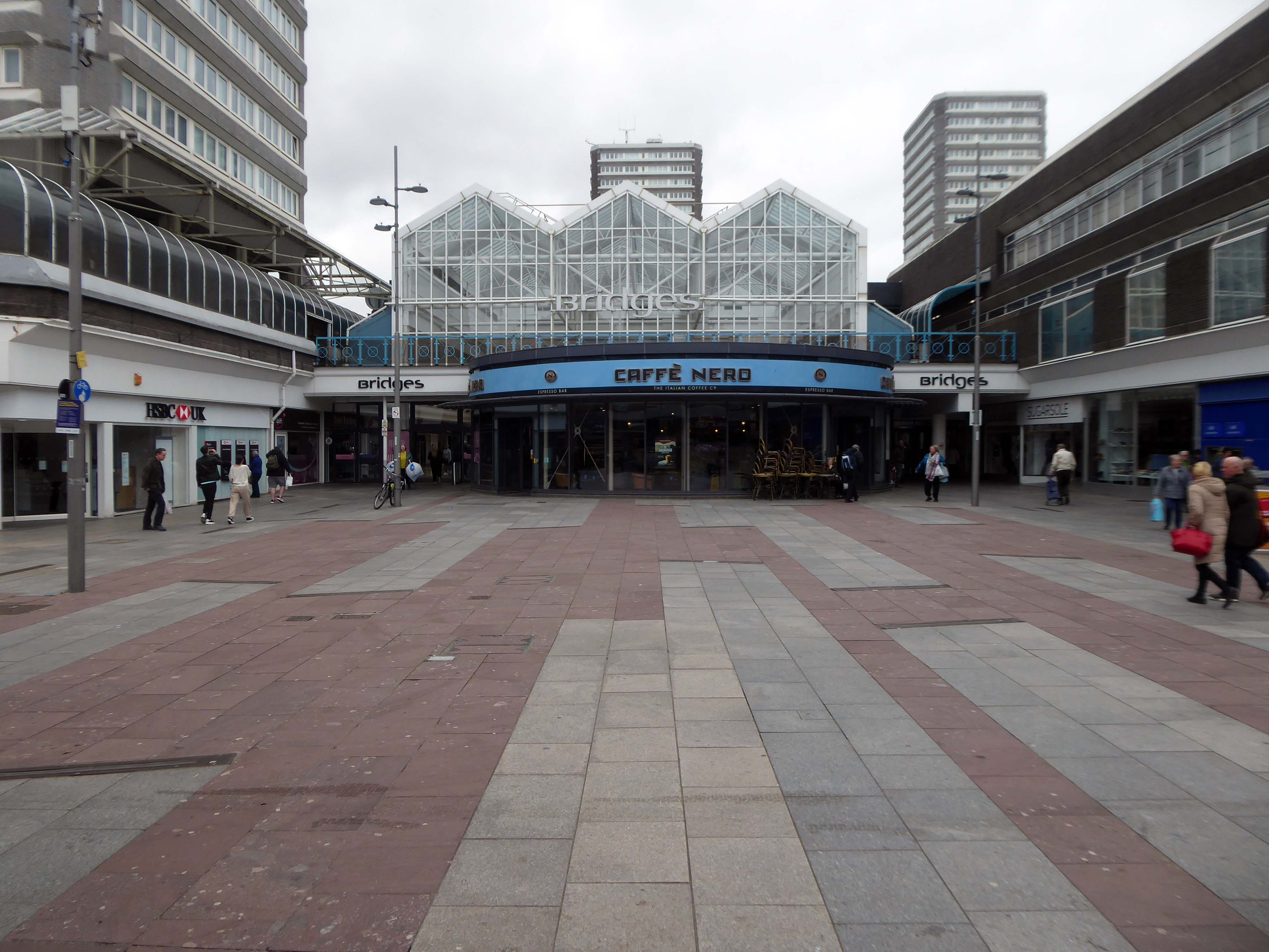
Work to redevelop Adlington Walk in Stockport starts this week, as the first stage in the regeneration of the 55-year-old Merseyway shopping centre.
As of today work is still in Covid induced abeyance, it is still possible to walk the old revamped Adlington Walk. The future of retail in particular and town centres in general is in the balance, the best of the past and the finest of the new should be the watchword.
The scheme and car park redevelopment, is managed by CBRE of Manchester.
The future shopper is looking for more than just a simple buying transaction, they want an experience, entertainment and excitement.
This is where Merseyway Shopping Centre’s future lies.
CBRE Group Inc. is an American commercial real estate services and investment firm. The abbreviation CBRE stands for Coldwell Banker Richard Ellis. It is the largest commercial real estate services company in the world.
Their net worth as of January 28th 2021 is $21.18 Billion.
It is to be hoped that these dreams of entertainment and excitement, may be realised in the not too distant future.
In the meanest of mean times, in the mean time let’s have a look around.
The future moocher is looking for more than just a simple buying transaction, they want an experience, entertainment and excitement.
A social history of Wythenshawe and its Civic Centre can be found here at Archives +.
A general history of the garden city’s development can be found here at Municipal Dreams.
Lest we forget, the story begins with a level of overcrowding and human misery that is – thankfully – almost unimaginable in Britain today. In 1935, Manchester’s Medical Officer of Health condemned 30,000 (of a total of 80,000) inner-city homes as unfit for human habitation; 7000 families were living in single rooms.
The estate was always considered to be, in some sense, the realisation of an ambitious vision.
The world of the future – a world where men and women workers shall be decently housed and served, where the health and safety of little children are of paramount importance, and where work and leisure may be enjoyed to the full.
Cooperative Women’s Guild
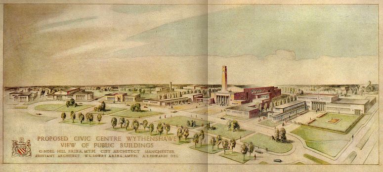
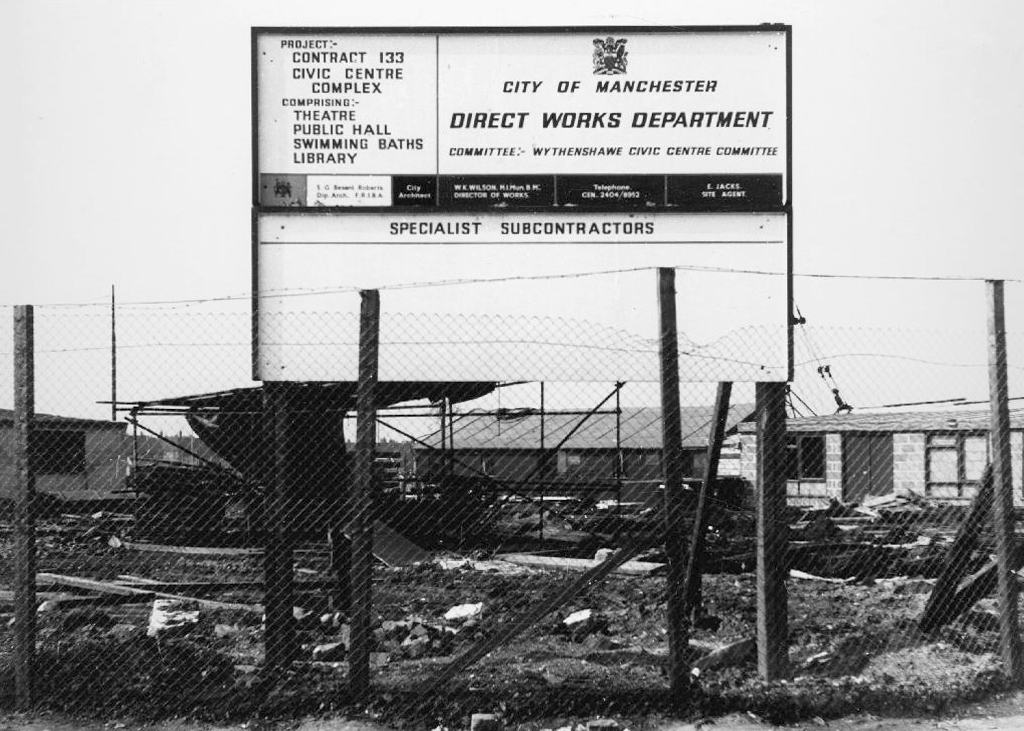
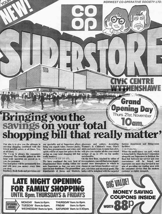
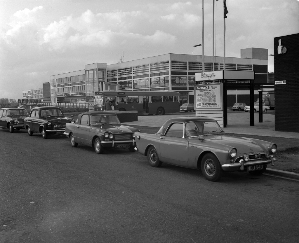
Work began in the interwar years, and continued following the hiatus of 1939-45. The shopping centre named the Civic Centre was open in 1963, the actual Civic Centre containing a swimming pool, theatre, public hall and library in 1971.
A triumph for Municipal Modernism conceived by the City Architects and realised by Direct Works. This post war development owed more to the spirit of Festival of Britain optimism, new construction methods and materials, rather than the grandiose functionalist classicism of the original scheme.
The Co-operative Superstore was a key element in the provision of provisions.
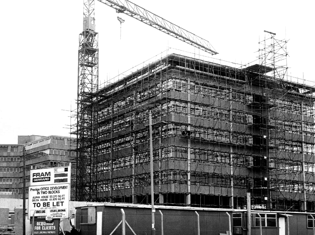
There still is – The Forum is a bright and modern hub for co-located services used by community and business.
The original Forum opened in 1971. One of Manchester’s largest public buildings, it had a leisure centre, library, theatre, main hall and meeting rooms. By the mid 1990’s it was under used, had deteriorated internally and externally and needed substantial investment.
The new Forum, along with a new police sub-divisional headquarters and improved transport link was designed to help strengthen the town centre, and provide a landmark project to raise Wythenshawe’s profile within Manchester and beyond.
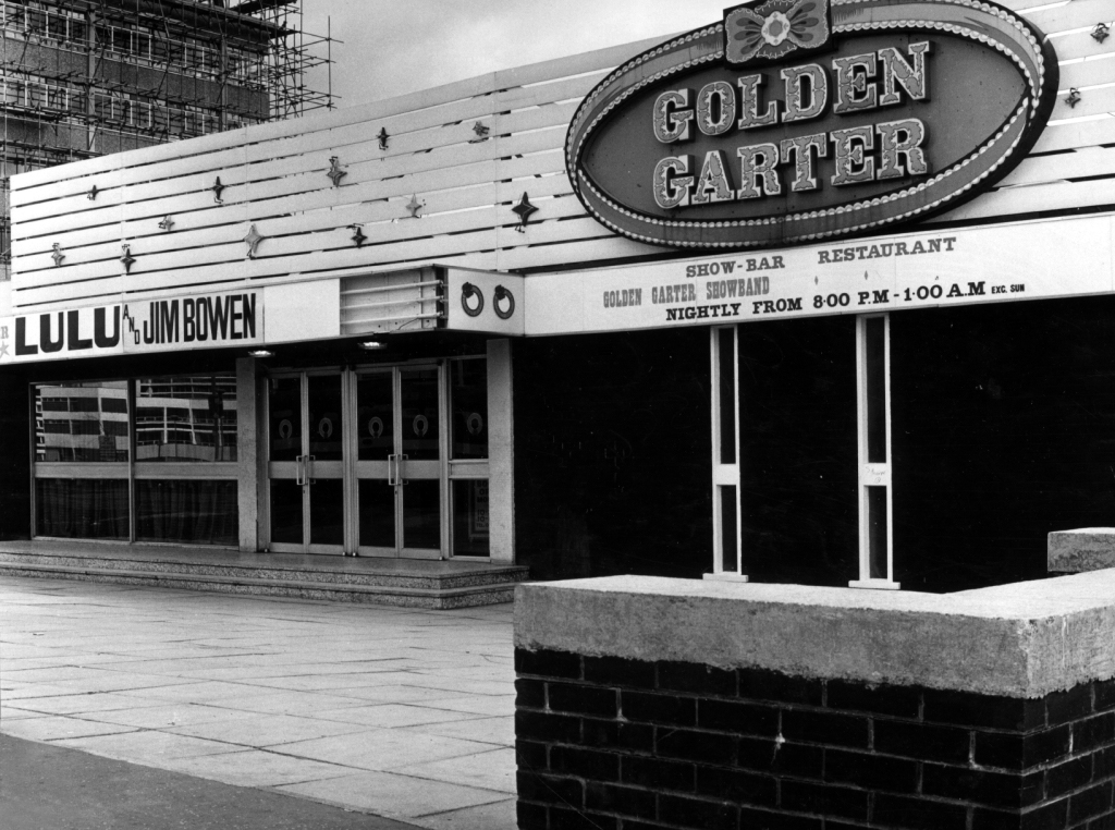
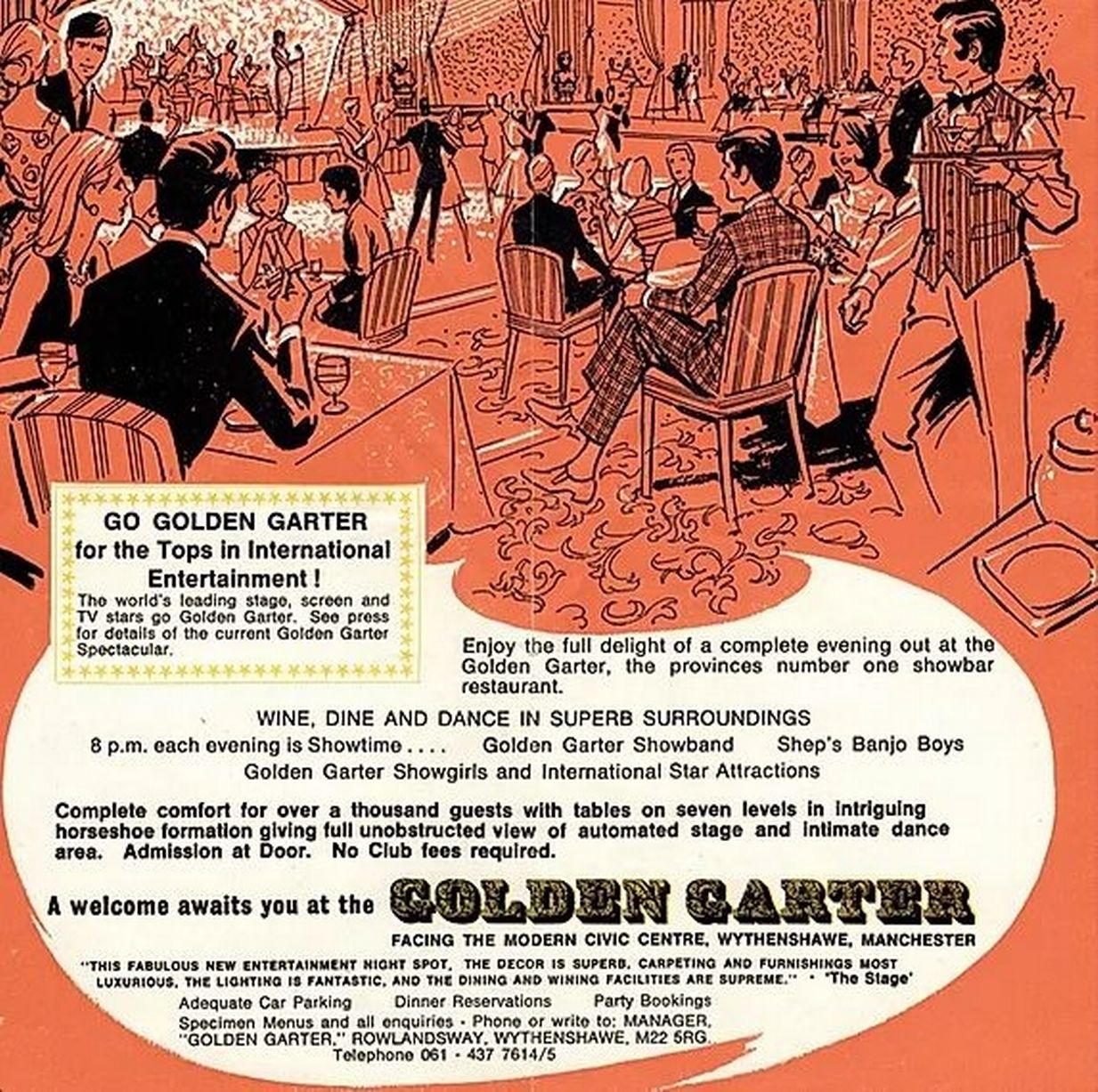
In the 1980’s they put on a superb array of shows including Roll on 4 O’Clock which starred John Jardine, Jack Smethurst and Glynn Owen. Oh What a lovely War; What the Butler Saw and Habeas Corpus by Alan Bennett. Bury’s own Victoria Wood starred in Talent which she wrote. Another Manchester icon Frank Foo Foo Lammar, famous as the top drag queen of the North-West whose club was re-known for its great party nights appeared in The Rocky horror Show.
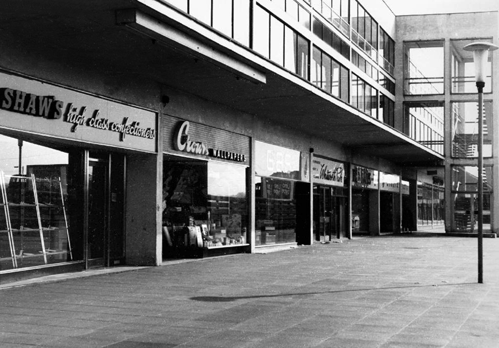
A land of elegant covered walkways and raised beds.
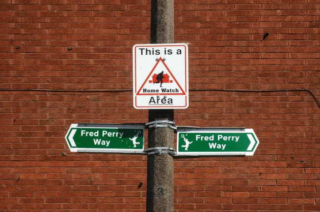
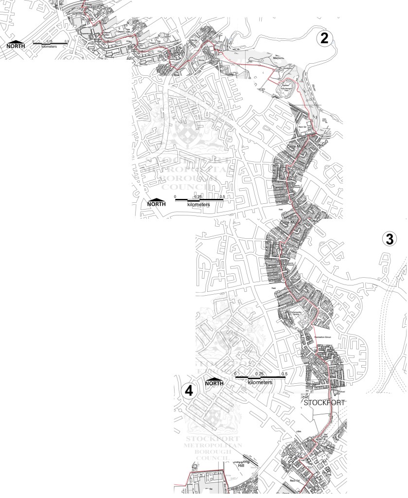
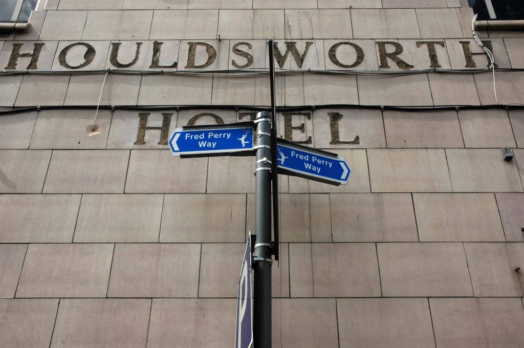
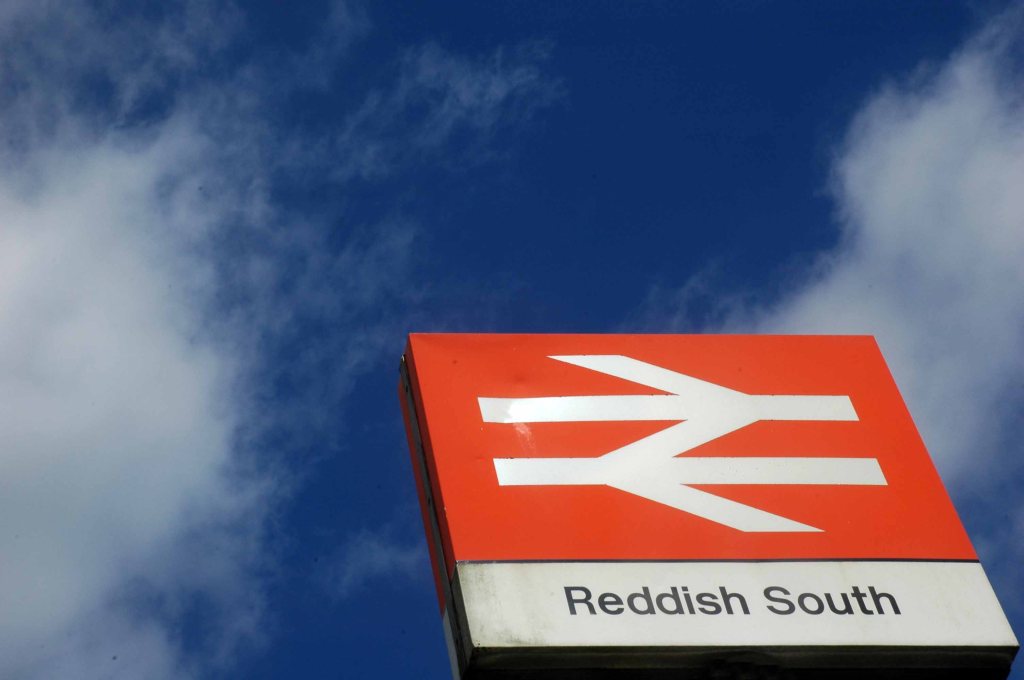
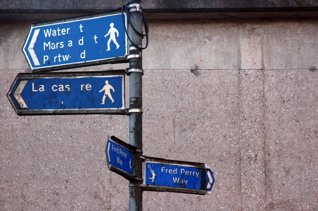
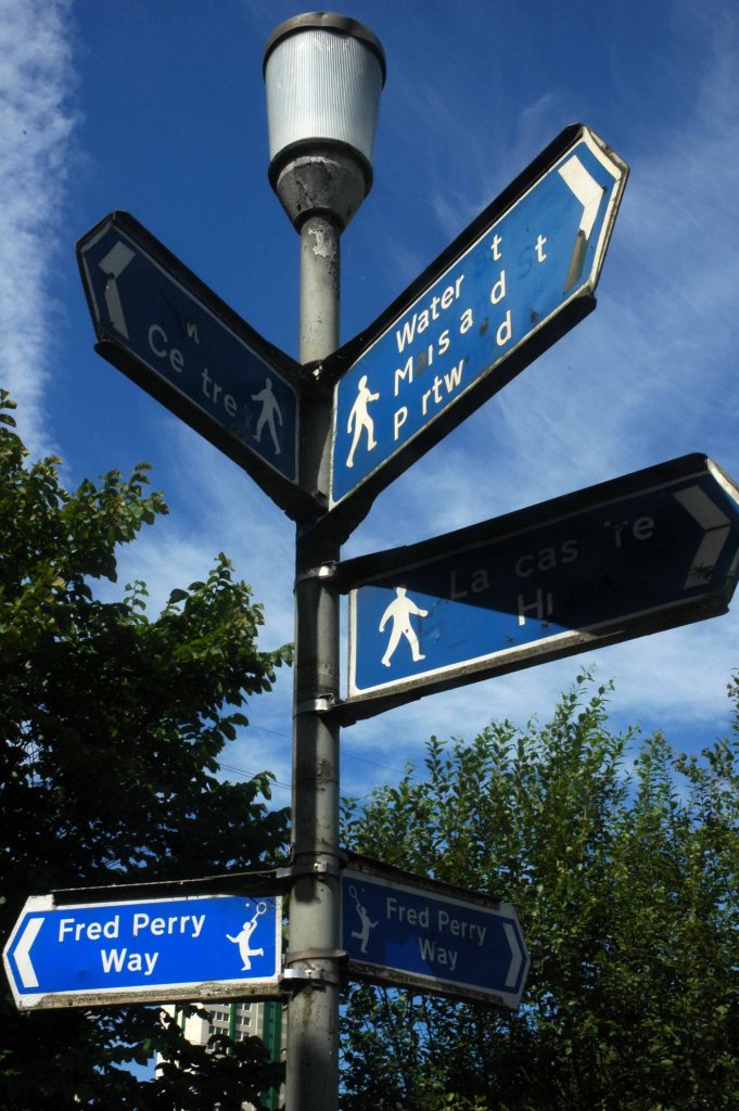
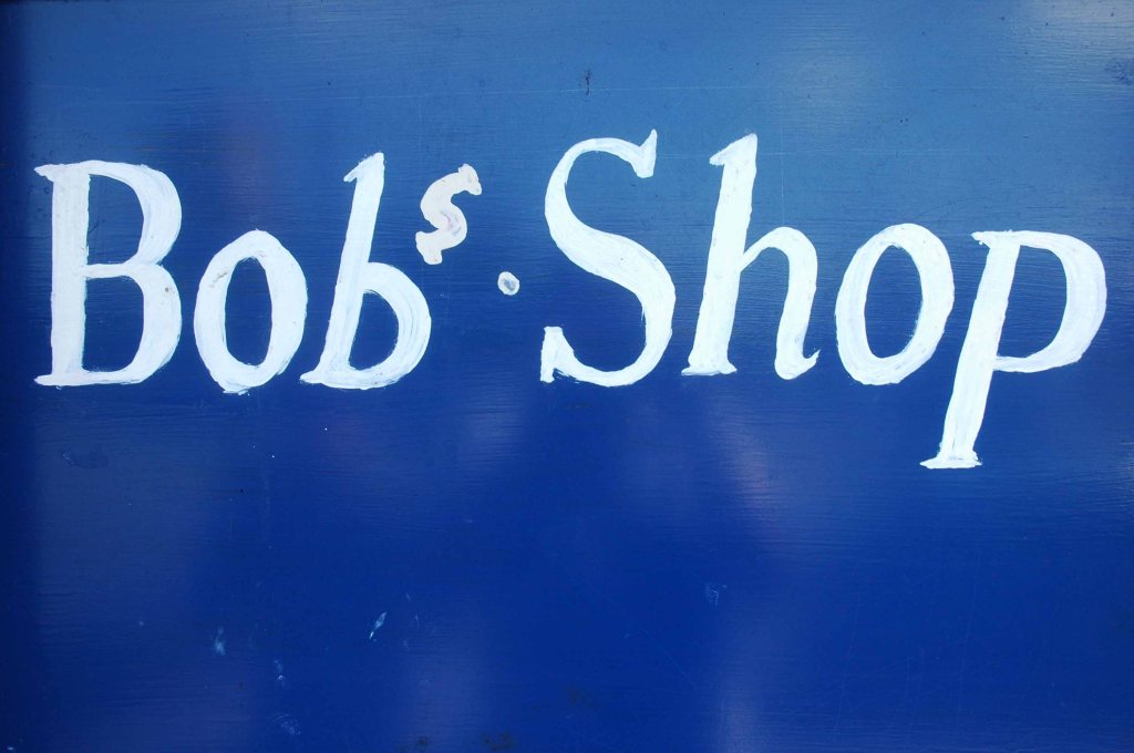
Some time ago in Stockport Fred Perry was born, lived and moved away – in pretty rapid succession. Nevertheless the Borough claims him as their own and to celebrate the fact, they have devised a Way.
Not the way or an away day but a named way, the Fred Perry Way.
Stretching from North Reddish in the north to Woodford in the south – zigging and zagging through and across highways and byways, avenues and alleyways.
Combining rural footpaths, quiet lanes and river valleys with urban landscapes and park lands.
For the long distance walker it may be useful as a link route. The Fred Perry Way provides a link between the Bollin Valley Way, and through that, the North Cheshire Way, and via a short link between Mottram & Woodford, the Tame Valley Way and Etherow Goyt Valley Way at Stockport. A full crossing of historical North Cheshire could be devised, linking Black Hill & Crowden on the Pennine Way with Hilbre Island, utilising also the Wirral Way/Wirral Shore Way.


