Manchester Arterial – A5103

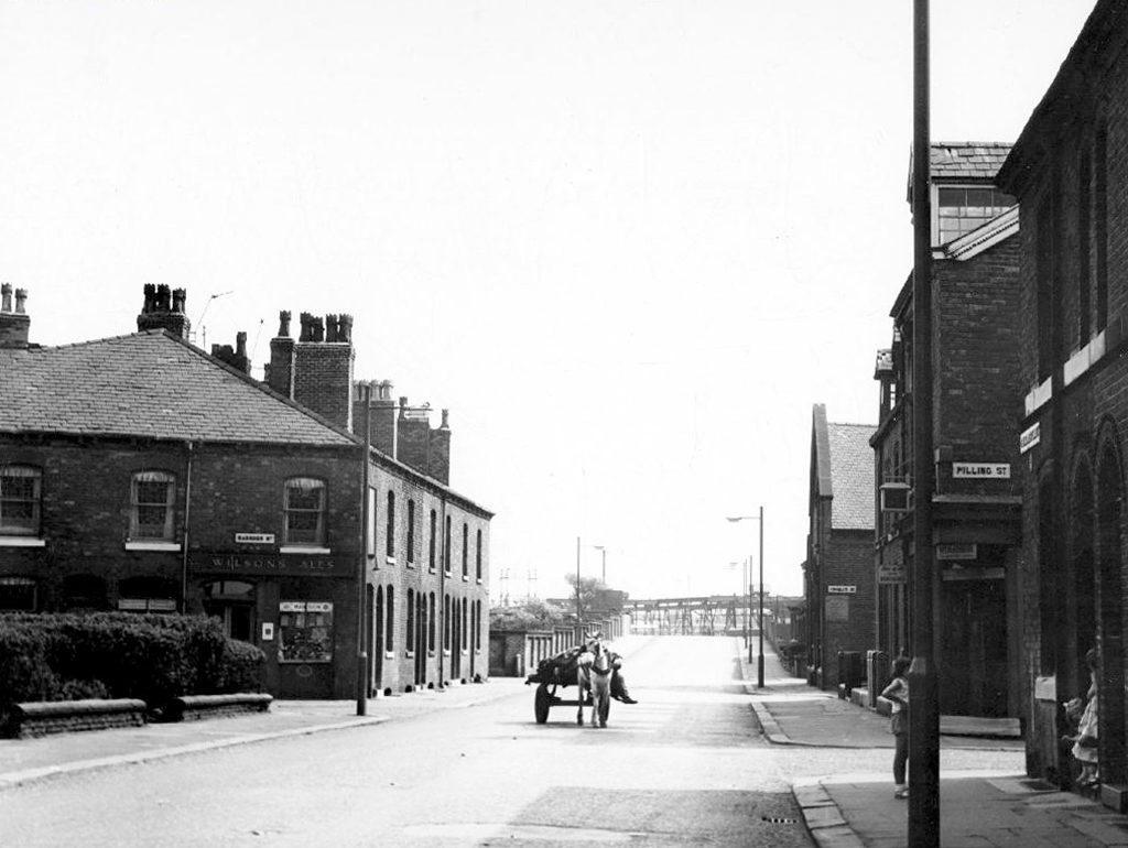
The A5103 is a major thoroughfare running south from Piccadilly Gardens in Manchester city centre to the M56 in Northenden. The road is two-lane dual carriageway with a few grade-separated junctions. It is used by many as a link to the airport and to the motorway network south.

The road starts at Piccadilly Gardens where it meets the A6. It heads along Portland Street – at one time it ran along the parallel Mosley Street, past fast-food outlets and off-licences and then meets the A34 Oxford Street. It multiplexes with that road north for 200 yards into St Peter’s Square and then turns left into Lower Mosley Street, initially alongside the tramlines and then past the former Manchester Central station, now a conference centre with the same name. The road becomes Albion Street and goes over the Bridgewater Canal and under the railway line east of Deansgate station. The road then meets the A57(M) Mancunian Way at a roundabout interchange. This is where most of the traffic joins and leaves. 

The road is now 2×2 dual carriageway with the name Princess Road. It passes under the Hulme Arch, a grade-separated junction with the A5067, with an unusually large central reservation. This is presumably because of the proposed plans from the 1960s of a motorway. However, after passing under the junction, there are innumerate sets of traffic lights, with the B5219, the A6010 and the A5145, as well as many other unsigned roads. There are also many speed cameras set at 30 mph.

The road picks up pace as we exit the sprawl of South Manchester and the road becomes Princess Parkway, with a 50 mph speed limit. We cross the River Mersey and almost immediately hit the M60 at J5.

Except for the Manchester City Centre section – which was numbered A5068, this road did not exist on classification in 1922. Princess Road was built in 1932 to serve the new southwestern suburbs; initially it ran between the B5219 and A560 and was numbered B5290, with the road later extended north into the A5068 on the southern edge of the city centre and renumbered A5103.

The northern extension through Hulme initially followed previously existing roads, so followed a zigzag route. As part of the road’s upgrade and the reconstruction of Hulme in the 1970s the road was straightened and the original route can no longer be seen. The A5068 was severed around this time with the construction of the A57(M) and the A5103 took on its city-centre section, taking it to the A6.
Sabre Roads

See also Bury New Road and Cheetham Hill Road and Rochdale Road and Oldham Road and Ashton New Road and Ashton Old Road and Hyde Road and Stockport Road and Kingsway.
Manchester Arterial – A57

The A57 was nearly a coast to coast route. It passes through three major city centres (Liverpool, Manchester, and Sheffield – with elevated sections in each) and several smaller ones, multiplexes with the A6 and the A1, follows the banks of two canals and negotiates the remotest part of the Peak District. In one city it part of it is a tram route, whilst in another its former route is also a tram route. After all these adventures, it sadly gives up just 40 miles short of the east coast, Lincoln apparently proving too big an obstacle.

The A57 crosses the River Irwell at Regent Bridge before entering its moment of motorway glory as the A57(M) Mancunian Way skirting the south of Manchester’s city centre on an elevated section and crossing the A56 and A34. This includes a half-completed exit that goes the wrong way up Brook Street – a one way street. The original A57 ran further north through the city centre along Liverpool Road (now the A6143) and Whitworth Street – B6469 as far as the A6 London Road which marked the start of a multiplex.

At the end of Mancunian Way, we reach a TOTSO, straight on being the short unsigned A635(M) and thence the A635 – for Saddleworth Moor, Barnsley and Doncaster whilst the A57 turns south, briefly multiplexing with the A6, and then branching off along Hyde Road. This section of road was extensively cleared for the westward extension for the M67, and consequently has seen a lot of redevelopment.

Sabre Roads

In 2014, having taken early retirement from teaching photography, I embarked on a series of walks along the arterial roads of Manchester.

See also Bury New Road and Cheetham Hill Road and Rochdale Road and Oldham Road and Ashton New Road and Ashton Old Road.

Manchester Arterial – A662

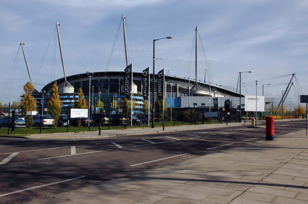
Starting at traffic lights on the A665 the road heads northeastwards, initially with the Metrolink on the left and a factory building on the right. The road then bears right at traffic lights marking the first section of on-street running for the trams, which lasts until just before a bridge over the River Medlock, after which the road passes to the south of the Sportcity complex whilst the tram line runs through the middle.

The A6010 is crossed at traffic lights, after which we see the tram lines on the left once more. We go over the Ashton Canal, then the tram lines at grade before bearing to the right to pass Clayton Park before another section of on-street running for the Metrolink begins, which continues for some distance. Just after crossing the Manchester city limit there is a set of traffic lights, after which the road becomes D2 for a short distance to allow a tram stop – Edge Lane, to be located in the central reservation. The tram leaves the road to the right for the next stop – Cemetery Road, and the stop in Droylsden town centre is once again in the central reservation. In all three cases the street running recommences after the stop.

Sabre Roads

In 2014, having taken early retirement from teaching photography, I embarked on a series of walks along the arterial roads of Manchester.

See also Bury New Road and Cheetham Hill Road and Rochdale Road and Oldham Road.

Fred Perry Way – Stockport to Reddish

The third and last leg, starting from the confluence of the Tame and Etherow where the Mersey begins.

Passing the remains of the railway bridge carrying the Cheshire Lines through to Tiviot Dale Station.

Over the river and beneath the terminal pylon.

Along Penny Lane beside Lancashire Hill flats.

Across Sandy Lane into Coronation Street.

Once a rare sight on our roads the ubiquitous SUV reigns supreme on our suburban streets – the level of UK car debt currently stands at £73 Billion.

We weaved in and out of the highways and byways of South Reddish.

Through Unity Park where the goals are lower than low.

The hoops are higher.

And the bowls are rolling.

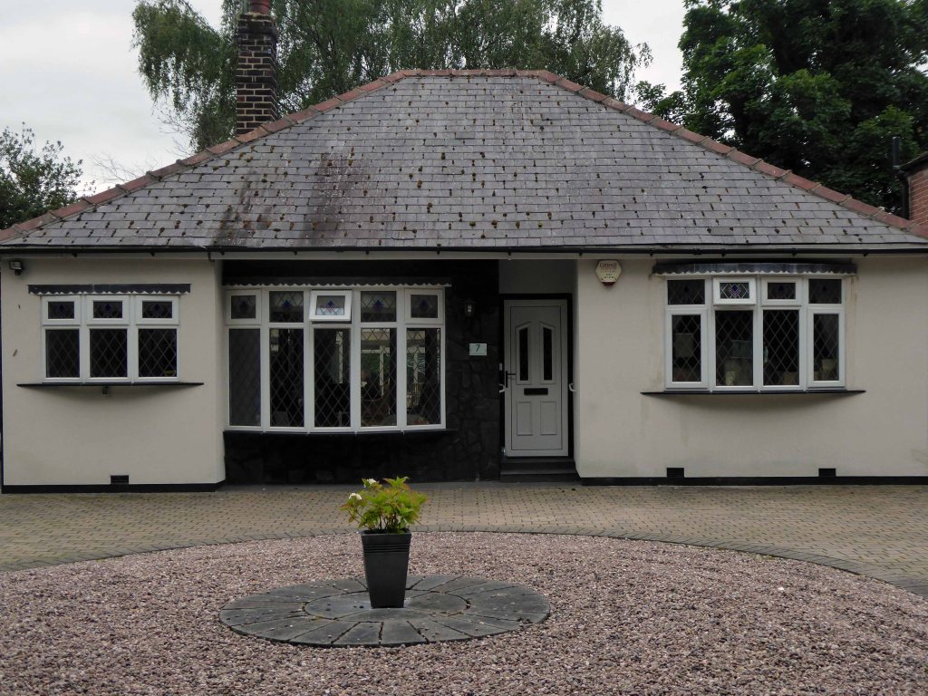
Past the perfect Platonic bungalow.

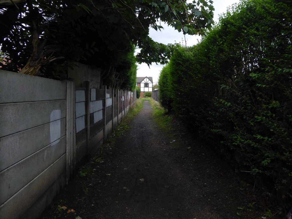
Taking the well worn path betwixt and between the houses.

Crossing open country.

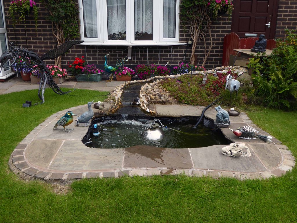
Encountering exotic planting worthy of the French Riviera.

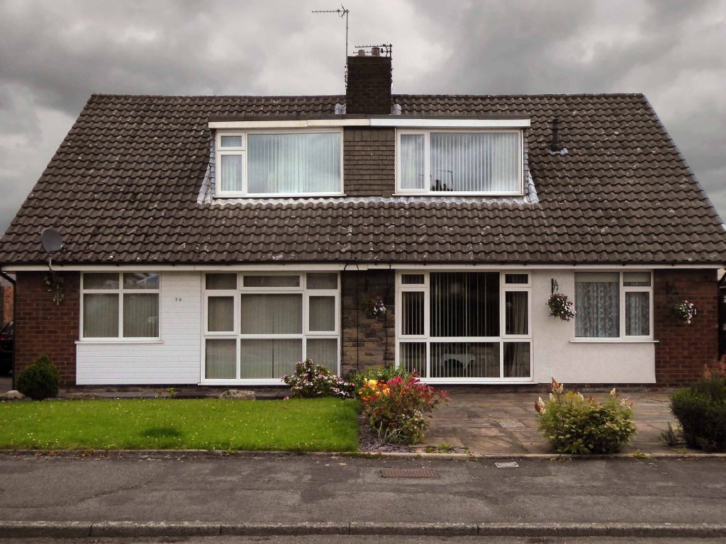
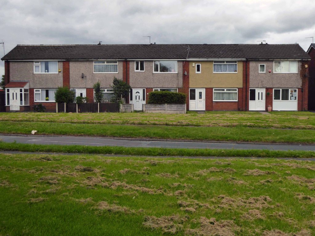
Noting the voguish transition of the local semi-detached housing from white to grey and the now familiar sight of the Range Rover in the former front garden.

The reverse of a roadside sign can often be far more interesting and attractive than the obverse face.

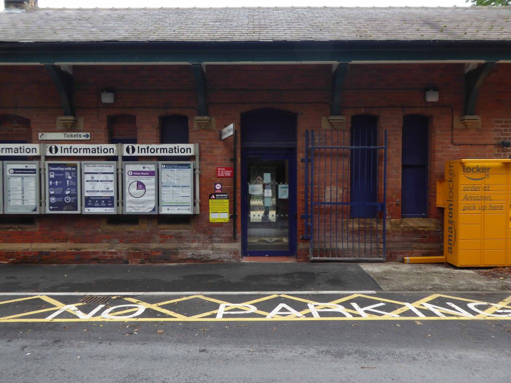
Reddish South Station sustained by the once a week parliamentary train, on the Stockport to Stalybridge Line, coincidentally the only time, as a goods guard, I ever worked a passenger train, was along here, one Christmas long ago.

We stopped at Denton, a request stop, the seasonally boozy passenger gave me a fifty pence tip.

George’s – where I bought a bag of chips on the way back, great chips, friendly and safe service with a smile.

Houldsworth Working Mens Club designed by Abraham Henthorn Stott forming part of the model community developed by the late-C19 industrialist Sir William Houldsworth, which included cotton mills, workers’ housing, school, church and a park.

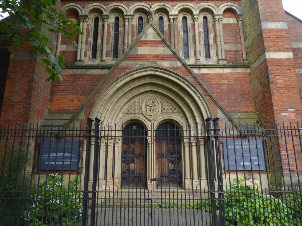
Church of St Elisabeth 1882-3, by Alfred Waterhouse one of the finest Victorian churches in the country – both of the buildings are Grade II Listed.

Over the way the former Victoria Mill, converted into apartments.

With adjoining new build.

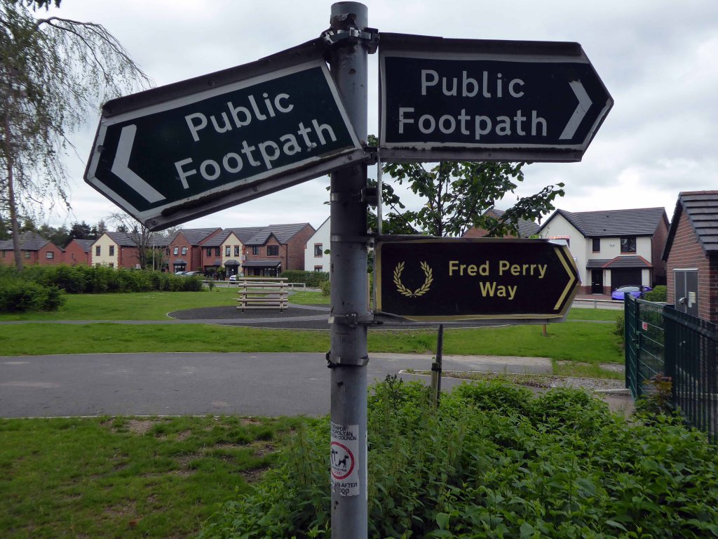
We faithfully followed the signs, noting a change from blue to green.

Somewhere or other we went wrong, our luck and the signs ran out, we instinctively headed north, ever onwards!

Traversing the Great Wall.

Mistakenly assuming that the route ended or began at Reddish North Station that’s where we landed.

Back tracking intrepidly along the road we found the source of the Fred Perry Way.

In the North Reddish Park – where tennis can still be played today albeit with a somewhat functionalist net, on an unsympathetic surface.

Journey’s end.

To forget, you little fool, to forget!

D’you understand?

To forget!

You think there’s no limit to what a man can bear?

Fred Perry Way – Stockport To Hazel Grove

Second time around – having once cycled the whole way in 2009.

I’ll do anything twice or more – so here we are again, this time on foot.

Let’s start at the very beginning, a very good place to start – in the middle, the section from the town centre to Hazel Grove.

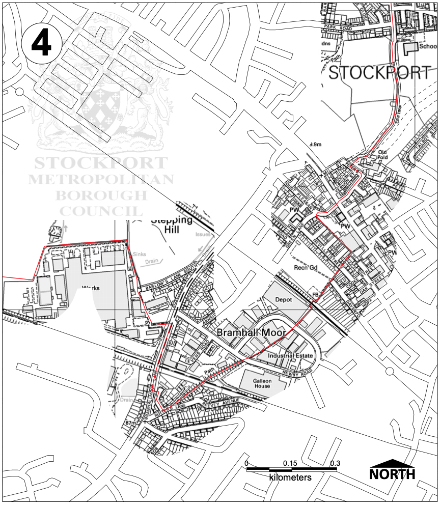
Maps are available here for free – we declined the offer, deciding to follow signs instead, many of which were missing or rotated, the better to misinform and redirect – such is life.

We are mostly lost most of the time, whether we like it or know it or not.

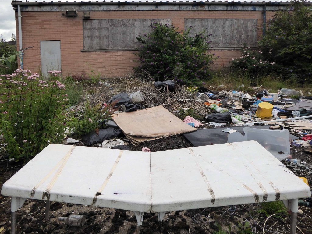
We begin at the confluence of the rivers Mersey and Goyt – which no longer seems to be a Way way, the signs having been removed, and proceed down Howard Street, which seems to have become a tip.

The first and last refuge for refuse.

Passing by the kingdom of rust – Patti Smith style.

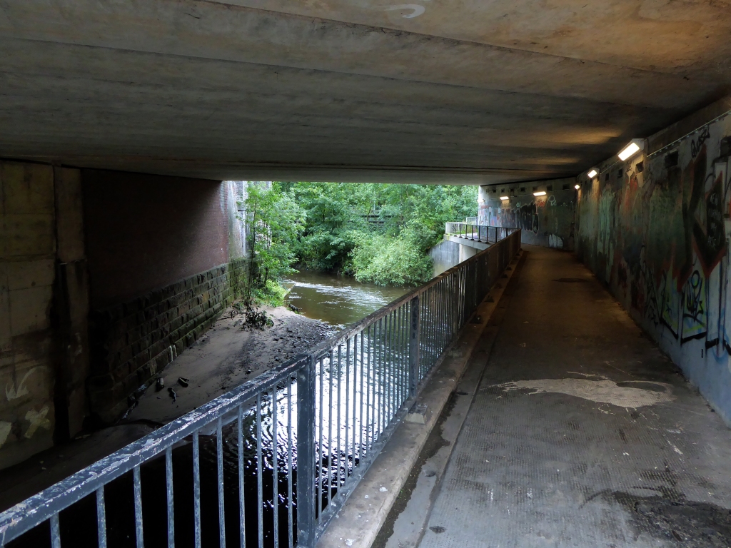
Passing under the town’s complex internal motorway system by underpass.

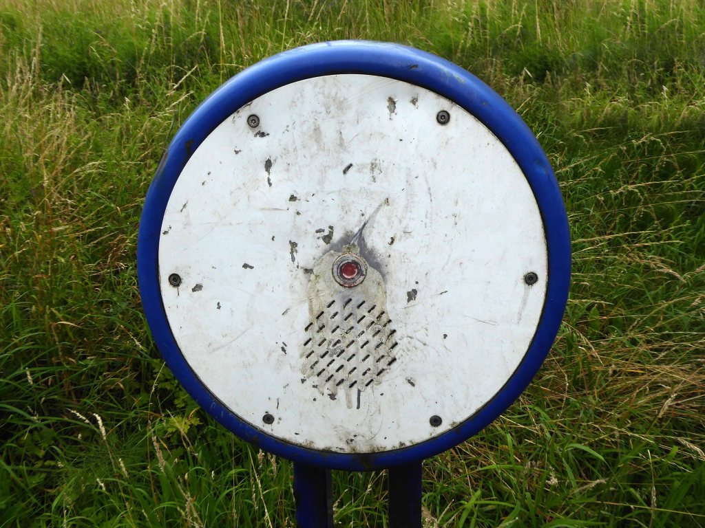
Where help is always handily at hand.

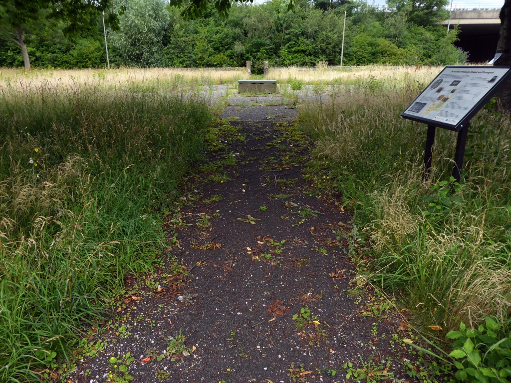
Whistling past the graveyard – the site of the former Brunswick Chapel where one and hundred and fifty souls lay lying.

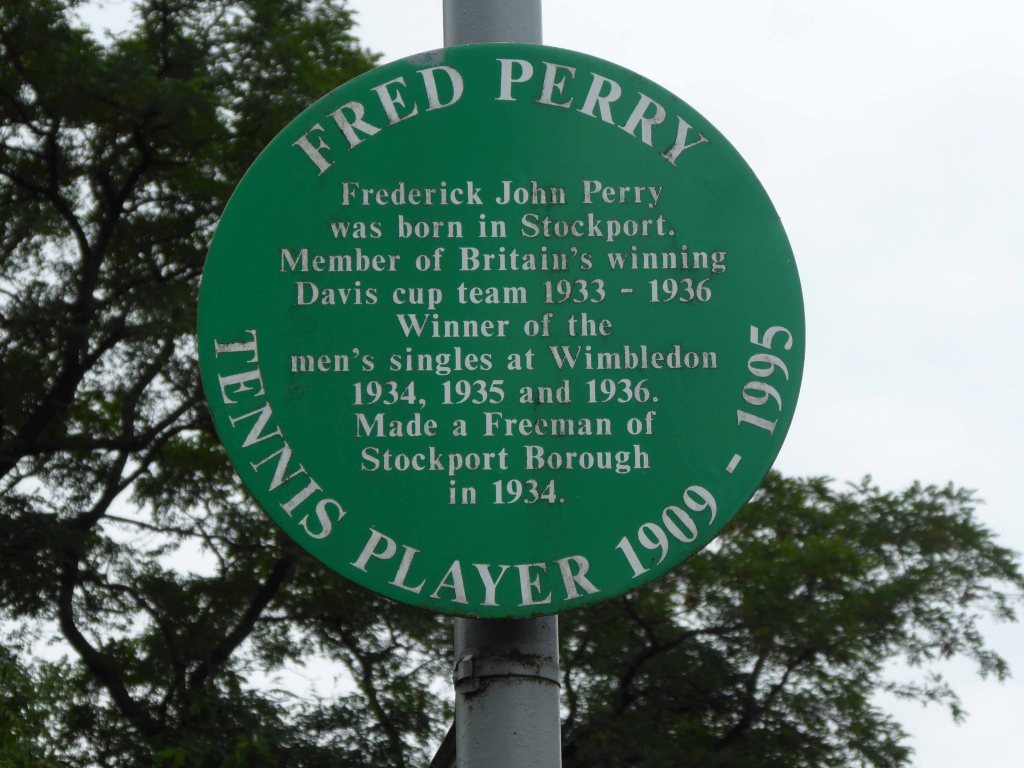
Onward down Carrington Road to Fred’s house.

Through Vernon Park to Woodbank Park – with its heroic erratic.

Almost opposite the entrance to the museum, now set in shrubbery, are the foundations, laid in September 1860, of what was to be a forty metre high Observatory Tower. Despite a series of attempts, funds for the tower could not be raised and the ‘Amalgamated Friendly Societies of Stockport’ eventually had to abandon the idea.

Historic England

Out east and passing alongside the running track.

Lush meadows now occupy the former football field, twixt inter-war semis and the woodland beyond.

Out into the savage streets of Offerton where we find a Buick Skylark, incongruously ensconced in a front garden.

The only too human imperative to laugh in the face of naturalism.

We have crossed over Marple Road and are deep in the suburban jungle of mutually exclusive modified bungalows.

Off now into the wide open spaces of the Offerton Estate – the right to buy refuge of the socially mobile, former social housing owning public.

People living on Offerton Estate have been filmed for a programme entitled ‘Mean Streets’ which aims to highlight anti-social behaviour in local communities.

MEN 2007

The next thing we know we’re in a field, a mixed up melange of the urban, suburban and rural, on the fringes of a Sainsbury’s supermarket filling station.

We cross the A6 in Hazel Grove and here for today our journey ends

Ignoring the sign we went in the opposite direction.

As we reach the edge of Mirrlees Fields – the site of the only Fred Perry laurel leaf logo emblazoned way marker.

The Fields are currently designated as a green space and are not available for residential development. But MAN would like to overturn this designation for over one third of the Fields.

MAN Energy Solutions UK is the original equipment manufacturer of Mirrlees Blackstone diesel engines.

Before the Blackstone MAN came in 1842 – the fields were all fields.

To be continued.

Fred Perry Way – 2009

Some time ago in Stockport Fred Perry was born, lived and moved away – in pretty rapid succession. Nevertheless the Borough claims him as their own and to celebrate the fact, they have devised a Way.

Not the way or an away day but a named way, the Fred Perry Way.

Stretching from North Reddish in the north to Woodford in the south – zigging and zagging through and across highways and byways, avenues and alleyways.

Combining rural footpaths, quiet lanes and river valleys with urban landscapes and park lands.

For the long distance walker it may be useful as a link route. The Fred Perry Way provides a link between the Bollin Valley Way, and through that, the North Cheshire Way, and via a short link between Mottram & Woodford, the Tame Valley Way and Etherow Goyt Valley Way at Stockport. A full crossing of historical North Cheshire could be devised, linking Black Hill & Crowden on the Pennine Way with Hilbre Island, utilising also the Wirral Way/Wirral Shore Way.

LDWA

Which seems like a whole heap of Ways.

Anyway this is what I saw way back when, but I’ll be back again in a bit!

Burnage Garden Village Again

I was last here in 2016 on a much brighter, blue skied day in March.

2020 mid-lockdown and overcast, I took a walk to take another look.

There is a perennial appeal to this well ordered island of tranquility, an archetypal suburbia incubated in 1906, a copy book estate.

The housing estate of 136 houses known as Burnage Garden Village, a residential development covering an area of 19,113sqm off the western side of Burnage Lane in the Burnage ward. The site is situated approximately six kilometres south of the city centre and is arranged on a broadly hexagonal layout with two storey semi-detached and quasi detached dwelling houses situated on either side of a continuous-loop highway. The highway is named after each corresponding compass point with two spurs off at the east and west named Main Avenue and West Place respectively. Main Avenue represents the only access and egress point into the estate whilst West Place leads into a resident’s parking area.

The layout was designed by J Horner Hargreaves. Houses are loosely designed to Arts and Crafts principles, chiefly on account of being low set and having catslide roofs.

At the centre of the garden village and accessed by a network of pedestrian footpaths, is a resident’s recreational area comprising a bowling green, club house and tennis courts. The estate dates from approximately 1906 and was laid out in the manner of a garden suburb with characteristic hedging, front gardens, grass verges and trees on every street. 

Verges and paving were freshly laid, hedges and gardens well tended, cars parked prettily.

The central communal area calm and restful, but lacking the clunk of lignum vitae wood on jack, hence the scorched earth appearance of the normally well used crown green.

A detailed appreciation the estate is available here.

Let’s take a leisurely look.

West End Park – Ashton under Lyne

This is a short history of a park, a short history of my family and me.

The movement of earth and people, a tale until now untold now told.

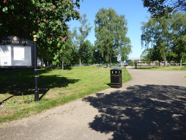
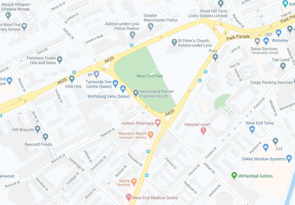
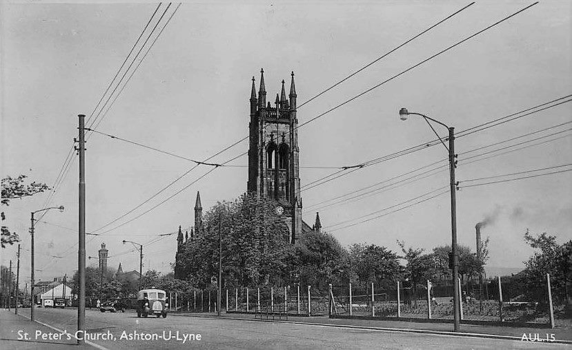
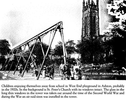
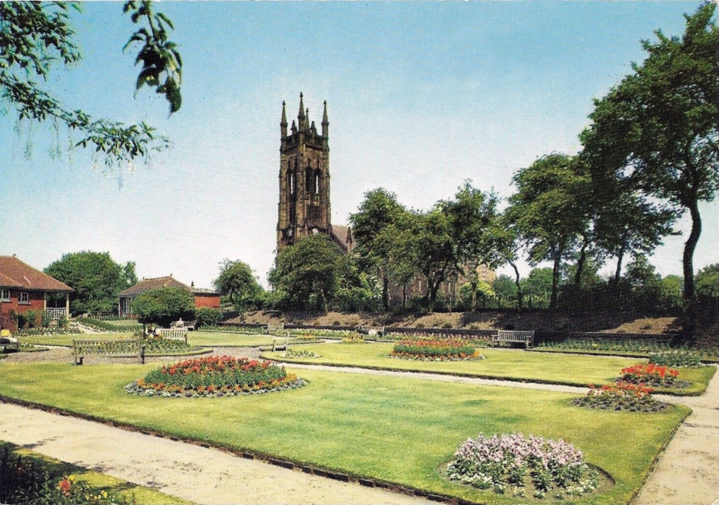
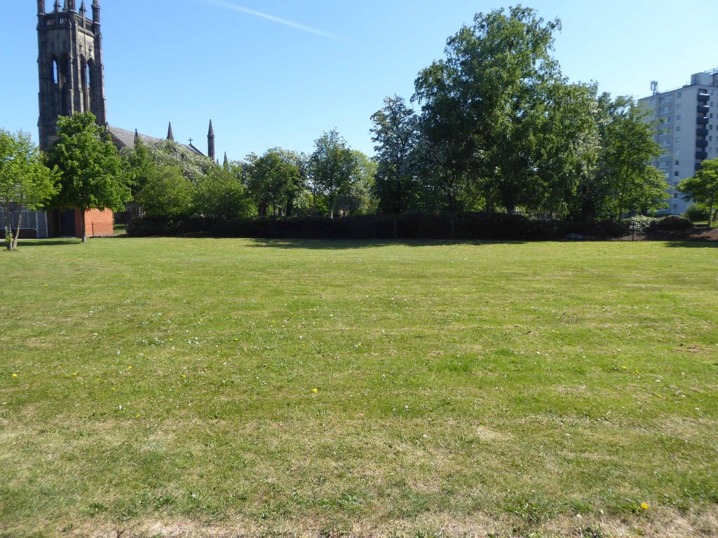
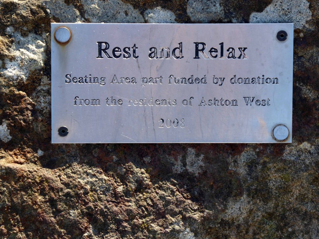
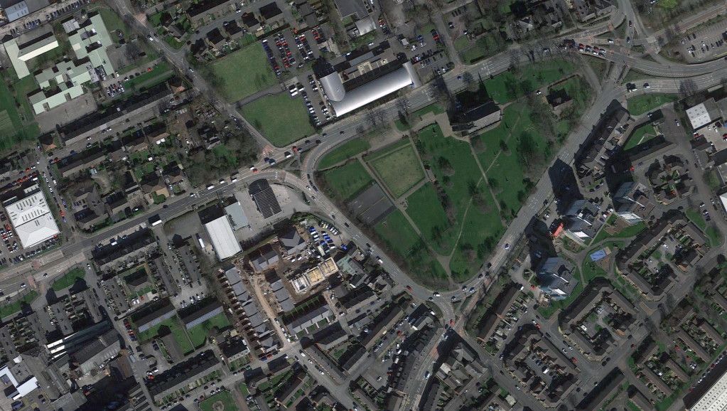
West End Park is a public park, opened in 1893. The site is bounded by Stockport Road, Manchester Road and William Lane. It was developed on land associated with St Peter’s Church.

St Peter’s was built between 1821 and 1824, and was designed by Francis Goodwin. A grant of £13,191 was given towards its construction by the Church Building Commission. The land for the church was given by the patronage of George 6th Earl of Stamford and Warrington, whose cousin, Revd Sir George Booth, had been Rector of Ashton from 1758 until 1797

The benevolent Victorian landowners thought it politic to provide parks for the working folk, fresh air, exercise and perambulation being preferable to the demon drink.

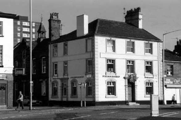
Friendship Old Street – now a solicitor’s office

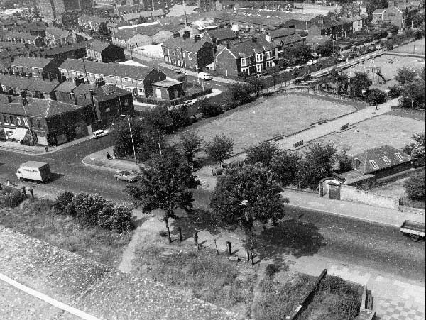
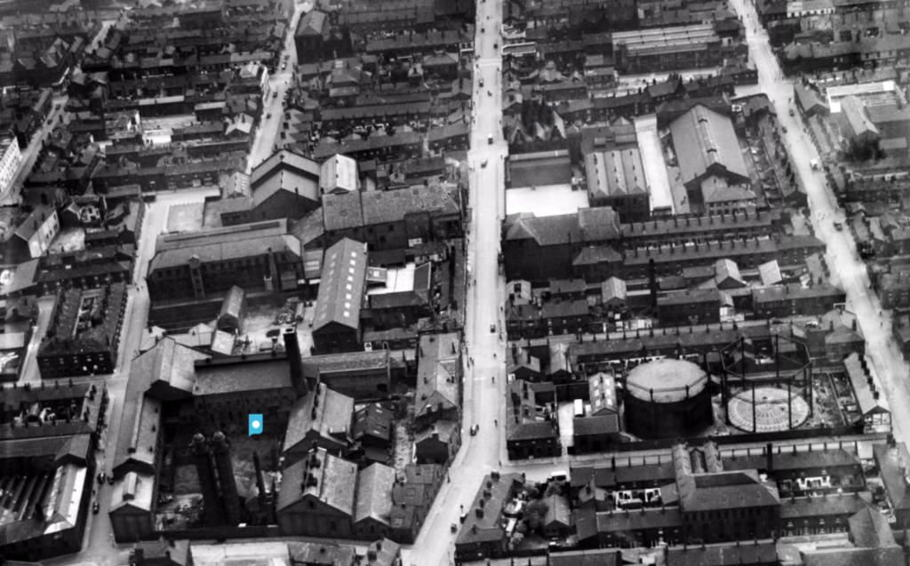
The area around the park was a dense warren of housing and industry.

Britain from Above

The parks provided a welcome relief from the tarmac, brick and concrete – very, very few homes having had access to a garden.

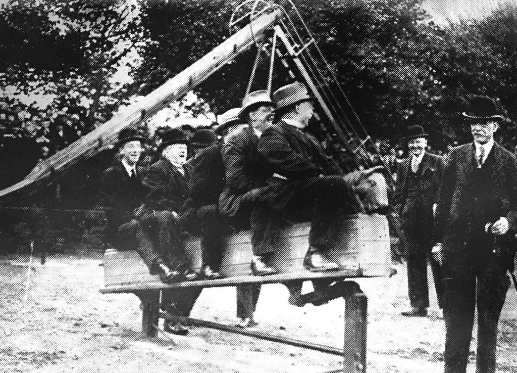
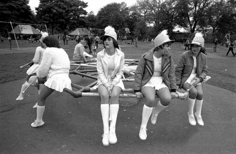
During the 1930s local councillors simply can’t resist the charms of the rocking horse.

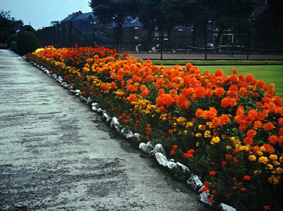
And a burst of colour in the summertime.

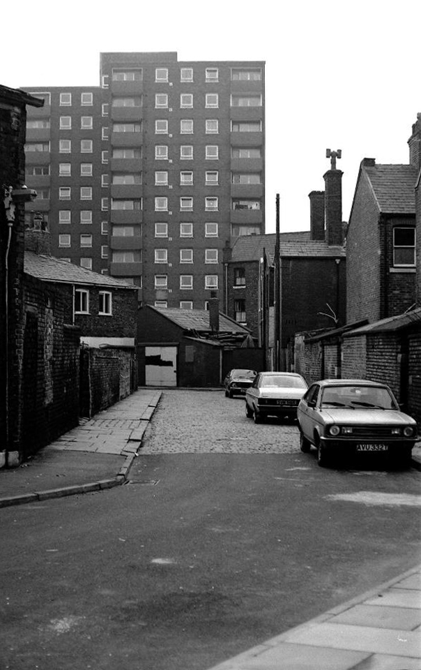
The West End was transformed in the 60’s, through slum clearance, the subsequent building of high rise and the introduction of light industry.

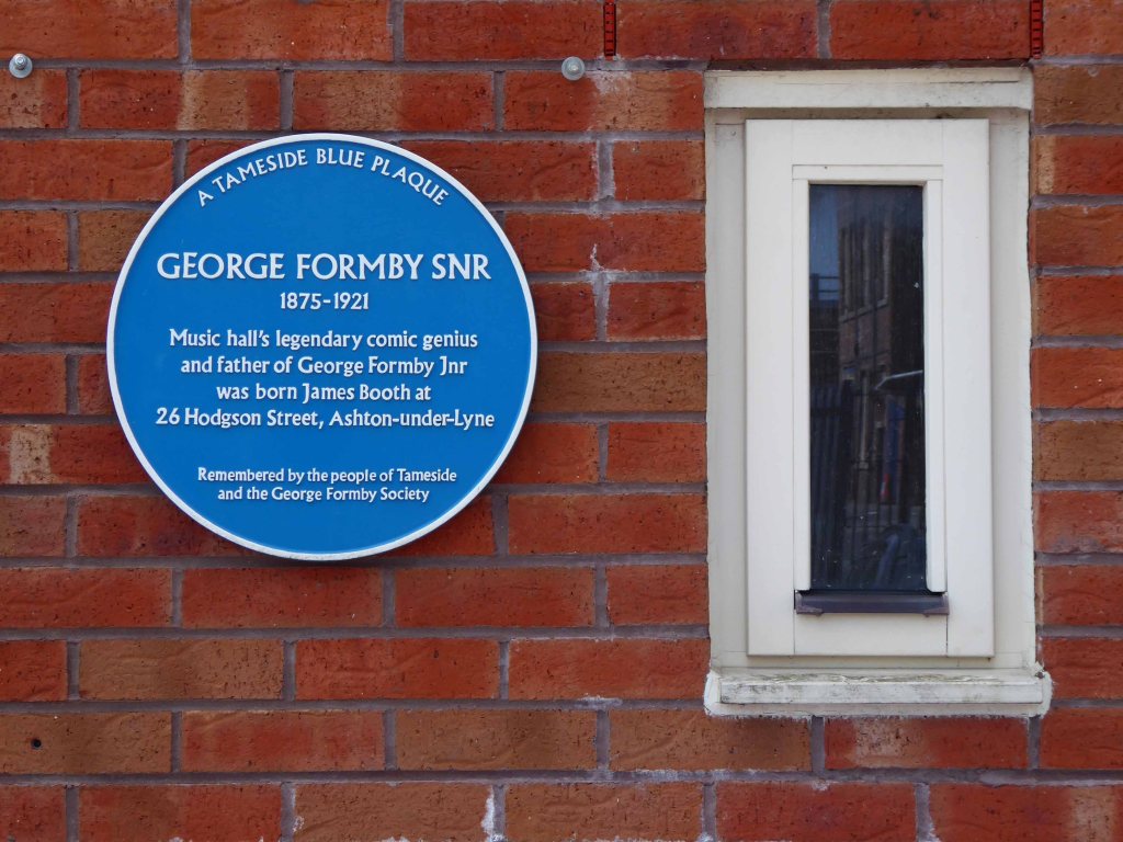
My Grandfather Samuel Jones lived in the area – at one time next door to George Formby Senior.

Later moving to nearby Hill Street.

There’s a plaque for George – there isn’t one for Sam.

During the Great Depression men were required to work for the Dole – Sam was required to dig out a sunken garden in the park – he was a collier by trade, a good man with a shovel, built for back breaking work on Ashton Moss.

David Vaughan

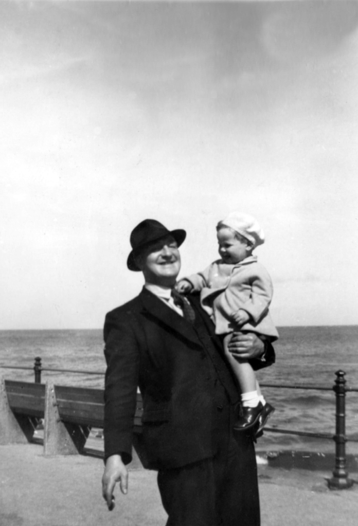
Sam in Blackpool 1954

This is the sunken garden in the 1960s

Thirty yards wide, forty yards long and three yards deep, shifted by hand.

Three thousand six hundred cubic yards of earth.

One cubic yard of topsoil weighs about two thousand pounds on average.

Seven million two hundred thousand pounds of earth.

I worked there in the 1970s along with Alec and Danny bedding out the sunken garden, maintaining the bowling green, tennis courts and playground.

Keith Ingham

There were two permanent gardeners in the park, and a keeper in the summer – plus Danny Byrne and me brought in to help at busy times.

Throughout the 70s and onwards, economic decline hit the area hard, the closure of the cotton mills and little hope for the future. Rising unemployment and severe cuts to public spending did little to assure a rosy future for West End Park, or anything or anyone else for that matter.

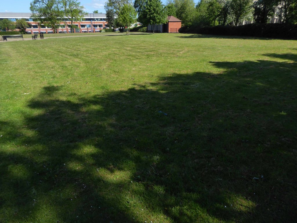
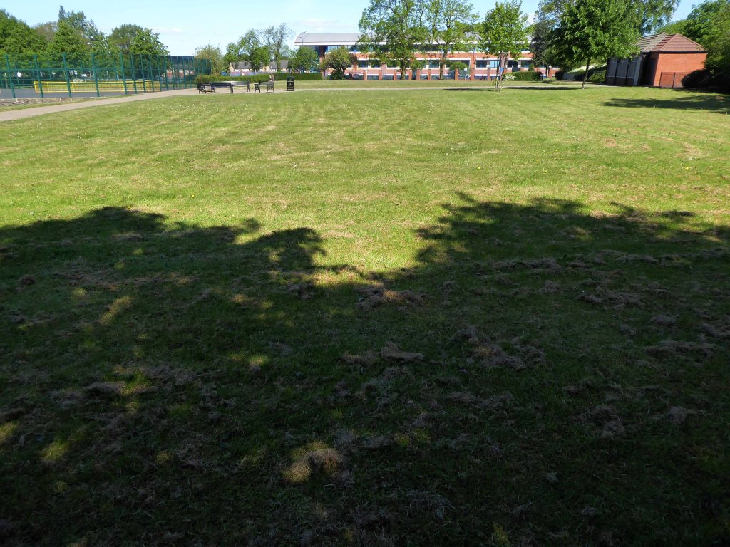
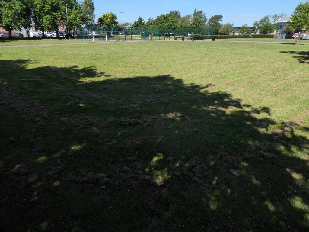
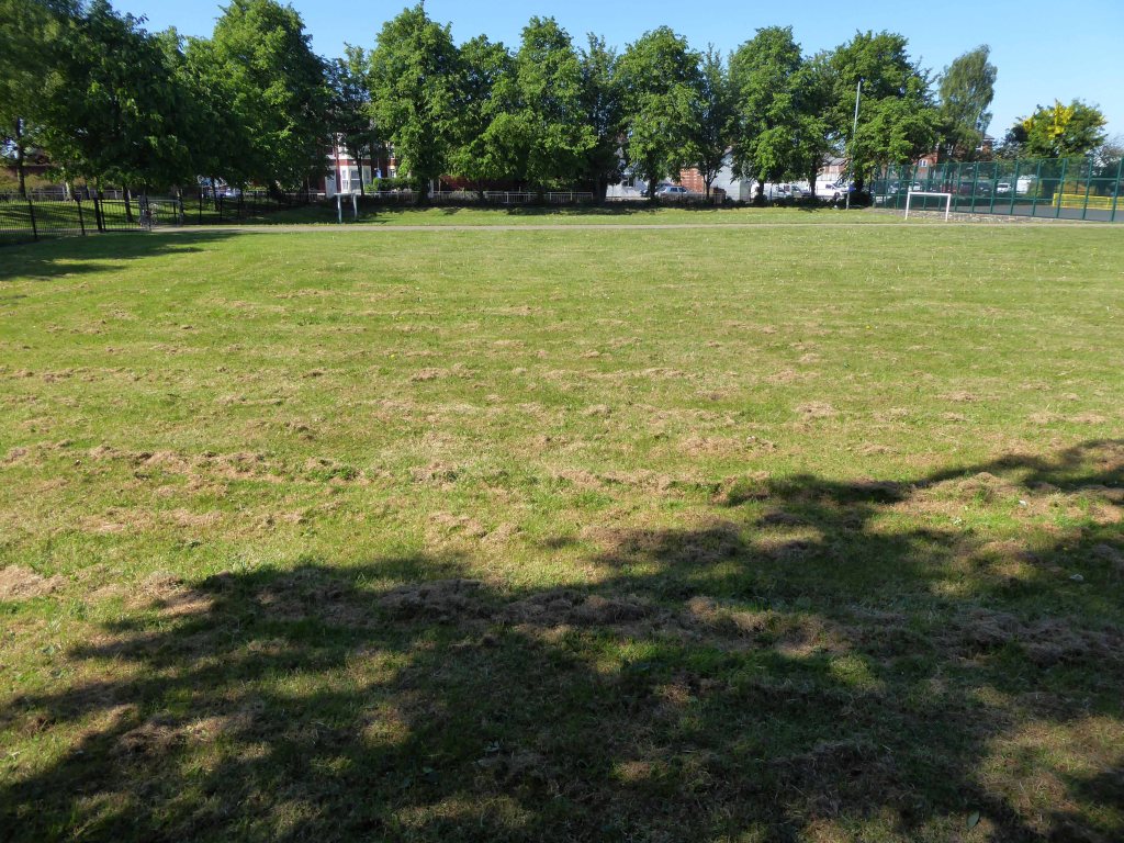
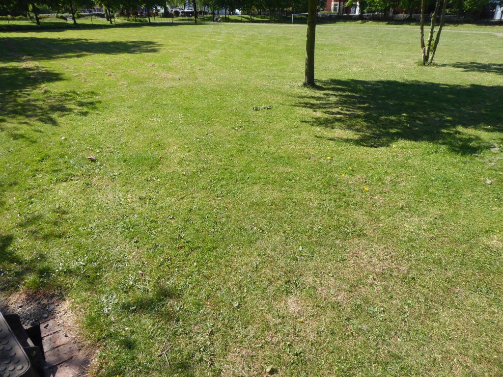
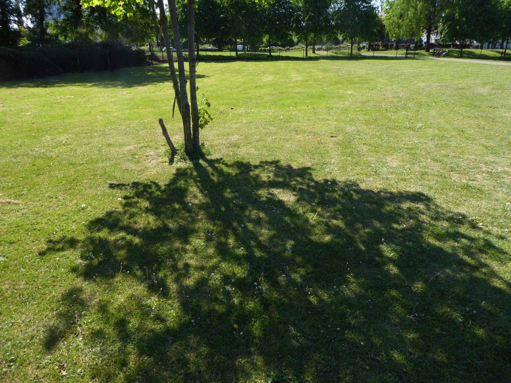
Help was at hand – one of many public projects funded by our old friends the EU. Changes in the way that parks were used and further spending cuts sounded the death knell for the flowers and bowling. Large open grassed areas were cheaper and easier to maintain.

And so the sunken garden was filled in, this time by mechanical means – all in a days work for a bloke with a JCB.

So I sit and reflect on the labour and conditions that created this and many of our public parks, our legacy is a much impoverished version of the original vision.

I think of my grandad Sam and his comrades, the sweat of their collective brows buried forever.

Our legacy the small state, a bring and buy your own world economy.

It would make you weep.

Mellands Playing Fields – Mount Road

Does it all begin here with Frederick Melland?

His zeal for play-grounds and open spaces was always great, and only a few years ago he took part in an agitation for the acquisition of a new park.

Seen here at the centre of the contemporary map – an empty space with no indication of its current use, or past status – drawn a blank.

It’s here in an aerial photograph of 1931.

Photograph – Britain From The Air

Surrounded by newly built social housing.

Melland Road 1965

Levyboy’s website informs us of the fields’ wartime uses:

As a Military Police and POW Camp
The 48th Battalion Manchester Home Guard used the facilities 

Photograph Brian Wood

I remember from the 60’s onwards the fields in use for amateur football – pubs, clubs, schools and works all supplying teams to the plethora of leagues across the city.

Auster Aircraft of Airliners forced to land at Melland Playing Fields whilst towing banner 1961
1963

Archive photographs – Local Image Collection

The pitches and the sports centre built in 1978 are now closed.

On my previous visit in 2015 the facilities were still open.

New housing has been built on the northern edge.

Gorton has received significant regeneration and investment over recent years as have nearby areas including Levenshulme. This is an aspirational, exciting new development and Arkwright Place has something for everyone – from first time buyers to growing families and downsizers – with a huge range of beautiful homes on offer.

A local campaign was organised to preserve the open space:

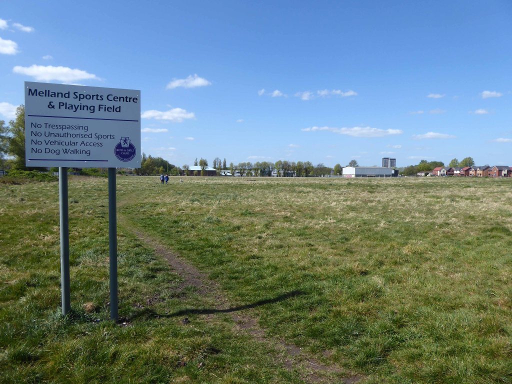
At present the fields are fenced and secured – though gaps have been made to allow access for strollers.

The goalposts still stand though currently without crossbars.

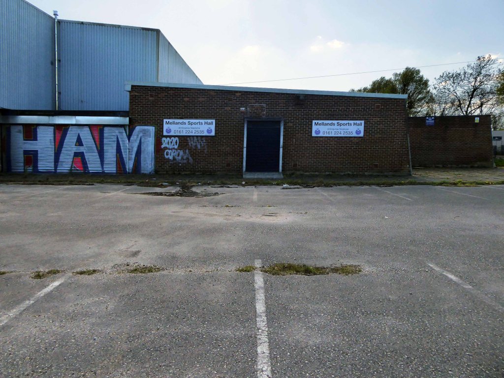
Which are stored by the Sports Hall.

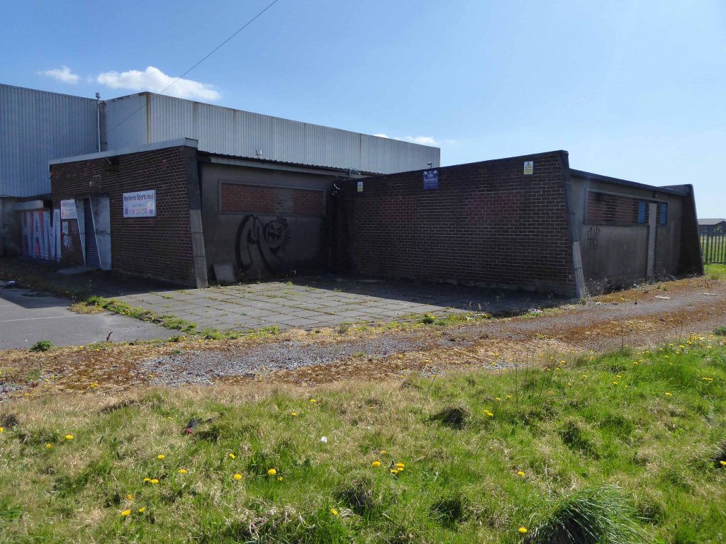
The buildings are mothballed – awaiting what?

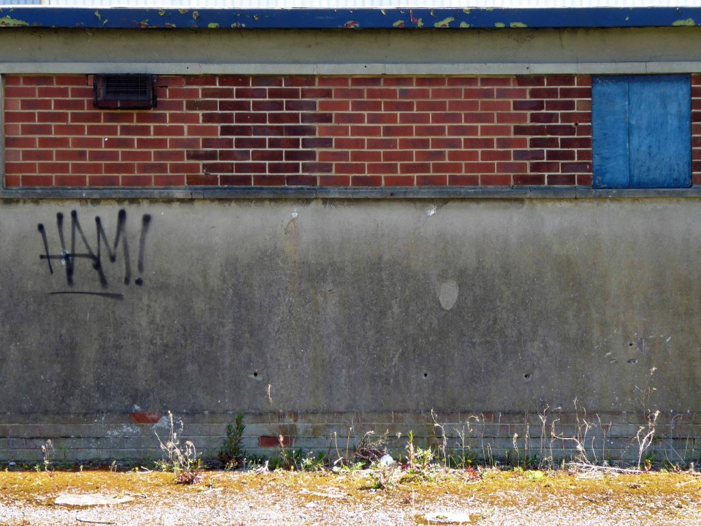
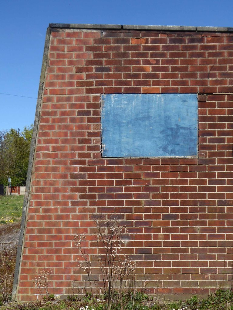
For me the concrete and brick functionalist changing rooms are a thing of beauty and seem to have been a part of my life for quite some time, as I cycled back and to – on my way to work.

Ten Acres Lane – Manchester

Ten Acres Lane 1904 running south from Oldham Road – not quite crossing under the Ashton and Stalybridge Railway.

I was propelled by the vague memory of an Ashton Lads football match way back in the 1970s – my dad Eddie Marland managed the team in the Moston and Rusholme League.

There was land given over to recreation from 1900, the area is famed for its links to the inception of Manchester United and almost but not quite became home to FC United.

The Recreation Grounds in 1900.

To the left of the inter-war housing in 1963.

So I took a trip back in time along the lane – courtesy of the Local Image Collection.

In 1896 the area was largely farmland.

Baguley Fold Farm – occupying land adjacent to the Medlock Valley.
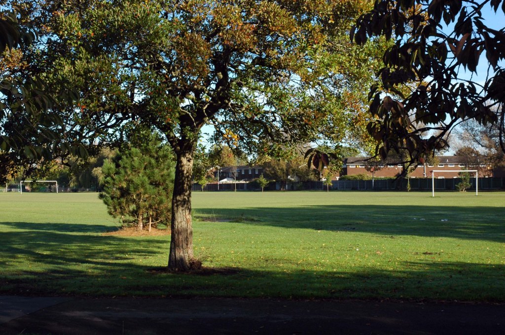
Farm Yard Tavern closed in 1917 a Rothwell’s pub supplied from Heath Brewery on Oldham Road.

This was an area dominated by the Rochdale Canal and criss-crossed with rail links.

The canal bridge 1904.

Construction work 1920.

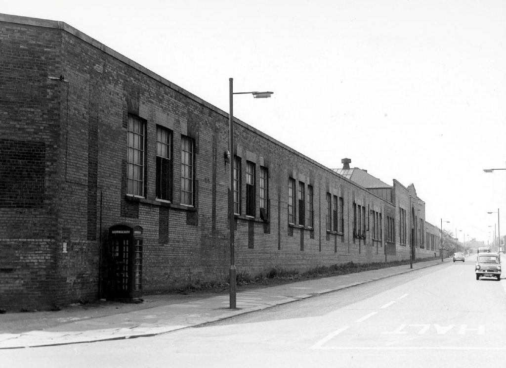
These transport links and the proximity to the Manchester city centre inevitably lead to industrial development on a huge scale.

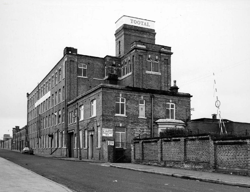
Tootal’s Mill on adjoining Bower Street.

CWS warehouse and works corner of Briscoe Lane.

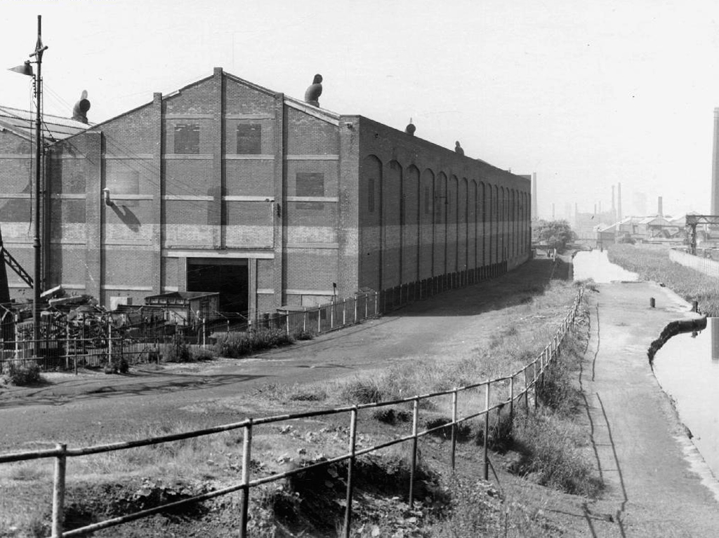
Mather And Platt’s adjoining the Rochdale Canal.

The area was also home to Jackson’s Brickworks.

There was a Co-op shop.

Going going gone St Paul’s Church seen here in 1972.

Victorian terraces and inter-war social housing – homes for a large industrial work force.

Many of the sights and sites above are still extant though their appearance and uses have changed along with the times. Manchester inevitably continues to from and reform for good or ill.

Sadly the old Rec the Moston and Rusholme League and my dad are all long gone – though it’s just as well to remember them all fondly, as we travel through our familiar unfamiliar city.