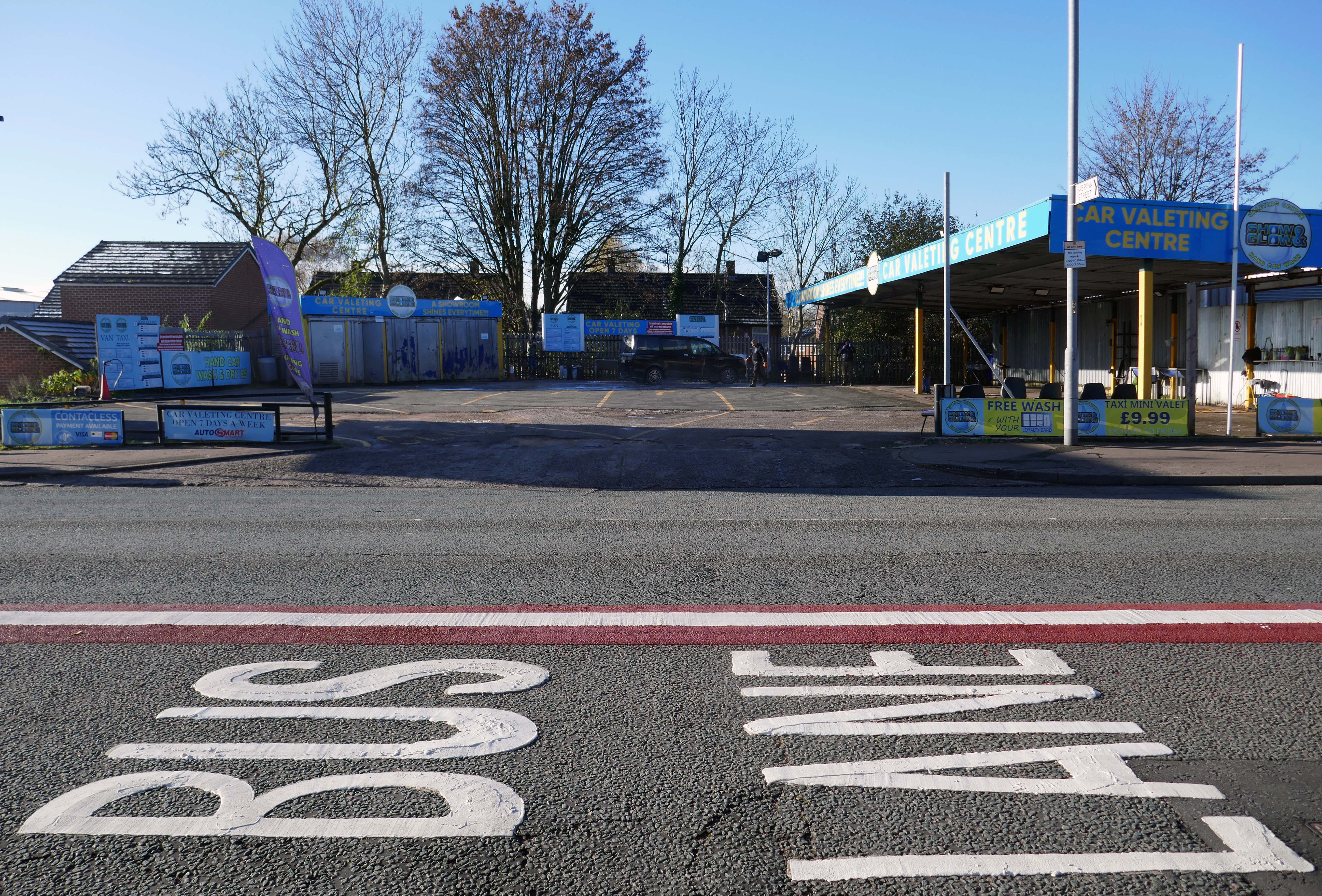
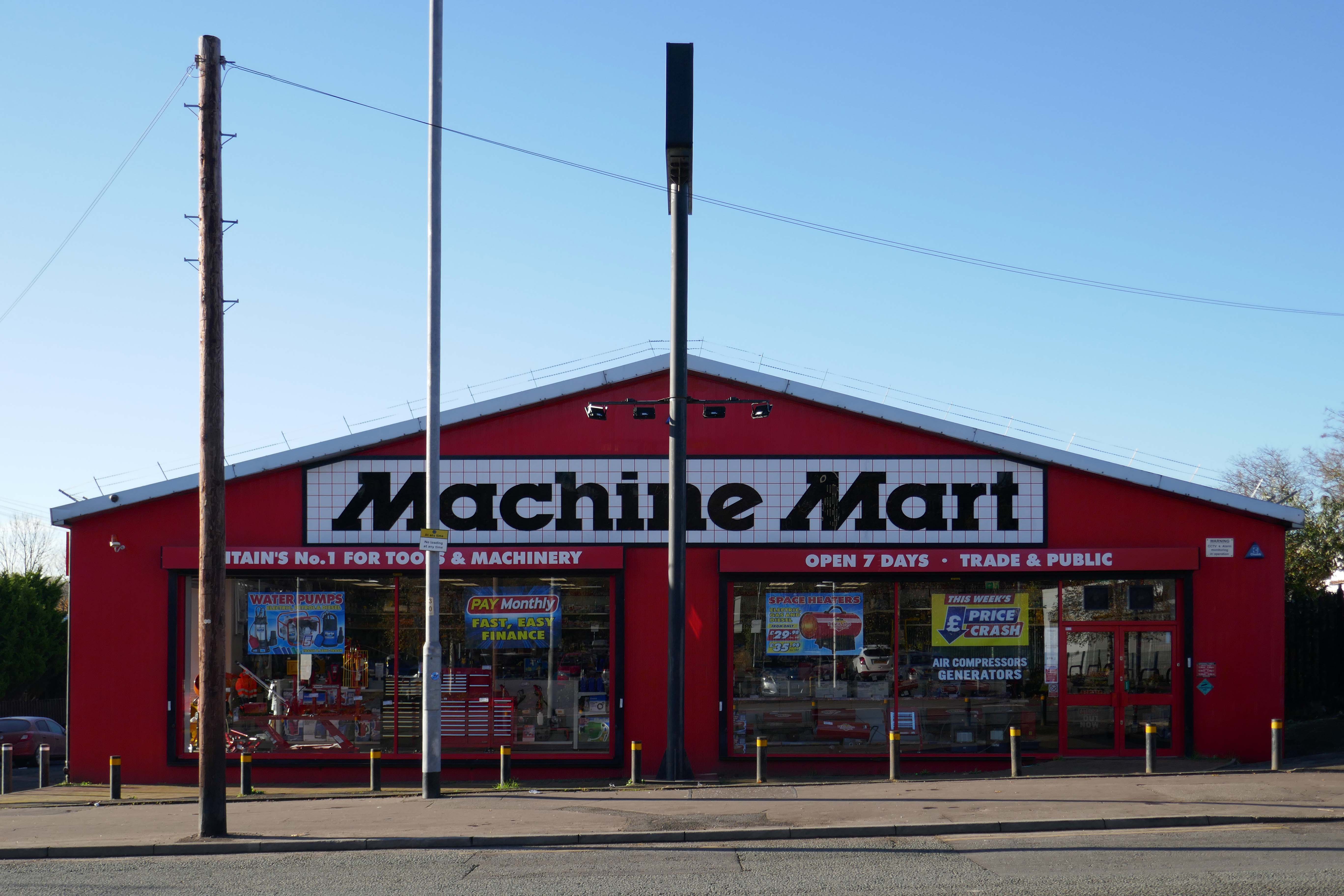
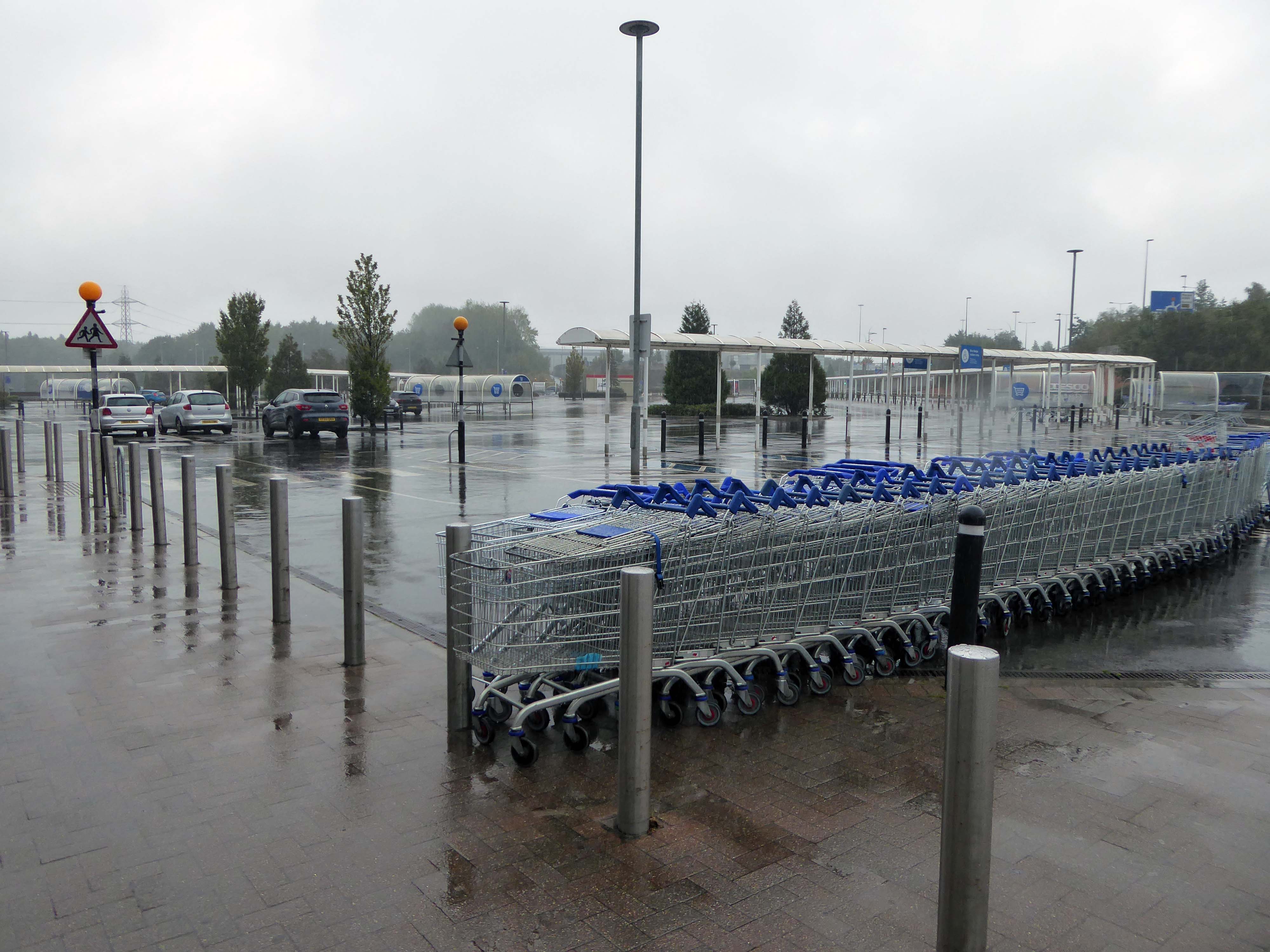
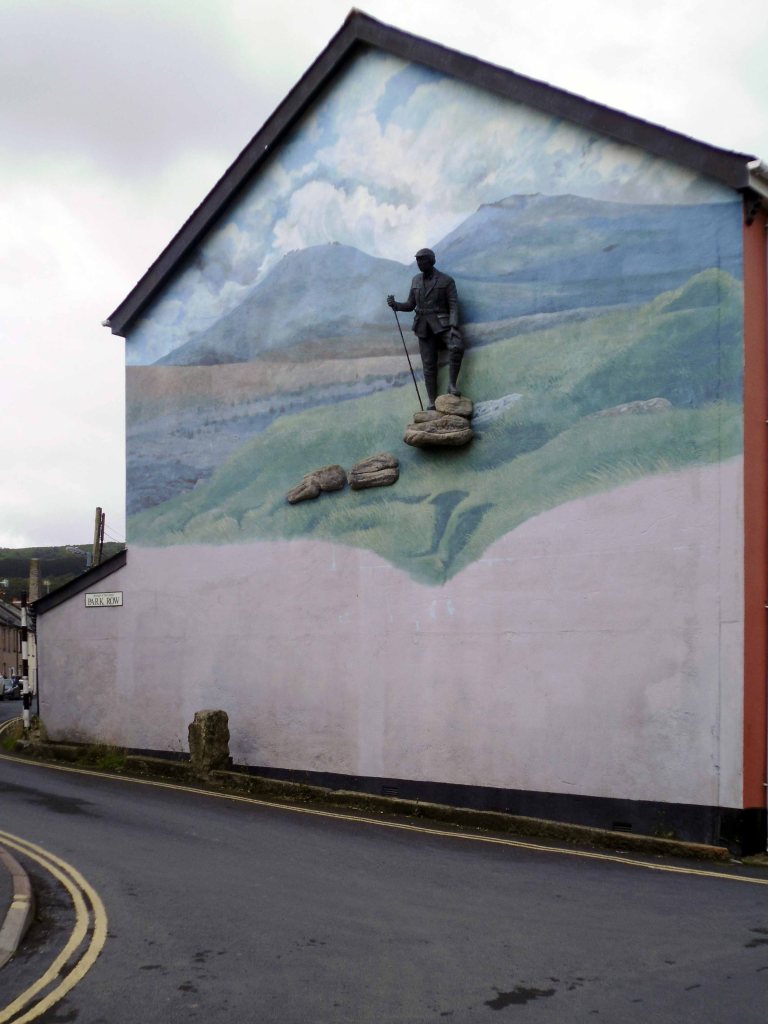
Having photographed the arterial roads of Manchester in 2014, I have resolved to return to the task in 2024.
Some things seem to have changed, some things seem to have stayed the same.


Having photographed the arterial roads of Manchester in 2014, I have resolved to return to the task in 2024.
Some things seem to have changed, some things seem to have stayed the same.

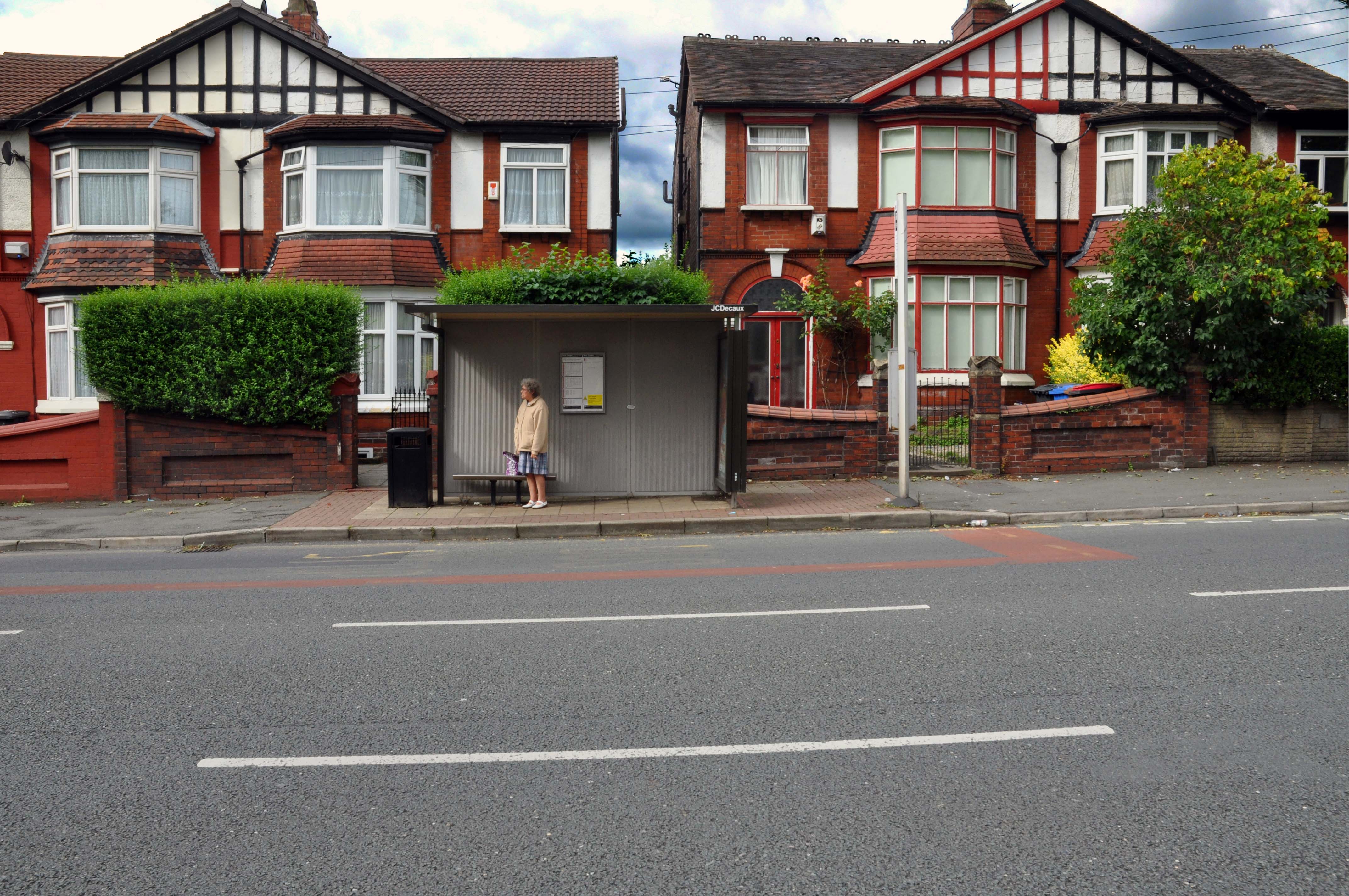
Having photographed the arterial roads of Manchester in 2014 I have resolved to return to the task in 2024.
Some things seem to have changed, some things seem to have stayed the same on Ashton New Road.


Having photographed the arterial roads of Manchester in 2014, I have resolved to return to the task in 2024.
Some things seem to have changed, some things seem to have stayed the same.


Having photographed the arterial roads of Manchester in 2014, I have resolved to return to the task in 2024.
Some things seem to have changed, some things seem to have stayed the same.


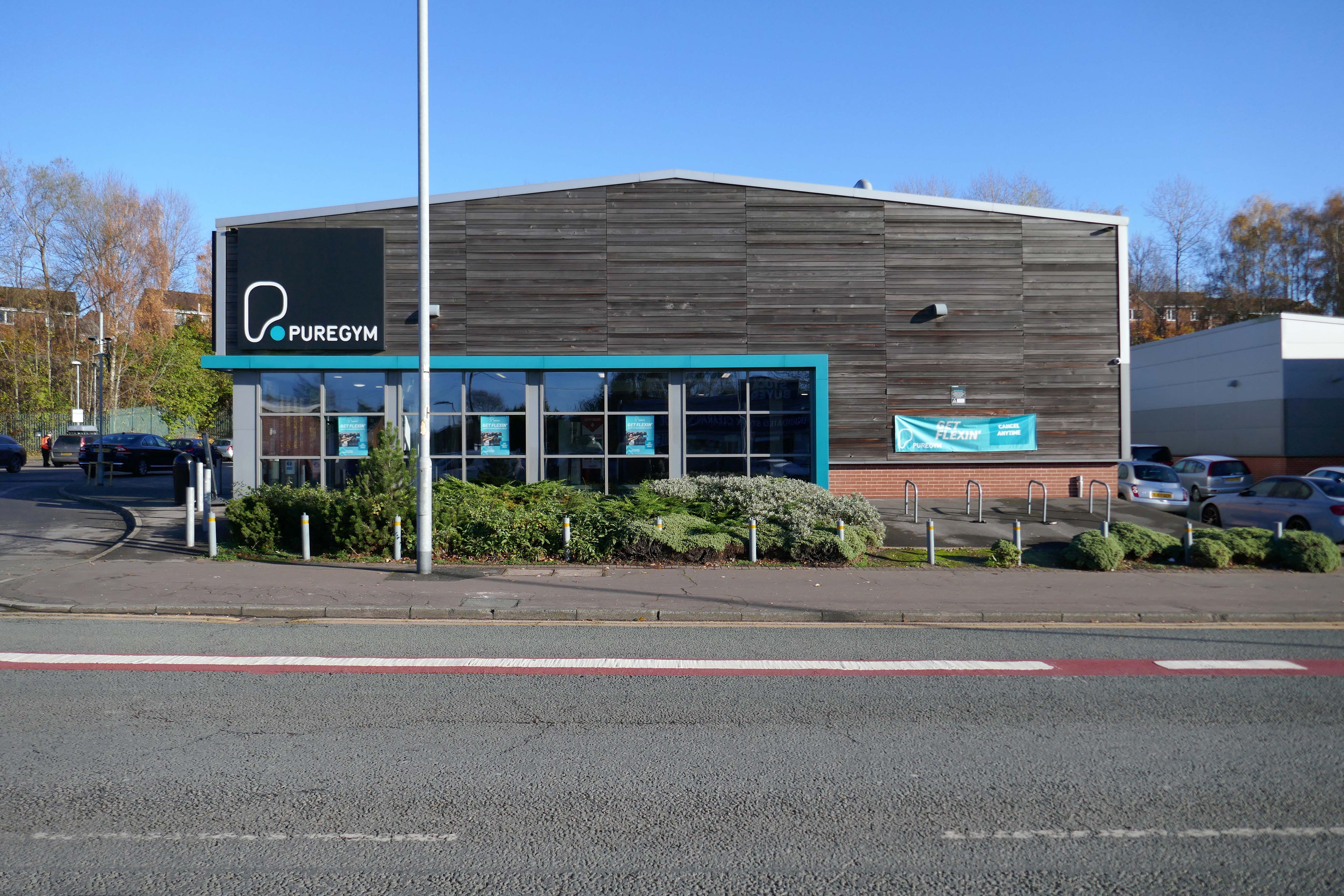
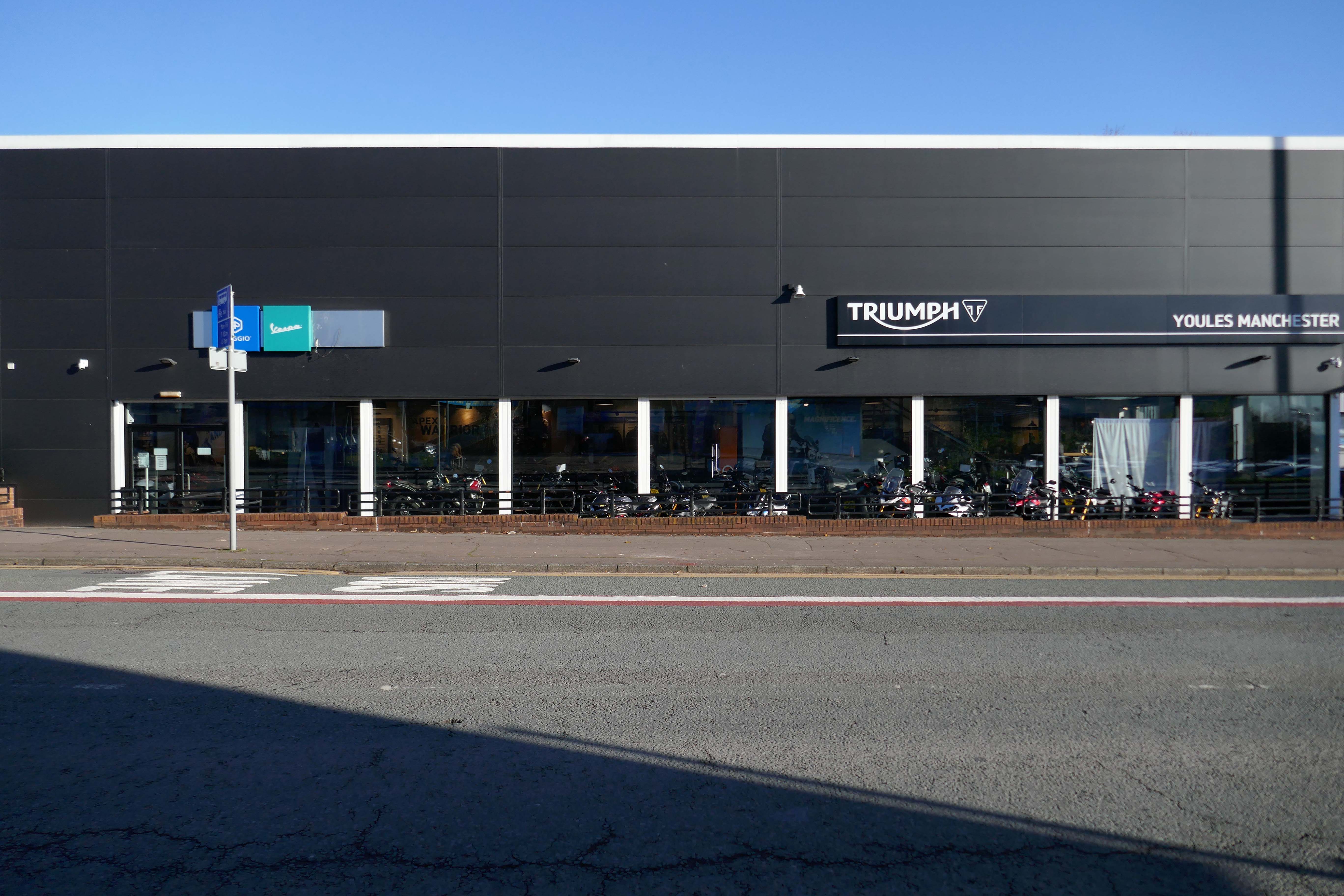
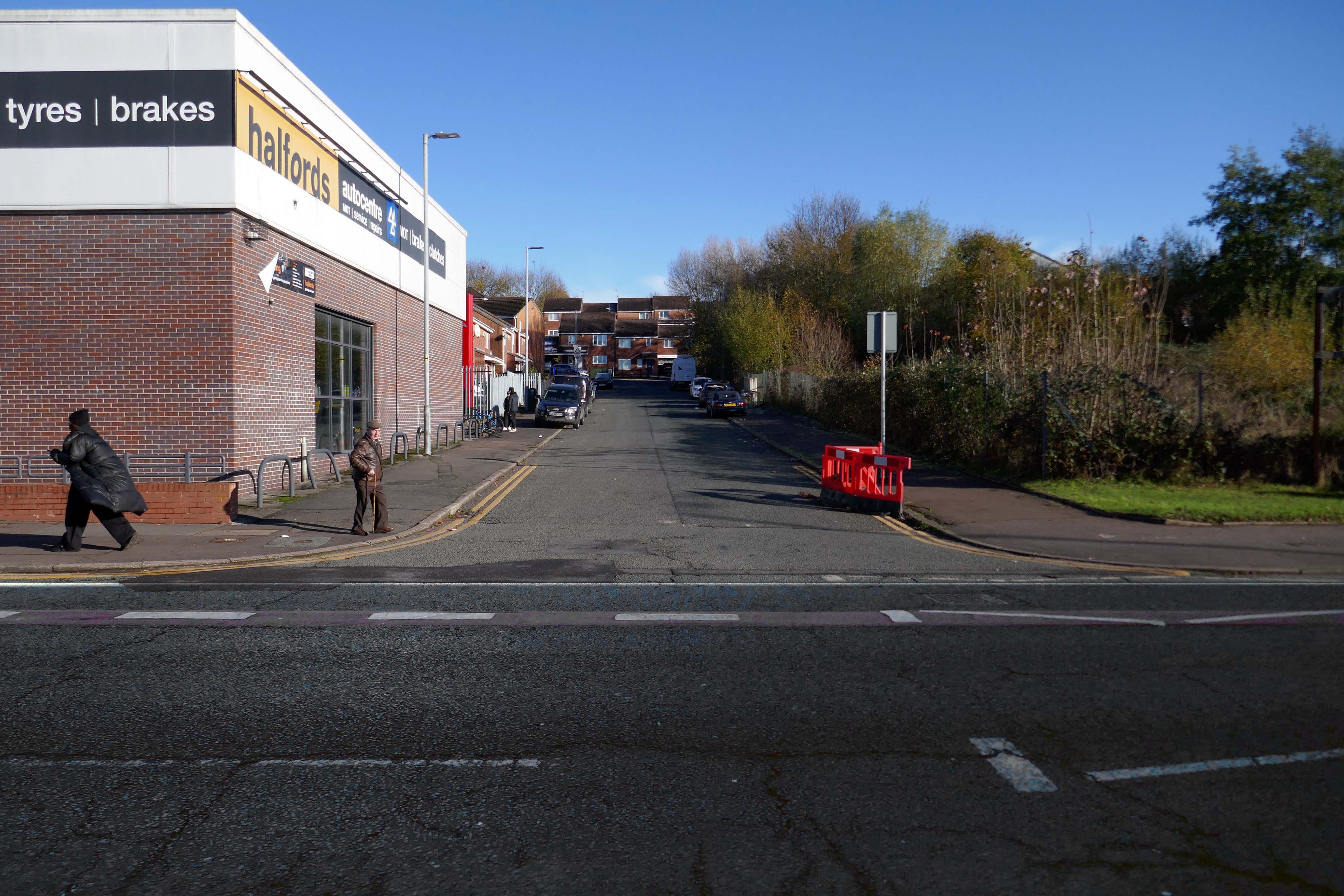
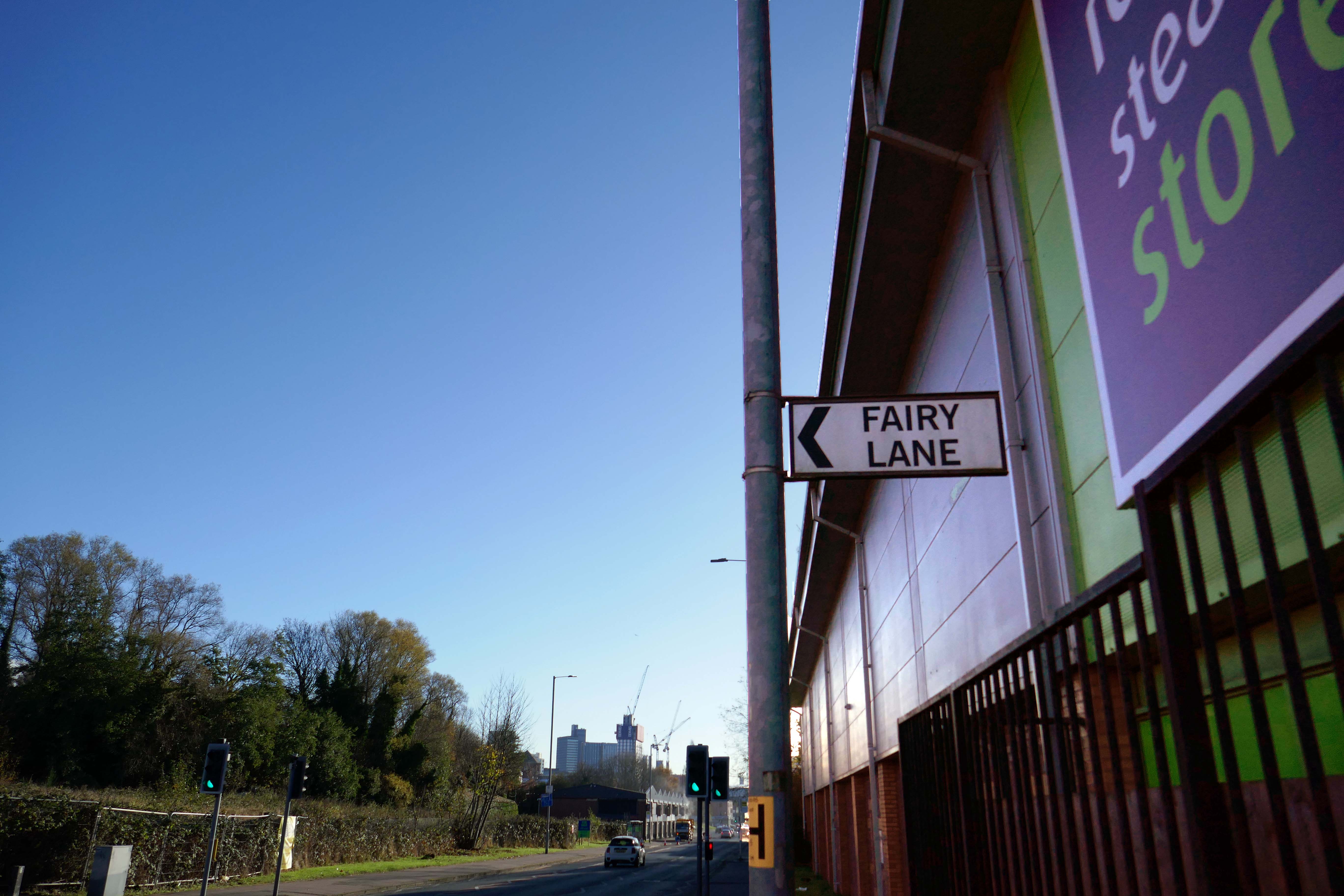
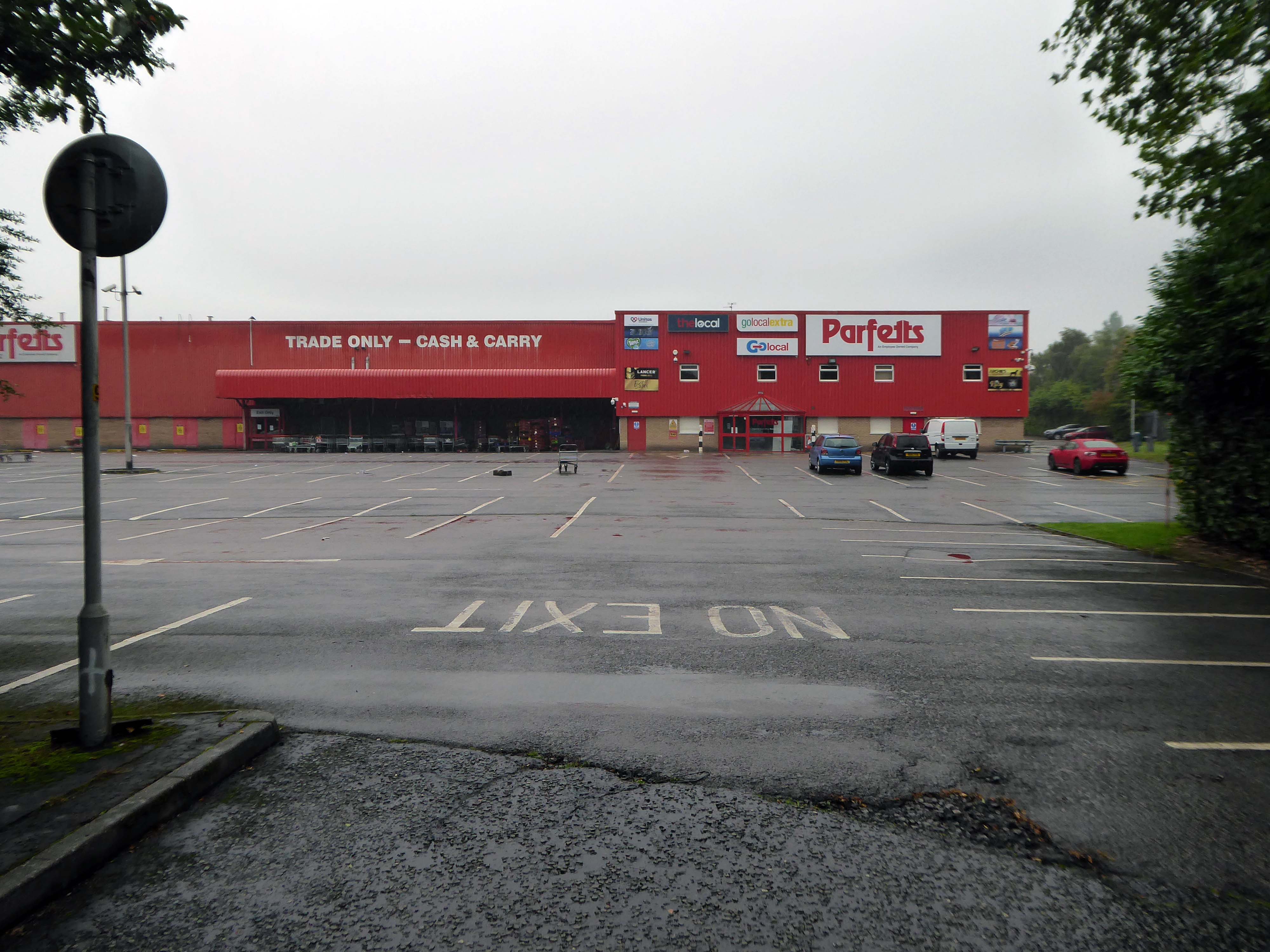
The A5103 is a major thoroughfare running south from Piccadilly Gardens in Manchester city centre to the M56 in Northenden. The road is two-lane dual carriageway with a few grade-separated junctions. It is used by many as a link to the airport and to the motorway network south.
The road starts at Piccadilly Gardens where it meets the A6. It heads along Portland Street – at one time it ran along the parallel Mosley Street, past fast-food outlets and off-licences and then meets the A34 Oxford Street. It multiplexes with that road north for 200 yards into St Peter’s Square and then turns left into Lower Mosley Street, initially alongside the tramlines and then past the former Manchester Central station, now a conference centre with the same name. The road becomes Albion Street and goes over the Bridgewater Canal and under the railway line east of Deansgate station. The road then meets the A57(M) Mancunian Way at a roundabout interchange. This is where most of the traffic joins and leaves.
The road is now 2×2 dual carriageway with the name Princess Road. It passes under the Hulme Arch, a grade-separated junction with the A5067, with an unusually large central reservation. This is presumably because of the proposed plans from the 1960s of a motorway. However, after passing under the junction, there are innumerate sets of traffic lights, with the B5219, the A6010 and the A5145, as well as many other unsigned roads. There are also many speed cameras set at 30 mph.
The road picks up pace as we exit the sprawl of South Manchester and the road becomes Princess Parkway, with a 50 mph speed limit. We cross the River Mersey and almost immediately hit the M60 at J5.
Except for the Manchester City Centre section – which was numbered A5068, this road did not exist on classification in 1922. Princess Road was built in 1932 to serve the new southwestern suburbs; initially it ran between the B5219 and A560 and was numbered B5290, with the road later extended north into the A5068 on the southern edge of the city centre and renumbered A5103.
The northern extension through Hulme initially followed previously existing roads, so followed a zigzag route. As part of the road’s upgrade and the reconstruction of Hulme in the 1970s the road was straightened and the original route can no longer be seen. The A5068 was severed around this time with the construction of the A57(M) and the A5103 took on its city-centre section, taking it to the A6.


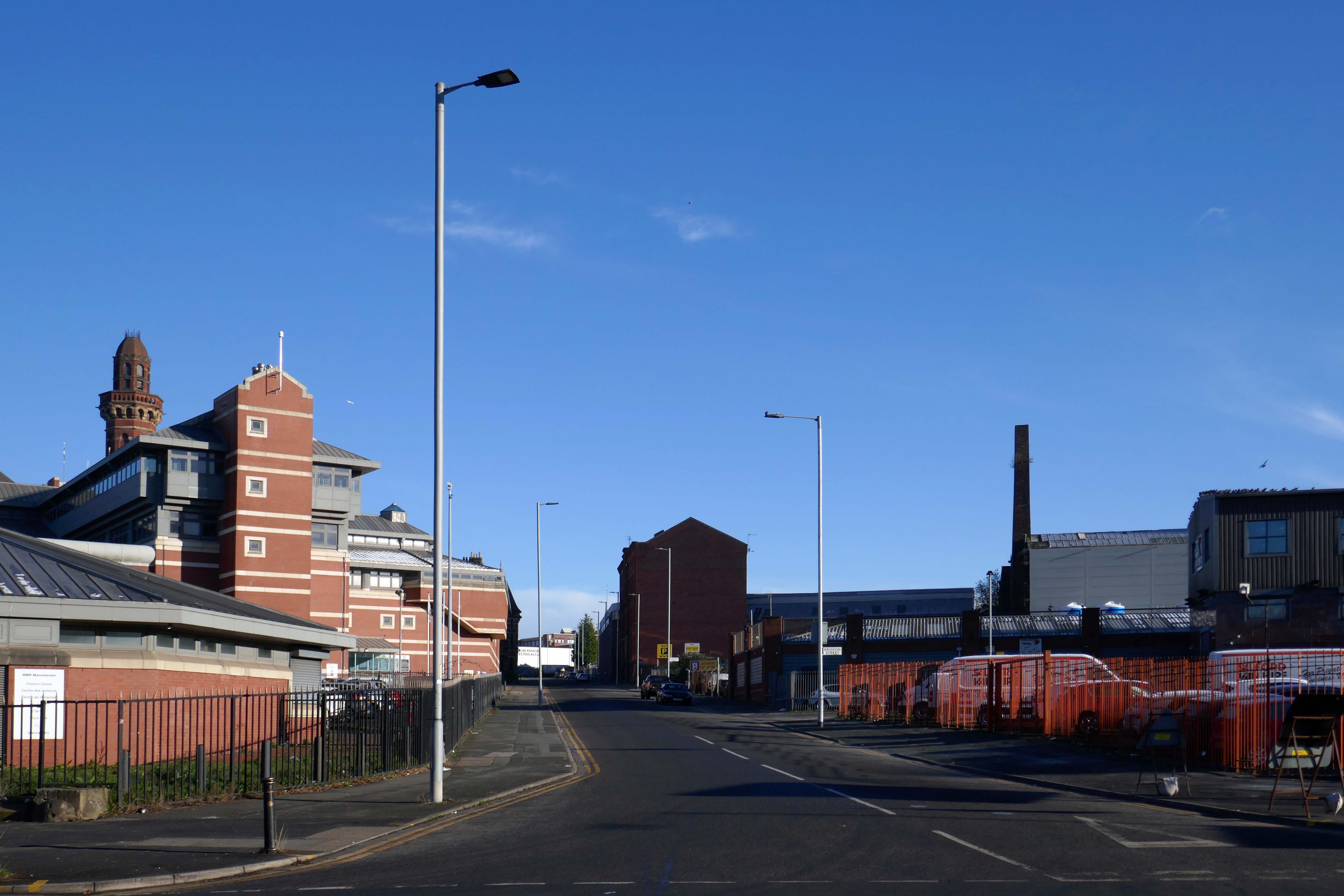
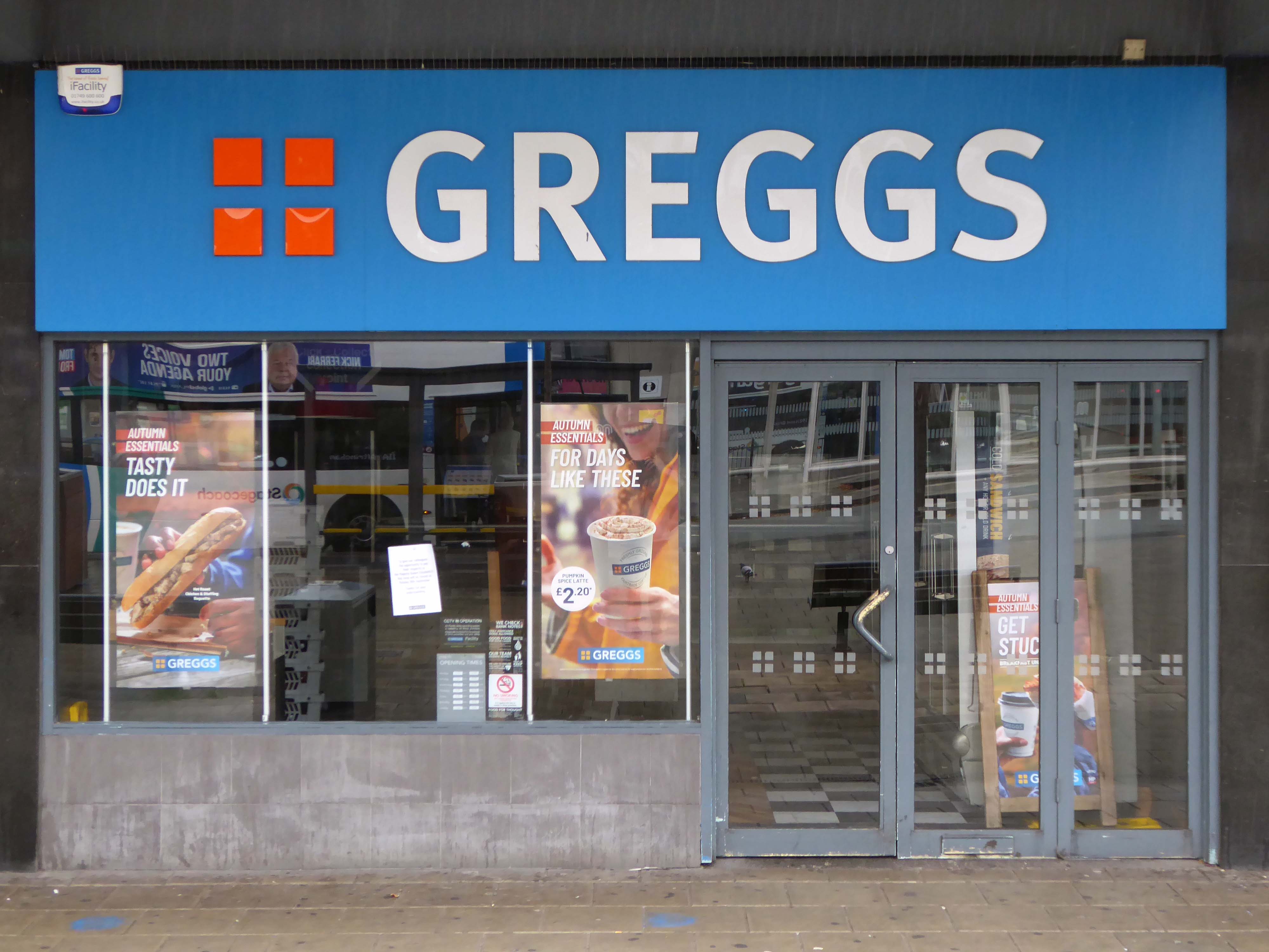
See also Bury New Road and Cheetham Hill Road and Rochdale Road and Oldham Road and Ashton New Road and Ashton Old Road and Hyde Road and Stockport Road and Kingsway.


The A34 is a major route from the ports on the South Coast of England to the Midlands and the North West, with the standard varying from rural dual carriageway sections in the south to urban single carriageway in the north, and everything else in between.
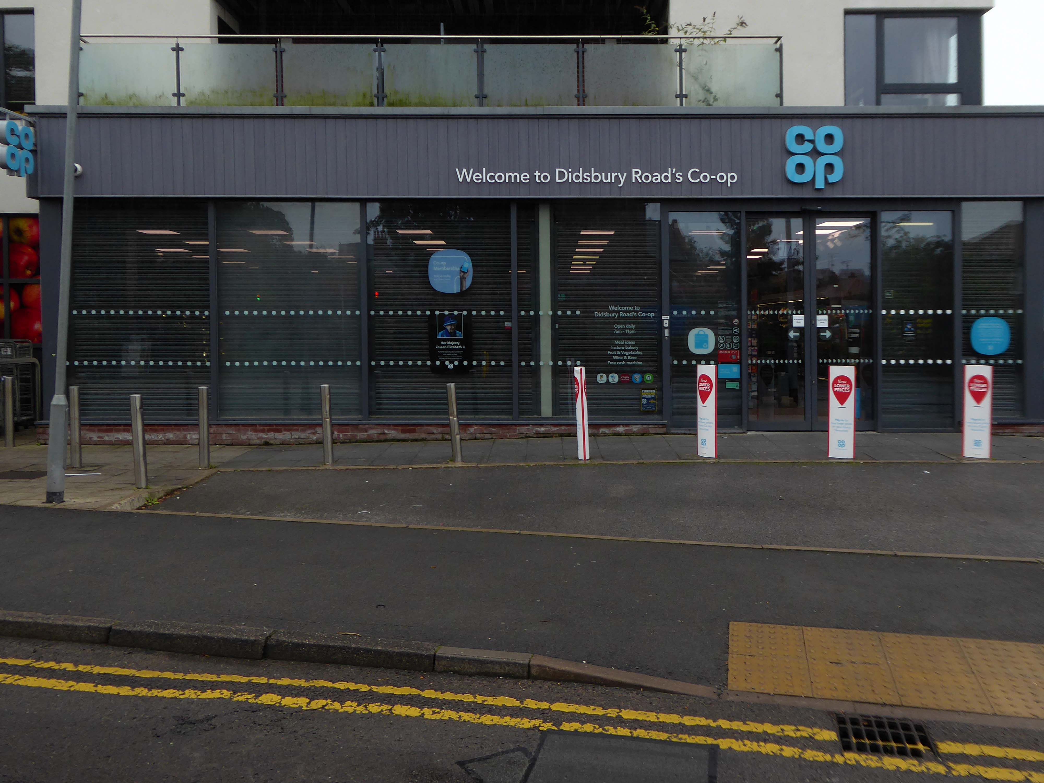
Slade Lane junction, Rushford Park to Parr’s Wood, East Didsbury – to connect to Manchester Road to Cheadle. It continued on to Laneside Road as a residential road. Opened on 11 April 1923 by Mary Cundiff, Lady Mayoress, and Margaret Turnbull, daughter of Alderman Turnbull, Chairman of Manchester Town Planning Committee. Width was 100 feet and it was designed for tram tracks in the central reservation. The dual road carriageways were 20 feet wide. Manchester’s tram system was closed in 1949. The carriageways were widened and central reservation grassed over. Originally opened as A5079.
Laneside Road, East Didsbury to Schools Hill/ Wilmslow Road junction, Cheadle. Opened on 12 October 1959. The official opening was on 15 October 1959. Planning for the bypass had been halted by the war. In December 1949 Manchester Corporation stated that it was not a priority since the Corporation was only responsible for the 200 yards to the proposed bridge over the River Mersey and Cheshire County Council had not asked for a joint approach to Ministry of Transport to build it. Work was finally authorised in January 1957 and started in the June. Width was 90 feet with dual 24 foot carriageways. Expected cost was £600,000 to £700,000.
In 2014, having taken early retirement from teaching photography, I embarked on a series of walks along the arterial roads of Manchester.


See also Bury New Road and Cheetham Hill Road and Rochdale Road and Oldham Road and Ashton New Road and Ashton Old Road and Hyde Road and Stockport Road.


The A6 is Britain’s fourth longest road. Its route varies greatly from the lower lands of the South East, though the Peak District, right though the heart of Manchester city centre, then onwards towards Preston. It then goes though the historic city of Lancaster before skirting the Eastern fringe of the Lake District before ending in Carlisle, bang on the start of the A7.
North from Stockport towards Manchester, the A6 was a wide, four lane road, but still 30 mph, which usually flowed pretty well. According to Mudge, it looks like it has now been massacred by bus lanes and red paint. Shame. We meet the A57 from the east, just south of the city centre, and multiplex until we reach Mancunian Way, the A57 heading off as a short urban motorway, the A6 heading into the city centre via London Road/Piccadily, where it loses its number and vanishes. It would have gone straight down Piccadily/Market Street to meet Deansgate, and then across the River Irwell into Salford, and up Chapel Street, where the number reappears. Market Street has been pedestrianised for years, so the A6 has long ceased to be a through route.
In 2014, having taken early retirement from teaching photography, I embarked on a series of walks along the arterial roads of Manchester.


See also Bury New Road and Cheetham Hill Road and Rochdale Road and Oldham Road and Ashton New Road and Ashton Old Road and Hyde Road.


The A57 was nearly a coast to coast route. It passes through three major city centres (Liverpool, Manchester, and Sheffield – with elevated sections in each) and several smaller ones, multiplexes with the A6 and the A1, follows the banks of two canals and negotiates the remotest part of the Peak District. In one city it part of it is a tram route, whilst in another its former route is also a tram route. After all these adventures, it sadly gives up just 40 miles short of the east coast, Lincoln apparently proving too big an obstacle.
The A57 crosses the River Irwell at Regent Bridge before entering its moment of motorway glory as the A57(M) Mancunian Way skirting the south of Manchester’s city centre on an elevated section and crossing the A56 and A34. This includes a half-completed exit that goes the wrong way up Brook Street – a one way street. The original A57 ran further north through the city centre along Liverpool Road (now the A6143) and Whitworth Street – B6469 as far as the A6 London Road which marked the start of a multiplex.
At the end of Mancunian Way, we reach a TOTSO, straight on being the short unsigned A635(M) and thence the A635 – for Saddleworth Moor, Barnsley and Doncaster whilst the A57 turns south, briefly multiplexing with the A6, and then branching off along Hyde Road. This section of road was extensively cleared for the westward extension for the M67, and consequently has seen a lot of redevelopment.
In 2014, having taken early retirement from teaching photography, I embarked on a series of walks along the arterial roads of Manchester.


See also Bury New Road and Cheetham Hill Road and Rochdale Road and Oldham Road and Ashton New Road and Ashton Old Road.


Starting at traffic lights on the A665 the road heads northeastwards, initially with the Metrolink on the left and a factory building on the right. The road then bears right at traffic lights marking the first section of on-street running for the trams, which lasts until just before a bridge over the River Medlock, after which the road passes to the south of the Sportcity complex whilst the tram line runs through the middle.
The A6010 is crossed at traffic lights, after which we see the tram lines on the left once more. We go over the Ashton Canal, then the tram lines at grade before bearing to the right to pass Clayton Park before another section of on-street running for the Metrolink begins, which continues for some distance. Just after crossing the Manchester city limit there is a set of traffic lights, after which the road becomes D2 for a short distance to allow a tram stop – Edge Lane, to be located in the central reservation. The tram leaves the road to the right for the next stop – Cemetery Road, and the stop in Droylsden town centre is once again in the central reservation. In all three cases the street running recommences after the stop.
In 2014, having taken early retirement from teaching photography, I embarked on a series of walks along the arterial roads of Manchester.


See also Bury New Road and Cheetham Hill Road and Rochdale Road and Oldham Road.


The A62, which runs from Manchester to Leeds, via Oldham and Huddersfield, was once the main route across the Pennines, connecting the largest city in Lancashire with Yorkshire’s largest city. However with the completion of the M62 towards Leeds in the early 1970s it lost much of its importance and traffic to the motorway, which runs a few miles to the north. These days, the A62 serves as a busy primary route between Manchester and Oldham, an extremely very quiet route over the Pennines, and then a fairly busy local road linking Huddersfield with Leeds.
Most maps show that the A62 starts its journey in the middle of Manchester by leaving the A6 Piccadilly and running along Lever Street – the original route was the parallel Oldham Street. However, owing to a bus gate Lever Street is not generally accessible from Piccadilly. We head out easterly on a busy street – non–primary, until we meet the Ring Road where we pick up primary status that we retain until Oldham. We turn left at this point and then immediately right to start the A62 proper.
In 2014, having taken early retirement from teaching photography, I embarked on a series of walks along the arterial roads of Manchester.
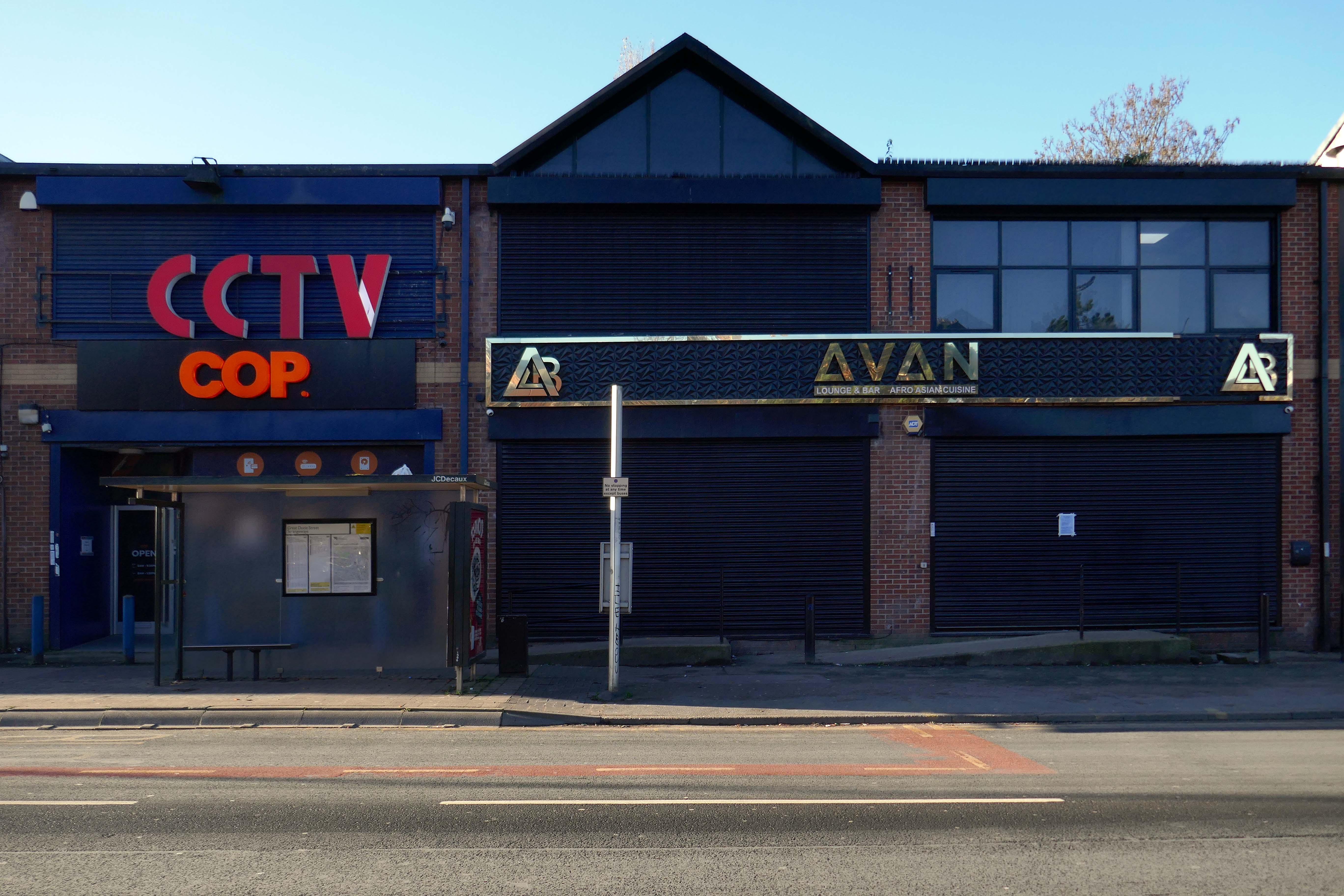
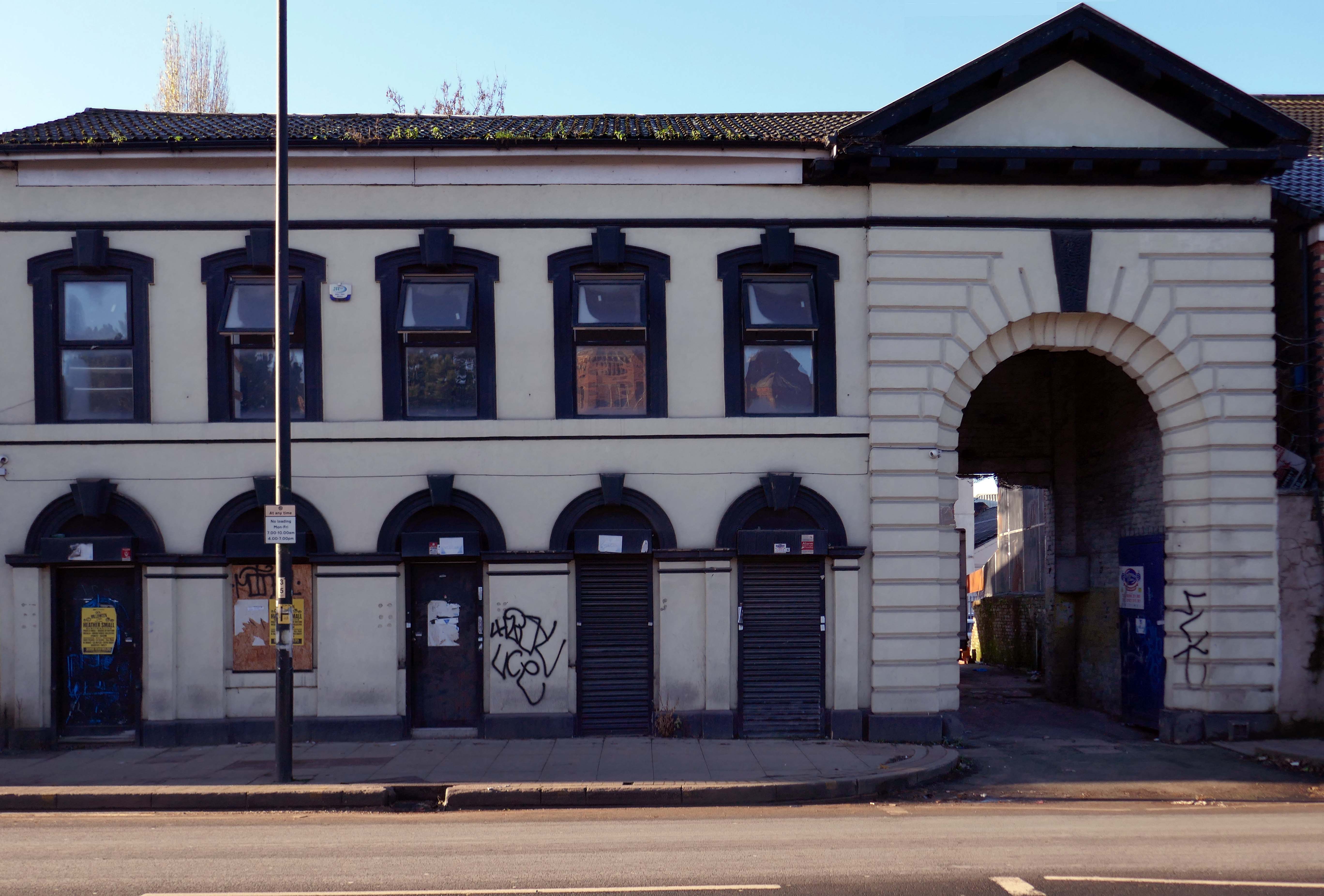
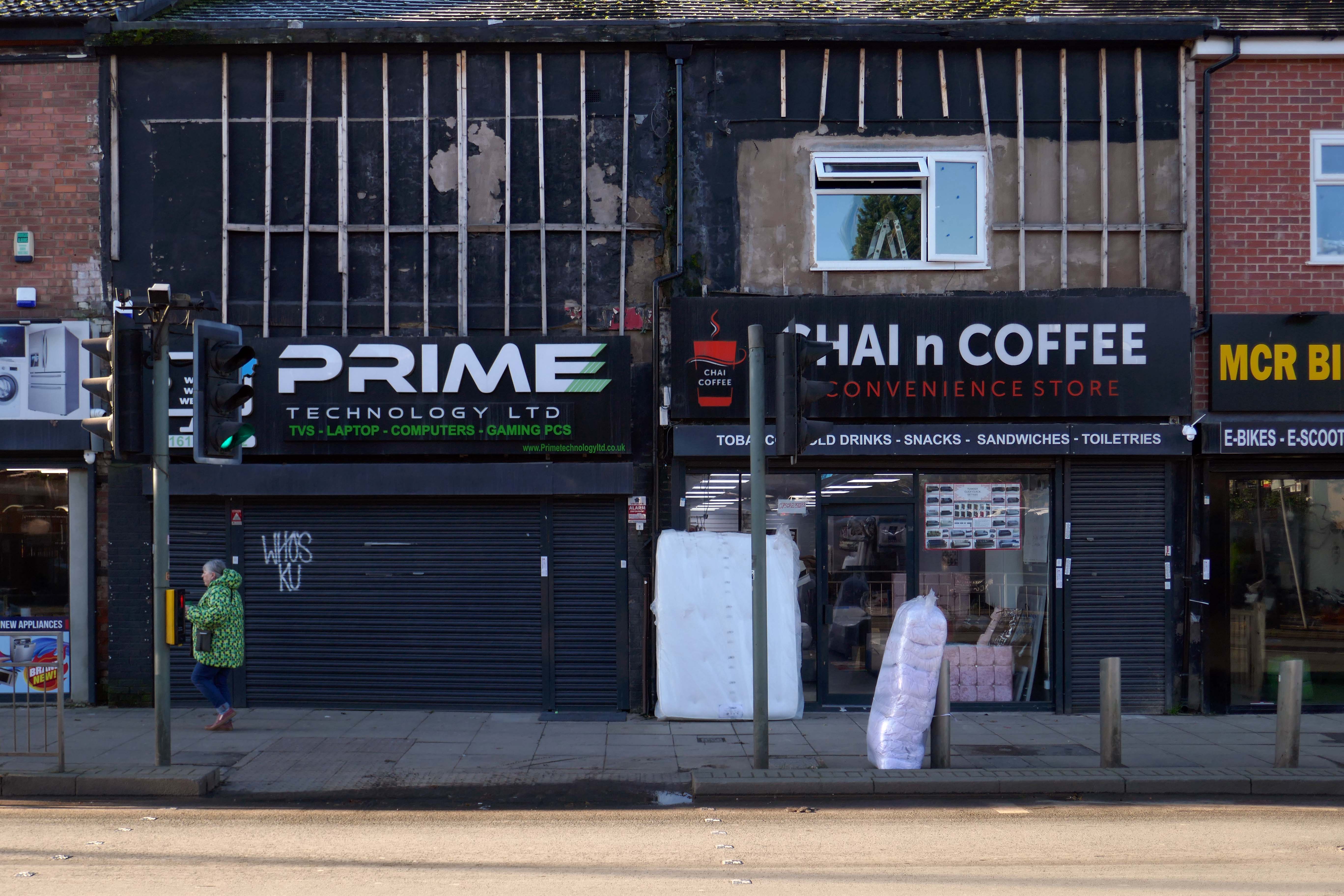
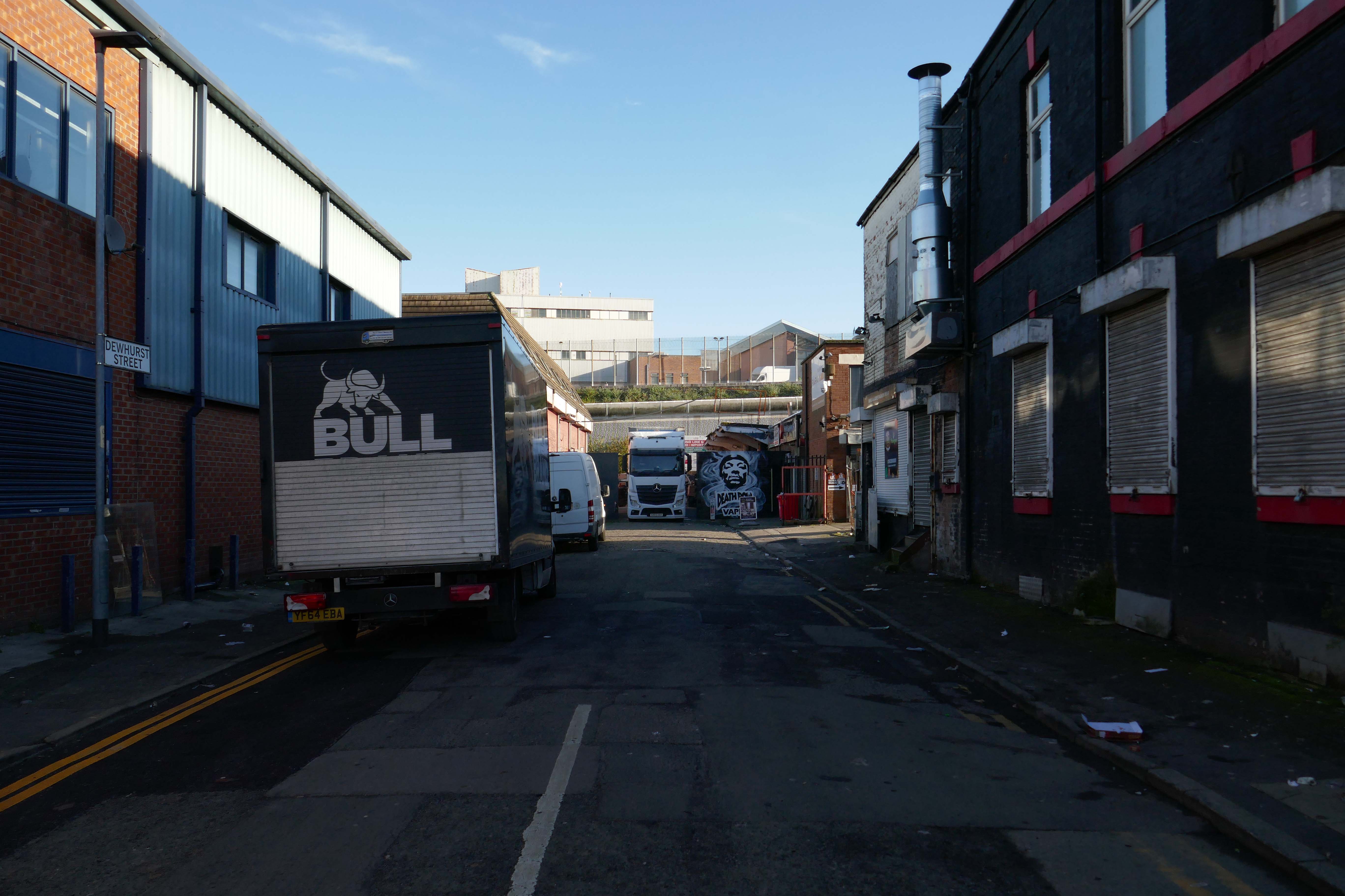
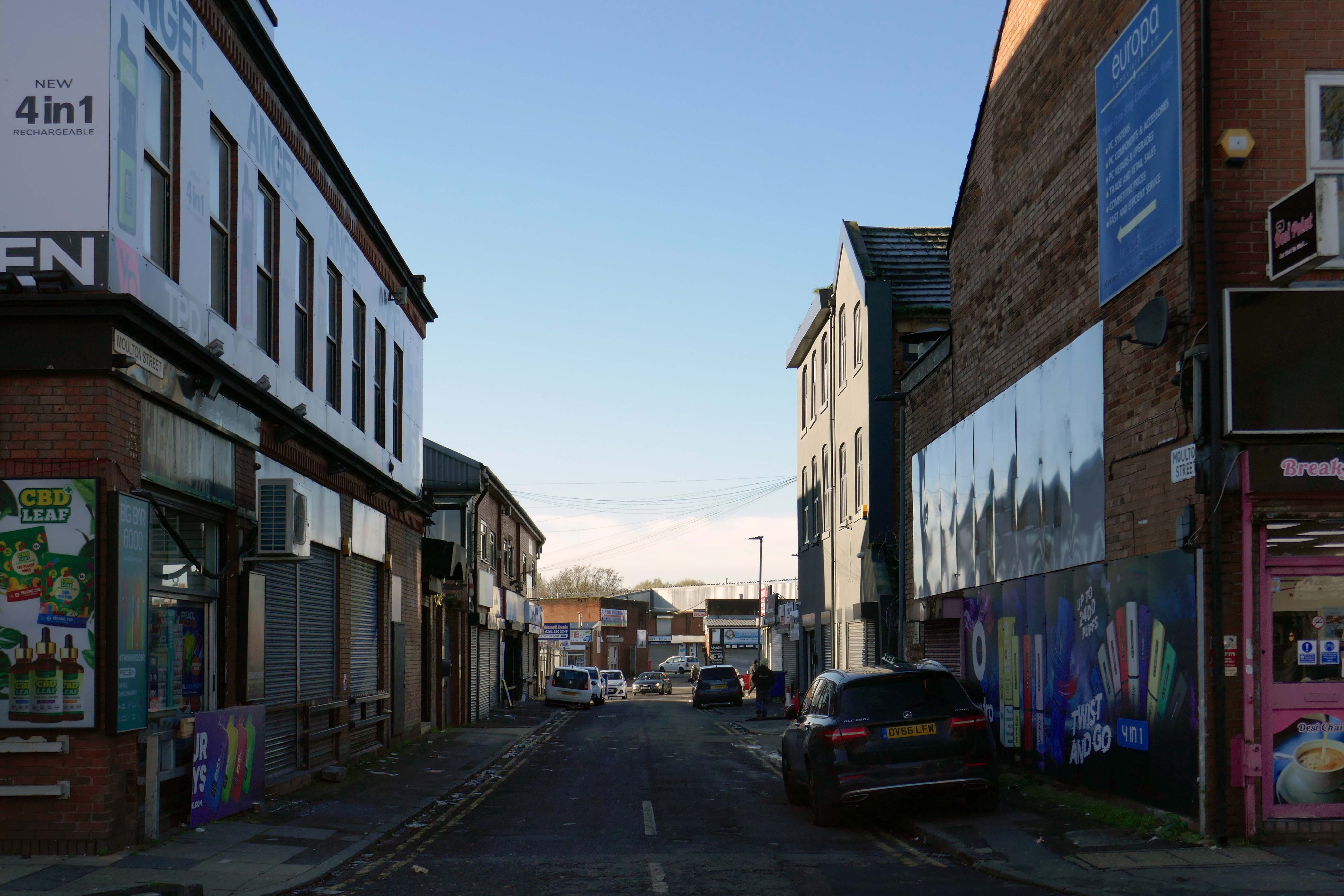
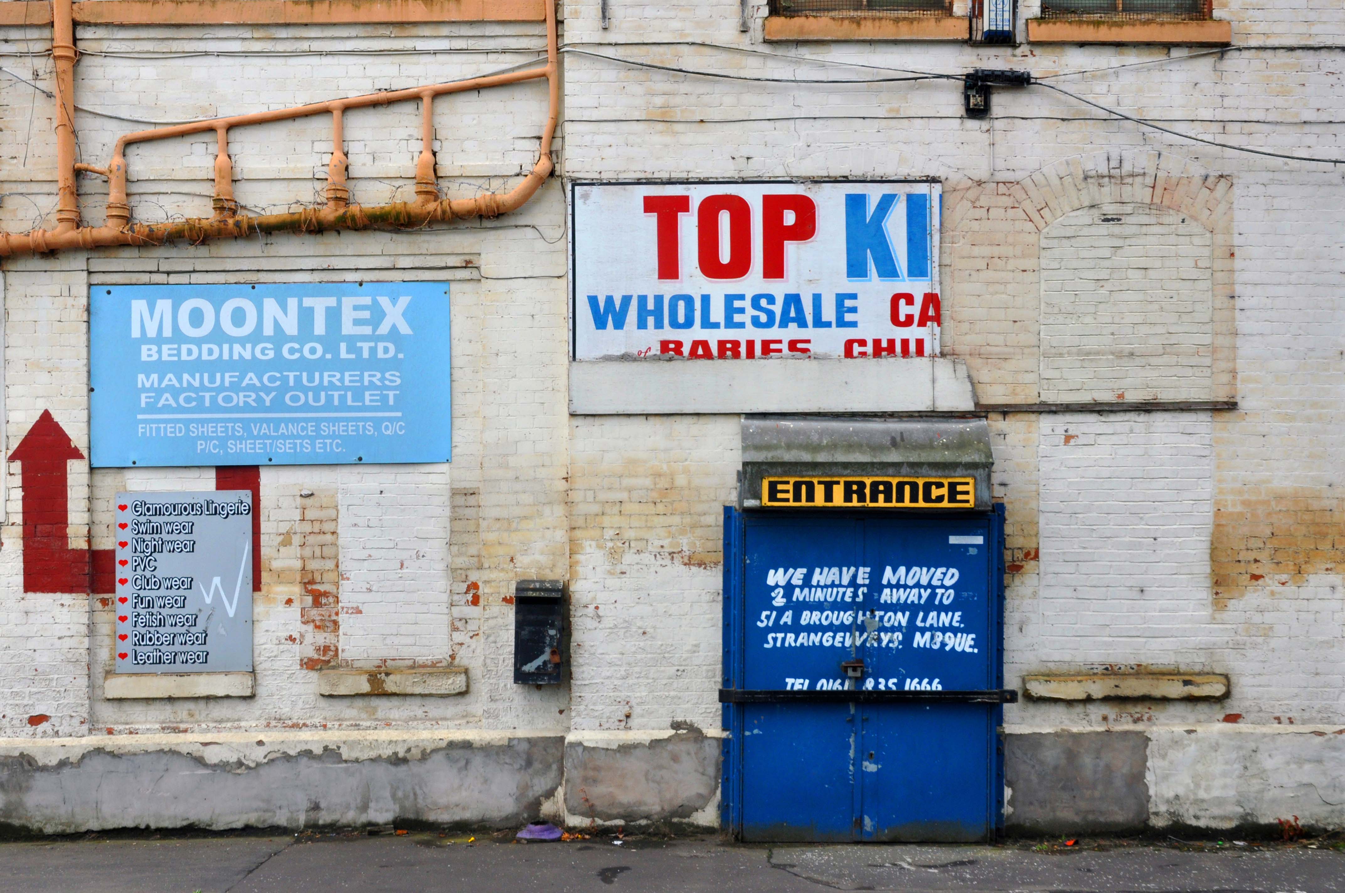
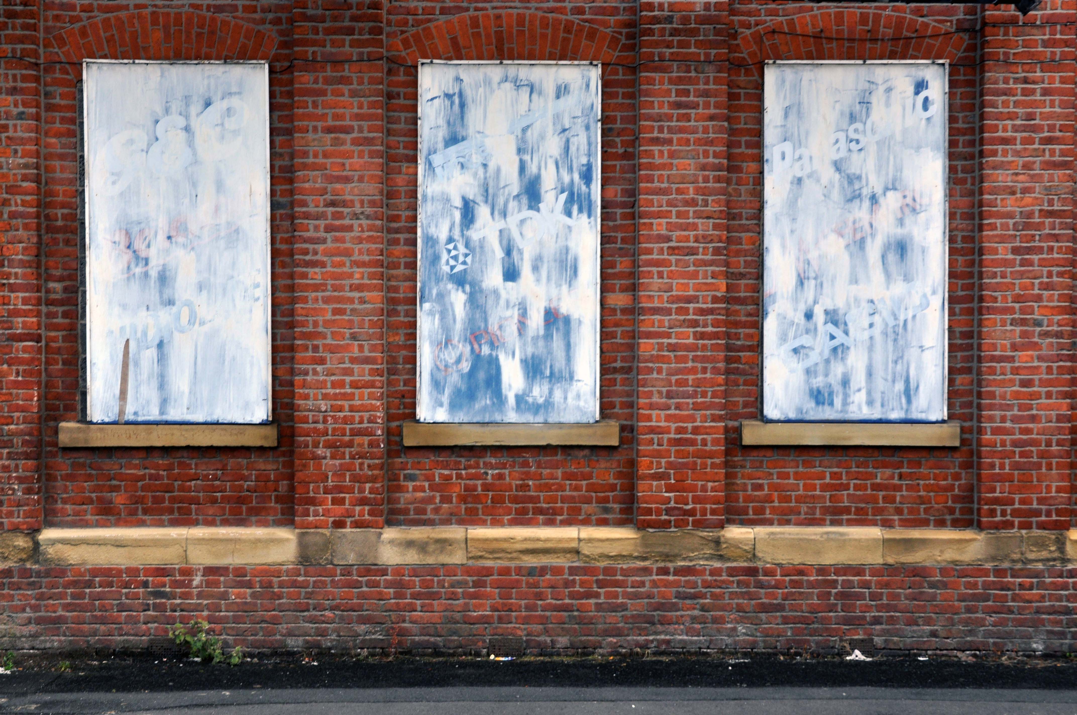
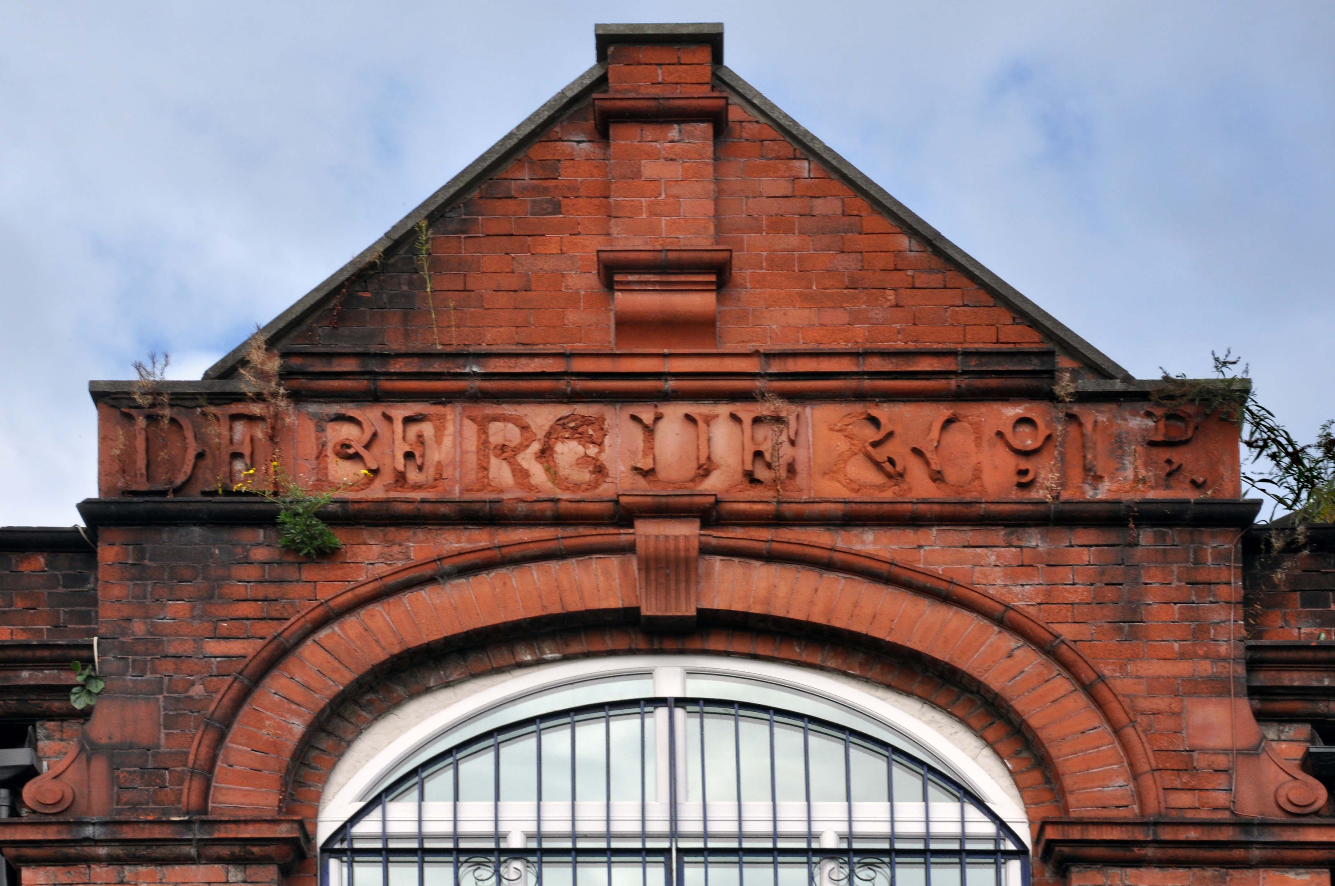
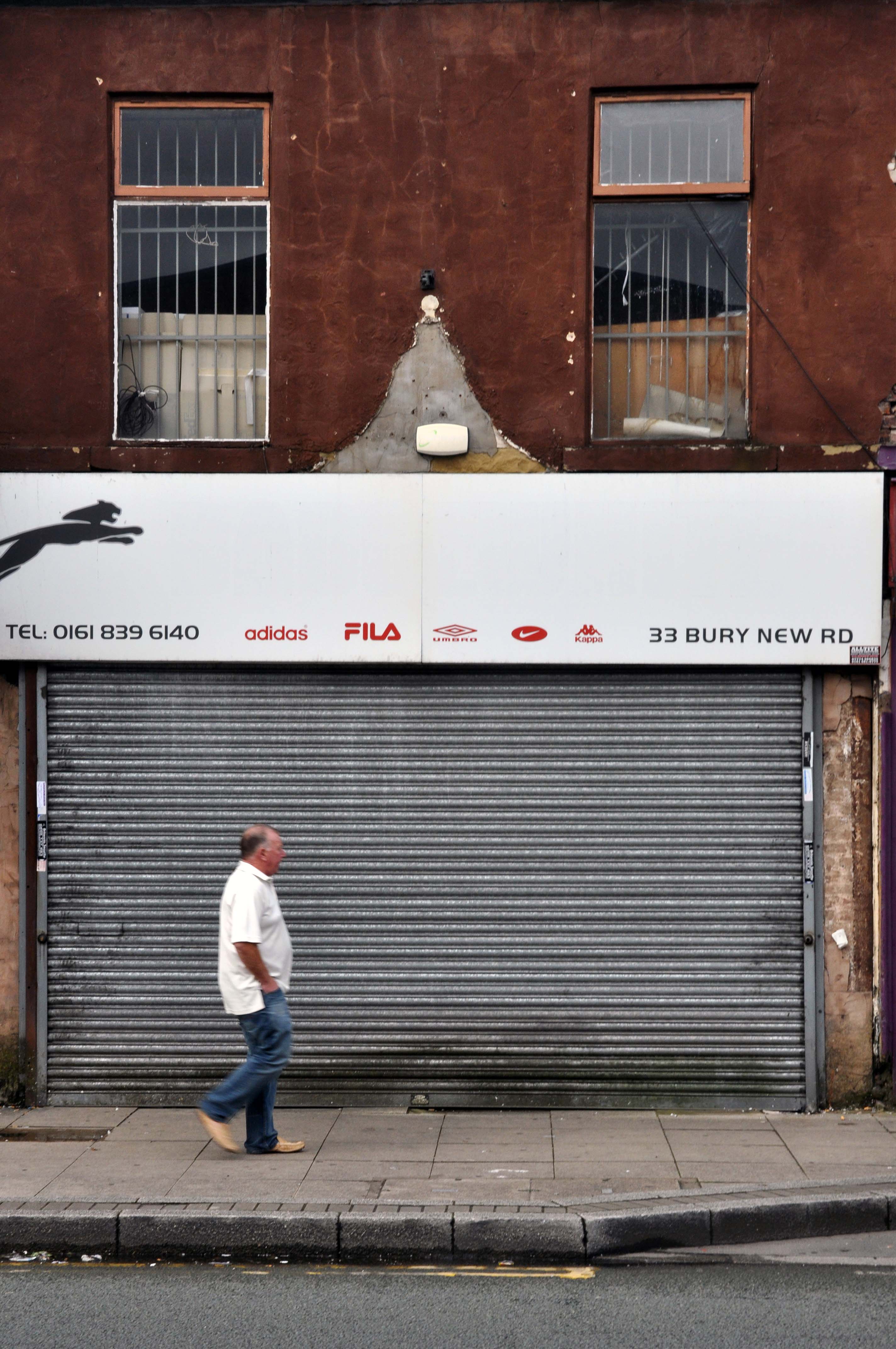
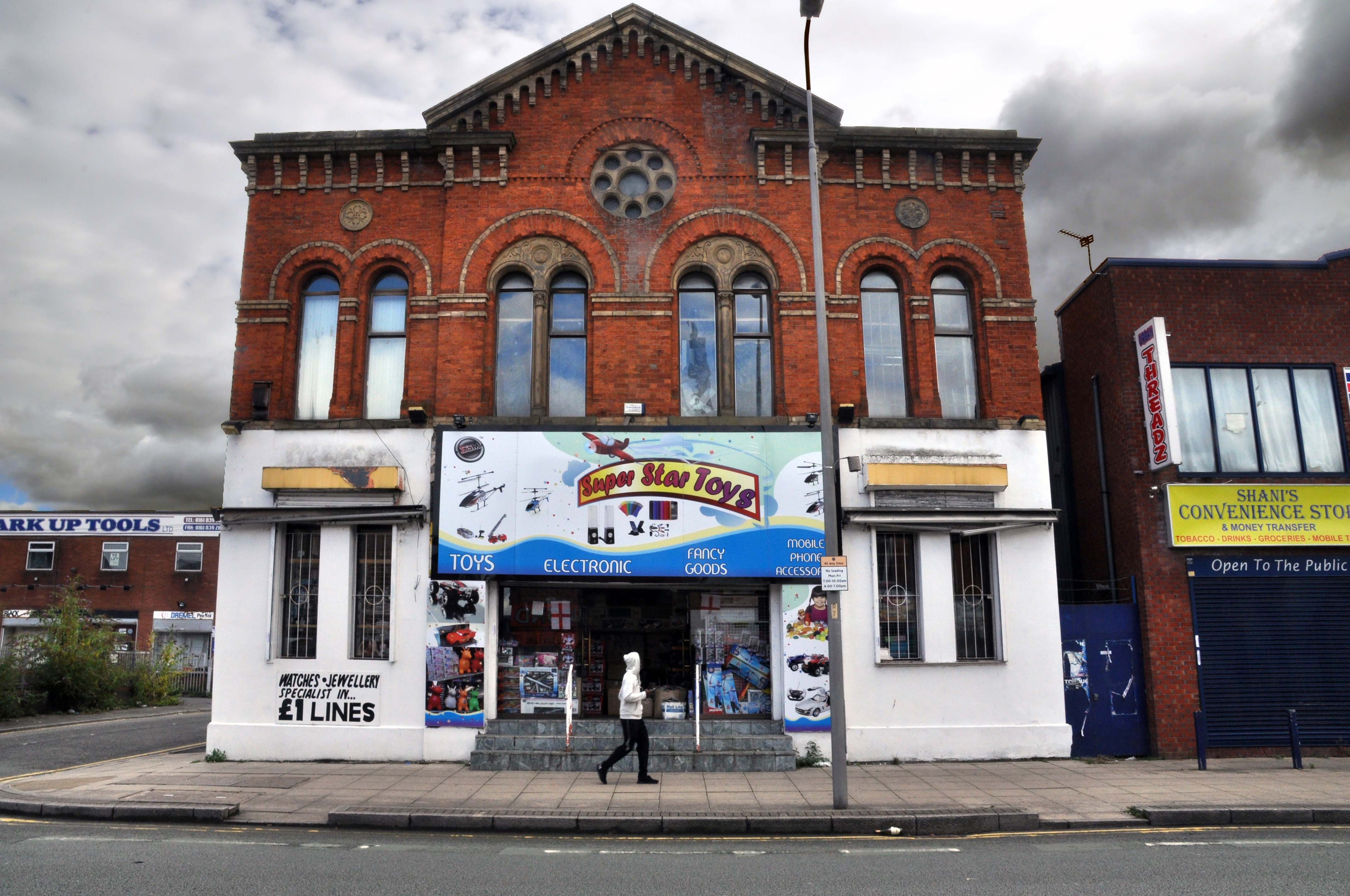
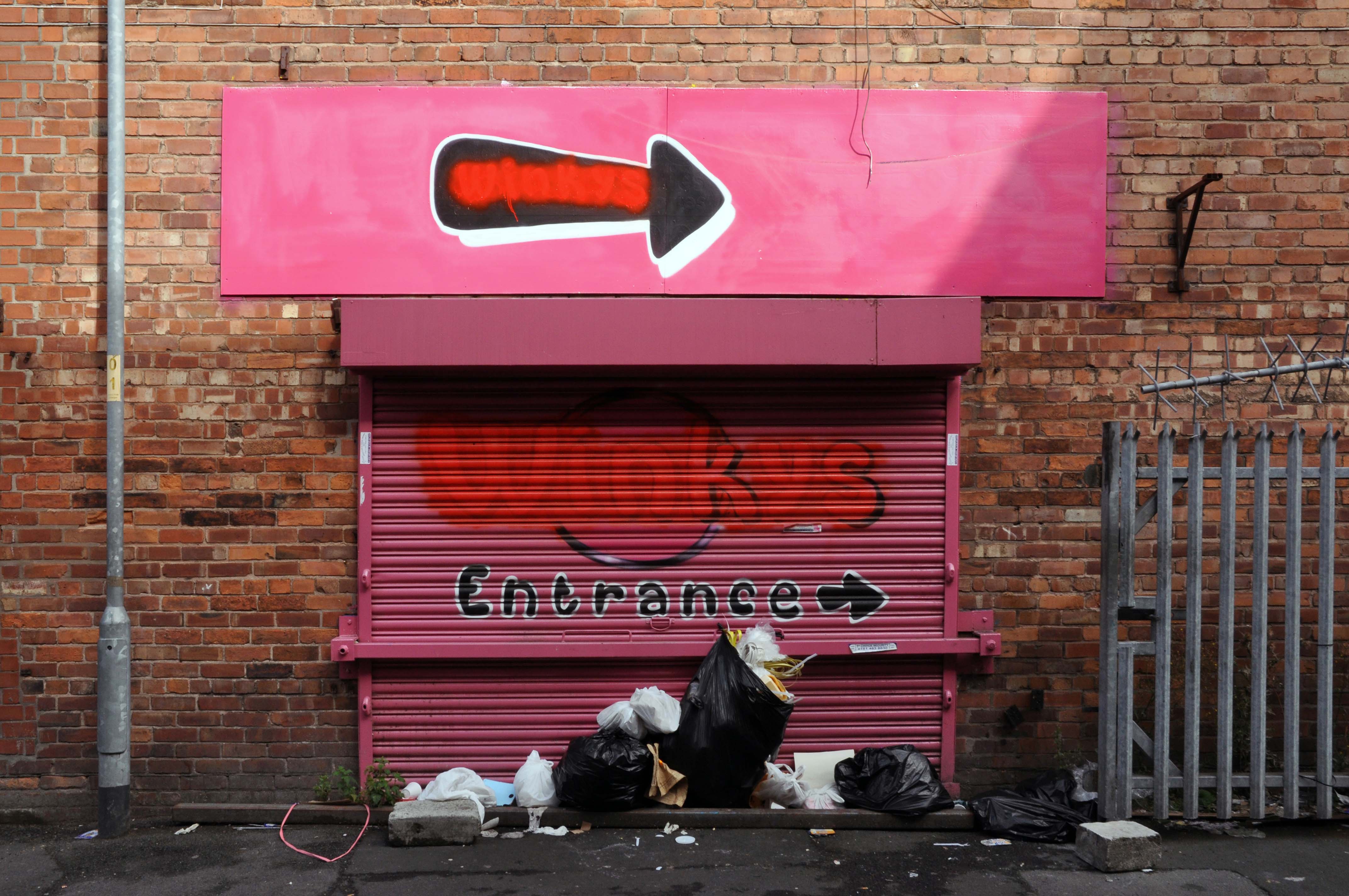
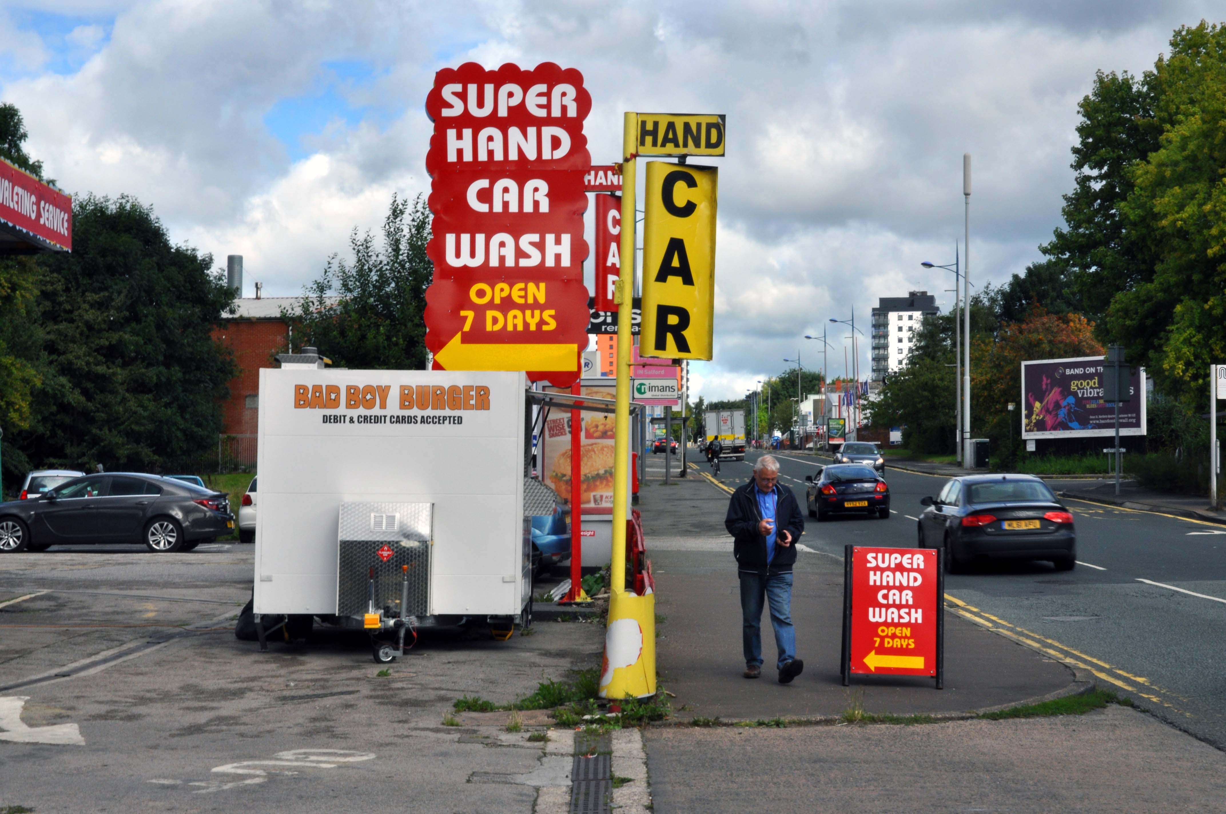
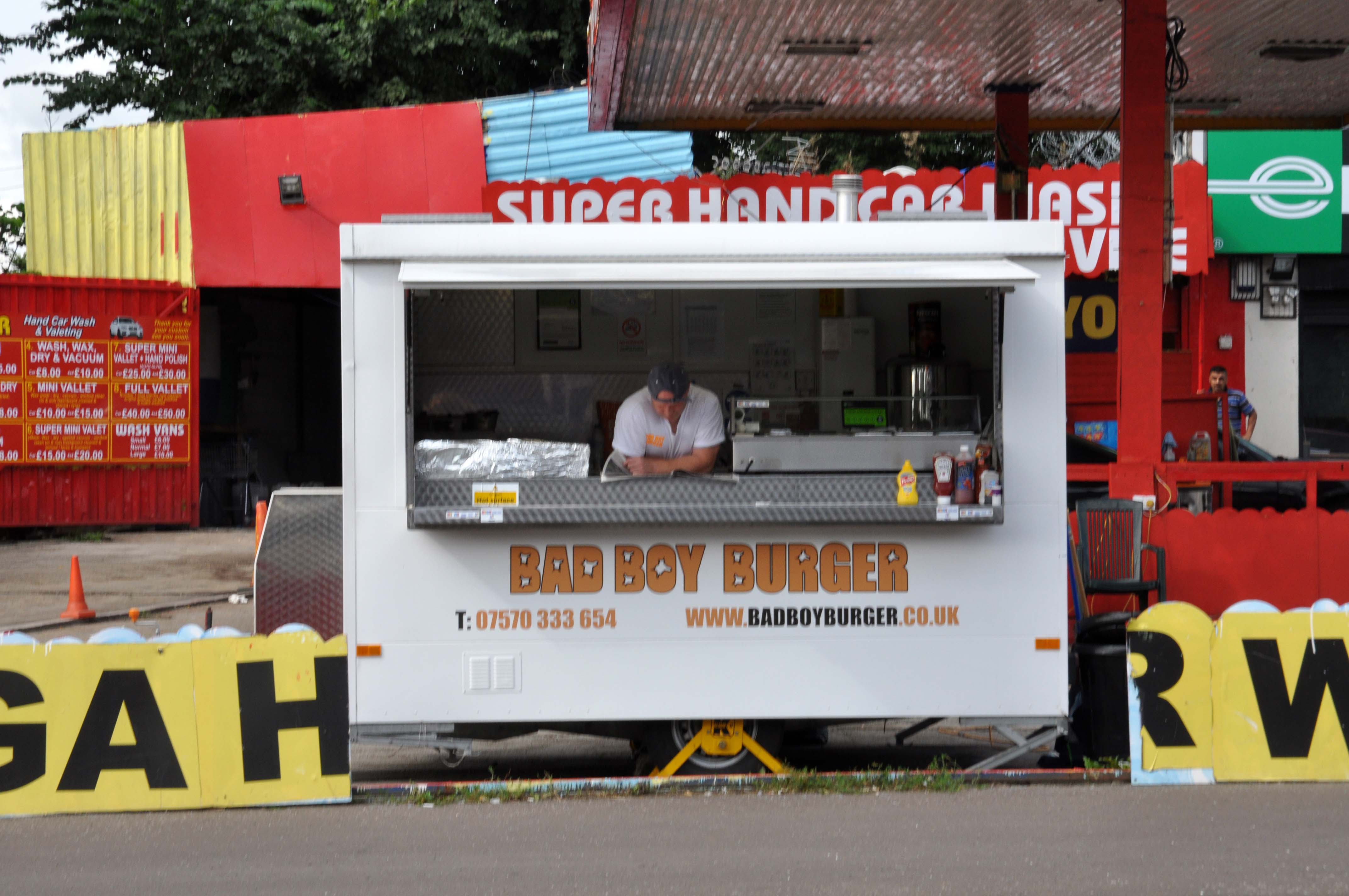
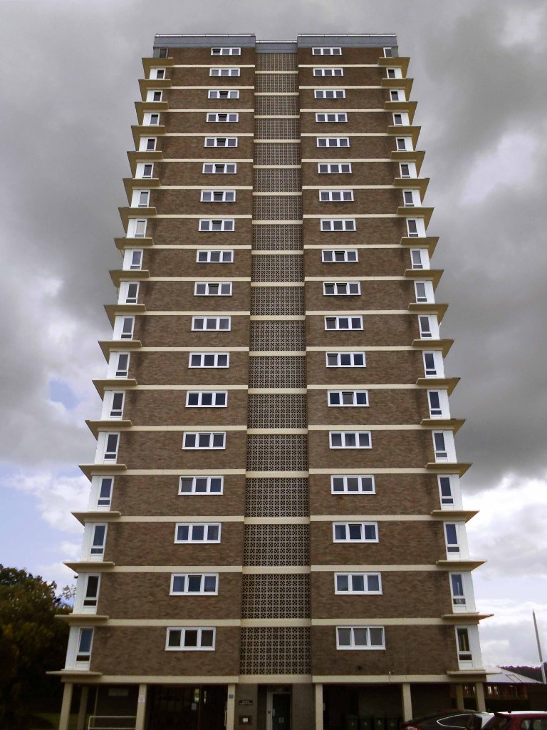
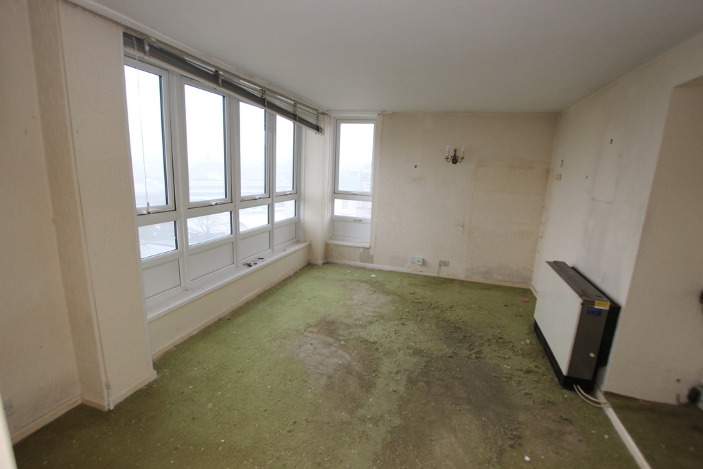
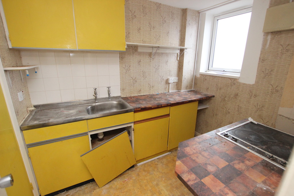
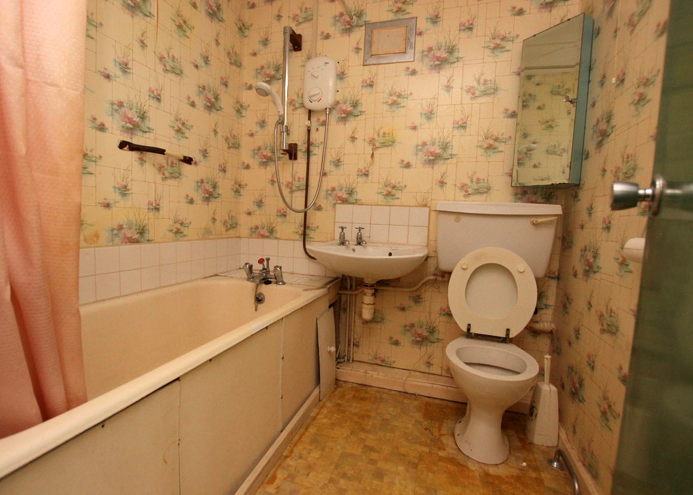
This whole undertaking was prompted in part by Charlie Meecham’s 1980’s Oldham Road project .
The work questions whether a sense of local identity can be maintained in an area of constant redevelopment and community displacement.
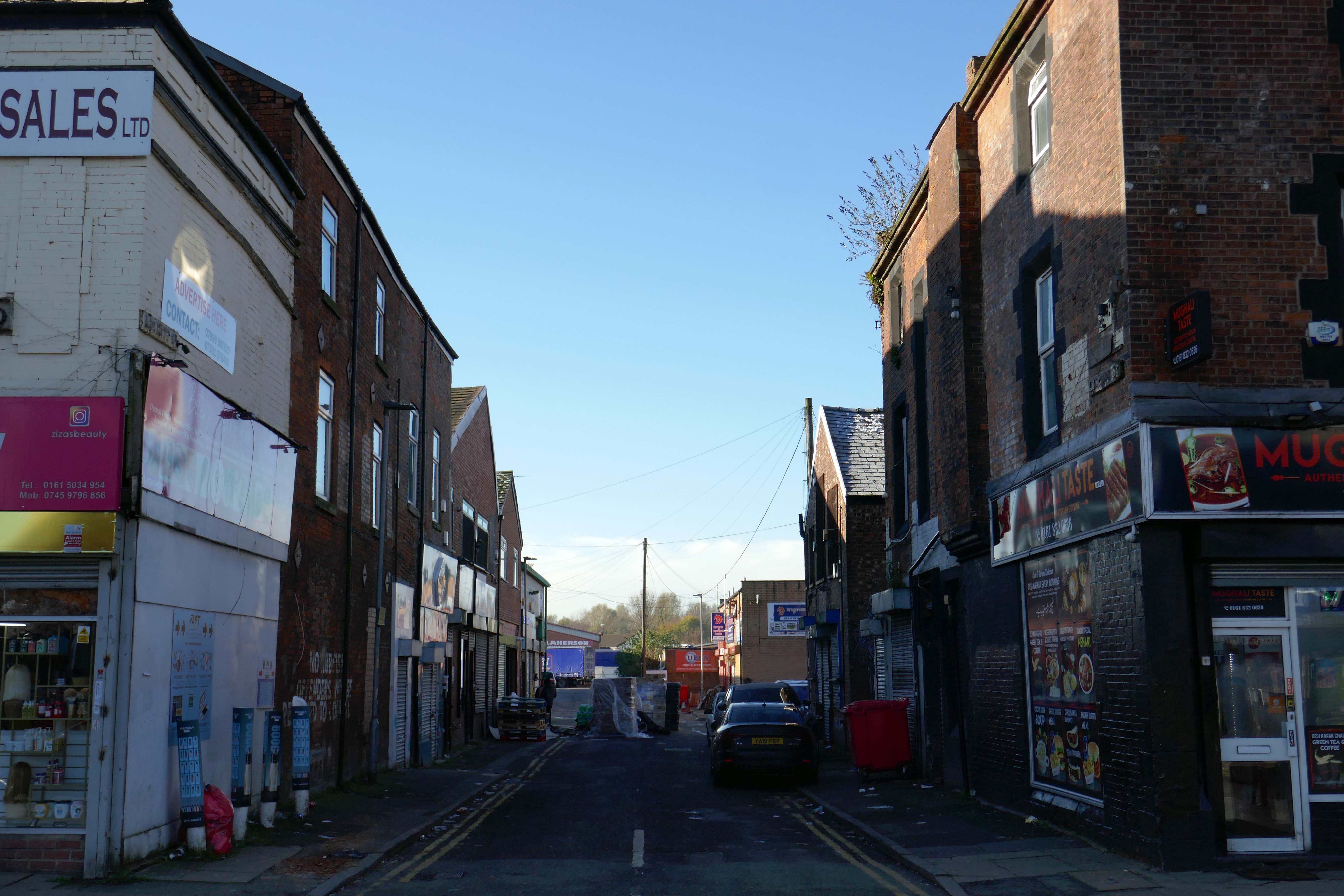
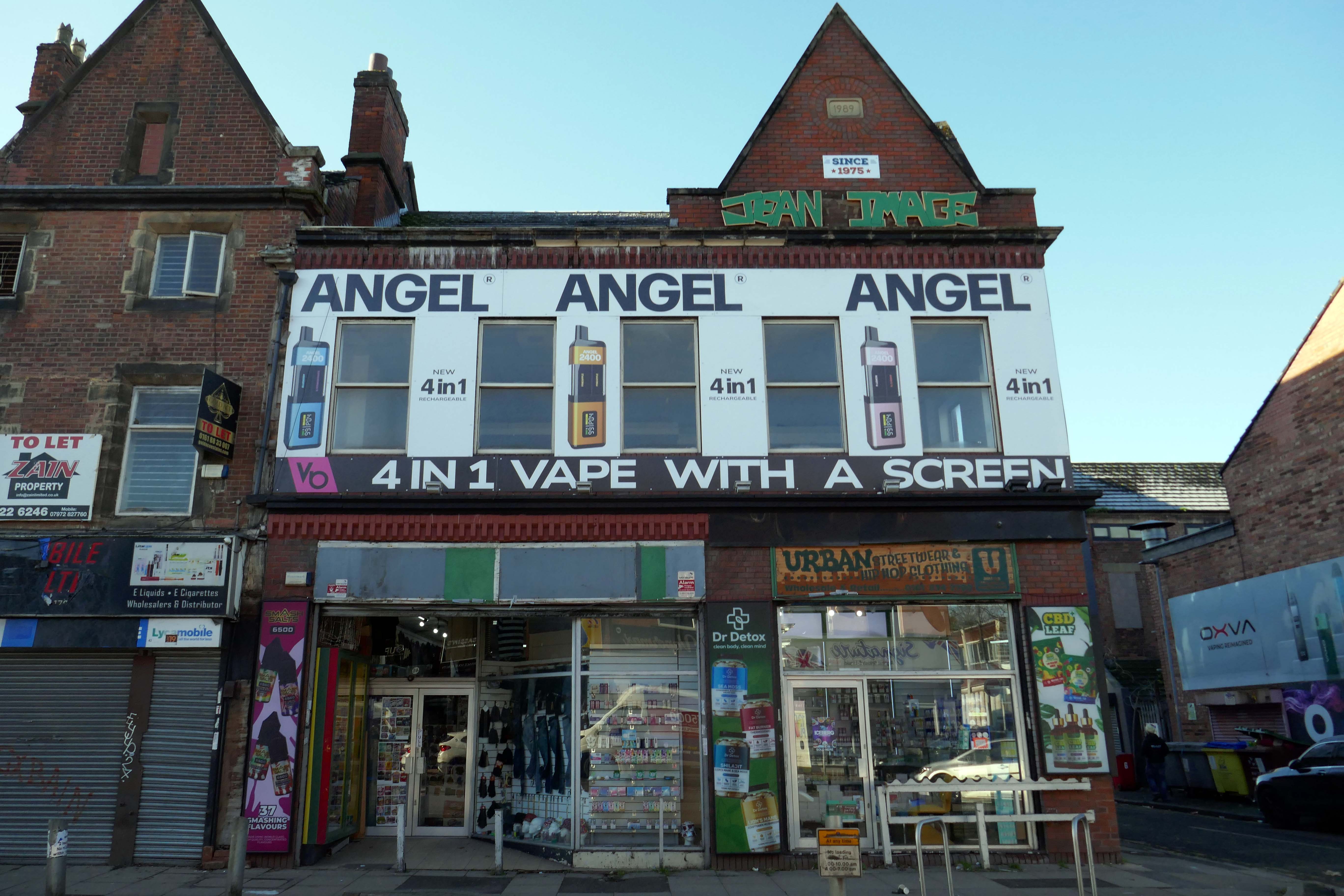
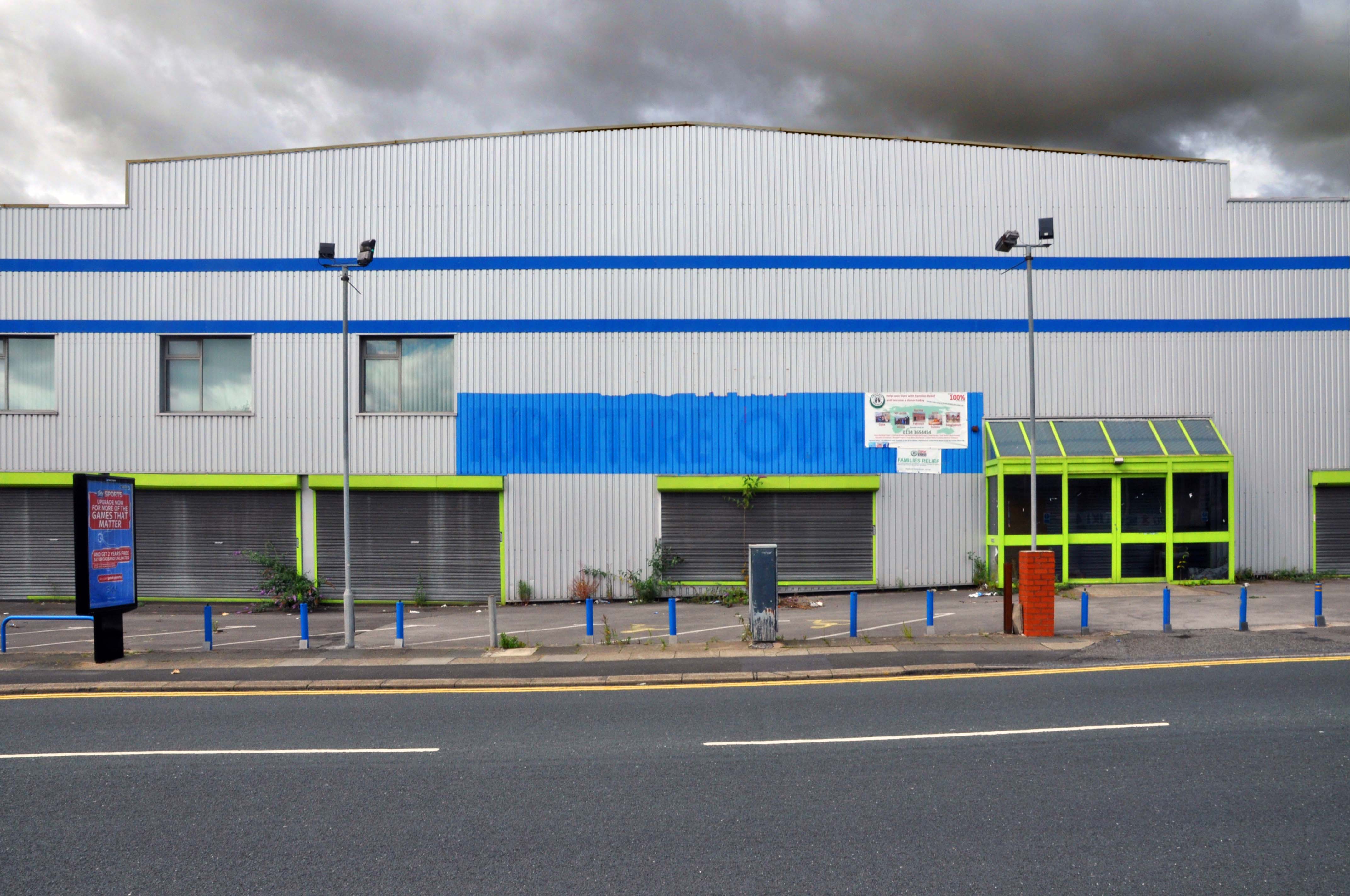
This area was first developed in the 19th century for cotton manufacture, coal extraction and later electrical and heavy engineering. The road was lined with shops and there was a vibrant community.
When I first started working on the project, most of the early industry had ceased operating and the mills were either abandoned or being dismantled. However, some had been refurbished either for new industrial use or later, made into apartments. Some run down areas were cleared making way for new housing. Clearance also provided opportunity to build new schools, trading estates and create green space. Most of the older community centres such as theatres and cinemas along the road were also abandoned and later cleared.


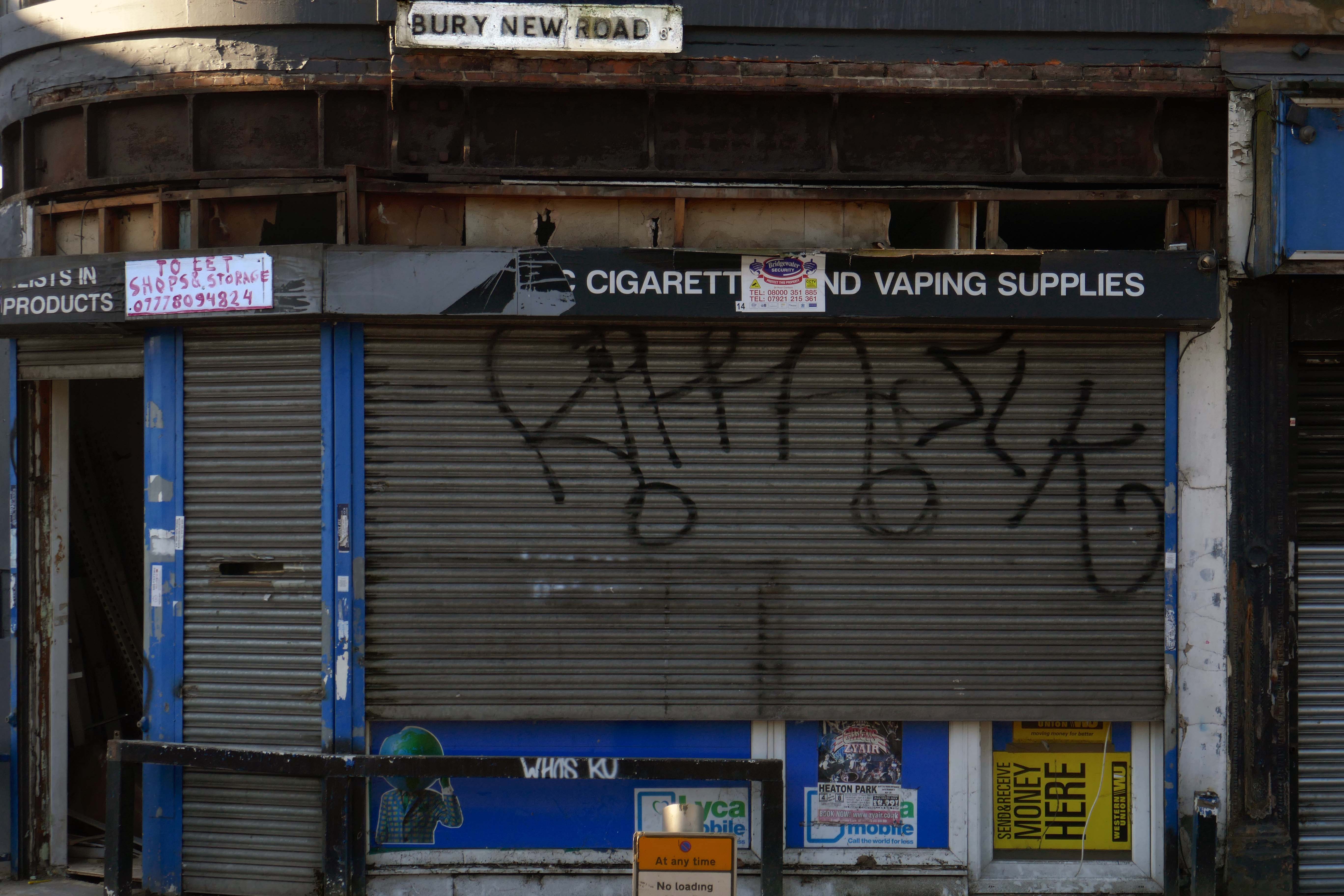
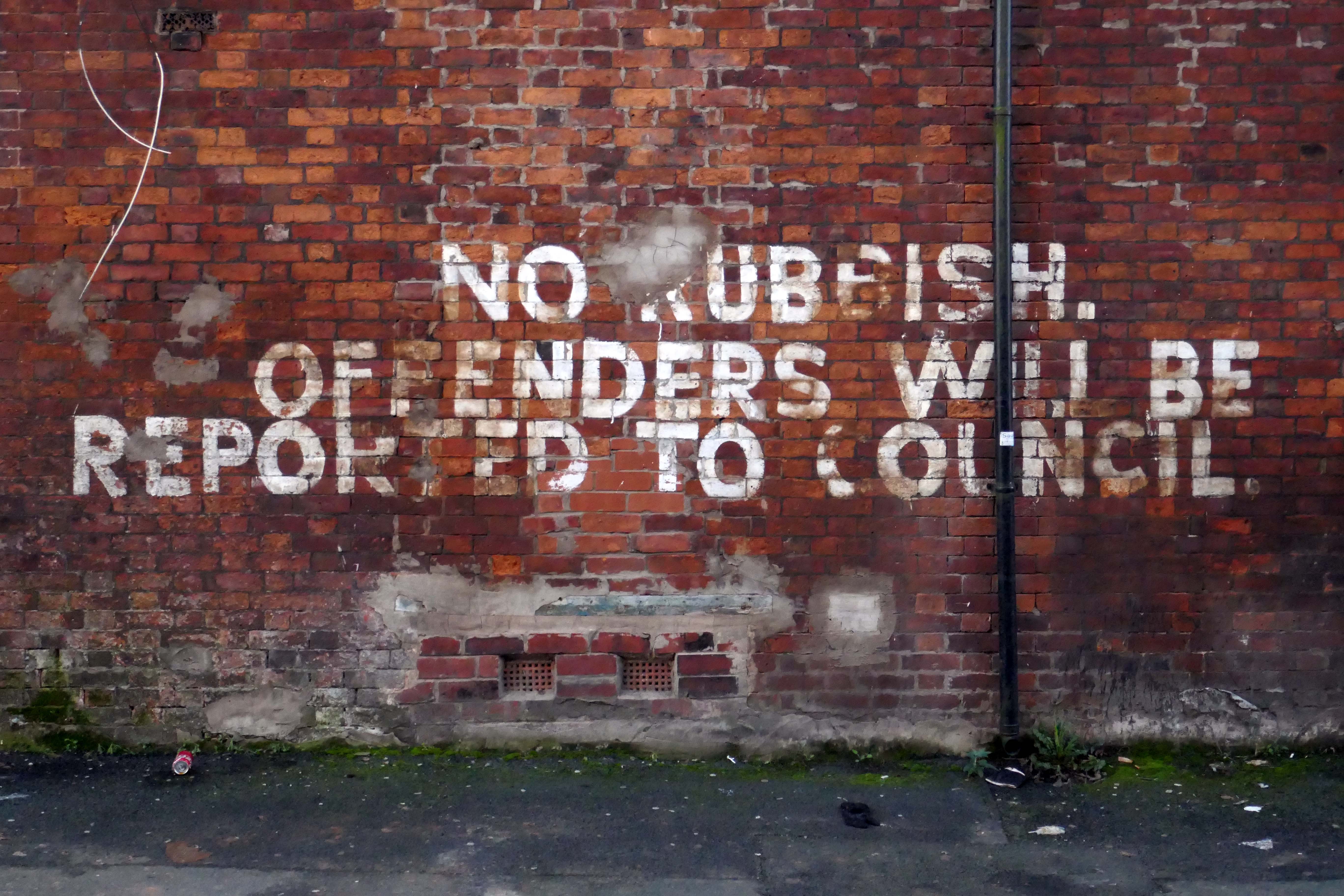
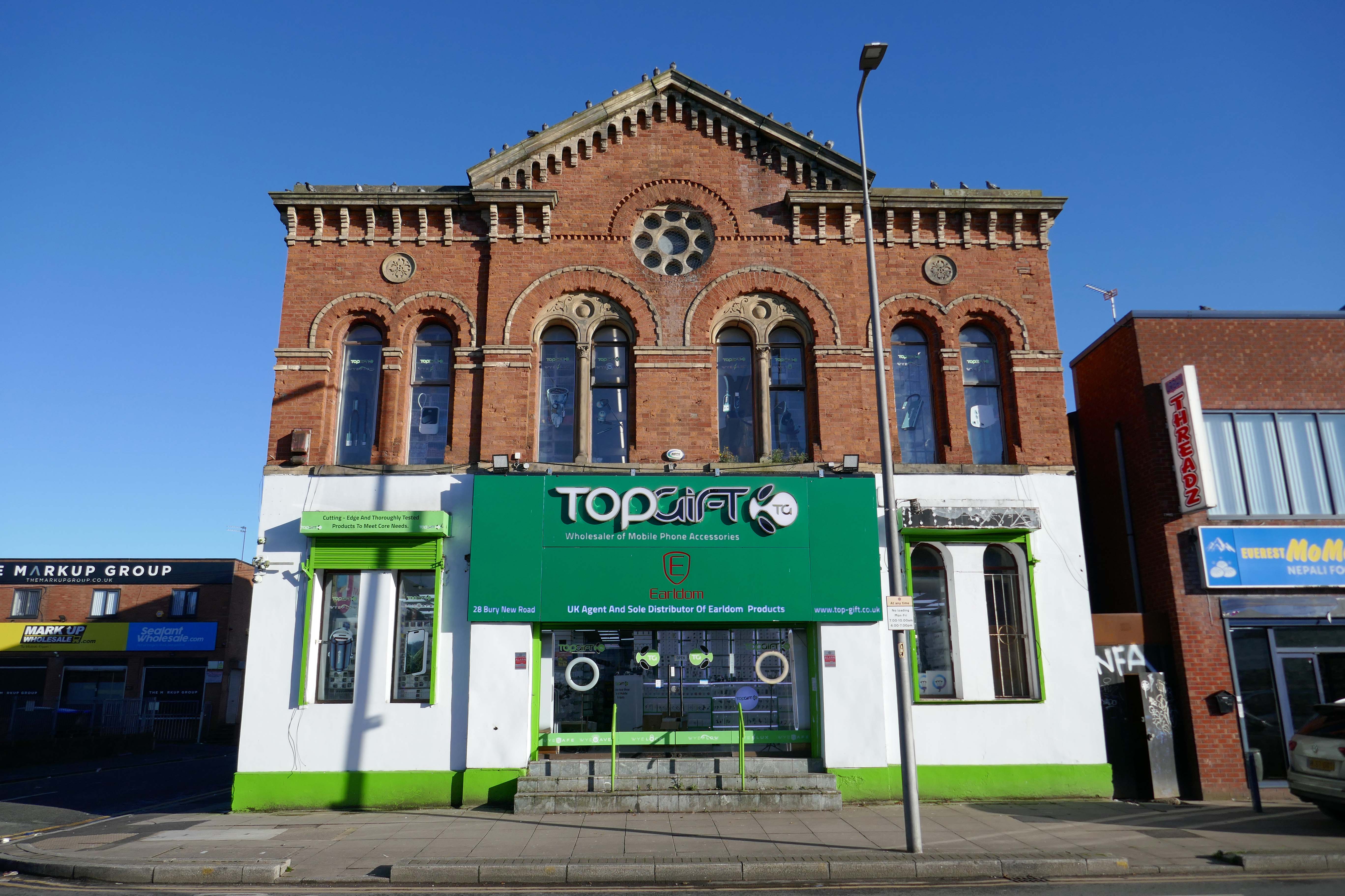
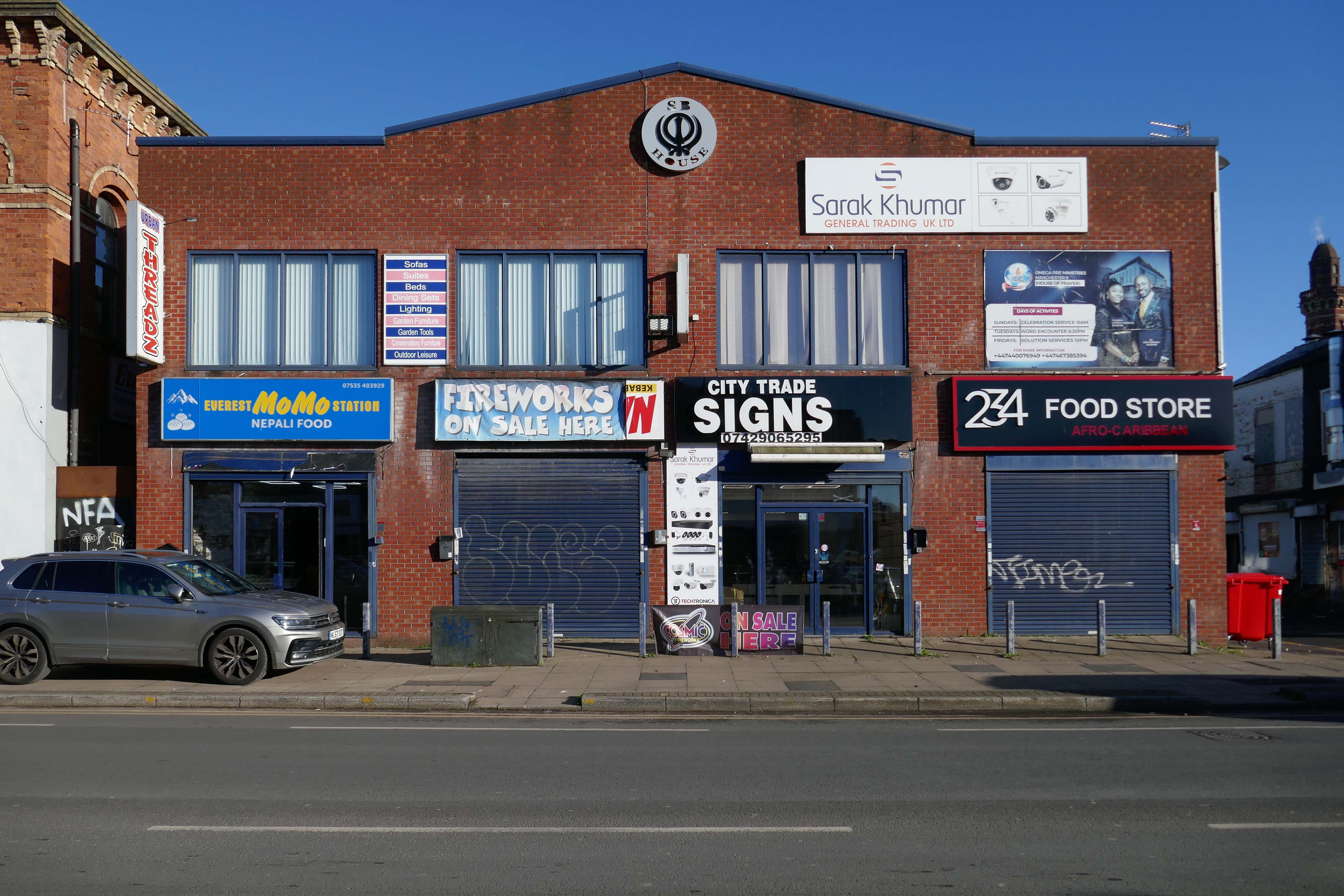
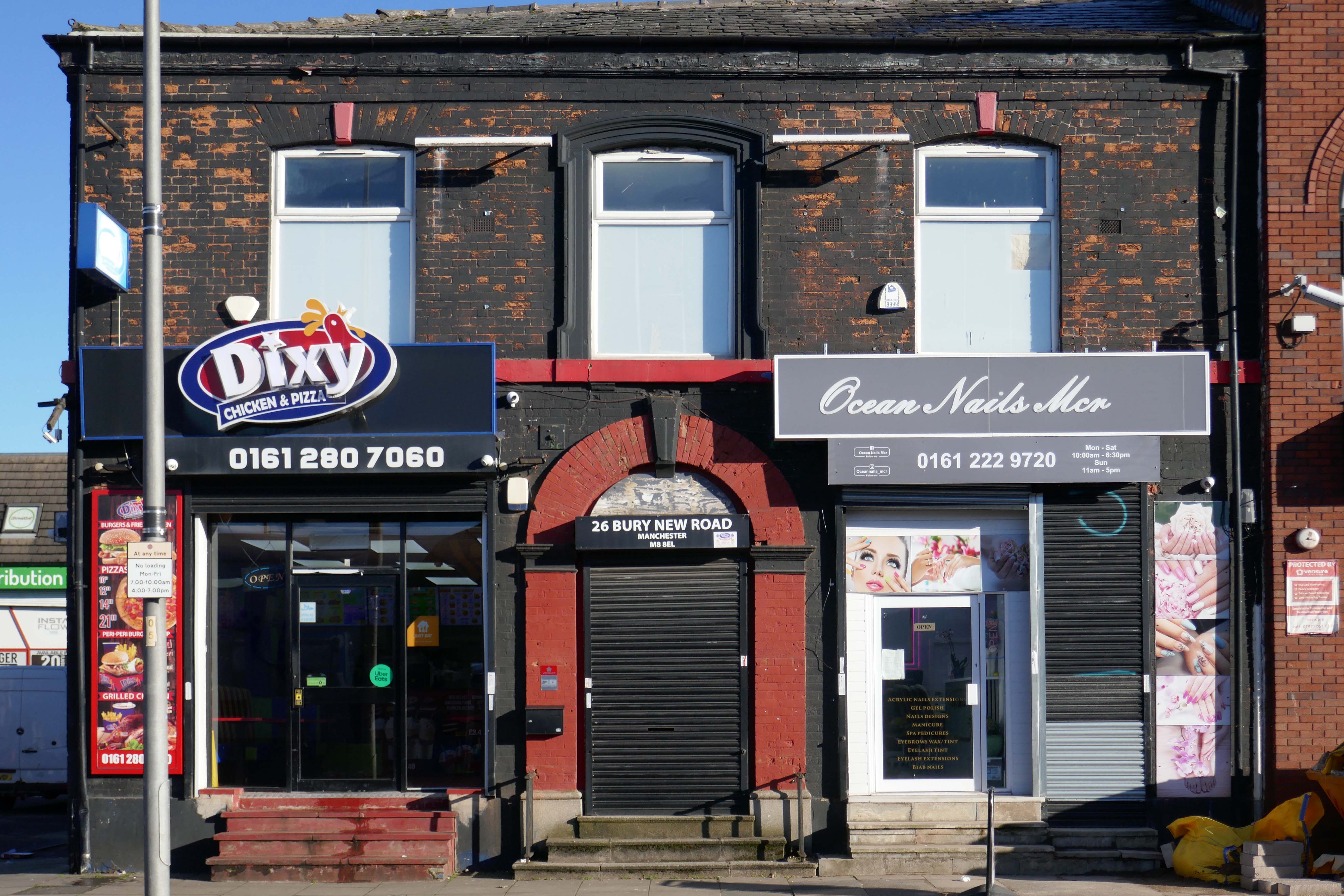
See also Bury New Road and Cheetham Hill Road and Rochdale Road and Ashton New Road and Ashton Old Road and Hyde Road and Stockport Road and Kingsway and Princess Parkway.


Cheetham Hill Road is part of the designated A665. Cheetham Hill Road starts at the junction of the A6042 Corporation Street and the A665 Miller Street. It crosses the culverted River Irk to the east of Victoria Station. At its junction with New Bridge Street, it turns north-northeast and is straight for 1 km, to the A6010 Queen’s Road . This stretch was called York Street until about 1900. Cheetham Hill Road leads from here to the community of Cheetham Hill, where at Bourget Street and Crescent Road – formerly Sandy Lane, Cheetham Hill Road becomes Bury Old Road.
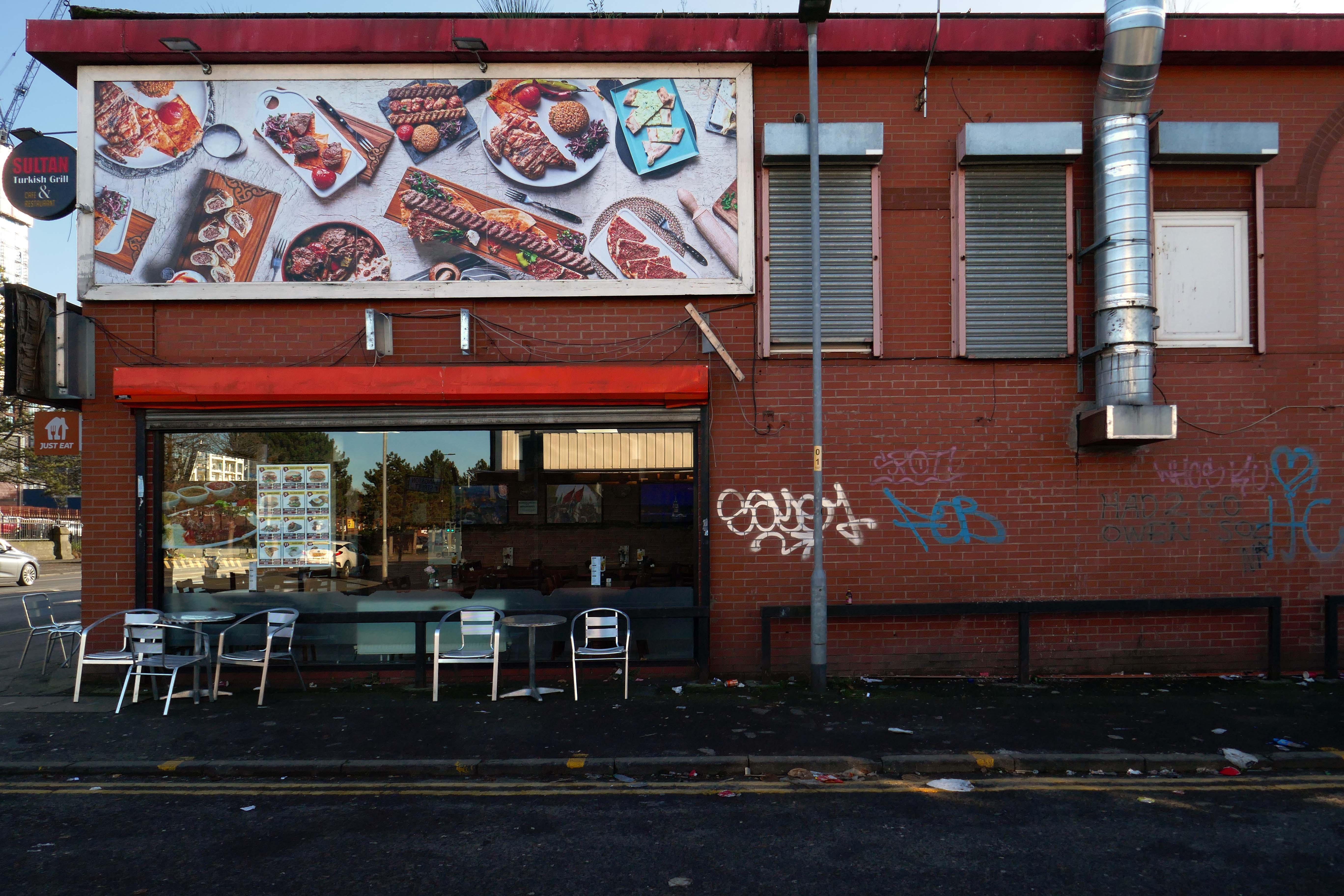
In 2014, having taken early retirement from teaching photography, I embarked on a series of walks along the arterial roads of Manchester.


See also Bury New Road.
First crossing the M60 Manchester Outer Ring Road at Junction 7 into Stretford.
The A56 takes the name of Chester Road and continues north-eastwards through Stretford and Hulme into Manchester city centre, where it takes on the name Deansgate, one of Manchester’s main shopping streets and thoroughfares. At the end of Deansgate, the A56 takes on the name of Victoria Street as it passes Manchester Victoria railway station. Since 2012, most of Victoria Street has been pedestrianised with planters, but the road markings still remain underneath.
In 2014, having taken early retirement from teaching photography, I embarked on a series of walks along the arterial roads of Manchester.


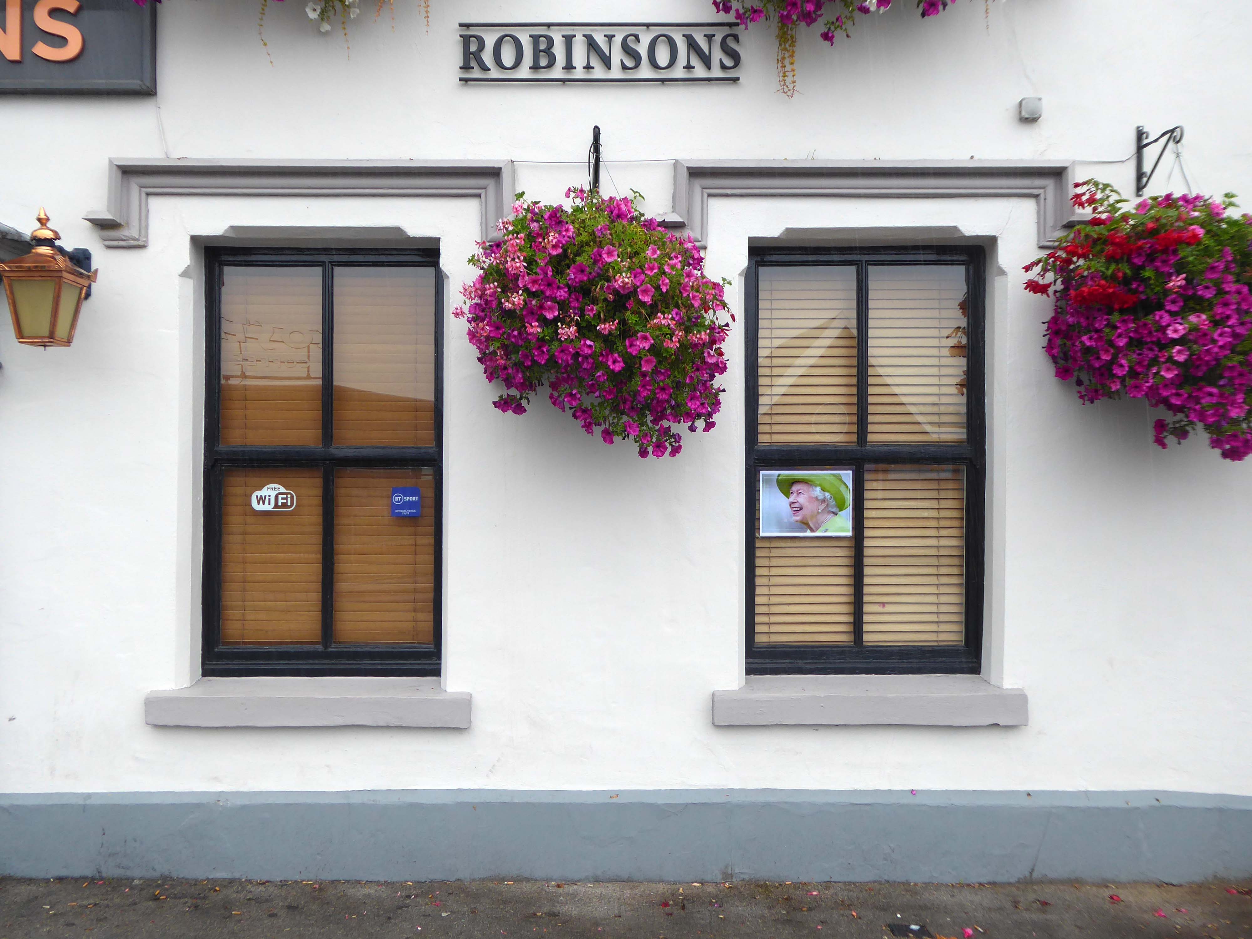
On the day of HM Queen Elizabeth II’s Diamond Jubilee, I cycled around Ashton under Lyne in search of landmarks of her sixty year reign.
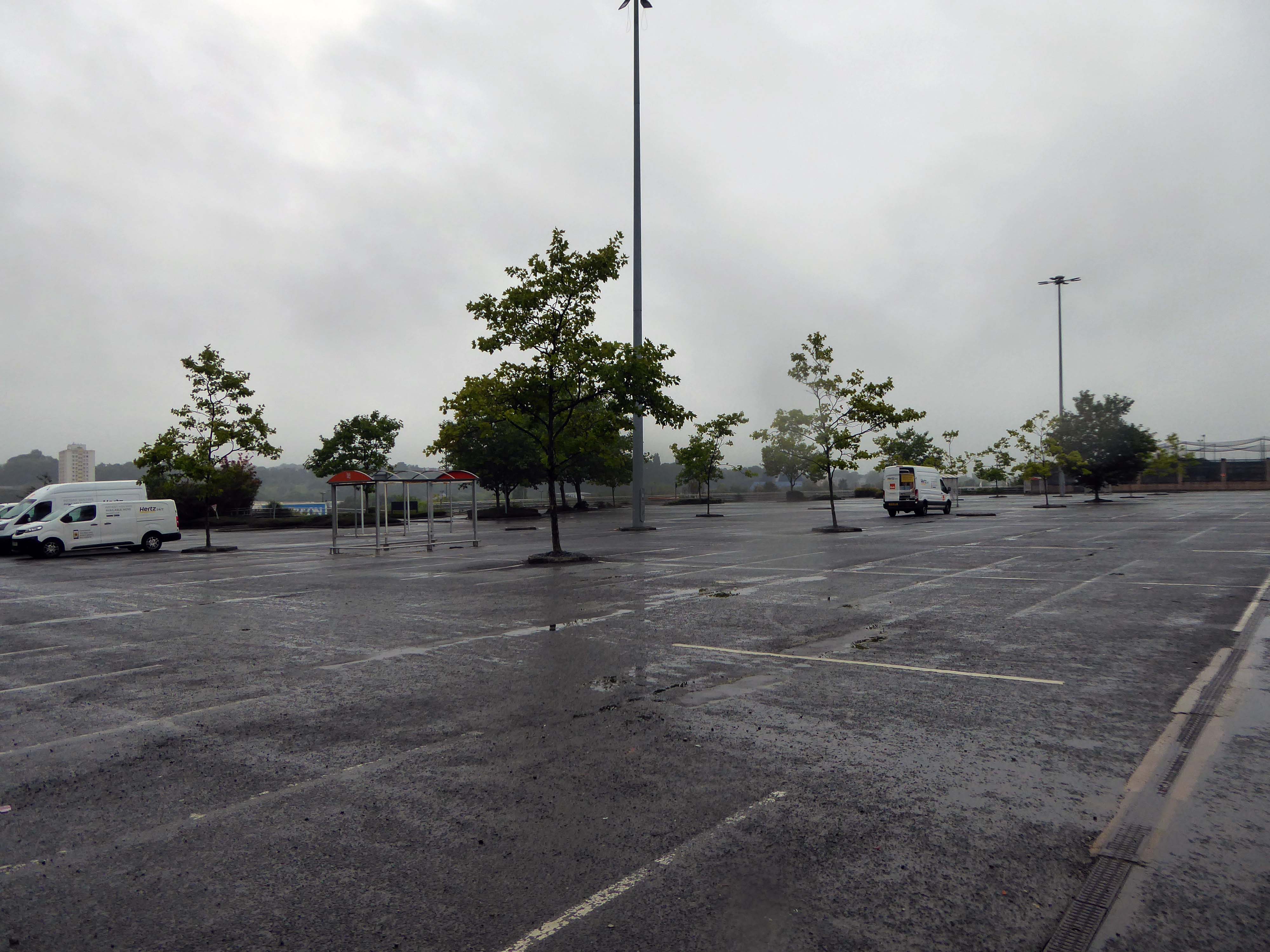
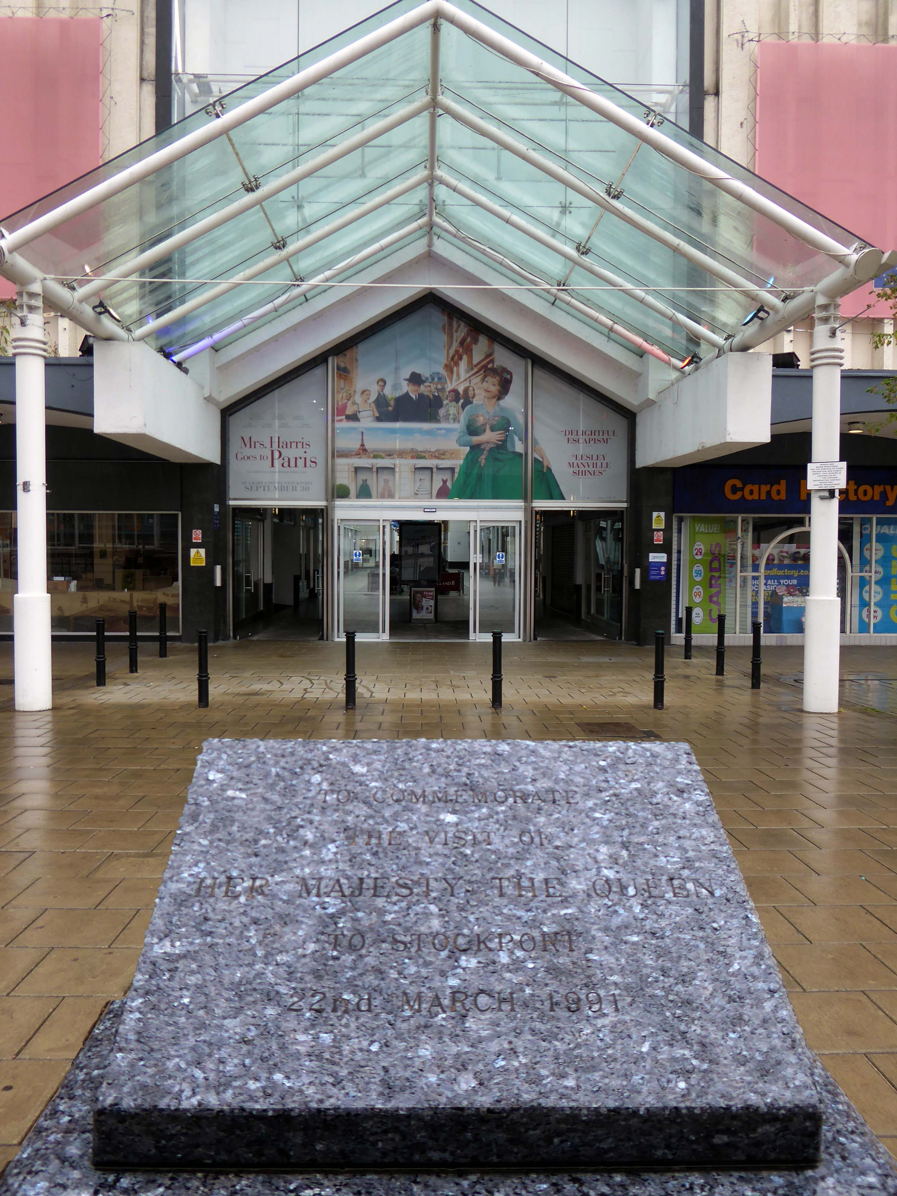
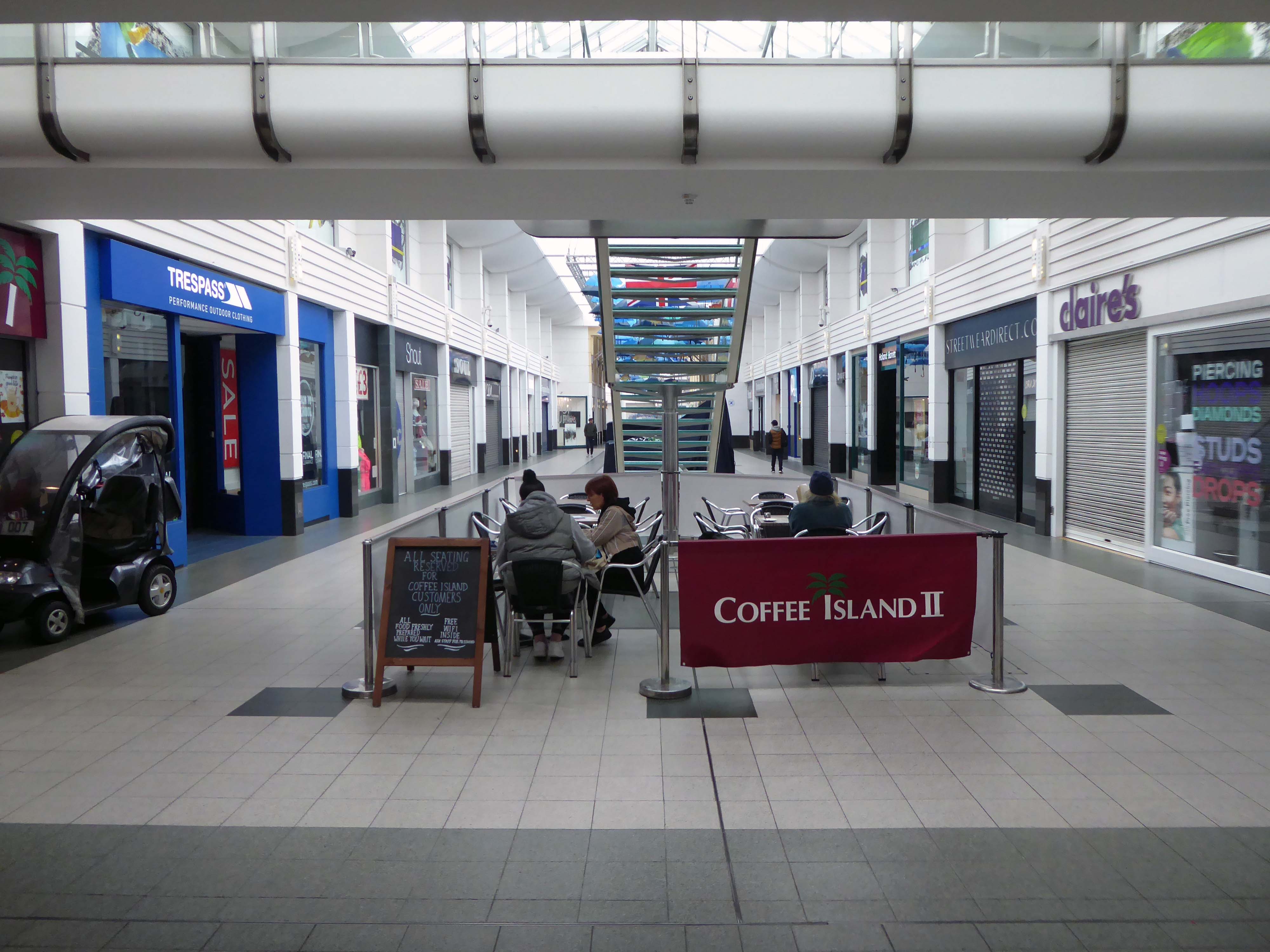
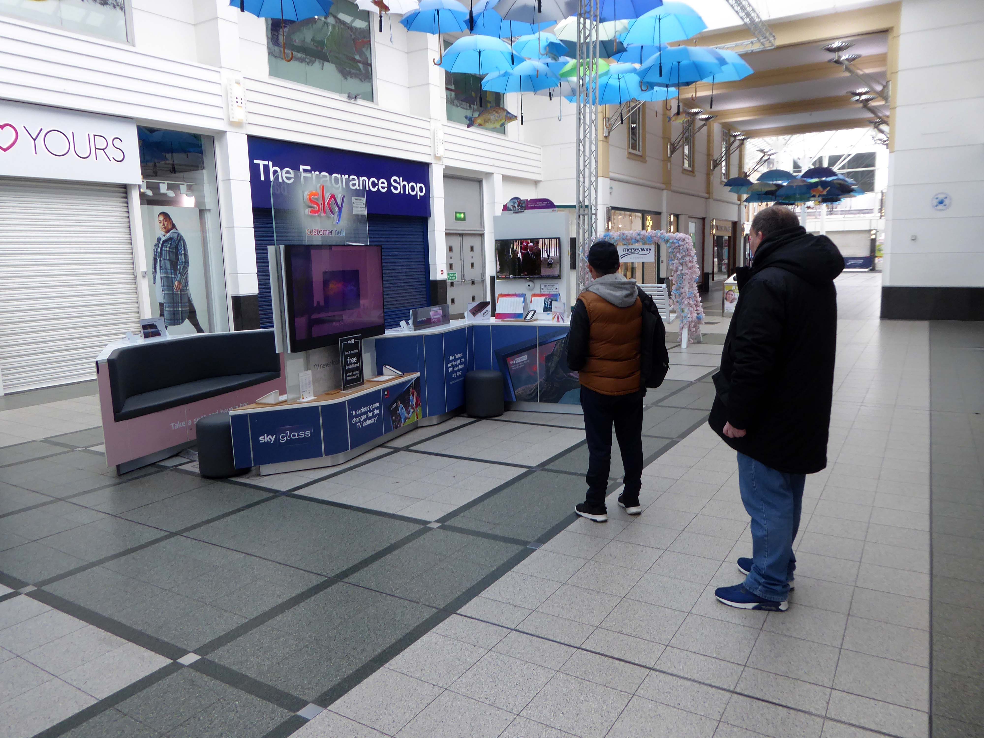
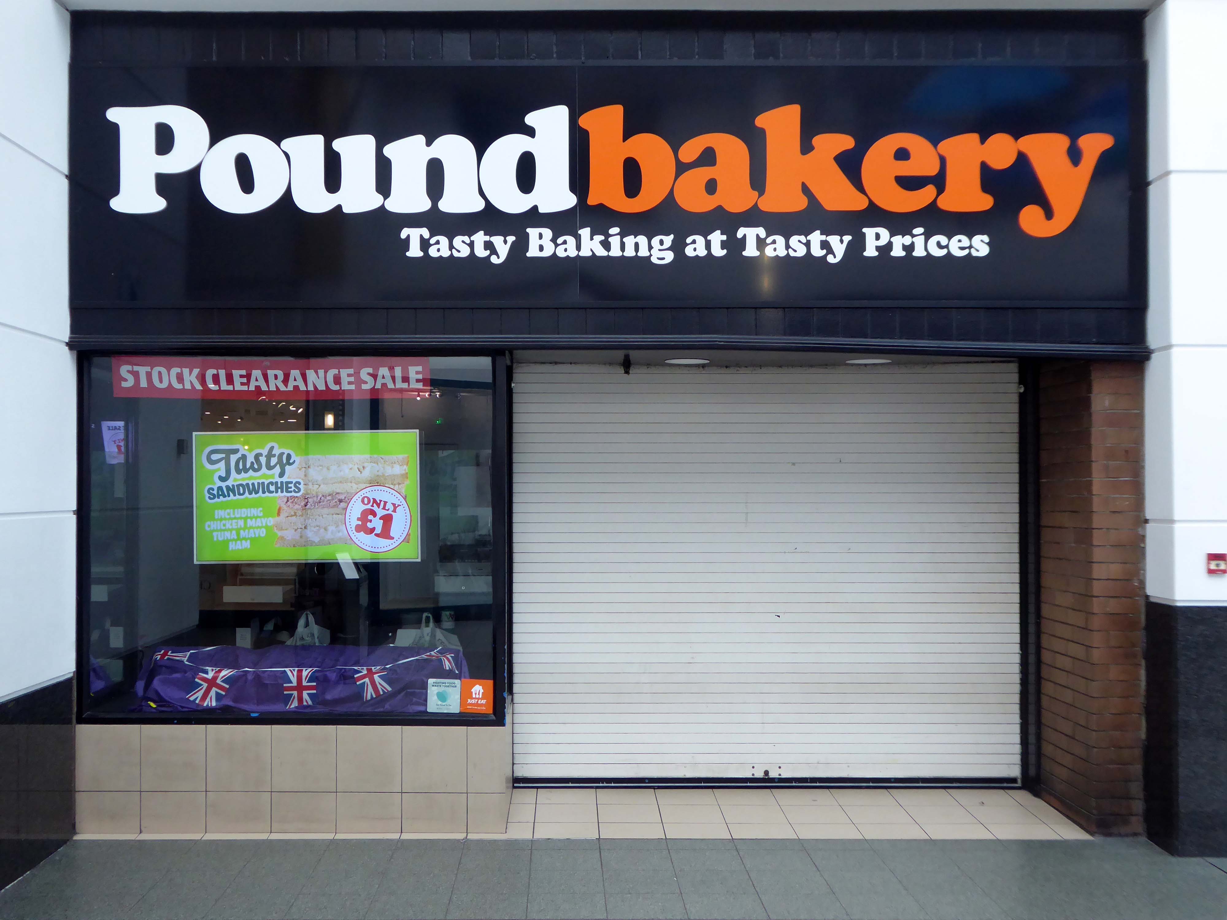
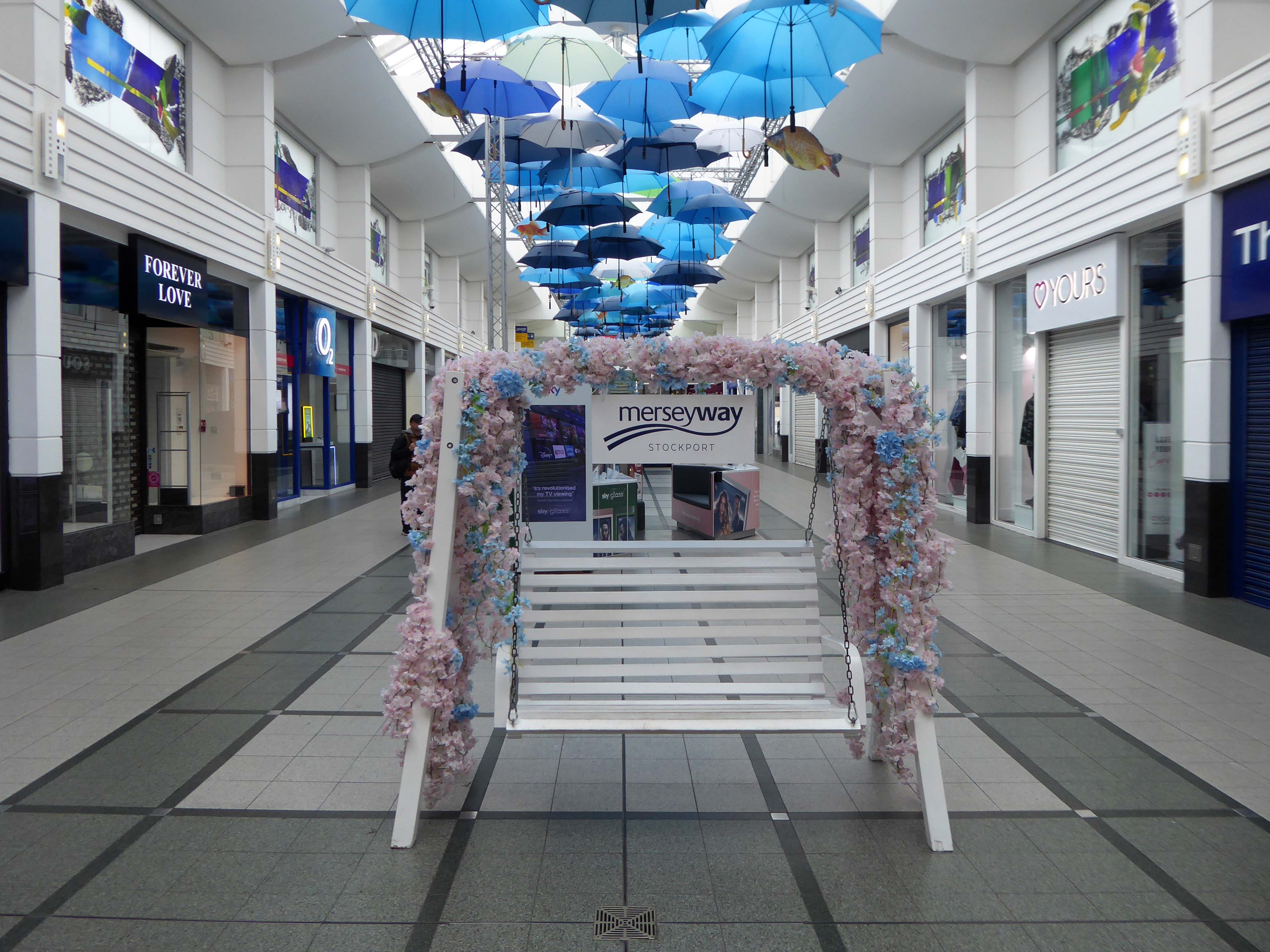
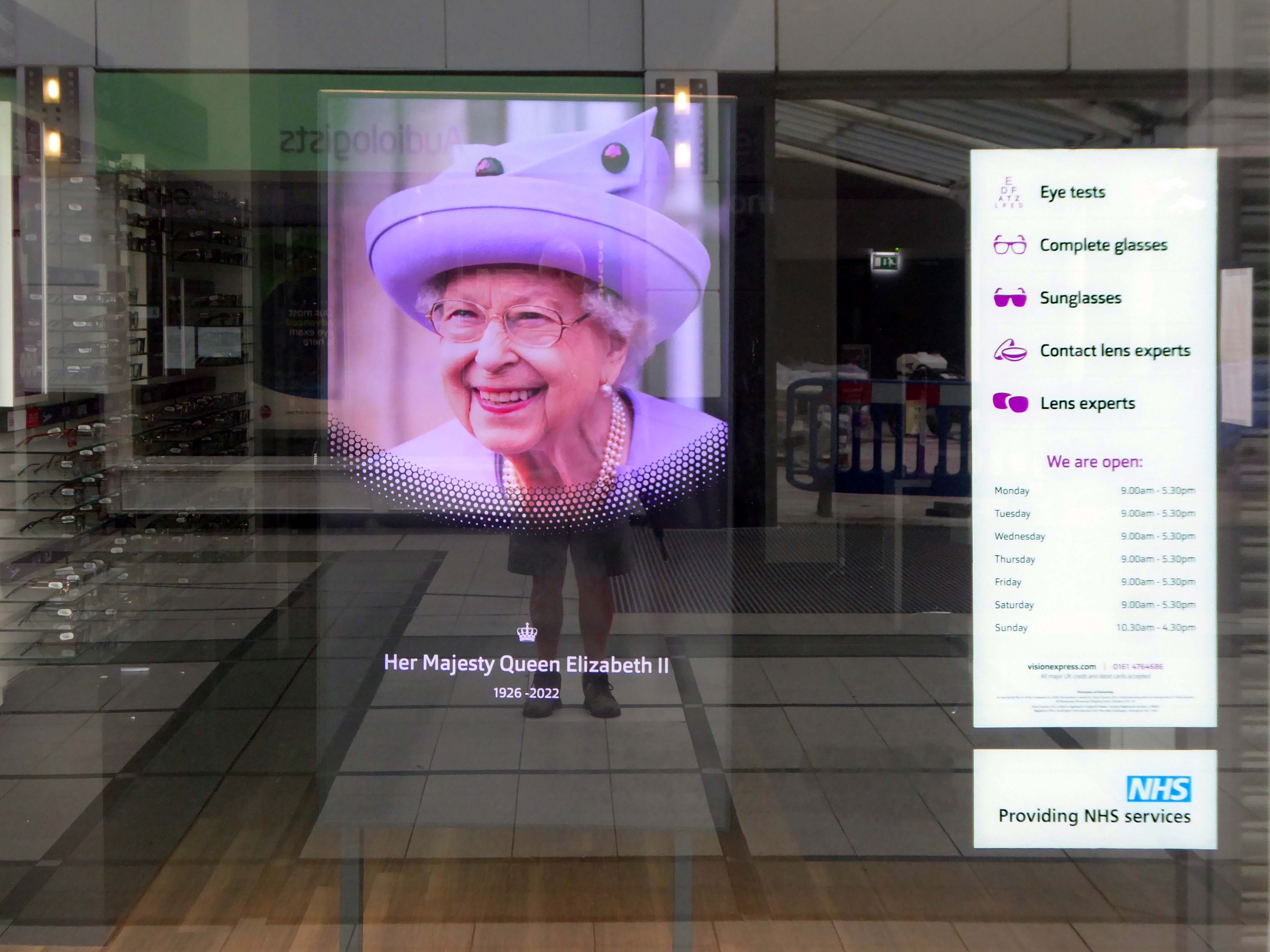
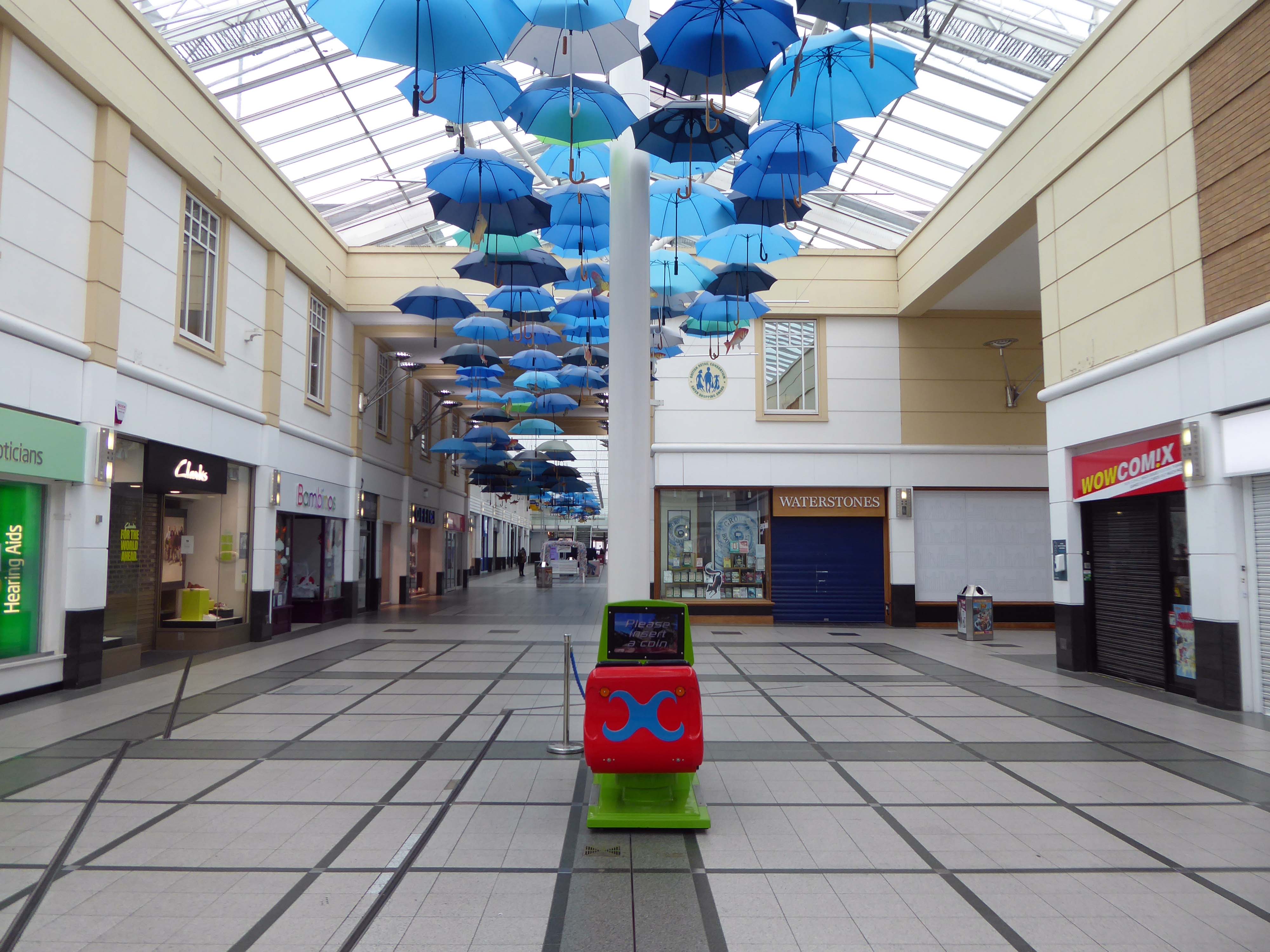
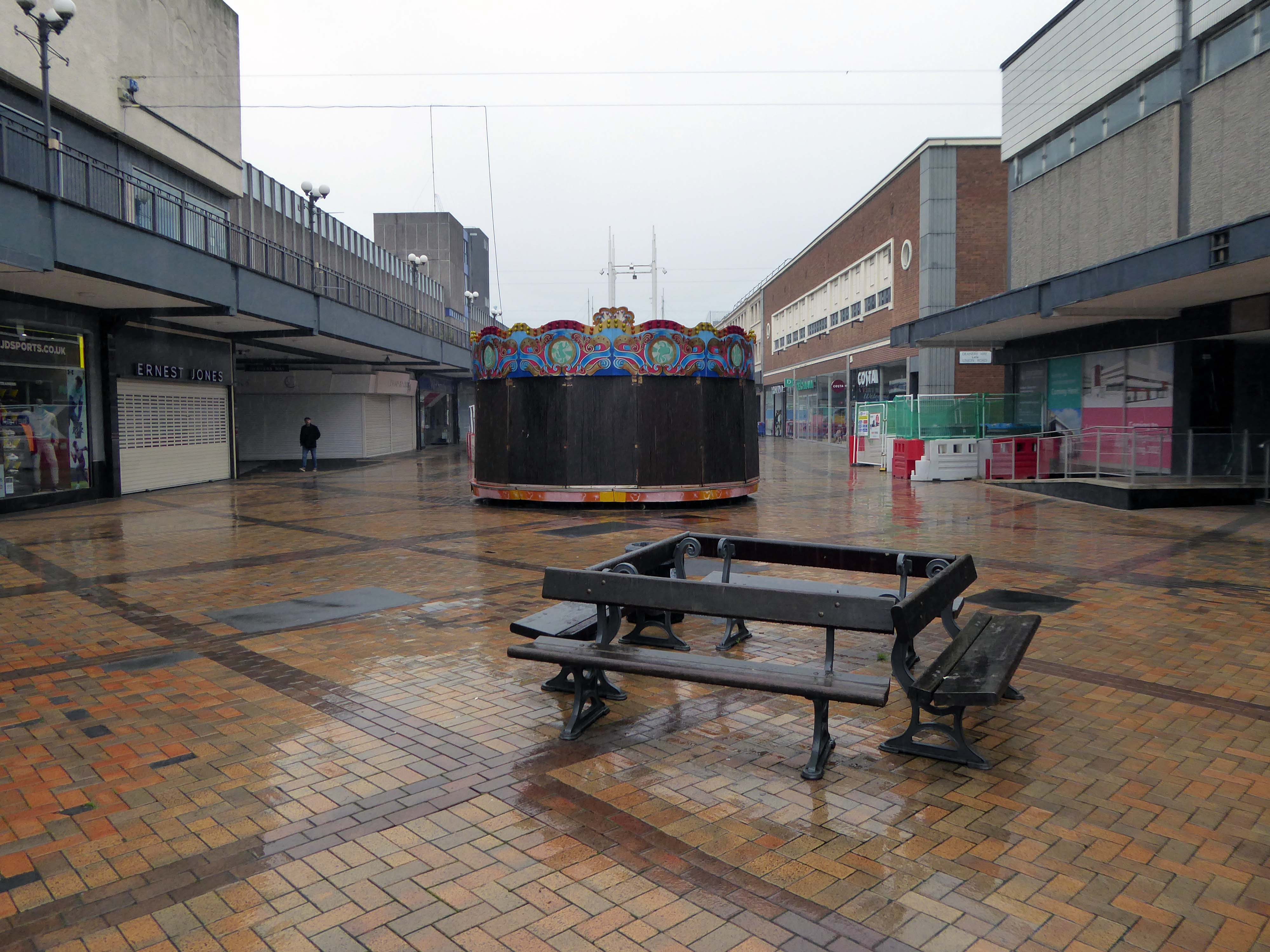
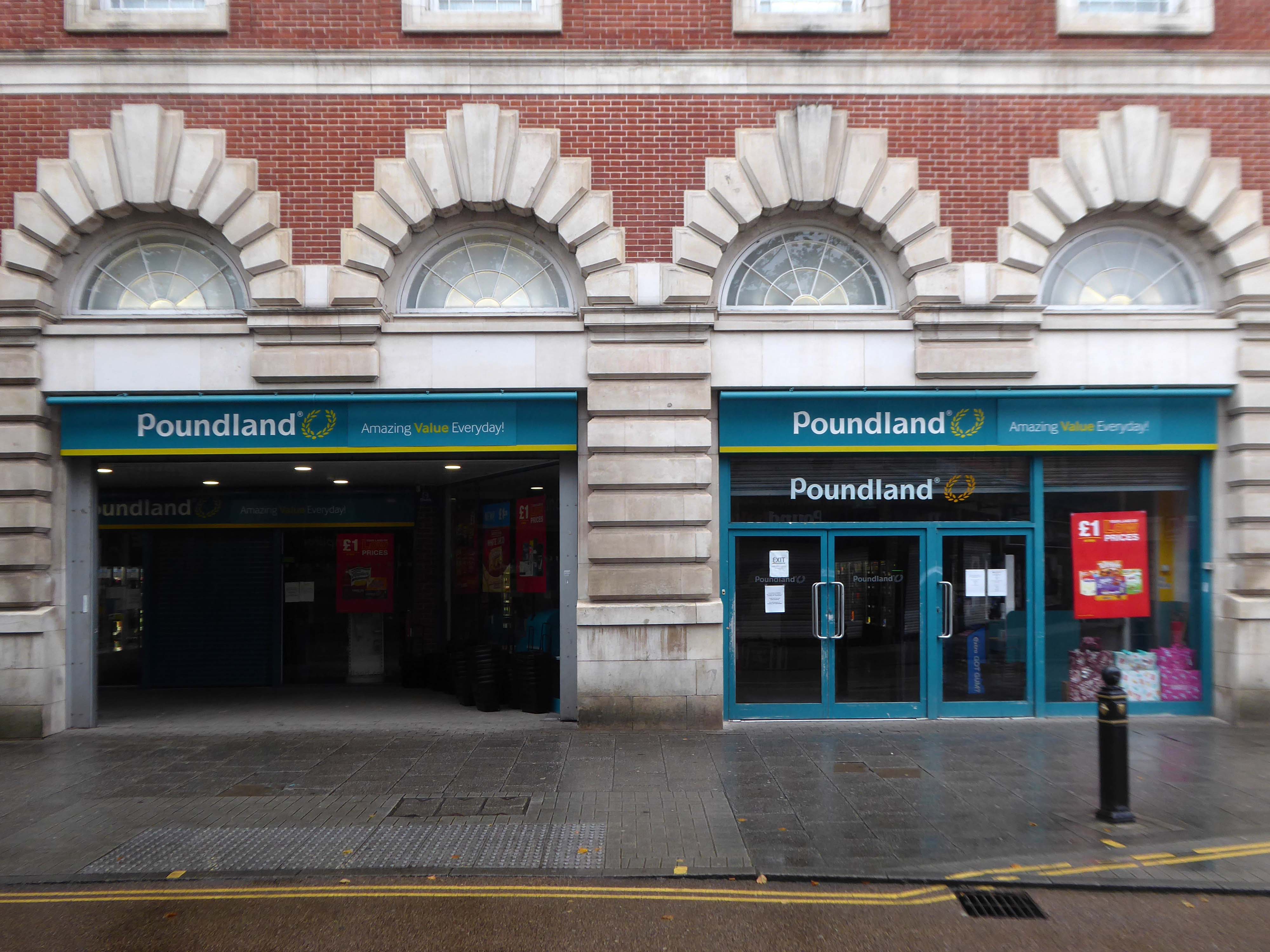
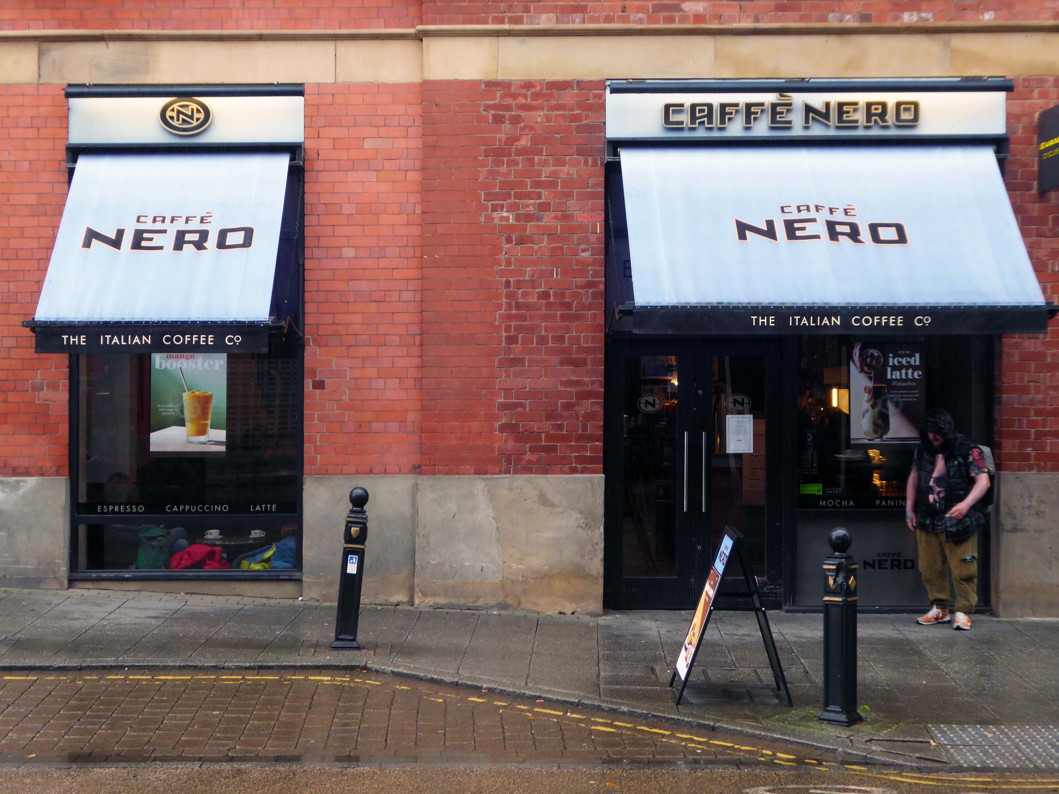
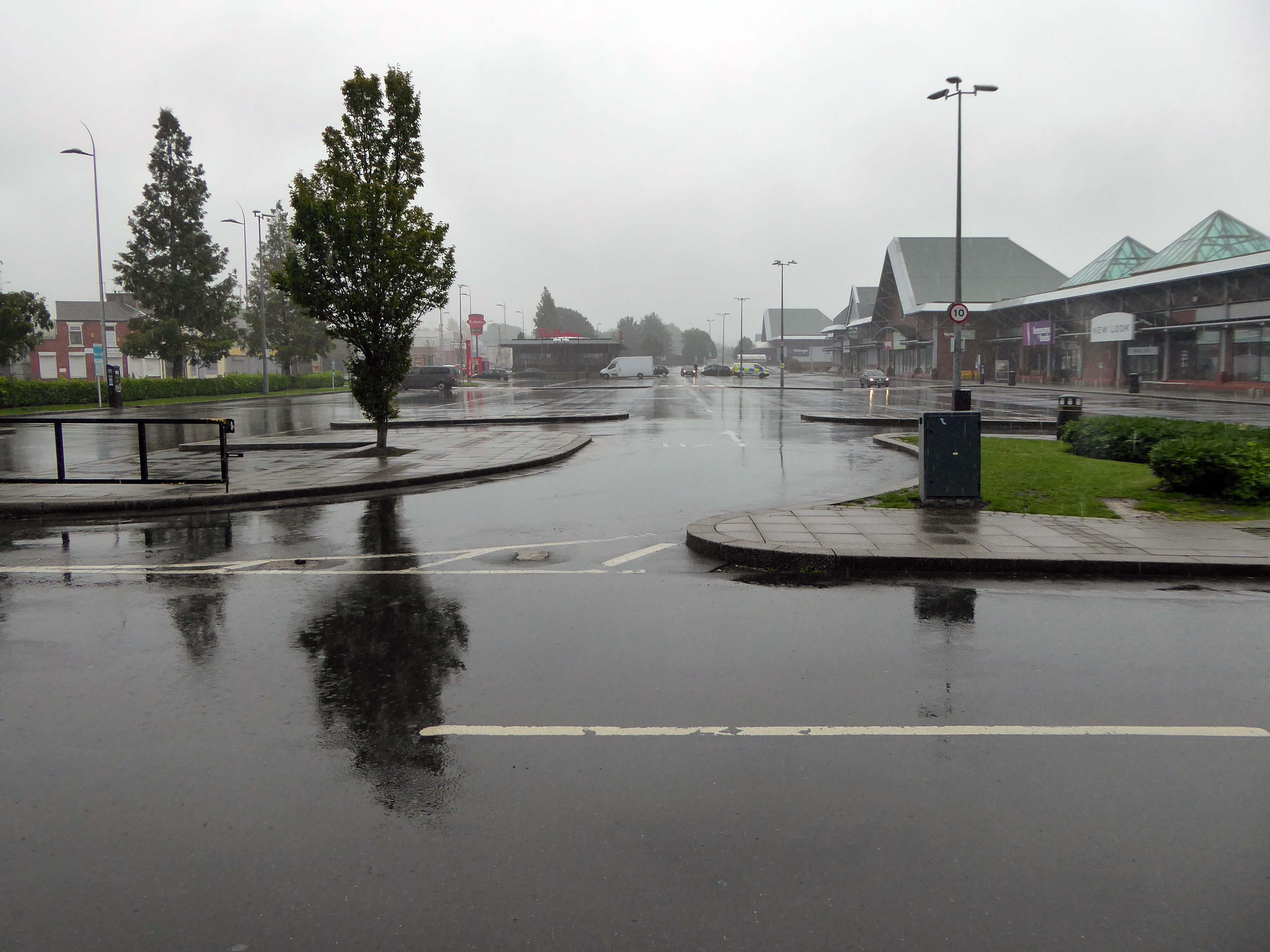
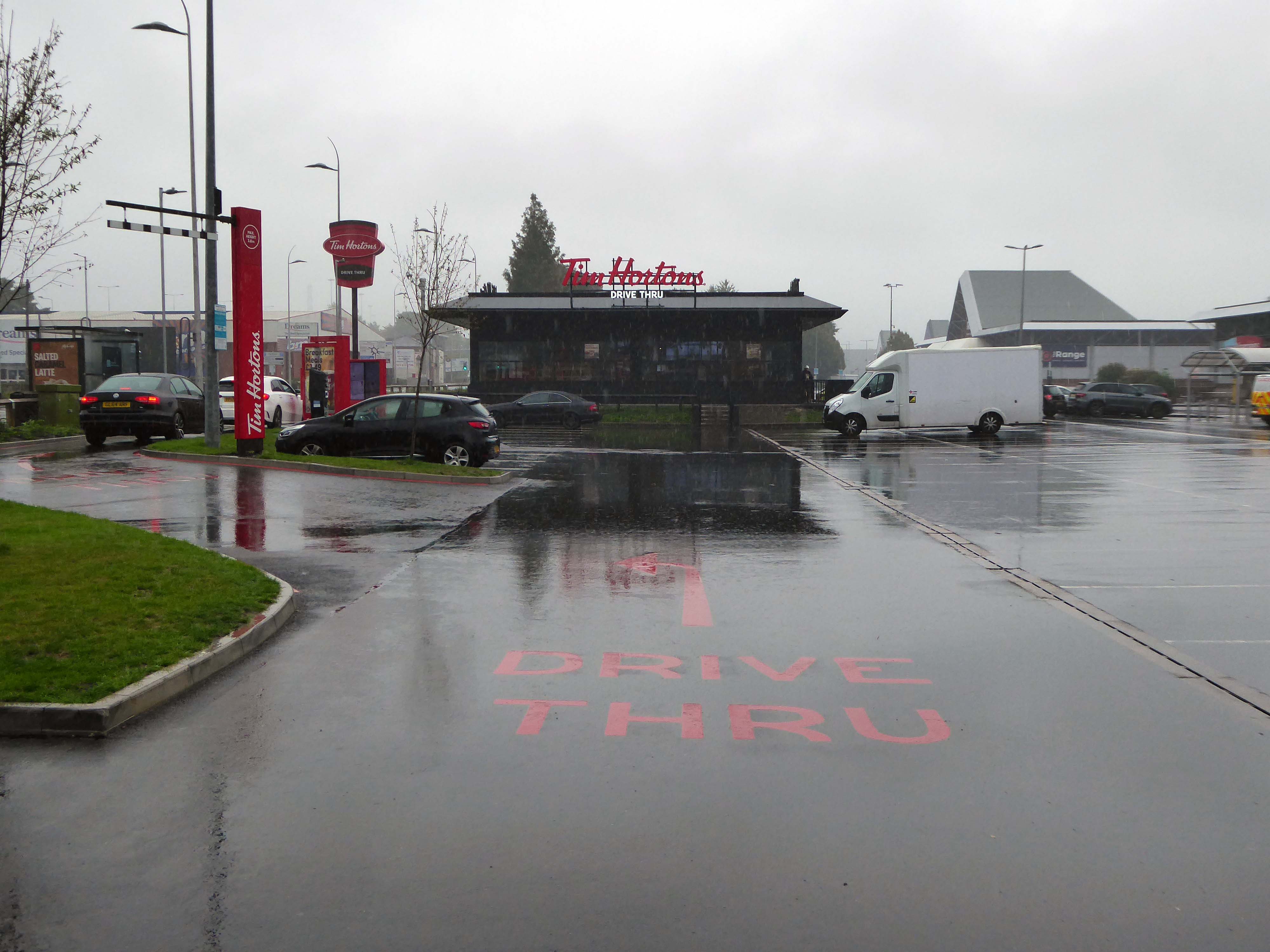
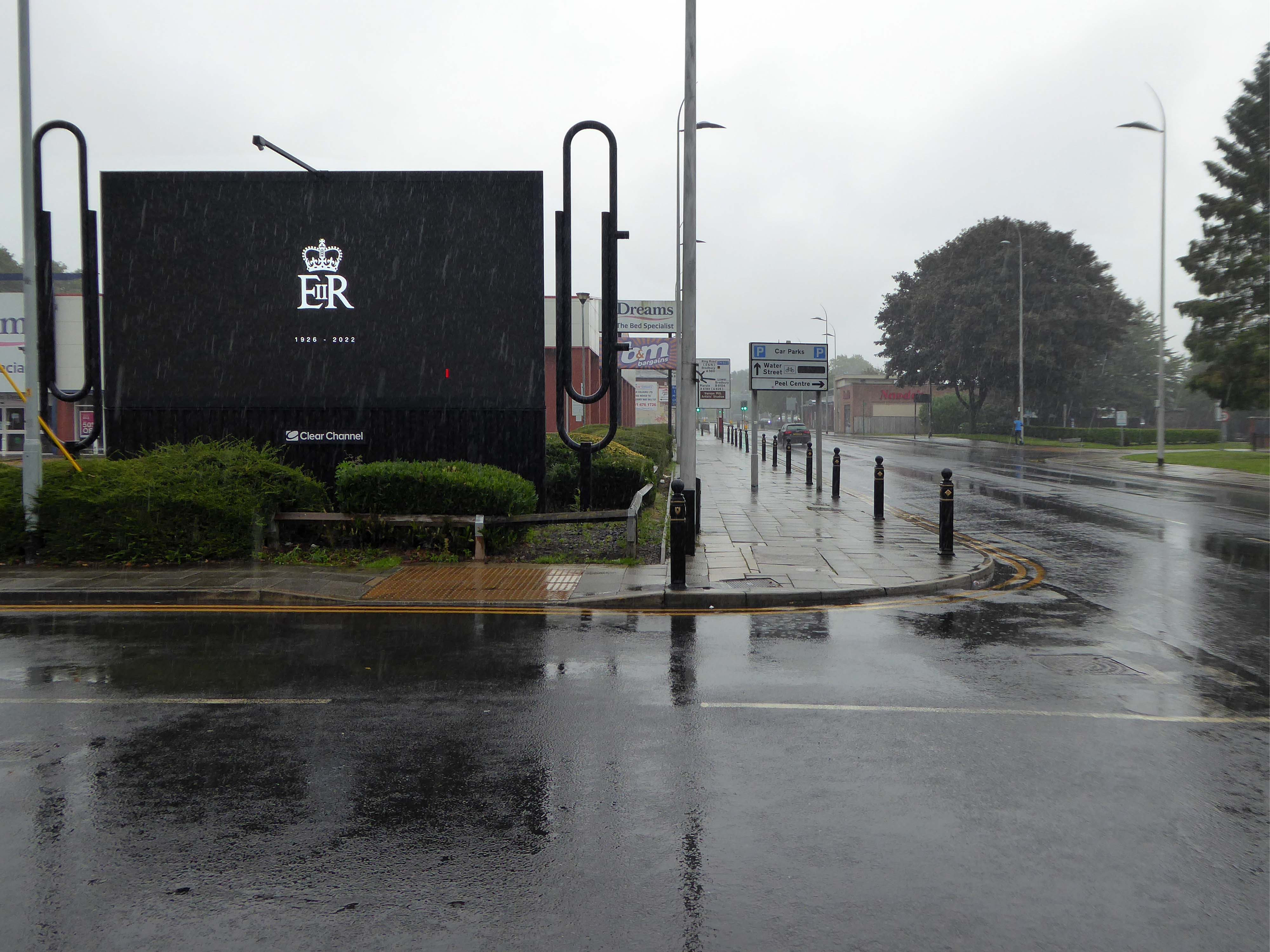
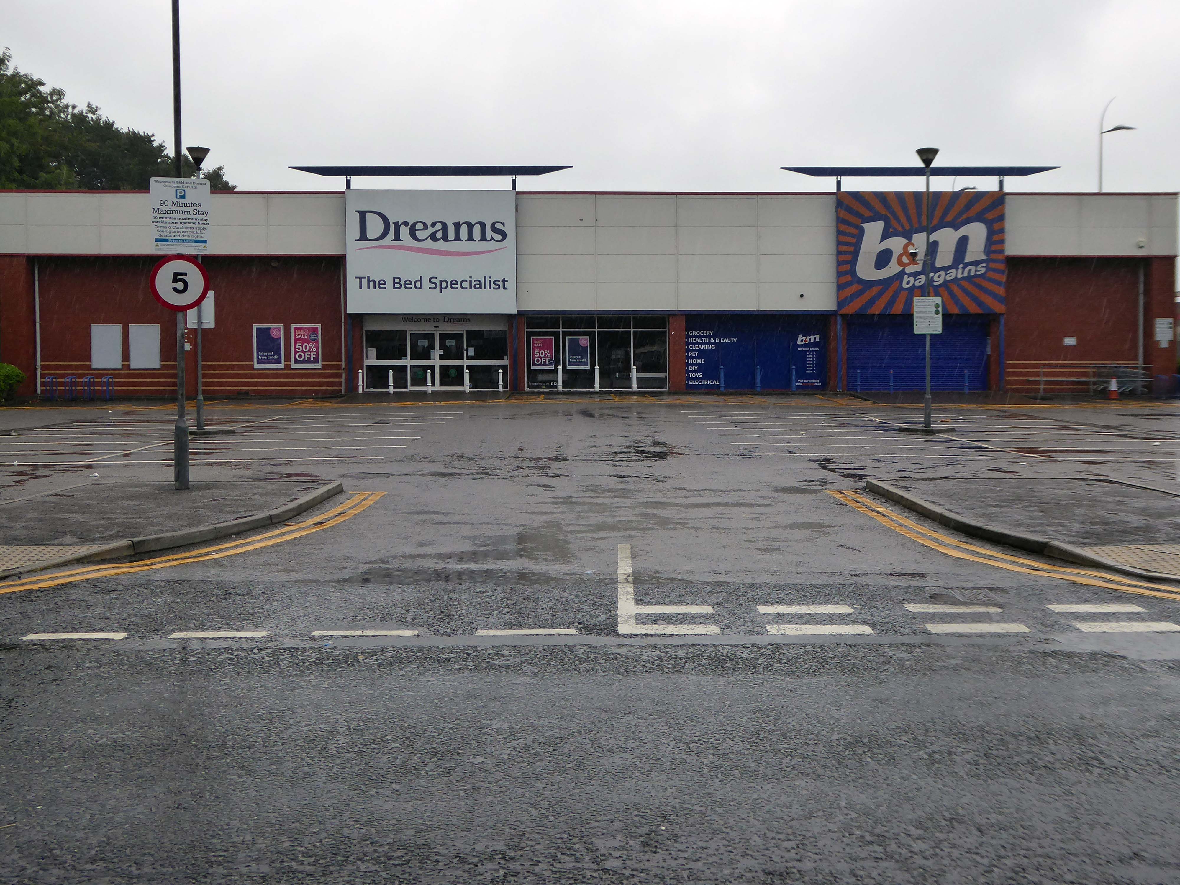
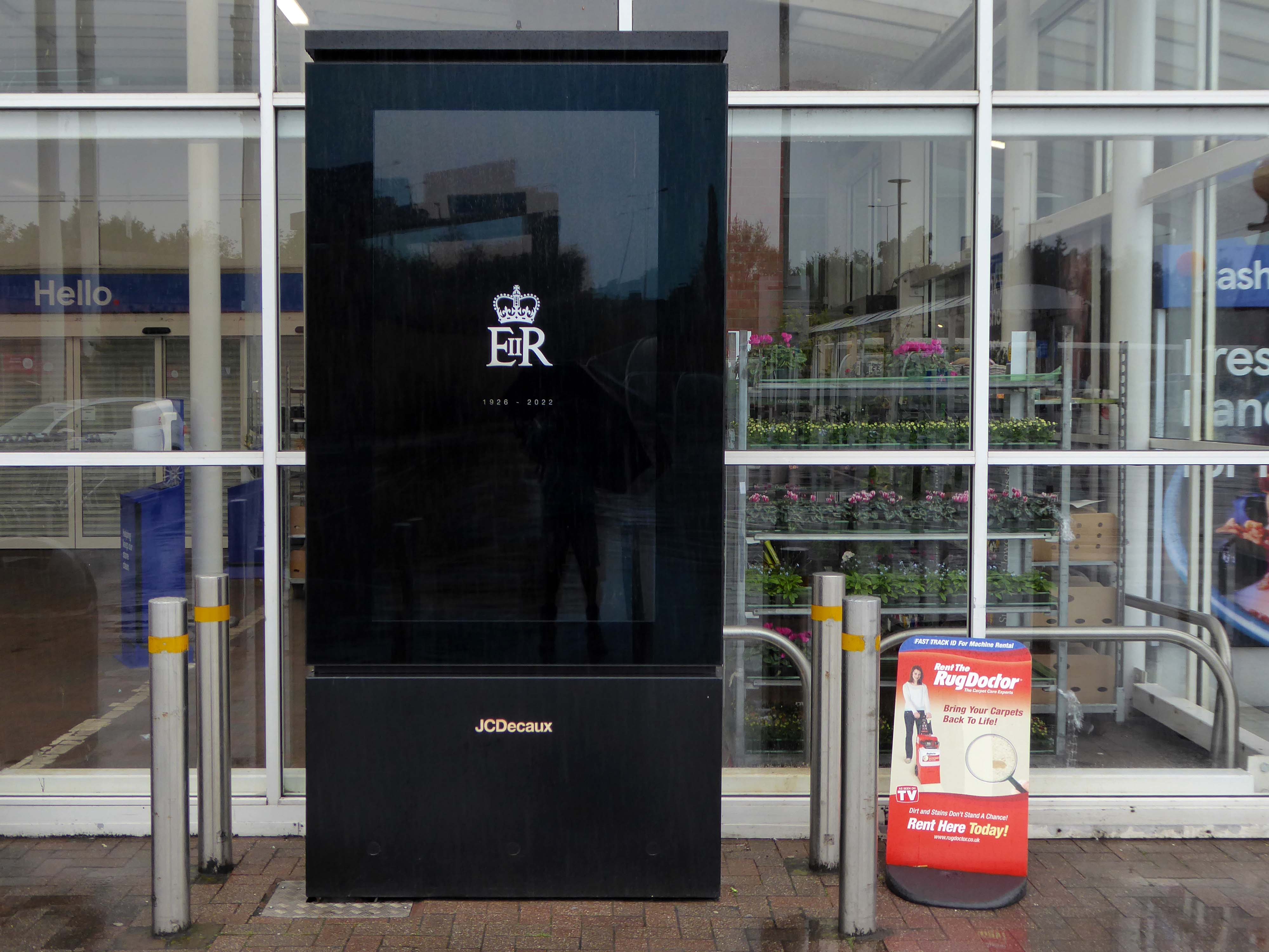
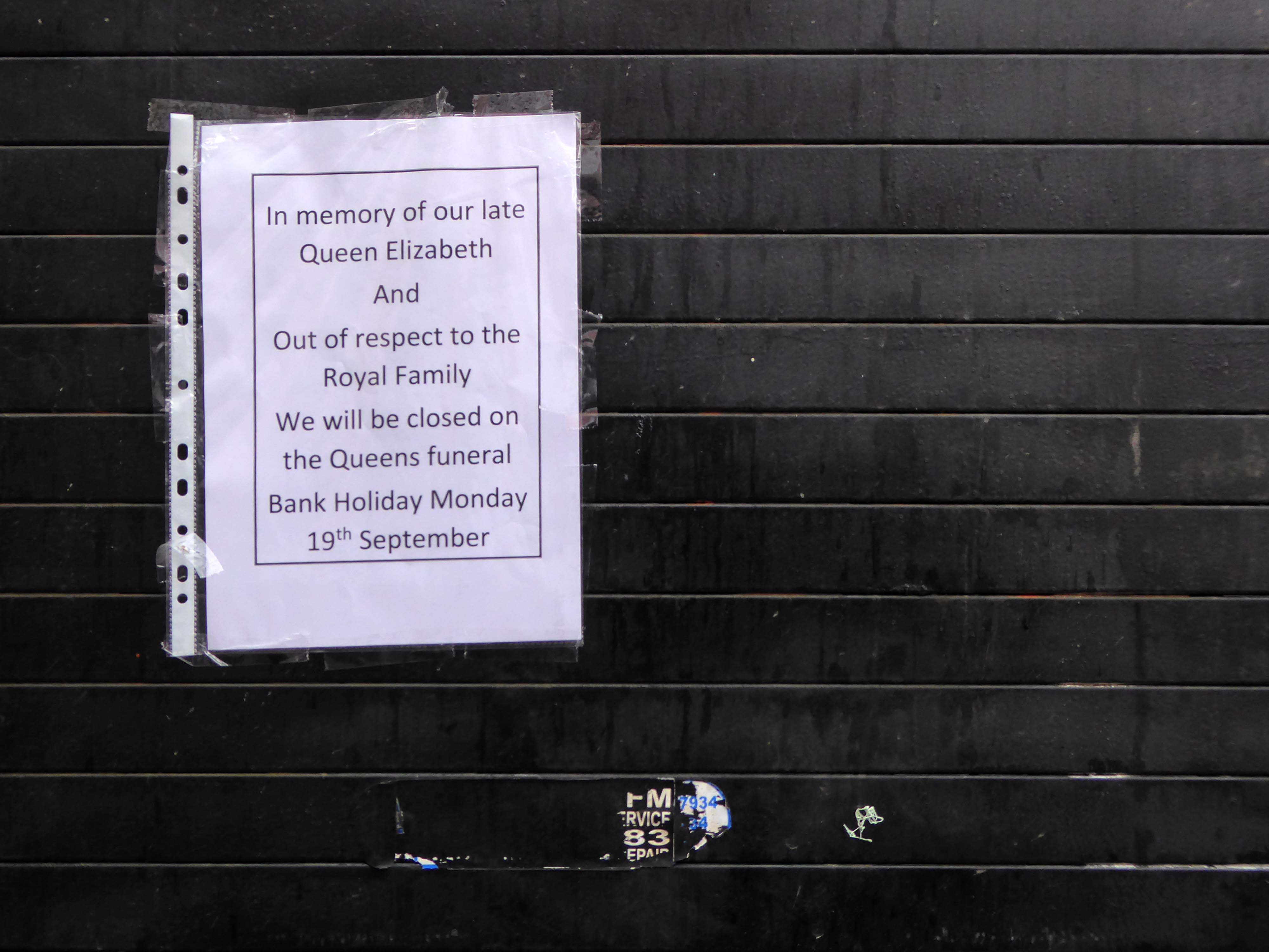
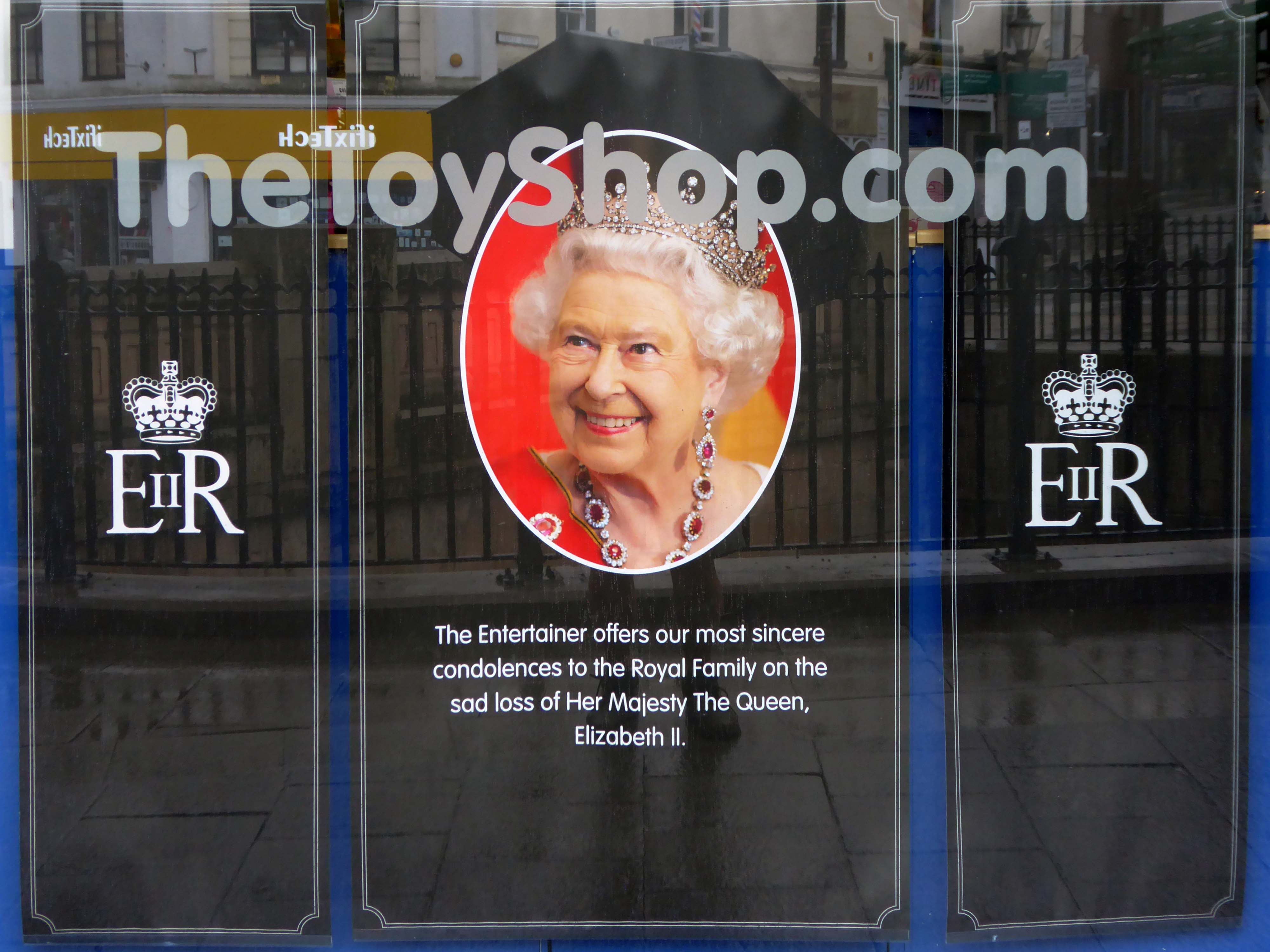
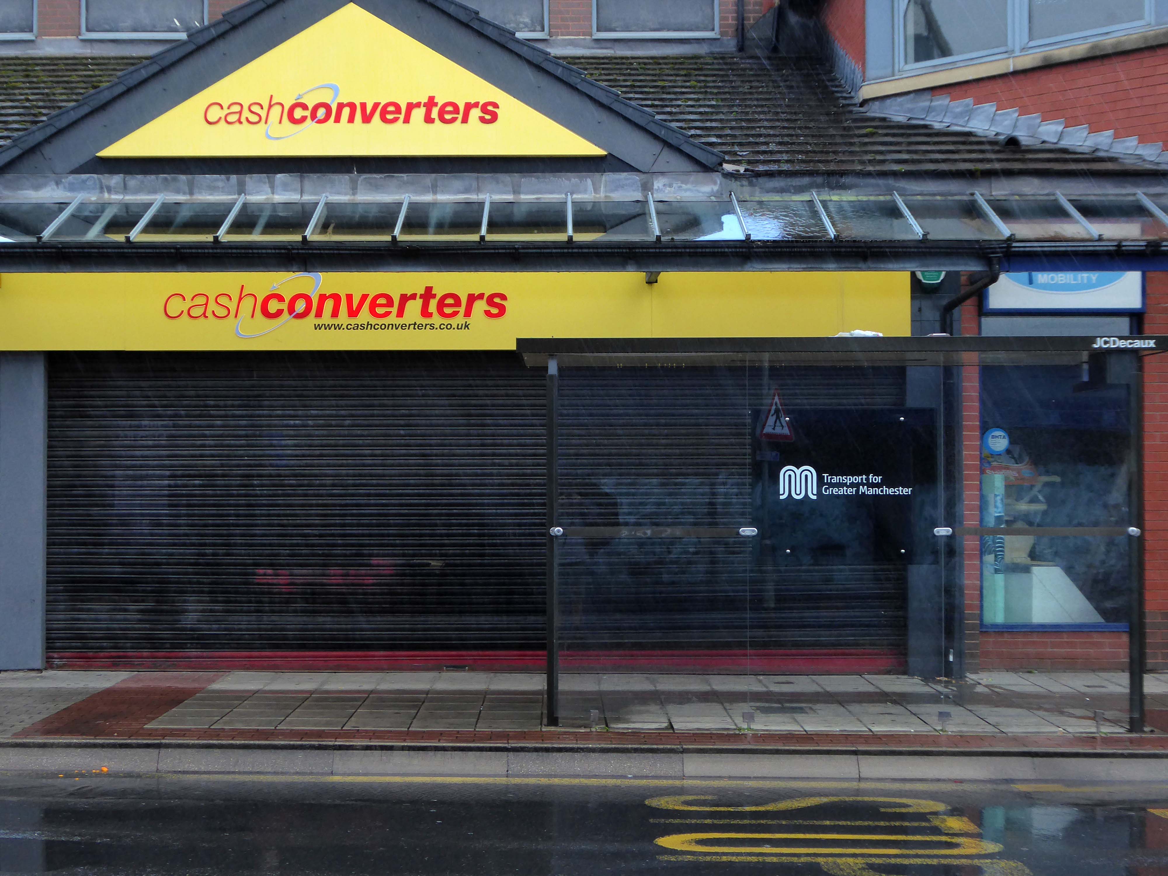
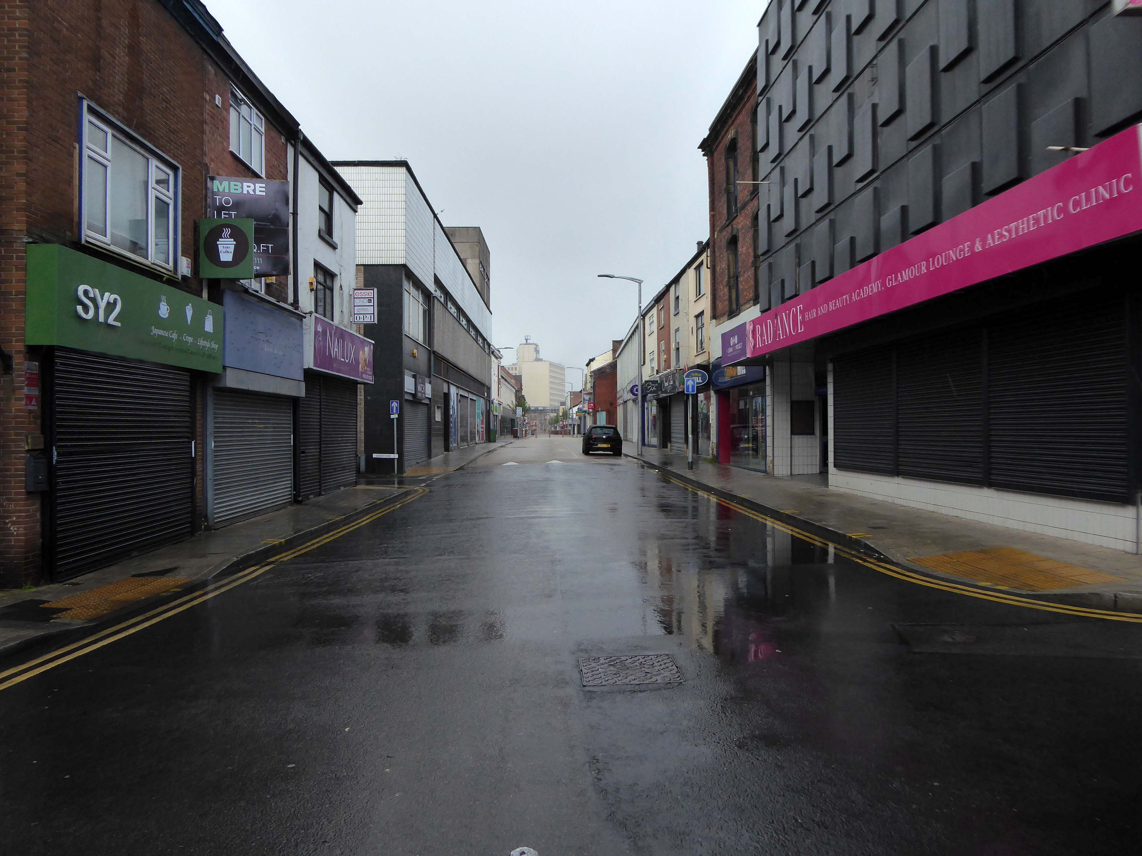
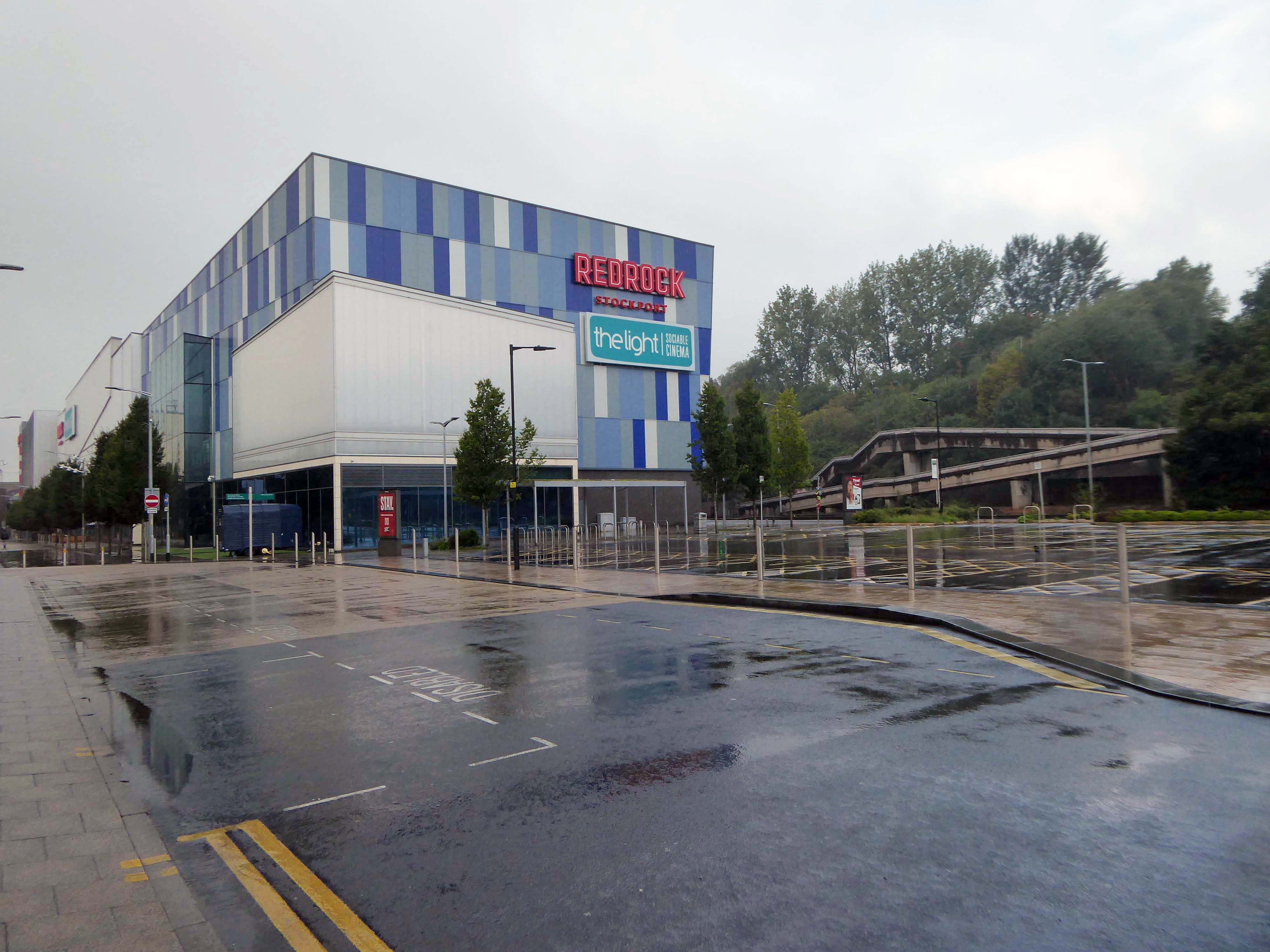
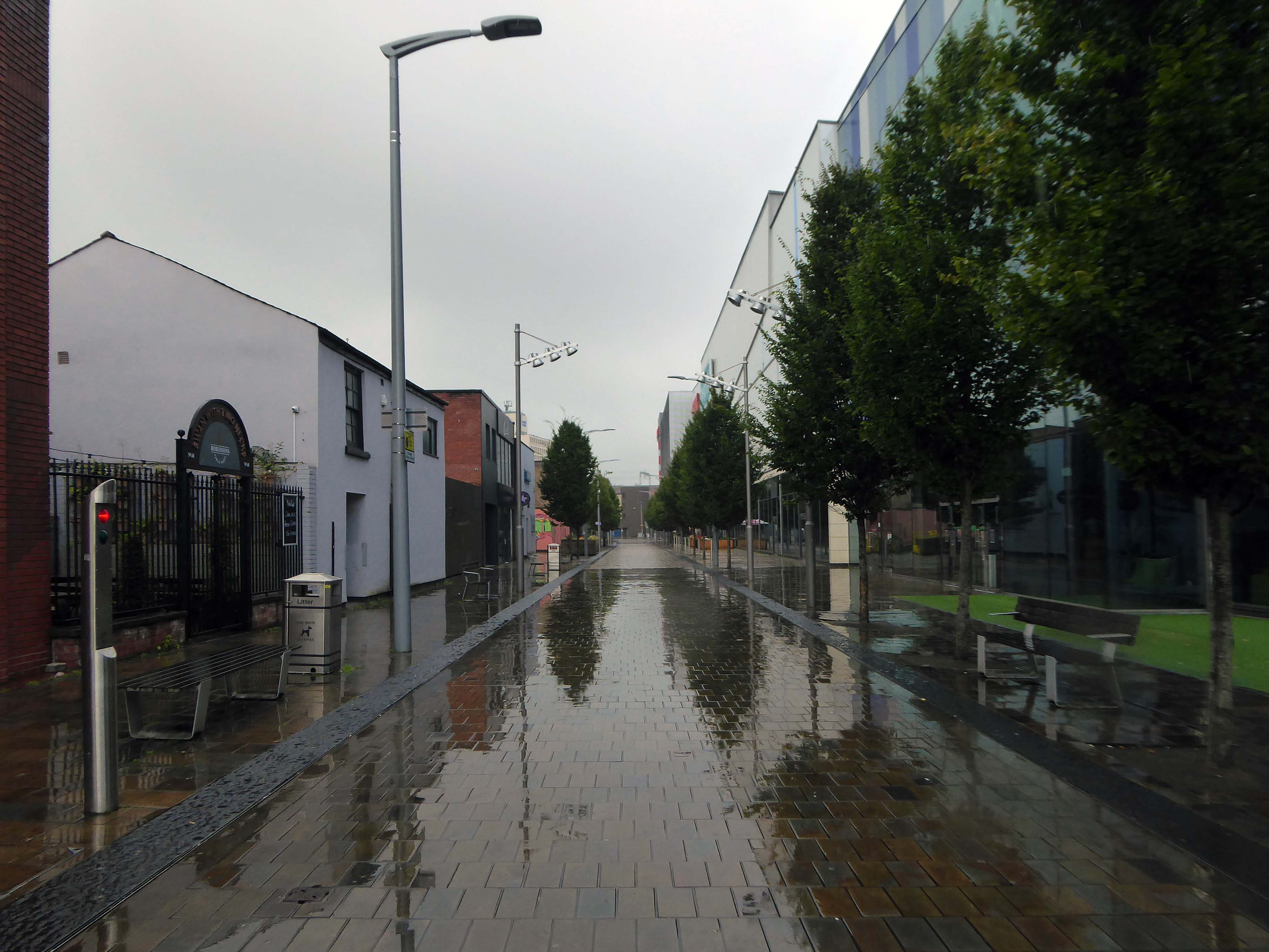
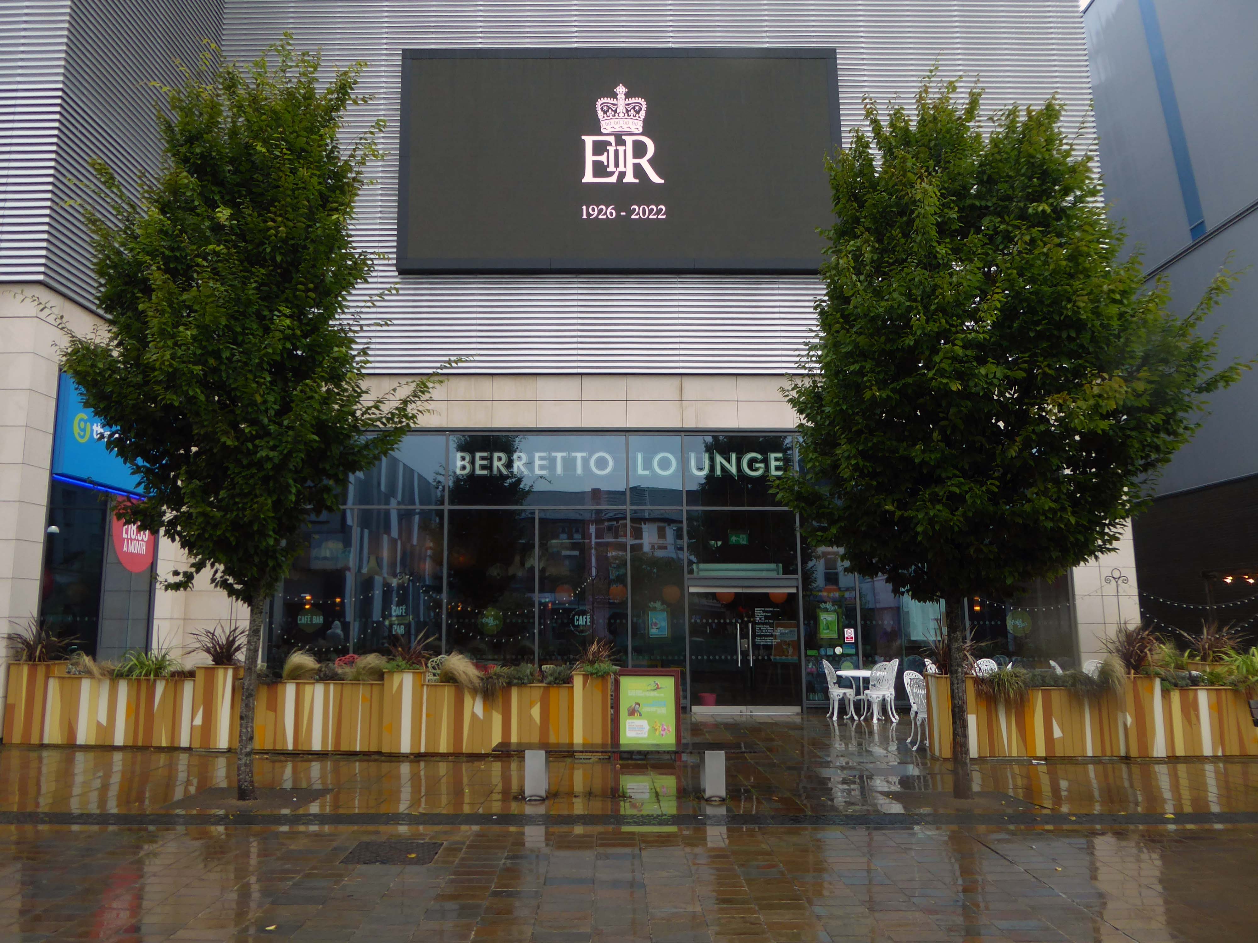
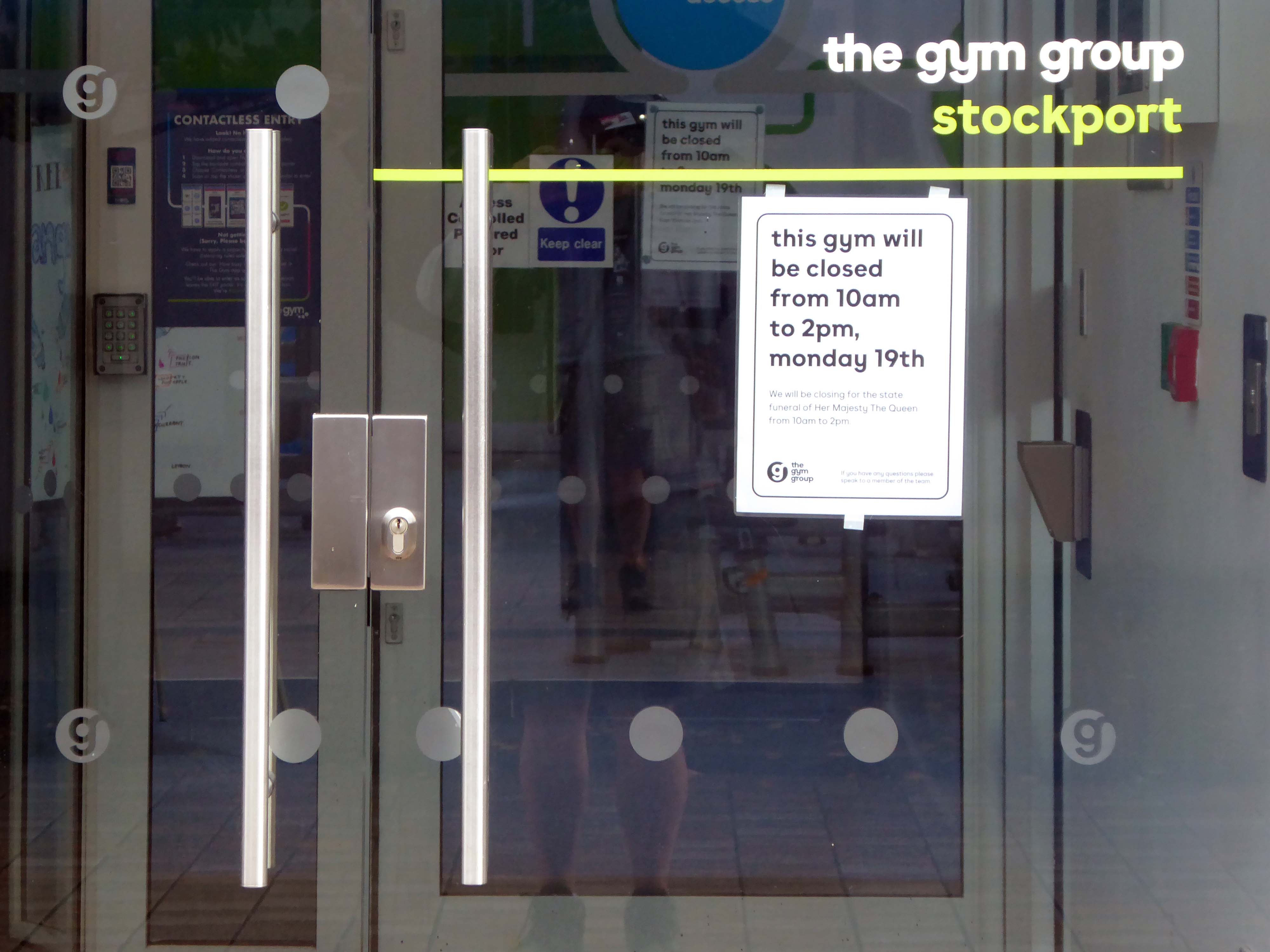
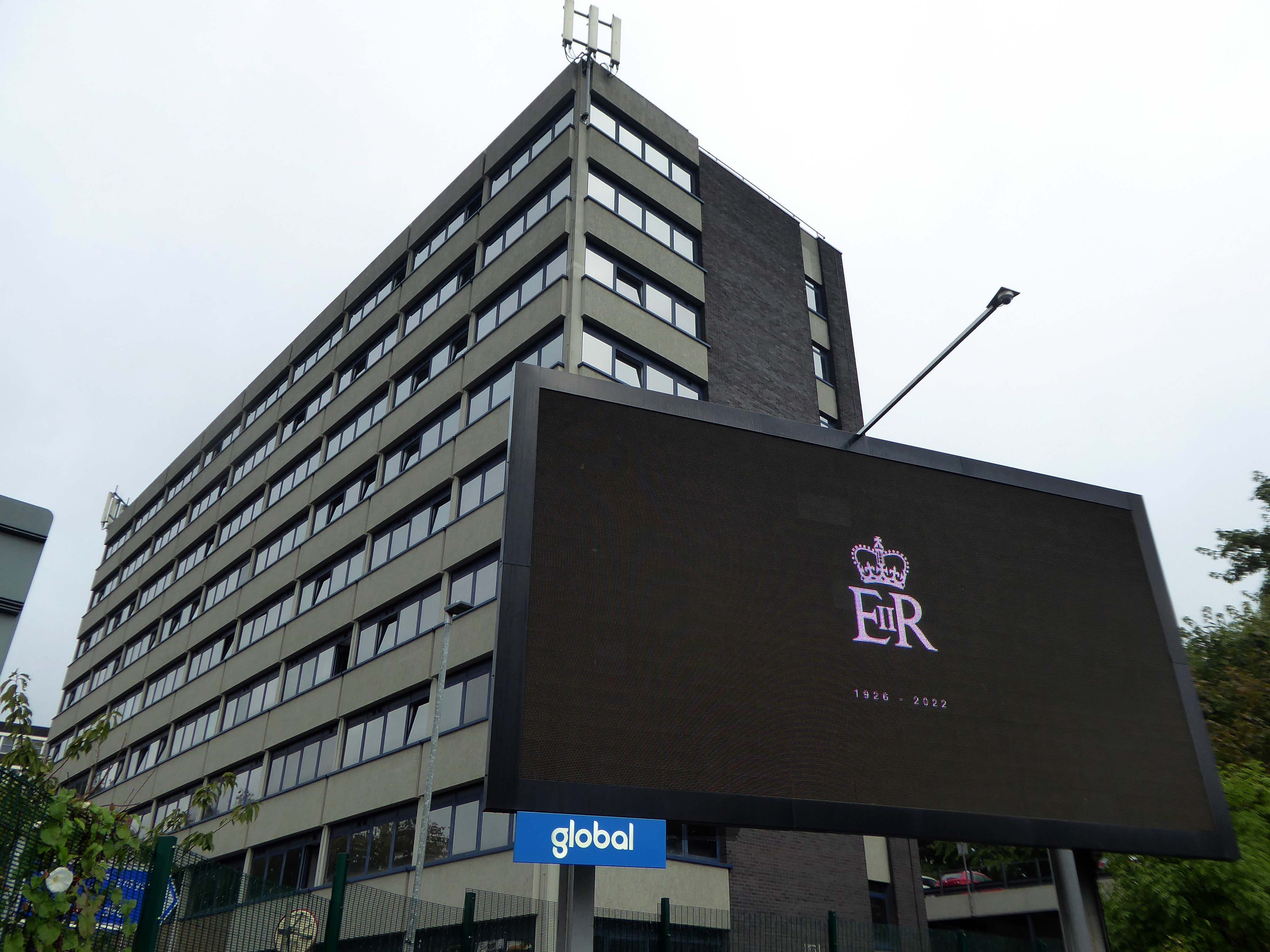
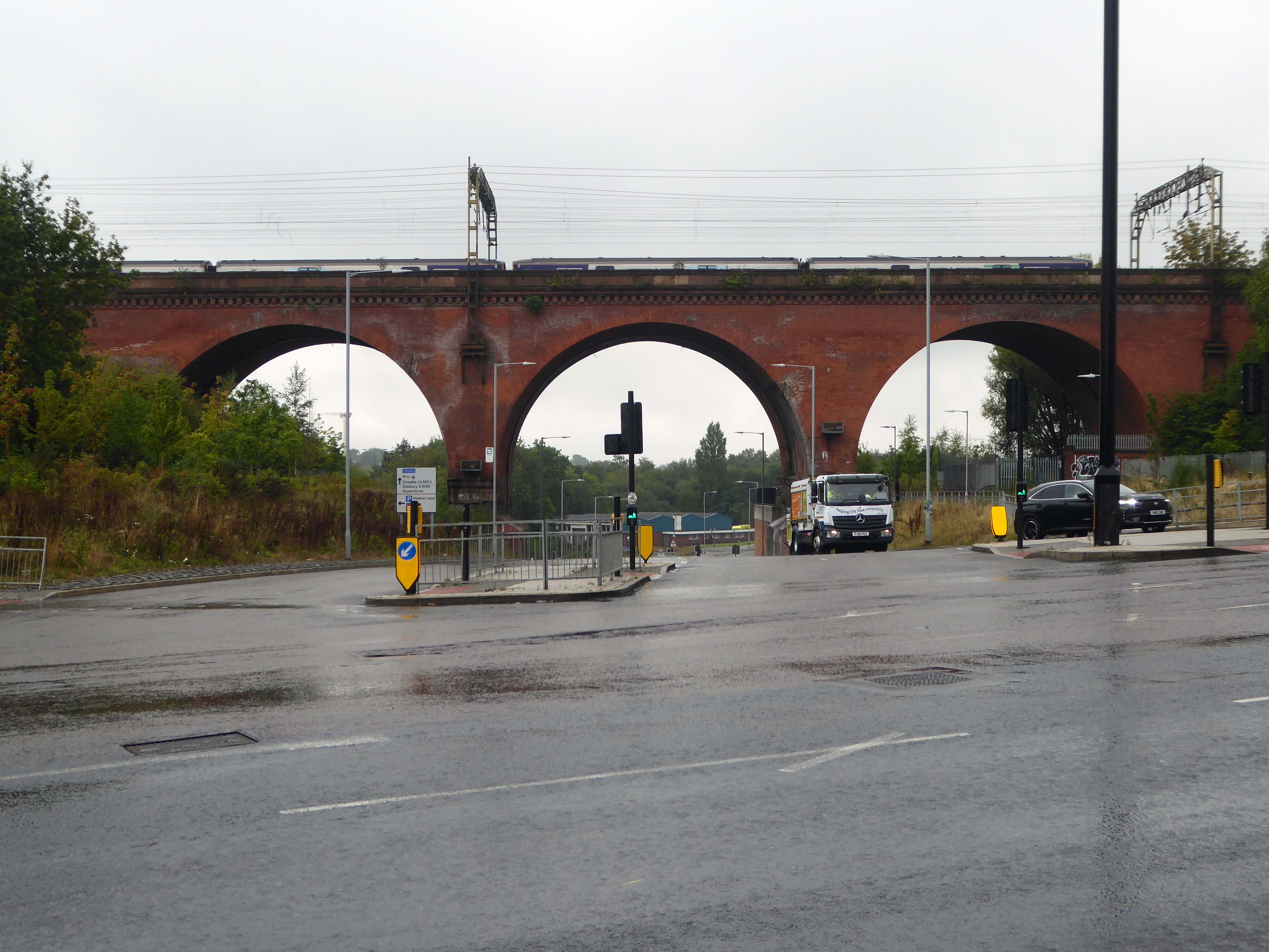
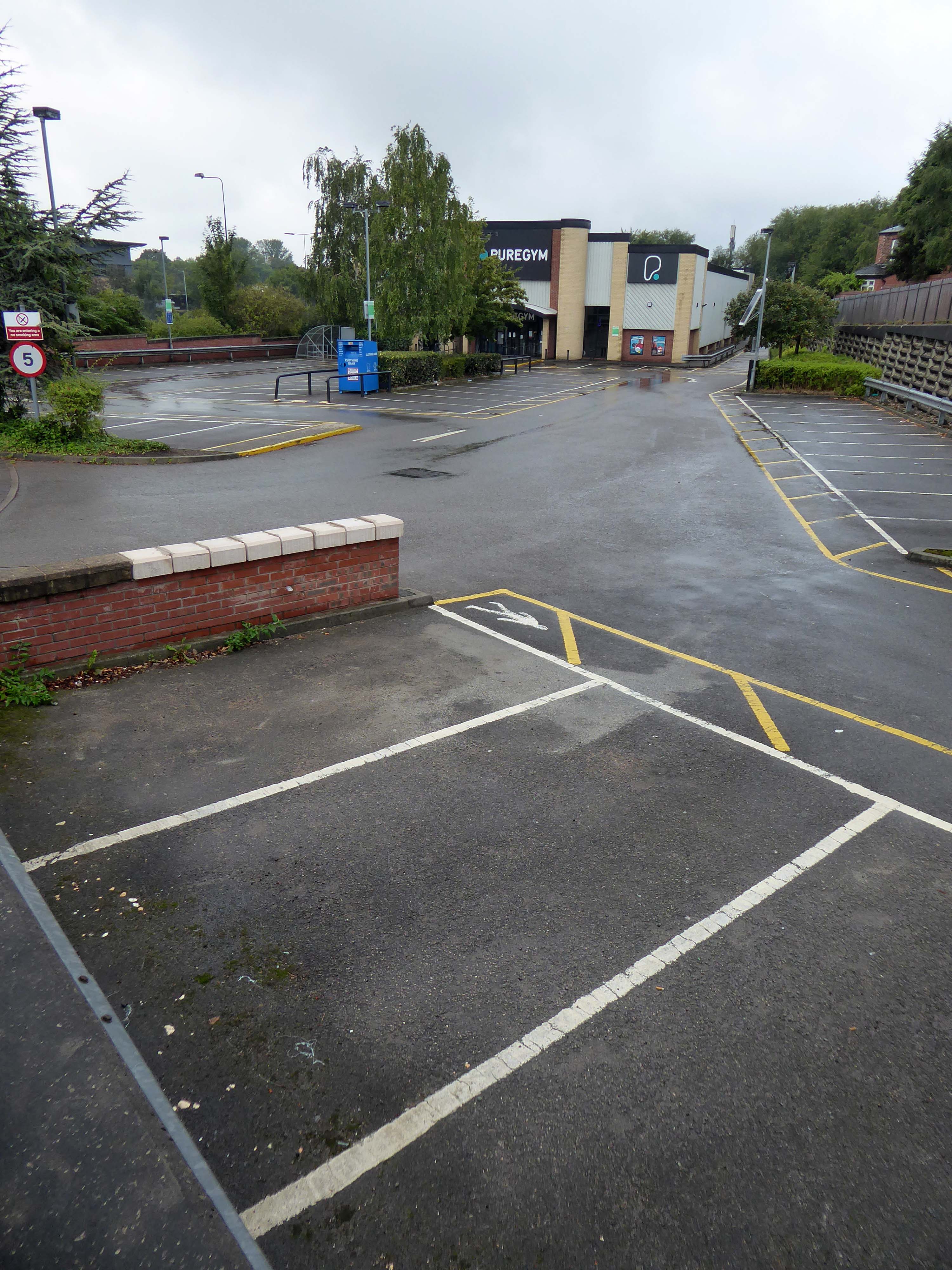
Today, on the day of her funeral, I set out for a walk around Stockport, to record a town largely closed for business. Overcast but far from downcast, I defied the almost persistent fine rain and these are the pictures that I took.
Many of the subjects are products of her time on the throne.
The traffic was much lighter, there were few pedestrians, a couple of cafés were open and two men watched the funeral service on the Sky TV stand in the precinct.
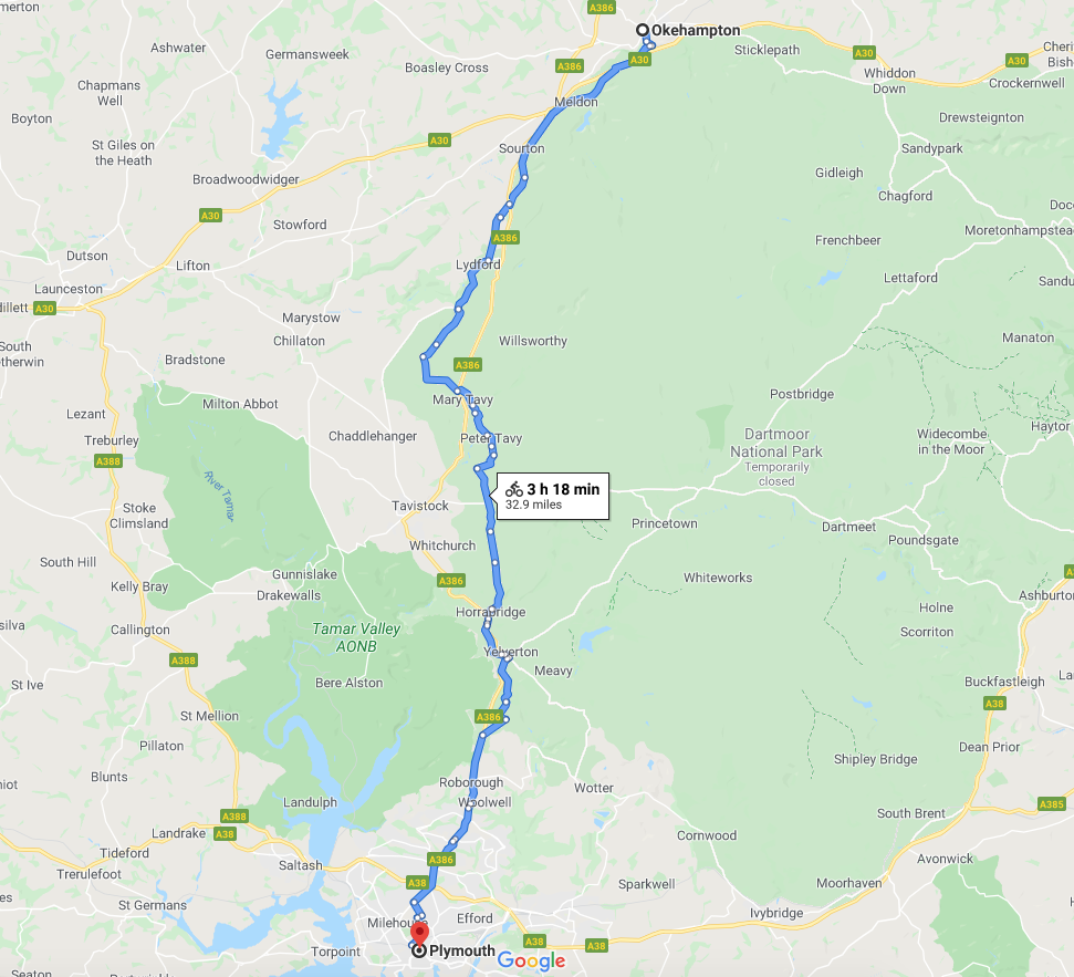
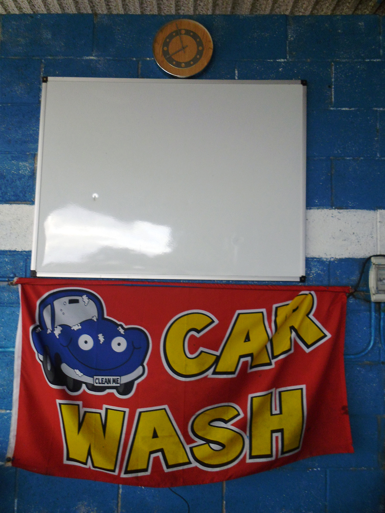
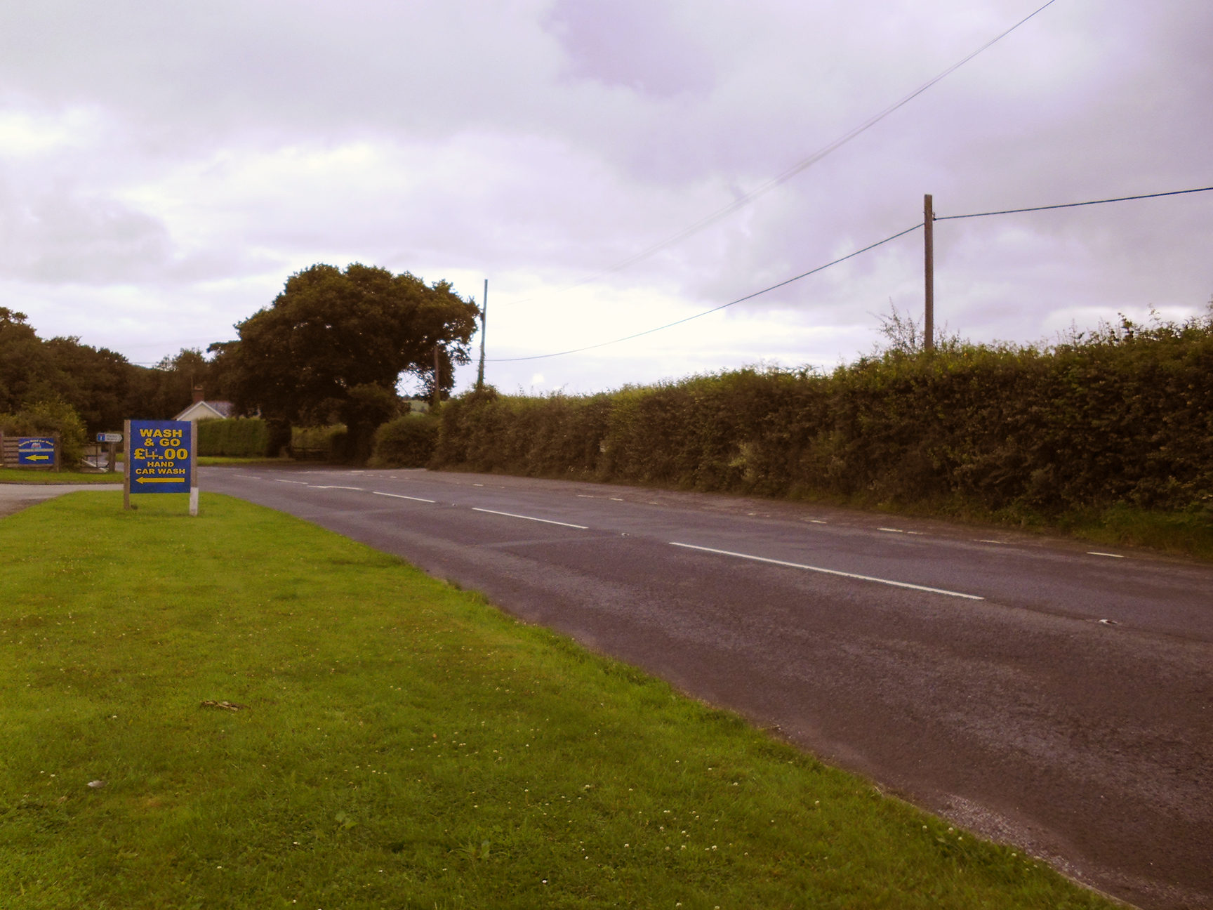
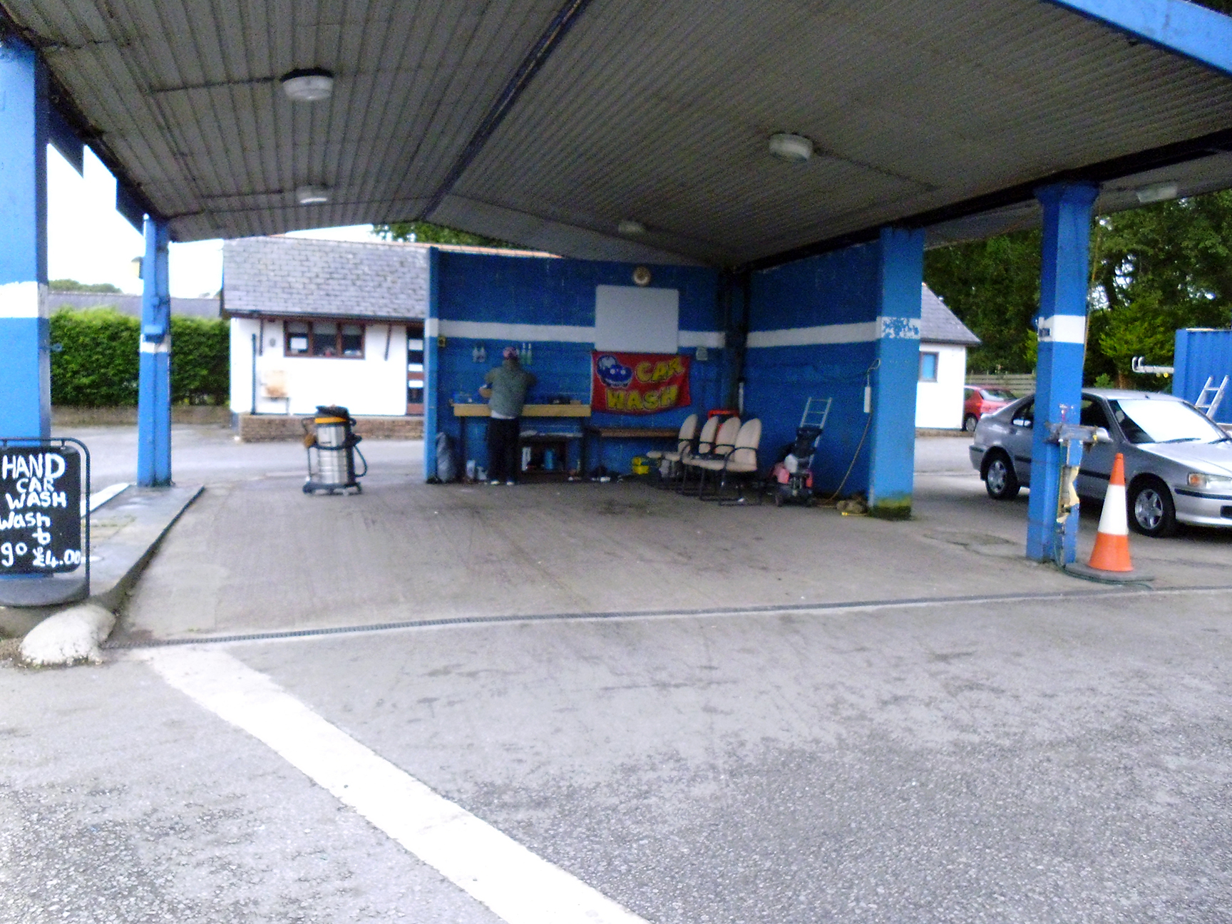
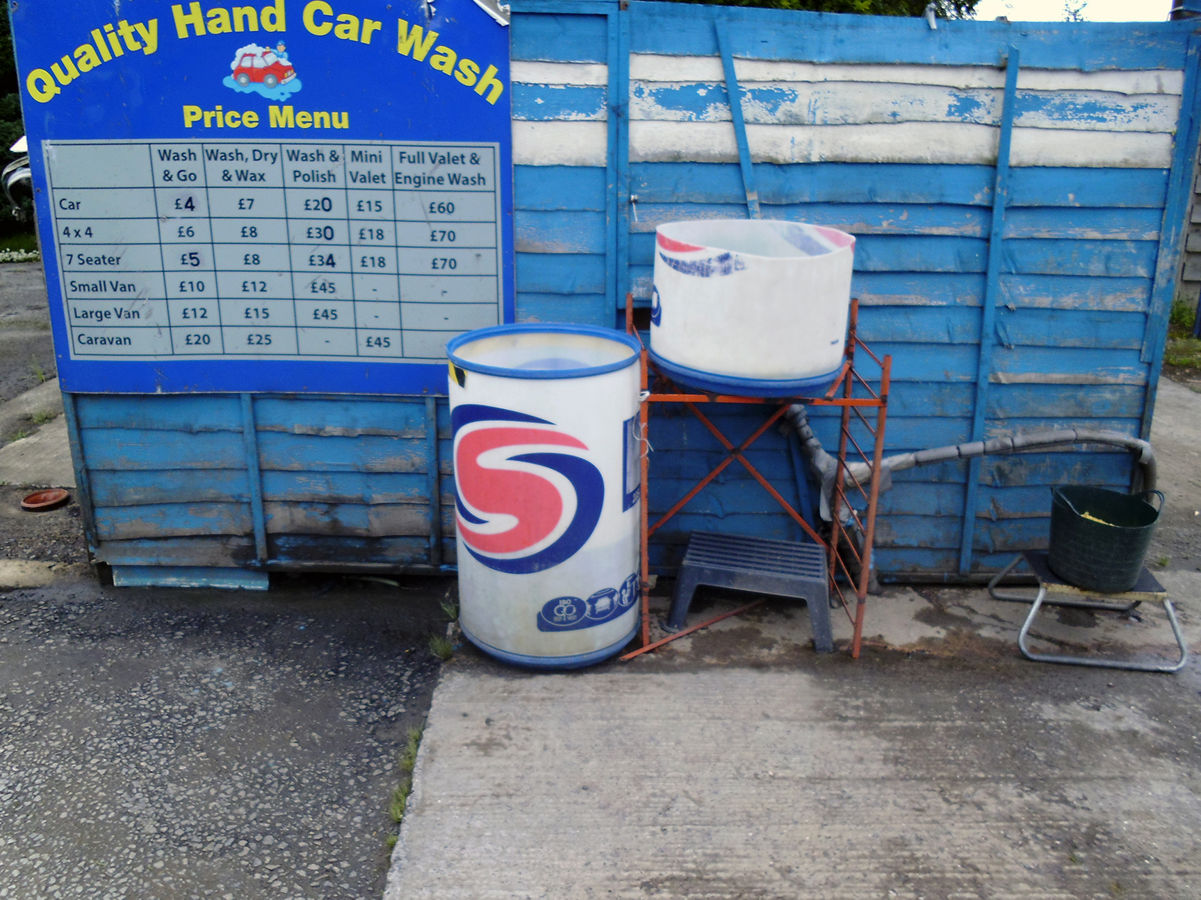
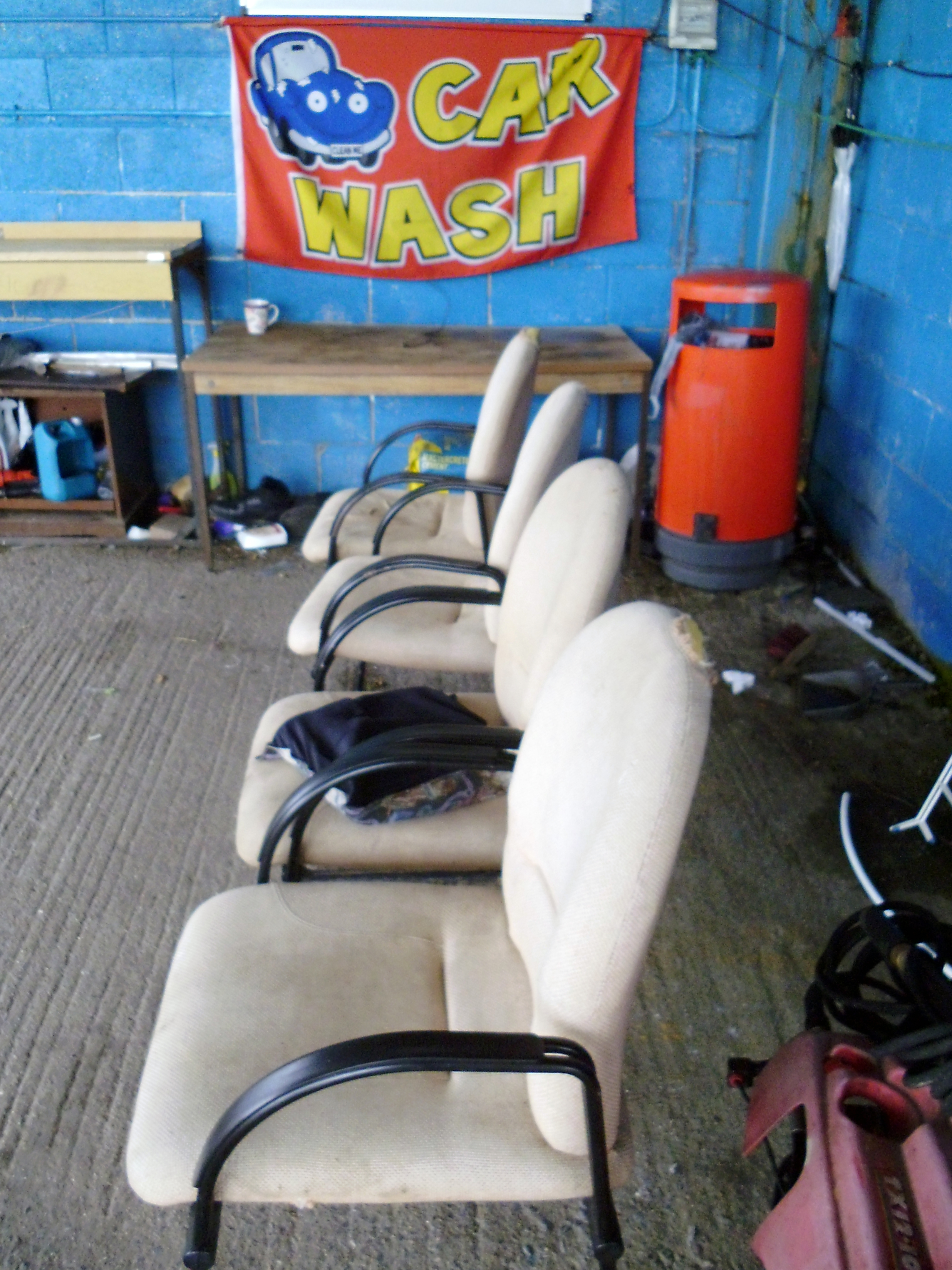
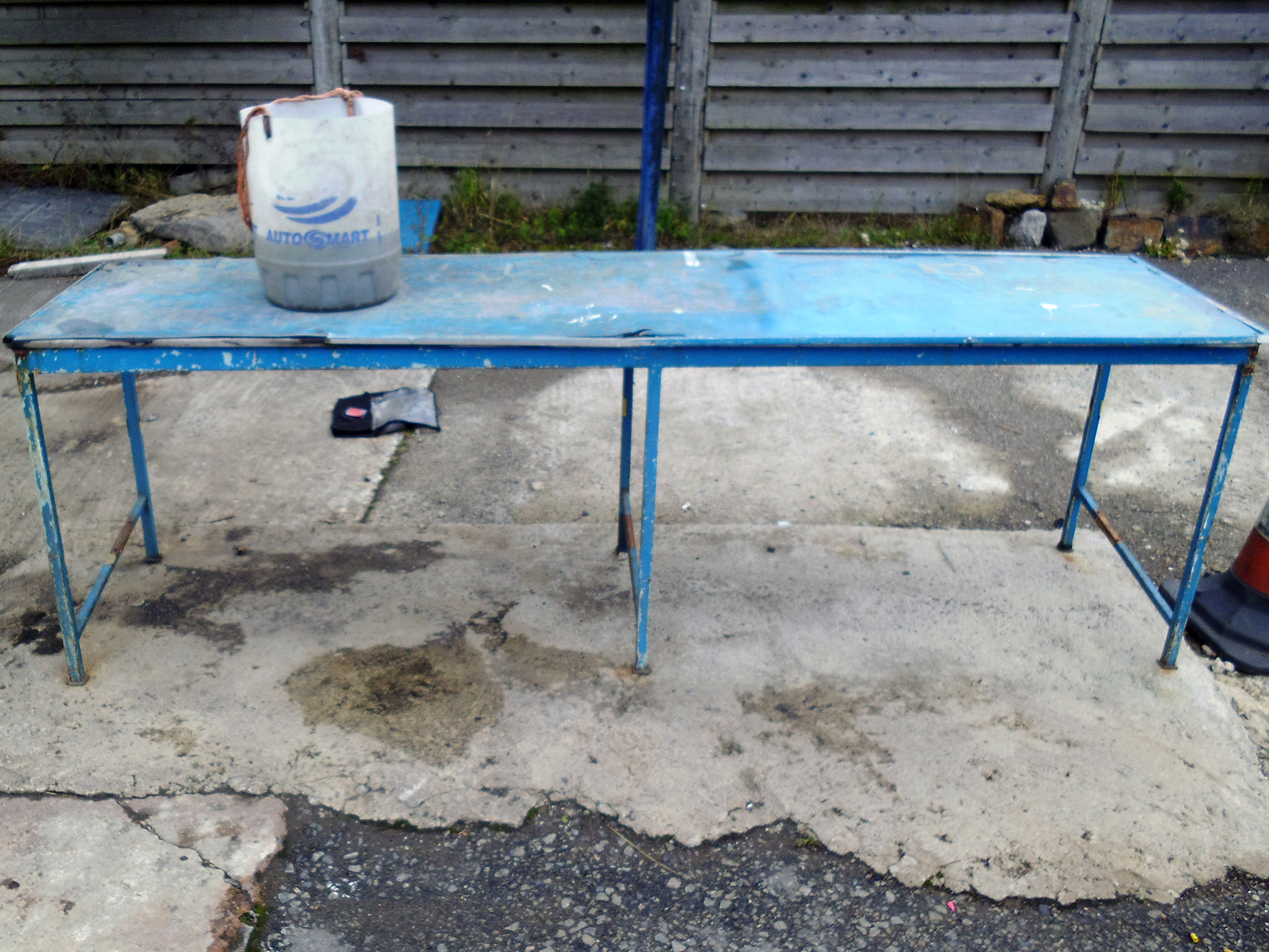
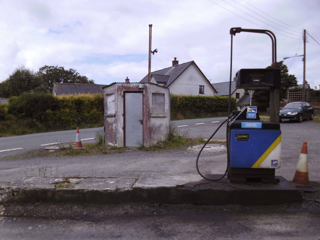
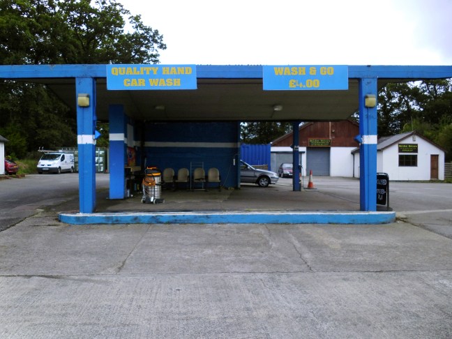
Tuesday 28th July 2015 waking up early on the outskirts of Okehampton – I went next door to explore – the Wash and Go.
I went back to Okehampton.
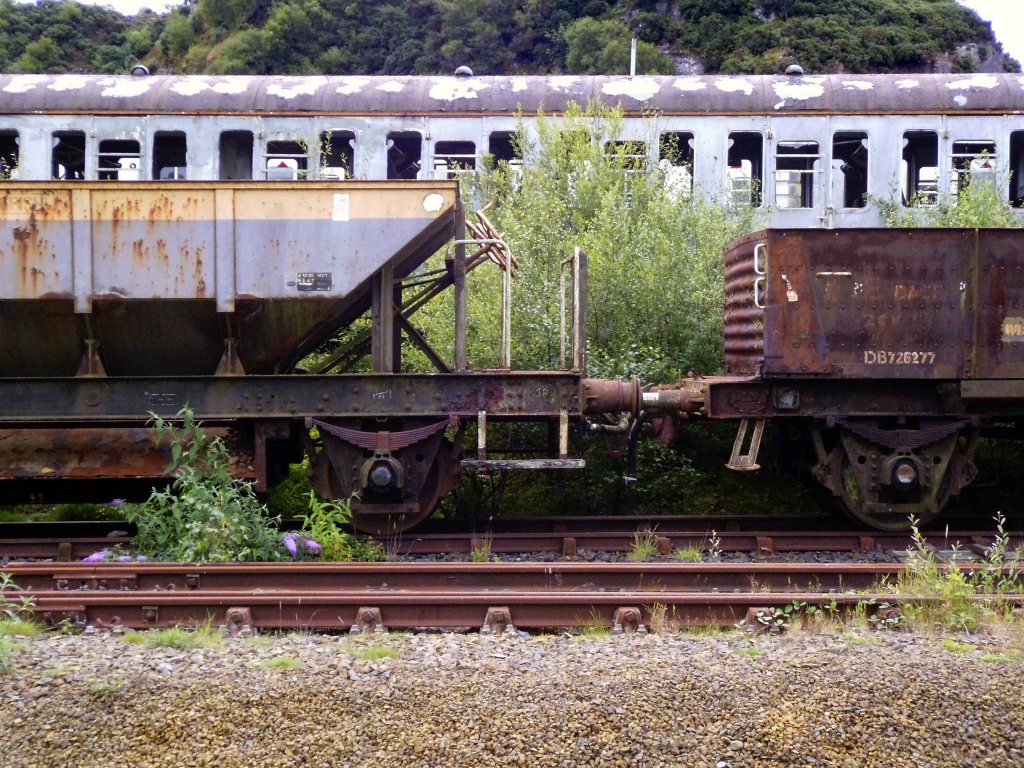
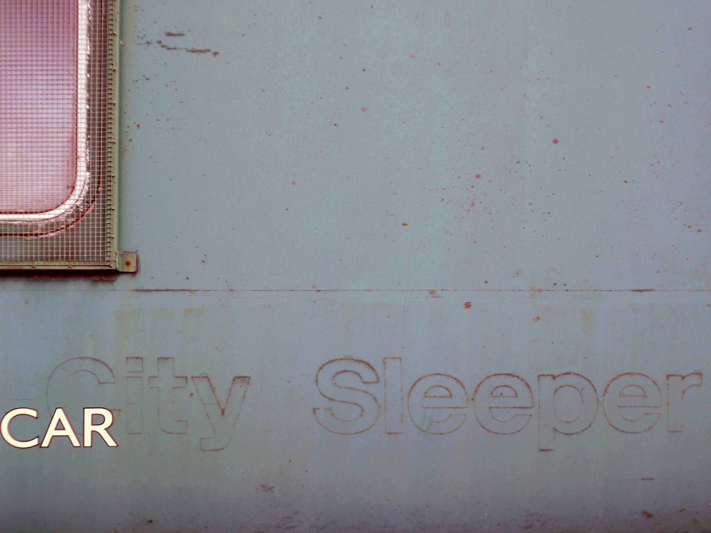
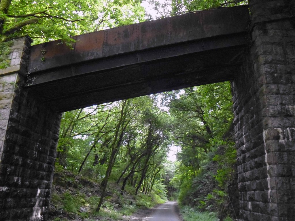
Headed out of town along the old railway line to Plymouth – where rests the solemn remains of previous railway activity and Meldon Quarry.
It’s believed that the first quarrying began around the late 1700s when the local limestone was extracted. Over the years this gradually gave over to aggregate quarrying and apelite quarrying until it final closure. The original owners of the quarry were the London and South Western Railway and then came Britsh Rail and finally EEC Aggregates.
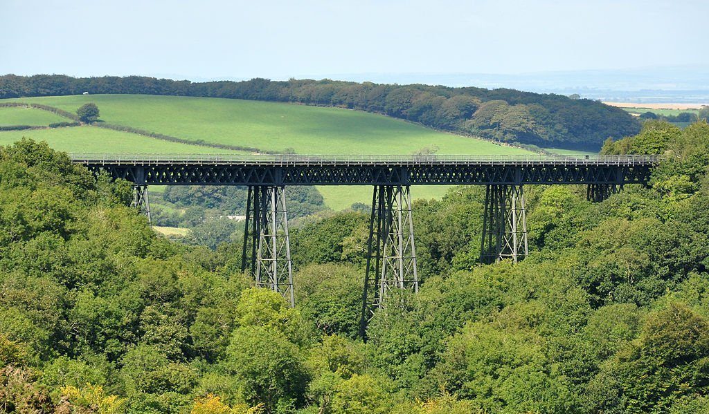
Crossing Meldon Viaduct.
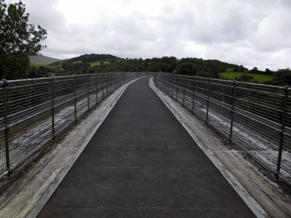
Meldon Viaduct carried the London and South Western Railway across the West Okement River at Meldon on Dartmoor. The truss bridge, which was constructed from wrought iron and cast iron not stone or brick arches, was built under the direction of the LSWR’s chief engineer, WR Galbraith. After taking three years to build, the dual-tracked bridge opened to rail traffic in 1874. Usage was limited to certain classes of locomotive because the viaduct had an axle load limit. Although regular services were withdrawn in 1968, the bridge was used for shunting by a local quarry. In the 1990s the remaining single line was removed after the viaduct was deemed to be too weak to carry rail traffic.
The crossing is now used by The Granite Way, a long-distance cycle track across Dartmoor. The viaduct, which is a Scheduled Monument, is now one of only two such surviving railway bridges in the United Kingdom that uses wrought iron lattice piers to support the cast iron trusses – the other is Bennerley Viaduct between Nottinghamshire and Derbyshire.
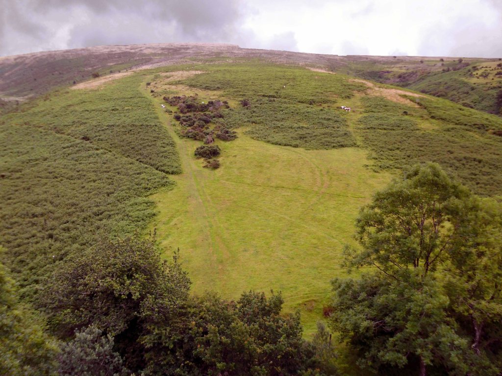
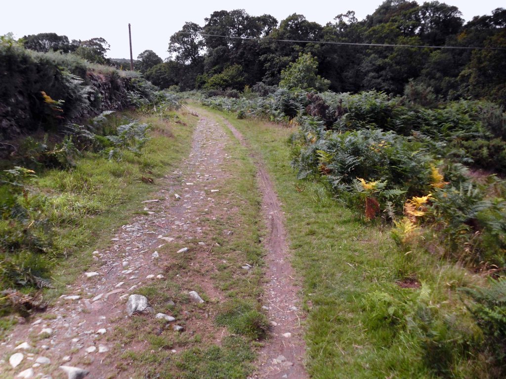
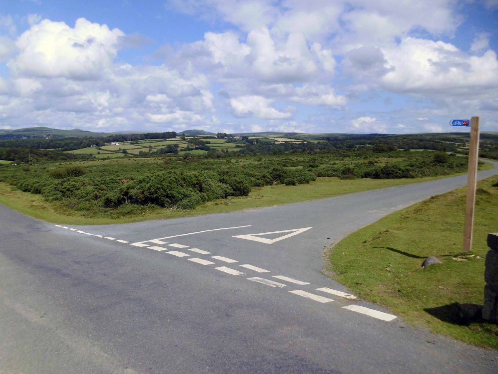
We’re off across the edge of Dartmoor.
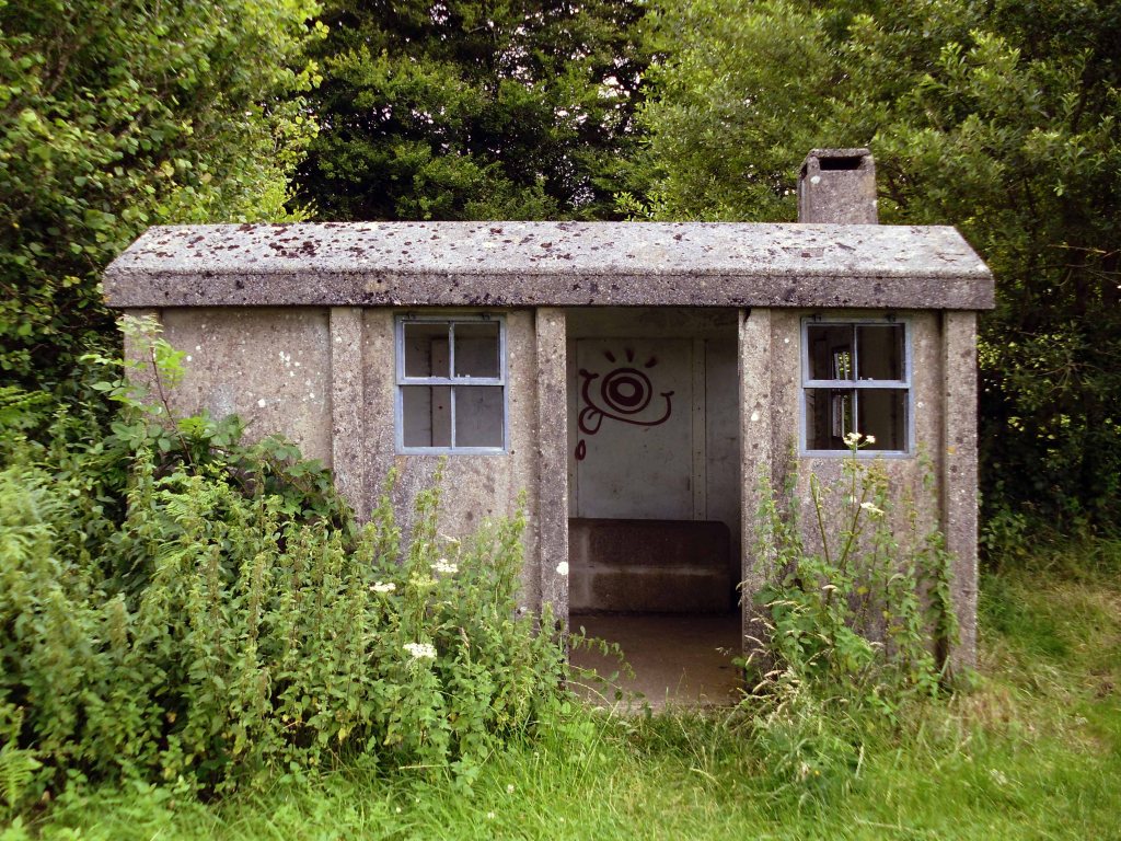
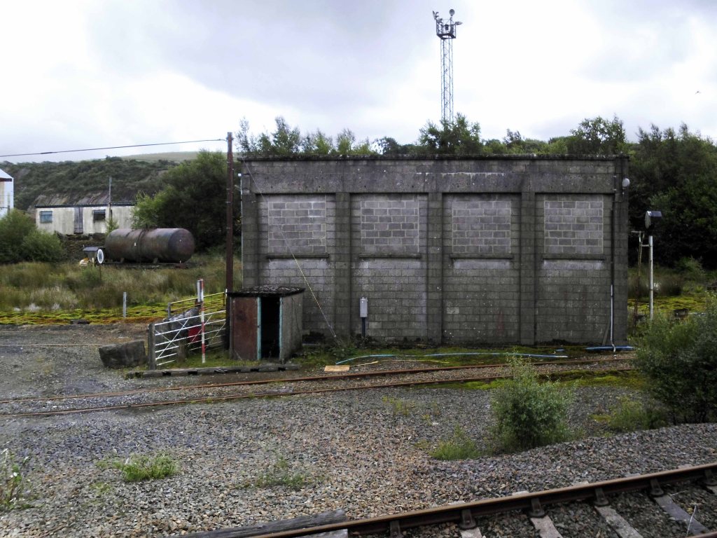
On an old railway line with prefabricated concrete railway huts.

And a bus stop at Mary Tavy a village with a population of around 600, located four miles north of Tavistock.
And a population of one delightful litter bin.
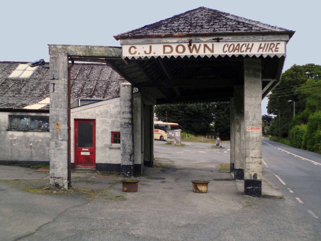
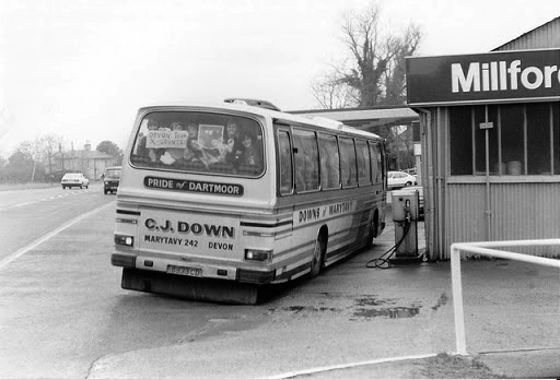
And CJ Down Coach Hire – the pride of Dartmoor.
Don’t the road look rough and rocky, will the sea look wide and deep?
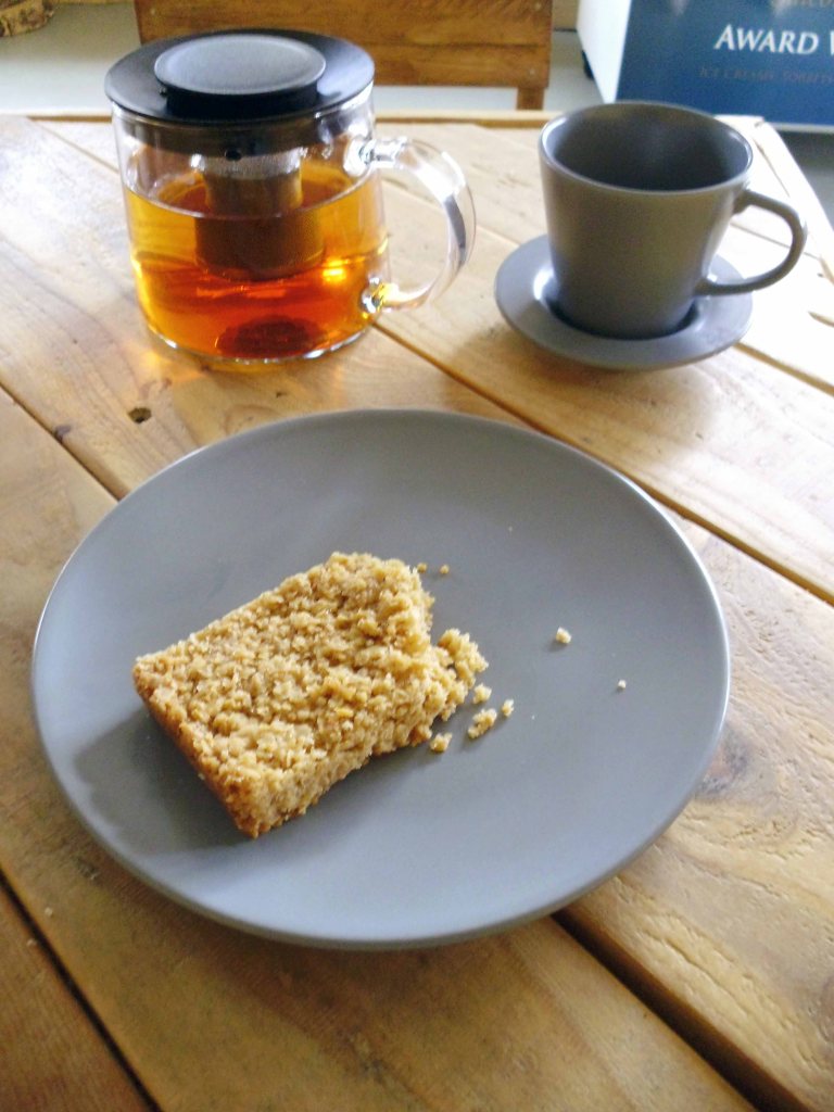
Time for a timely tea and flapjack stop.
So far so good the nicest weather of the tour, shortest yet most amenable distance through moorland, upland and downland – with a final traffic free descent into Plymouth.
Back in the land of the tower block.
Chichester House Citadel Road The Hoe Plymouth PL1 3BA
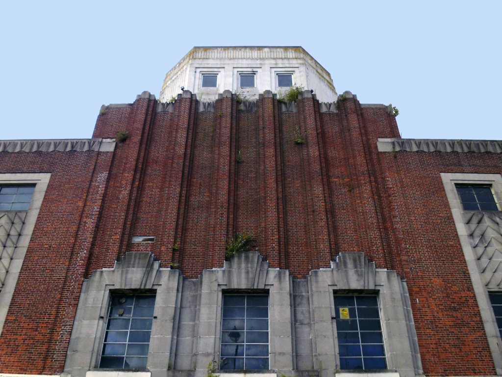
Past the former Odeon
Architects – Percy Bartlett and William Henry Watkins
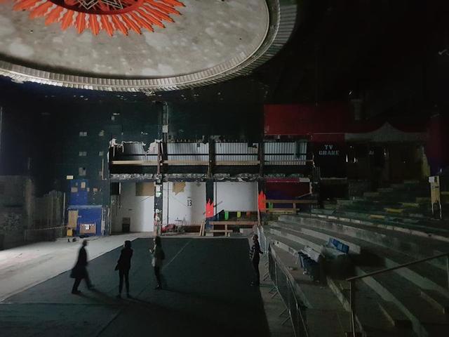
Built on the site of the Andrews New Picture Palace, which had opened in 1910, and was demolished in 1930. The Gaumont Palace was opened on 16th November 1931 with Jack Hulbert in “The Ghost Train” and Sydney Howard in “Almost a Divorce”.
The imposing brick building has a white stone tower feature in the central section above the entrance. Seating inside the auditorium was provided for 1,462 in the stalls and 790 in the circle.
It was re-named Gaumont in 1937 currently closed and at risk.
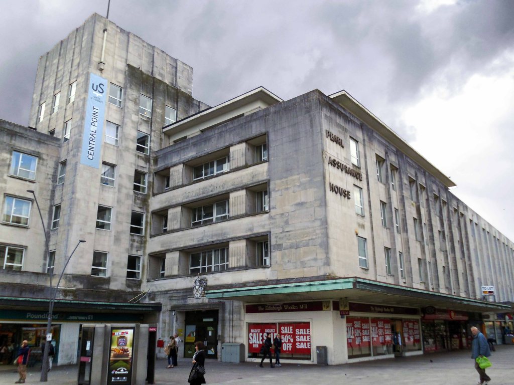
The post war redevelopment of Plymouth produced this sizable Portland Stone Shopping Centre.

‘A Plan for Plymouth’ was a report prepared for the City Council by James Paton Watson, City Engineer and Surveyor, and Patrick Abercrombie, Consultant Architect, published in 1943.
Planning is not merely the plotting of the streets of a town; its fundamental essence is the conscious co-relation of the various uses of the land to the best advantage of all inhabitants. Good planning therefore, presupposes a knowledge and understanding of the people, their relationship to their work, their play, and to each other, so that in the shaping of the urban pattern, the uses to which the land is put are so arranged as to secure an efficient, well- balanced and harmonious whole.
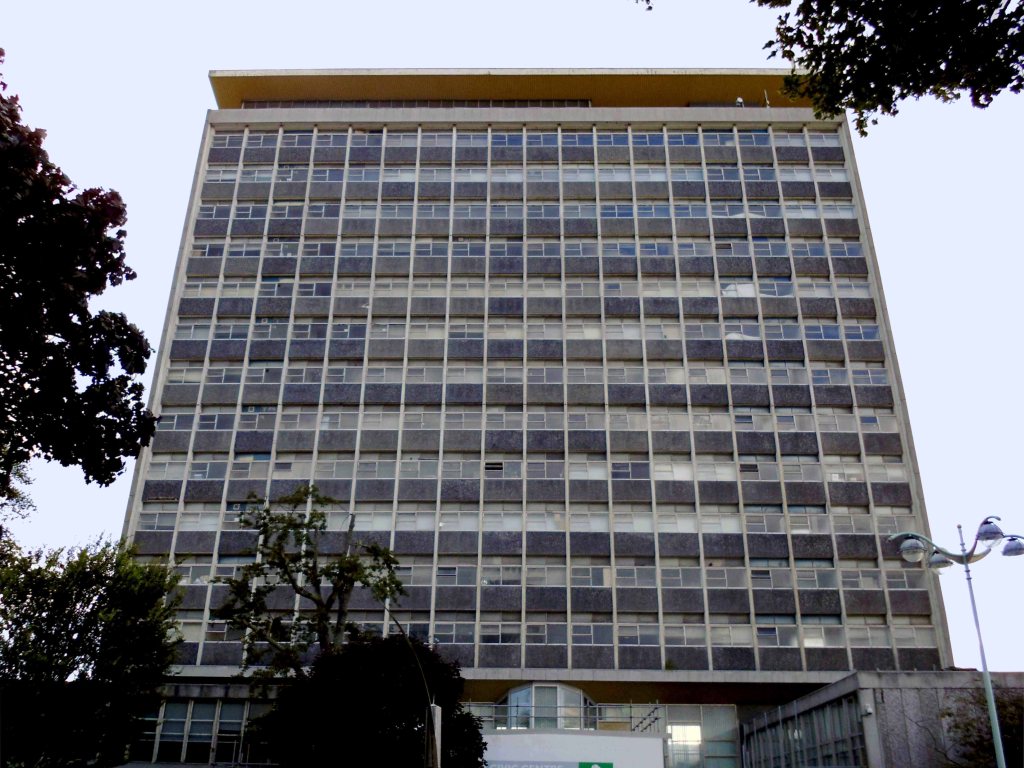
The Civic Centre soon to be redeveloped.
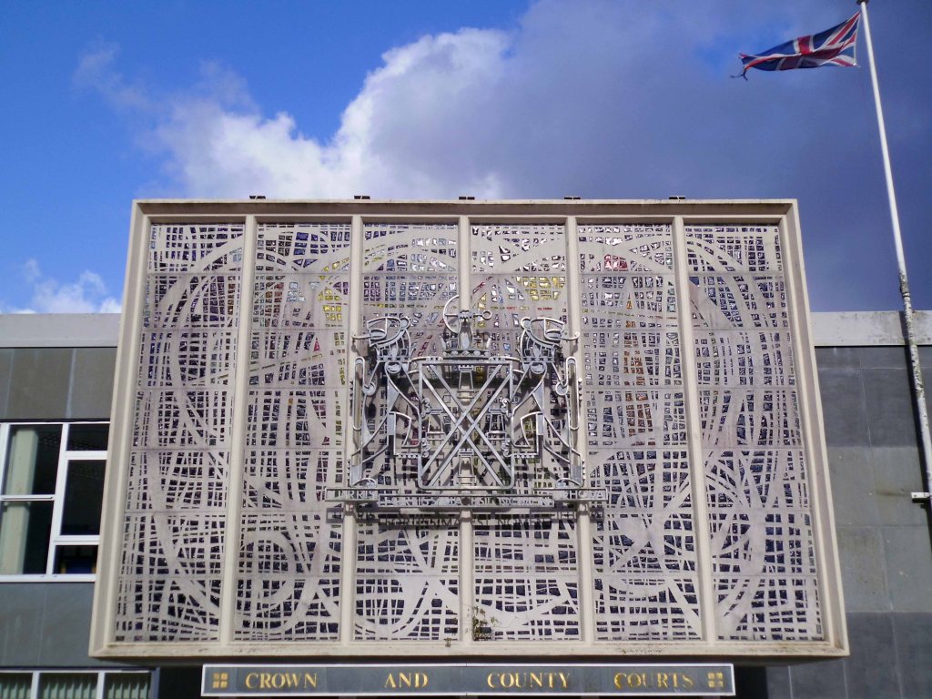
The magnificent dalle de verre fascia of the Crown and County Courts.
having had a good old look around I sought shelter for the night, with some difficulty I found a profoundly plain room. The town seemingly full of itinerant contractors, filling the vast majority of available space.
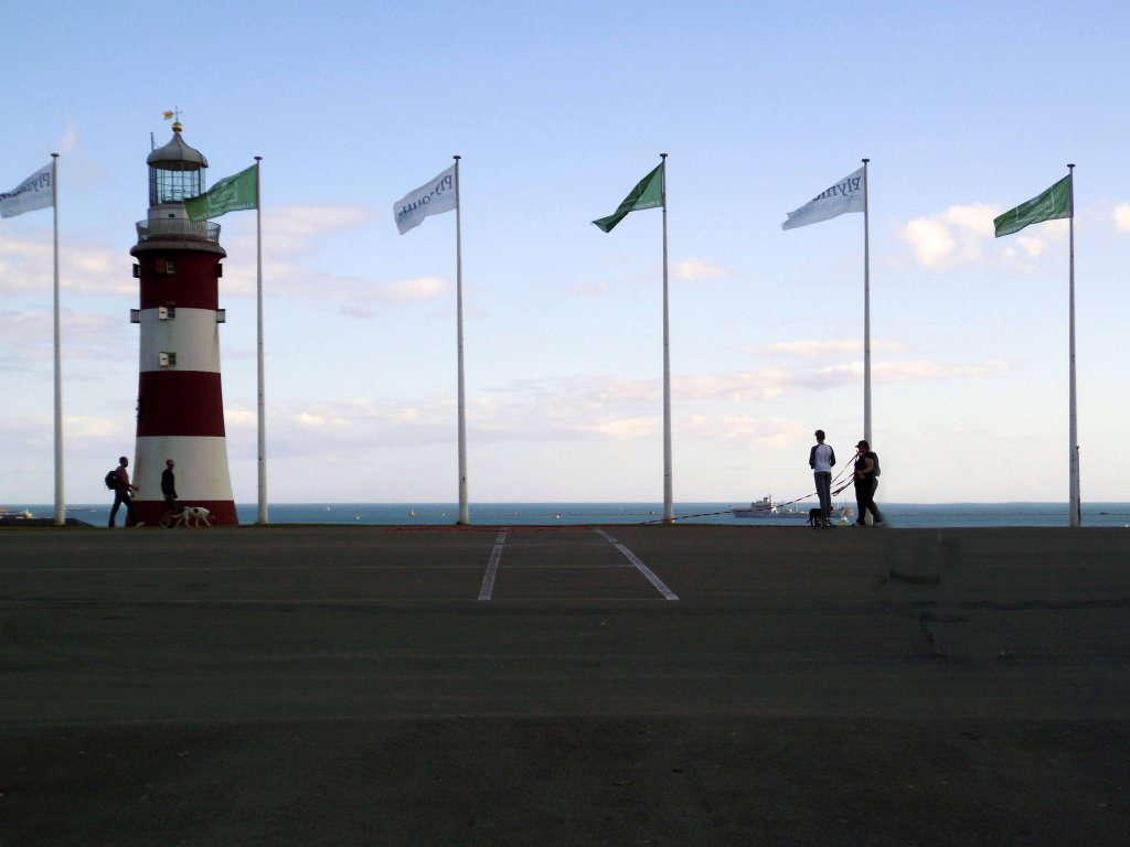
Not to worry let’s have a look at the seafront.

Tinside Lido by J Wibberley Borough Engineer, with Edmund Nuttall and Sons and John Mowlem and Company, builders, with entrance building of 1933 by the same engineer.
Set in a beautiful location overlooking the sea at the tip of Plymouth Hoe and voted one of the top 10 best outdoor pools in Europe, Tinside Lido is an attraction not to be missed.
Built in 1935, Tinside is a slice of the quintessential British seaside from a bygone era. The Lido is a wonderful example of art-deco style and is Grade II listed.

Time for a timely 99 tub – what ho!
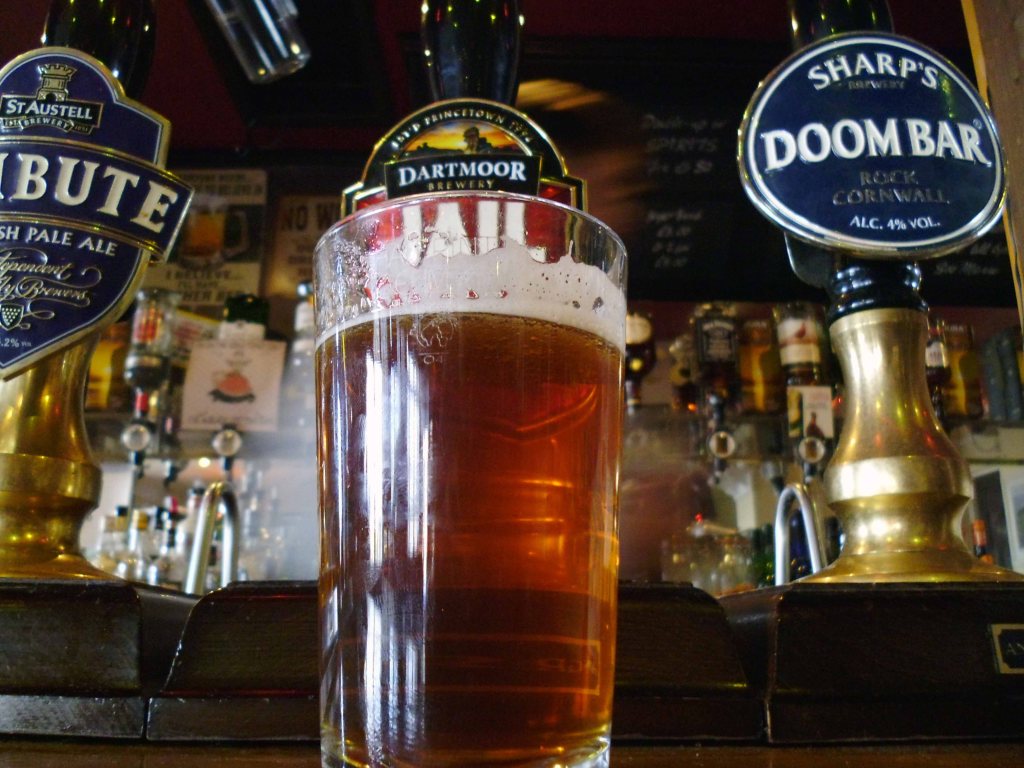
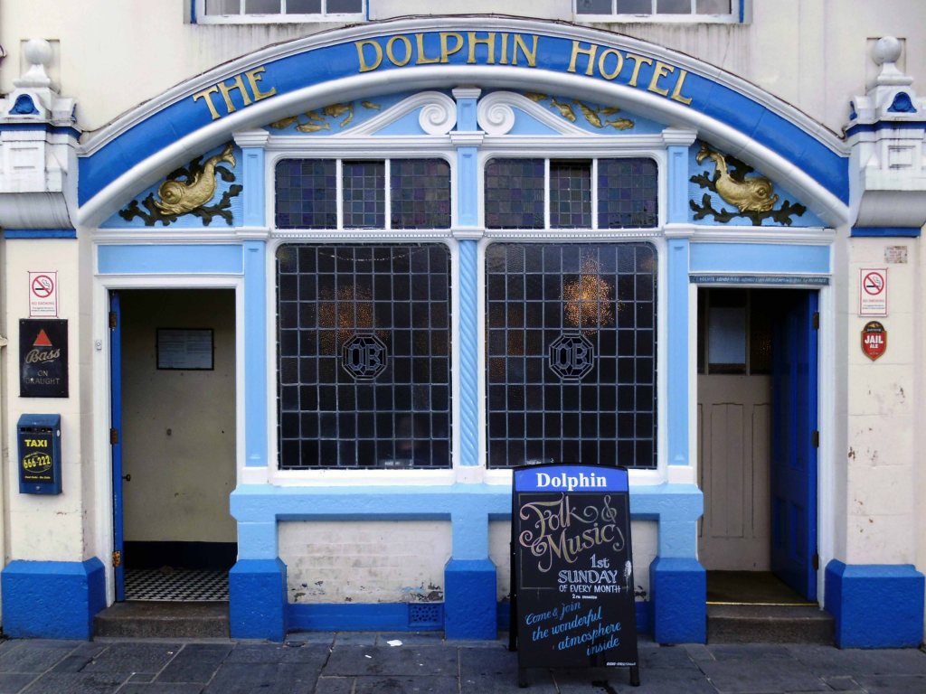
Followed by several pints of Dartmoor Jail in the delightful Dolphin Hotel.
The Dolphin Hotel is a pub on the Barbican , the building, which is known as either the Dolphin Inn or Dolphin Hotel, is a Grade II listed building. It notable as the setting of several of the artist Beryl Cook’s paintings.
The three storey building was constructed in the early 19th century, although it may contain fabric from an earlier structure. It has a slate mansard roof surrounded by a tall parapet with a moulded cornice. The front has white stucco with plaster reliefs of dolphins. The pub is associated with the Tolpuddle Martyrs, some of whom stayed at the hotel on their return from exile in Australia in 1838, when a Mr Morgan was the landlord.
It is a no-frills unmodernised pub famous for its cask ale, draught Bass served straight from the barrel. The sign on the front of the building has always called the pub the ‘Dolphin Hotel’. In 2010 the pub was refurbished, but vandalised in 2014.
A wobbly walk home and a good night’s rest
Night night.
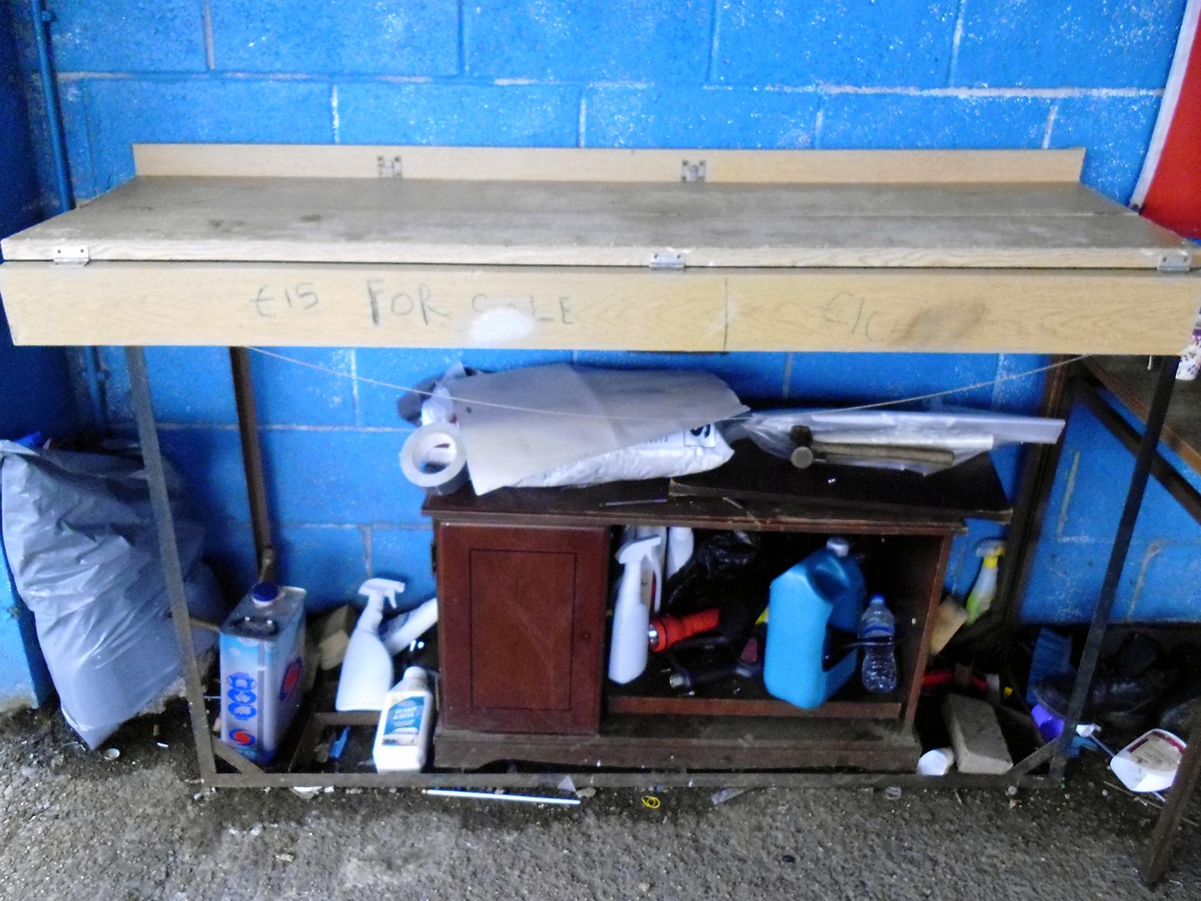
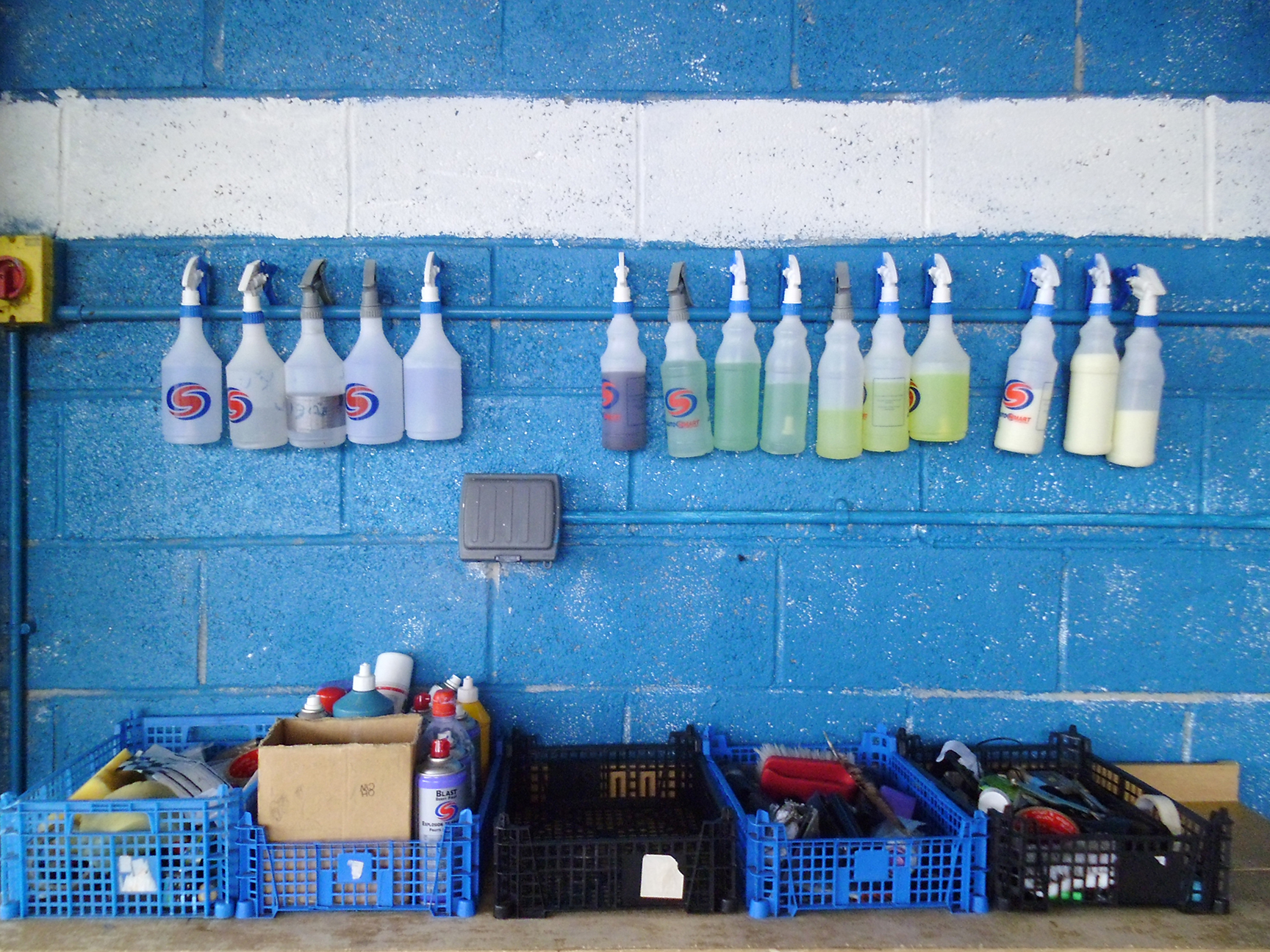
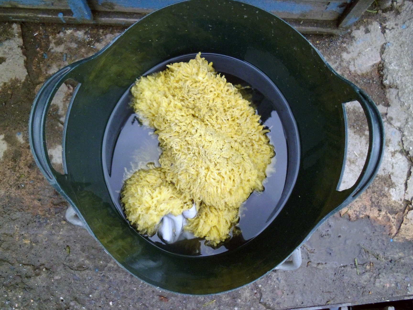
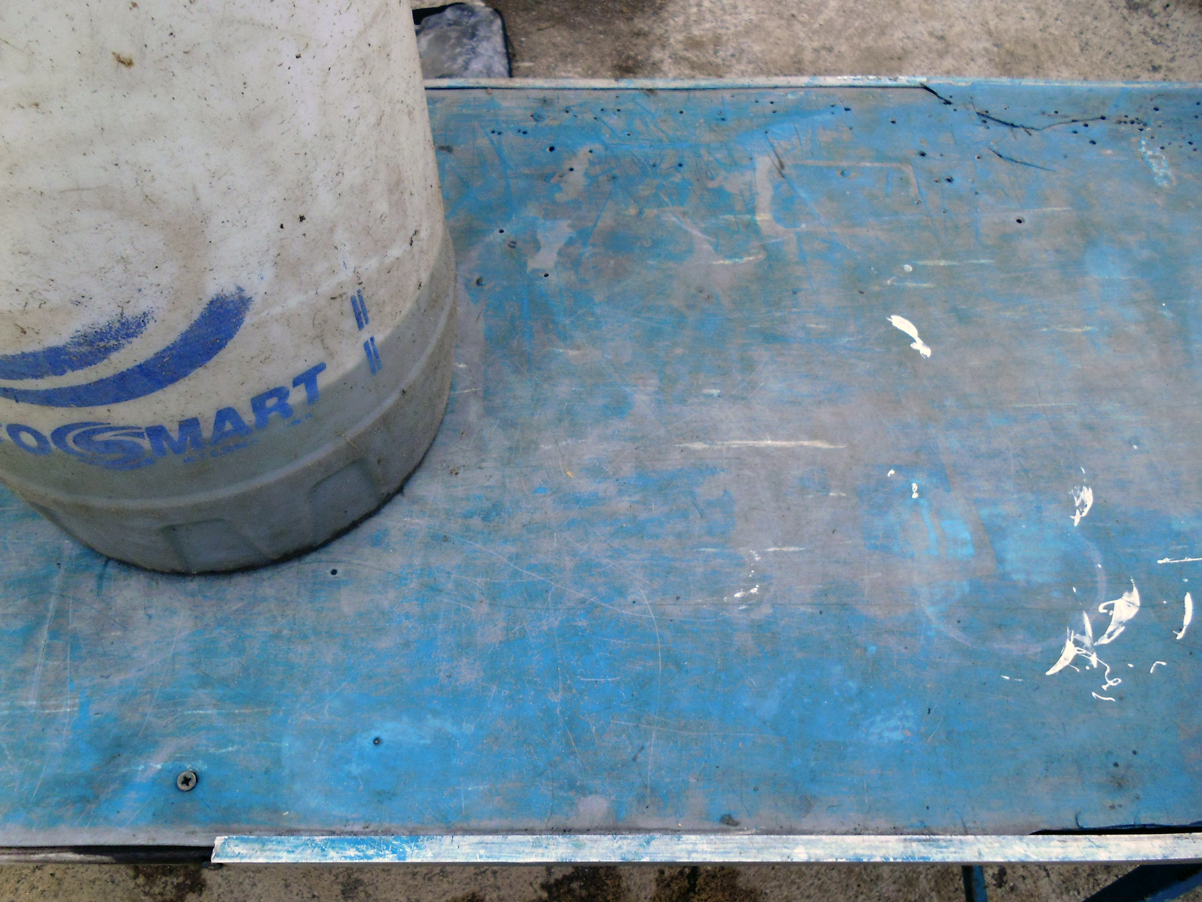
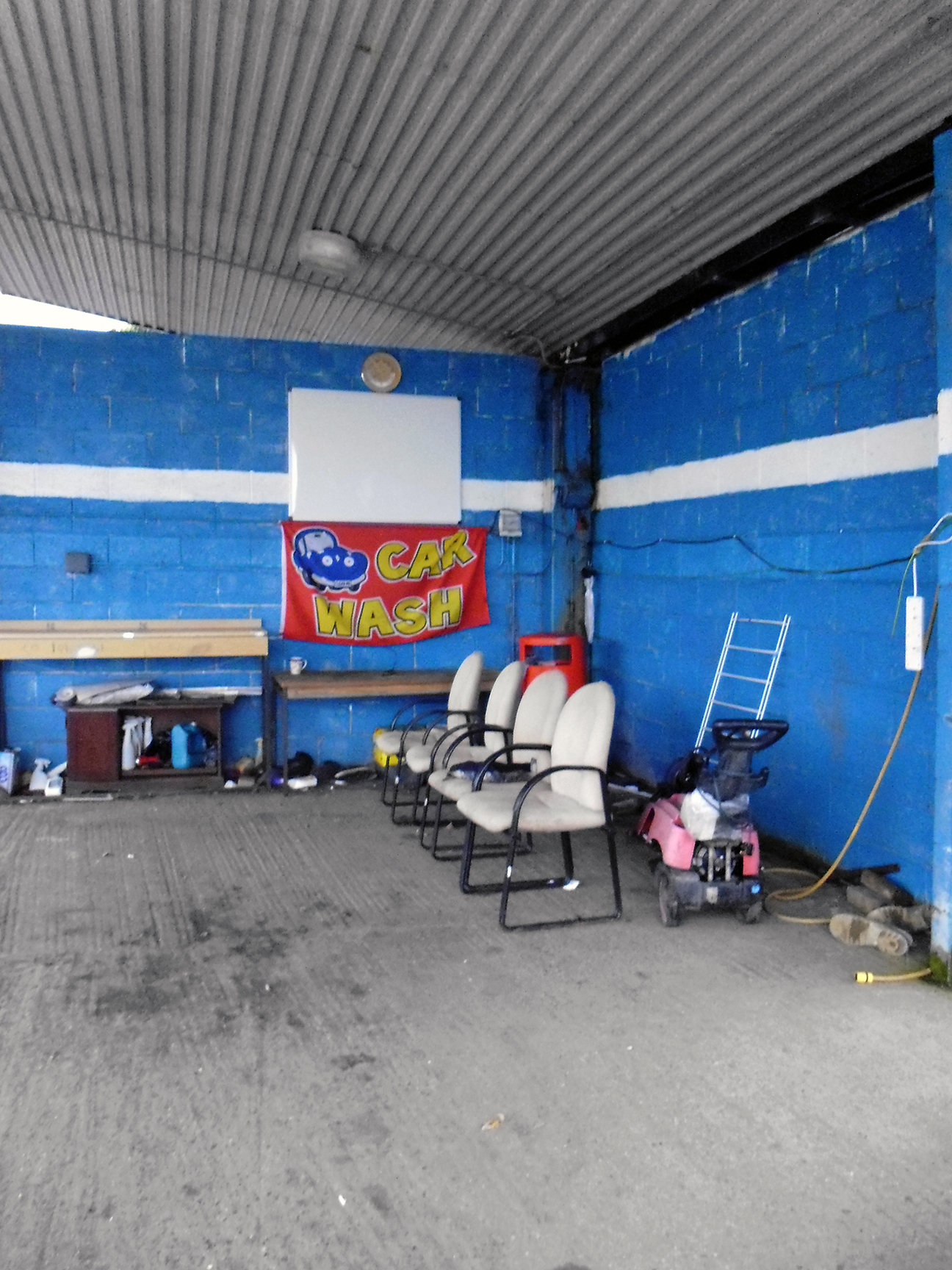
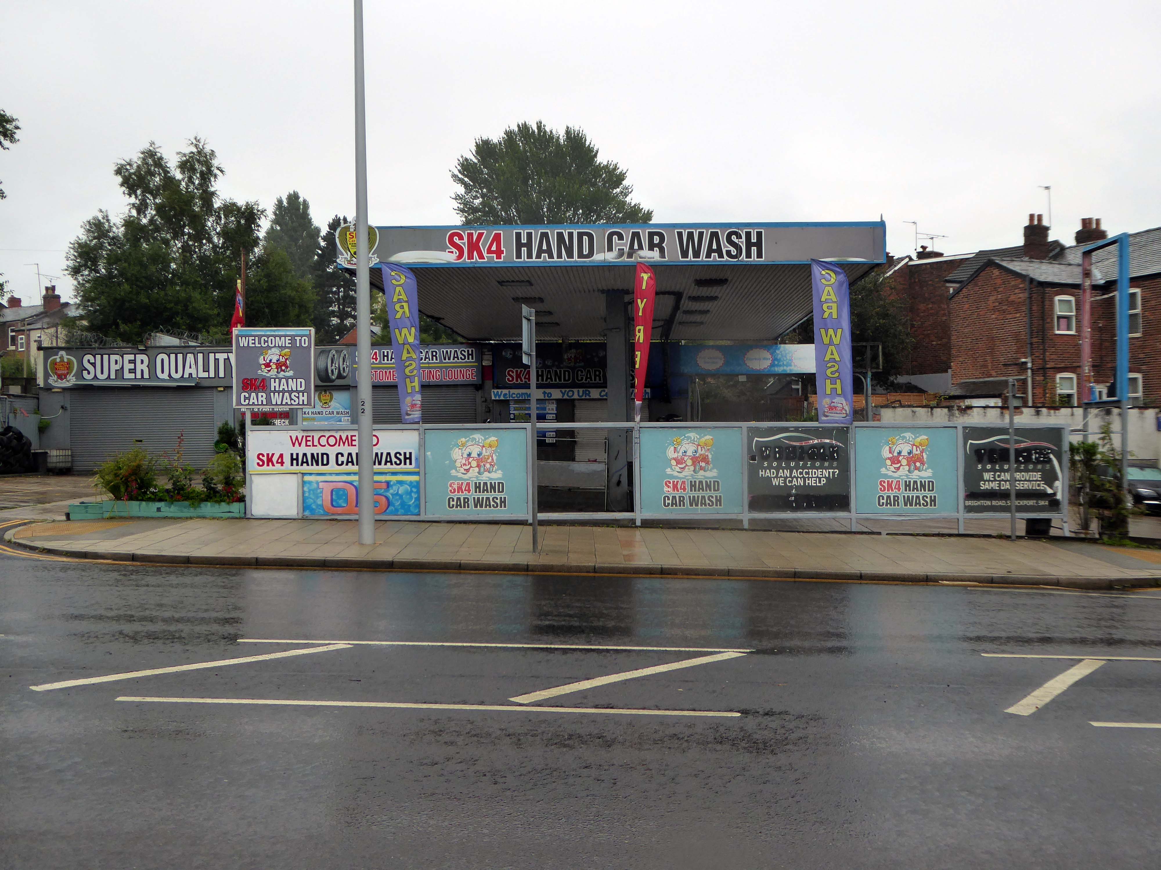
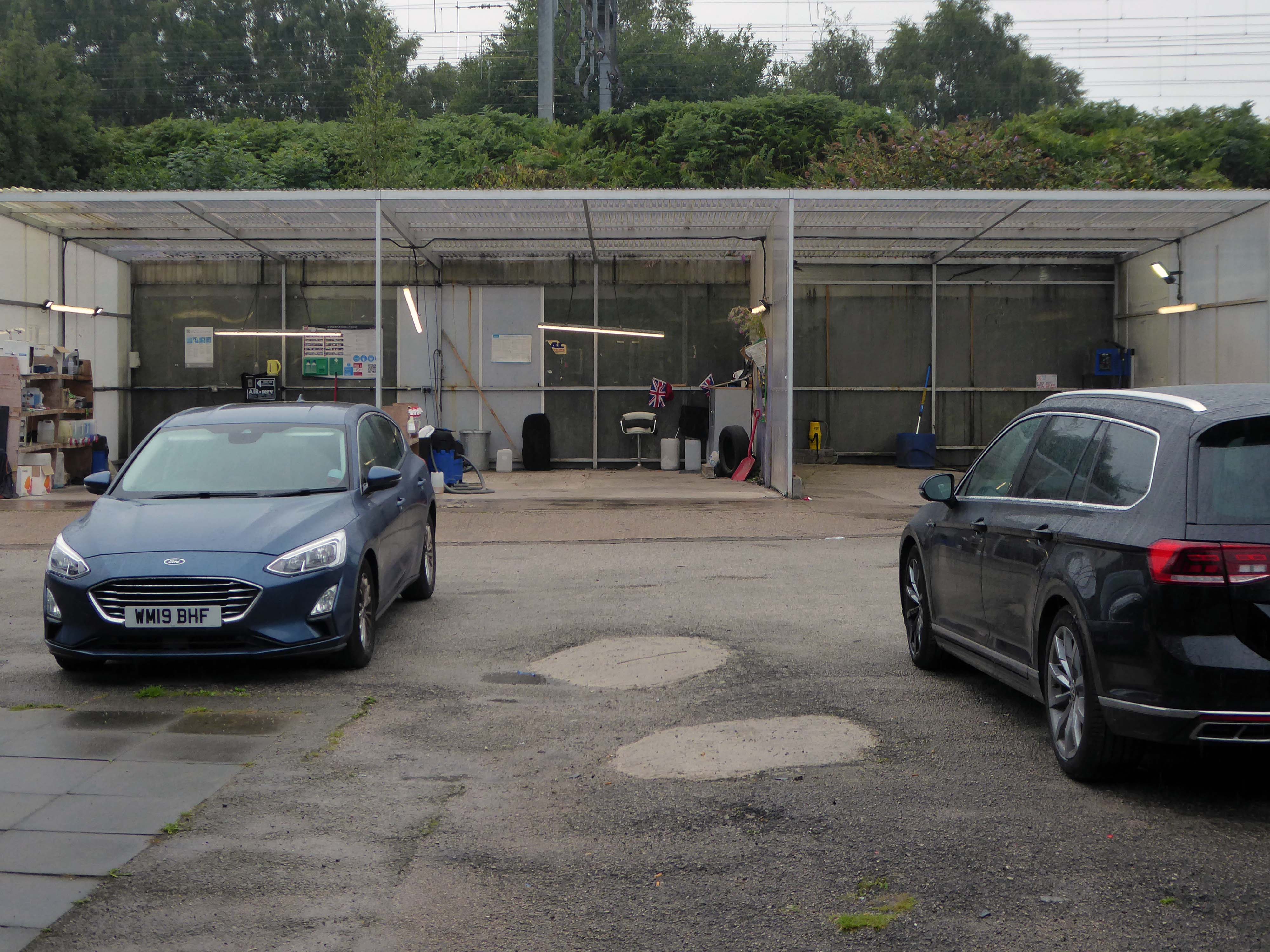
Early morning on the A30 out of Okehampton and something is beginning to stir.
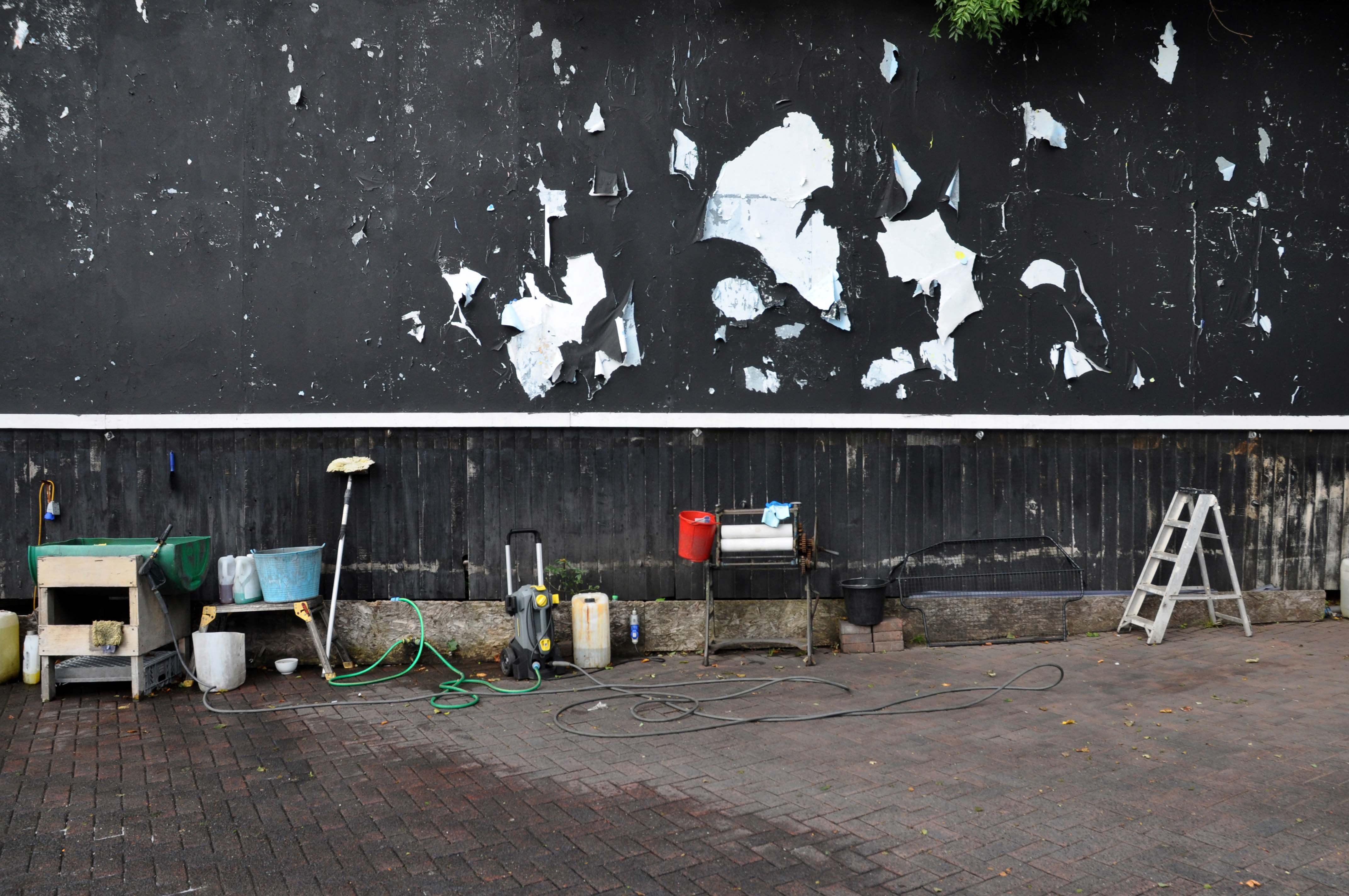
Two inscrutable Romanians and a curious garrulous traveller are going about their respective business.
They – filling buckets and arranging a complex array of cleaning fluids.
Me – just mooching with a compact camera.
Initially expressing an understandable resistance to my snappy ways, their consent was granted, following a series of complex hand gestures, smiles, and an open and honest request.
Moments later my job was done and theirs had just begun.
Wash and go!