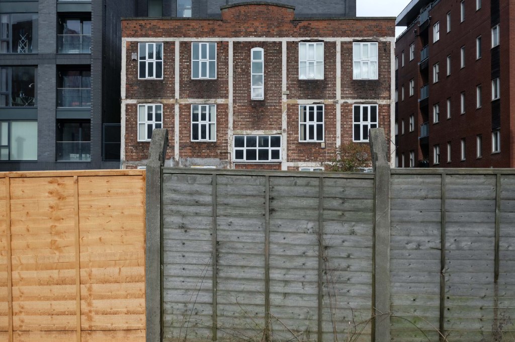
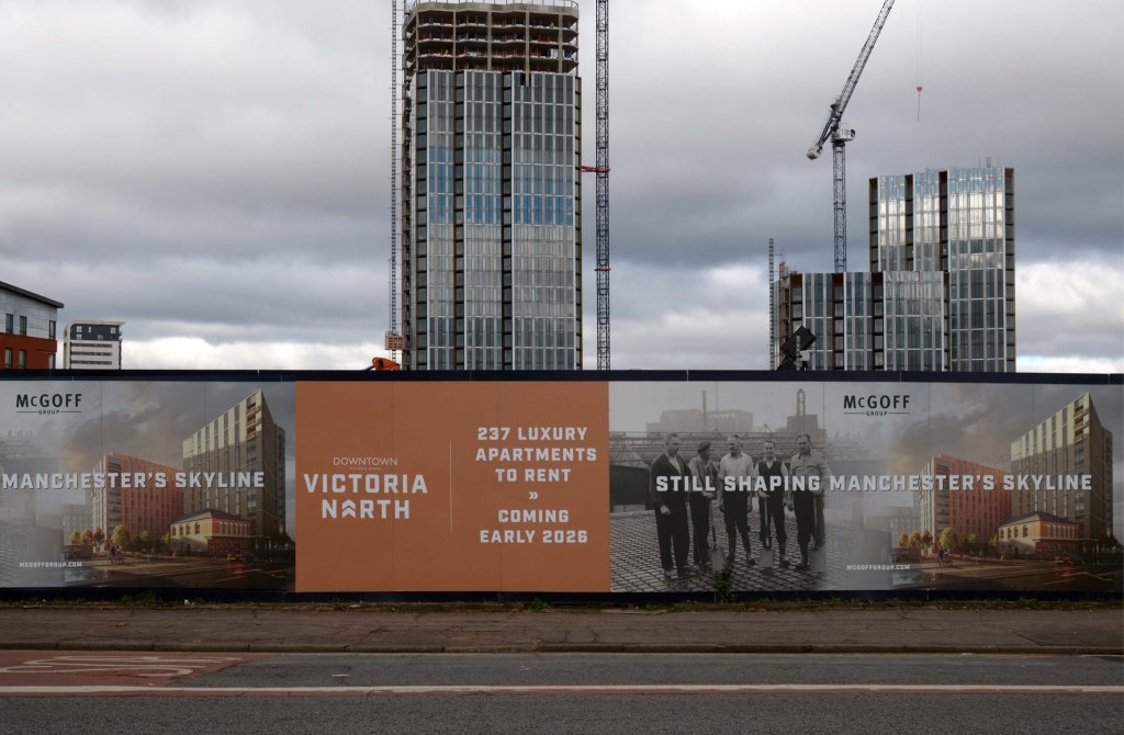
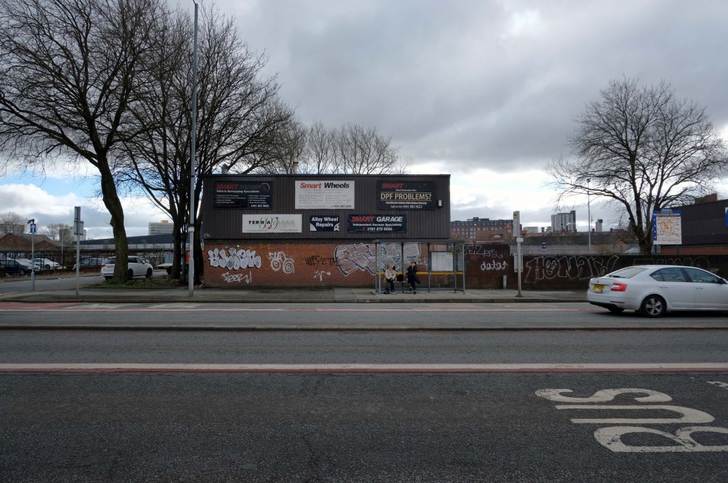
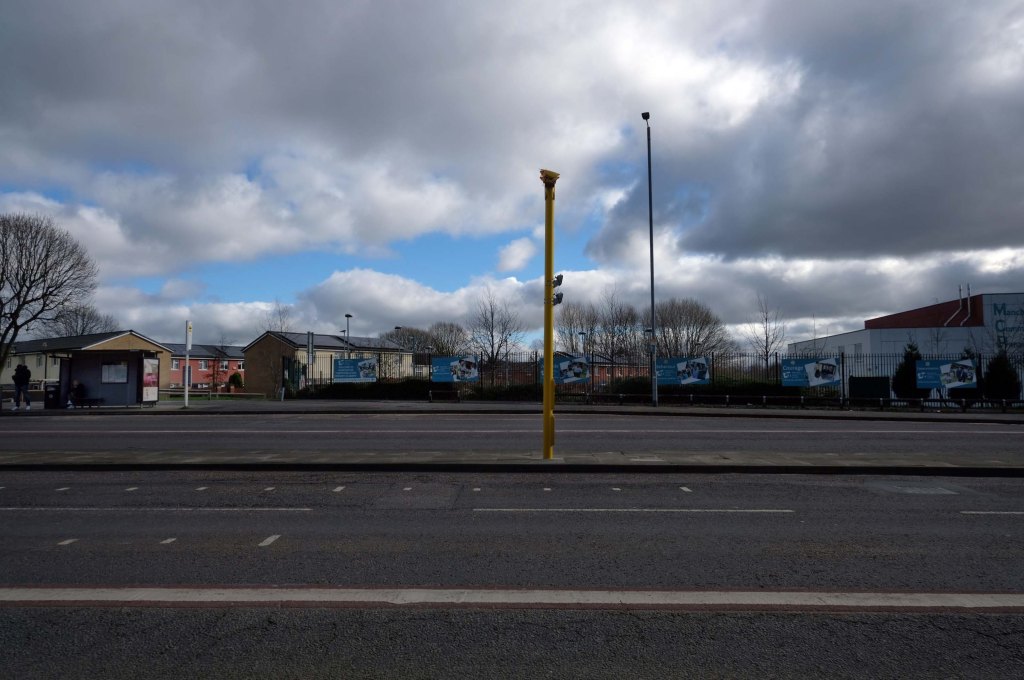
Having photographed the arterial roads of Manchester in 2014, I have resolved to return to the task in 2024.
Some things seem to have changed, some things seem to have stayed the same.









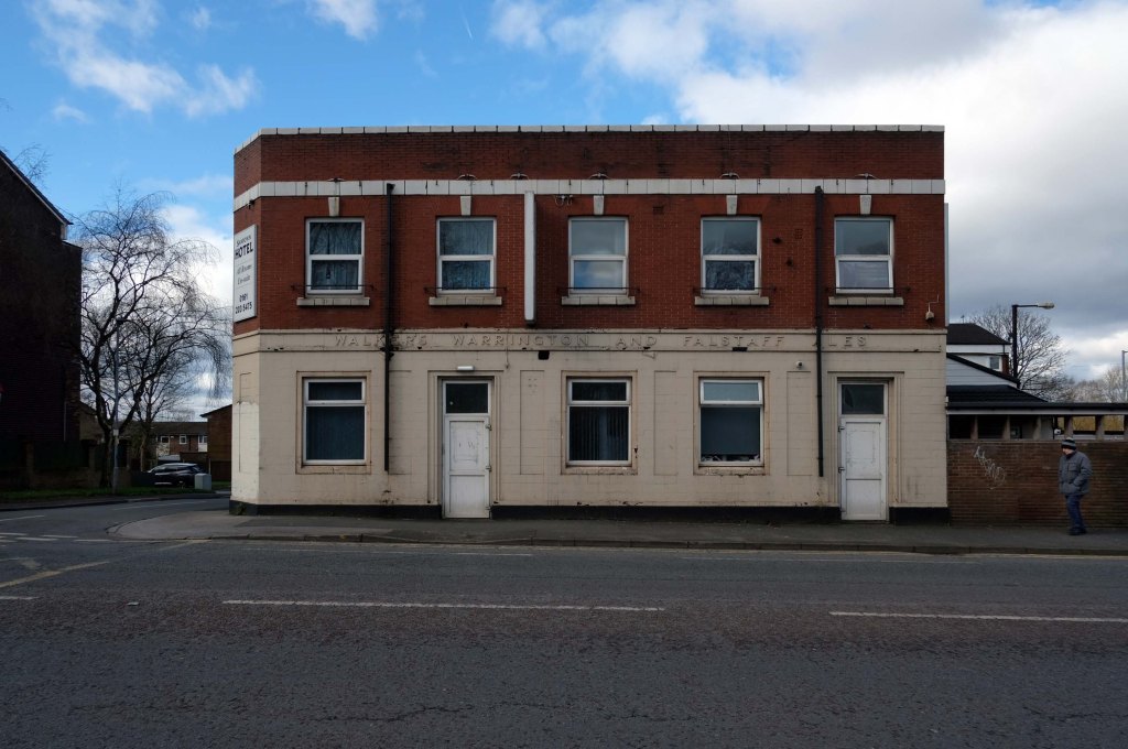


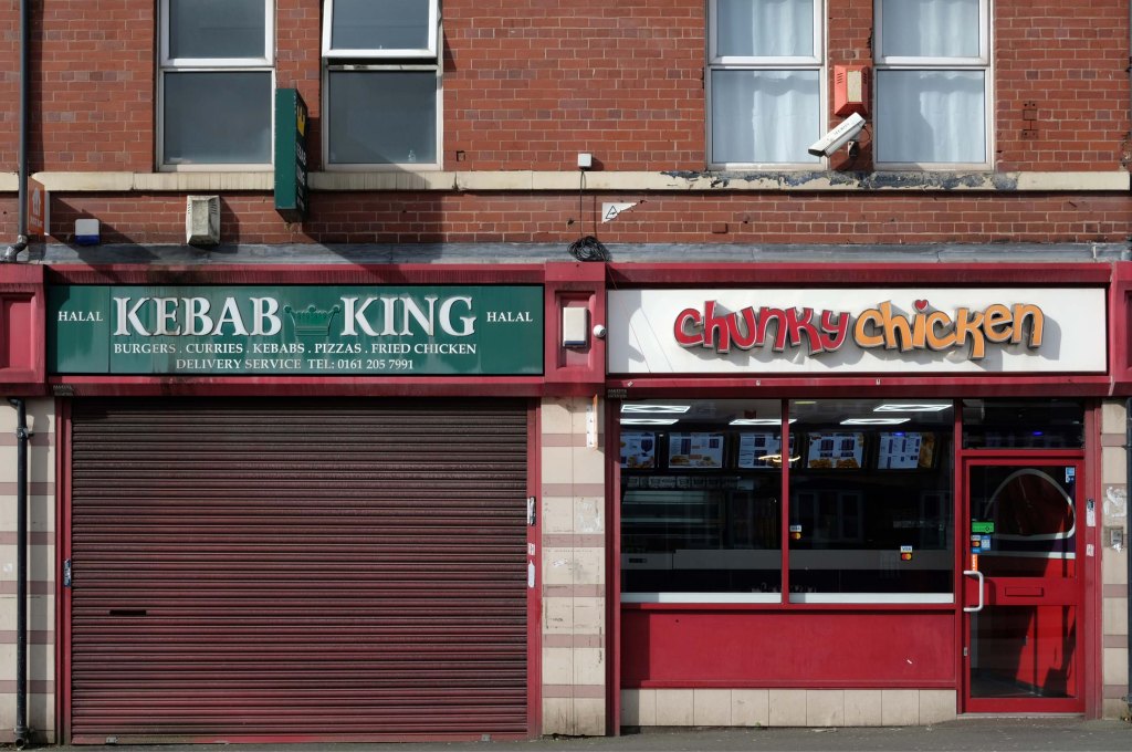


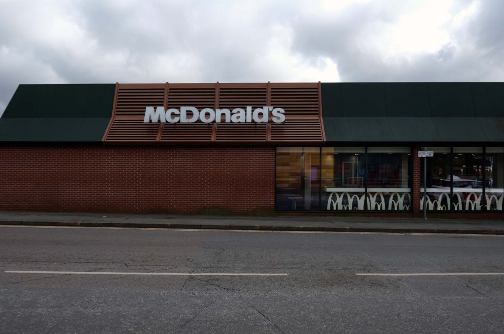

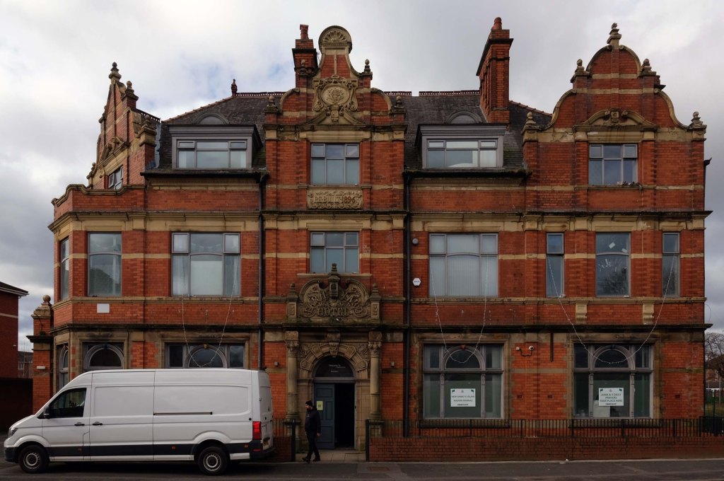





Having photographed the arterial roads of Manchester in 2014, I have resolved to return to the task in 2024.
Some things seem to have changed, some things seem to have stayed the same.



The A6 is Britain’s fourth longest road. Its route varies greatly from the lower lands of the South East, though the Peak District, right though the heart of Manchester city centre, then onwards towards Preston. It then goes though the historic city of Lancaster before skirting the Eastern fringe of the Lake District before ending in Carlisle, bang on the start of the A7.
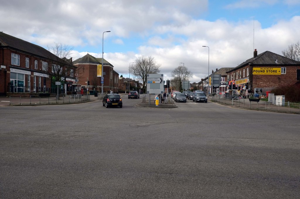
North from Stockport towards Manchester, the A6 was a wide, four lane road, but still 30 mph, which usually flowed pretty well. According to Mudge, it looks like it has now been massacred by bus lanes and red paint. Shame. We meet the A57 from the east, just south of the city centre, and multiplex until we reach Mancunian Way, the A57 heading off as a short urban motorway, the A6 heading into the city centre via London Road/Piccadily, where it loses its number and vanishes. It would have gone straight down Piccadily/Market Street to meet Deansgate, and then across the River Irwell into Salford, and up Chapel Street, where the number reappears. Market Street has been pedestrianised for years, so the A6 has long ceased to be a through route.
In 2014, having taken early retirement from teaching photography, I embarked on a series of walks along the arterial roads of Manchester.
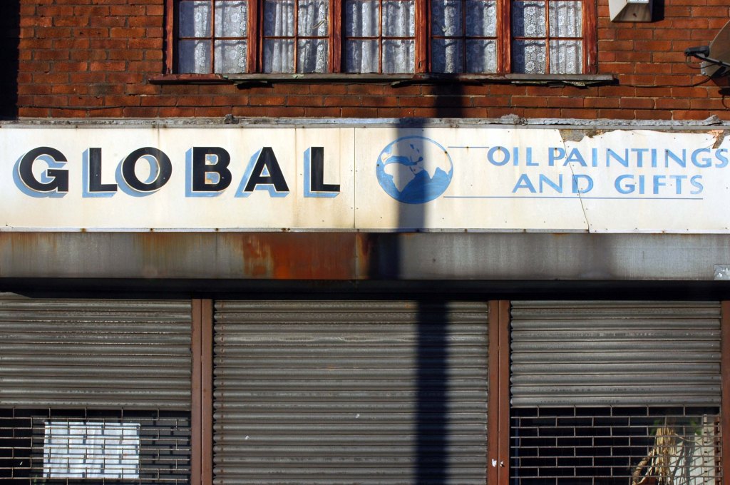


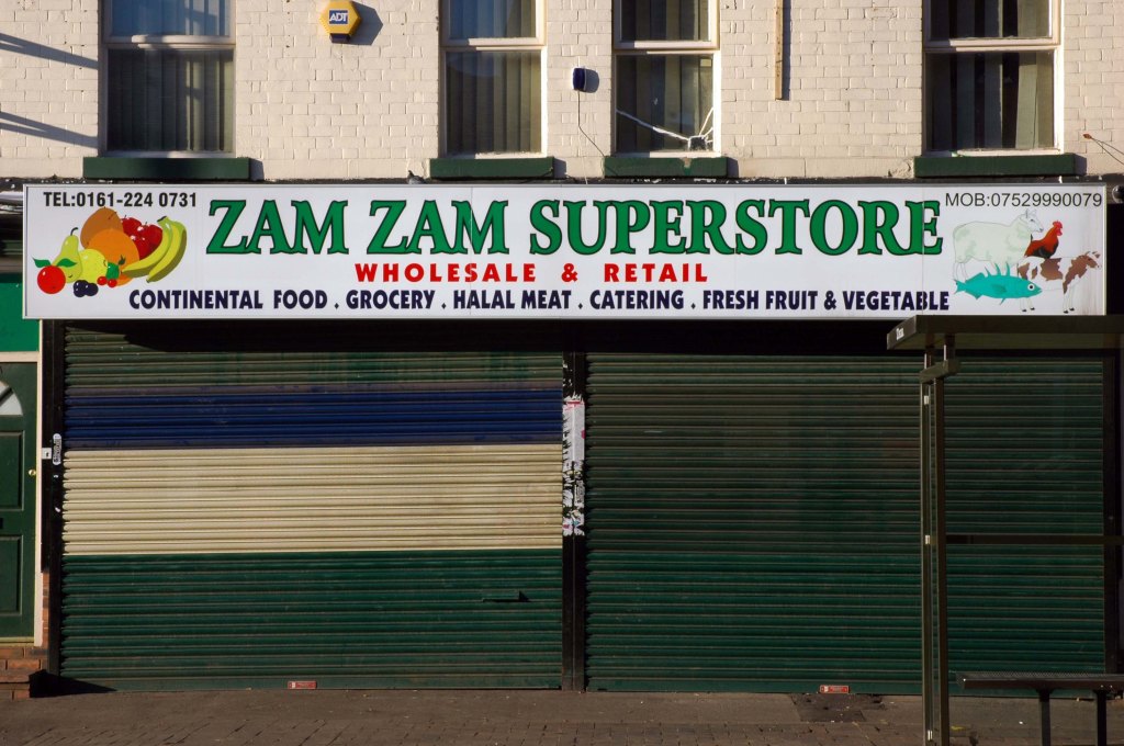


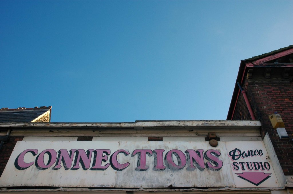




See also Bury New Road and Cheetham Hill Road and Rochdale Road and Oldham Road and Ashton New Road and Ashton Old Road and Hyde Road.