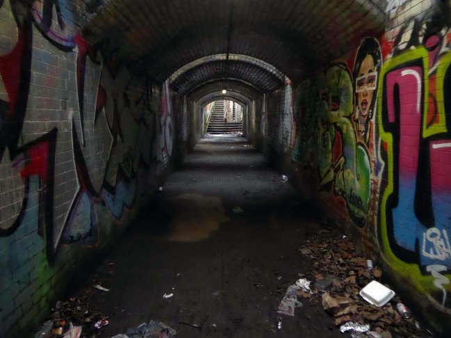
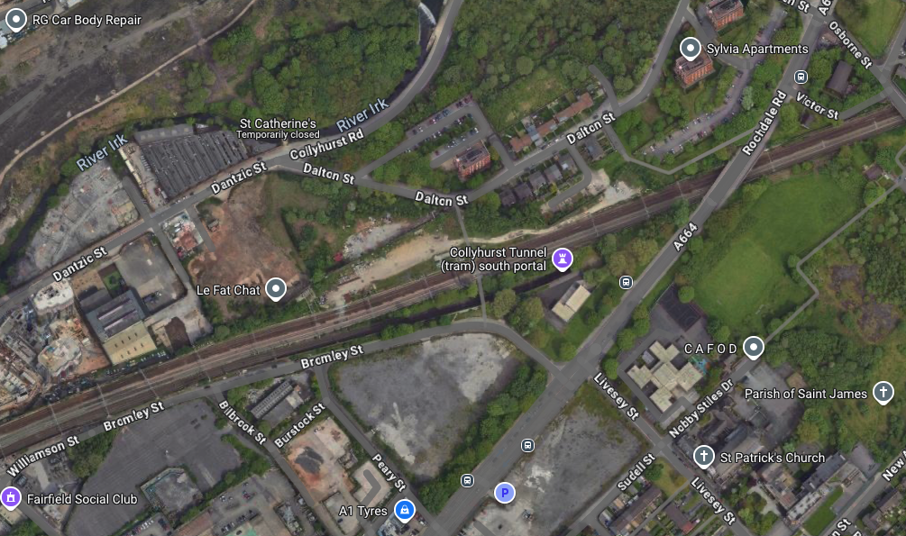
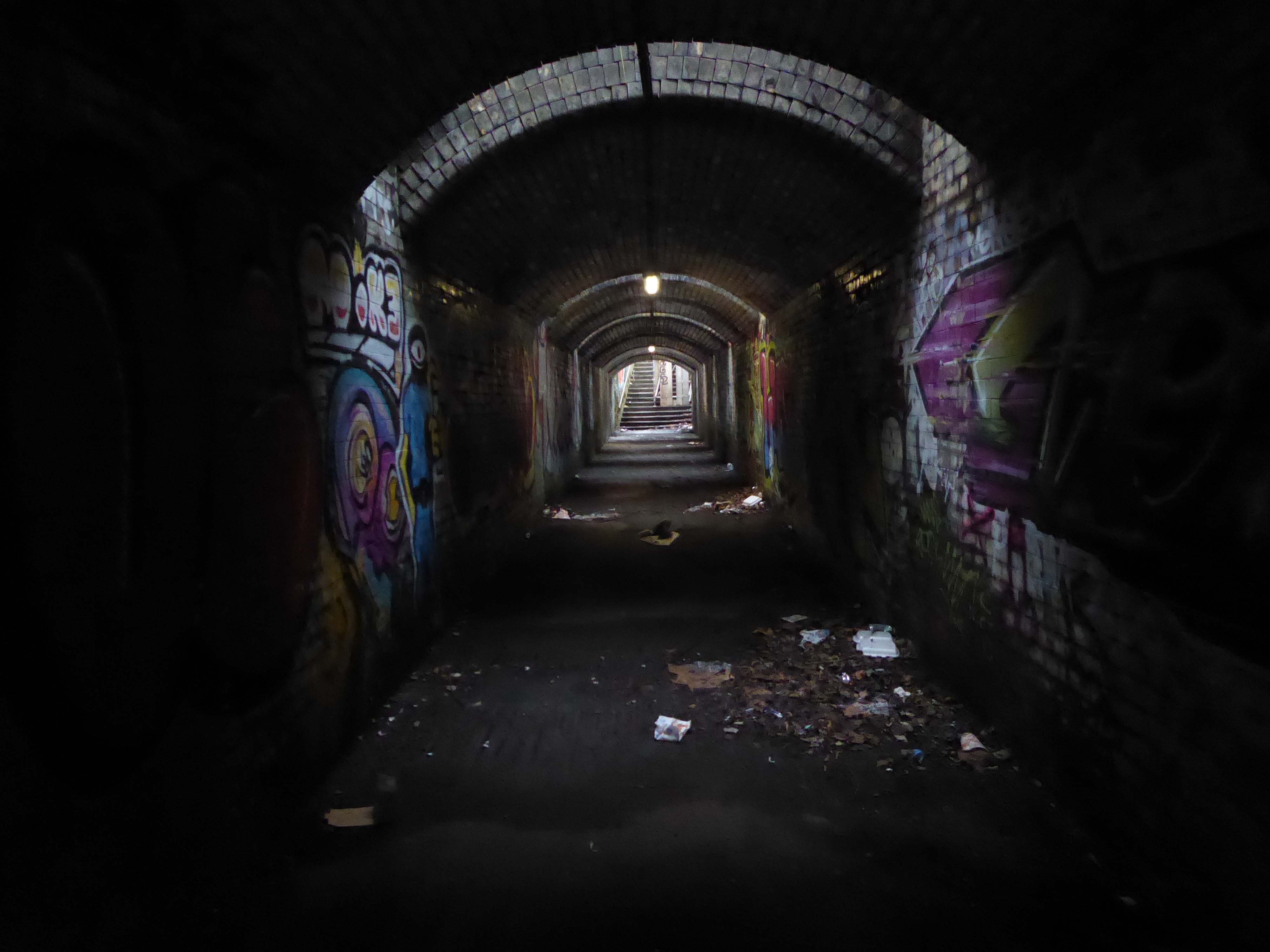
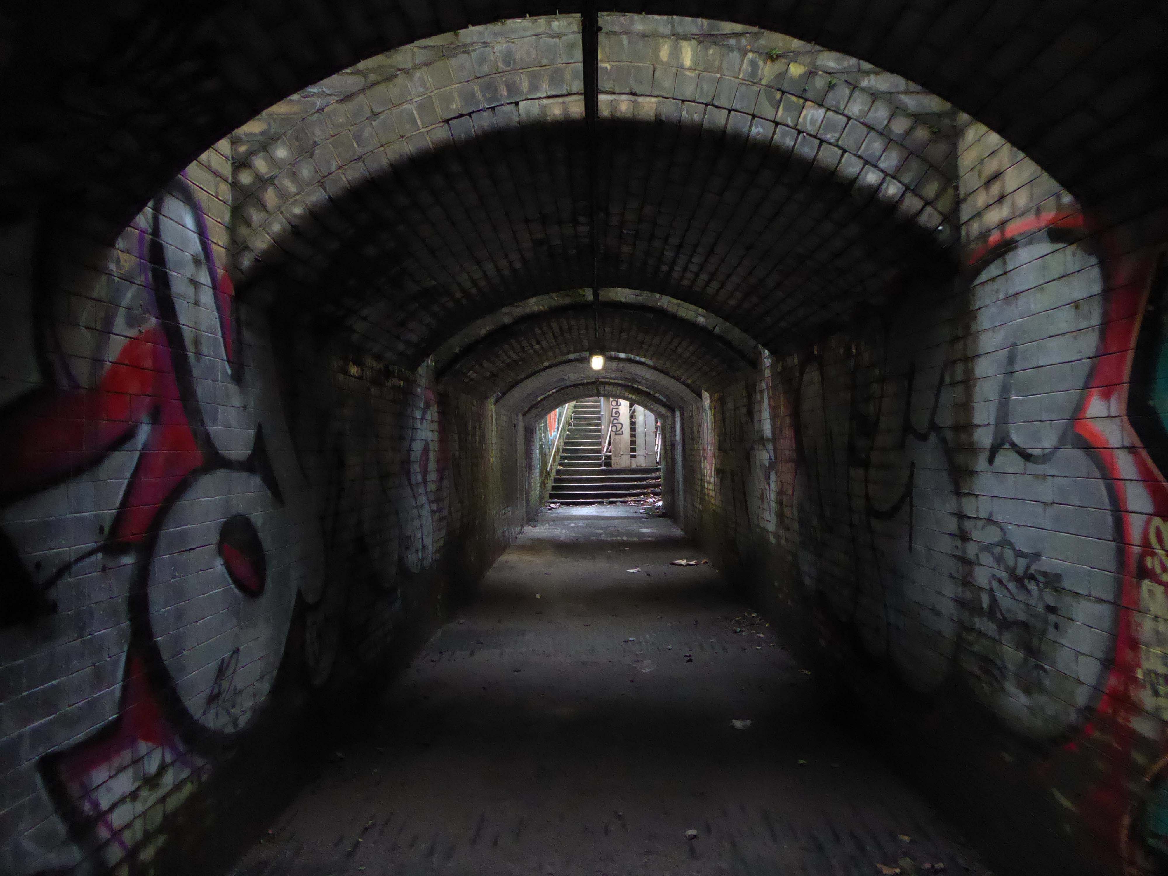
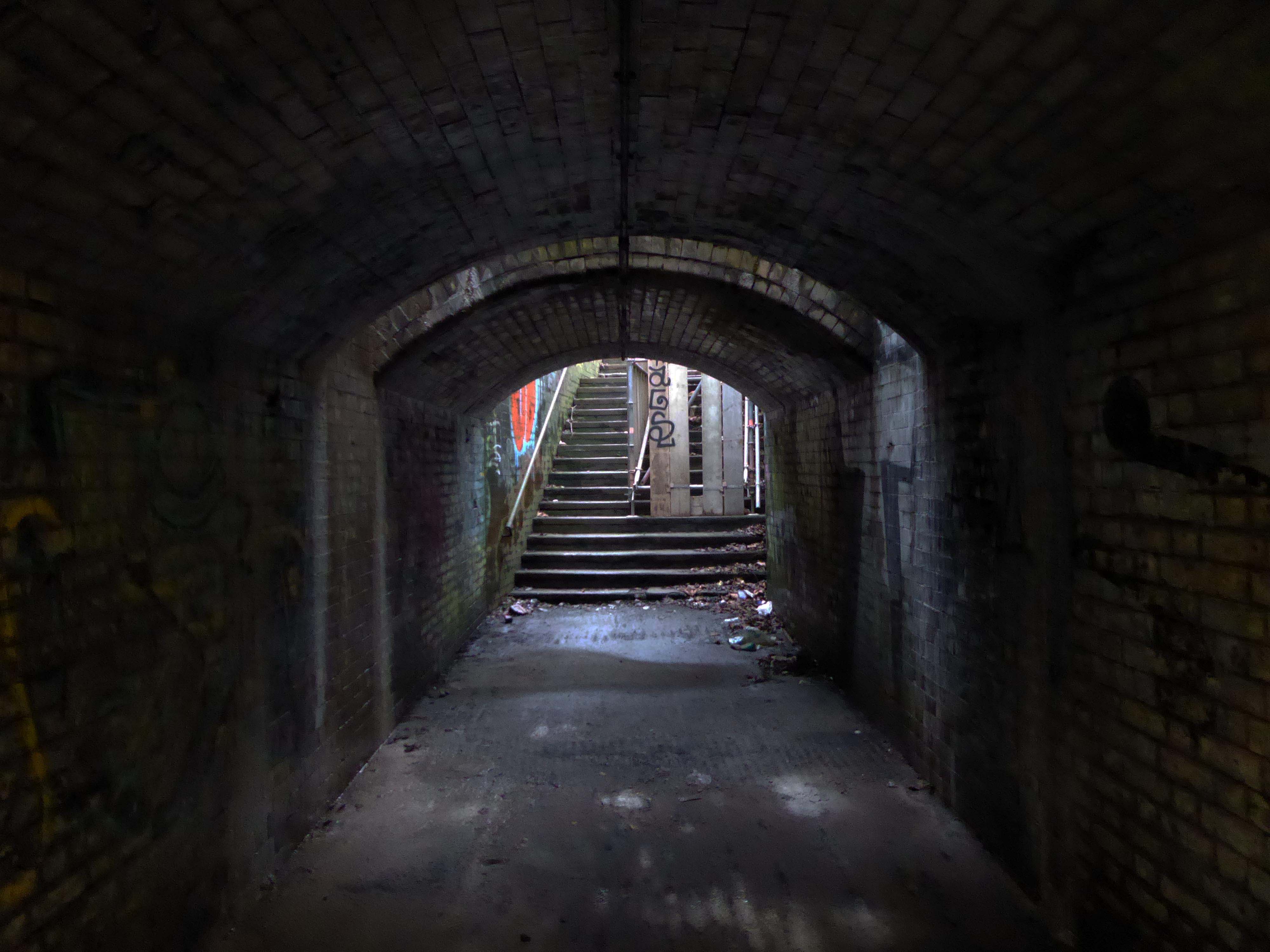
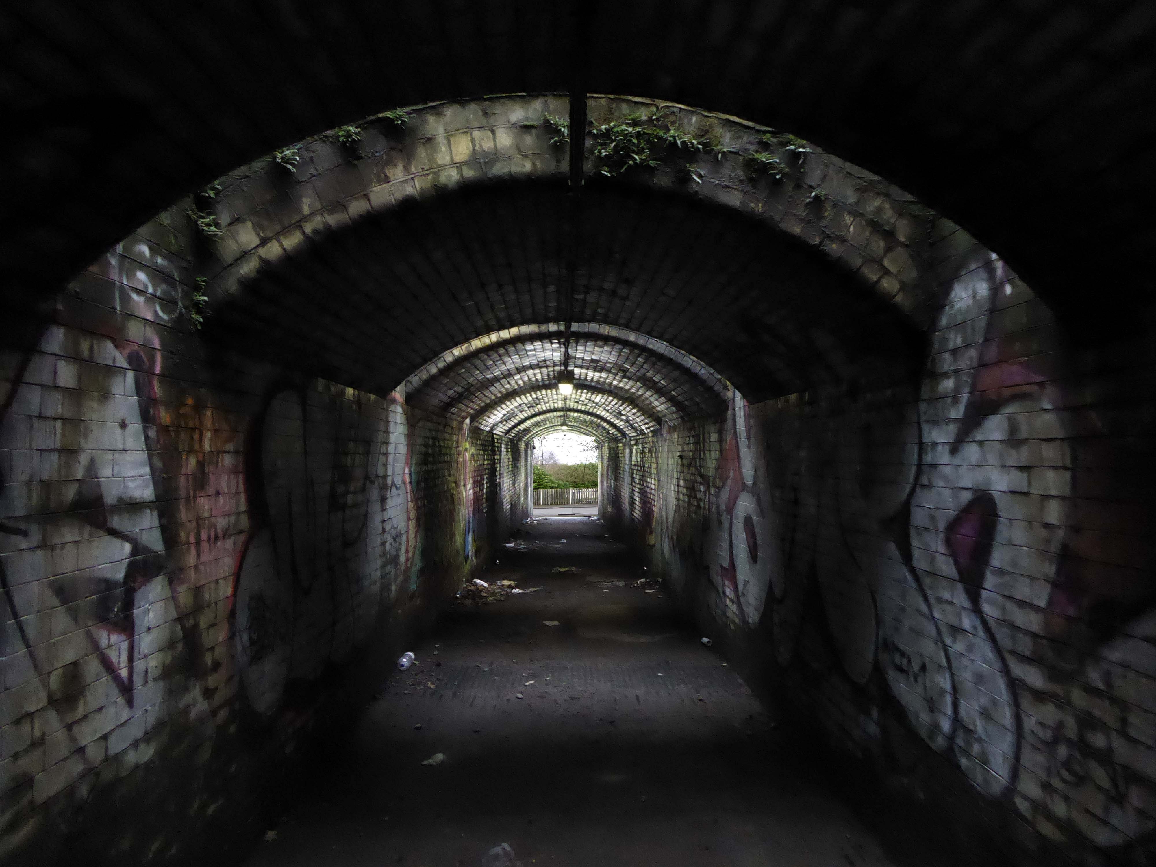
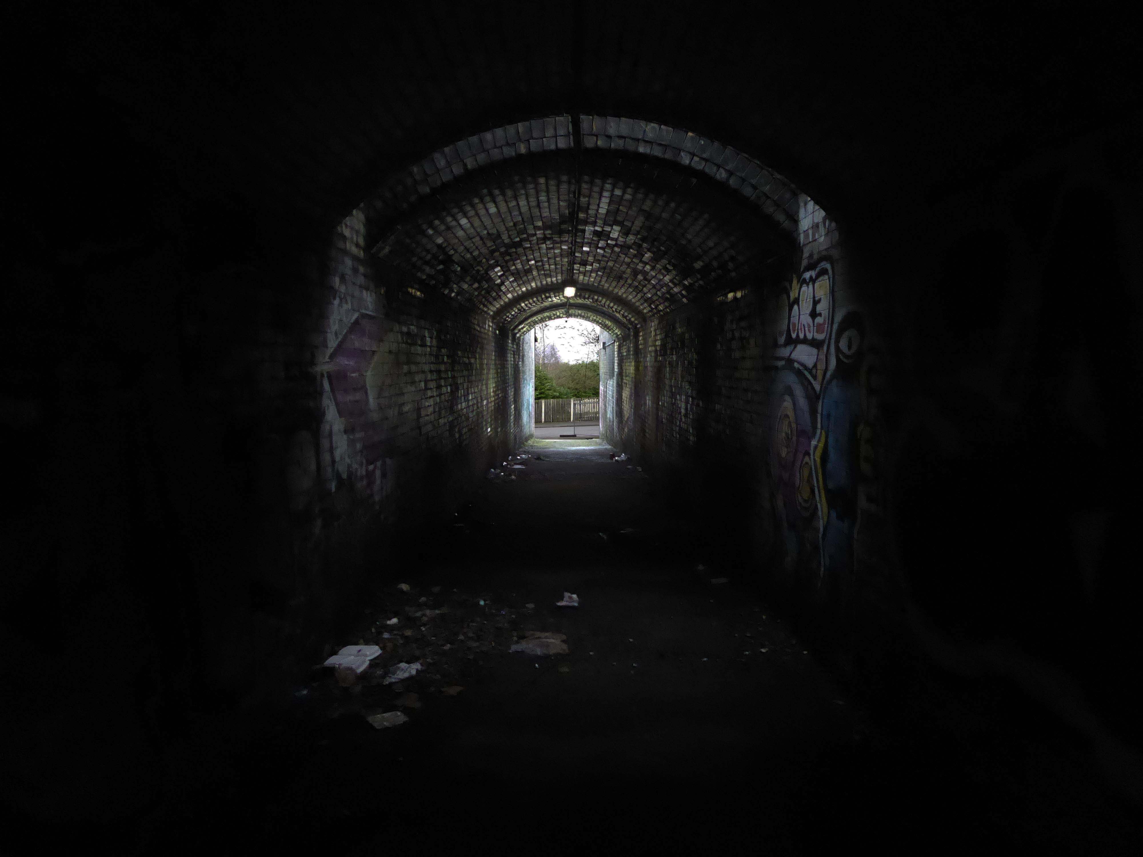
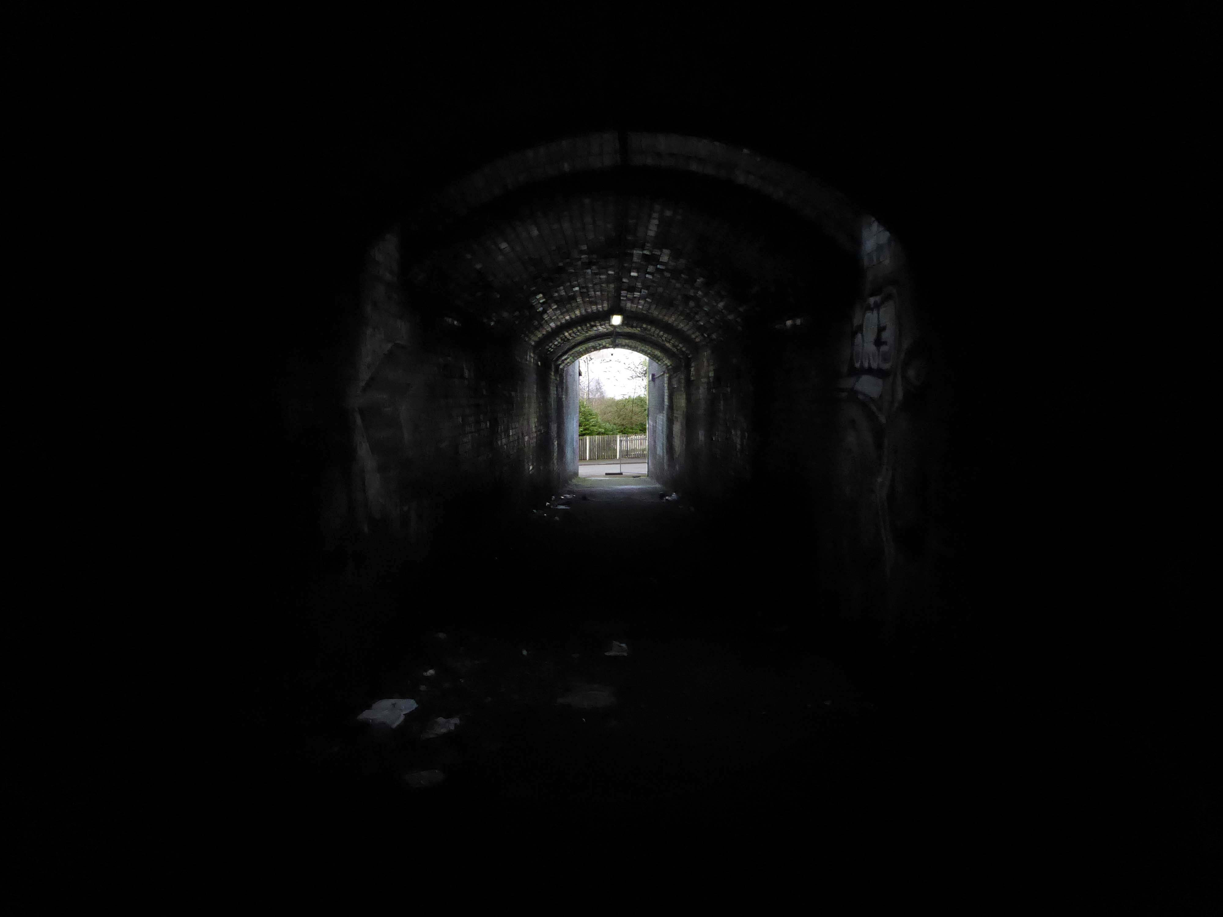
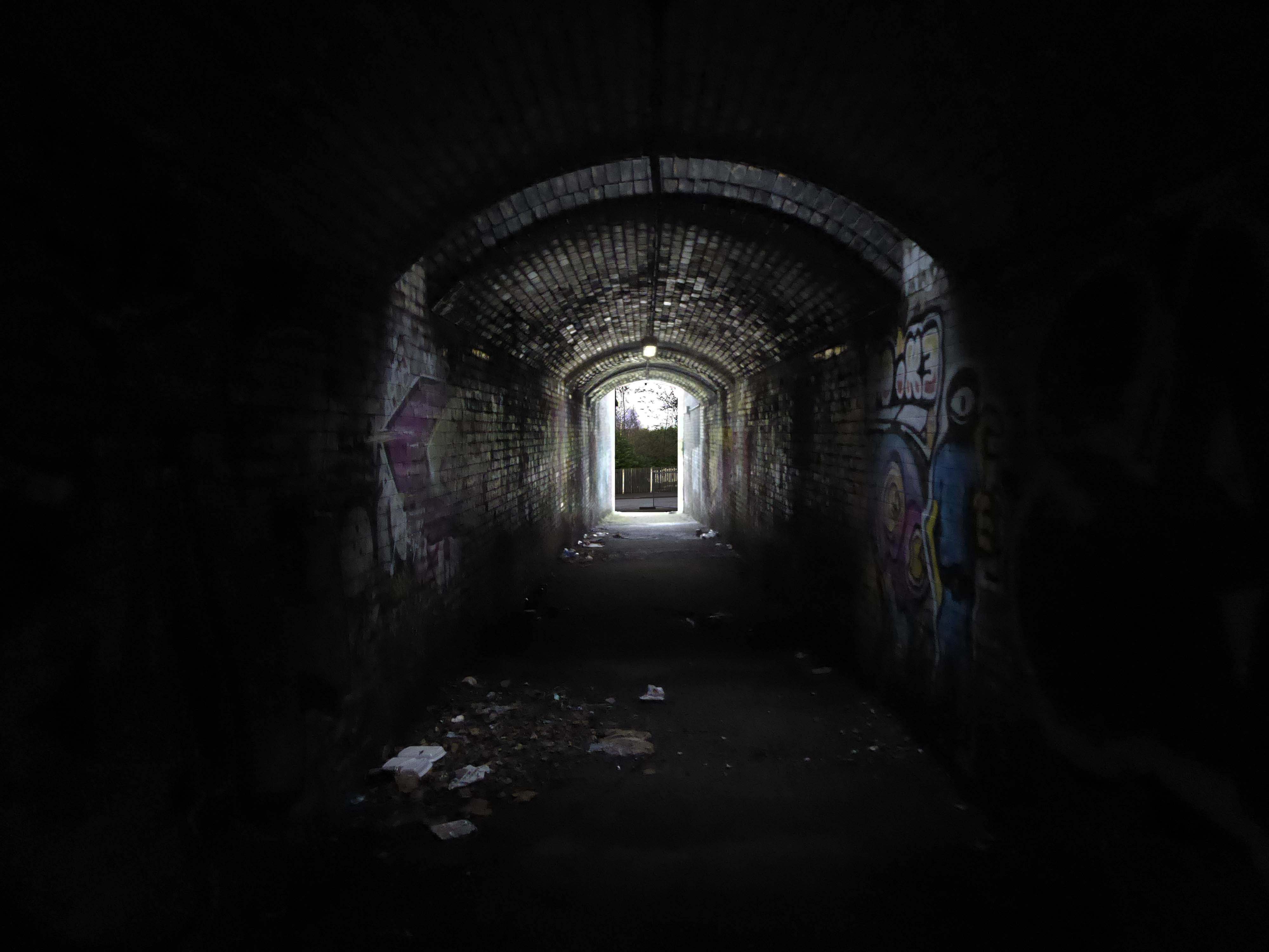
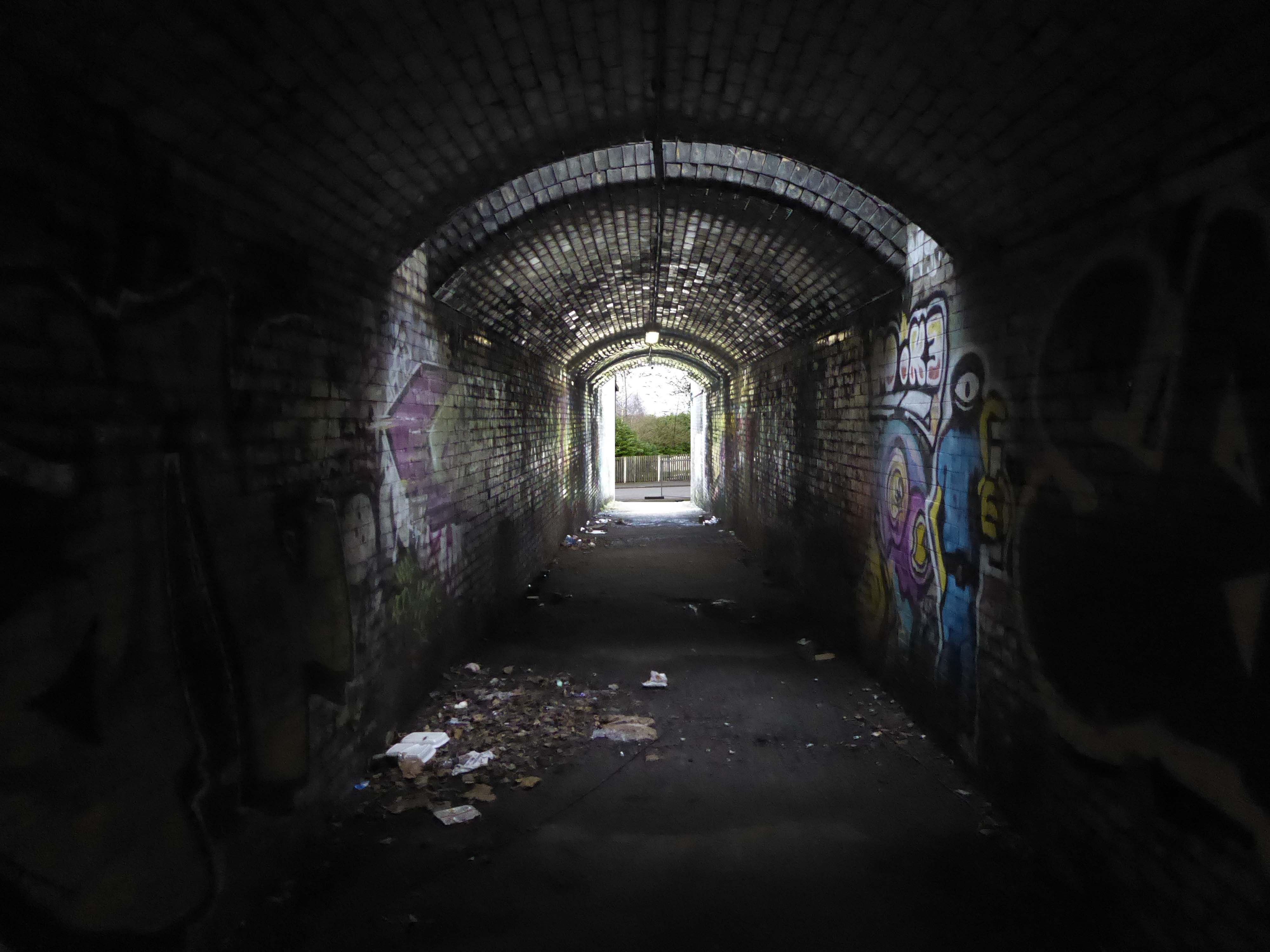
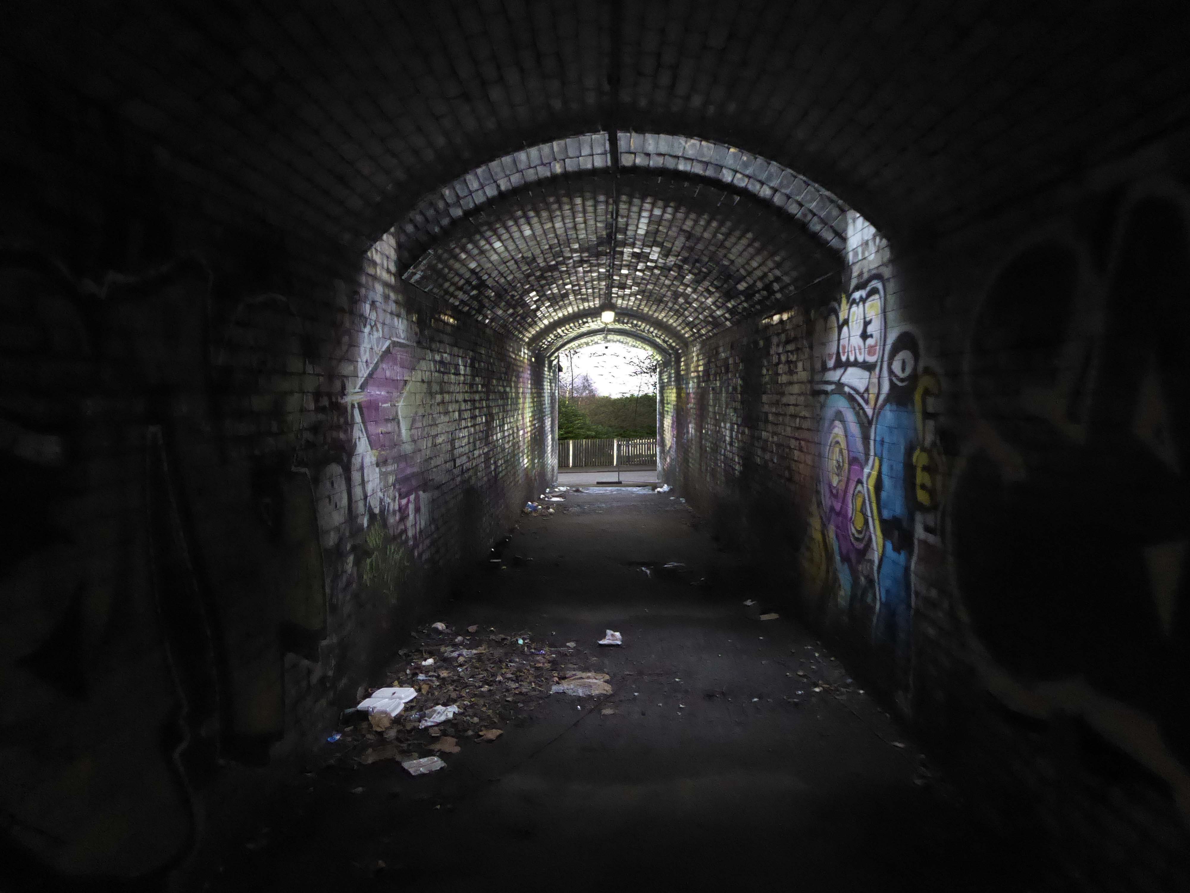
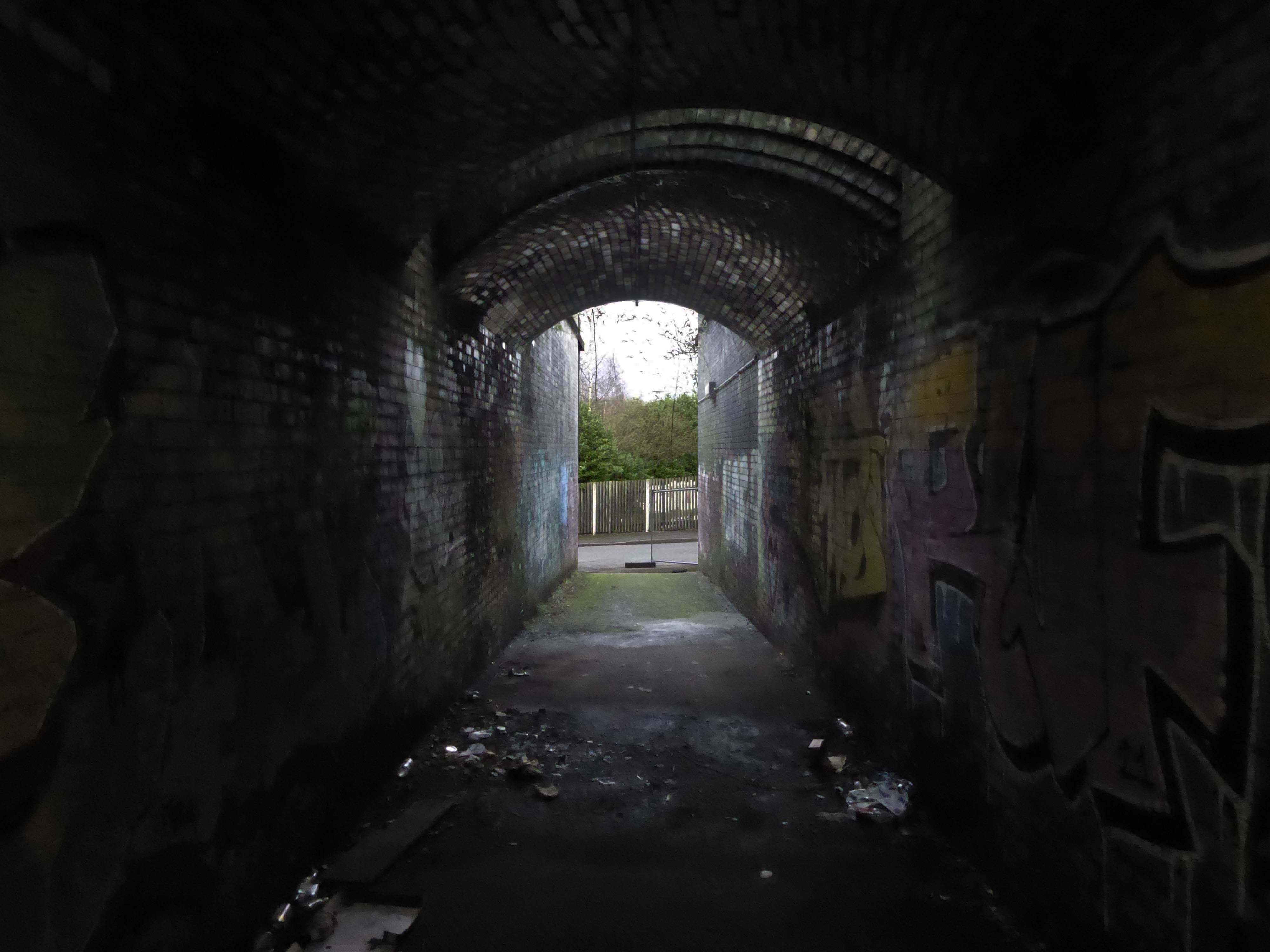
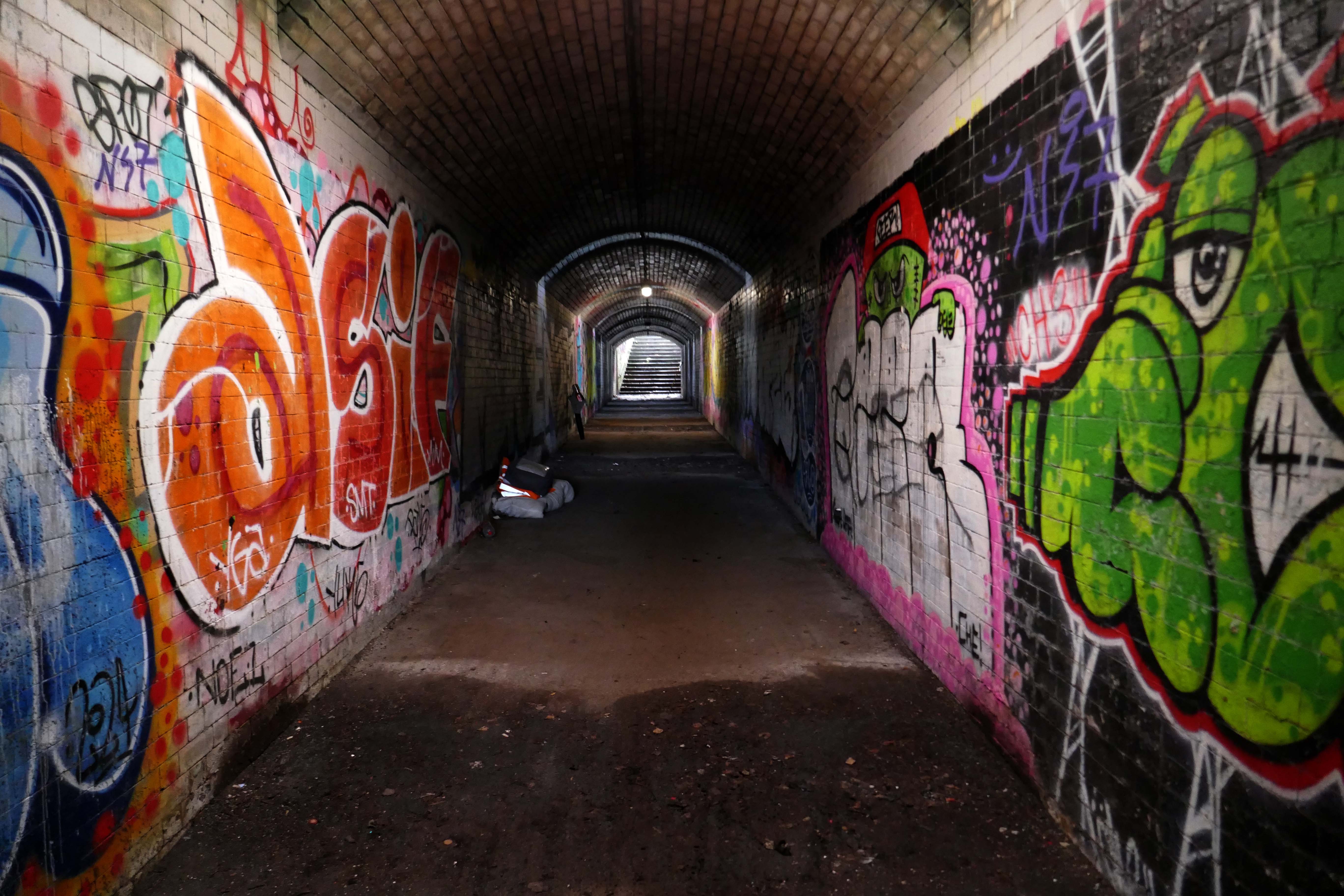
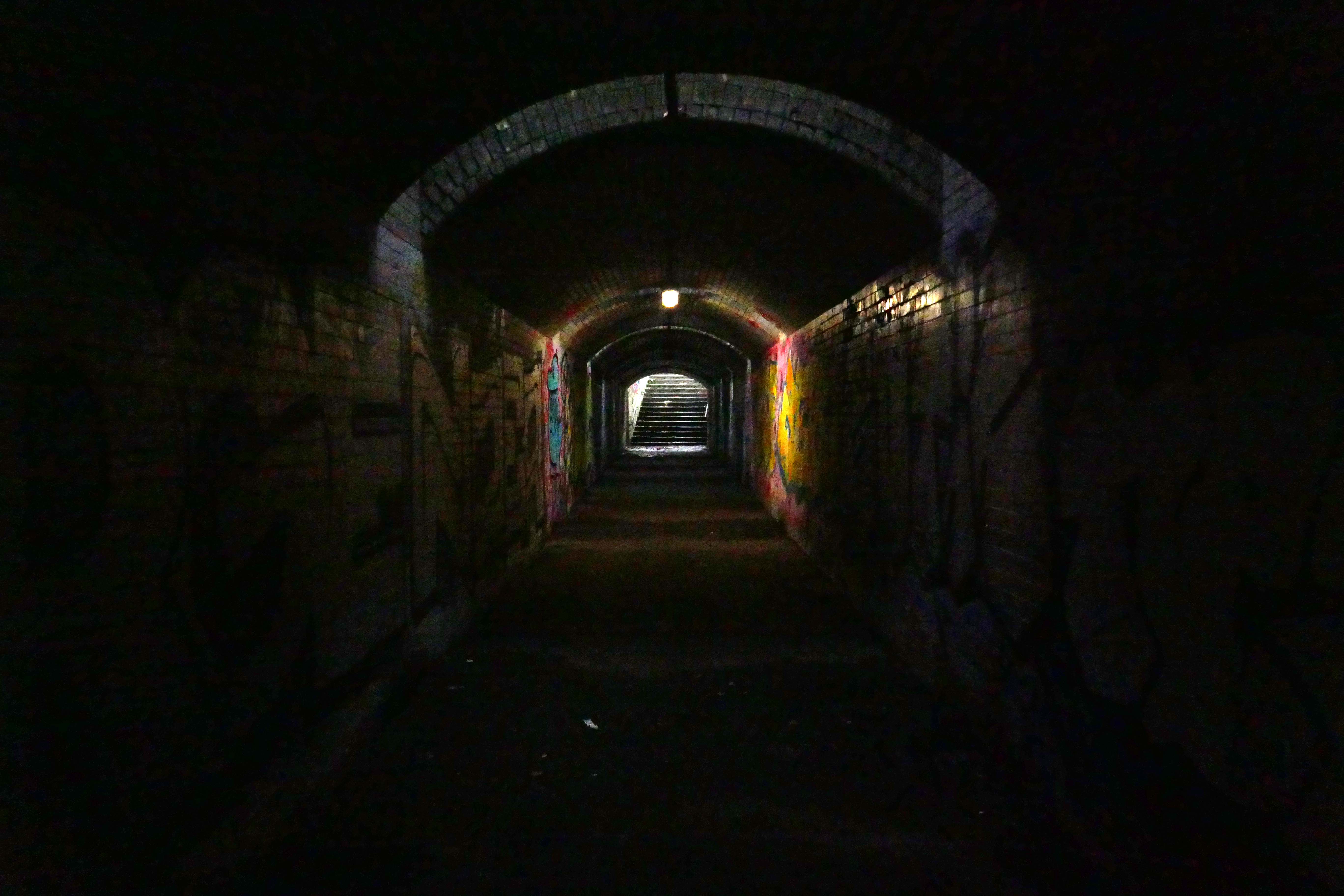
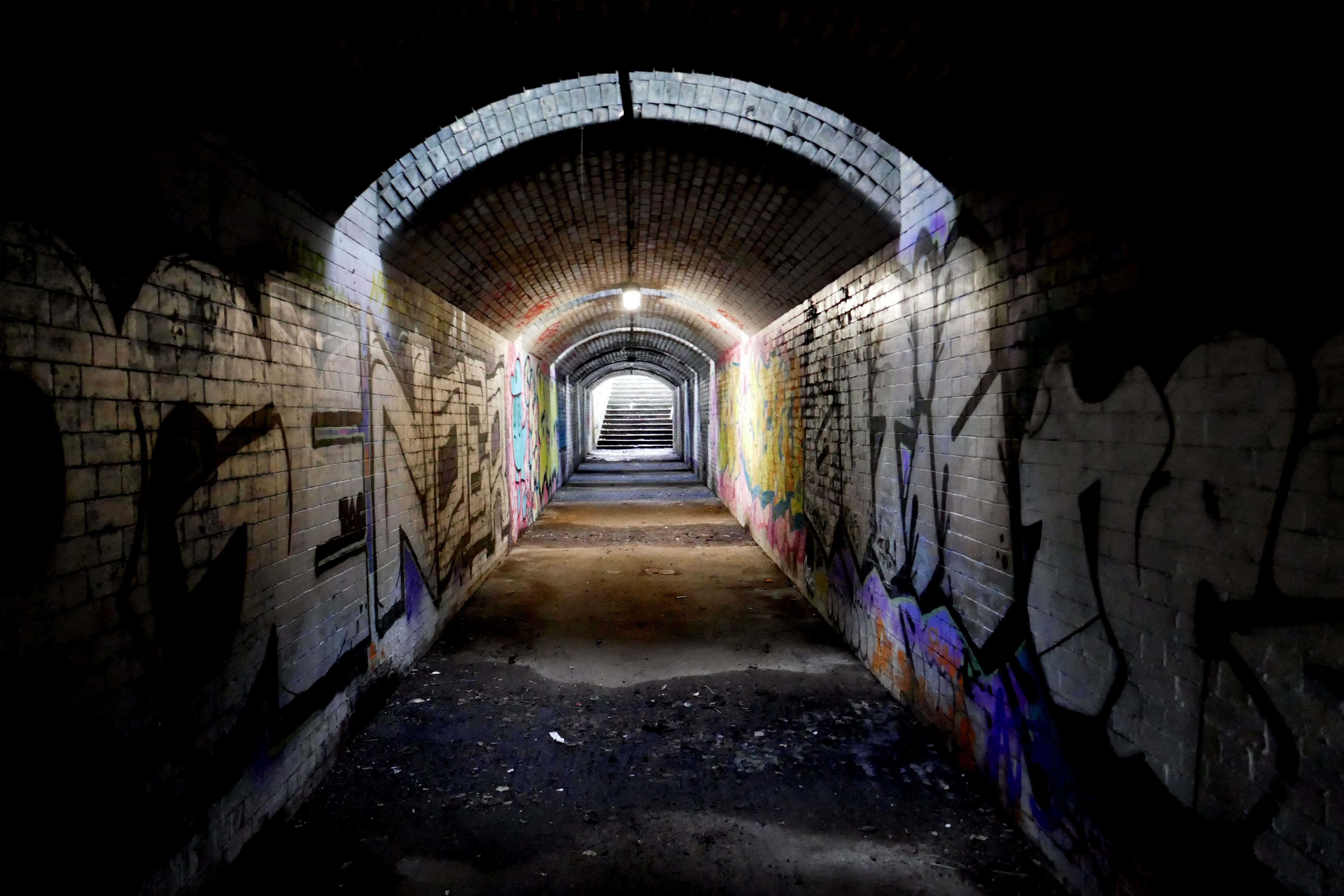
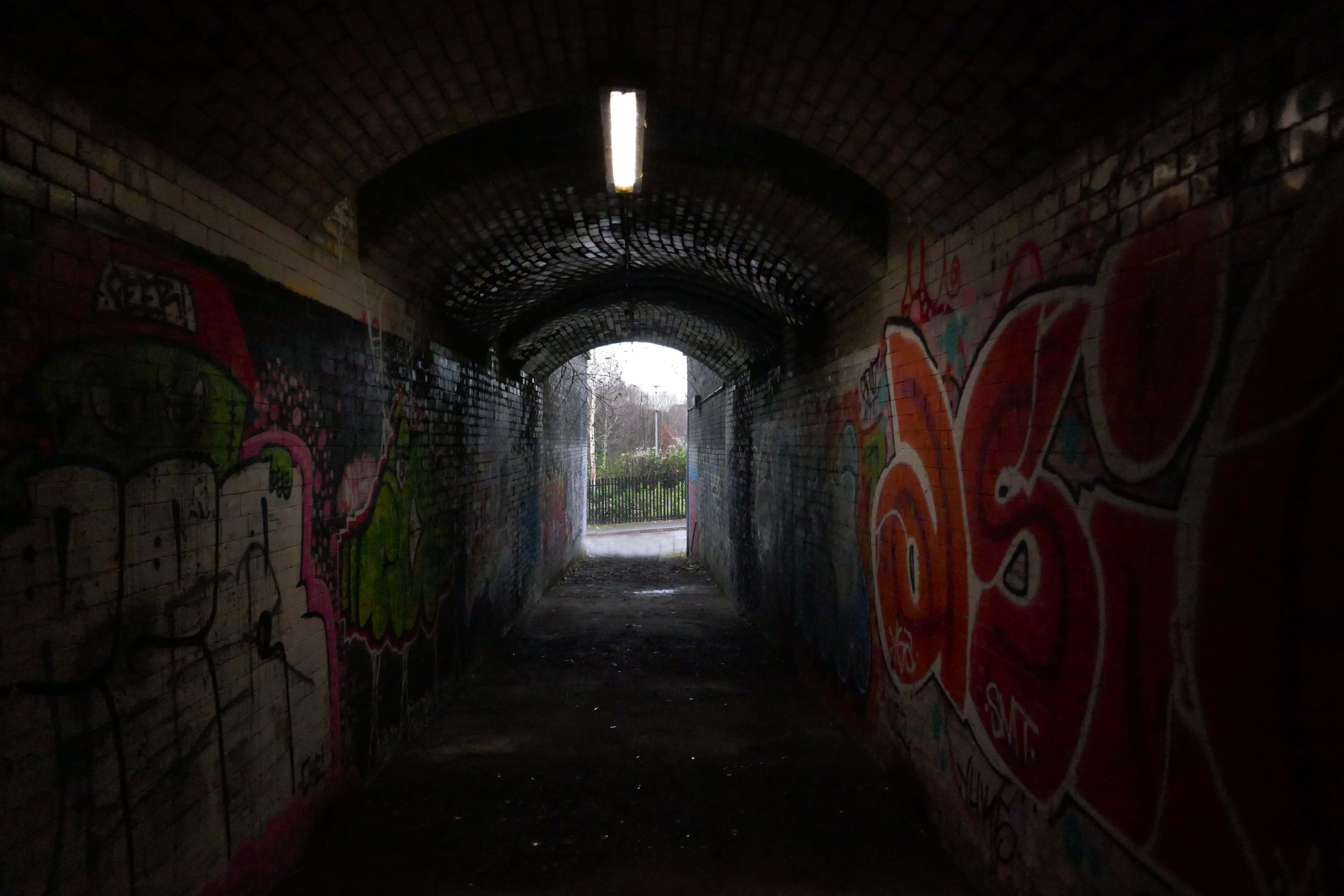
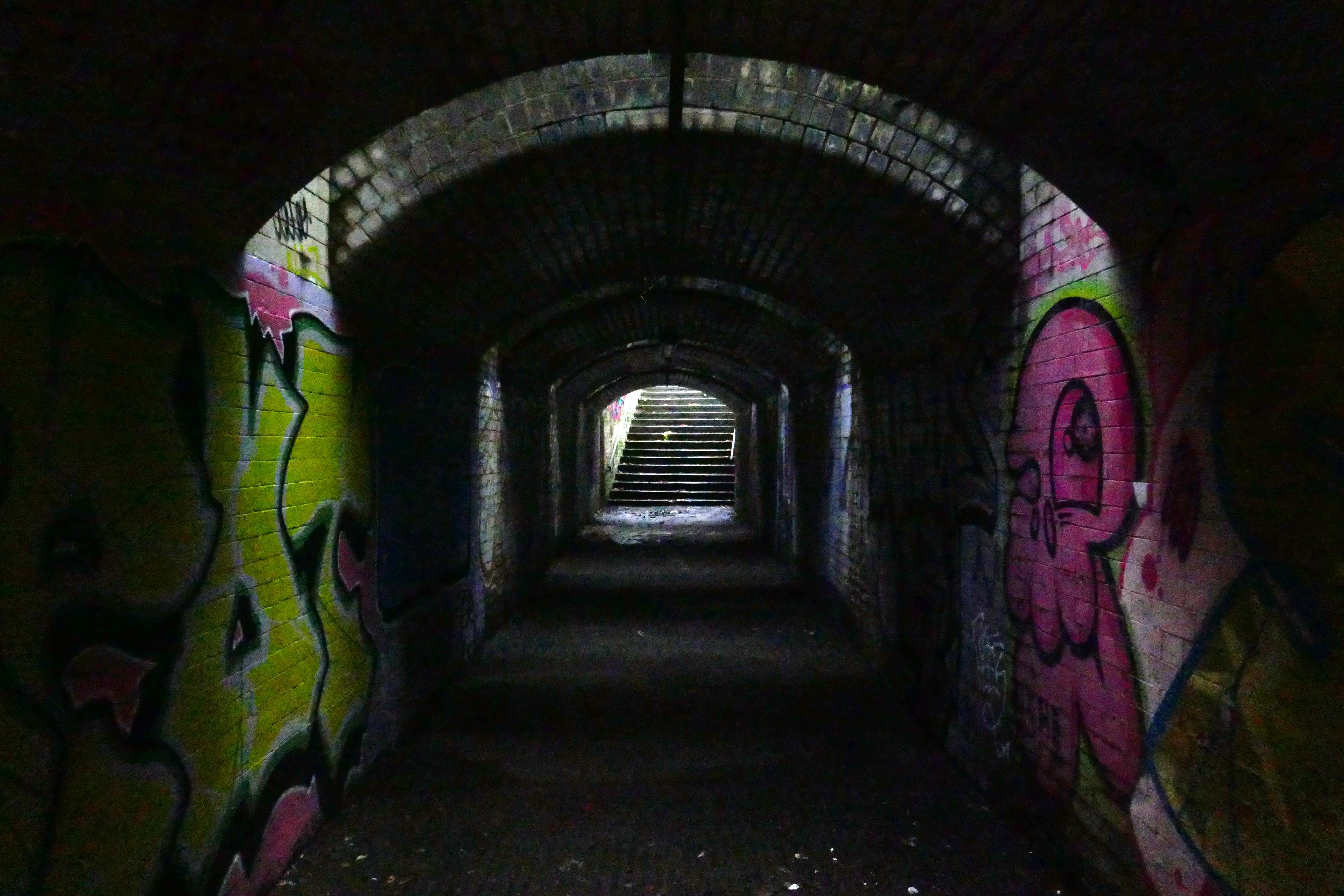
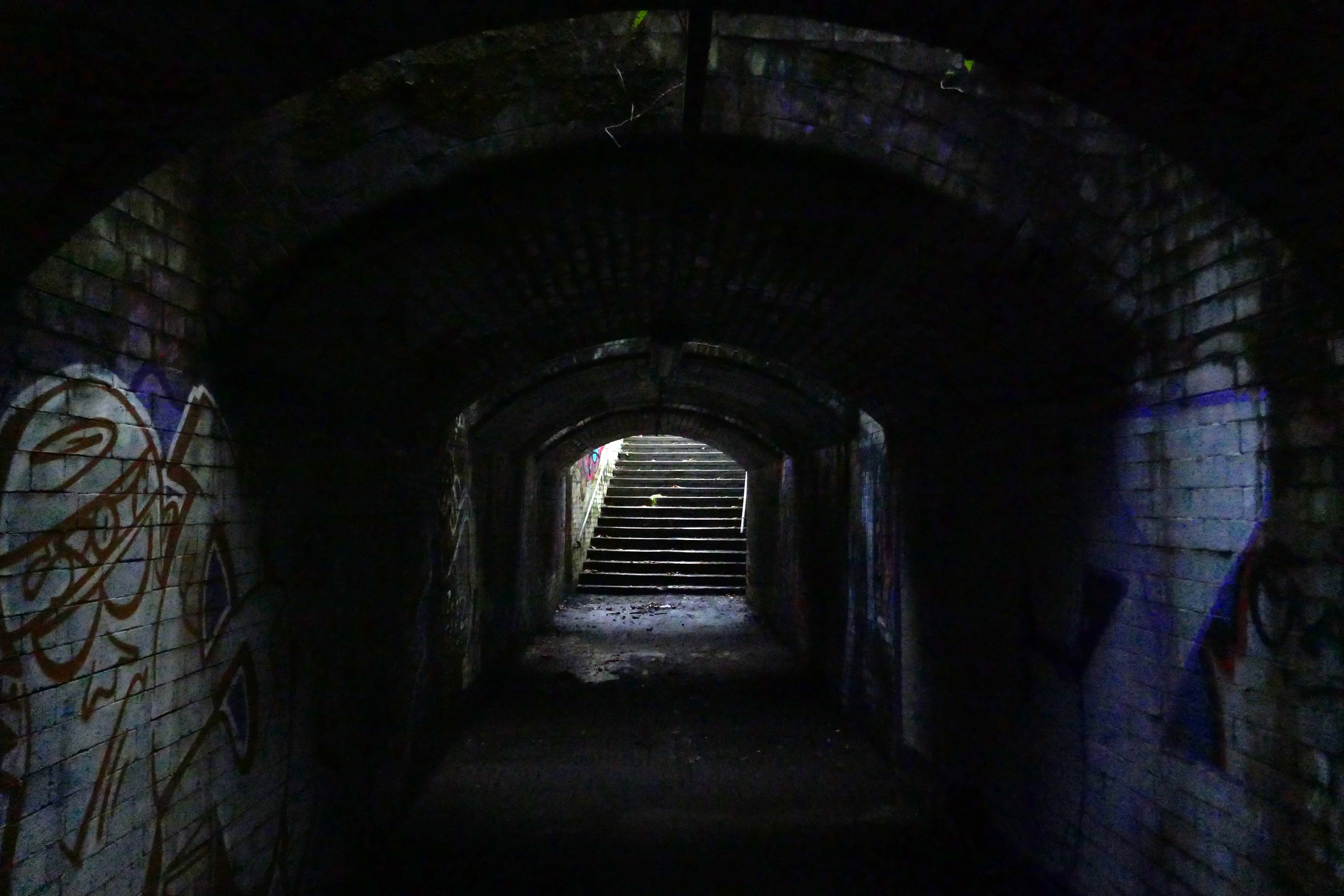
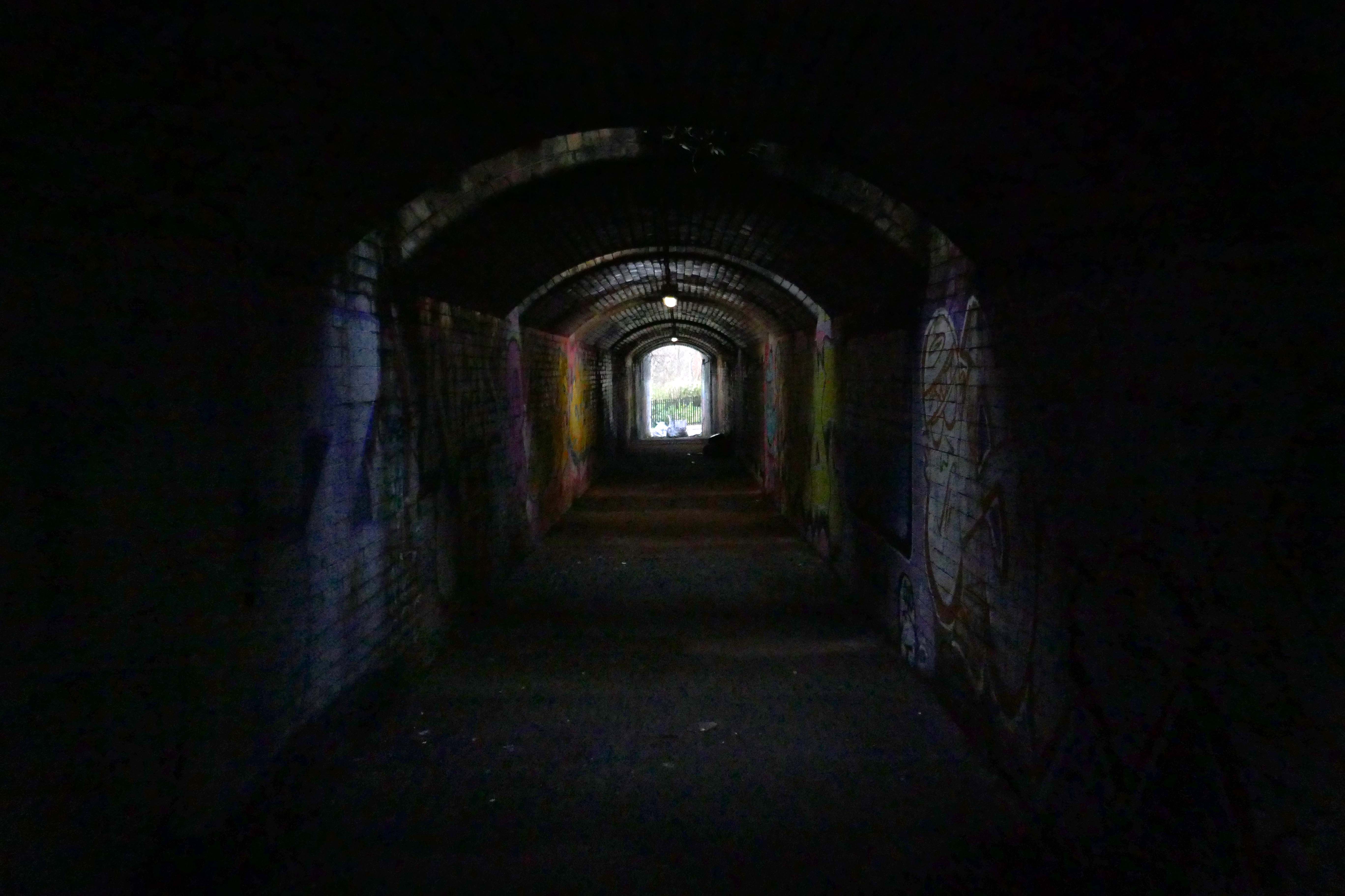
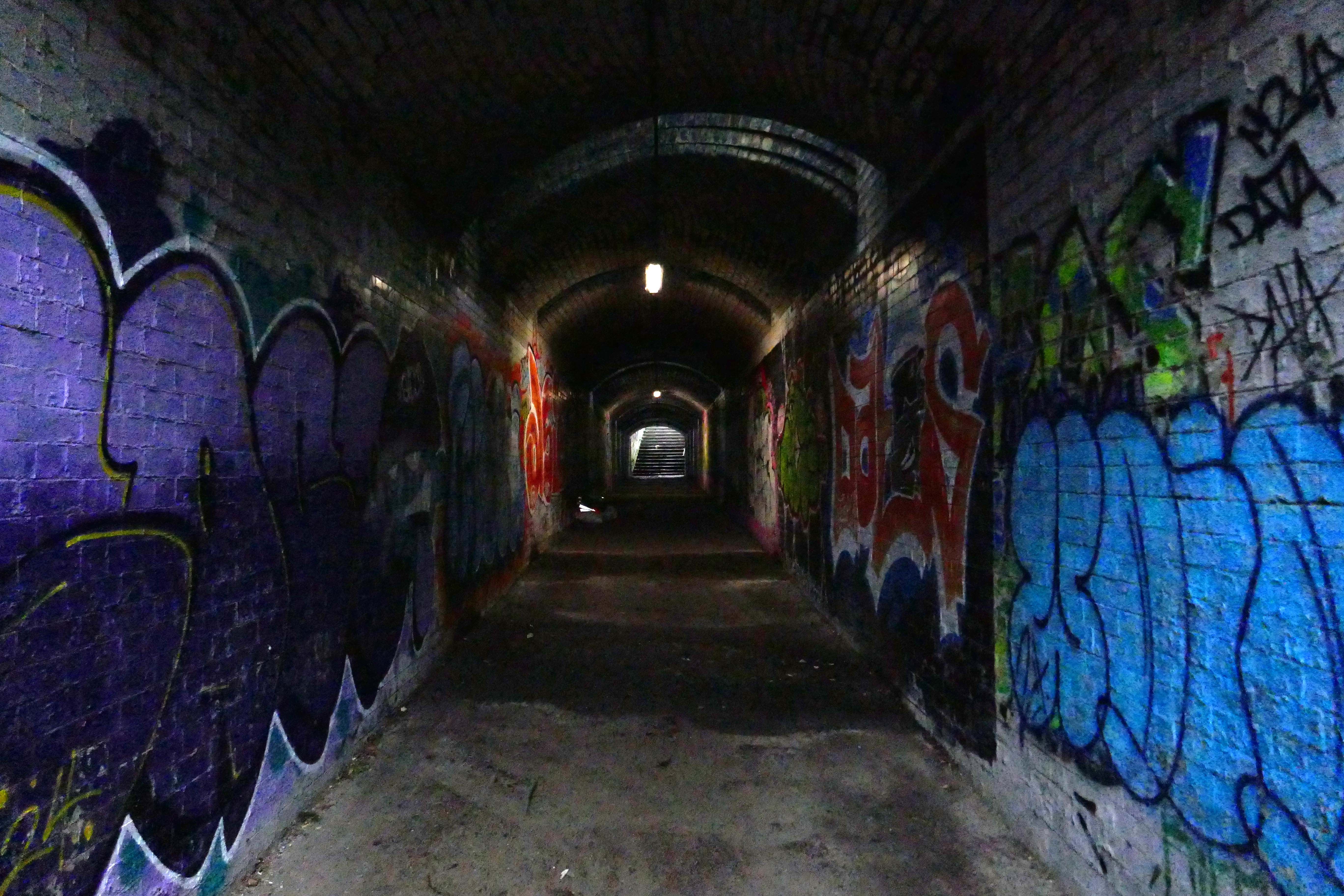
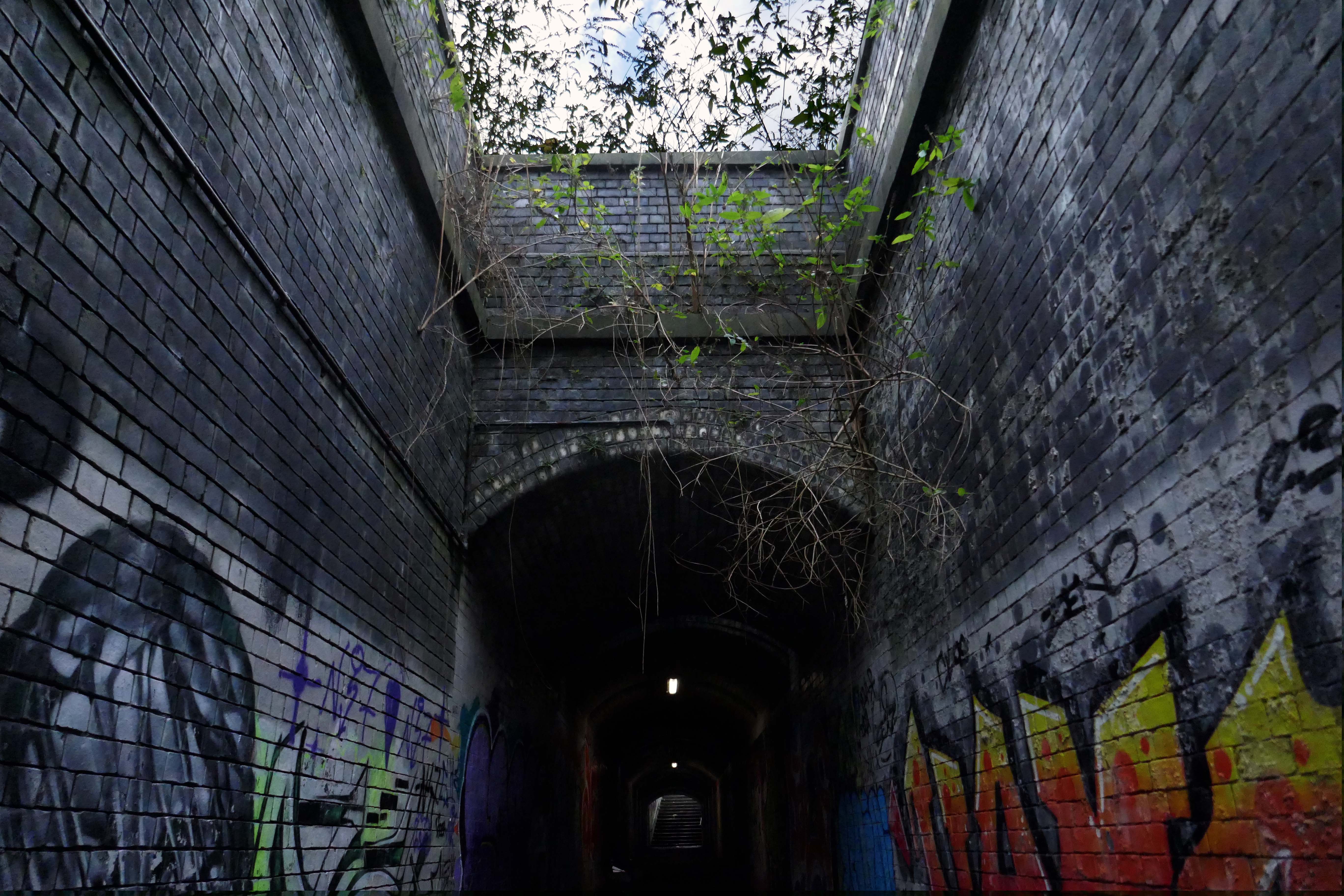
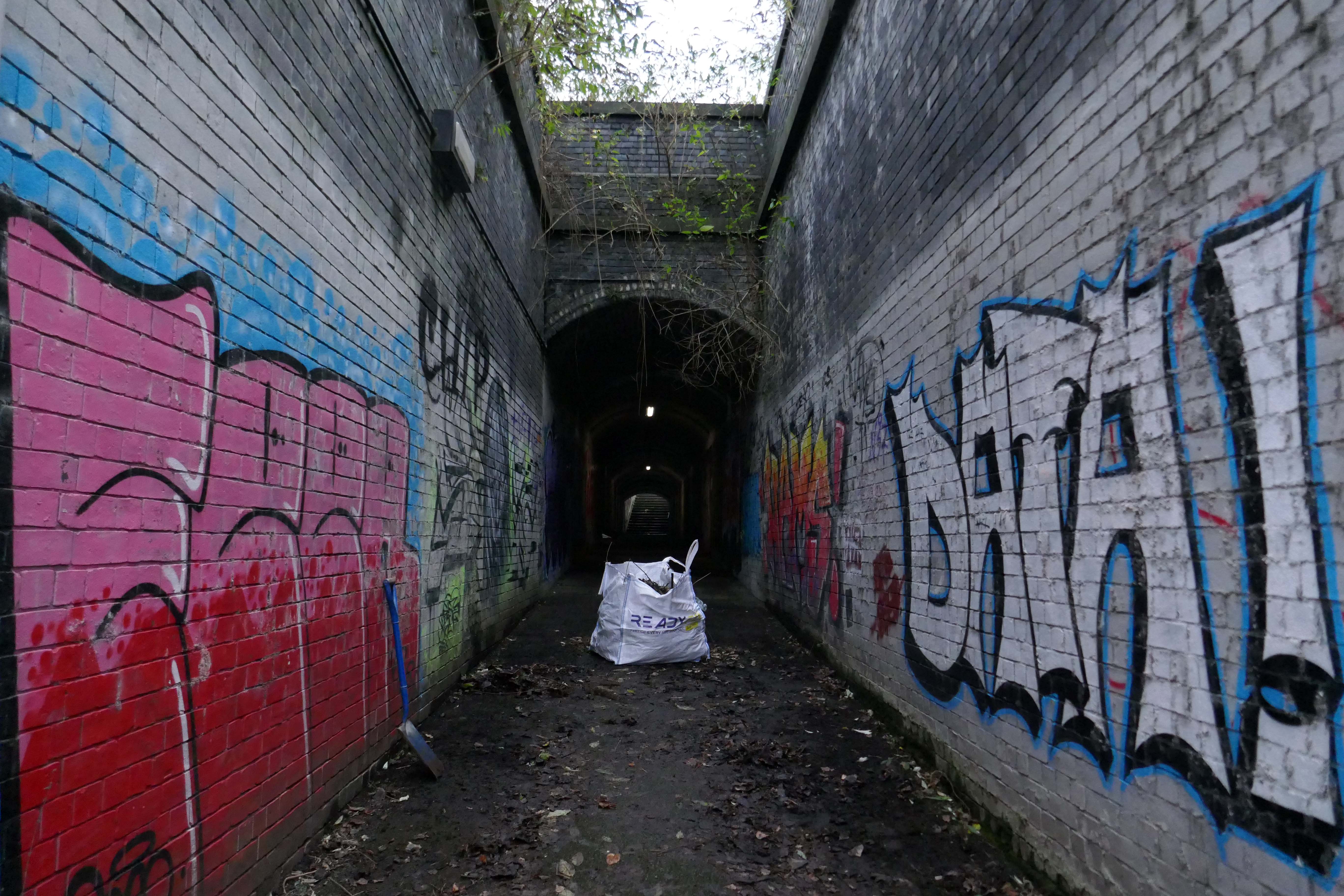
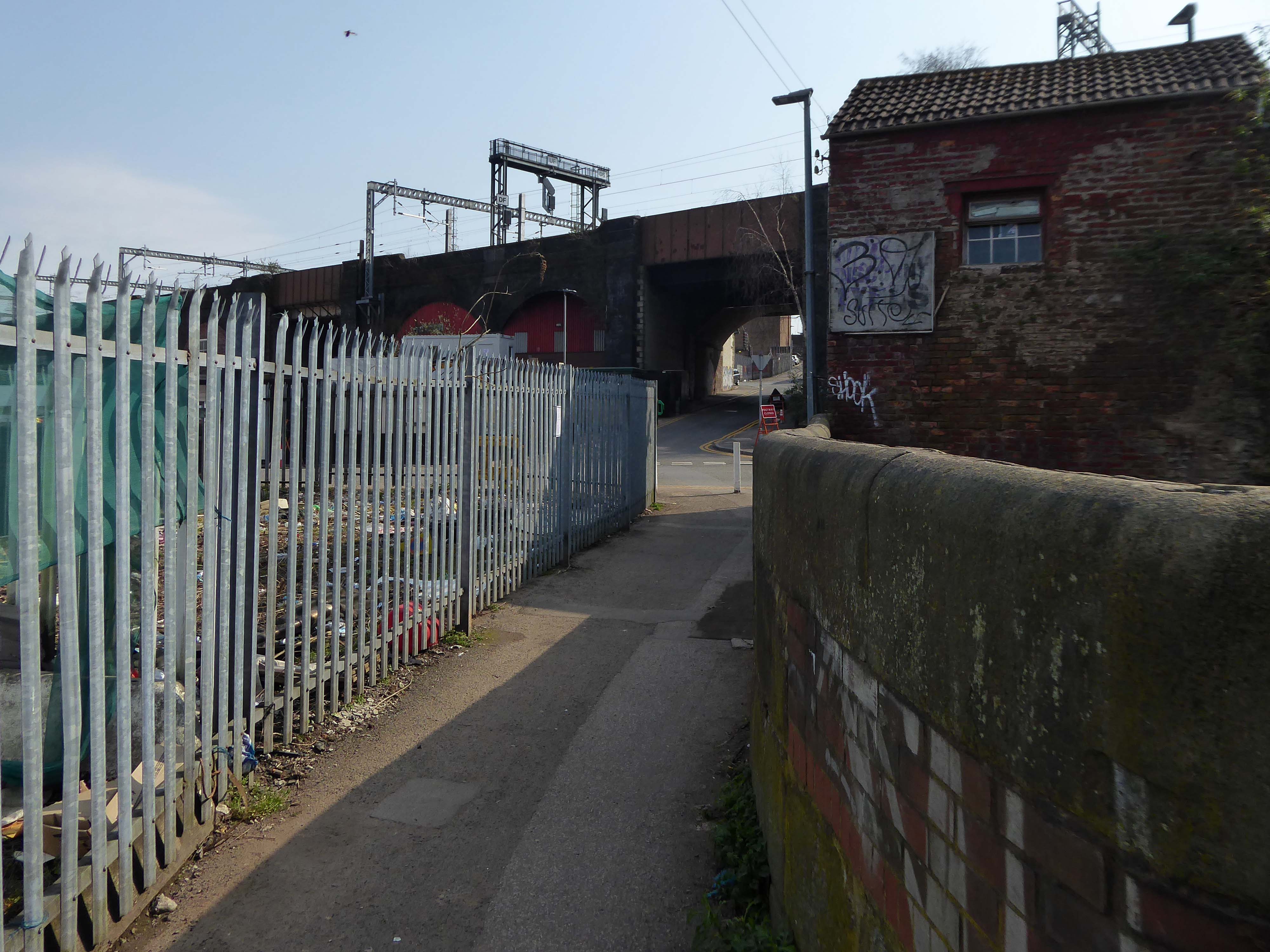
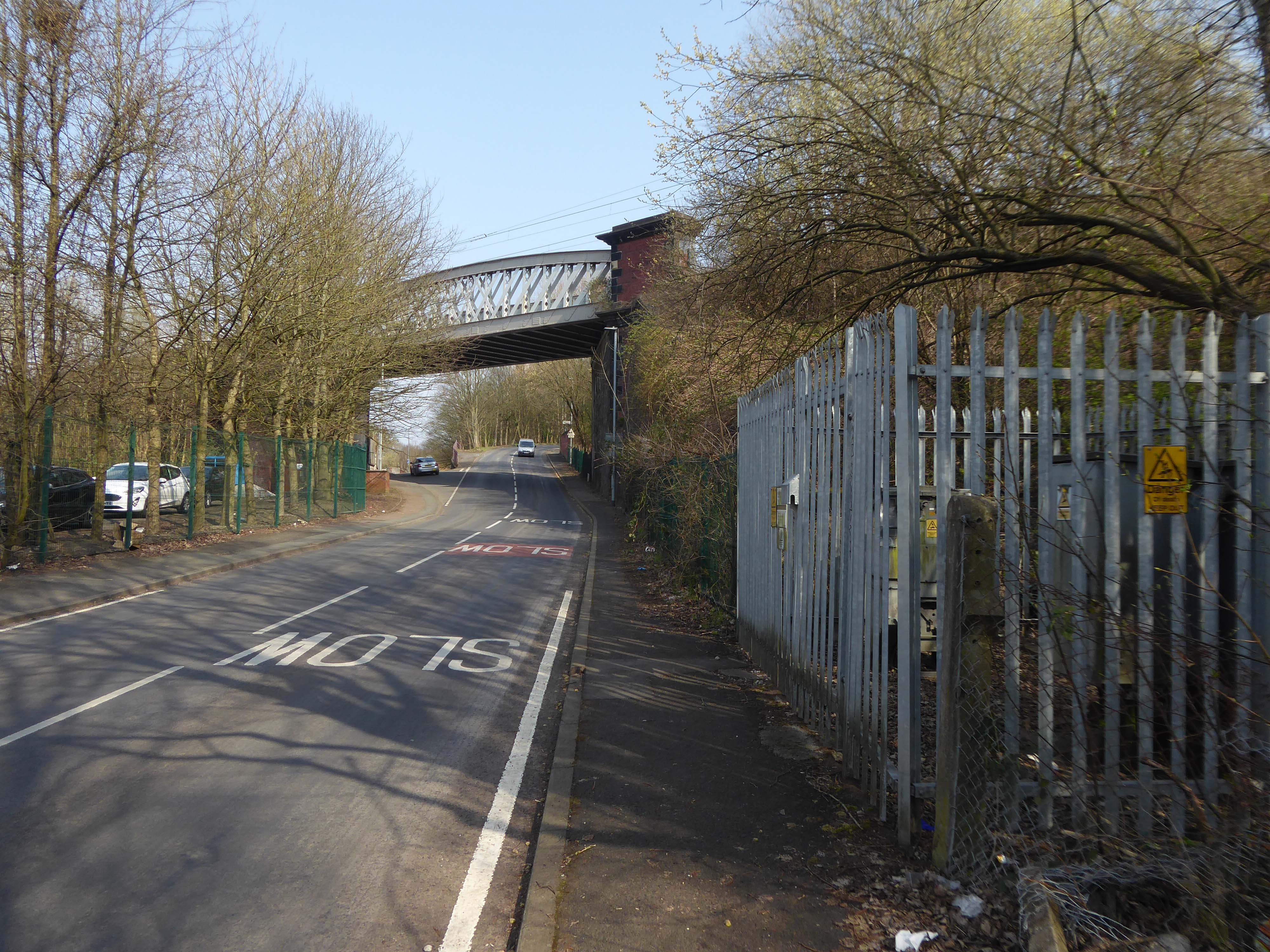
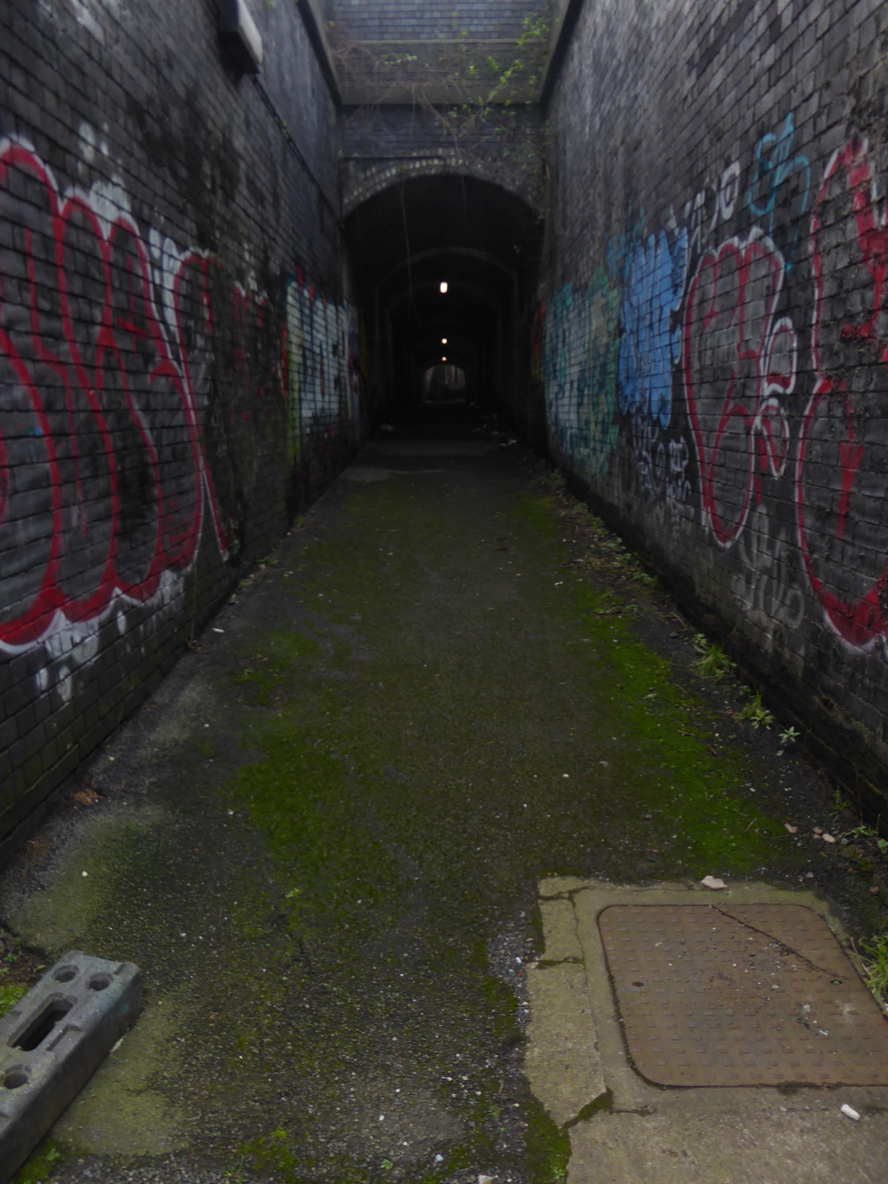
Passing between Dalton Street and Bromley Street is a pedestrian underpass, subway or tunnel.
Beneath both the Bury and Rochdale tram lines.
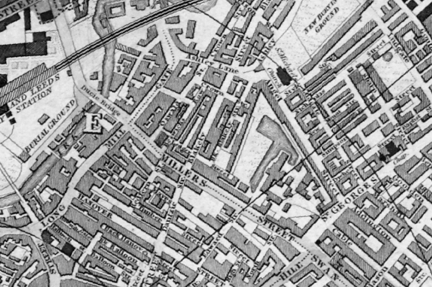
Once upon a time in 1807, it wasn’t there at all.
Then in 1848, it was there, as the L&Y had established a rail route.
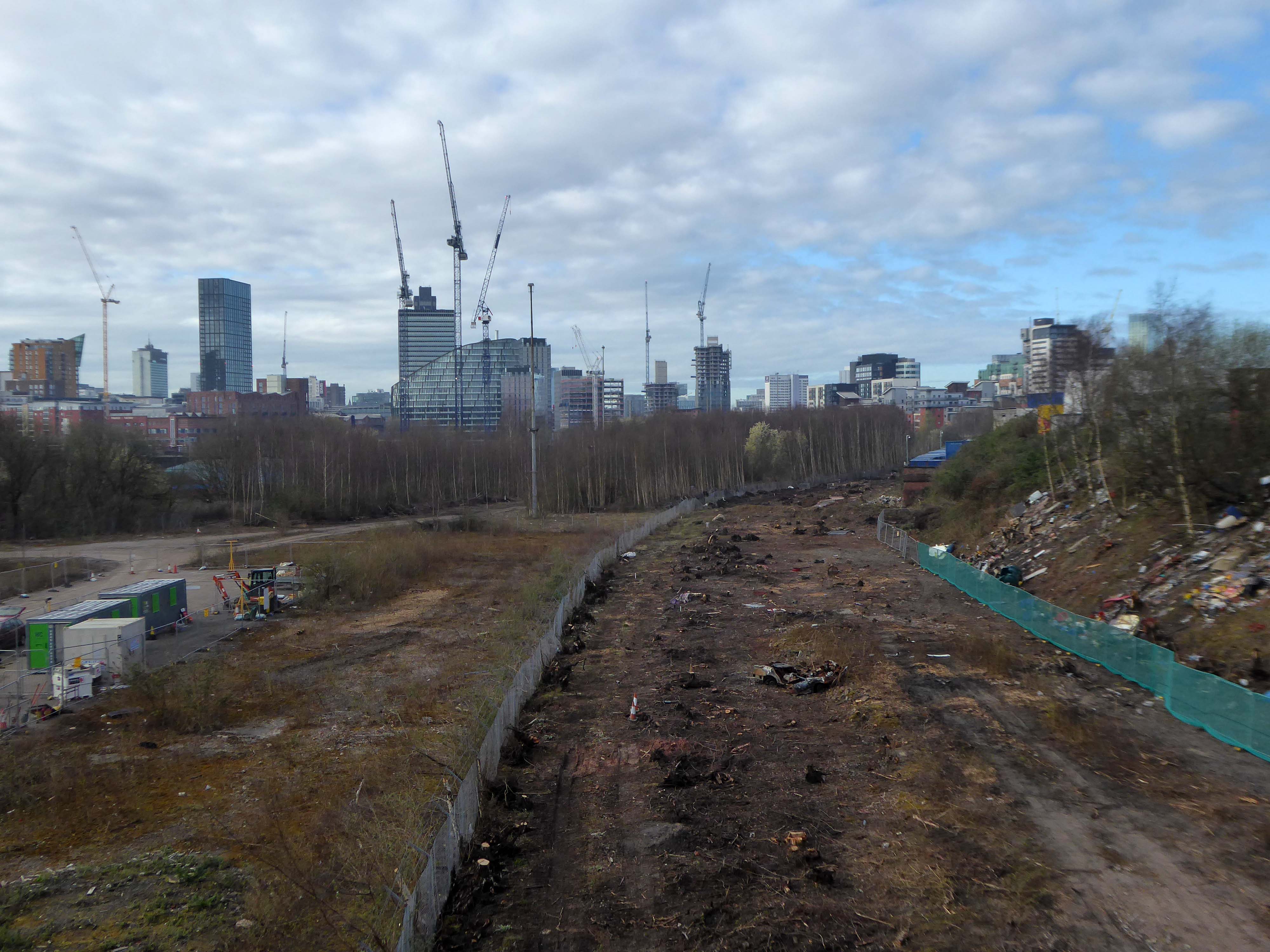
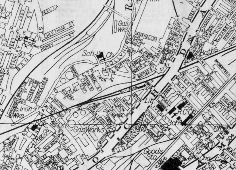
Studying historical maps, we can see the development of dense patches of housing, matching the city’s industrial growth, this is followed by a thinning of housing up to the present day – matching the city’s industrial decline.
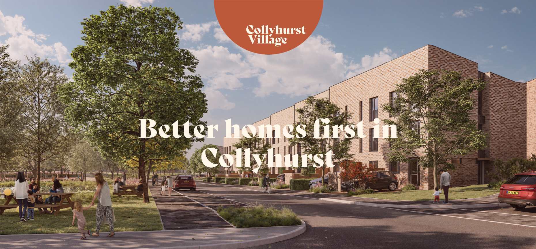
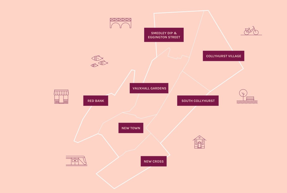
There is yet another twist in the tale, as the development of Collyhurst Village and Victoria North, are adding another layer of housing history.
I have walked this area for several years now, recording the relentless but gradual change.
Including the pedestrian underpass, subway or tunnel.
On my most recent visit there were works cleaning the pedestrian underpass, subway or tunnel.
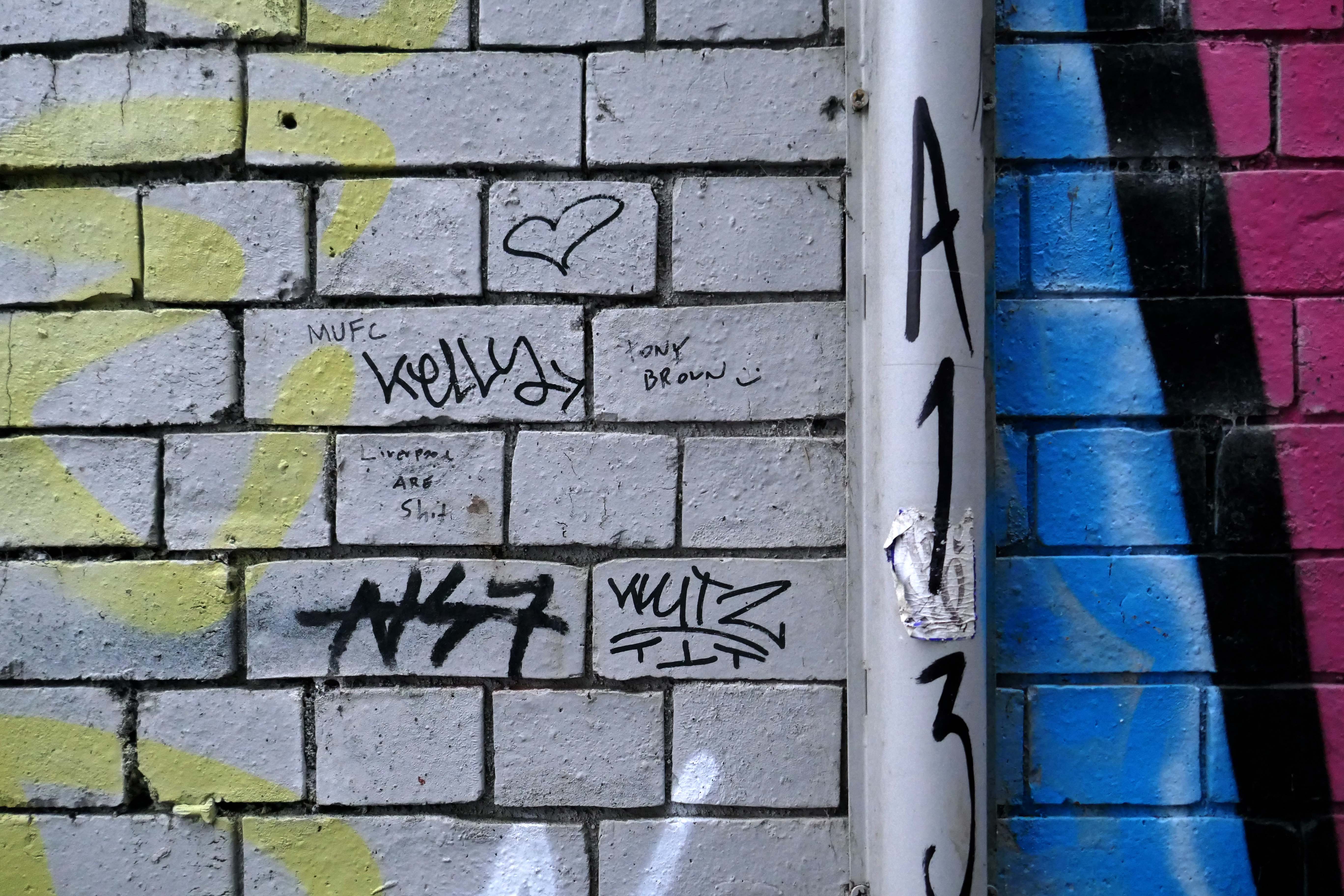
Having taken a particular interest in this particular piece of public art for some time – I need to go and take a little look.
But what will we see along the way, as we hasten along Rochdale Road?
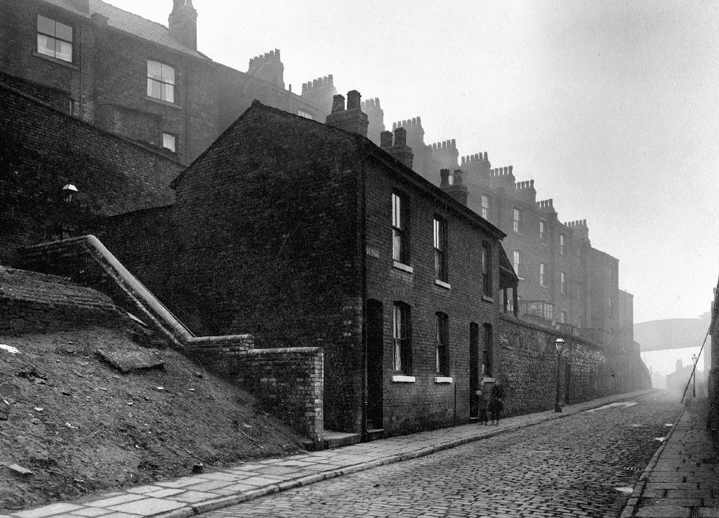
Which once looked like this, way back when in 1904.
Though some things inevitably come and go, as some things are prone to do.
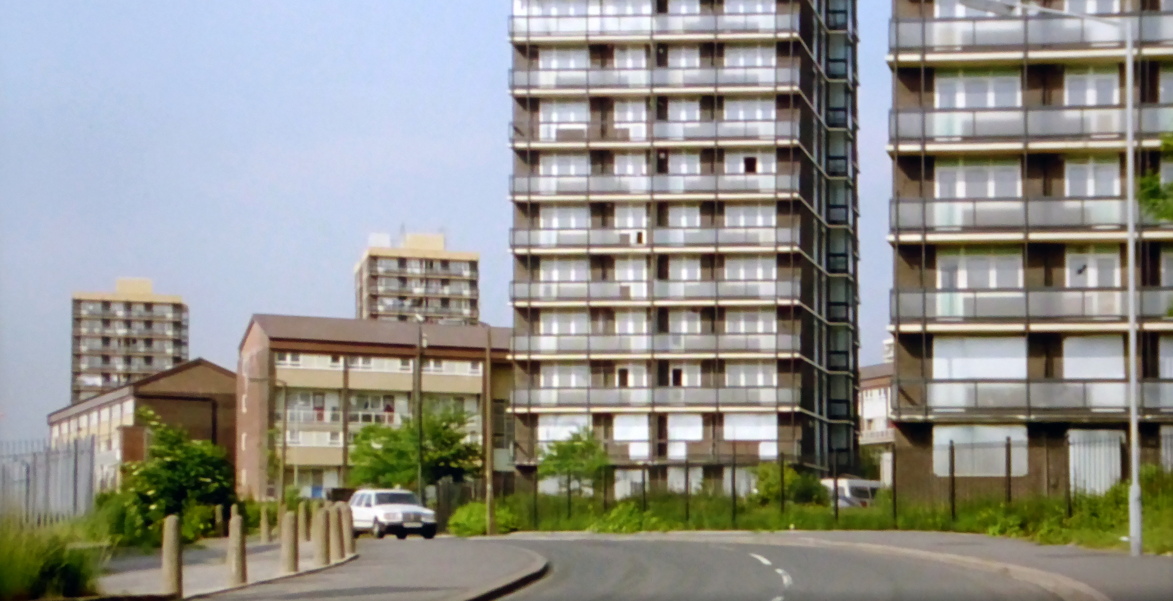
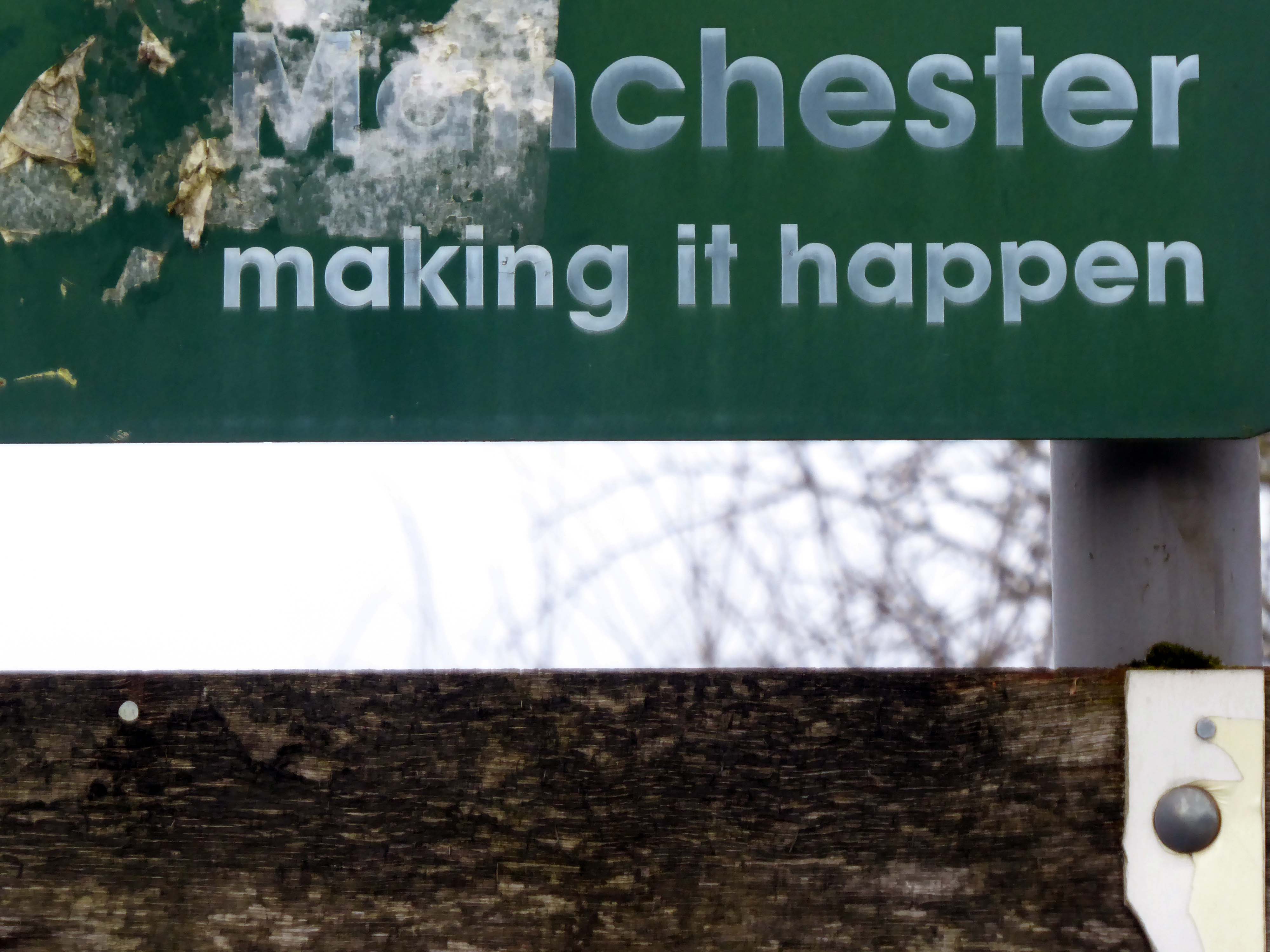
The city is undergoing yet another reinvention as Manchester becomes – an attractive place to invest and do business.
See, I am doing a new thing!
Now it springs up; do you not perceive it?
I am making a way in the wilderness and streams in the wasteland.
Isaiah 43:19
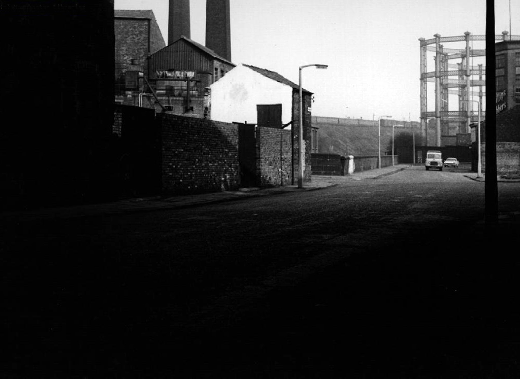
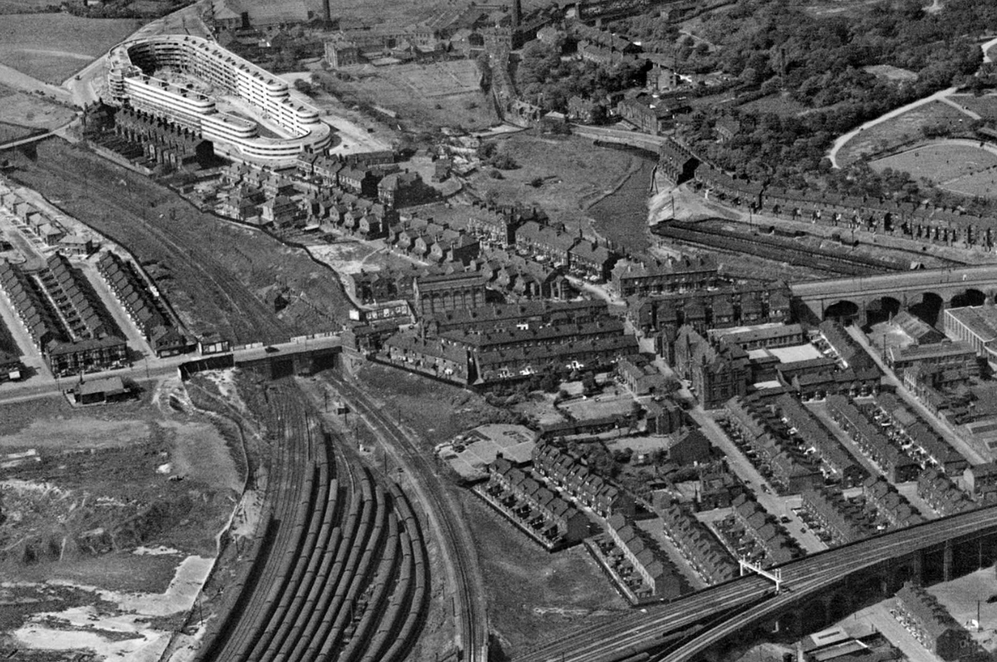
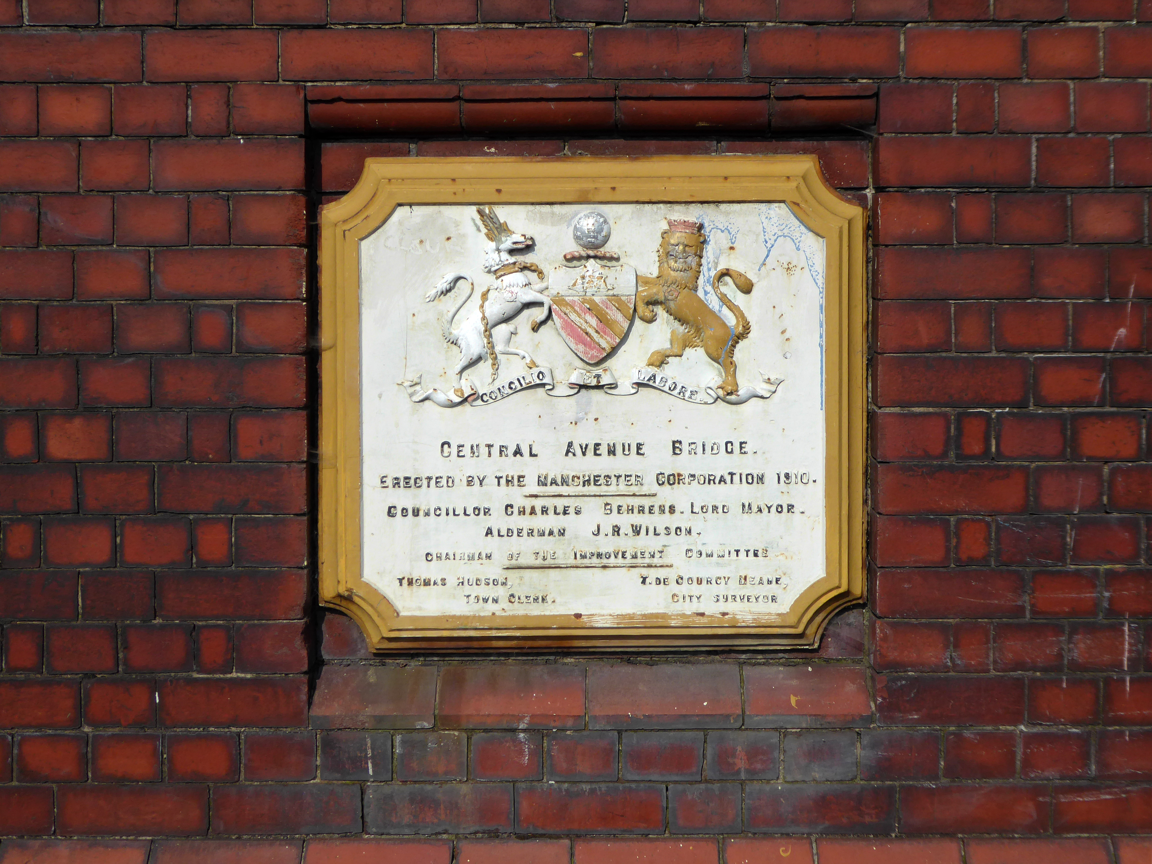
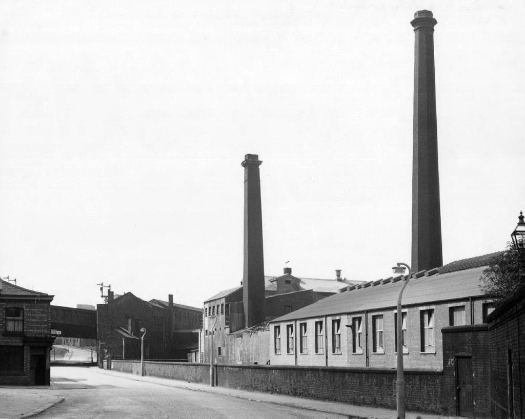
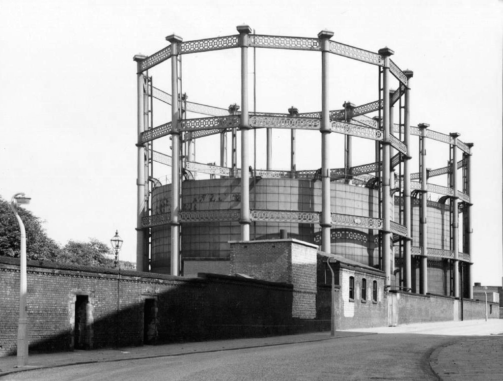
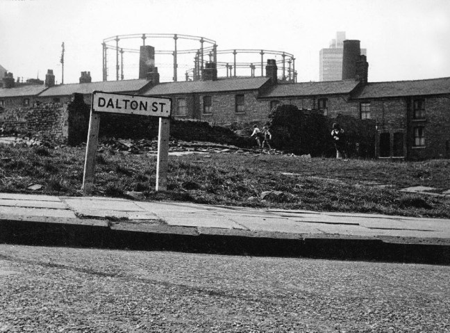
Once there was a gas works here – adjoining Gould Street, seen here in 1958.
The Gould Street Gas Works was a gas manufacturing plant located in Manchester, England. Originally built in 1824, the plant was operated by the Manchester Corporation Gas Department and was in operation from 1833 to 1969. It was named after the street on which it was located, which was named after John Gould, who was a prominent Manchester businessman in the 19th century.
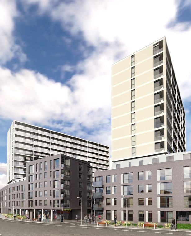
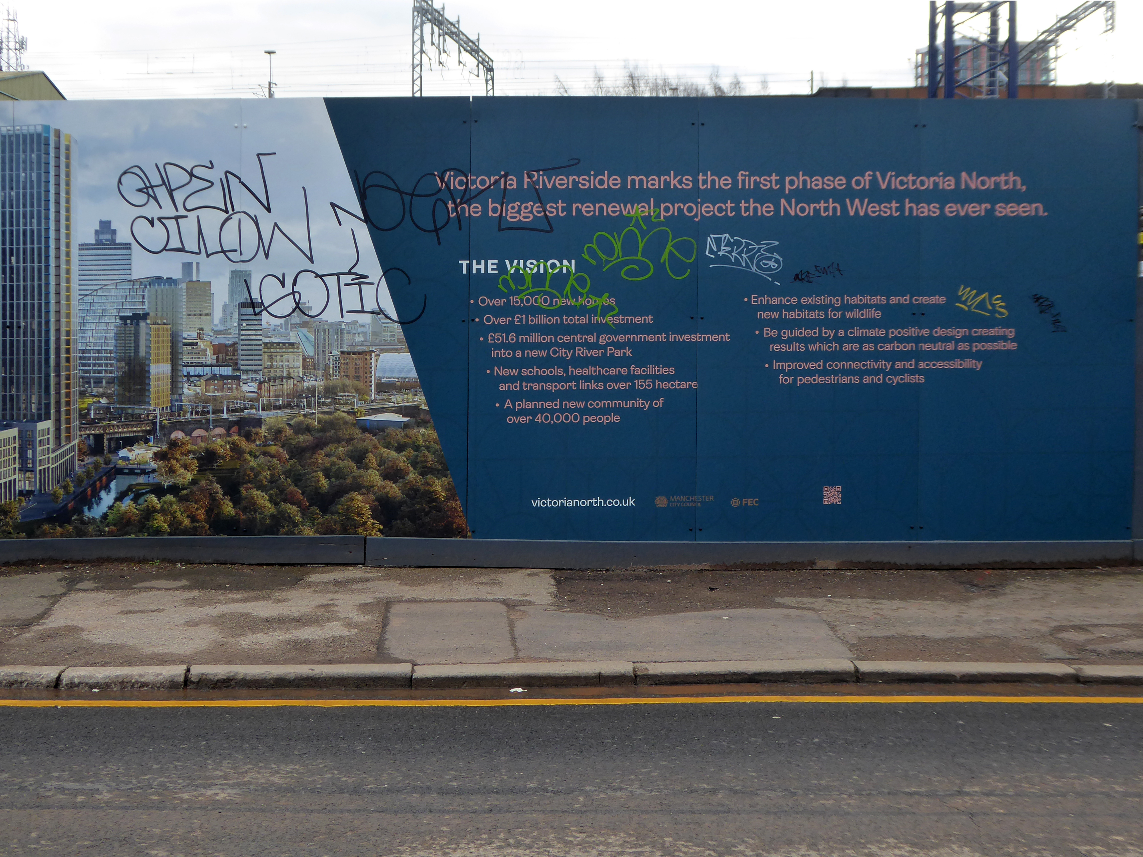
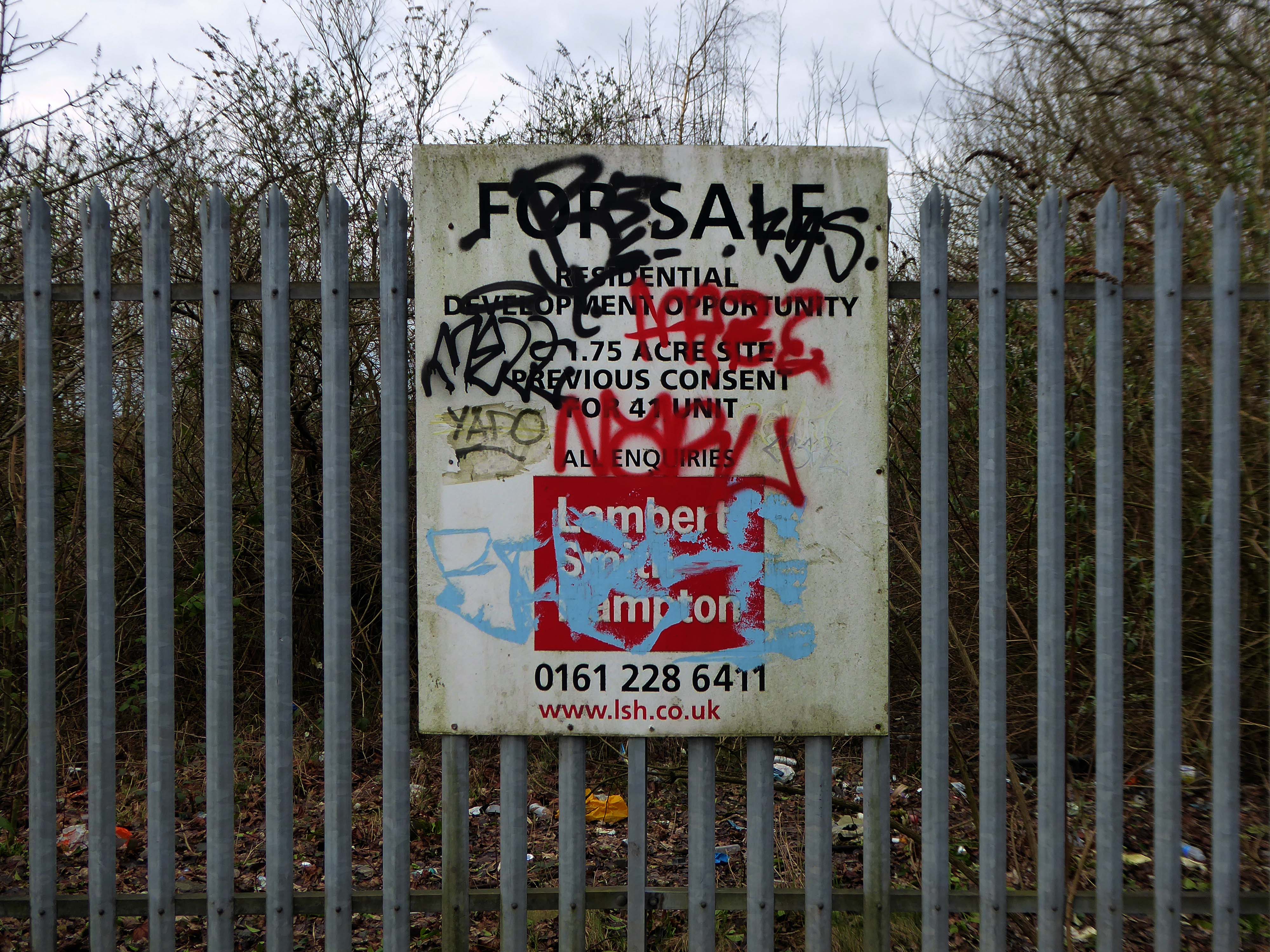
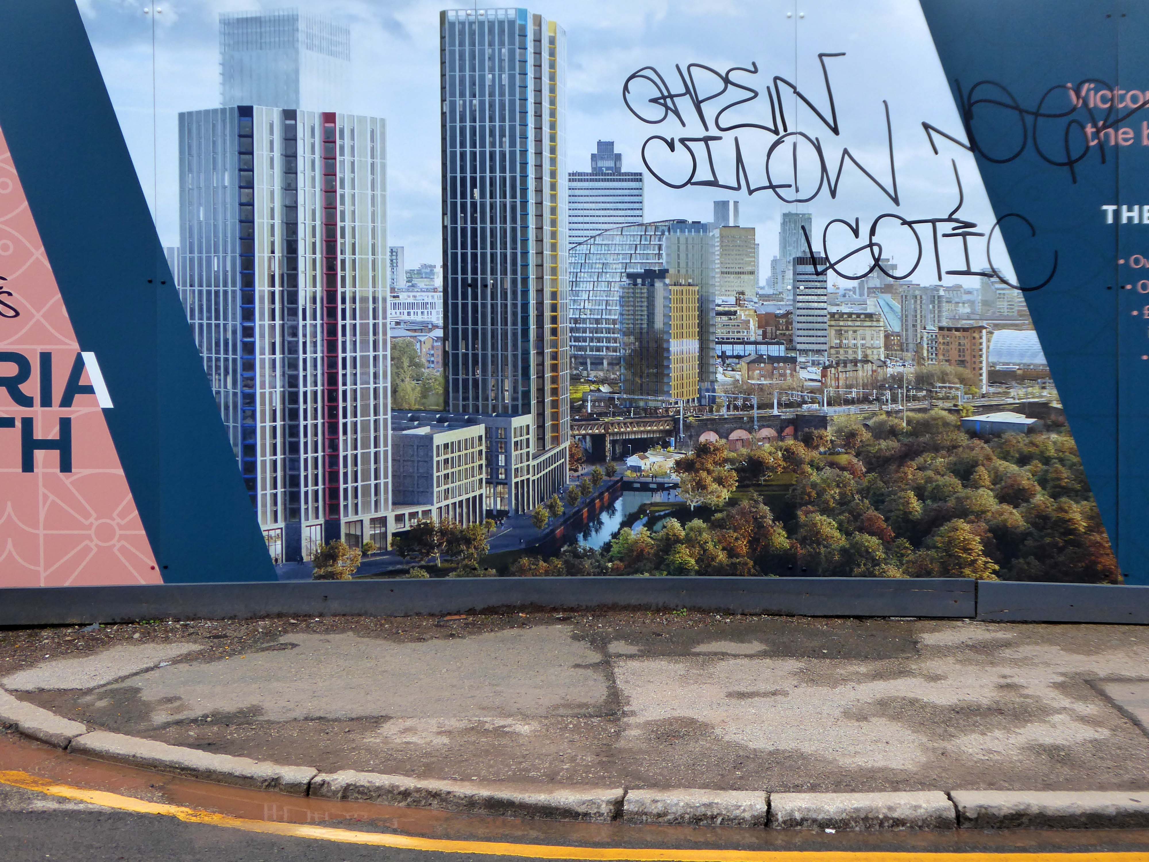
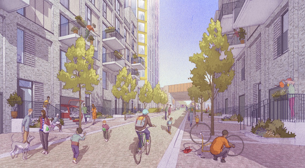
The Gasworks New Town neighbourhood is one of seven envisioned by the £4bn Victoria North masterplan. It will feature nine buildings ranging from 8 to 34 storeys. The 6.6-acre site has most recently been home to a car park but the green development will overwhelmingly prioritise walking and cycling over driving. It will result in tens of millions of pounds being pumped into the city’s economy over the lifetime of the development.
Plans for a trailblazing city centre regeneration scheme that will create more than 1200 homes has been approved by Manchester City Council.
A total of 85 of the 1200, will be affordable homes available through Shared Ownership.
Though as of March 31st 2023 ground is yet to be broken, no signs of the:
New centre of gravity for central Manchester that will create thousands of jobs and inject tens of millions of pounds into the city’s economy.
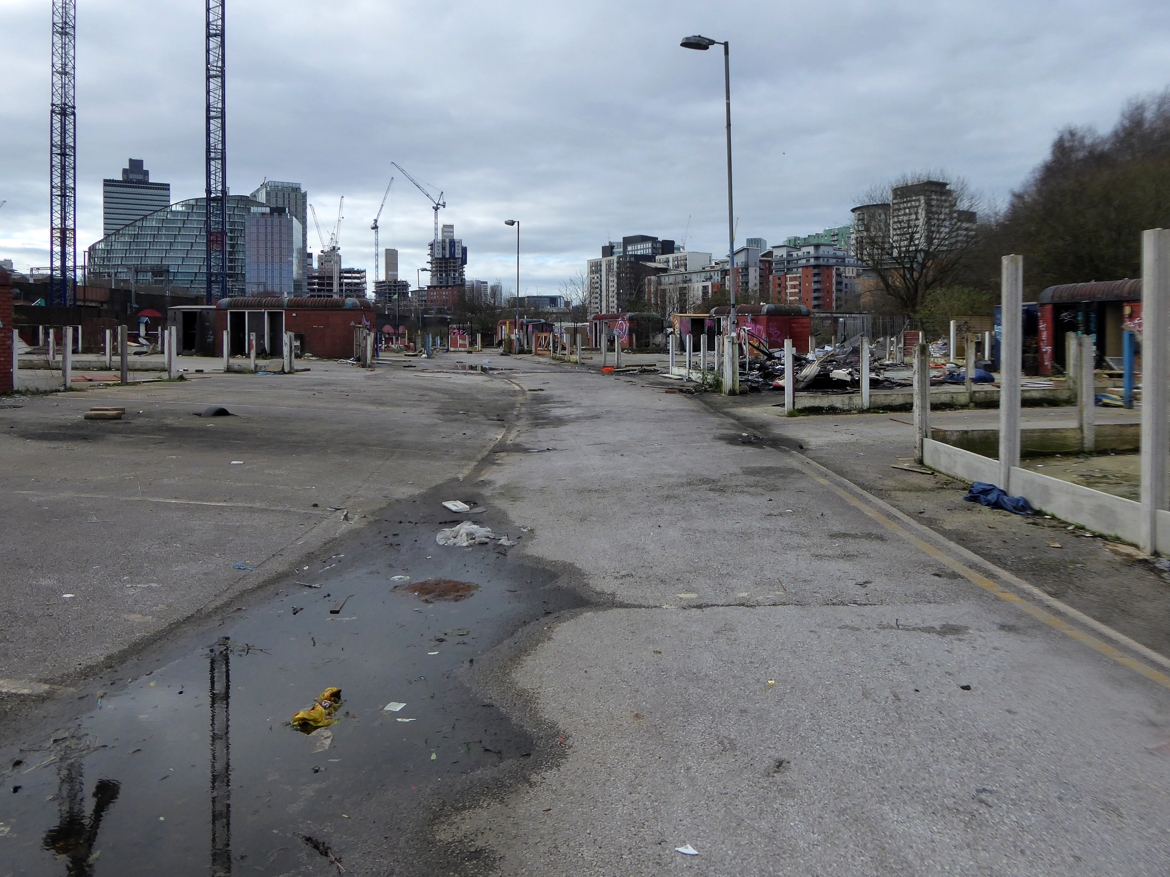
So you zig-zag wanderers, make the most of these wide open expanses of affordable car parking, while you can.
The future may yet be here today – or the next.
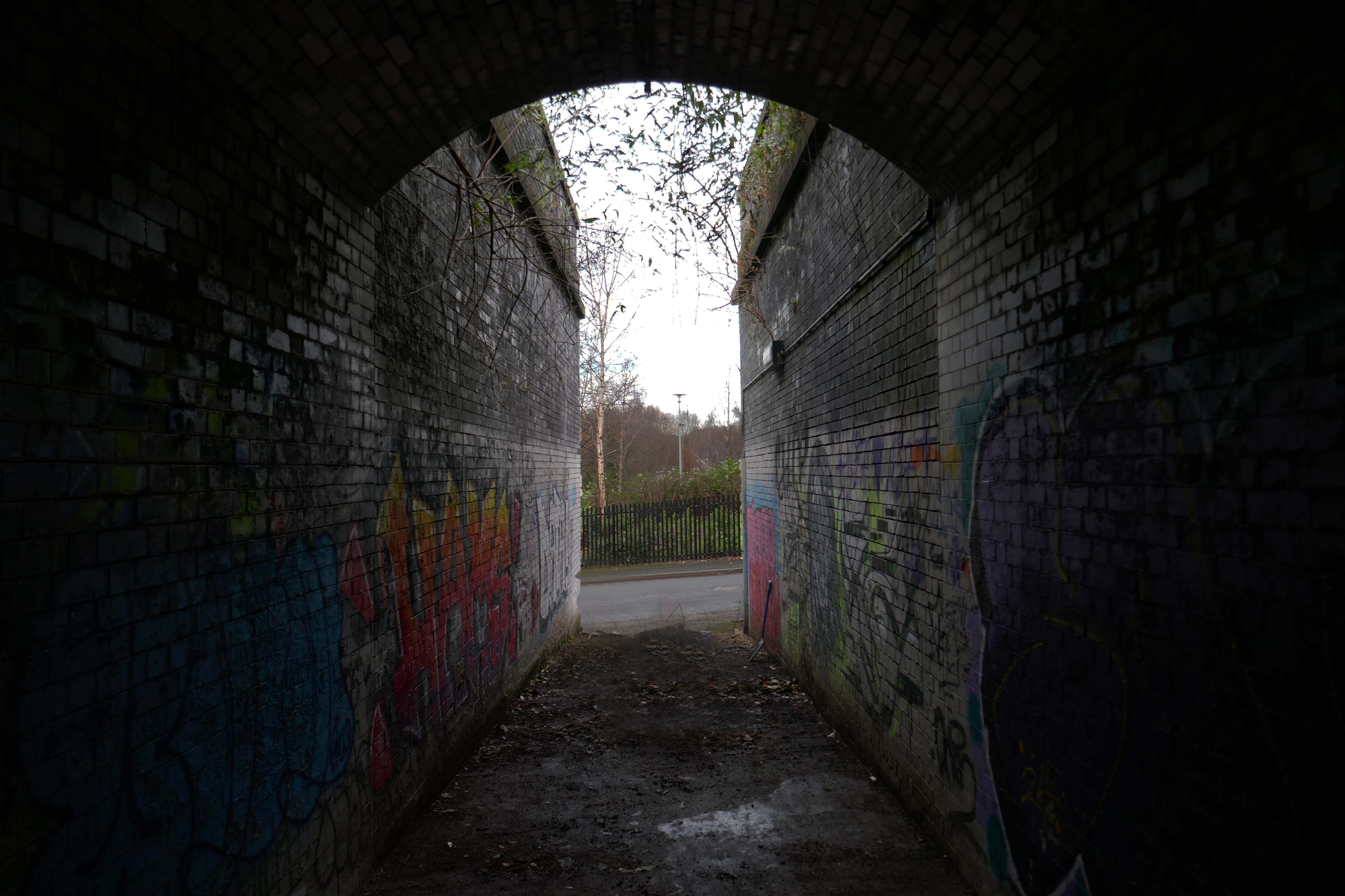
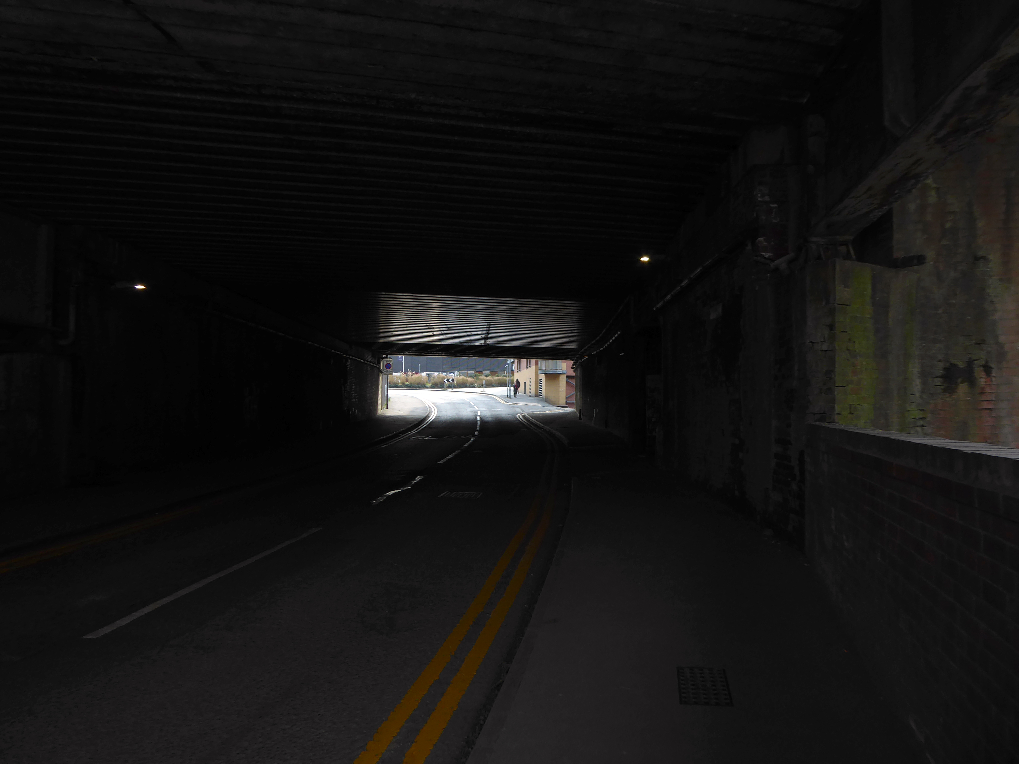
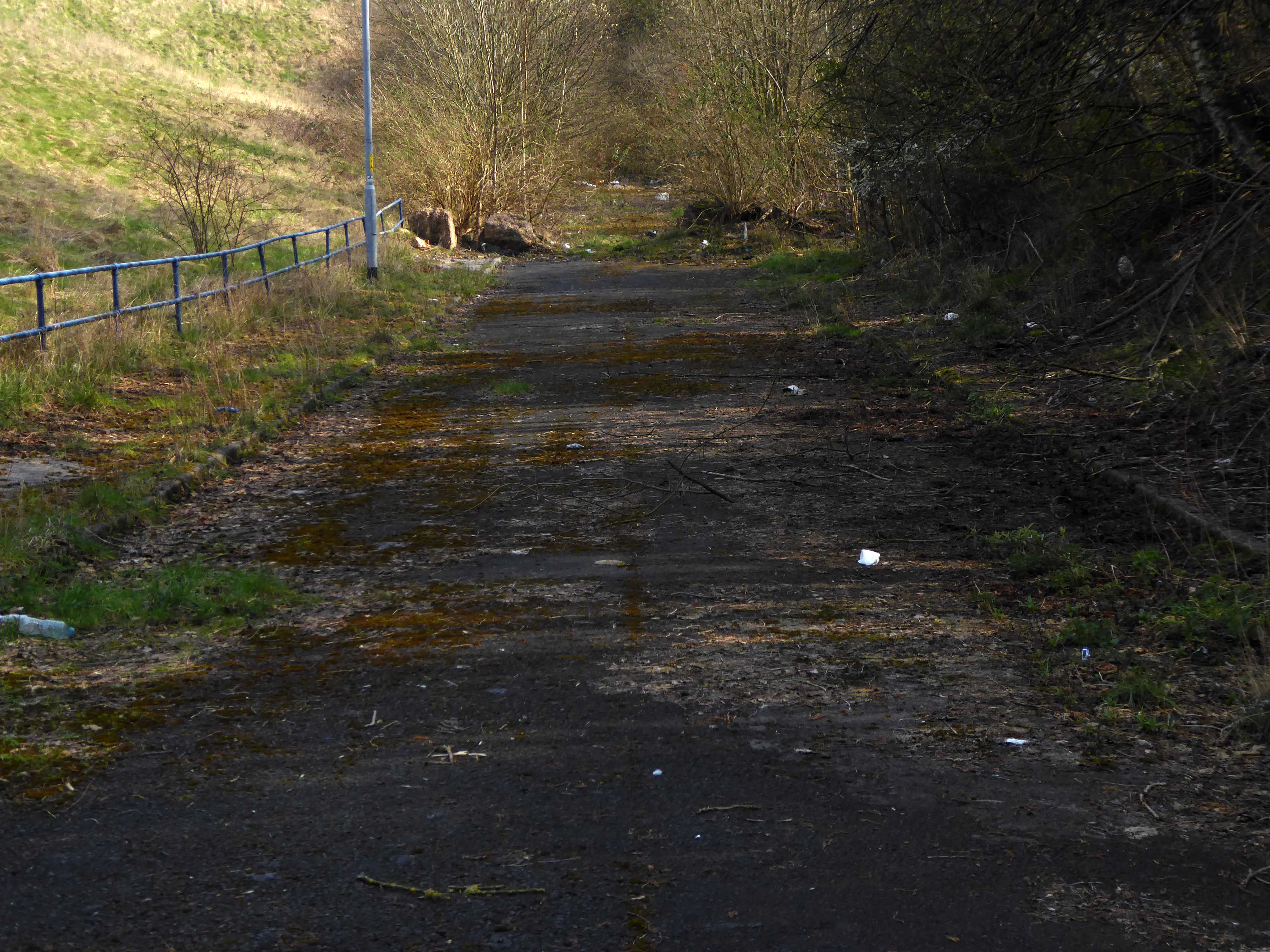
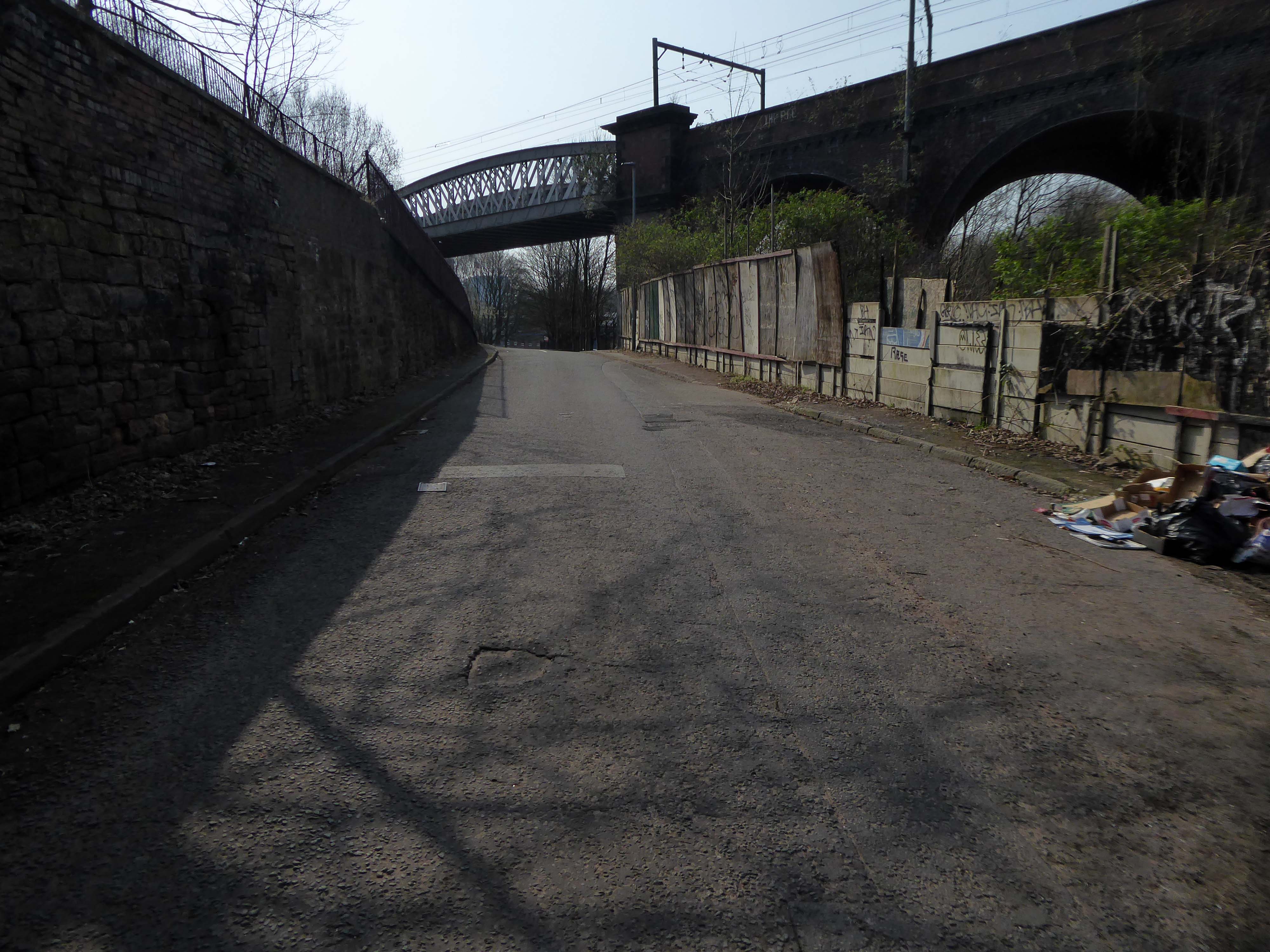
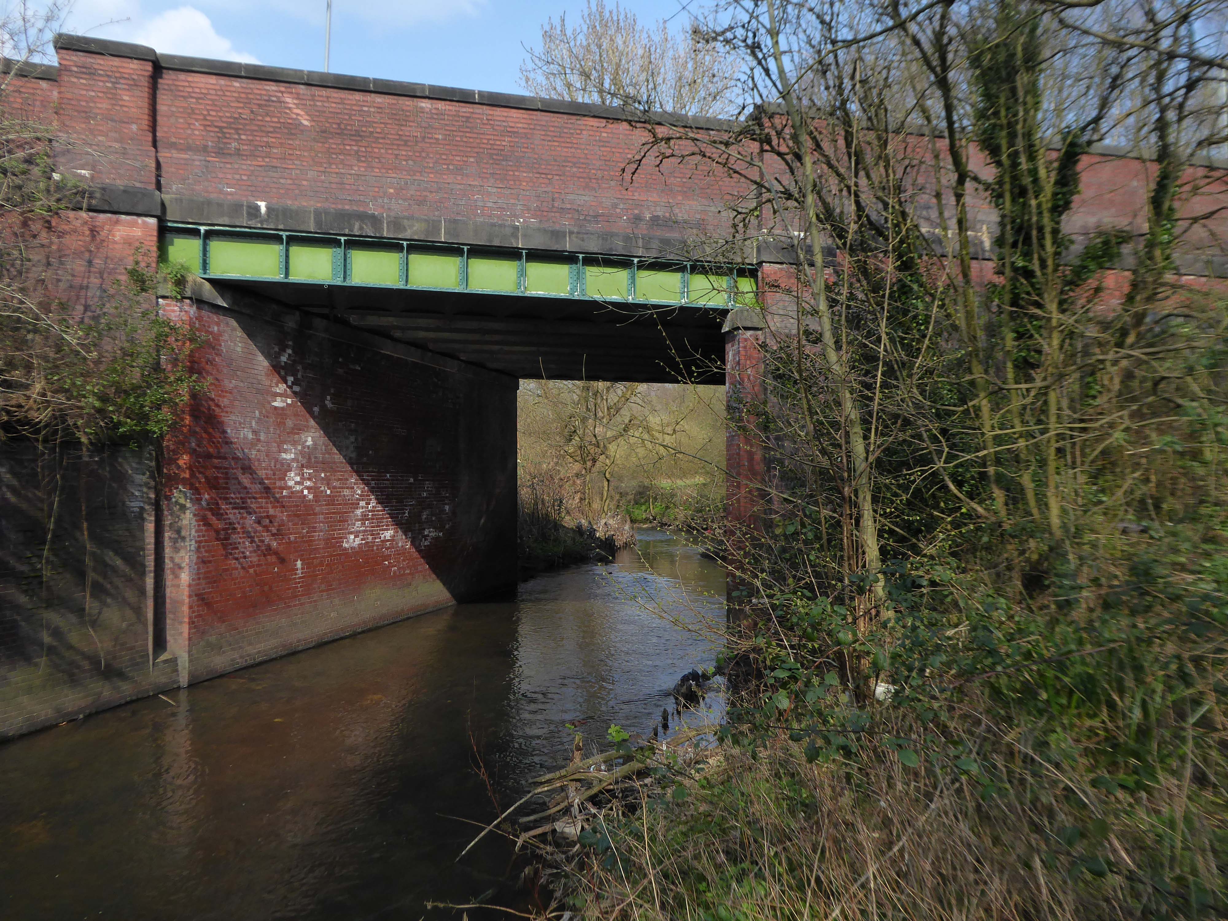
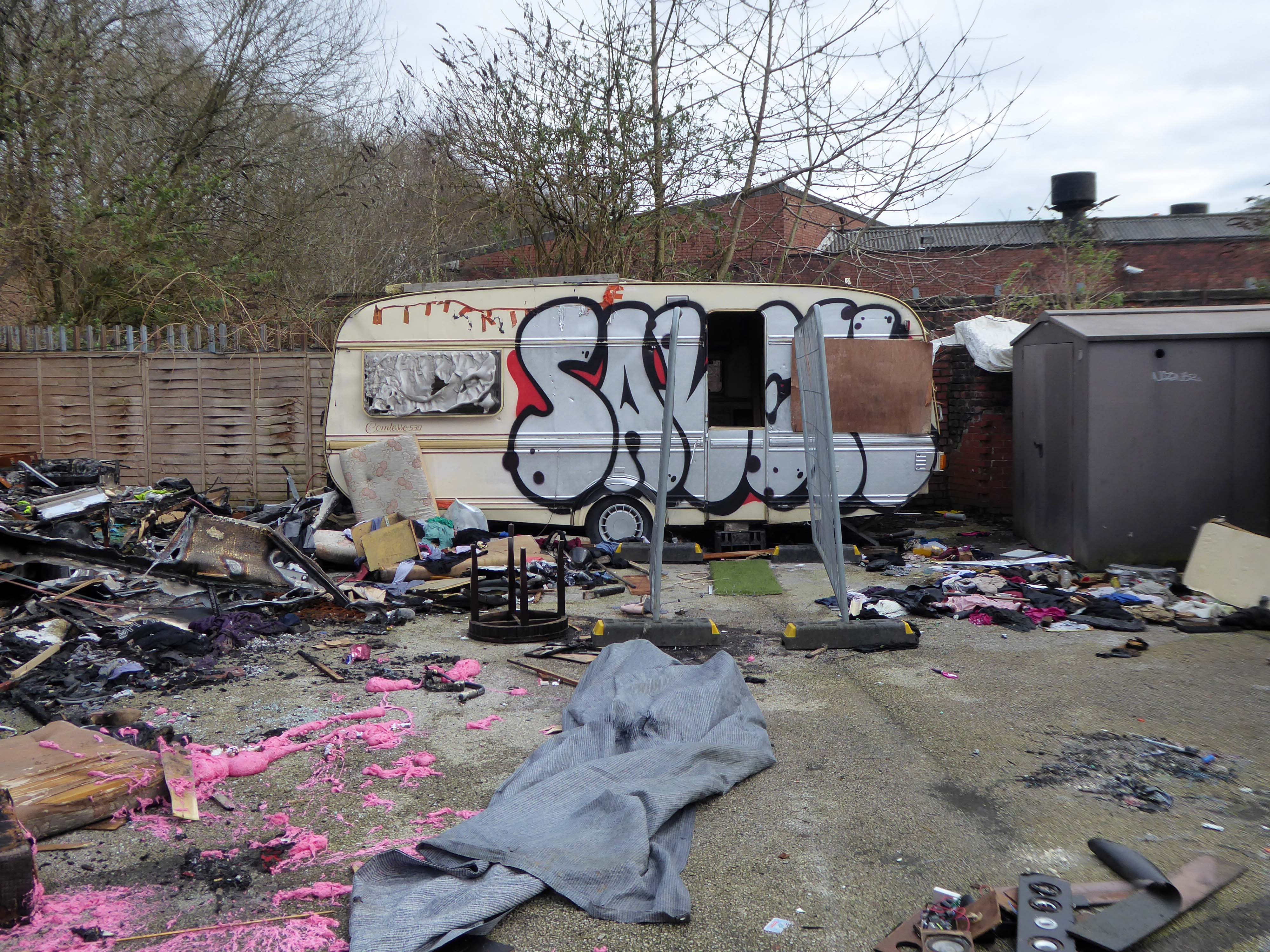
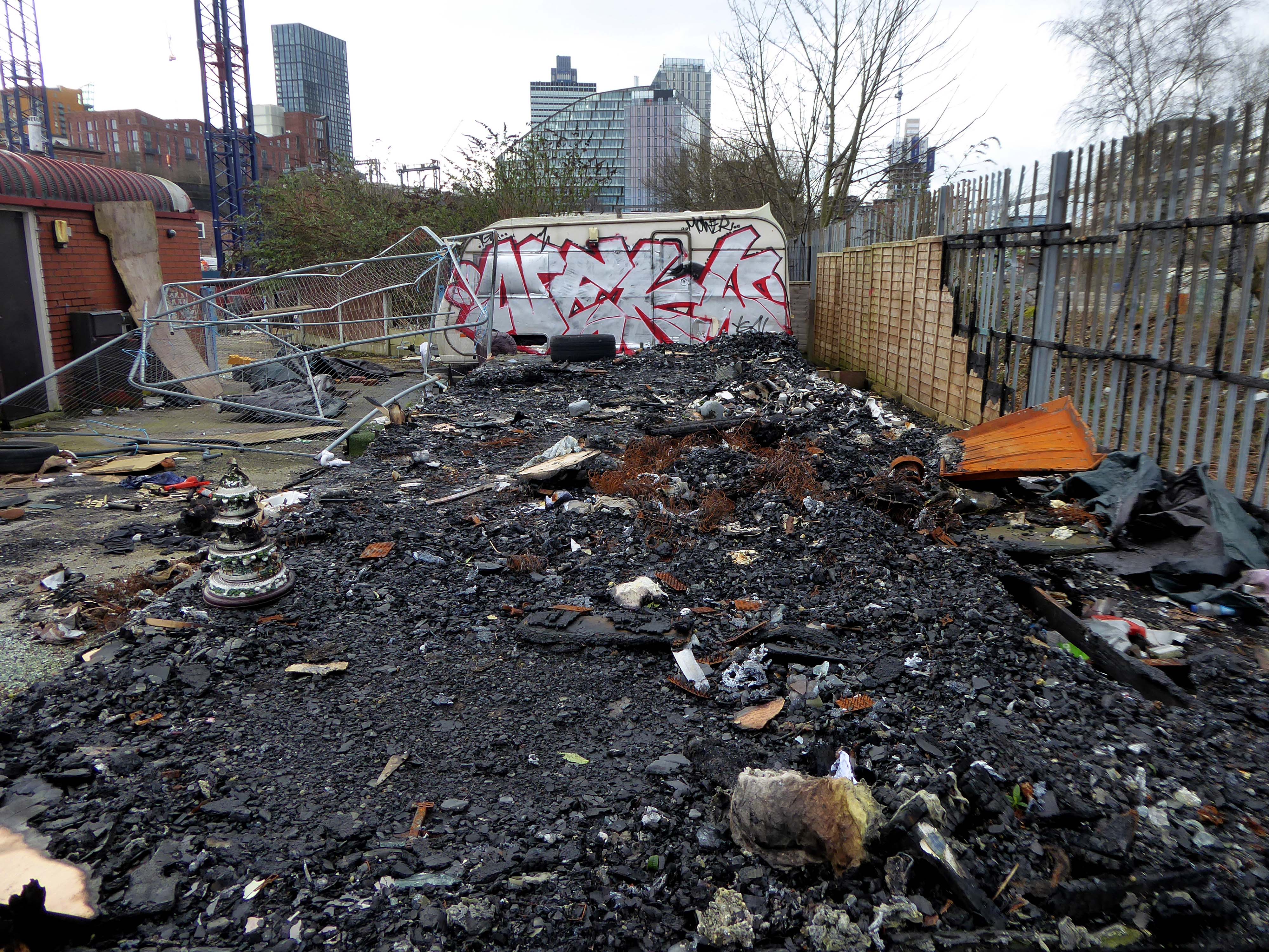
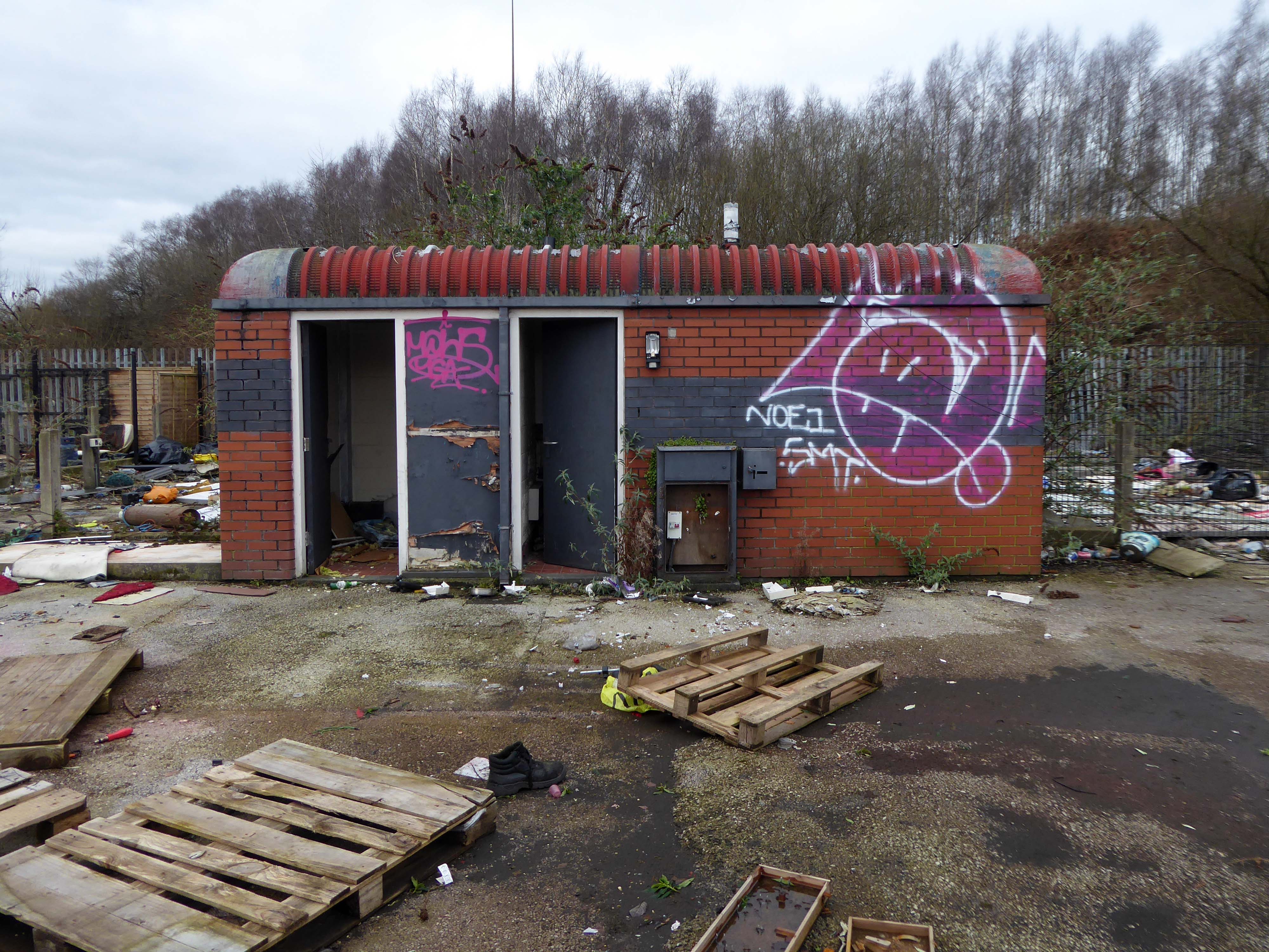
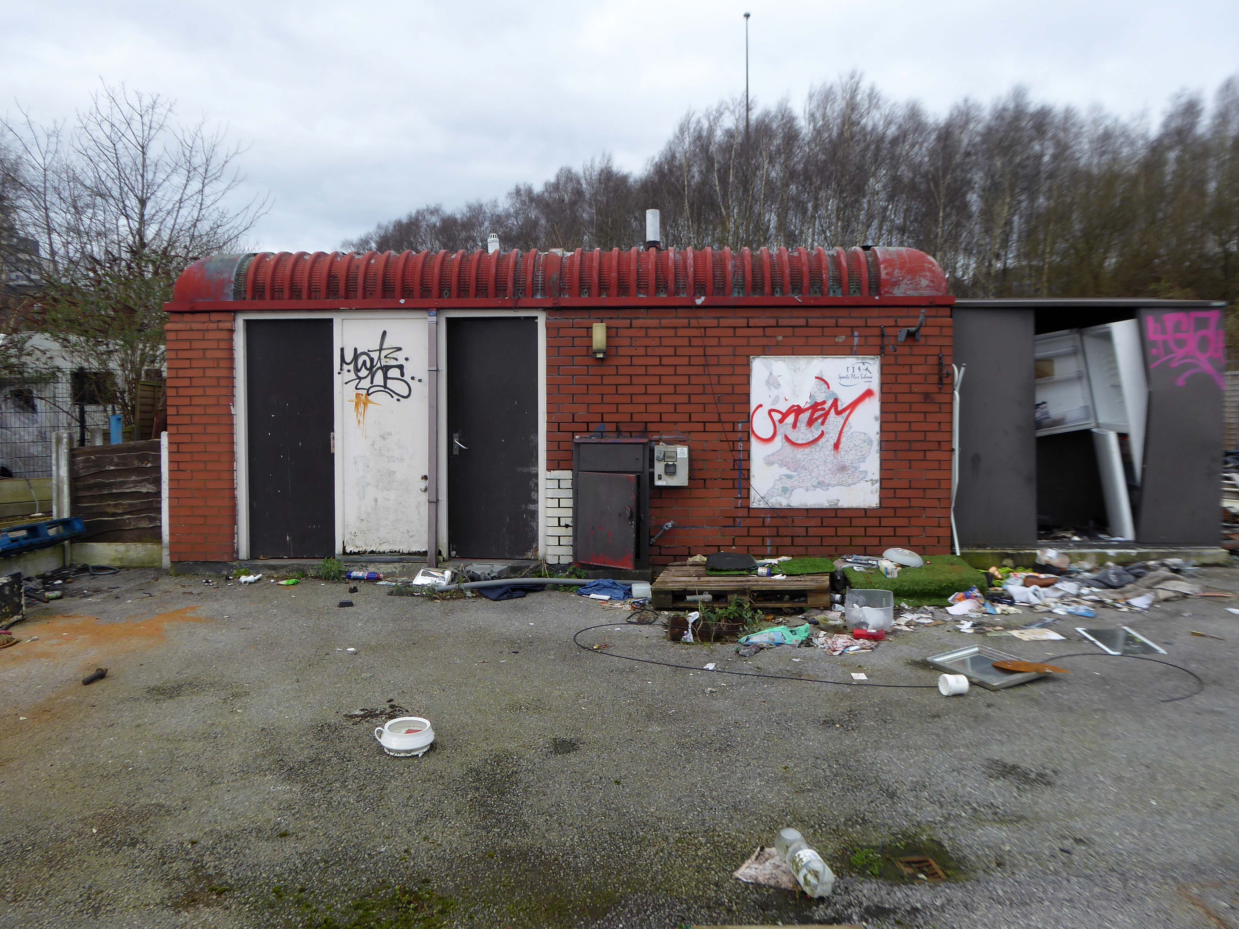
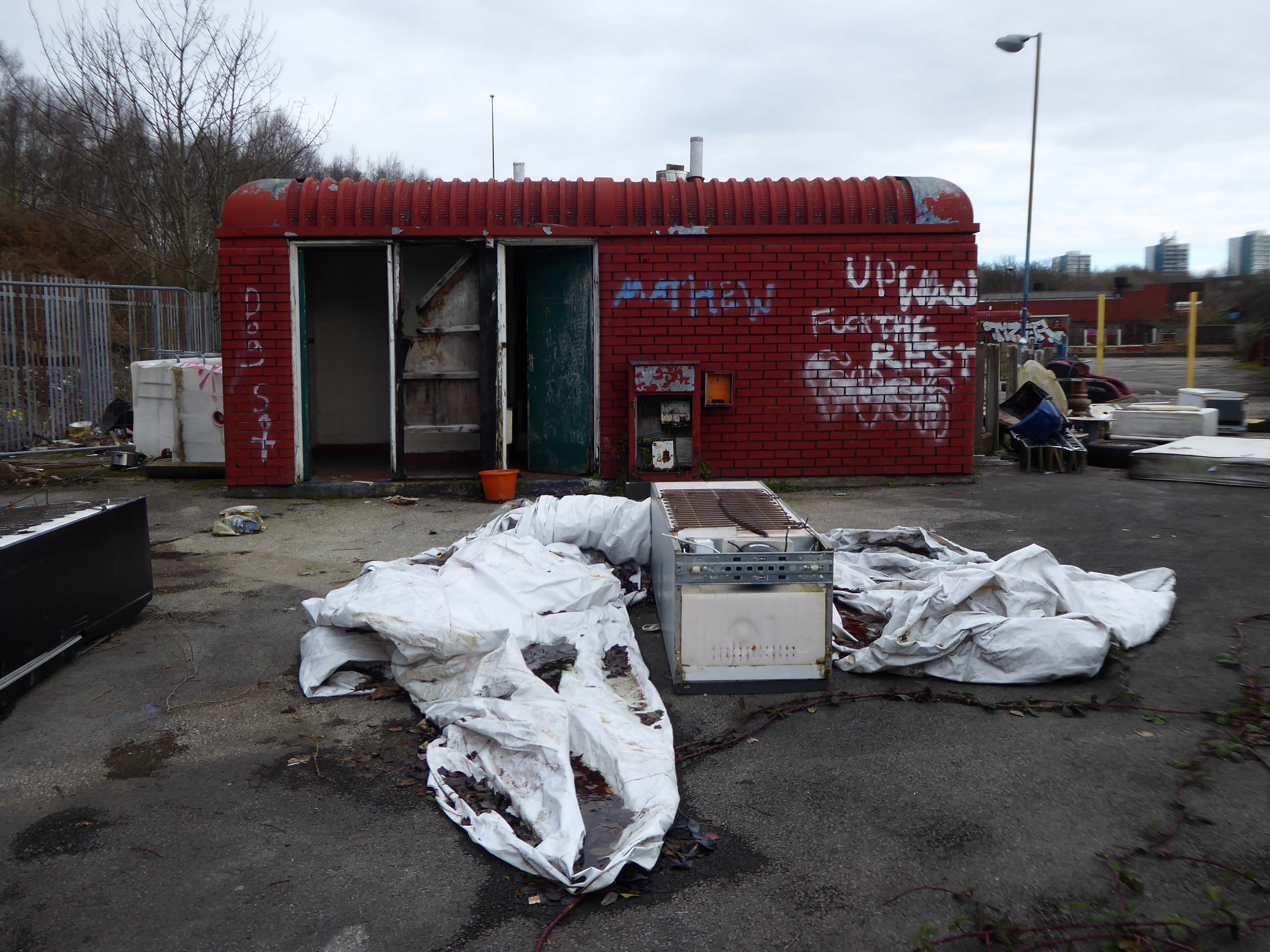
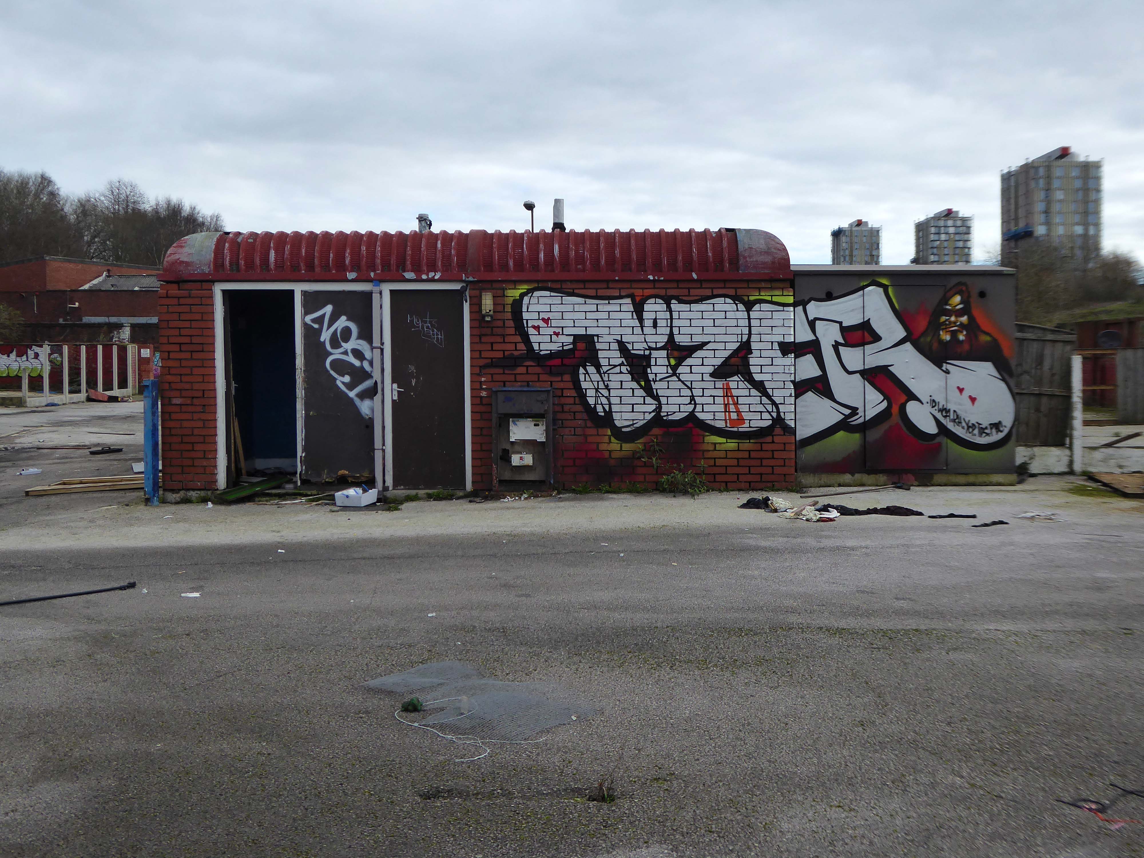
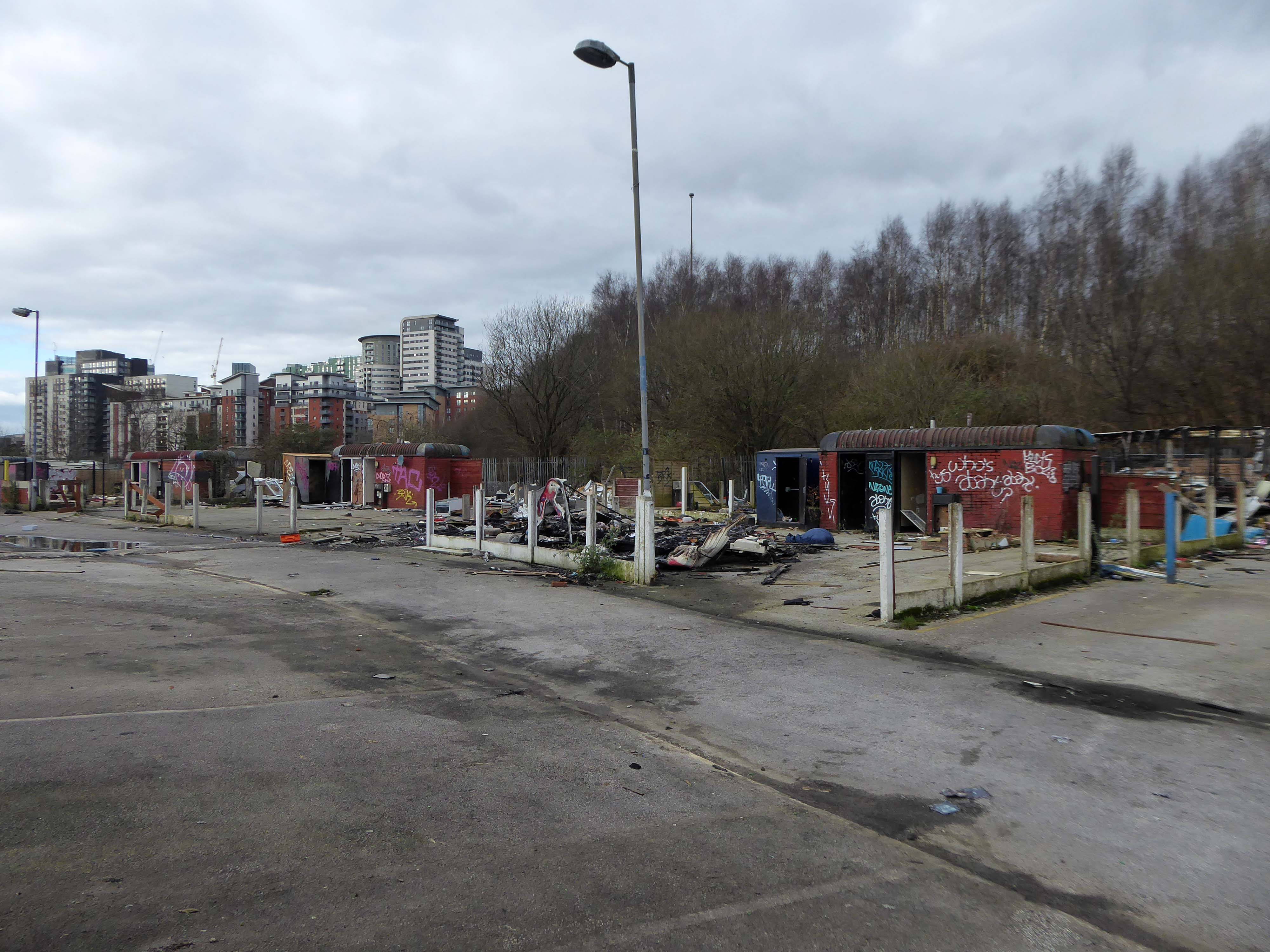
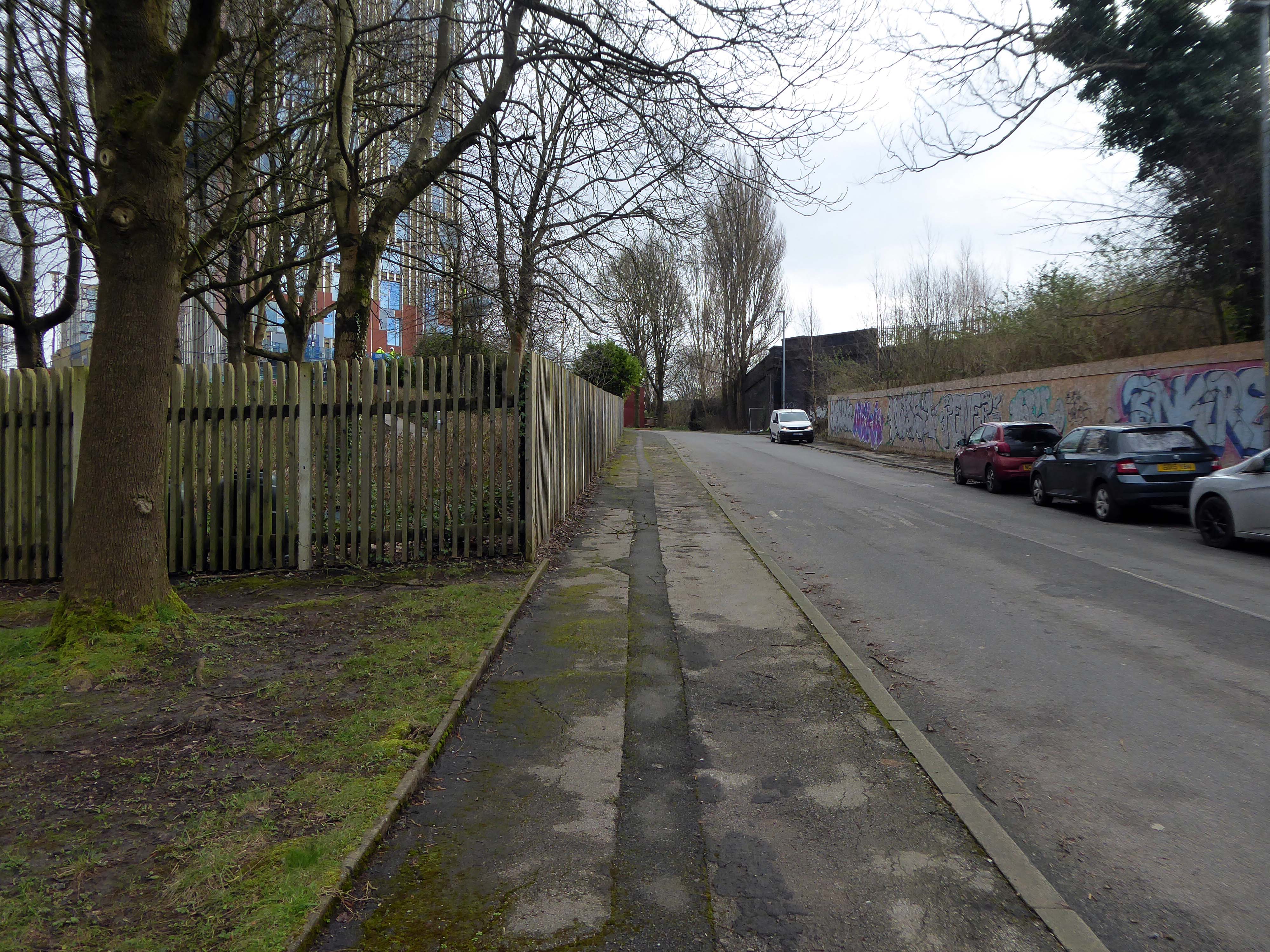
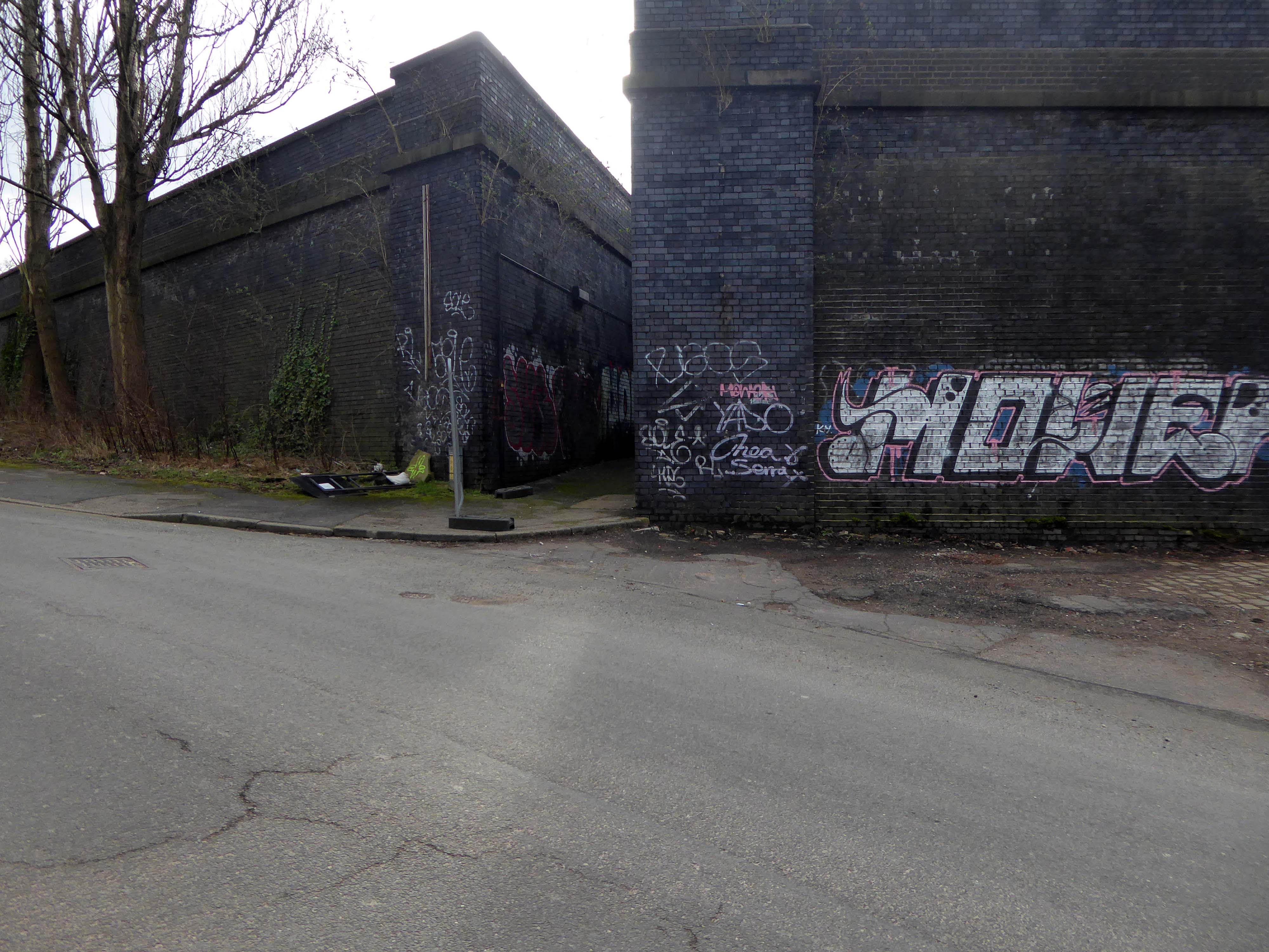
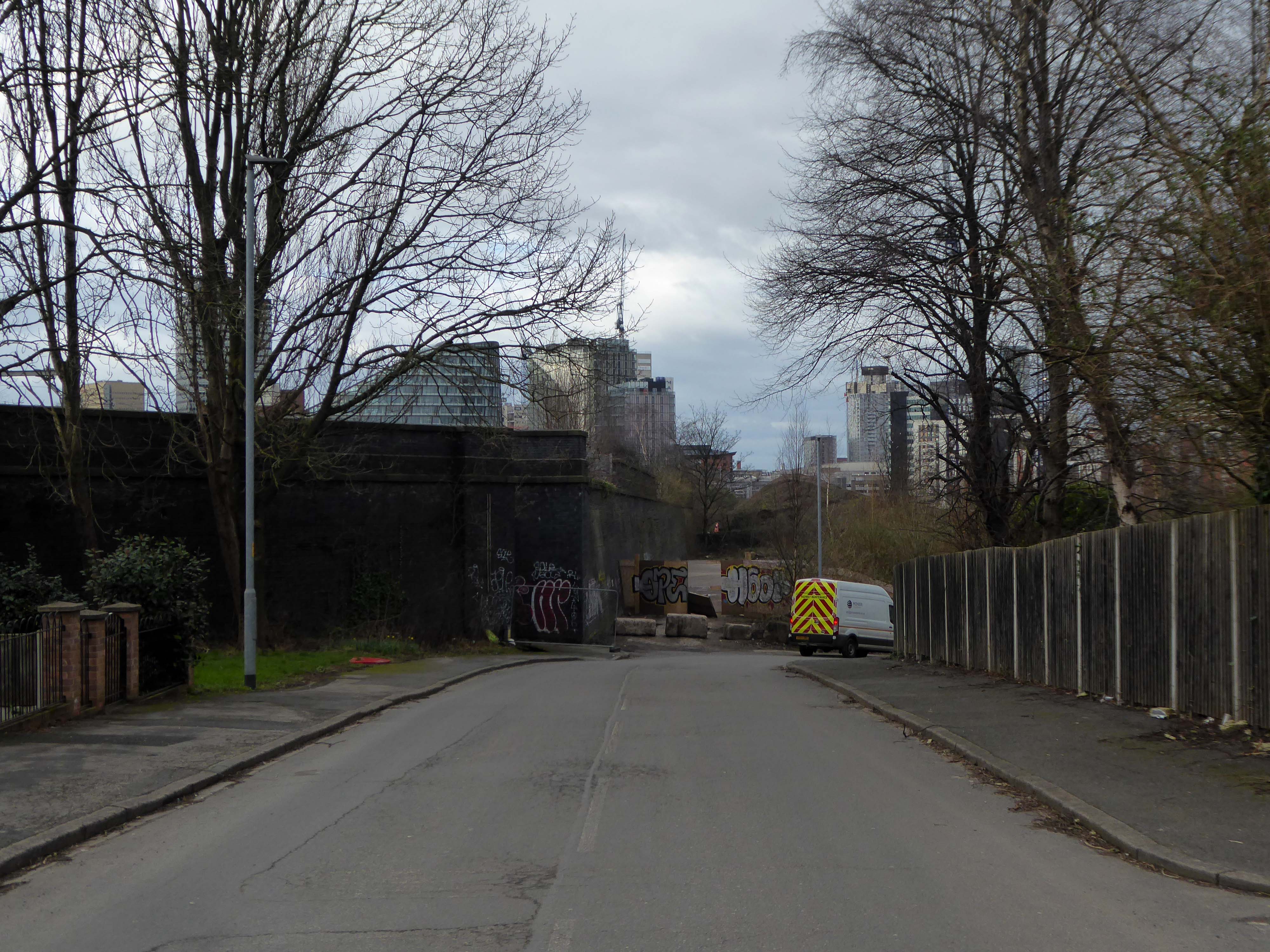
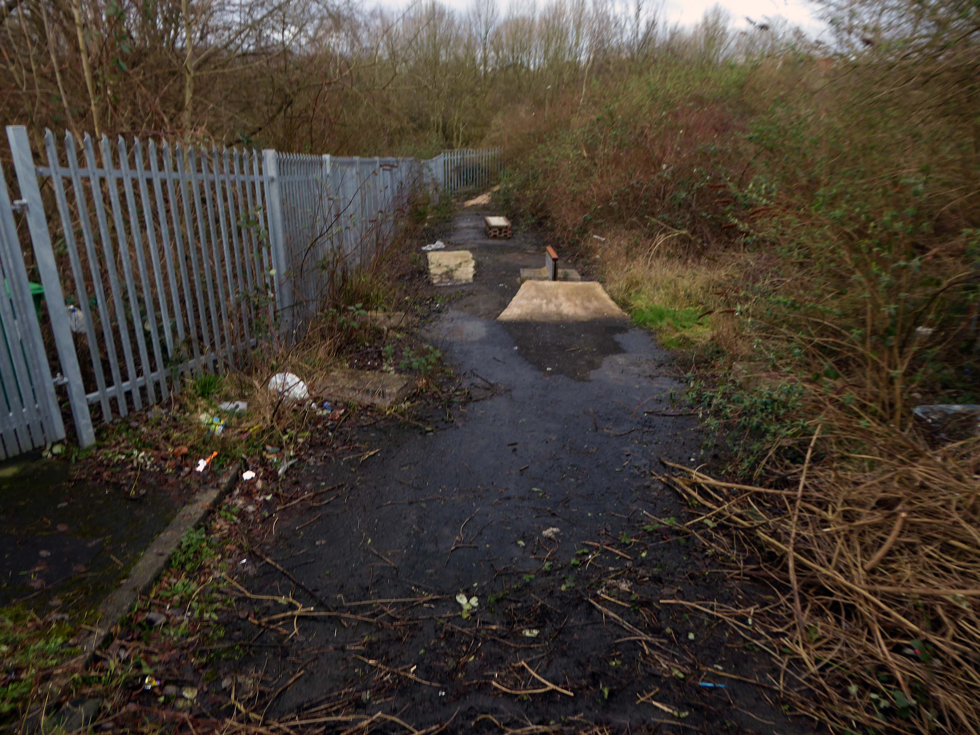
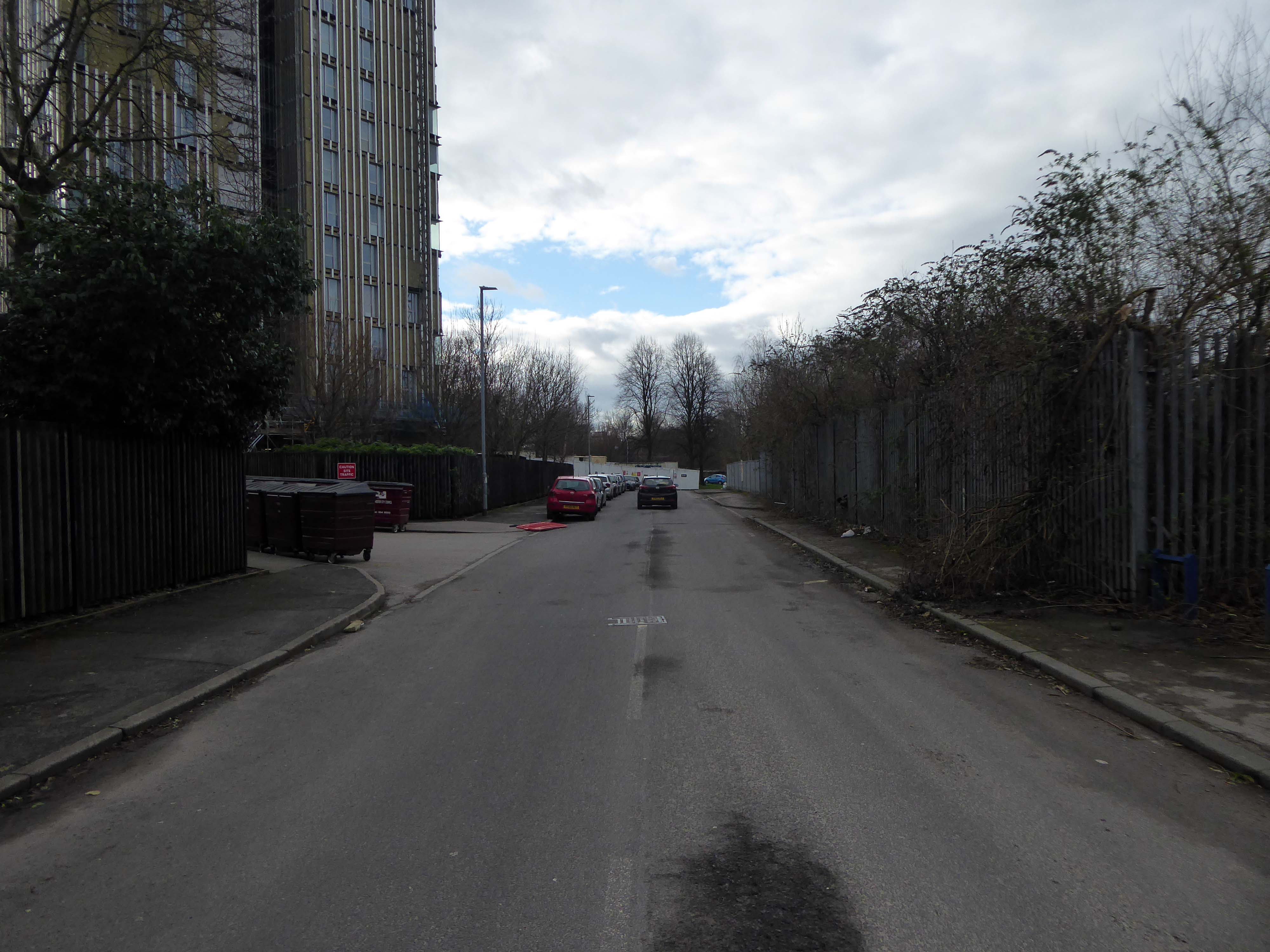
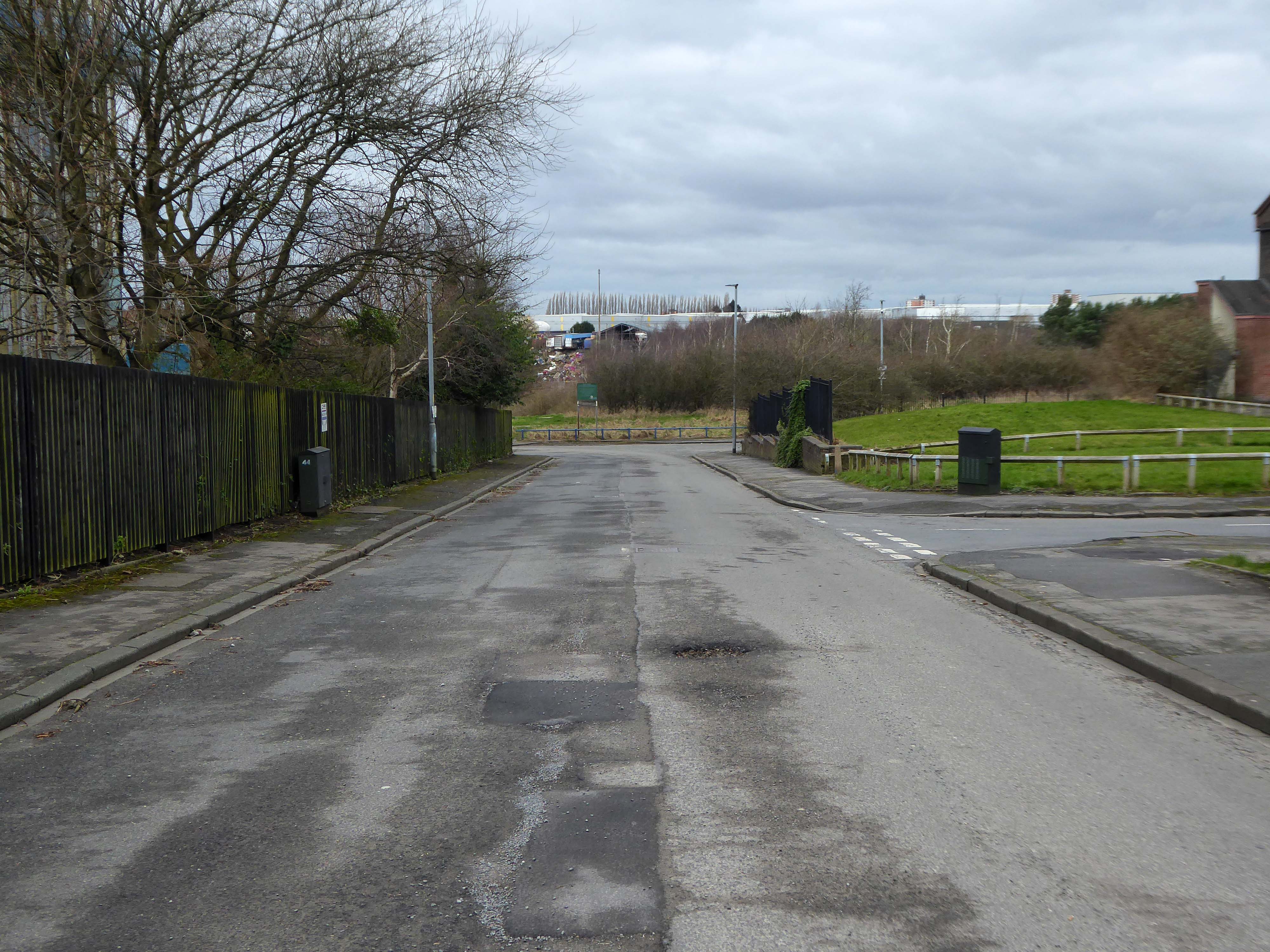
Let’s duck under the railway, through this sad damp pedestrian tunnel – the domain of the cash strapped daytime drinker, transient tagger and disaffected leaflet distributor.
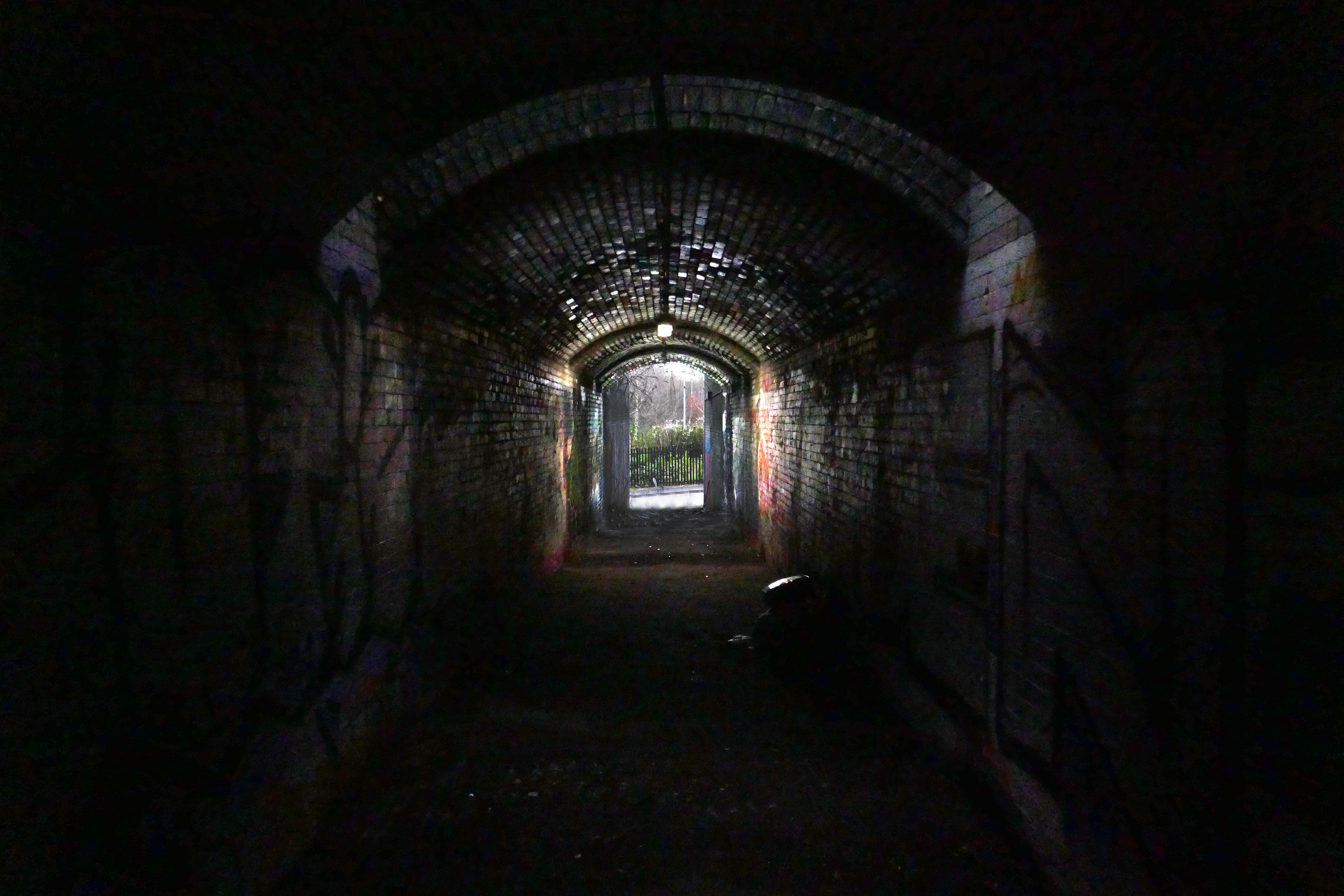
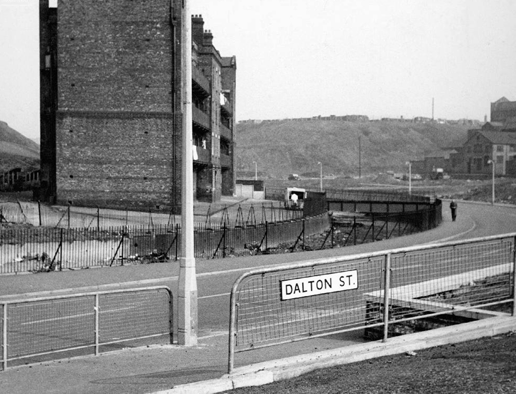
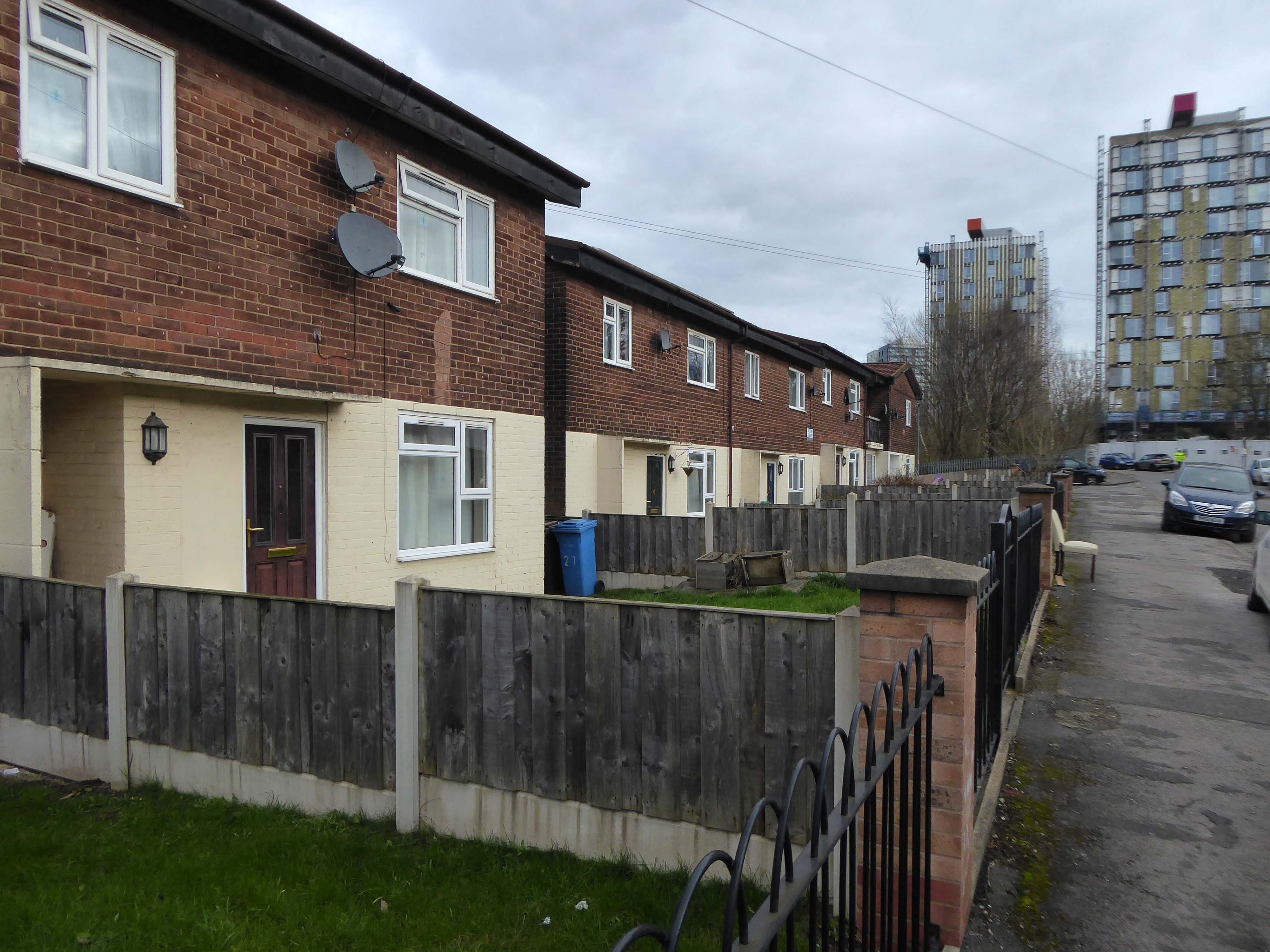
Next thing you know you have emerged into the daylight on Dalton Street – we have been here before seeking the Collyhurst Cowboy.
Photograph: Dennis Hussey
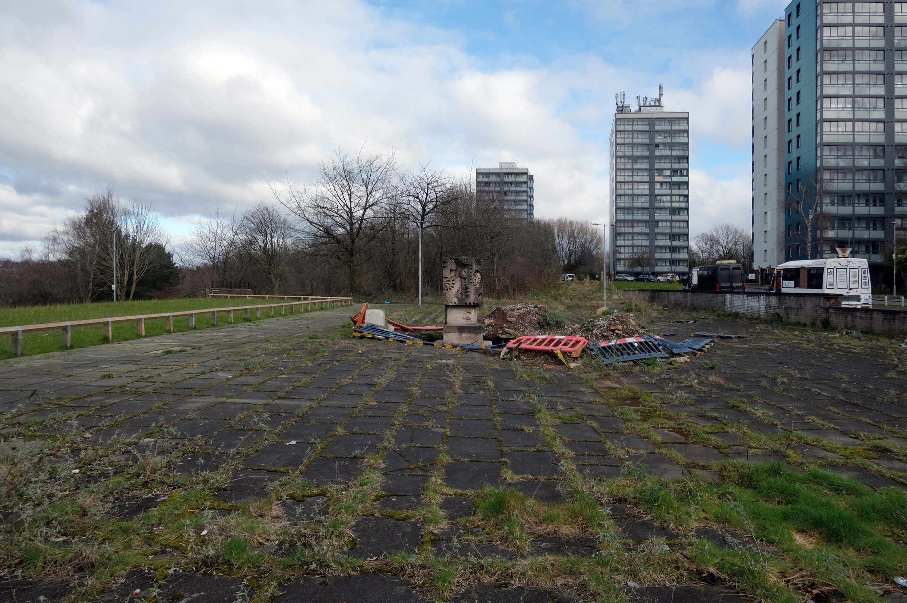
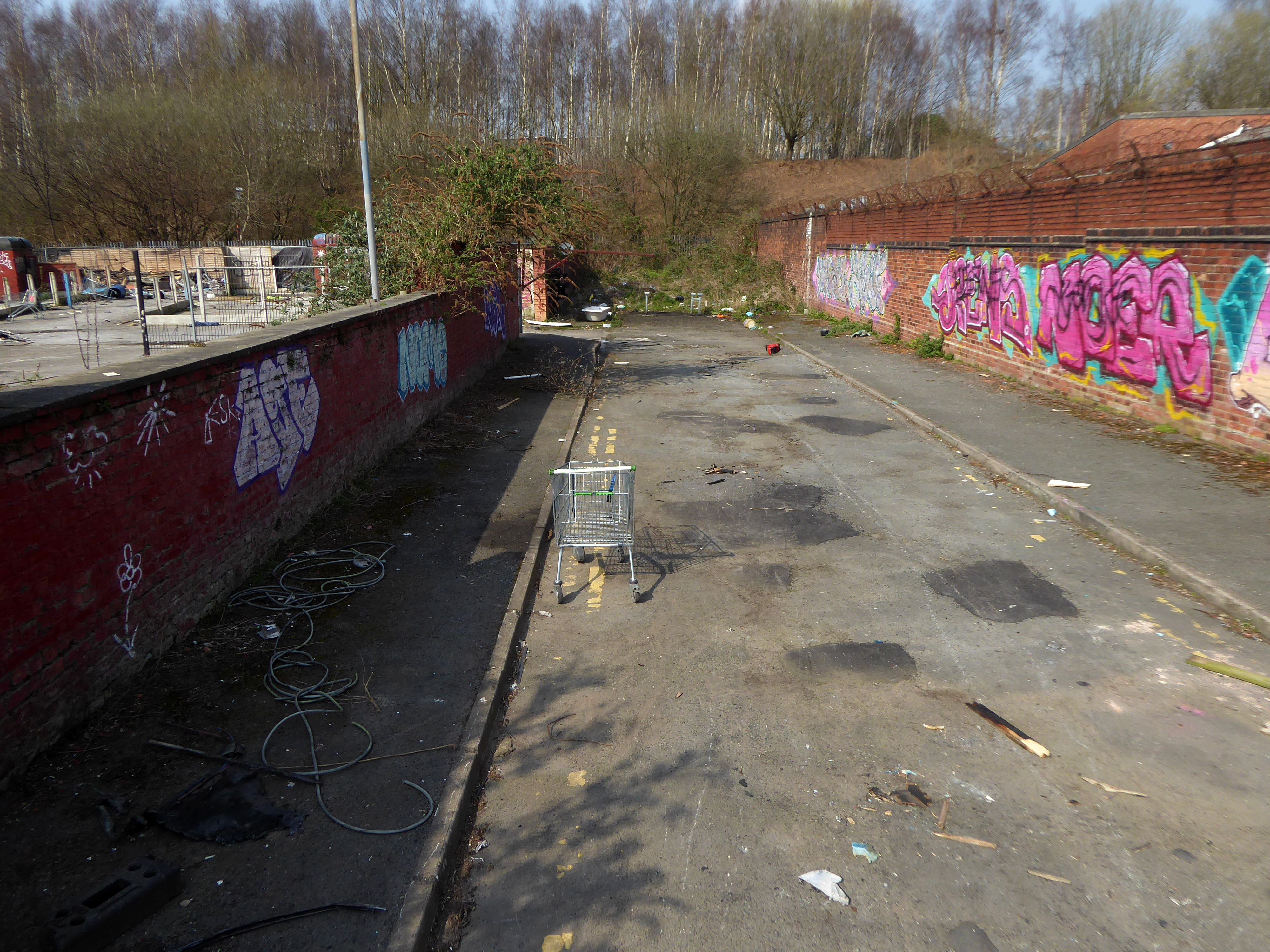
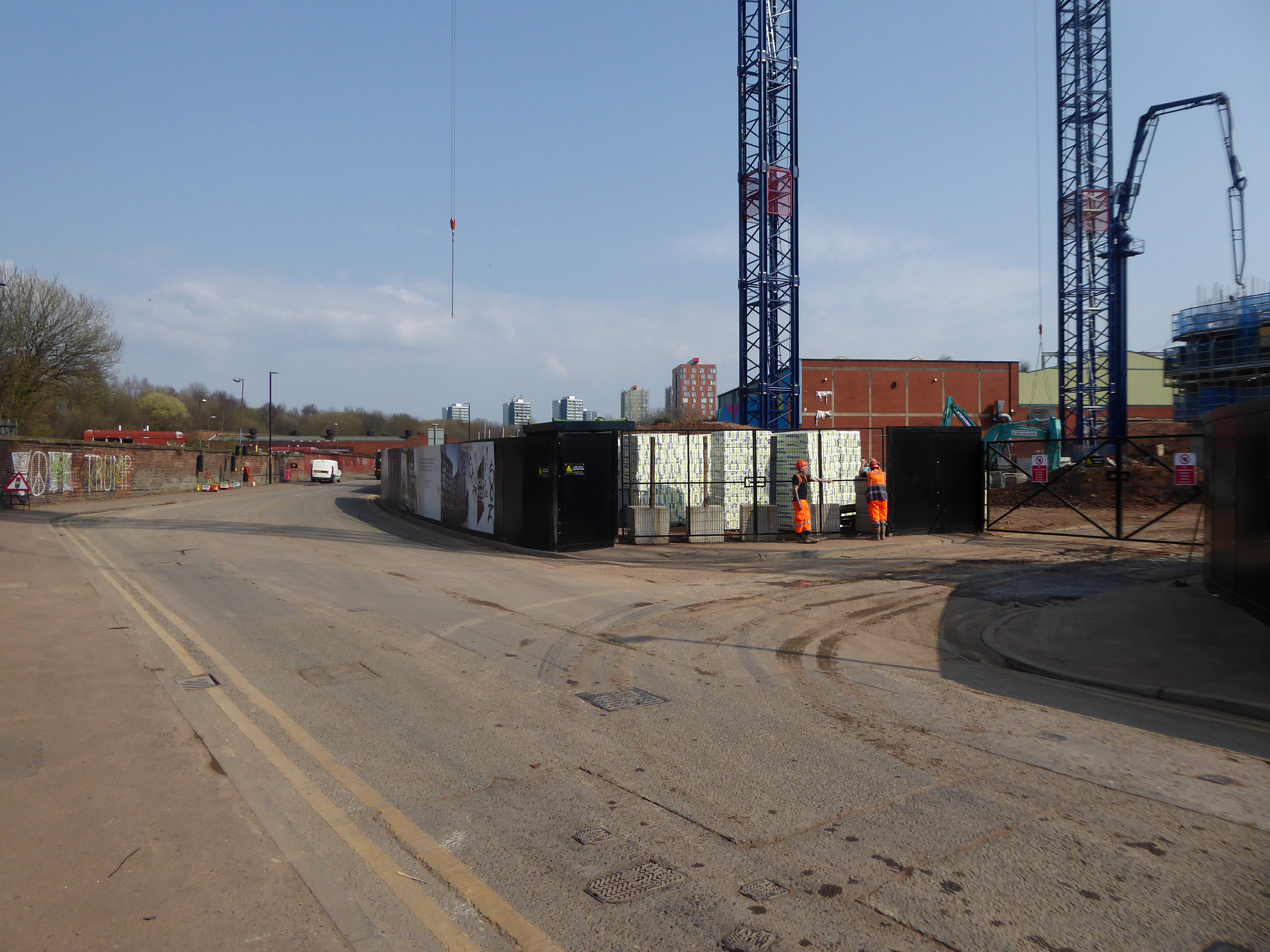
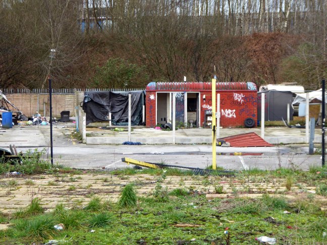
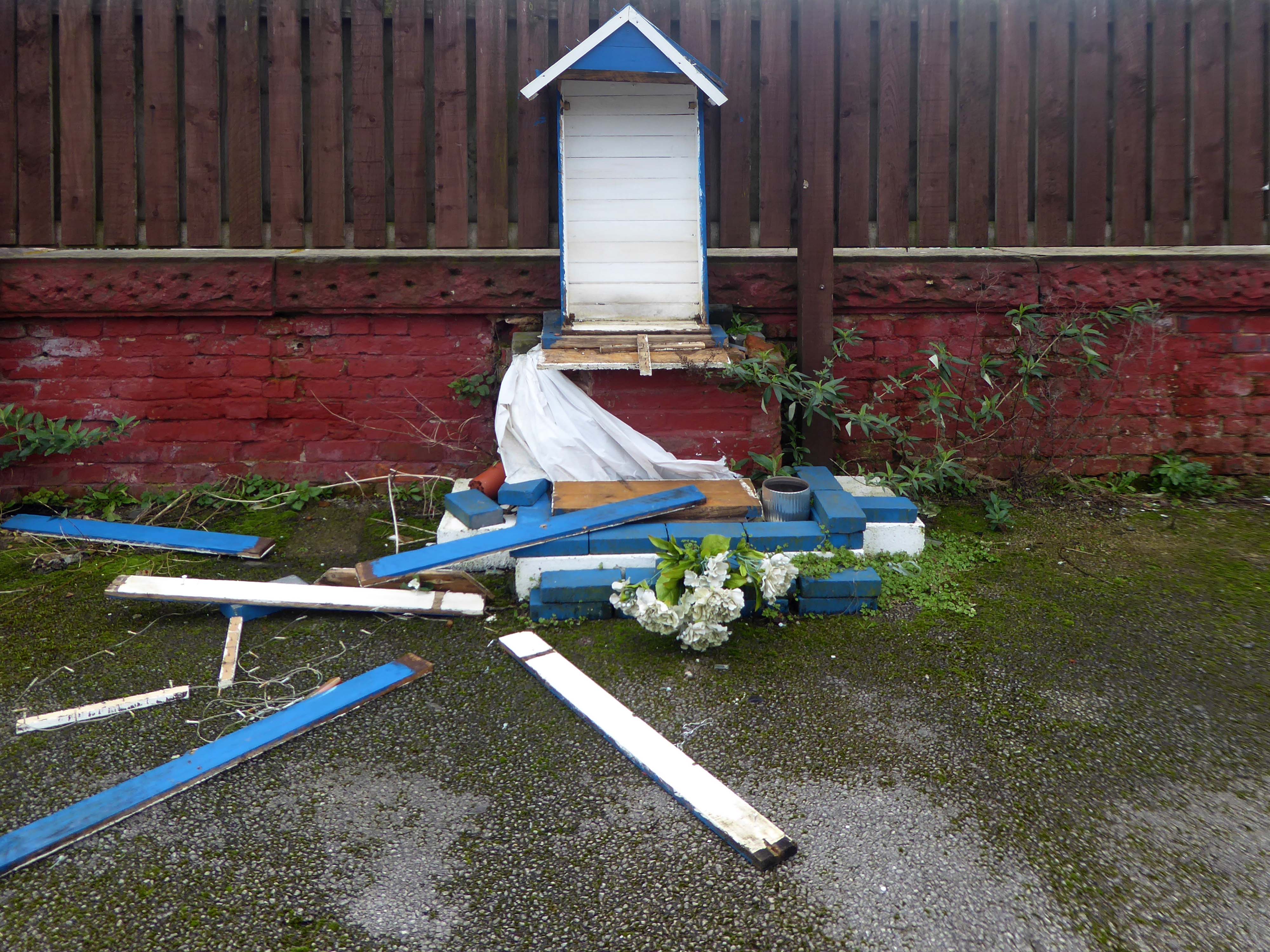
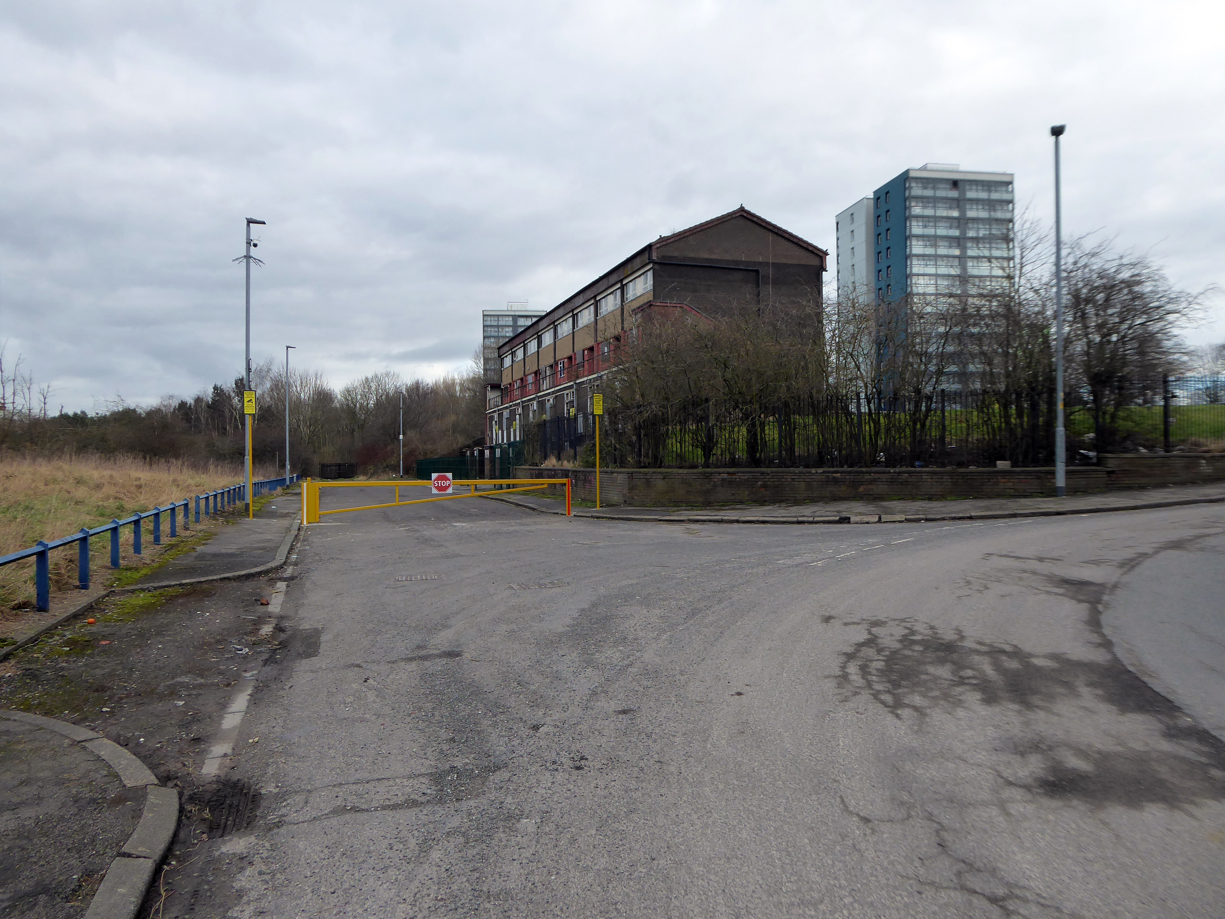
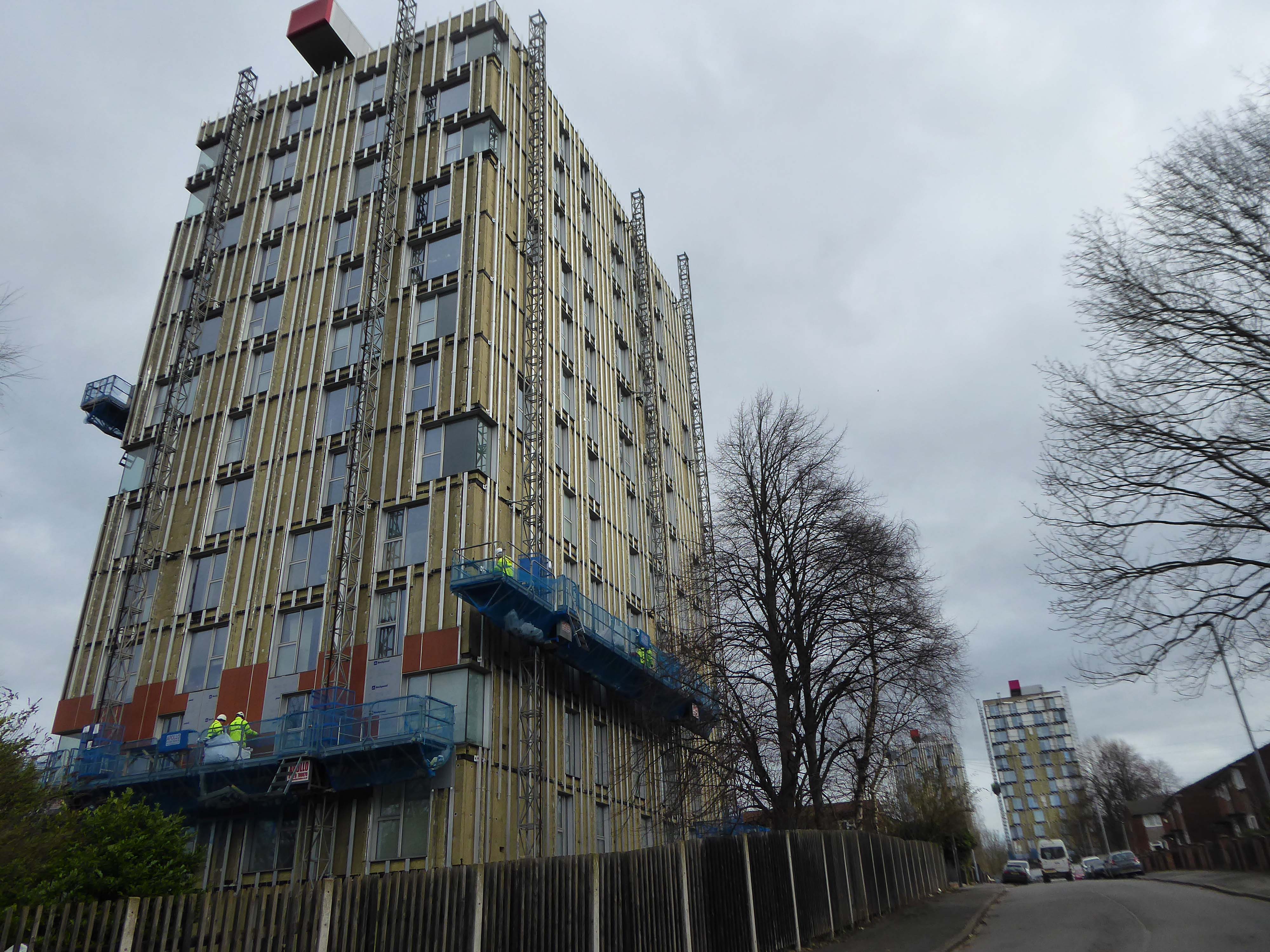
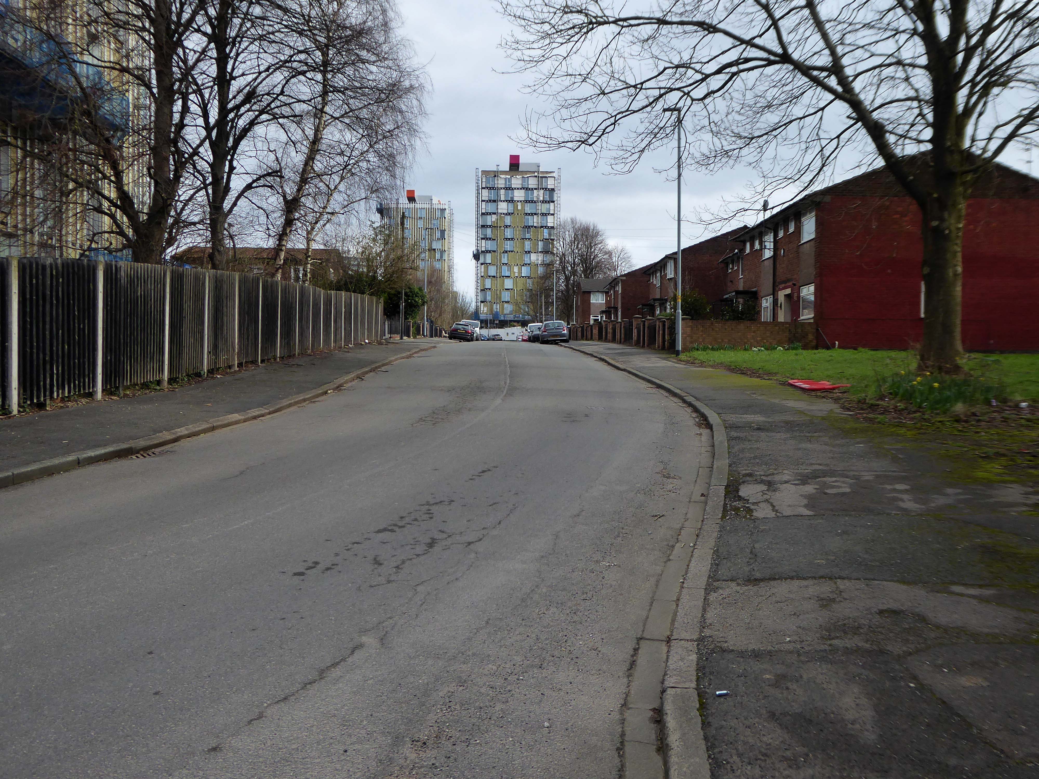
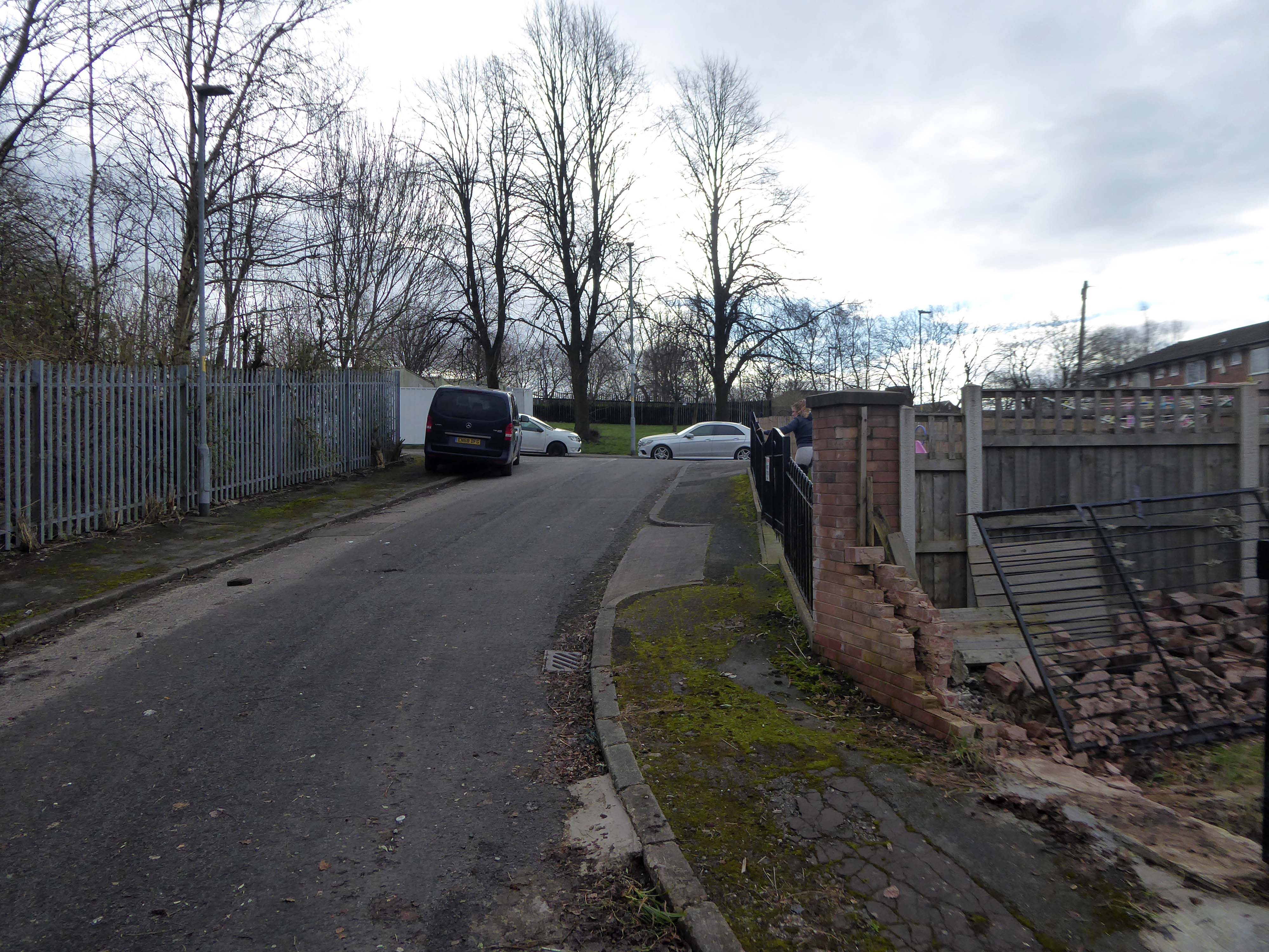
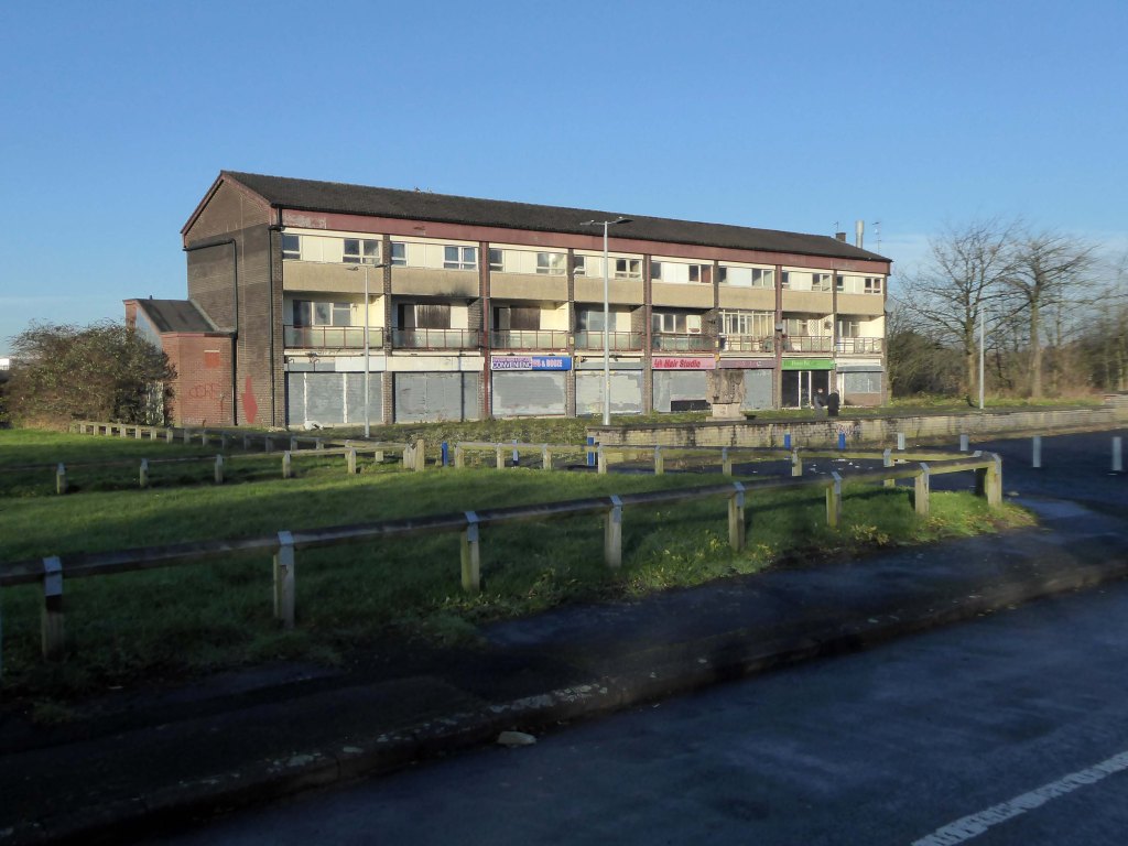
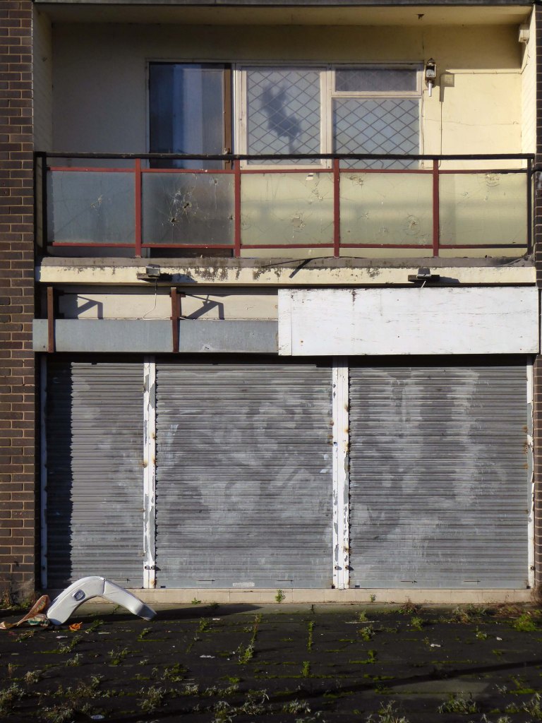
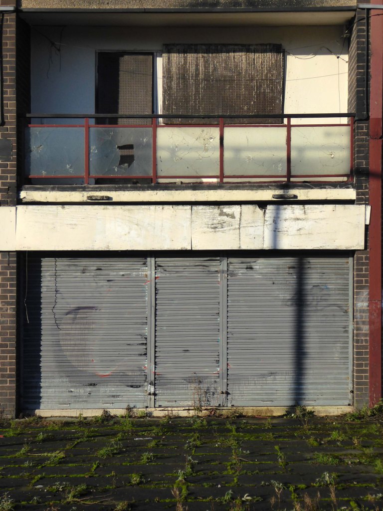
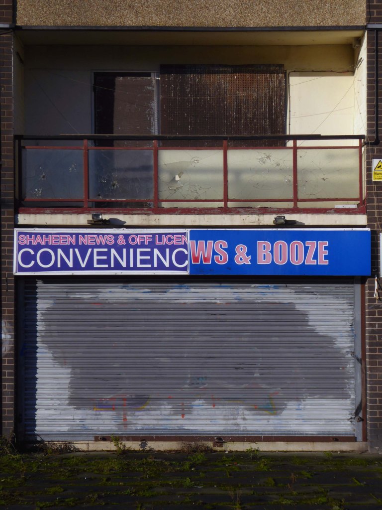
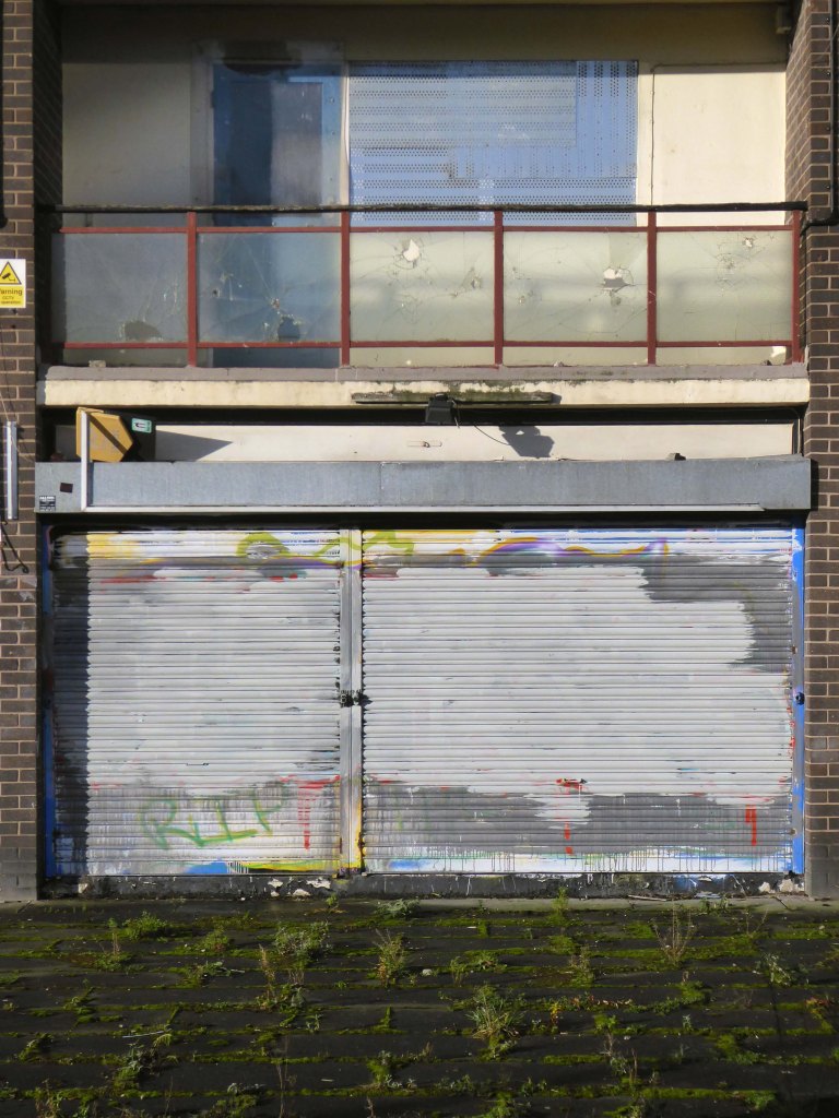
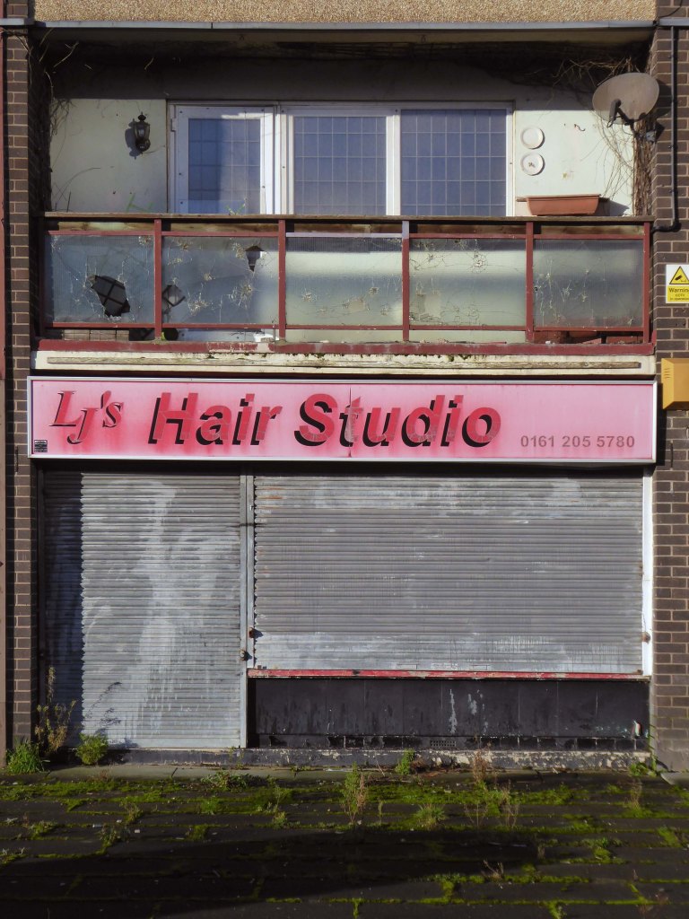
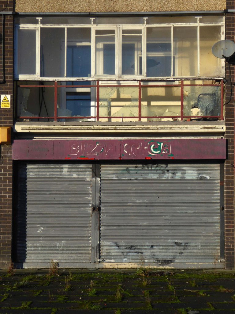
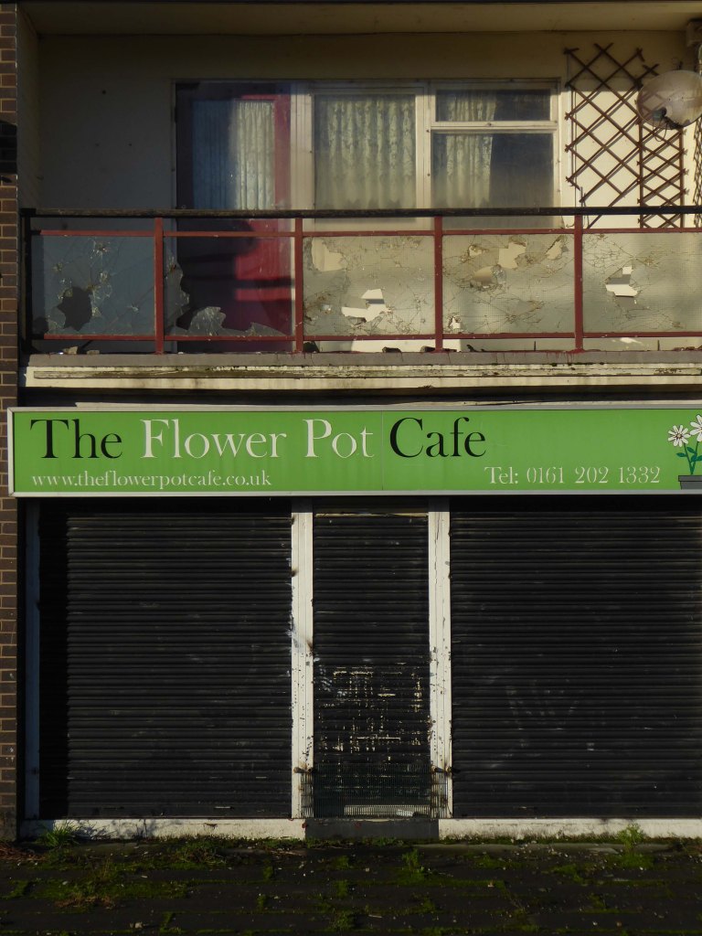
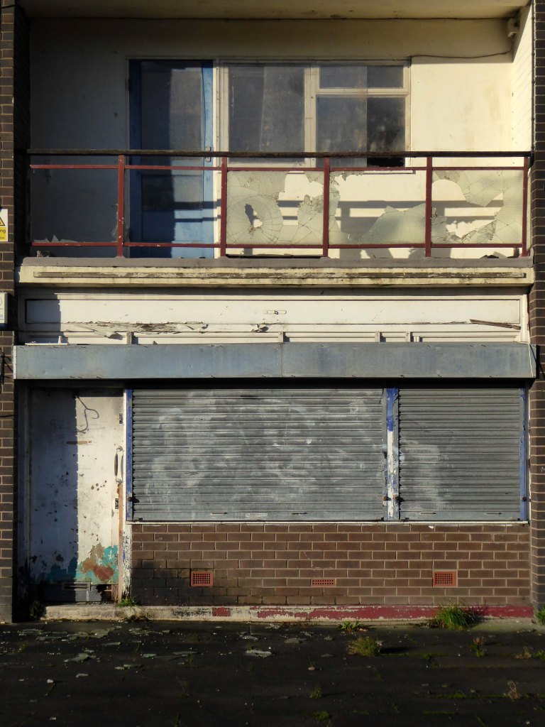
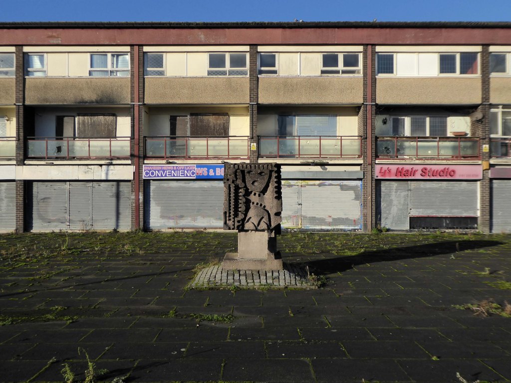
Onwards to Eastford Square.
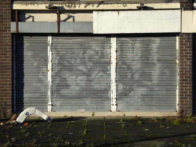
The shops and maisonettes are due to be demolished any day now – no longer to gaze open-eyed upon the former quarry of Sandhills.
Around the front the diggers have been a digging – digging up around the base of the totem.
The work is to be re-sited by the nearby tower blocks.
The end is nigh.
Heading now for Collyhurst Road and the Irk Valley – seen here in 1960.
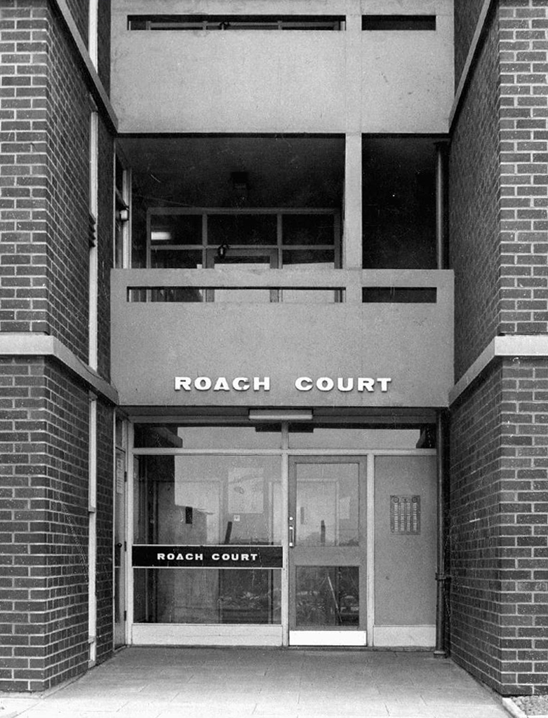
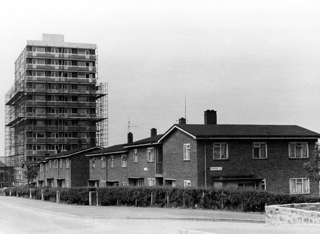
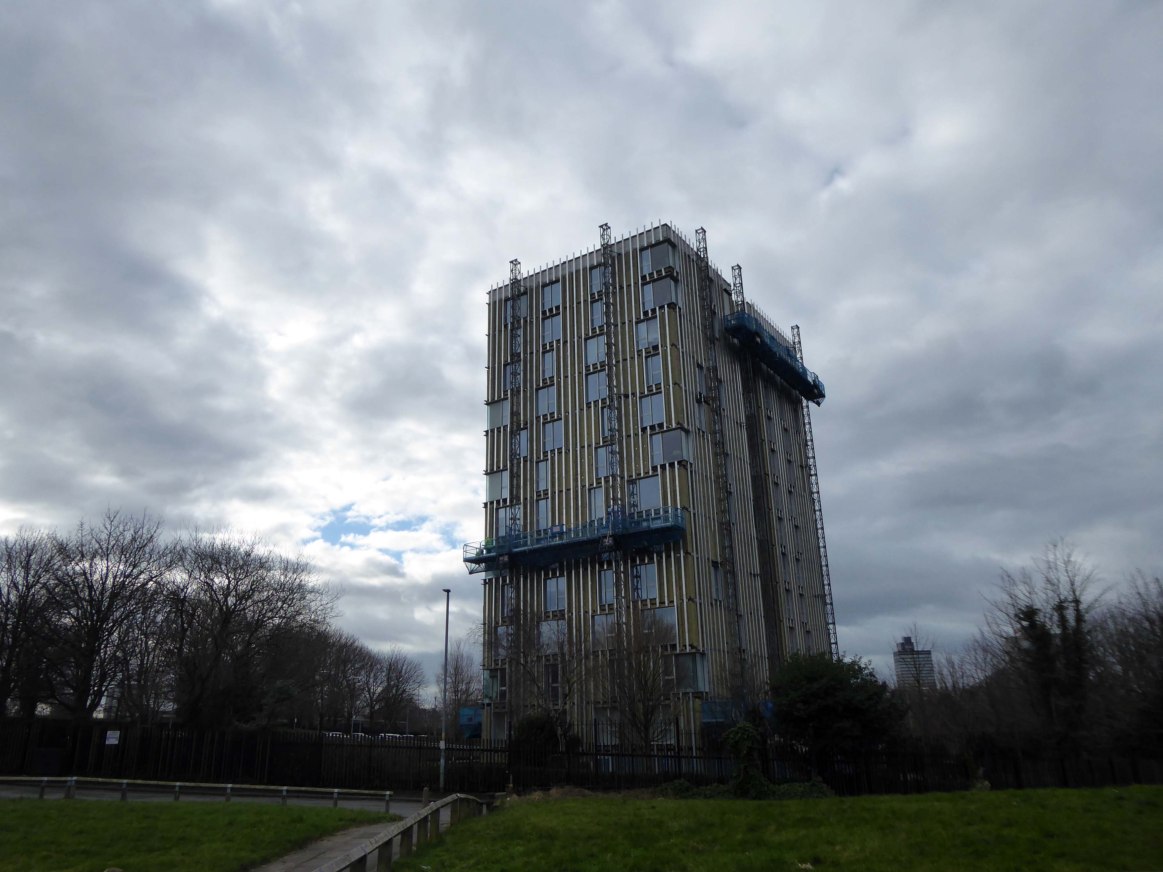
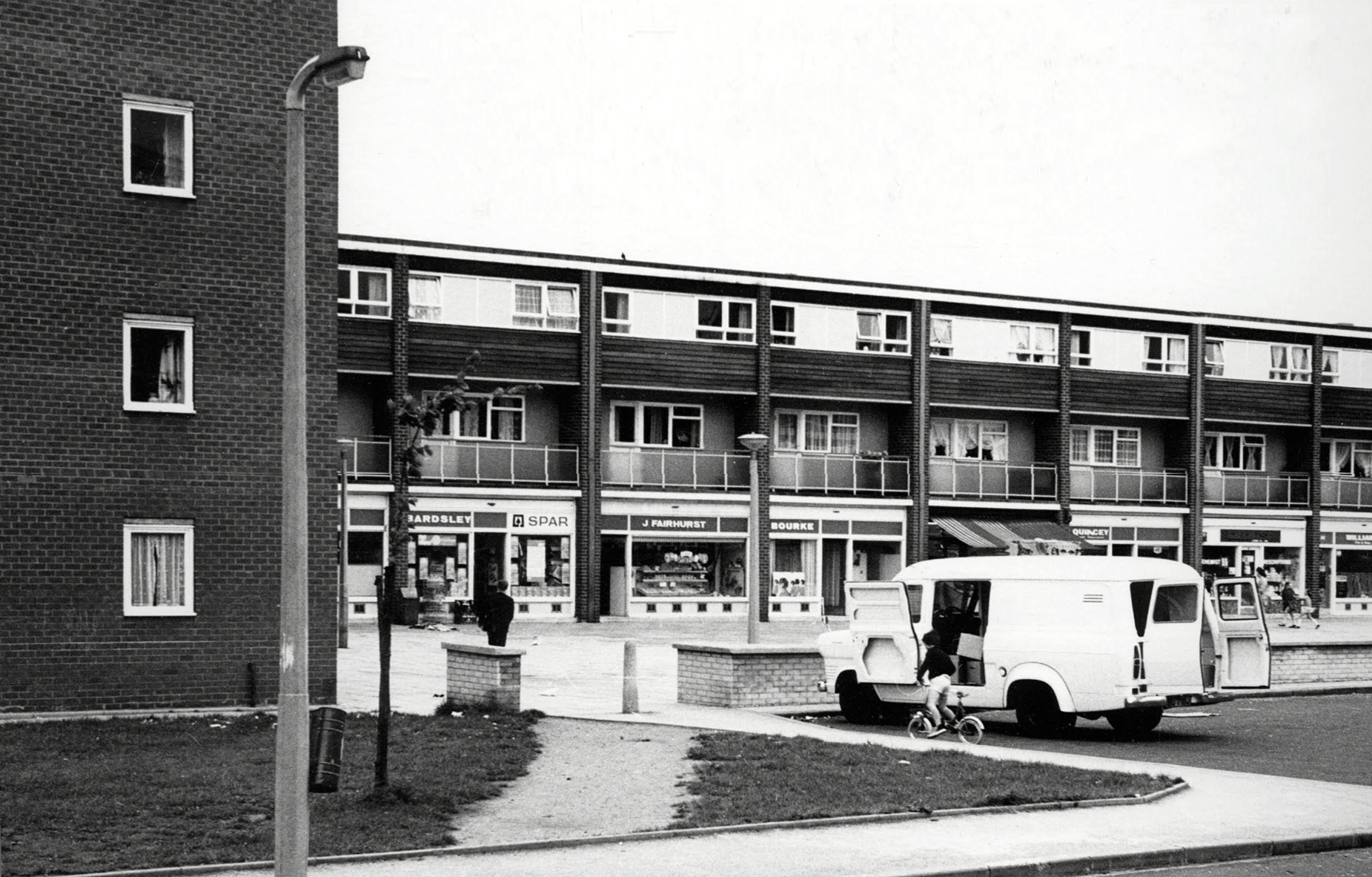
Looking back on the Square and the Dalton Street flats – Humphries, Dalton, Roach, Vauxhall and Moss Brook Courts under construction.
Vauxhall Street now but a shadow of its former self – the last traces of industry long gone.
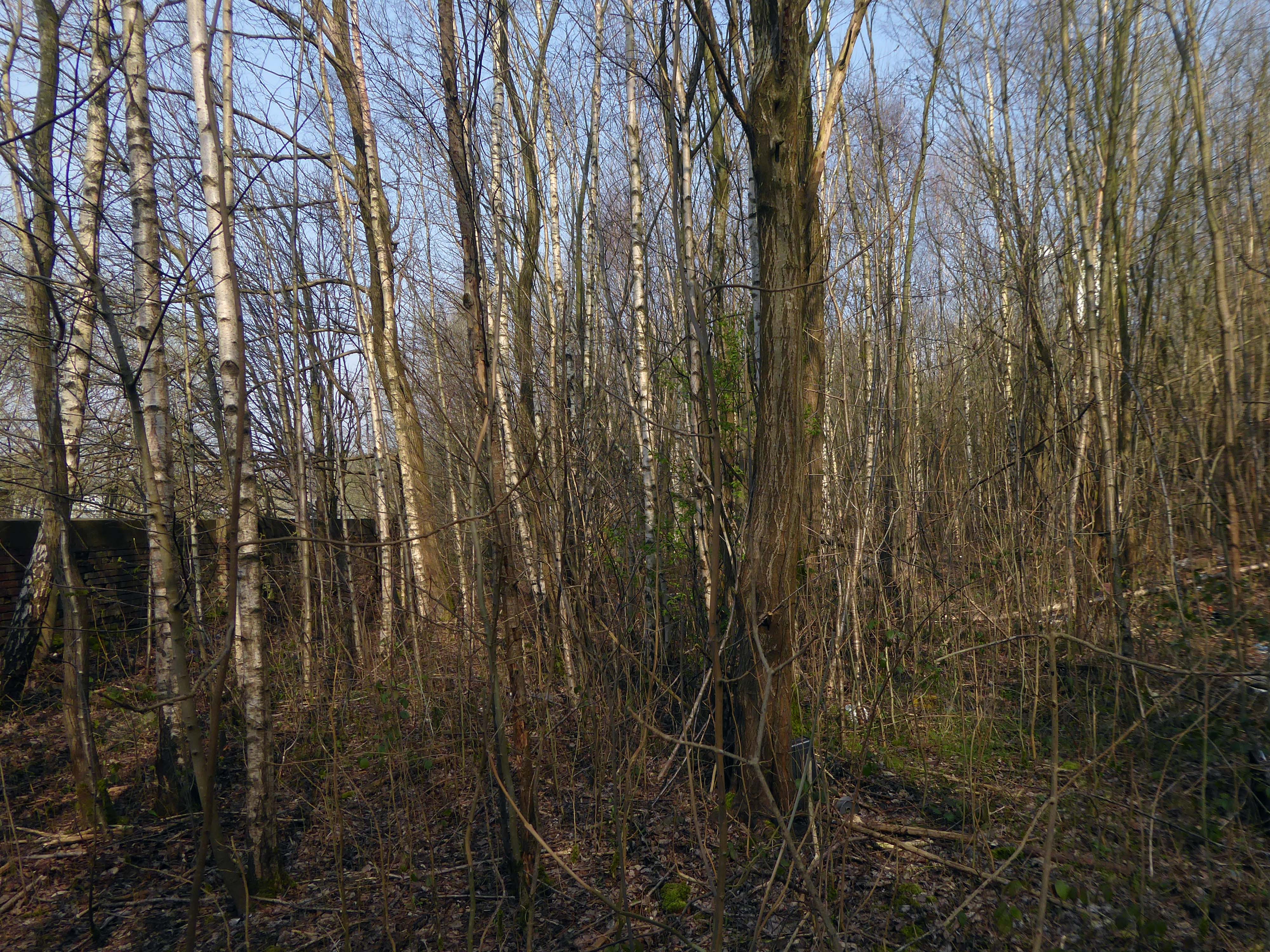
Reclaimed over time by trees and dense underbrush.
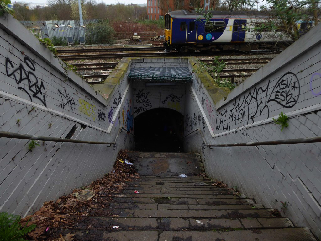
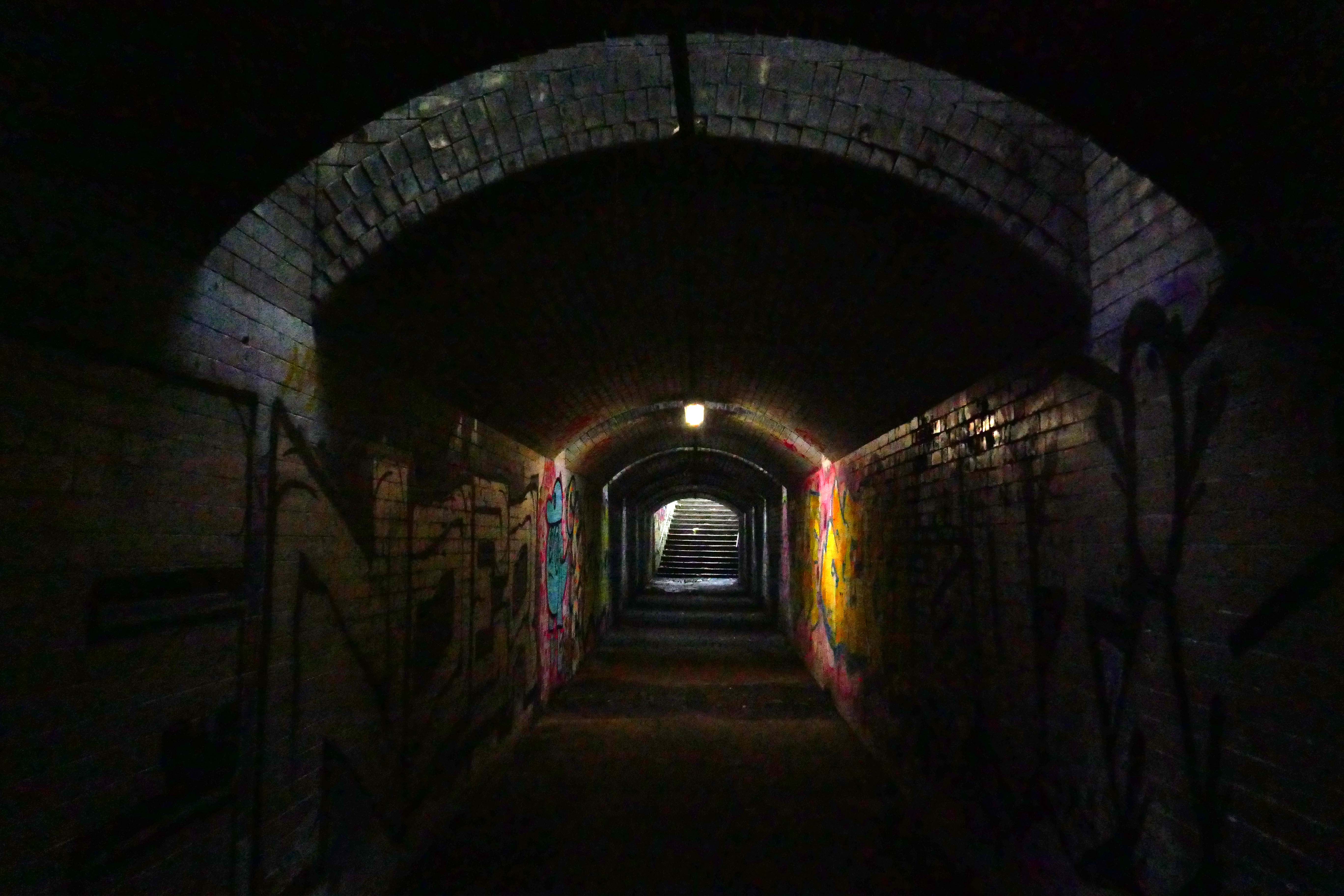
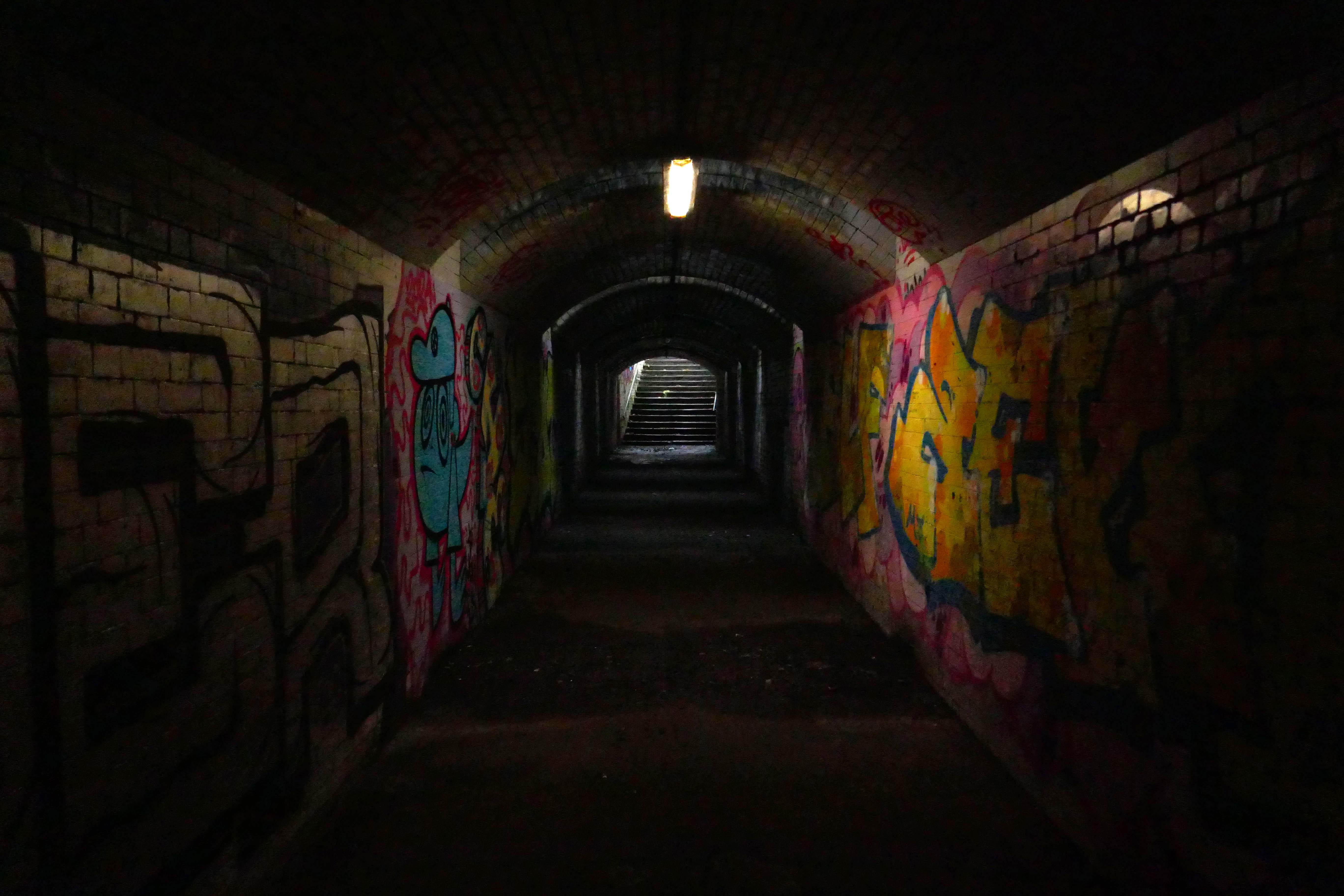
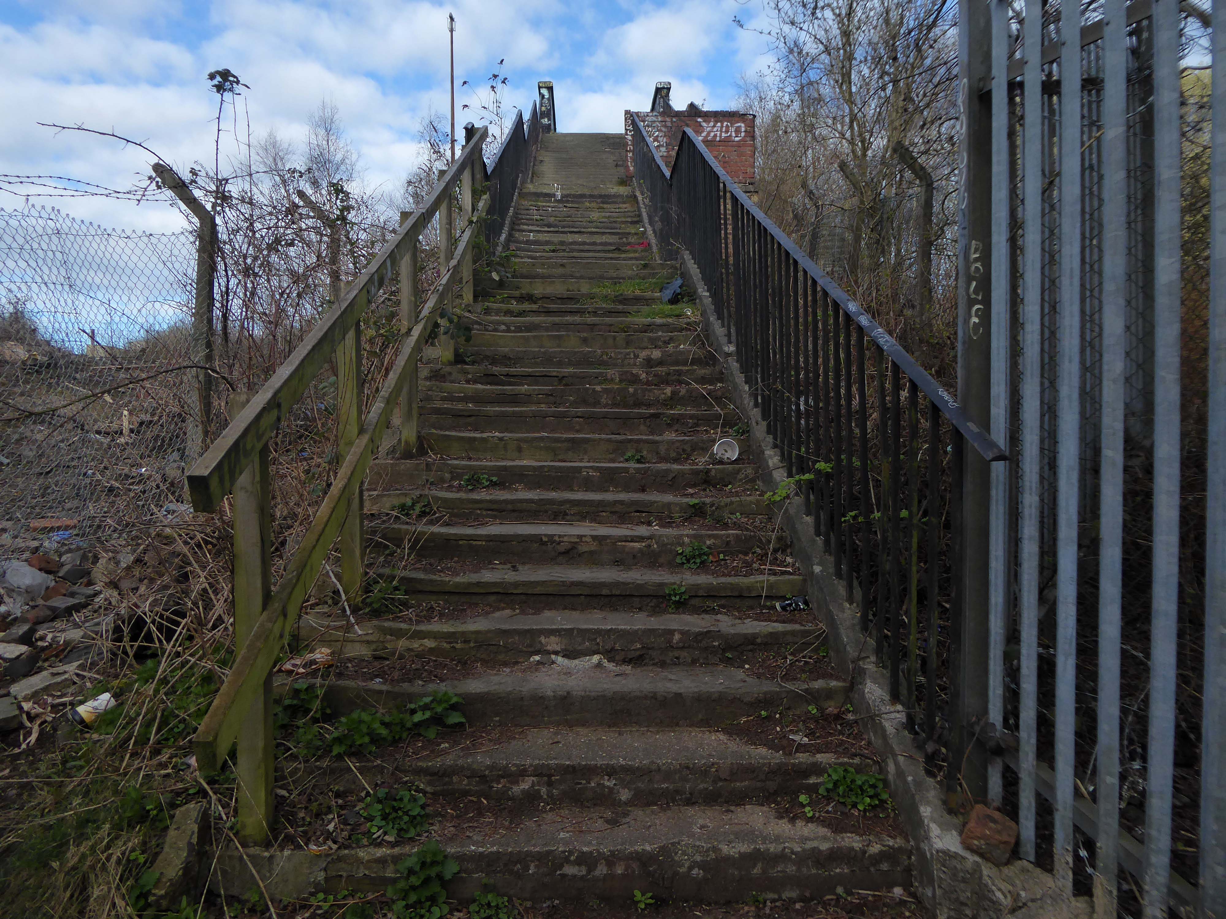
Crossing Collyhurst Road and up and over the railway via Barney’s Steps also known as the Lowry Steps.
LS Lowry
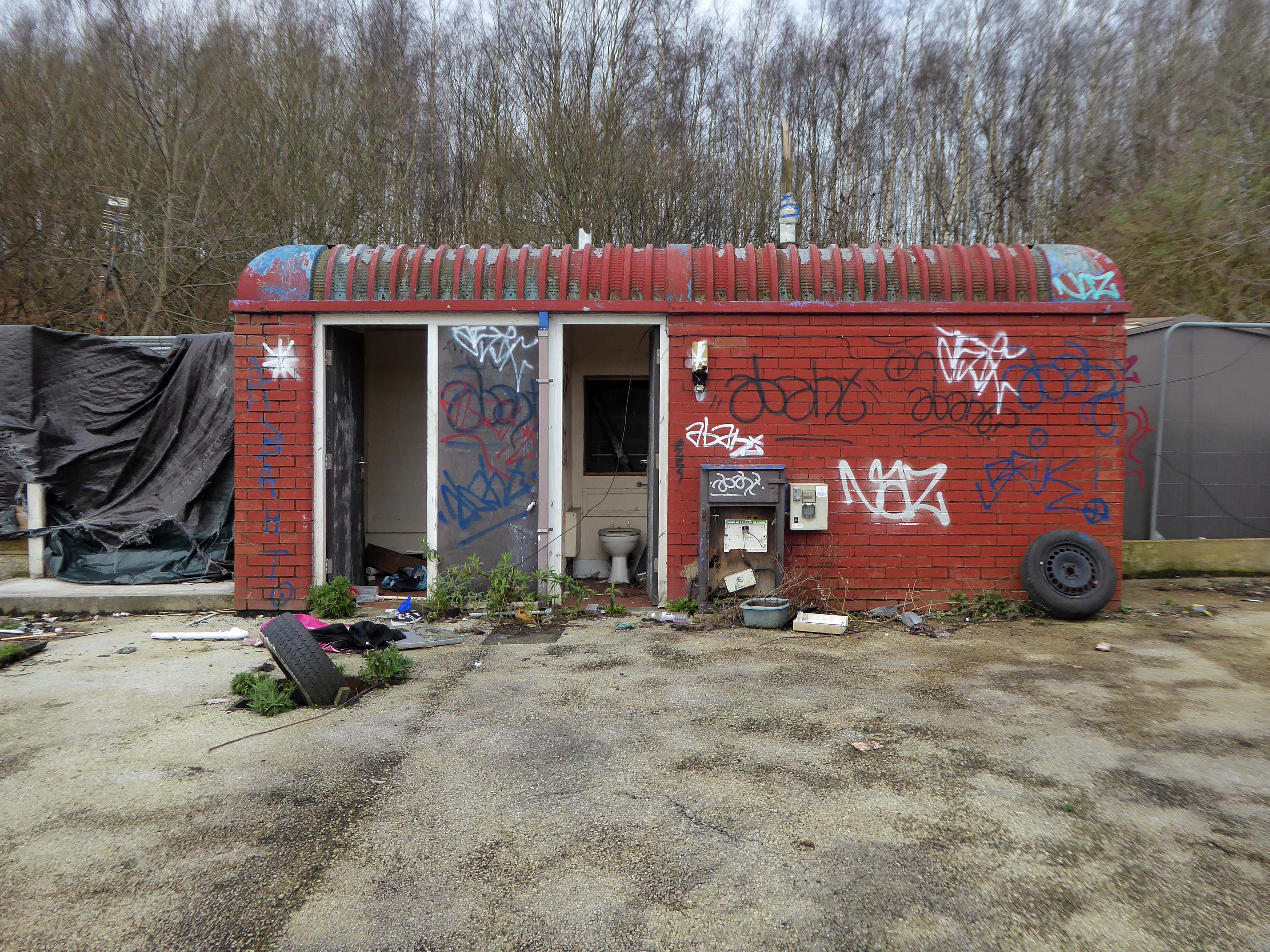
By the late 1950’s the whole of this area which we called Barney’s Tip became a refuse tip for Manchester City Council.
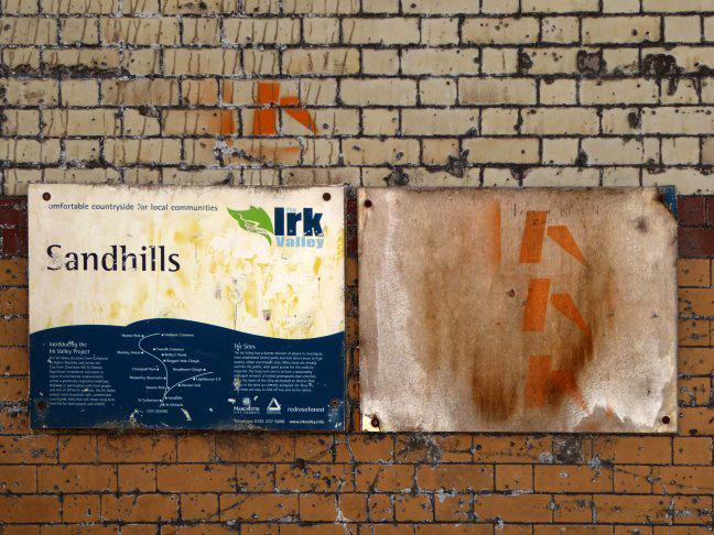
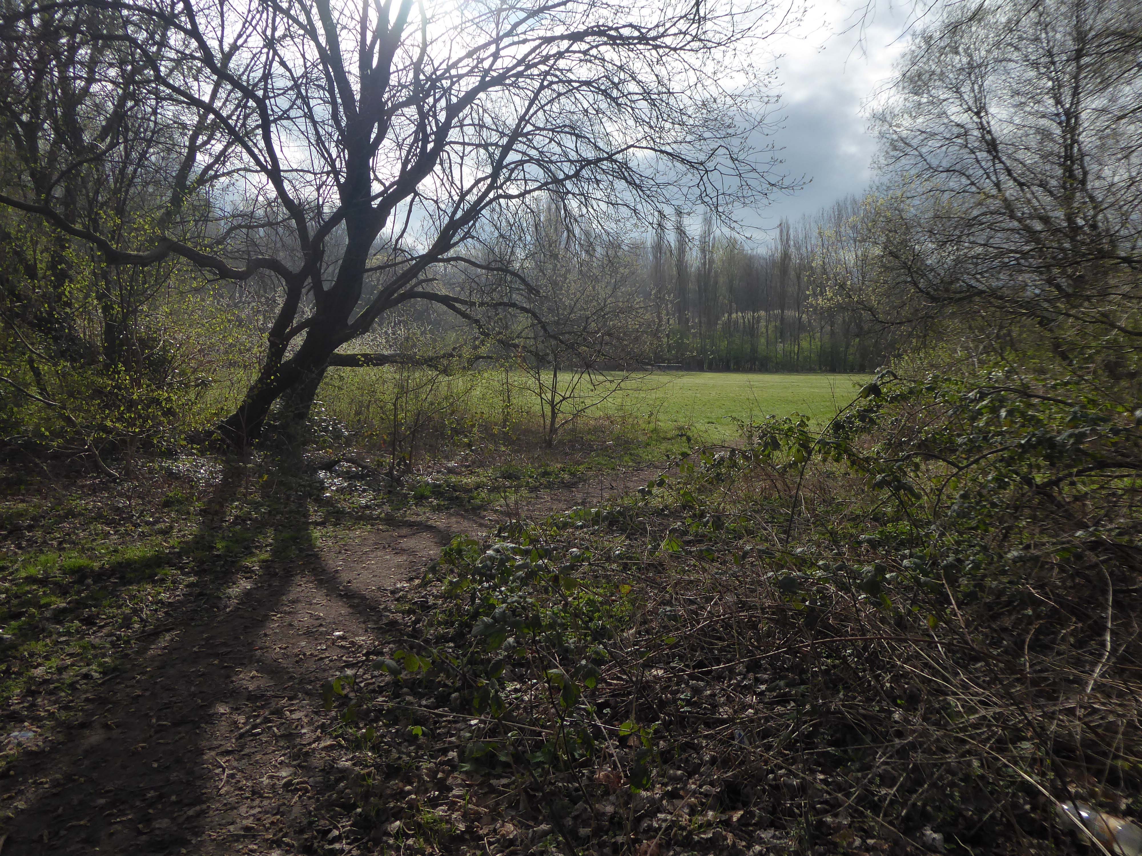
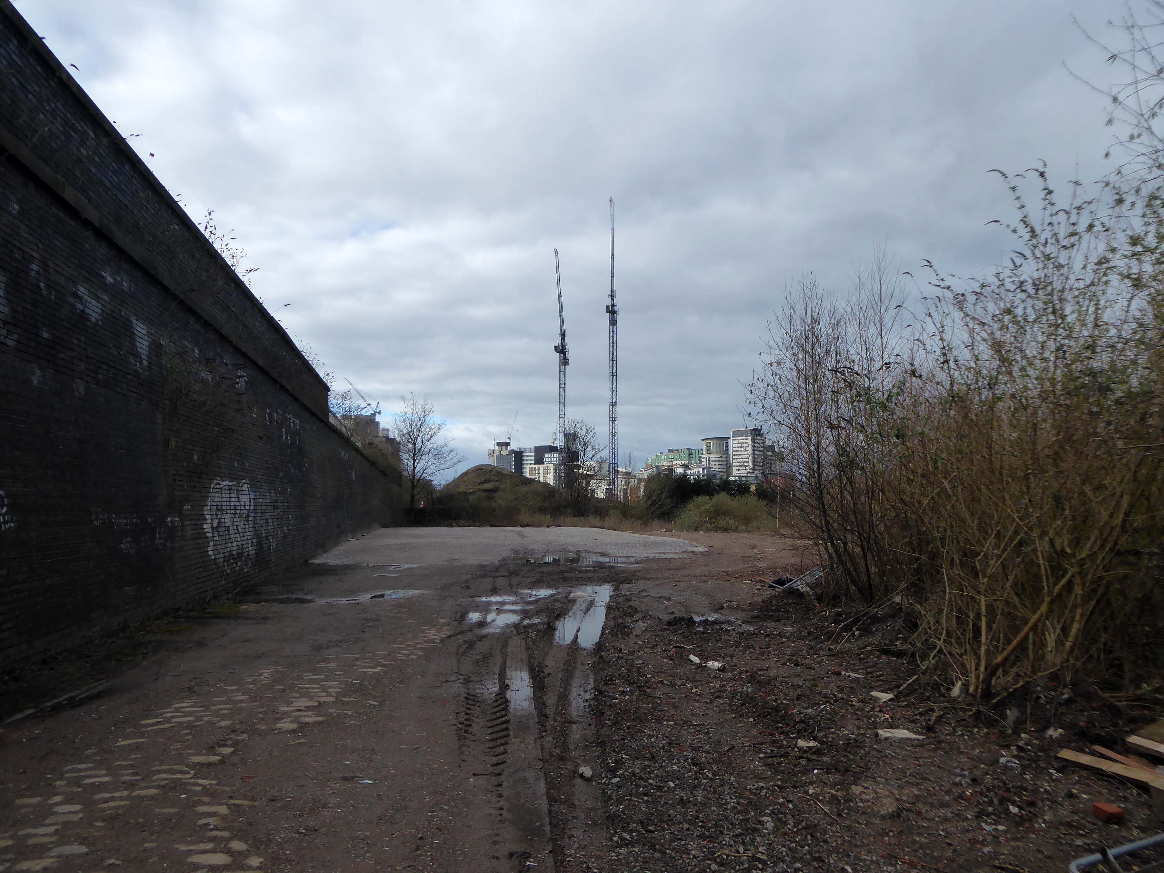
The area is in the process of being reconfigured as a delightful country park.
The investment will also help develop an initial phase of the planned City River Park incorporating St Catherine’s Wood as part of a network of public open space, including improvements along the River Irk and works to improve flood resilience, unlocking the potential of the Irk Valley that will characterise the wider Northern Gateway project.
The first phase of the City River Park will begin work to transform former railway architecture to develop the new Viaduct Linear Park north of Victoria Train Station, new stepped public realm space – Red Bank Terraces, along with new green space by the River Irk and the key improvements to St Catherine’s Wood.
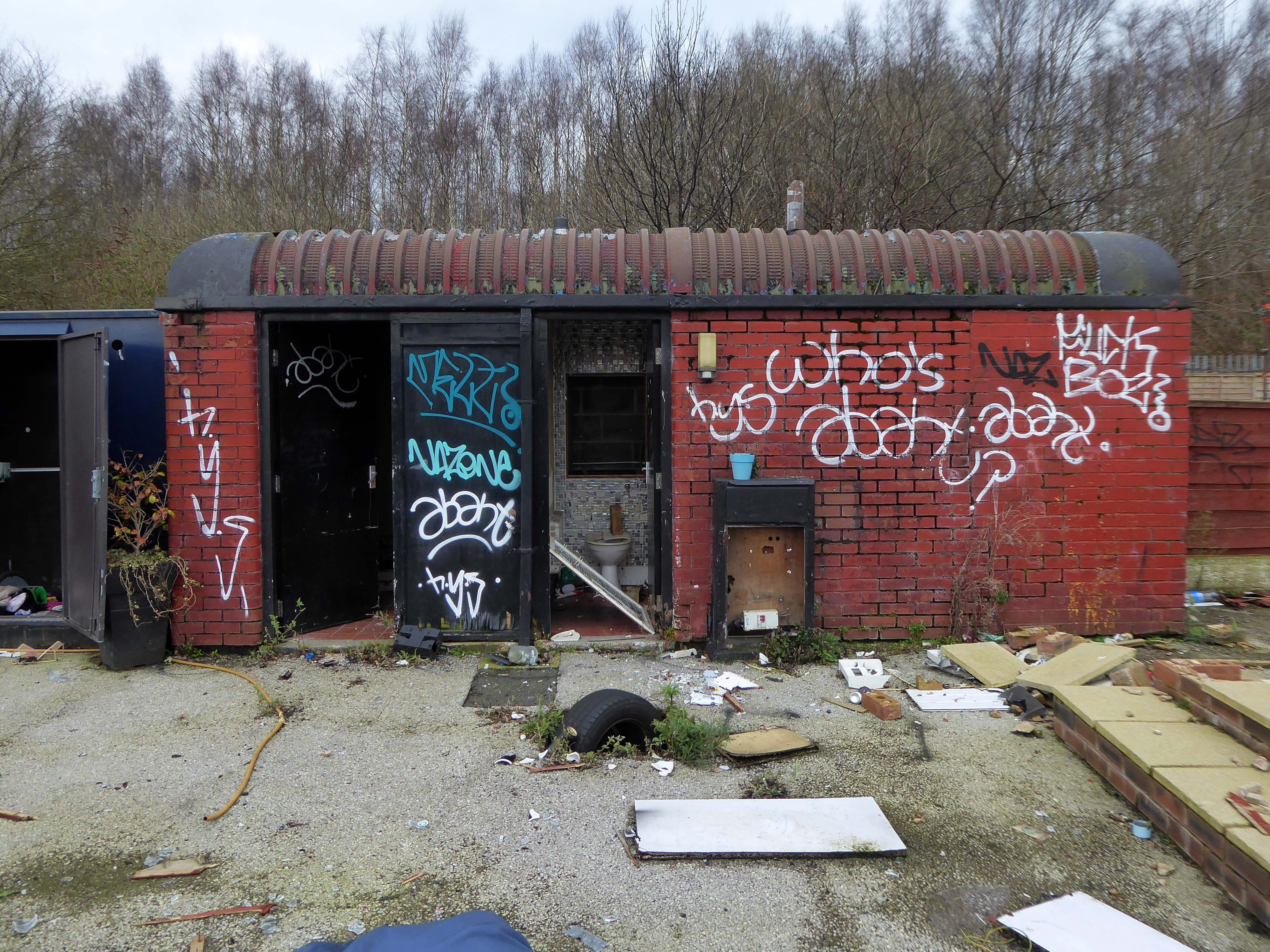
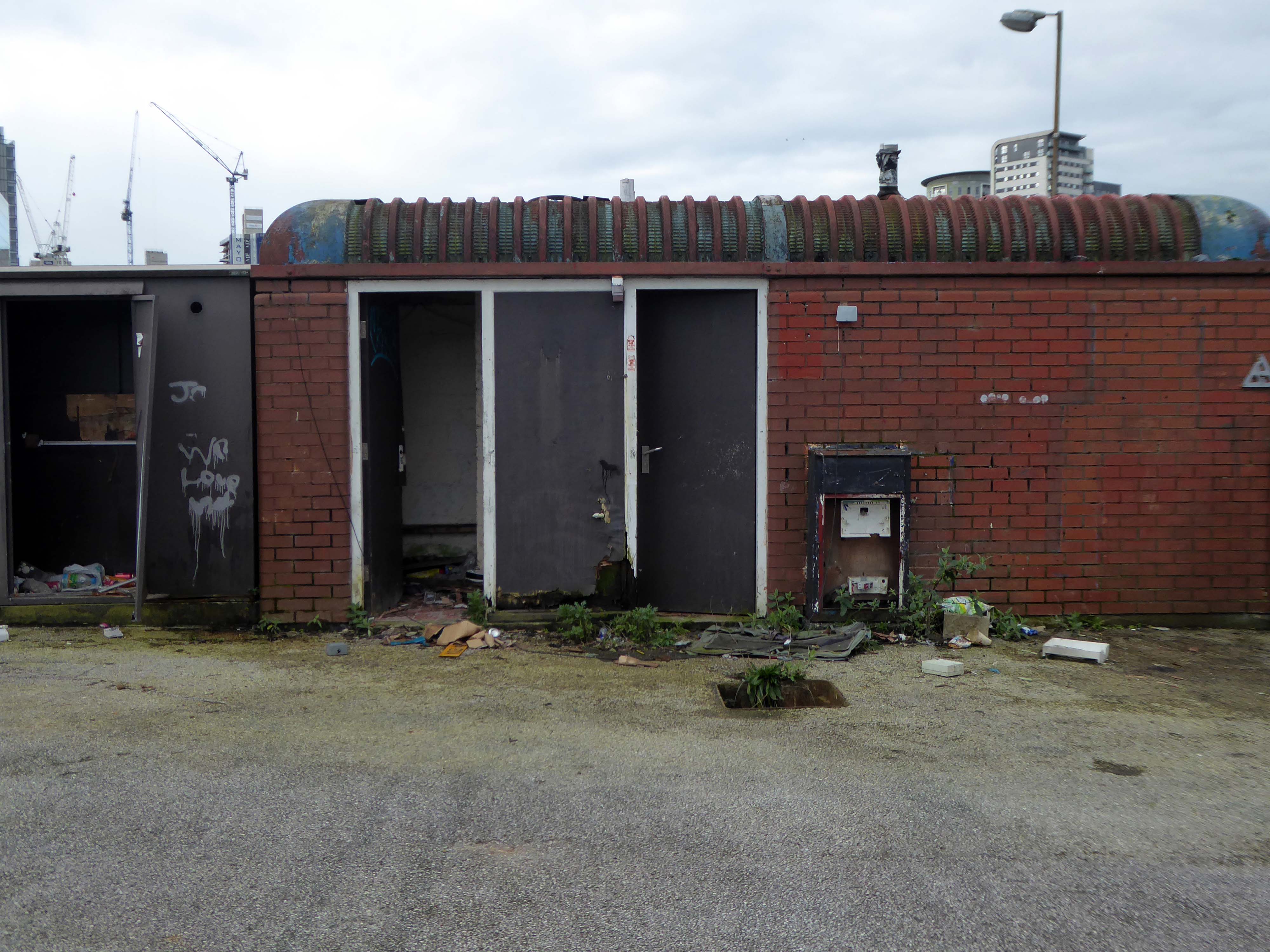
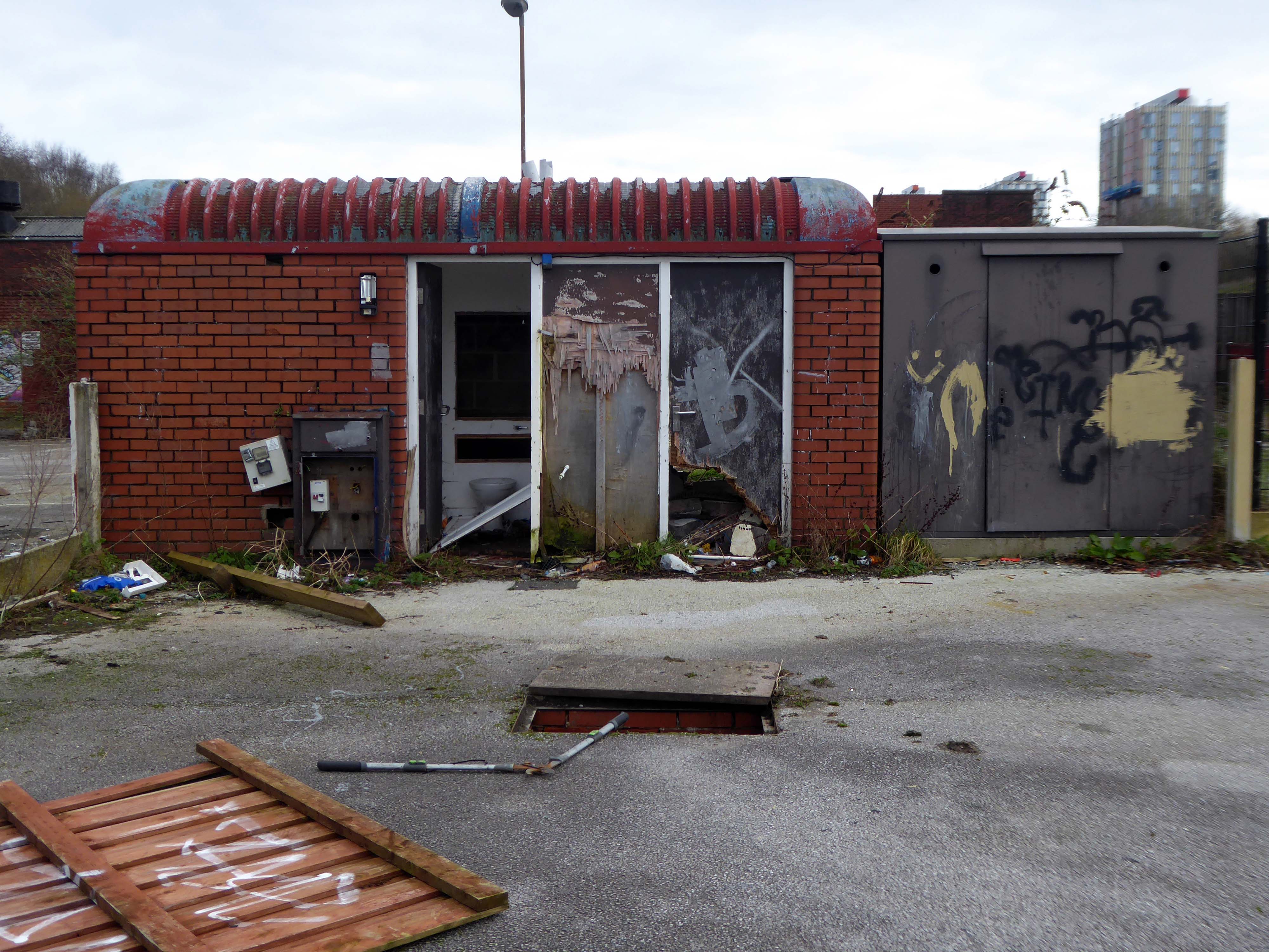
Collingham Street is lined with trucks, trailers, stalls and mobile homes.
But there’s nothing temporary about this Cheetham Hill neighbourhood; most residents have lived here for years and many plan to spend the rest of their lives here.
Founded more than forty years ago, it was created by the Showman’s Guild of Great Britain – and it’s reserved exclusively for fairground workers both retired and current.
Built on Queens Road tip, a former rubbish dump, and rented out by Manchester Council, many of the 52 homes belong to older retired showmen or families for whom an itinerant lifestyle has become more challenging.
It’s a close-knit community with a unique shared history.
Though not without its own particular issues it would seem, according to the MEN.
The licensing out of hours team has received noise complaints relating to the premises which was found to be open beyond permitted hours when visited. Officers also identified breaches of the Health Act during inspections in which people were seen smoking shisha pipes in an enclosed extension at the back.
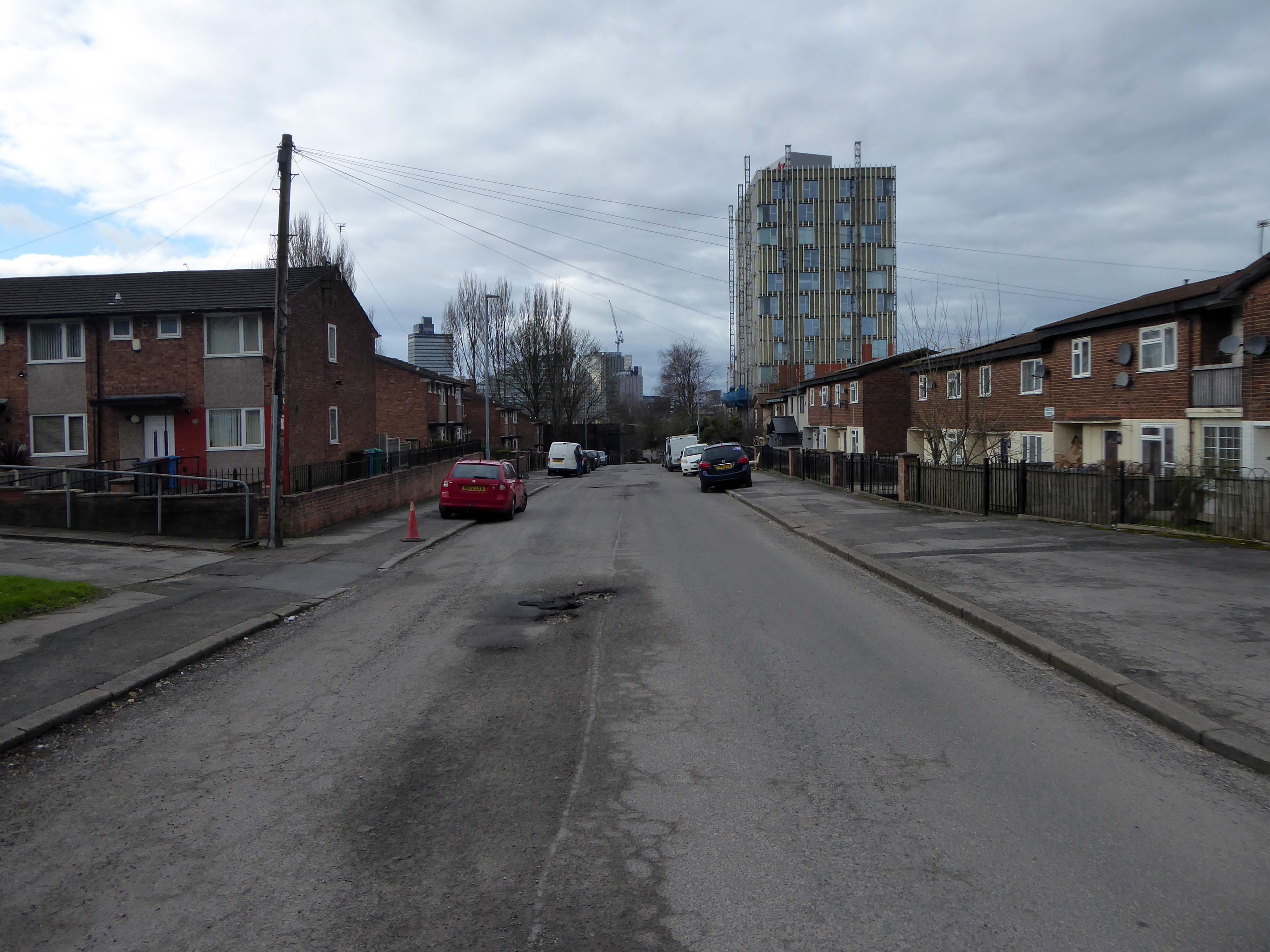
We will leave the Flamingo be and head back into town – but not without giving a nod to this confusing collision between this self-made scrapyard-man chic gate and the ever changing skyline of overheated urban regeneration.
The new creation has come: The old has gone, the new is here!
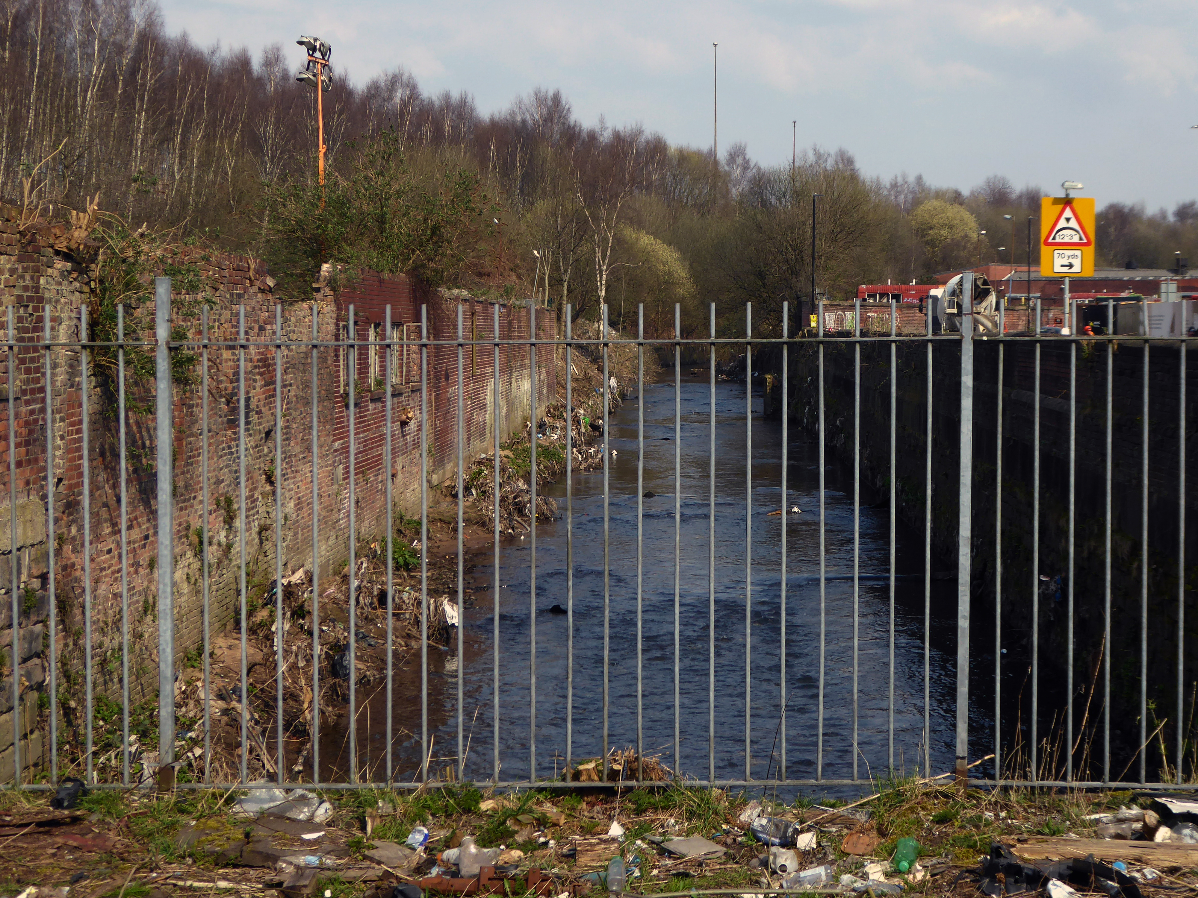
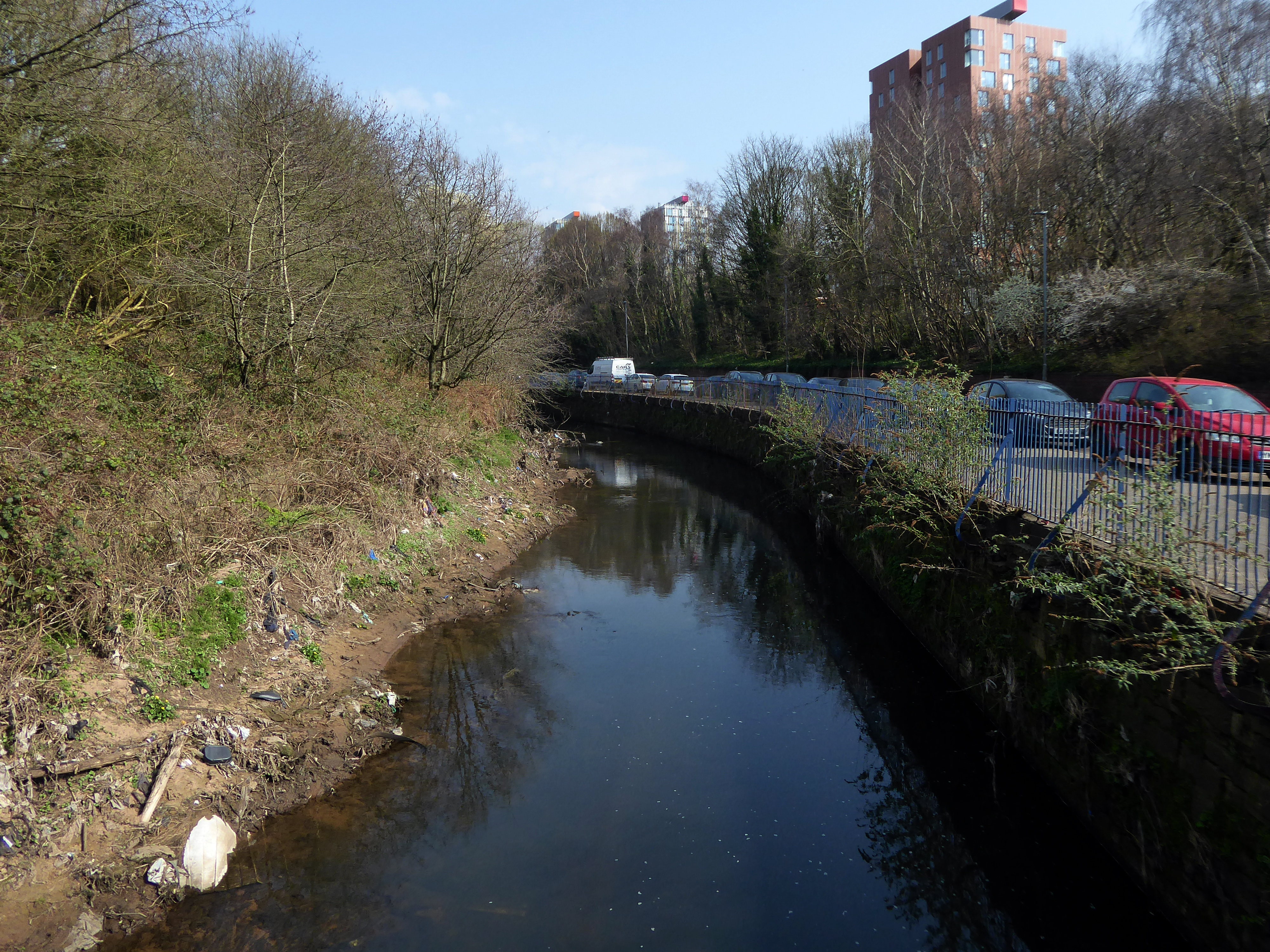
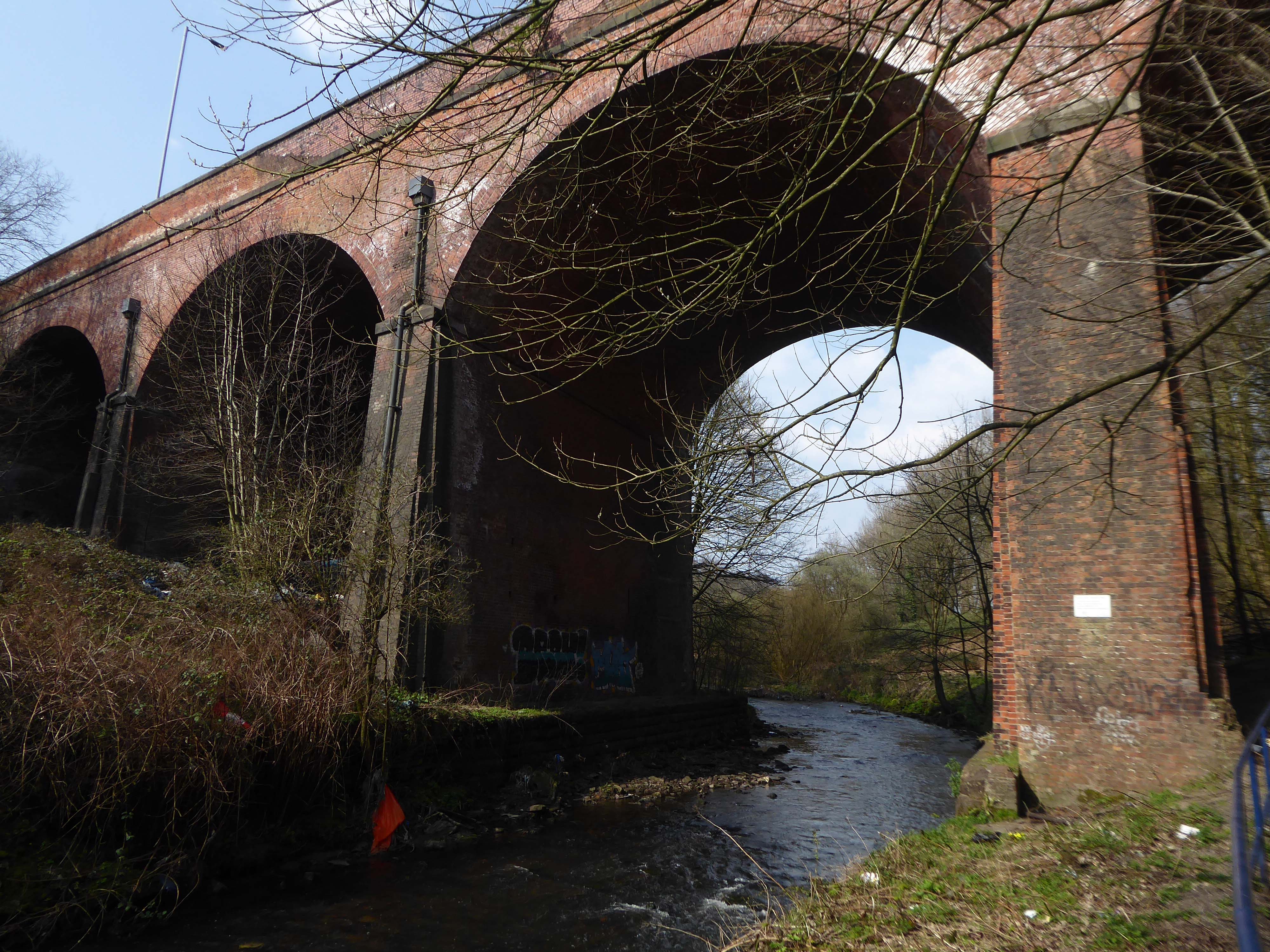
The first leg of a journey to the source of the River Irk beginning behind Victoria, finishing by the Hexagon Towerin Blackley.
The Irk’s name is of obscure etymology, but may be Brittonic in origin and related to the Welsh word iwrch, meaning roebuck
In medieval times, there was a mill by the Irk at which the tenants of the manor ground their corn and its fisheries were controlled by the lord of the manor. In the 16th century, throwing carrion and other offensive matter into the Irk was forbidden. Water for Manchester was drawn from the river before the Industrial Revolution. A bridge over the Irk was recorded in 1381. The river was noted for destructive floods. In 1480, the burgesses of Manchester described the highway between Manchester and Collyhurst which – the water of Irk had worn out. In 1816, of seven bridges over the Irk, six were liable to be flooded after heavy rain but the seventh, the Ducie Bridge completed in 1814 was above flood levels.
According to The New Gazetteer of Lancashire the Irk had – more mill seats upon it than any other stream of its length in the Kingdom and – the eels in this river were formerly remarkable for their fatness, which was attributed to the grease and oils expressed by the mills from the woollen cloths and mixed with the waters.
However, by the start of the 20th century the Irk Valley betweenCrumpsall and Blackley had been left a neglected river – not only the blackest but the most sluggish of all rivers.
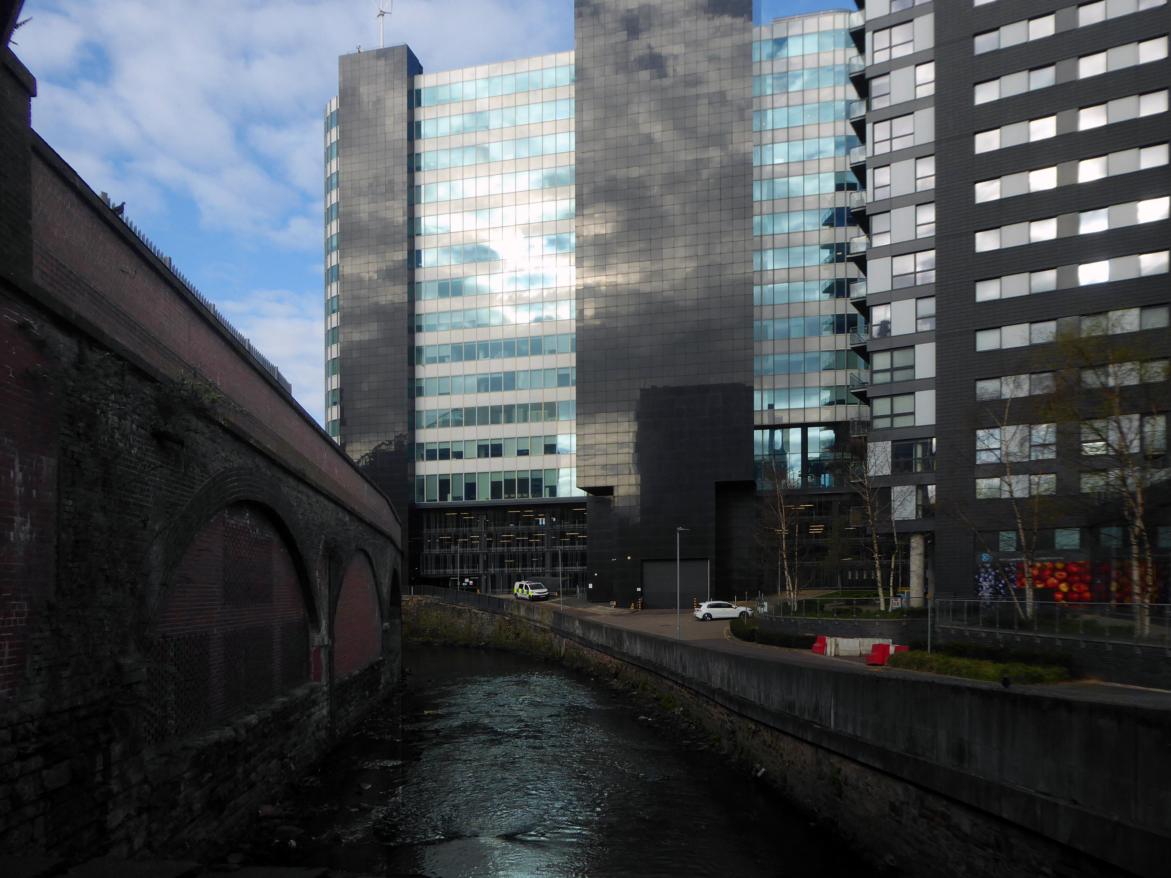
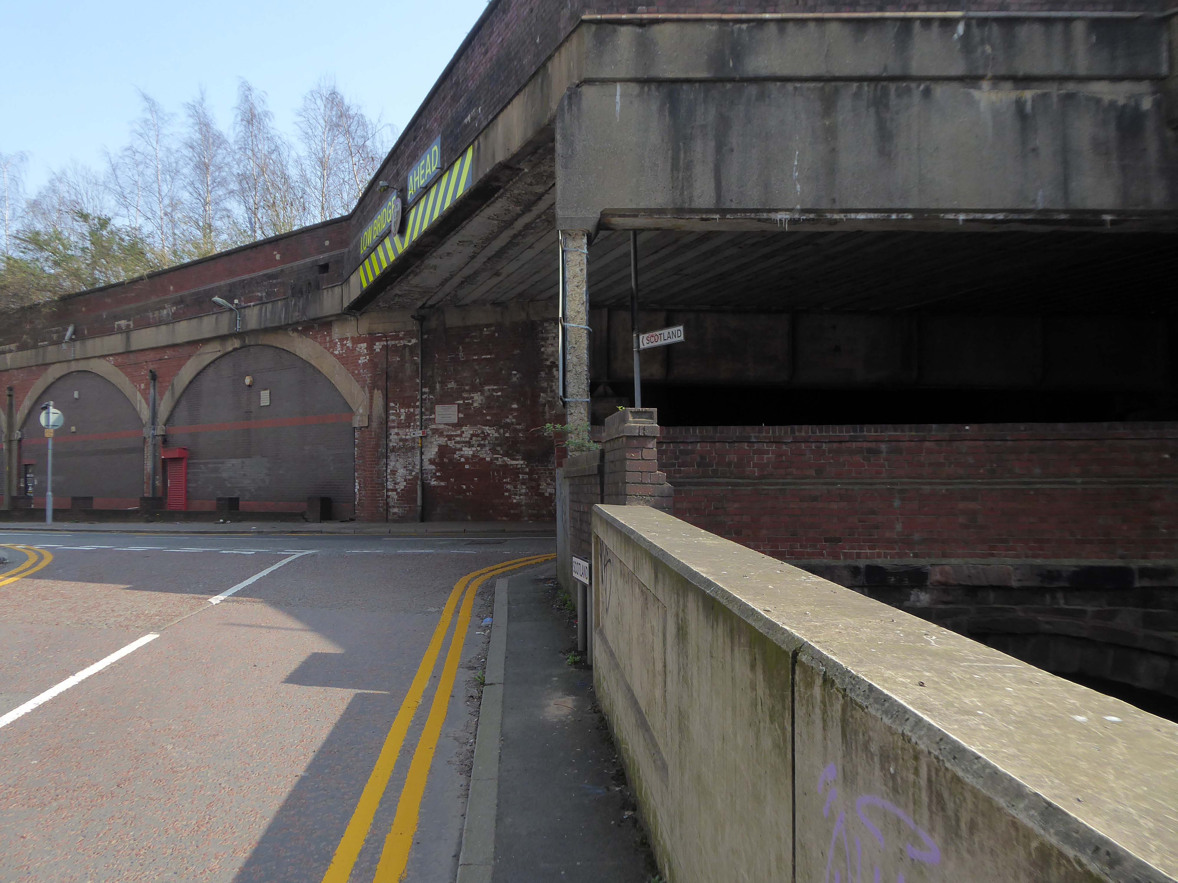
The river emerges from beneath the city into an area named Scotland – a remnant of Manchester’s links with the Jacobite Rebellion.
To the left were the squalid Victorian homes of Red Bank – currently presenting as the Green Quarter.
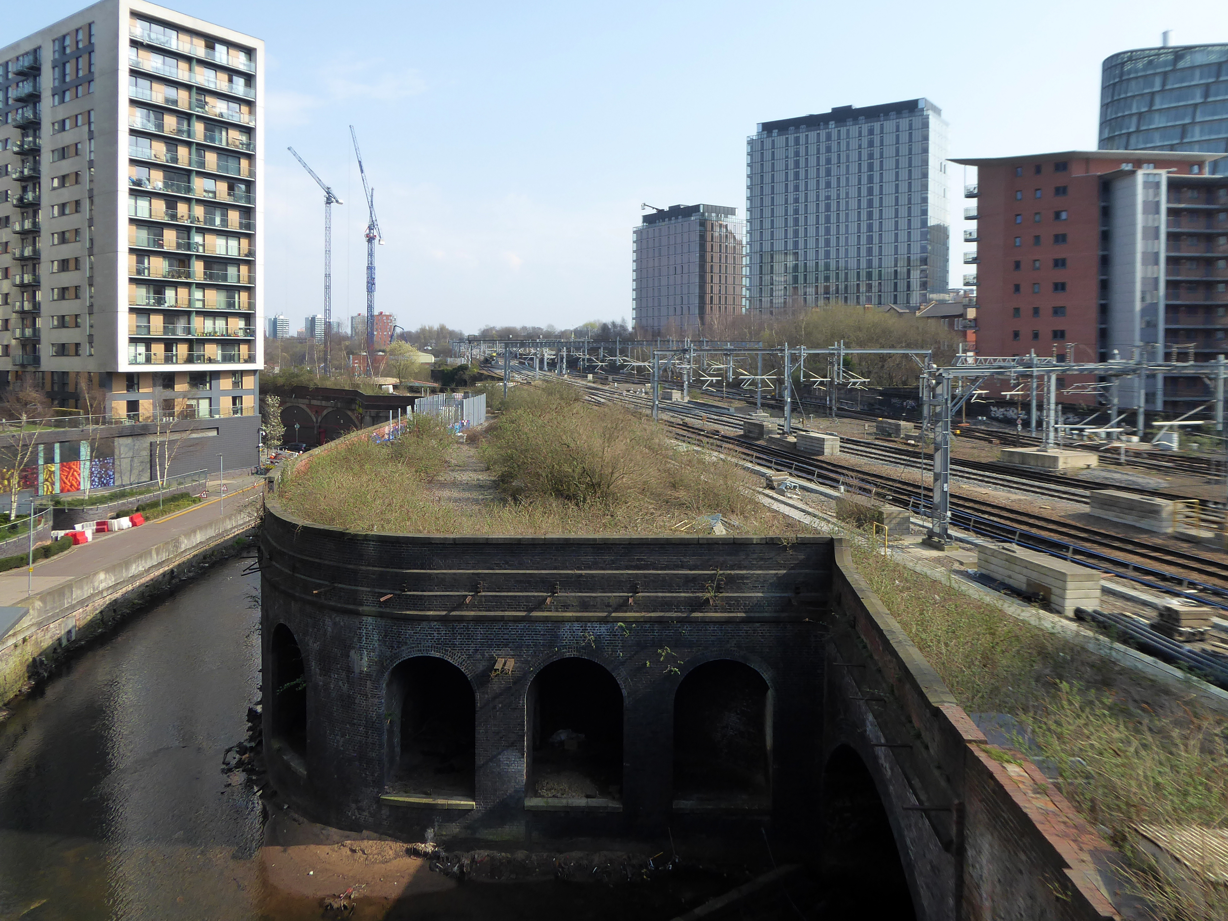
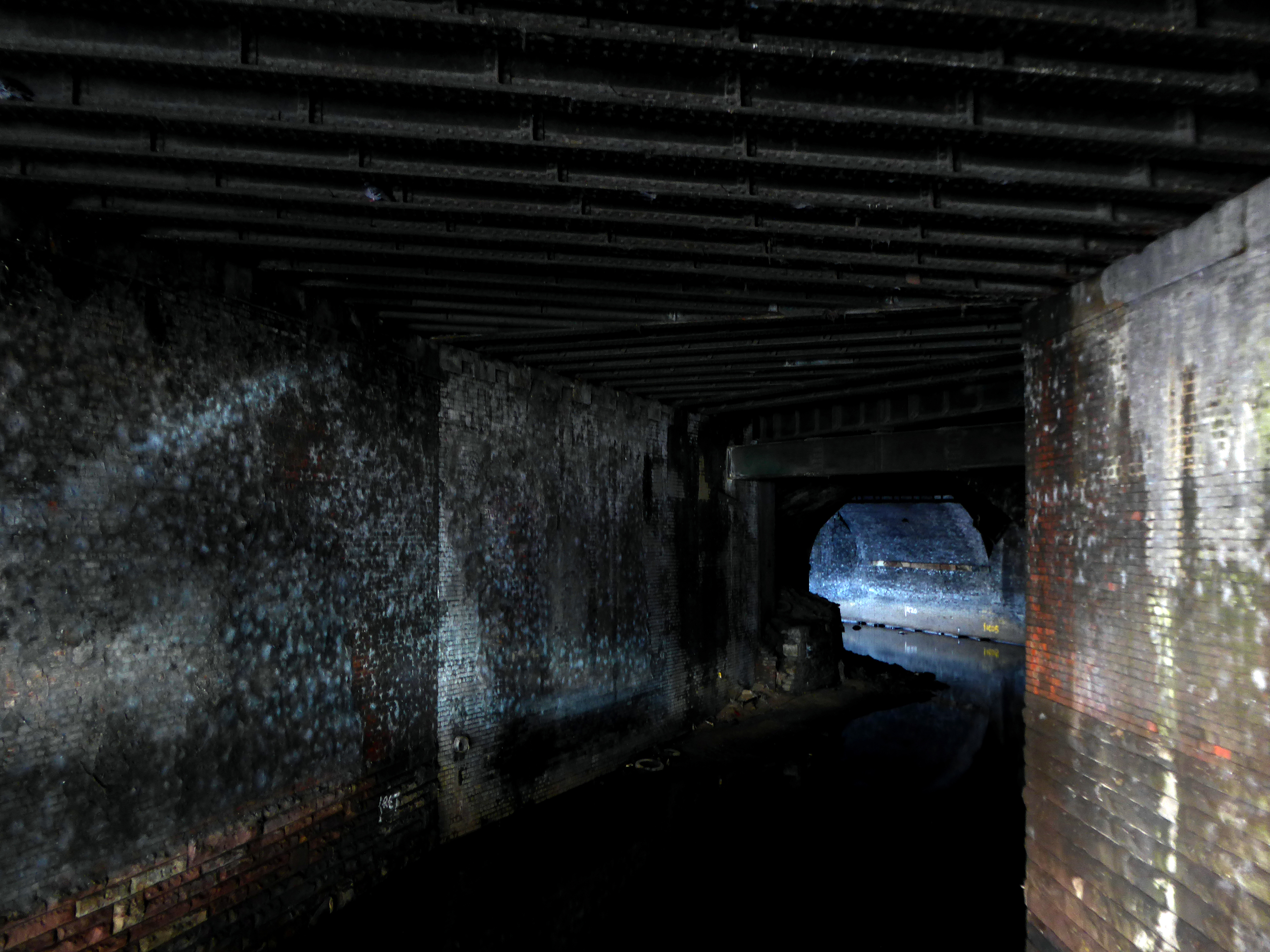
The river briefly becomes subterranean again.
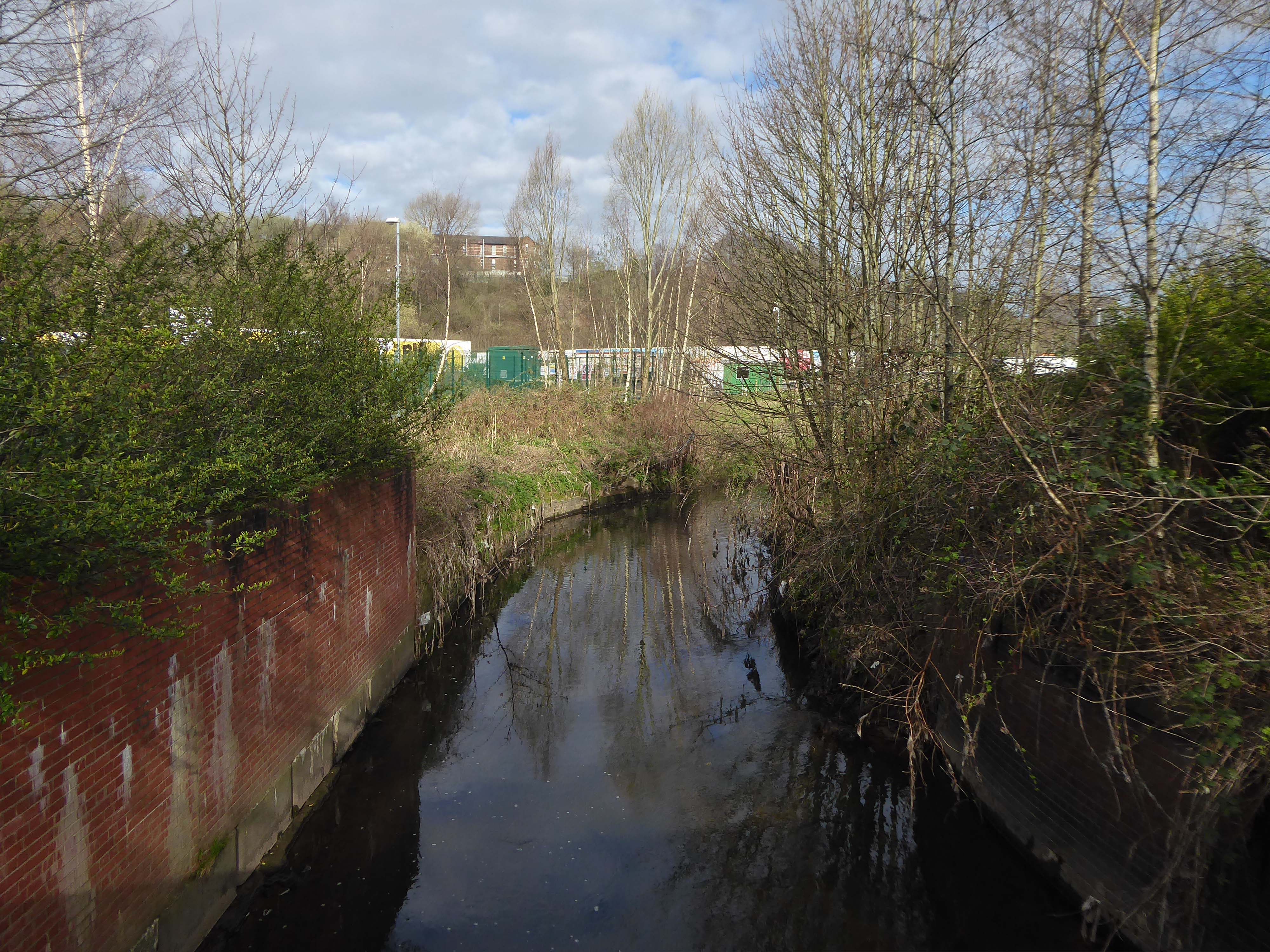
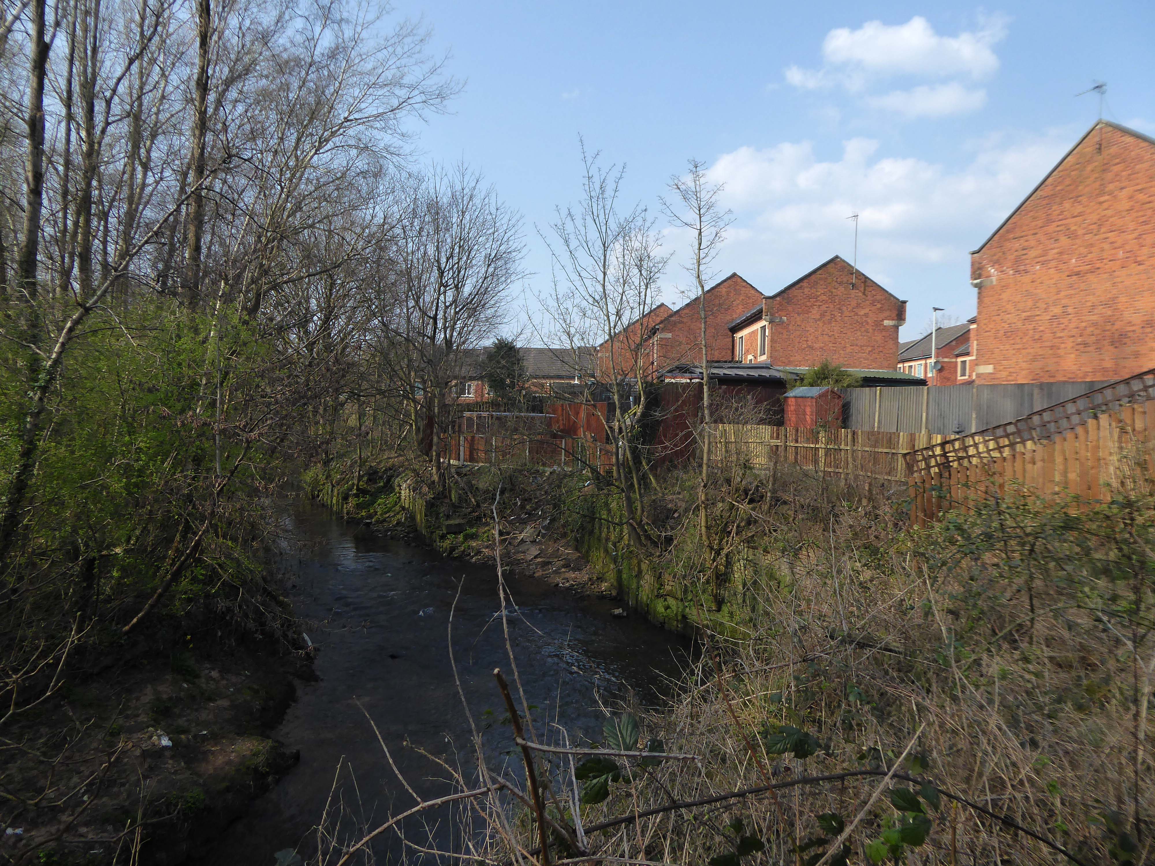
This is a river with an ignominious history – famously damned by émigré Friedrich Engels.
At the bottom flows, or rather stagnates, the Irk, a narrow, coal-black, foul-smelling stream, full of debris and refuse, which it deposits on the shallower right bank.
Spanning the defunct railway workings, affording a view of the brightly blooming city centre.
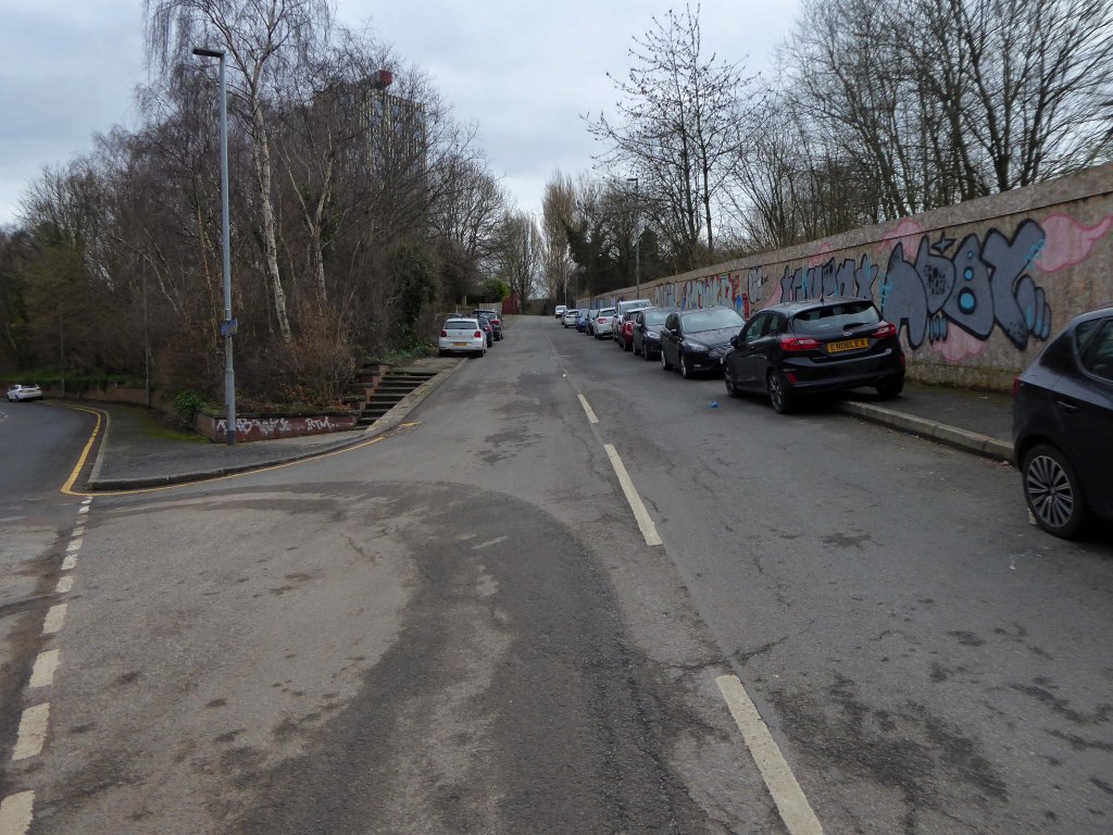
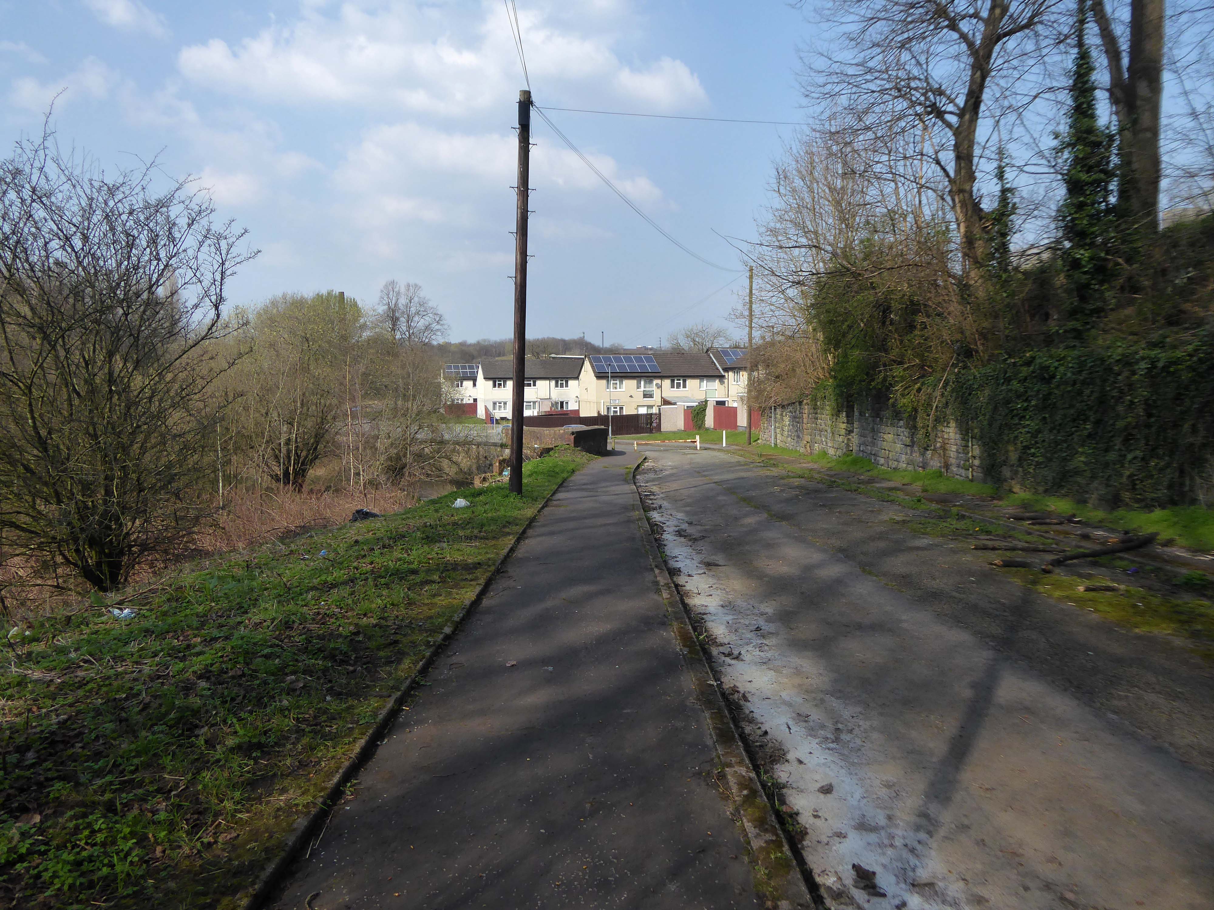
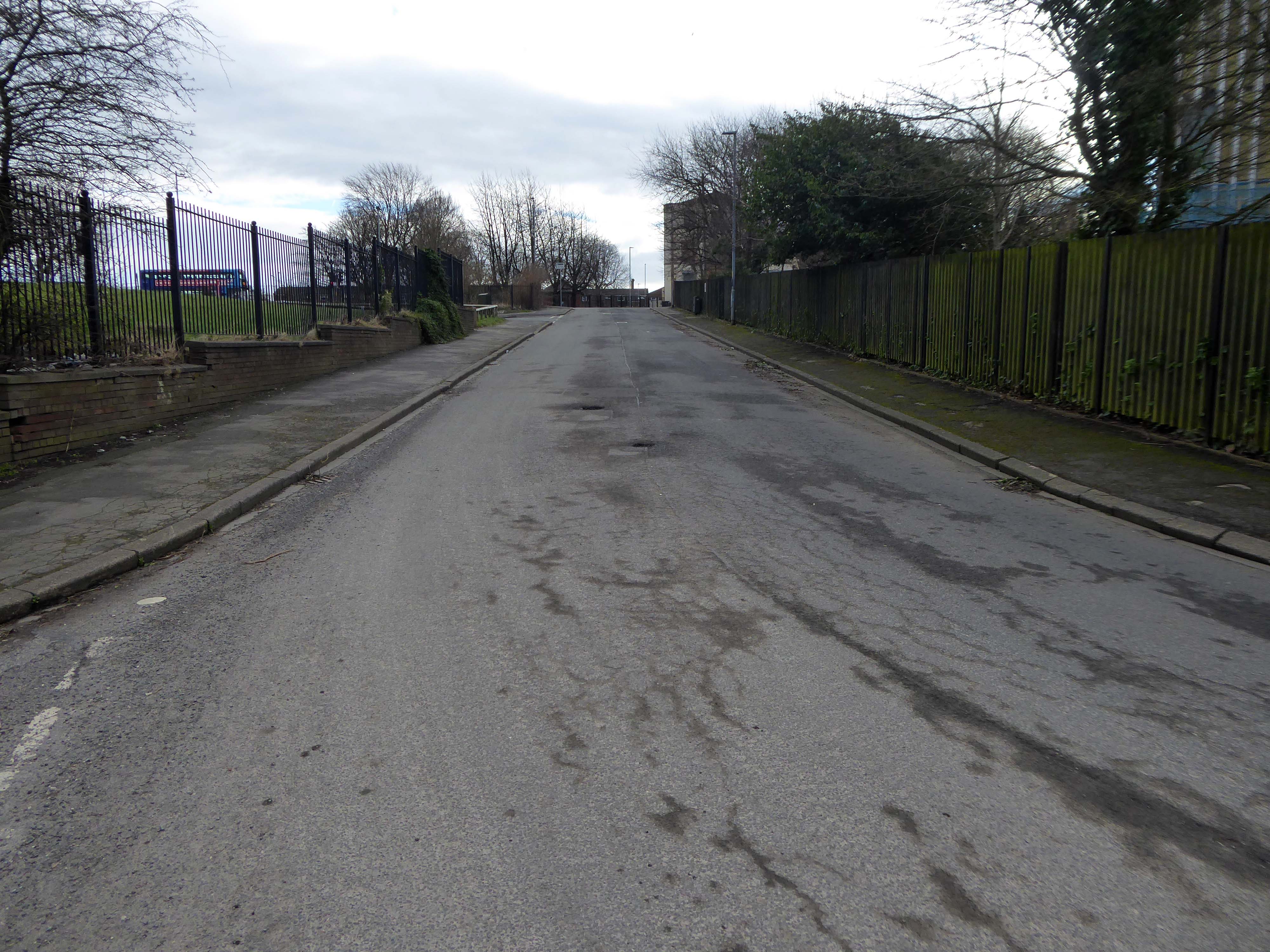
Leaving Collyhurst Road, we journey along Smedley Road.
Seen here in 1934.
Passing beneath Queens Road – Queens Park to the right.
Queen’s Park was one of Britain’s first municipal parks created in 1846. The park was originally arranged around Hendham Hall, home of the Houghton family however this was demolished in 1884.
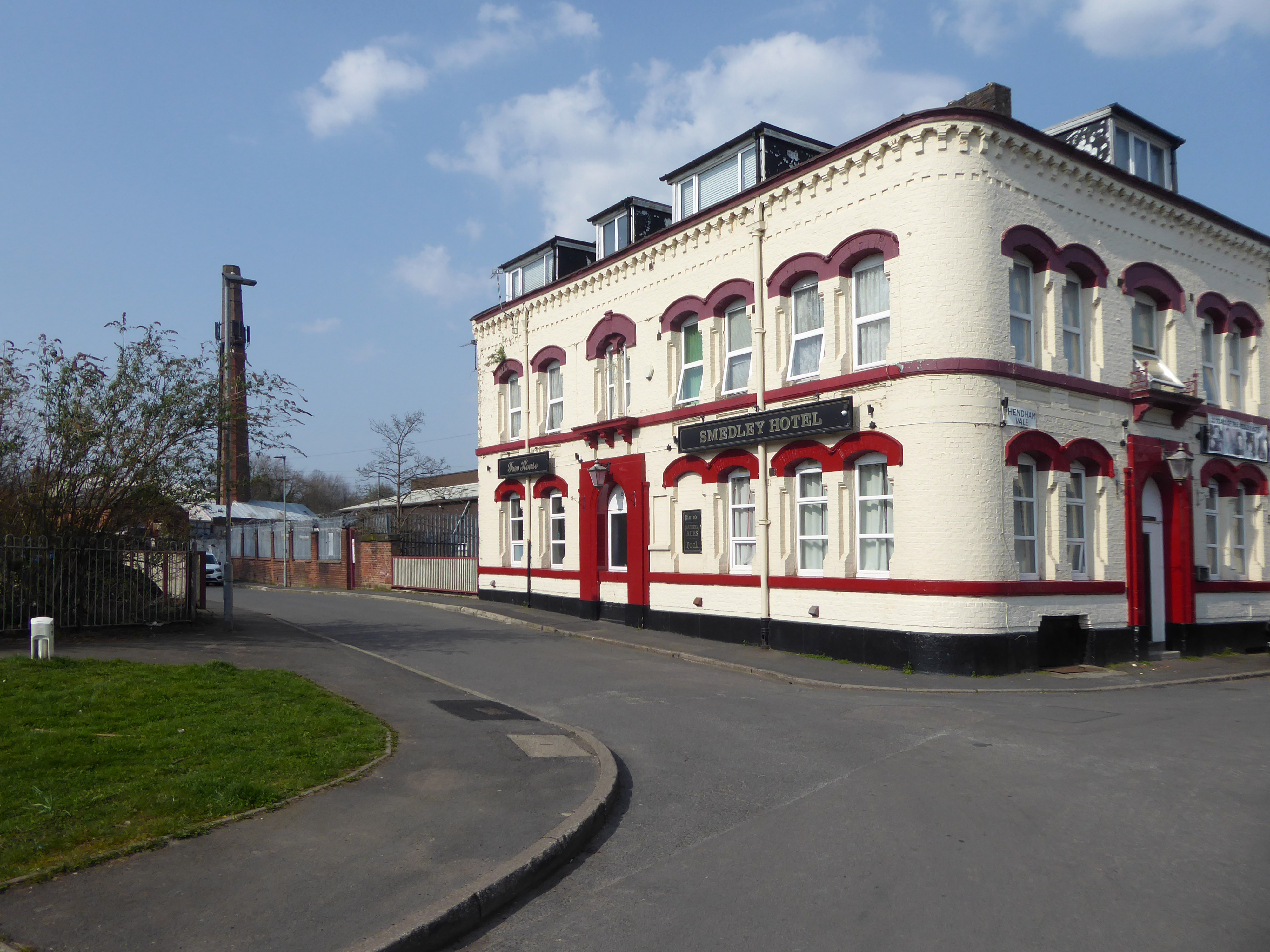
Dropping down to Hendham Vale.
To the right is the Smedley Hotel.
The Smedley Hotel is a very large pub that is hidden away on a quiet back street.Once inside there were a few different rooms and I had a drink in the bar which was fairly large and seemed in need of some attention. The pub still had its old Chesters signs outside and there were three real ales on the bar. I had a drink of Chesters bitter and this was a very nice drink the other beers were Chesters mild and Boddington’s bitter.
I thought this pub would be long gone but it is still standing and I think open for business.
Lost to the world are the Manchester Moderne flats of Kennet House overlooking the Irk Valley on Smedley Lane.
Hendham Way becomes a pedestrianised lane.
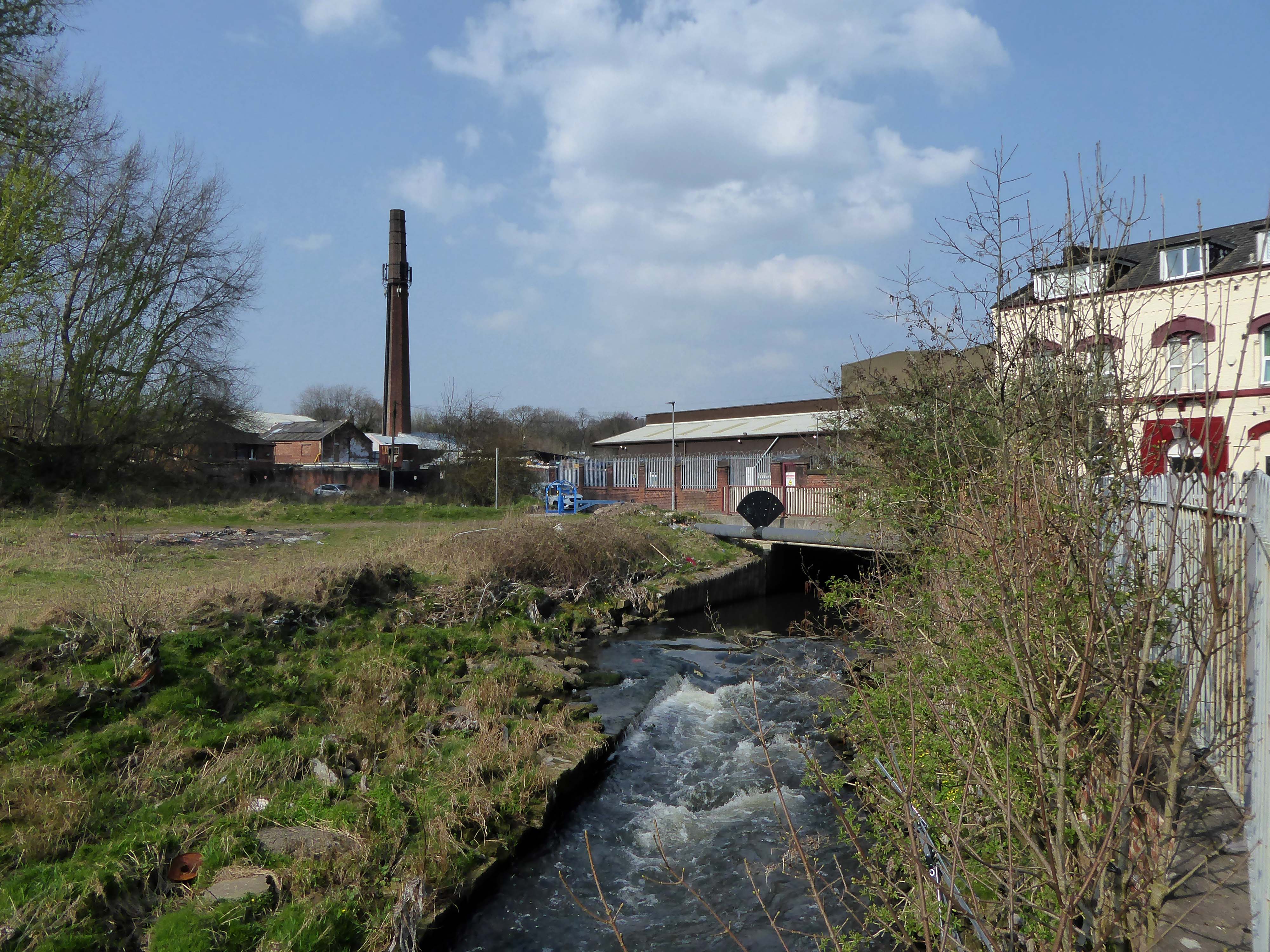
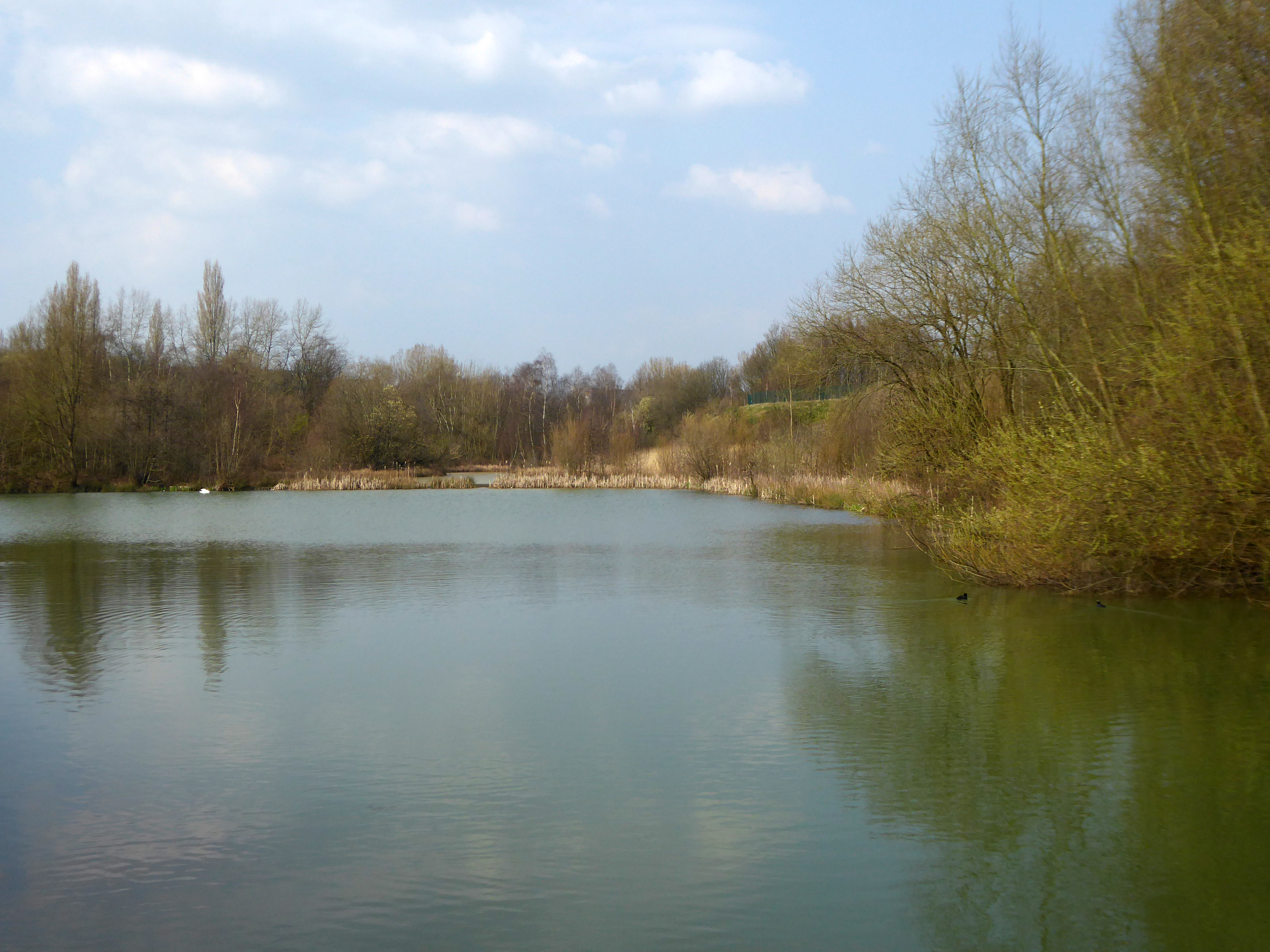
Taking the road up and then down, returning to the river, and following the wrong path – alongside the Hapurhey Reservoir and Ponds.
A remnant of the industrial era the reservoirs and ponds, once used by the factories as a source of water, have over the year become a thriving habitat which supports a substantial amount of wildlife.
Then cutting back and regaining the correct path.Finally arriving at the Hexagon Tower.
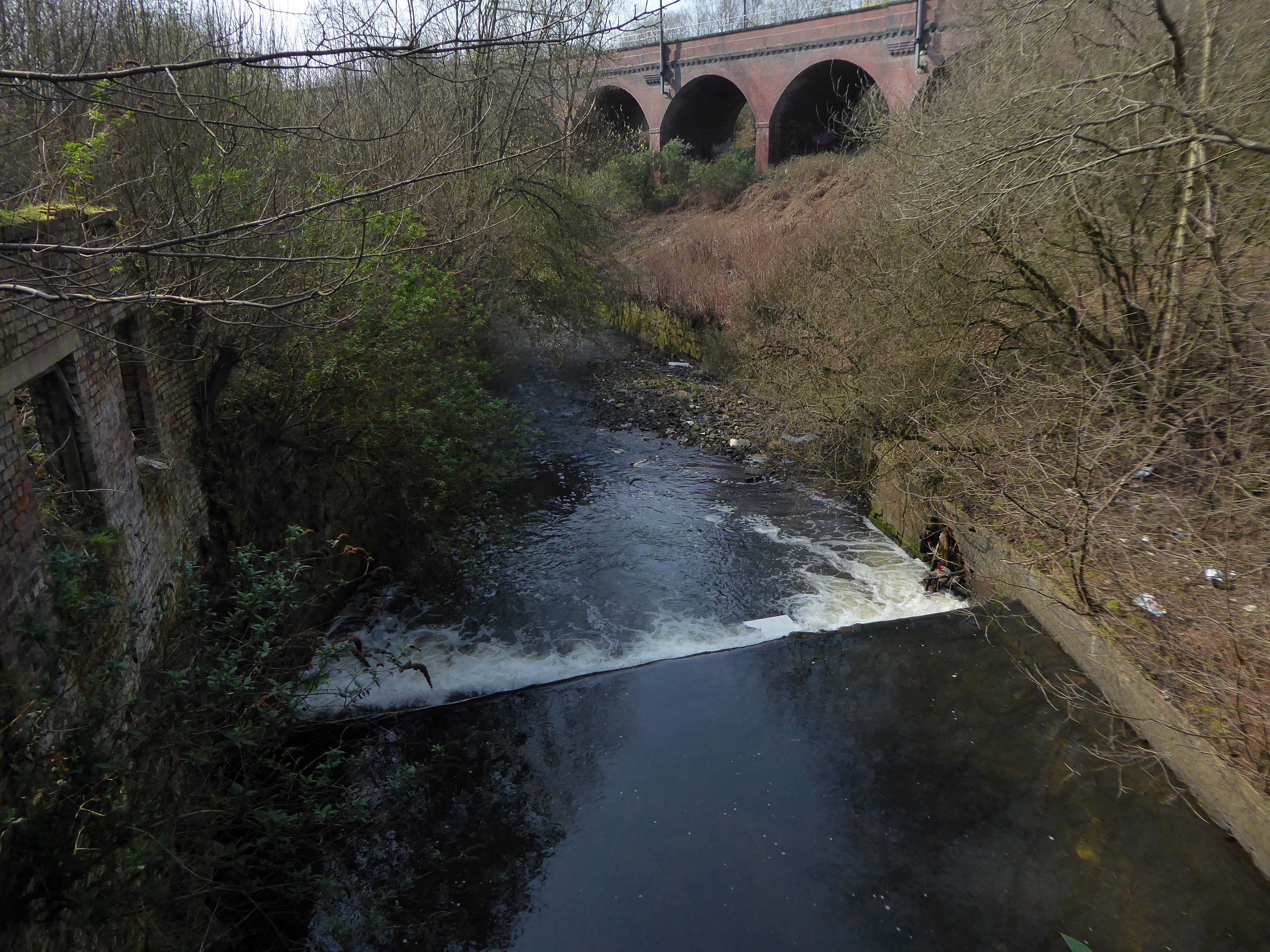
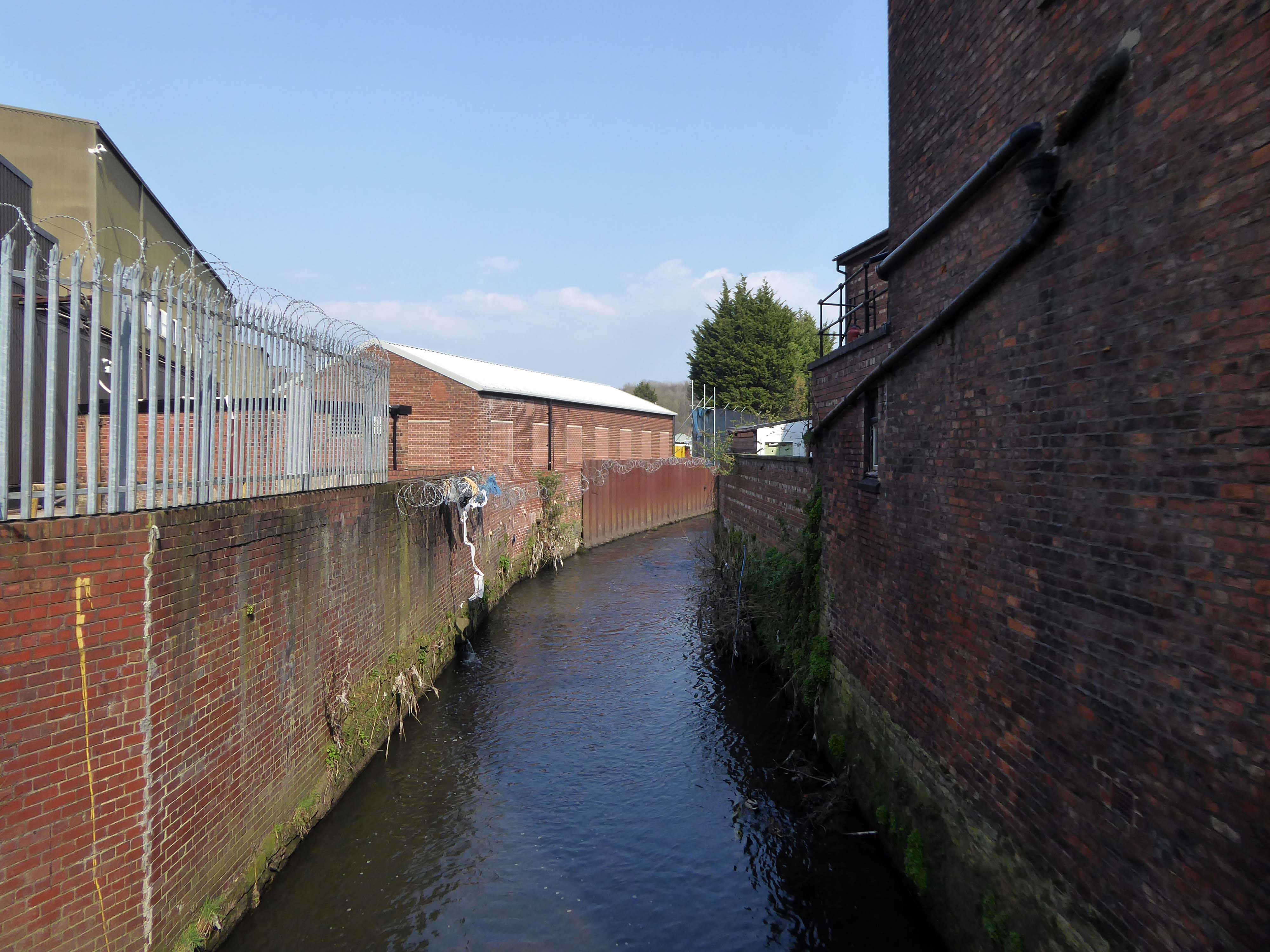
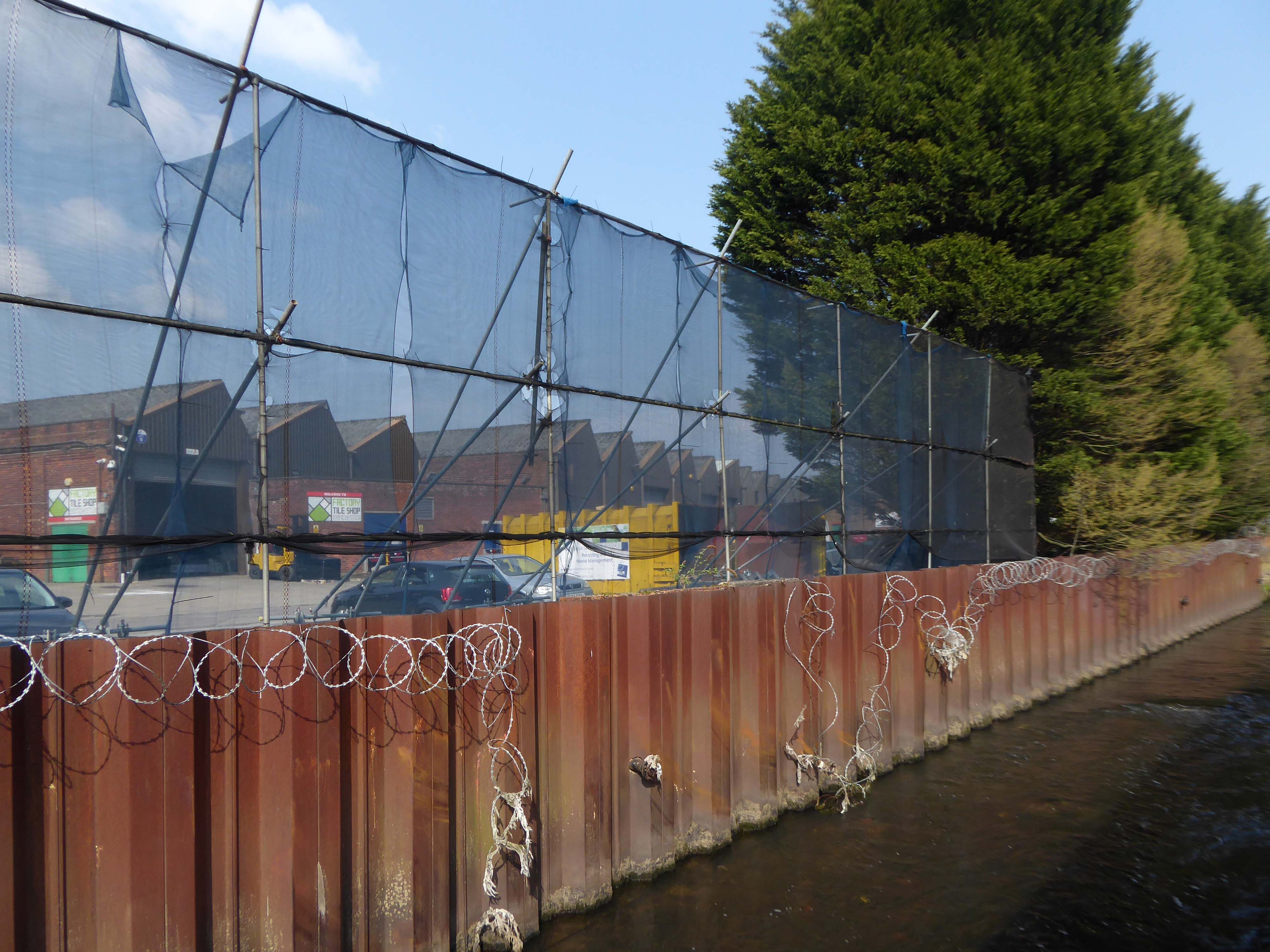
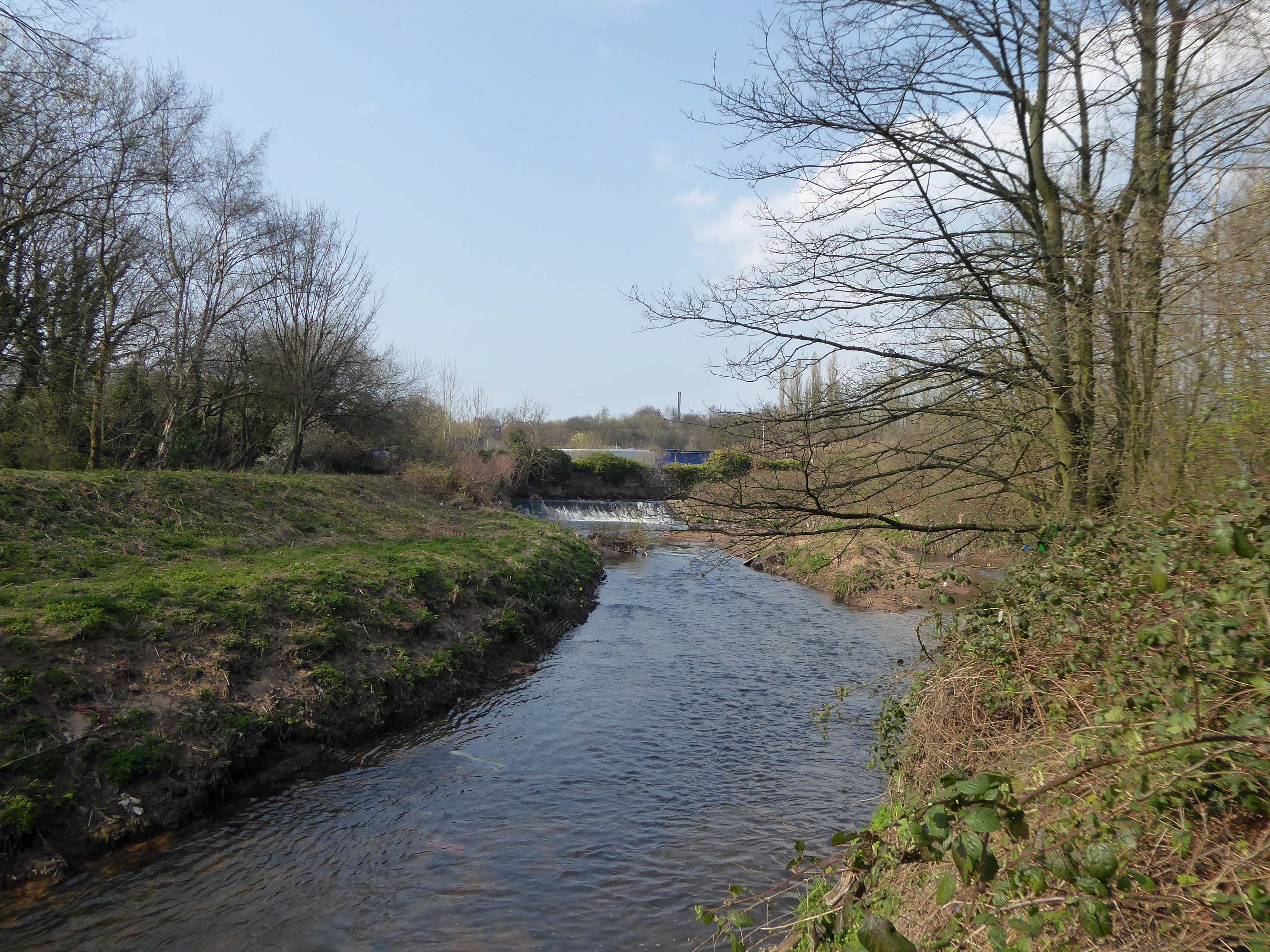
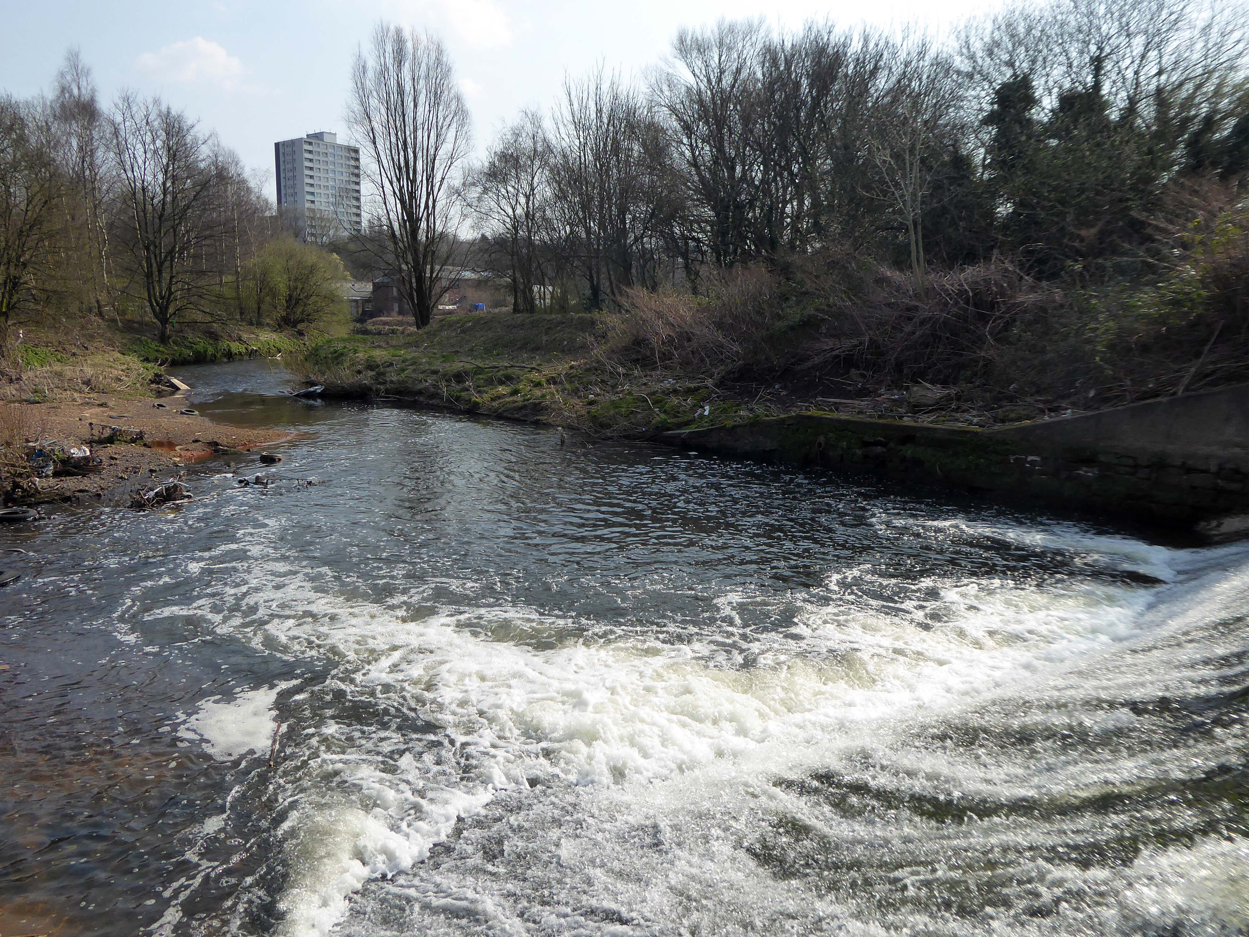
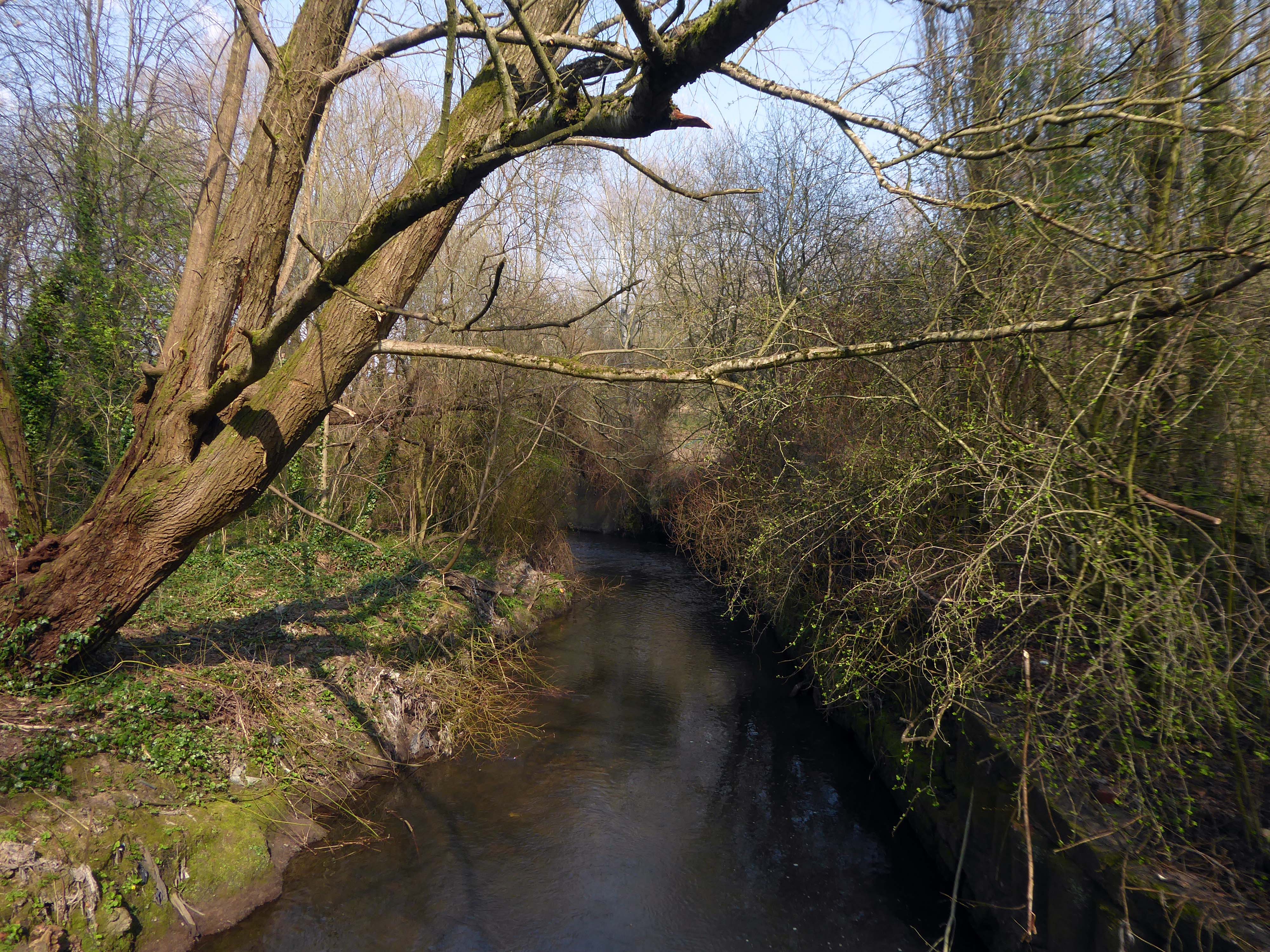
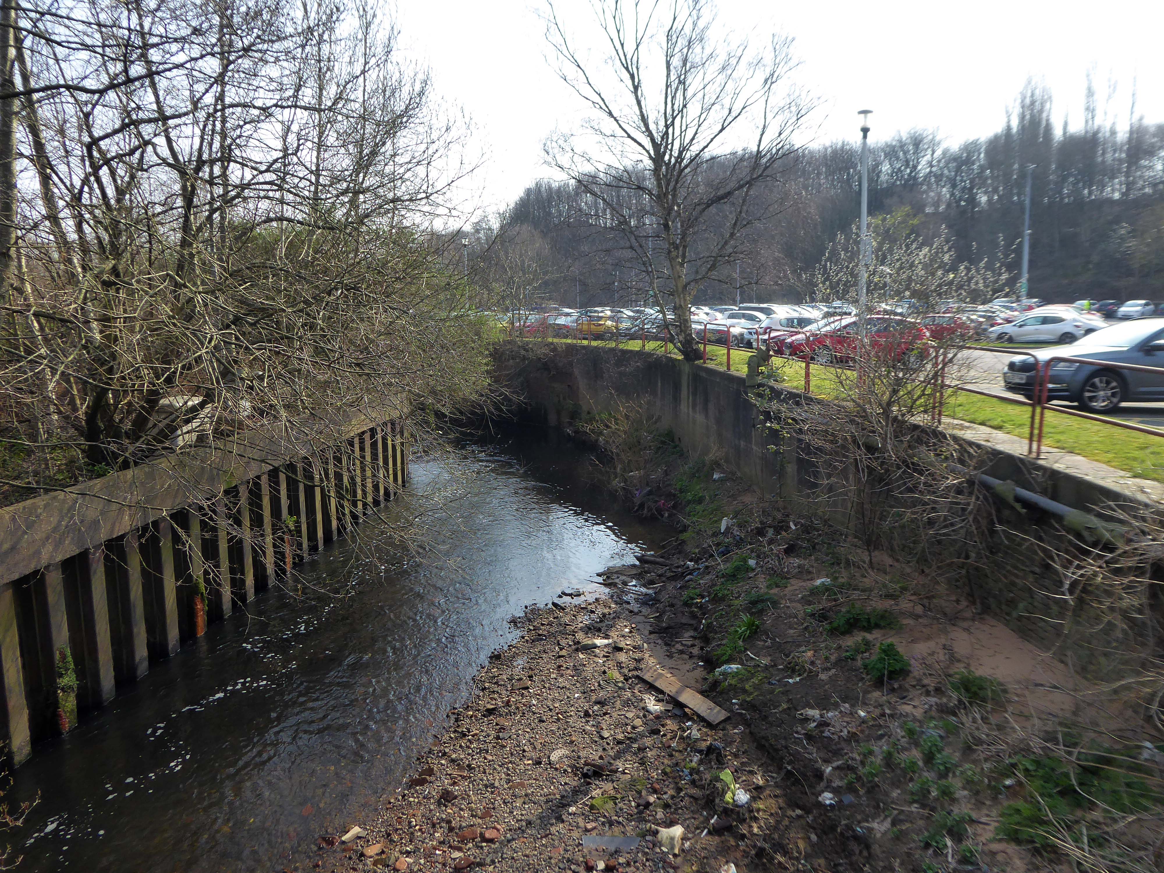
The Irk Valley – the damp, dark and dank Irk Valley.
The south bank of the Irk is here very steep and between fifteen and thirty feet high. On this declivitous hillside there are planted three rows of houses, of which the lowest rise directly out of the river, while the front walls of the highest stand on the crest of the hill in Long Millgate. Among them are mills on the river, in short, the method of construction is as crowded and disorderly here as in the lower part of Long Millgate. Right and left a multitude of covered passages lead from the main street into numerous courts, and he who turns in thither gets into a filth and disgusting grime, the equal of which is not to be found – especially in the courts which lead down to the Irk, and which contain unqualifiedly the most horrible dwellings which I have yet beheld. In one of these courts there stands directly at the entrance, at the end of the covered passage, a privy without a door, so dirty that the inhabitants can pass into and out of the court only by passing through foul pools of stagnant urine and excrement. This is the first court on the Irk above Ducie Bridge – in case any one should care to look into it. Below it on the river there are several tanneries which fill the whole neighbourhood with the stench of animal putrefaction.
Below Ducie Bridge the only entrance to most of the houses is by means of narrow, dirty stairs and over heaps of refuse and filth. The first court below Ducie Bridge, known as Allen’s Court, was in such a state at the time of the cholera that the sanitary police ordered it evacuated, swept and disinfected with chloride of lime. Dr. Kay gives a terrible description of the state of this court at that time. Since then, it seems to have been partially torn away and rebuilt; at least looking down from Ducie Bridge, the passer-by sees several ruined walls and heaps of debris with some newer houses. The view from this bridge, mercifully concealed from mortals of small stature by a parapet as high as a man, is characteristic for the whole district. At the bottom flows, or rather stagnates, the Irk, a narrow, coal-black, foul-smelling stream, full of debris and refuse, which it deposits on the shallower right bank.
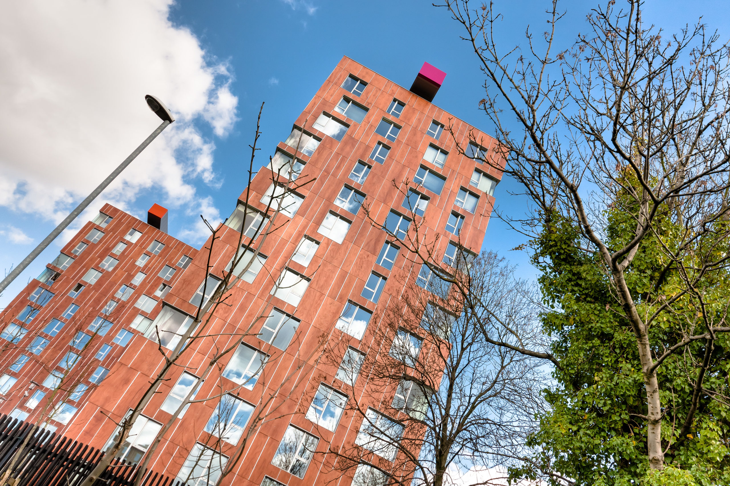
The stylishly designed living areas and carefully considered external finishes within the new buildings, have been designed to compliment the rich industrial architectural style of the area.
They were never built
Pinnacle Alliance plans to build 344 luxury apartments on a site near Dantzic Street, as part of the ‘Northern Gateway’. Dozens of investors have paid up to £350,000 for the off-plan apartments in the proposed scheme. But two years since many first paid out for their home, no work has actually begun on the £30m scheme.
The dispute has led to a demonstration in Hong Kong, where around 50 buyers took to the streets over Christmas urging local authorities to take up their concerns. And in an unusual twist, protestors even recorded their own campaign song – to the tune of Jingle Bells – criticising Pinnacle.
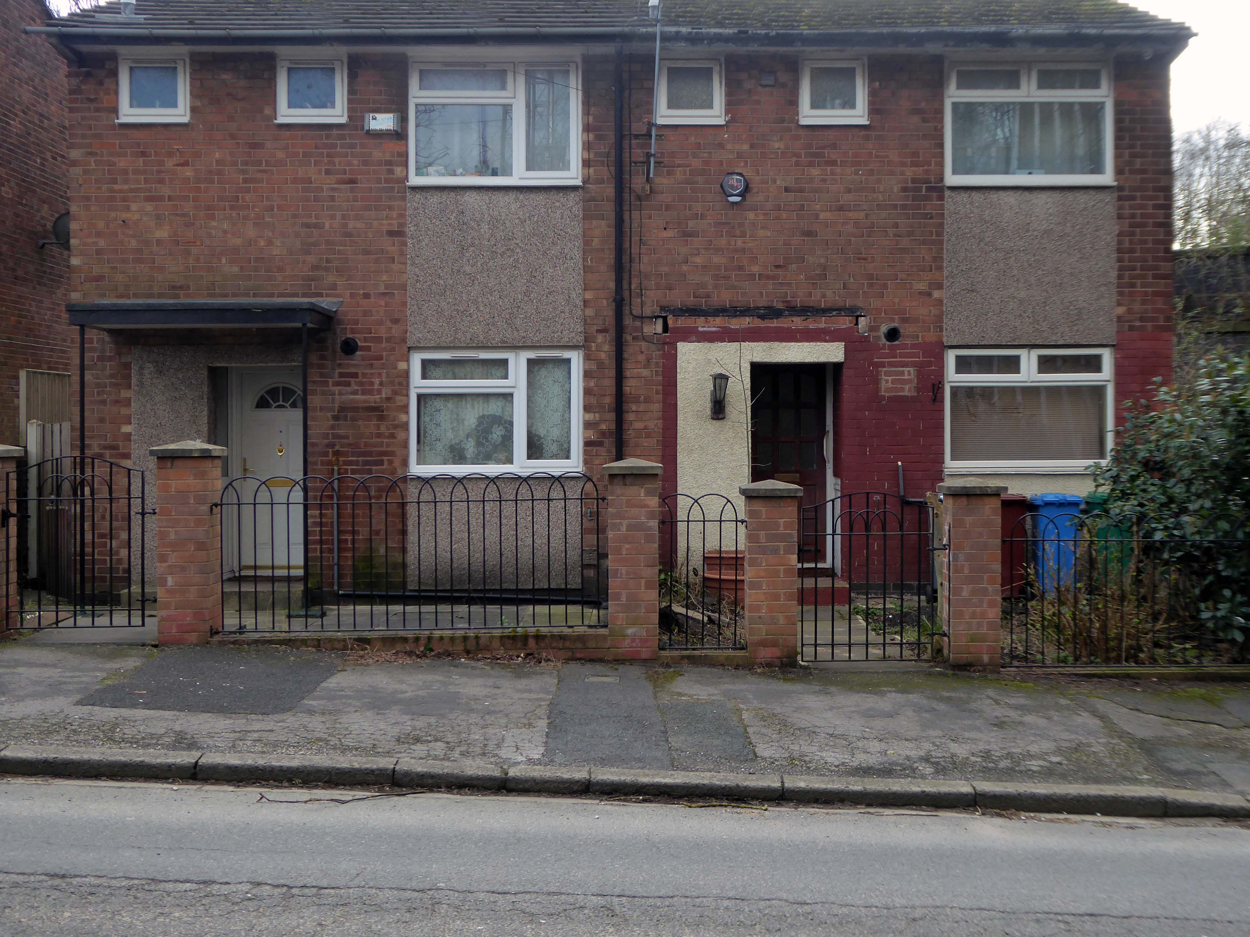
On the way out are the Travellers’ homes on the other side of the road, adjoining the Irk valley.
Thought to be in danger of flooding, they were condemned, yet there are plans to build on the site for less contentious or socially inclusive usage.
For centuries the commons of England provided lawful stopping places for people whose way of life was or had become nomadic. Enough common land survived the centuries of enclosure to make this way of life sustainable, but by section 23 of the Caravan Sites and Control of Development Act 1960 local authorities were given power to close the commons to Travellers. This they proceeded to do with great energy, but made no use of the concomitant power given to them by section 24 of the same Act to open caravan sites to compensate for the closure of the commons. By the Caravan Sites Act 1968, therefore, Parliament legislated to make the section 24 power a duty…for the next quarter of a century there followed a history of non-compliance with the duties imposed by the Act of 1968, marked by a series of decisions of this court holding local authorities to be in breach of their statutory duty; but to apparently little practical effect. The default powers vested in central government, to which the court was required to defer, were rarely if ever used.
The Home Secretary, Priti Patel, said yesterday, that the new laws will target trespassers – who intend to reside on any private or public land in vehicles without permission, and where they are causing significant disruption, distress or harm to local communities.
This new offence will enable the police to fine or arrest those residing without permission on private or public land in vehicles in order to stop significant disruption, distress or harm being caused to the law-abiding majority – she added.
The new law also gives the police the powers to seize and impound vehicles whose owners fail to comply with the new law and who refuse or can’t leave.
You are criminalising a problem that has been created by the failings of a political will to deliver appropriate accommodation.
So here we are – in the shadow of the ever expanding New Manchester – no homes for those who choose their own traditional way of life.
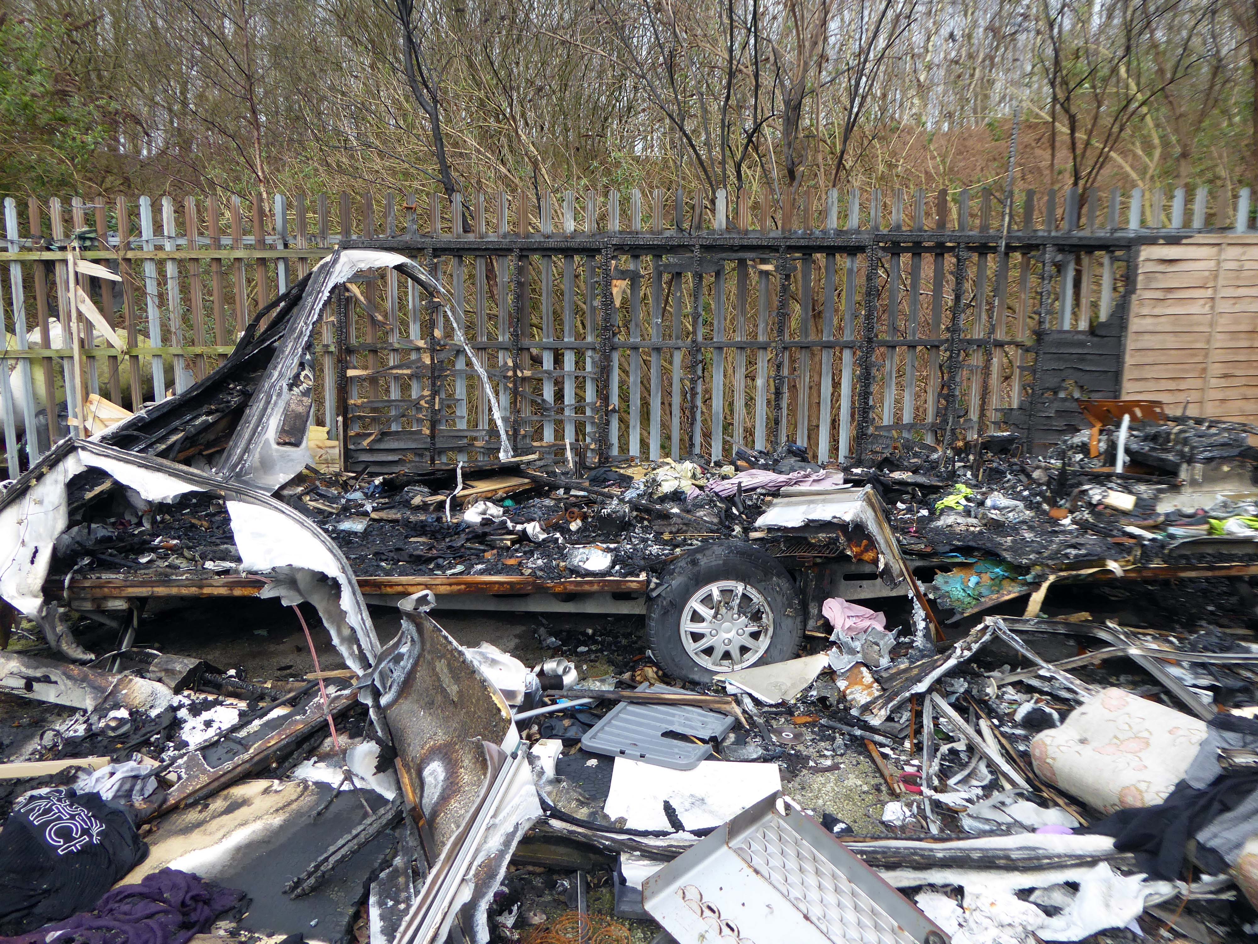
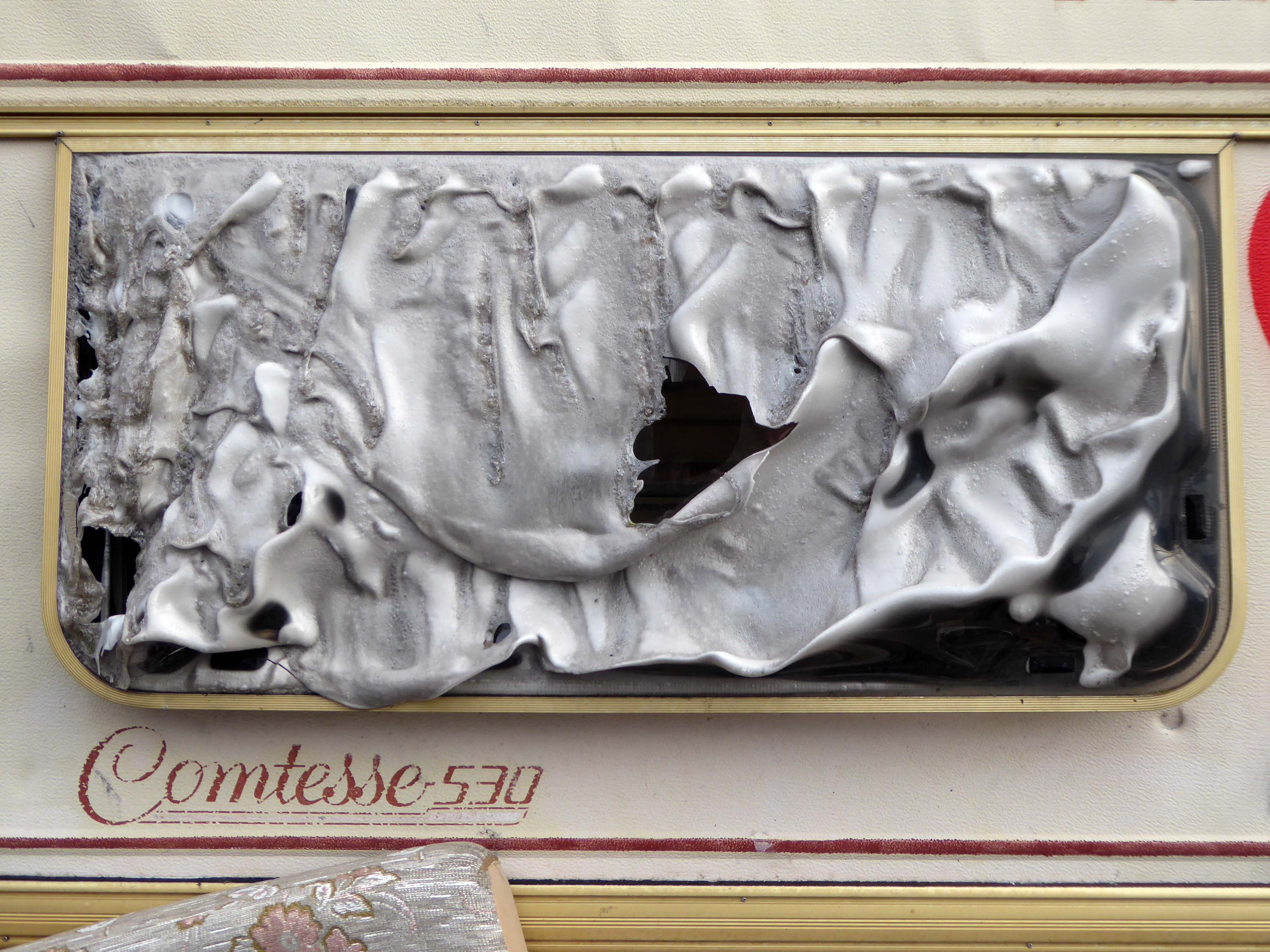
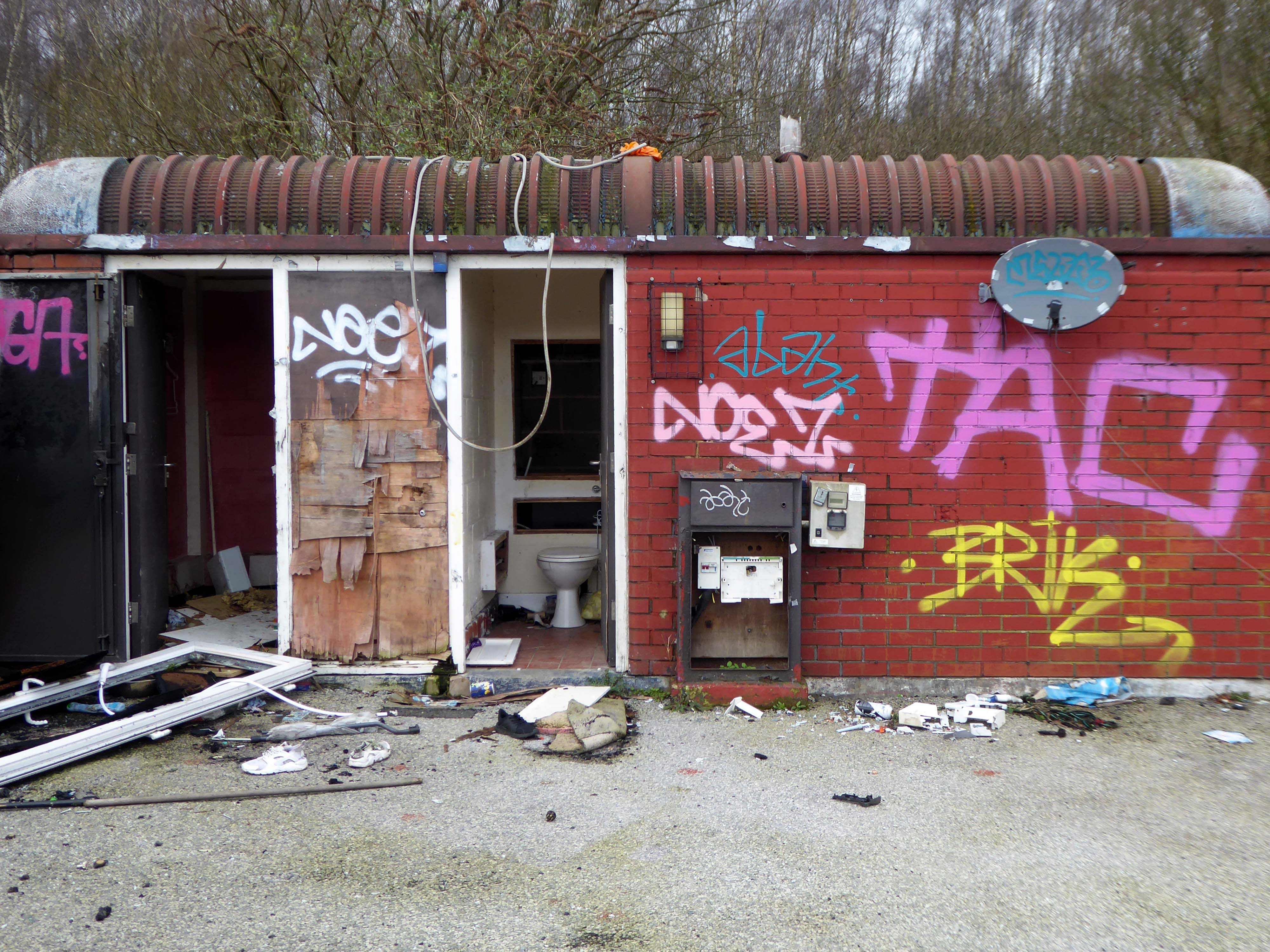
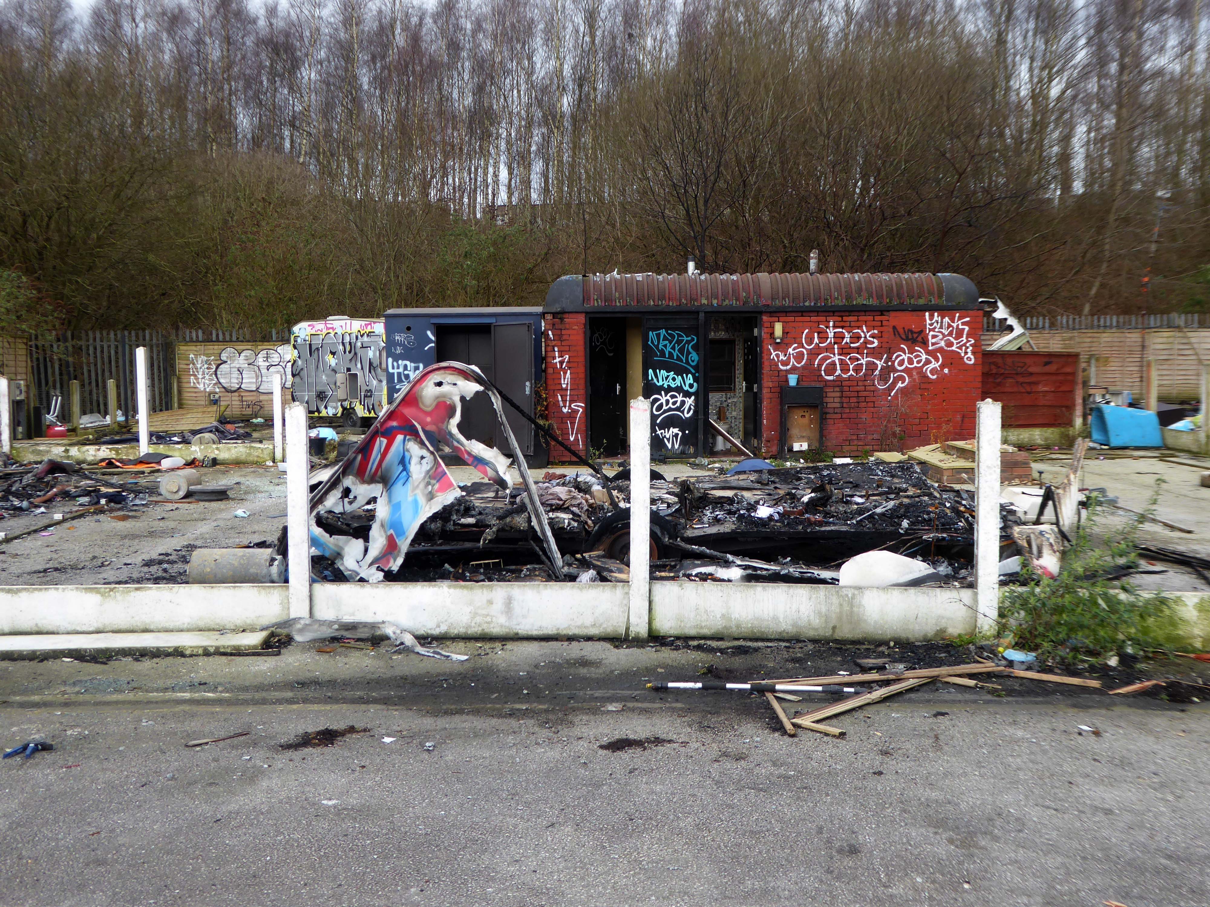
Burnt out shells, discarded toys and a population of ghosts.
Today, we live in a political economy that has been dominated by neoliberalism as a consolidation of the role that capital has in accumulation by dispossession. It has been written extensively elsewhere that contemporary neoliberal land policy affects seemingly disparate groups within the urban population. Less explored, however, is how this logic affects GRT communities in particular.
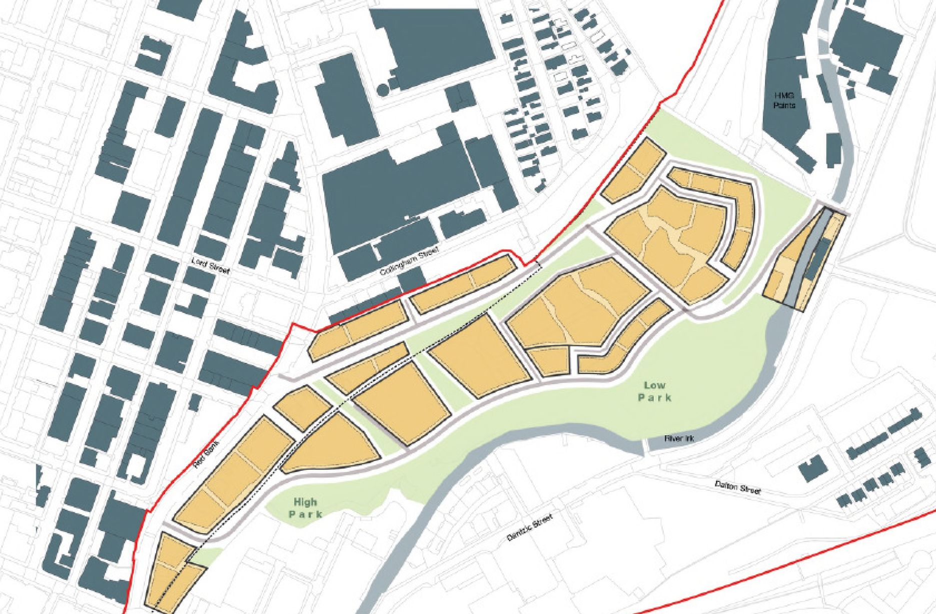
The traveller site on Dantzic Street lies within the forthcoming Red Bank neighbourhood, on the meander of the Irk, this particular neighbourhood will consist of:
Given its proximity to the Green Quarter and other luxury residences, we can expect the rent gap produced by speculative land values to be fully exploited on this patch of land. As for a new traveller site to replace the one on Dantzic Street, the future remains unclear. Having reached out to an Executive Member for Housing and Employment within MCC about ecological concerns alongside the worries concerning lack of land access to travellers, the first question was responded to with misplaced enthusiasm whilst the latter was yet to be briefed at all.
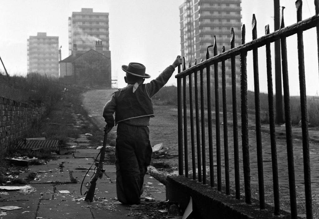
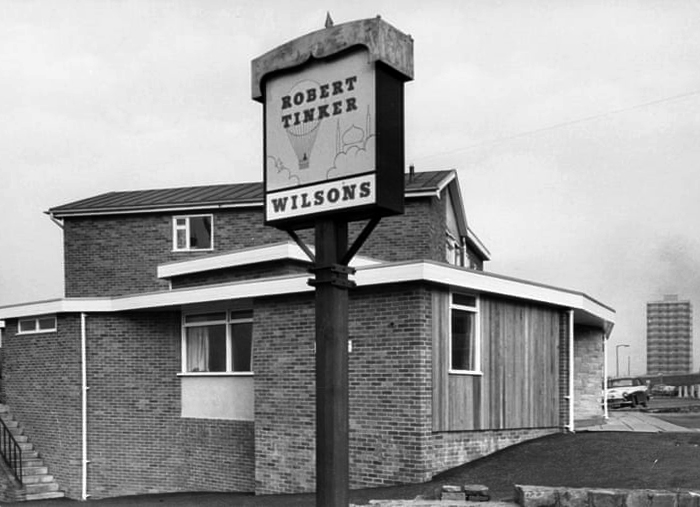
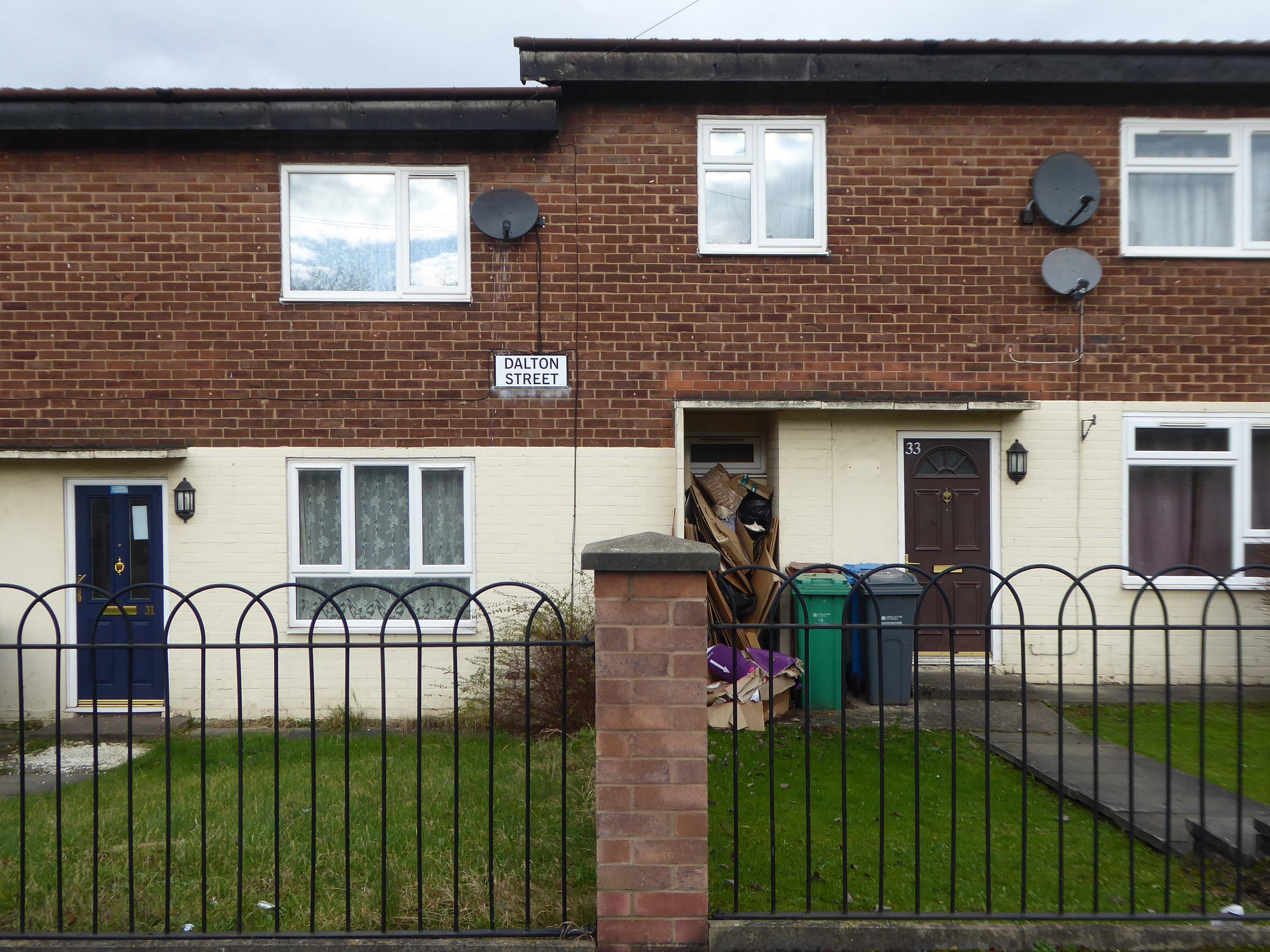
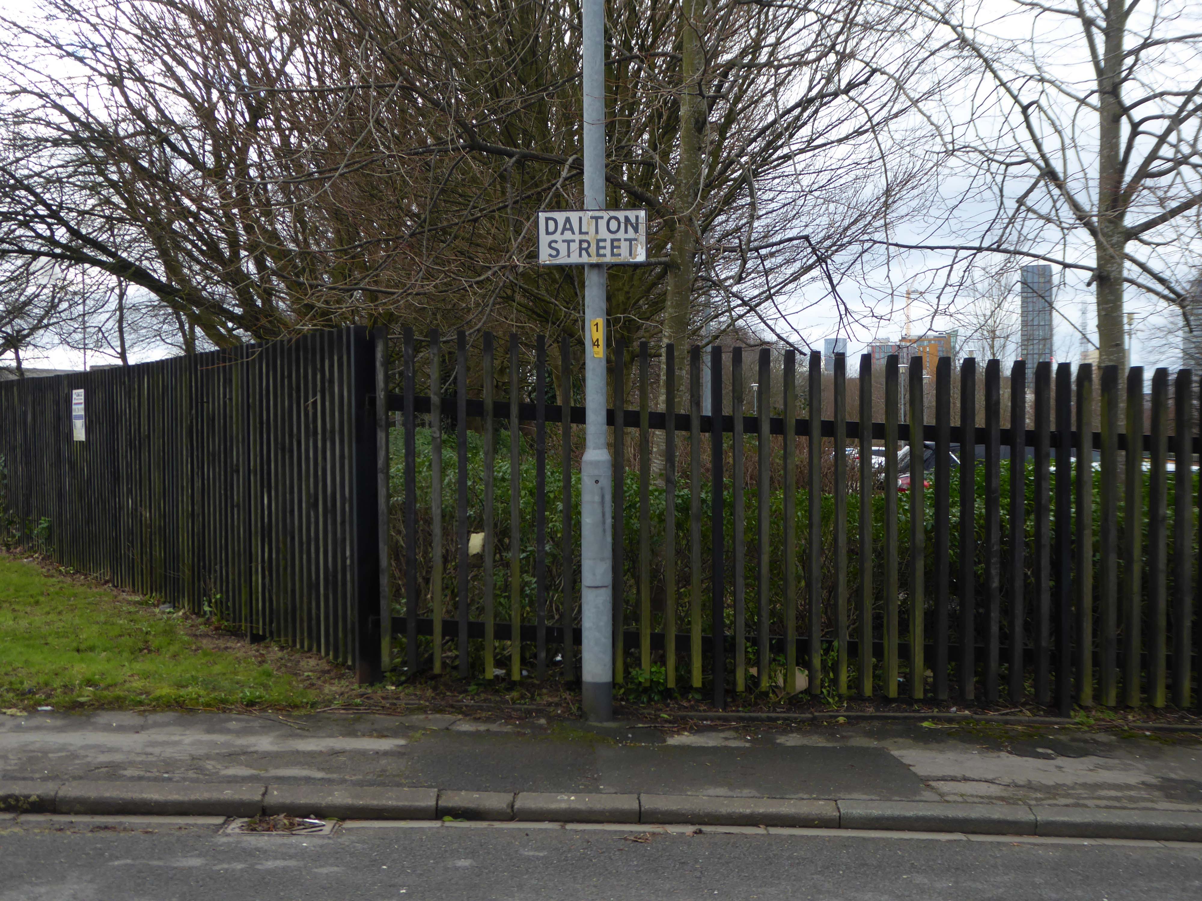
Now I’m going east to Dalton Street, home to the Collyhurst cowboy.
Photograph: Dennis Hussey
This is an illusion within an illusion, twice removed.
The Hollywood recreation, recreated on the rough ground of post war Britain.
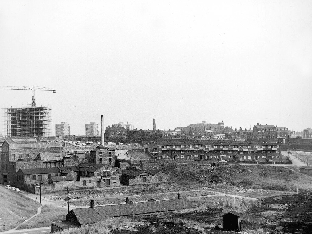
In 1960 the area was a dense network of streets, industry and homes – demolished during the period of slum clearance.
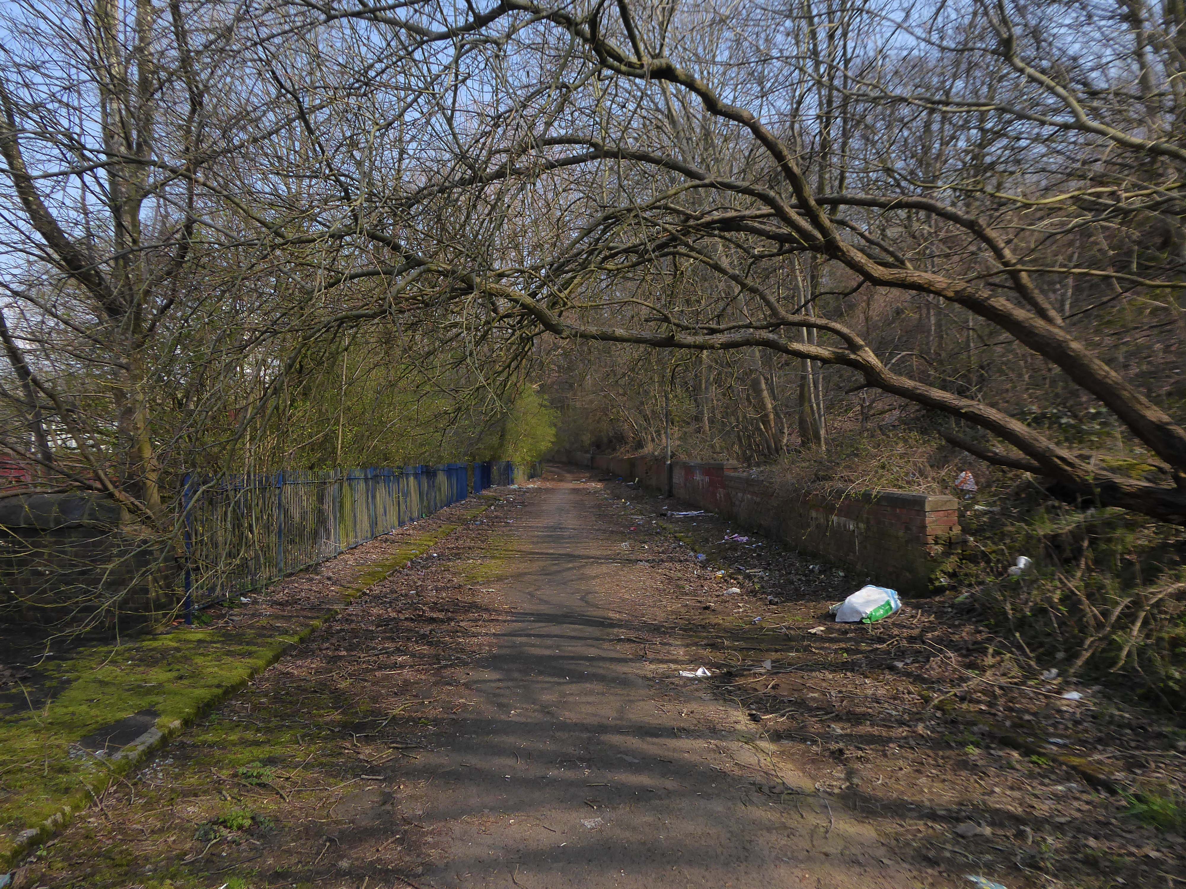
Escaping the dark, dank Irk Valley onwards and upwards to Rochdale Road.
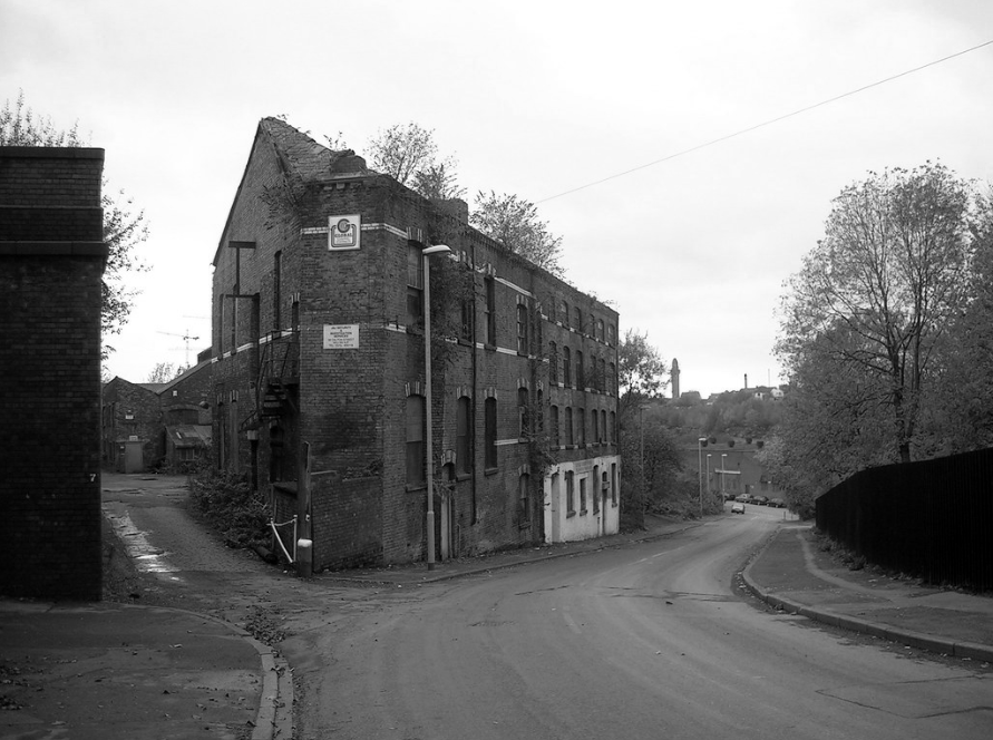
The Dalton Works Arnac factory survived until 2008
Photograph: Mikey
The tight maze of Burton Street and beyond, reduced to rubble.
Dalton Street was not home to the Dalton Gang, they lived here in Oklahoma
It was home to imaginary gangs, committing imaginary crimes, in an imaginary Manchester, in ITV’s Prime Suspect Five.
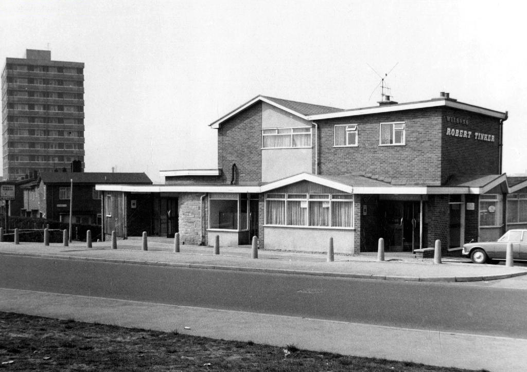
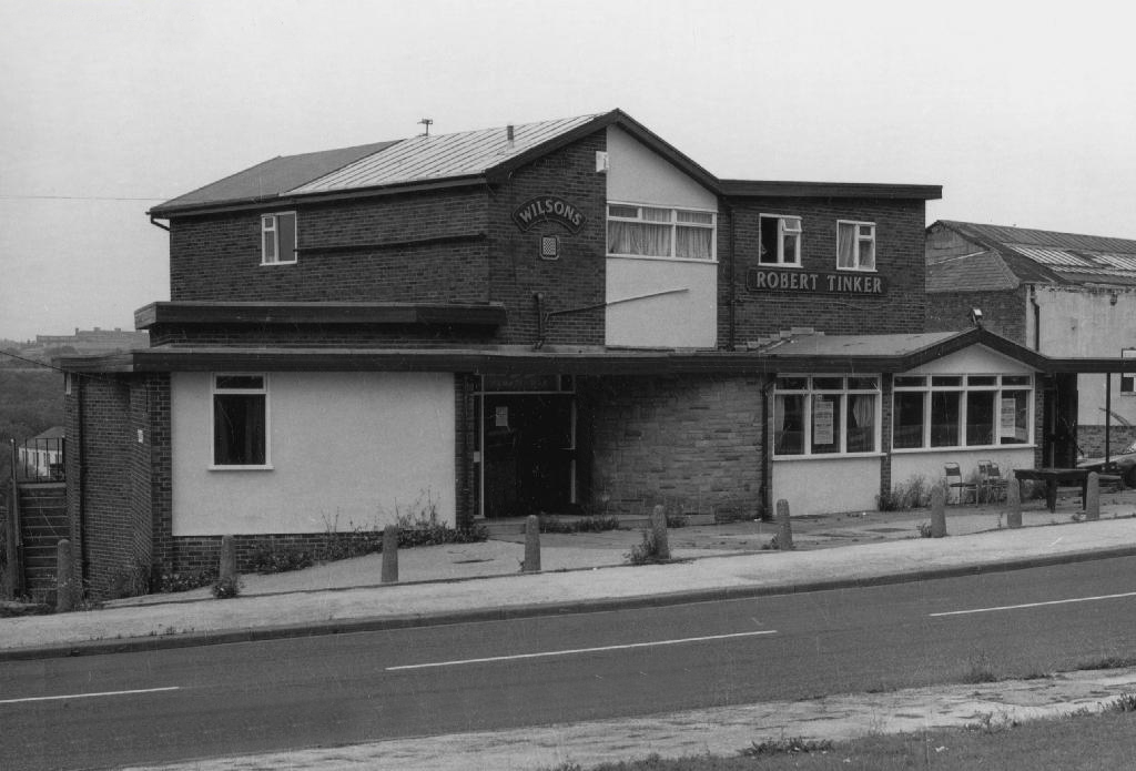
Kangol capped criminals doing business outside the Robert Tinker on the corner of the very real Dalton and Almond Streets.
The Robert Tinker was an estate pub in a run down area of Collyhurst. The pub looked pretty grim from the outside, but it was smarter than I expected inside, I had a drink in the lounge which was carpeted and comfortable. This was a Banks’s tied house and there were two real ales on the bar, I had a drink of Banks’s bitter and this was a decent drink, the other beer was Banks’s mild. This pub closed about two years after my visit and looked derelict, it has now been demolished.
Robert Tinker was the owner of the Vauxhall Gardens, a Victorian pleasure venue.
At the openingthere was a special attraction, a giant cucumber which had been grown in the gardens reaching a length of seven feet and eight inches and a large and beautiful balloon was to be liberated at 9pm
Much of the red sandstone used for building in Manchester and the surrounding area, including stone for the Roman fort at Castlefield, St Ann’s Church in the city centre, Manchester Cathedral and the original buildings of Chetham’s Hospital, came from Collyhurst Quarry. Geologists use the term Collyhurst Sandstone for this type of soft red sandstone, which occurs in North West England
Tinker died in 1836 and gradually his gardens were whittled away, the subsoil was sold to iron moulders who cherished its certain properties and before long the trees were chopped down and houses were being built on the former site.
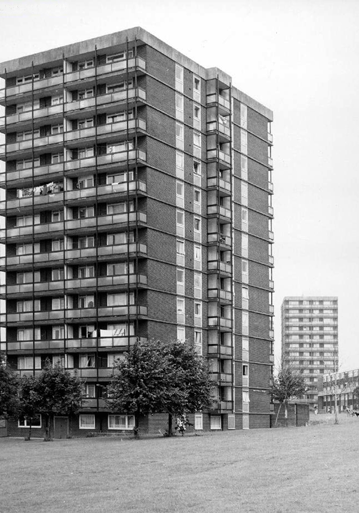
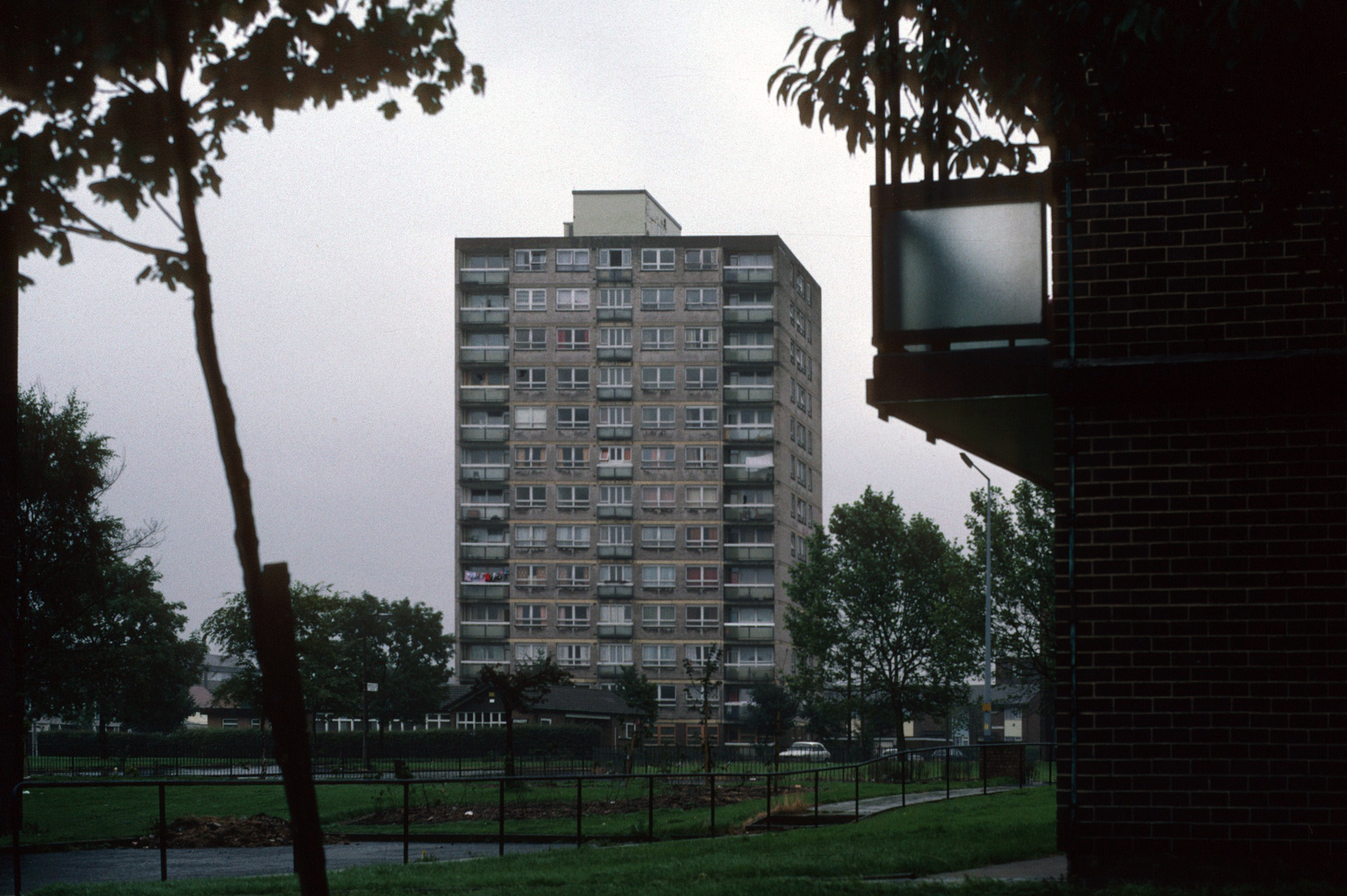
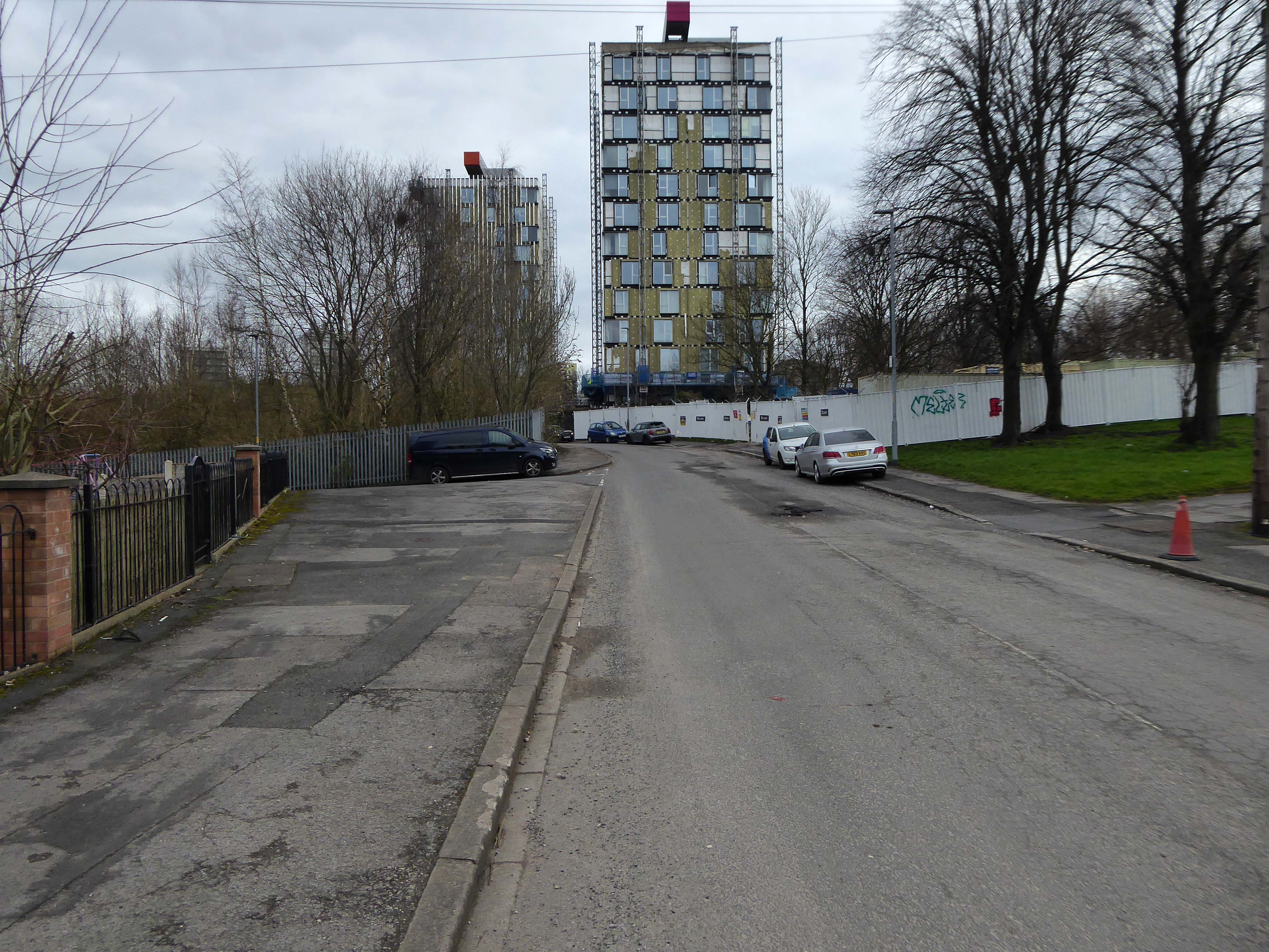
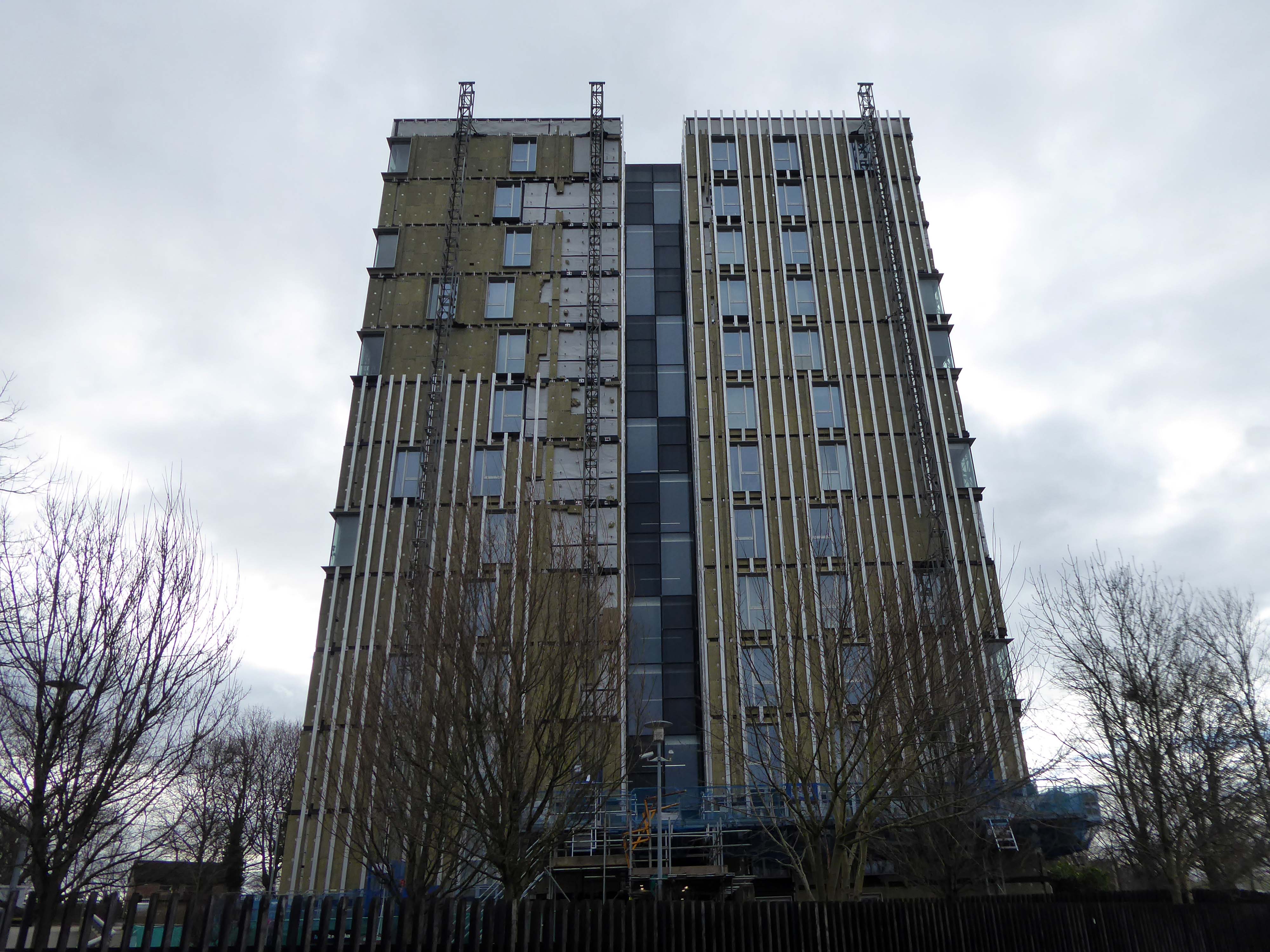
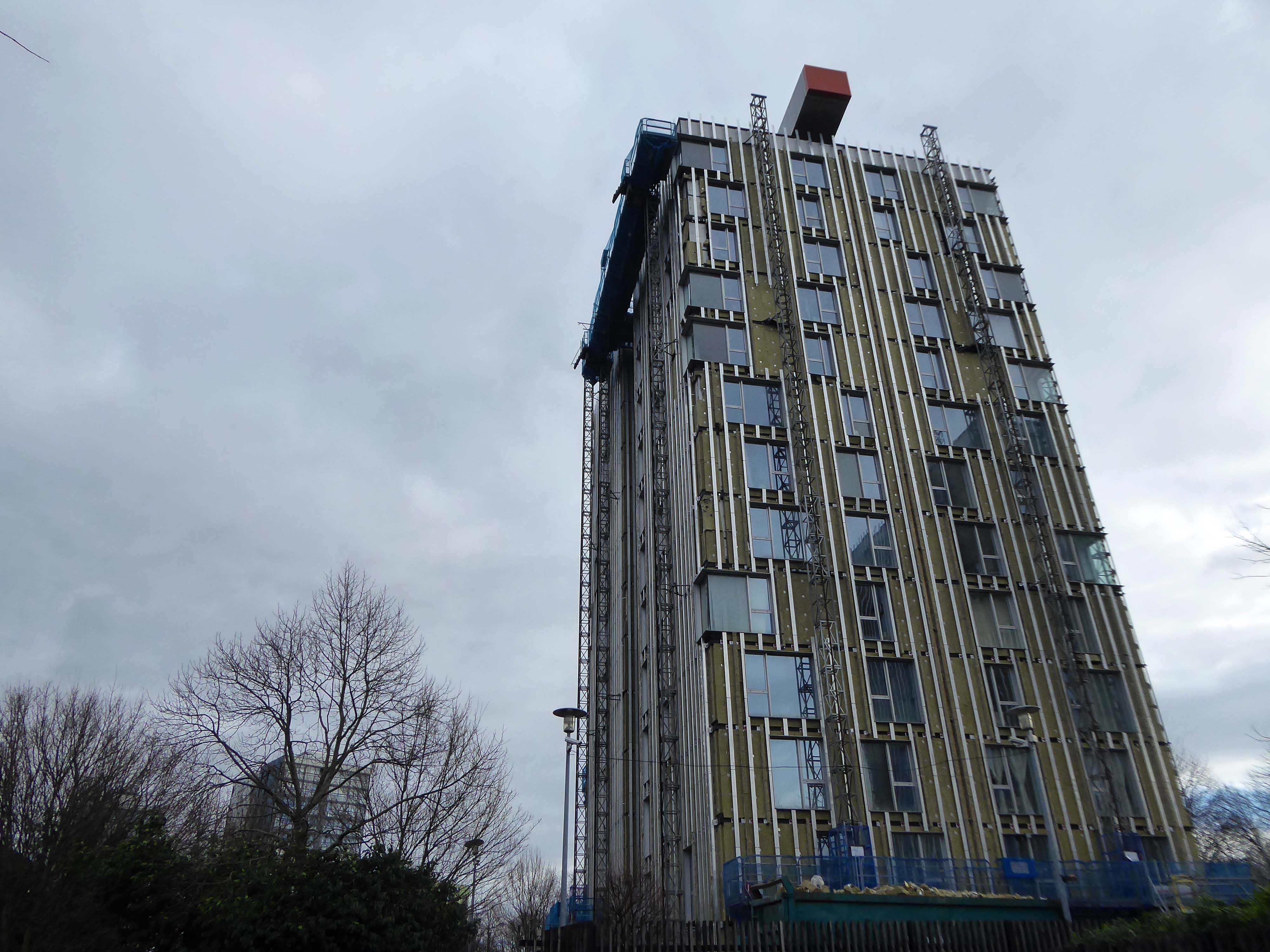
Those houses are in their turn whittled away, replaced in the 1960’s with fashionable tower blocks.
Architects: J Austen Bent 1965
In total five thirteen storey blocks – Humphries, Dalton, Roach, Vauxhall and Moss Brook Courts
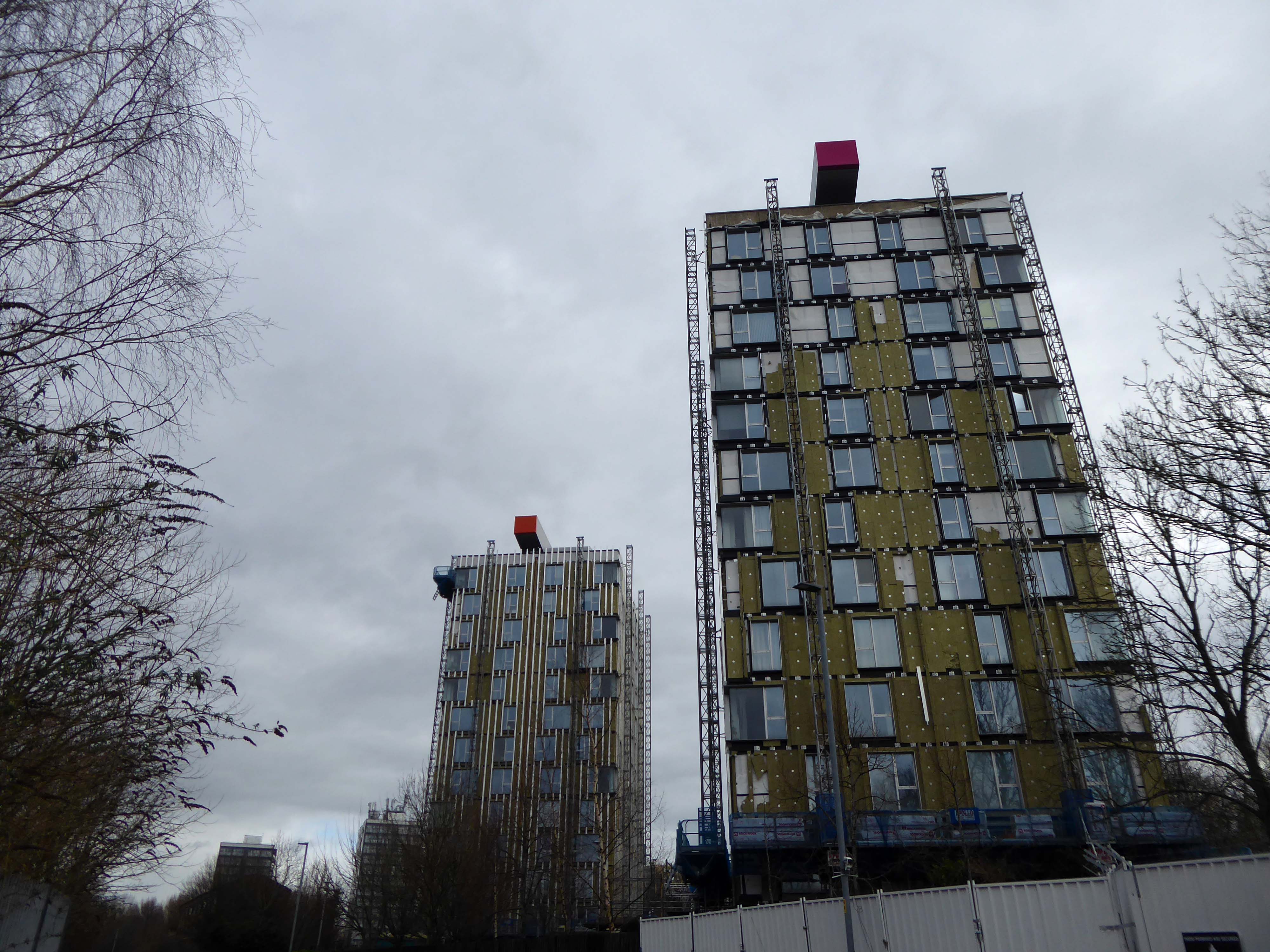
Subsequently purchased by Urban Splash and refurbished:
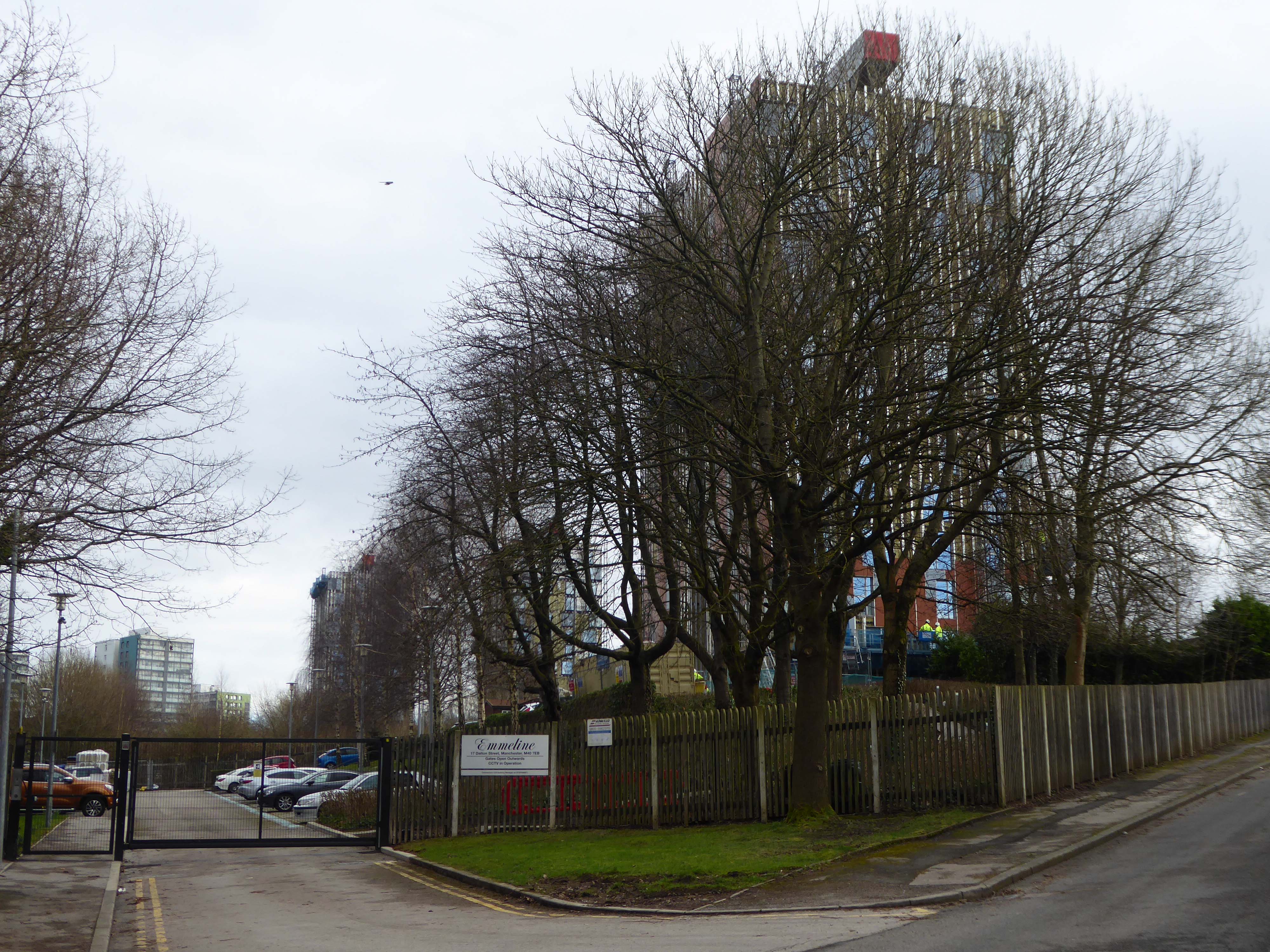
Designed by Union North Architects, the names for the Three Towers were decided in a public competition and the winning names were Emmeline, Christabel and Sylvia – naming the towers after the Pankhurst sisters and their mother.
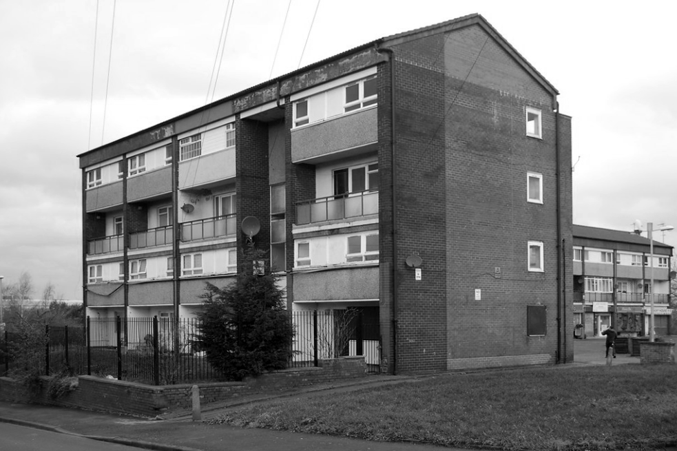
The remains of the remaining Eastford Square homes tinned up and secured awaiting who knows what.
So let’s take a short walk, see how things stand.
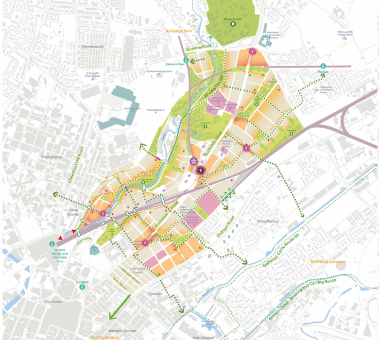
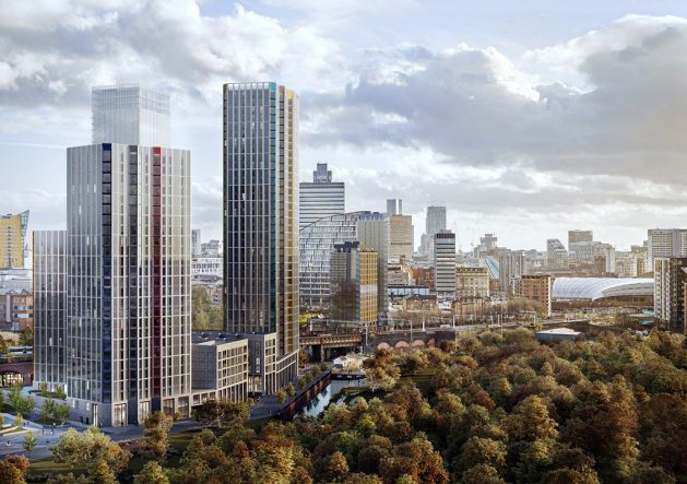
The area now forms the core of the latest municipal Masterplan – Victoria North.
Victoria North is a joint venture programme between Manchester City Council and developer Far East Consortium.
An internationally recognised developer, FEC specialises in residential led mixed-use developments and hotels, along with its casino and car park operations throughout mainland Europe.
The cowboys are now long gone – or are they?
When I was a cowboy out on the Western Plain Well, I made a half a million Working hard on the bridle reins
Come a cow-cow yicky come a cow-cow yicky, Harpurhey
The report argues that the Northern Gateway should offer mixed, affordable and age appropriate housing and amenities. An equitable development plan should be developed, through community-led engagement, to ensure that the benefits of regeneration are shared amongst new and existing residents.
As of 2021 there is inaction and stasis
Collyhurst was described as a ‘forgotten place’ by some residents who felt that there had been insufficient investment in local housing and amenities.
The Northern Gateway remains a hidden portal to who knows where.
Detailed proposals for a second scheme to be delivered within neighbouring South Collyhurst, one of the seven neighbourhoods to be developed as part of the overall Framework, are expected later this year.
Far East Consortium and Manchester City Council’s 390-acre masterplan will now be known as Victoria North, a move that aims to “create a sense of place”, according to Gavin Taylor, regional general manager at FEC in Manchester.
The Northern Gateway has served us well as a name as we shaped plans for the area’s regeneration. But as we begin to bring forward development this year, it’s the right time to start creating a sense of place for what will be a significant new district in Manchester, as well as an identity that people can engage with.
Sir Richard Leese, leader of Manchester City Council, said:
We are at the beginning of an incredibly exciting phase of history for this part of Manchester and with some eagerness to see how this potential unfolds.
Victoria Riverside, a 634- home development marks the first stage of the regeneration project with the first apartments hitting the market.
The three towers – Park View, City View and Crown View, are based within the Red Bank neighbourhood.
Red Bank has been described as:
A unique landscape and river setting making the neighbourhood perfect for a residential-led, high-density development – all set in a green valley.
The putative William Mitchell totem continues to keep silent watch over the Square.