Having photographed the arterial roads of Manchester in 2014, I have resolved to return to the task in 2024.
Some things seem to have changed, some things seem to have stayed the same.



















Having photographed the arterial roads of Manchester in 2014, I have resolved to return to the task in 2024.
Some things seem to have changed, some things seem to have stayed the same.


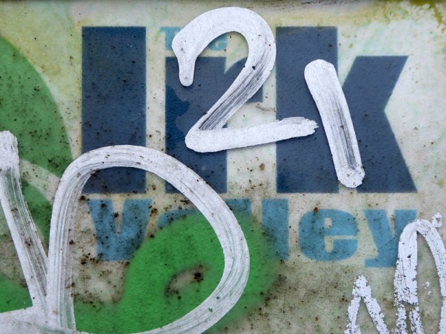
The first leg of a journey to the source of the River Irk beginning behind Victoria, finishing by the Hexagon Tower in Blackley.
The Irk’s name is of obscure etymology, but may be Brittonic in origin and related to the Welsh word iwrch, meaning roebuck
In medieval times, there was a mill by the Irk at which the tenants of the manor ground their corn and its fisheries were controlled by the lord of the manor. In the 16th century, throwing carrion and other offensive matter into the Irk was forbidden. Water for Manchester was drawn from the river before the Industrial Revolution. A bridge over the Irk was recorded in 1381. The river was noted for destructive floods. In 1480, the burgesses of Manchester described the highway between Manchester and Collyhurst which – the water of Irk had worn out. In 1816, of seven bridges over the Irk, six were liable to be flooded after heavy rain but the seventh, the Ducie Bridge completed in 1814 was above flood levels.
According to The New Gazetteer of Lancashire the Irk had – more mill seats upon it than any other stream of its length in the Kingdom and – the eels in this river were formerly remarkable for their fatness, which was attributed to the grease and oils expressed by the mills from the woollen cloths and mixed with the waters.
However, by the start of the 20th century the Irk Valley between Crumpsall and Blackley had been left a neglected river – not only the blackest but the most sluggish of all rivers.
The river emerges from beneath the city into an area named Scotland – a remnant of Manchester’s links with the Jacobite Rebellion.
To the left were the squalid Victorian homes of Red Bank – currently presenting as the Green Quarter.
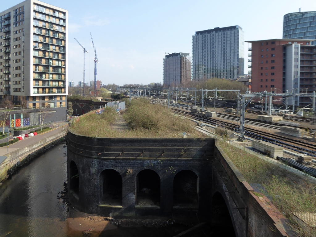


The river briefly becomes subterranean again.


This is a river with an ignominious history – famously damned by émigré Friedrich Engels.
At the bottom flows, or rather stagnates, the Irk, a narrow, coal-black, foul-smelling stream, full of debris and refuse, which it deposits on the shallower right bank.
Mr Engels currently resides by the Medlock.


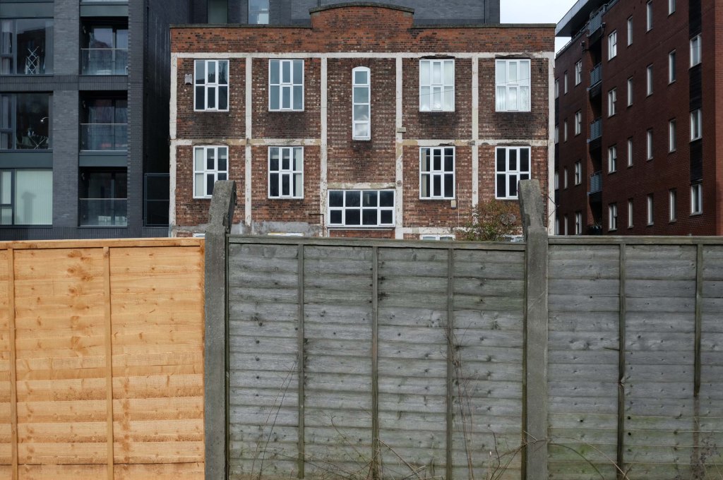
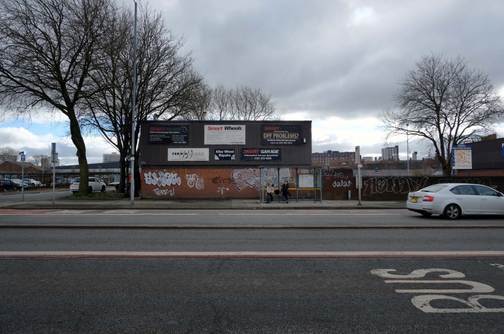
The stretch along Dantzic Street into Collyhurst Road was heavily industrialised, of which some remnants prevail.

Along with an abandoned traveller’s camp, where once the gas works had stood.

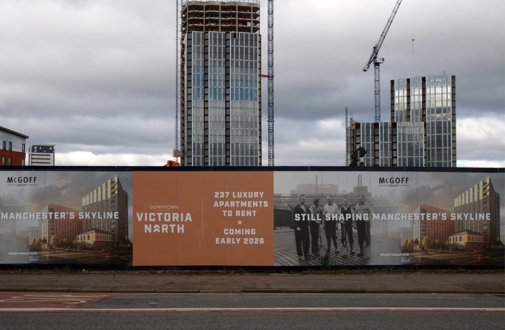
New housing is being built forming the first wave of the Victoria North masterplan.
Previous enterprises have hit the buffers beneath the railway on Bromley Street.


To the right is Dalton Street once home to the Collyhurst Cowboy.
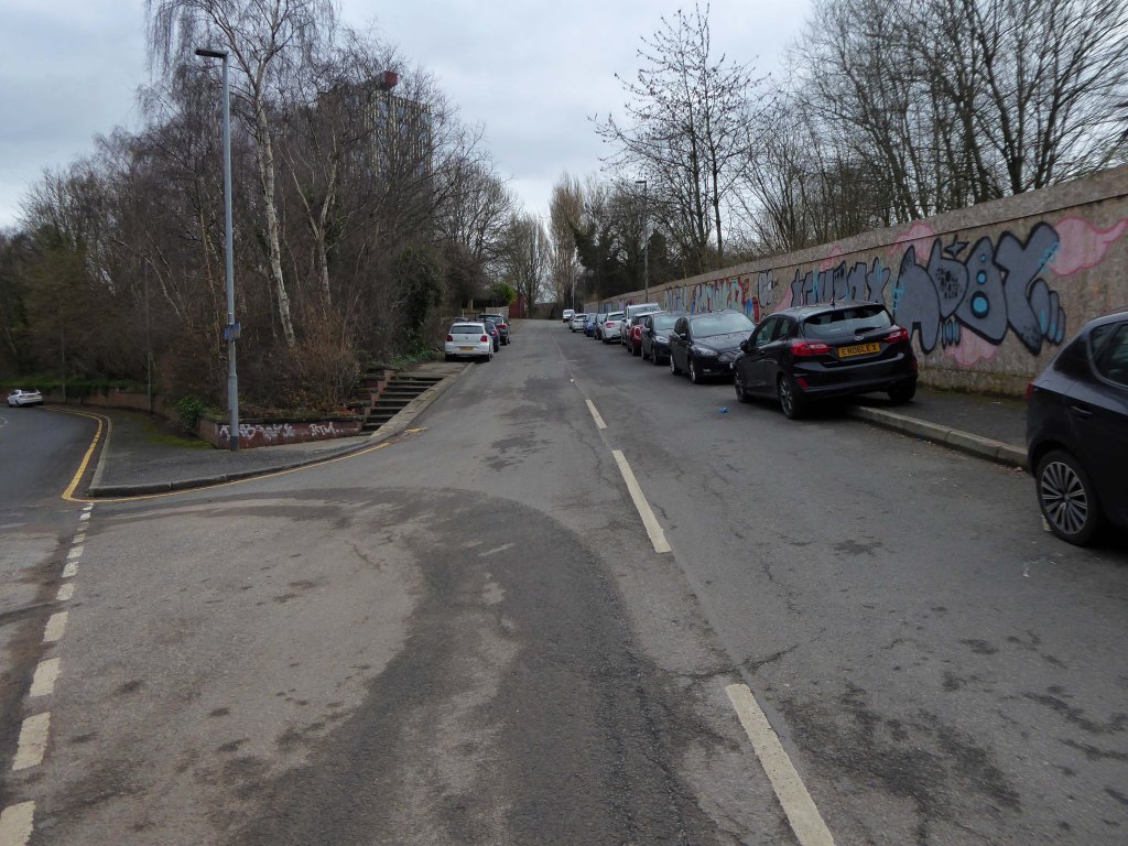

Here are the remains of Vauxhall Street, named for Vauxhall Pleasure Gardens, built in the remains of the Collyhurst Quarry – which in turn became Sandhills.

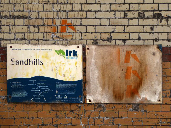
There are current plans afoot to create a City River Park.

In addition the local authority oversees the Irk River Valley Project , along with Groundwork, United Utilities, Woodland Trust and Greggs.
To the left are St Catherine’s Steps

Immortalised by almost local lad LS Lowry

Spanning the defunct railway workings, affording a view of the brightly blooming city centre.


Leaving Collyhurst Road, we journey along Smedley Road.

Seen here in 1934.

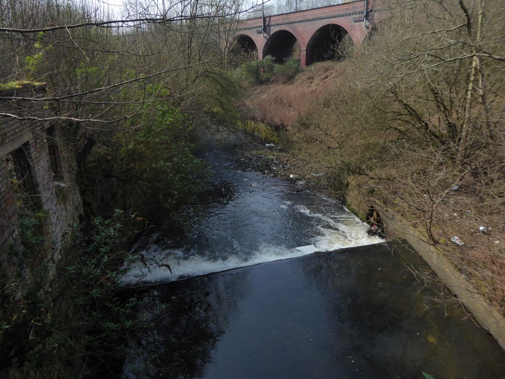


Passing beneath Queens Road – Queens Park to the right.
Queen’s Park was one of Britain’s first municipal parks created in 1846. The park was originally arranged around Hendham Hall, home of the Houghton family however this was demolished in 1884.
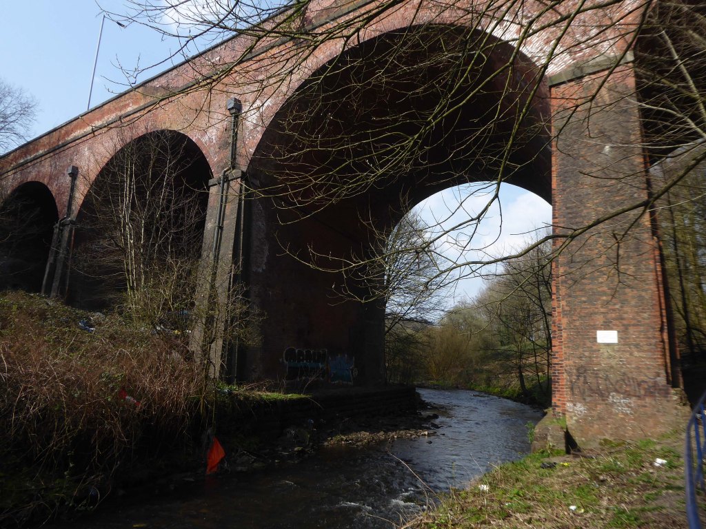
Dropping down to Hendham Vale.


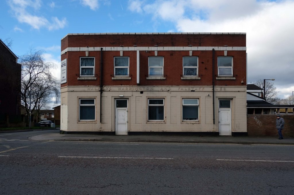
The Smedley Hotel is a very large pub that is hidden away on a quiet back street. Once inside there were a few different rooms and I had a drink in the bar which was fairly large and seemed in need of some attention. The pub still had its old Chesters signs outside and there were three real ales on the bar. I had a drink of Chesters bitter and this was a very nice drink the other beers were Chesters mild and Boddington’s bitter.
I thought this pub would be long gone but it is still standing and I think open for business.

Lost to the world are the Manchester Moderne flats of Kennet House overlooking the Irk Valley on Smedley Lane.


Hendham Way becomes a pedestrianised lane.


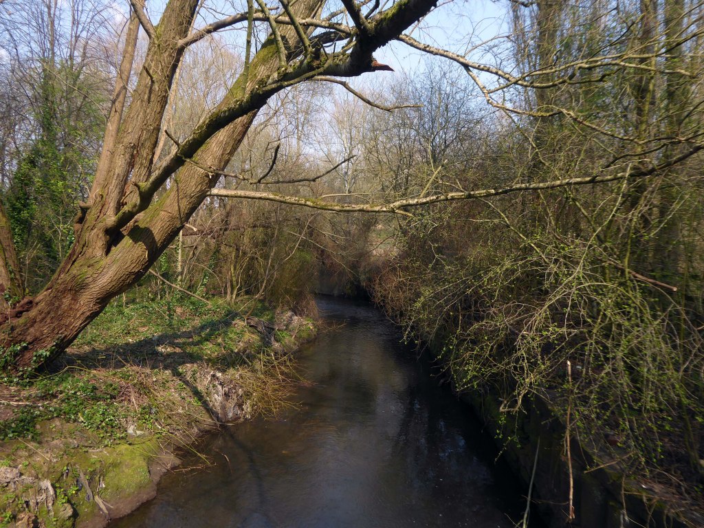
A remnant of the industrial era the reservoirs and ponds, once used by the factories as a source of water, have over the year become a thriving habitat which supports a substantial amount of wildlife.




Black and white photographs: Manchester Local Image Collection