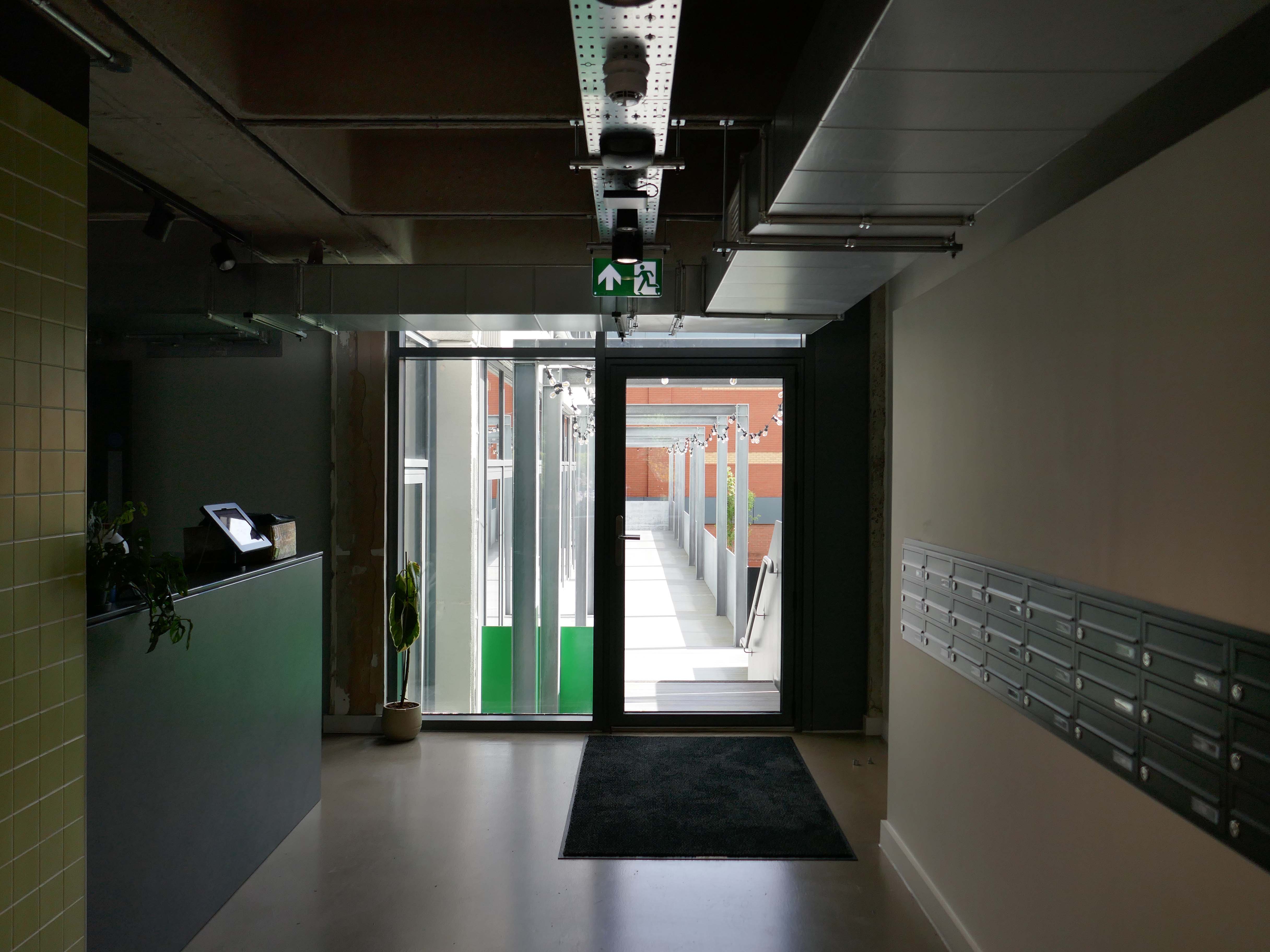
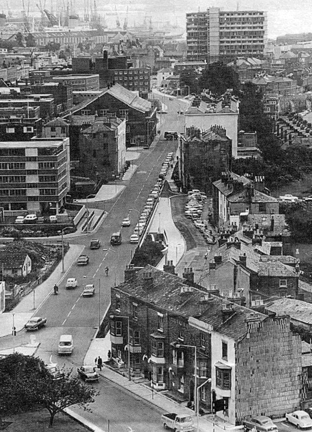
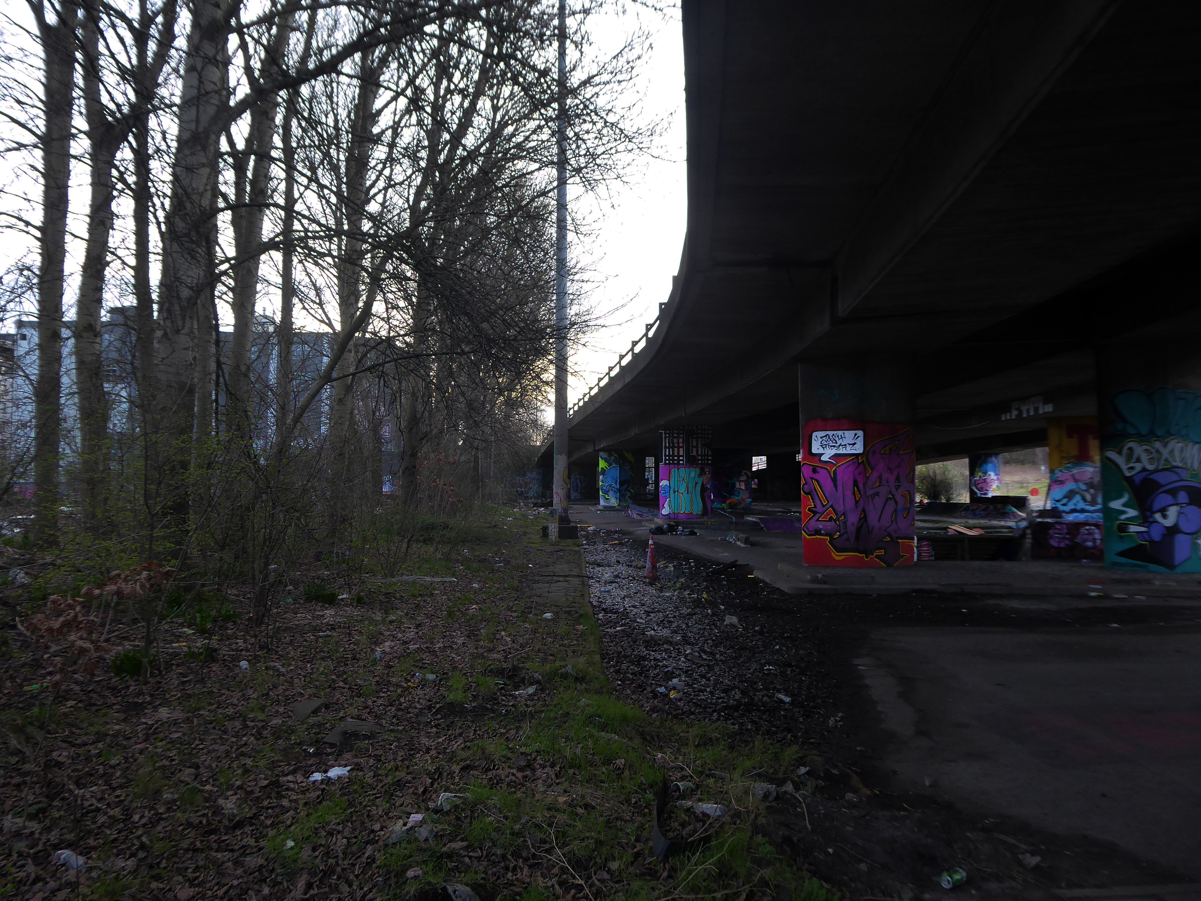
I had spent the day in Southampton in May, the first area I explored was Wyndham Court.
At the end of a long day I found myself there again, with an hour to spare before my train back to Bournemouth.
The sky was no longer blue, the sun was now occluded.
The photographs were almost monotone, so with a small tweak I made them monochrome.
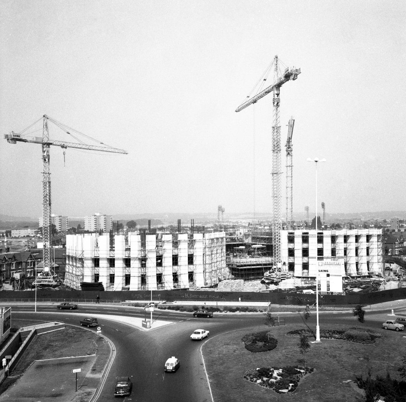
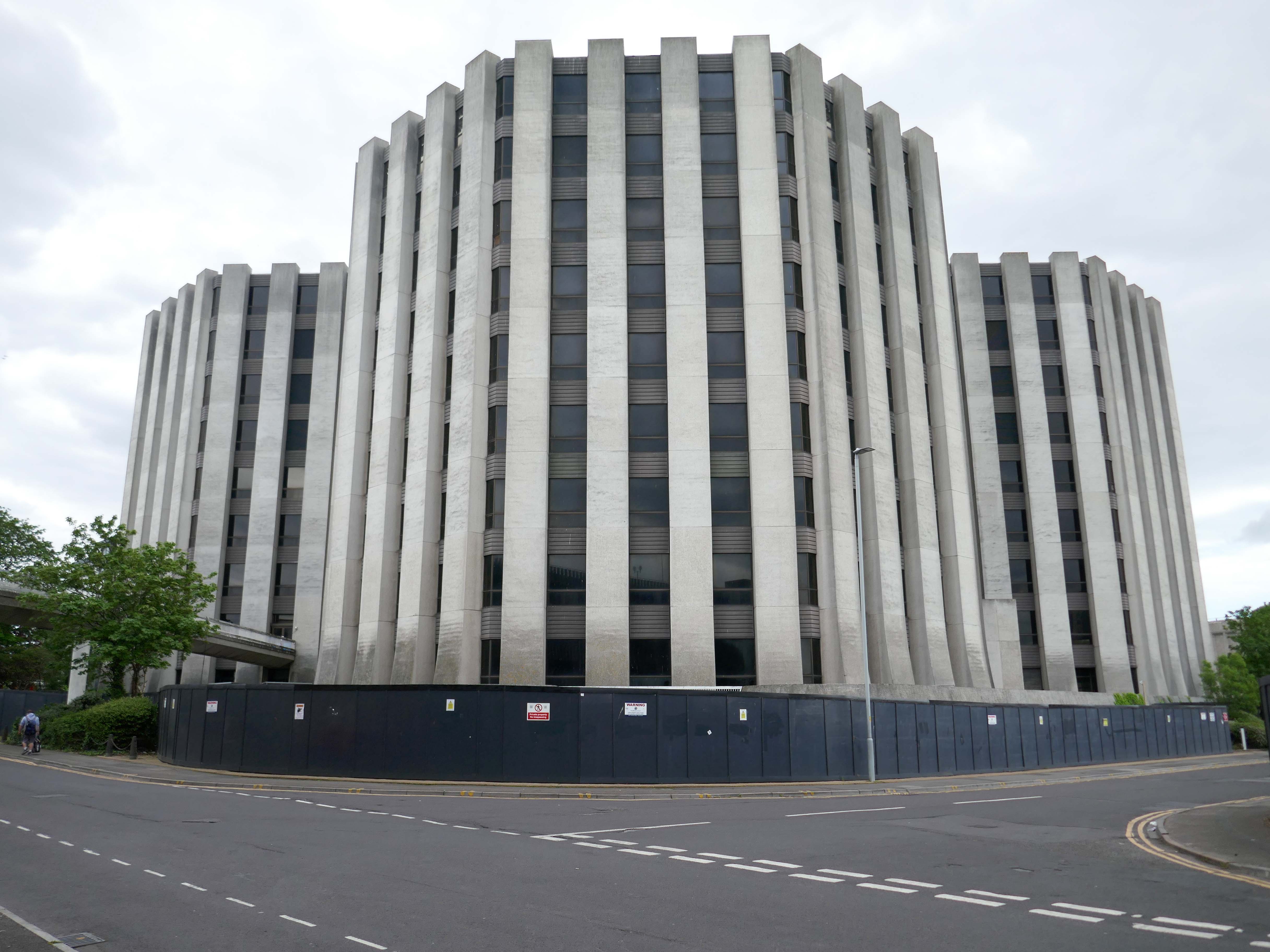
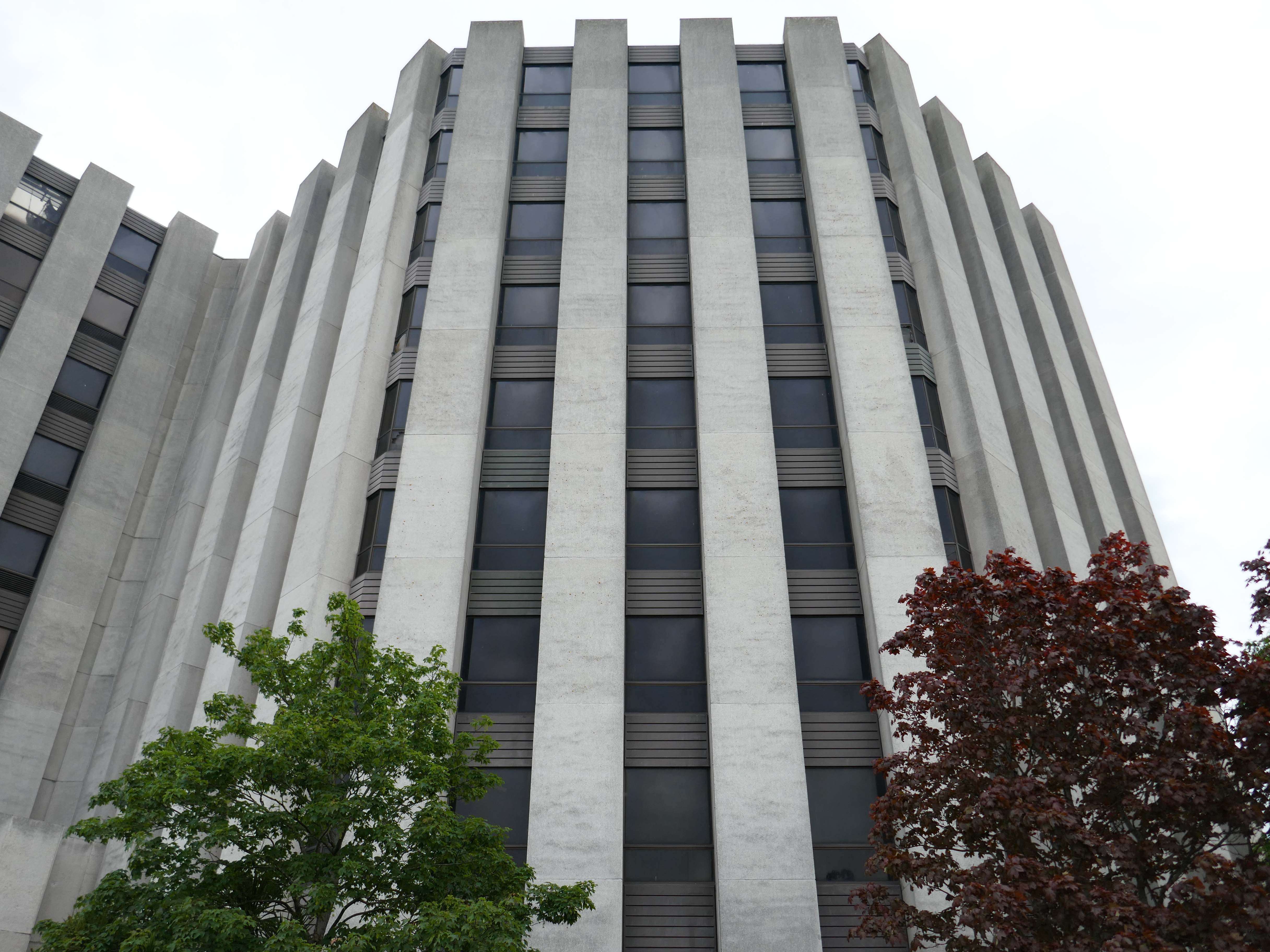
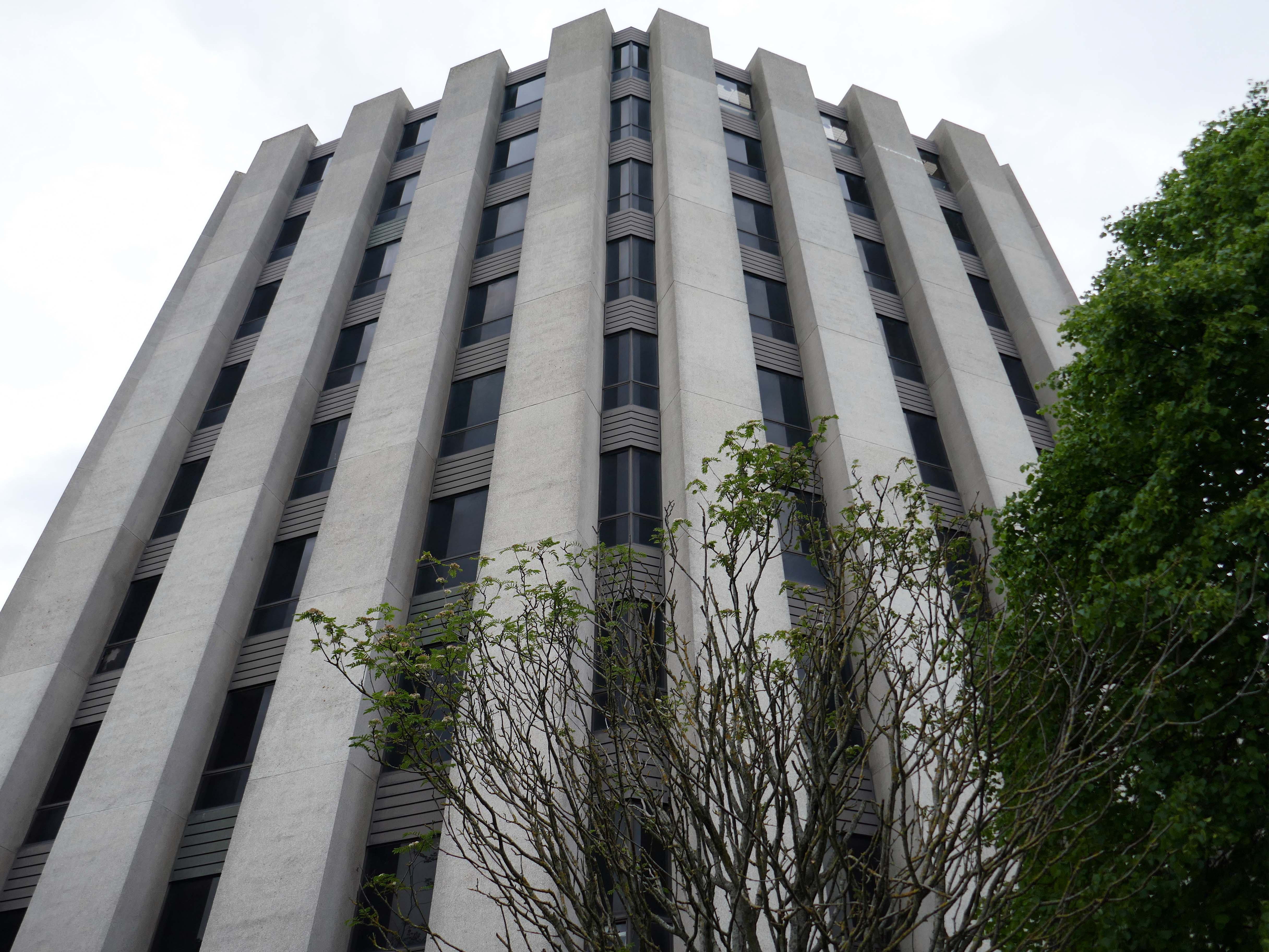
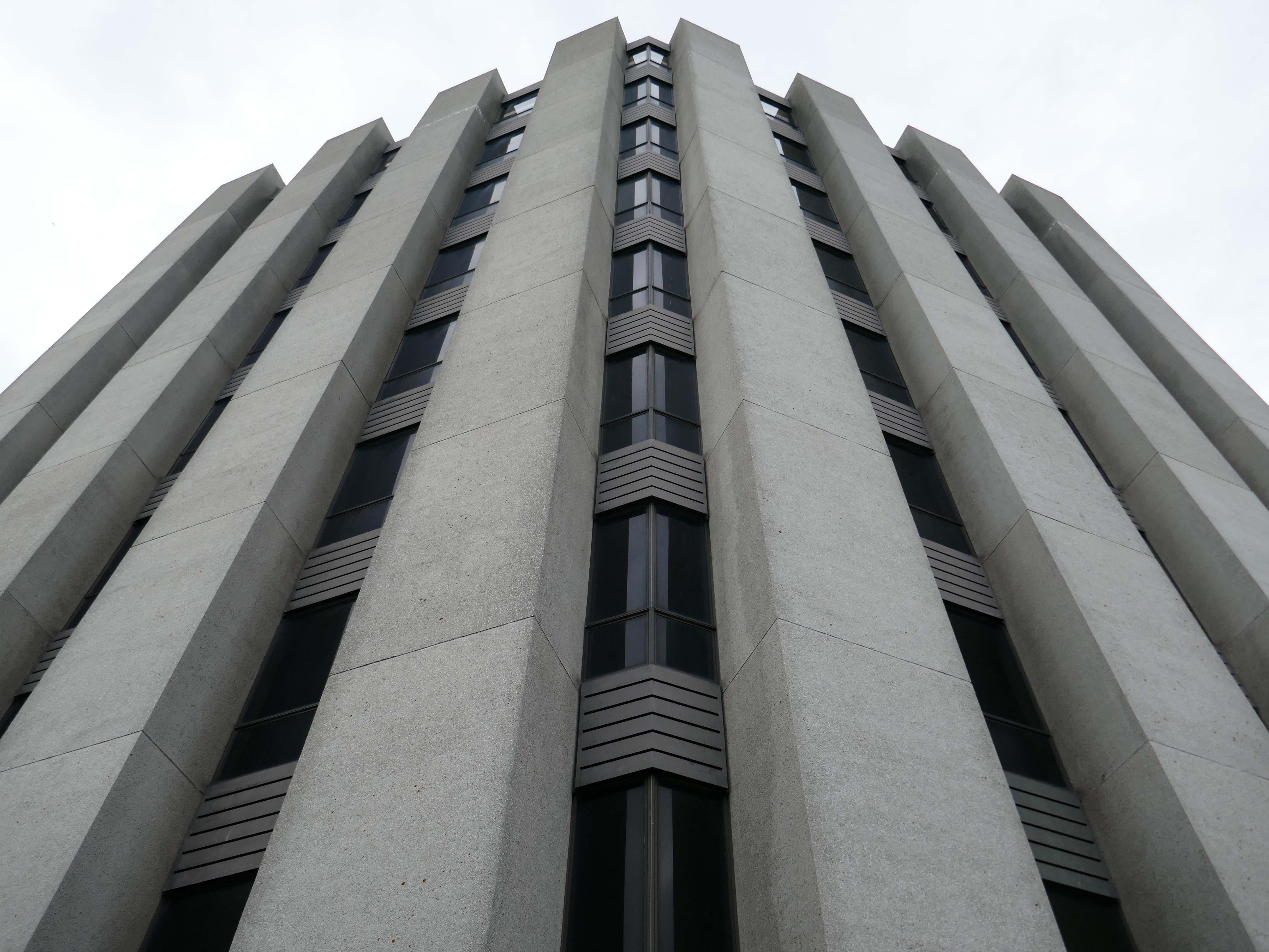
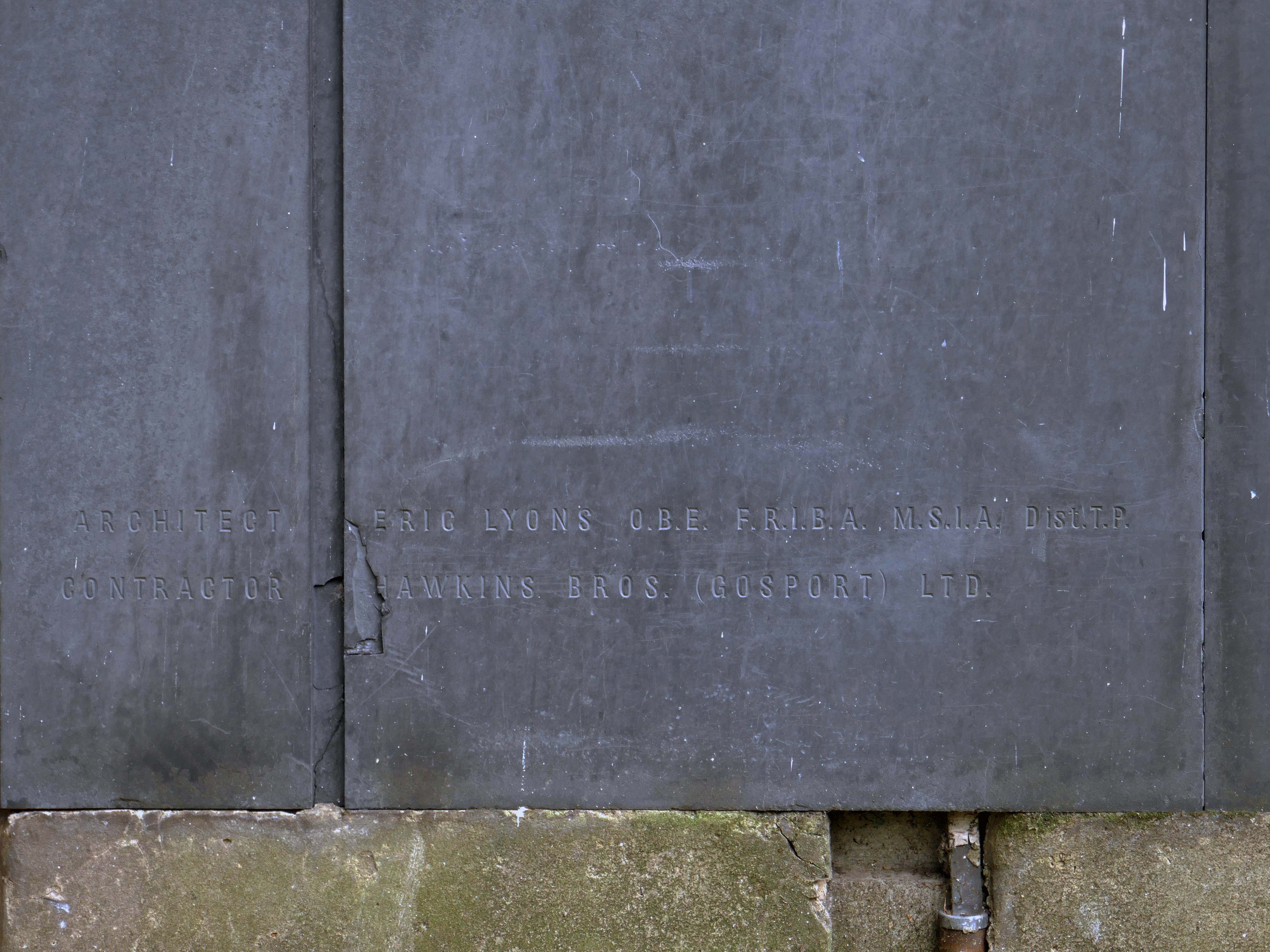
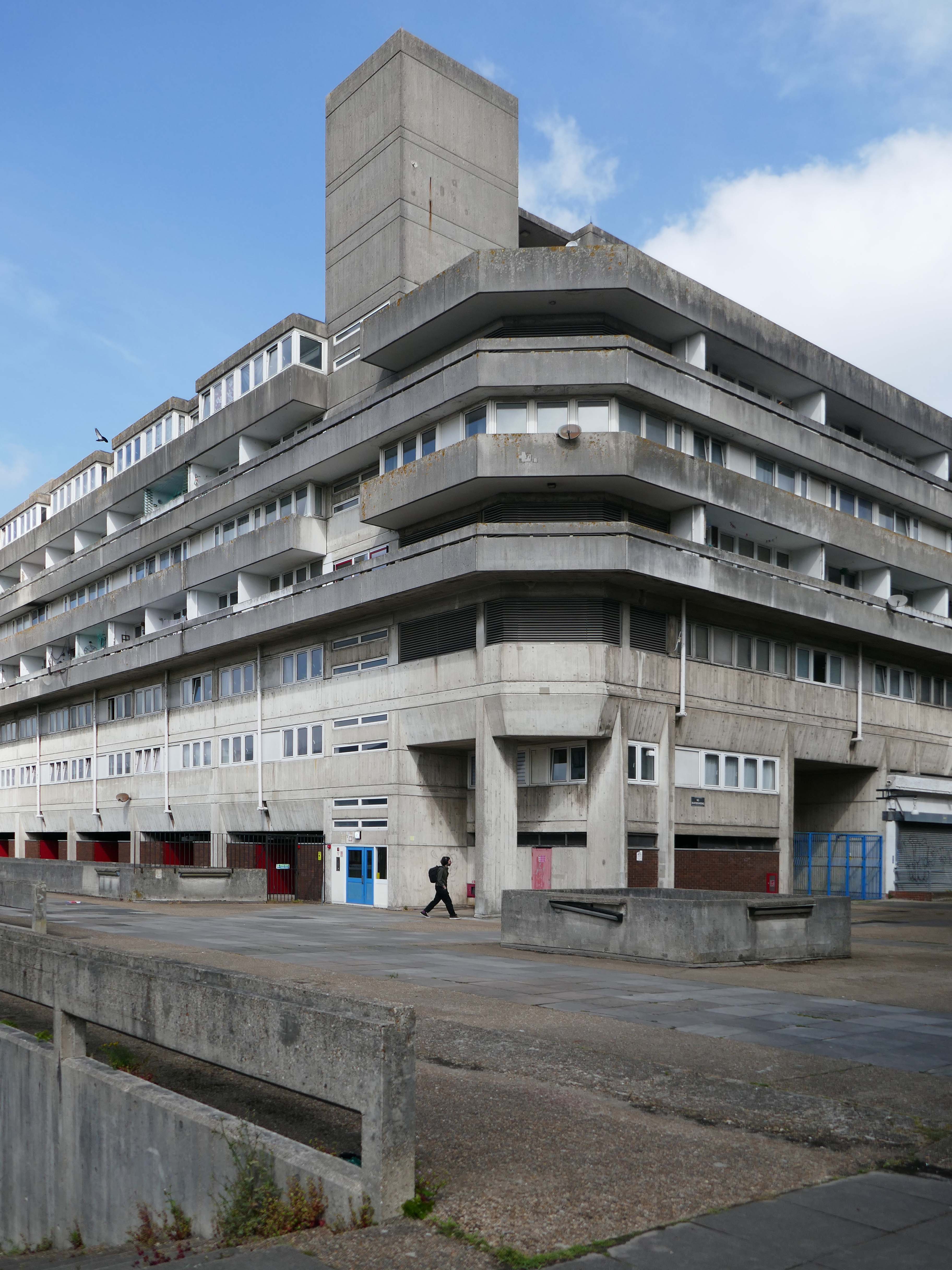
Designed by Lyons Israel Ellis for Southampton City Council in 1966, ED Lyons being the partner in charge and architects Frank Linden and Aubrey Hume also assigned to the job.
The structural engineers were Hajnal-Konyi and Myers and the firm of builders was G Minter.
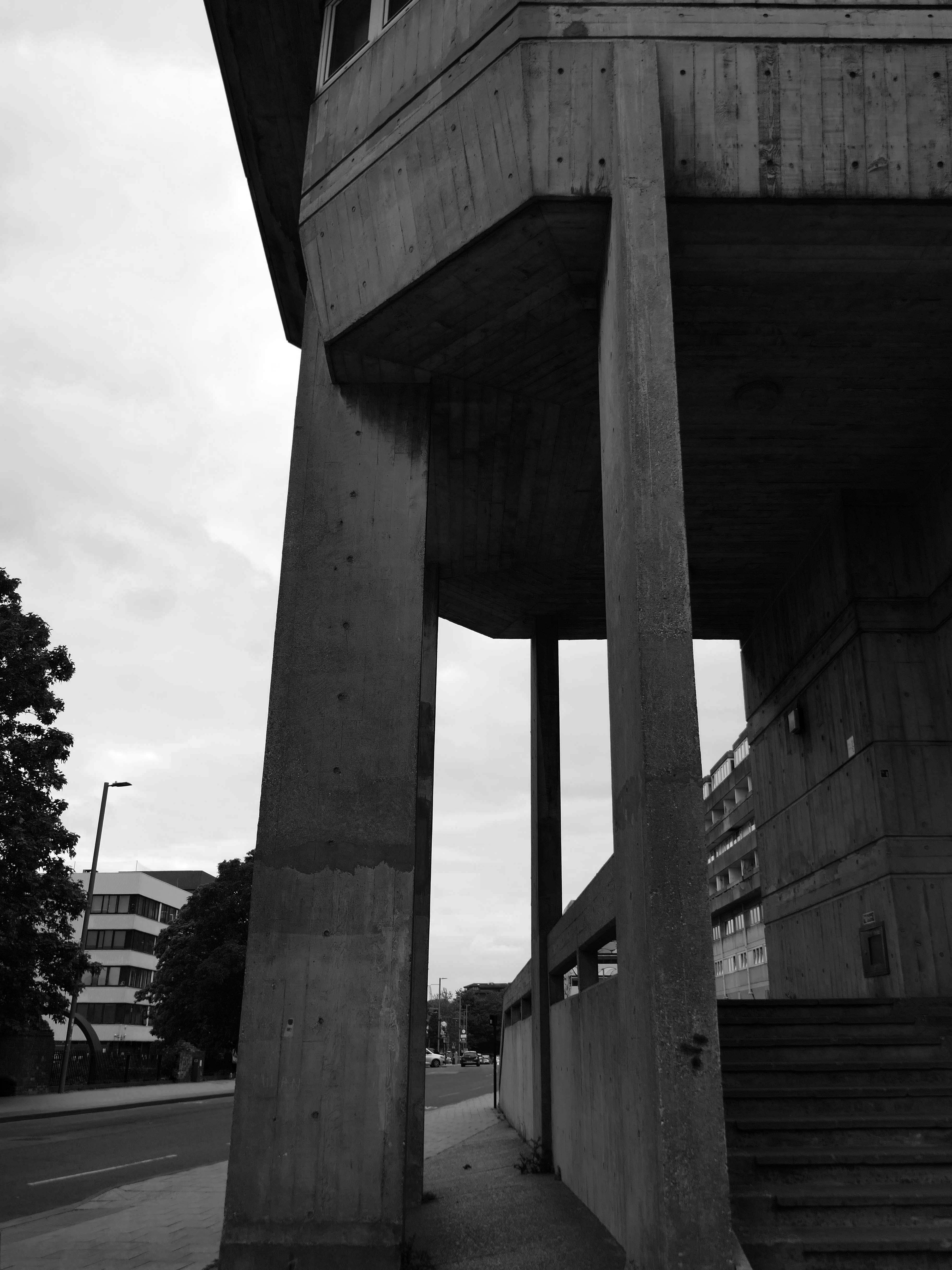
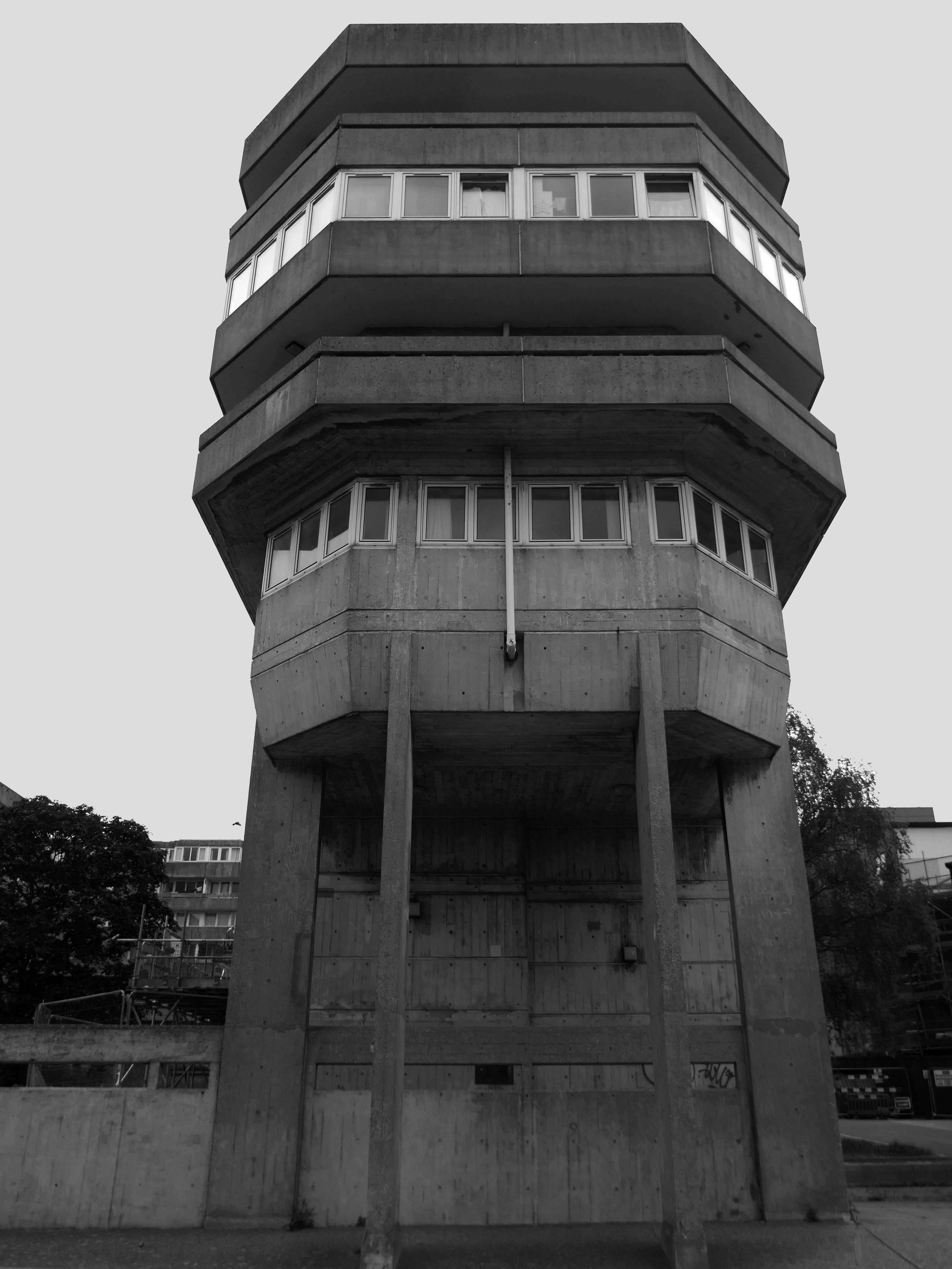
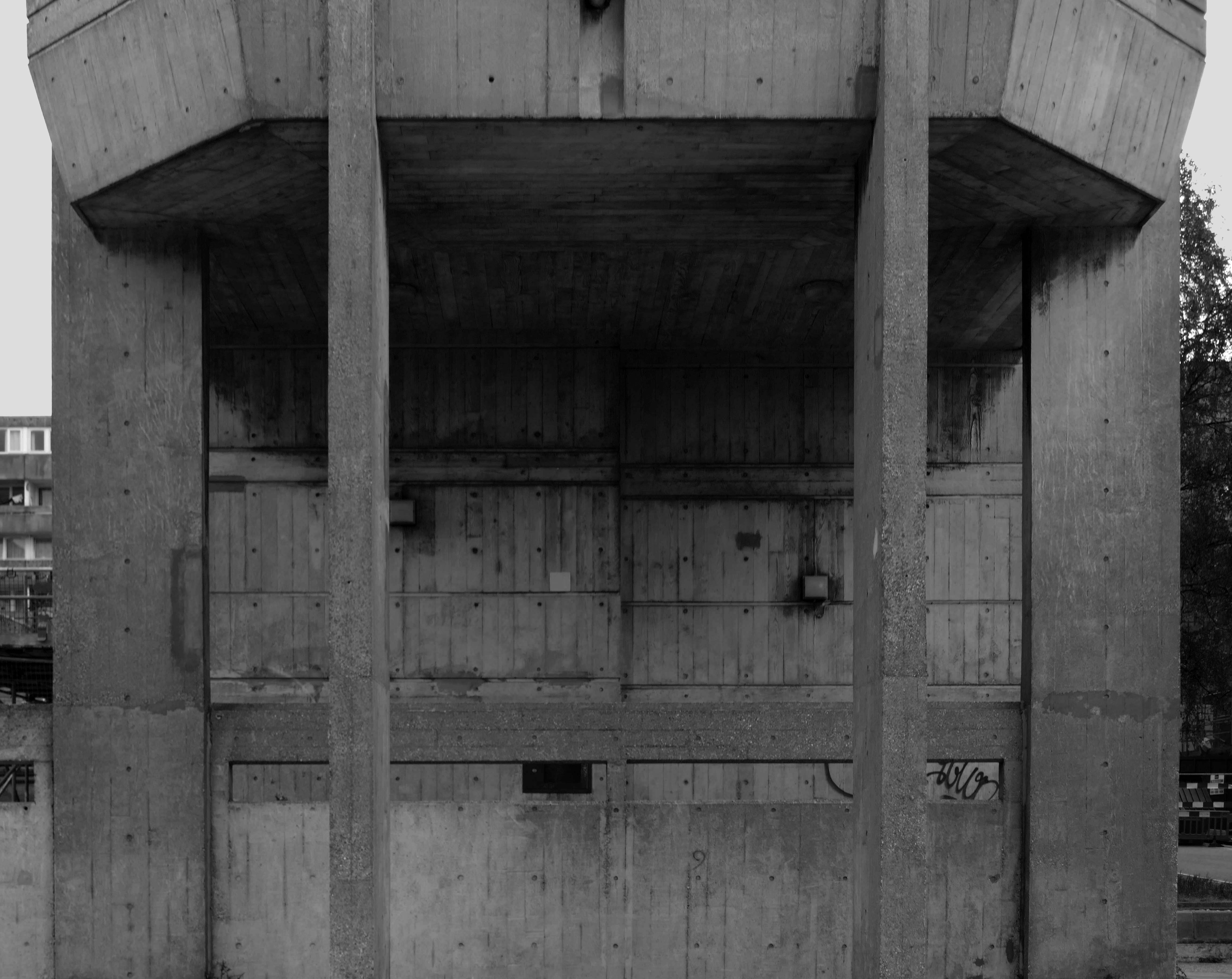
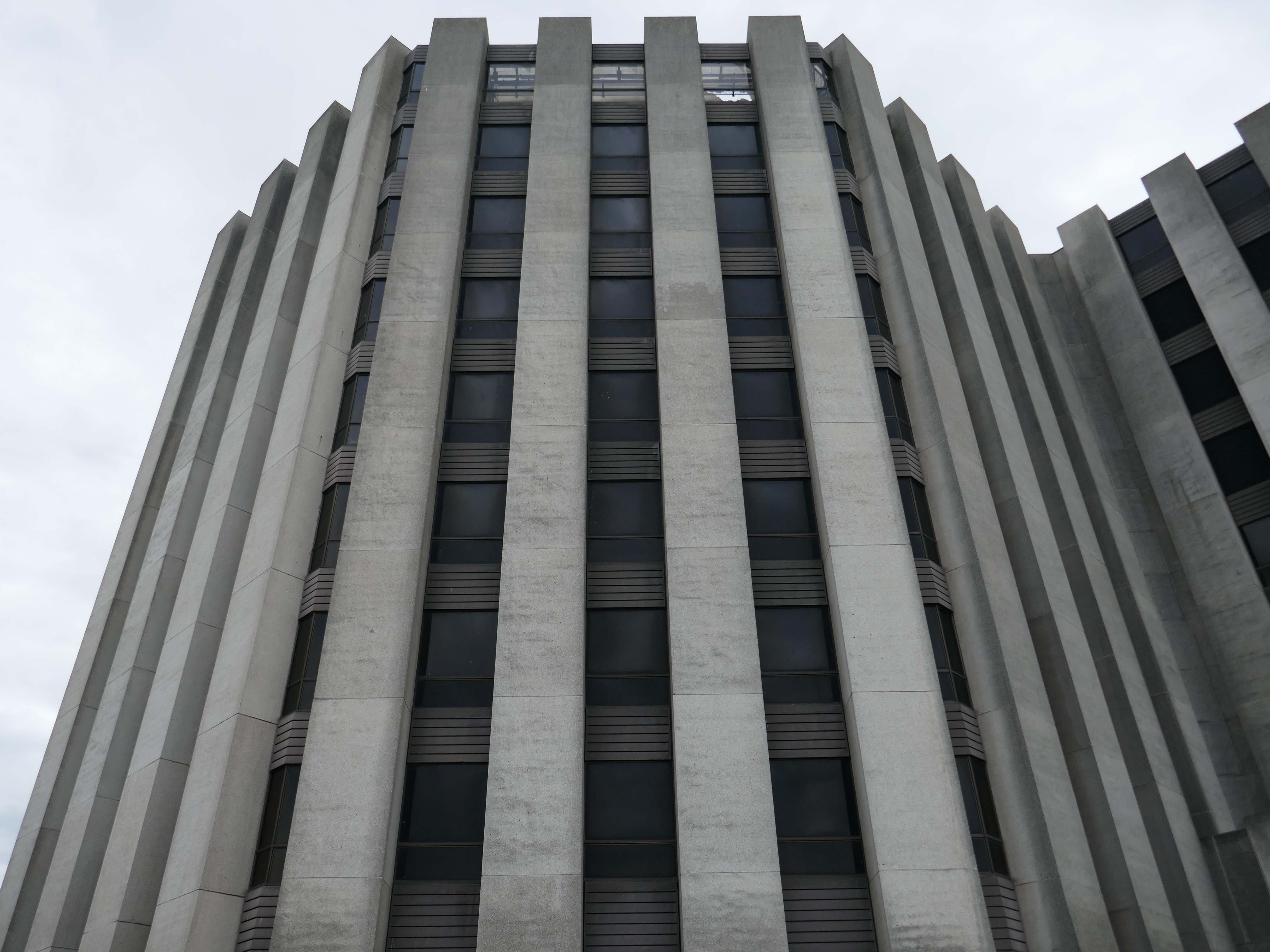
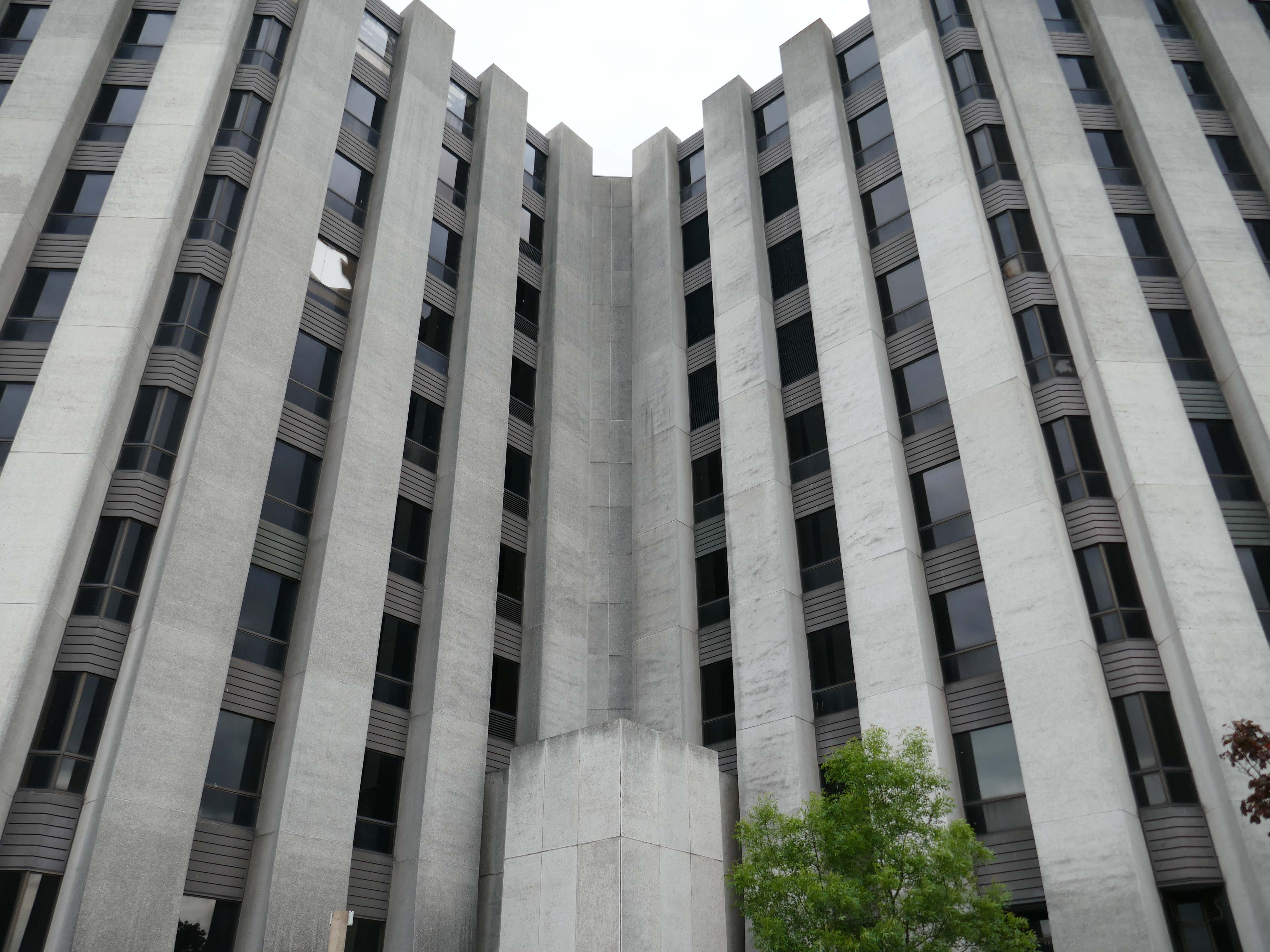
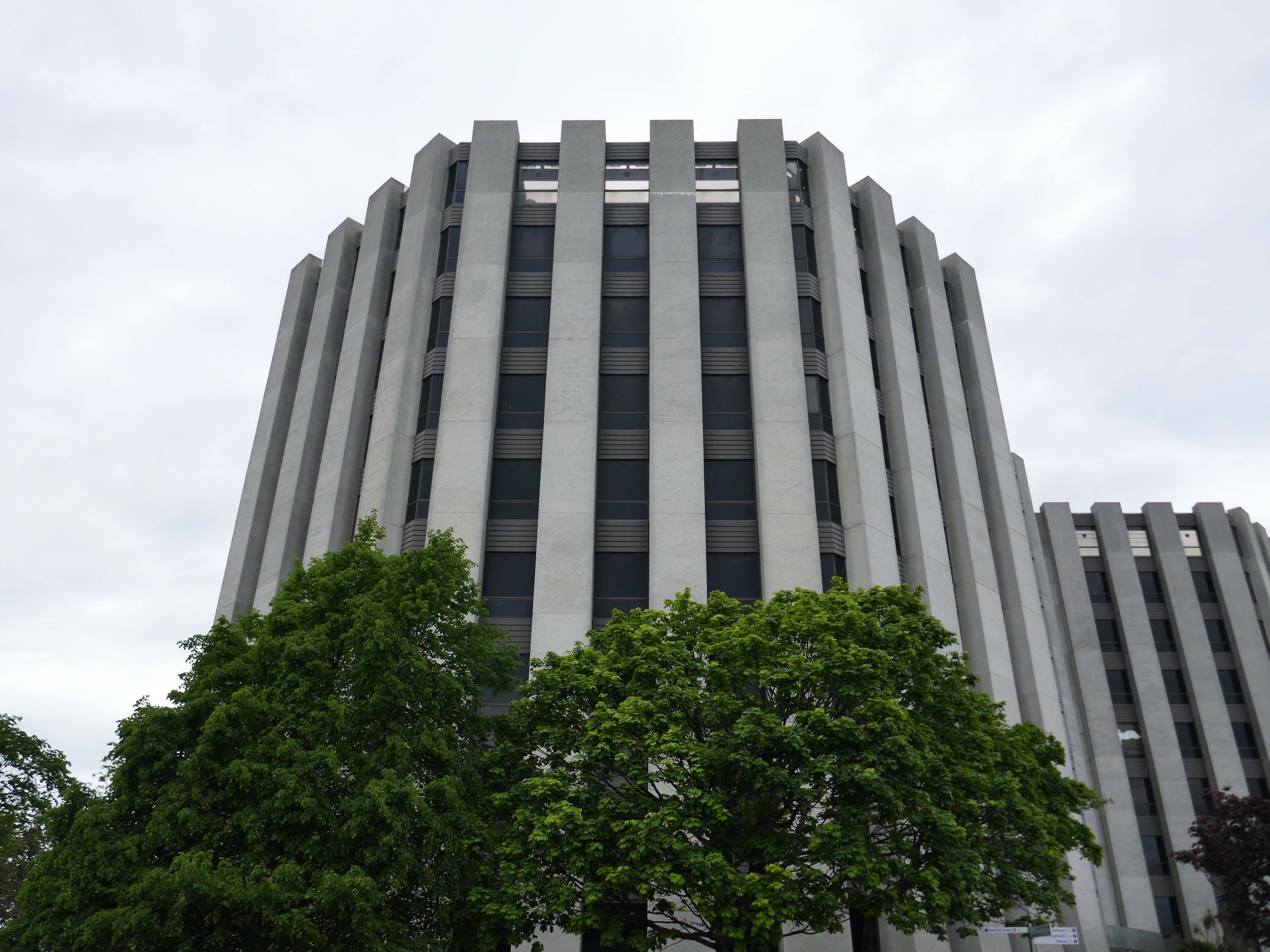
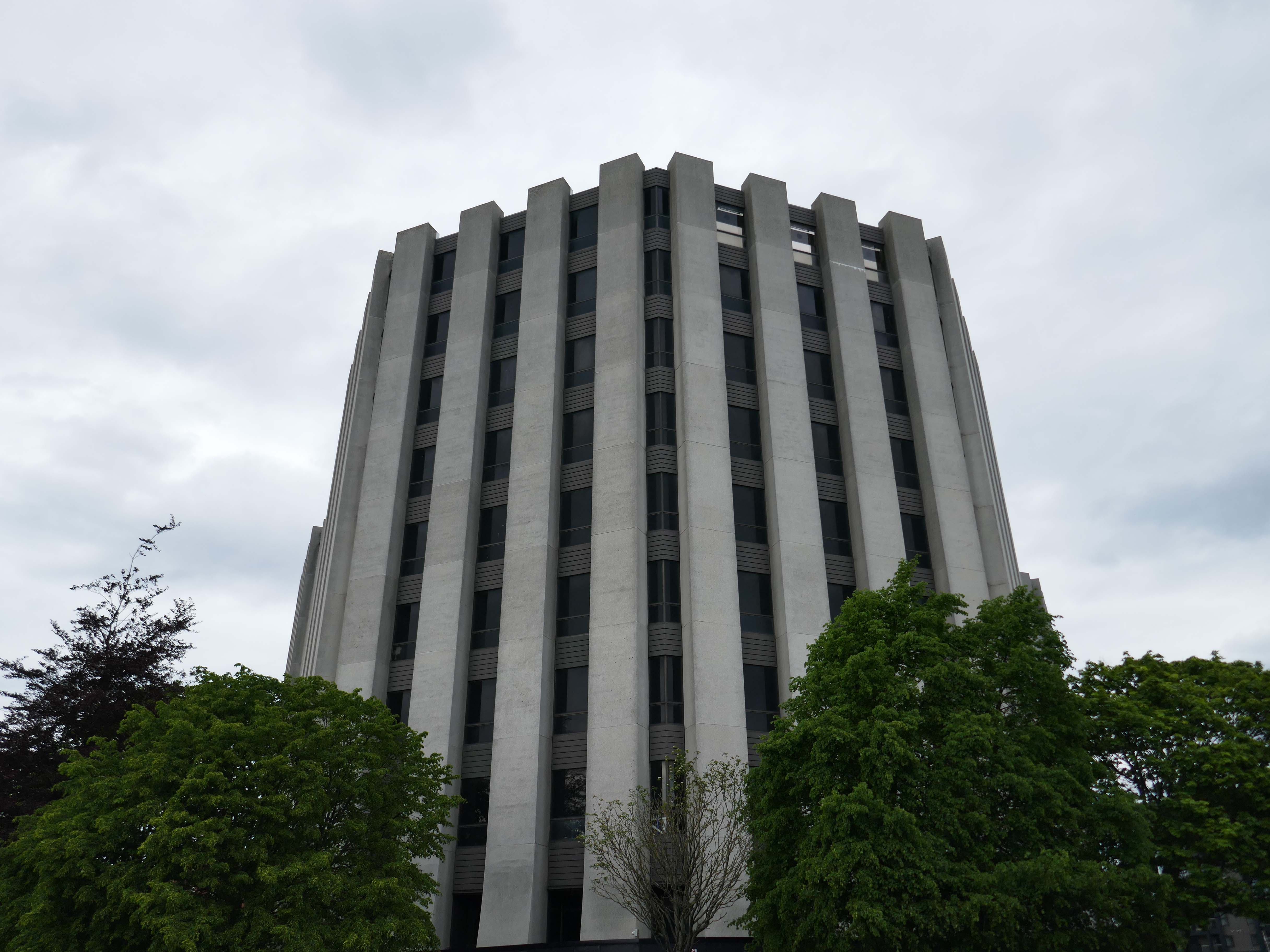
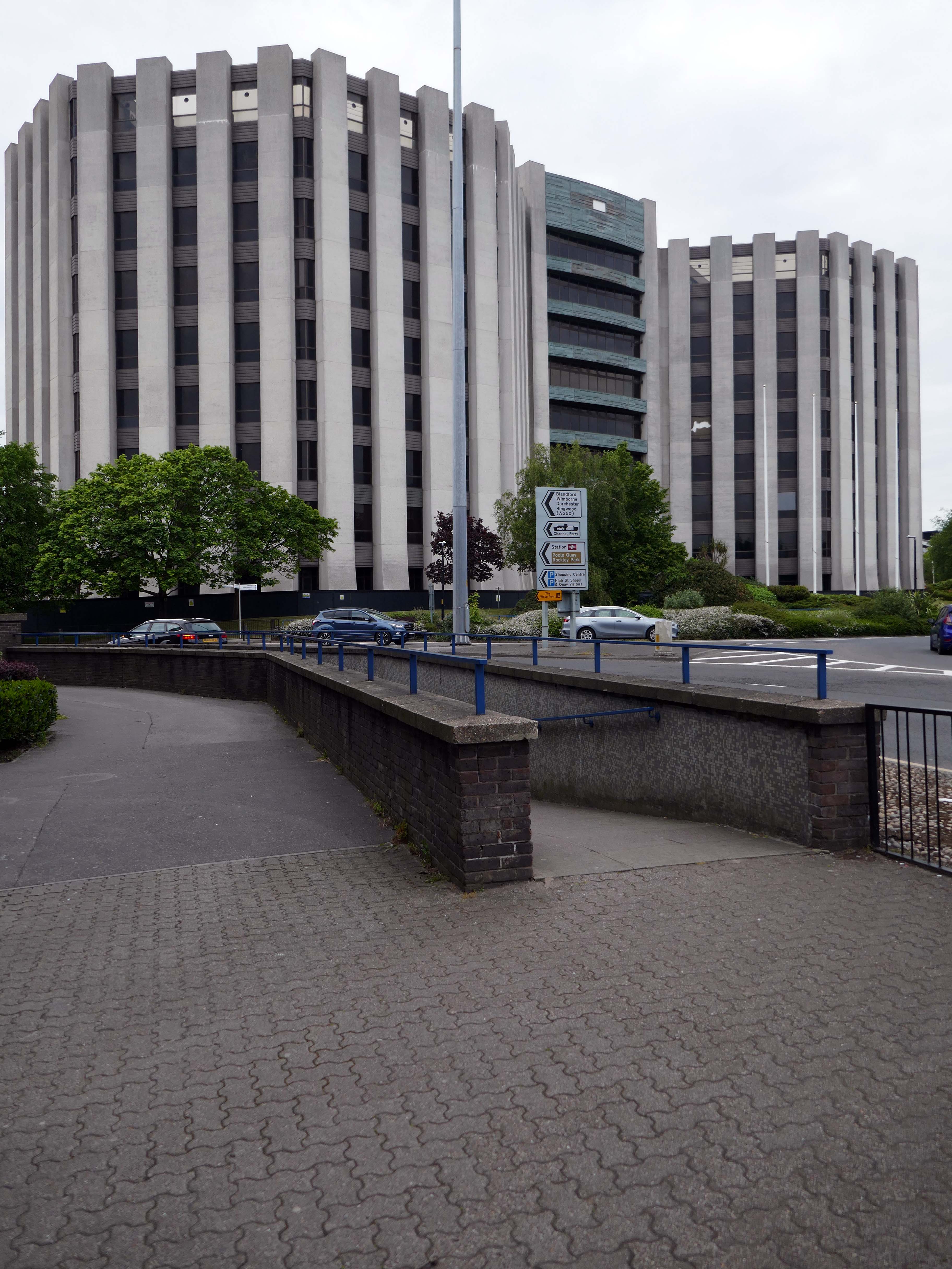
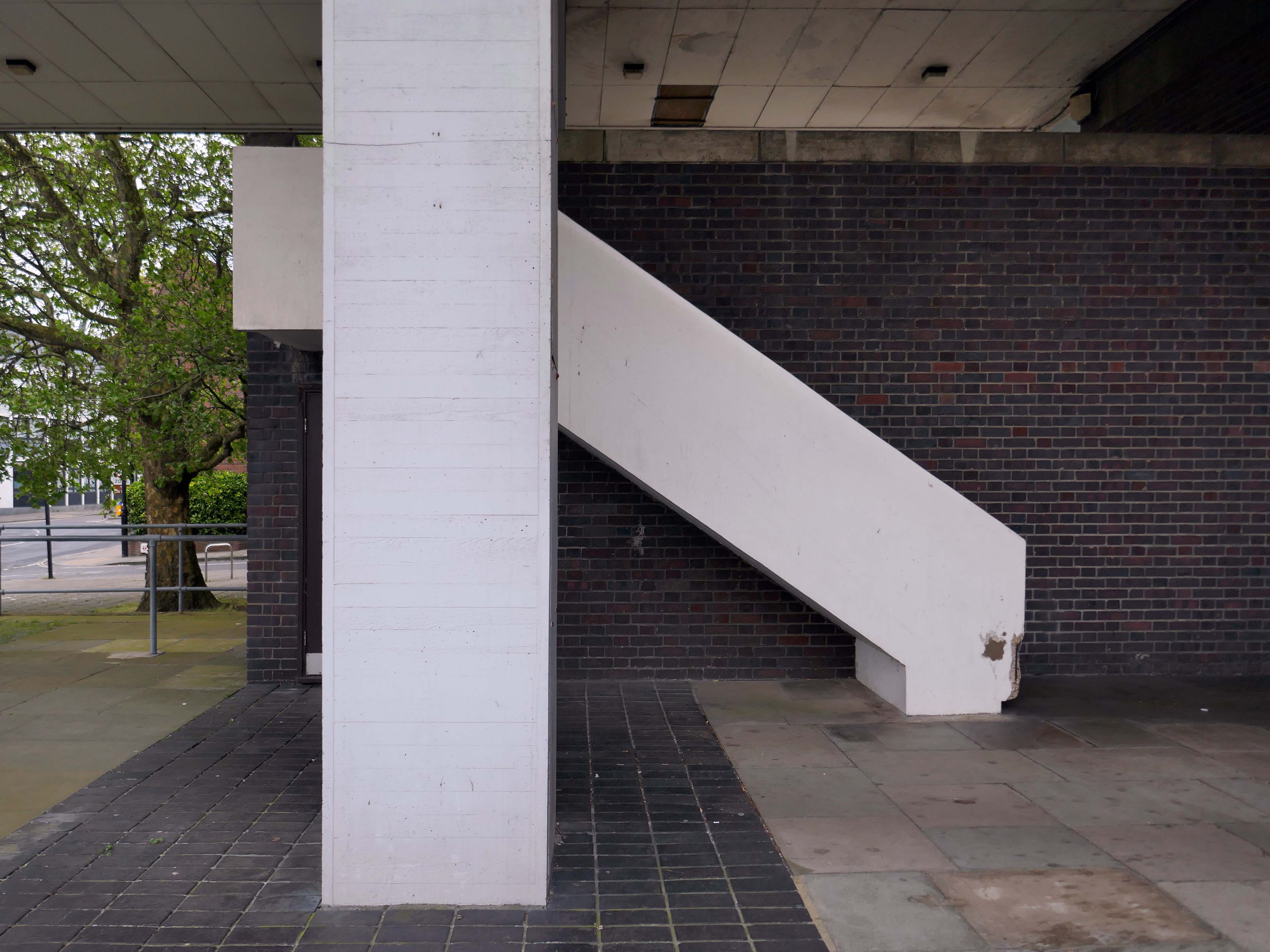
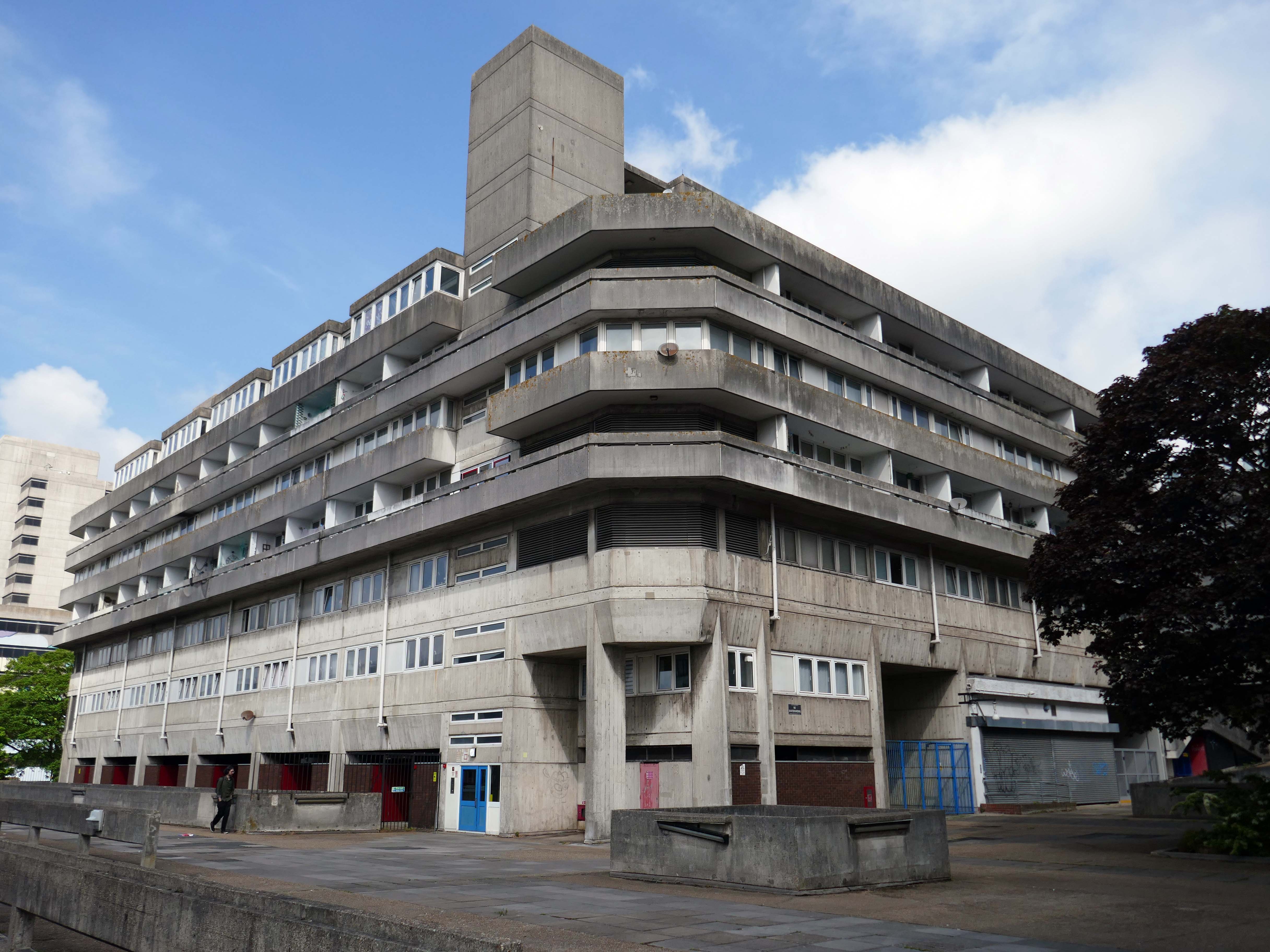
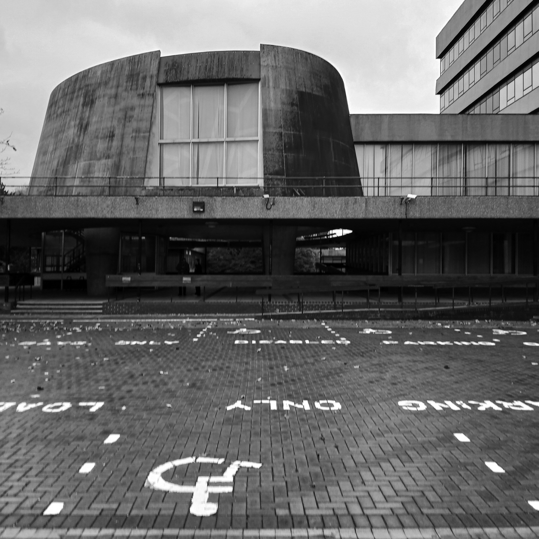
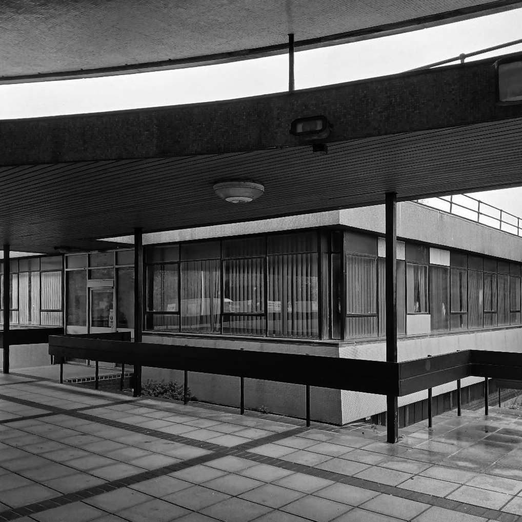
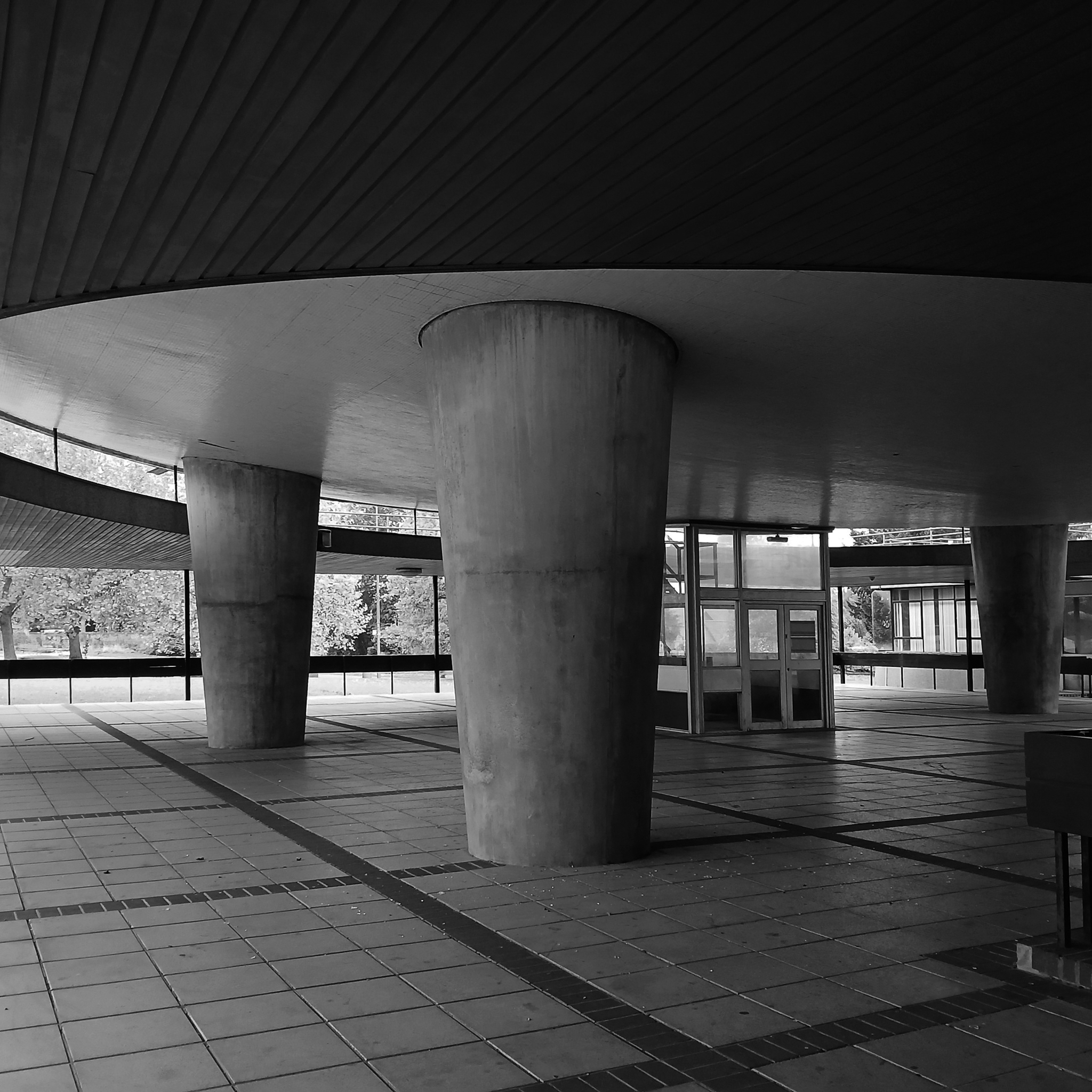
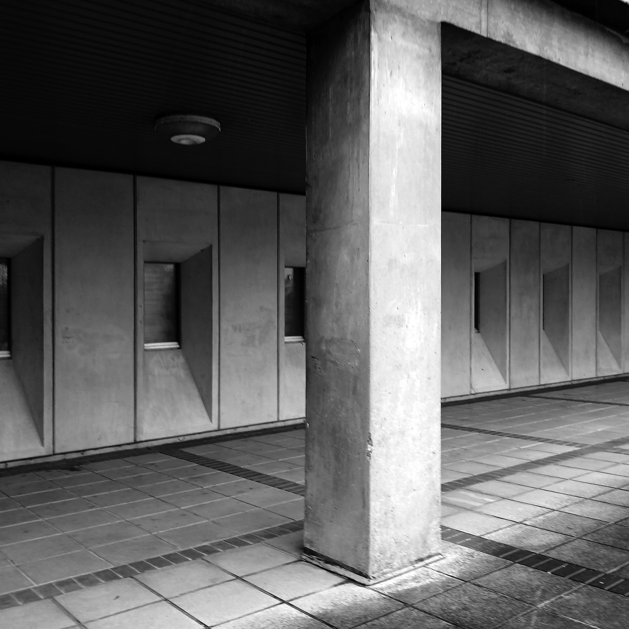
Lyons Israel Ellis, though well known as a finishing school for the famed likes of Stirling, Gowan, Colquhoun et al, were the sort of Brutalists that didn’t get Yale scholarships, shiny monographs or late careers in pomo. They are found more often designing local authority housing, comprehensive schools and other unsexy things – most of them robust enough to be extant and in good nick. From their Old Vic extension through to the London School of Engineering, they were giants of big, chunky, angular neo-constructivist architecture rife with skylines, cantilevers and complex geometries, all in satisfyingly raw, tactile concrete. As Colquhoun later put it, this was architecture for those who had nothing but contempt for ‘the Englishness of English art’ and other consolatory narratives.
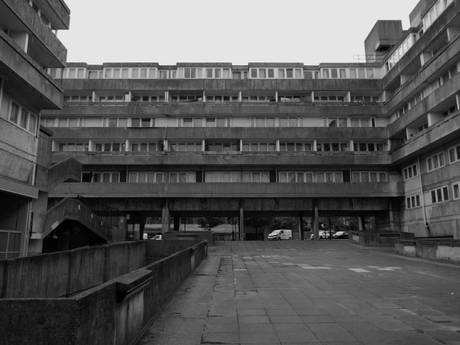
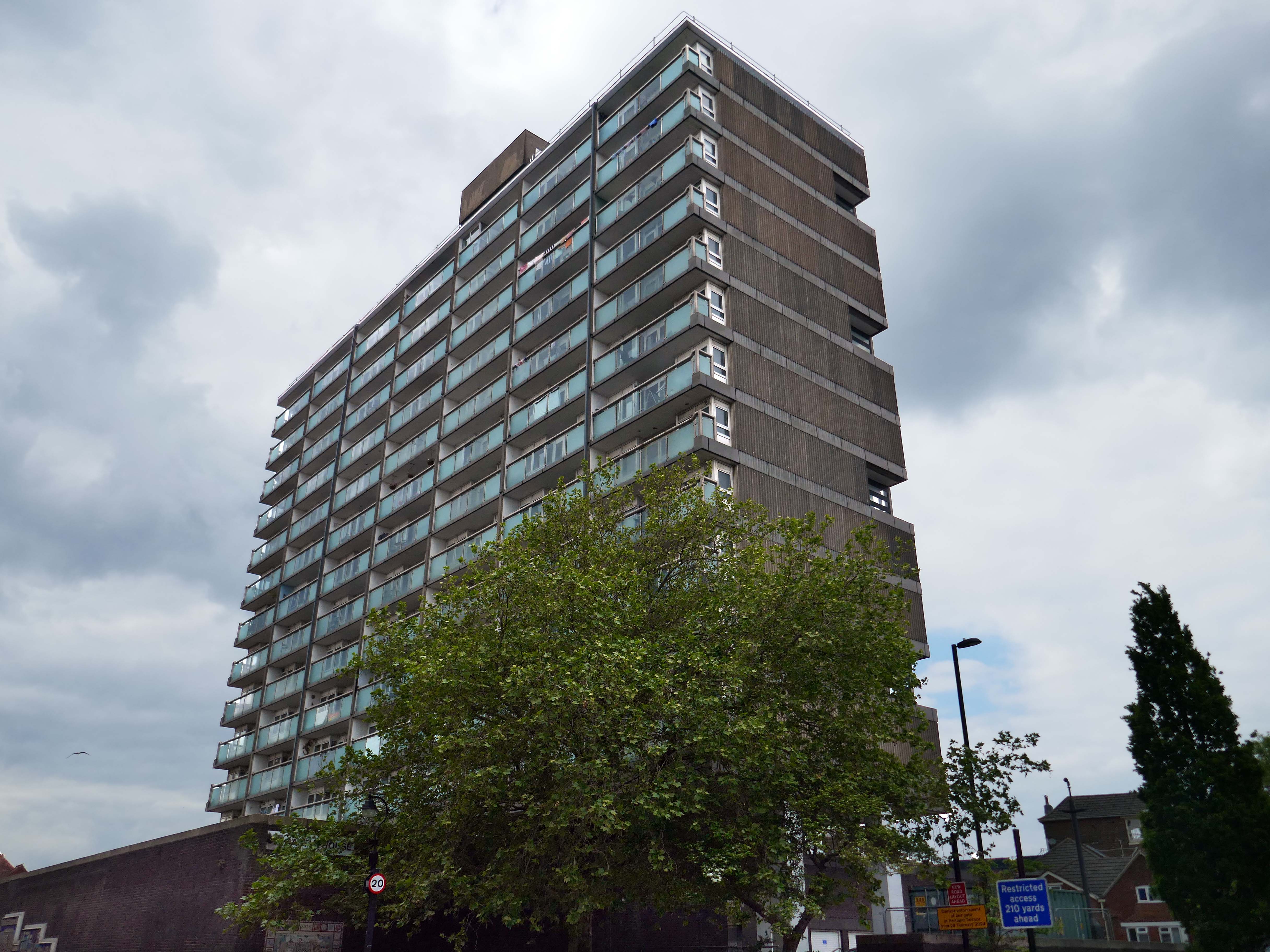
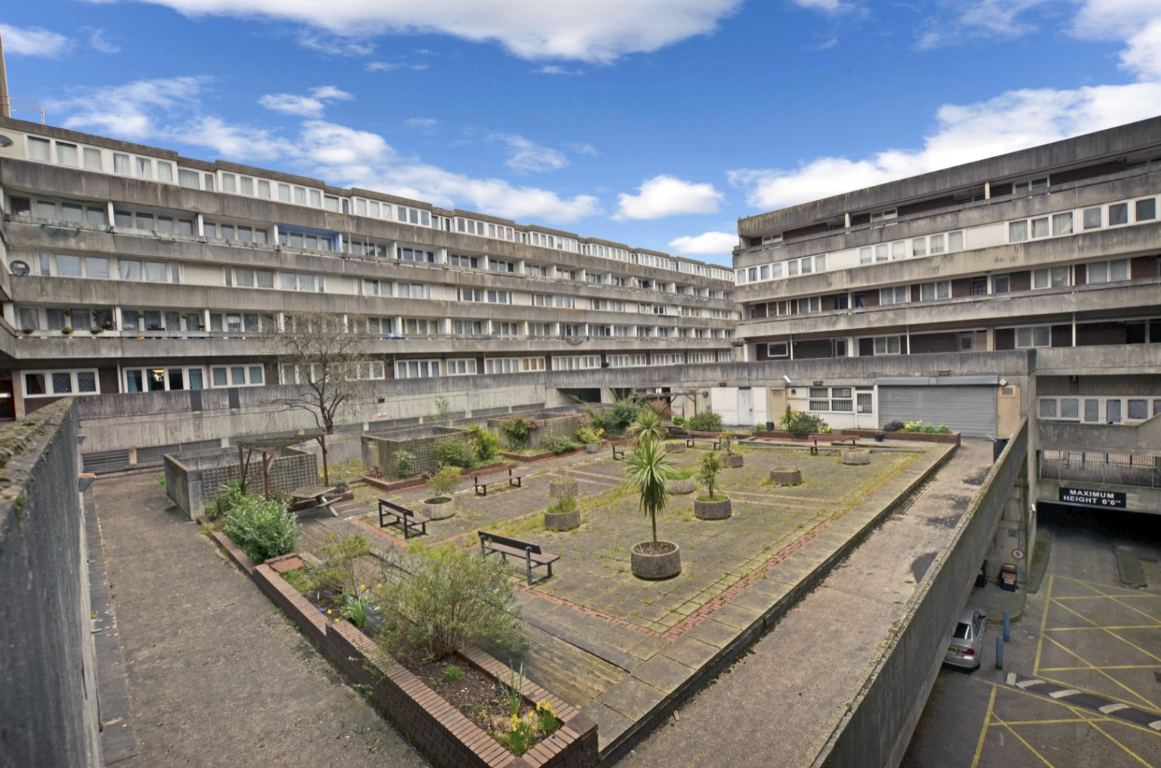
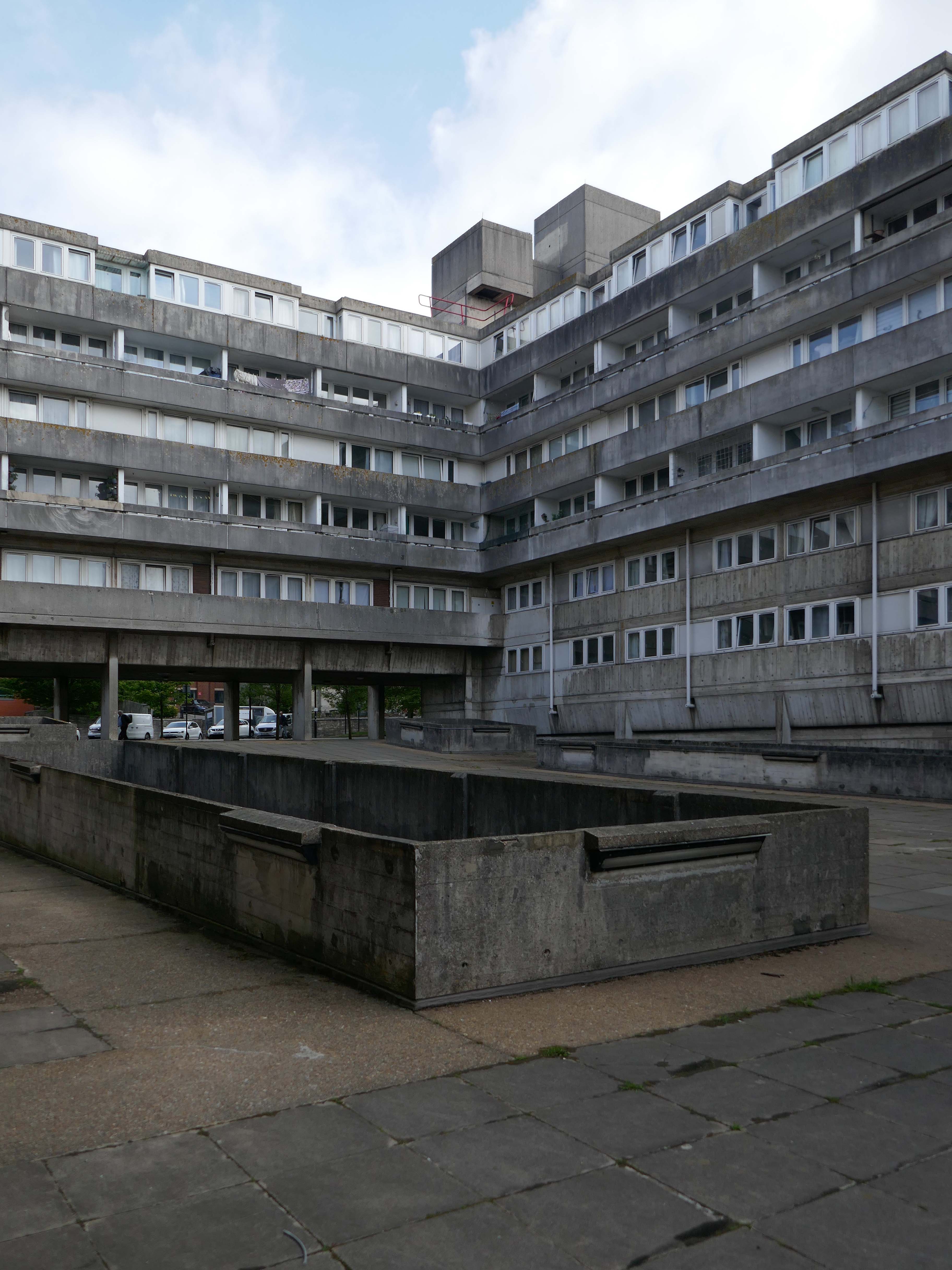
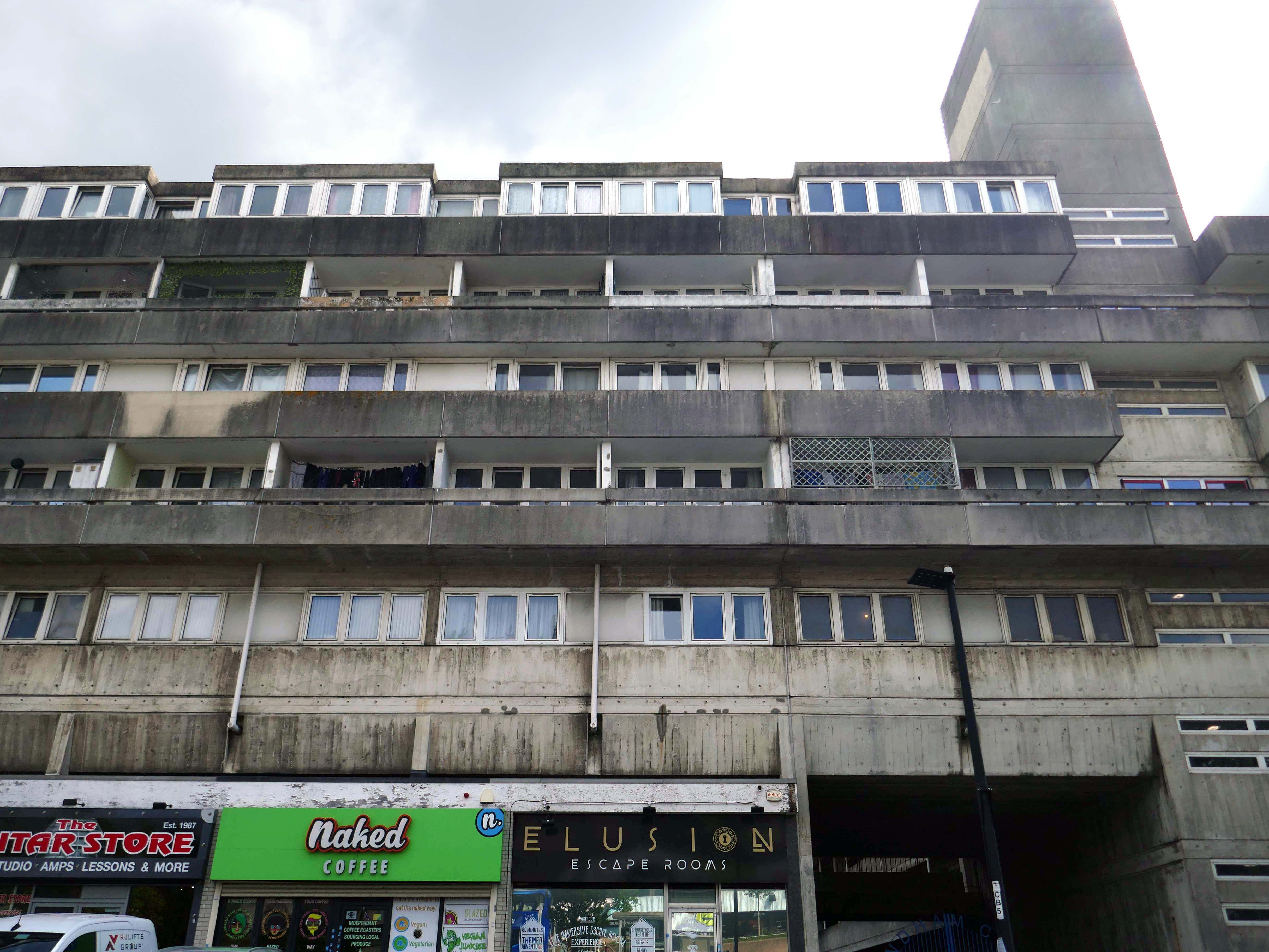
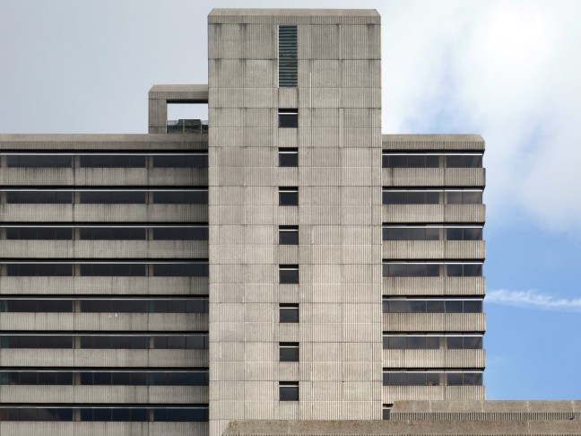
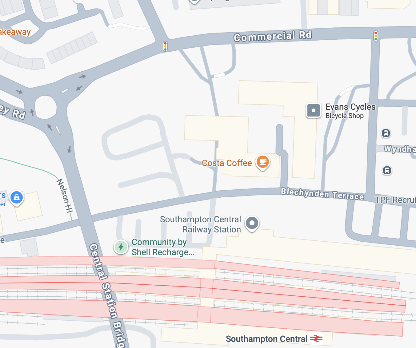
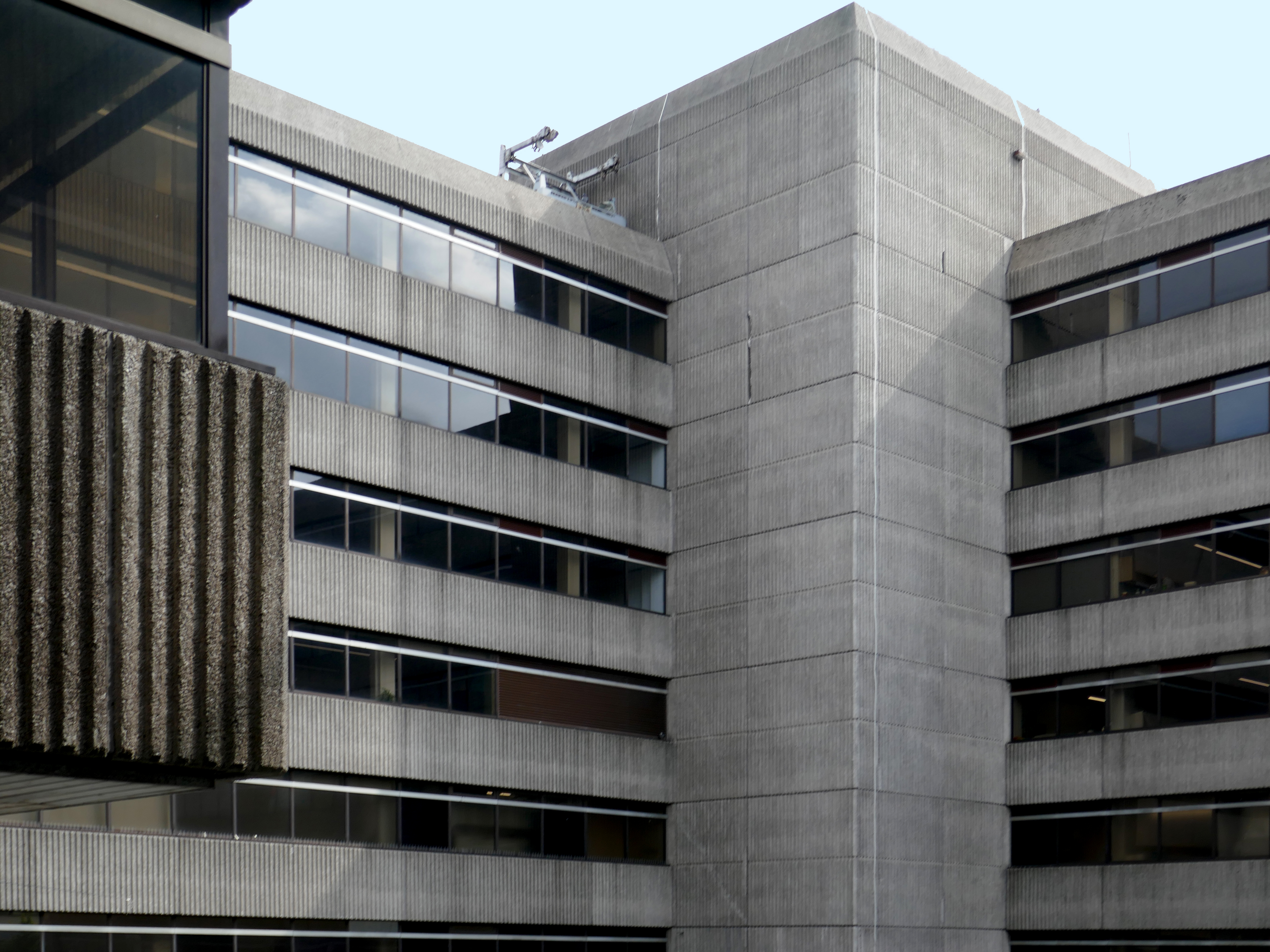
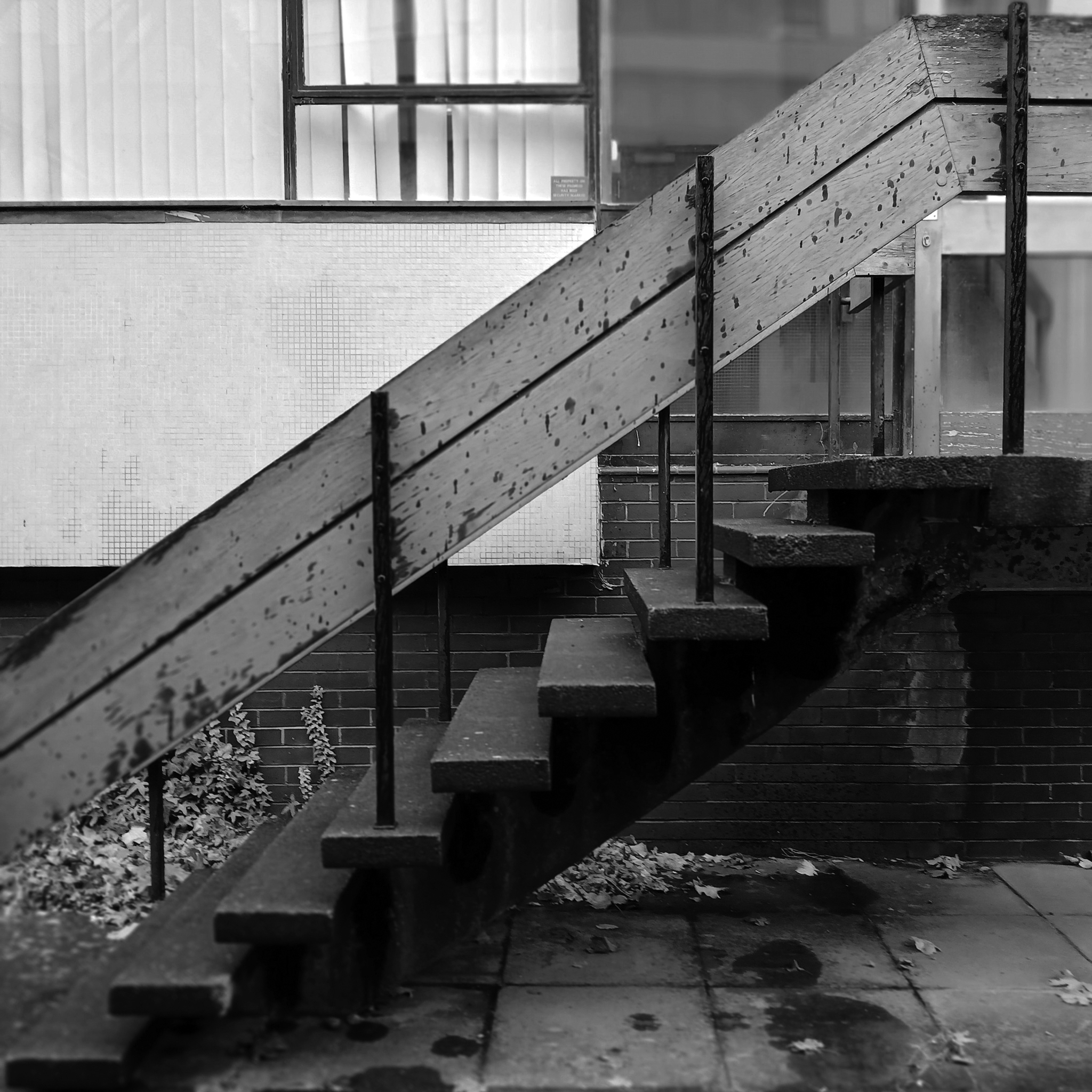
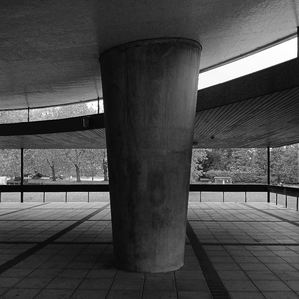
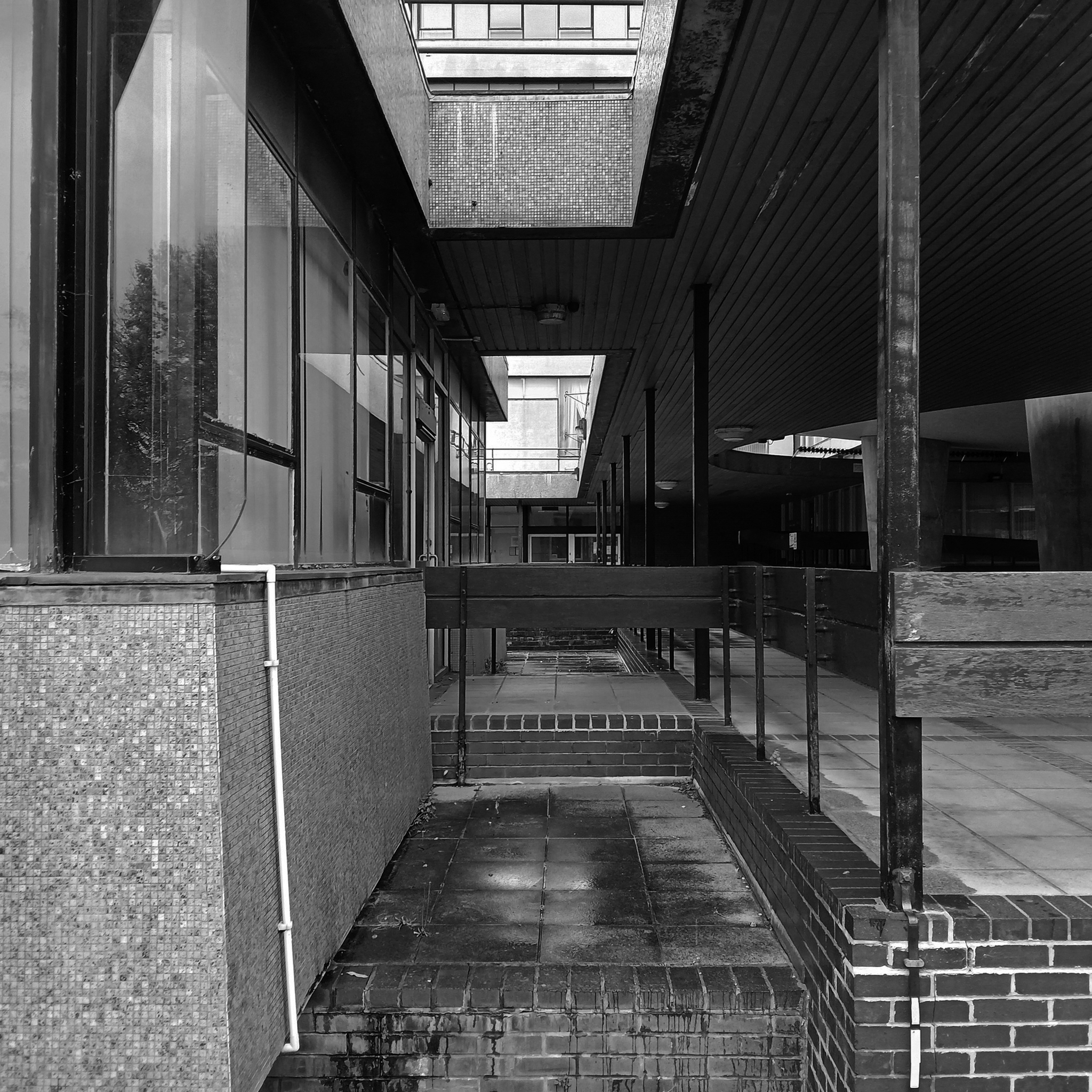
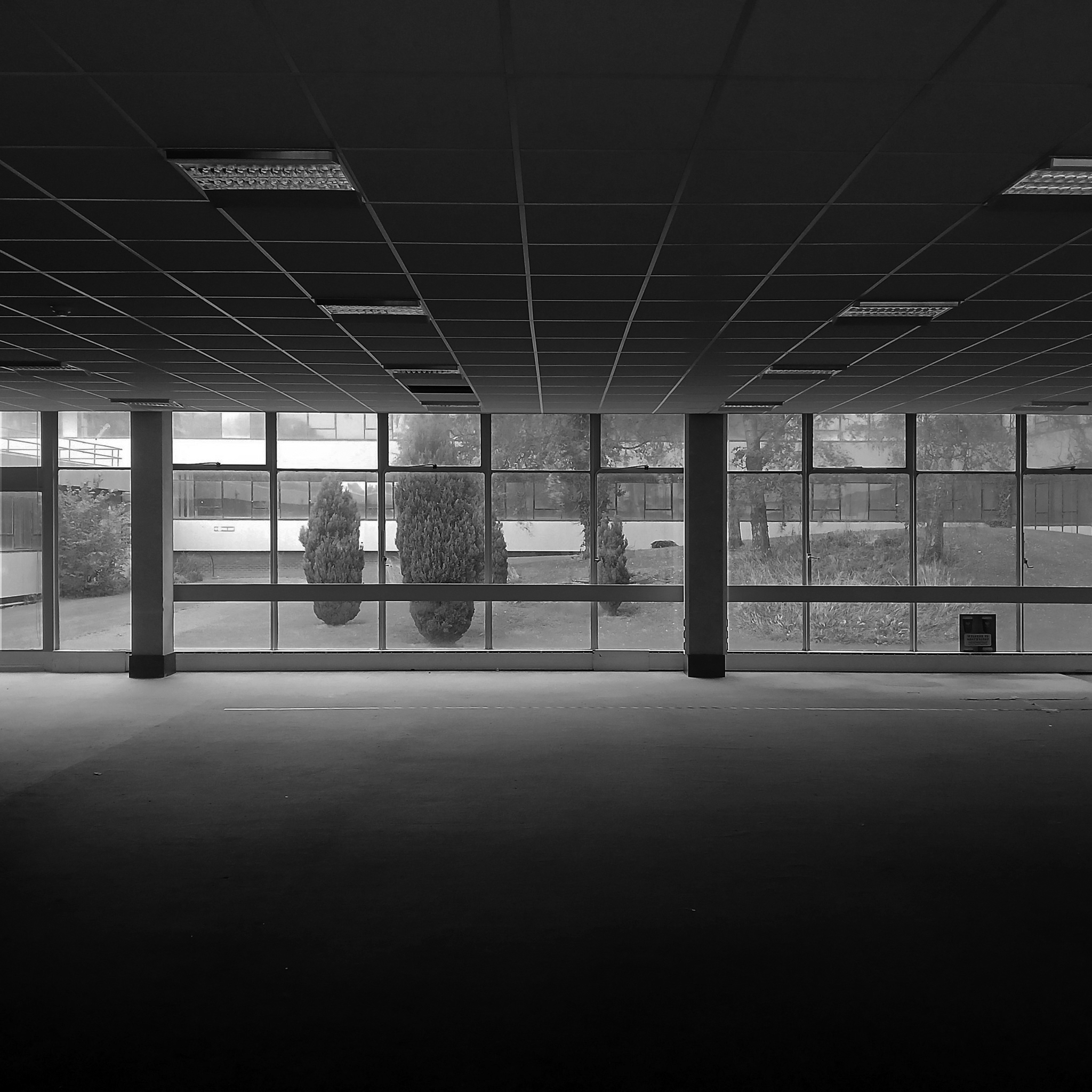
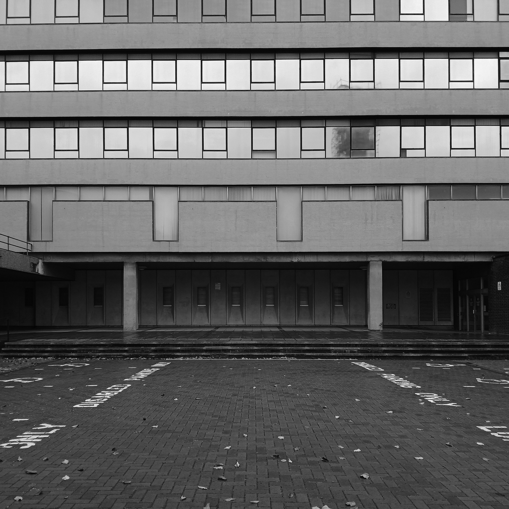
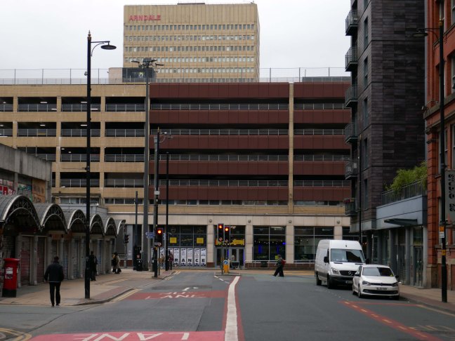
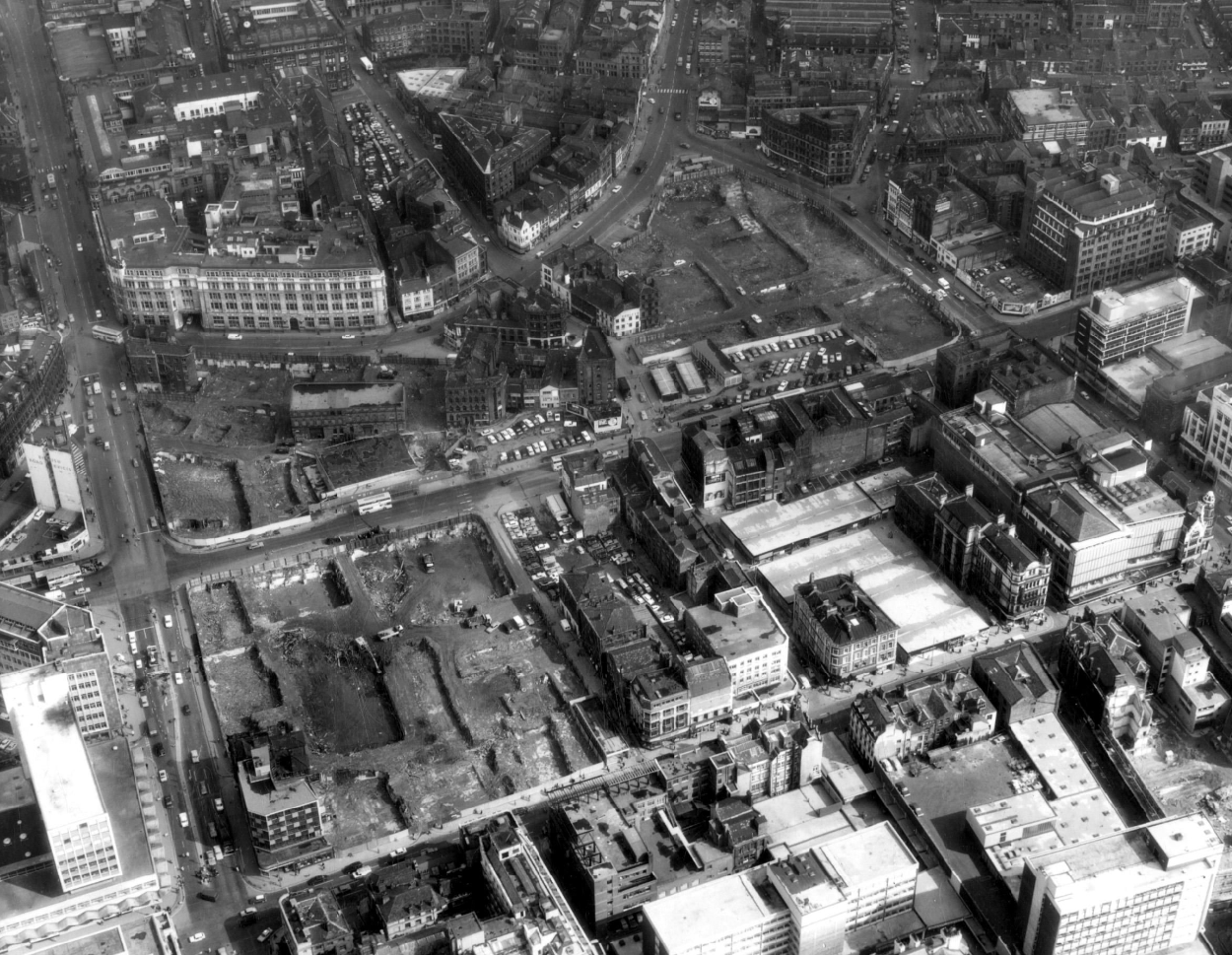
Their masterpiece, Wyndham Court, ought to be as well-known as the Brunswick Centre or the Barbican, and isn’t largely because of where it is. It is a monumental, civic housing project on the grandest scale. As a building, it shows more than a hint of rhetoric creeping into LIE’s usually astringent aesthetic. Placed just outside Southampton Central Station with a fine view of the docks, its service tower skyline and long, streamlined volumes have more than a hint of the ocean liner about them. Here they arc around a square, with shops on the ground floor, high-density-city centre living for council tenants rather than as an aspirational loft-living lifestyle. A magnificent vote of confidence in a city which has built little of note since, it’s also, for me, the building that announces that I’m ‘home’ far less depressingly than BDP’s repugnant West Quay shopping centre on the other side of the railway line – a massive concrete statement that another city was and still is possible.
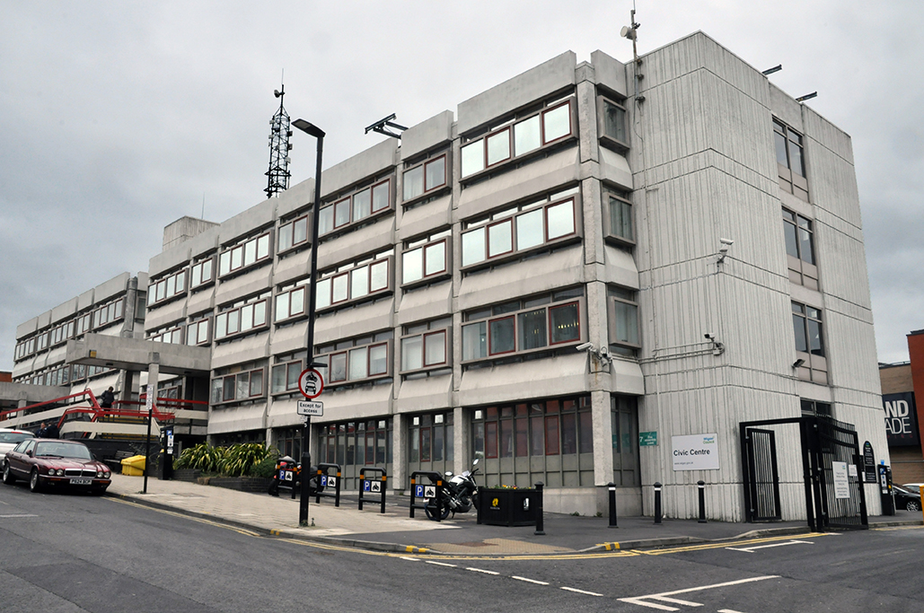
1971 built of a pre-cast concrete panel system, dour, on an awkwardly sloping site.
I beg to differ – what’s the opposite of dour?
So says the online Thesaurus – and I heartily concur, for the whole building has had a makeover and a half.
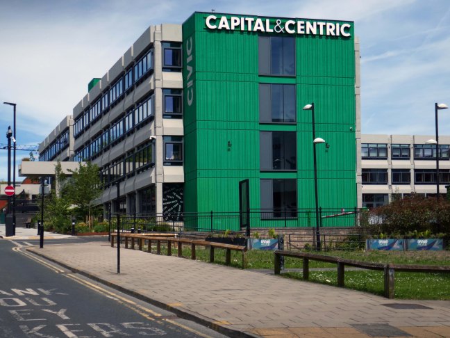
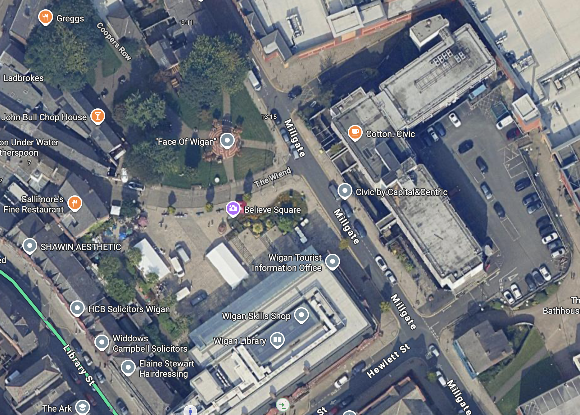
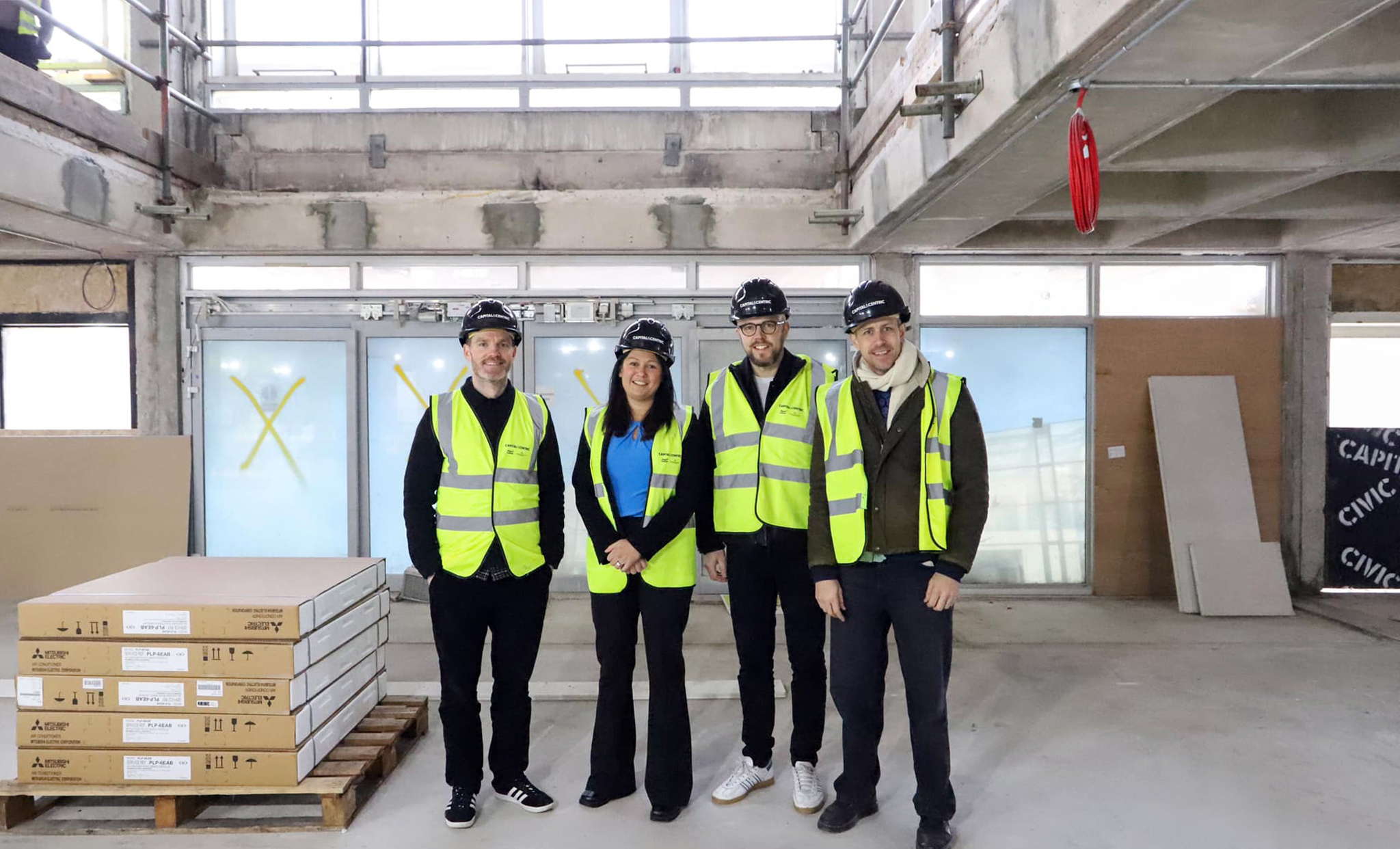
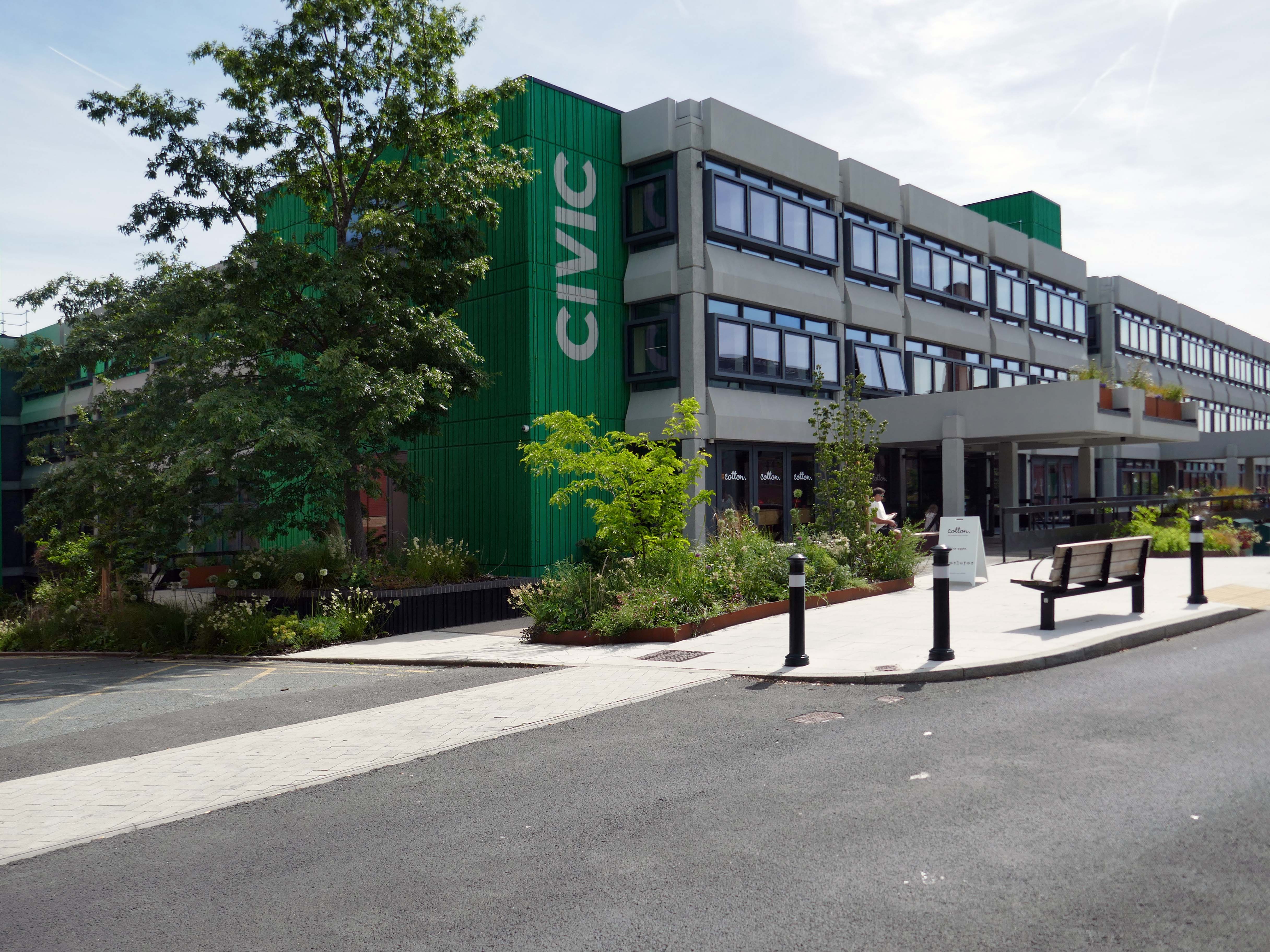
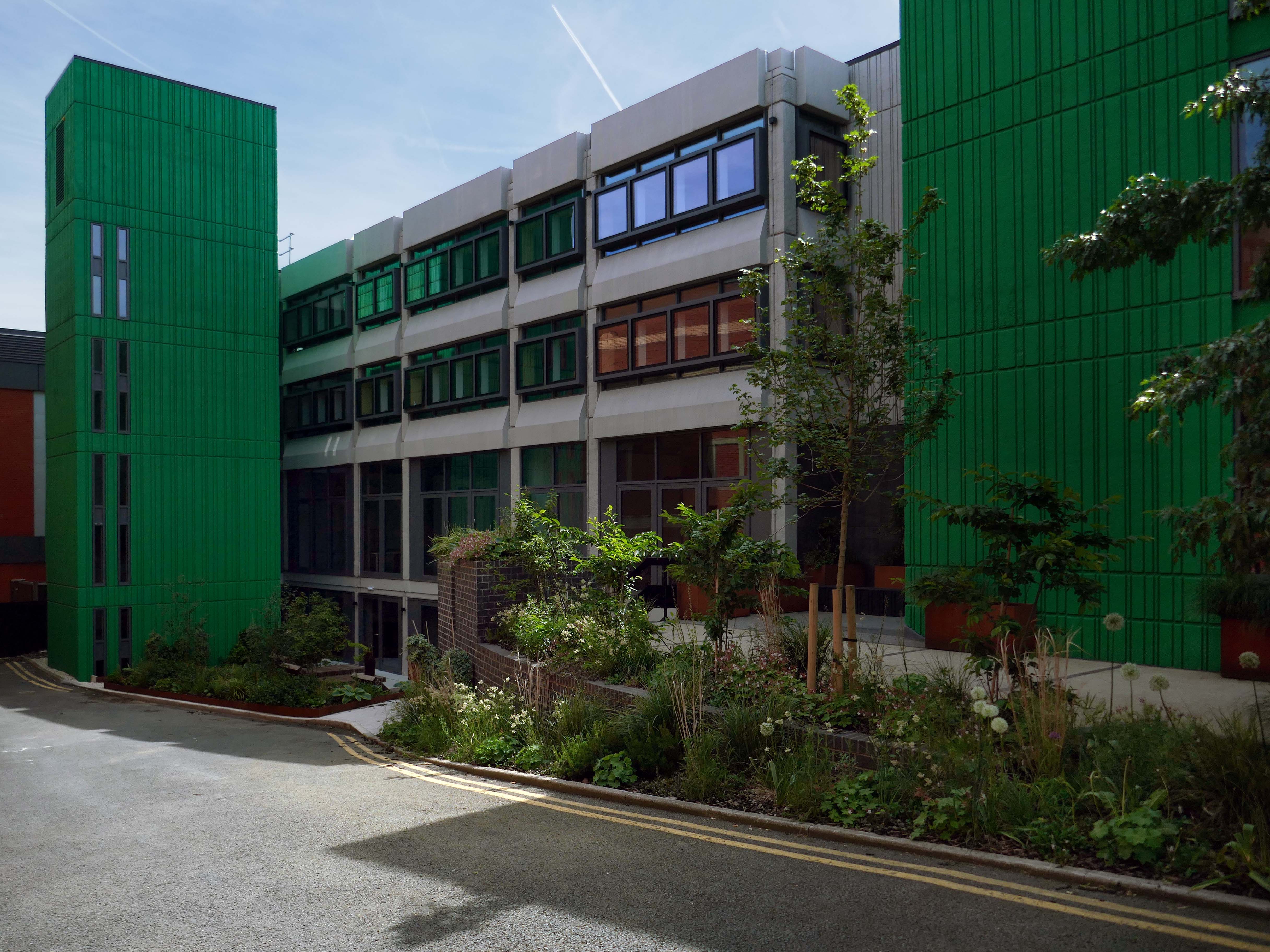
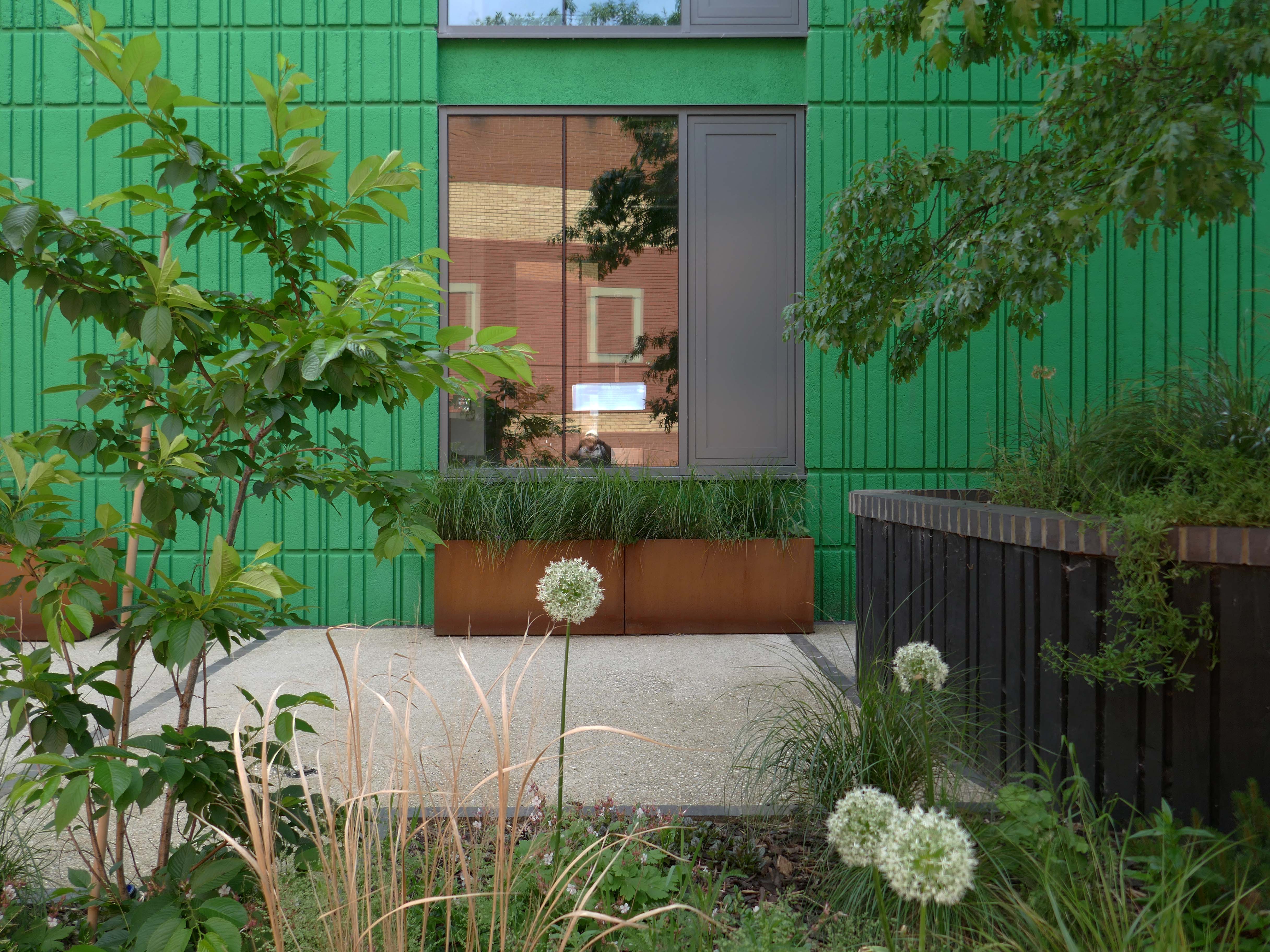
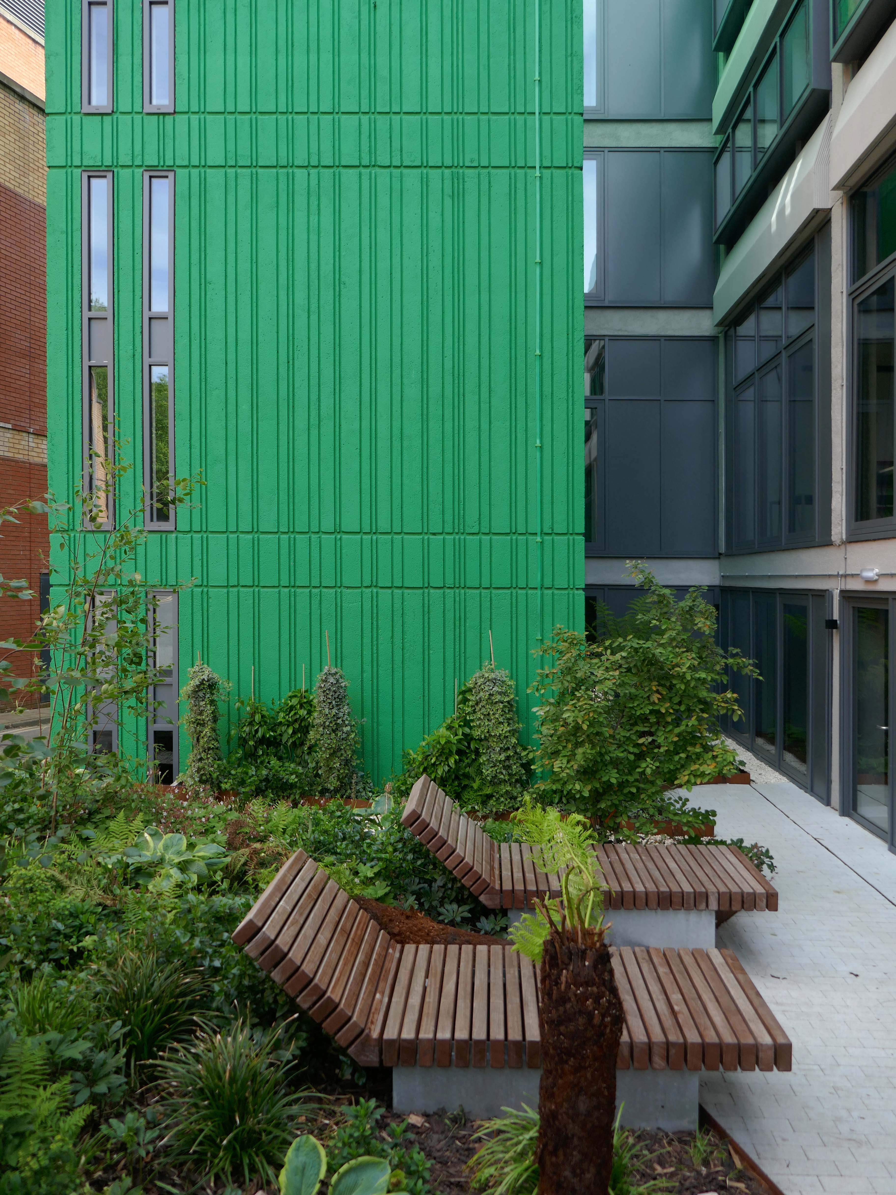
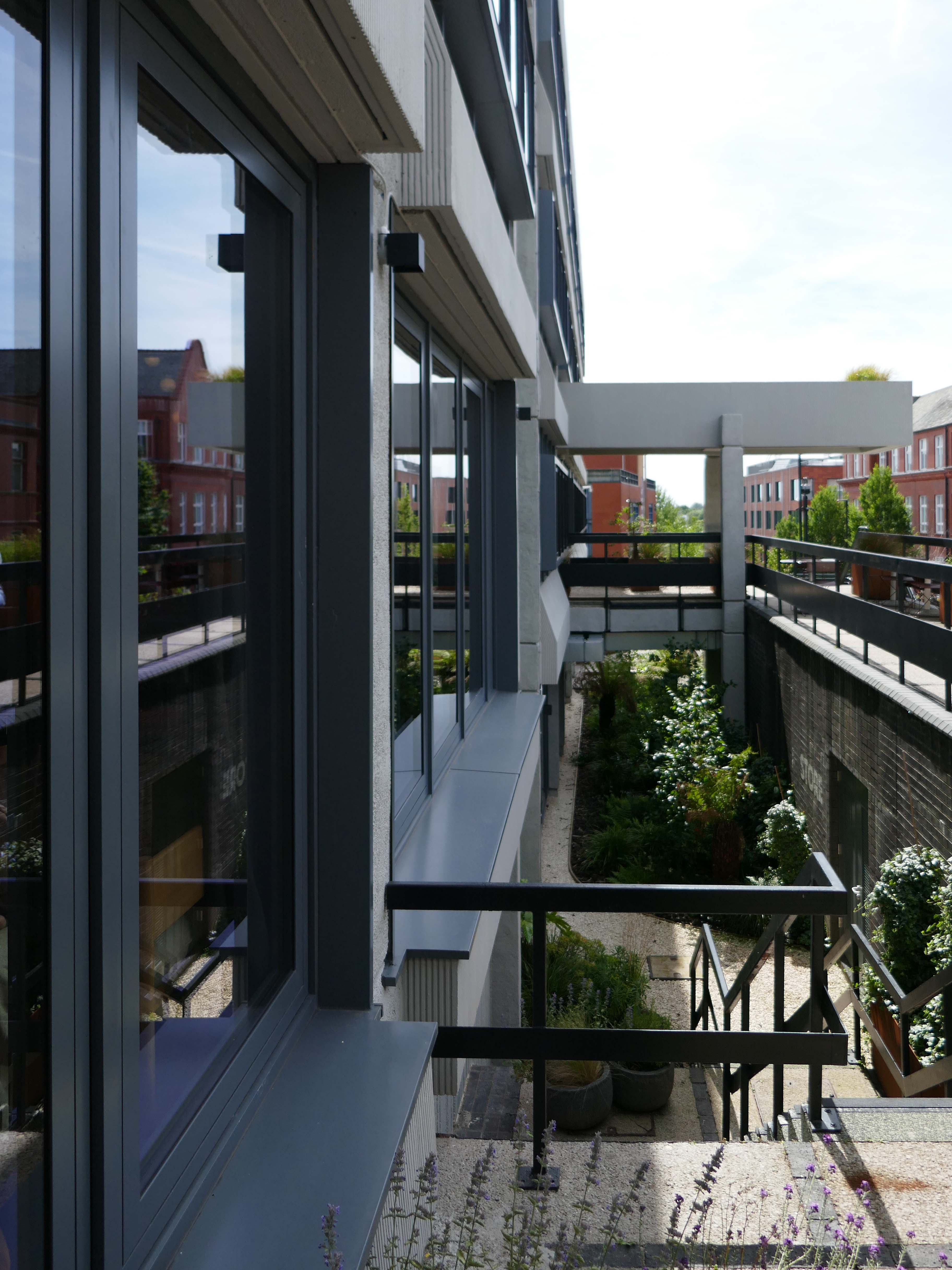
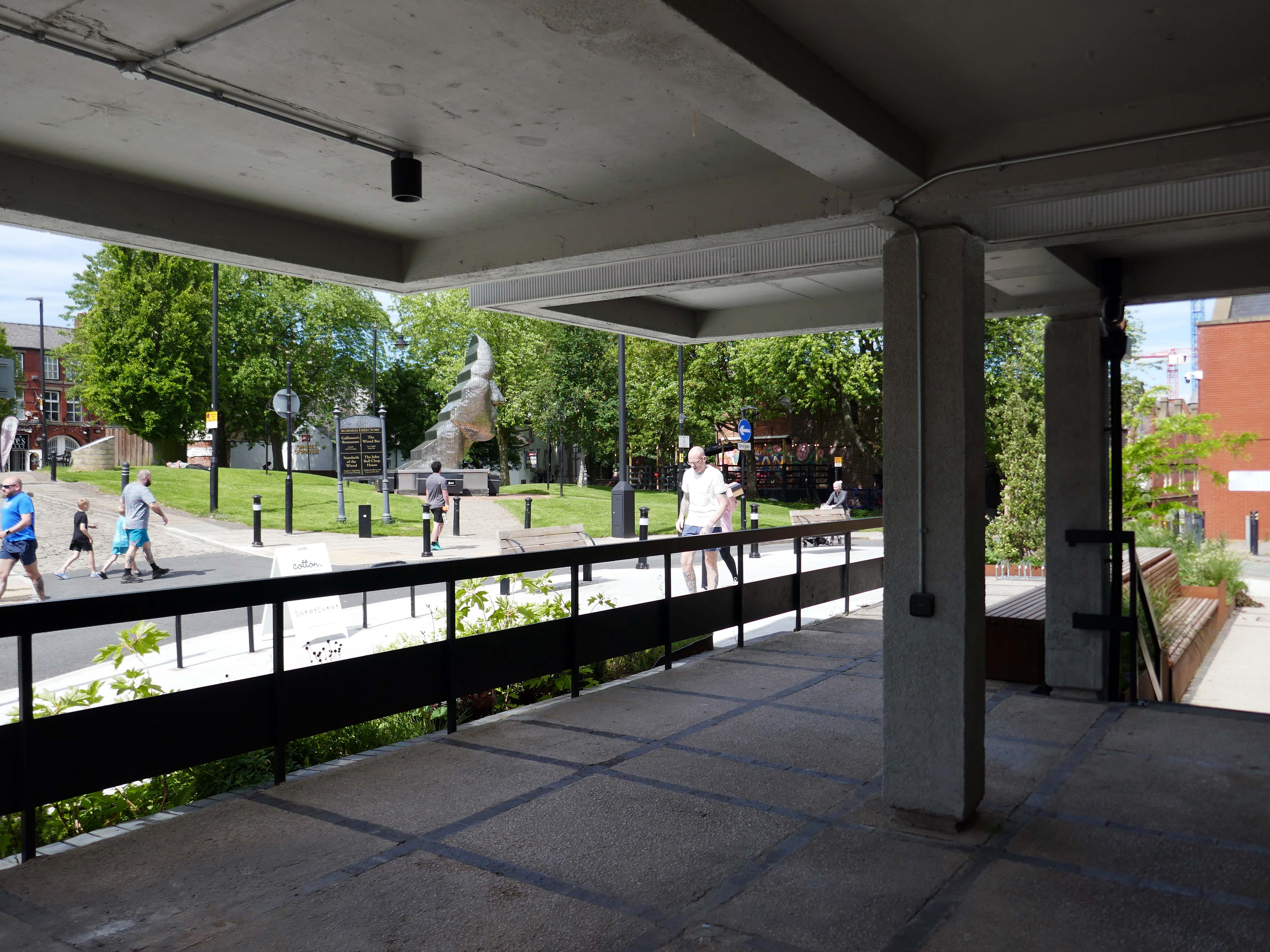
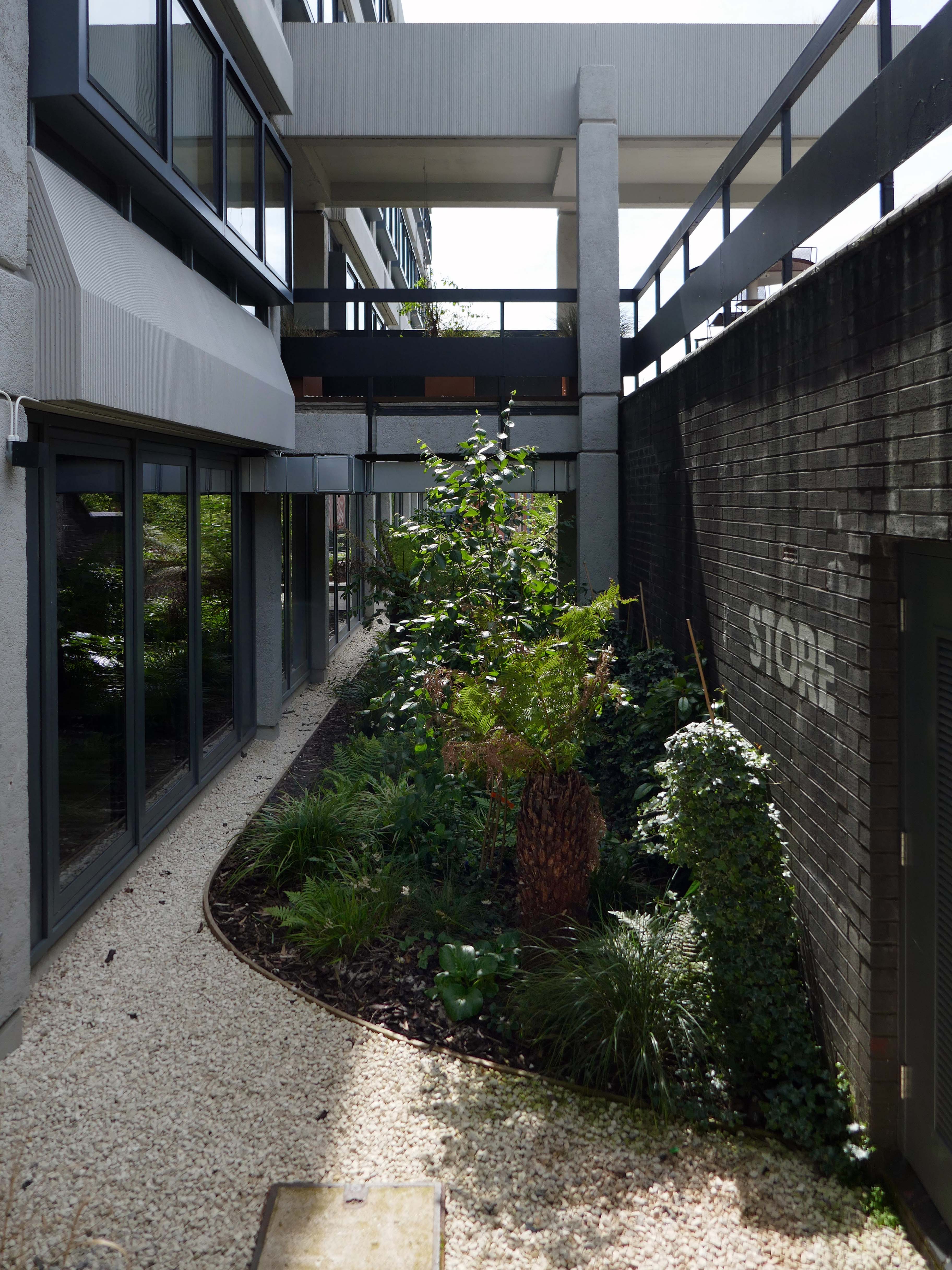
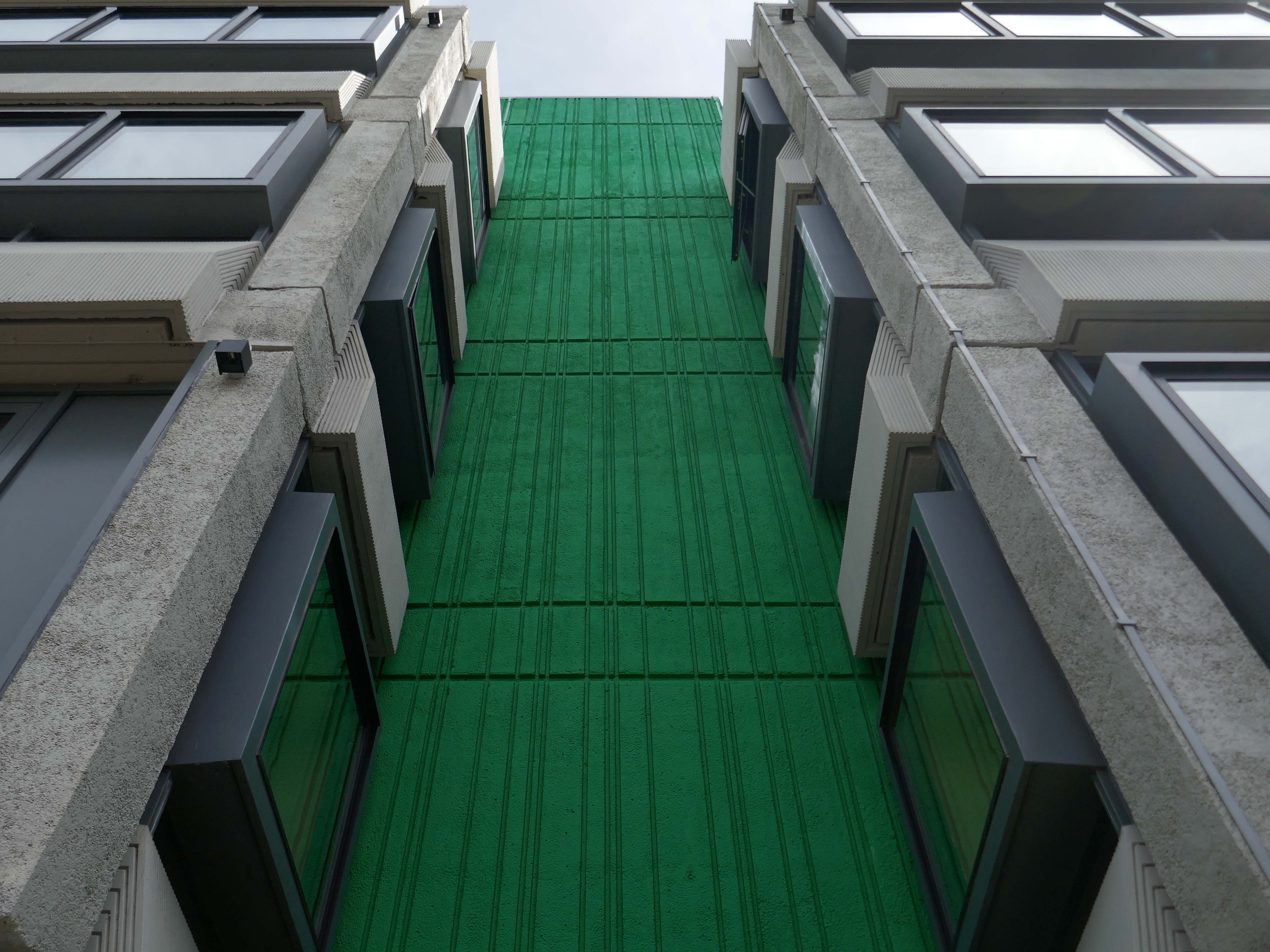
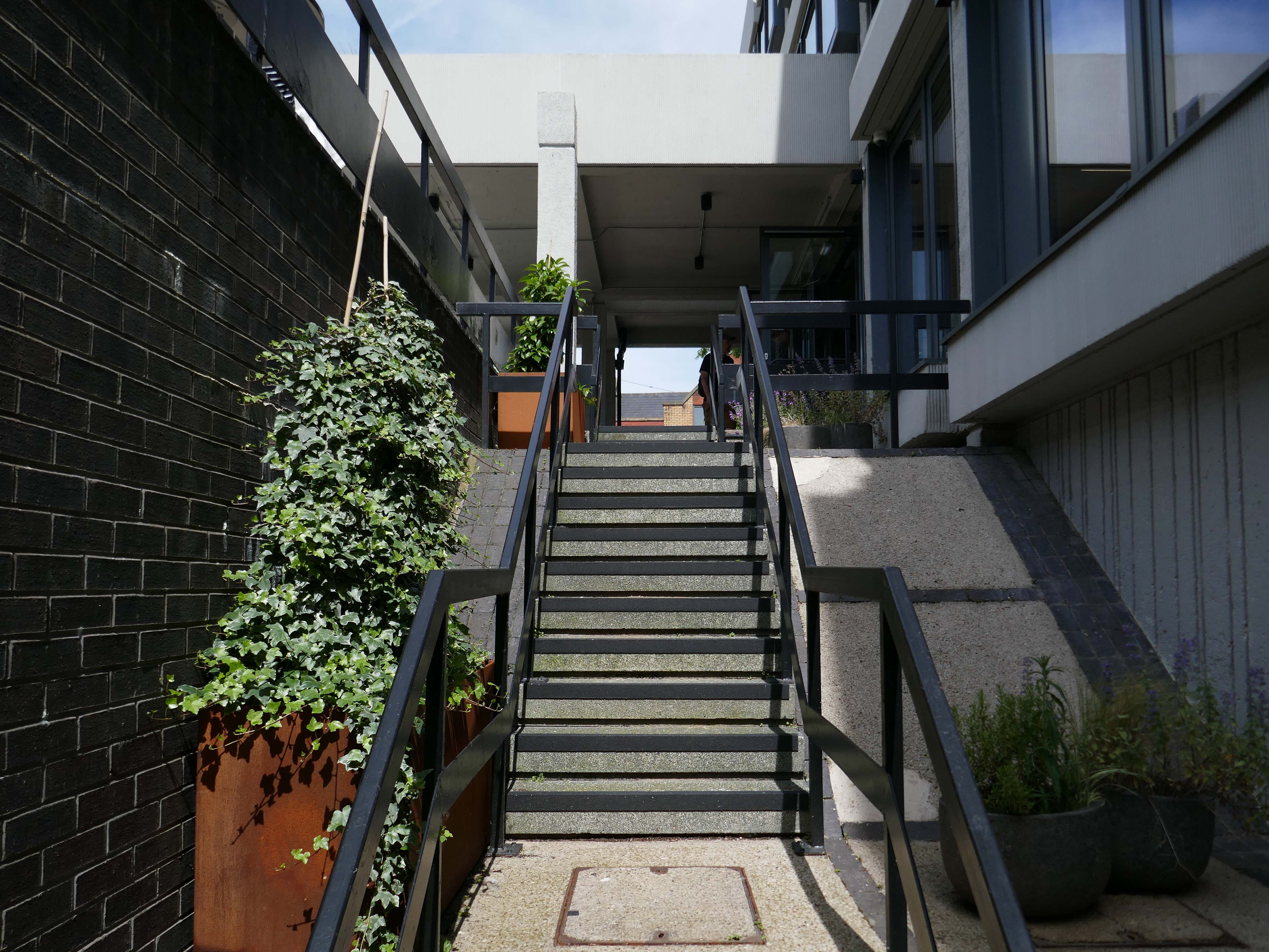
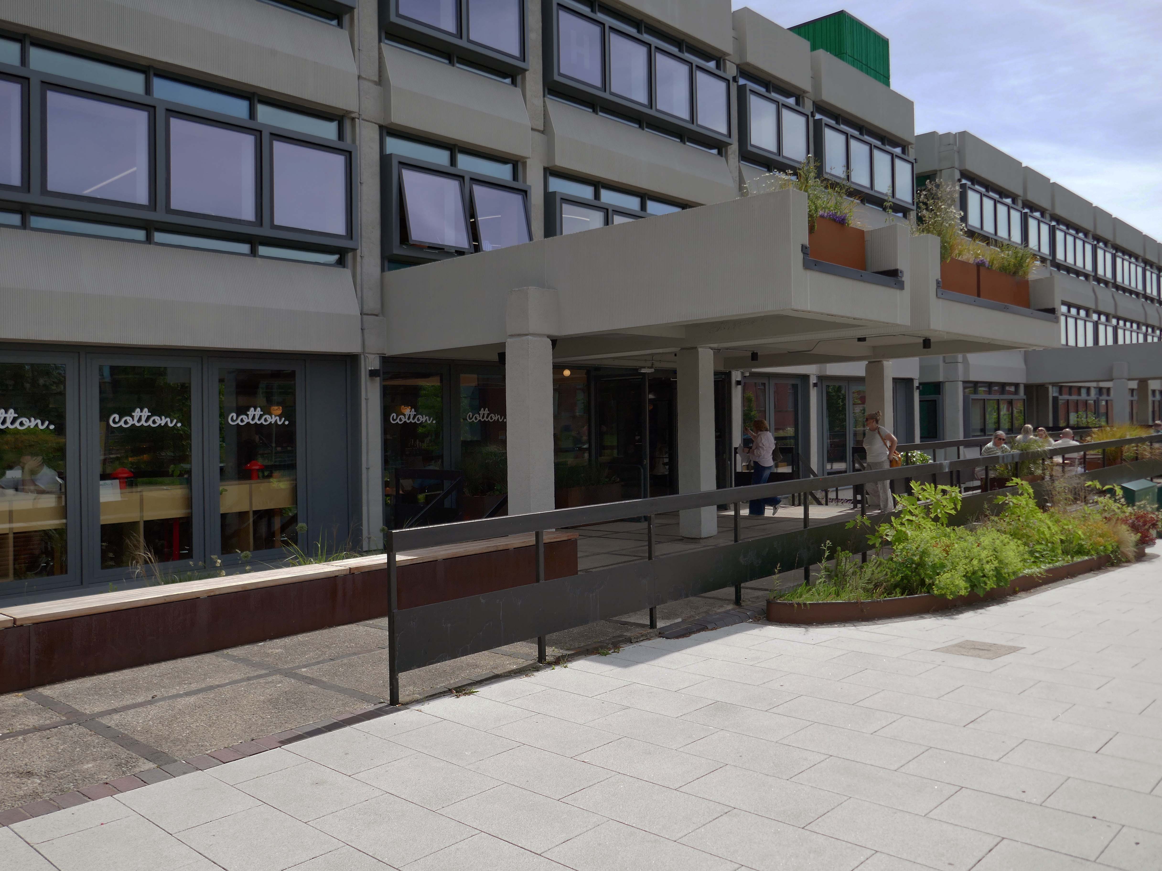
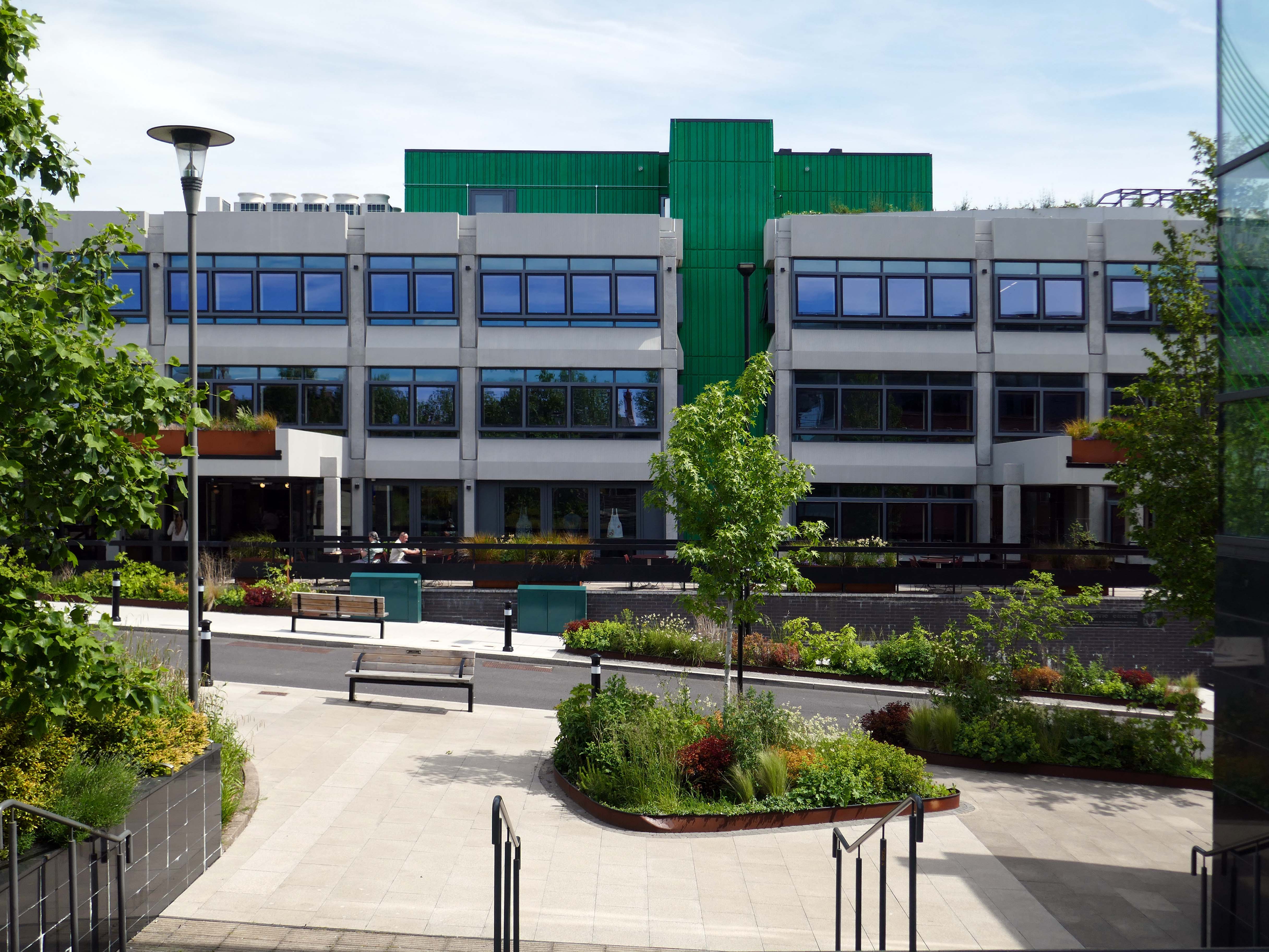
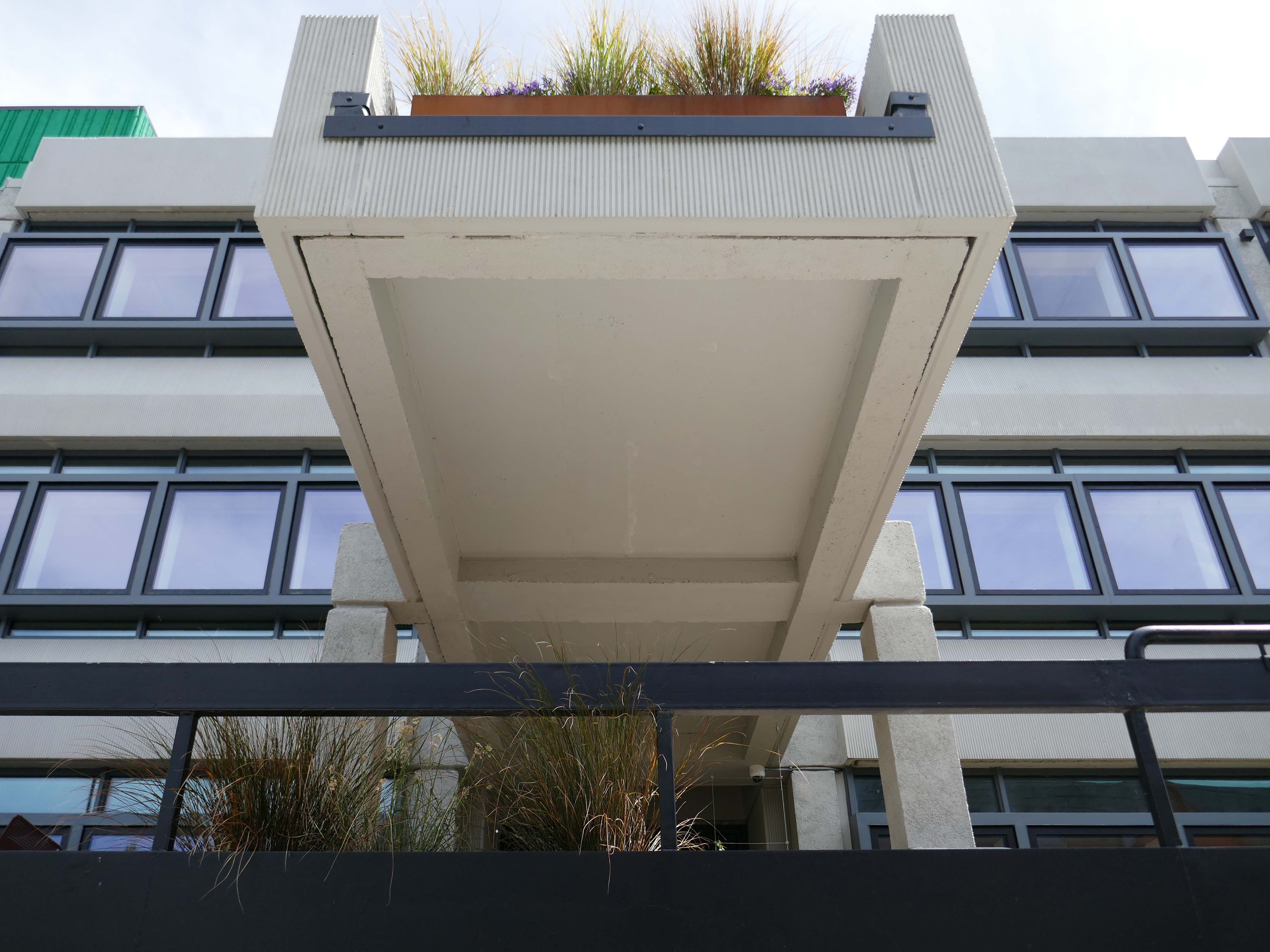
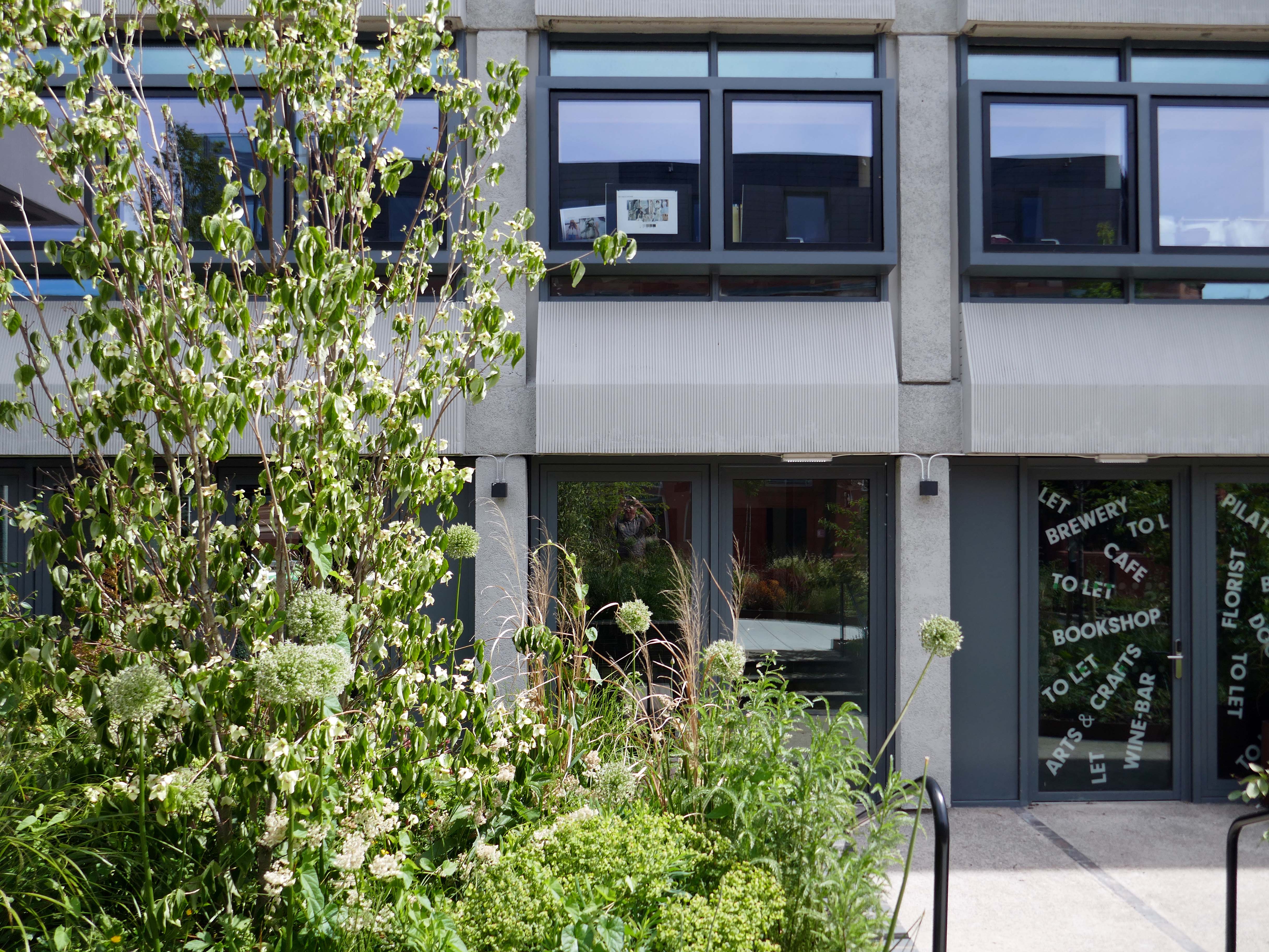
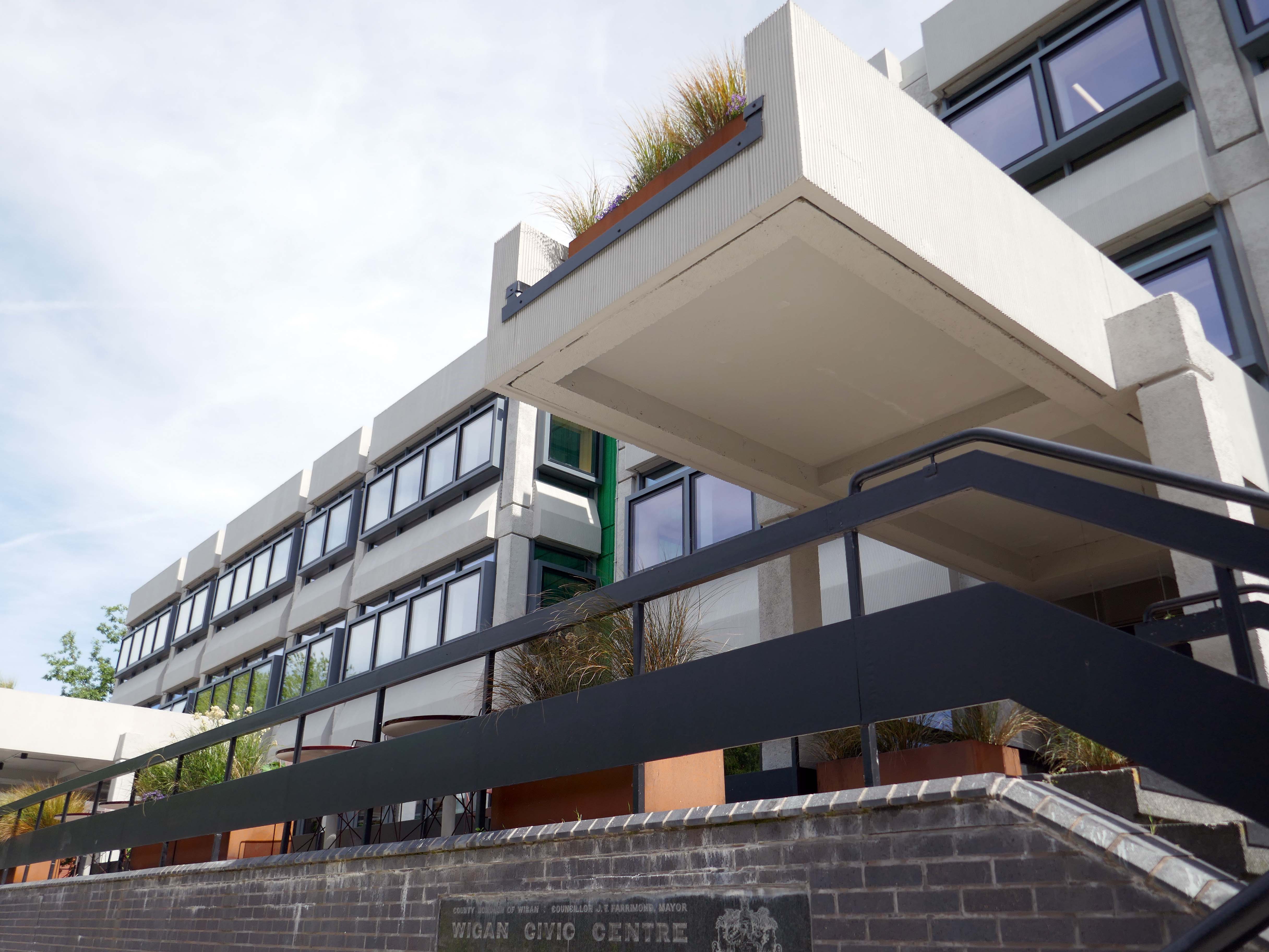
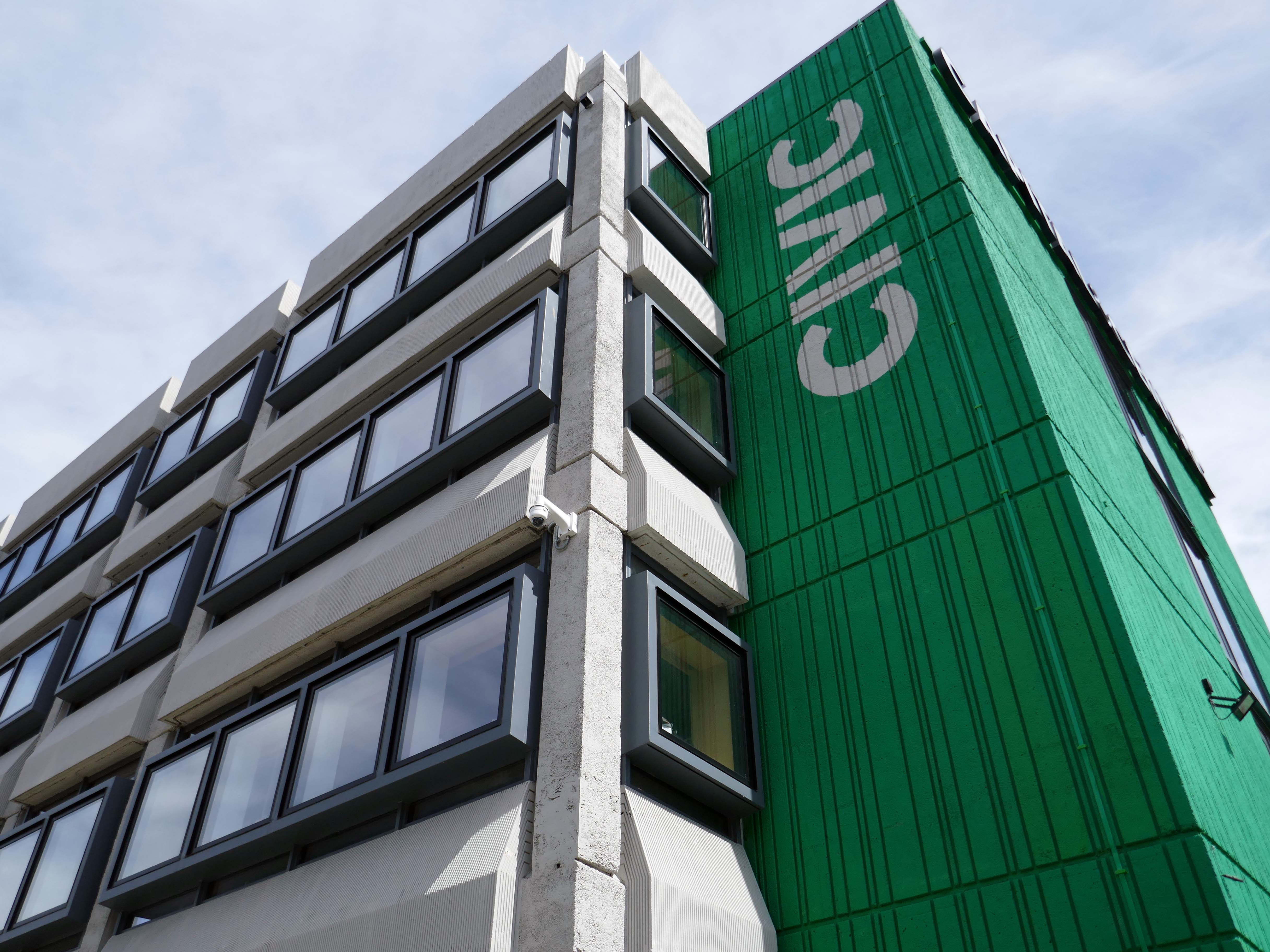
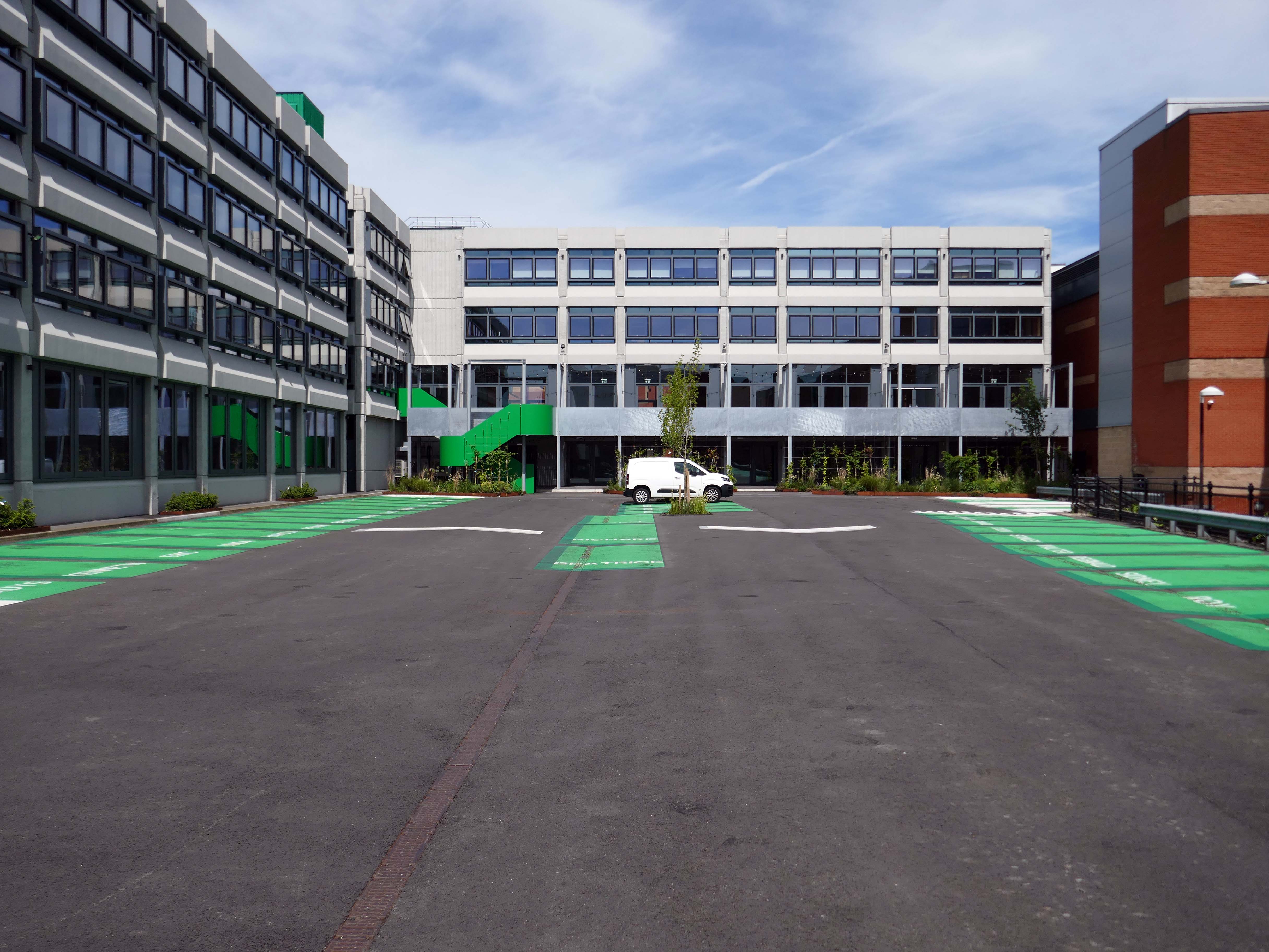
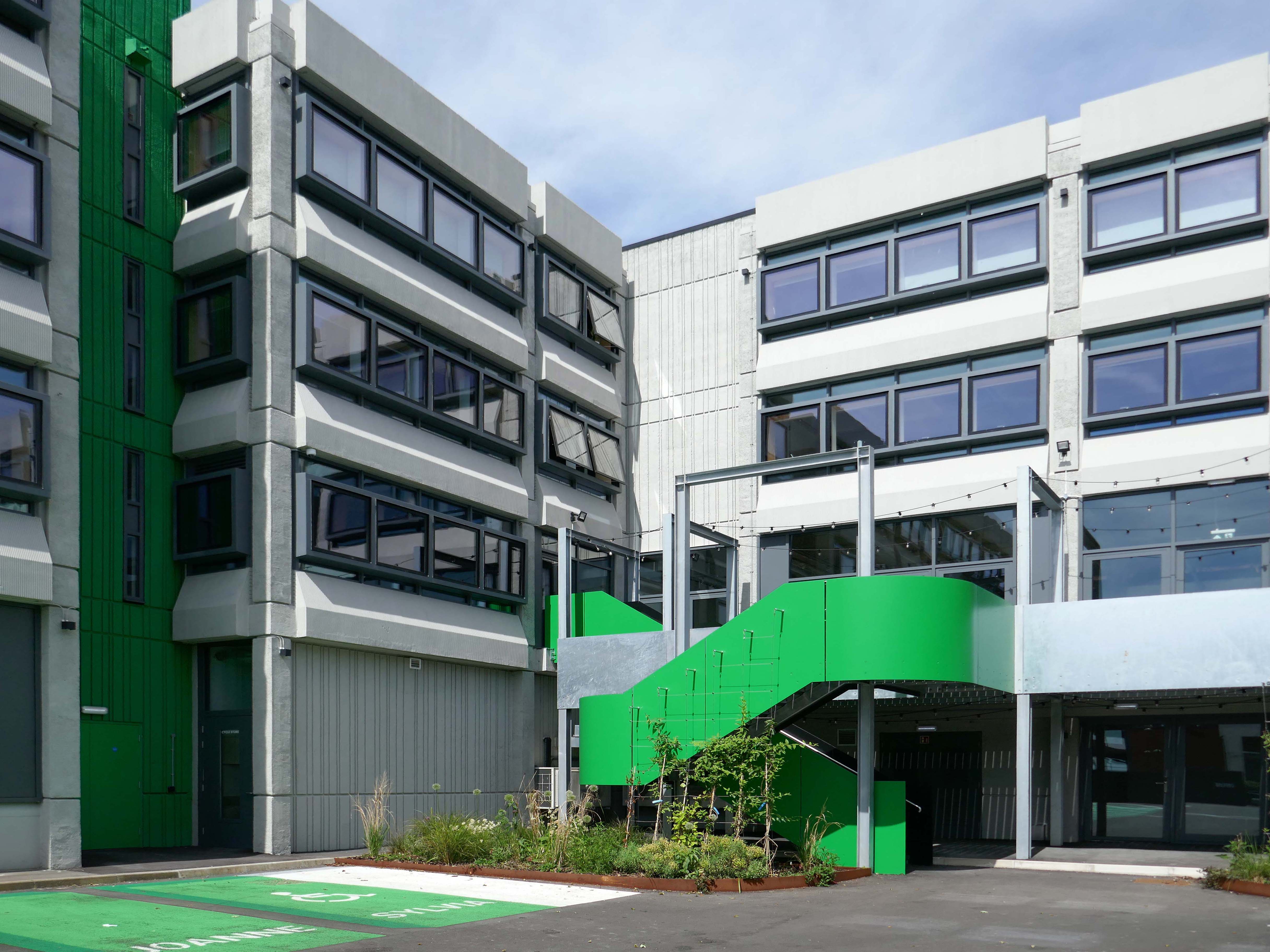
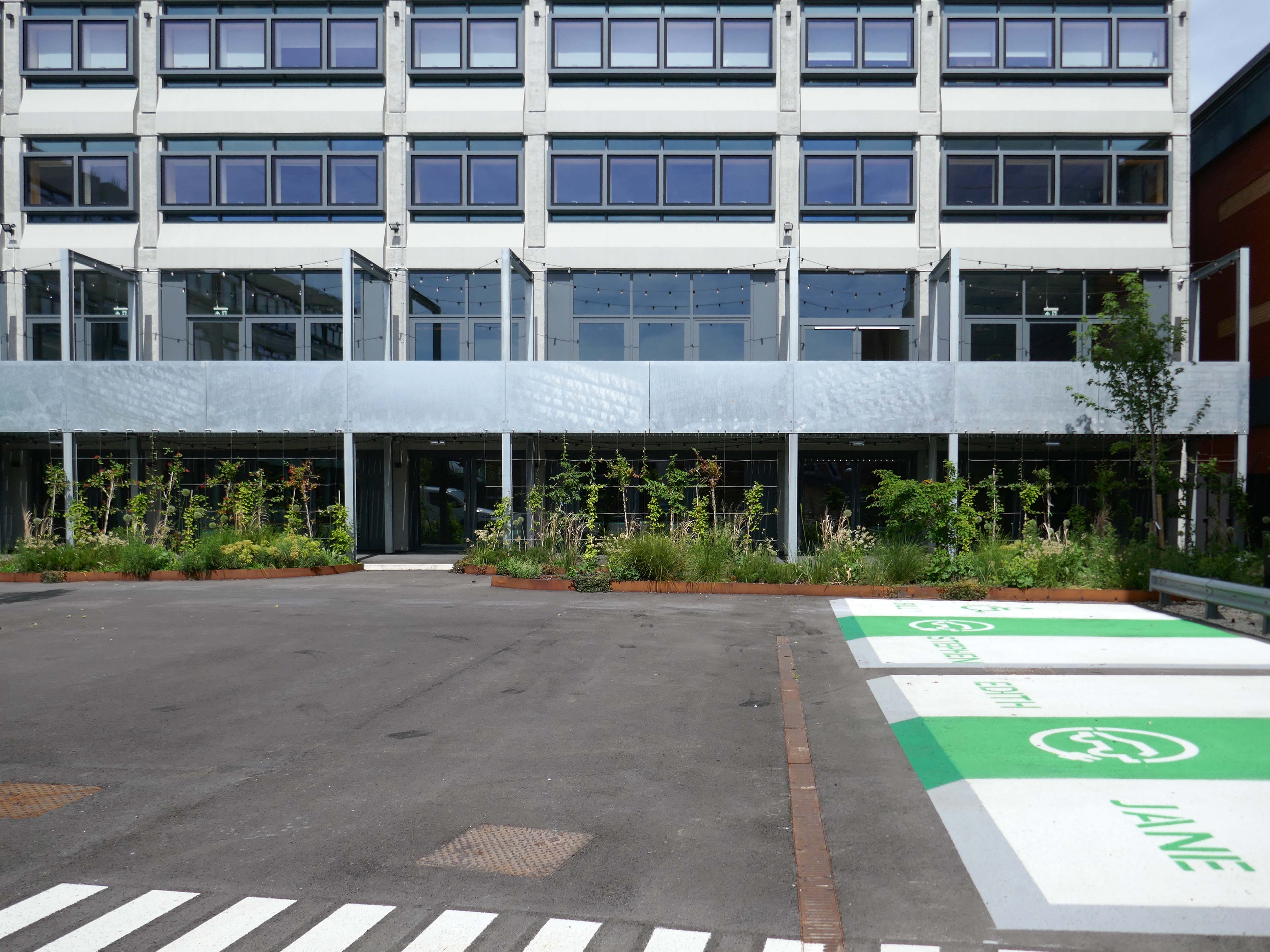
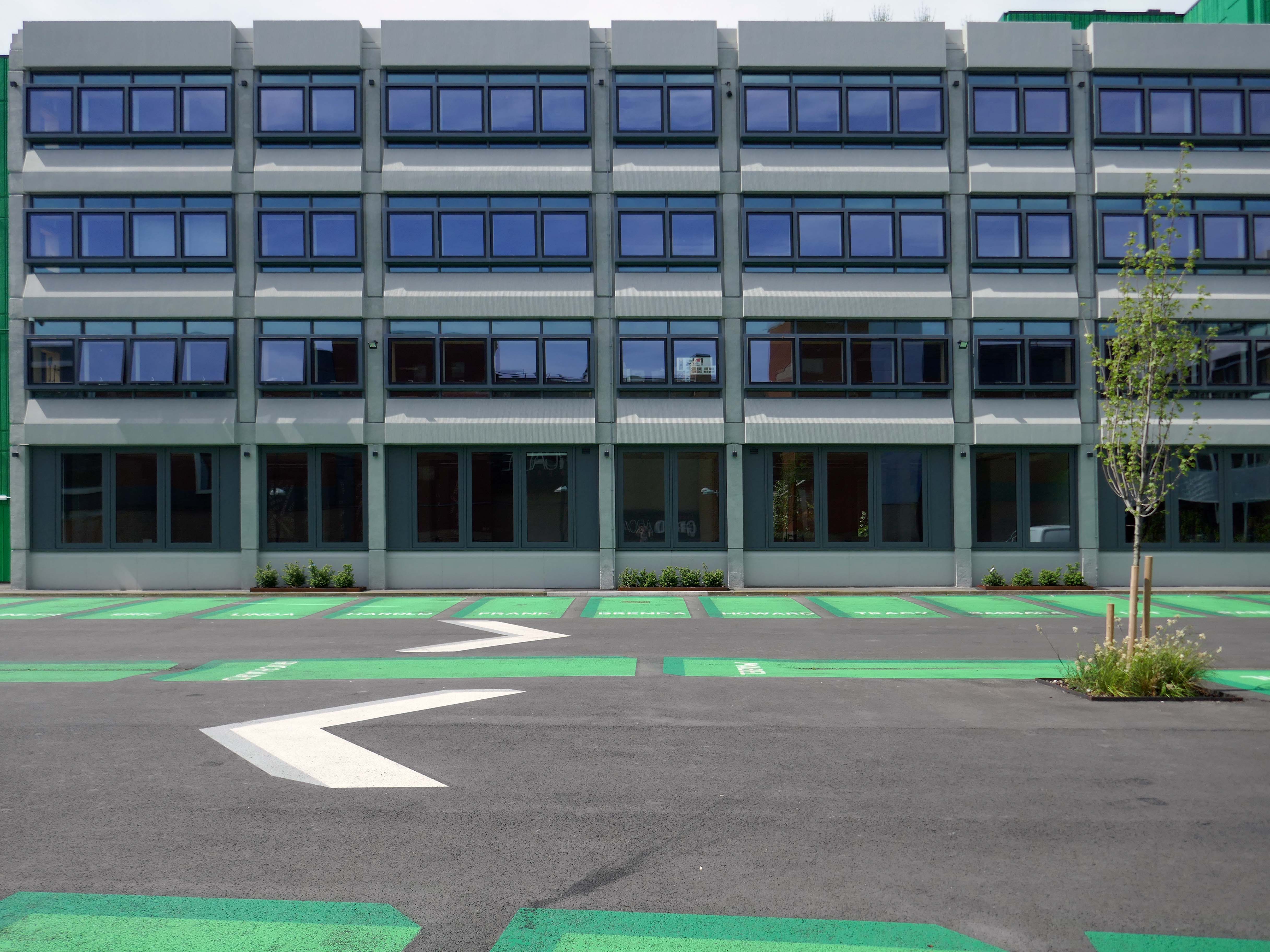
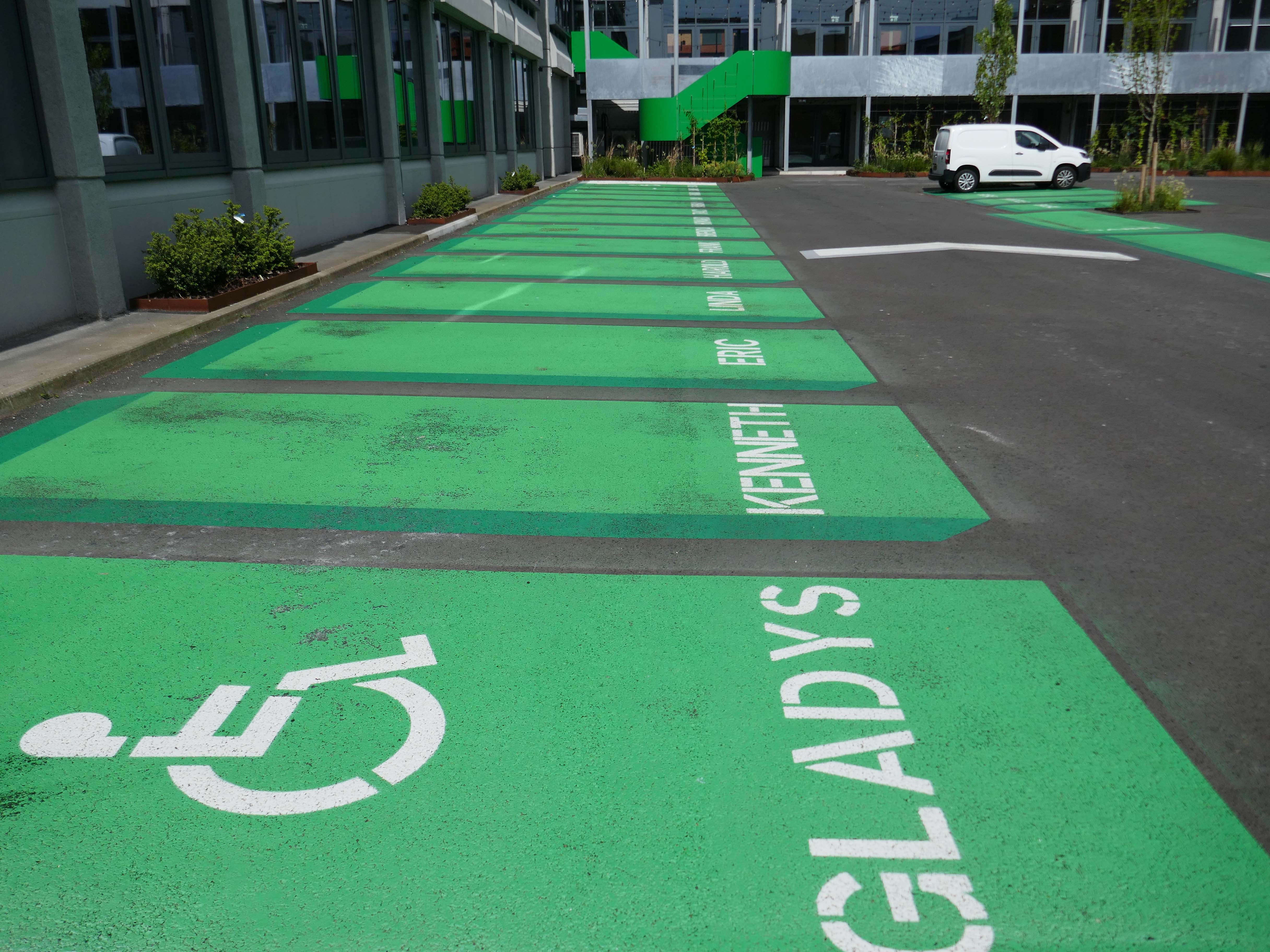
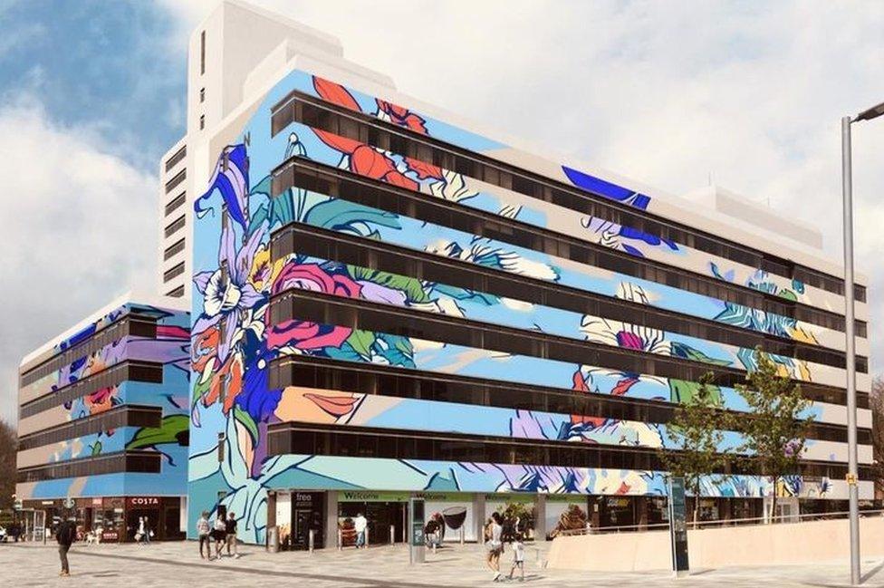
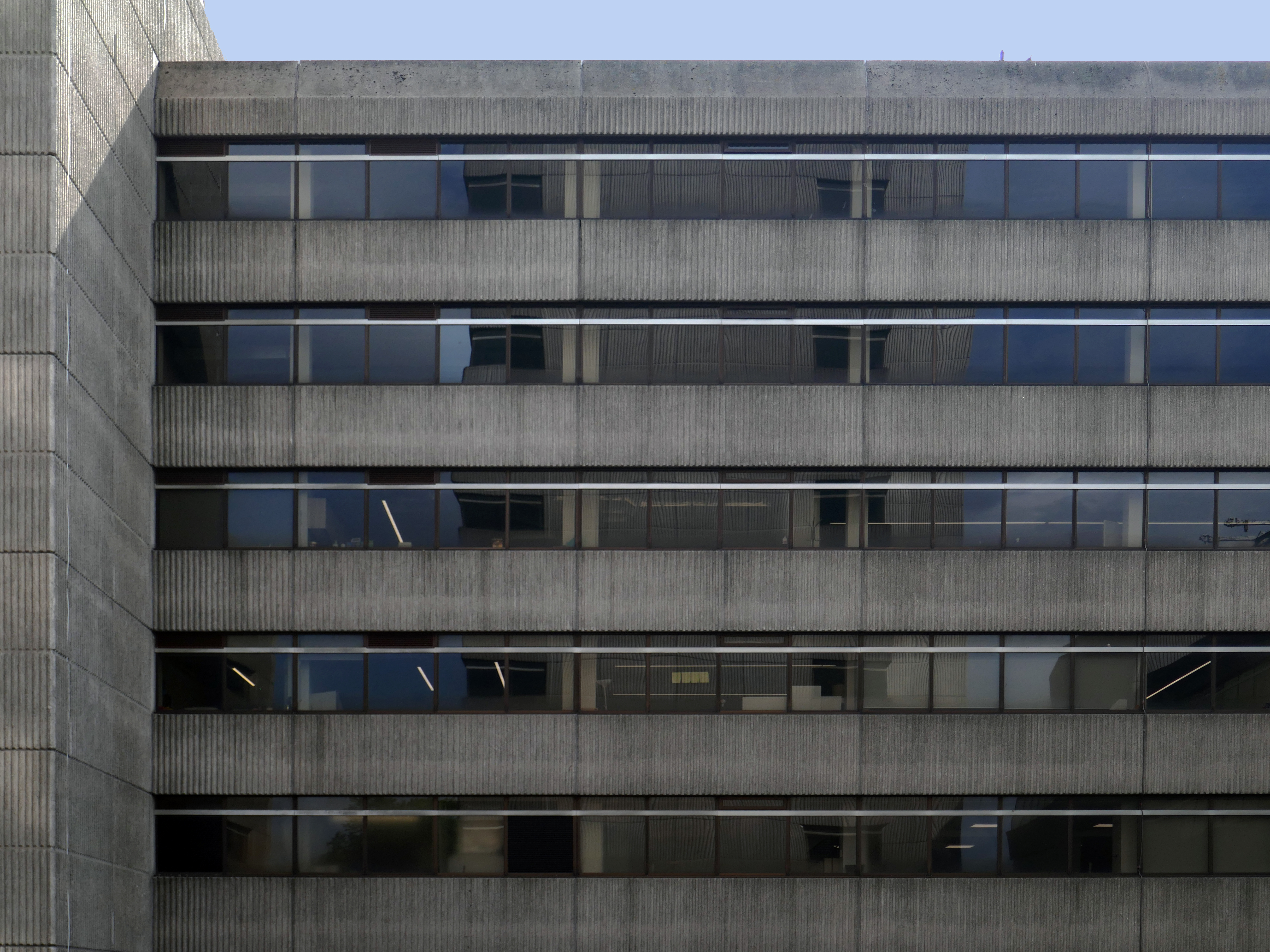
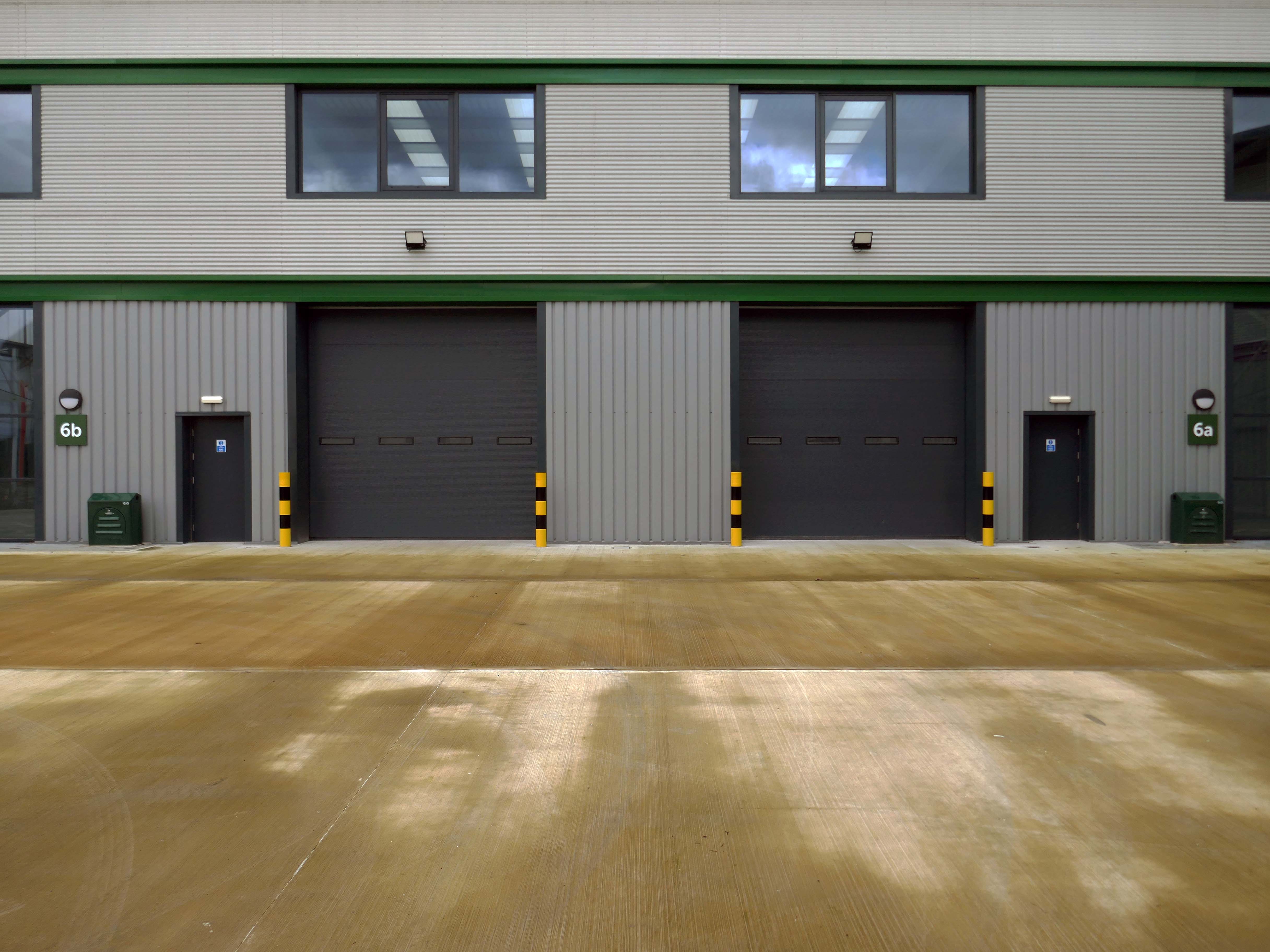
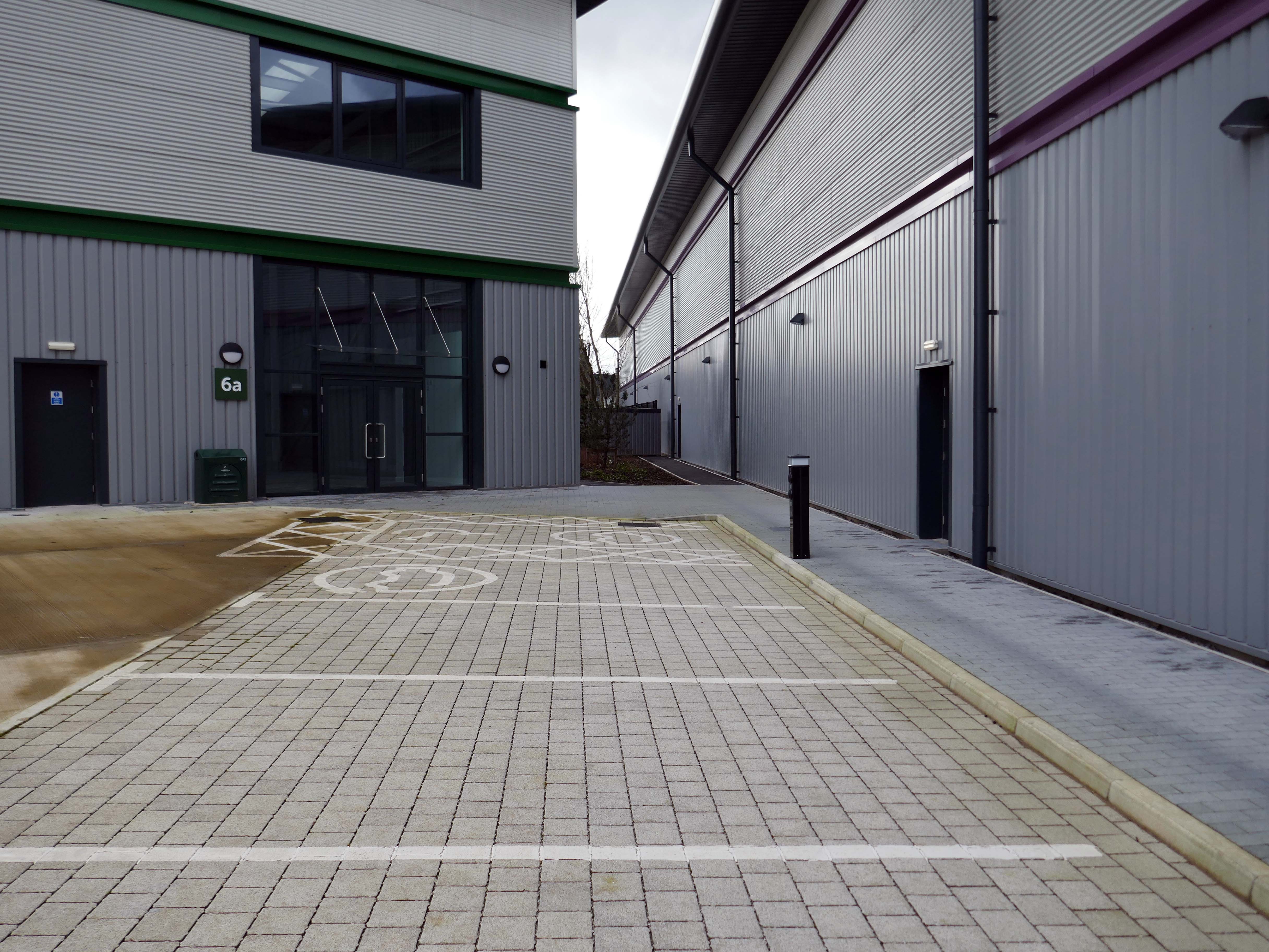
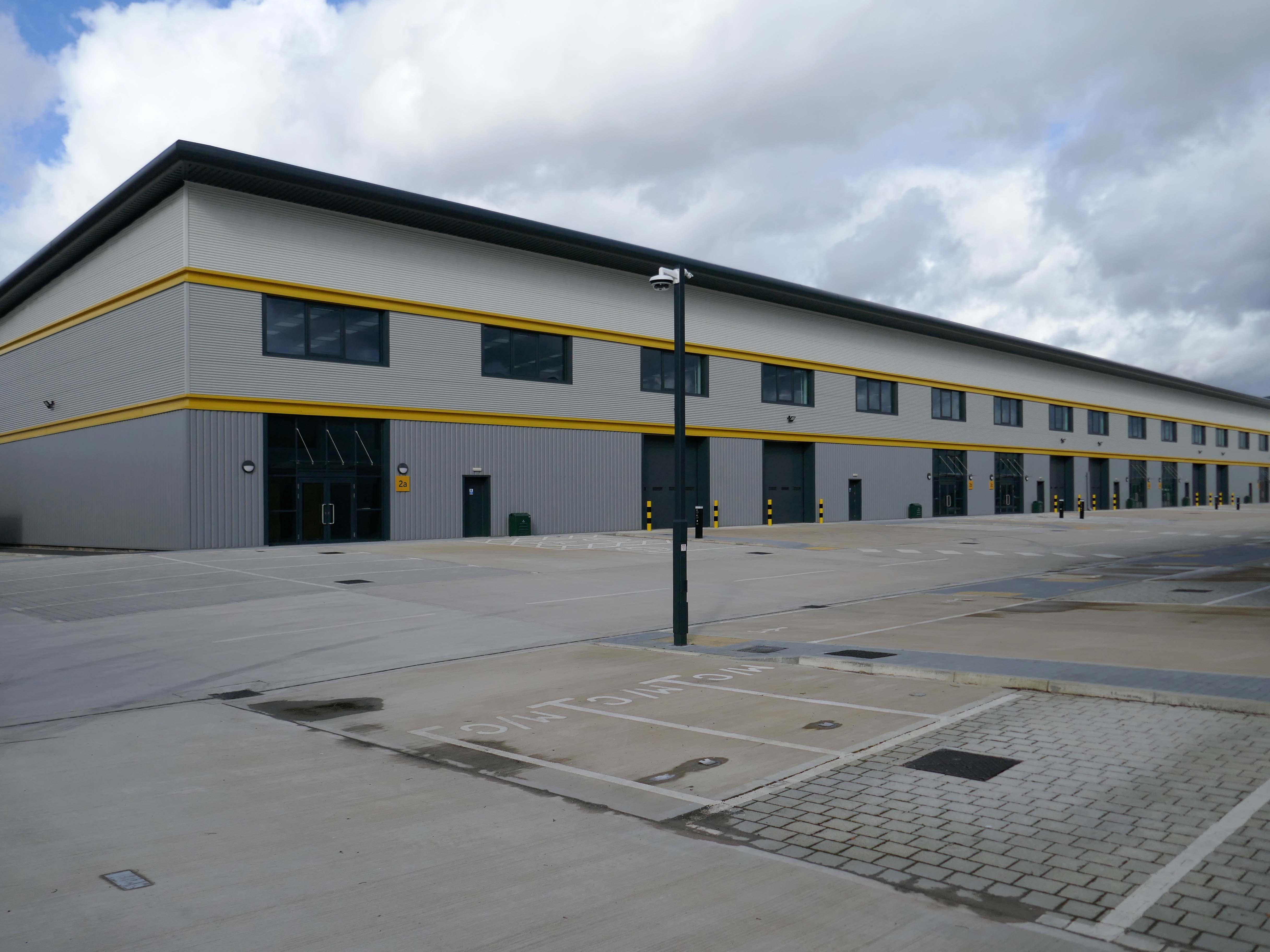
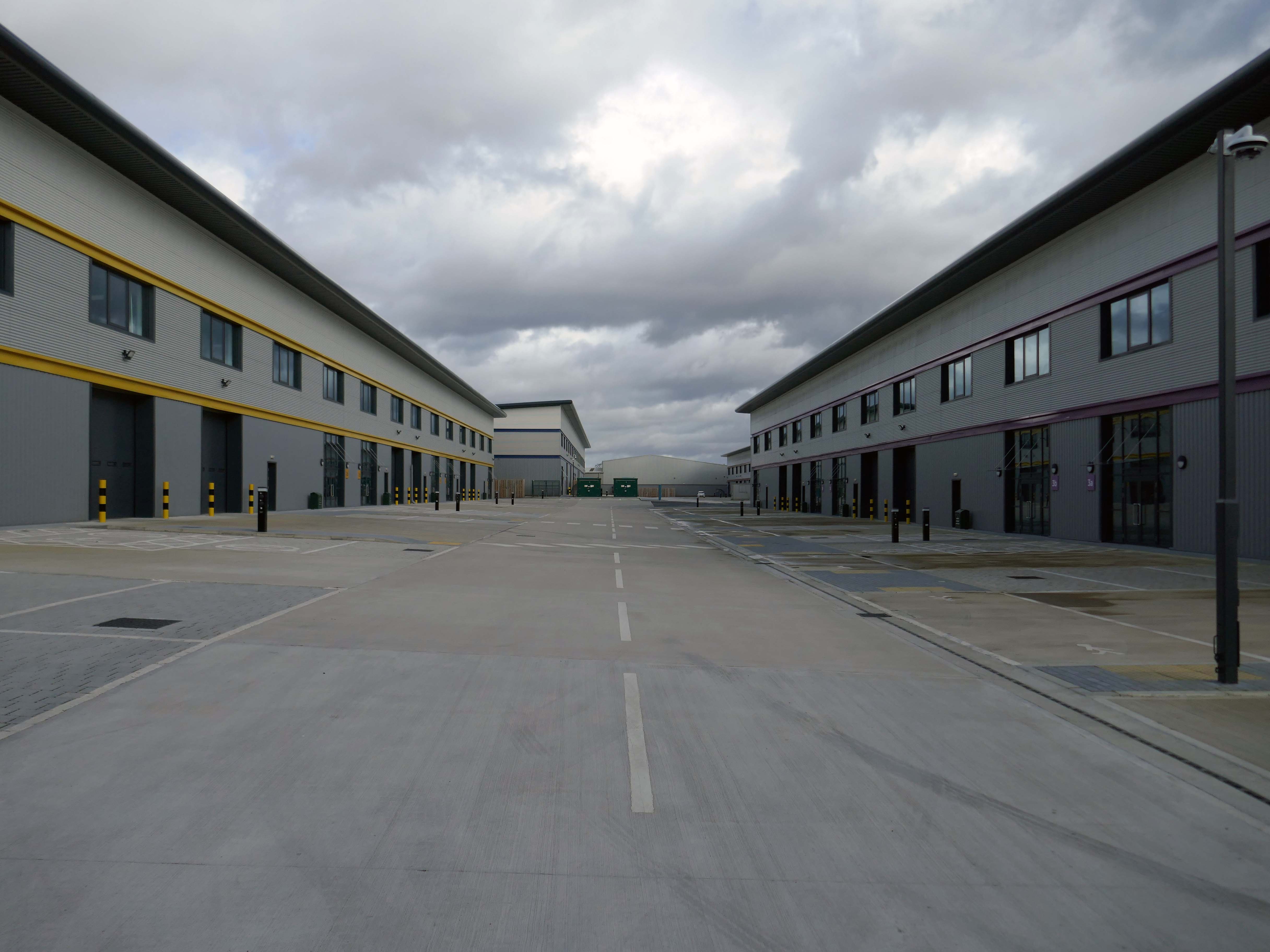
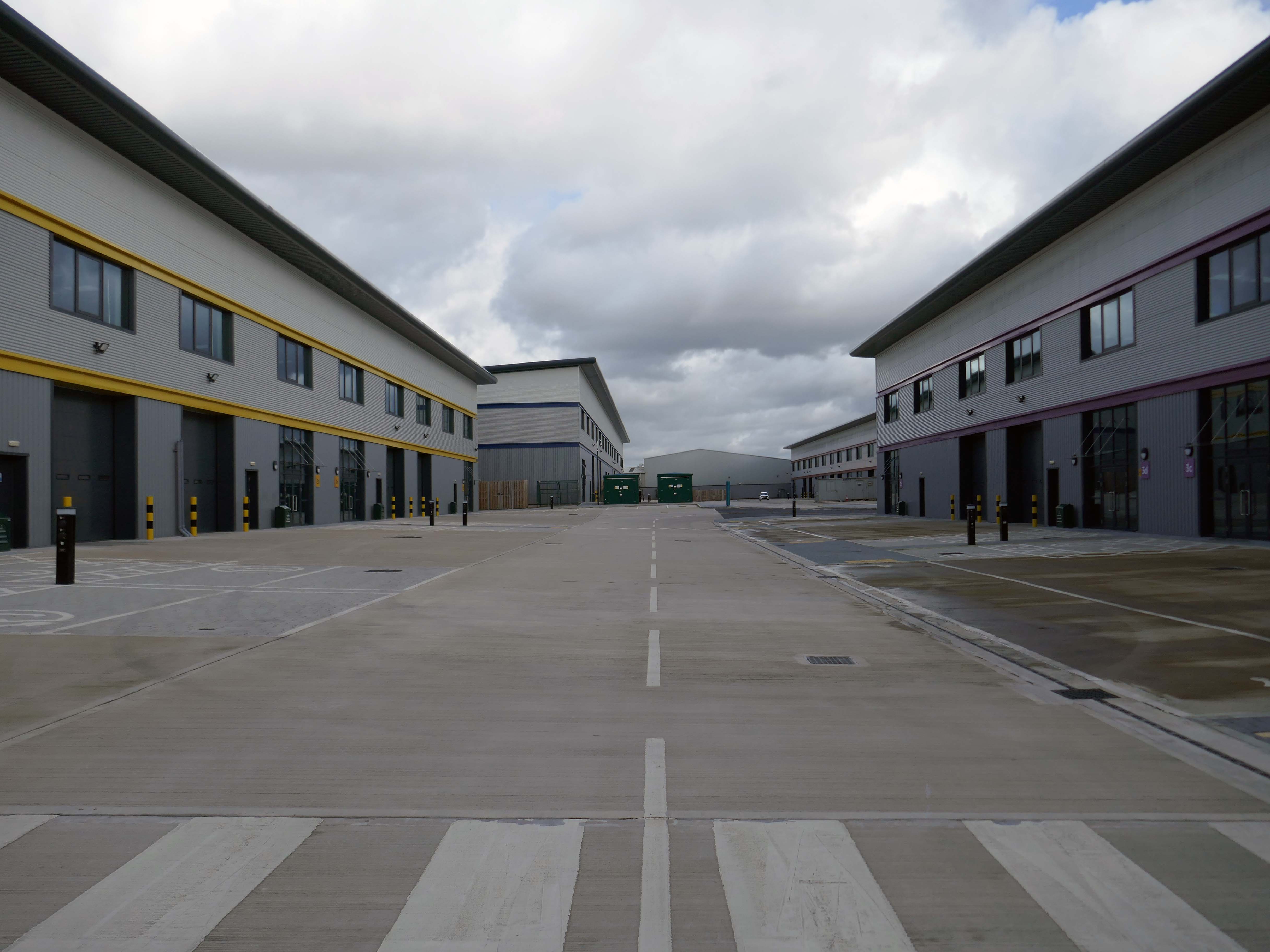
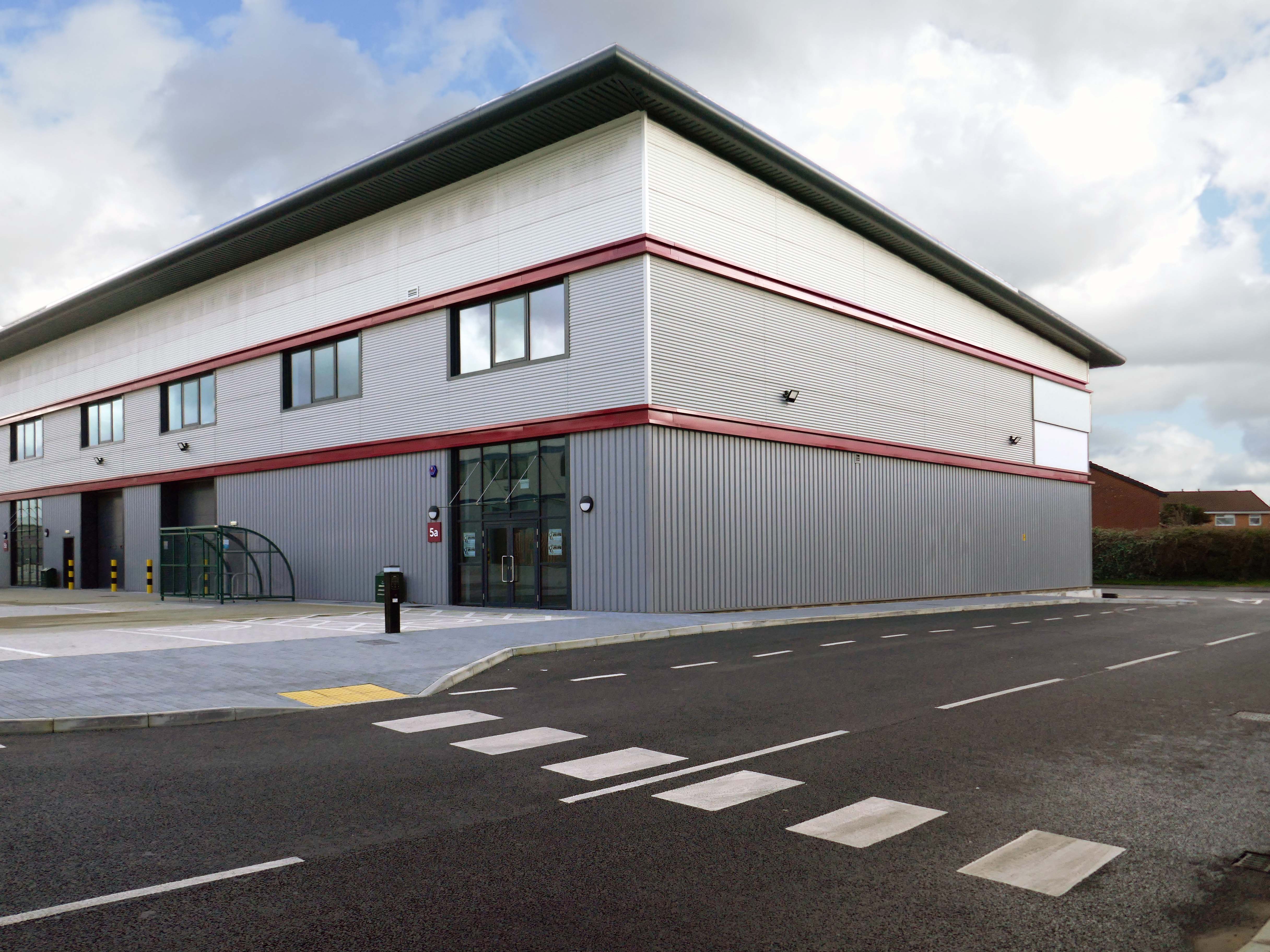
Civic is a super energy-efficient workspace in the centre of Wigan town centre. The BREEAM Excellent building has space for business of all sizes, from desks for solo start-ups, all the way to big open plan offices with their own front door.
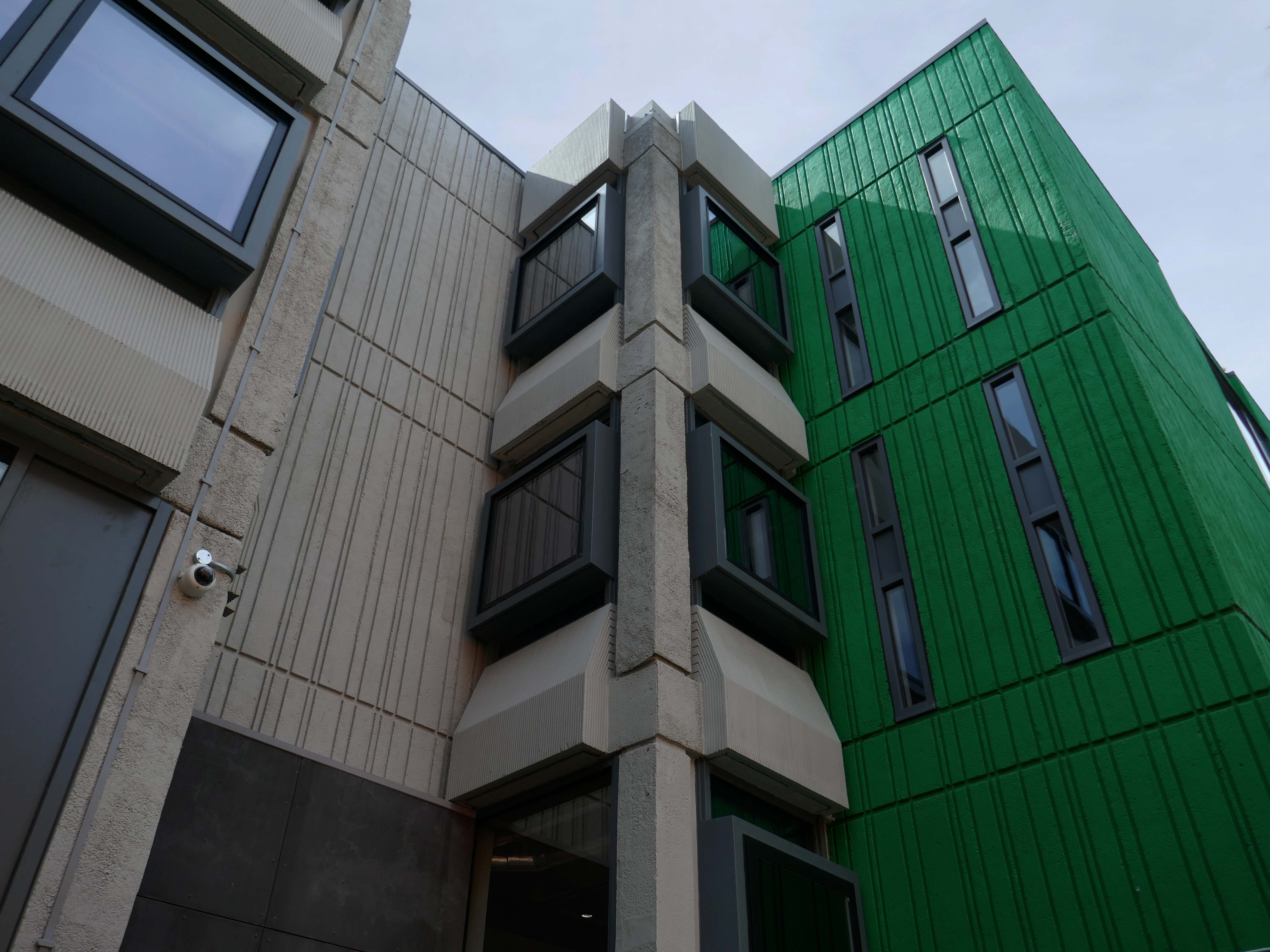
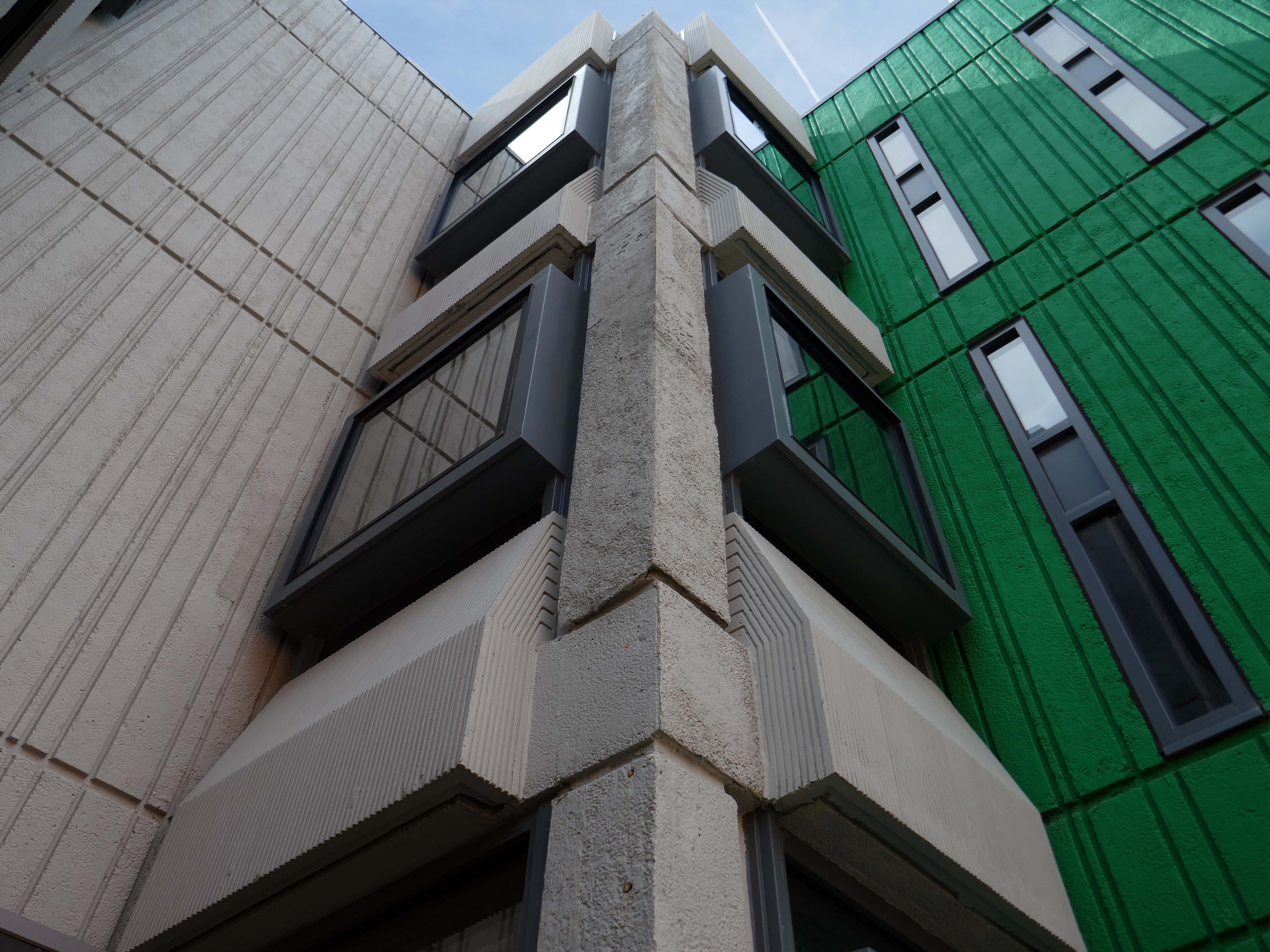
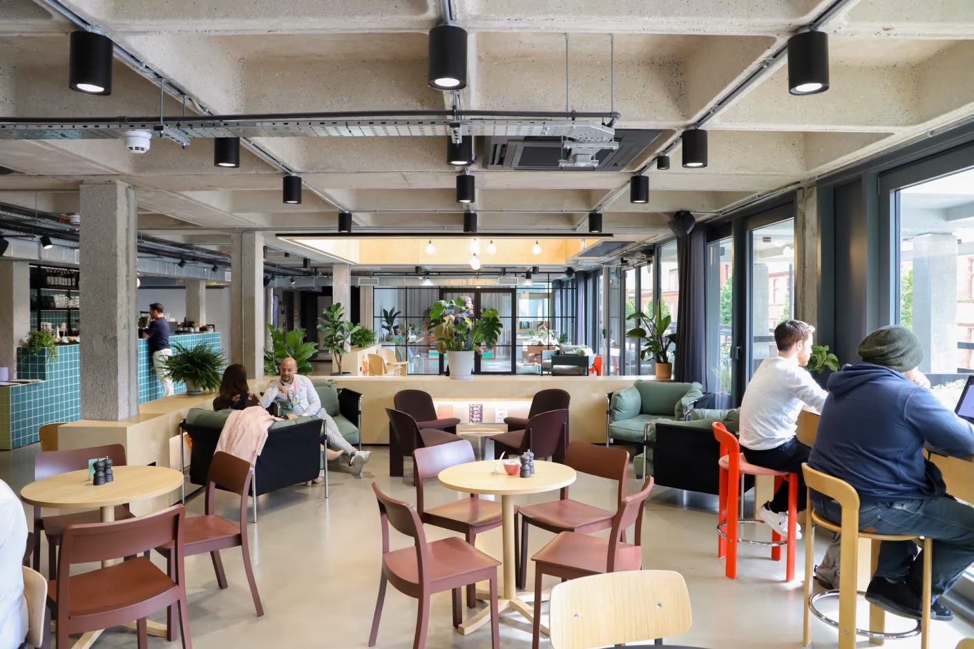
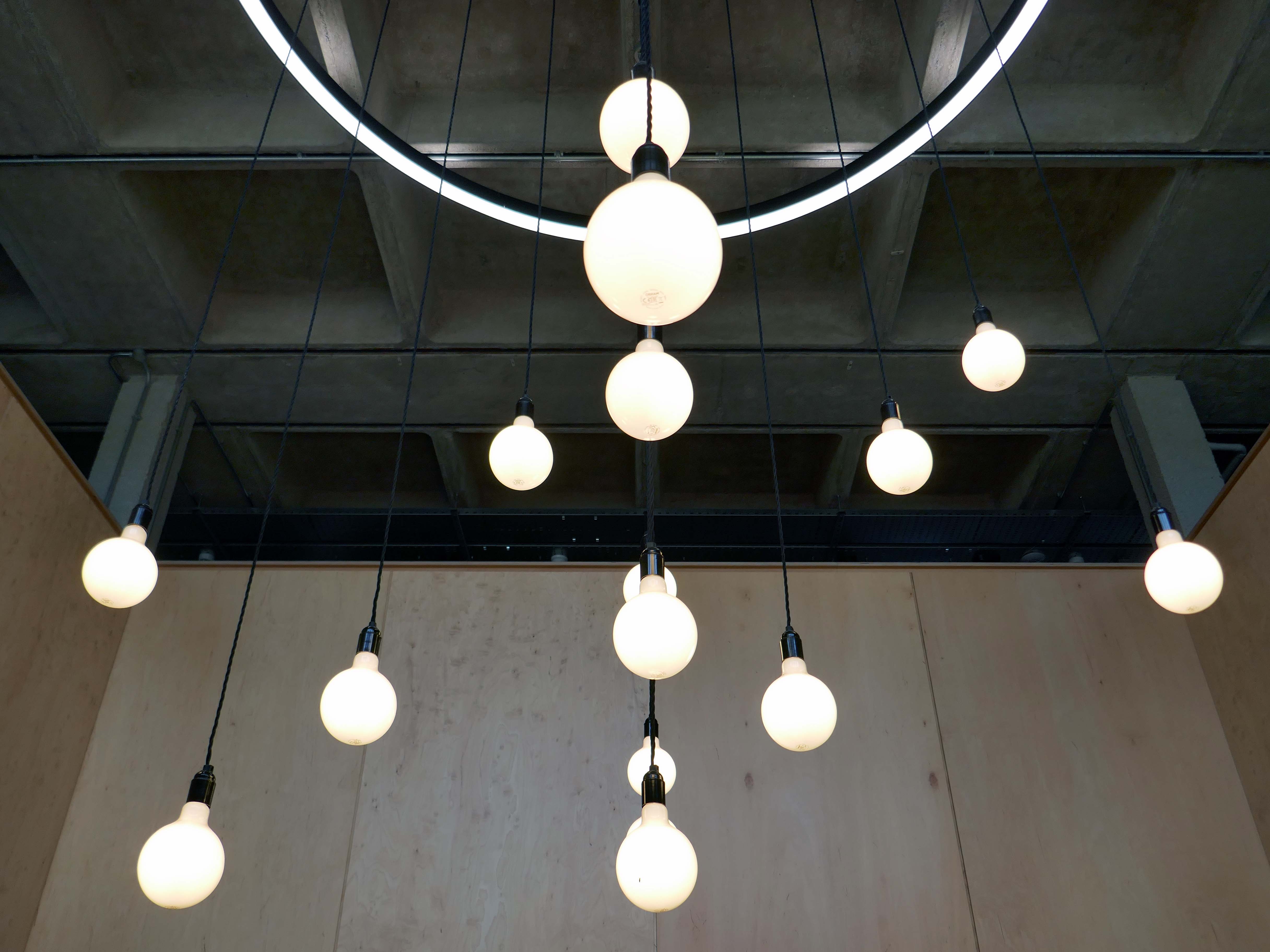
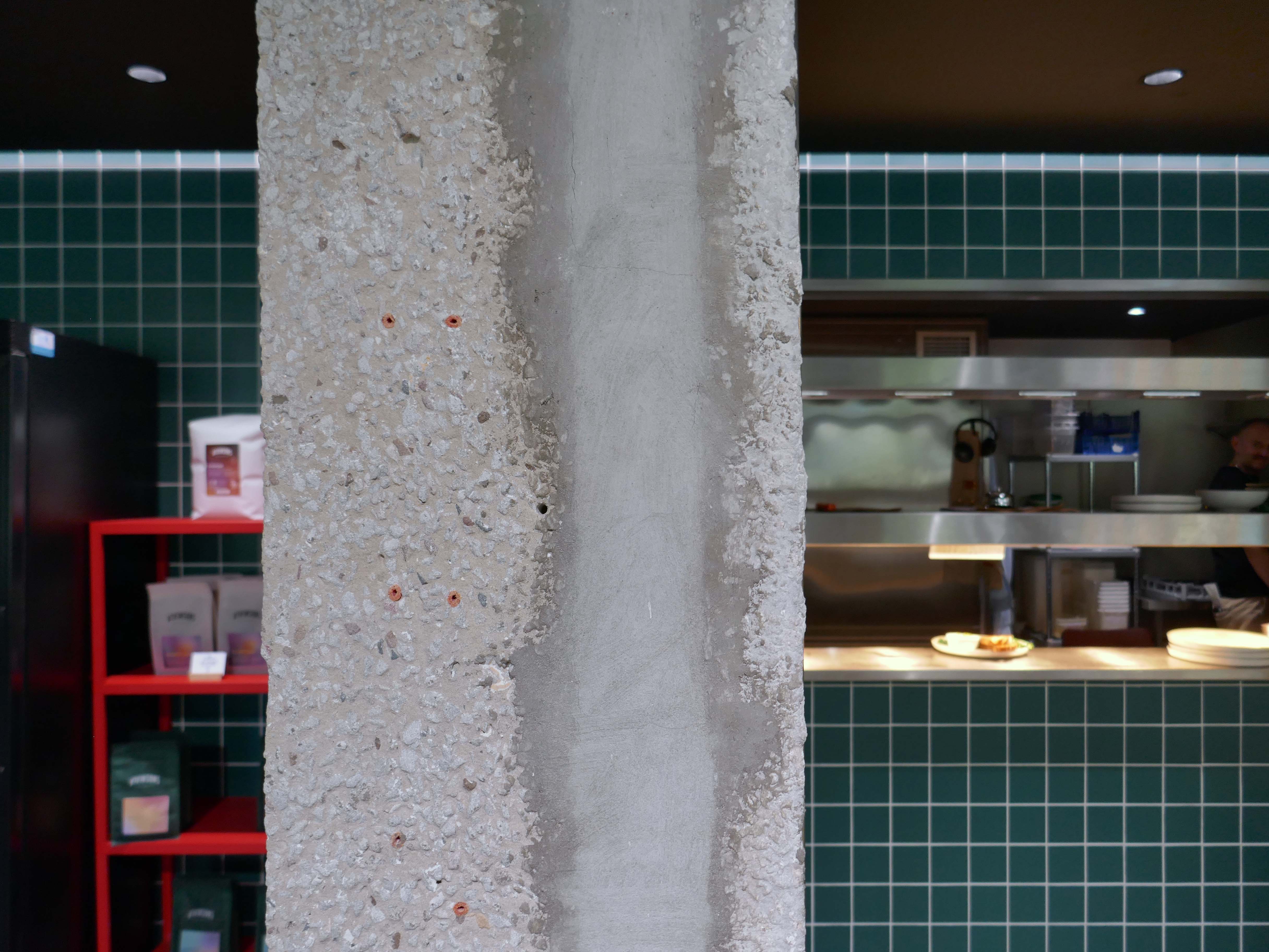
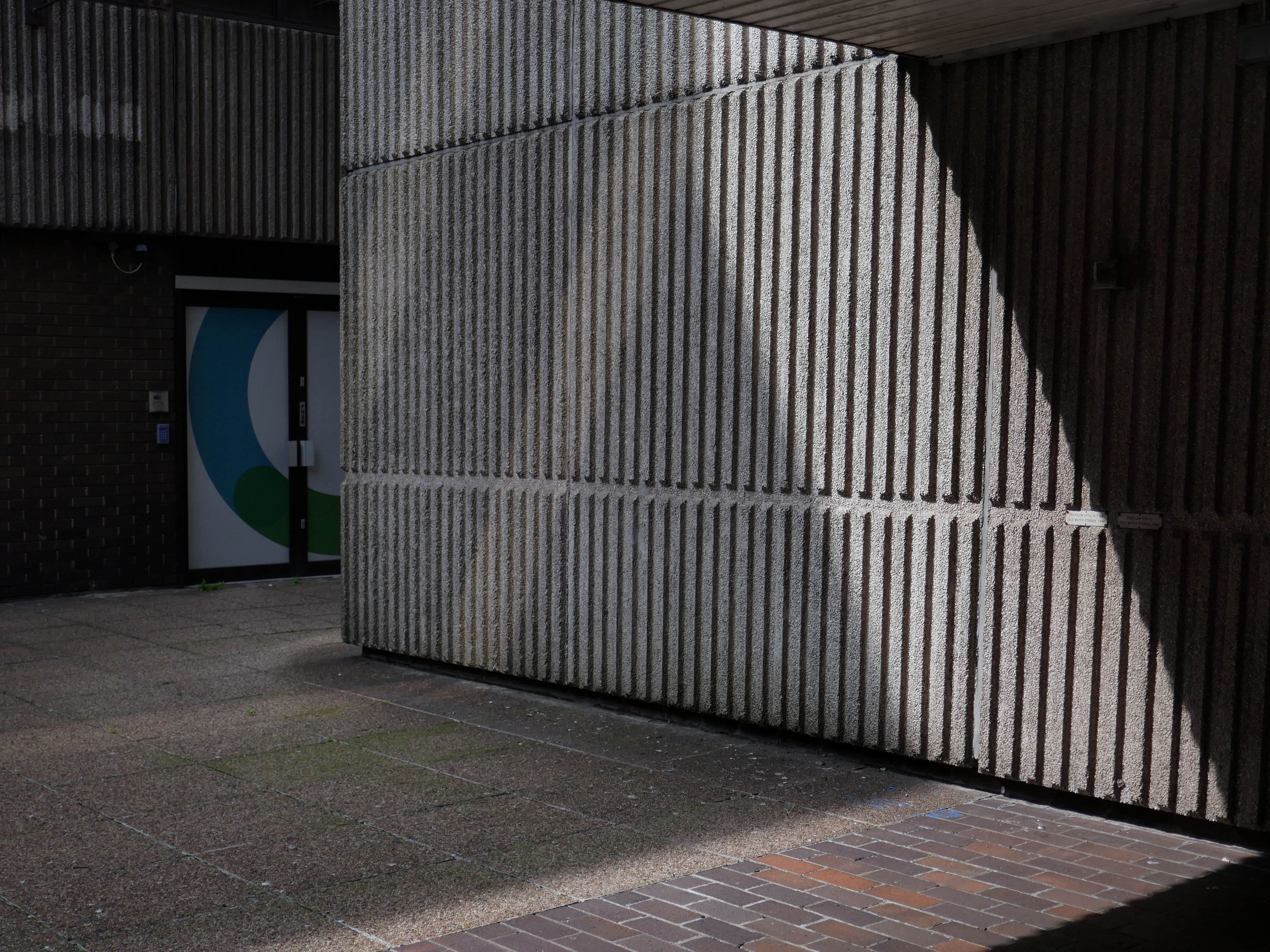
The brutalist beast has been lovingly restored by Capital&Centric to celebrate its architecture, with original waffle ceilings, corduroy concrete and stunning feature windows that flood the space with light.
It was great to visit and tour Wigan Civic Centre on Millgate, to see the inspiring work being done to create sustainable workspaces and amenities in the centre of our town. This development, alongside others taking place and planned across the North West, will help to revitalise our public spaces
With students, start-ups and professionals situating themselves elsewhere in Greater Manchester, Wigan town had been missing out on the economic and cultural vitality that high quality workspace brings. Civic’s transformation represents not just the overhaul of a tired concrete building, but a wider renewal of place and opportunity for Wigan.
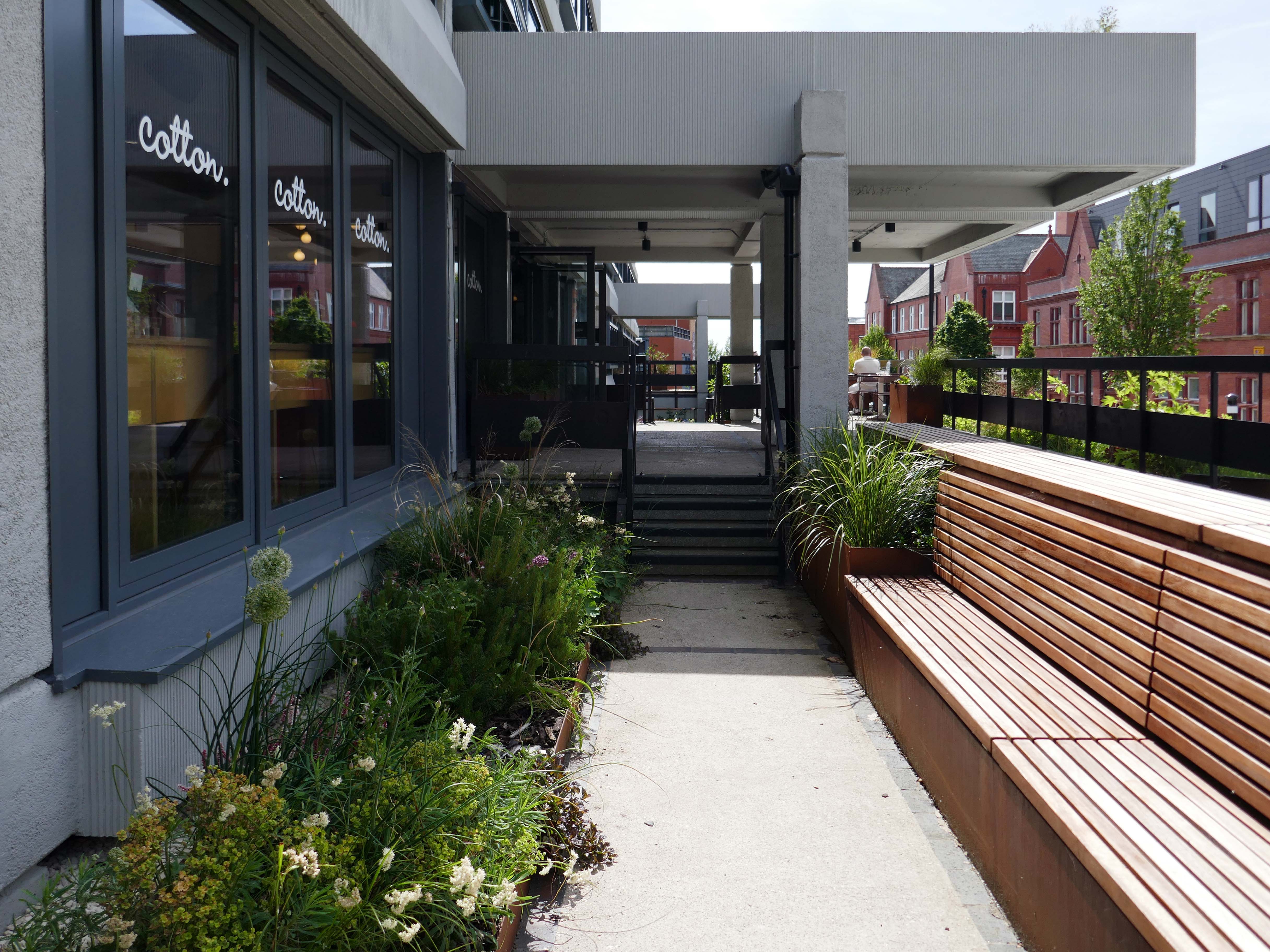
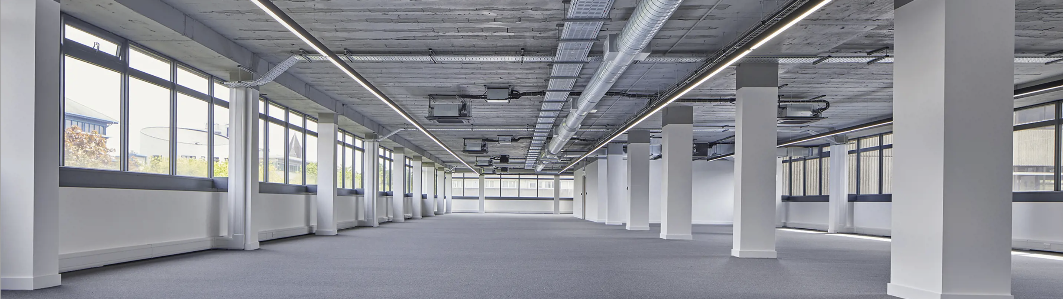
Working with Wigan Council and Capital & Centric, we completed the refurbishment of the 50,000 sq ft building that is Wigan Civic Centre. Delivering aspirational office accommodation to stimulate economic growth with the goal to create a lasting social impact in Wigan. In addition to exemplar market-leading workspace, amenities include a rooftop terrace, mini cinema, gym studio and co-working/coffee shop space.
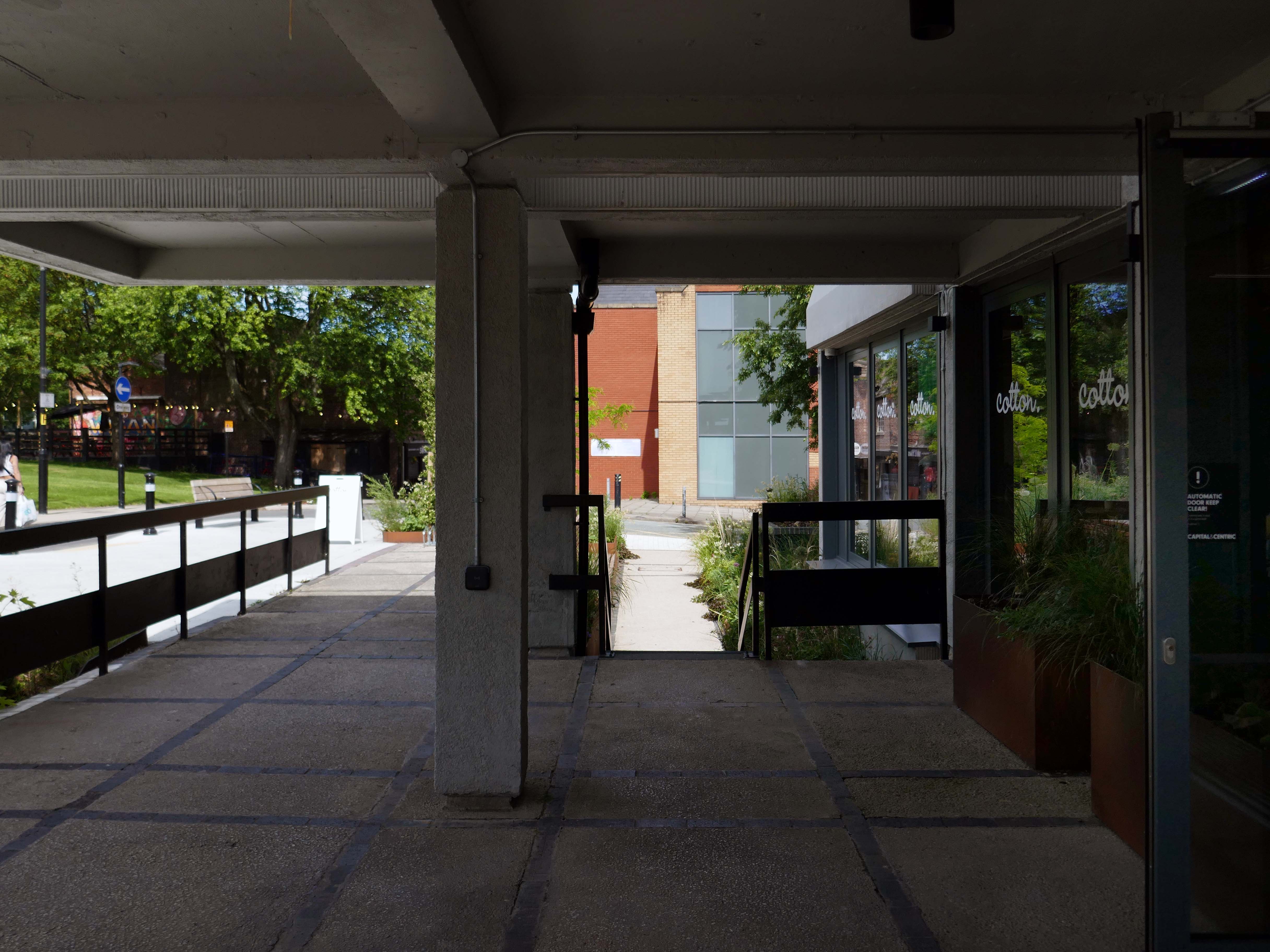
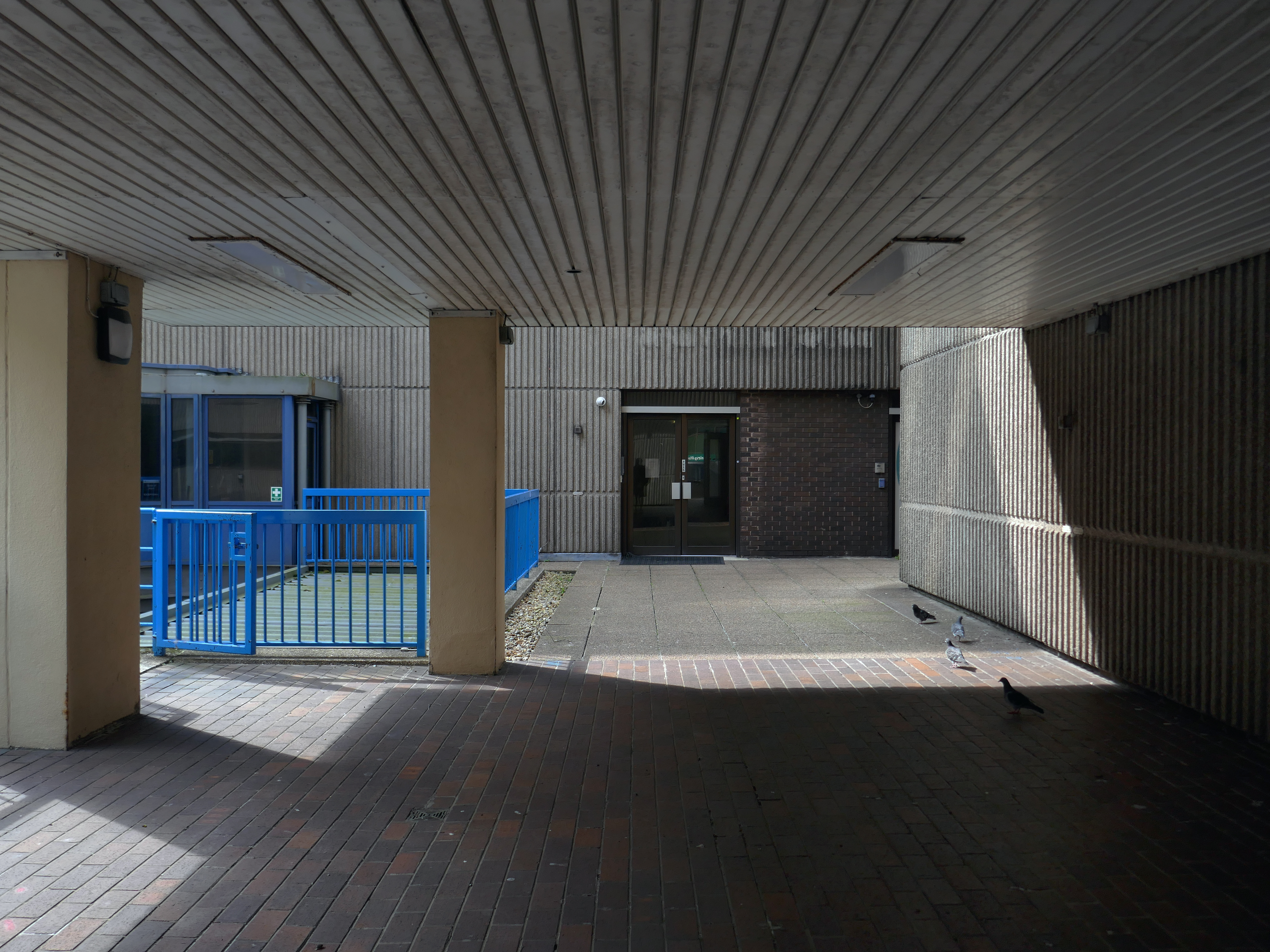
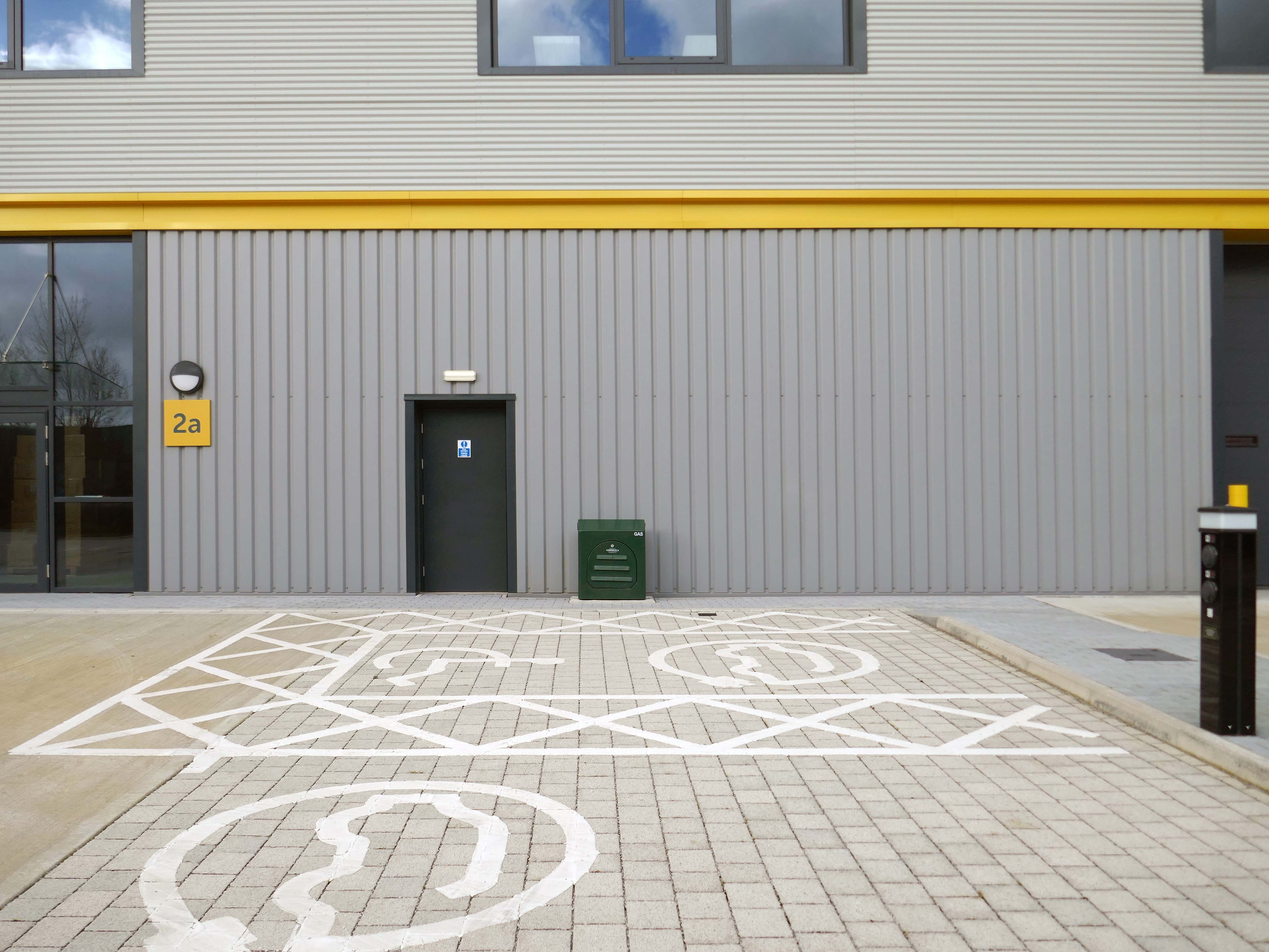
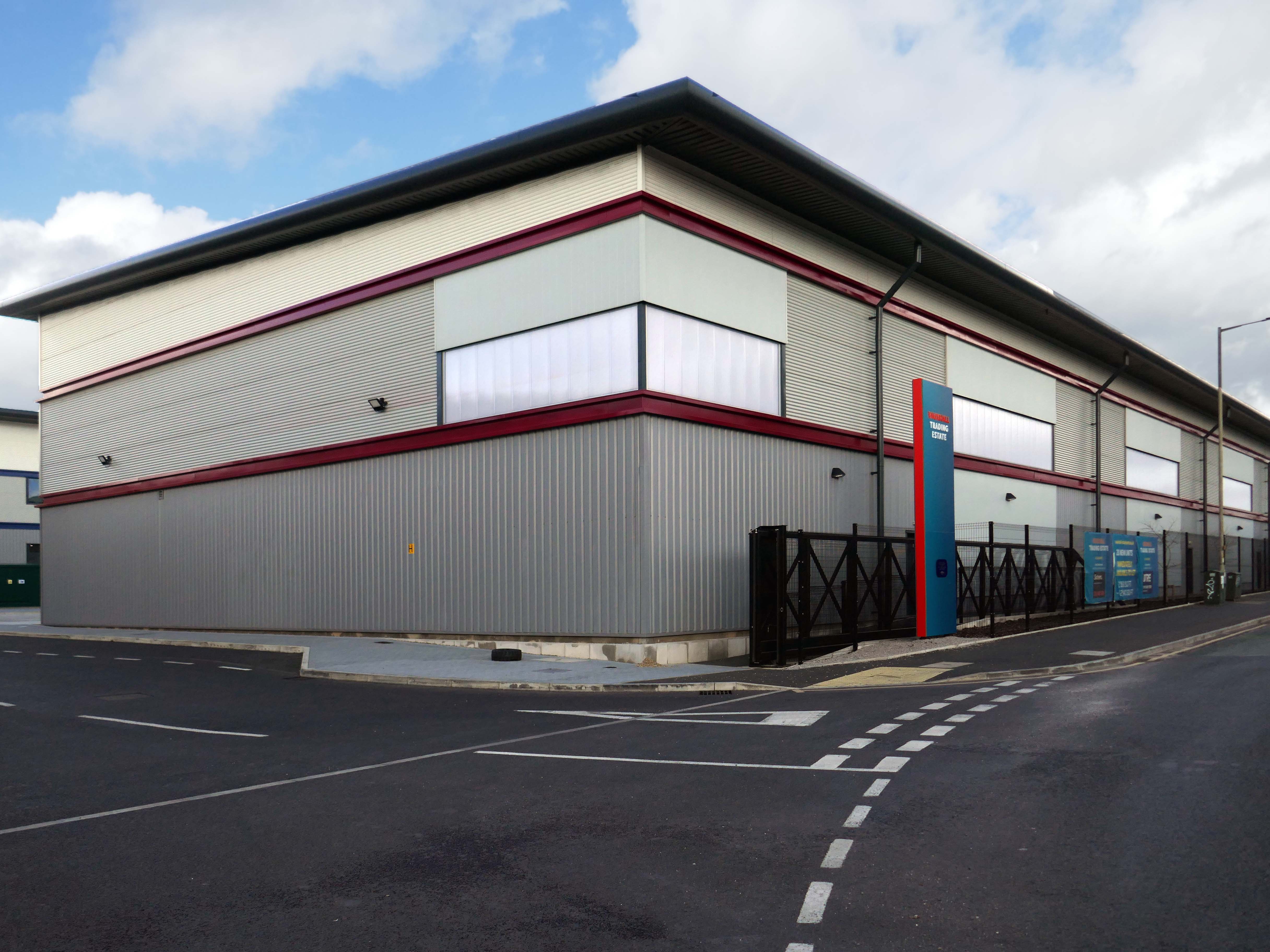
Here’s the exterior.
Many thanks to the Cotton CaféBar for kindly allowing us in after hours.
Ultimately, civic stands as a symbol of optimism for Wigan, proving that intelligent commercial design can catalyse economic renewal, secure a sustainable future, and truly lift a town’s spirits, without erasing its history. It is a gold standard for the adaptive reuse of 20th-century landmarks.
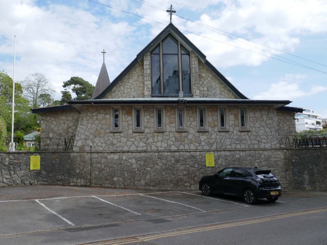
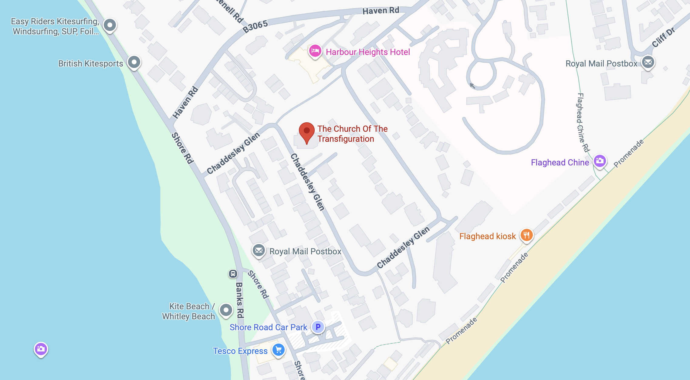
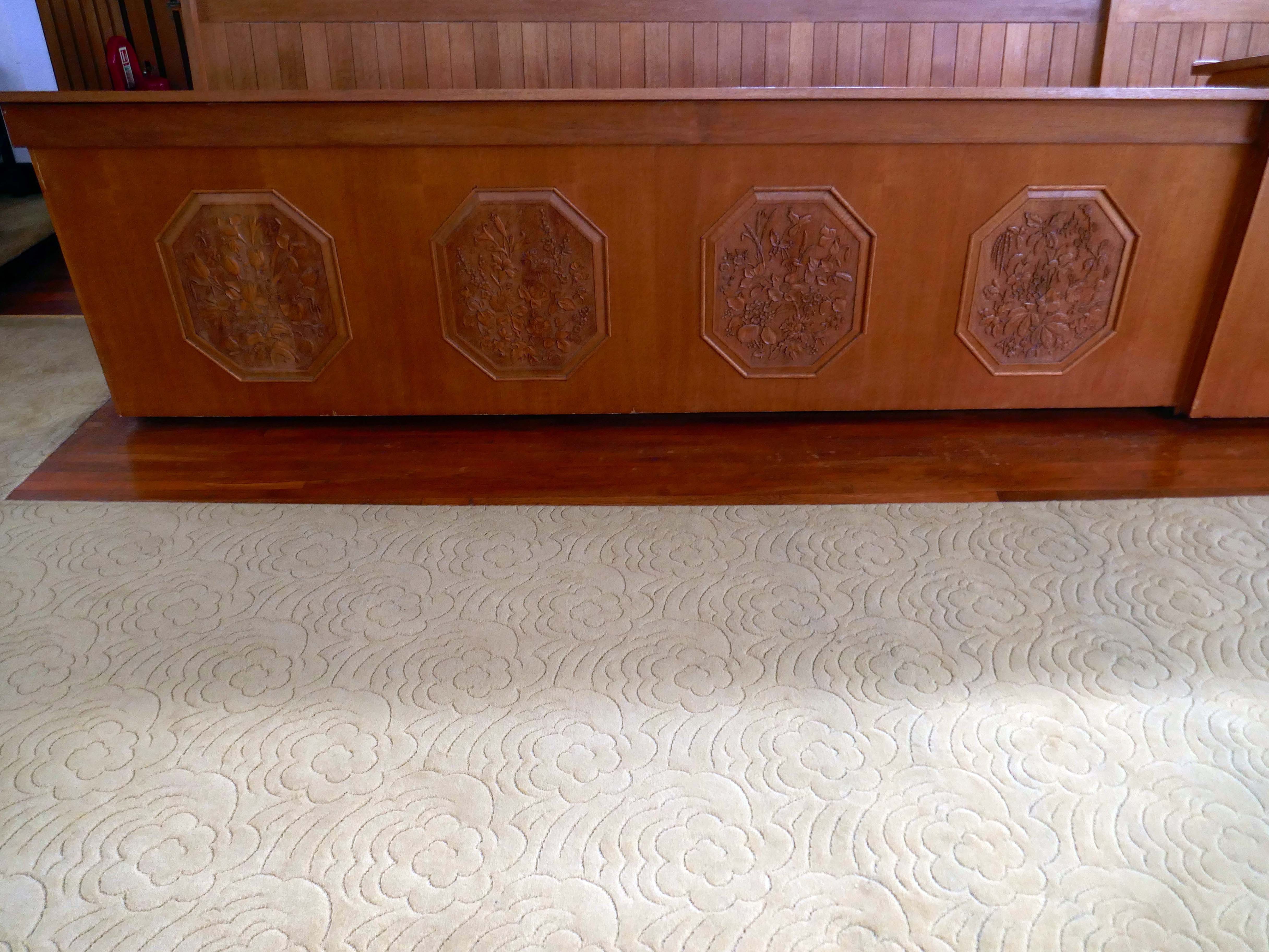
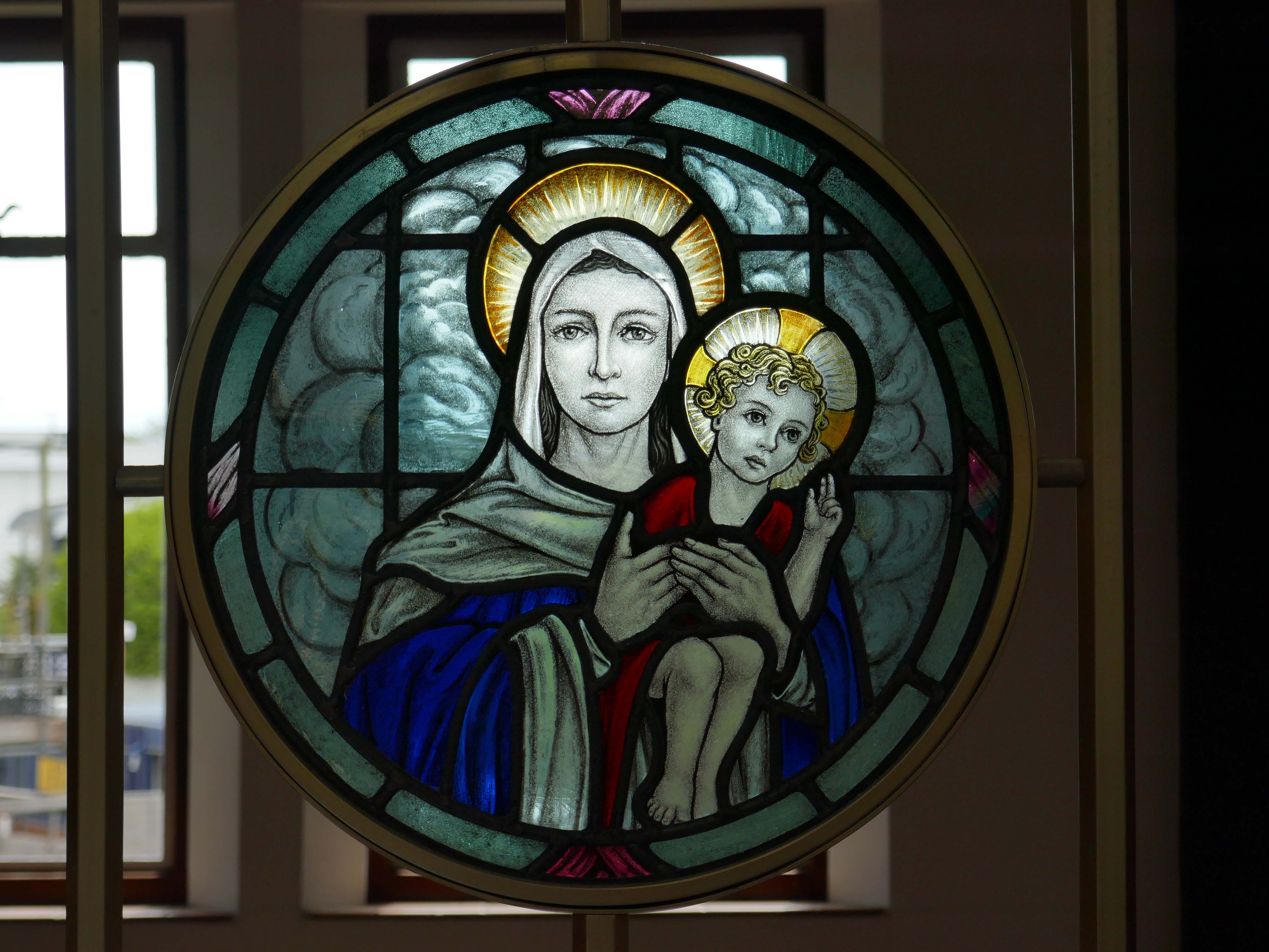
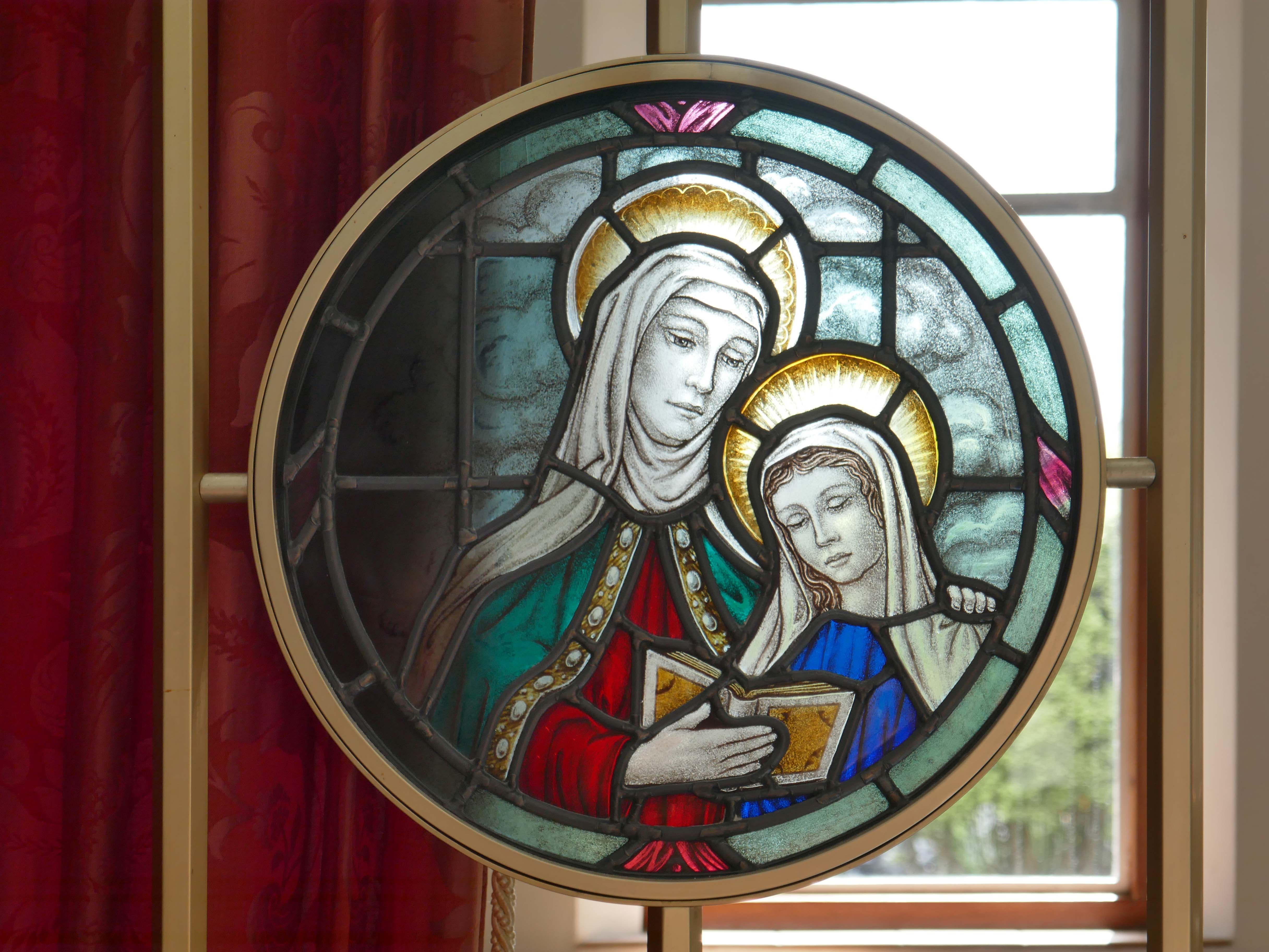
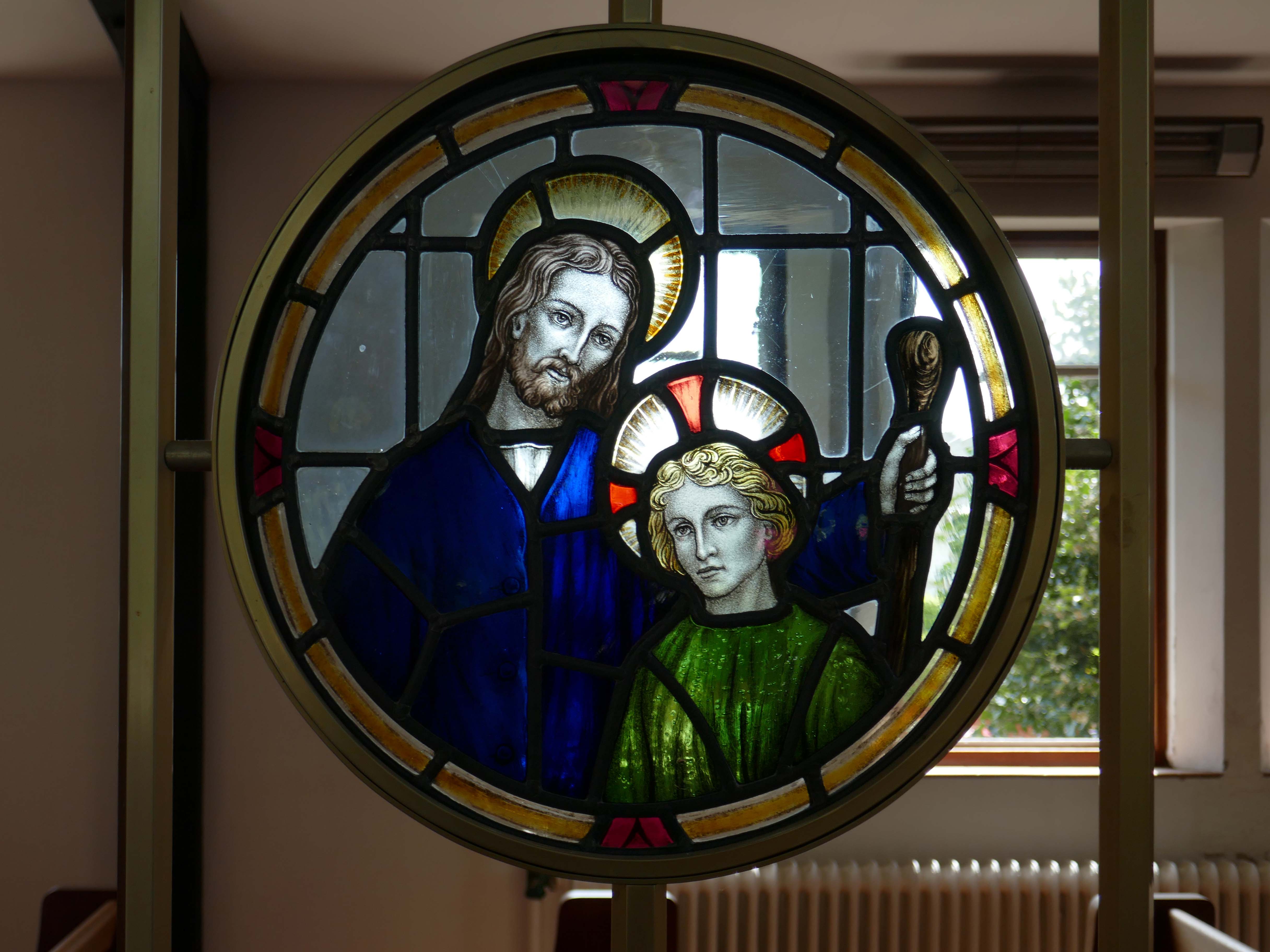
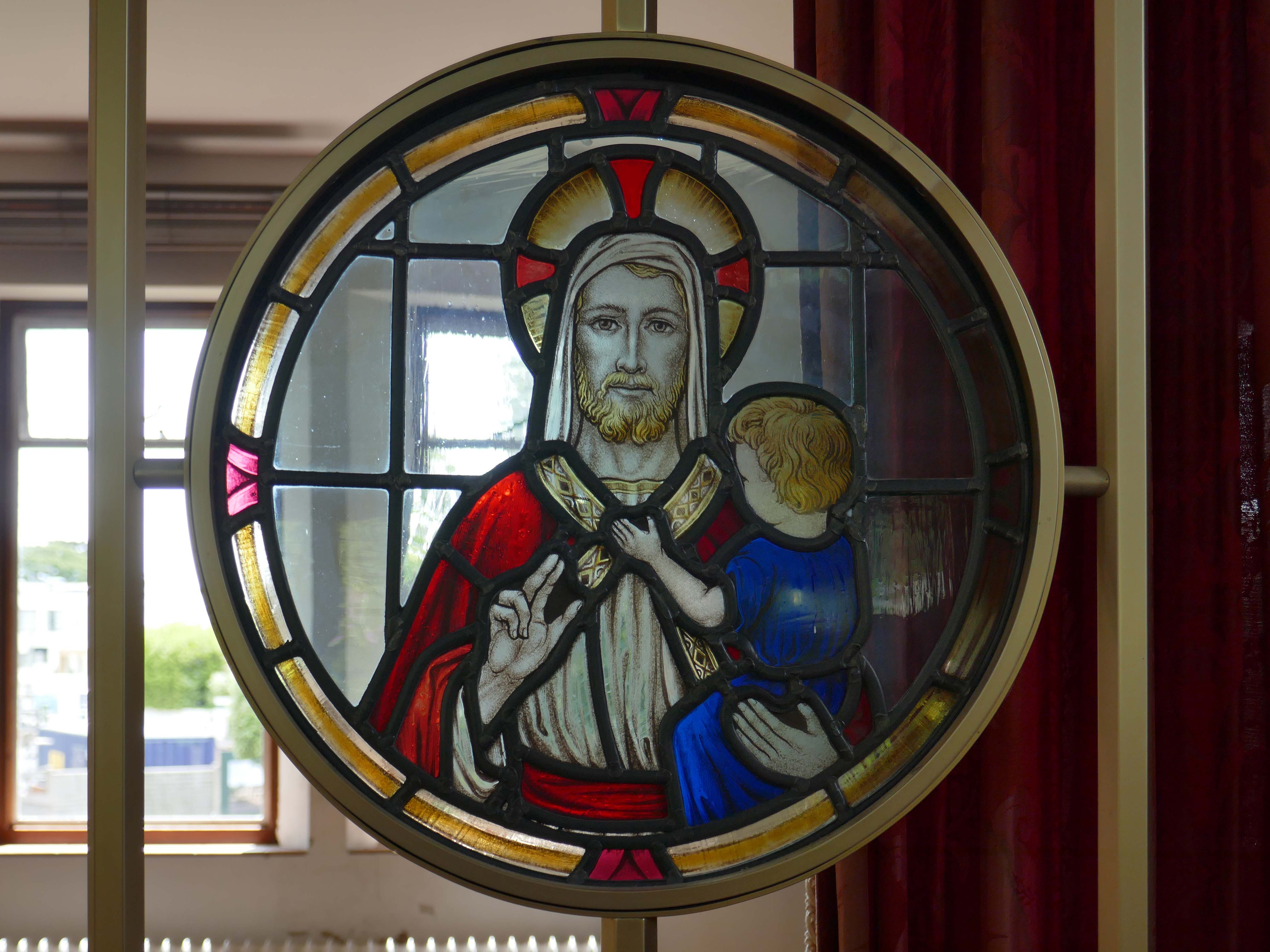
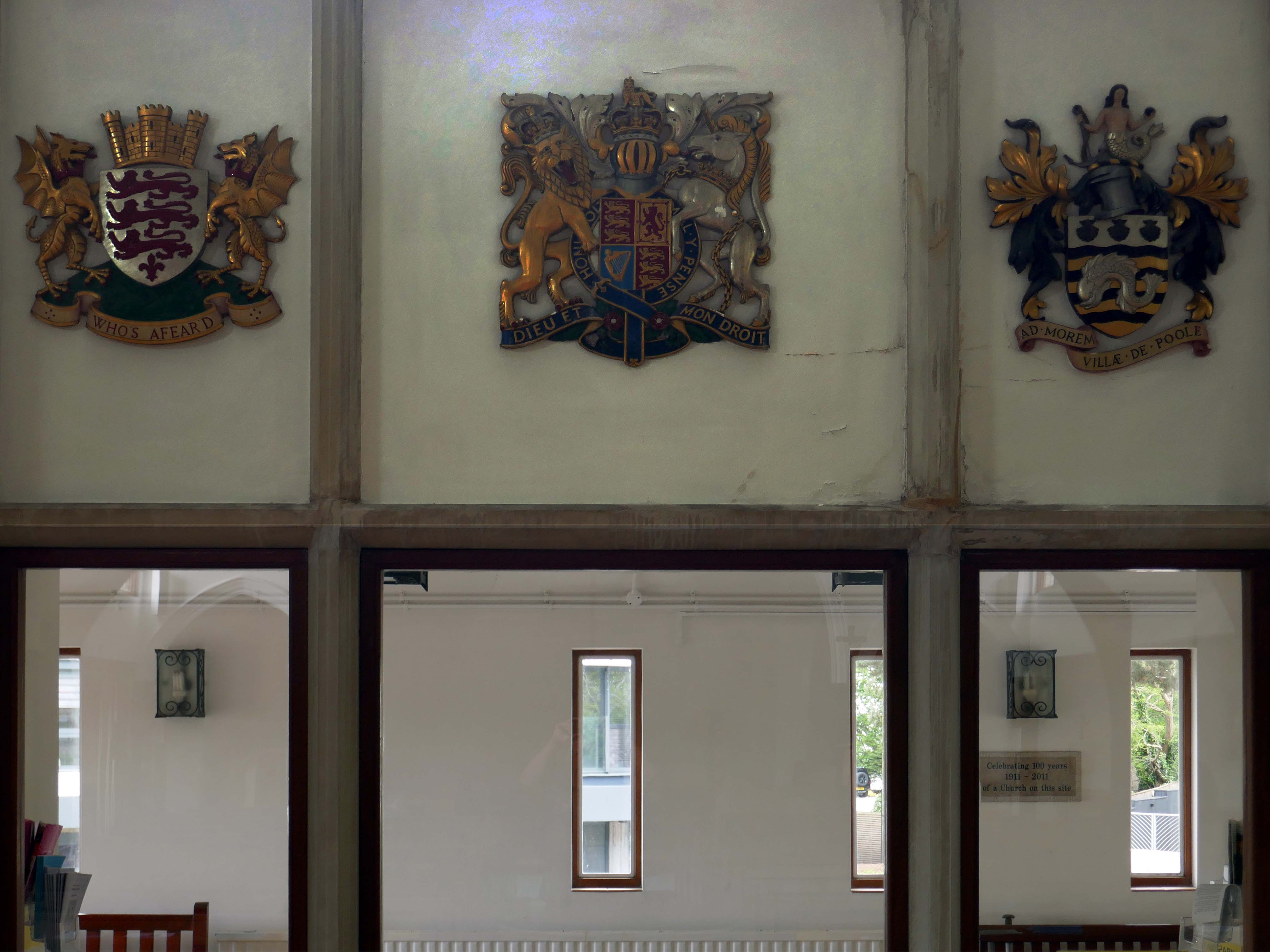
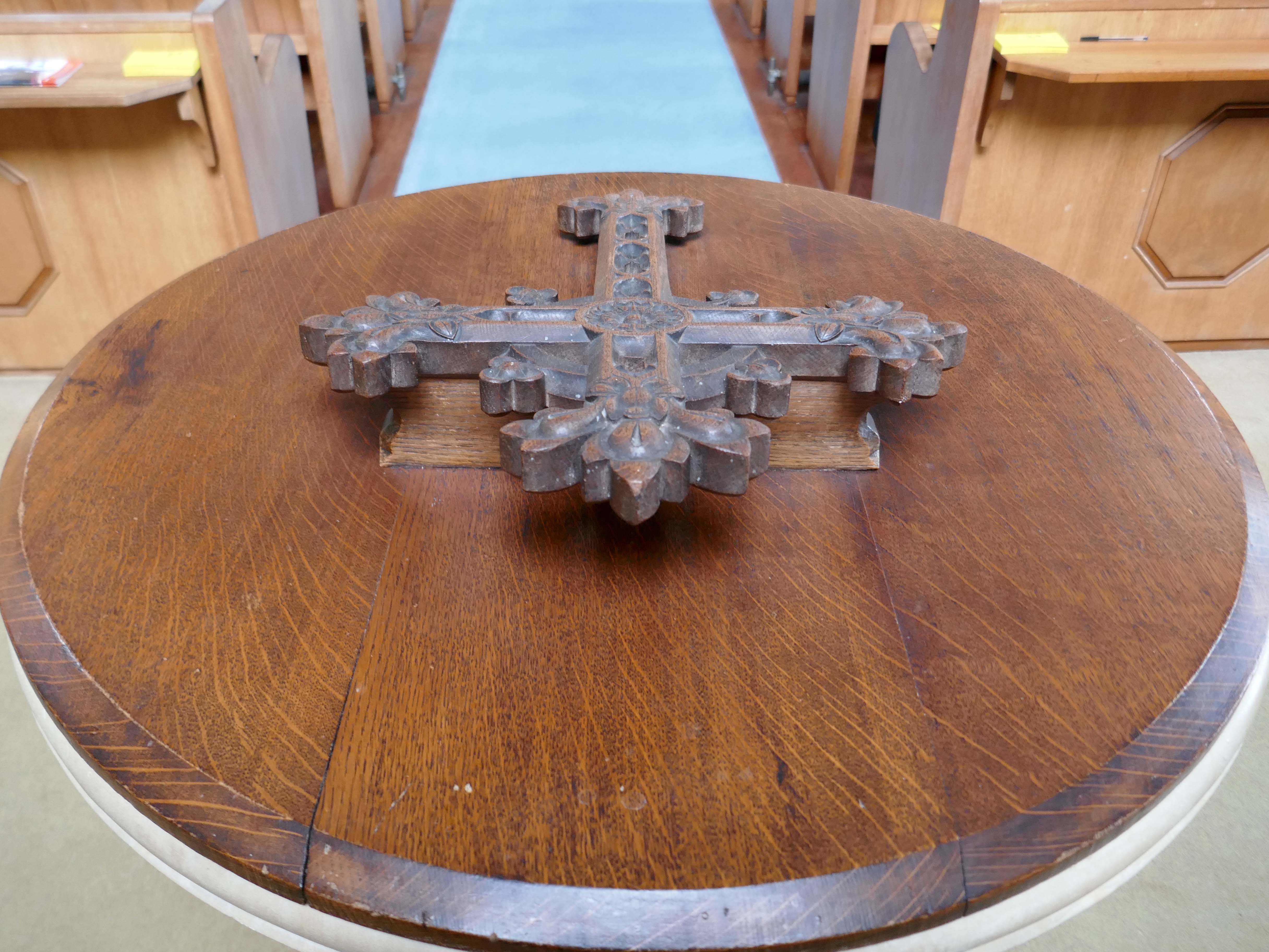
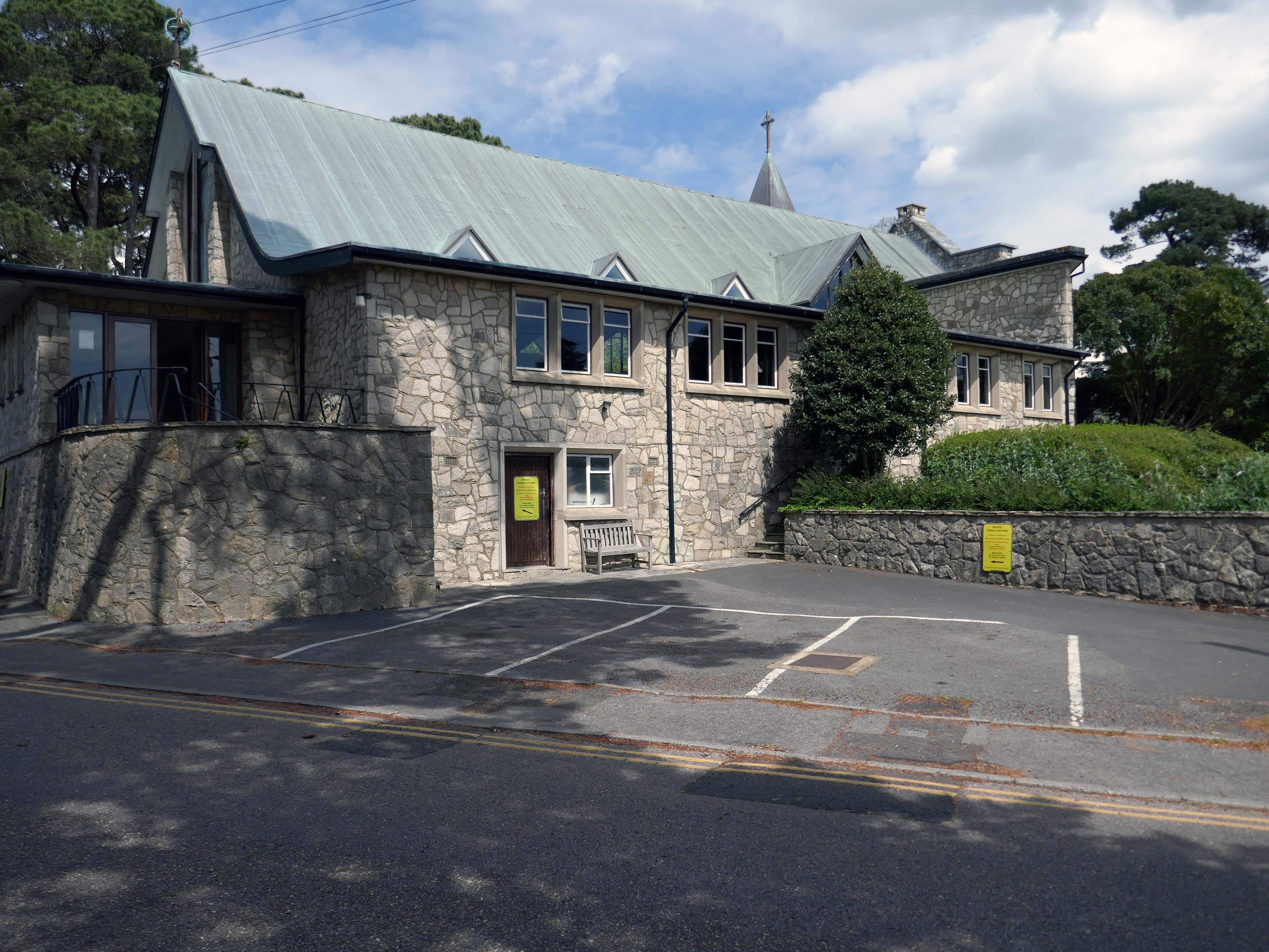
We are a small Anglican parish situated on the south coast of England between Bournemouth and Poole in the county of Dorset, which is part of the Church of England Diocese of Salisbury. We hope that this site may help you to gain a flavour of what we have to offer. We enjoy wonderful views across Poole Harbour – the second largest natural harbour in the world after Sydney, to the Purbeck Hills, as well as some of the best beaches in the country.
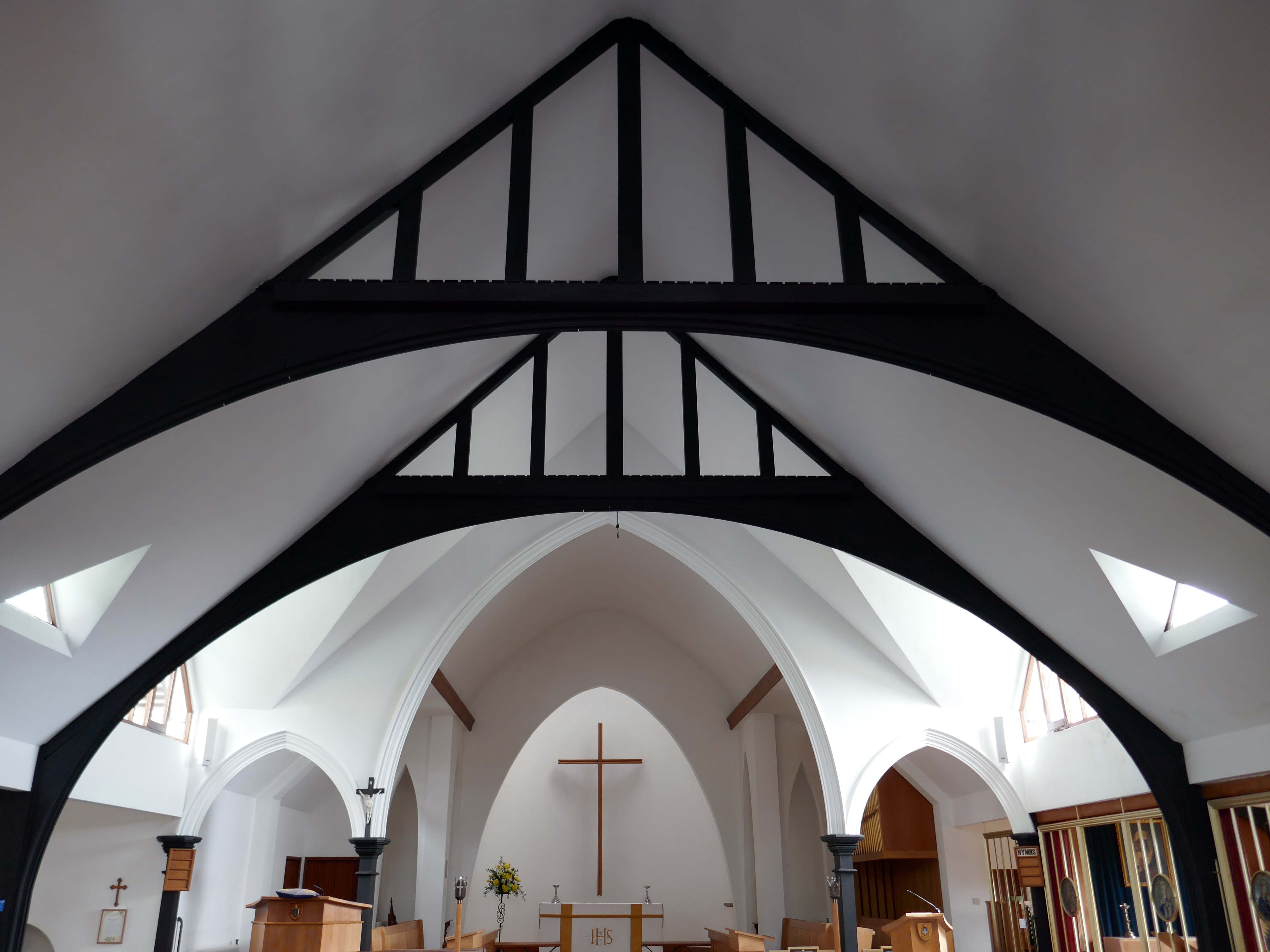
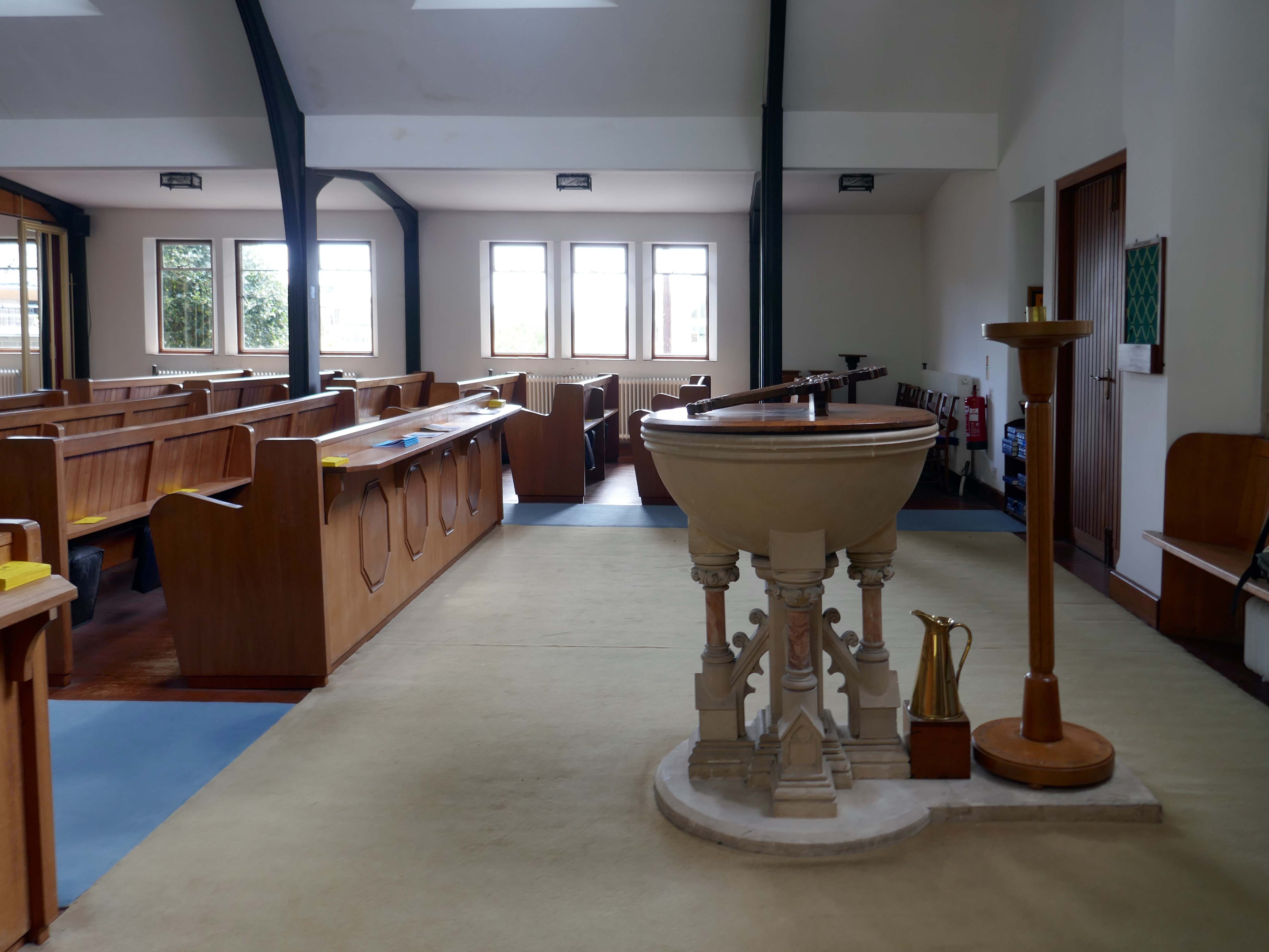
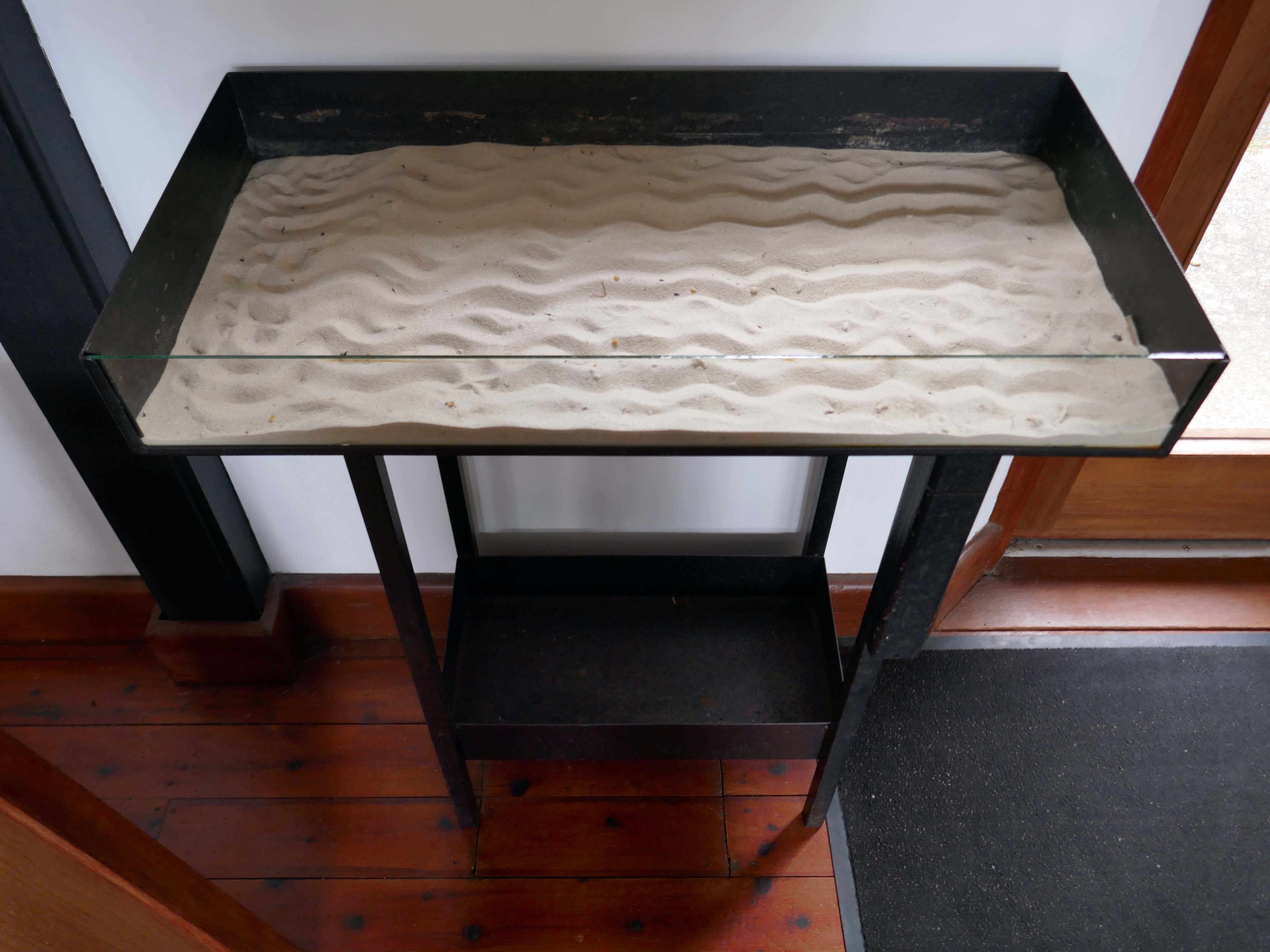
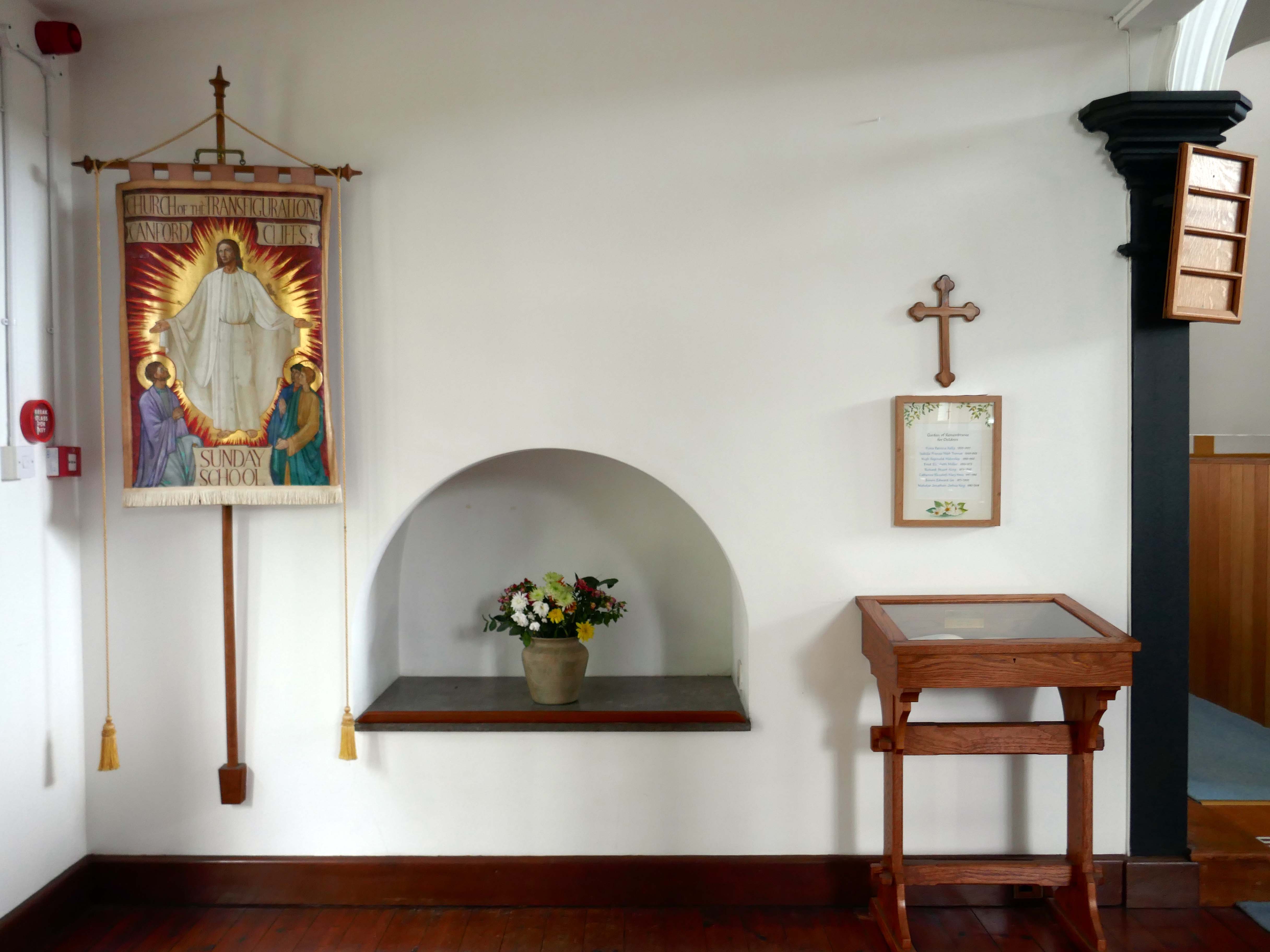
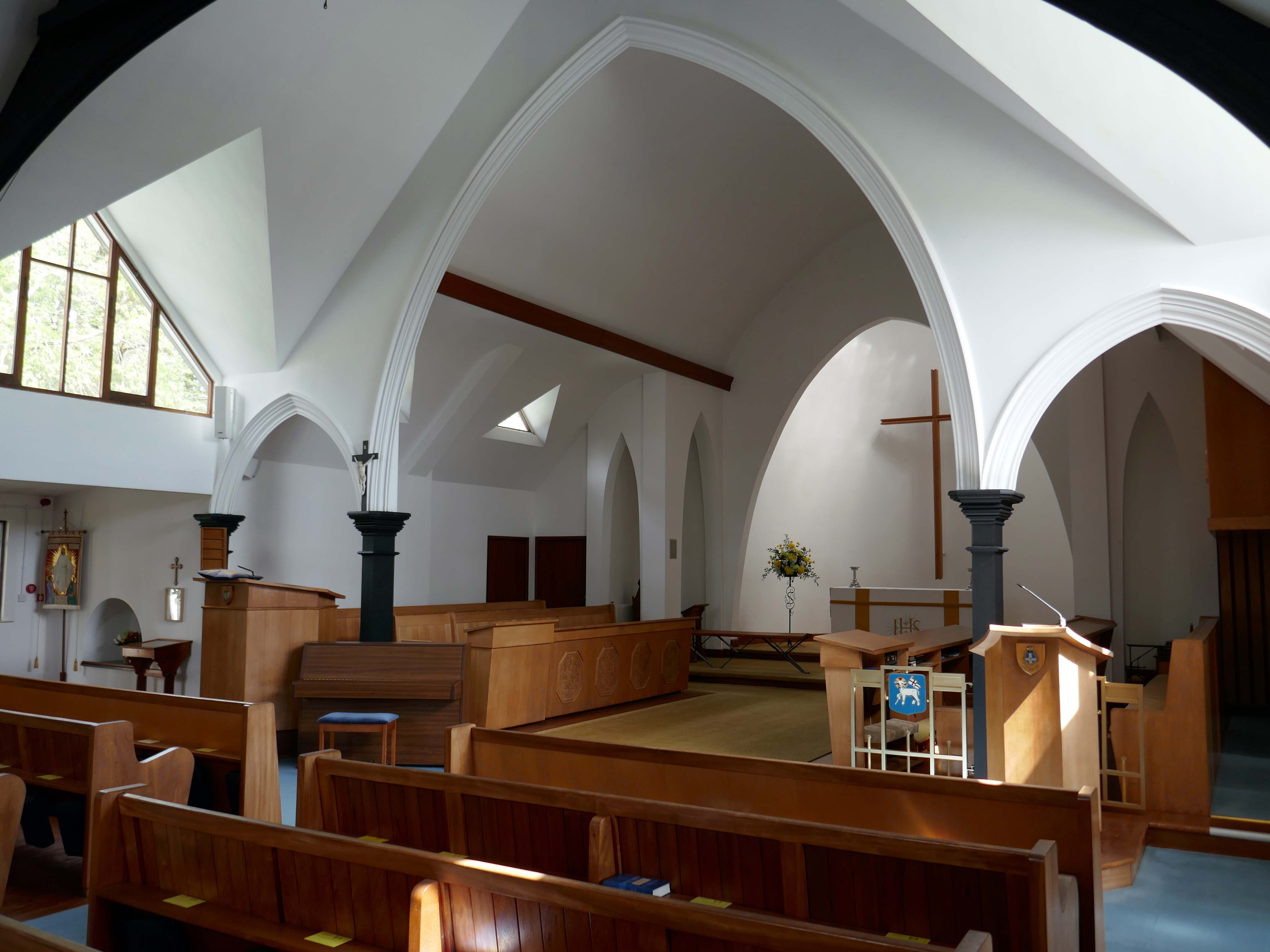
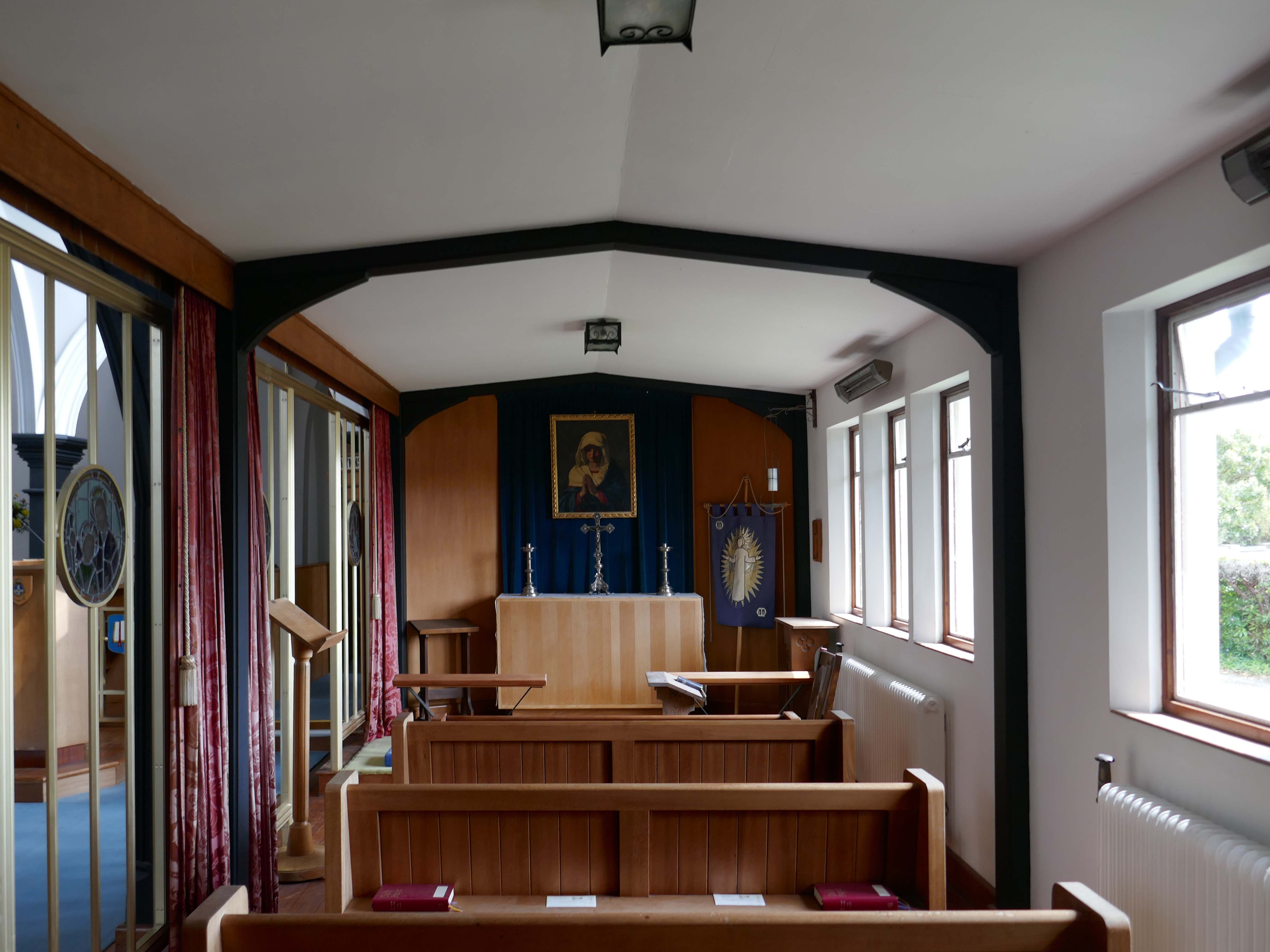
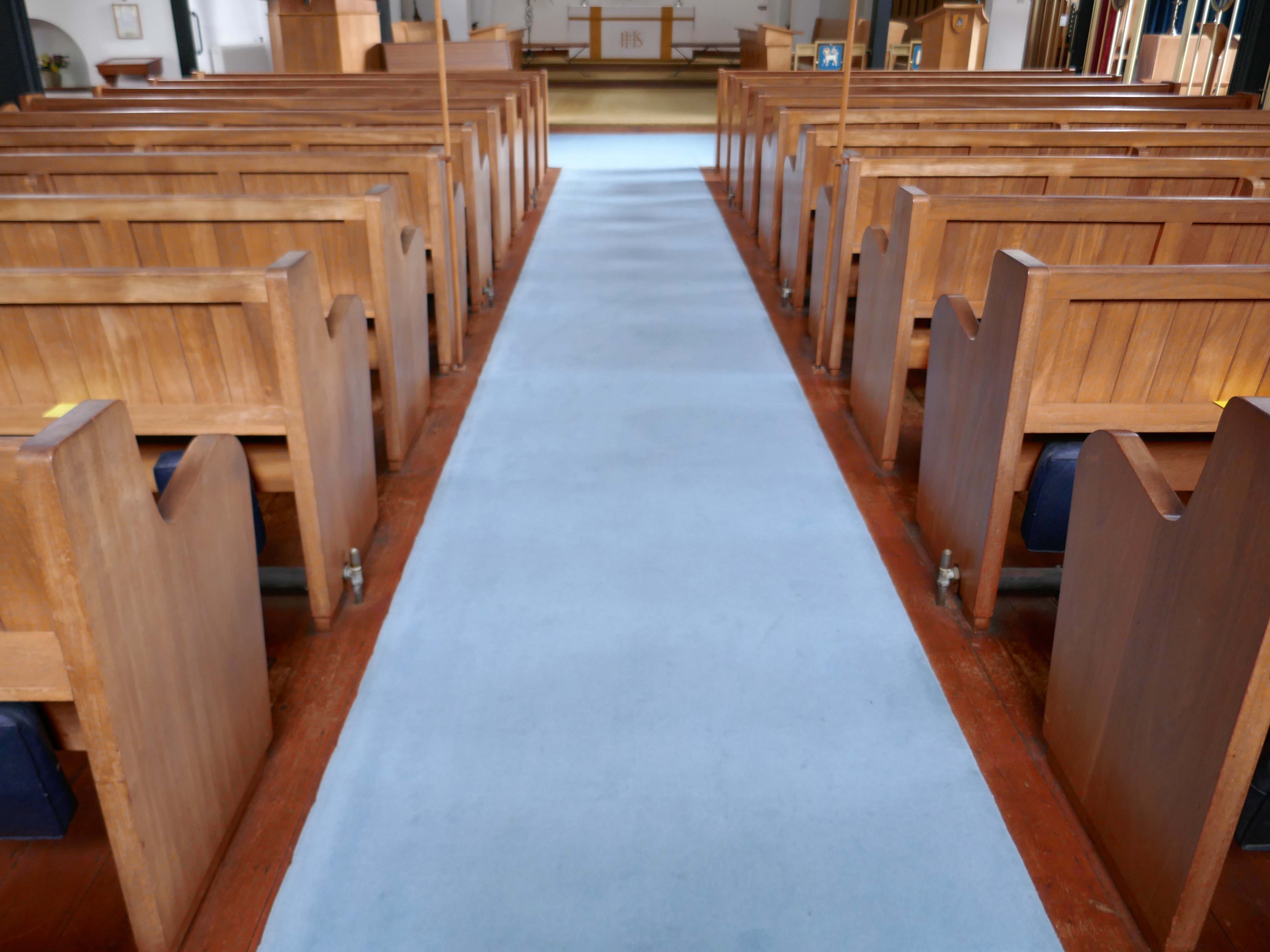
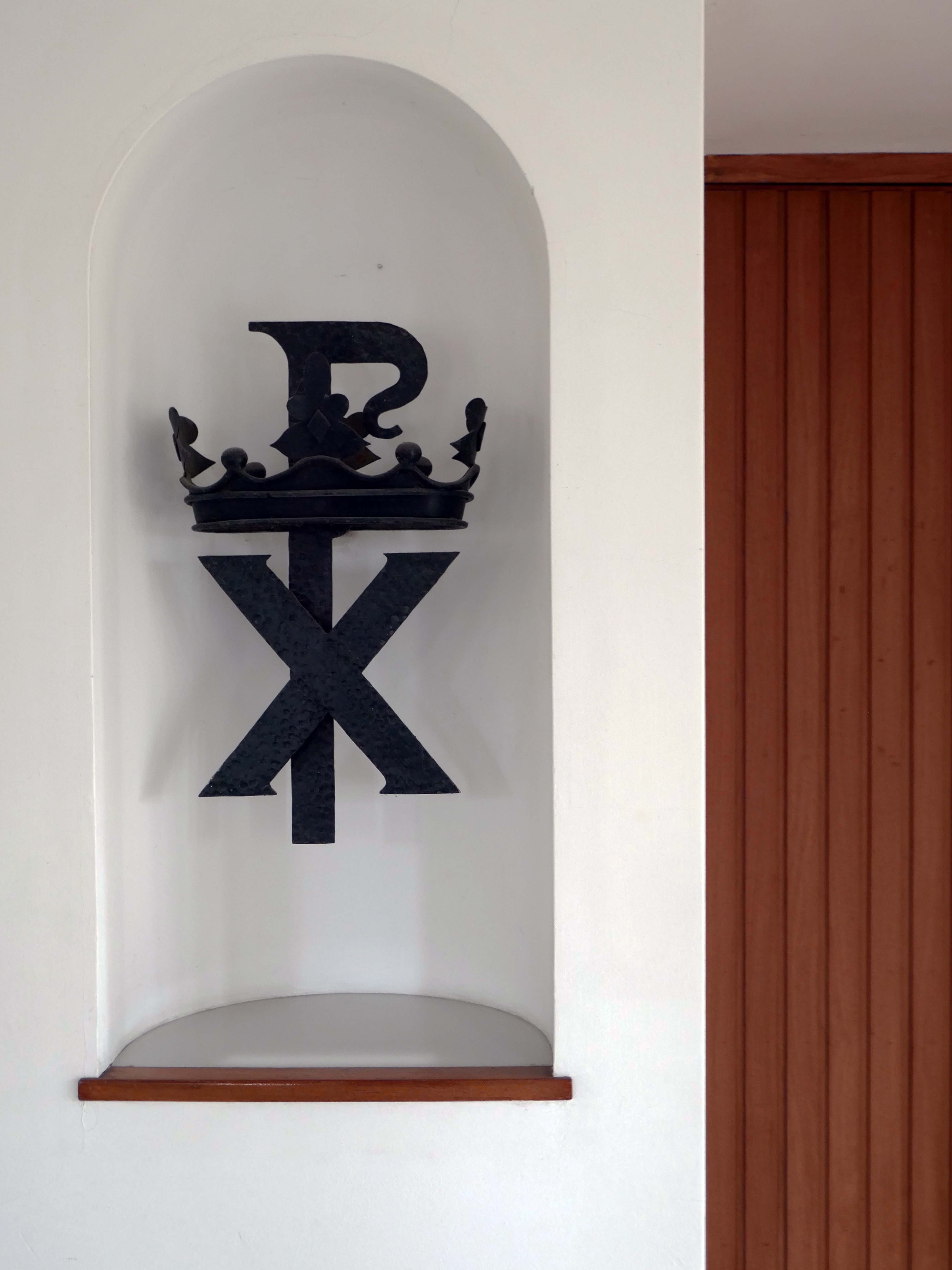
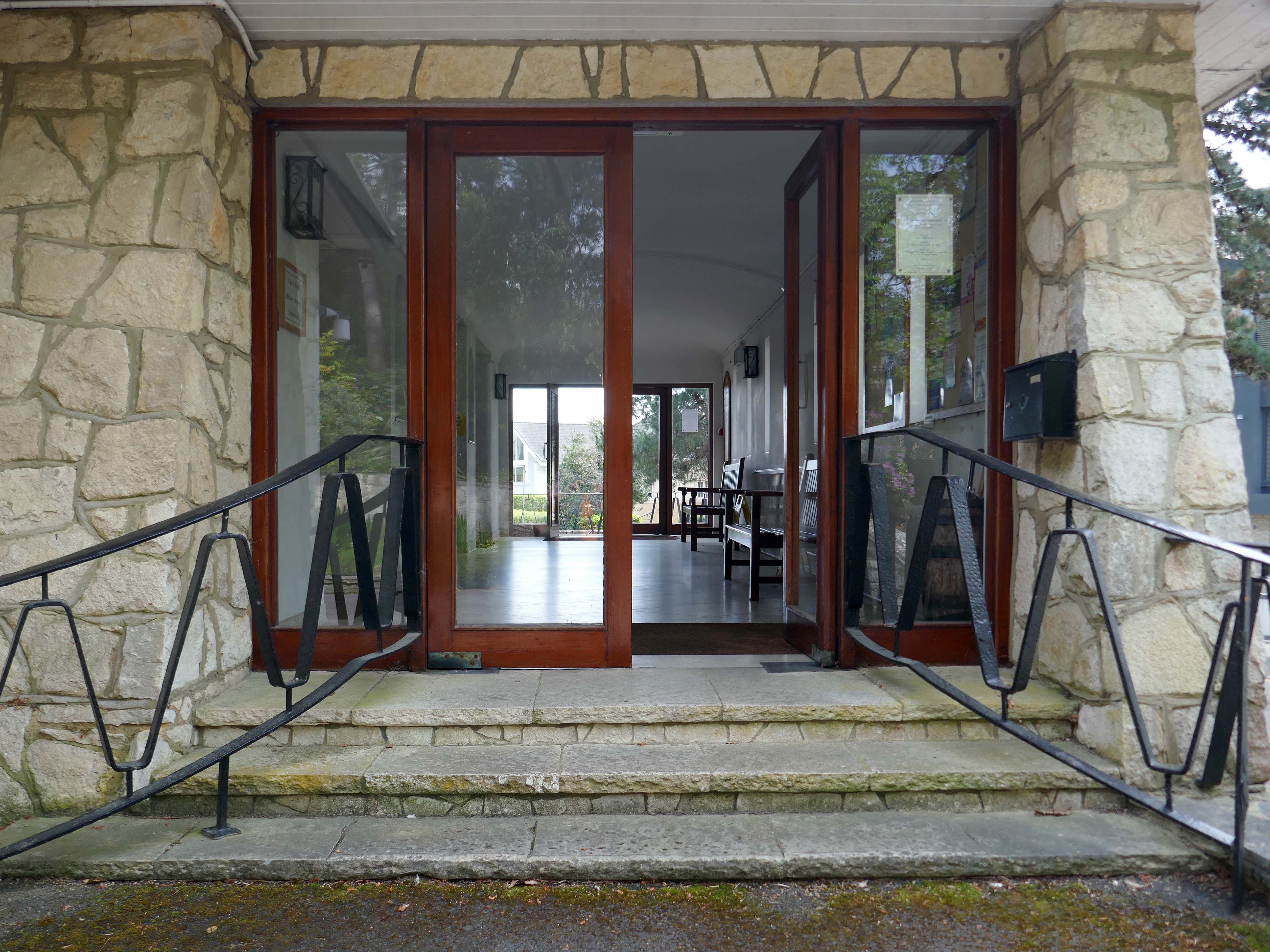
The two churches in the Parish are the Parish Church of the Transfiguration, and the Chapel of St. Nicolas. Both churches are open every day during daylight hours for quiet contemplation and prayer.
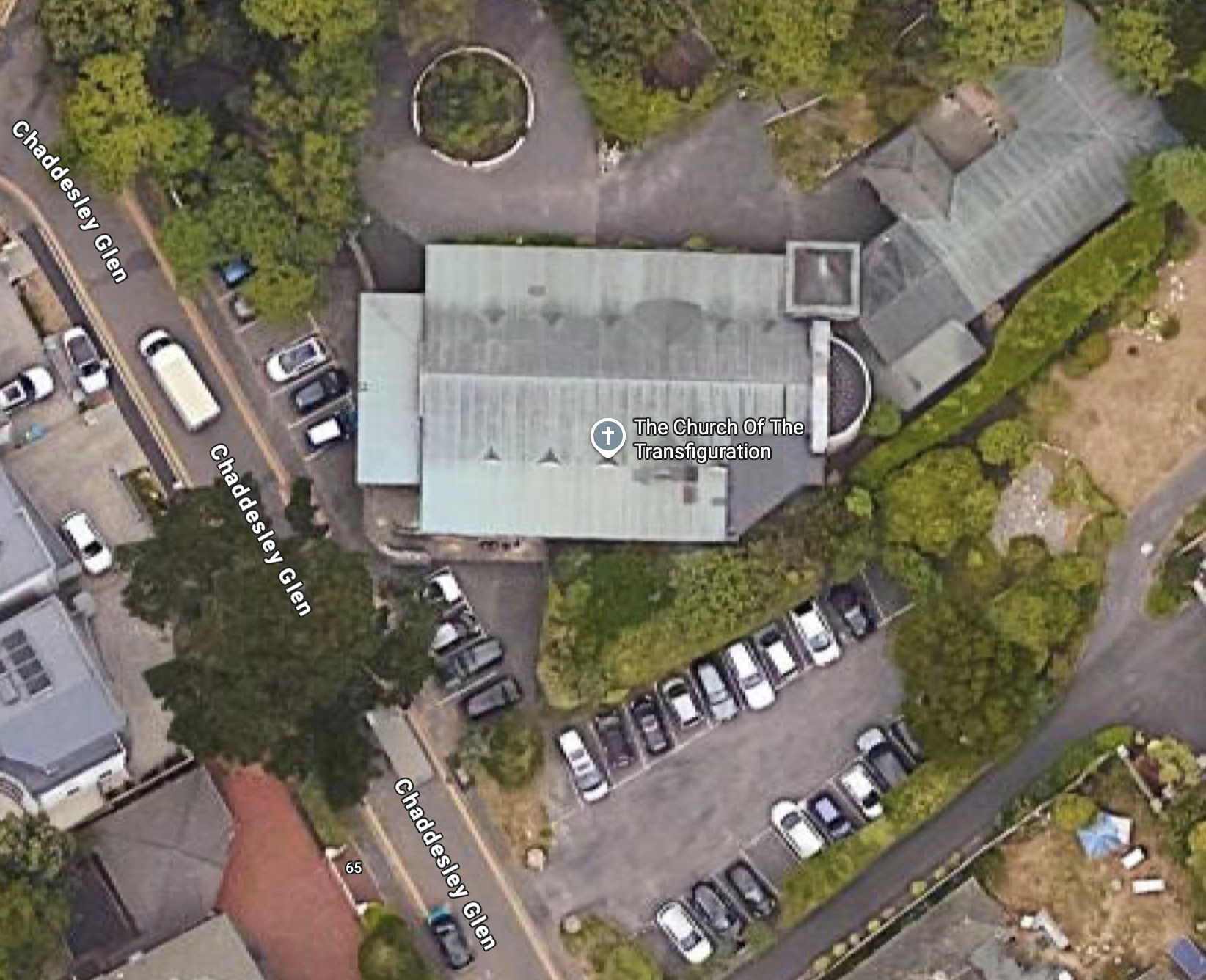
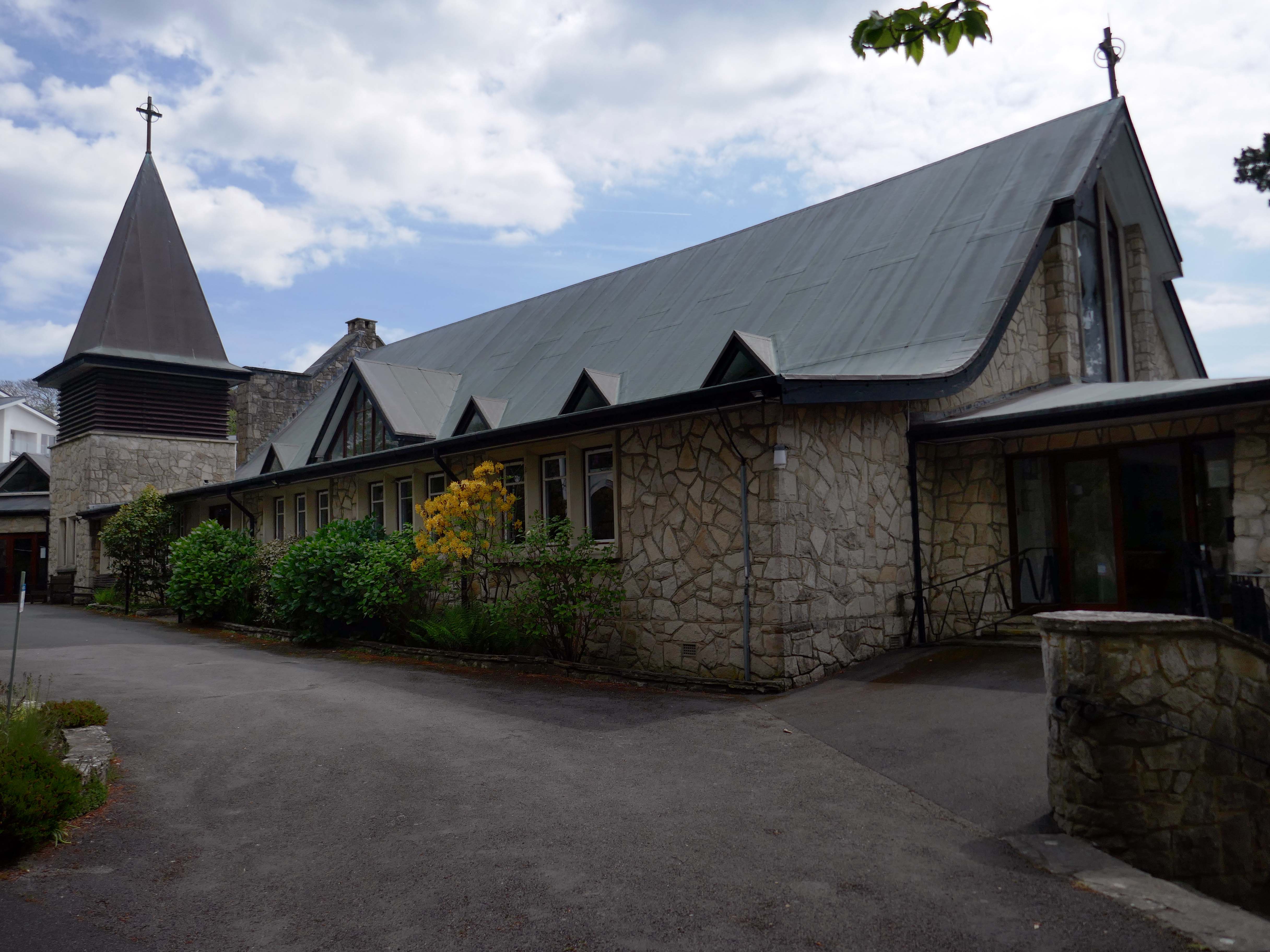
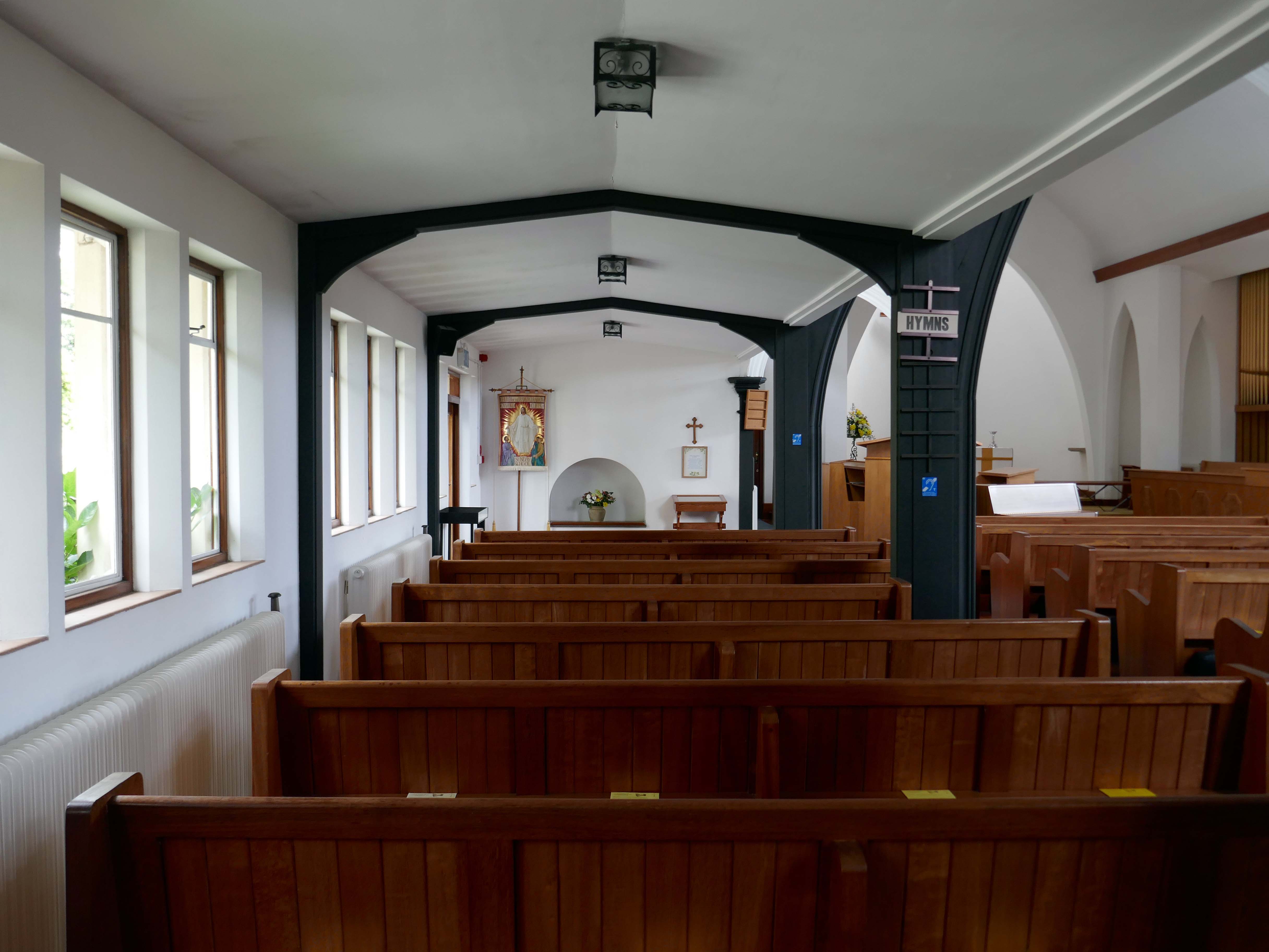
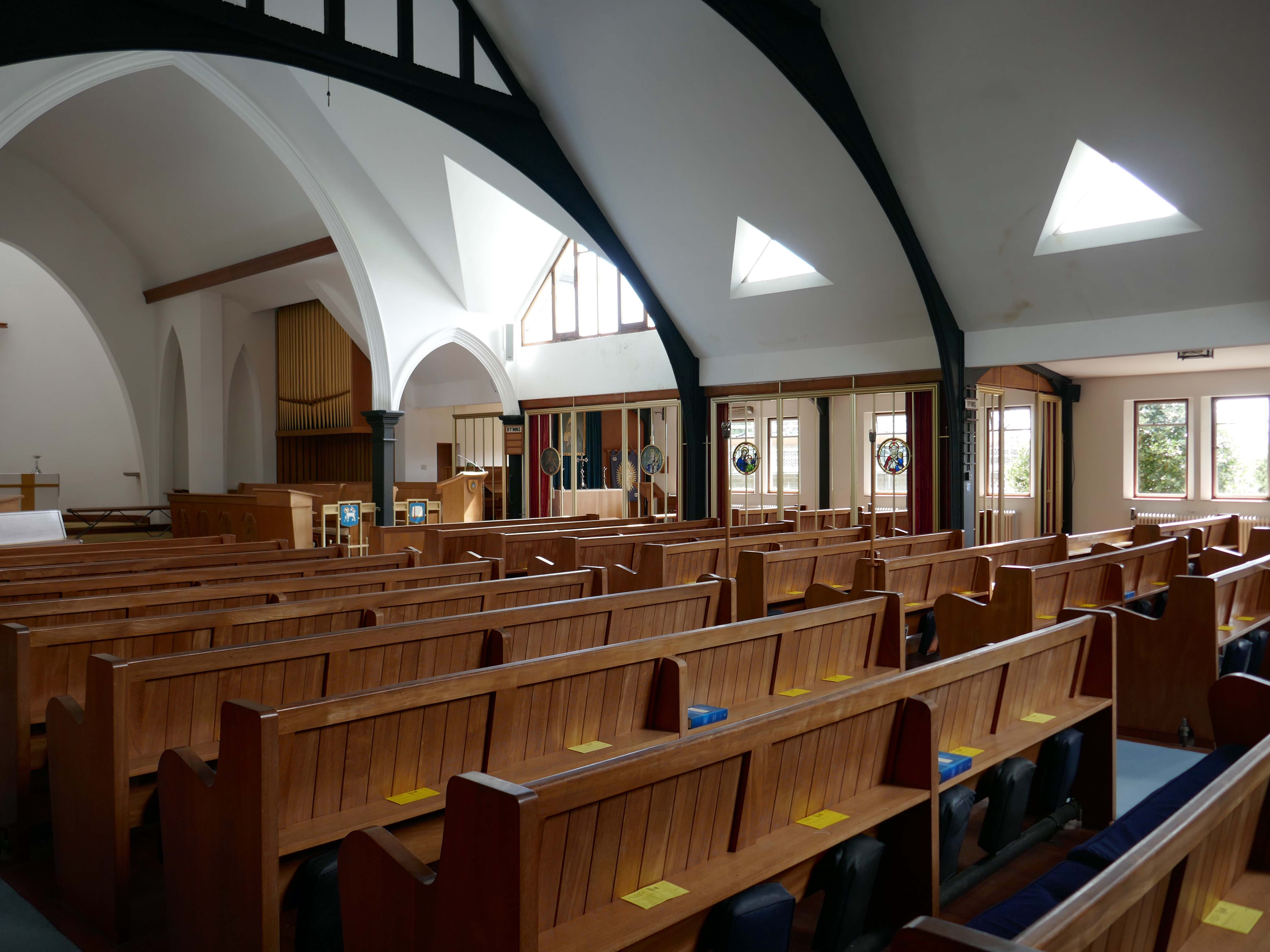
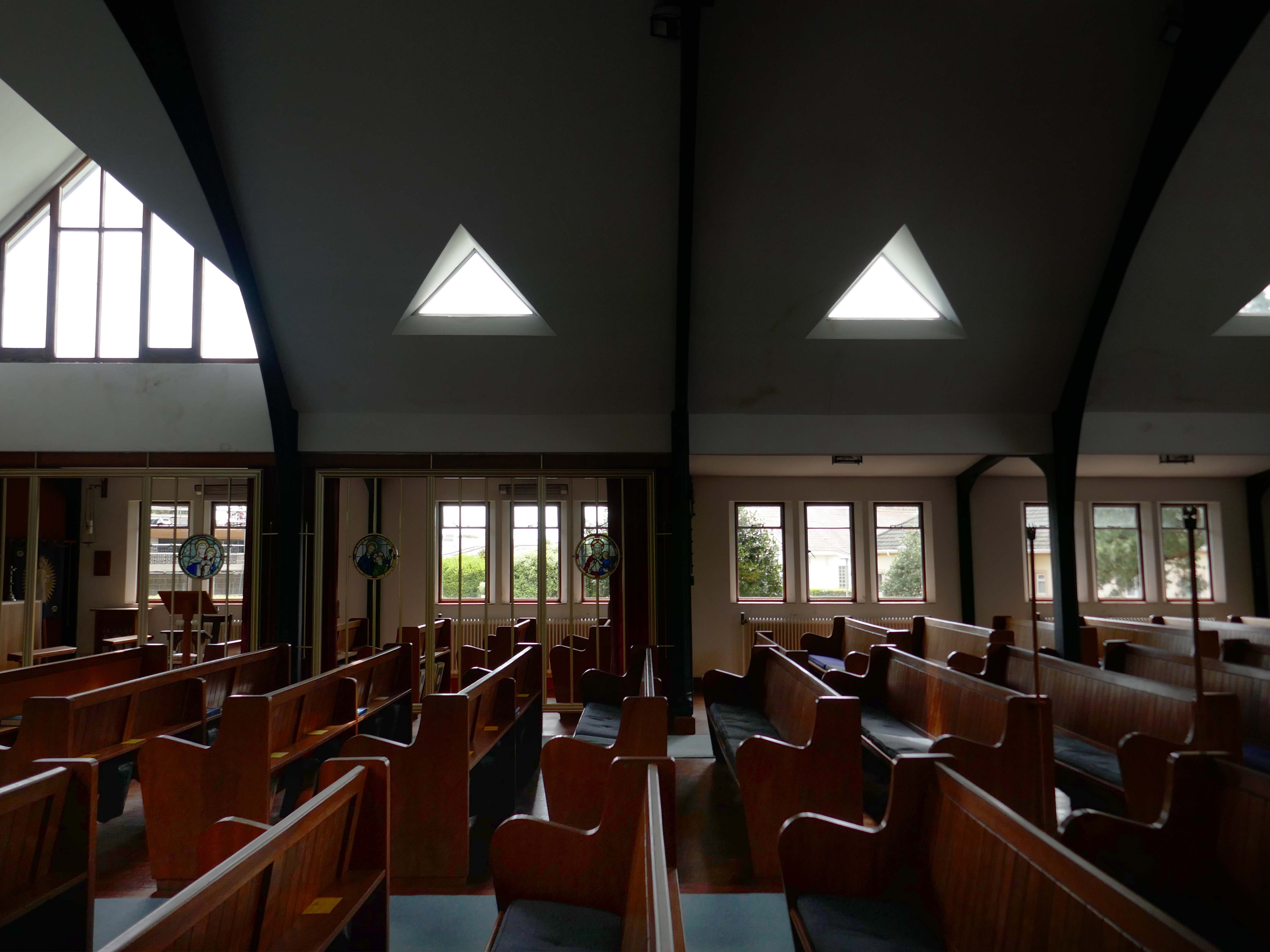
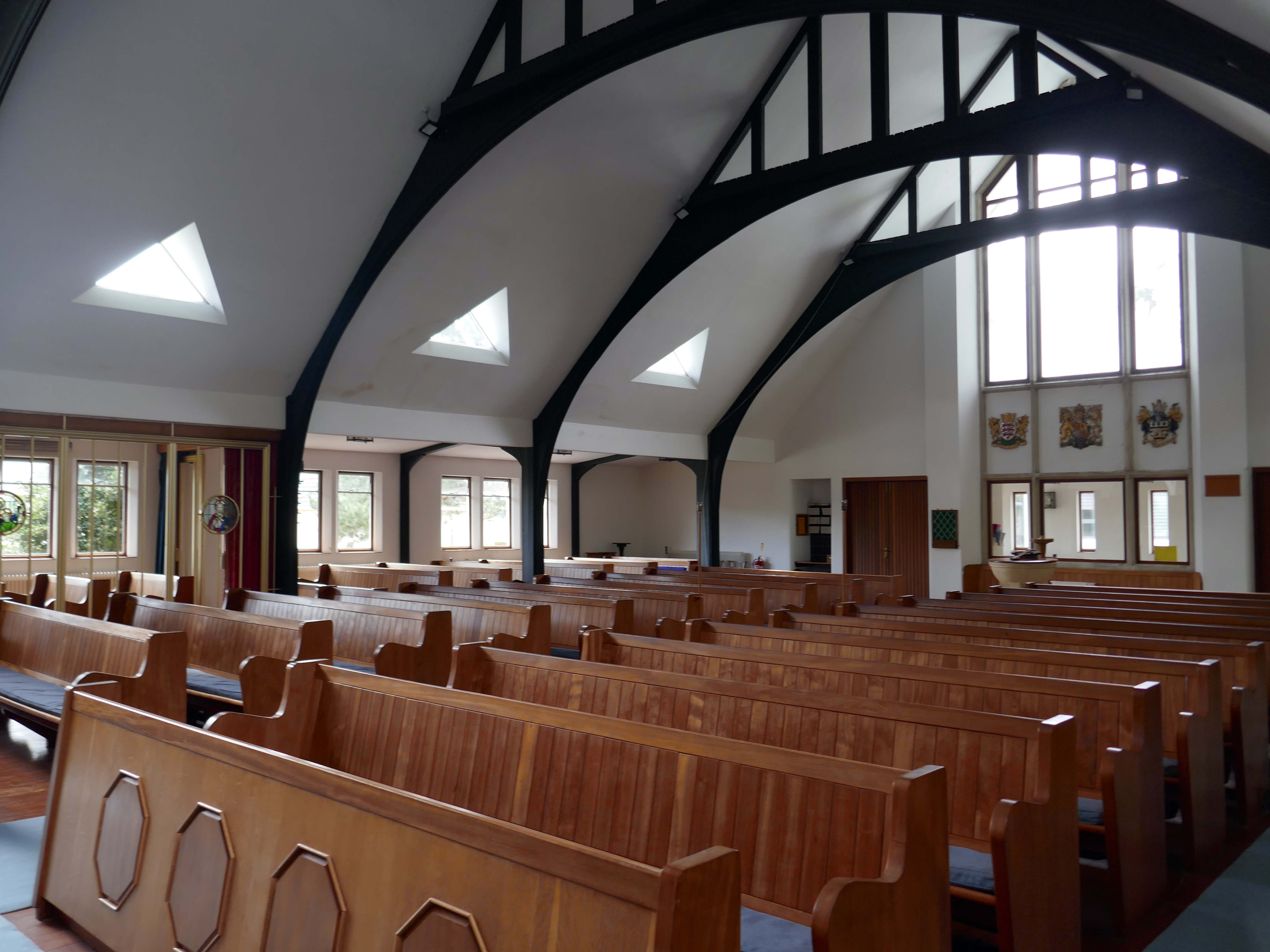
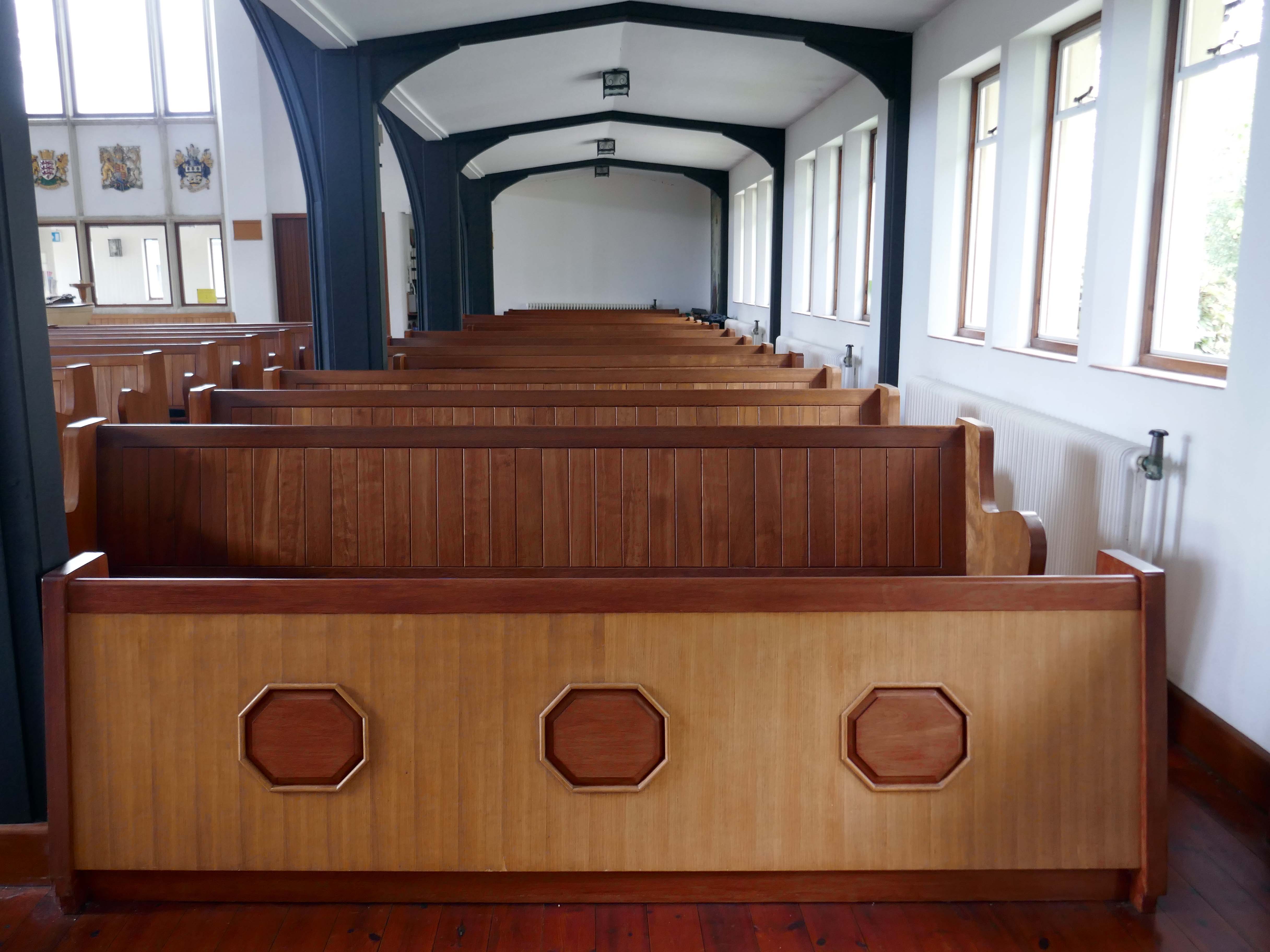
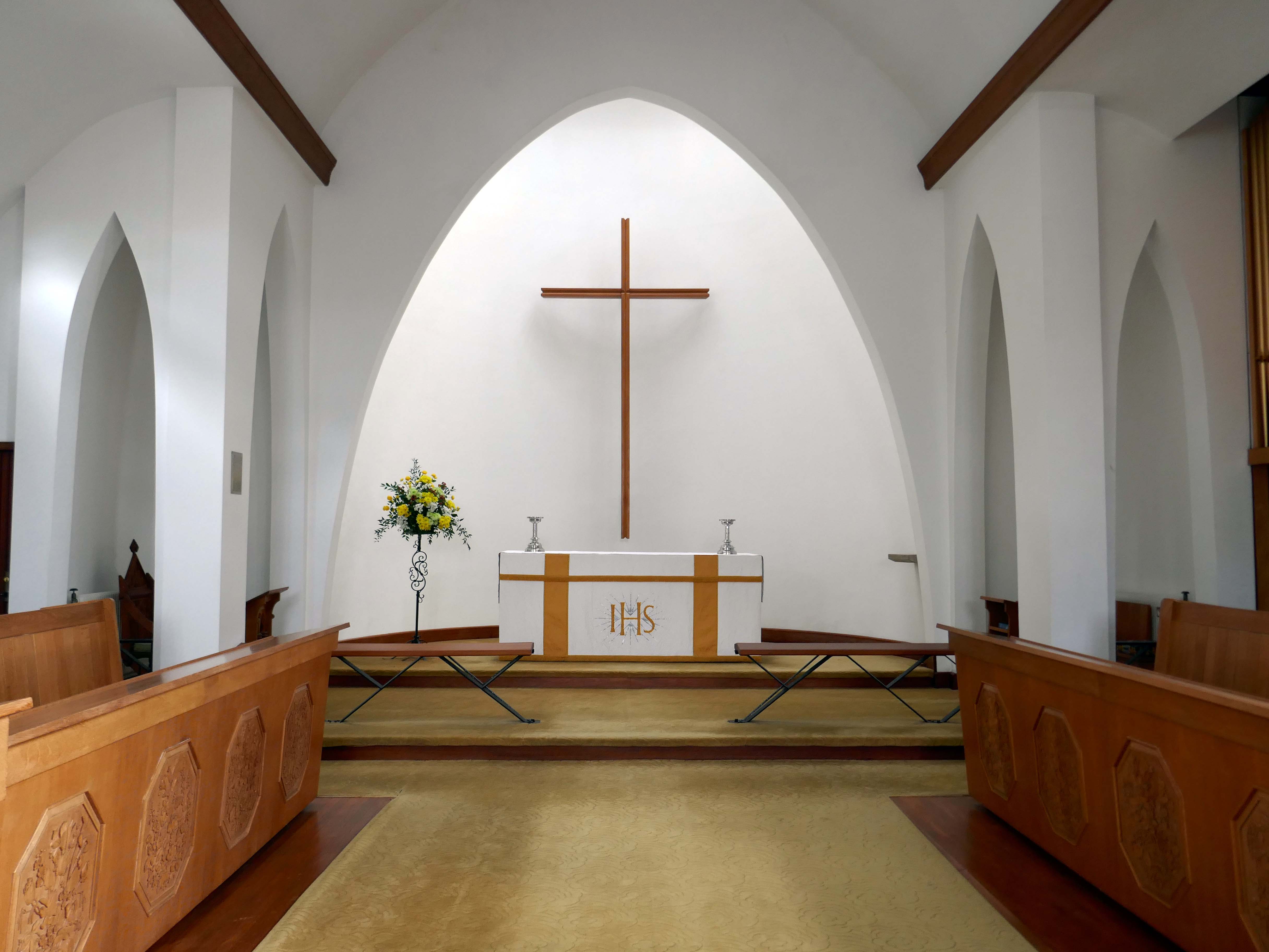
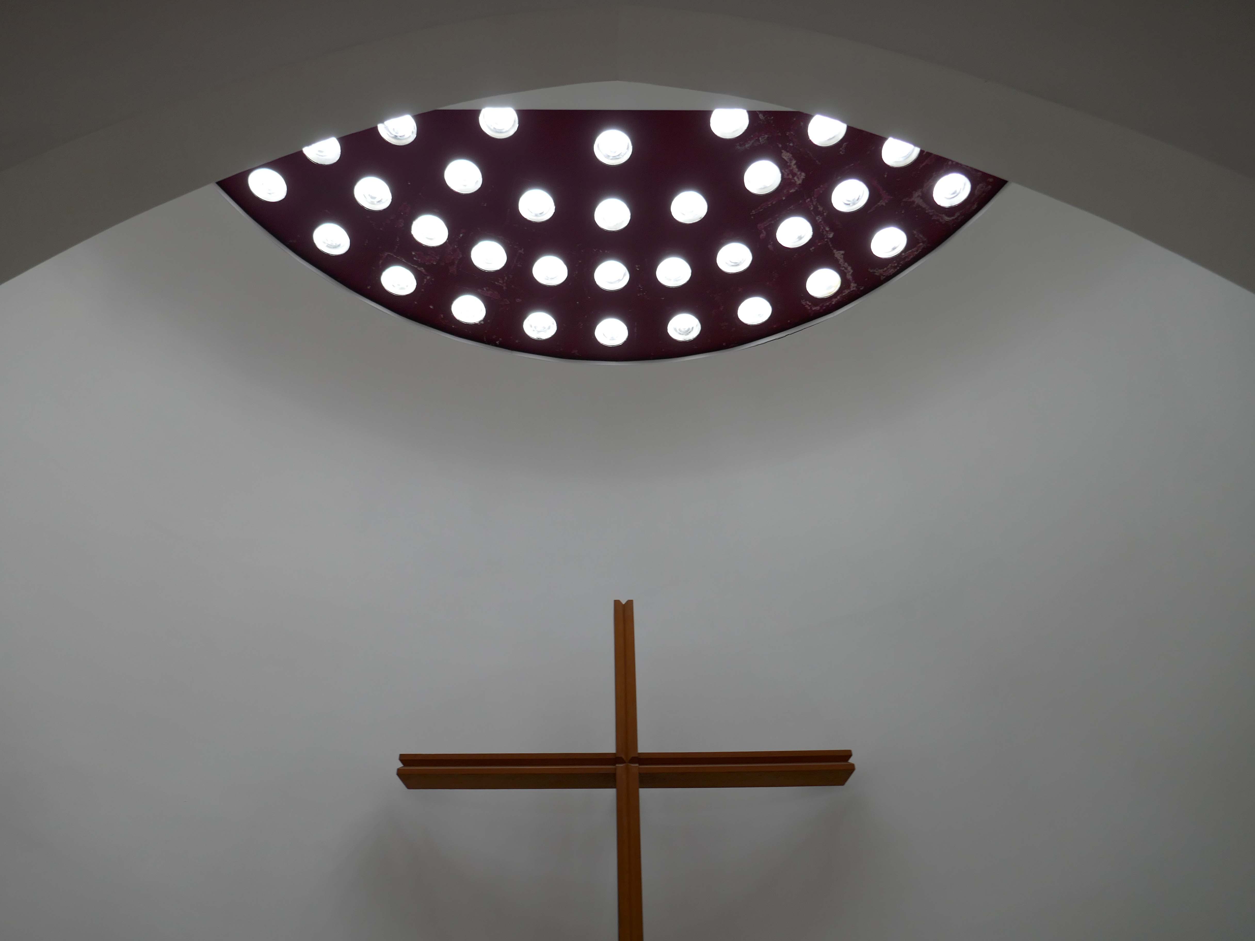
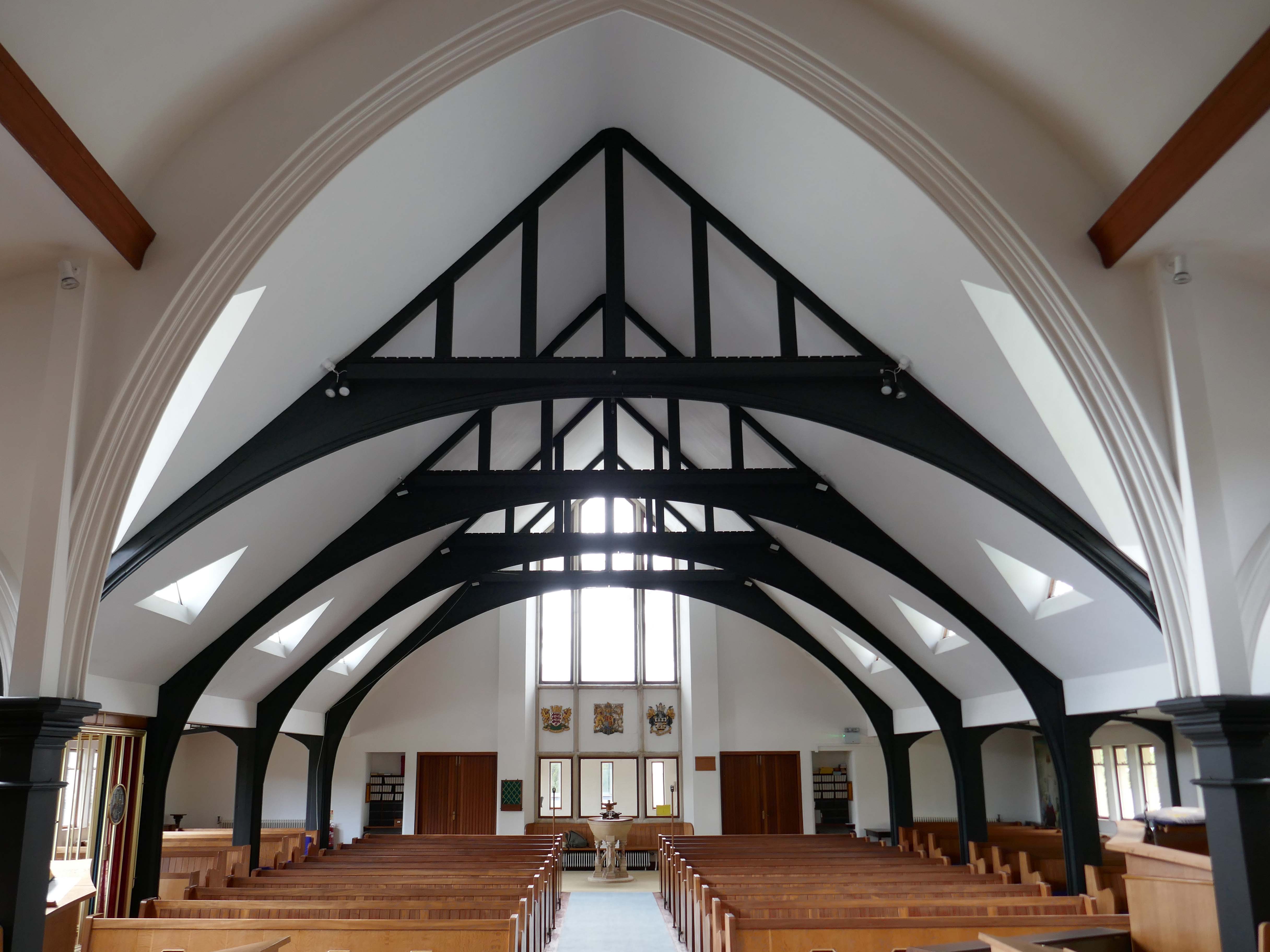
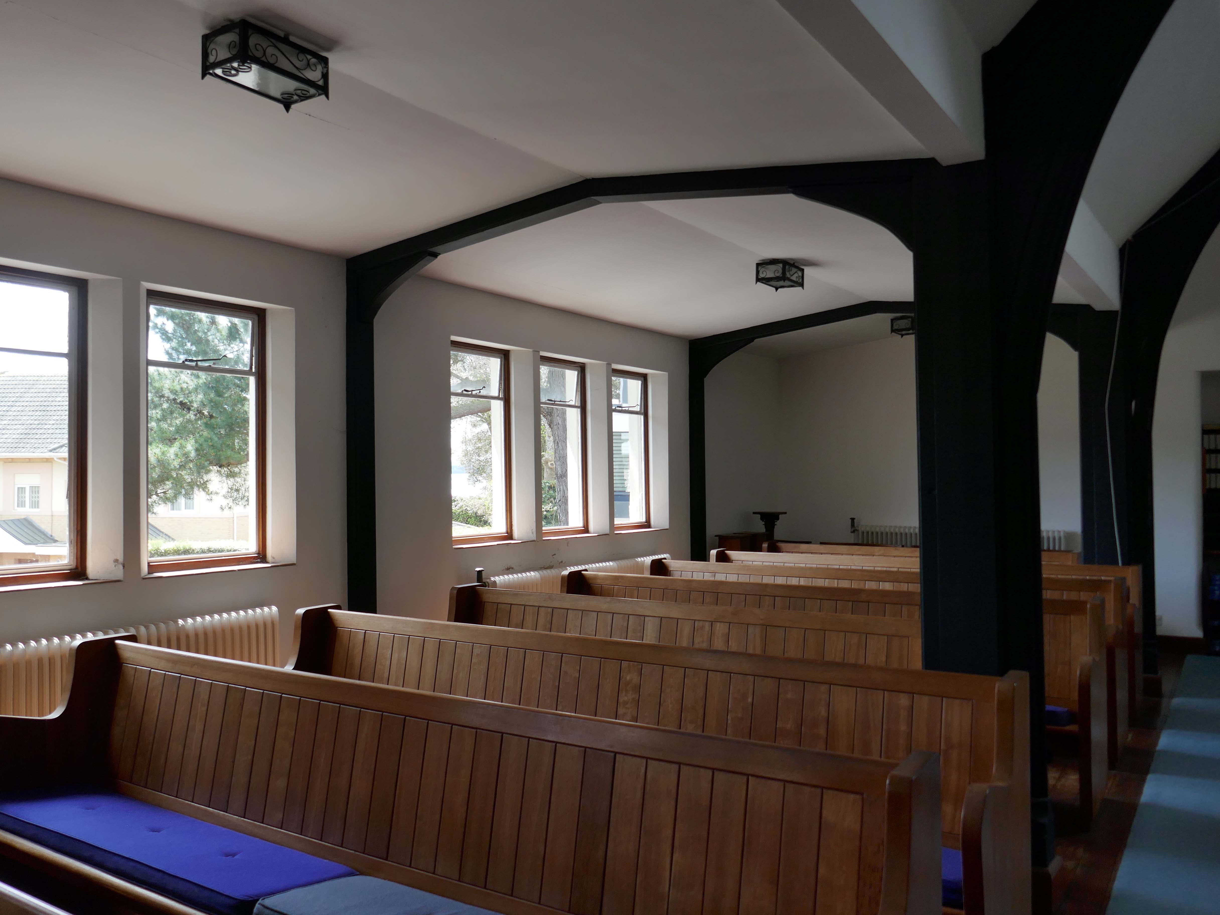
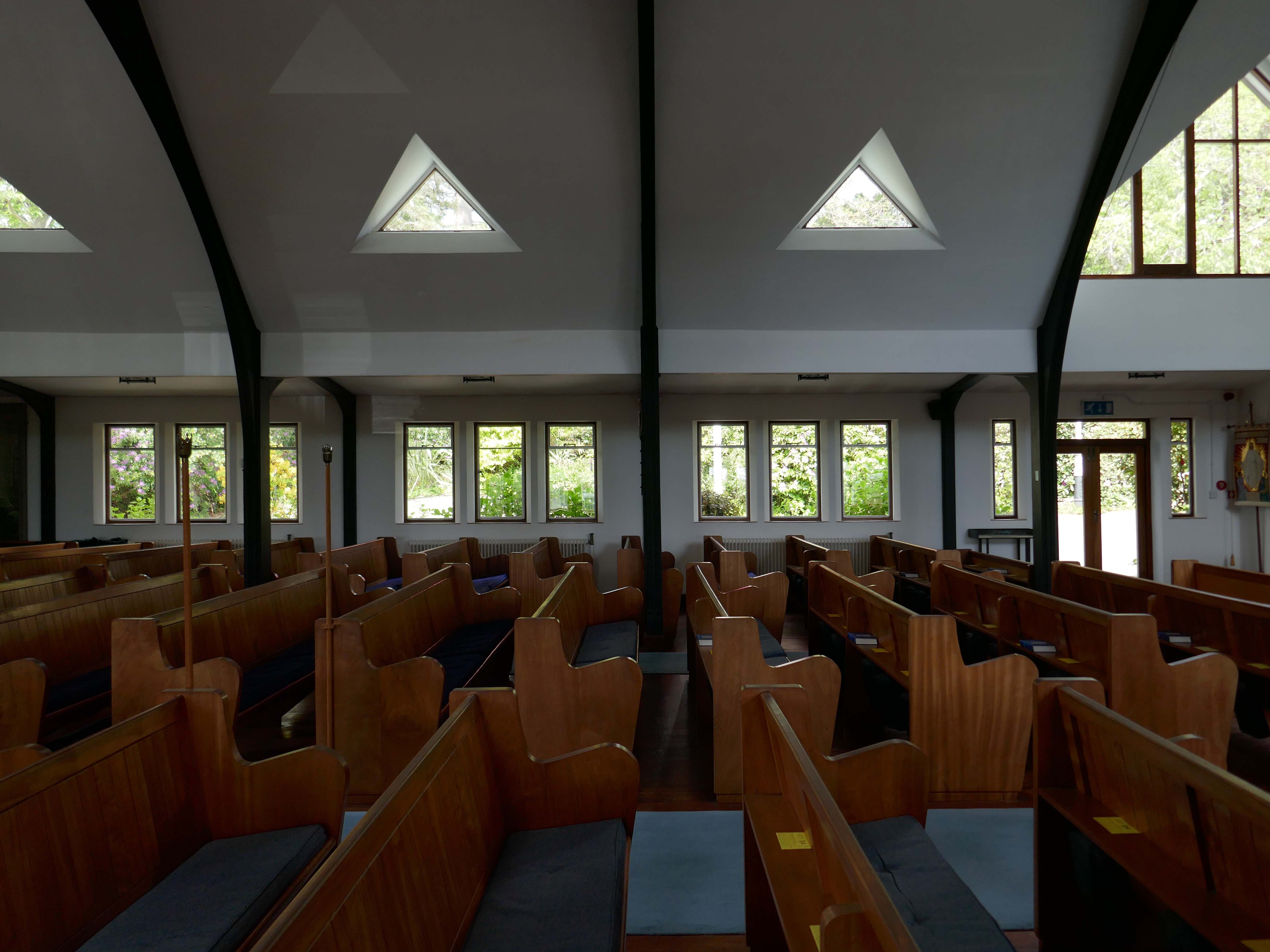
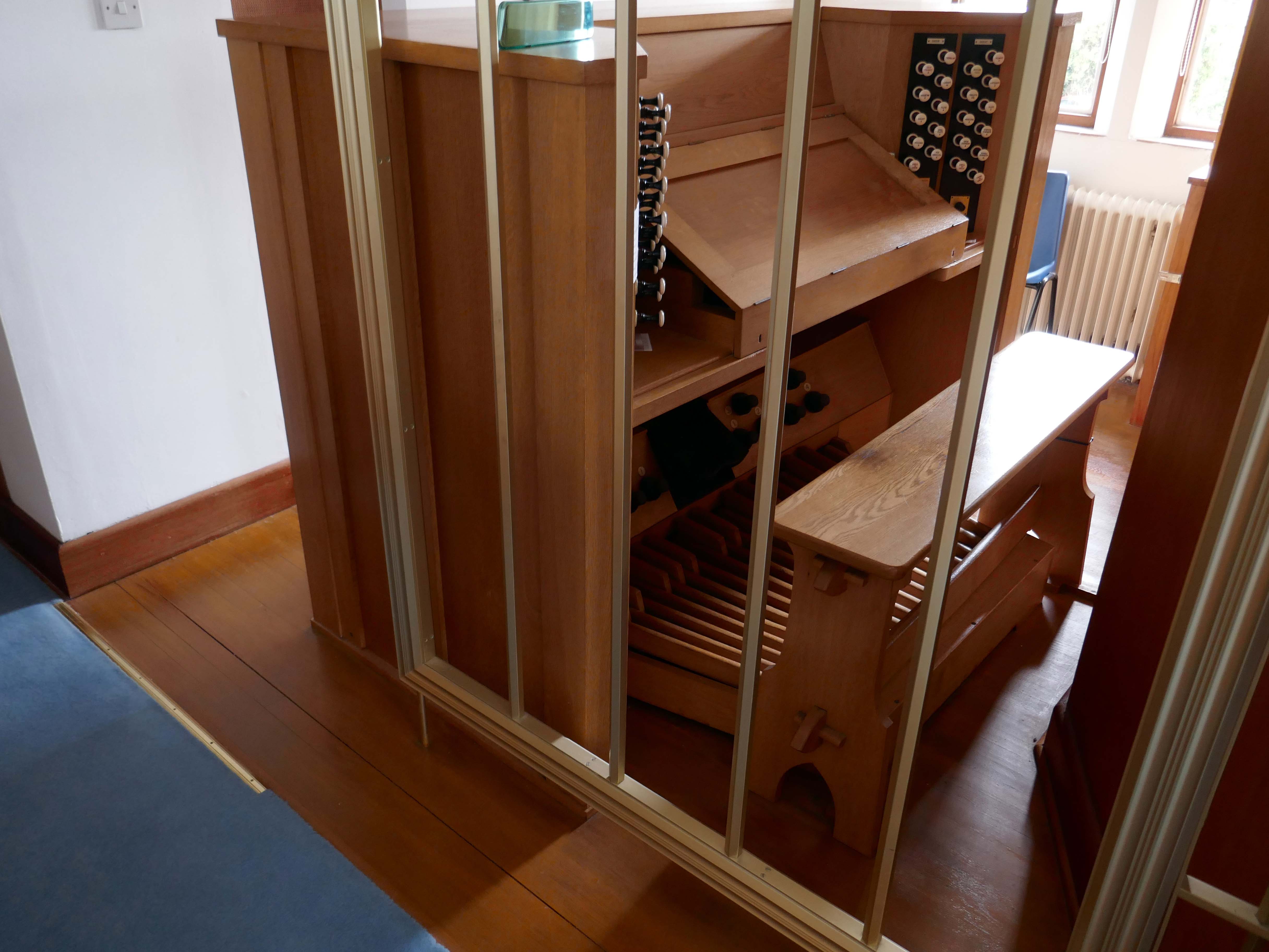
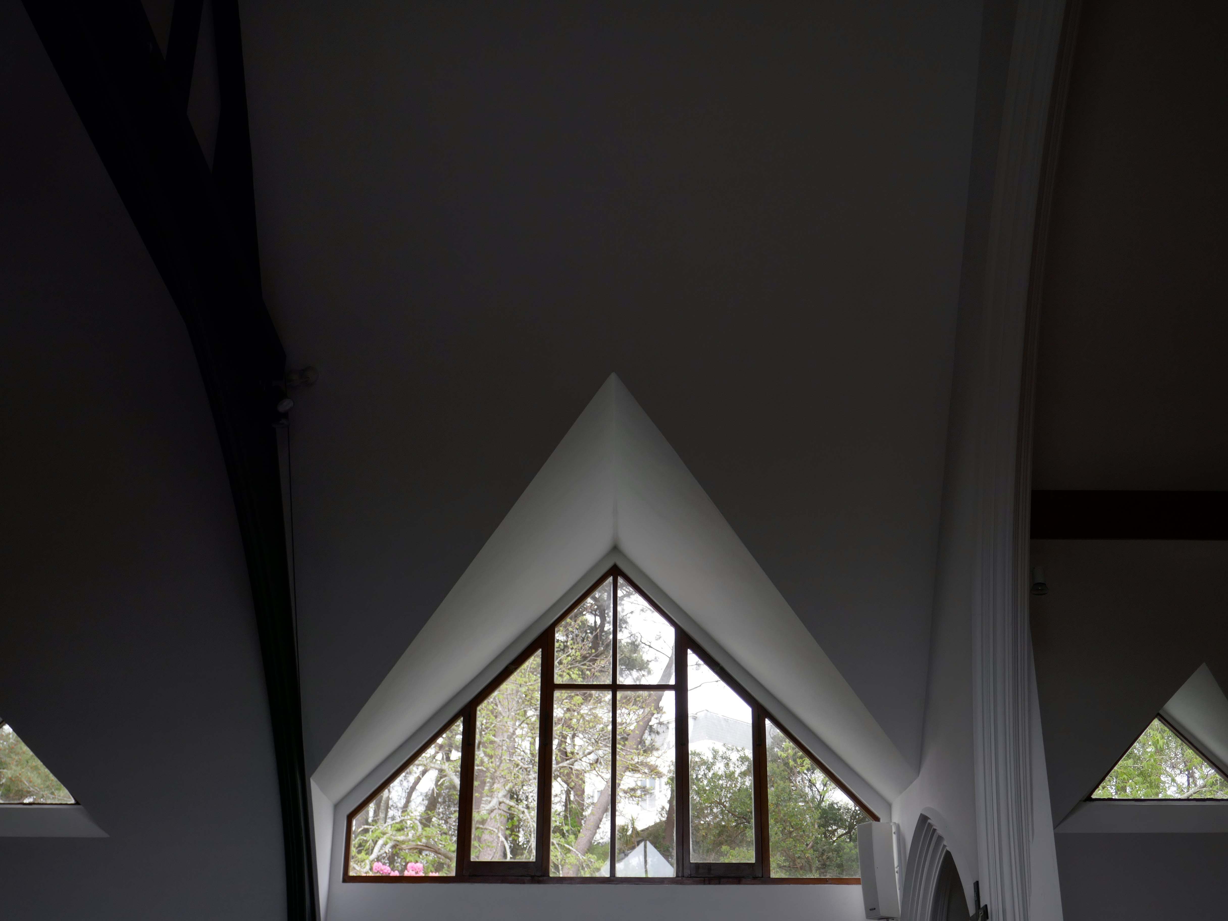
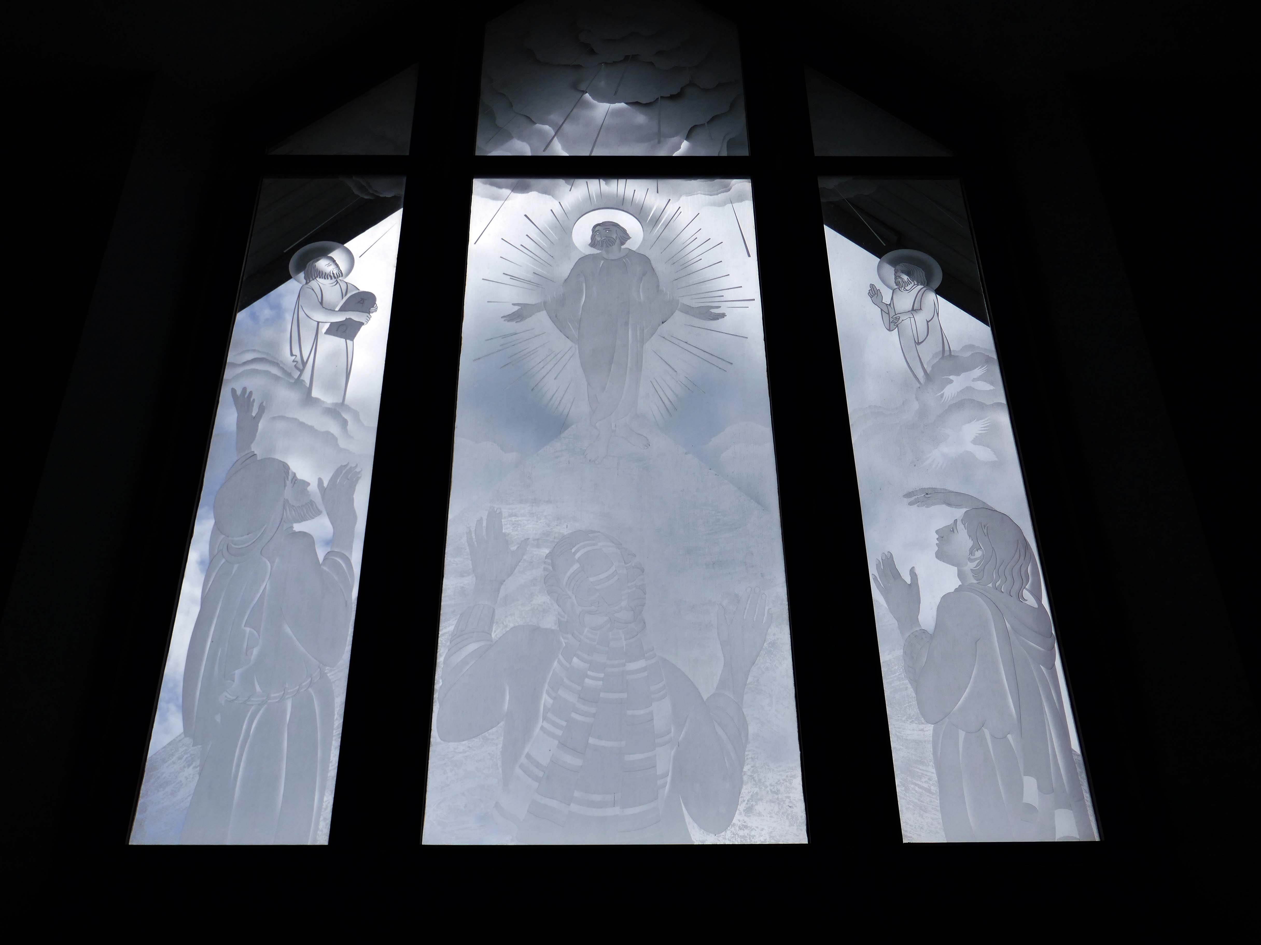
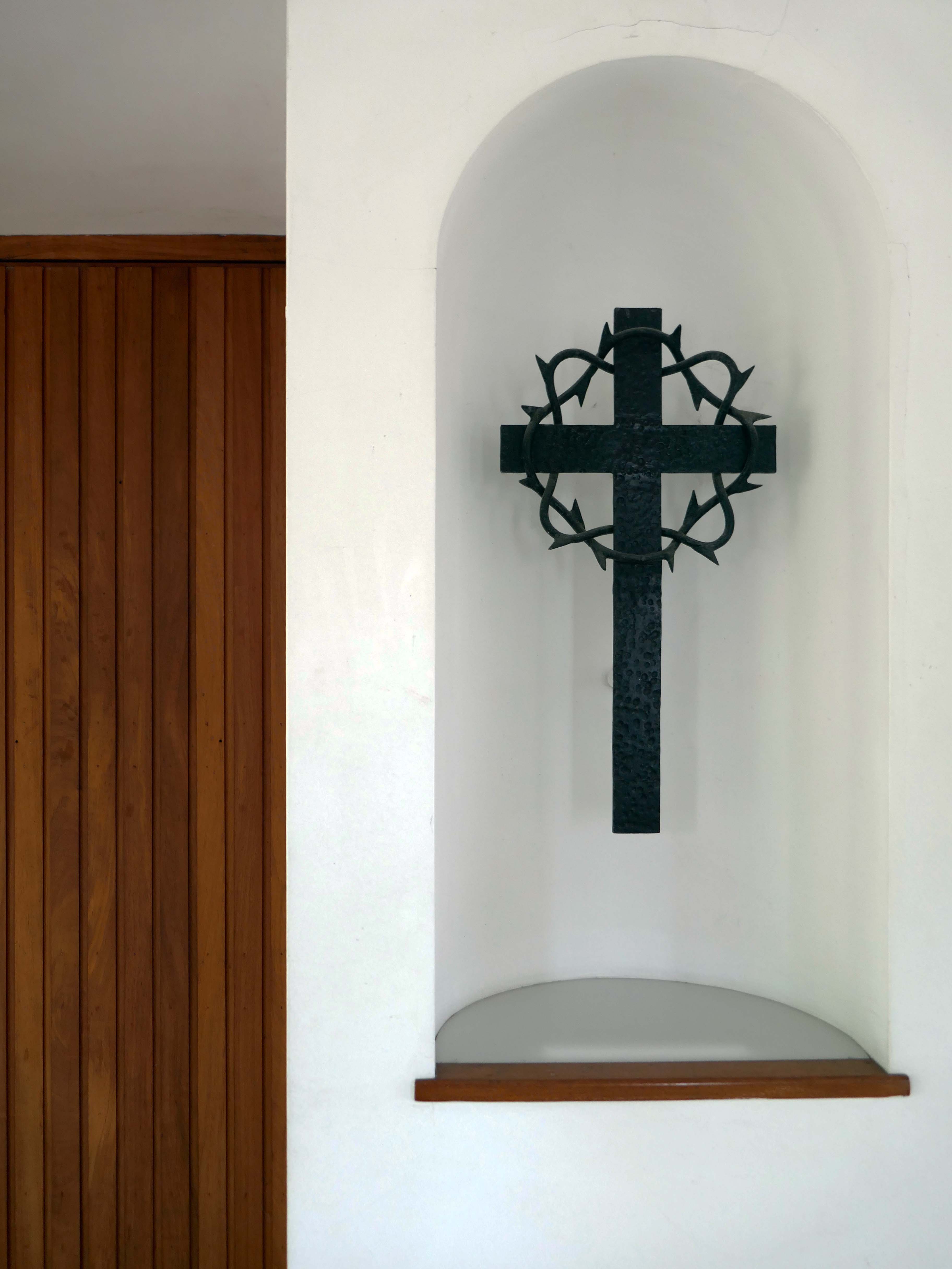
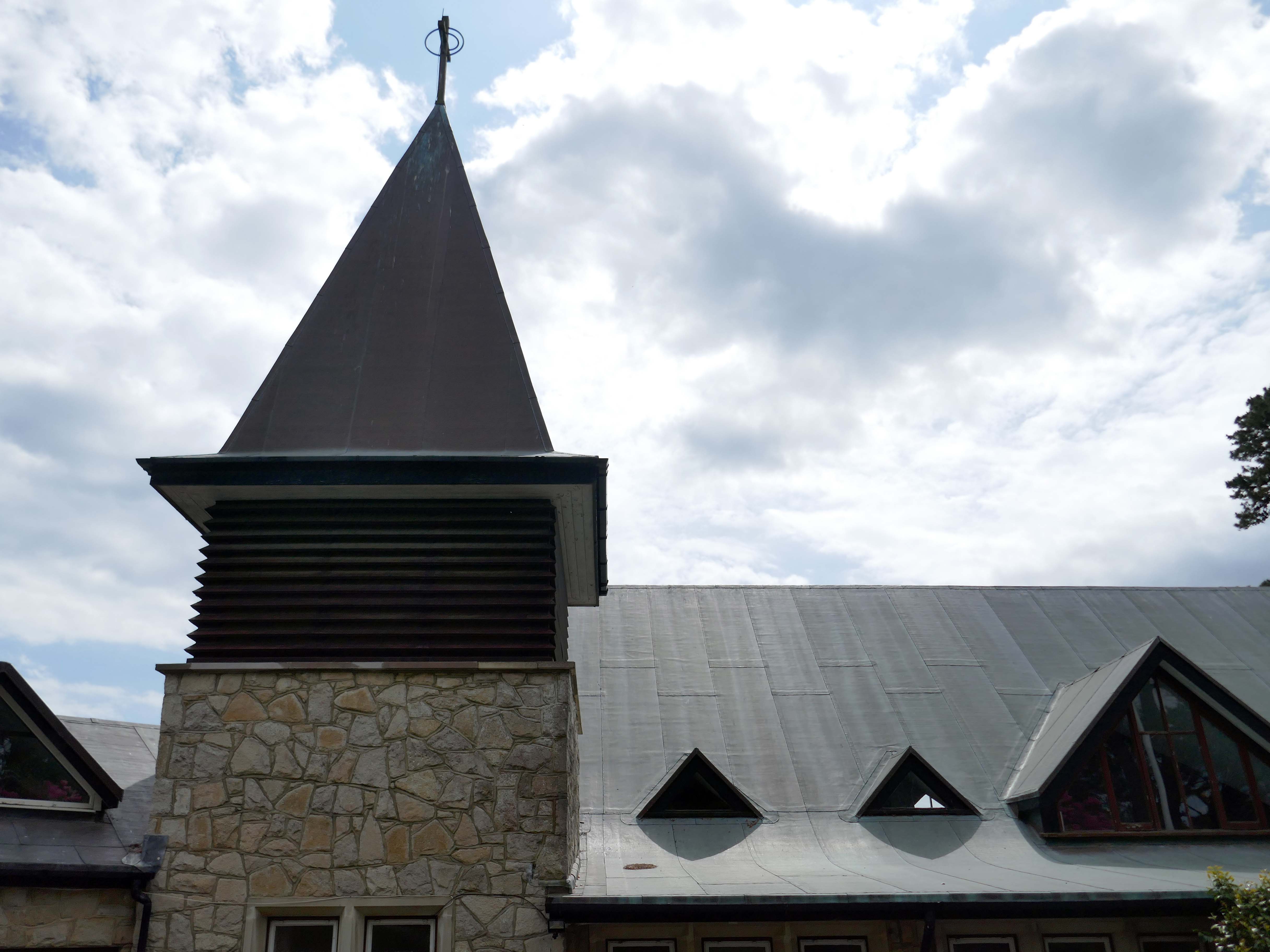
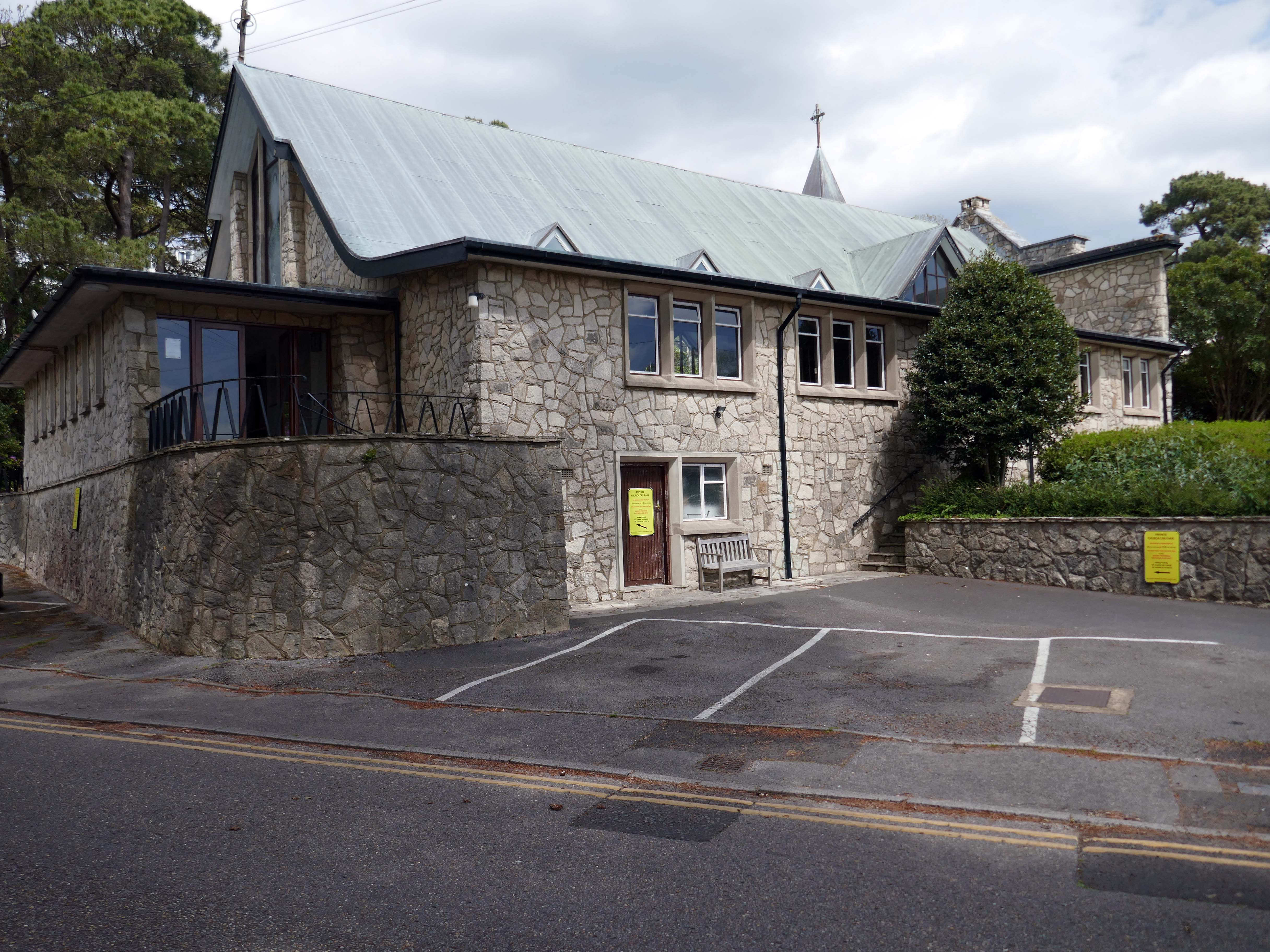
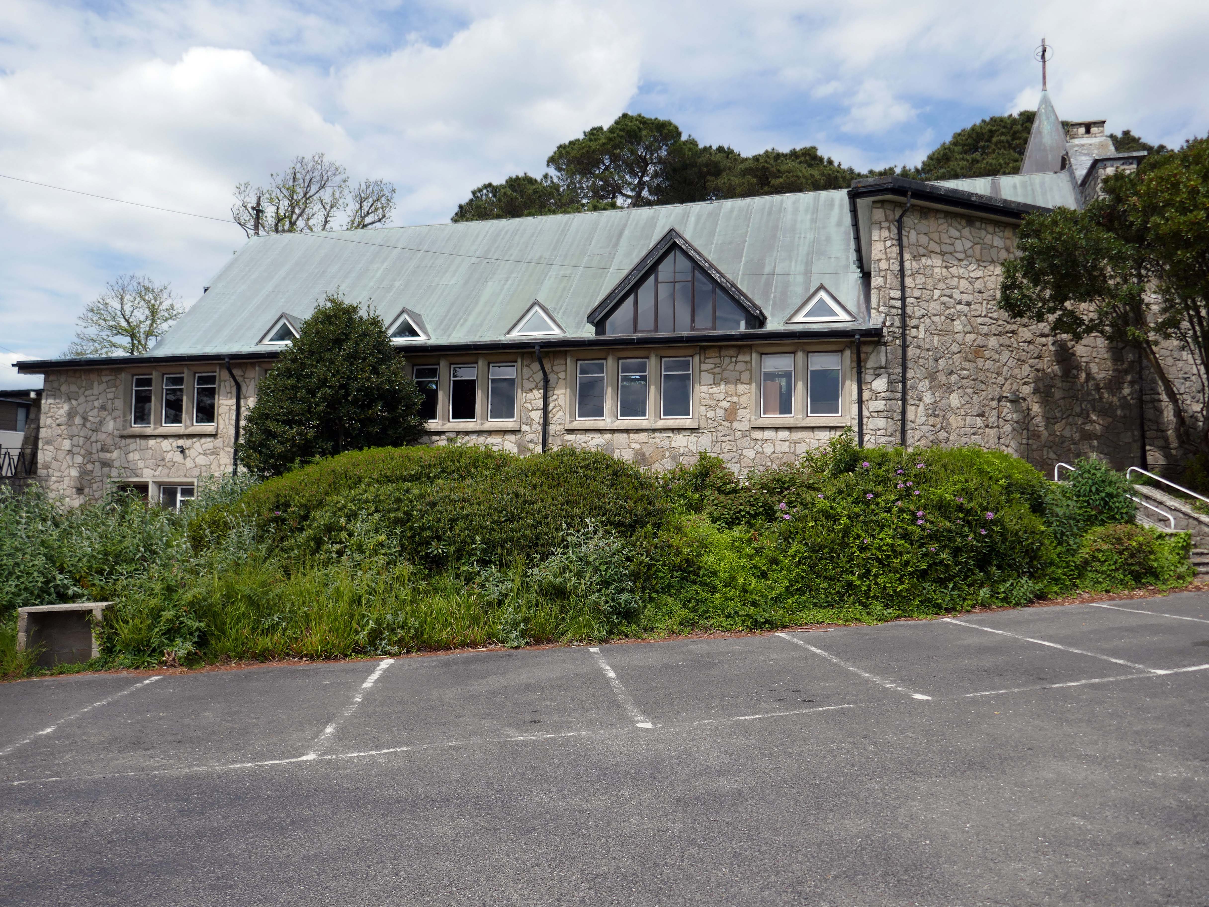
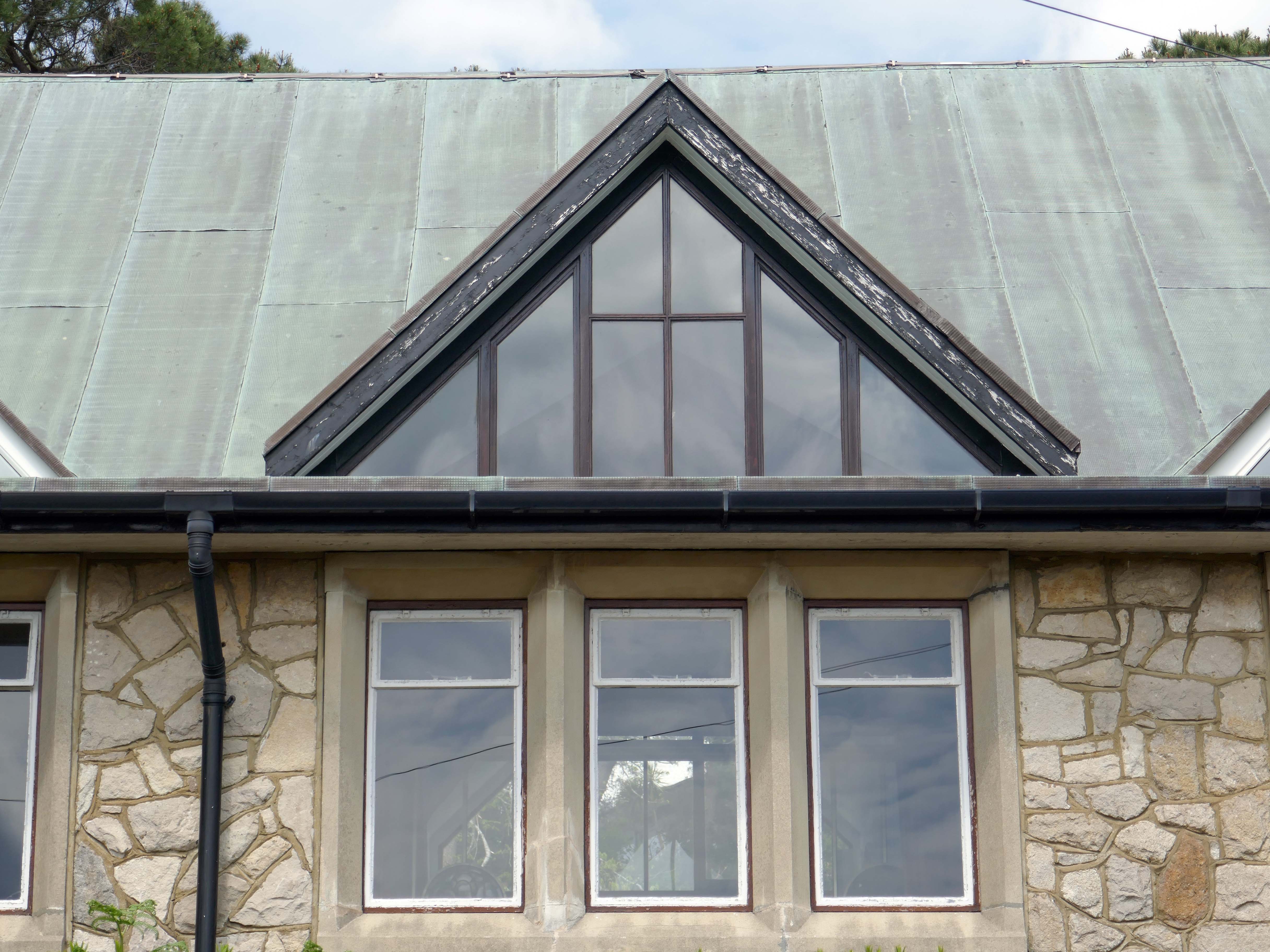
The Church of the Transfiguration is one of the youngest ecclesiastical buildings in the county, having been built during 1962-5 to a design by Lionel Gregory, who was also responsible for an interesting industrial unit in the nearby Nuffield Industrial estate.
When Sir Nikolaus Pevsner visited the church, which cannot have been long after it was built, he observed that it was.
A bungaloid church, the exact ecclesiastical equivalent of Dunromin and Thistledo, with crazy-paved walling and saw-toothed dormers.
It is certainly true that the walls are clad in crazy-paved walling and the dormers are saw-toothed, but this was a little unfair.
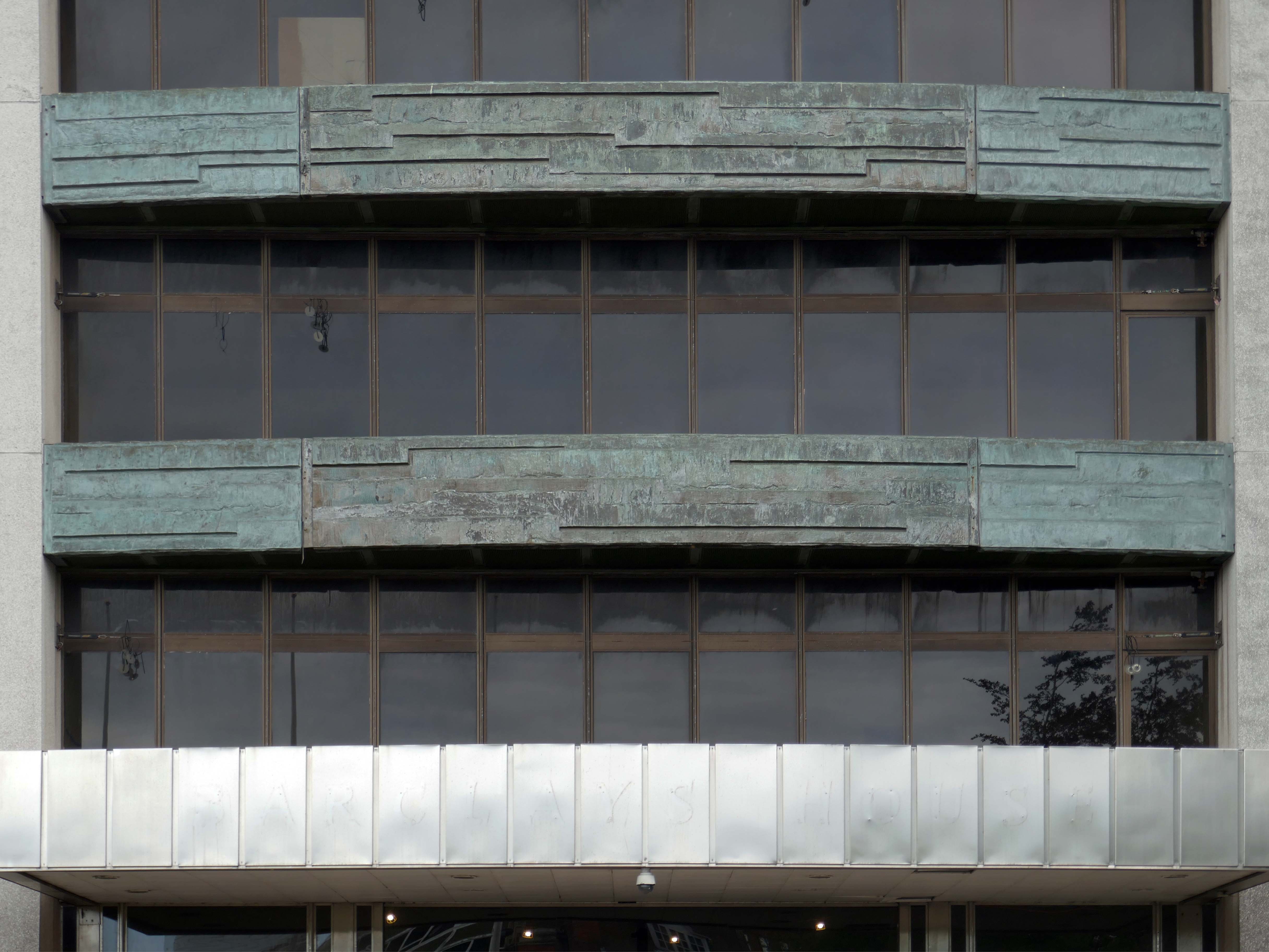
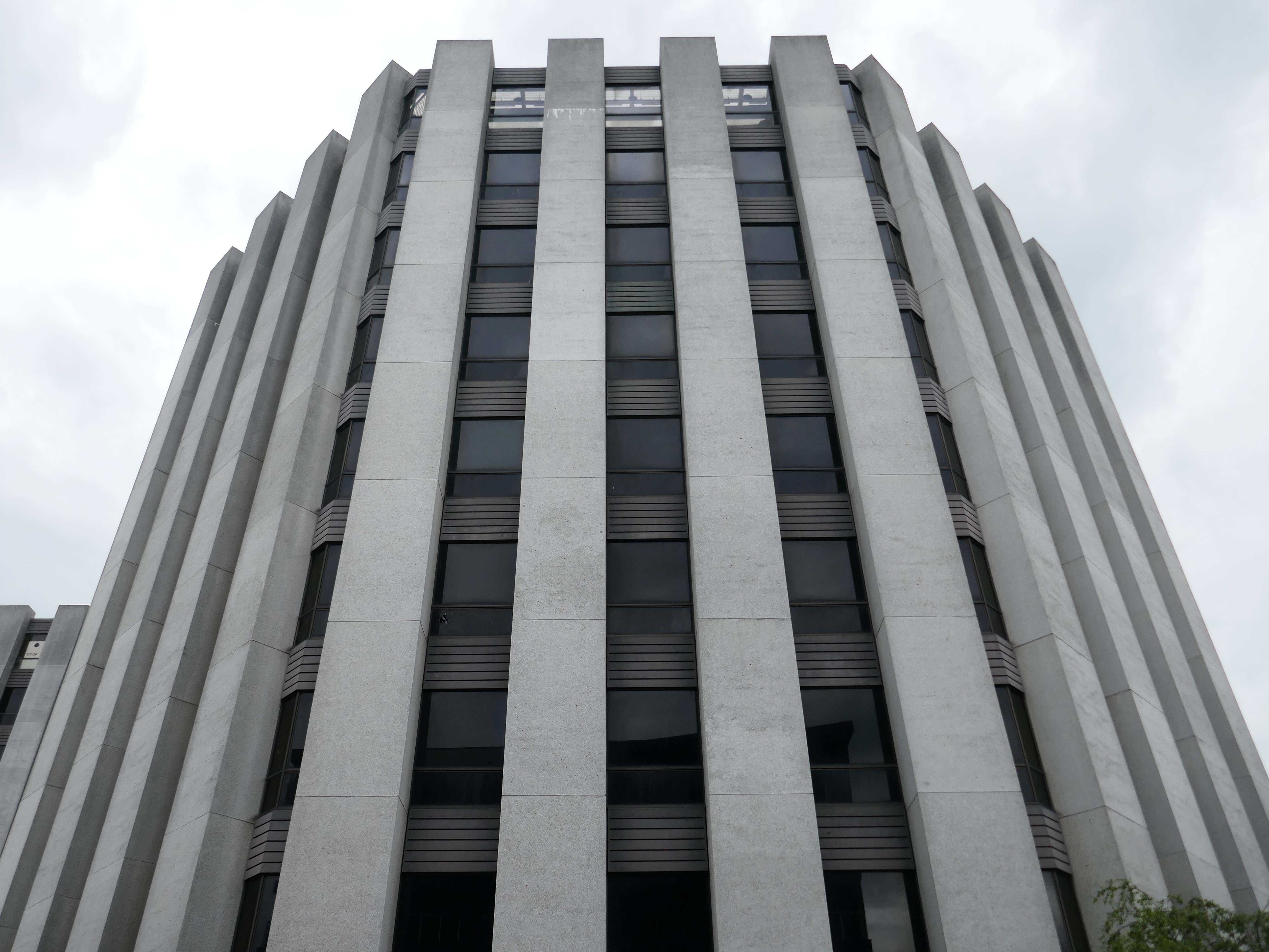
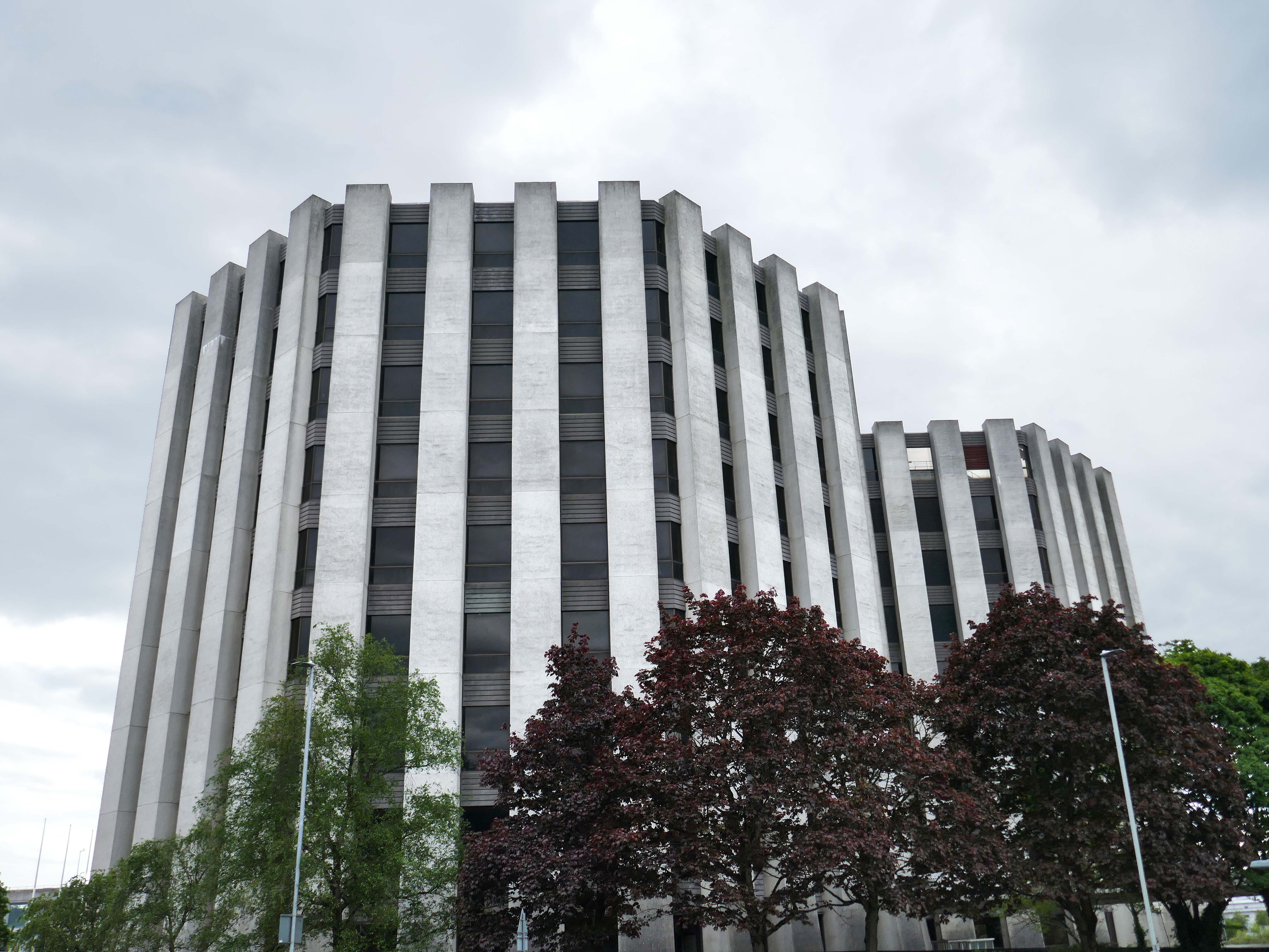
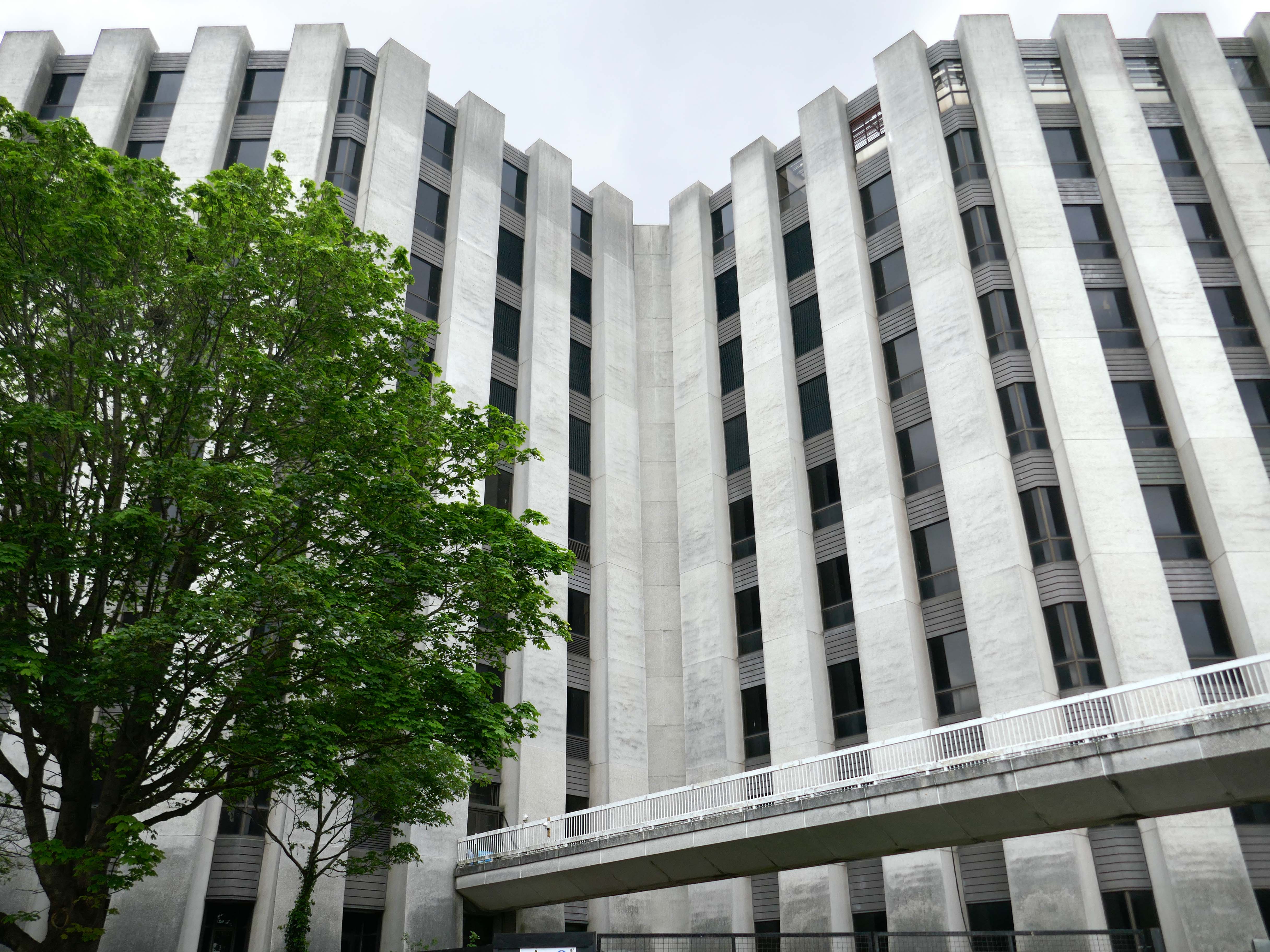
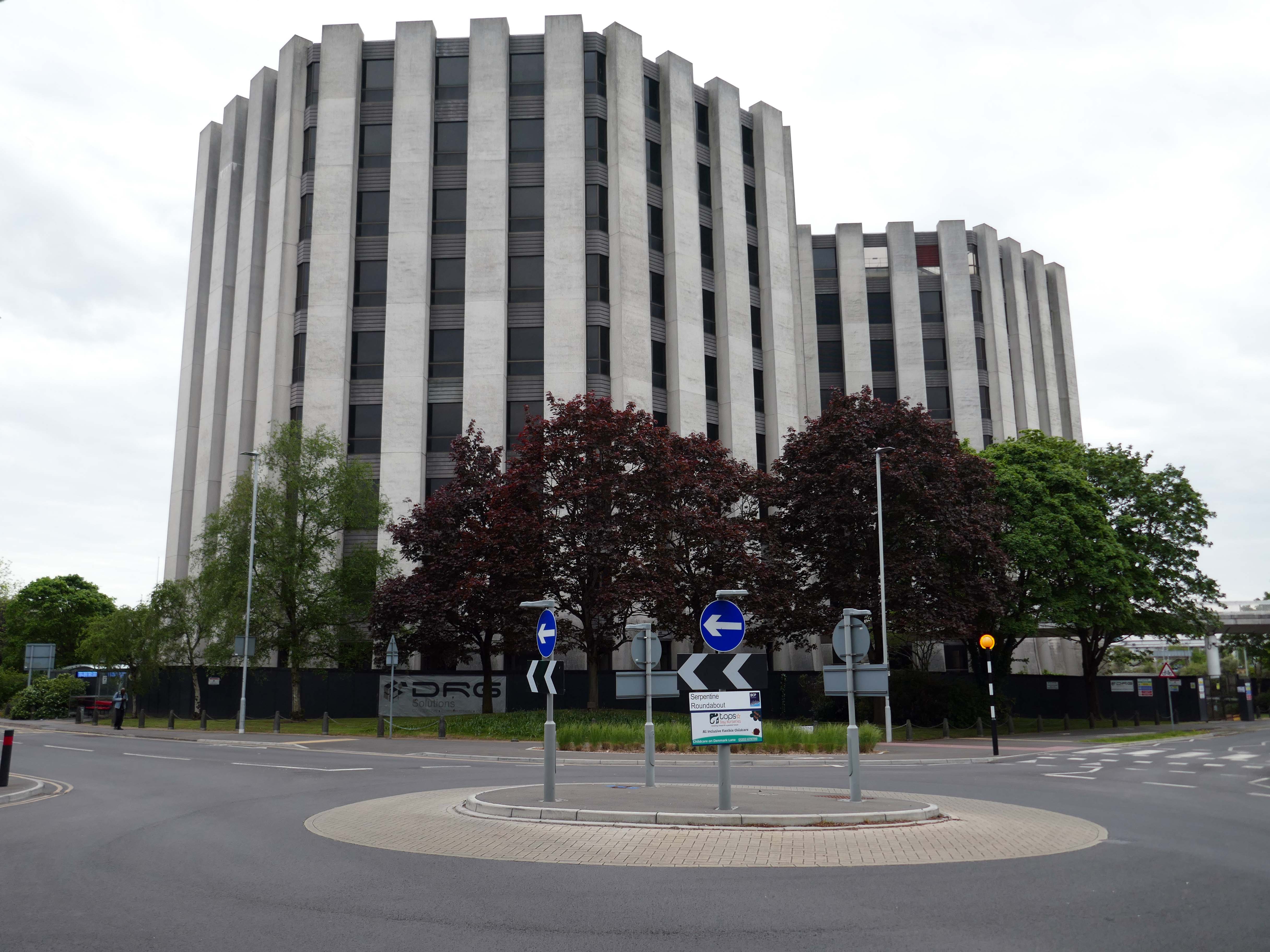
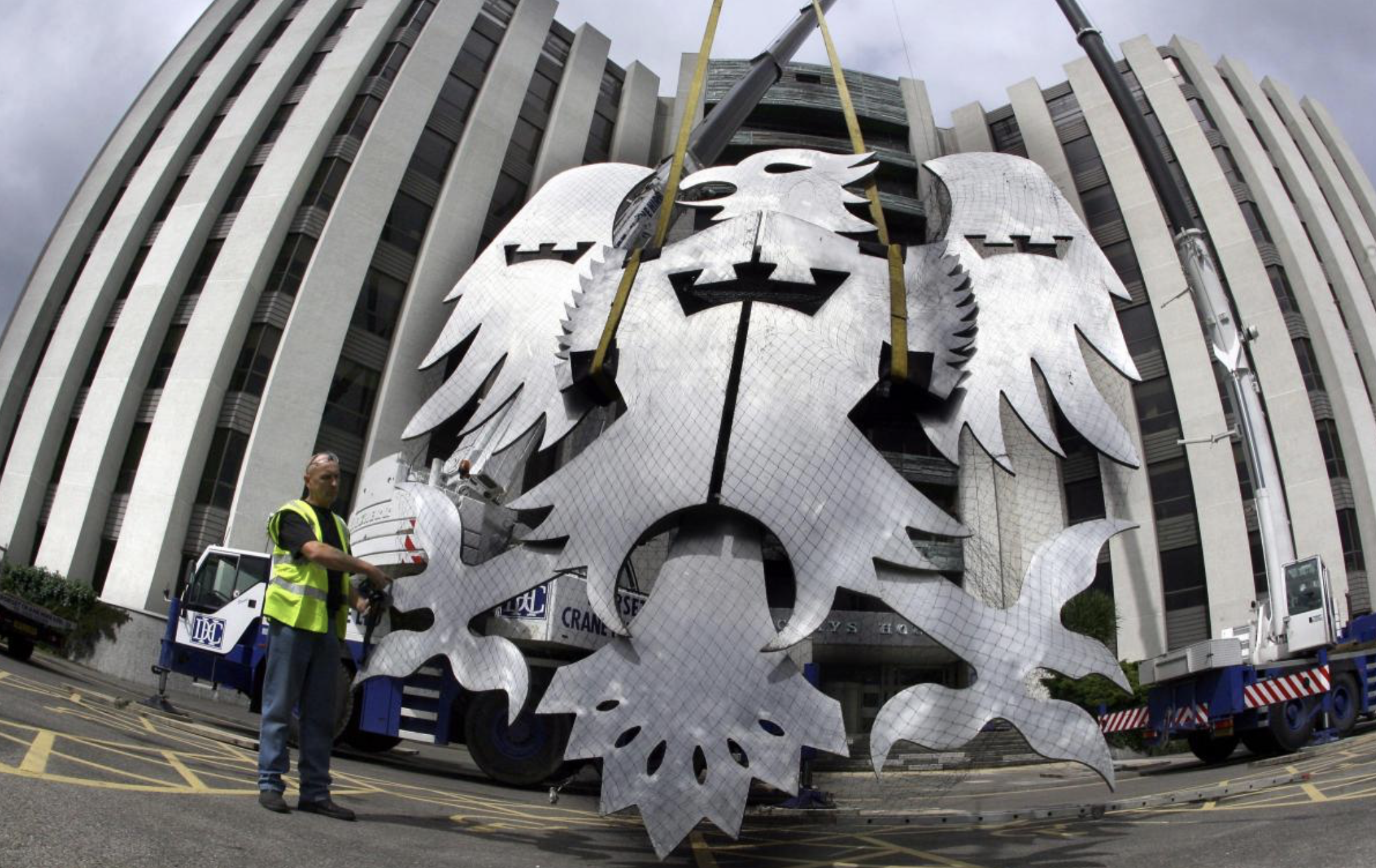
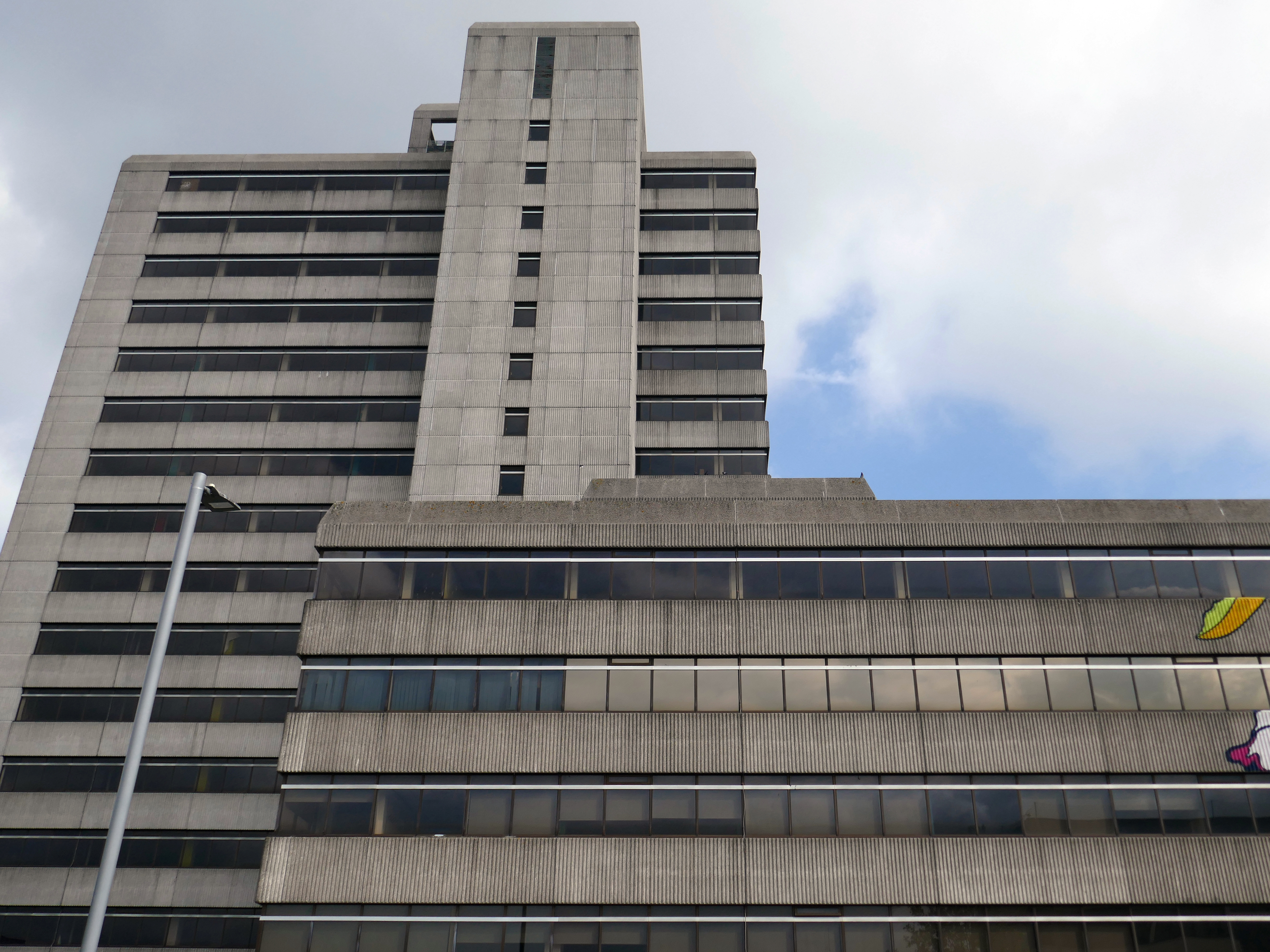
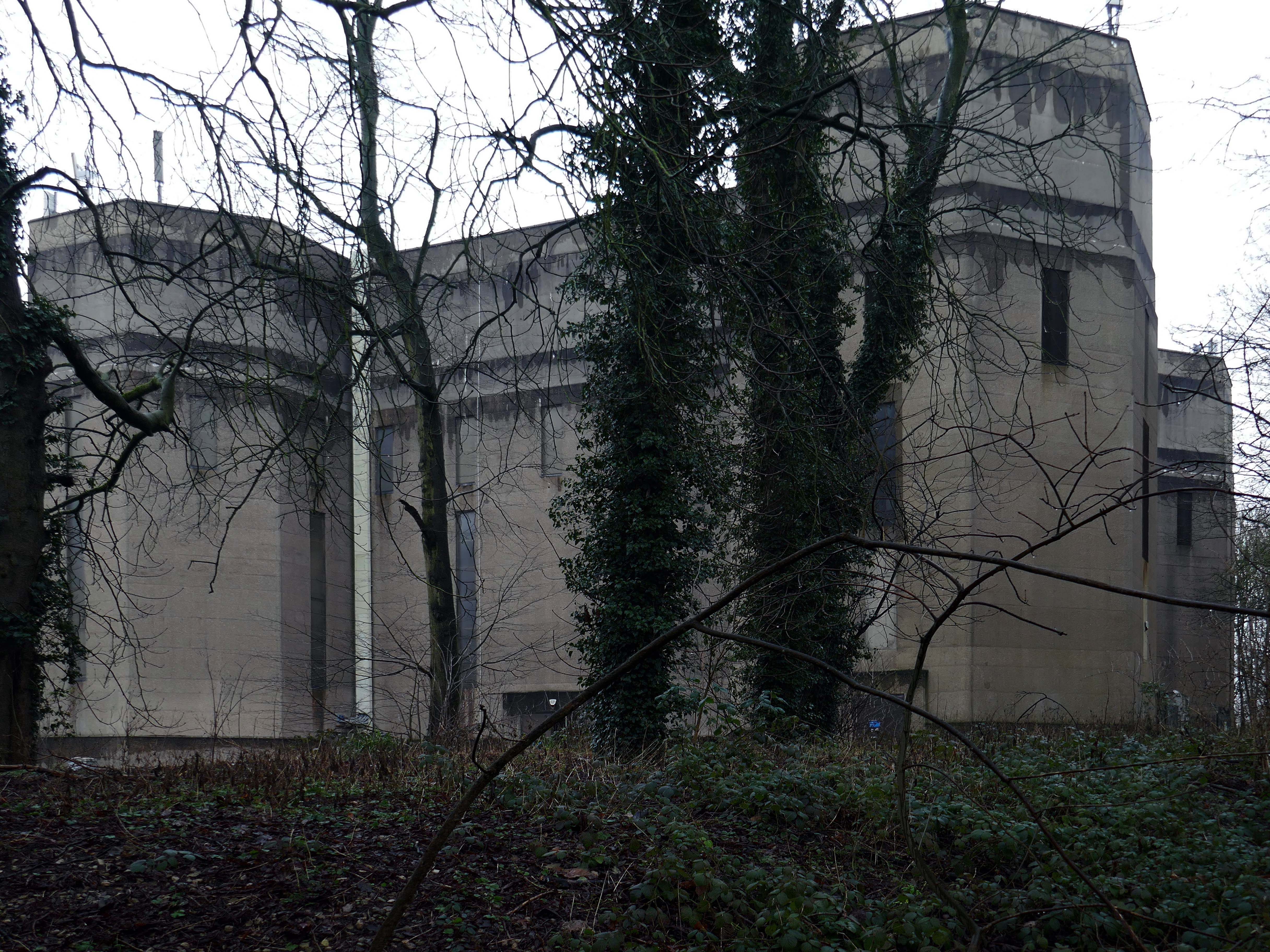
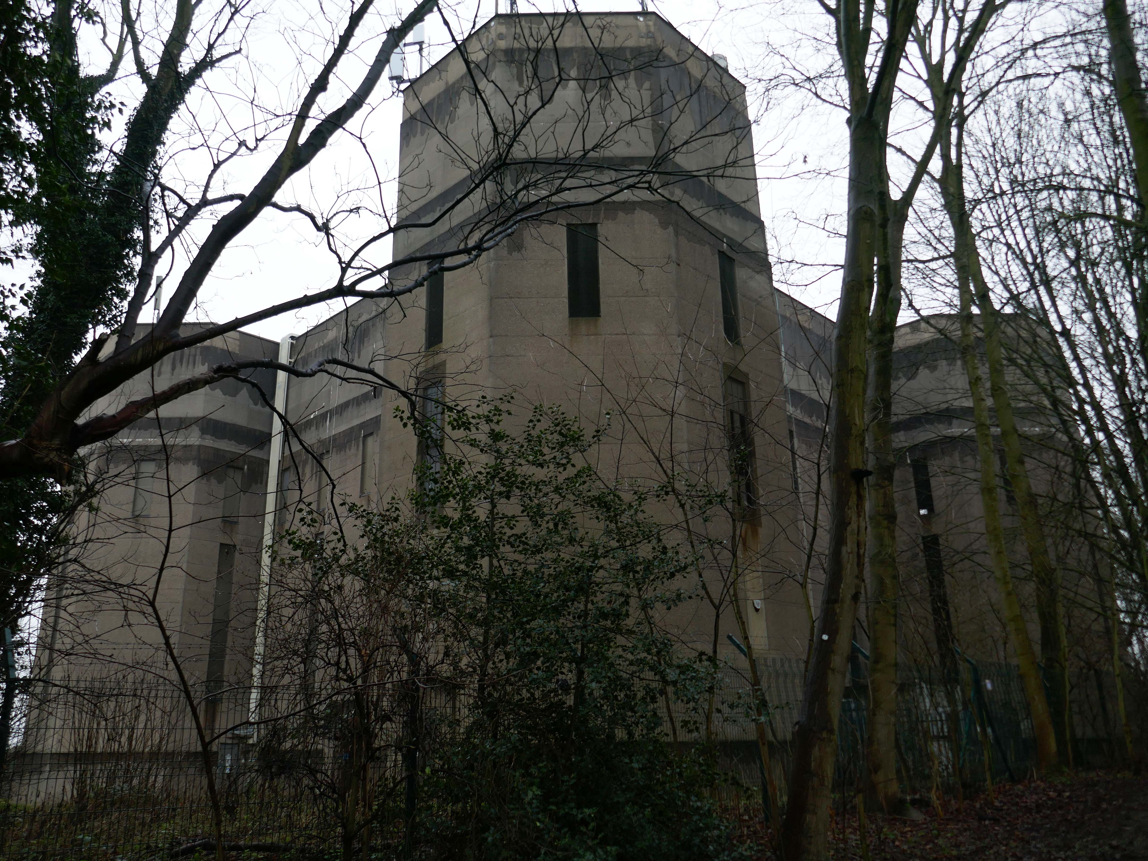
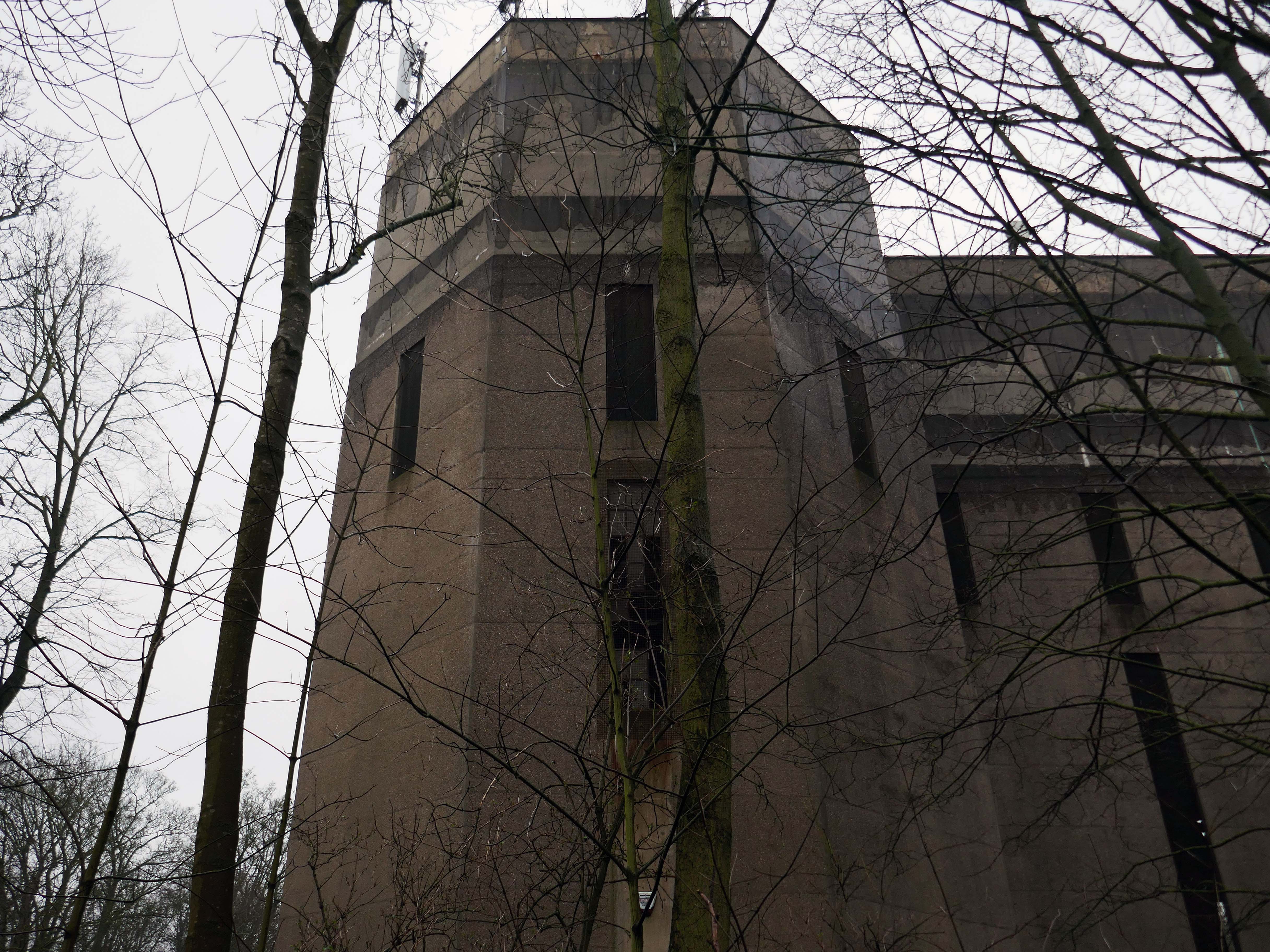
Barclays House was constructed by Barclays bank from 1972 to 1975 as part of a move to decentralise its offices from London.
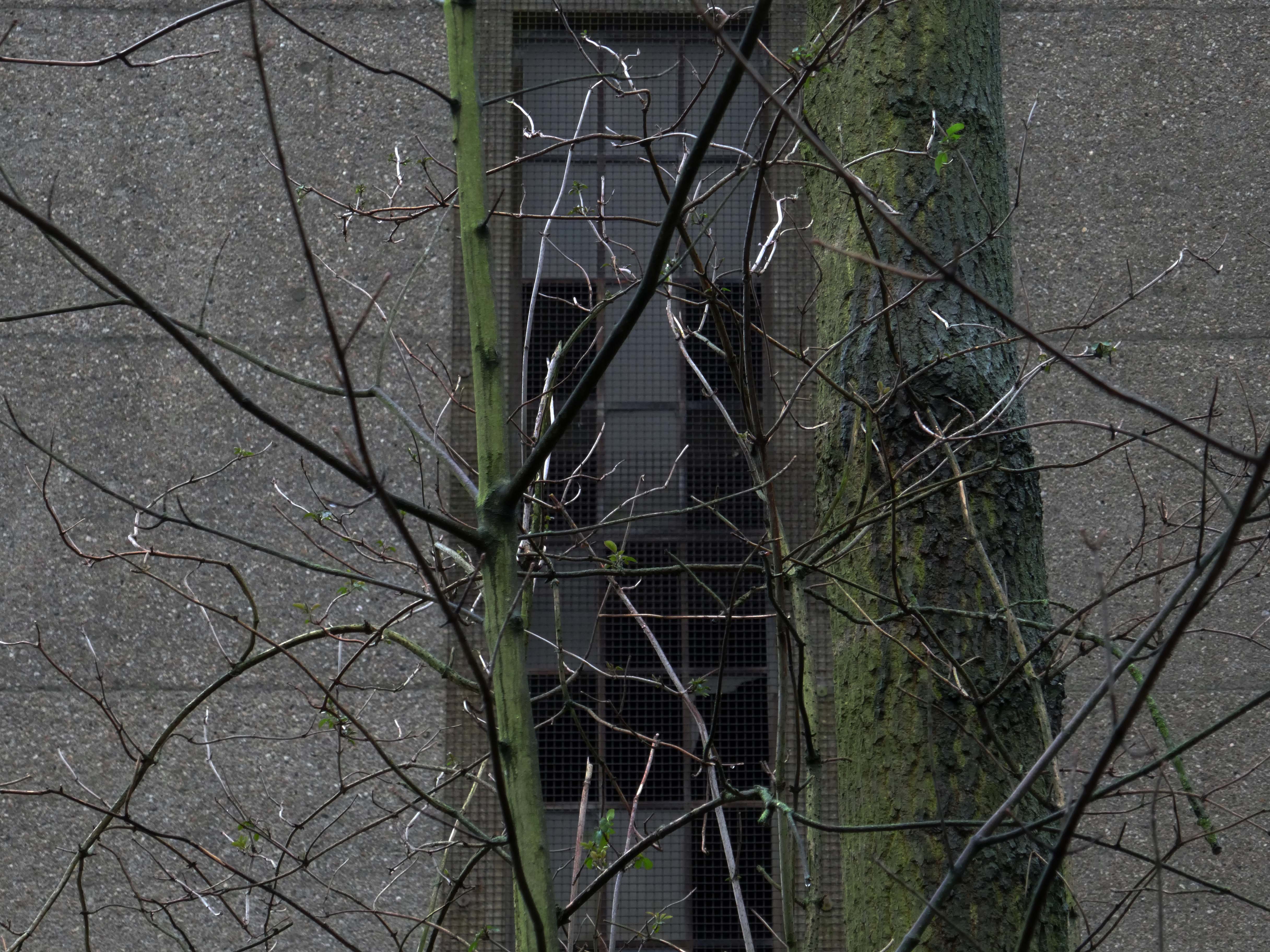
The structure, was designed in the Brutalist style by architects Wilson, Mason and Partners. It consists of three main wings, each octagonal in plan, and dominates the town centre skyline.
Barclays first occupied the office in January 1976. The building’s basement is below sea level and is often flooded or damp, which prevented its use by the bank for storage. The structure has also sunk over time due to its significant mass
Barclays left the site in January 2022 and put the structure up for sale by sealed bid auction. The highest bidder was Bournemouth, Christchurch and Poole Council but they withdrew from the purchase in September 2022.
BCP offered £17 million, almost three times more than the next highest bidder, thought to be Fortitudo at £6.5 million, who wanted to demolish the structure and build three apartment towers.
In February 2023, boarding was put up around the building and the Bournemouth Daily Echo reported that a new buyer had been found. In November 2023, proposals for redevelopment to residential use were announced, 362 flats are proposed for the building.
Town hall planner Gareth Ball has given the go-ahead for VCRE Four Poole Limited to convert the historic building into a 362-bedroom apartment block.
No parking spaces will be available for the future residents, as noted by BCP case officer Mr Ball as being in accordance with the council’s rules. Instead, the development will come with 488 cycle spaces – or one space for every resident. The scheme will feature a gym, communal workspace, squash courts, a games room with table tennis, pool, video games, surfboard storage and a rooftop garden.
Barclays House was bought last year for £5.3 million, according to documents.
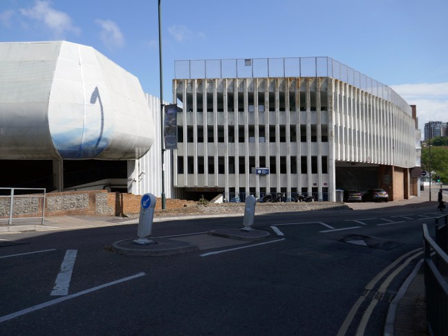
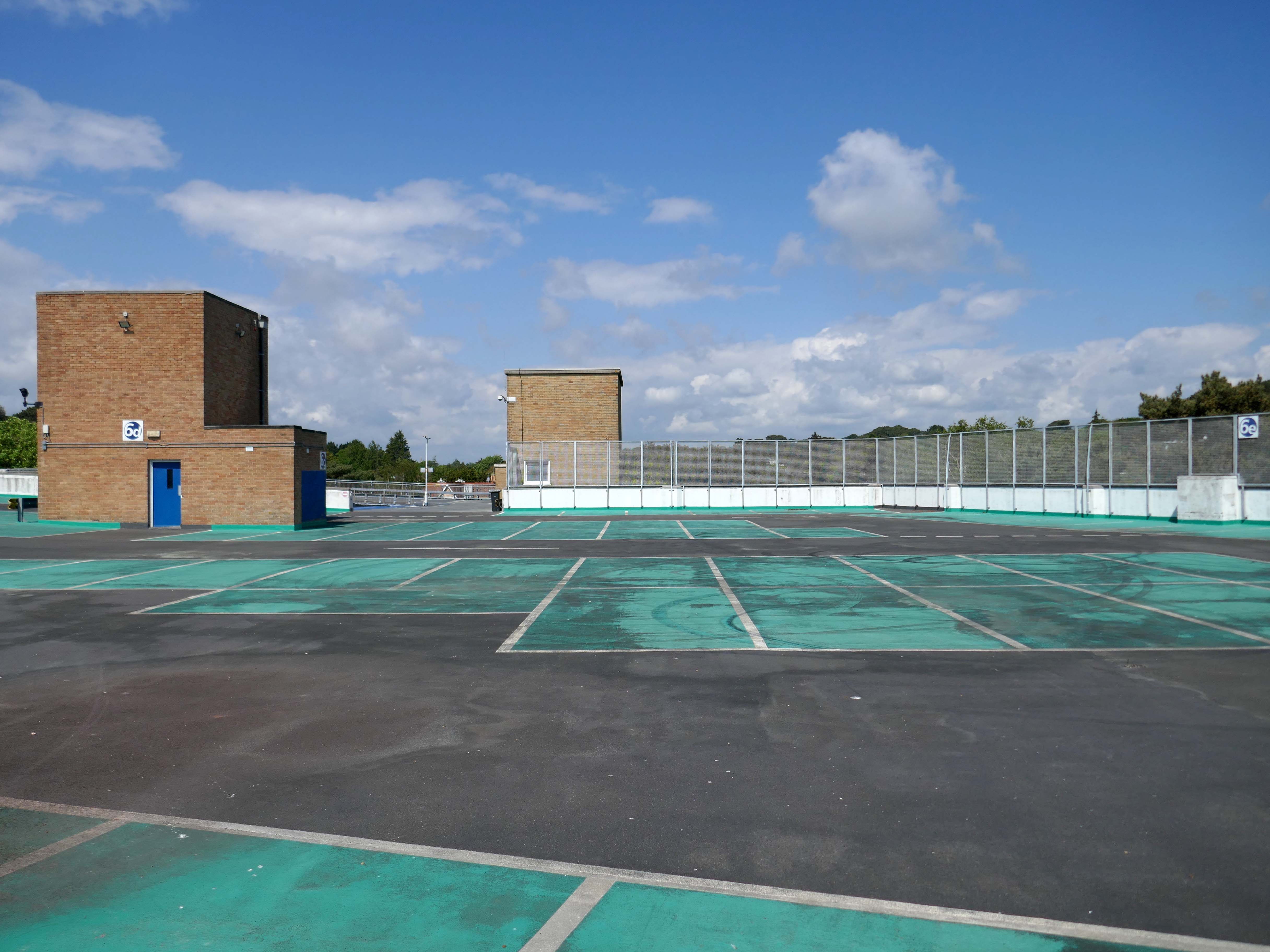
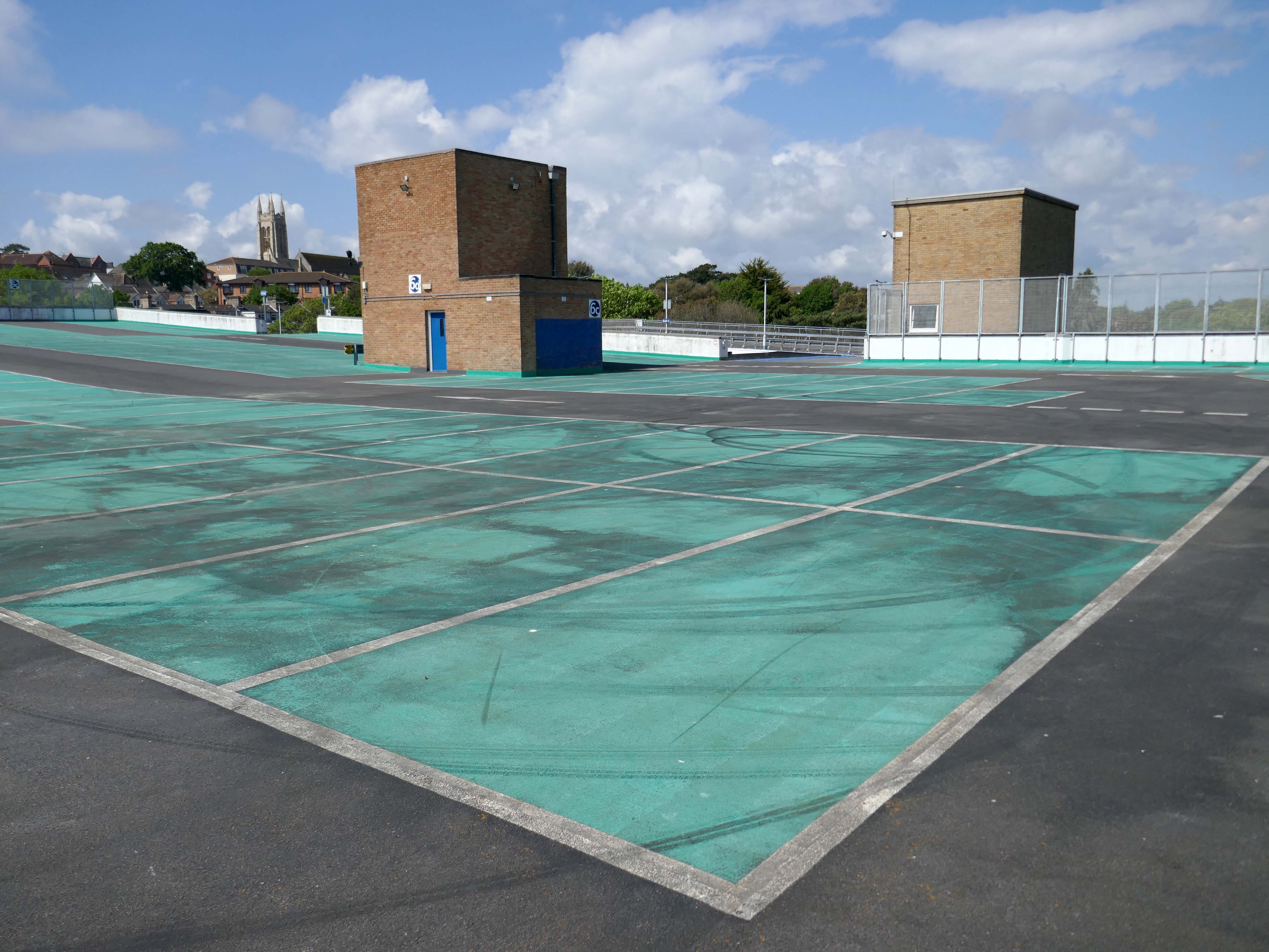
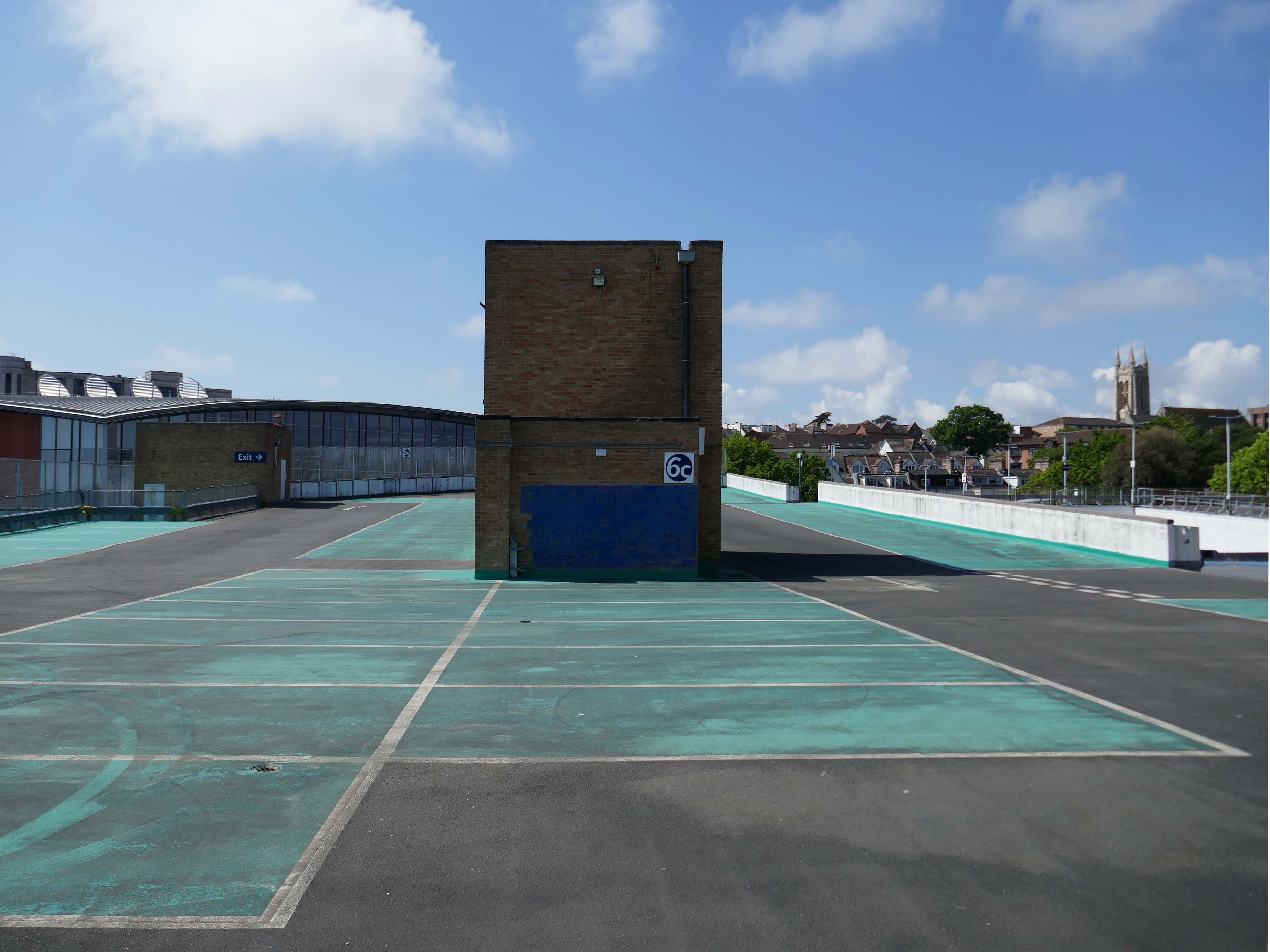
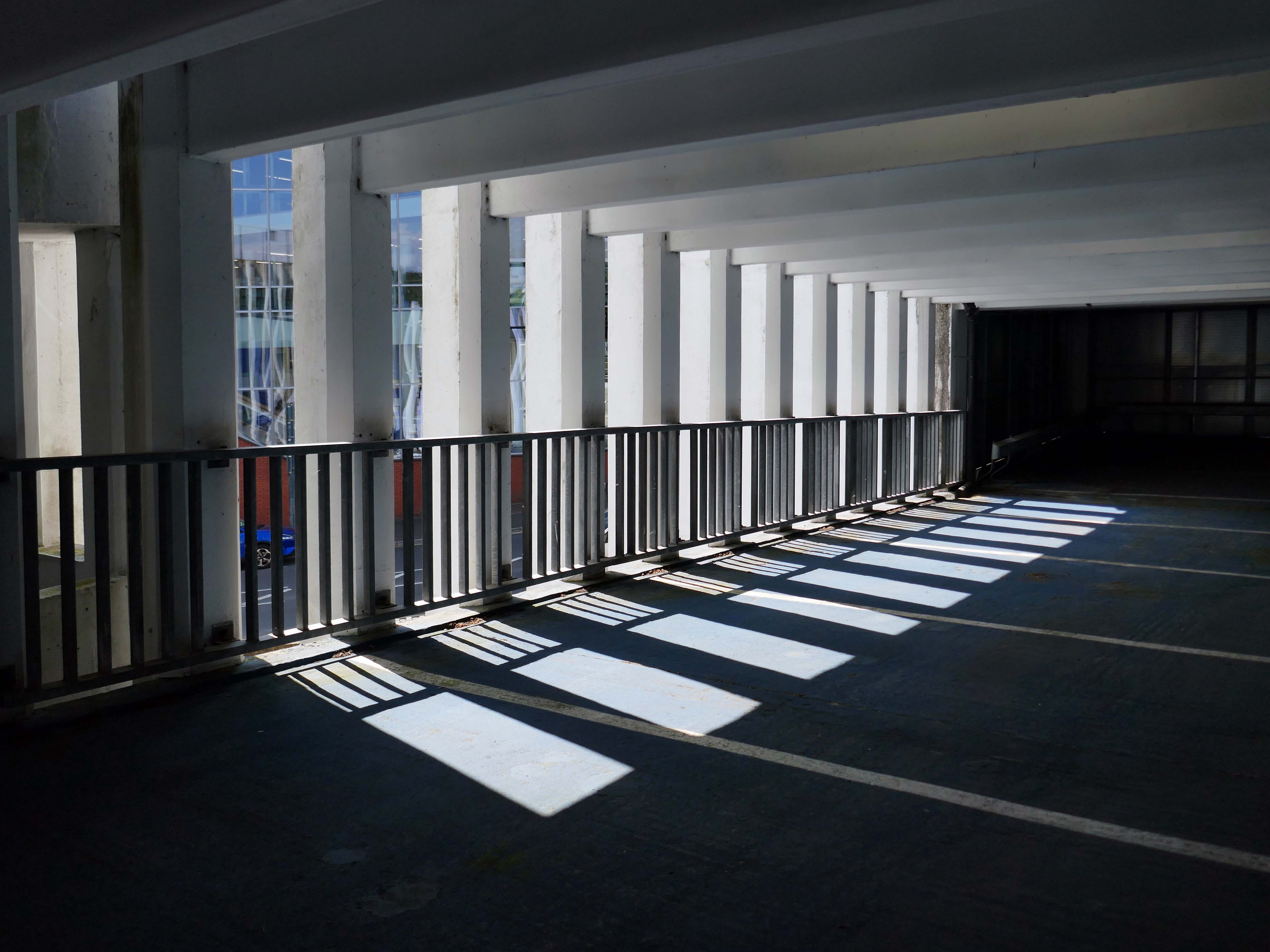
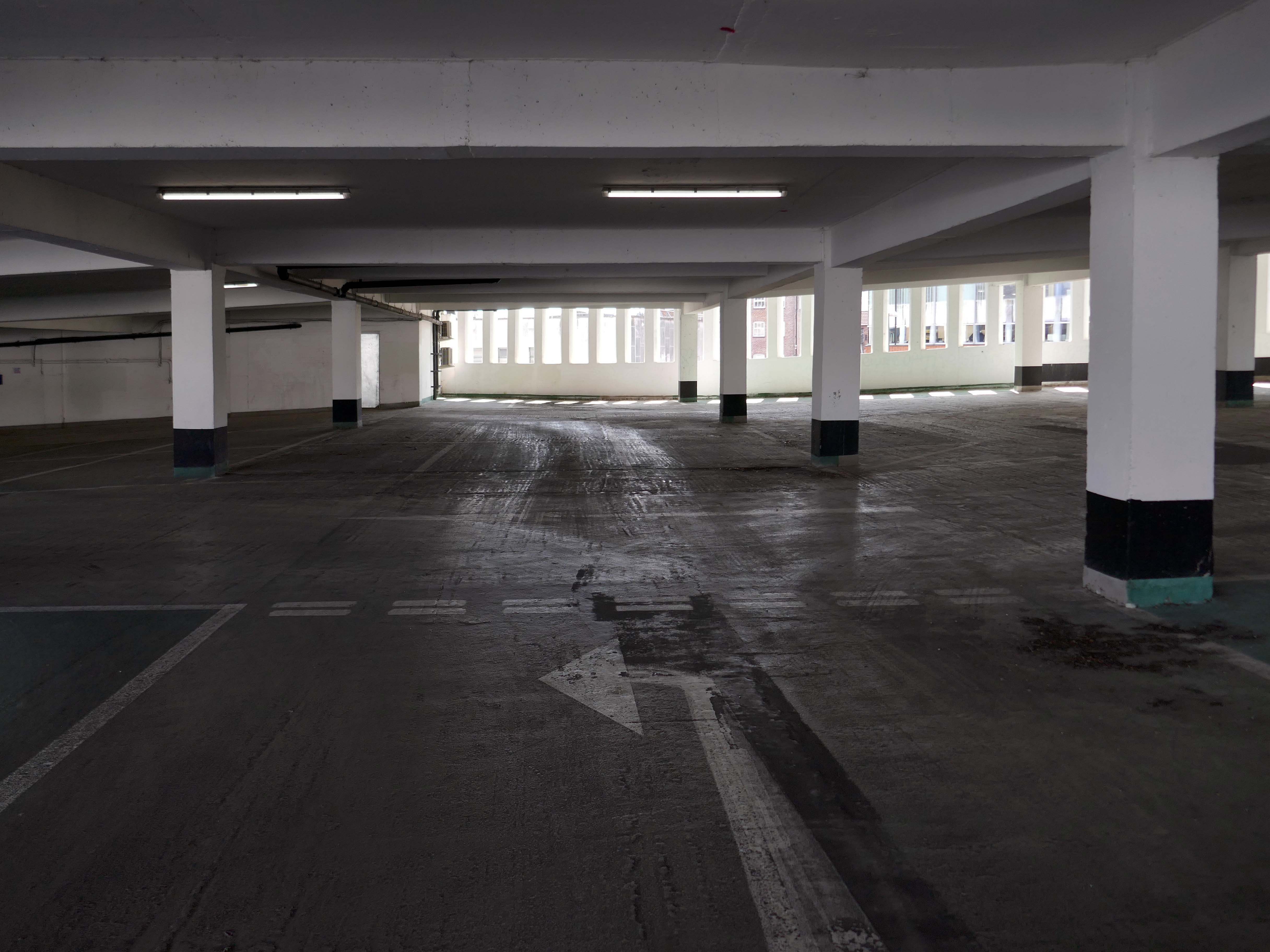
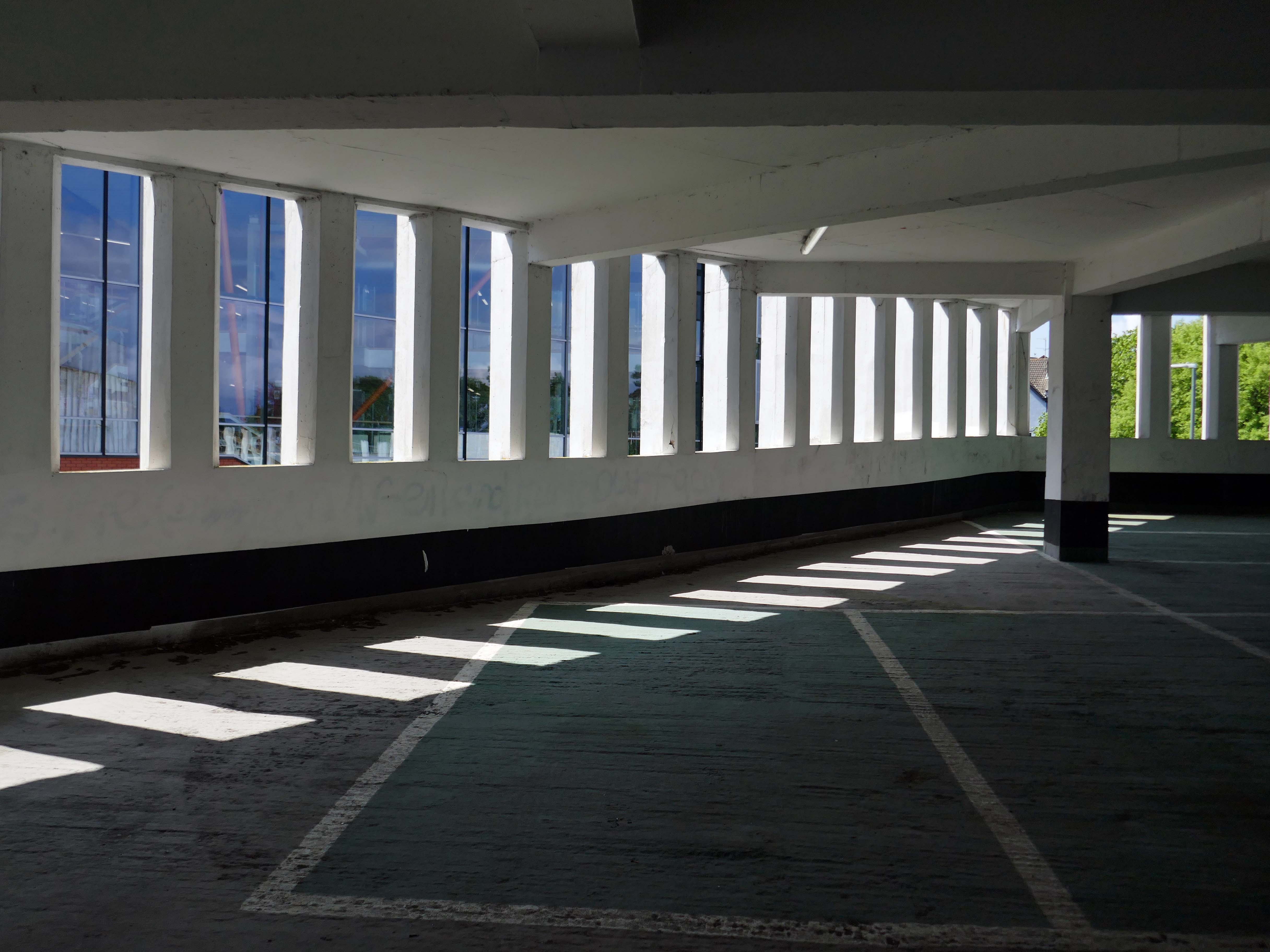
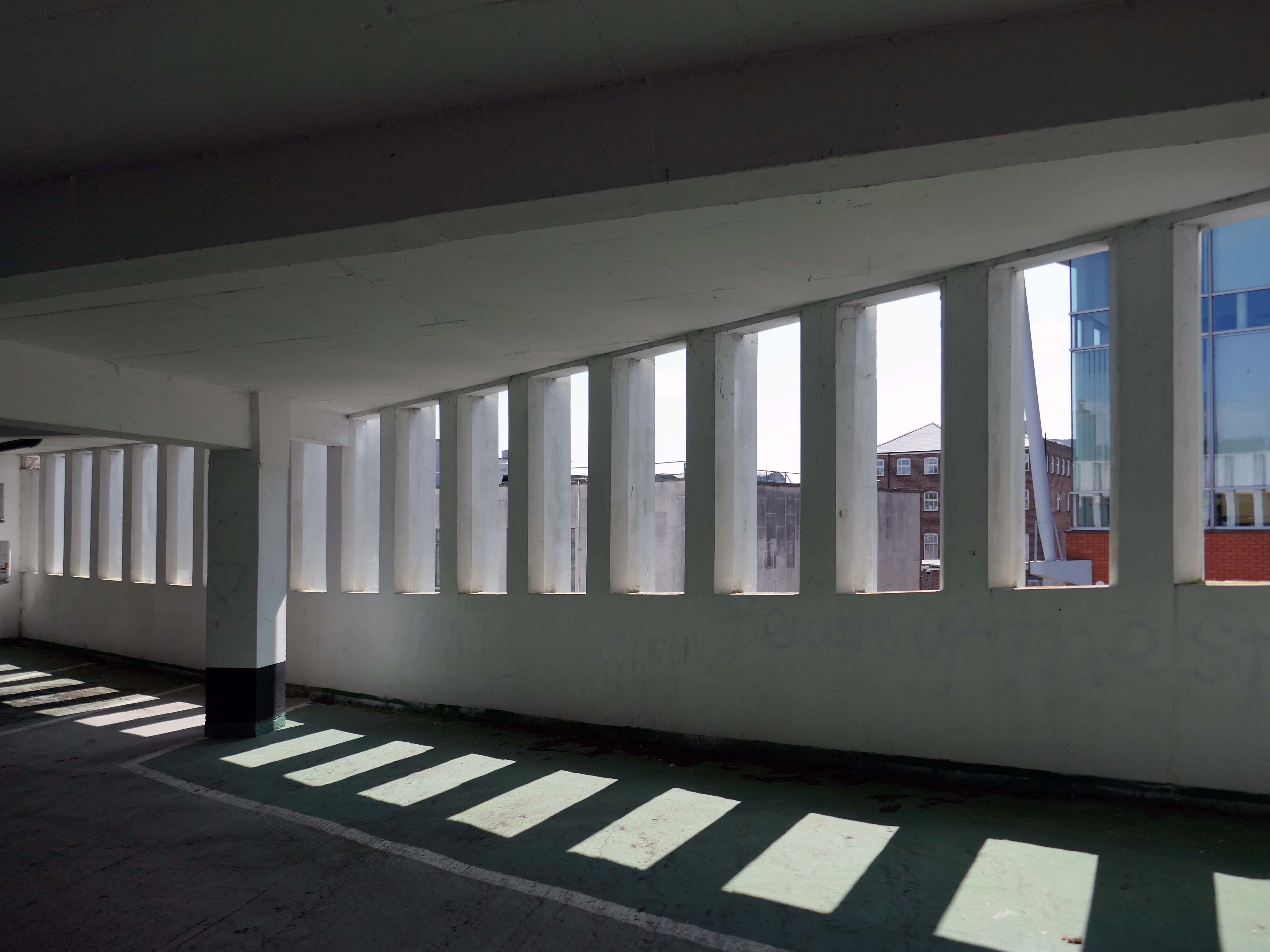
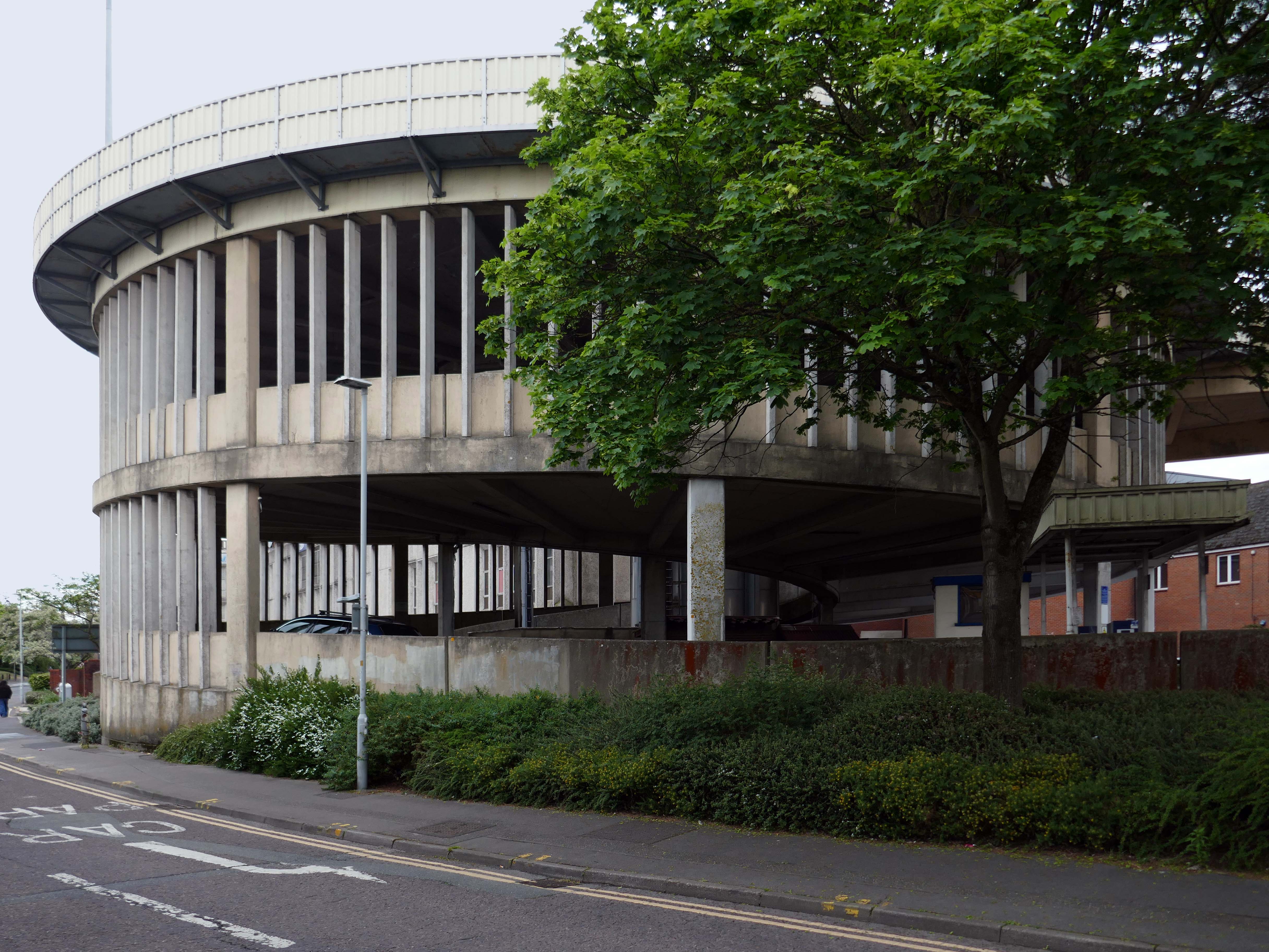
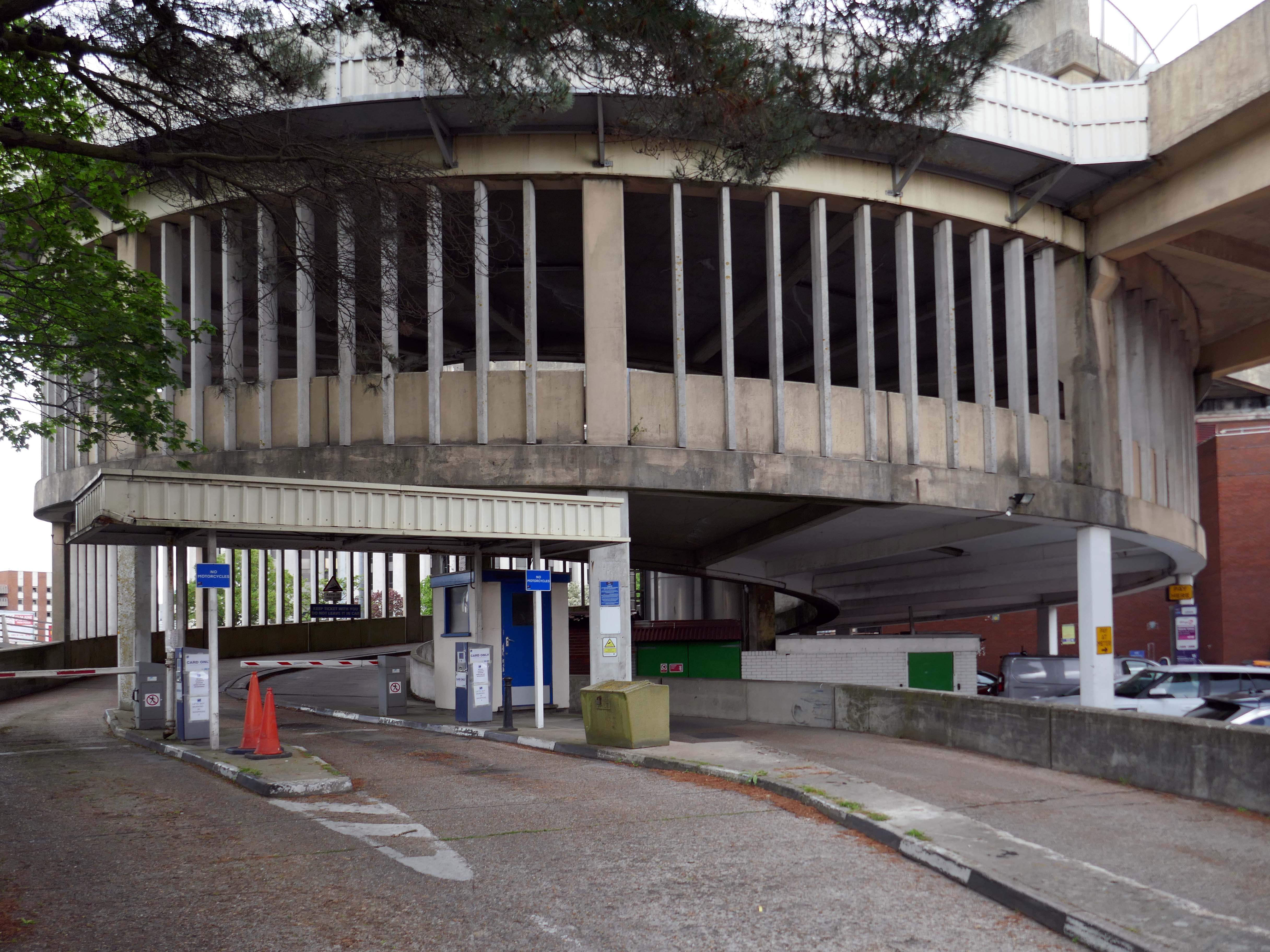
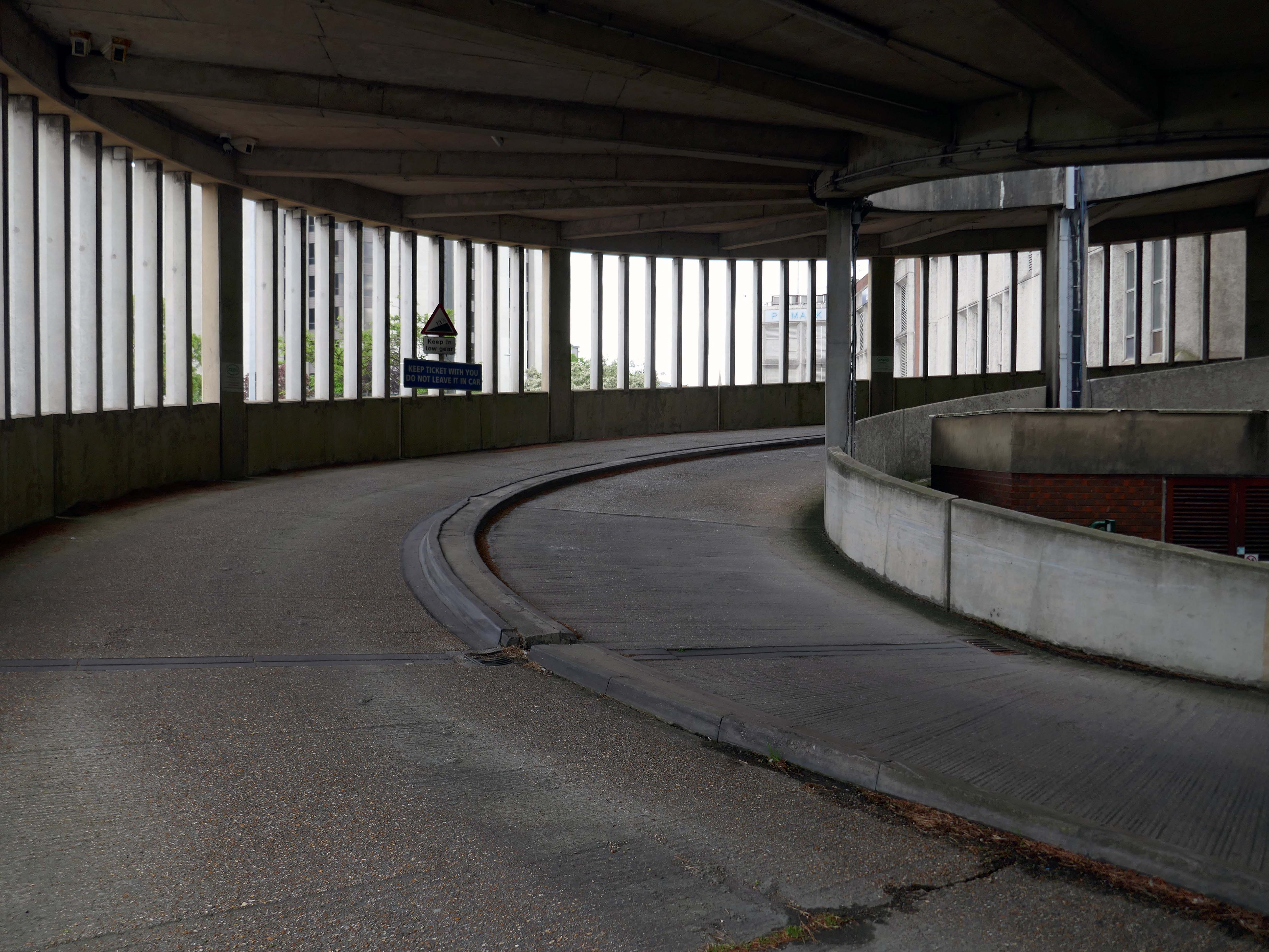
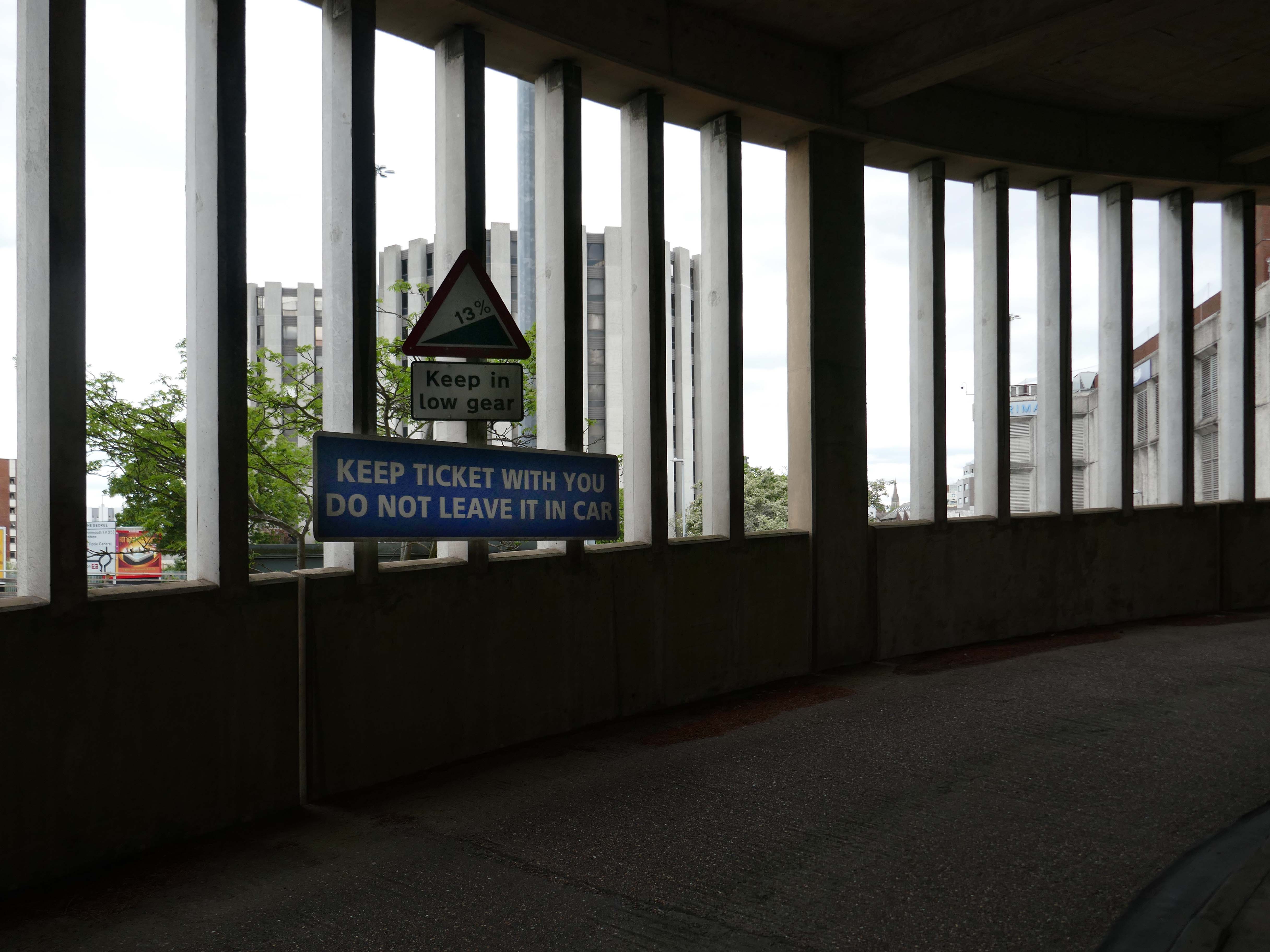
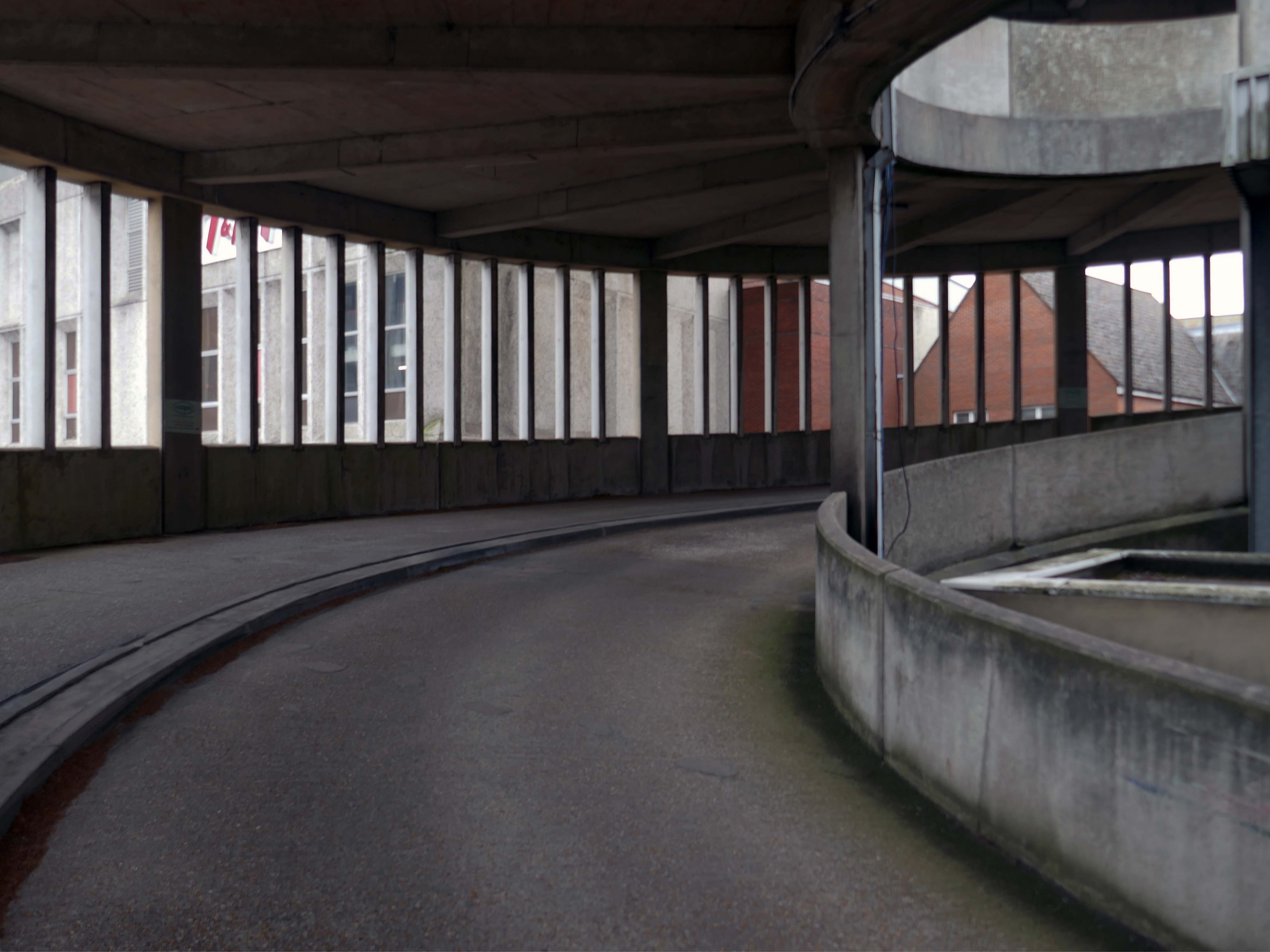
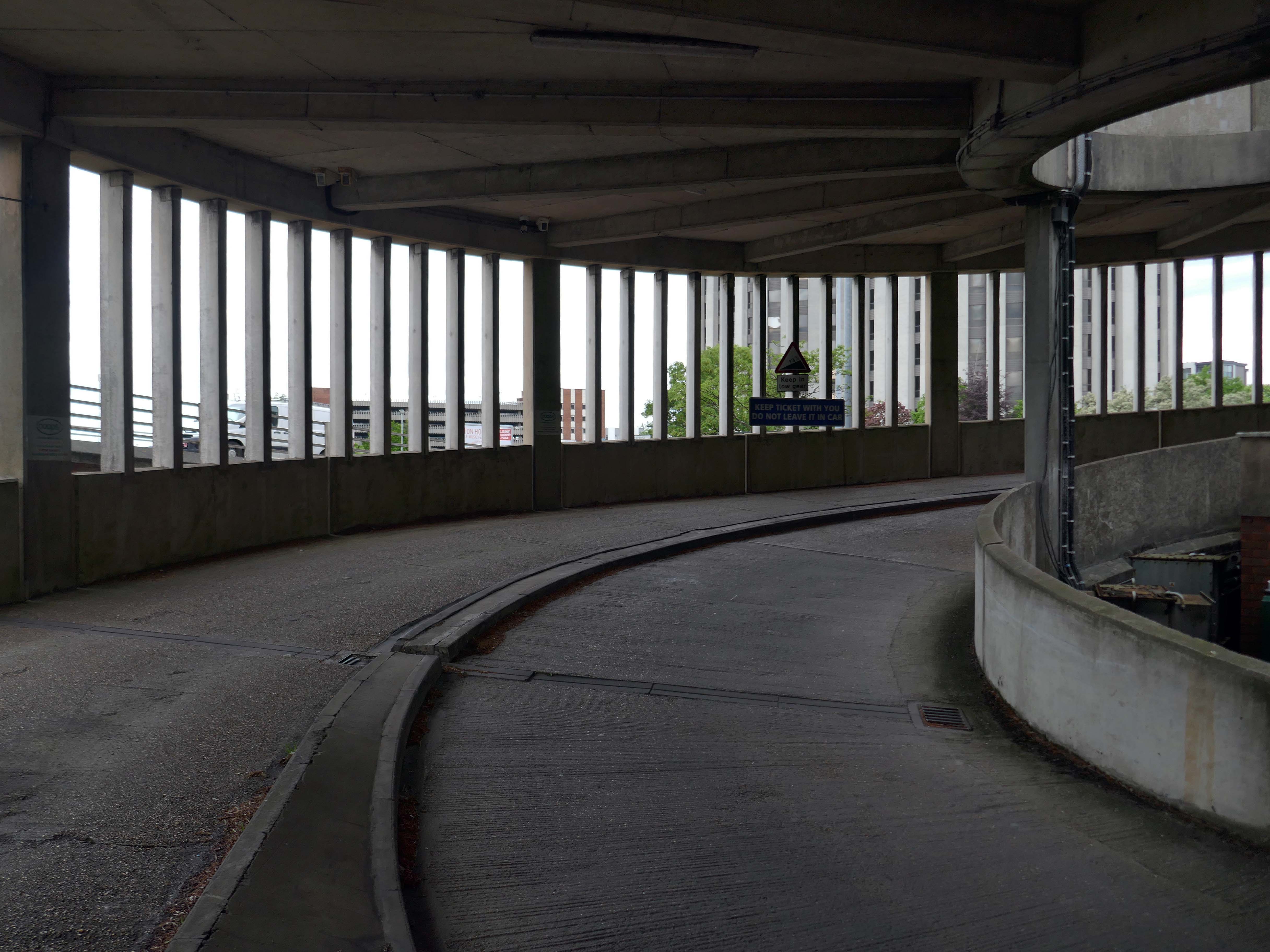
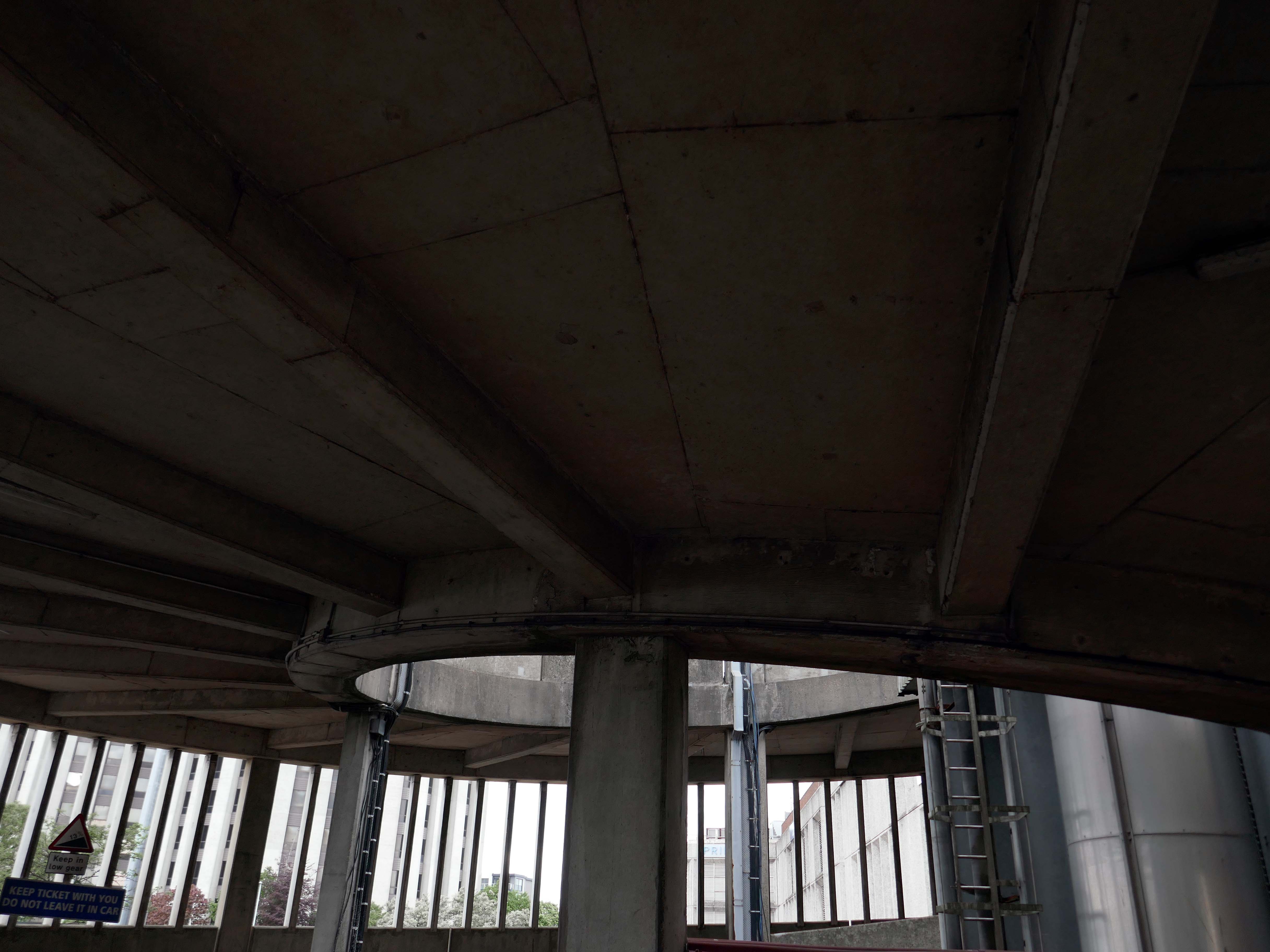
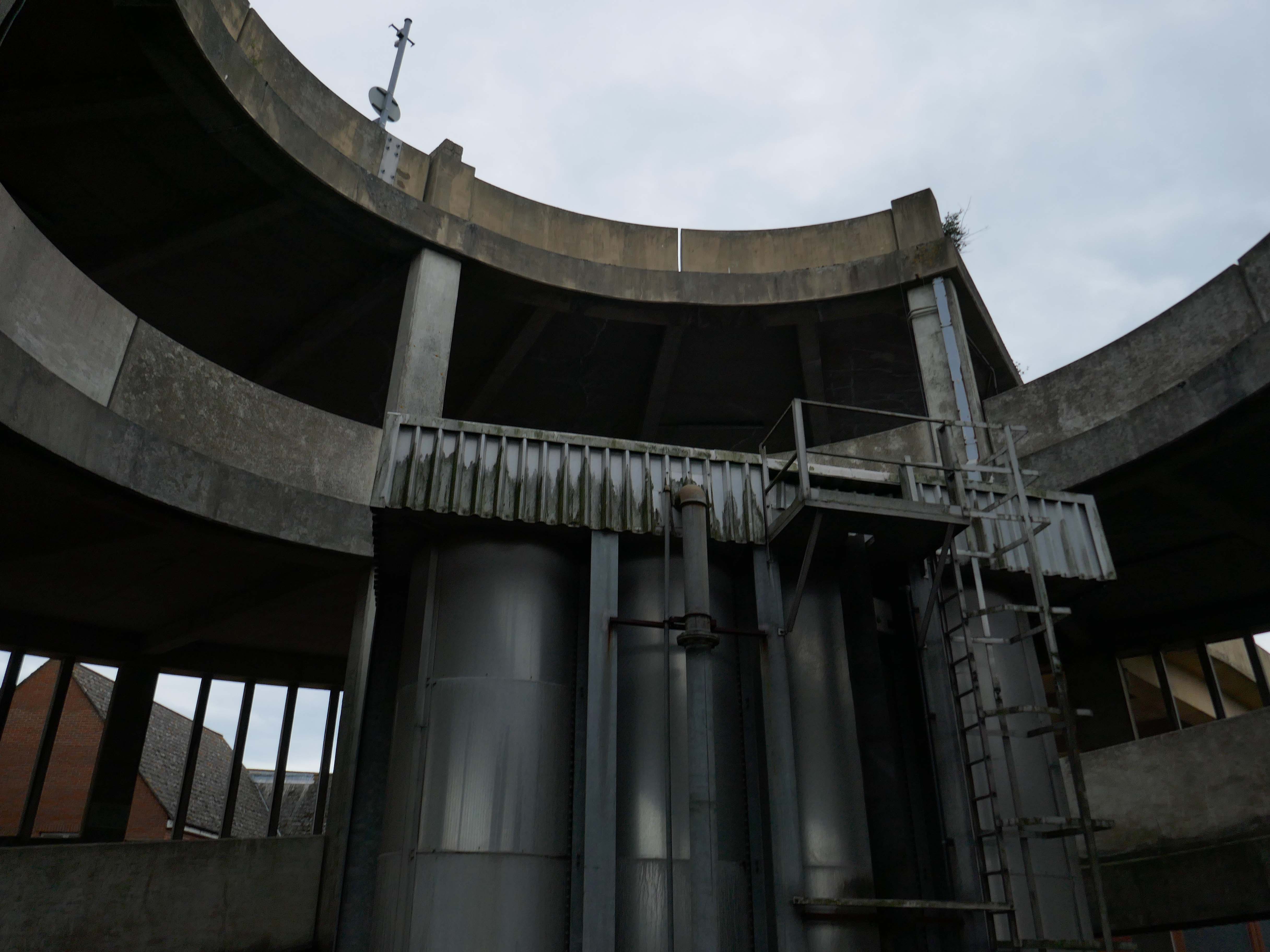
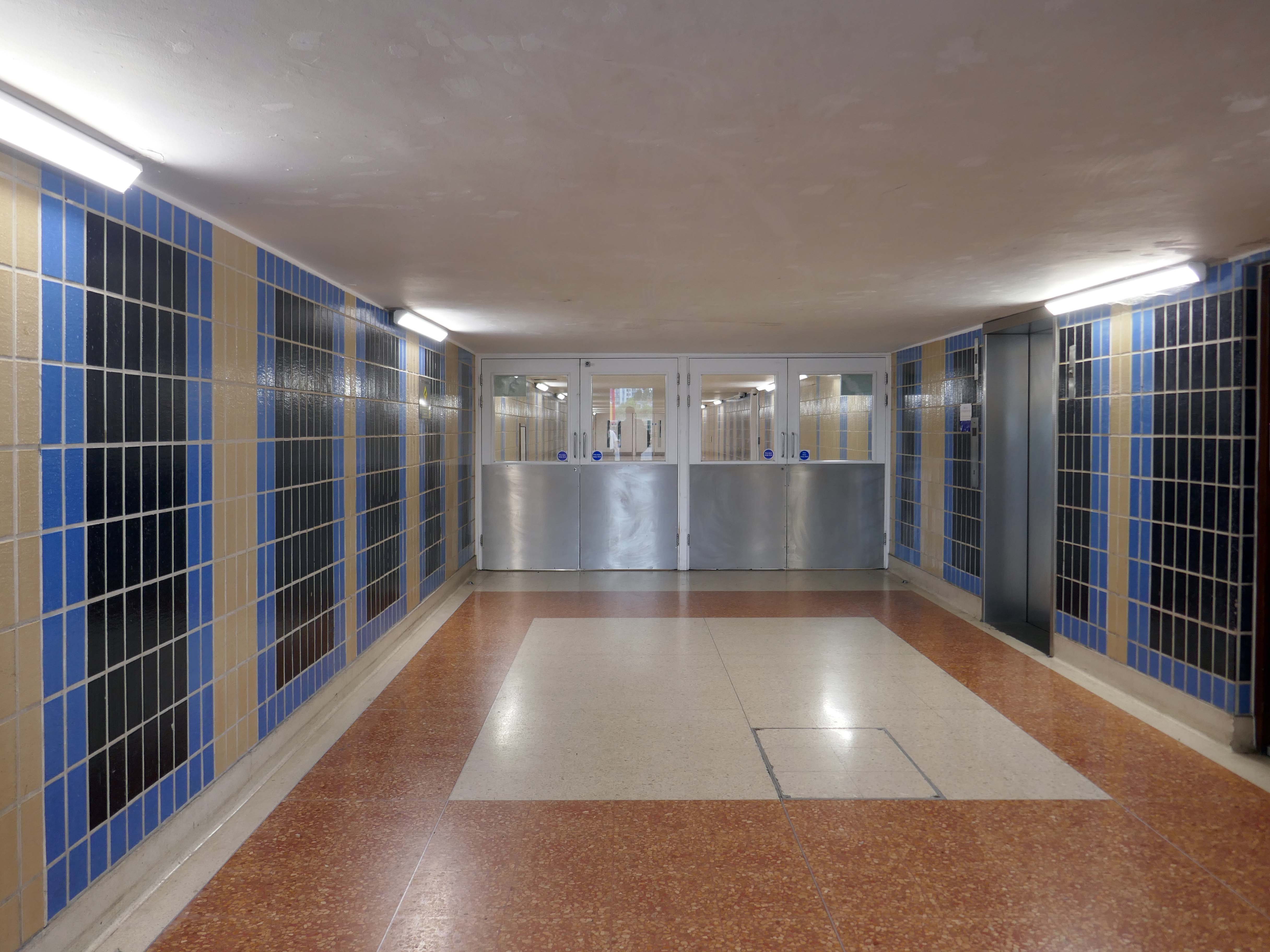
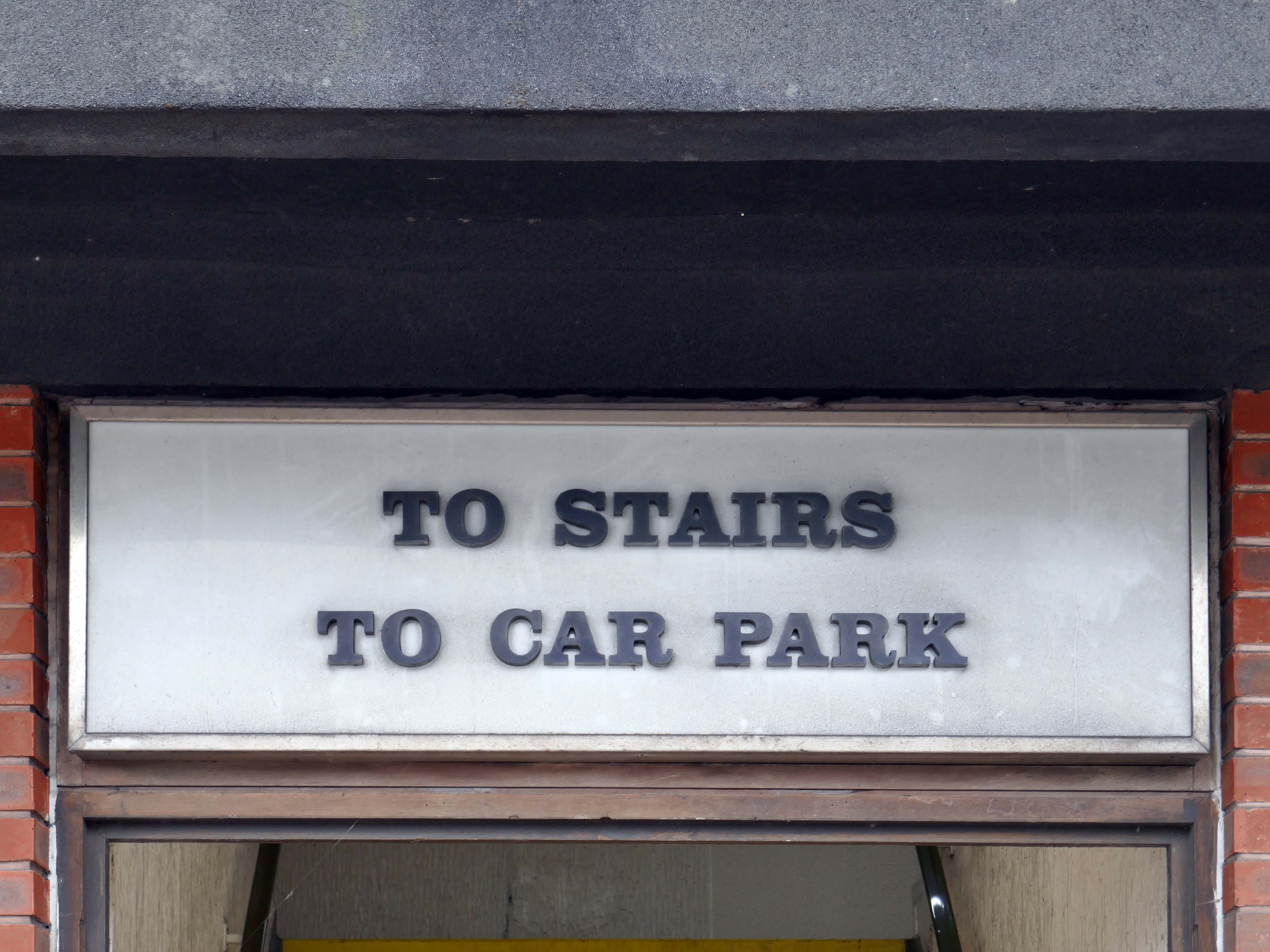
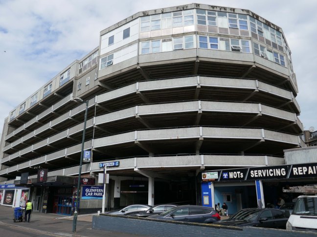
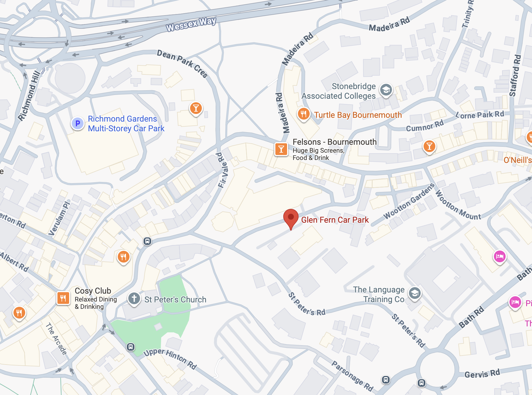
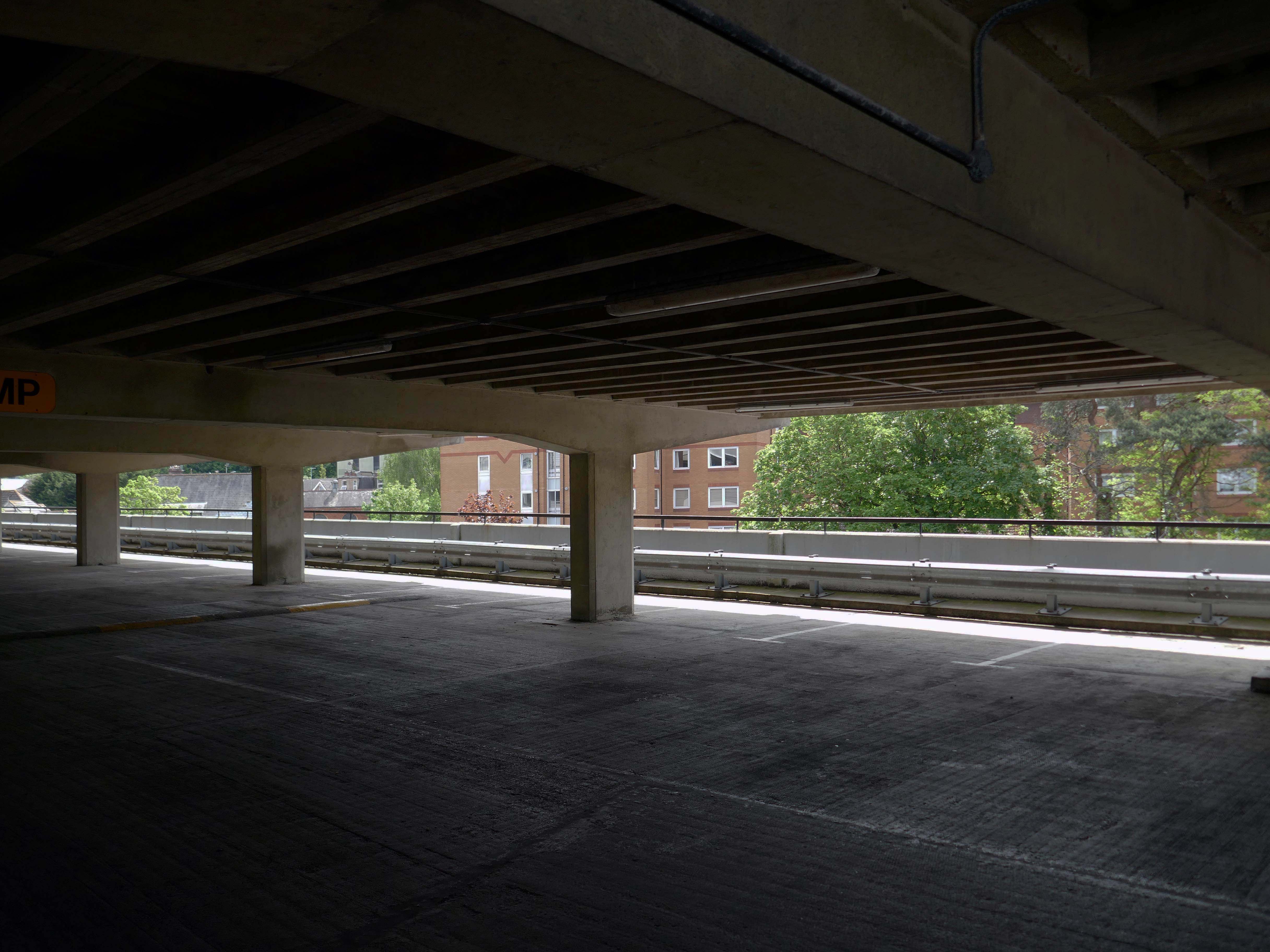
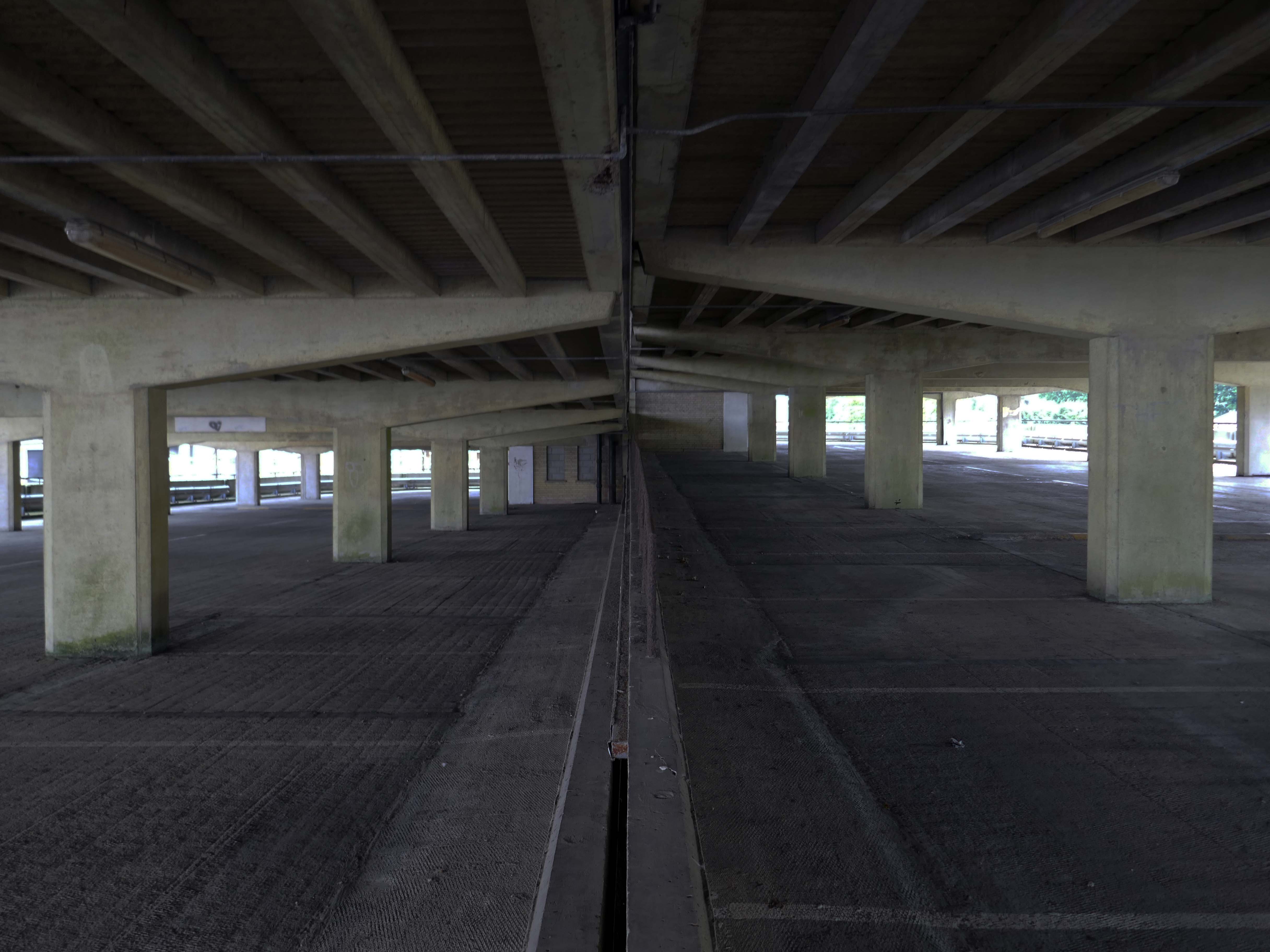
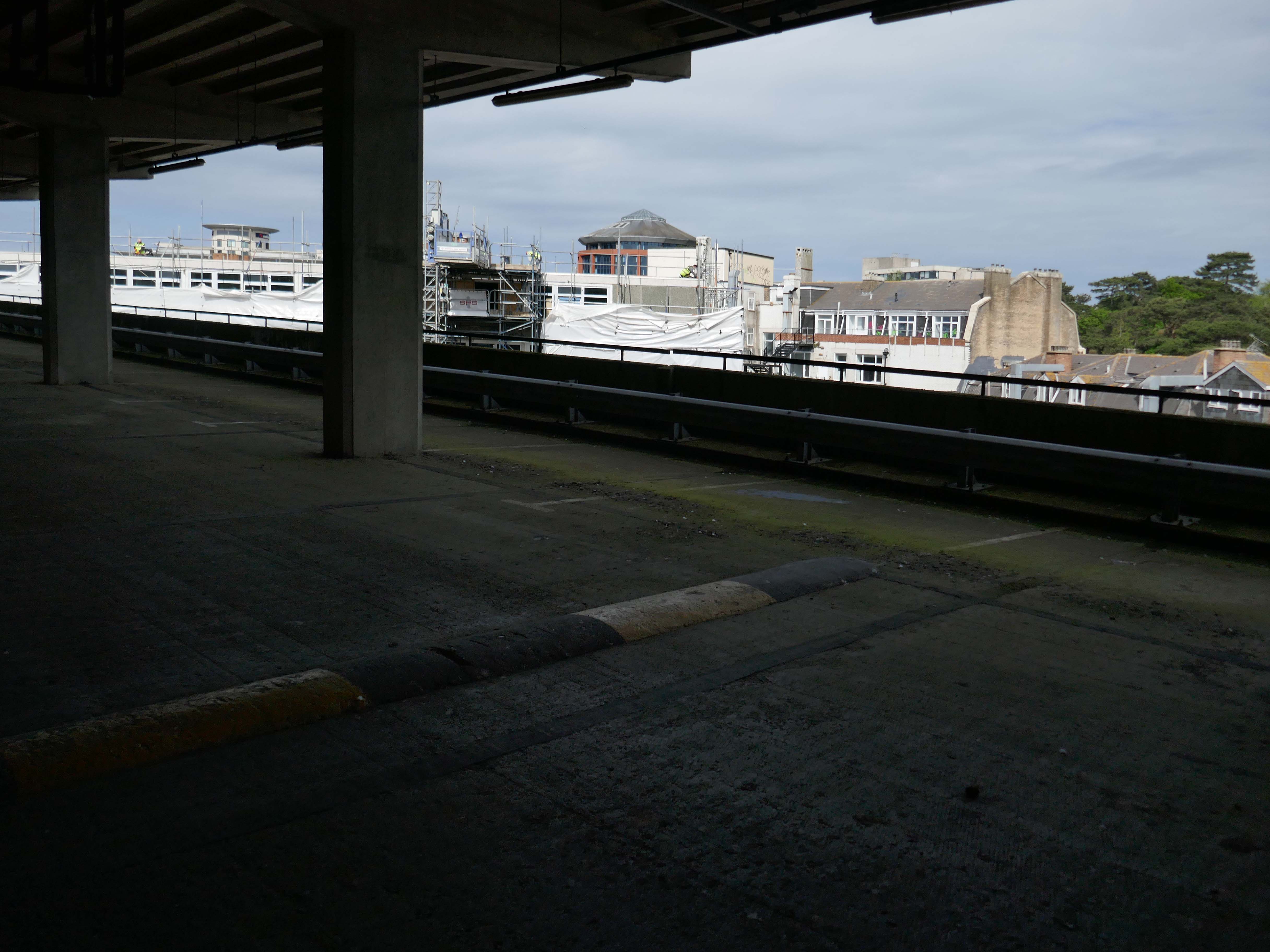
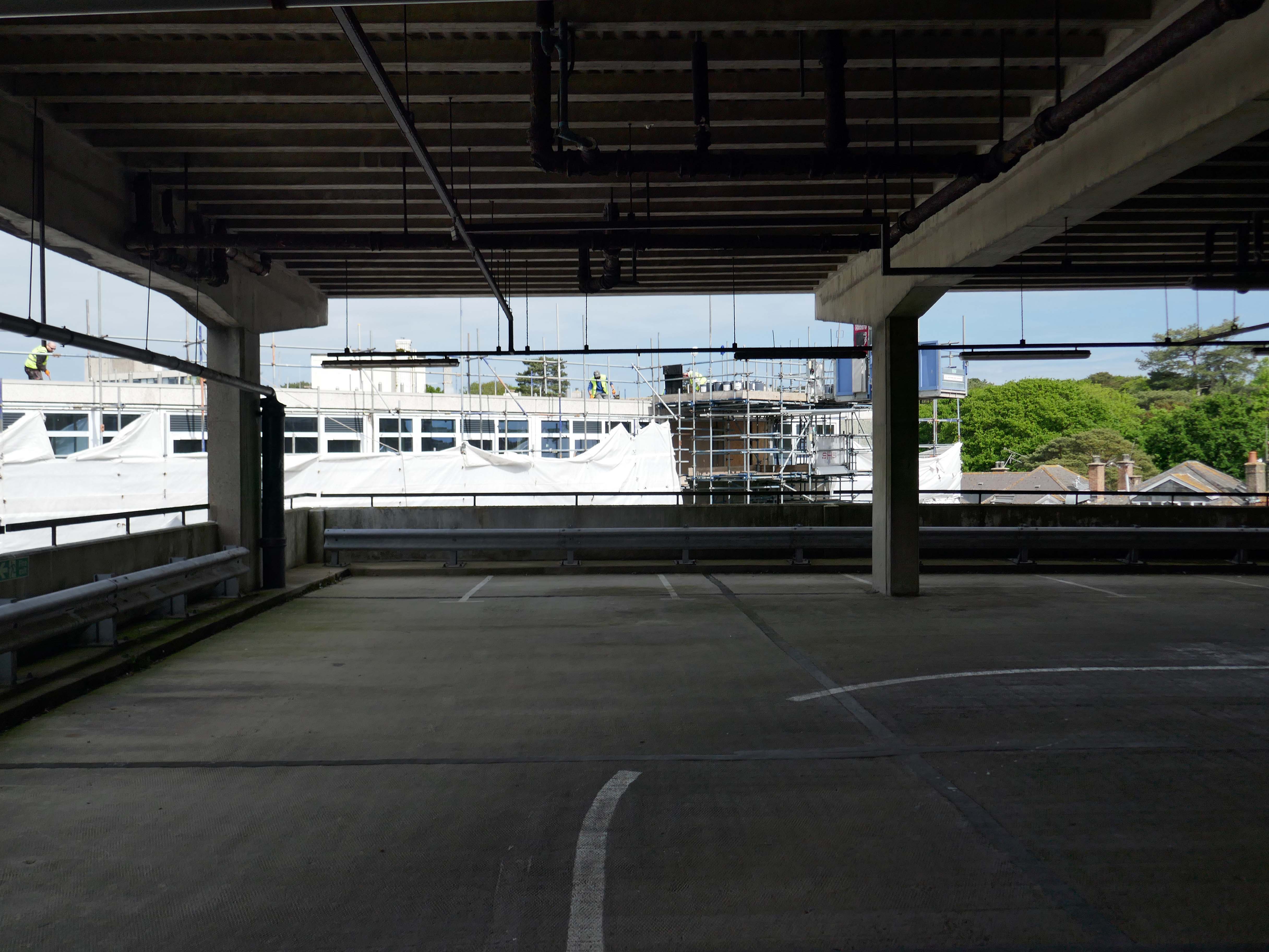
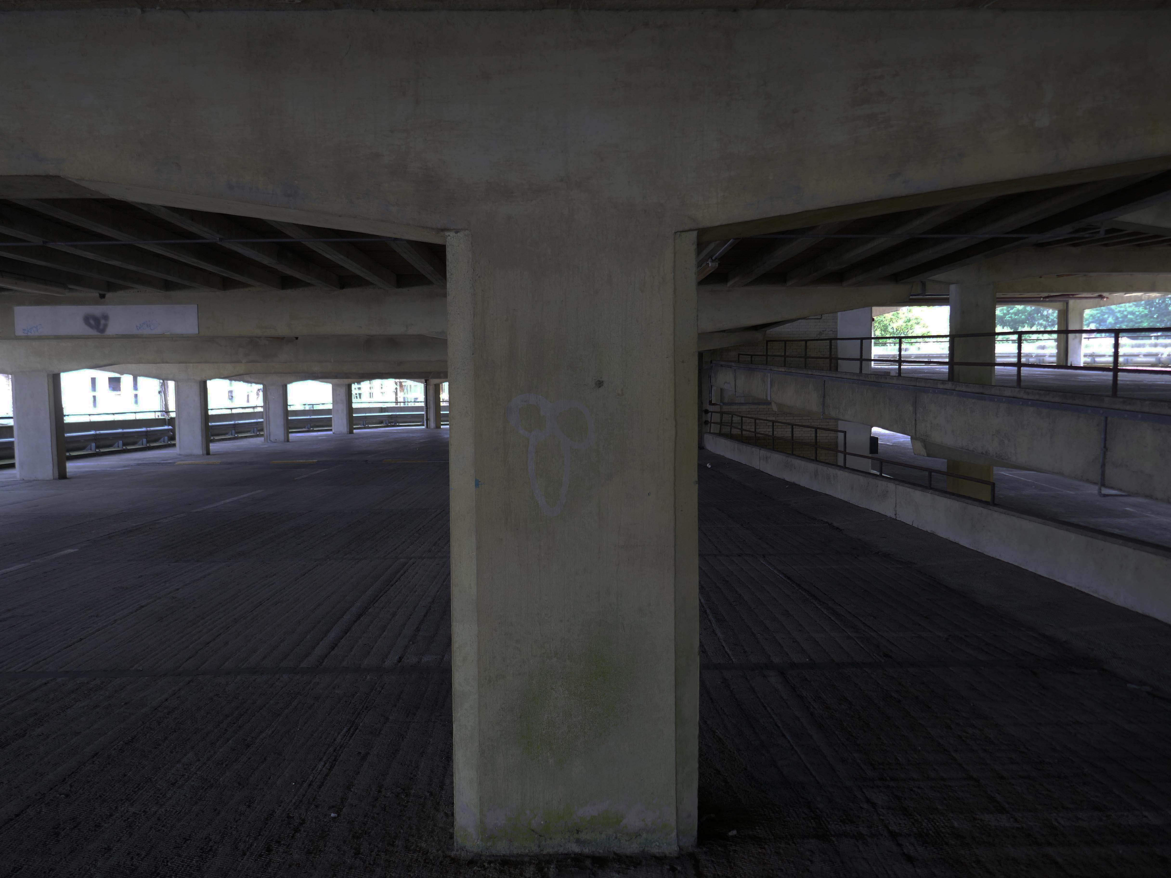
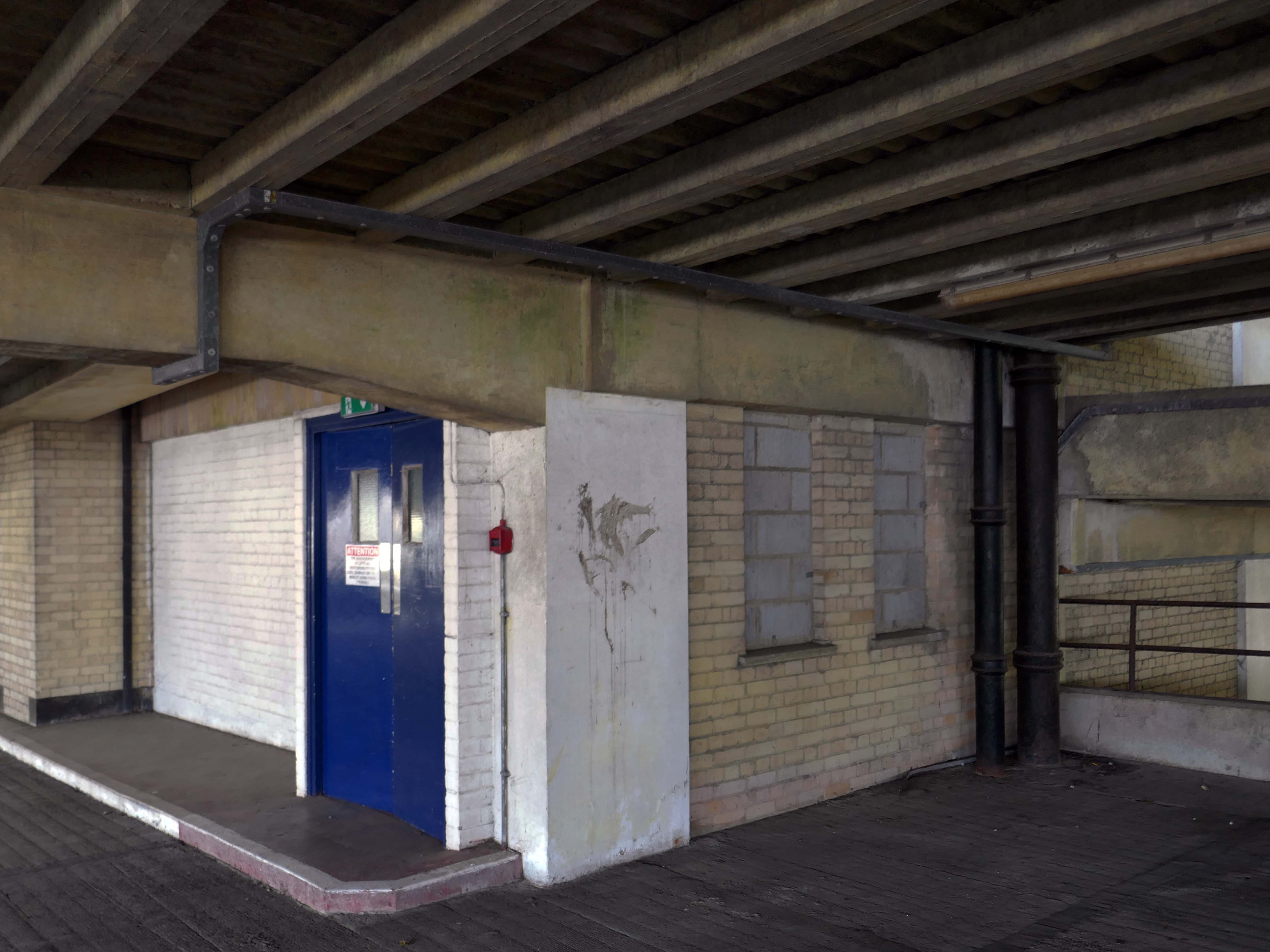
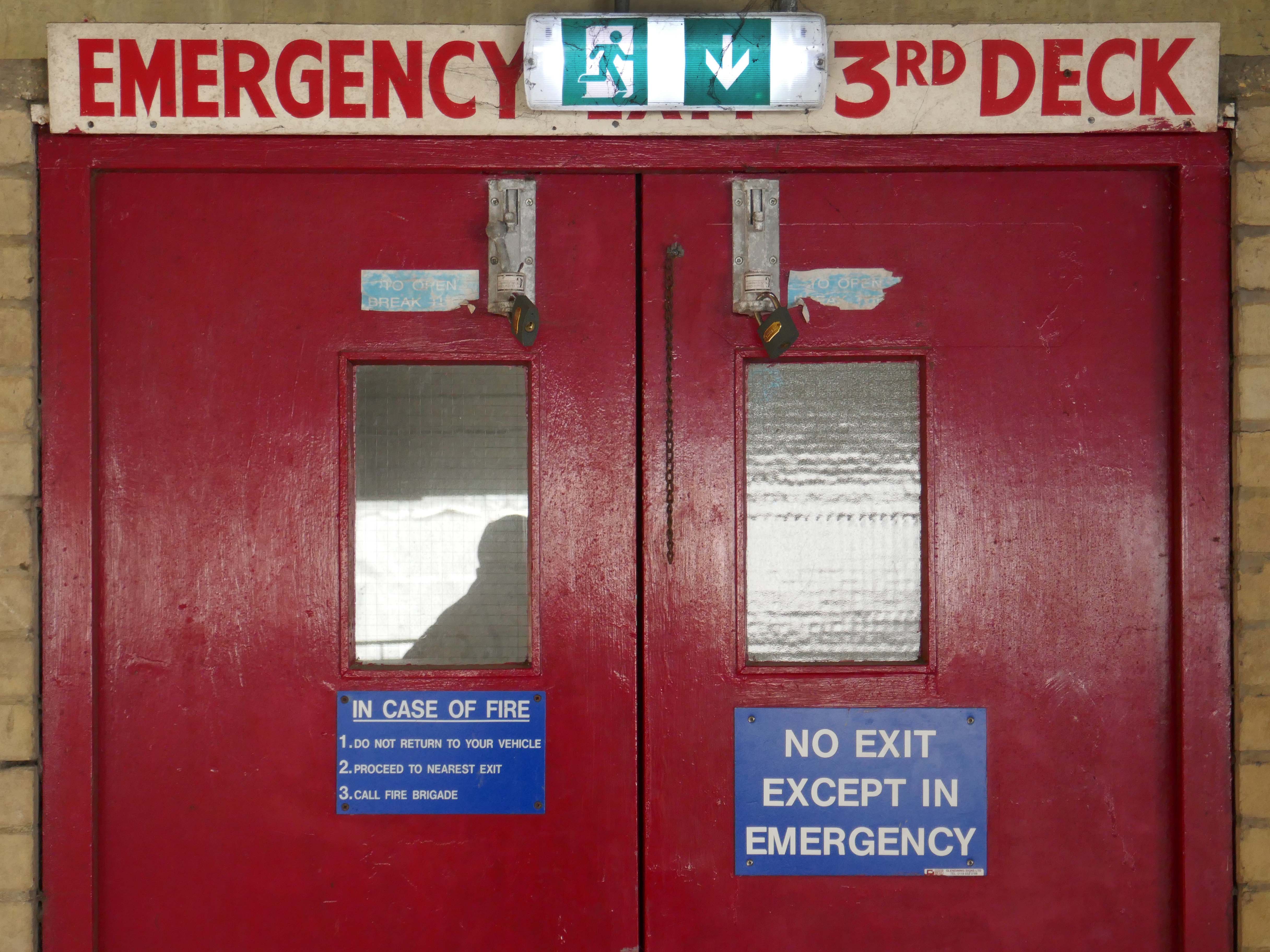
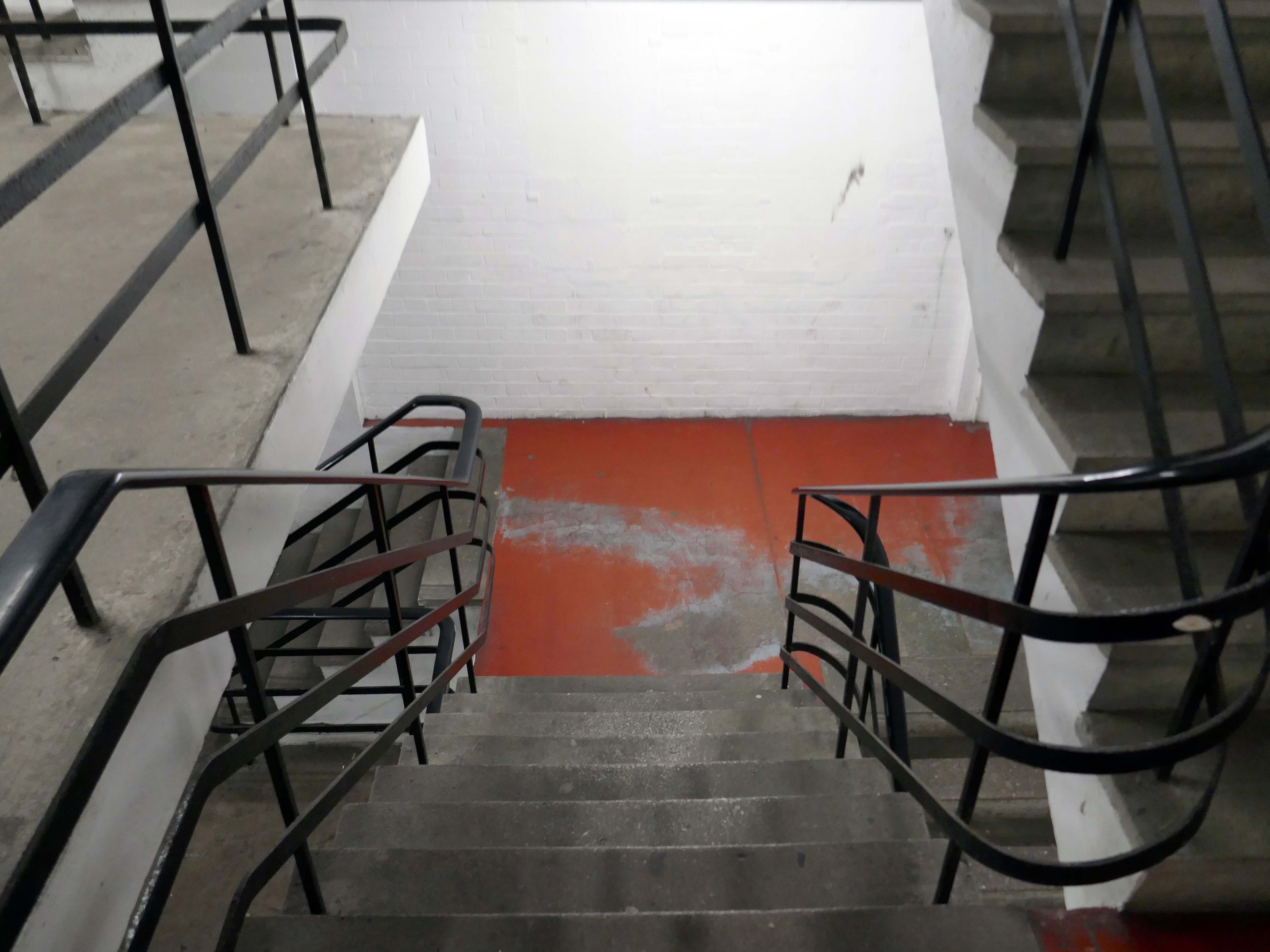
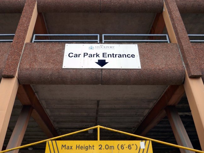
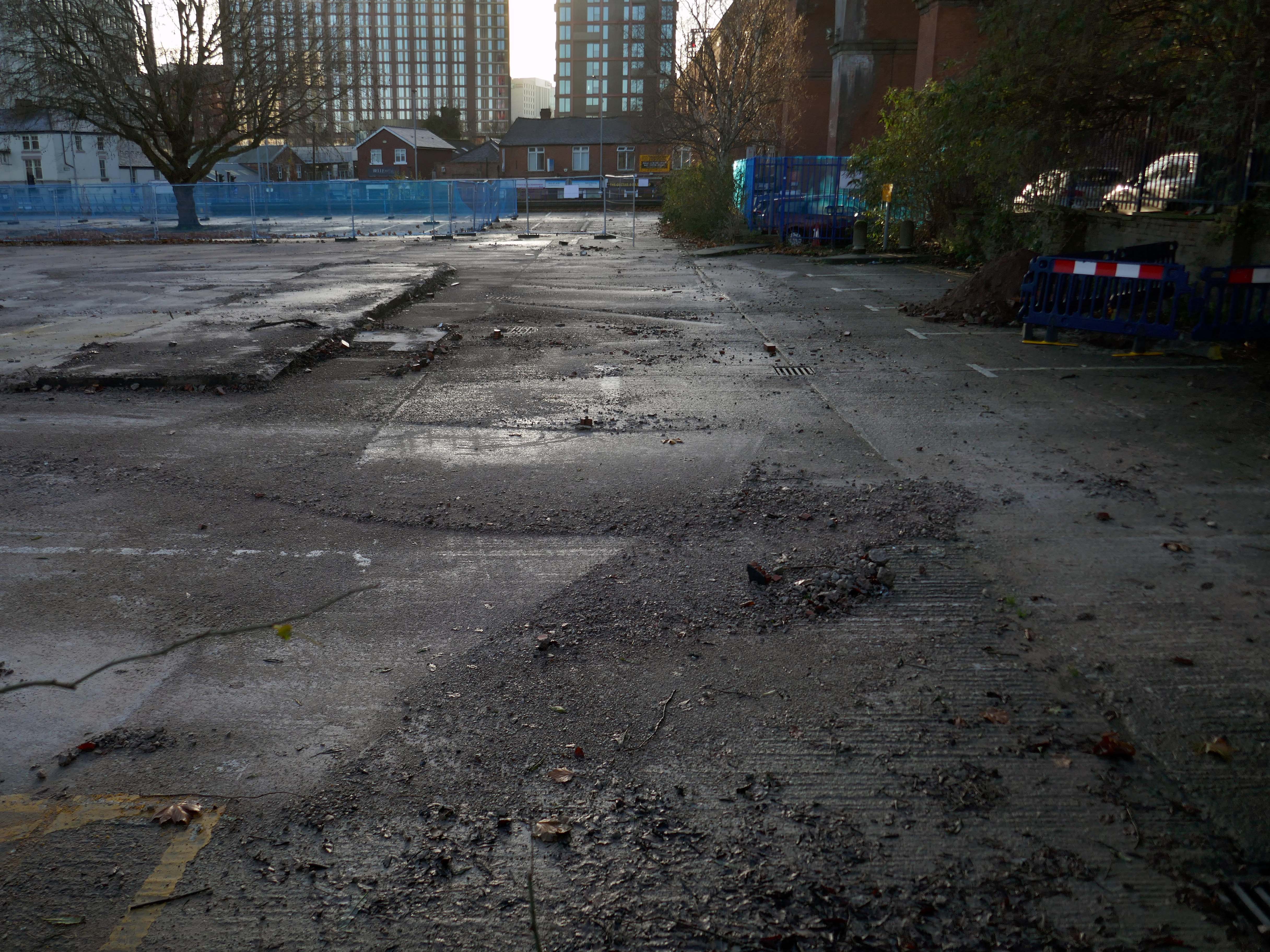
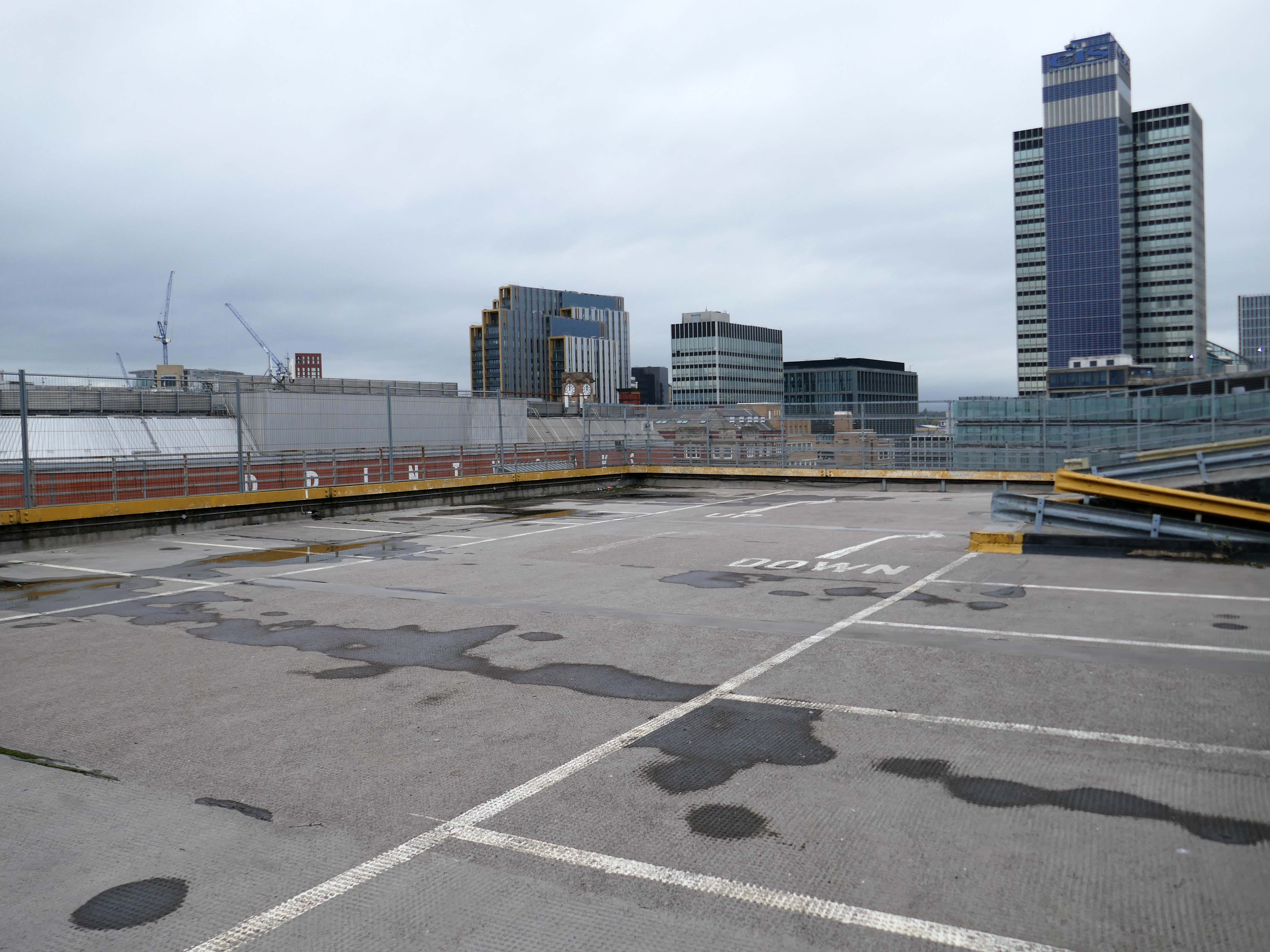
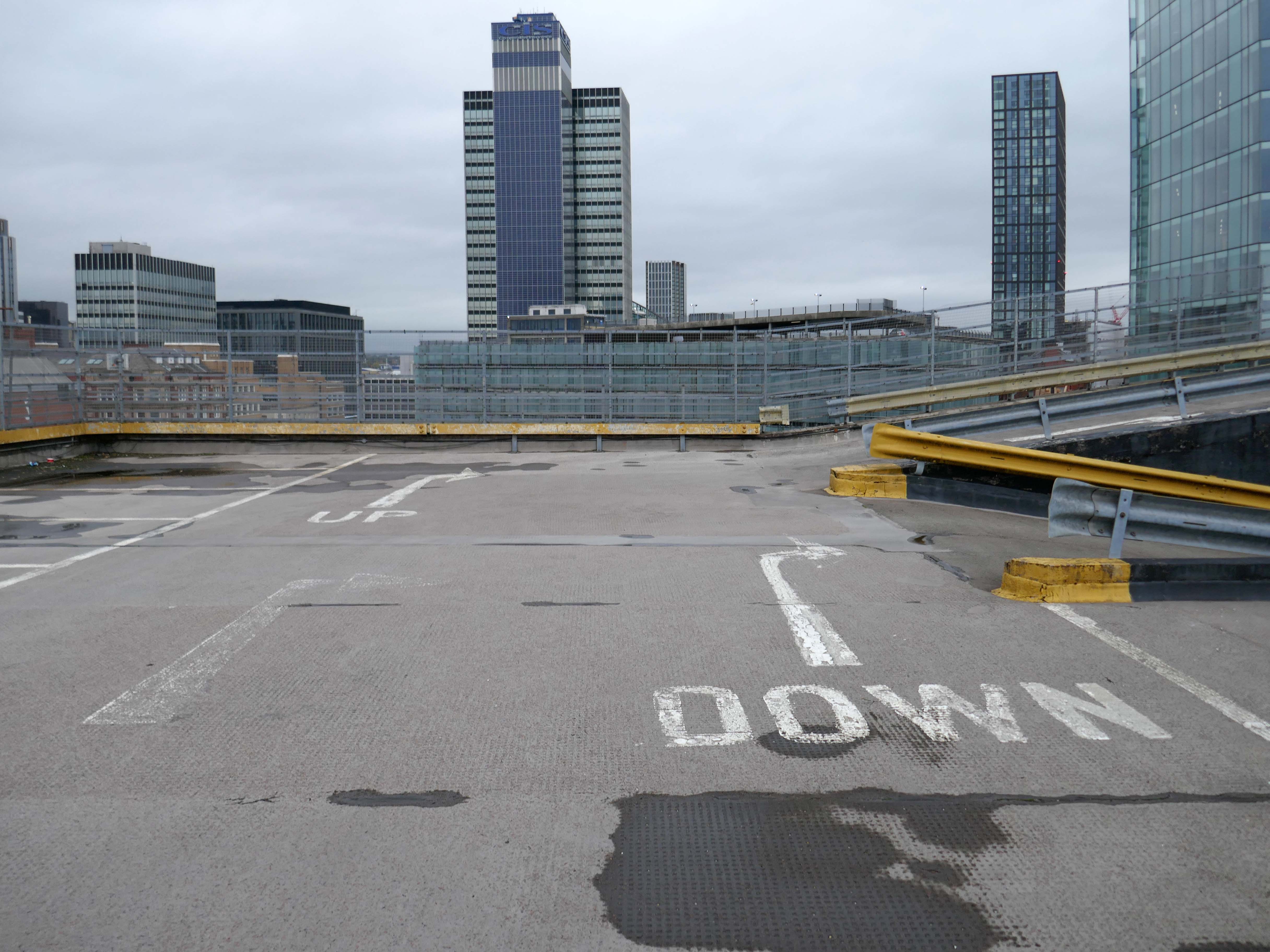
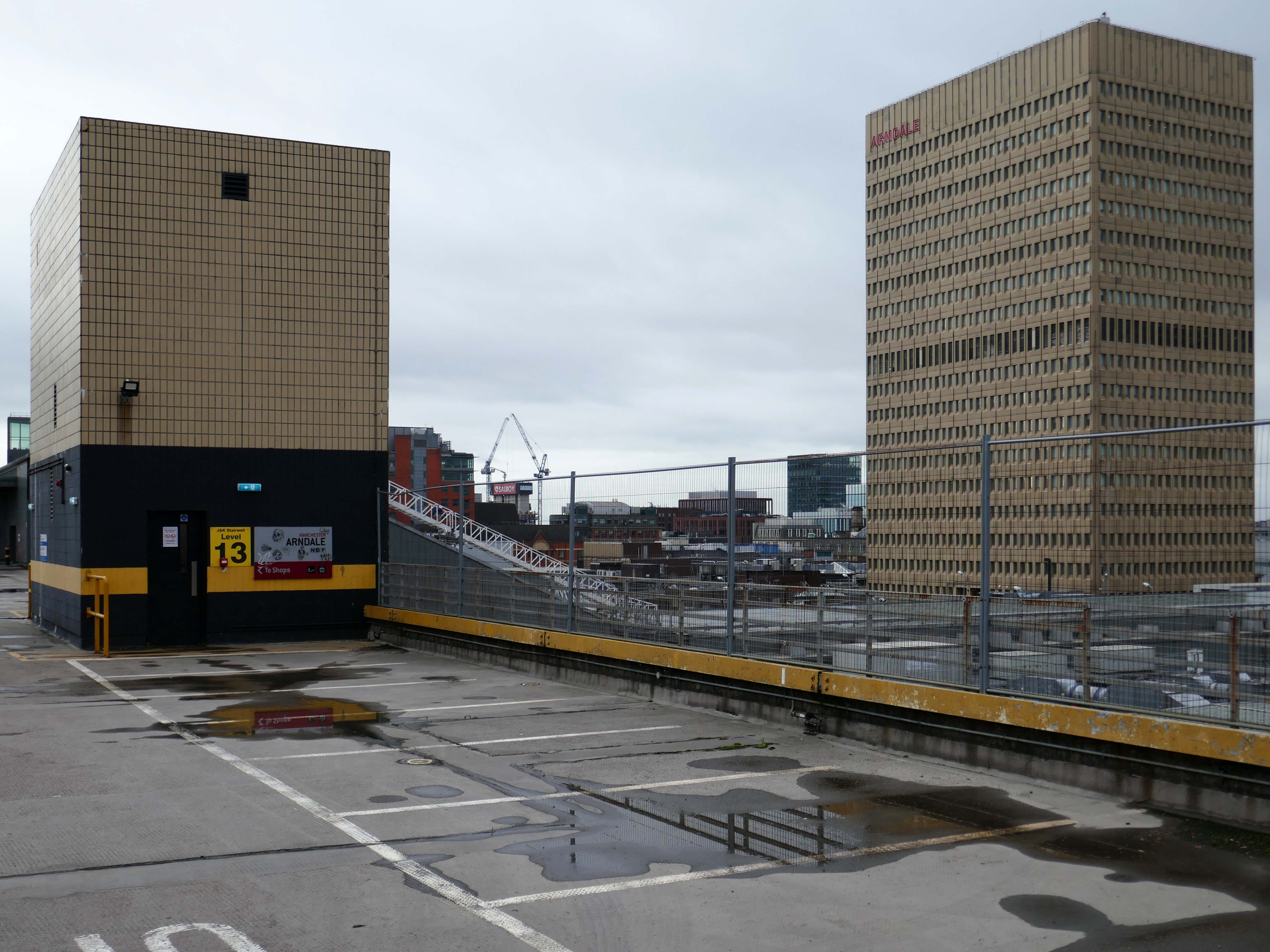
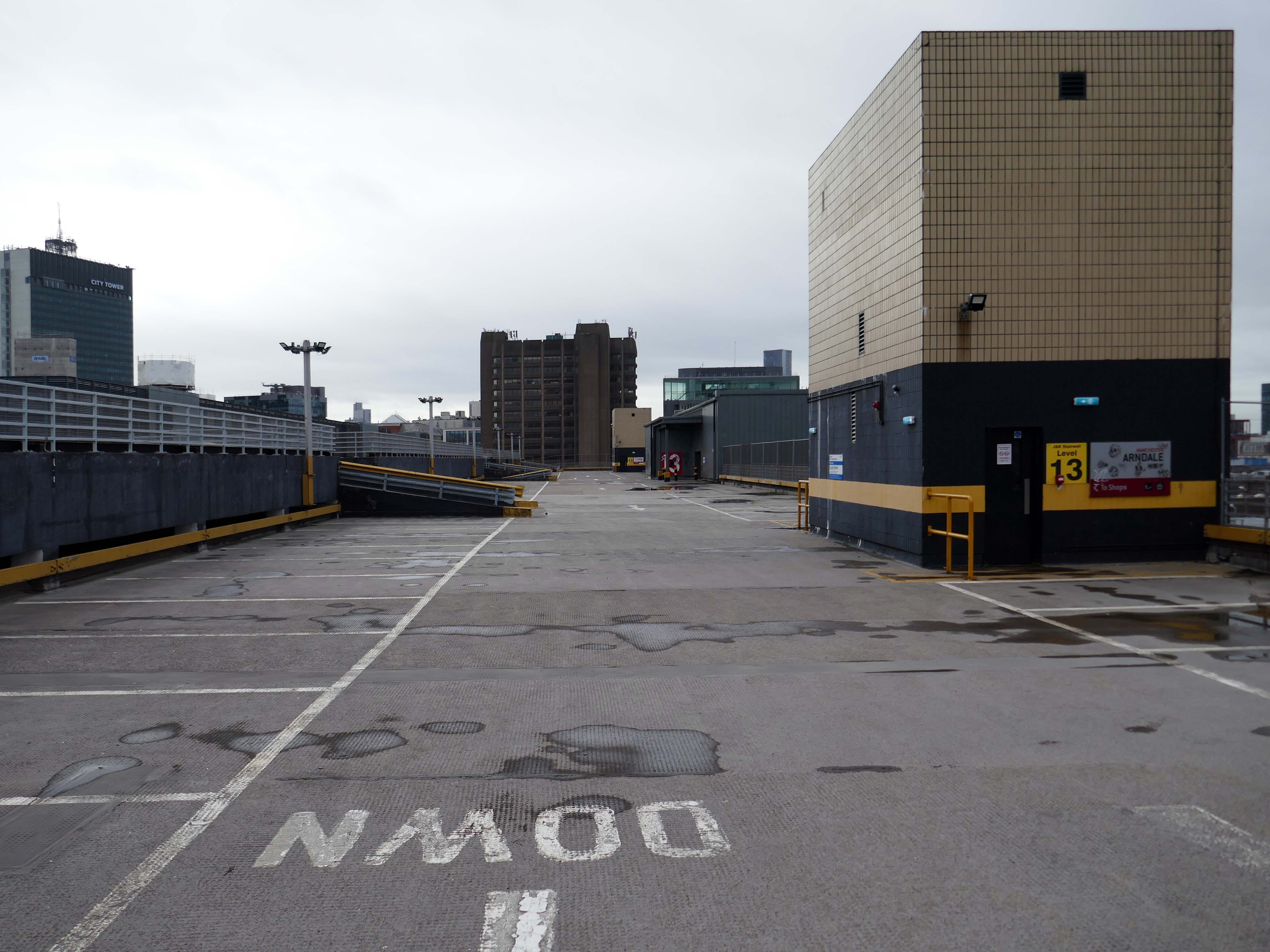
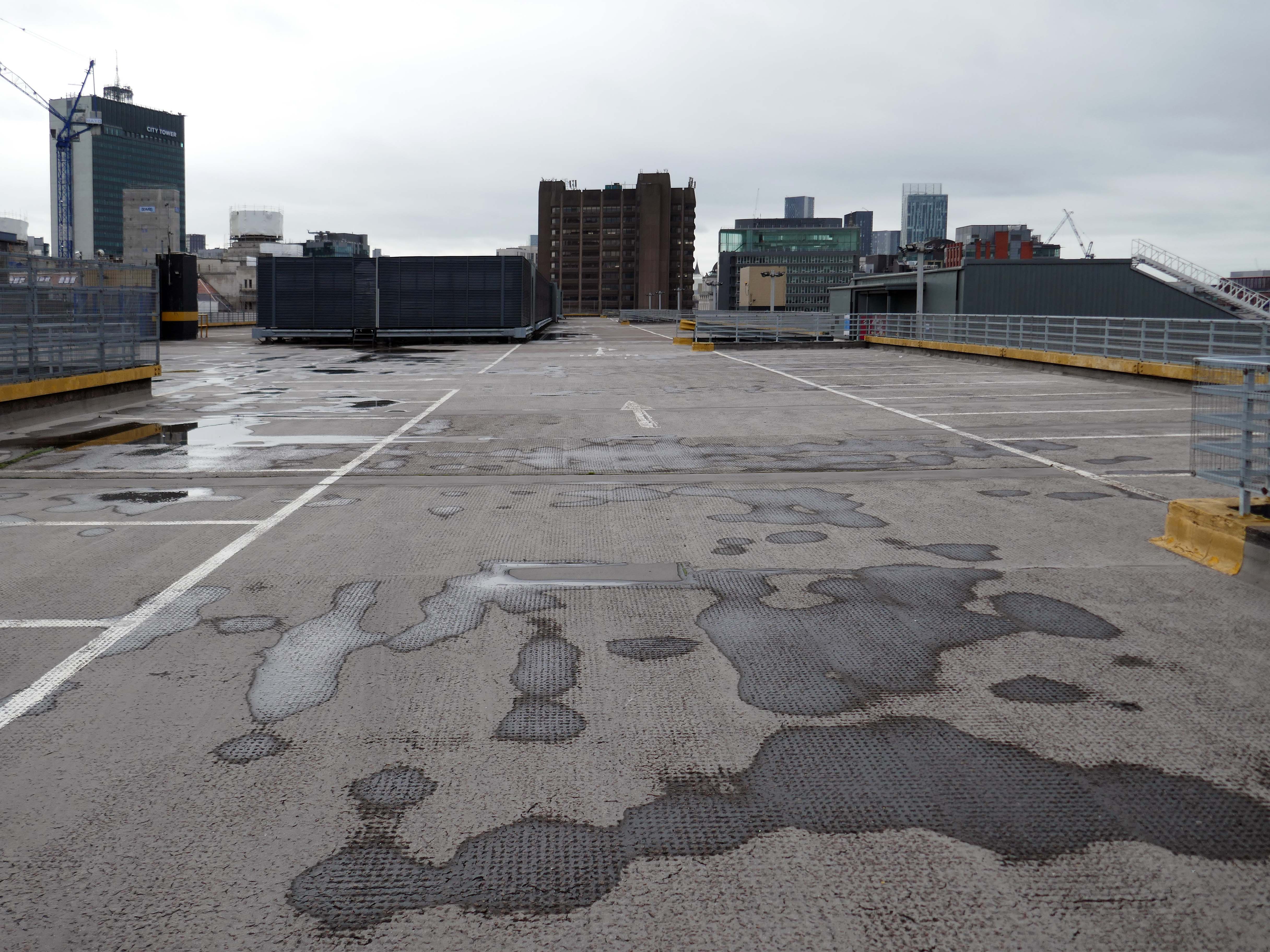
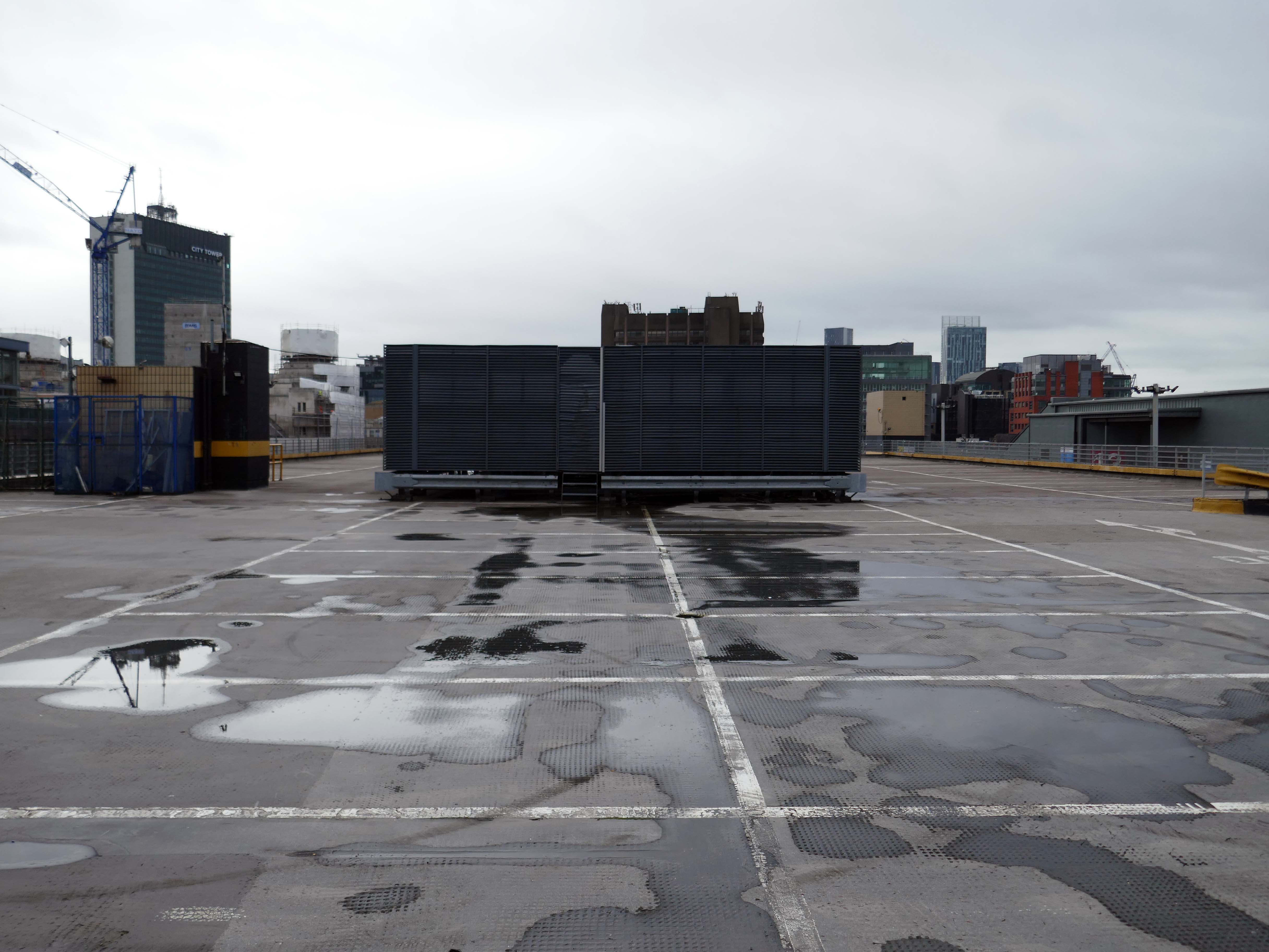
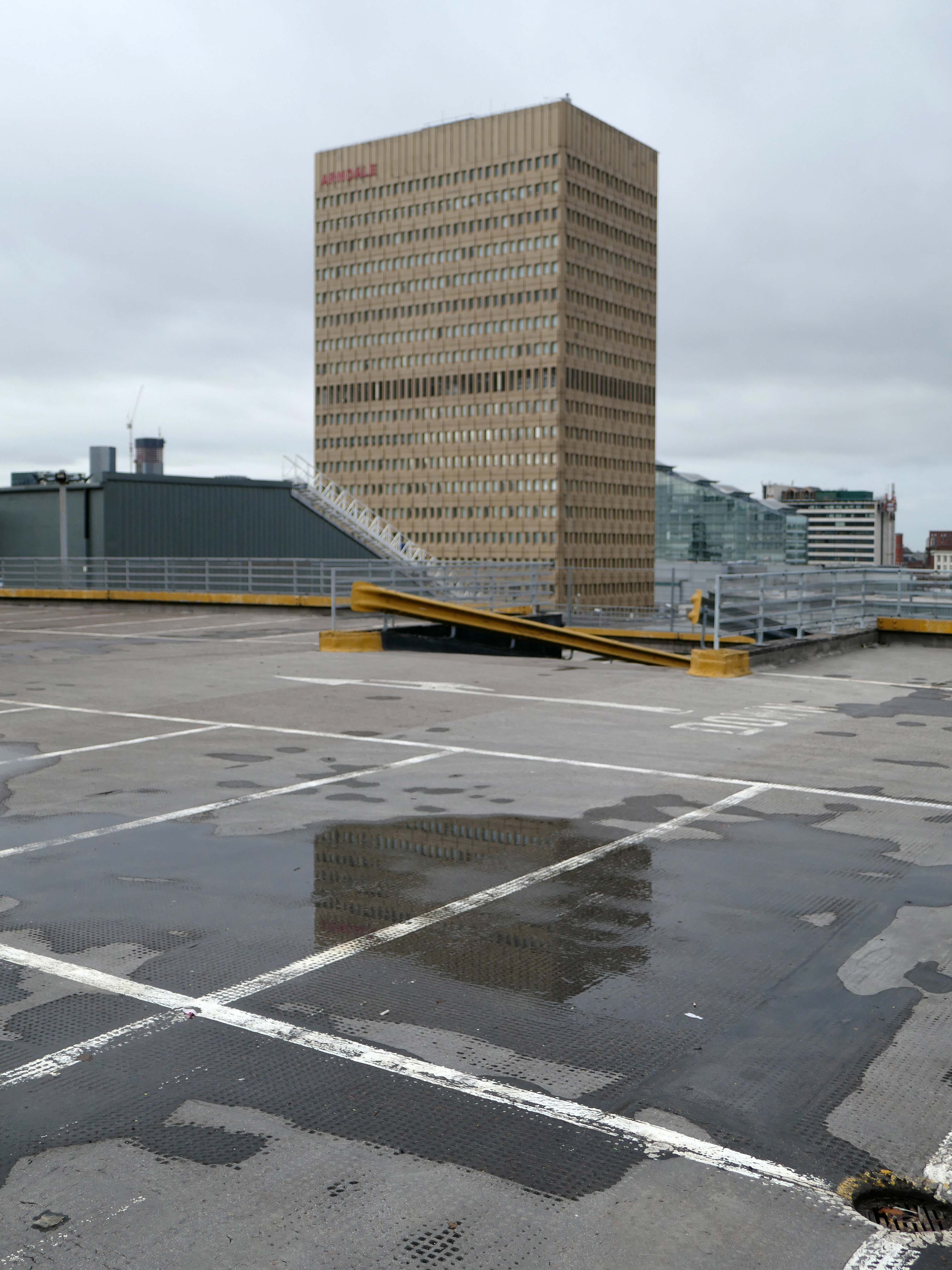
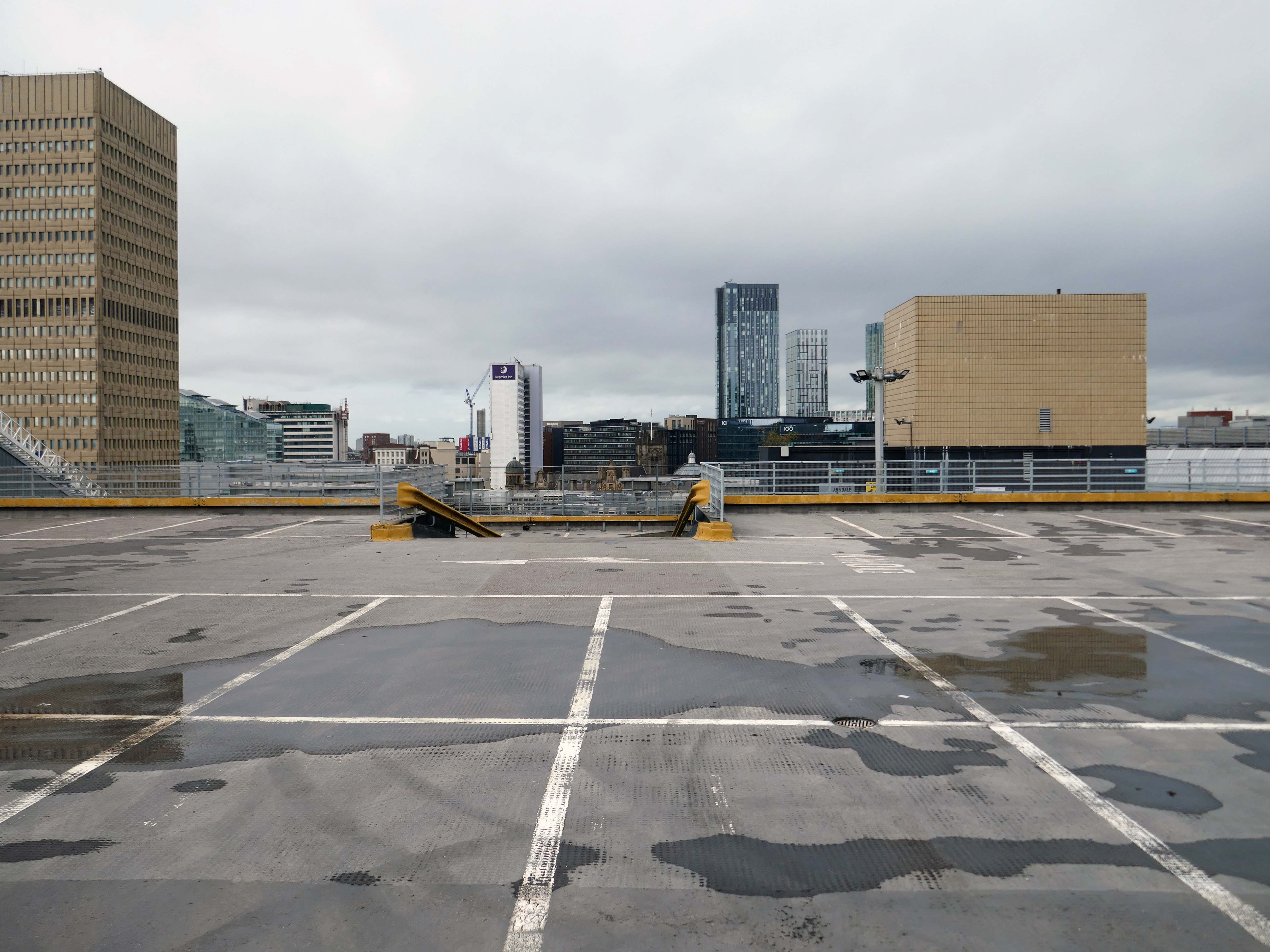
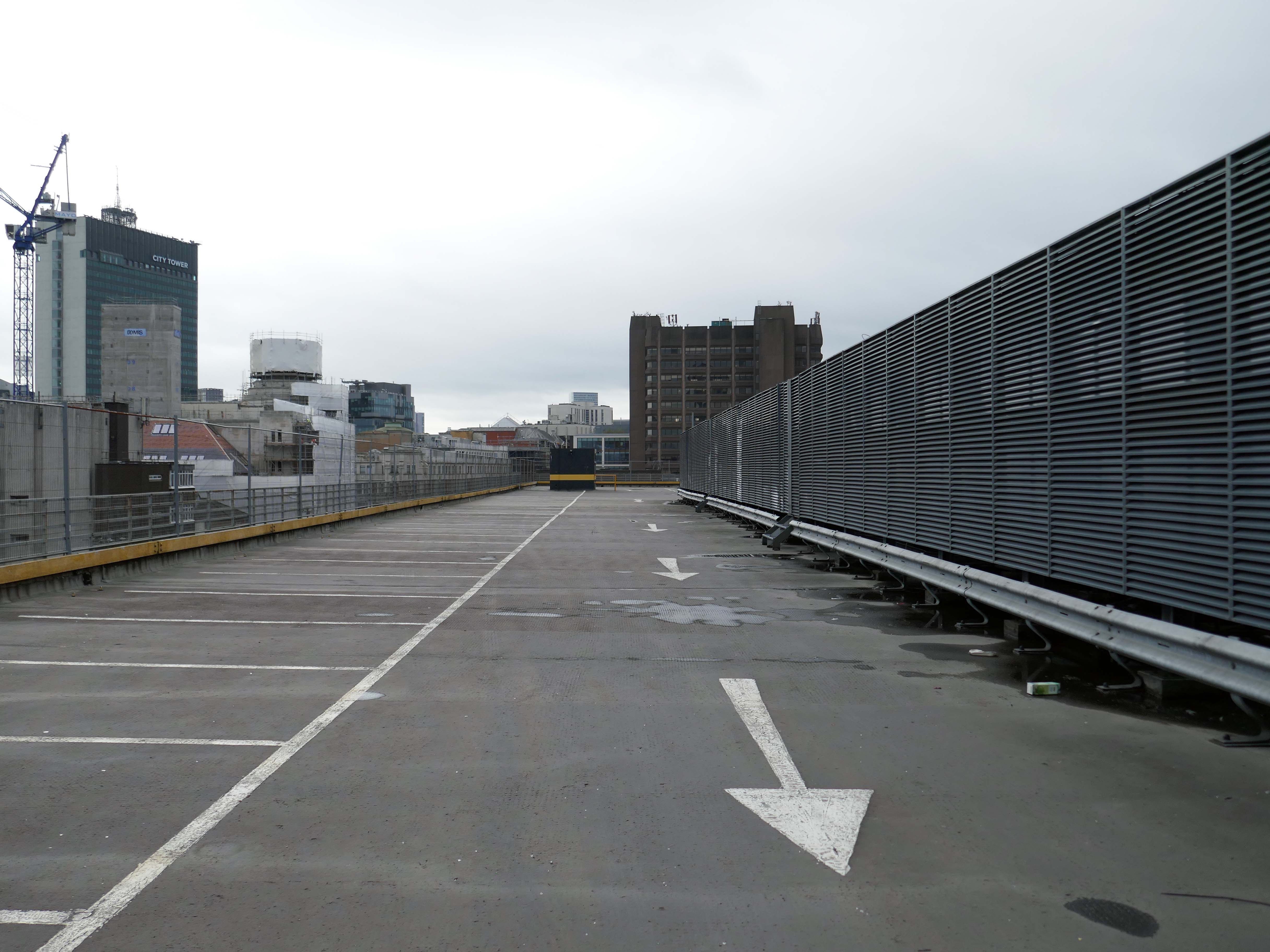
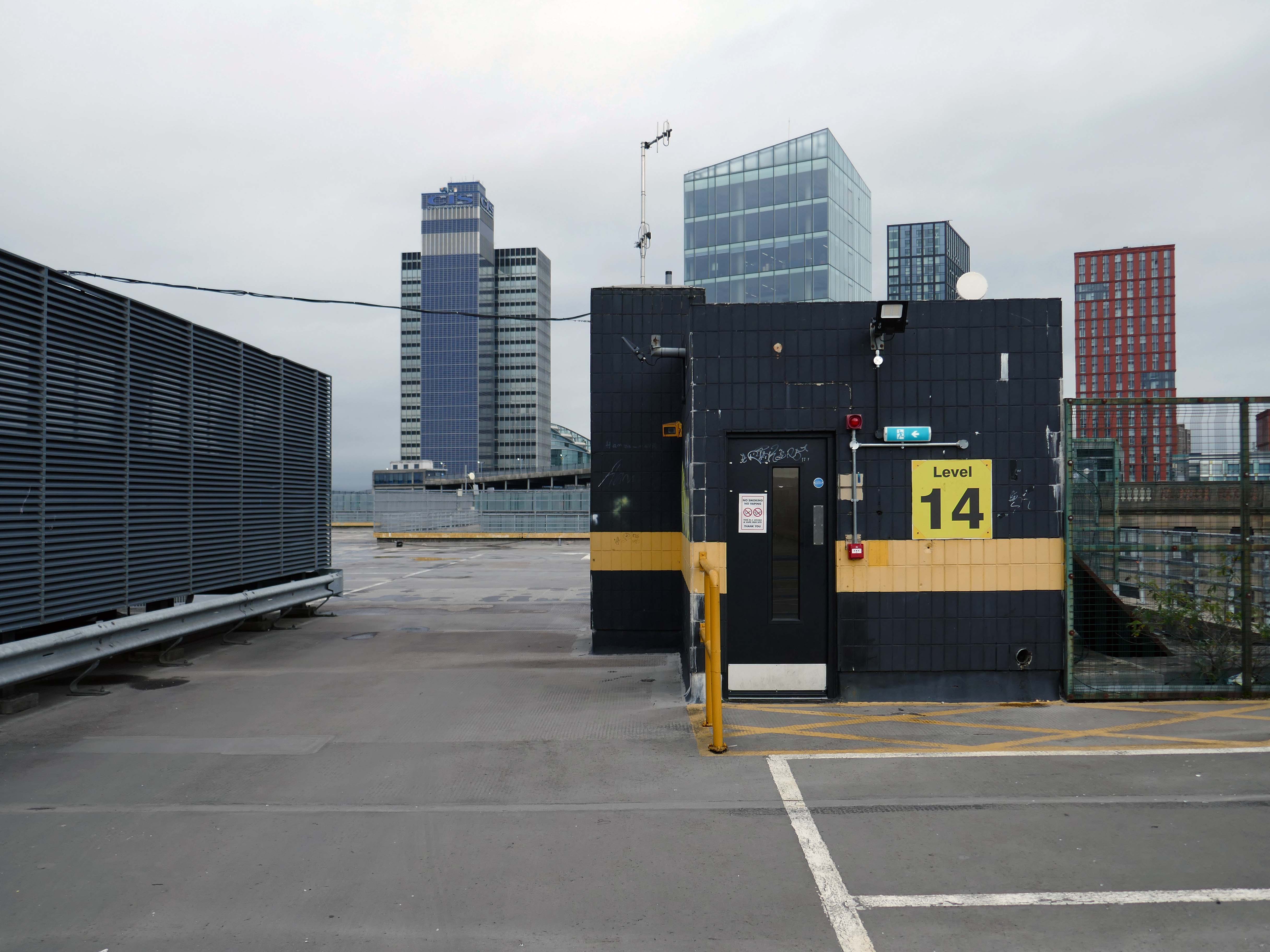
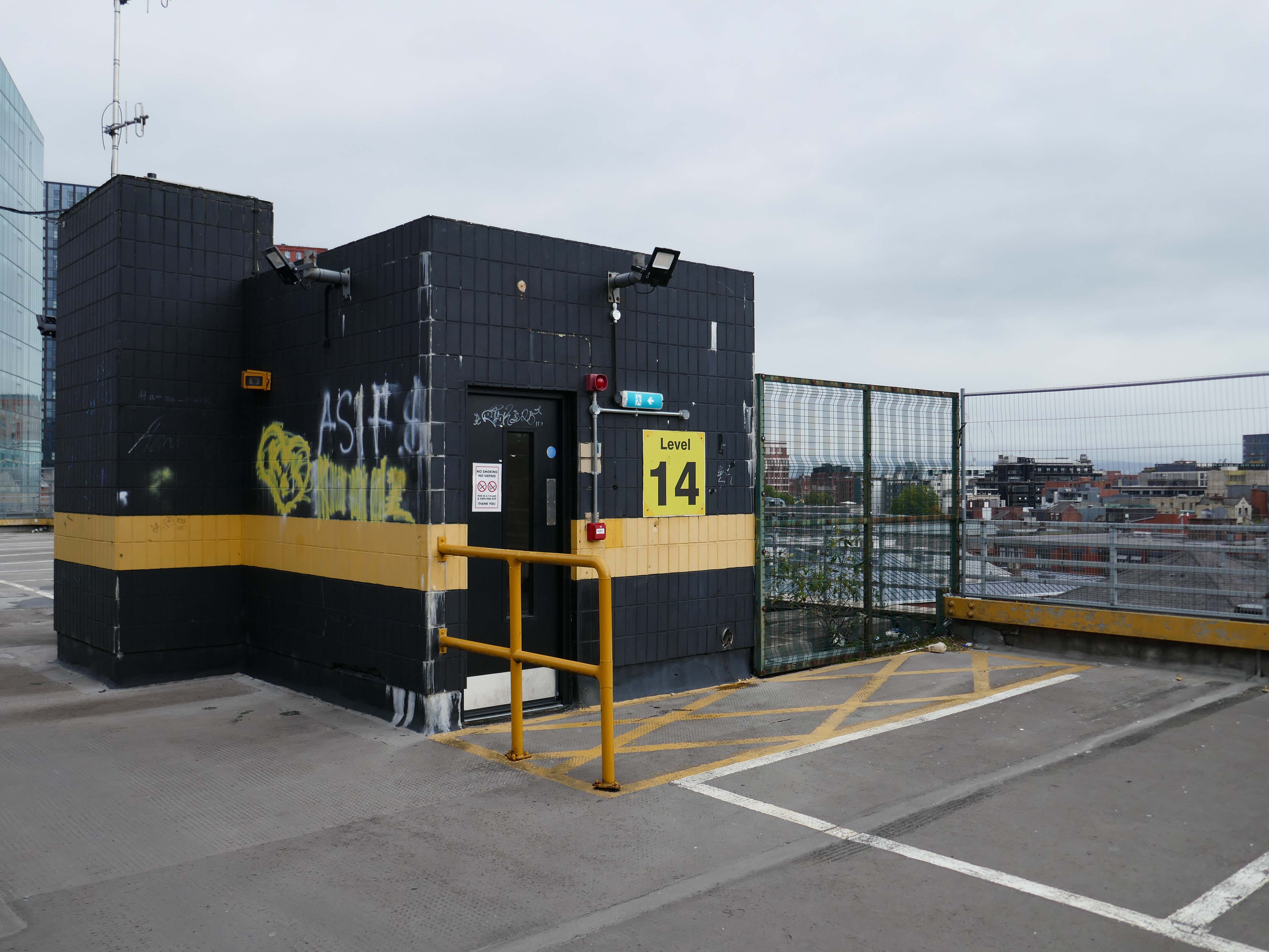
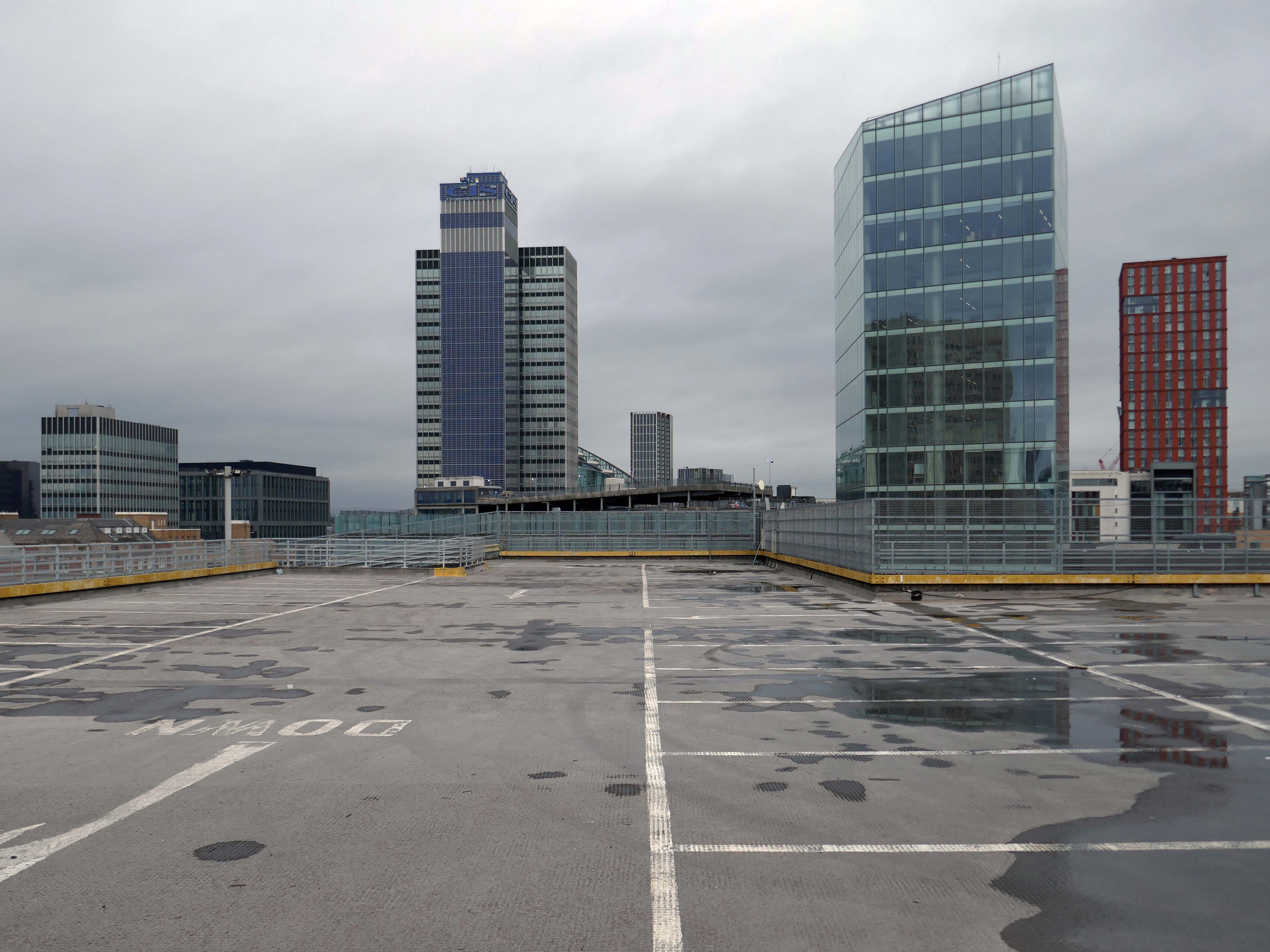
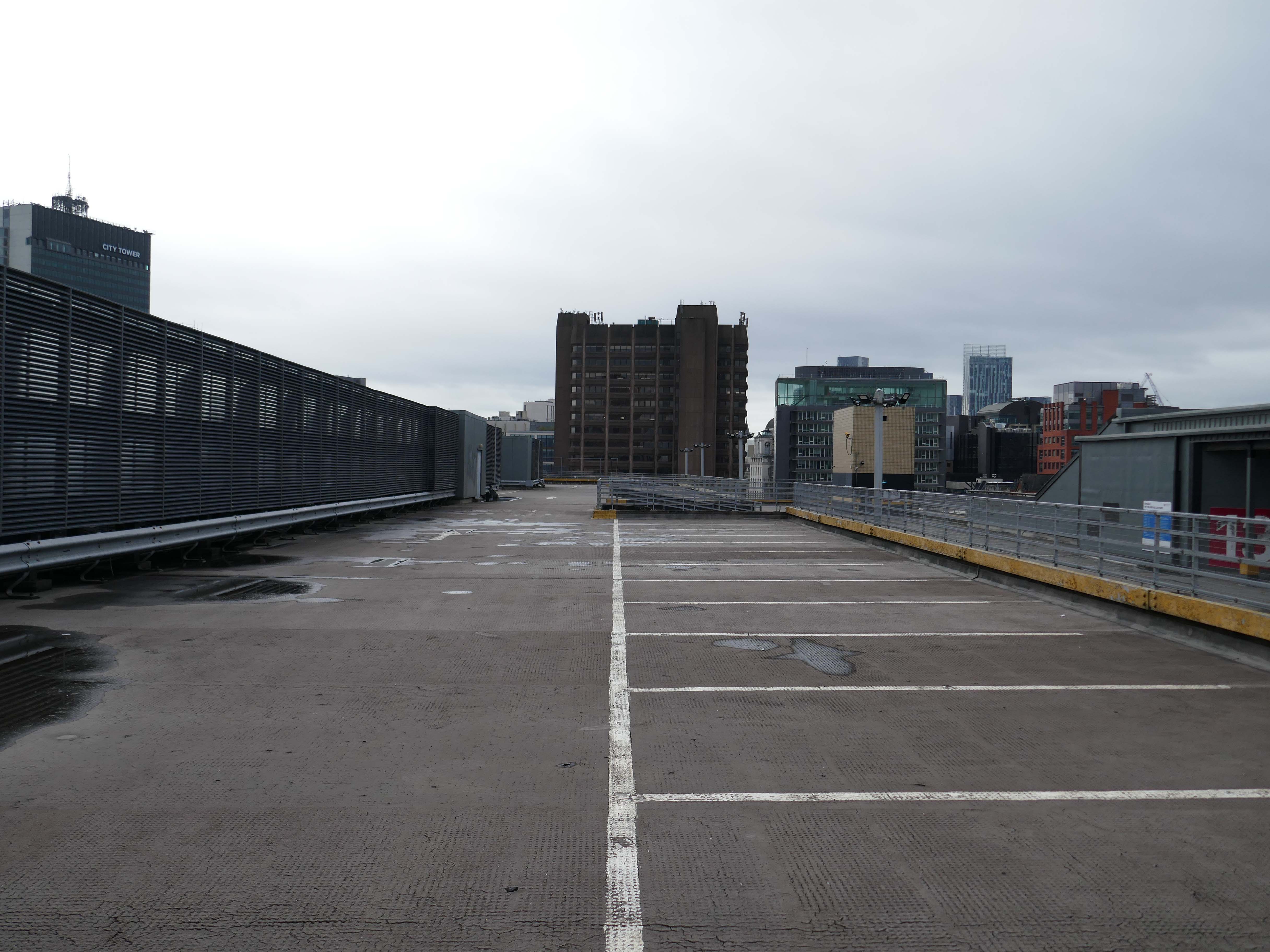
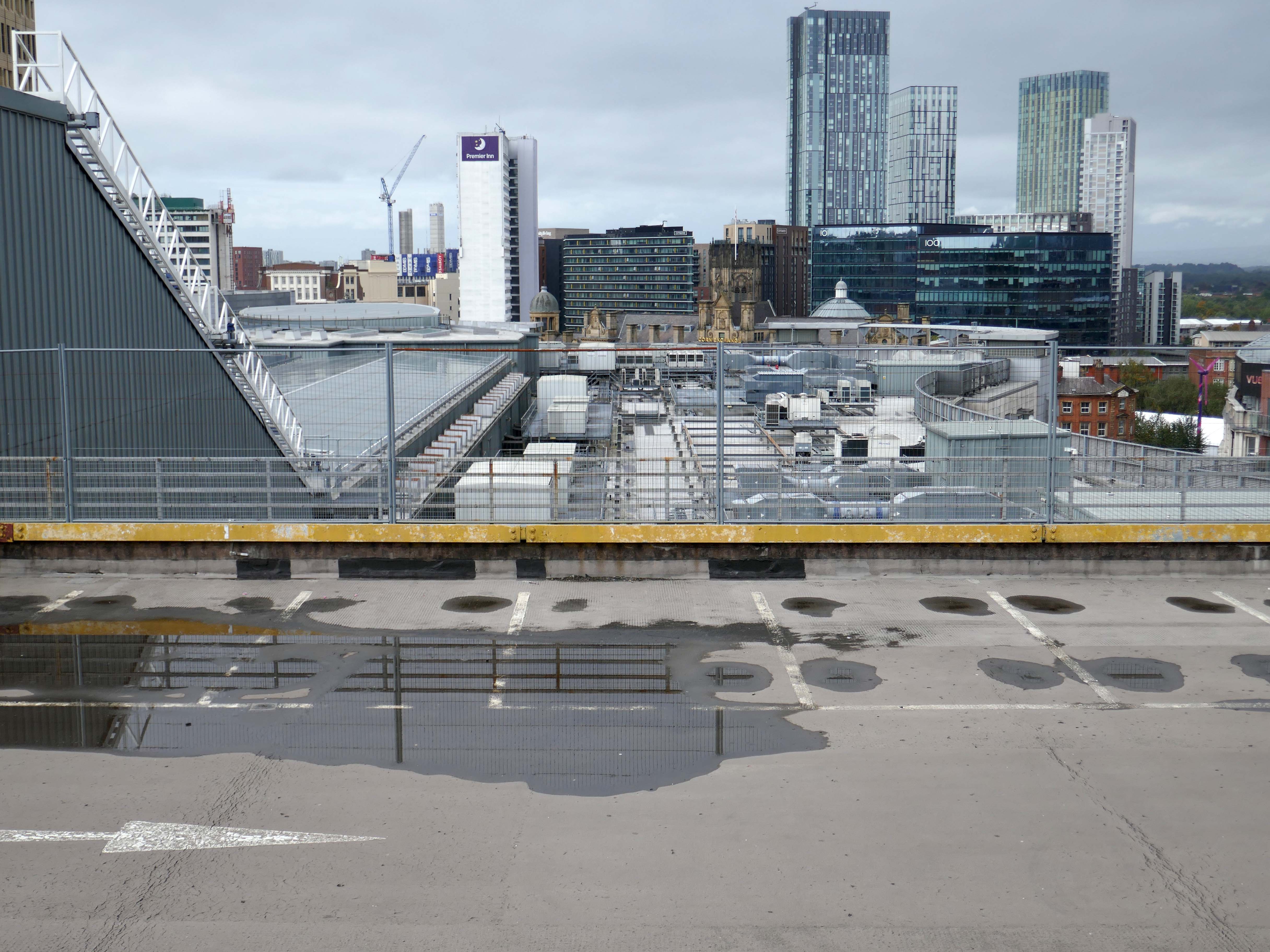
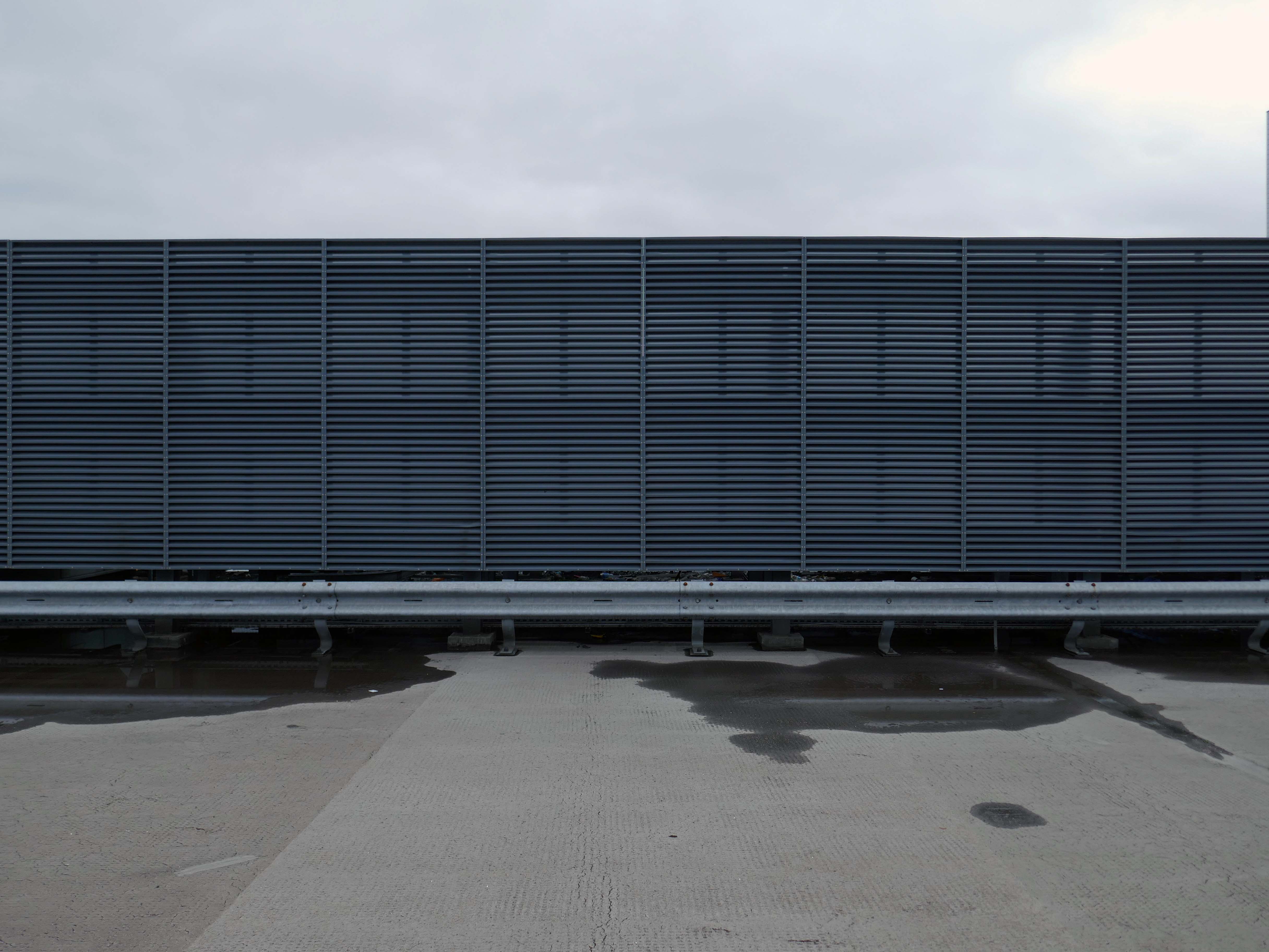
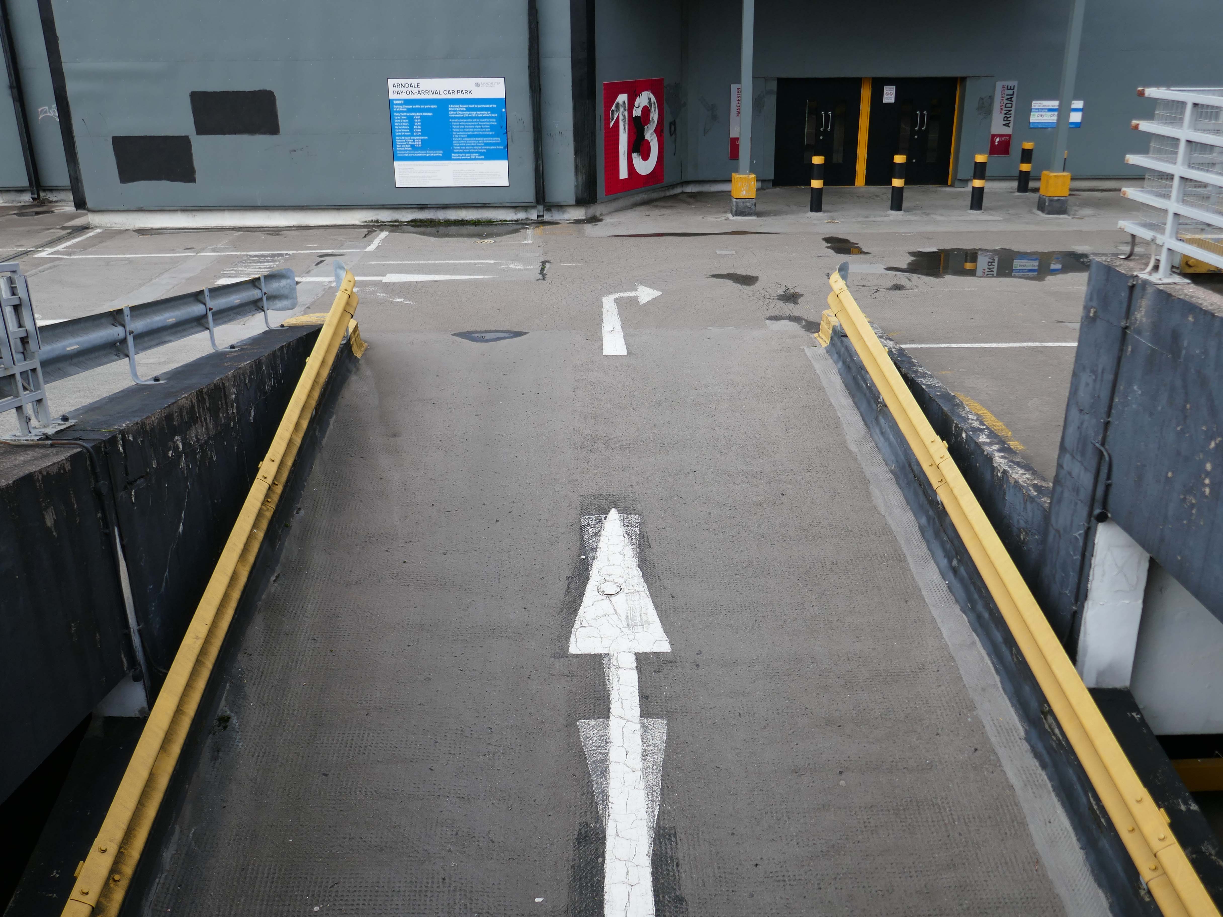
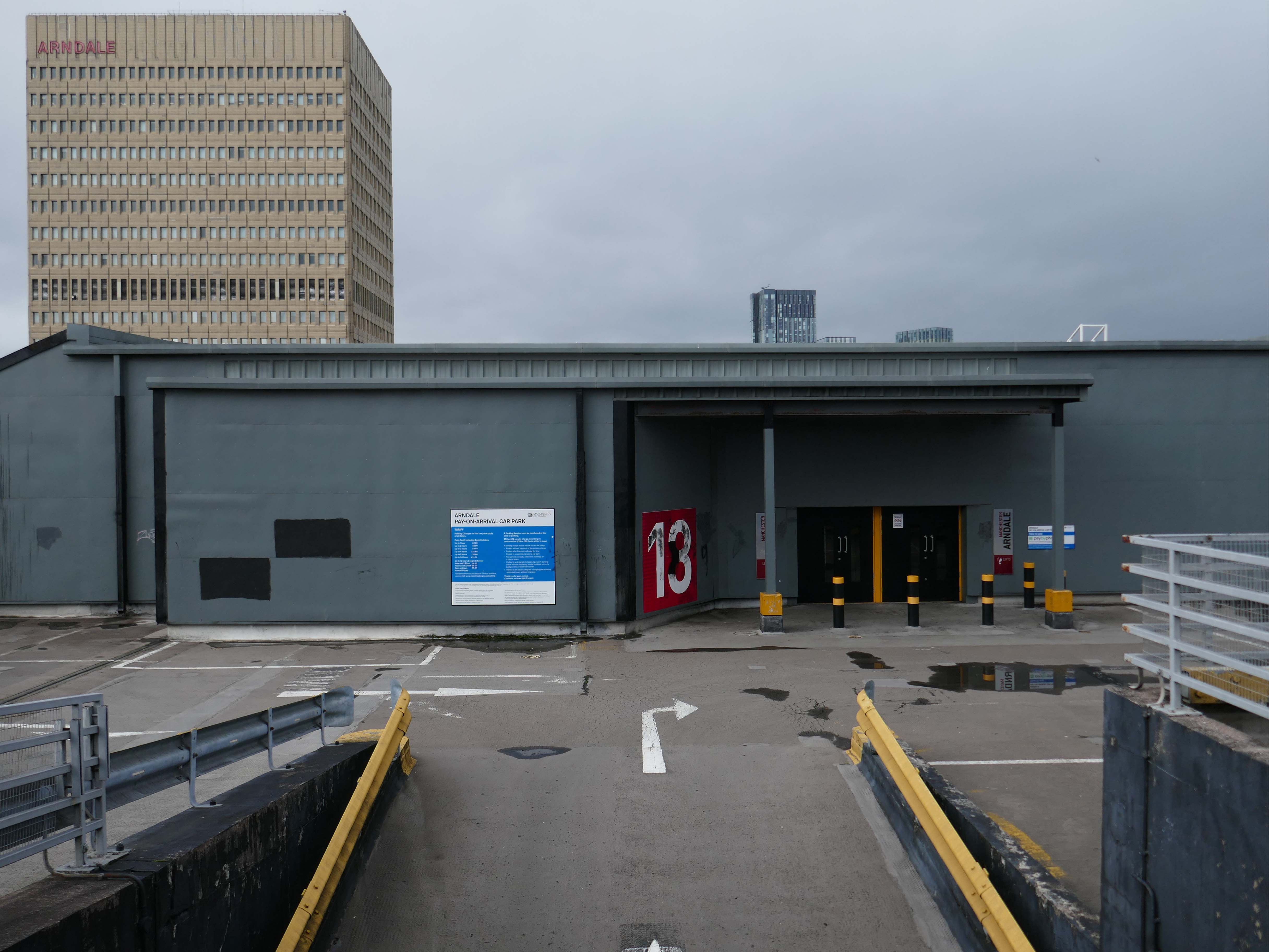
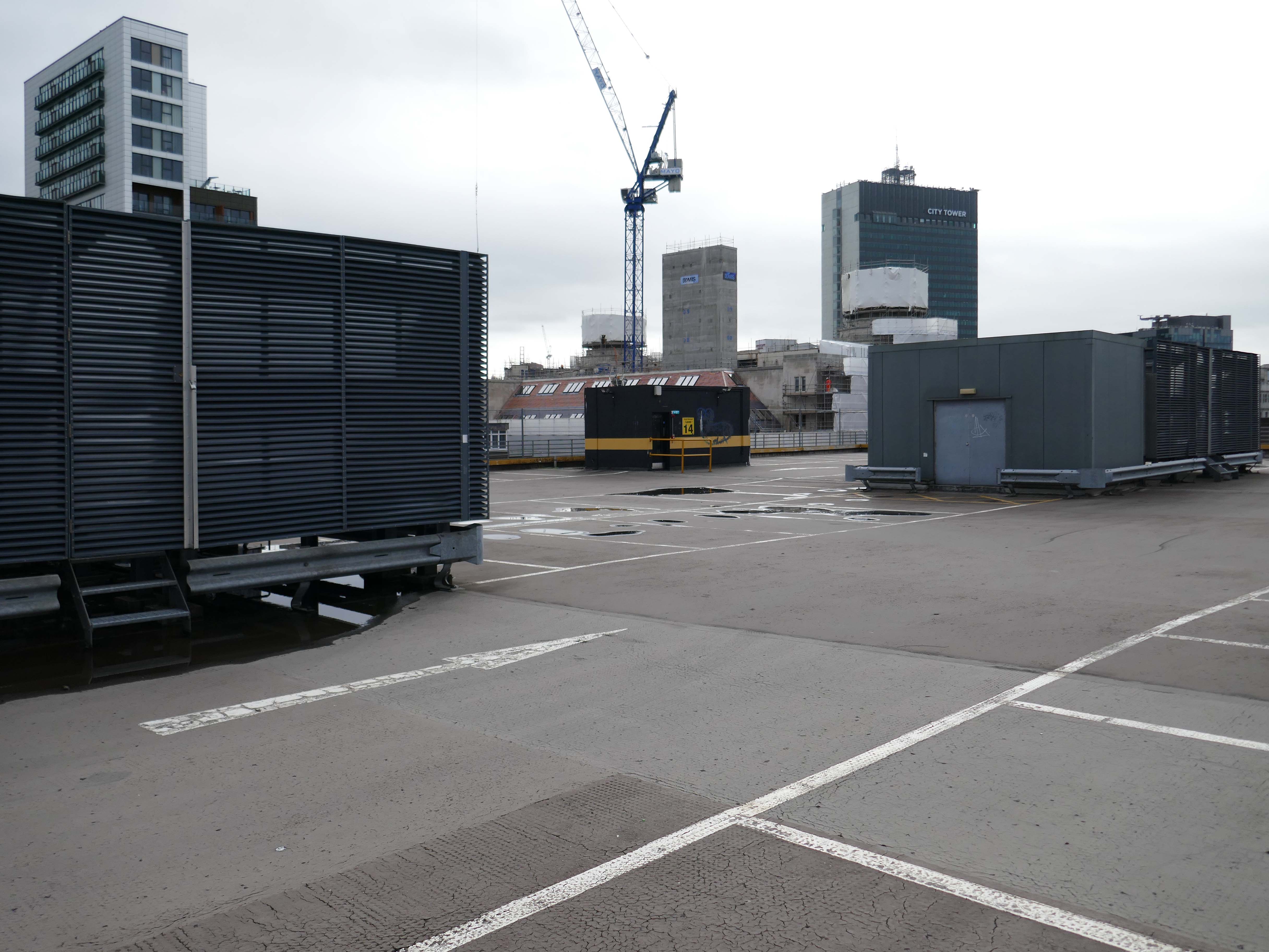
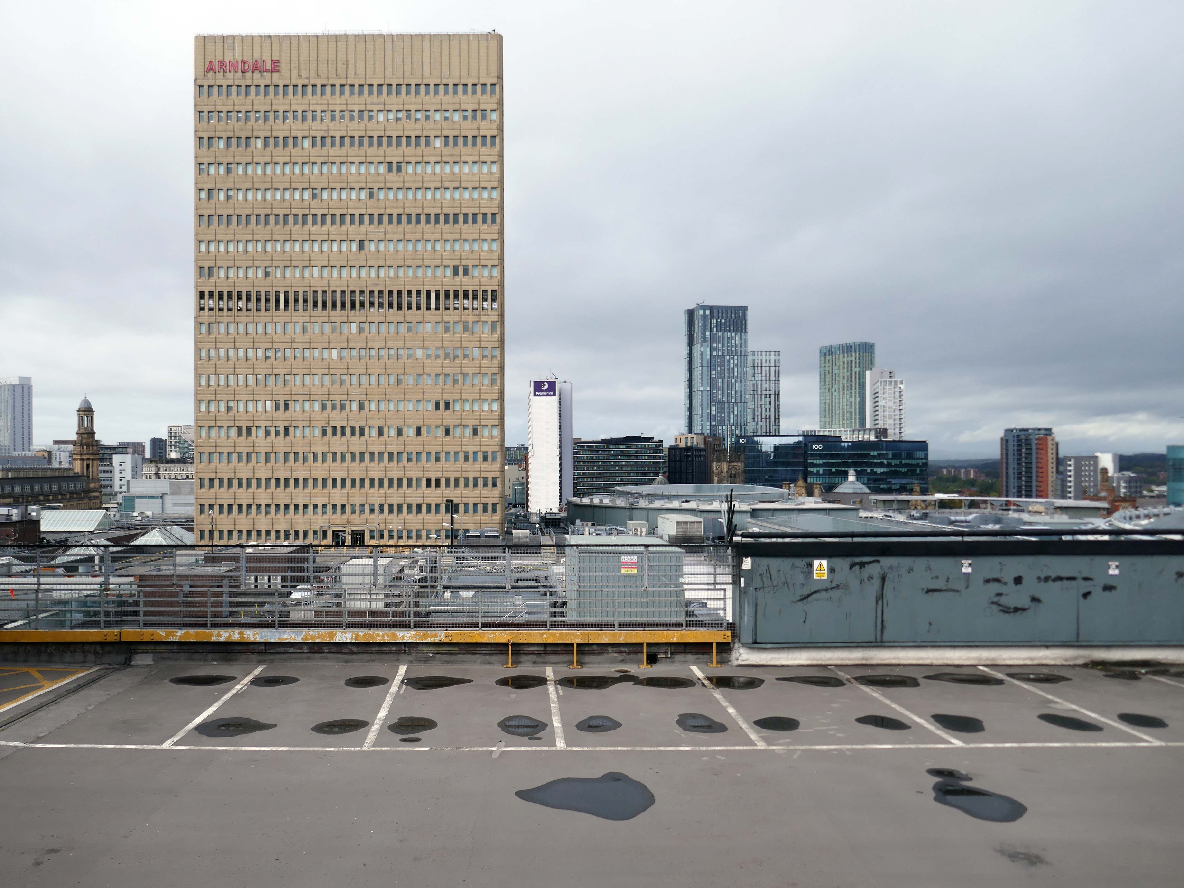
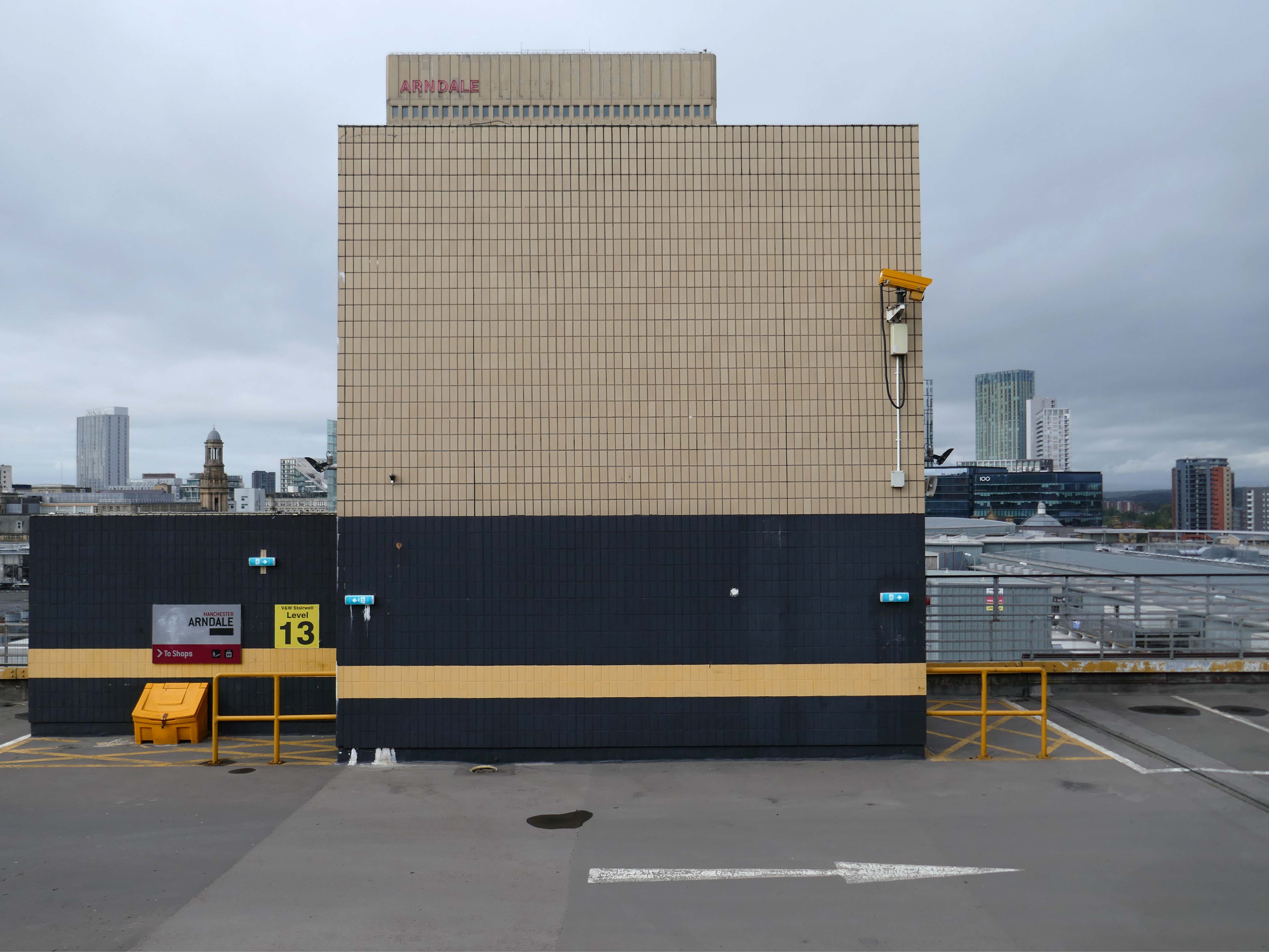
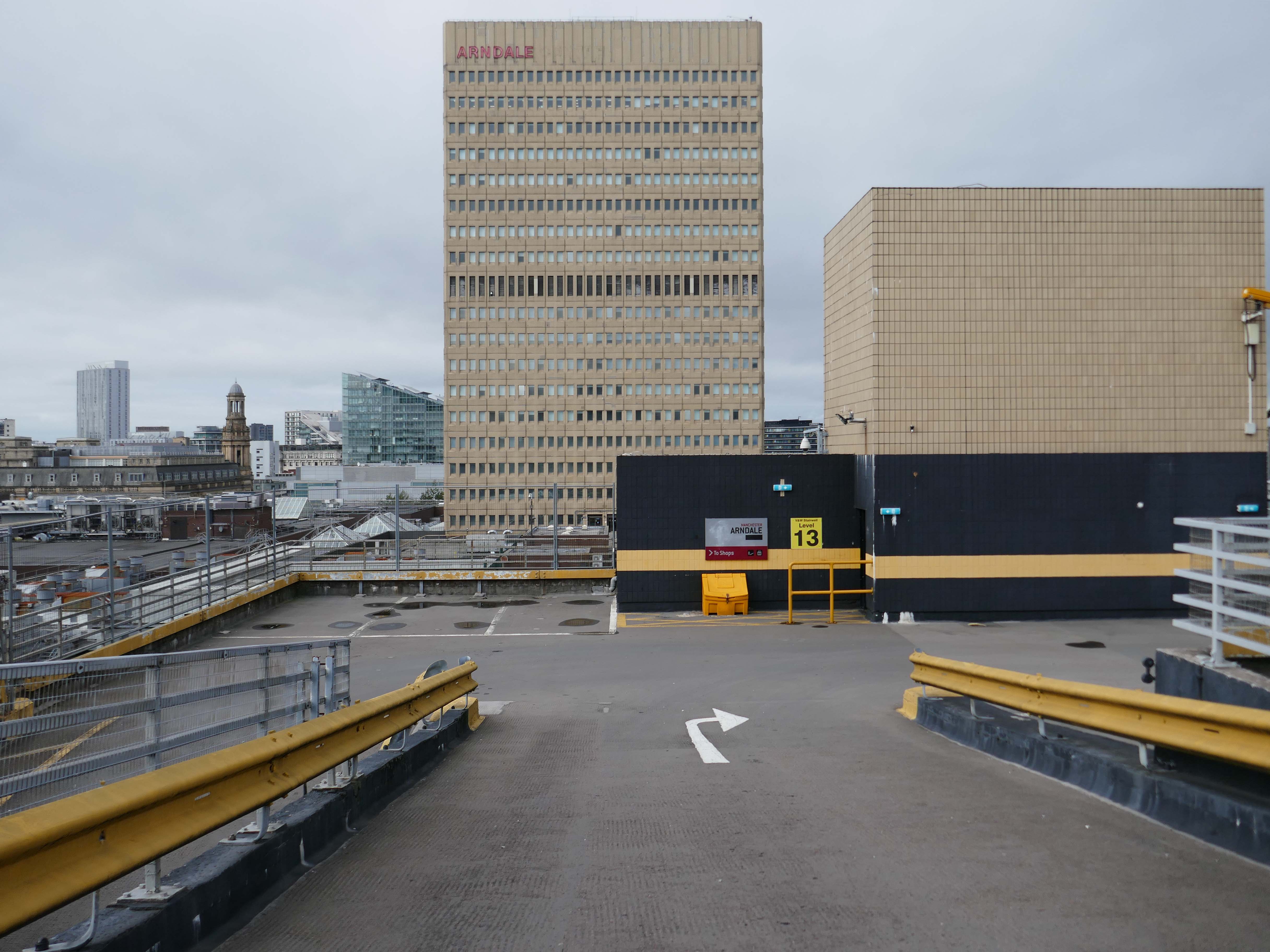
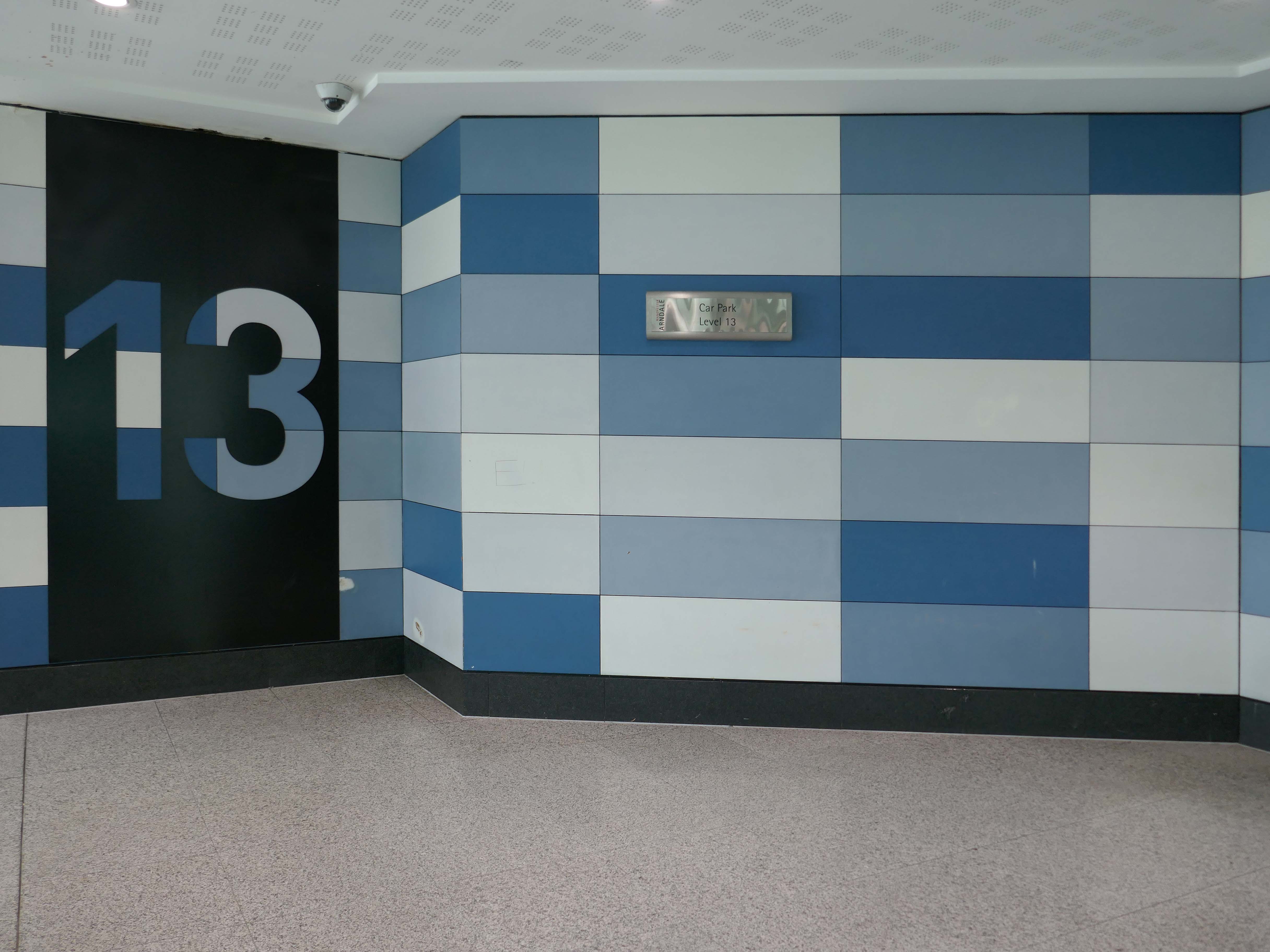
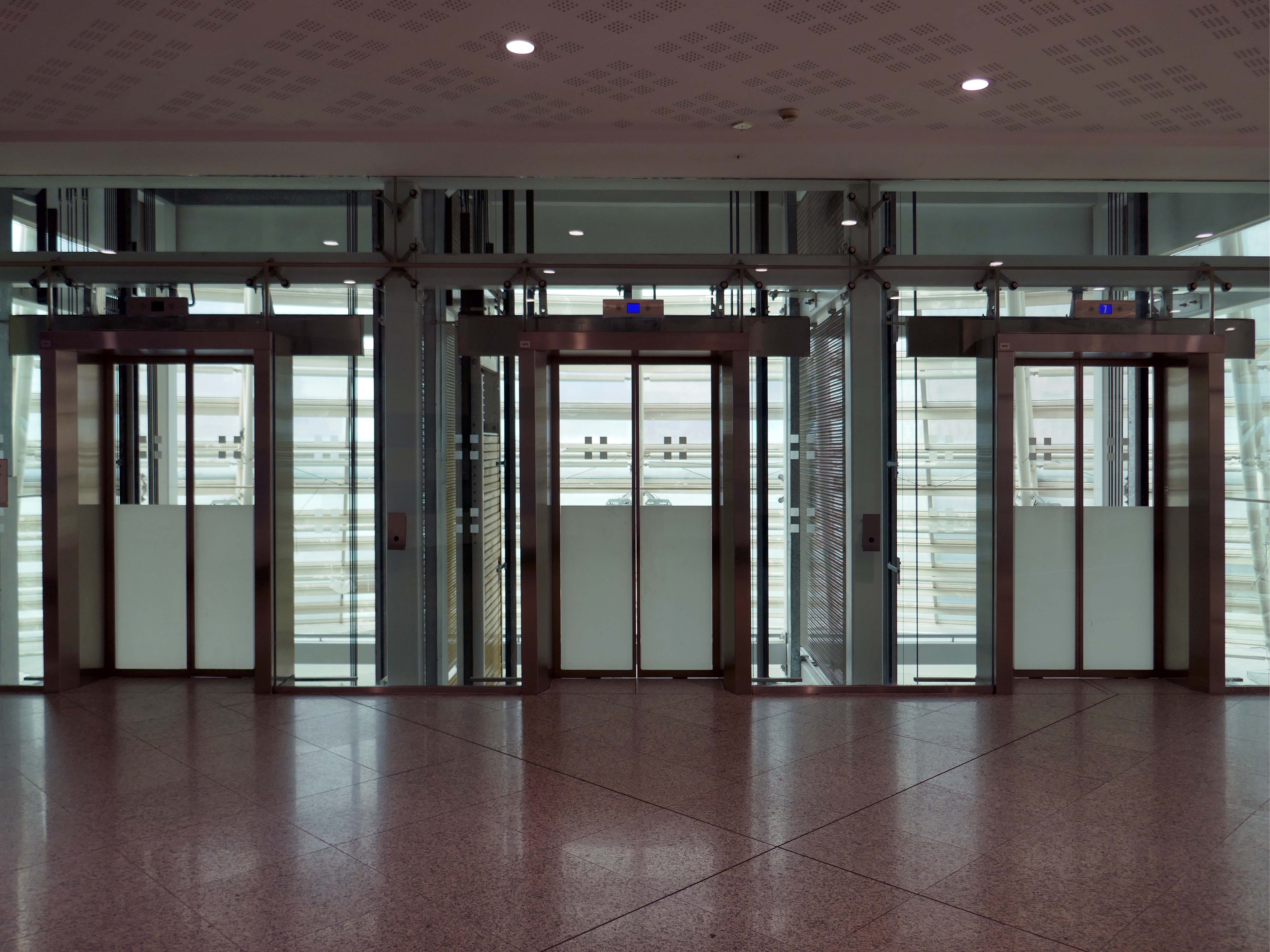
Here are the photographs I took in May 2026 – incorporating the multi storey car park.
But what of the future?
This recent ARC projectinvolves transforming the former Barclays building in Poole into 362 modern residential flats while preserving the existing building’s façade. This project focuses on revitalising a heritage landmark by repurposing it with innovative designs that offer easy access to public transport, exceed space standards for comfort and practicality, and create a strong sense of community through shared internal and external amenities.
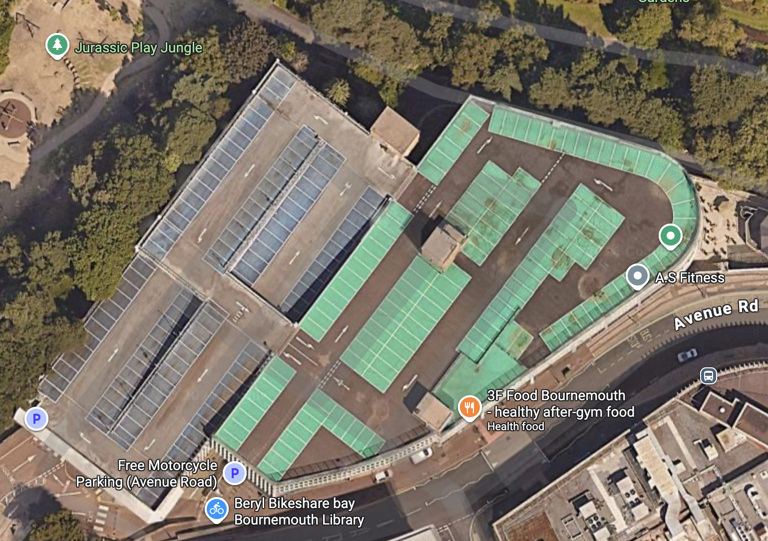
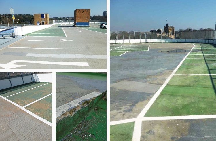
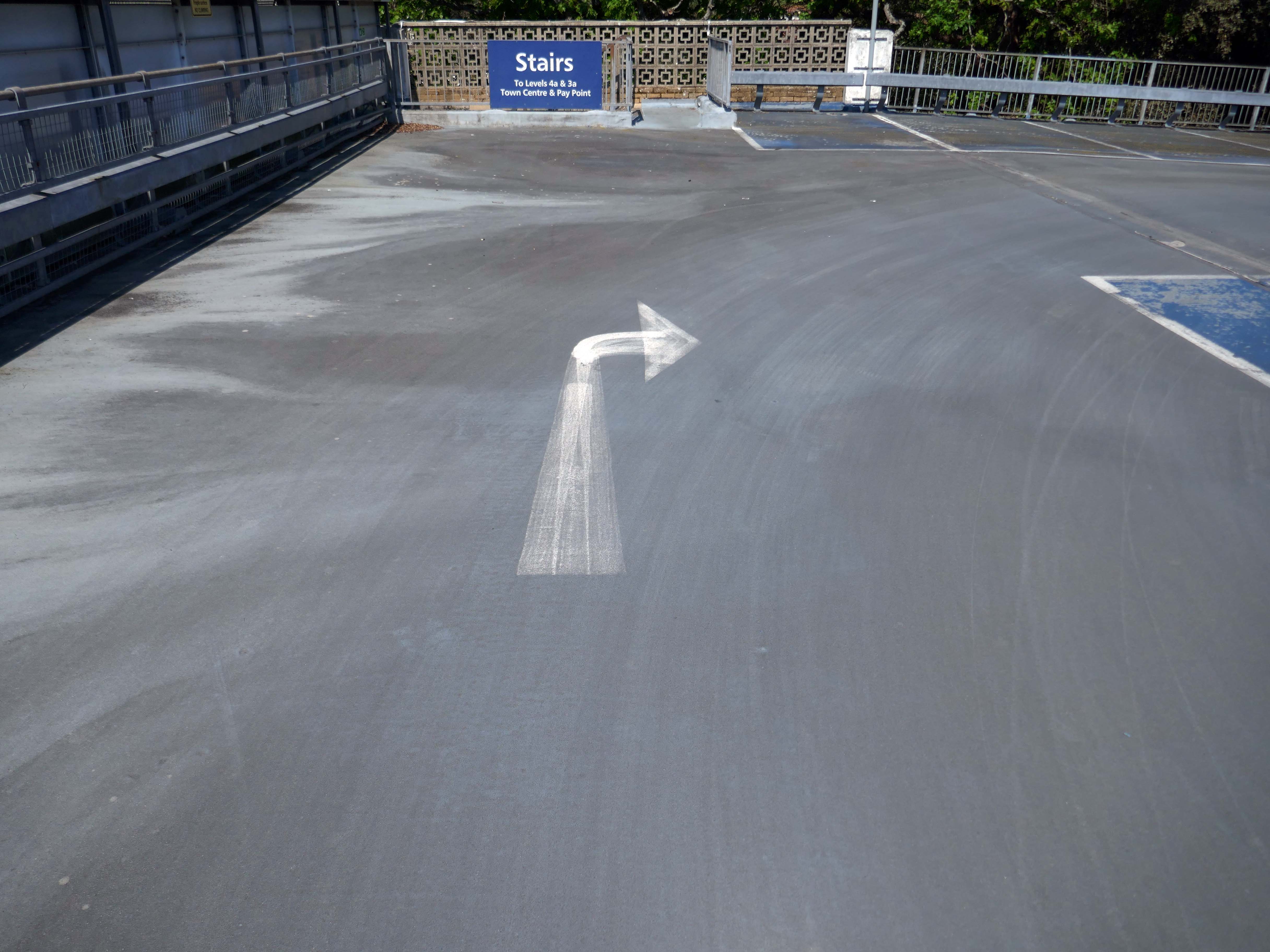
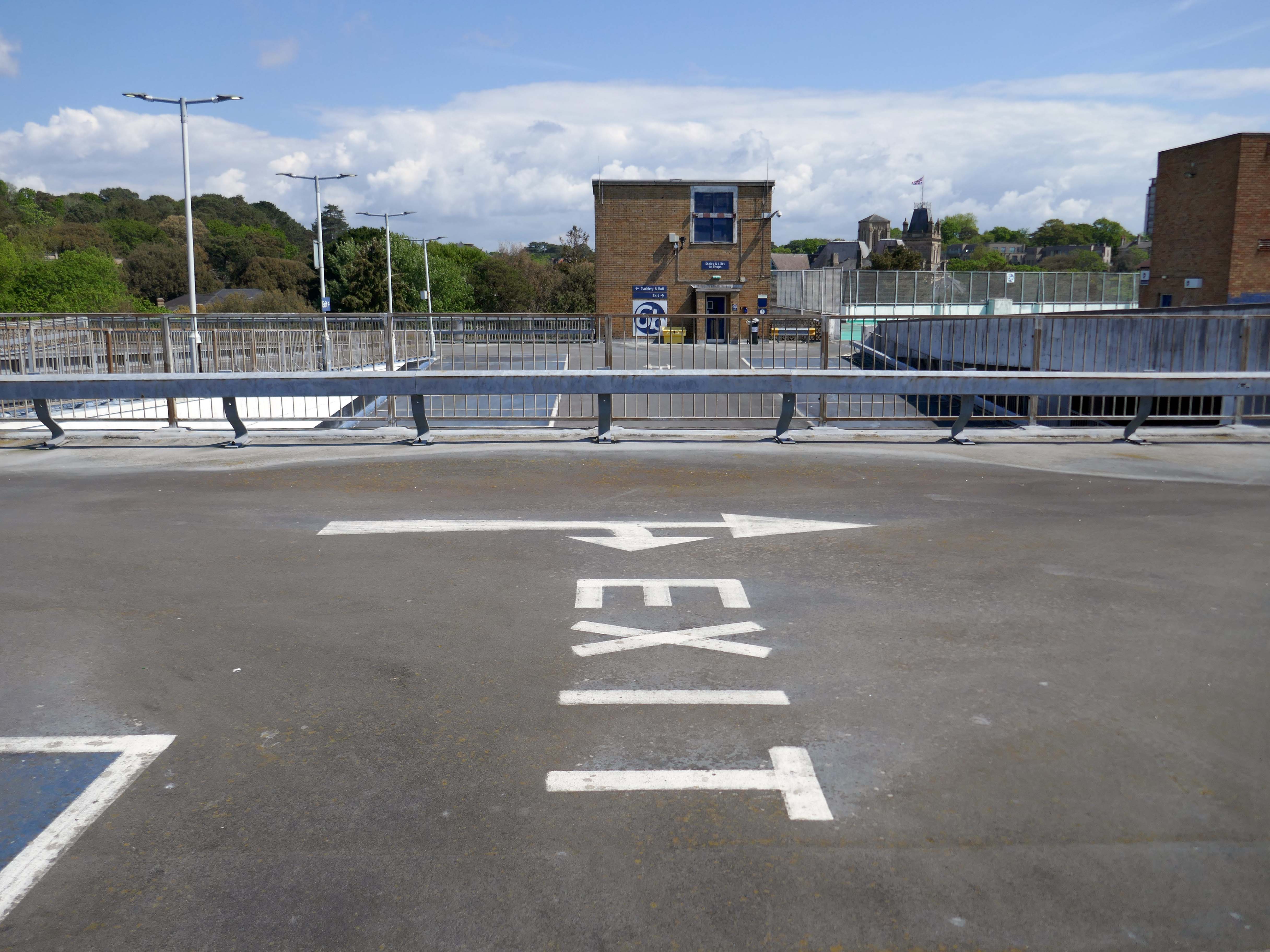
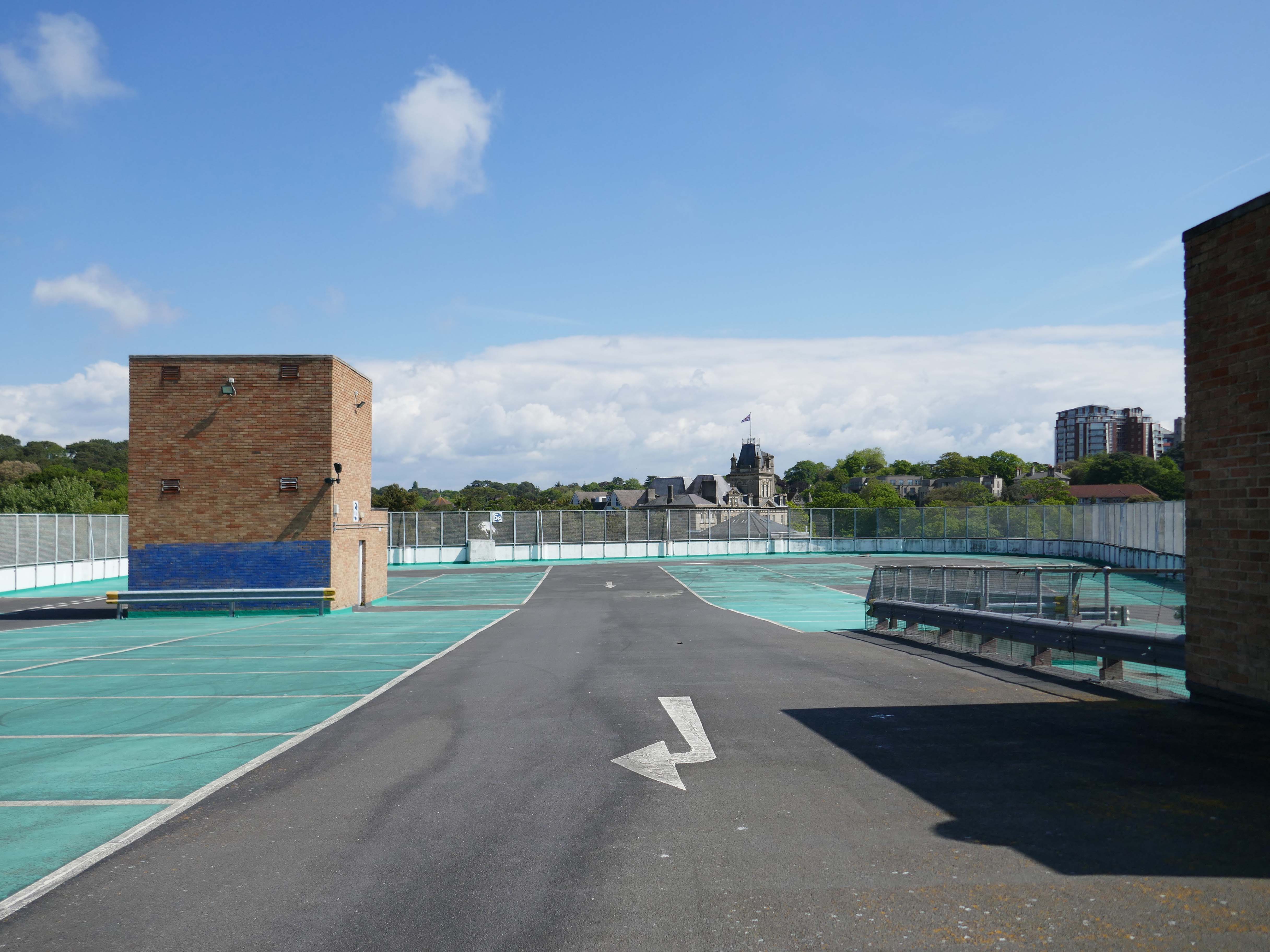
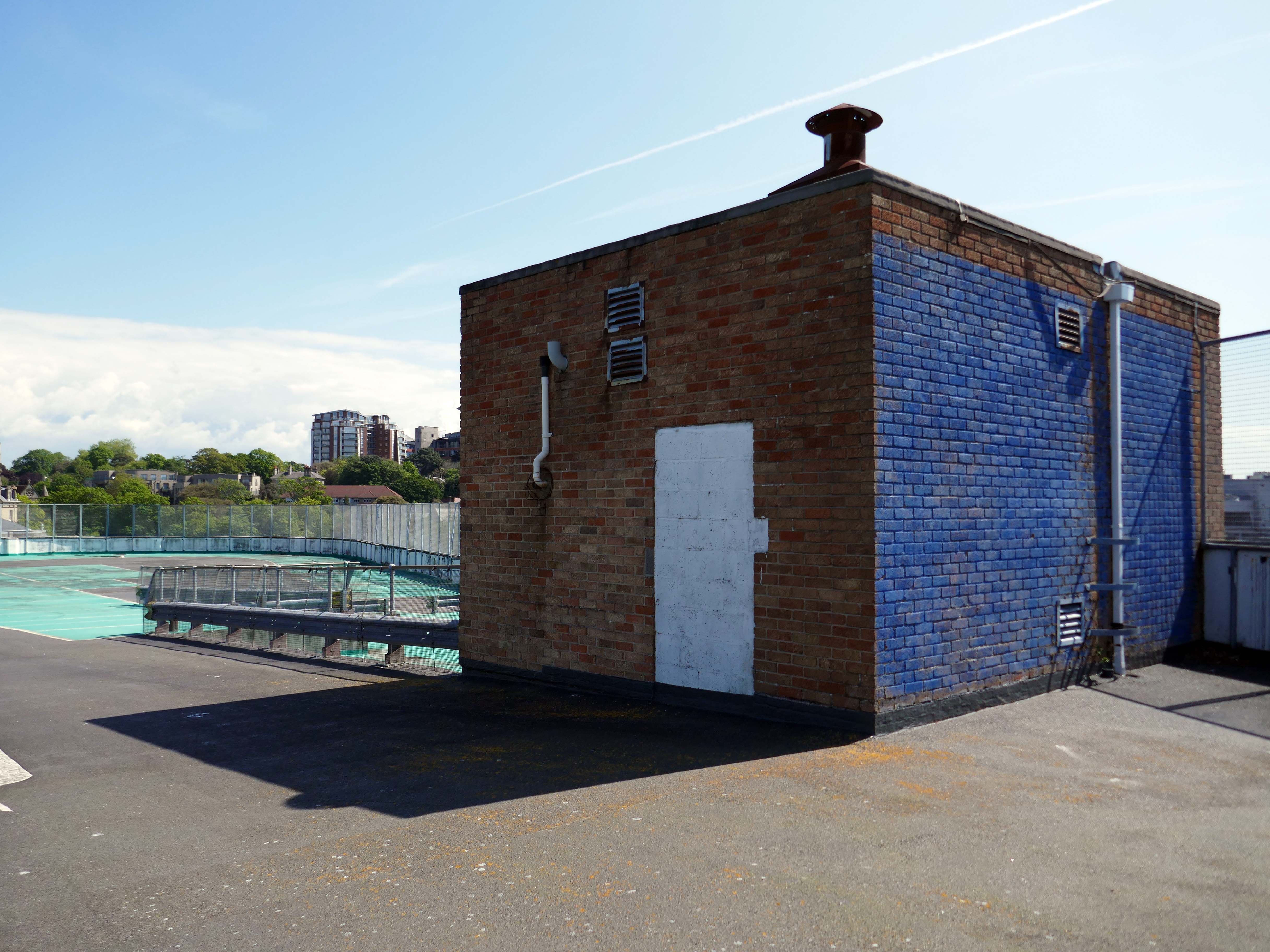
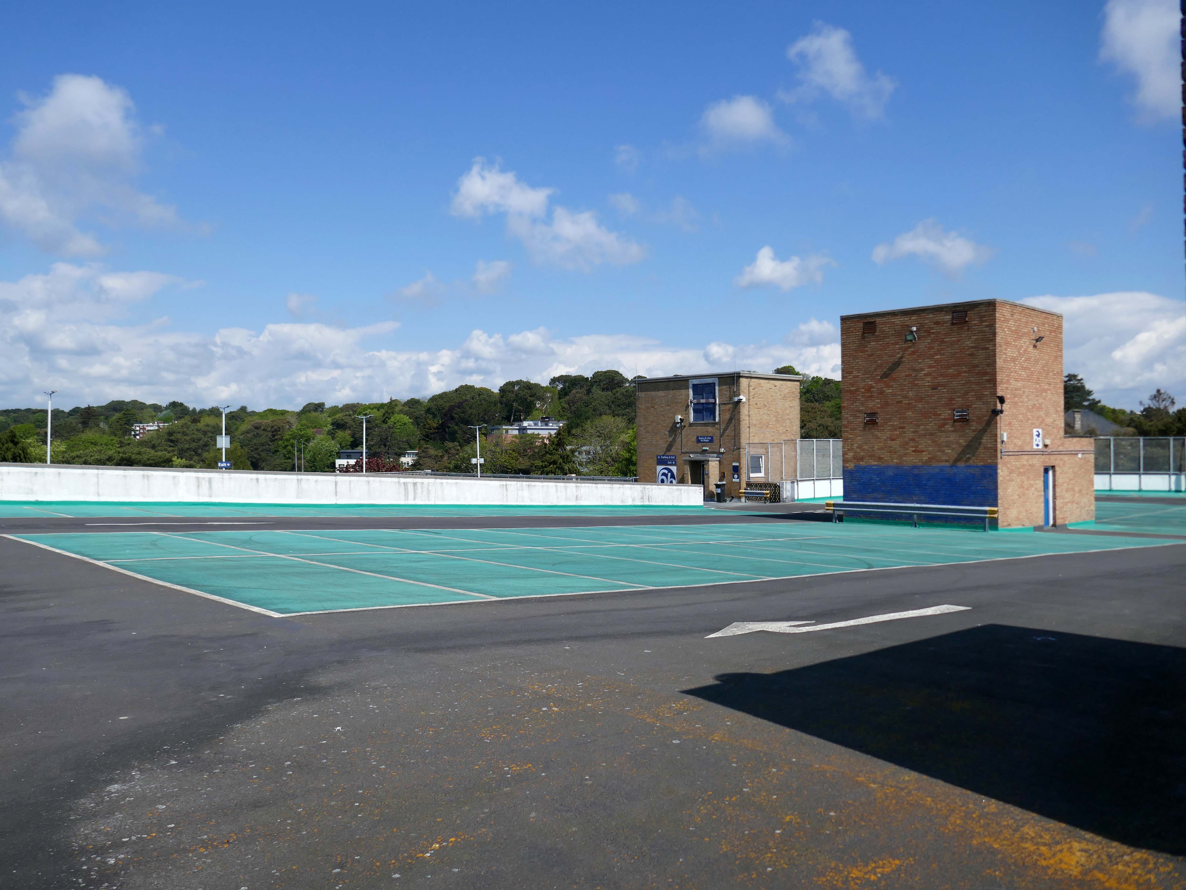
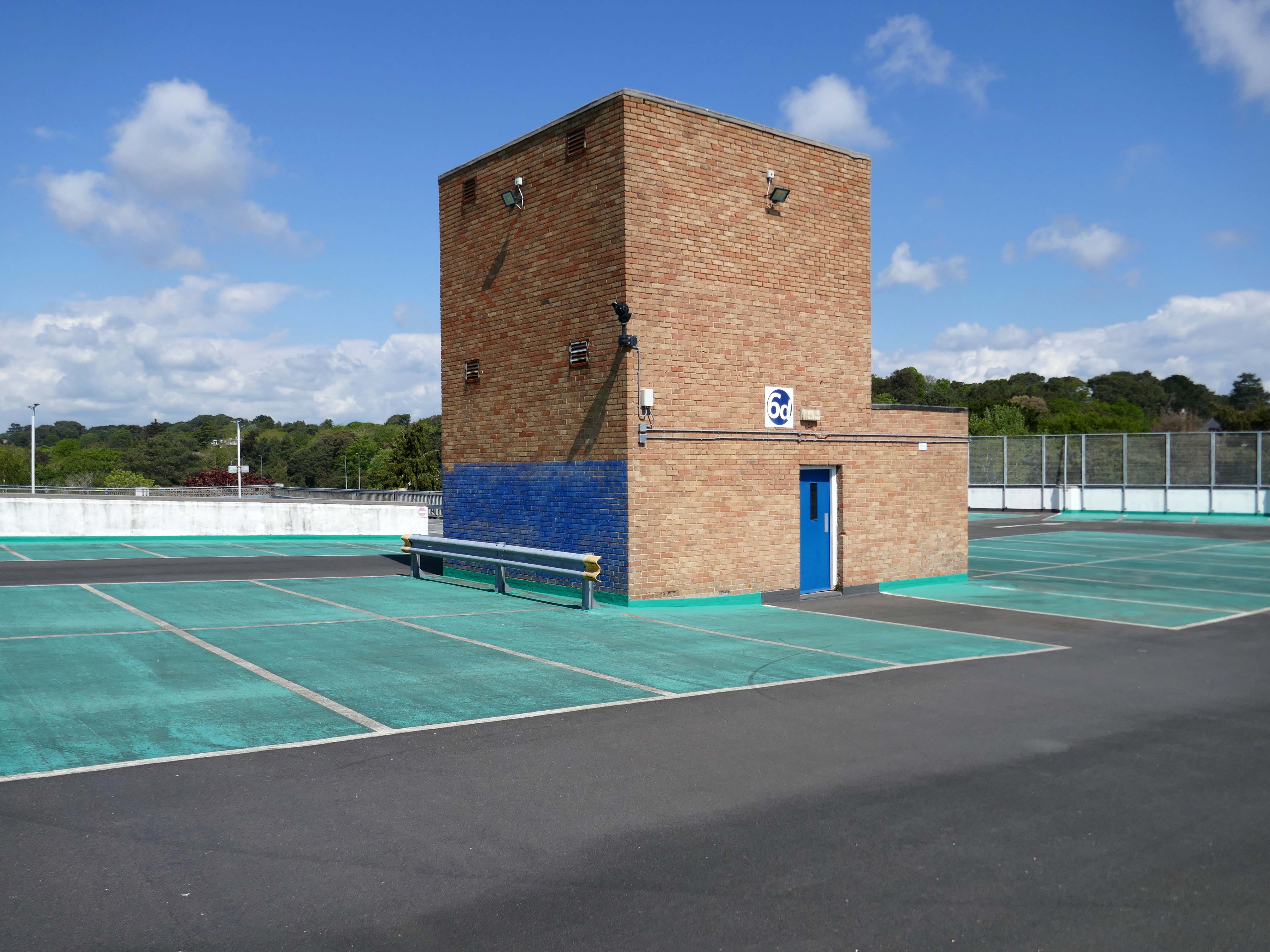
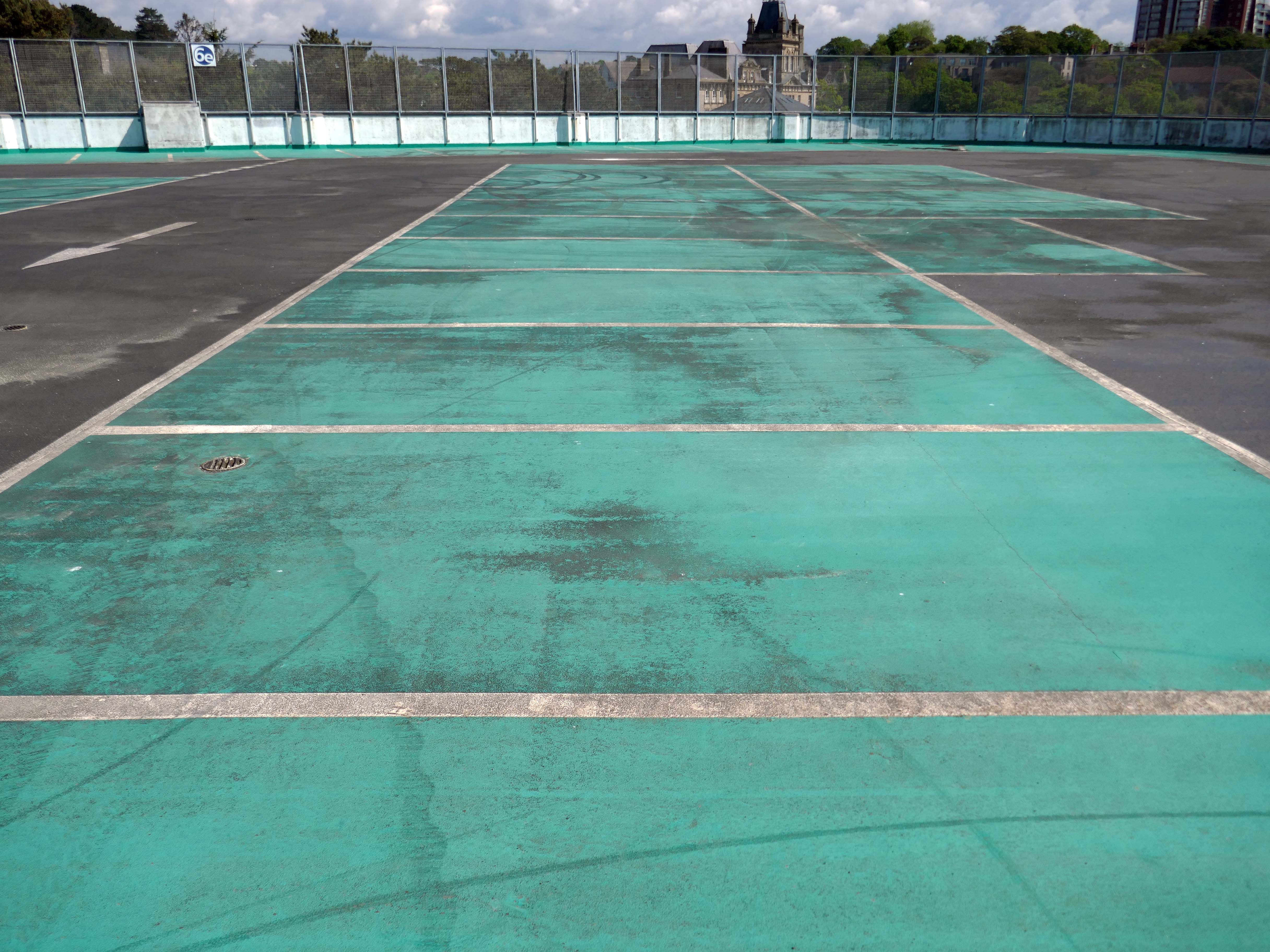
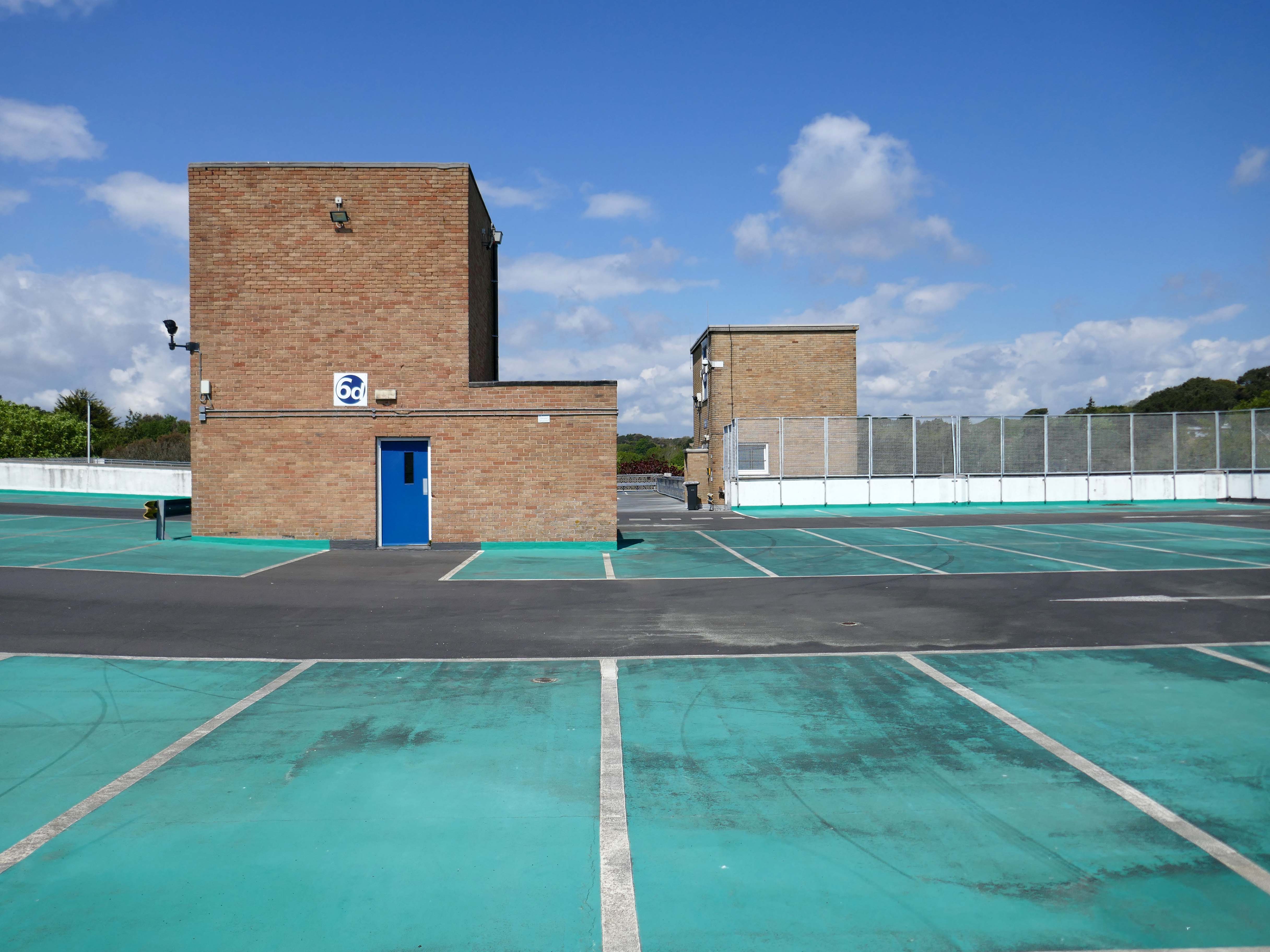
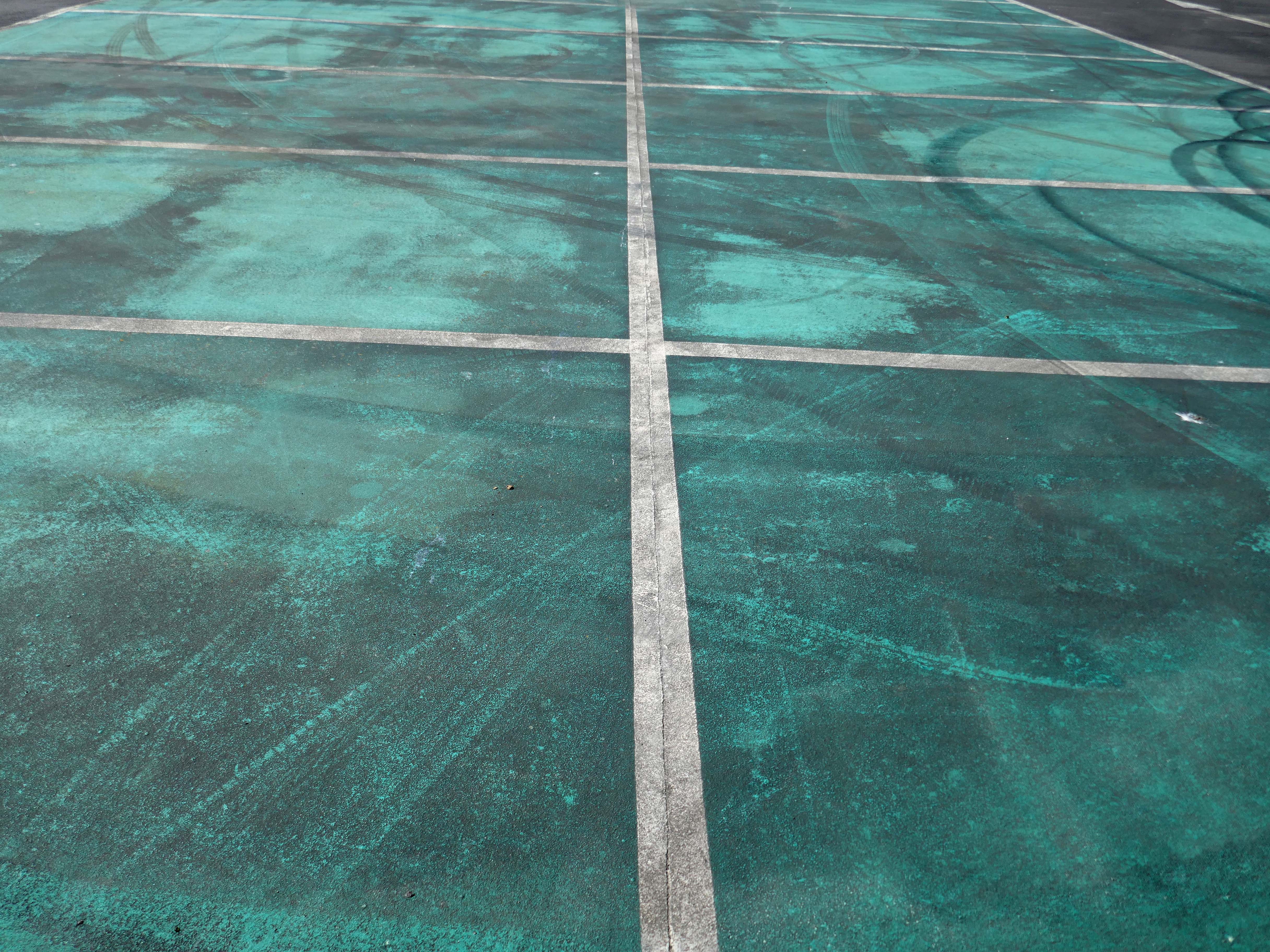
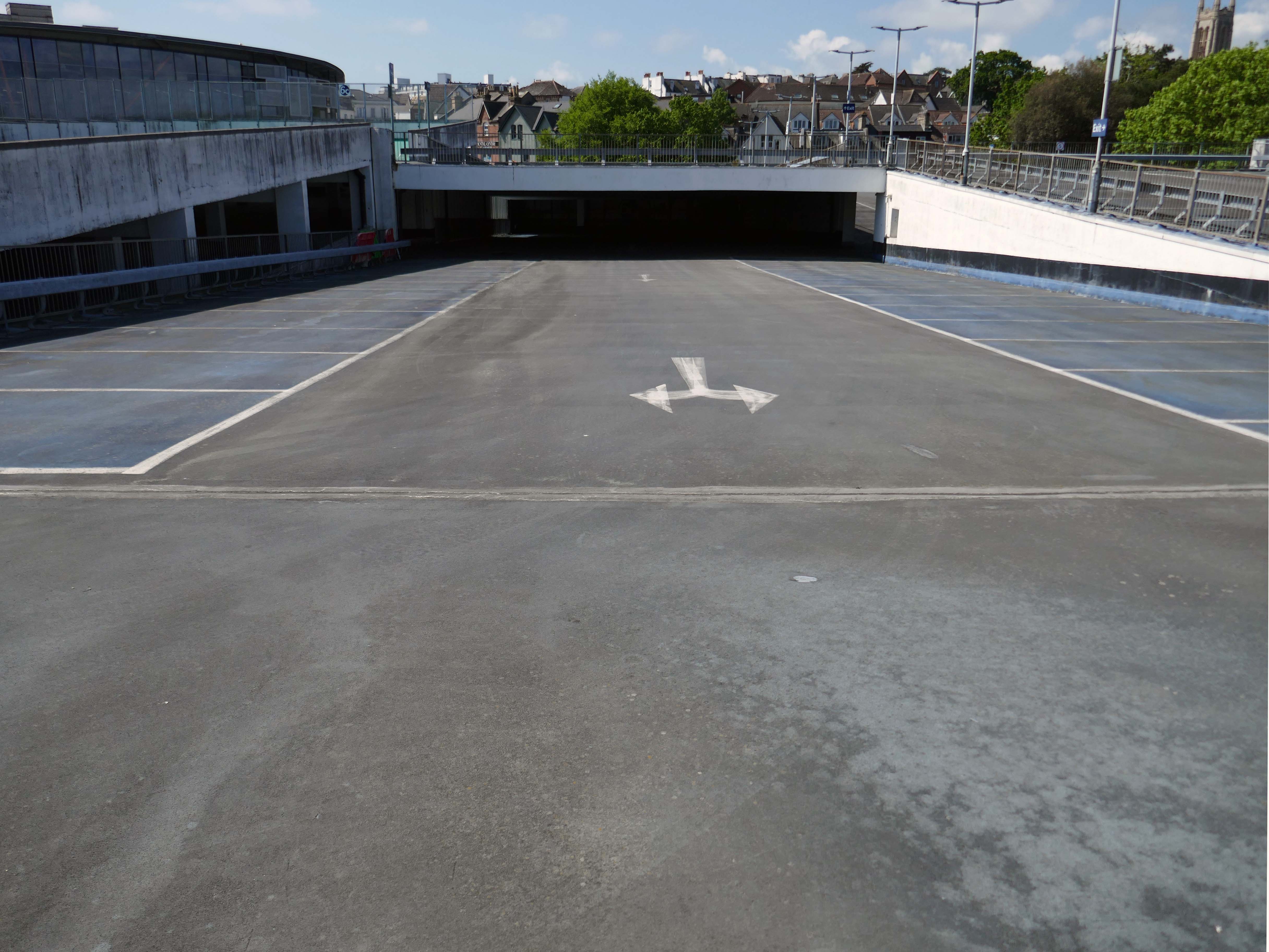
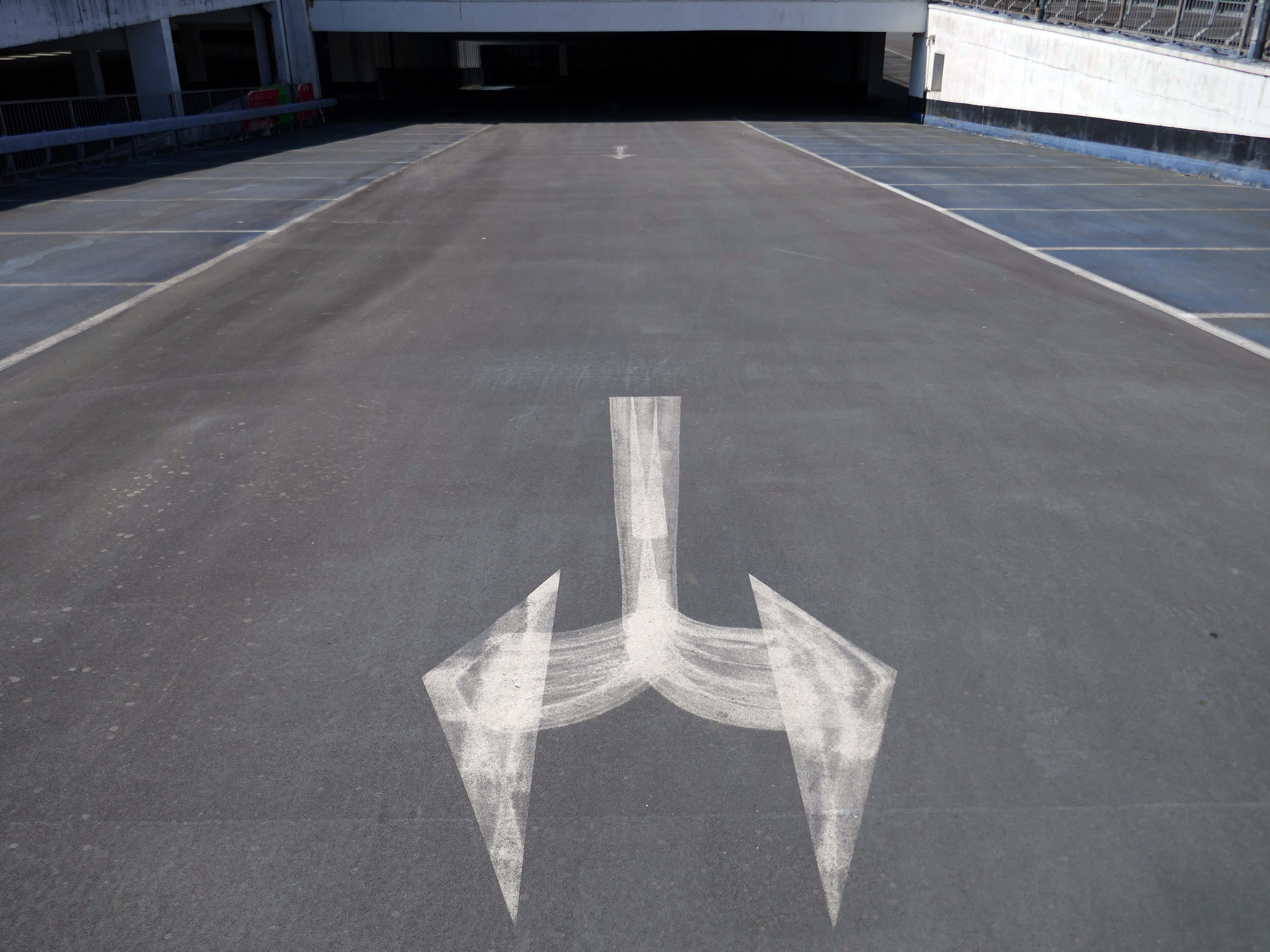
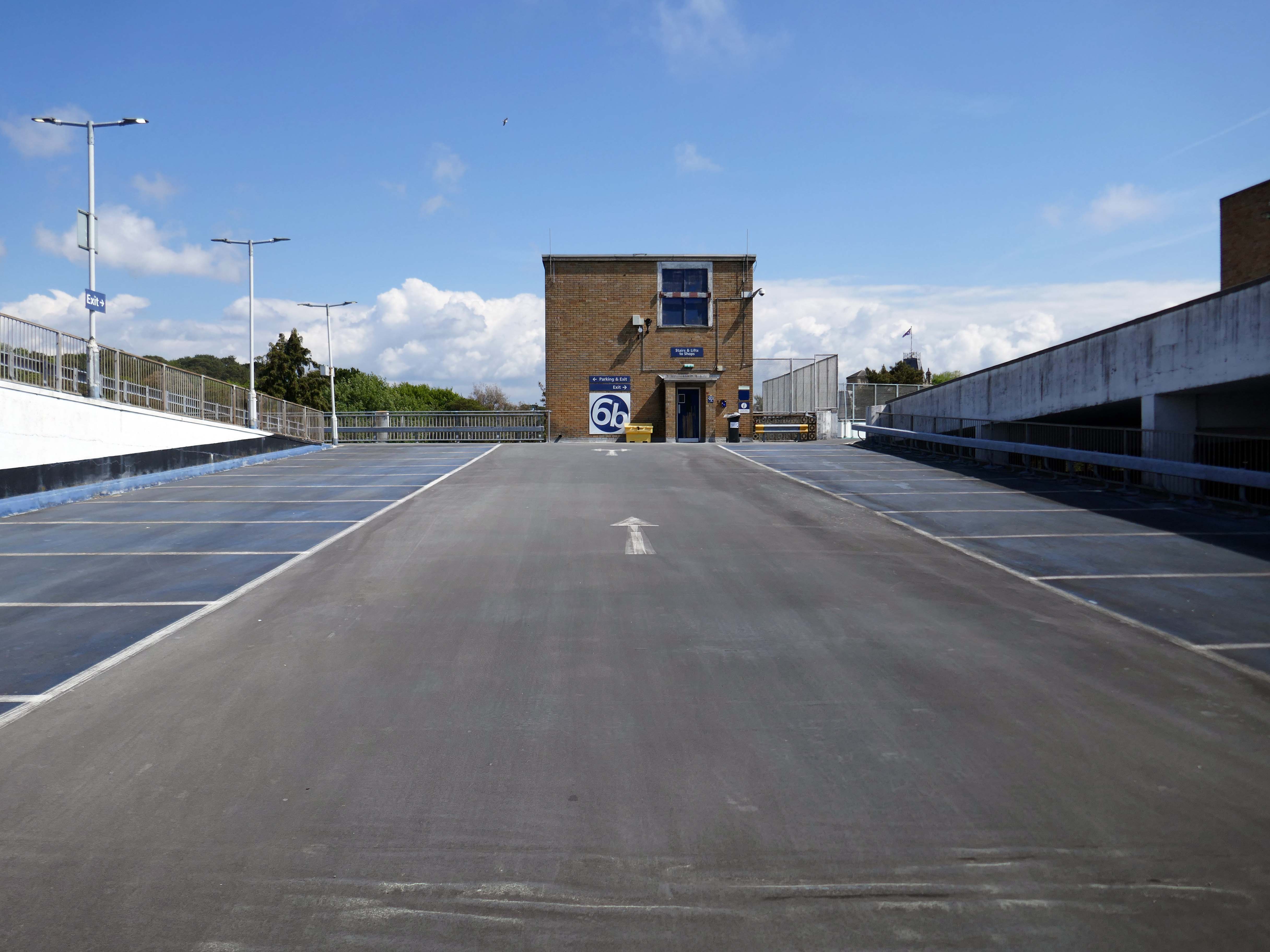
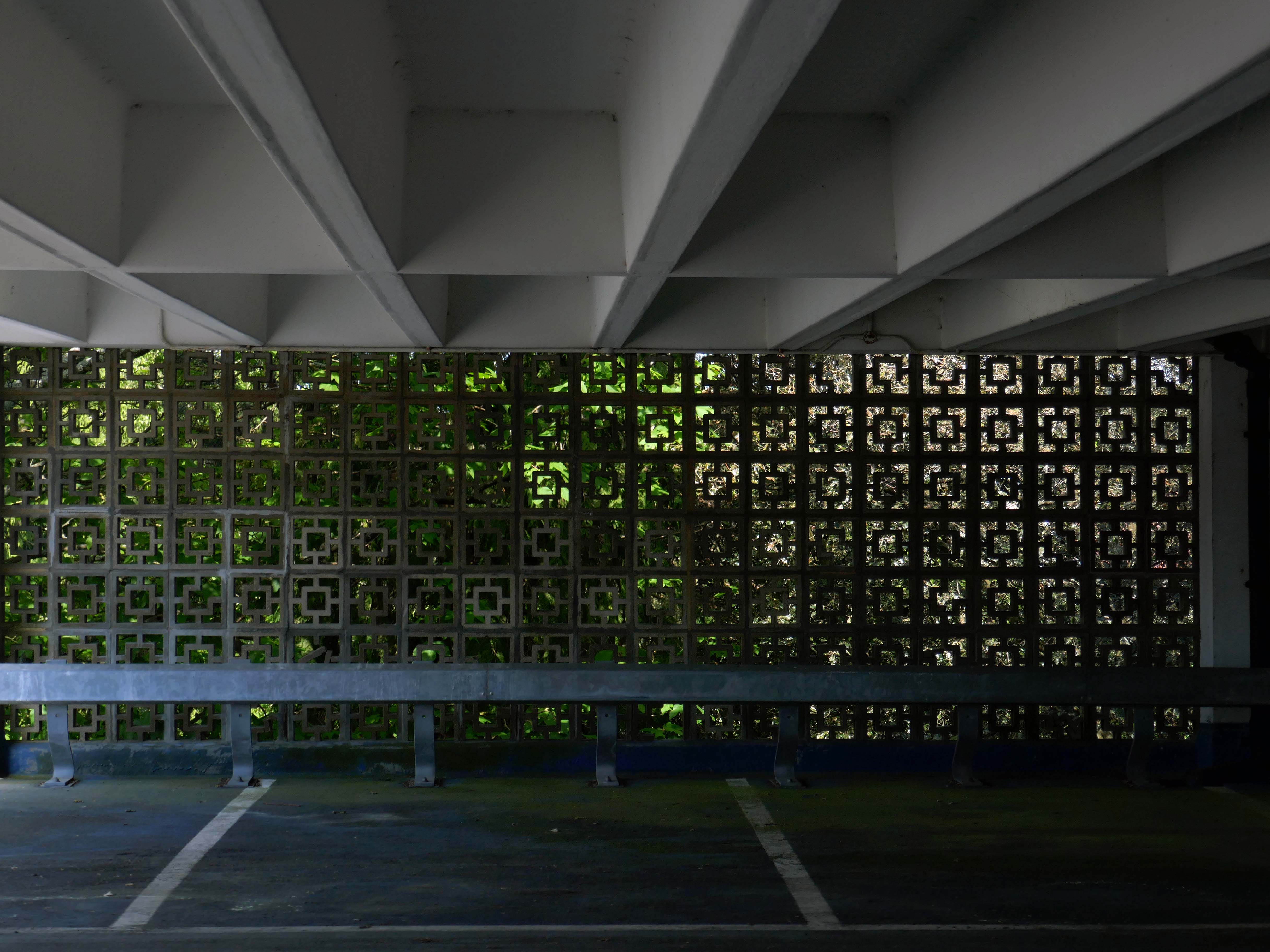
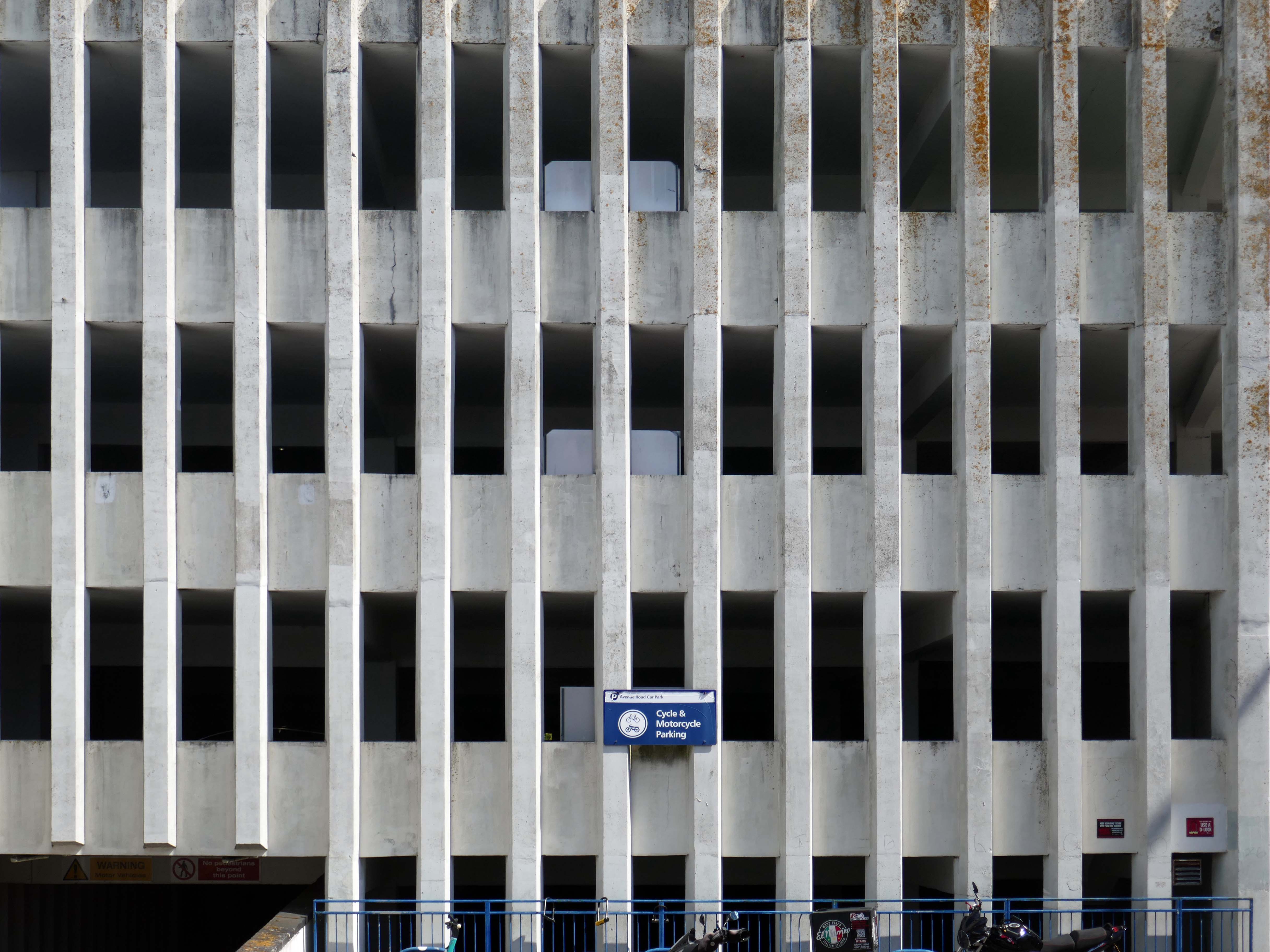
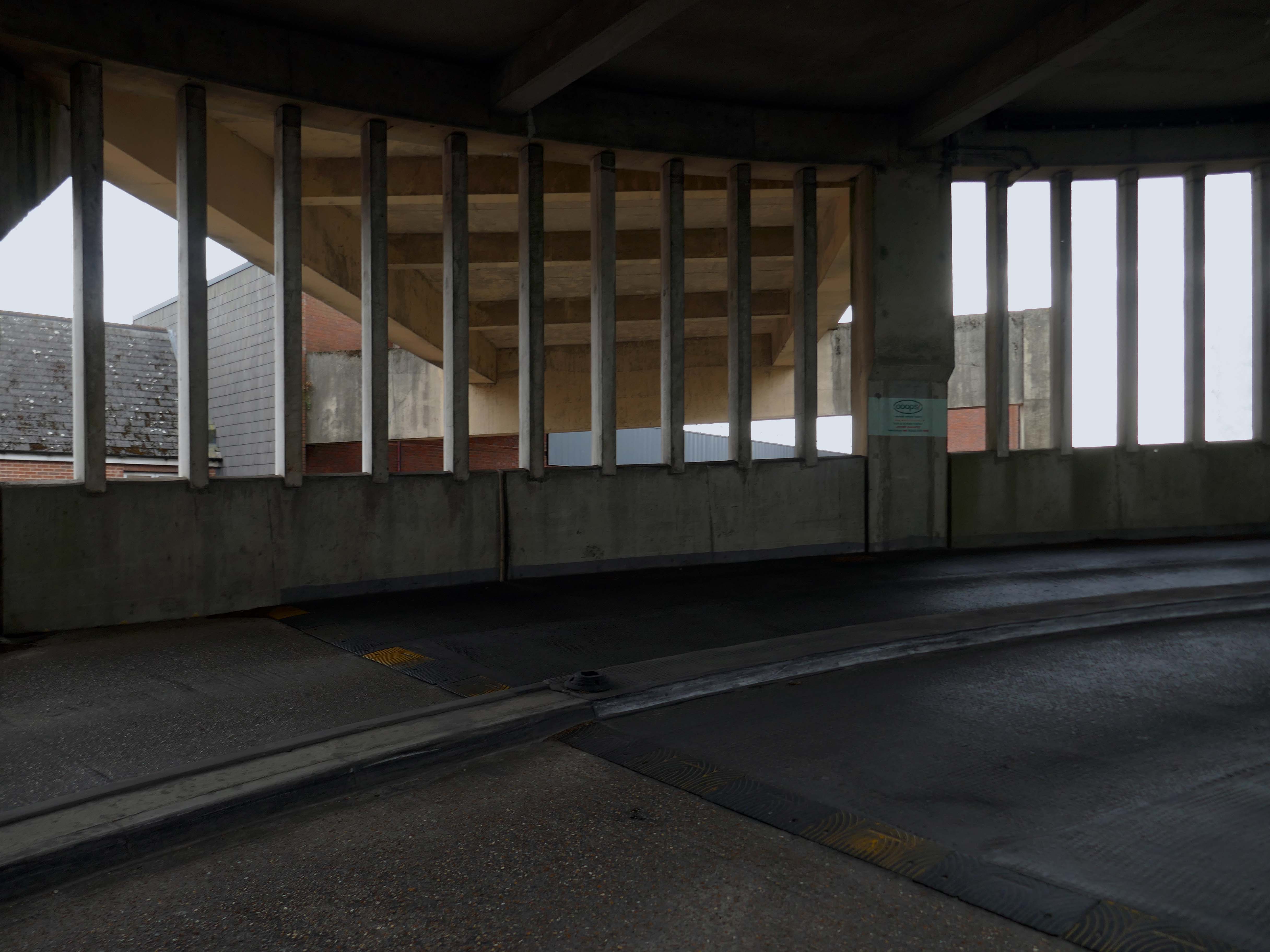
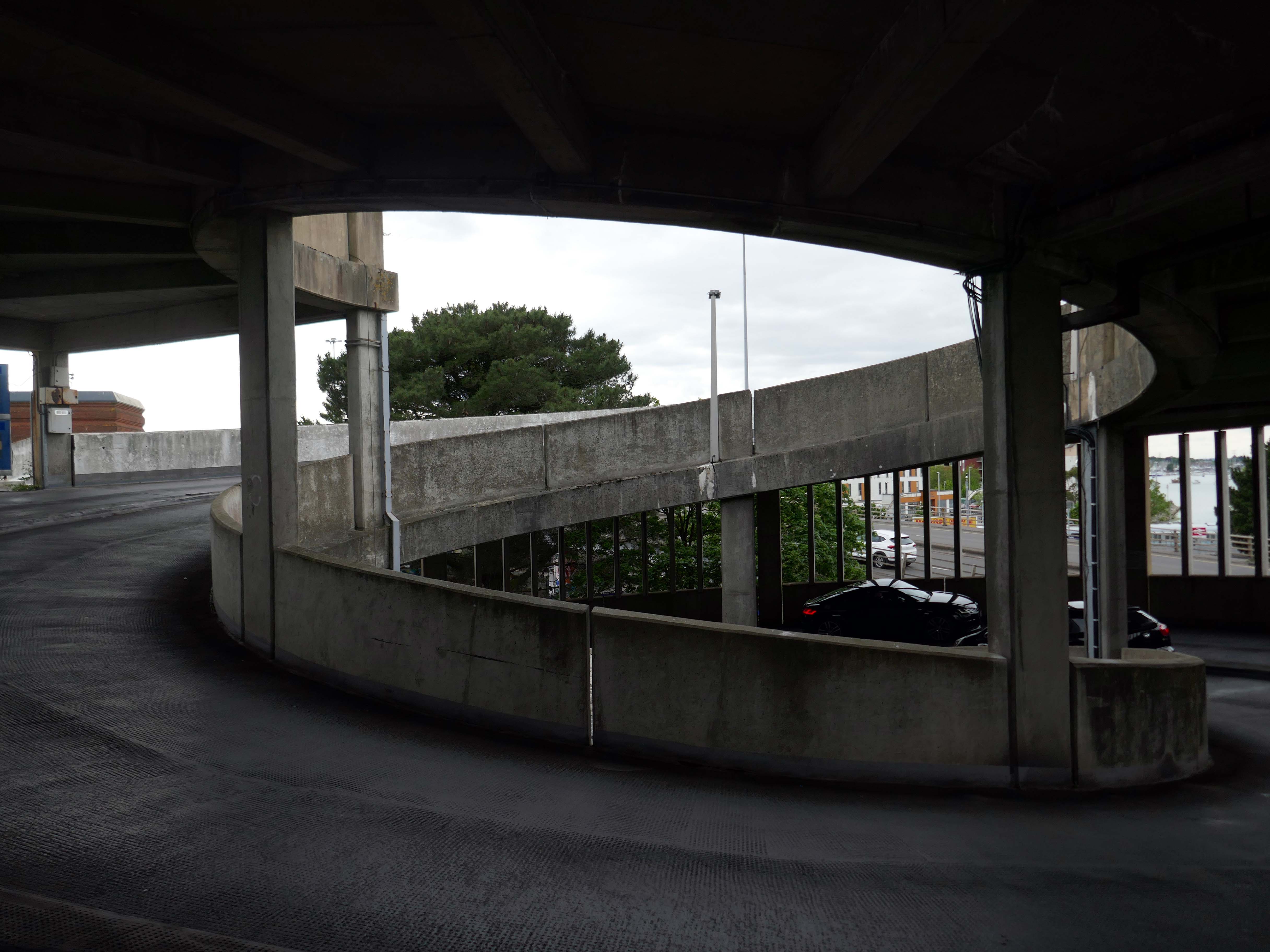
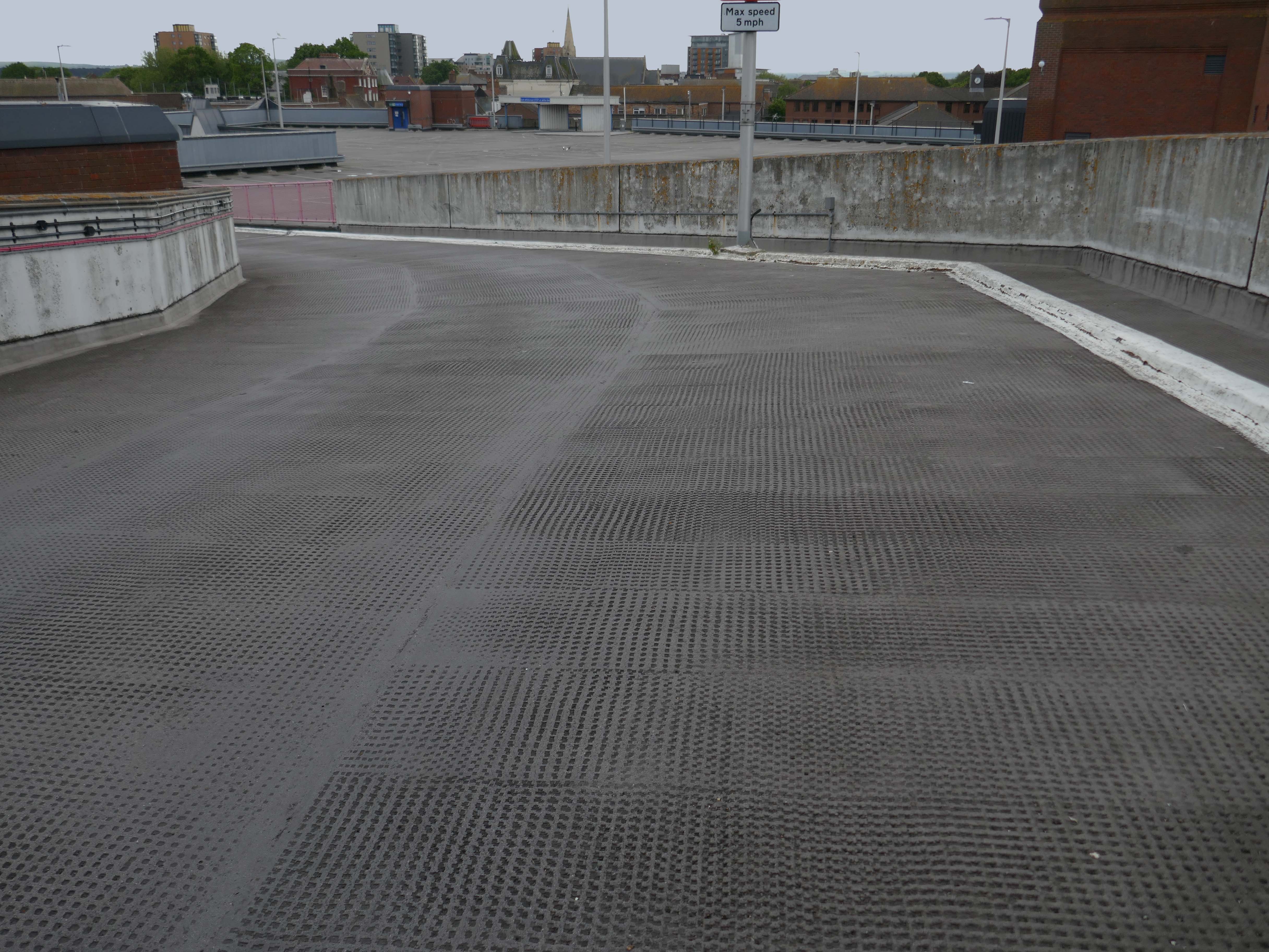
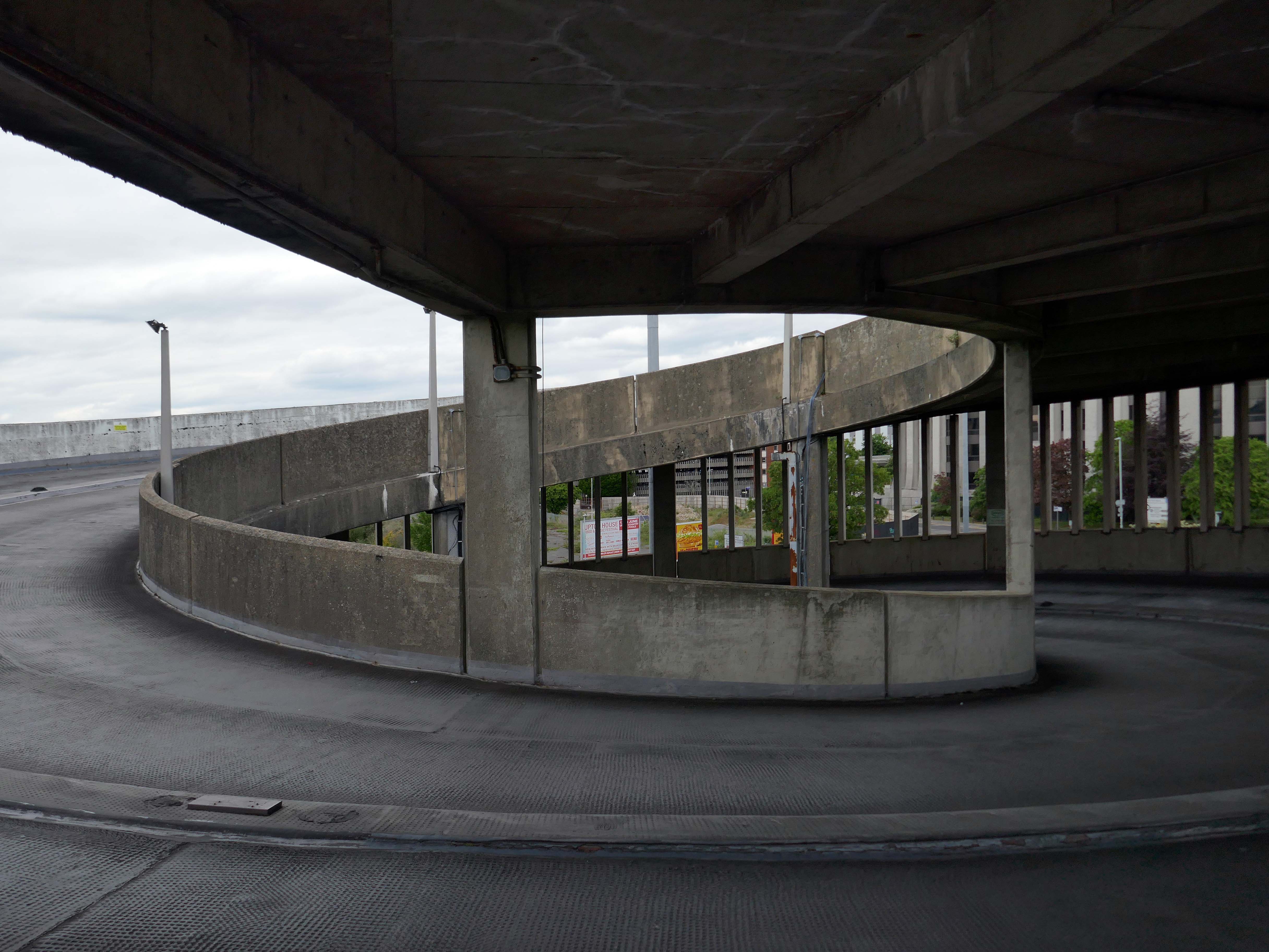
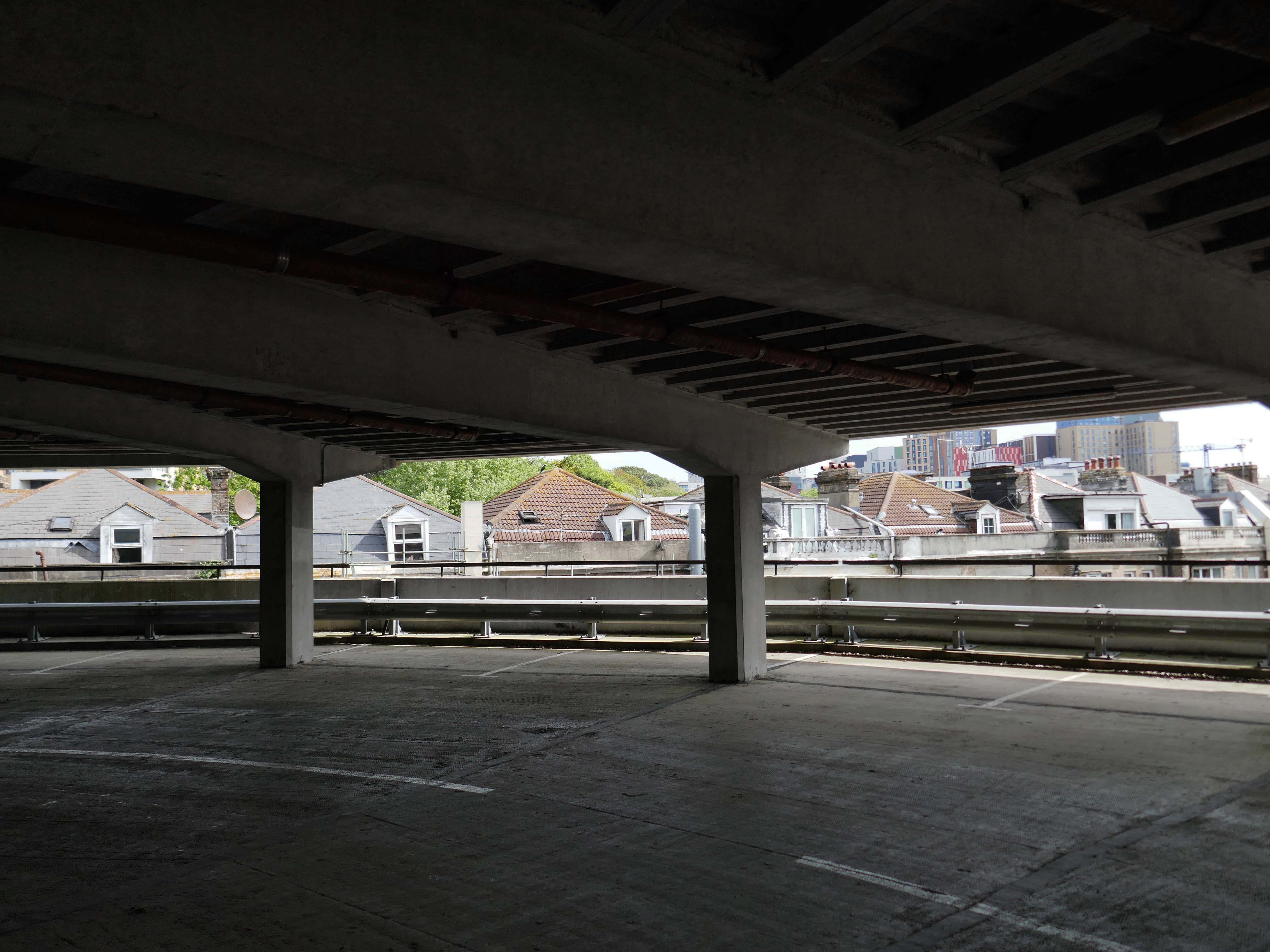
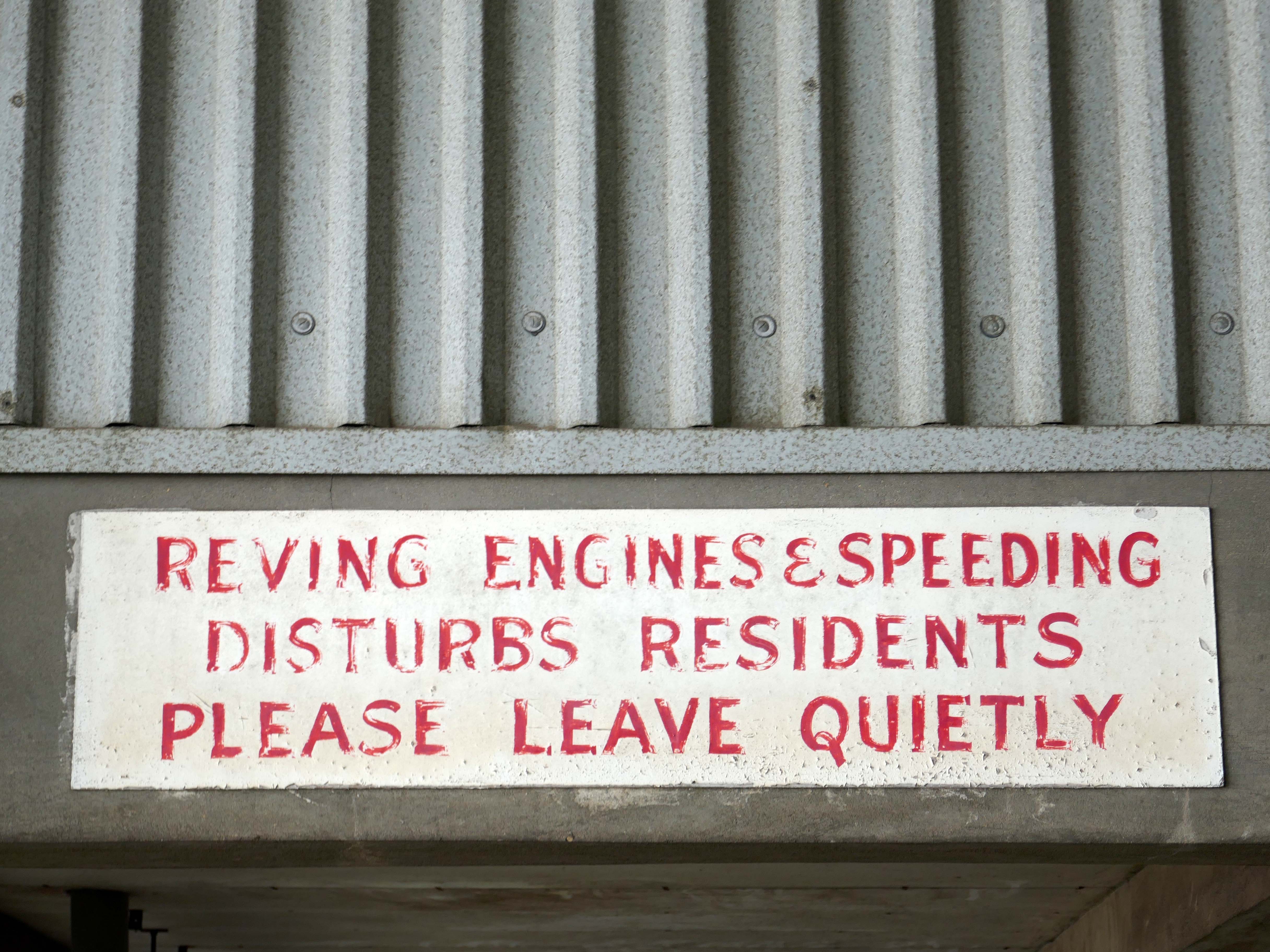
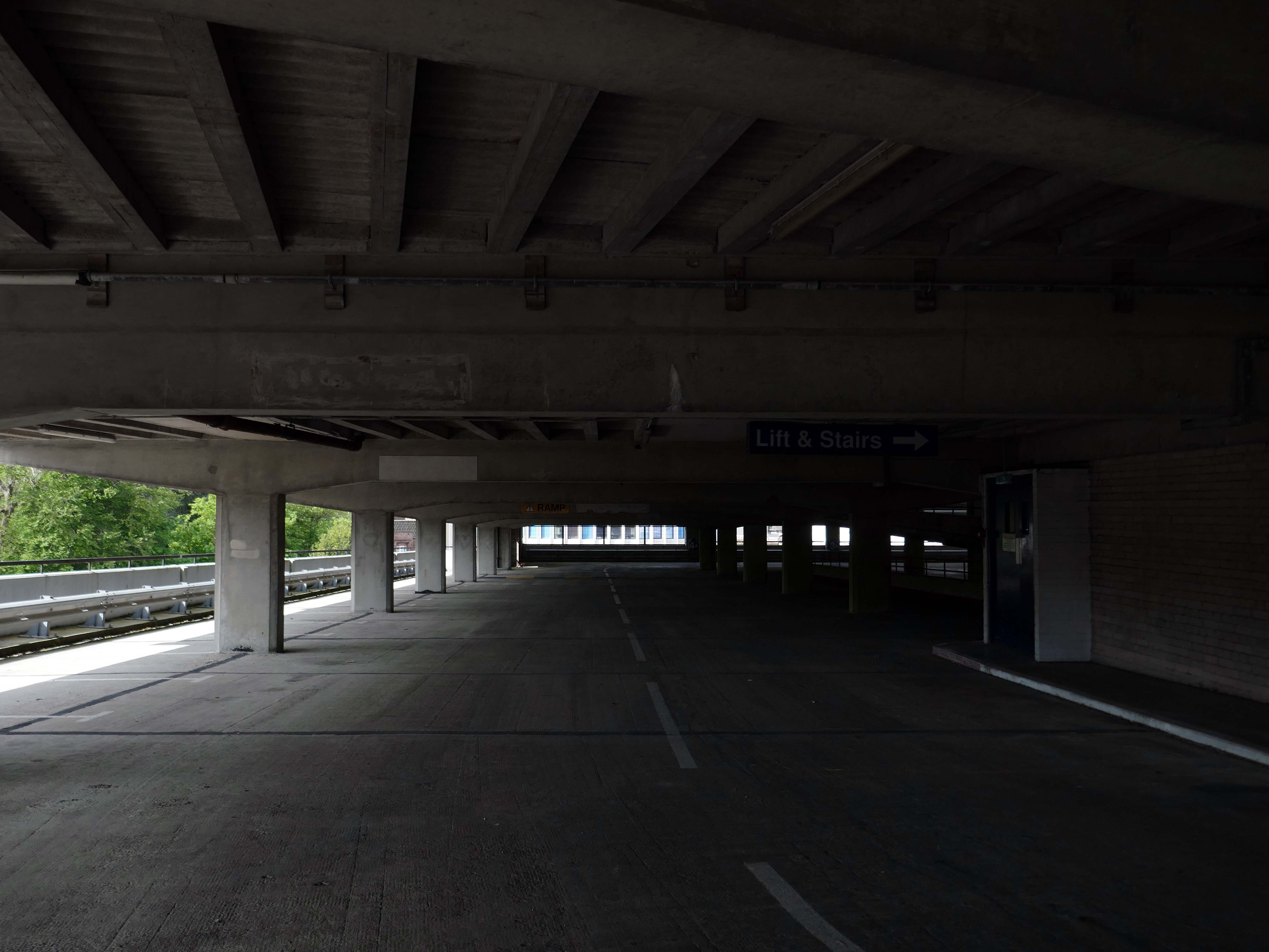
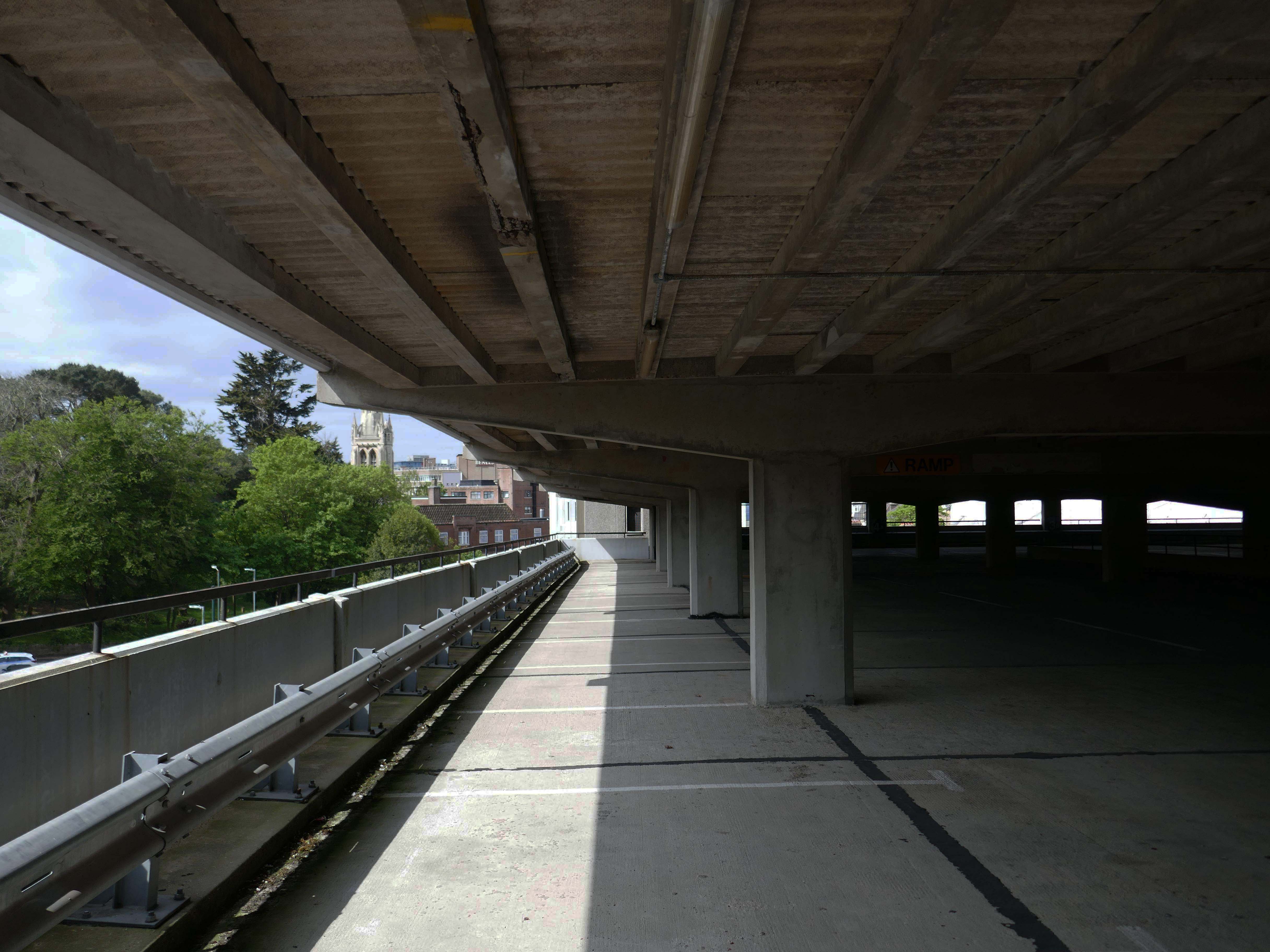
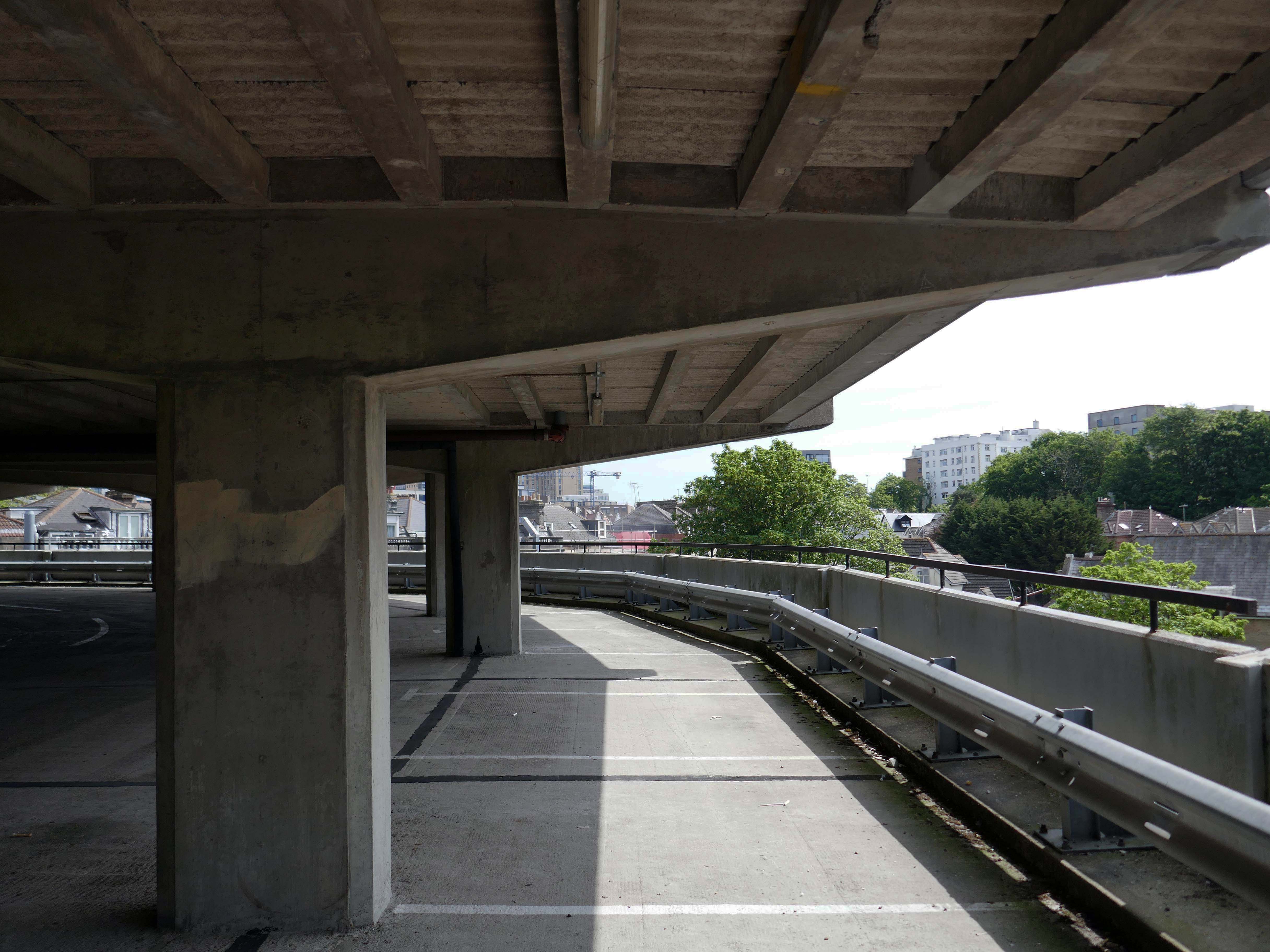
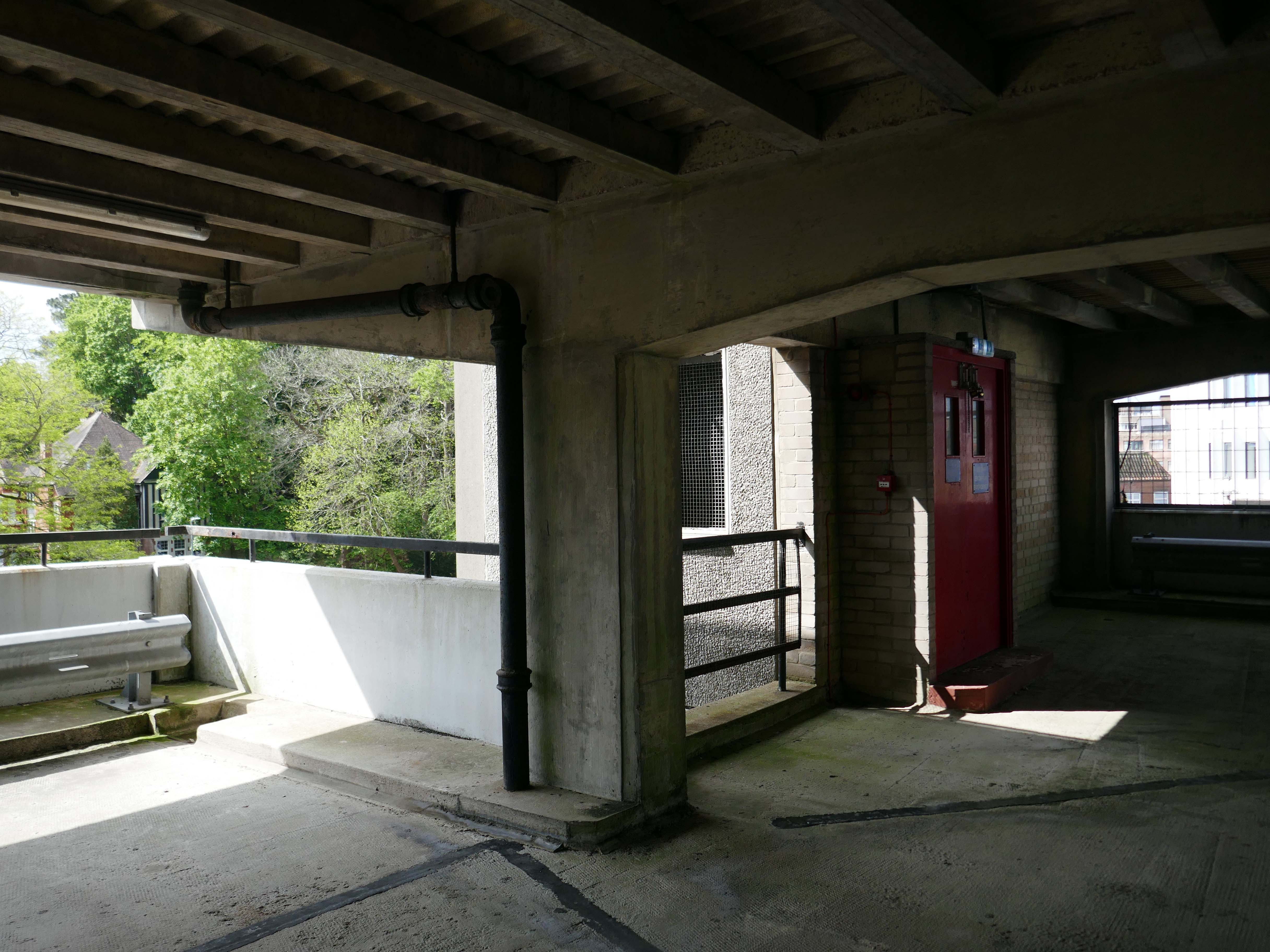
After twenty years, the waterproofing on the top deck of the busy Avenue Road council car park in Bournemouth was failing. Water was penetrating the structure and dripping onto users’ cars on the lower levels and also into a tenant’s offices situated below. More importantly, this was affecting the structural integrity of the car park.
Being close to the sea, the car park is subjected to highly corrosive moisture and salt levels, which if left unprotected could cause long term structural damage. And indeed, further investigation by the contractors Concrete Repairs Ltd. and Triflex’s Technical Team revealed that part of the concrete substrate was cracking and failing causing potential health and safety issues.
As a result, the council needed to refurbish the car park and have a reliable waterproofing solution that would extend the car park’s service life. In addition, this work needed to be finished before the start of the busy summer tourist period.
Concrete Repairs Ltd. and the Triflex Technical Team visited the site to complete an extensive site survey. Testing was also conducted to determine the suitability and compatibility of the substrate and the requirements for its preparation. Triflex DeckFloor was specified for the decks with DeckFloor Ramp System to provide a more aggressive aggregate was to the ramps and inclined areas of the car park. The ramp system incorporates emery aggregate which provides additional traction for those harder wearing areas.
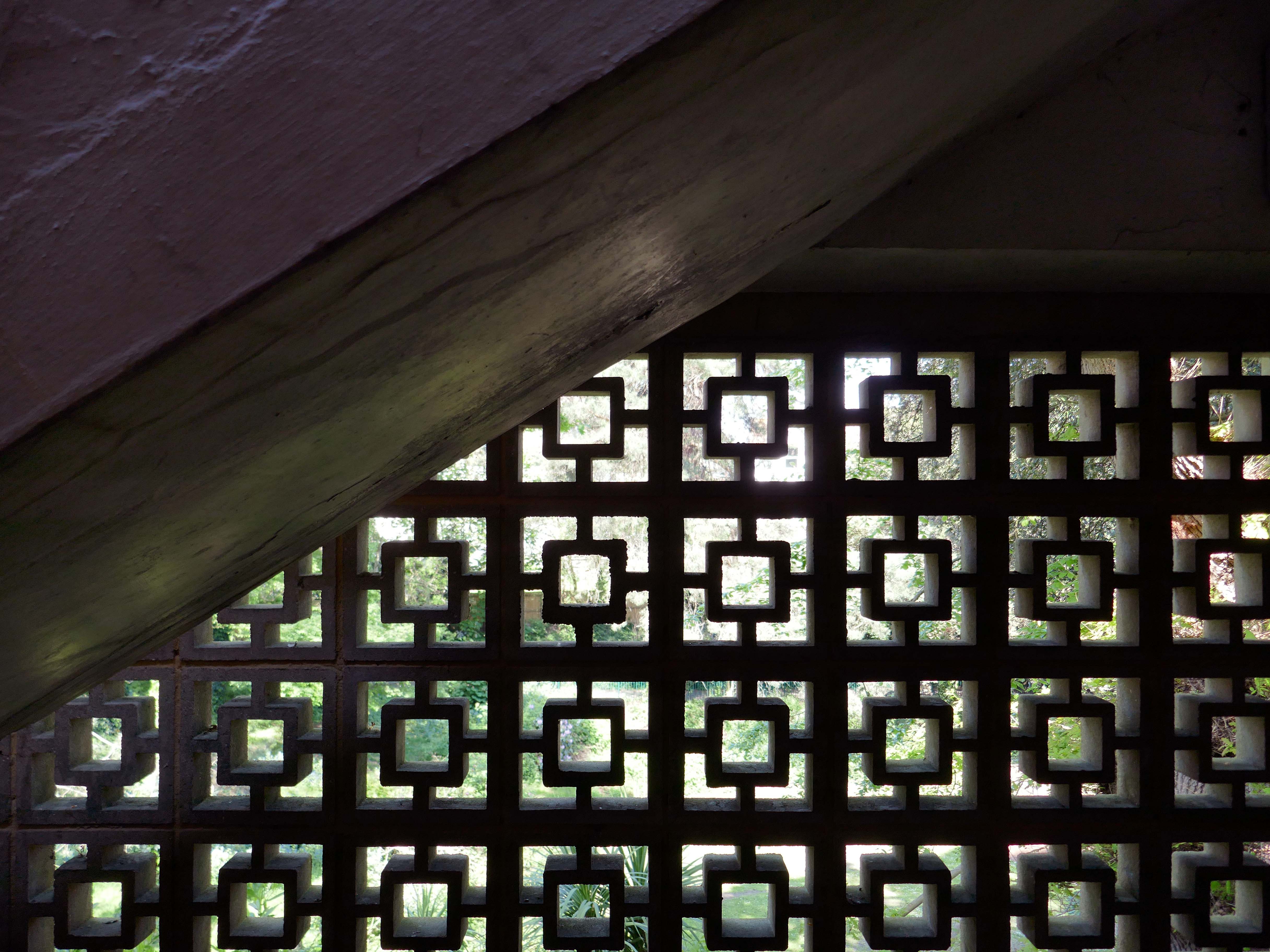
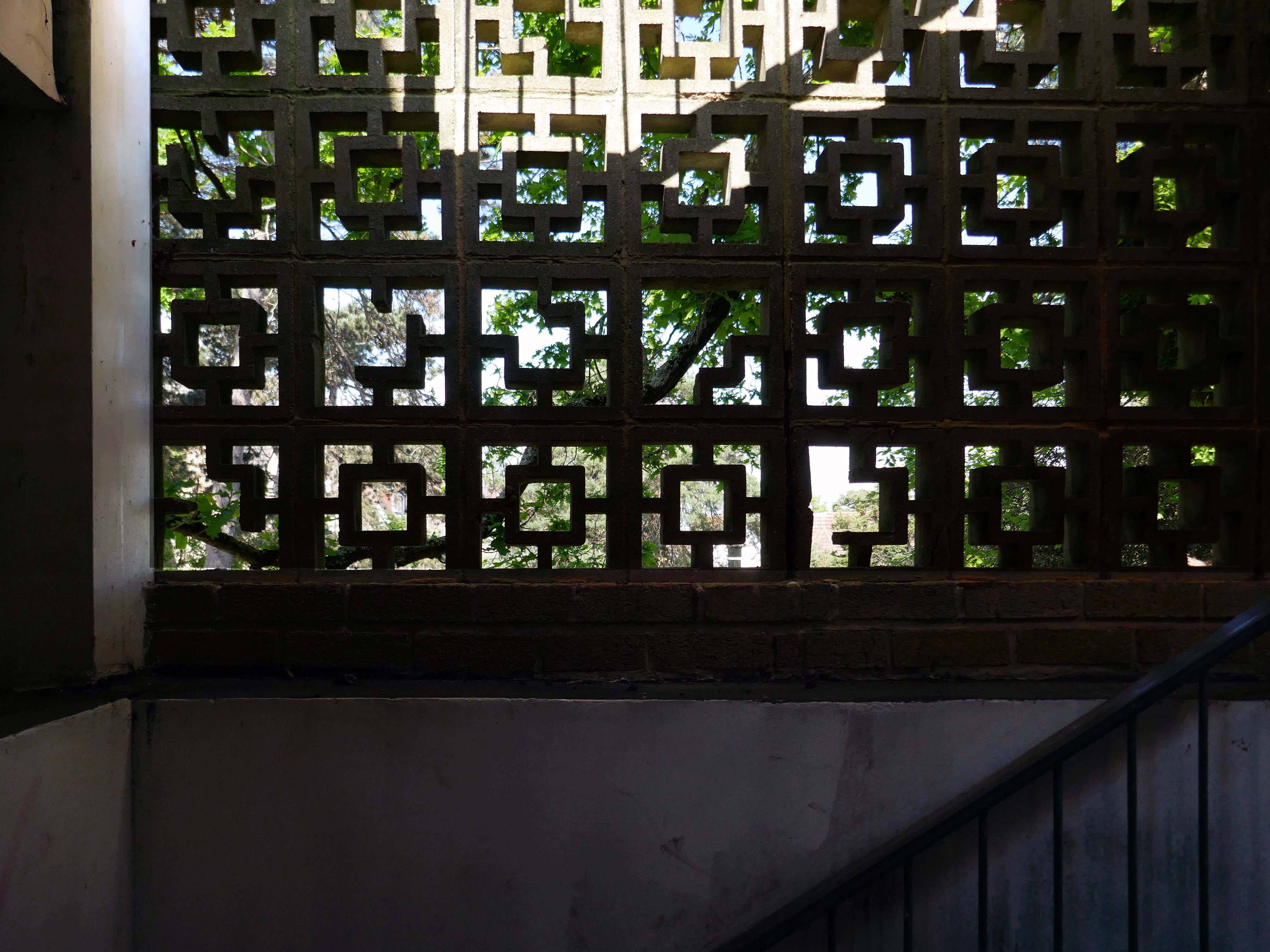
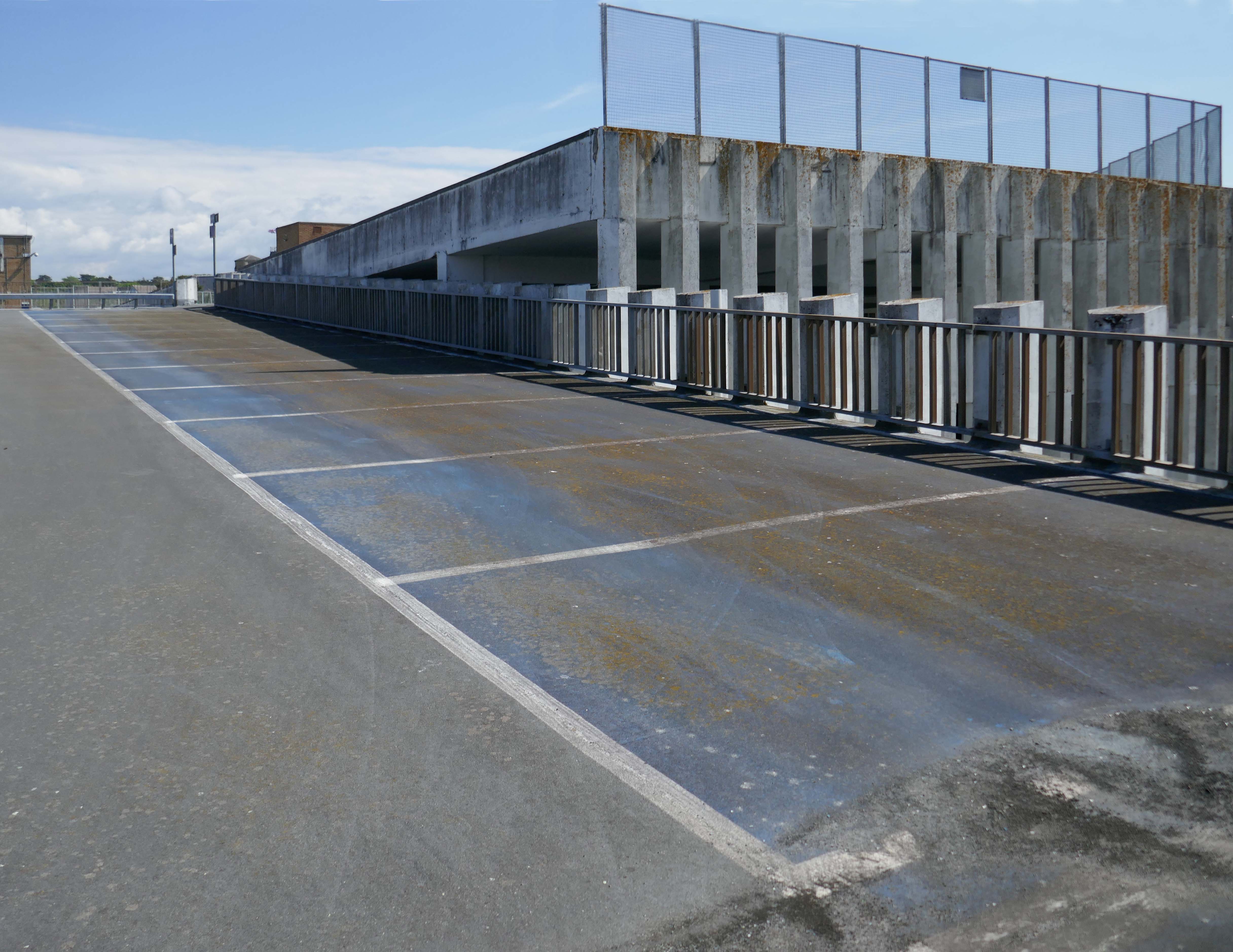
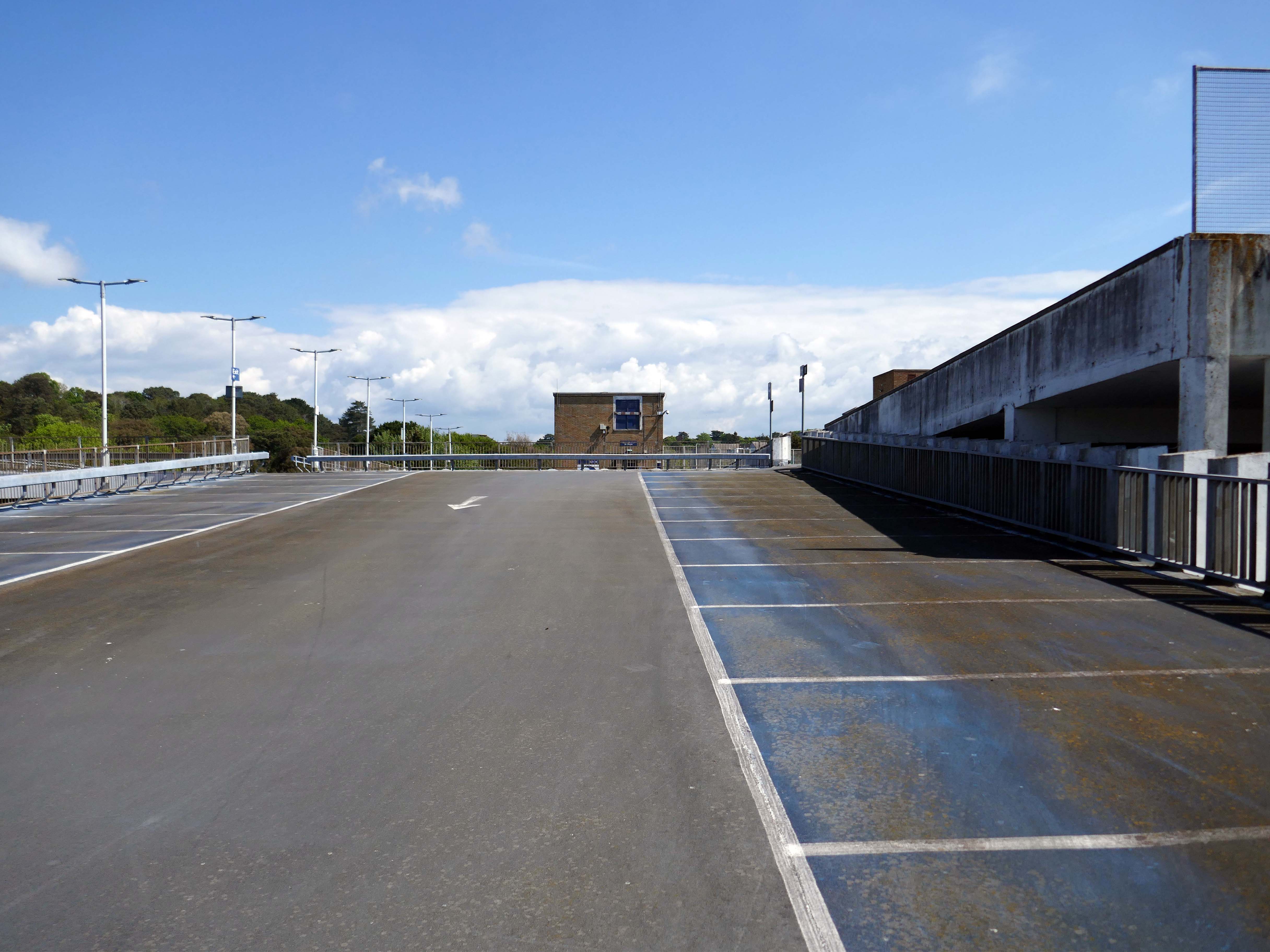
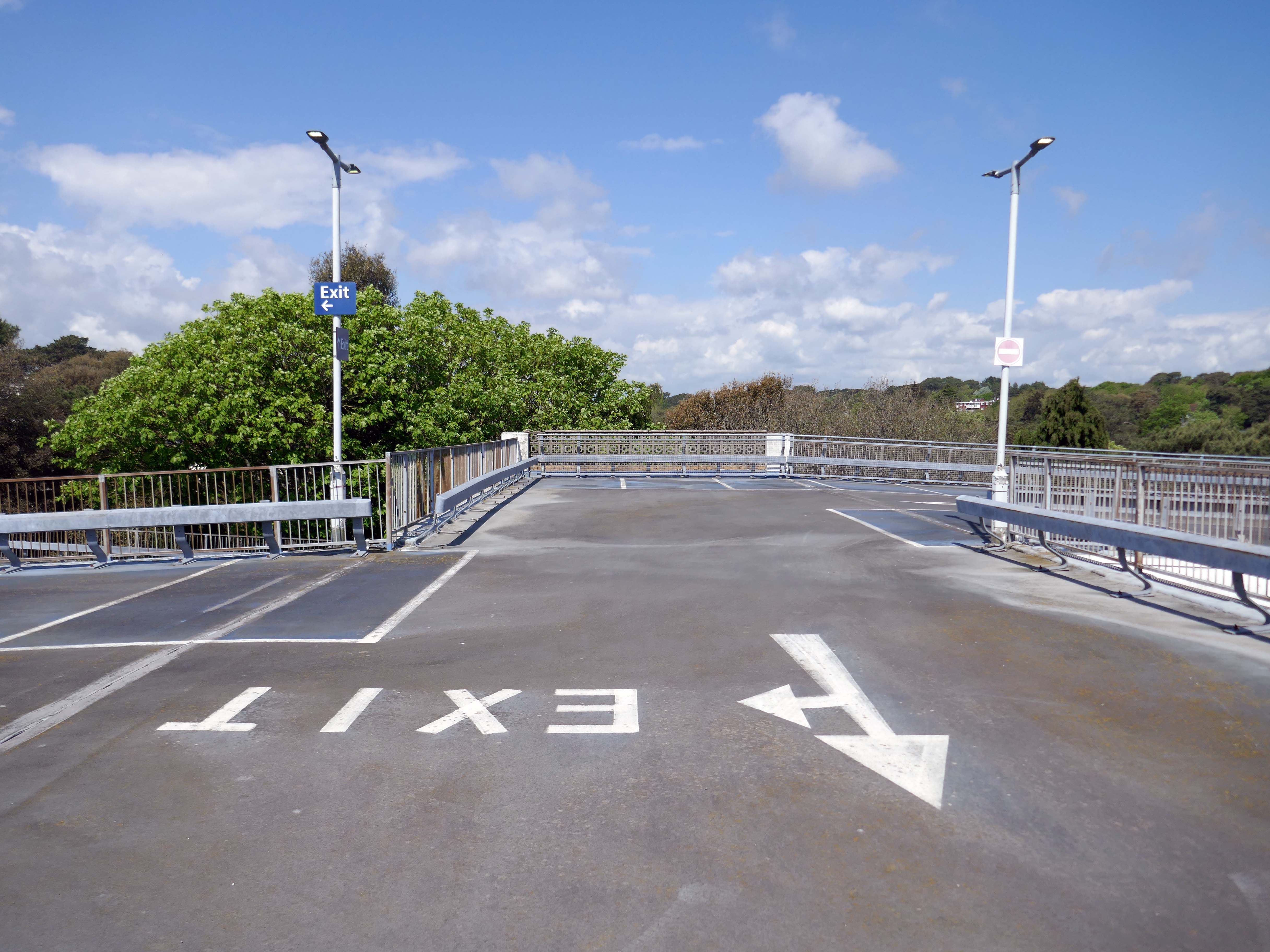
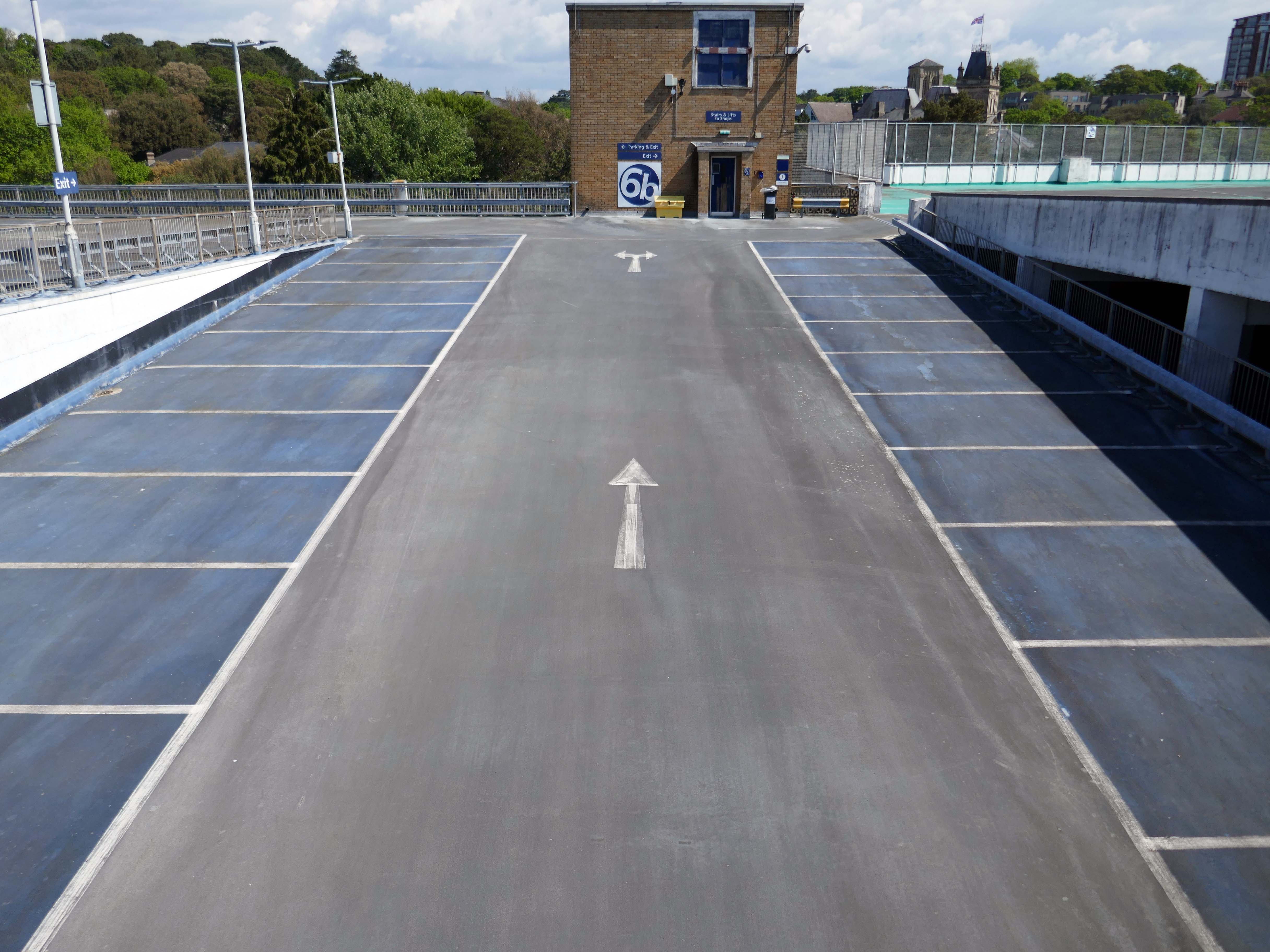
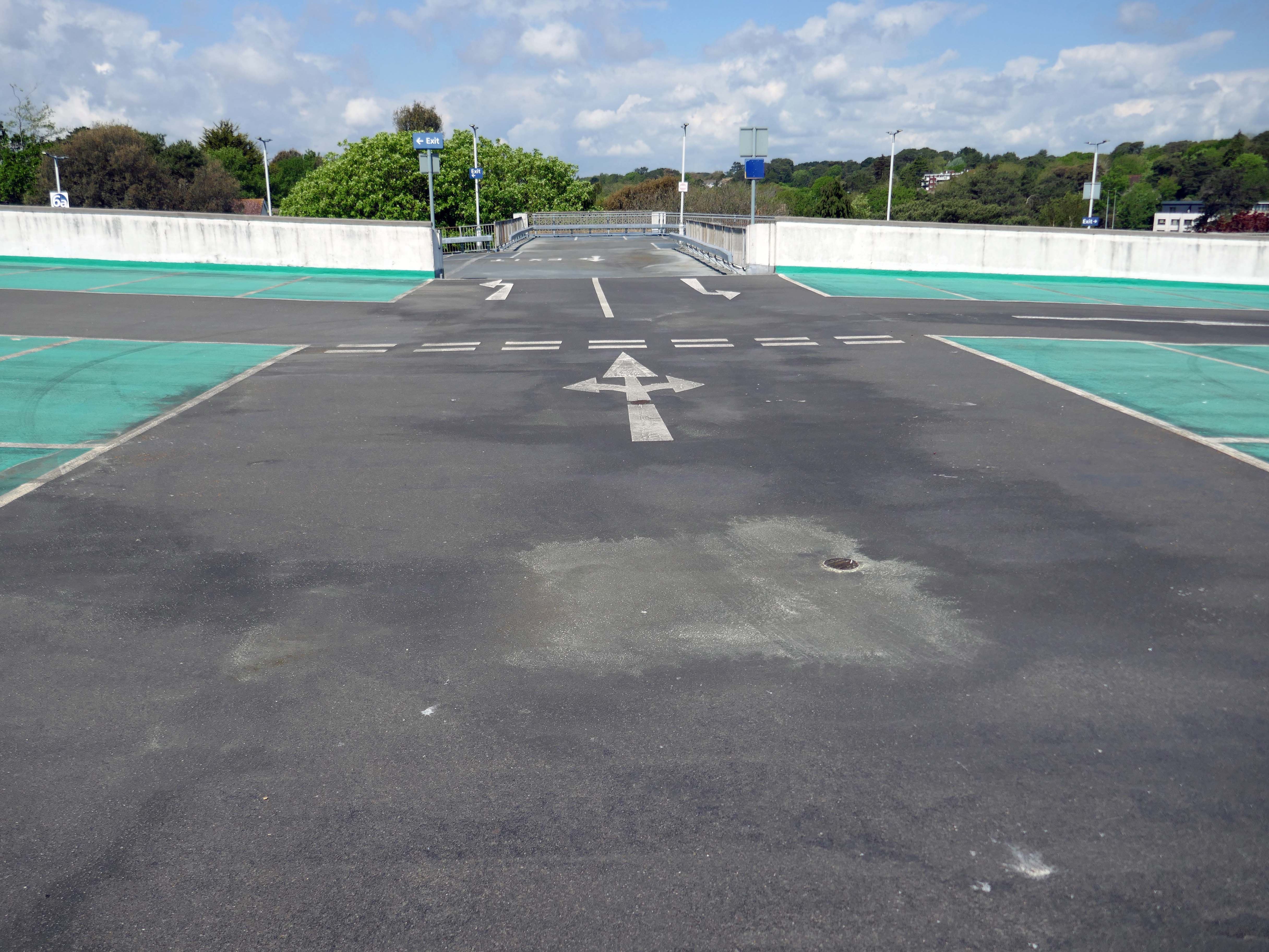
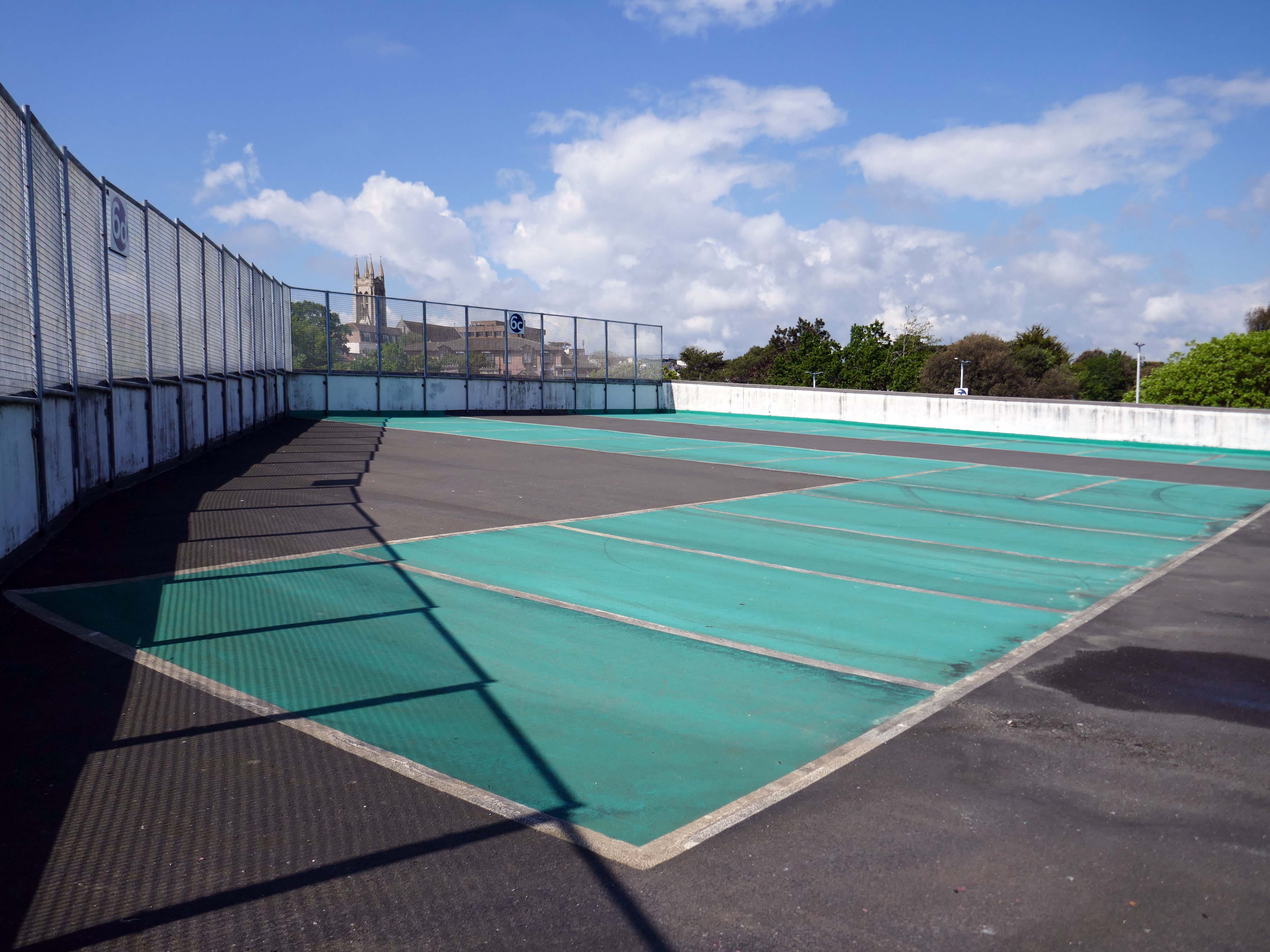
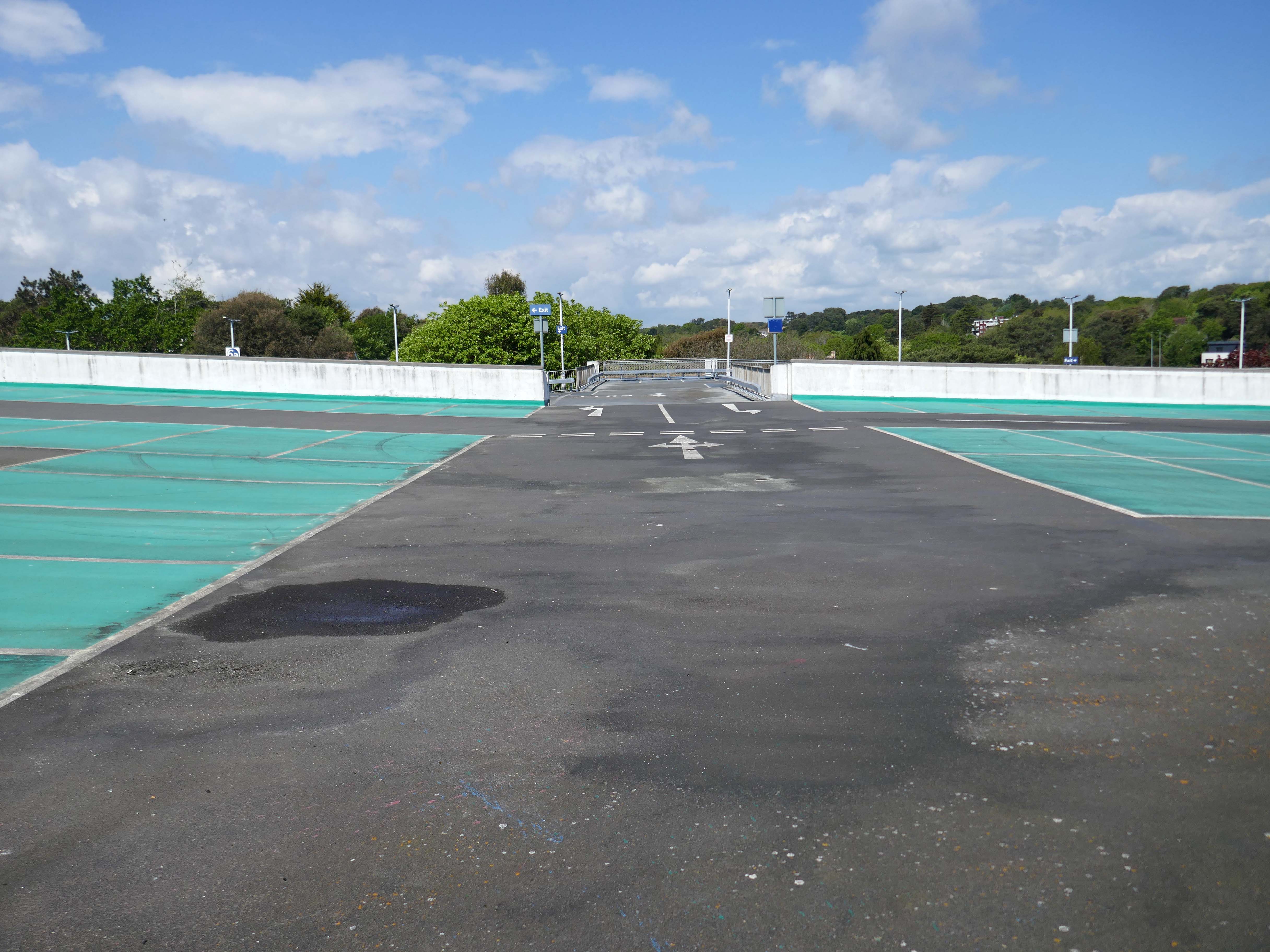
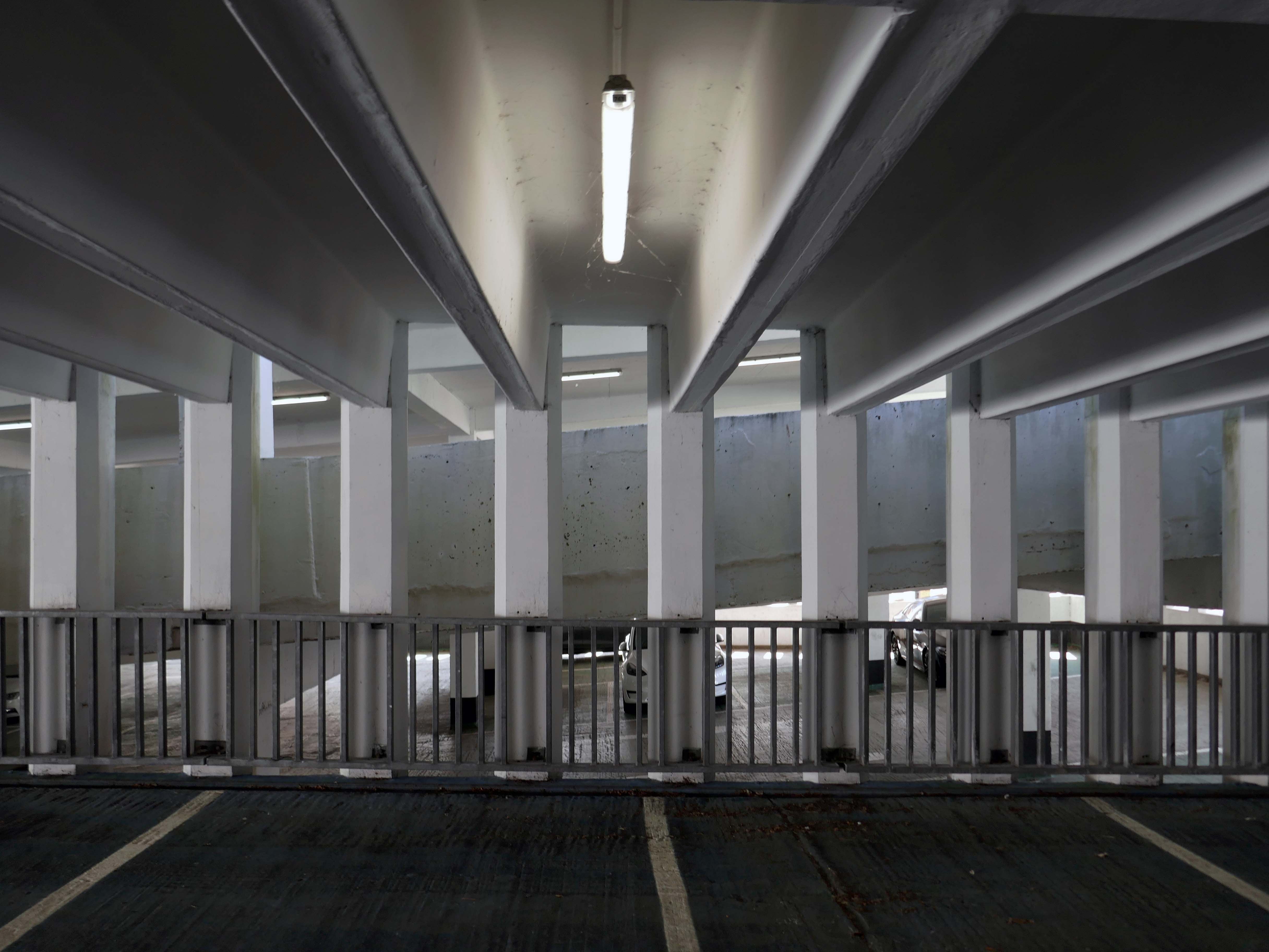
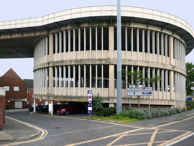
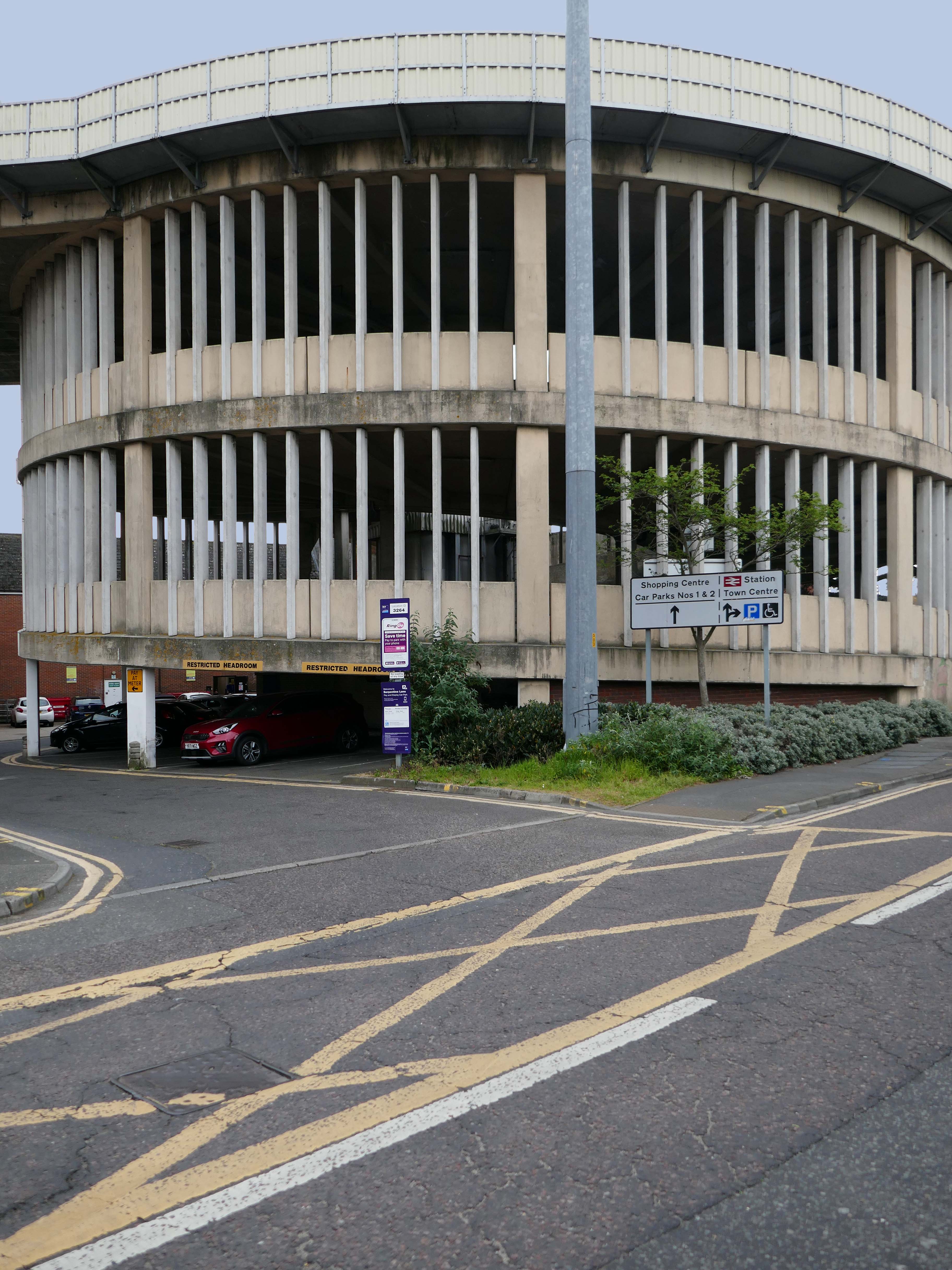
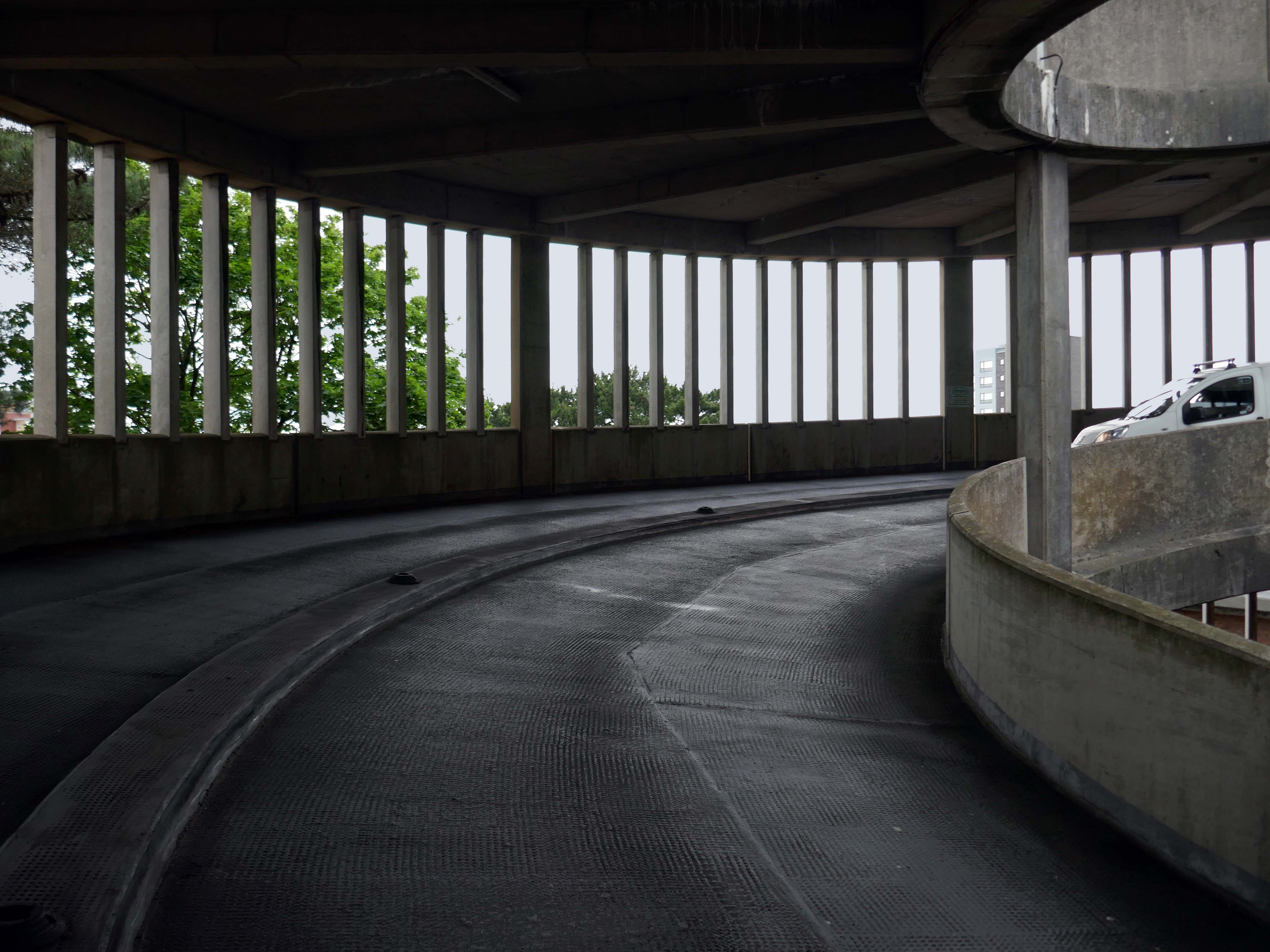
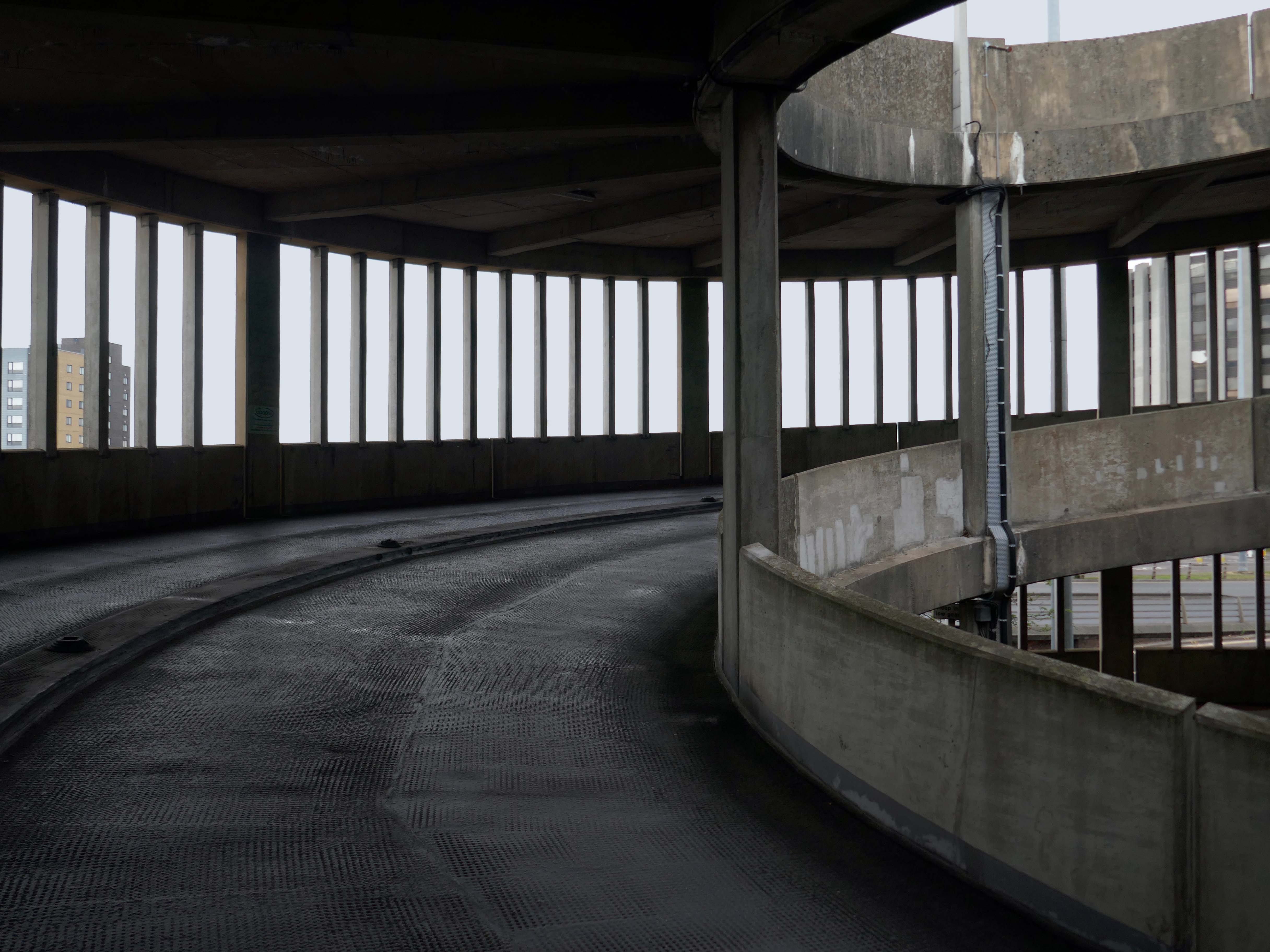
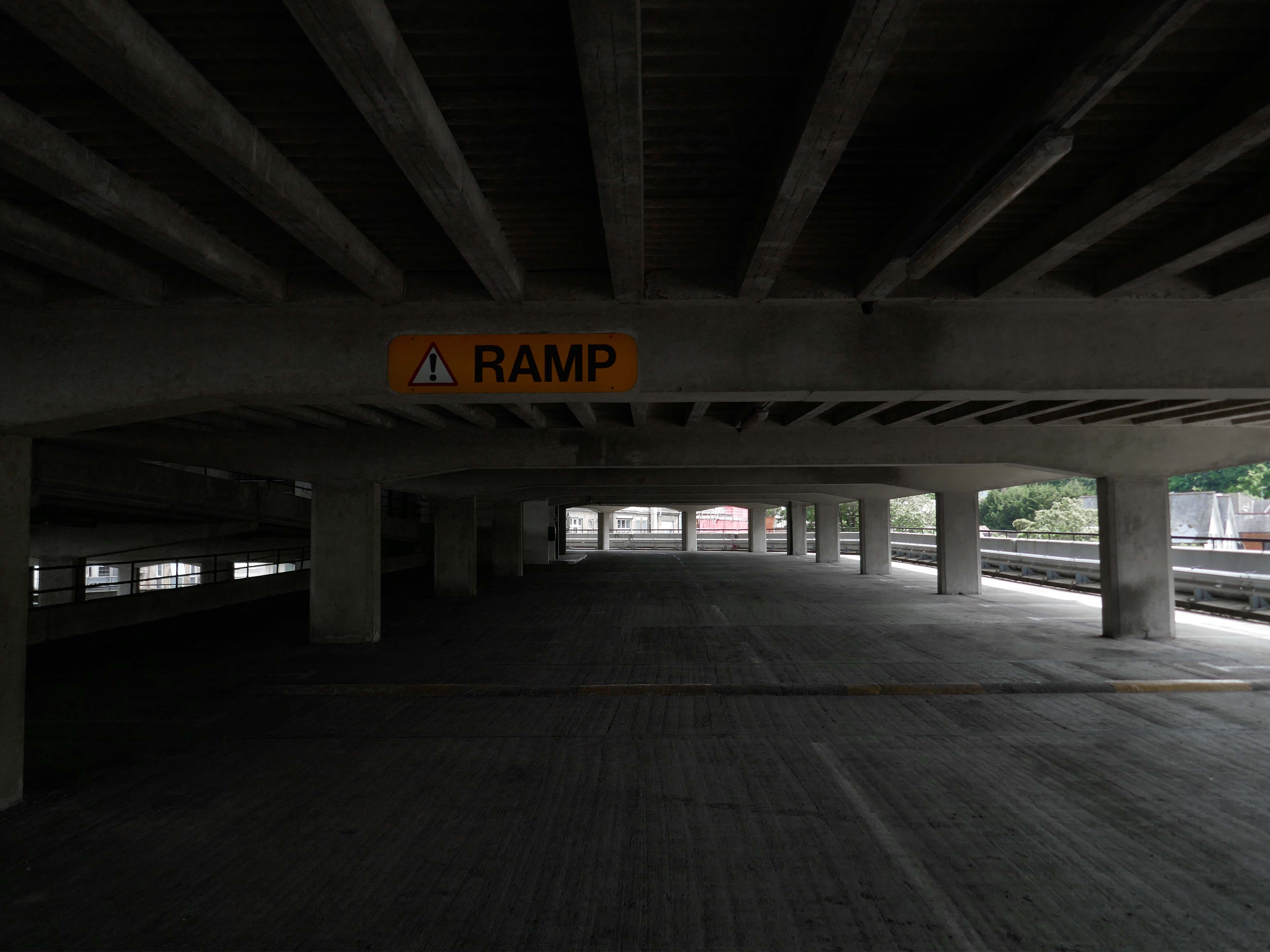
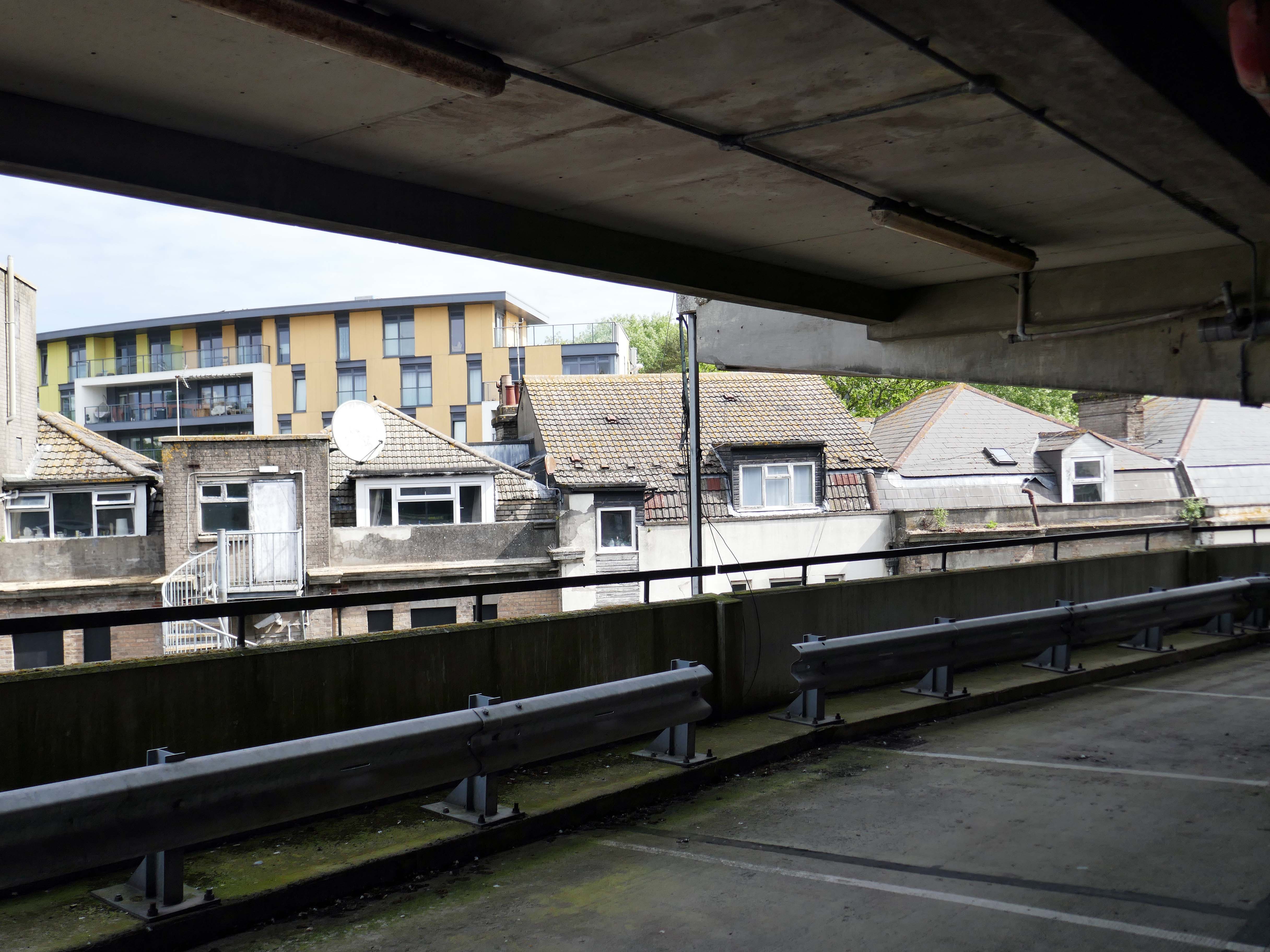
Always a pleasure to walk the spiral ramp of a multi-storey car park, with the extra added pleasure of a passing motorist enquiring after my well being.
“Are You Lost?”
“No I’m taking pictures, but thanks anyway, if I ever am lost I’ll certainly know who to ask.”
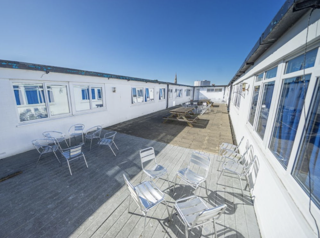
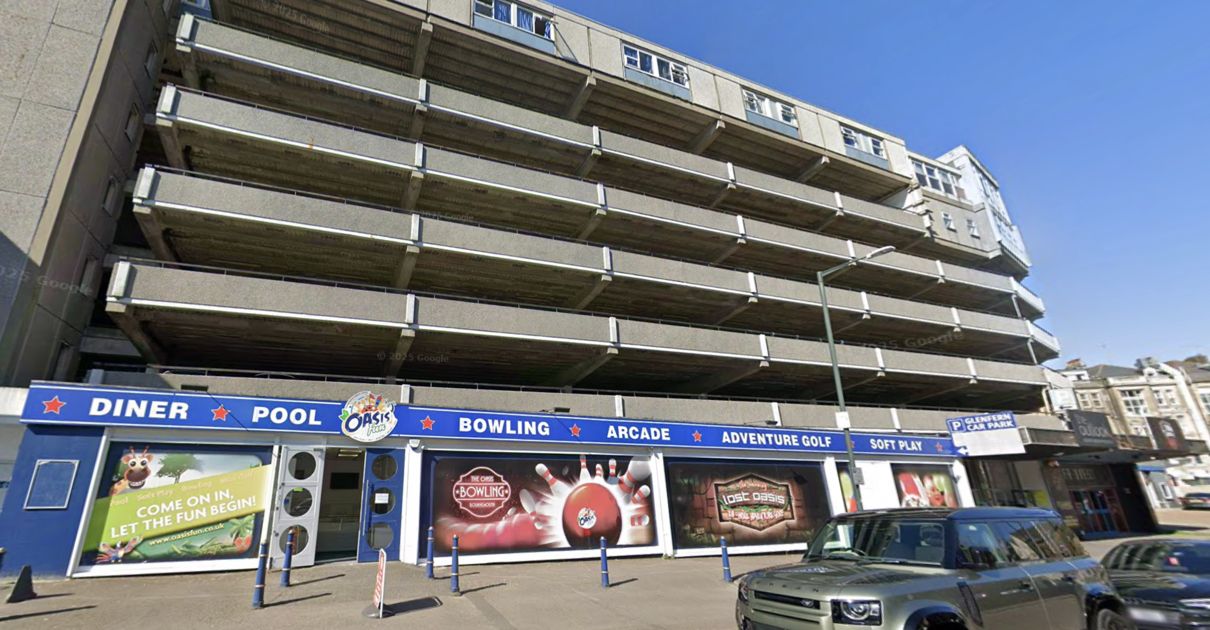
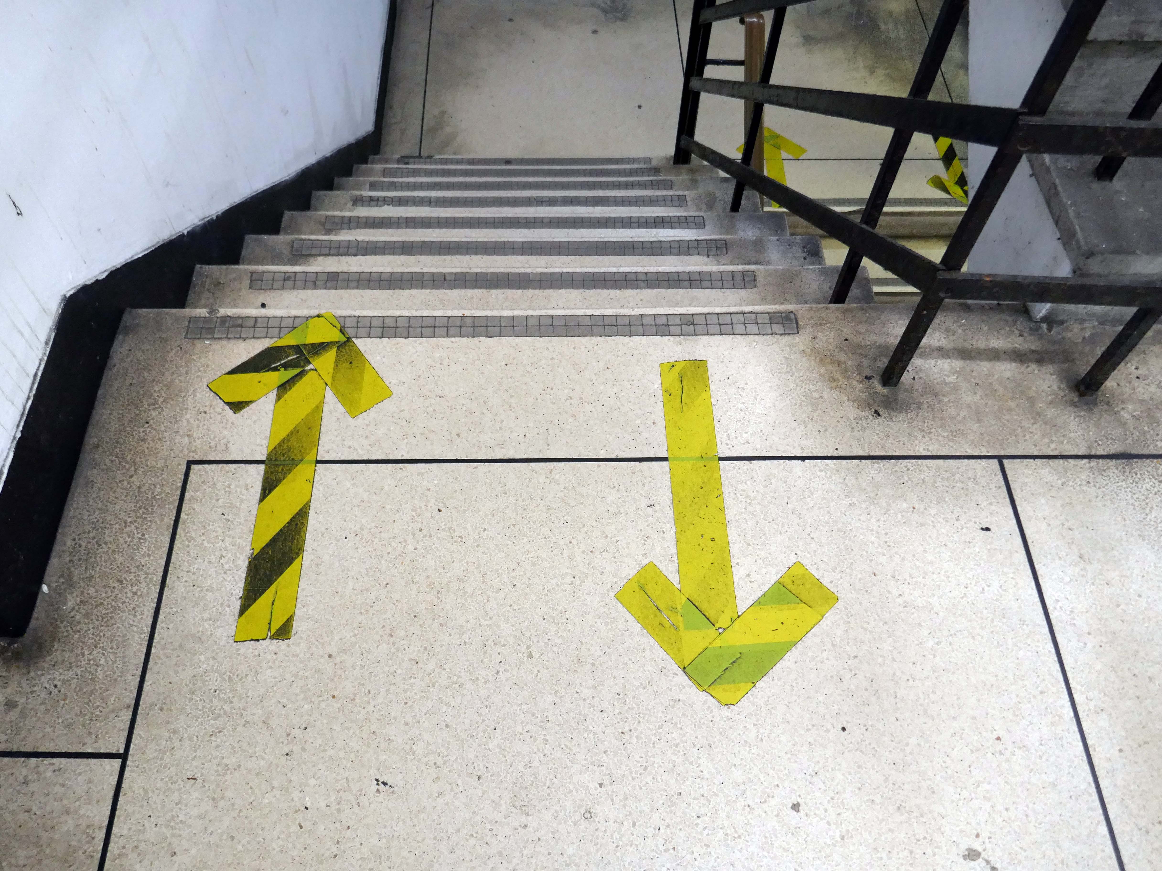
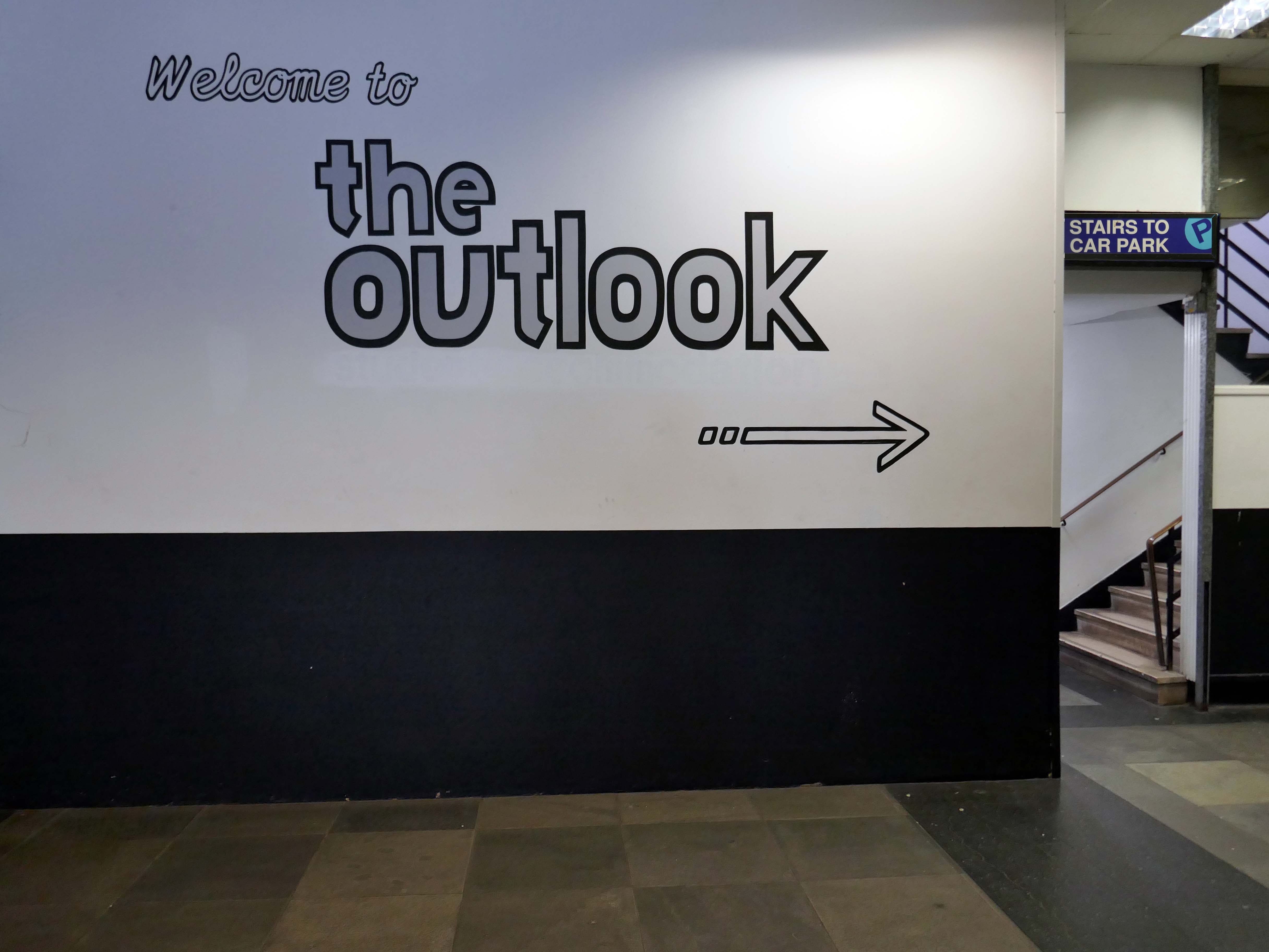
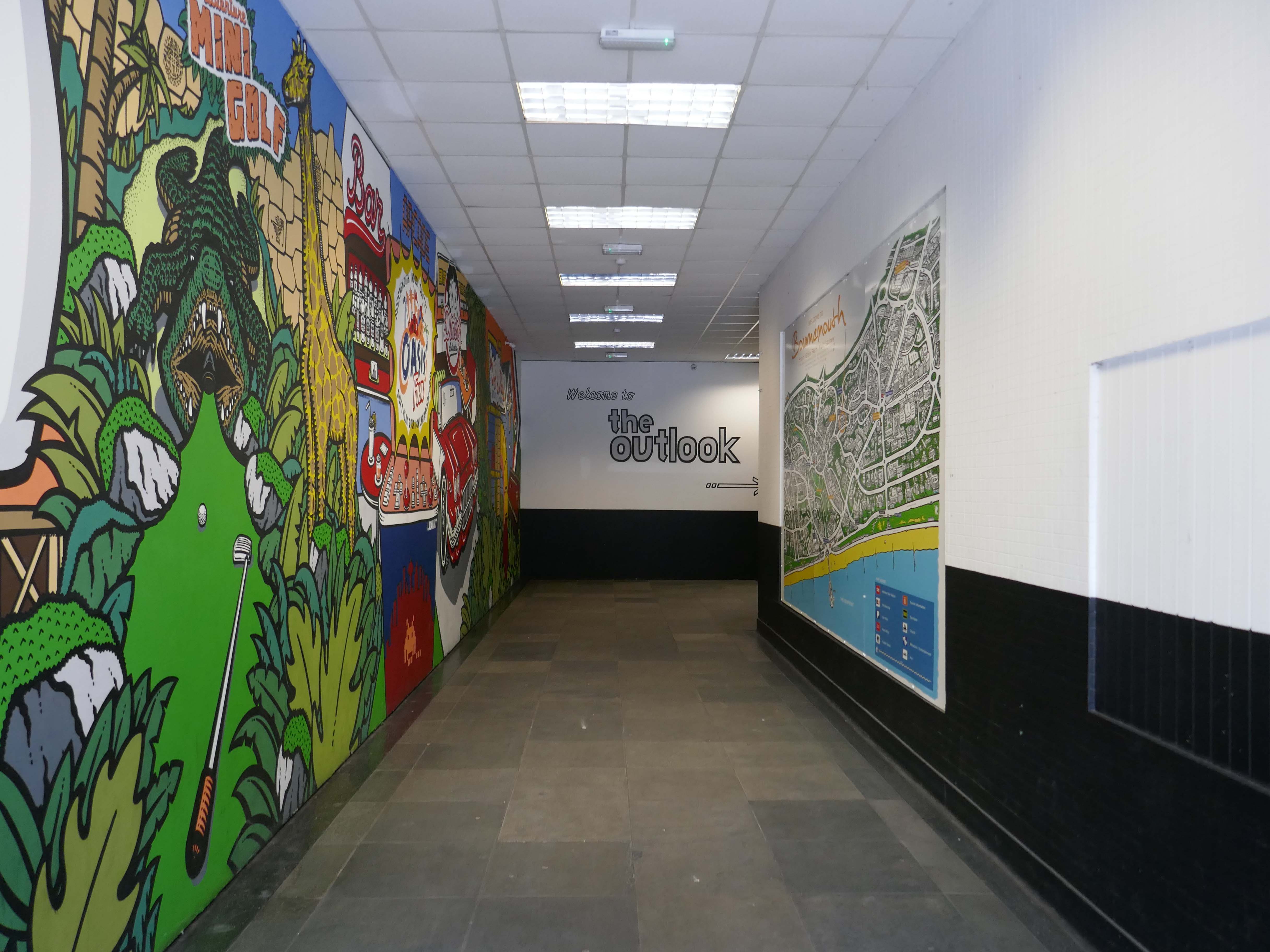
Something of an anomaly, combining accommodation with a leisure facility.
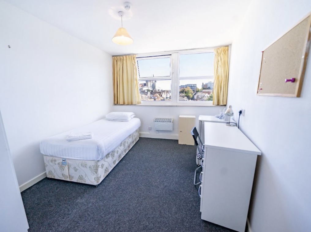
The Outlook is ideally suited to students looking for quality, self catering, en suite accommodation in central Bournemouth, just a minute’s walk from the town’s excellent amenities.
The student accommodation has recently completed a comprehensive refurbishment, the work which included considerable redesign, new furnishings and decoration.
Excitingly close to Oasis Fun Bournemouth’s No.1 indoor fun centre.
Want to keep the kids entertained?
Then why not visit Oasis Fun today for a fun-filled experience for the whole family. We have an amazing bowling alley with six lanes, an indoor soft play centre, large Adventure Golf course, arcades and pool tables. Oh, and we have a café serving snacks and a fully licensed bar.
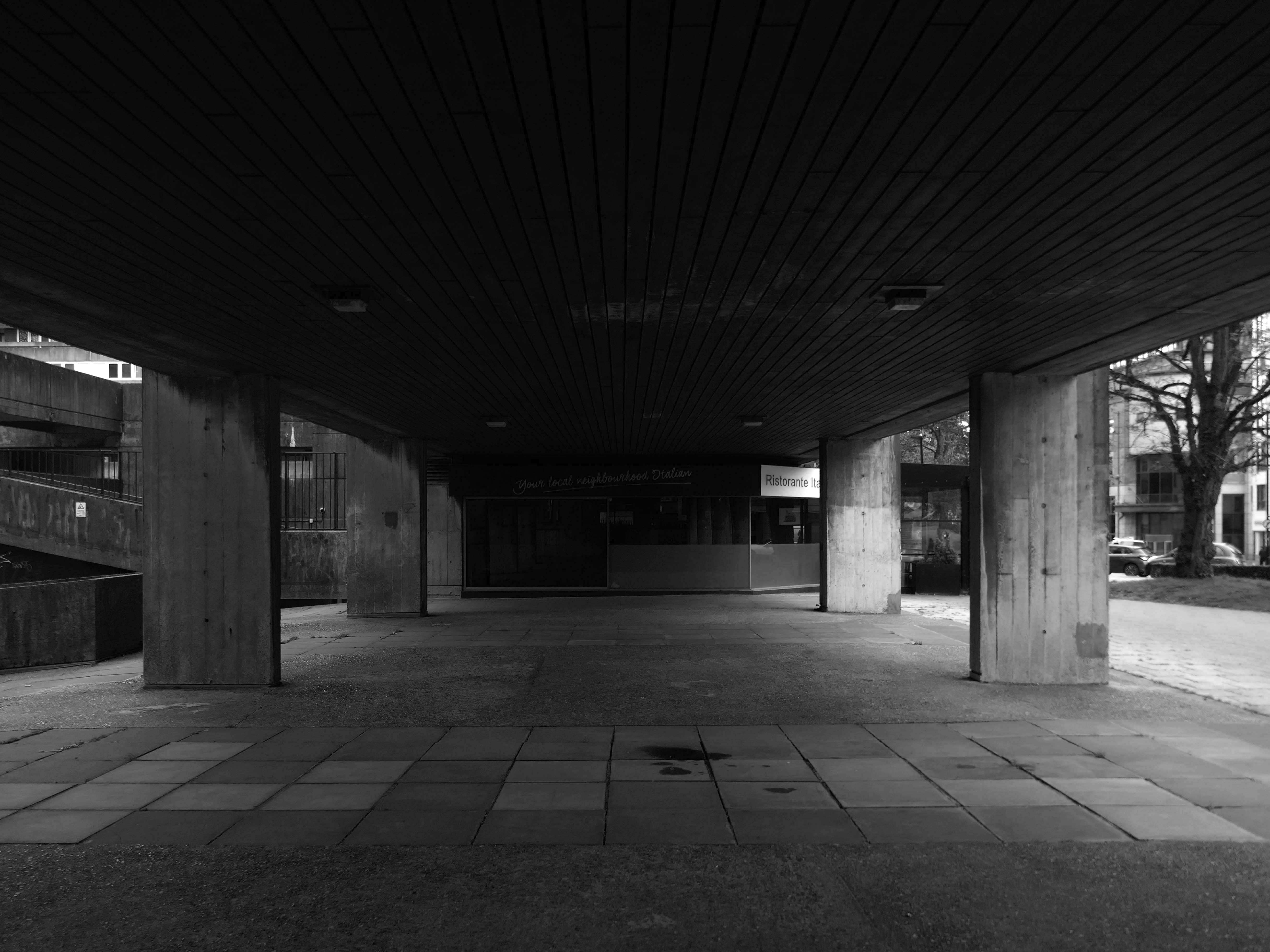
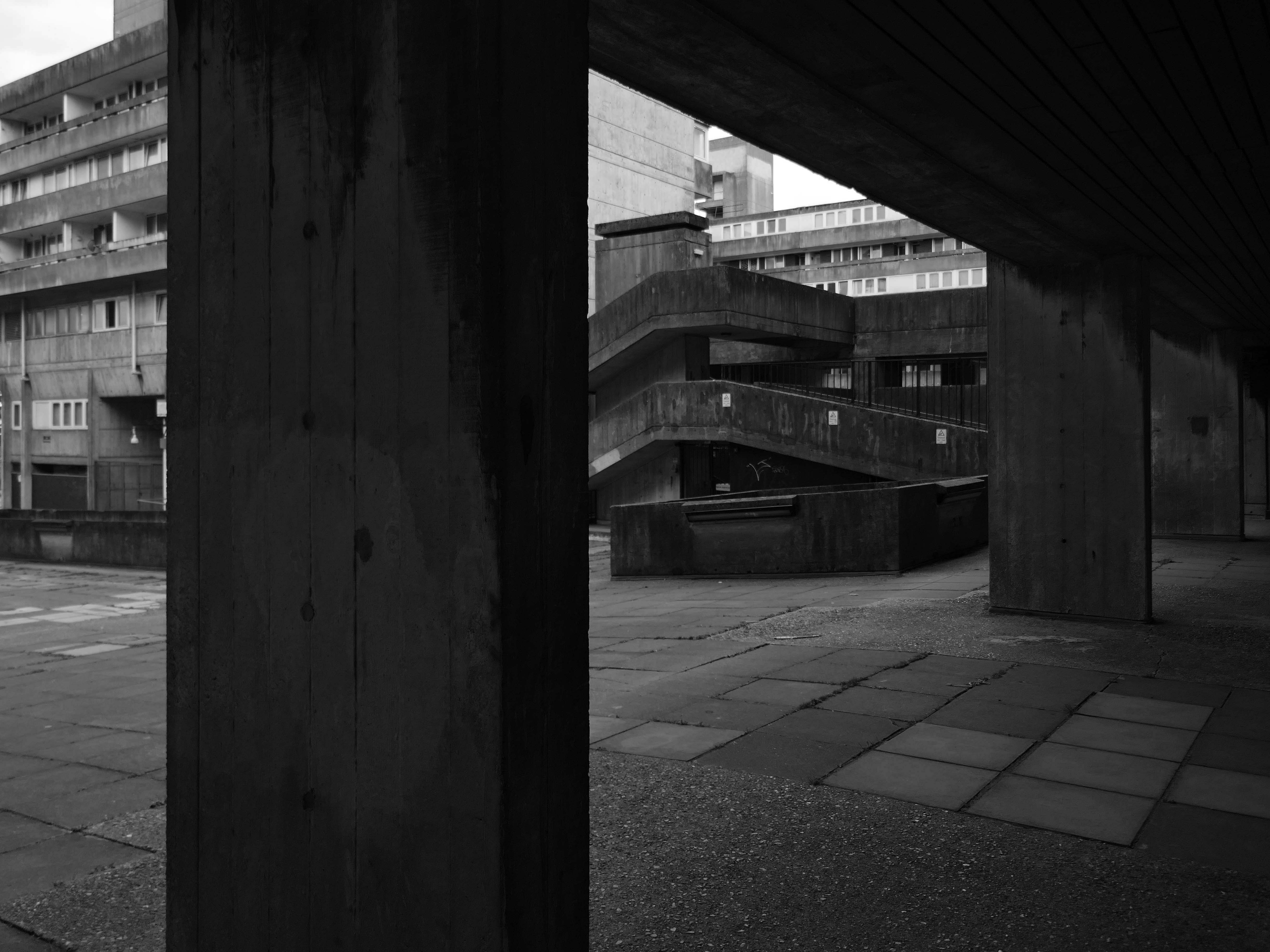
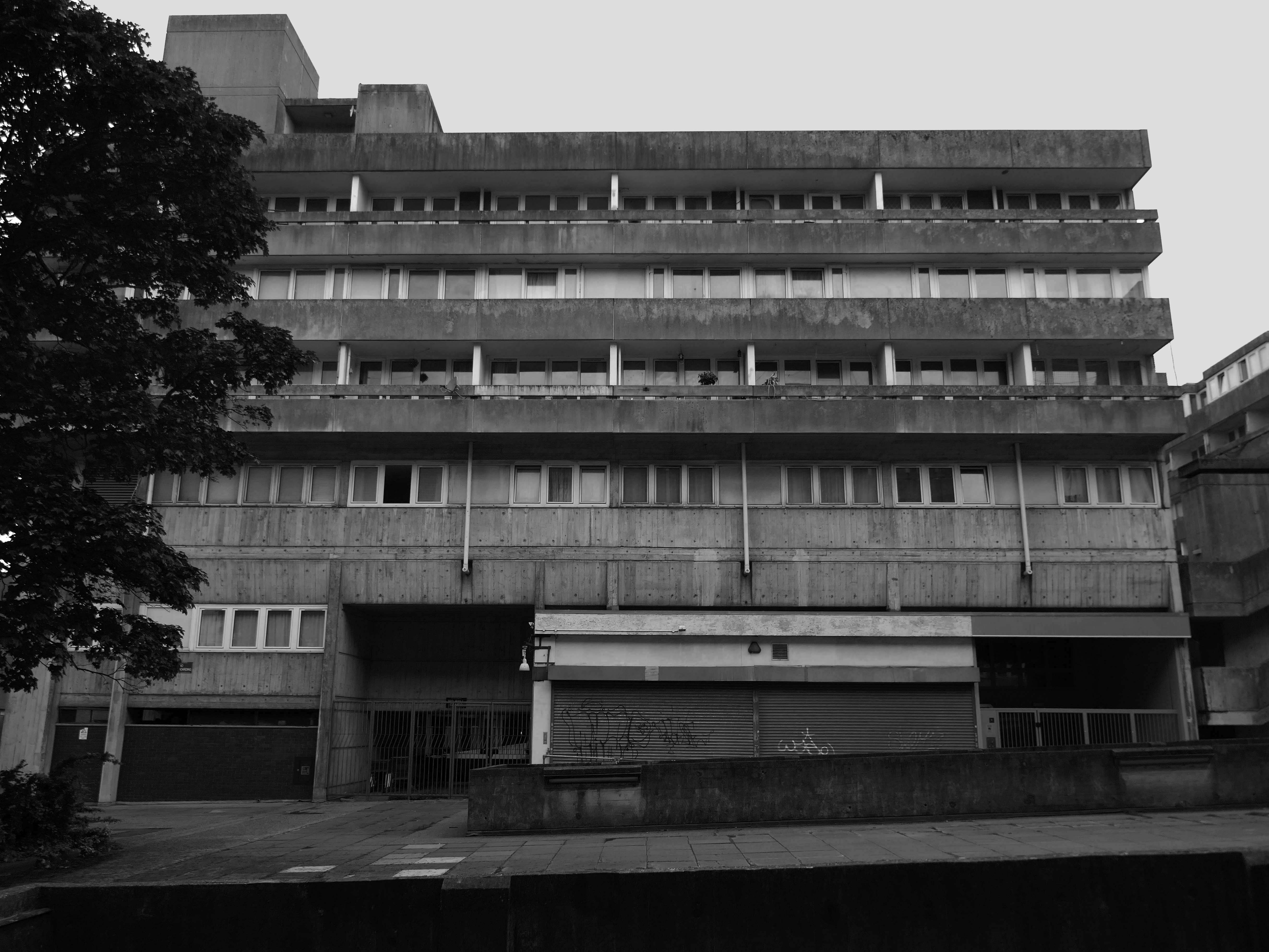
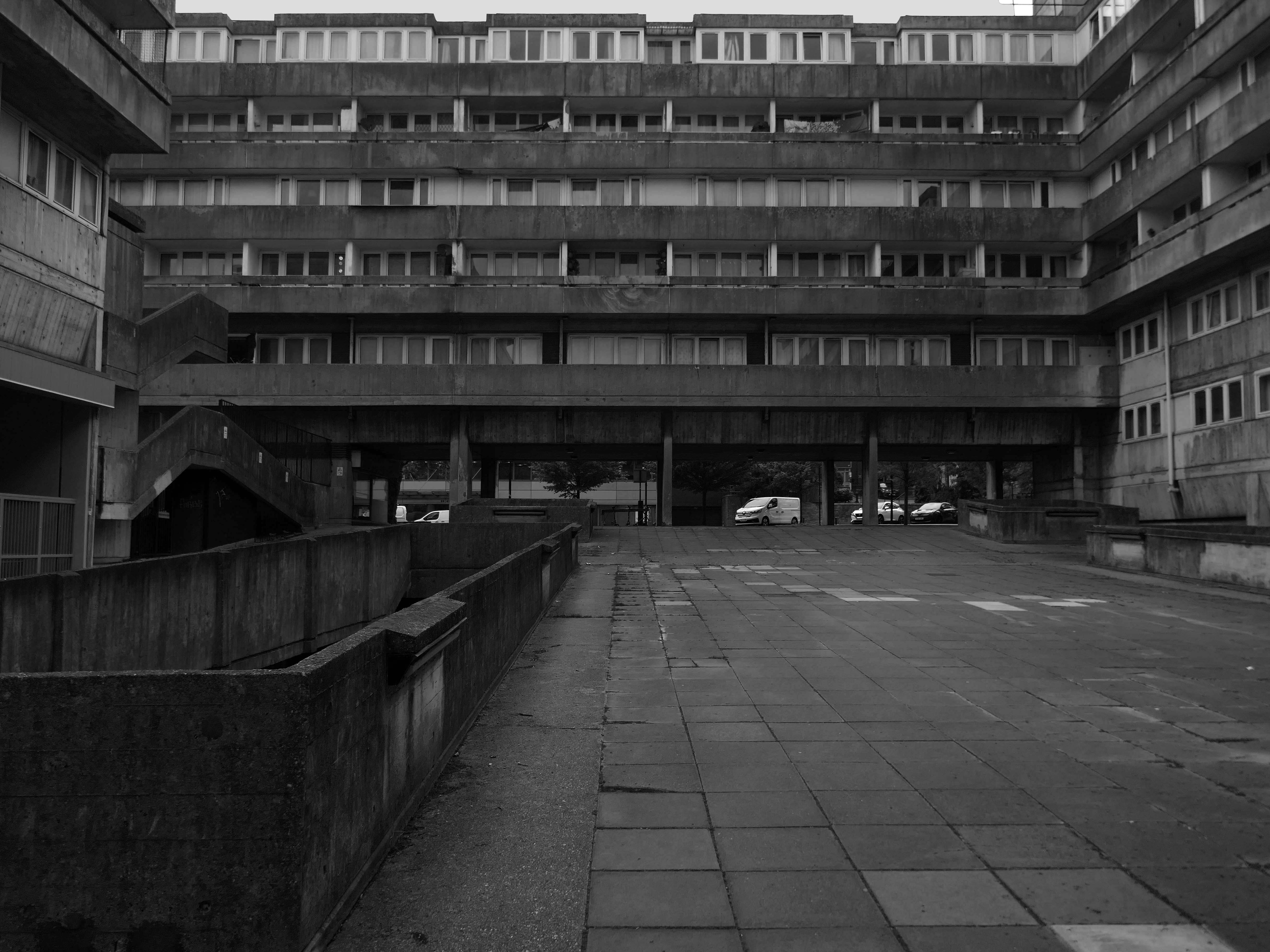
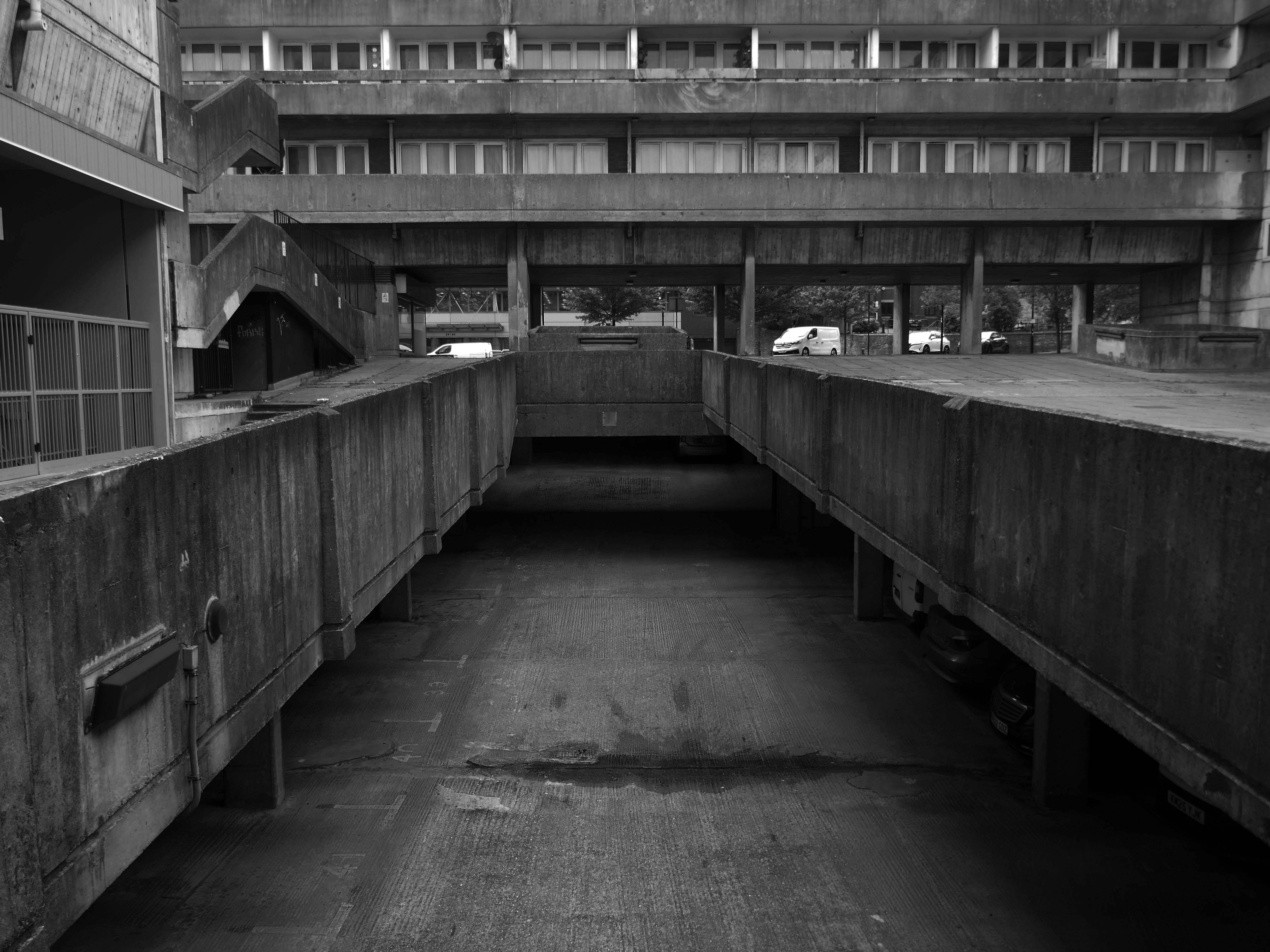
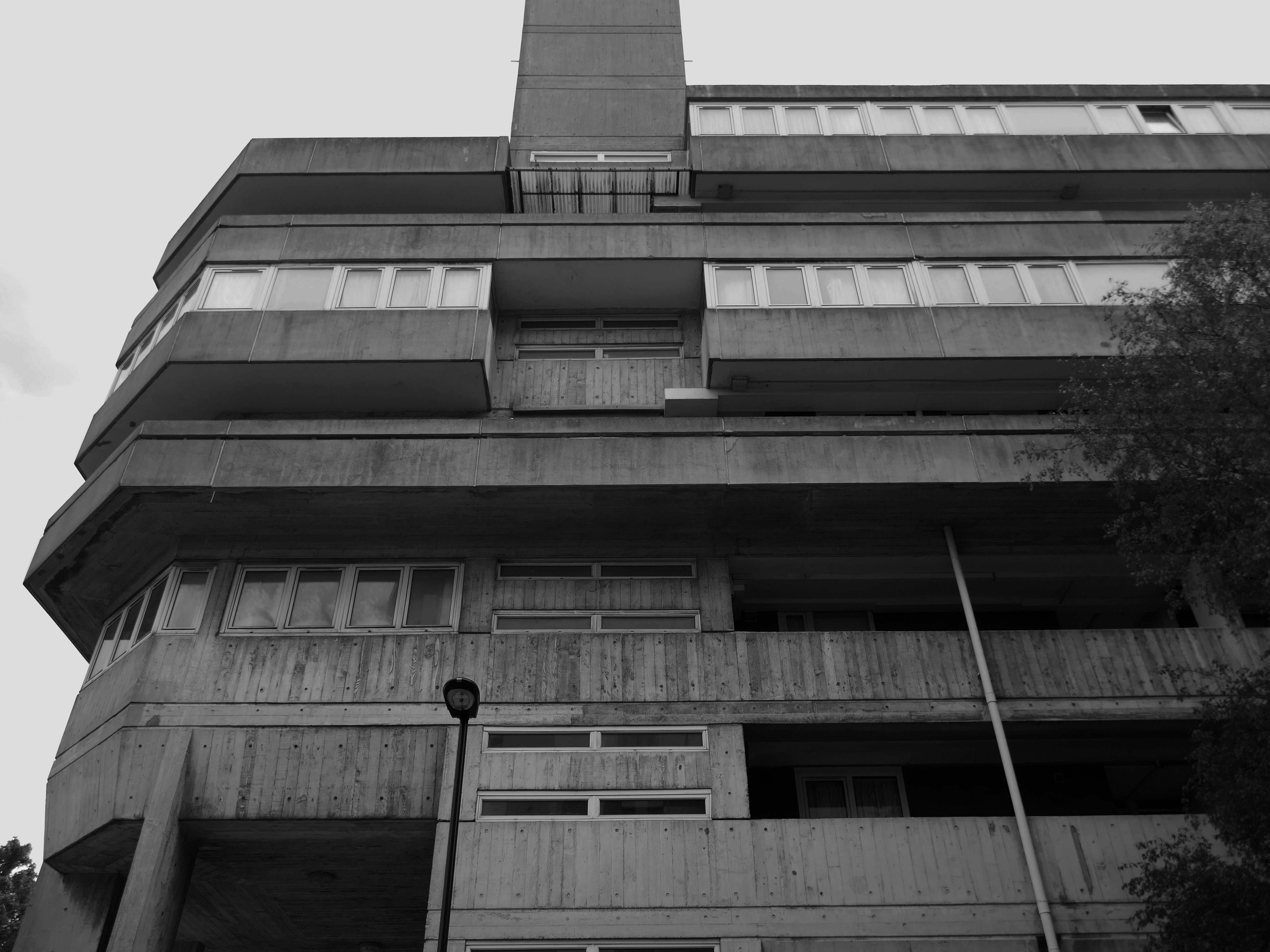
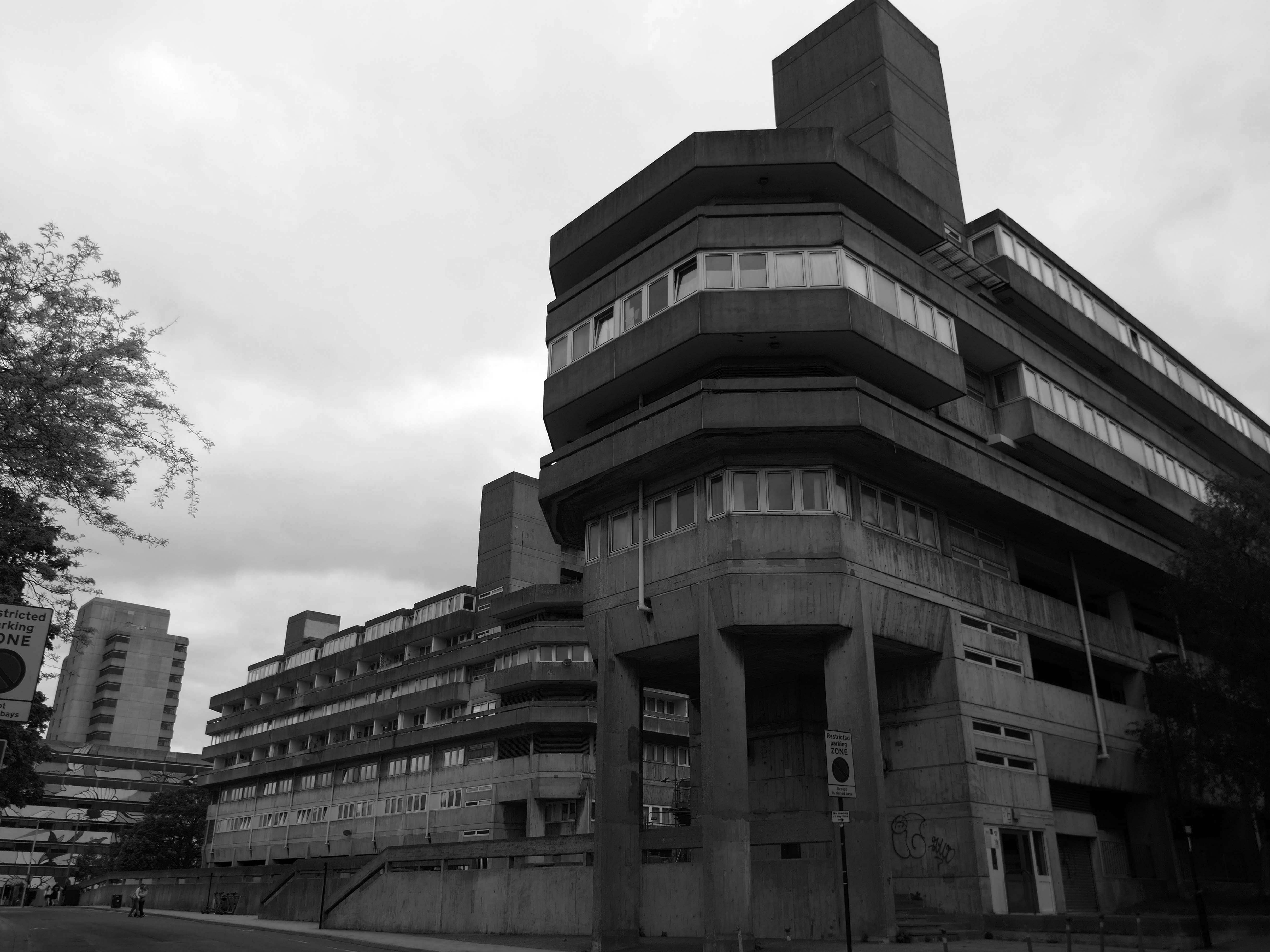
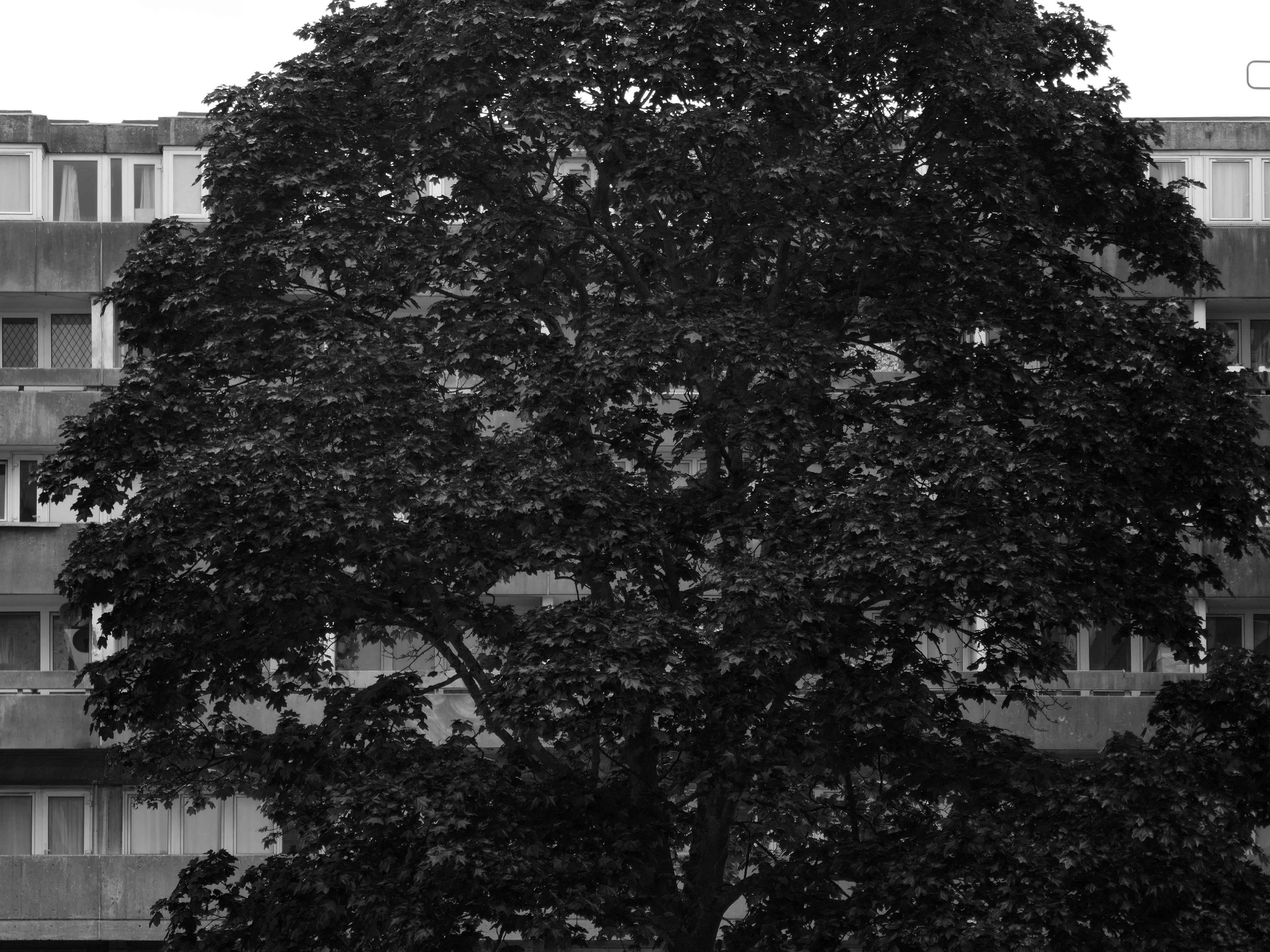
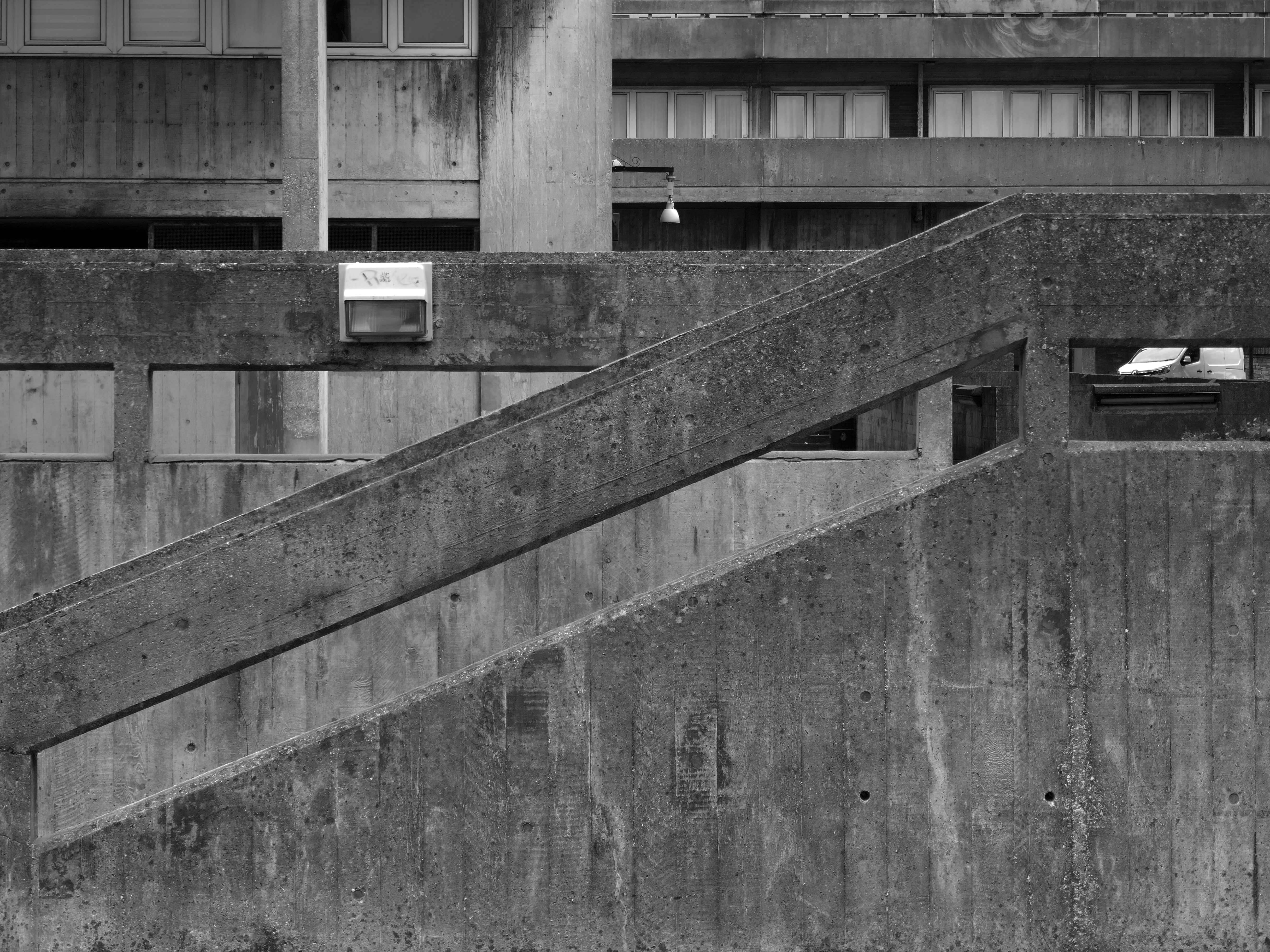
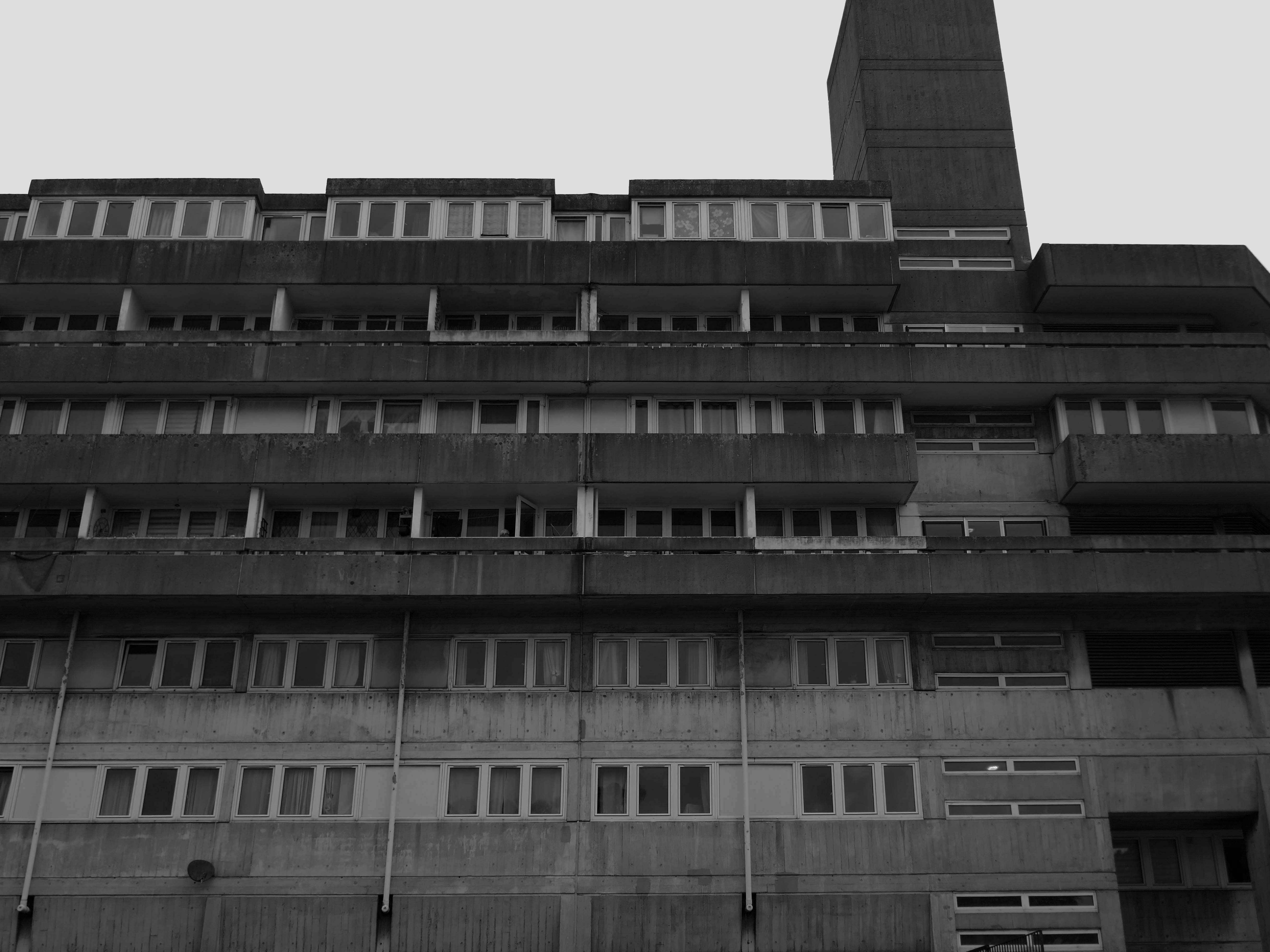
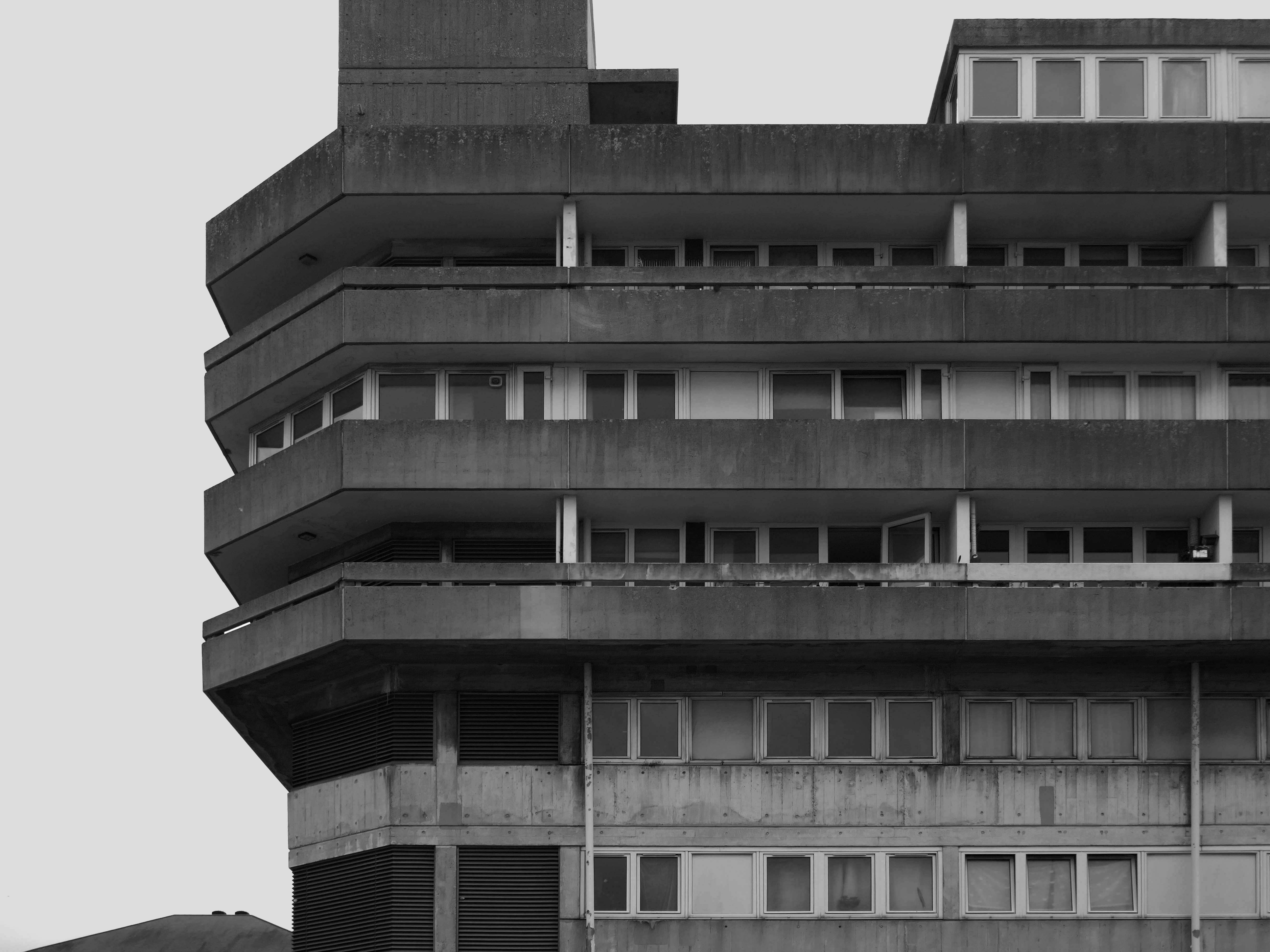
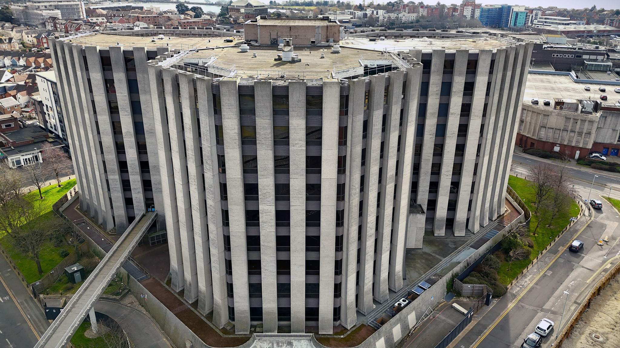
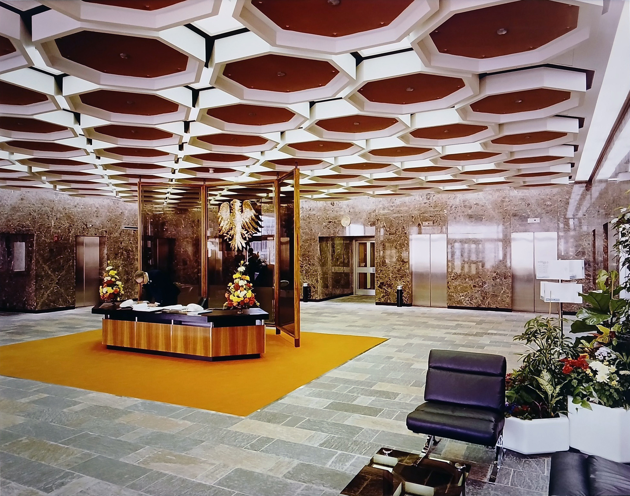
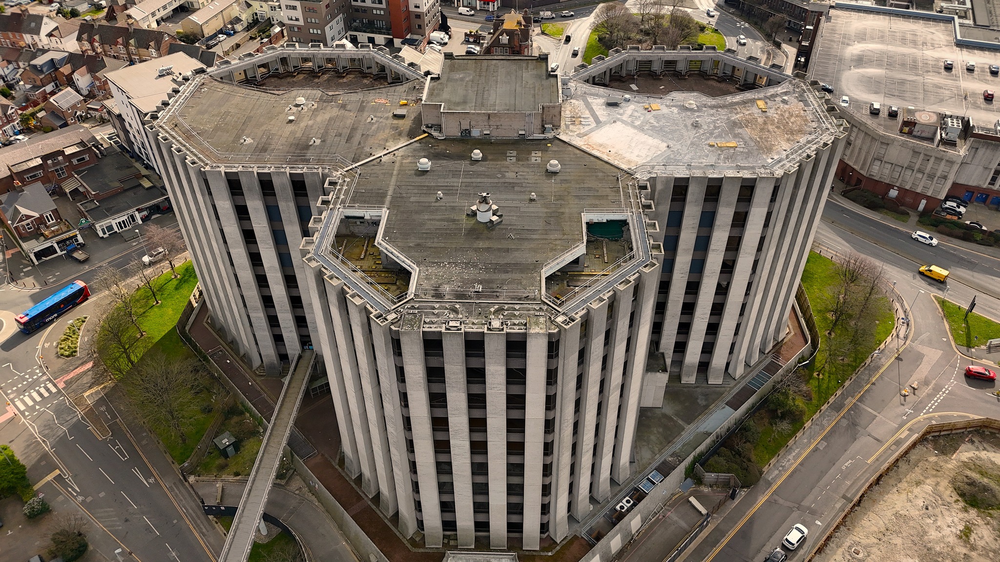
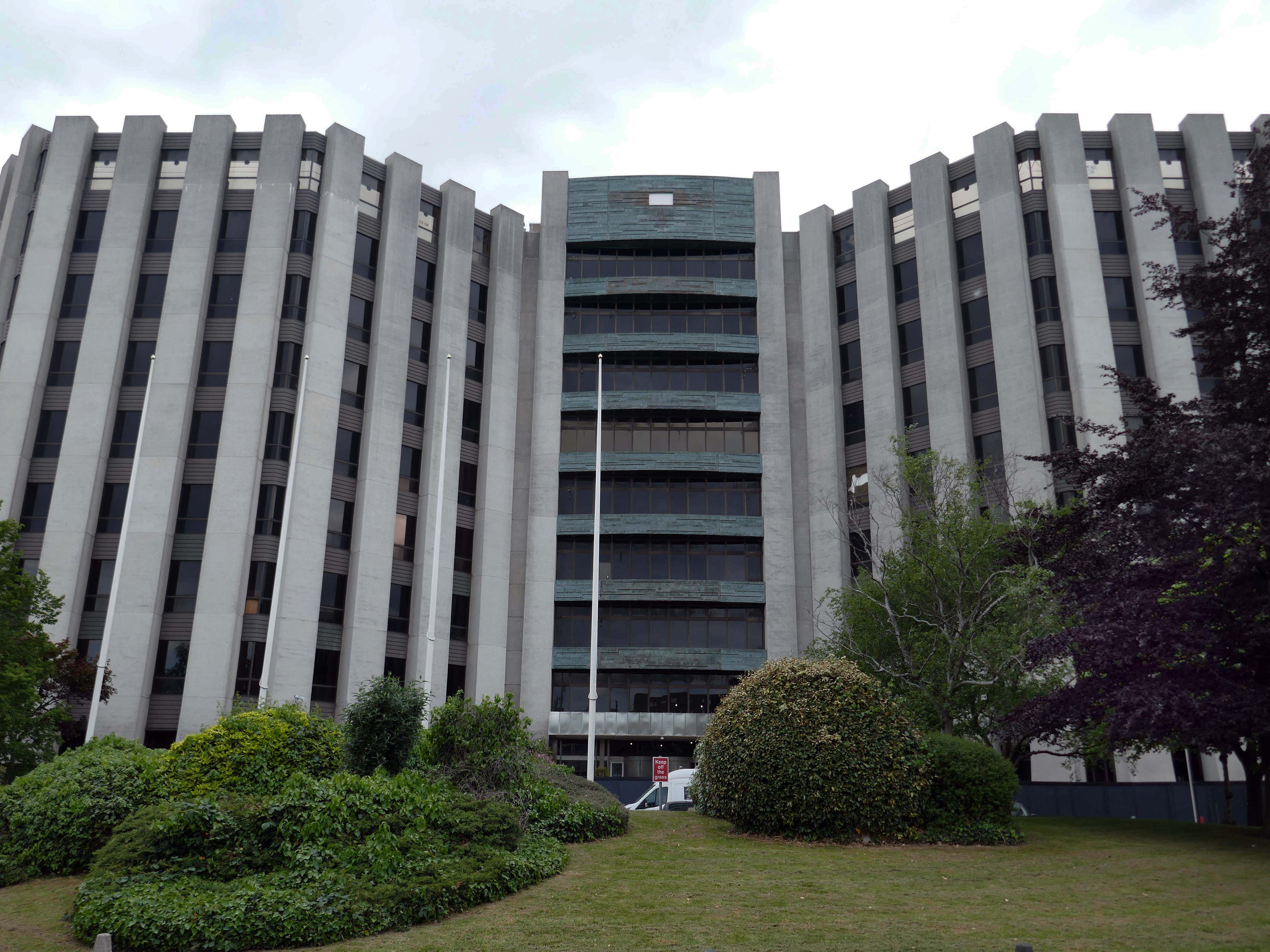
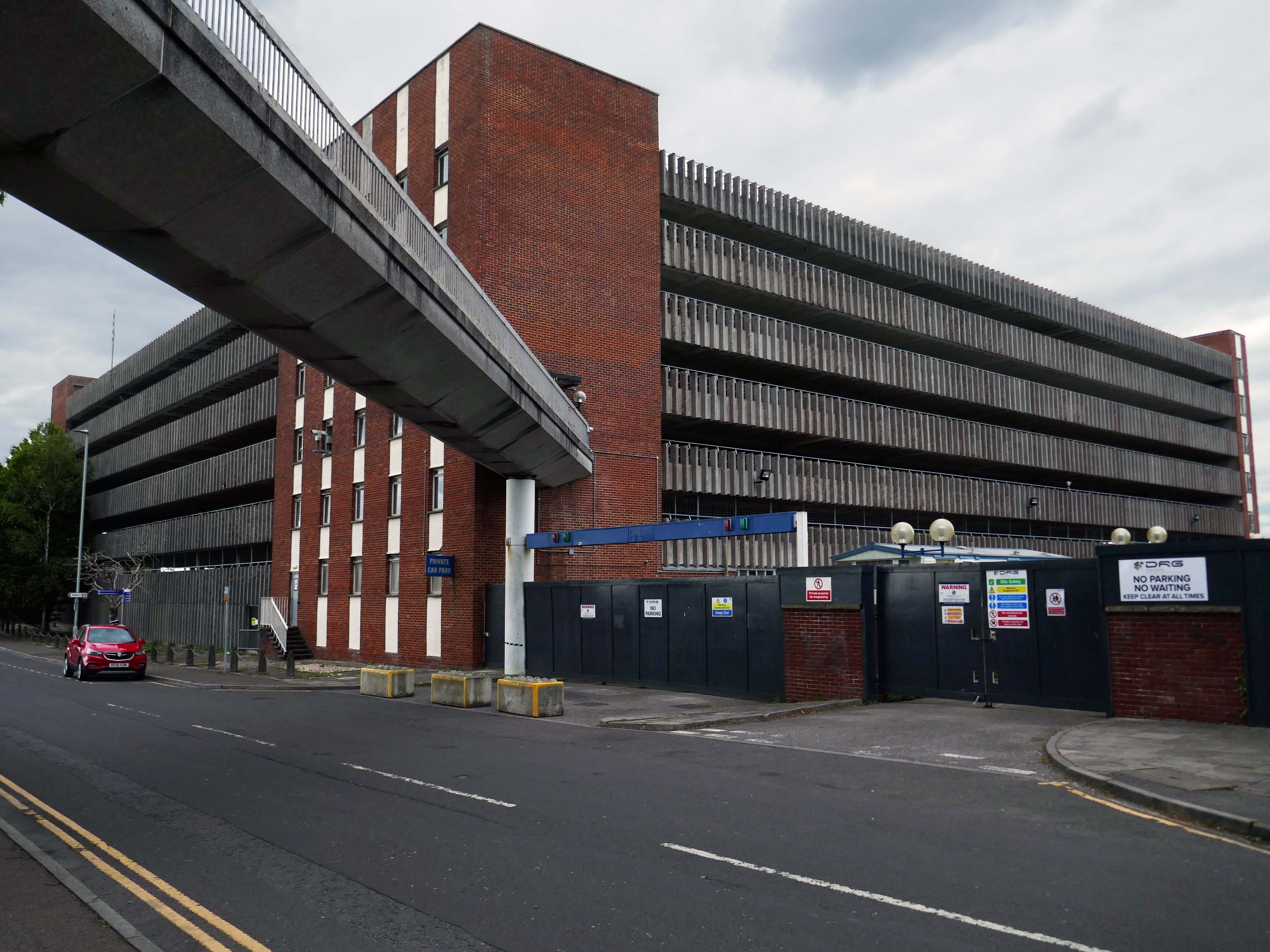
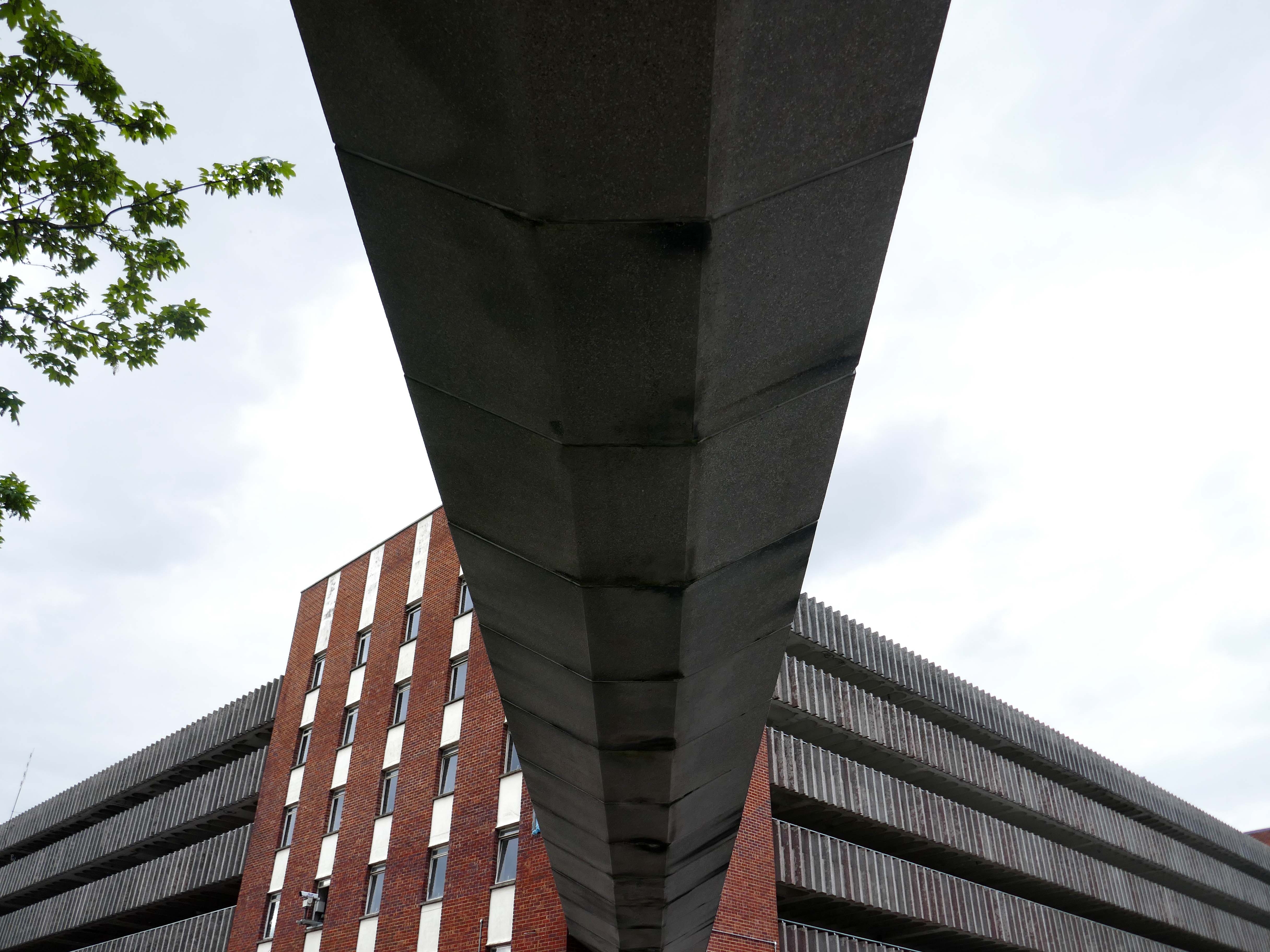
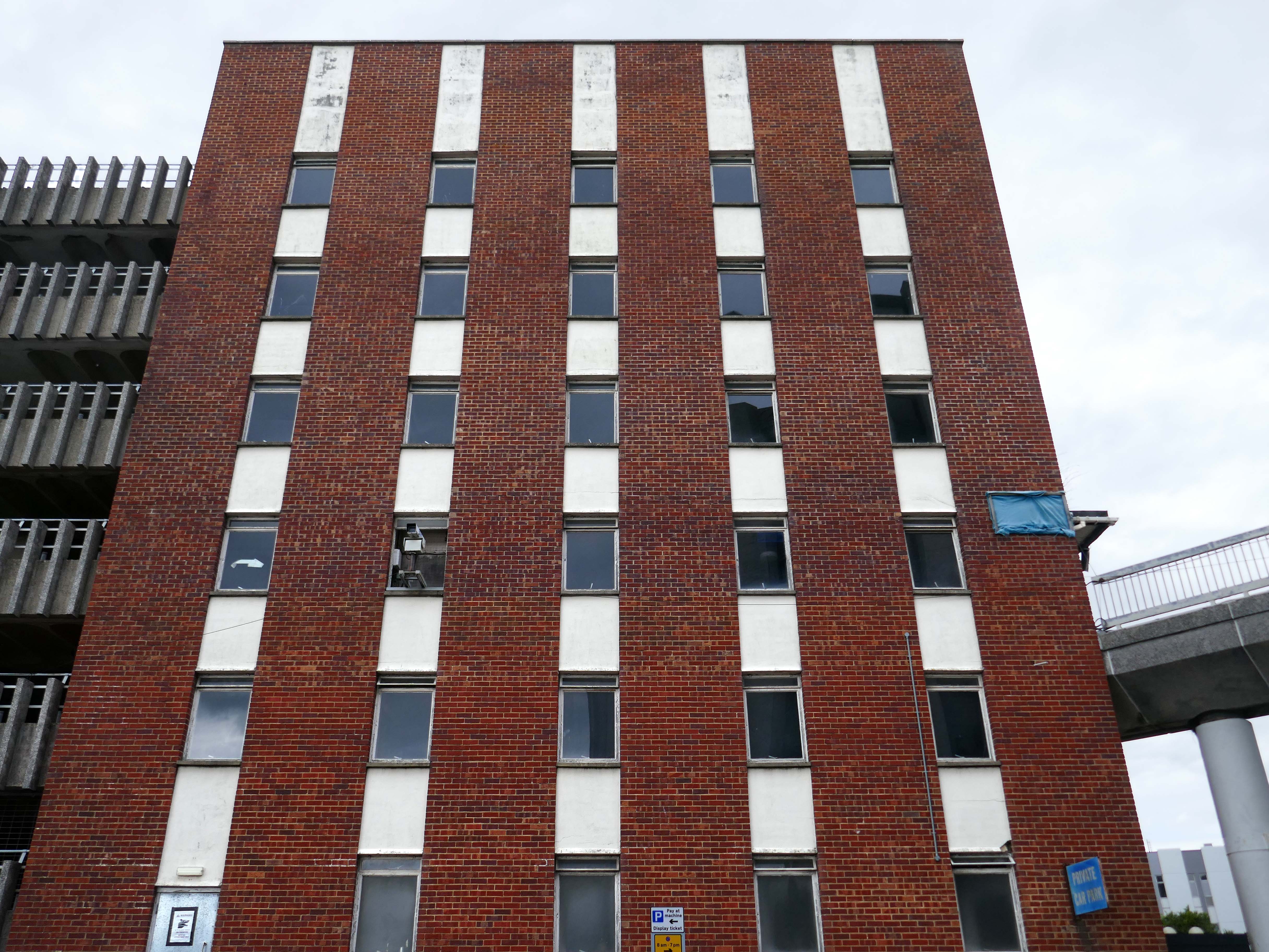
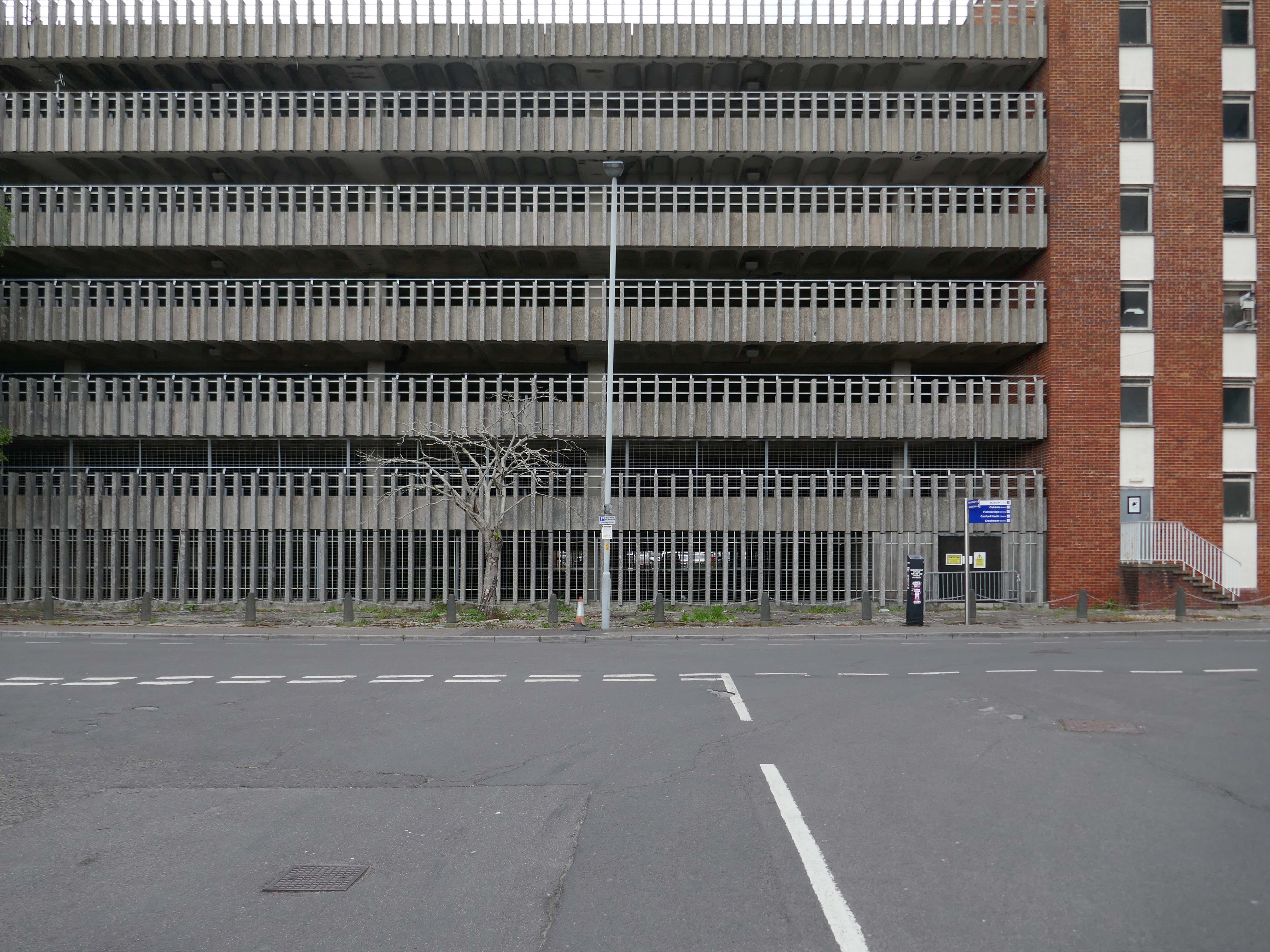
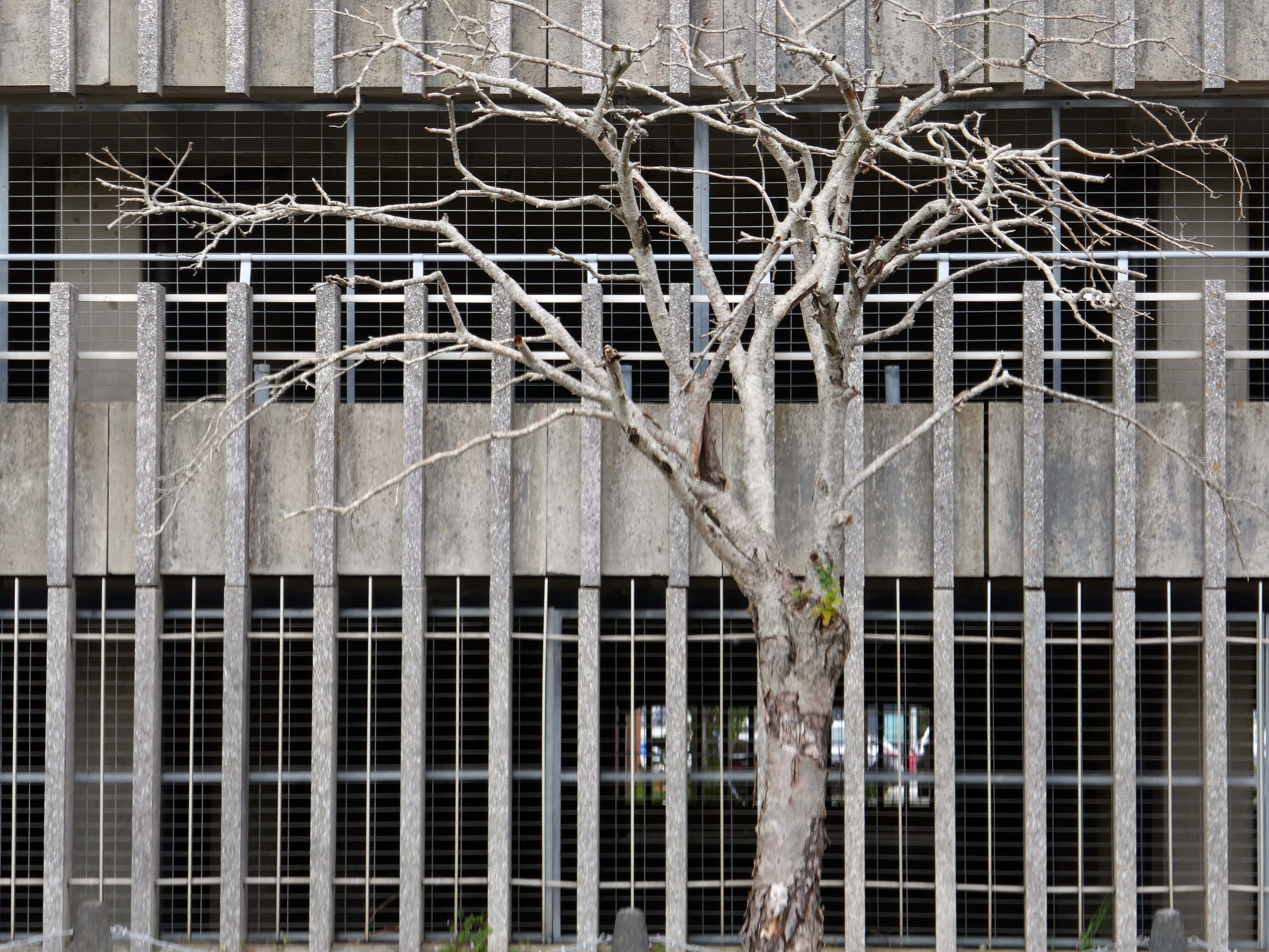
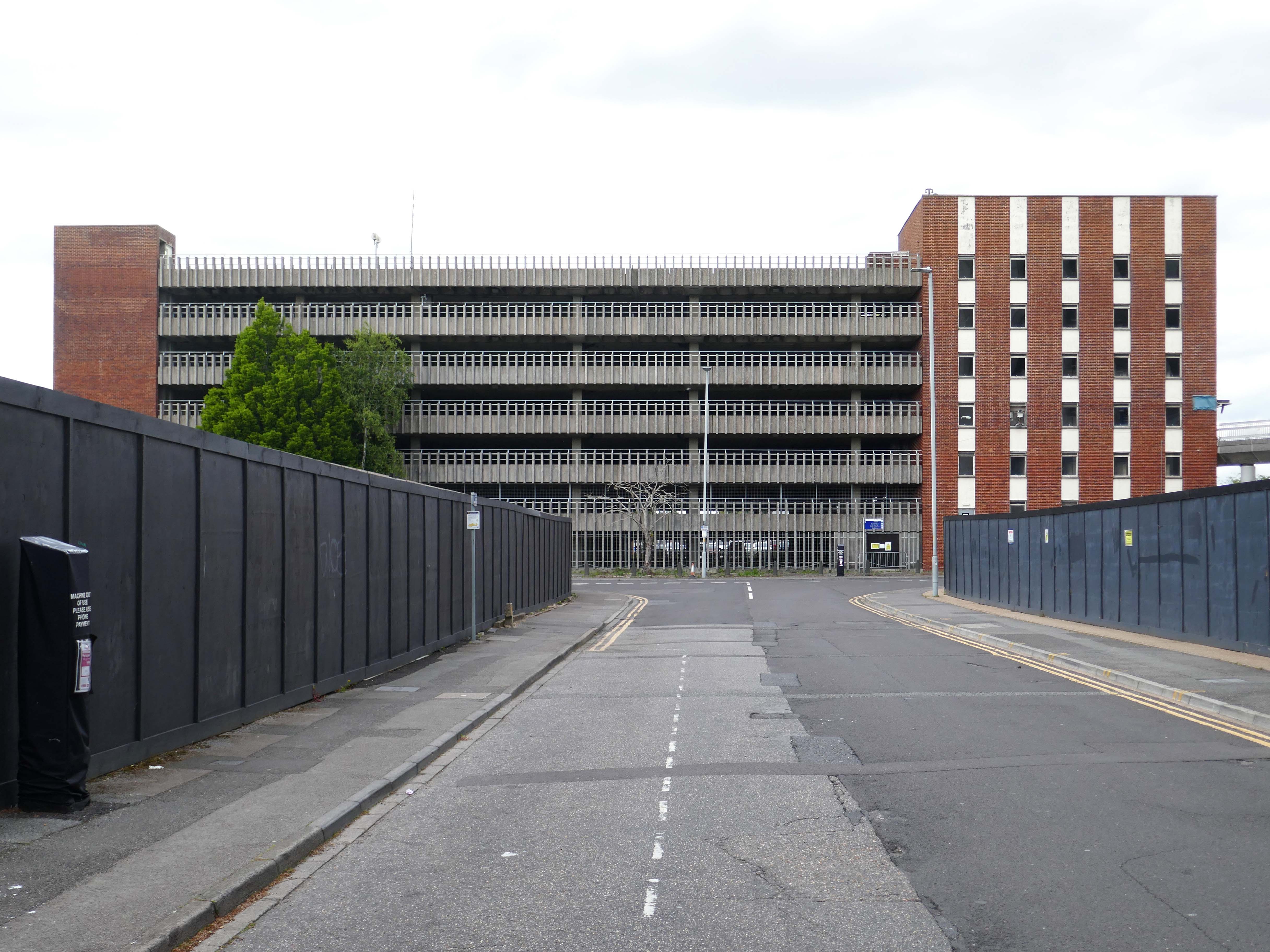
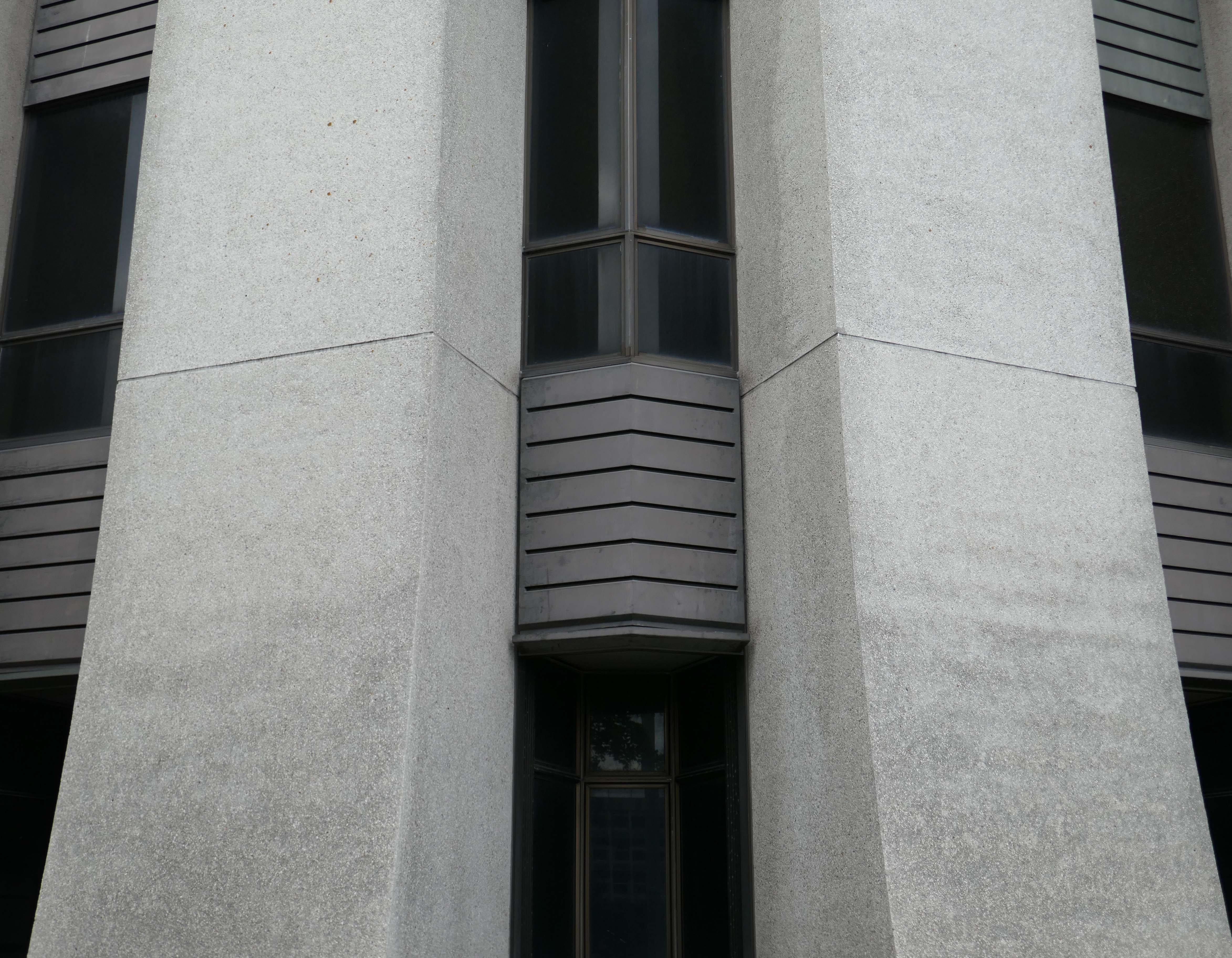
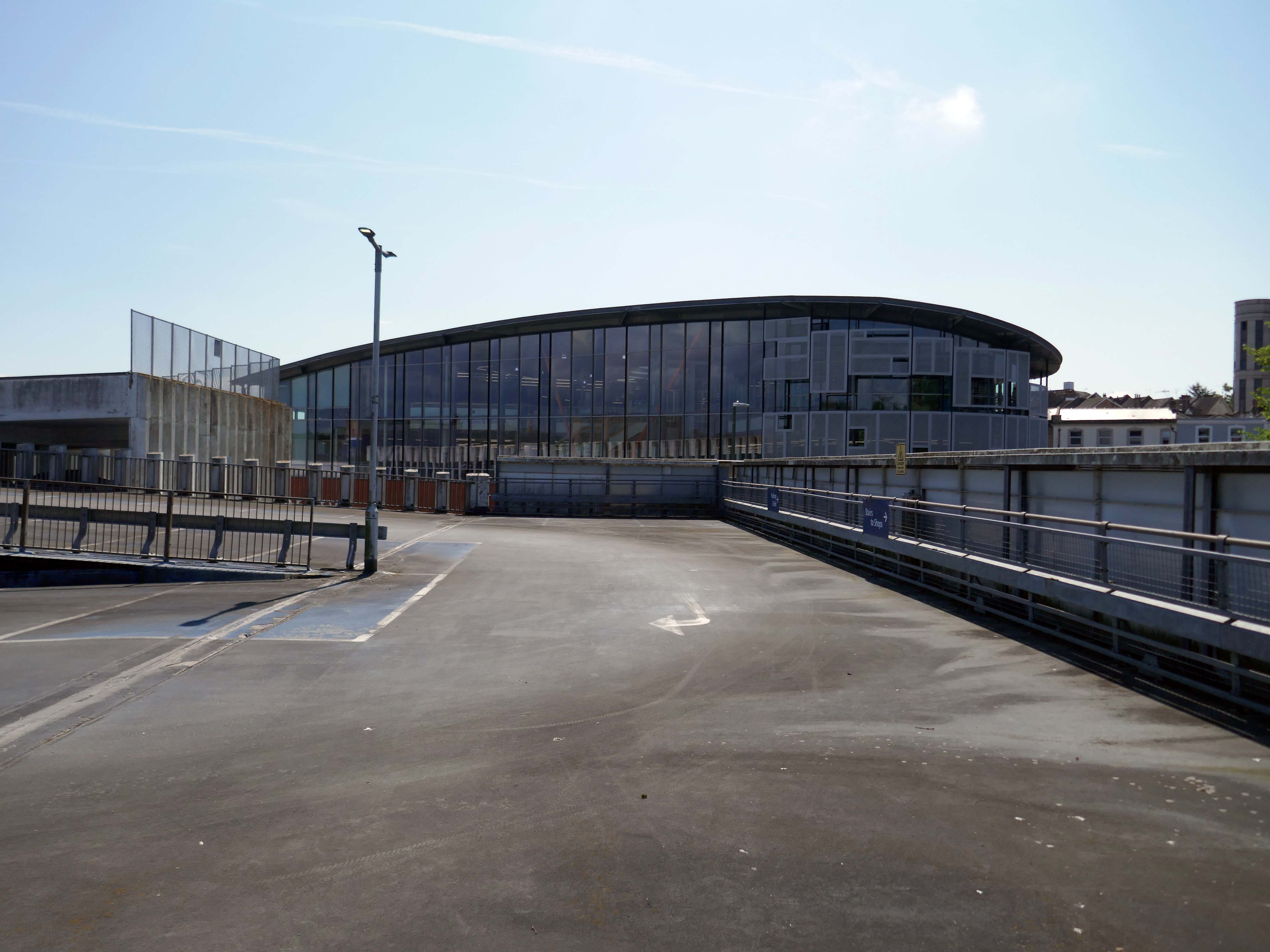
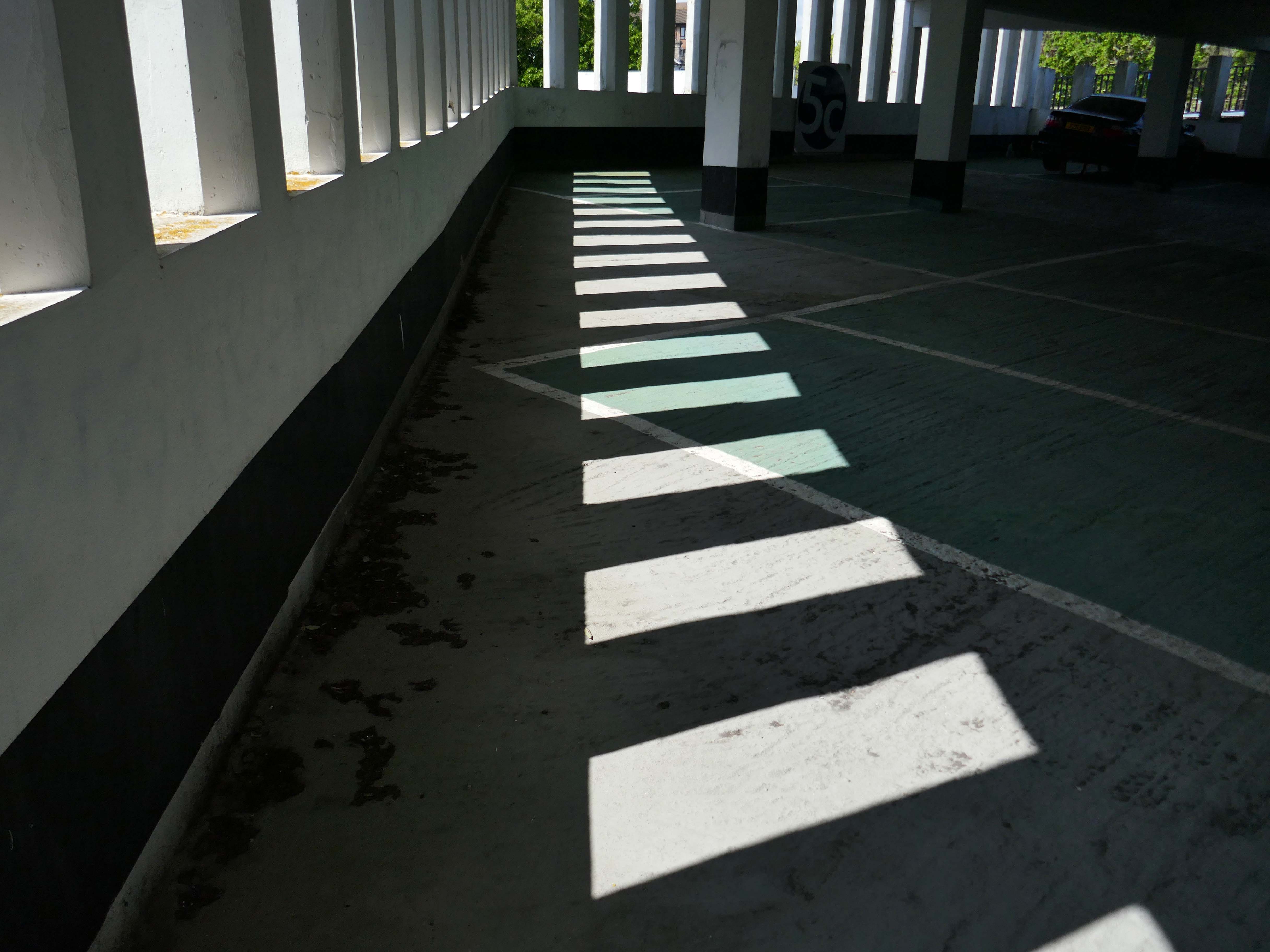
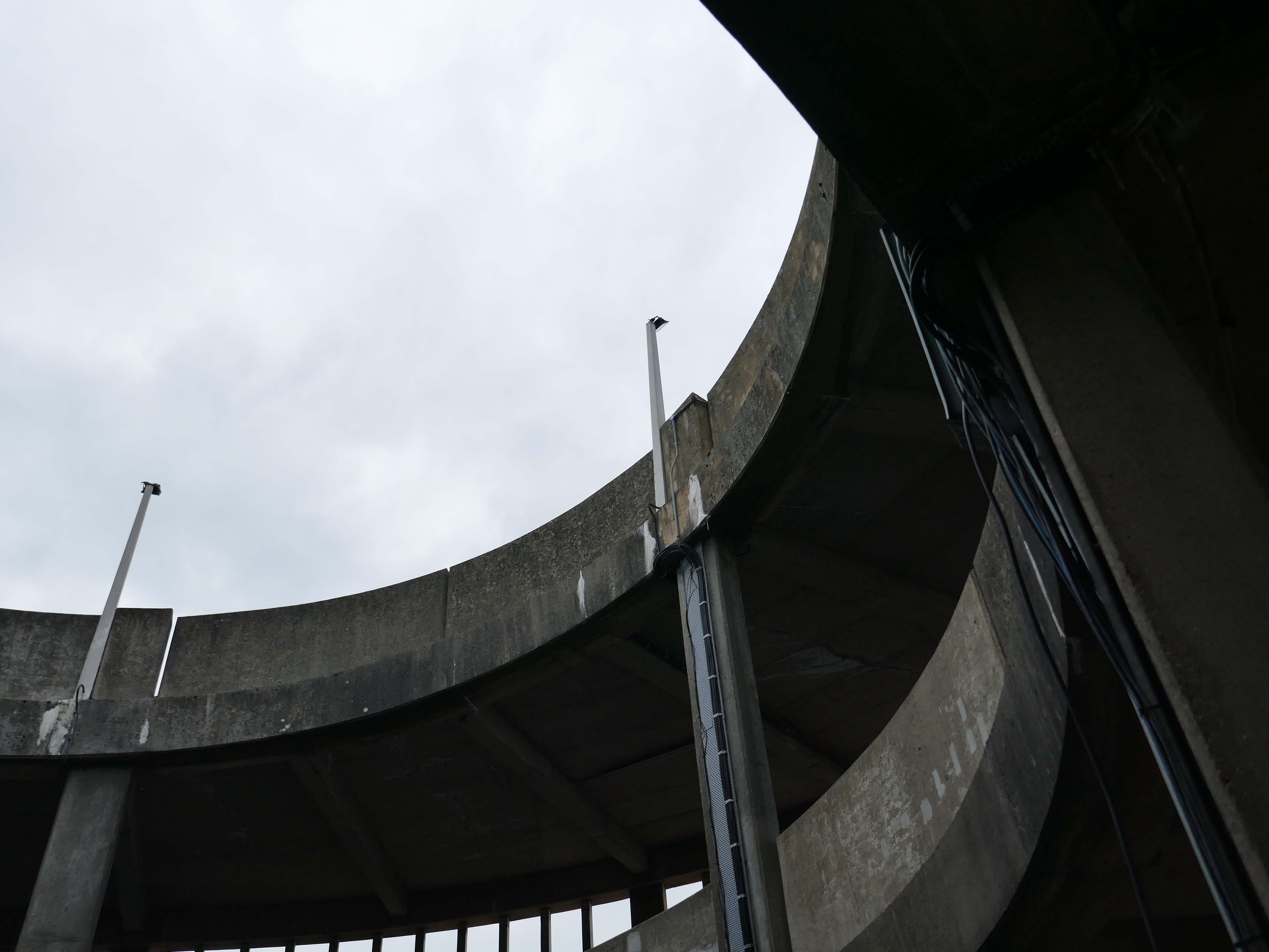
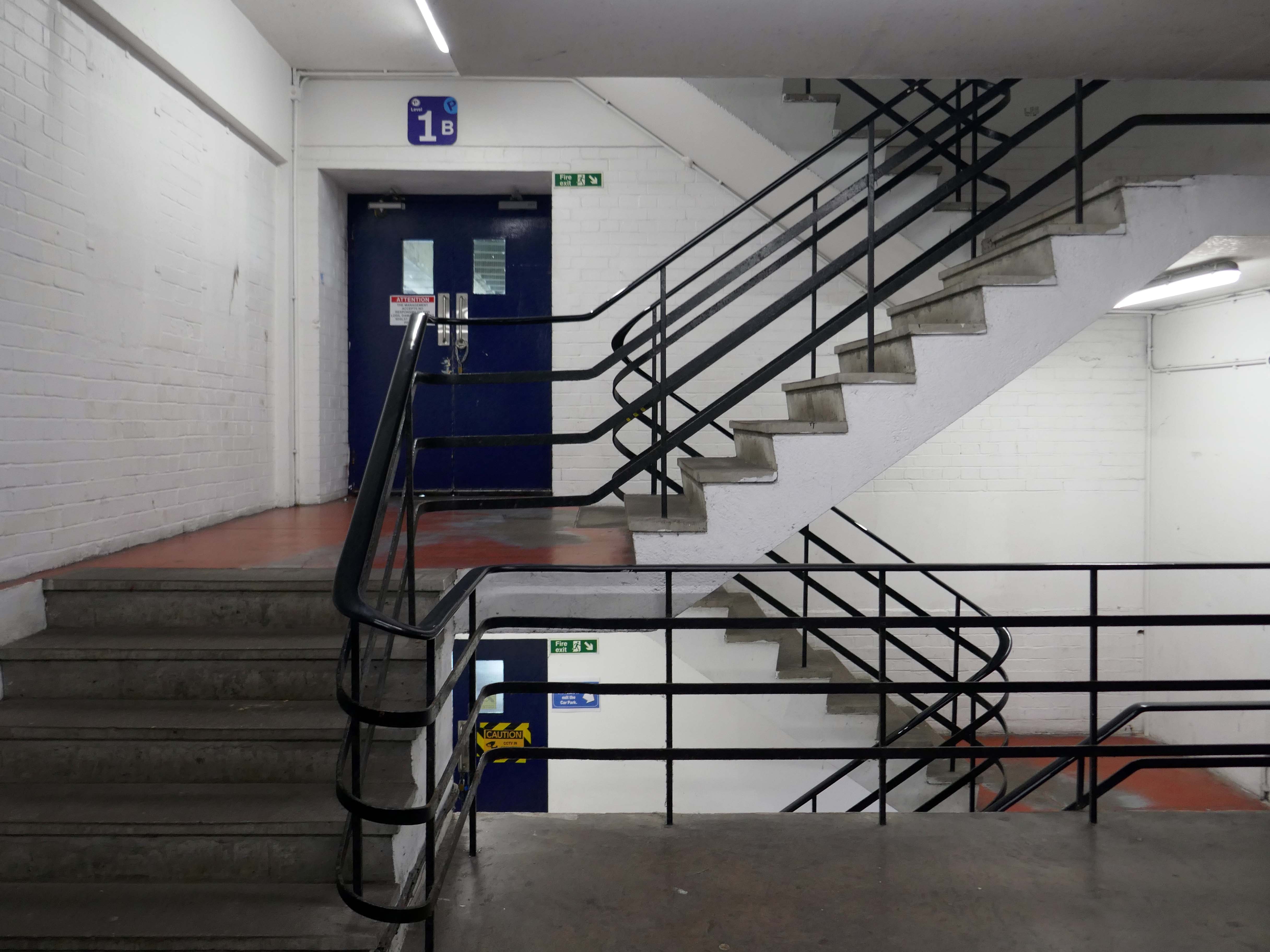
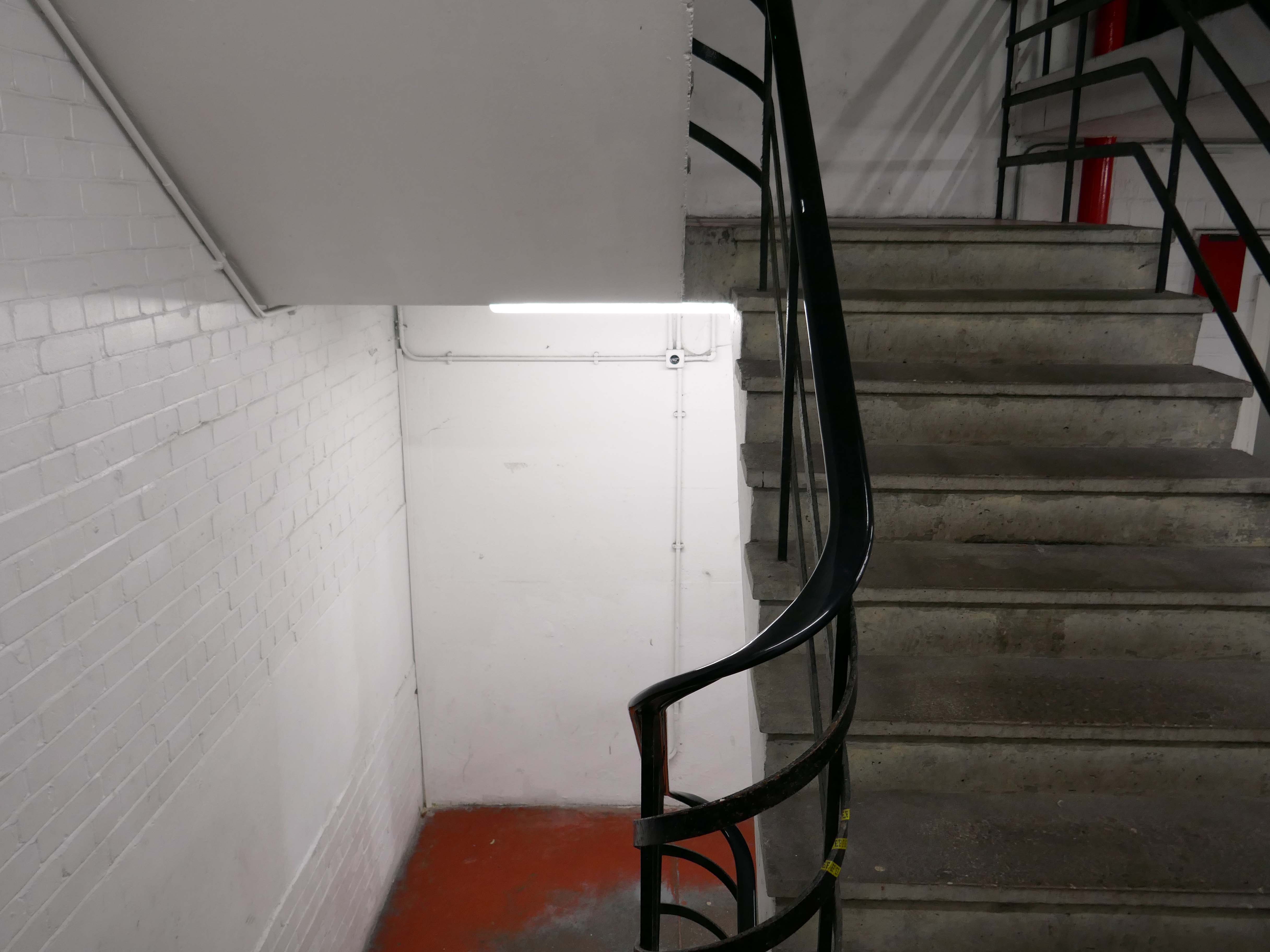
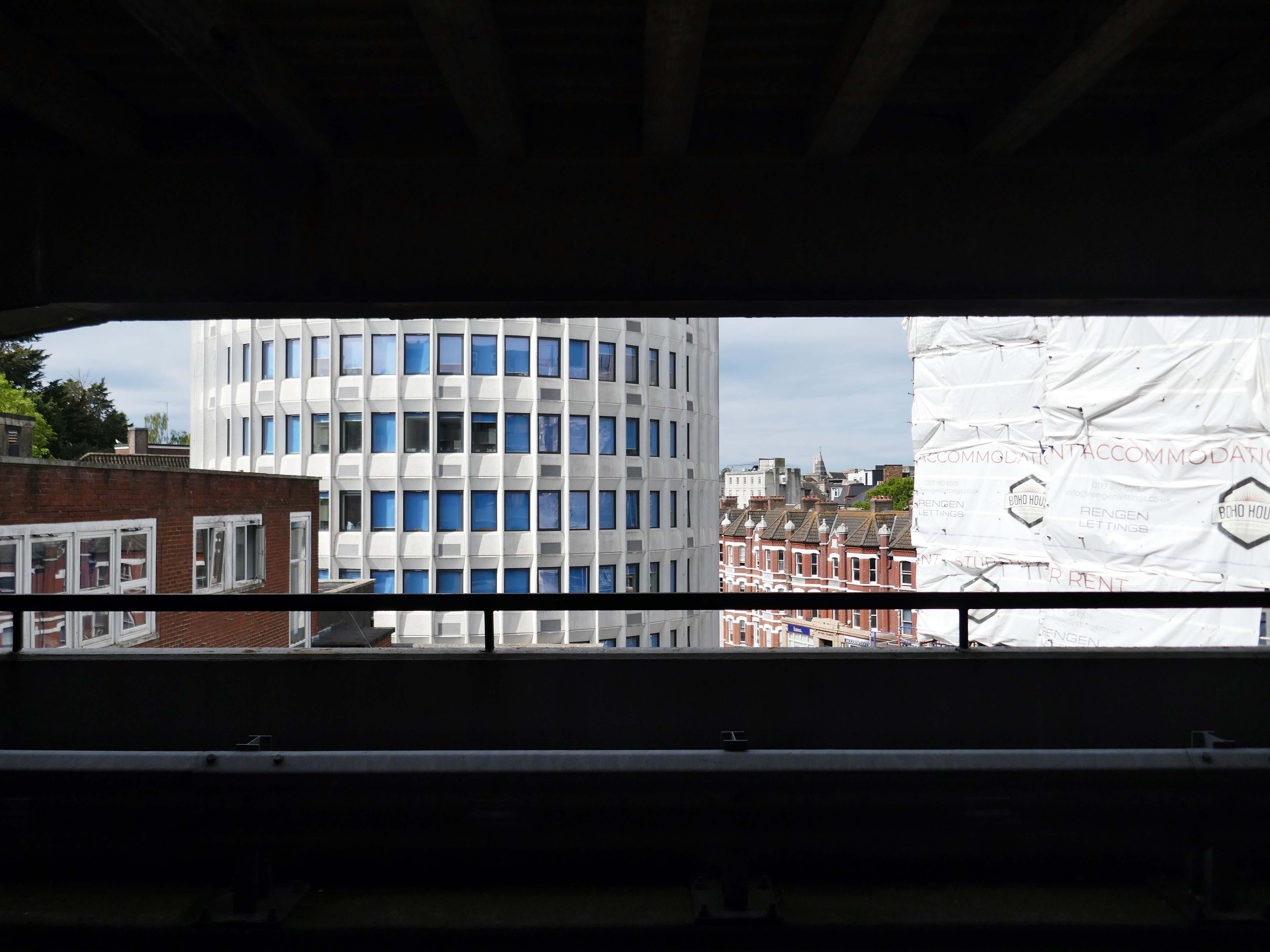
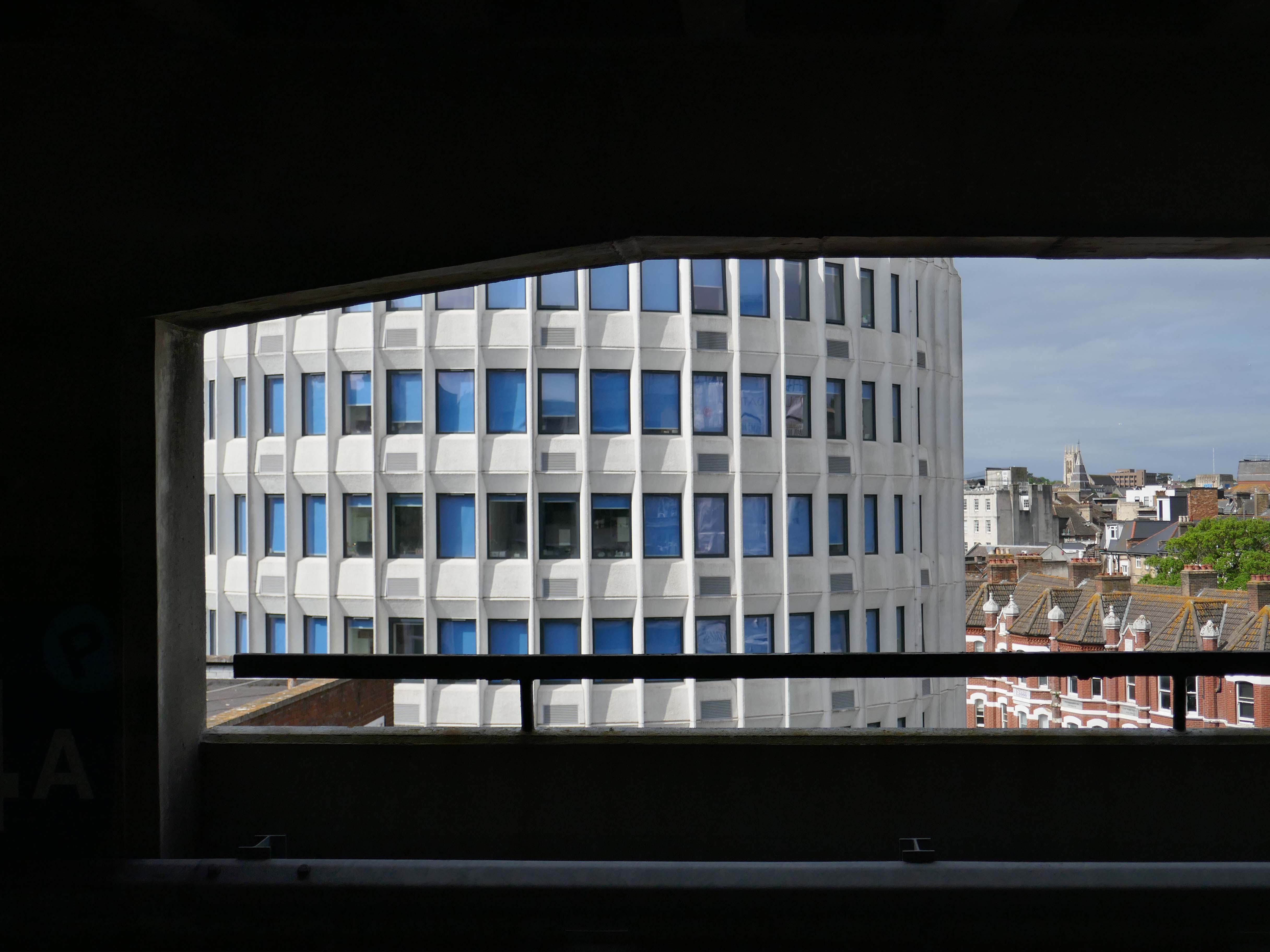
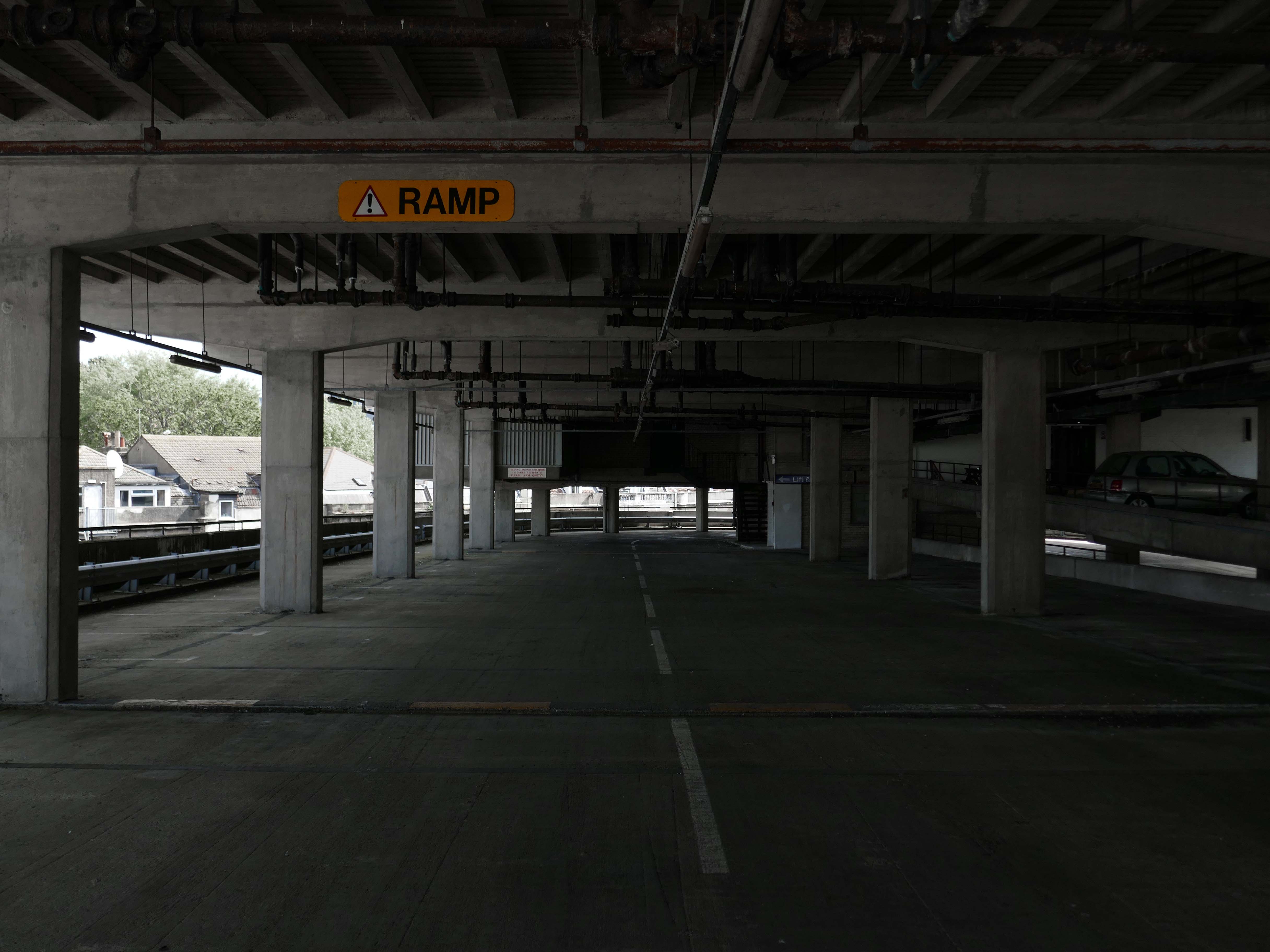
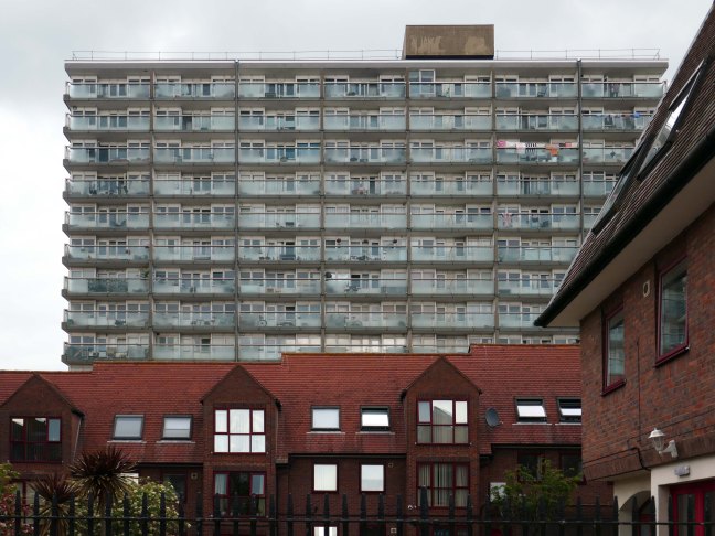
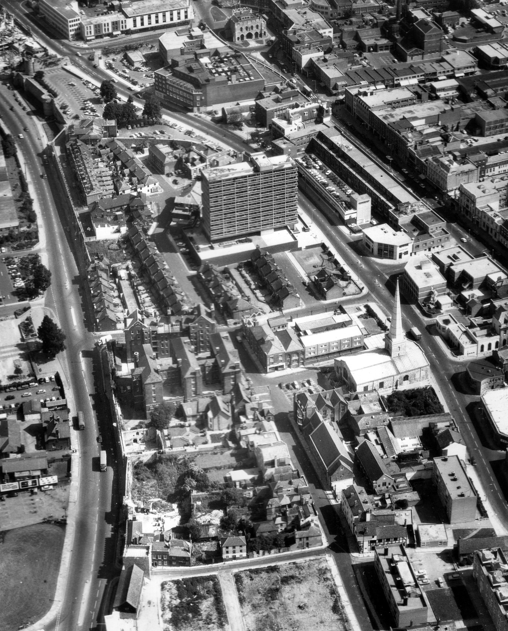
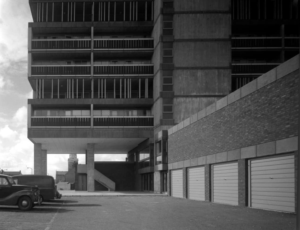
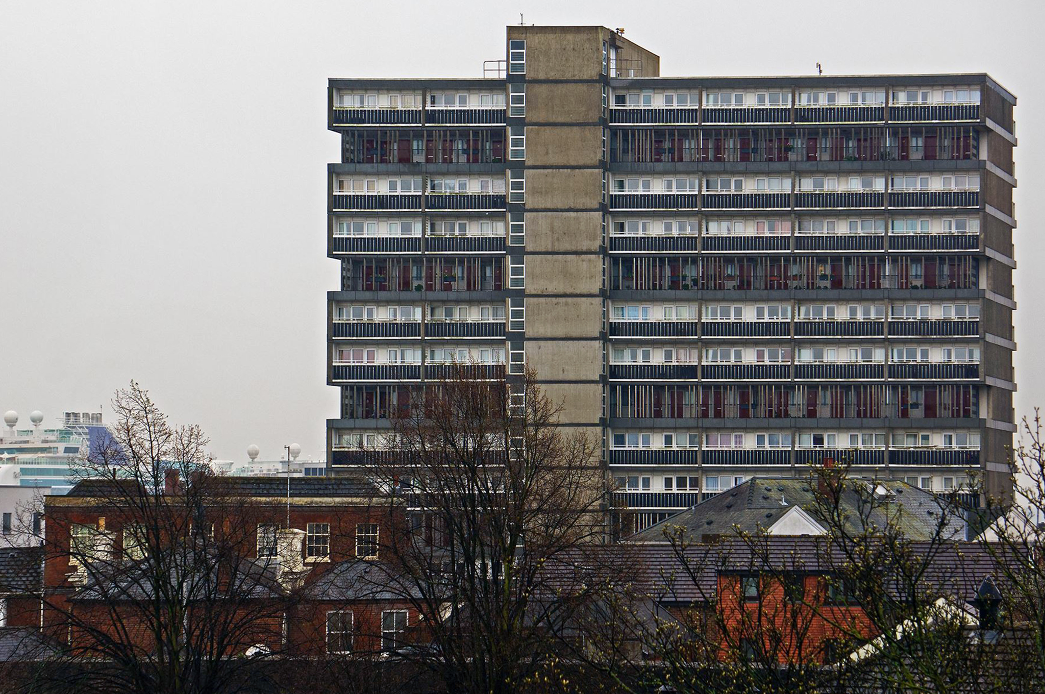
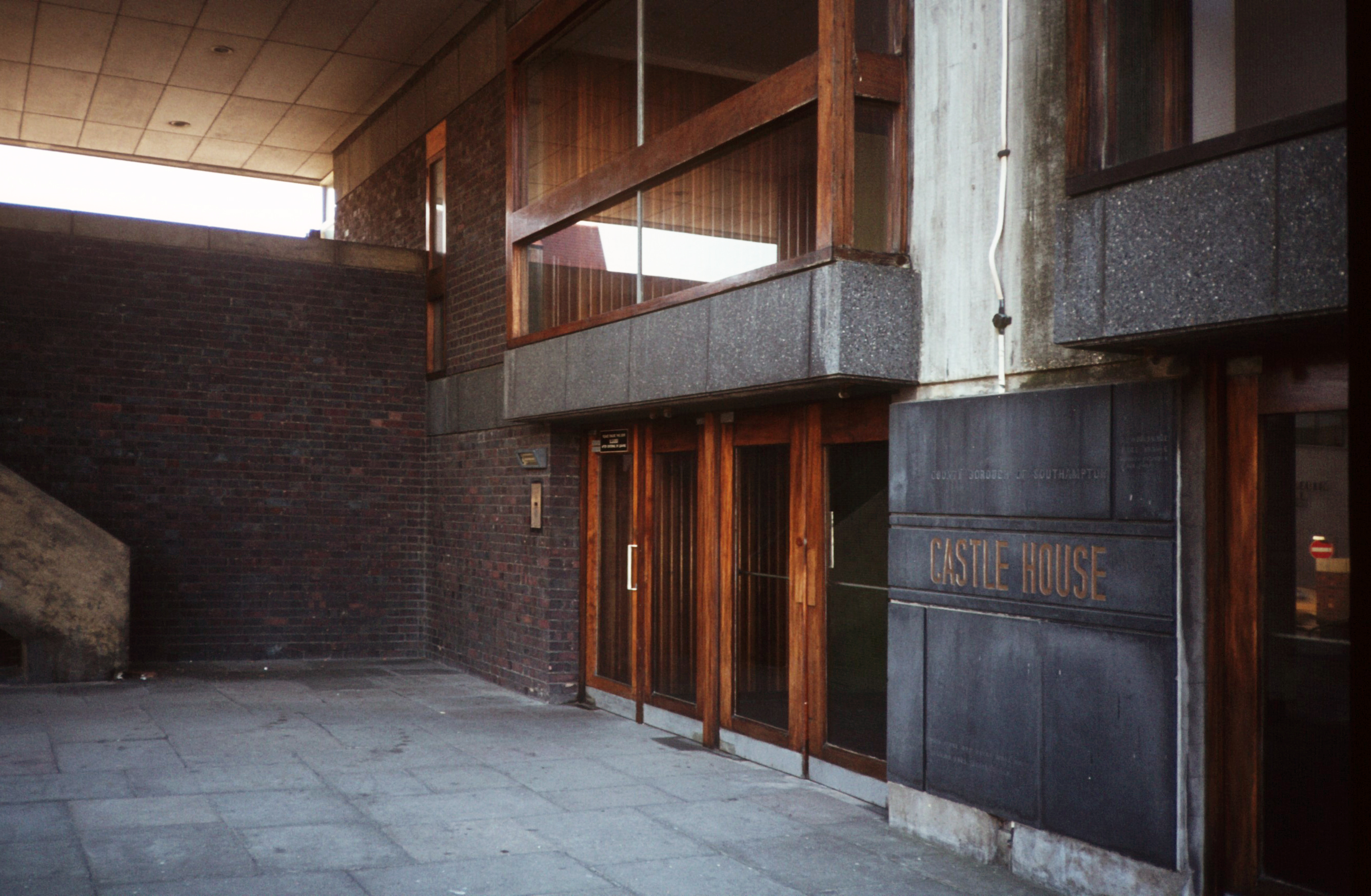
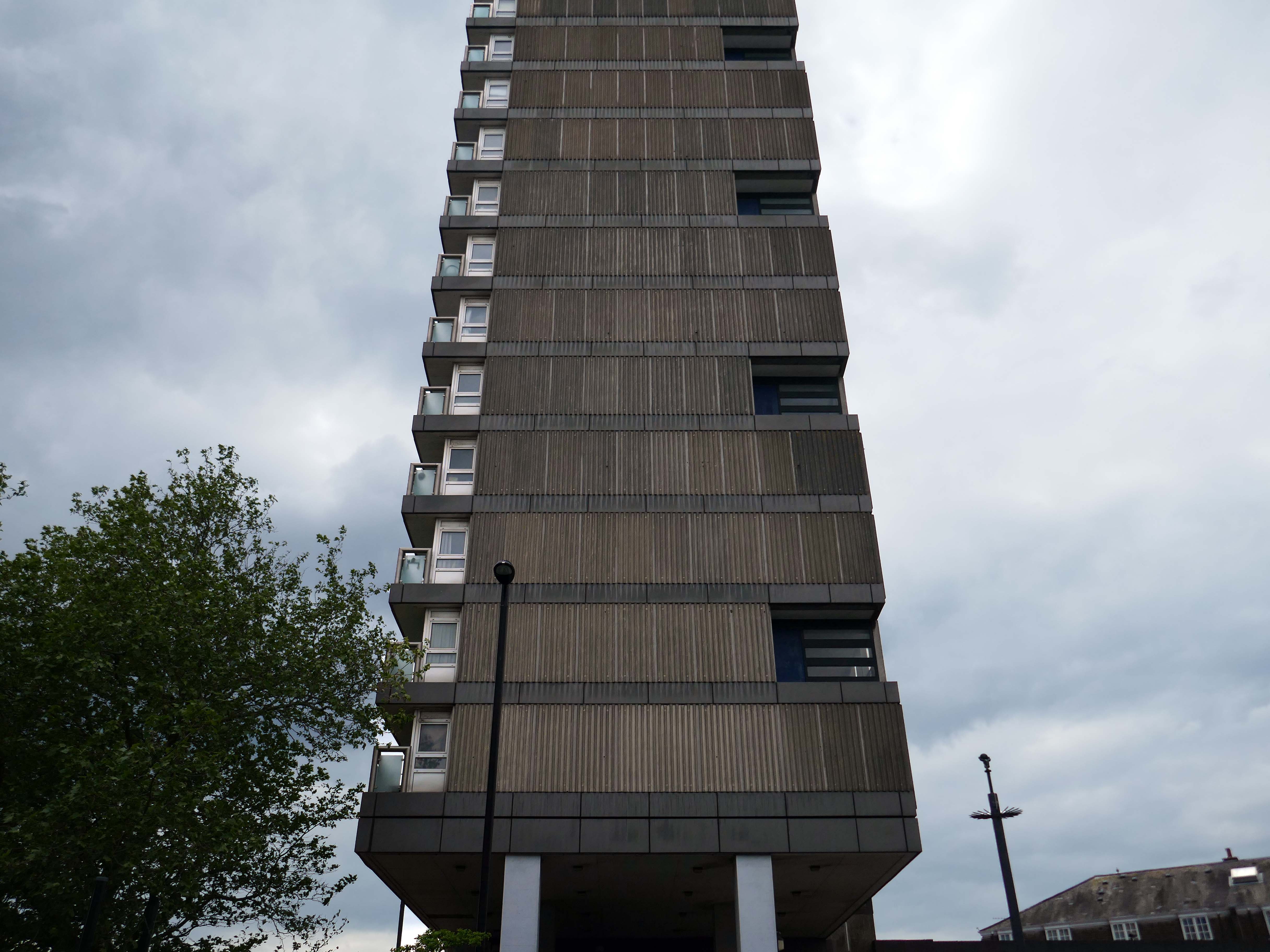
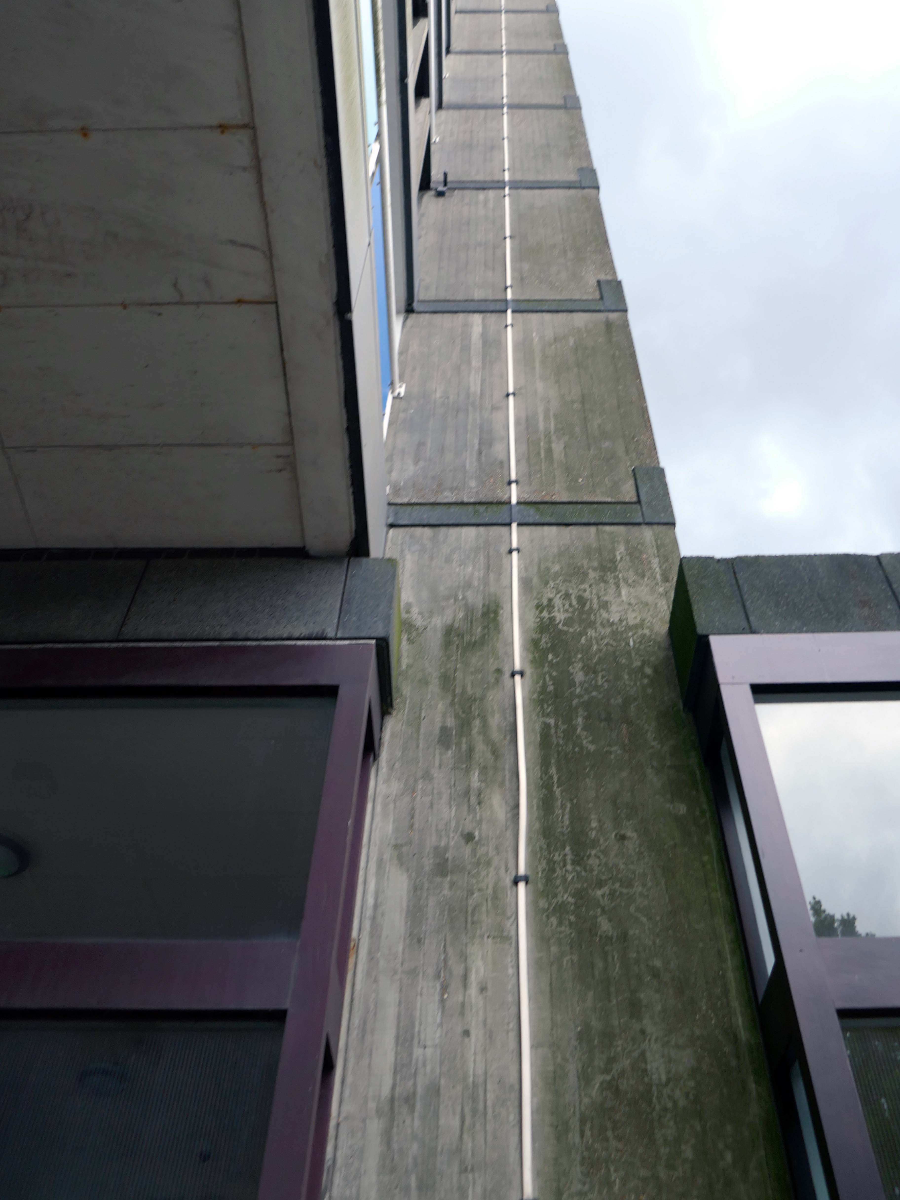
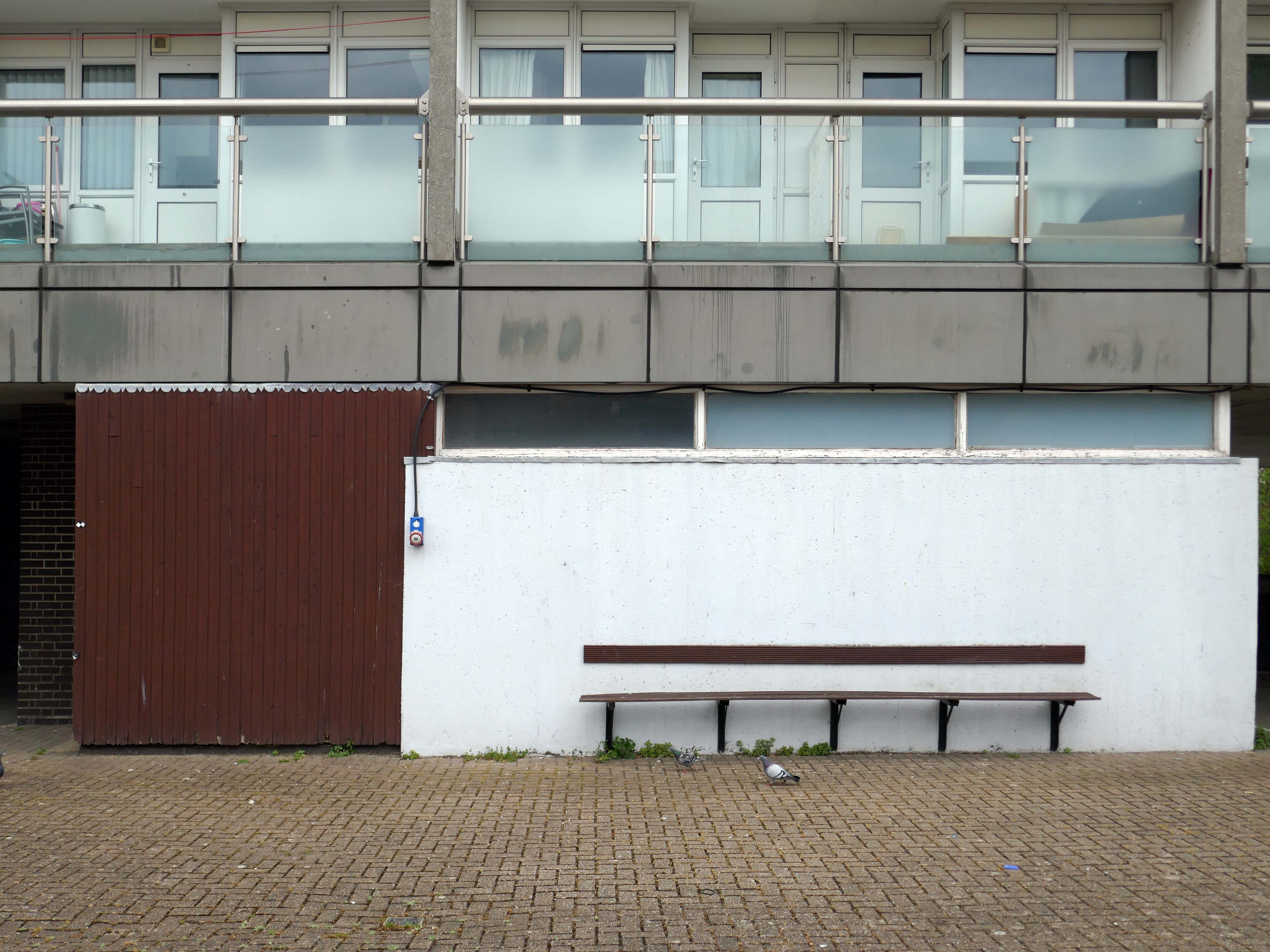
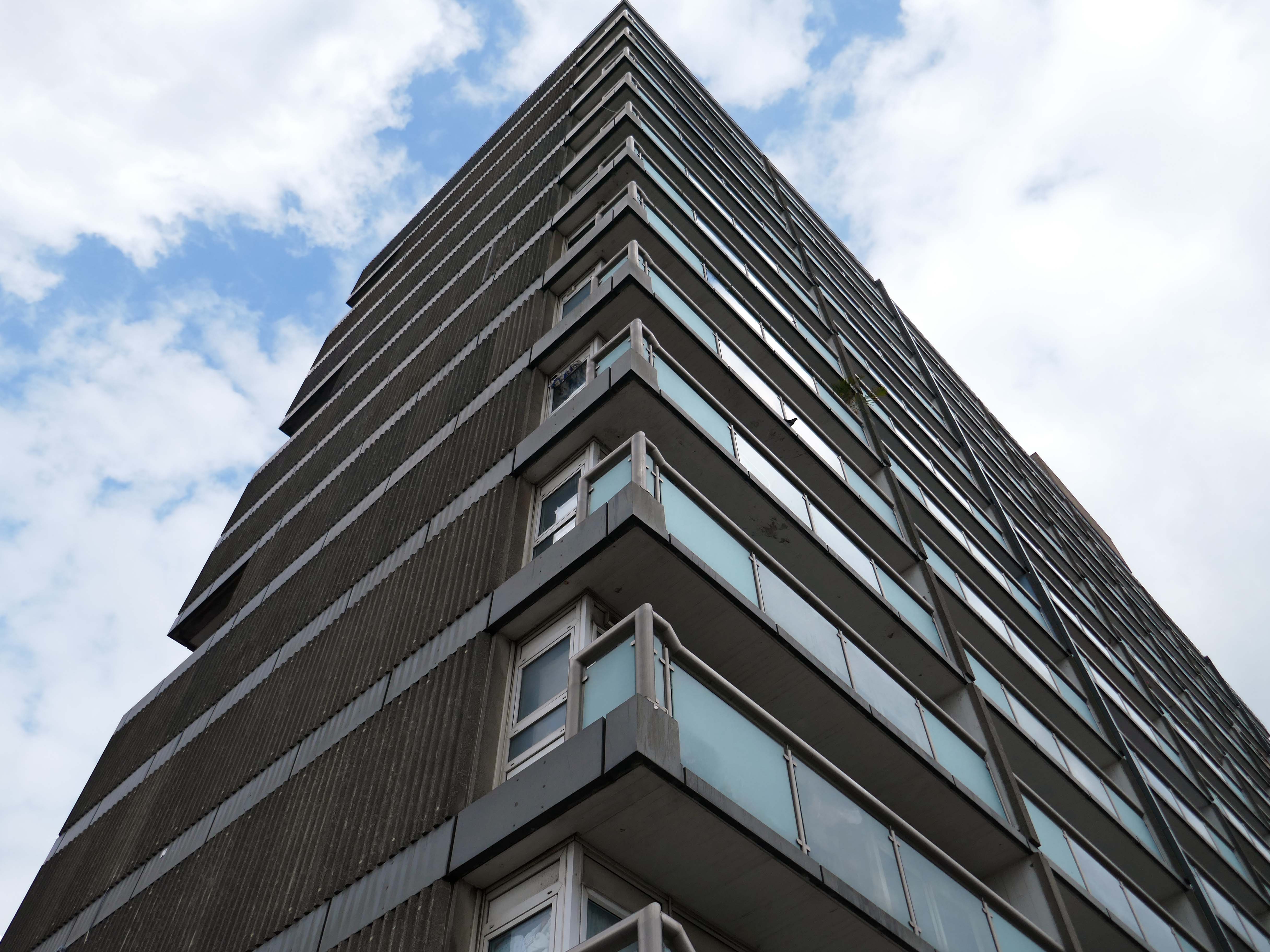
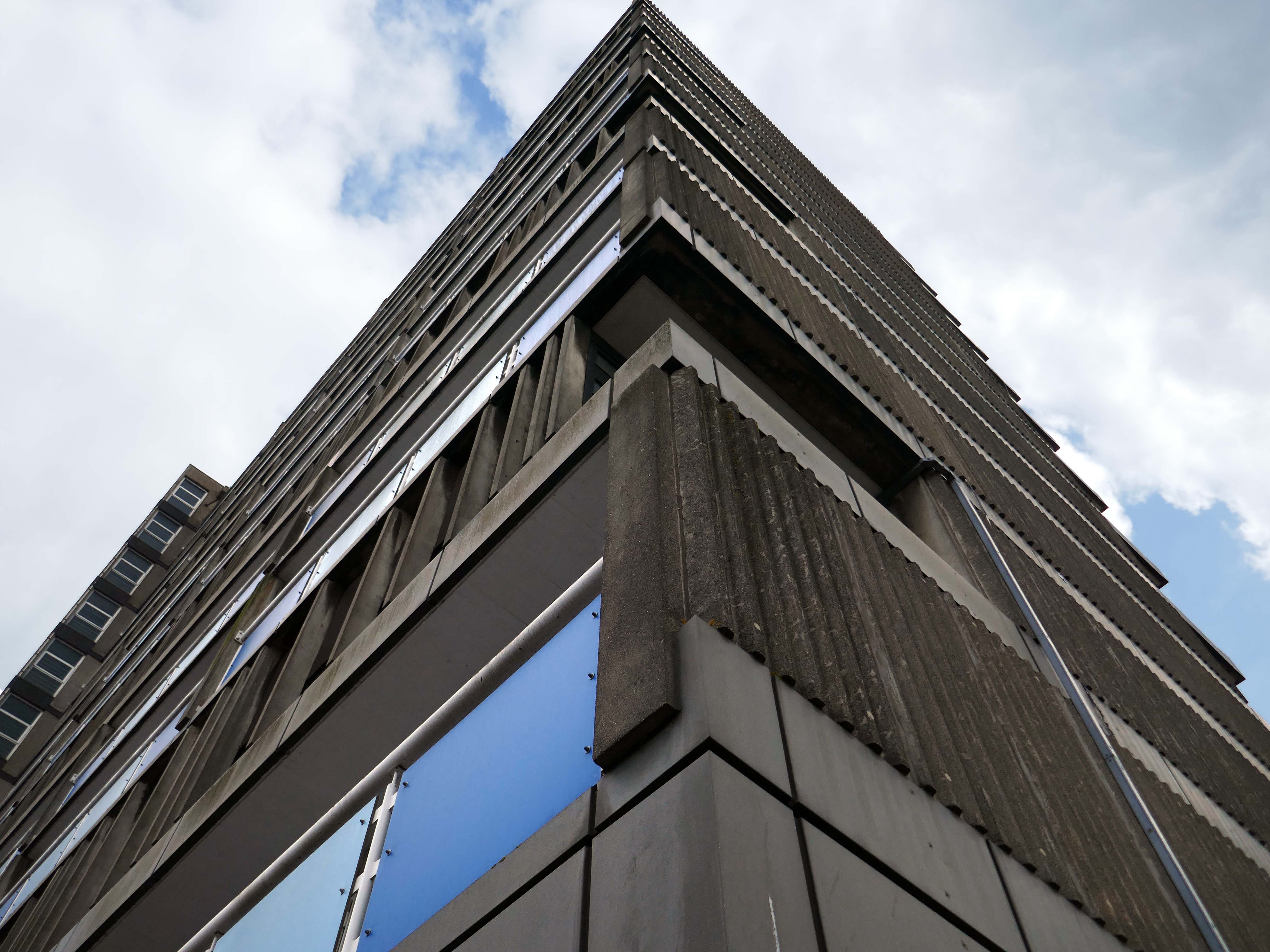
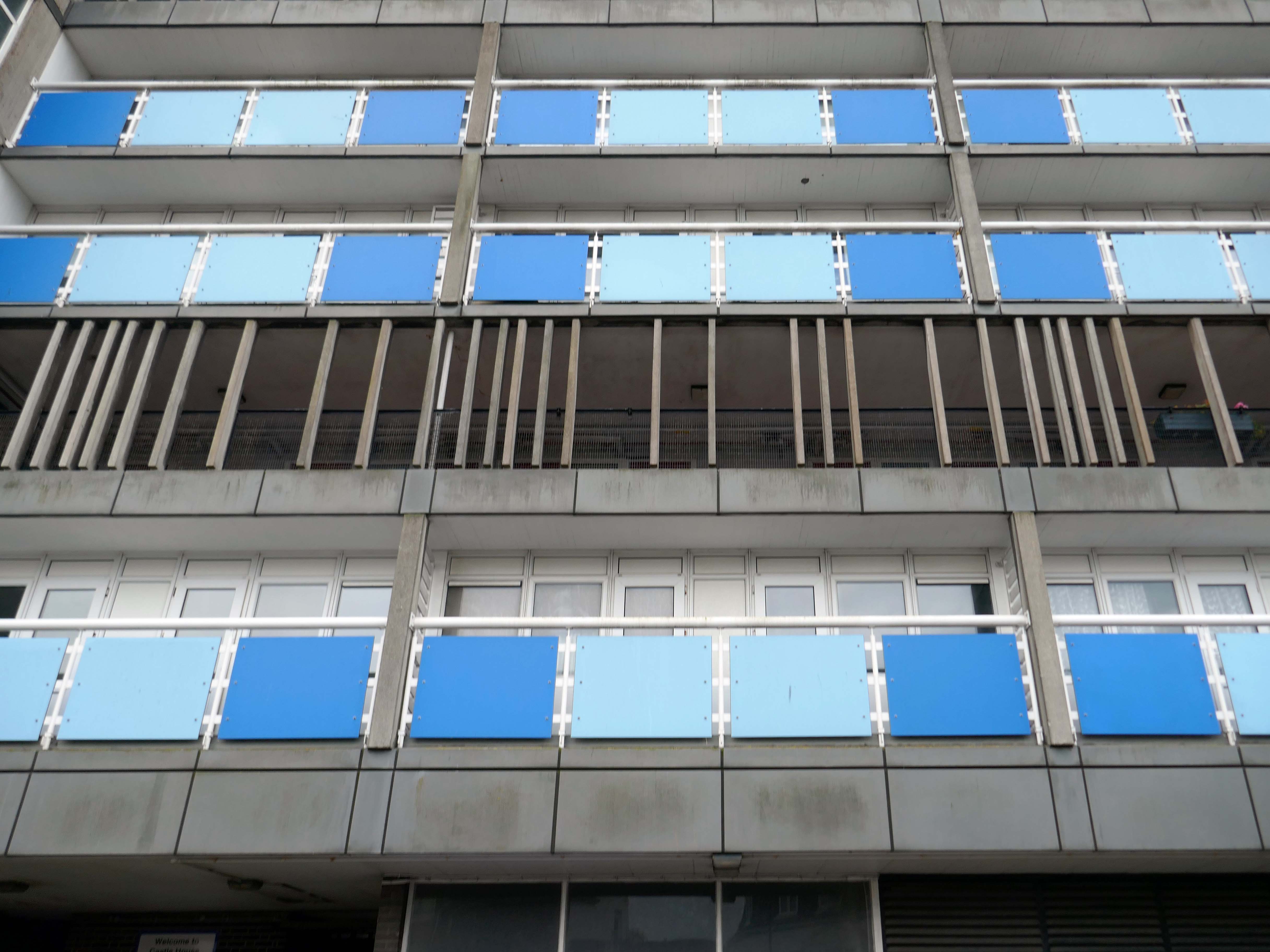
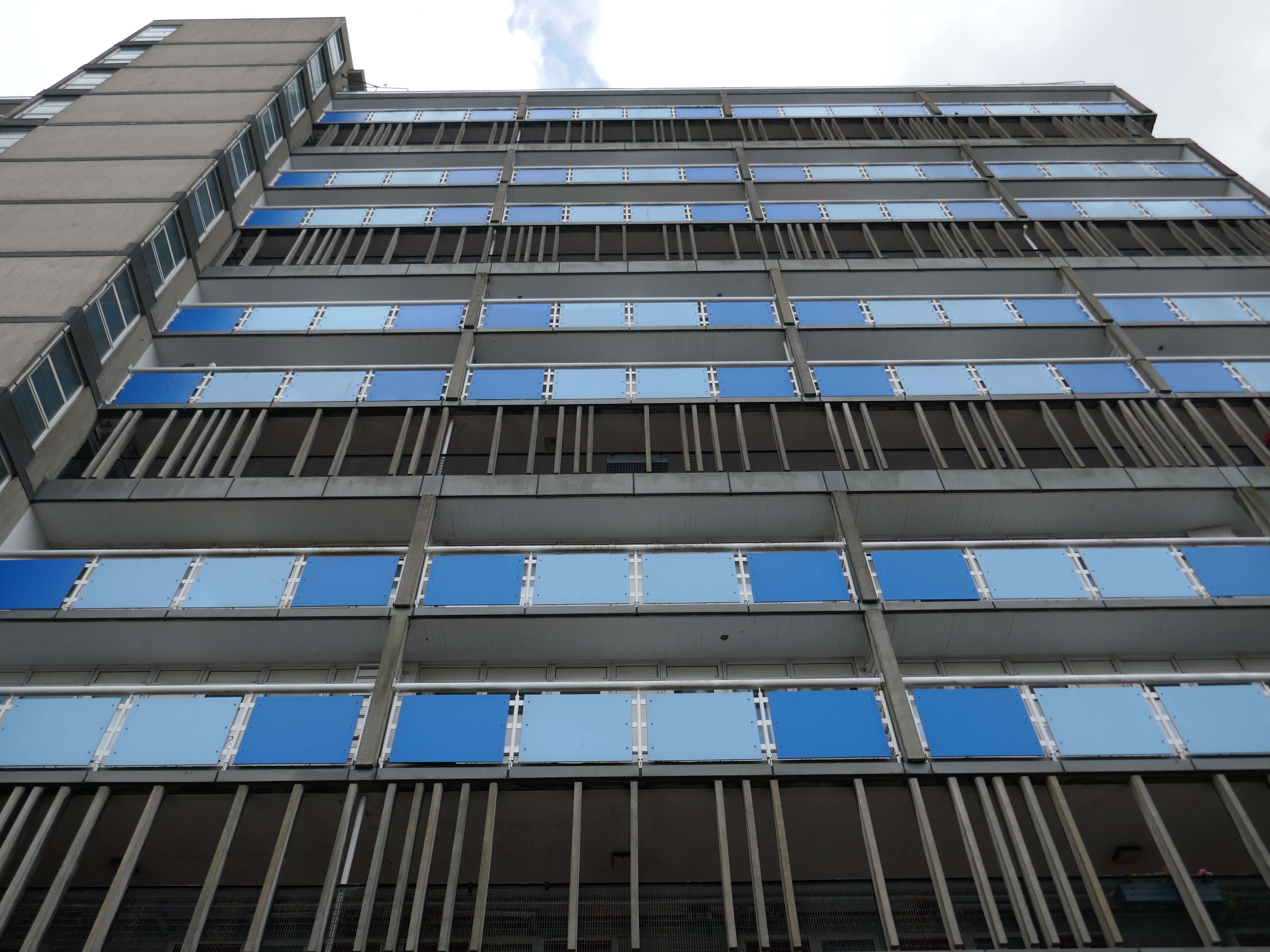
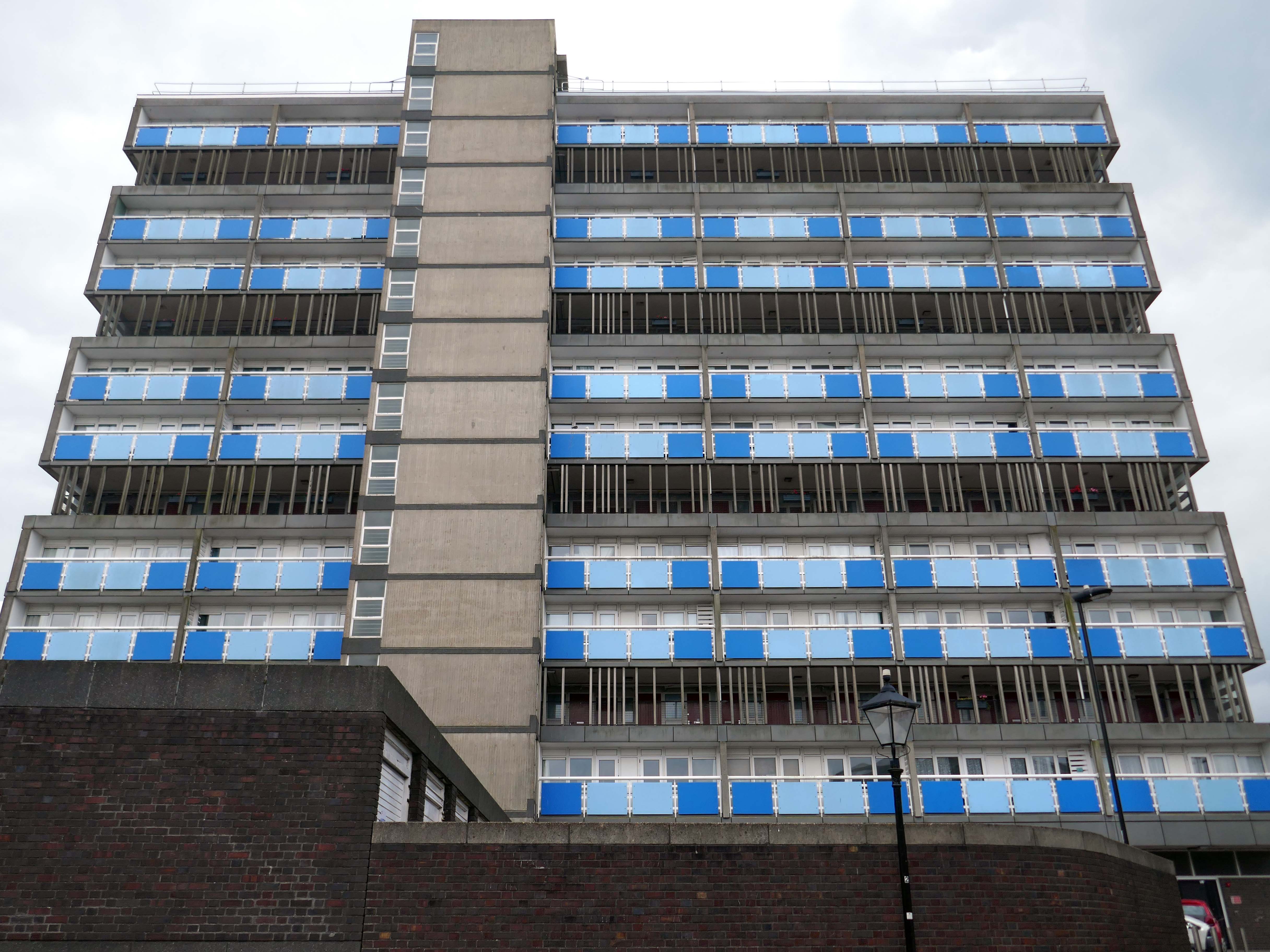
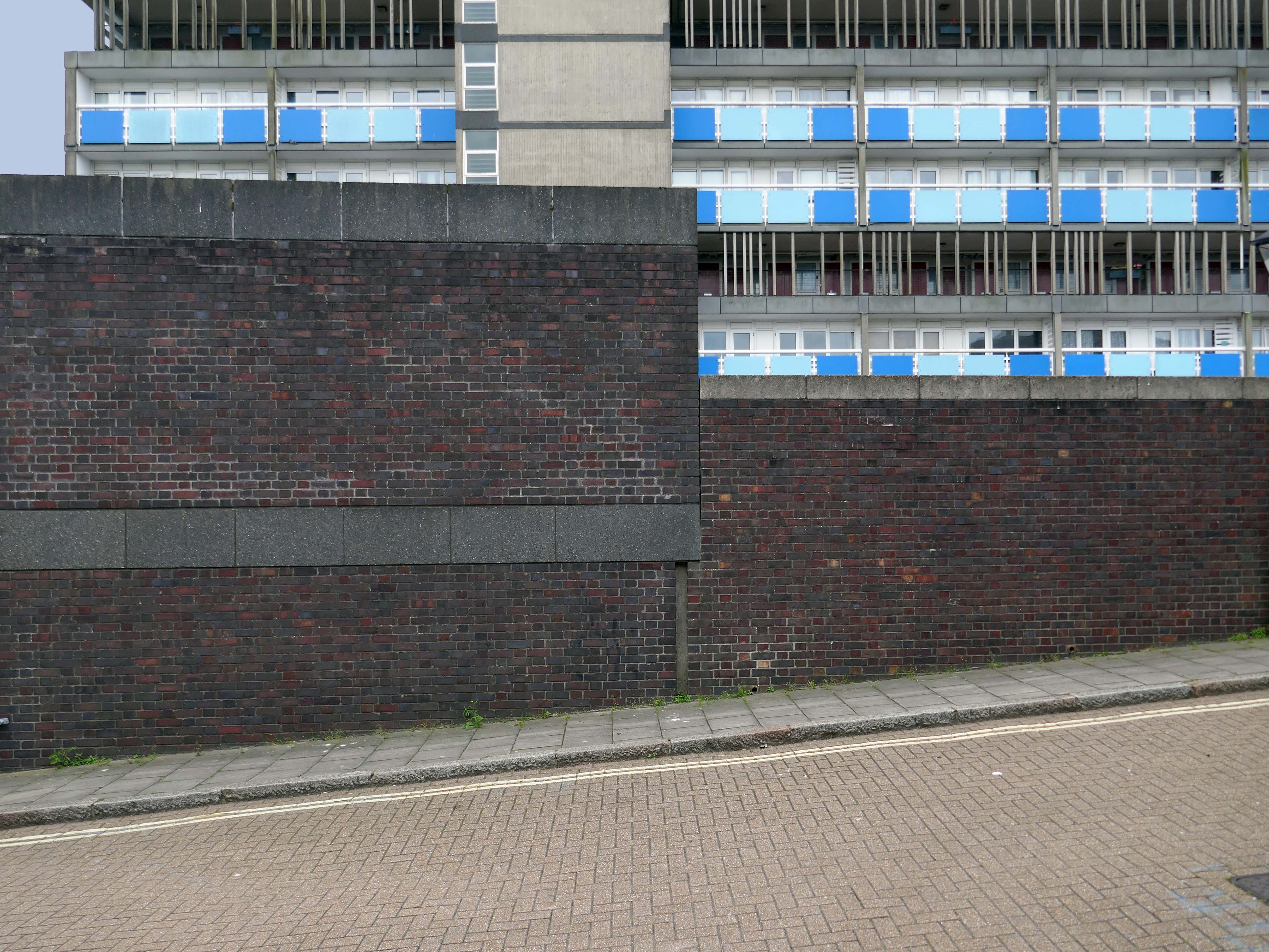
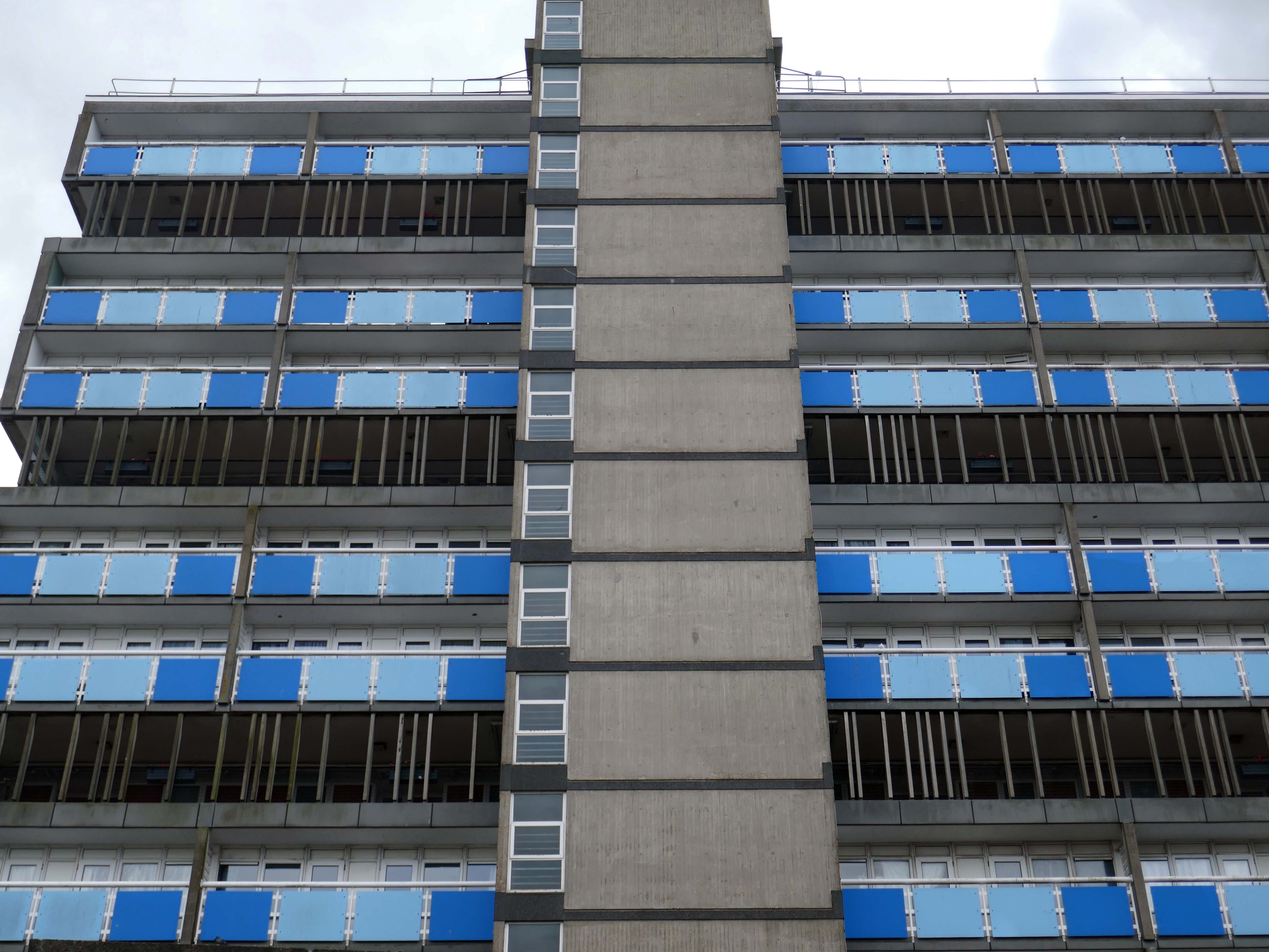
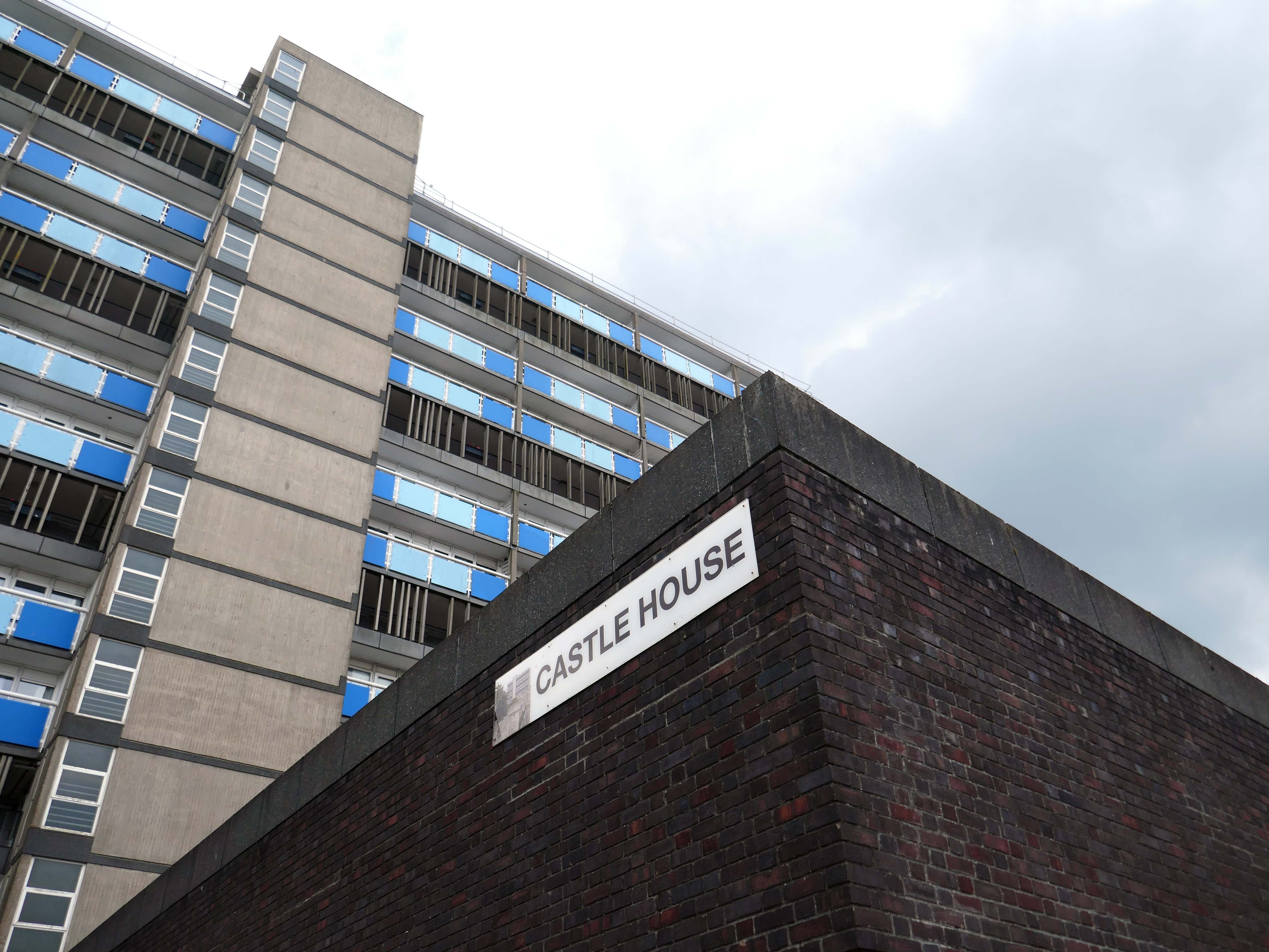
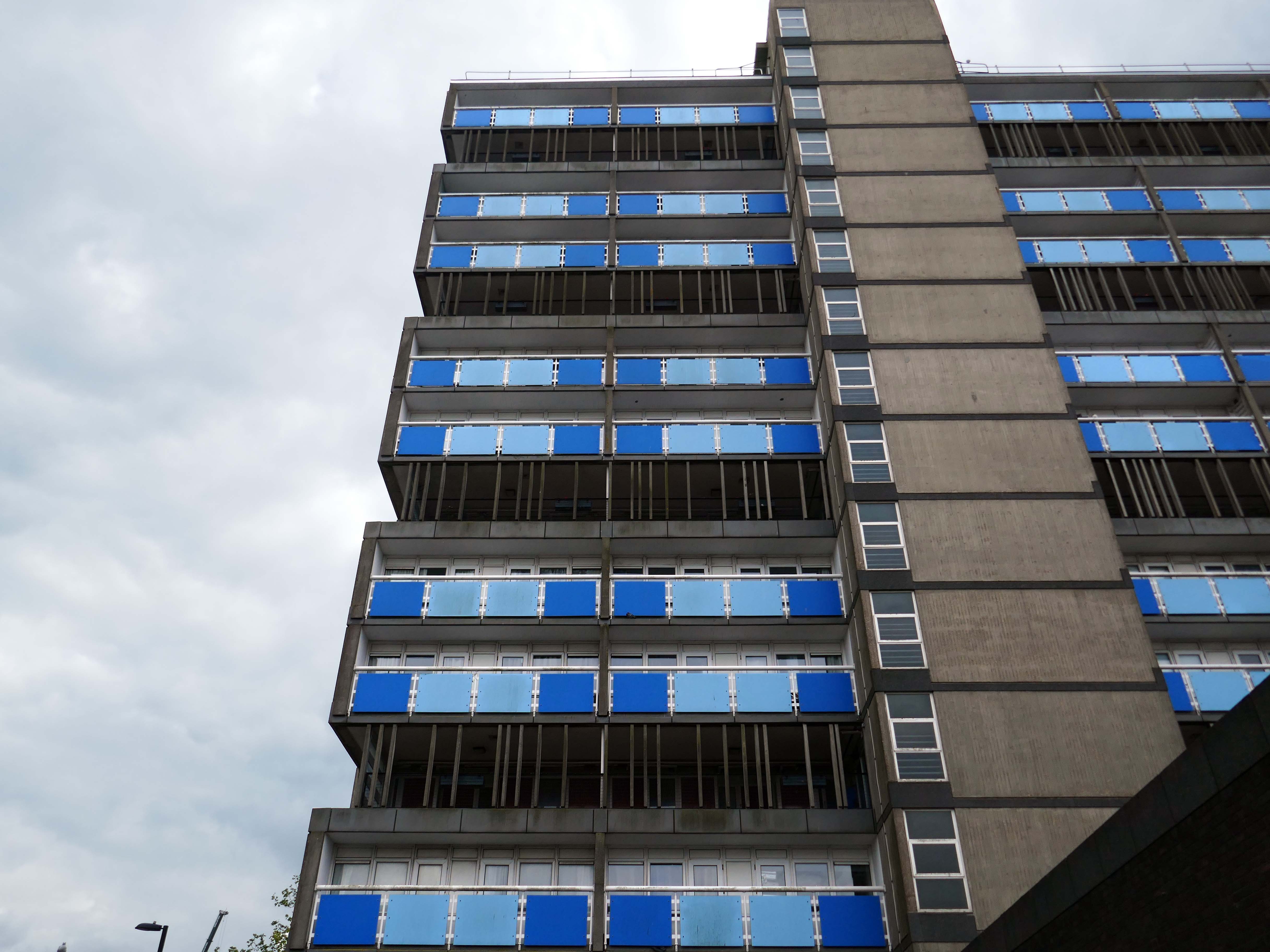
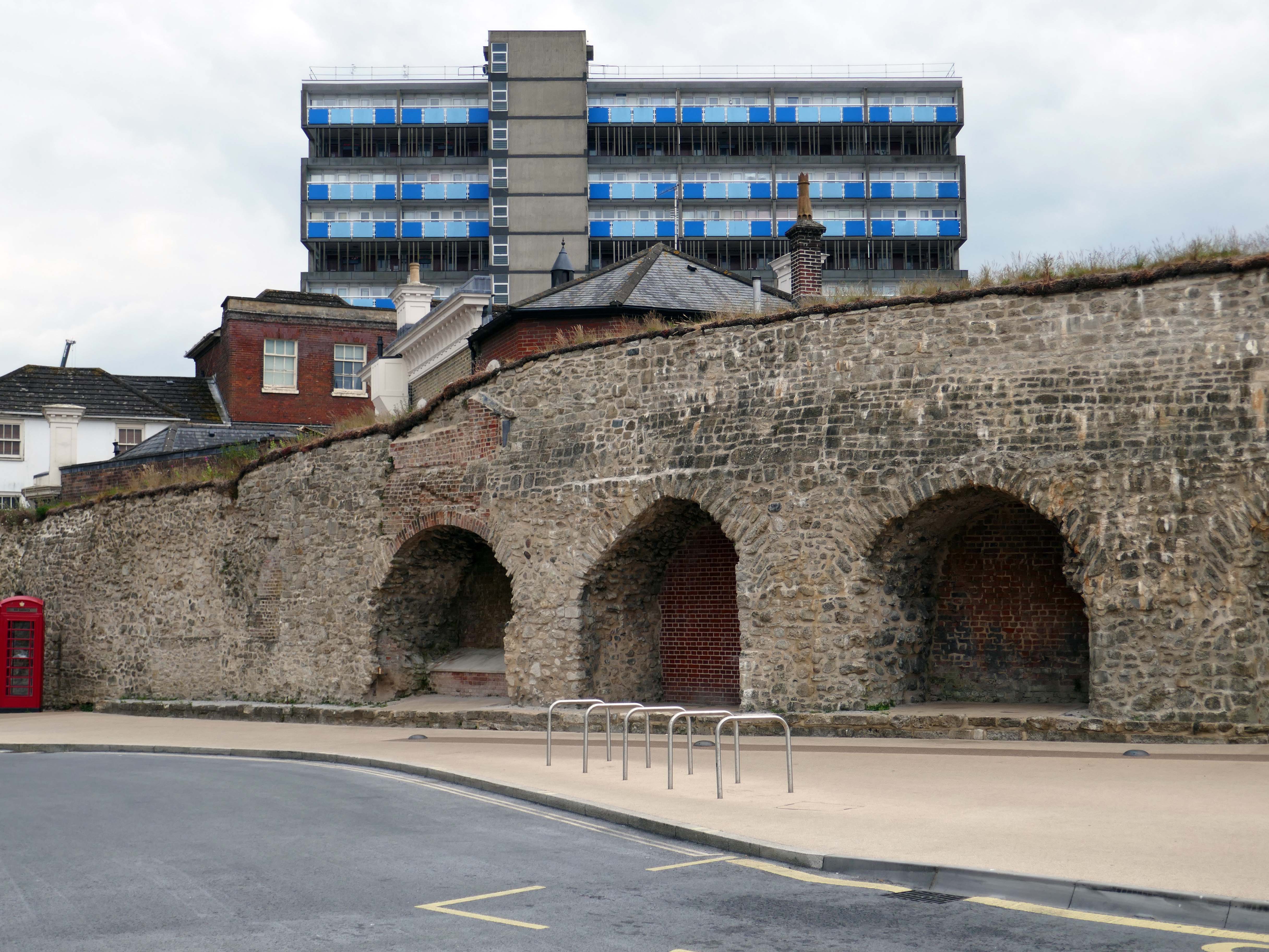
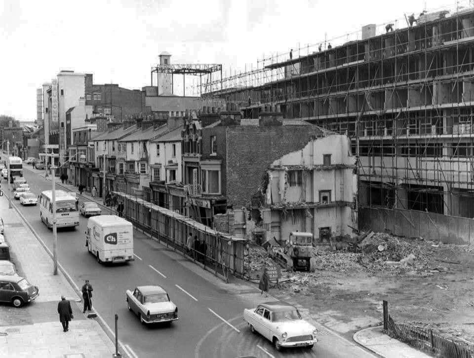
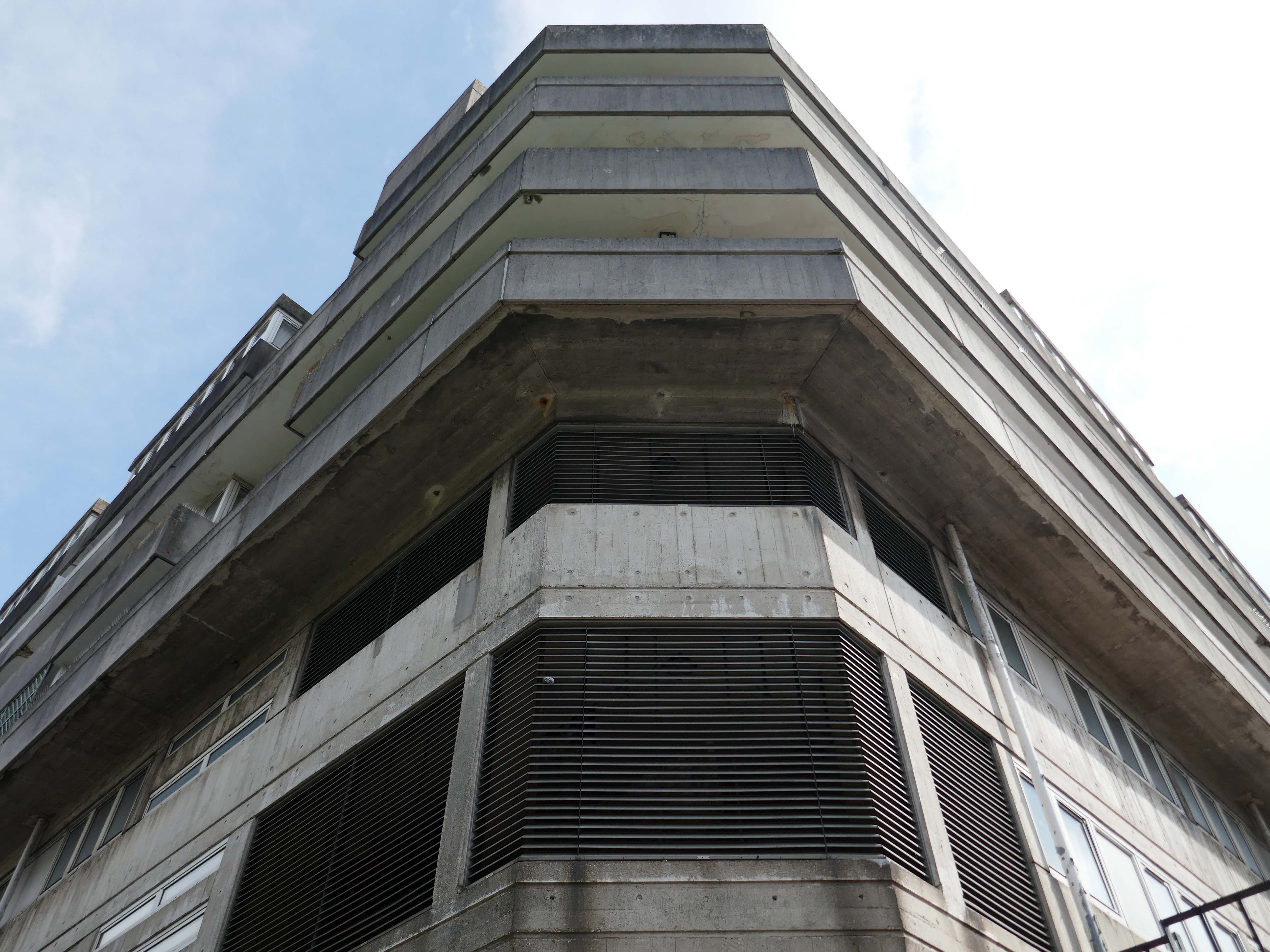
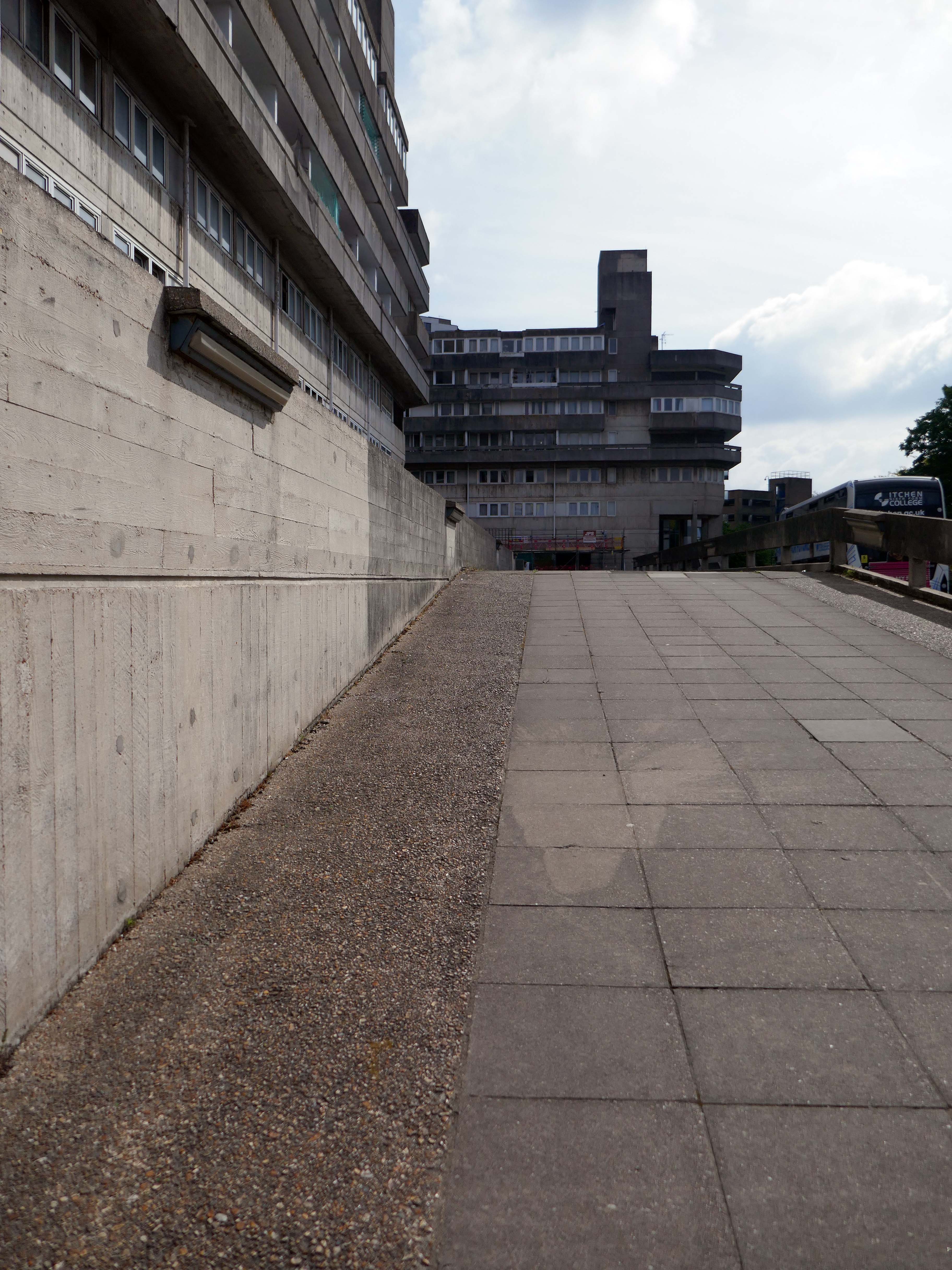
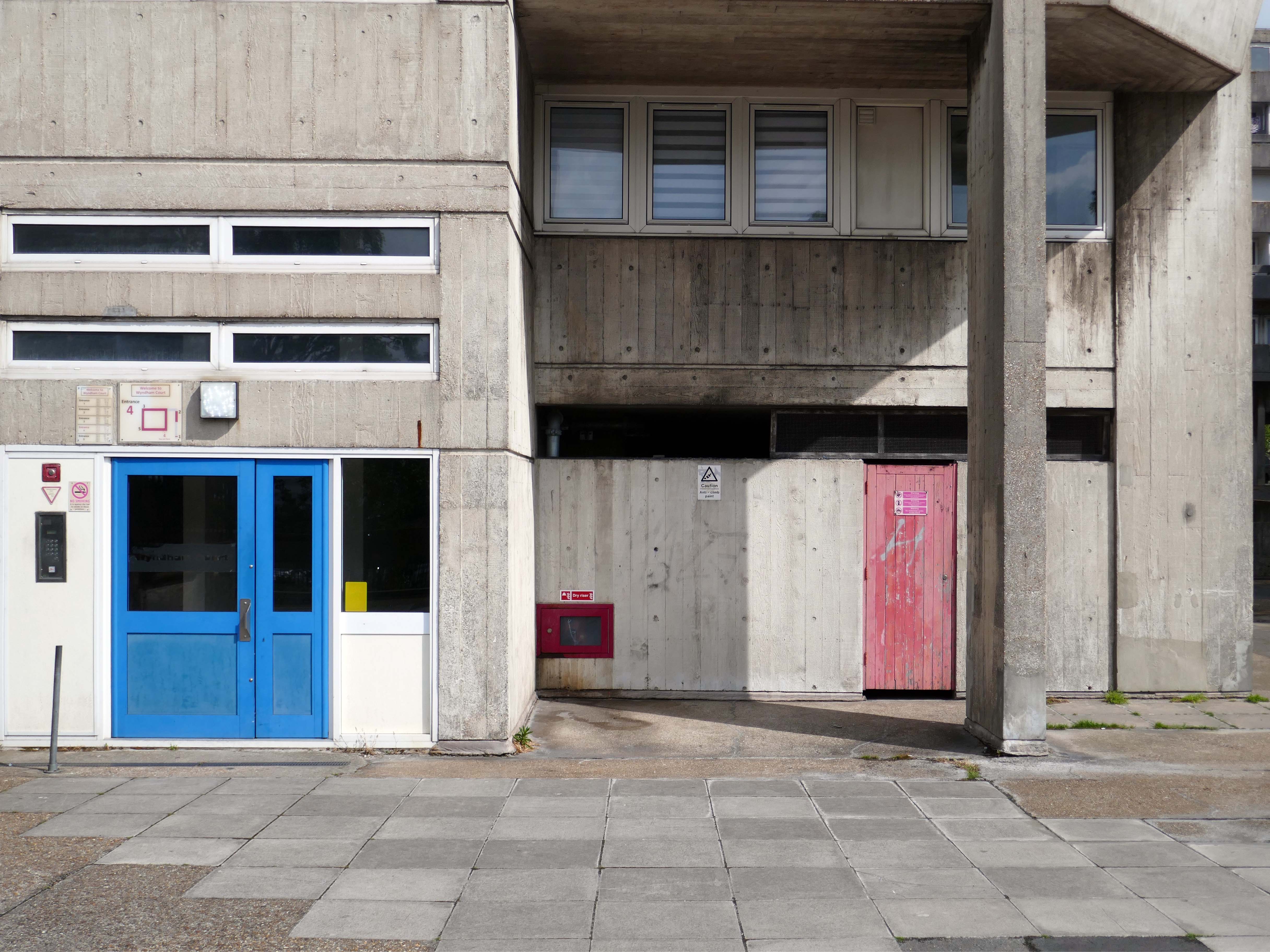
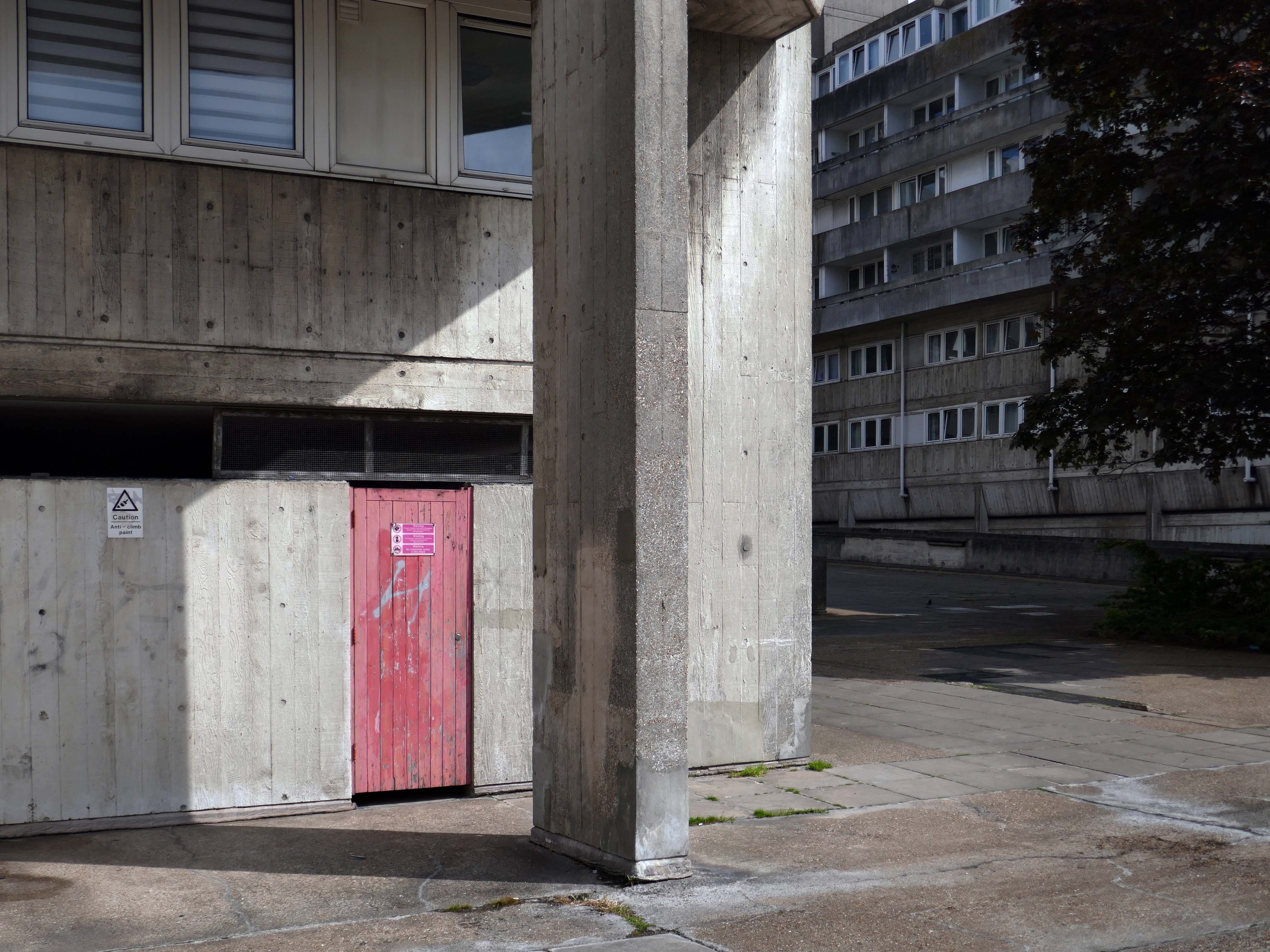
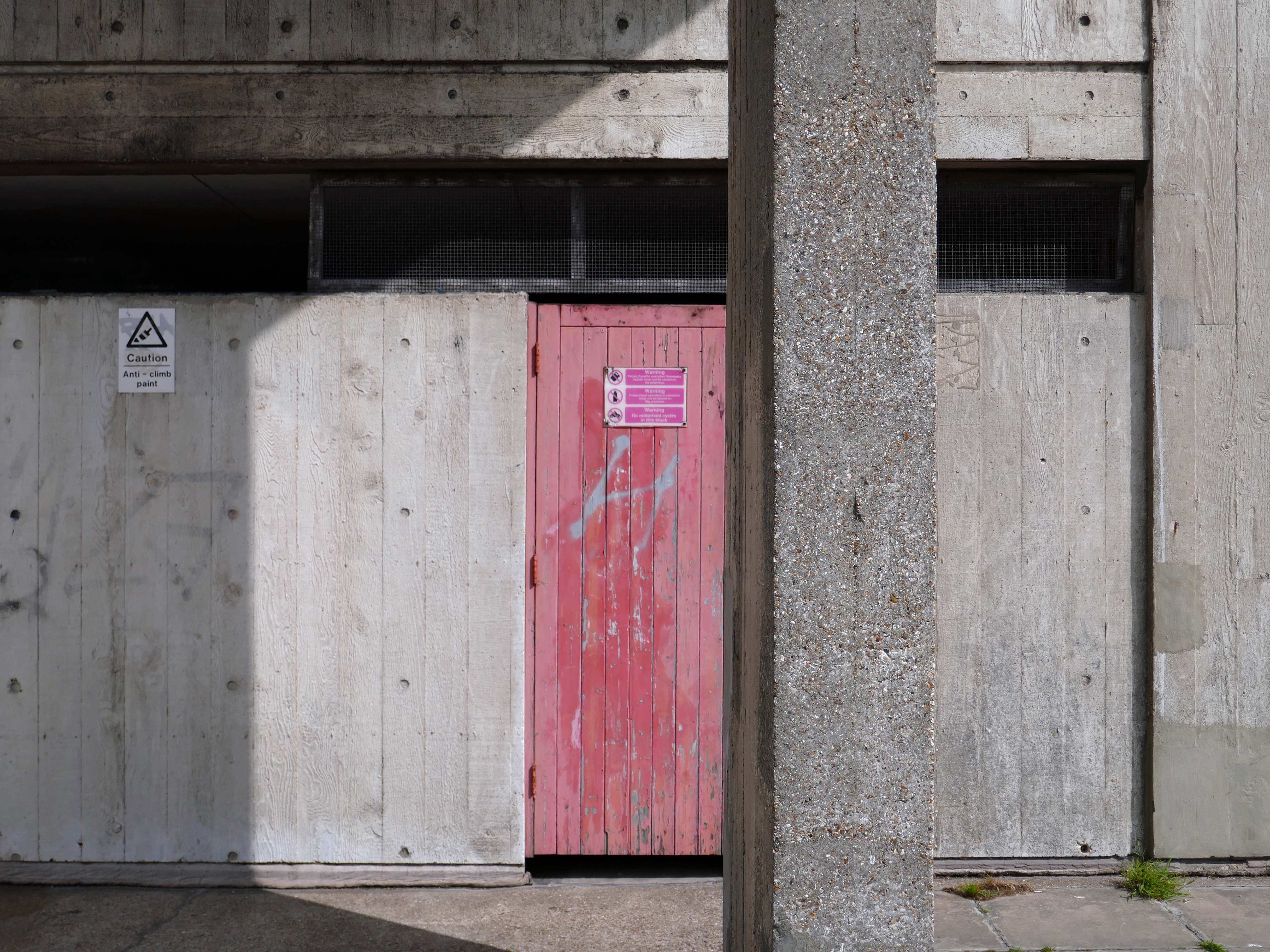
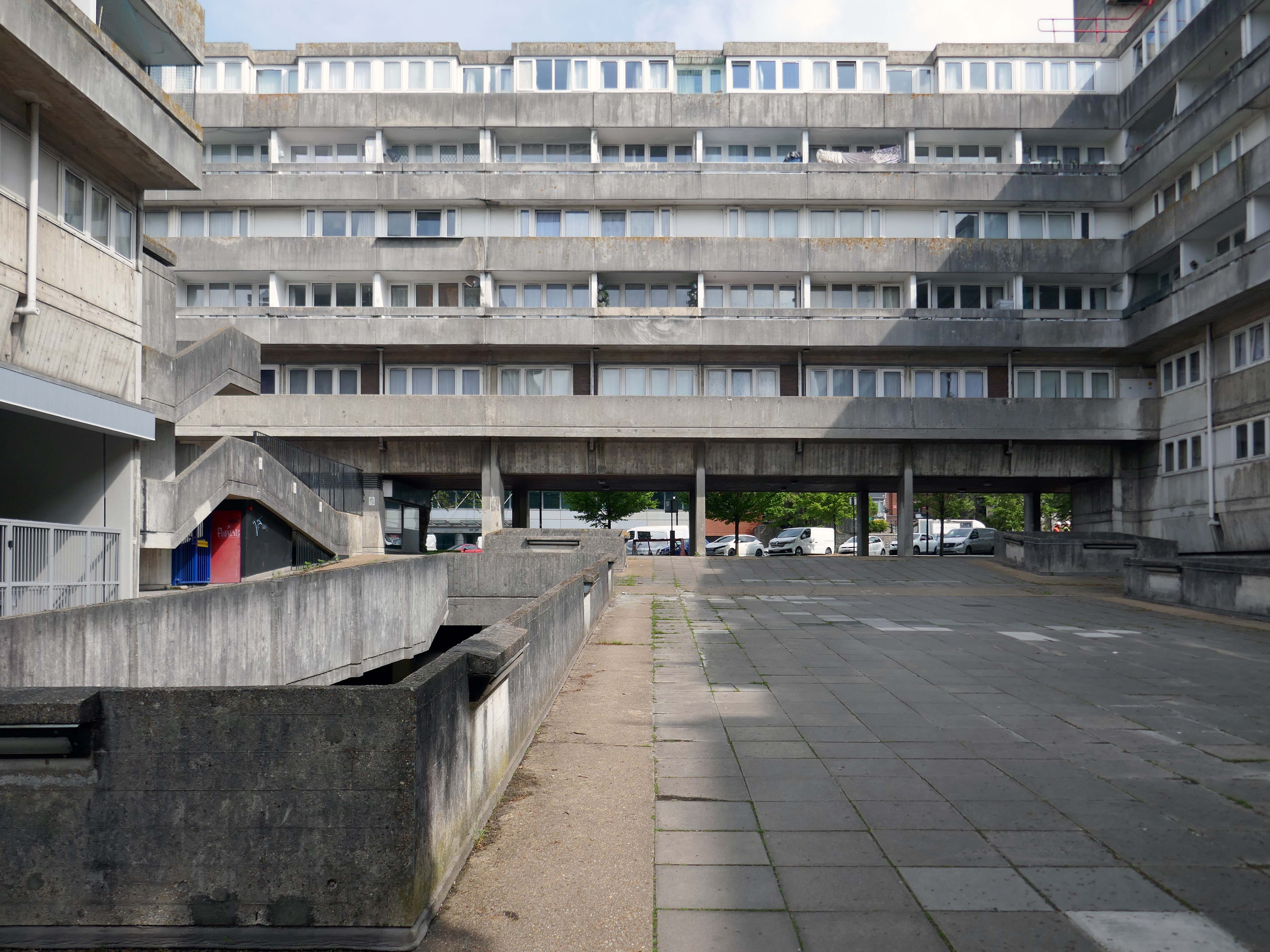
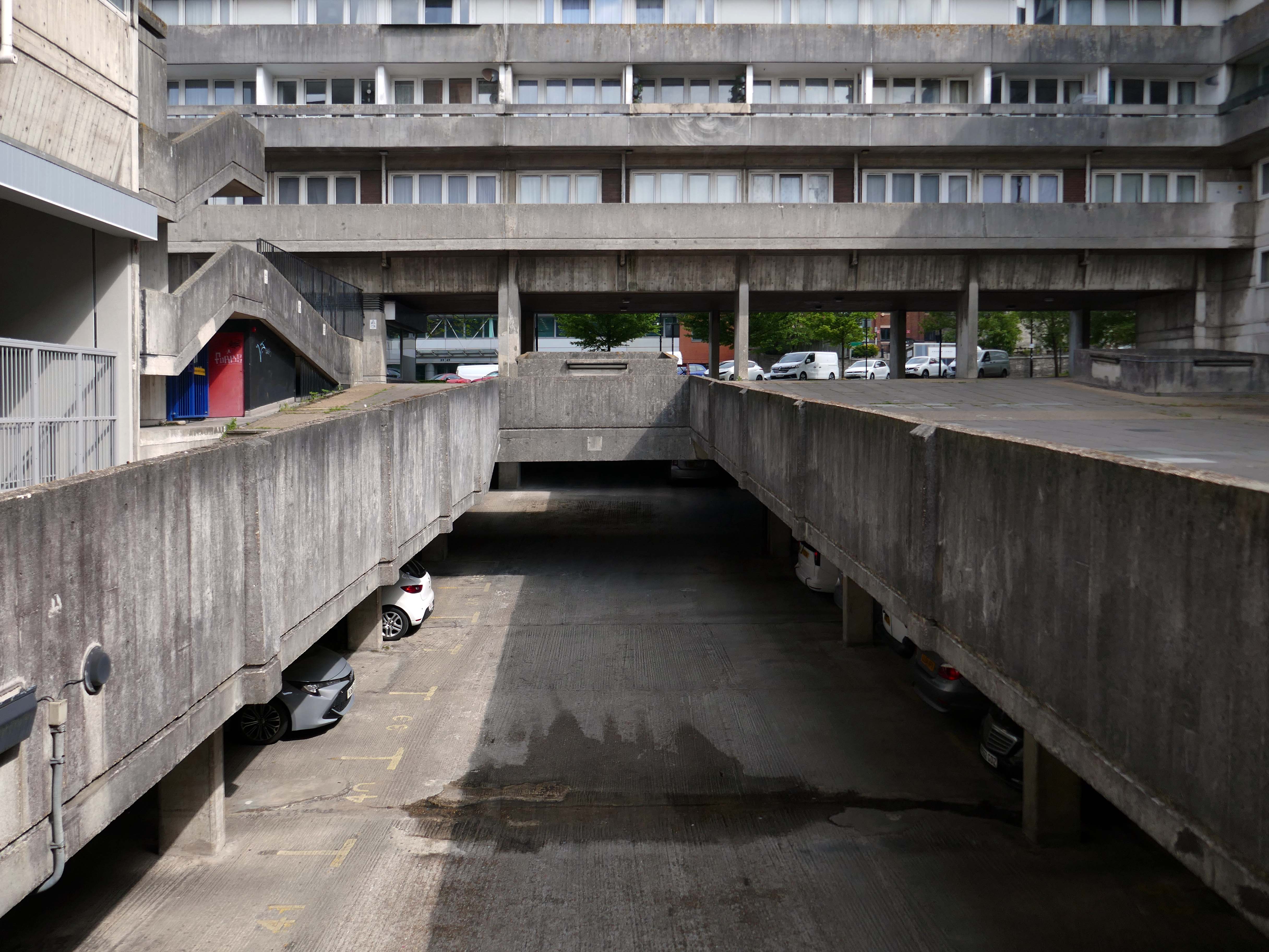
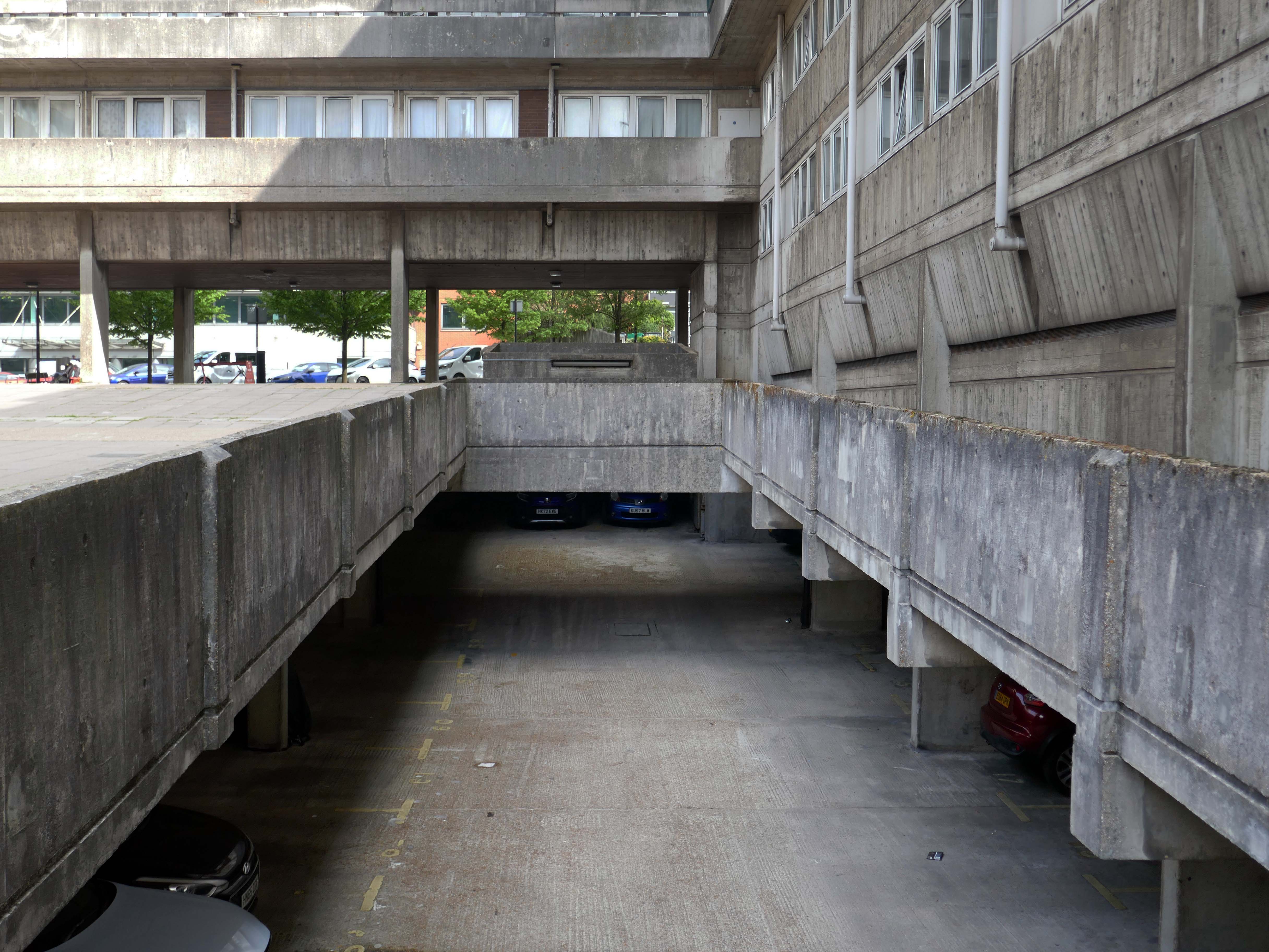
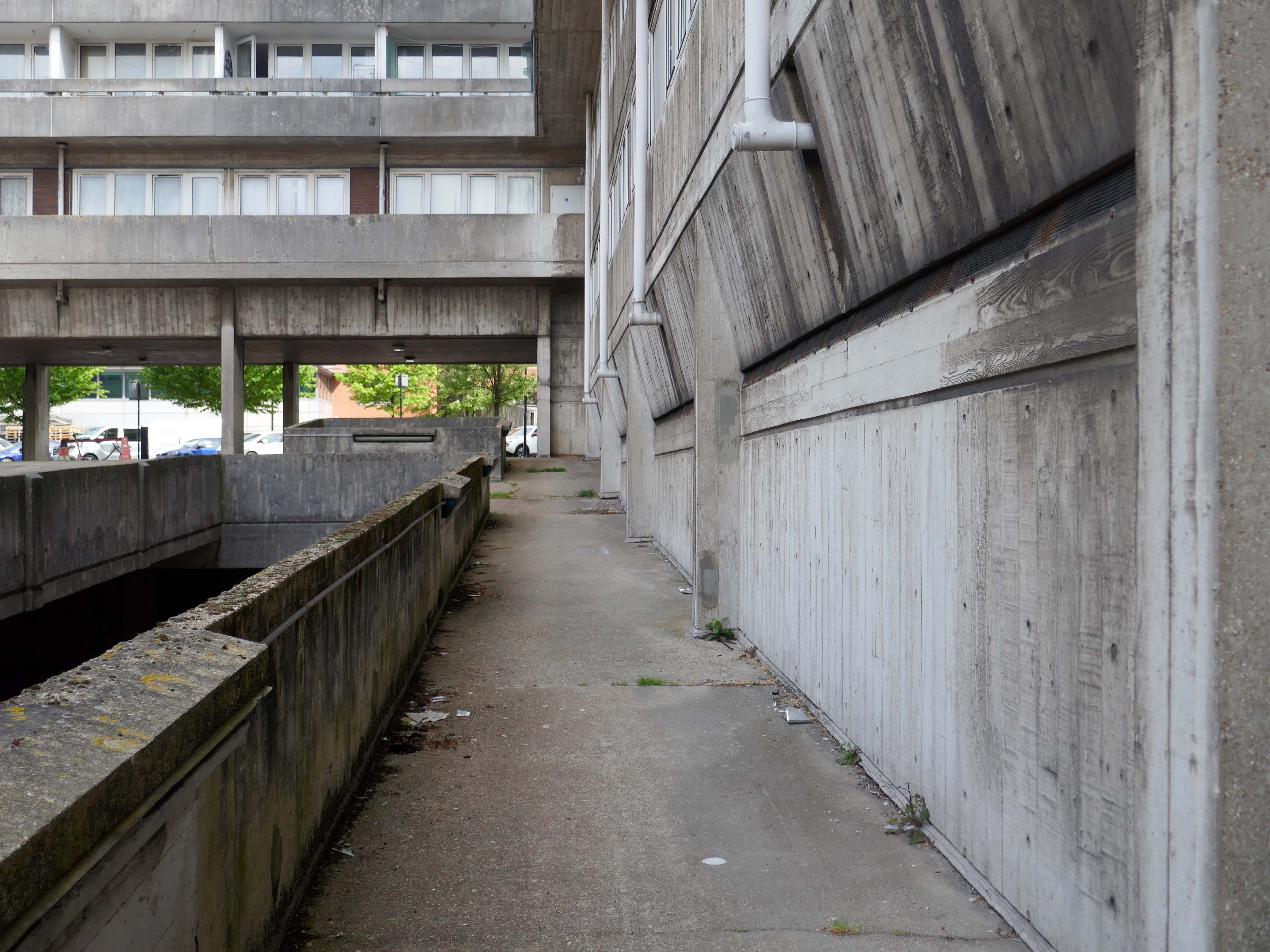
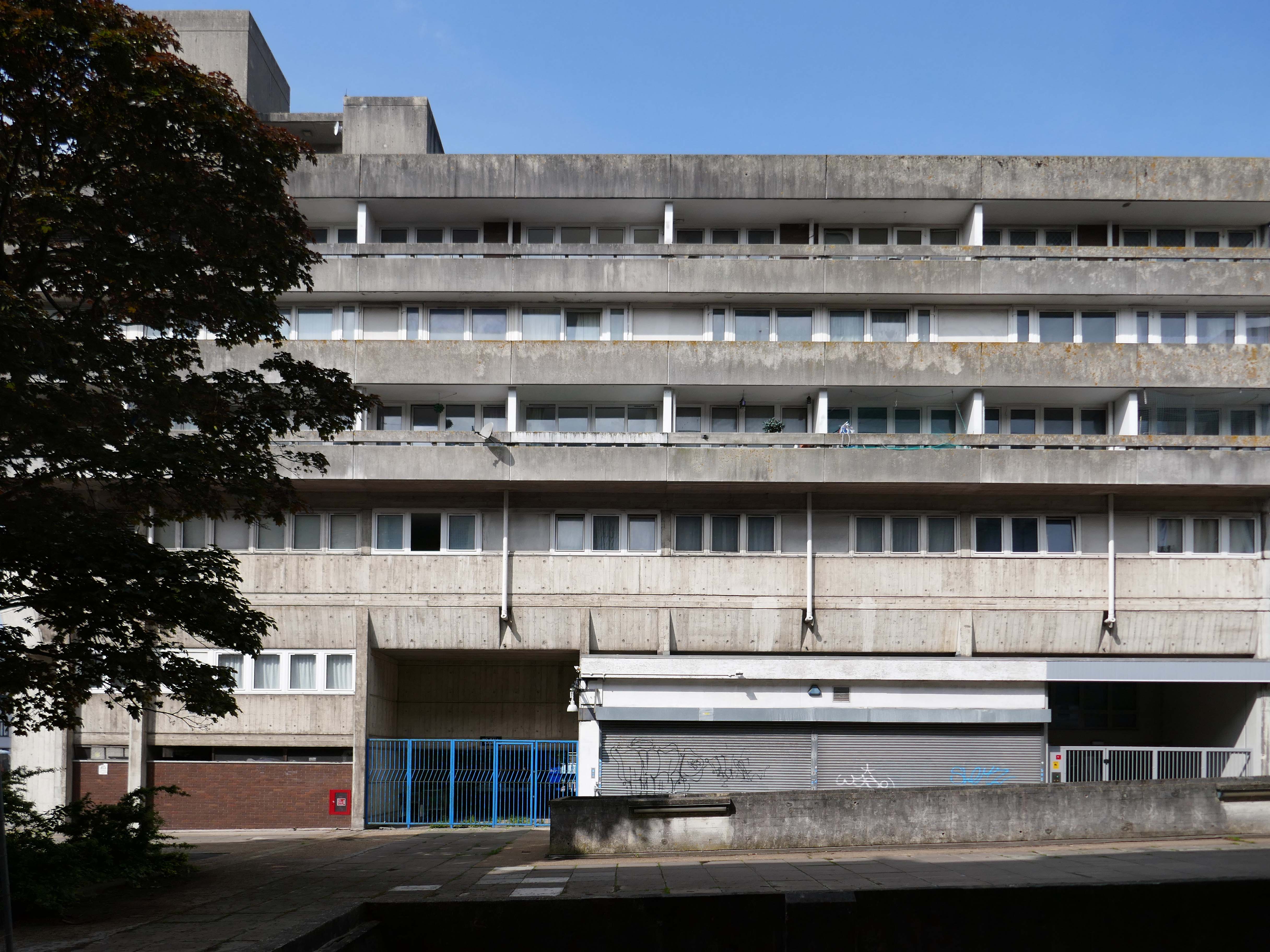
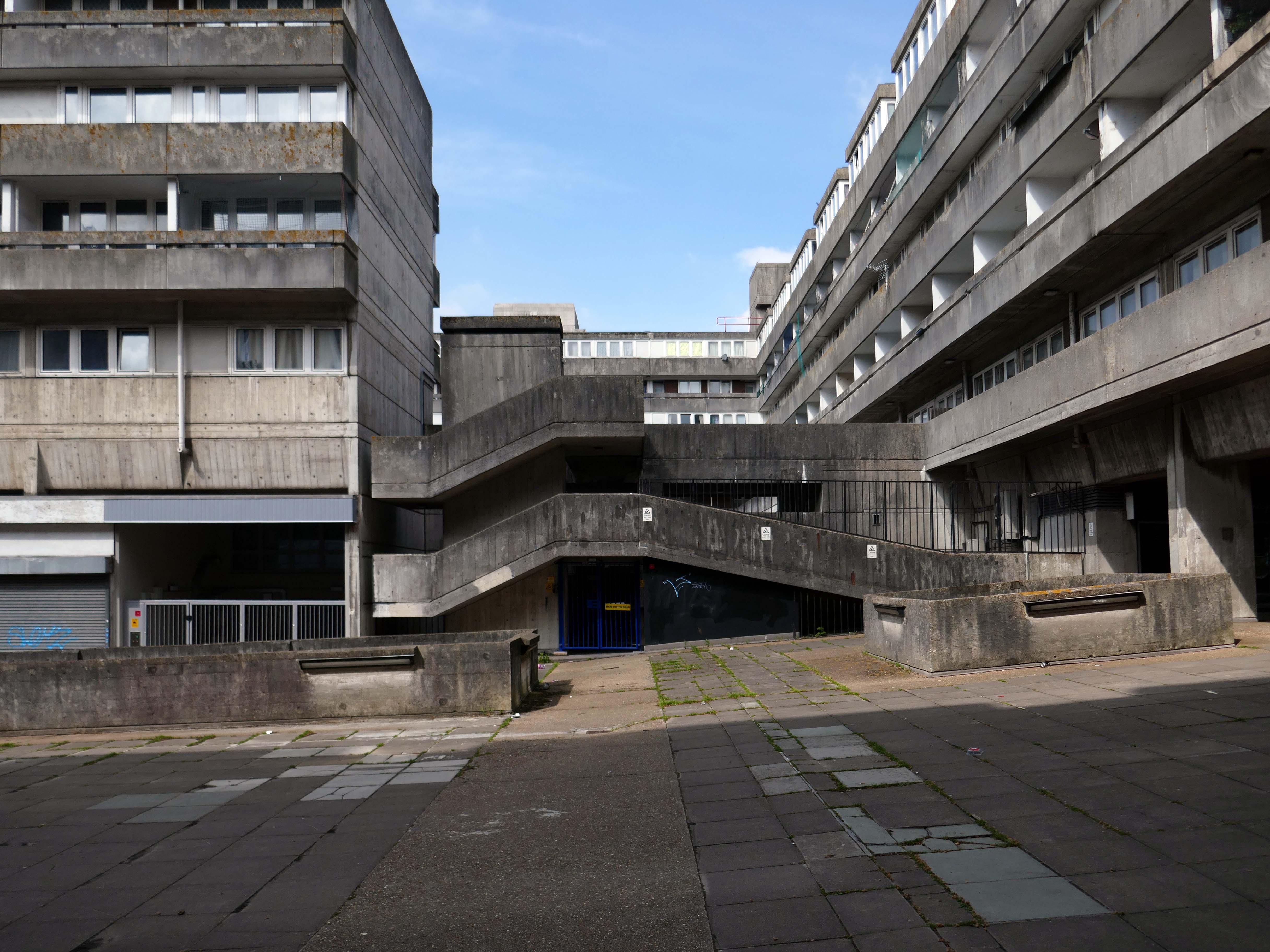
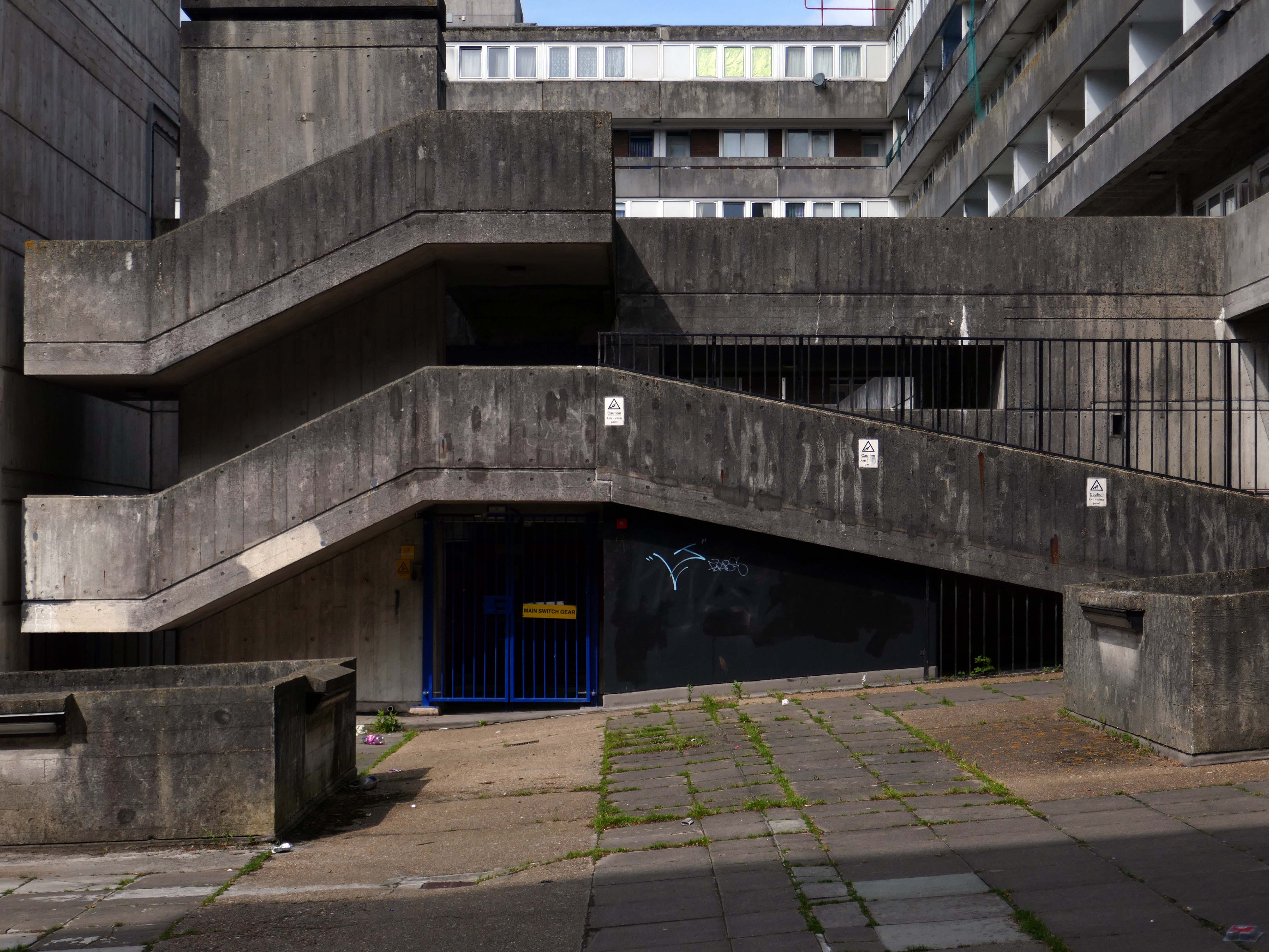
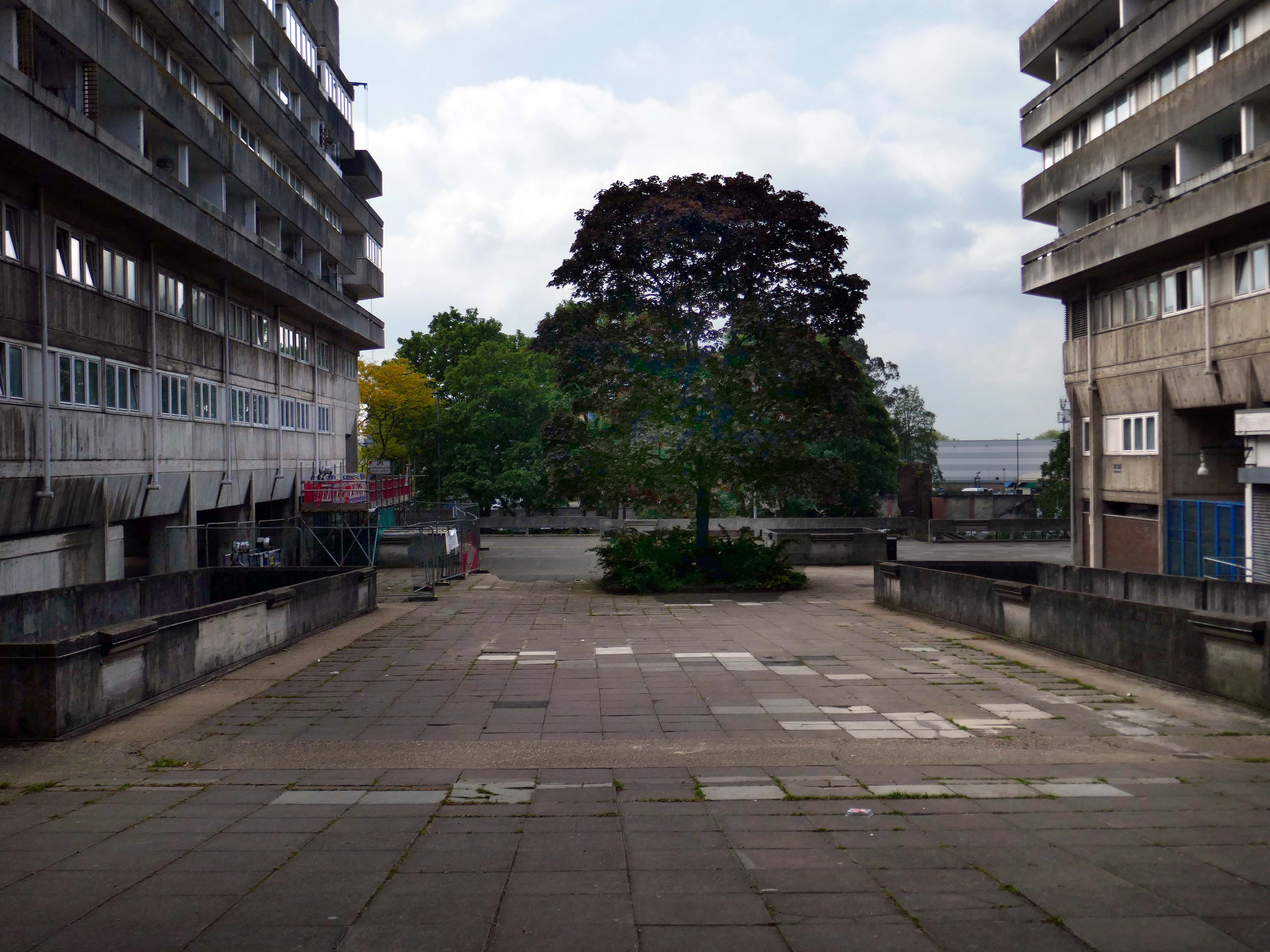
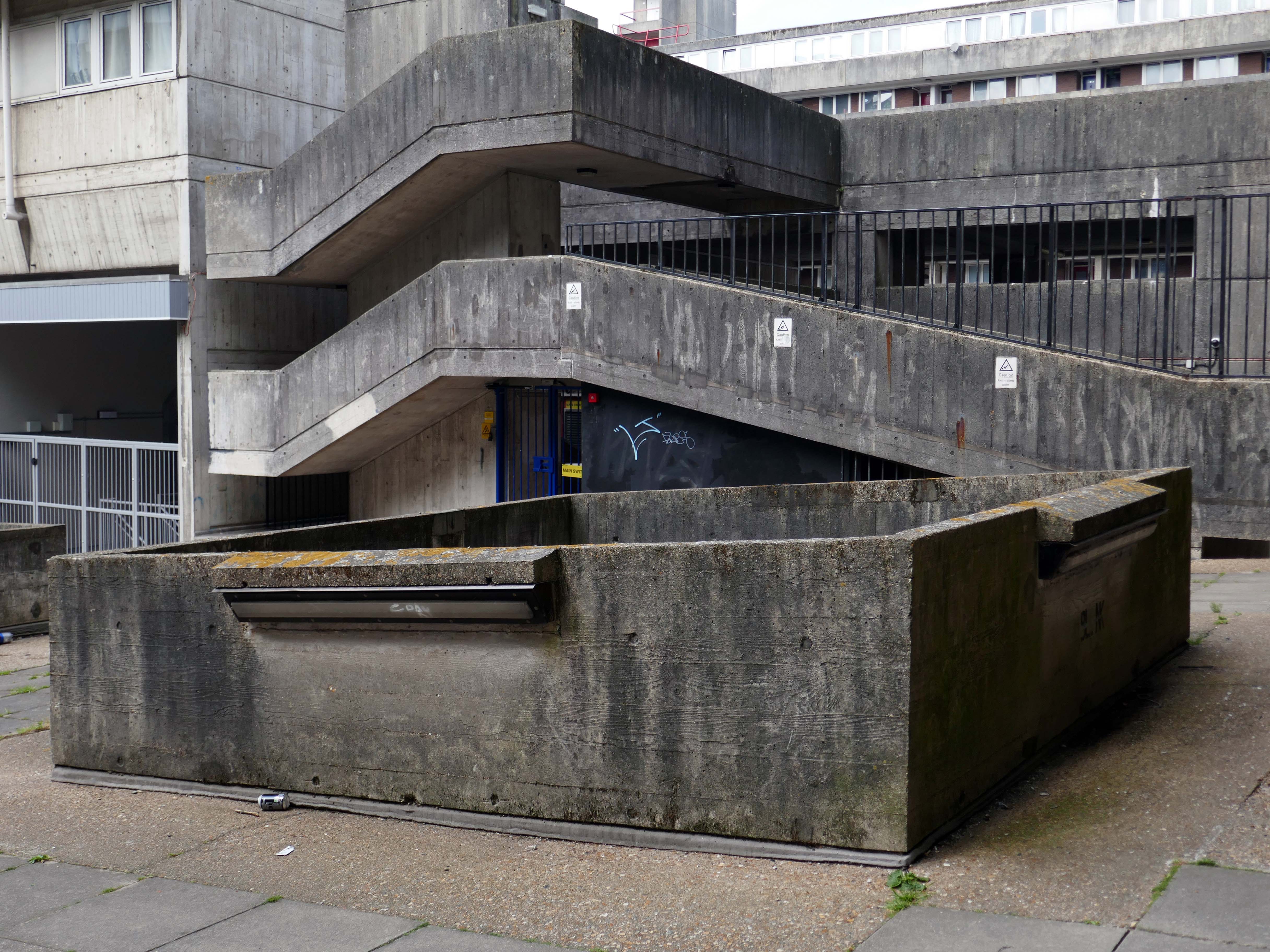
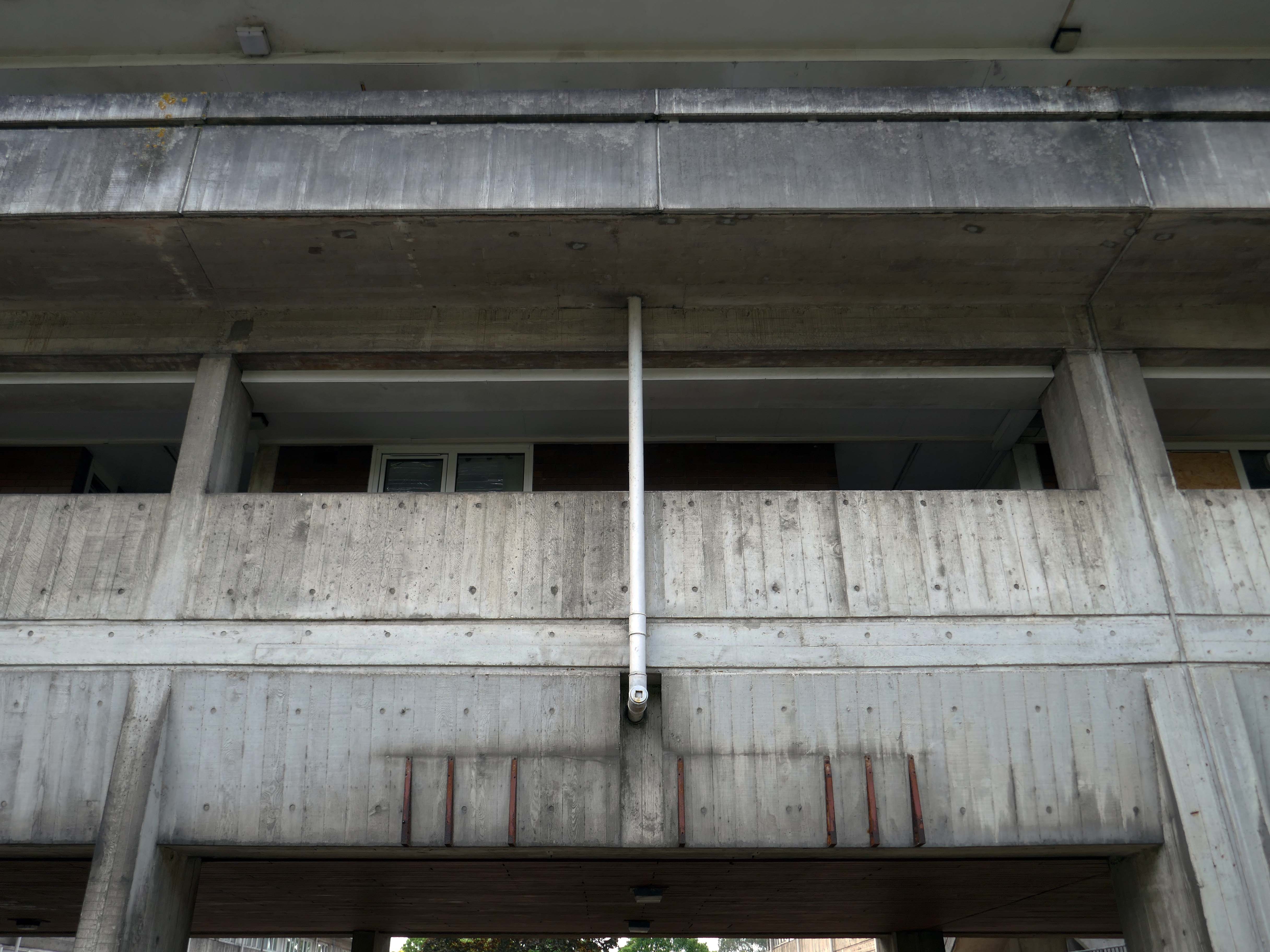
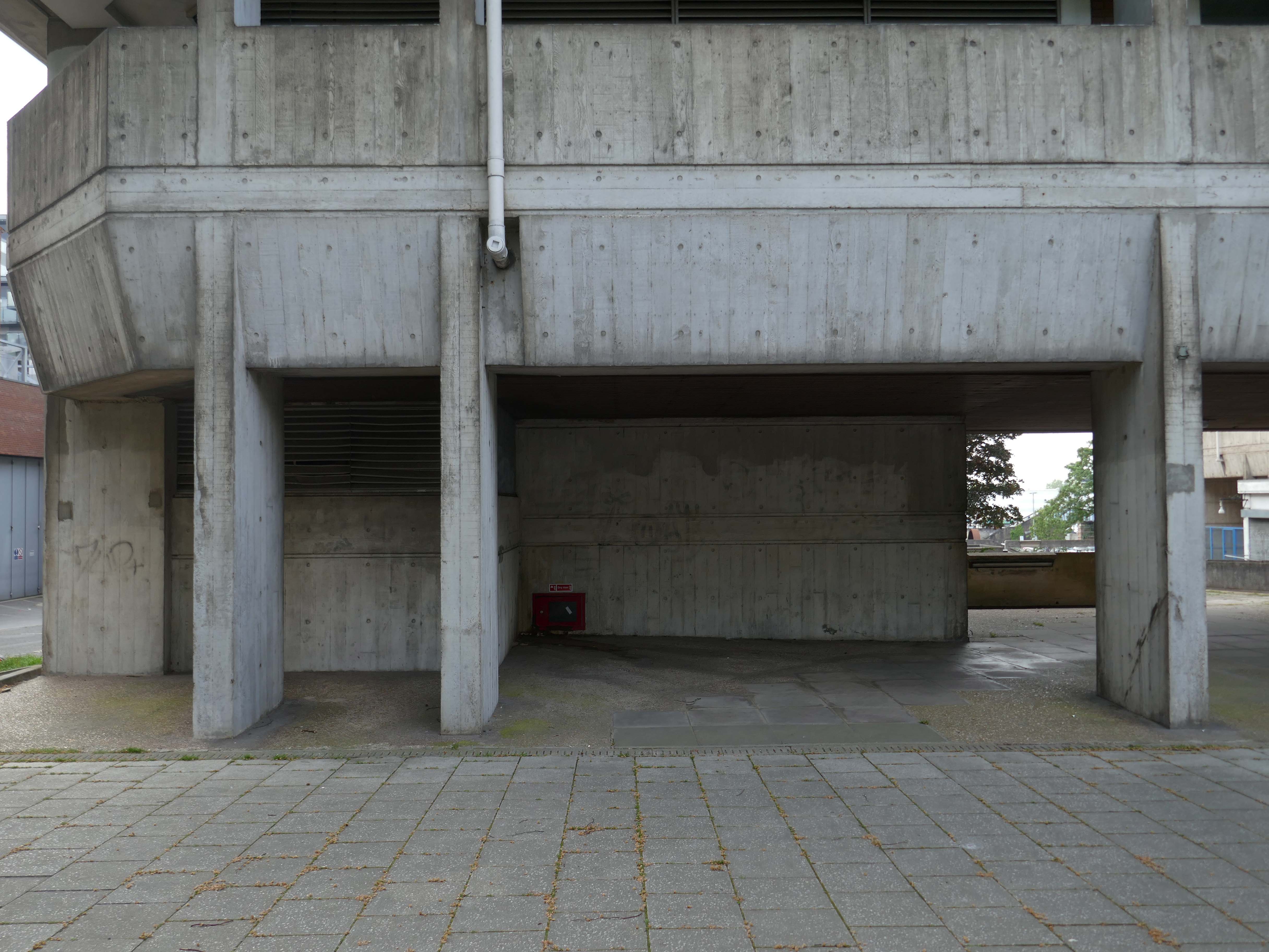
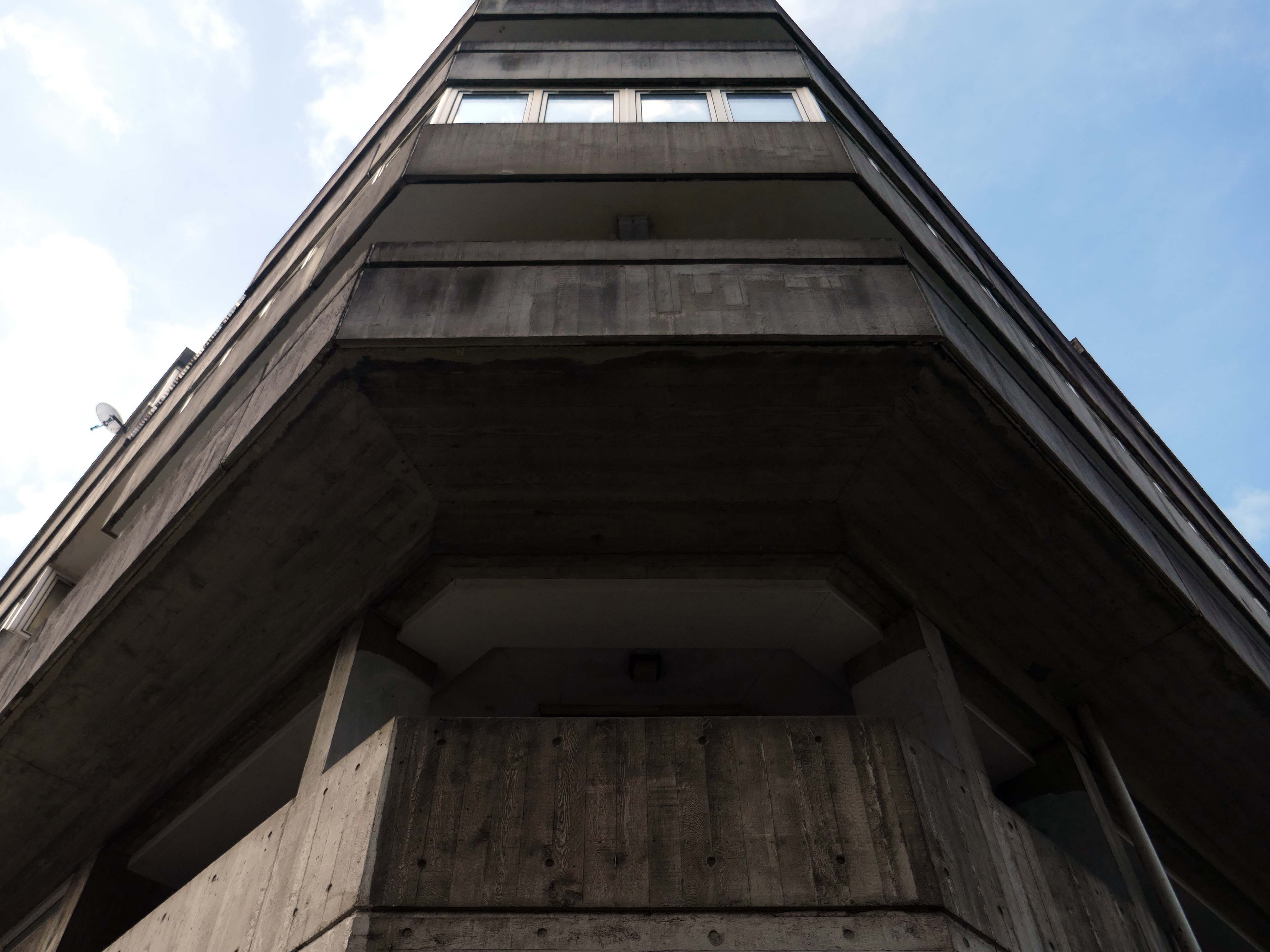
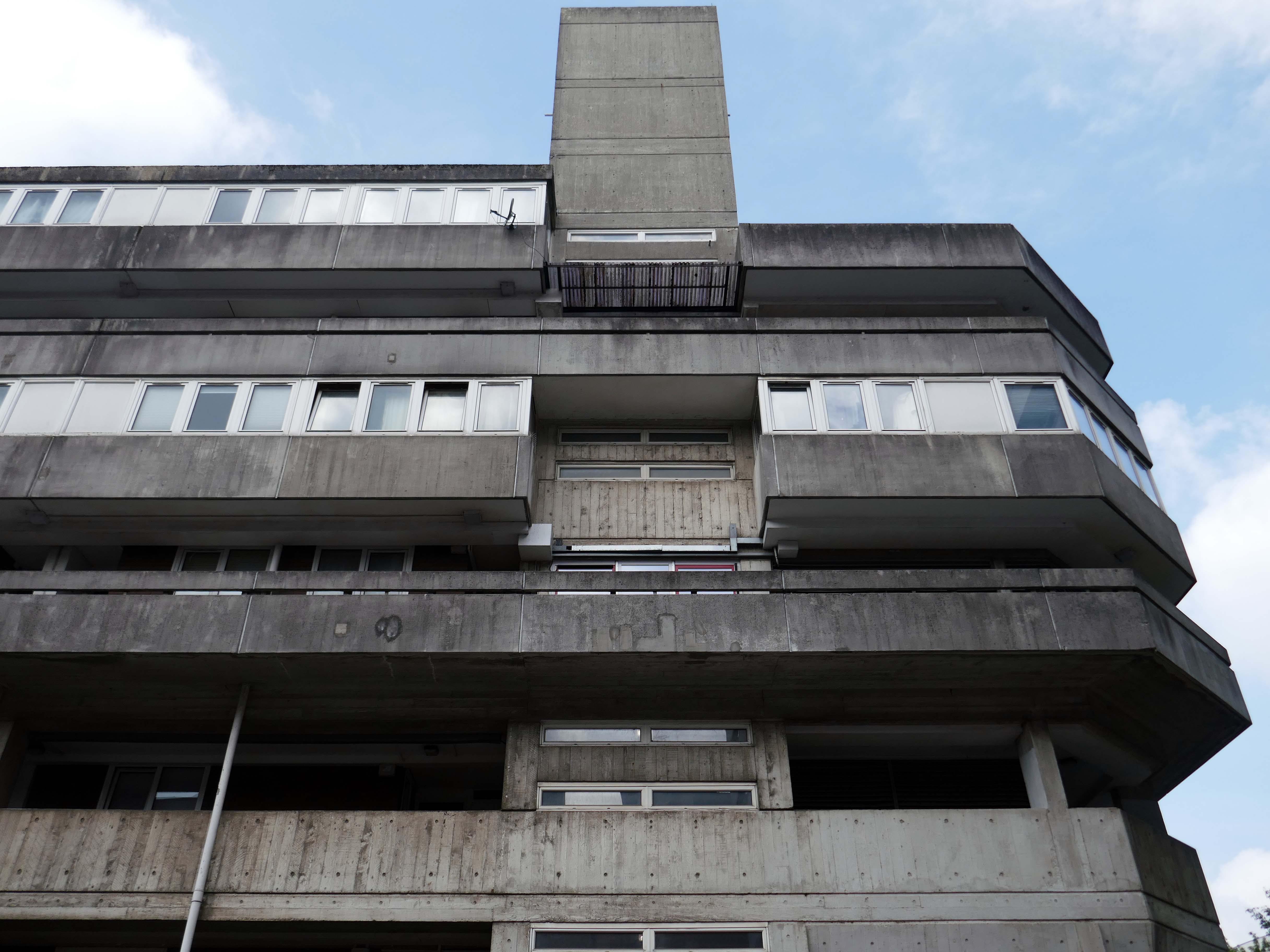
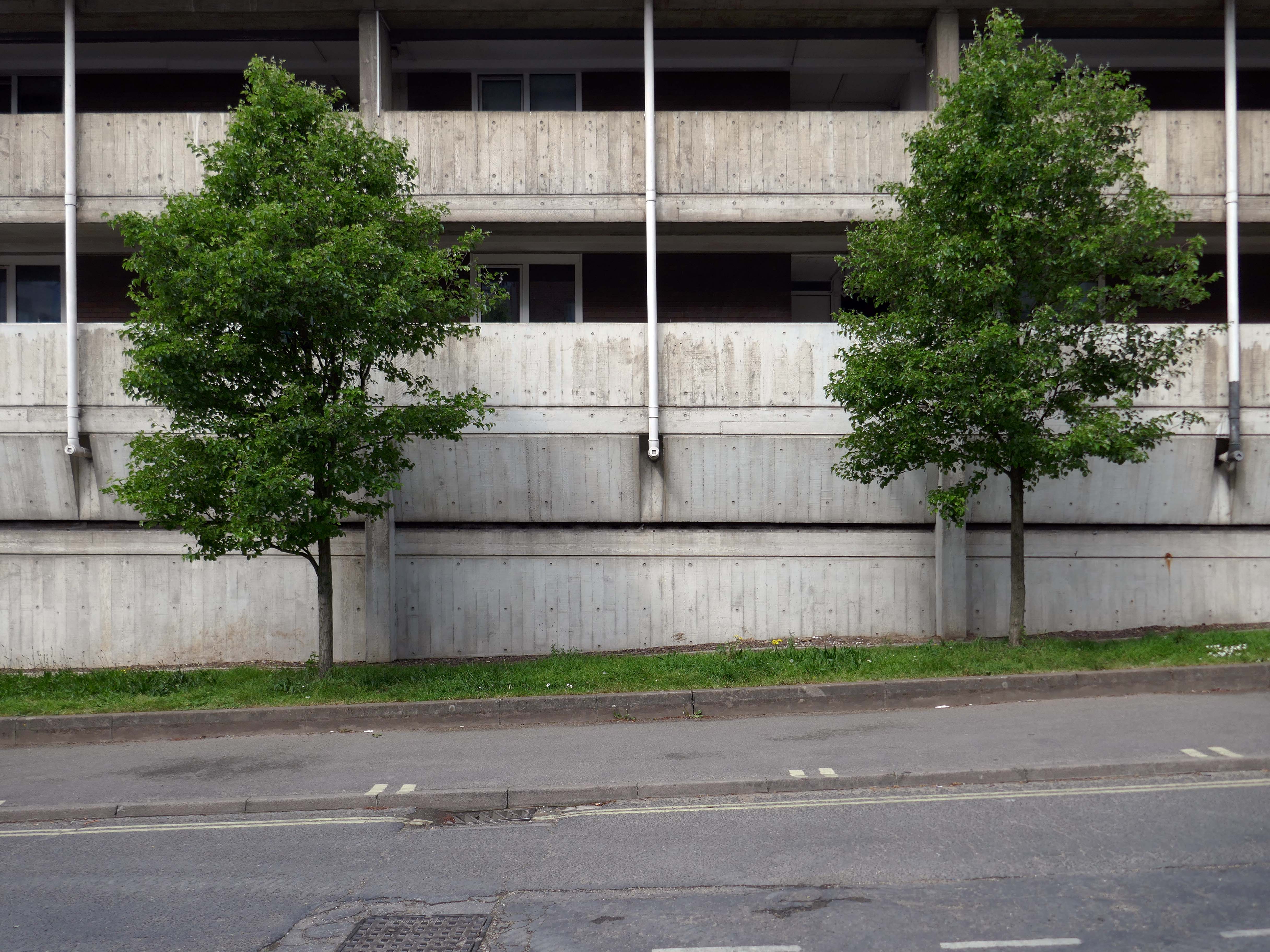
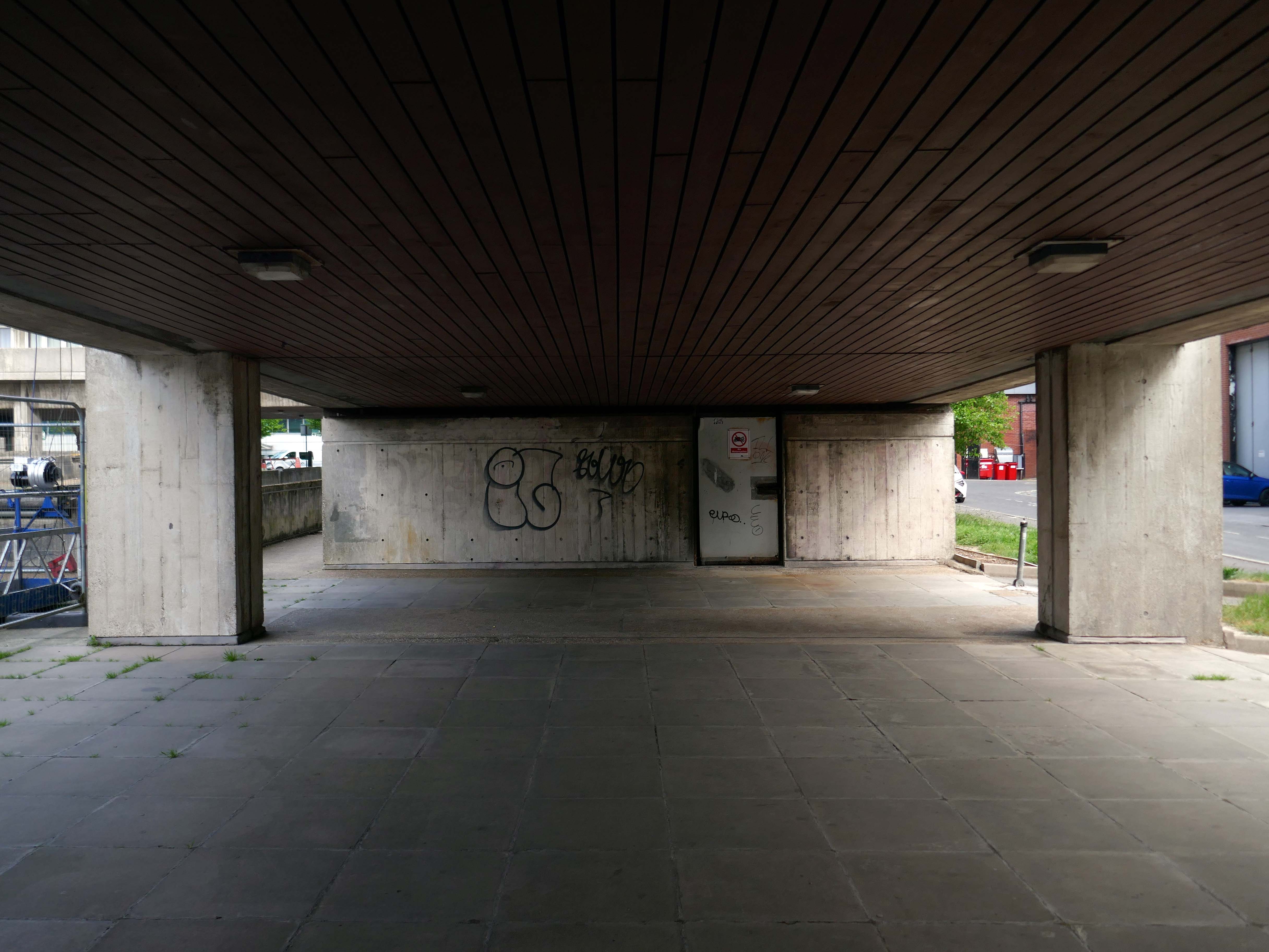
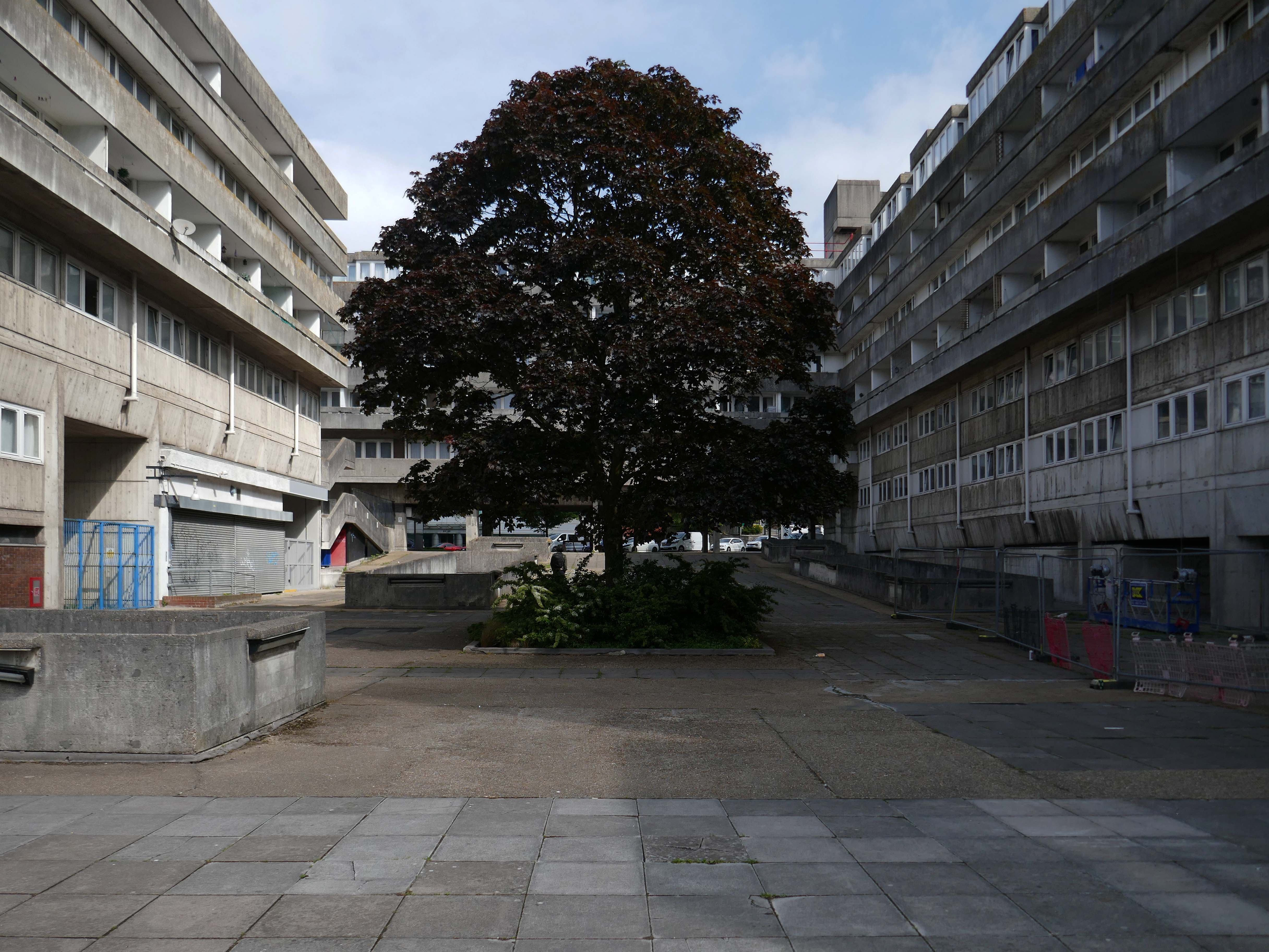
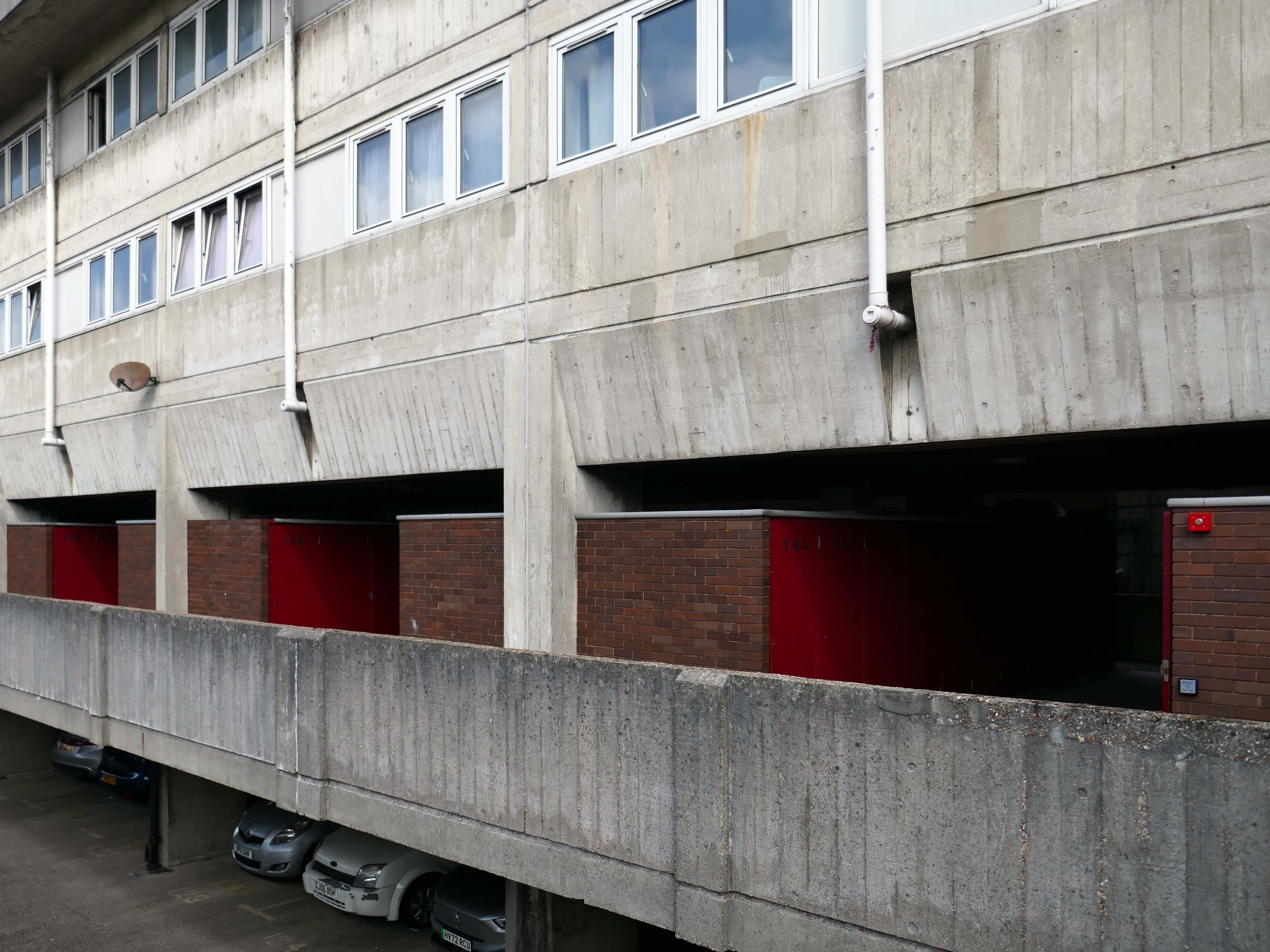
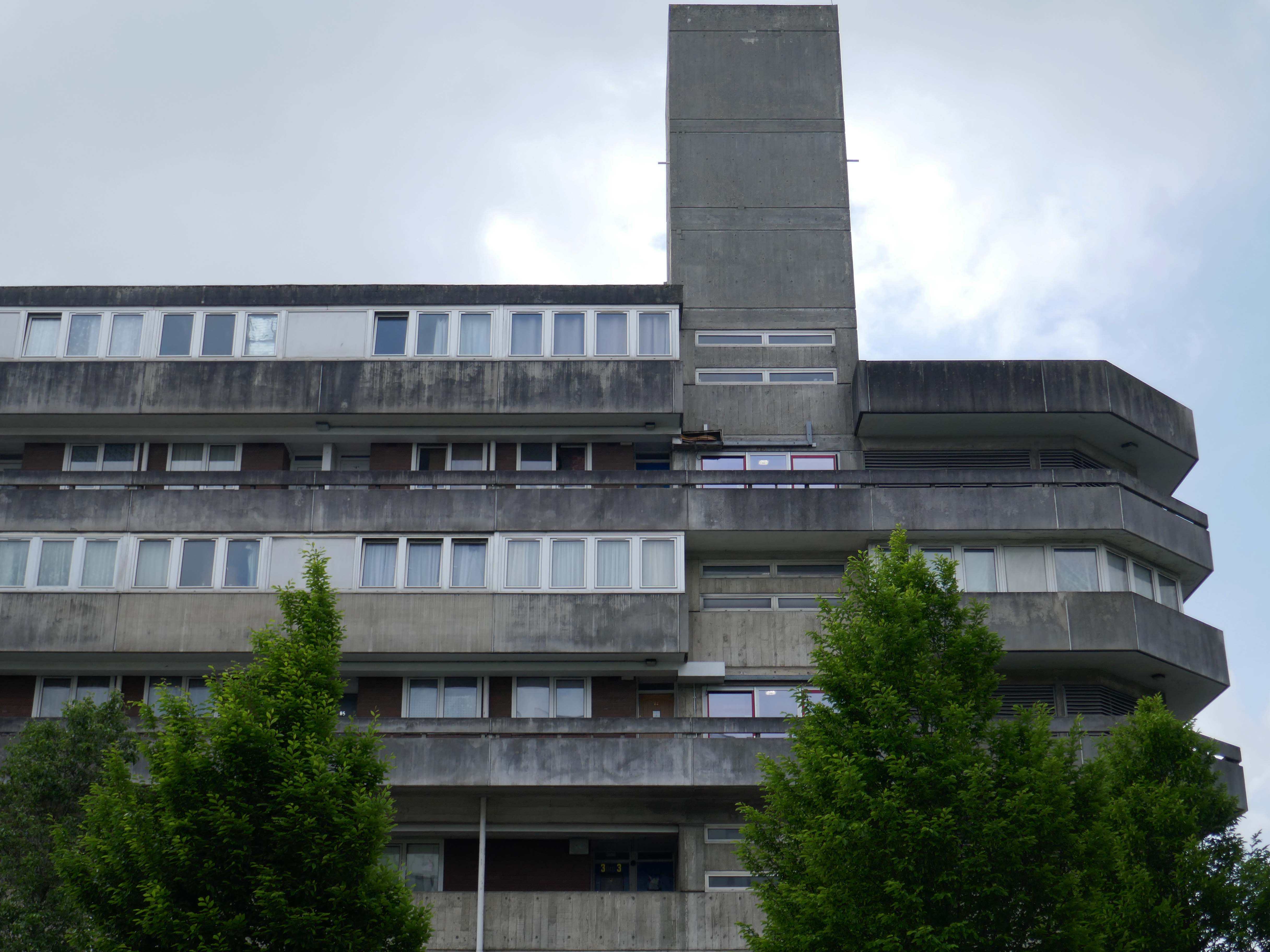
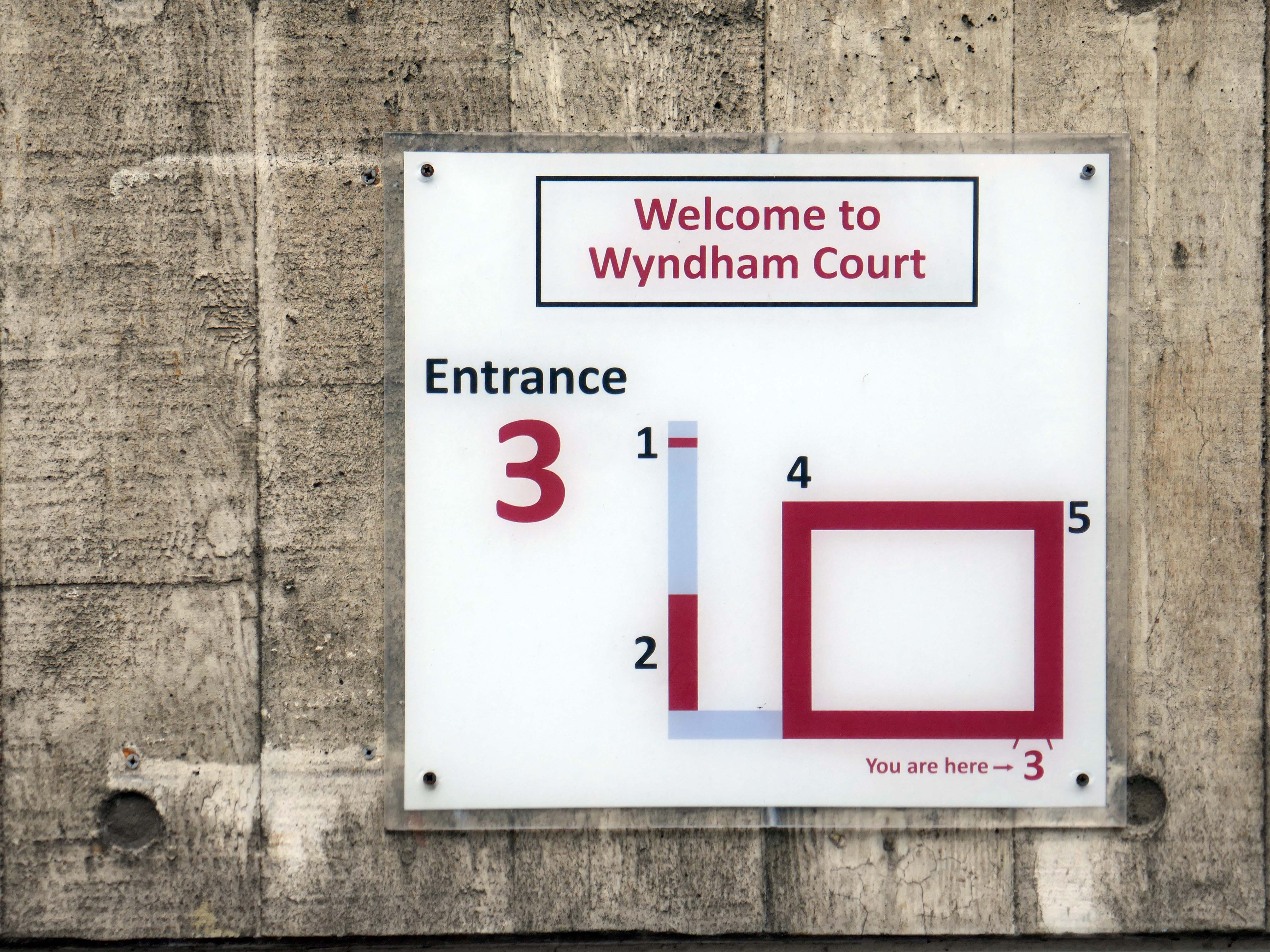
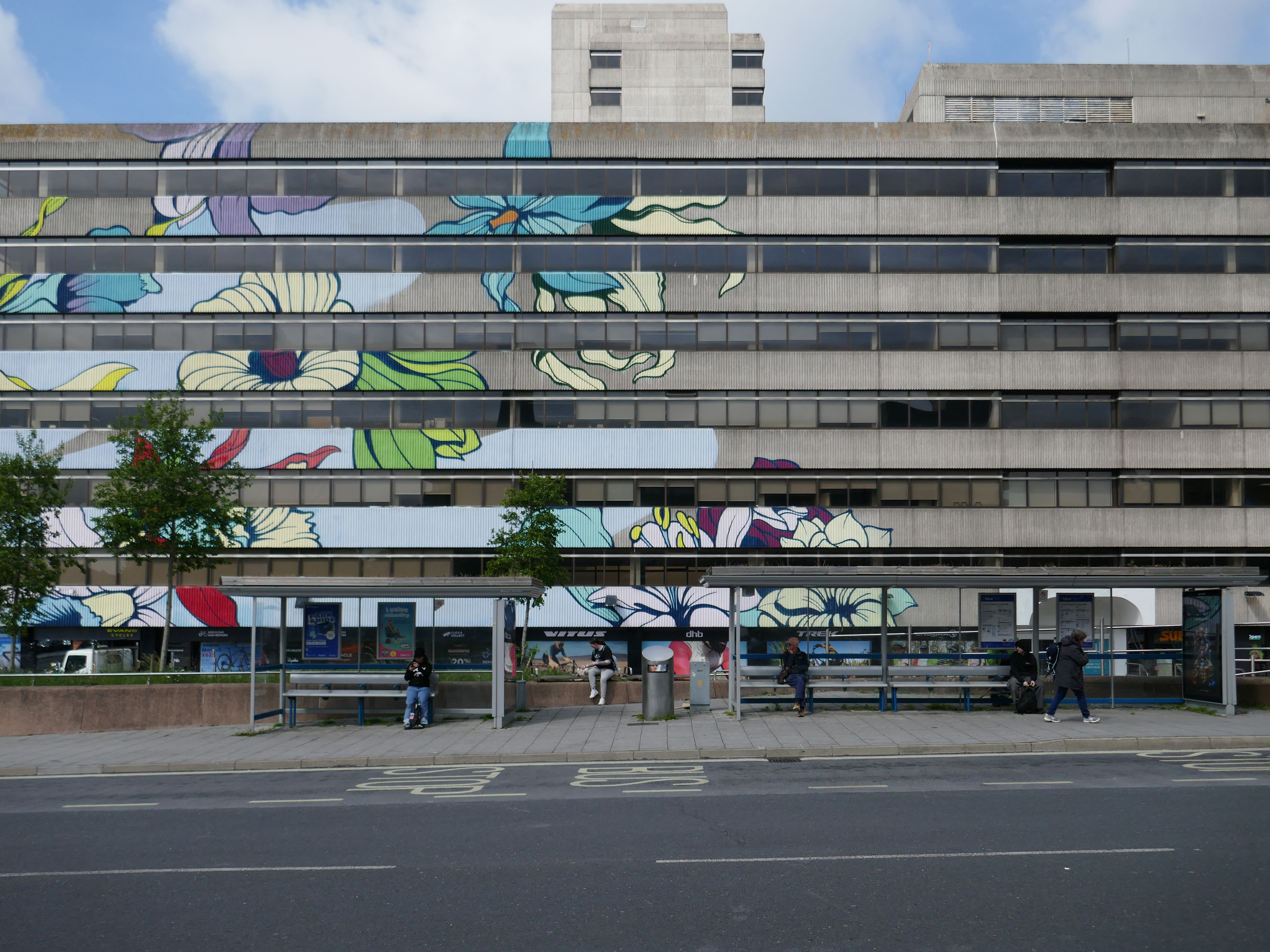
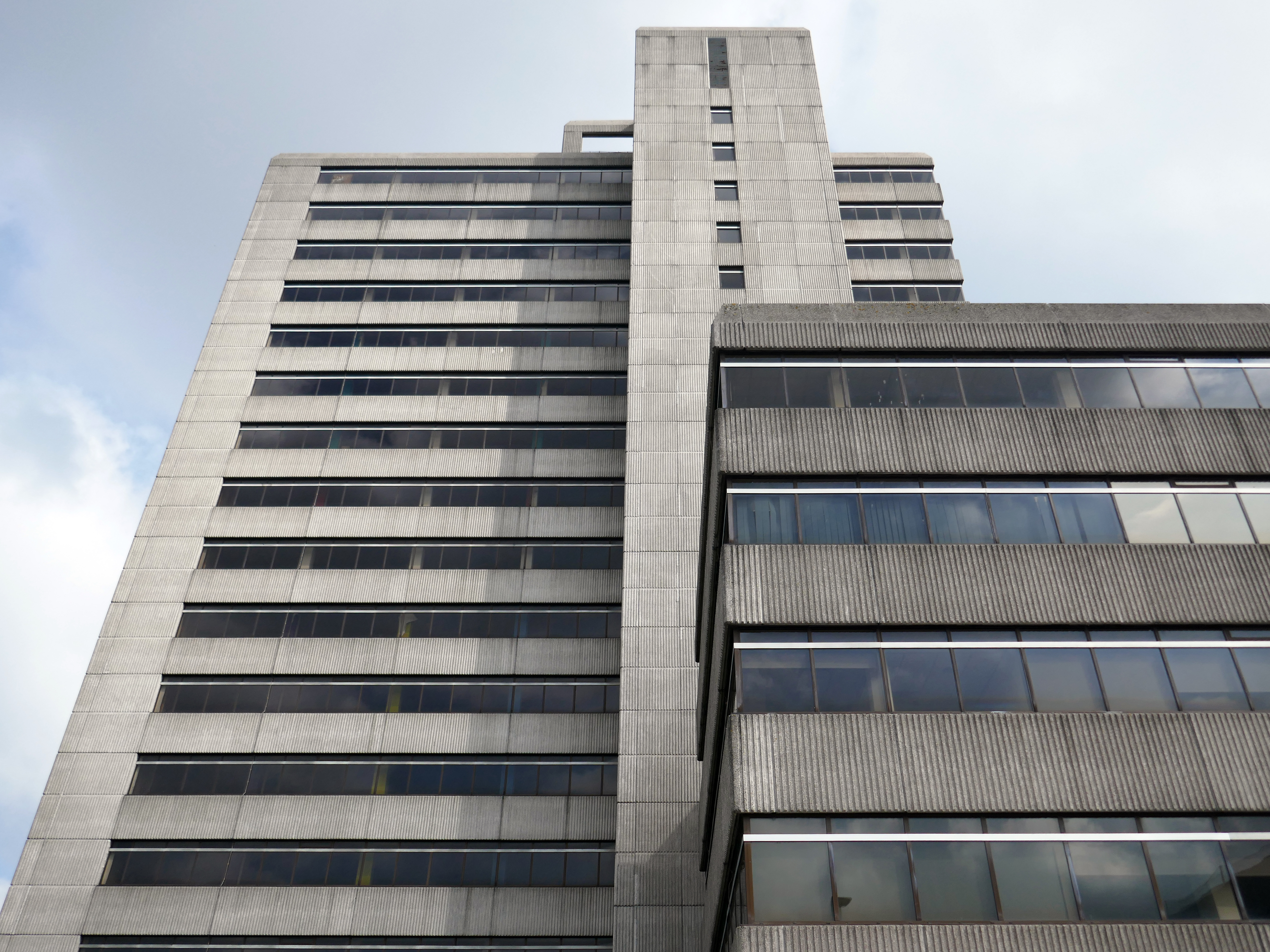
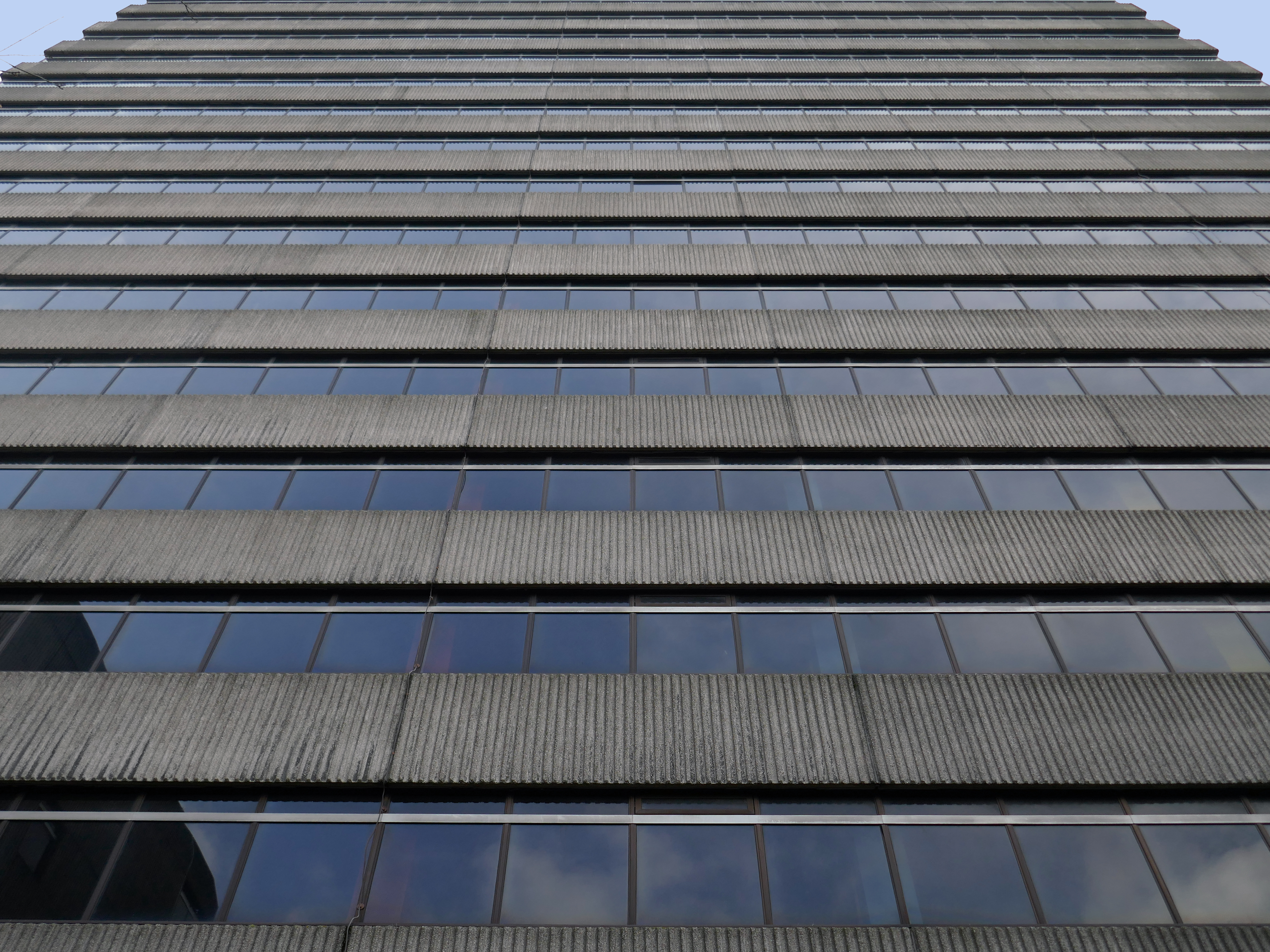
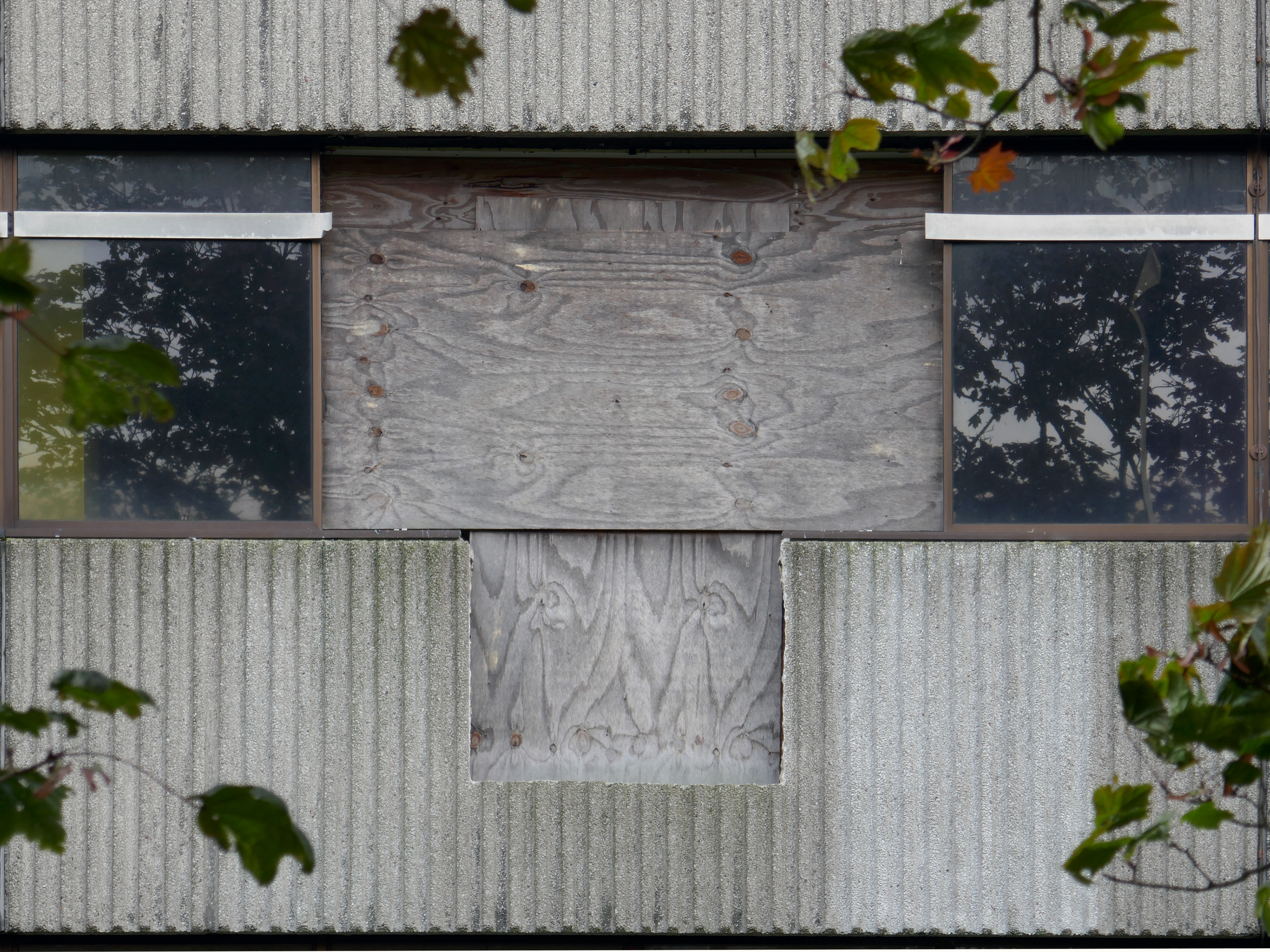
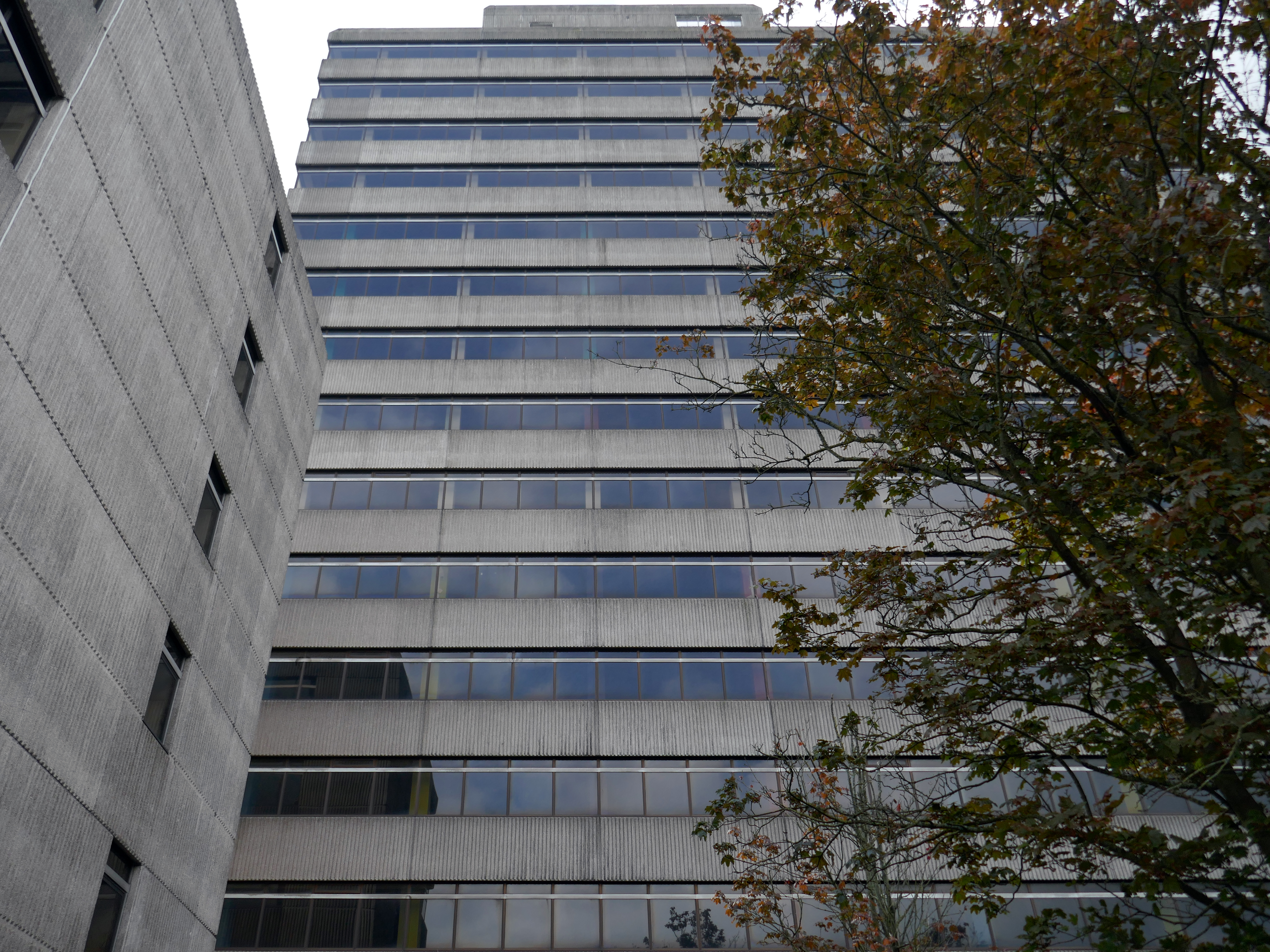
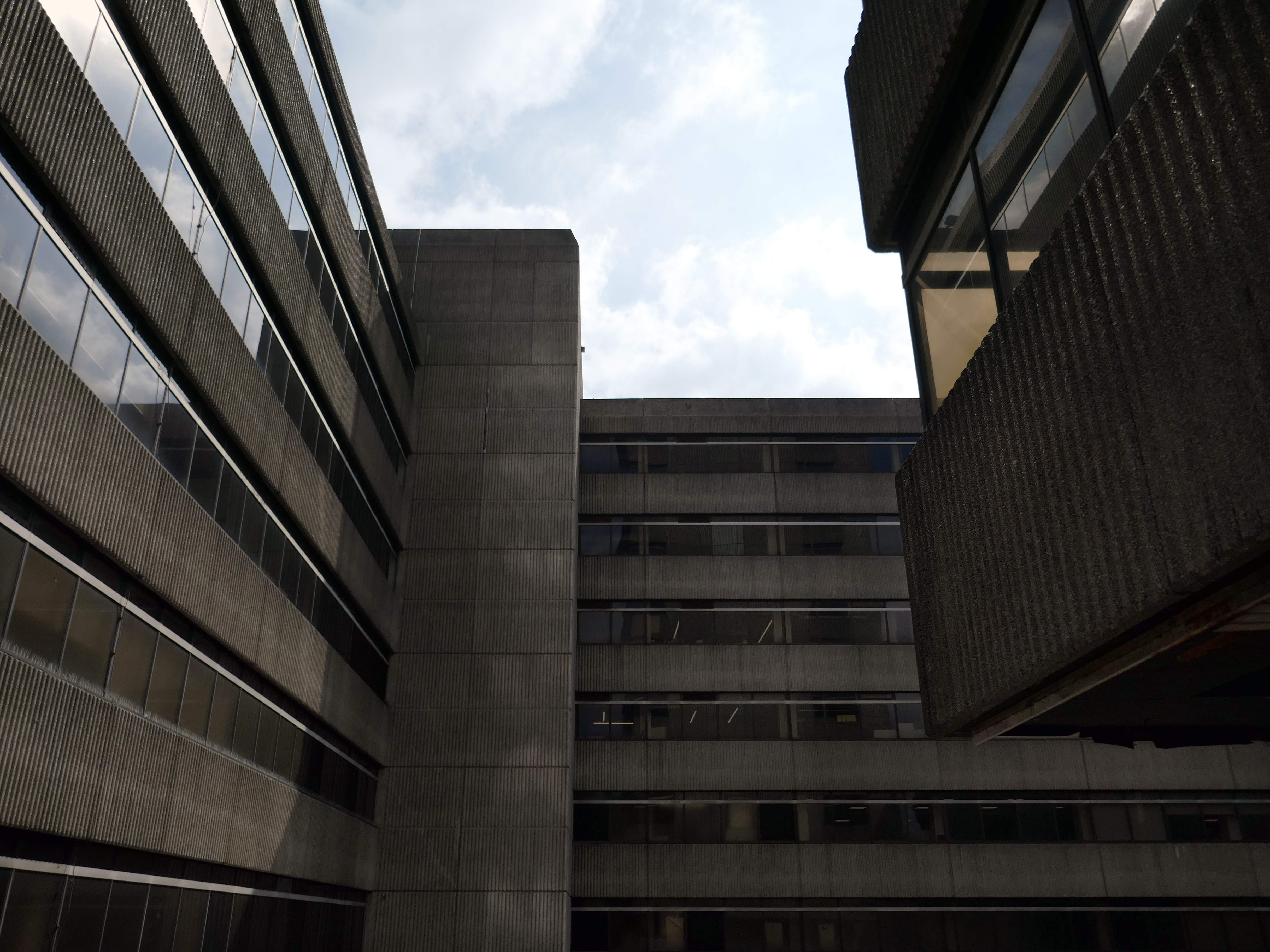
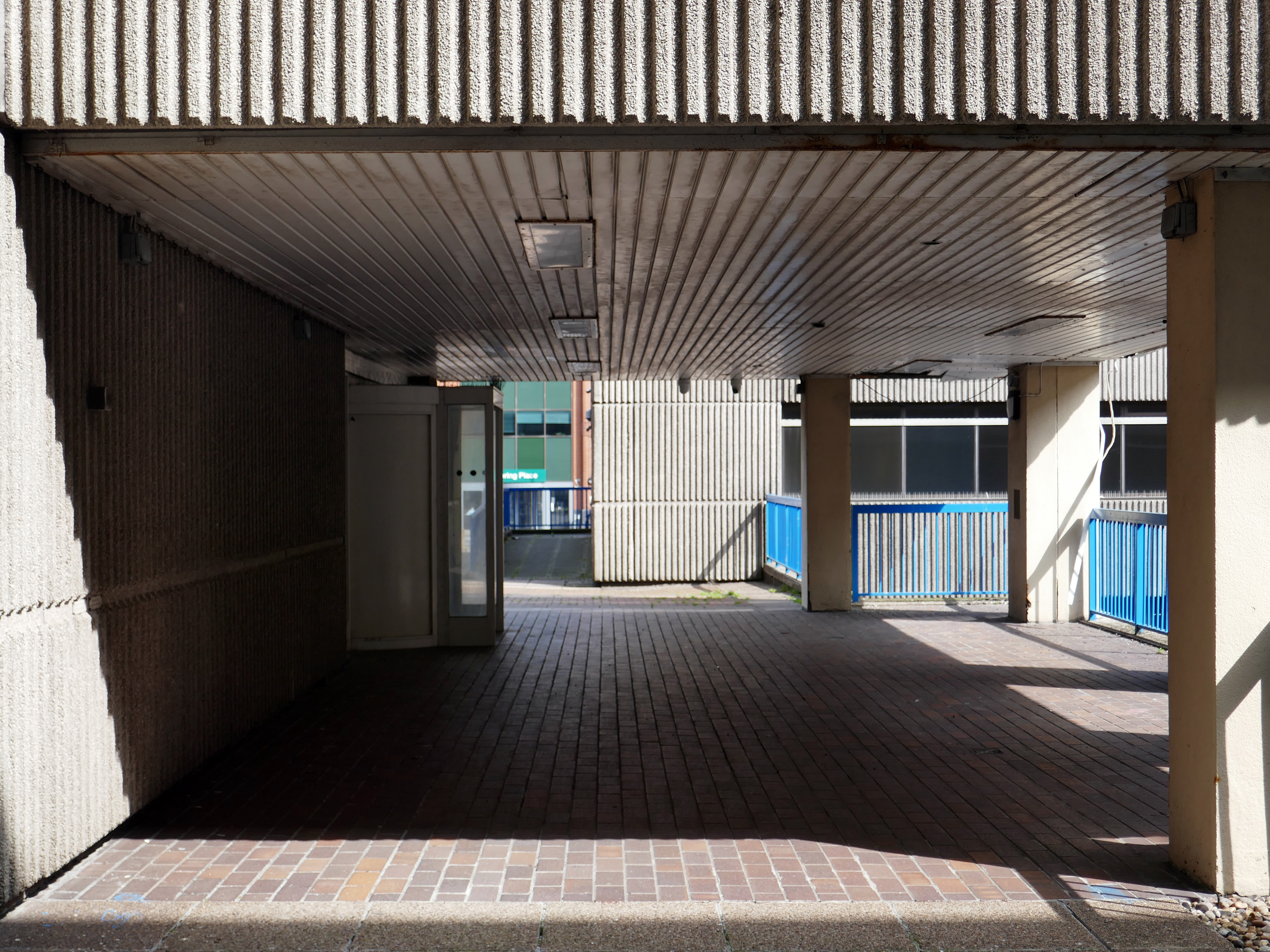
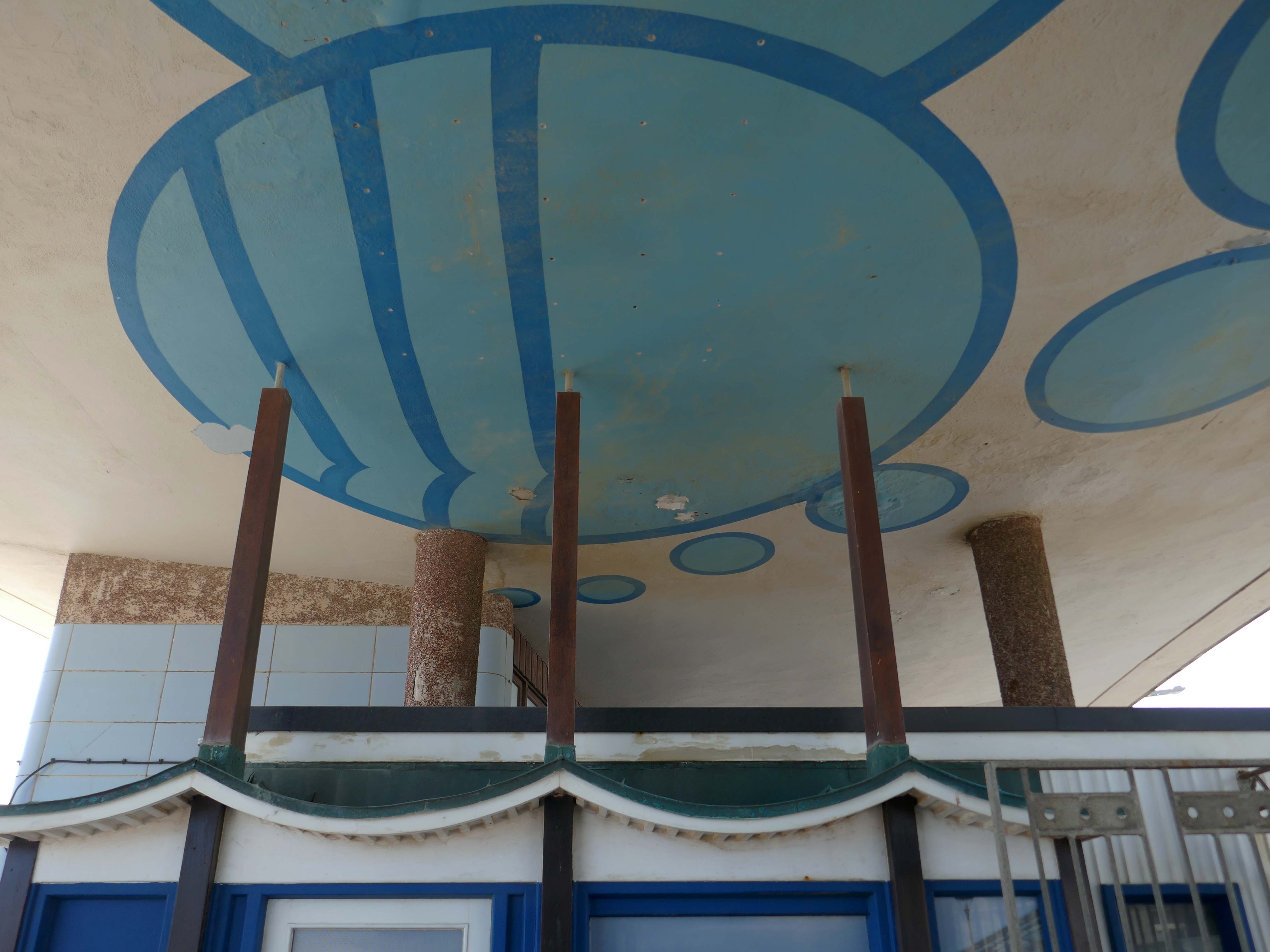
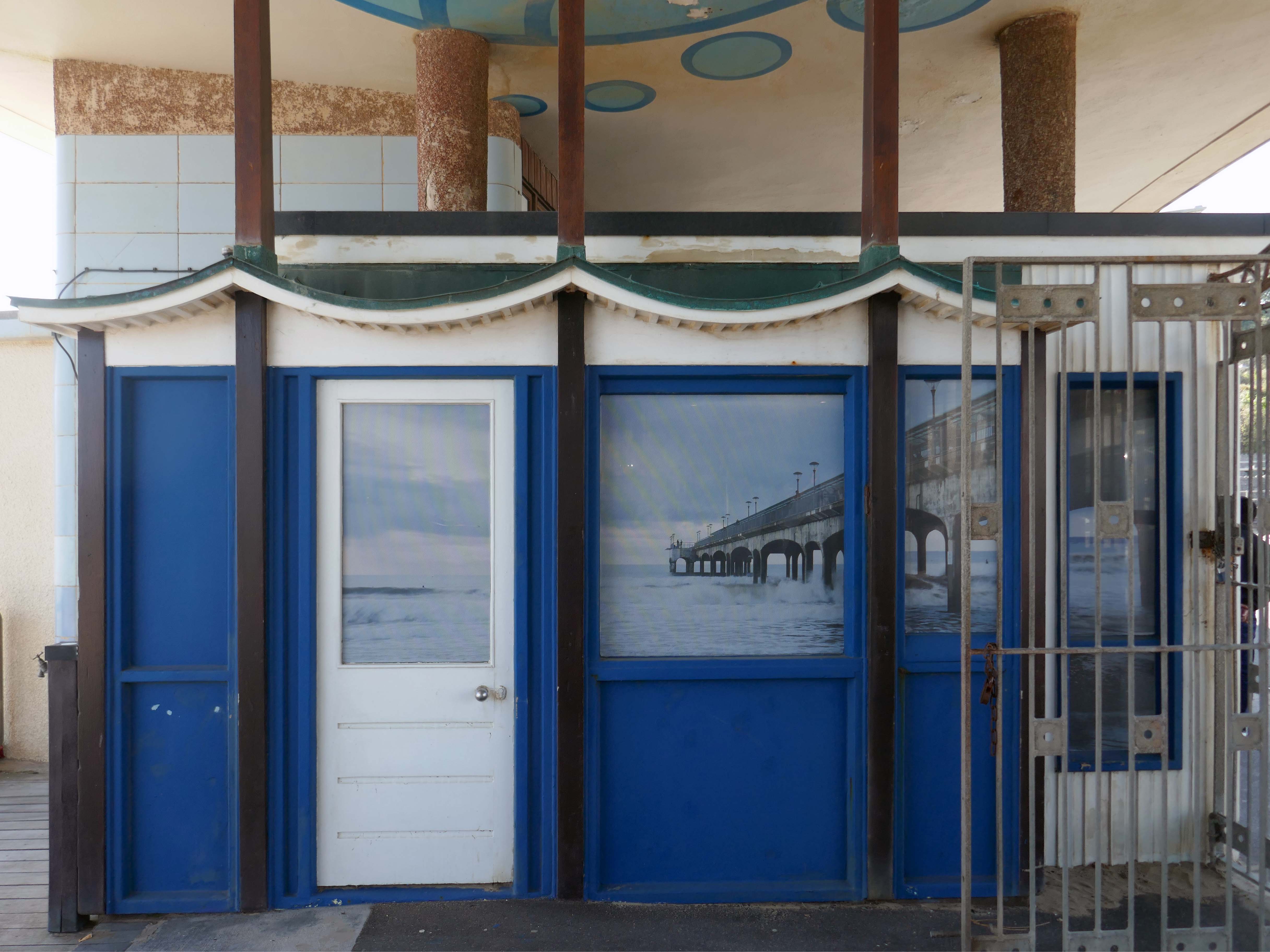
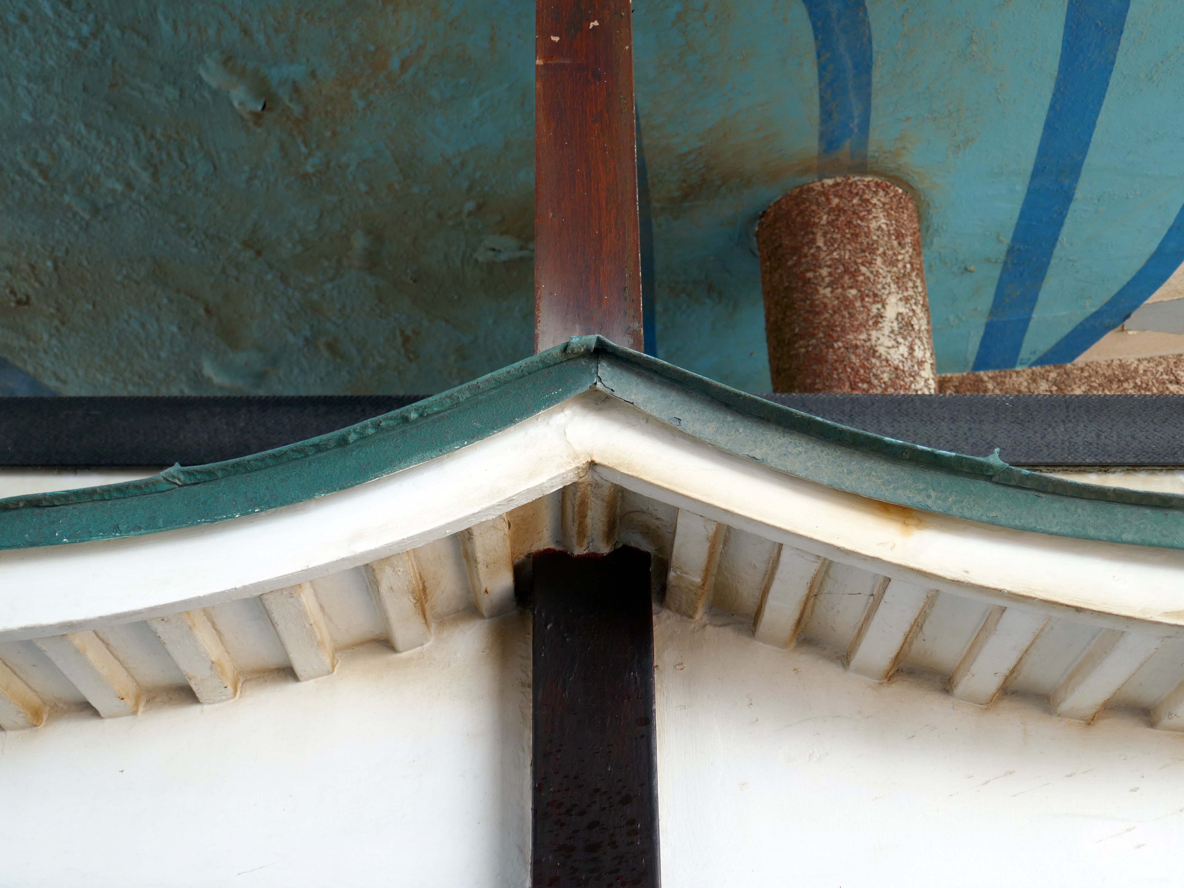
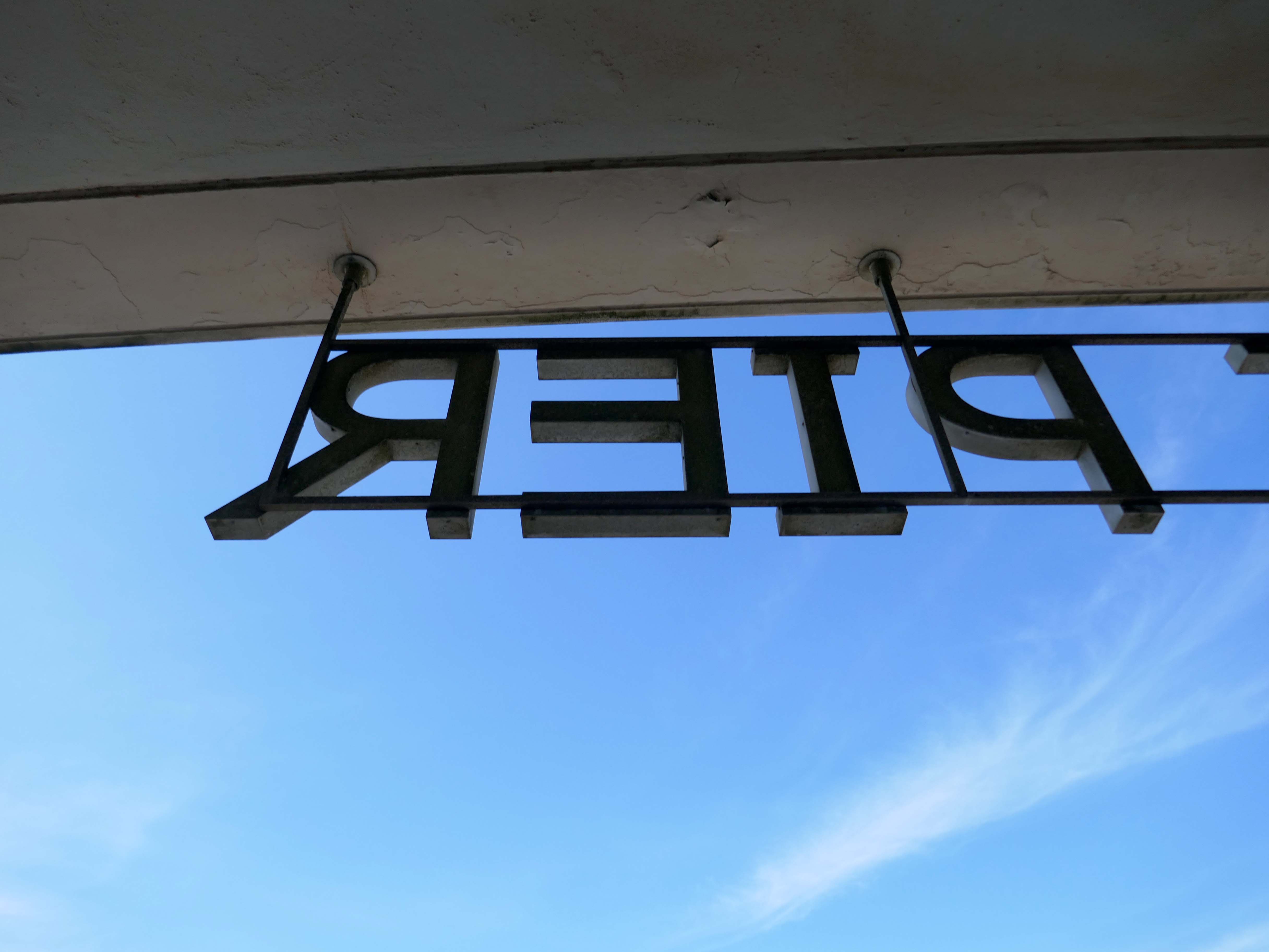
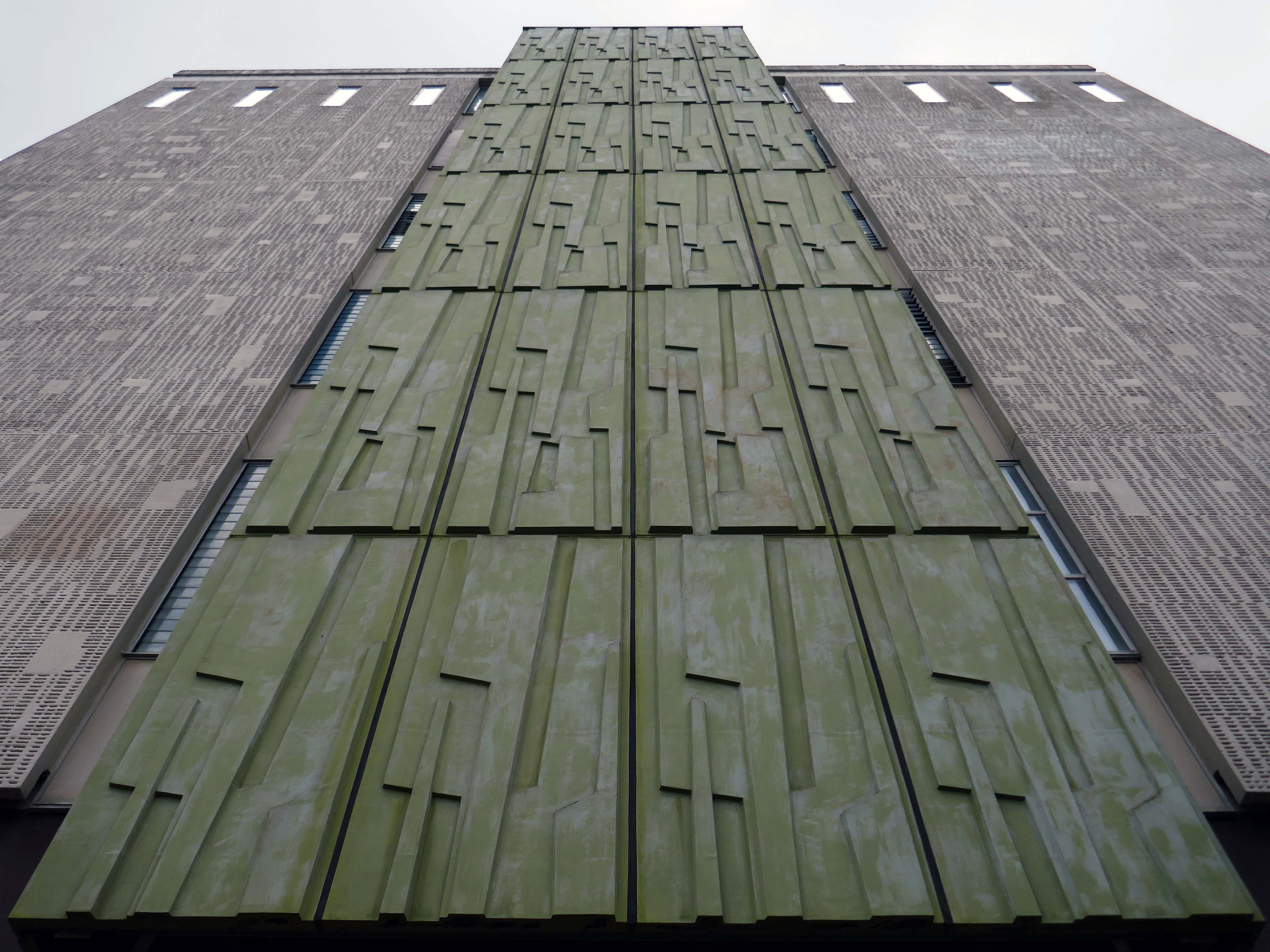
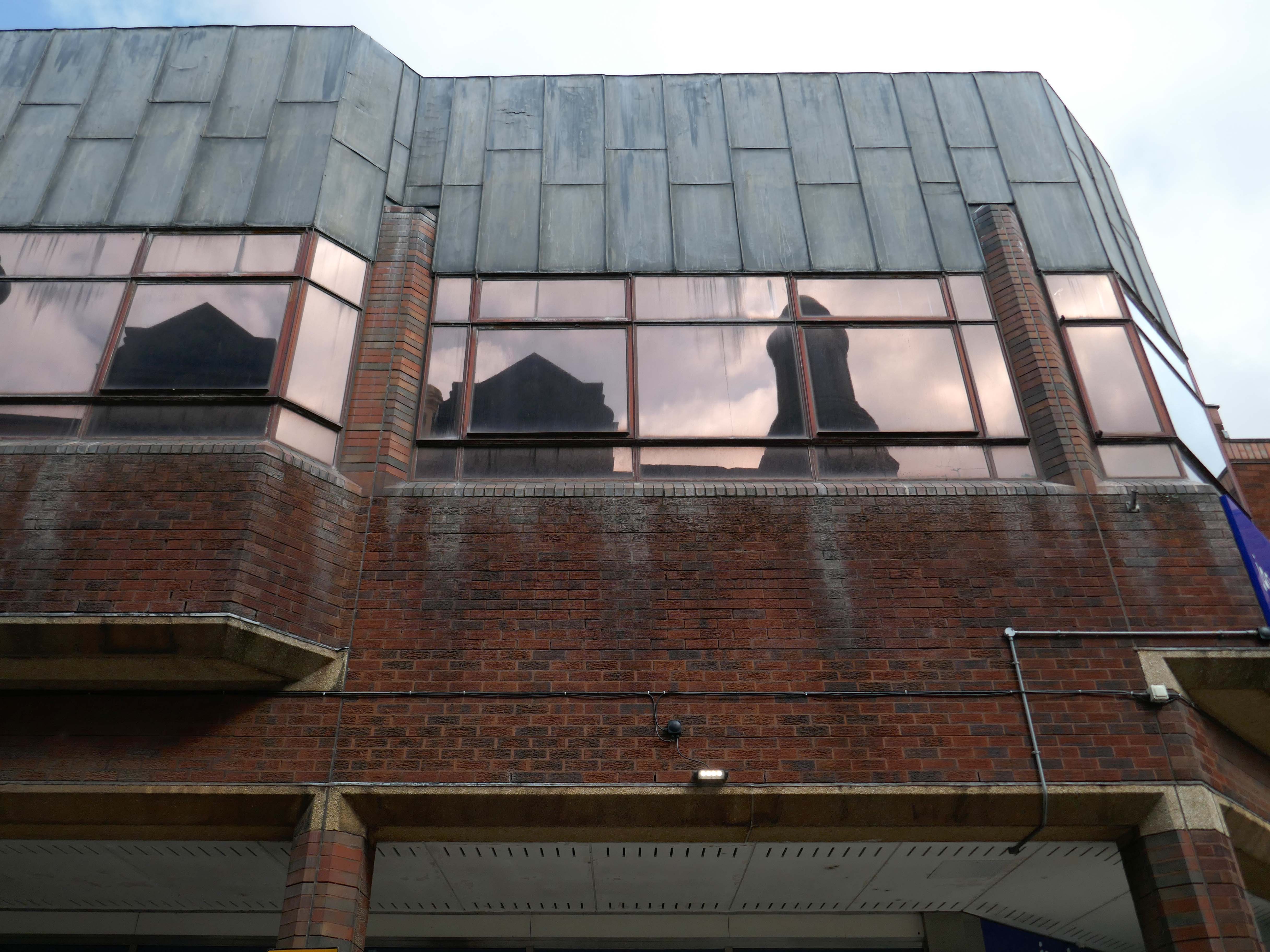
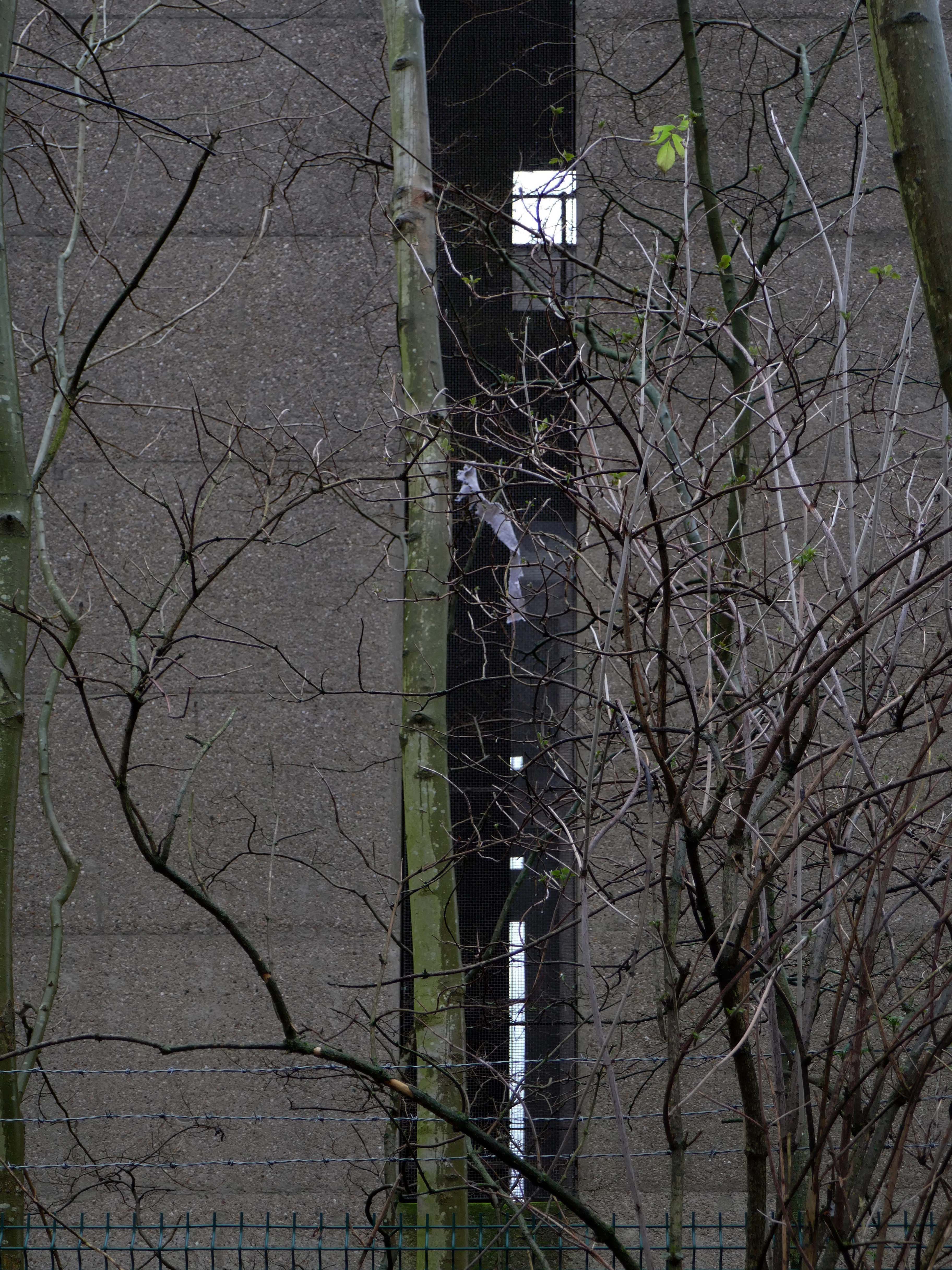
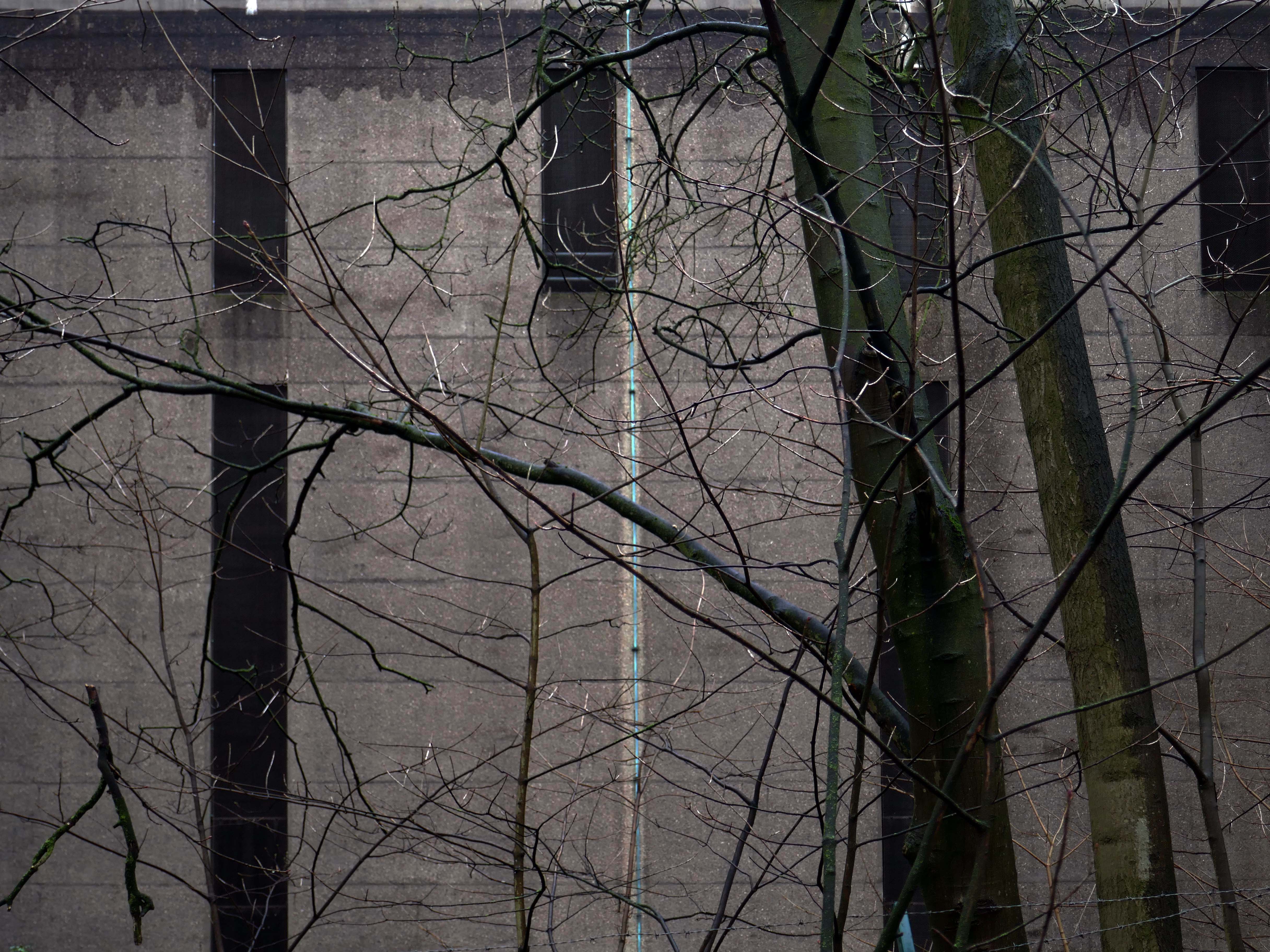
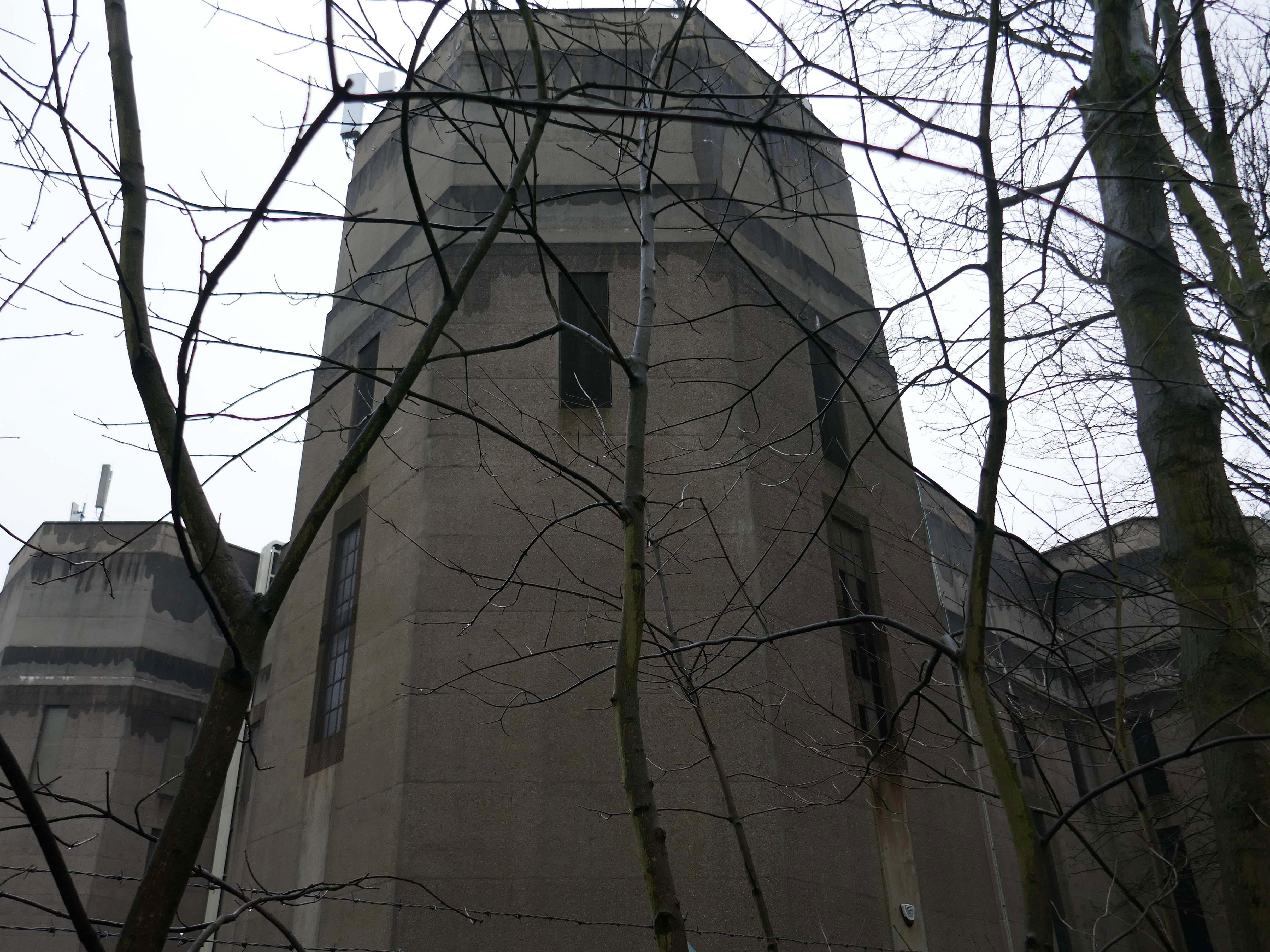
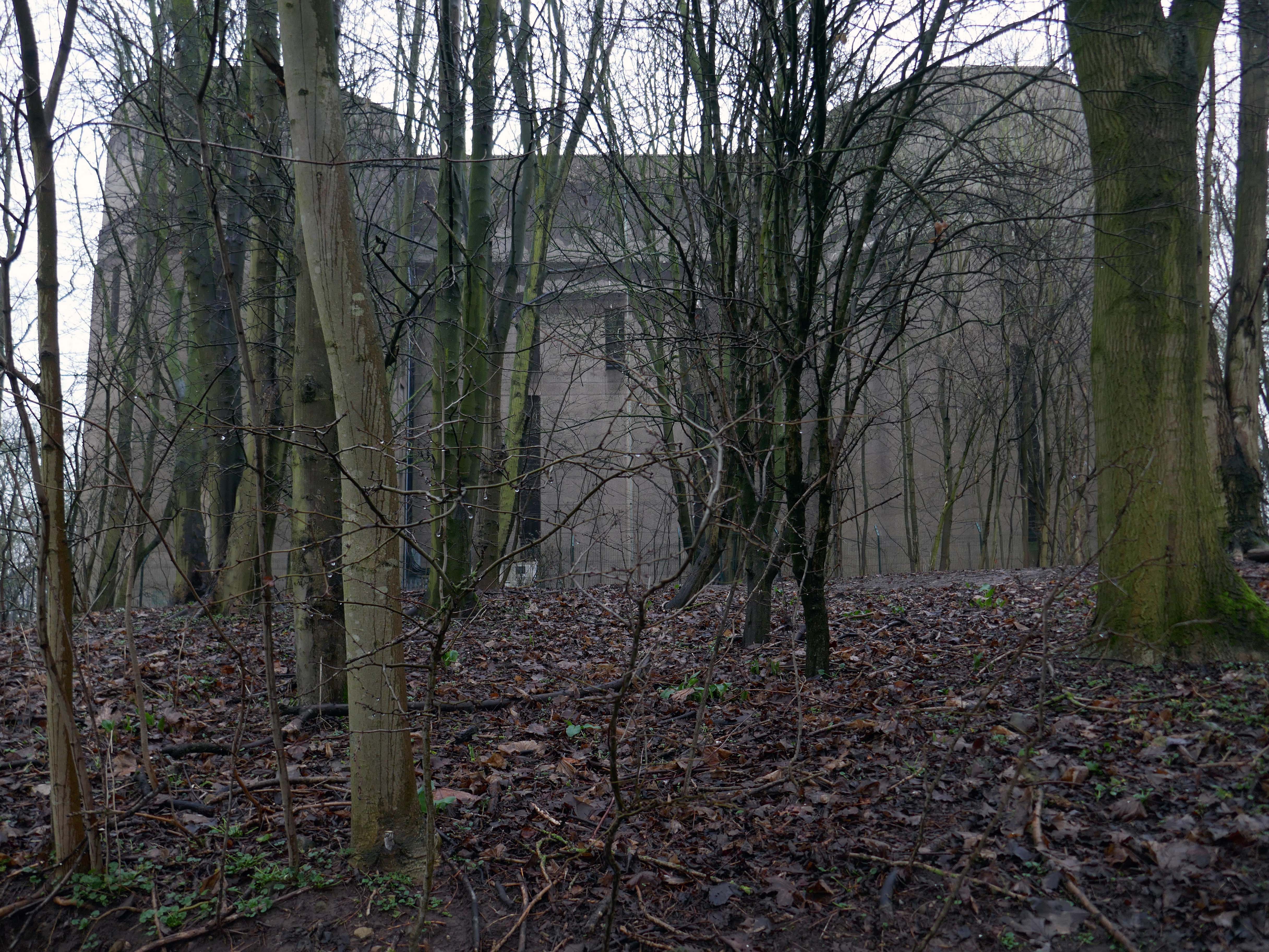
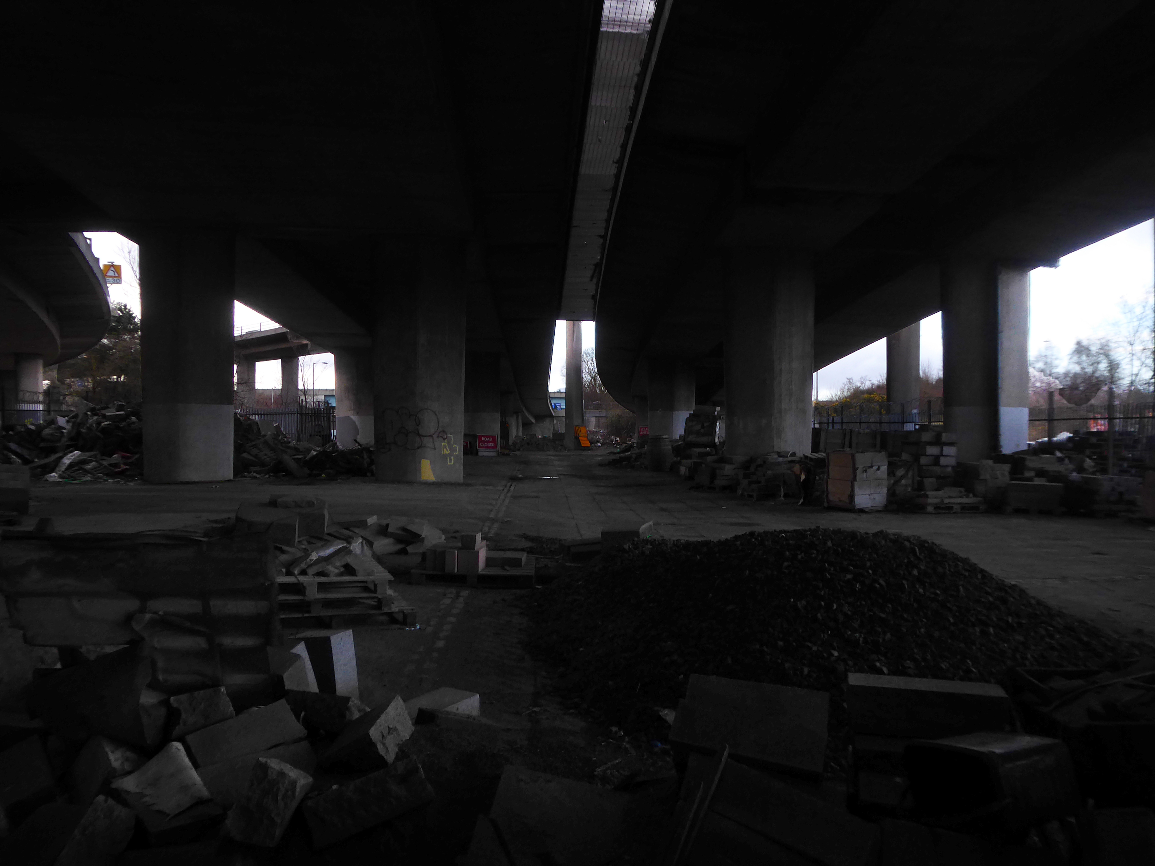
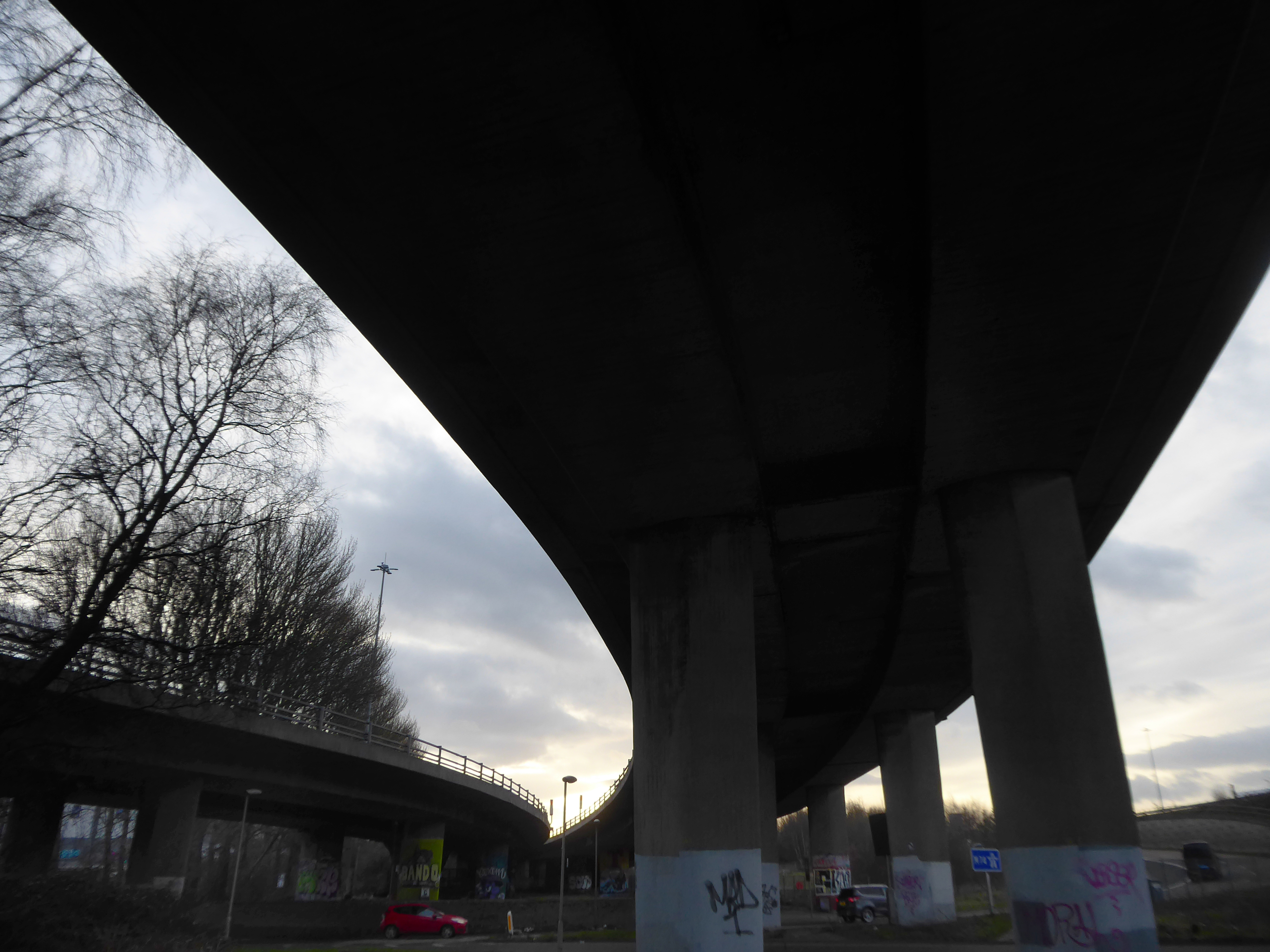
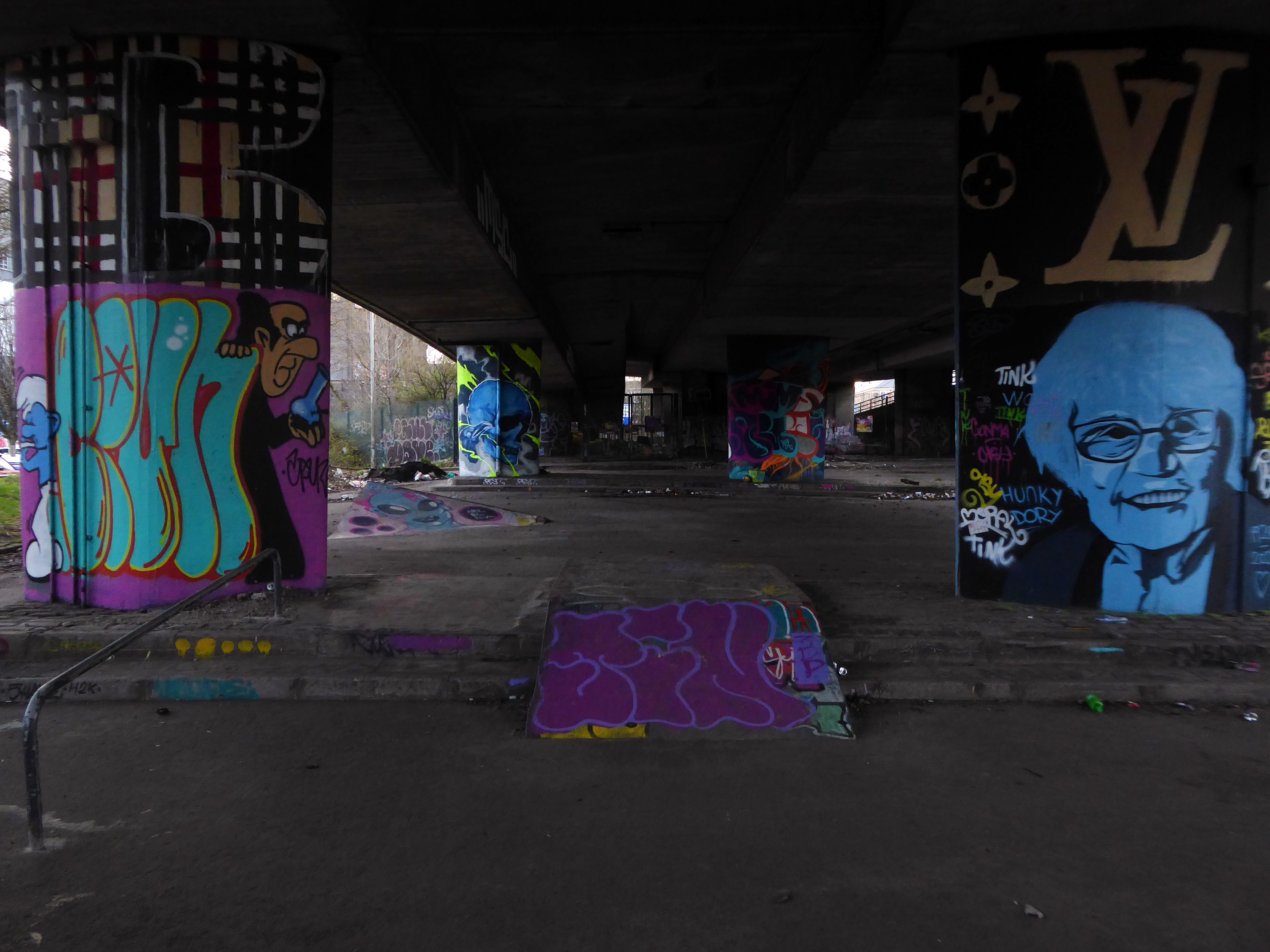
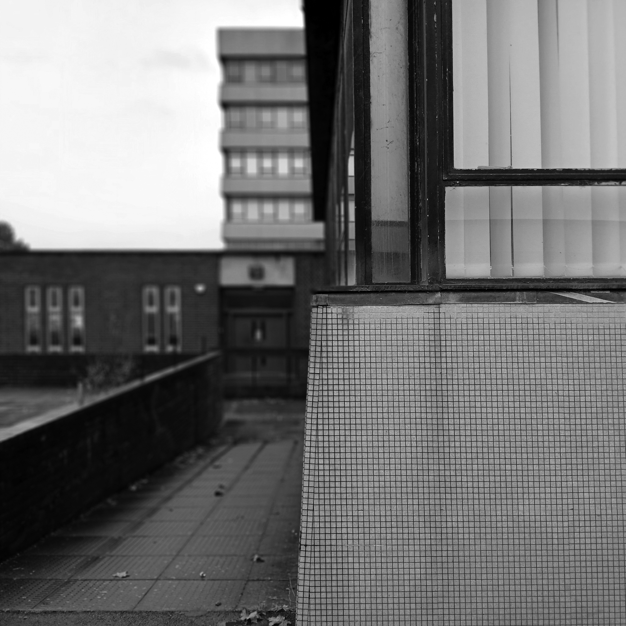
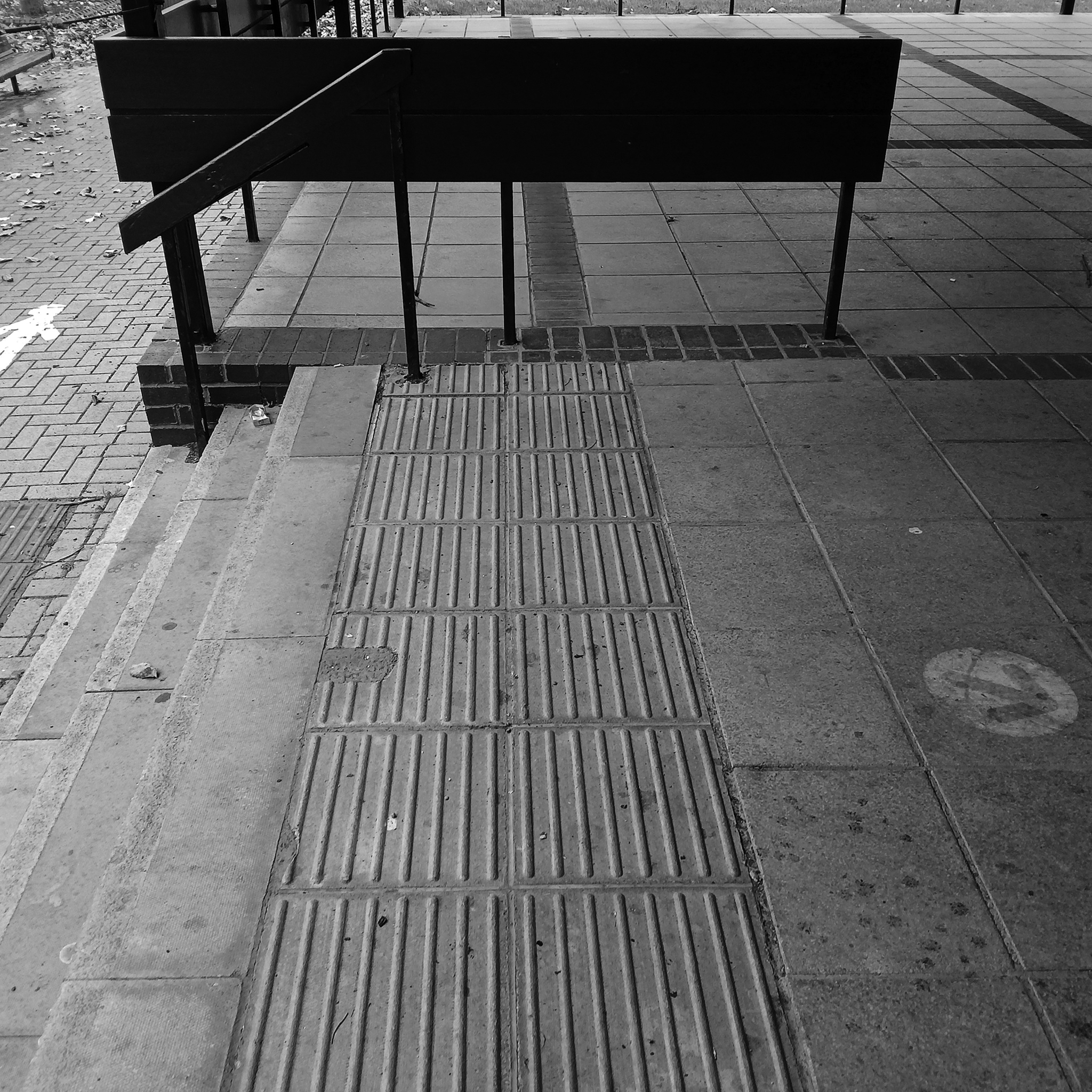
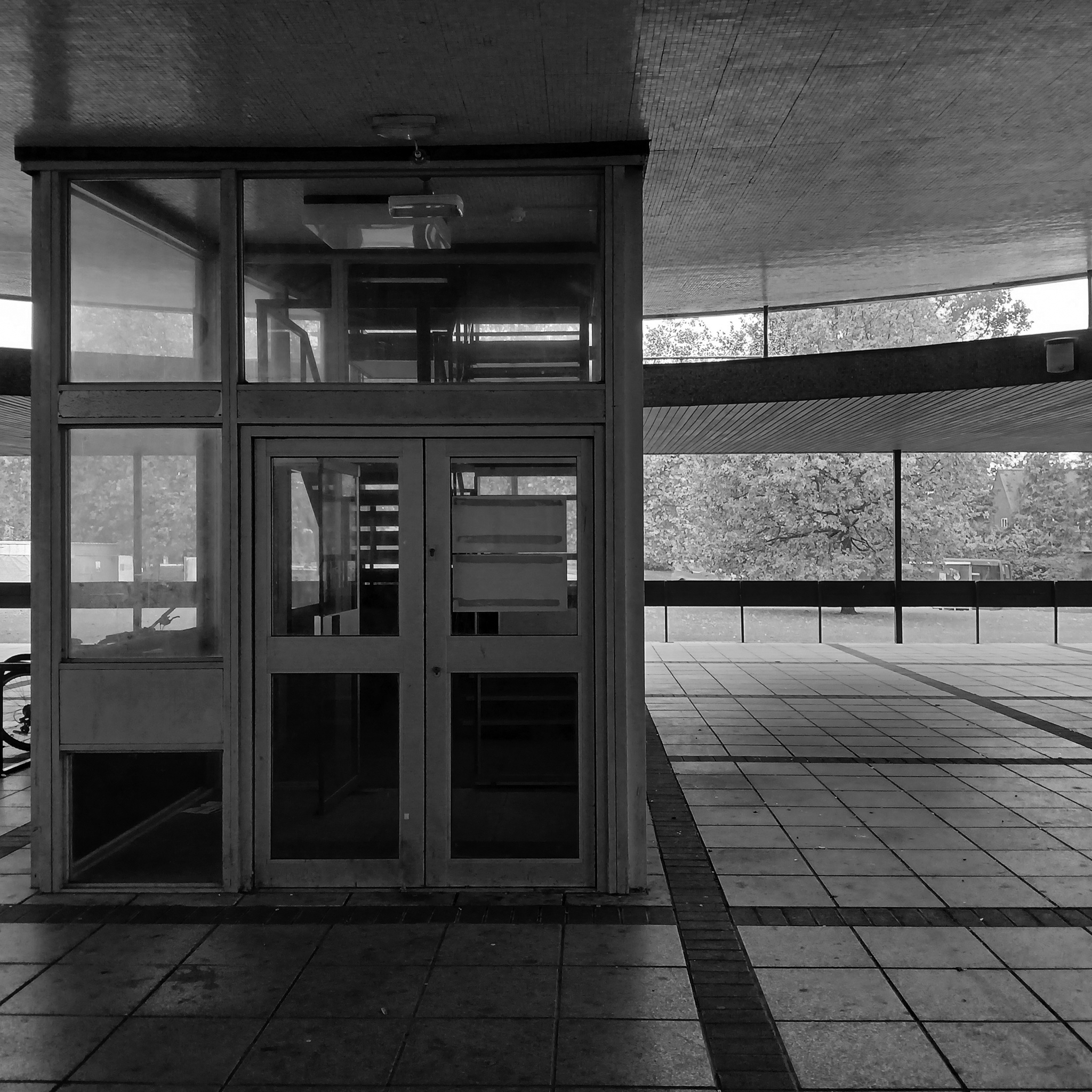
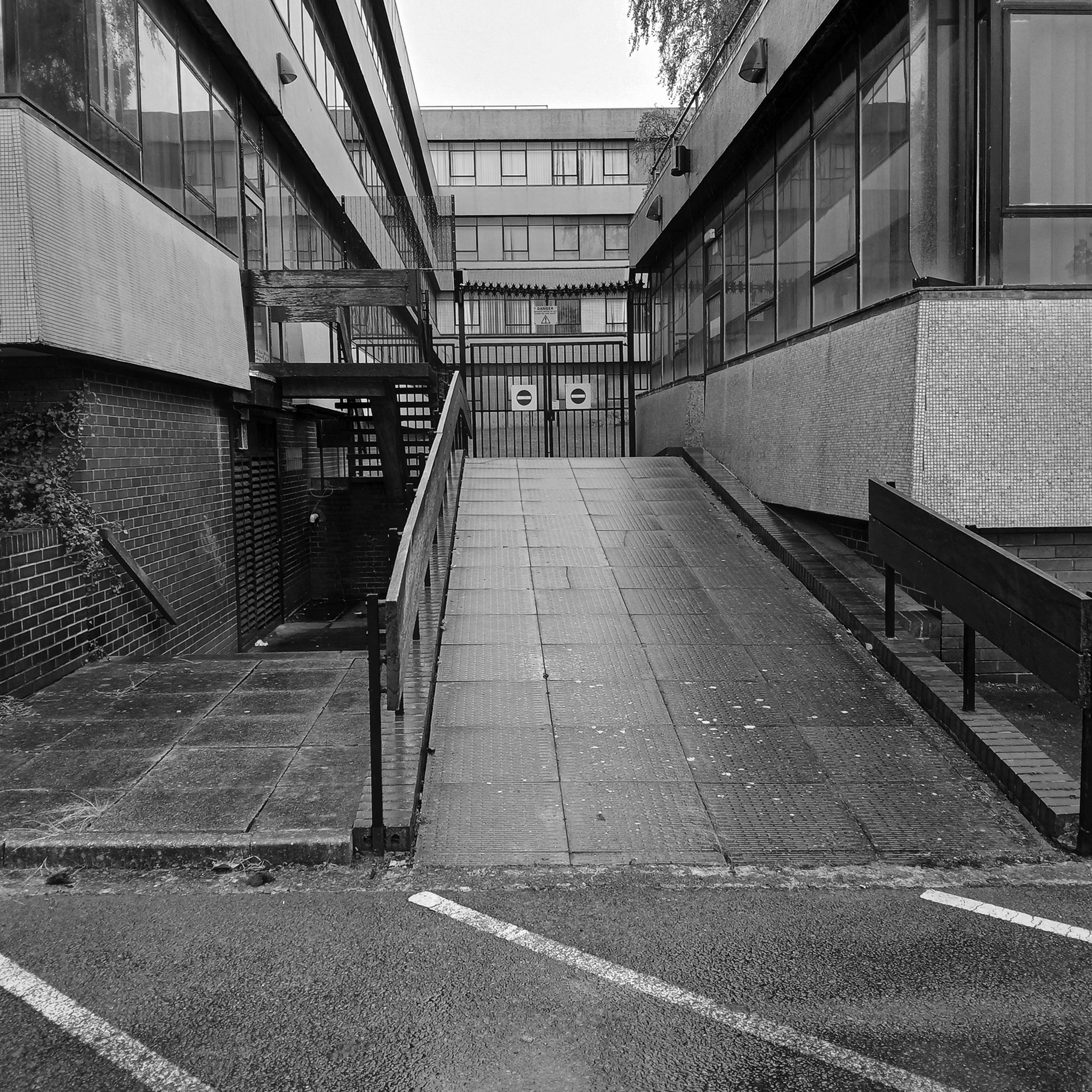
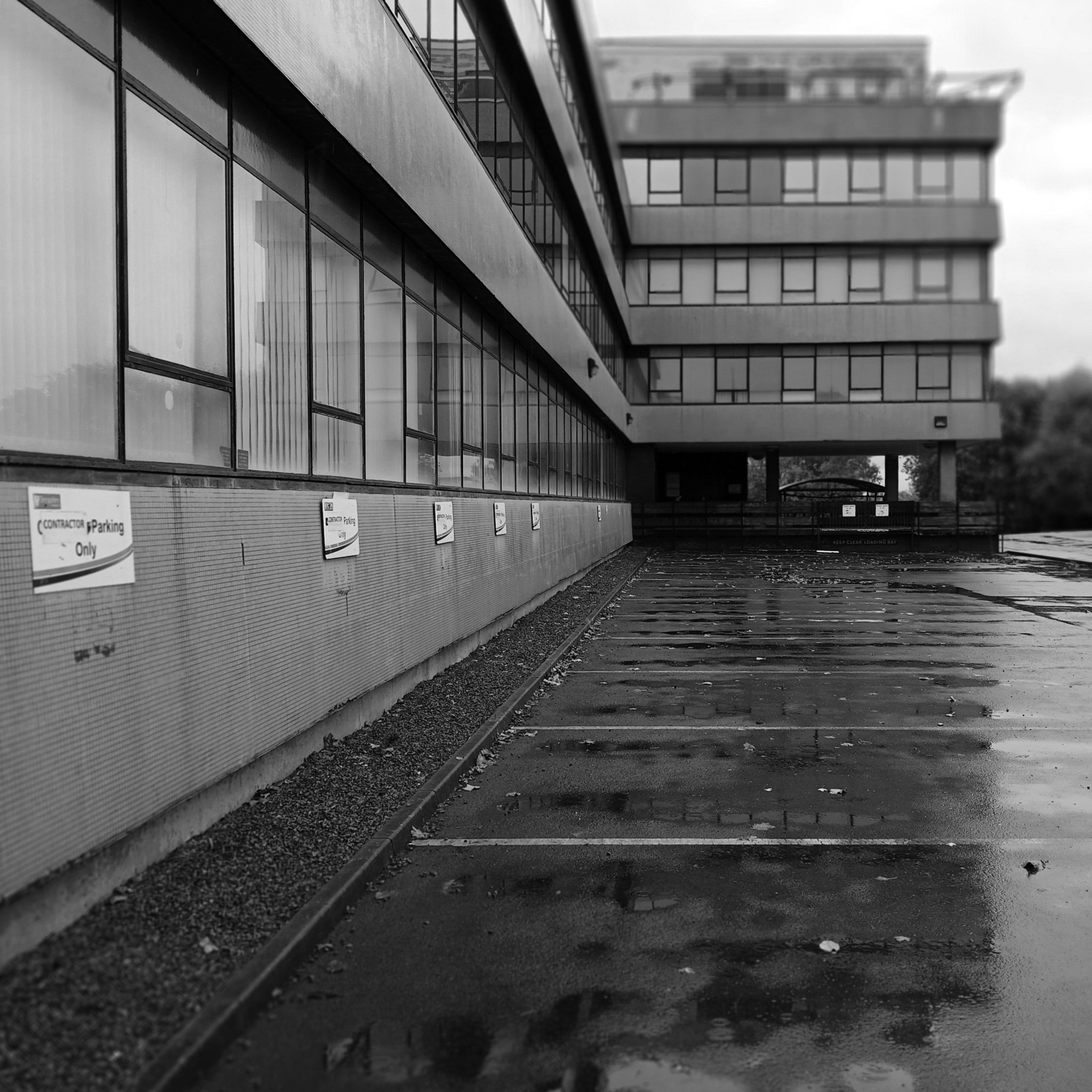
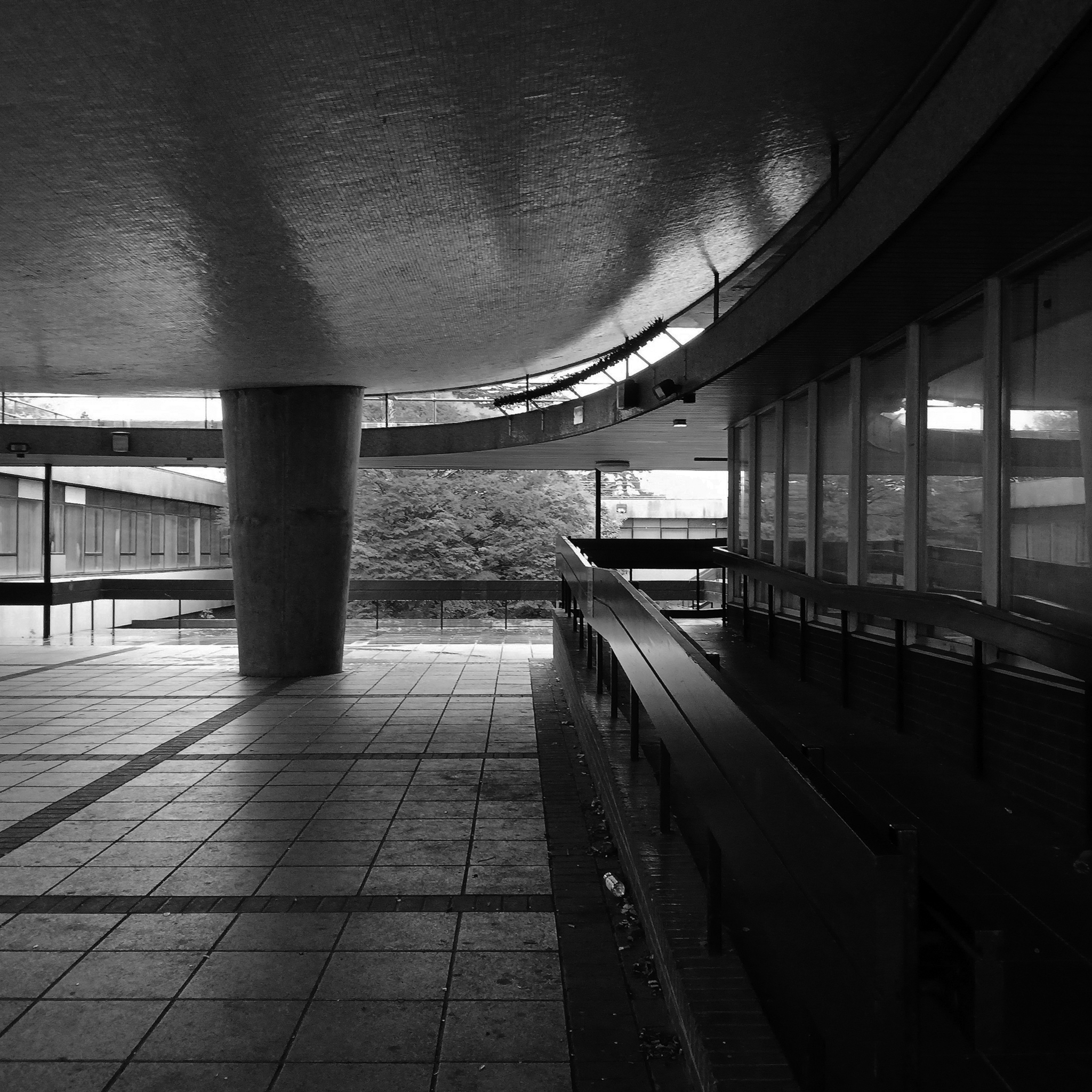
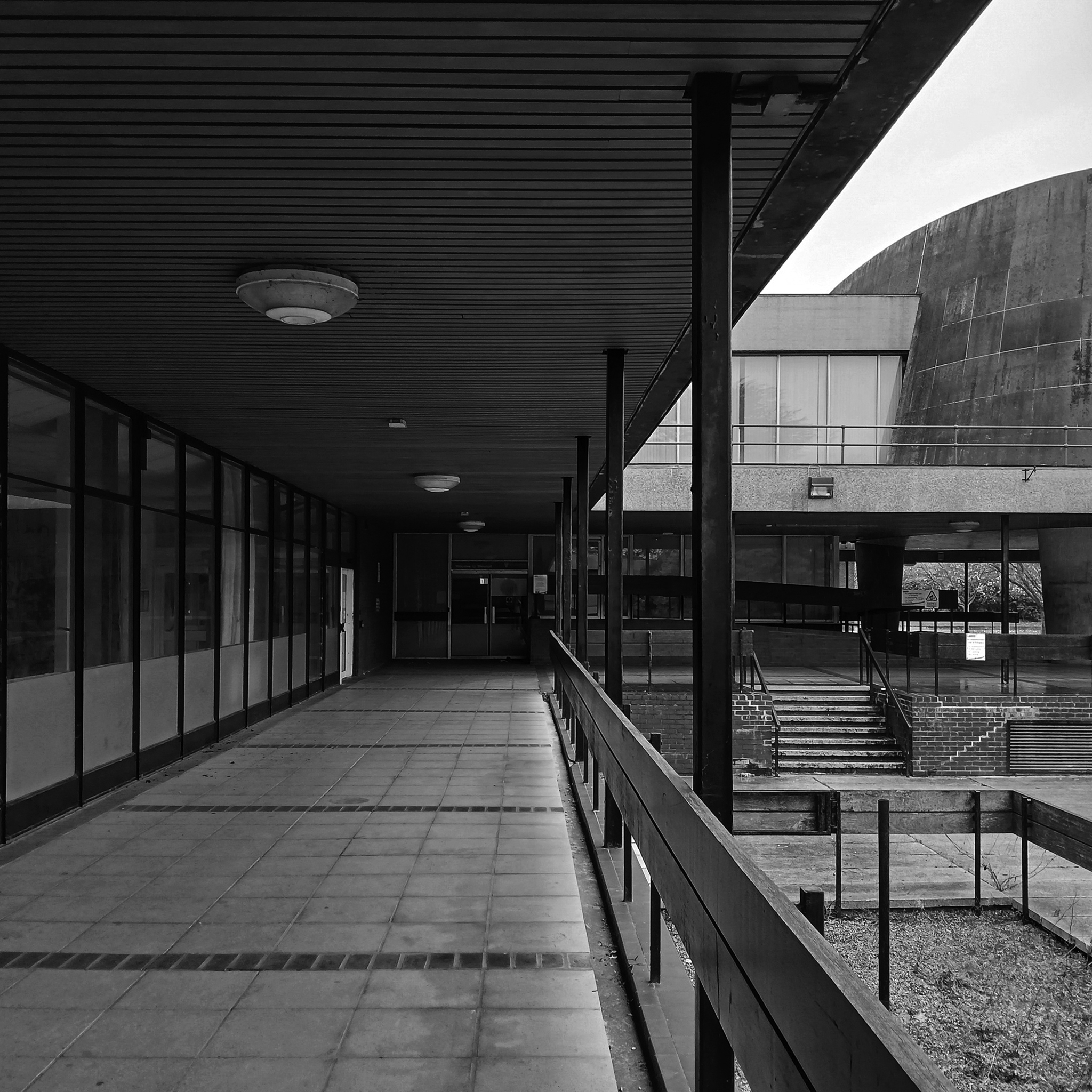
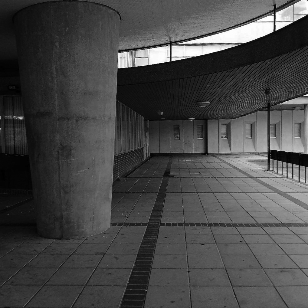
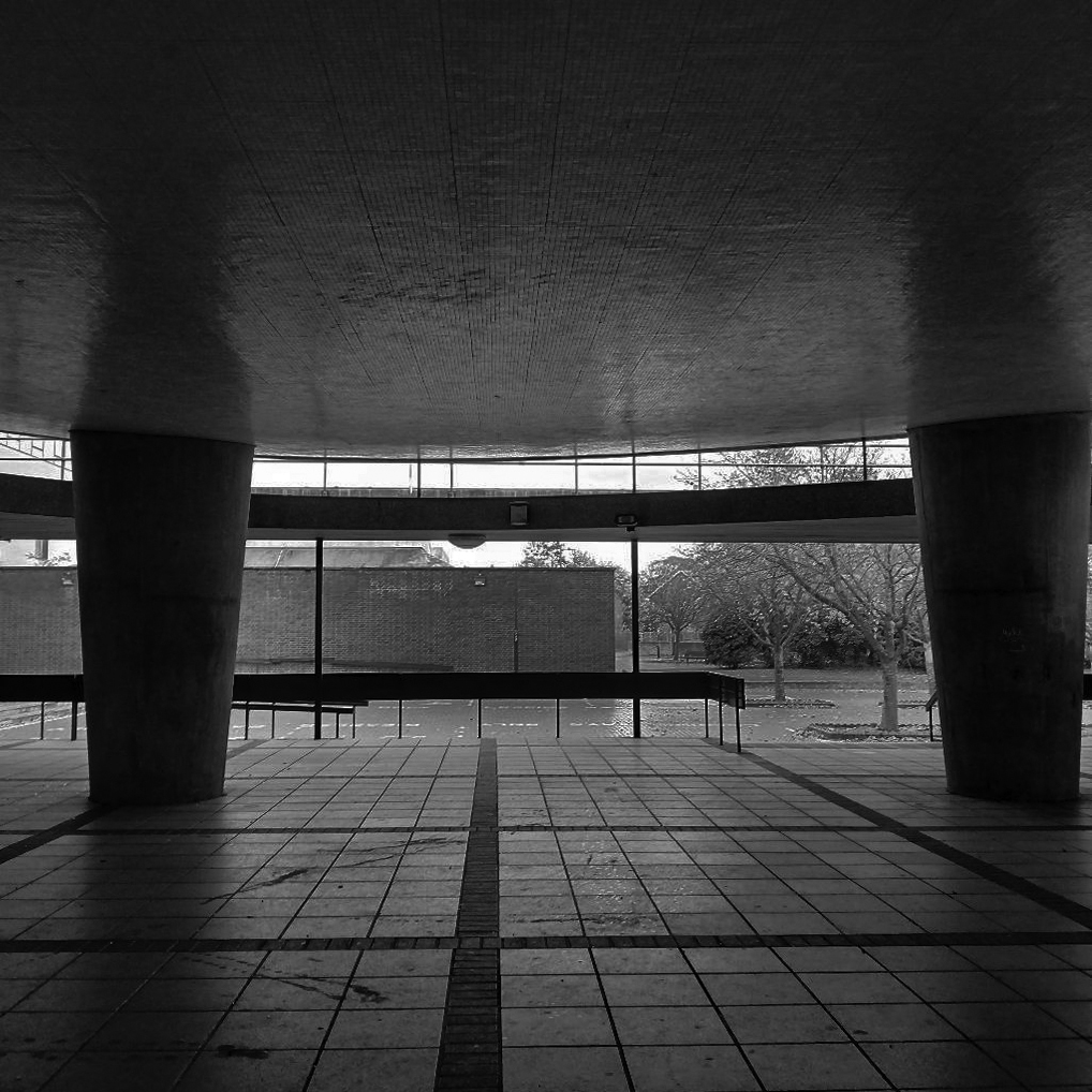
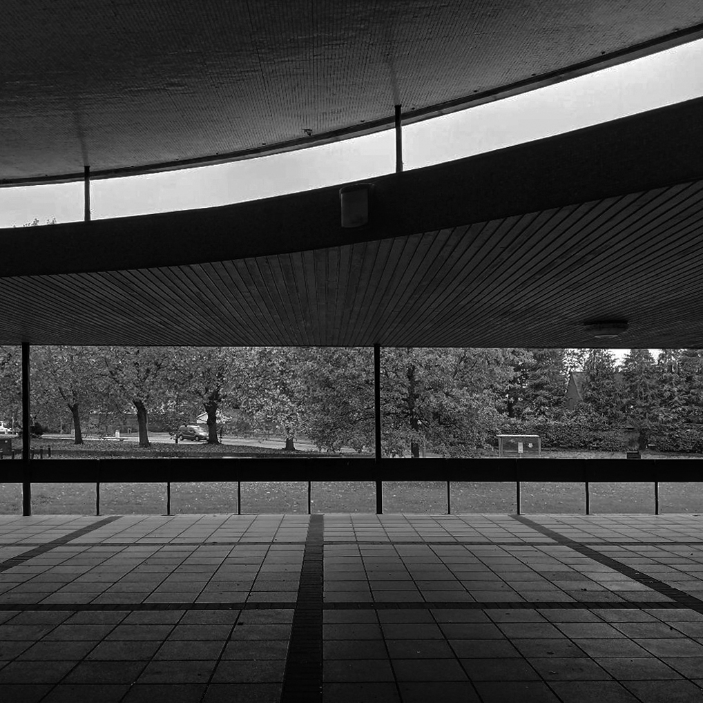
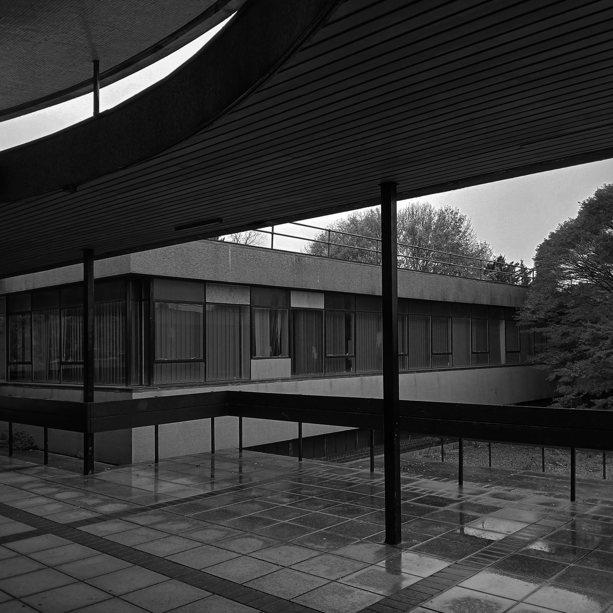
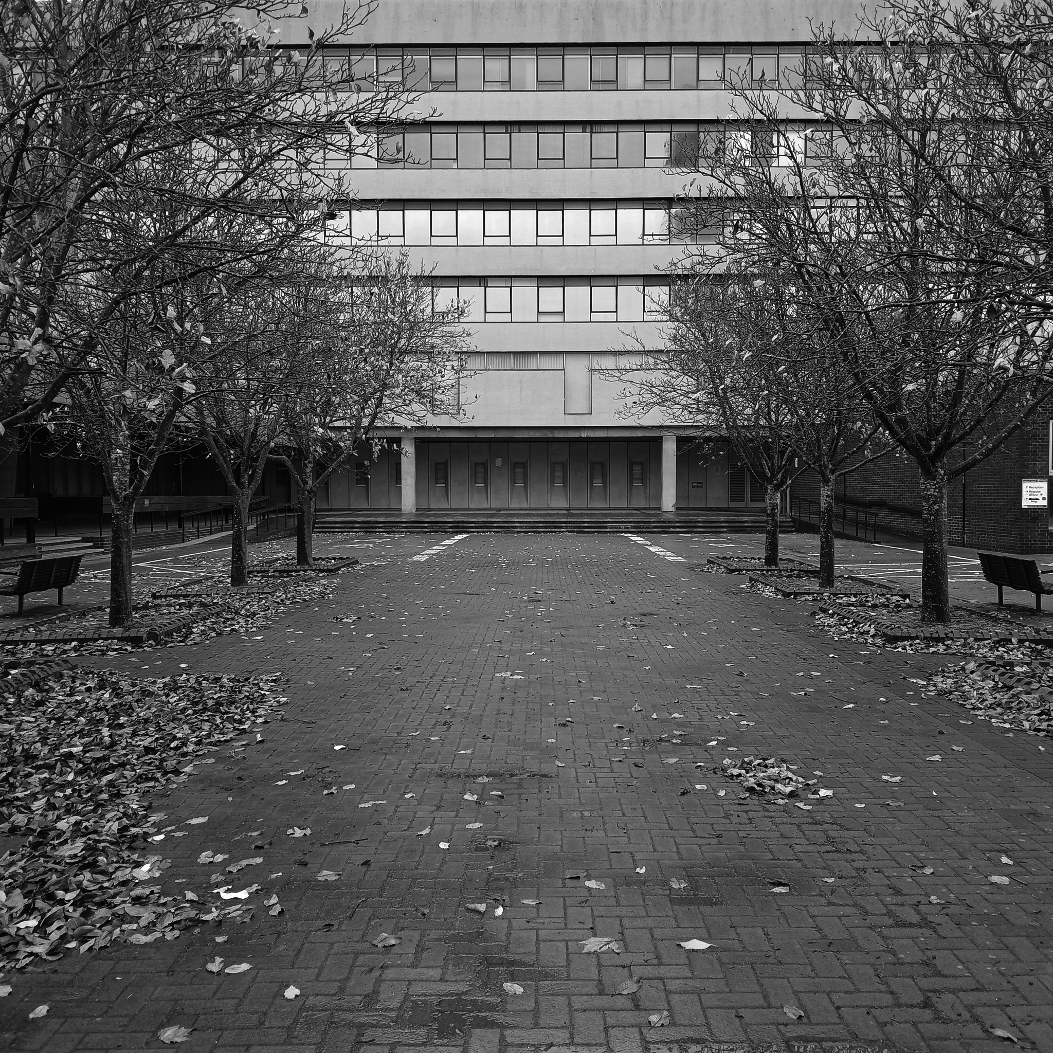
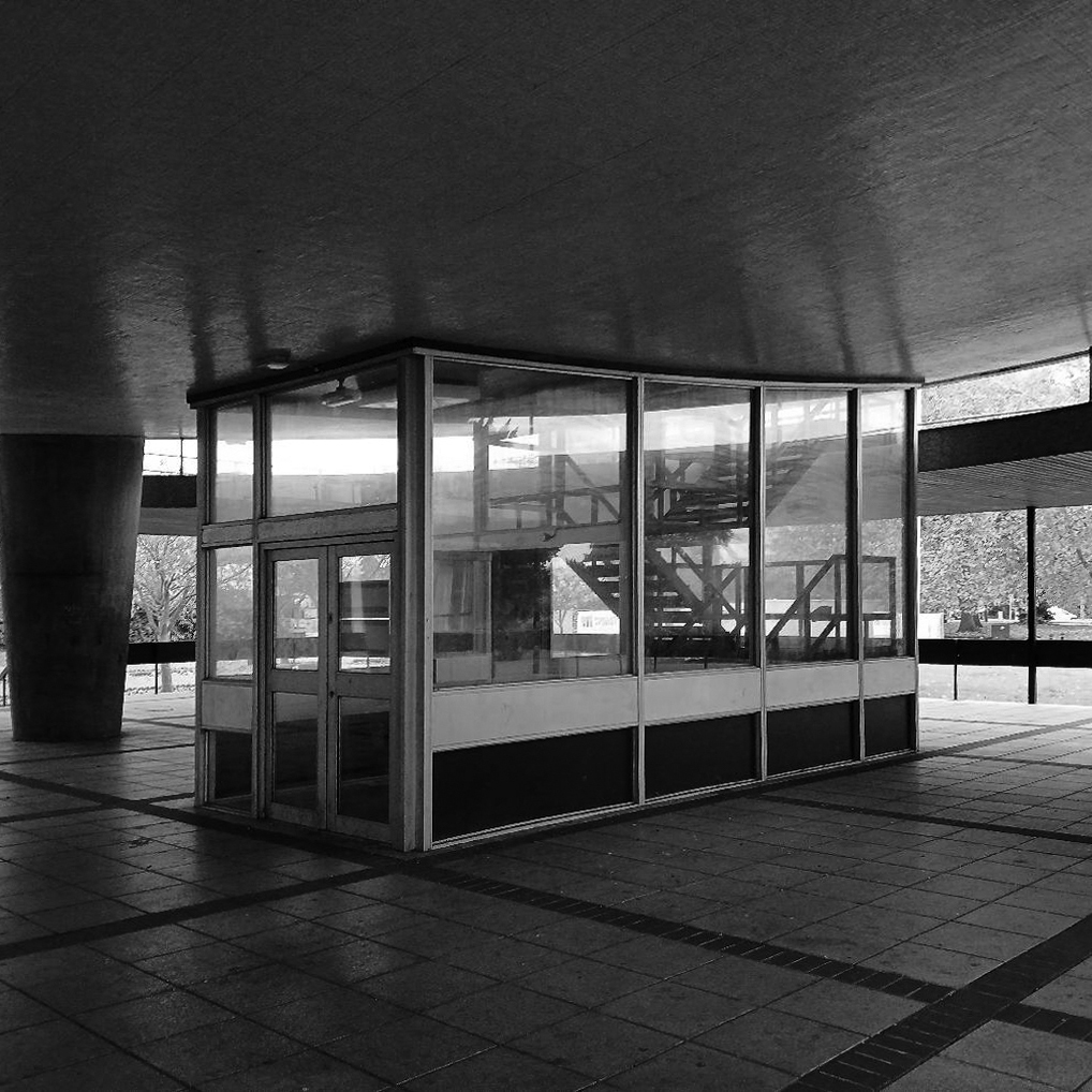
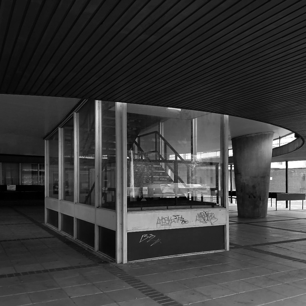
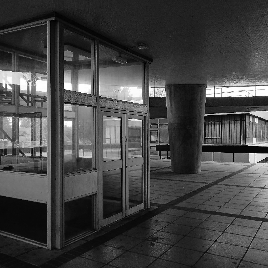
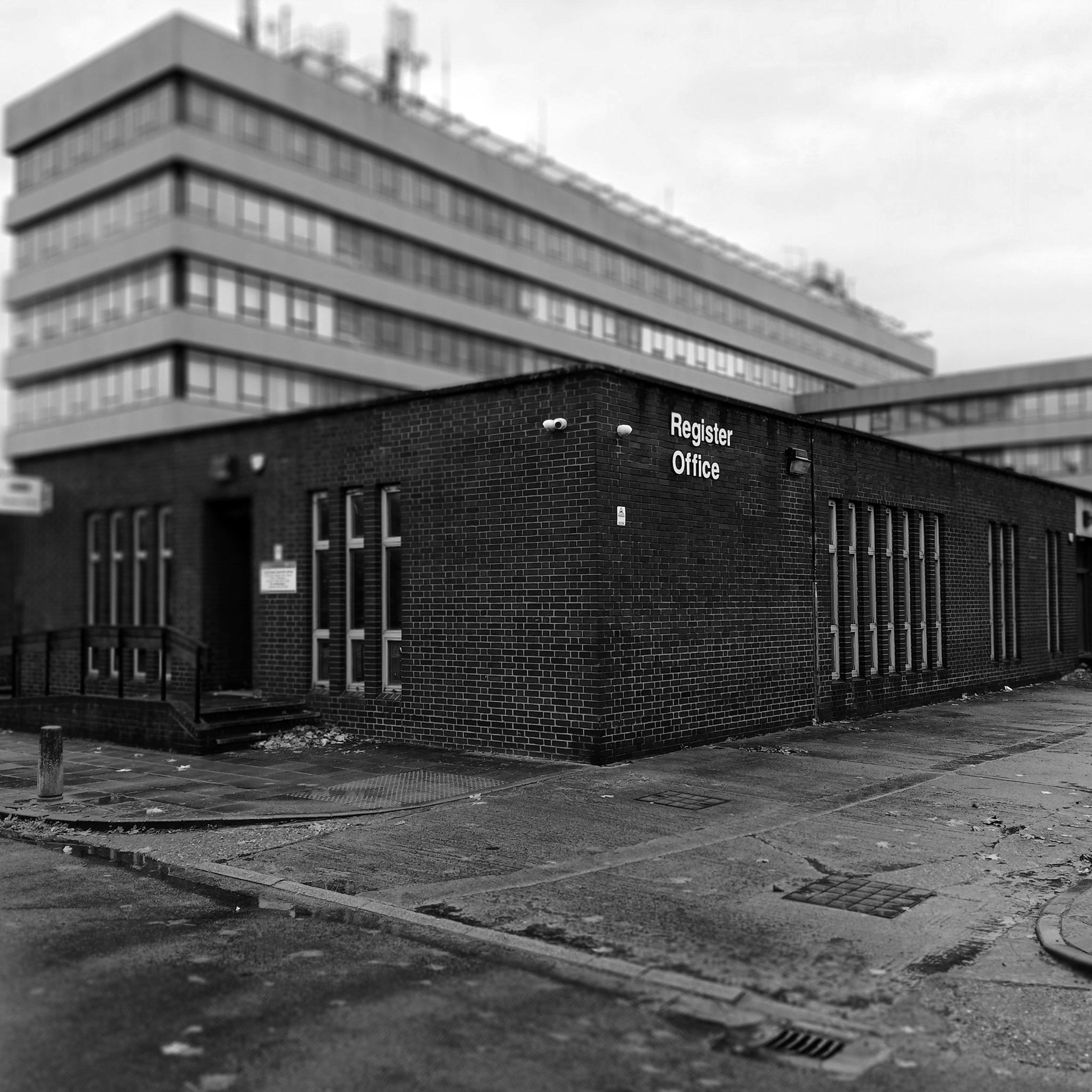
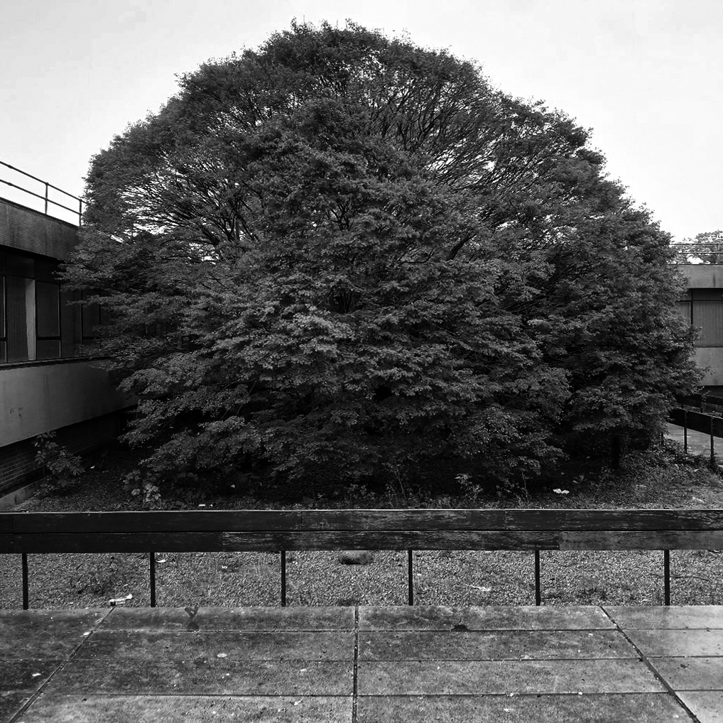
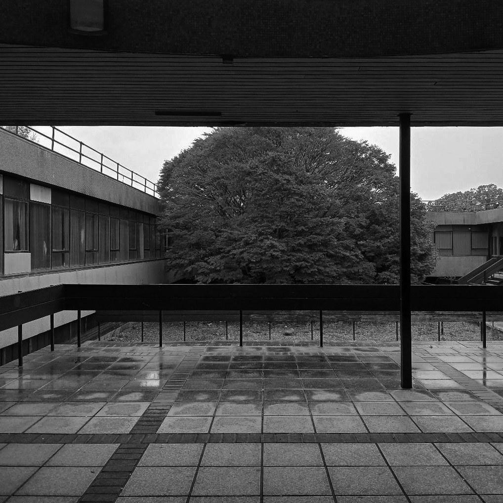
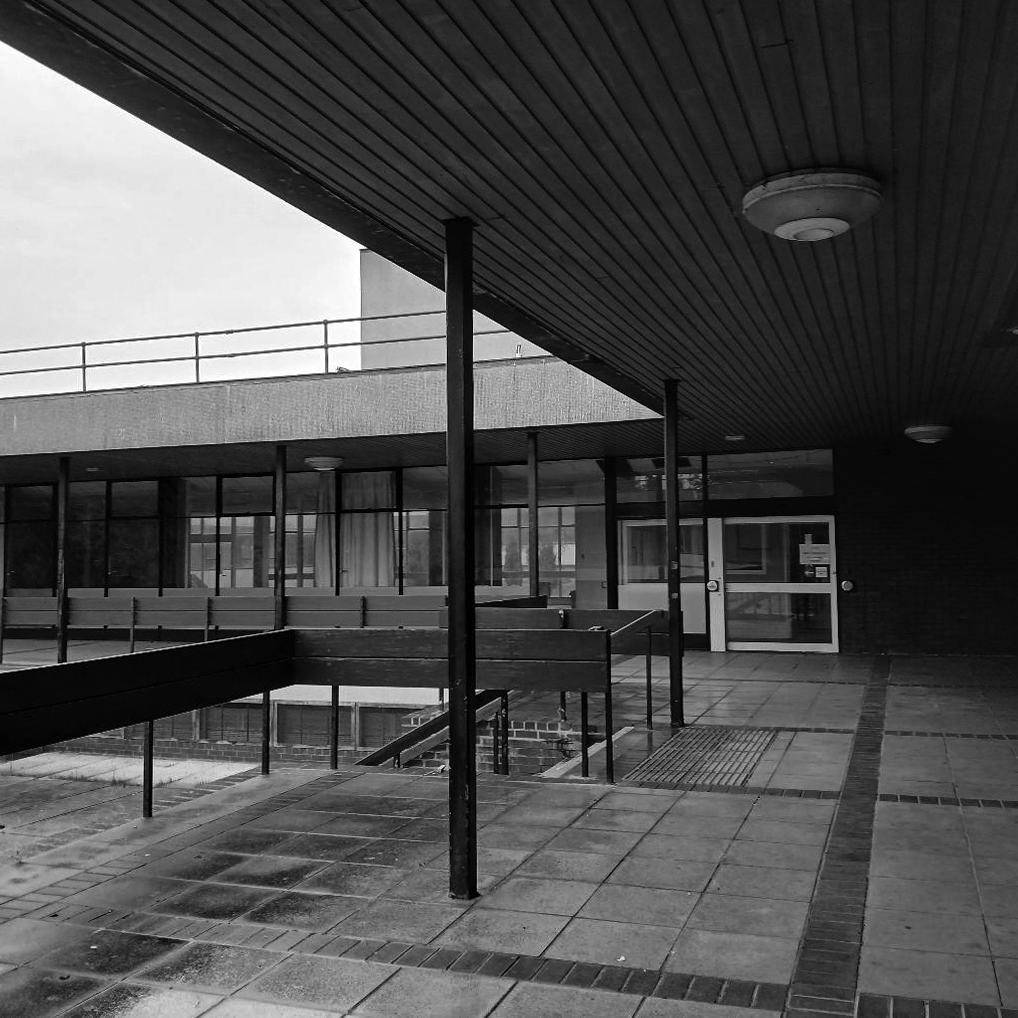
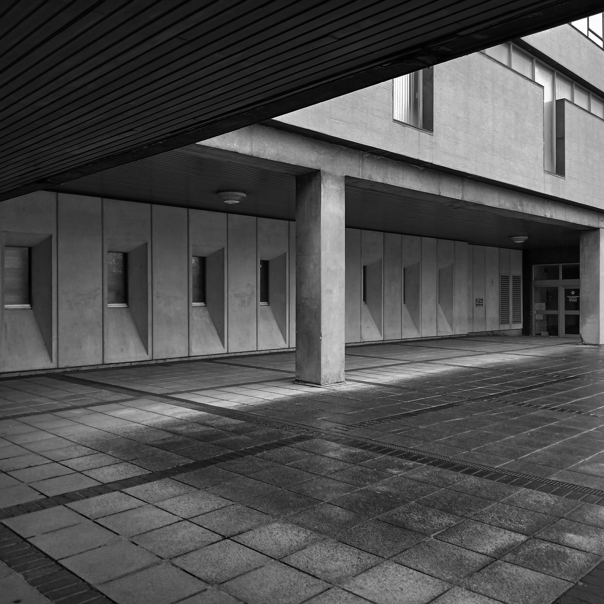
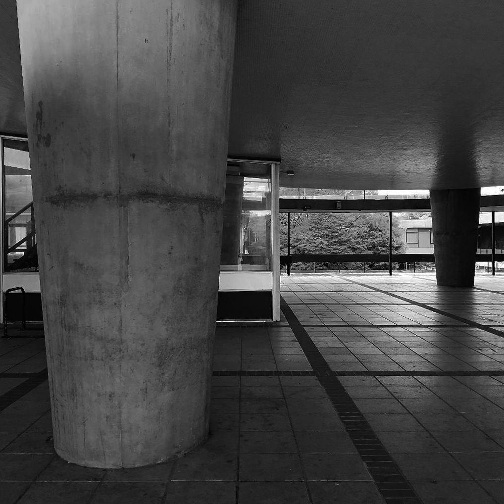
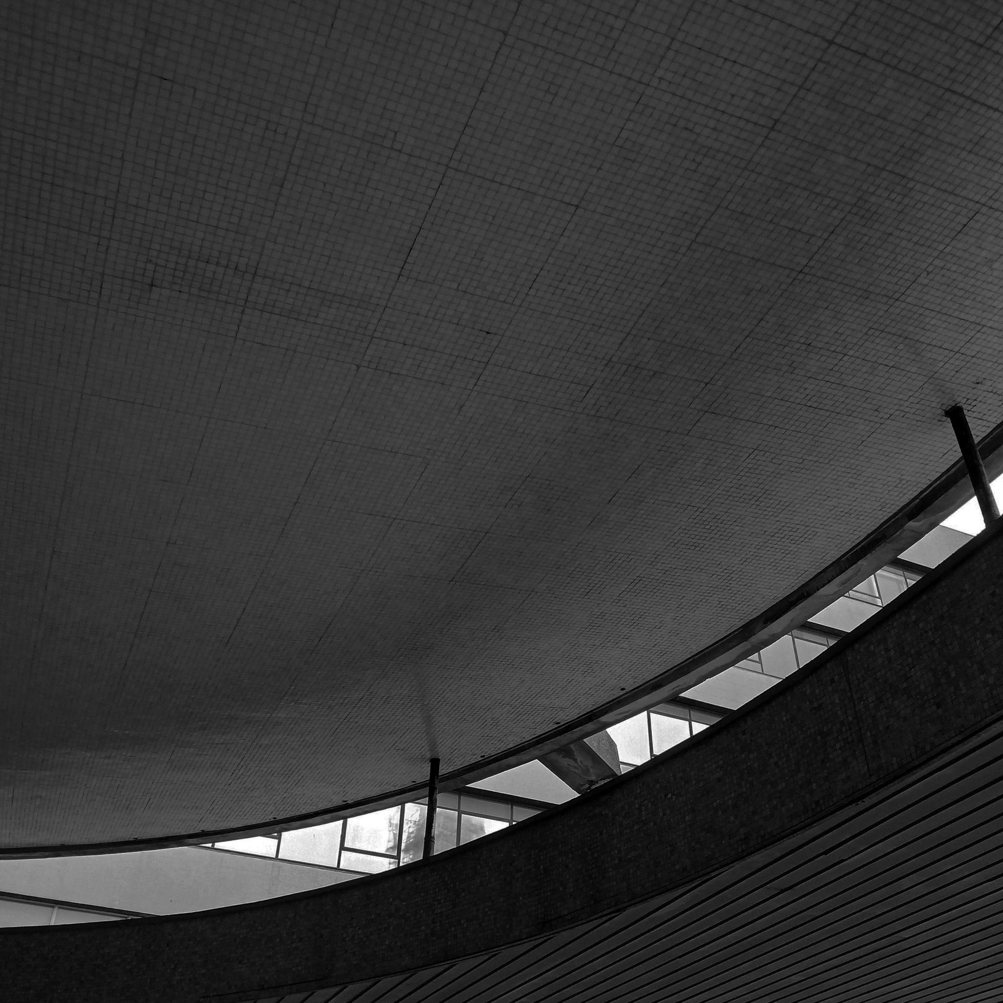
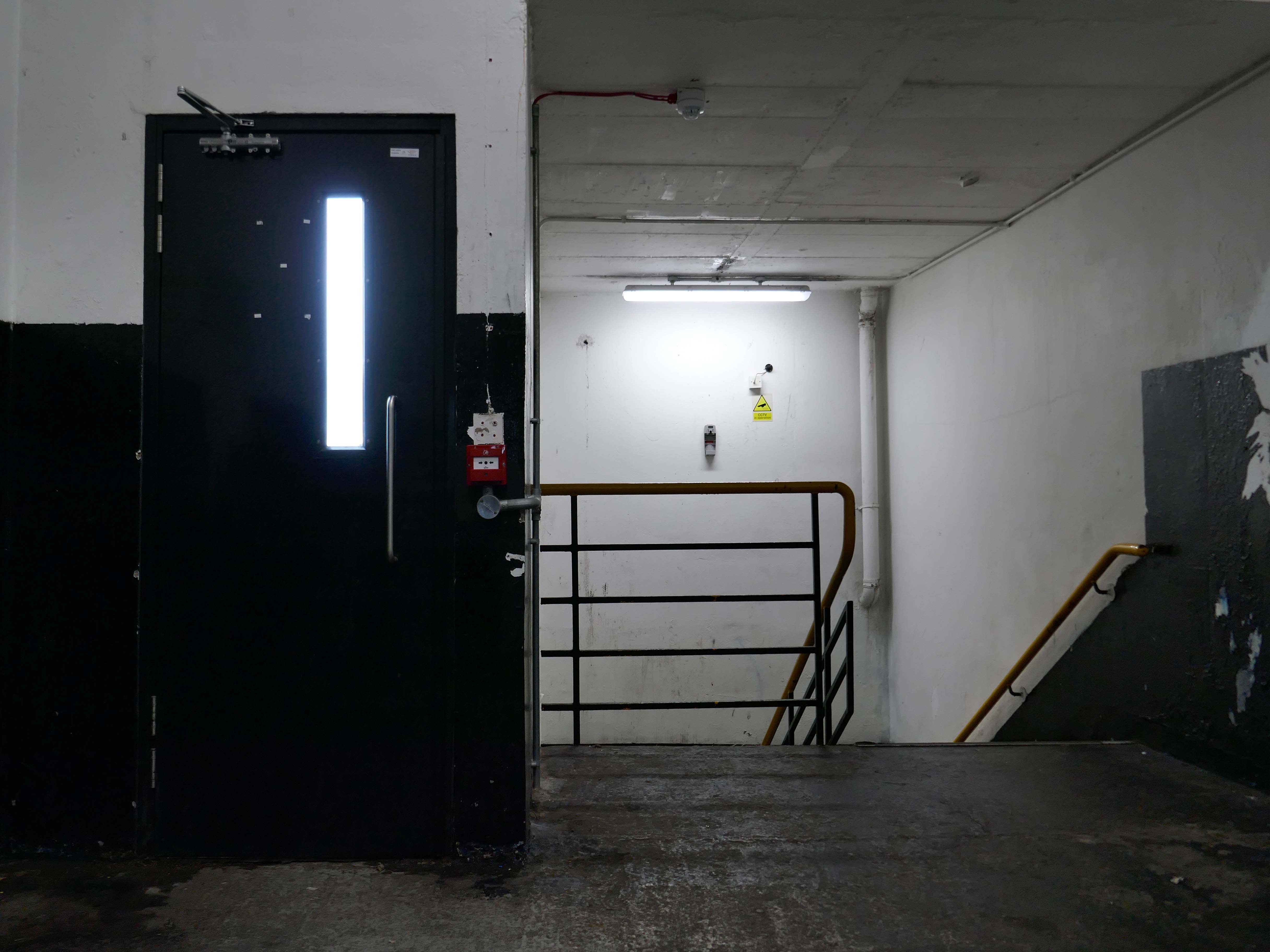
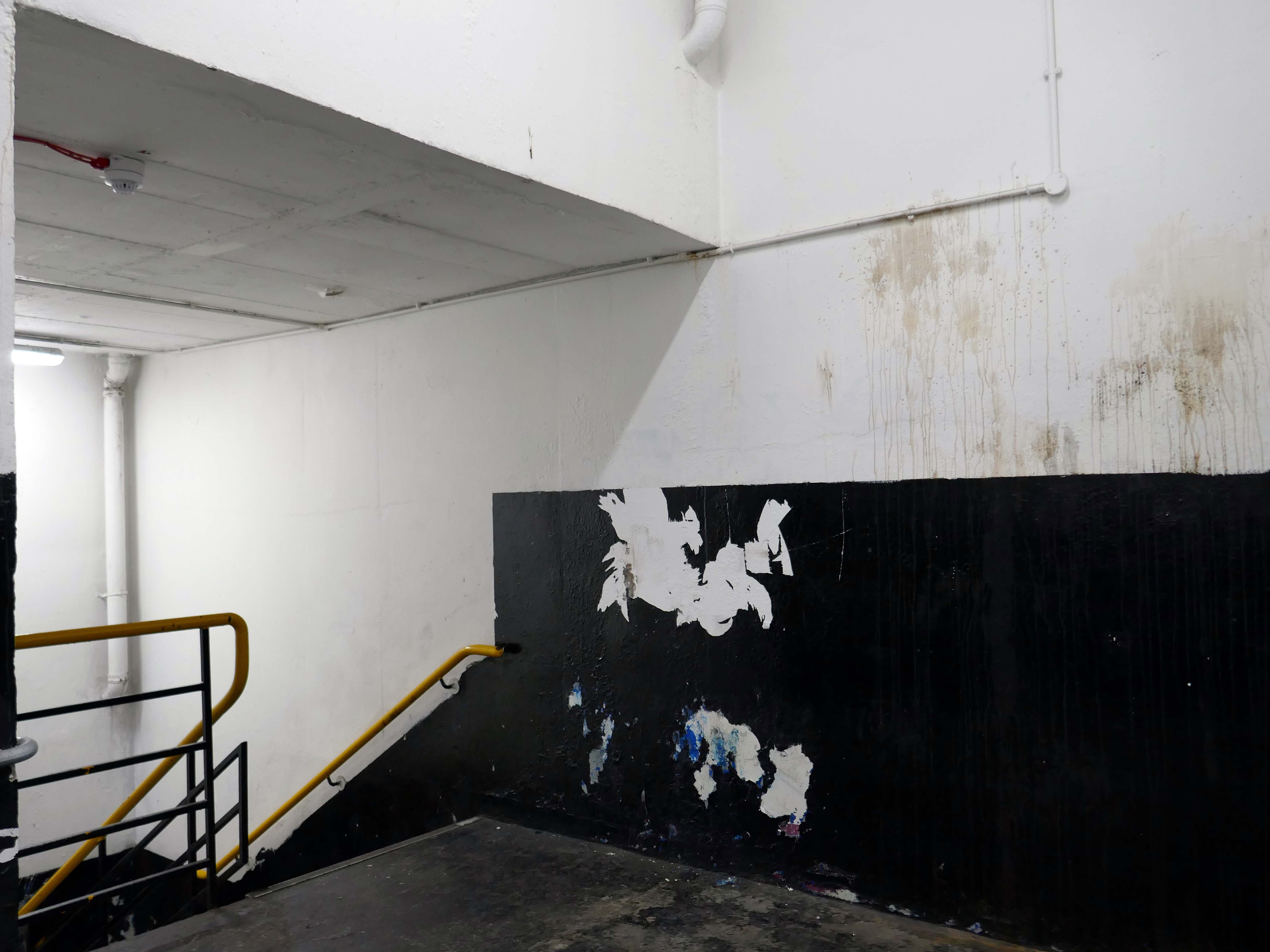
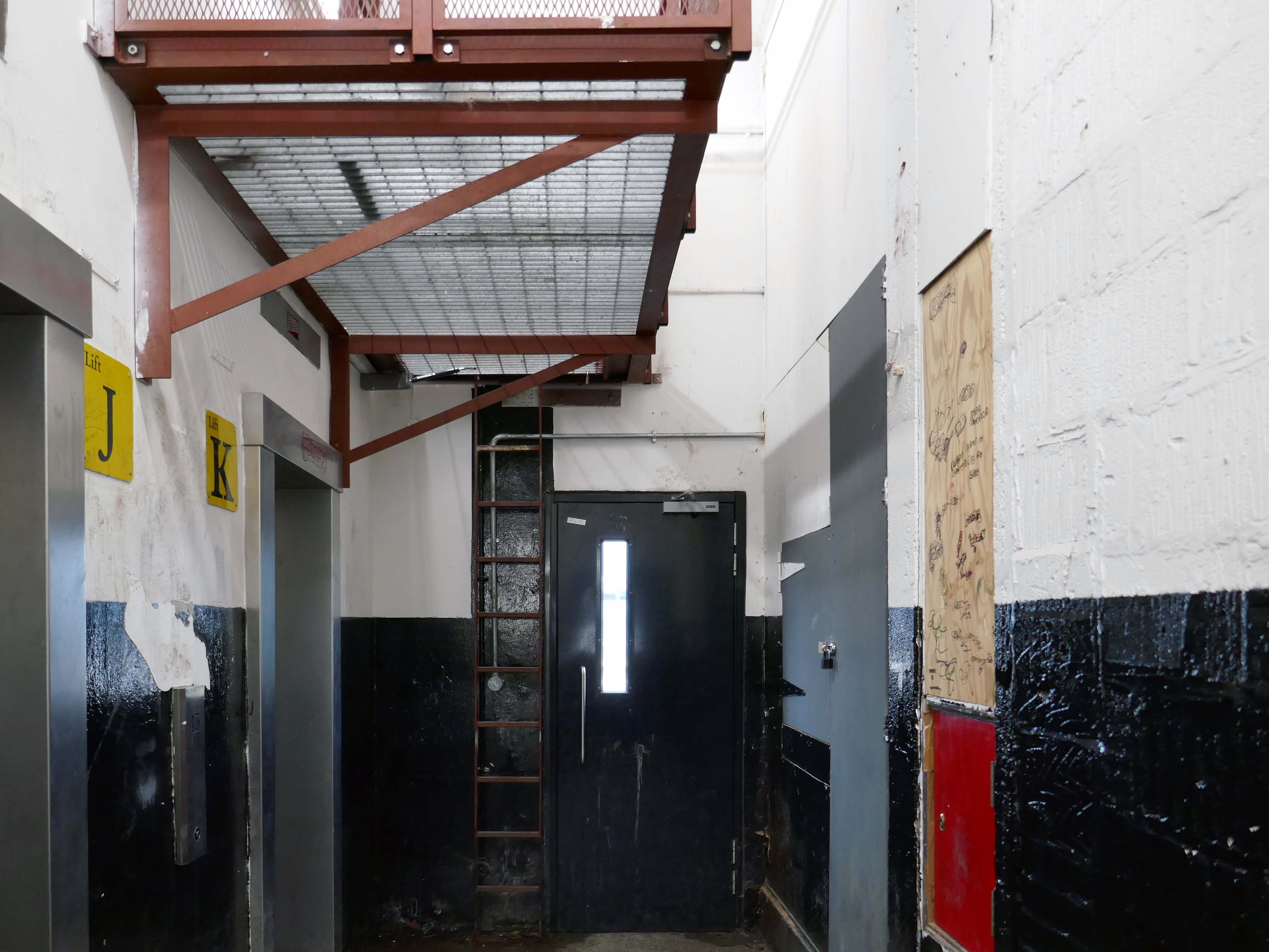
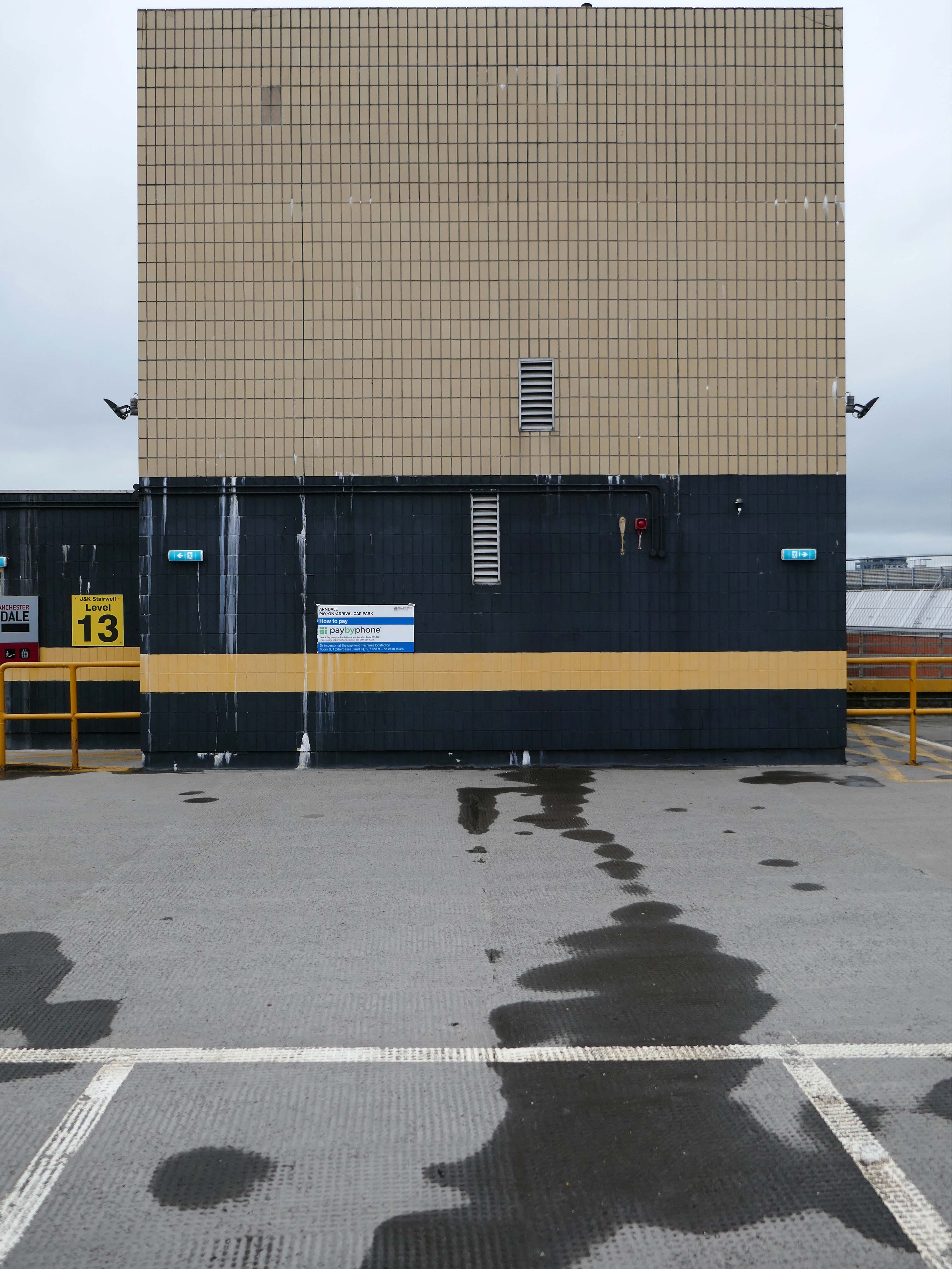
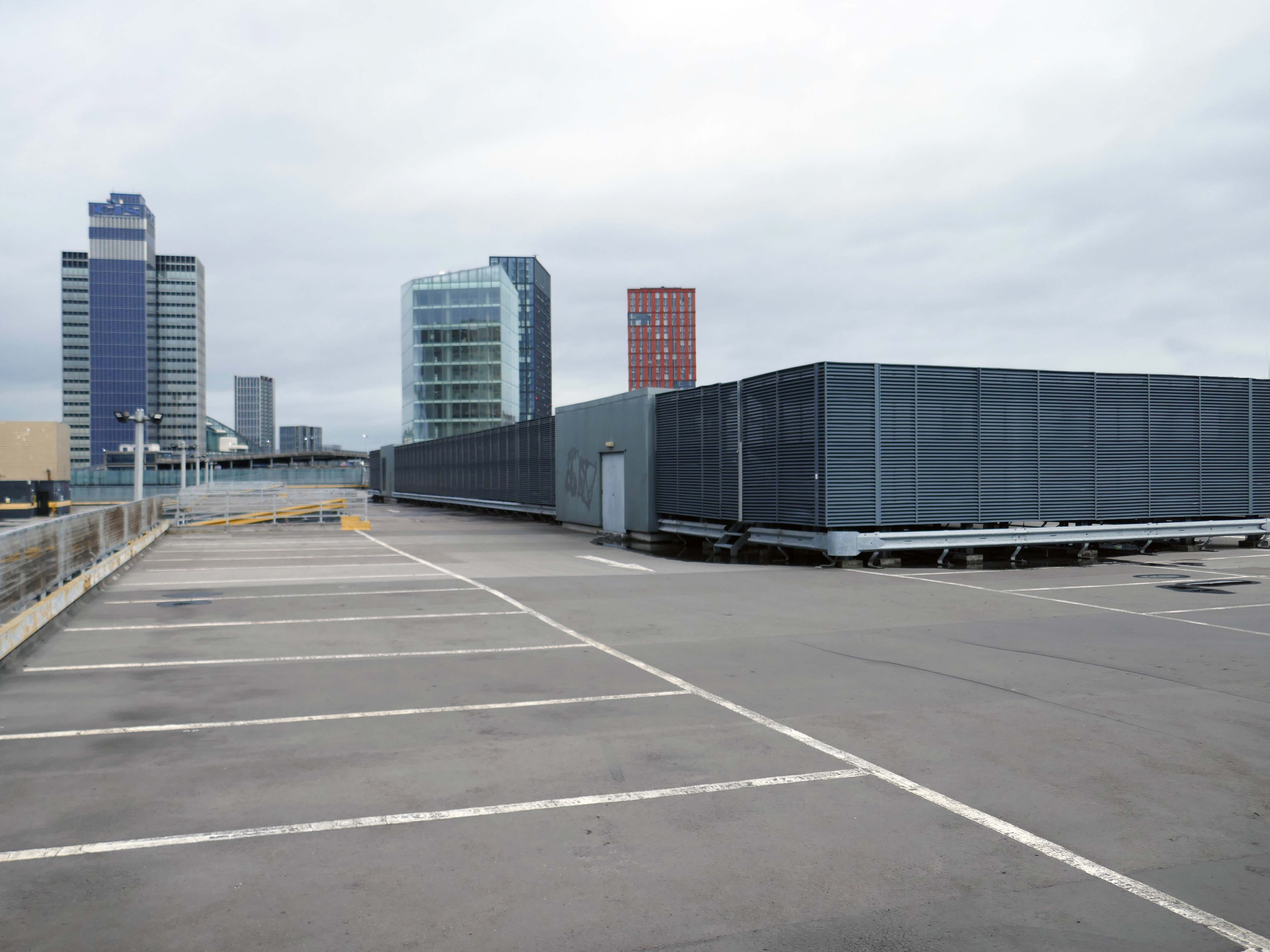
Wyndham Court is a block of social housing in Southampton which opened in 1970.
It was designed by Lyons Israel Ellis for Southampton City Council in 1966, ED Lyons being the partner in charge and architects Frank Linden and Aubrey Hume also assigned to the job. The structural engineers were Hajnal-Konyi and Myers and the firm of builders was G Minter.
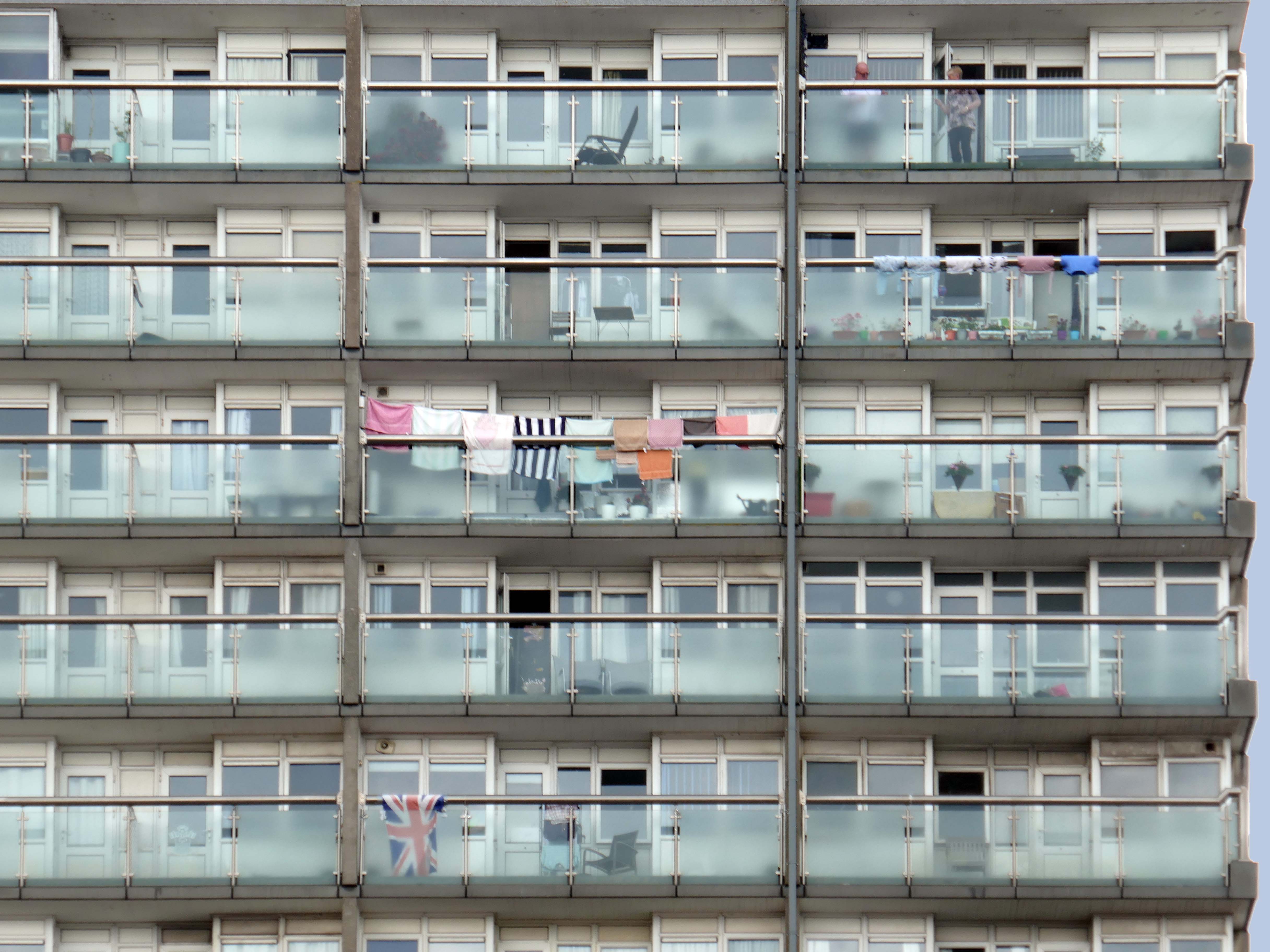
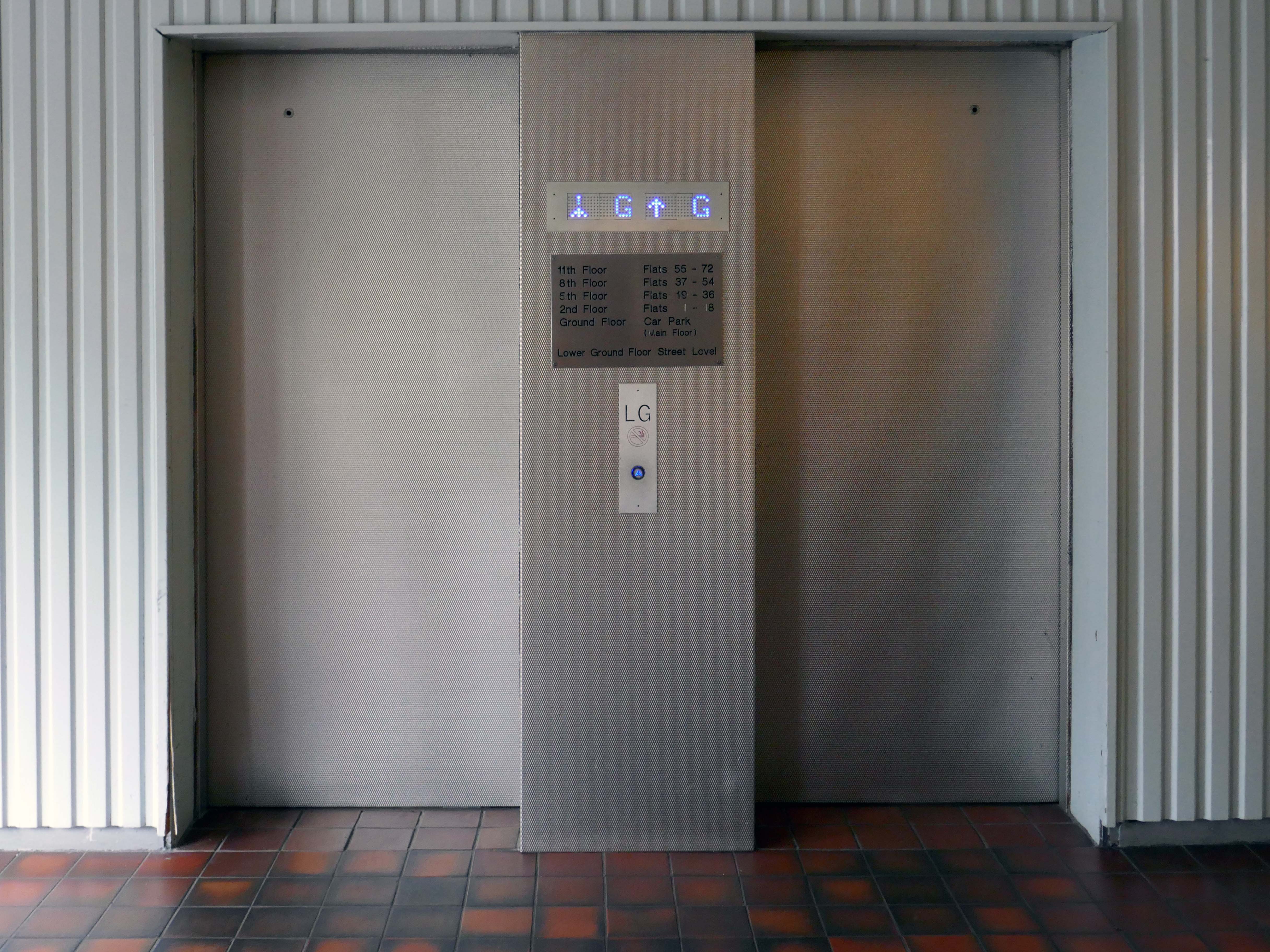
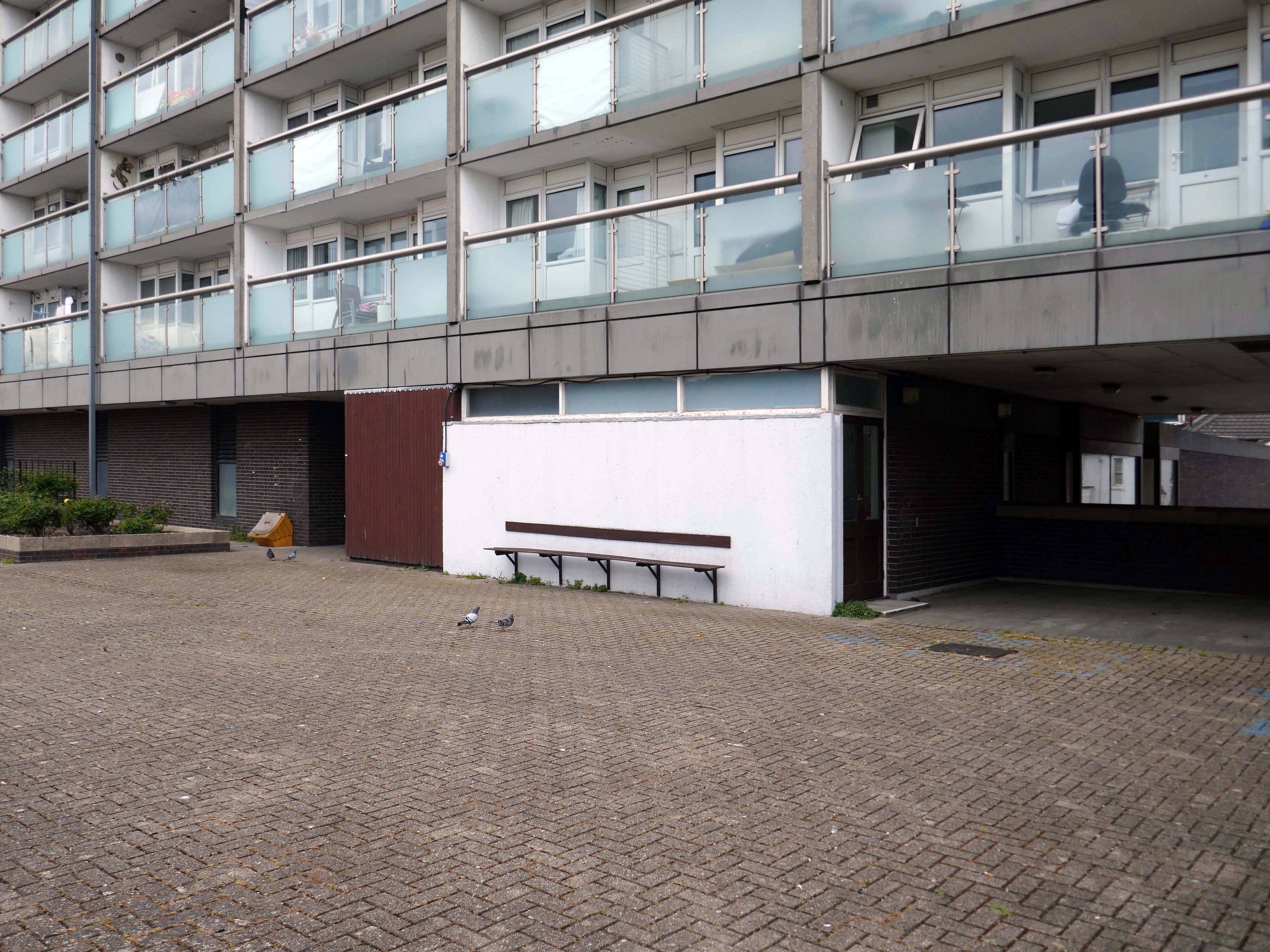
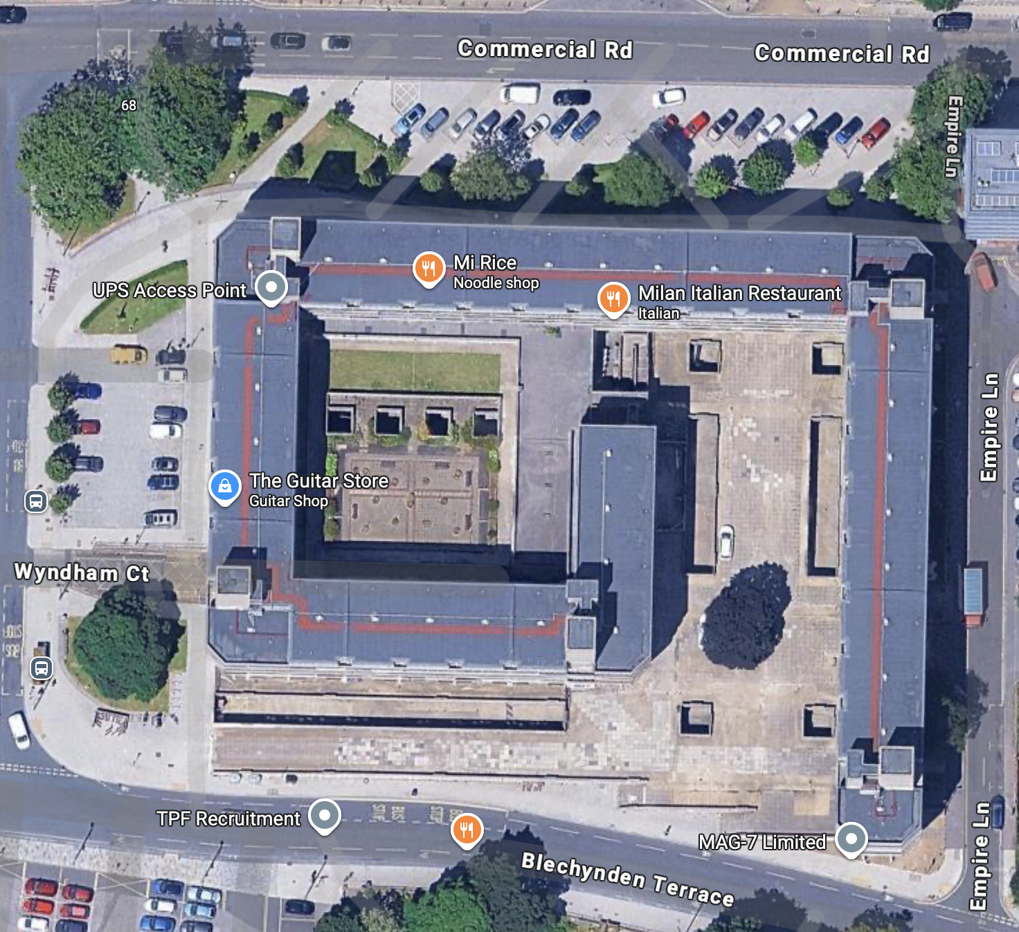
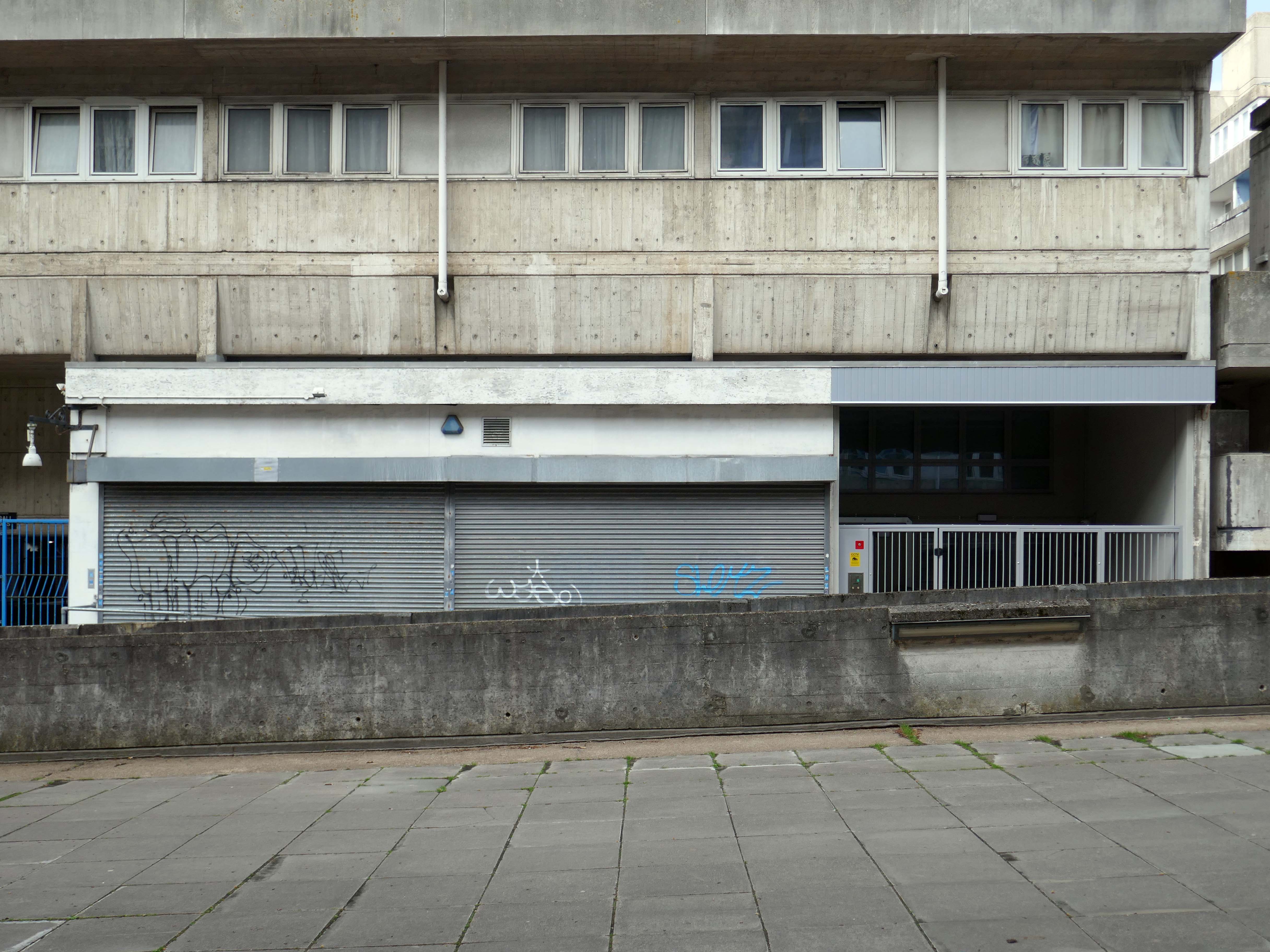
It is located near Southampton Central station and the Mayflower Theatre. Wyndham Court includes 184 flats, three cafes or restaurants and 13 shops, and was completed in 1969.
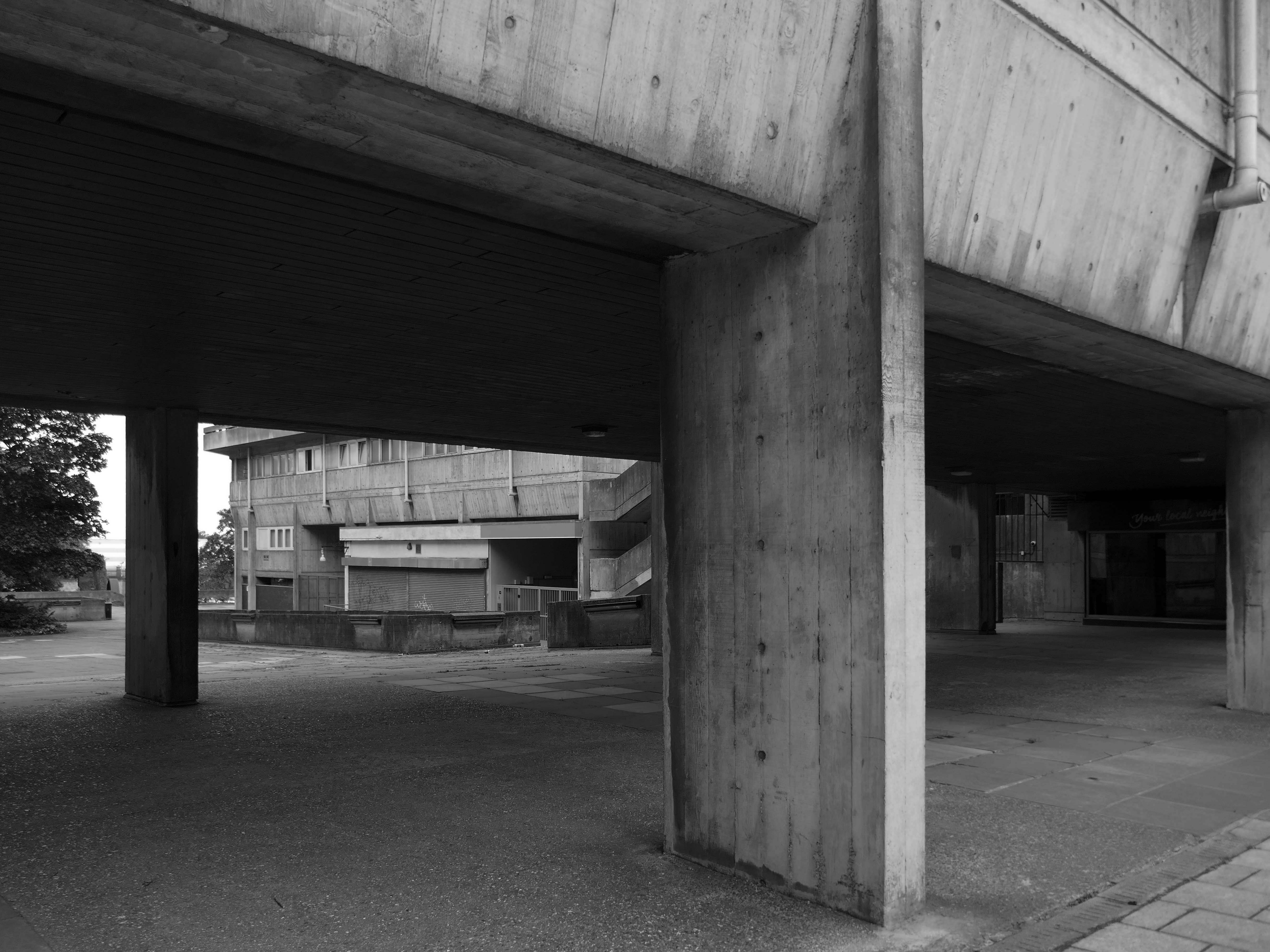
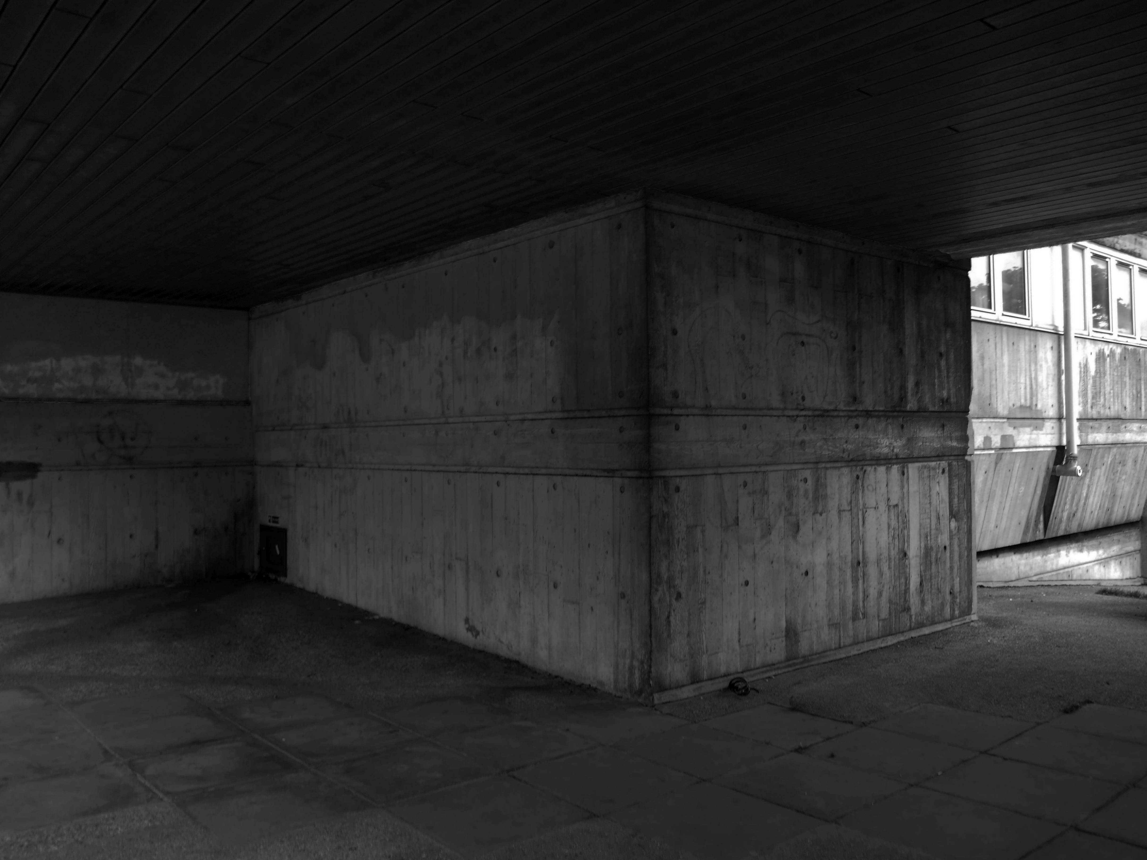
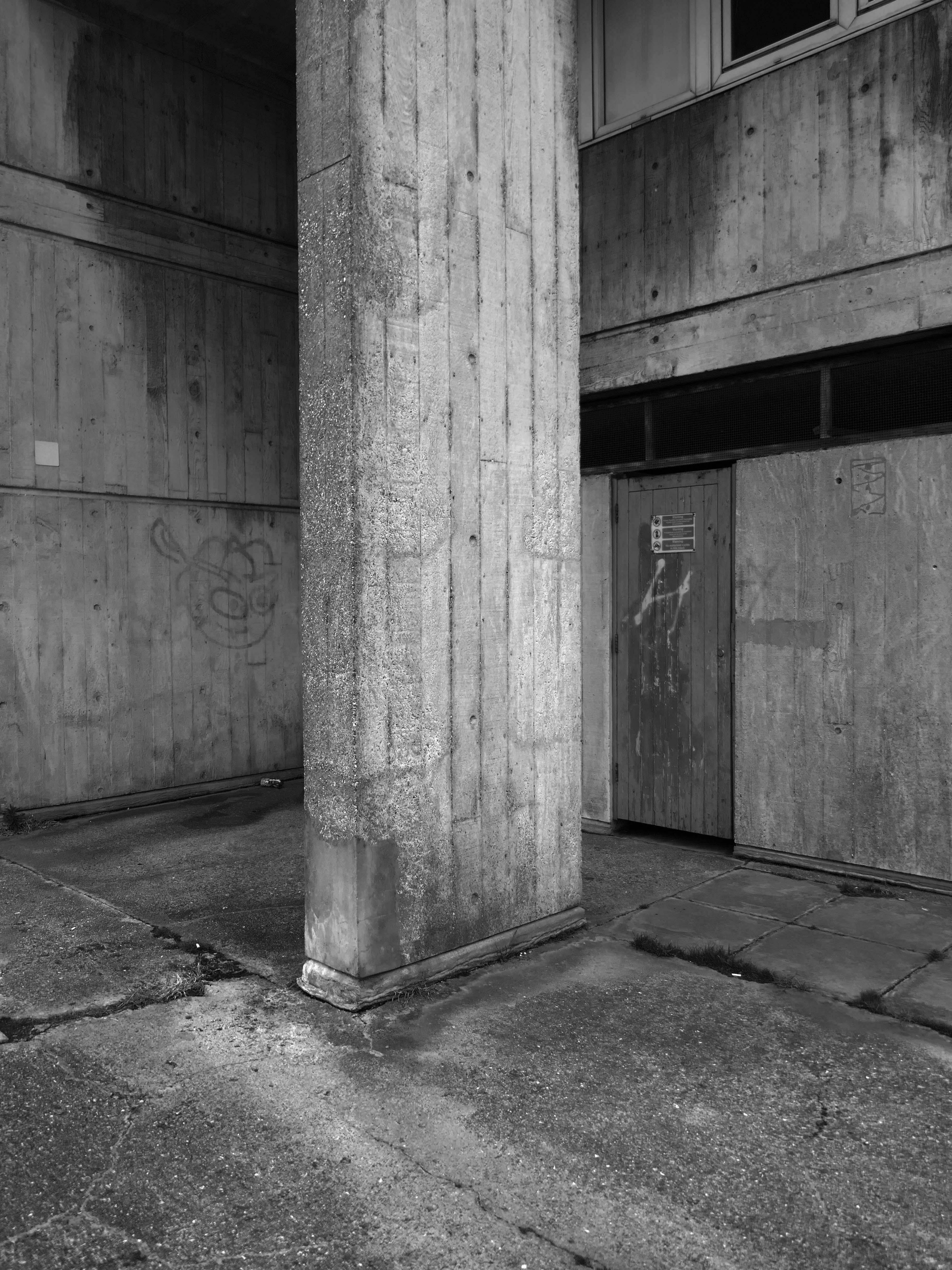
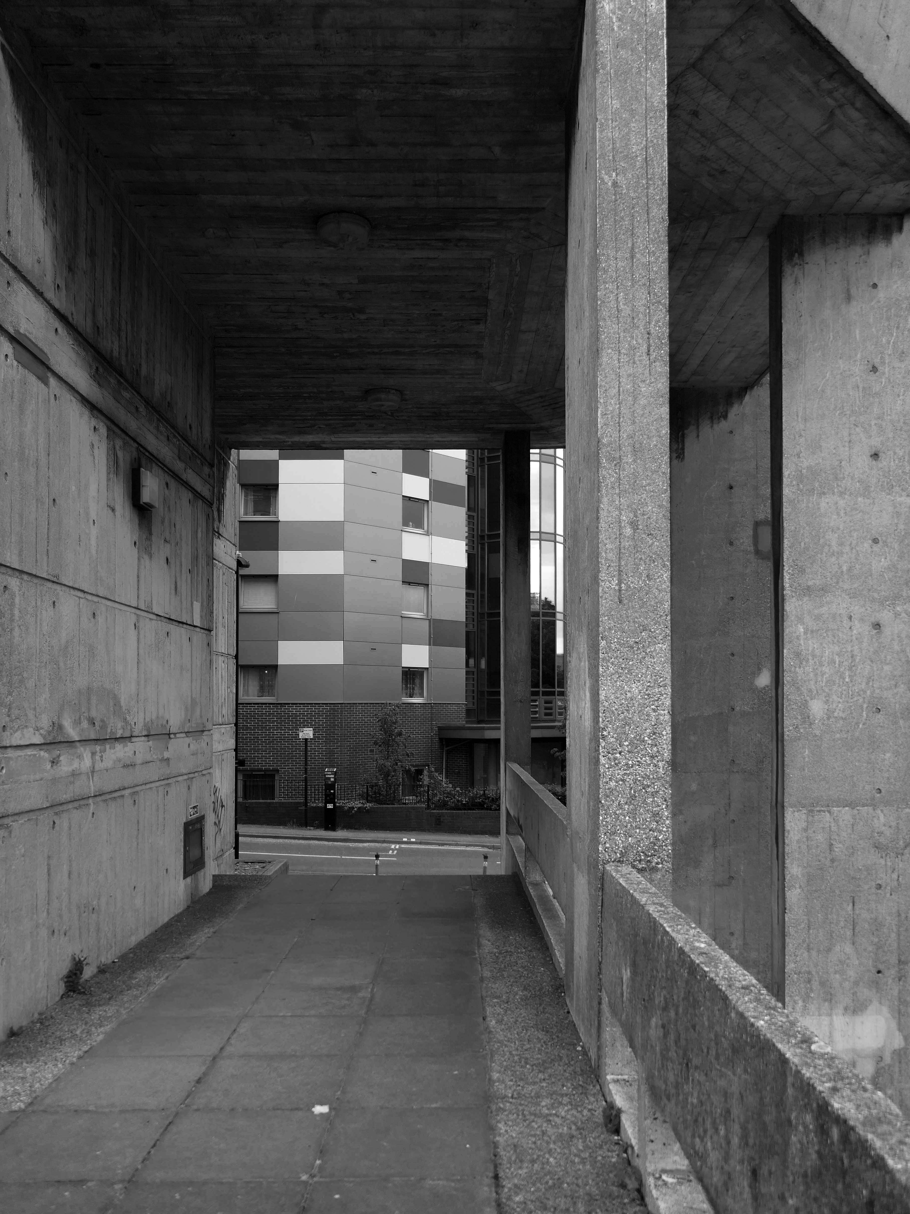
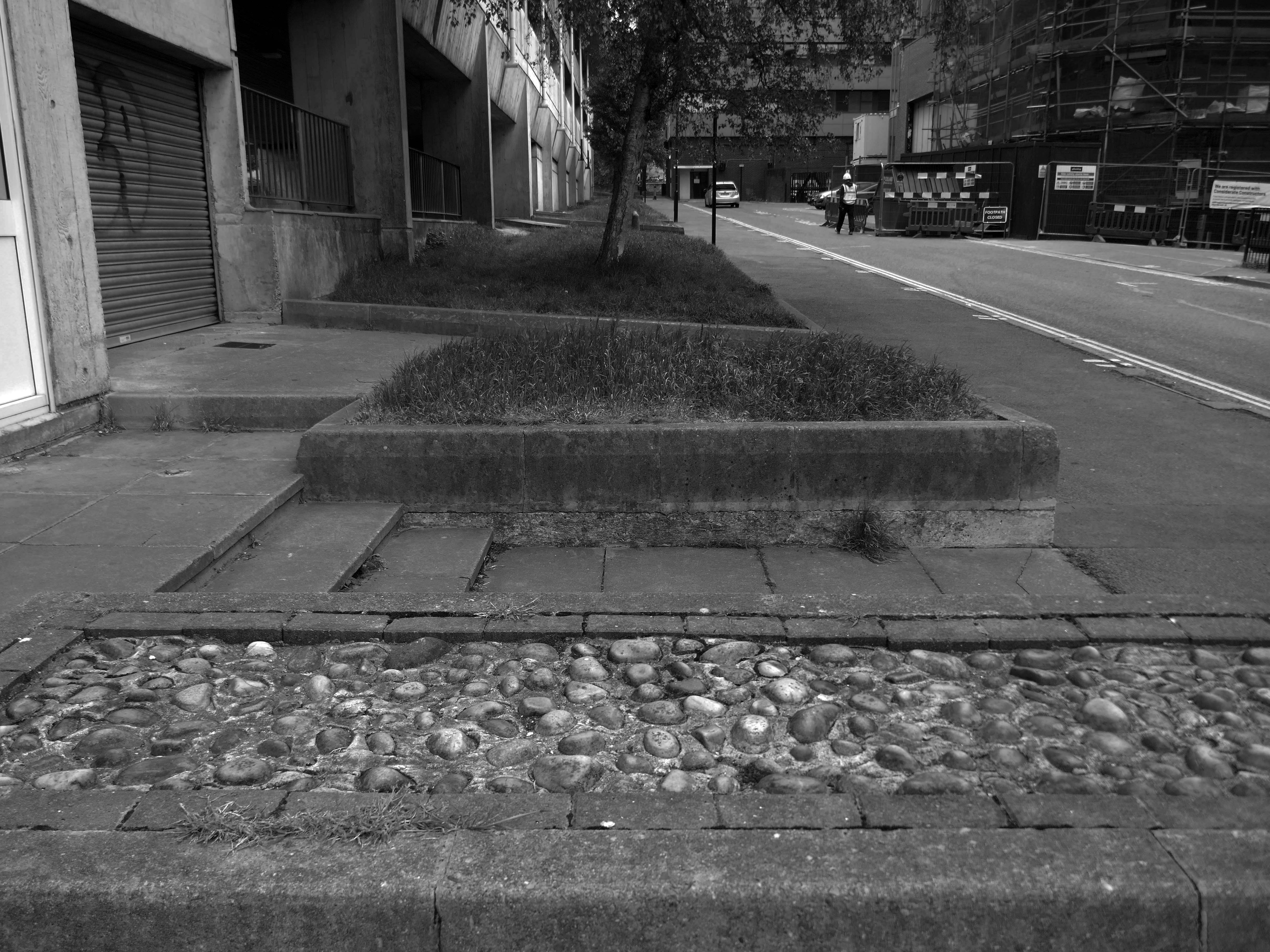
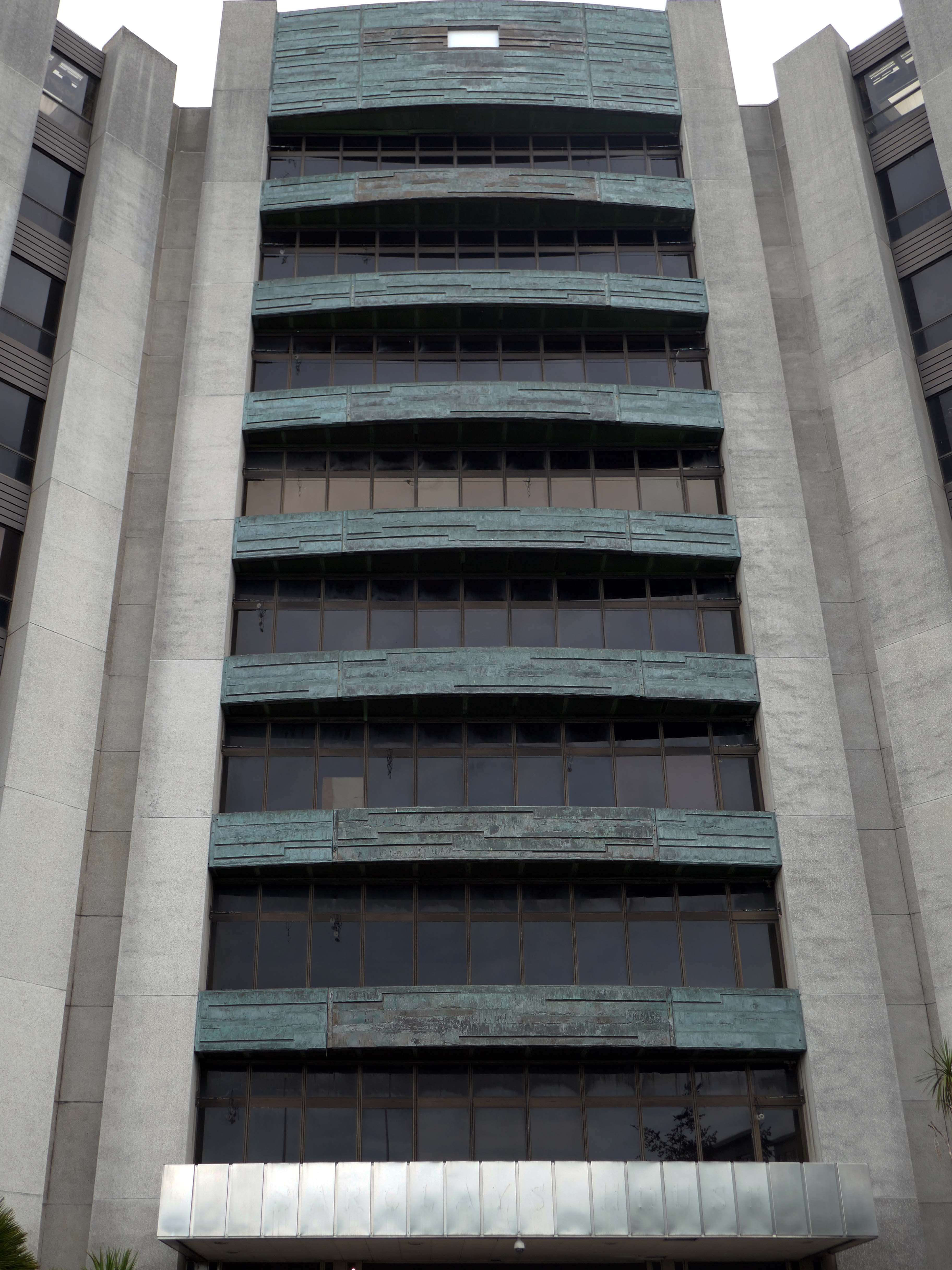
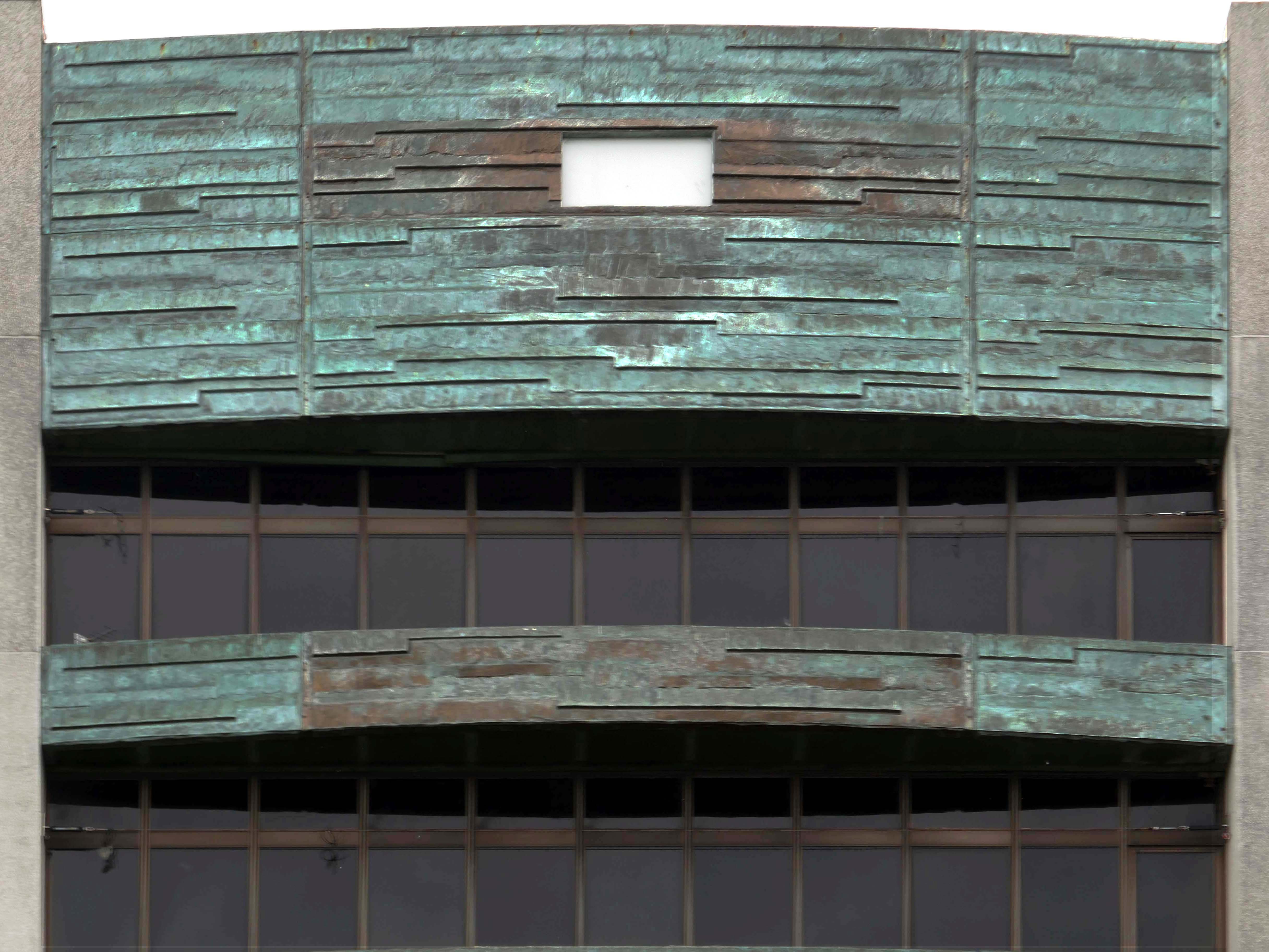
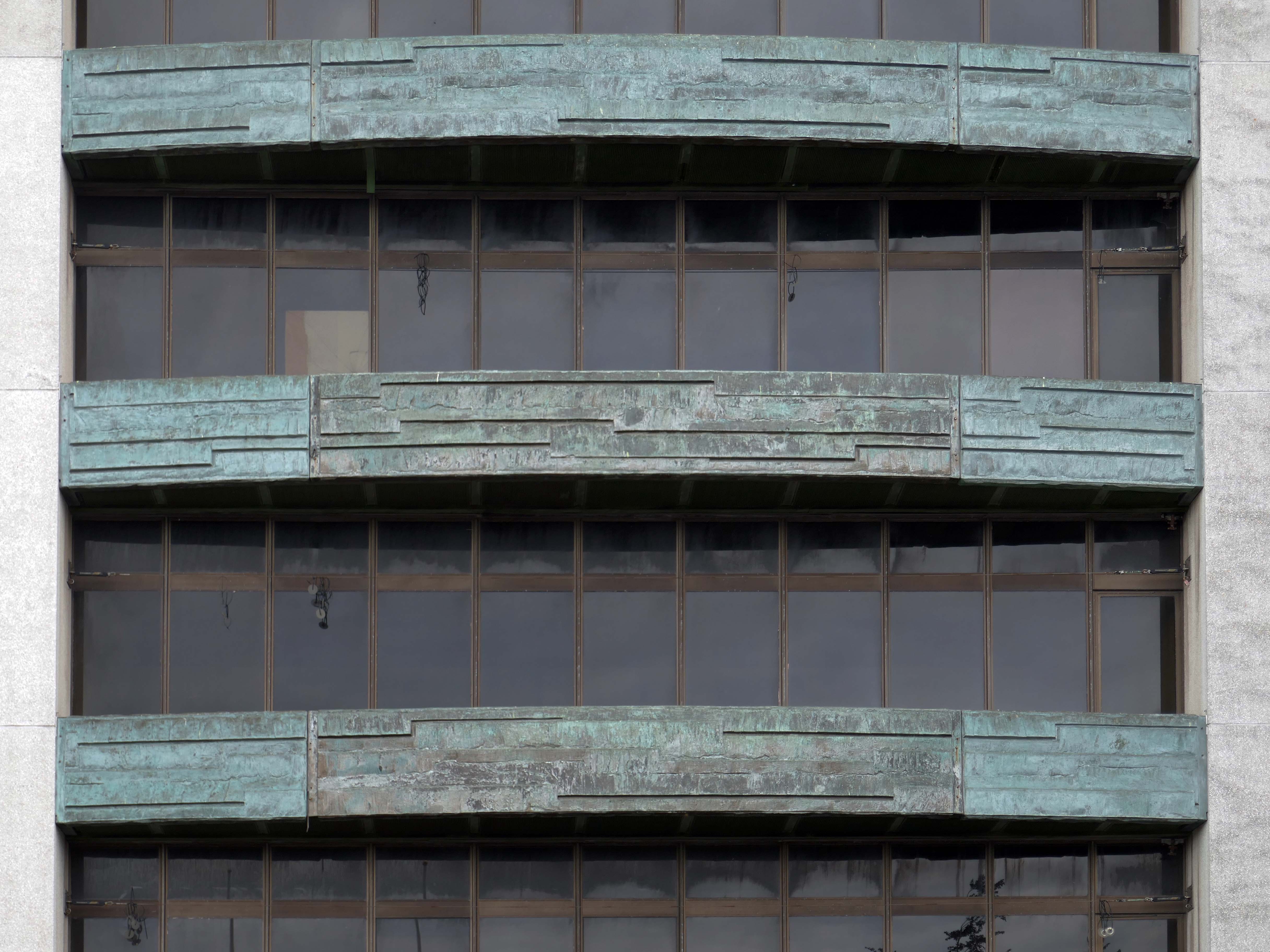
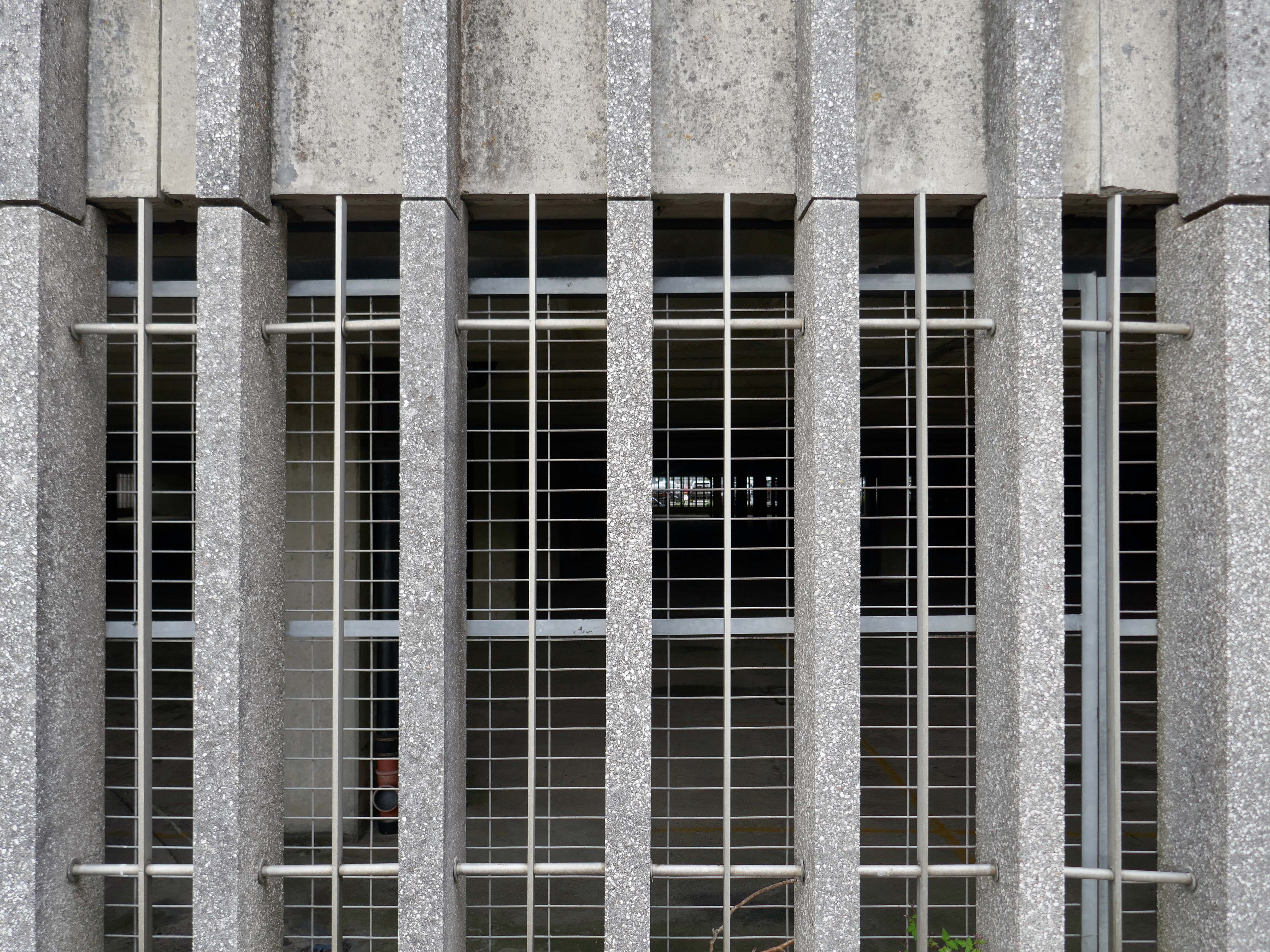
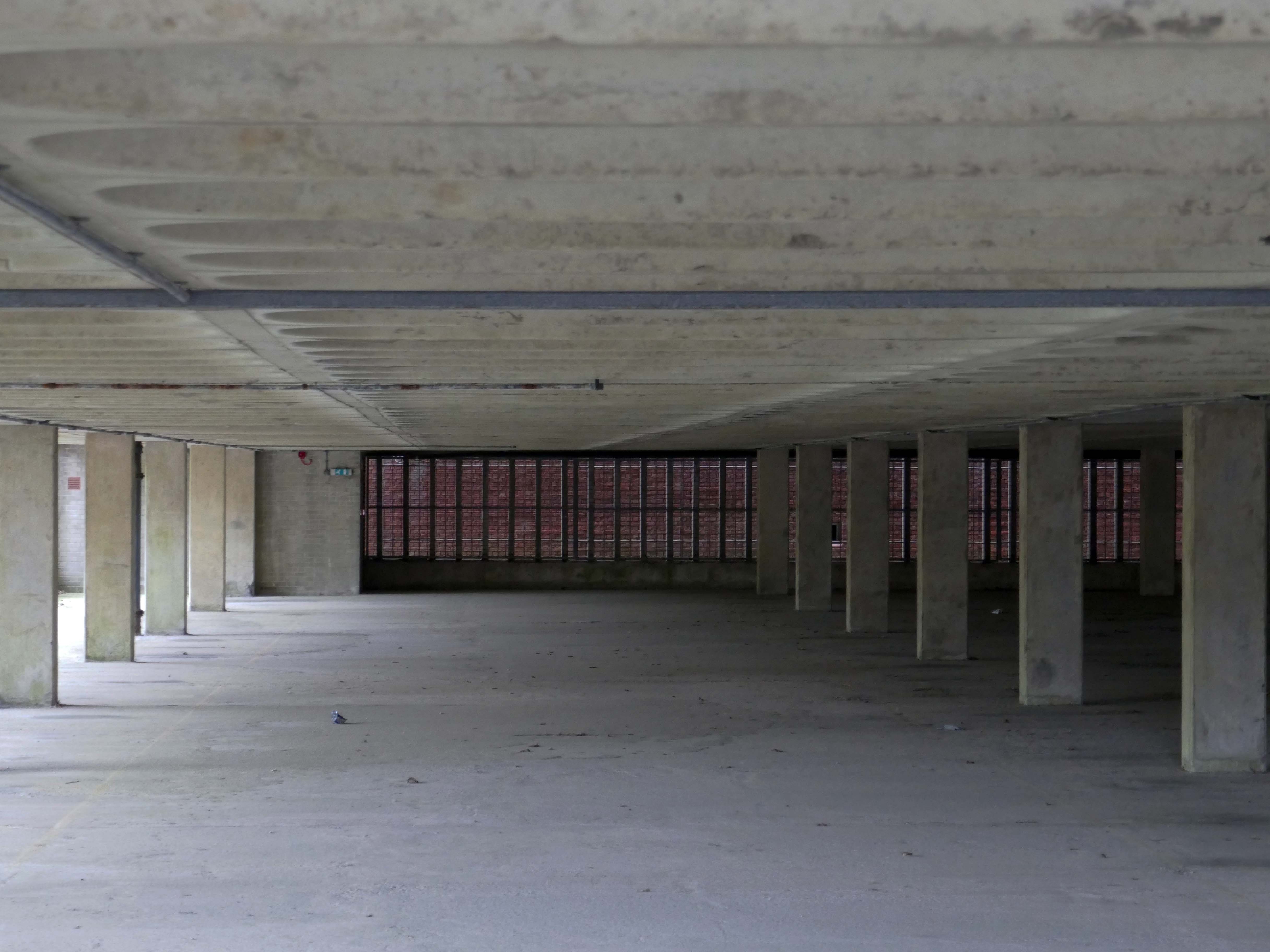
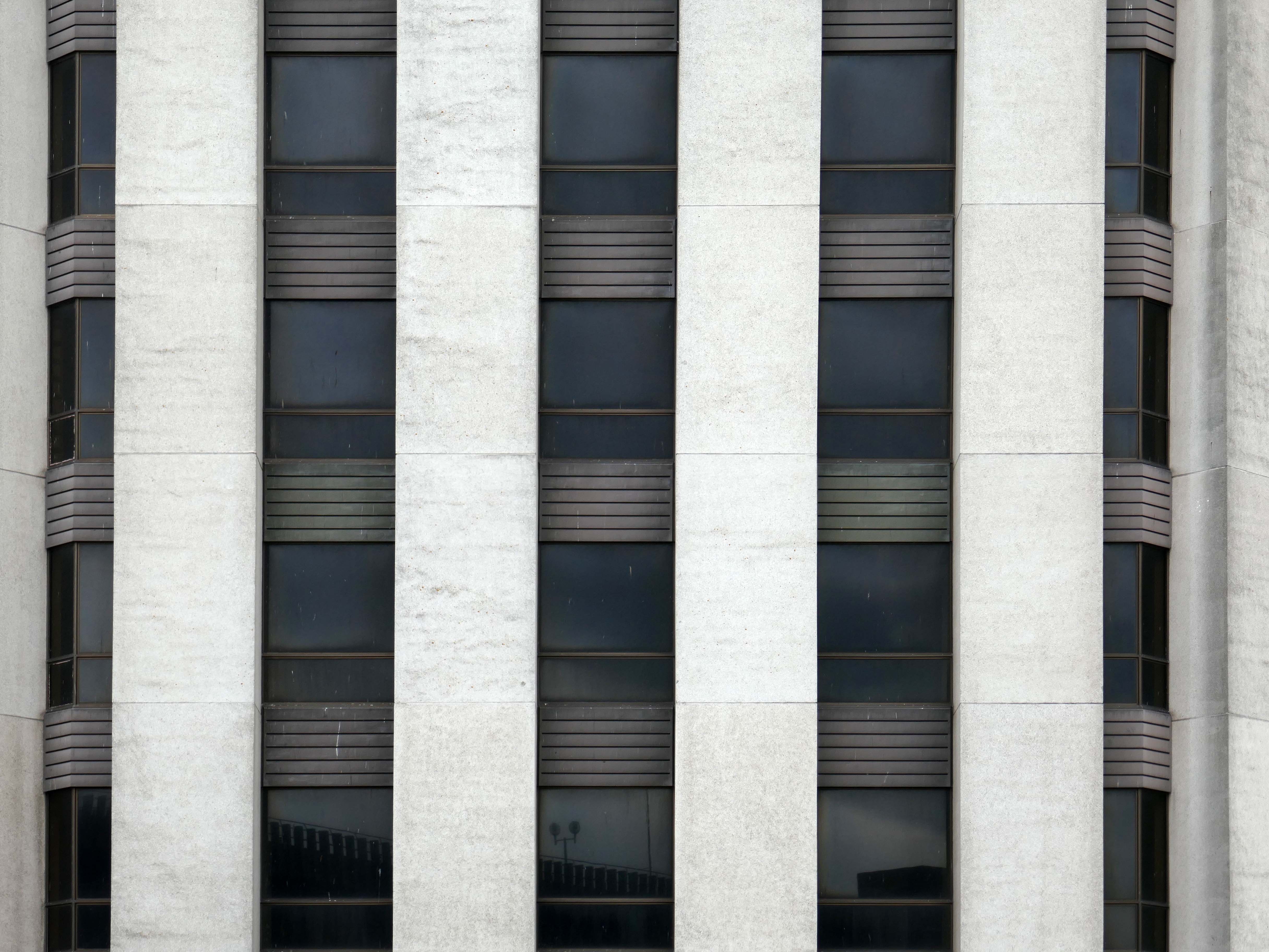
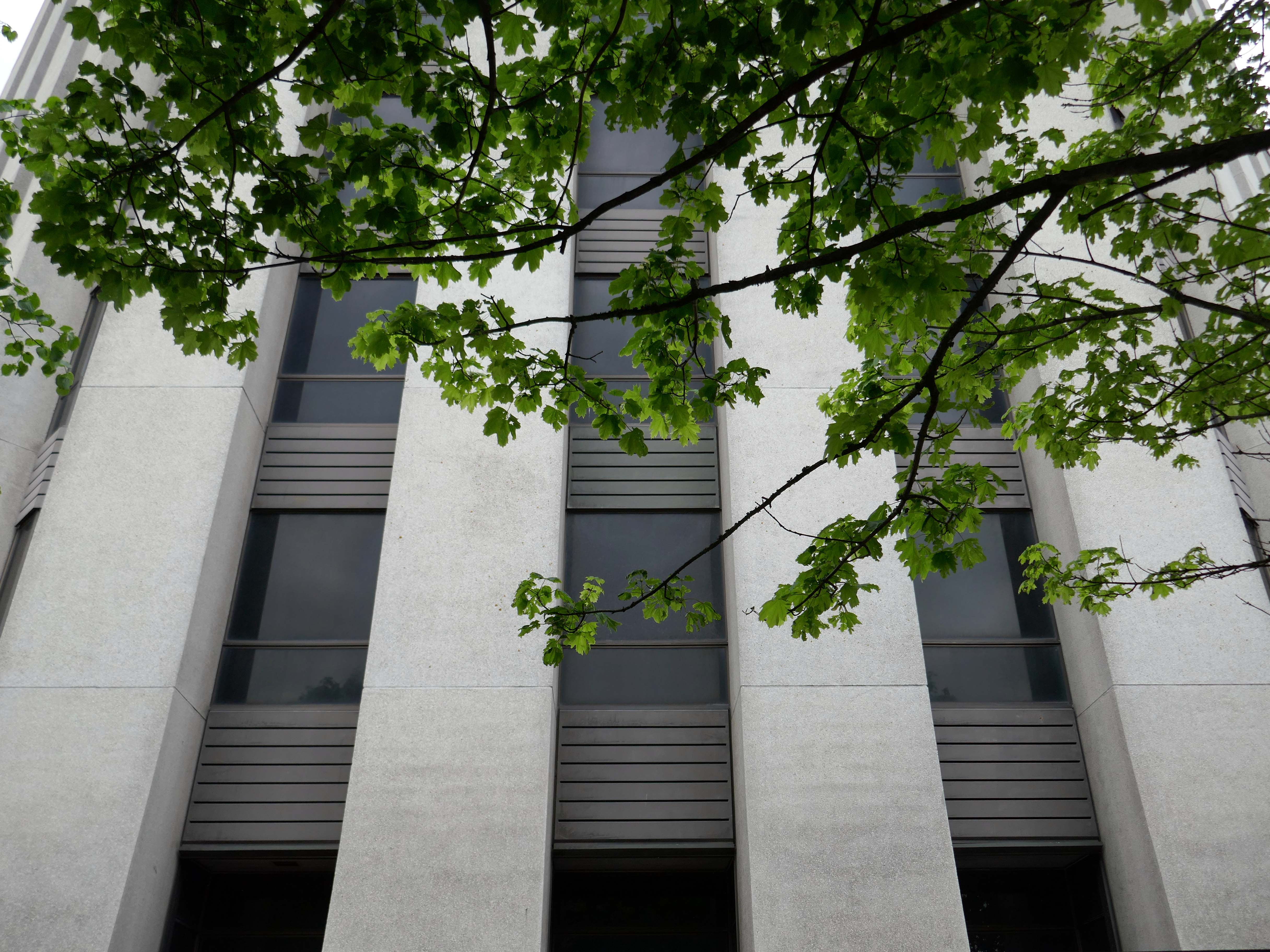
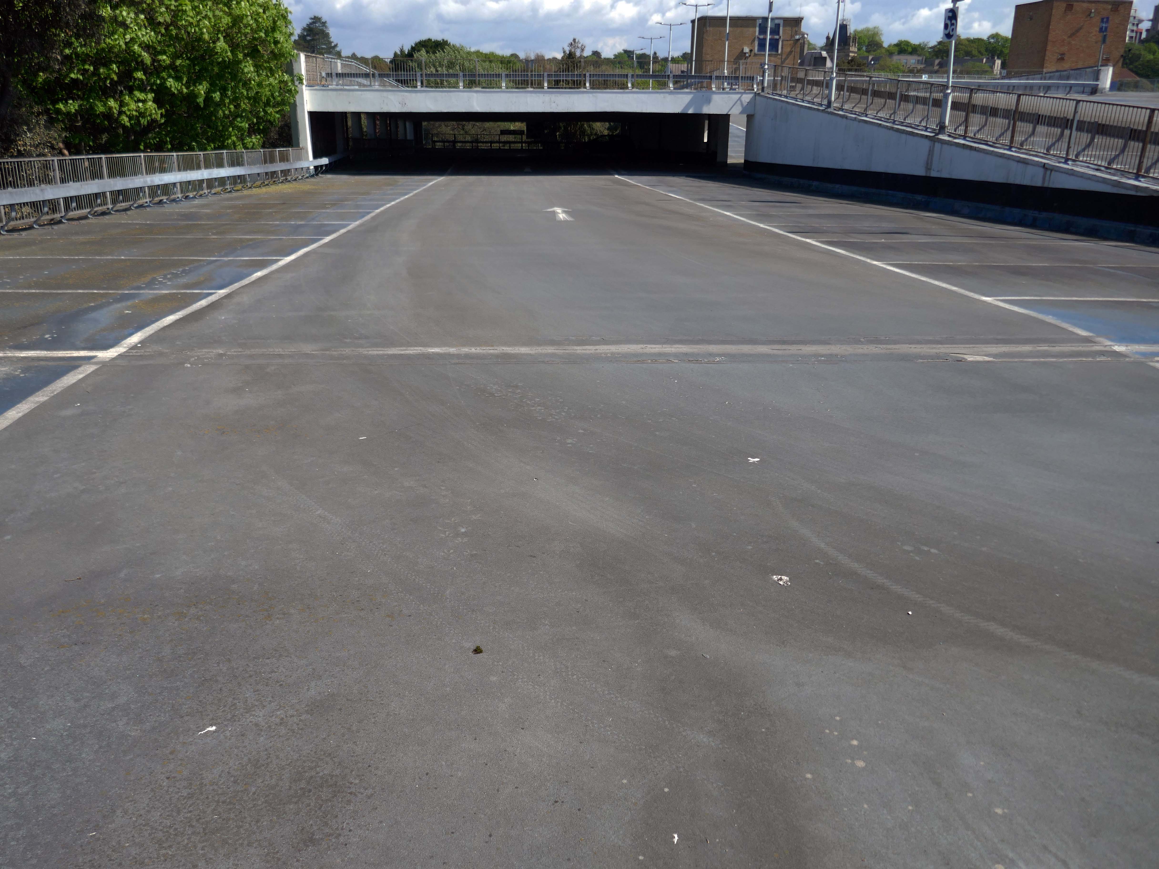
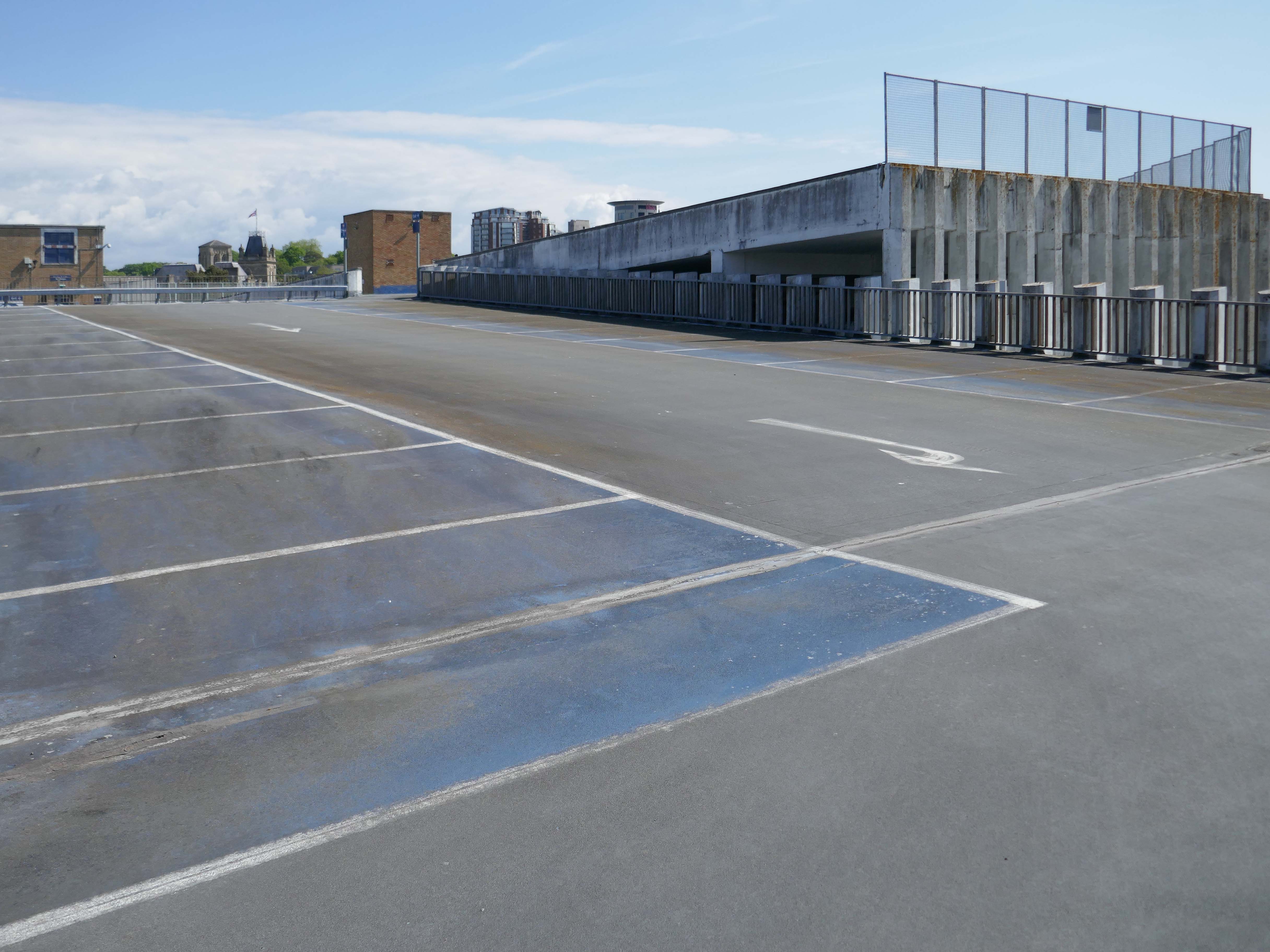
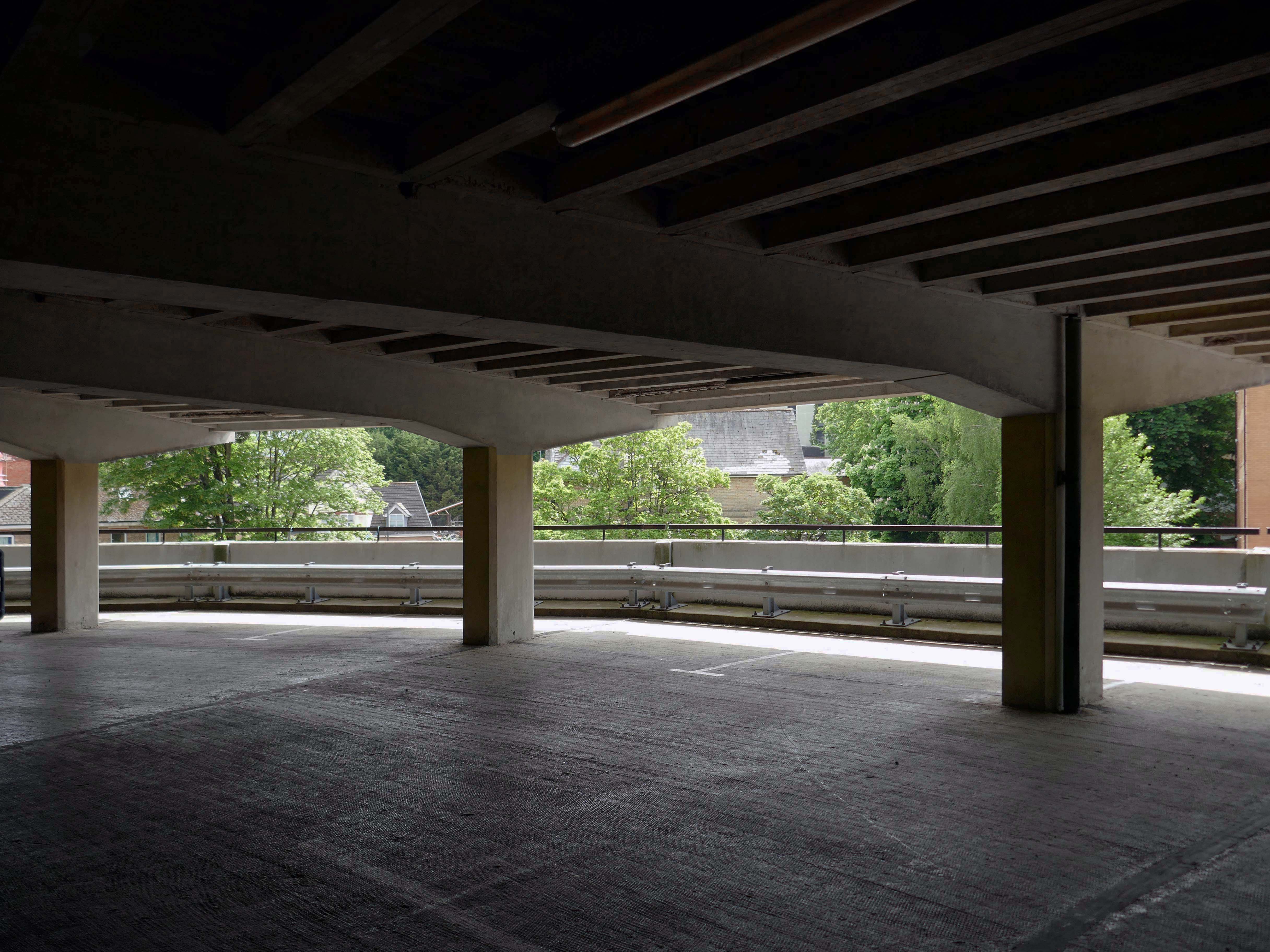
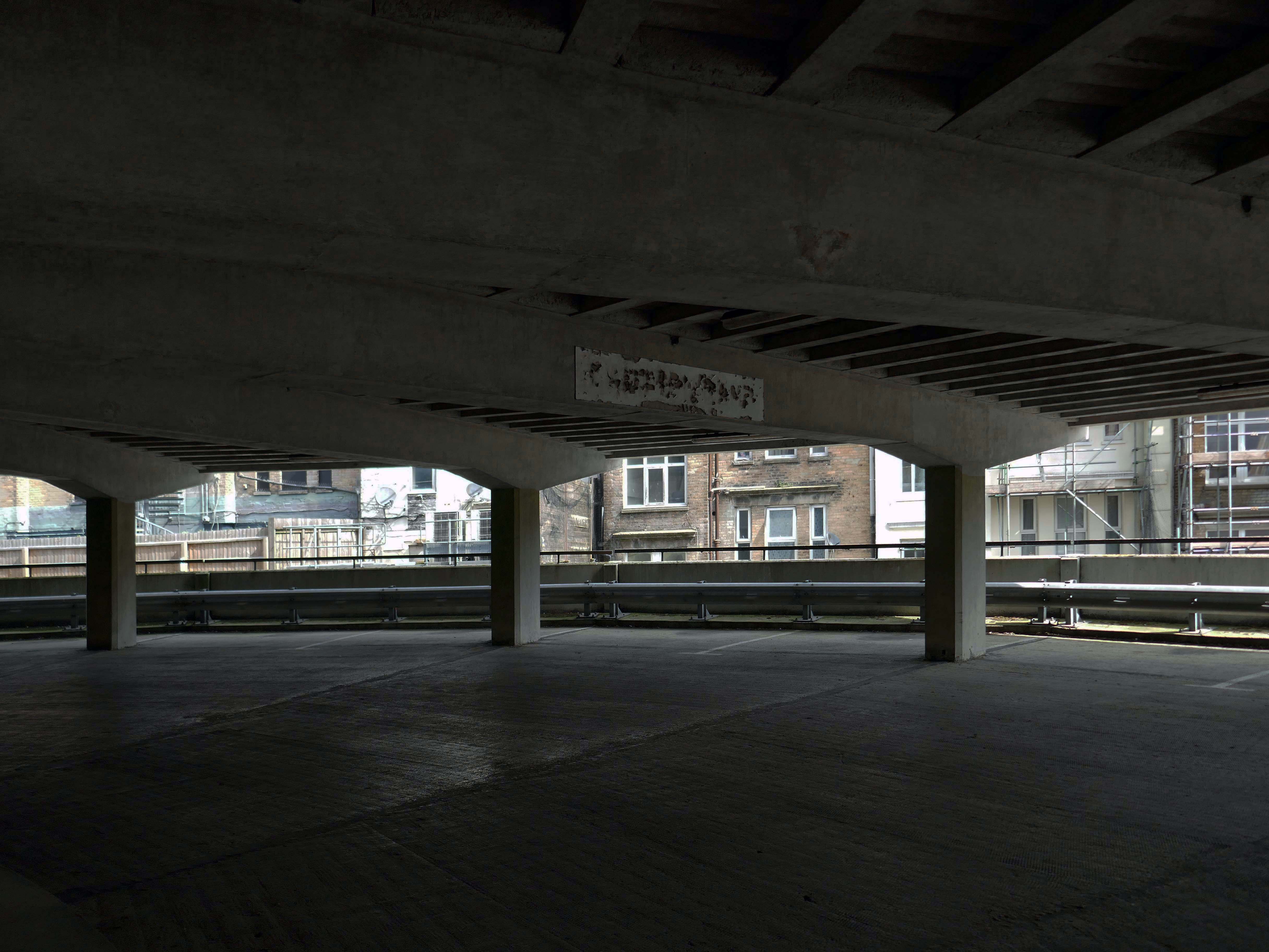
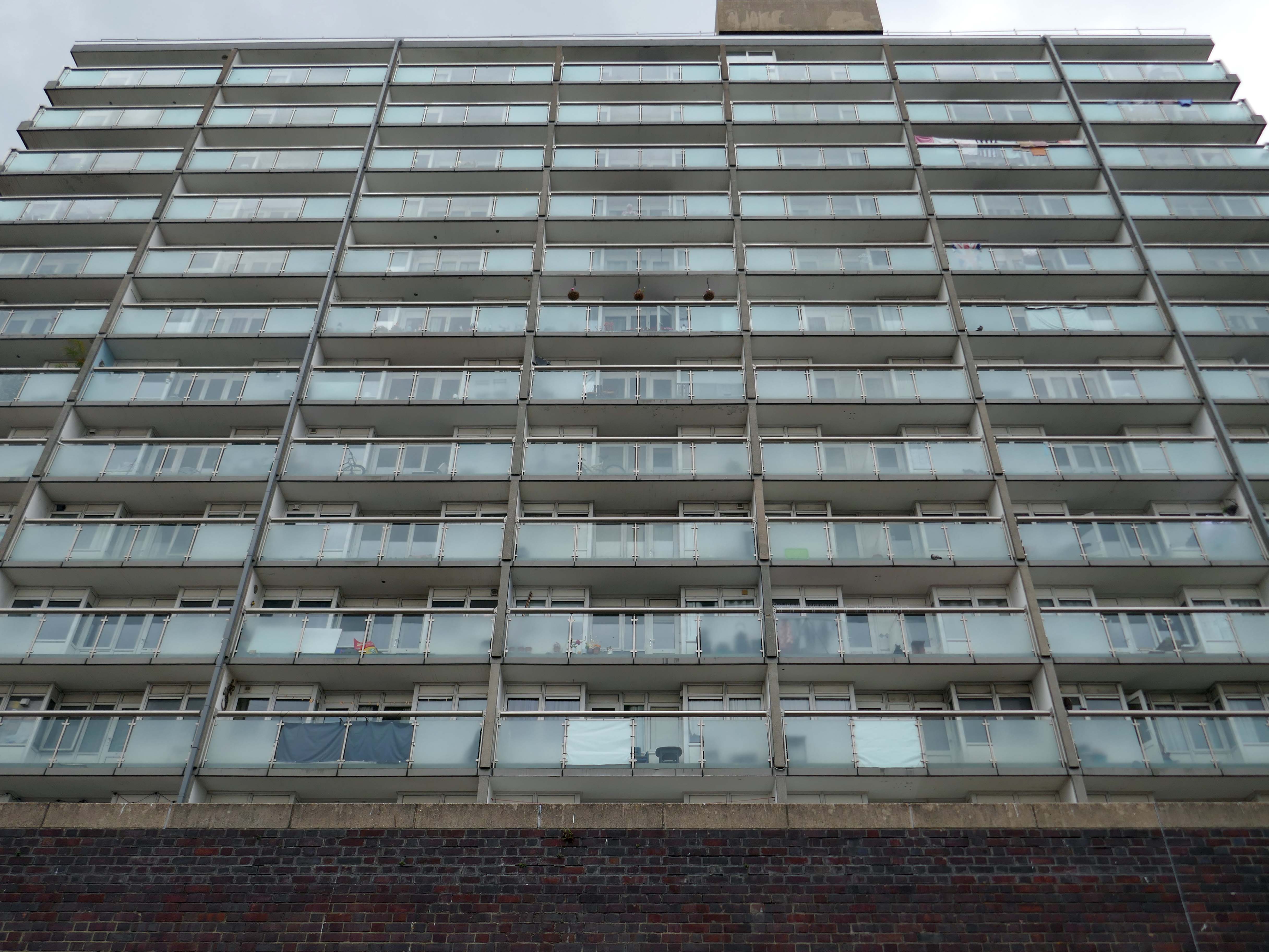
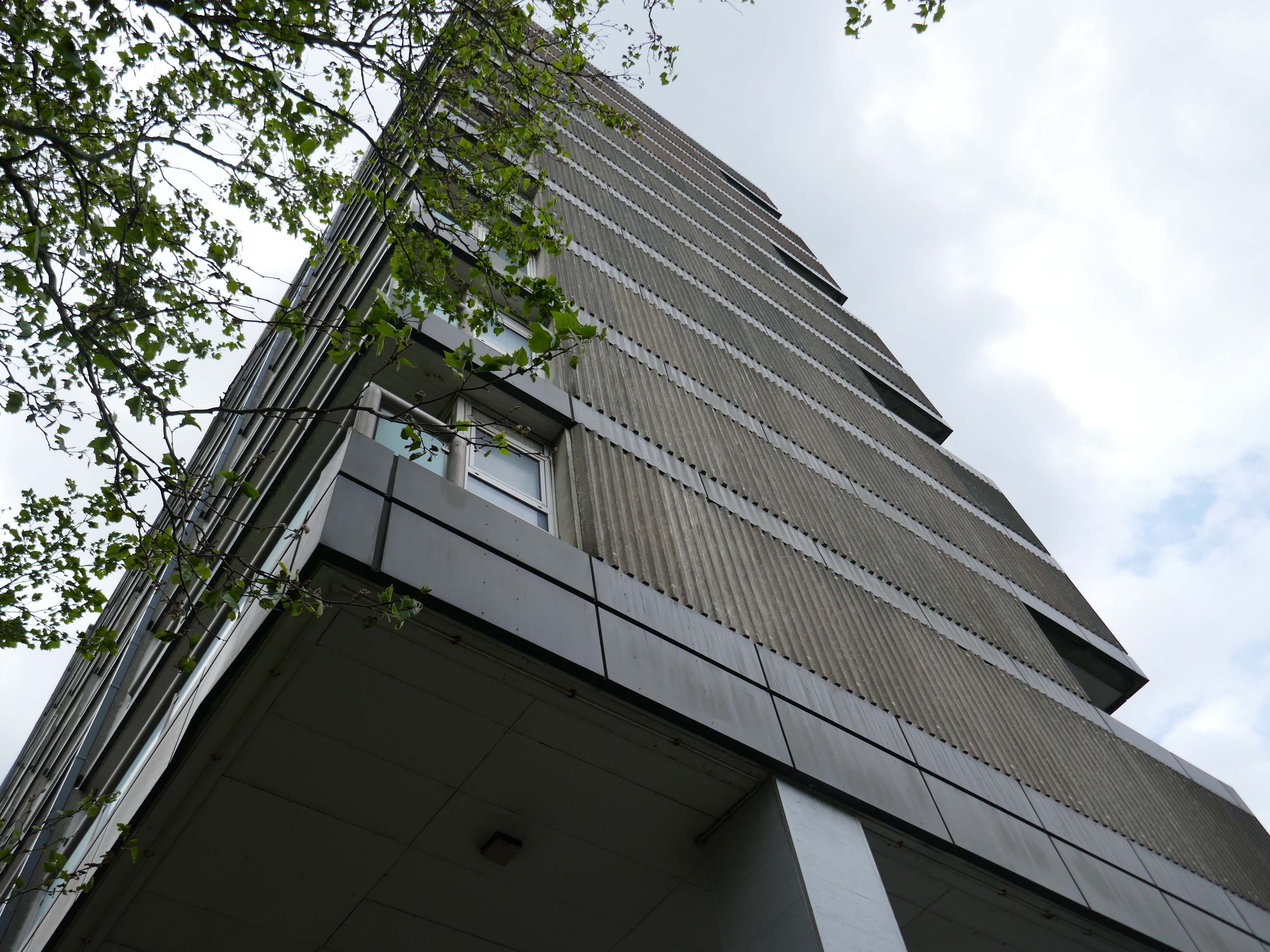
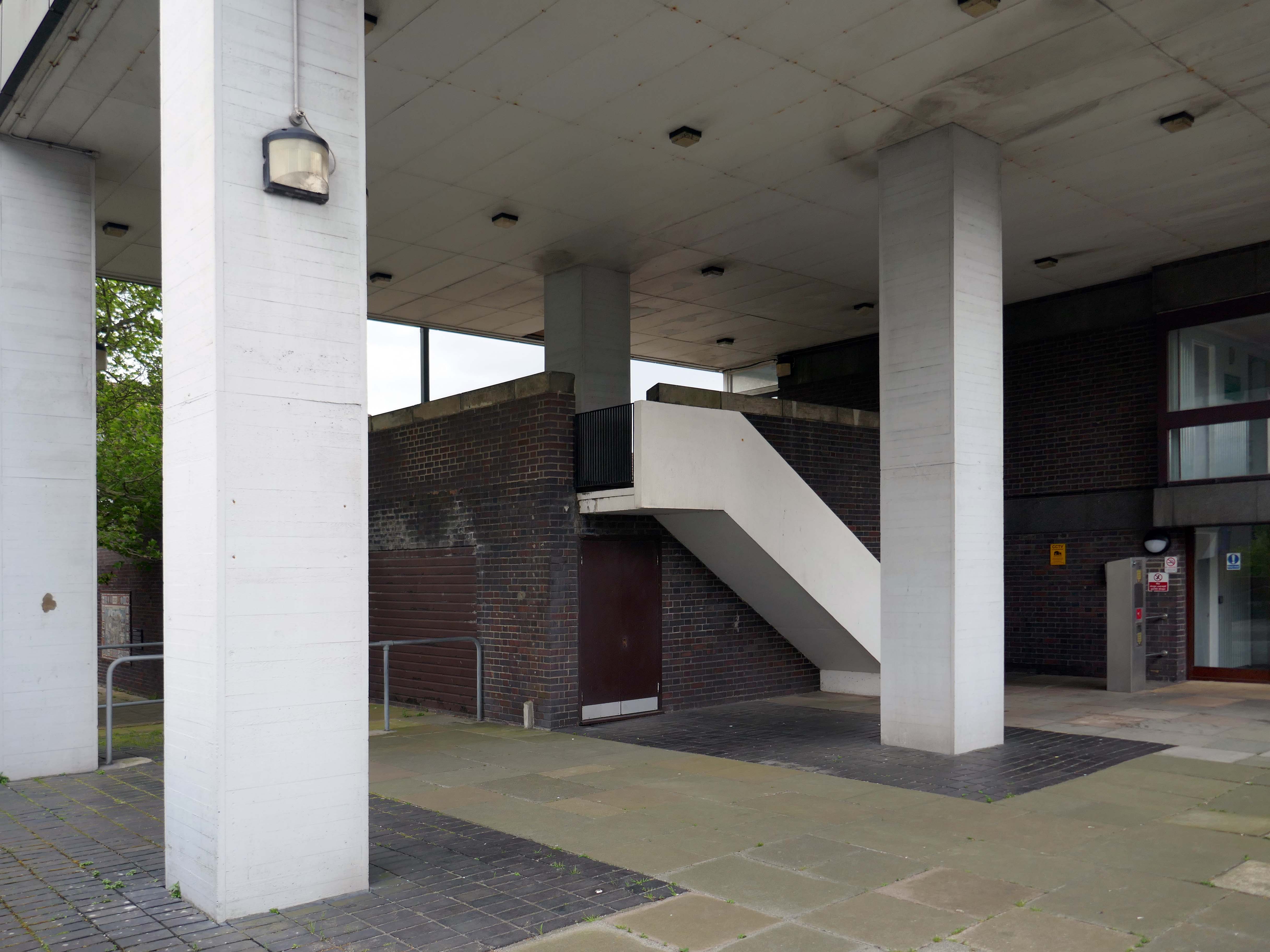
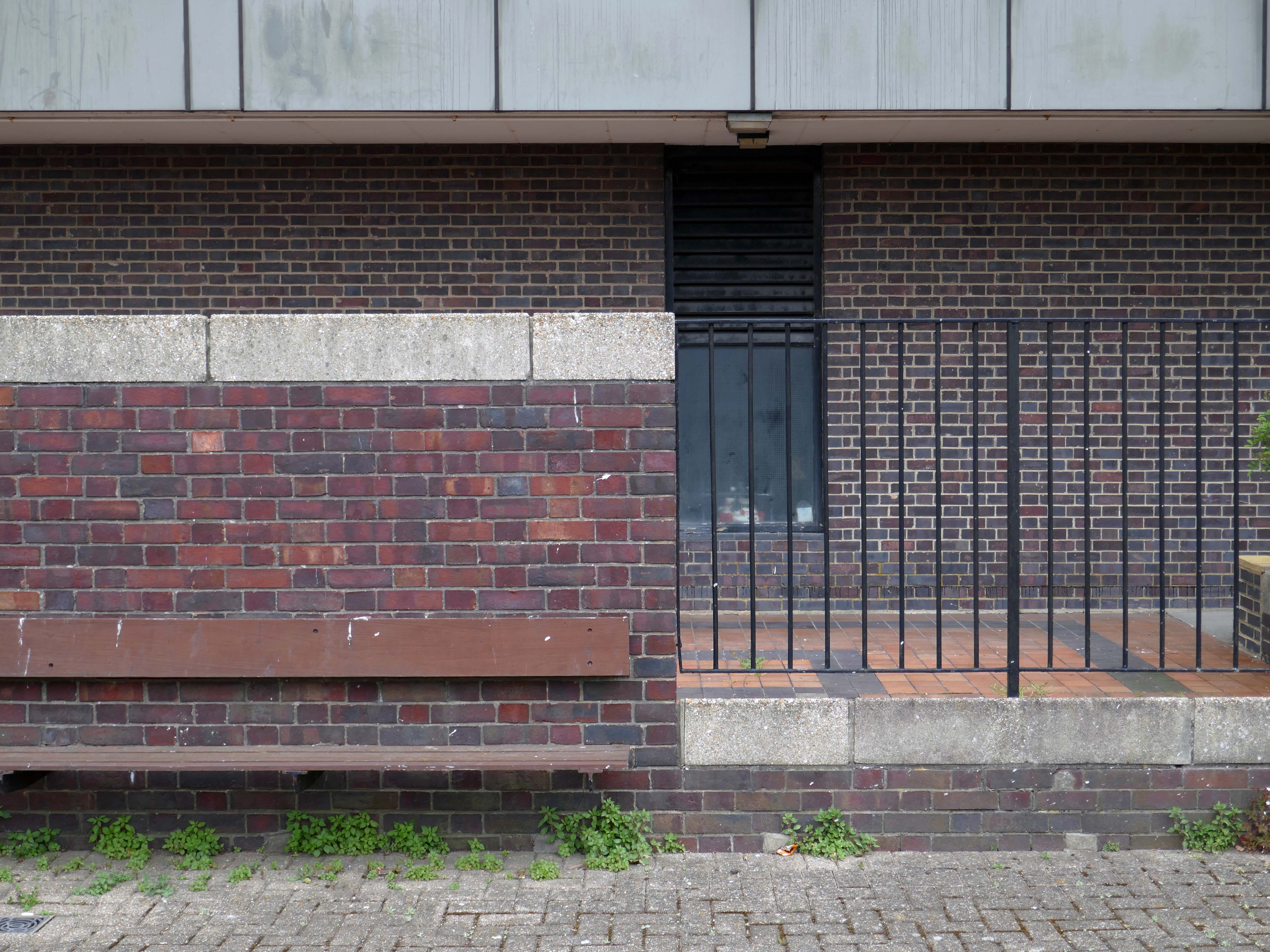
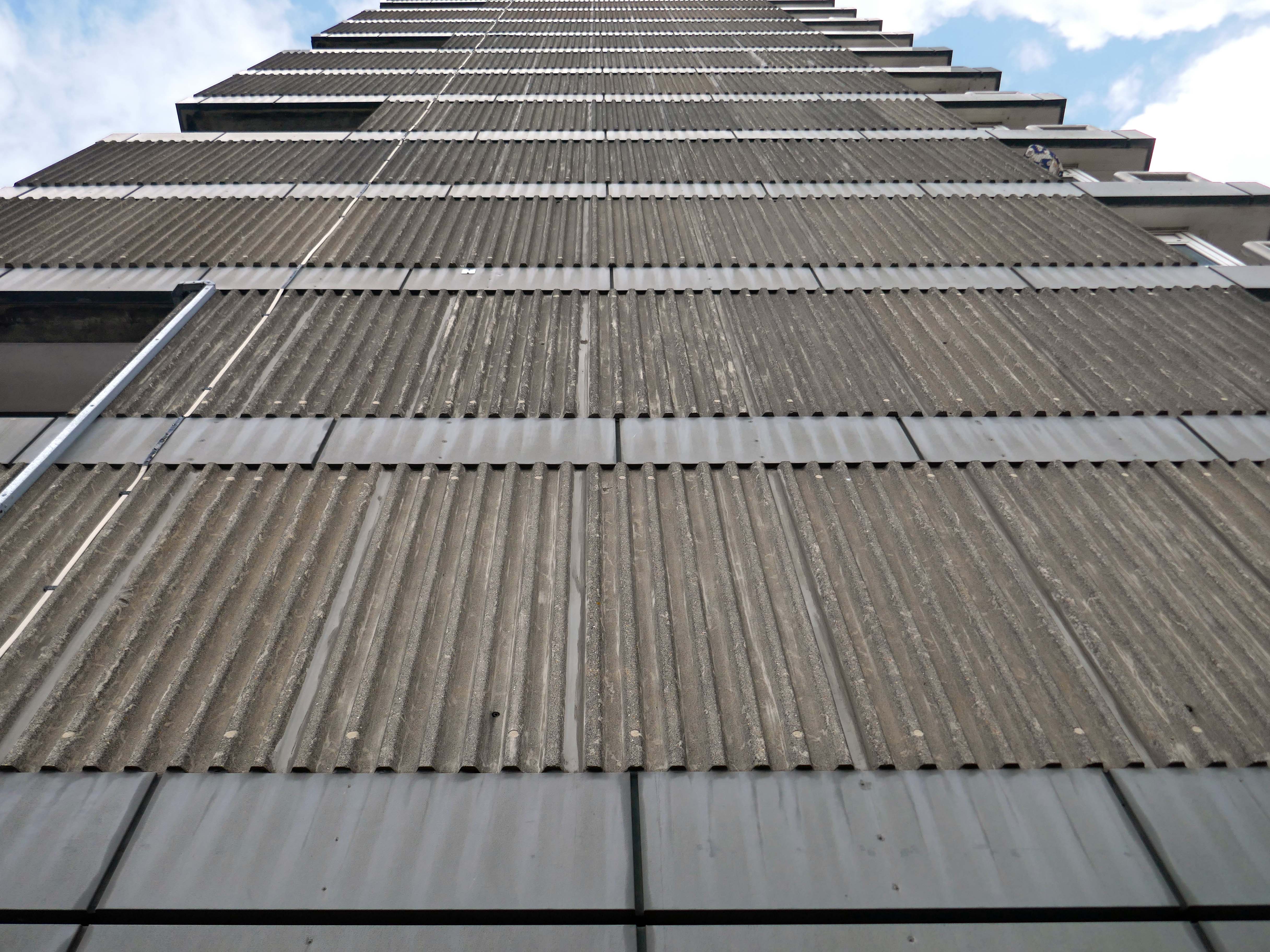
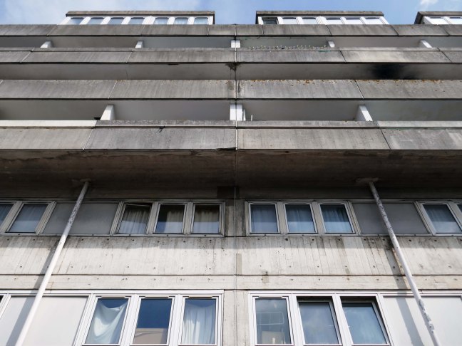
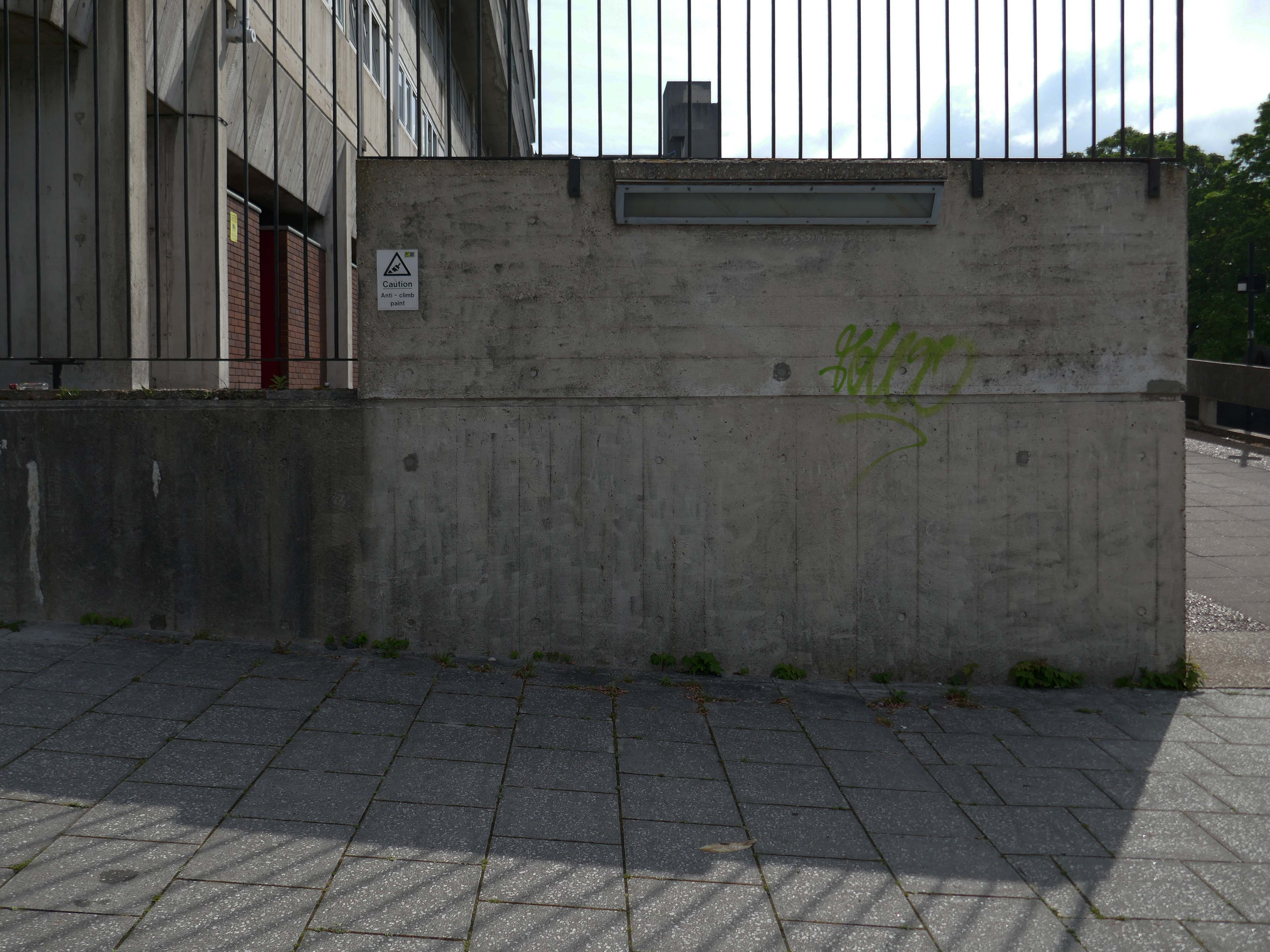
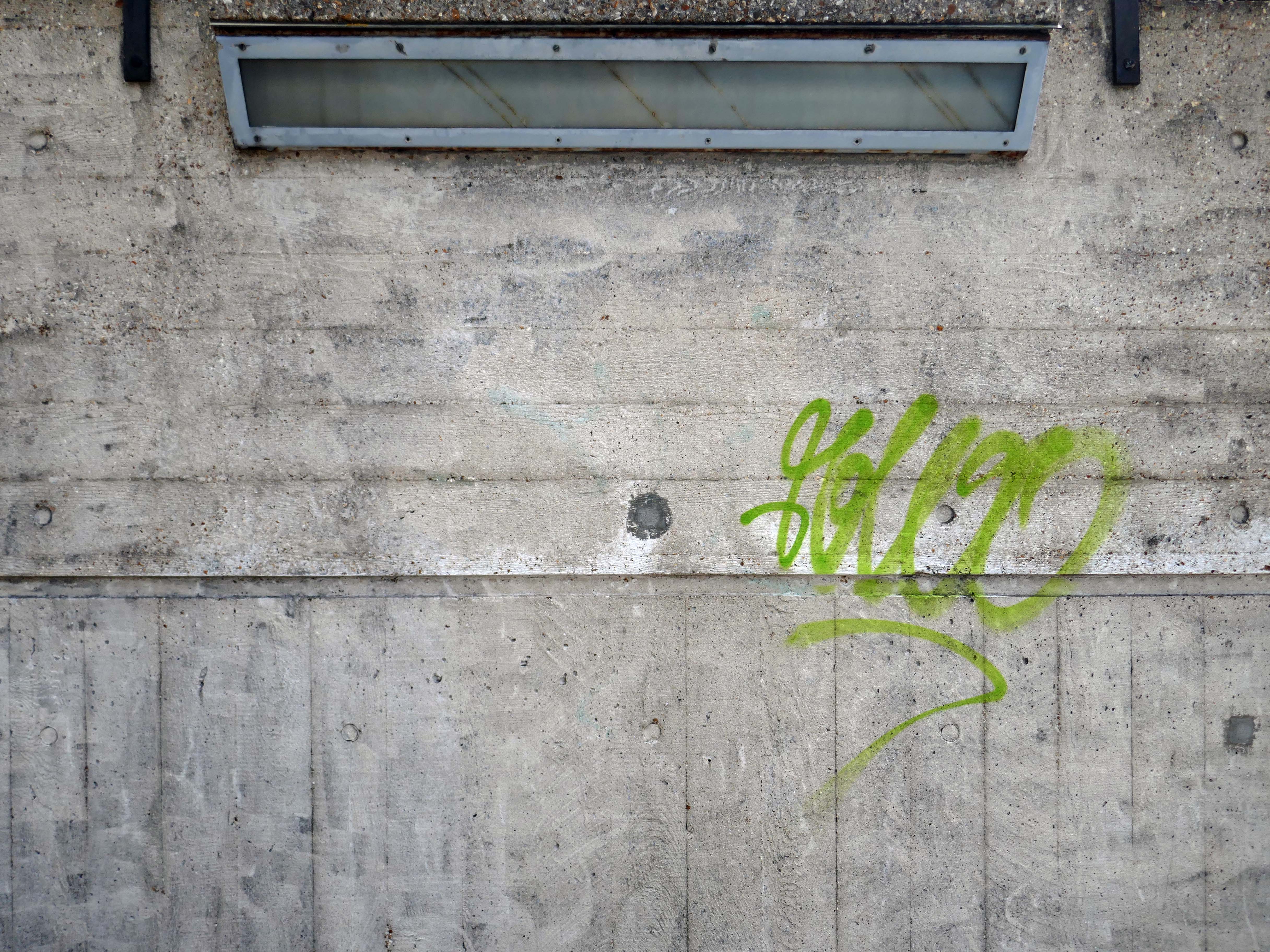
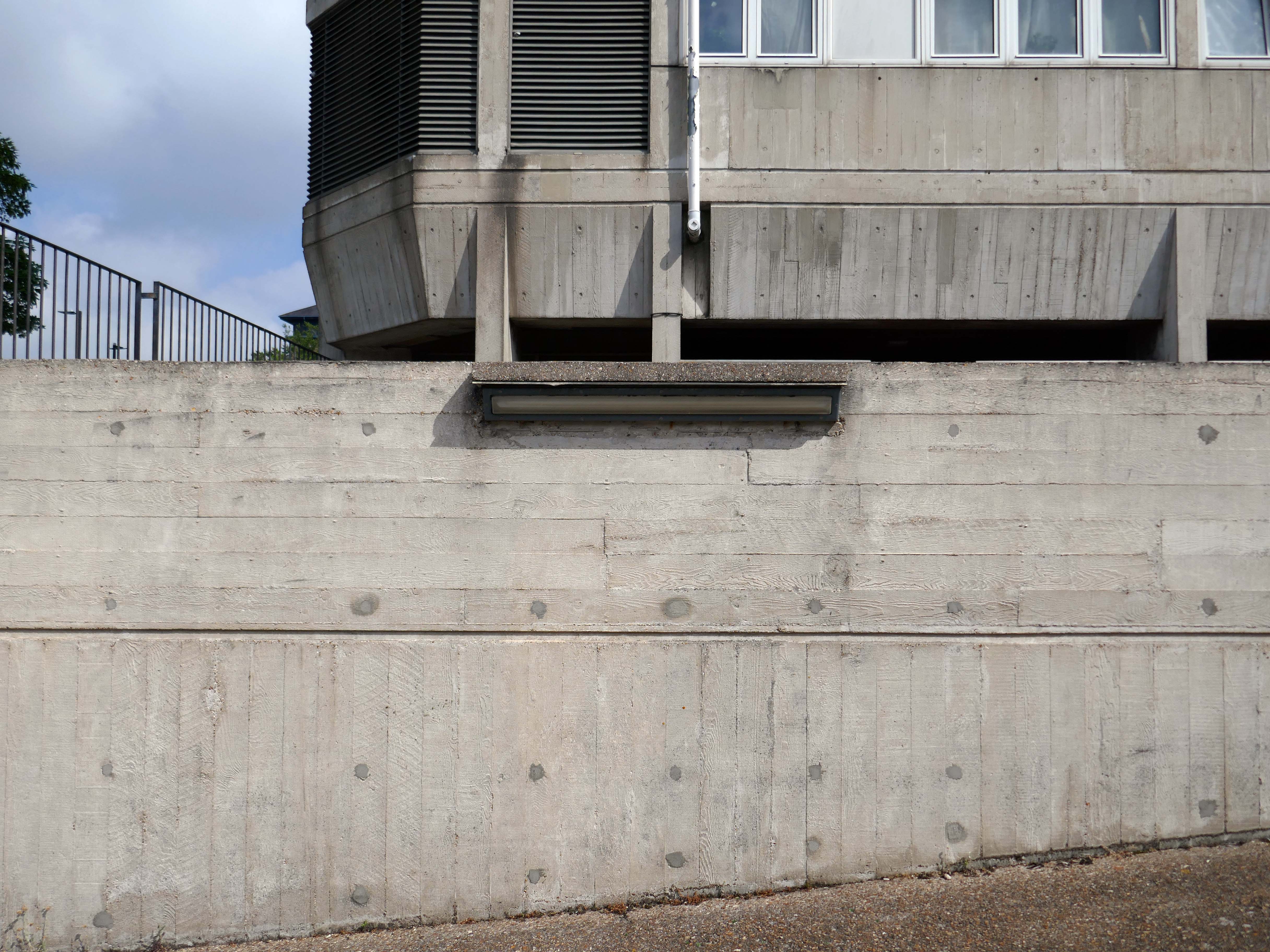
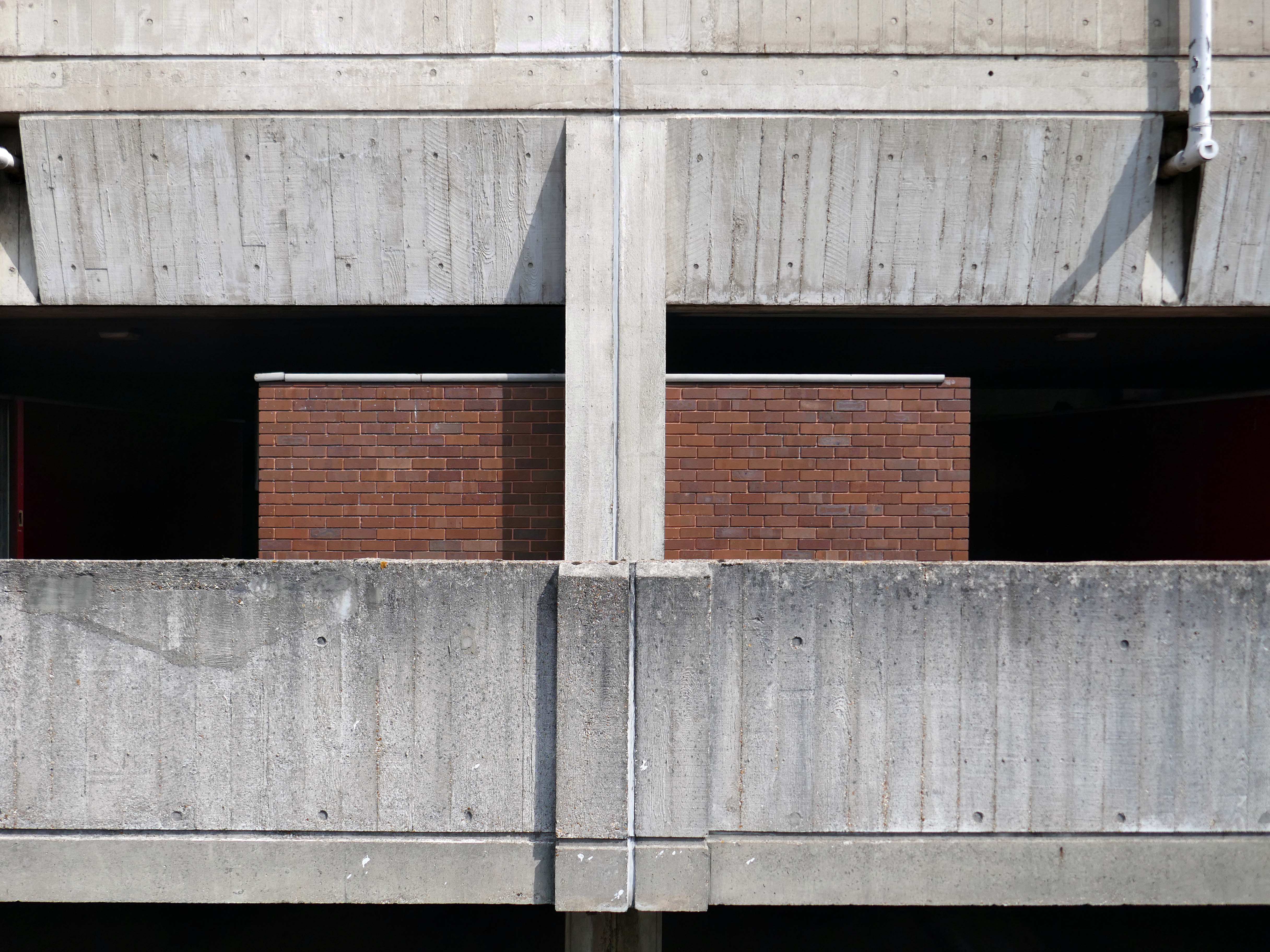
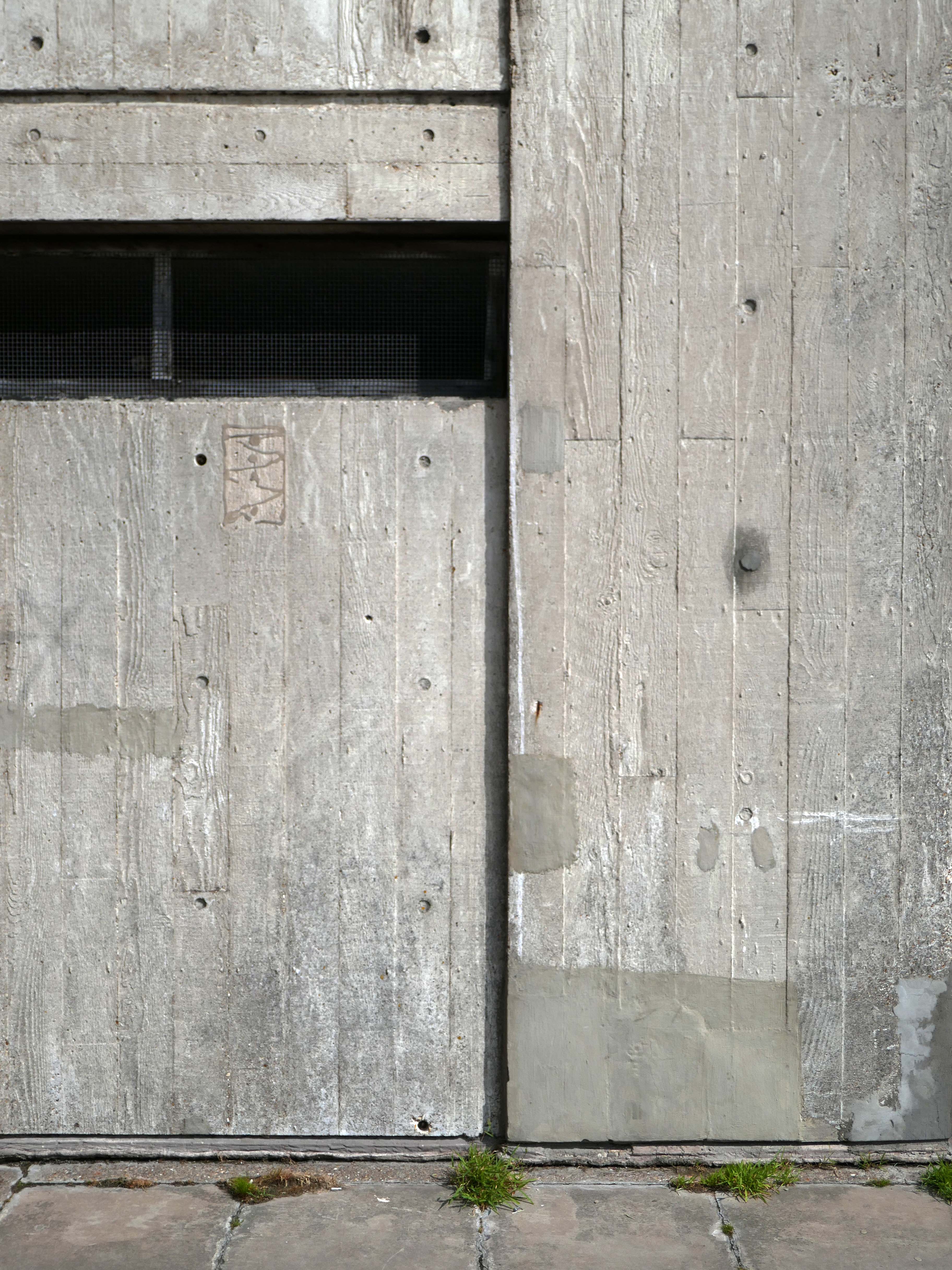
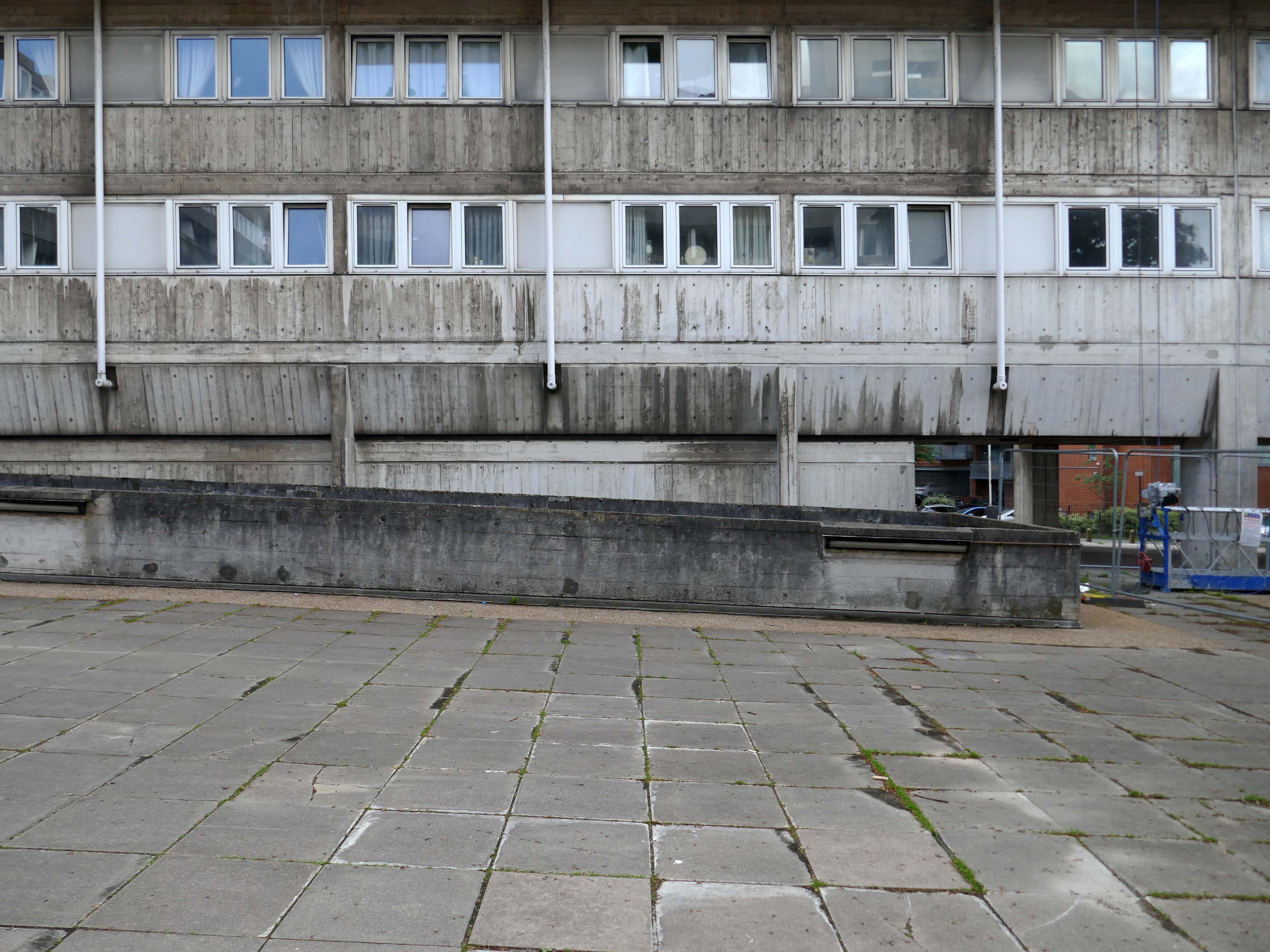
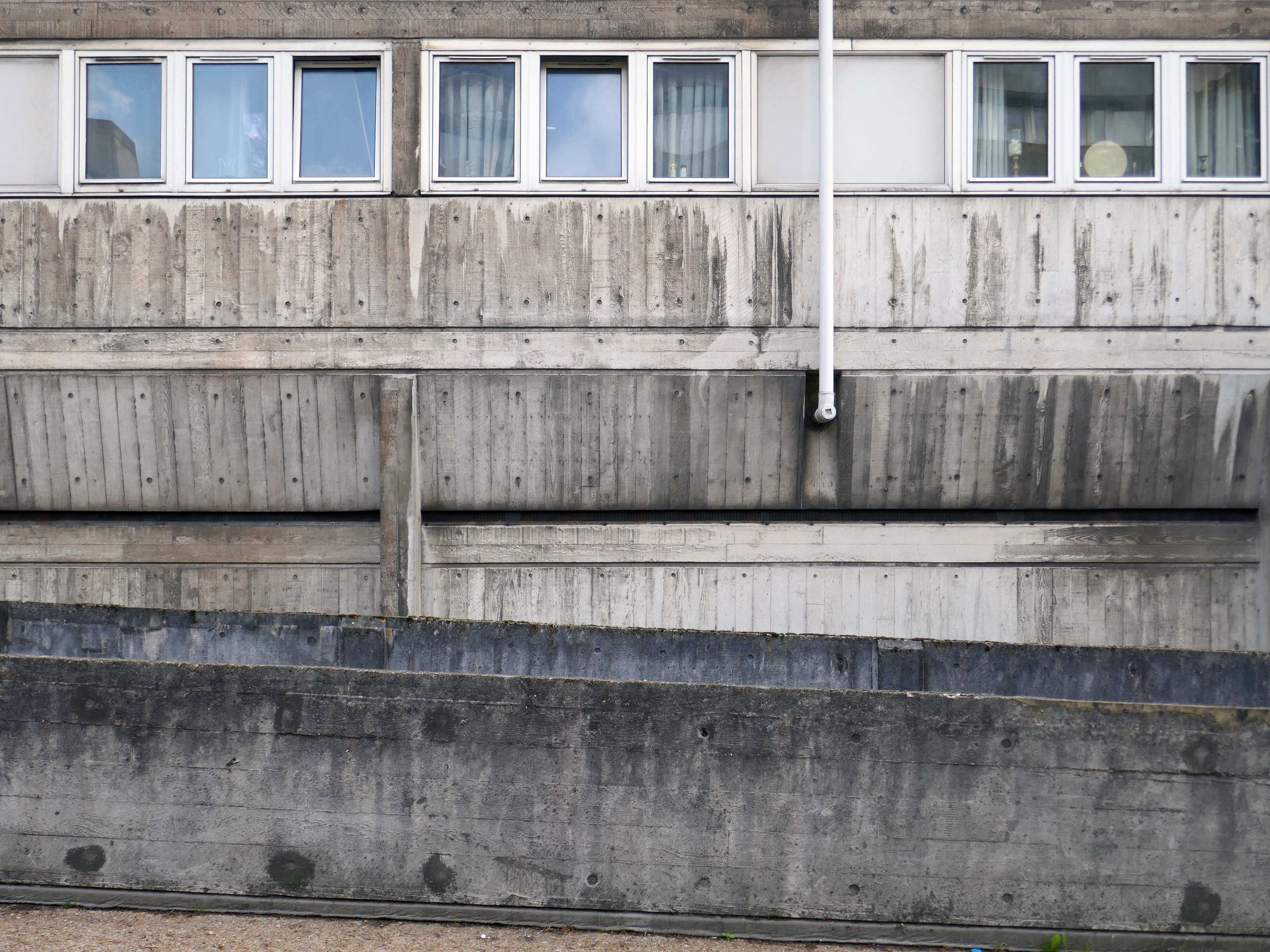
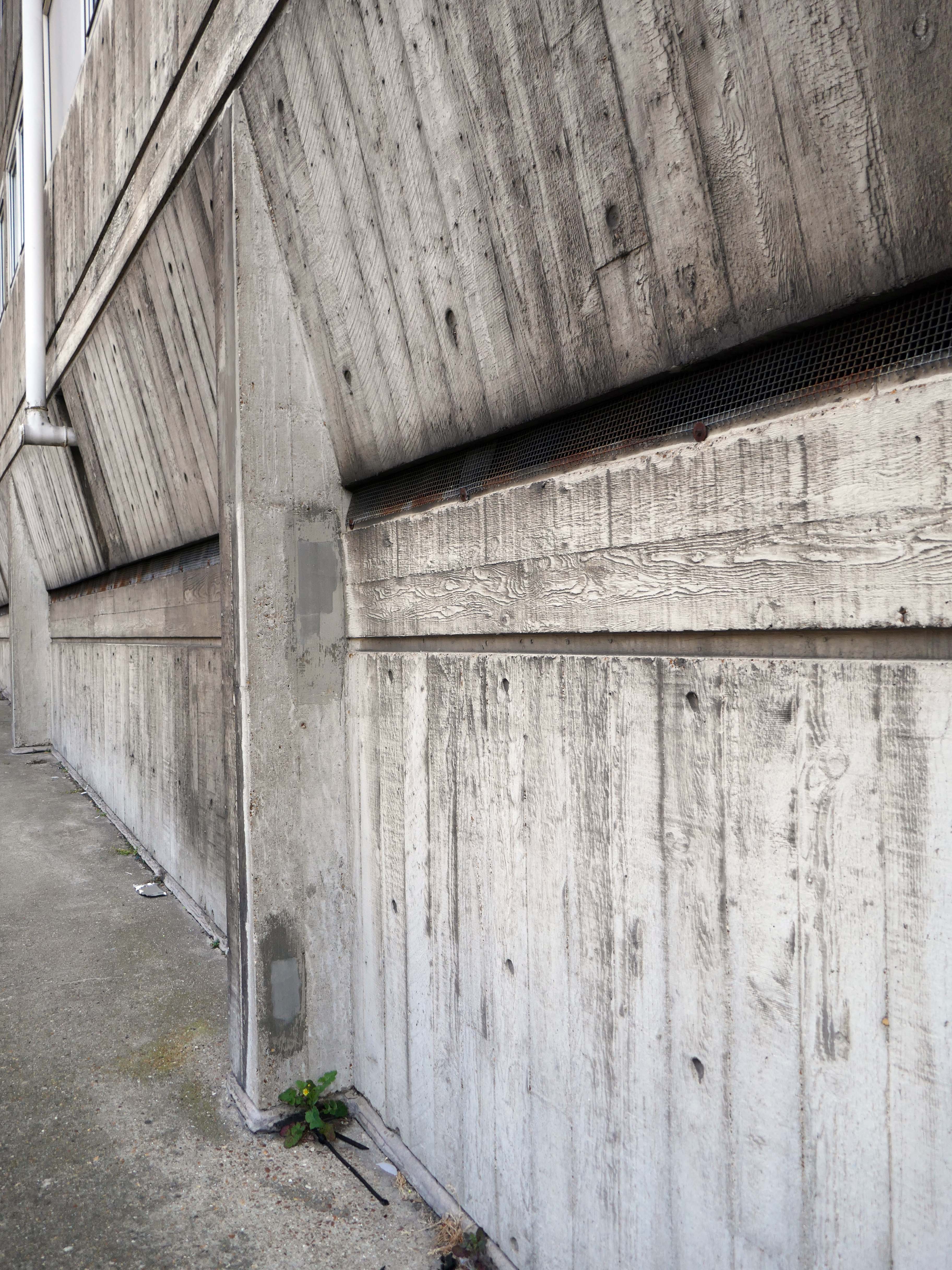
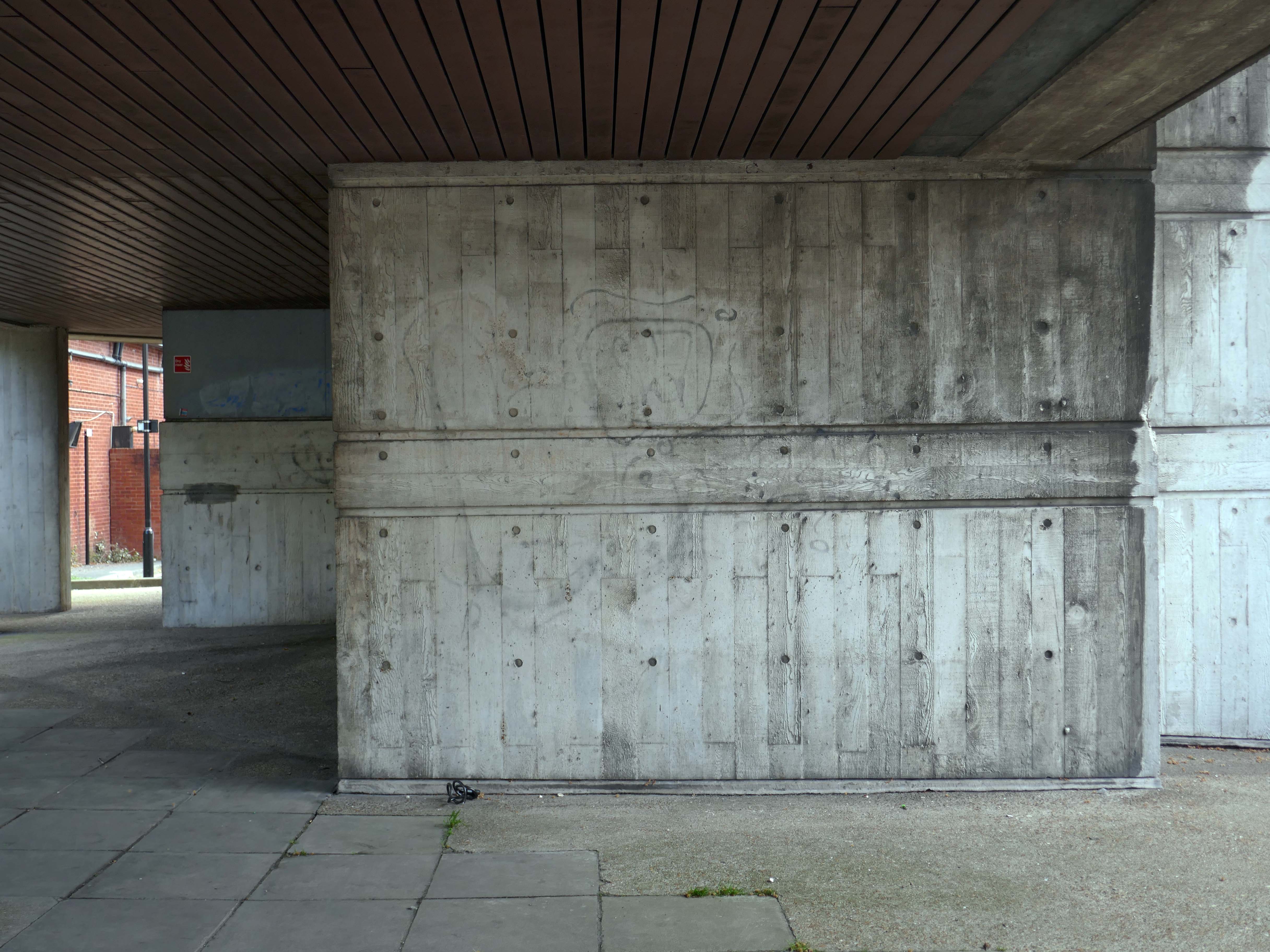
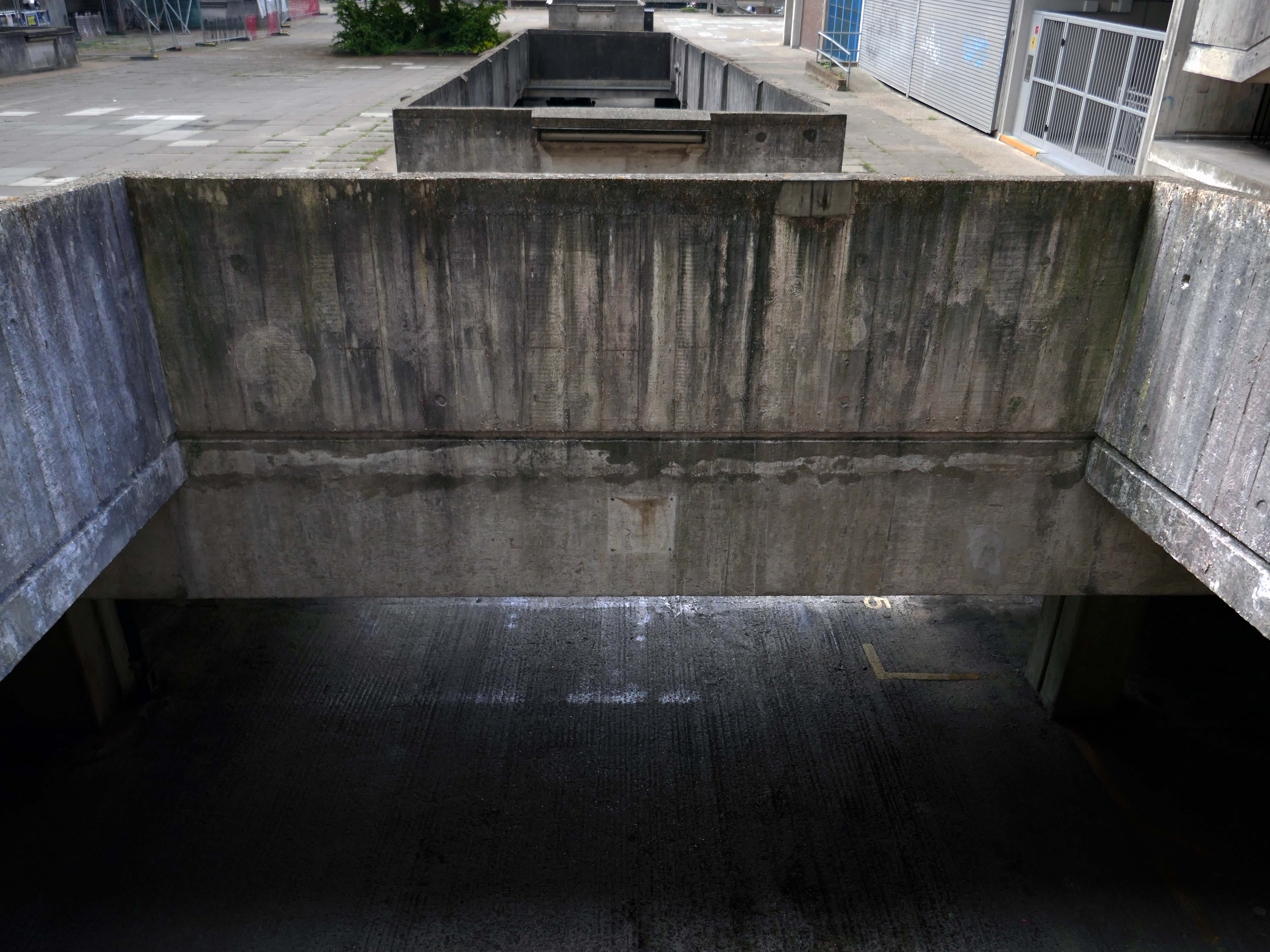
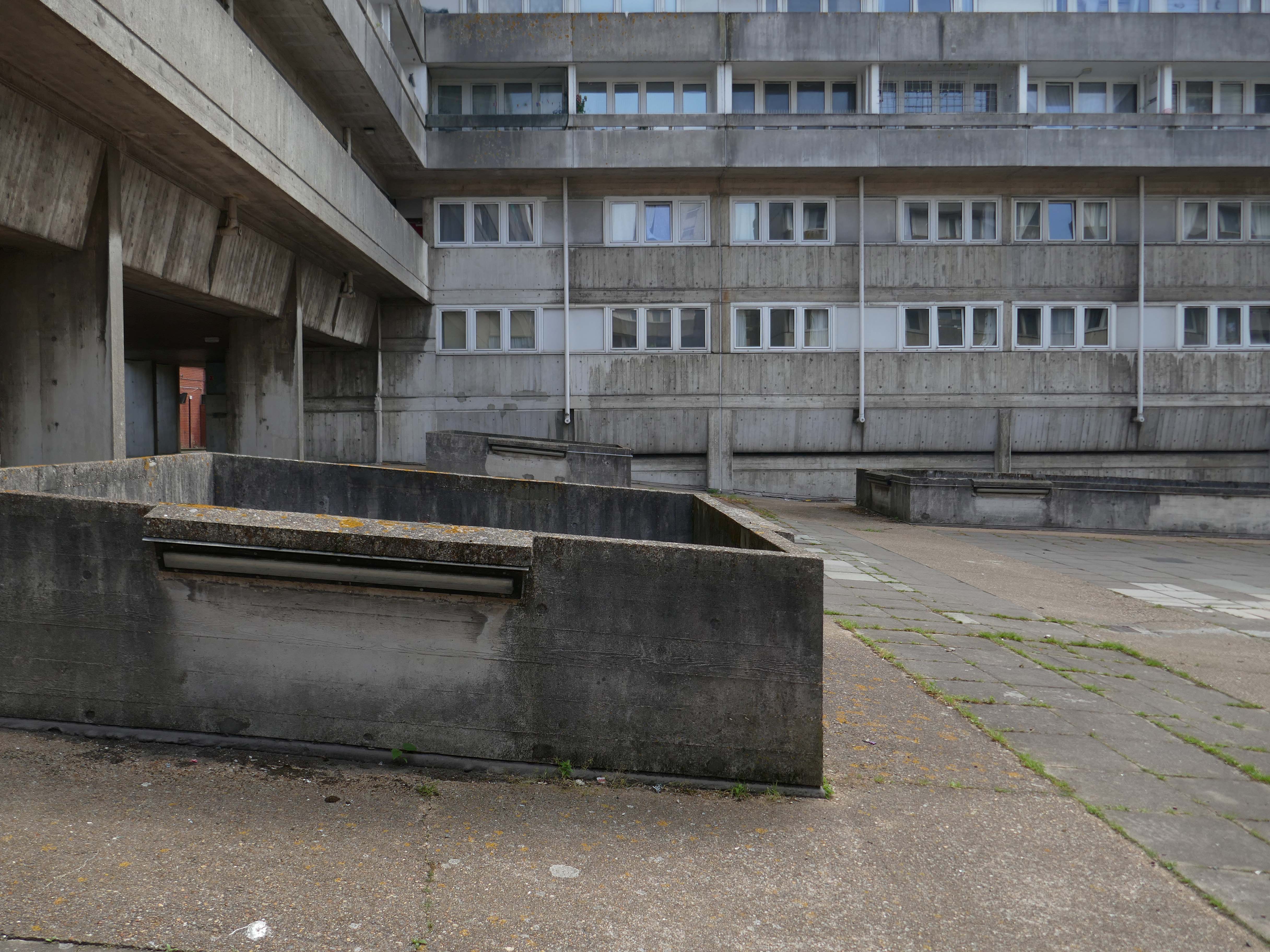
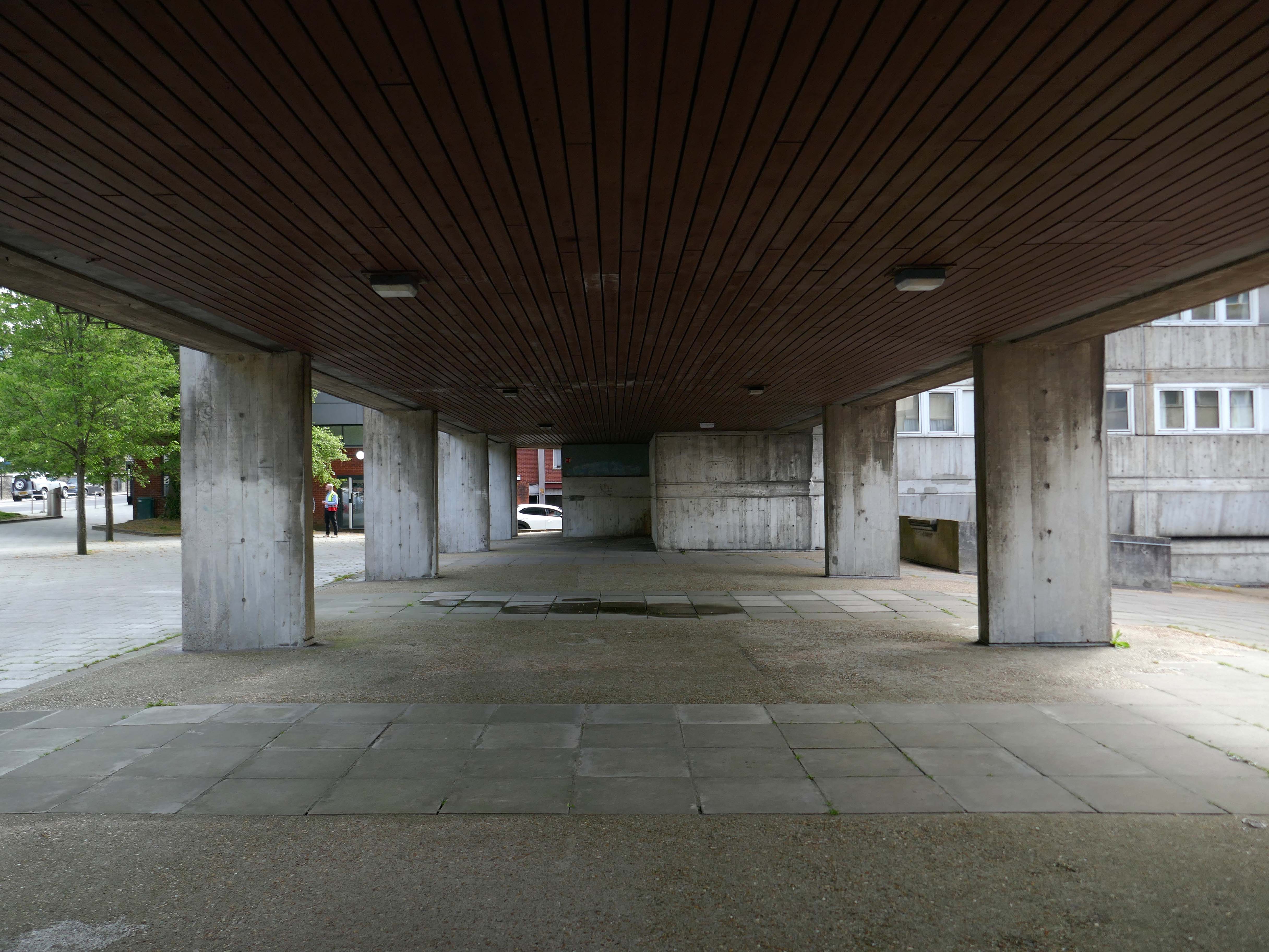
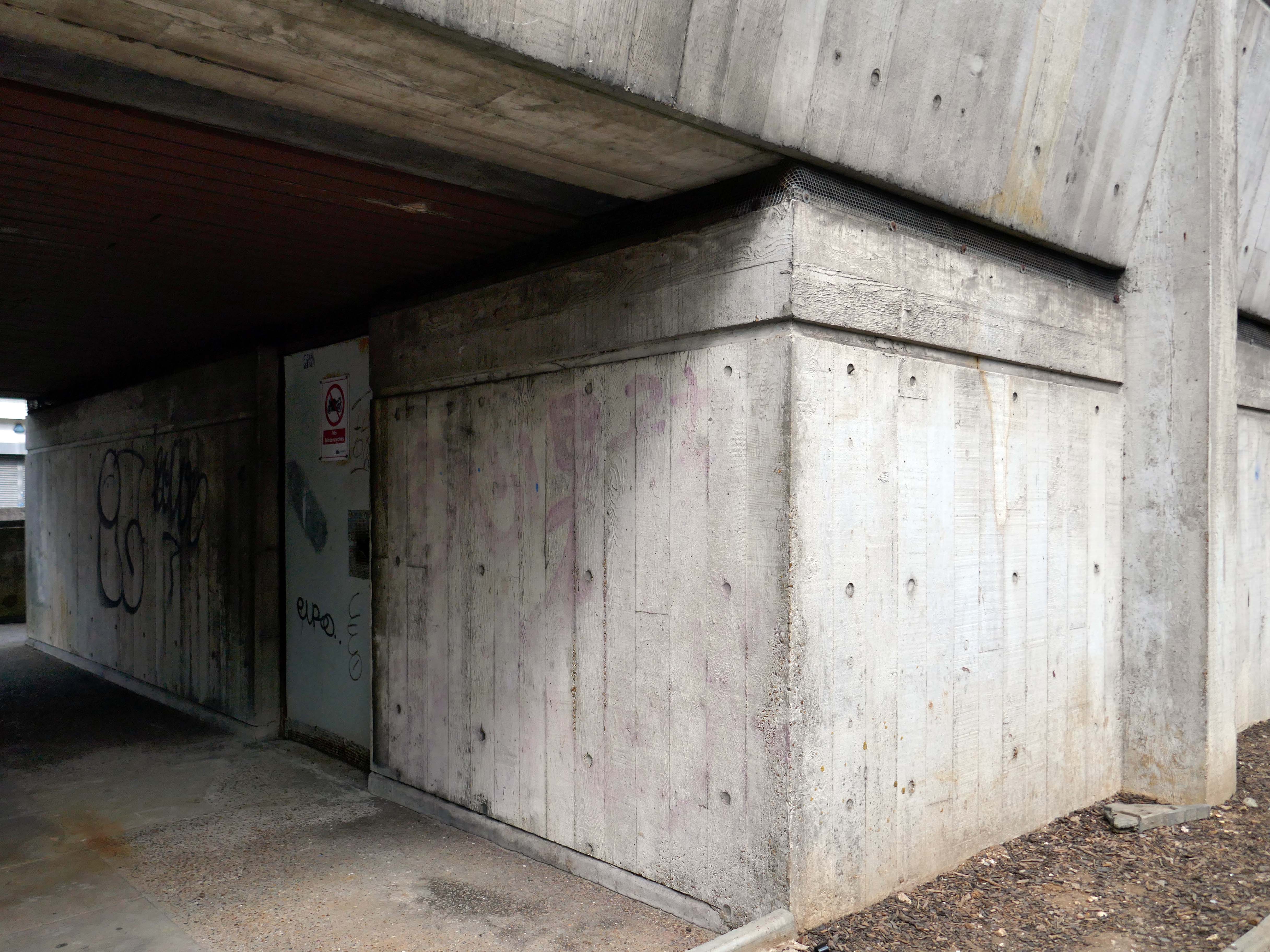
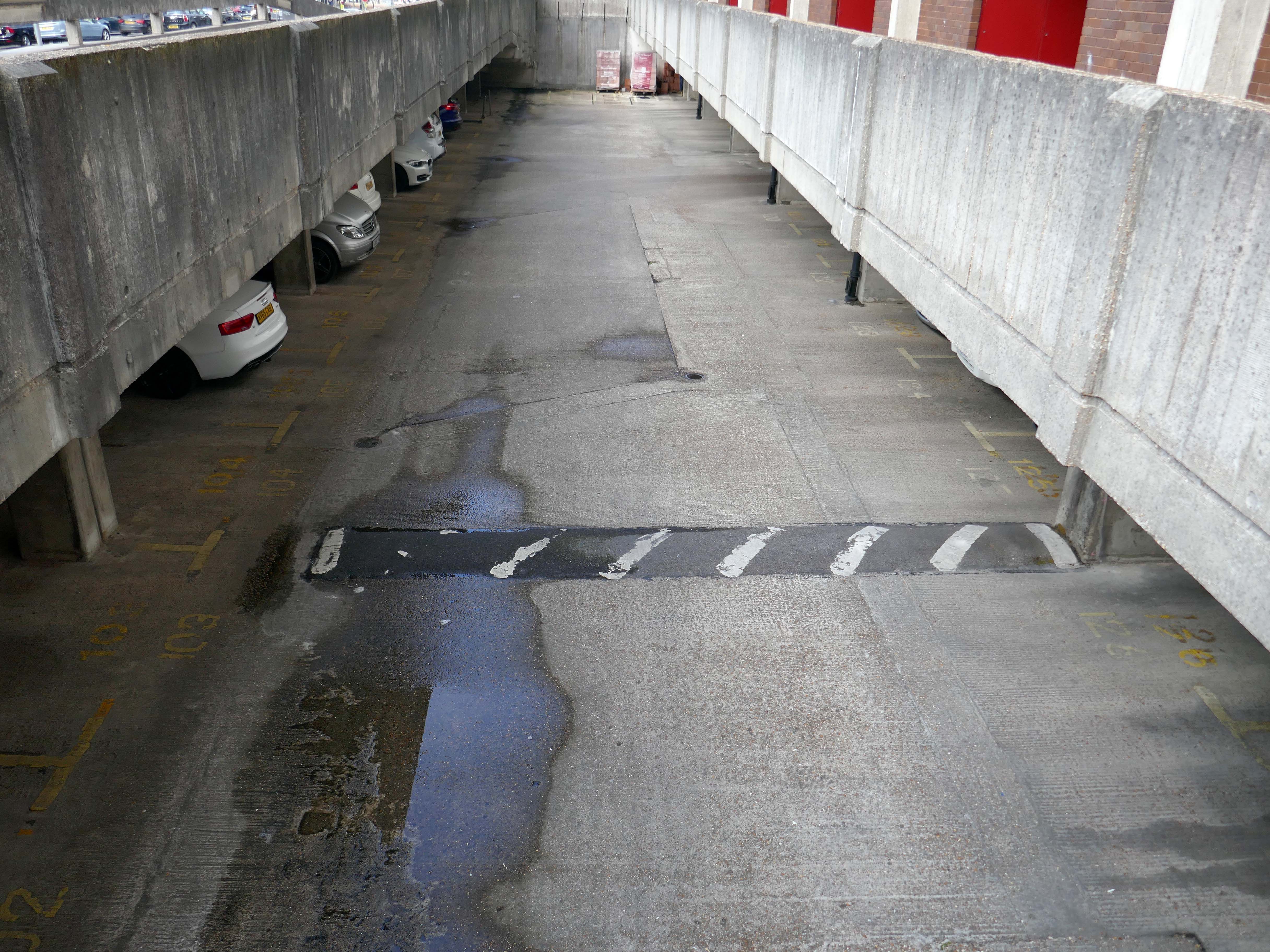
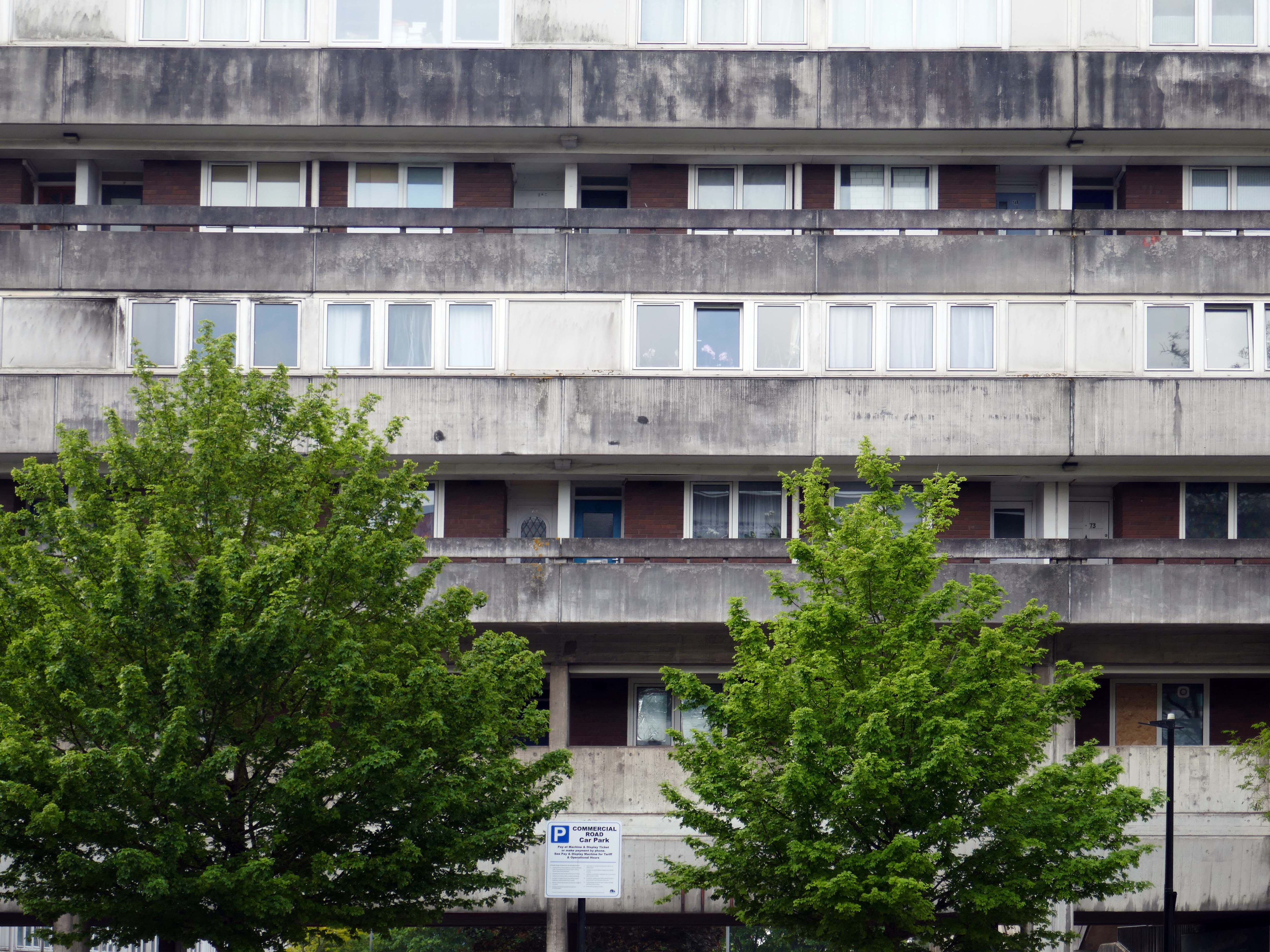
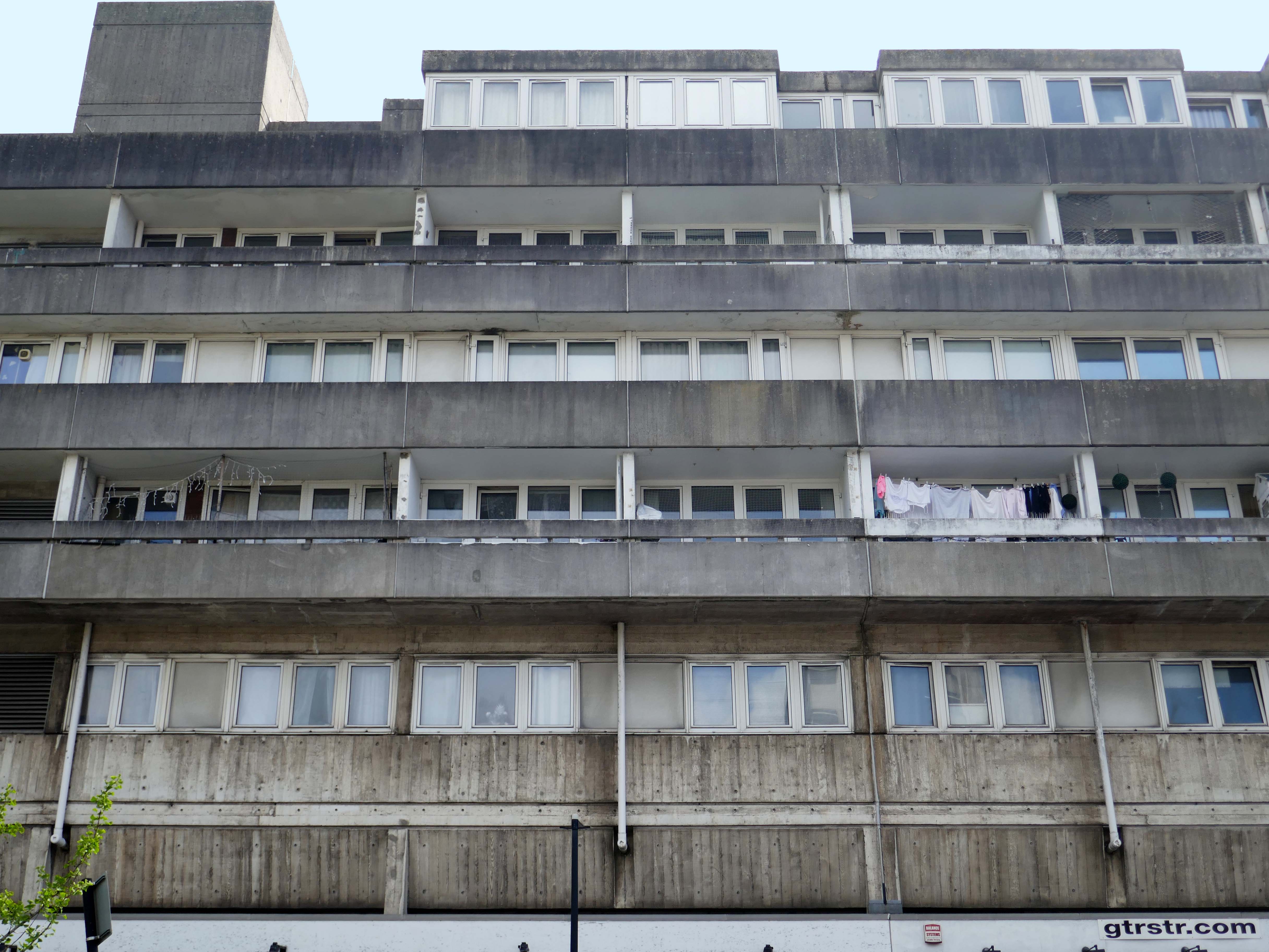
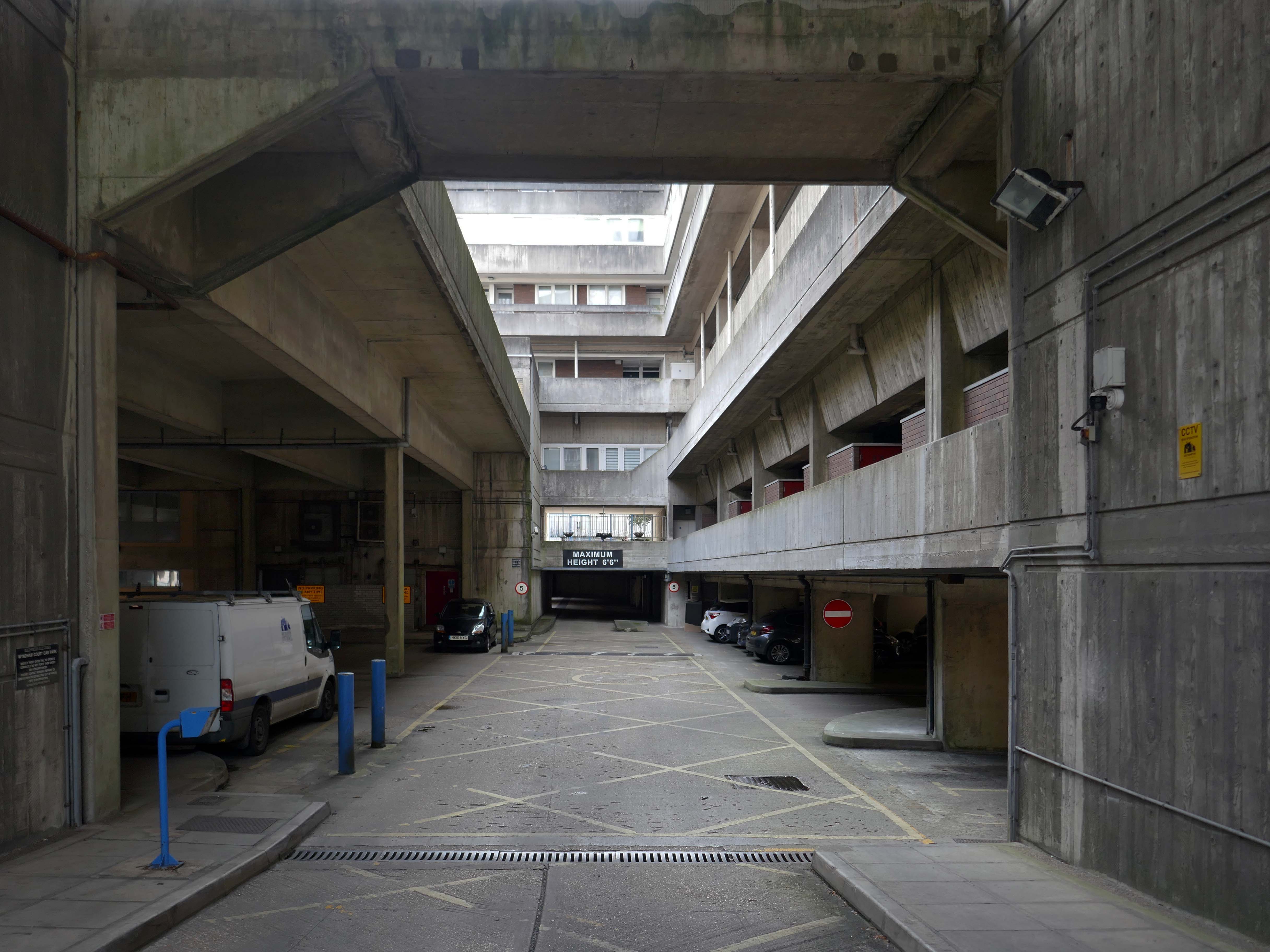
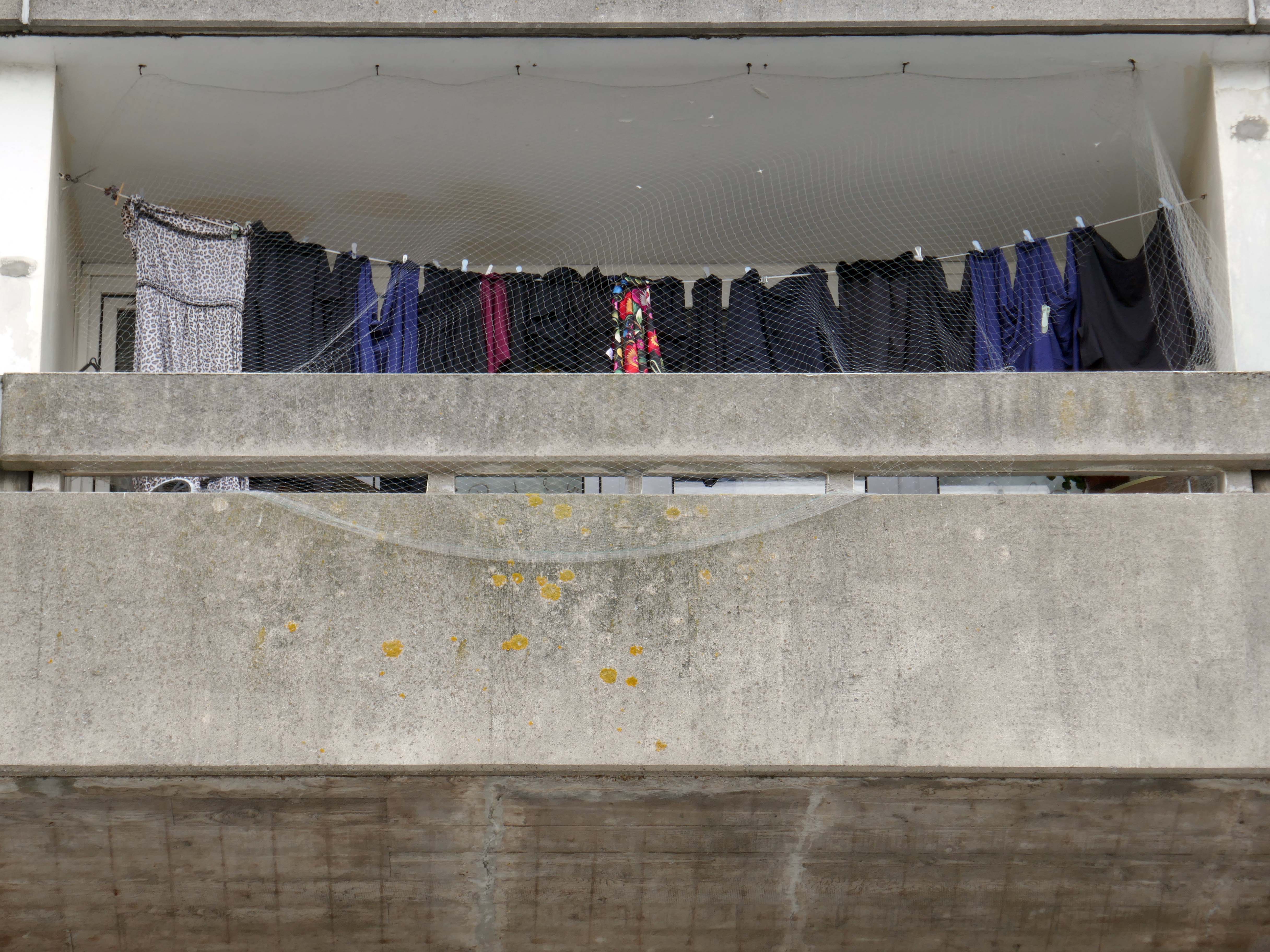
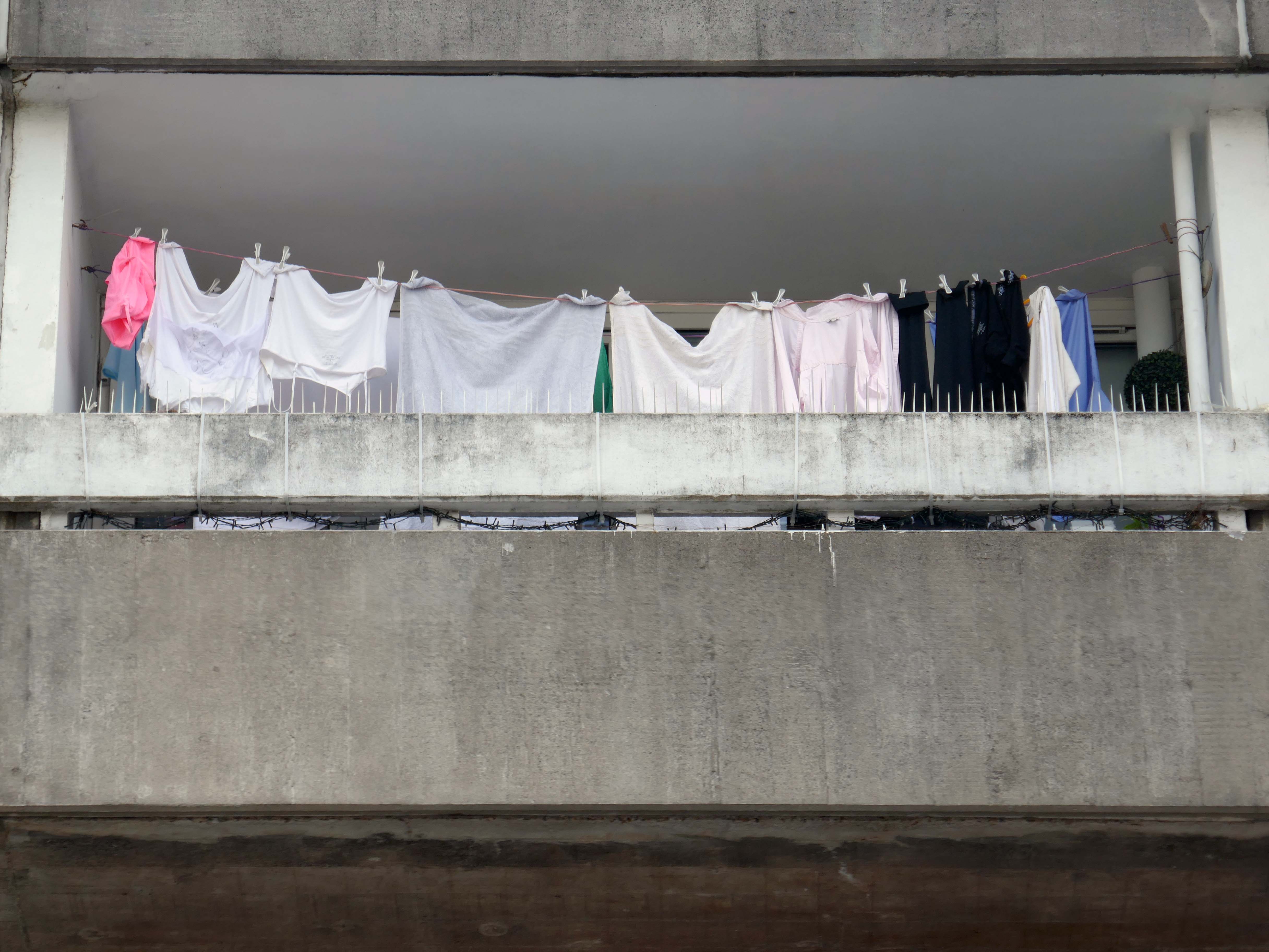
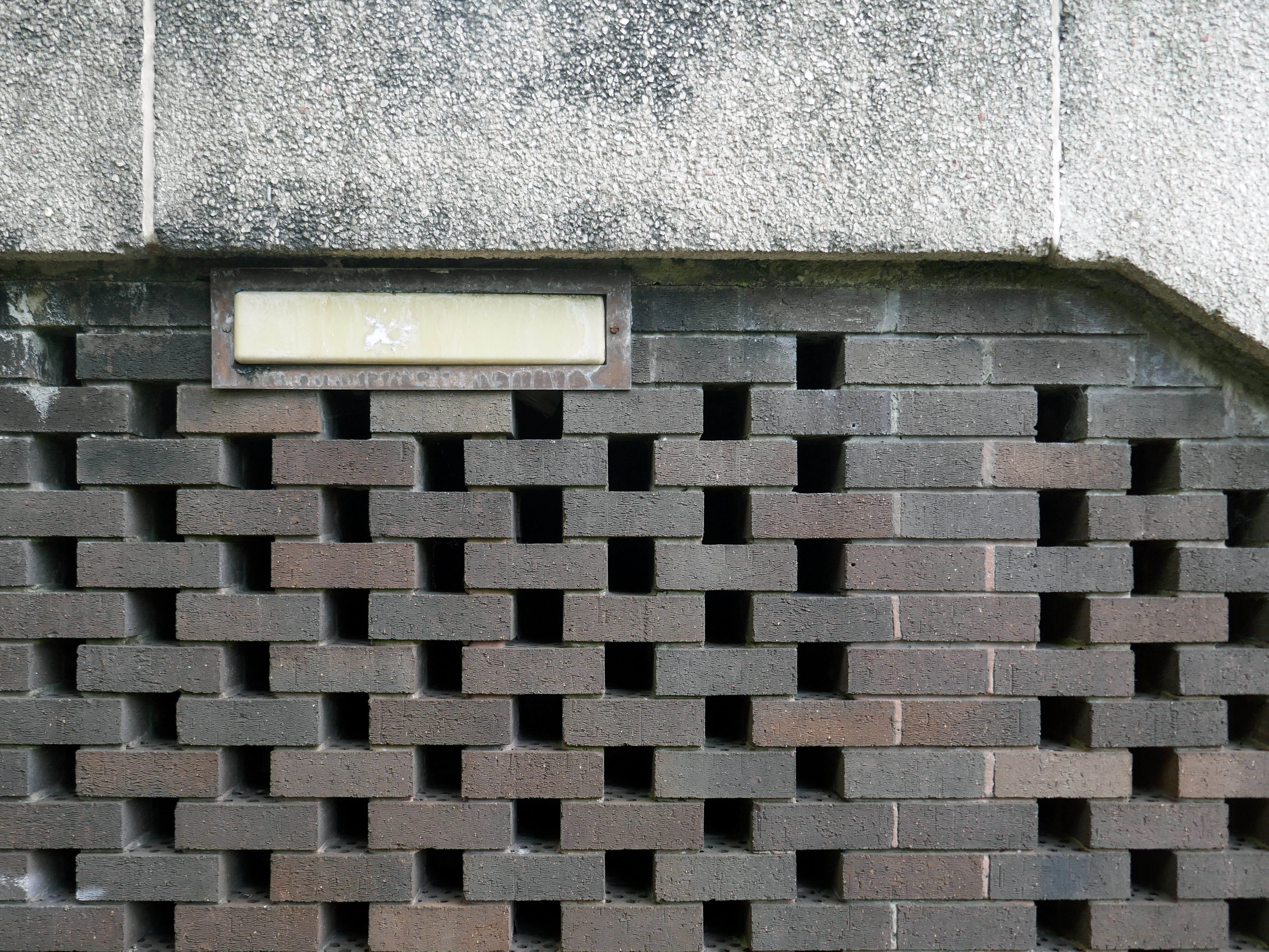
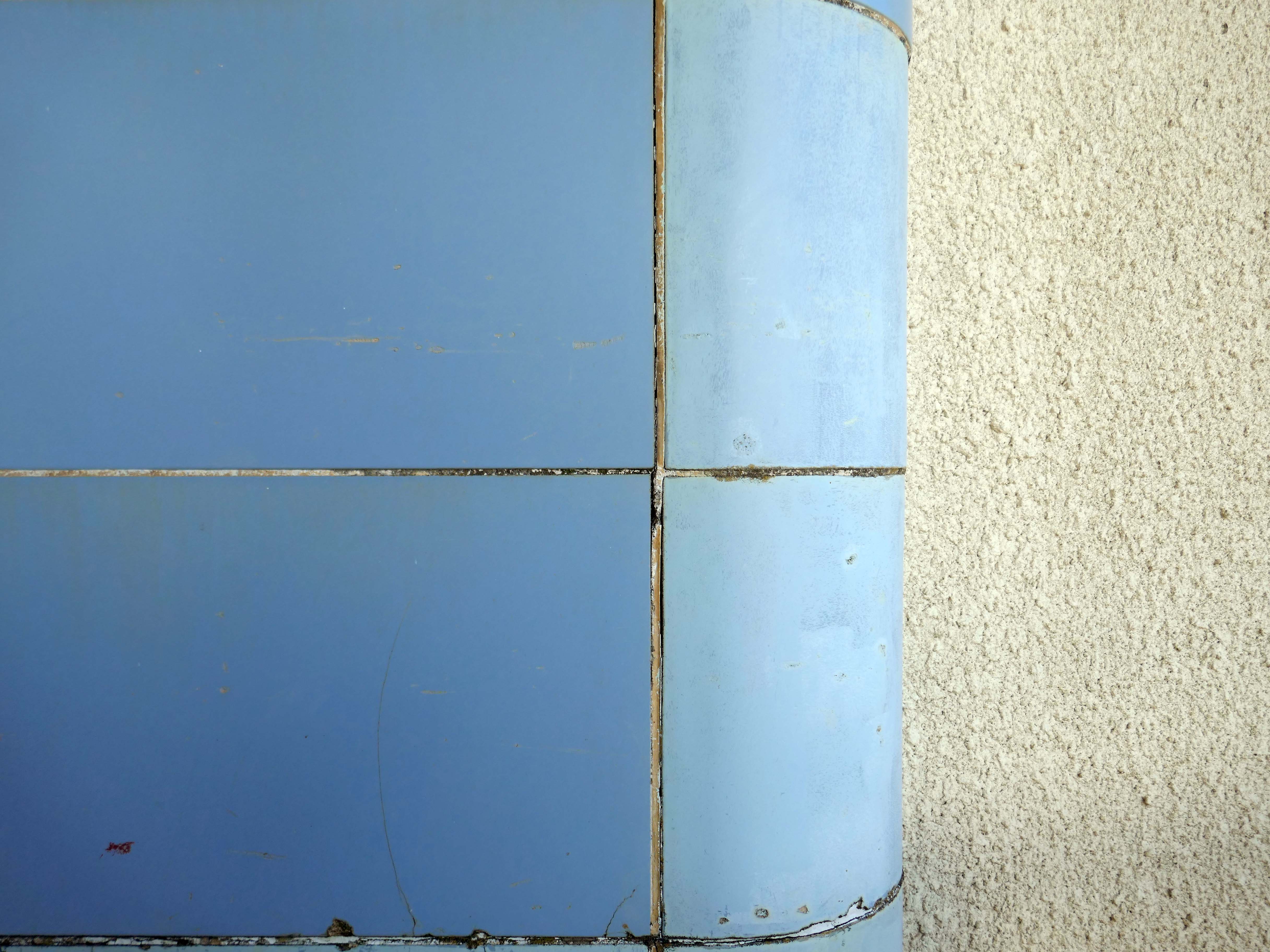
It is built from reinforced concrete and finished with white board-marked concrete, with narrow bands painted horizontally between windows and the partition walls that separate the apartments’ balconies. Because it is built on a hill, the building has six storeys at its northern end and seven at the southern. There is an underground car park which was constructed from the basements of previous buildings on the site
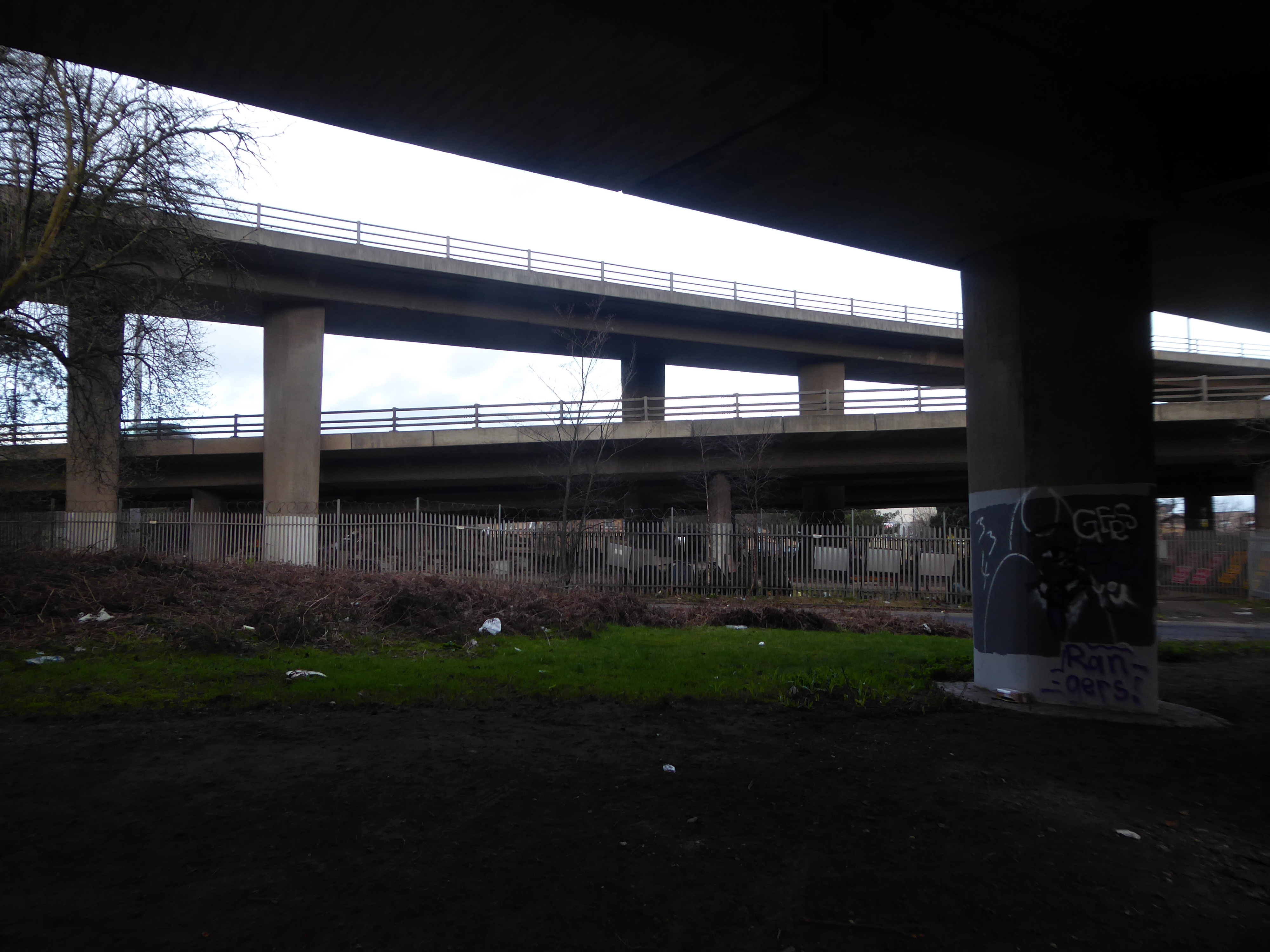
This was my very first visit on my day out in Southampton having also taken a look around Nelsons Gate.
Walking around the building I was quickly engaged by two residents, emerging from their concrete clad home. Assuming that I was from the Council, I was given a lurid account of rodent infestation, faulty locks, open doors and all manner of ills. Having explained my unfortunate lack of municipal affiliation, we parted amicably as we went our respective ways.
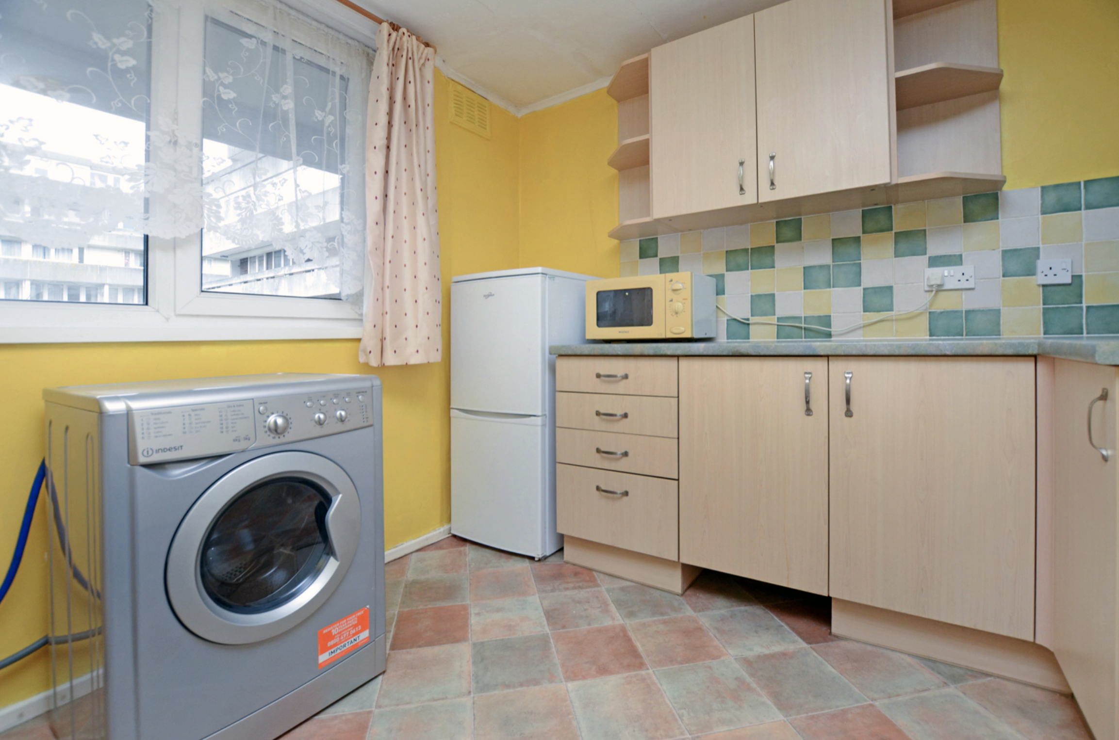
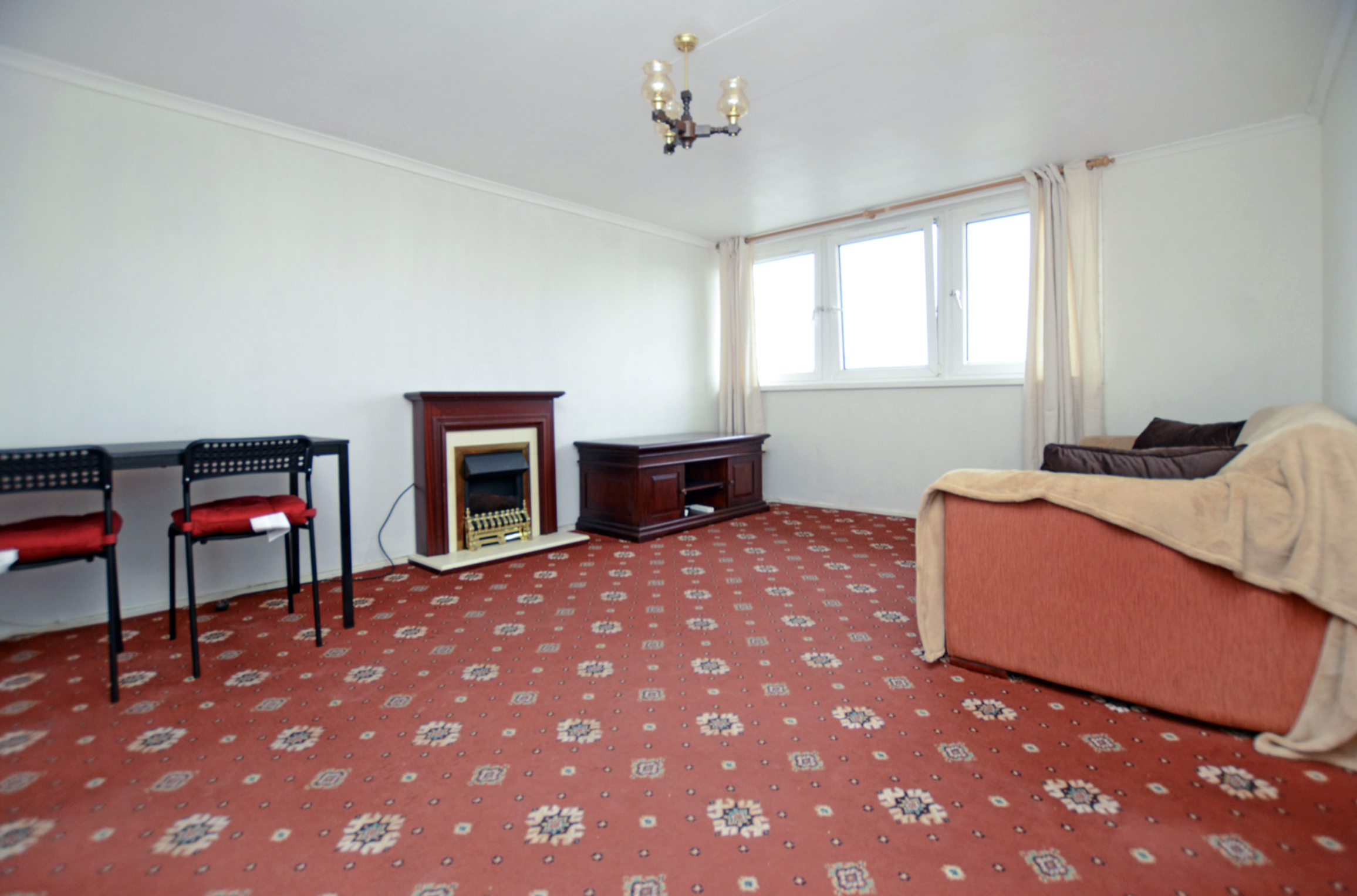
The flat itself is situated within this large purpose built block, benefits with this particular block include secure entrance system and lift access to each floor. This particular flat is found on the 4th floor and offers a private front door, as you enter the hallway leads round to a large living room which has plenty of space for dining as well, the kitchen is separate but has been cleverly designed to include an large opening hatch that creates the feeling of open plan to this area. The kitchen is clean and tidy and is supplied with the white goods including a brand new washing machine.
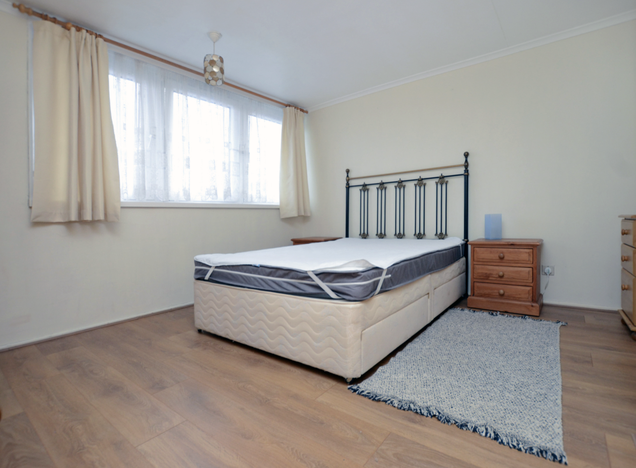
The main living space has lovely big windows that not only offers lots of natural light but also offers a stunning viewing, where you can see glimpses of the Cruise liners docking. The bedroom is accessible by multiple doors either from the living room or hallway, the bedroom is a great size and also features nice big windows, along with plenty of storage. Back into the hallway there are two useful storage cupboards and last but not least a fully tiled bathroom with shower and bath. Further benefits with the flat include electric heating and external storage cupboard next to the front door, the block also boosts a communal garden which is a nice place to sit and enjoy some fresh air.
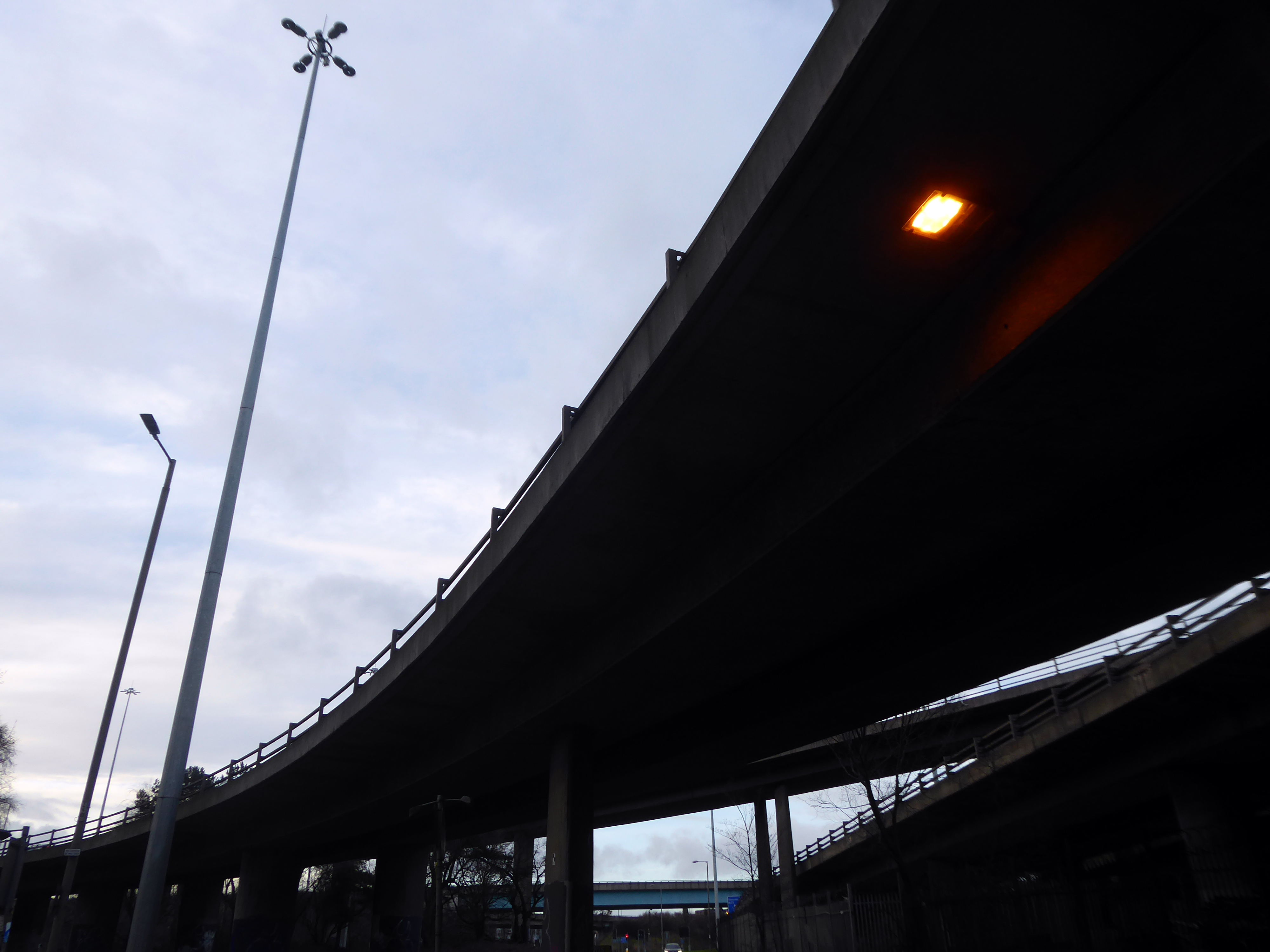
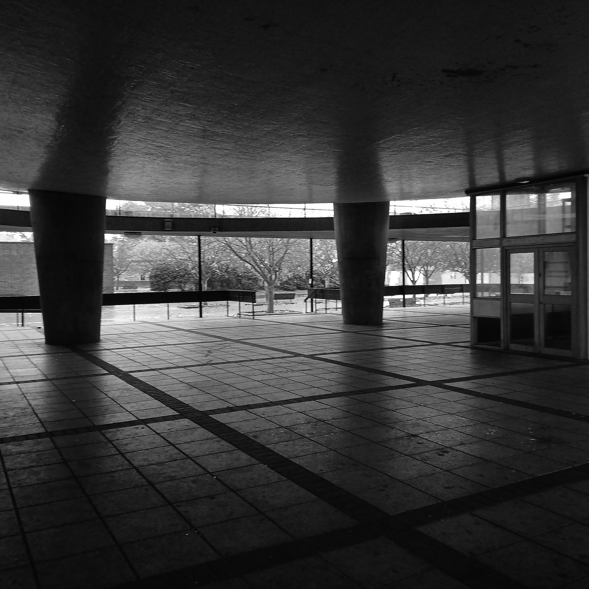
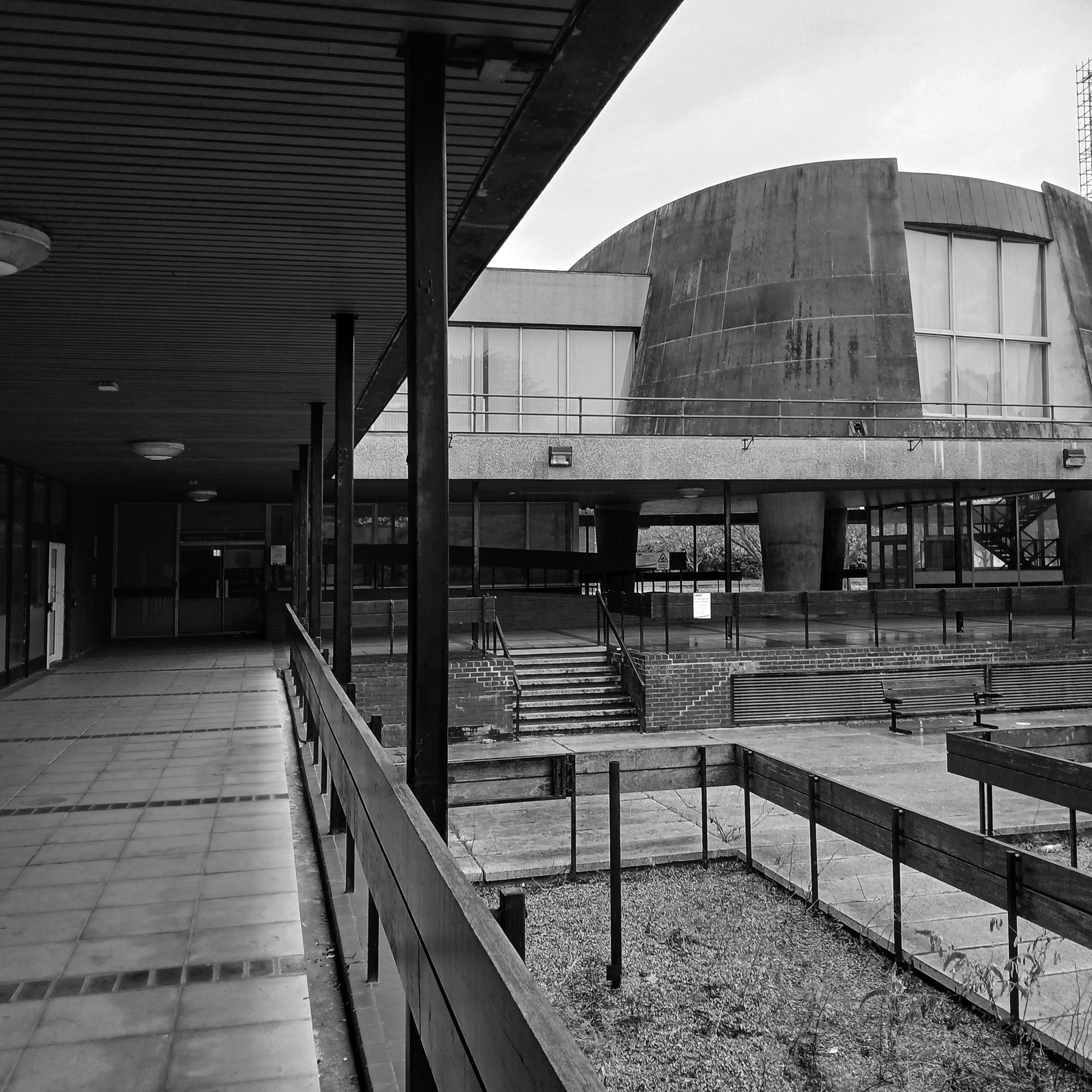
Wyndham Court, ought to be as well-known as the Brunswick Centre or the Barbican, and isn’t largely because of where it is. It is a monumental, civic housing project on the grandest scale.
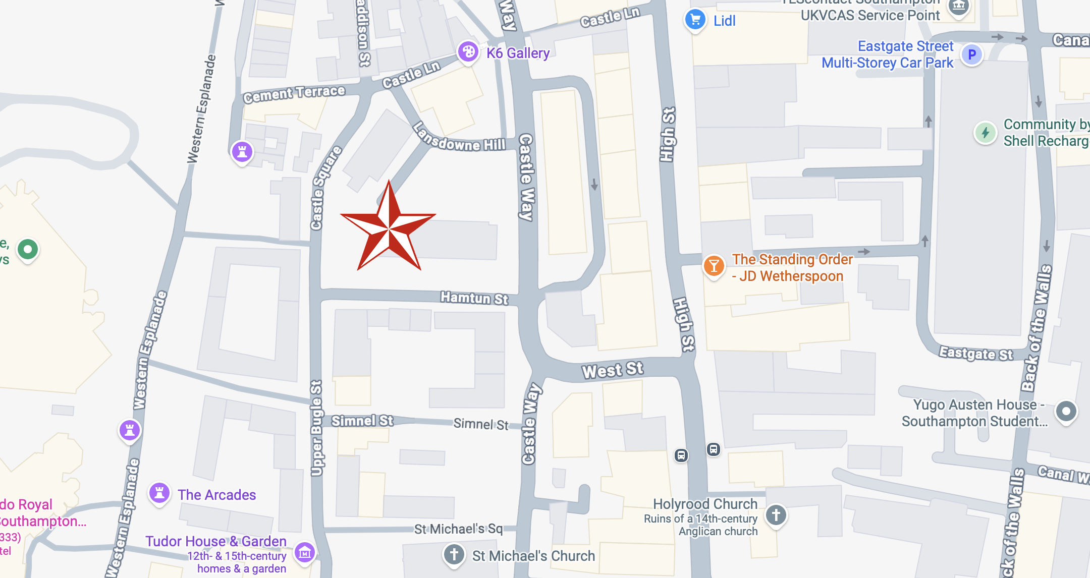
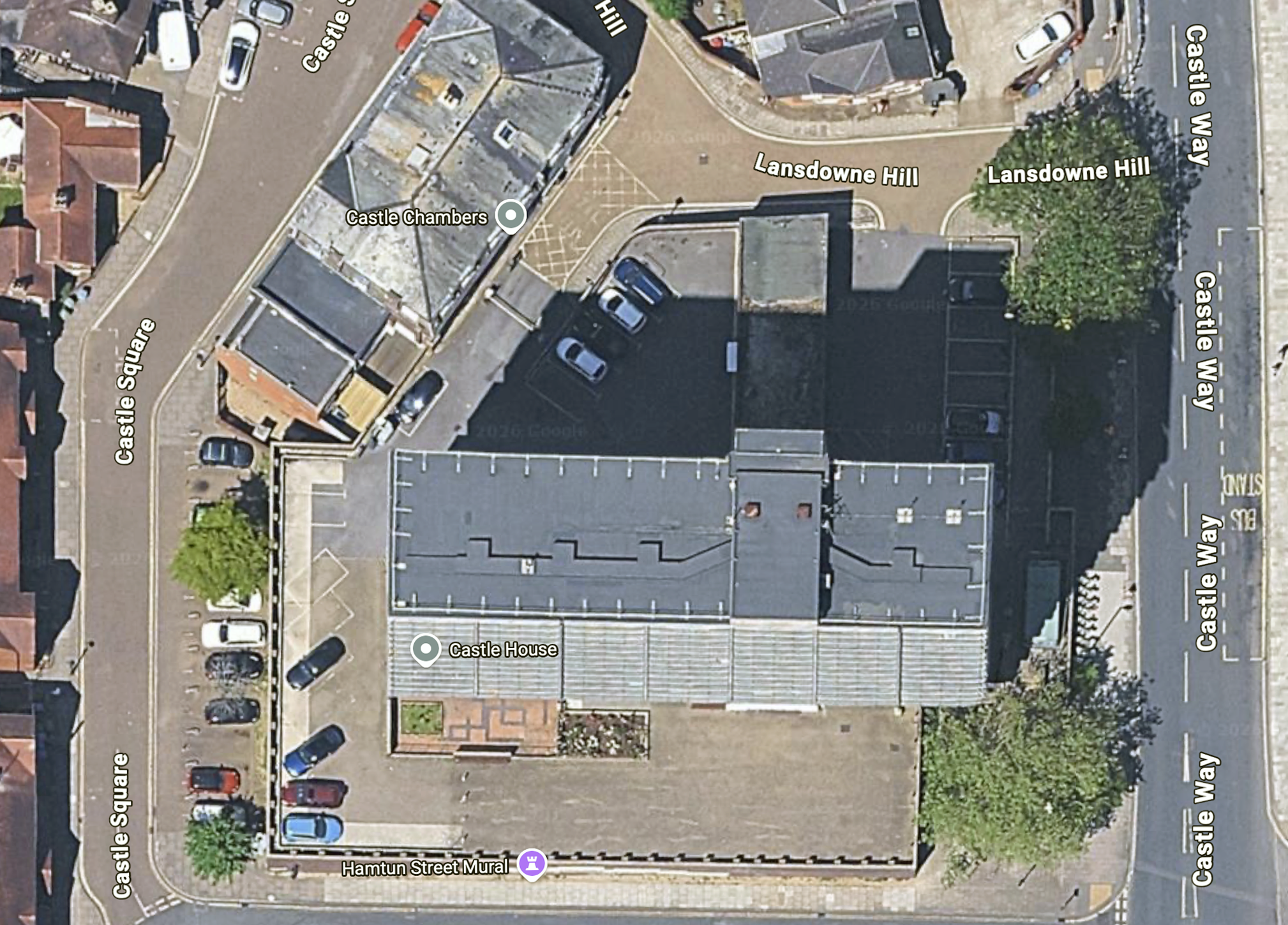
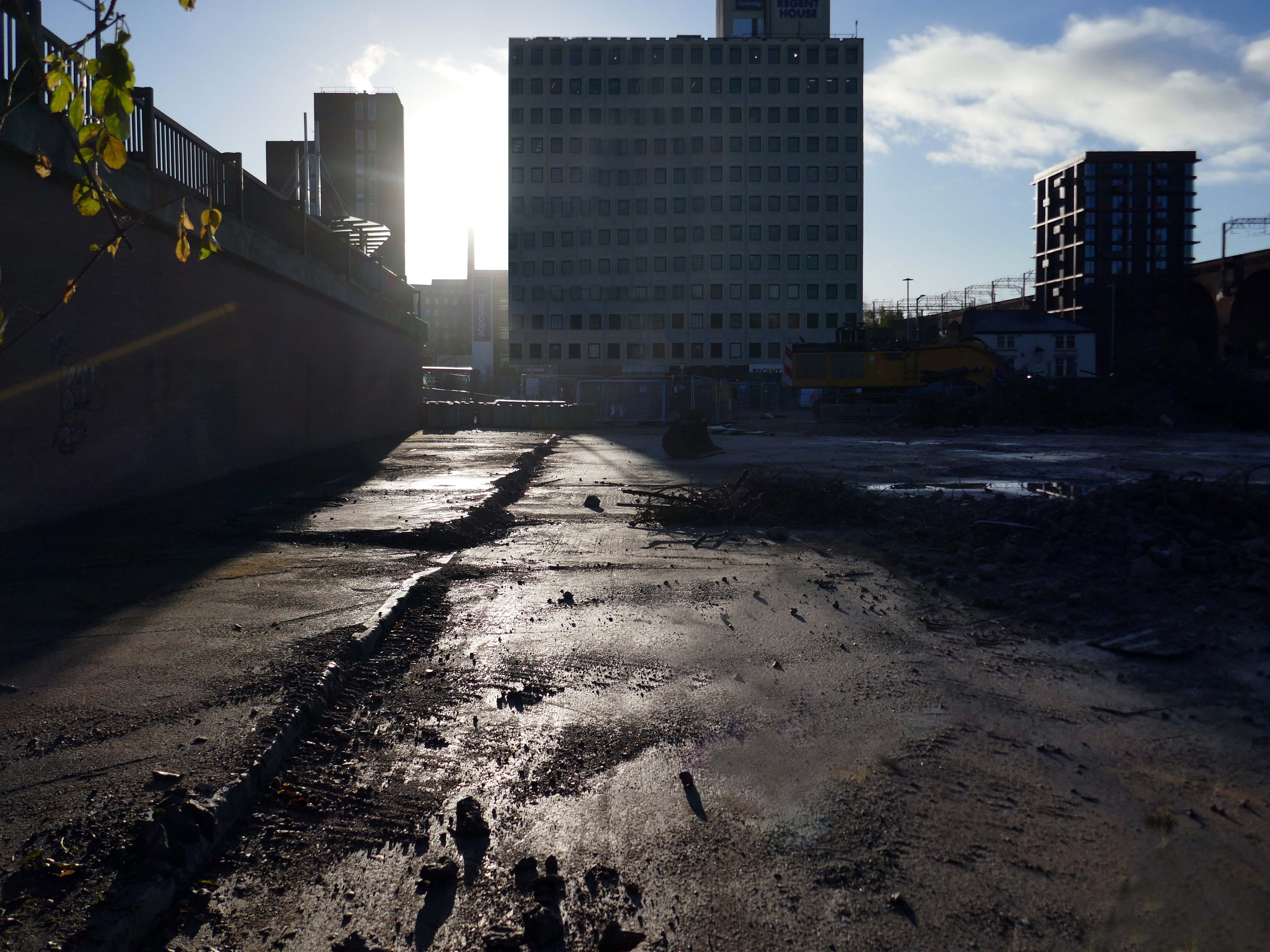
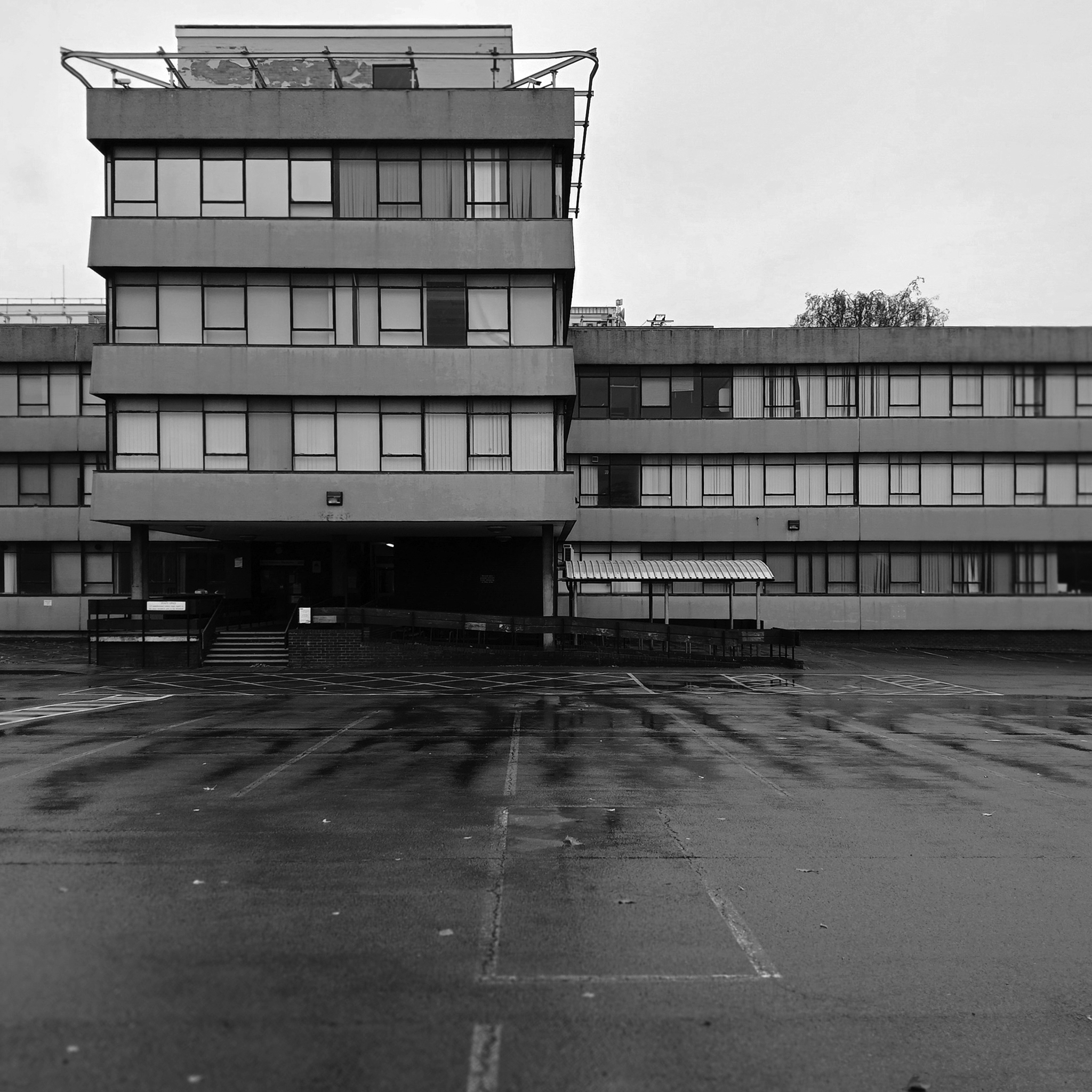
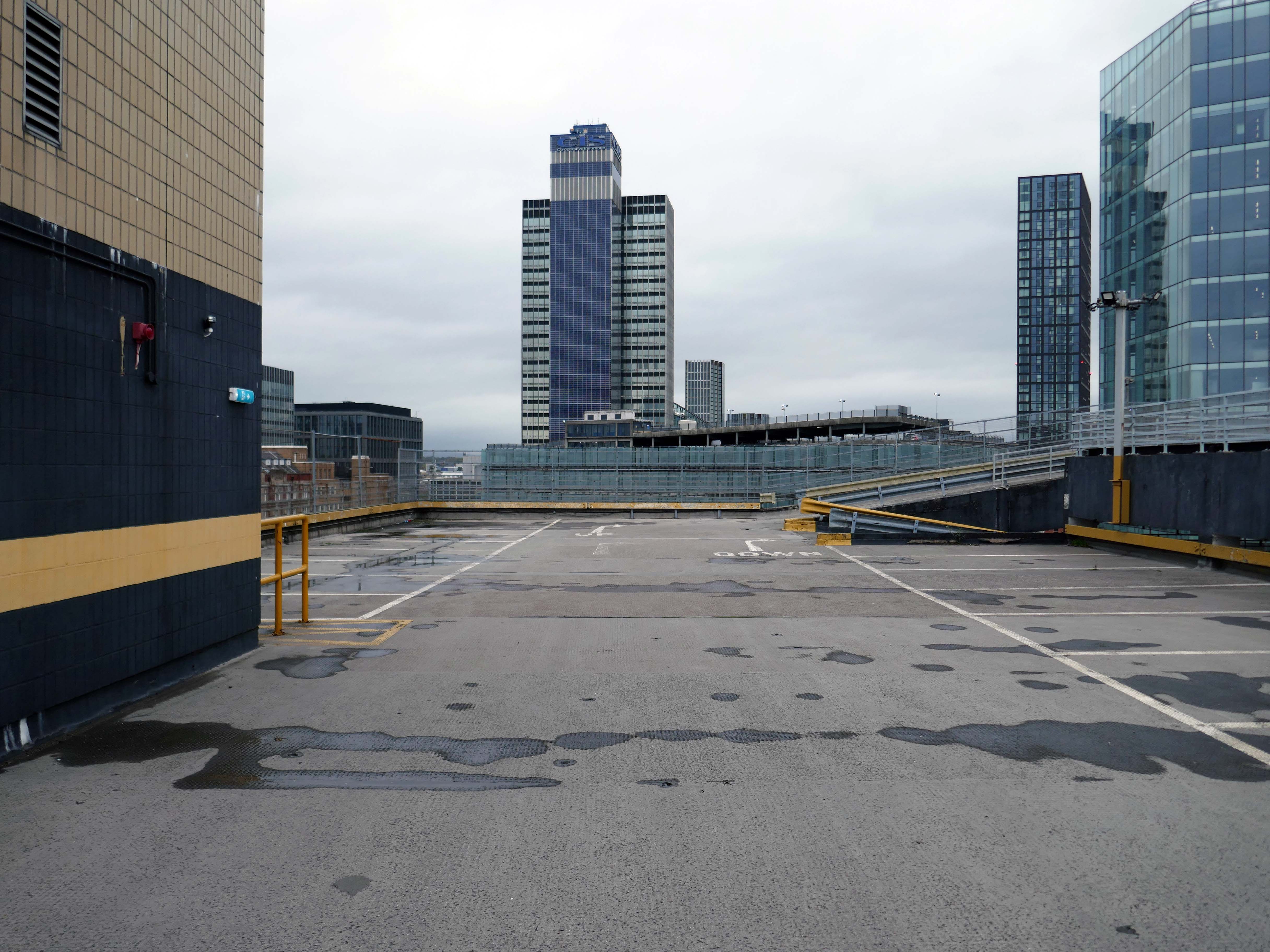
On arriving a Southampton Central there it is looming over Blechynden Terrace.
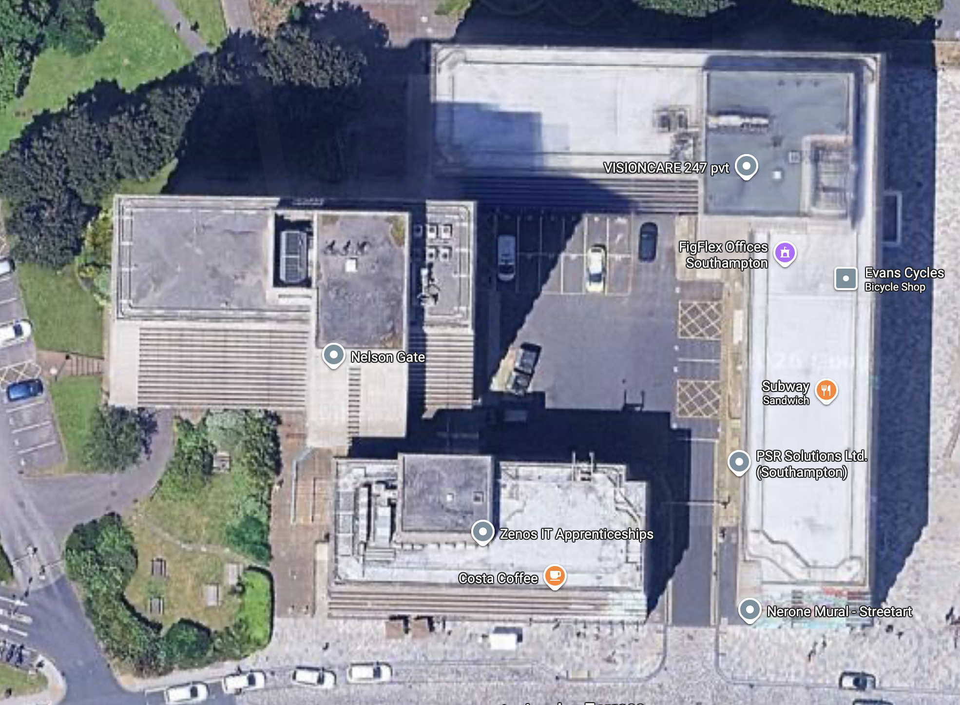
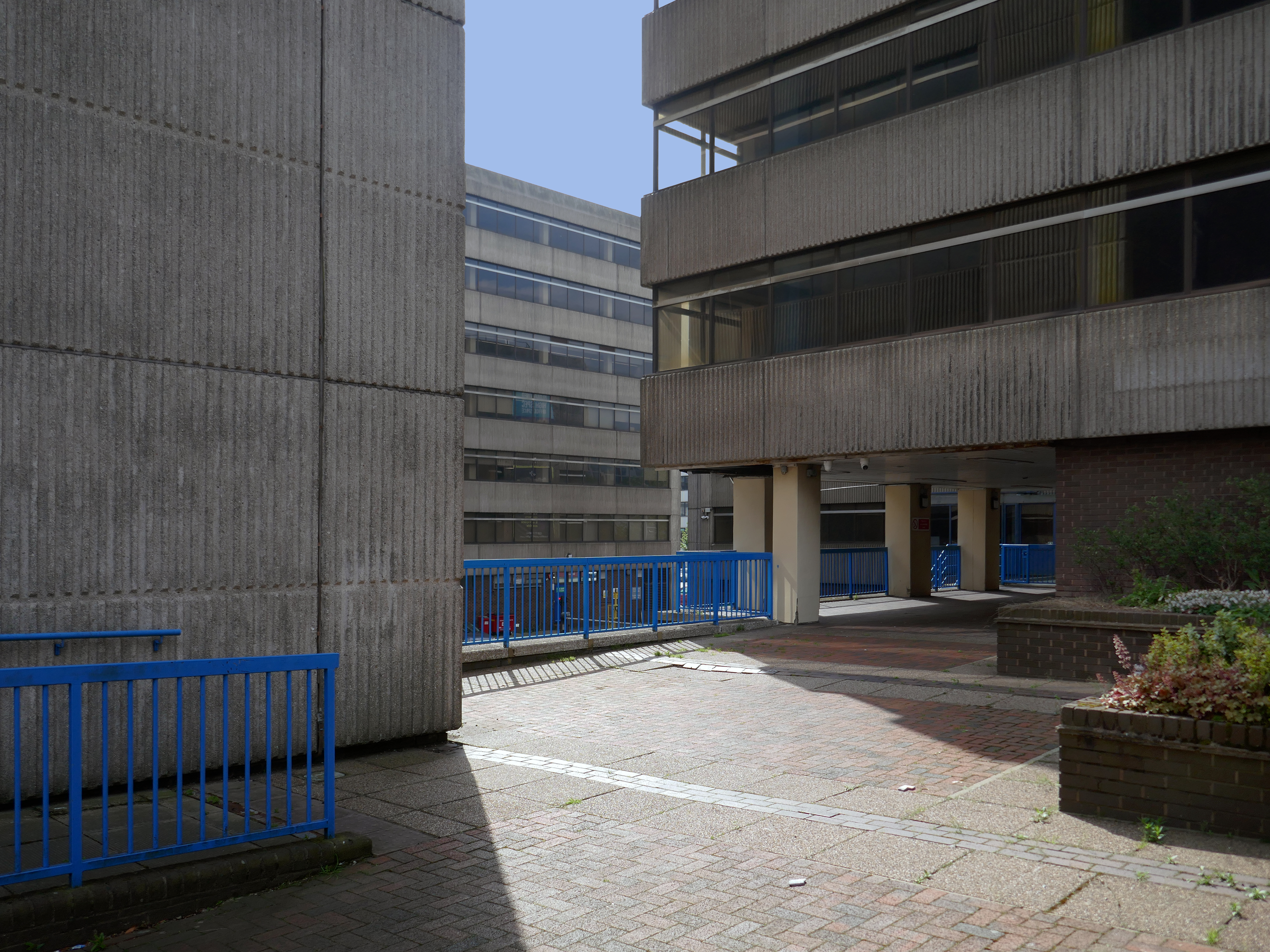
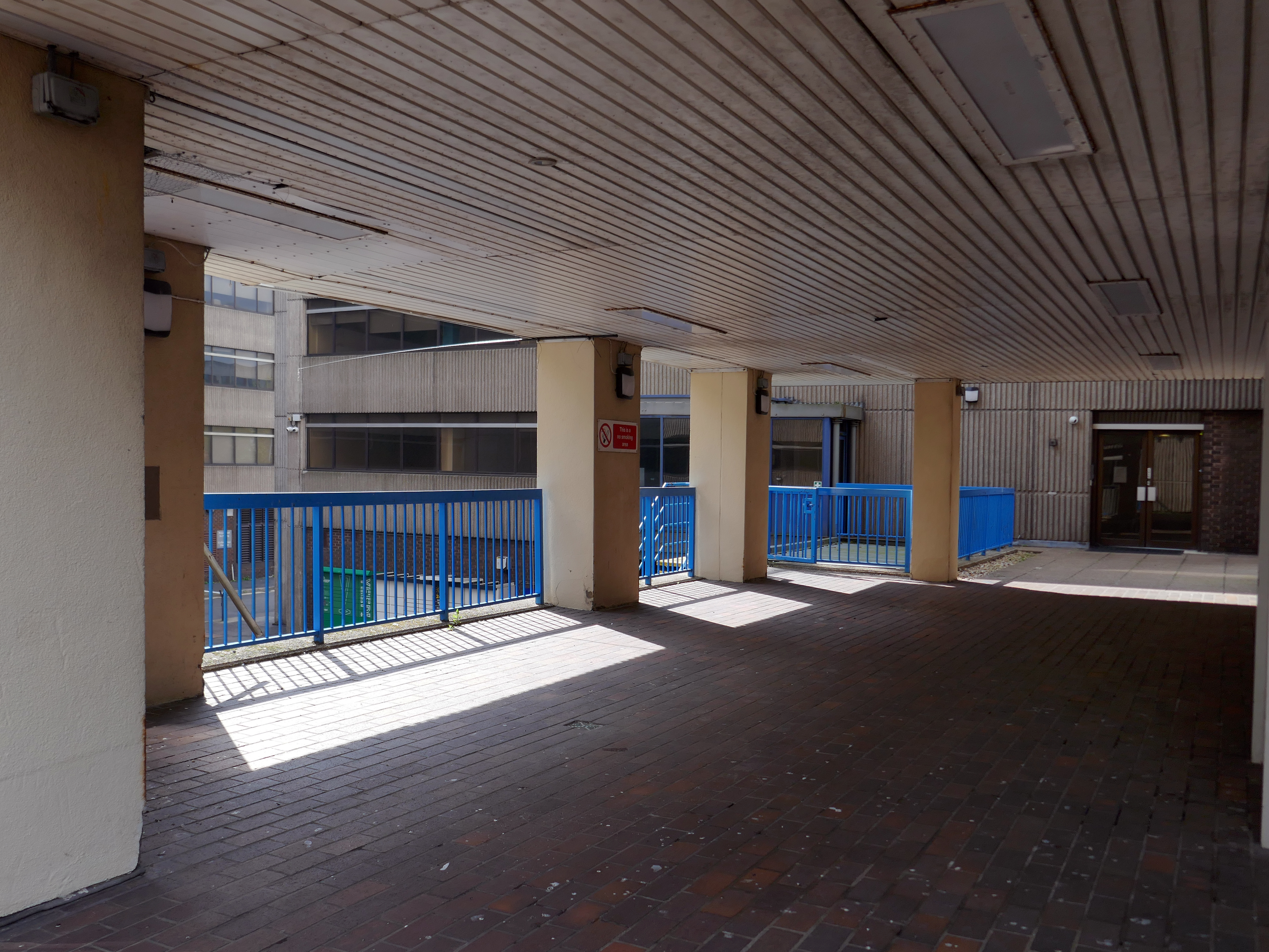
A big brute of a building Nelson Gate, comprised of sixteen-storey Norwich House, seven-storey Frobisher House and five-storey Grenville House.
Though it seems that for some time there are those which wish to tame the brute.
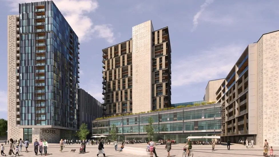
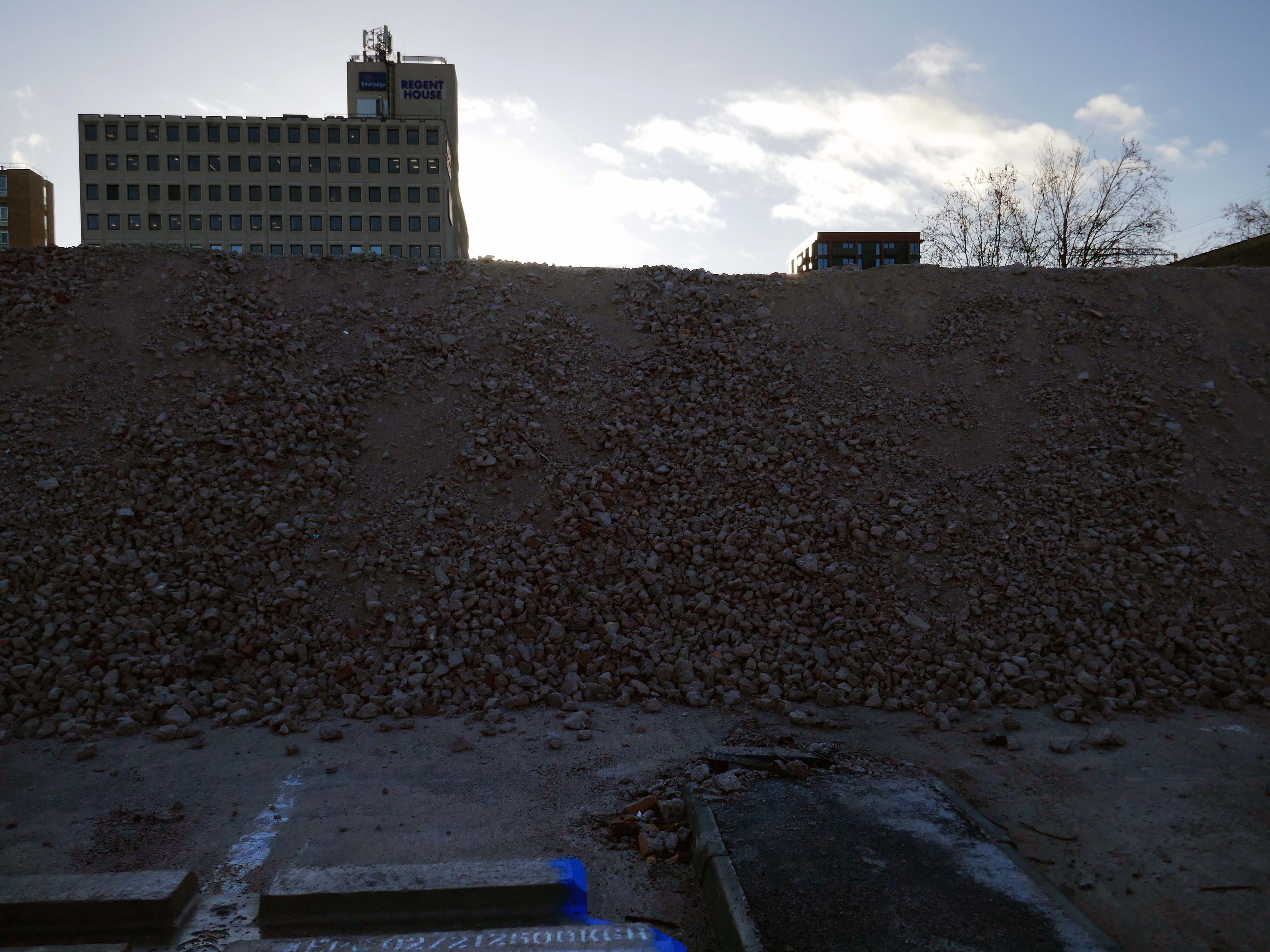
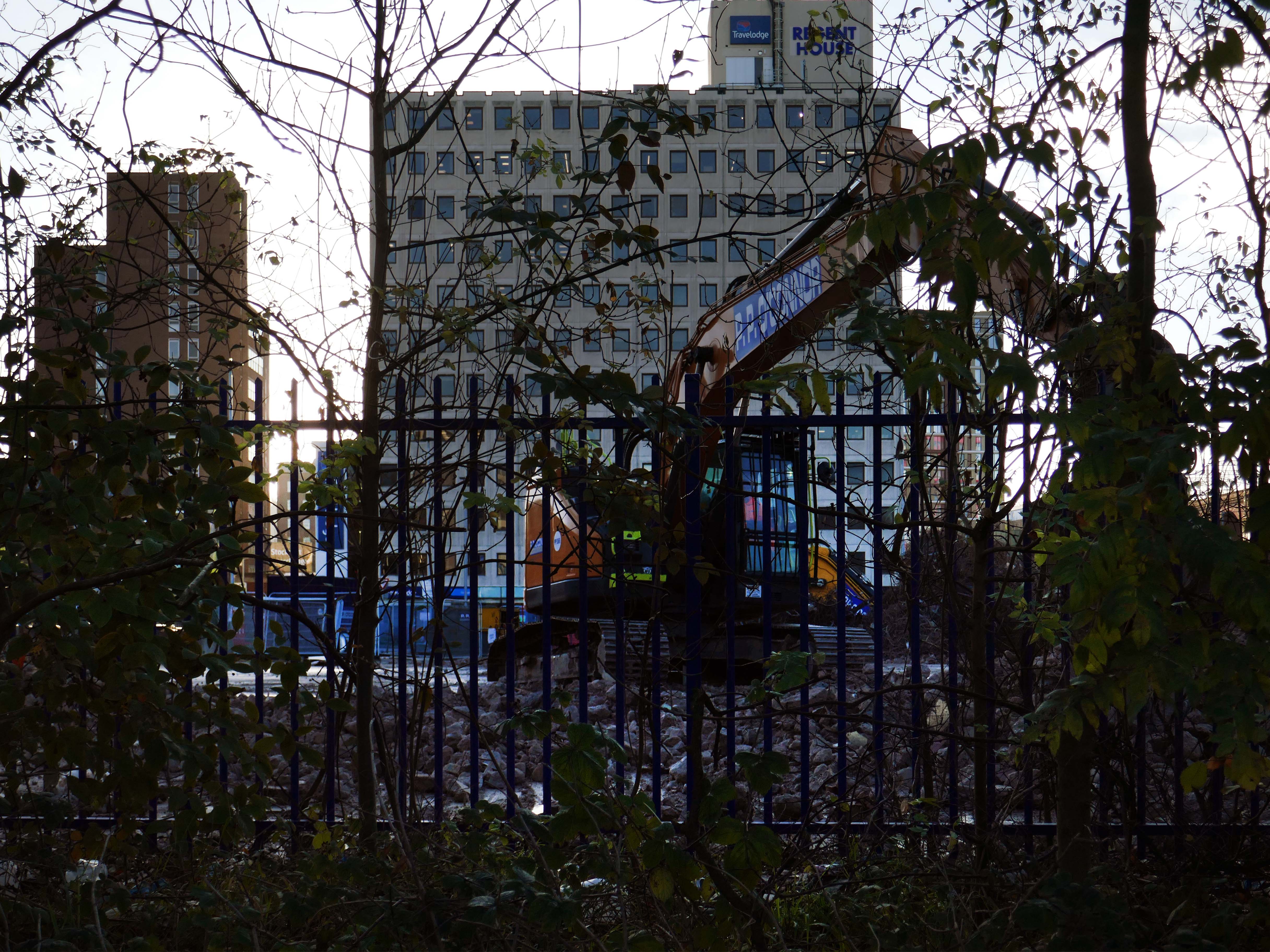
Plans for a multimillion-pound development including a hotel, homes, offices and shops in Southampton city centre have been revealed.
The Nelson Gate scheme, proposed by developer FI Real Estate Management, would also see Norwich House and Frobisher House revamped.
A public square would be created by the city’s central railway station, as well as a new pedestrian route.
A full planning application is expected be submitted later in the summer.
Chris Hammond, leader of Southampton City Council, said: “Nelson Gate is one of the gateways into the city from the station, so to see a brand new development is fantastic. It really showcases what the city has to offer for those coming in.”
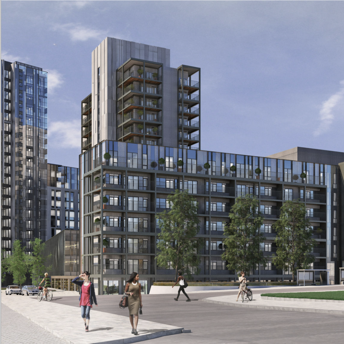
Ellis Williams was appointed to develop designs and achieve planning permission for the redevelopment of Nelson Gate in Southampton, transforming the existing 1970’s office accommodation into an iconic residential and public space. Through positive and extensive engagement with Southampton Council, the site has been re-imaged as an arrival gateway into the city from the Central Railway Station.
The existing office buildings and car park will be transformed into 247 residential apartments, 42,000 sq ft Grade A office space, a 224 bed hotel with extensive dry leisure and 14,000sf commercial / food and beverage space fronting onto a new public realm and urban park.
Aligned with other significant investment into Southampton, Nelson Gate will create a truly unique place for people to live, work and socialise.
The scheme is expected to be delivered in two phases. The first phase, focusing on the existing buildings and their immediate surroundings, is projected for completion by September 2026. However, it is important to note that this timeline is a challenging target.
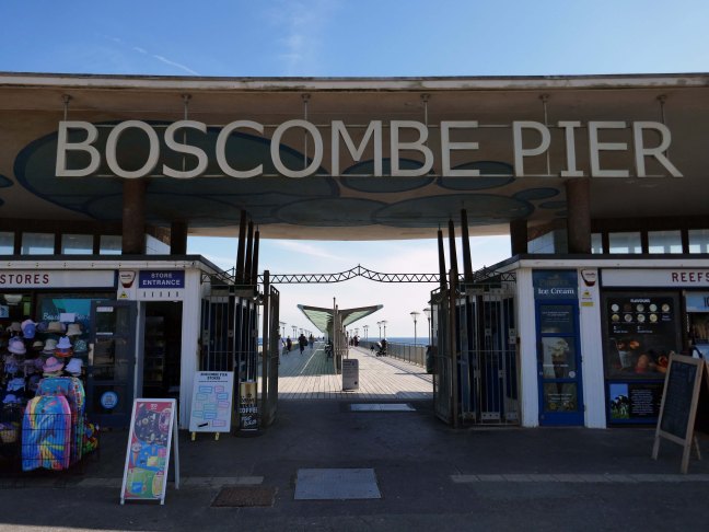
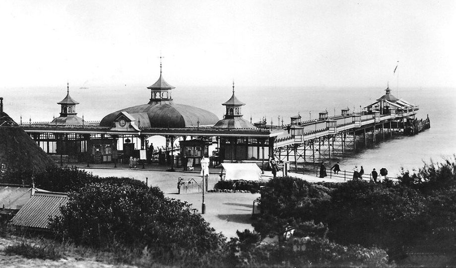
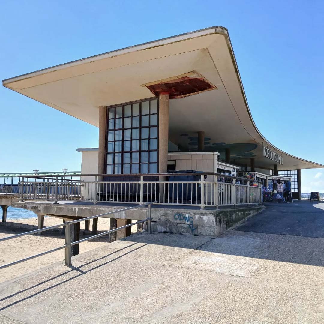
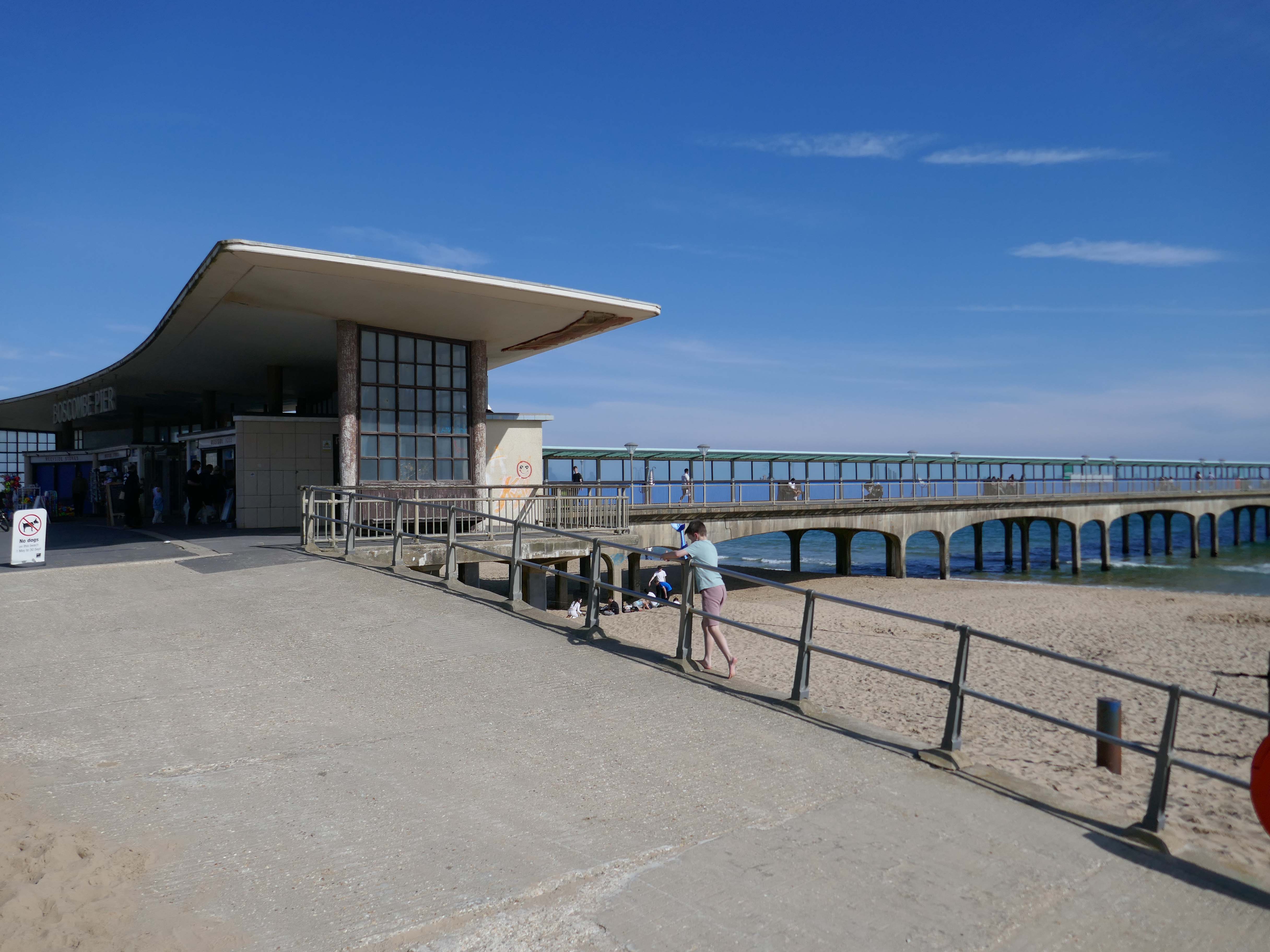
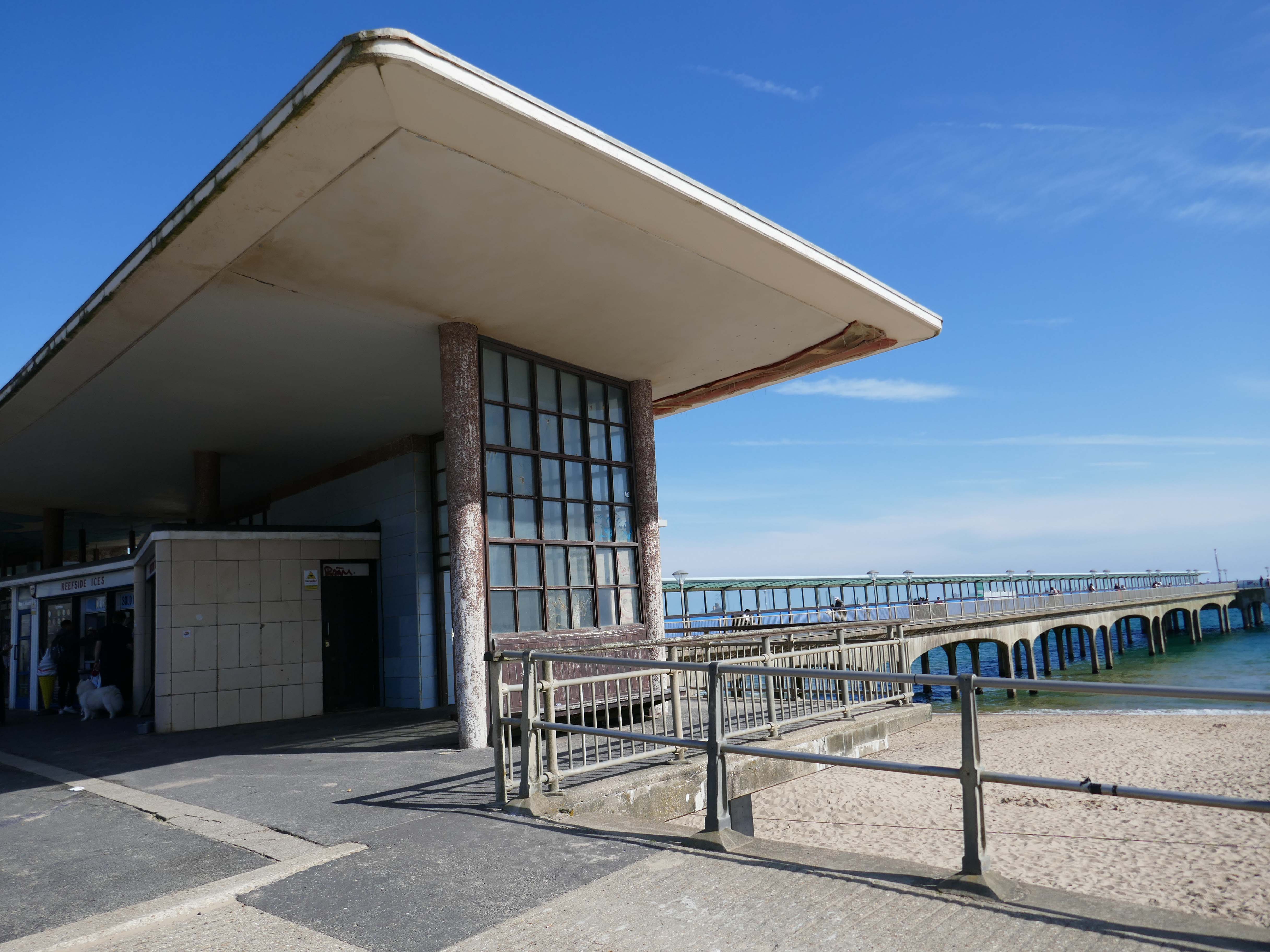
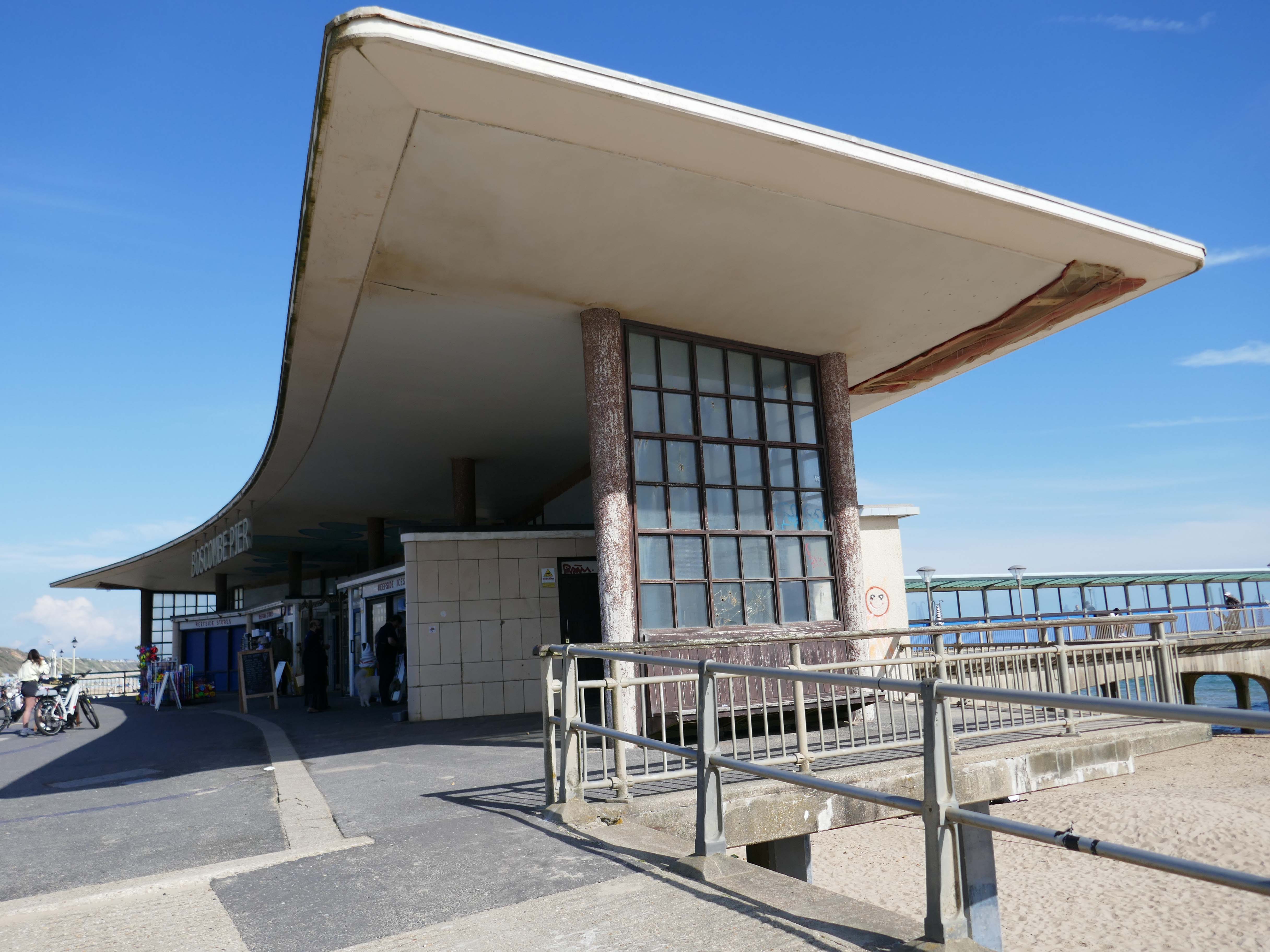
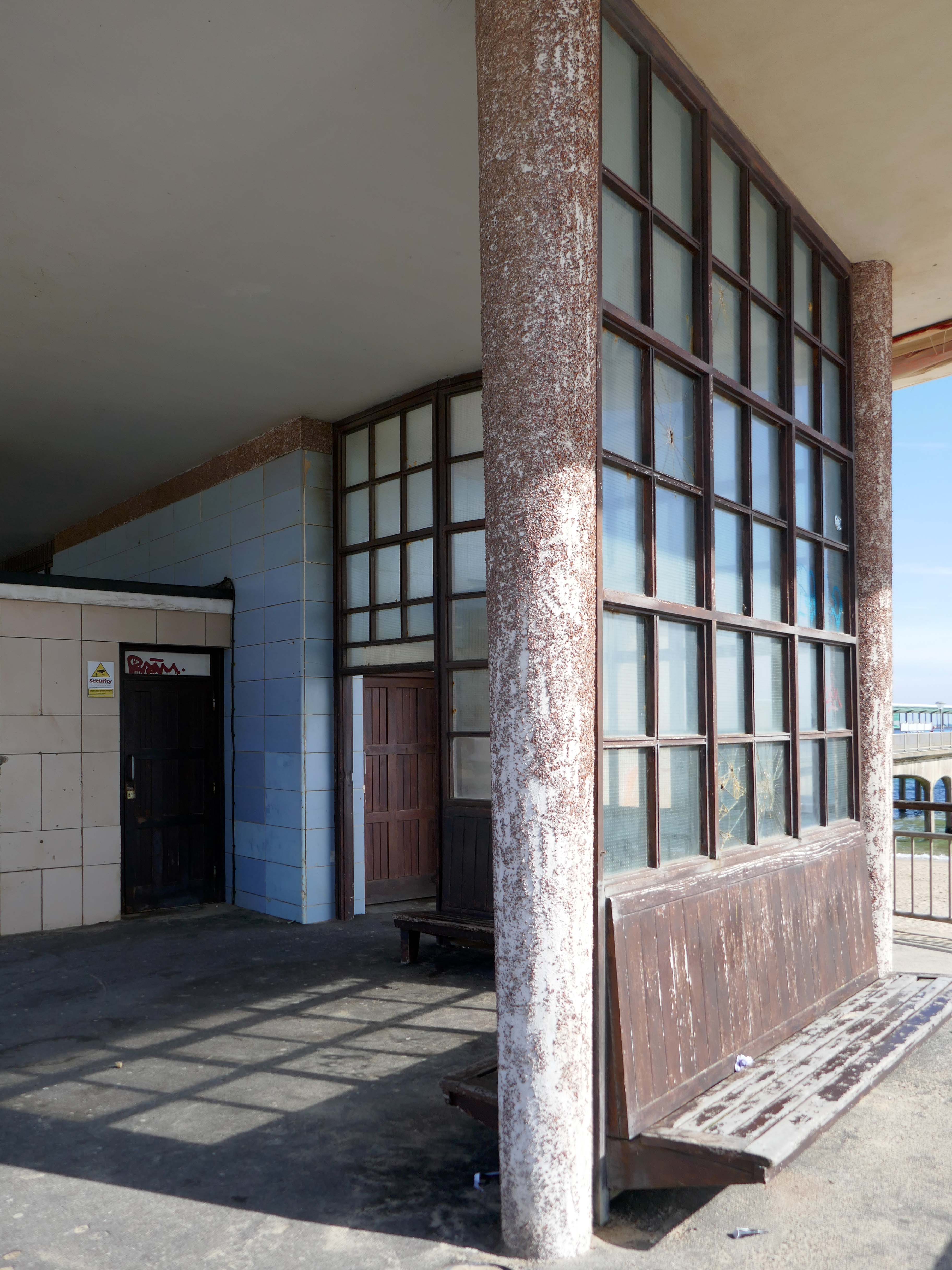
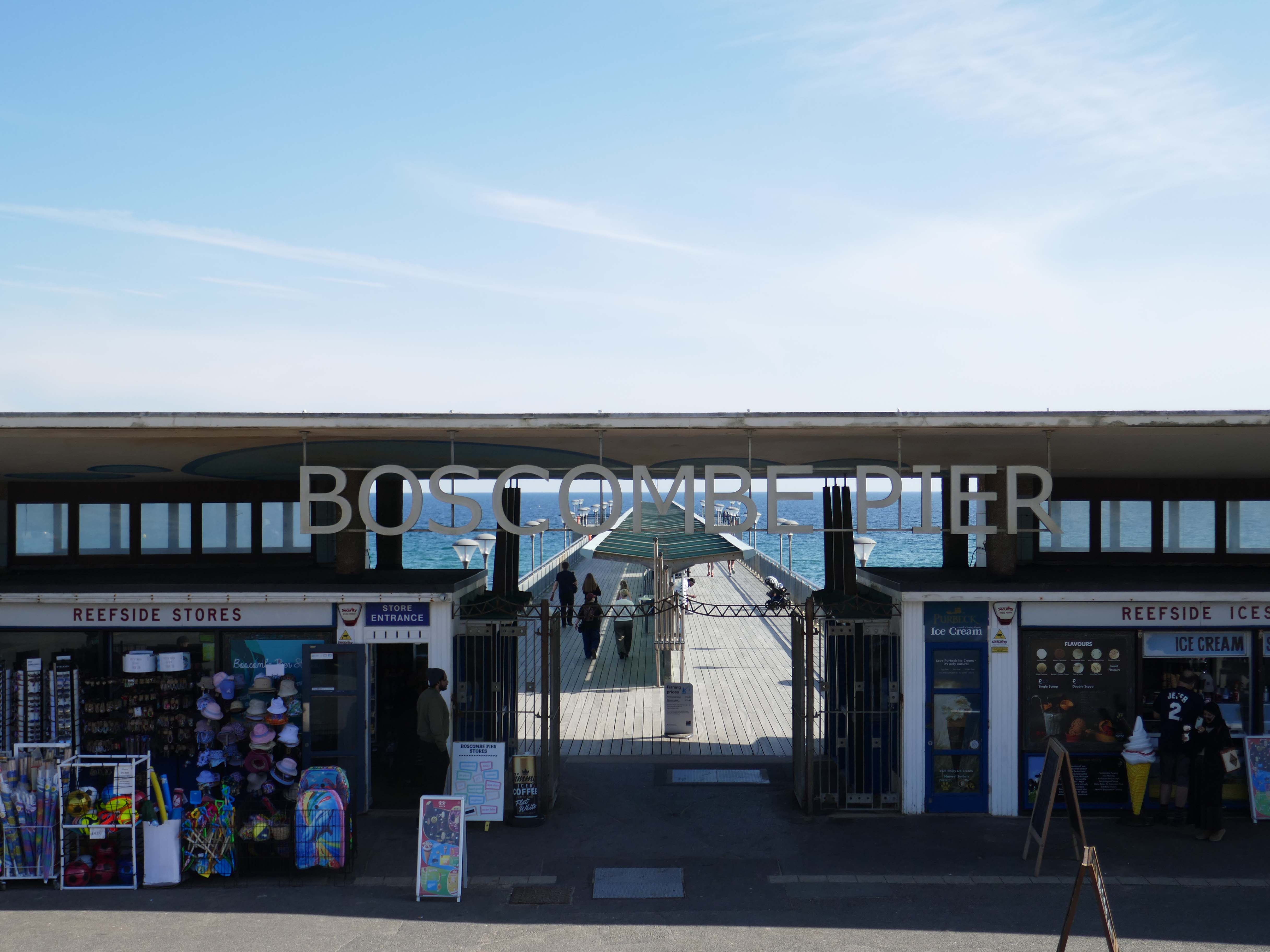
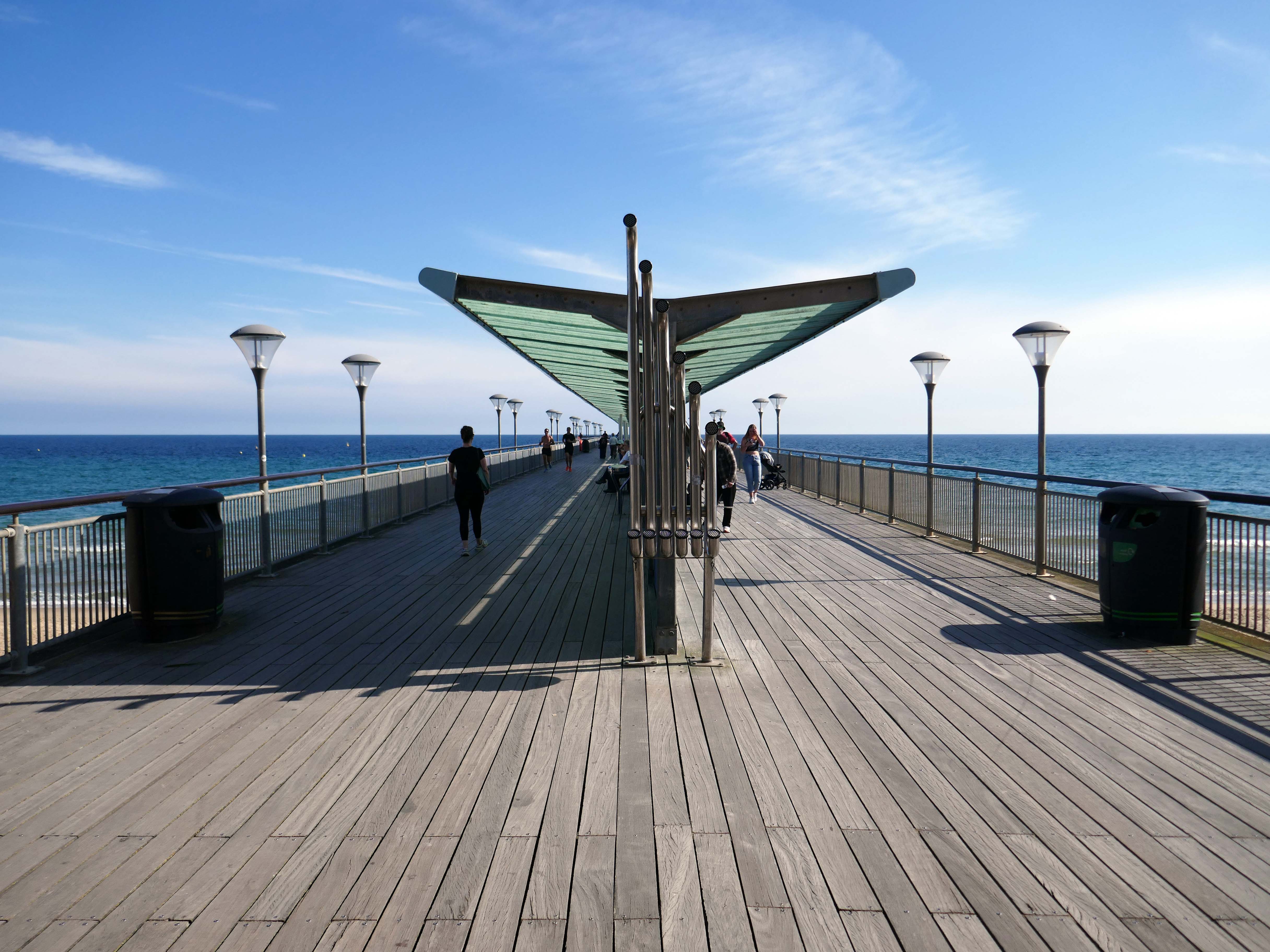
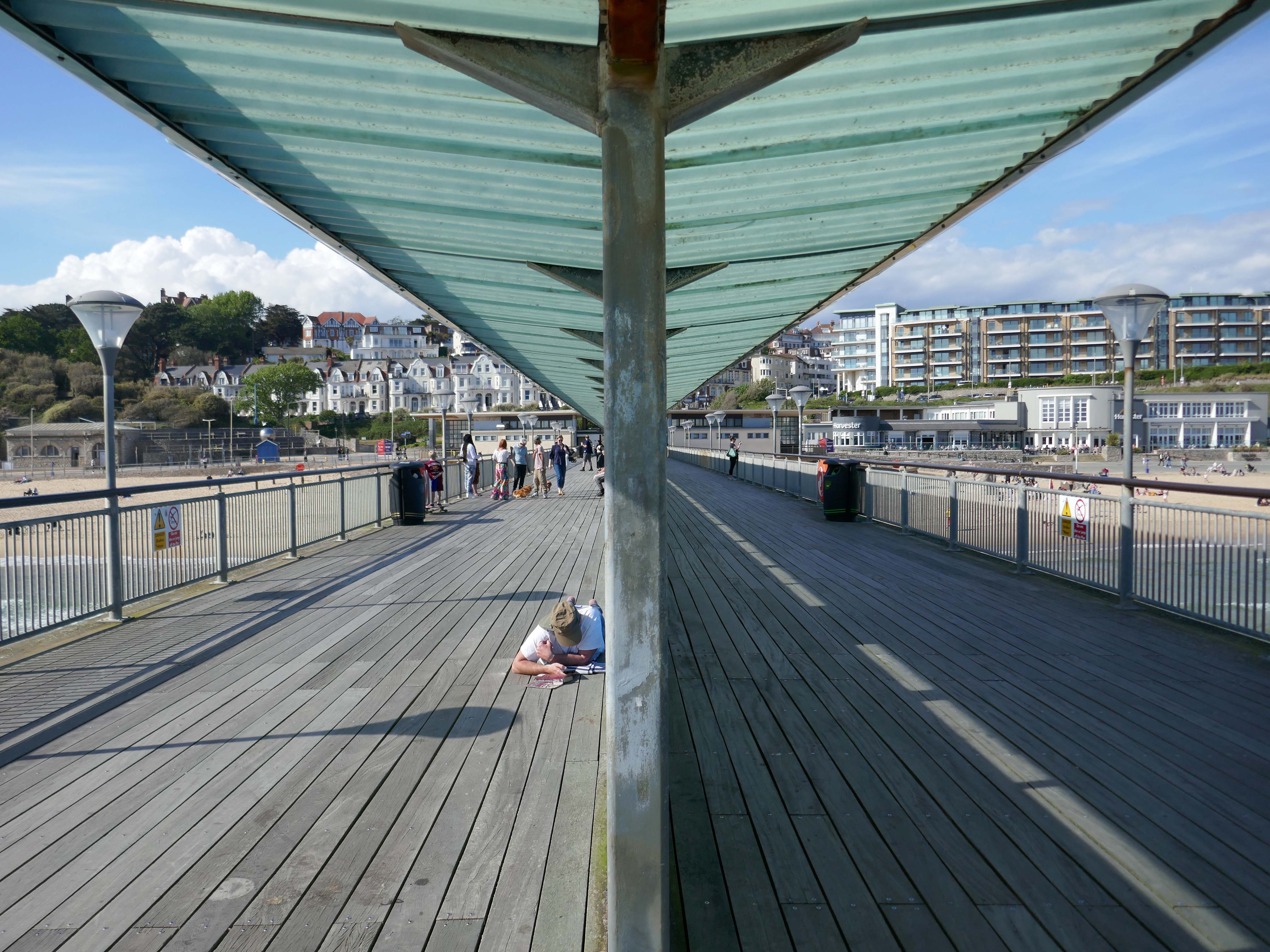
The Boscombe Pier Company was formed in 1886 and the first pile was laid on 11th October 1888. Designed by Archibald Smith, the 600 foot pier opened on 28th July 1889.
The local council took over the pier in 1904 and erected buildings at the entrance and on the pier-head. Facilities included a busy steamer landing stage.
In 1924/5 and 1927, the head was renewed in high alumina concrete. Between 1958 and 1960, the neck was reconstructed using reinforced concrete. In 1940, the pier was breached for defence reasons.
Between 1958 and 1960, the neck was reconstructed using reinforced concrete.
A restaurant and the Mermaid Theatre were built at the pier-head in 1961 although the ‘Theatre’, in fact, opened as a covered roller-skating rink for its first two seasons. In April 1965, the leaseholder, Cleethorpes Amusements, converted it into an arcade. The council formally took over the Mermaid ‘Theatre’ in 1988 when the lease ended.
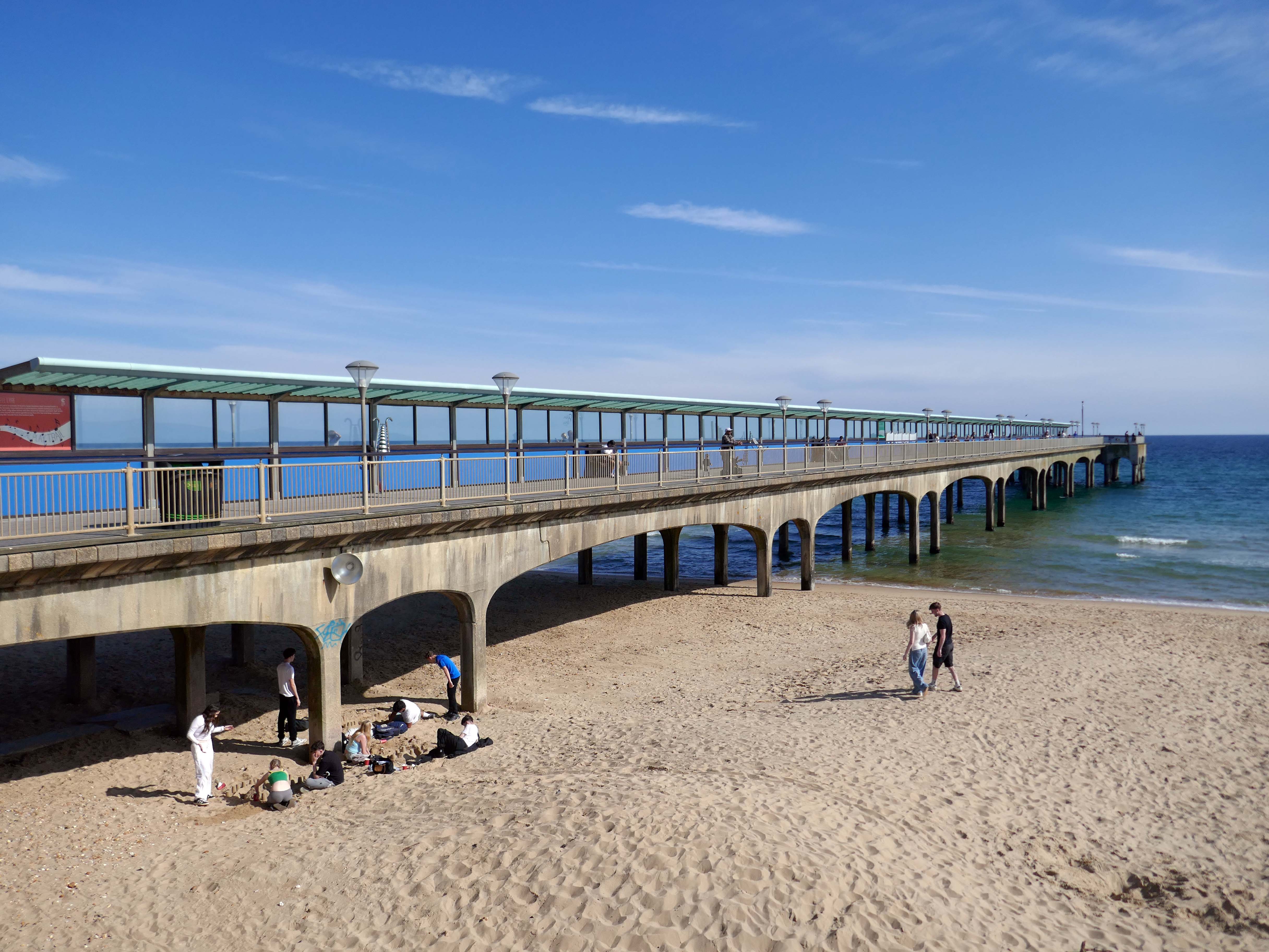
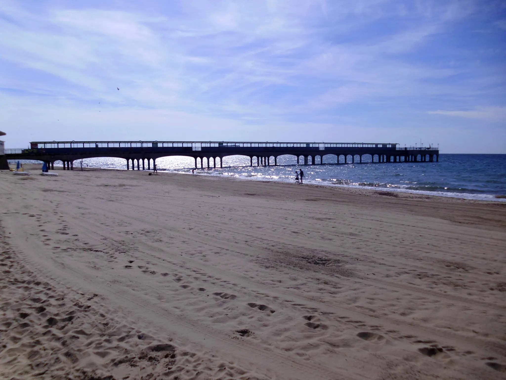
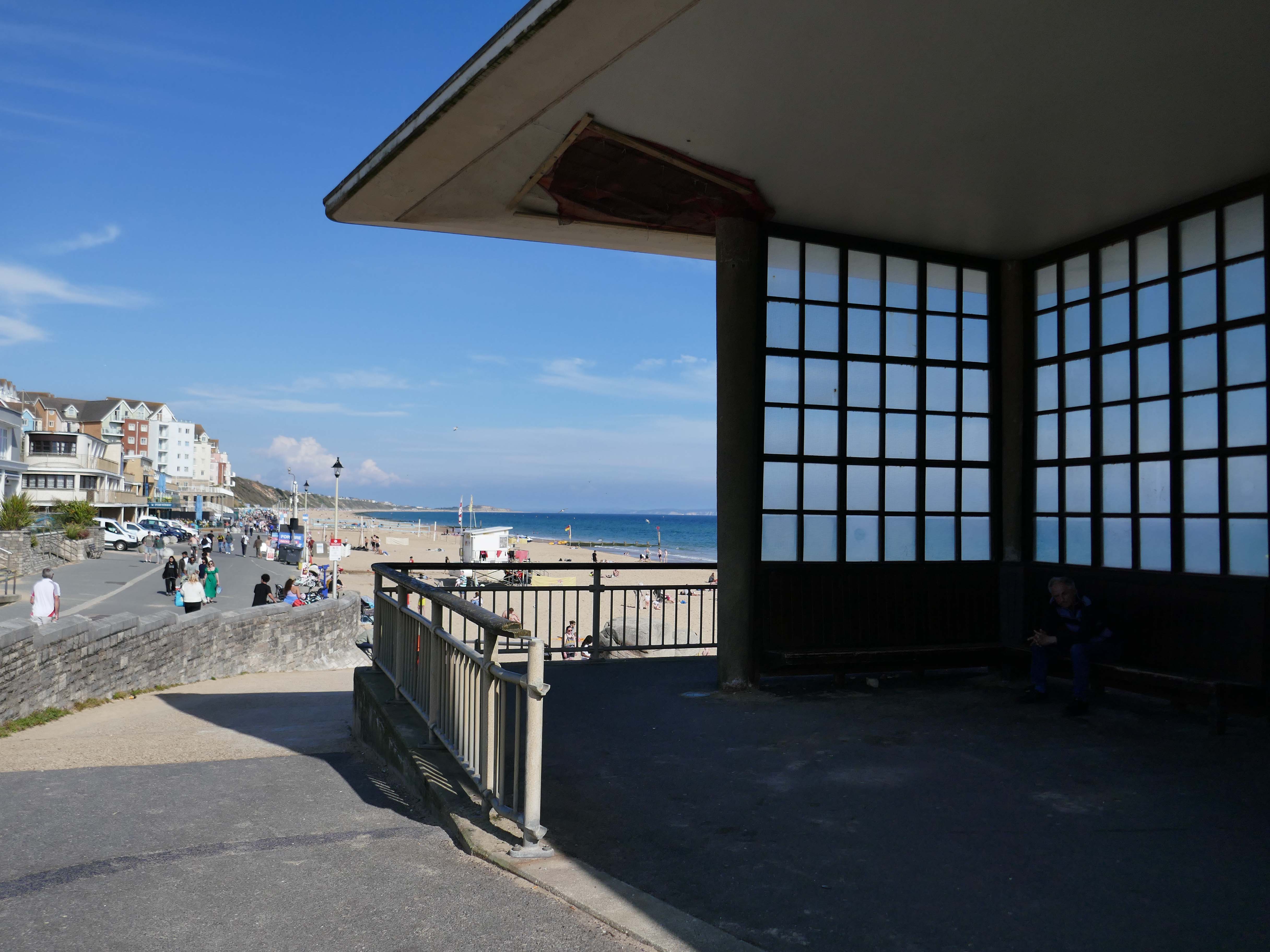
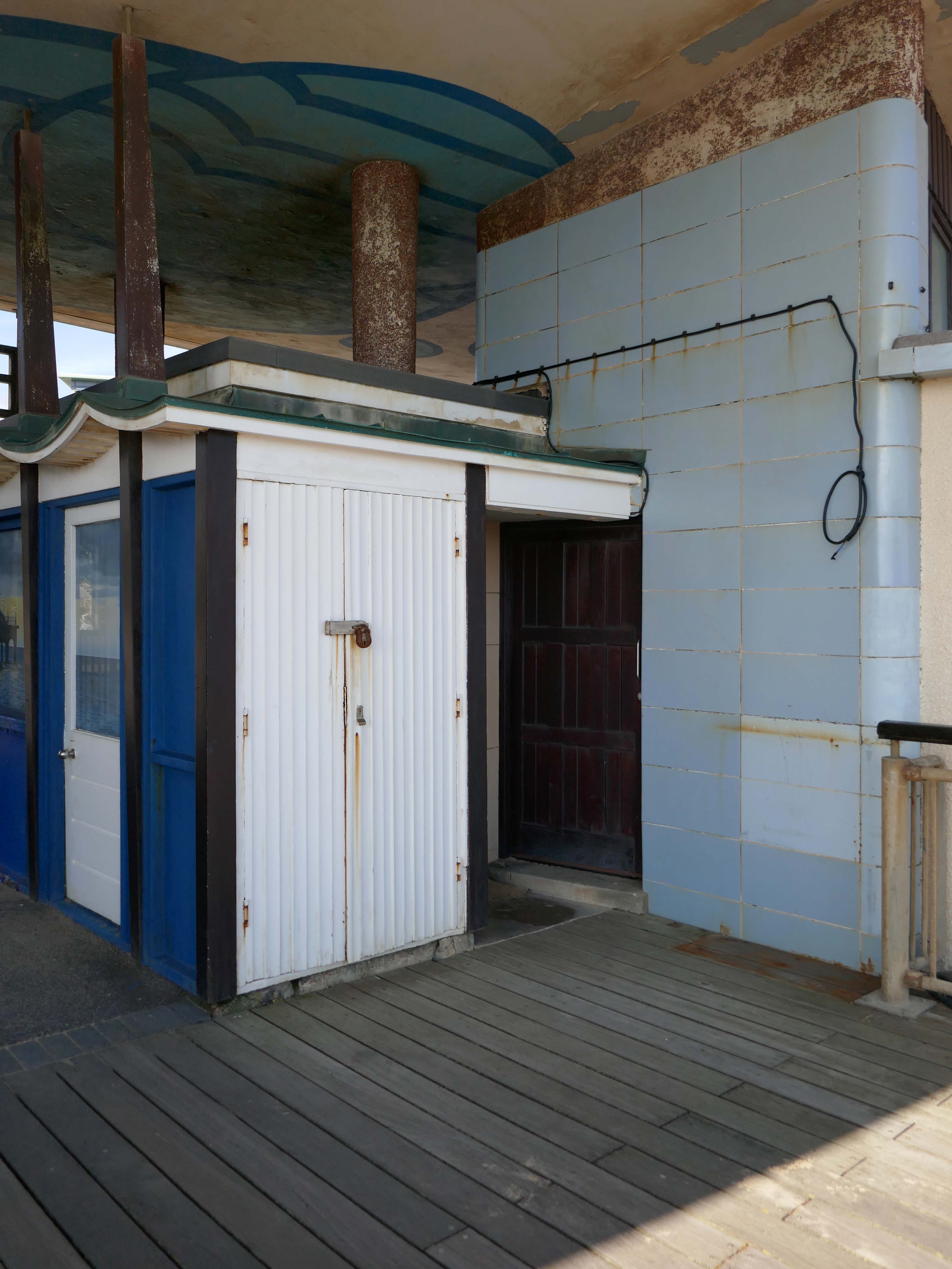
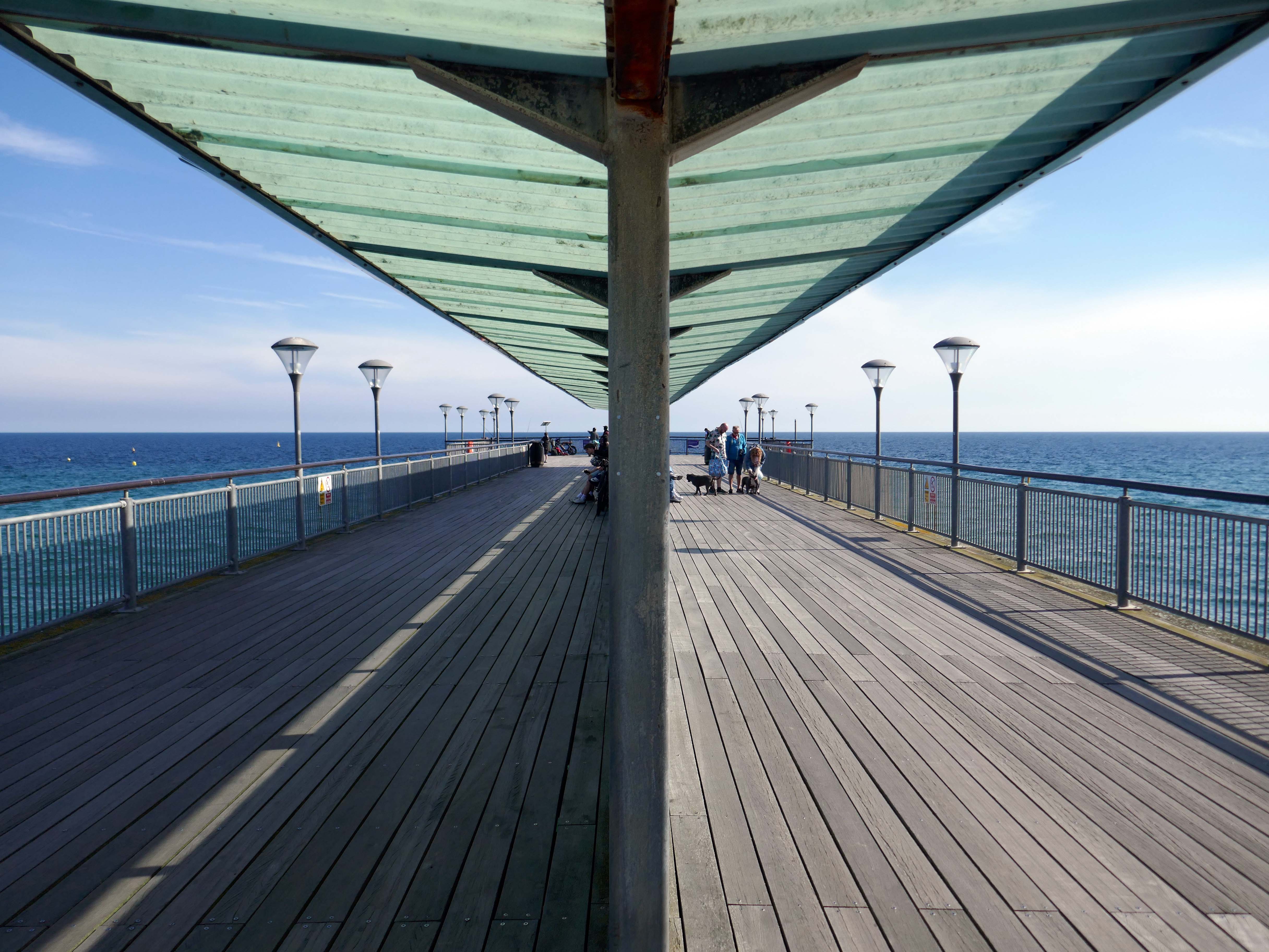
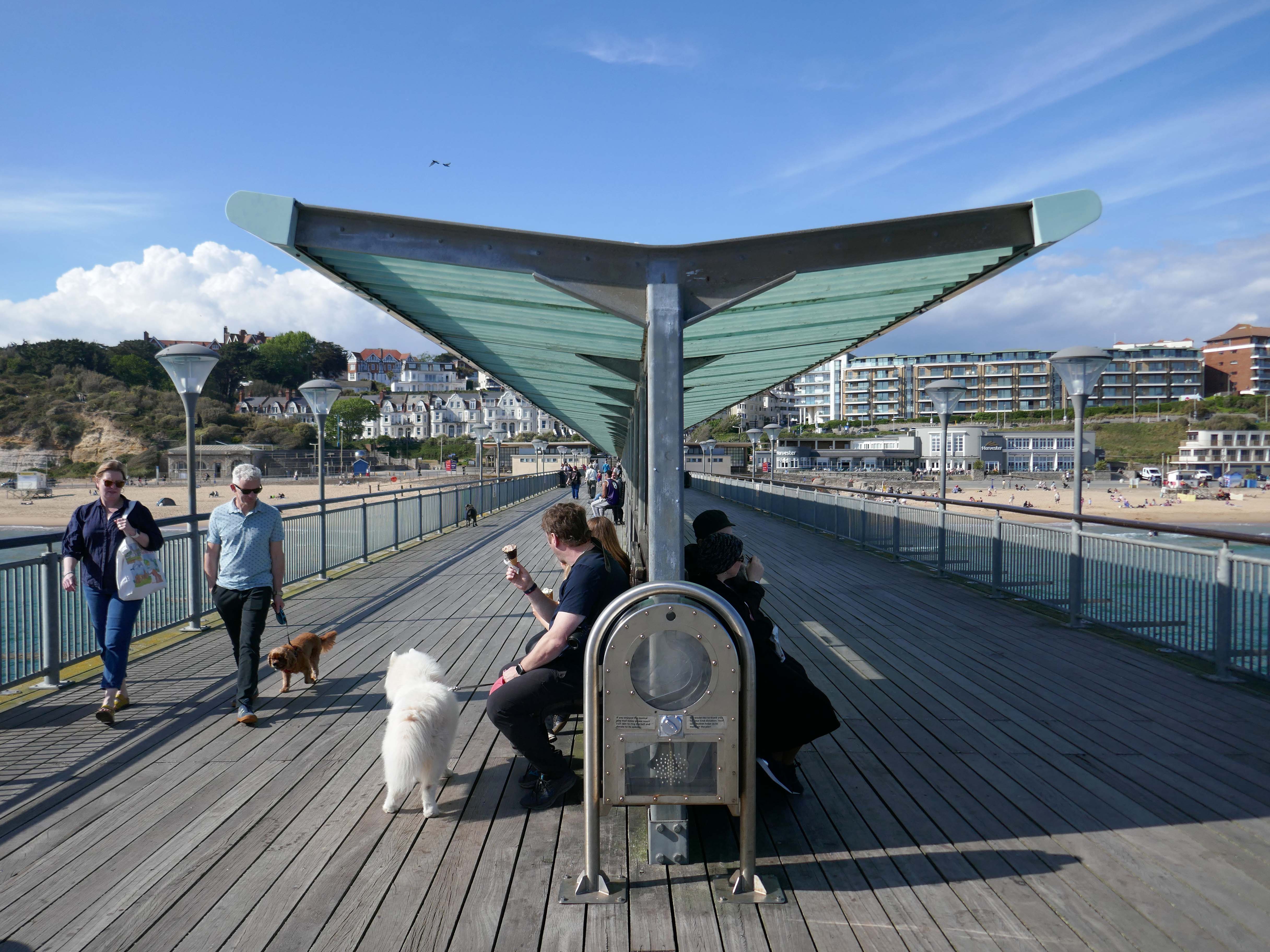
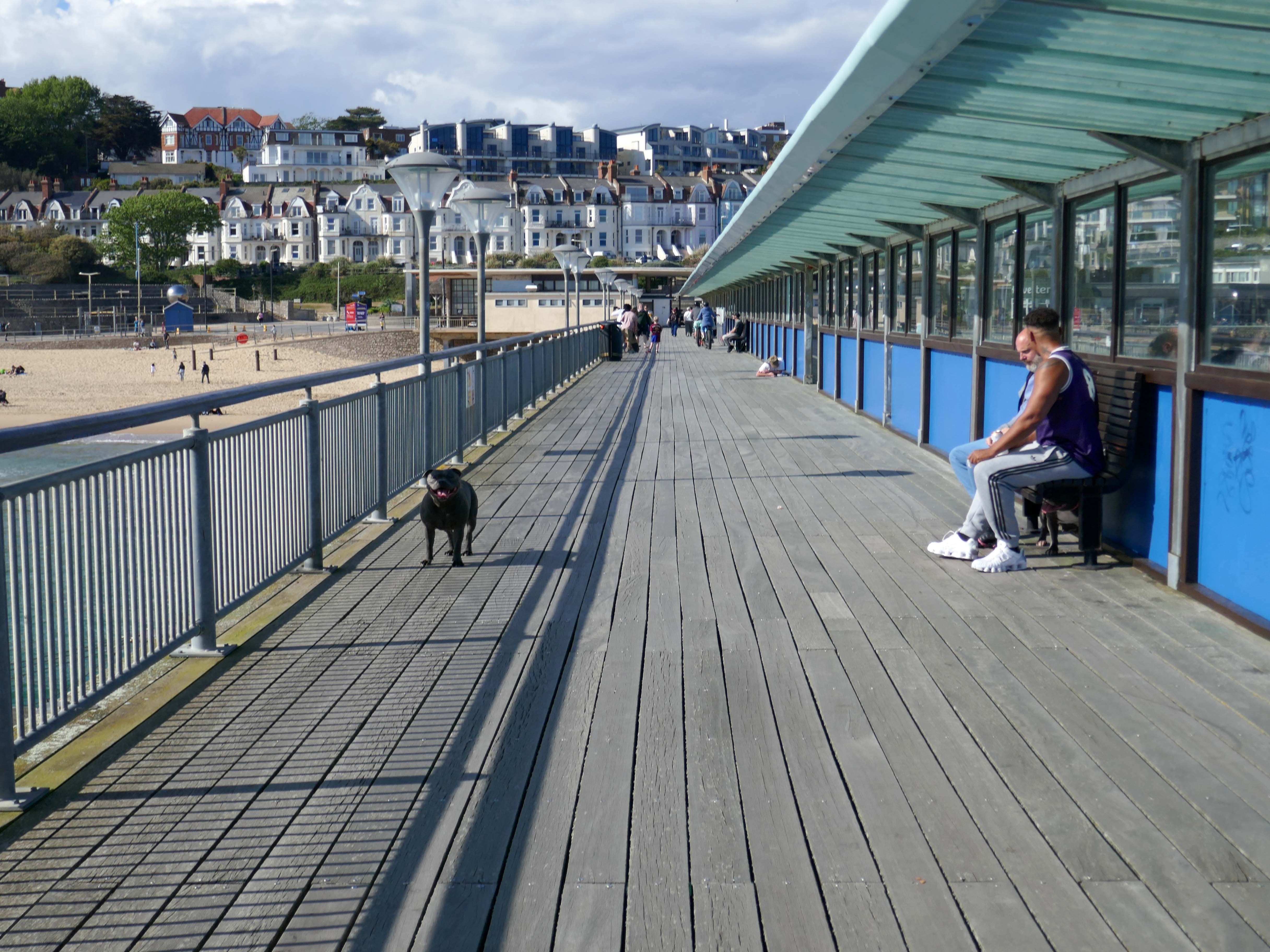
In 2008, the area around Boscombe pier underwent extensive renovation. The derelict and unsafe building at the end of the pier was demolished, and replaced by a simple viewing and fishing platform. The rest of the pier was also restored.
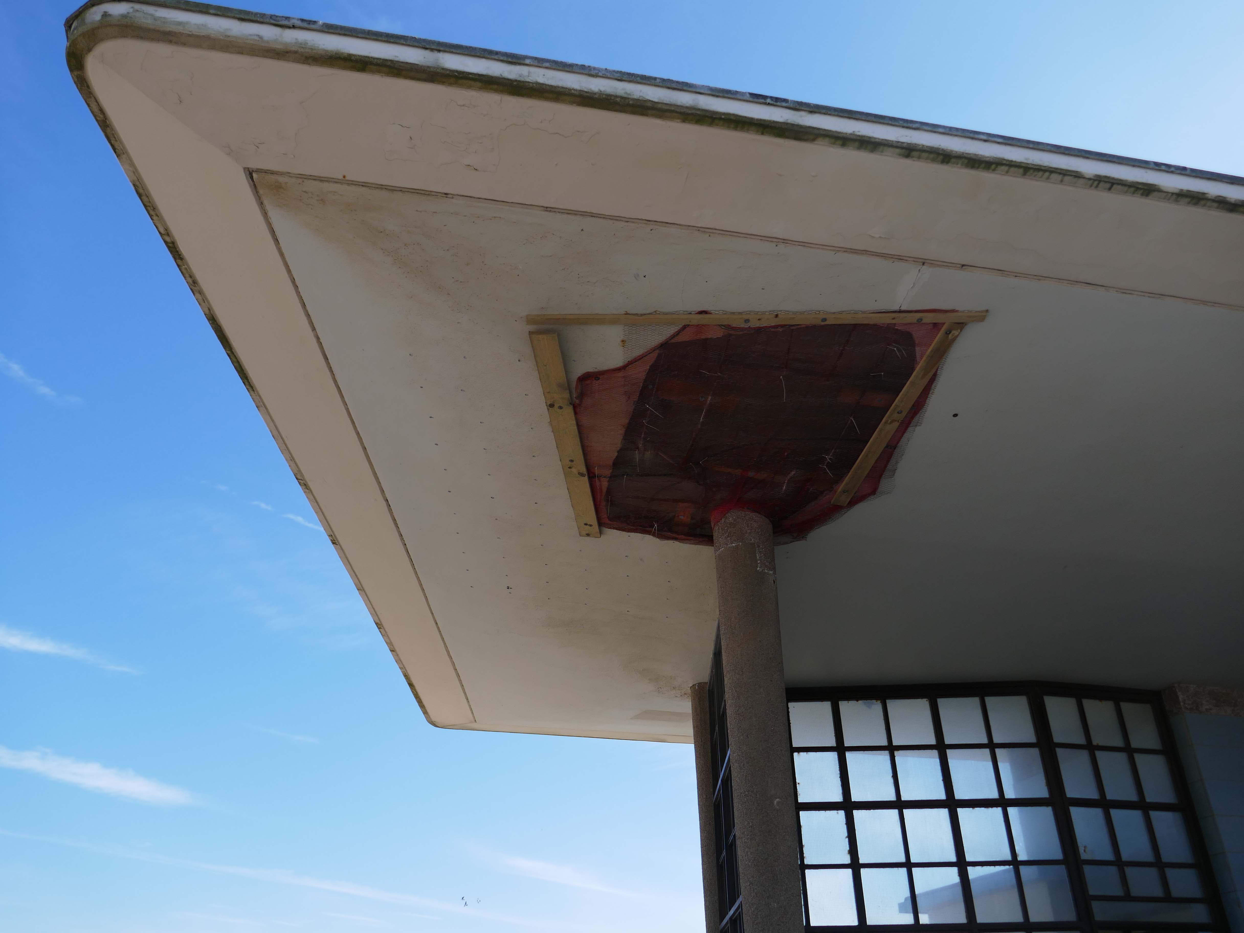
However, the neck building is a design of great verve and vivacity that well demonstrates the revitalisation of the British seaside resort in the 1950s. The contemporary style associated with Frank Lloyd Wright’s Usonian houses and made popular with Californian homes in the 1940s was well suited to the requirements of an architecture that combined ‘sun and fun’. The contemporary style made a feature of expressing different elements or planes of a composition with different materials, and here the combination is honest and each element well detailed. The sweep of the cantilevered, boomerang-shaped roof is a particularly joyous feature. It is a building that would have been despised as being exactly of its date until recently; now it is a building that can be celebrated for that very reason, and a rare example of pier architecture from these years.
Open seven days a week from 9am to 11pm – may be subject to change due to weather conditions.
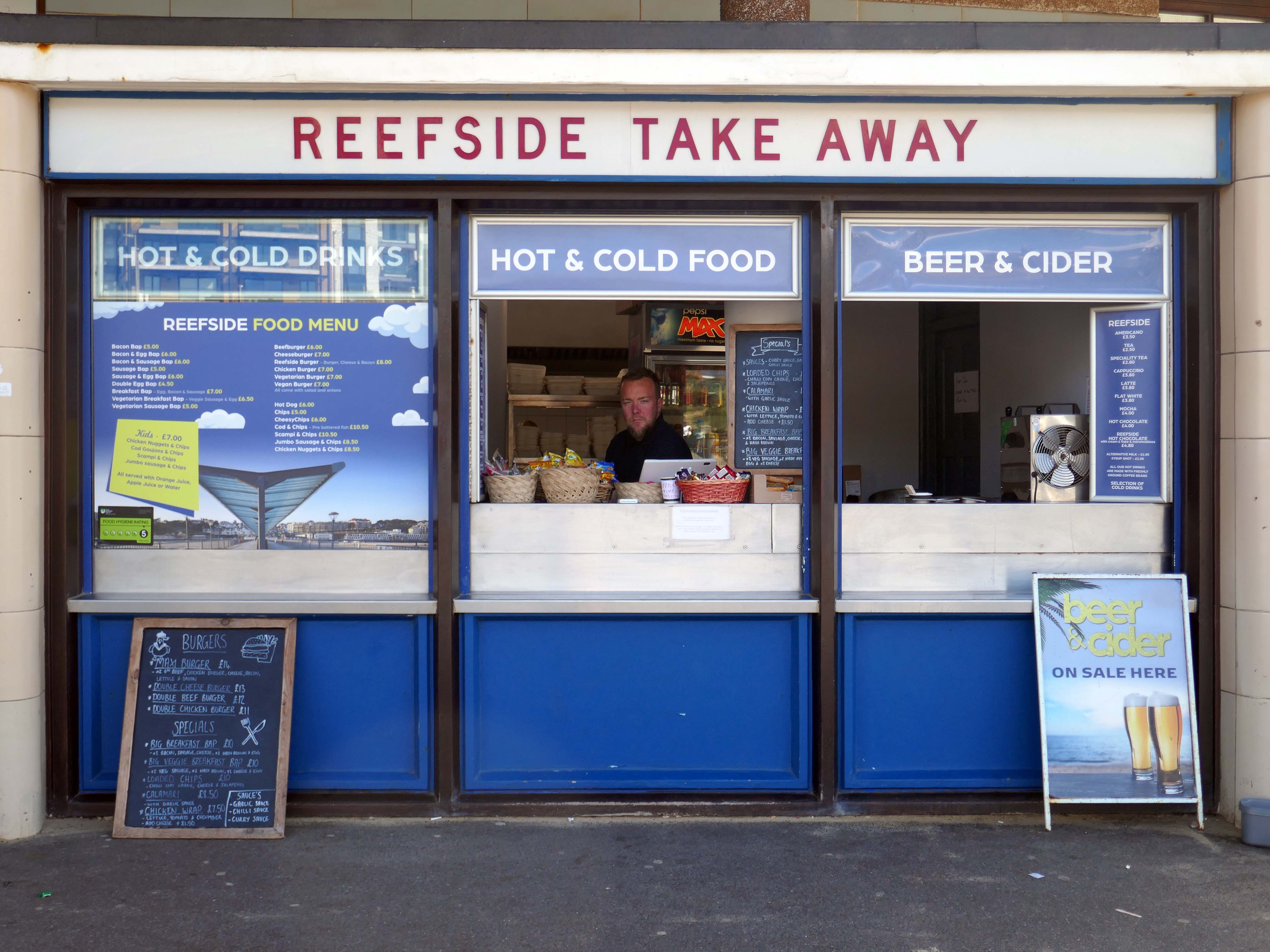
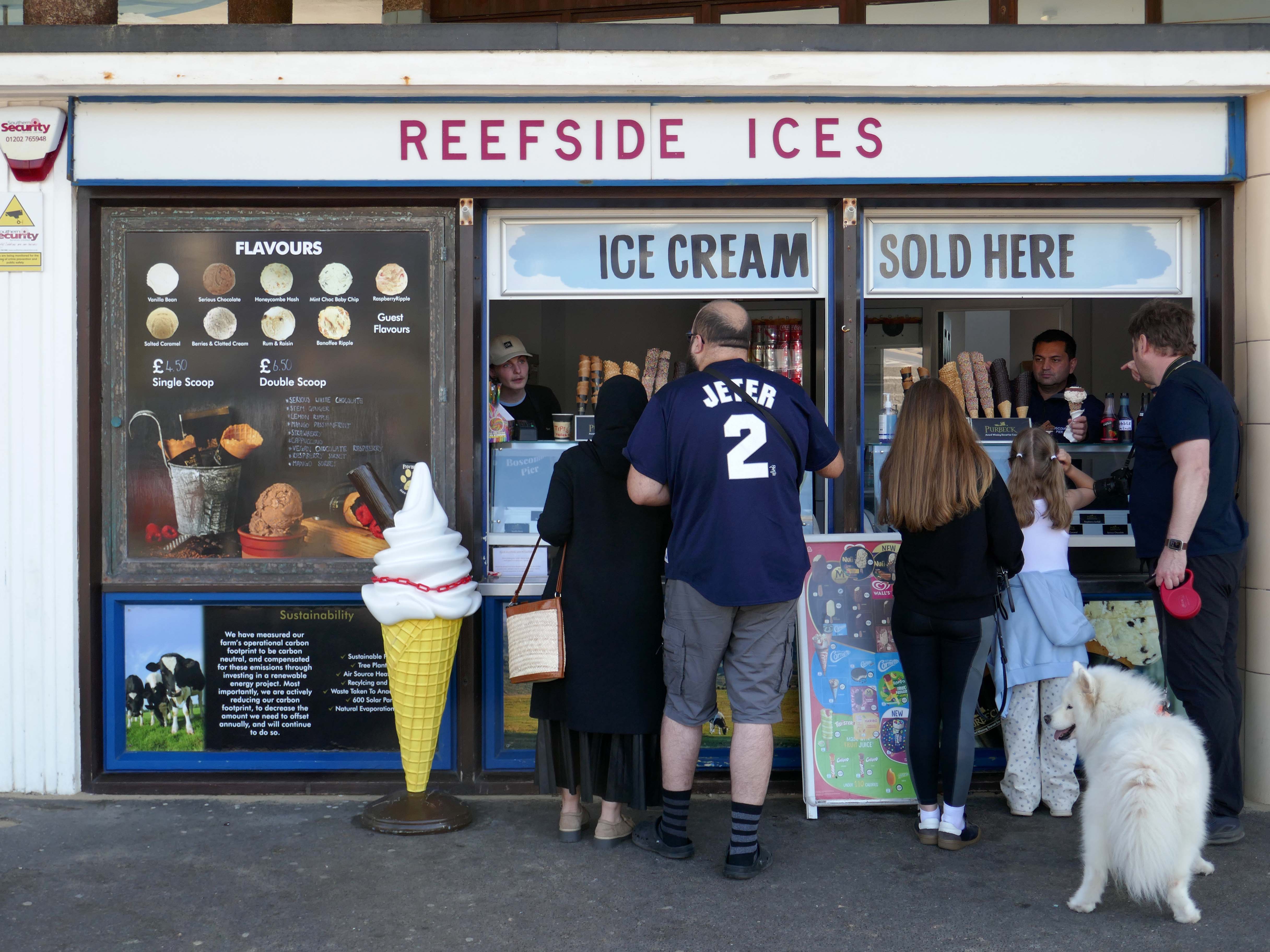
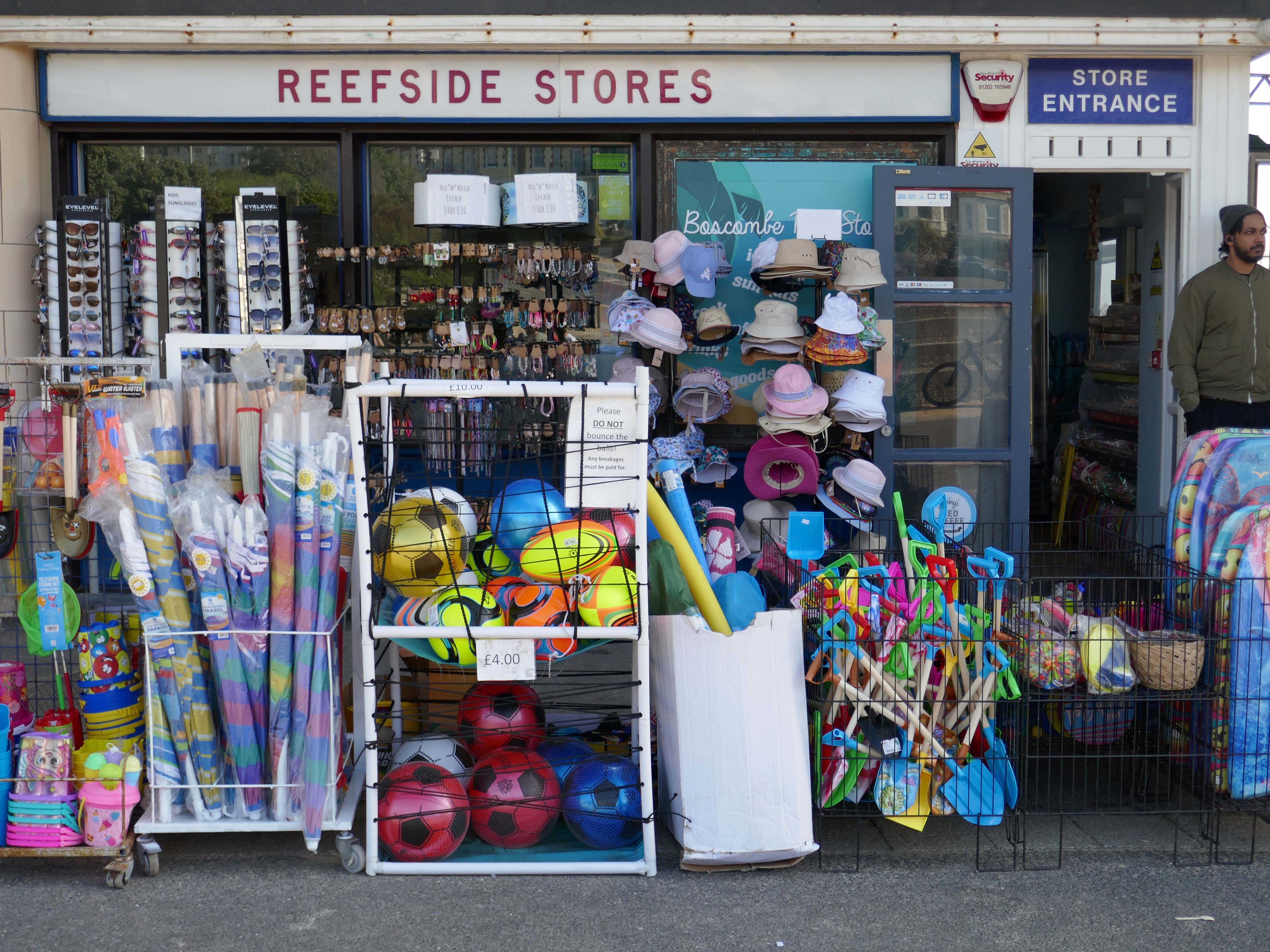
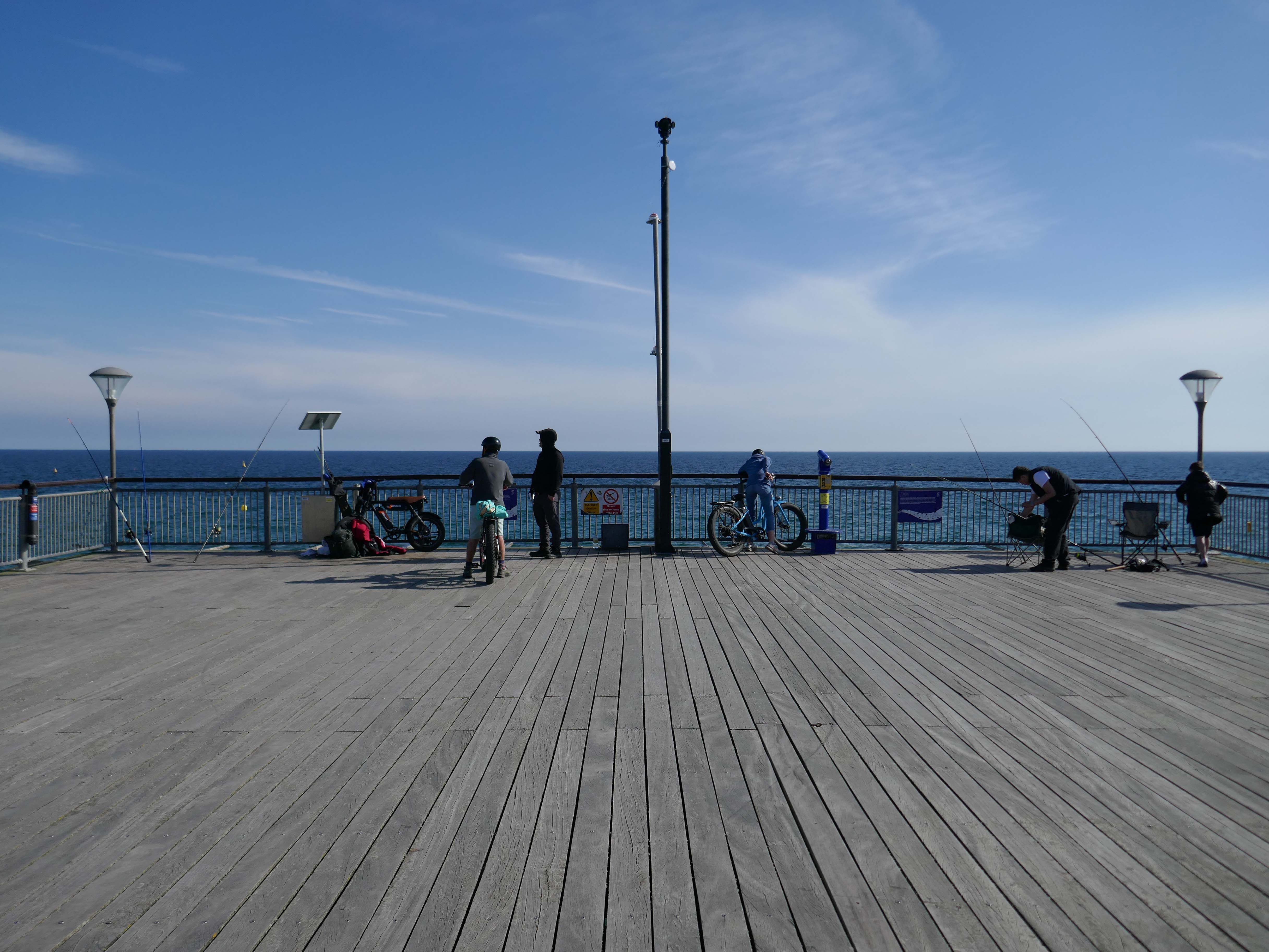
Inside the Grade II listed building at the pier’s entrance, you’ll find a café, takeaway and a beach shop. Outside you can have a go on the bouldering walls and the slackline.
There’s no charge to go on Boscombe Pier, there’s also a viewing platform at the end of the pier.
The resident, who does not wish to be named, was walking along the seafront from Southbourne to Boscombe Pier on Thursday, March 17, at around 10.30am when he noticed strange objects in the sky.
He told the Echo:
“I noticed in the sky three bright, what looked like orange, lights approaching me head on from the west to the east quite low down. I thought they might be aircraft landing lights which seemed strange as it was blue sky and a sunny day.
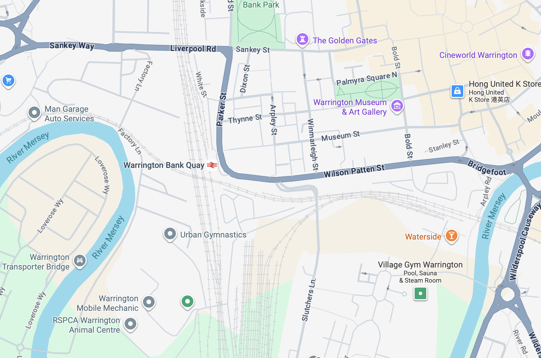
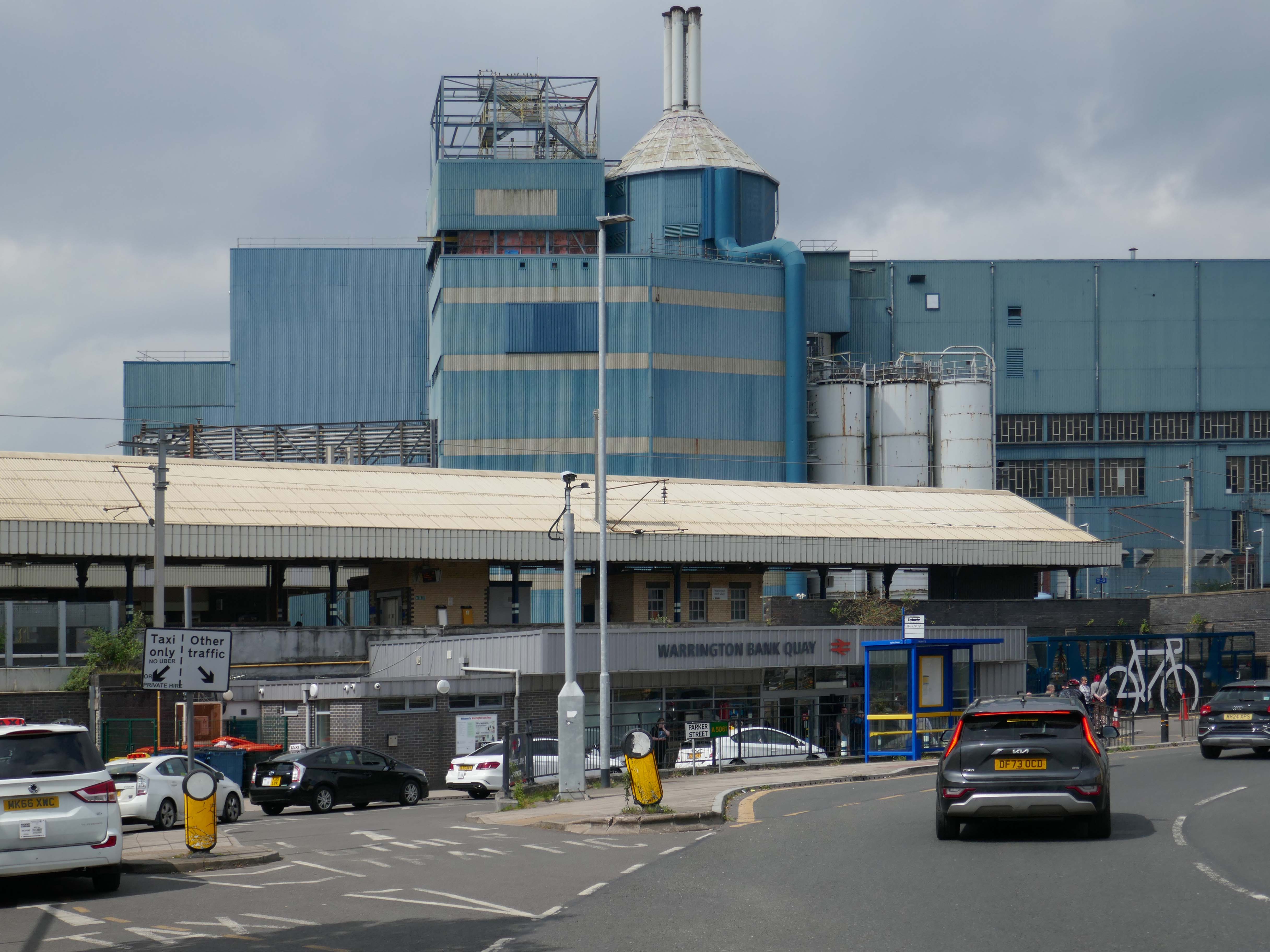
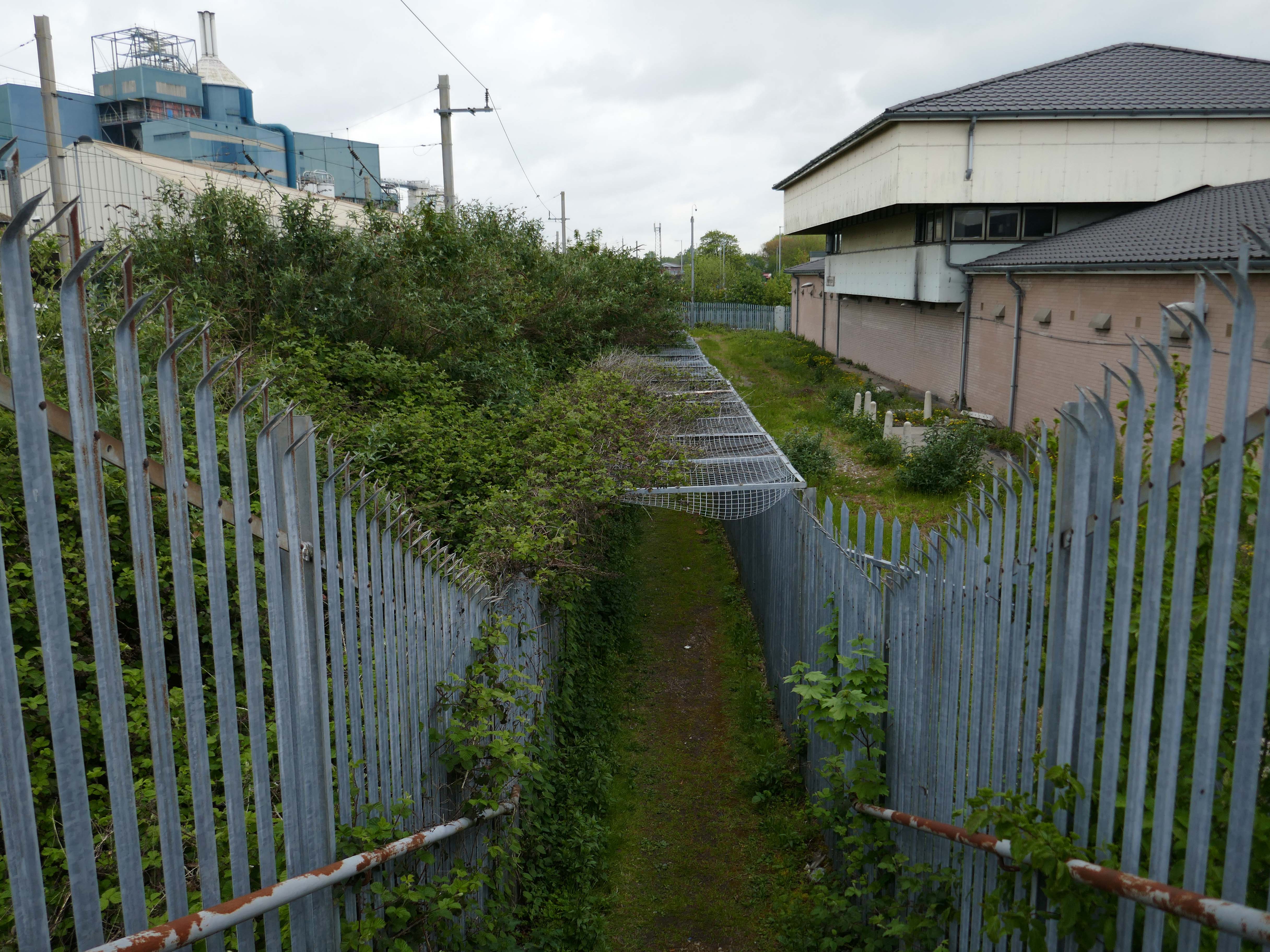
It’s a sunny day in May and we begin at Warrington Bank Quay station.
The first Warrington Bank Quay station opened on 4 July 1837.
The station was rebuilt when the line was electrified in 1973, a new power signal box covering an extended area was built east of the station for the electrification.
In 2009 a new entrance hall was completed, with a travel centre/ticket office and a shop.
The buffet on the London bound platforms was modernised.
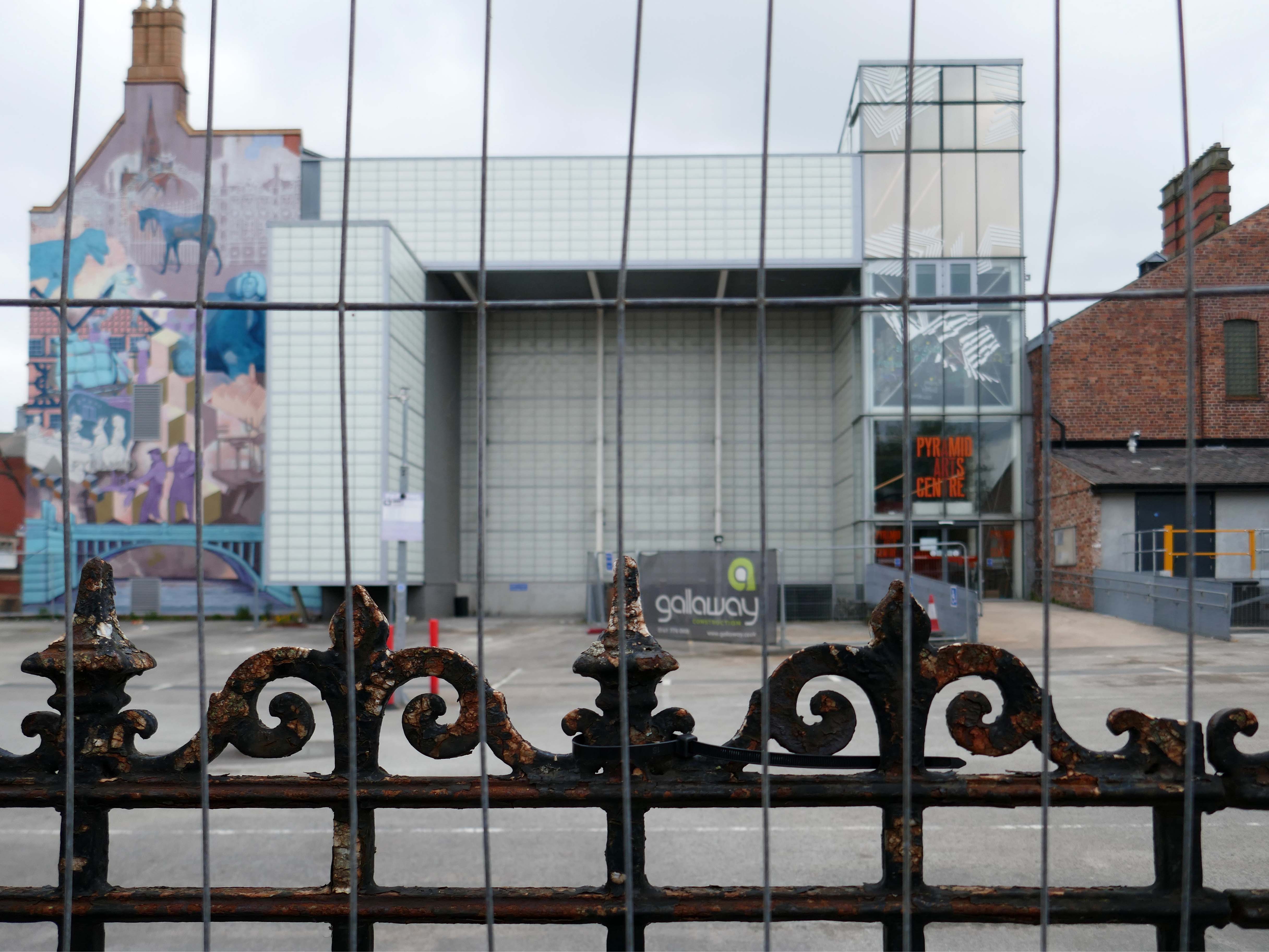
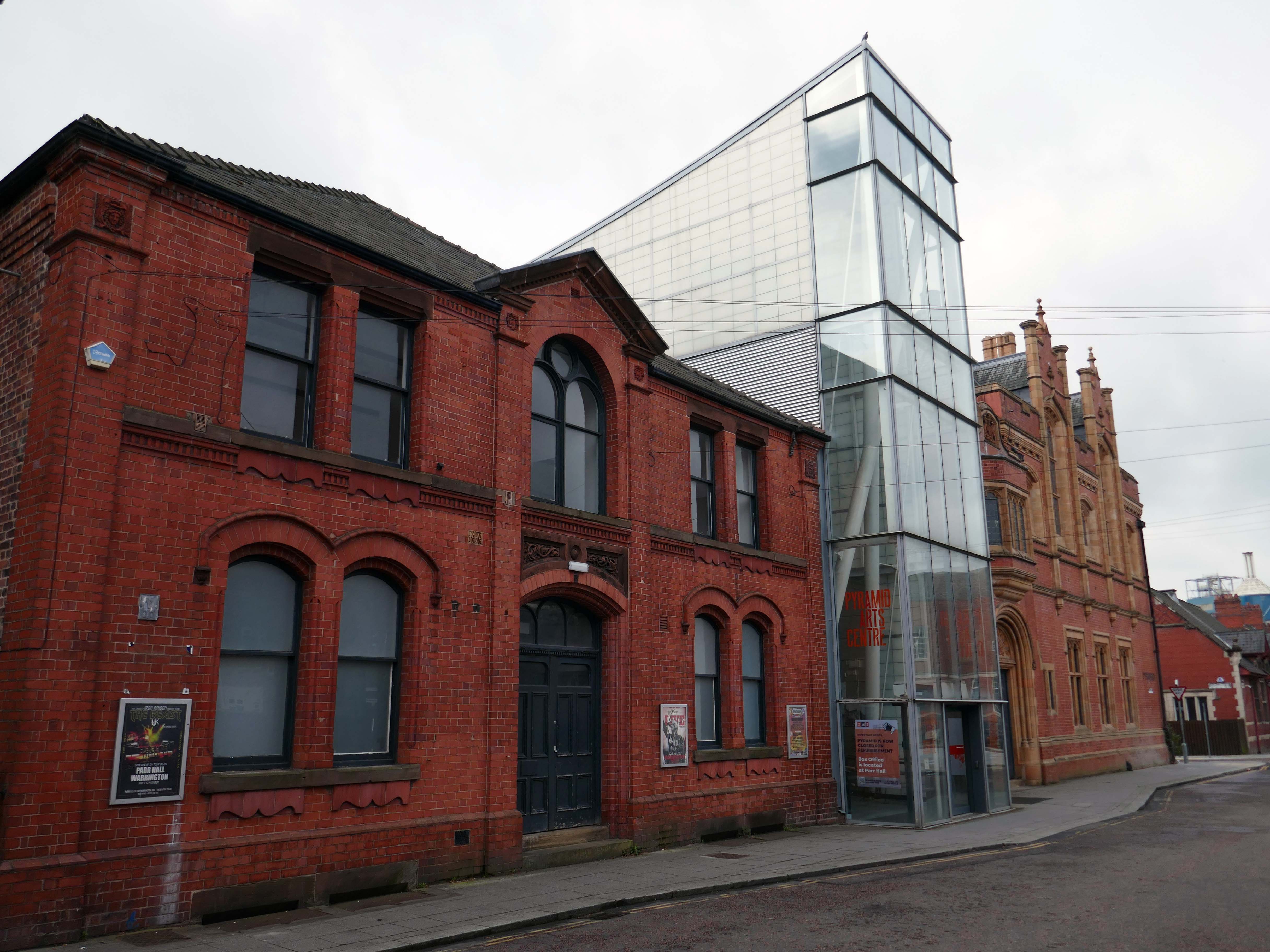
Next onwards to the Pyramid Arts extension 2002, a reworking by Studio BAAD of the former County Court and Inland Revenue Offices 1897-8 by Sir Henry Tanner.
Studio BAAD Ltd started winding up proceedings for a Creditors Voluntary Liquidation in April 2021 and the company was dissolved on 21 July 2021
The centre is currently closed – work began on the redevelopment, which has been funded by a £5 million grant from the Government, in July 2024.
The project aims to make the building more modern, accessible and fit for the future.
The redevelopment includes the addition of a new café and bar area while the Exhibition Hall will become a bigger capacity venue.
Across the way the Masonic Hall 1932-33 Albert Warburton.
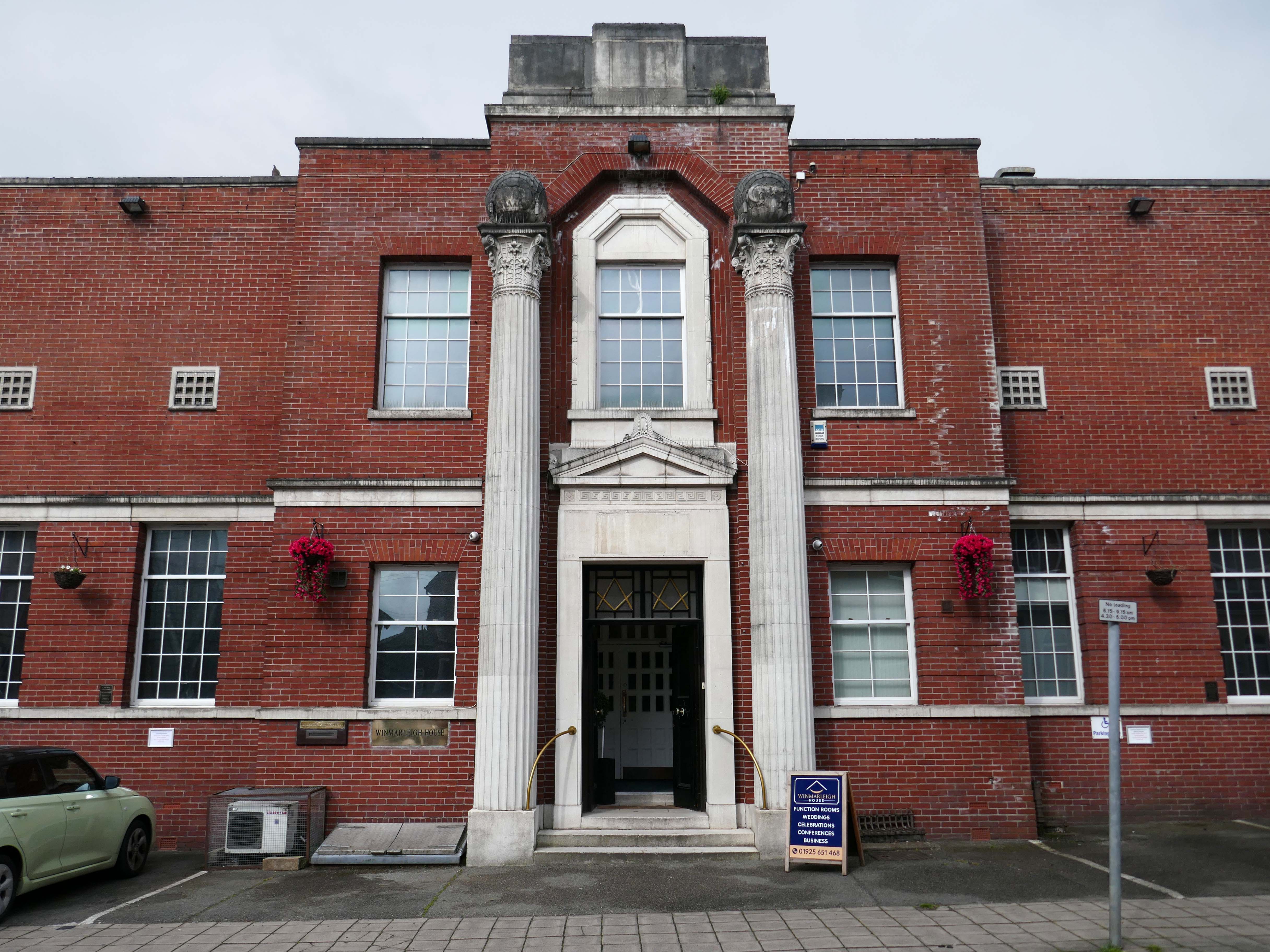
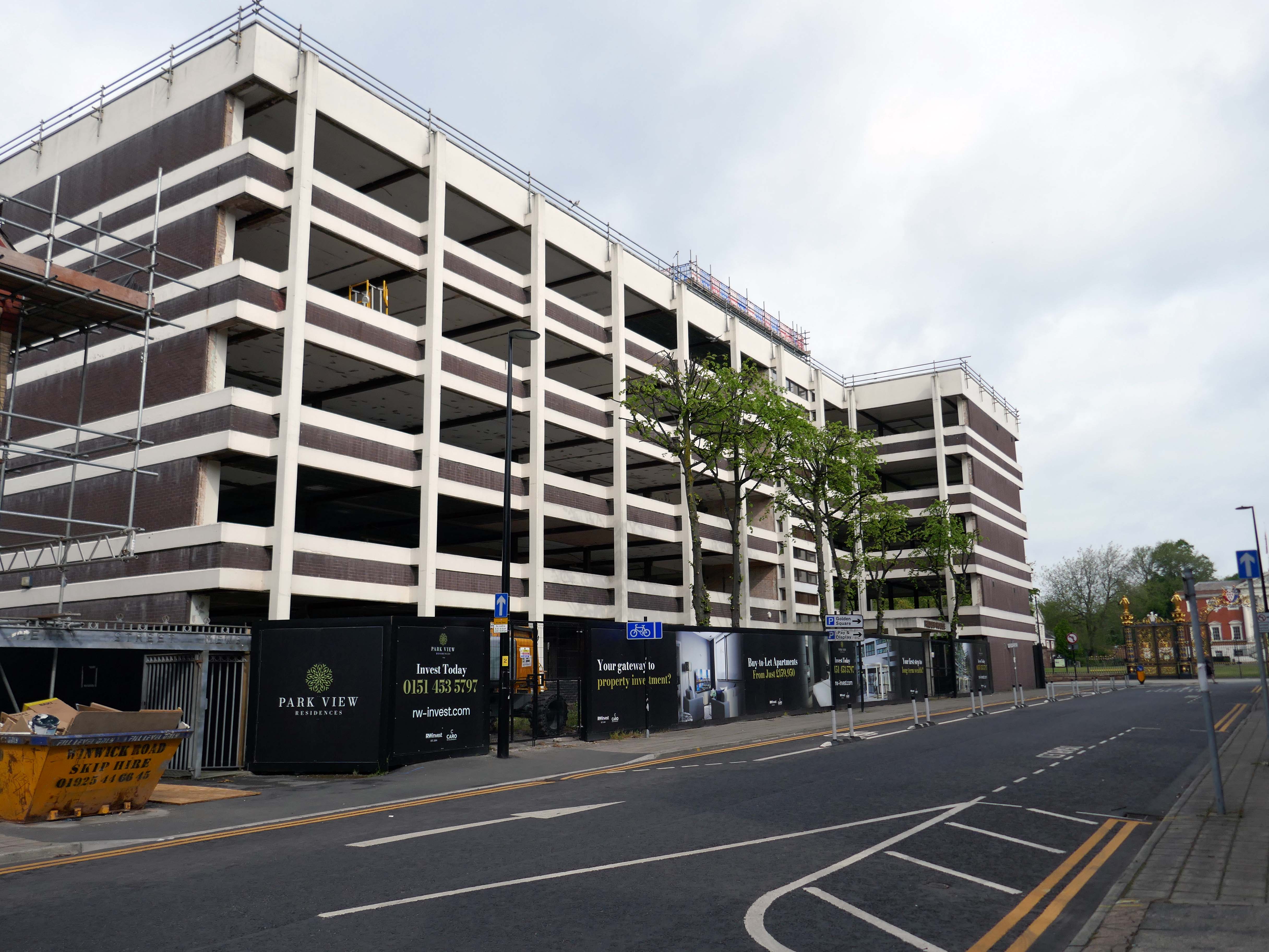
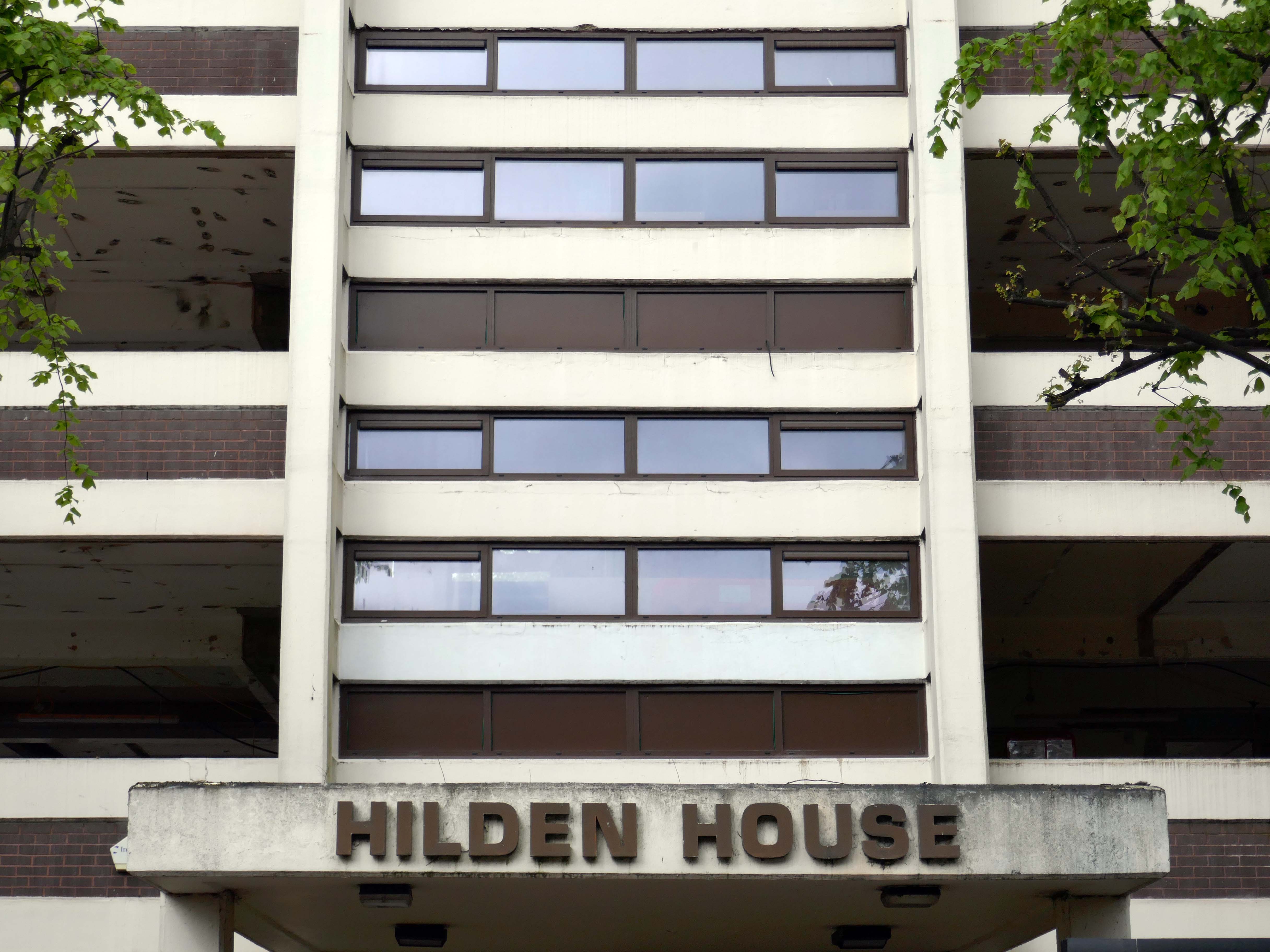
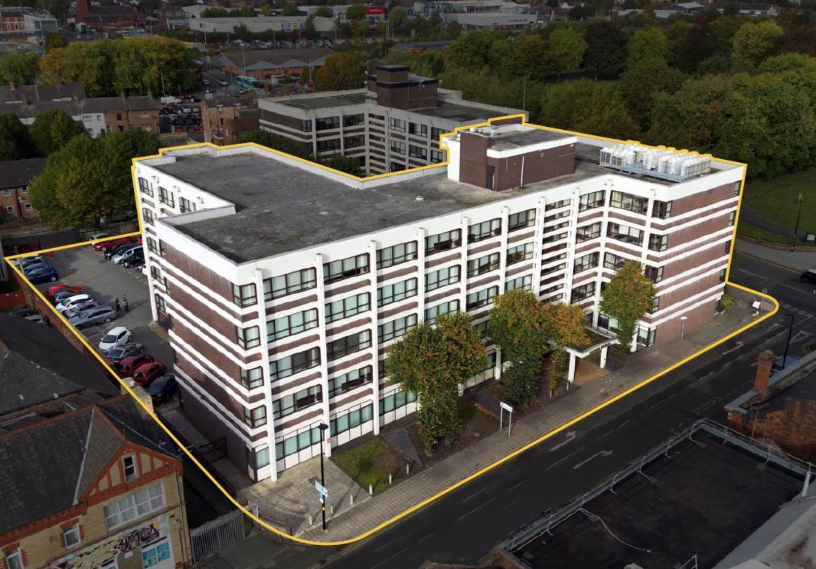
Further along to Hilden House a former Department of Works and Pension building, currently undergoing a transformation into a residential block.
The £18m office to residential reset of the 52,400 sq ft building will offer a mix of one- and two-bedroom apartments in plans now approved by the local authority.
Caro Developments, working in tandem with architectFalconer Chester Hall, hopes to start construction later this year.
According to a planning statement submitted on the developer’s behalf by Savills, once complete, the five-storey block will offer residents a concierge service, a gym and wellness facility, a resident’s lounge, and a co-working area.
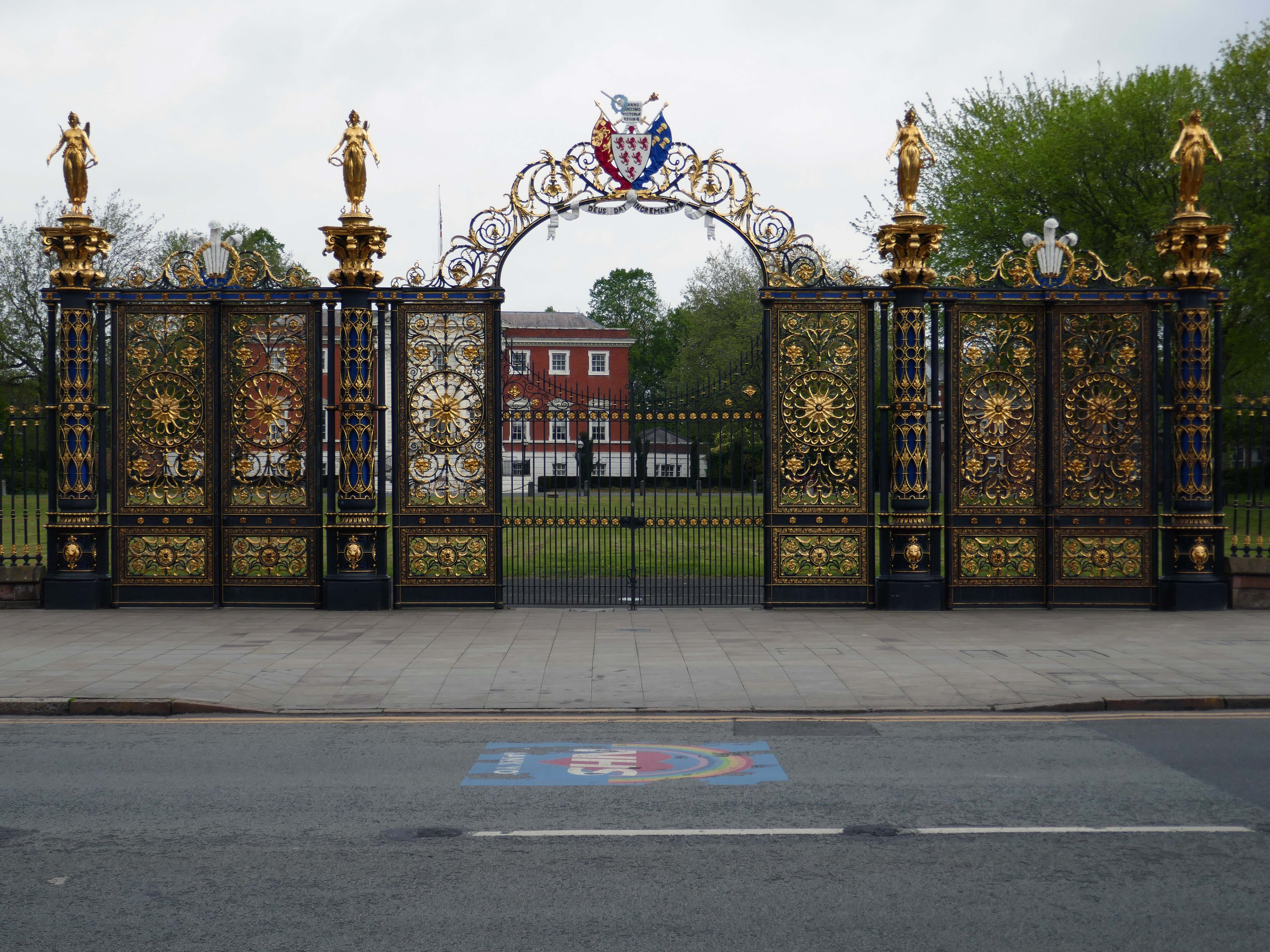
Way out of period but a notable Warrington landmark are the Golden Gates designed in 1862.
The gates were made for the International Exhibition of 1862, and then intended for Queen Victoria’s Sandringham home in Norfolk. Coalbrookdale found it hard to find a buyer for such grand gates, so Frederick Monks, one of the town’s earliest councillors, was able to buy and bring them to Warrington to stand at the front of the town hall lawn. Monks also presented the cast iron Cromwell statue, designed by John Bell, to Warrington in 1899.
The Golden Gates are Grade II* Listed, along with the gate piers and the lamps which line the driveways at either side of the town hall
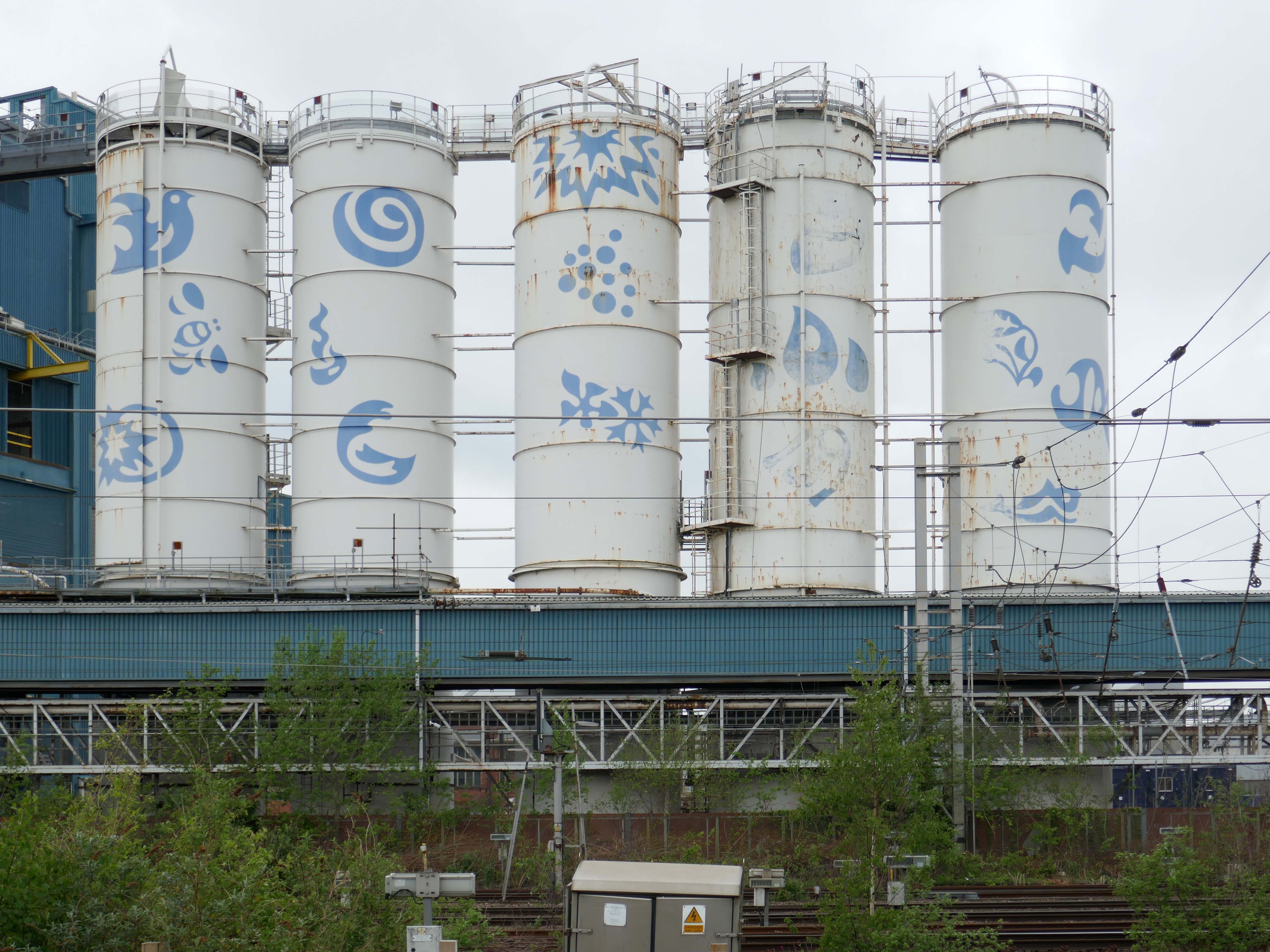
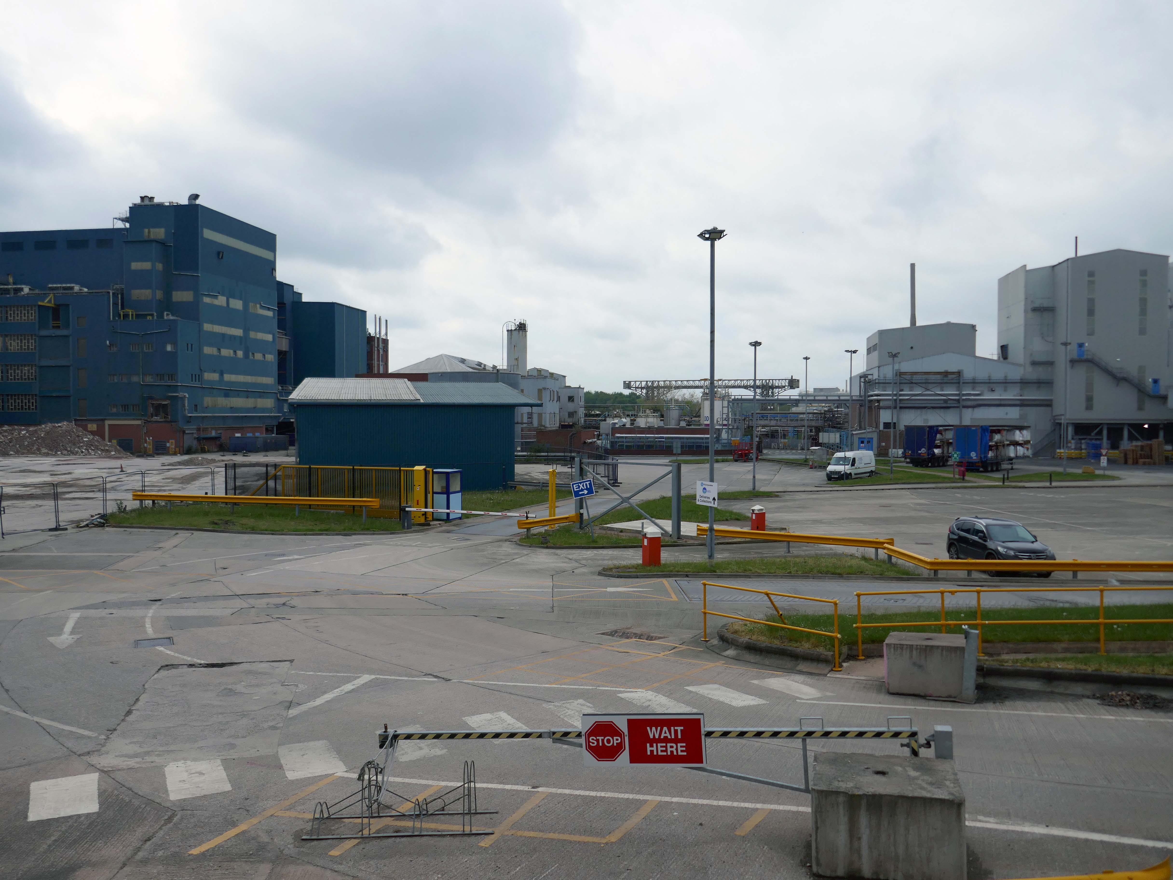
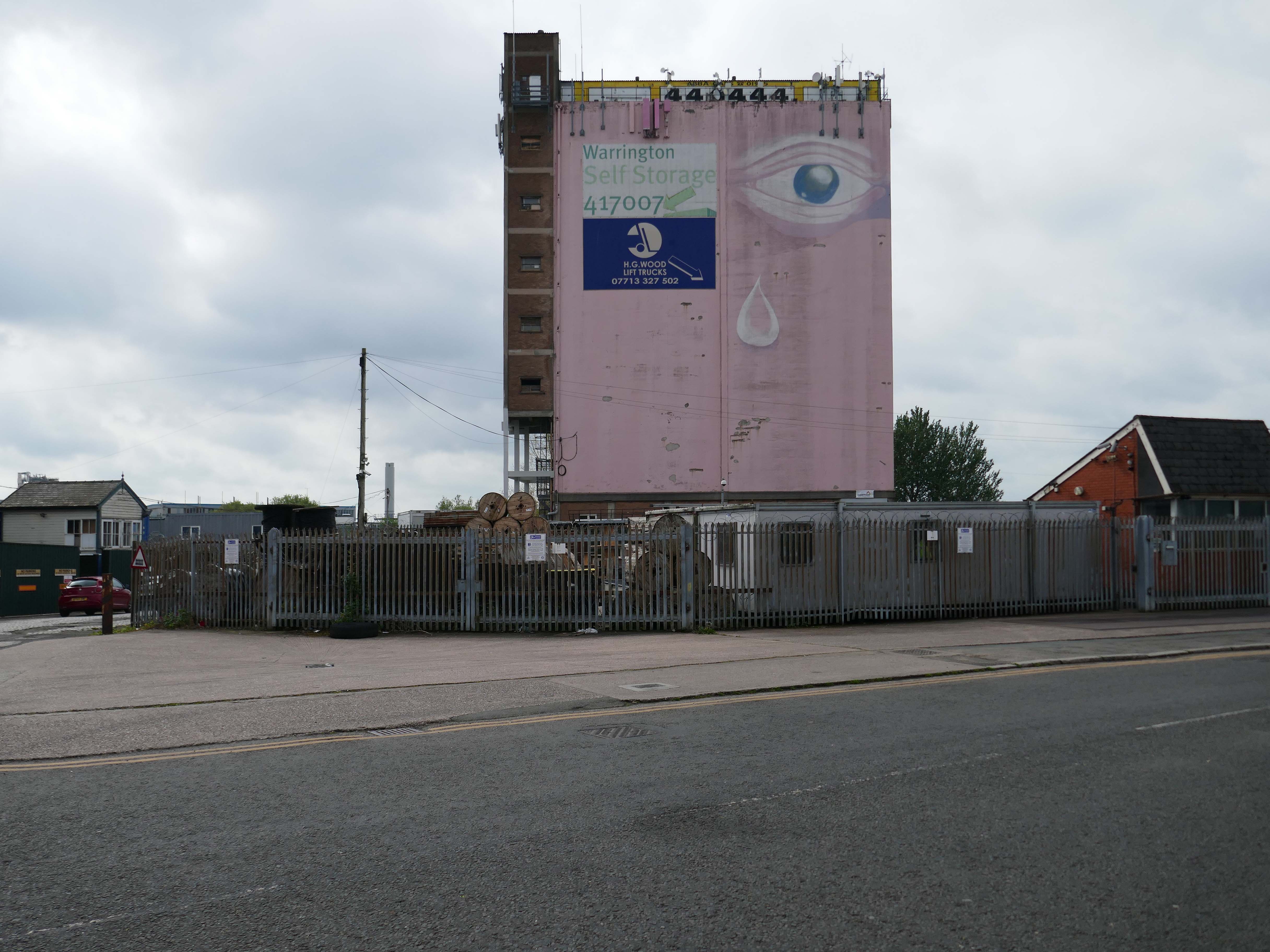
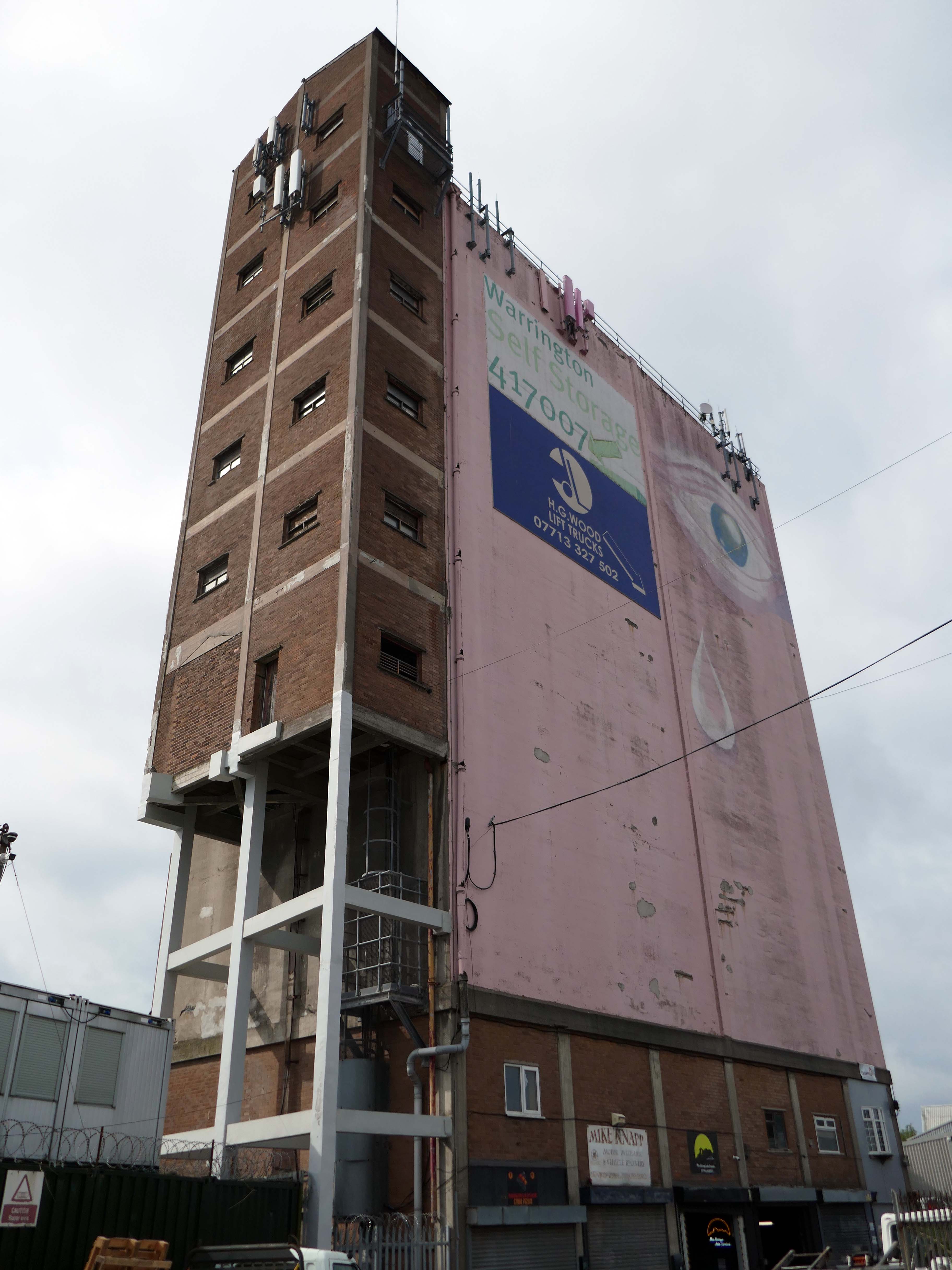
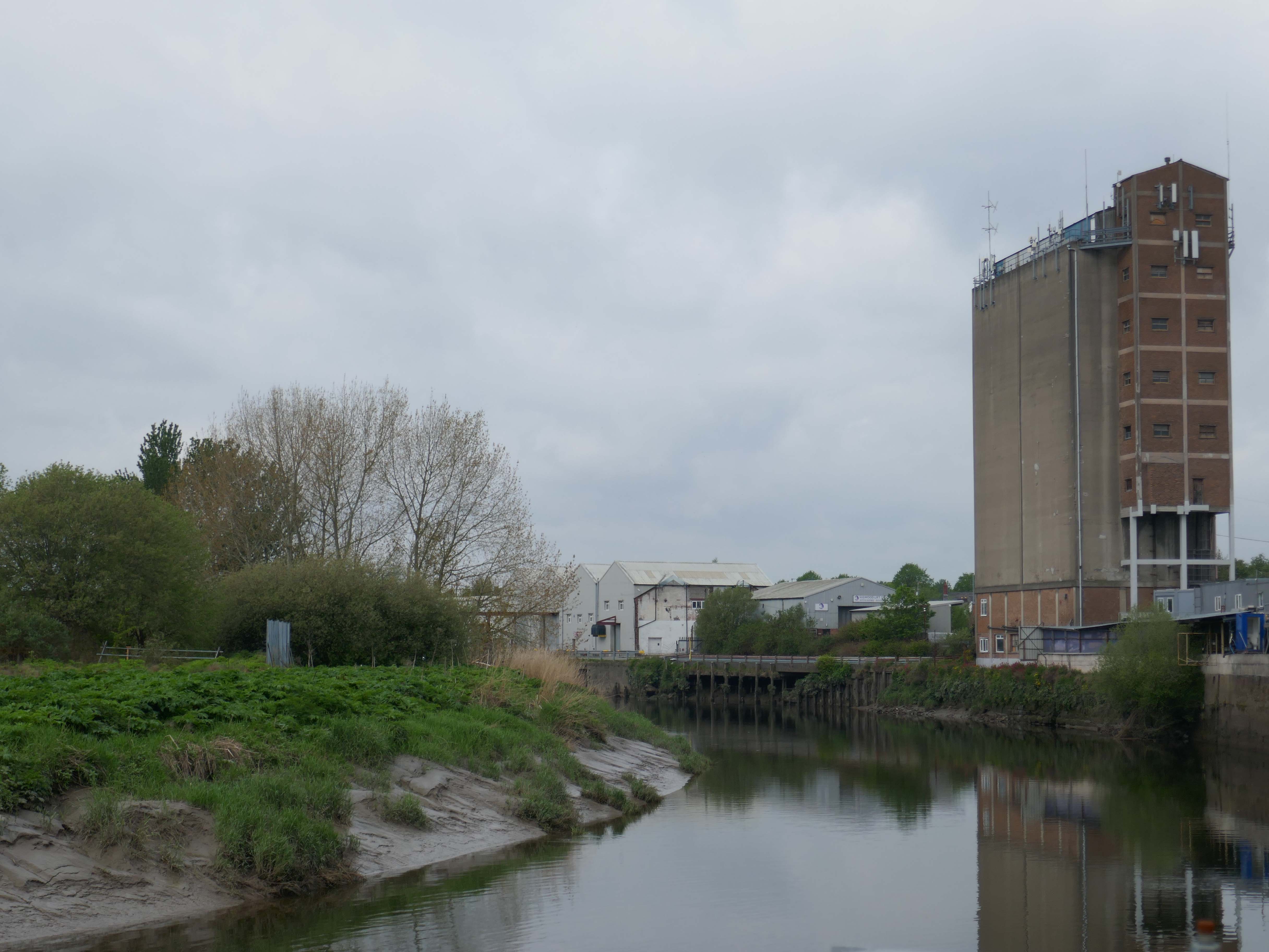
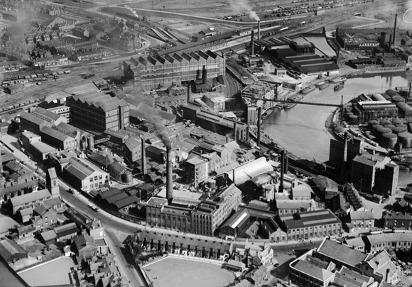
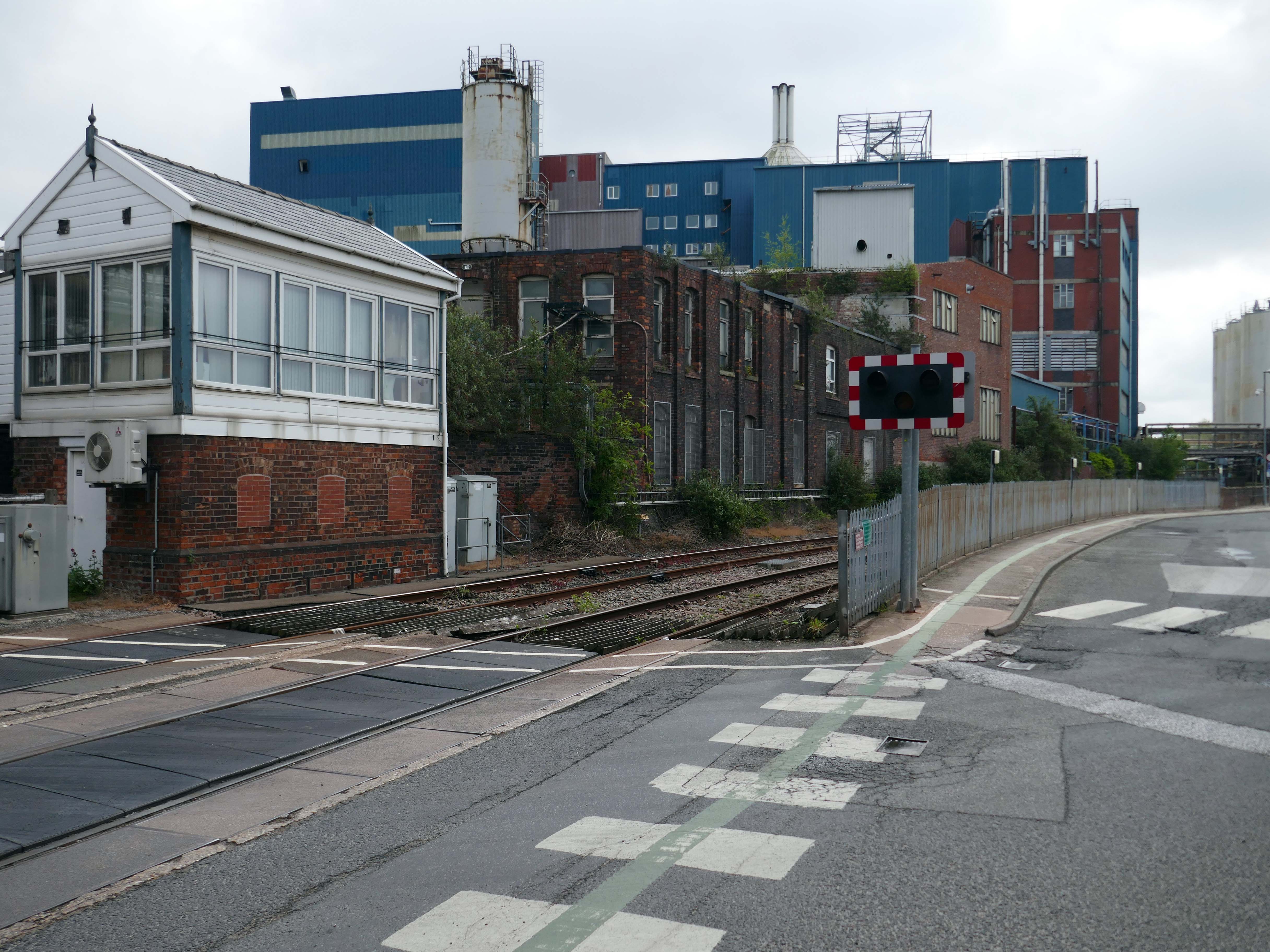
Up the road now to the Soap Works – first views from across the railway tracks.
Then over the bridge.
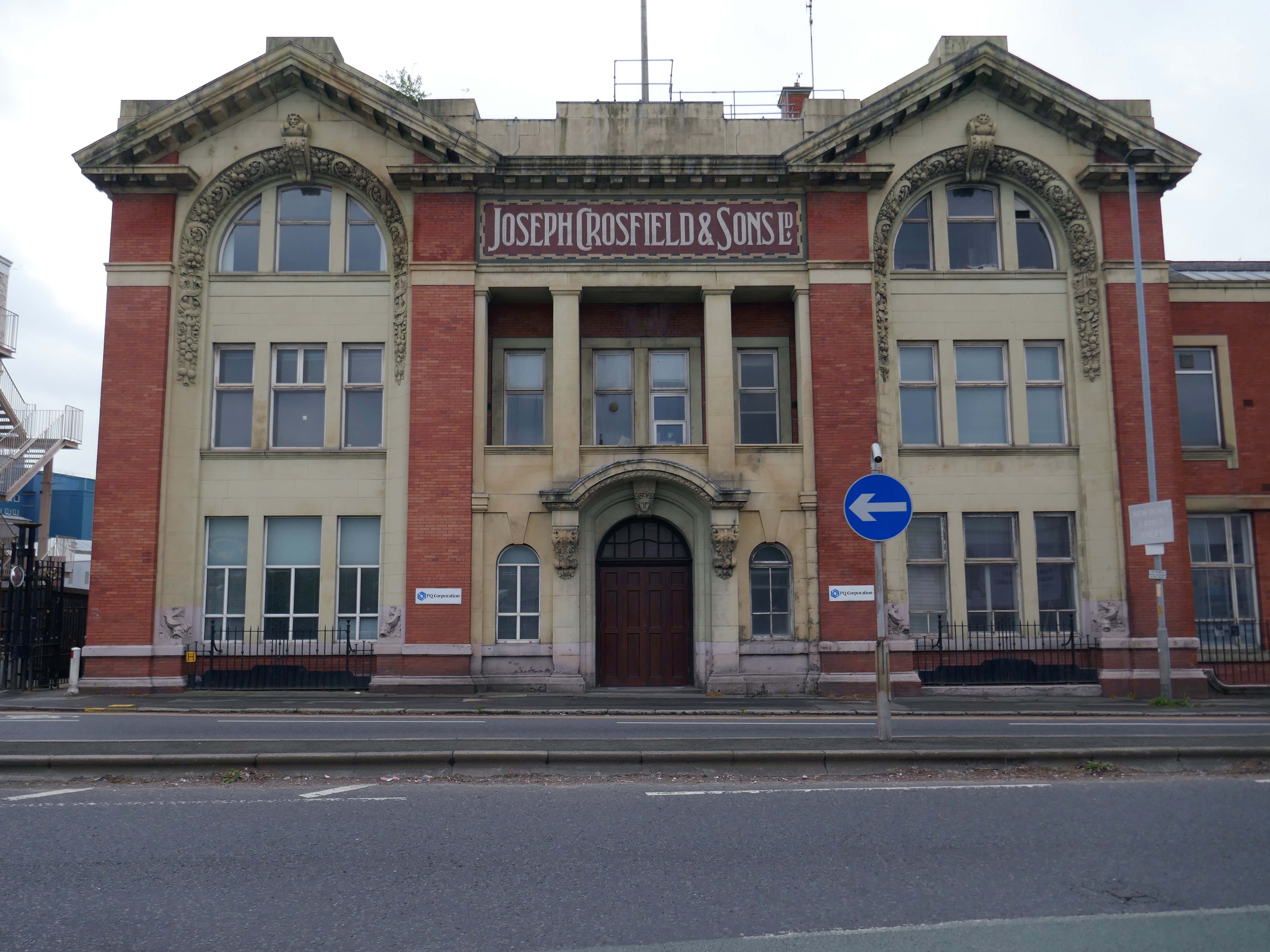
Joseph Crosfield was born in Warrington, the fourth son of George Crosfield and his wife Ann née Key. In 1814, Joseph’s apprenticeship having finished, at the age of 21 he decided to establish his own soap making business in Warrington.
In 1911 the company was purchased by Brunner, Mond & Company and 1919 it was absorbed into Lever Brothers. From 1929 Crosfield was a subsidiary of Unilever. In 1997 its Warrington speciality chemicals division that made ingredients for detergents and toothpastes was acquired by ICI and in 2001, Ineos Capital purchased the company. The name Crosfield was finally lost as it was renamed Ineos Silicas. In 2008 Ineos Silicas was merged with PQ Corporation, with the new company retaining the name of PQ Corporation.
The Crosfield’s factory closed for good in October 2020.
Dante FS Group formally acquired four acres of the site this month for an undisclosed fee from EcoVyst.
The latter firm will continue to operate from sections of the site, as will PQ Corporation, with Dante buying land closest to the train station, including the visible blue buildings and white Unilever tanks.
Renamed Platform at Bank Quay, the ‘next-generation, state-of-the-art modular data centre’ is ‘set to power the UK’s growing AI economy’ and bring high-tech jobs to the town.
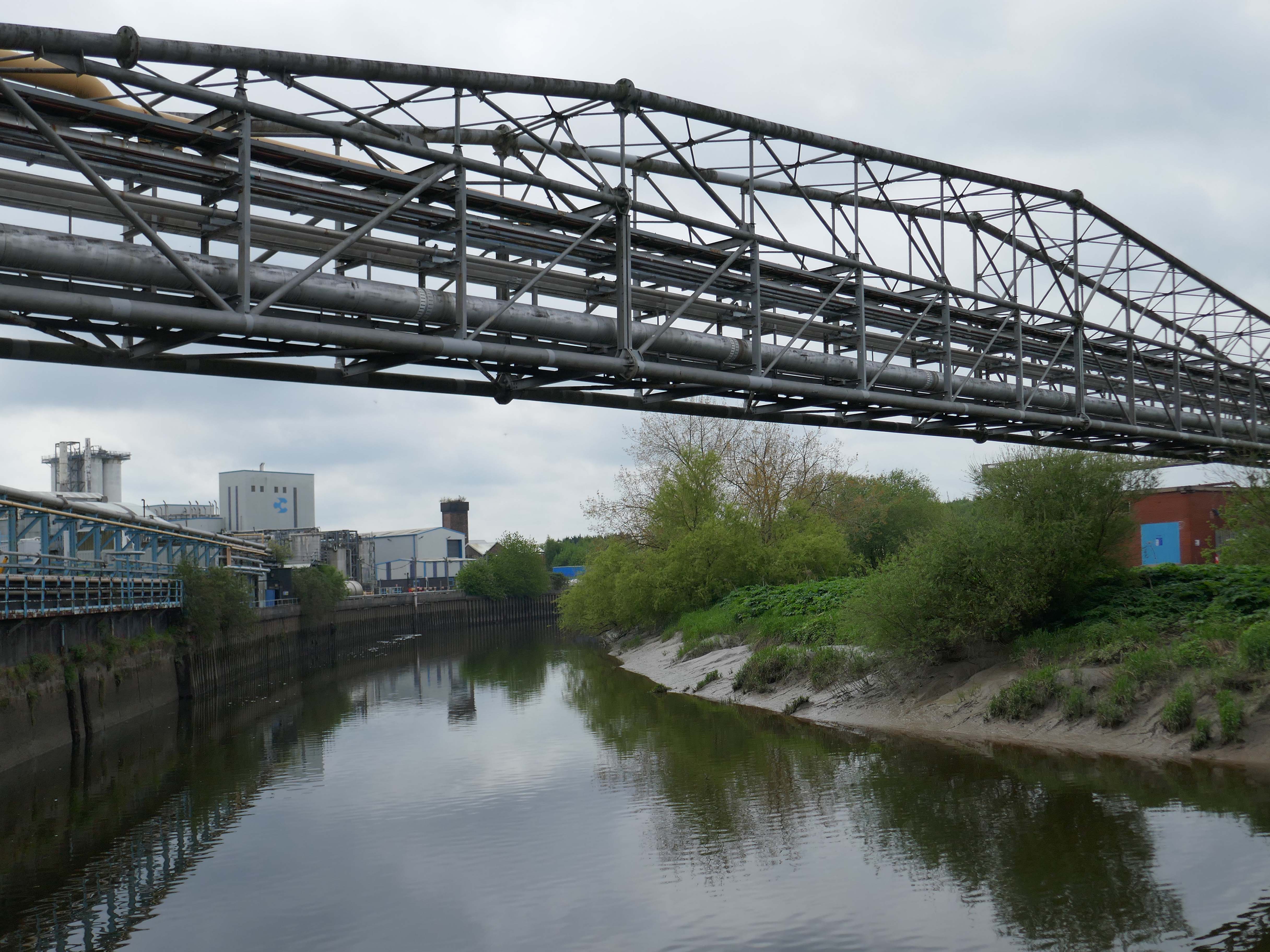
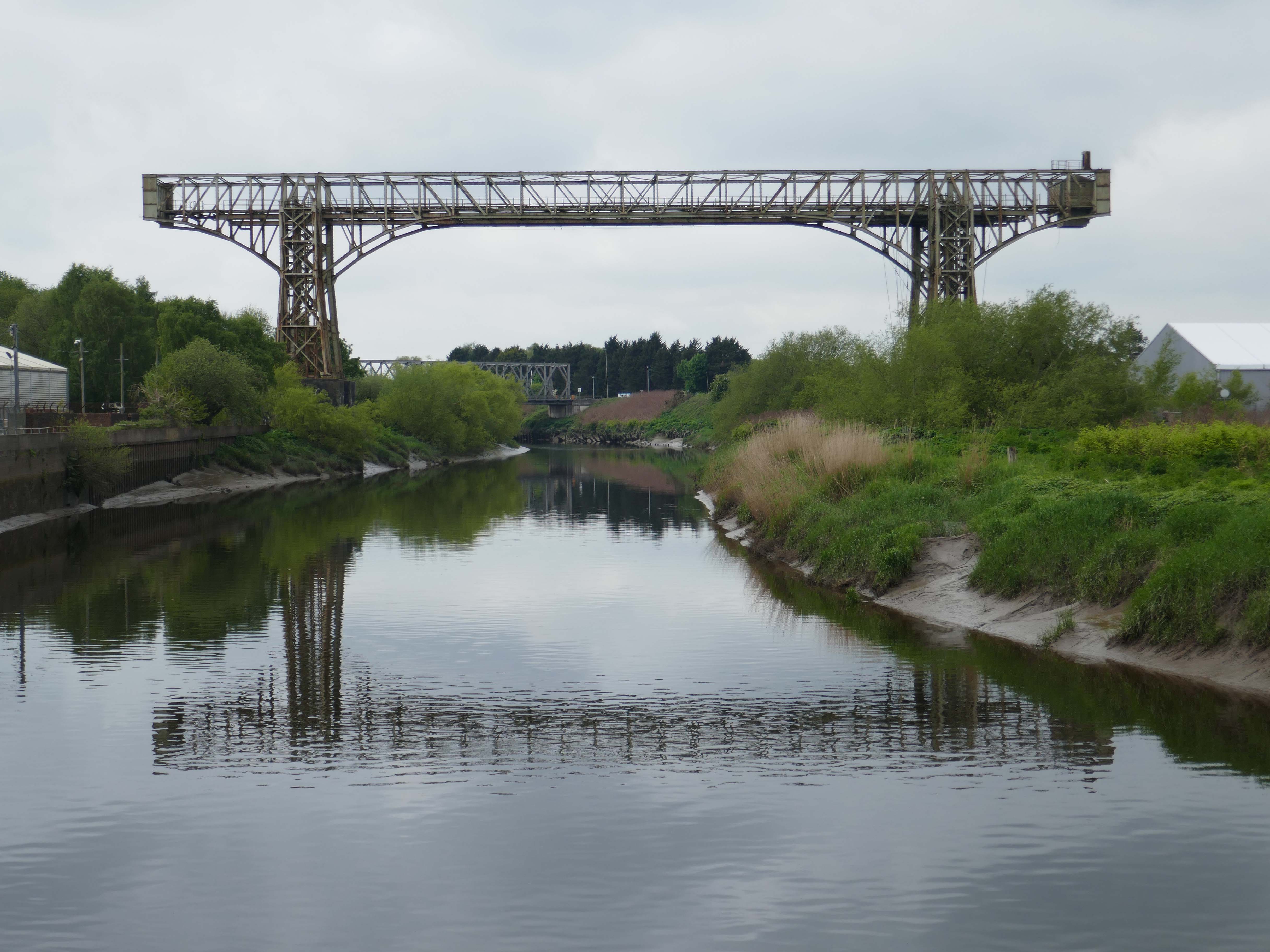
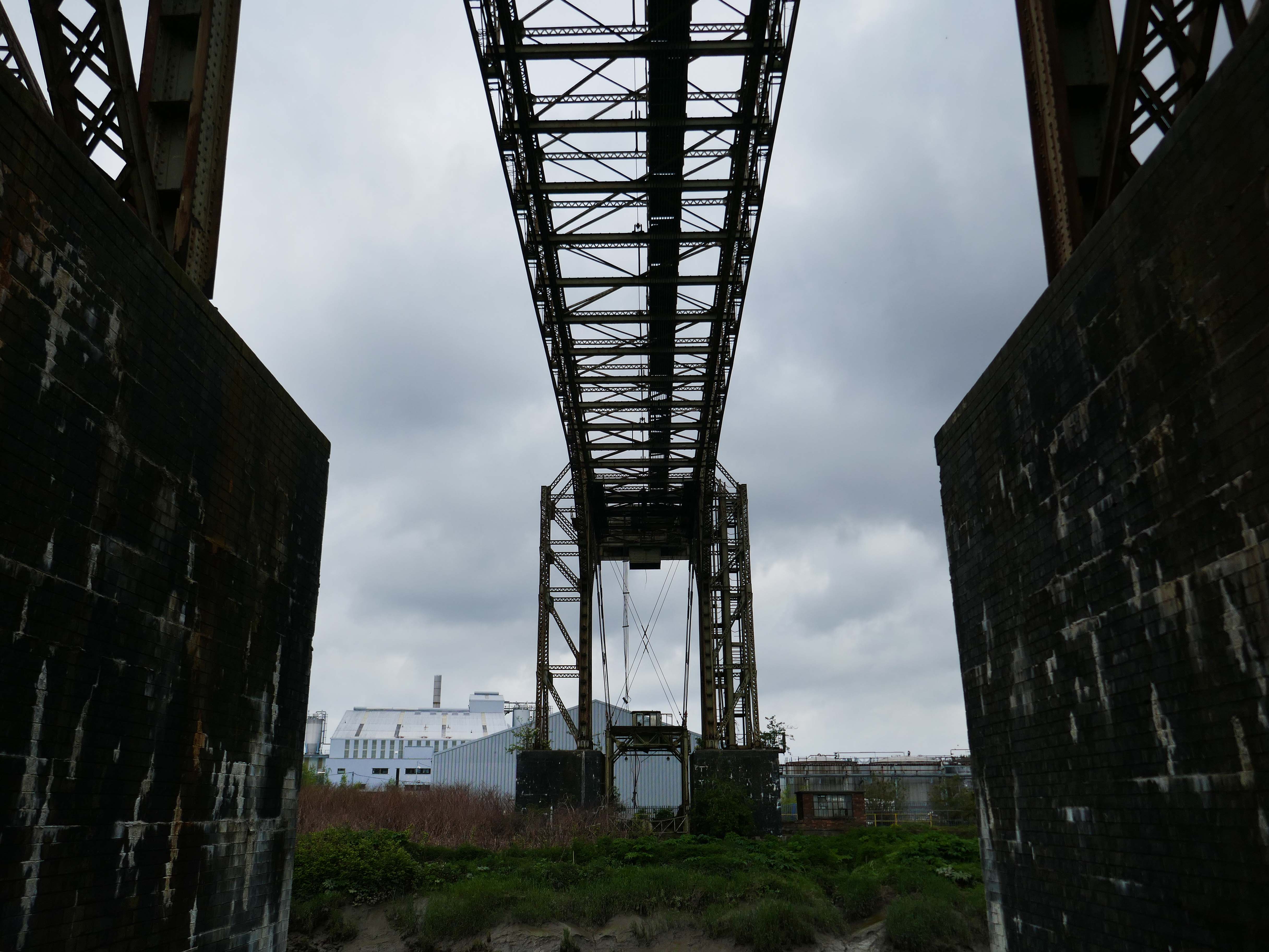
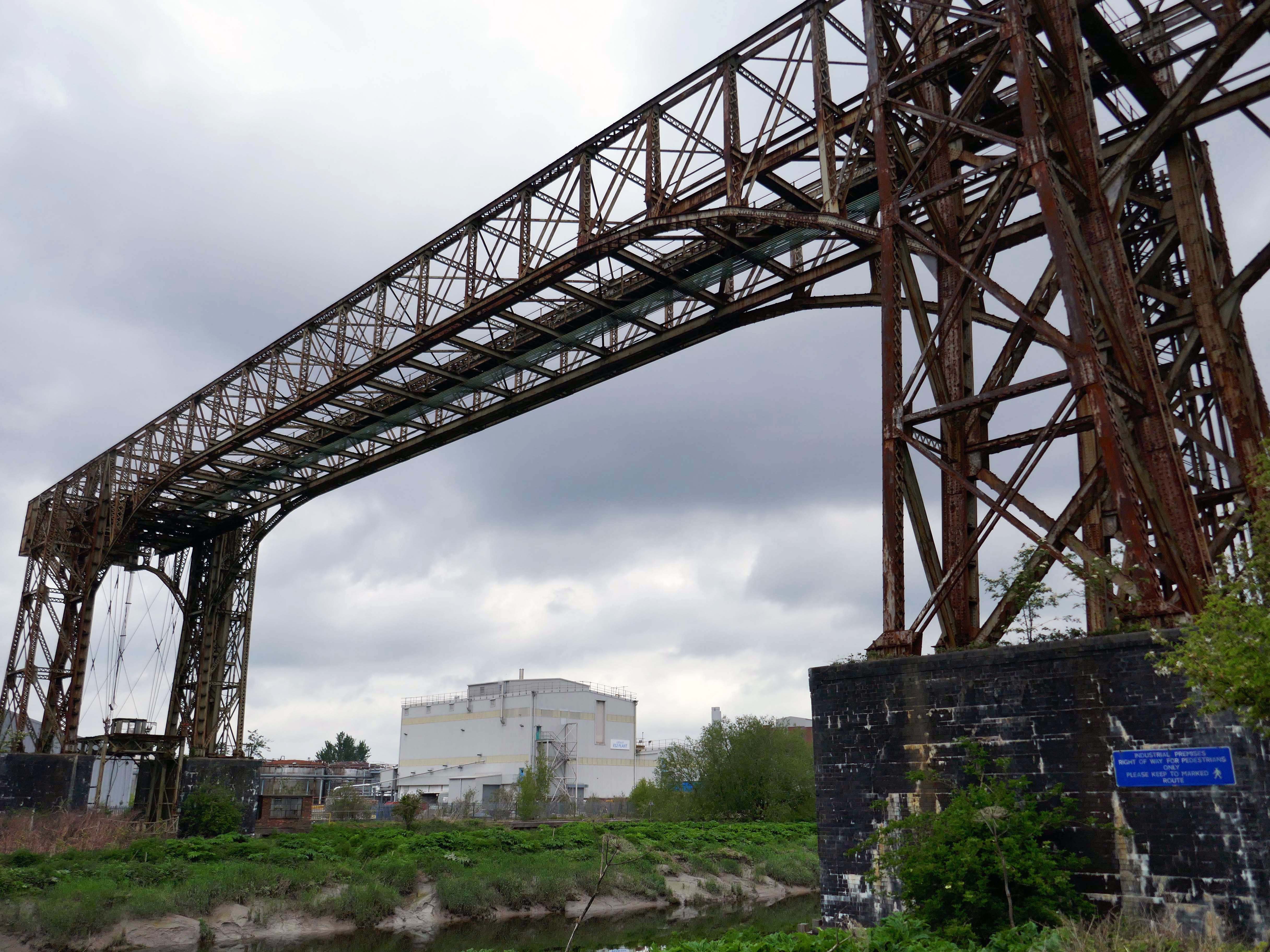
Warrington Transporter Bridge aka Bank Quay Transporter Bridge or Crosfield’s Transporter Bridge across the River Mersey is a structural steel transporter bridge with a span of 200 feet.
It is 30 feet wide and 76 feet above high water level, with an overall length of 339 feet.
It was commissioned in 1916 and, although it has been out of use since about 1964, it is still standing. It was designed by William Henry Hunter and built by William Arrol and Co.
The Transporter Bridge was built to despatch finished product from the cement plant that had been built on the peninsula. It was originally designed to carry rail vehicles up to eighteen tons loaded weight.
The bridge was converted for road vehicles in 1940, and was certified to carry loads of up to thirty tons in 1953.
This was my first visit in 2017 – recorded on Modern Mooch.
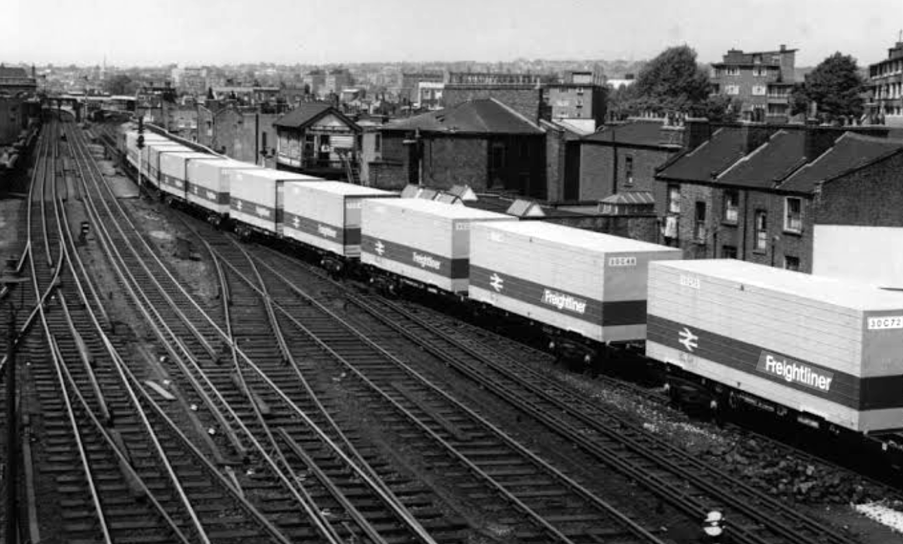
Highlight on any day out anywhere is the discovery of arcane British Rail typography.
There’s a brief history of Freightliner history right here.
Back now to Bank Quay and off to the Telephone Exchange.
This is the 1969 building designed by the MODBW, Reginald Norman Dixon with lead architect P Clinton.
Linked to the 1955 building designed by John Onslow Stevens.
Biggest thanks to Lisa Kinch who can be found over on Instagram, for all her informative research into telephone exchanges.
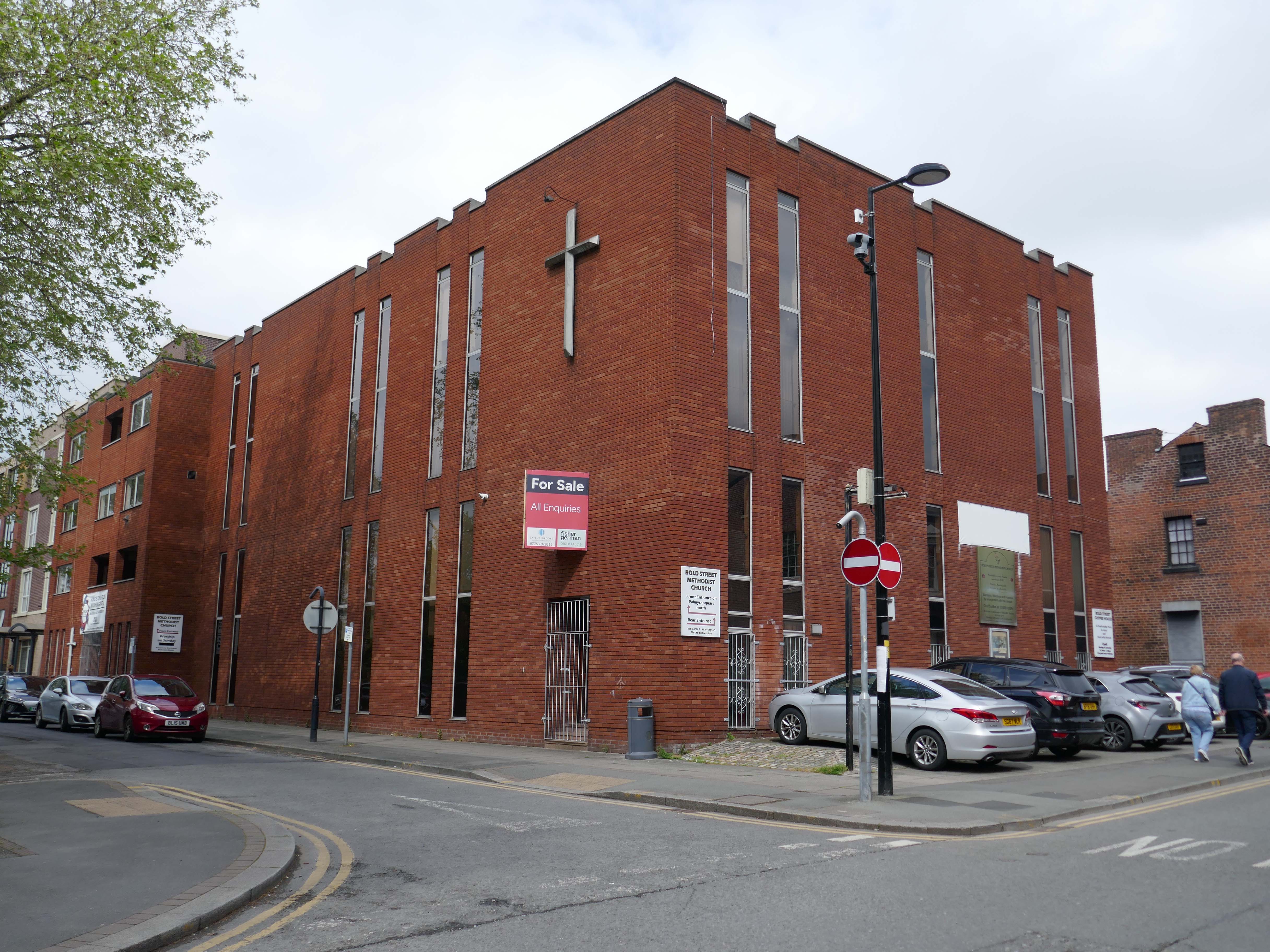
Toward the town centre and we pass the Bold Street Methodists Church – 1973-75.
Currently closed and for sale.
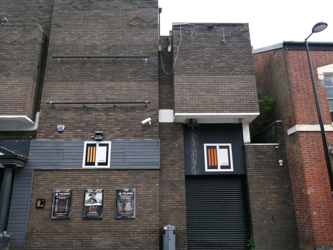
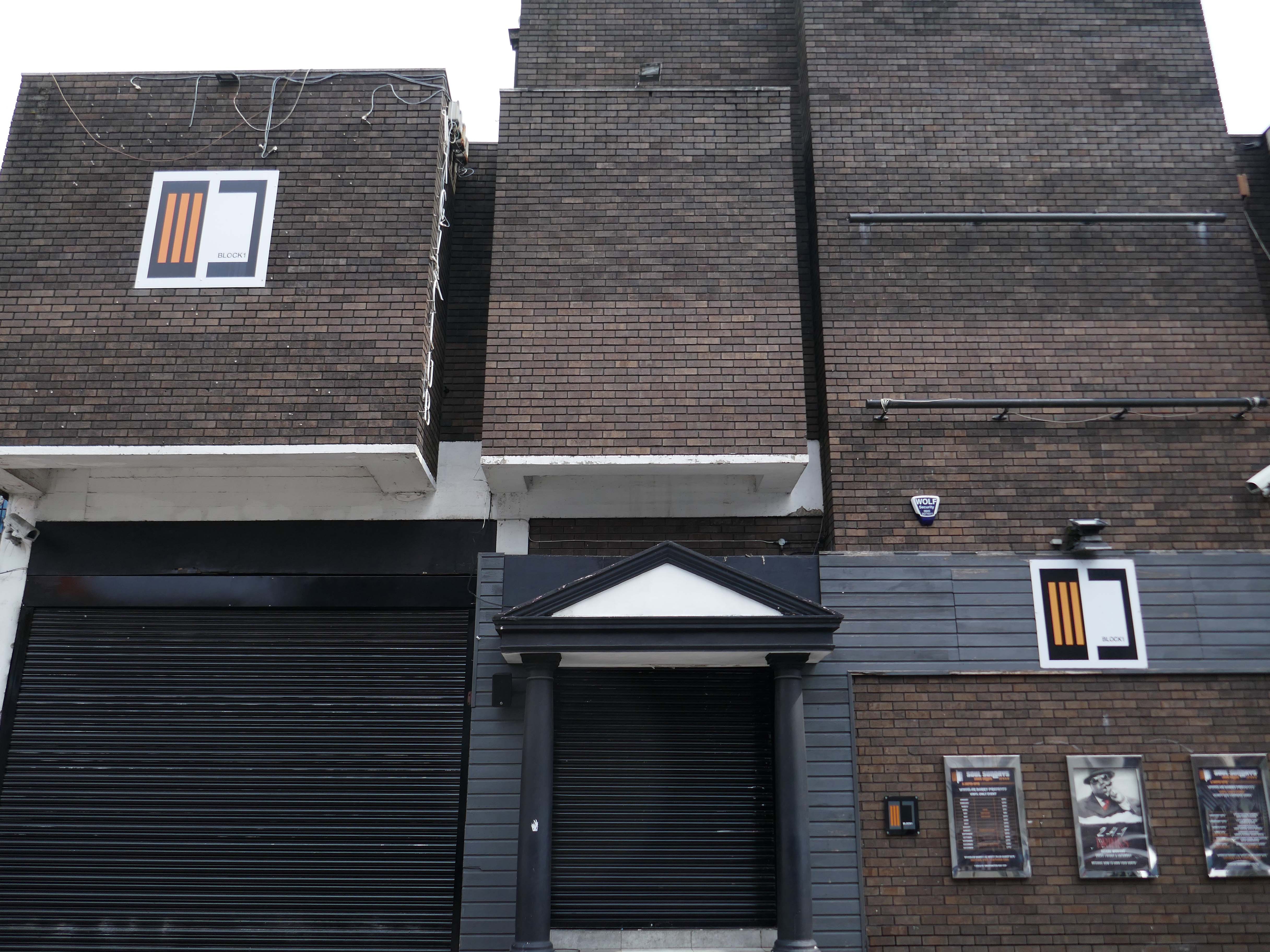
Thence to the Block 1 nightclub.
Medicine night club early 2000s.
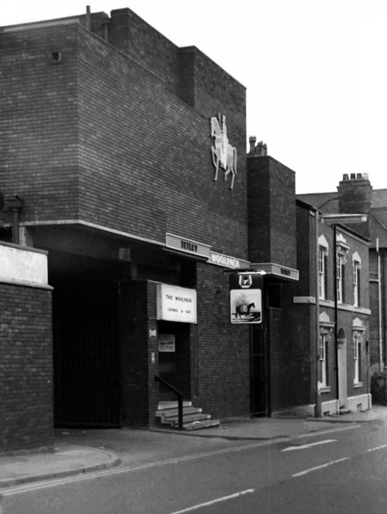
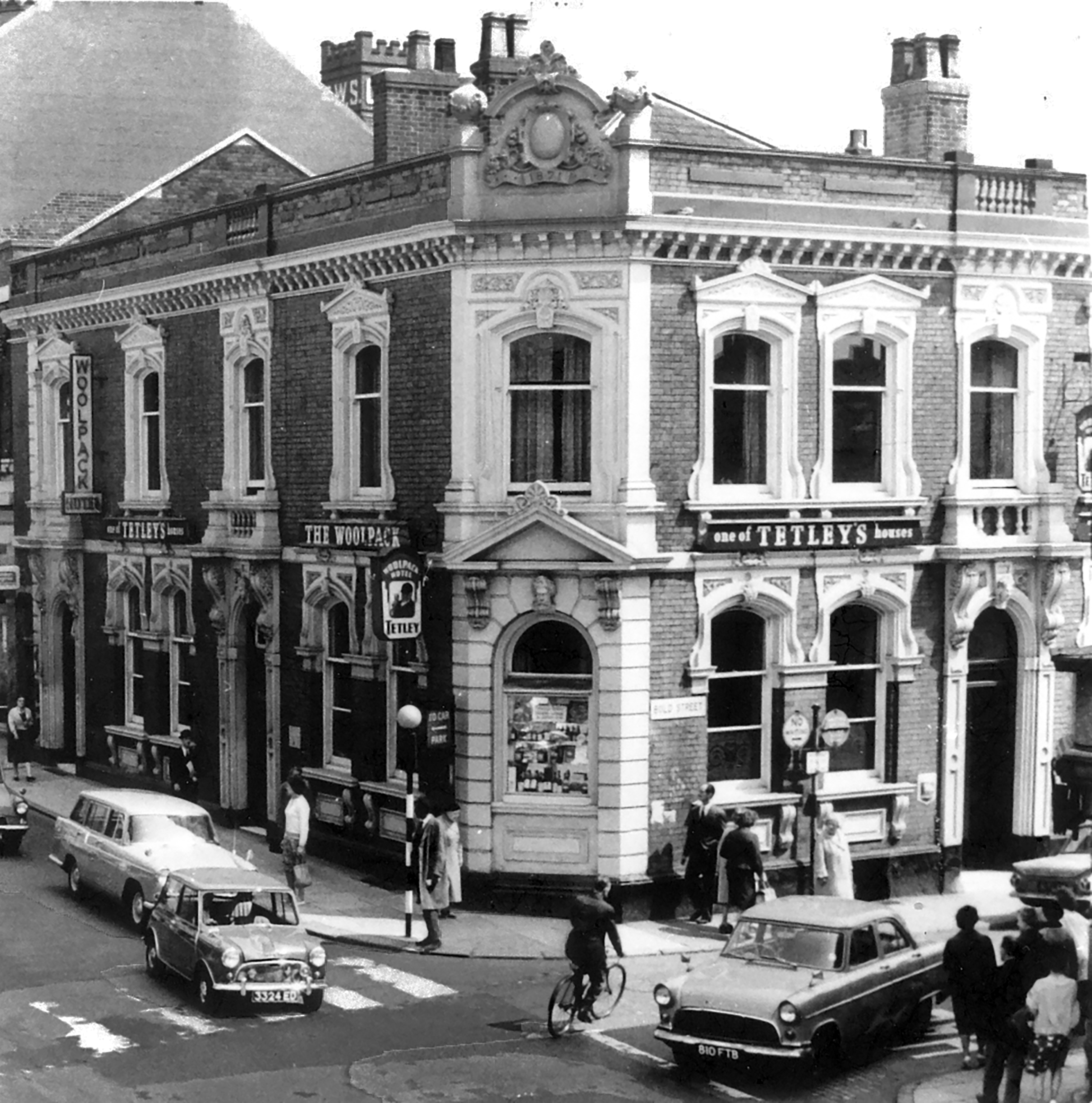
Originally a Tetley’s house named The Woolpack.
Got served my first pint in there, I was only 14.
Karl Beckett
Coming down those stairs, I slipped and the heel came off my boot, I’d only had one drink – loved those boots.
Sue Duncan
This was the original Woolpack on the site.
Much of the town centre is dominated by the Golden Square shopping centre.
Designed in 1974 by Ardin and Brookes and Partners, since enlarged.
There is also extensive pedestrianisation and hard landscaping on the surrounding streets, carried out in 2002 by Landscape Design Associates with sculptural works by Howard Ben Tre.
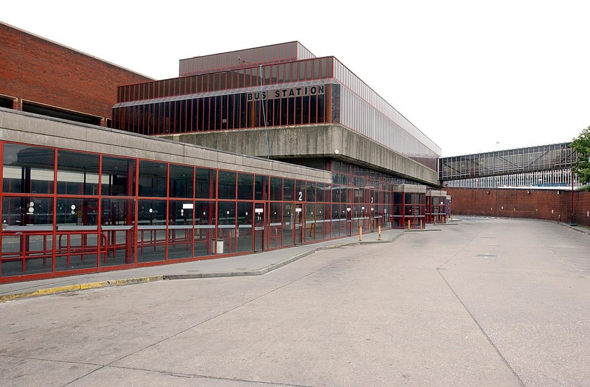
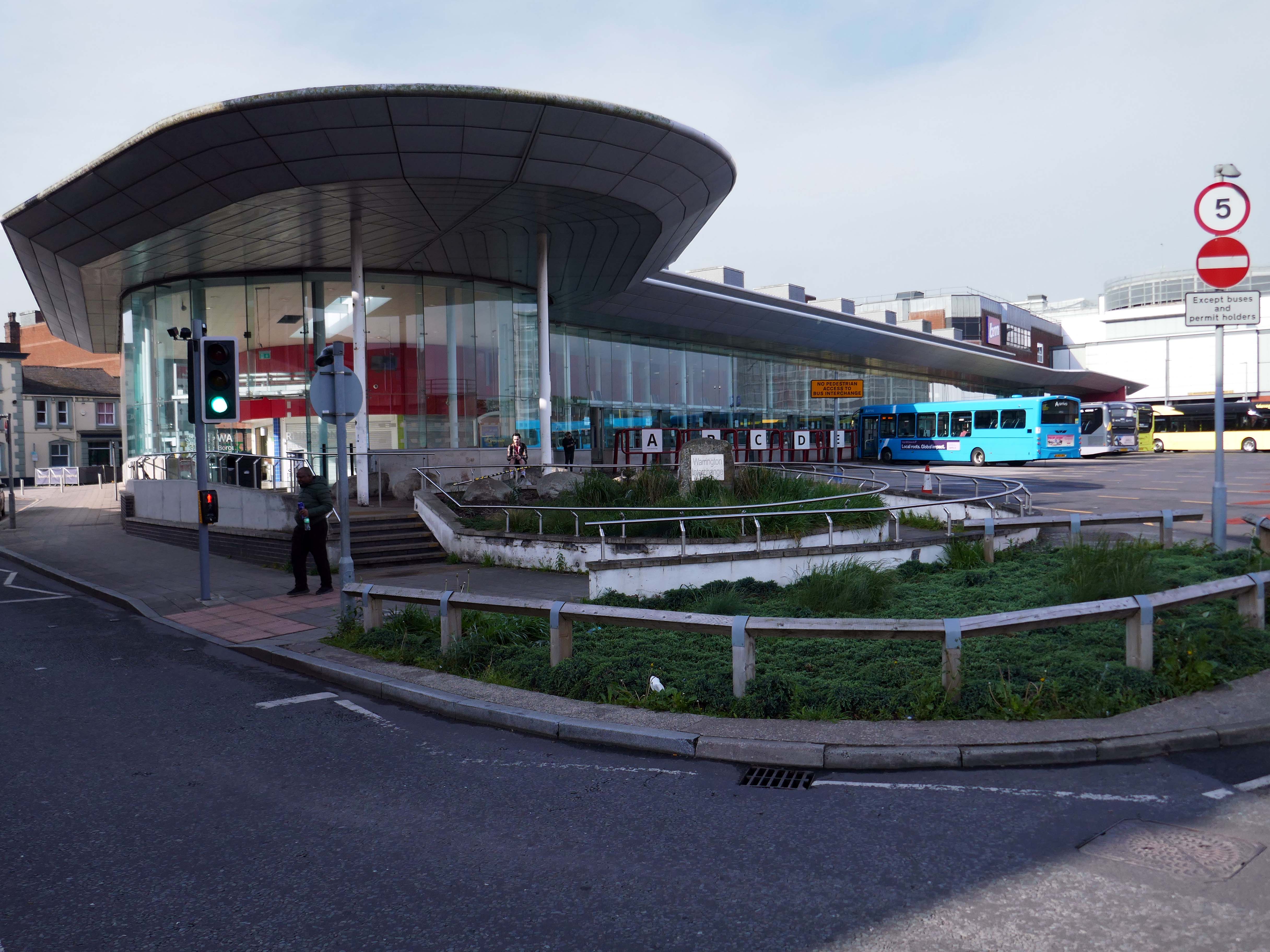
Finally to the Bus Station which used to look like this:
Until it became an Interchange and looks a lot like this.
Warrington’s new bus interchange was opened on 21 August 2006. From 1979, bus users travelled from a facility on Golborne Street, but it was very unpopular due to its very dreary appearance.
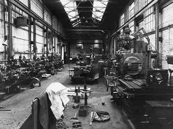
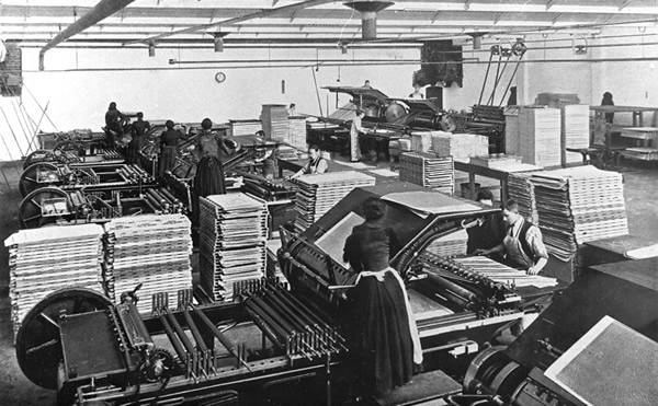
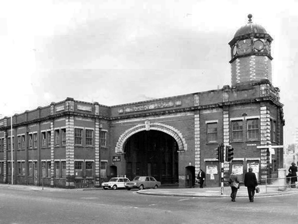
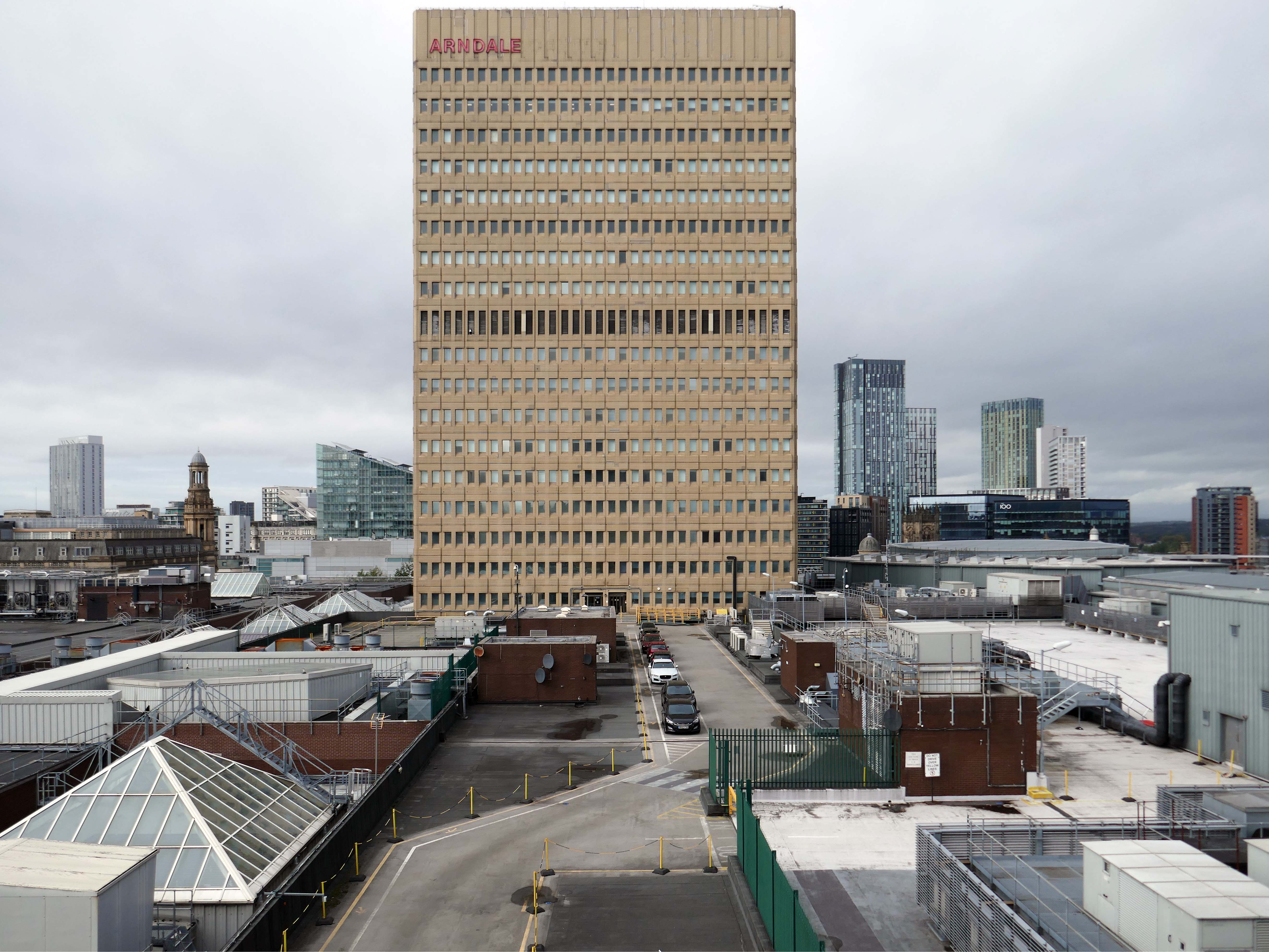
Manchester Guardian Printing Works owned by Taylor Garnett & Evans & Co. Ltd- a view of factory dated 1902.
Lithographic Printing Dept 1902.
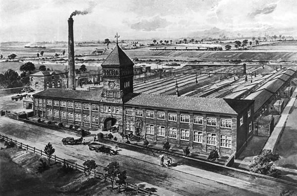
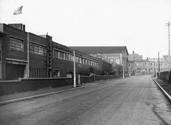
CWS Printing Works – formerly the Guardian Print Works showing a view from the road dated 1972.
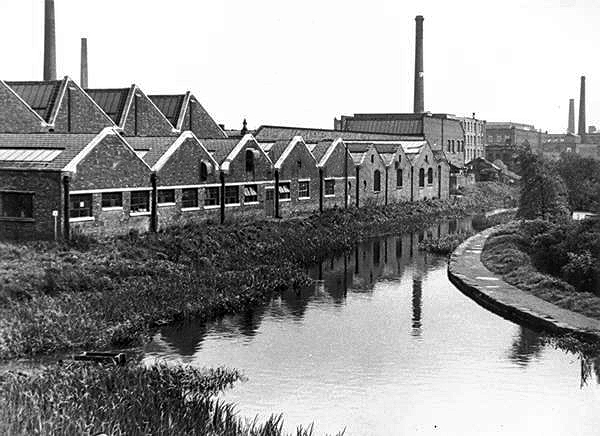
CWS Printing Works showing a rear view with canal in the foreground.
The Stockport Branch Canal was a five mile branch of the Ashton Canal from Clayton to Stockport.
An important cargo was the supply of grain to William Nelstrop & Company’s Albion Corn Mill at Stockport Basin.
In its early days there was passenger carrying on the Ashton Canal and one of the routes was between Manchester and Stockport.
Commercial carrying ceased in the 1930s but it lingered on into the 1950s’ as a barely navigable waterway. At one stage in the 1950s it was dredged but this improvement did not attract any traffic. Stockport Basin was the first section to be filled in but it was not until 1962 that the canal was officially abandoned by the British Transport Commission, who had been responsible for it since 1948.
It took many years to fill in and this was a disagreeable procedure for people living along its length.
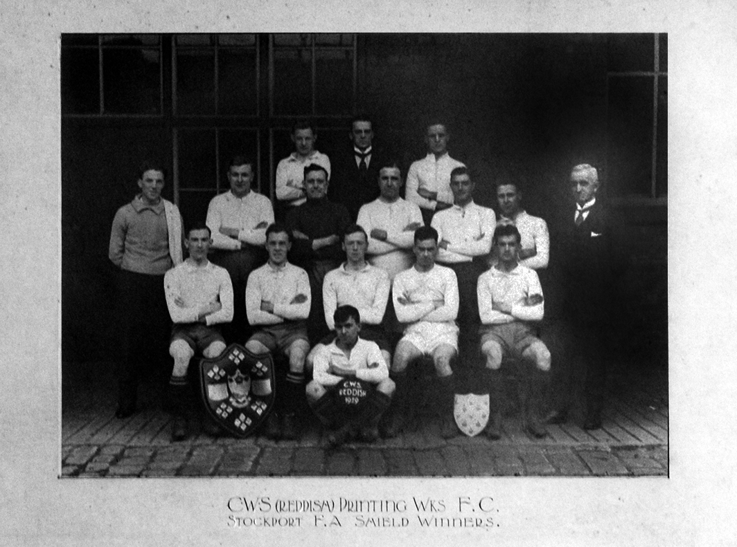
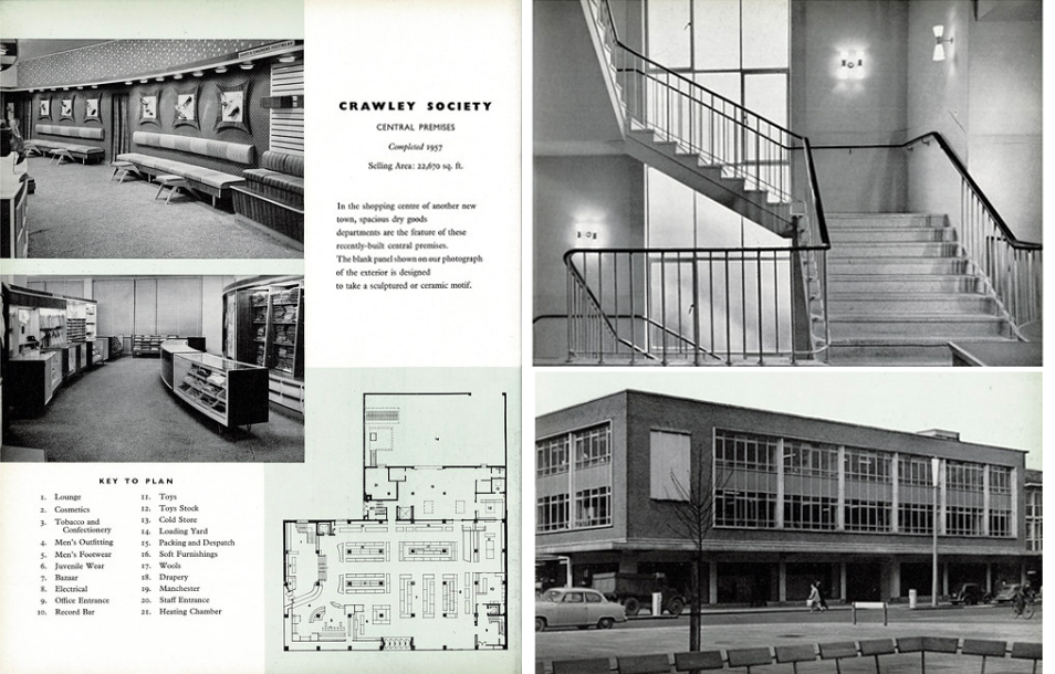
From a very lavish production, printed of course by the CWS’s own Printing Works at Reddish, is a description of the new flagship department store for the Crawley Co-operative Society that was opened in 1959. The elevations and facade are very much of their day, quite ‘Festival of Britain in style, and the store was a prominent feature of the planned New Town’s centre.
The wide variety of printed material which the CWS required, created a need that could not be met locally by a single source, another large print works was required in Longsight.
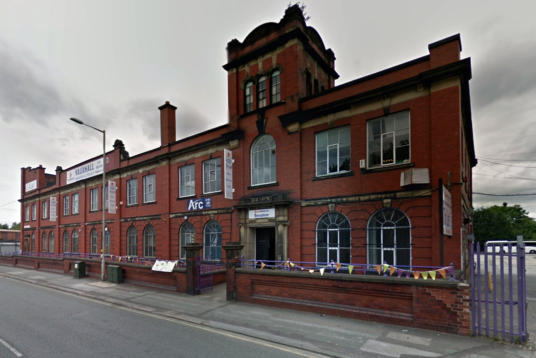
Craven Brothers Works 2008
1900 – Further growth prompted the construction of the Vauxhall Works at Reddish, near Stockport. The company kept the works at Osborne Street, Rochdale Road, with about 500 employees, open until 1920. The 1915 O.S. map shows Vauxhall Engineering Works with its south-east corner on Osborne Street, Collyhurst, and bounded on the north by streets of terraced houses and to the south by the L&YR Manchester-Normanton line.
The Developement of Reddish – quite a number of Manchester firms are prospecting the neighbourhood of Reddish, writes a correspondent, while Messrs. Heywood are about to erect electrical engineering works in Sandfold-lane, and Messrs. Rowley and Co, boiler-makers, are fitting works in the neighbourhood. Messrs. Craven Brothers, engineers, of Salford, have purchased 14-acres of land near the Reddish Station, on the estate of Mr. H. P. Greg, on which they intend to erect large engineering works.
The first sod was cut on Thursday afternoon by Mr. William Craven, in the presence of his brother directors in 1900.
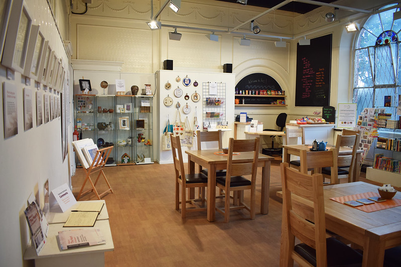
ARC began in 1995 at Greek Street, Stockport under the name of MAPS and moved to the Vauxhall Industrial Estate Craven Works building in early 1997. Arts for Recovery in the Community or ‘Arc’ was then launched in 2005. The Arc Centre in its current form, including gallery servung refreshments and public programme has been running since 2016.
Of course, we are sad to say goodbye to the old Craven Brothers factory and the Reddish community as our base. We are so grateful to the local residents and businesses who have supported us for so long. Please, don’t be strangers! We made the building our own over the years and take with us many, many great memories.
Looking to the future at Wellington Mill, we will have exclusive use of several rooms on the floor accessed via the A6 and Hat Works Museum shop. This will include a large art studio, ceramics studio, offices and storage spaces. We will also share the large cafe, events and retail space with the Hat Works museums team and work together to build a bigger audience for both organisations and hopefully a Stockport town centre creative arts hub.
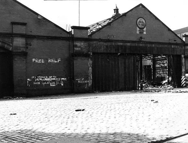
And lo, it came to pass, from the onset of the Industrial Revolution to today, a whole world of work is dismantled. A transport infrastructure is literally filled in, and the former homes of industry demolished.
The CWS is no longer the global behemoth it once was, and print technology has changed beyond recognition.
With it goes a whole series of social relationships and identities bound up in shared occupations.
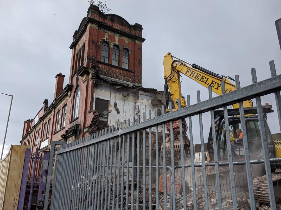
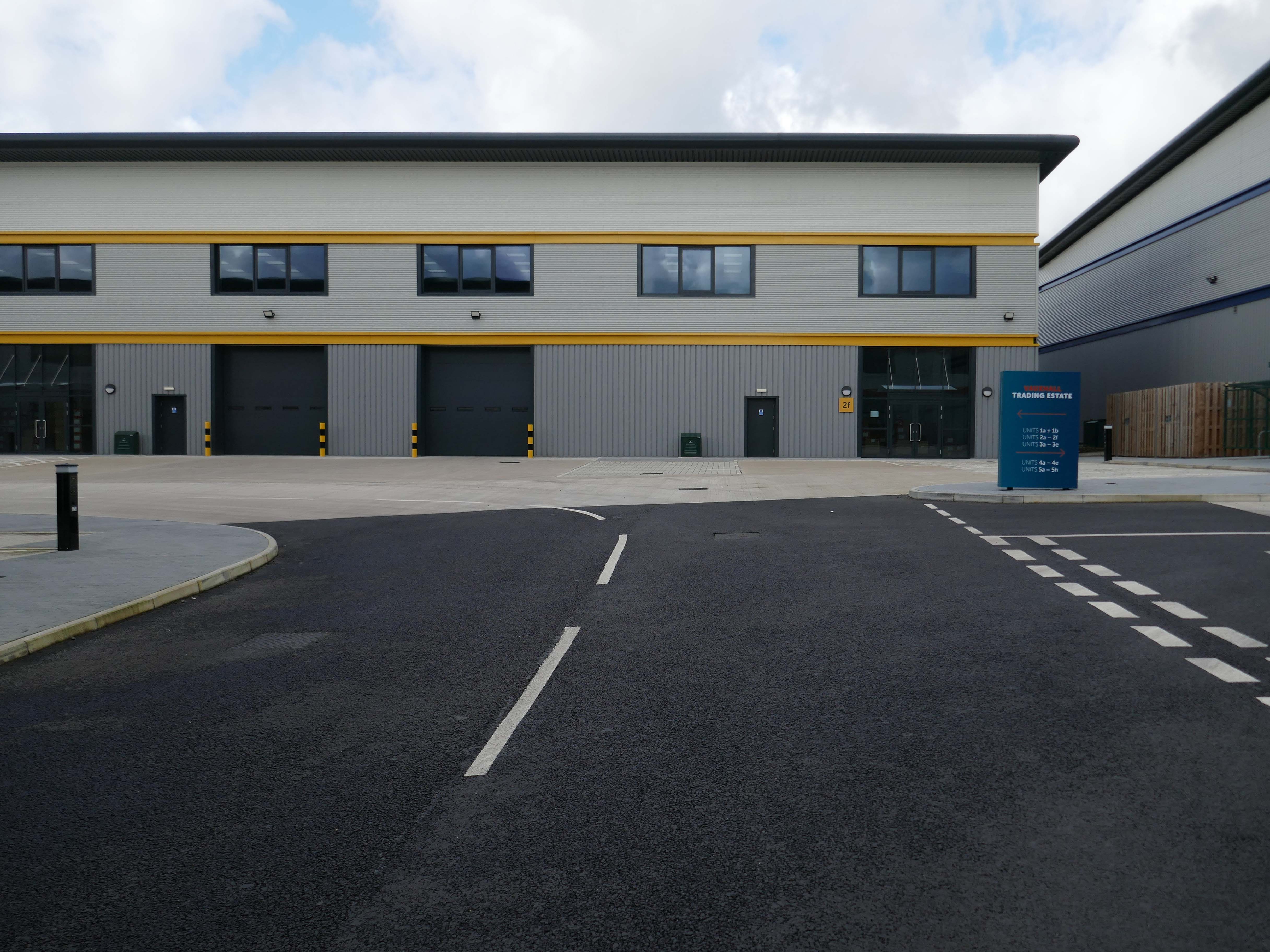
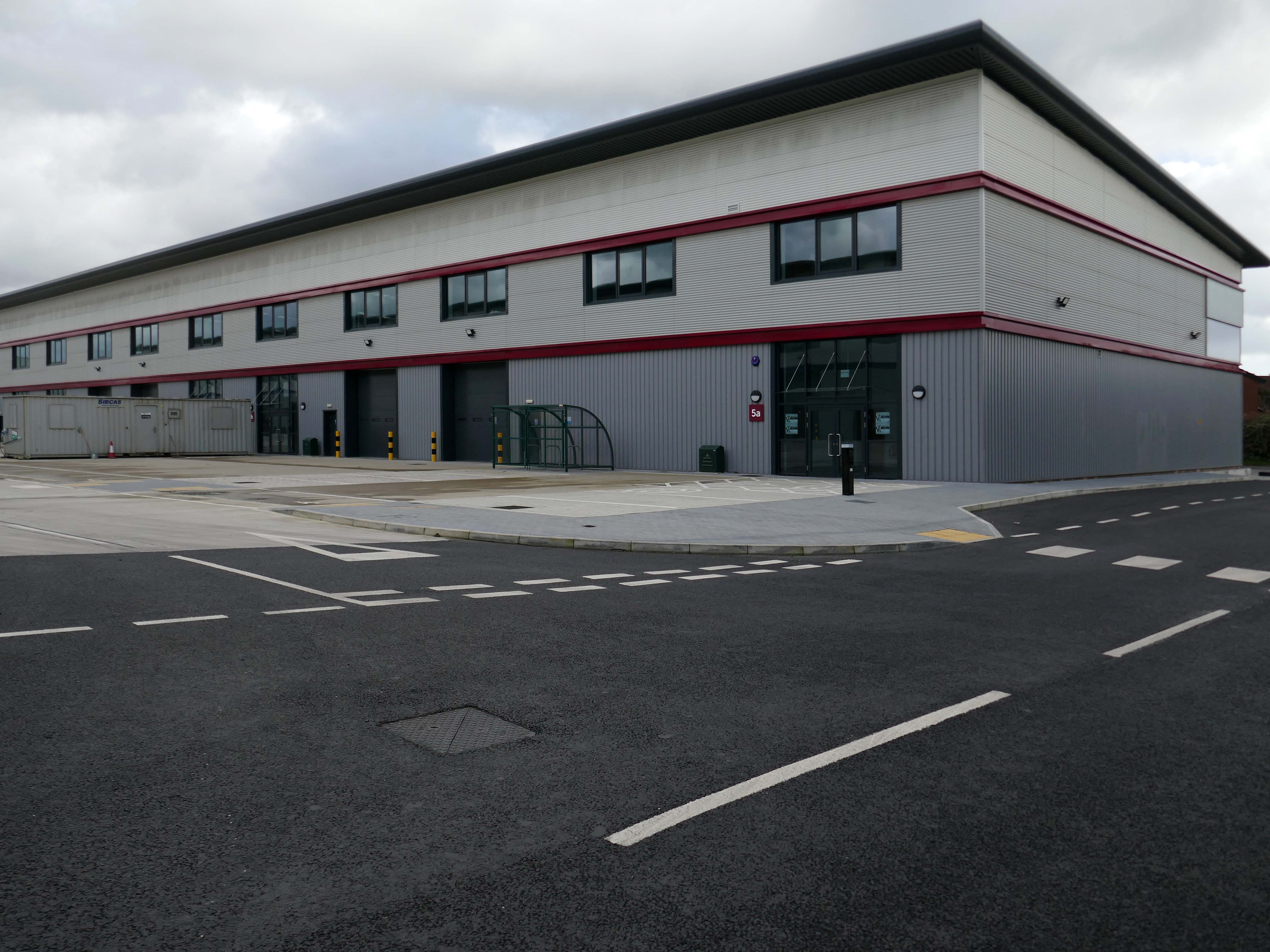
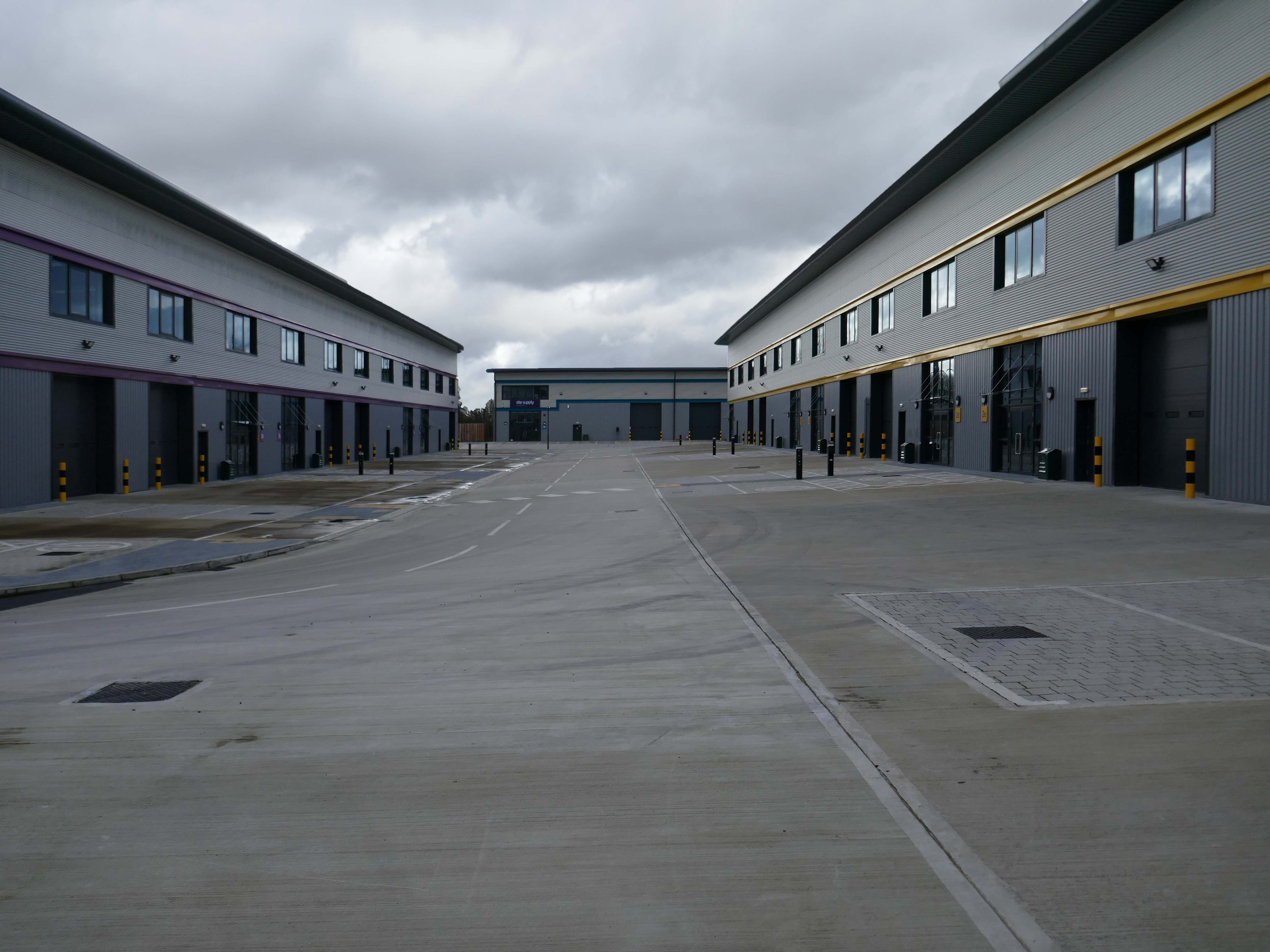
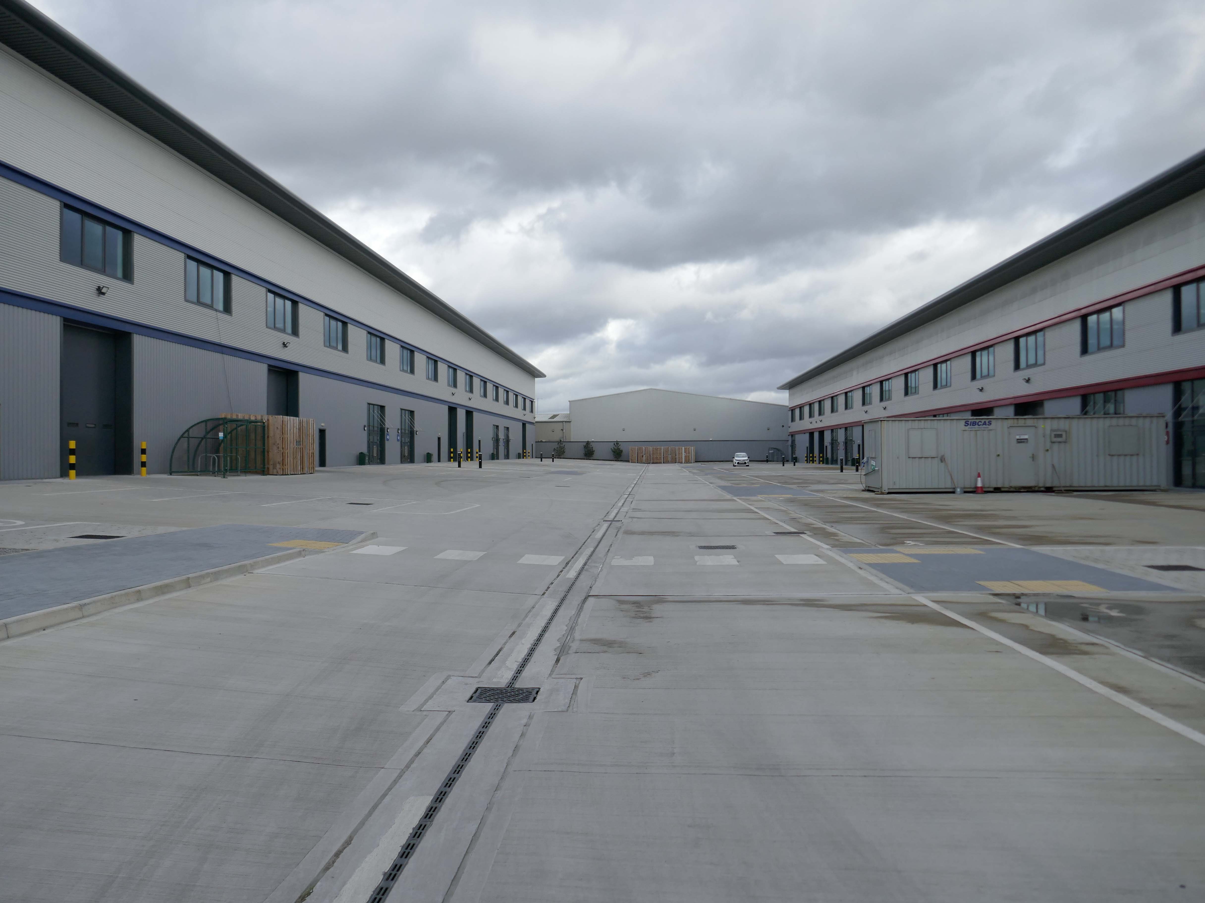
Our excavations at Vauxhall Industrial Estate, undertaken in advance of the redevelopment of the site by RECOM Solutions and Vauxhall Industrial Estate Ltd, revealed a number of features associated with the Craven Brothers’ Works. Two excavation areas were opened, targeted on features shown on historic mapping but no longer surviving: Area 1 in the north, targeting a small chimney and outbuildings adjacent to the machine shops; and Area 2 in the south targeting a chimney and part of the footprint of Building 3. In Area 1, the archaeological remains had been heavily truncated by the installation of chemical vats in the late 20th century after Craven Brothers closed; however, the foundations of the targeted outbuildings and the chimney were uncovered, as well as the remains of a railway track running alongside the machine shops, represented by in situ sleepers.
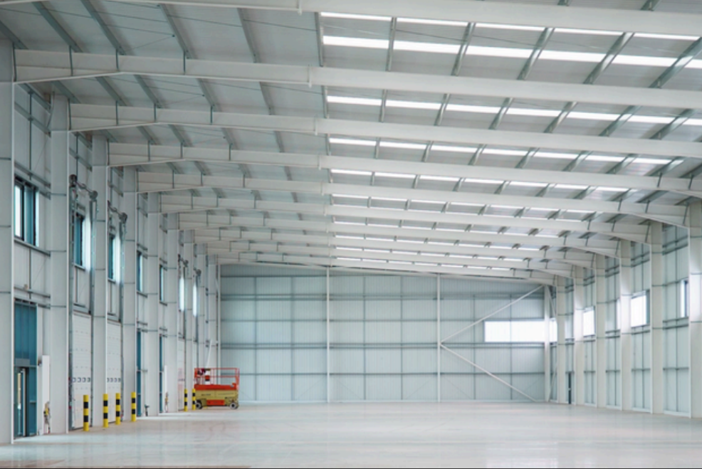
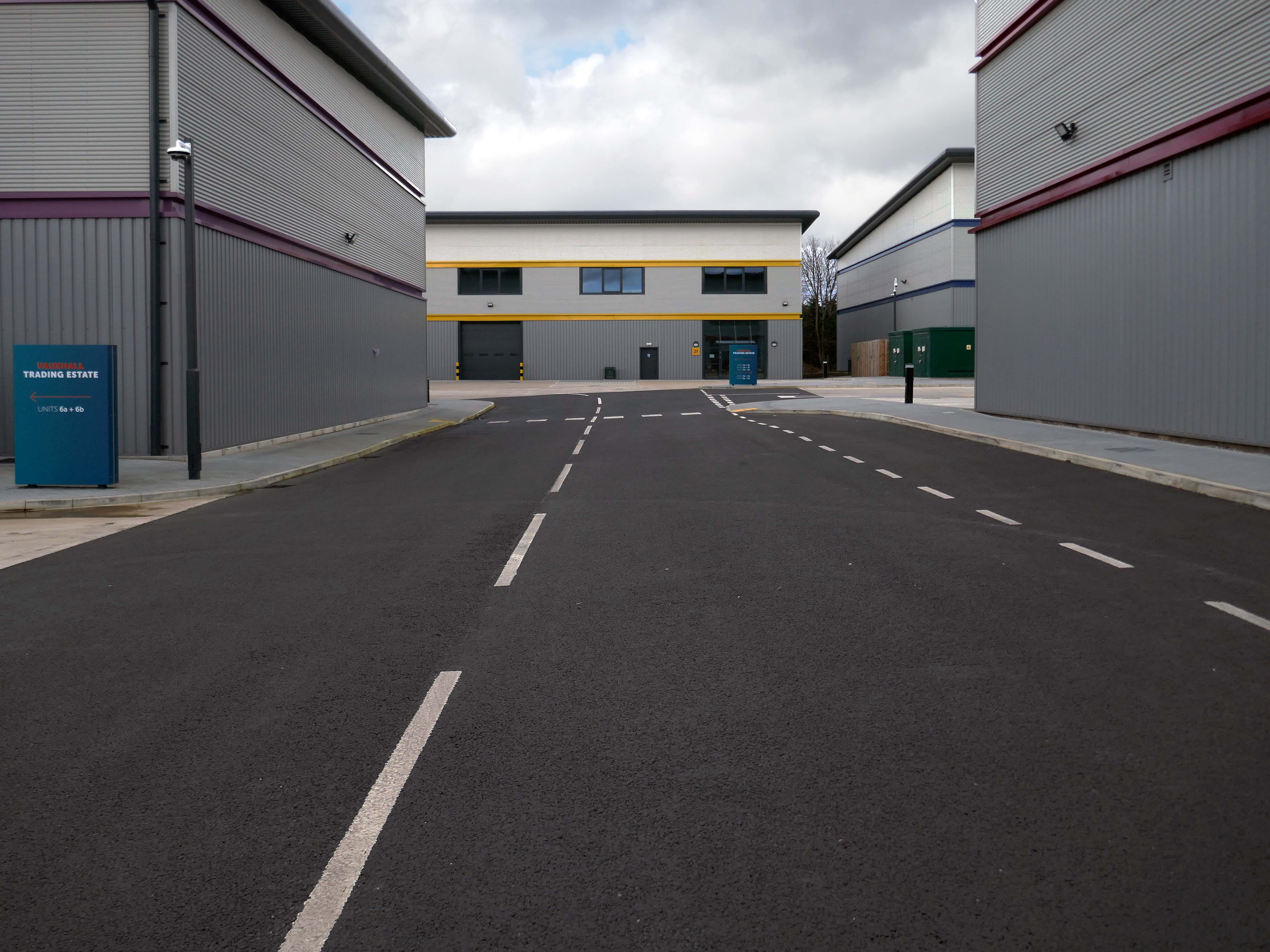
Vauxhall Trading Estate, formerly Vauxhall Industrial Estate, was a collection of dilapidated old industrial buildings, which have been demolished and new modern industrial units provided. RECOM provided project management services to demolish all previous buildings and prepare the site for the main contractor, achieve planning consent, enter a BAPA with Network Rail, tender and appoint the successful main contractor and then provide the Employer’s Agent service throughout the construction phase.
We worked with the design team to produce project specific Employer’s Requirements, ensuring that the client’s brief to provide high quality industrial units was delivered. We ensured the client’s interests were maintained throughout the project, making objective decisions that aligned with the client’s goals. In order to de-risk the project prior to entering into the main contract, we advised the client on what site investigations, enabling works and surveys needed to be undertaken. As the Employer’s Agent, we ensured that the conditions of the contract were adhered to, managing claims from the contractor,ensuring that the client’s position was protected.
Demolition works and embodied carbon created through construction works, is being offset against the sustainable energy created post occupation including: mix of air-source heat pumps and gas-fired radiant tube heating for heating and cooling, and photovoltaic solar panels installed on rooftops to generate green electricity for occupiers.
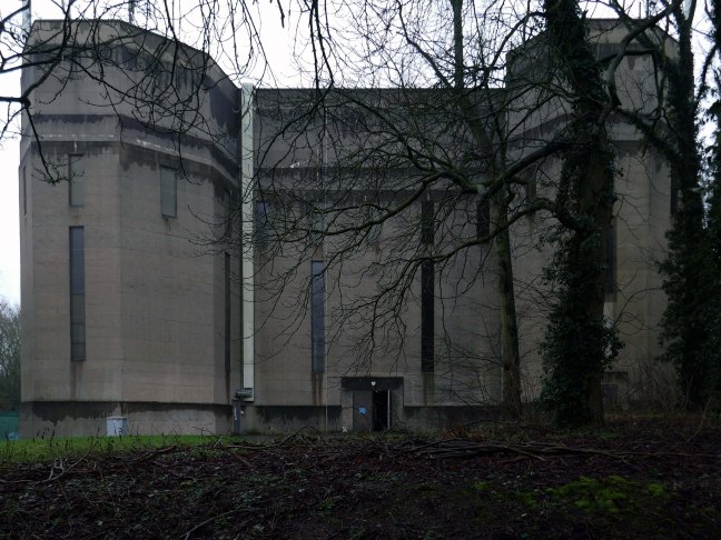
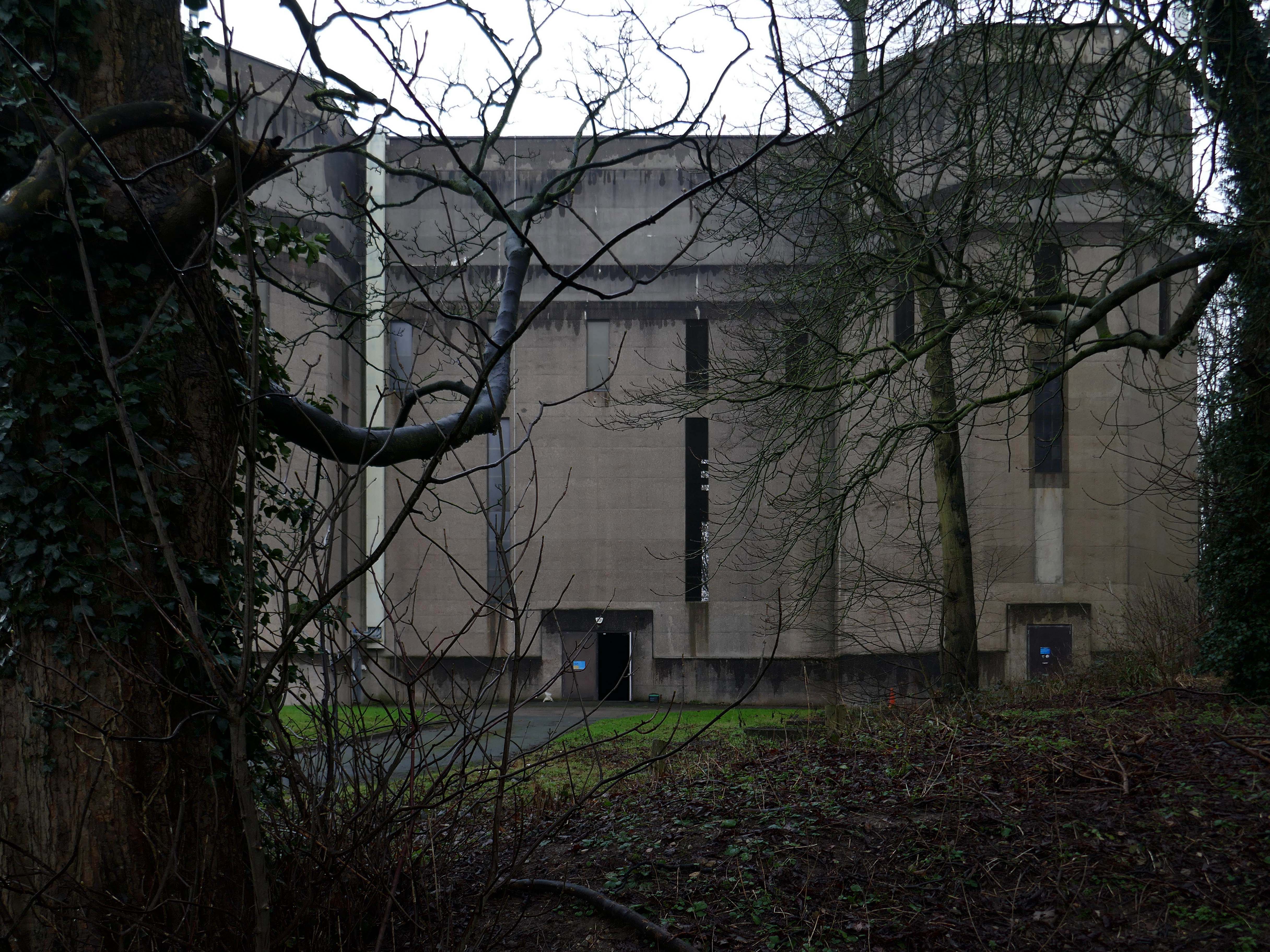
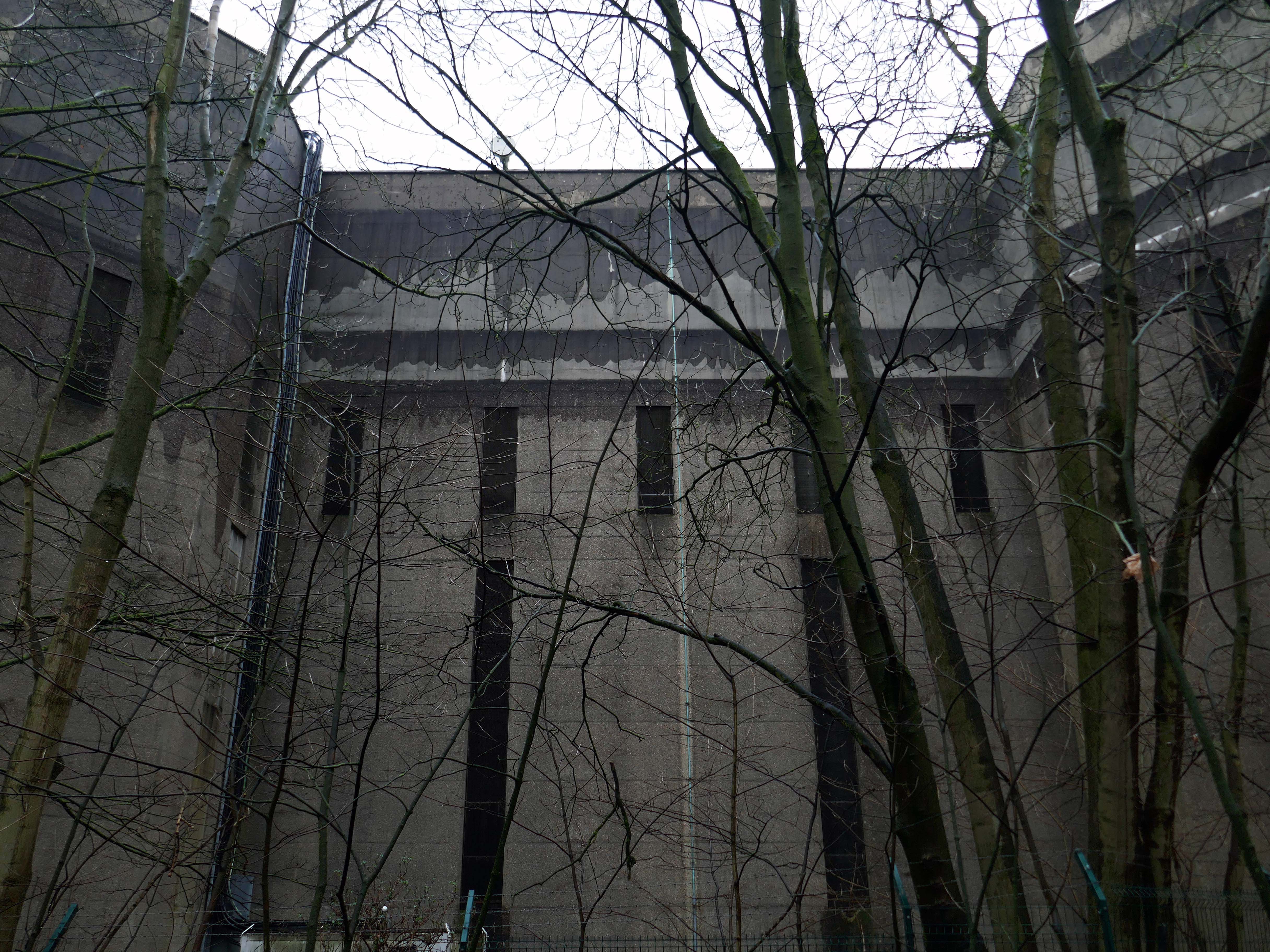
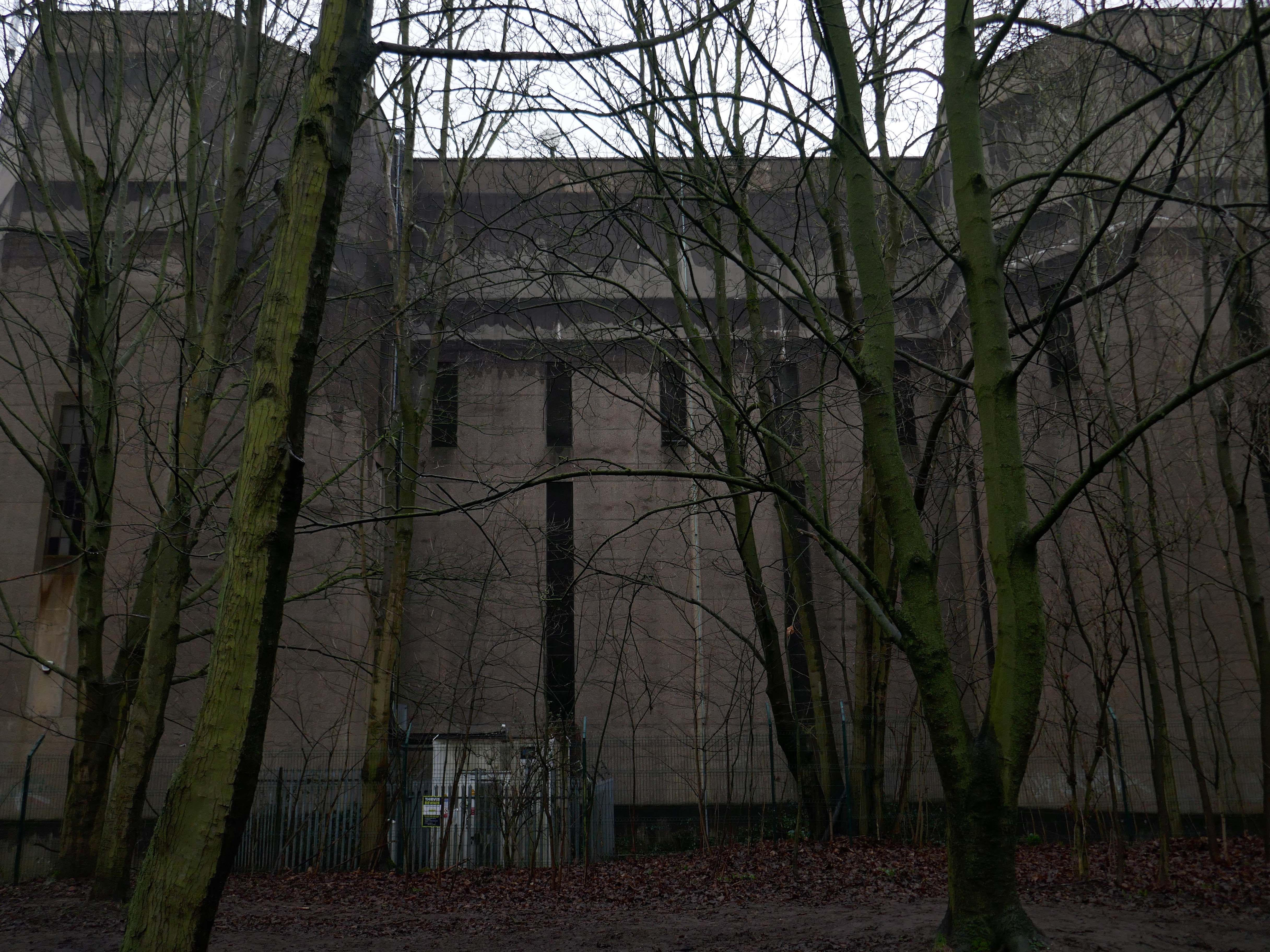
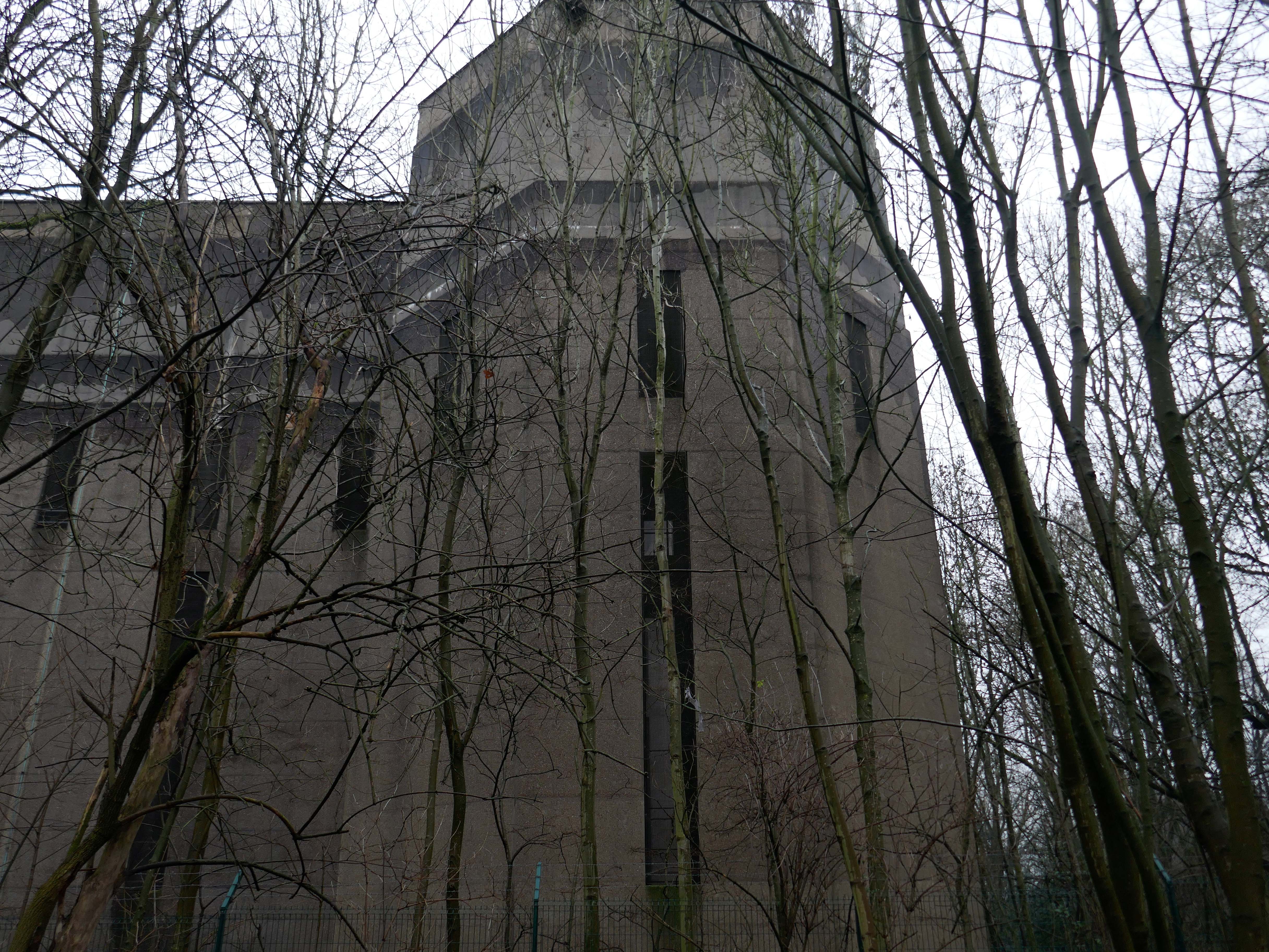
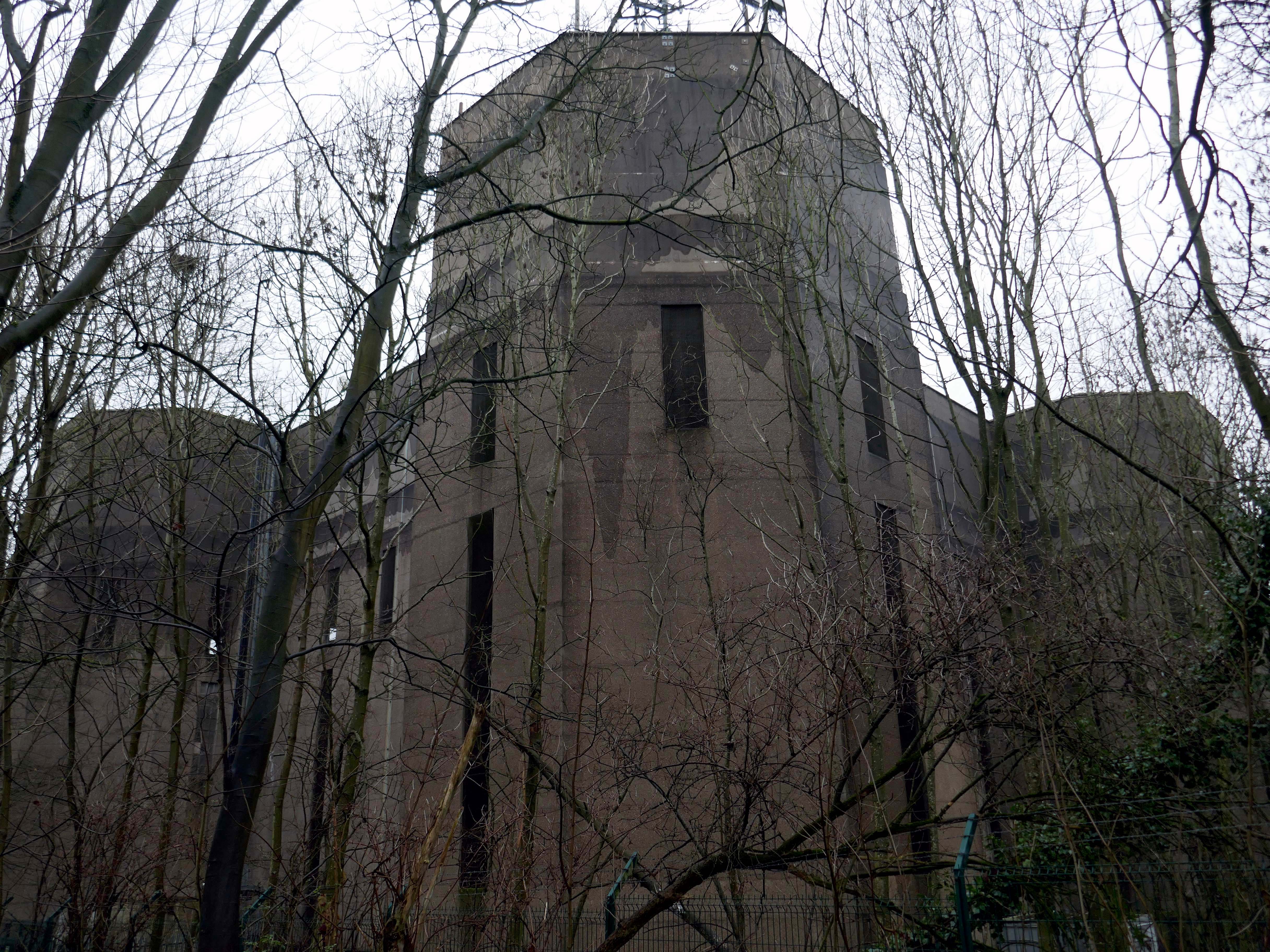
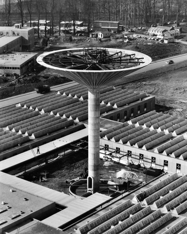
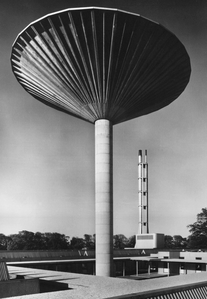
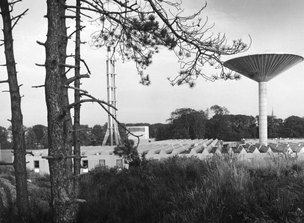
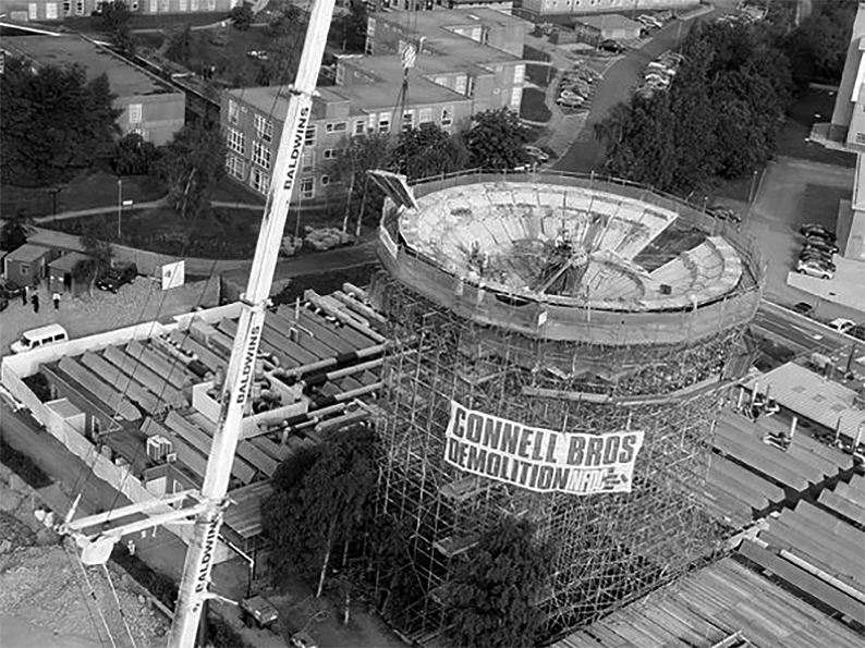
Exploring the University of York campus the first point of interest which we encountered was the Water Tower.
Siward’s Howe, sometimes written Siwards How and also known as Heslington Hill or Bunny Hill is a terminal moraine located to the south-east of the city of York.
The howe is situated north west of the Morrell Library building of the University of York. The southern side of the howe is part of Alcuin College of the University of York.
Its imposing water tower is visible from many parts of the nearby suburbs of Tang Hall and Osbaldwick.
Siward’s Howe is named for Siward, Earl of Northumbria, the 11th century Danish warrior.
Siward died at York during 1055 and is rumoured to have been buried beneath the tumuli at the wooded summit.
Built in 1955 the water tower contained one million gallons of water – the largest in England at the time.
It’s still operational, and provides water to Dunnington and Elvington.
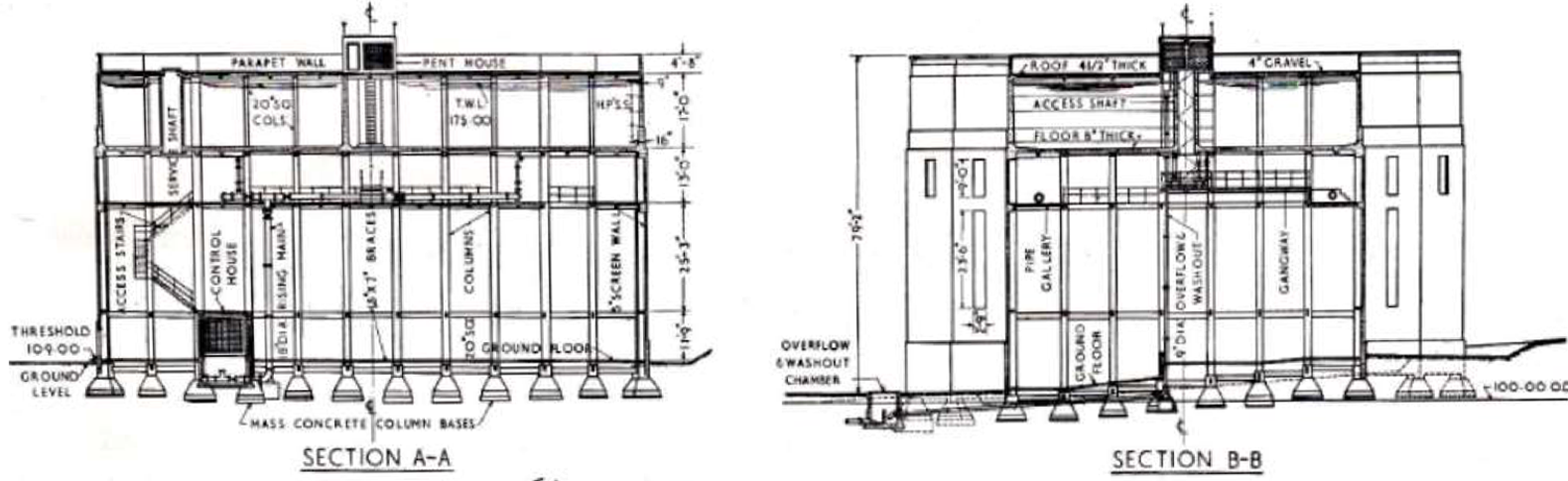
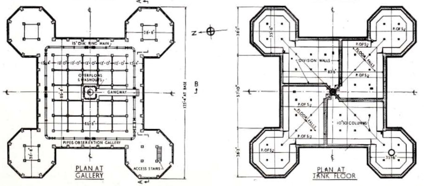
The shape of the tank and supporting structure on plan takes the form of a large central square portion, each corner of which is eclipsed by an octagonal tower seven faces of which are revealed.
The central tank is fifteen feet deep and is eighty three feet and six inches square.
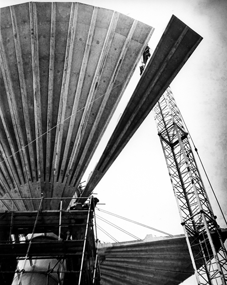
The Tower comprised of an inverted twenty one metre diameter conical tank which was made up of thirty two pre cast concrete petals each weighing eight and a half tonnes. The Overall Height of the Tower was approximately twenty eight metres, the central core stem being two point three metres diameter .
Photo Steve Collins 2011
Photo RIBA pix
The landmark, built in 1965 to hold fifty thousand gallons of water for the chemistry department, is crumbling away due to carbonation and has been covered in a protective net to stop pieces hitting passers-by.
Bill Burns, building maintenance surveyor for the university, said many concrete structures of the 1960s and 1970s were suffering the same fate as the speed of building often meant salt got into the aggregate used in the concrete mix.
There was a degree of uncertainty surrounding the demolition of the pre-cast structure of the Tower as it had been subject to deterioration since erection. At Tender stage, the thirty two petals forming the bowl of the water tank were described as each individually being restrained by wire ropes to the central core. Upon opening up the works, it was found that the stated thirty two restraining Ropes had only been used during the construction of the bowl and had been removed, therefore the petals of the tank were gaining support from the ring beams.
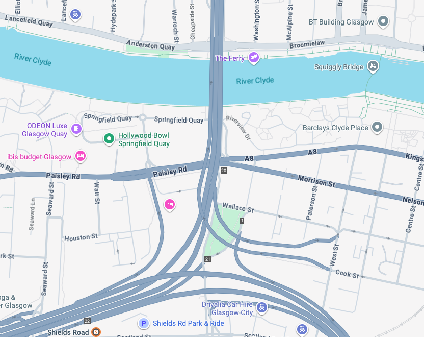
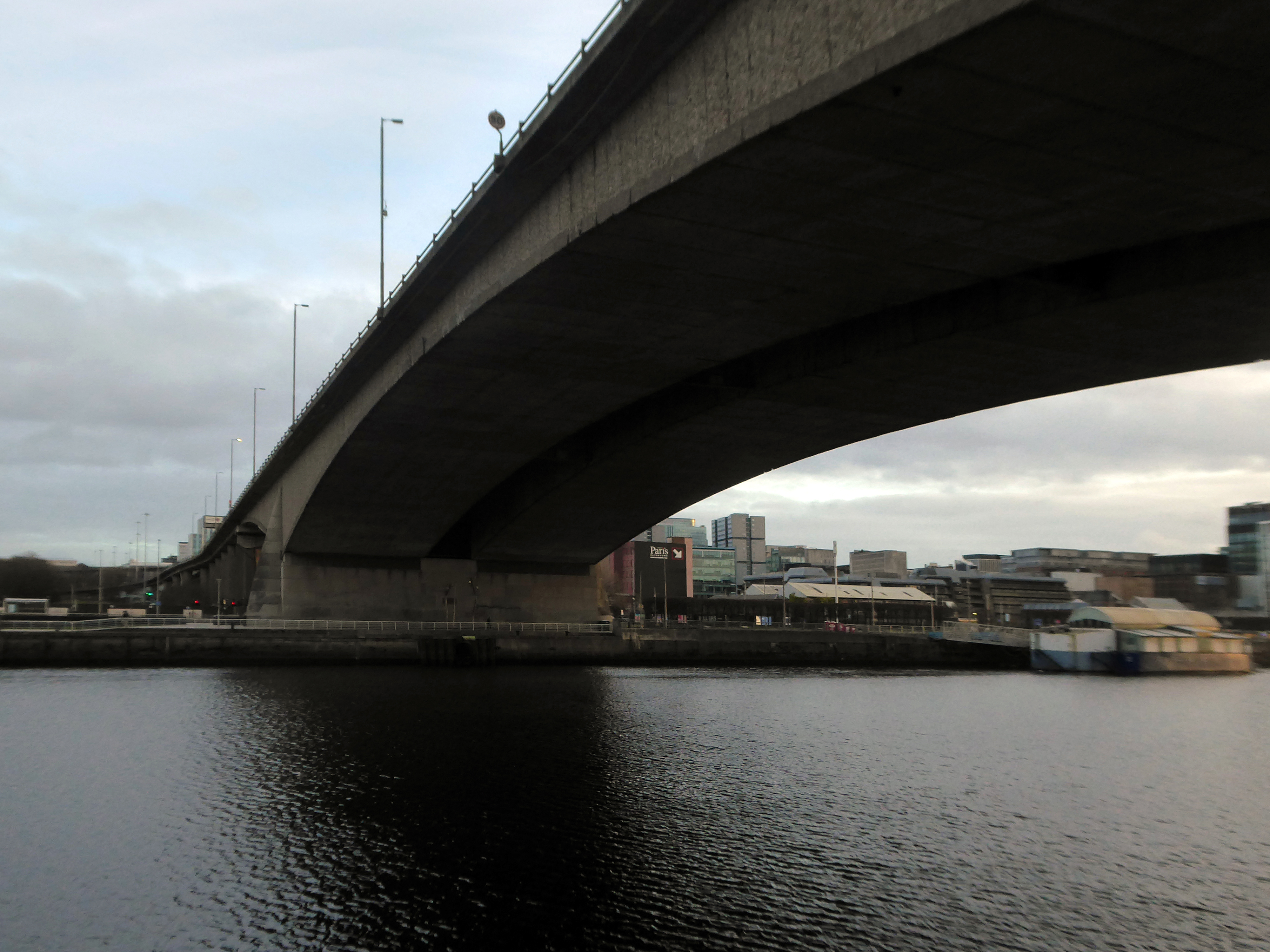
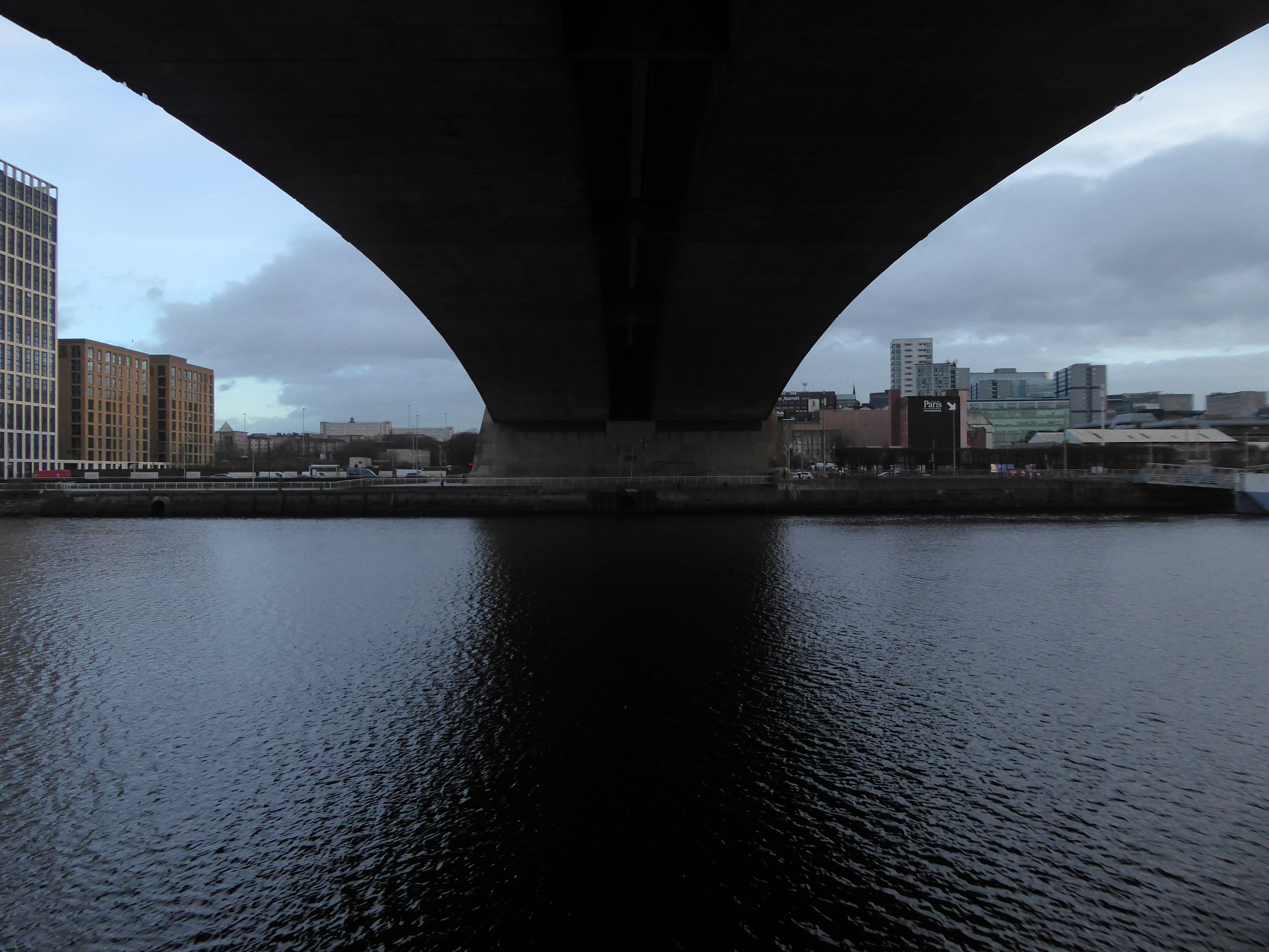
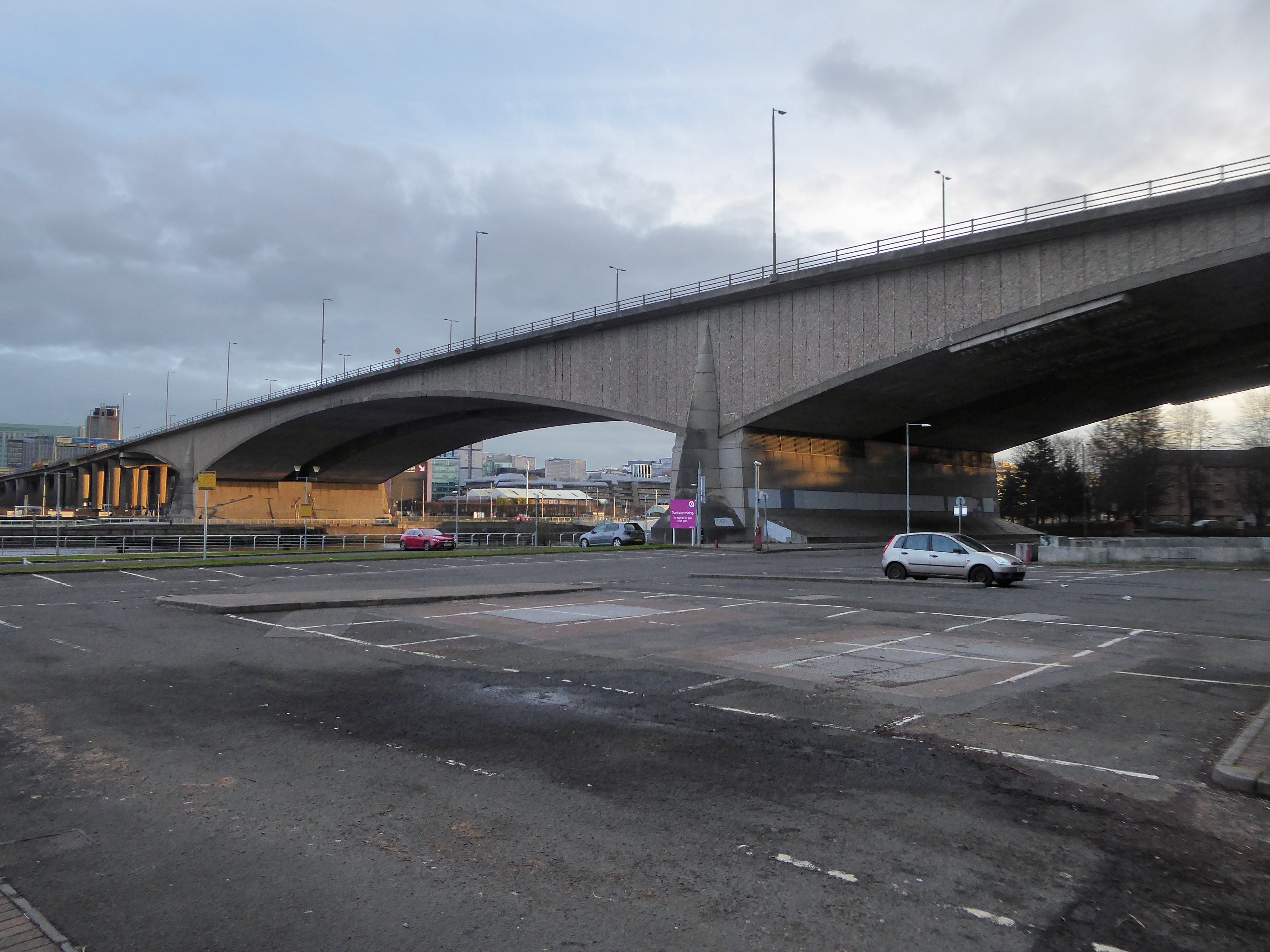
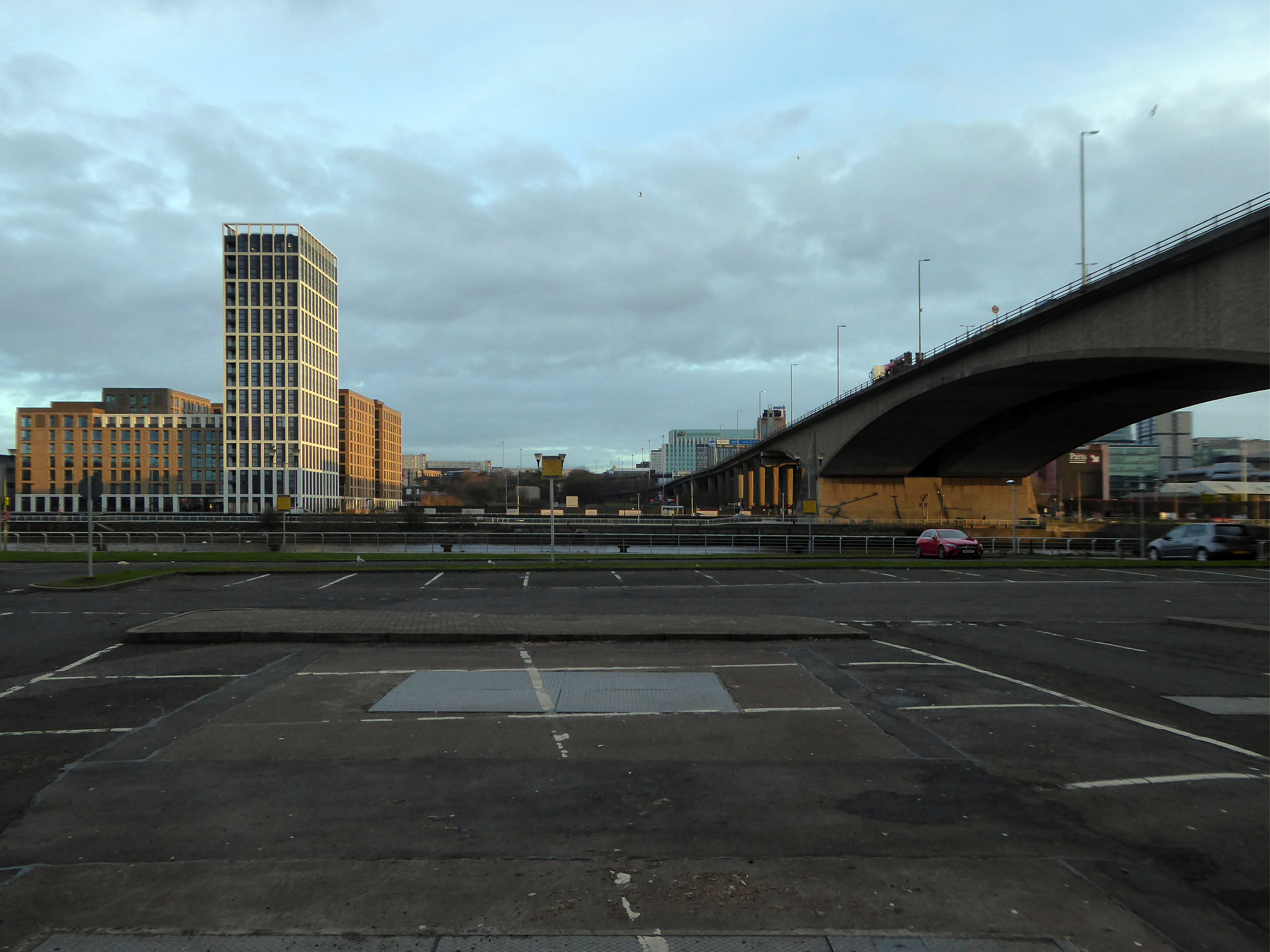
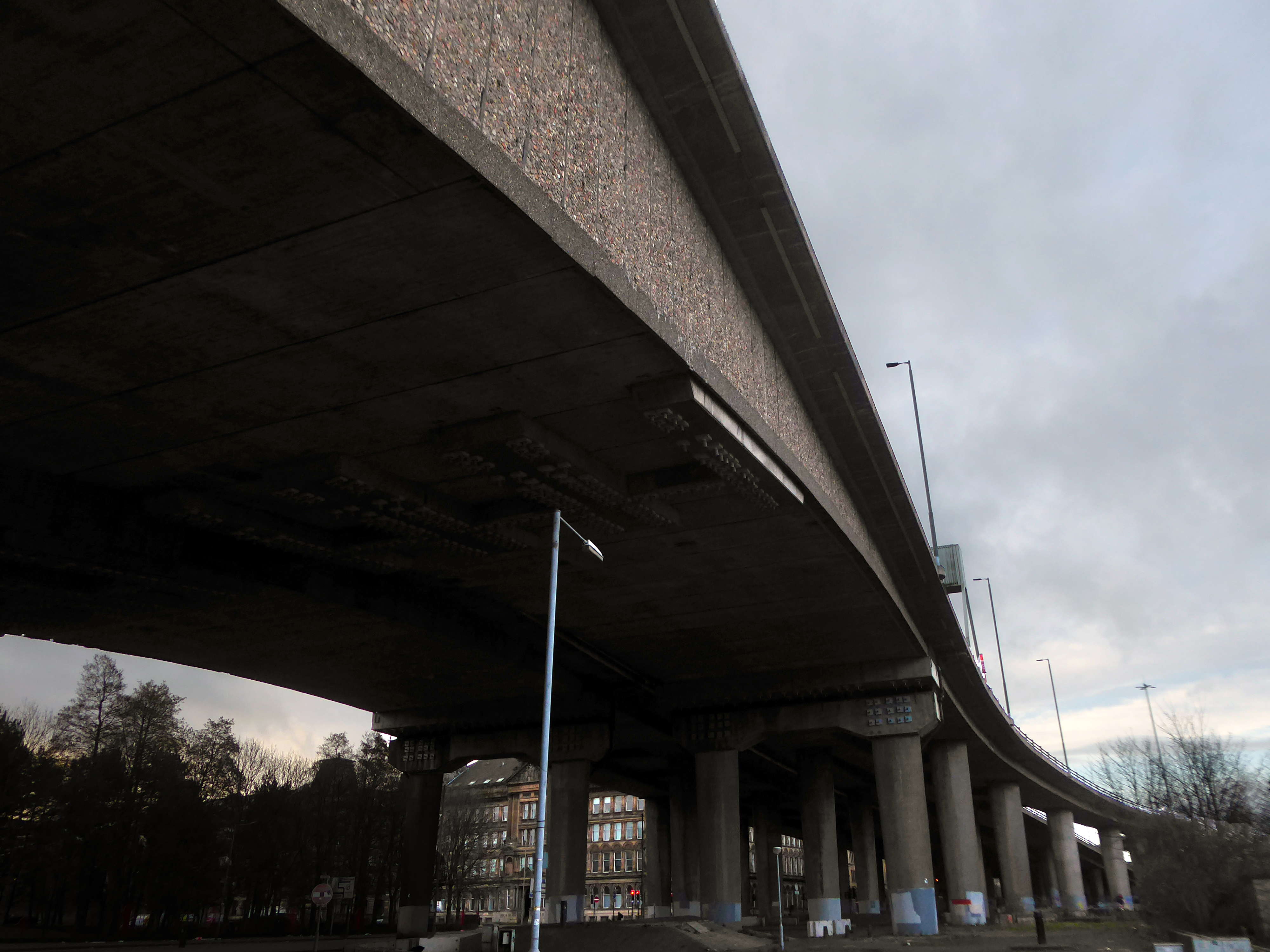
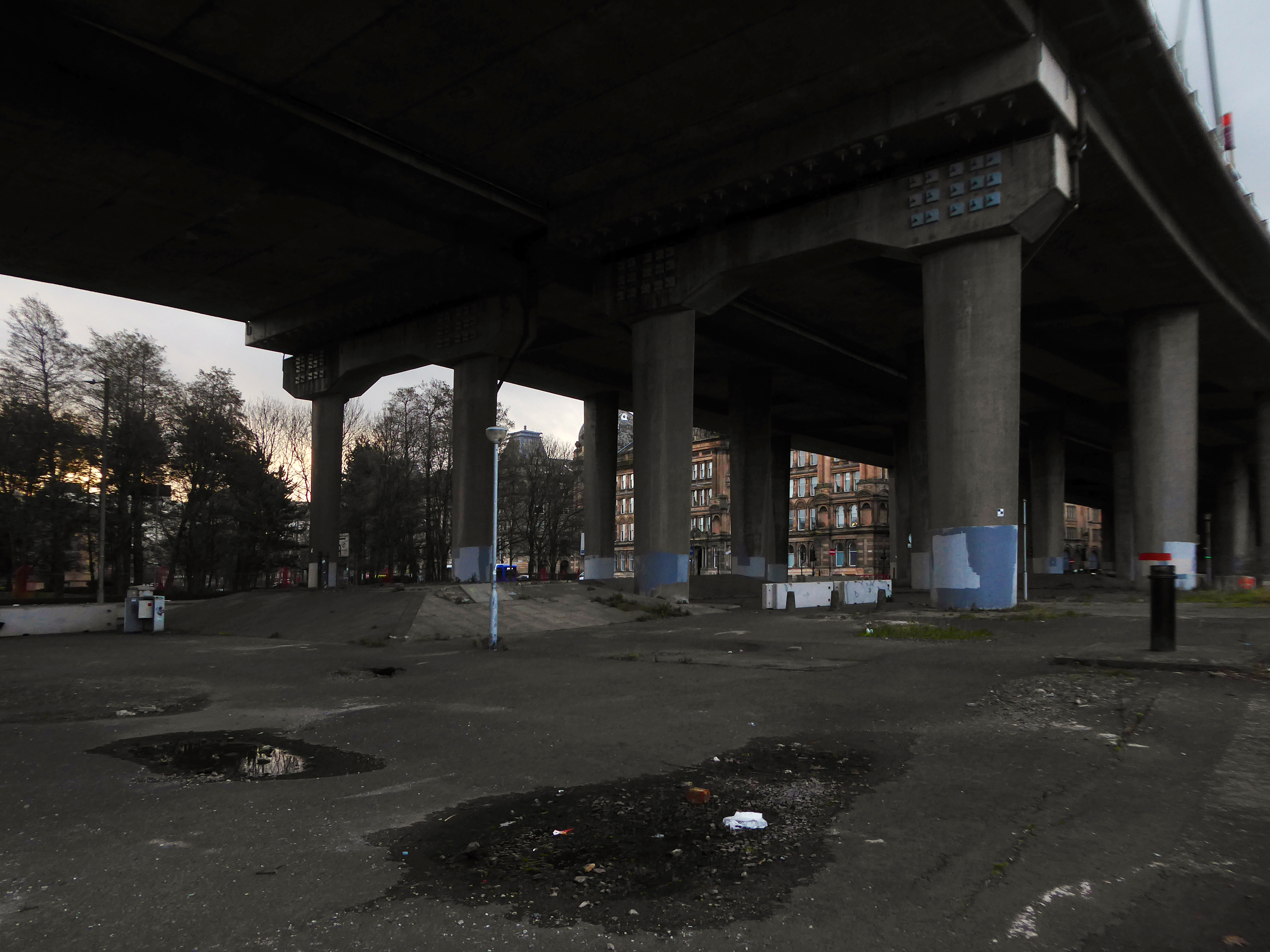
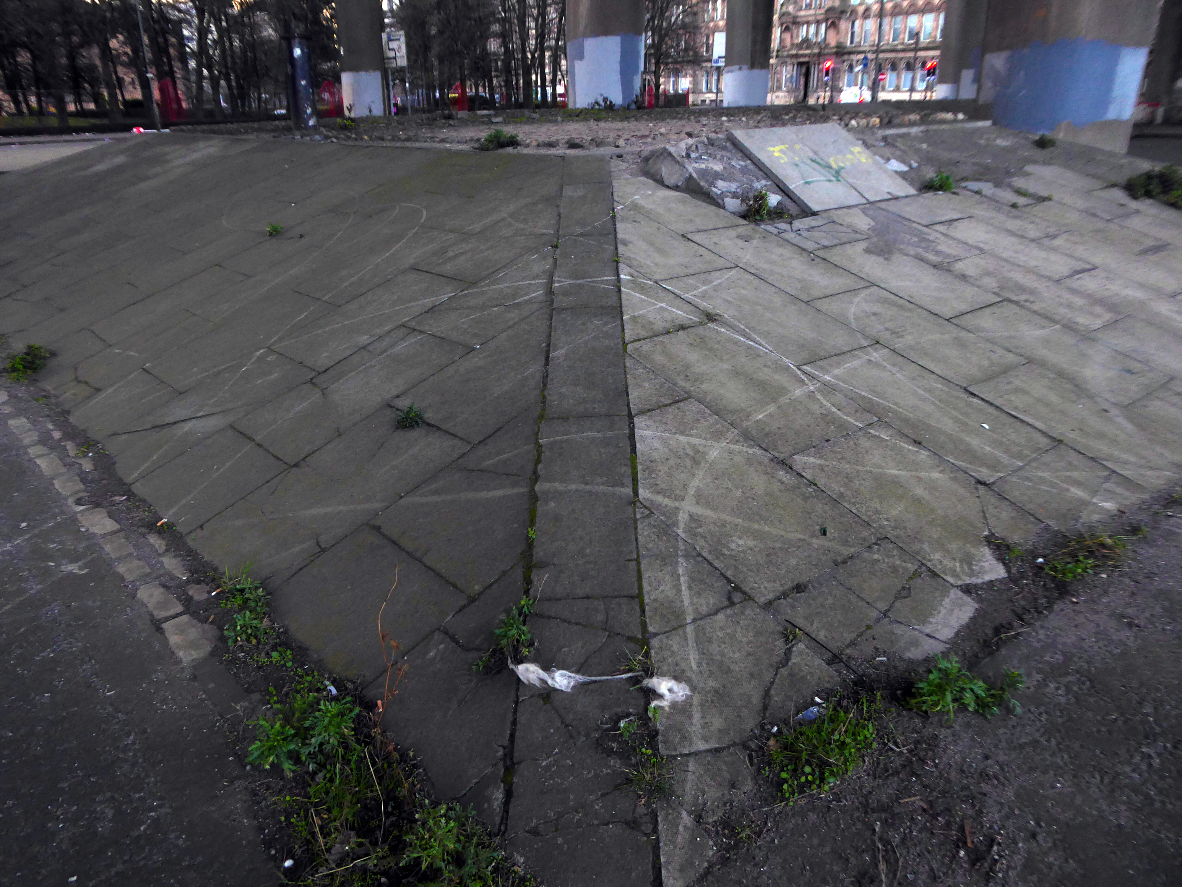
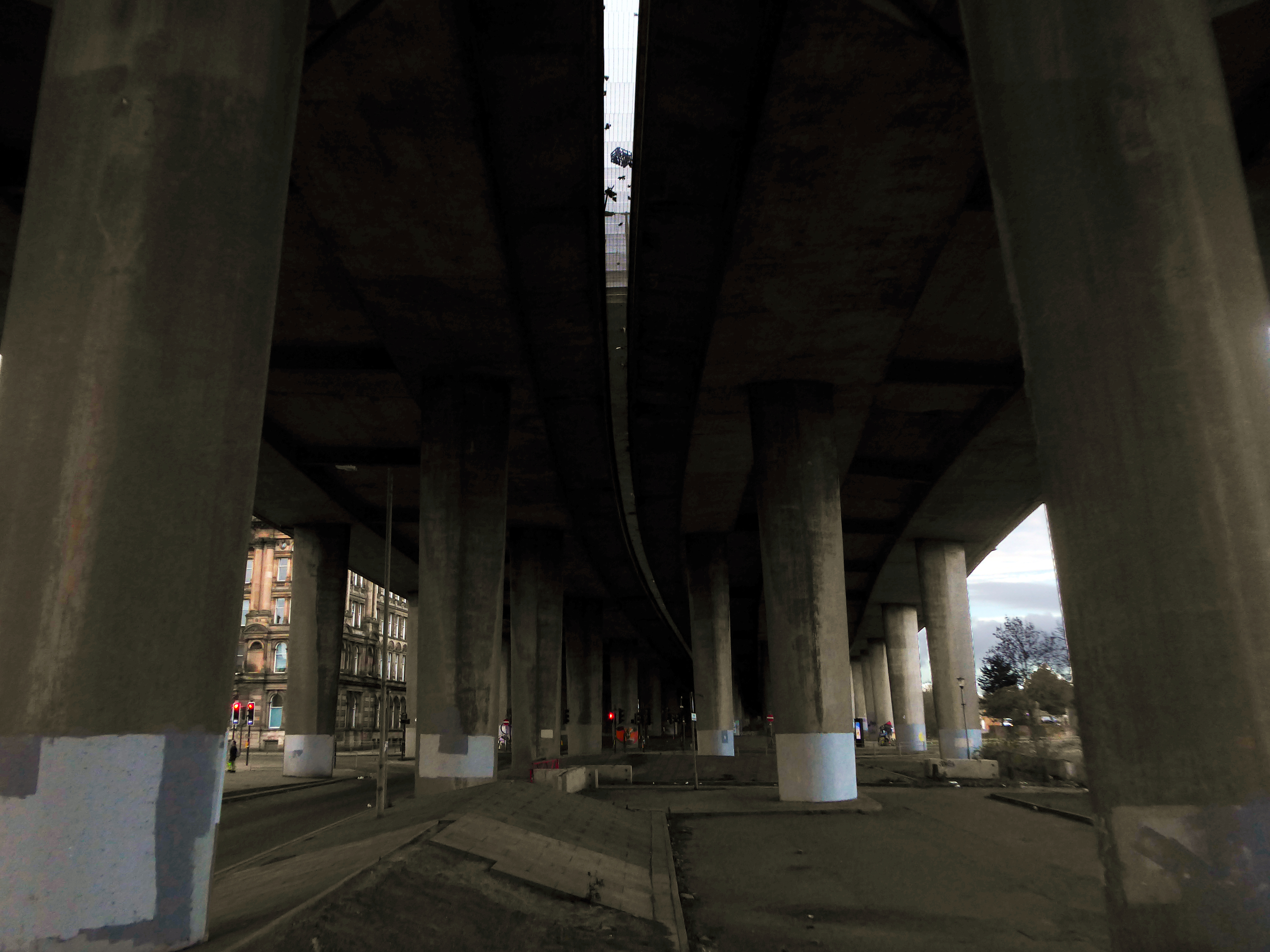
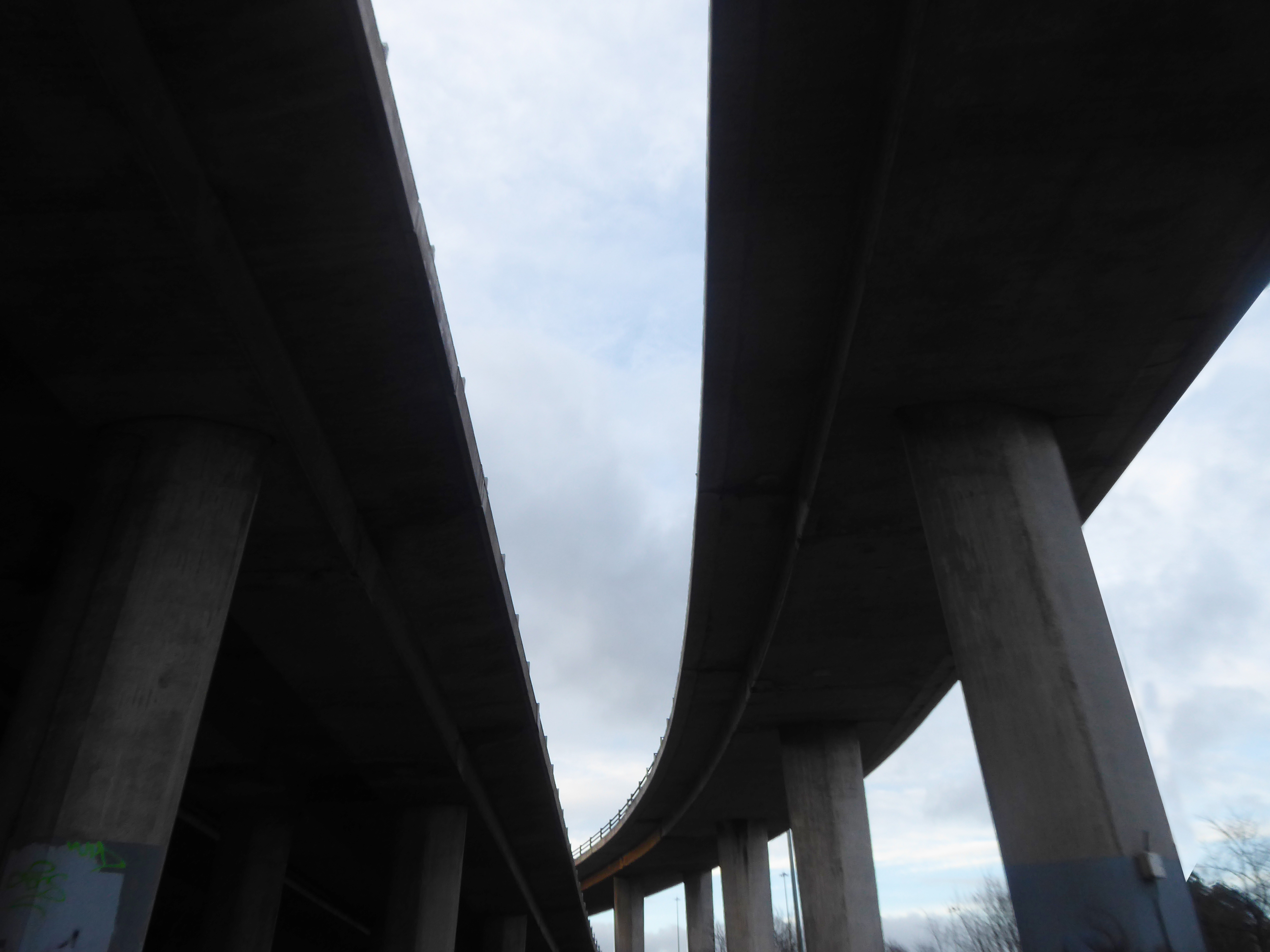
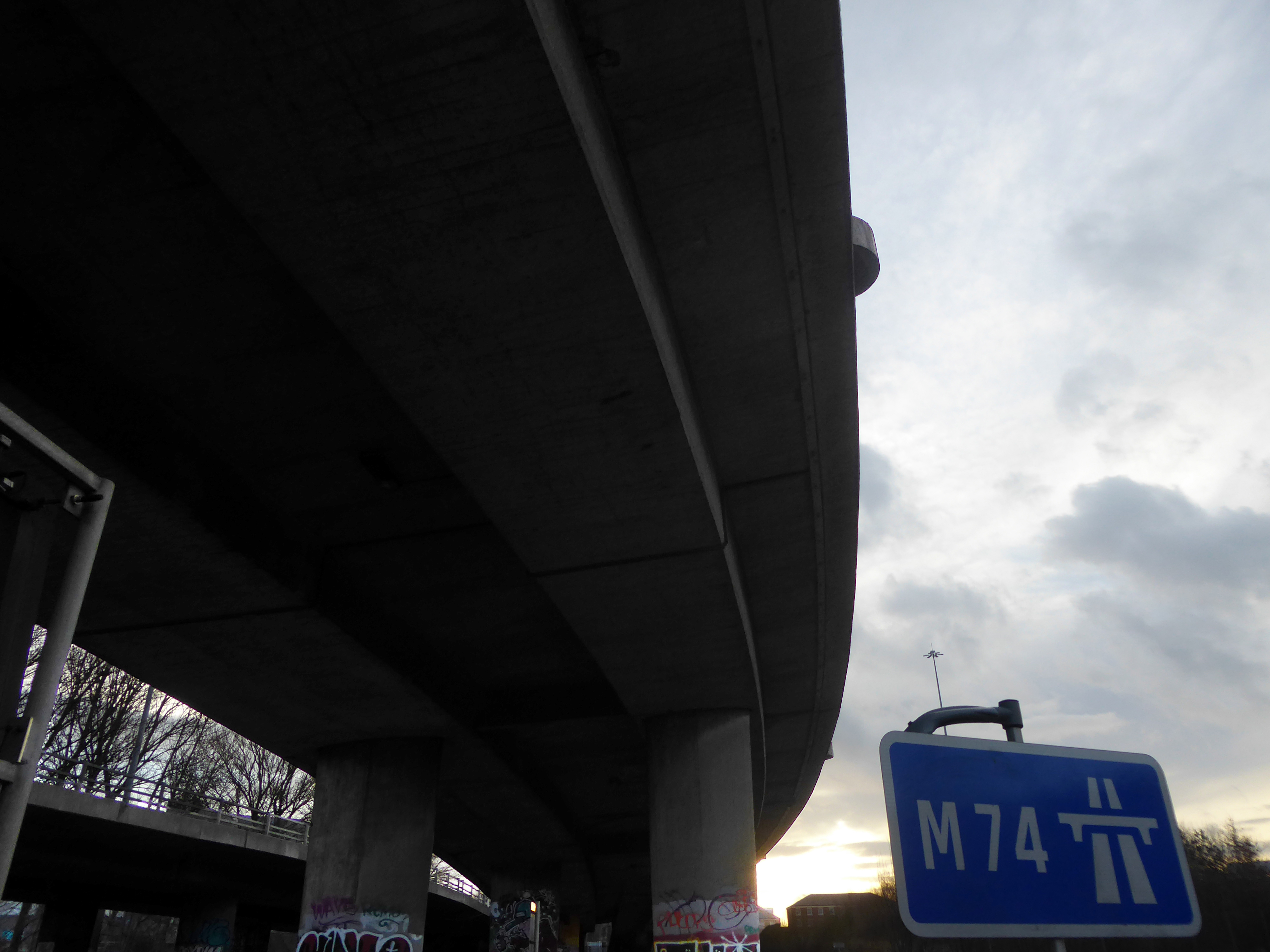
The bridge on the River Clyde – and access to the city’s motorway system.
The Kingston Bridge is a balanced cantilever dual-span ten lane road bridge made of triple-cell segmented prestressed concrete box girders crossing the River Clyde.
Carrying the M8 motorway through the city centre, the Kingston Bridge is one of the busiest bridges in Europe, carrying around 150,000 vehicles every day.
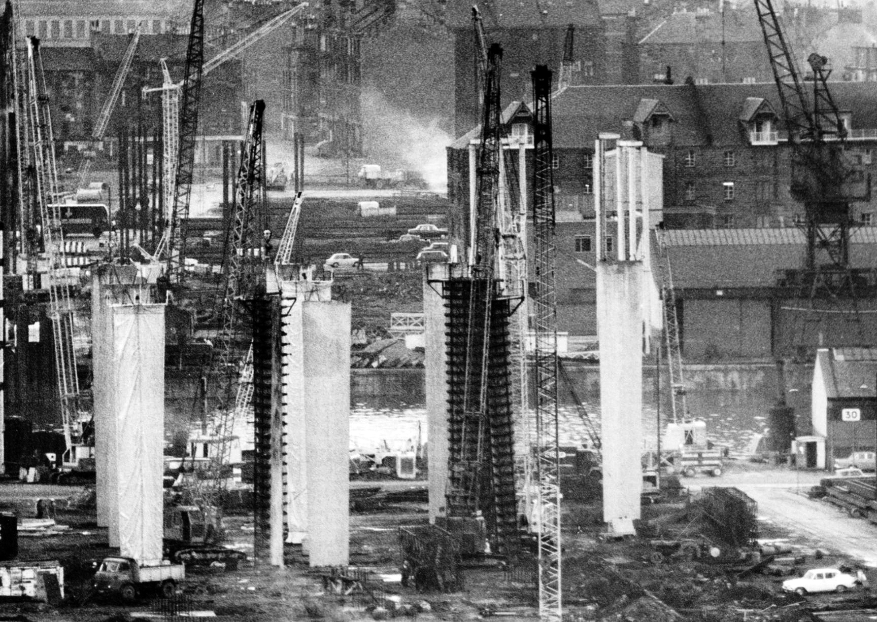
The bridge was first proposed in 1945 as part of the Glasgow Inner Ring Road scheme. After feasibility studies were carried out, William Fairhurst was appointed consulting engineer for the design of the bridge and its approaches and on 15 May 1967 construction began; this was a joint venture between Duncan Logan Construction Ltd and Marples Ridgway.
The eventual cost was £2.4m excluding the approach viaducts or around £11m in total.
On 26 June 1970 Kingston Bridge was opened by Queen Elizabeth the Queen Mother.
Co-operative House was the former headquarters of the Scottish Co-operative Wholesale Society and today is a mixed residential and commercial development.
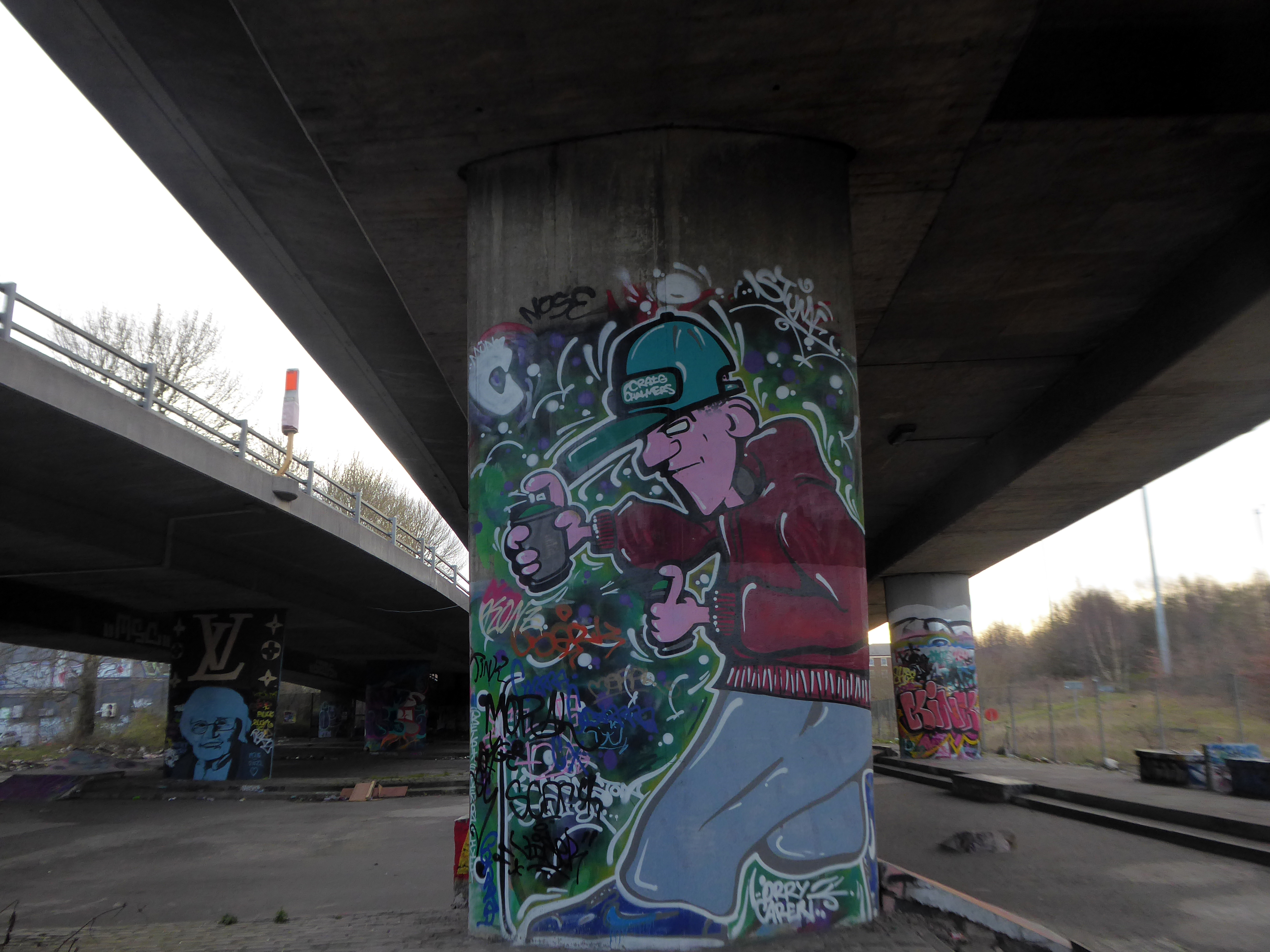
There is a dubious urban myth that the fourth man in the Williamwood bank robbery, Archie McGeachy, is buried in the pillars of the bridge.
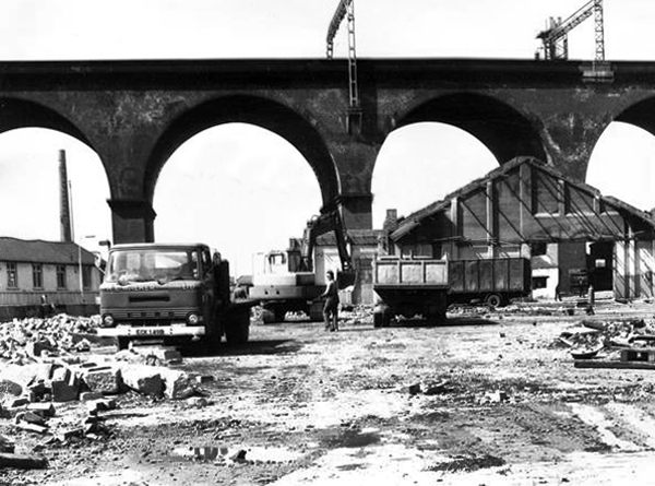
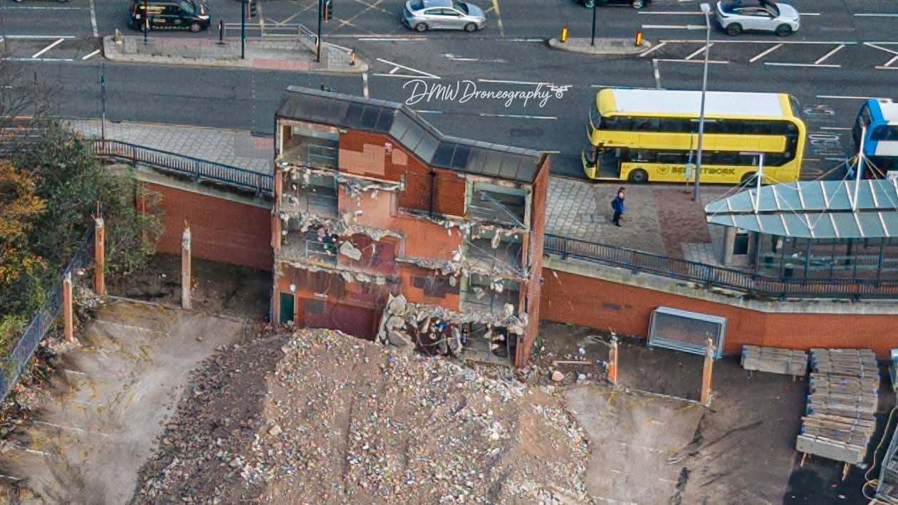
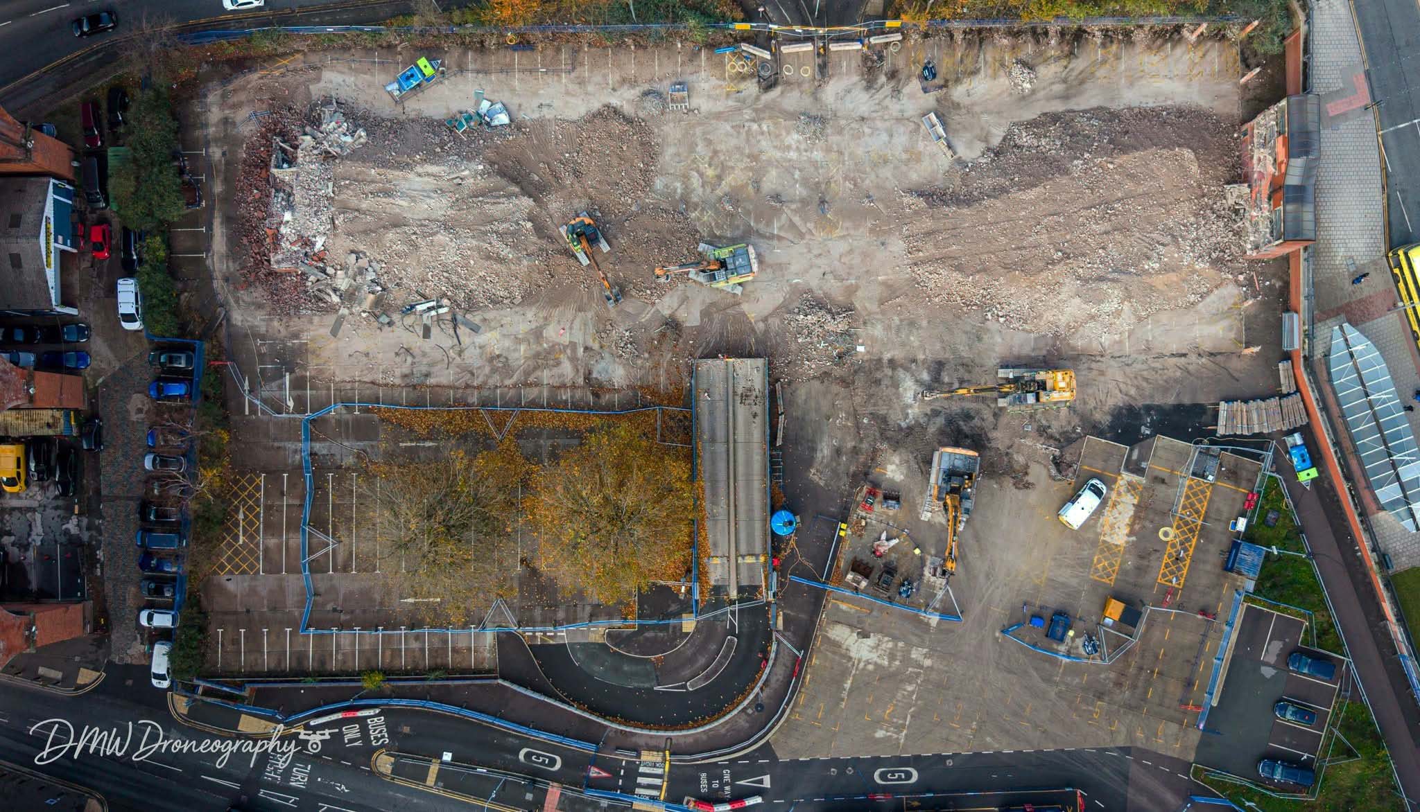
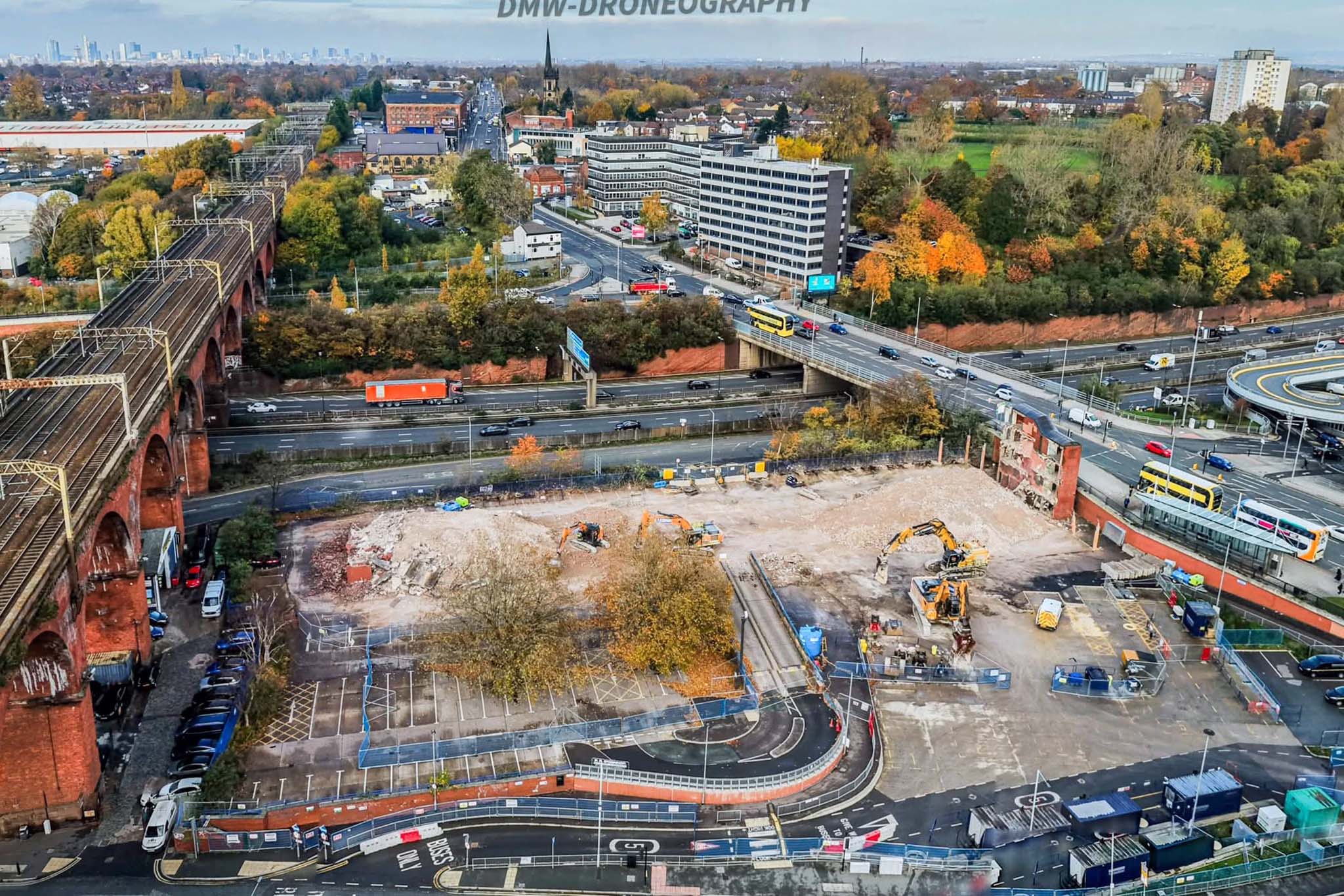
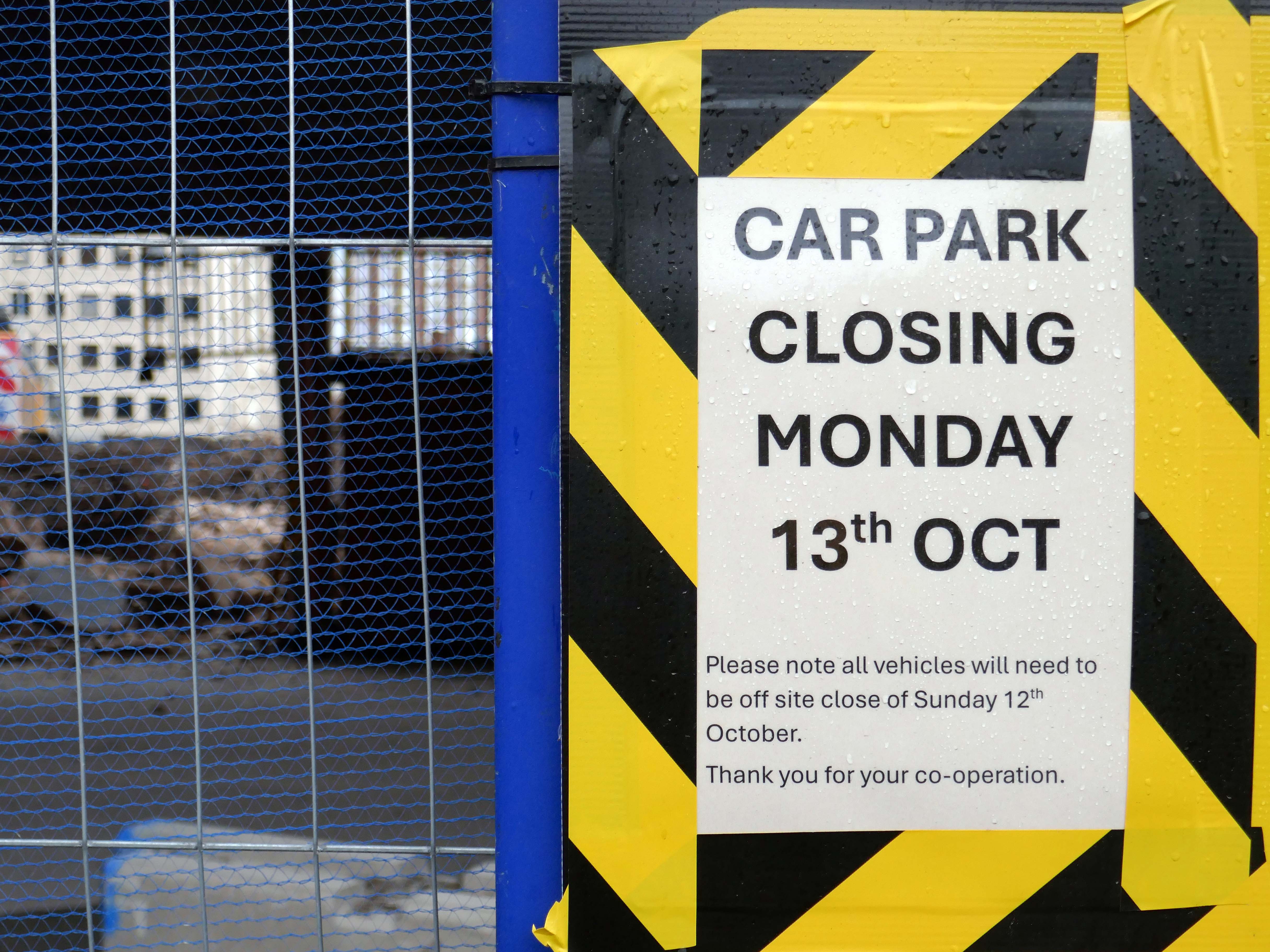
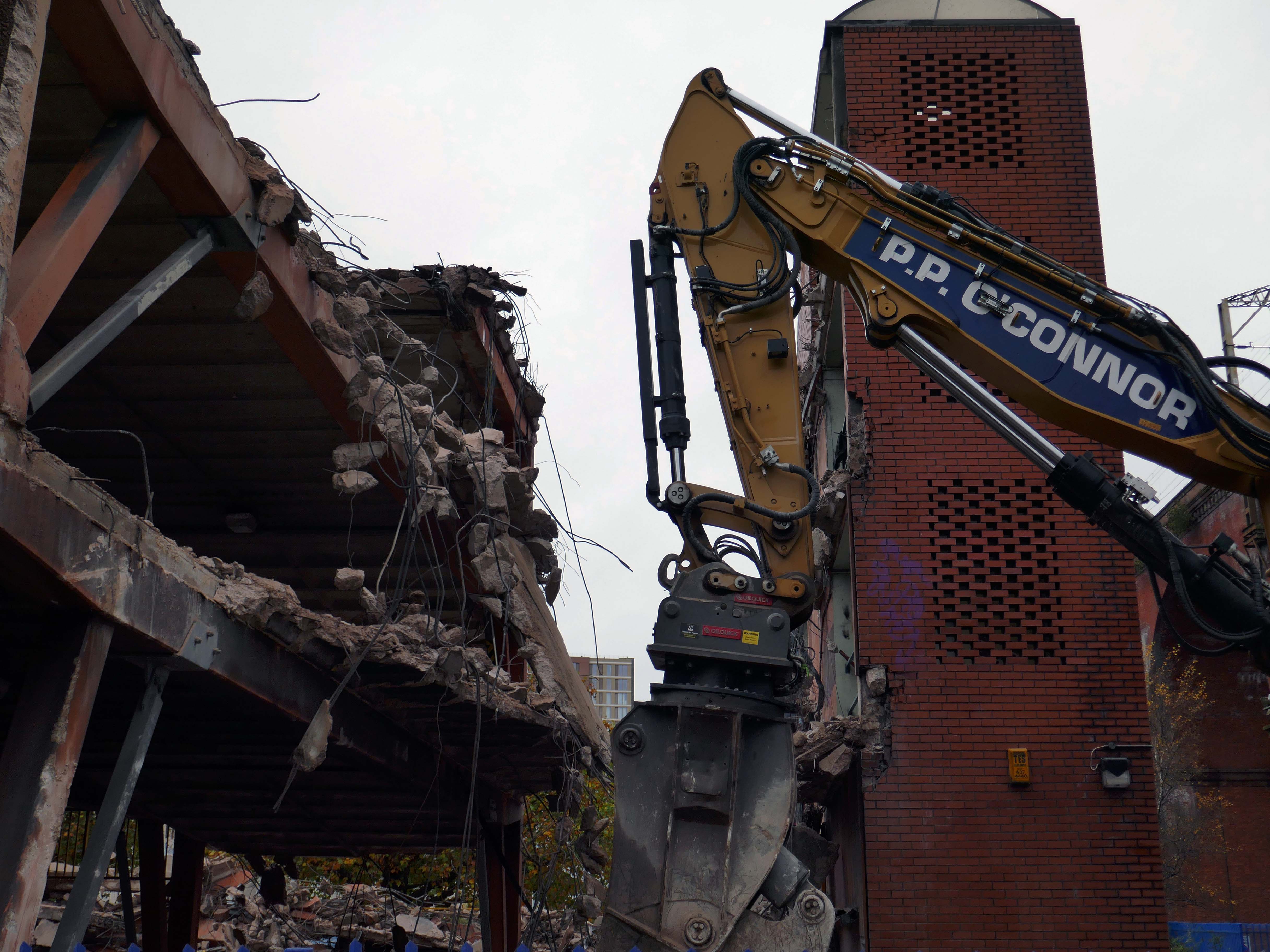
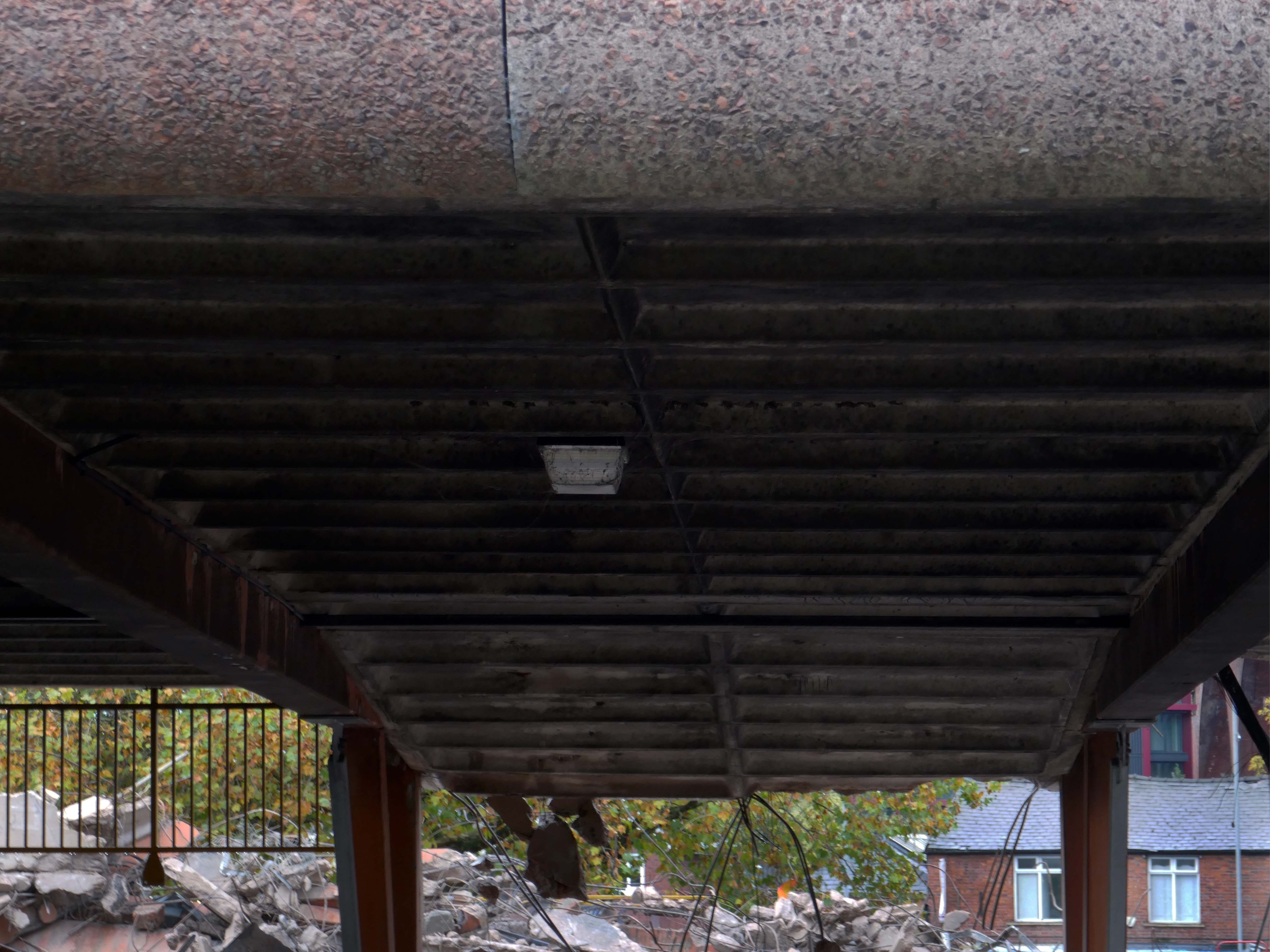
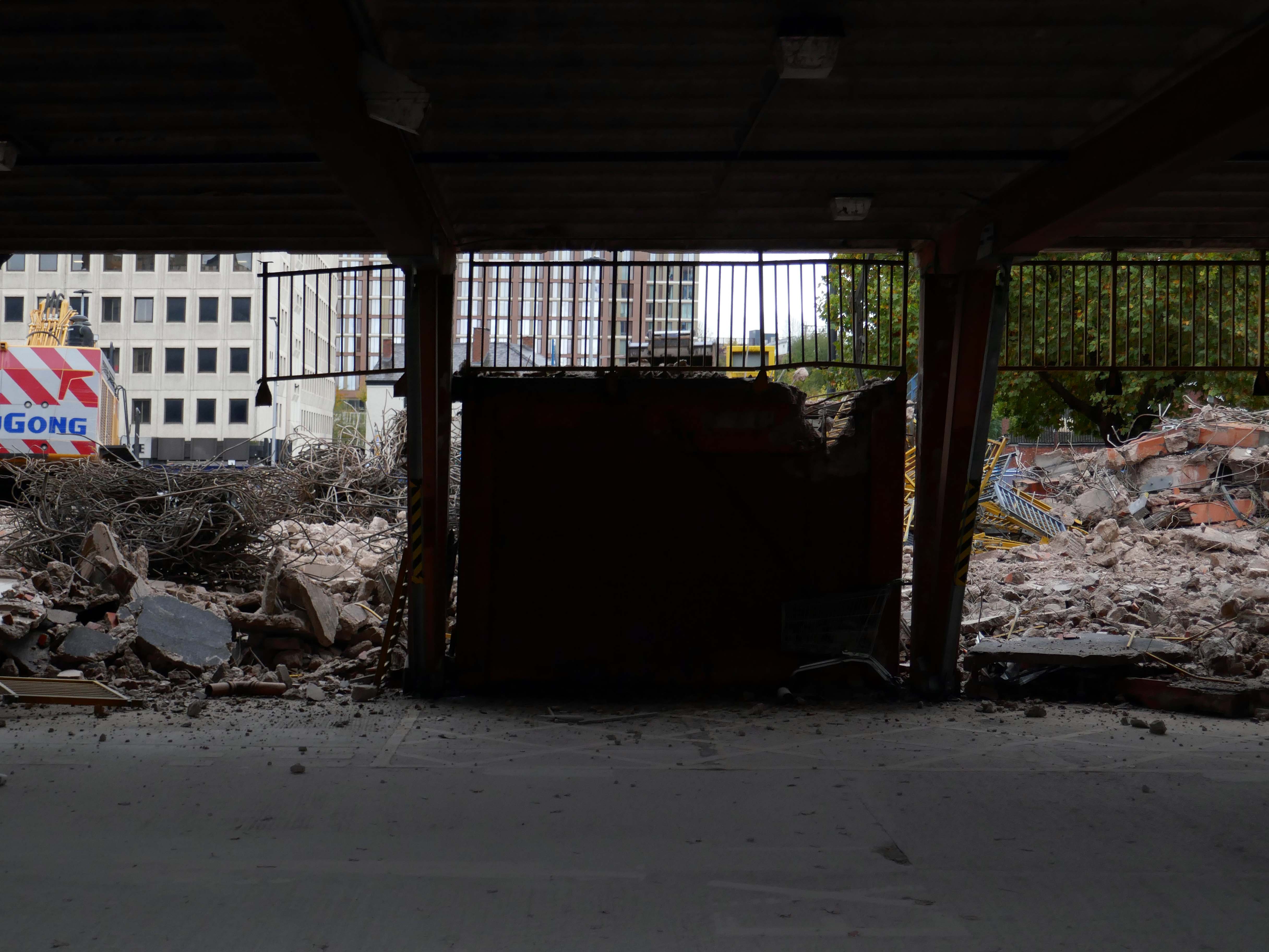
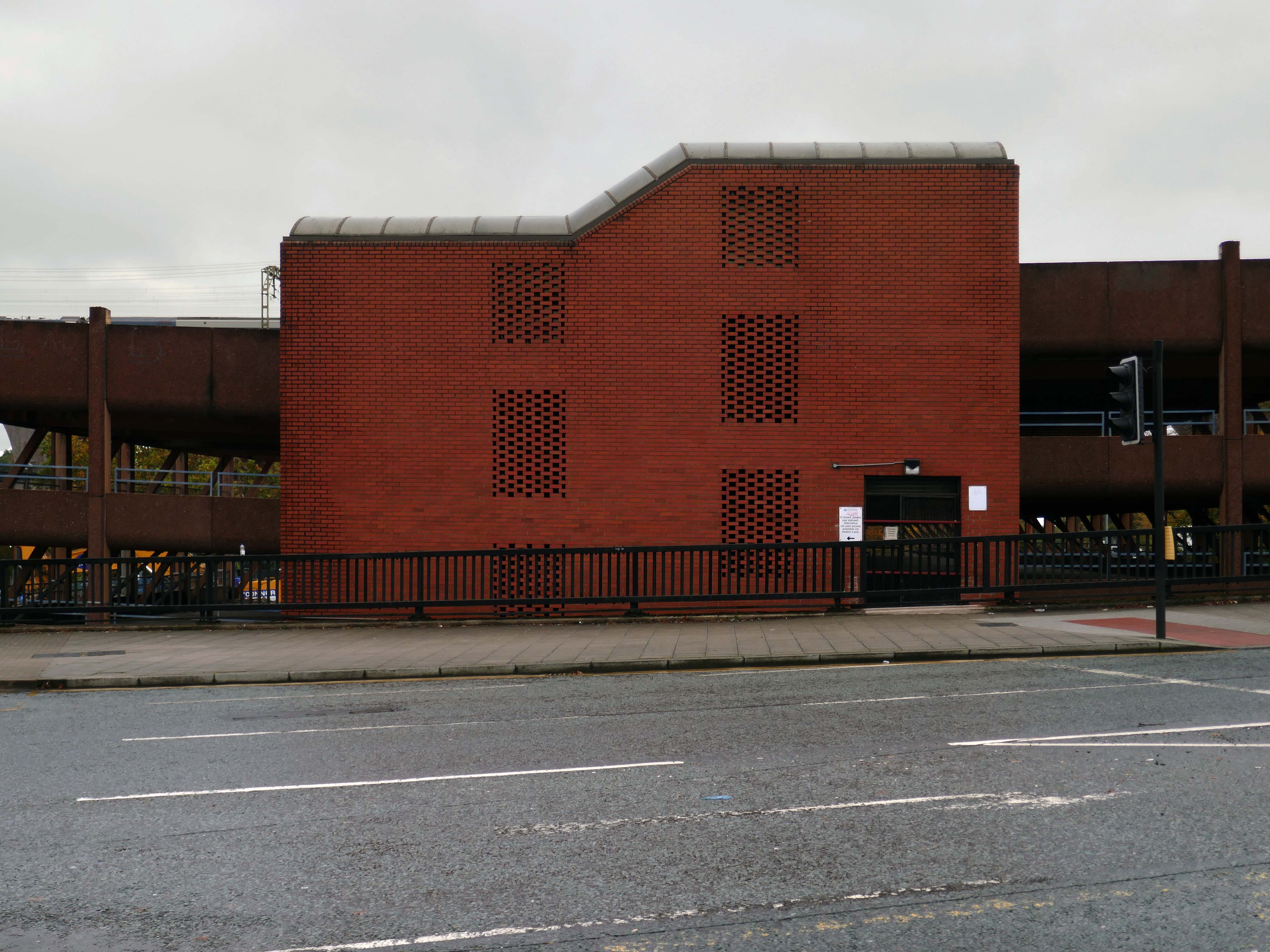
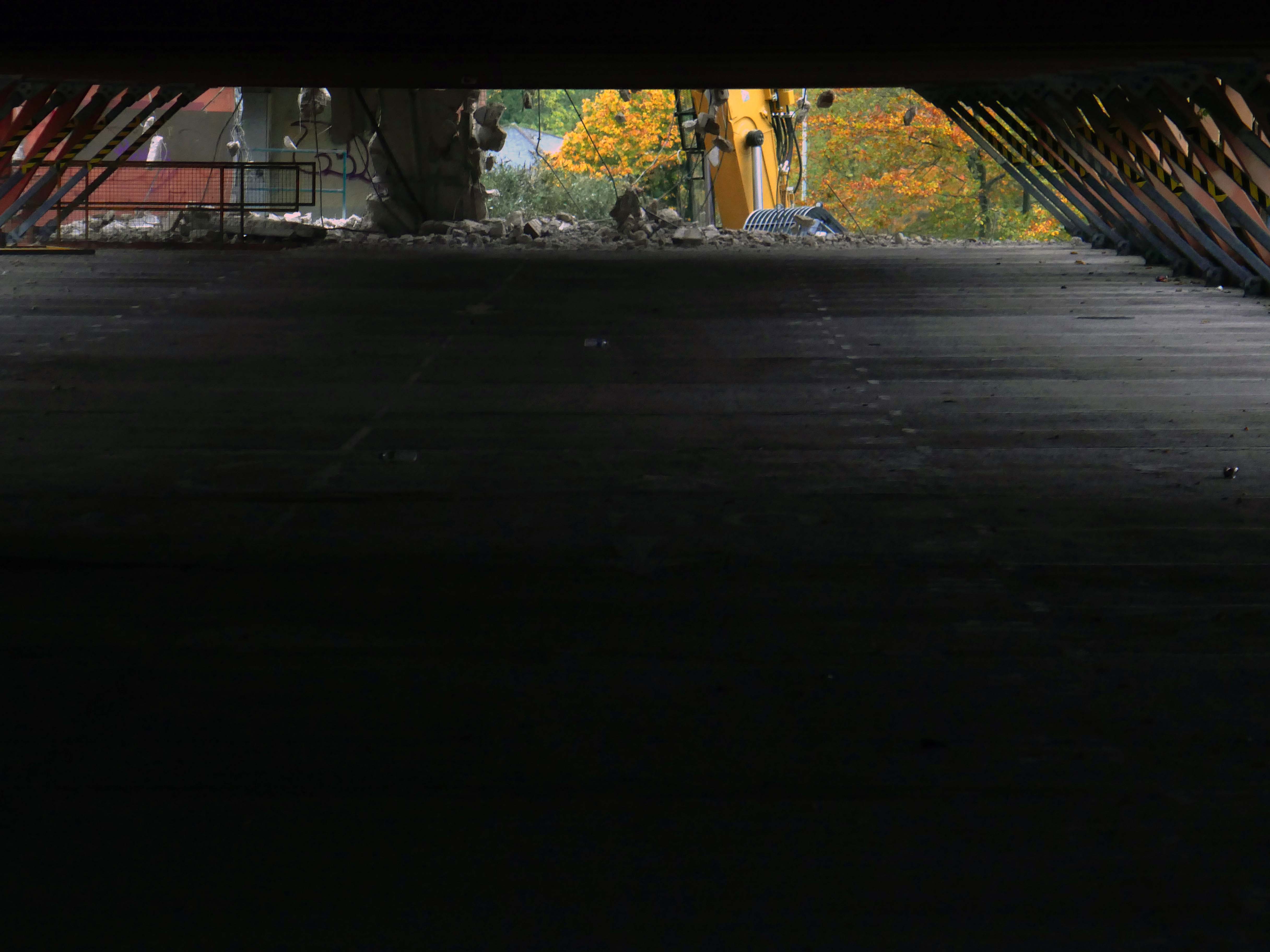
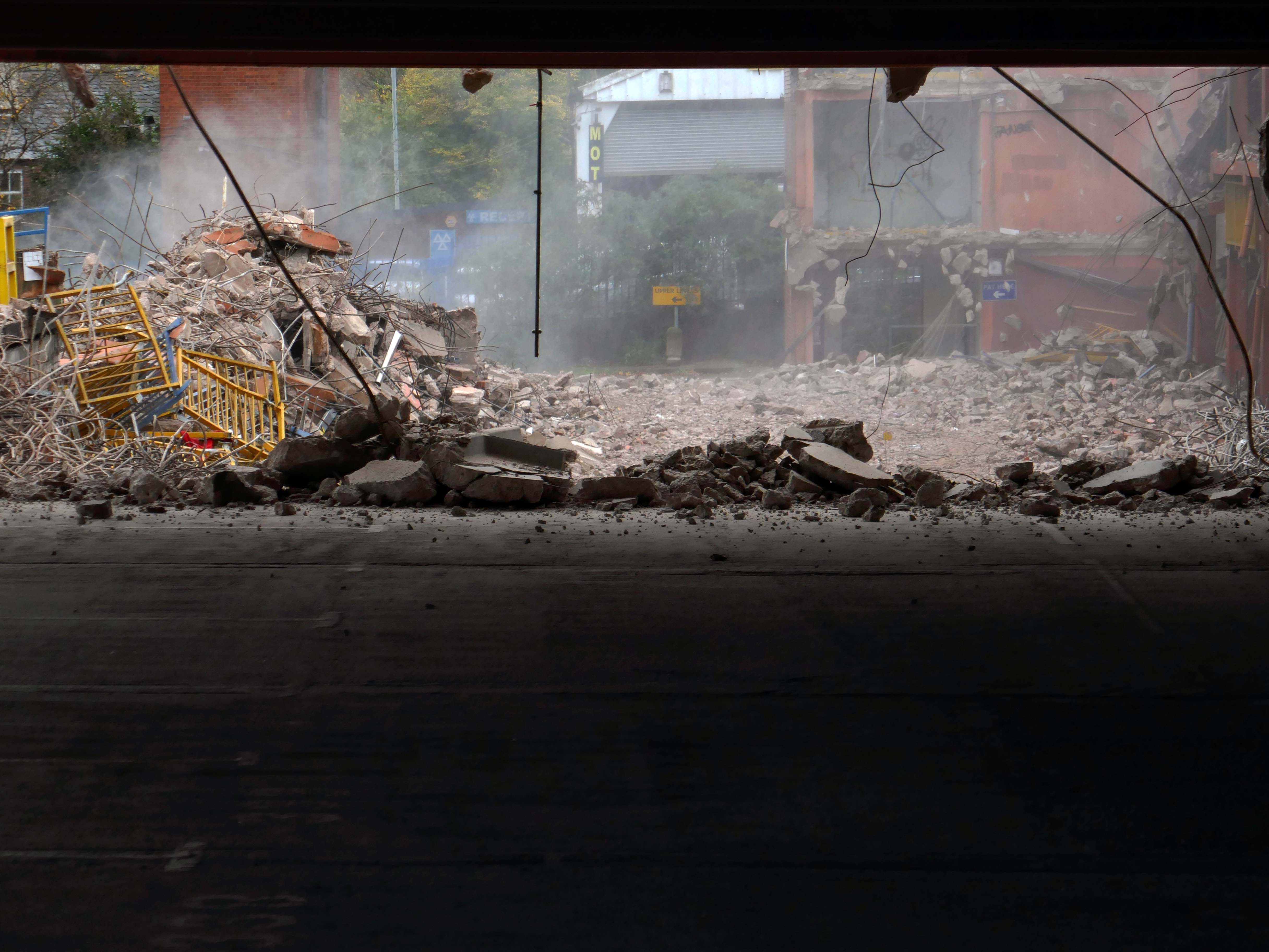
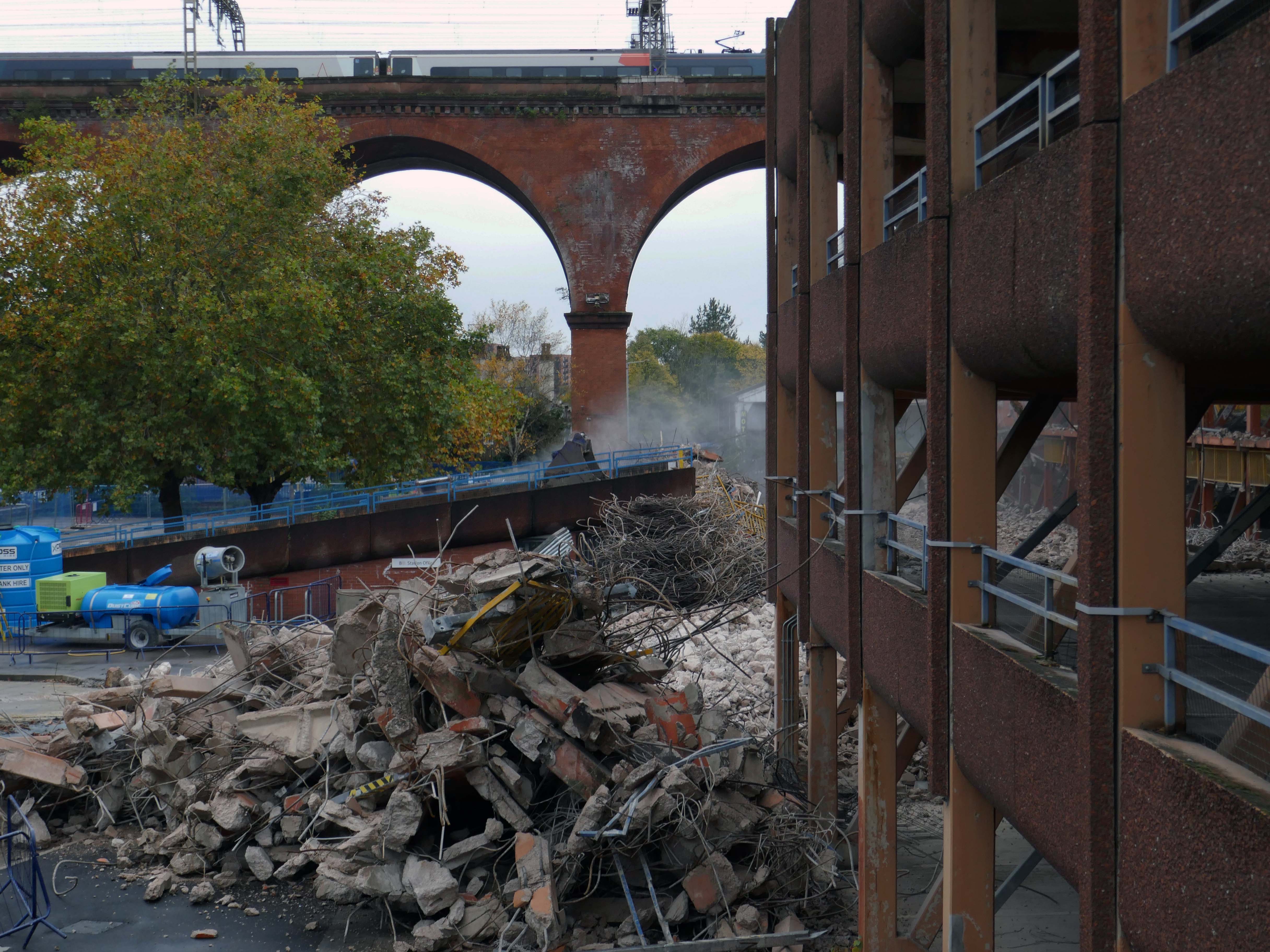
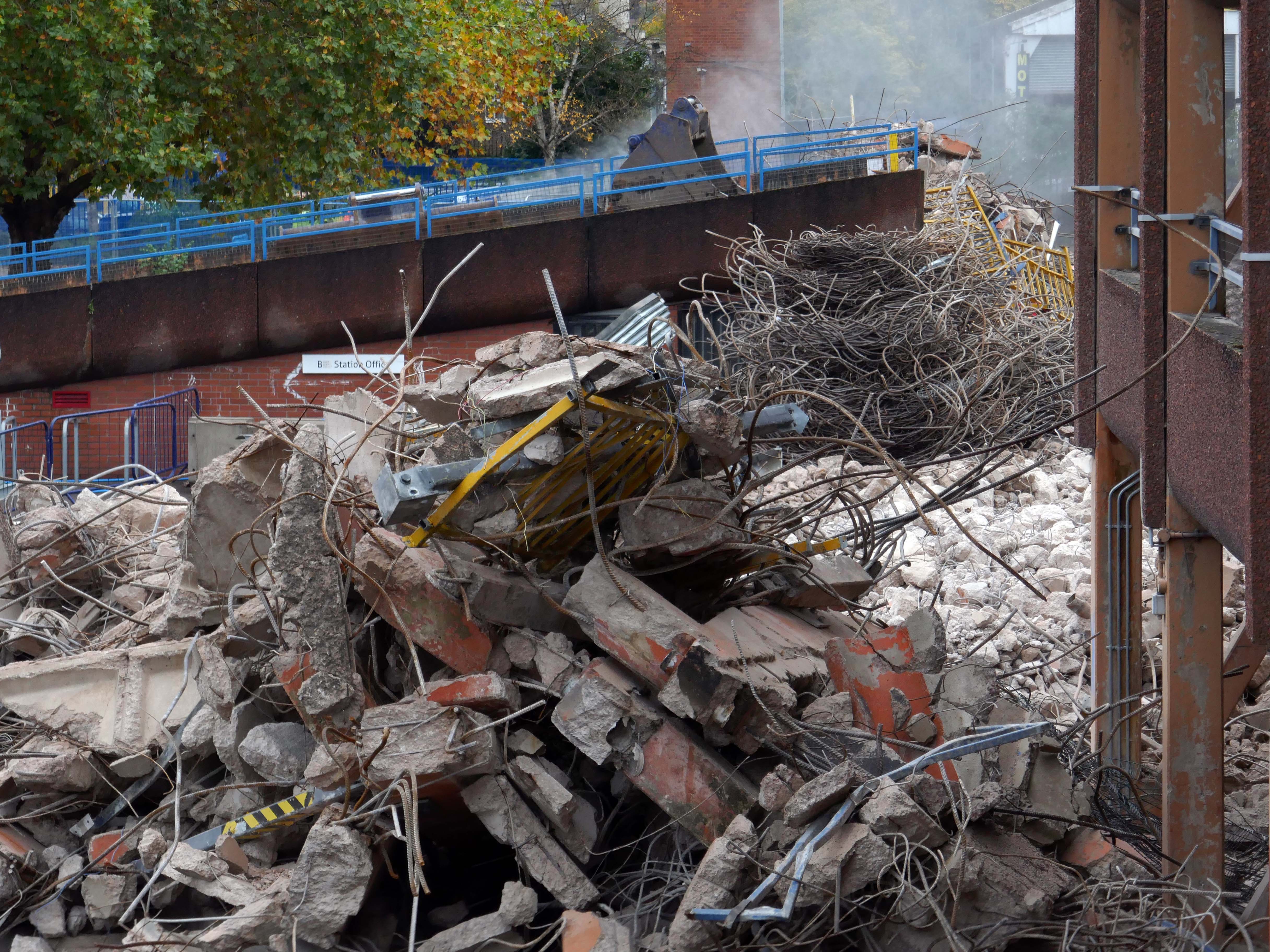
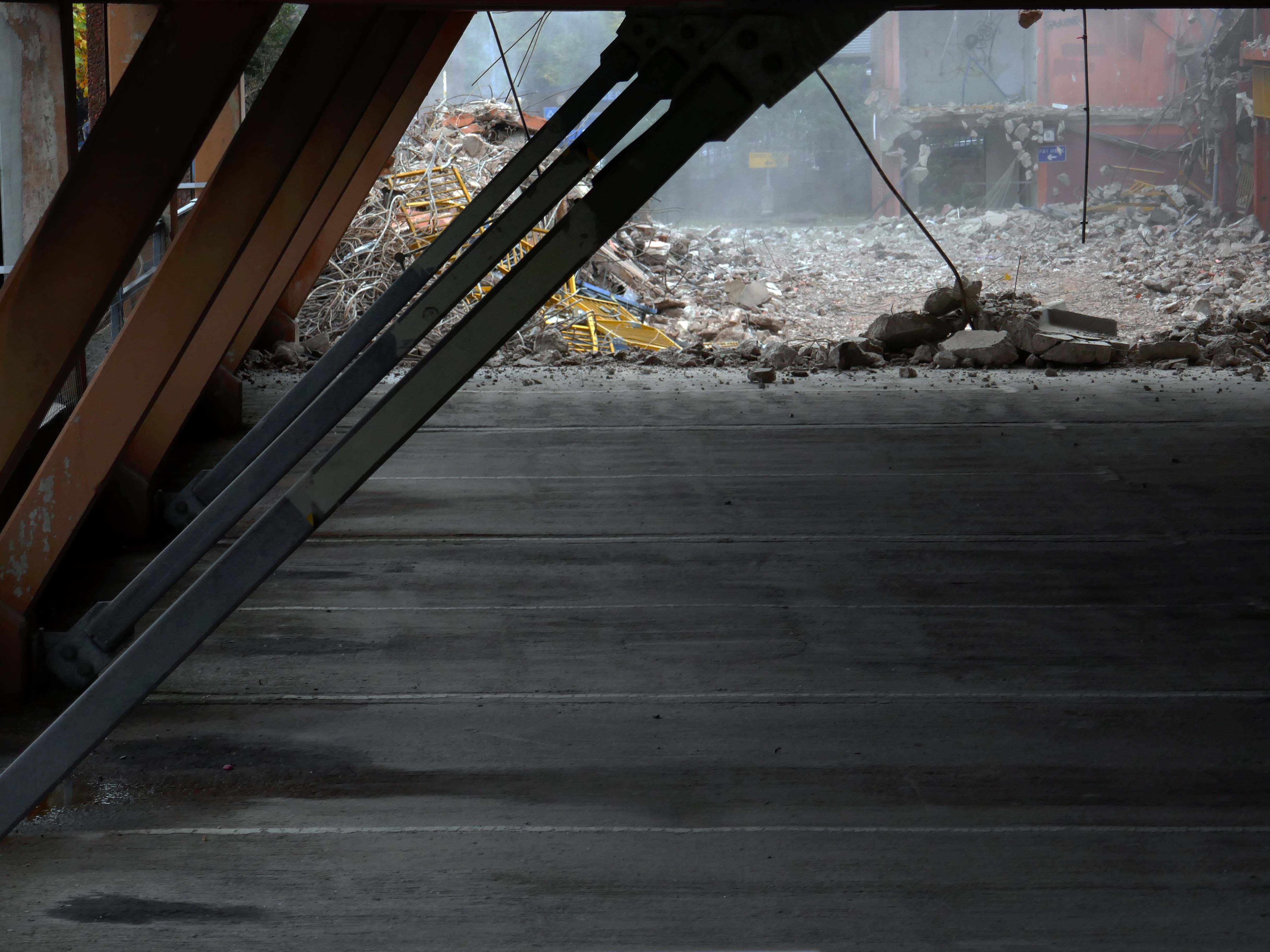
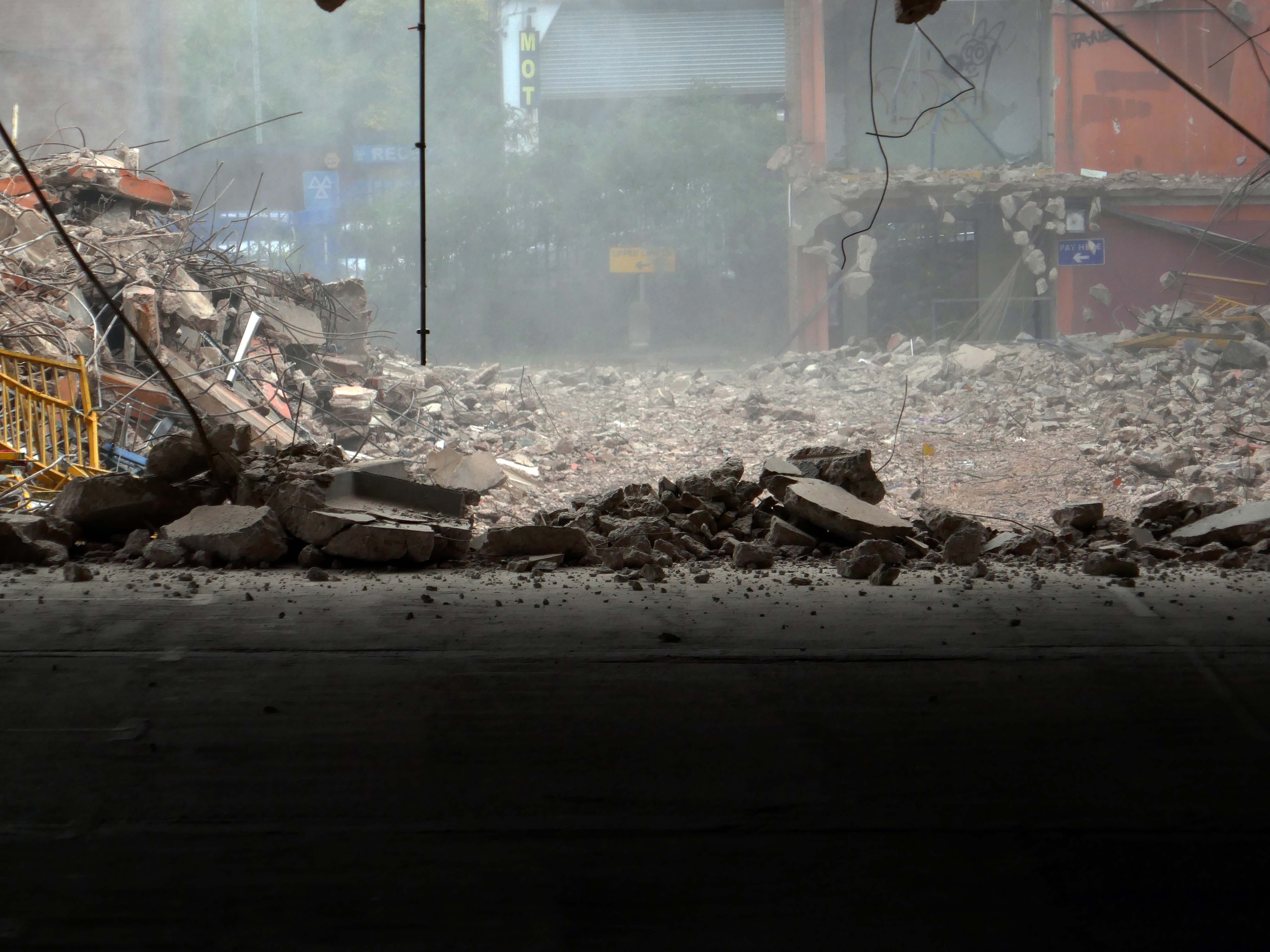
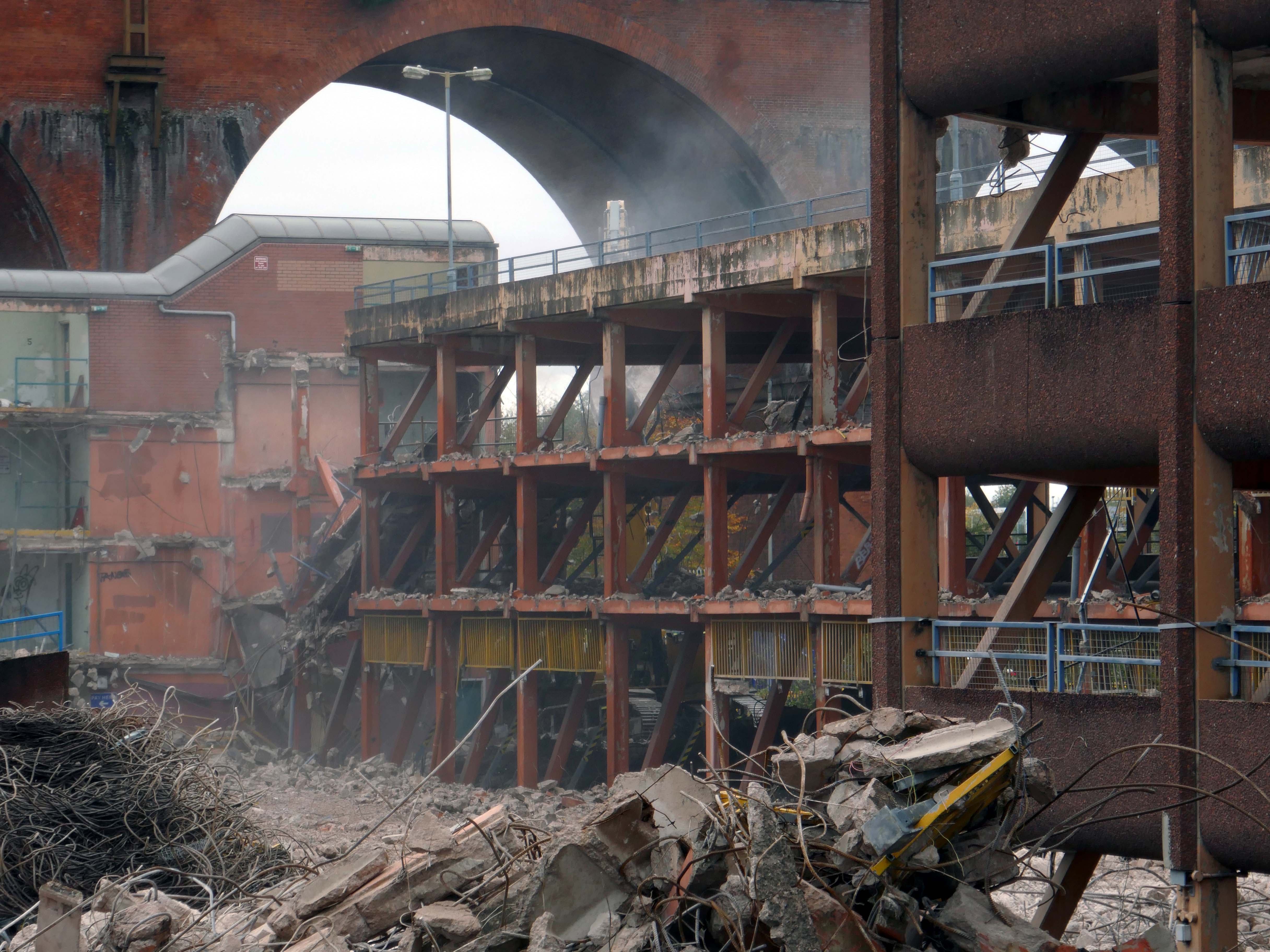
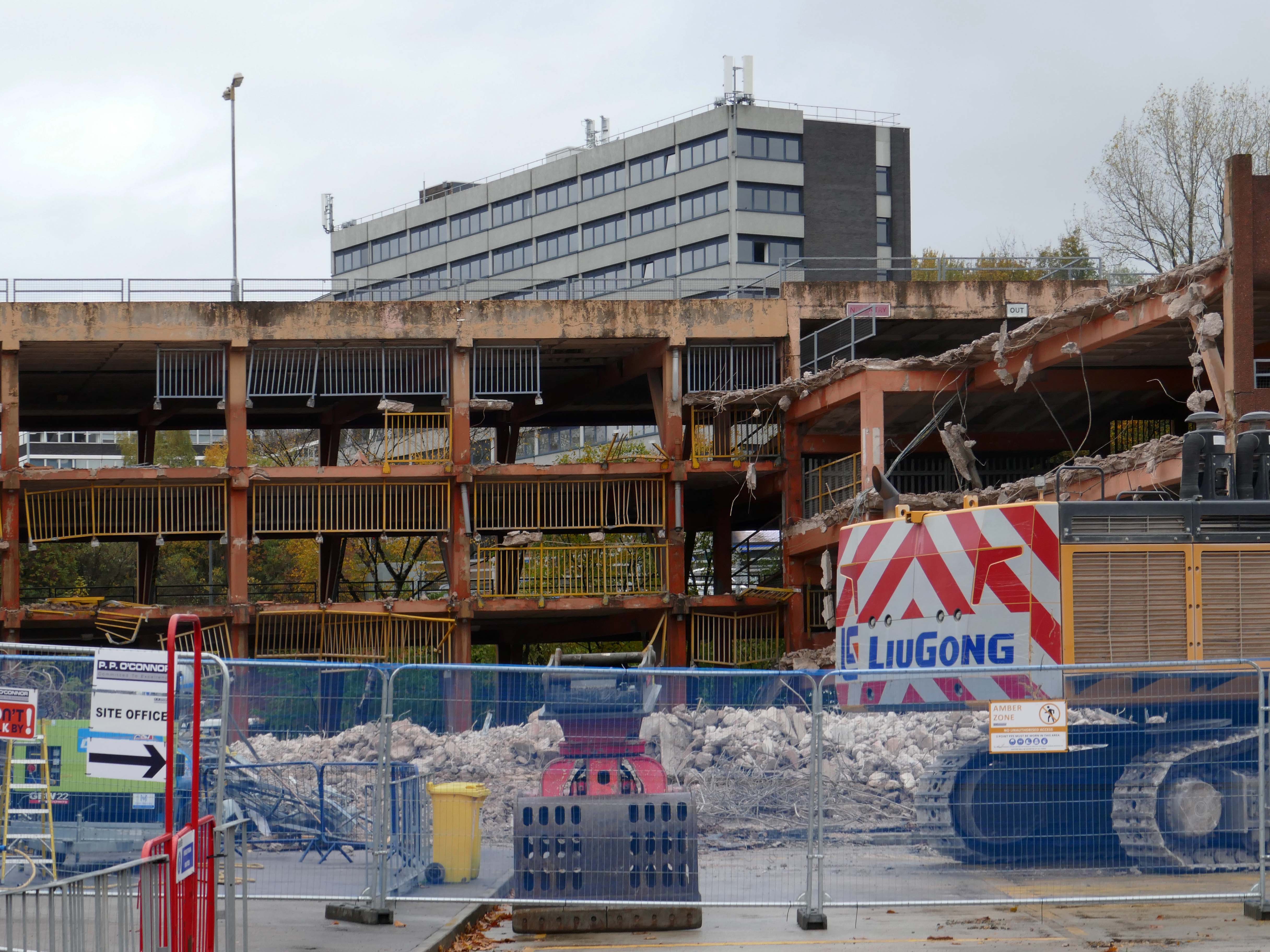
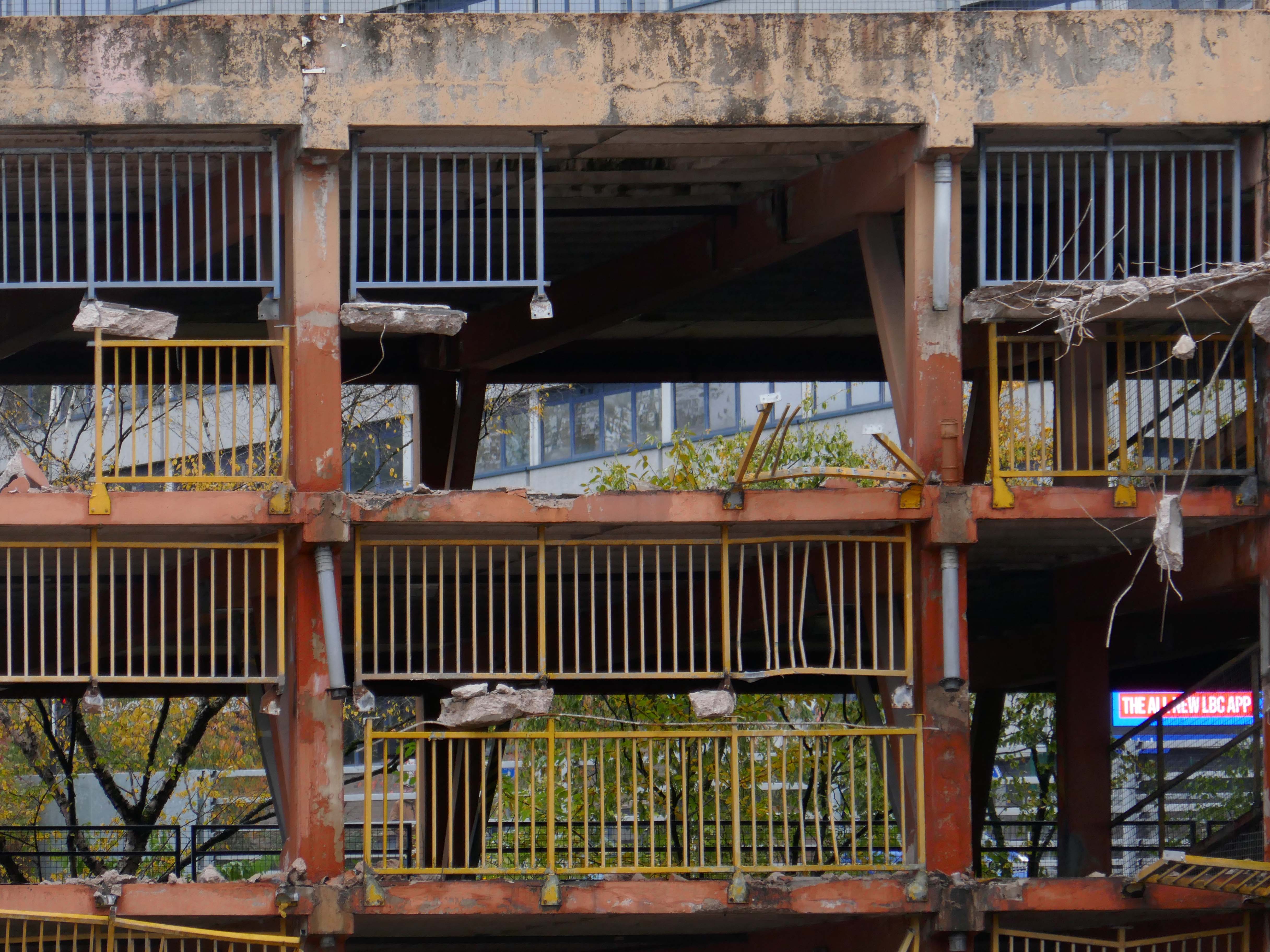
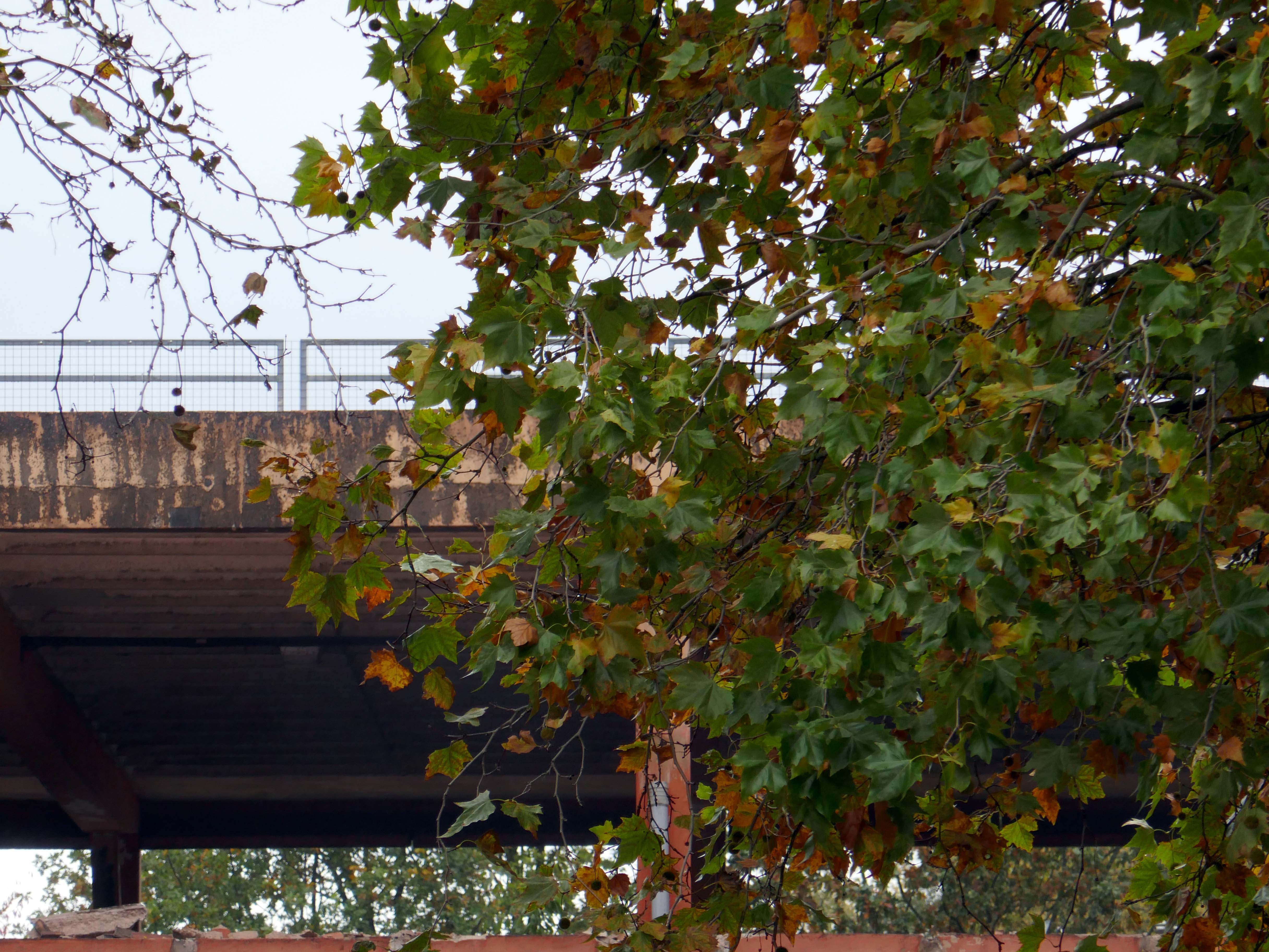
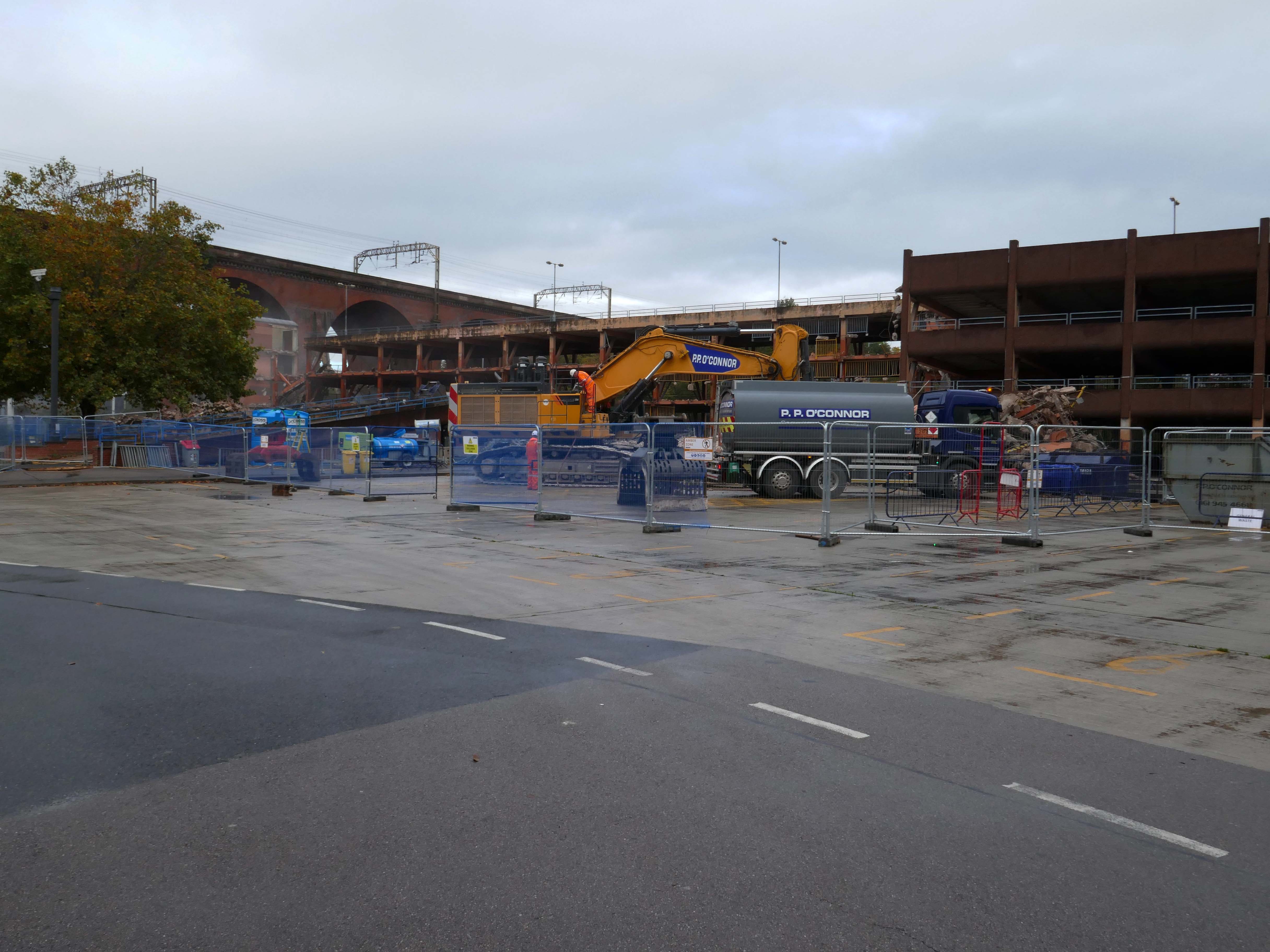
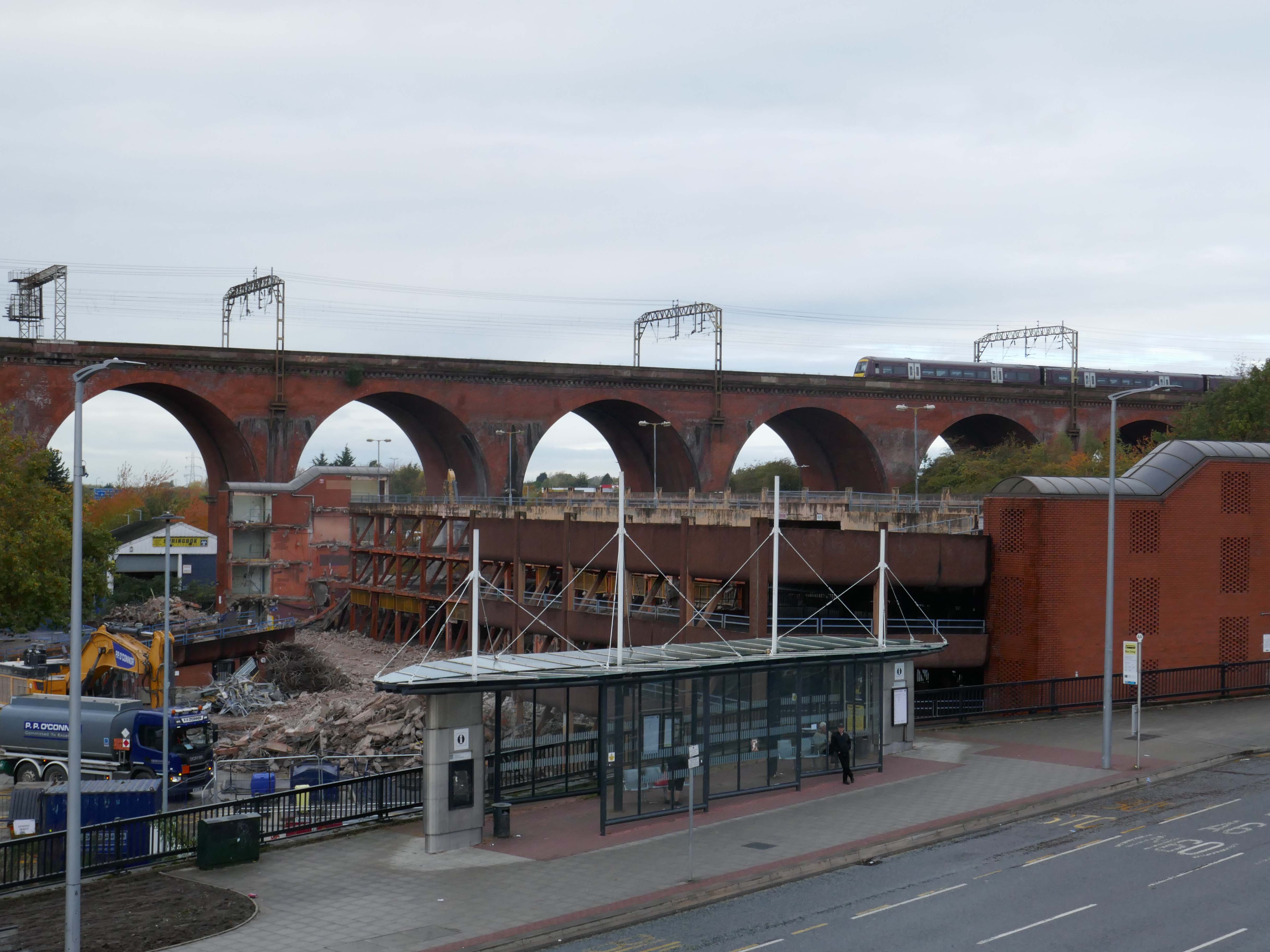
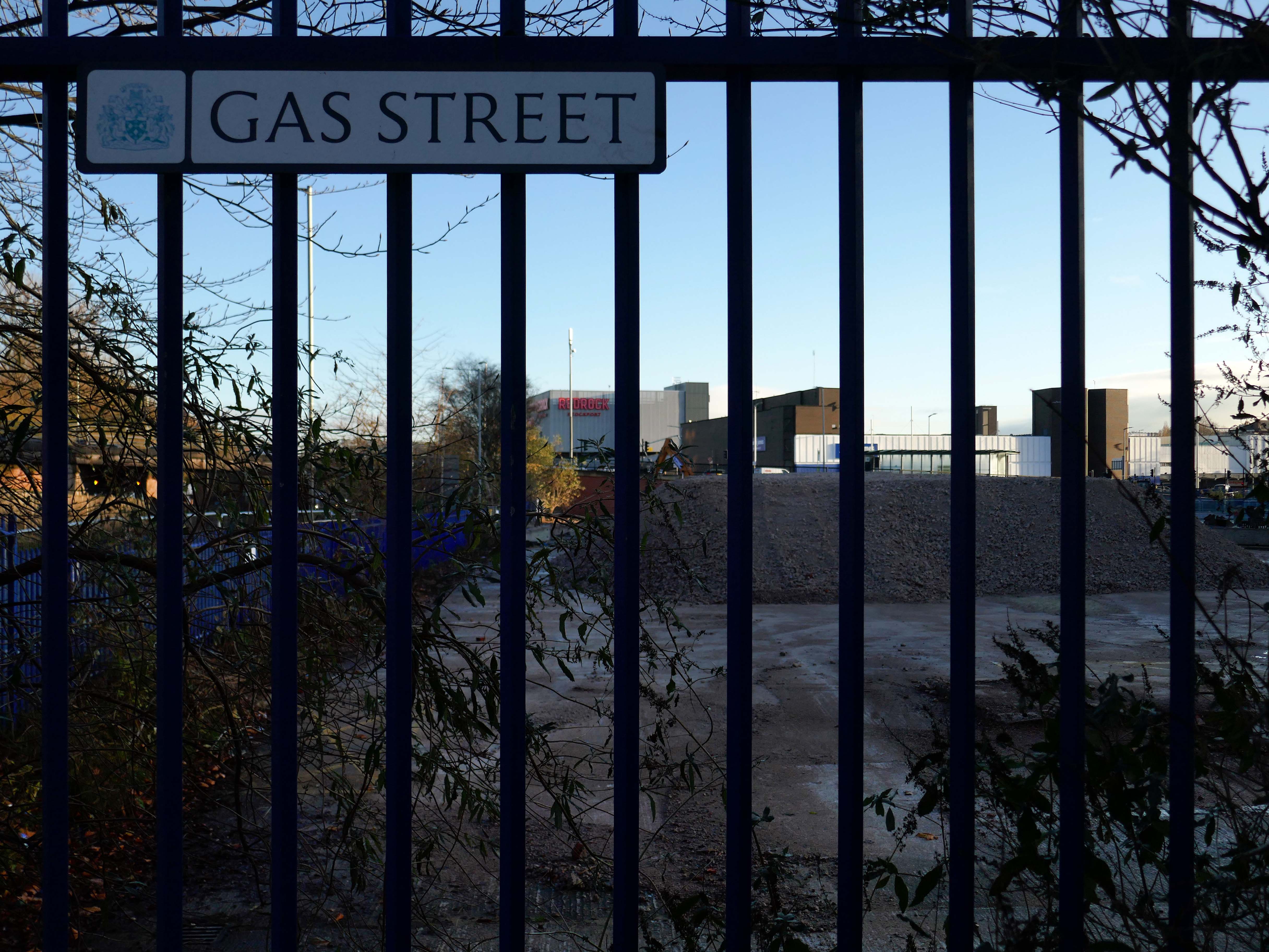
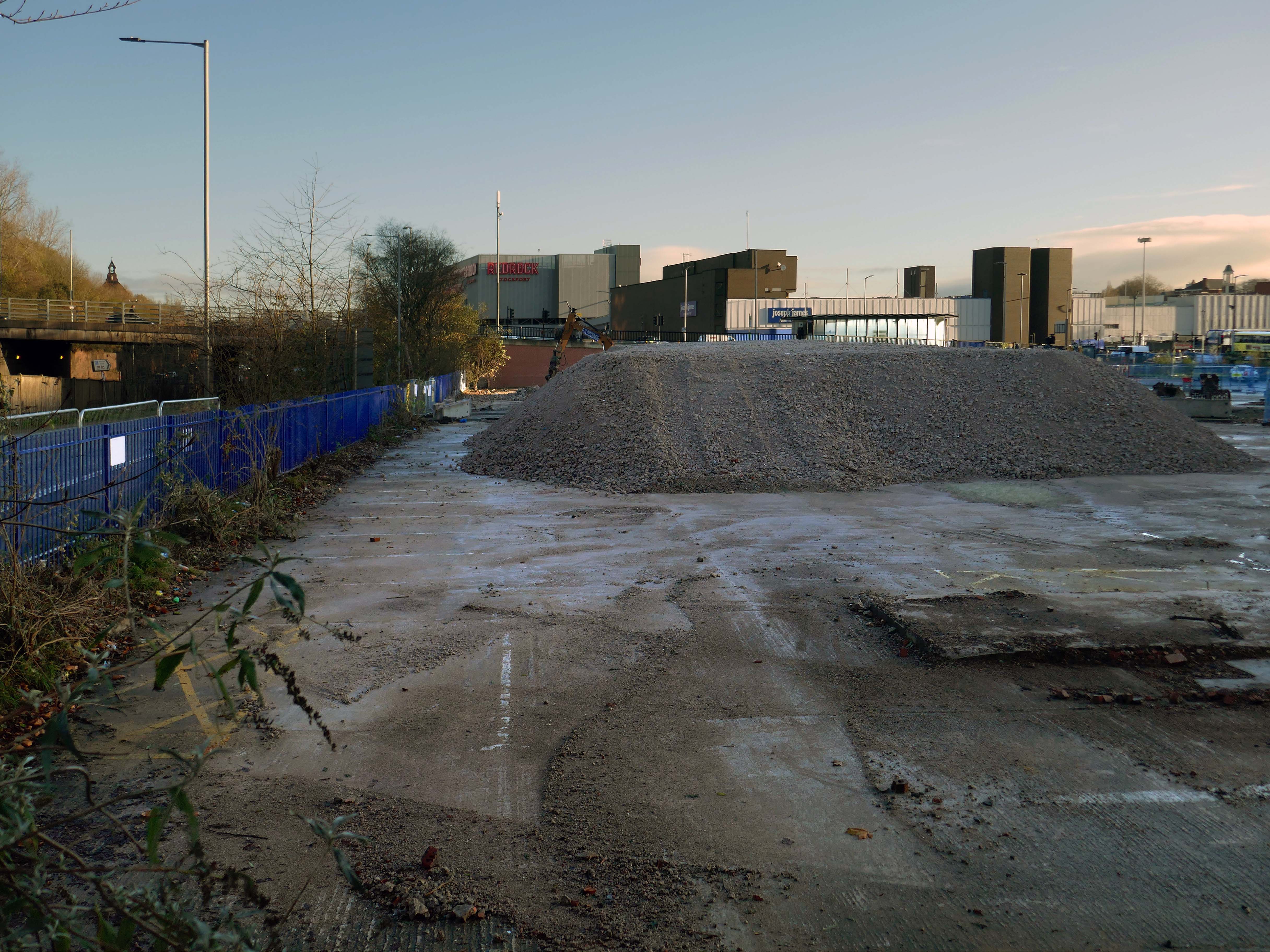
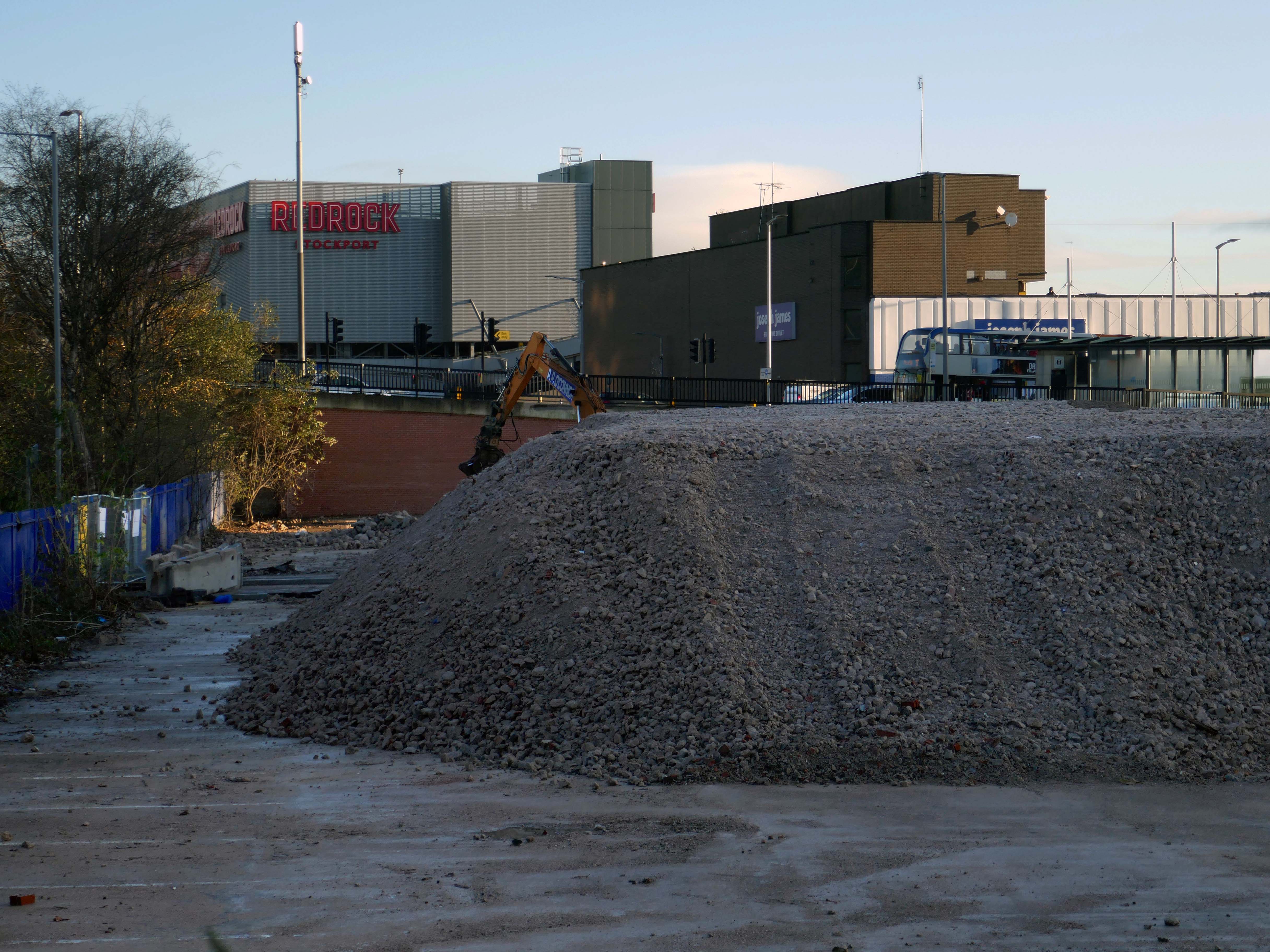
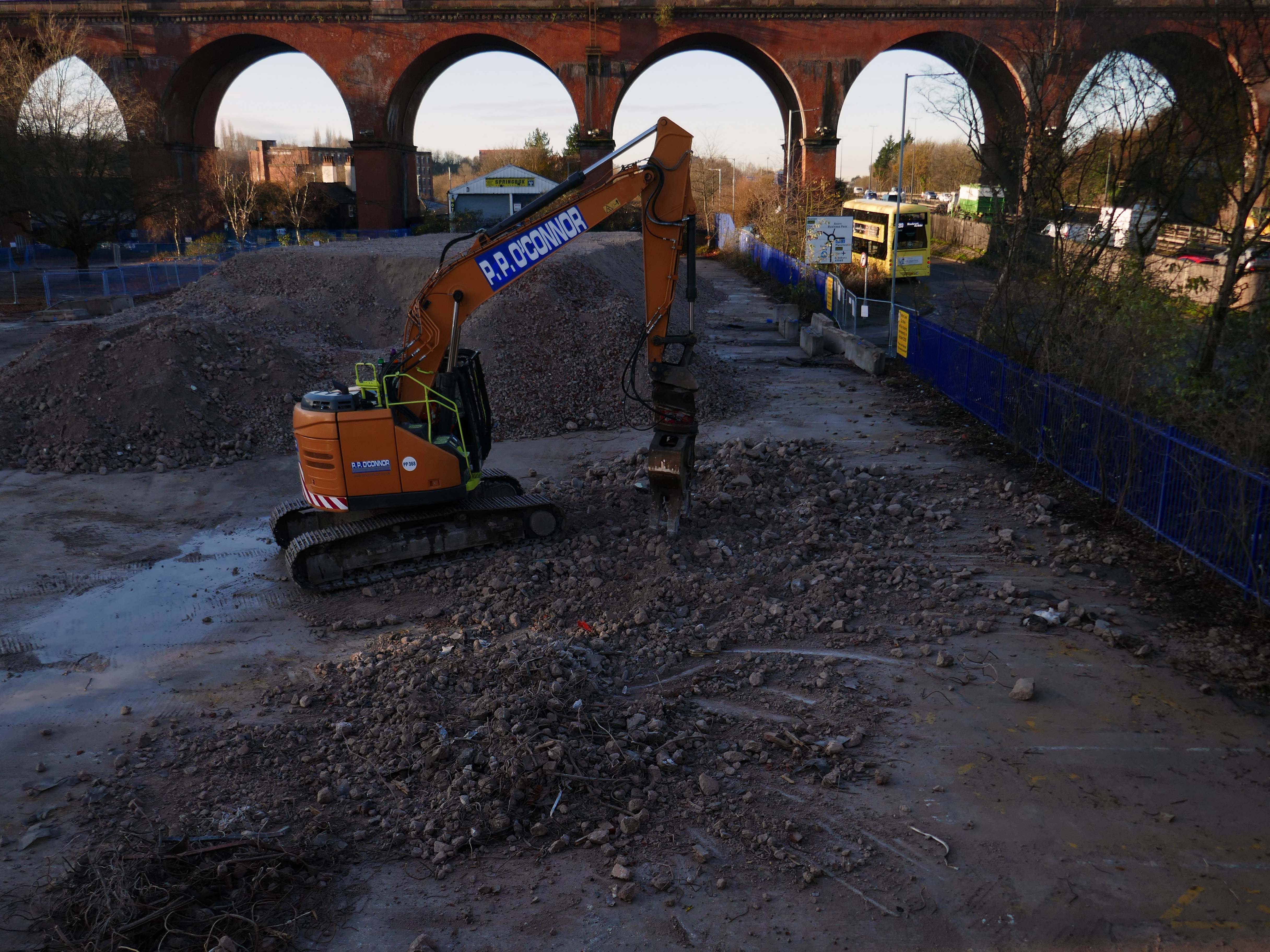
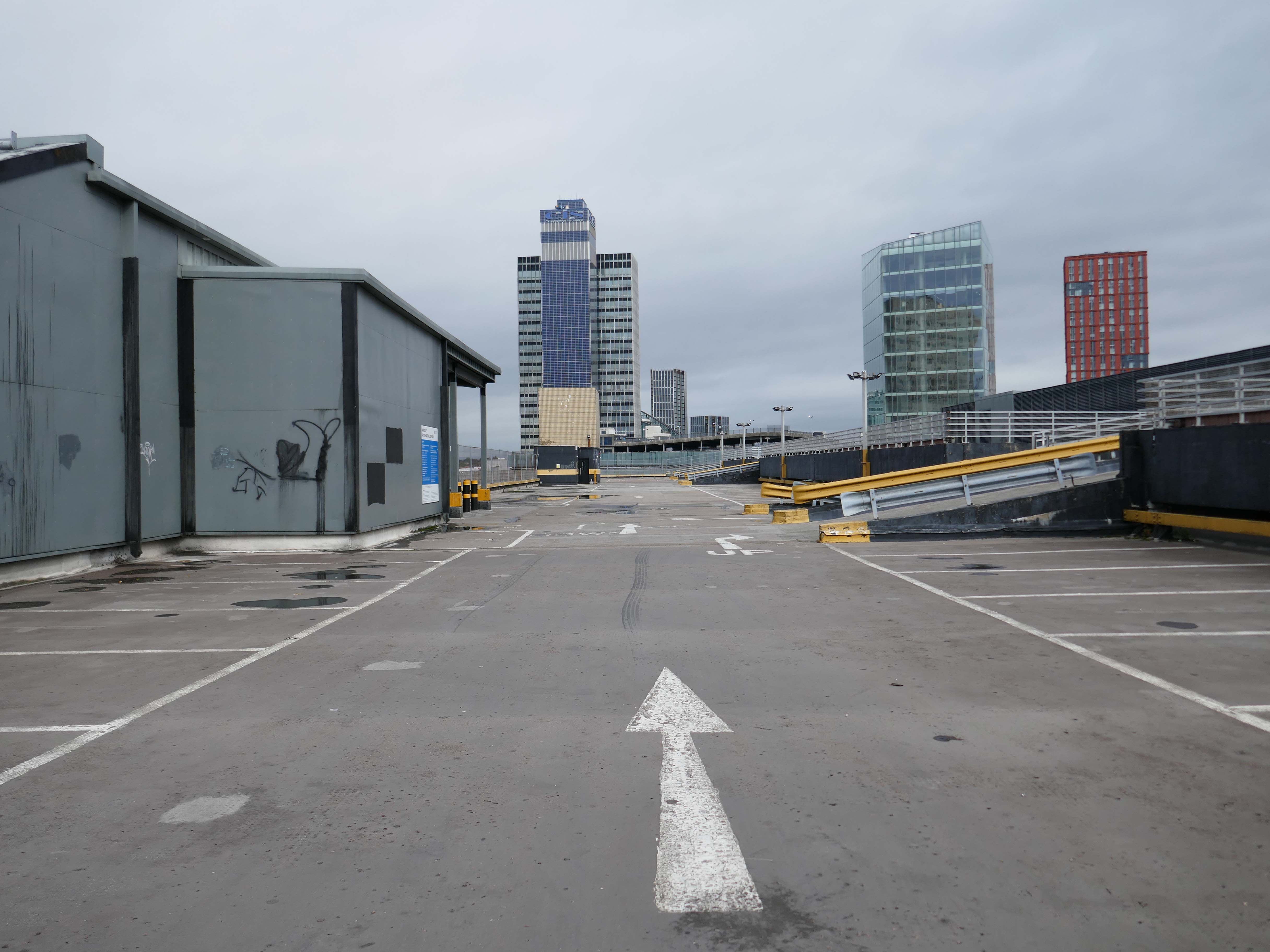
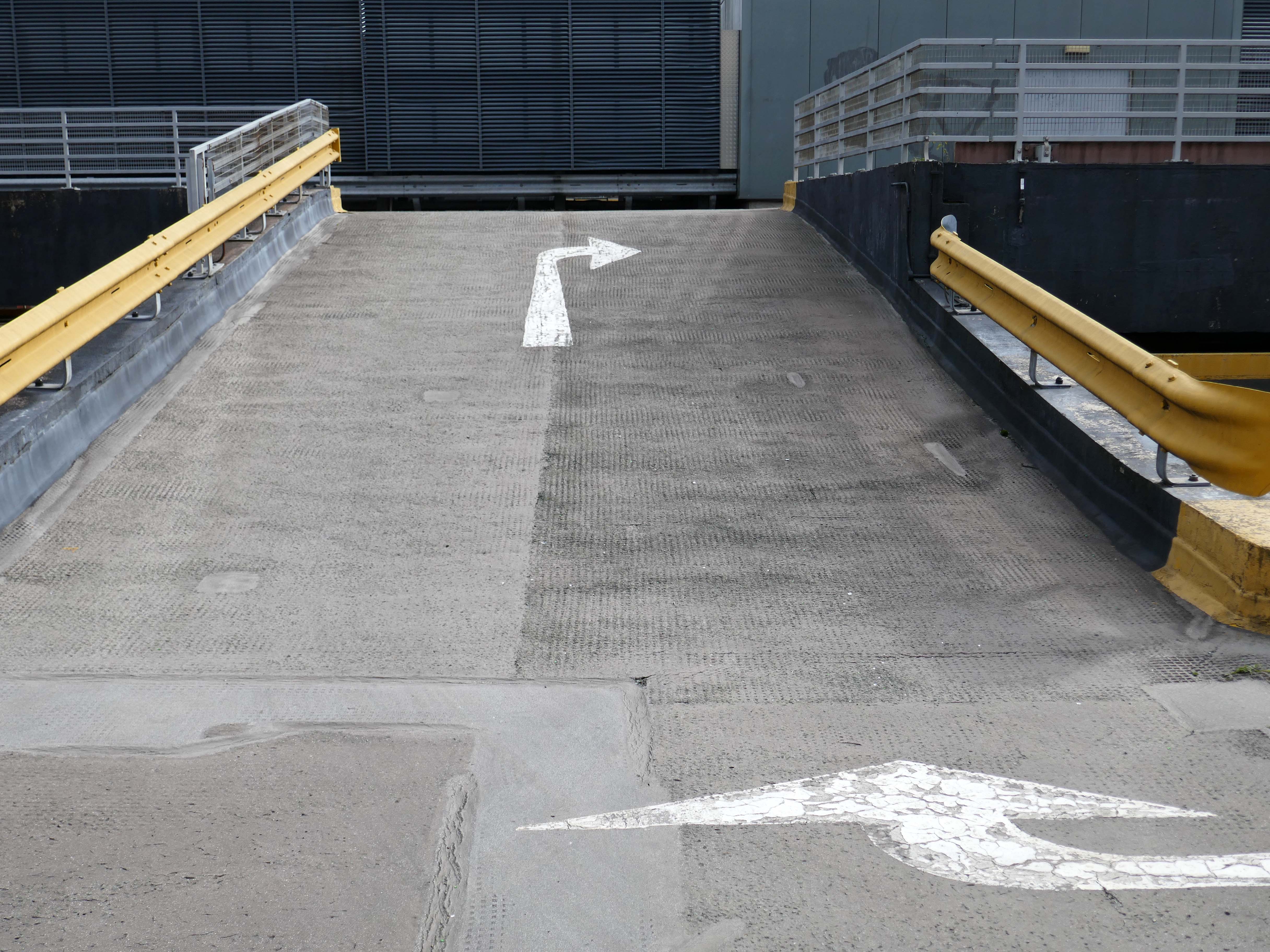
Heaton Lane car park is closed while demolition works take place.
Plans to demolish the car park were submitted by Stockport Council in September this year.
The plans propose removing the multi-storey car park down to ‘slab level’
The work itself will be carried out by removing floor slabs one by one from the parking bays, from the ground upwards. Contractor PP O’Connor has said it will take noise and dust into consideration when completing the works.
Dust suppression systems will be in place to minimise pollution.
Noise levels are not considered likely to be a nuisance, however the site manager will be able to review the demolition process if it’s deemed too high.
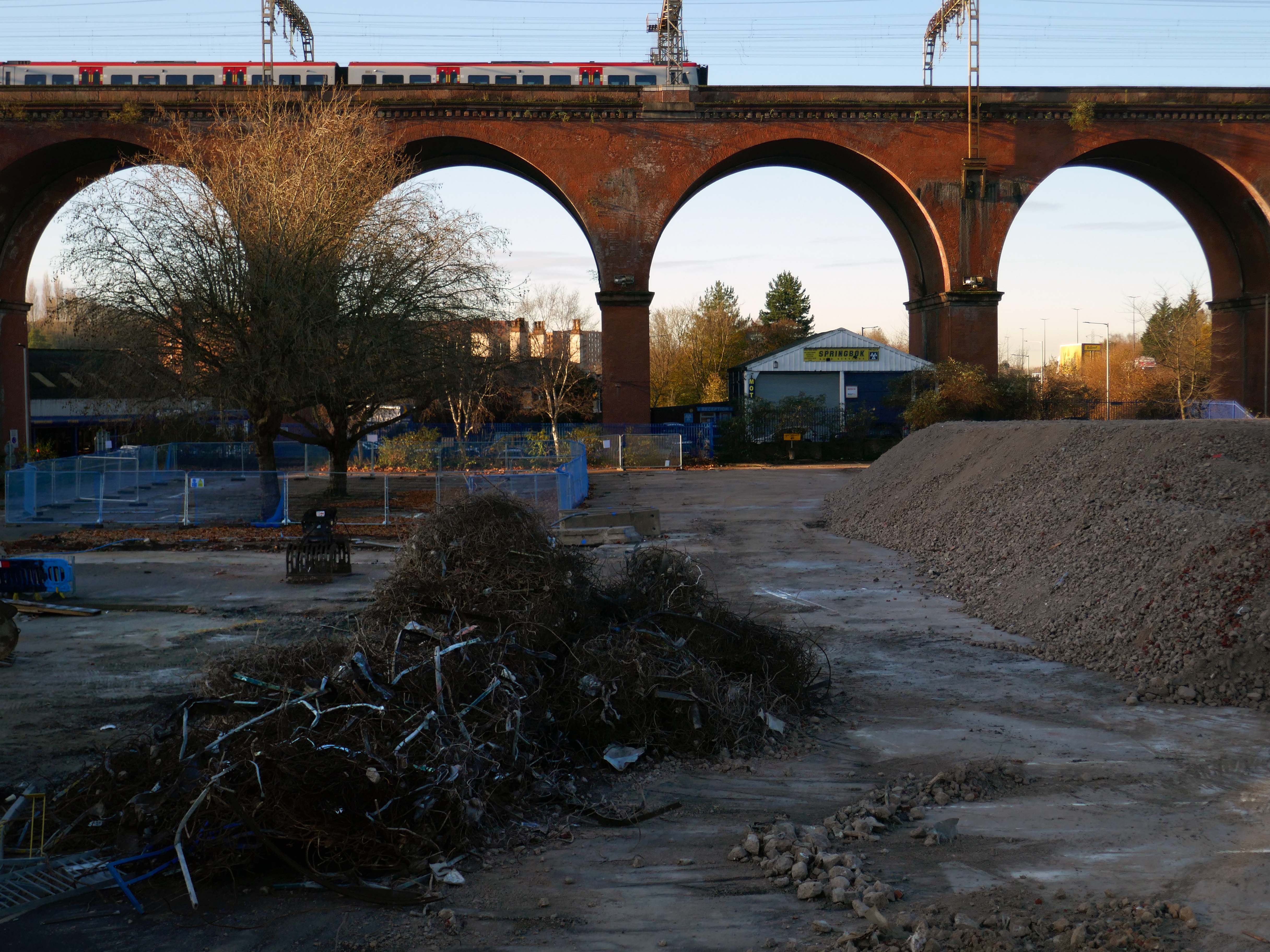
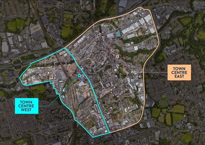
There car park is almost at the heart – on the edge of plans to regenerate the town centre.
The Strategic Regeneration Framework for Stockport Town Centre West set out how up to 4,000 new homes and 1m sq. ft of new employment floorspace and 5,300 new jobs could be delivered across Town Centre West by 2035.
In order to assess the overall economic benefit of an expanded Mayoral development area Stockport Council have developed an SRF for Stockport Town Centre East. This SRF sets out an illustrative masterplan to guide the creation of Stockport’s new neighbourhoods and achieve comprehensive urban regeneration by 2040. Together the SRFs for Town Centre West and Town Centre East will guide the development of a total of 8,000 new homes alongside services and amenities. The development set out in the SRFs will drive a transformational impact on the Stockport economy.
The Corporation is expected to be established in early 2026. It will provide a single, focused body for local decision-making; engagement with stakeholders including government departments, public agencies; private sector landowners, and developers; and to drive investment across the public and private sectors to realise the shared vision for the regeneration of the Area.
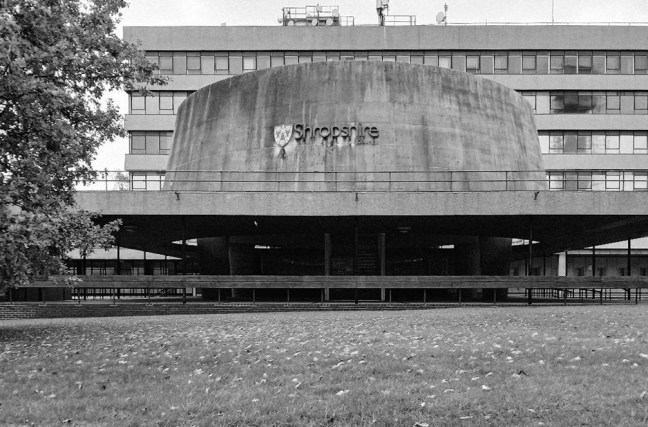
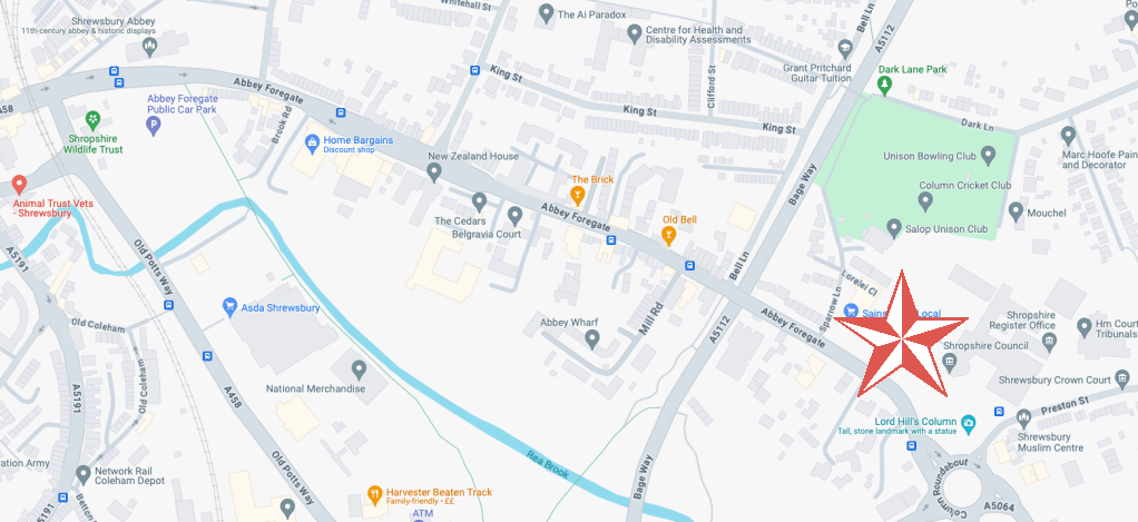
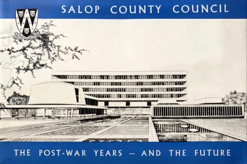
The foundation stone for the new building was laid by Sir Offley Wakeman, a former chairman of the county council, on 25 July 1964. It was designed by Ralph Crowe, the County Architect, in the Modernist style, built at a cost of £1.8 million and was completed in April 1966.
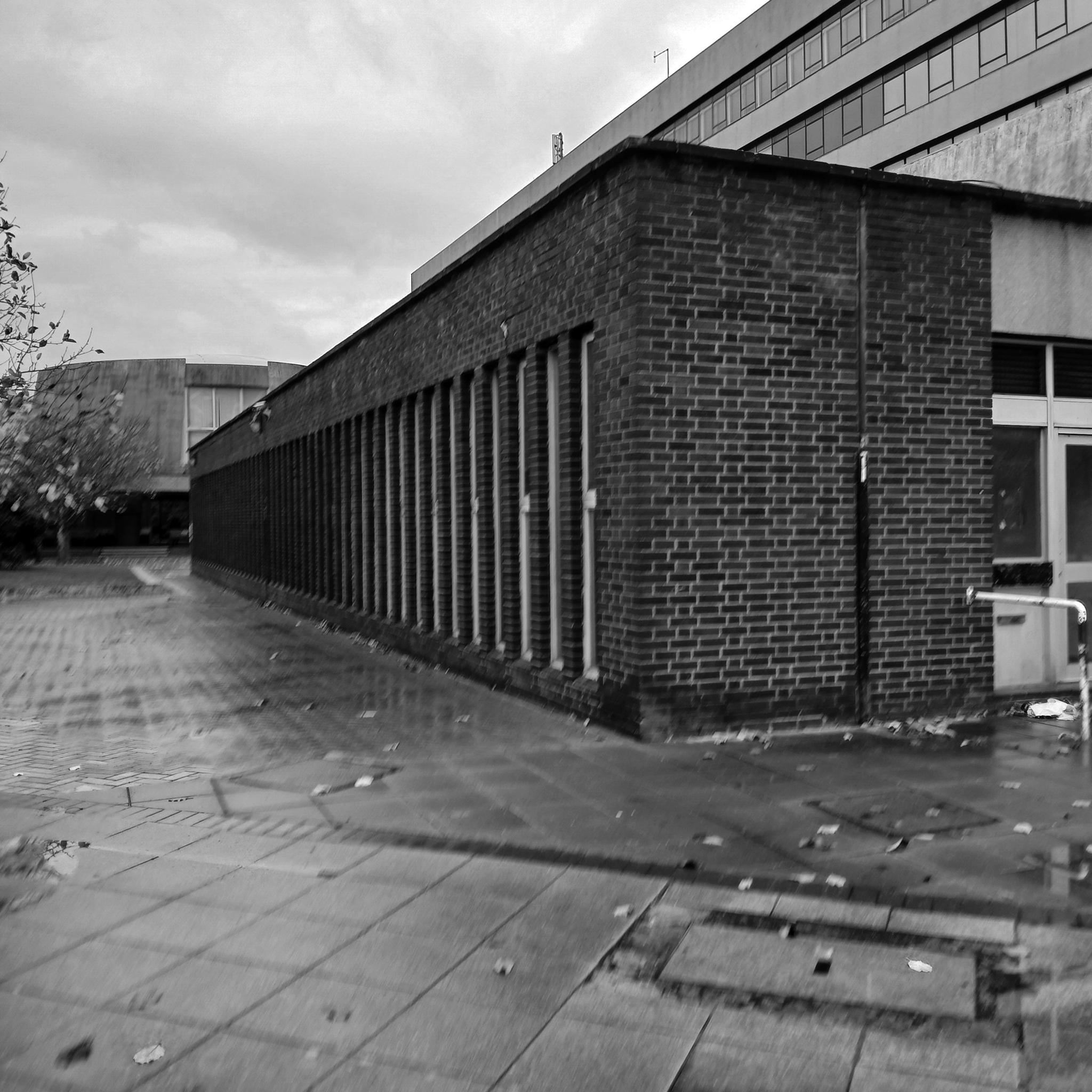
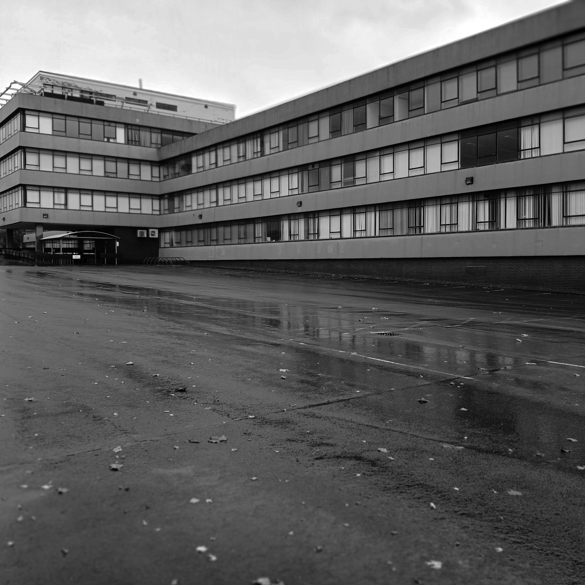
Having visited and snapped way back in June 2024, I returned in October 2025.
I had been asked to speak to the Shrewsbury Civic Society, regarding the history of Modernism in support of their campaign to save Shirehall.
The previous County Council were disposed toward demolition, the current administration are a little more circumspect.
Shropshire Council is considering a return to its former headquarters, less than a year after it moved out. The authority moved from 1960s-built Shirehall in Shrewsbury to the Guildhall in Frankwell, and said doing so would save up to £600,000 per year.
At a meeting on Wednesday, cabinet member for finance Roger Evans said the Liberal Democrats, who lead the council, had paused the demolition and sale of the land, and may retain parts of the building – but only if it could afford to do so.
“We would like to retain the council chamber and some of the associated buildings, but we do need to take account for the cost both in cash terms and in net zero terms,” he said. “What we have done is paused this decision and asked experts to look at it again, look at the whole site, do a reappraisal. The results are just now being recieved.
“I want to keep it as much as we can afford, both environmentally and cash-wise. Whether we can or not will depend, the council is strapped for cash.”
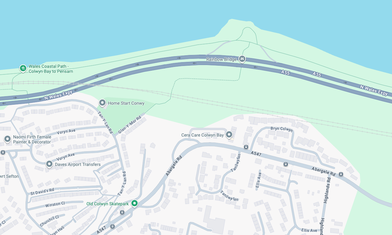
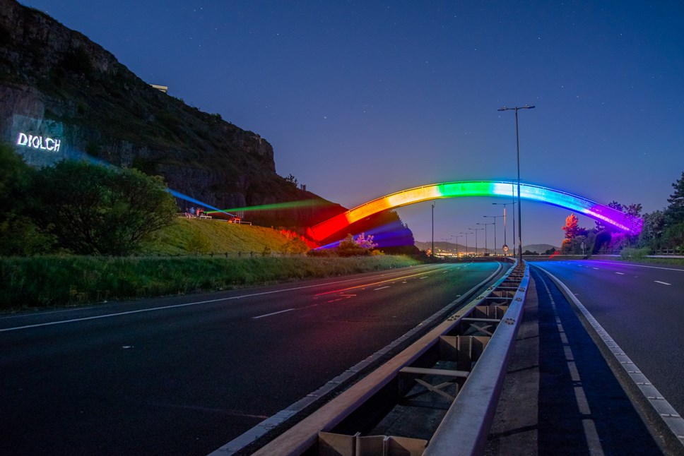
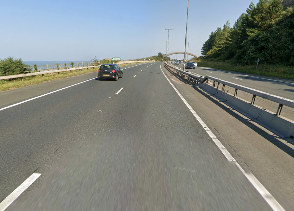
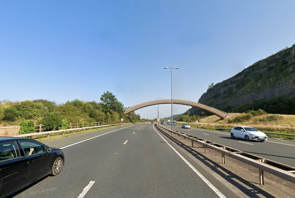
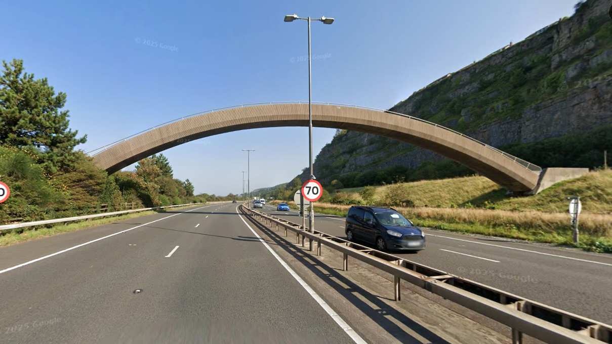
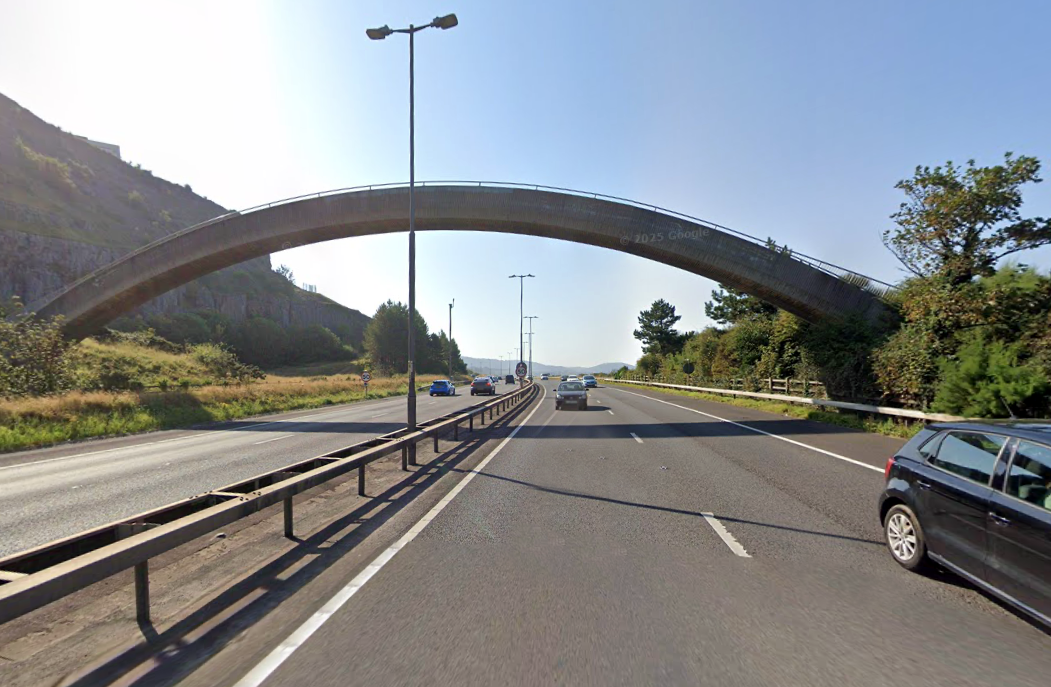
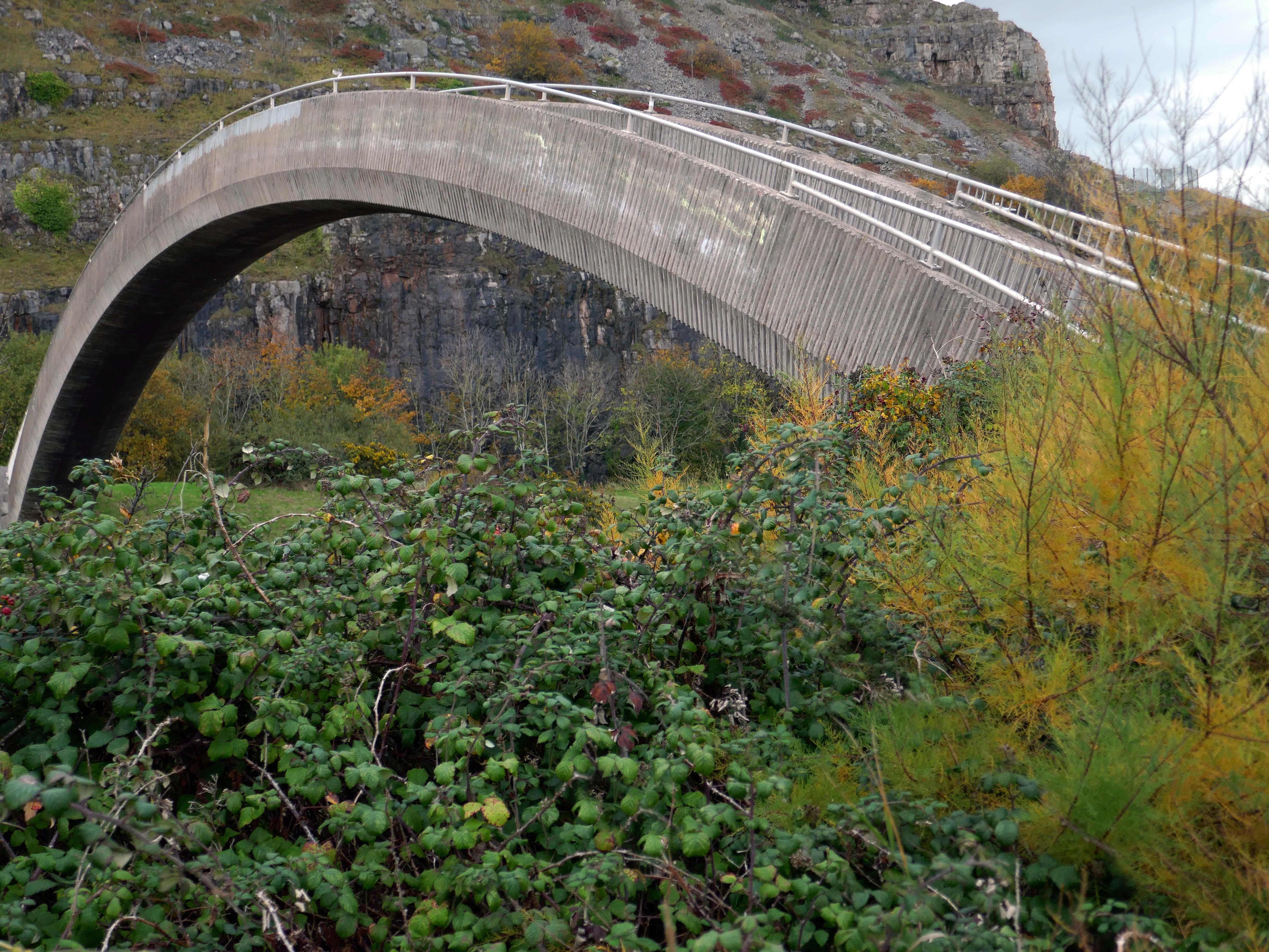
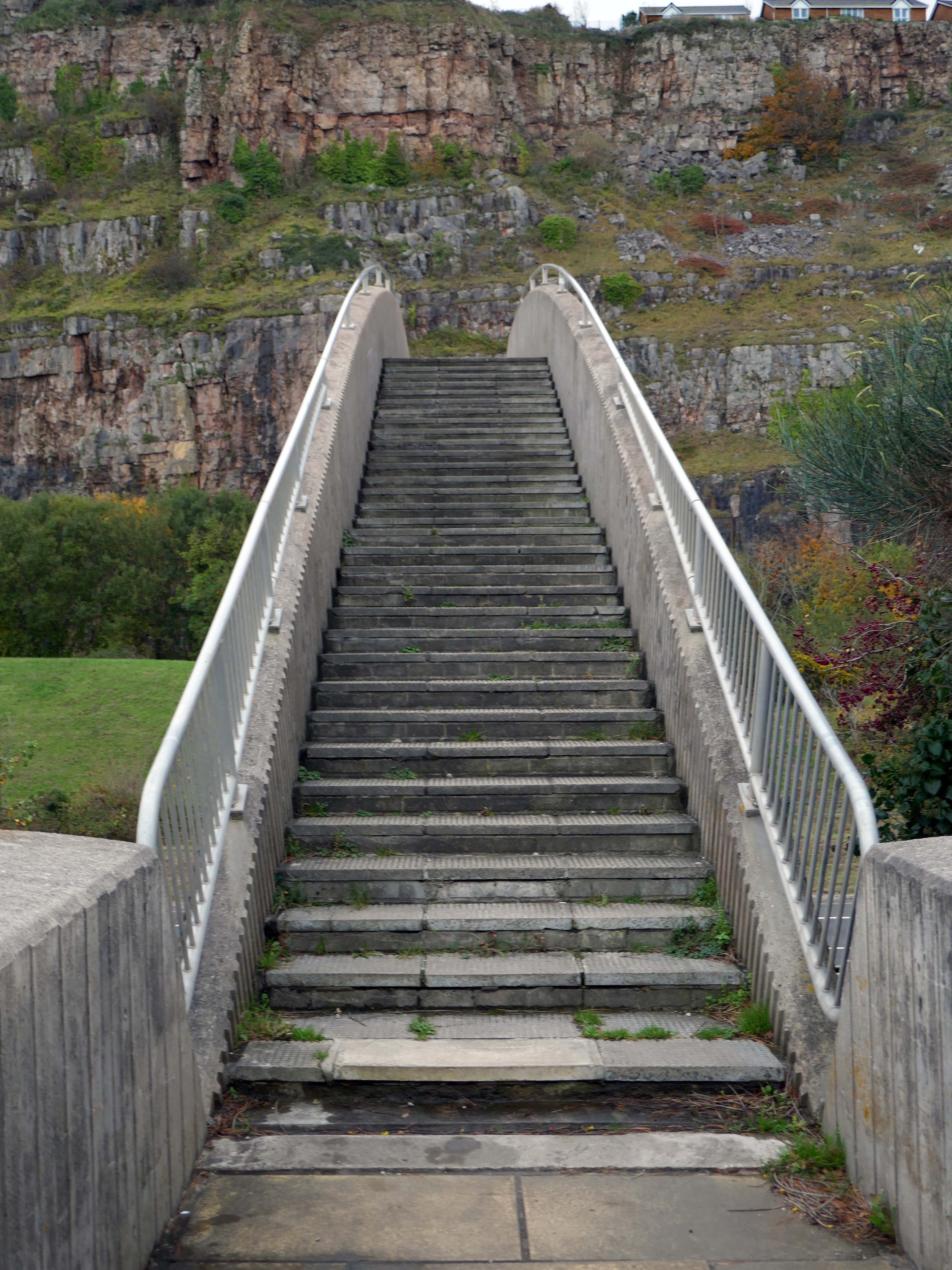
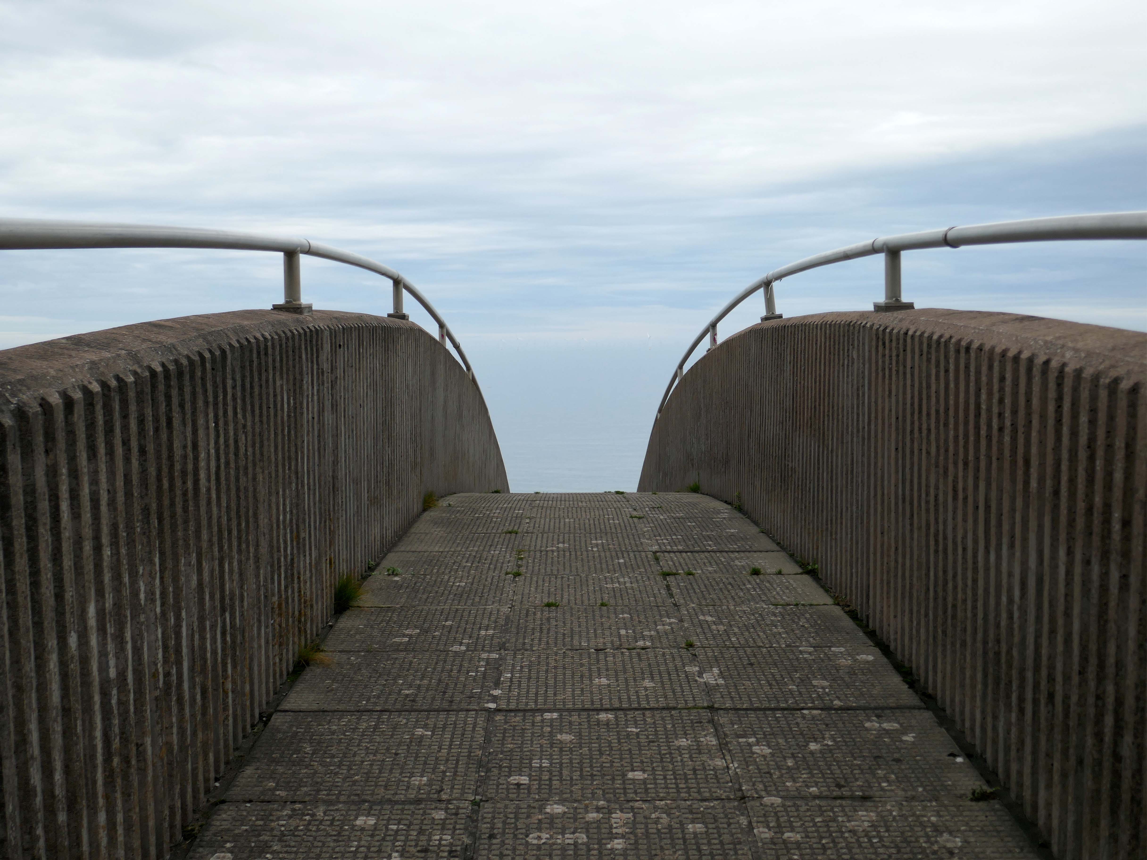
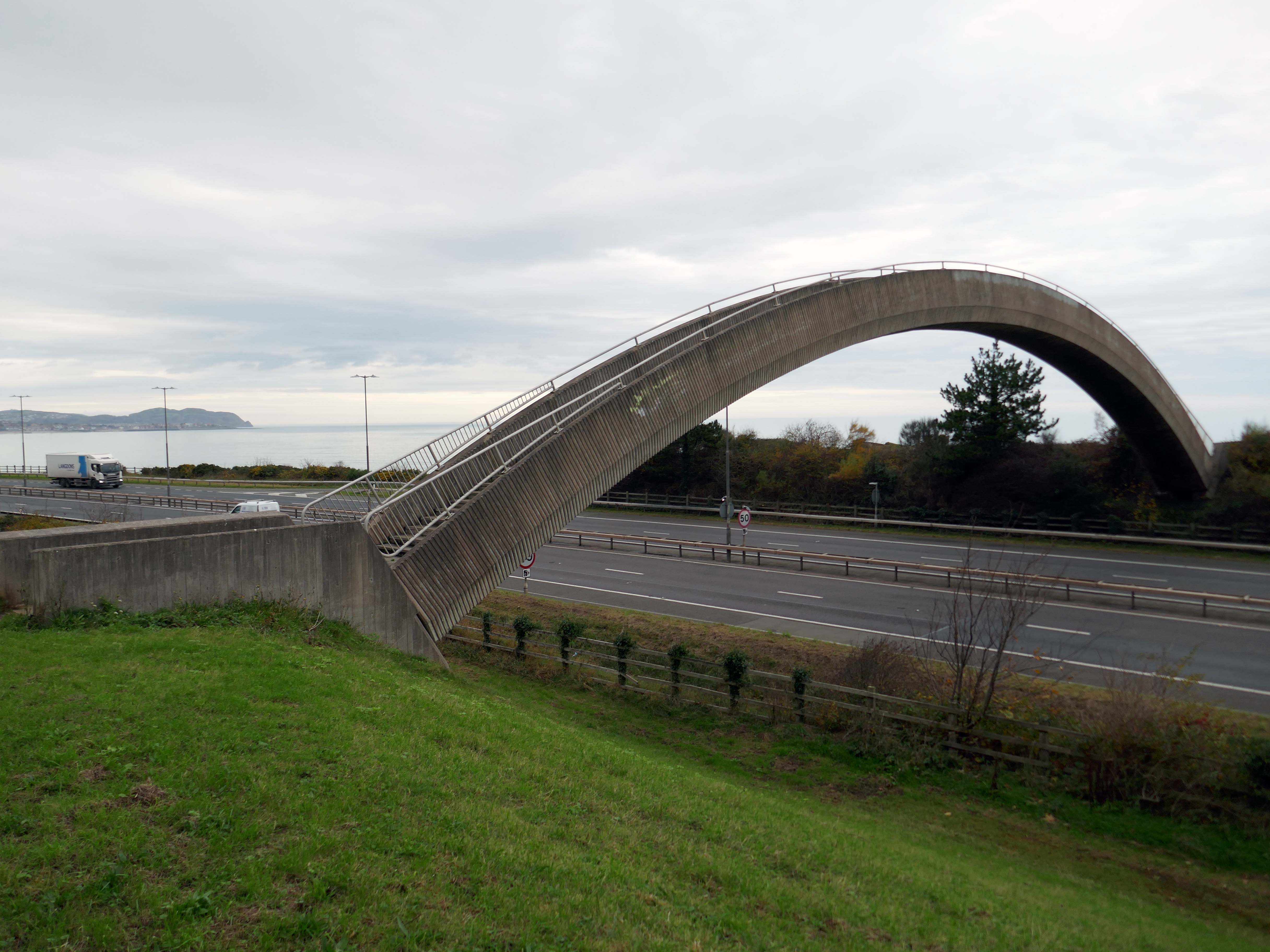
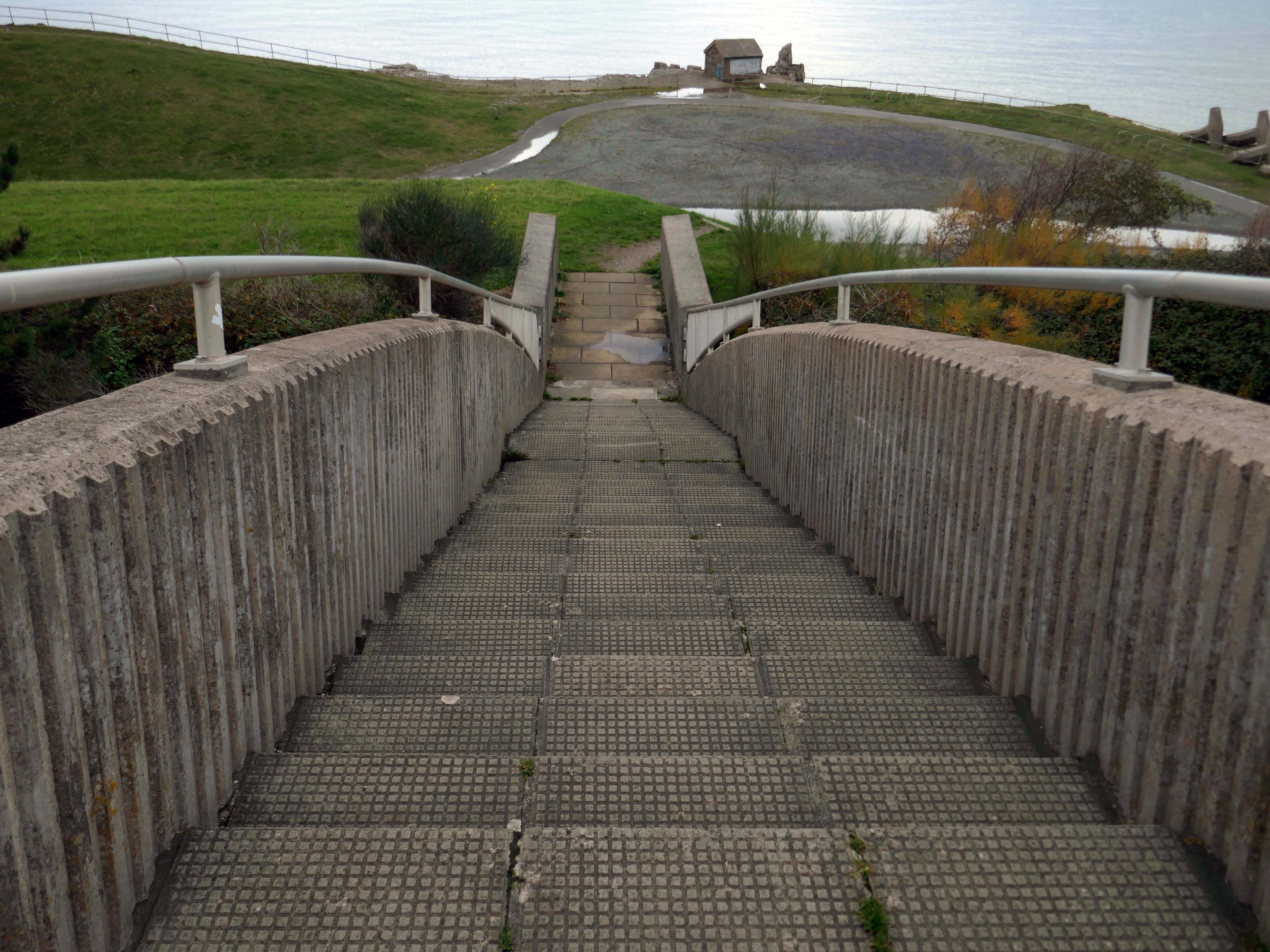
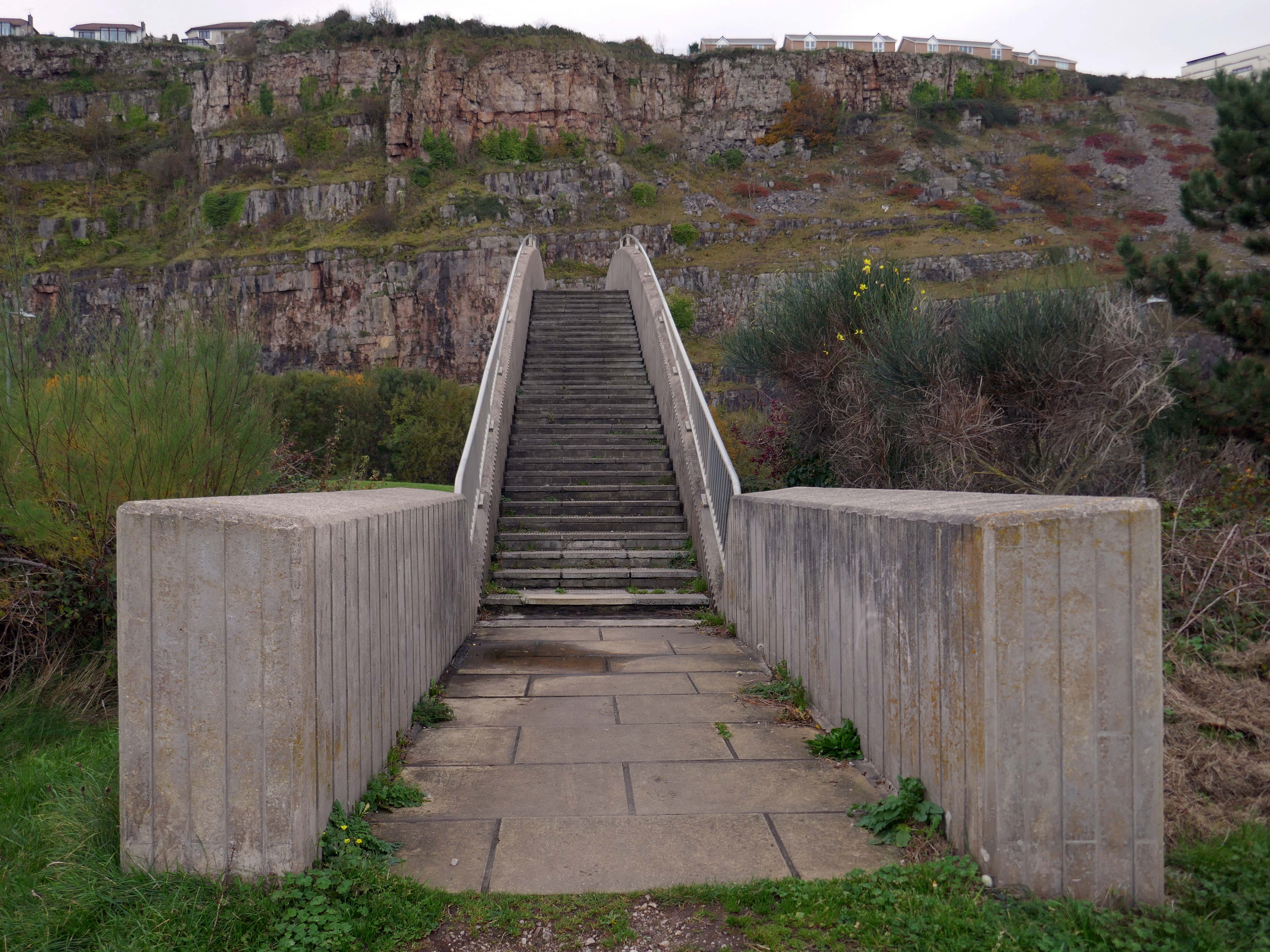
The iconic Rainbow Bridge on the A55 has been lit up to say thank you to NHS, social care staff and other key workers.
This well-known landmark lived up to its name on Tuesday night when it was bathed in rainbow colours alongside a thank you message projected onto the nearby cliffside.
This one-off tribute to staff from the health and care sectors and other key workers who are working tirelessly during the Covid-19 pandemic, was arranged by the North and Mid Wales Trunk Road Agent.
The walkway over the A55, colloquially known as Rainbow Bridge, is situated on the strategic road network which NMWTRA is responsible for maintaining and managing on behalf of the Welsh Government.
The A55 partly follows the alignment of the Roman road from Chester to Caernarfon, particularly from Junction 31 to 30 and Junction 13 to 12. Between Chester and Holywell the alignment of this road is uncertain and between St. Asaph and Abergwyngregyn, the Roman road followed an inland route, via Canovium Roman Fort at Caerhun, avoiding the difficulties of the crossing of the Conwy estuary and the cliffs at Penmaenbach and Pen-y-Clip.
On 1 April 1937, the route, as it was then, was classed to form the Chester–Bangor trunk road. By 2015, the Welsh Governmentwas also classifying part of the road as part of the London–Holyhead trunk road.
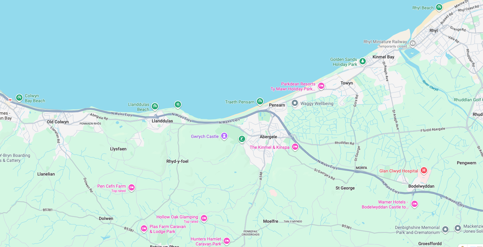
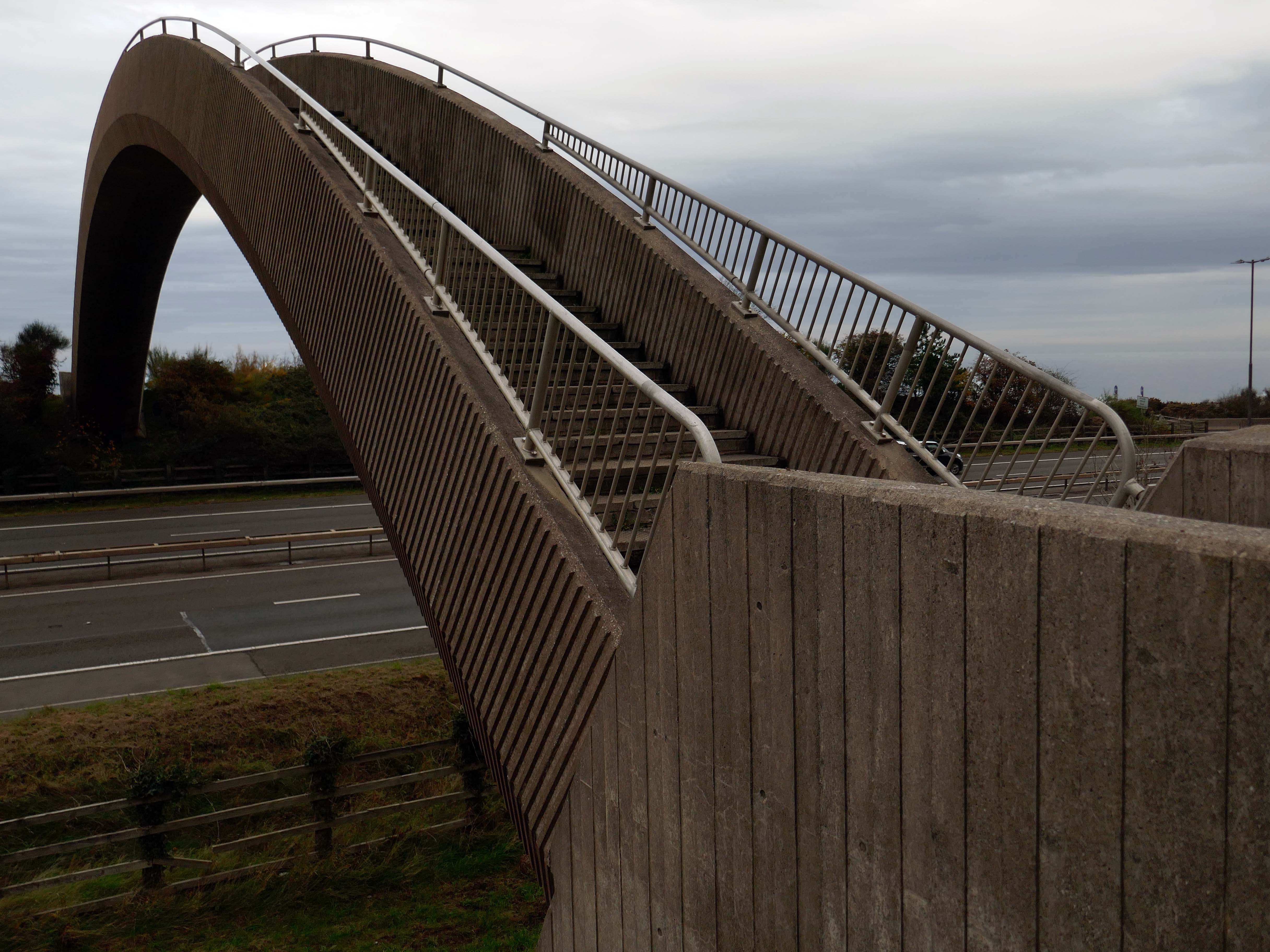
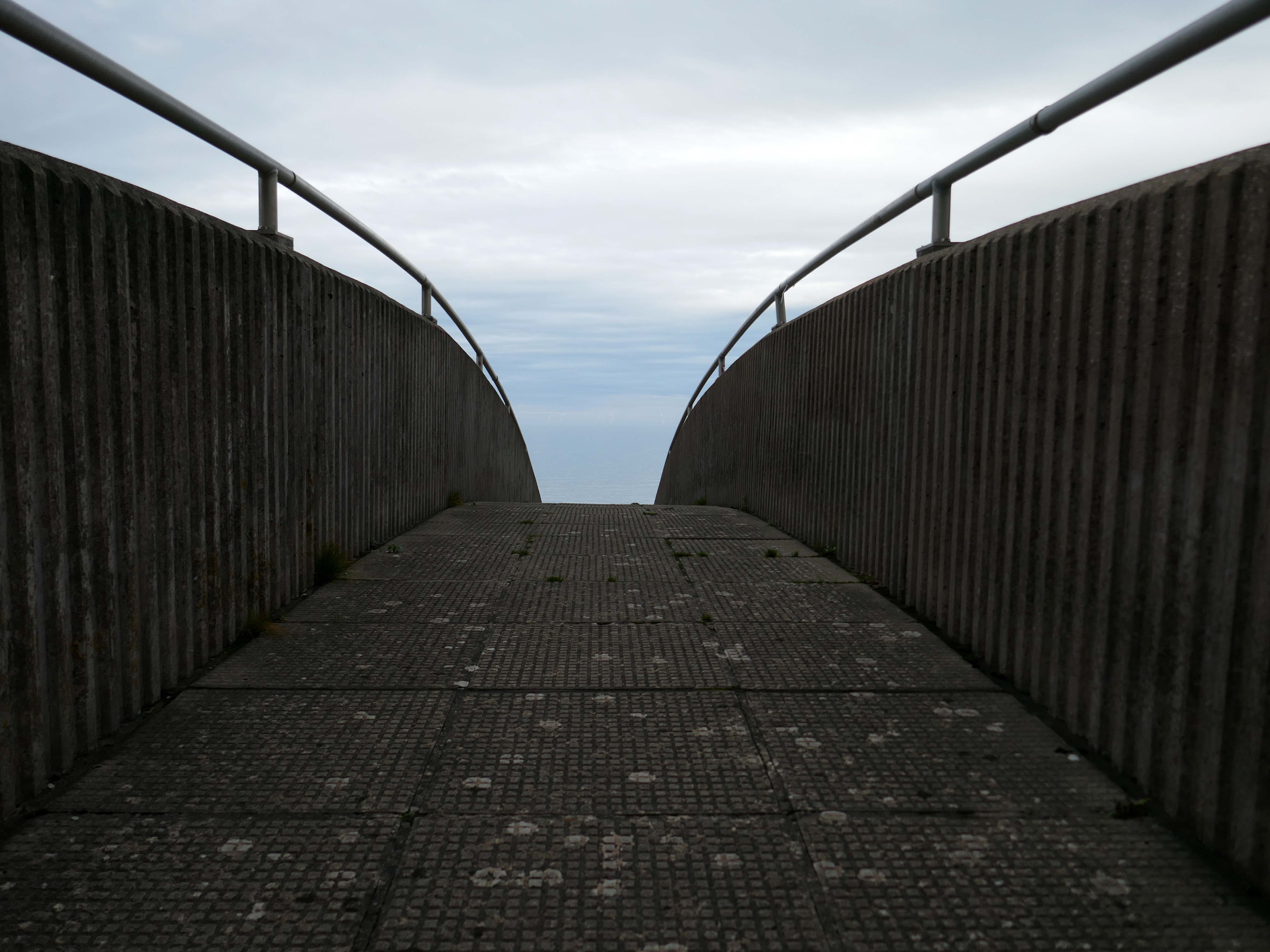
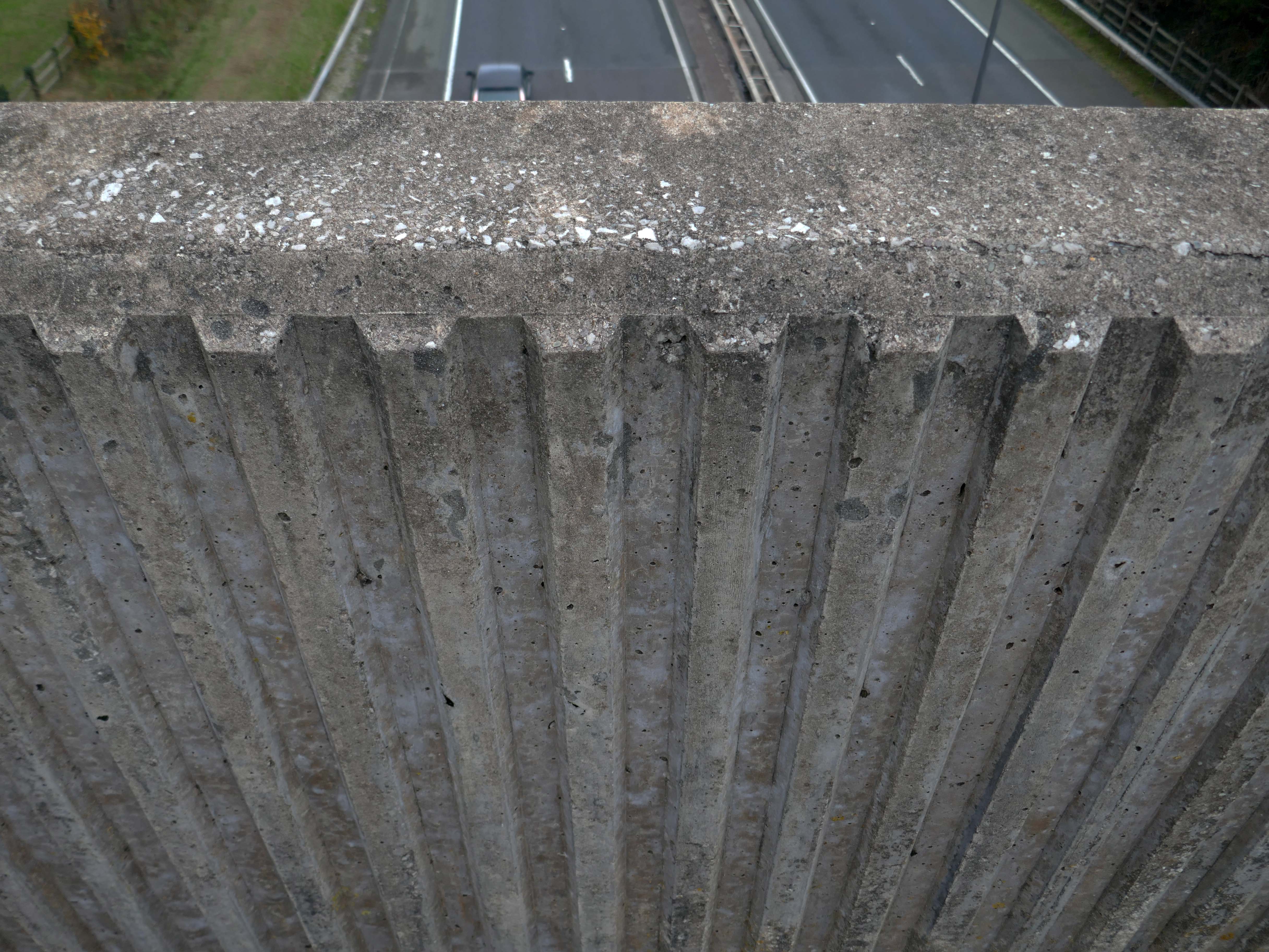
So much for modern motoring – I was walking from Rhyl to Colwyn Bay, so decided to walk back and forth across the bridge, before going along my merry way.
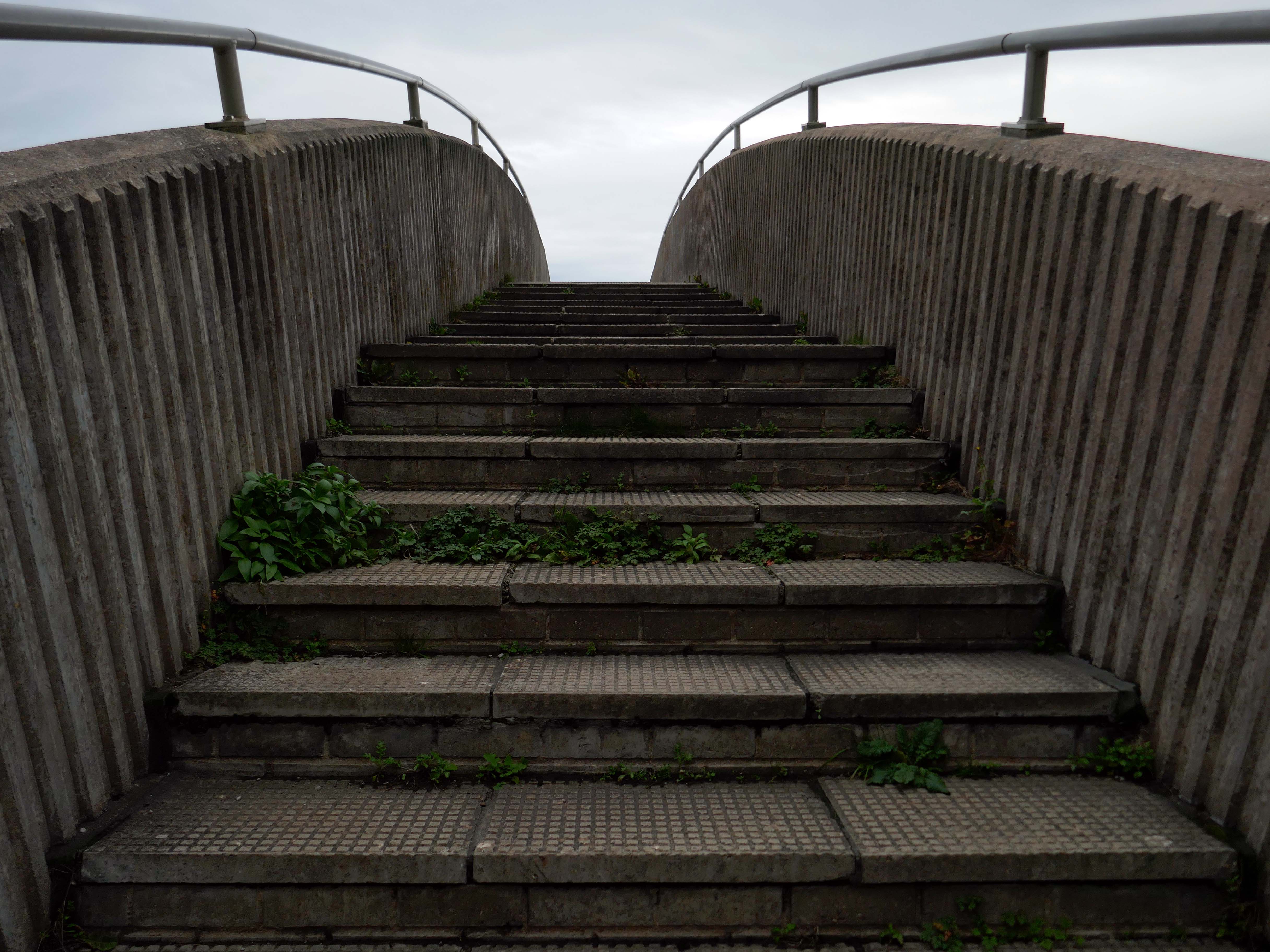
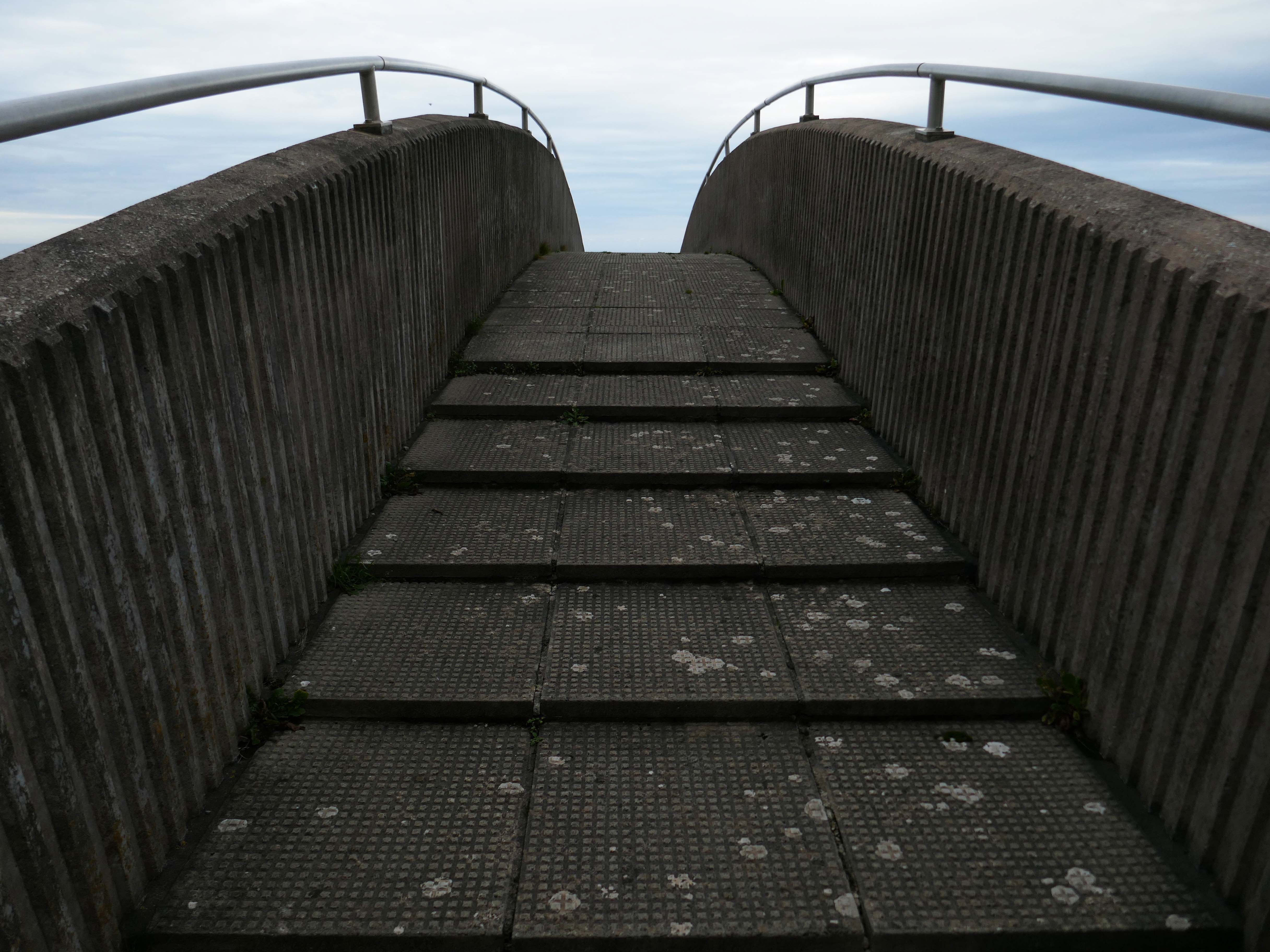
Steep and stepped, it certainly would not be described as accessible.
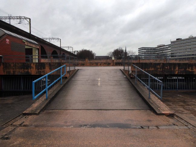
Other Concrete Footbridges are available – here in Durham and closer to home in Stockport.
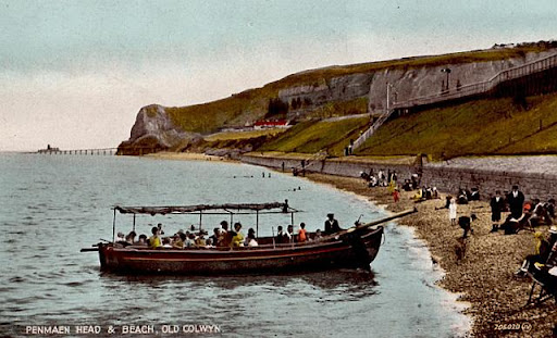
Old Colwyn just short of the original Colwyn Bay station. In 1929 a pleasure boat is about to depart. Penmaen Head is still in one piece with its quarry jetty. The path can be seen leading directly from the beach to the platform and to the underpass which is still in use today.