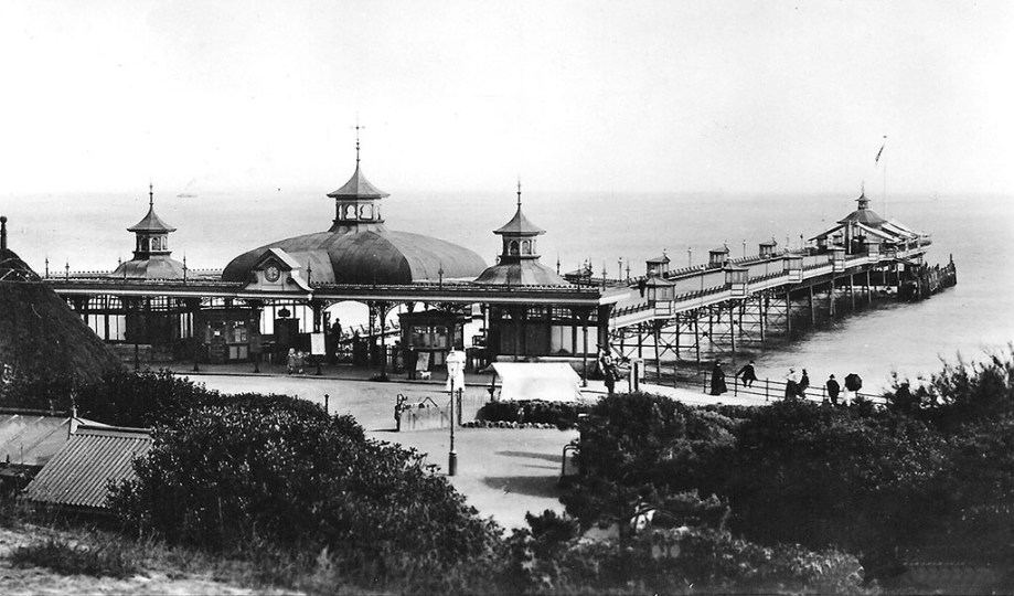
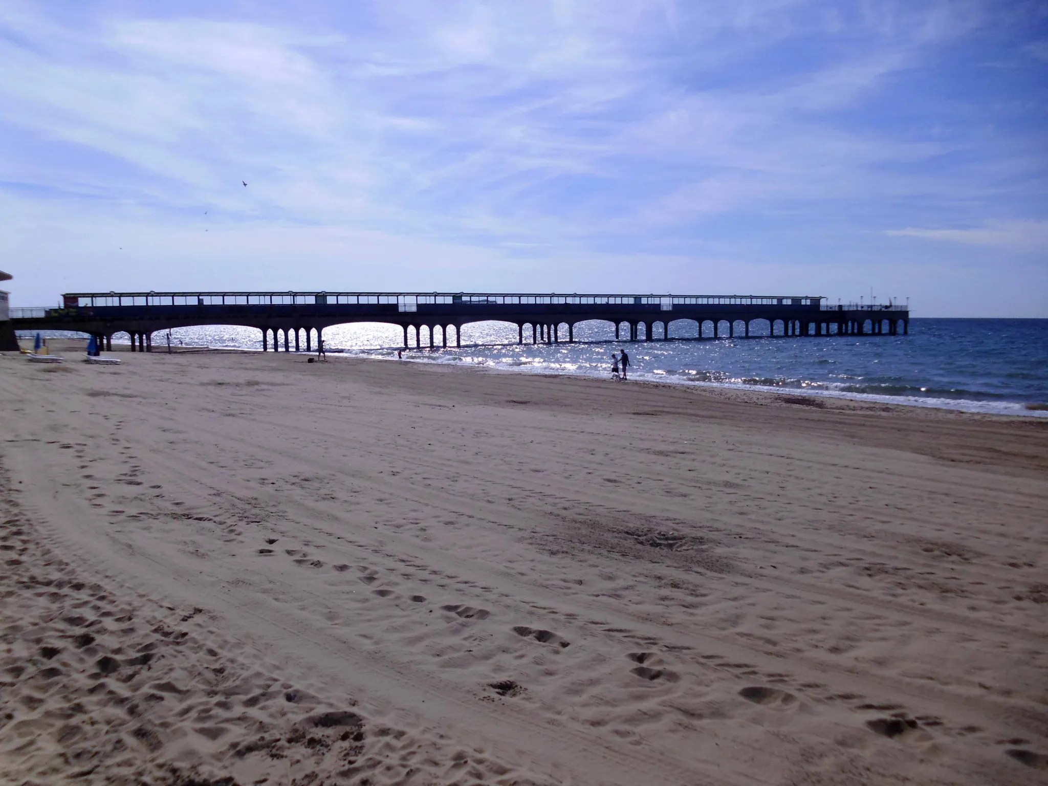
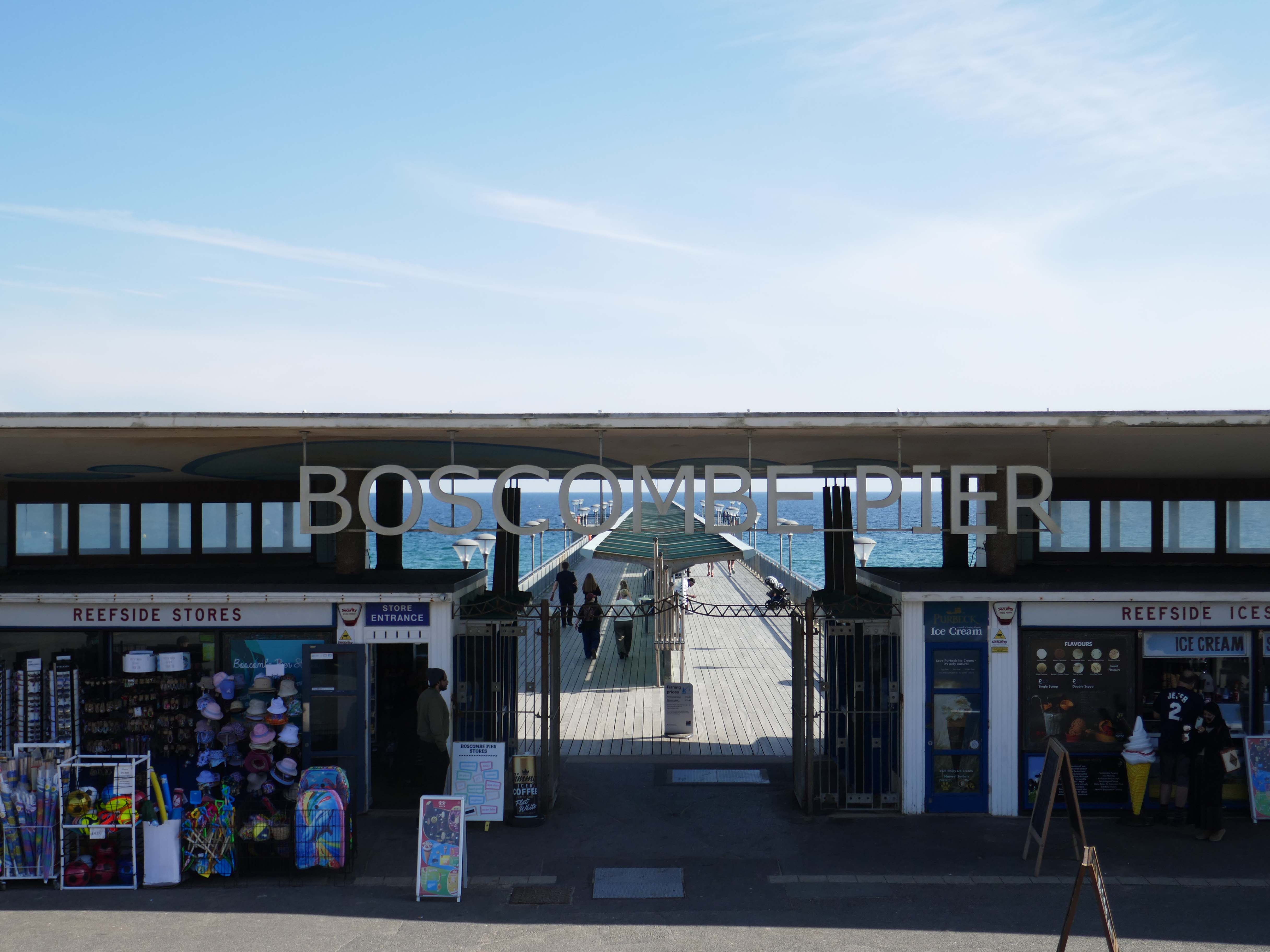
The Boscombe Pier Company was formed in 1886 and the first pile was laid on 11th October 1888. Designed by Archibald Smith, the 600 foot pier opened on 28th July 1889.
The local council took over the pier in 1904 and erected buildings at the entrance and on the pier-head. Facilities included a busy steamer landing stage.
In 1924/5 and 1927, the head was renewed in high alumina concrete. Between 1958 and 1960, the neck was reconstructed using reinforced concrete. In 1940, the pier was breached for defence reasons.
Between 1958 and 1960, the neck was reconstructed using reinforced concrete.
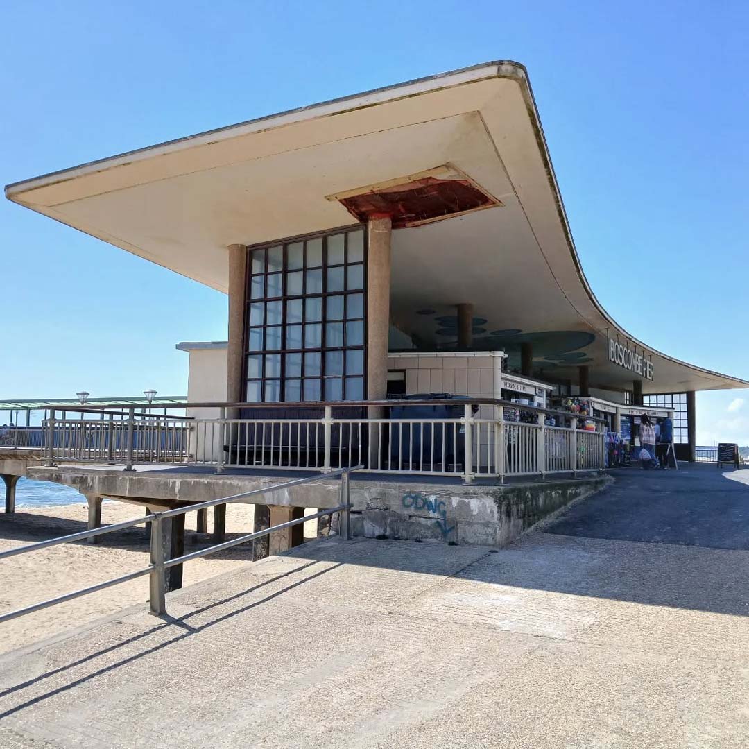
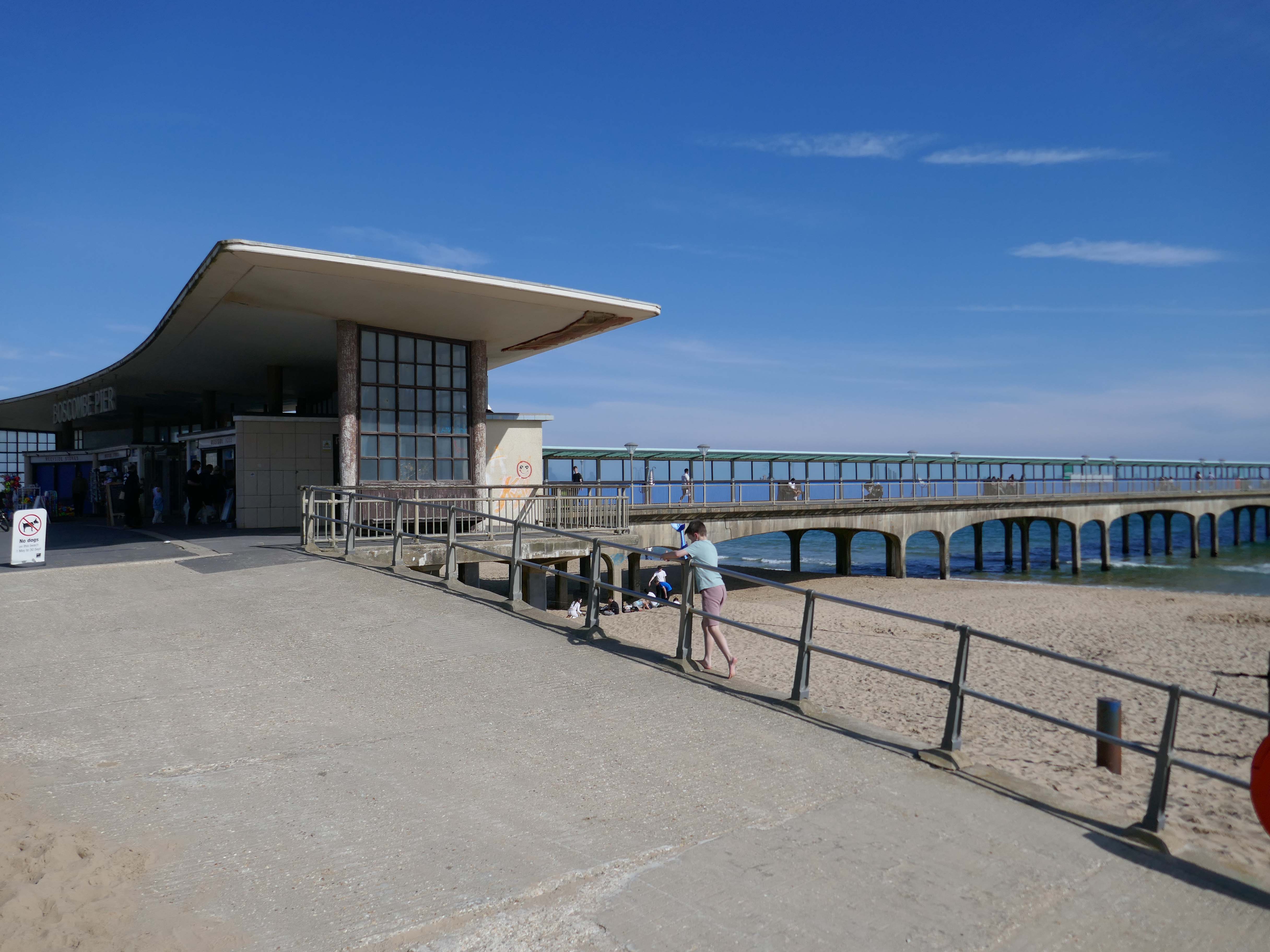
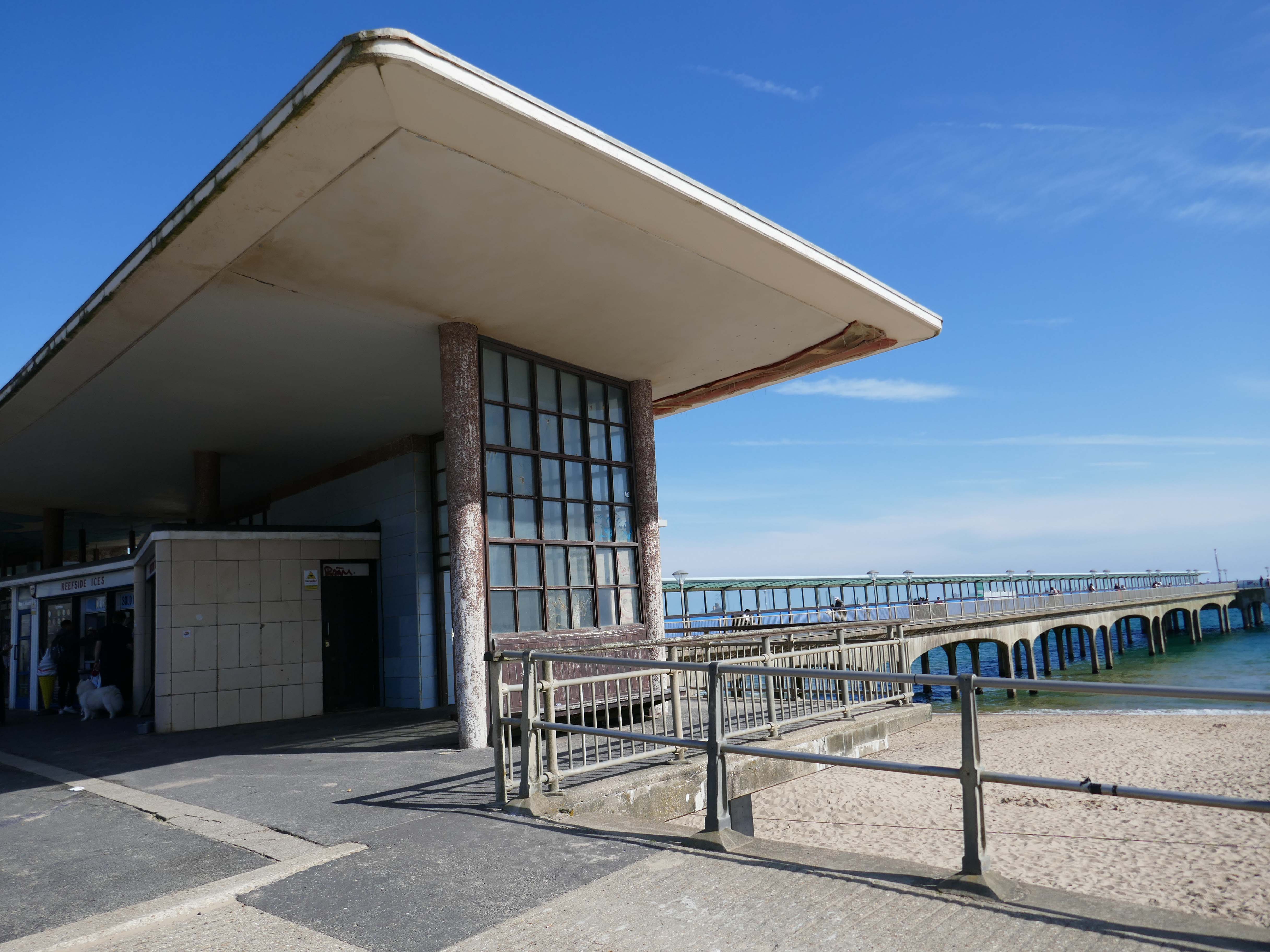
A restaurant and the Mermaid Theatre were built at the pier-head in 1961 although the ‘Theatre’, in fact, opened as a covered roller-skating rink for its first two seasons. In April 1965, the leaseholder, Cleethorpes Amusements, converted it into an arcade. The council formally took over the Mermaid ‘Theatre’ in 1988 when the lease ended.
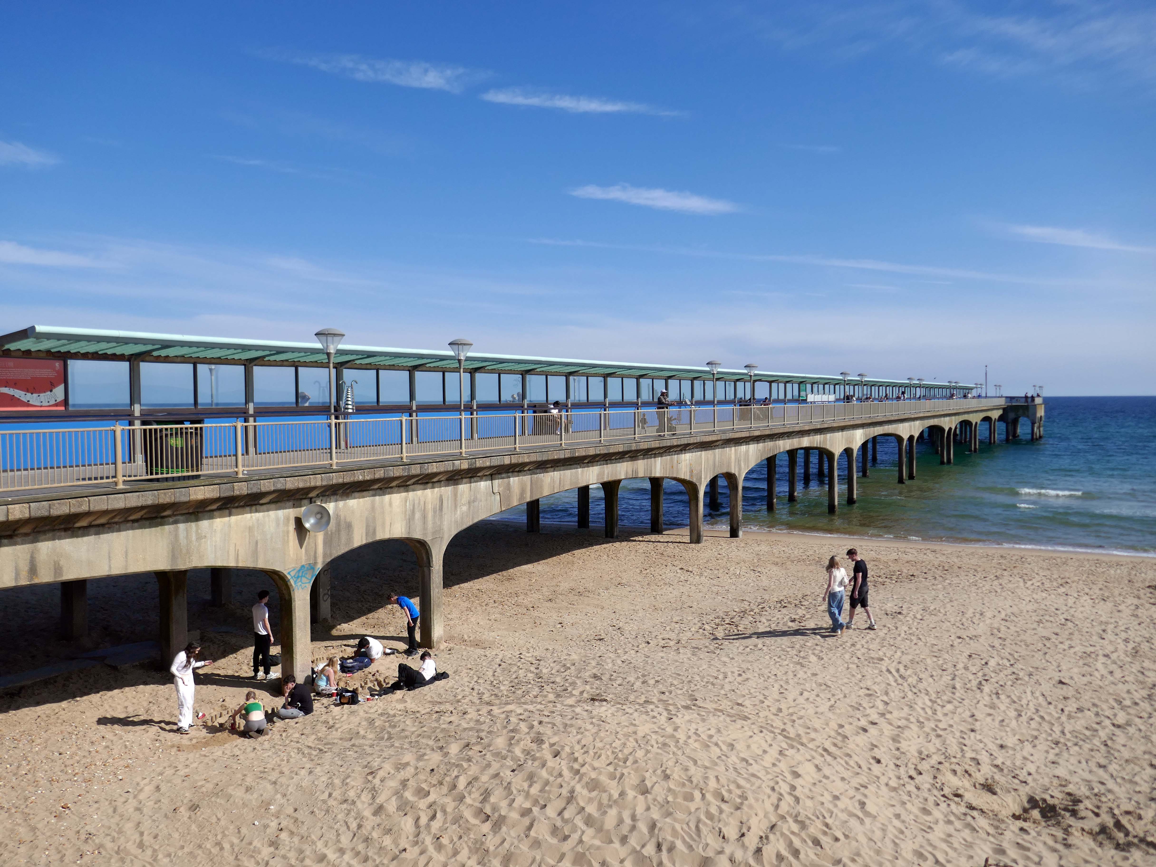
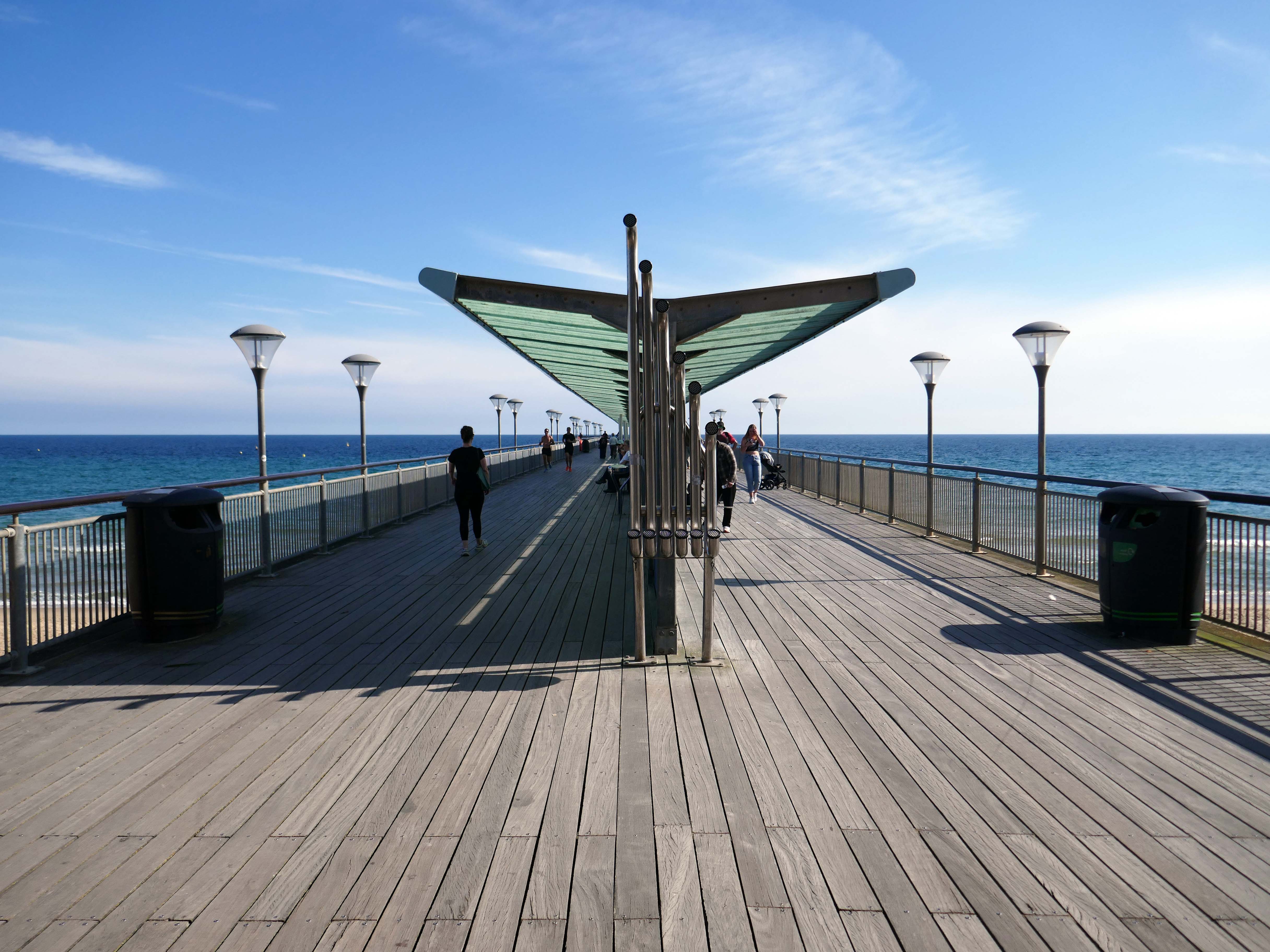
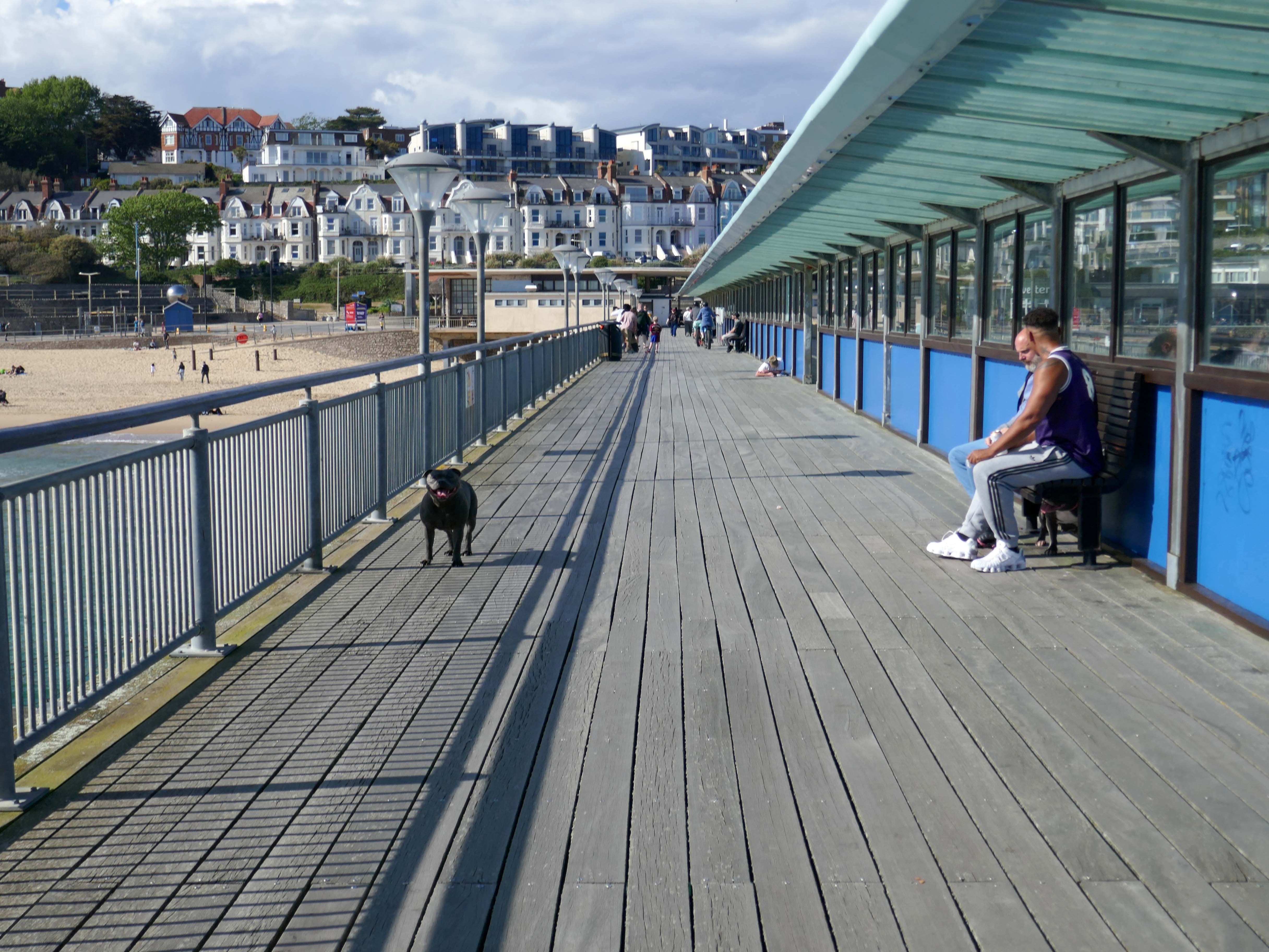
In 2008, the area around Boscombe pier underwent extensive renovation. The derelict and unsafe building at the end of the pier was demolished, and replaced by a simple viewing and fishing platform. The rest of the pier was also restored.
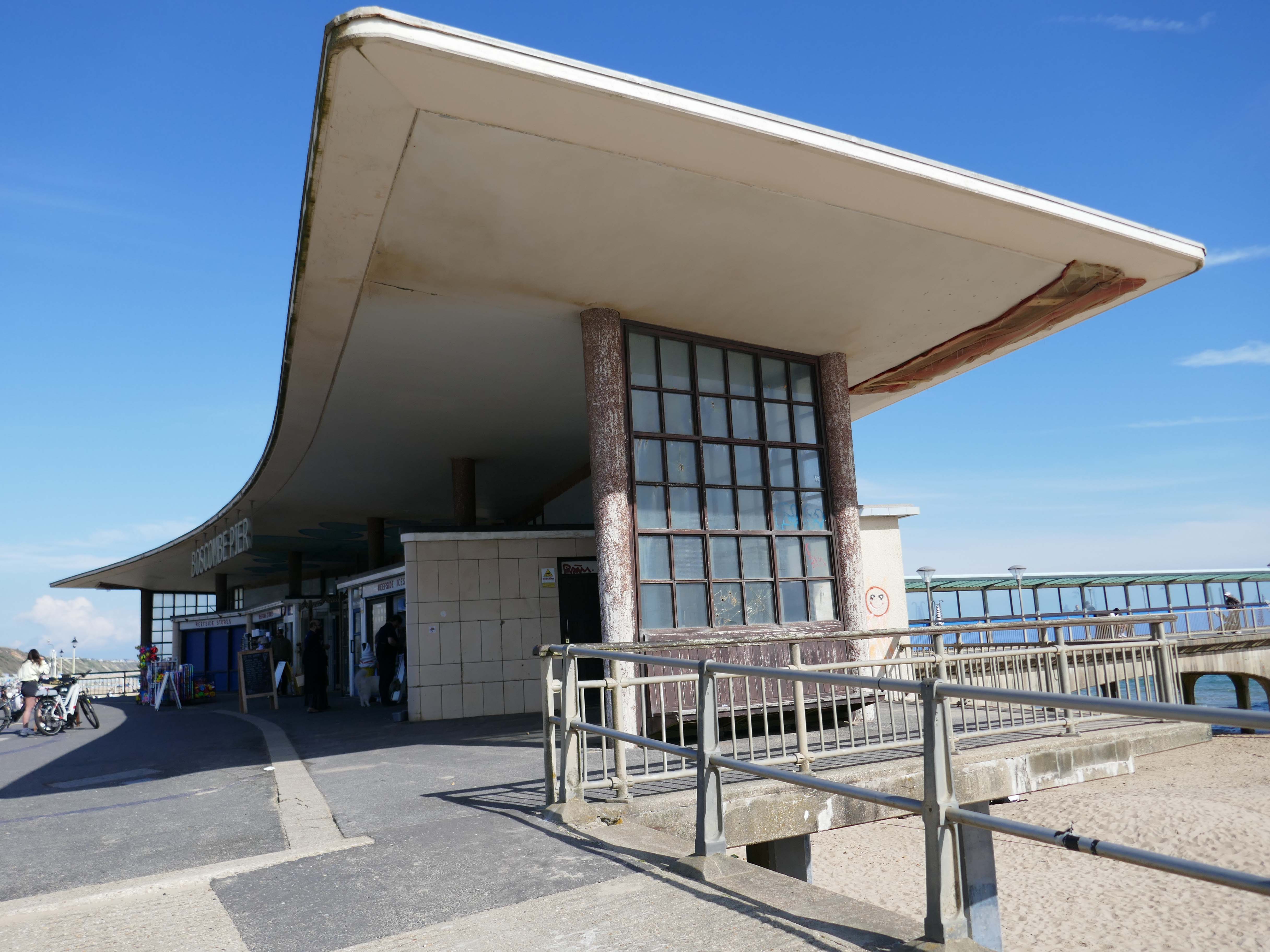
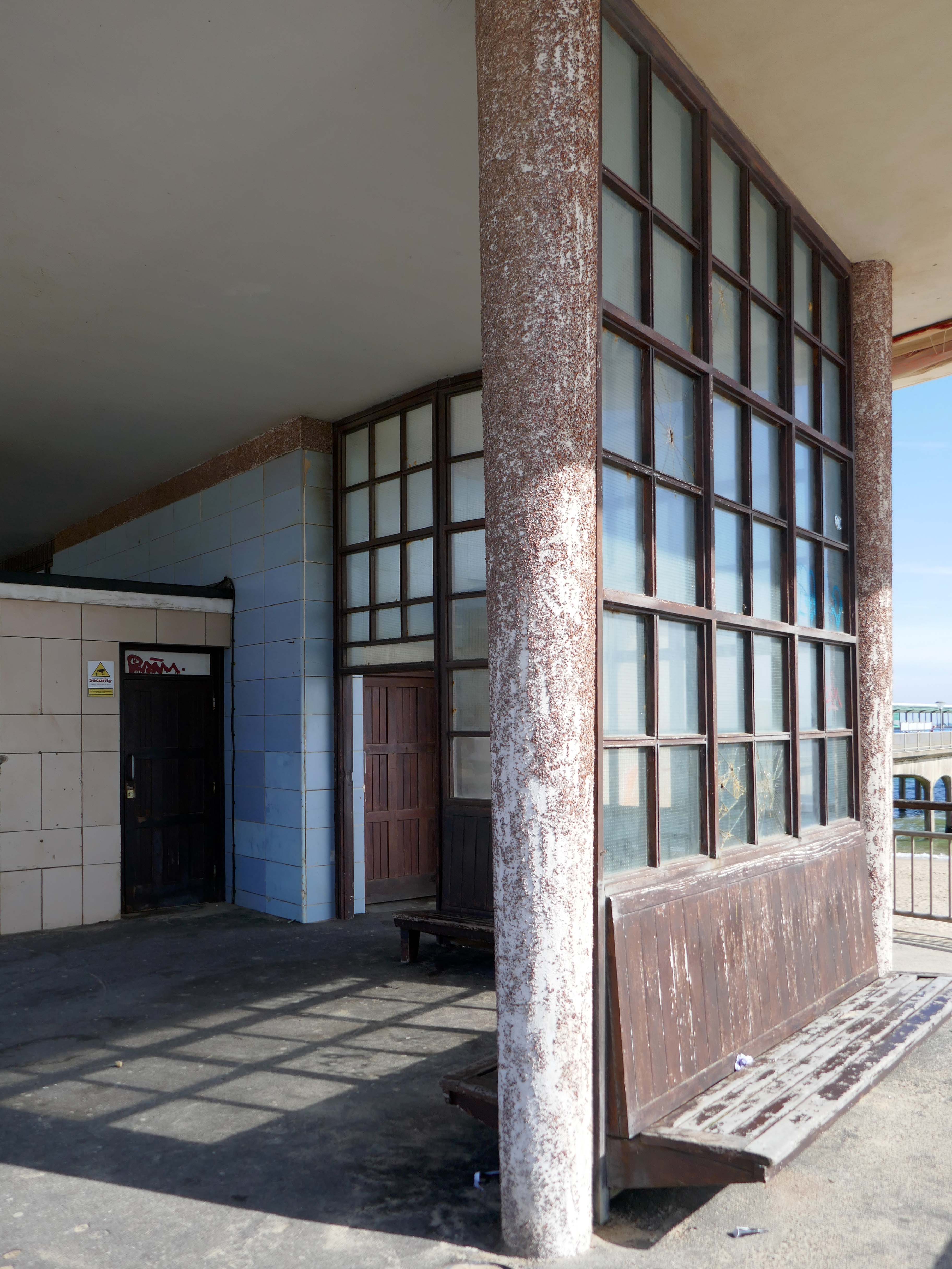
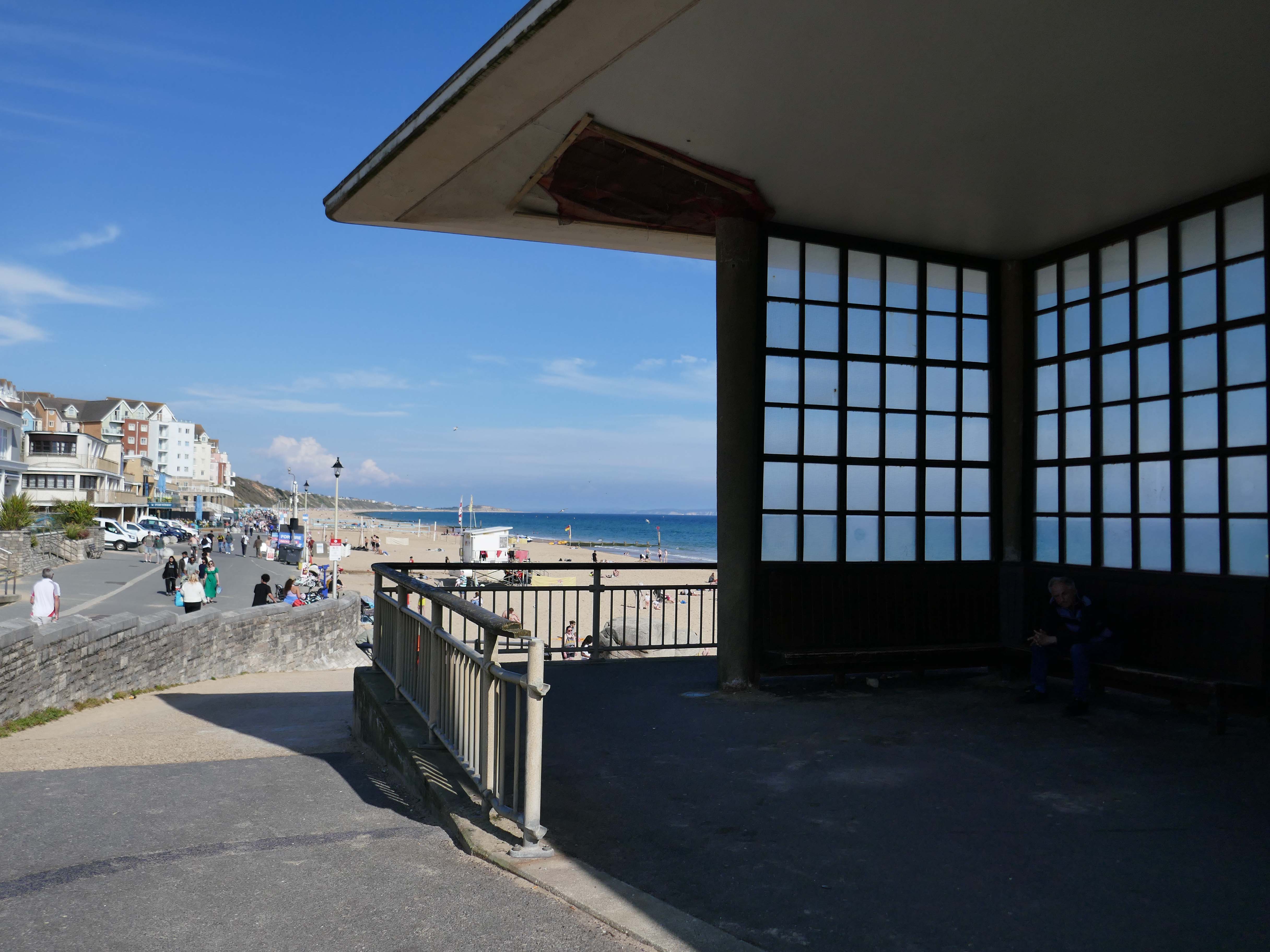
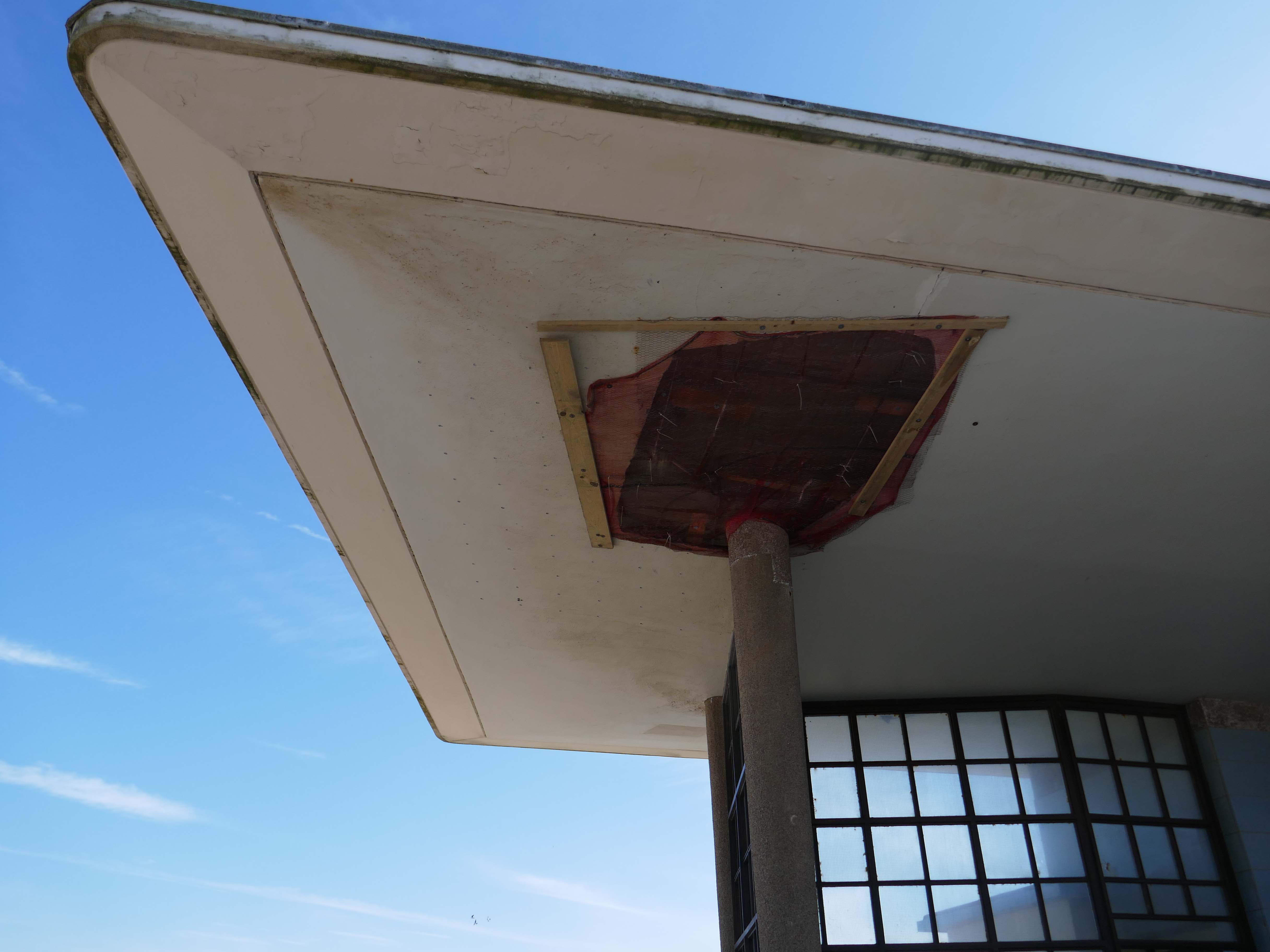
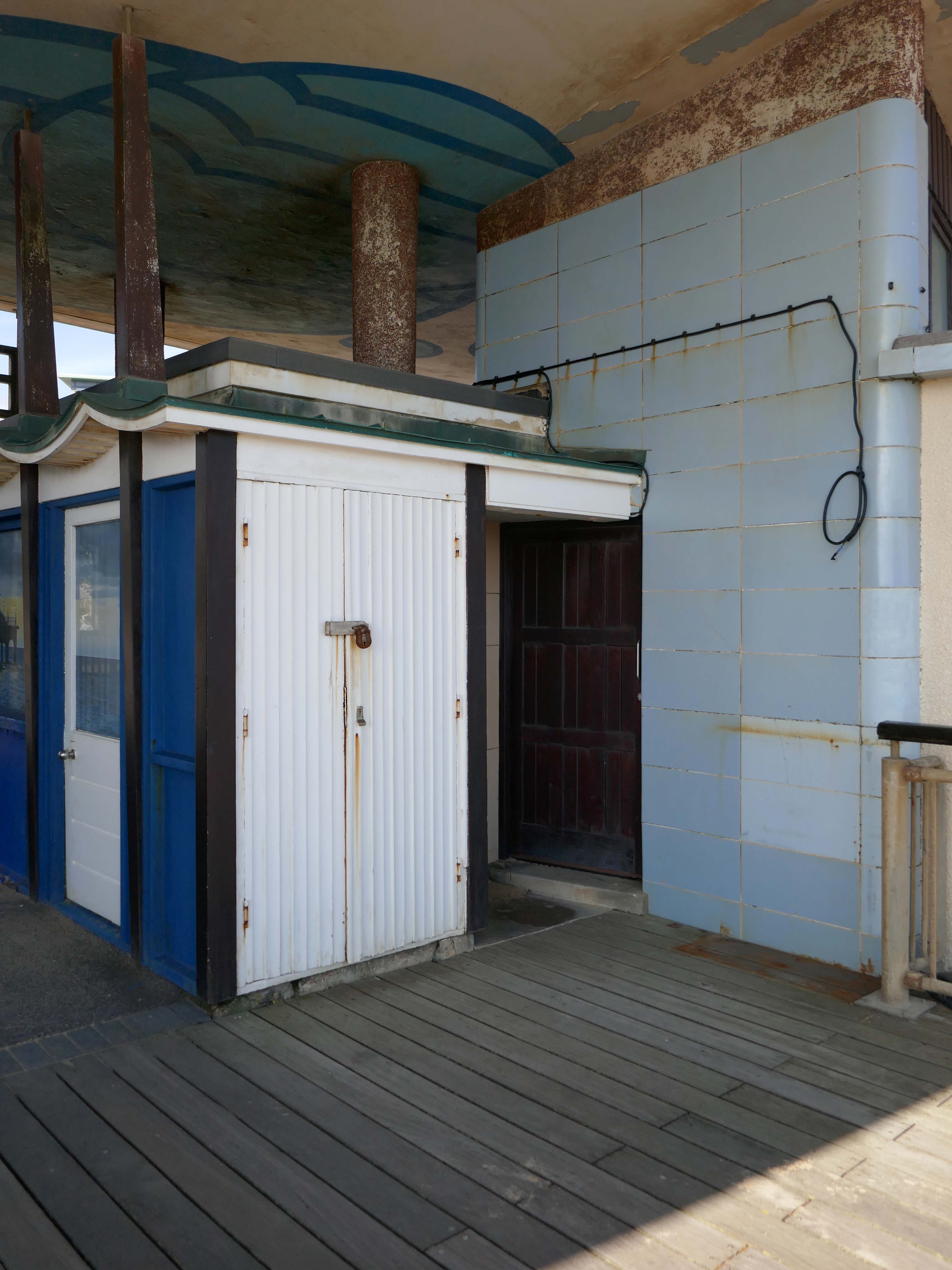
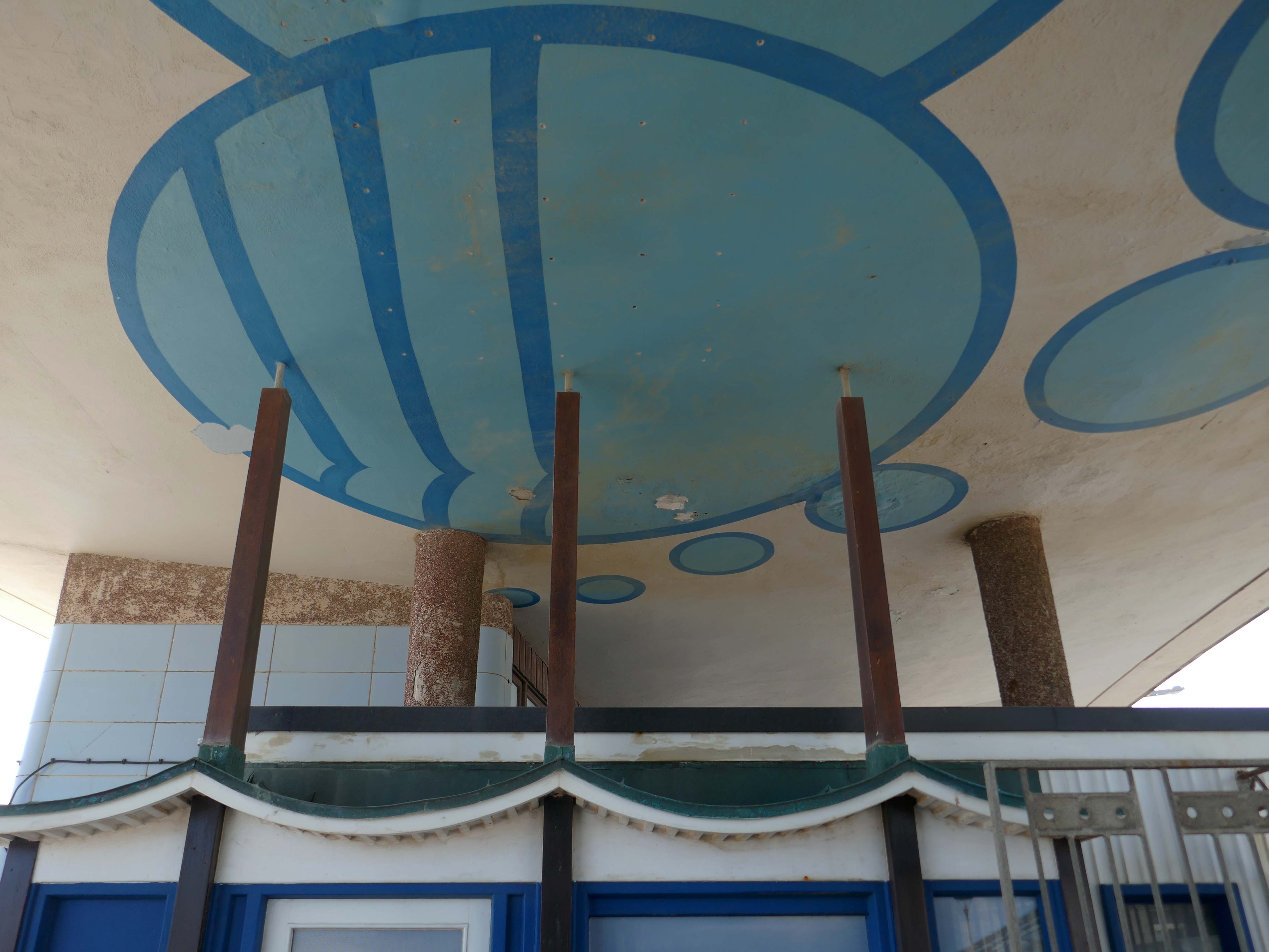
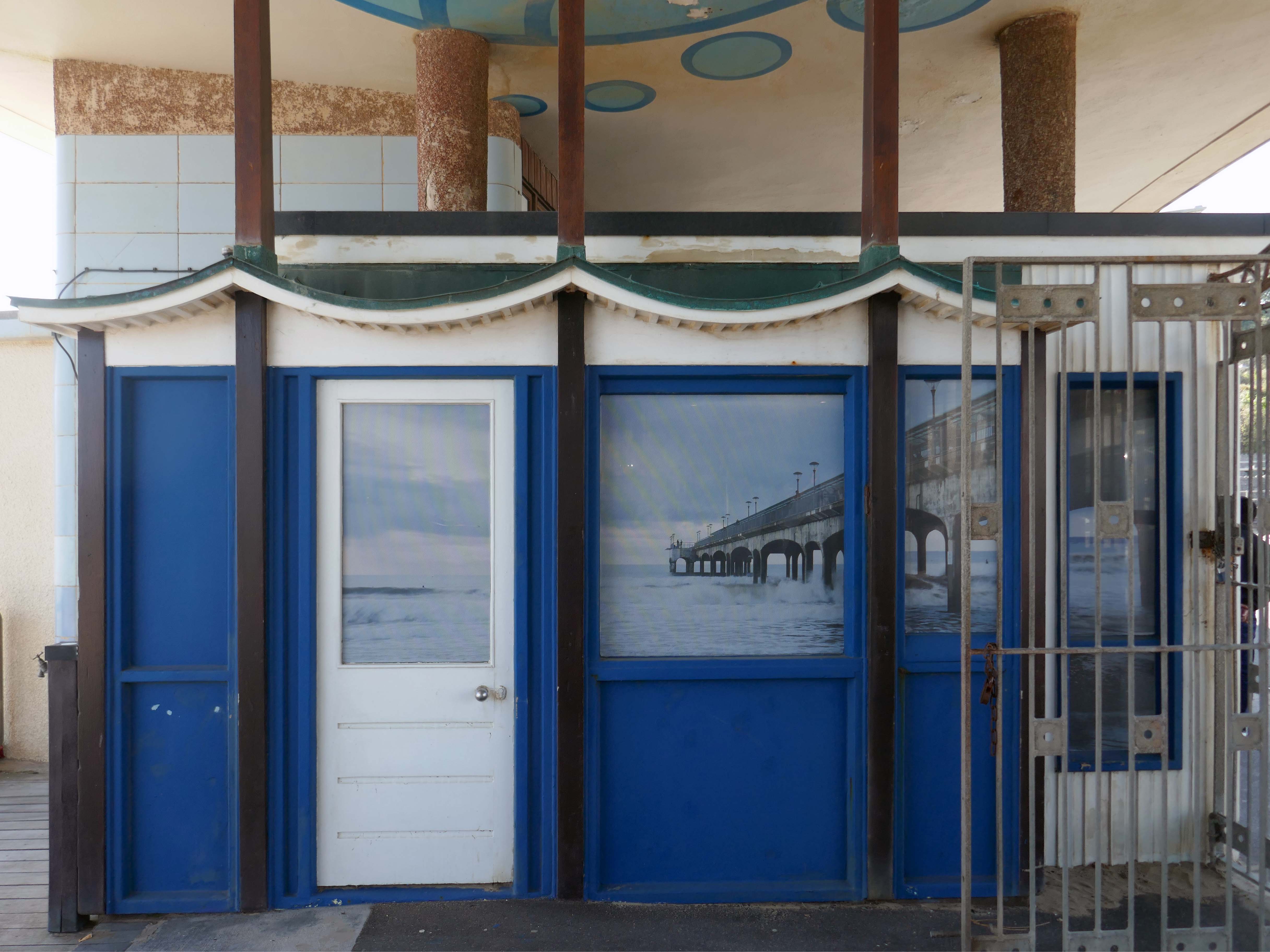
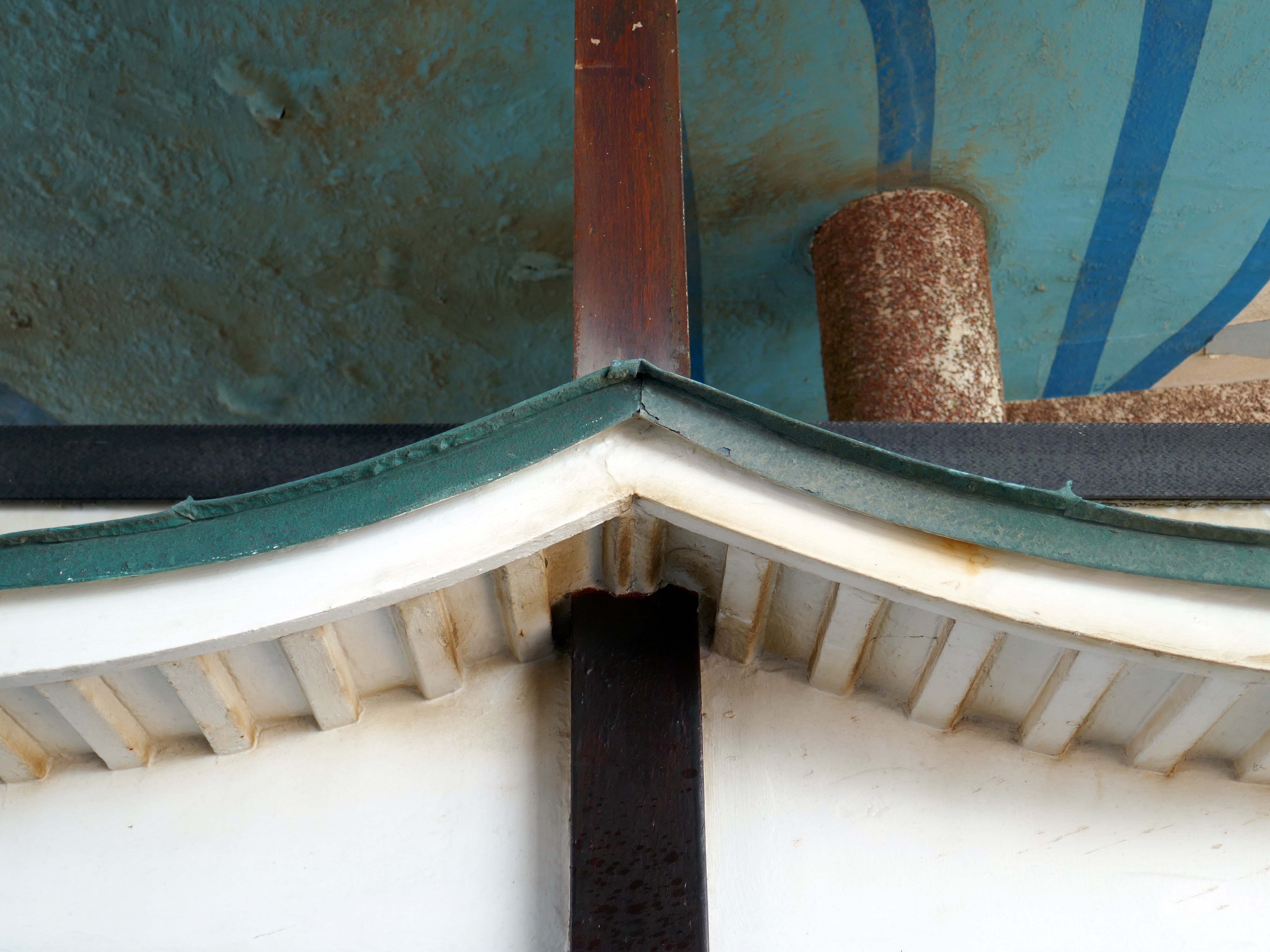
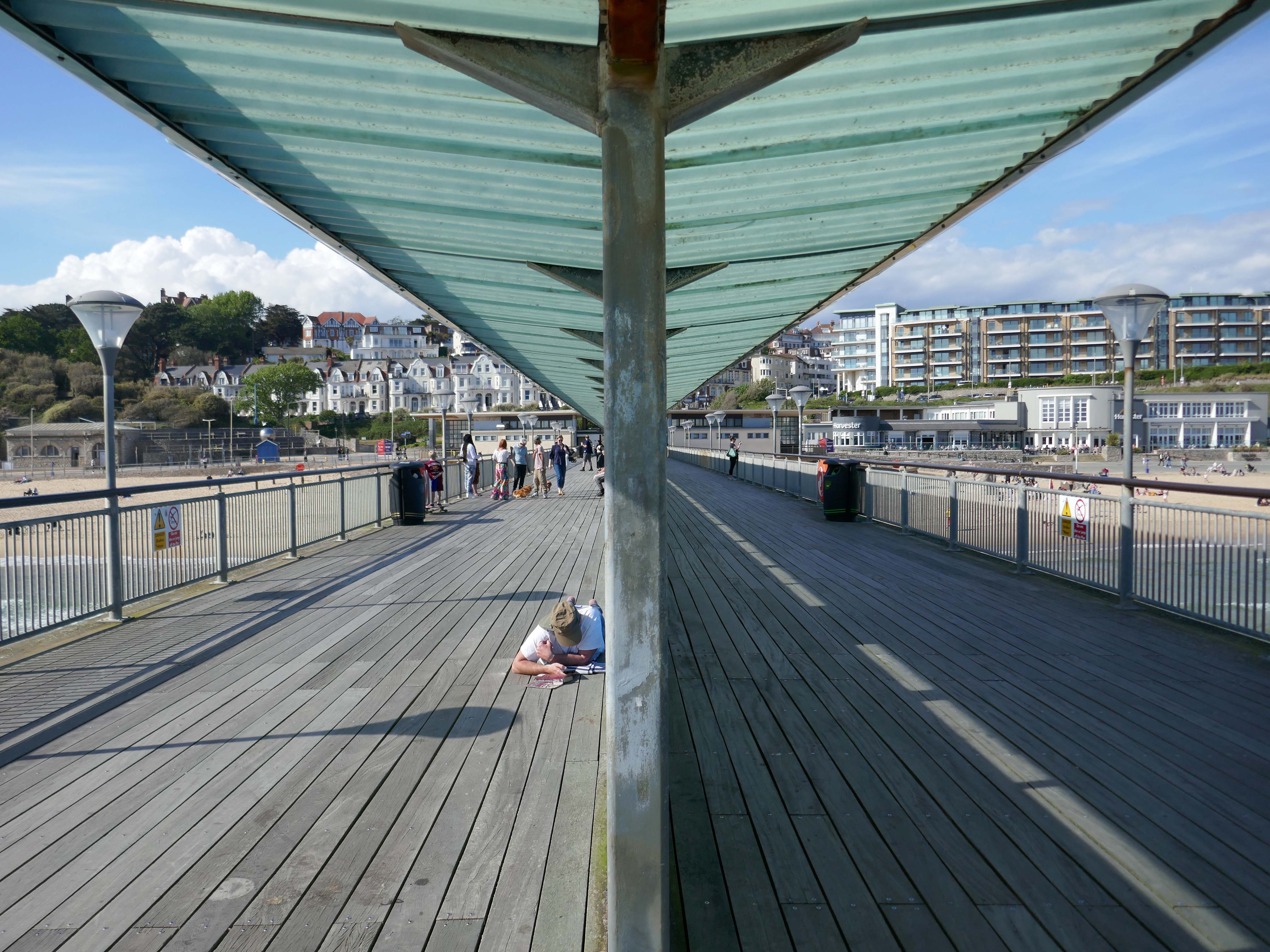
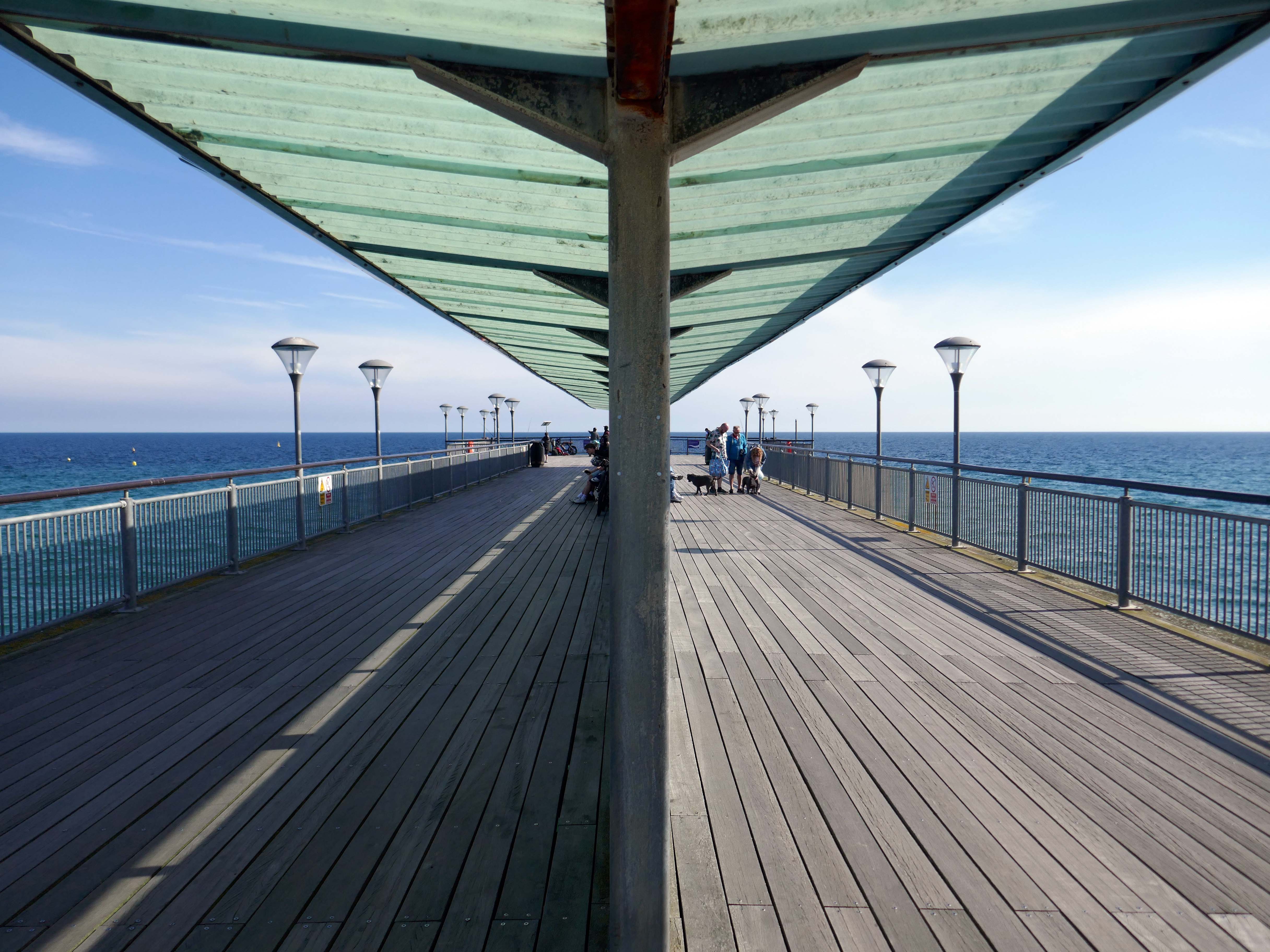
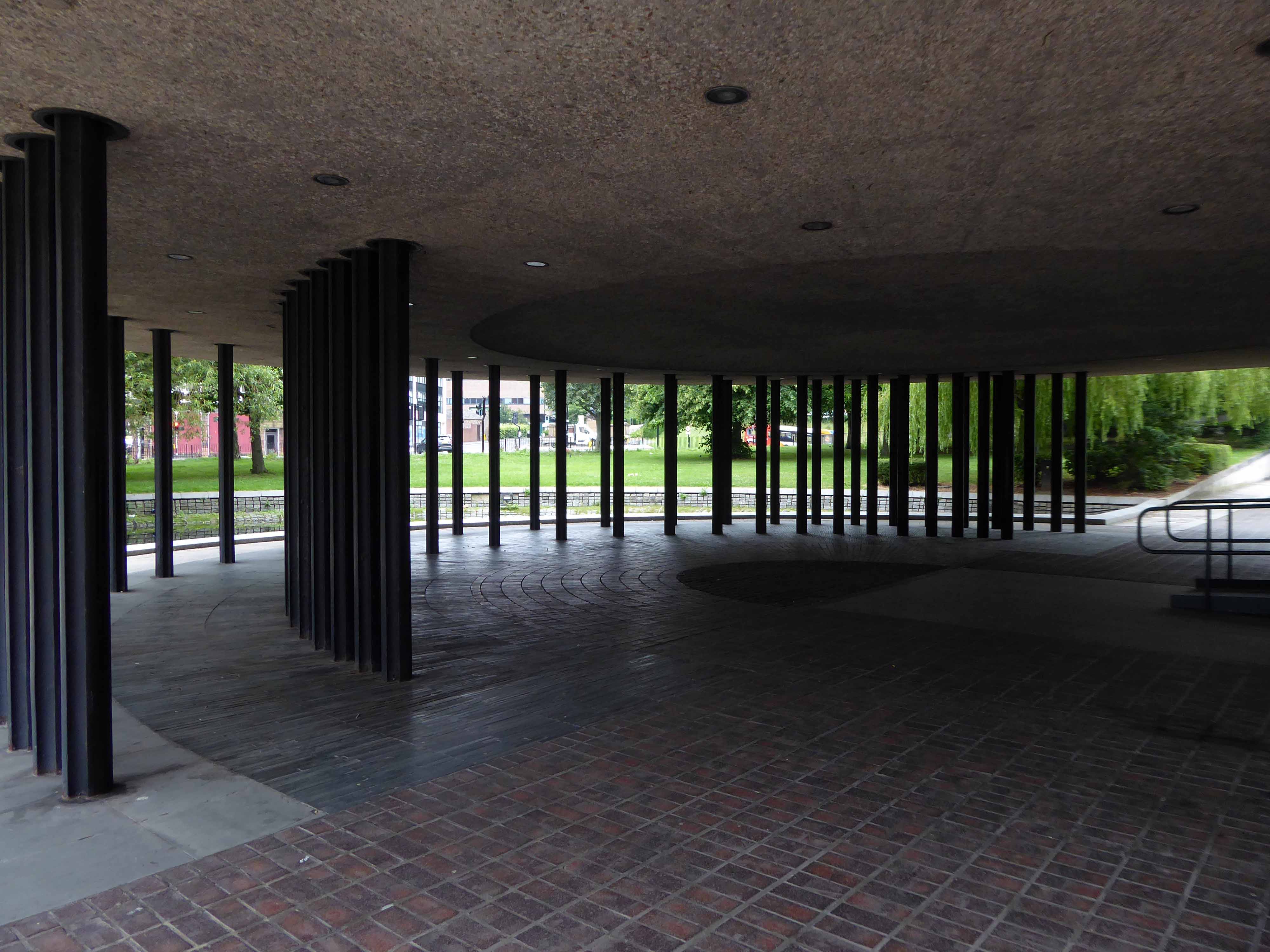
However, the neck building is a design of great verve and vivacity that well demonstrates the revitalisation of the British seaside resort in the 1950s. The contemporary style associated with Frank Lloyd Wright’s Usonian houses and made popular with Californian homes in the 1940s was well suited to the requirements of an architecture that combined ‘sun and fun’. The contemporary style made a feature of expressing different elements or planes of a composition with different materials, and here the combination is honest and each element well detailed. The sweep of the cantilevered, boomerang-shaped roof is a particularly joyous feature. It is a building that would have been despised as being exactly of its date until recently; now it is a building that can be celebrated for that very reason, and a rare example of pier architecture from these years.
Open seven days a week from 9am to 11pm – may be subject to change due to weather conditions.
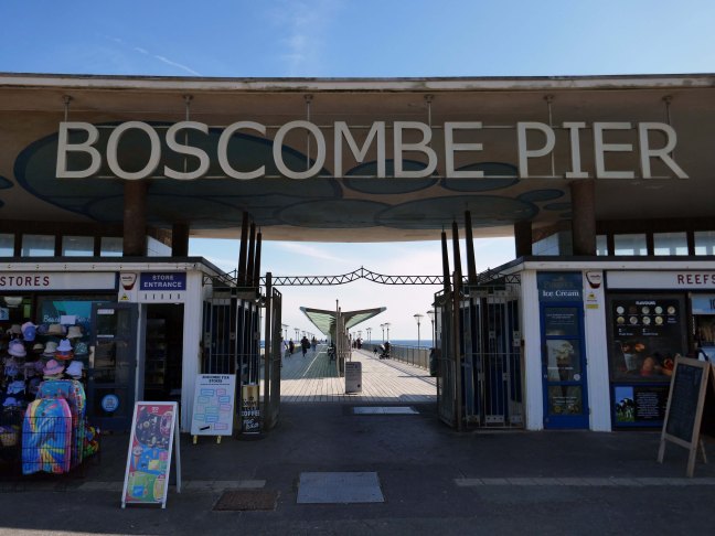
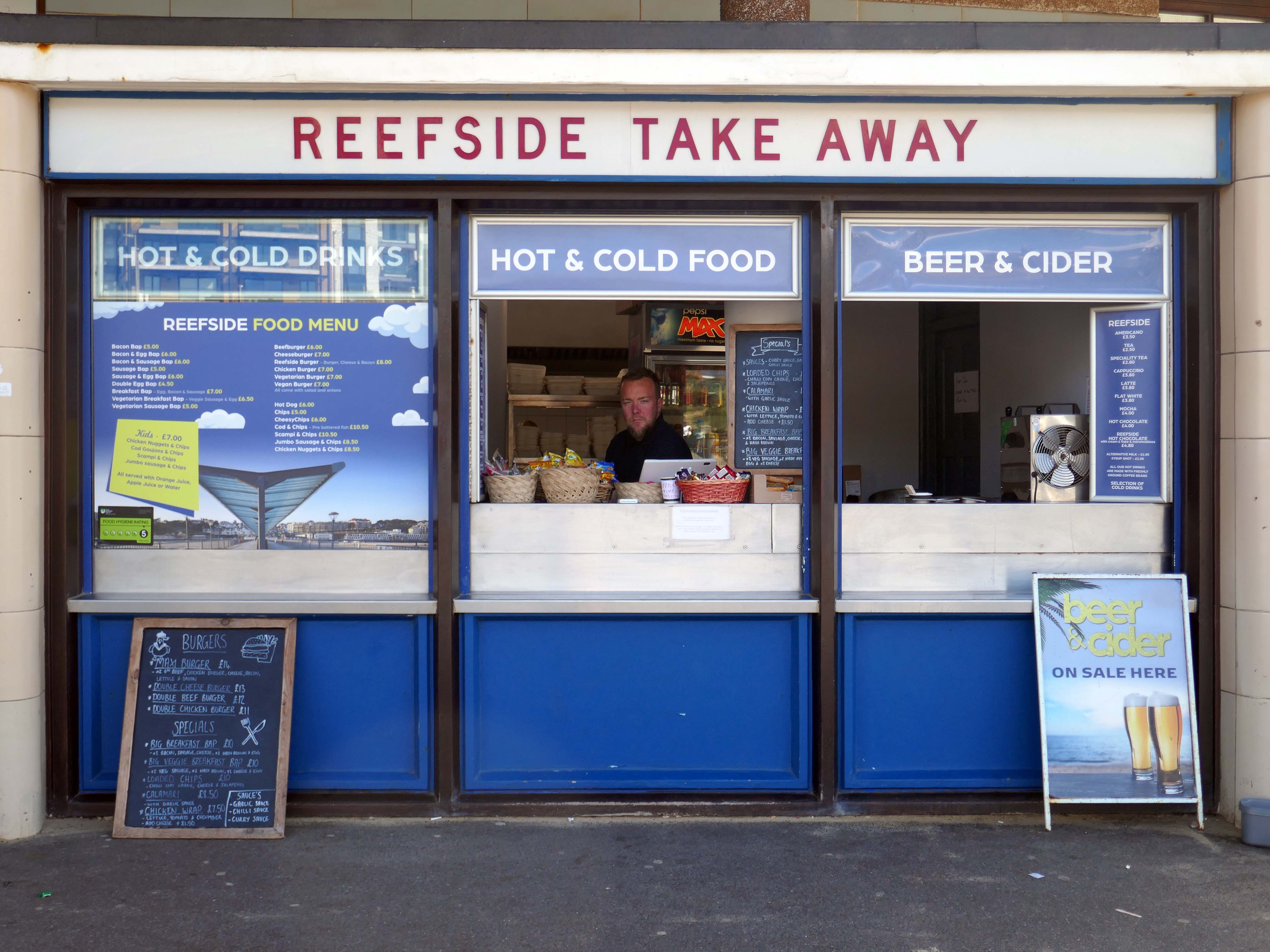
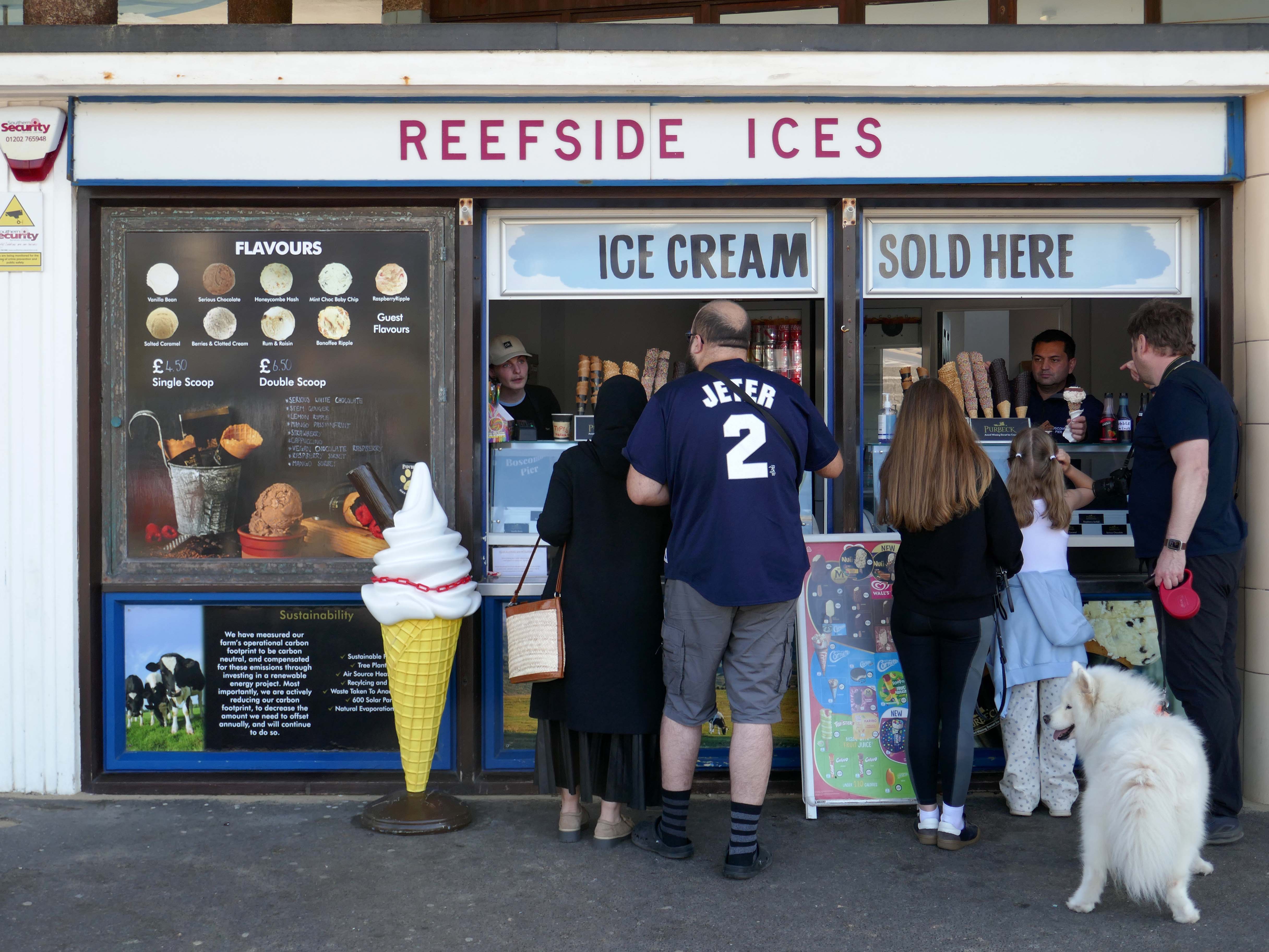
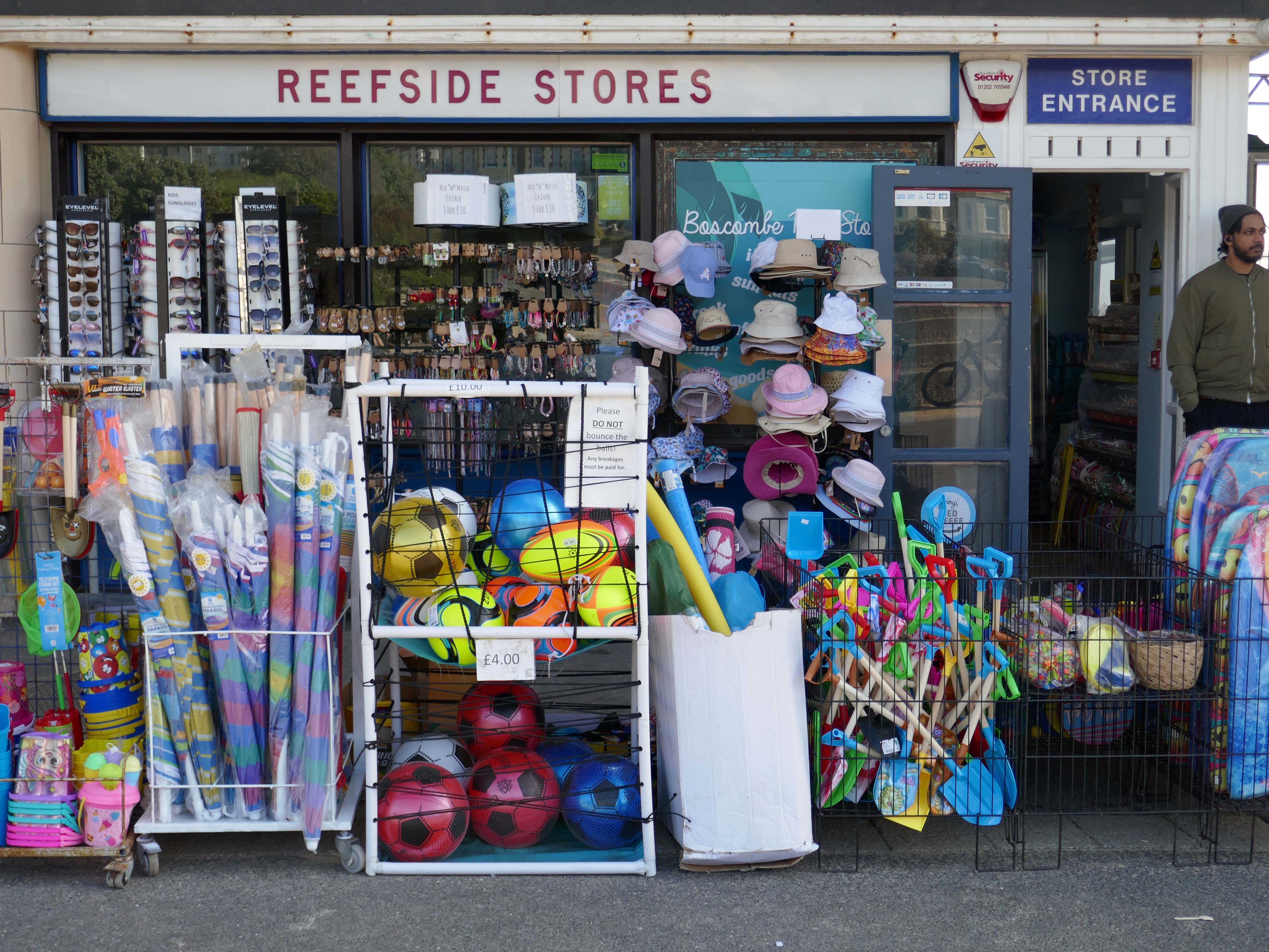
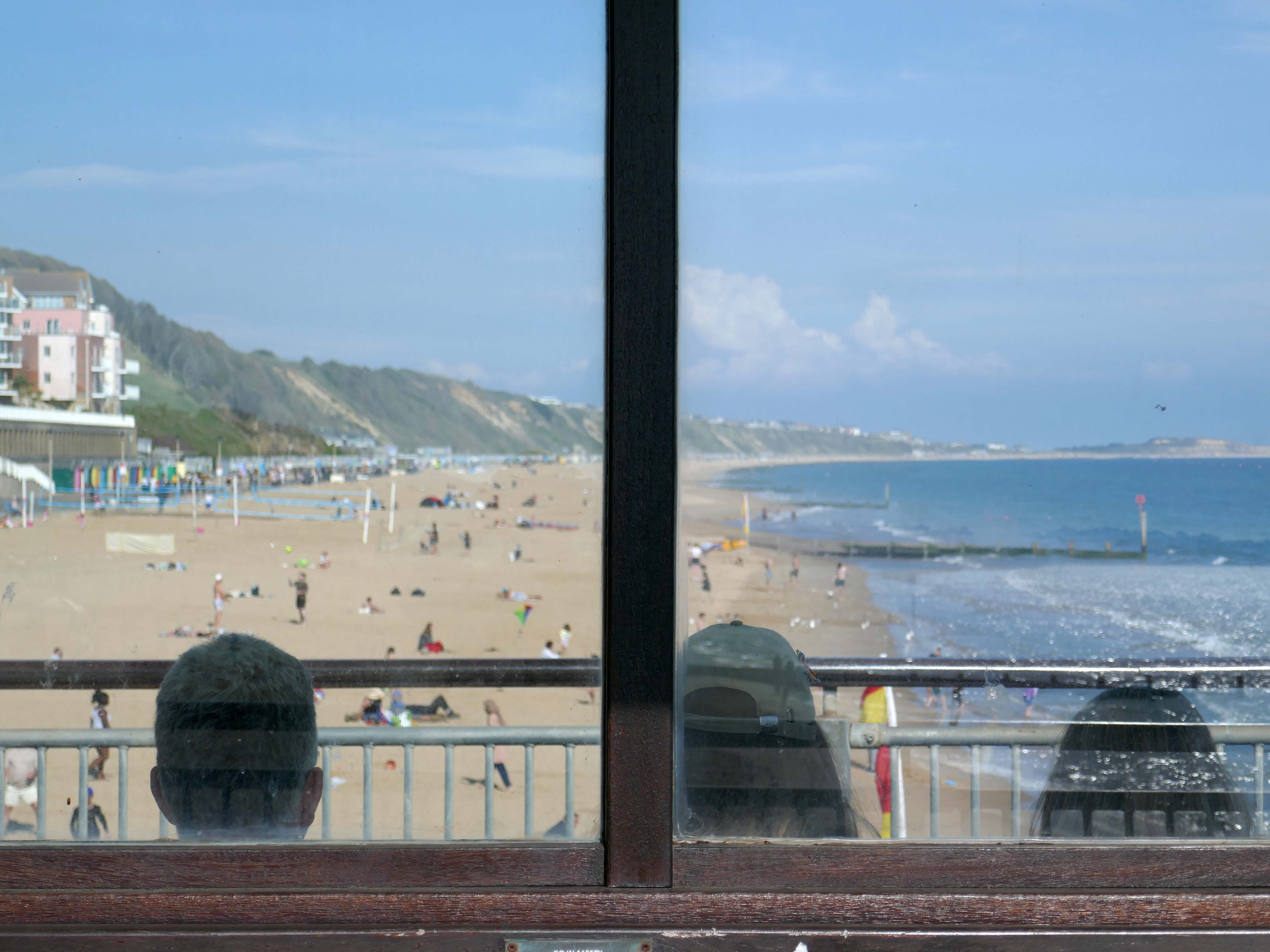
Inside the Grade II listed building at the pier’s entrance, you’ll find a café, takeaway and a beach shop. Outside you can have a go on the bouldering walls and the slackline.
There’s no charge to go on Boscombe Pier, there’s also a viewing platform at the end of the pier.
The resident, who does not wish to be named, was walking along the seafront from Southbourne to Boscombe Pier on Thursday, March 17, at around 10.30am when he noticed strange objects in the sky.
He told the Echo:
“I noticed in the sky three bright, what looked like orange, lights approaching me head on from the west to the east quite low down. I thought they might be aircraft landing lights which seemed strange as it was blue sky and a sunny day.
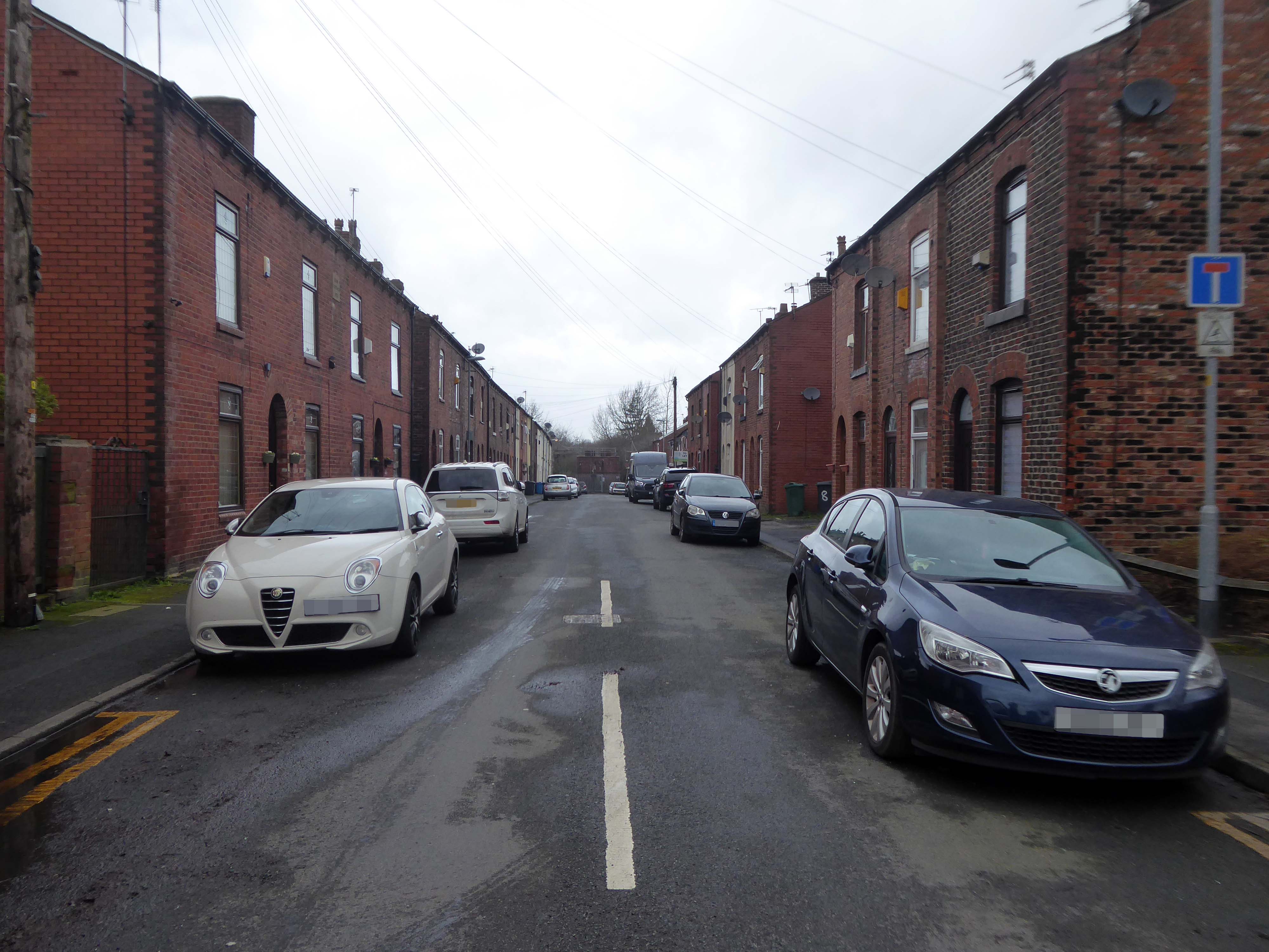
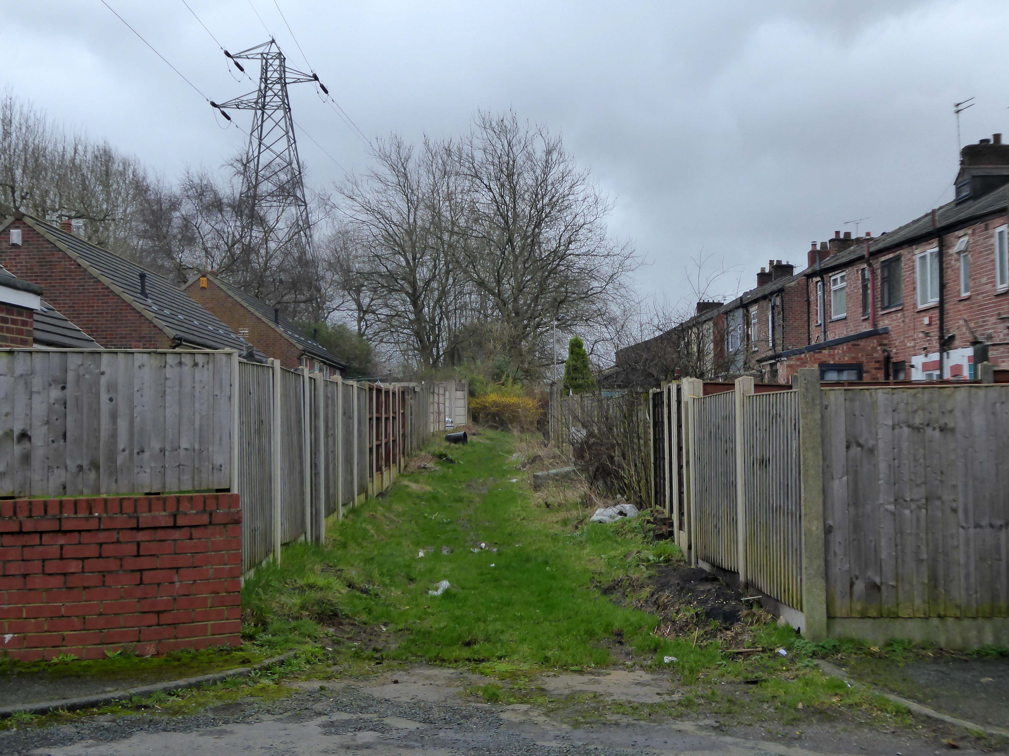
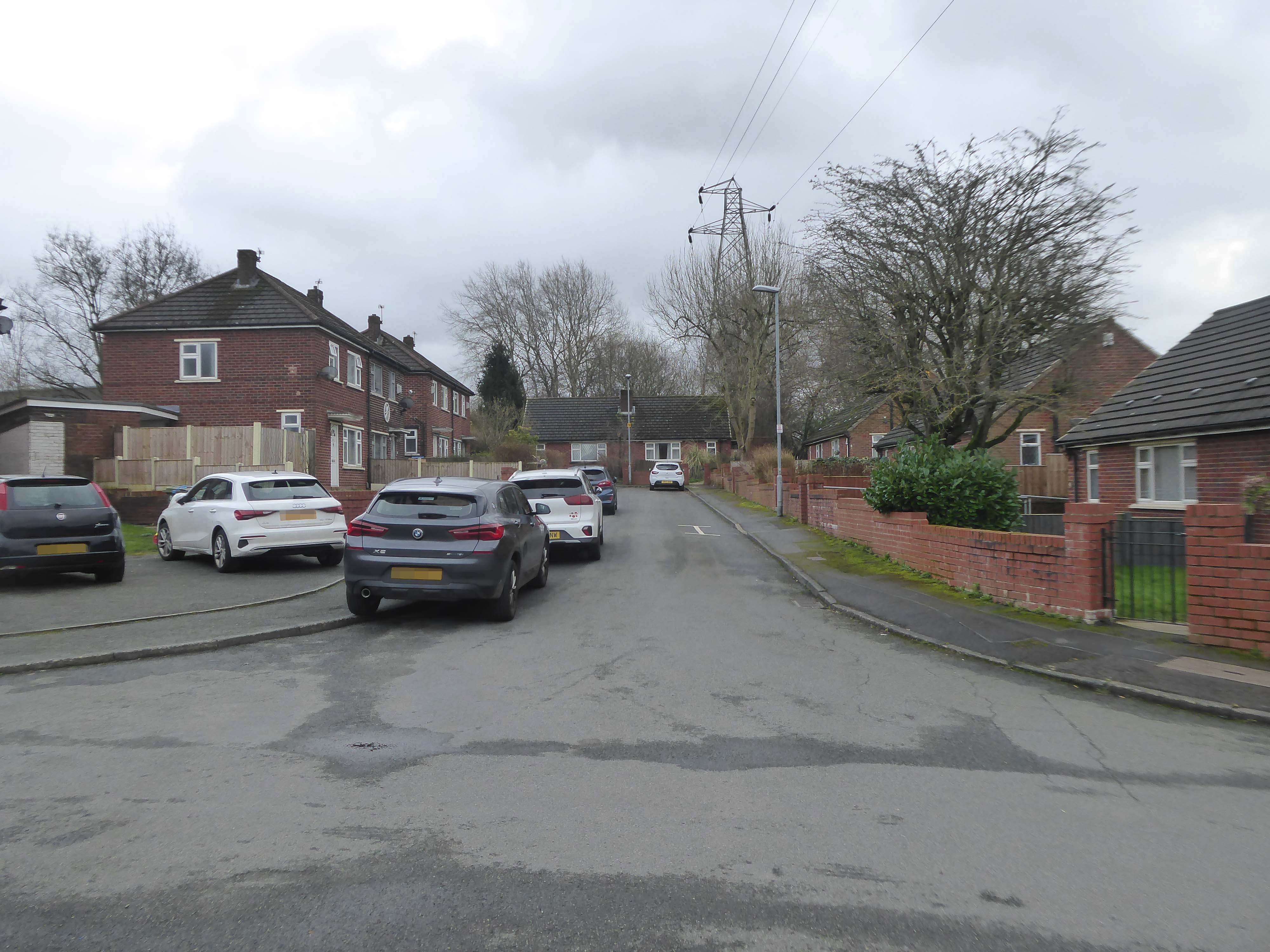
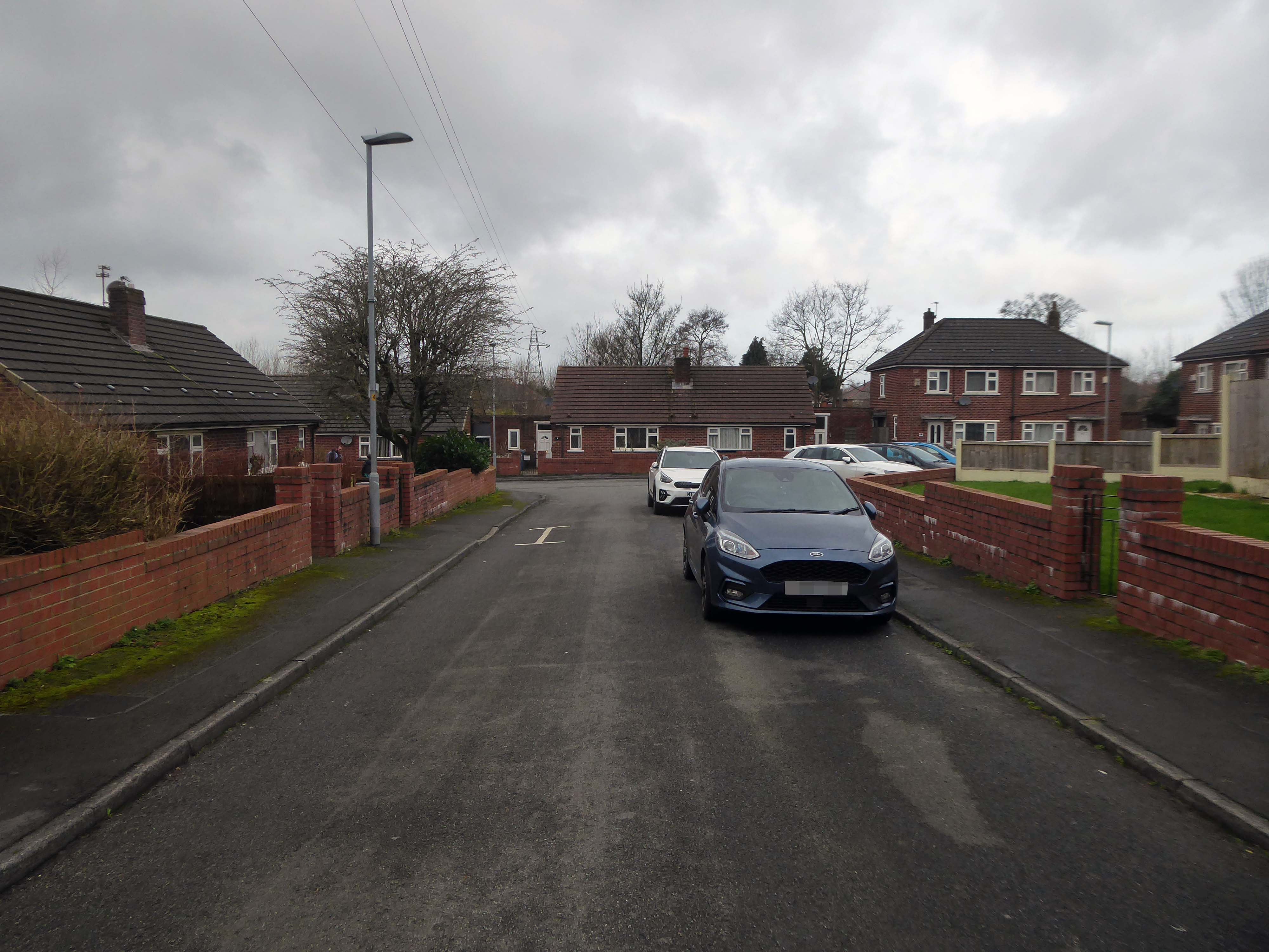
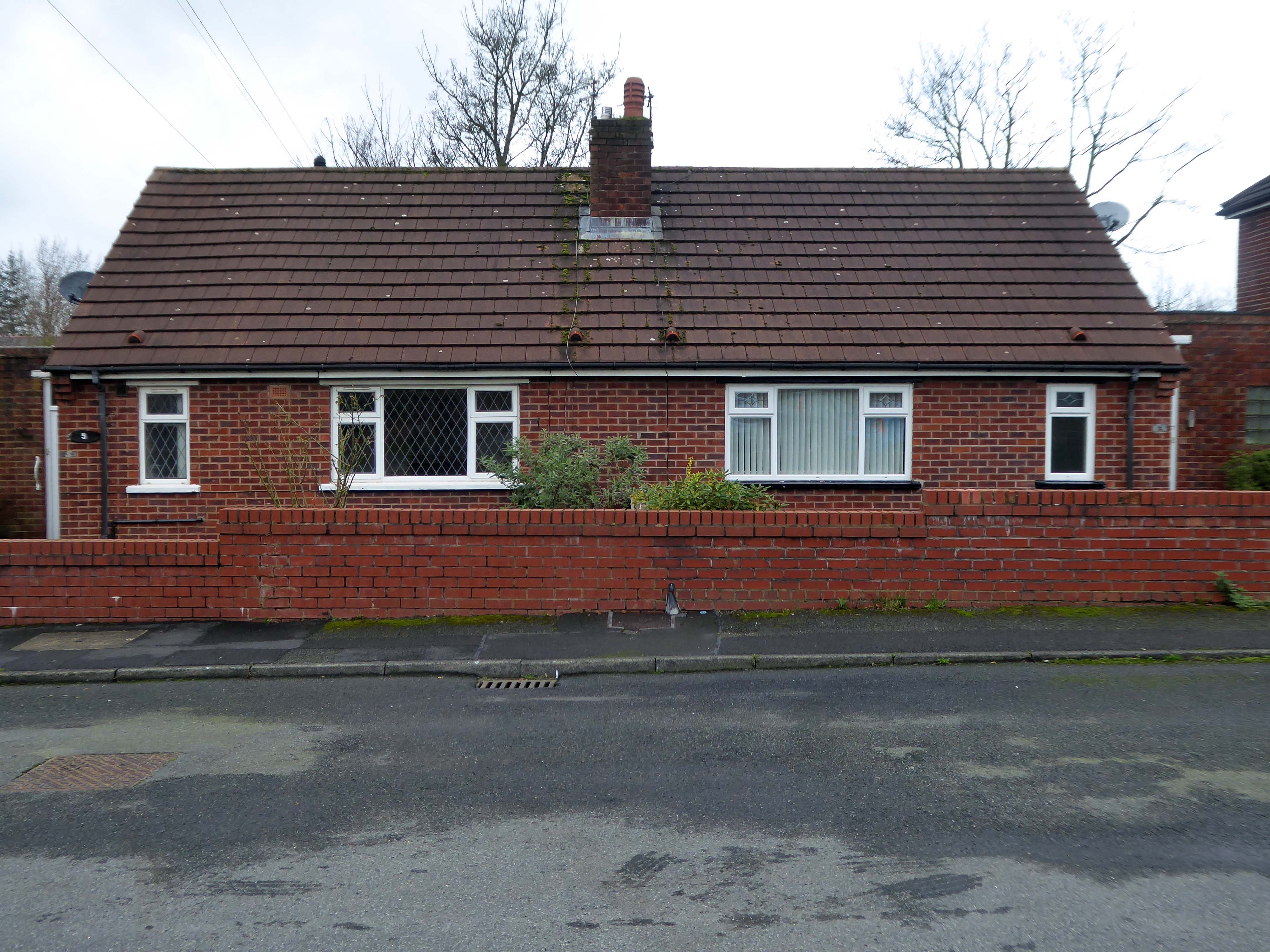
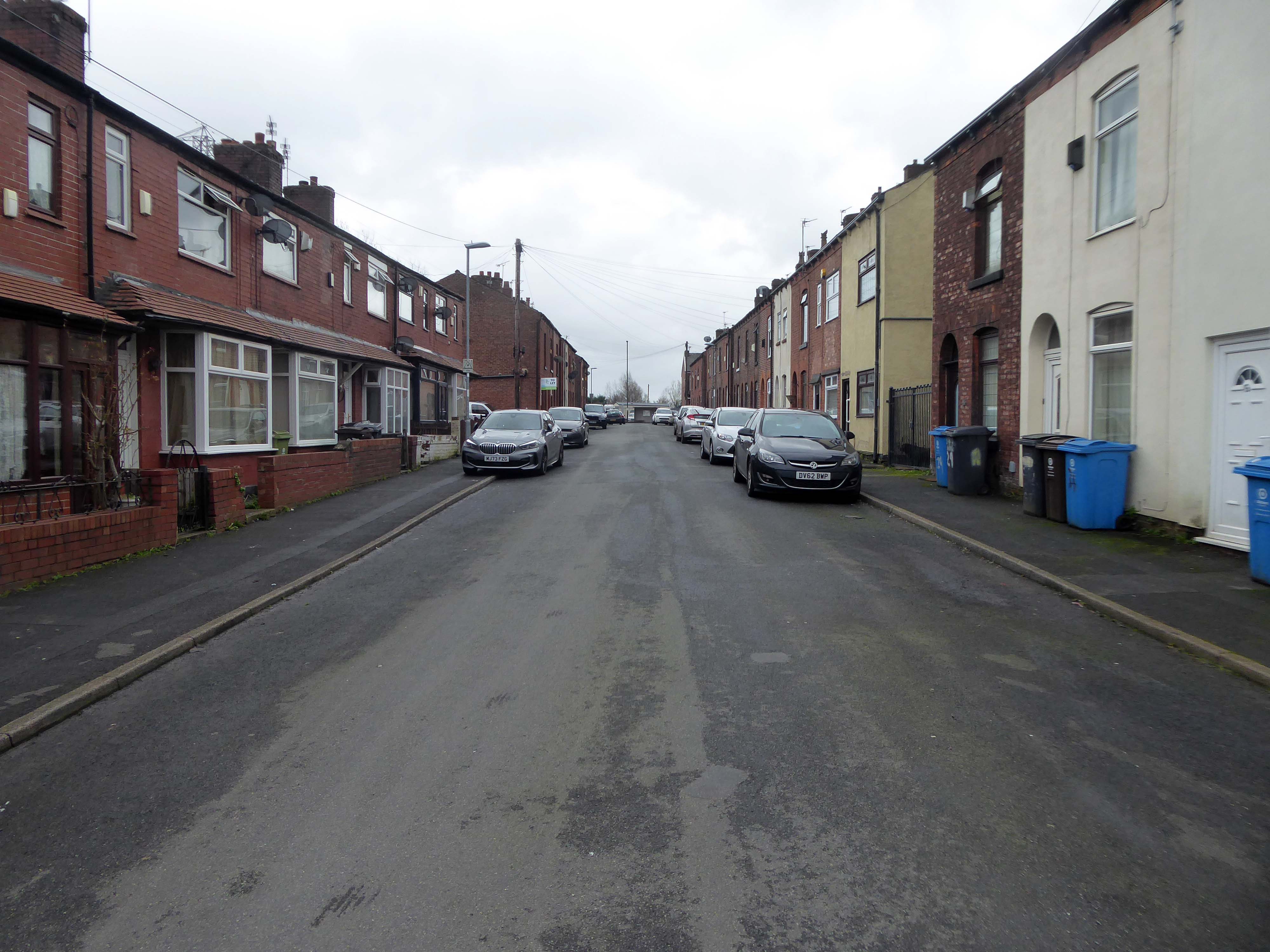
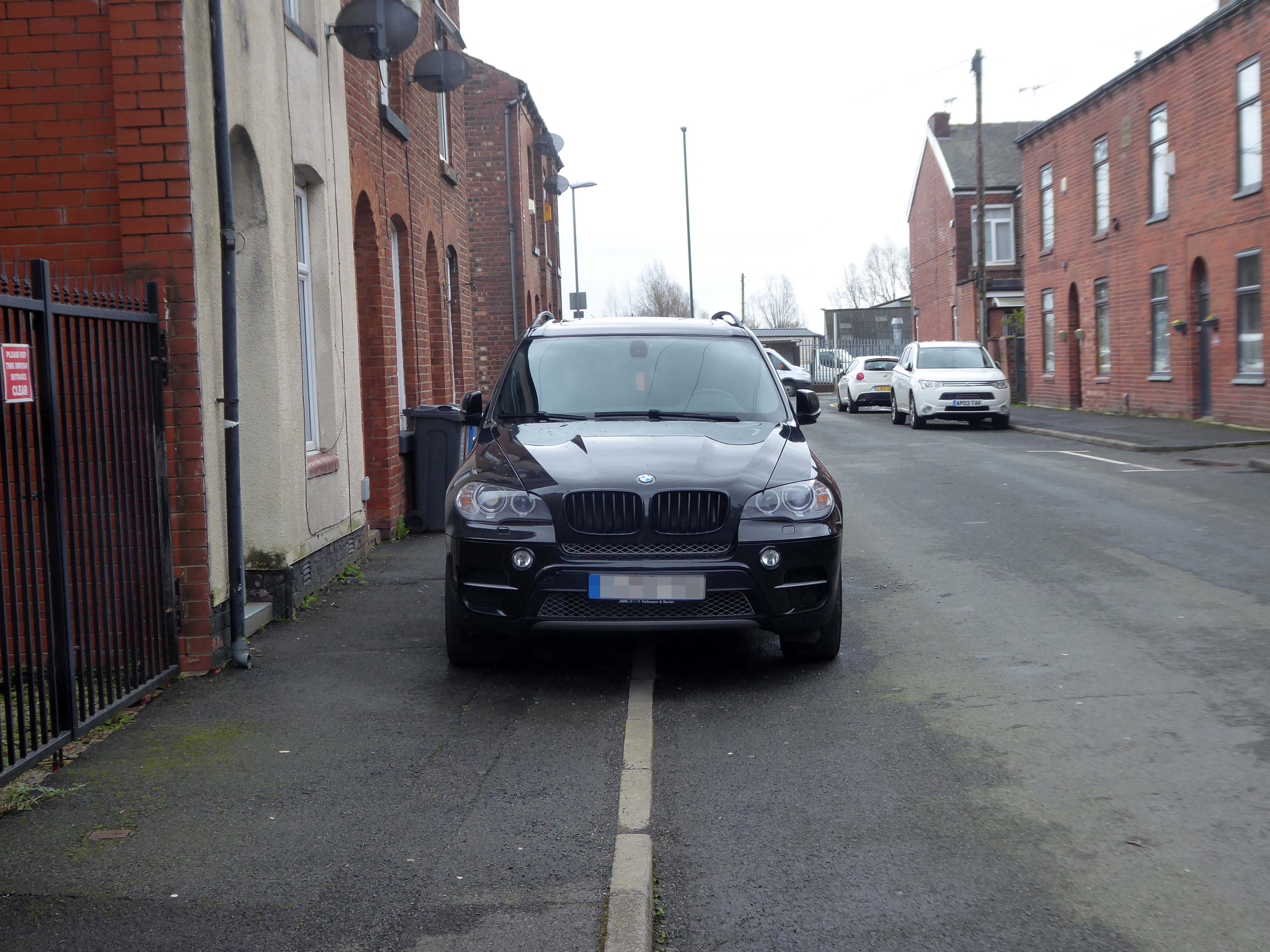
On a February morning the streets were well behaved and consisted of a typical mix of nineteenth century terraces and postwar semis, the residents chatty and welcoming, whilst they went about their business.
There are different causes that can make a street name controversial:
A person, organisation or event who or which was once honoured with a street name is subsequently thought to not or no longer deserve one, for example because that person later turned out to be a criminal.
A group of street names – for example in a residential area, is deemed to be unrepresentative for the population of that place, region or country because some demographics are overrepresented and others underrepresented, for example, because a disproportionate number of streets are named after men, and few after women.
Research has found that if you live on Pear Tree Lane your property is more likely to attract potential buyers and a higher price, than those living in a similar property on Crotch Lane.
What are the guidelines for street naming?
The exclusion or inclusion of certain numbers for cultural or religious reasons
The use of building names without numbers
New building or street names should not begin with The
The use of street names which include numbers that can confuse, for example – 20 Seven Foot Lane sounds the same as 27 Foot Lane
The use of the names of deceased people in the adoption of any street names. The reason for choosing a person’s name should be established in the council’s policy
The use of the name of a living person – it’s not recommended
The adoption of historic connotations by developers – guidance on this should be provided by the council to all developers through close liaison with local historic societies.
The use of national or local historic figures or events
The use of a name with Royal connotations – the Lord Chamberlain’s office must be contacted if a name has any reference to the Royal family or if the word ‘Royal’ is suggested.
The use of names and their combination with numbers that could be considered rude, obscene, and racist or contravene any aspect of the council’s equal opportunities policies
The use of names and their combination with numbers that could be easily vandalised or changed into any of the above, for example – Canal Turn
The use of names that can cause spelling or pronunciation problems
The use of names that can be construed to be used for advertising or commercial gain
The use of names would lead to variations in the use of punctuation as these can confuse or result in early demands for a change of address from occupiers.
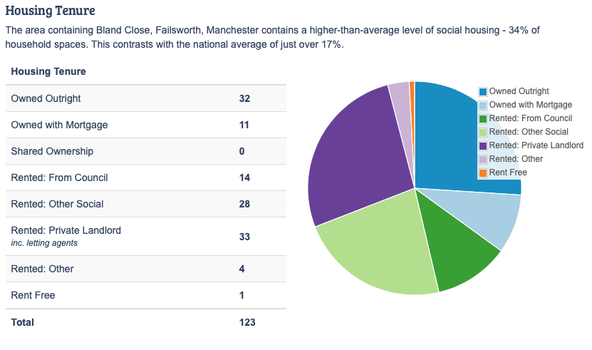
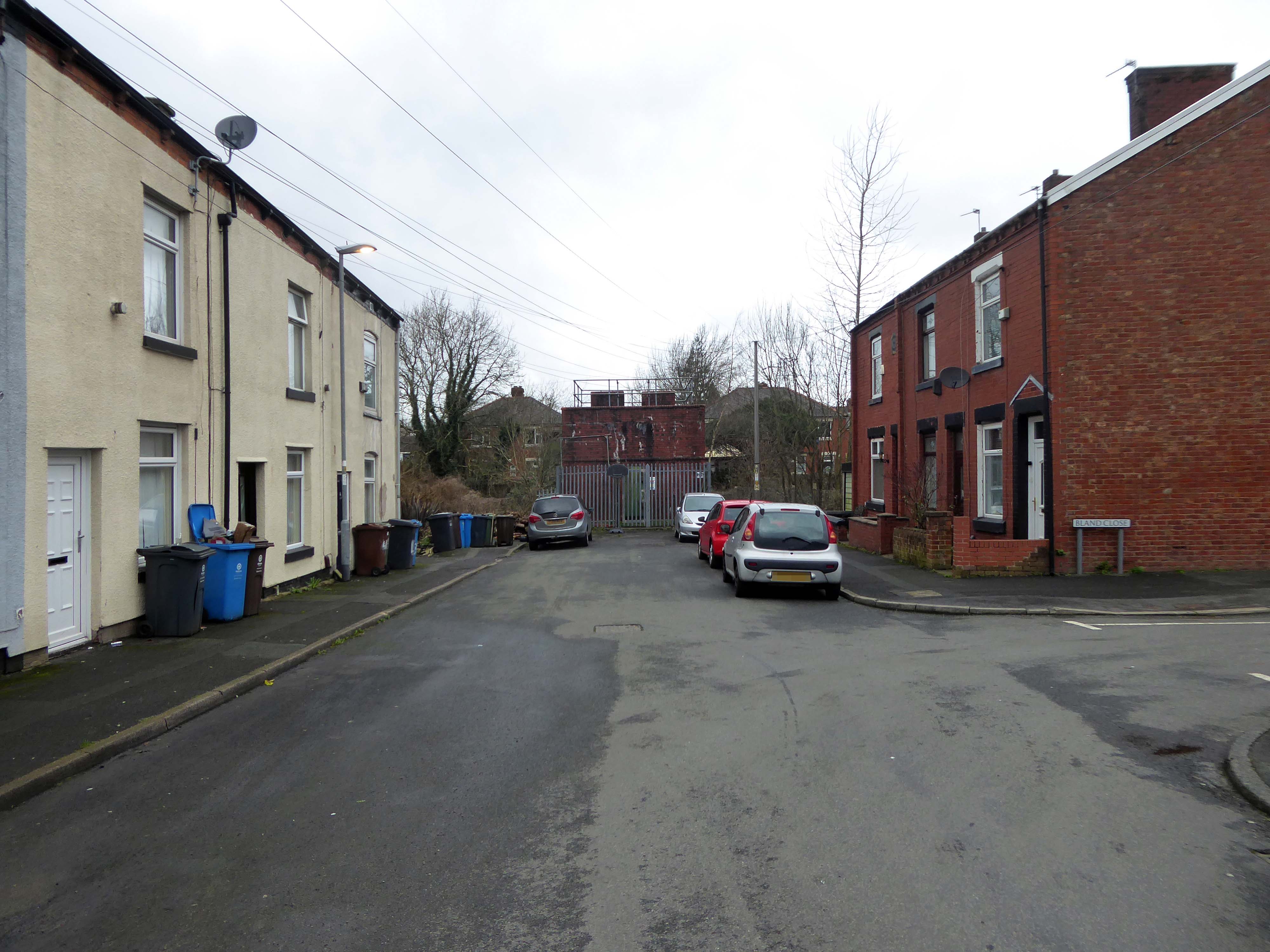
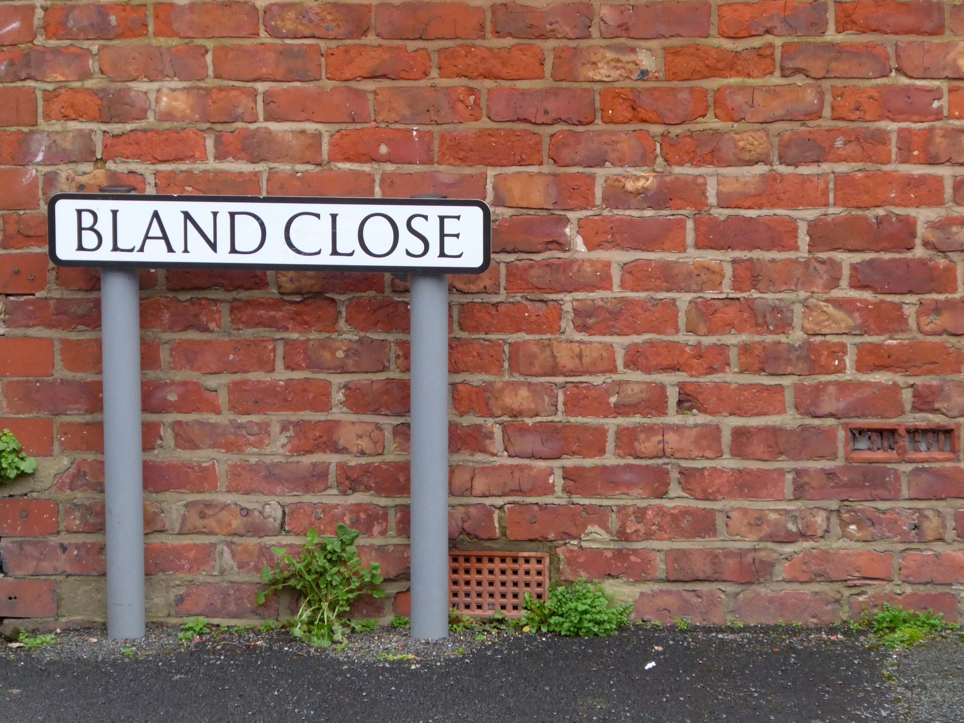
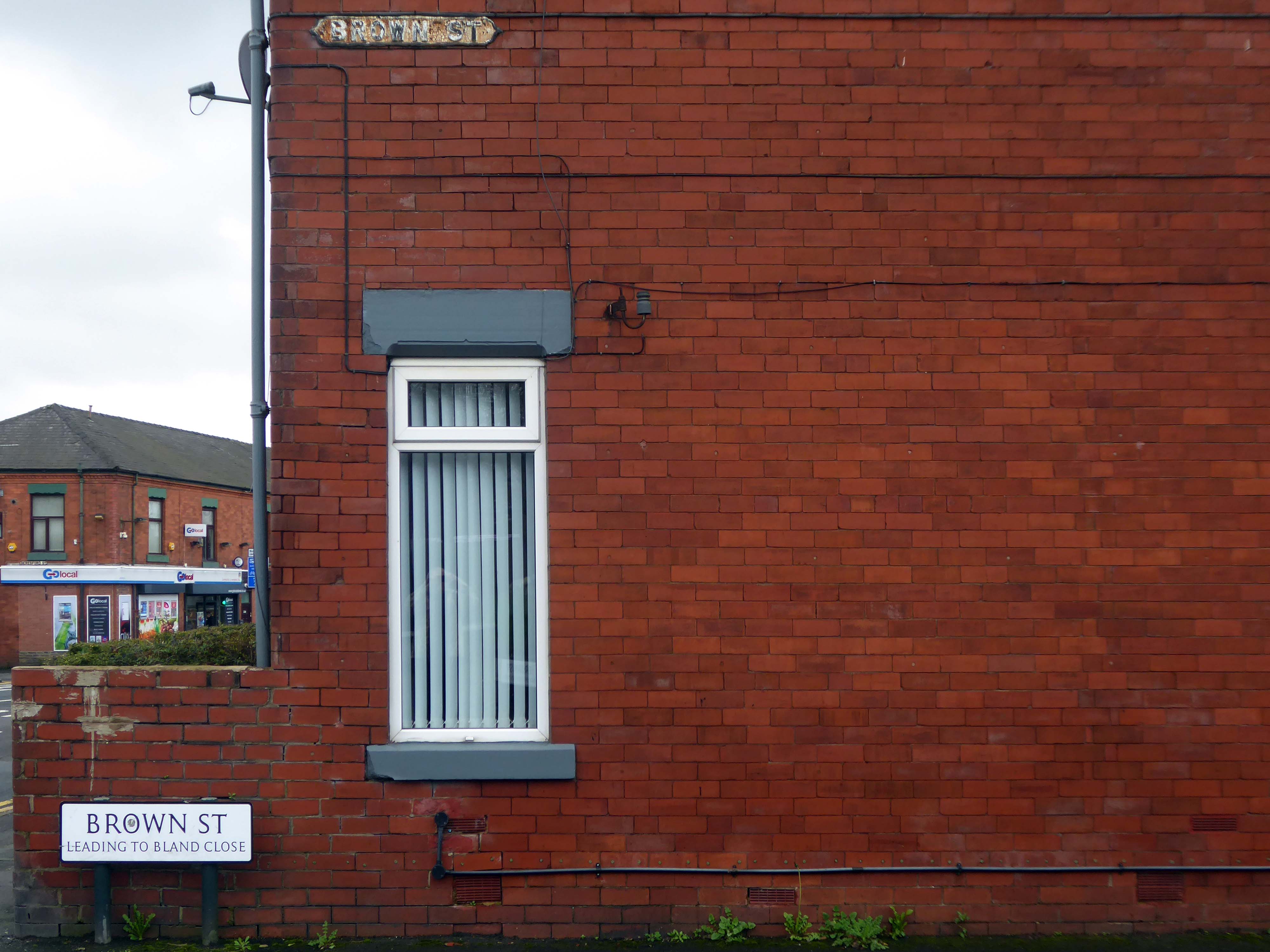
So in summary the name Bland does not in my opinion represent the close’s appearance and may in fact detract from the value of the property and possibly the perception of the area.
The obvious place for the A664 to start is on the A665 Manchester & Salford Inner Relief Route, which at this point is actually two parallel one-way streets. However, many maps show the road continuing a short distance into the city centre to end at traffic lights by the Shudehill Interchange – this is presumably for historic reasons: the road originally continued along the High Street to its terminus on the A6 Market Street.
The road heads northeastwards through the suburbs, the street name Rochdale Road, already emphasising its destination. Initially dual, the road narrows just before crossing the bridge over the railway line east of Victoria station. It continues through Collyhurst and widens again just before crossing the A6010 Intermediate Ring Road, which here is made up of two parallel one-way streets, requiring two separate sets of traffic lights to cross.
Now non-primary – but still dual for a short distance more, the road runs in a more northerly direction through Blackley, where it becomes wooded for a short distance as it passes the Boggart Hole Clough park. Slightly further on the road has been straightened, after which it bears right to widen considerably and cross the A6104 at traffic lights just before M60 J20, which only has west-facing sliproads. The road narrows again on the far side of the motorway and leaves Manchester for Rochdale at the same point.
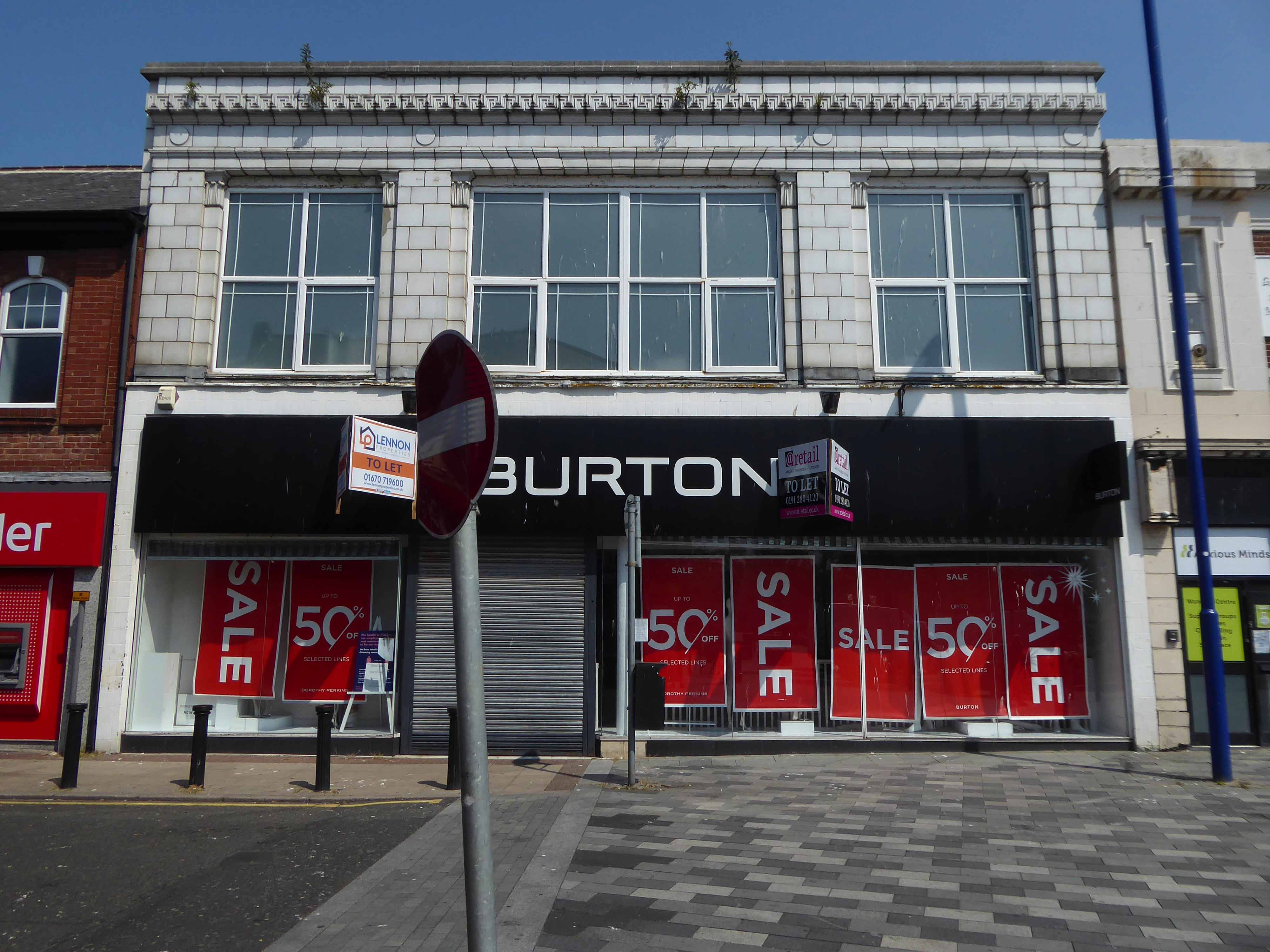
The building was originally developed by C&A and it is thought that funding for the reliefs might have been provided by the store and/or Northern Arts. It became BHS which subsequently closed, the building is now occupied by Primark, C&A estates still own the site.
Taking a bold leap into the unknown I left the city centre, unwisely following unfamiliar roads, predictably becoming very lost.
I sought assistance from a passing fellow cyclist, very kindly he guided me to Tynemouth, following a mysterious and circuitous course across the undulating terrain – thanks.
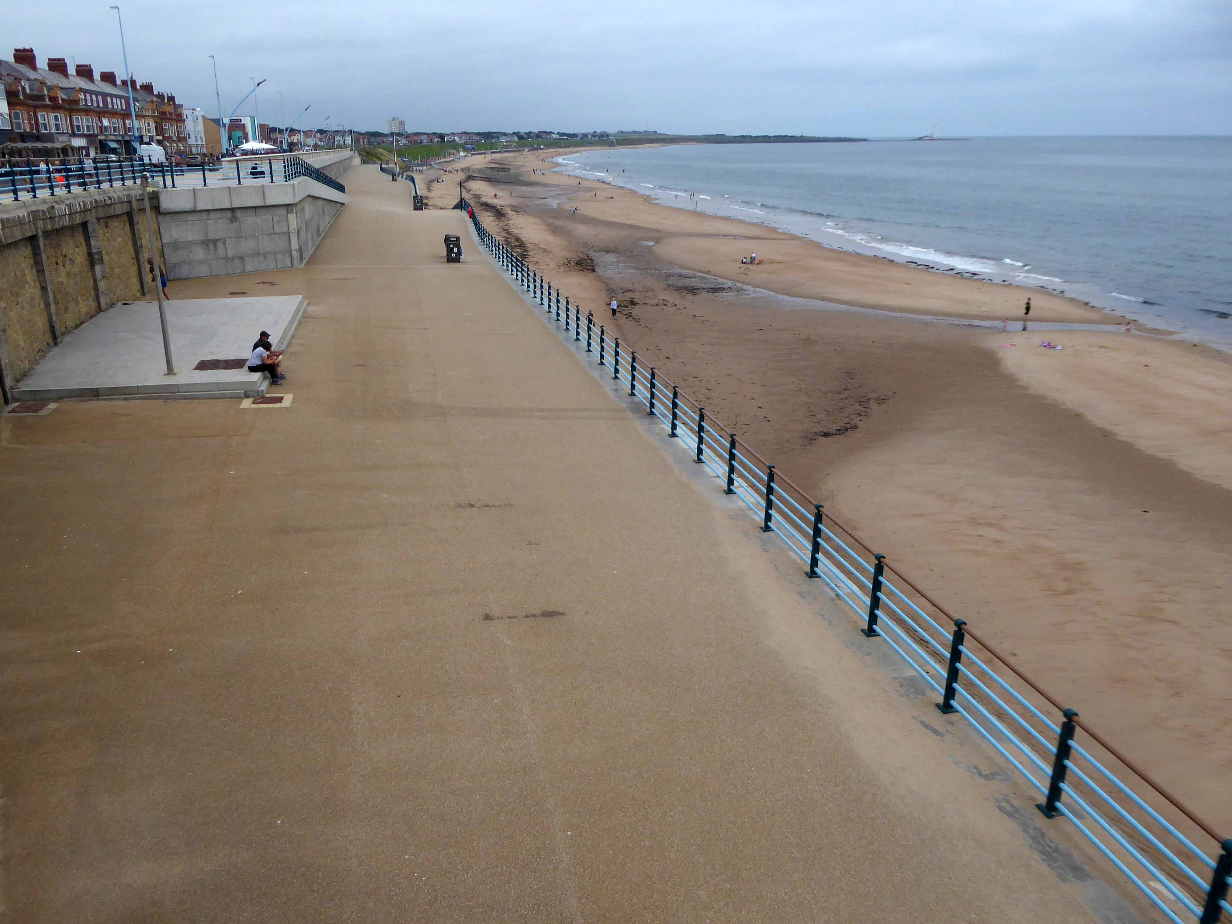
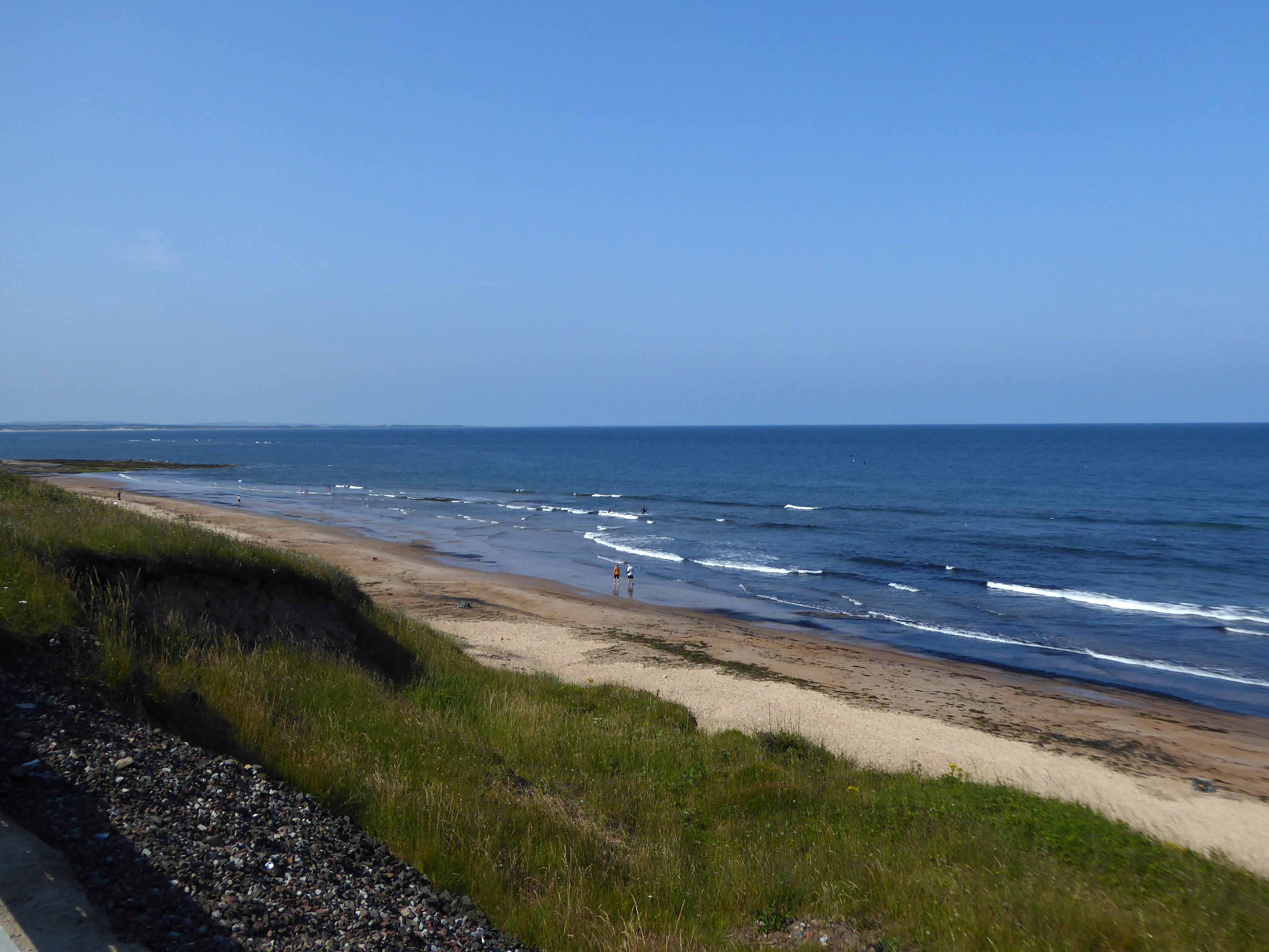
The city quickly becomes the seaside with its attendant retail bricolage.
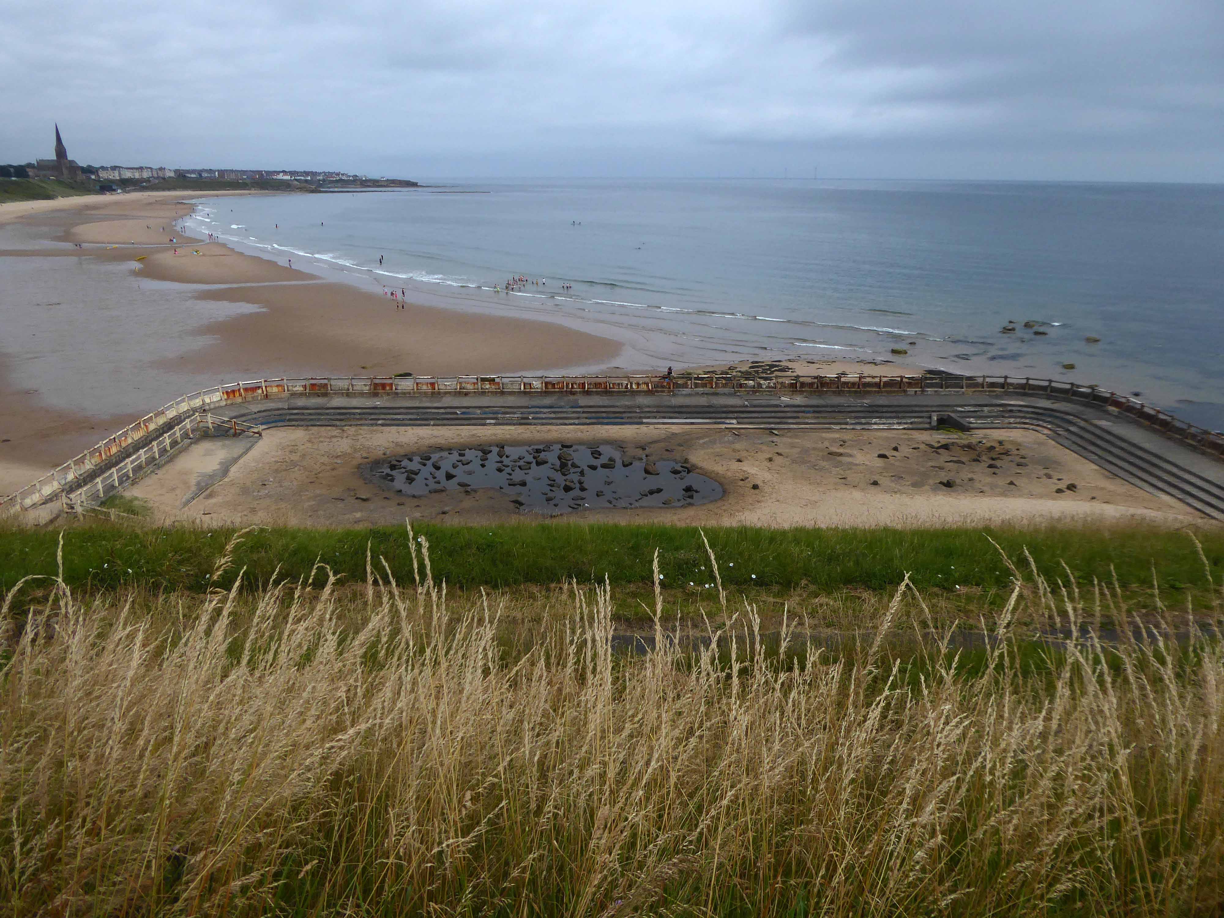
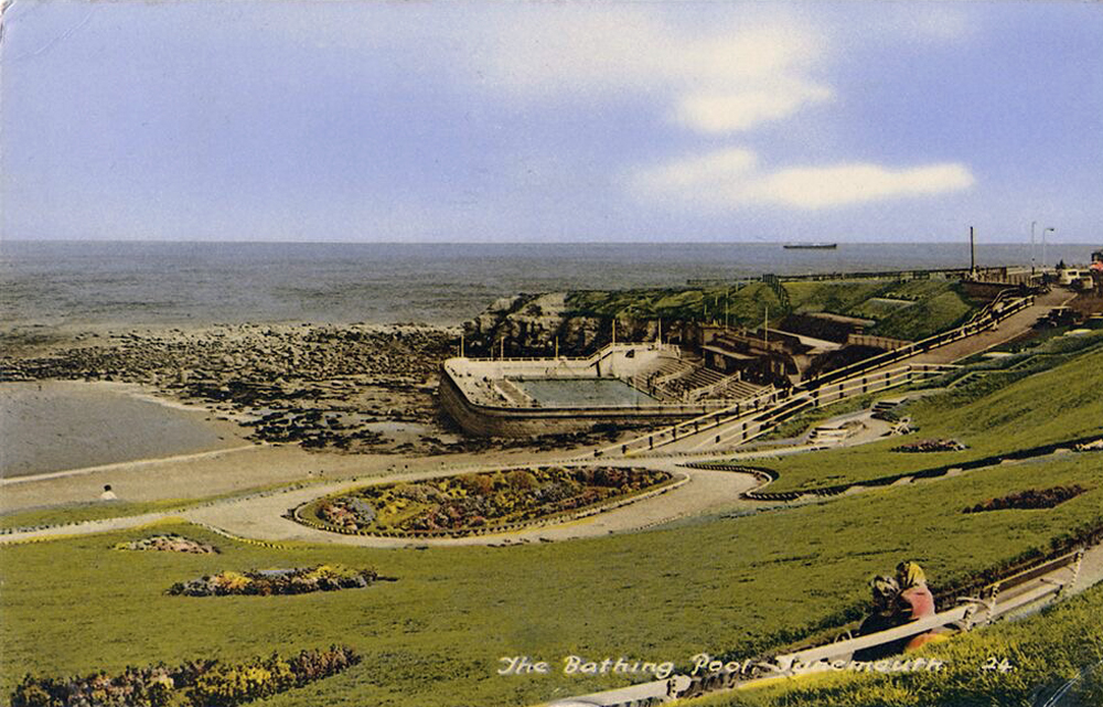
An all too familiar redundant Lido – opened in 1925 and closed in the mid 90’s – but a Friends Group aims to breathe new life into the site.
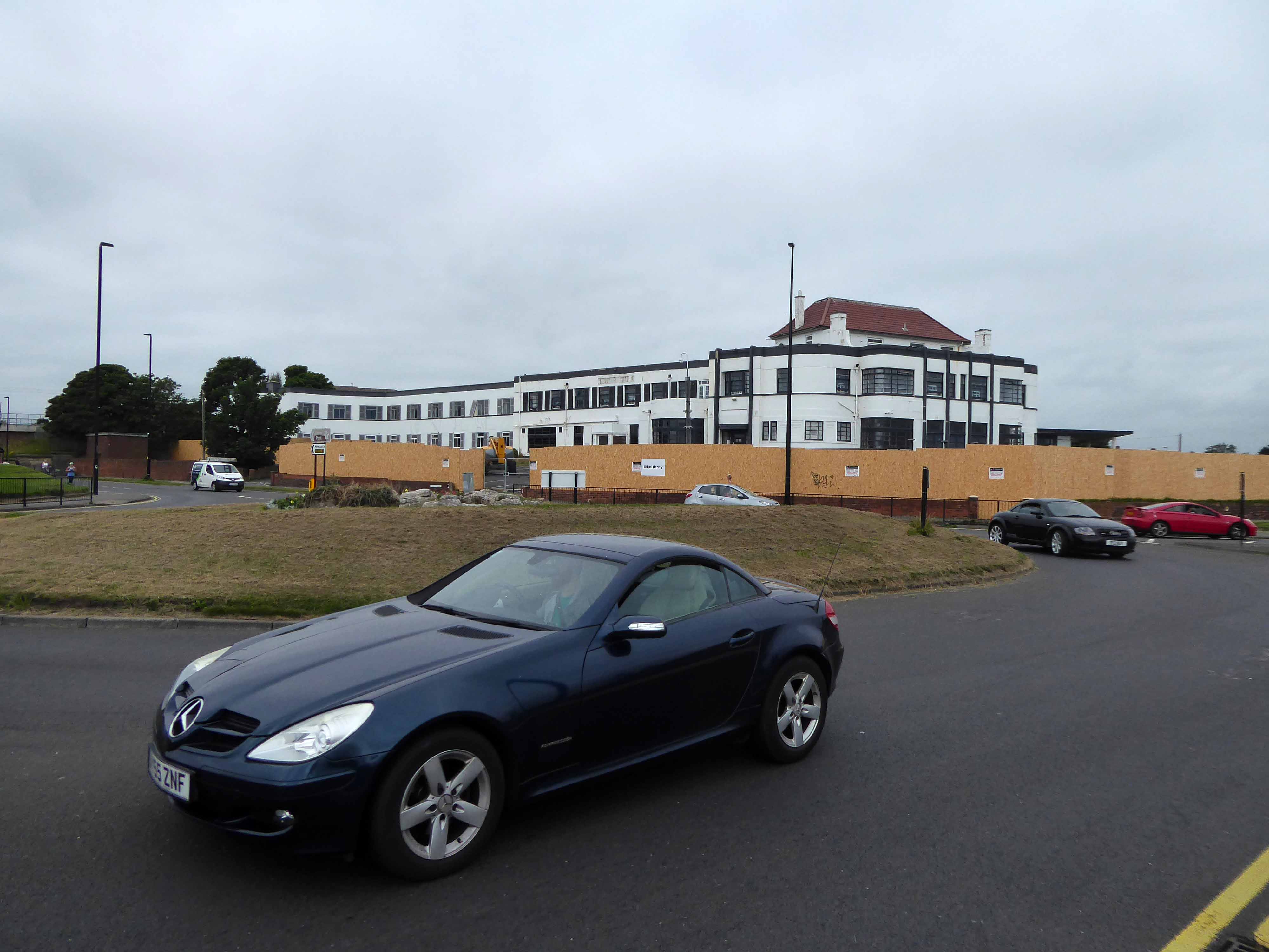
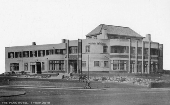
The Park Hotel built in the 1930’s and recently refurbished has been bought by The Inn Collection Group.
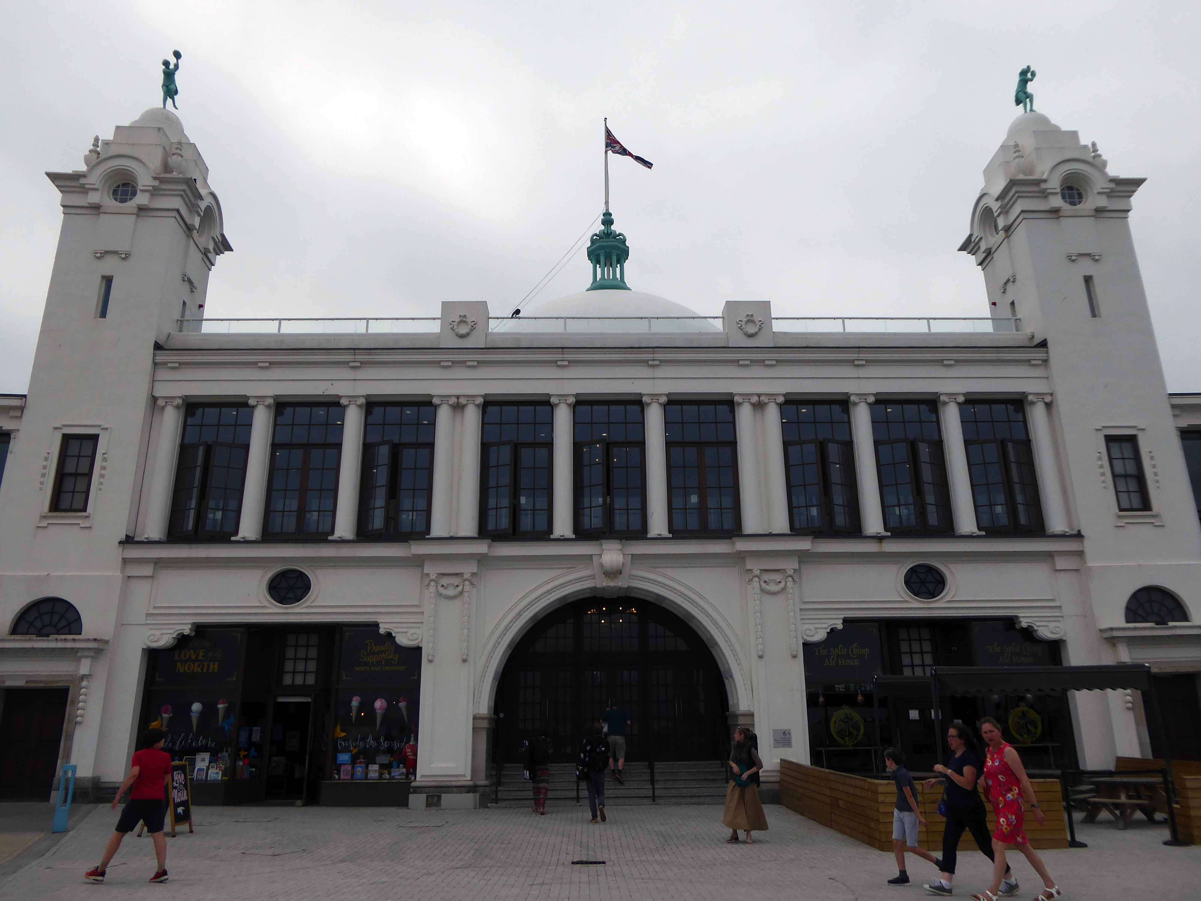
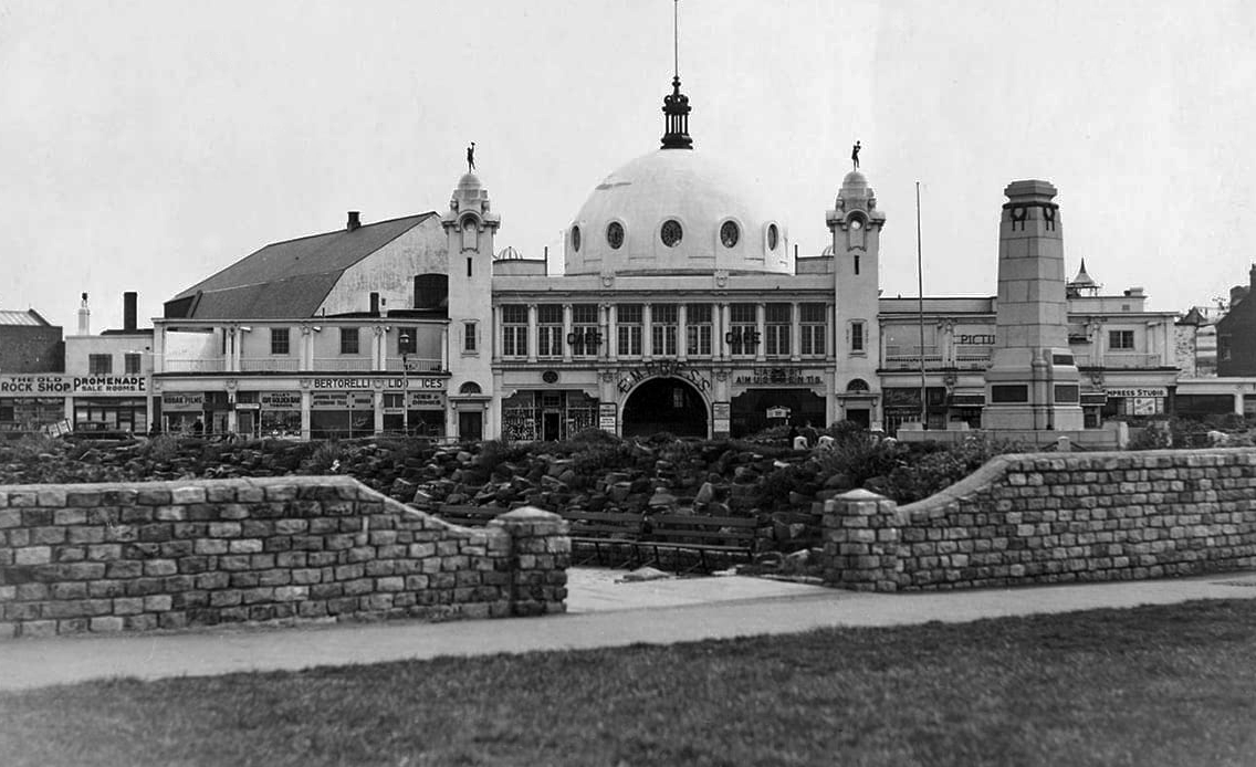
A simple three-arched entrance had been built facing the seafront and the area was now completely enclosed within a boundary. In 1909, large rides appeared, including a Figure Eight rollercoaster and a Water Chute. Elderton and Fail wanted to make a statement and create a new, grand entrance to the fairground. They hired the Newcastle architects Cackett& Burns Dick to survey the site and begin drawing up plans for new Pleasure Buildings.
Building began in February 1910 and the construction was completed by builders Davidson and Miller 60 days later. The use of the revolutionary reinforced concrete technique pioneered by Francois Hennebique was perfect for the job, being cheap and fast. The Dome and surrounding buildings – a theatre and two wings of shop units – opened on 14 May 1910 to great fanfare. Visitors marvelled at the great Spanish City Dome, the second largest in the country at the time after St. Paul’s Cathedral in London, which provided a spectacular meeting place with uninterrupted views from ground level to its ceiling, 75 feet above.
Telegraph-wire cyclists, acrobatic comedians, singing jockeys, mermaids, they all appeared at the Spanish City during its first decade. One of the wings hosted the menagerie, where visitors could see hyenas, antelopes and tigers! This was converted into the Picture House cinema in 1916.
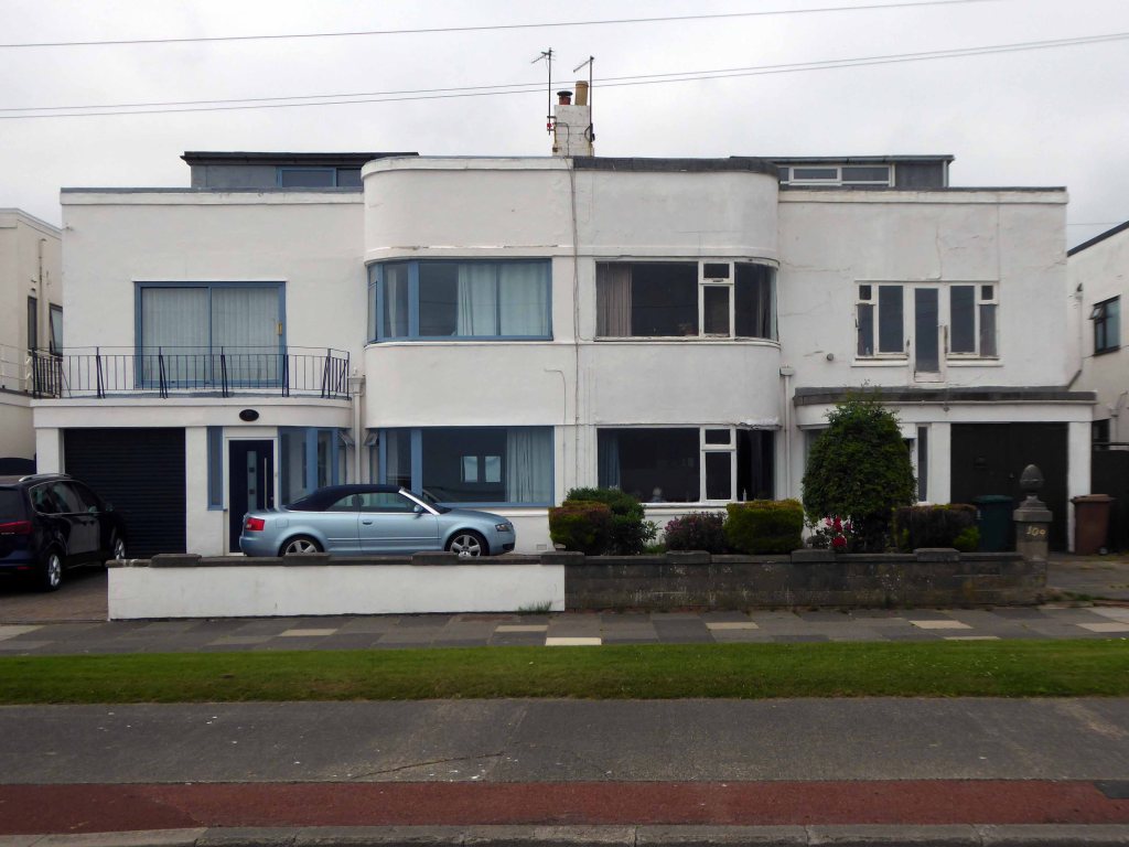
A little further along, a selection of Seaside Moderne semis in various states of amendment and alteration.
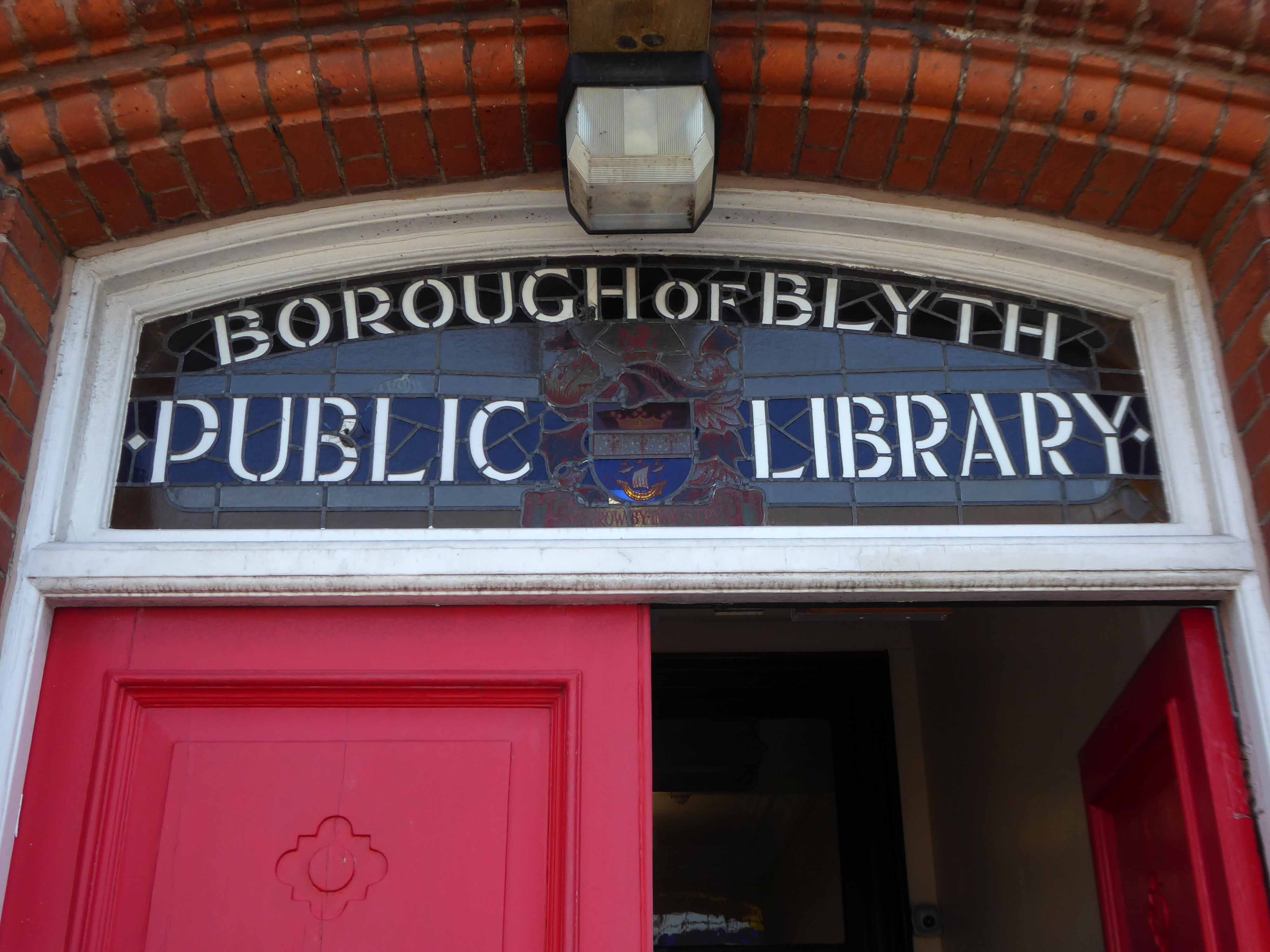
Before I knew it I was in Blyth.
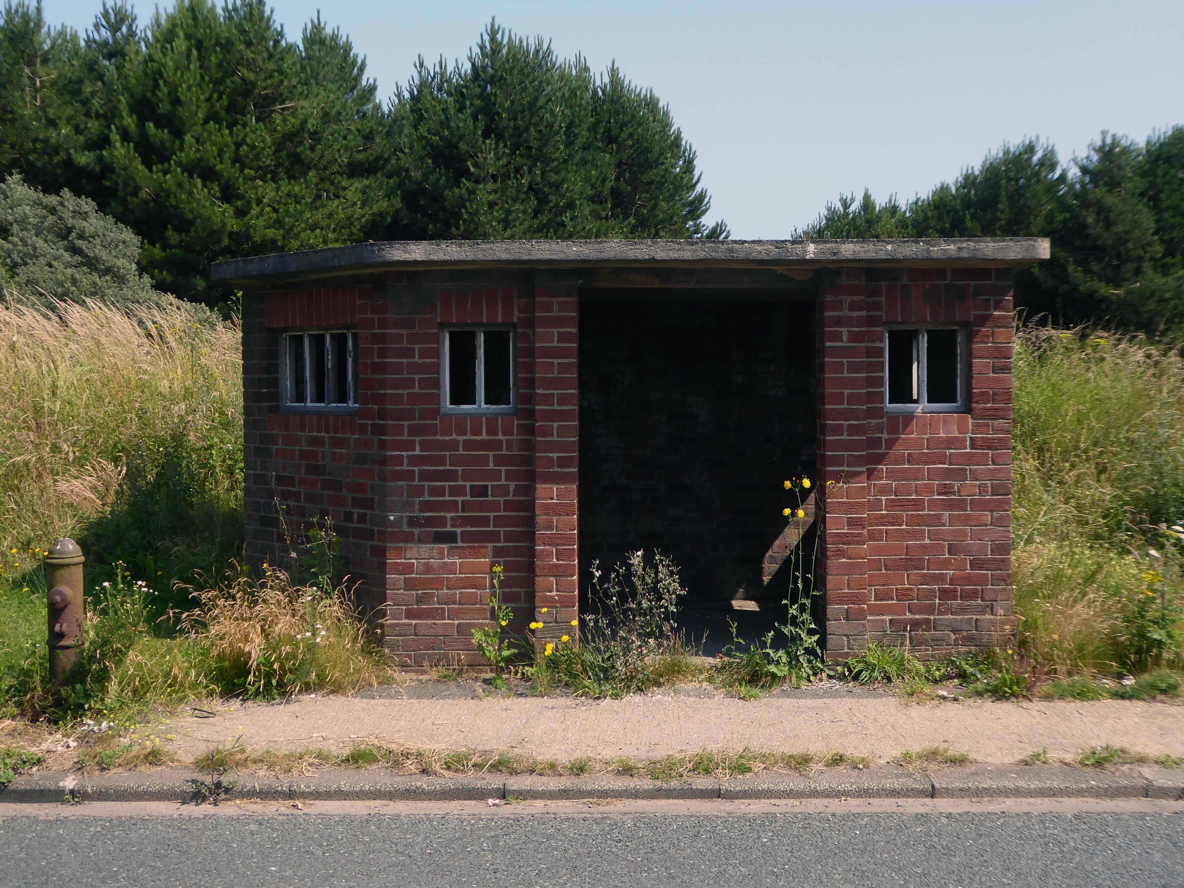
The town edged with military installations
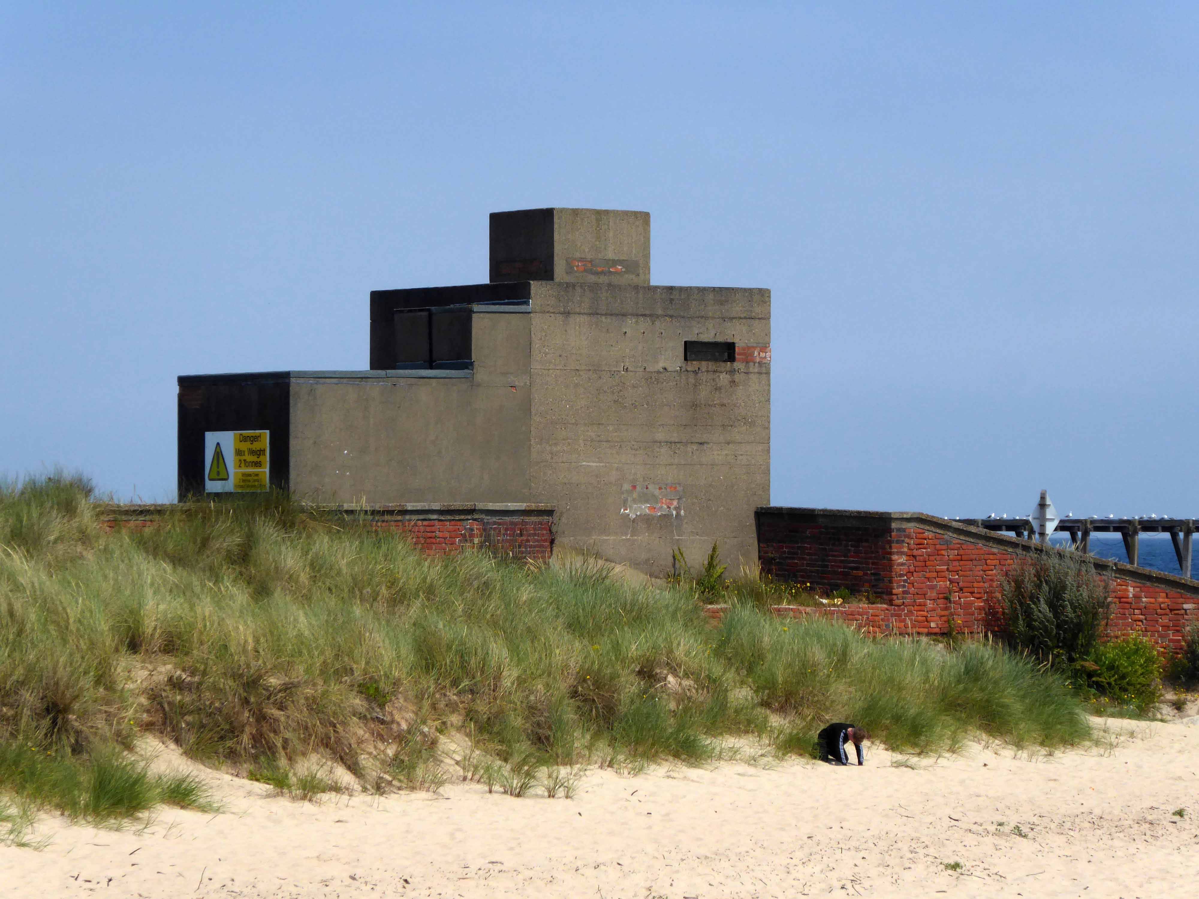
Gloucester Lodge Battery includes the buried, earthwork and standing remains of a multi-phase Second World War heavy anti-aircraft gun battery and radar site, as well as a Cold War heavy anti-aircraft gun and radar site. The battery occupies a level pasture field retaining extensive rig and furrow cultivation.
During WW2 Blyth Harbour was used as a major submarine base and that combined with the heavy industry in the area it made a very good target for the Luftwaffe.
827 men of the 225th Antiaircraft Artillery Searchlight Battalion of the U.S. Army, arrived at this location in early March 1944 and were attached to the 30th British AAA Brigade. Here they sharpened their skills in the high-altitude tracking of aircraft.
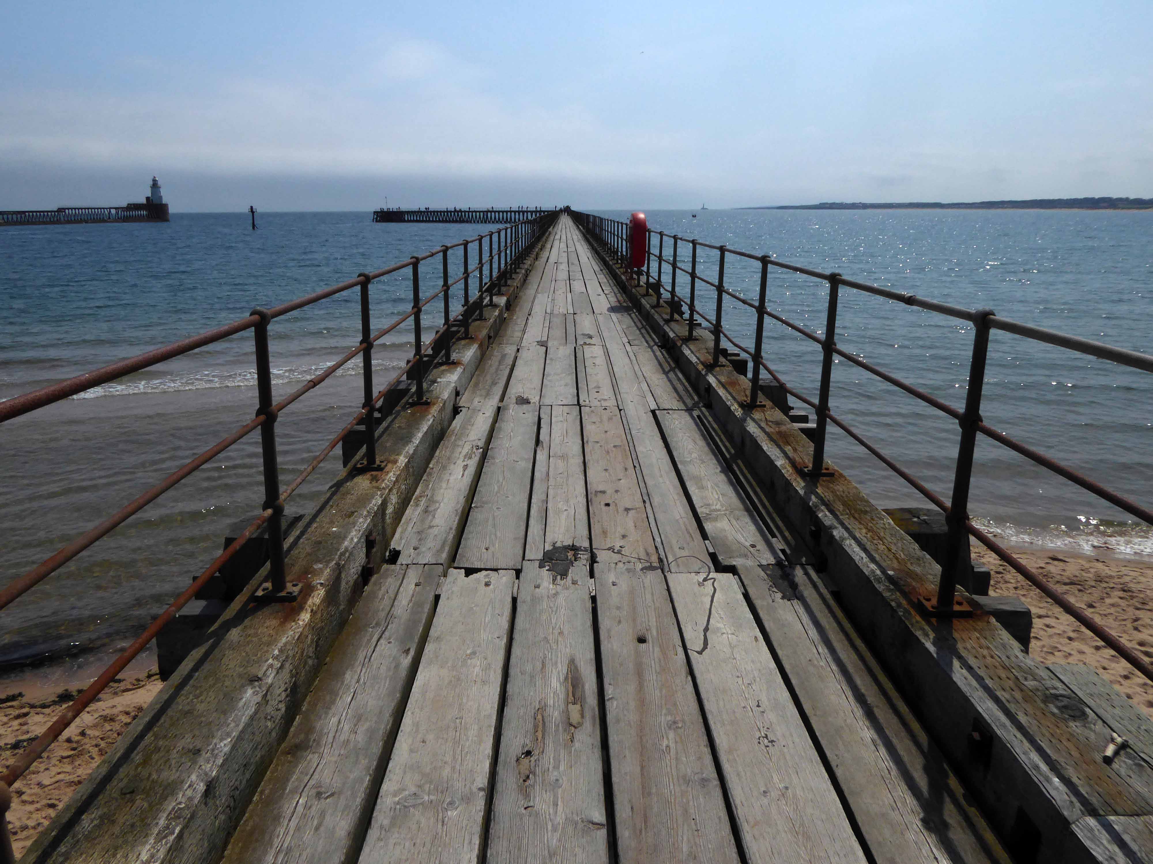
The cycle route took me off road along the estuary and under the flyover.
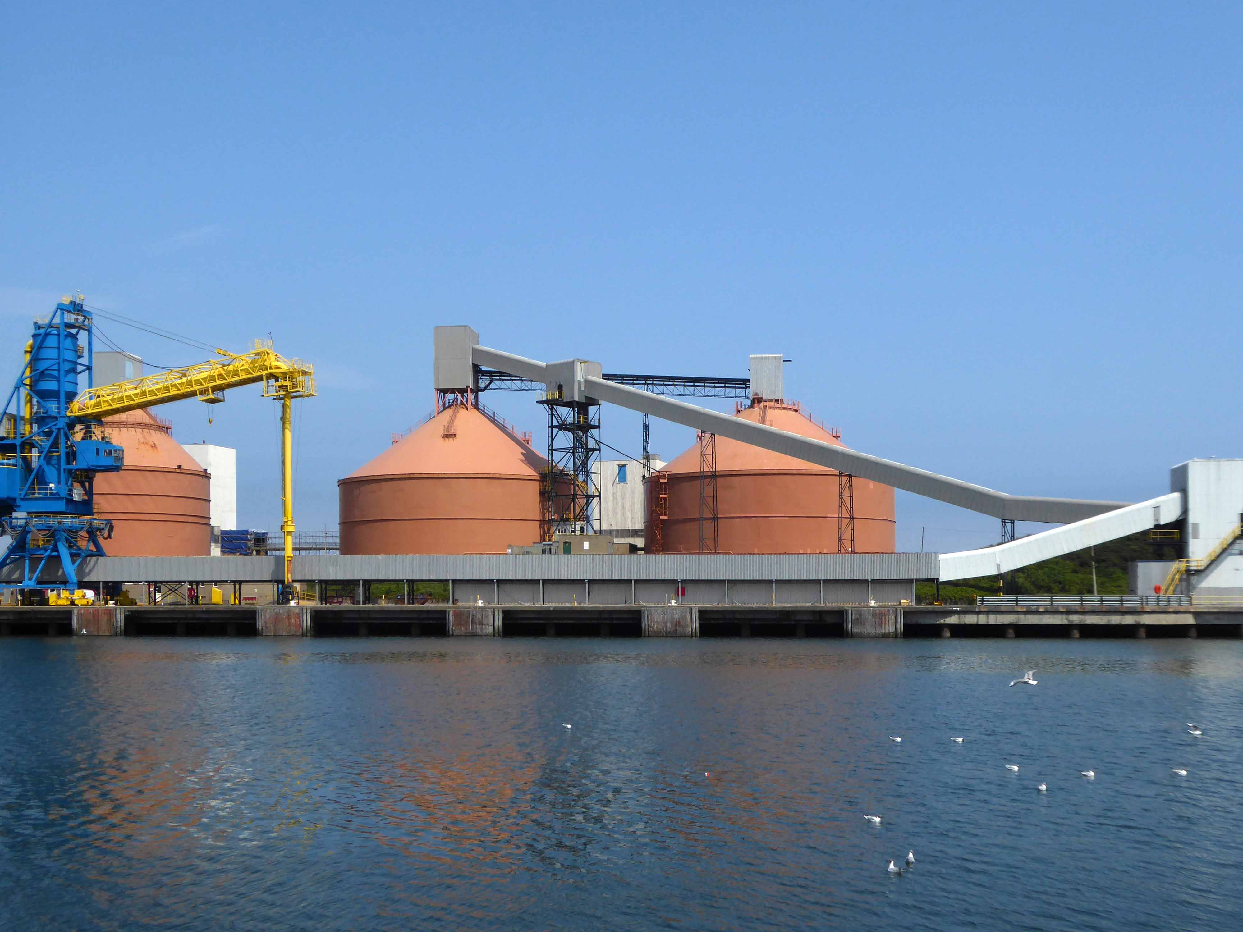
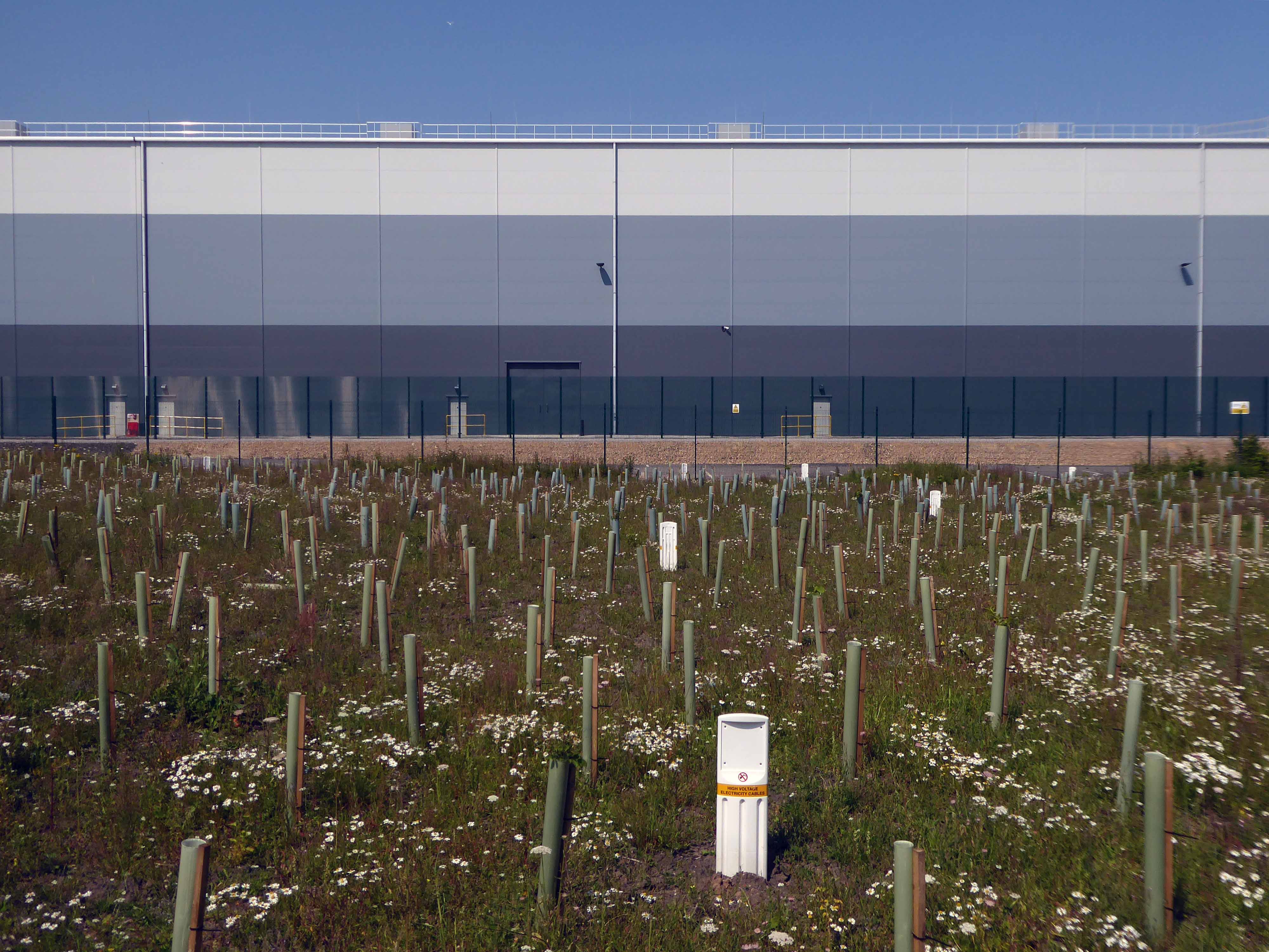
Encountering a brand new factory.
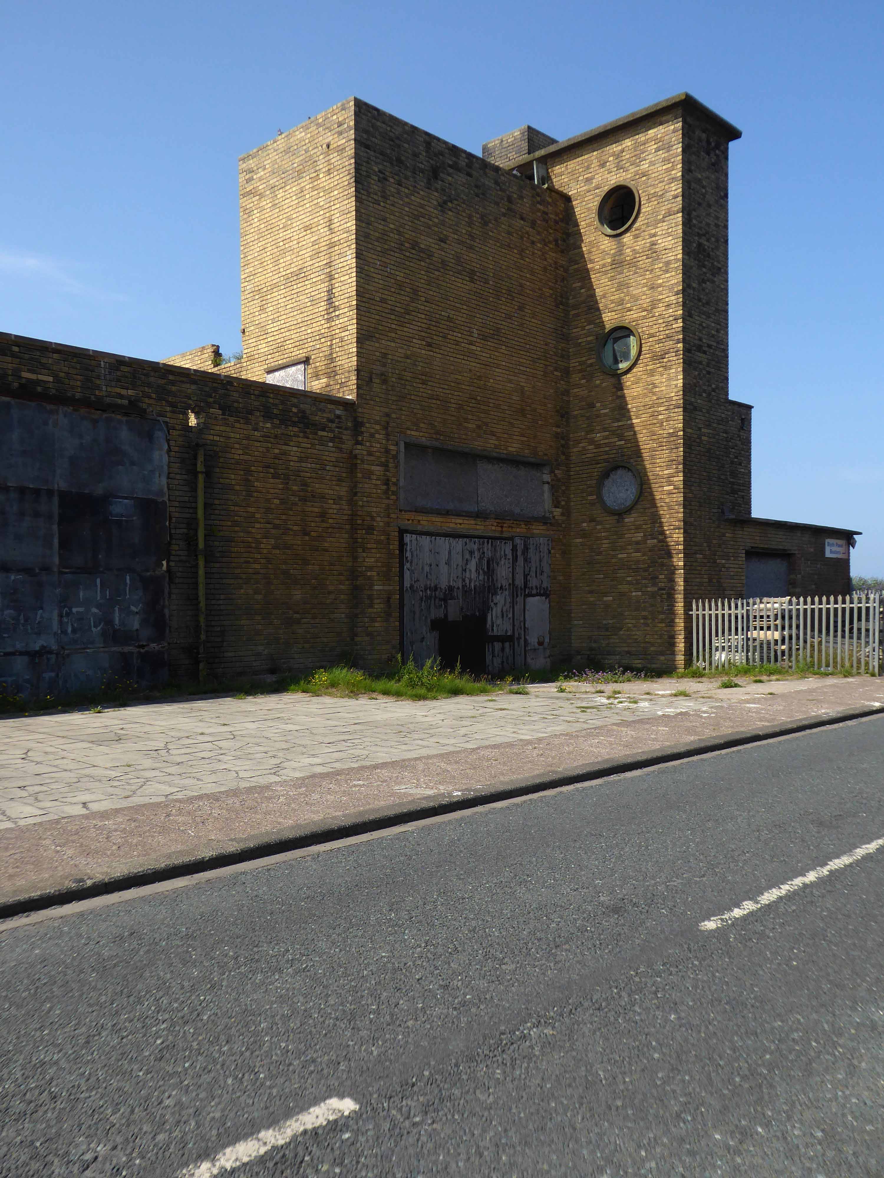
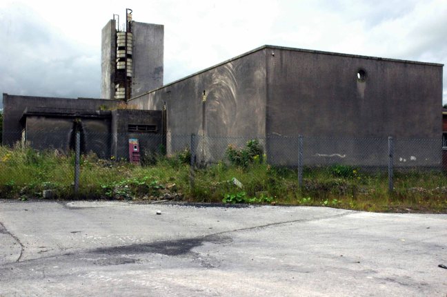
And the remnants of the old power station.
Blyth Power Station – also known as Cambois Power Station, refers to a pair of now demolished coal-fired power stationsThe two stations were built alongside each other on a site near Cambois in Northumberland, on the northern bank of the River Blyth, between its tidal estuary and the North Sea. The stations took their name from the town of Blyth on the opposite bank of the estuary. The power stations’ four large chimneys were a landmark of the Northumberland skyline for over 40 years.
After their closure in 2001, the stations were demolished over the course of two years, ending with the demolition of the stations’ chimneys on 7 December 2003.
UK battery tech investor Britishvolt has unveiled plans to build what is claimed to be Britain’s first gigaplant at the former coal-fired power station in Blyth in Northumberland.
The £2.6 billion project at the 95-hectare Blyth Power Station site will use renewable energy from the UK and possibly hydro-electric power generated in Norway and transmitted 447 miles under the North Sea through the ‘world’s longest inter-connector’ from the North Sea Link project.
By 2027, the firm estimates the gigaplant will be producing around 300,000 lithium-ion batteries a year.
The project is predicted to create 3,000 new jobs in the North East and another 5,000 in the wider supply chain.