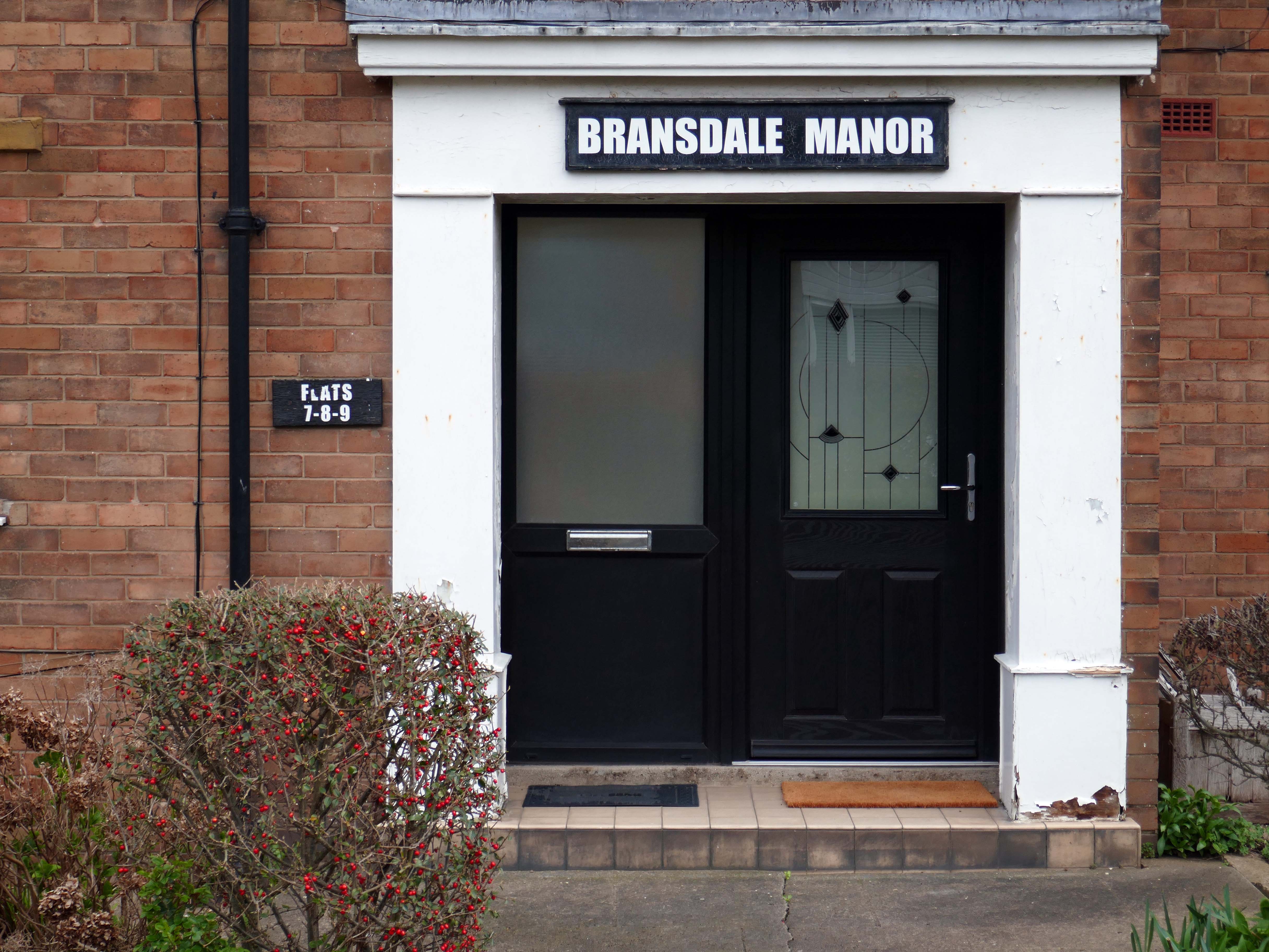
St John’s College was founded as a men’s college in 1555, it has been coeducational since 1979. Its founder, Sir Thomas White, intended to provide a source of educated Roman Catholic clerics to support the Counter-Reformation under Queen Mary.
St John’s is the wealthiest college in Oxford, with assets worth over £790 million as of 2022, largely due to nineteenth-century suburban development of land in the city of Oxford of which it is the ground landlord.
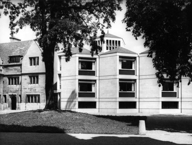
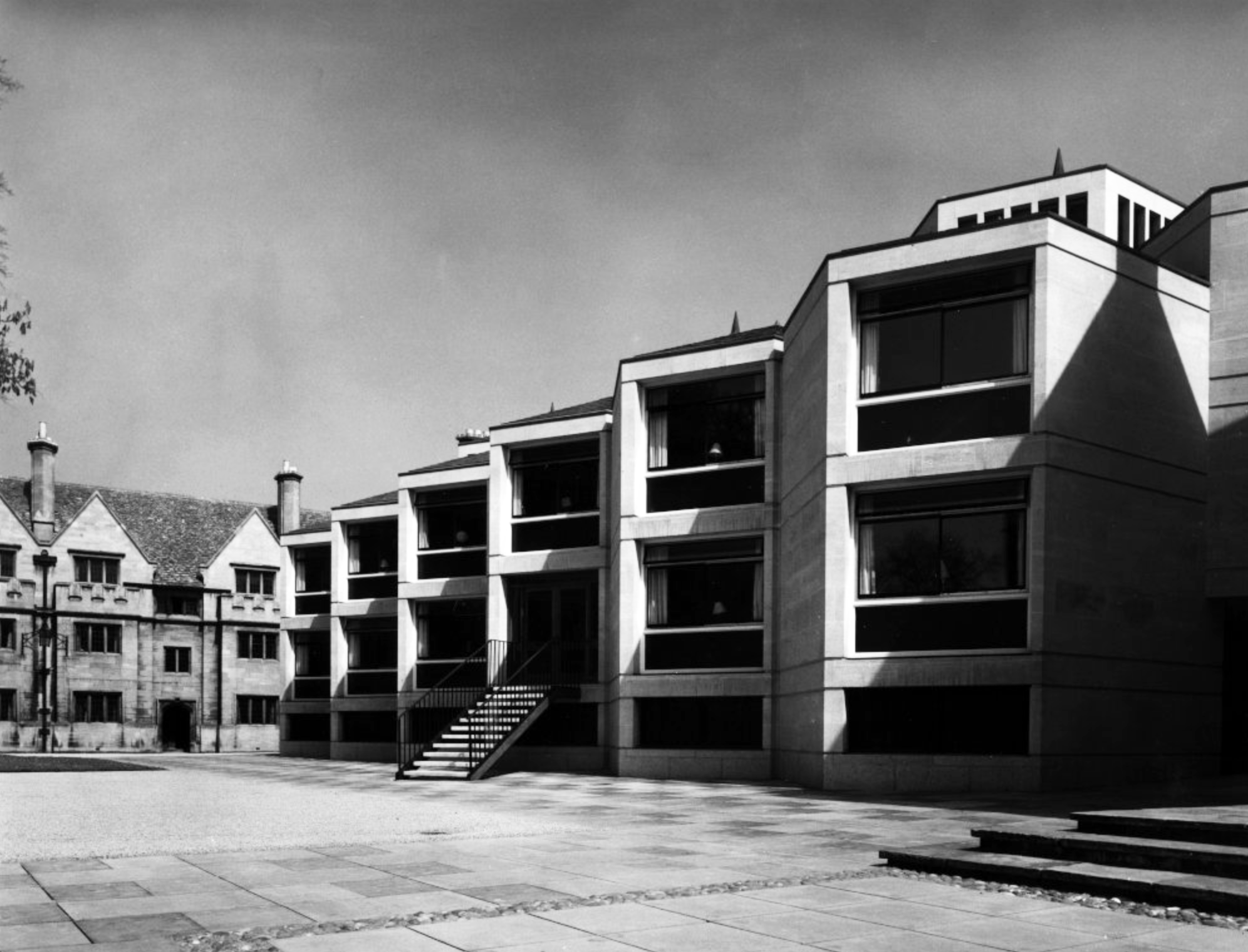
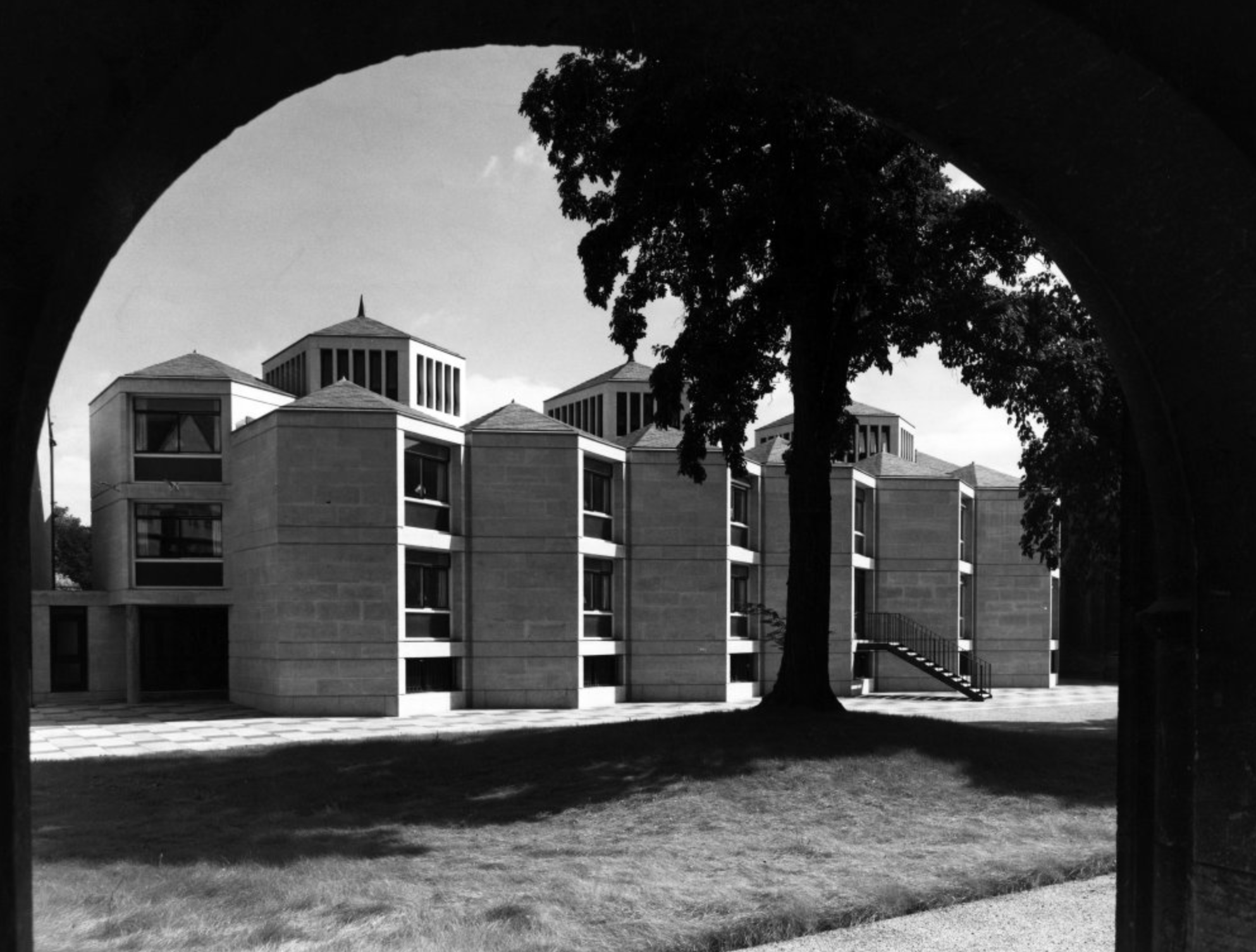
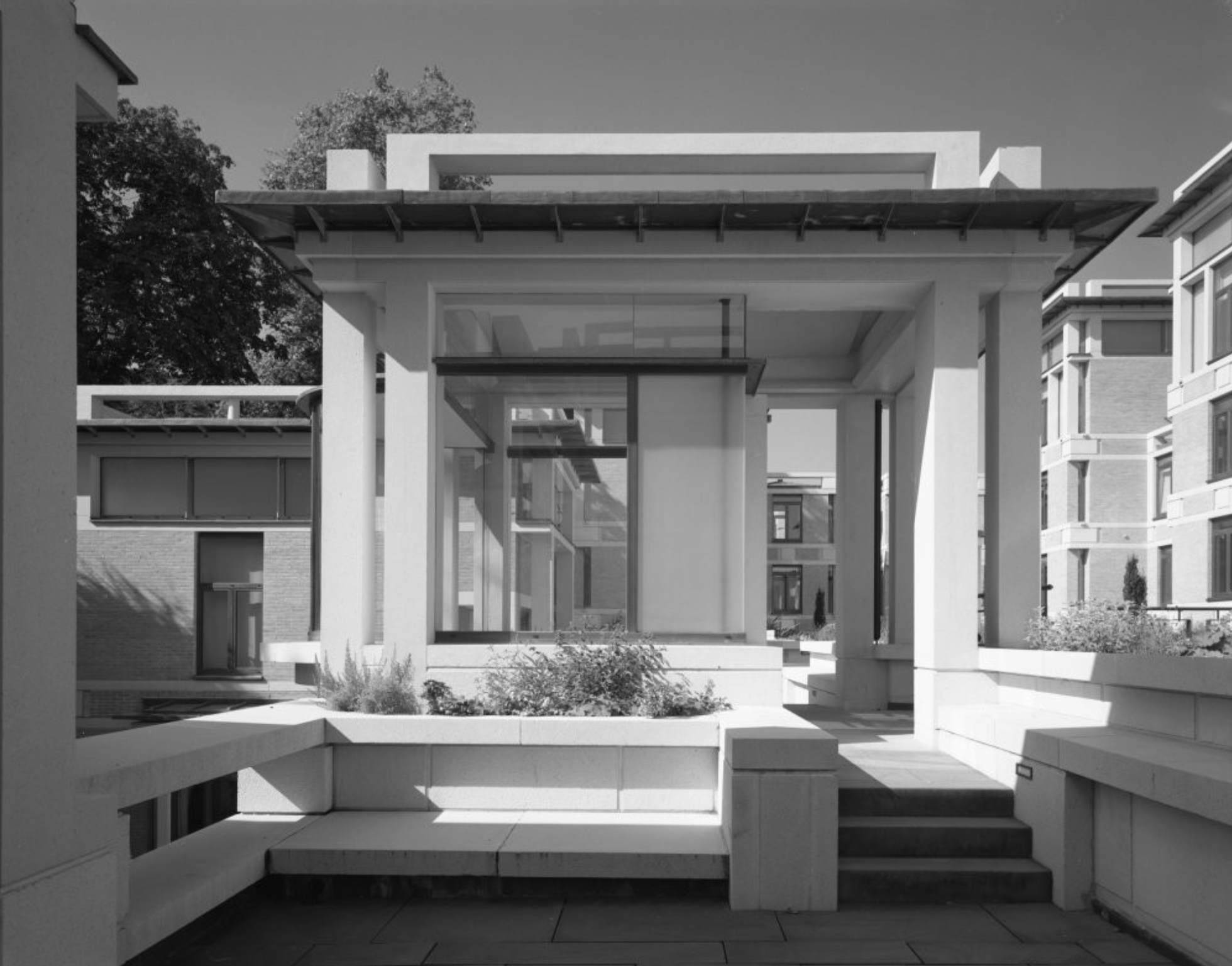
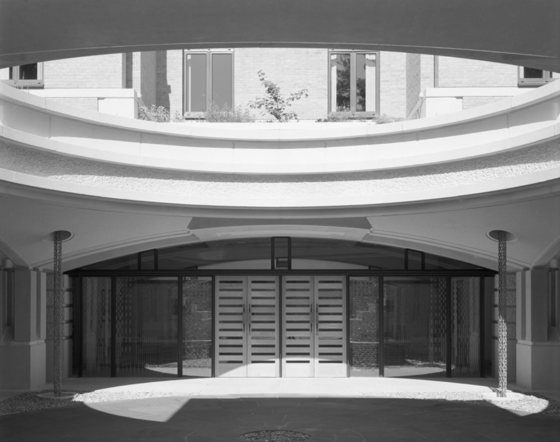
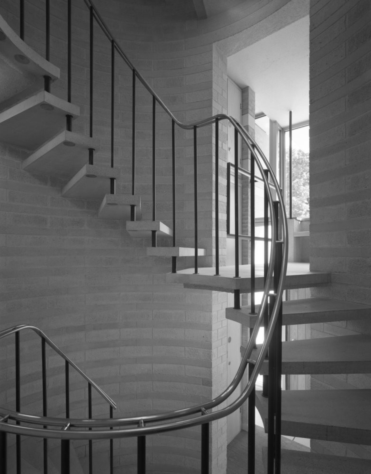
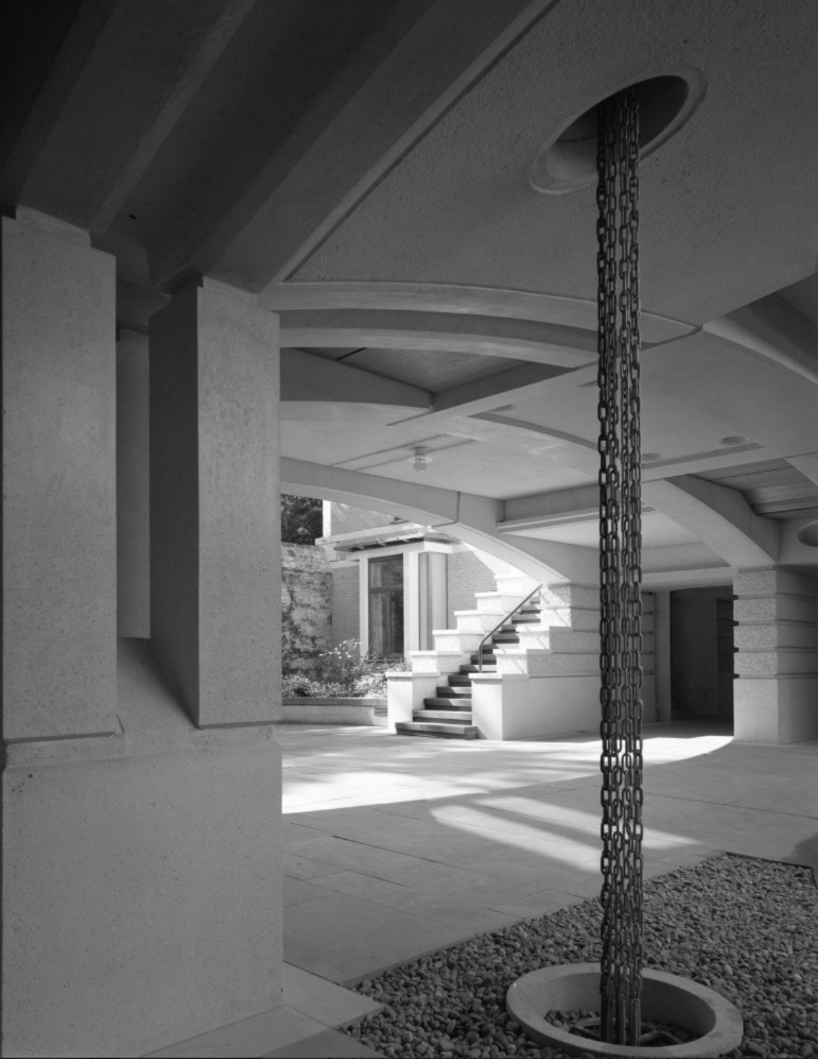
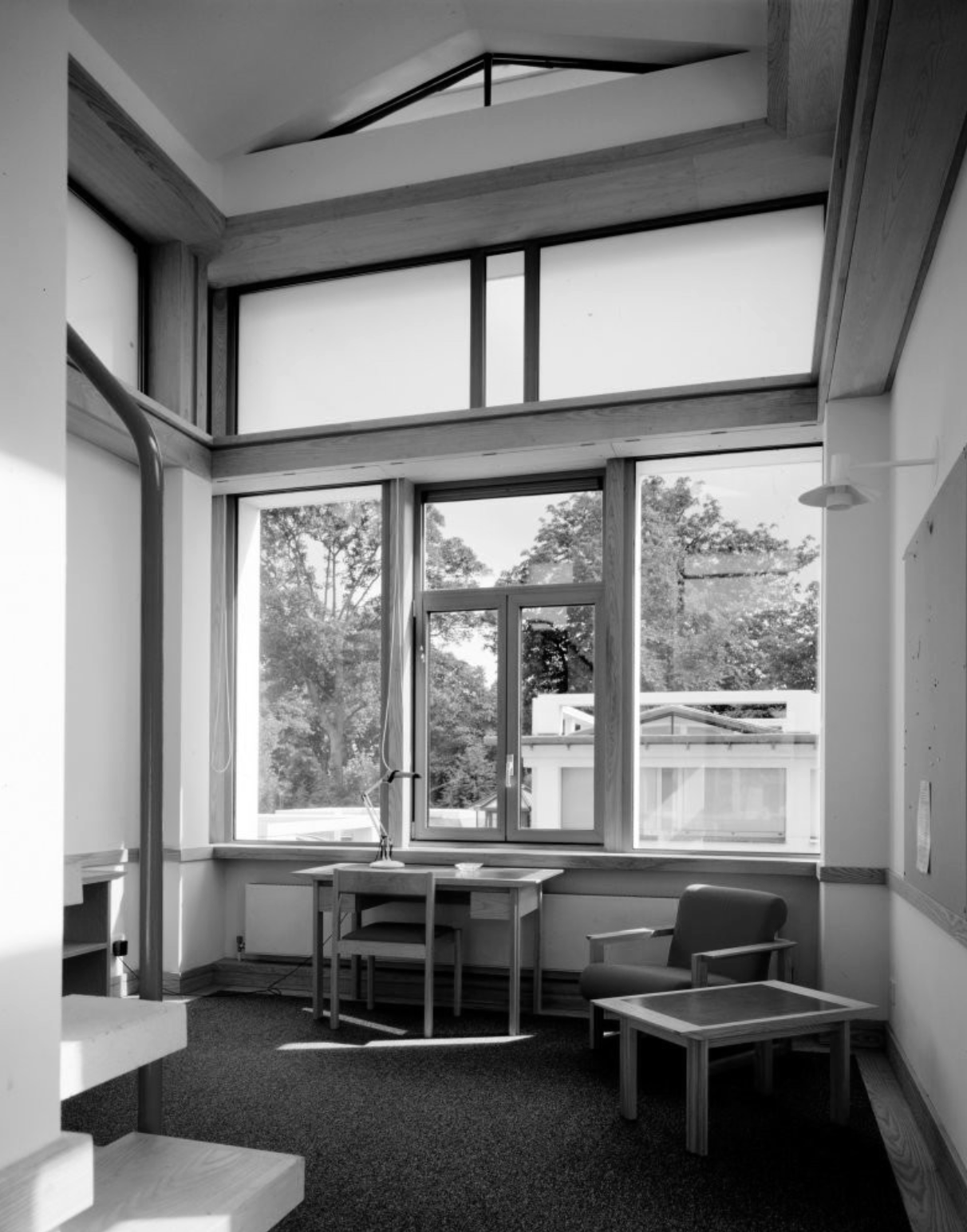
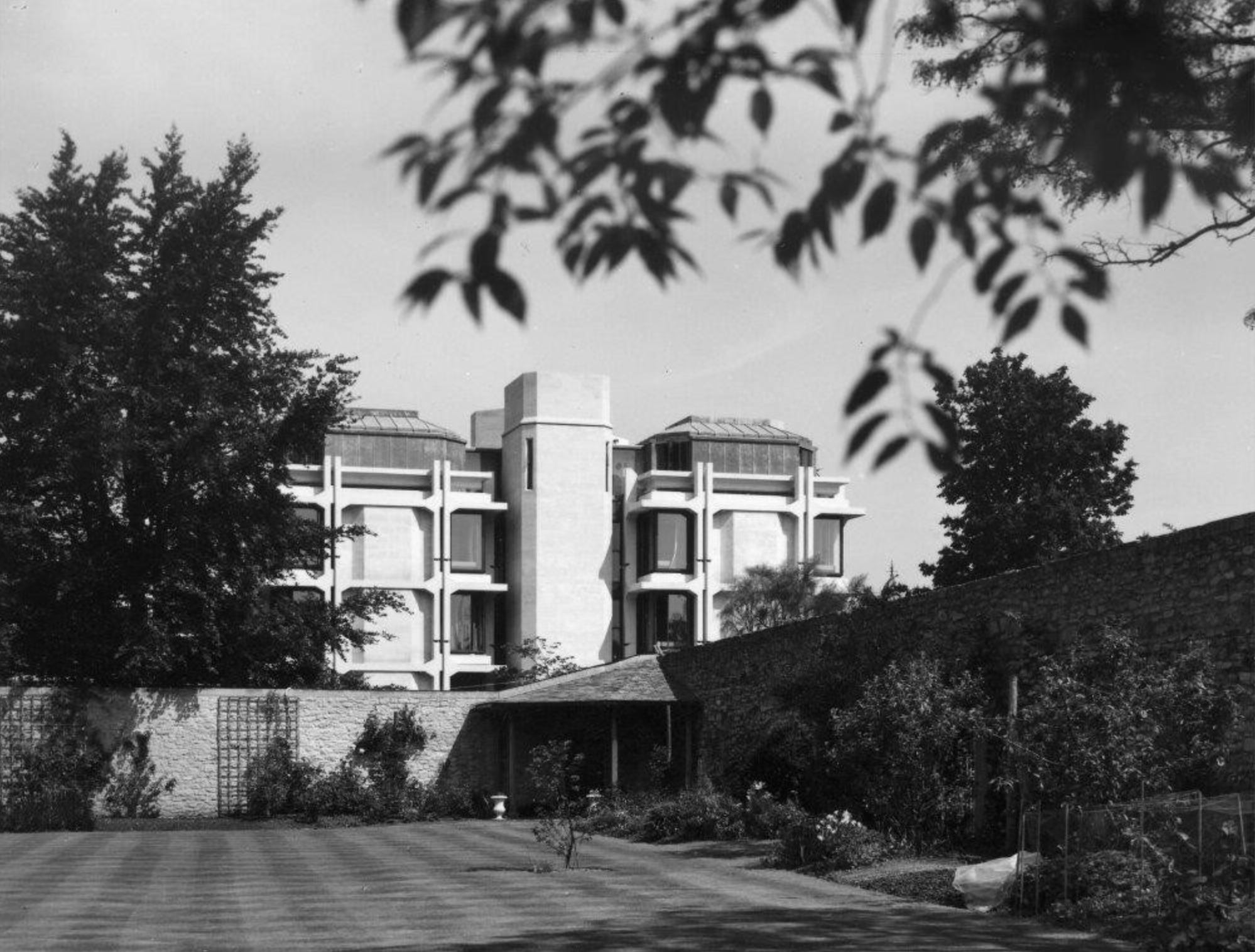
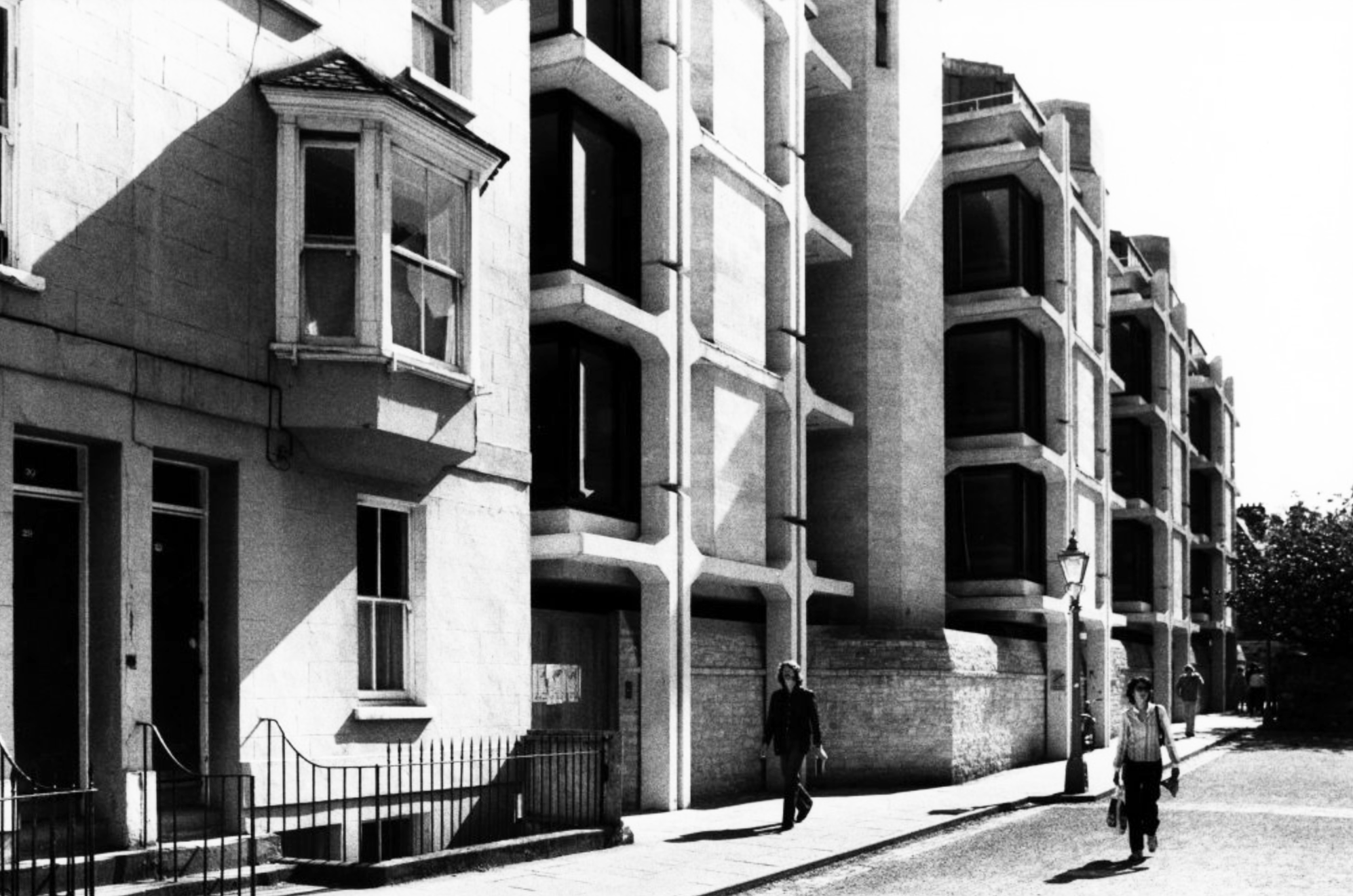
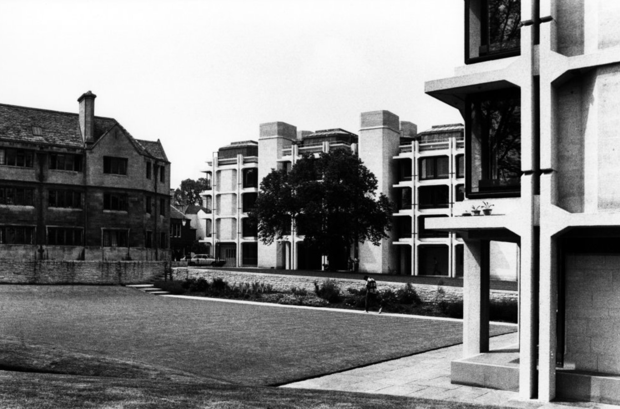
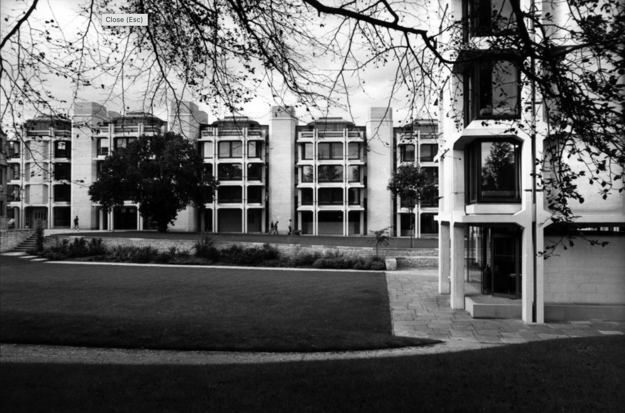
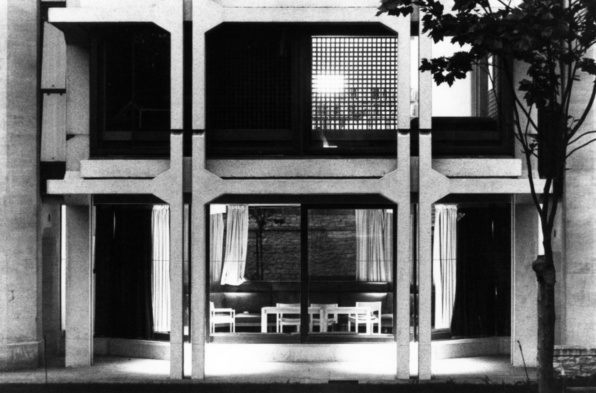
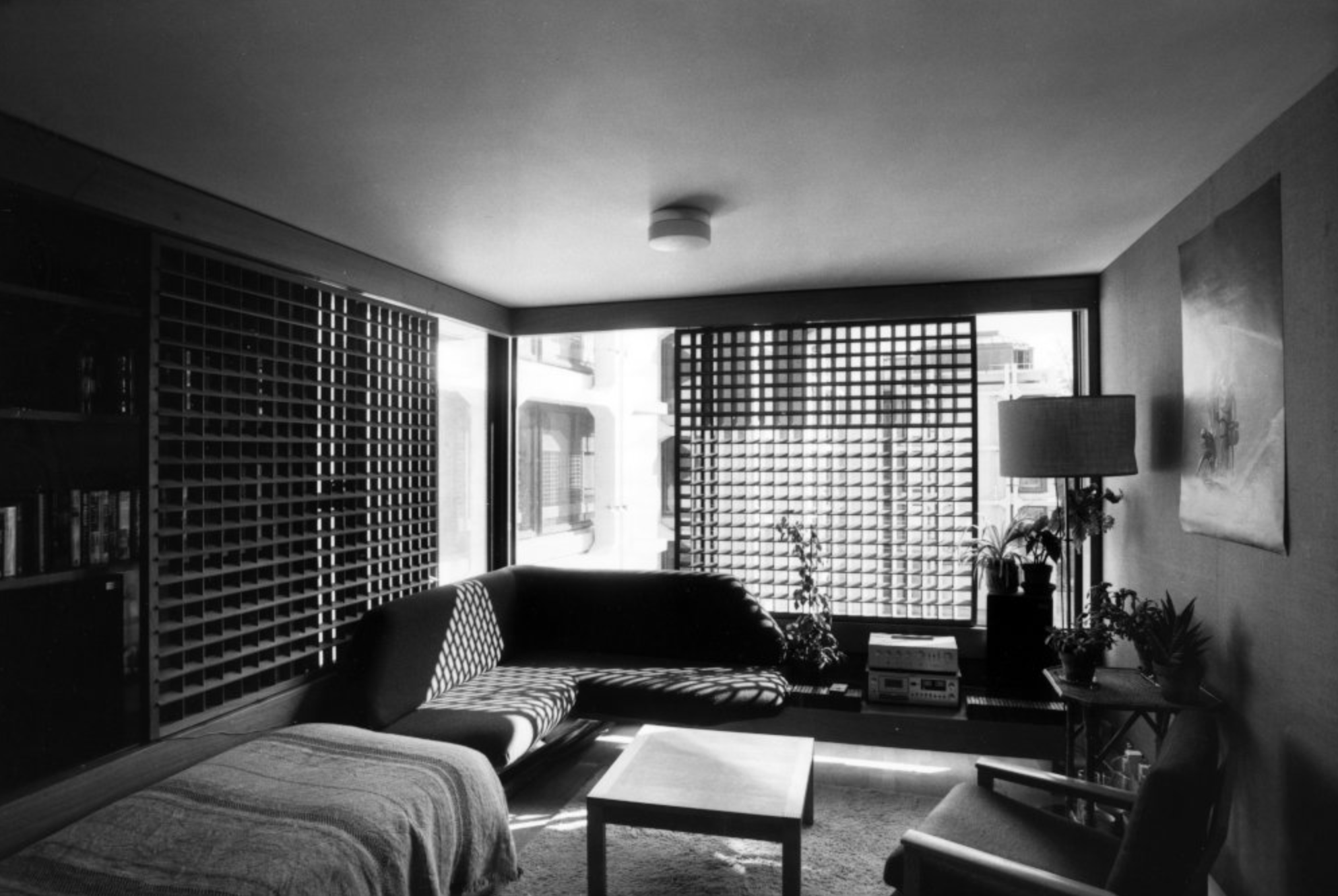
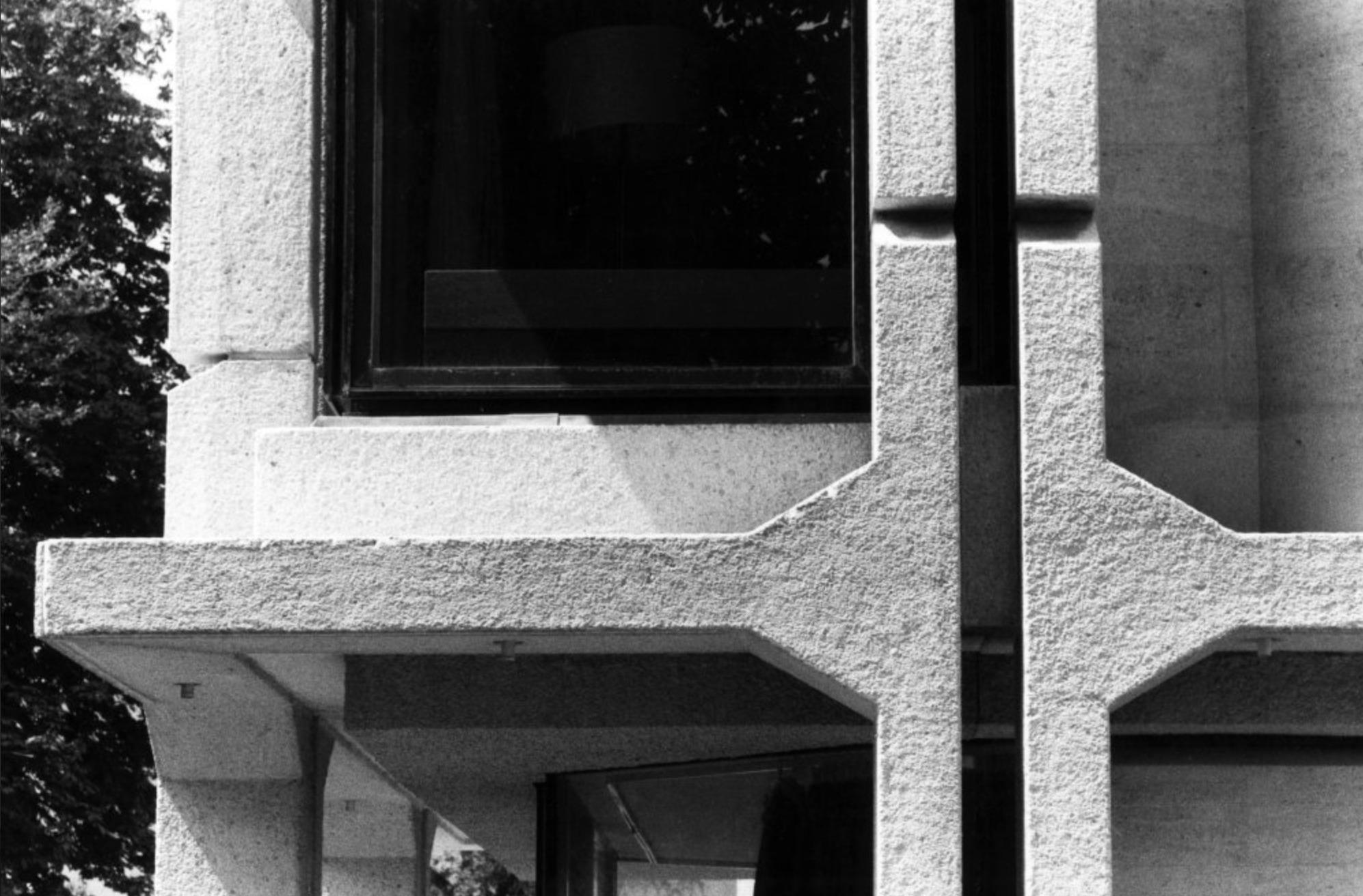
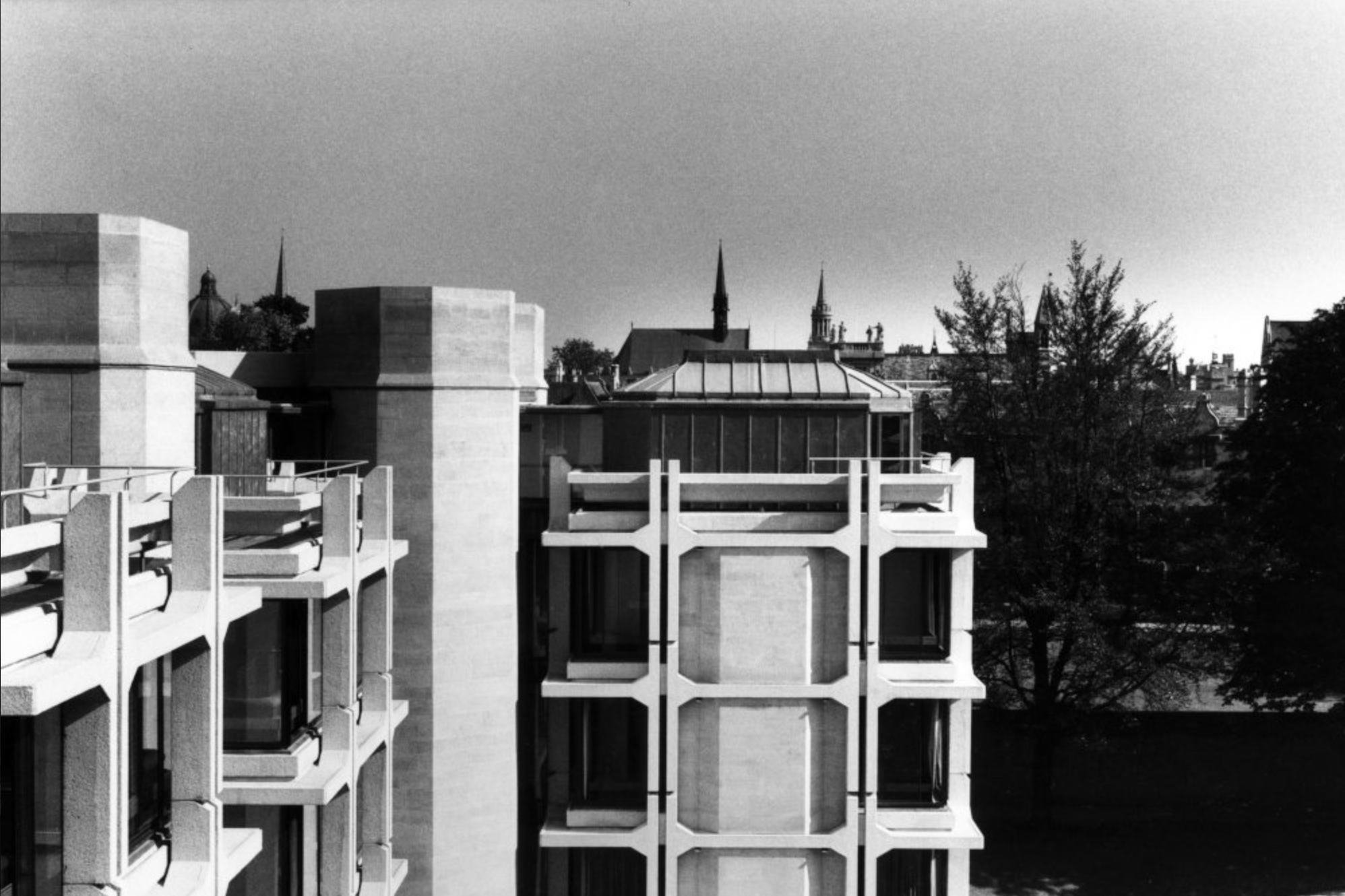
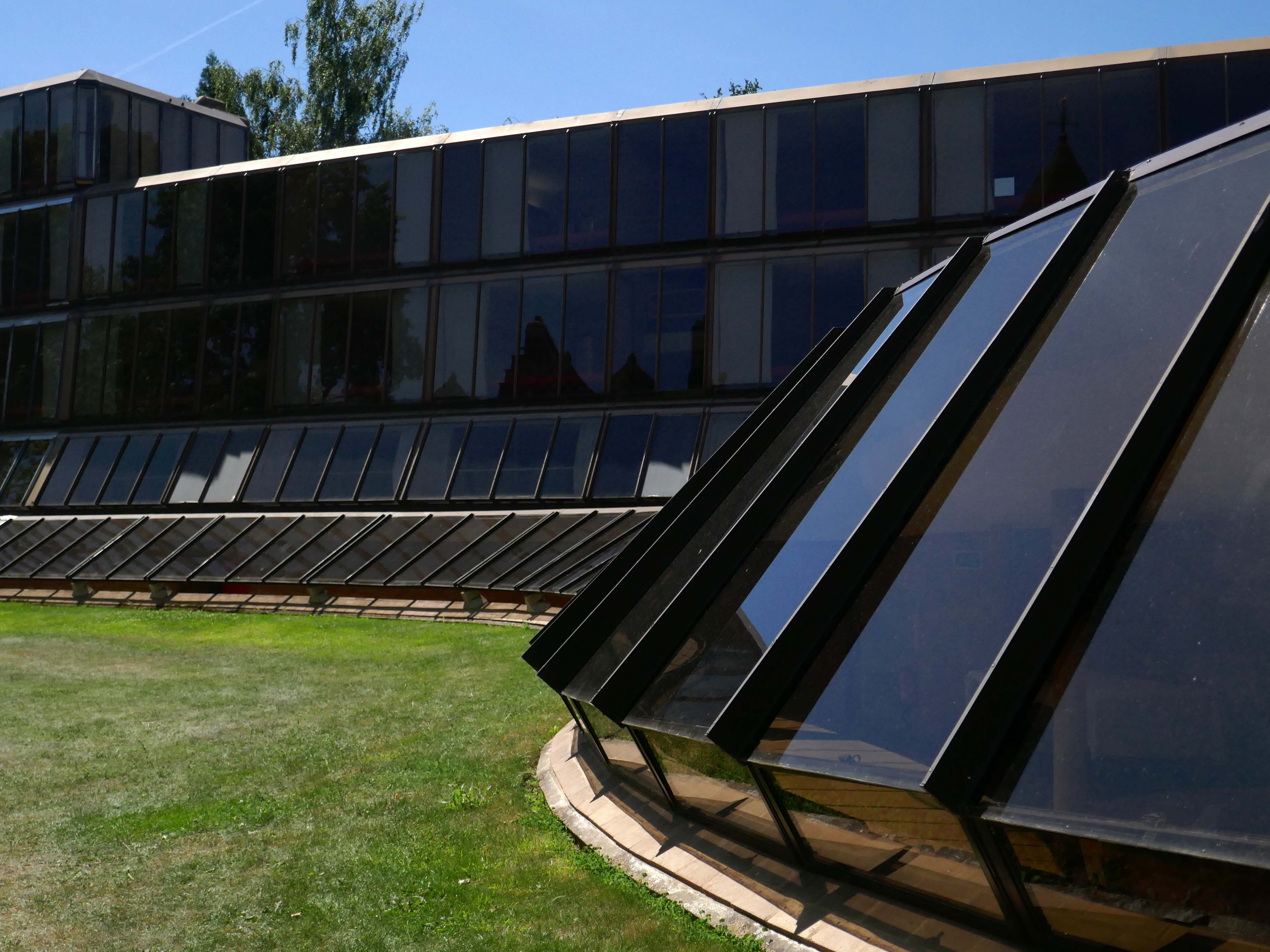
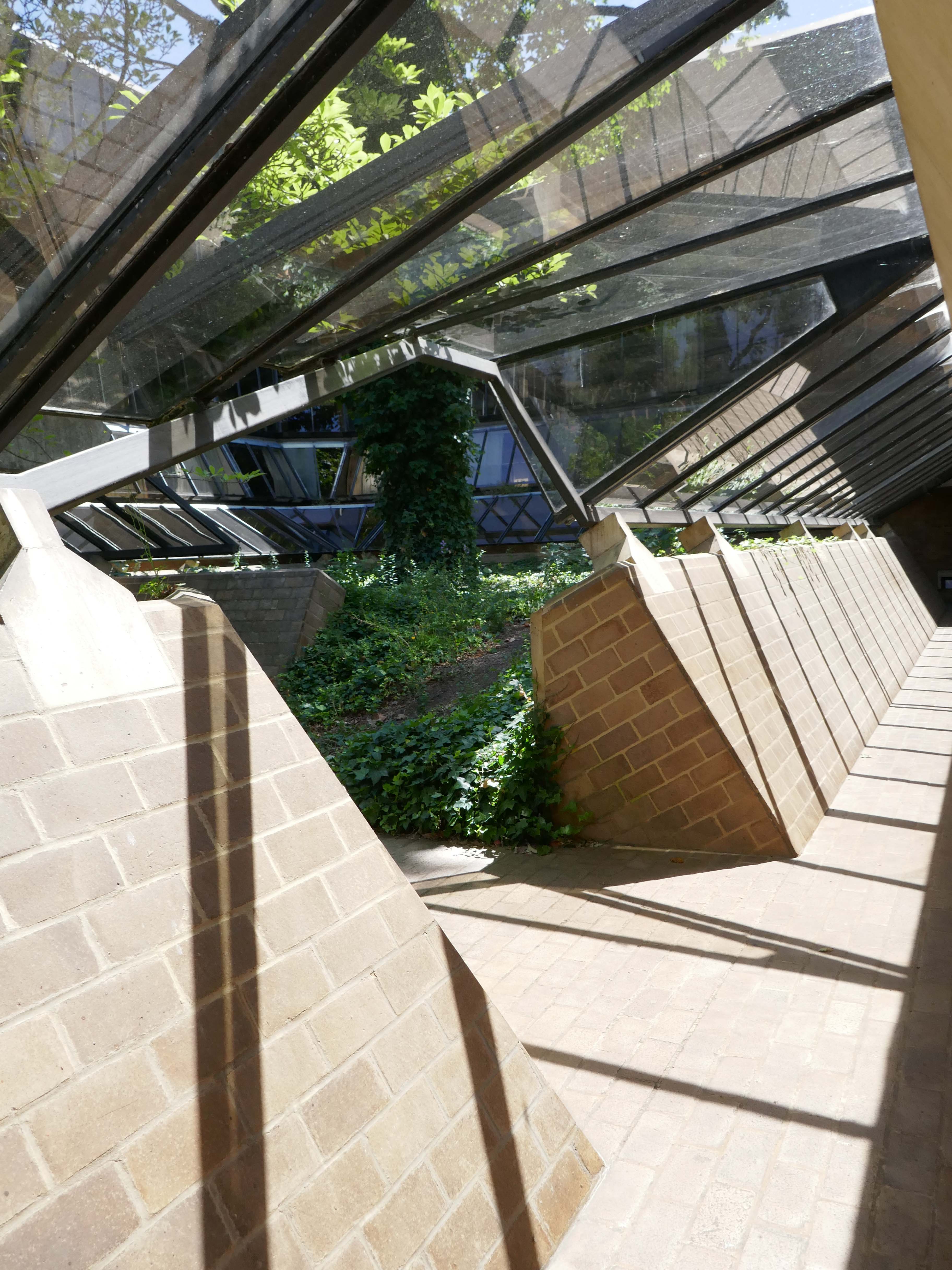
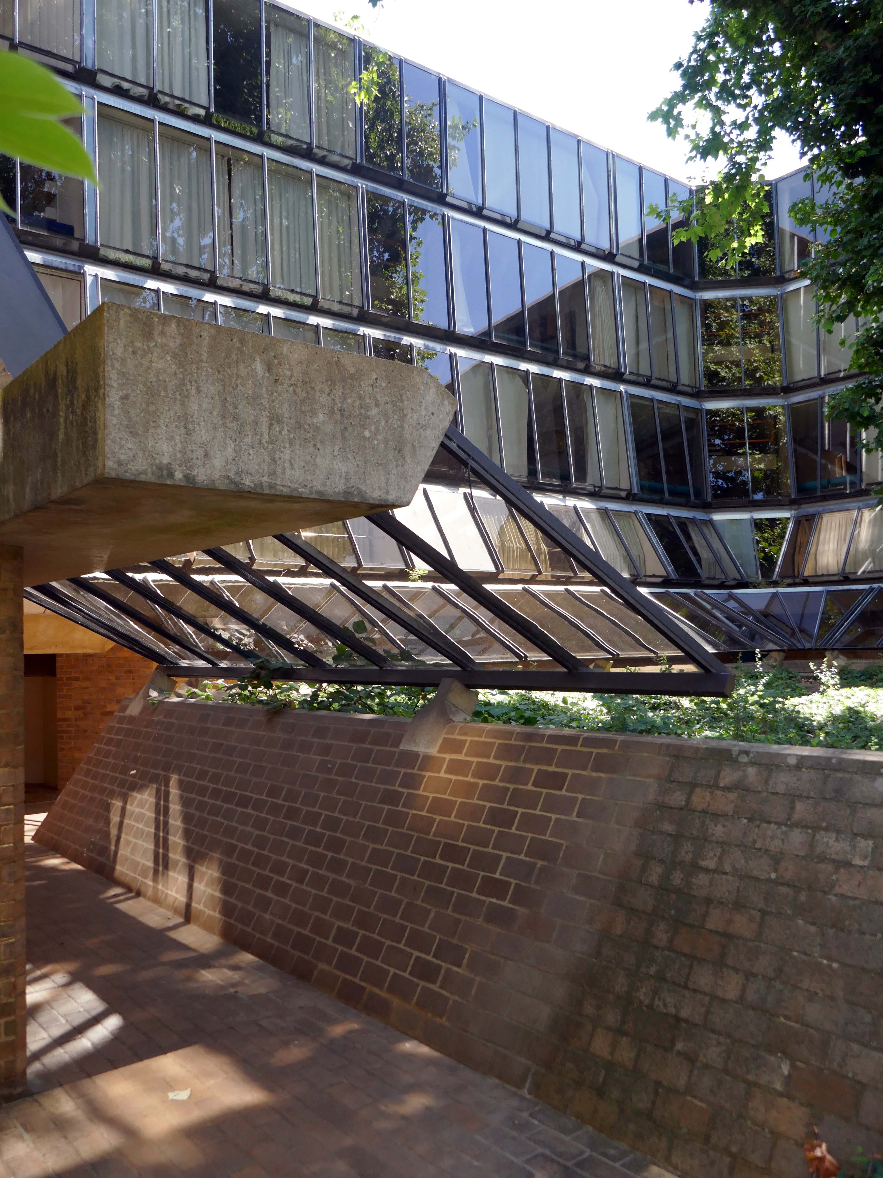
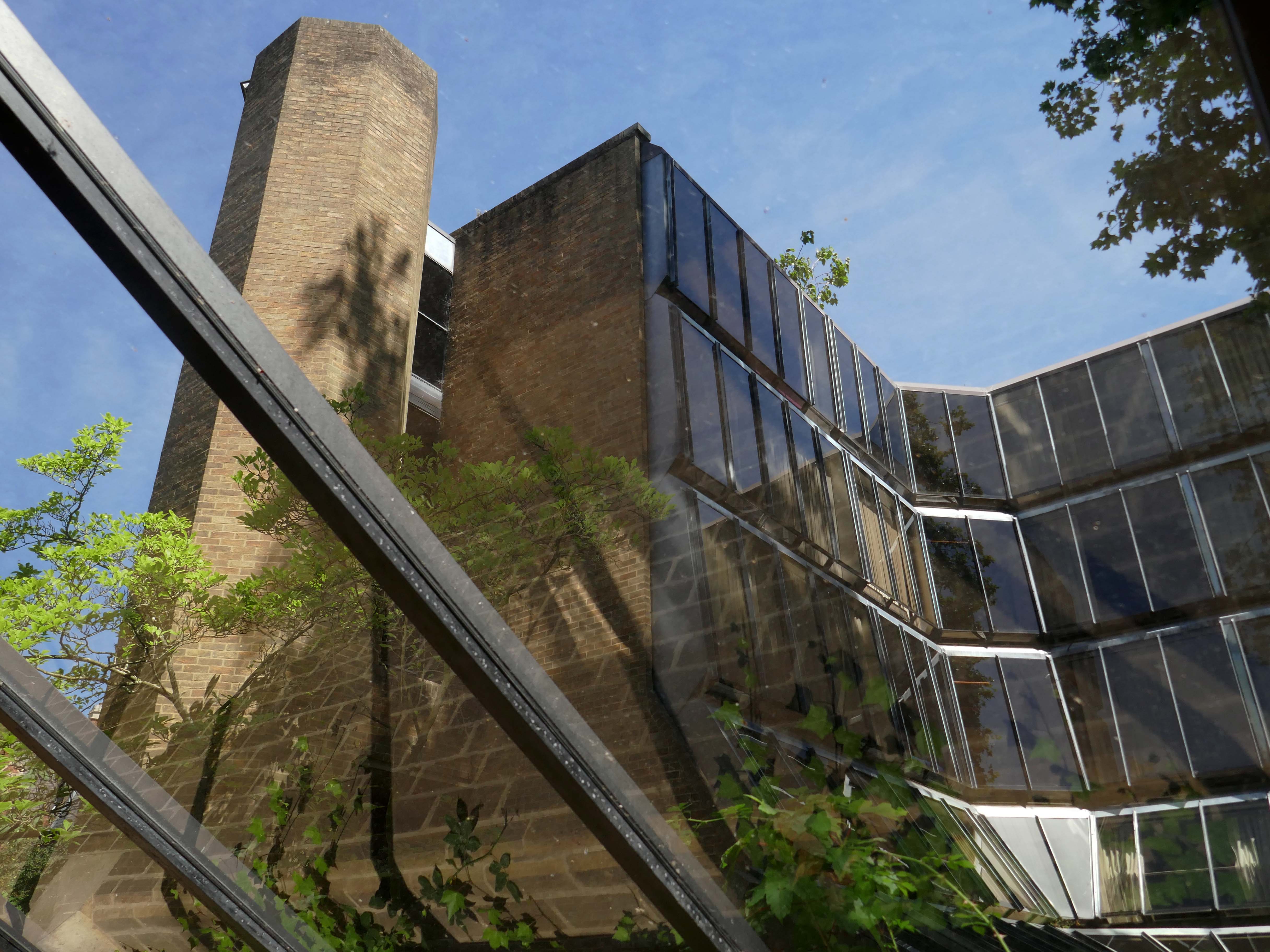
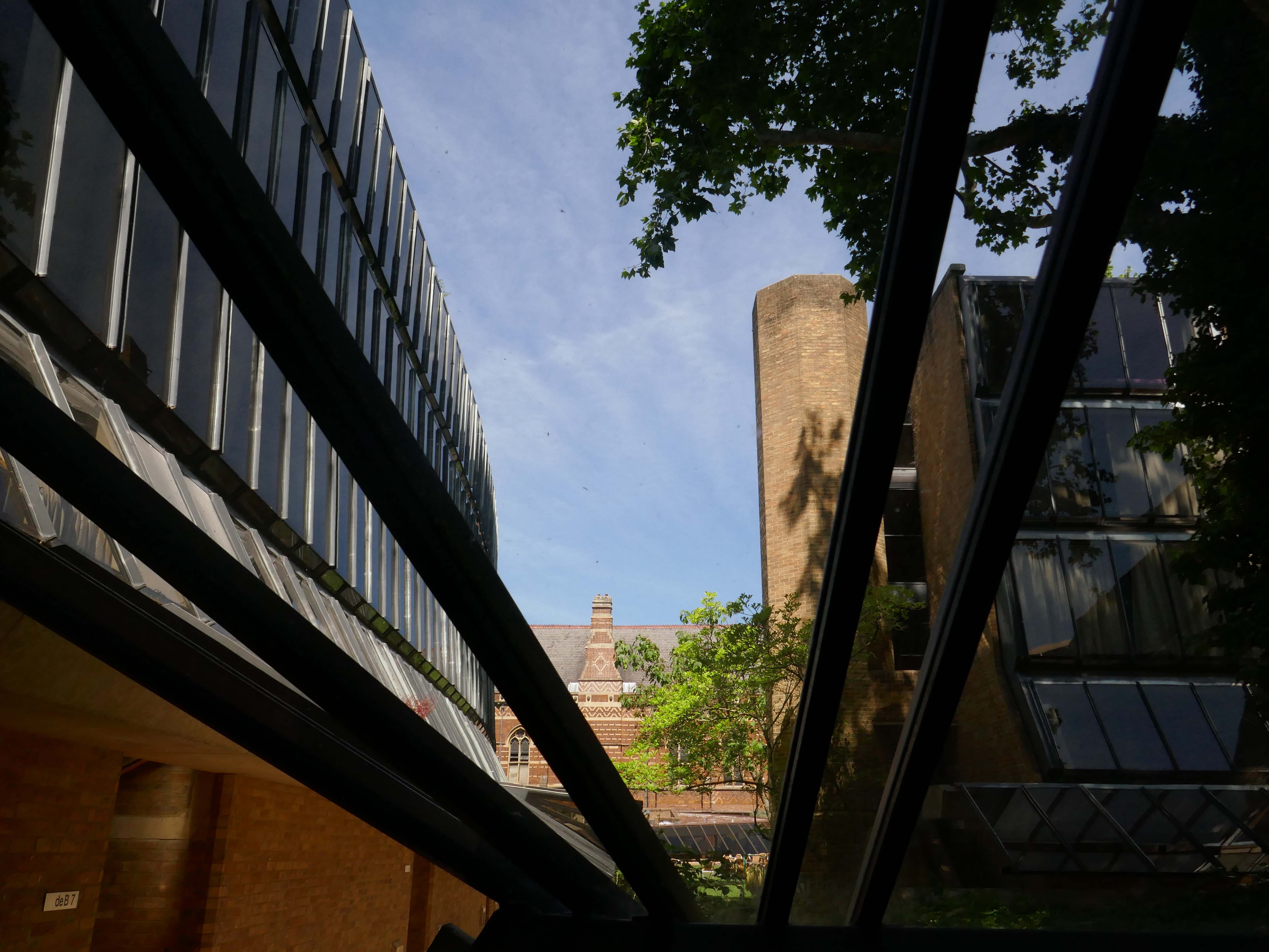
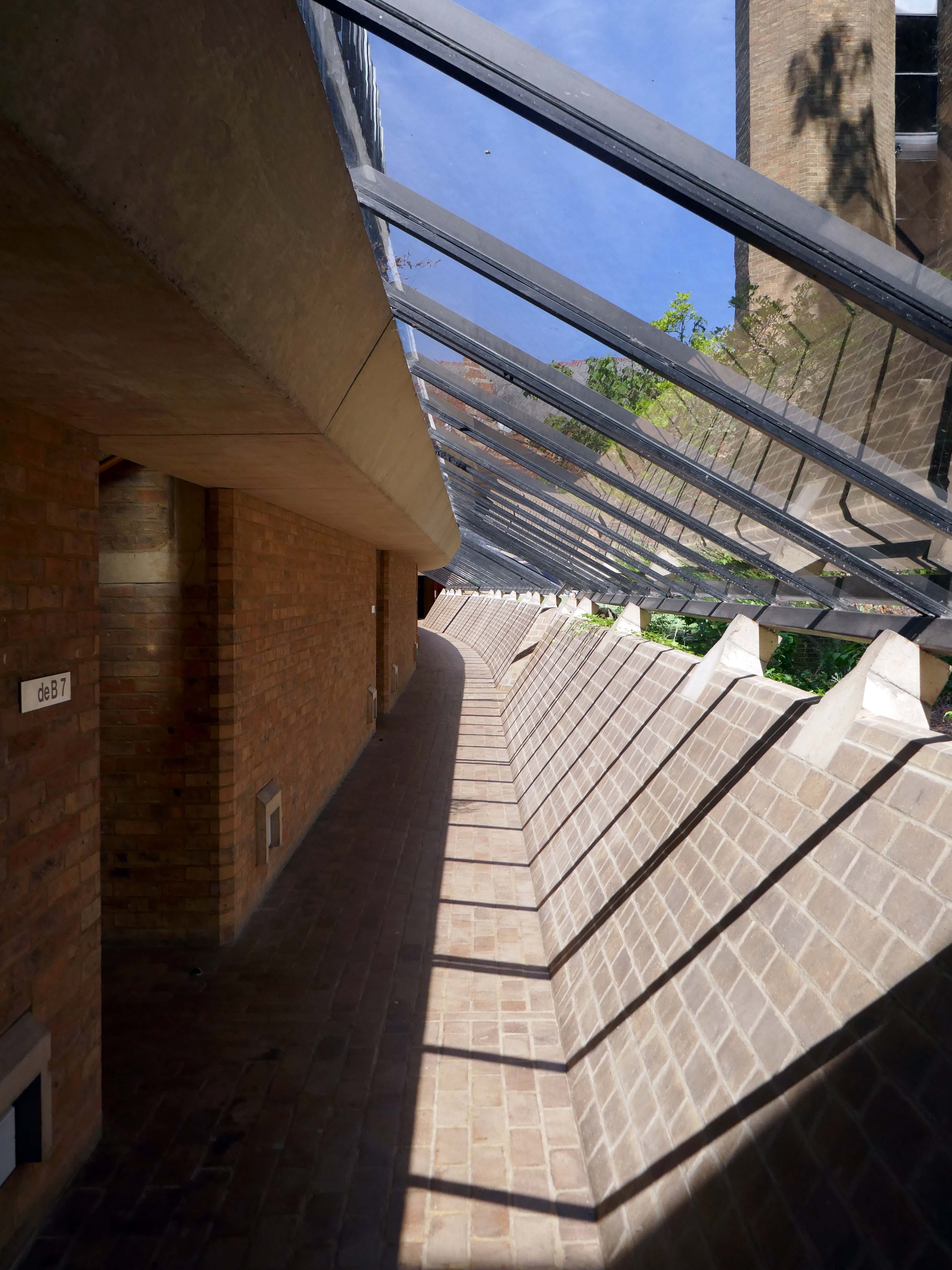
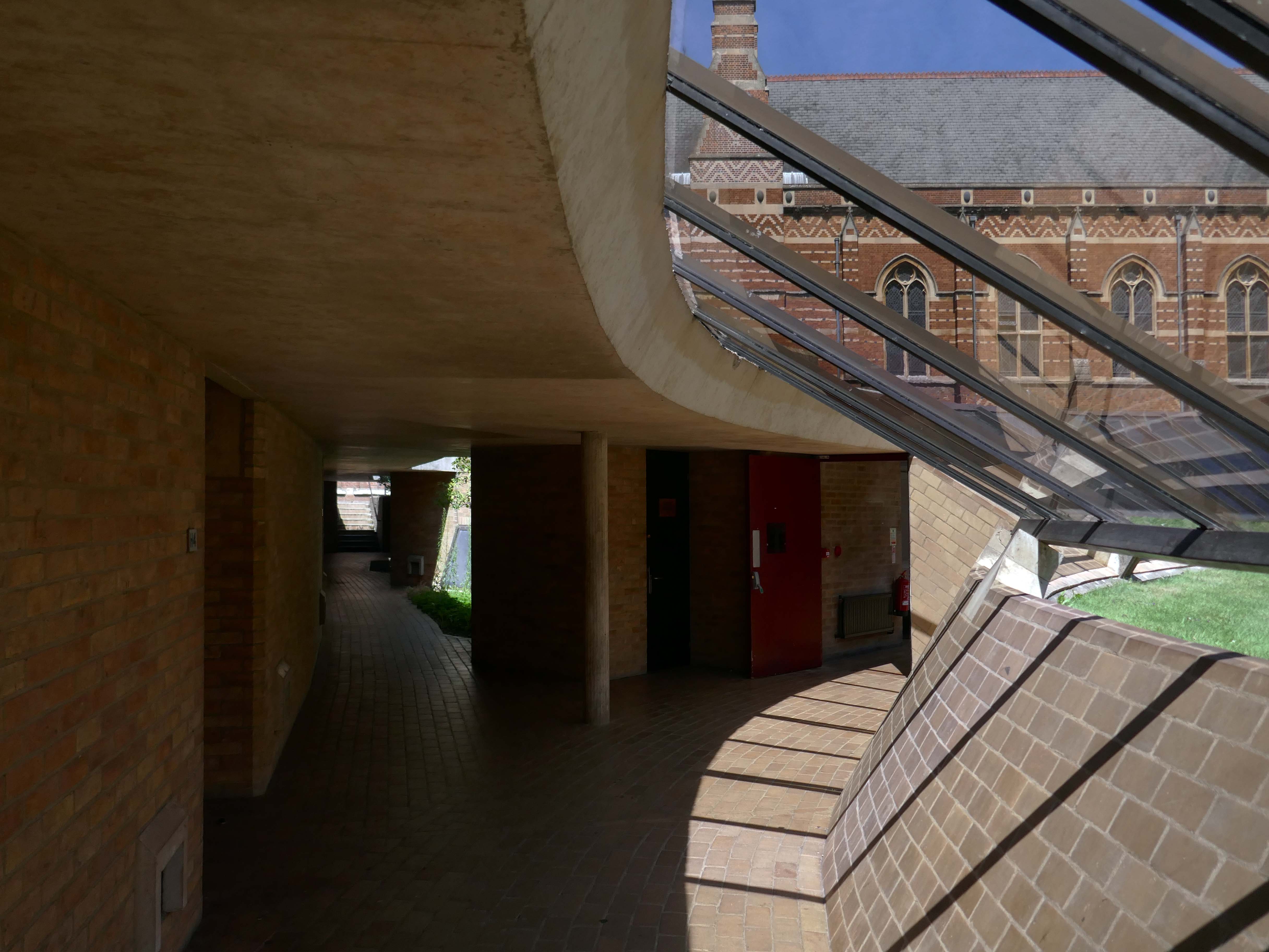
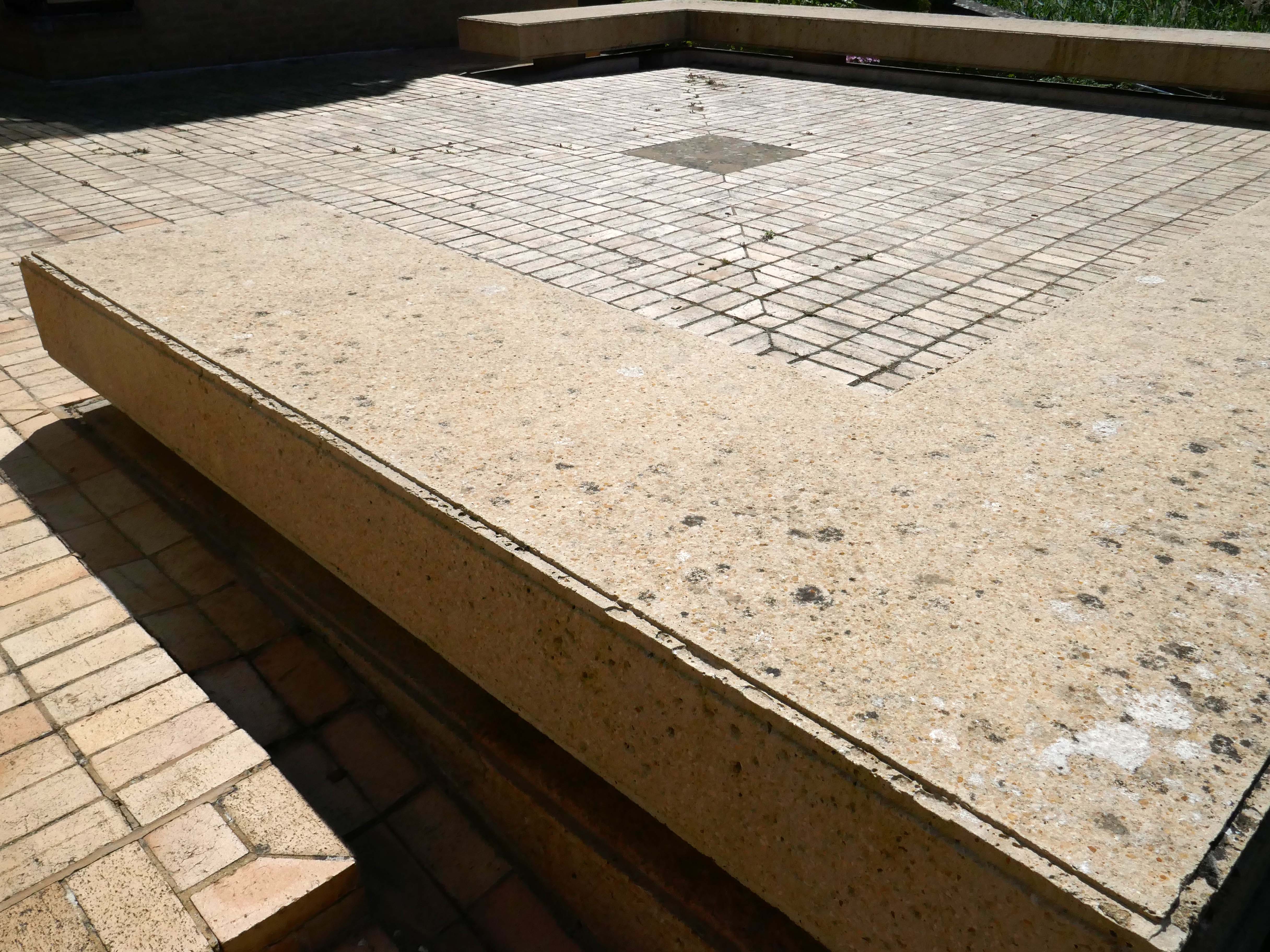
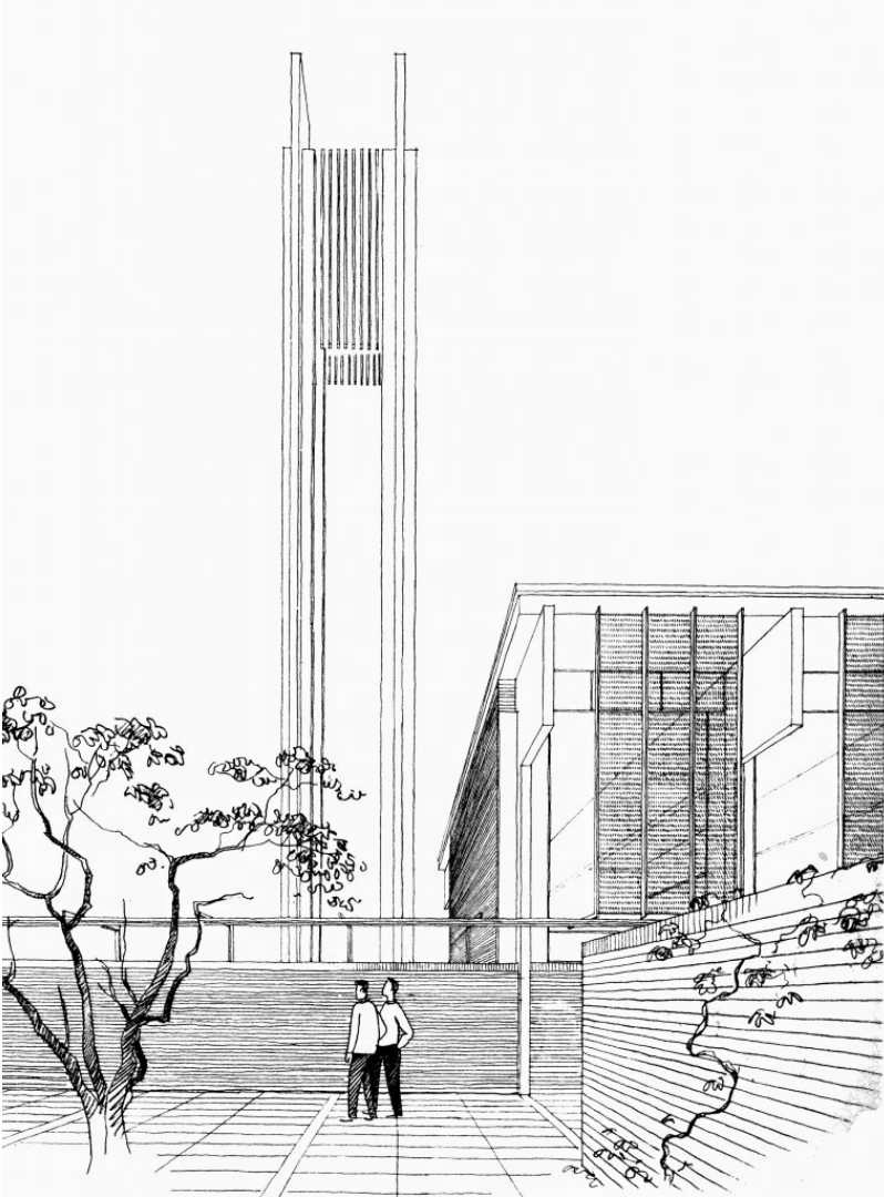
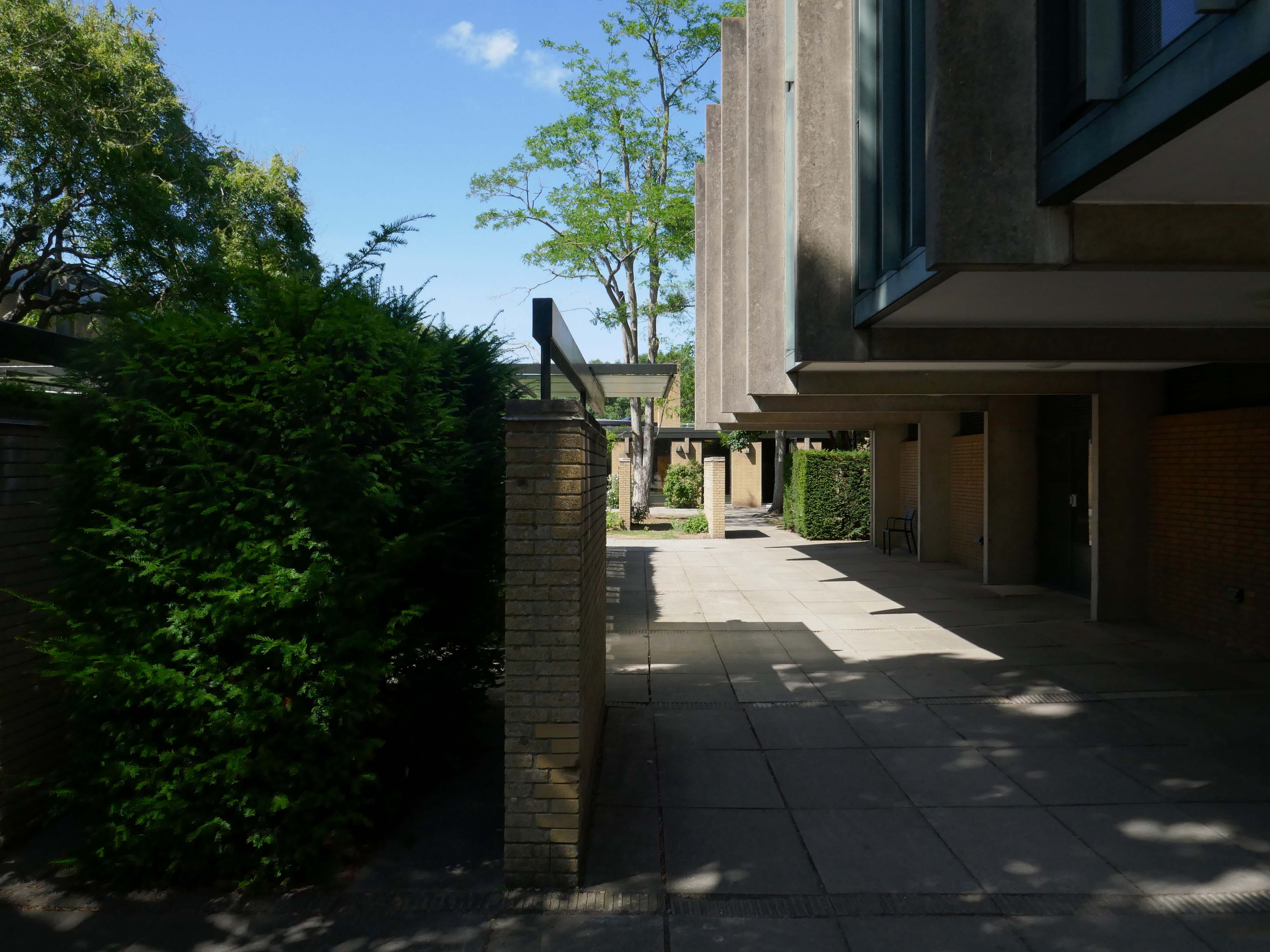
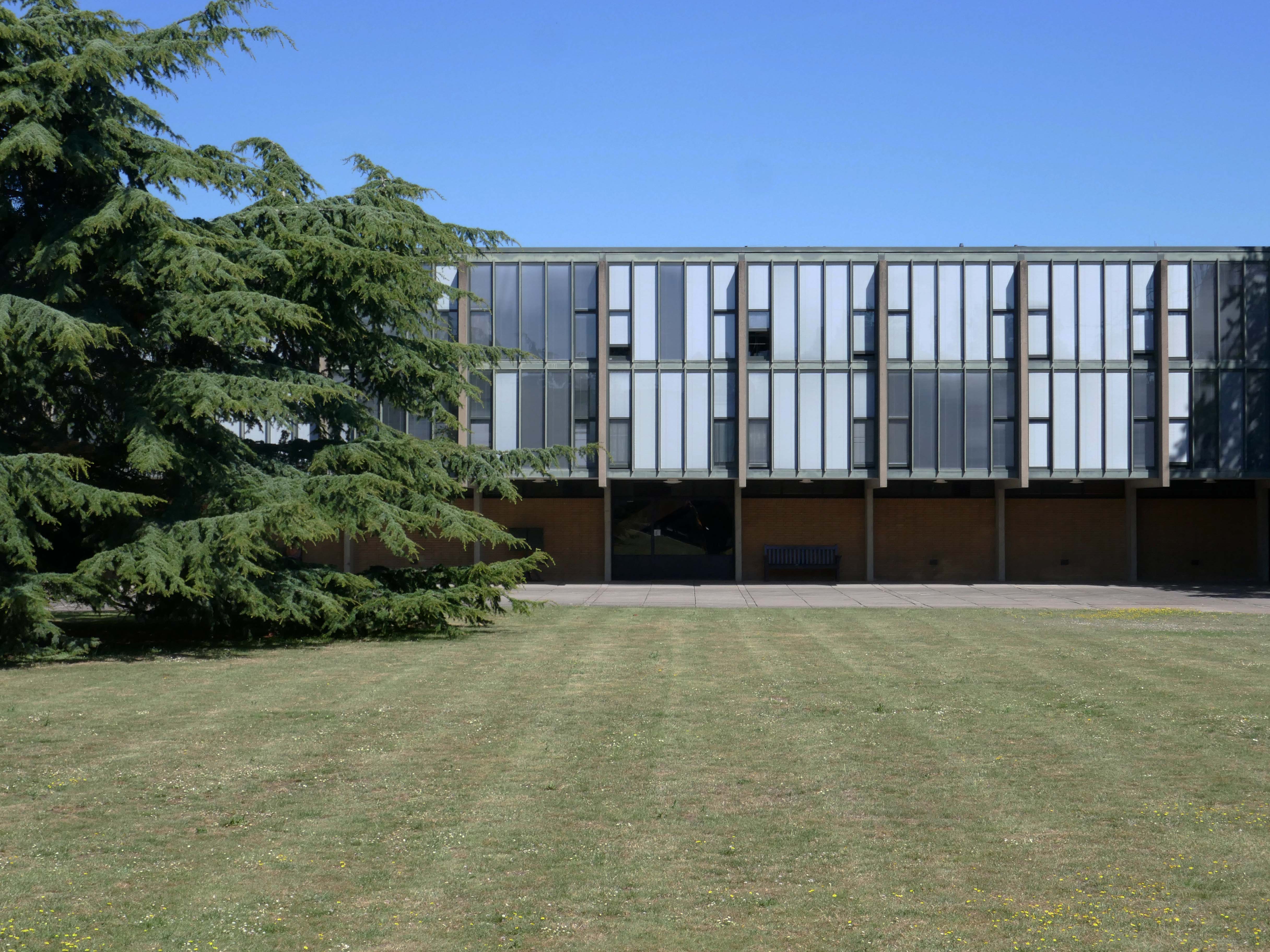
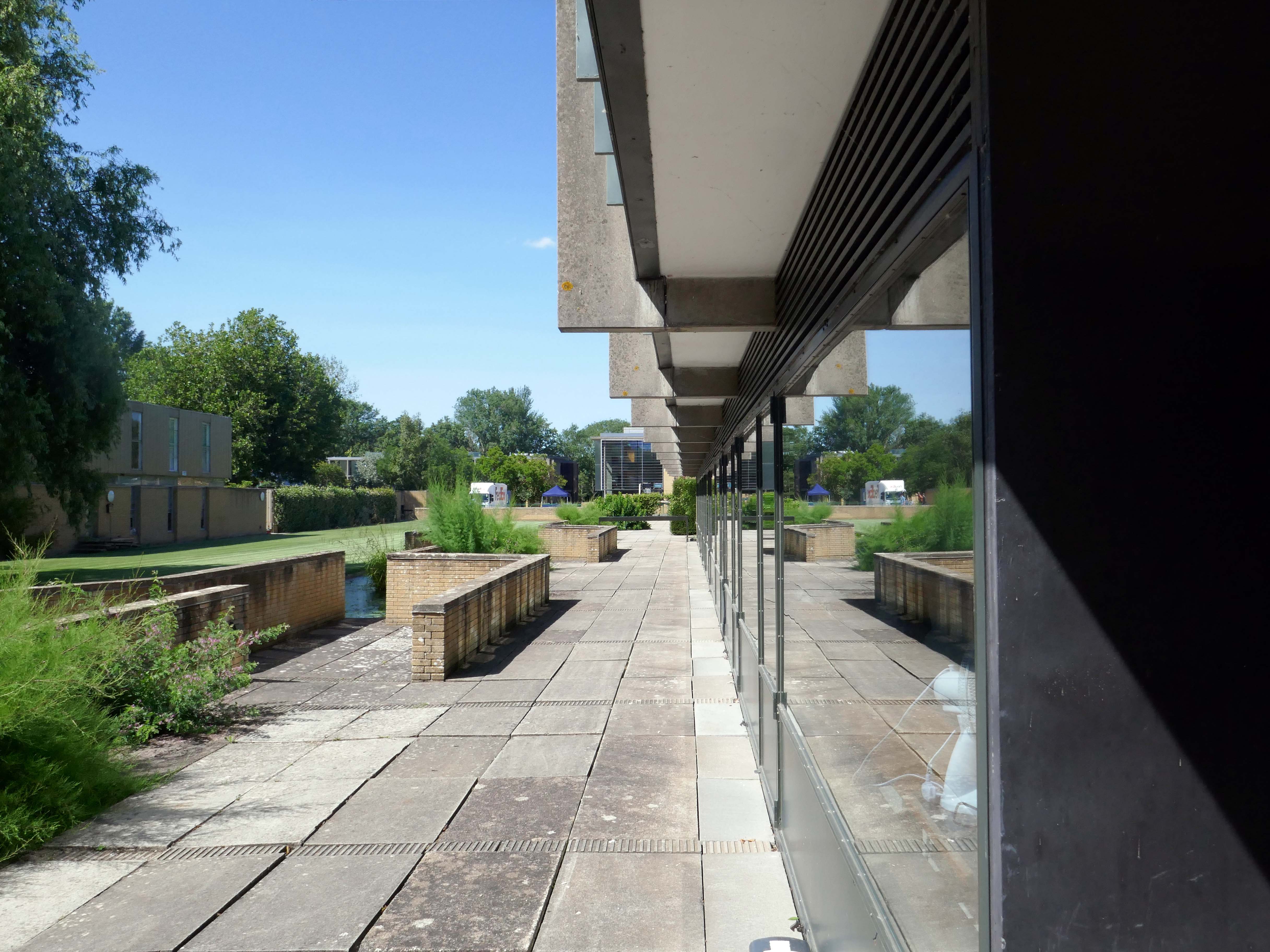
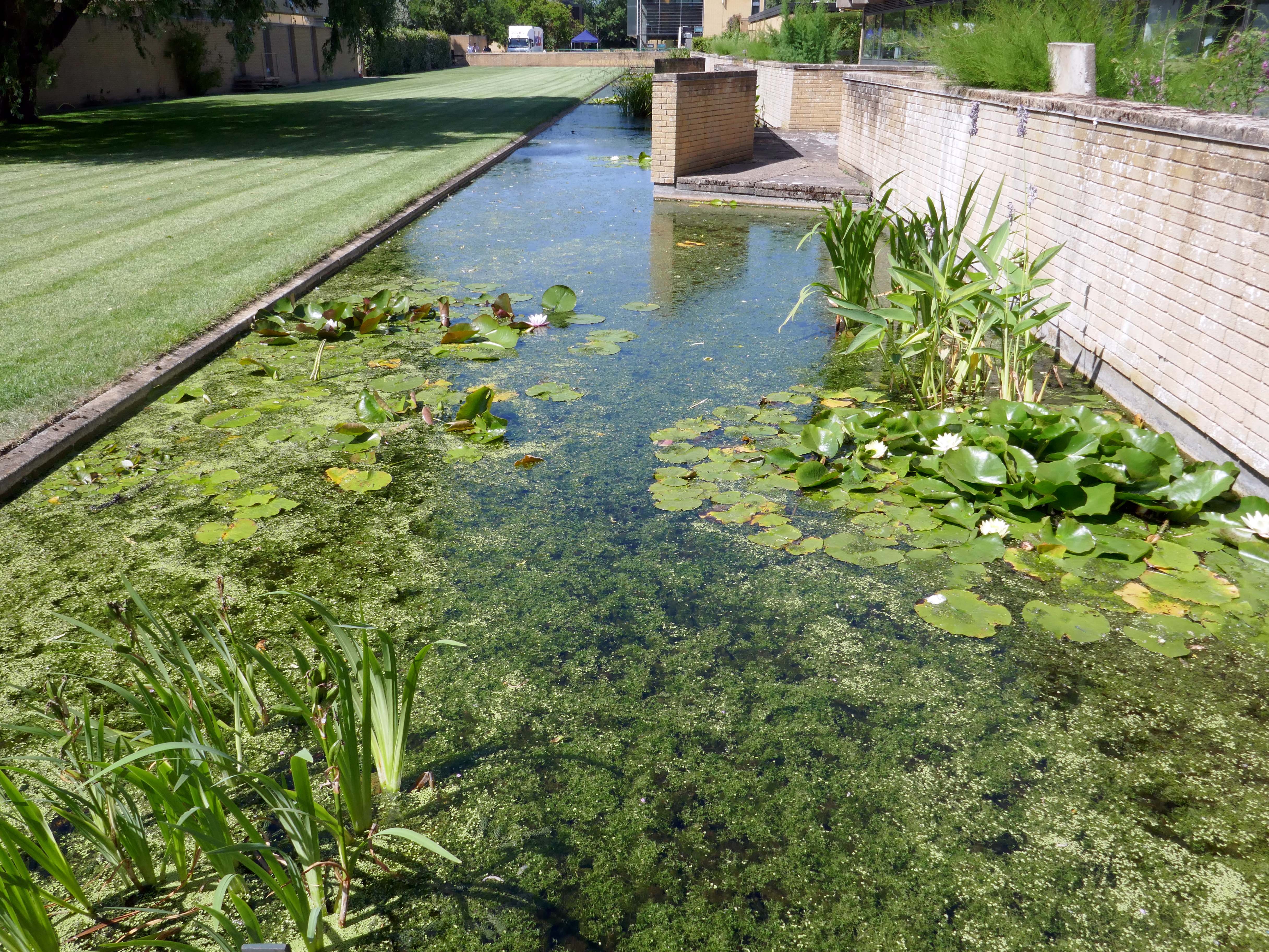
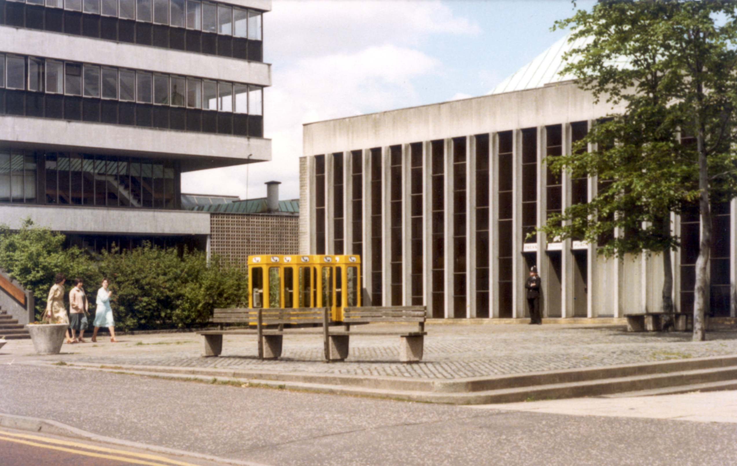
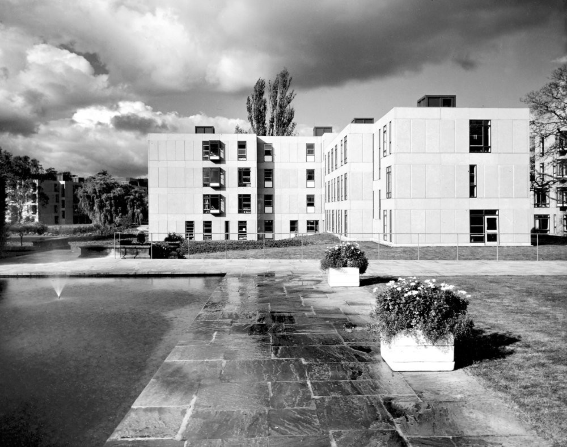
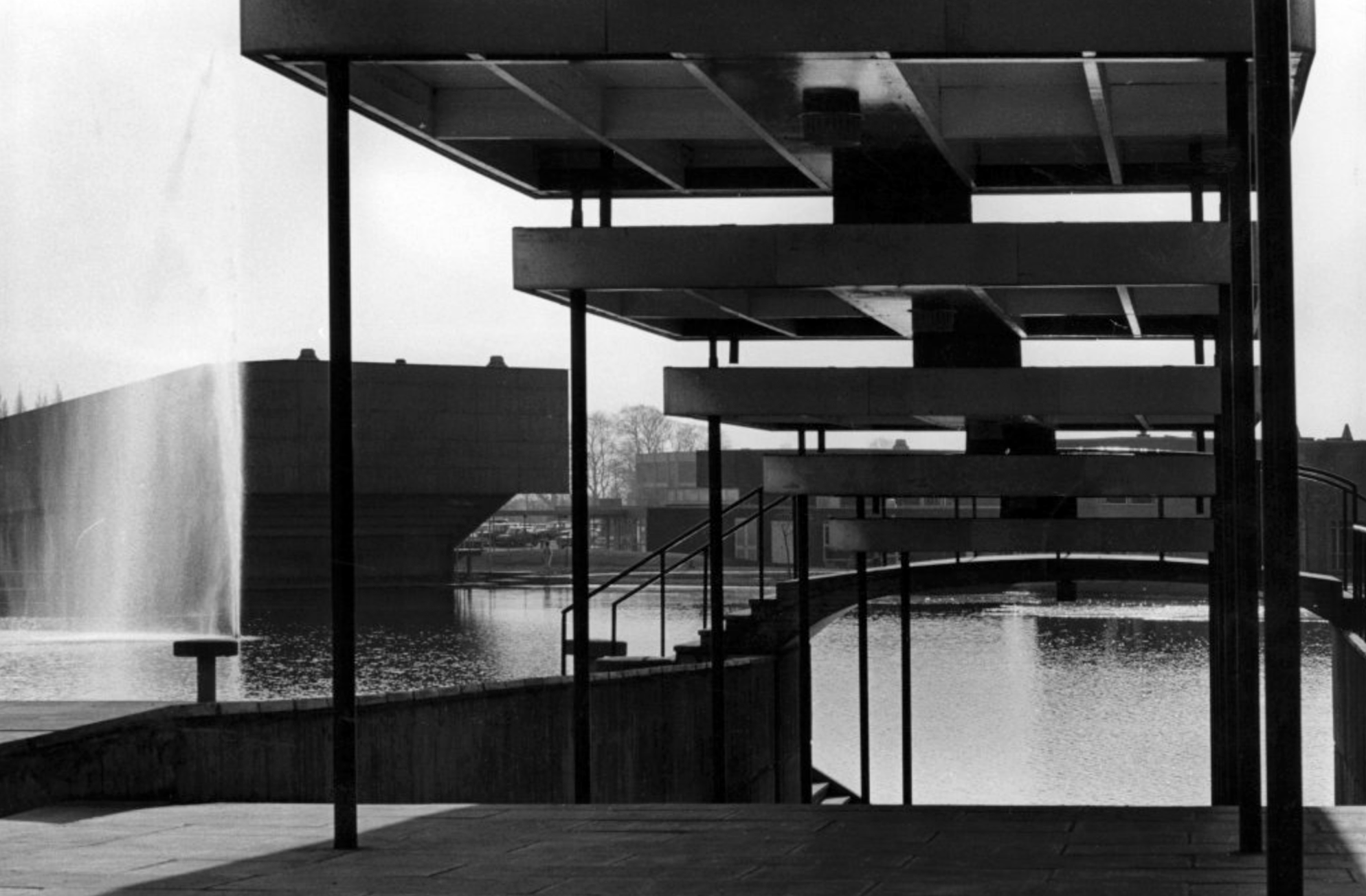
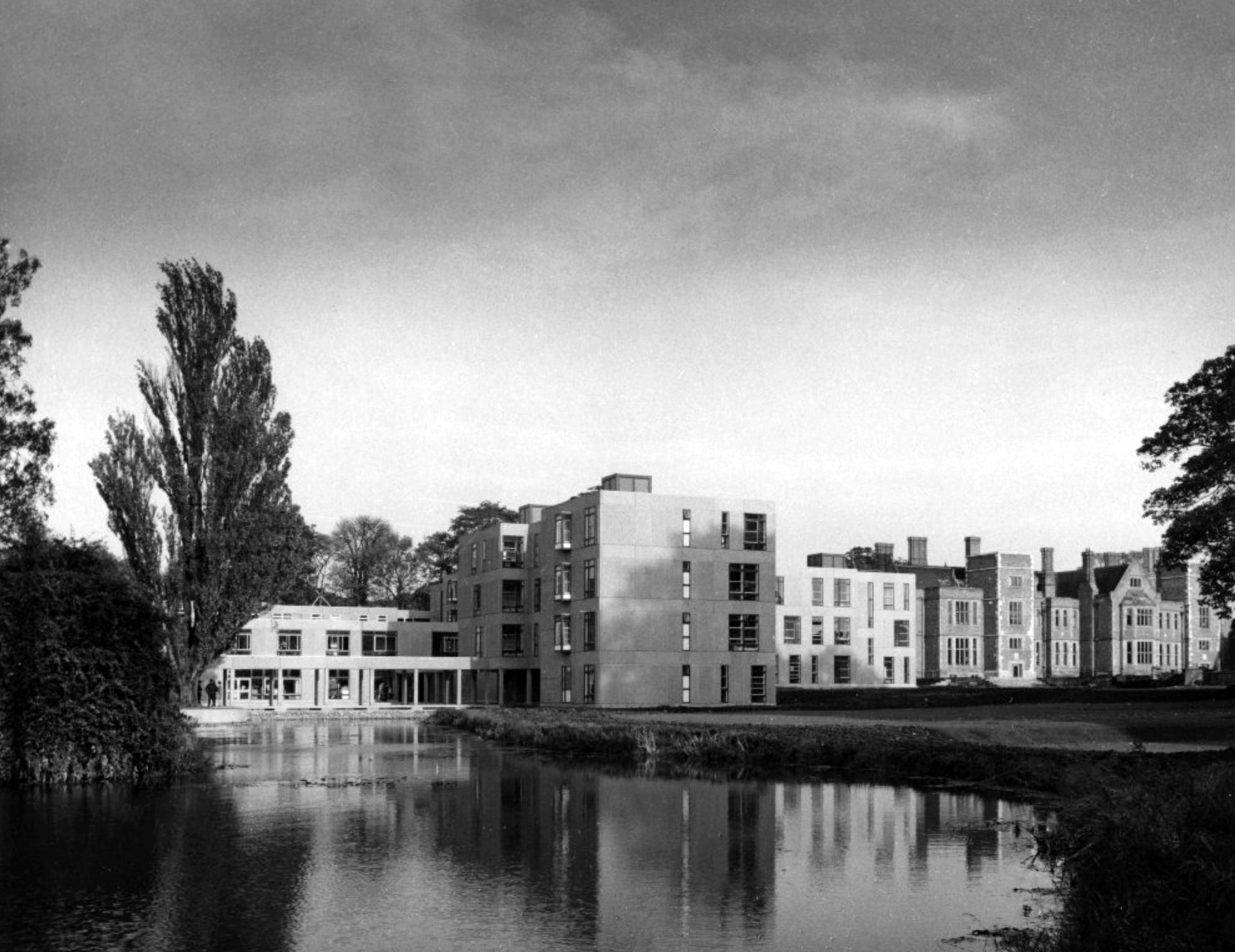
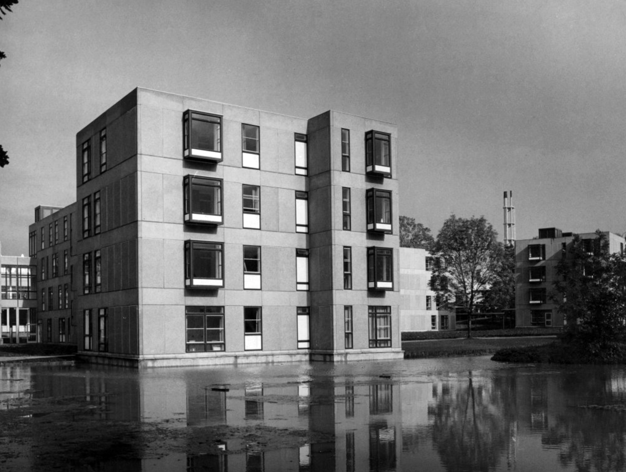
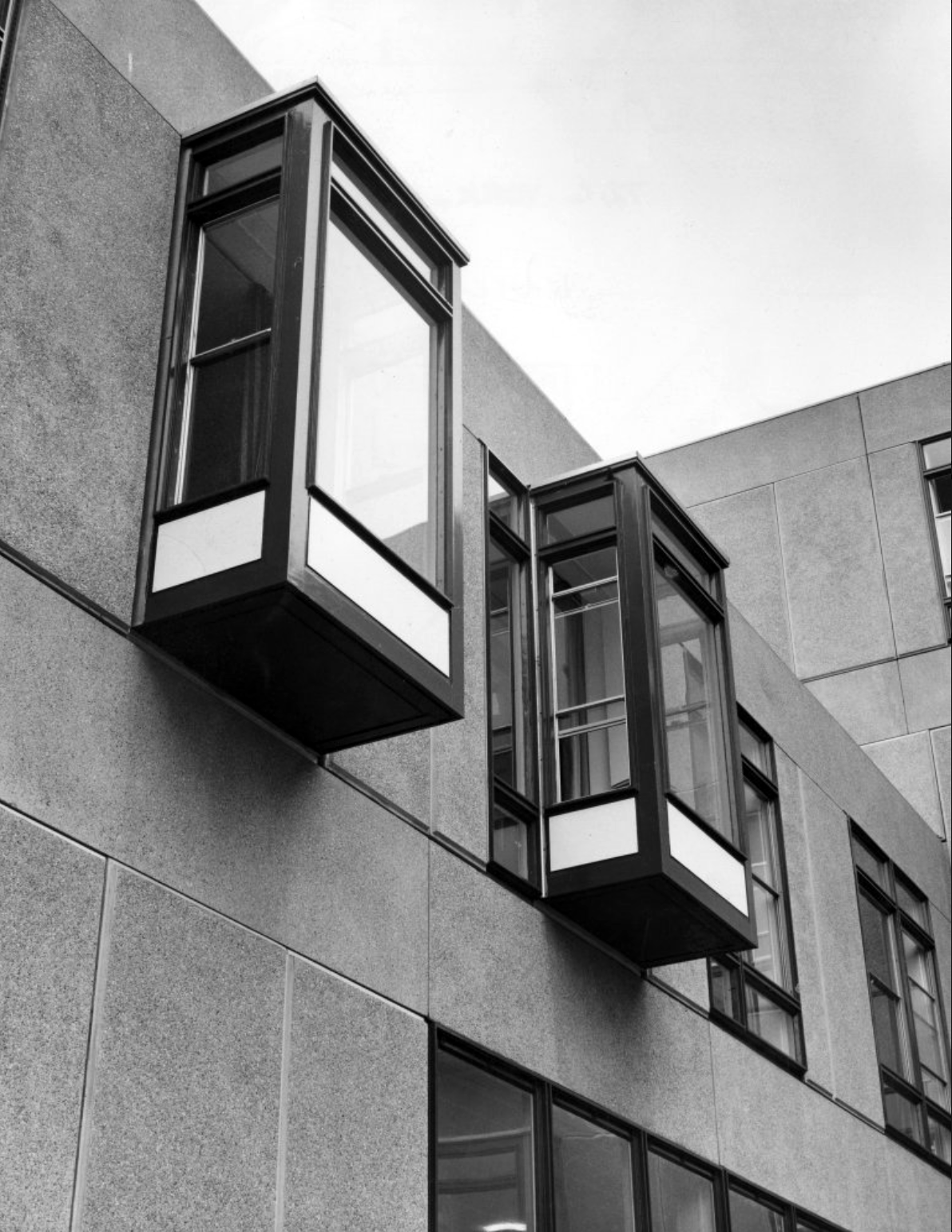
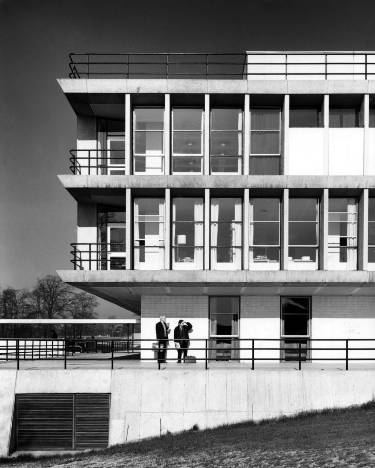
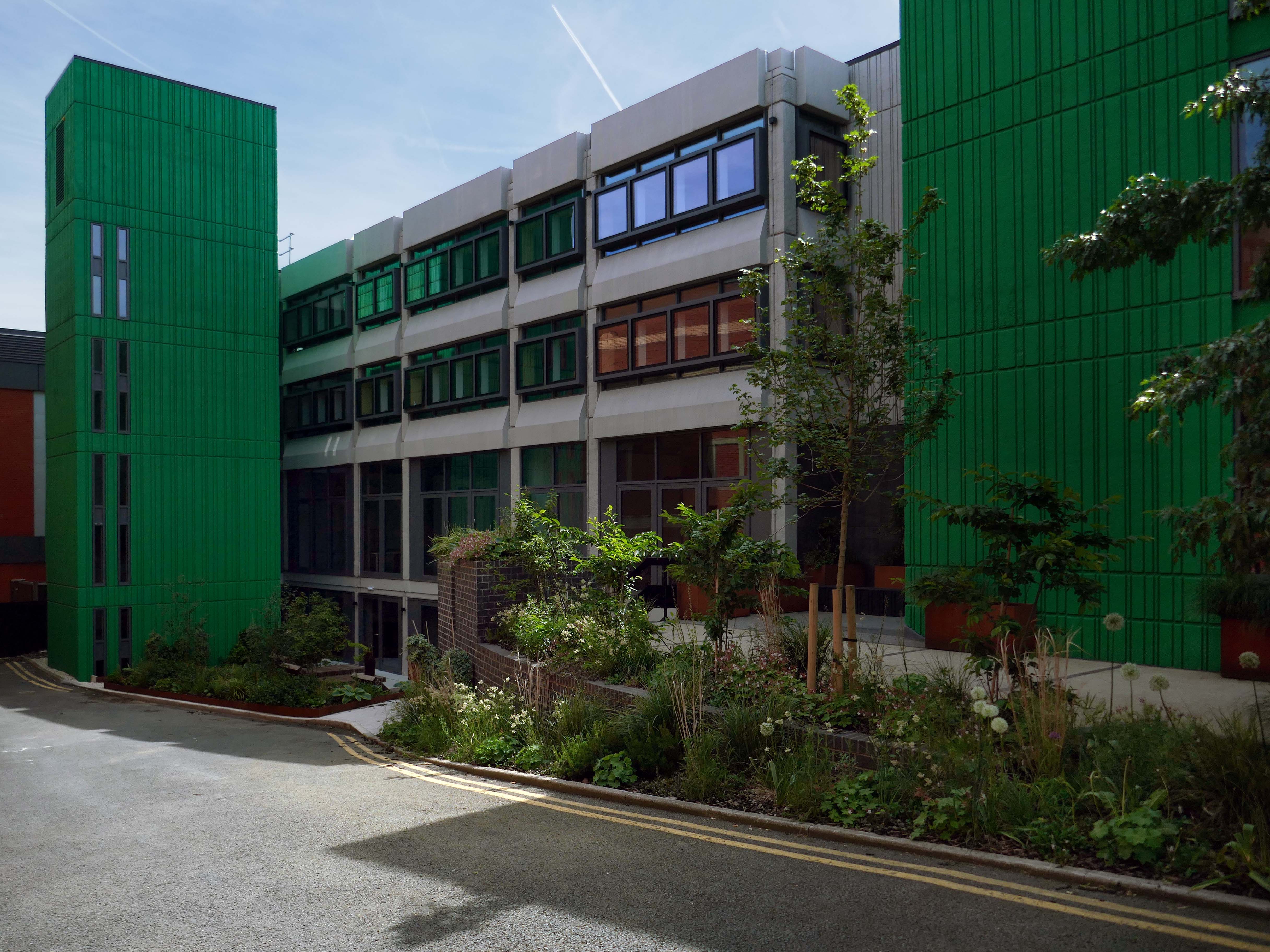
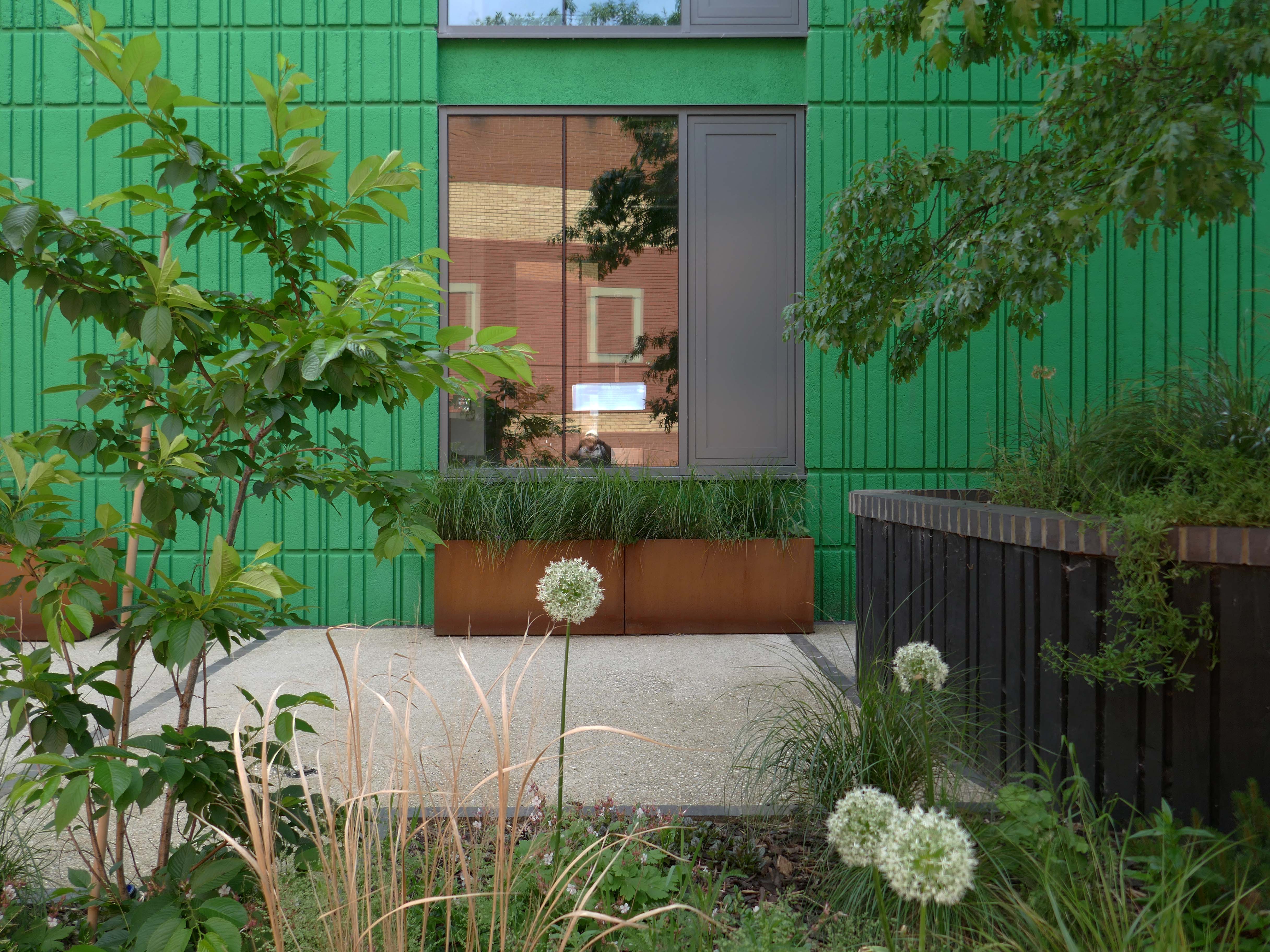
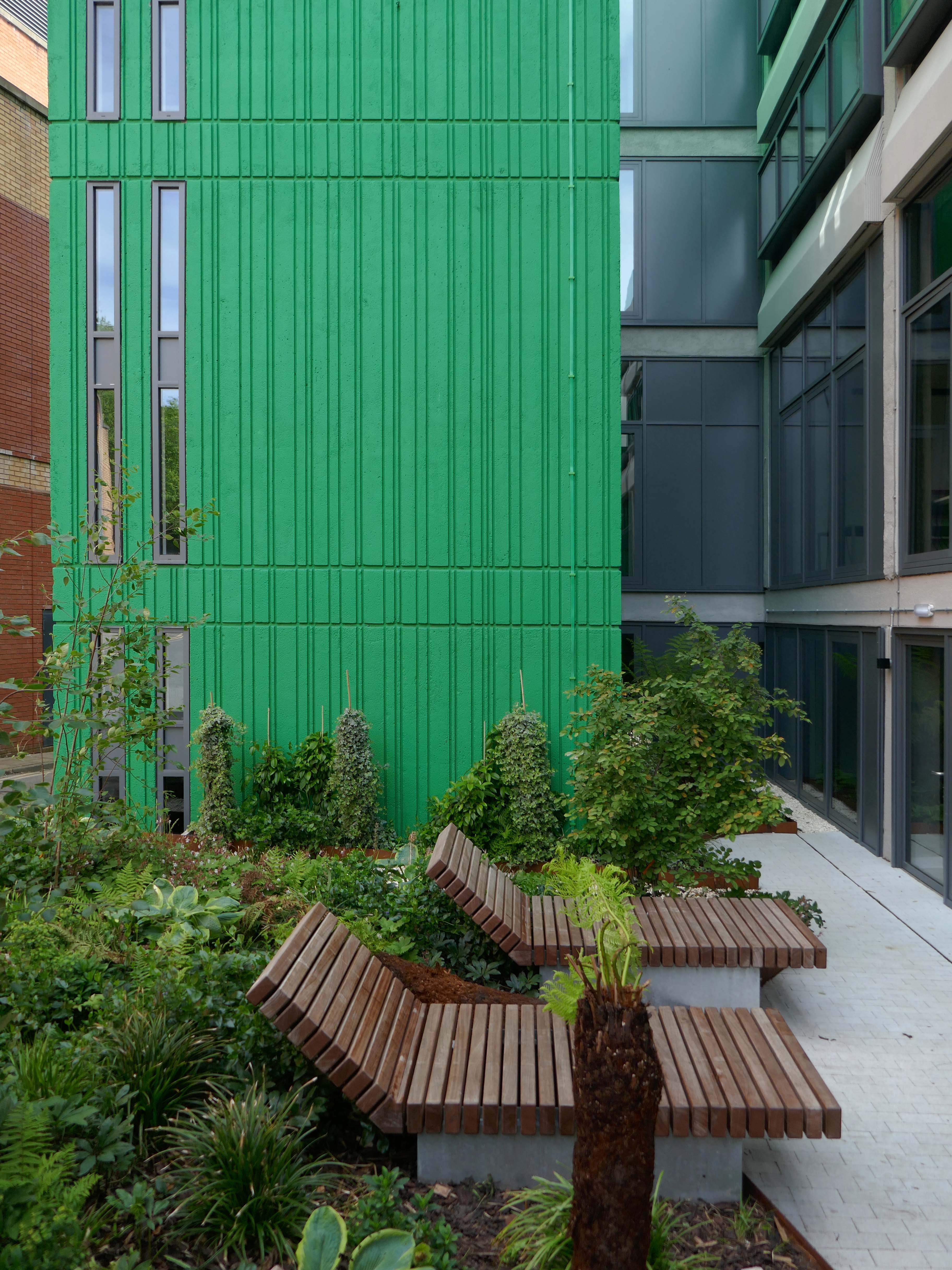
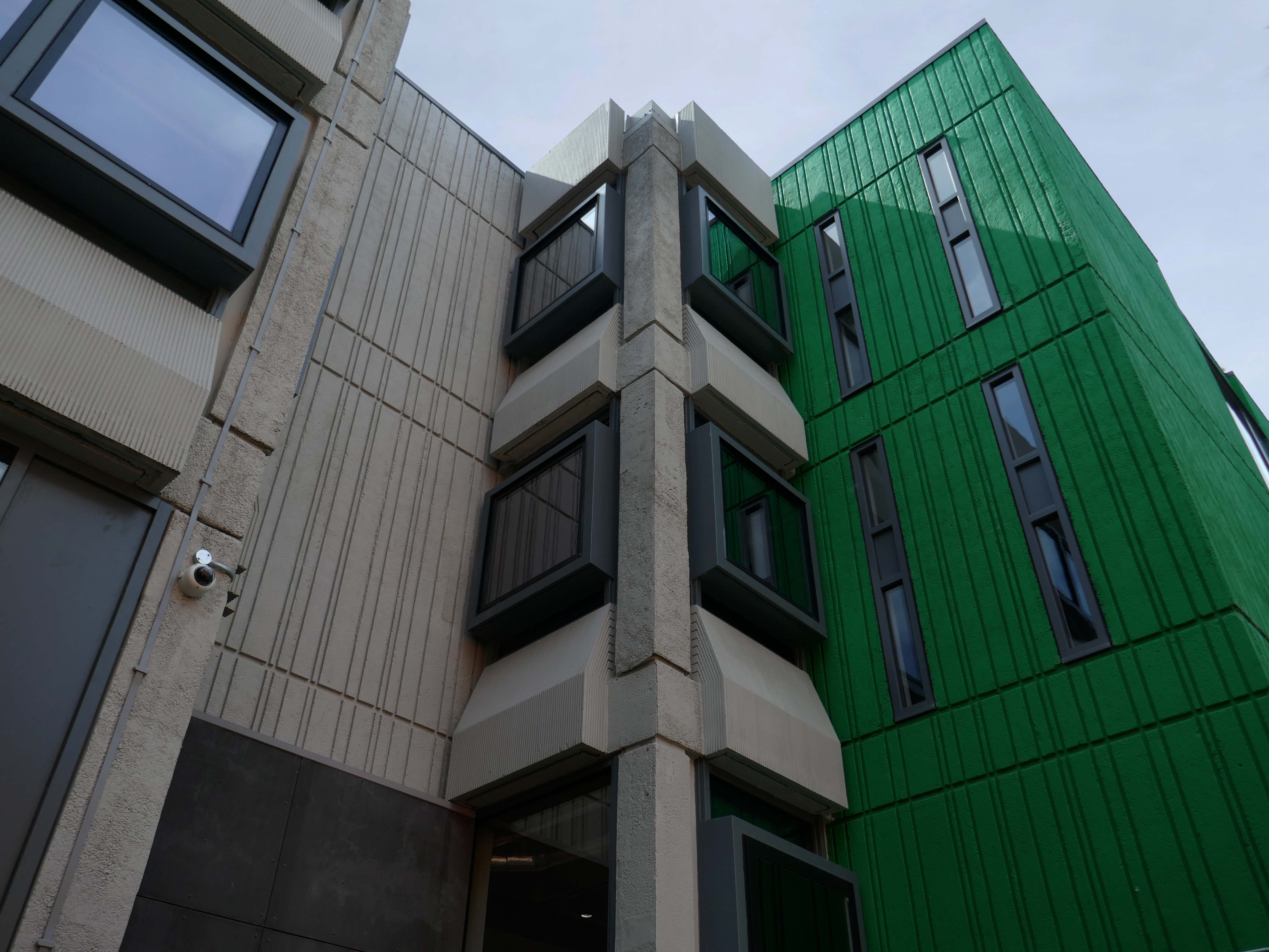
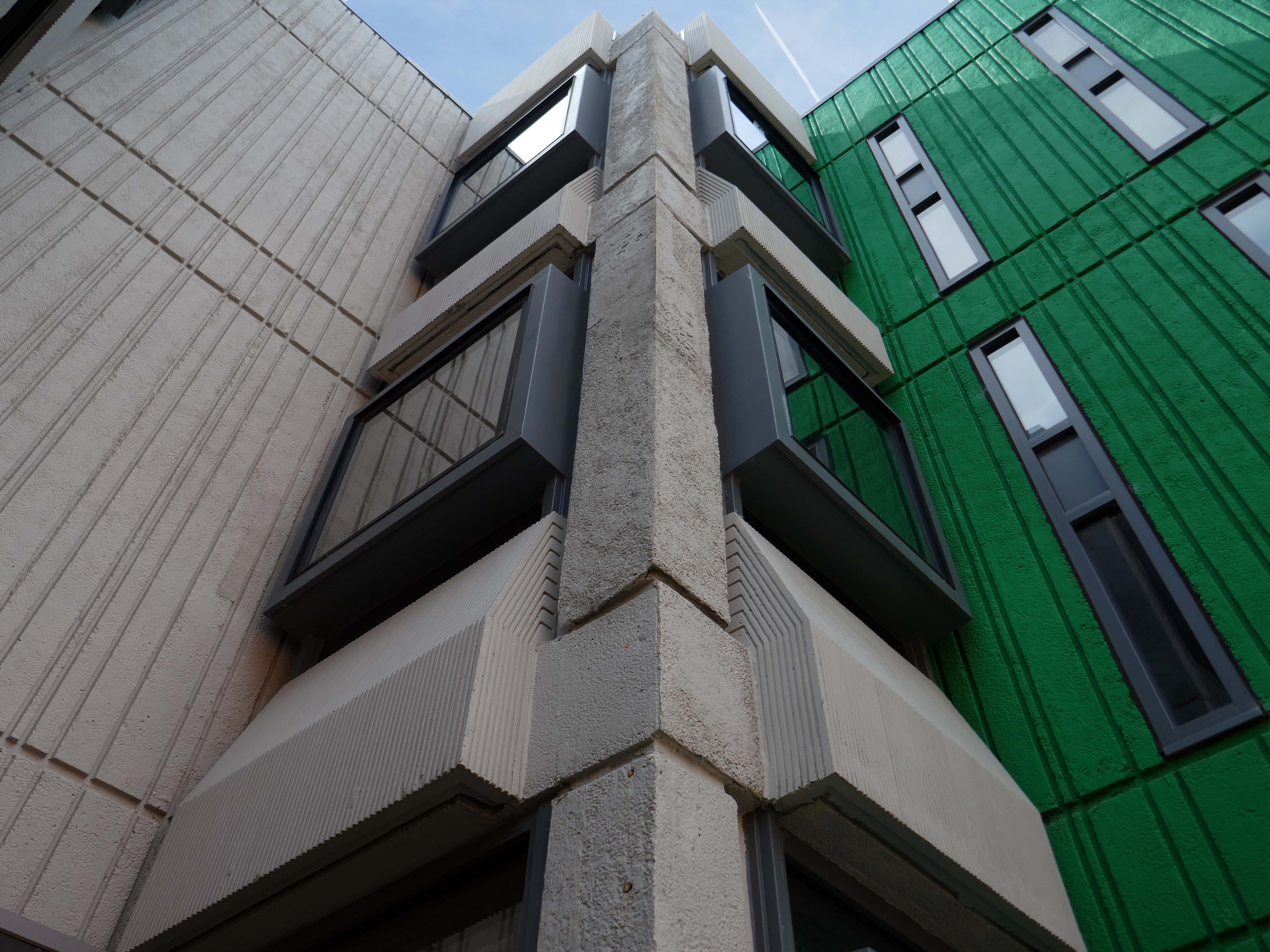
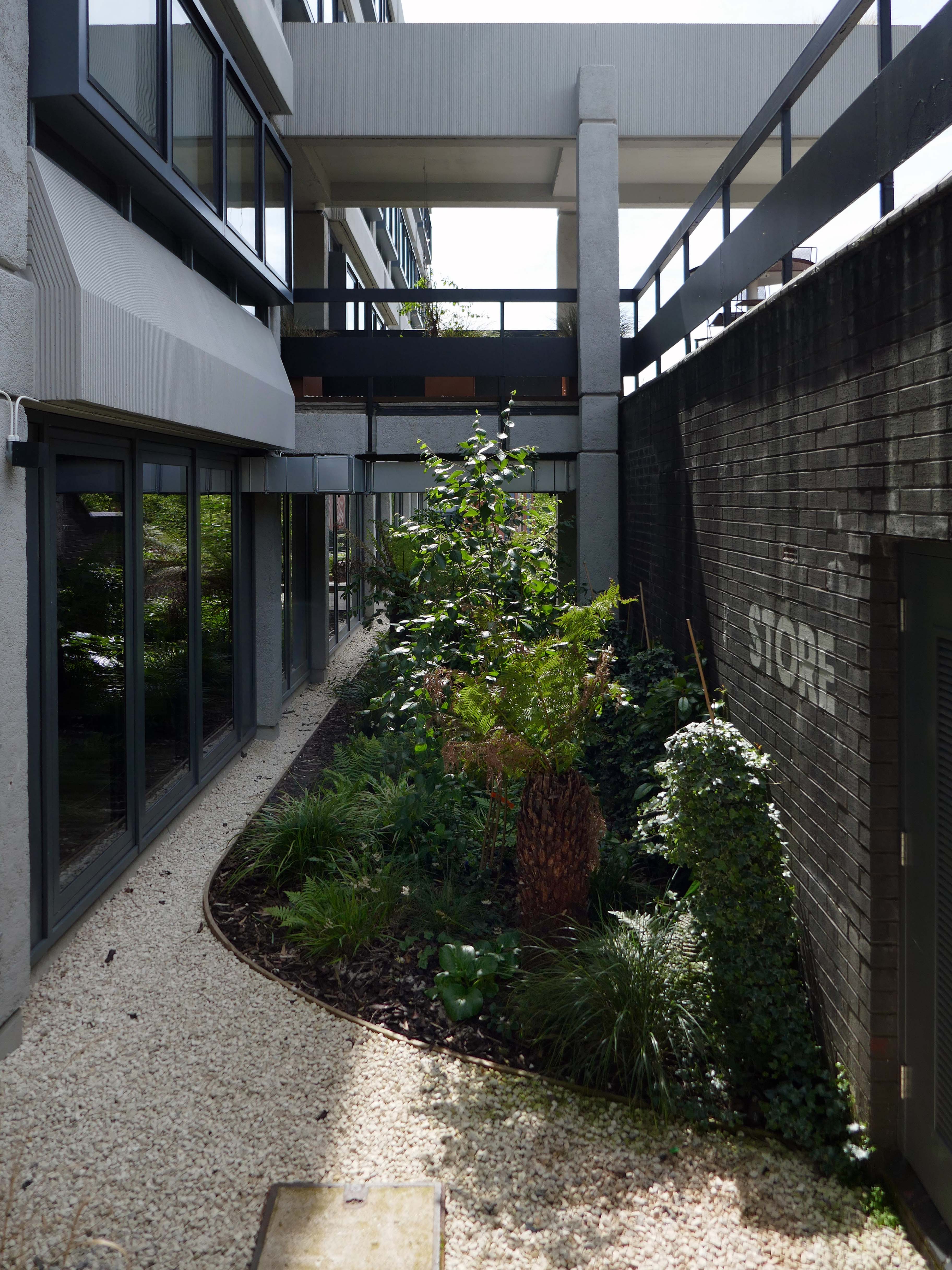
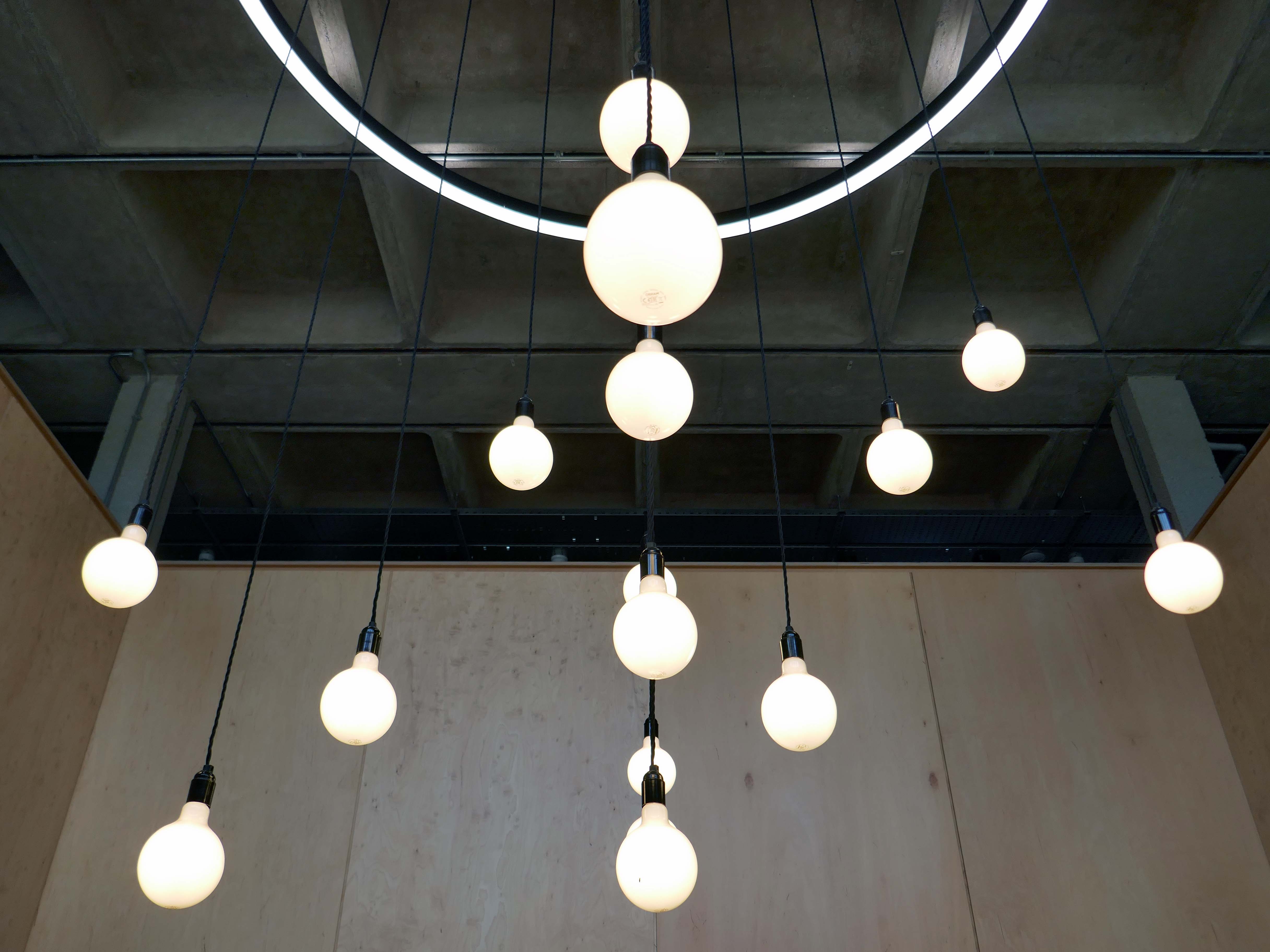
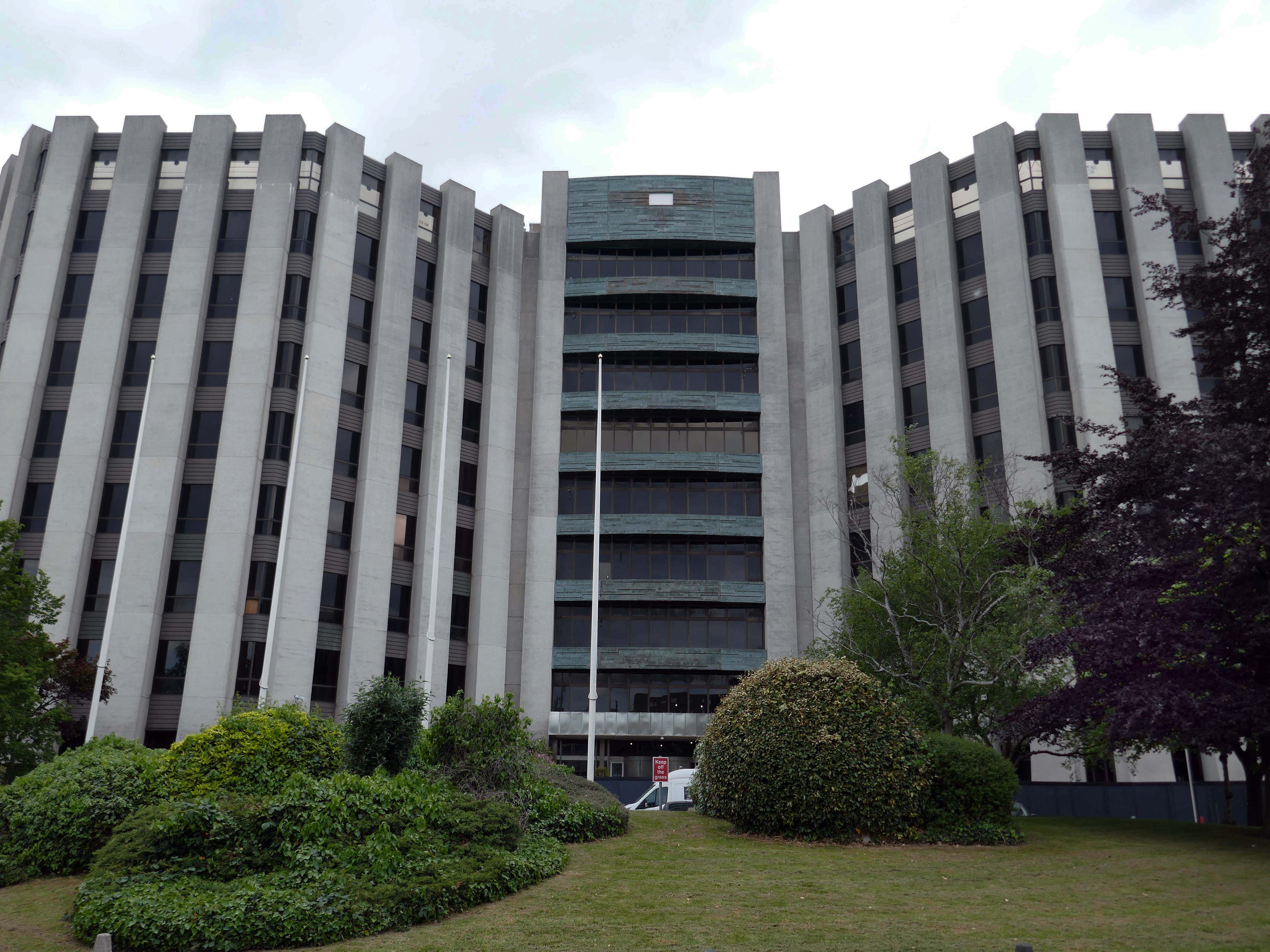
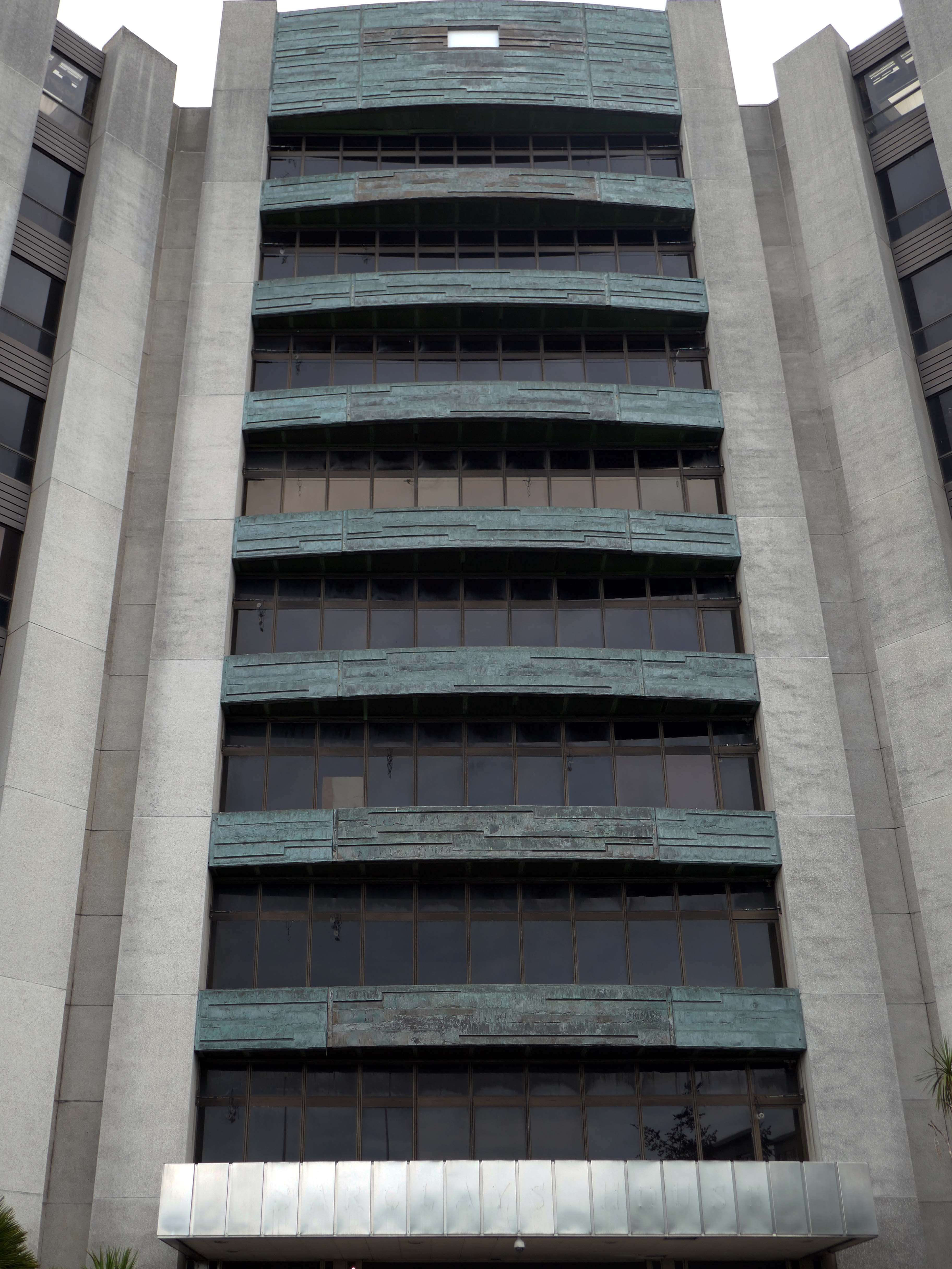
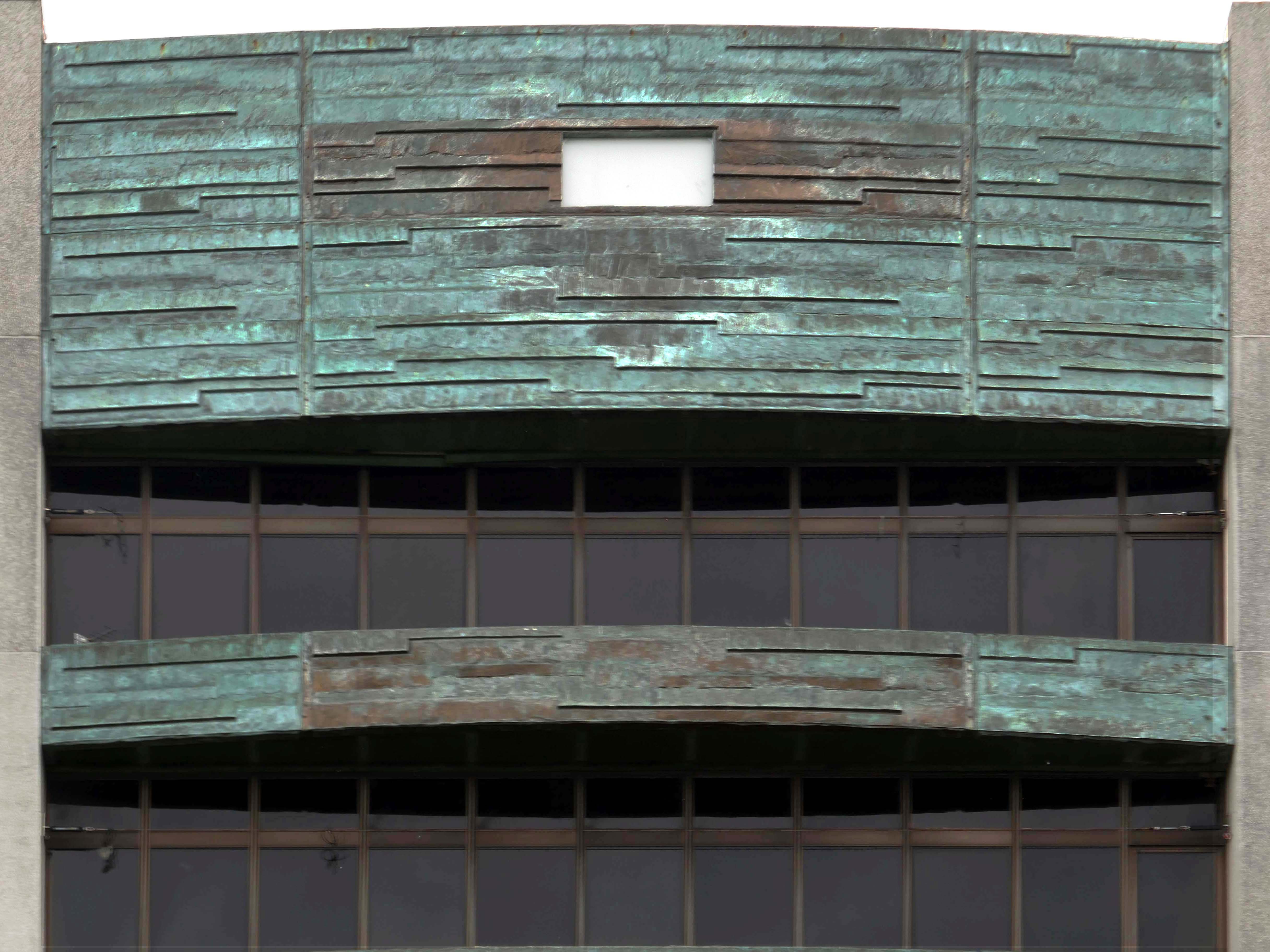
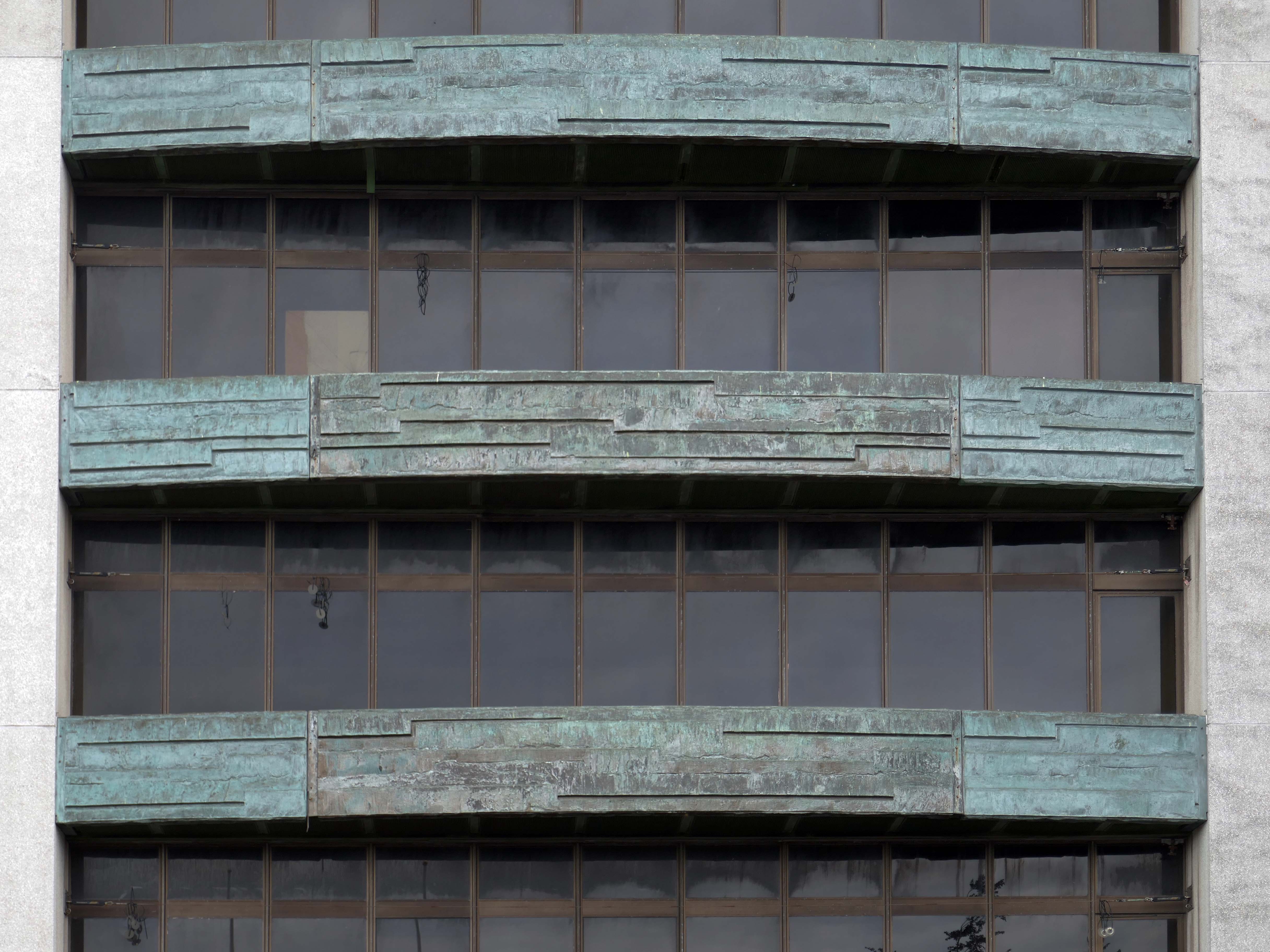
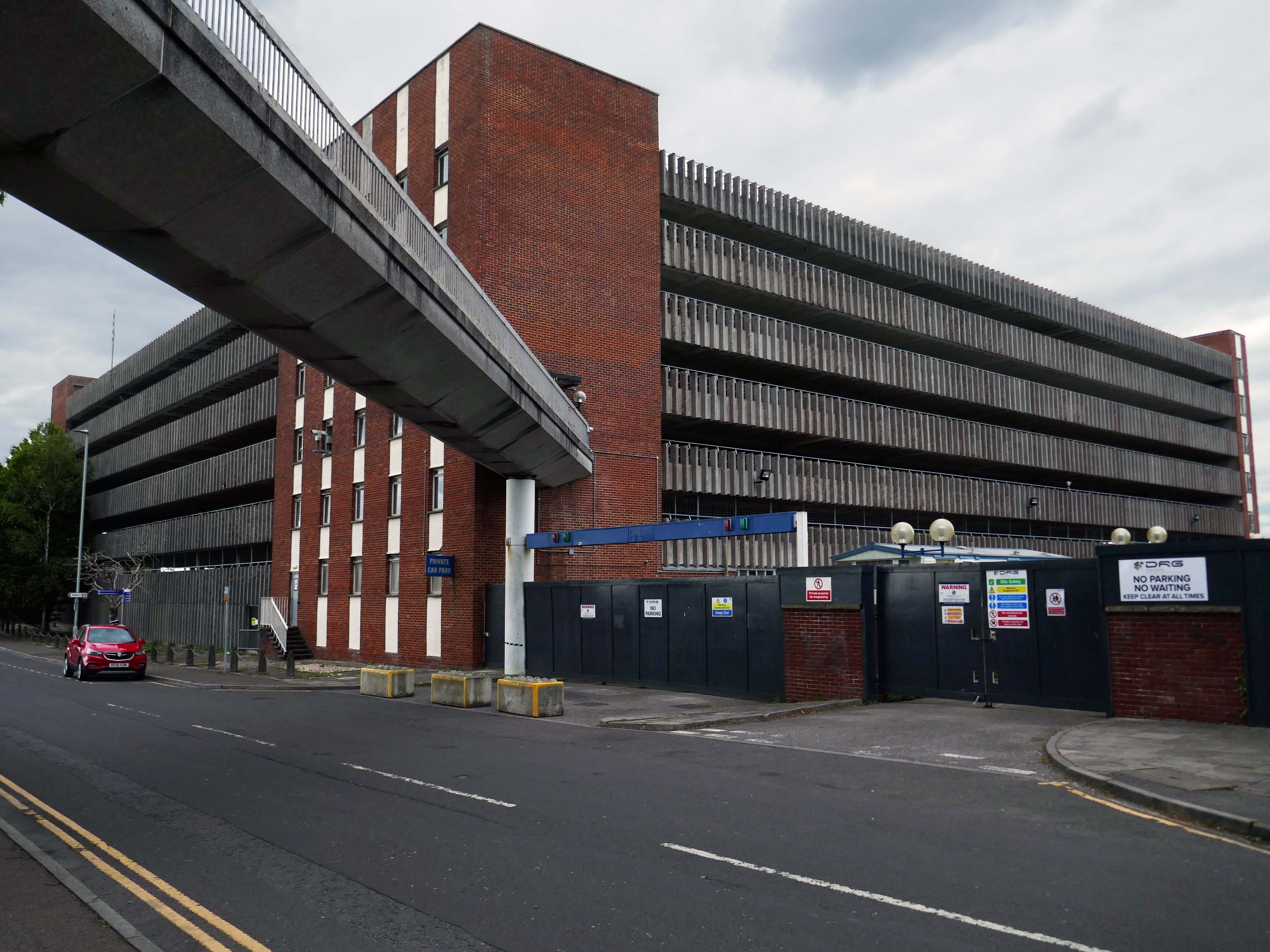
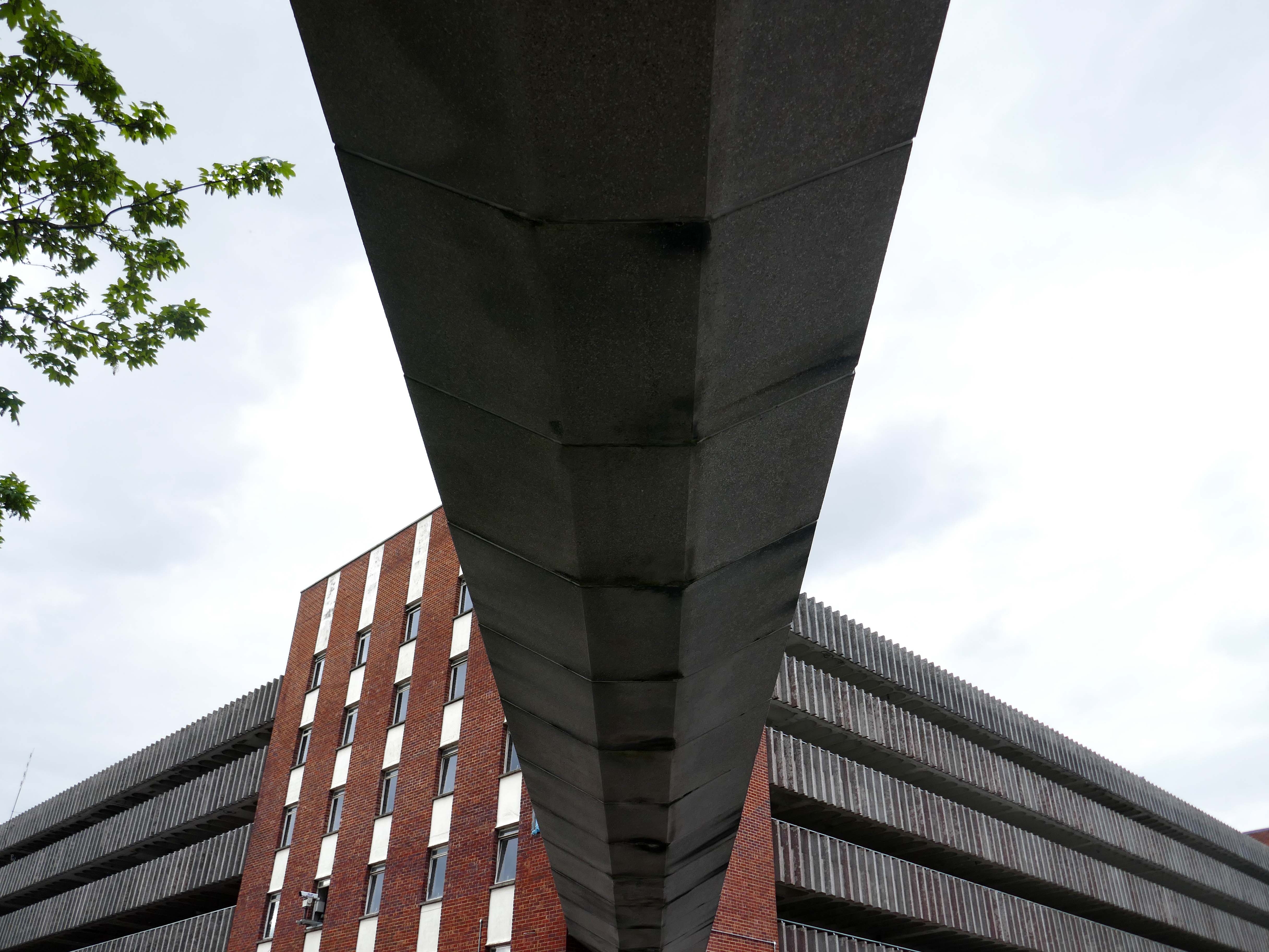
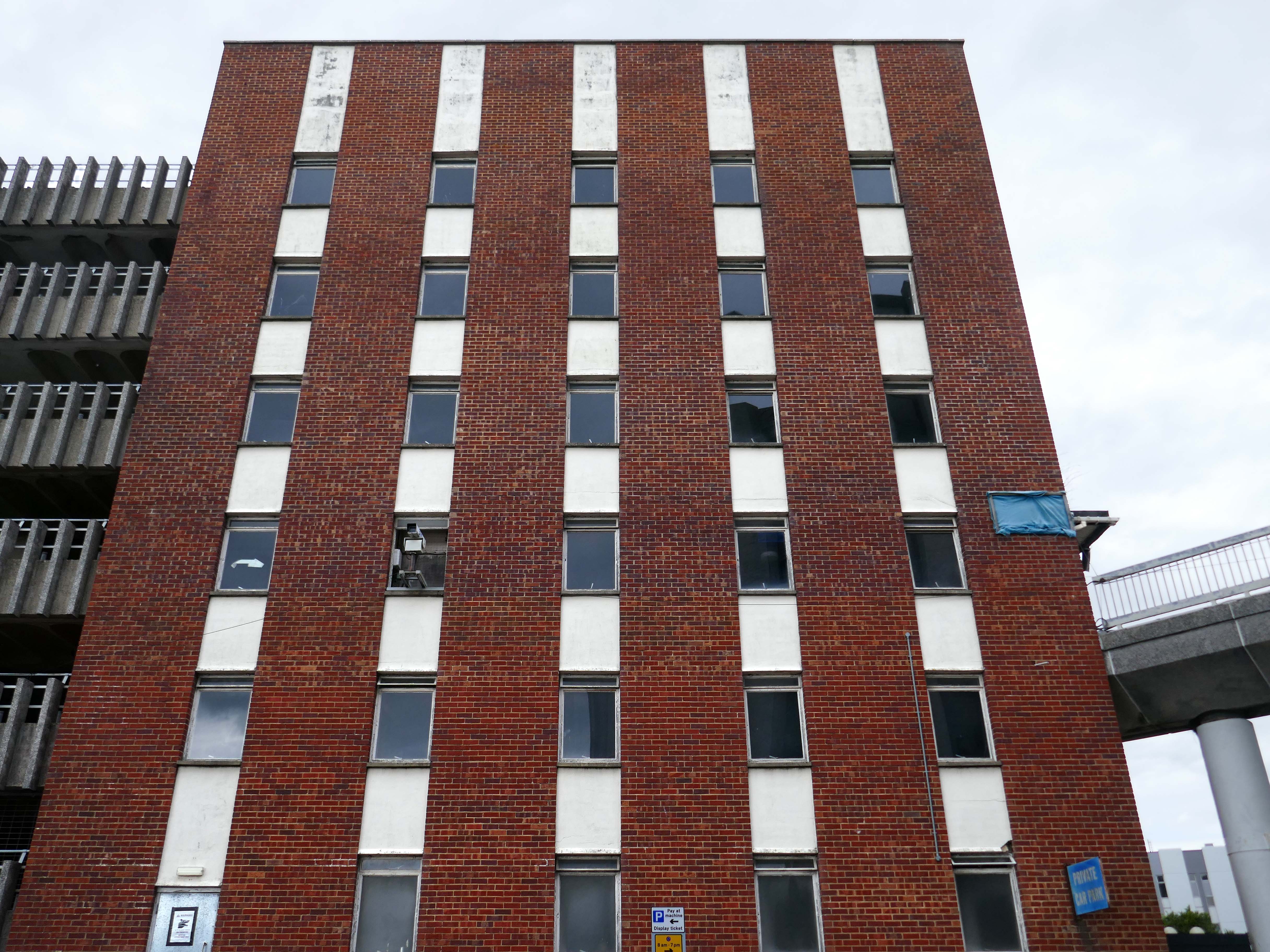
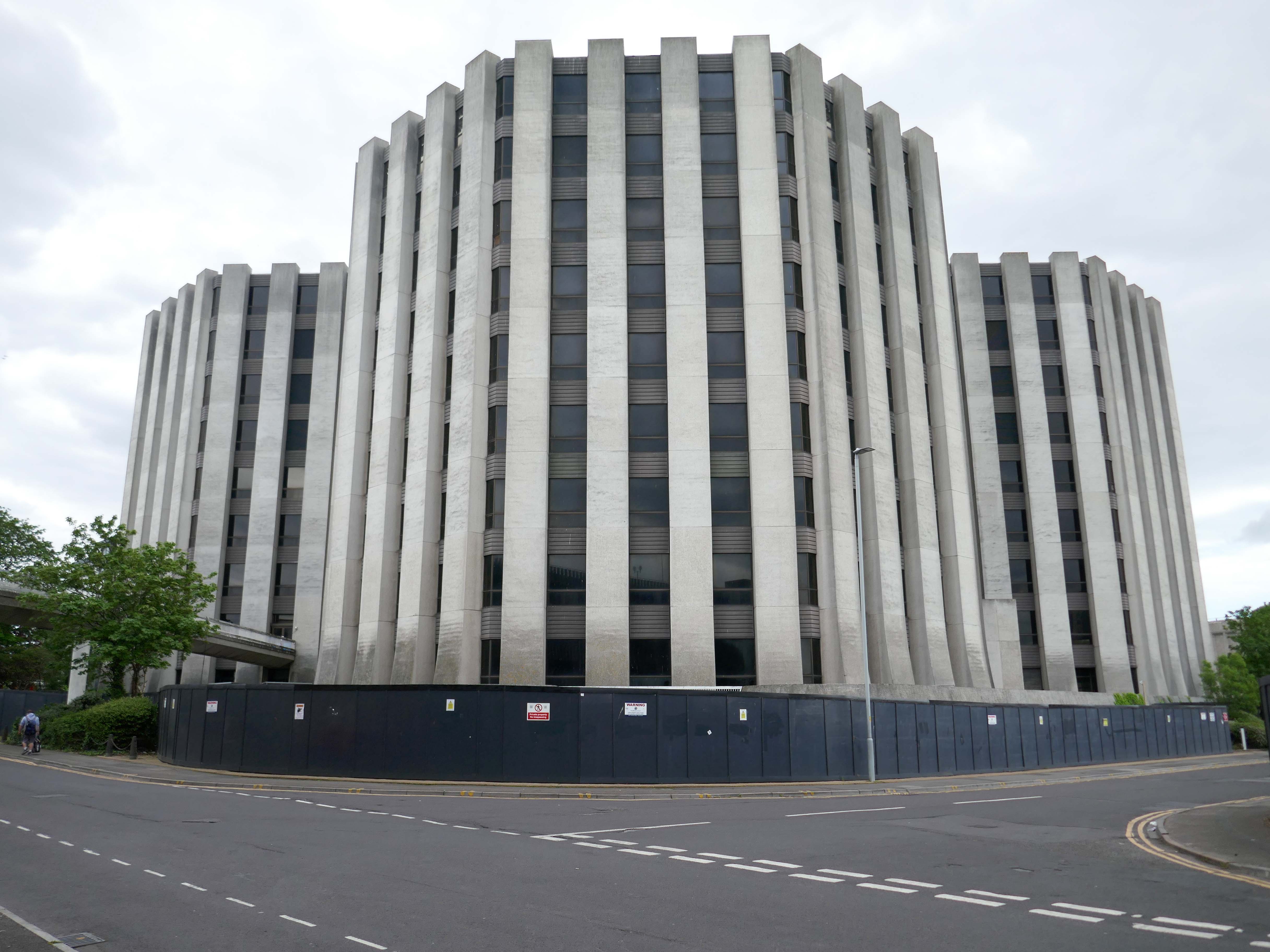
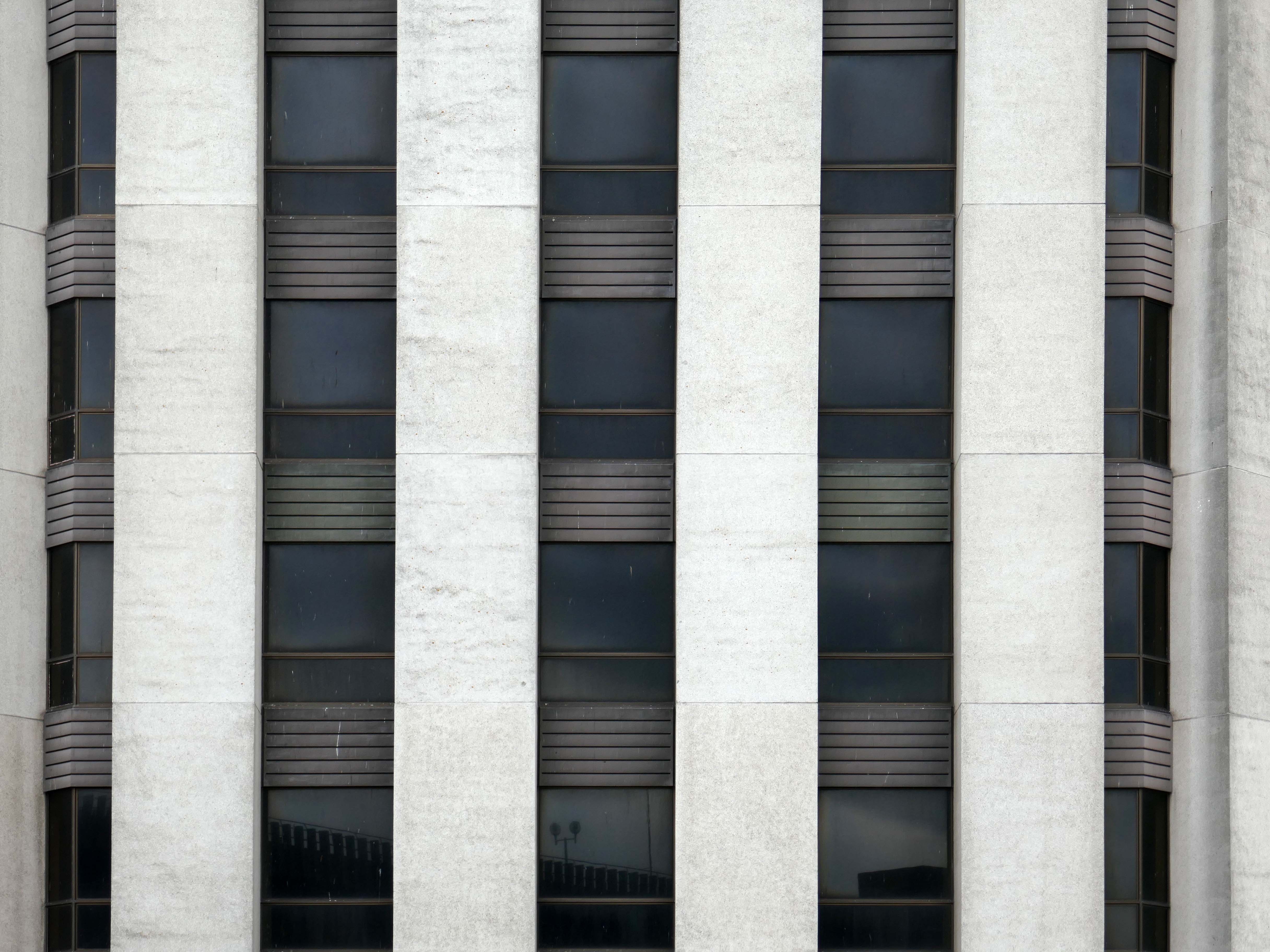
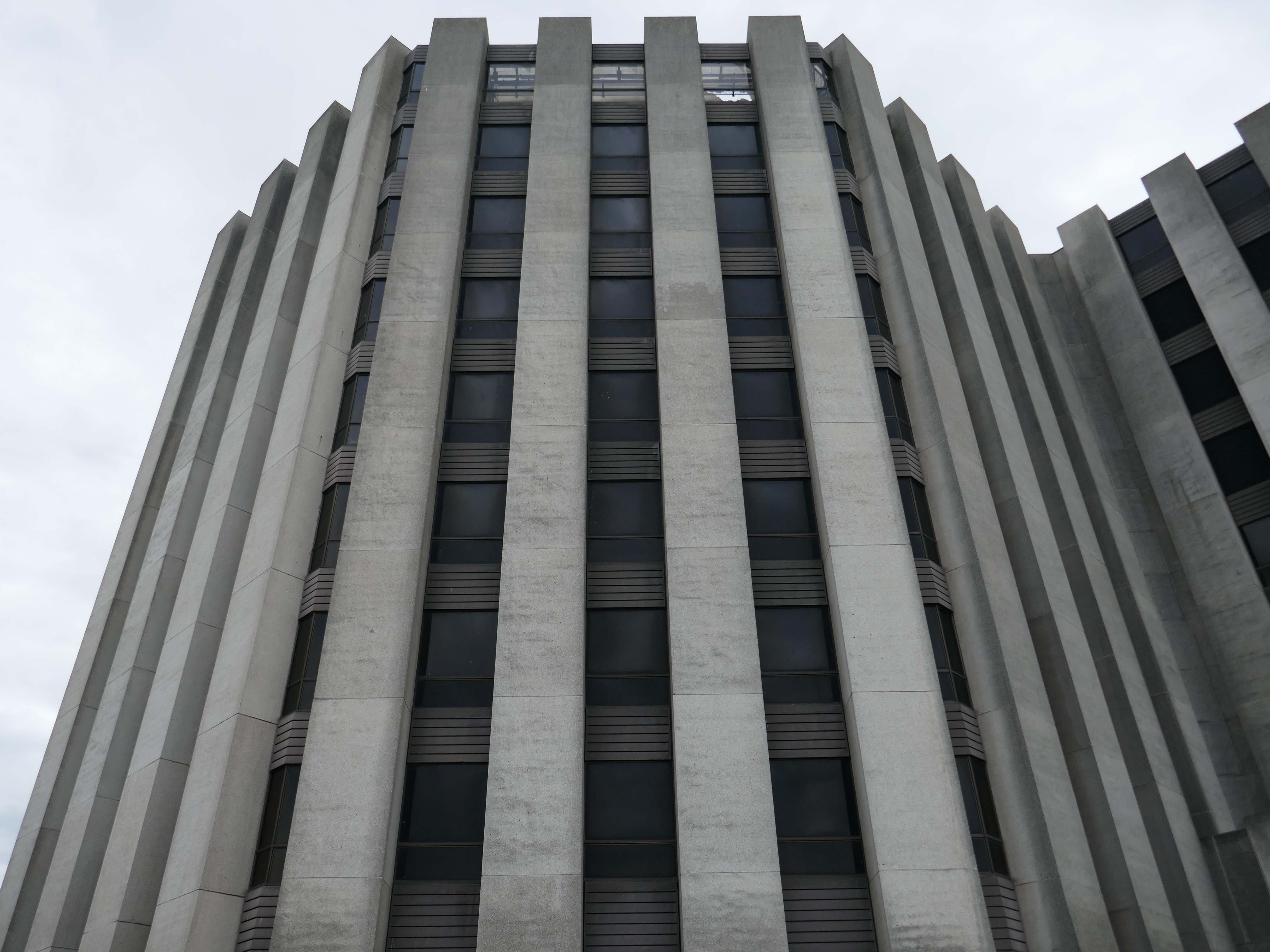
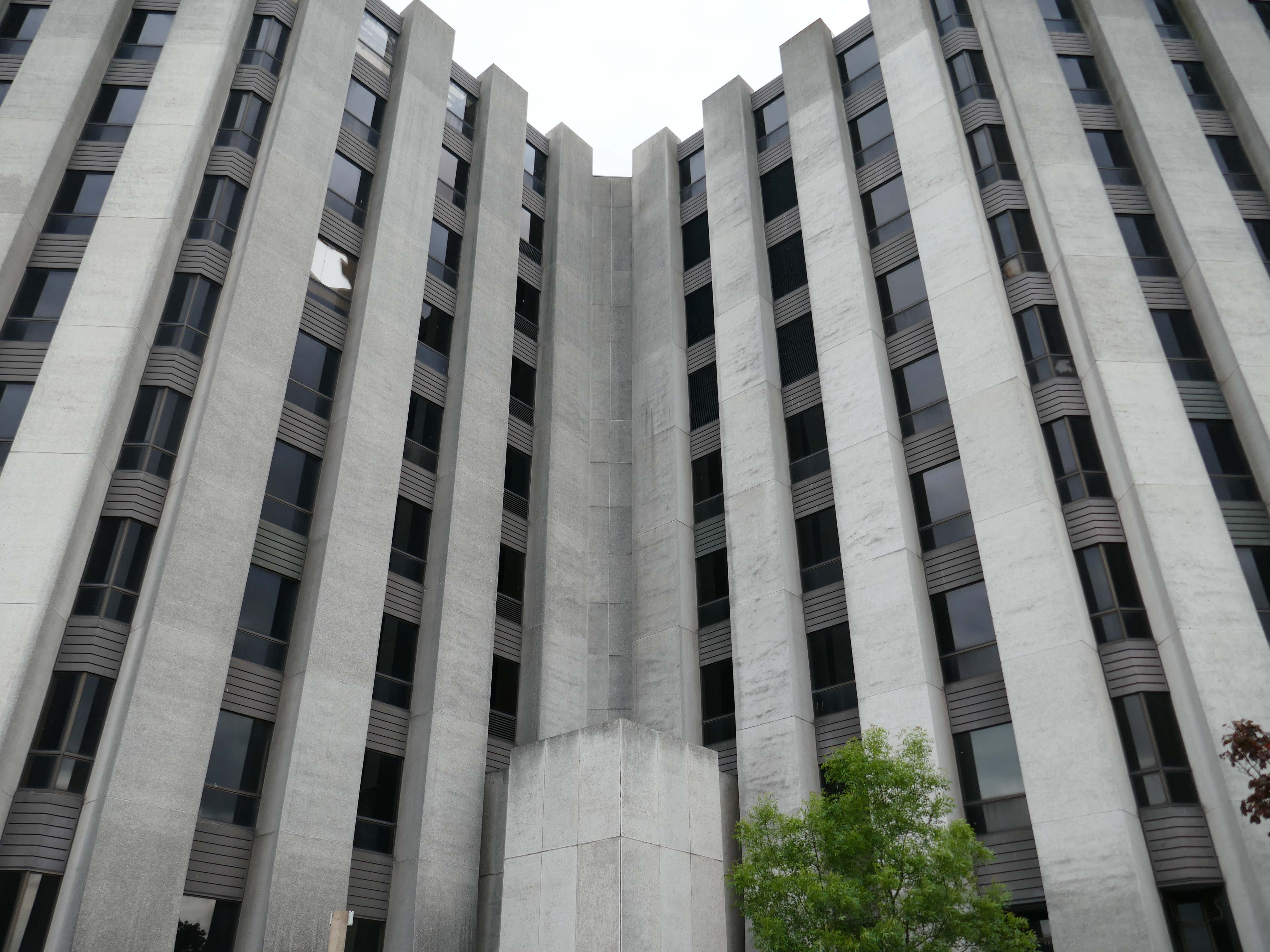
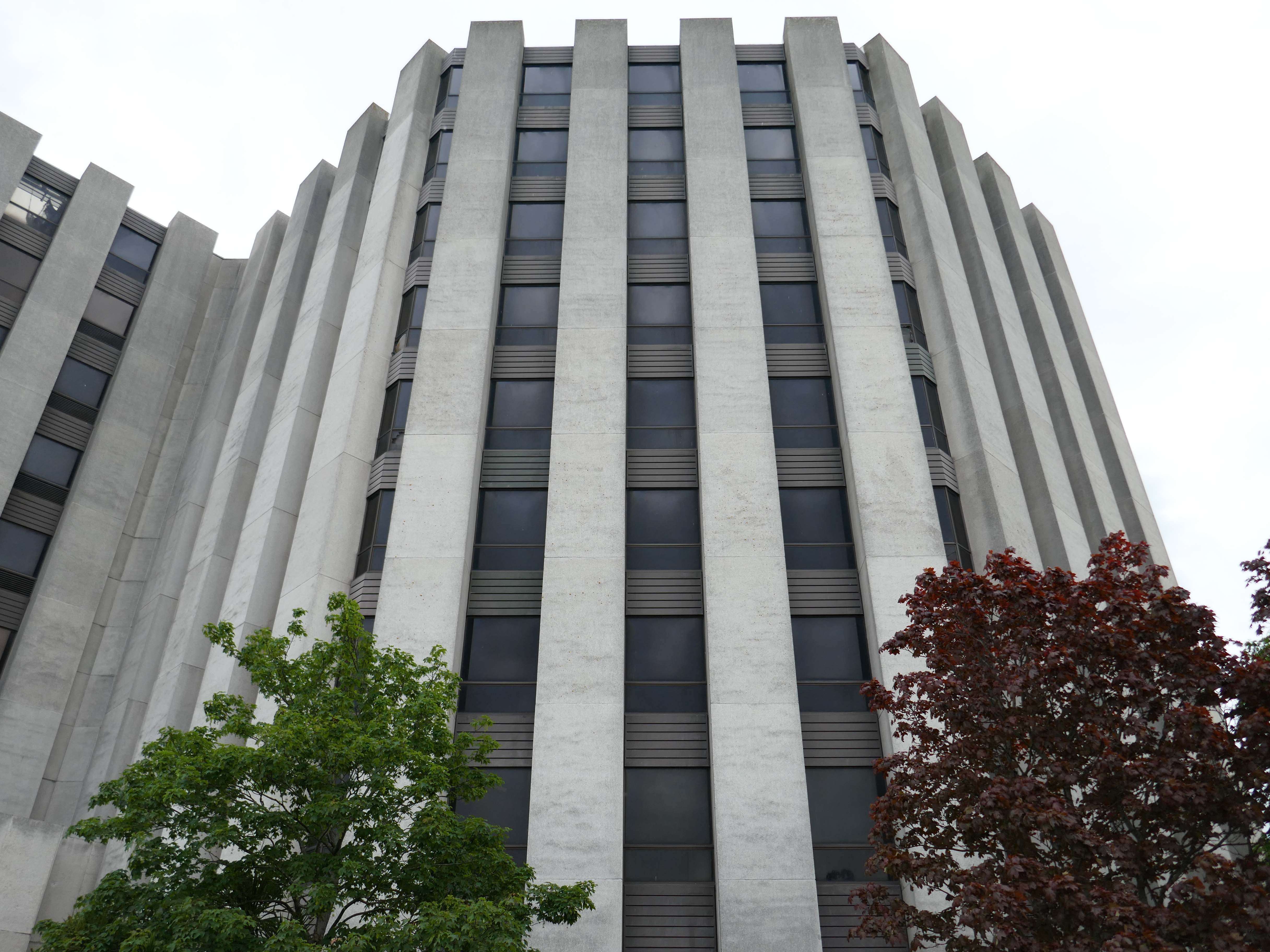
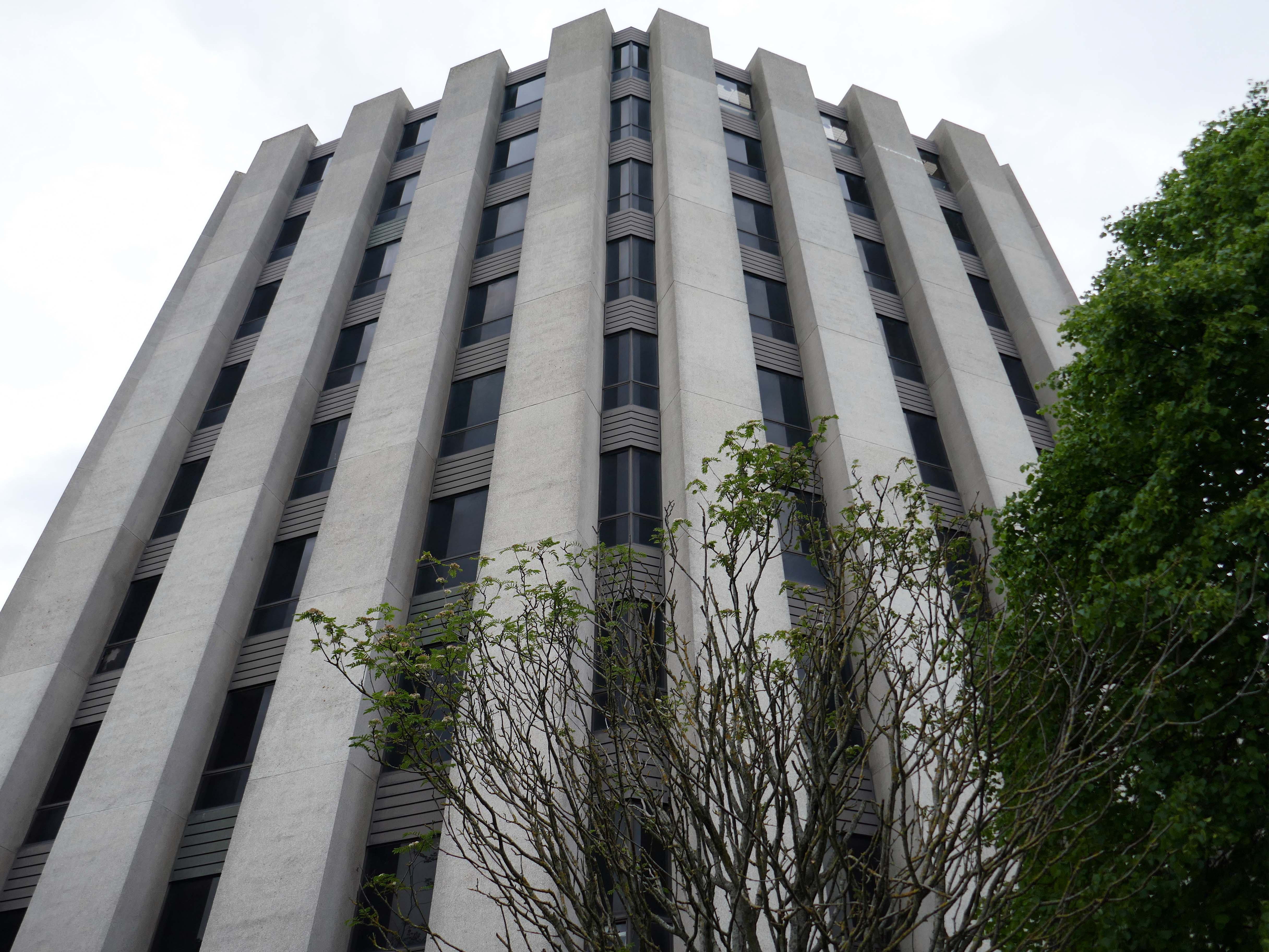
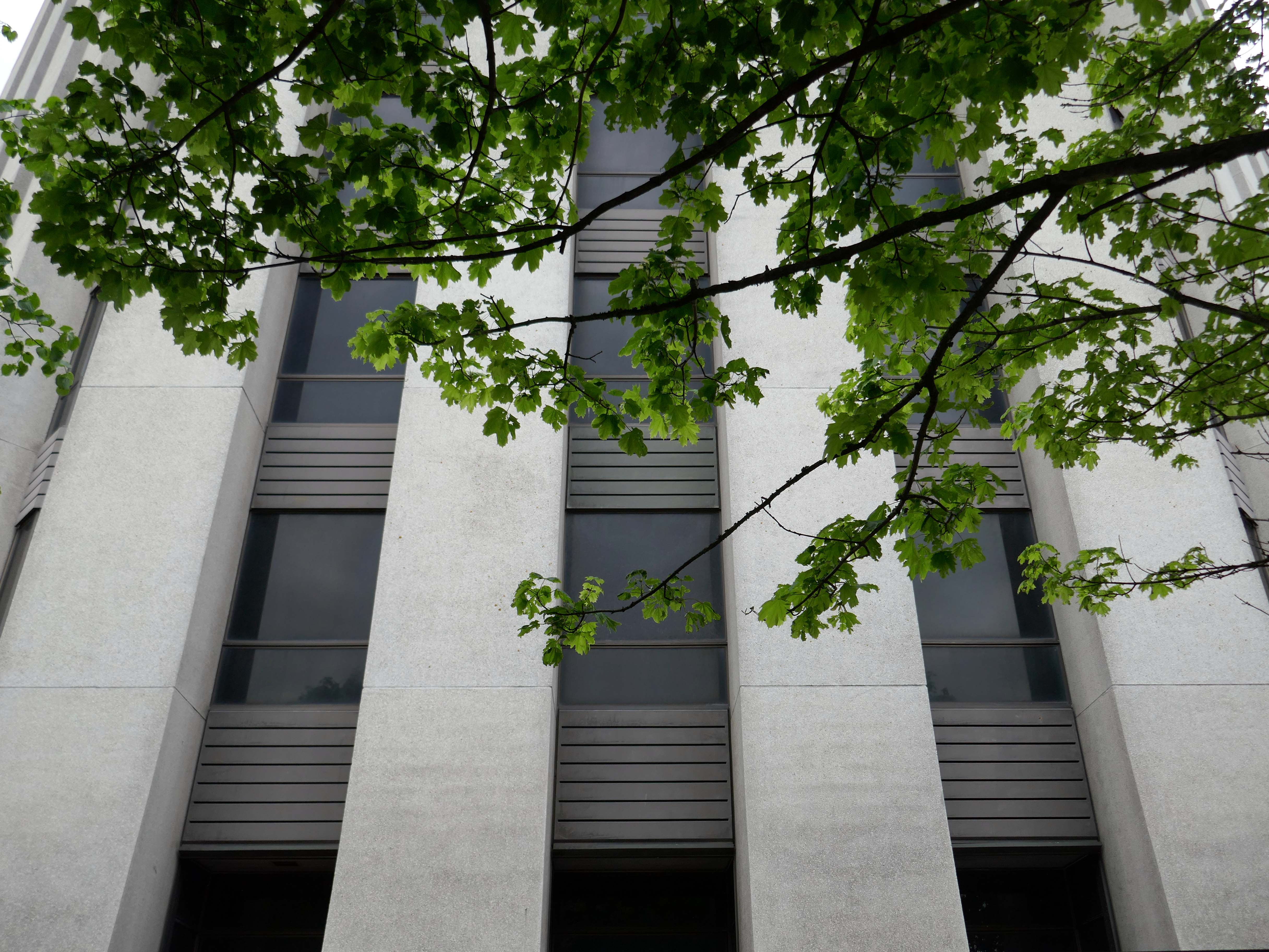
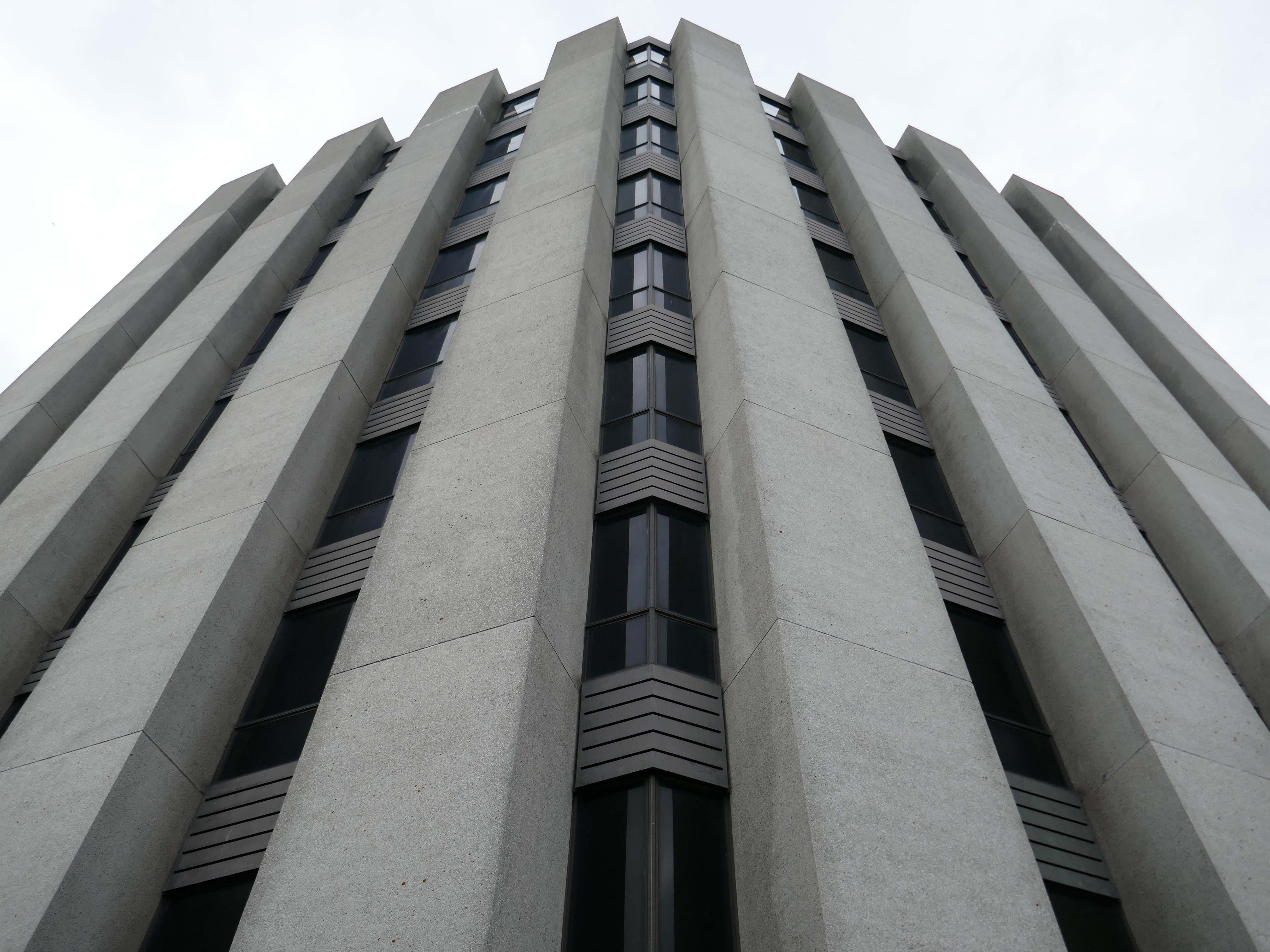
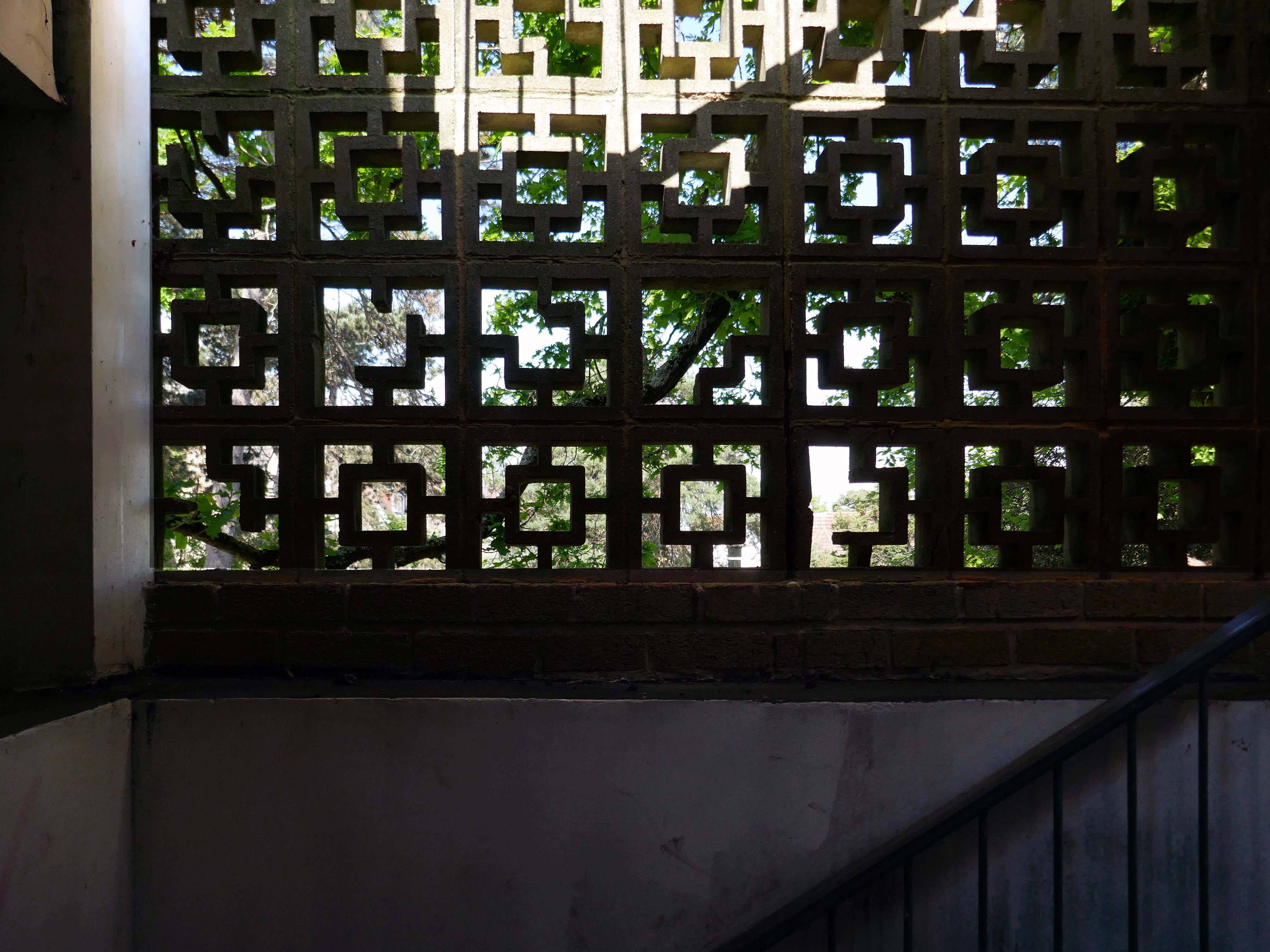
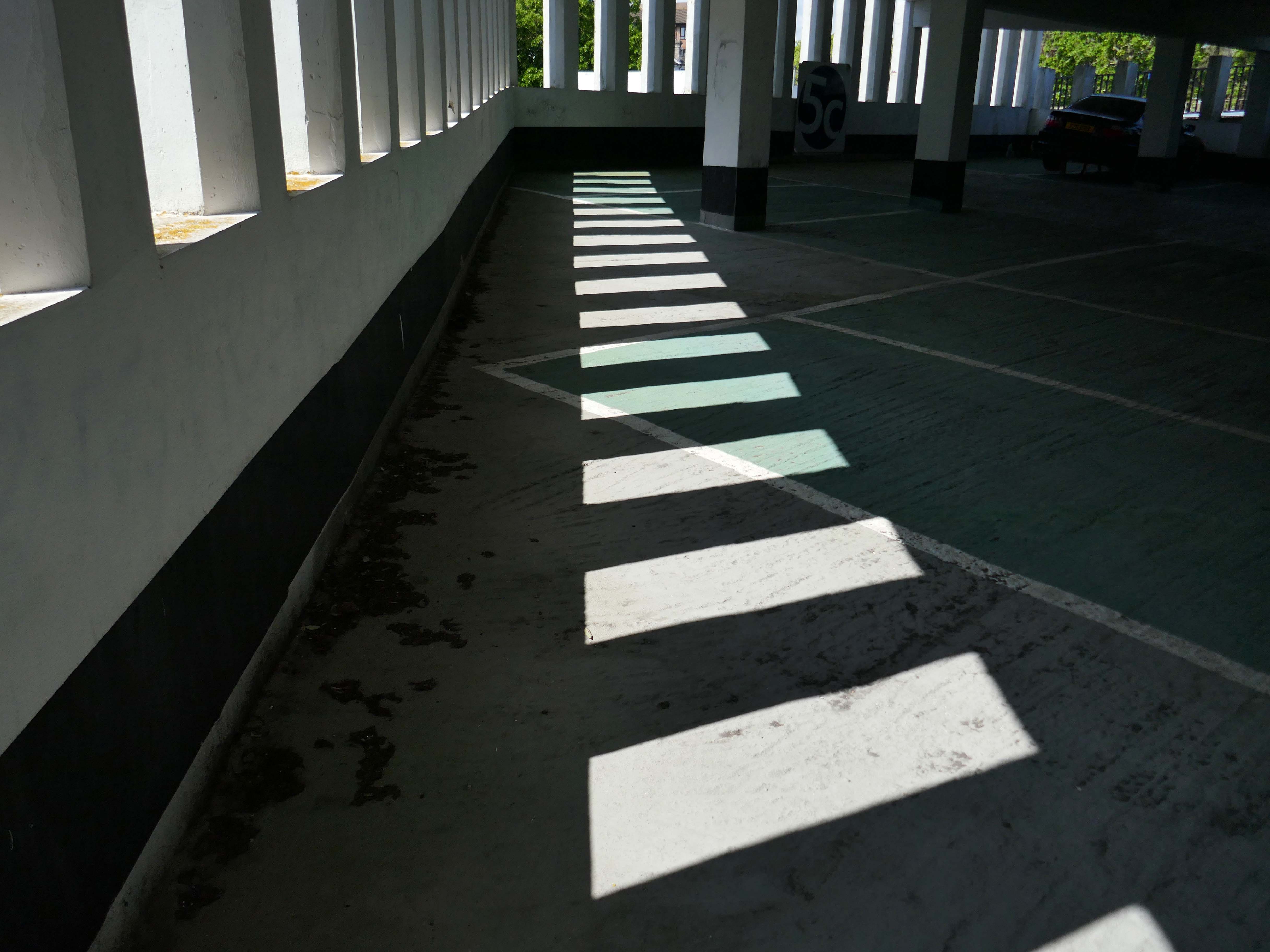
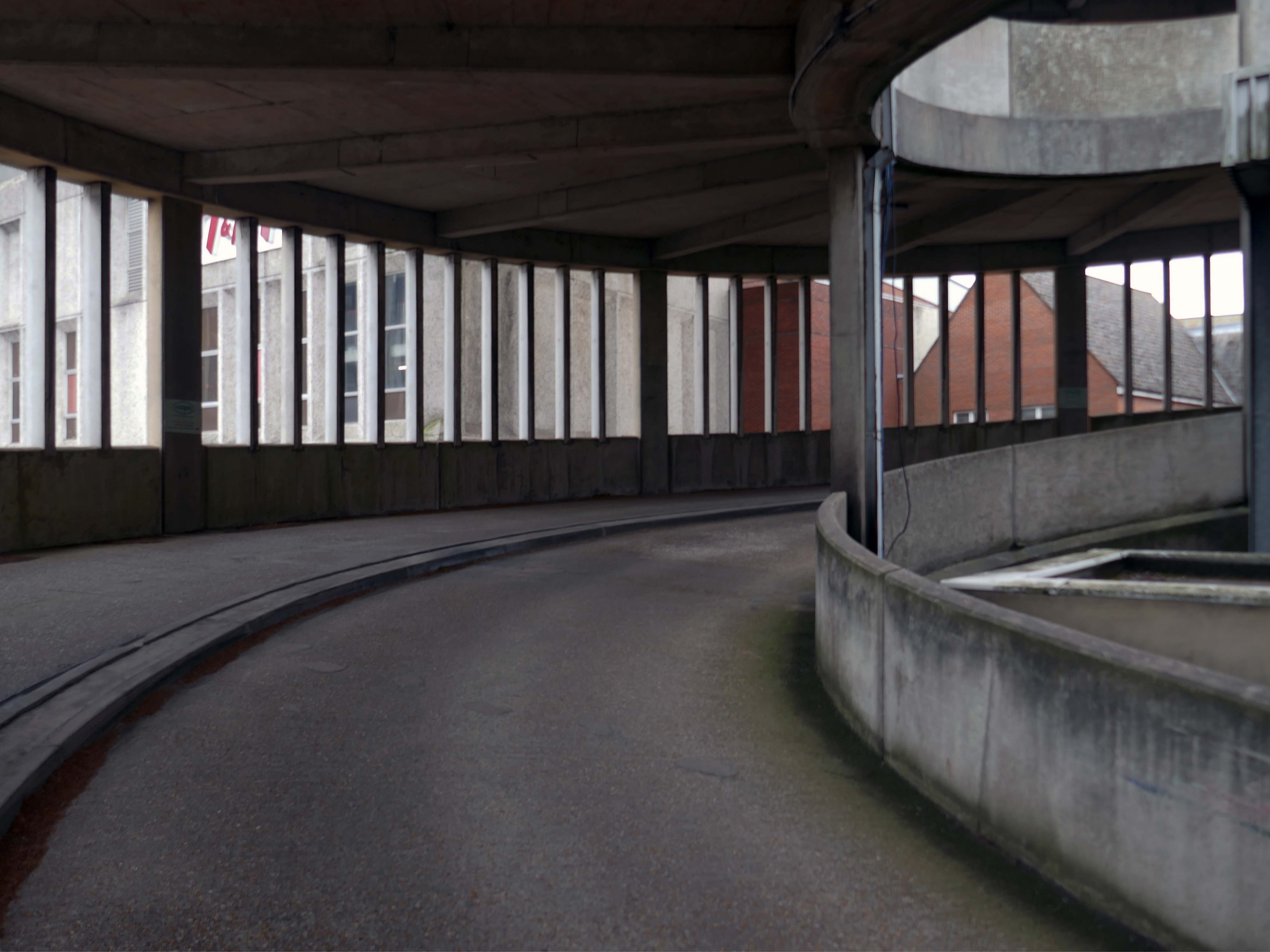
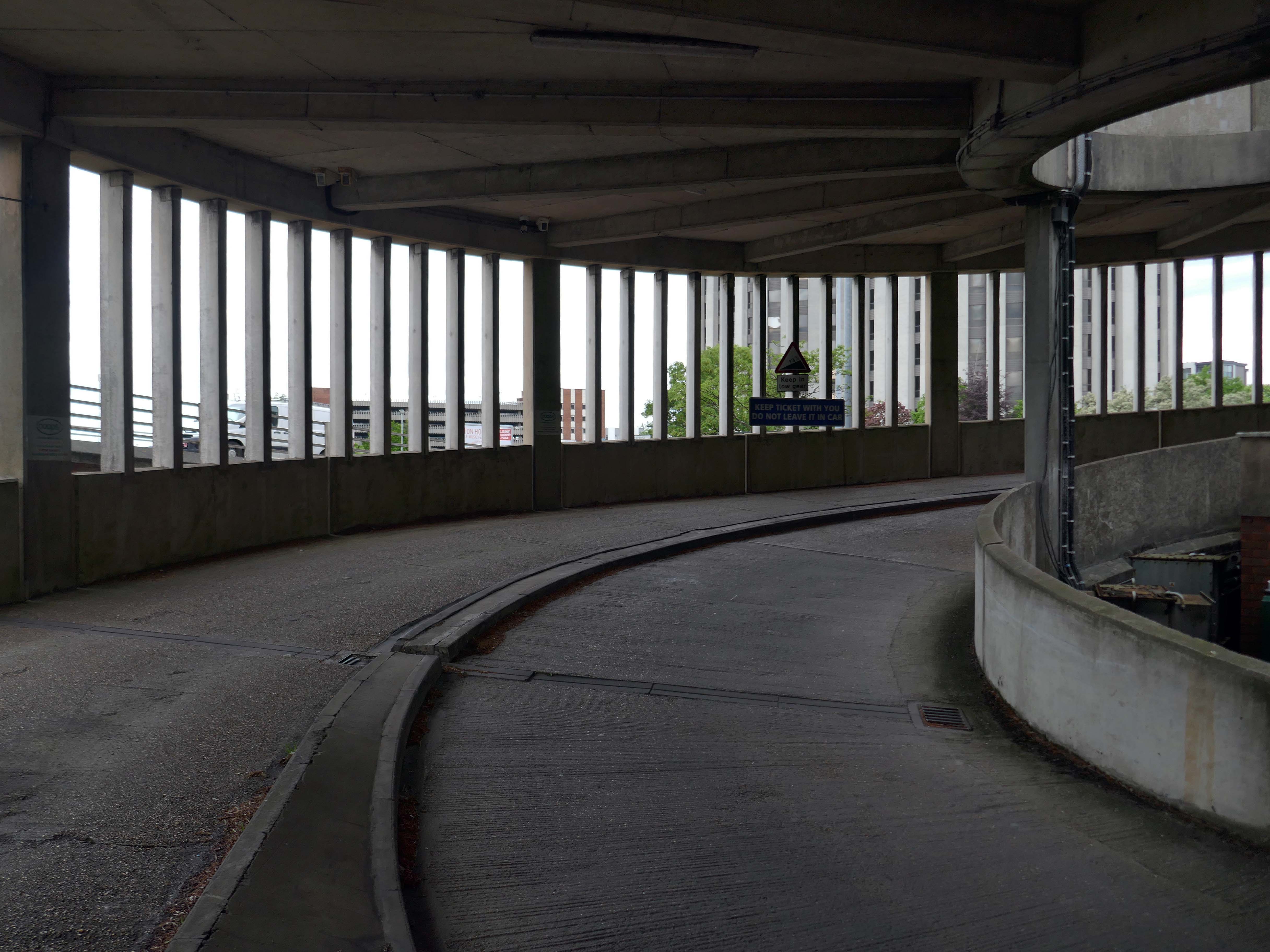
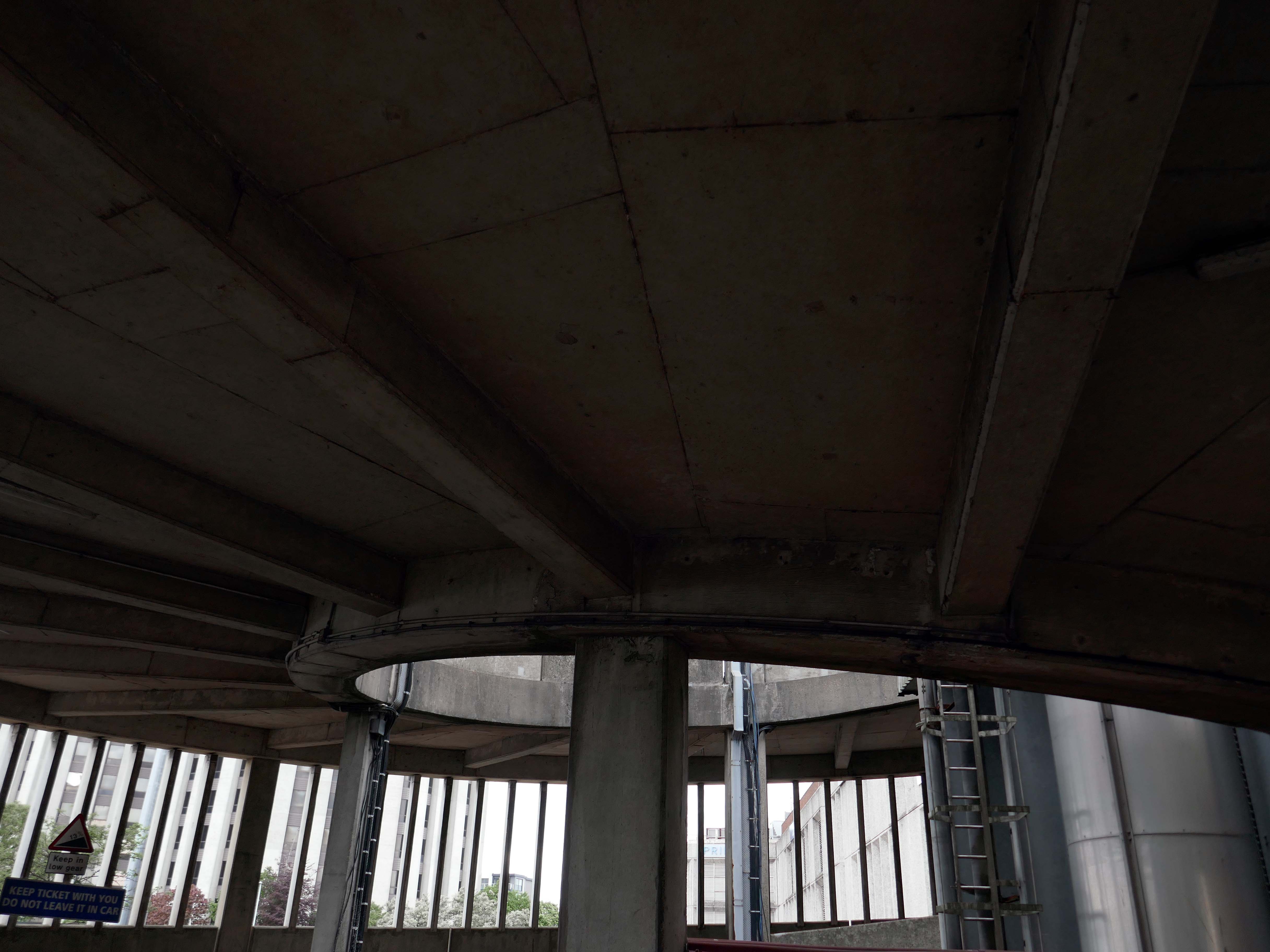
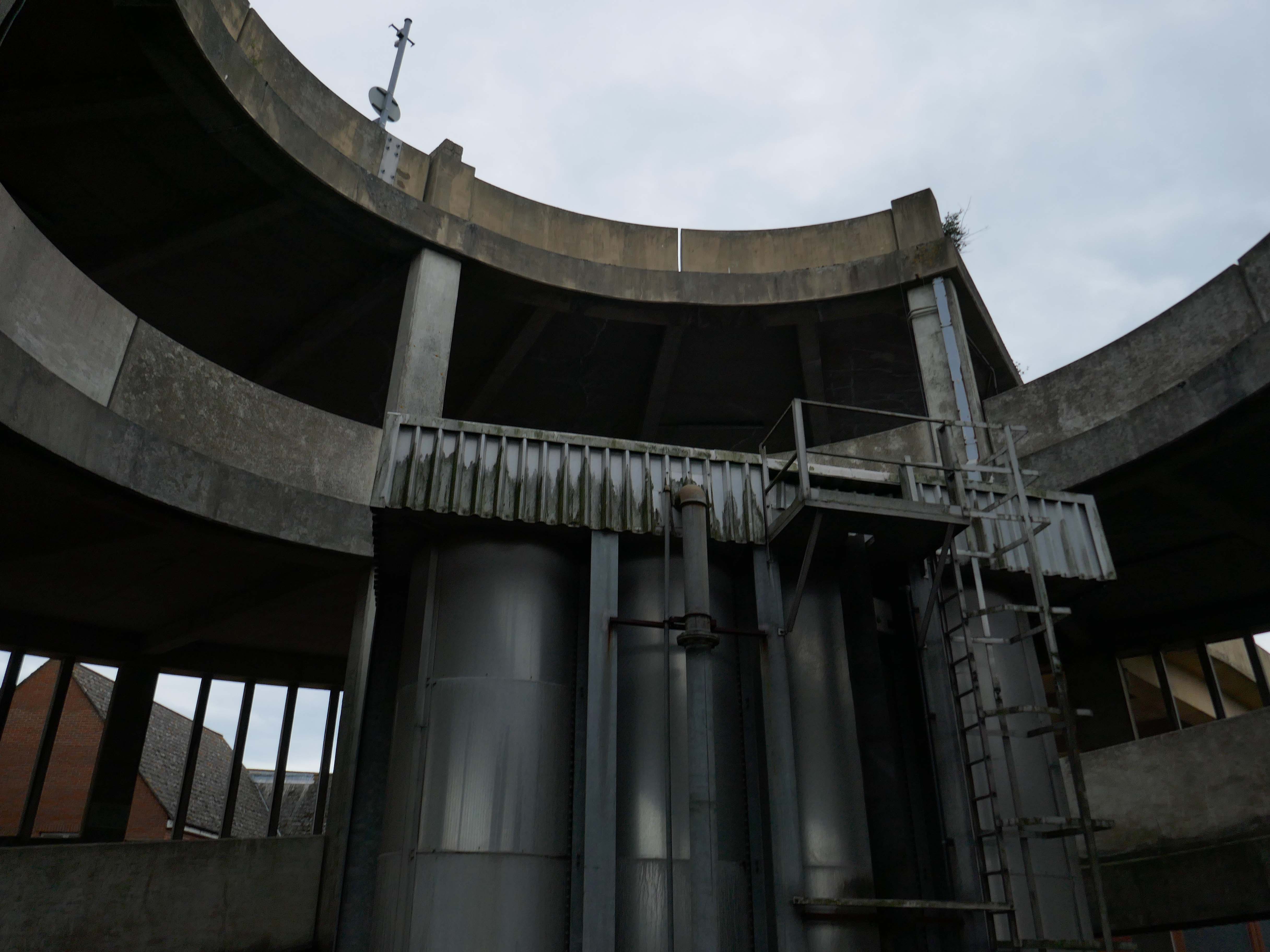
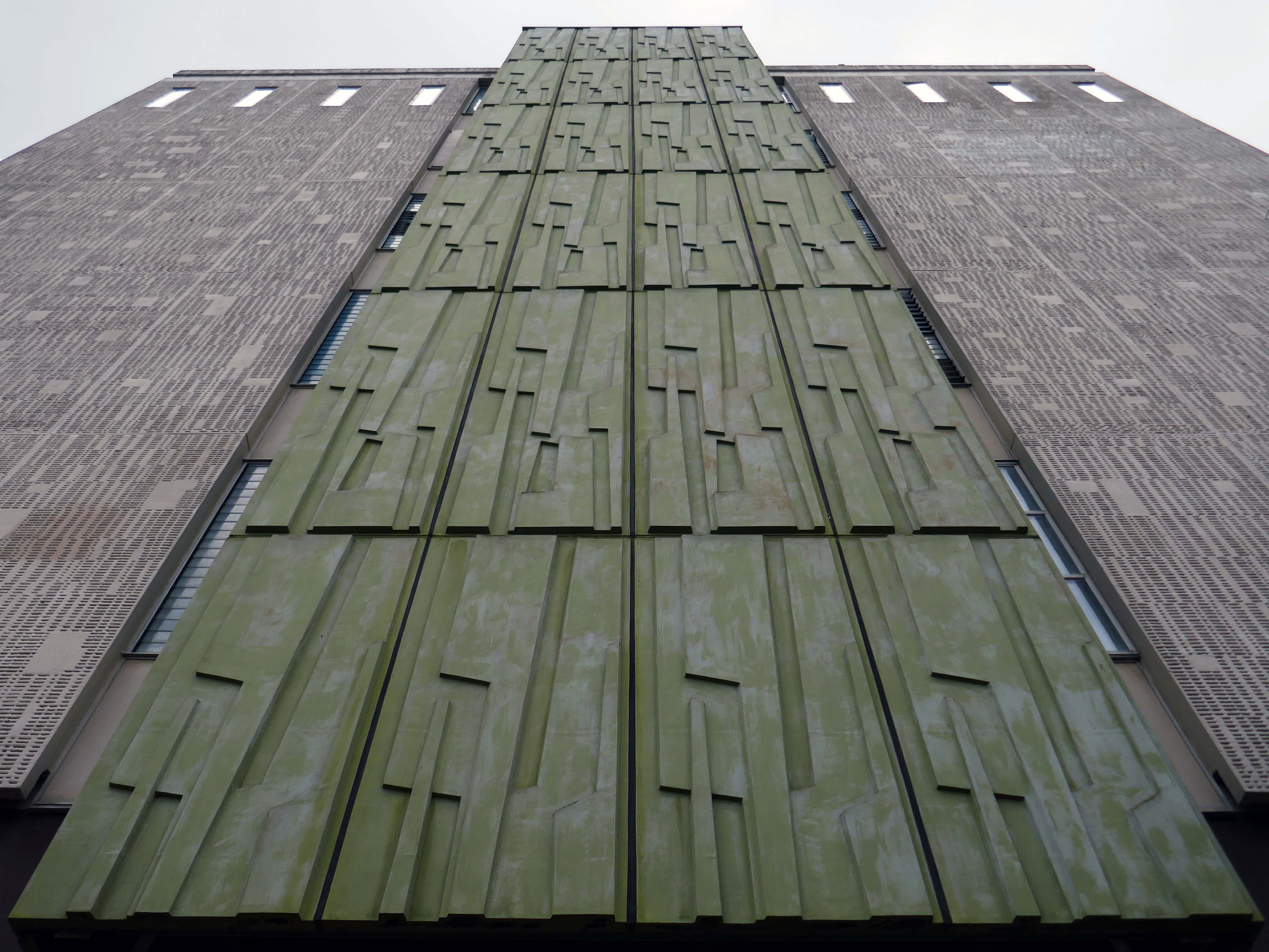
The original buildings of the College were designed by William Butterfield 1814-1900. Although the darling of the Tractarian movement, Butterfield was a controversial choice, as his style – a form of High Victorian Gothic had long provoked argument in Oxford. The original Gothic revival of the 1840s was purely imitative, seeking to blend new buildings with the pre-existing architecture of the city. However, this did not satisfy Butterfield, who “sought a new form of Gothic which would both convey eternal truths and would express the spirit of the age”.
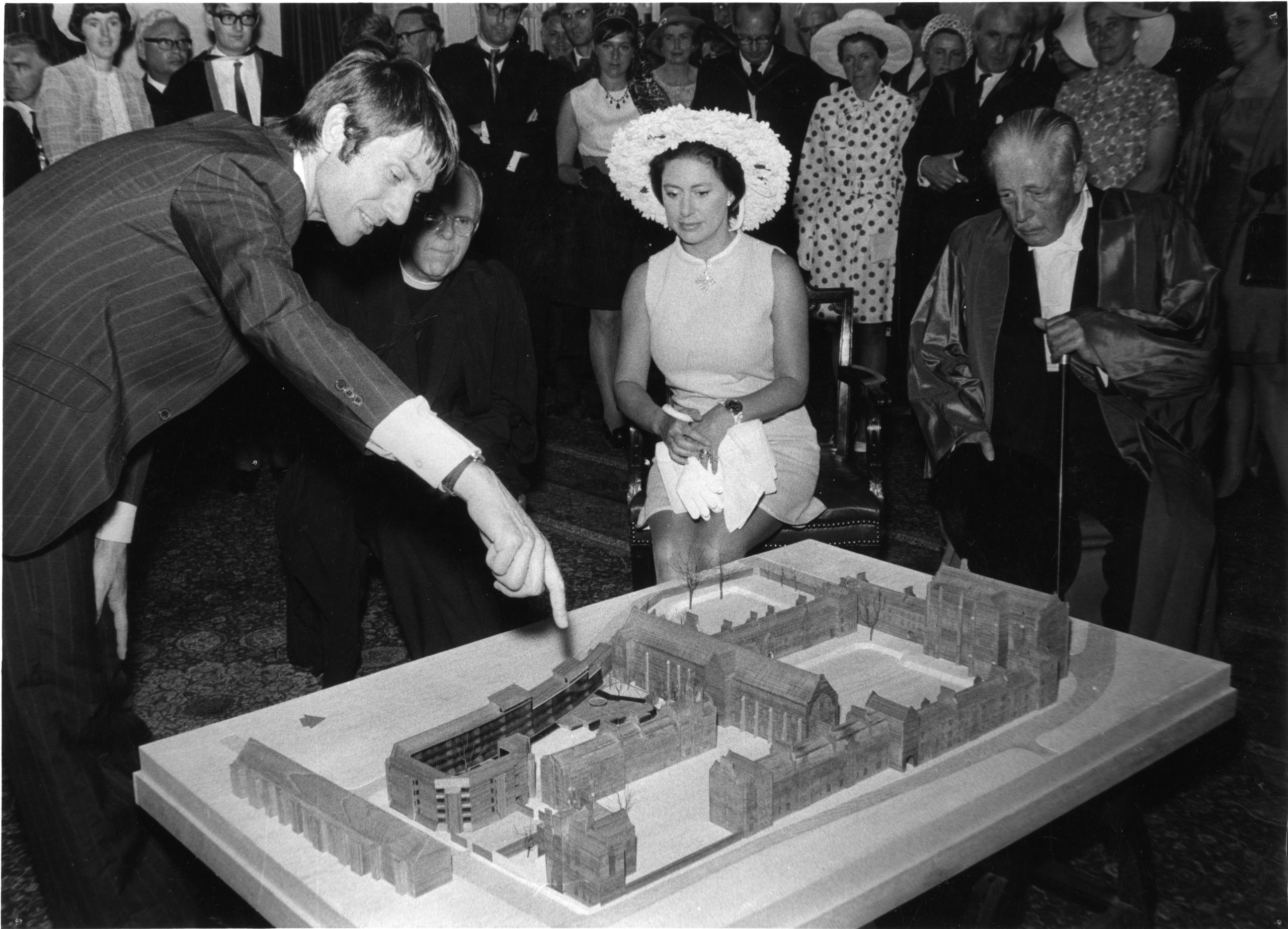
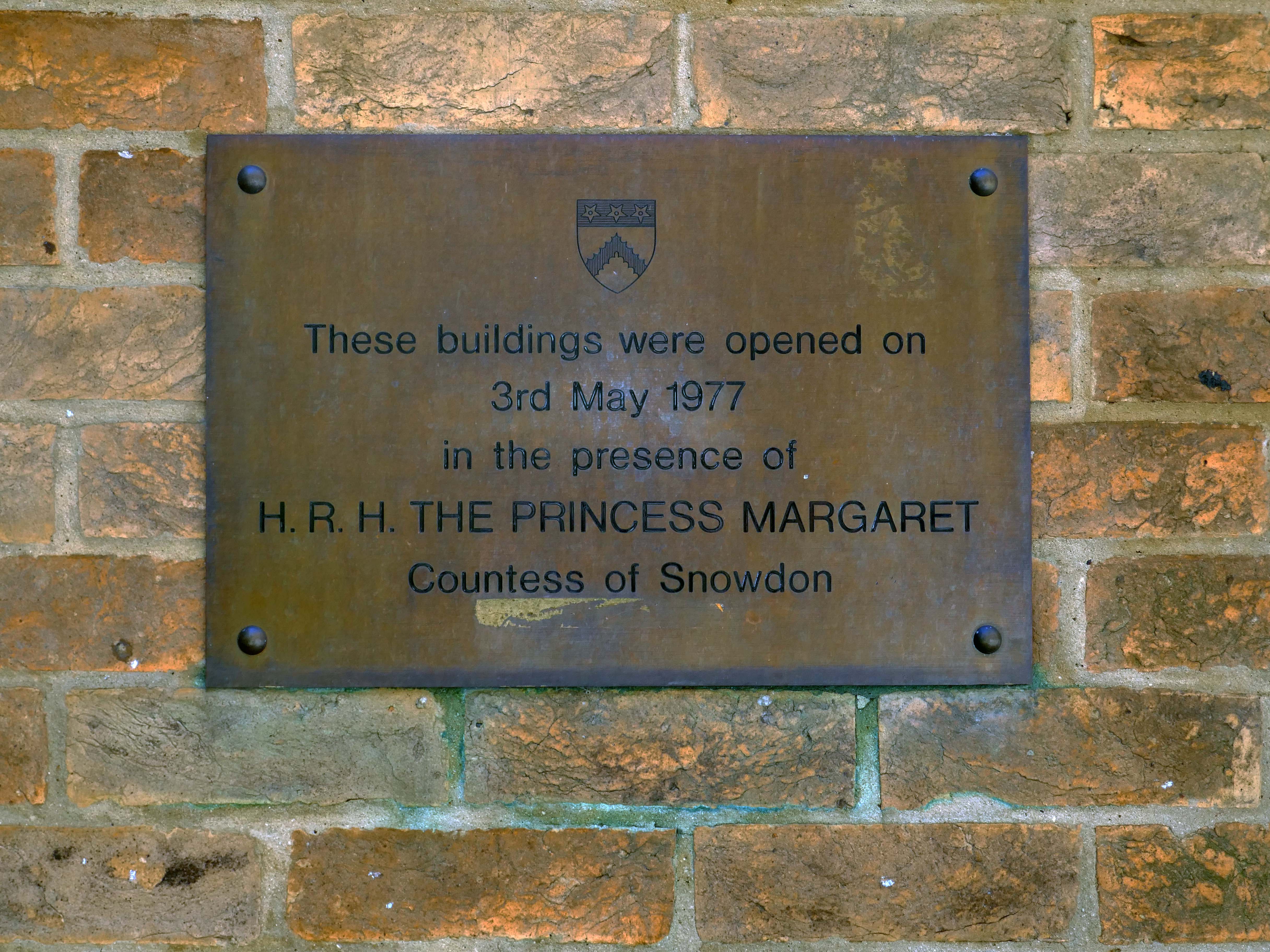
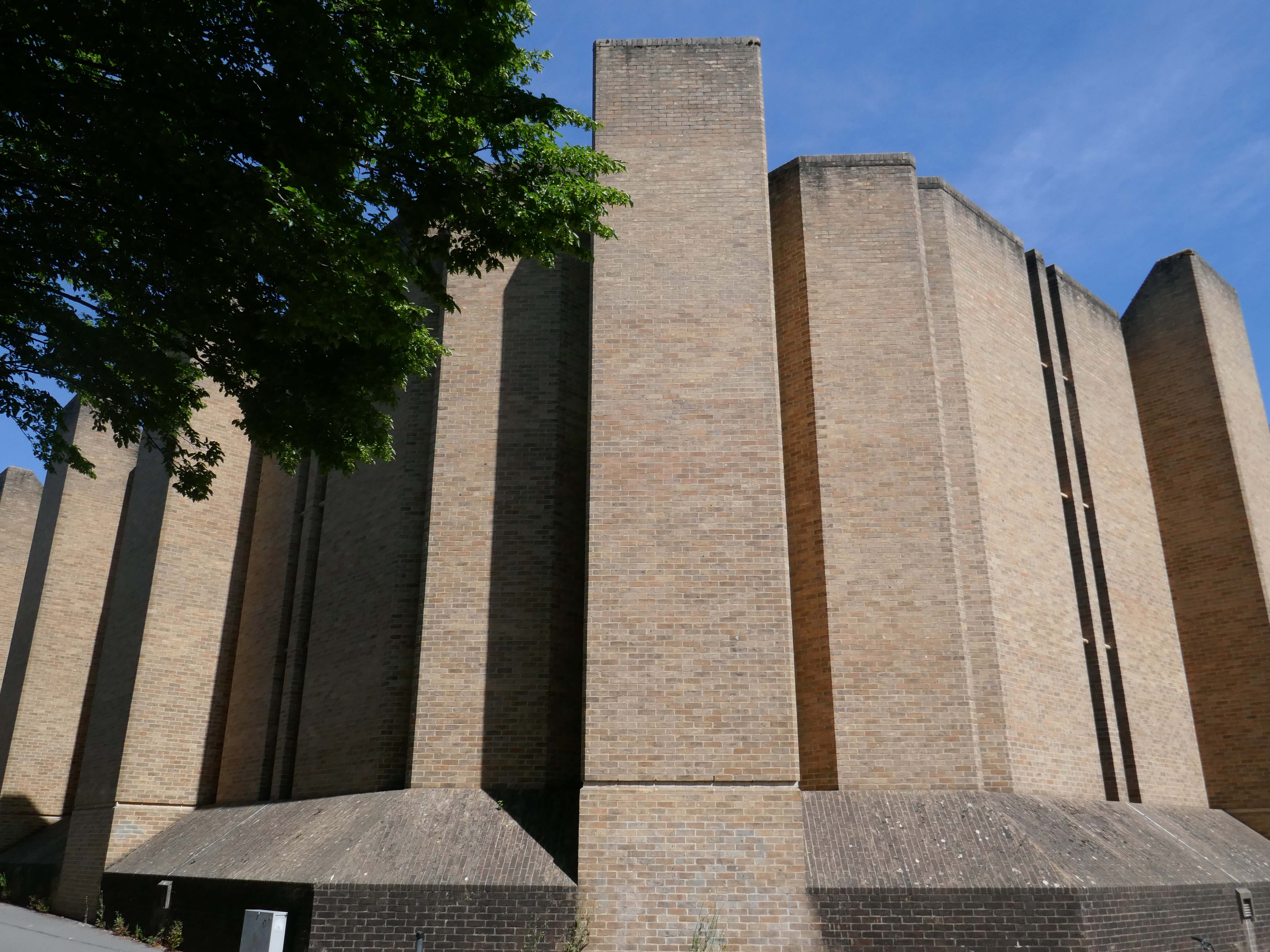
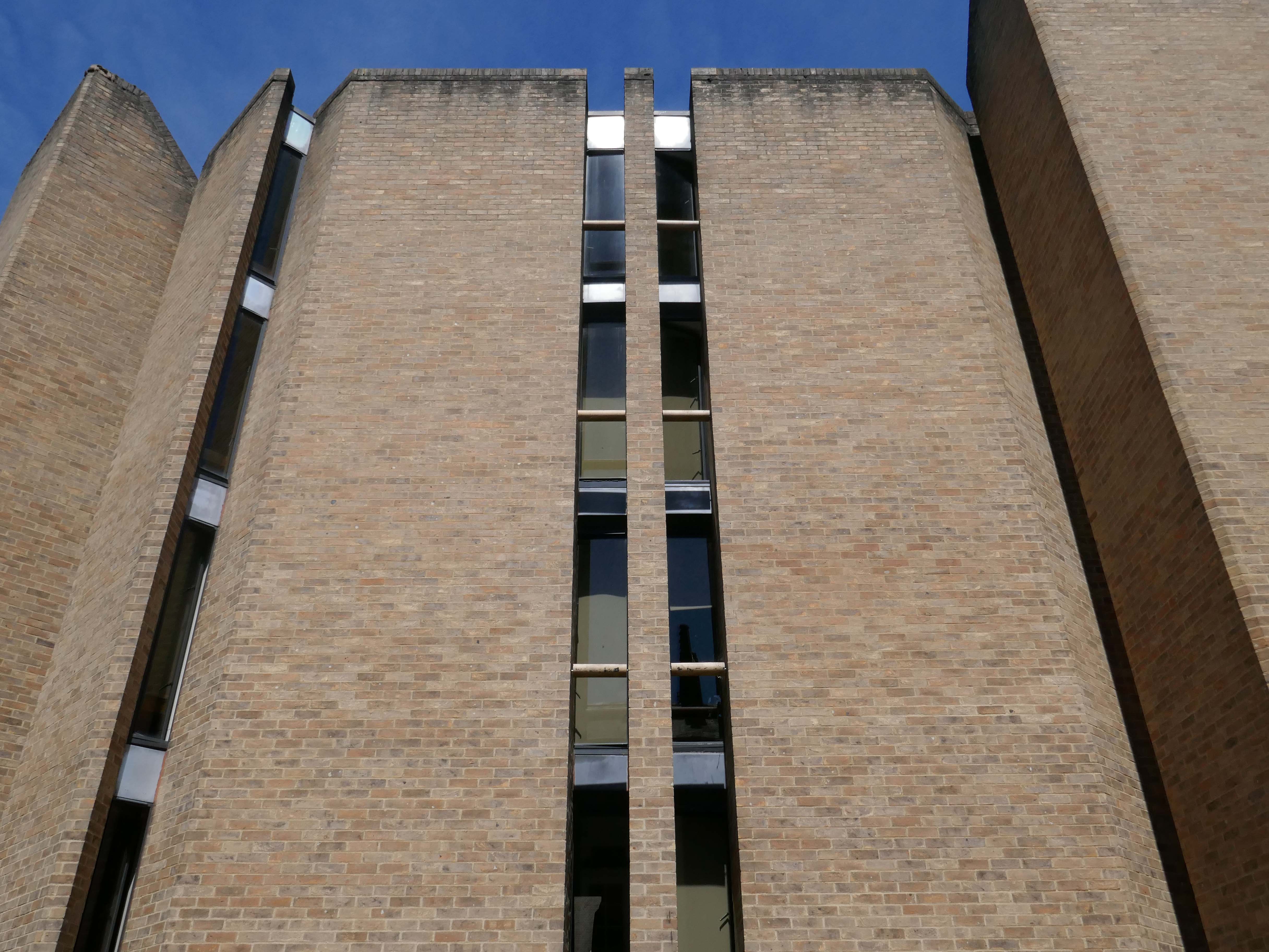
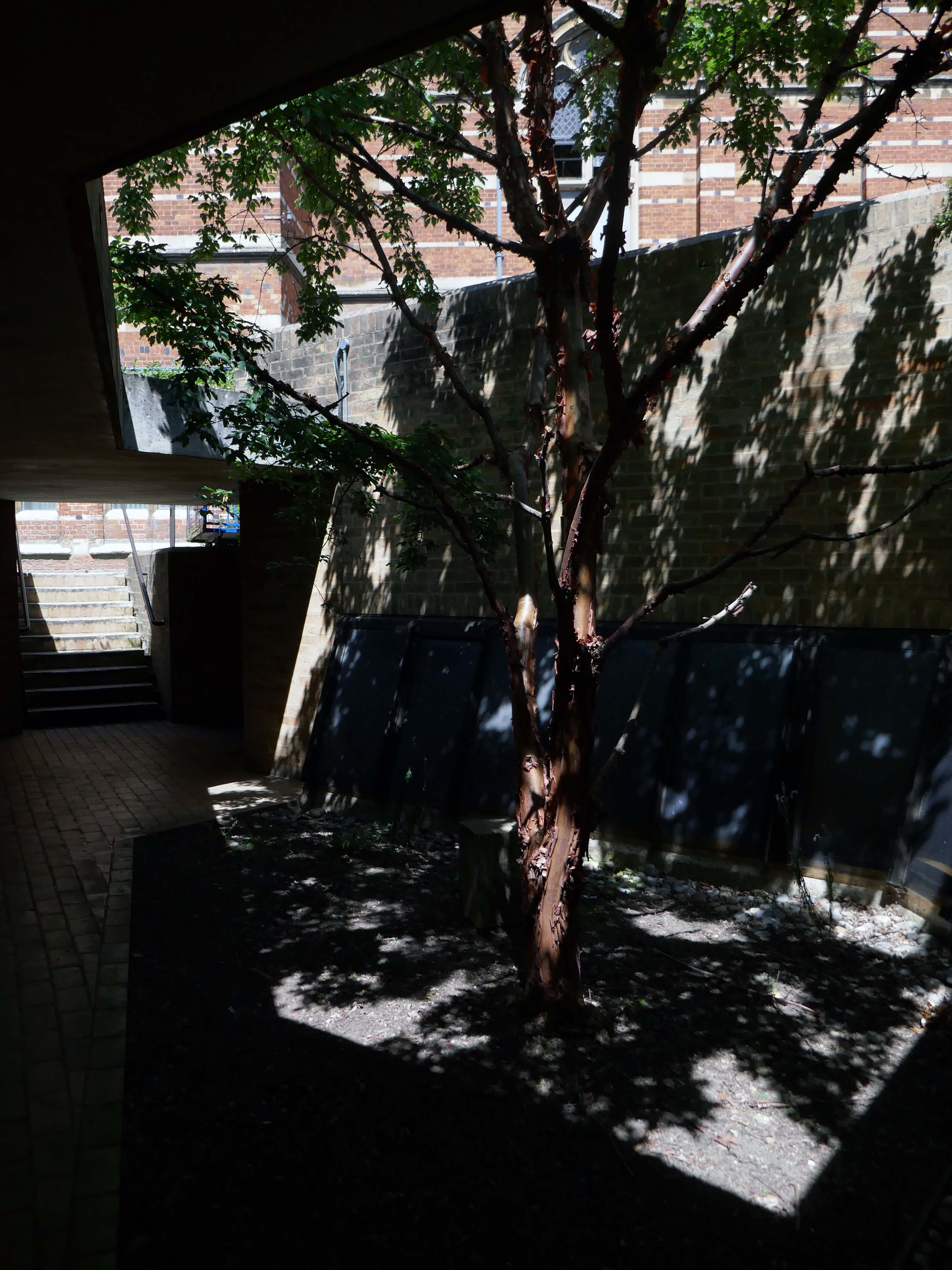
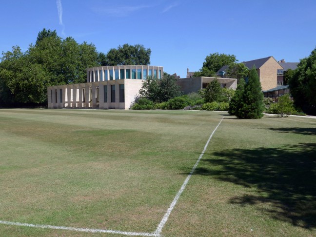
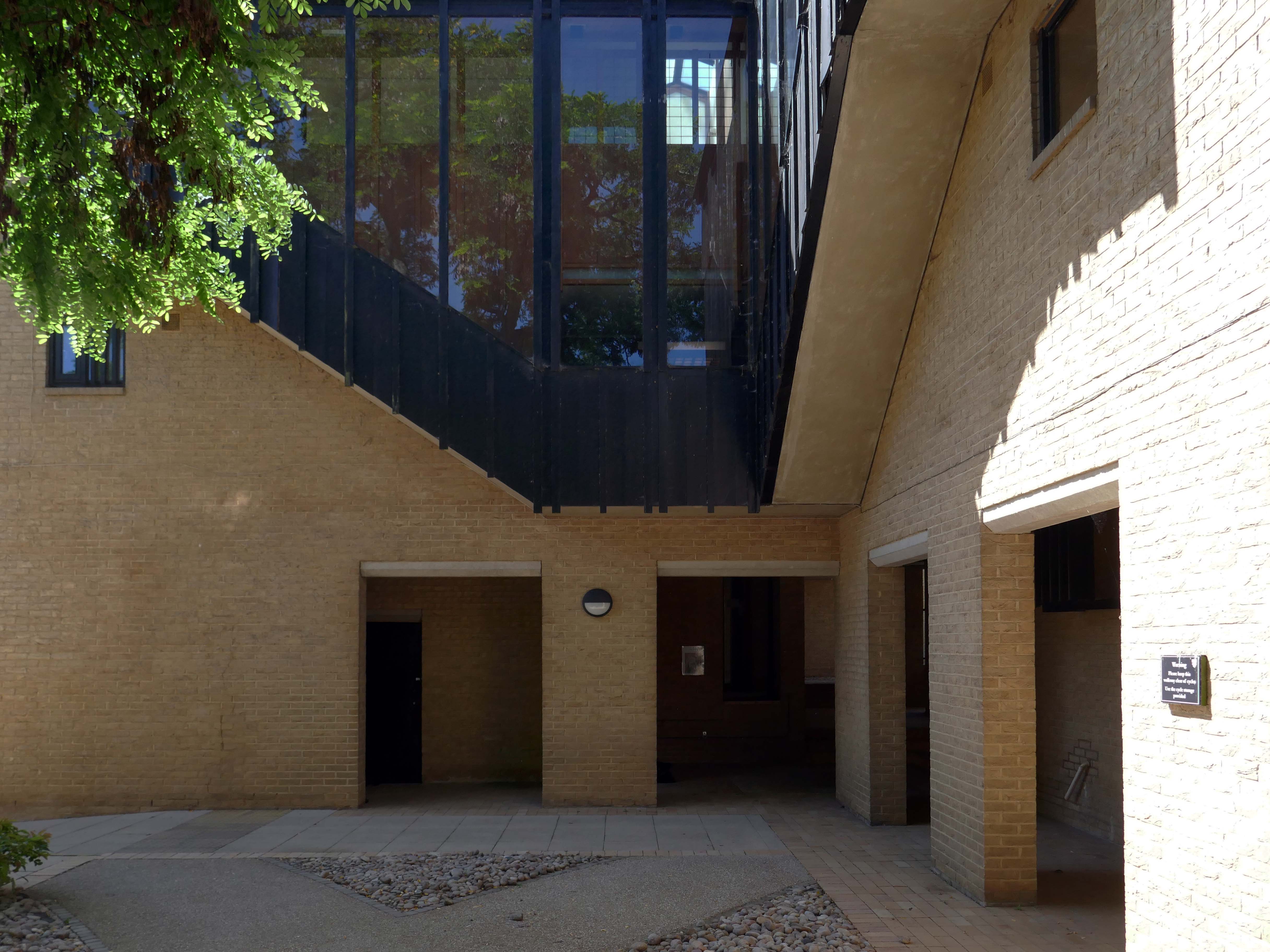
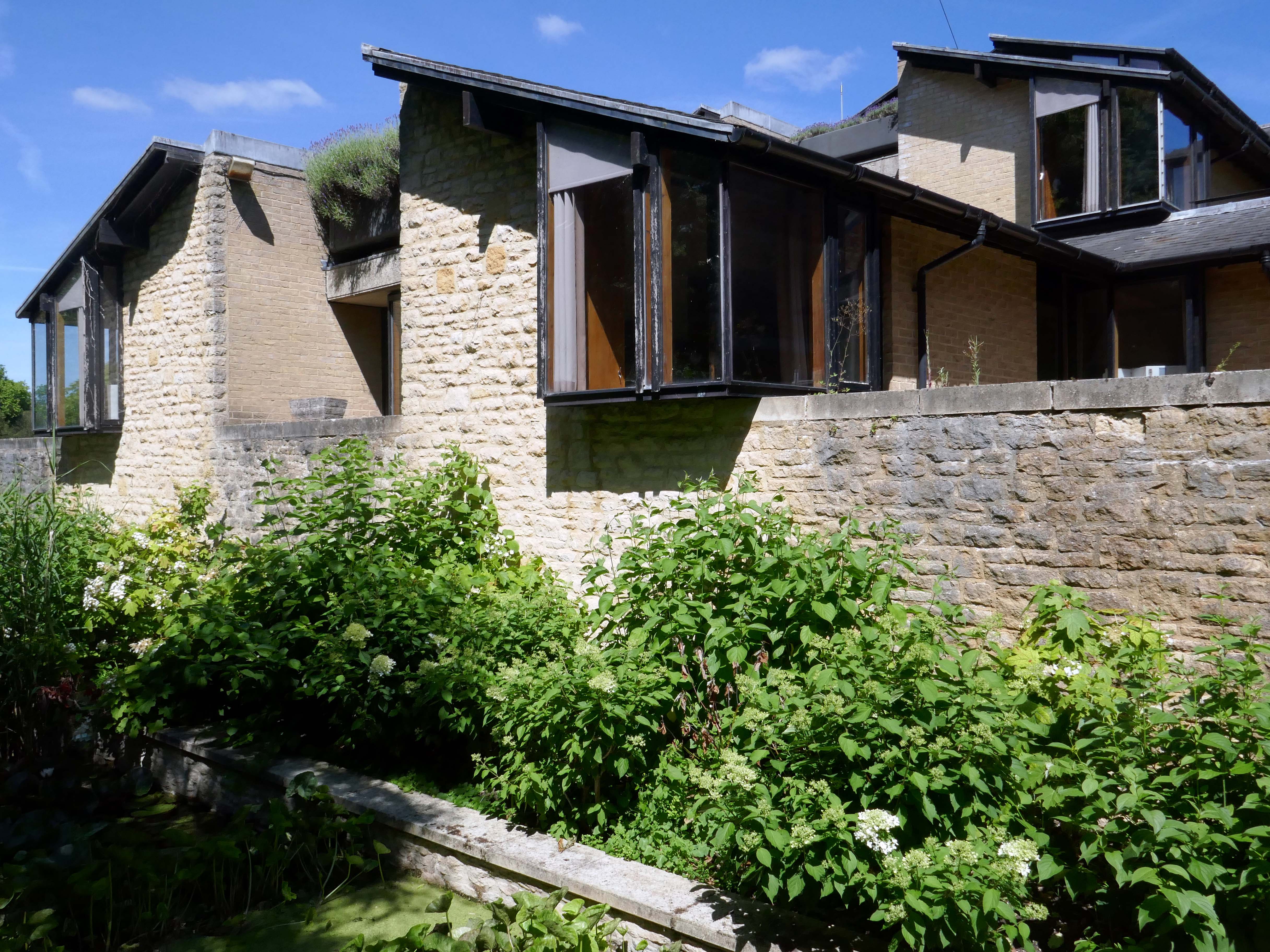
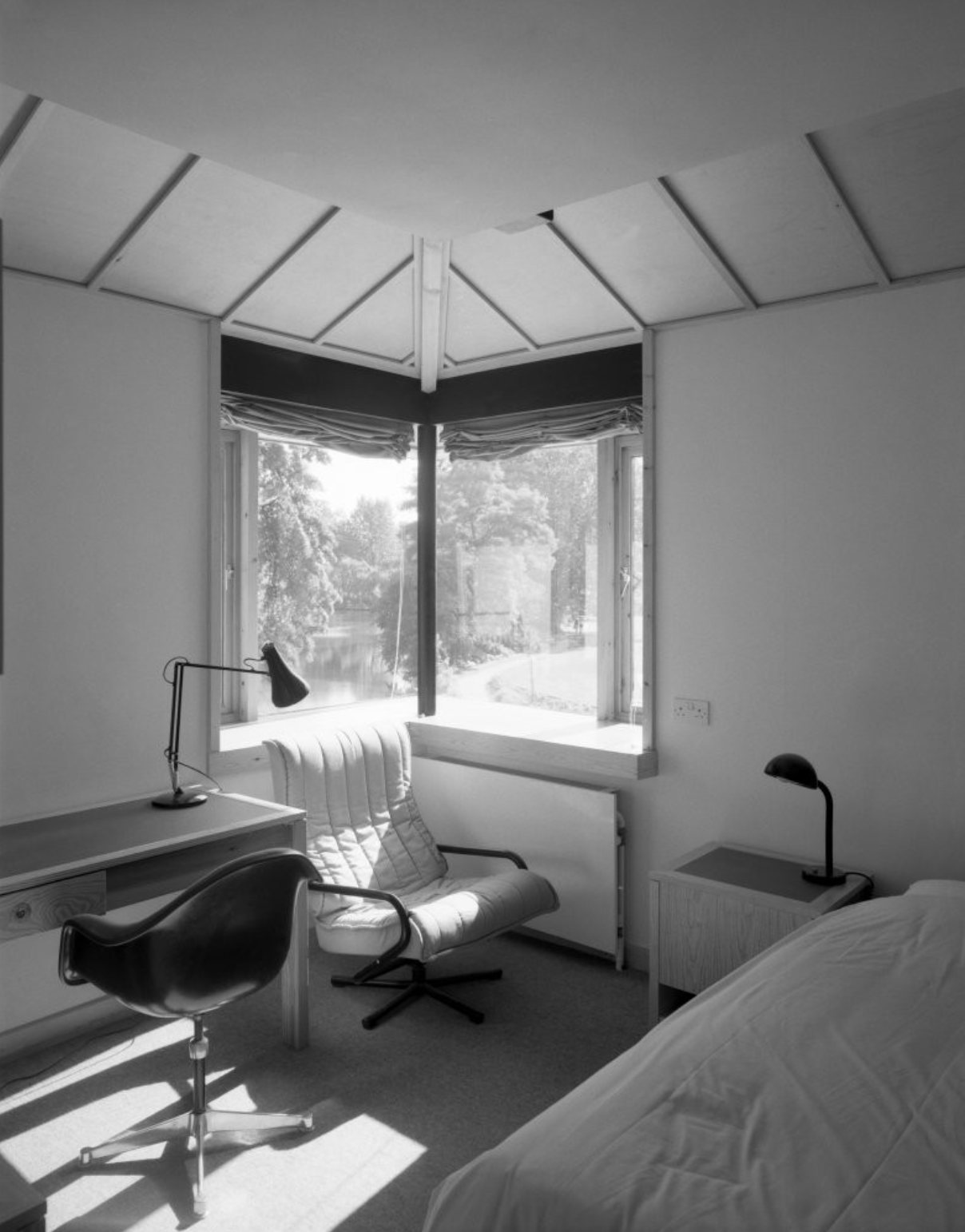
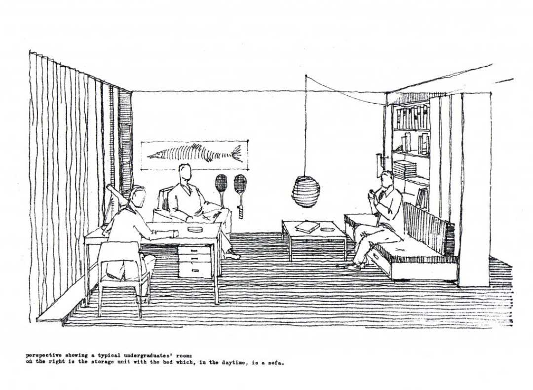
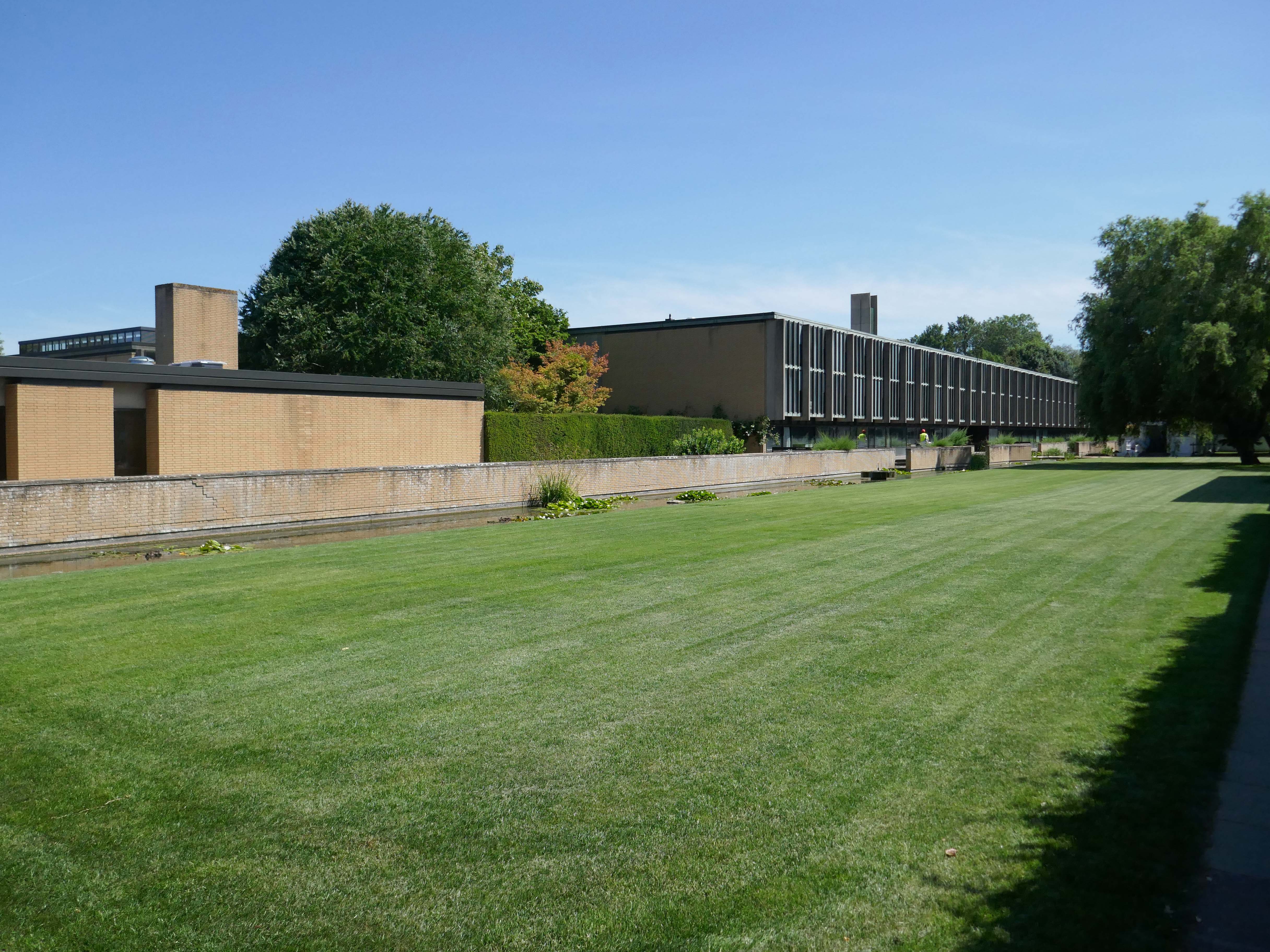
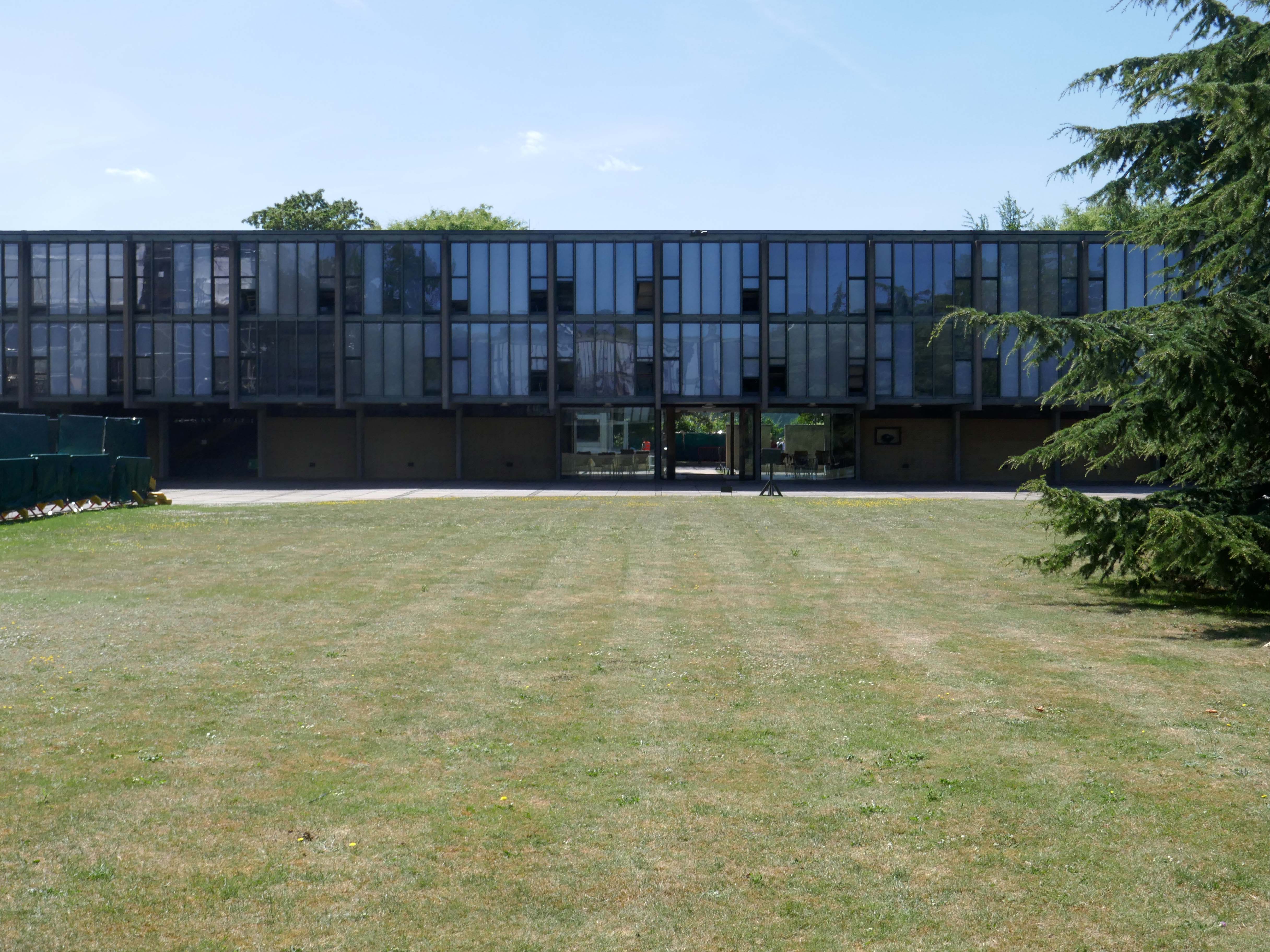
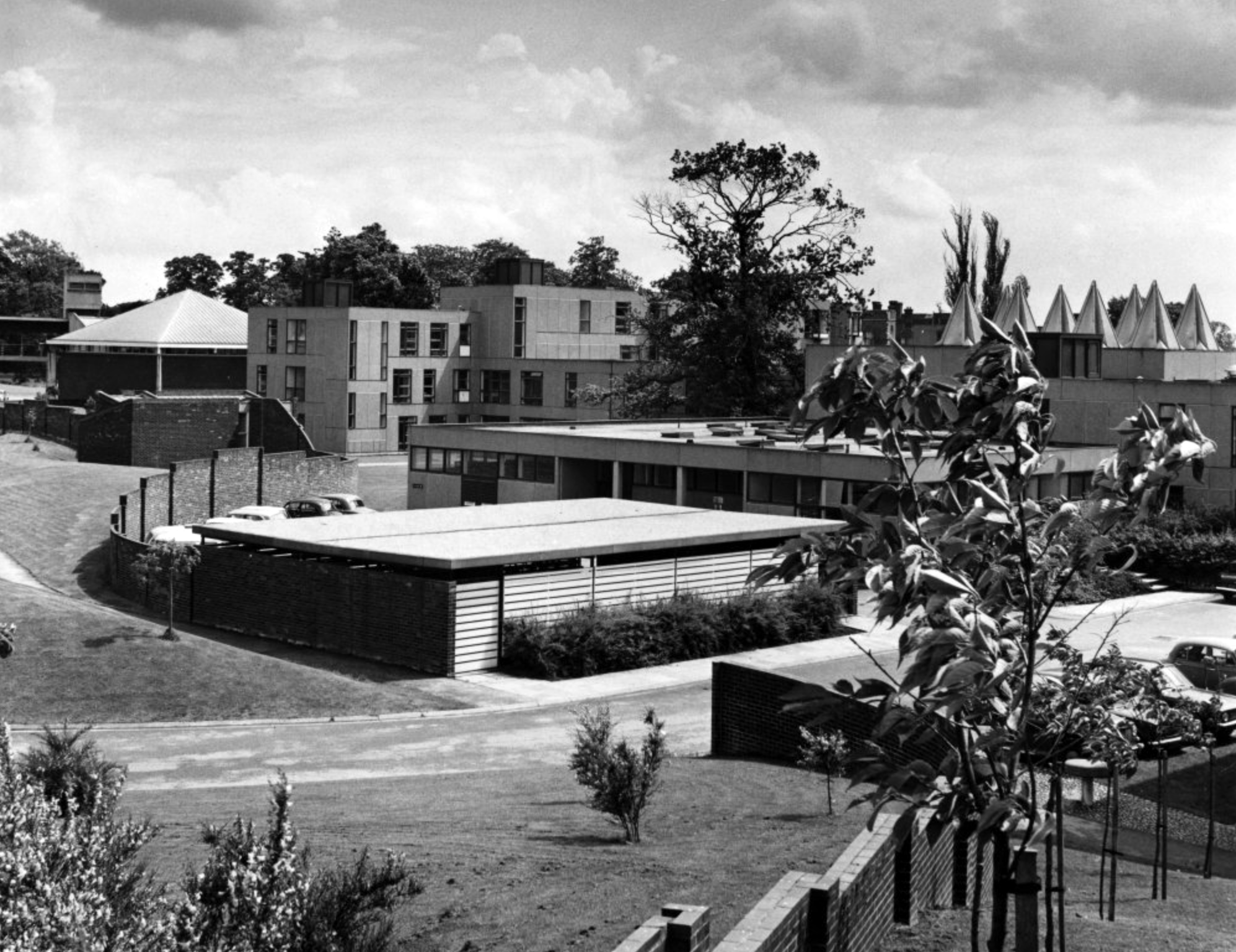
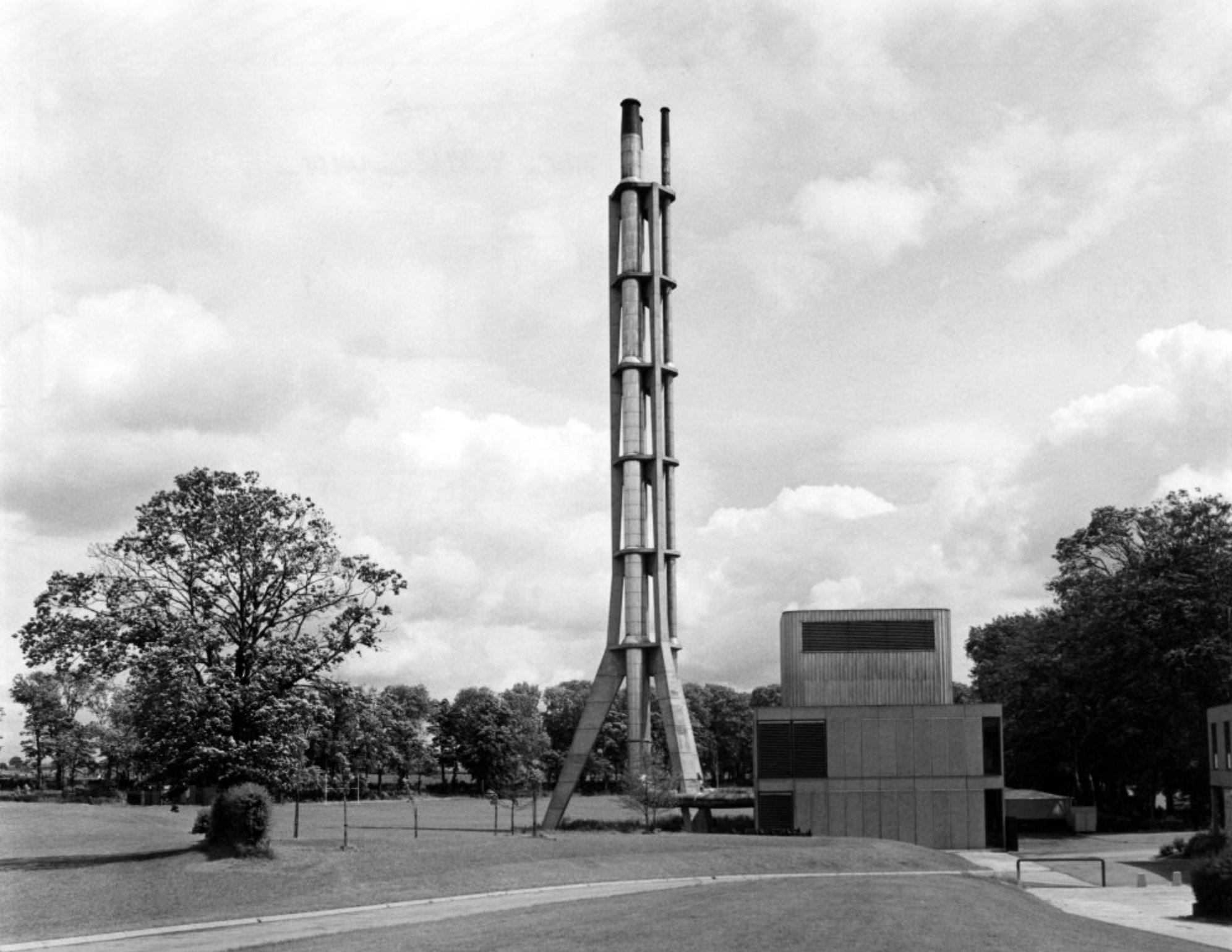
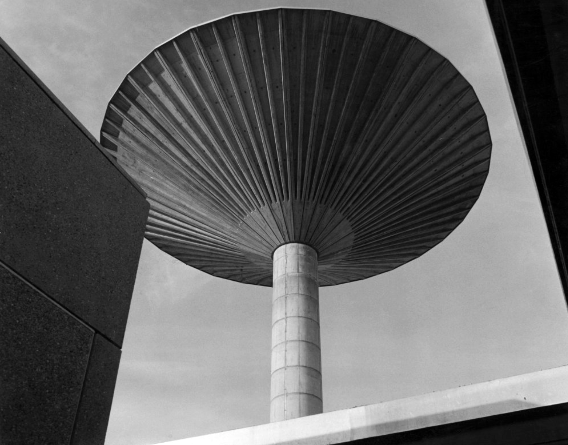
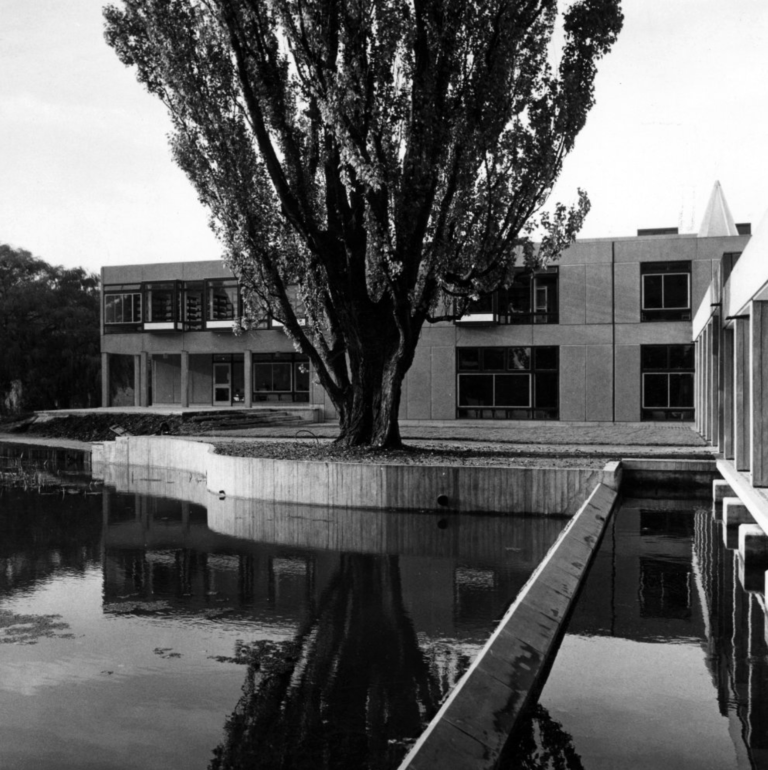
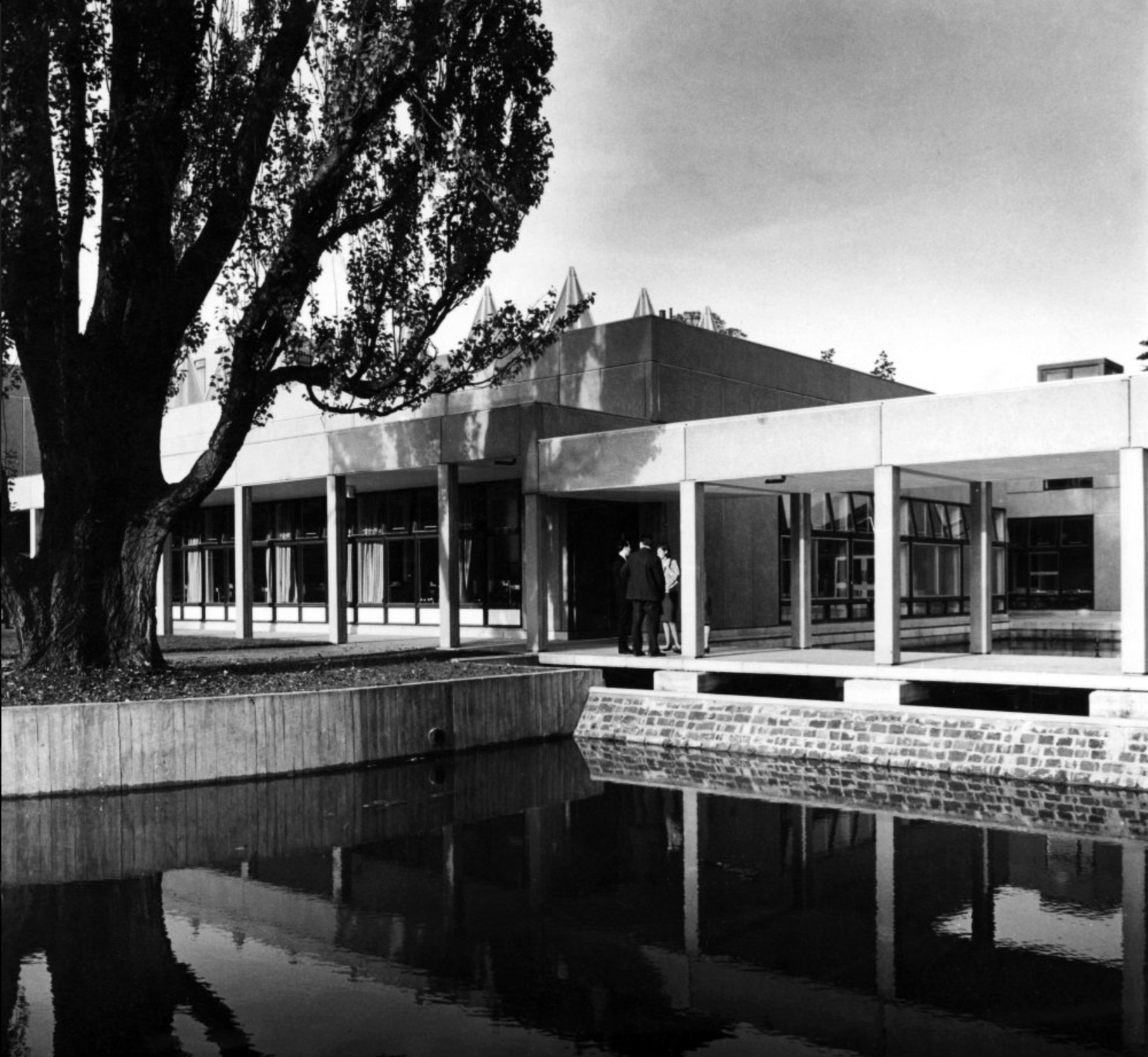
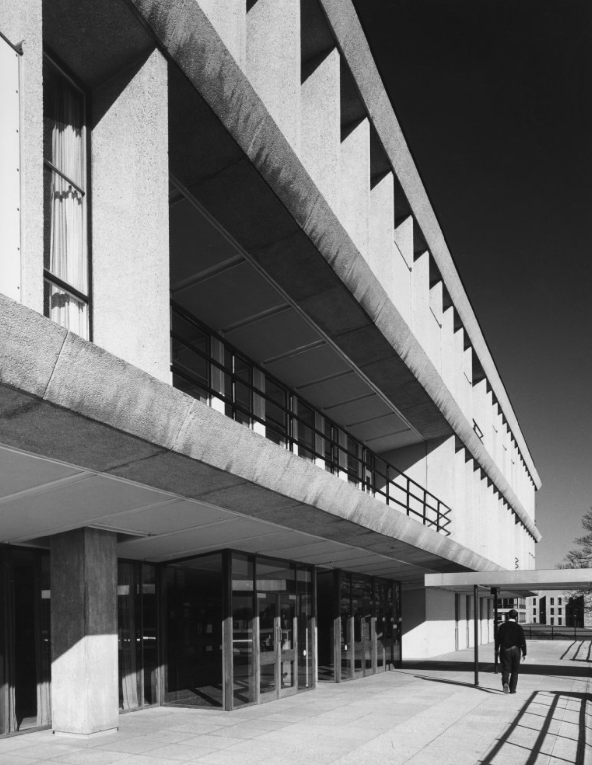
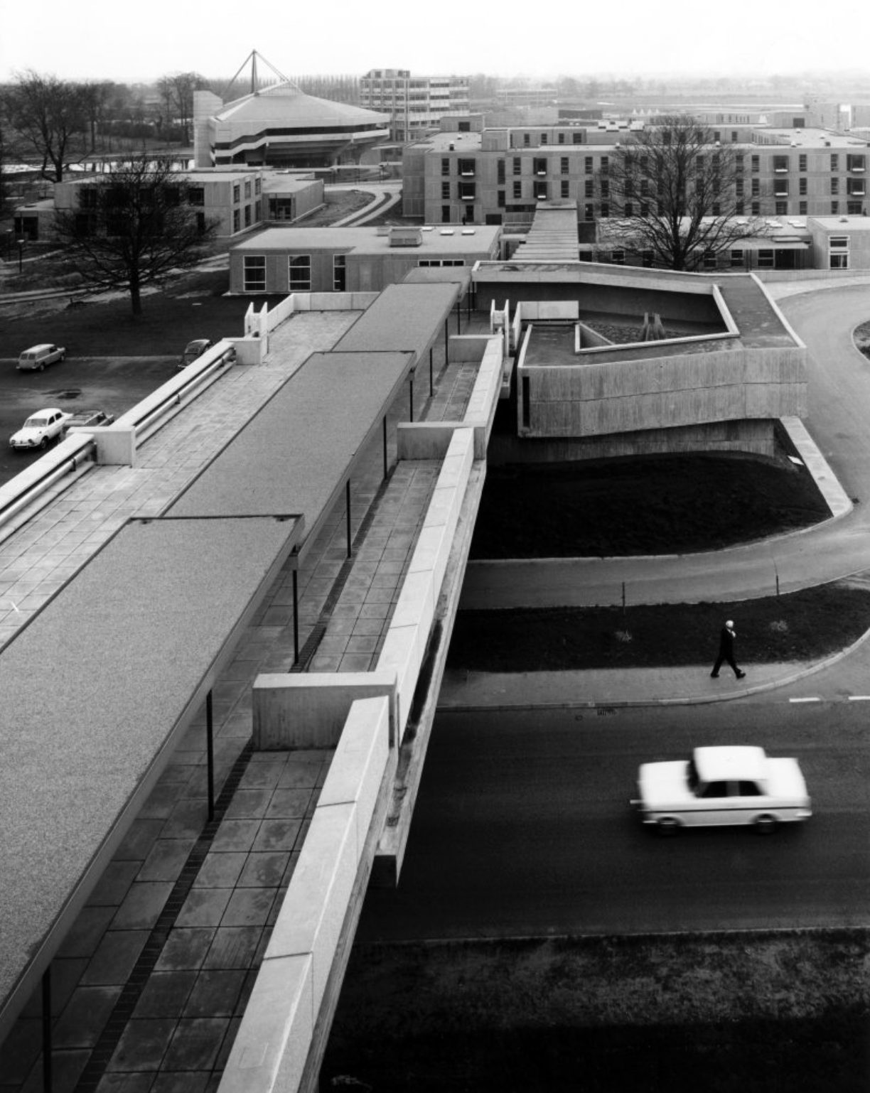
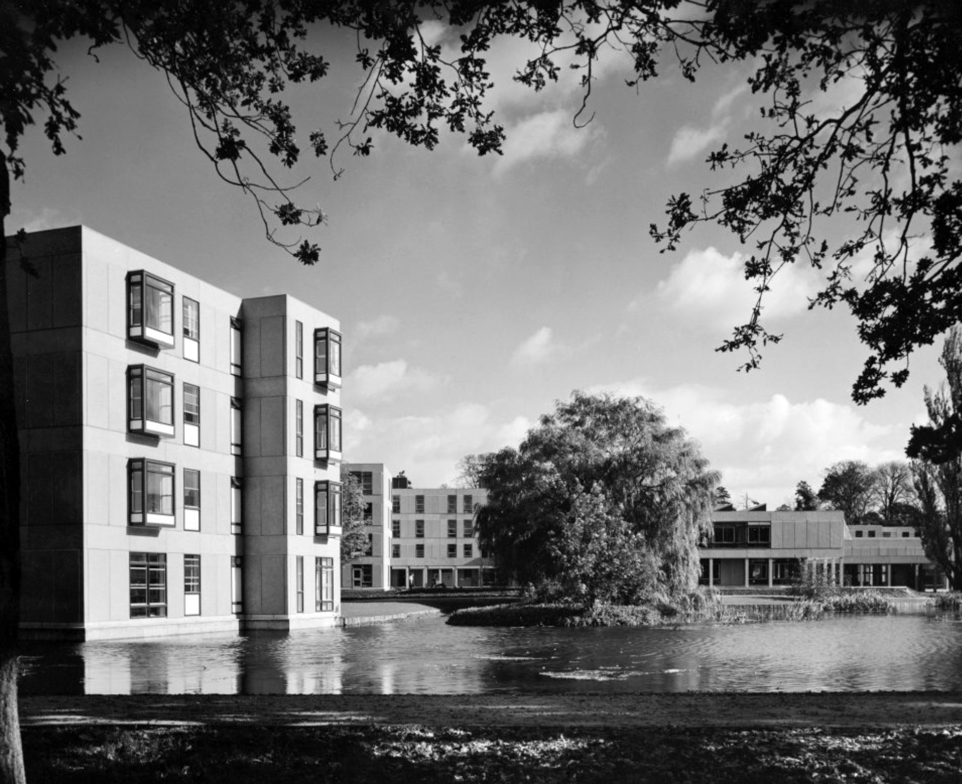
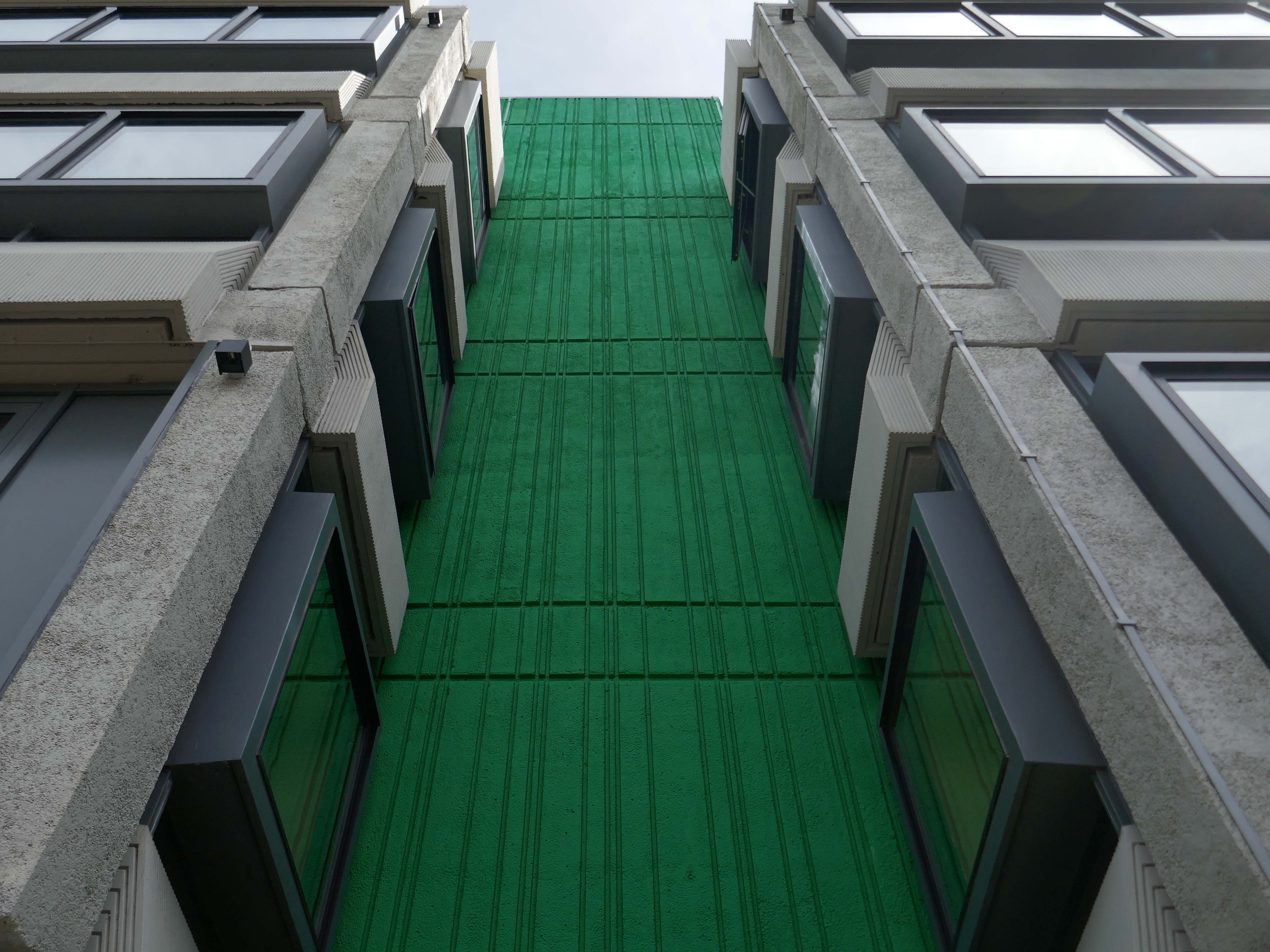
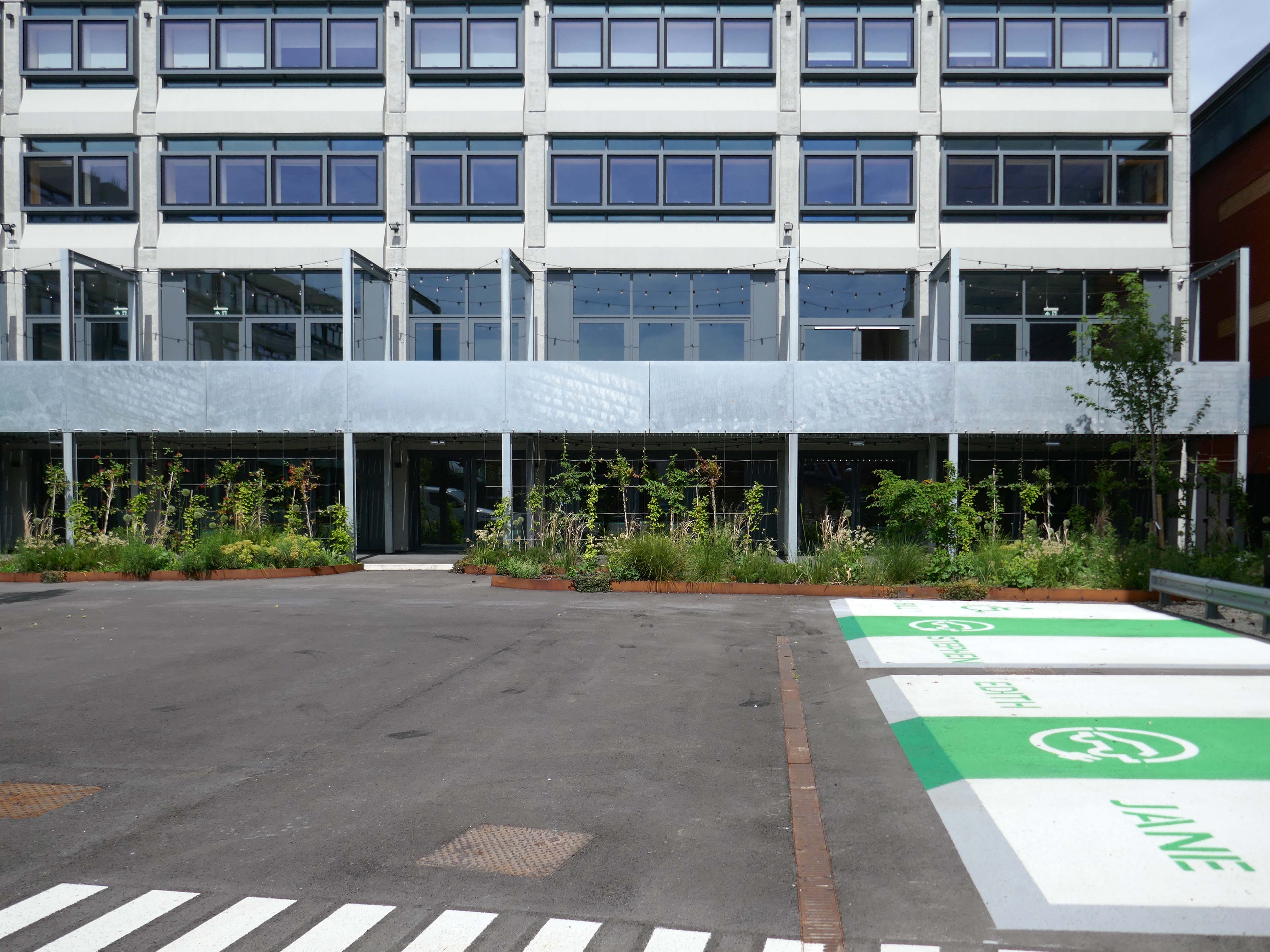
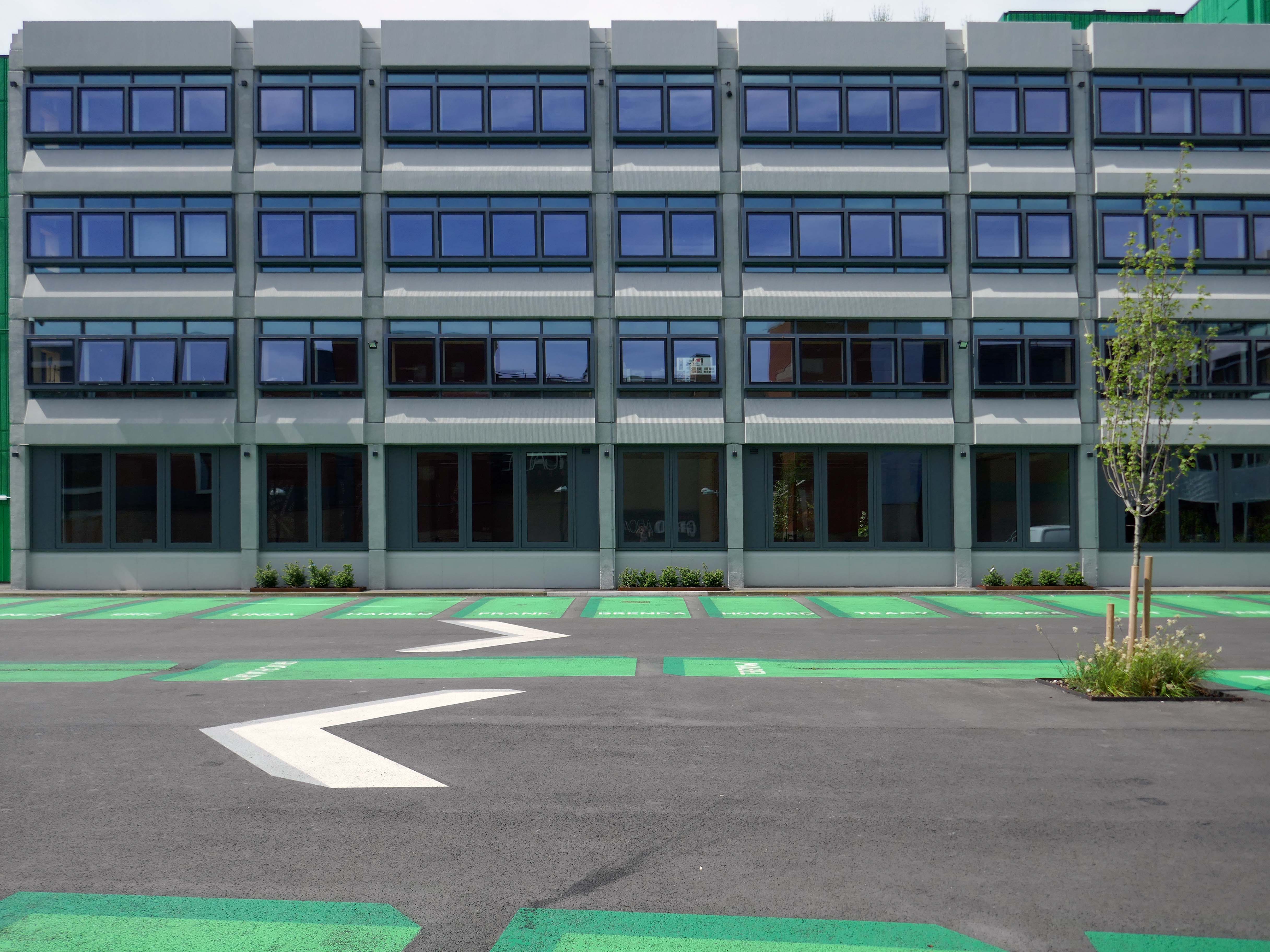
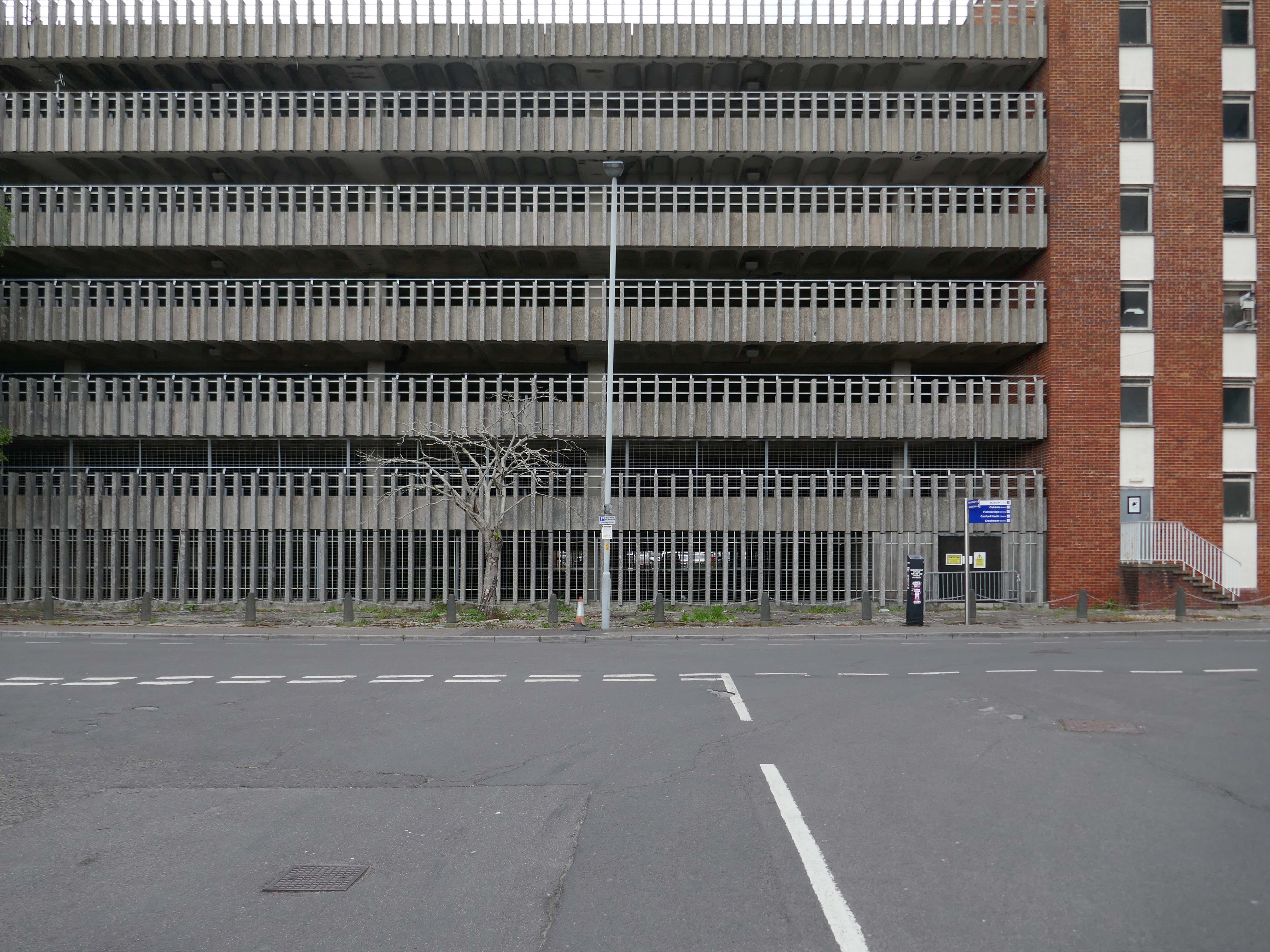
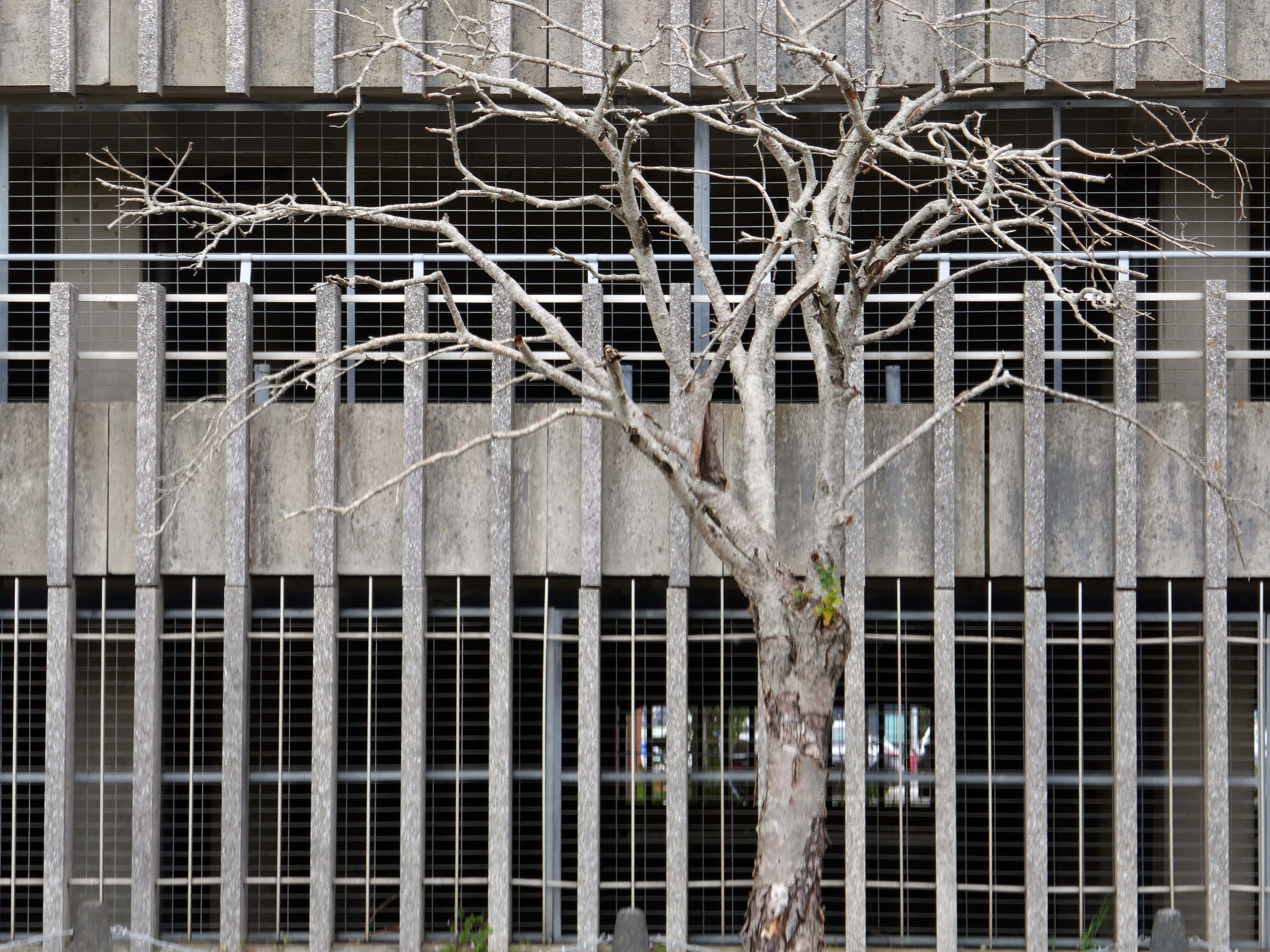
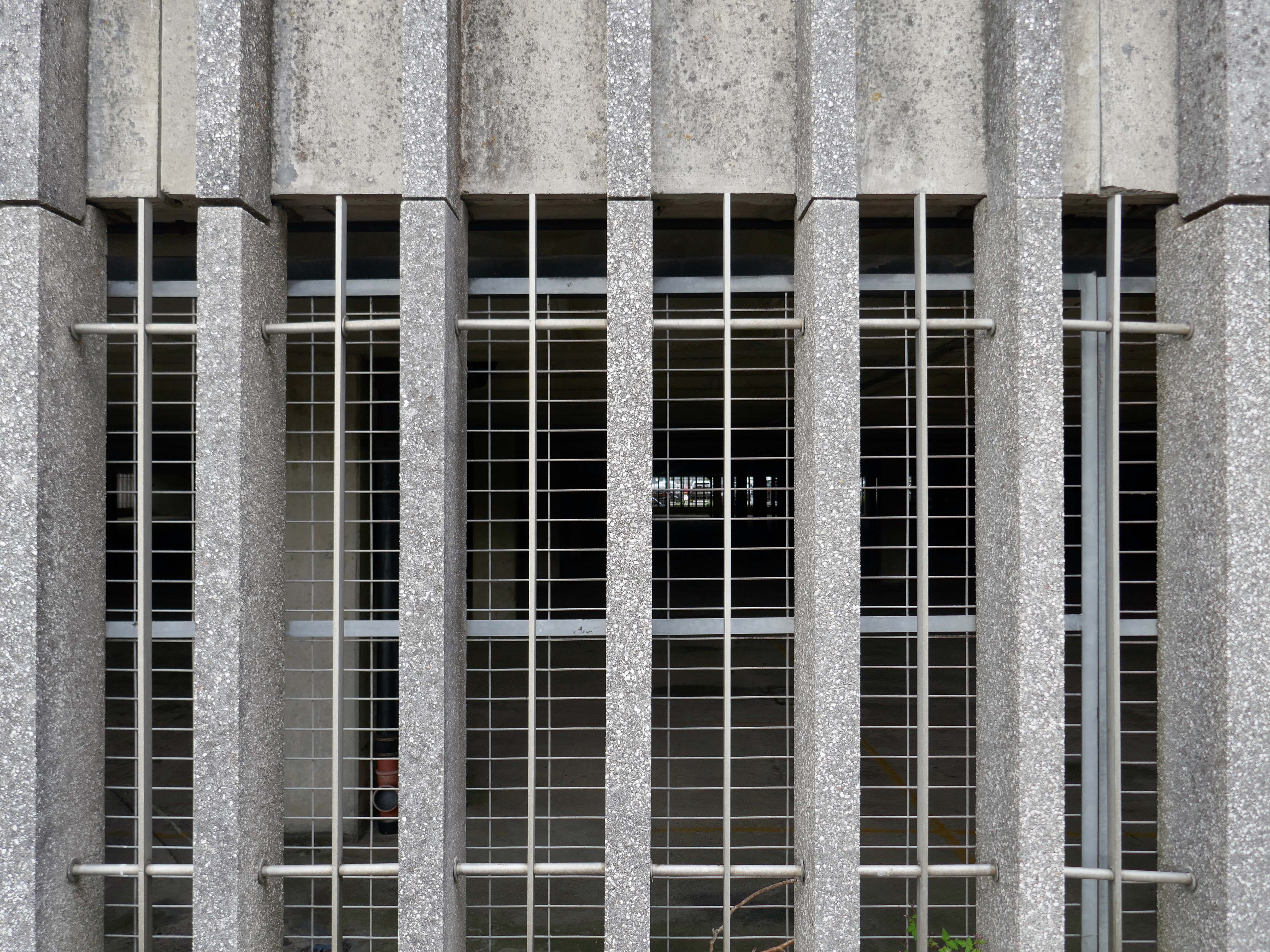
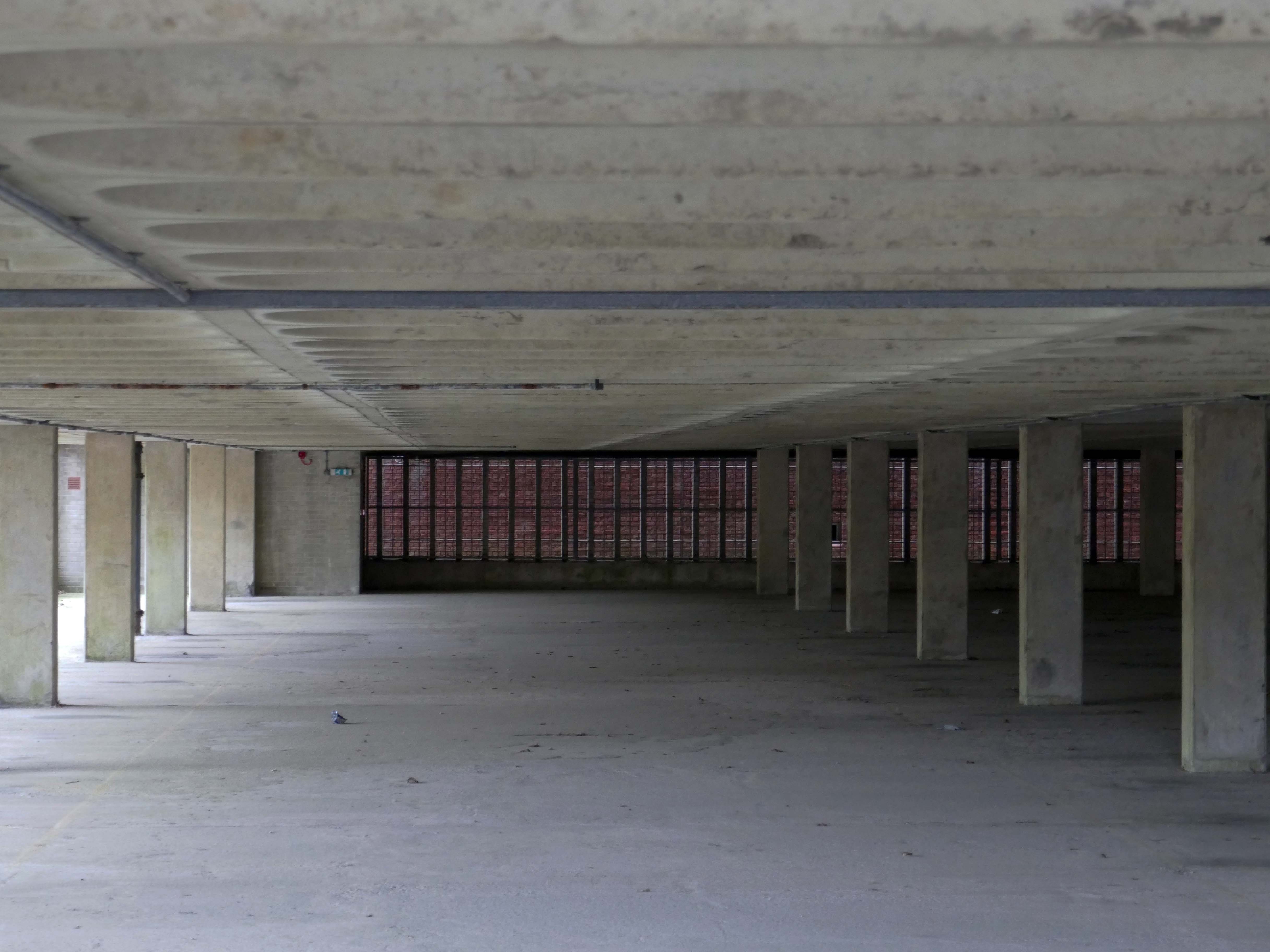
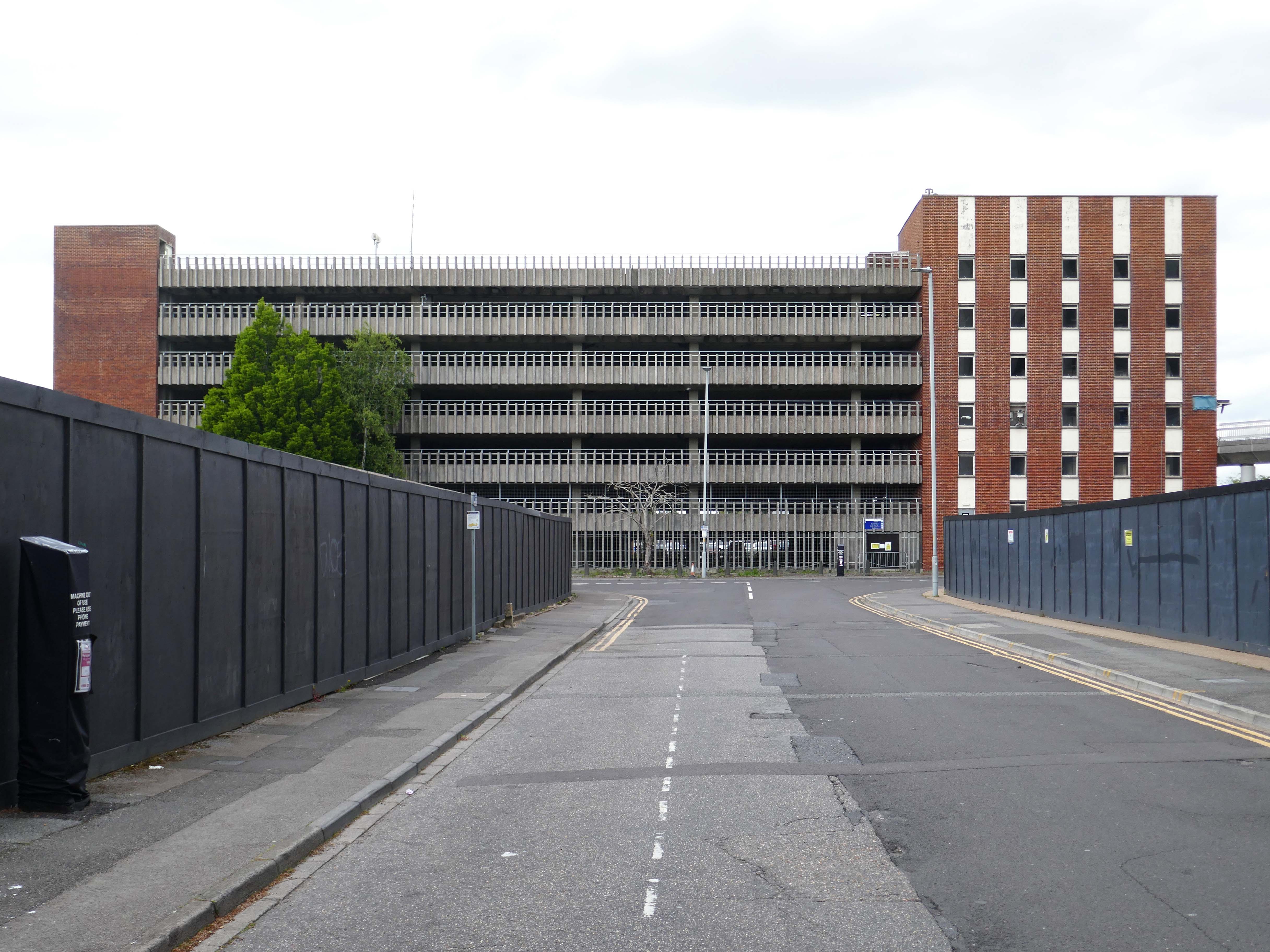
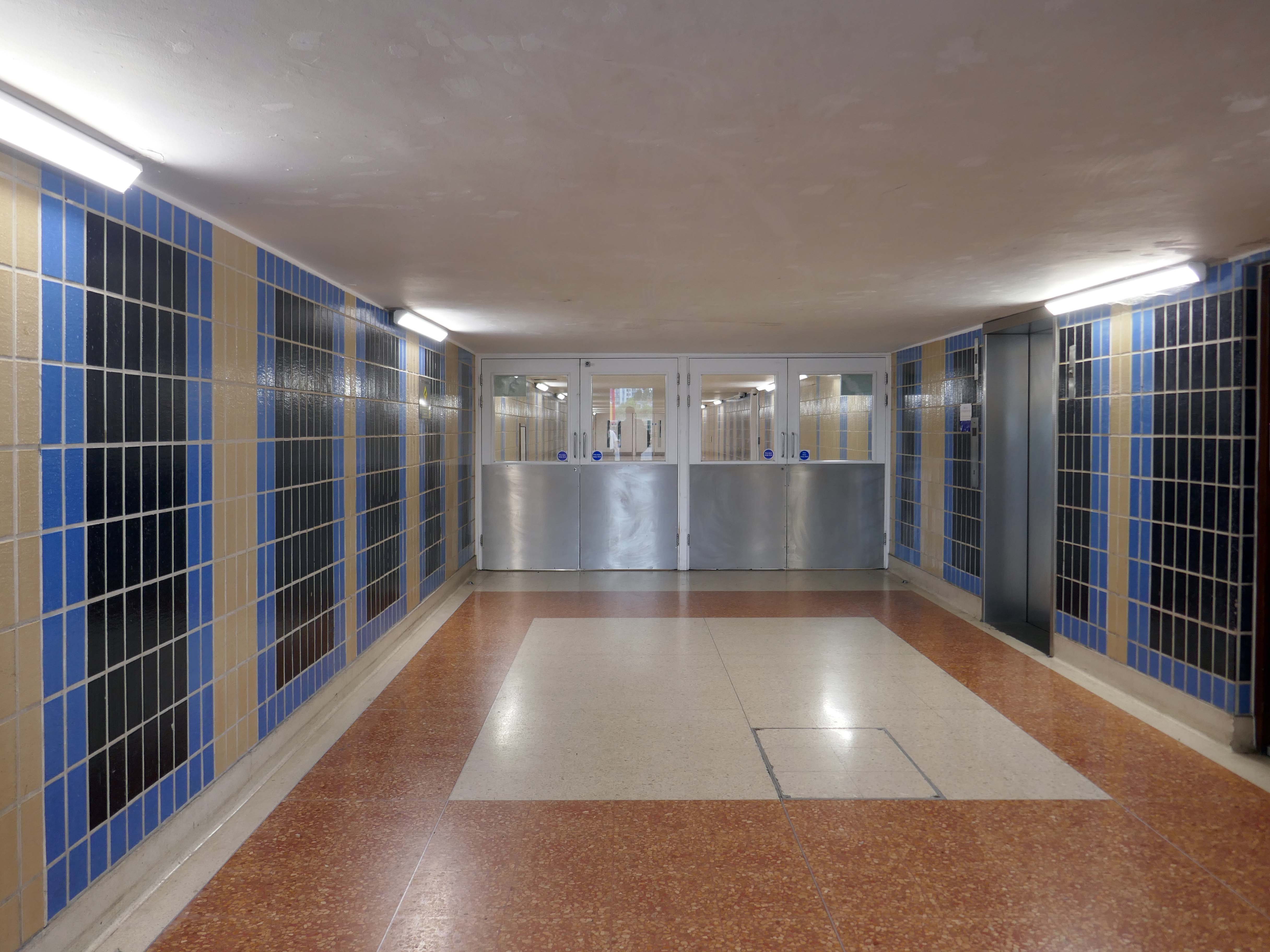
The College was lucky in that the ambitious vision of its founders allowed it to house the majority of its students for decades. However, by 1967, it had become clear to the College that there was a need to expand on a large scale. With the £500,000 cost funded via the Centenary Appeal, the project remained challenging – the site available was wedge-shaped, construction had to be phased, as funds became available, and the buildings had to stand next to Butterfield’s imposing work. To meet this challenge, the College chose an up-and-coming firm of architects, Ahrends, Burton and Koralek ABK.
I was walking from the railway station, a map of Oxford folded in my back pocket.
Having no real notion of anything really, I simply followed my intuition and ended up here.
Worcester College was founded in 1714 by the benefaction of Sir Thomas Cookes, 2nd Baronet 1648–1701 of Norgrove, Worcestershire, whose coat of arms was adopted by the college. Its predecessor, Gloucester College, had been an institution of learning on the same site since the late 13th century until the Dissolution of the Monasteries in 1539.
Founded as a men’s college, Worcester has been coeducational since 1979.
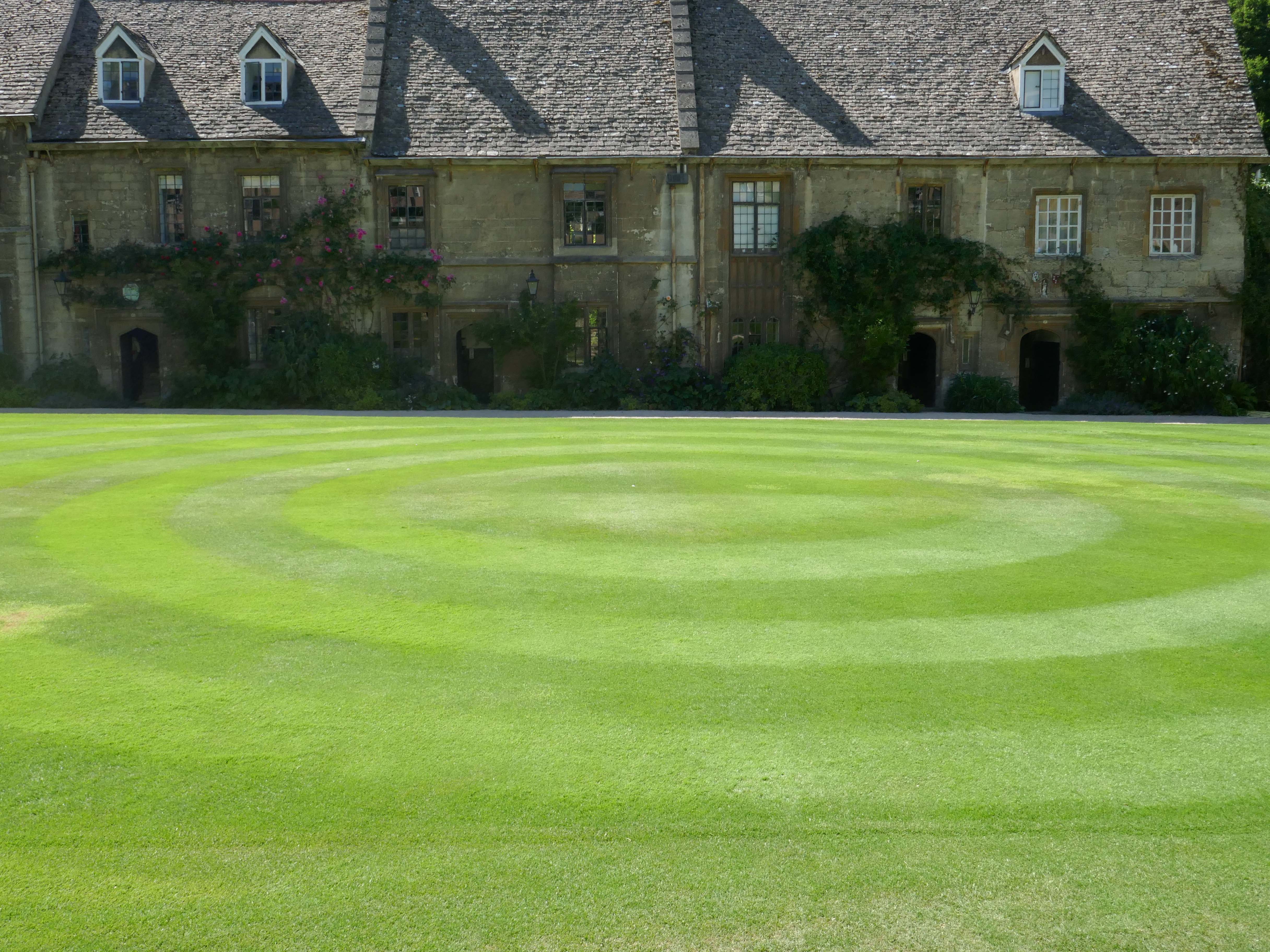
This Mediaeval terrace is thought to be the oldest surviving domestic building in the city, known as the cottages – forming one side of the Quad.
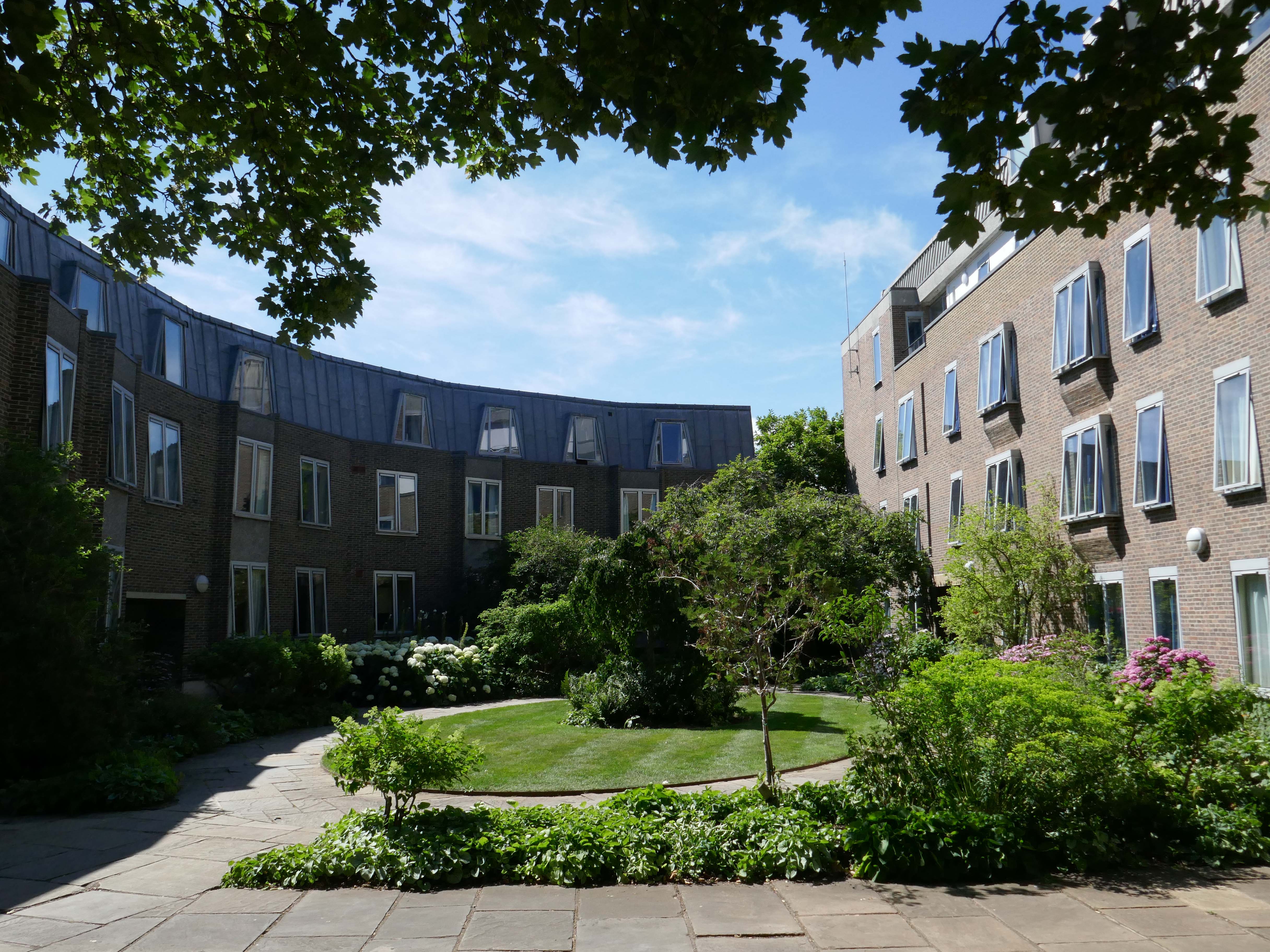
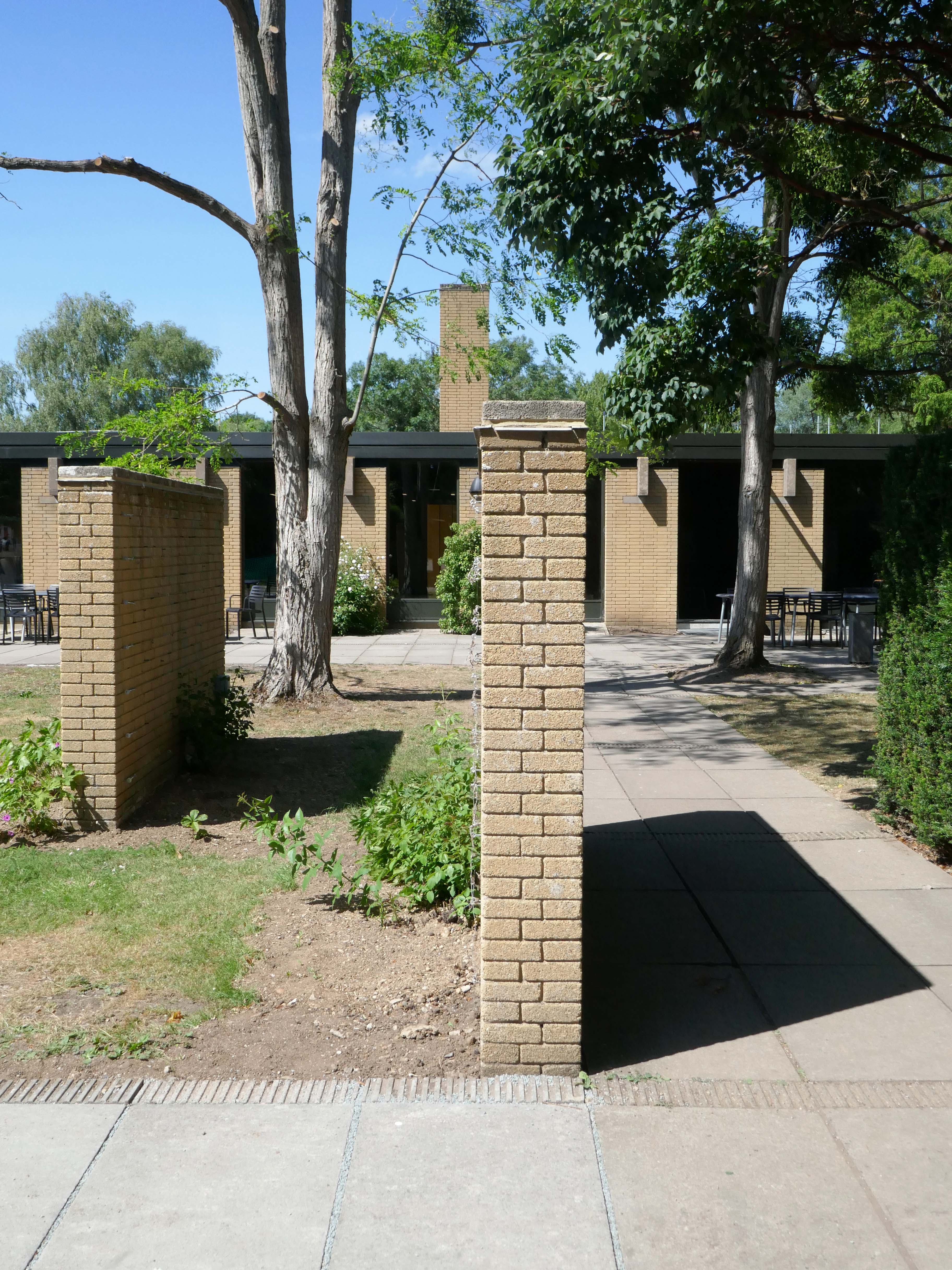
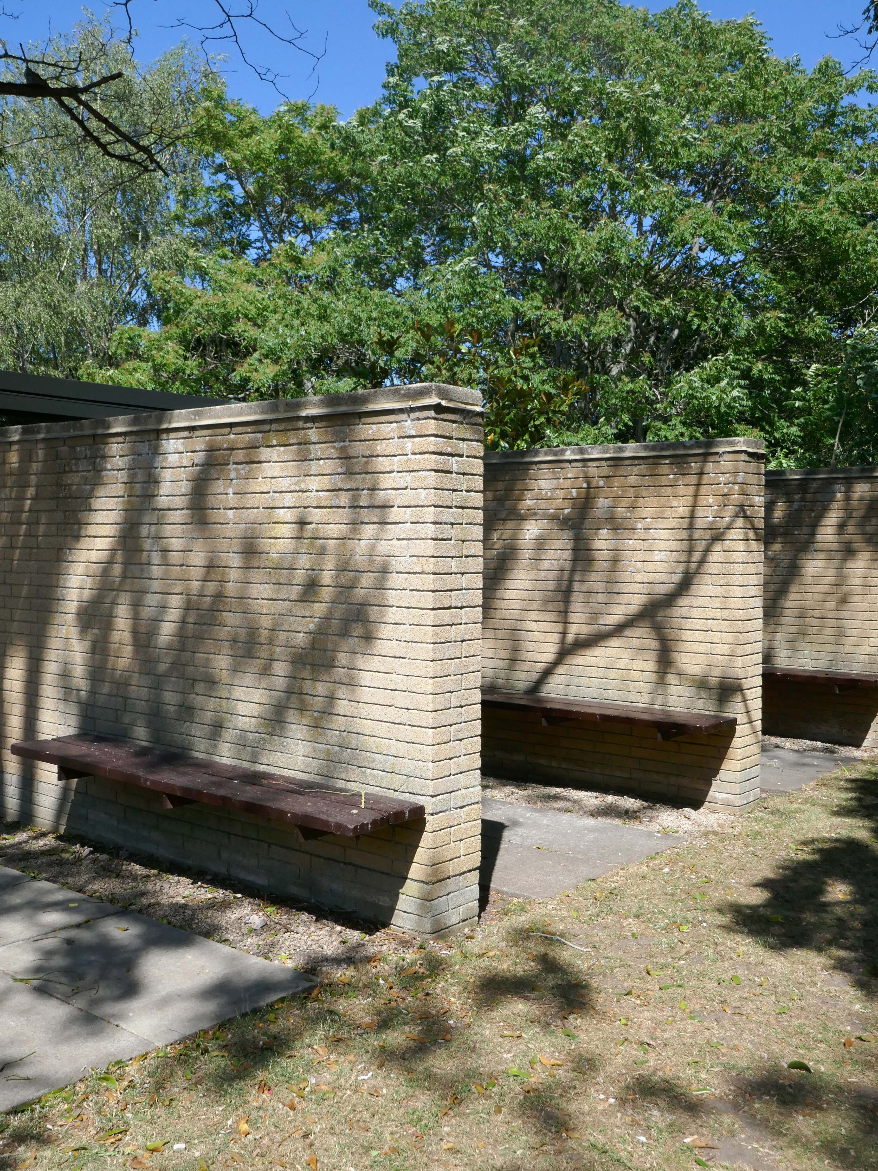
This is the Casson Building – undergraduate accommodation.
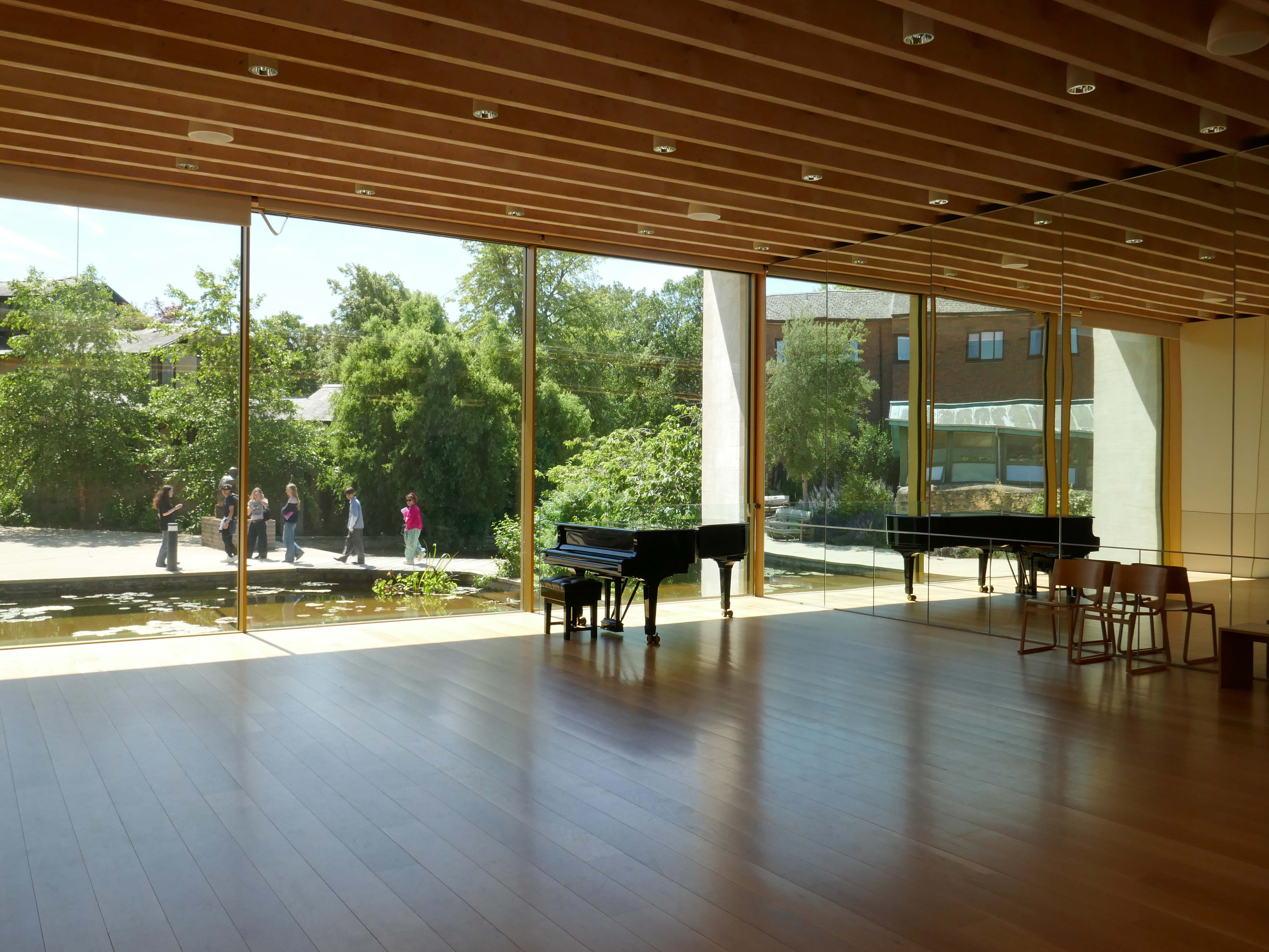
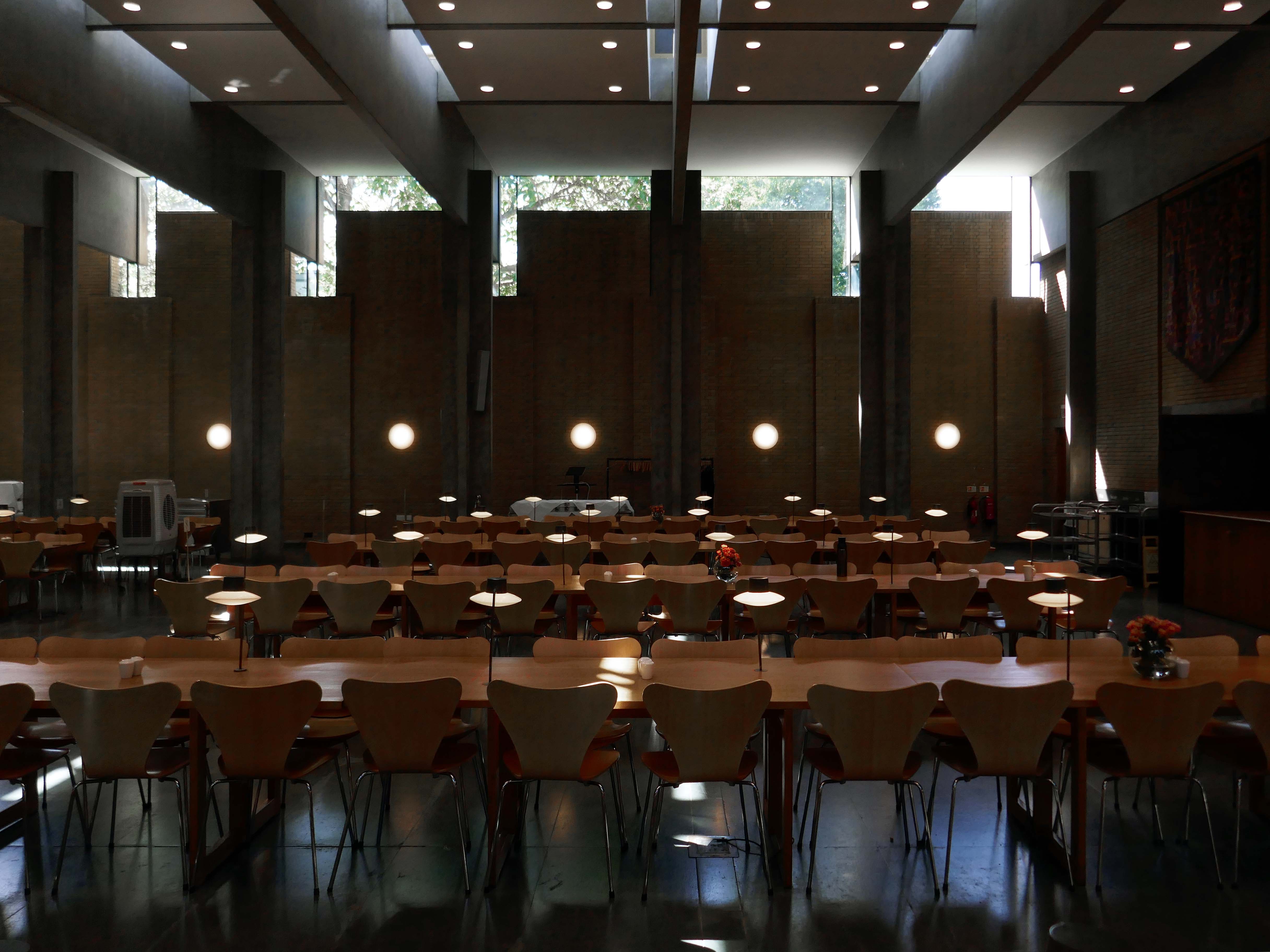
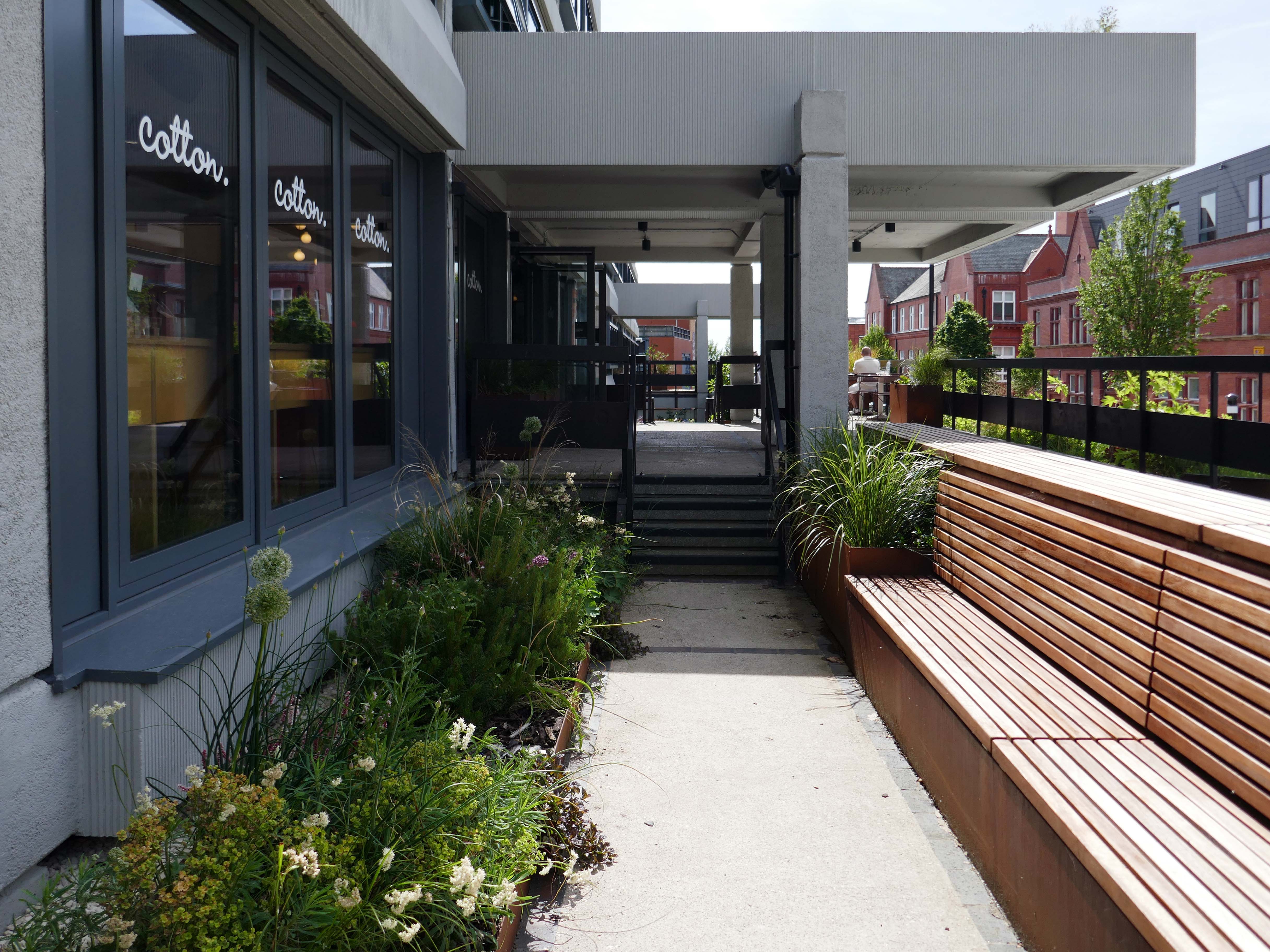
The Linbury Building is a dedicated conferencing and private dining venue enjoying a beautiful natural setting among mature trees and landscaped lawns.
Accommodating up to one hundred guests for receptions or forty eight on a fully-catered basis, the Linbury Building offers the perfect venue for your mid-sized event. Set among the College’s award-winning gardens, the Linbury allows you to enjoy our unique natural setting thanks to floor-to-ceiling glazing which can be retracted to create an al fresco space in the summer.
With its own bespoke furniture made from English oak and College-crested leather chairs, the main conferencing space can be adapted into a wide variety of configurations, from seminar, cabaret or theatre to private dining and drinks receptions. The adjacent foyer area is a perfect space for delegate registration, break-out coffee and pastries or buffet lunch service.
John Davan Sainsbury – Baron Sainsbury of Preston Candover 1927 – 2022 was a British businessman and politician. He served as the President of Sainsbury’s, and sat in the House of Lords as a life peer and member of the Conservative Party
Robert Alfred Maguire 1931–2019 was an influential British modernist architect and leading thinker in the British liturgical architectural movement of the Church of England. Maguire and Keith Murray formed an architectural practice in 1959.
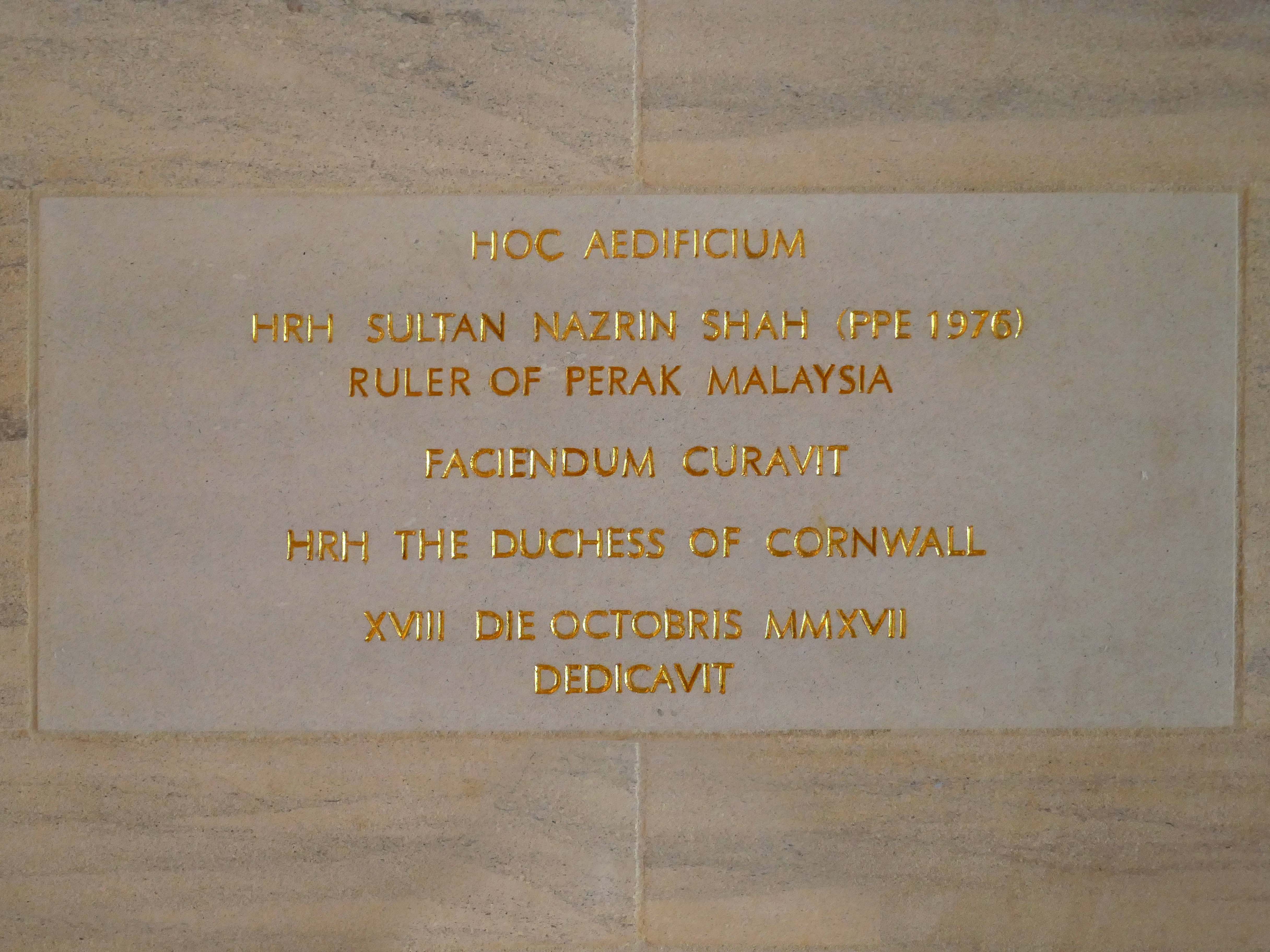
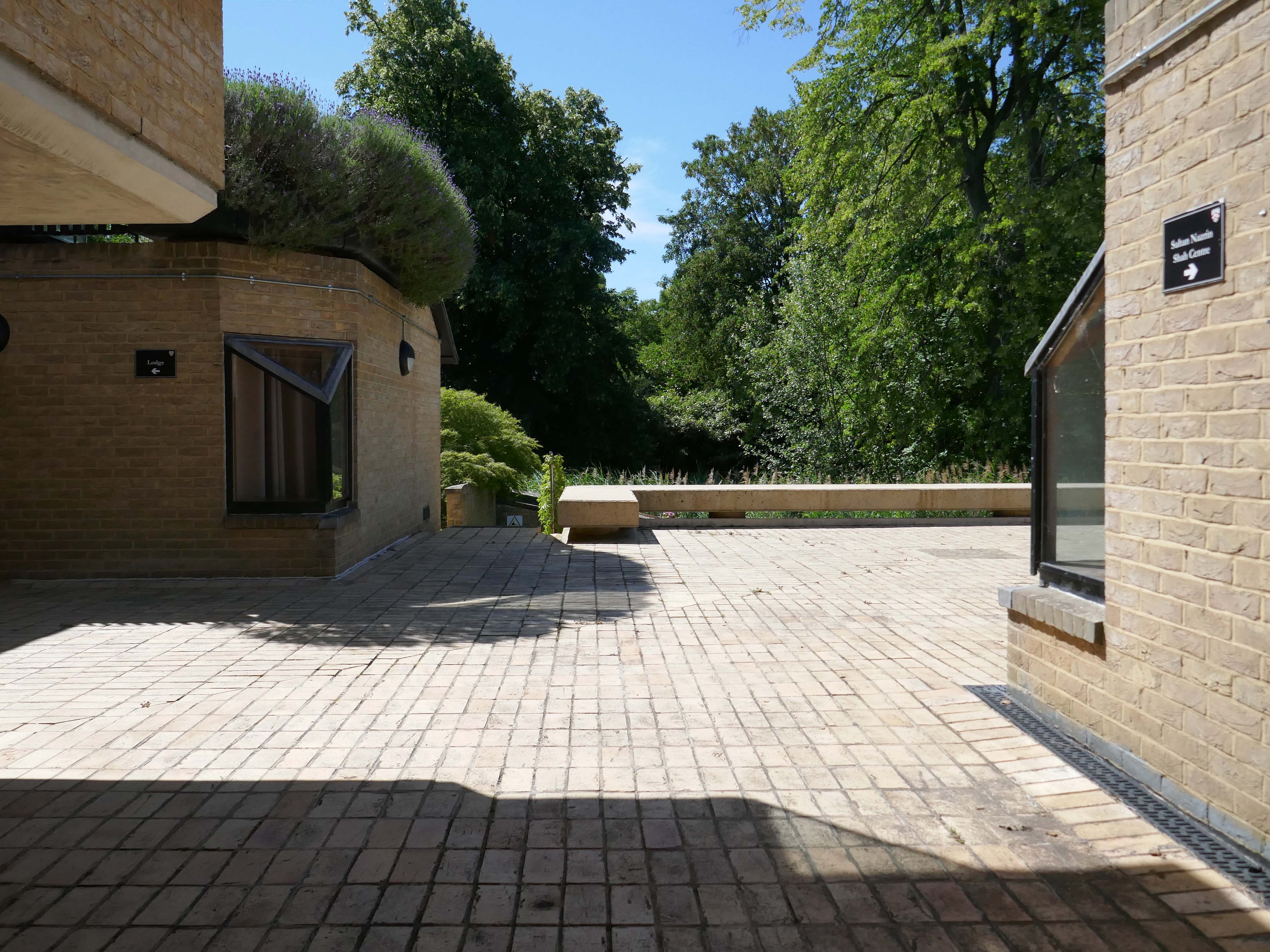
Nazrin Shah ascended the throne of Perak in 2014. As Sultan of Perak, he has been a strong advocate for education, Islamic moderation, and national unity. He has served as deputy king under Sultan Muhammad V of Kelantan, Sultan Abdullah of Pahang, and Sultan Ibrahim of Johor.
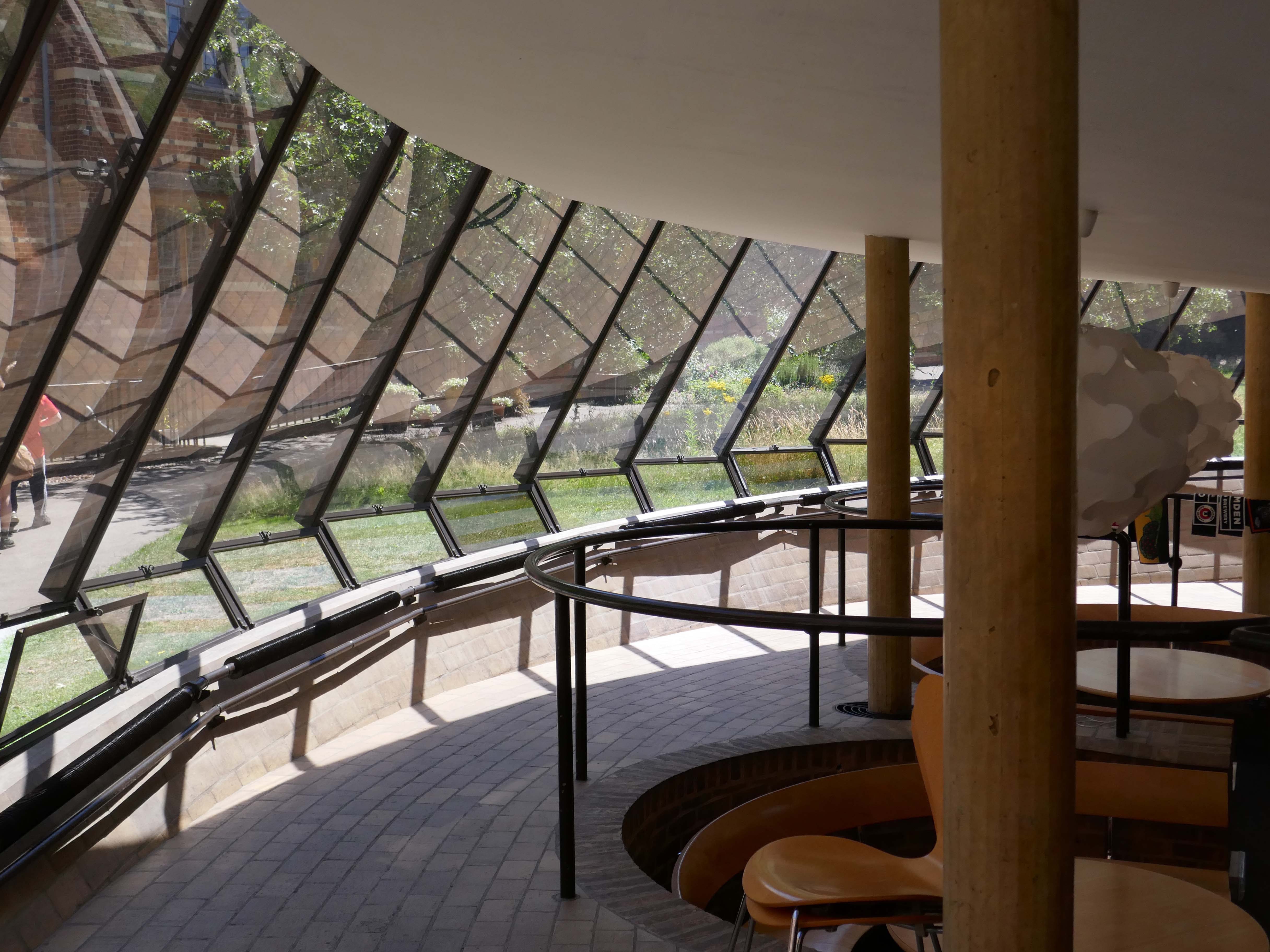
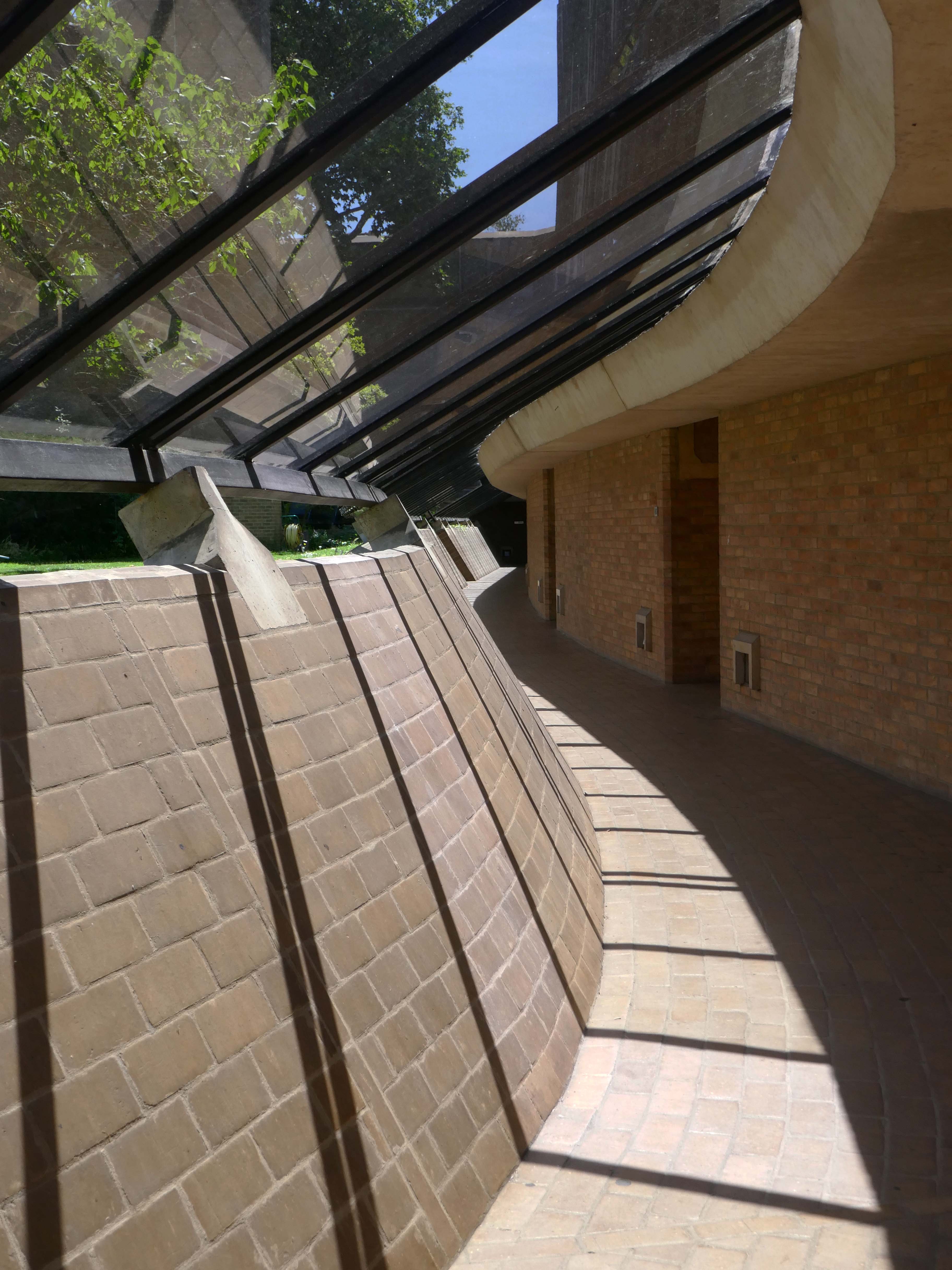
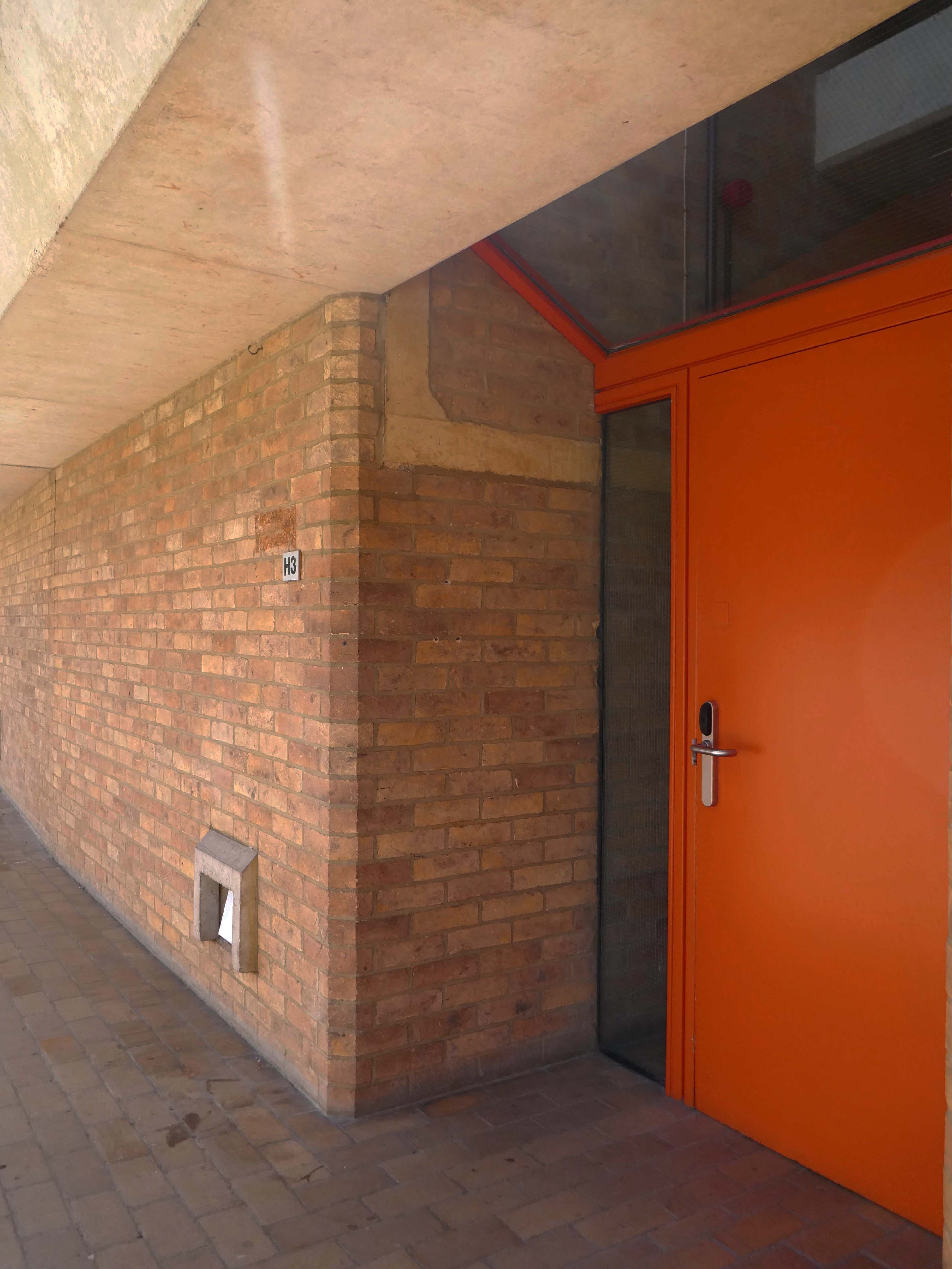
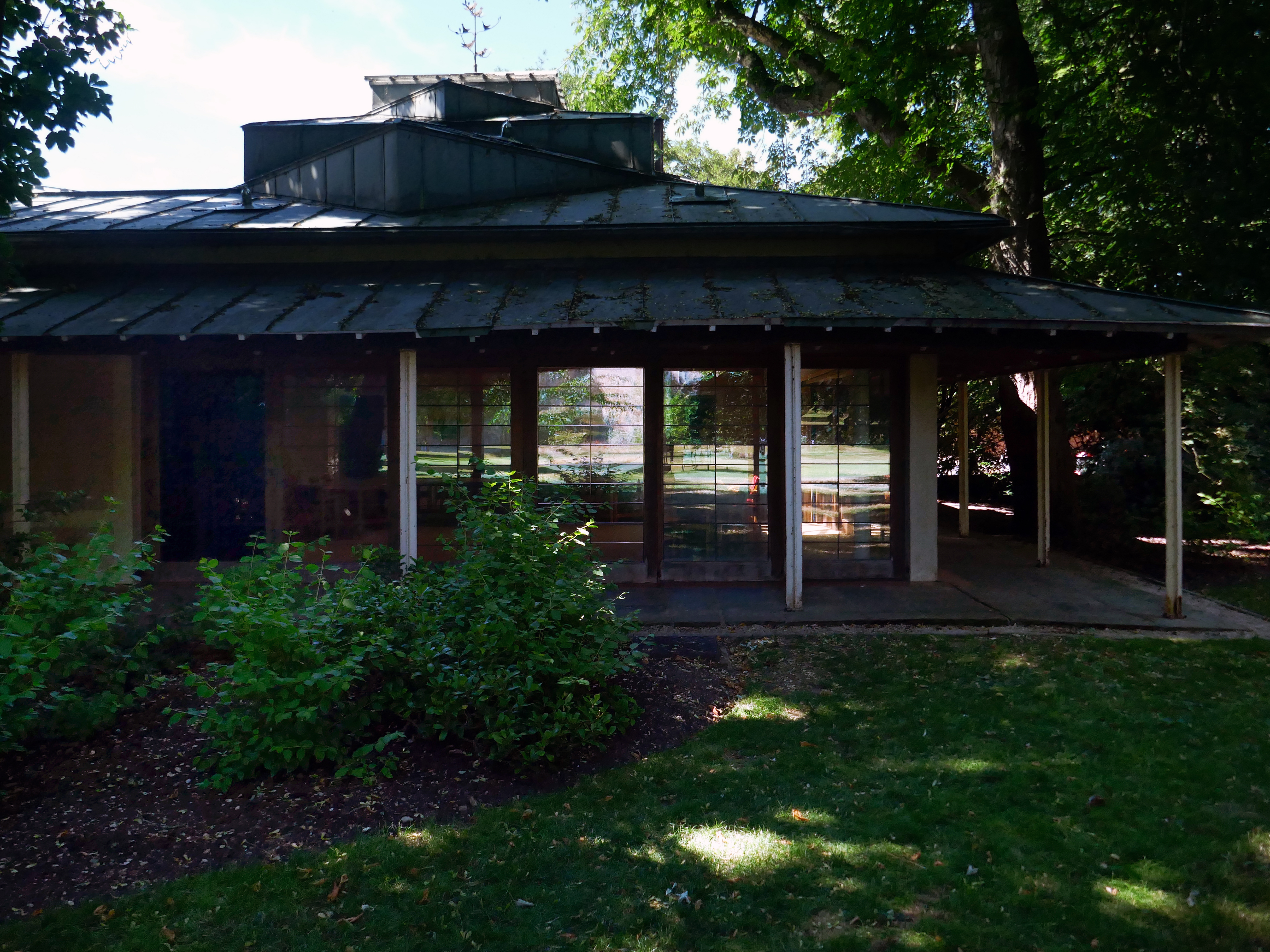
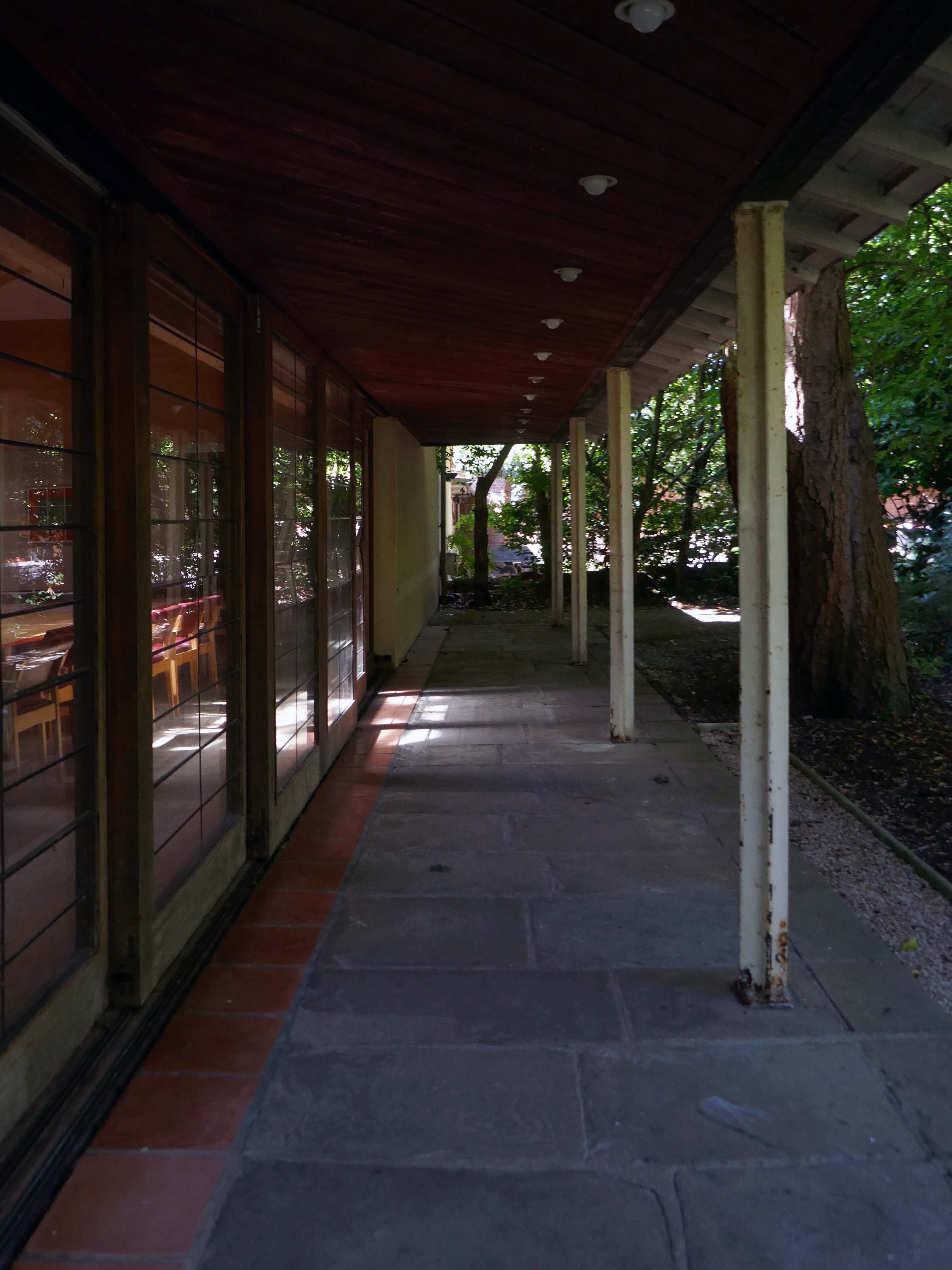
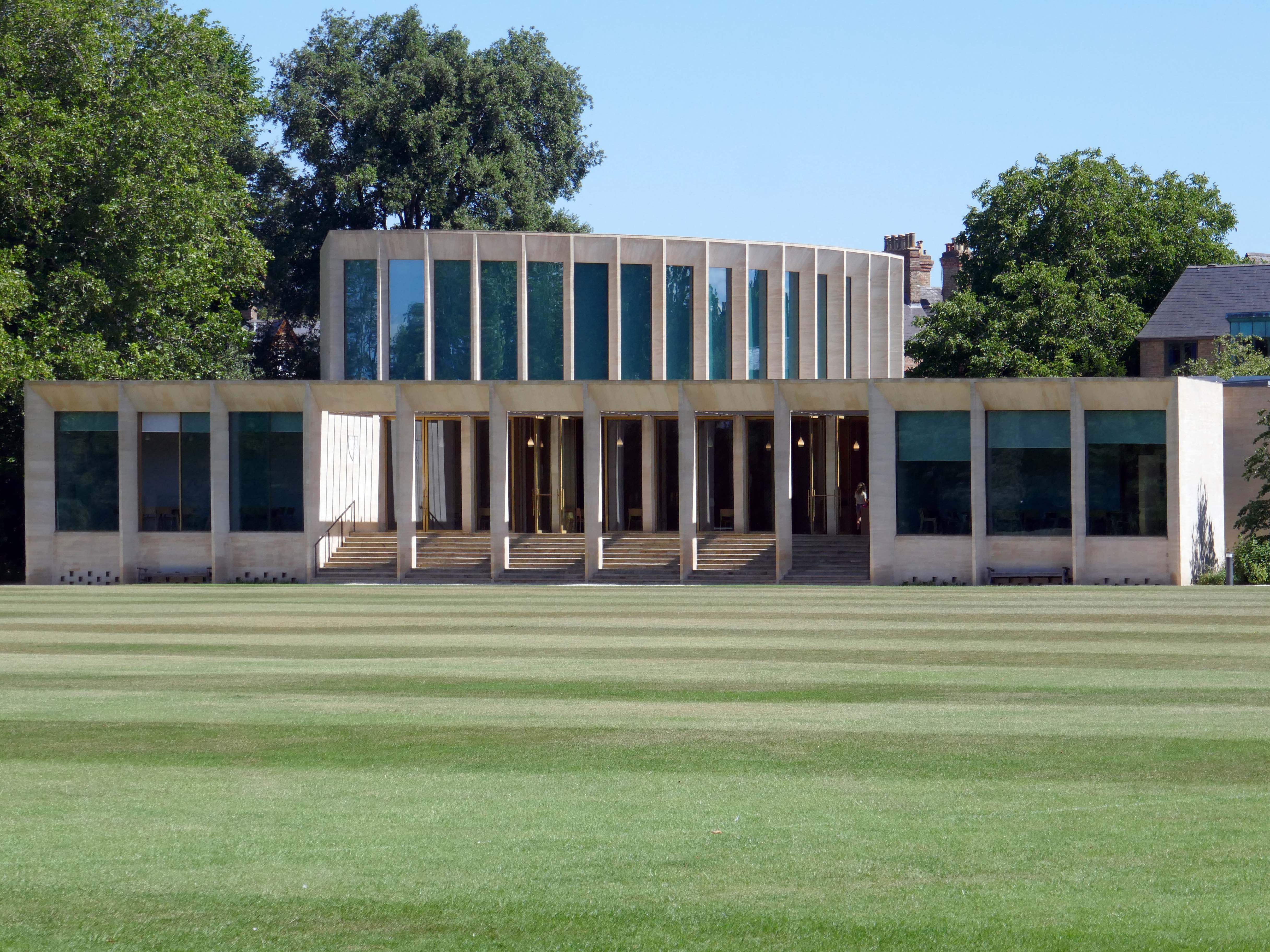
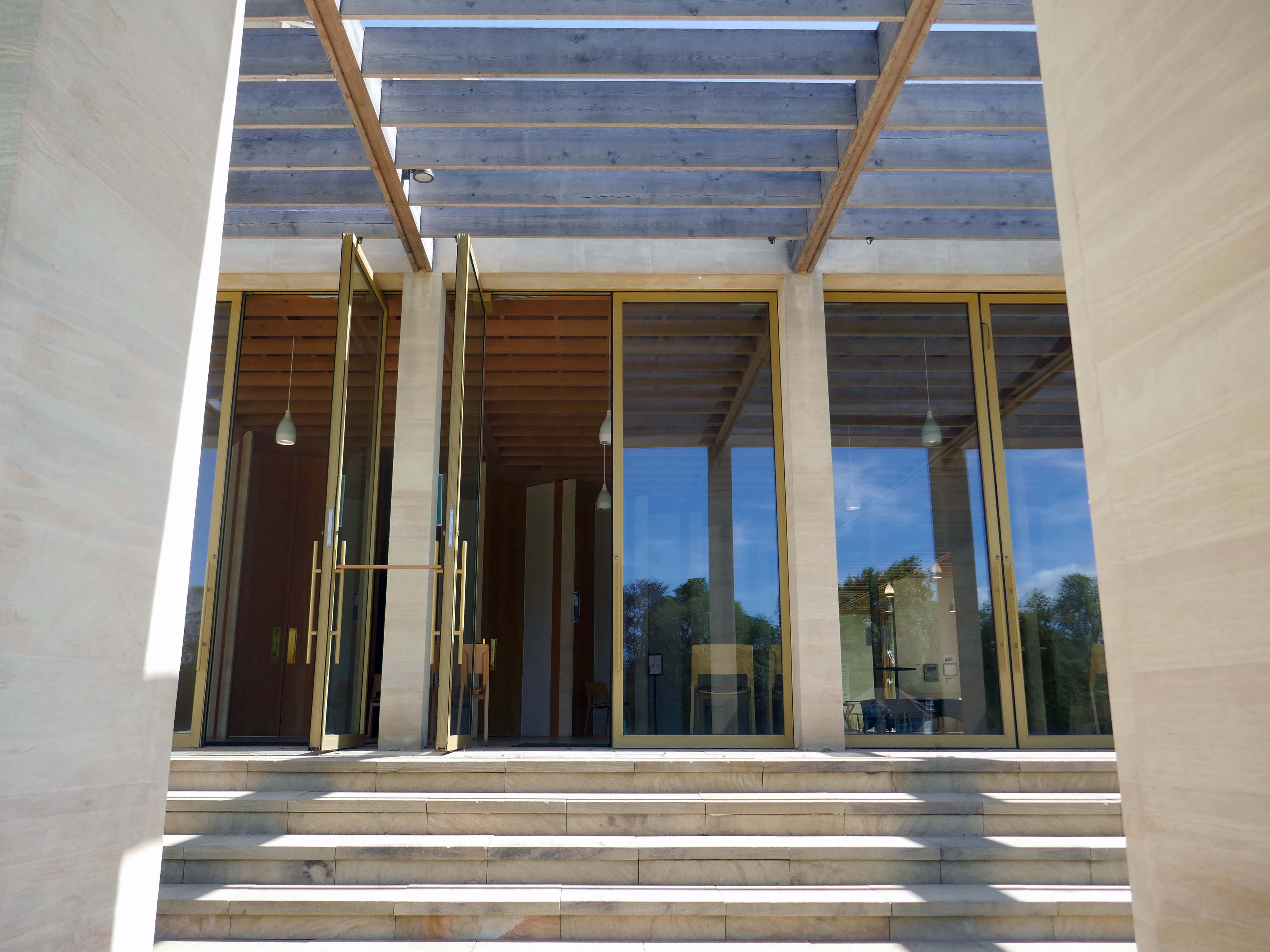
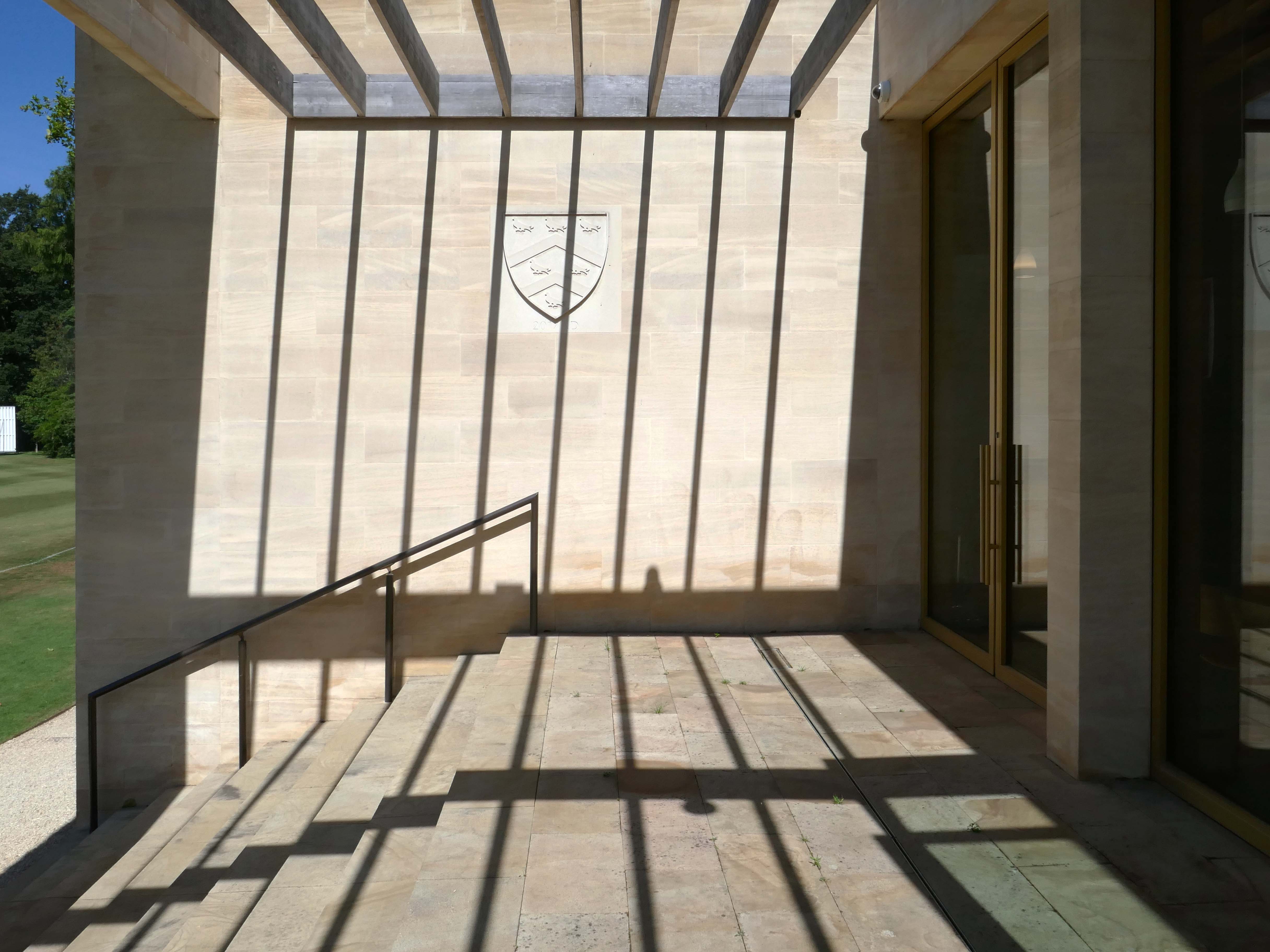
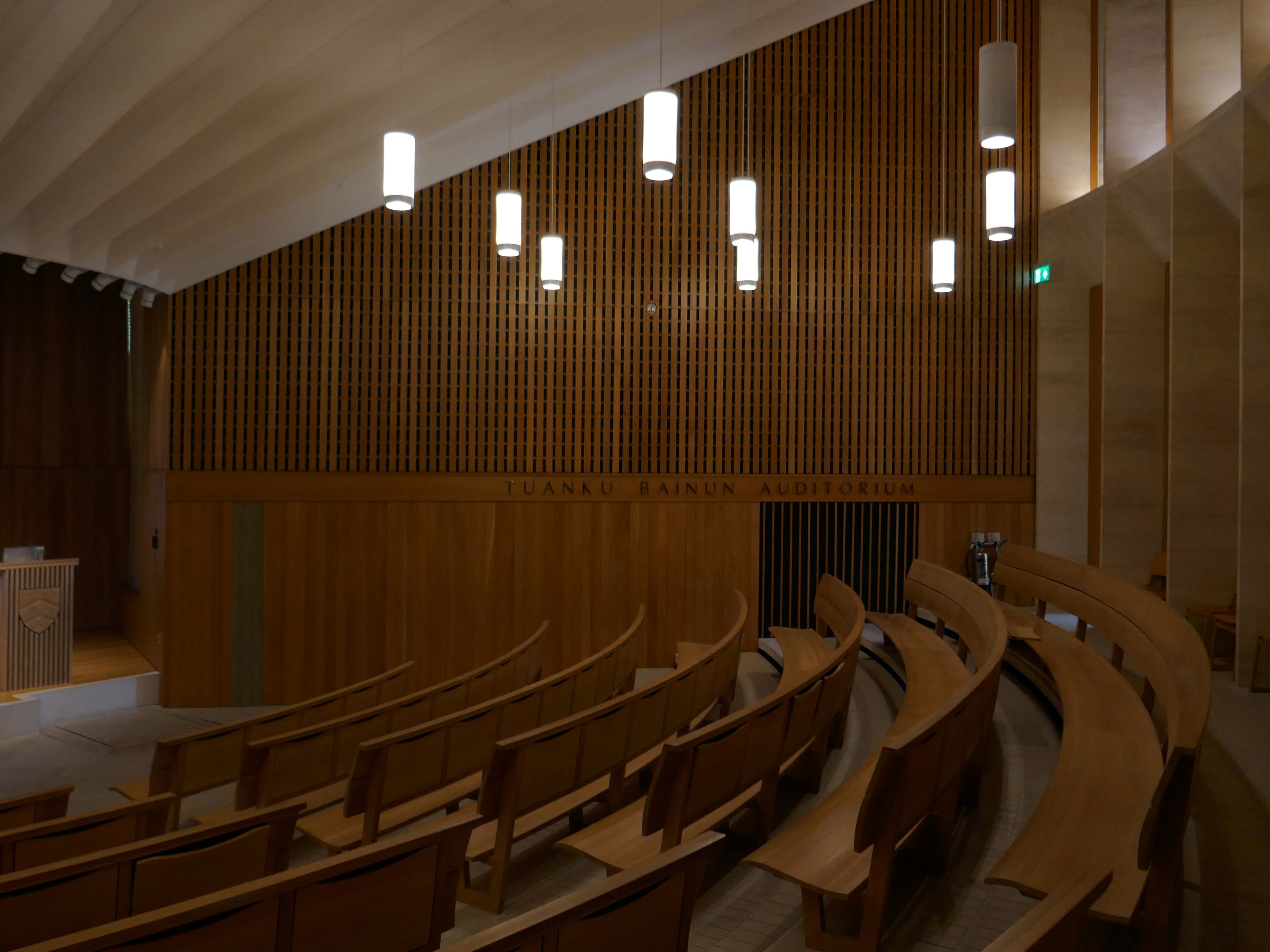
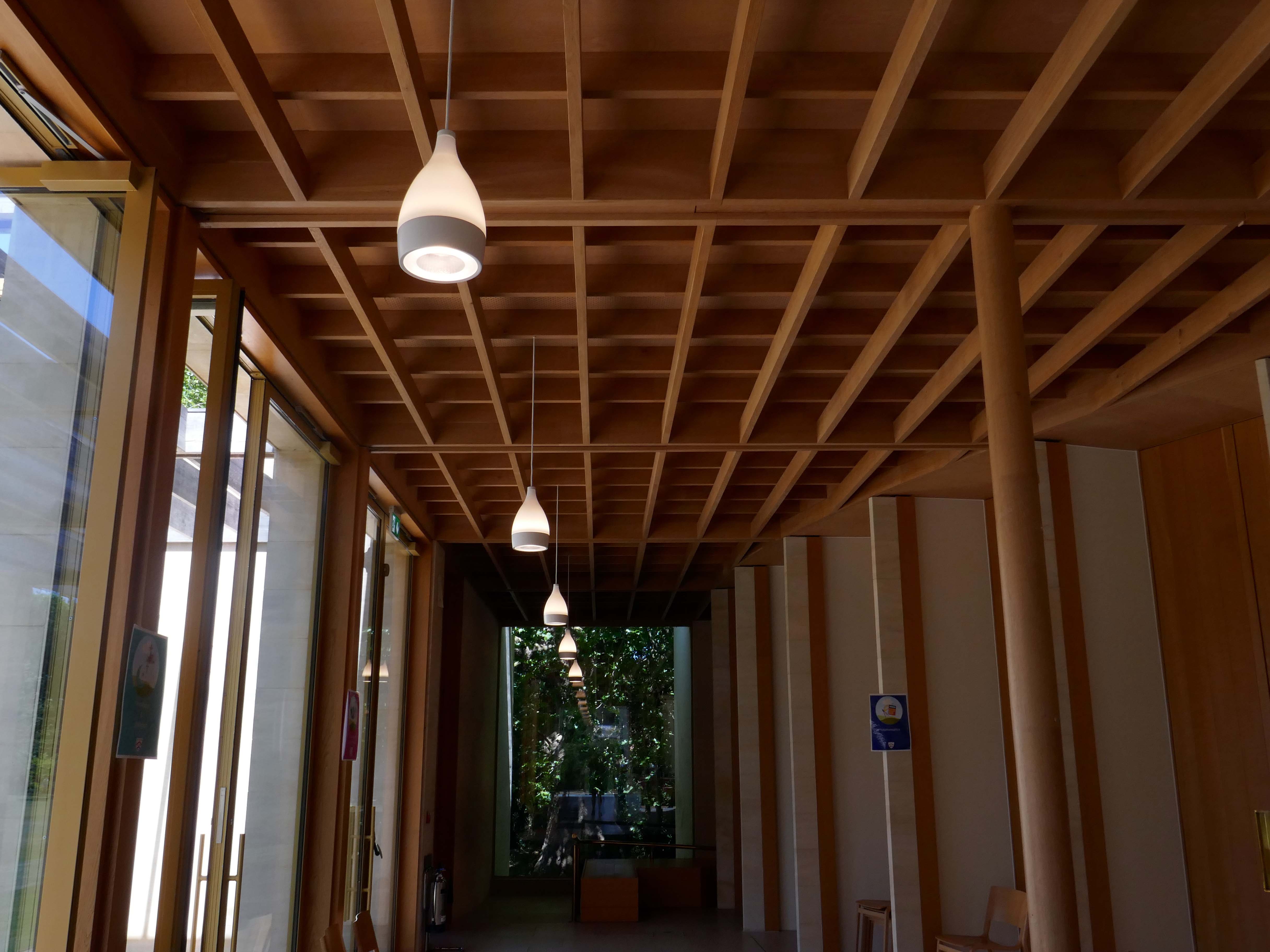
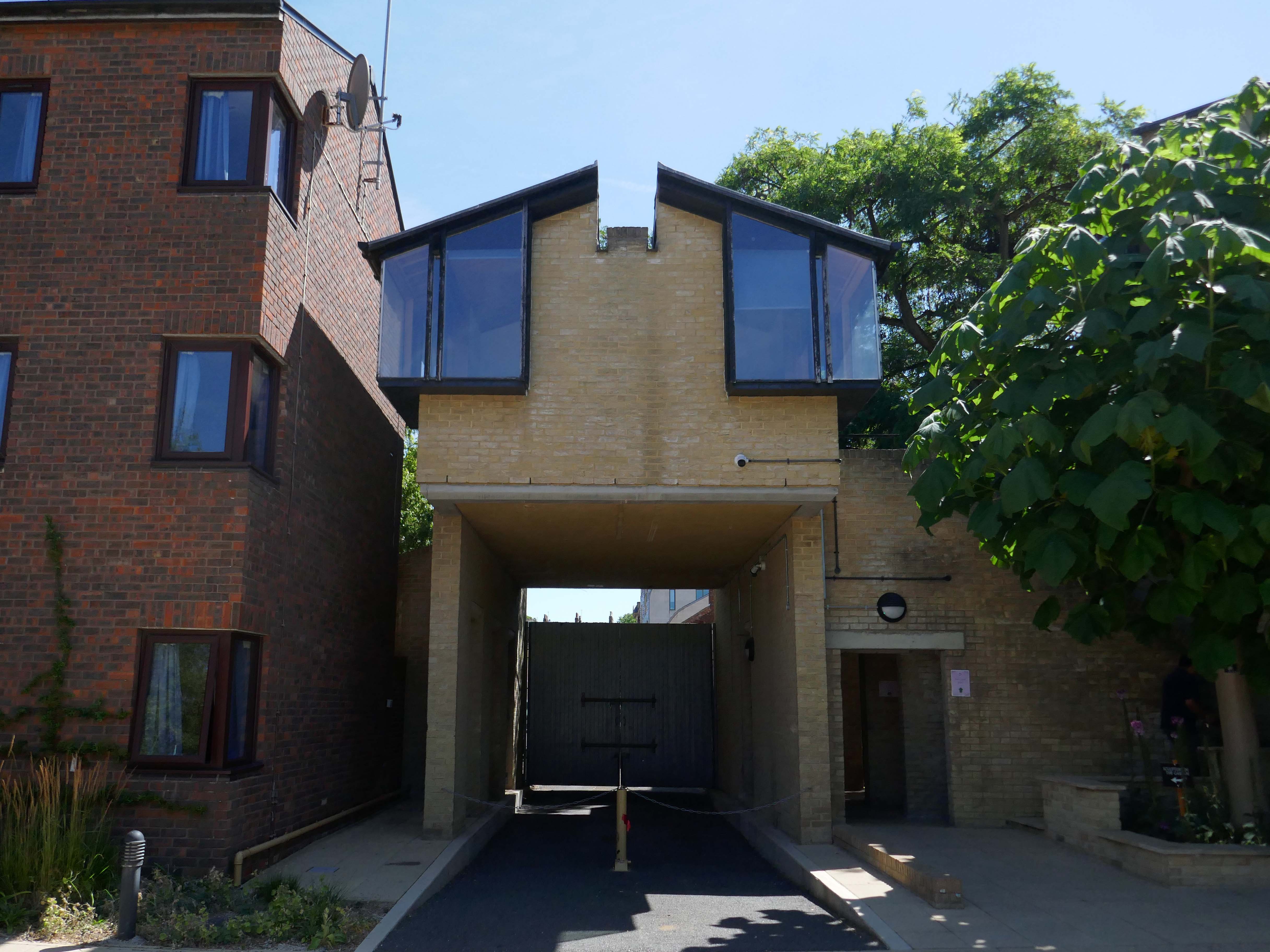
The Sultan Nazrin Shah Centre is a new building of 2017 housing a large lecture theatre, a student learning space, seminar rooms and a dance studio. The project is not simply the provision of new facilities, but also the development and enhancement of the setting of this significant part of the College site. Whilst the relationship between the new buildings and the listed parkland is important, it is only one part of a complex arrangement.
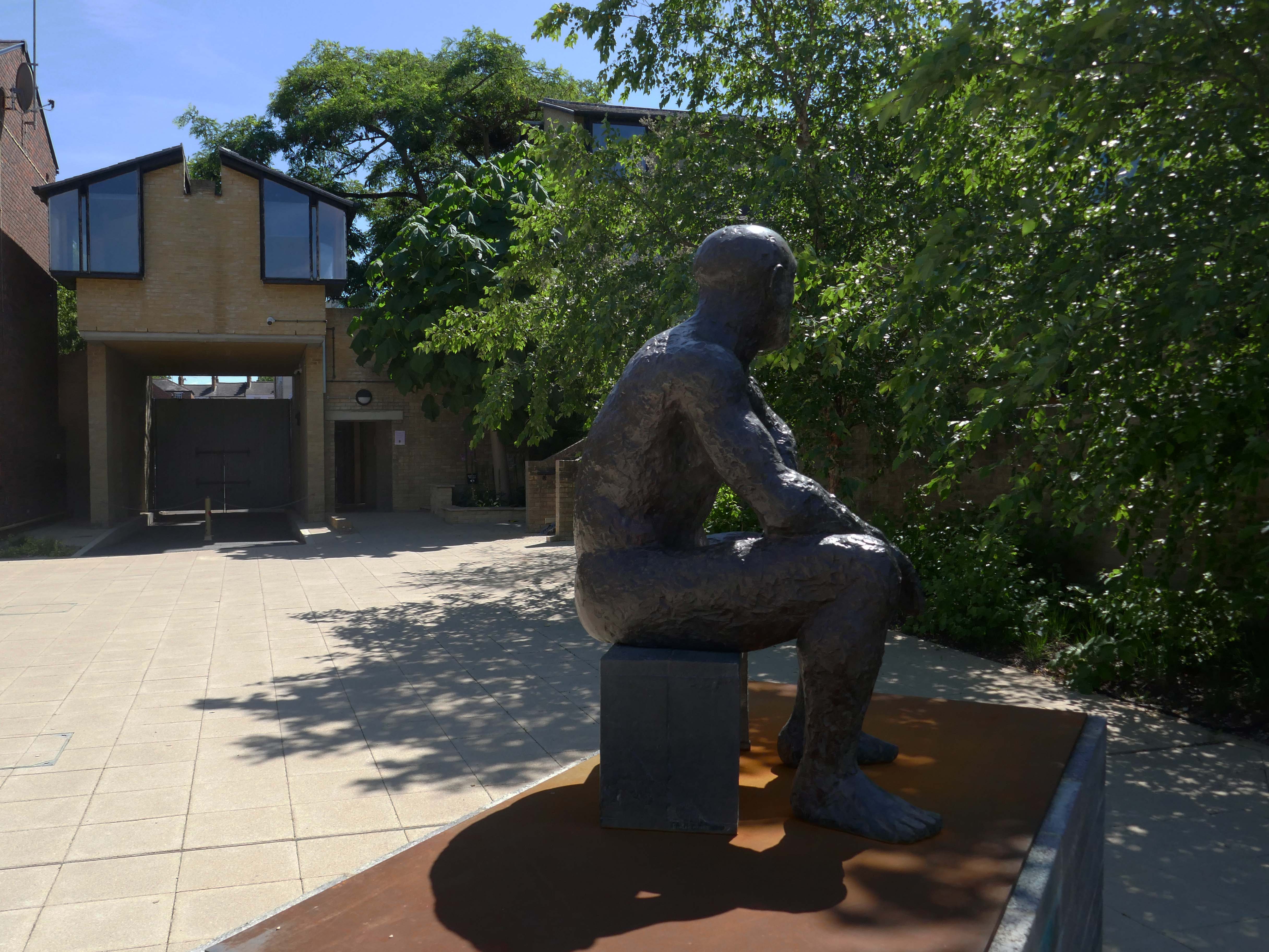
Elizabeth Frink’s sculpture Seated Man II – on loan from Yorkshire Sculpture Park, in accordance with the wishes of the artist’s late son, Lin Jammet, 2020.
He overlooks The Sainsbury Building student accommodation – 1983 Architect: Richard MacCormac
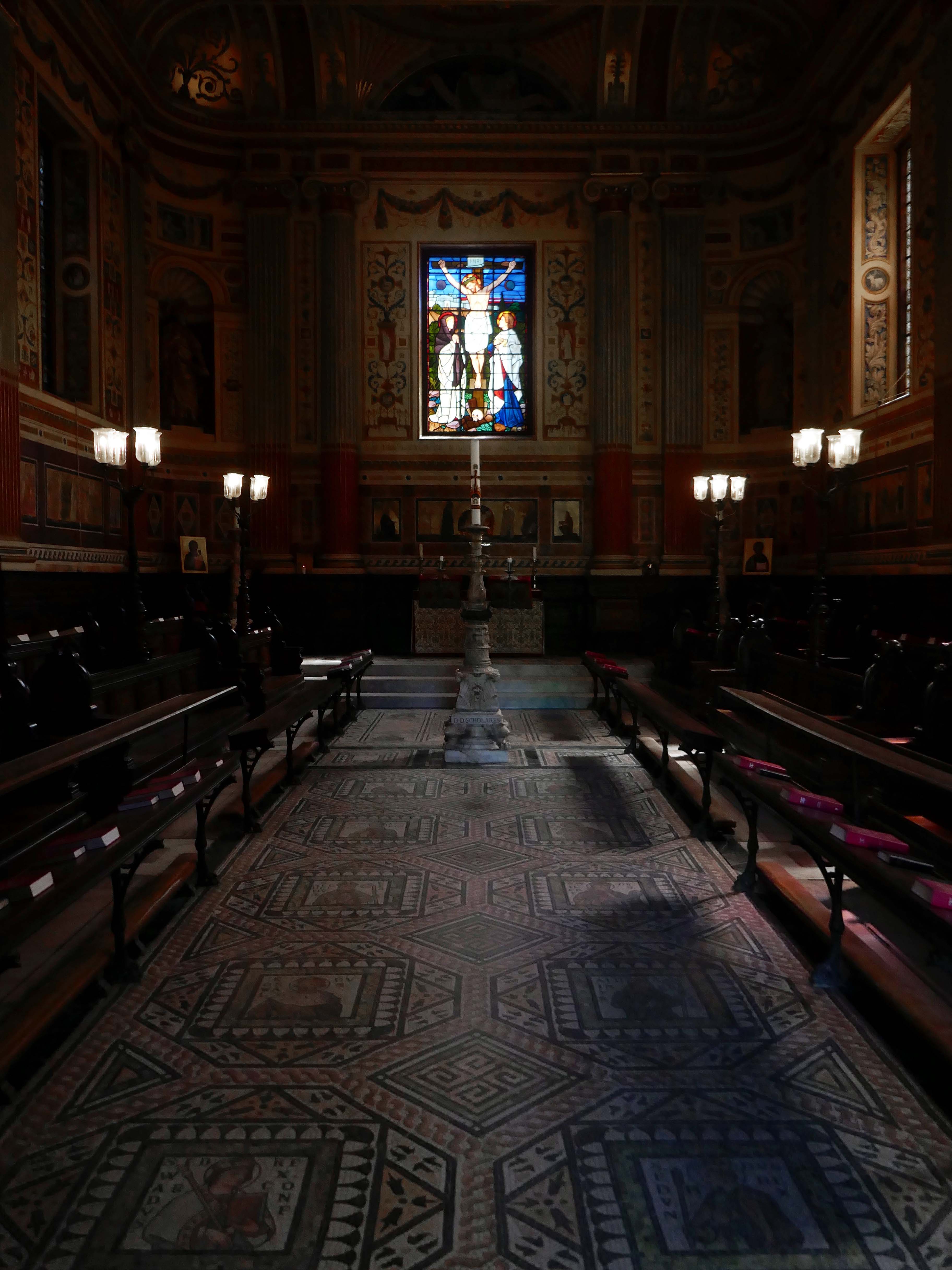
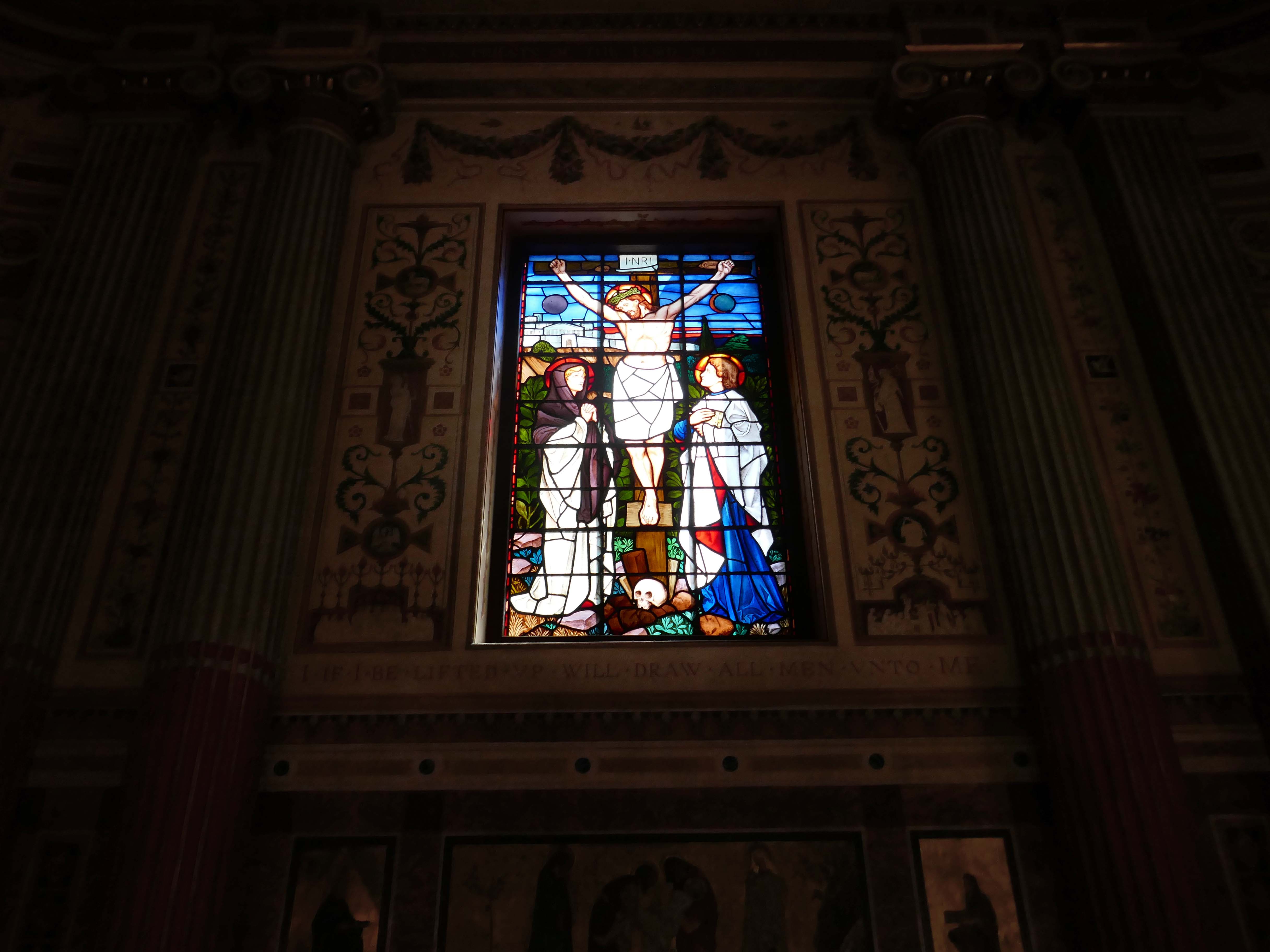
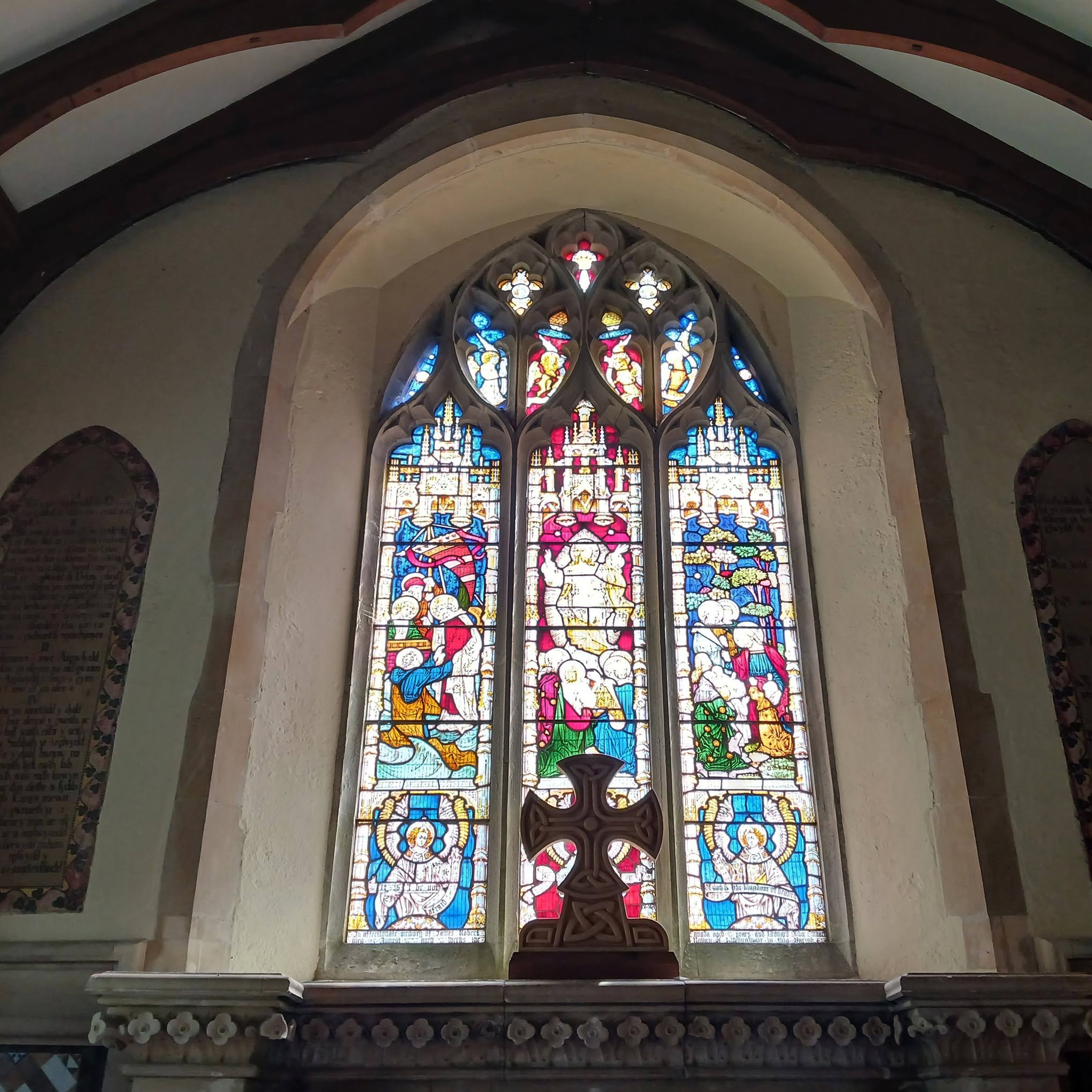
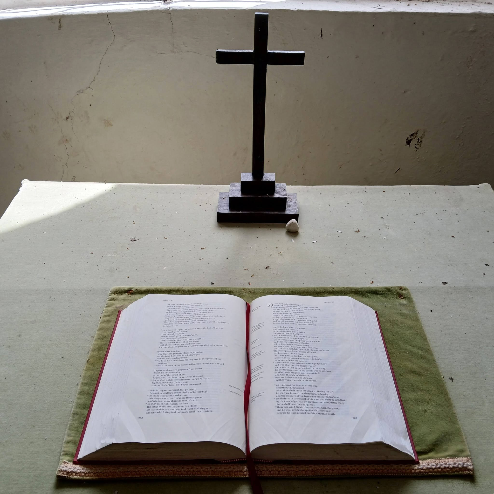
The College Chapel was built in the 18th century. George Clarke, Henry Keene, and James Wyatt were responsible for different stages of its lengthy construction 1720–1791, owing to a shortage of funds. The interior columns and pilasters, the dome, and the delicate foliage plastering are all Wyatt’s work. His classical interior was insufficiently emphatic for the tastes of militant Victorian churchmen, and between 1864 and 1866 the chapel was redecorated by William Burges.
It is highly unusual and decorative; being predominantly pink, the pews are decorated with carved animals, including kangaroos and whales, and the walls are riotously colourful, and include frescoes of dodos and peacocks. Its stained glass windows were to have been designed by John Everett Millais, but Burges rejected his designs and entrusted the work to Henry Holiday.
Wikipedia
My first visit to Oxford and the centuries wide cornucopia of architectural styles and fashion.
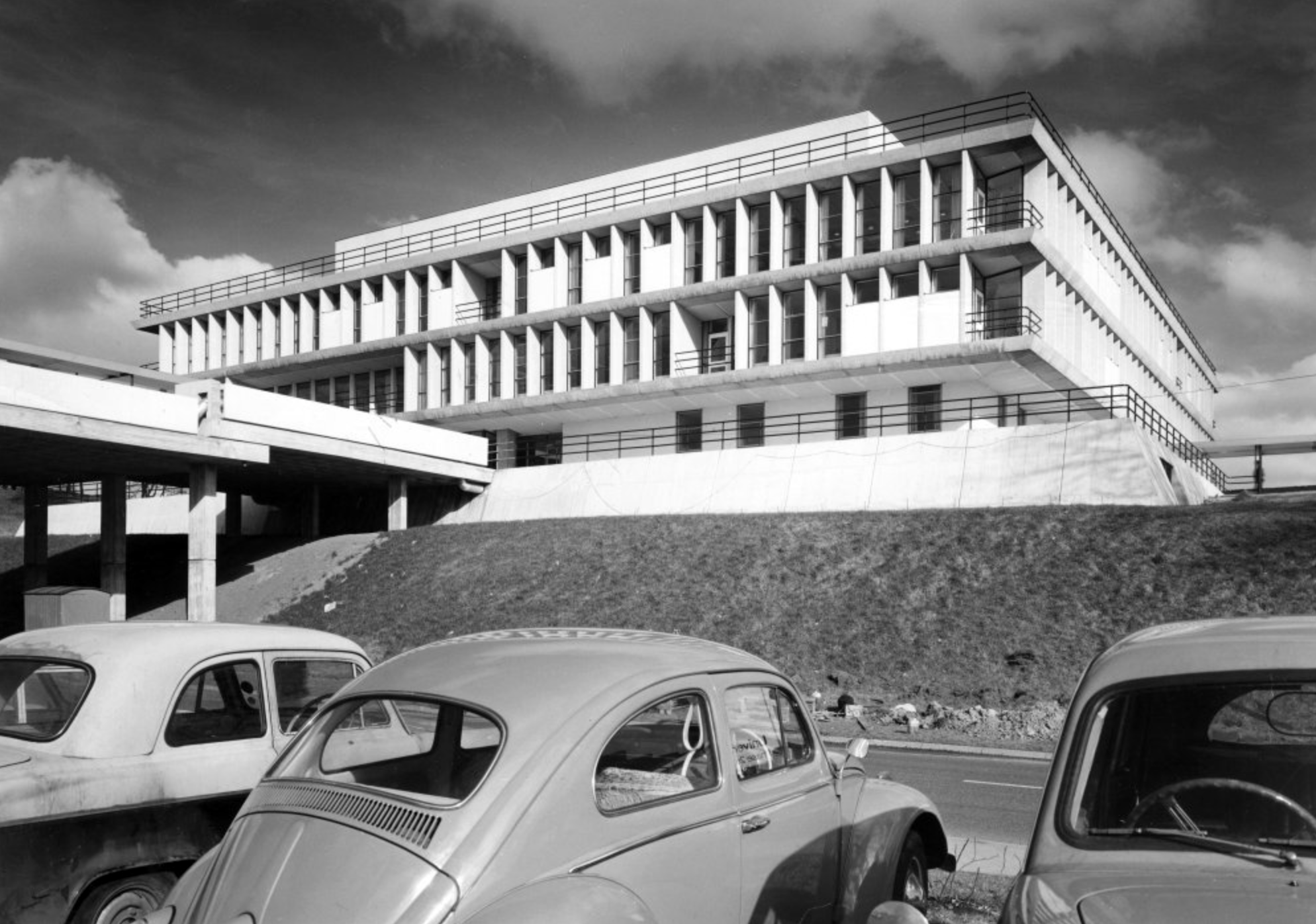
In 1956, with University considering plans for expansion, Alan Bullock obtained approval to transform St Catherine’s Society into a fully residential college – the search for a site and funding began.
An ambitious fundraising campaign began, focusing on the national shortage of scientists and on Bullock’s proposal of an increased number of science students at St Catherine’s than was usual for an Oxford college. In 1960 almost eight acres of Holywell Great Meadow was acquired from Merton College and the College’s chosen architect, Arne Jacobsen of Denmark, began to implement his design. His modernist masterpiece was to become the most important 20th-century collegiate buildings in Oxford, and is now Grade I listed.
In 1962 St Catherine’s College opened its doors – while still under construction, with Alan Bullock as its Master. The first undergraduates were admitted, and were quickly dubbed the ‘Dirty Thirty’ owing to the lack of running hot water. 1964 saw the ceremonial opening of the College by the then Chancellor of the University, Harold Macmillan, and ten years later in 1974, staying true to its forward-looking ethos, it became one of the first colleges to admit women.
As a footnote – it’s possibly not a great idea to rush around an unfamiliar city trying to snap as much as possible on a very hot day time limited by budget train bookings largely underfed and thirsty.
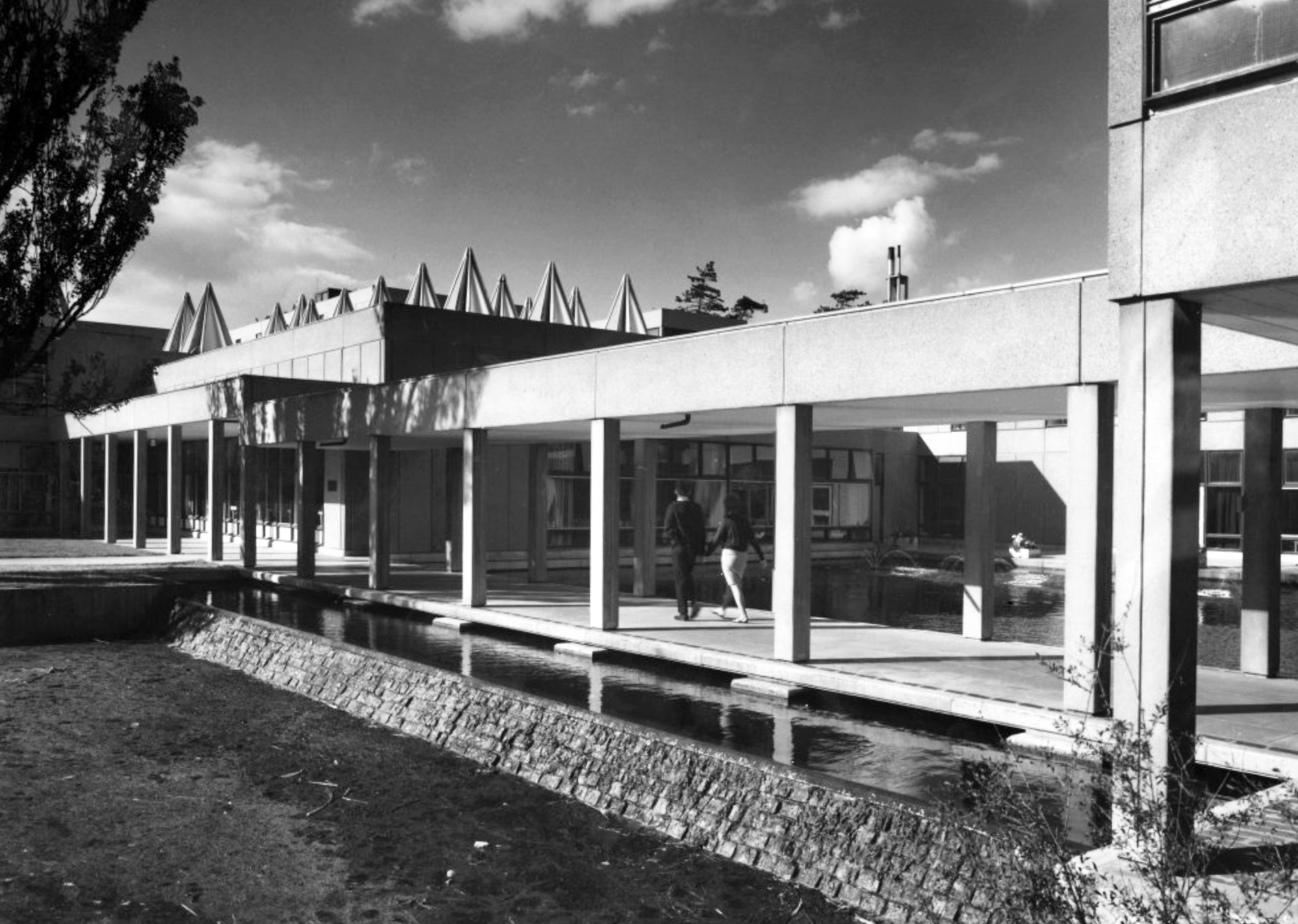
St Catherine’s College: 1961-66. Arne Jacobsen – Grade I Listed
Podium and all buildings upon it. GV I College buildings, raised on a podium, including dining hall, common room blocks; two residential blocks; library; Bernard Sunley Lecture Theatre; bell tower; piers and covering to walkways to east and west of library and east and west of hall; bridge adjoining west side of podium; brick walls enclosing canal and patio areas on western edge of podium; brick walls to patio areas to eastern edge of podium; twenty five short stretches of garden wall all running east-west, some incorporating seats; paving to podium surface and steps to east and south sides.
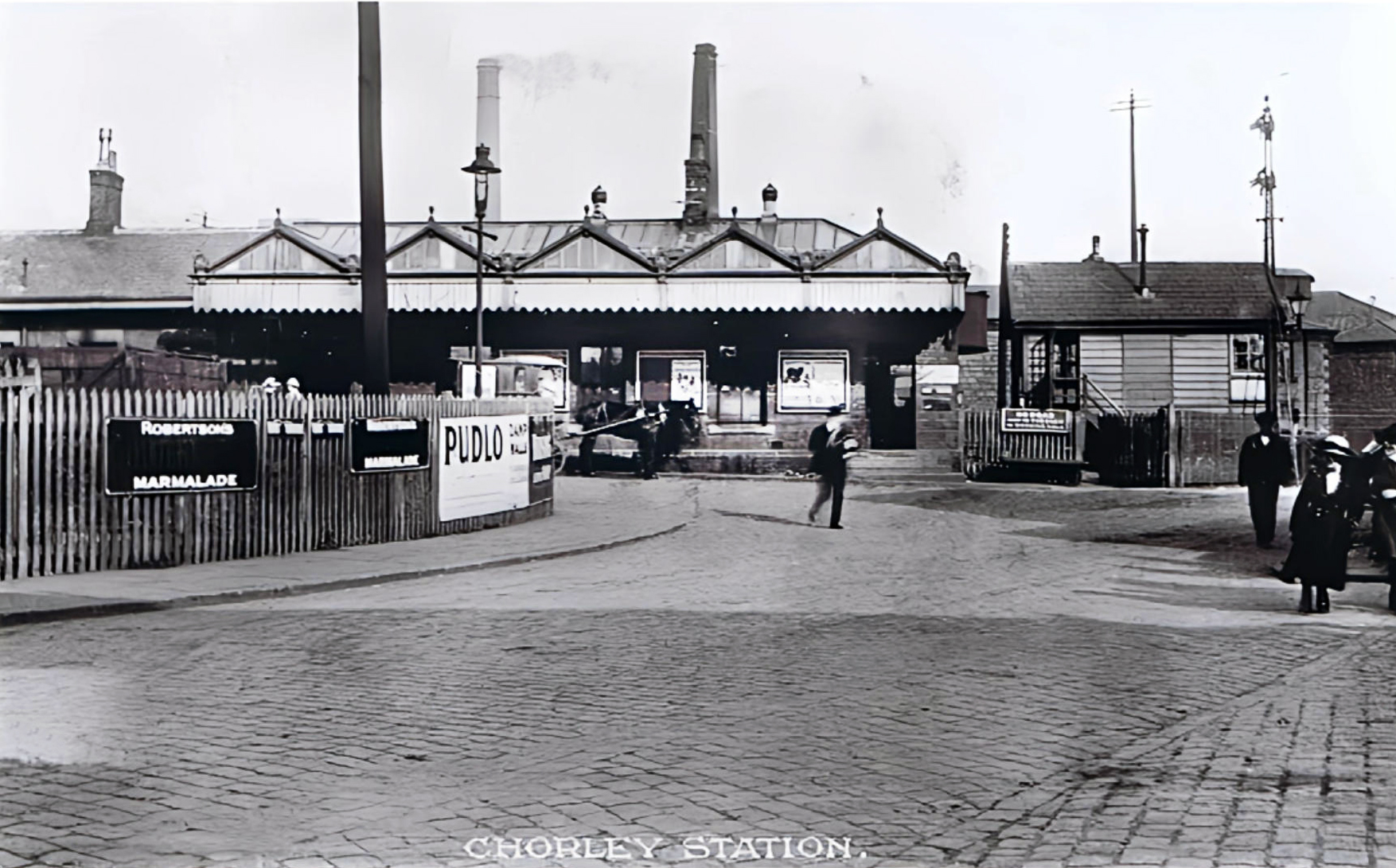
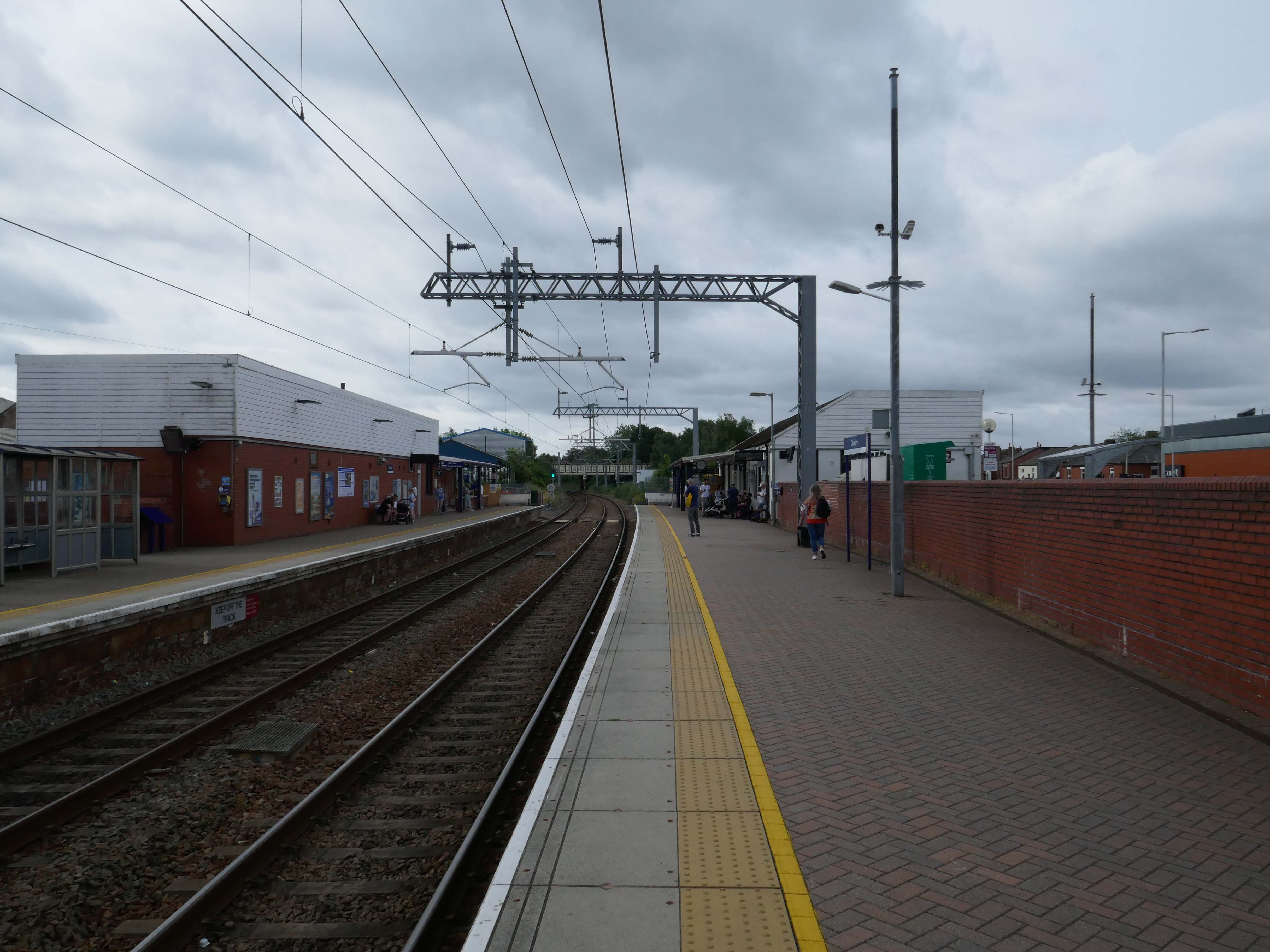
The current railway station is a modern version from the 1980s that was built on top of the original station – it is entirely functional, but more than somewhat undistinguished.
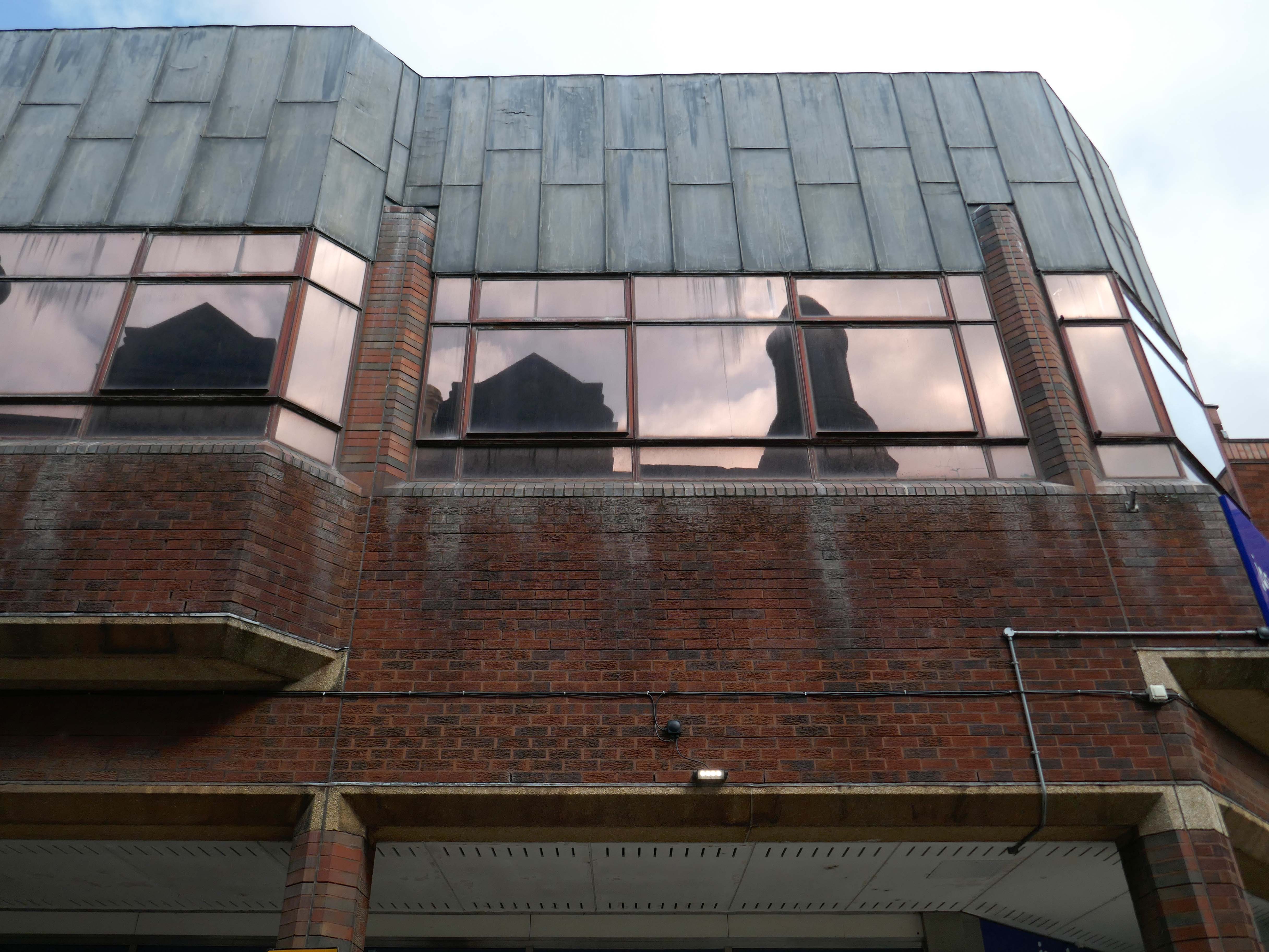
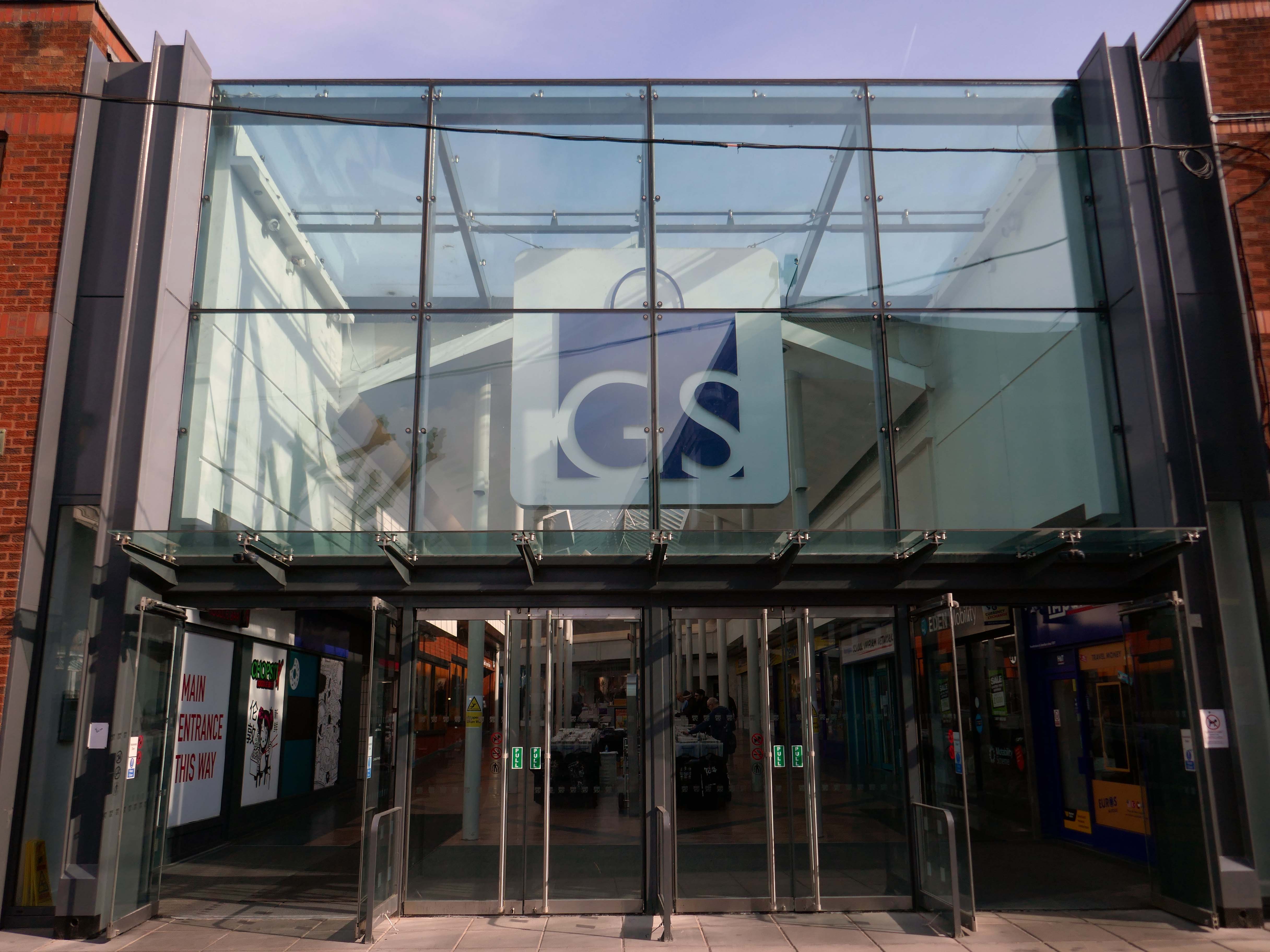
Whether it’s fashion, gifts, everyday essentials or an entertaining day out that you’re after, Market Walk has it all. With over thirty shops along an outdoor parade, plus entertainment and hospitality venues, there’s something for everyone.
AEW Architects were appointed by Chorley Council in 2015 as Architects for the Market Walk Scheme.
The Council’s aspiration was to breathe life back into the town centre by enhancing Chorley’s retail and leisure offer and refocusing Chorley’s centre as a destination for local residents and surrounding towns. The development needed to entice new, and retain existing, businesses in the town. Aesthetically, the development also needed to be a landmark for, and create a modern gateway into, the town – driving footfall towards Chorley’s commercial centre.
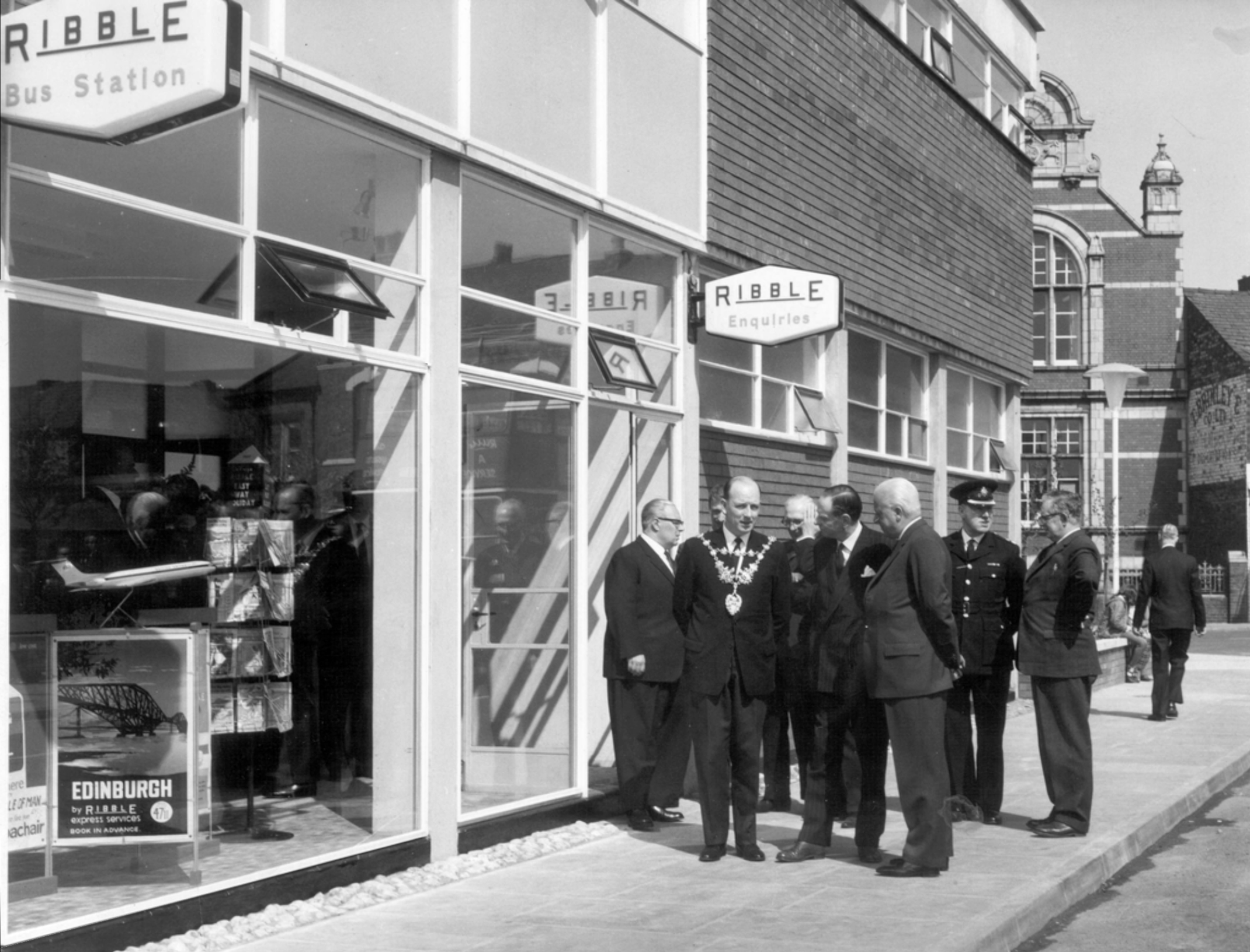
Next door is the Bus Station, opened in February 2003 replacing the previous structure.
Opening of the previous Bus Station – Ribble the area’s operators, before the Stagecoach arrived.
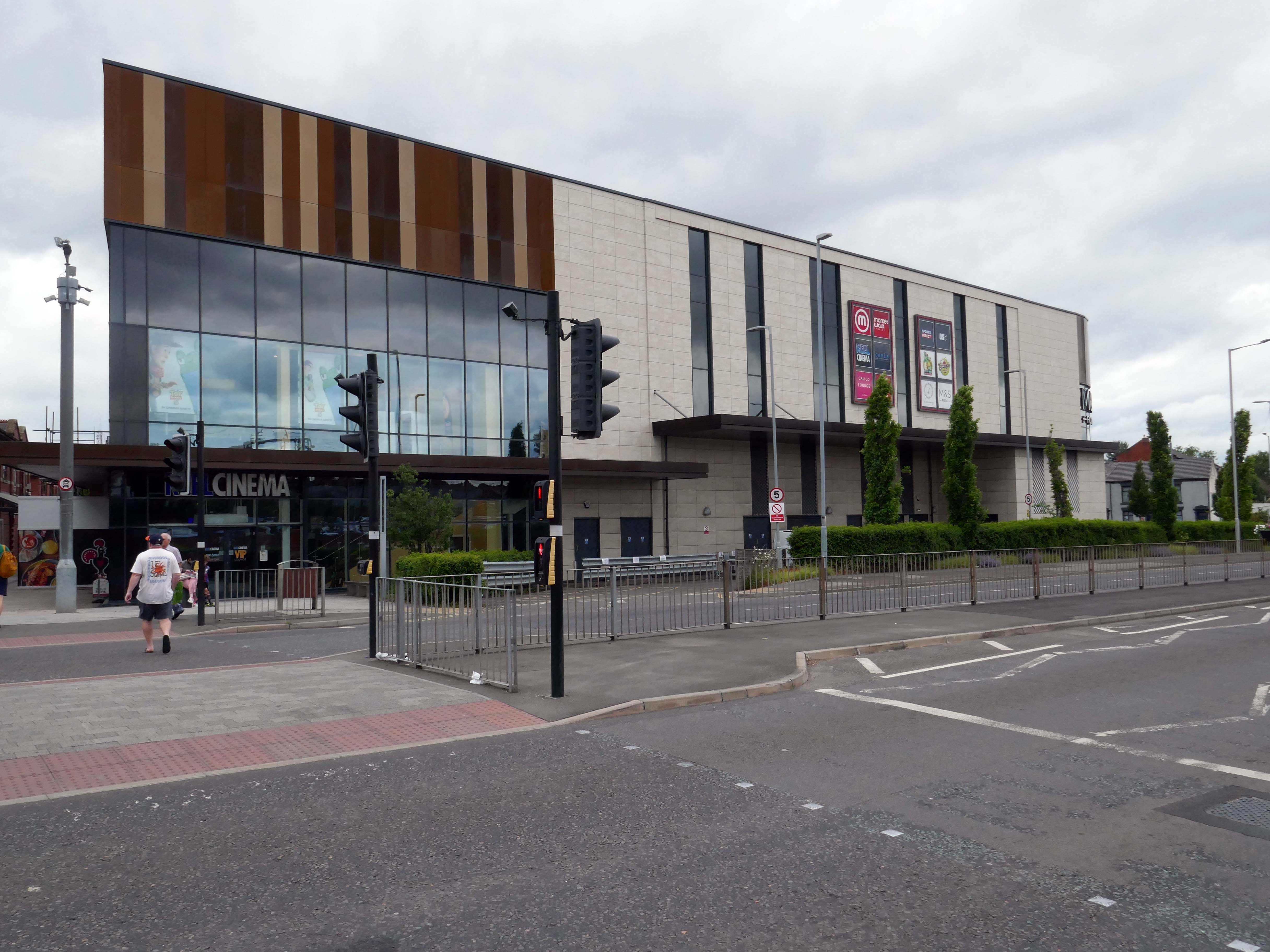
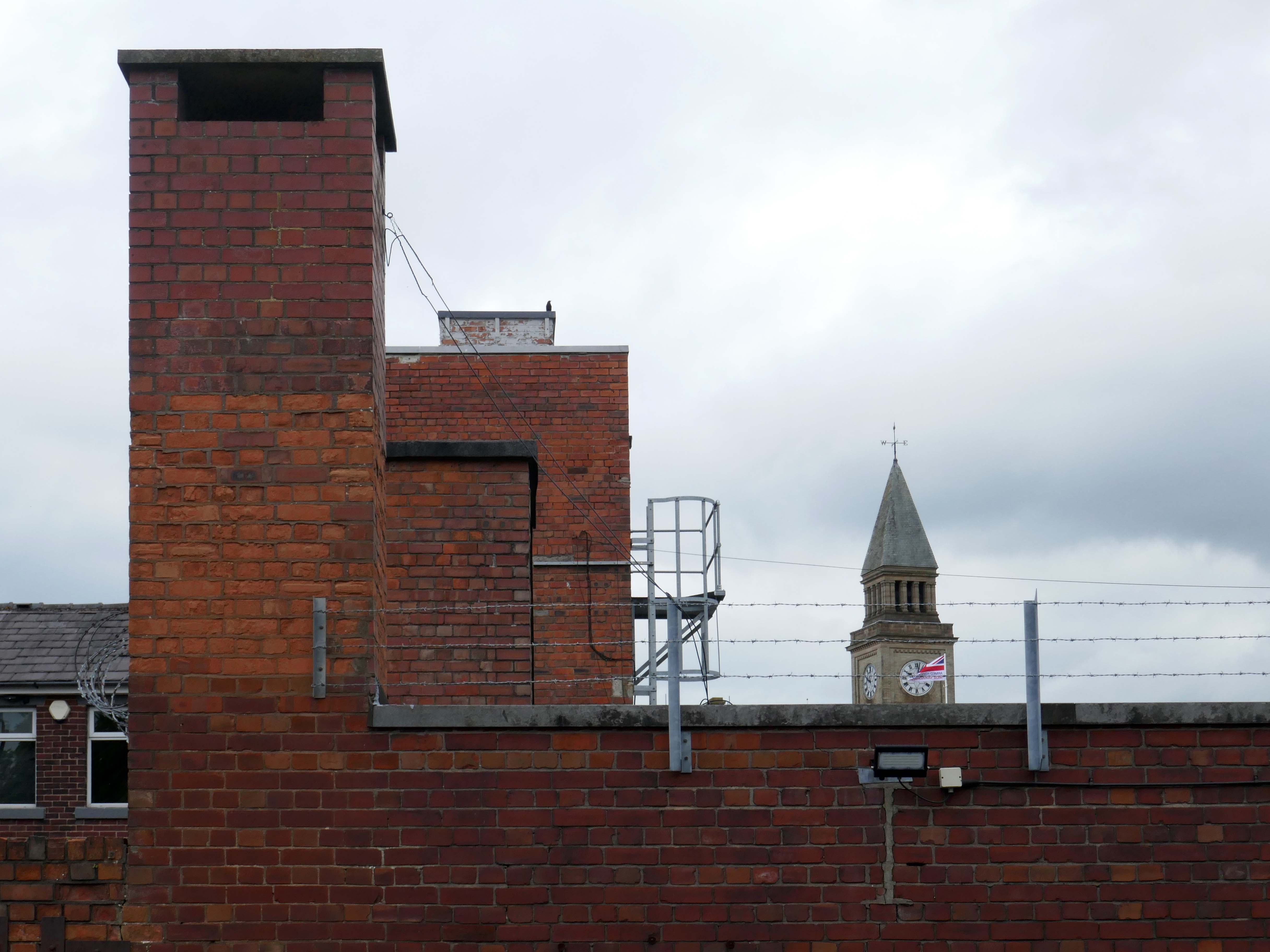
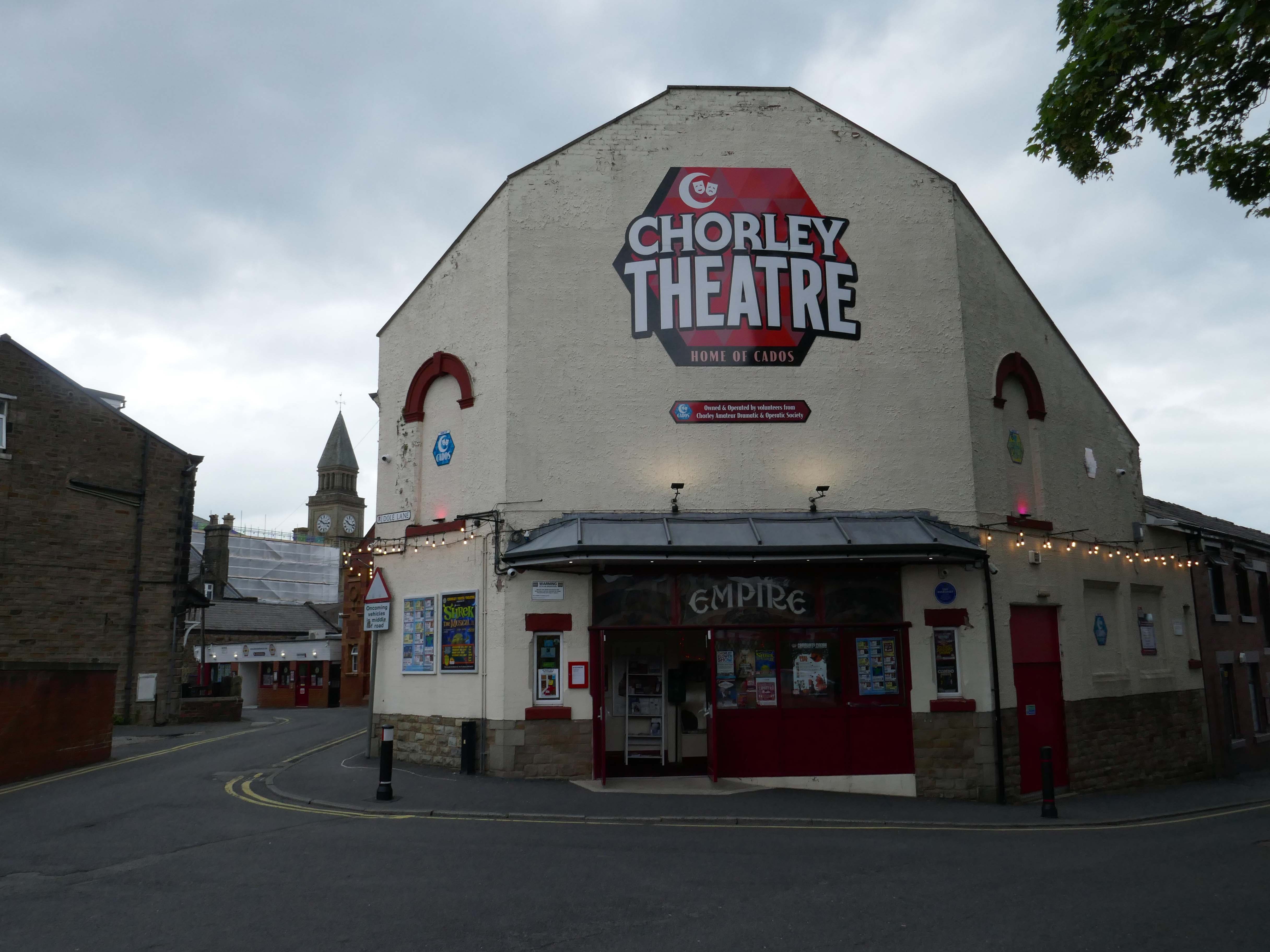
Opened on on 3rd September 1910, one of the nation’s longest continuously running cinemas.
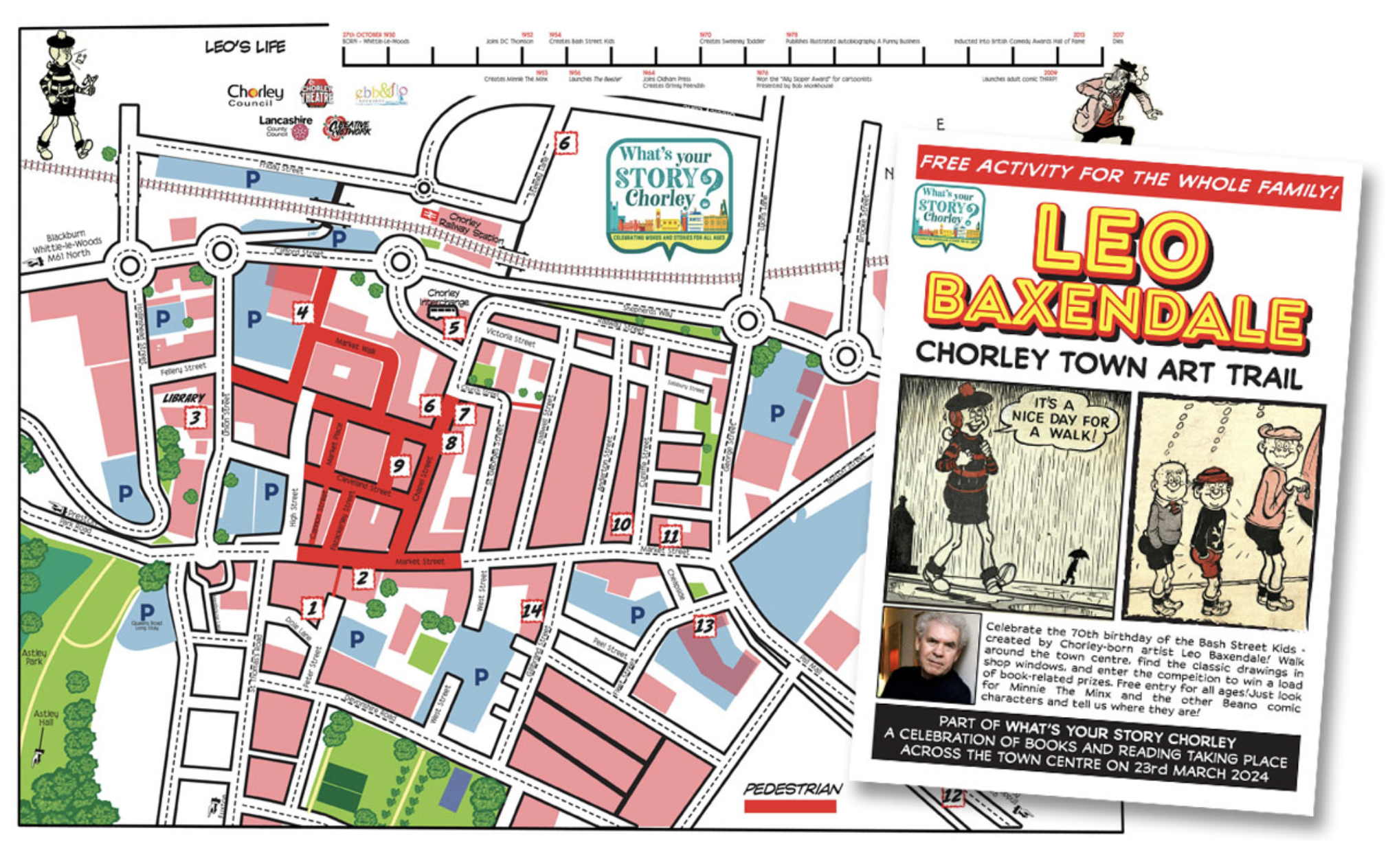
I spent some time chatting to the chatty guardian of the booking office, I learnt that the recently installed blue plaque commemorates the areas links to esteemed Beano artist Leo Baxendale.
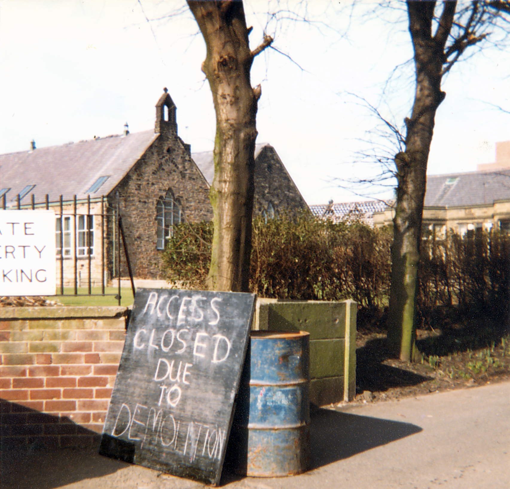
Leo attended St Mary’s School which was sited opposite the theatre, he had a miserable time there, an experience which formed the basis for the famed Bash Street Kids.
He may well now chuckle to himself in comic book heaven, knowing that the school was demolished in 1982.
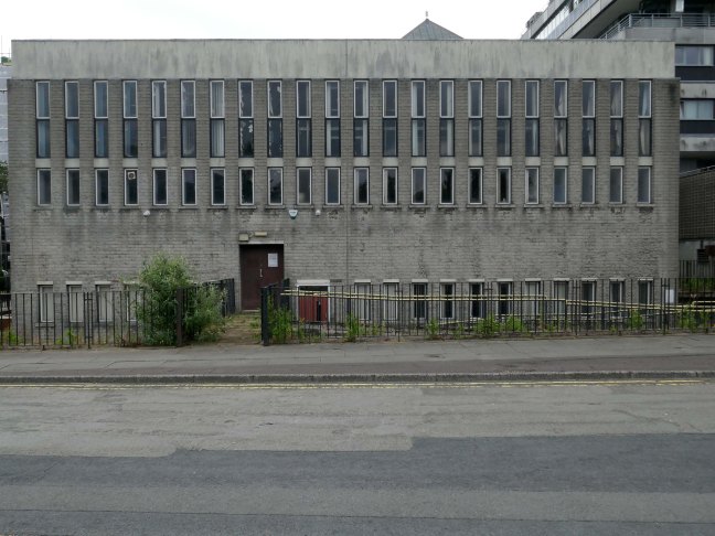
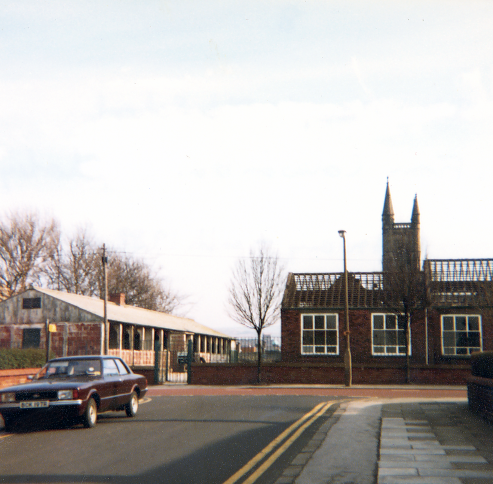
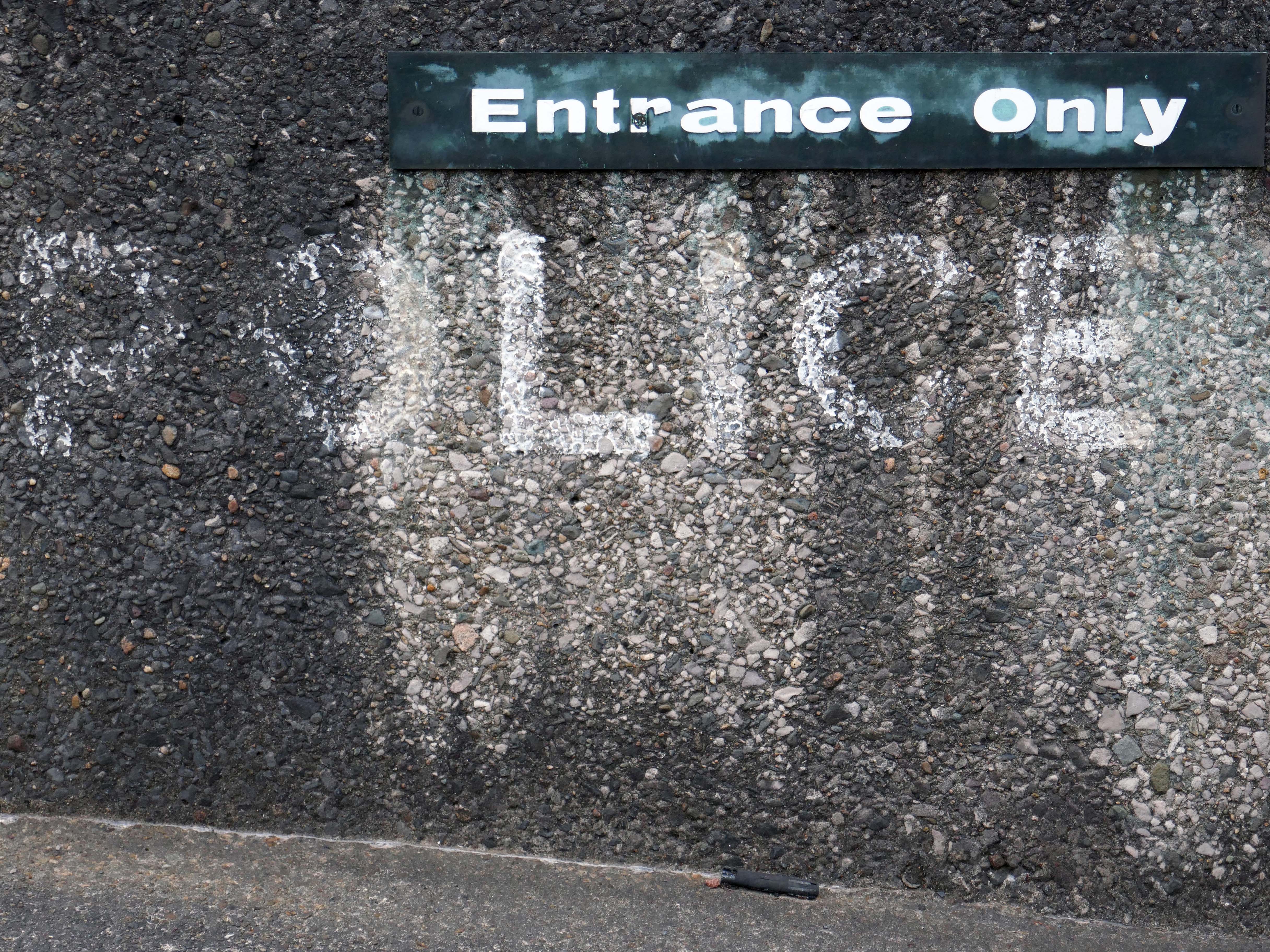
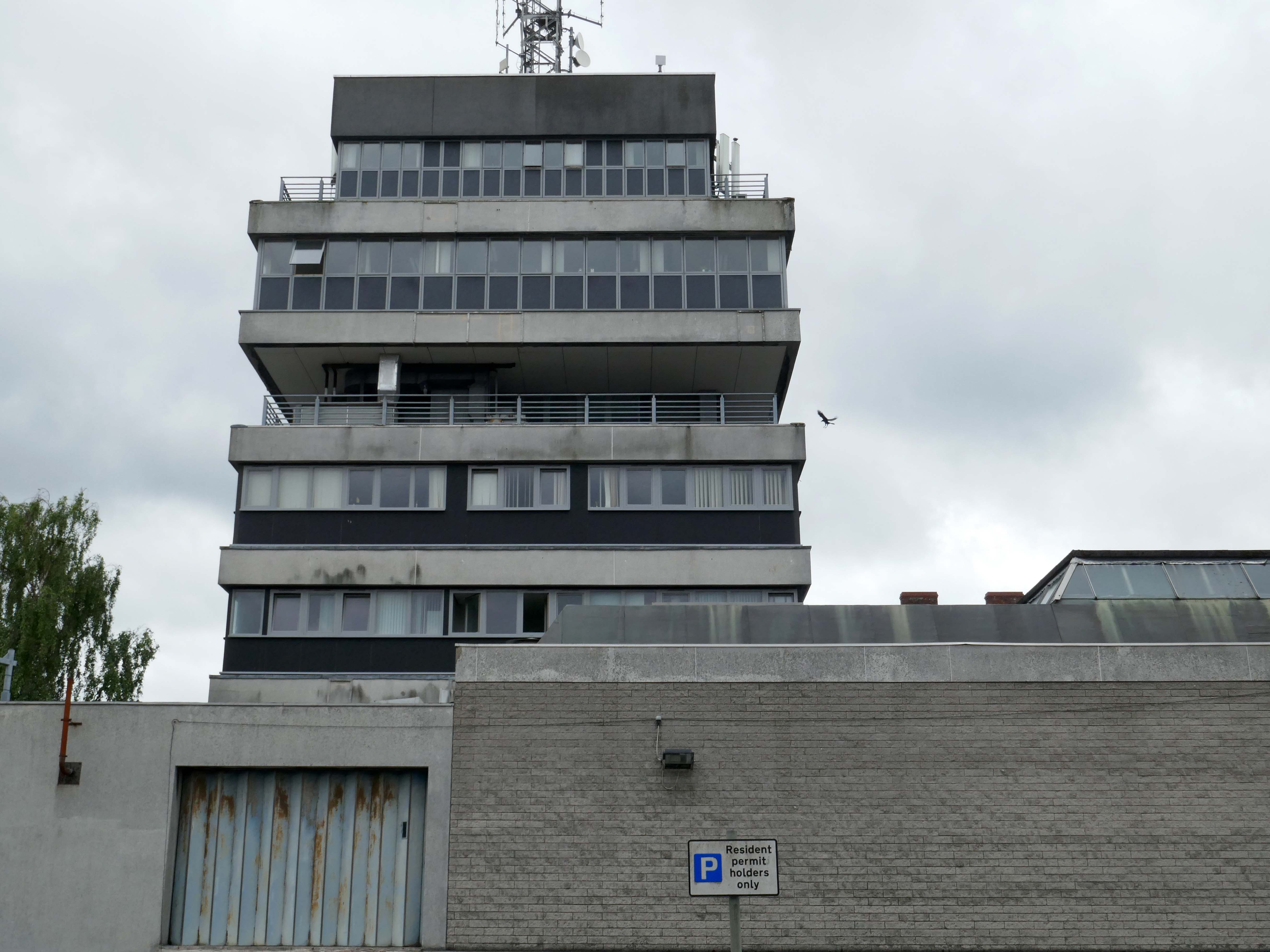
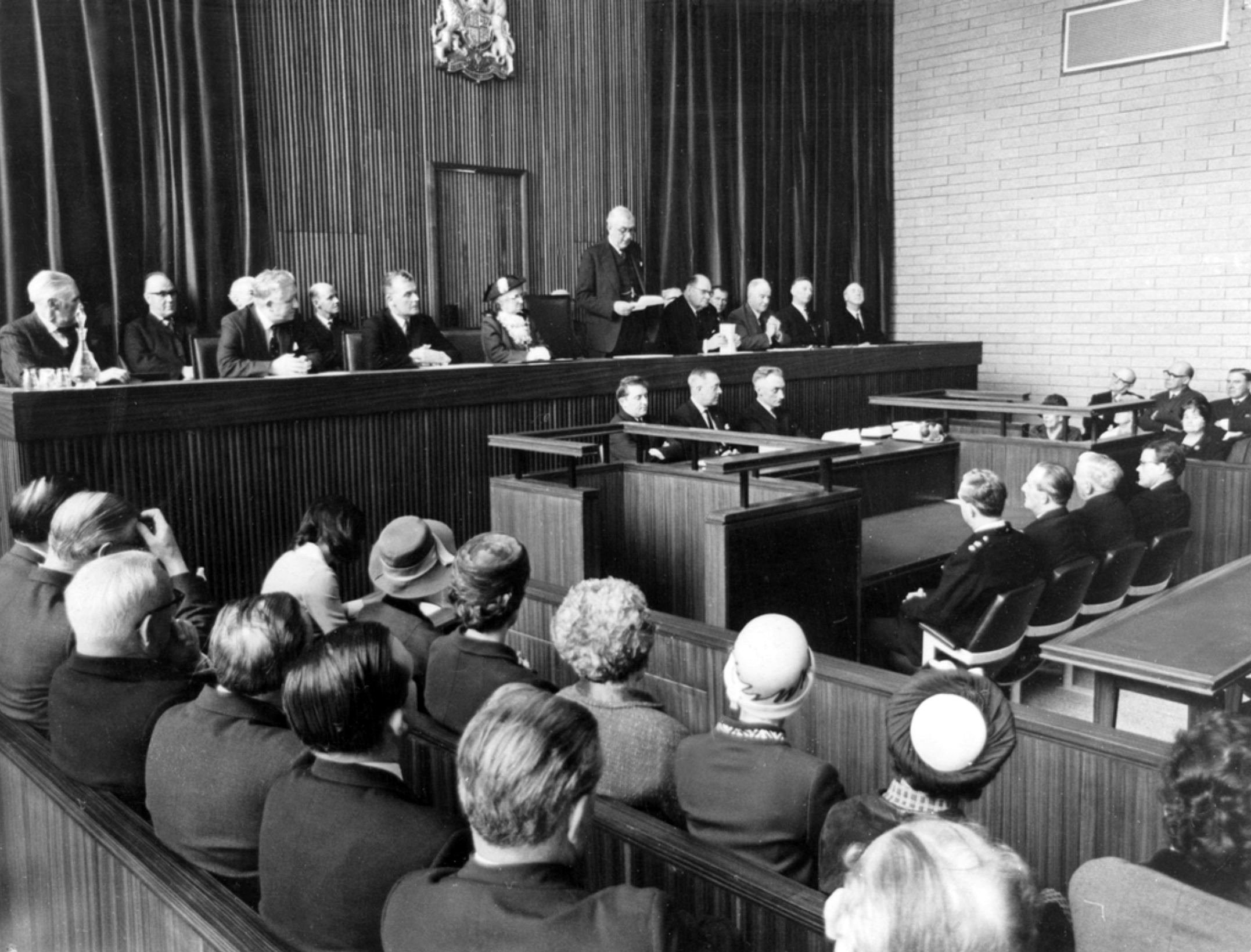
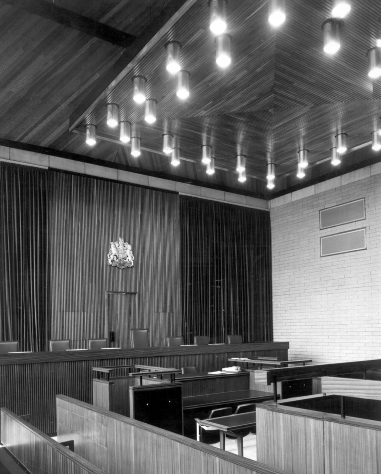
The design team was Roger Booth, Lancashire County Architect; CA Spivey, Assistant County Architect; DB Stephenson, Design Architect; and DG Edwards, AG Gass, responsible for the detailed design and construction. The seven-storey in-situ concrete framed main block was the last bespoke police station to be built in Lancashire, following this the department developed a systemised concrete construction method which was deployed across the county. The dramatic cantilevers gave the new building a stature and presence that signalled authority. The lower levels were accessed by ramps and provided space for police vehicles. To enter the police station one ascended a set of external stairs across a pool that once contained koi carp – fittingly, one boy described the new building as a ‘fishtank’ upon its completion. The magistrates’ court was finished externally in a grey brick and carried the signature pyramid rooflights that were synonymous with the Department.
Next door its partner in crime the Magistrates Courts.
Opened in 1968.
The courts are up for sale – offers in the region of £800,000 – the property has planning permission for an eleven storey apartment building with fifty two flats, three ground floor retail units and roof terrace.
The disused court building was last sold in 2022 for £300,000, according to the Land Registry.
Designs for the scheme were drawn up by FWP Group.
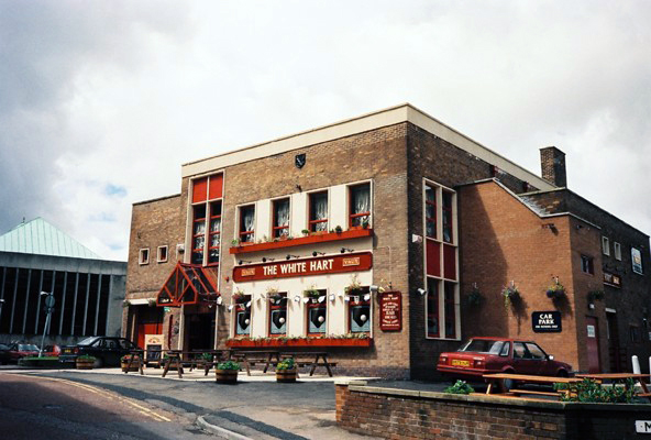
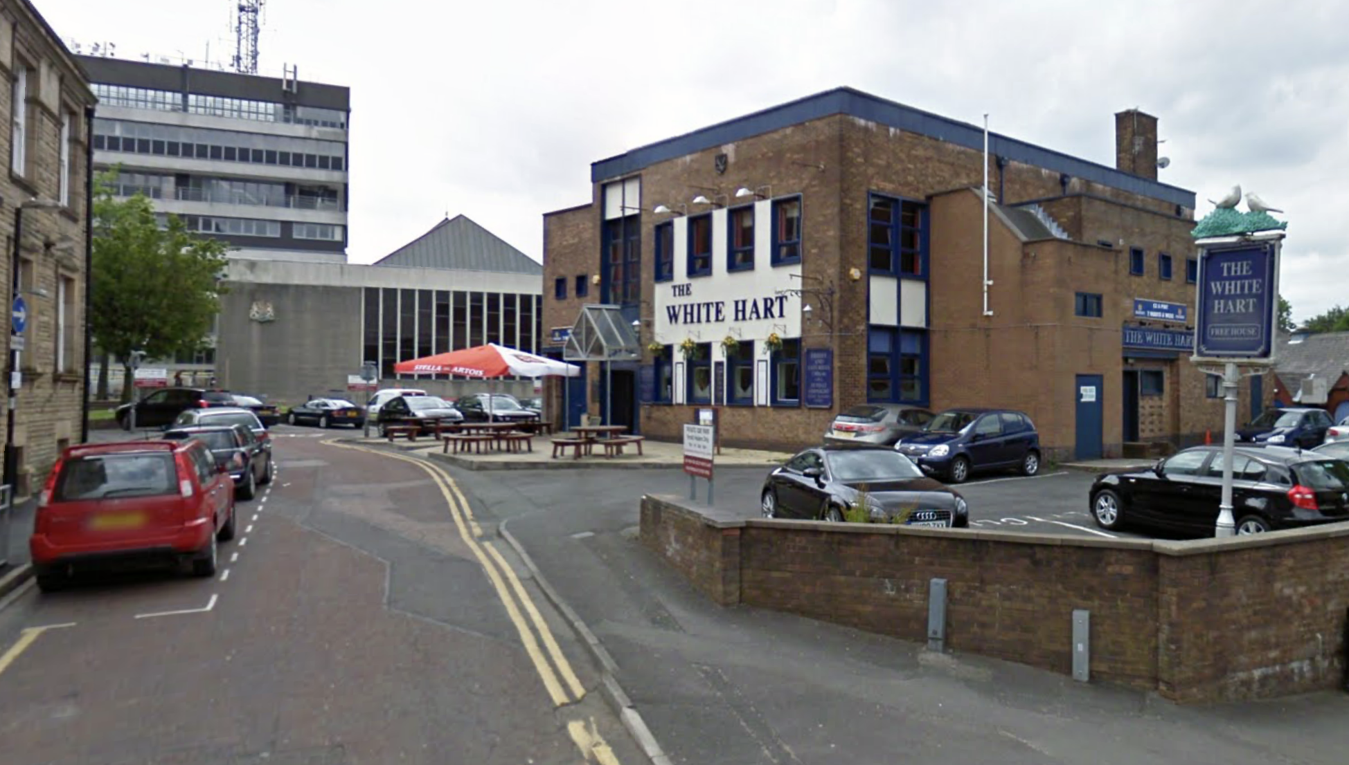
Next door is a pub no longer a pub.
Once upon a time a Vaux Brewery house the White Hart – implausibly renamed the Snooty Fox for a brief period.
The pub was decent enough inside with a large room which was empty on our Friday dinner visit, the pub was a Vaux tied house so we were well pleased as we had not done many of them.
We had a drink of Vaux bitter which went down well.
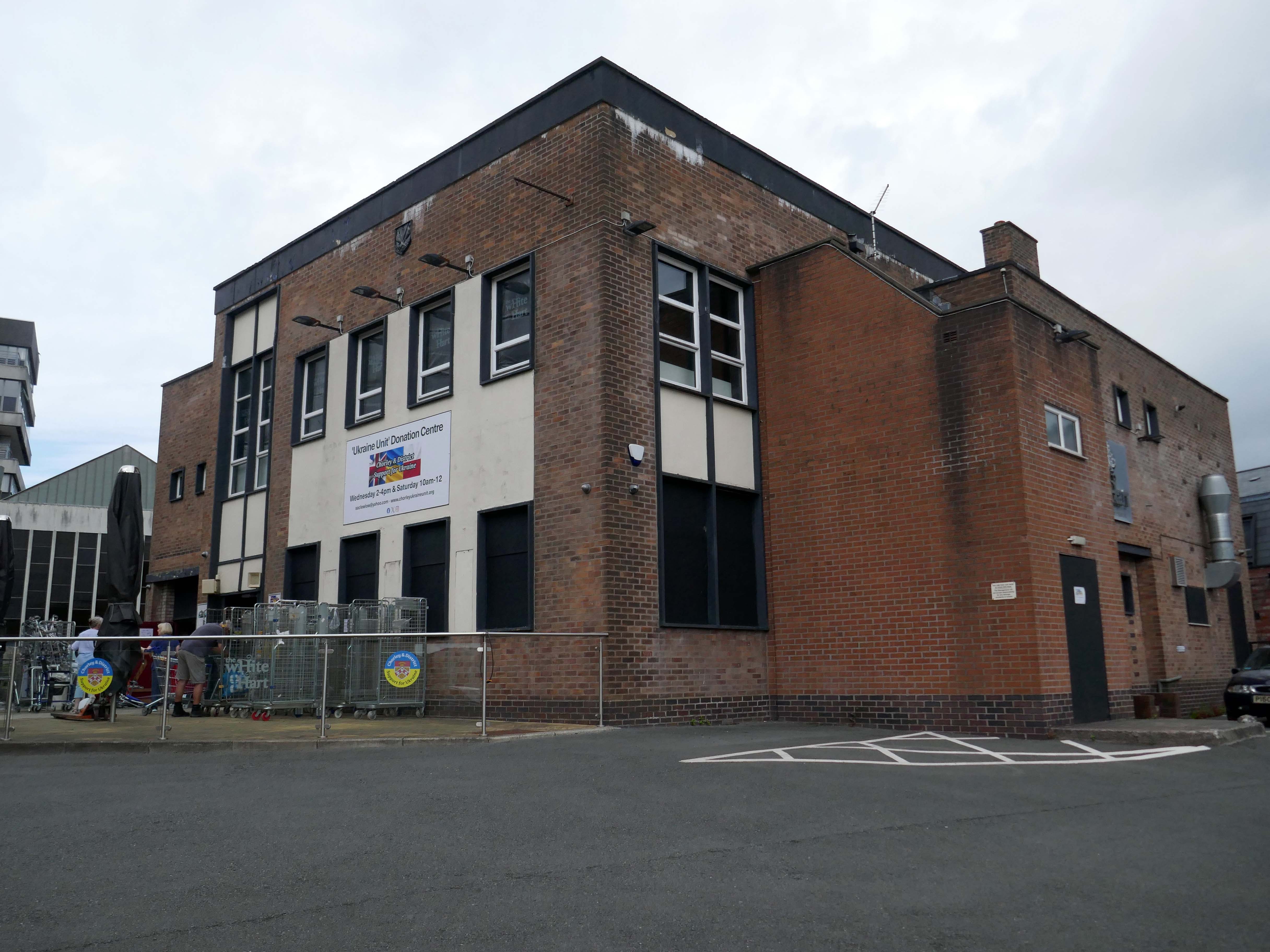
Our group was created in February 2022 to try and help raise awareness of the crisis in Ukraine and to help organise and coordinate local efforts to send support from across the Borough of Chorley in Lancashire. We have since grown into a major hub for donations.
Across Chorley & District multiple educational facilities, community groups and organisations reacted and began to spread awareness and collect donations. In order to sift and sort a lot of local donations, a unit has been loaned by Chorley Council. A large percentage of the region’s aid has come into this unit and we are regularly packaging aid and supplies in preparation for the next leg of the journey to Ukraine, whether it’s transported there by us or other charitable organisations.
Our philosophy is that if we can all do a little bit, together we can make a big difference.
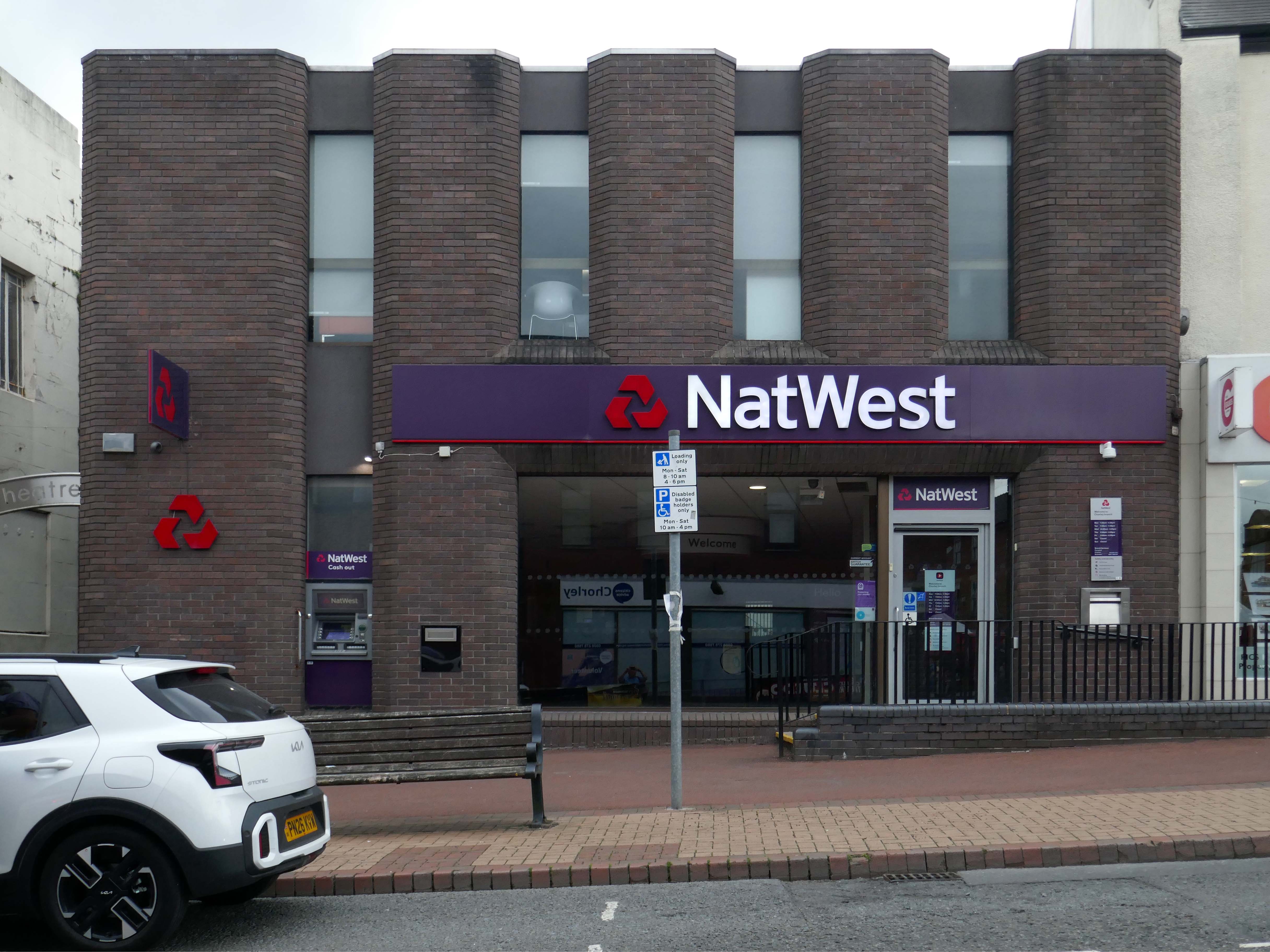
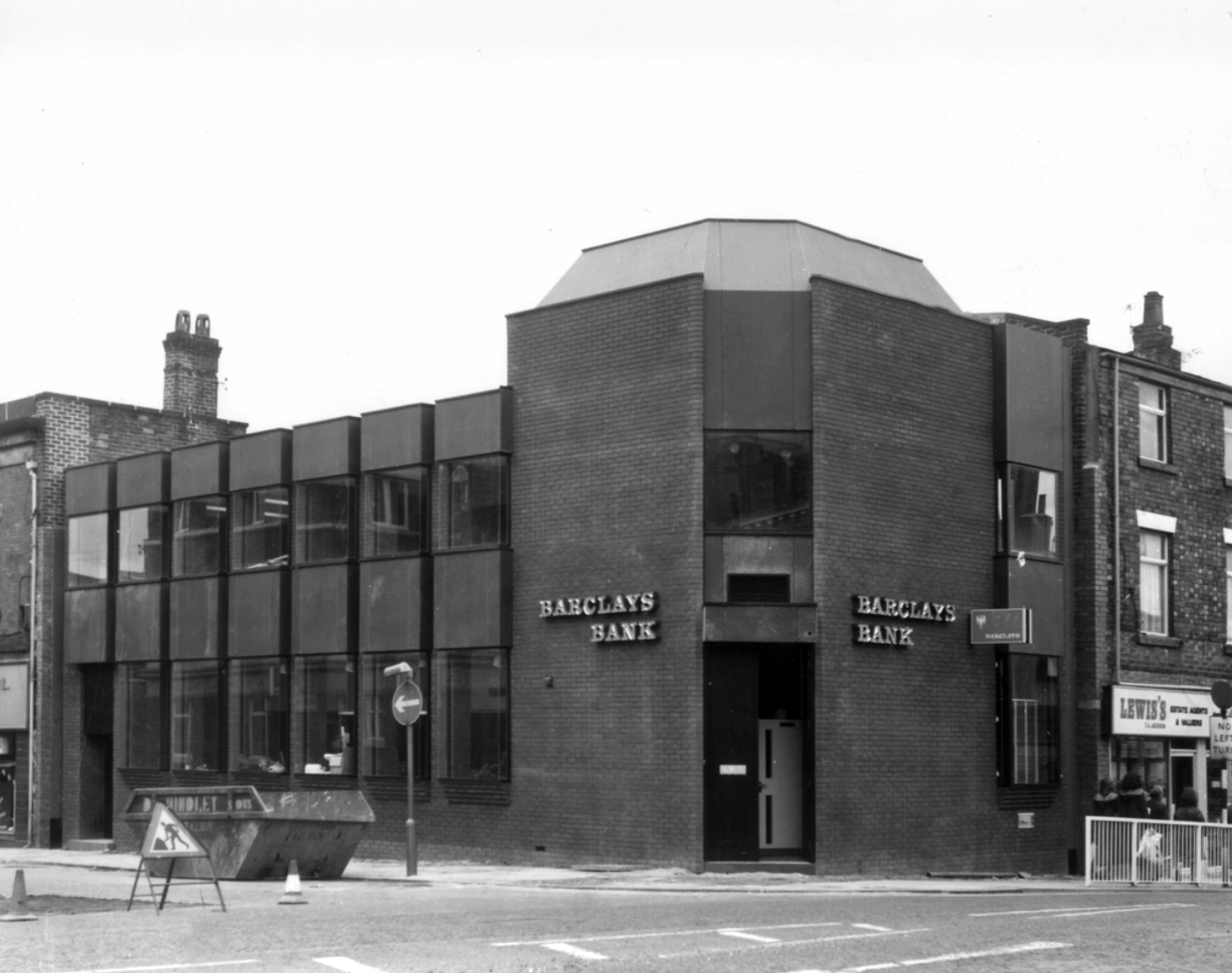
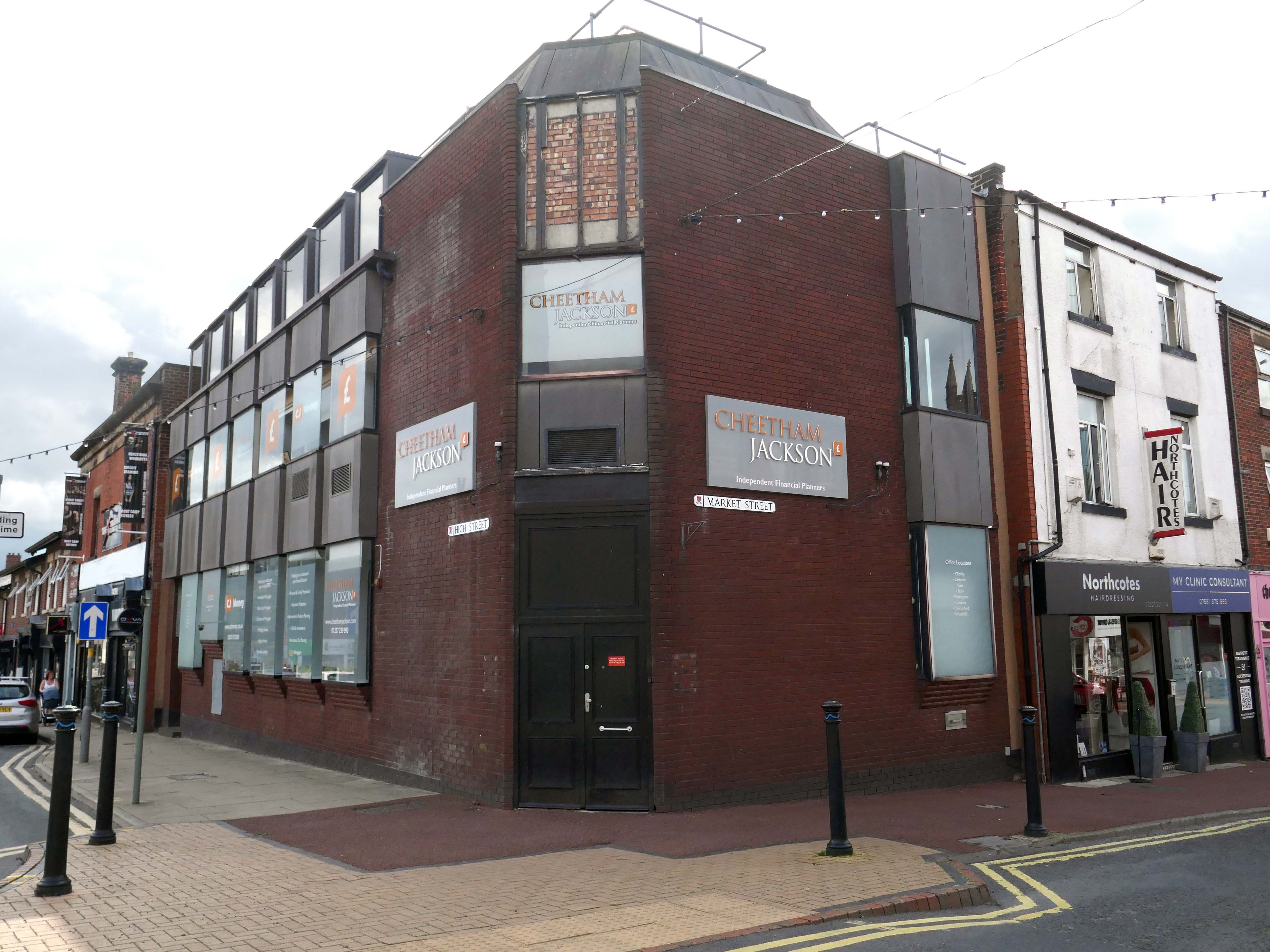
Bouncing back to what was and never shall be no more Barclays Bank.
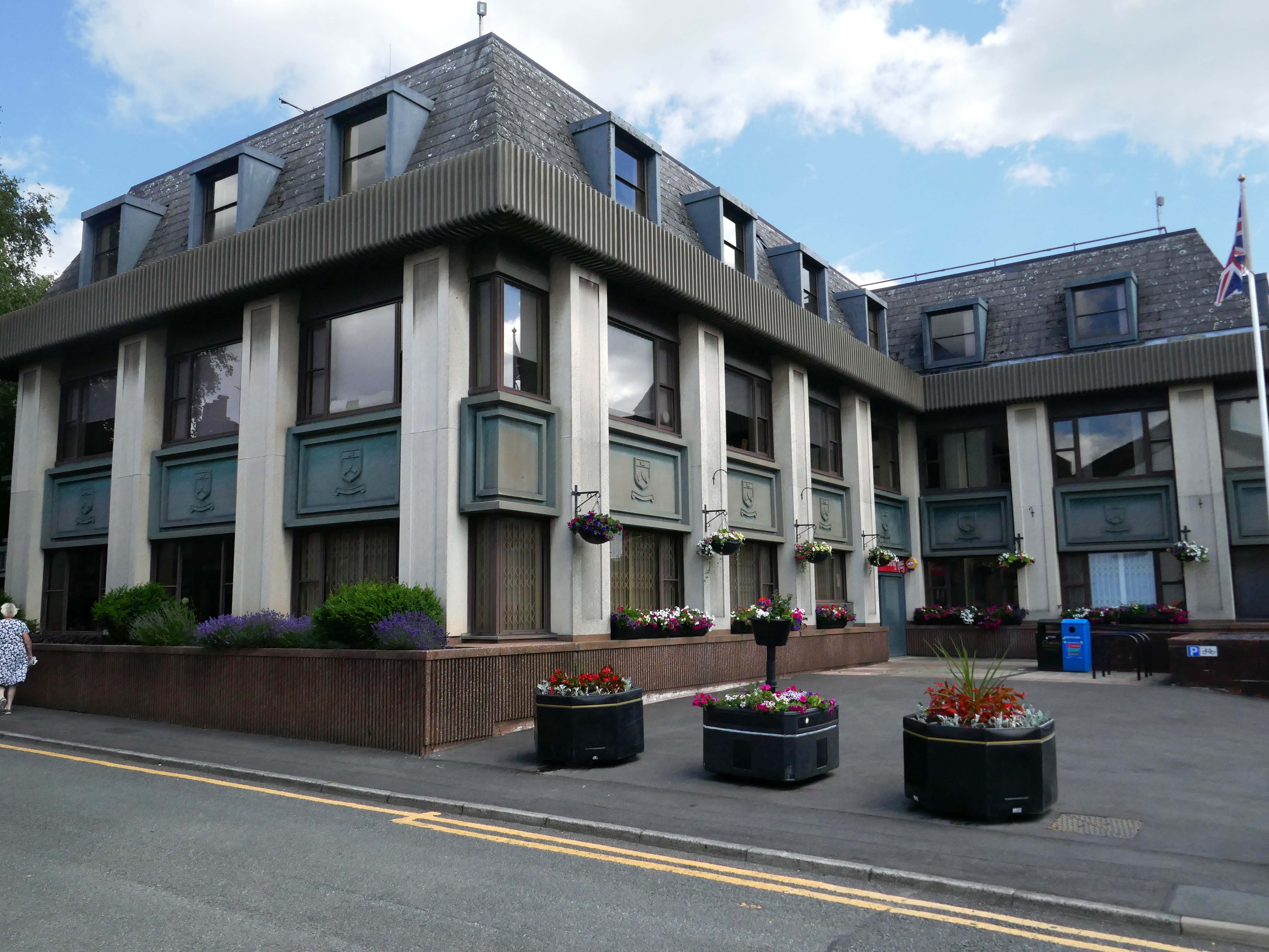
Almost finally we find ourselves at the Council Offices 1982.
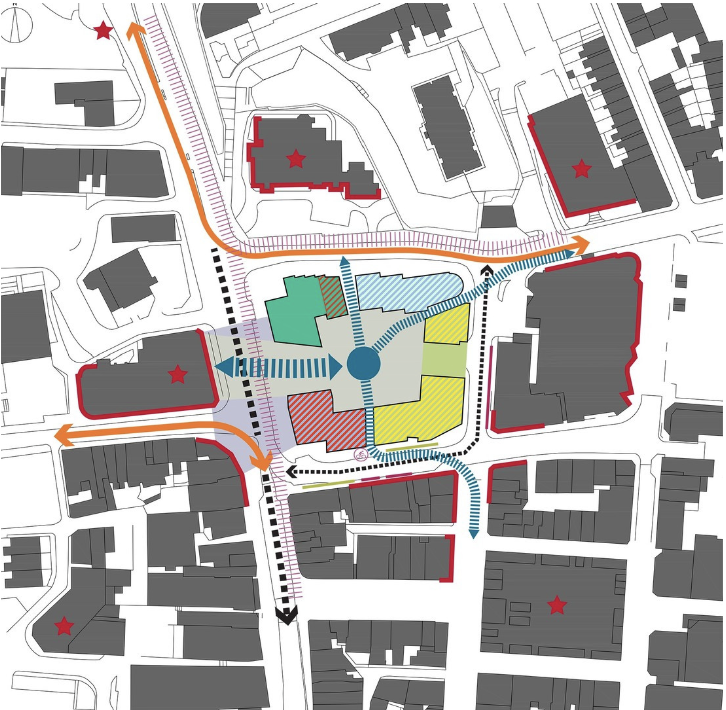
You will be delighted to hear that Chorley Council has a Masterplan
Self Architects generated a high level Masterplan for this prominent site. The scheme proposes a boutique hotel, offices, restaurants/bars, along with apartments, aiming to transform the town centre by intervention to enhance the overall vision by:
Establish a series of formal/informal public spaces
Diagonally link public spaces
Greening pedestrian streets
Reducing dominance of cars
Improving evening economy
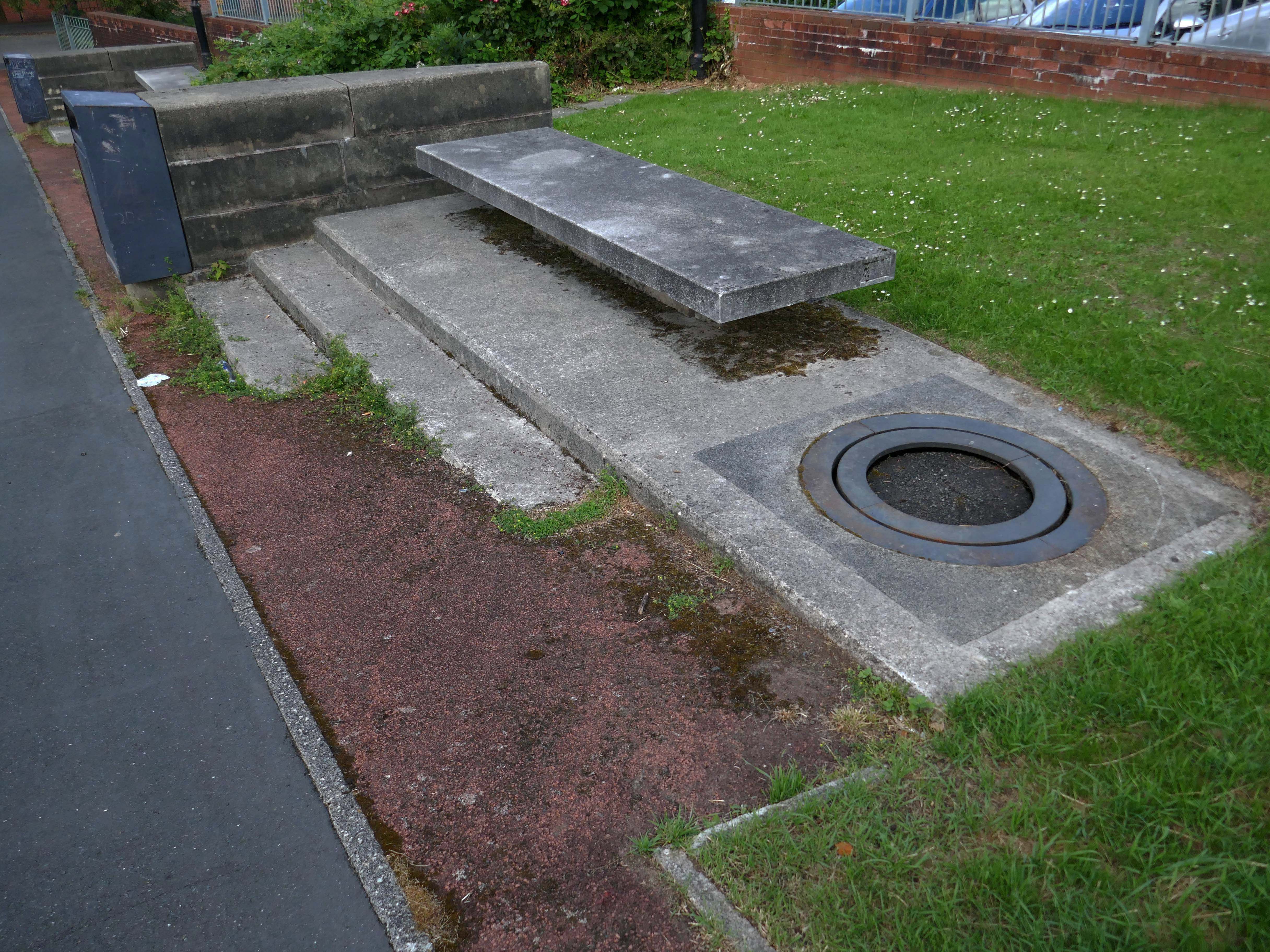
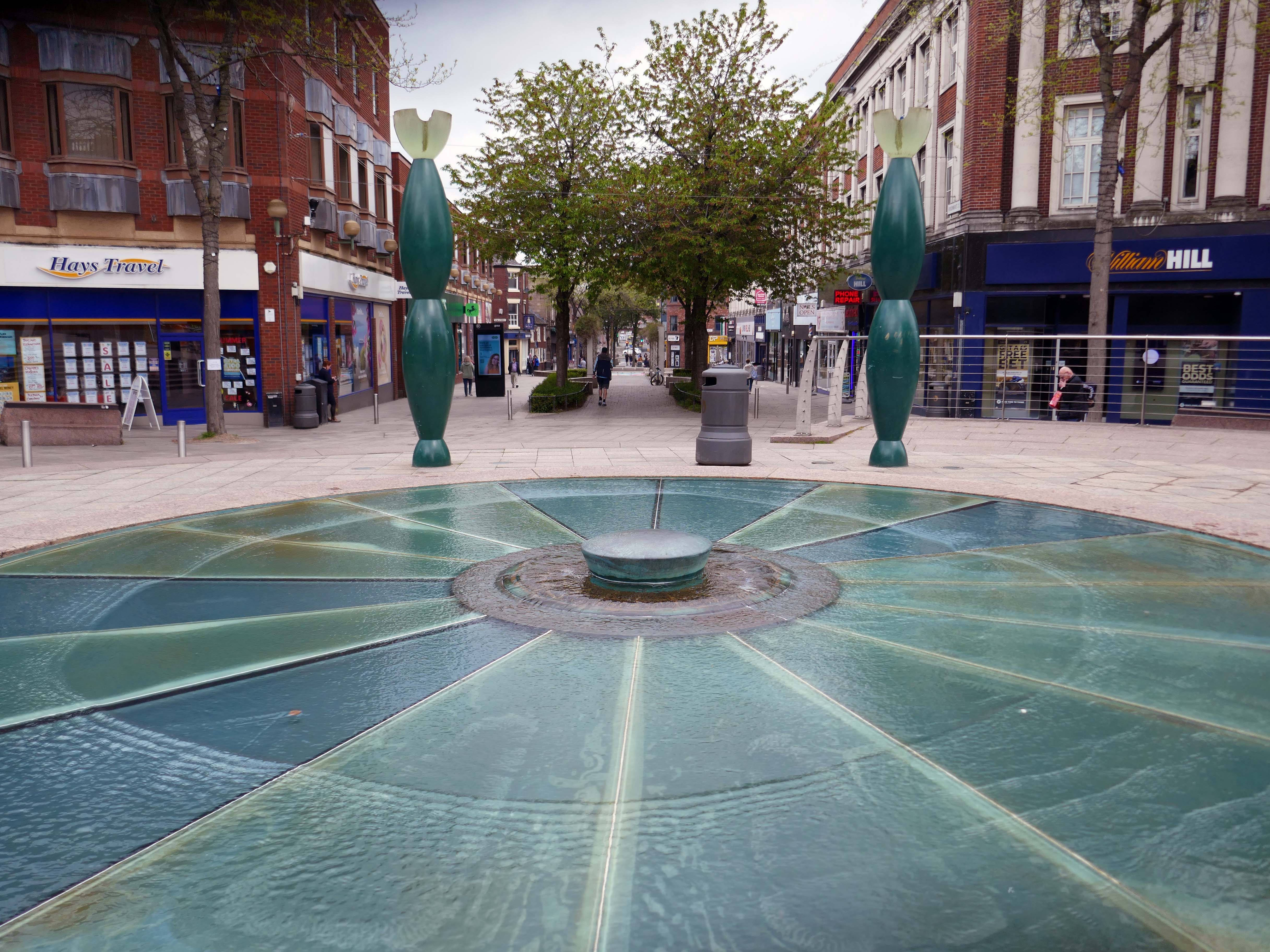
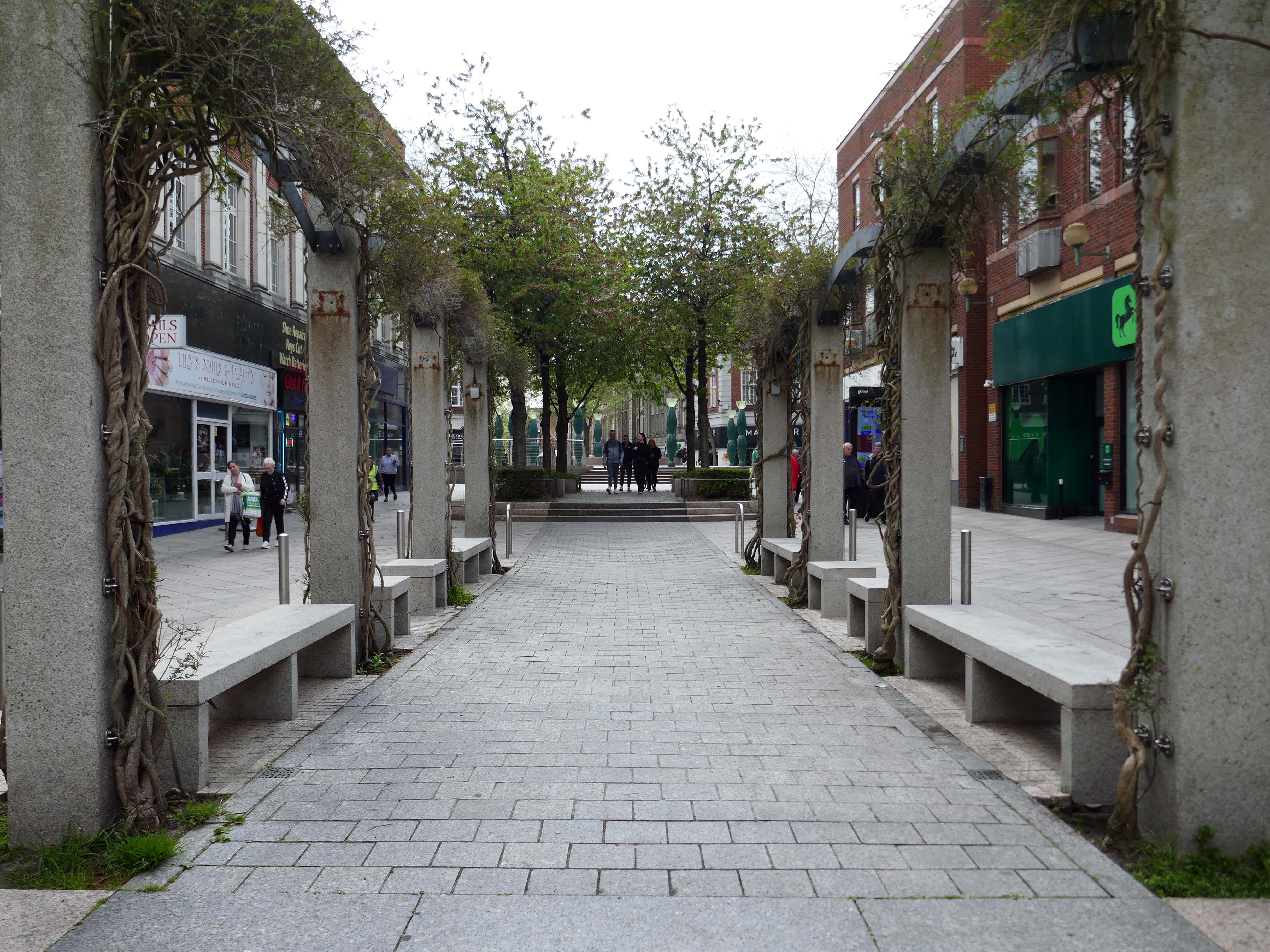
Having a moment or two on my hands I ventured to the land beyond beyond – the land of the concrete bench, bin and planter combo.
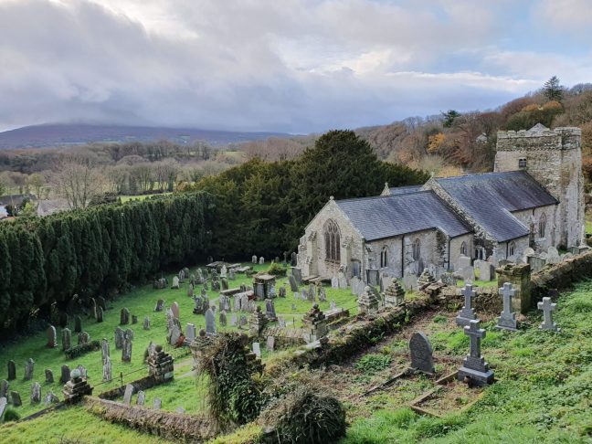
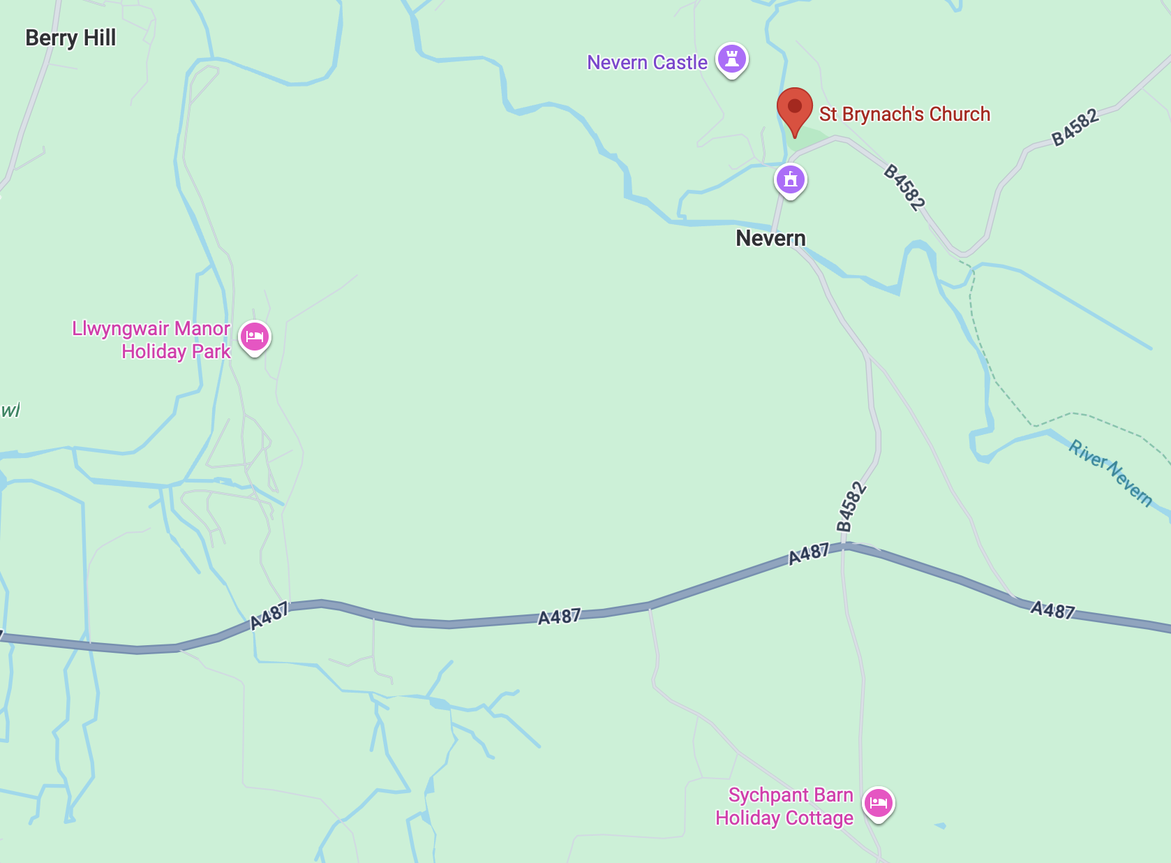
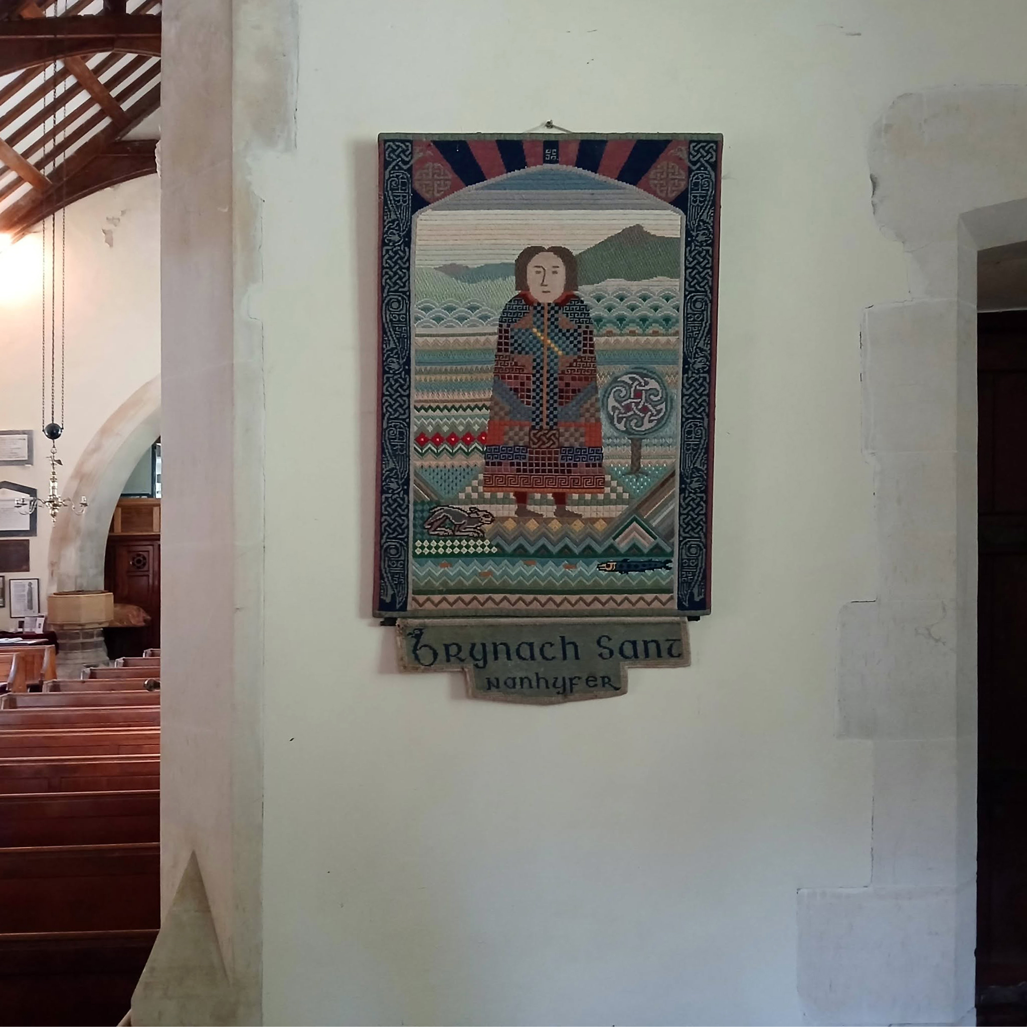
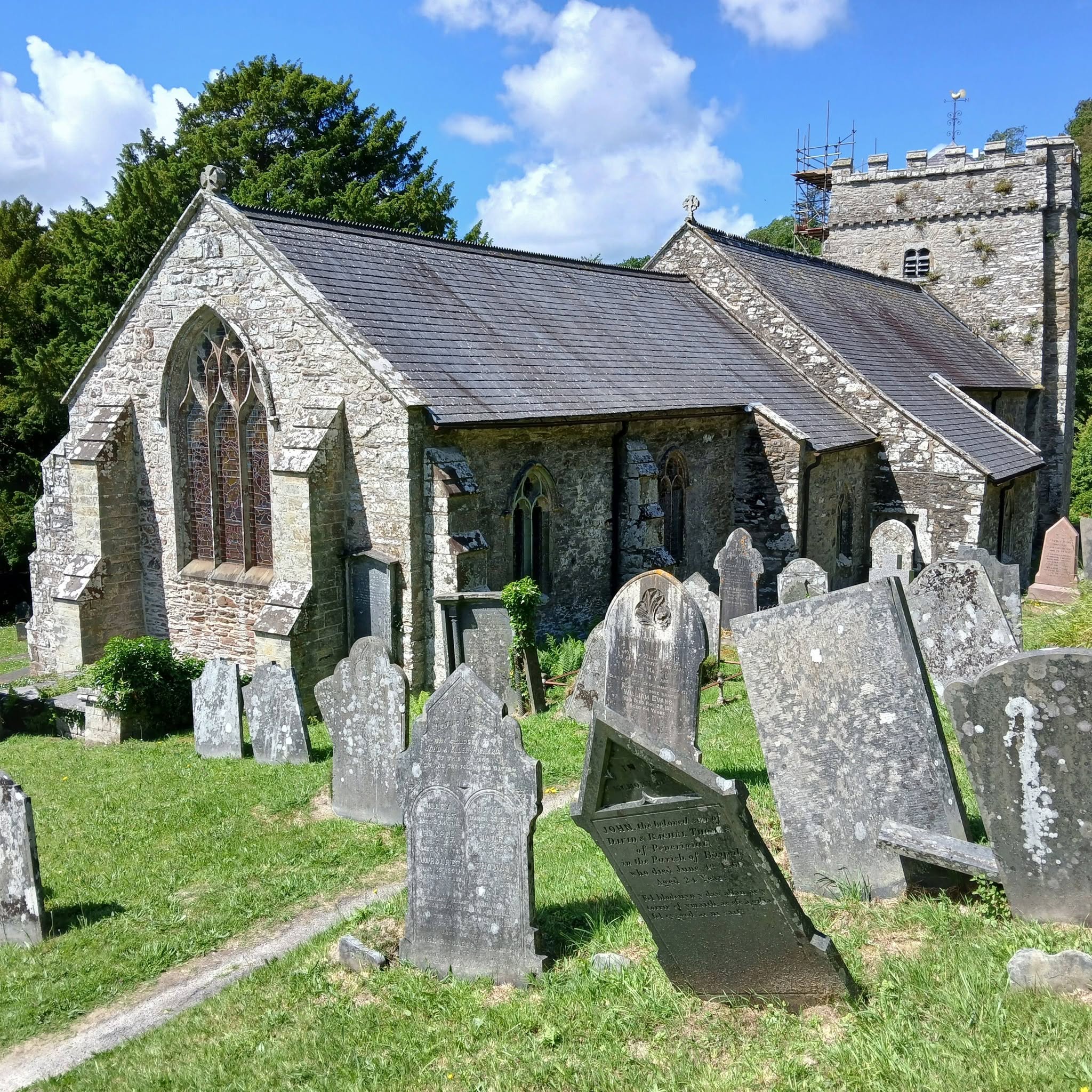
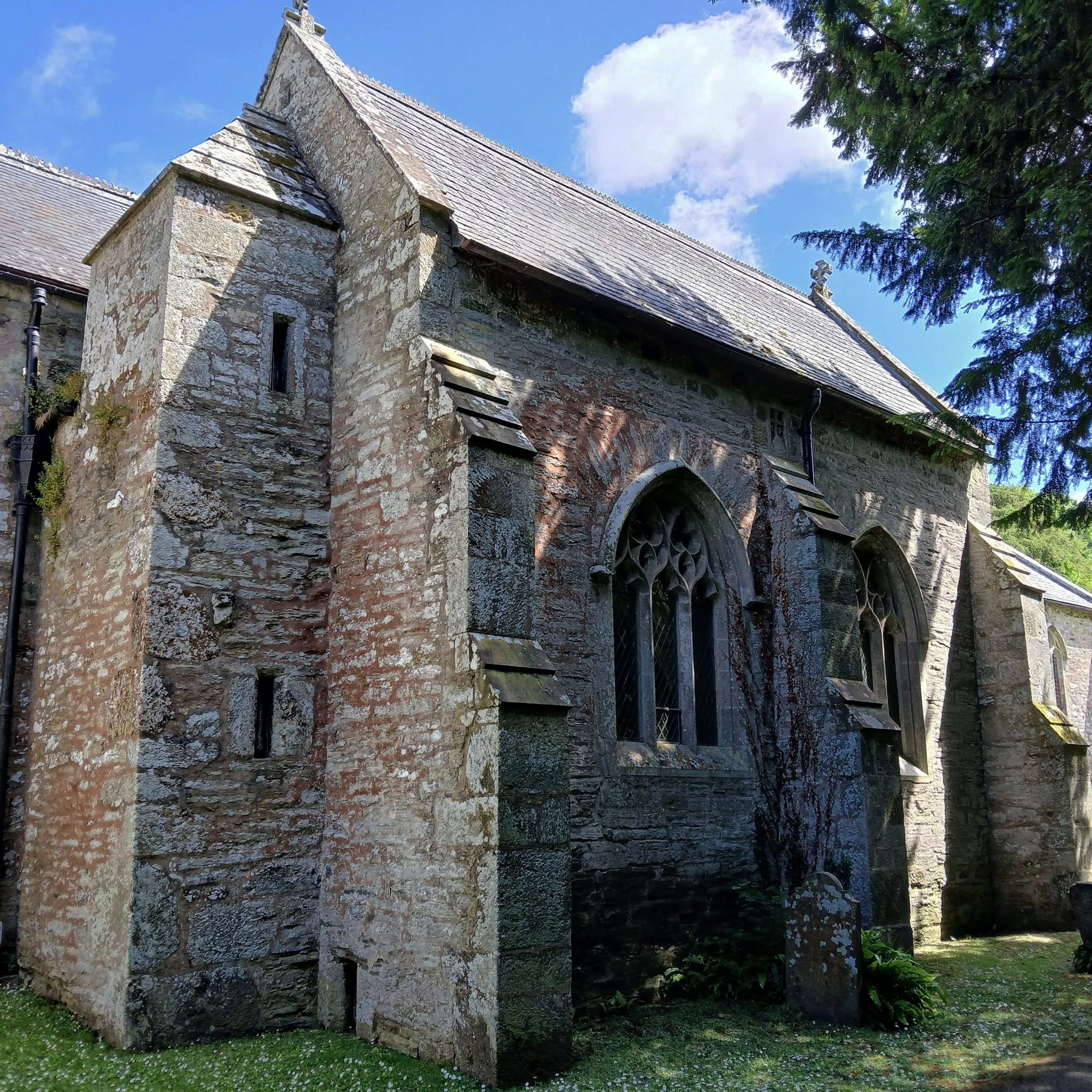
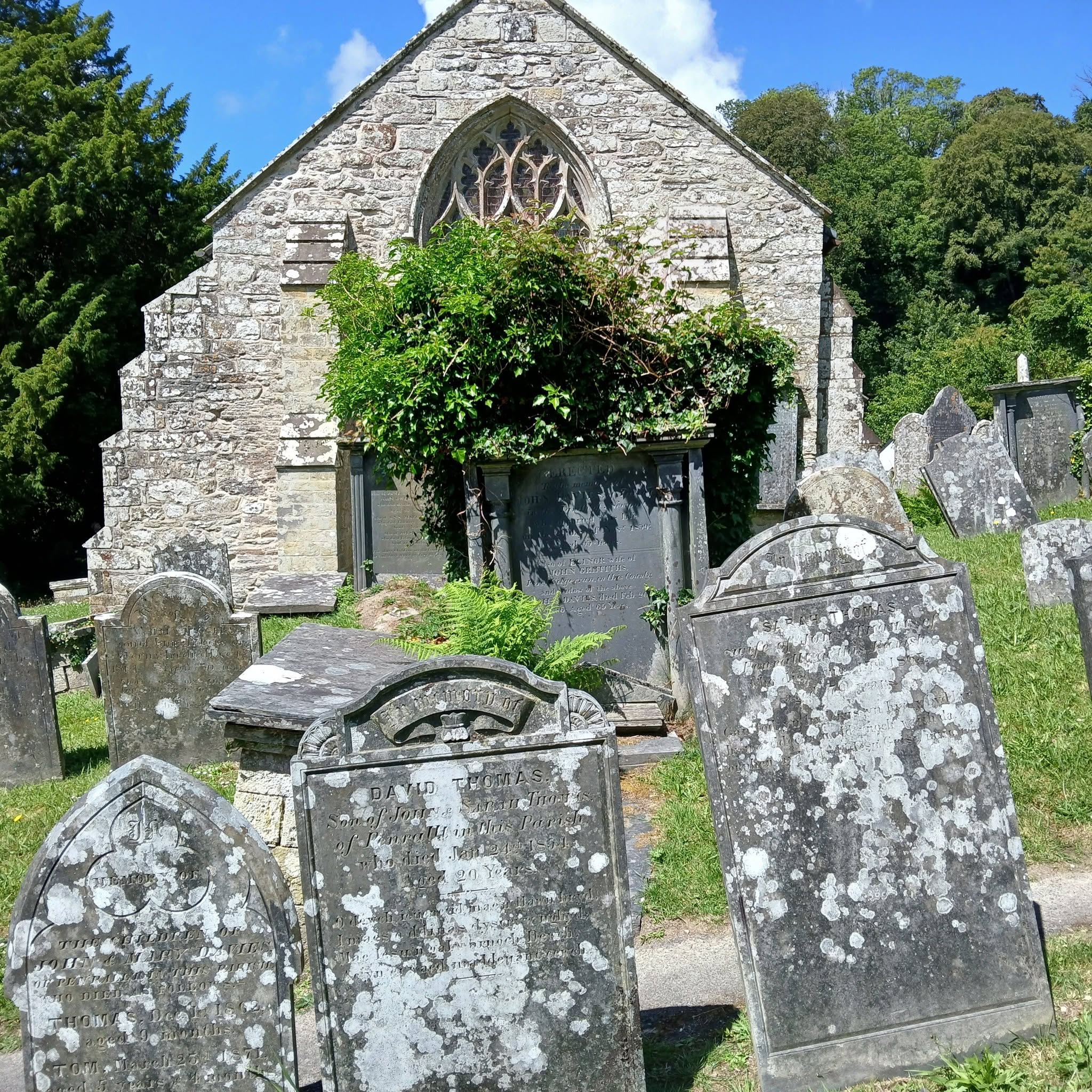
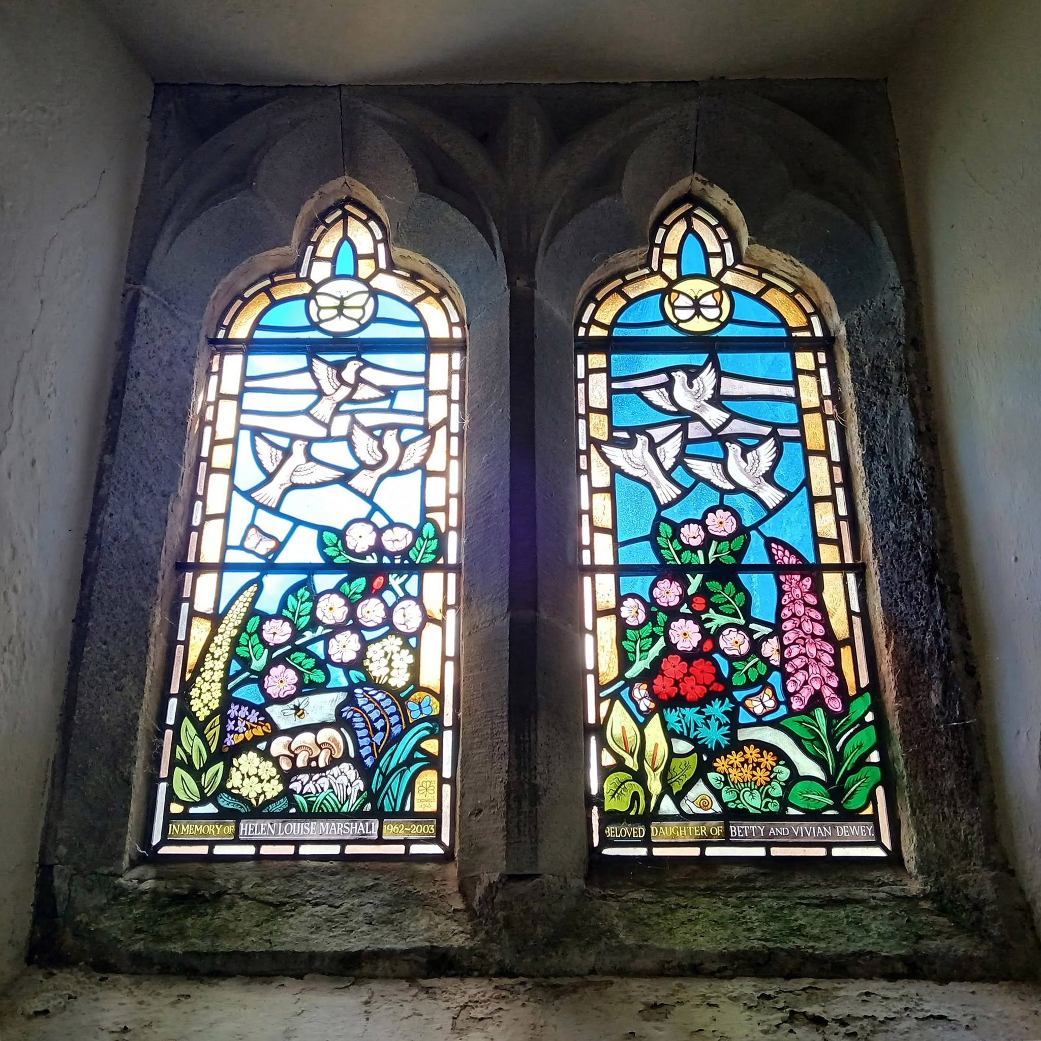
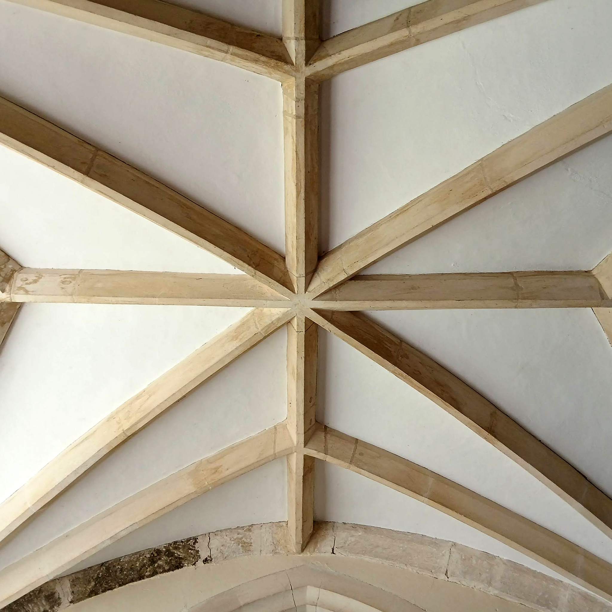
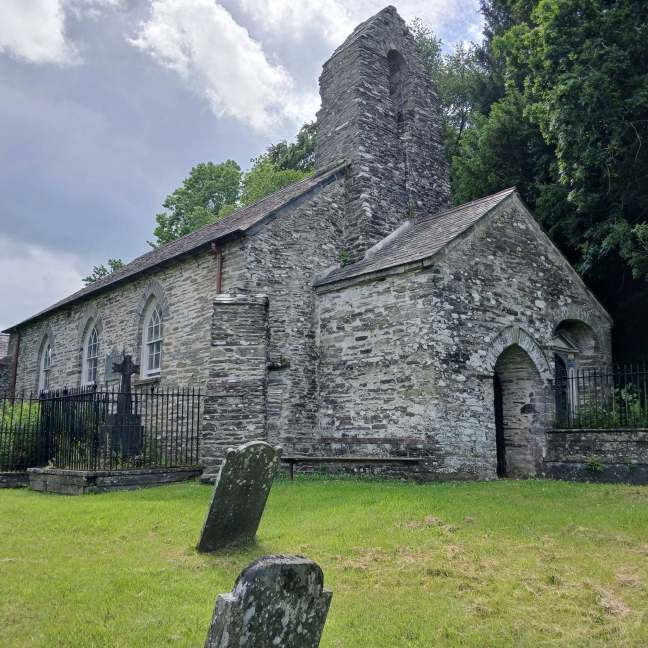
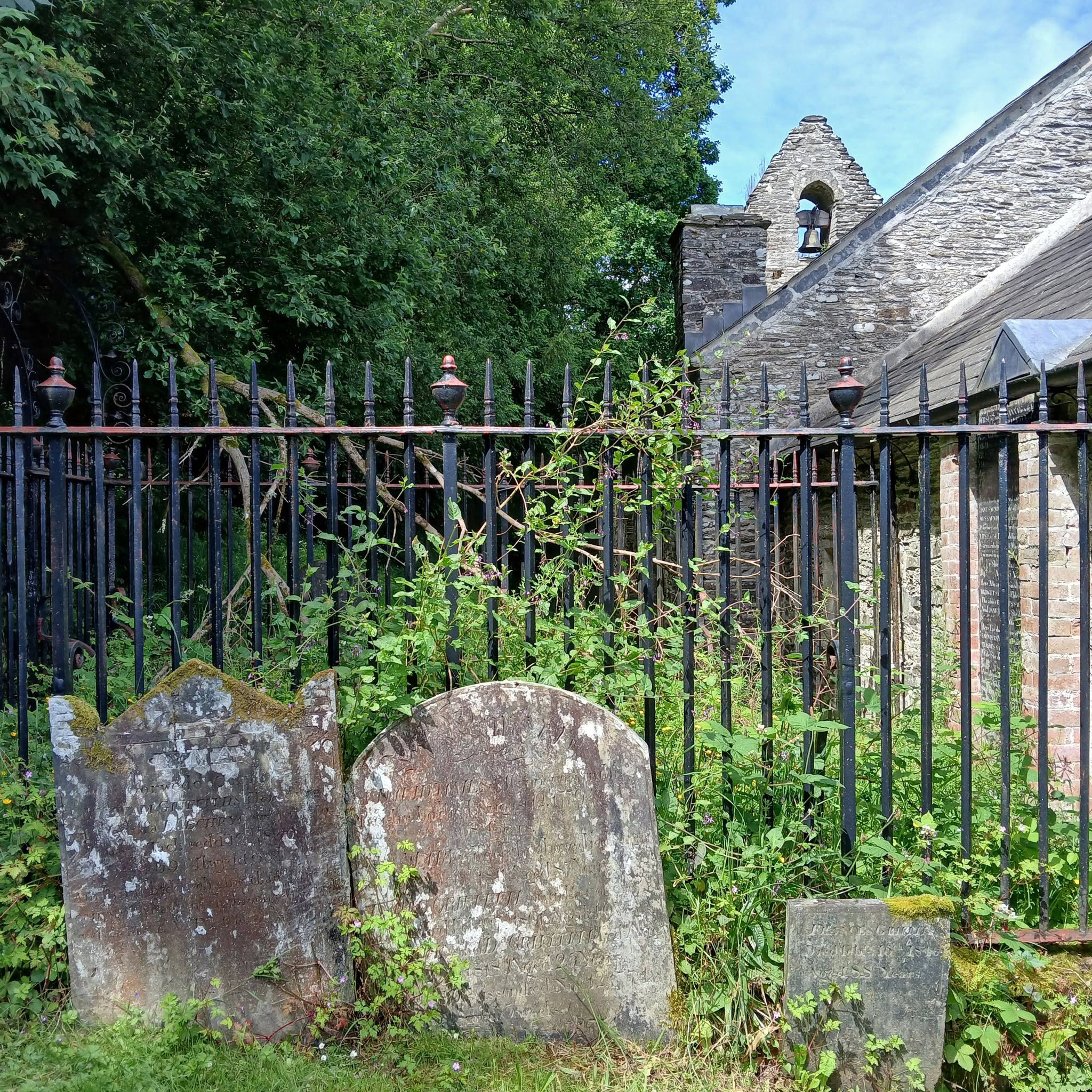
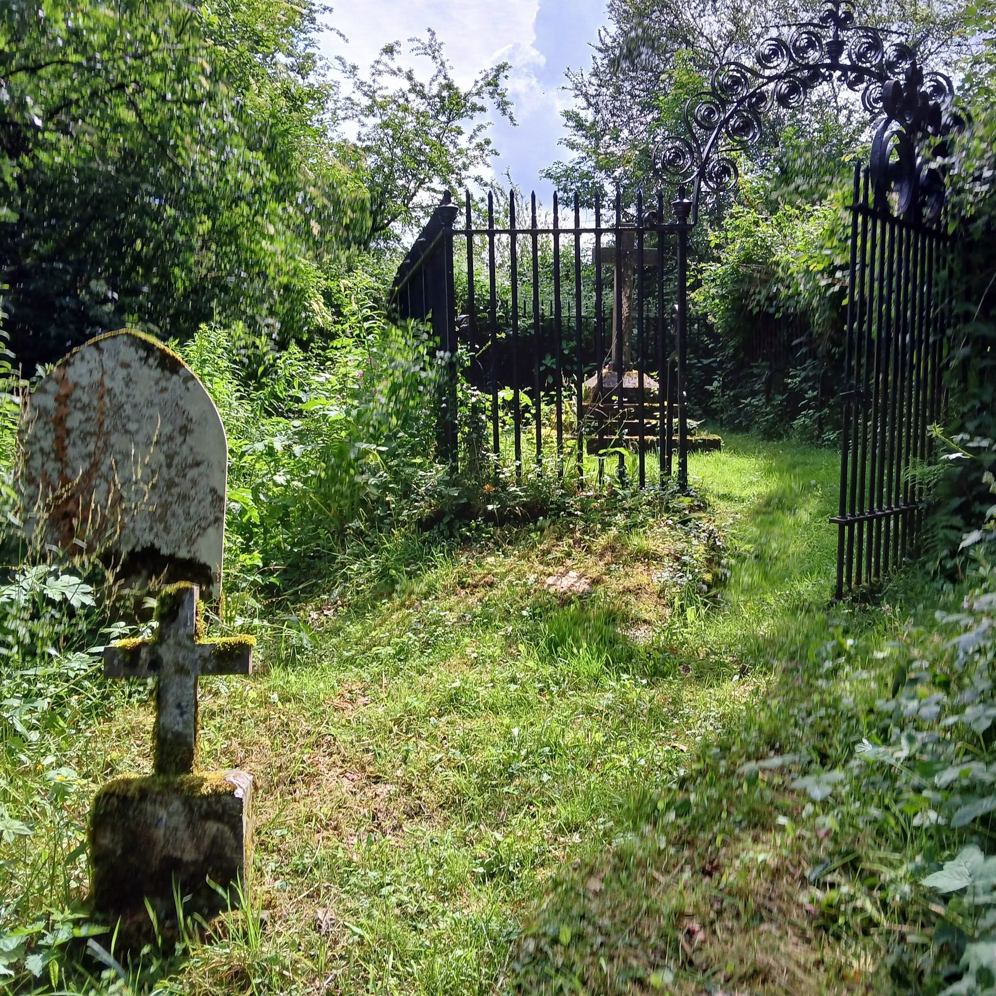
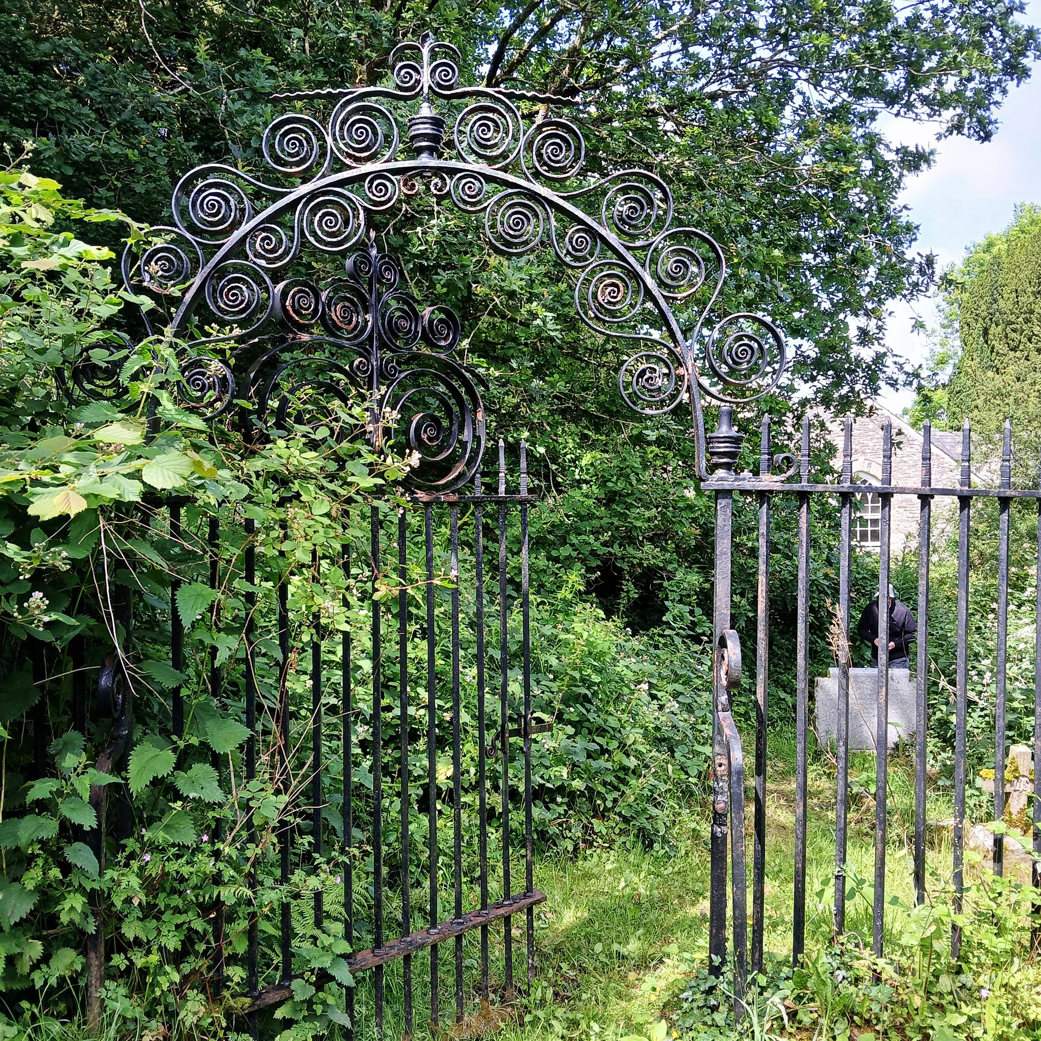
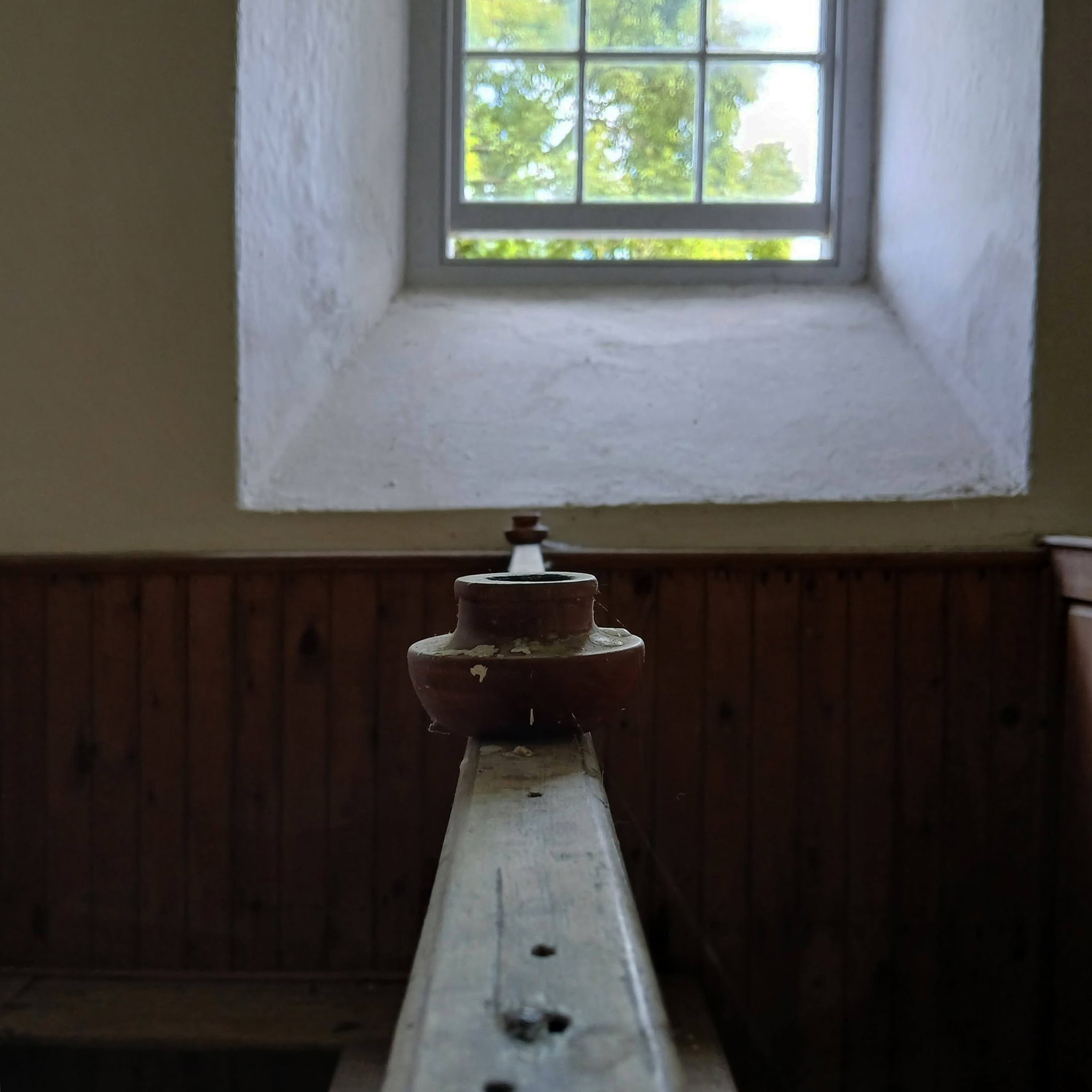
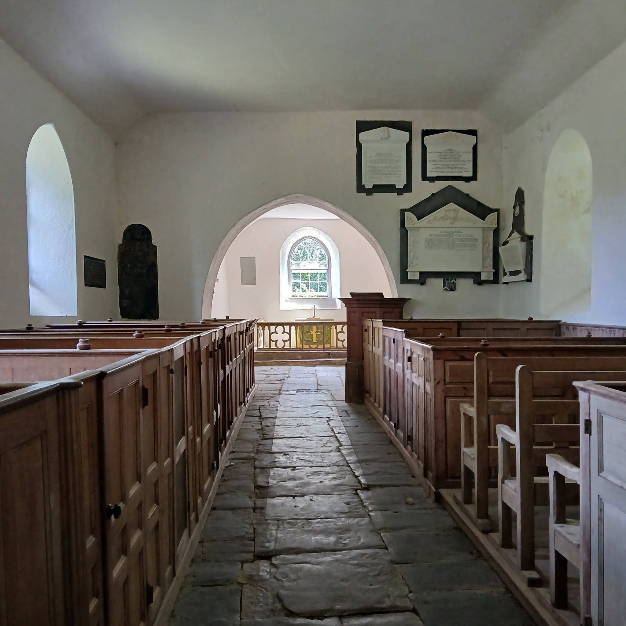
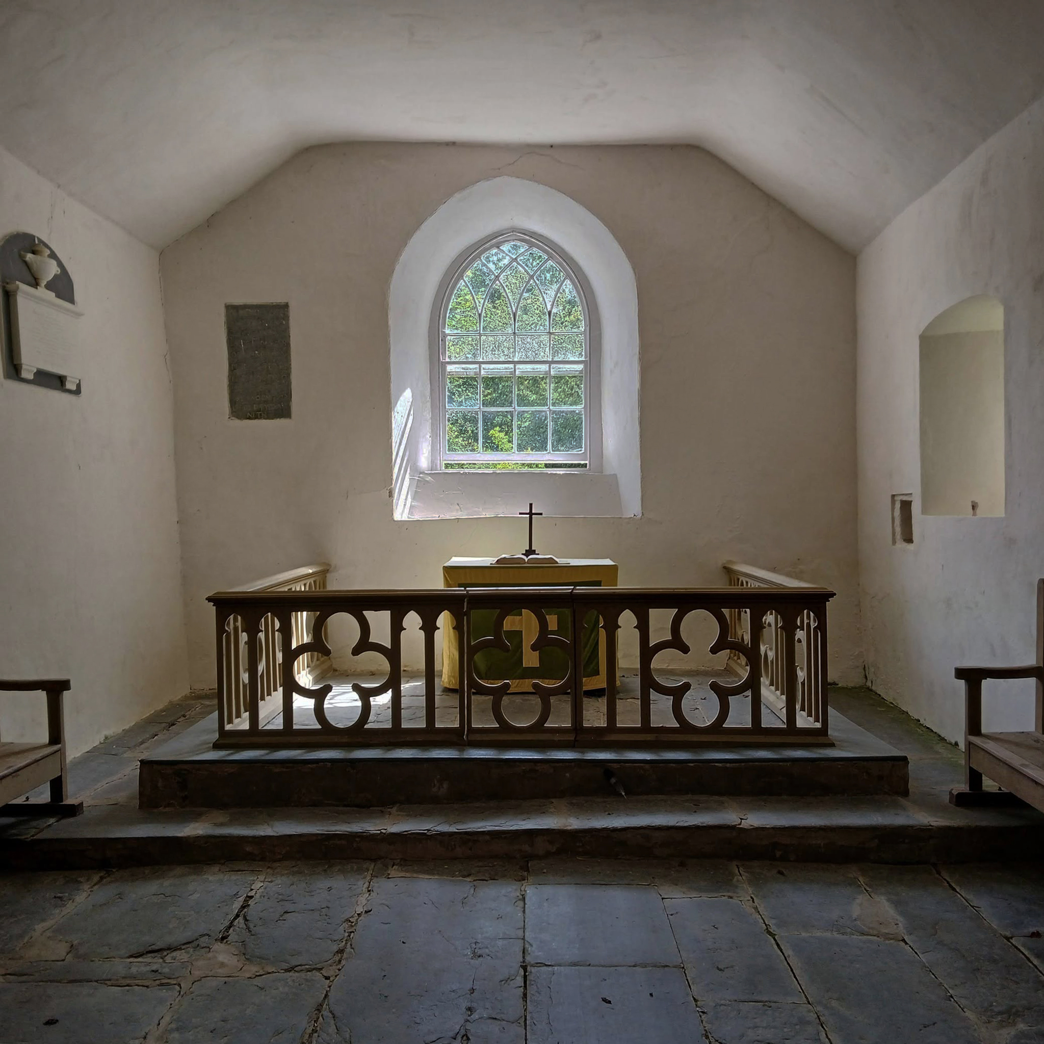
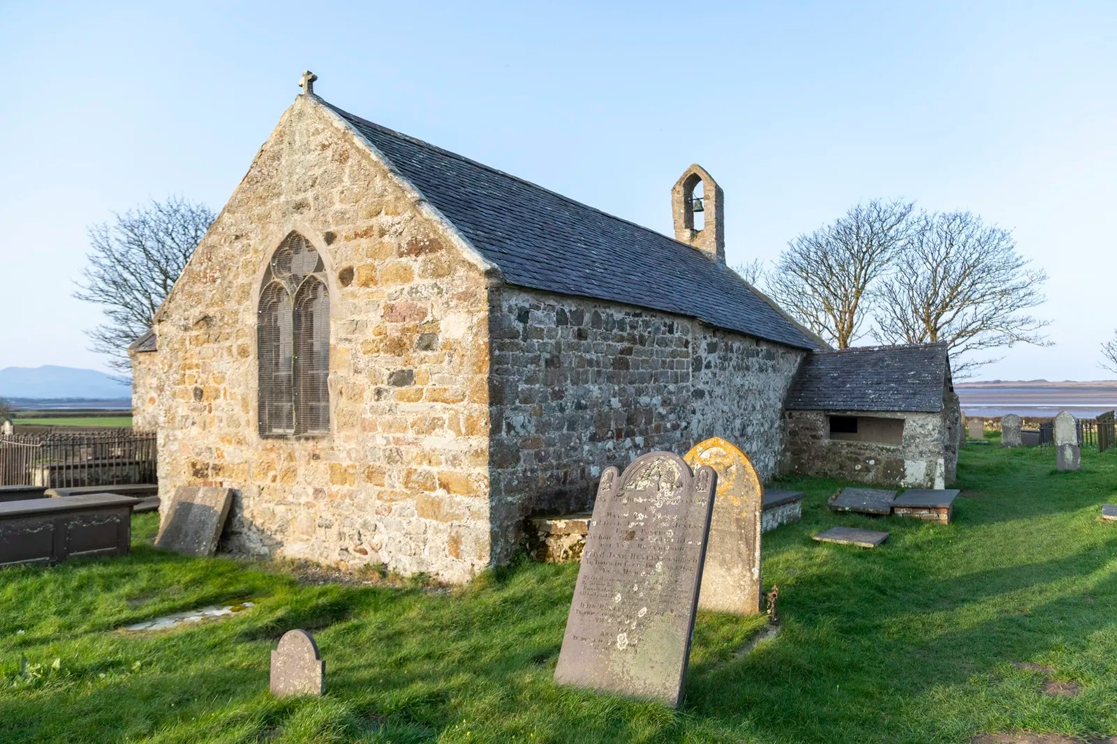
Nevern is a rural village in Pembrokeshire, West Wales.
The surrounding land is devoted largely to agriculture.
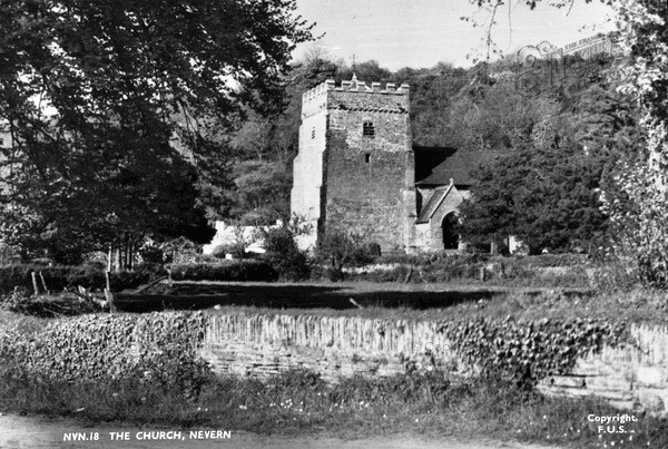
The church was founded by St Brynach in 540AD and the present building dates from around 1400.
Tim Rushton and I were cycling from Fishguard to Aberteifi on the Route 82 Lôn Teifi, which passes through Nevern.
So we stopped to have a look around.
1955
The most probable reason Brynach chose Nevern was the protection afforded it by its obscurity and the Castle above the village which had been a fortified stronghold since Iron-age times. He was a kinsman of the Goedelic Tribal Chieftains who occupied it.
Though the Peregrinatio had learned their theology and scholarship by travelling to monasteries on the Continent under the rule of Rome, the Celtic Church was very different. The ‘churches’ were in essence small monasteries or ‘clas’ peopled by monks. They had a leader or Abbot such as Brynach but were centres of learning and small-scale industry as much as for worship.
Evangelising by monks took place from the ‘mother churches’, so when a church is said to have been founded by a certain saint it was probably named after the leader of the ‘clas’. The life of the ‘clas’ and its form of worship, essentially different to that of Rome, changed very little from its formation in the 6thC into the century after the Norman Conquest, except that in the C8th repeated persuasion by the Continental conquerors of middle Britain converted the Celtic Church to Catholicism, henceforth adopting its dates and some of its rites.
The Vikings sacked St. David’s in 878, killing the bishop, and were a constant scourge along the coast for the next three hundred years. This is where the Castle played its most important role in the life of the church. They built a tower stronghold on a spit of land separated from the main castle where they would ‘sit out’ the Viking raids literally burning their bridge behind them. Fortunately for them the Vikings had a short attention span and were loath to lay siege preferring to push on to other targets, so, apart from having to occasionally rebuild their church, the Christians at Nevern were left relatively unharmed.
Having landed in the country in 1066 the Normans arrived at Nevern in the latter years of the 11th Century. They usurped the local chieftains from the Castle – though their descendants still live in the parish to this day and rebuilt the Castle in their usual Motte and Bailey manner. They evidently intended to make Nevern their manor in this area, which accounts for an unusually large church in a small village, but changed their minds moving to Newport, building a much larger castle, and populating the town with their loyal English supporters.
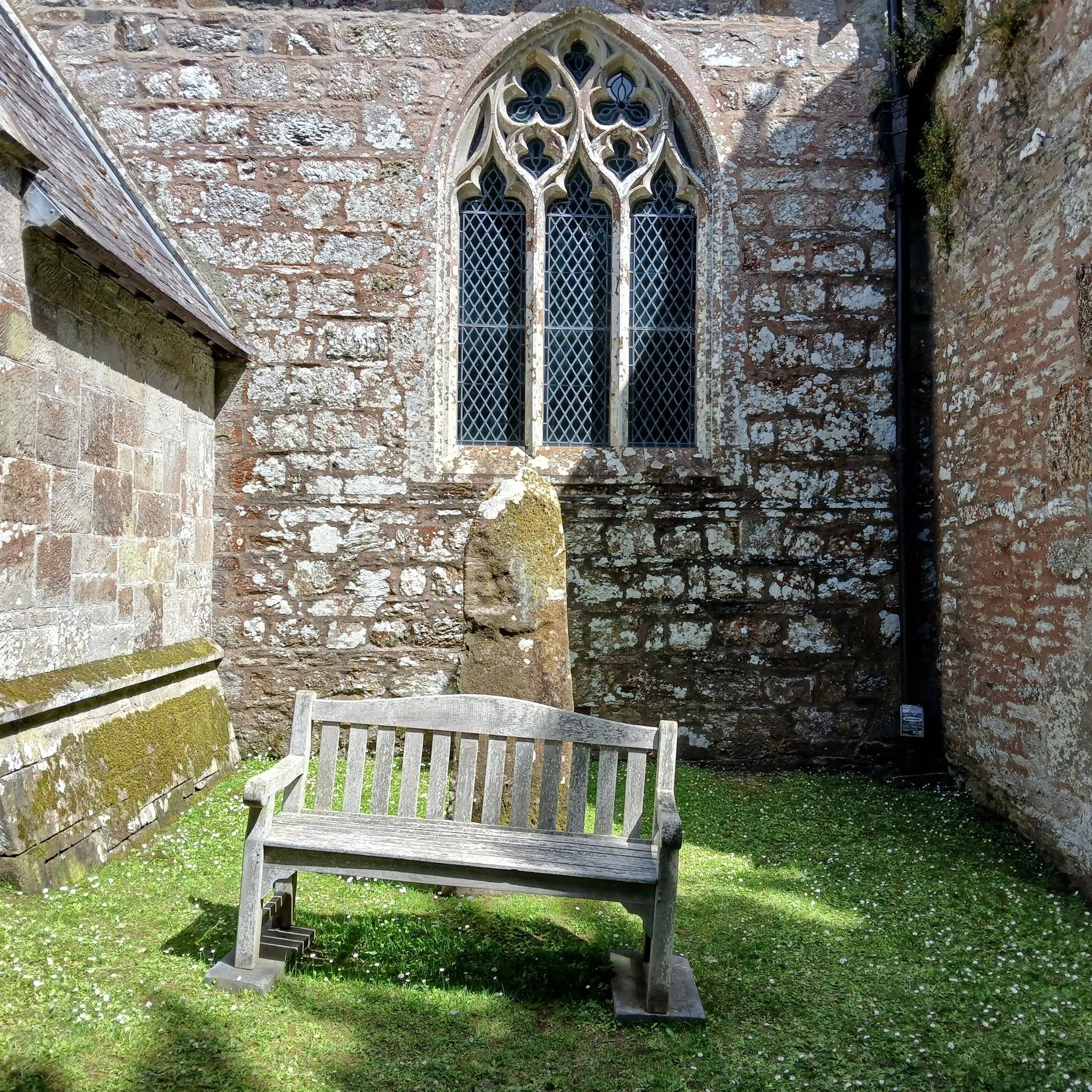
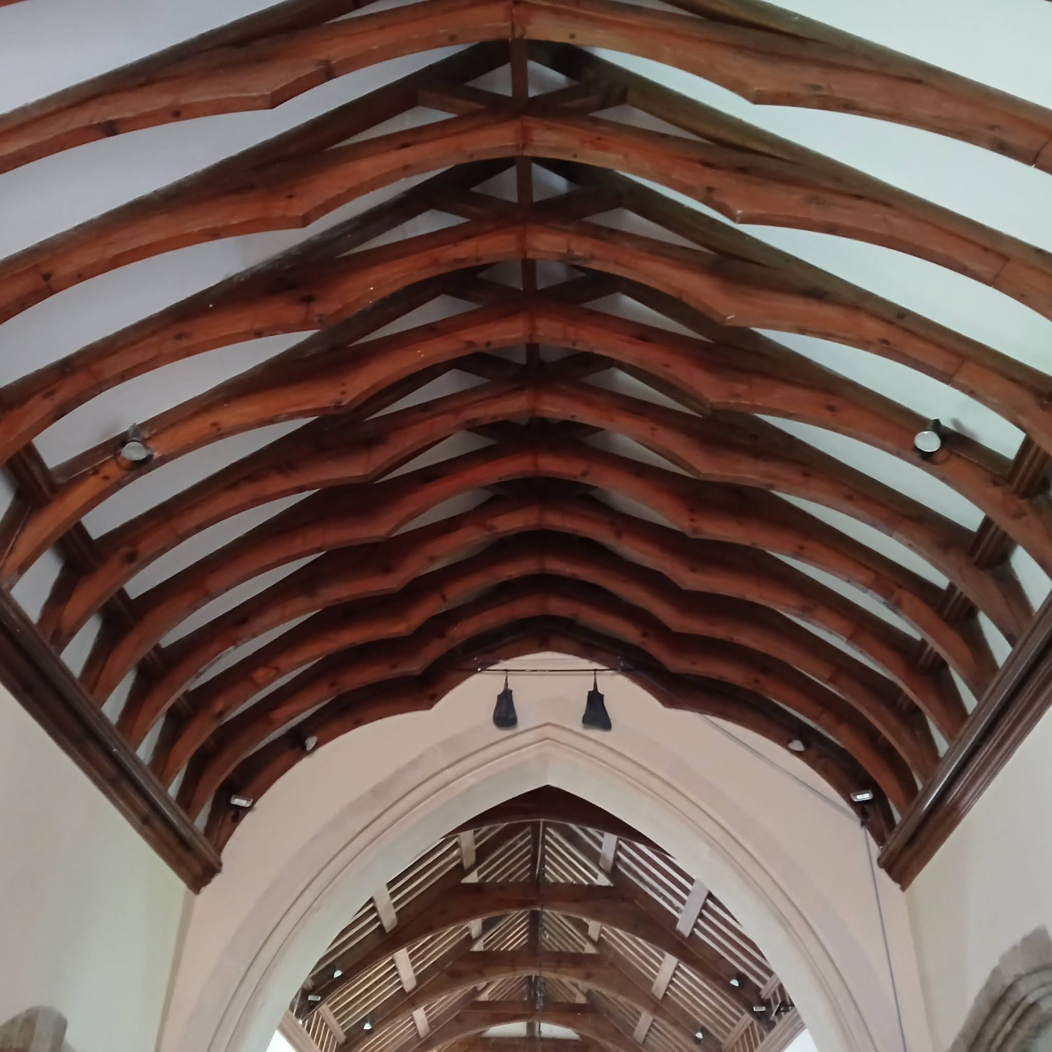
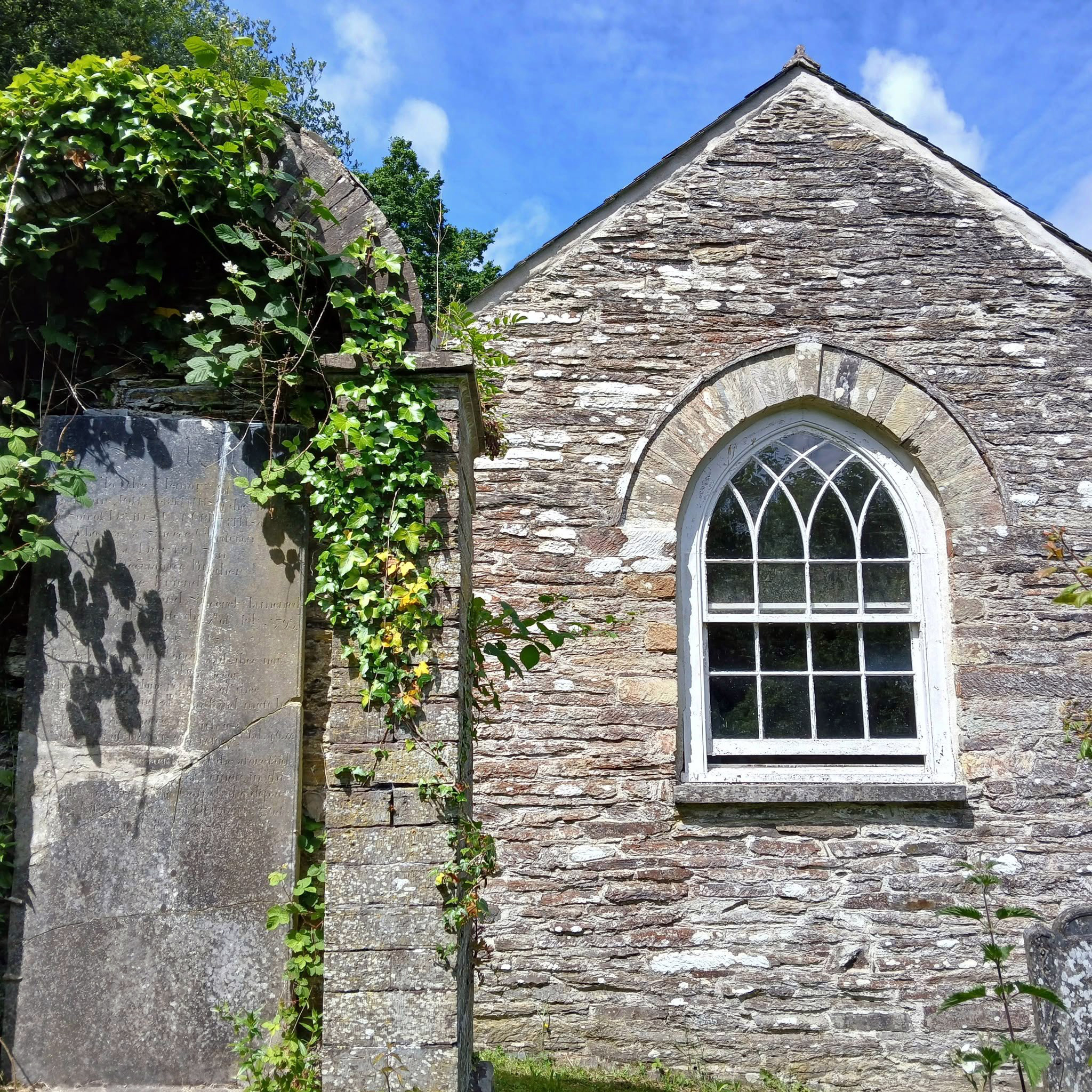
The church as it presently stands was built in this period, the oldest part being the Tower dating from about 1380 and the nave and Chancel following 1420-1450, built in the ‘Late Perpendicular’ style learned from the Normans. indeed, quite possibly supervised by French overseers. The church obviously held some status before this, because in 1291 Archbishop Baldwin and Giraldus Cambrensis came through raising money for Pope Nicholas IV’s 3rd Crusade, Nevern’s annual value was £16, more than double any other church in the Deanery.
The church as it stands today has a Norman tower and Tudor nave, but it was rigorously restored in 1864.
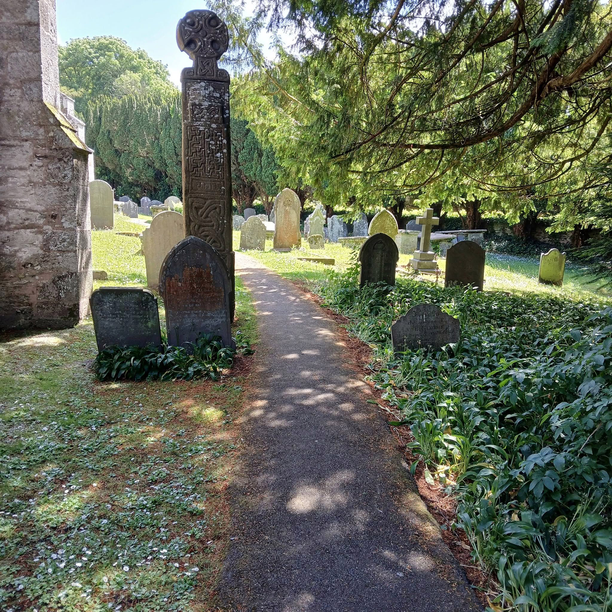
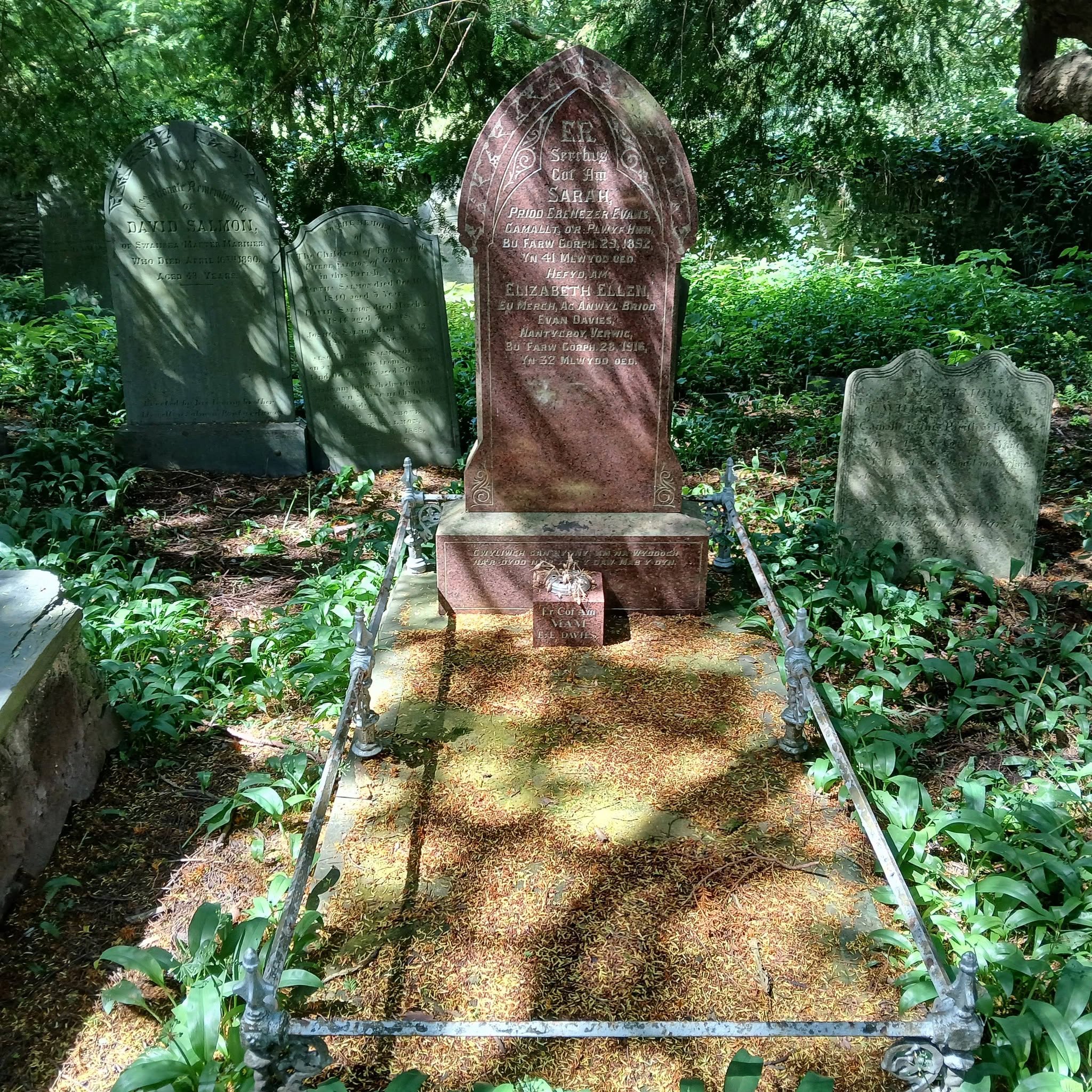
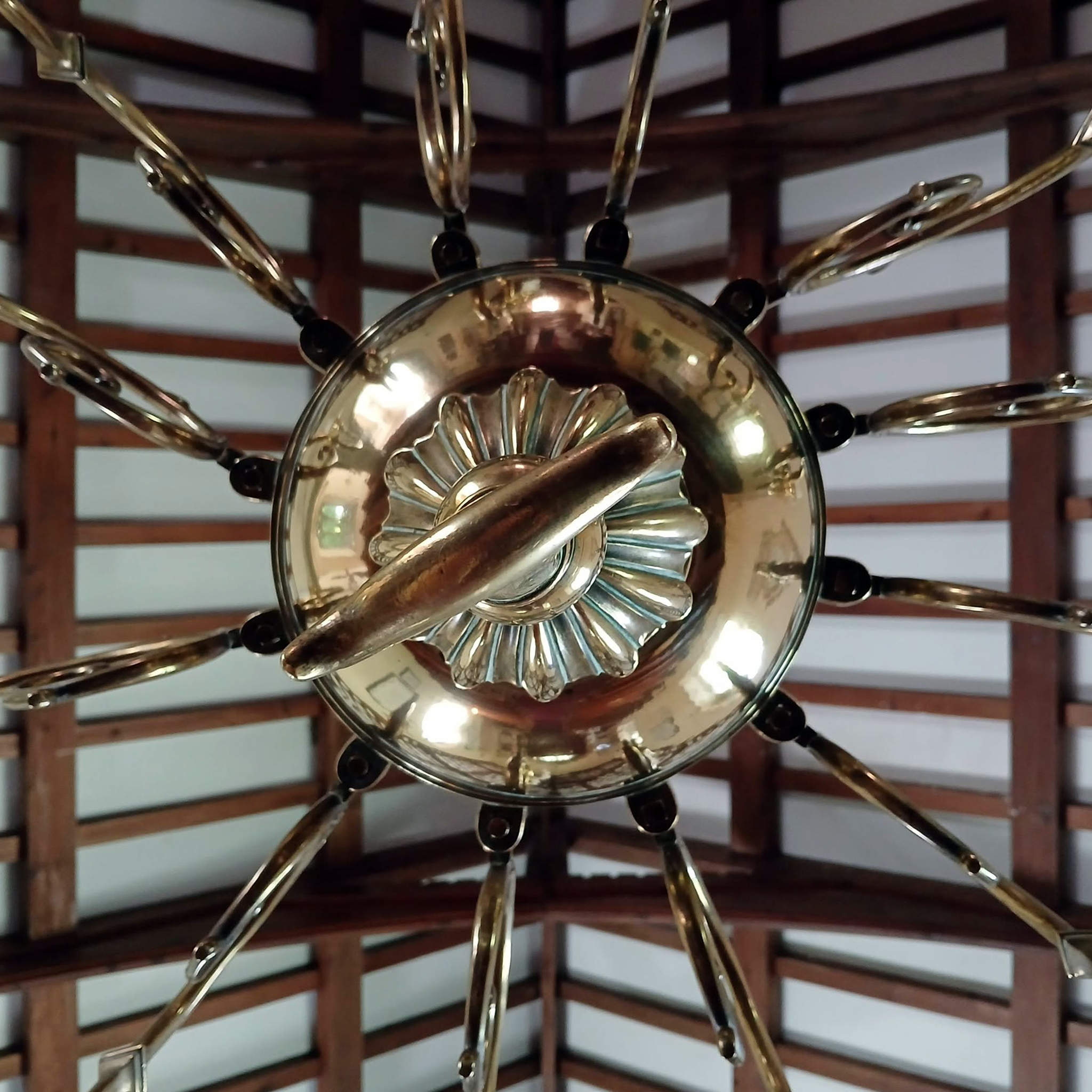
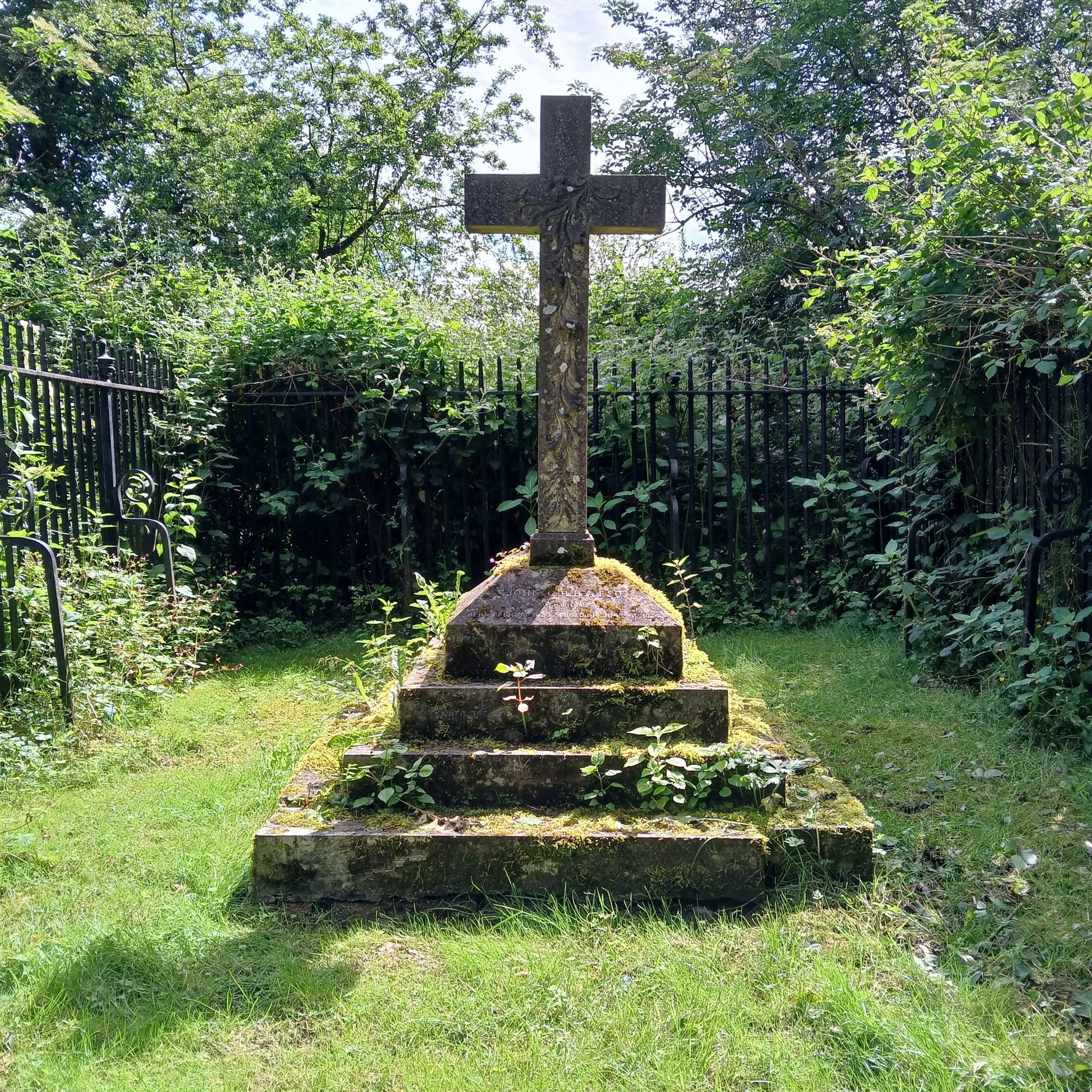
Legends abound here: one of the yew trees is called the Bleeding Yew, and has dark blood like sap that oozes year round. And the first cuckoo of Spring is supposed to sing from Nevern Cross on 7 April, St Brynach’s Day.
Tim Rushton and m’self were cycling from Fishguard to Aberystwyth, as we have in previous years, taking the train from Stockport and setting off on our way through Pembrokeshire and beyond. Modern pilgrims crossing the ancient pilgrim’s route.
This was the second day of our tour, from Aberteifi to Lllandysul.
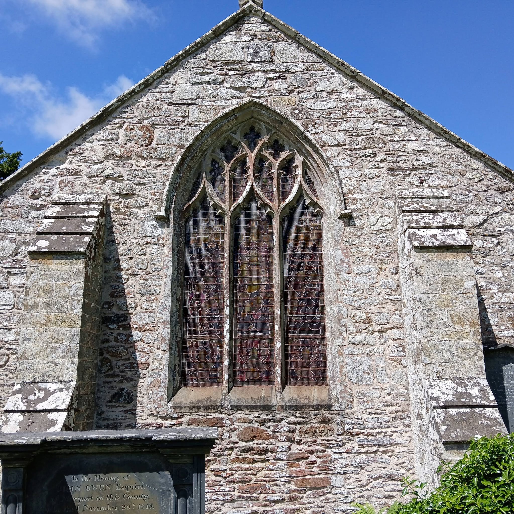
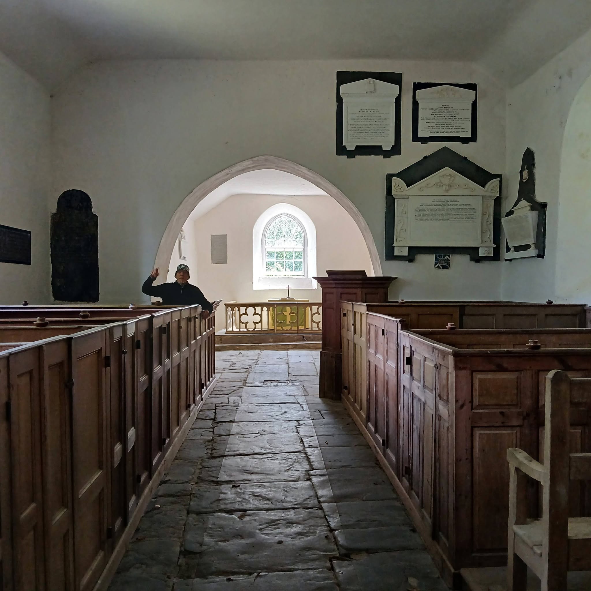
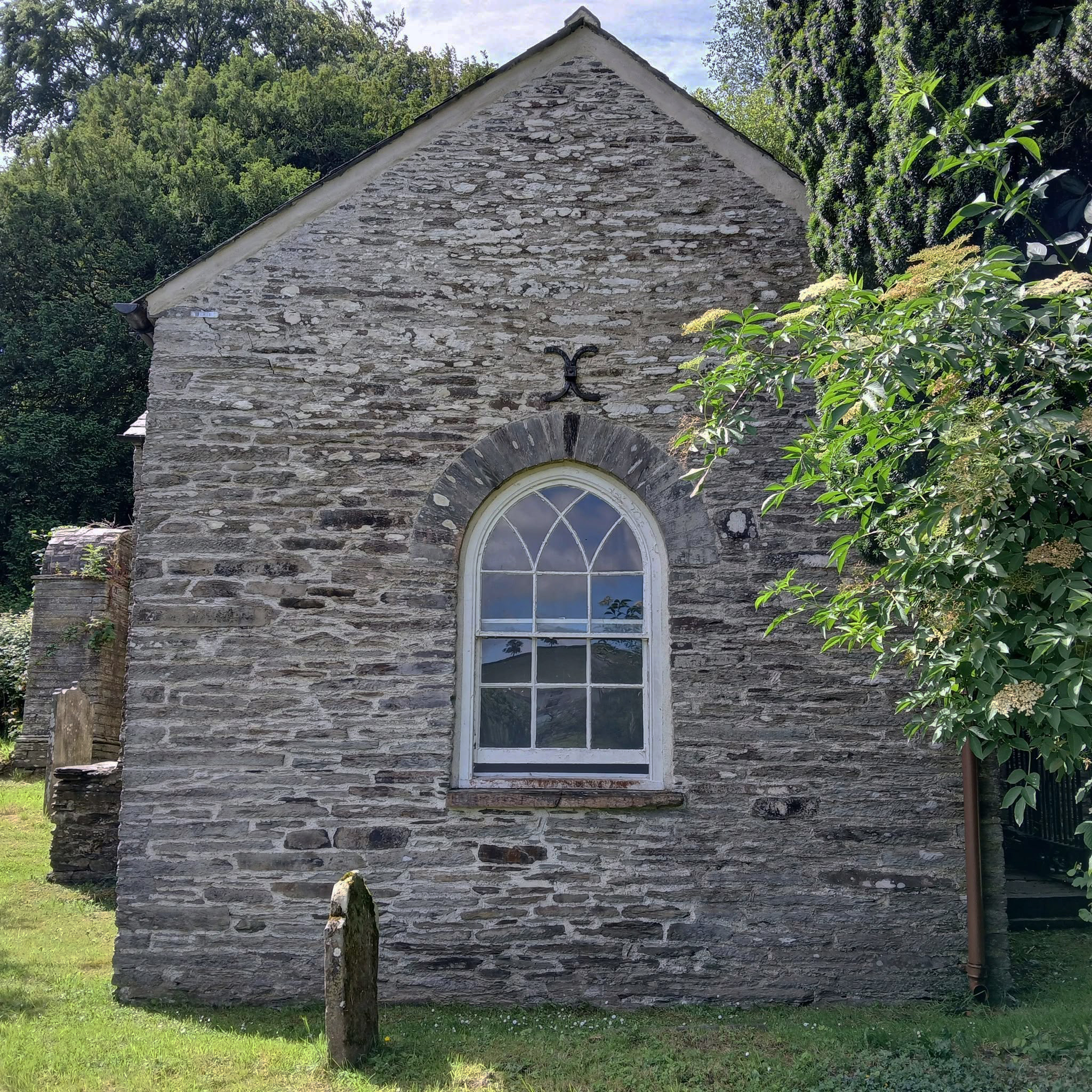
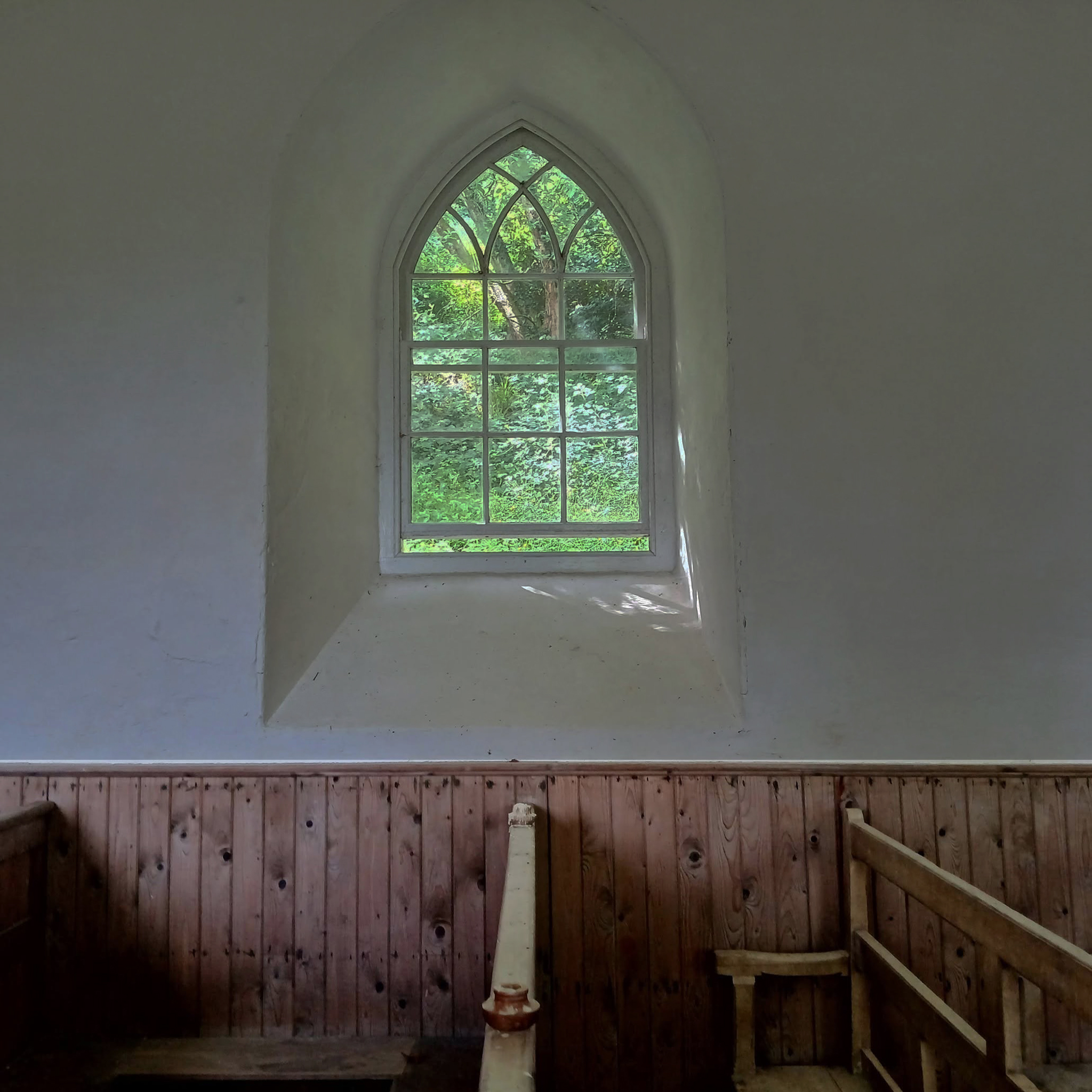
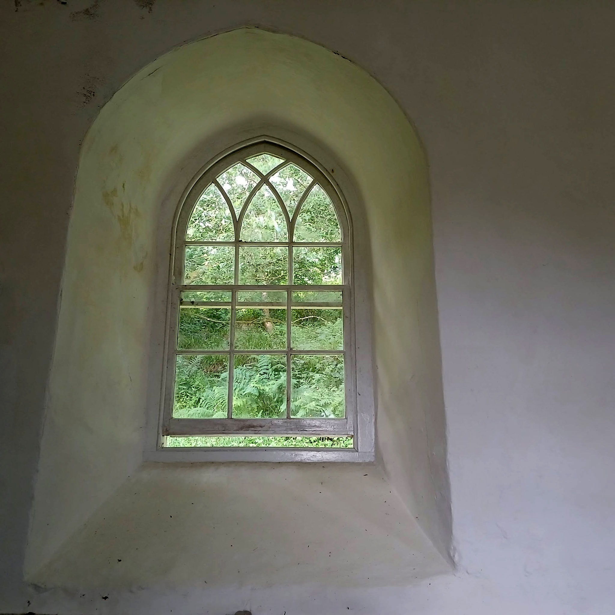
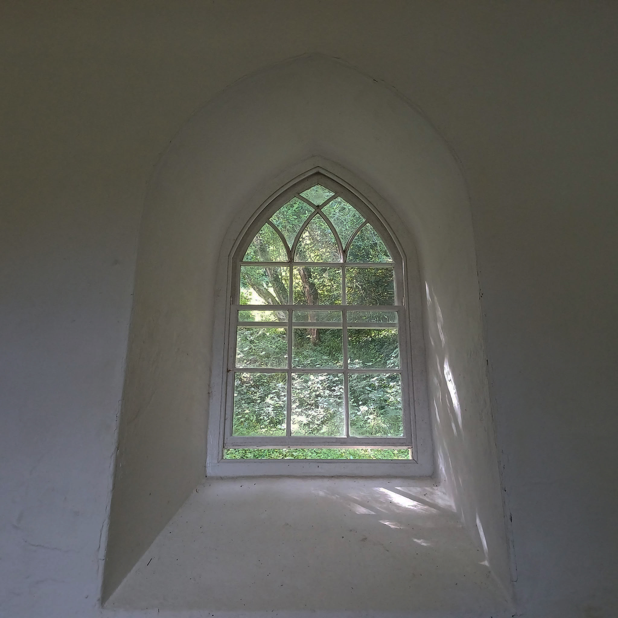
At the end of a long lane that follows the Afon Teifi we saw this low stone church, tucked beneath the rising landscape to the right.
We both share a love of architecture and vernacular churches in particular – Tim, illustrated below, has produced a book on Welsh Chapels.
So we stopped to take a look around.
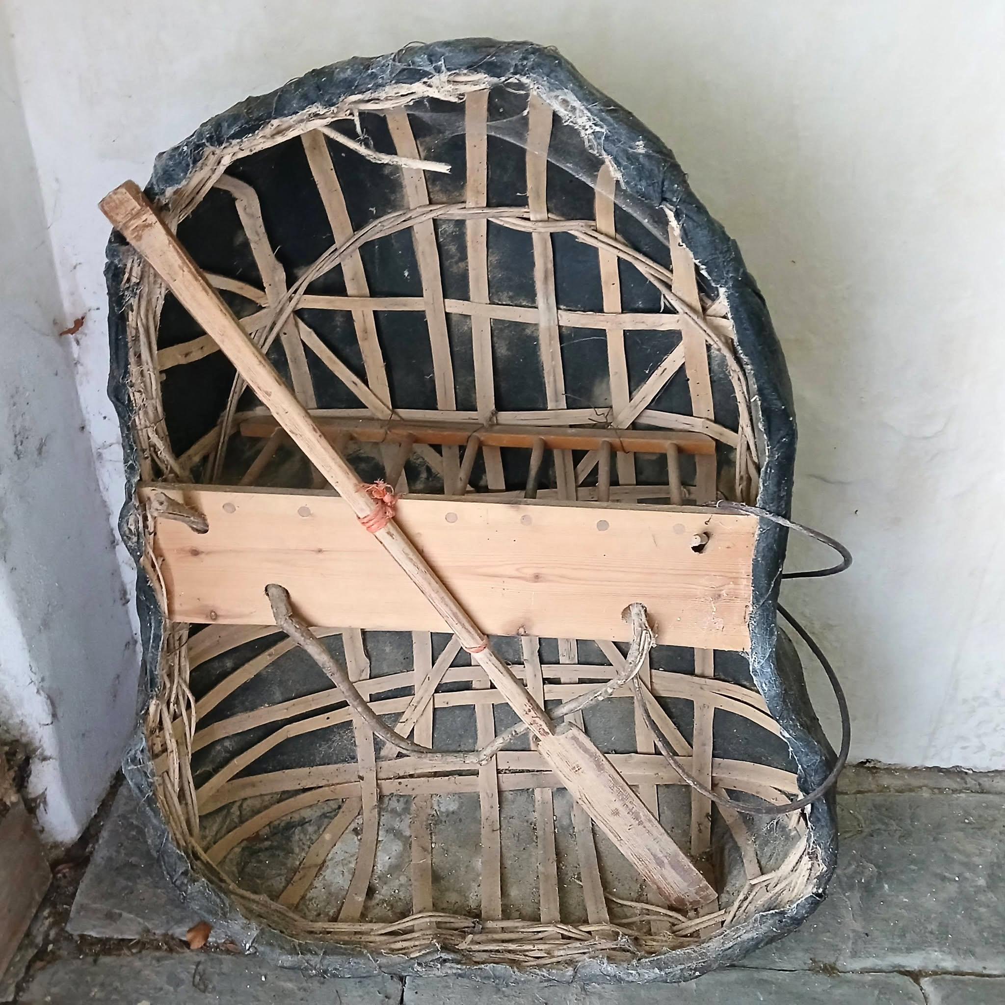
Old St David’s lies on the pilgrimage route to the cathedral of the same dedication and next to the Teifi River. Frequent flooding led to a new church being built on the other side of the river in the 19th century. It also explains why the church has its own coracle, which once ferried worshippers to and fro during a flood. Unfortunately, the church is still prone to flooding, most recently in September 2021.
This is a reproduction as the original was stolen.
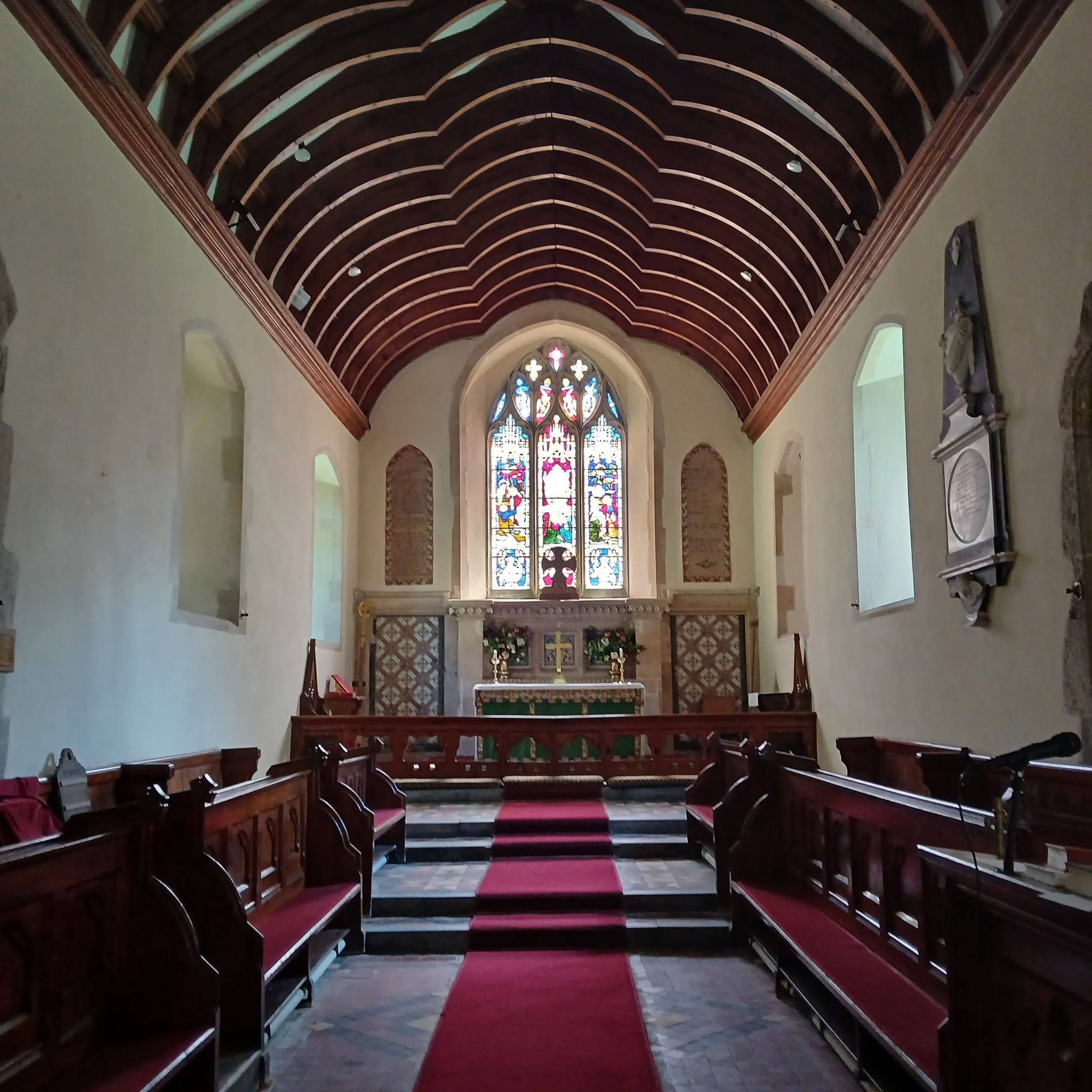
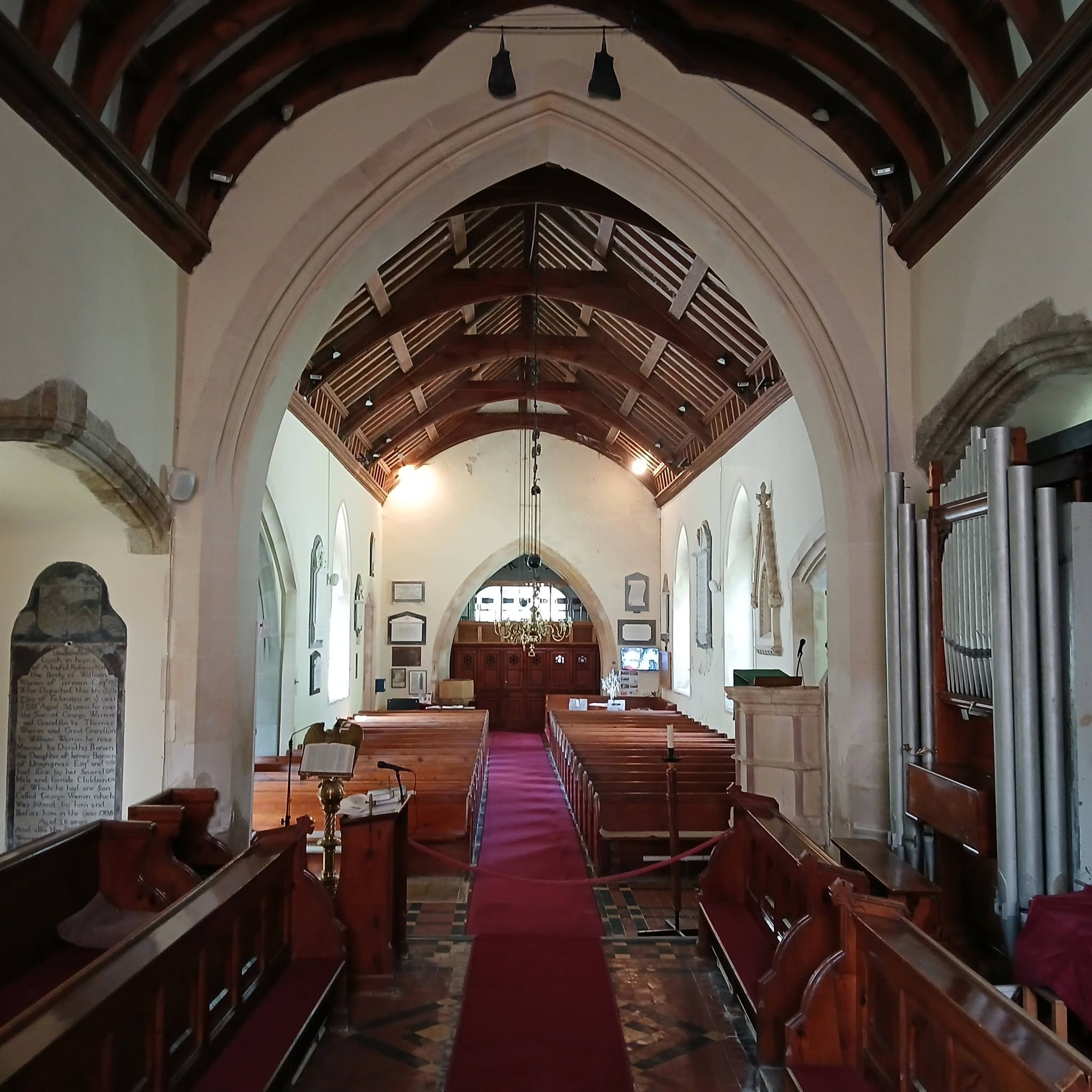
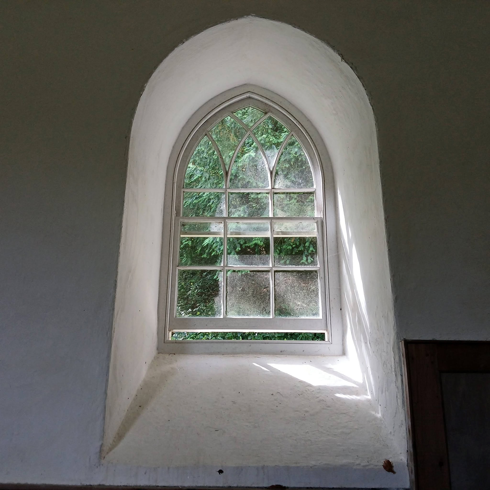
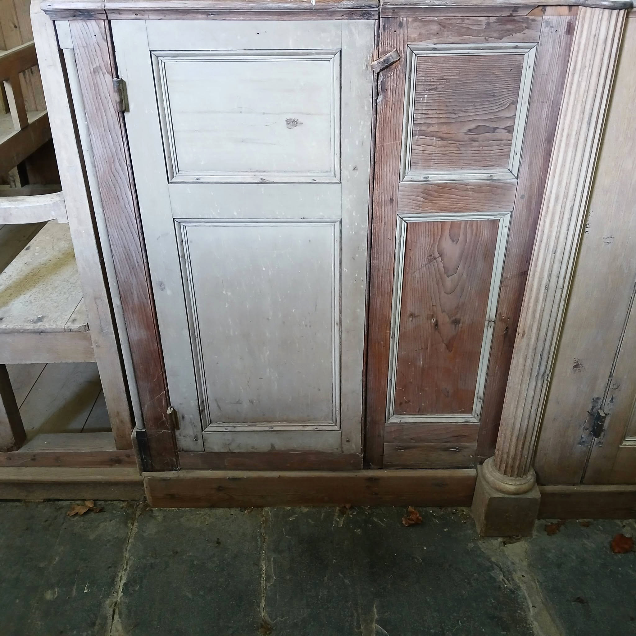
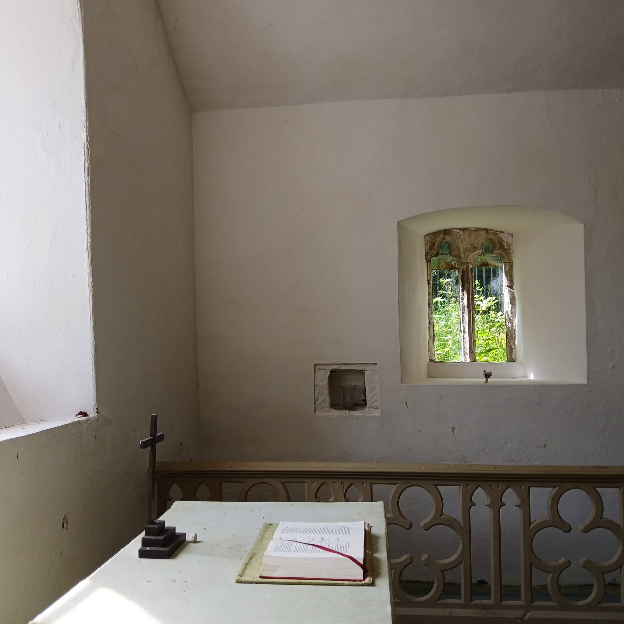
The church you see today is a 13th-century building, remodelled in 1847 to the elegant Georgian Gothick interior. This style was already out of fashion in more urban parts and by 1899, the church had fallen out of regular use.
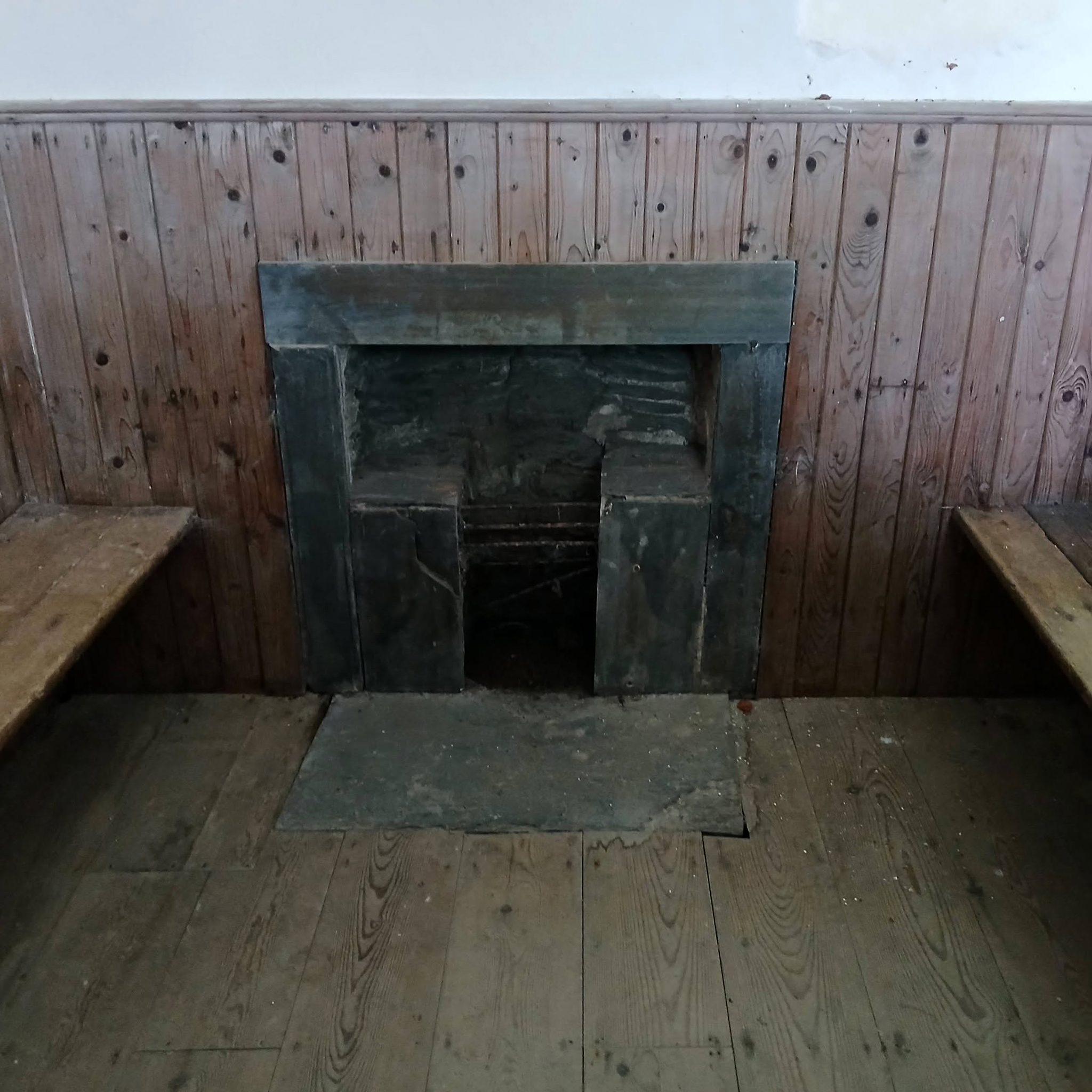
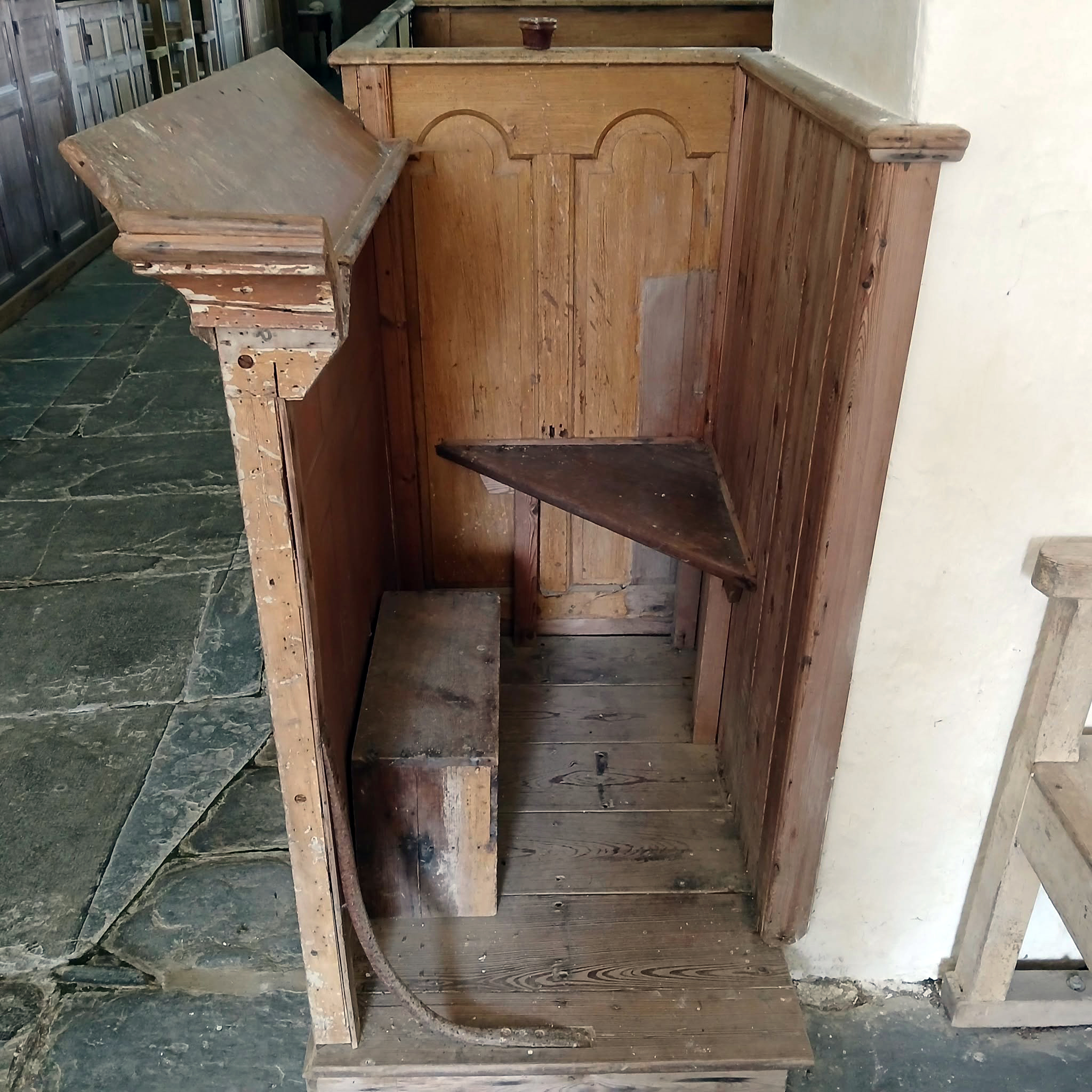
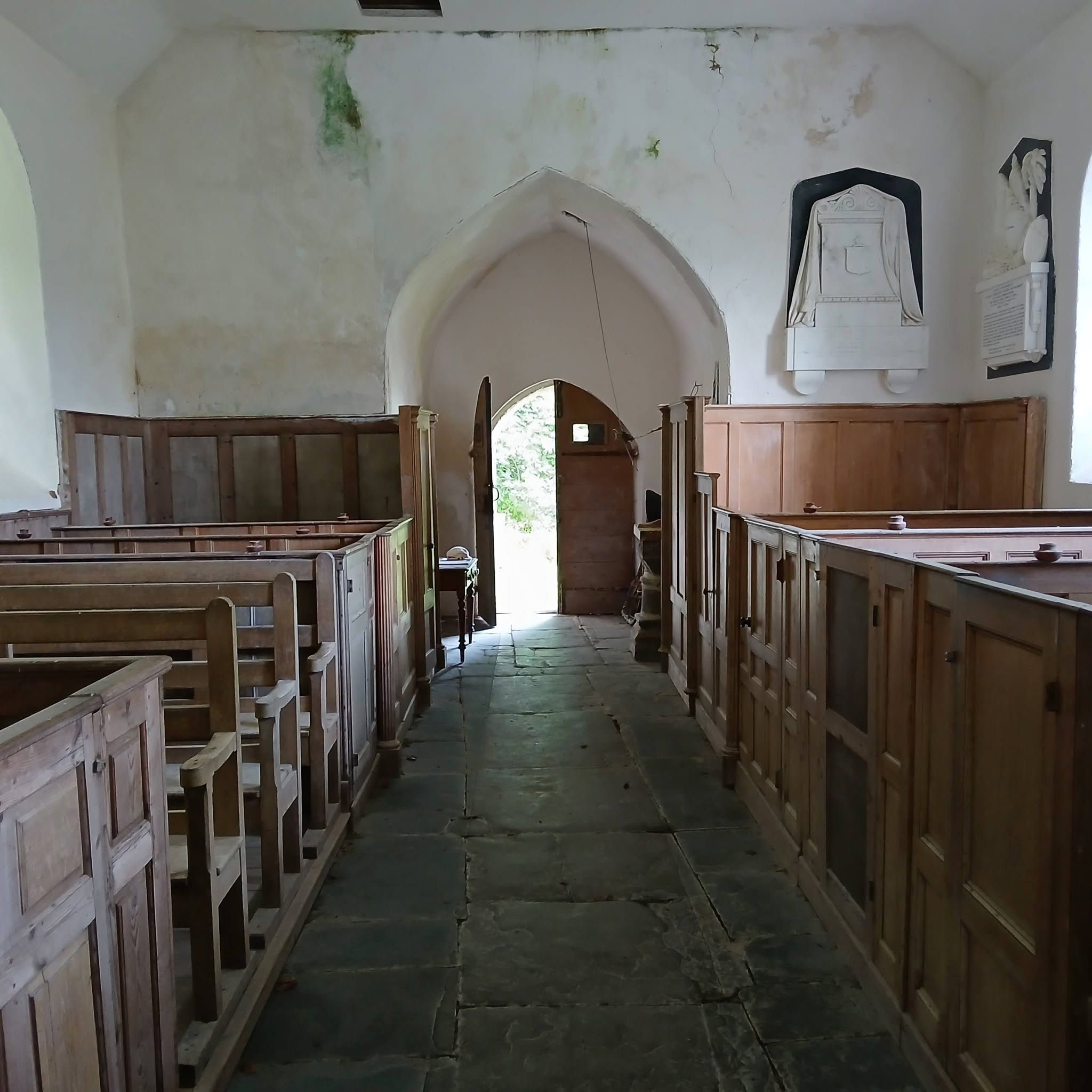
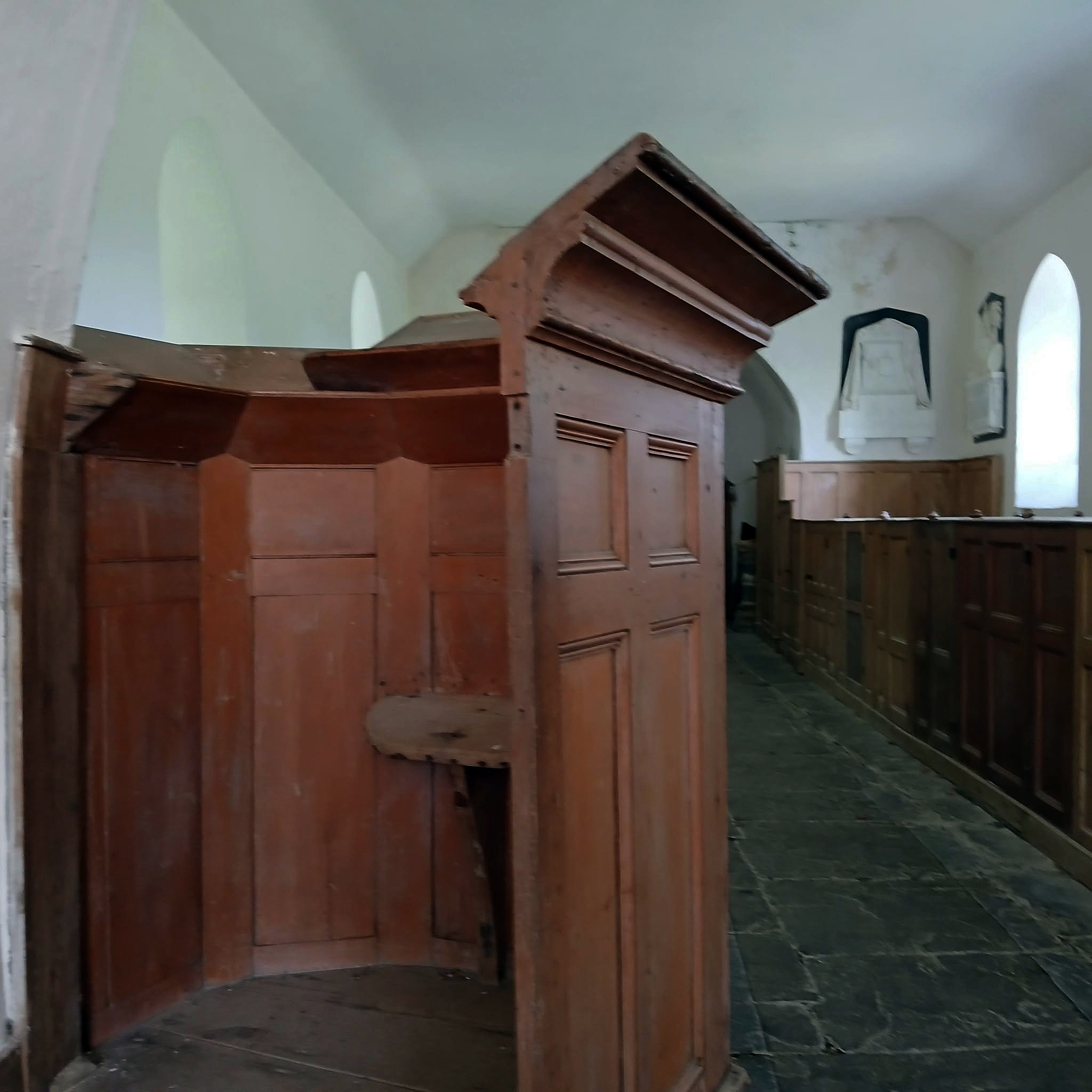
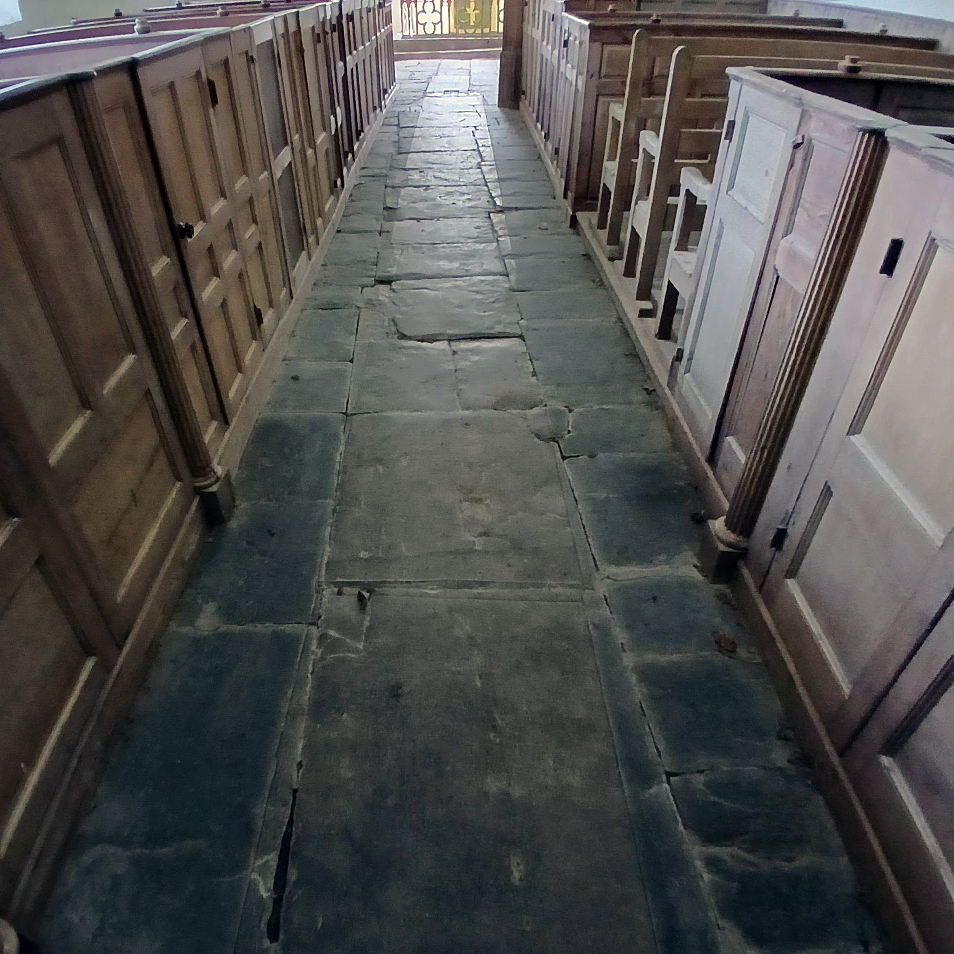
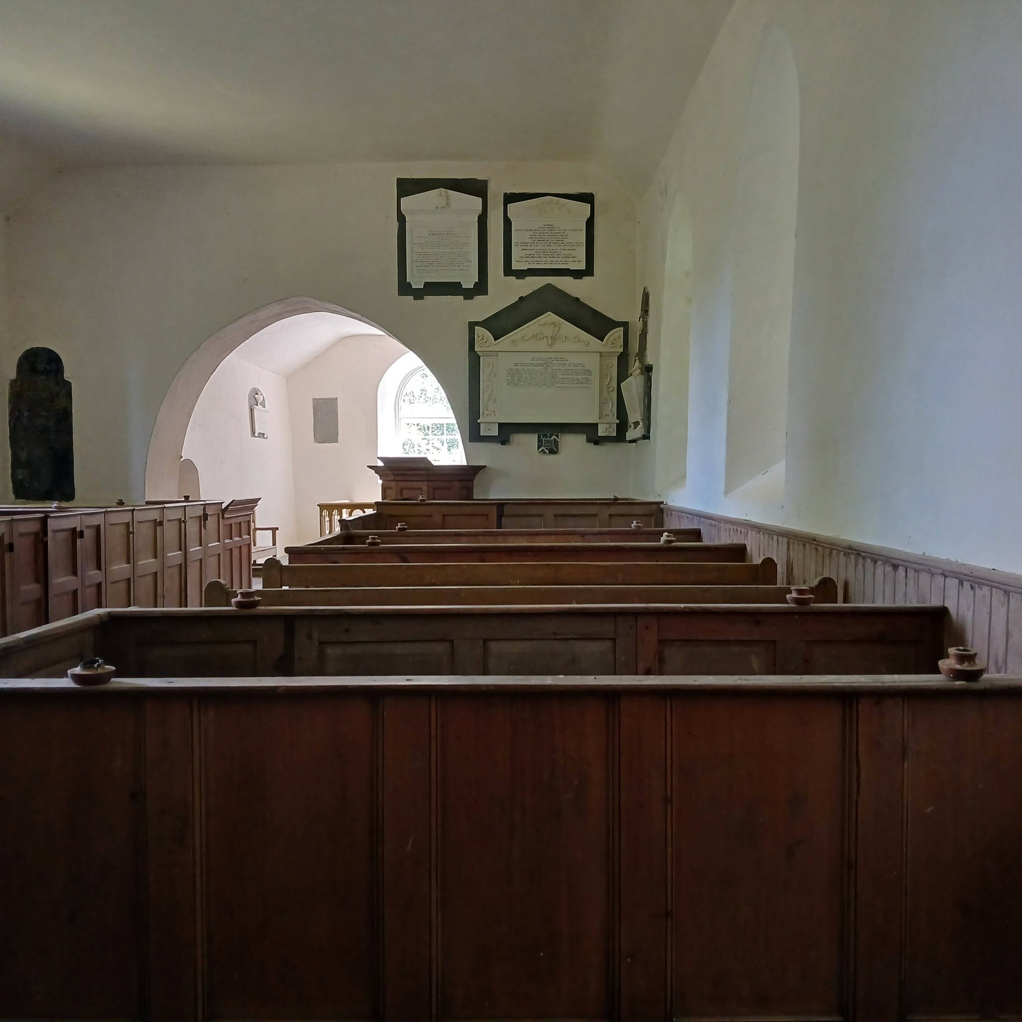
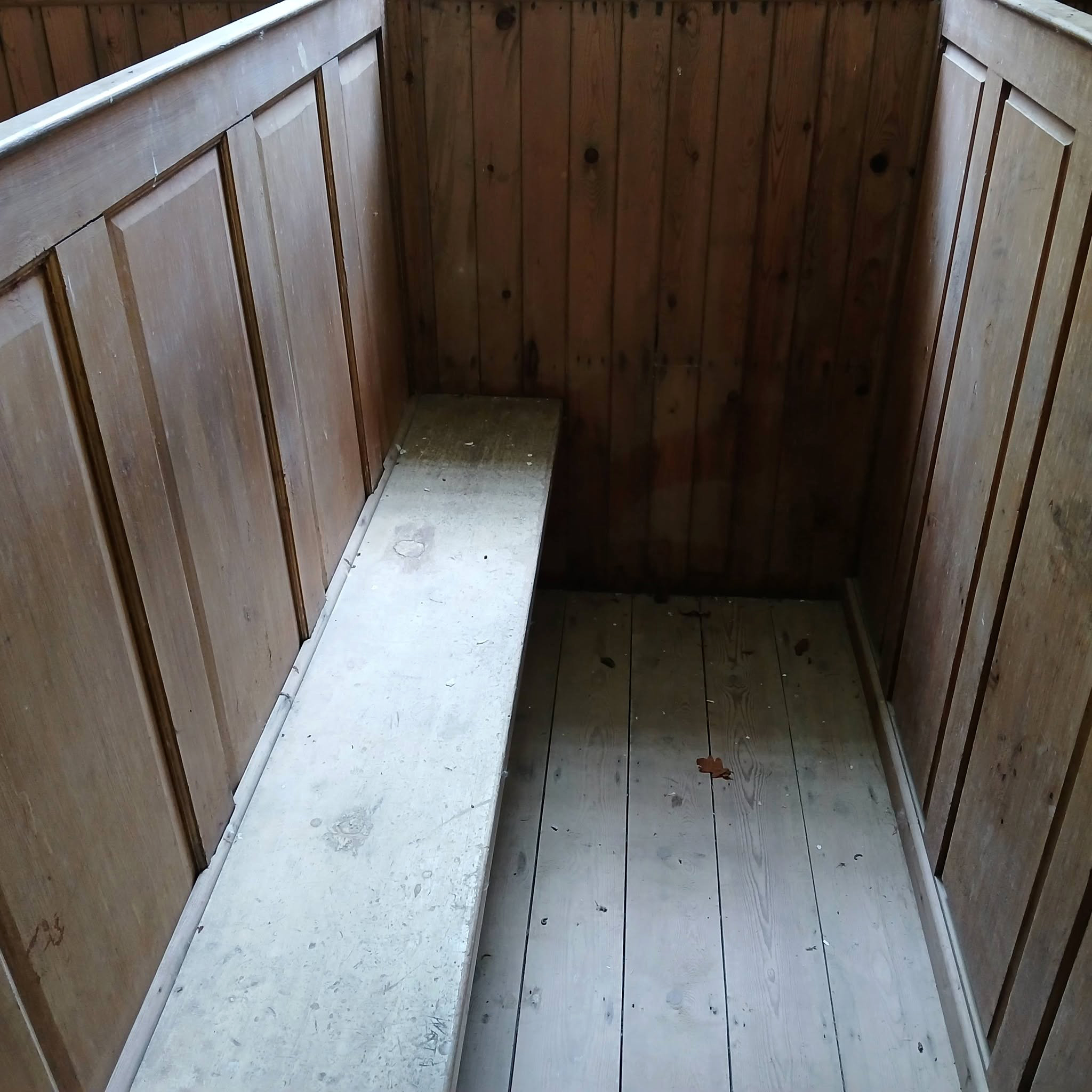
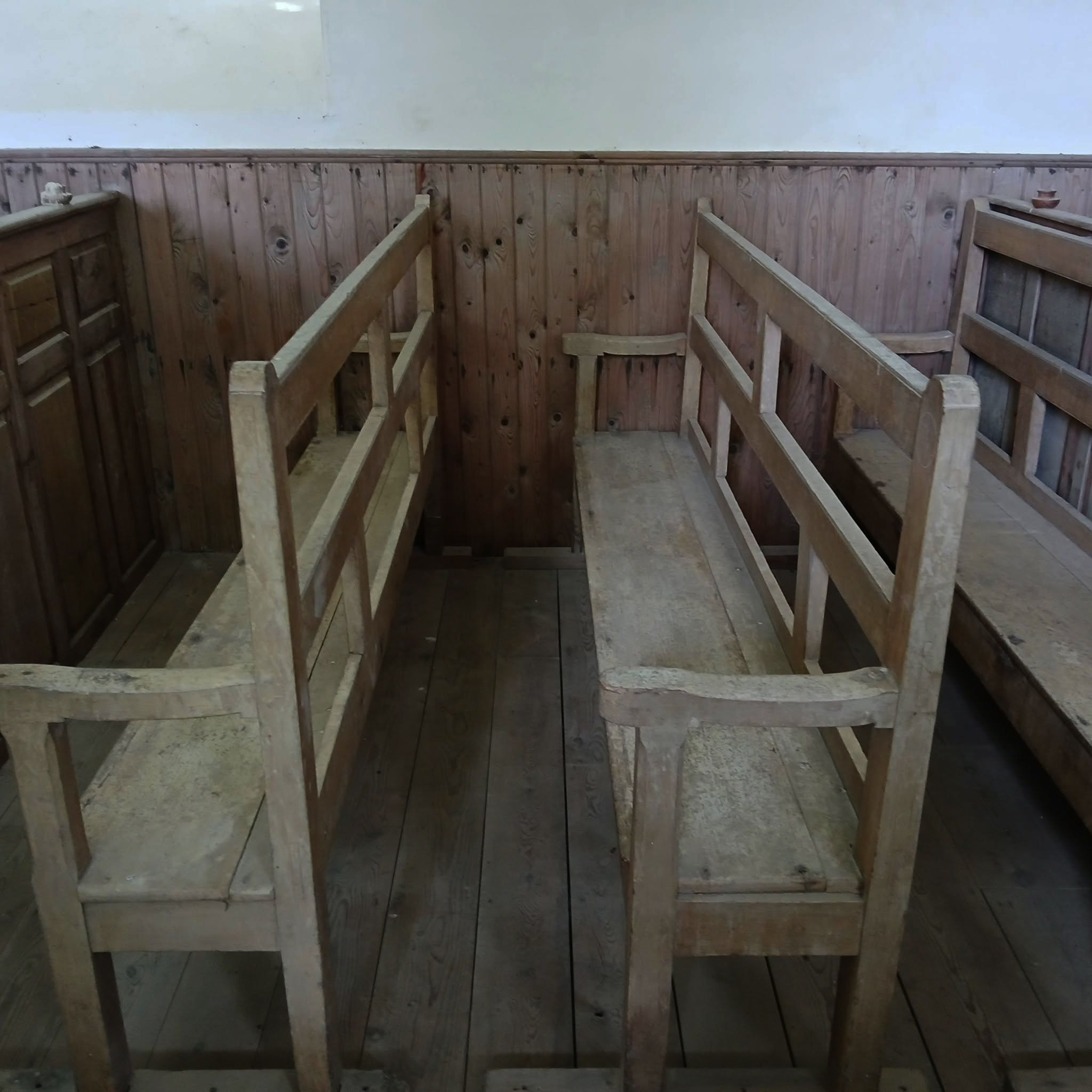
The nave walls are lined with a set of 18th-century box-pews; some have fluted columns, drawers with brass handles, and some even have their own fireplaces.
The square font, which you’ll find right inside the west porch, dates to the 13th century and is the only survivor from the early church. Its underside is fluted and its sides are carved with quatrefoils.
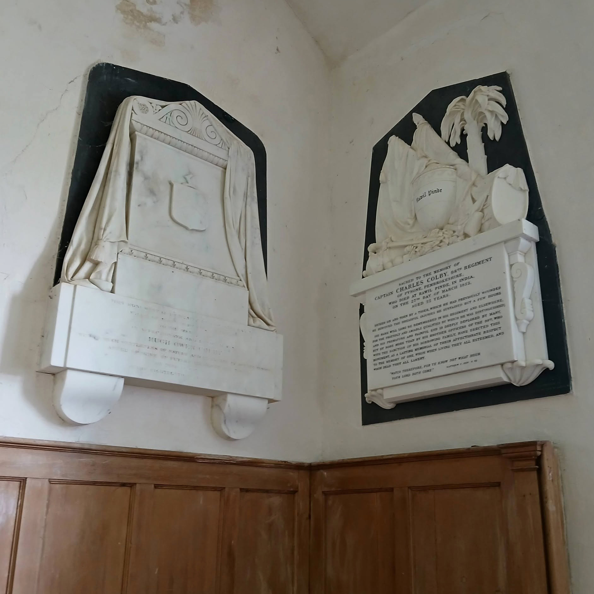
Don’t miss the memorial to Capt. Charles Colby, who was stationed to Rawalpindi – now in Pakistan in about 1850. On a day off, he went hunting on an elephant, and was unfortunately mauled by a tiger. His plaque bears an urn with the inscription ‘Rawil Pinde’ and a carved palm tree.
Many thanks to the Friends of Friendless churches for ensuring that the church remains open and maintained.
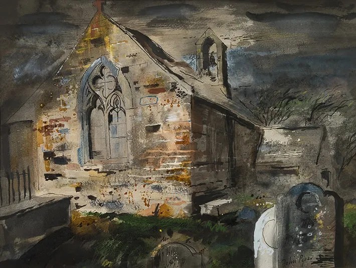
As a postscript – the appreciation of these wonderful Welsh churches must be due in part to John Piper.
Jerwood Foundation was recently alerted to a renewed recognition of John Piper’s painting The churchyard, in Jerwood Collection, after it appeared as an illustration accompanying an online article. The image was immediately recognised by a reader as depicting St Baglan’s Church, near Caernarfon, viewed from a familiar angle.
John Piper, a founding member of Friends of Friendless Churches in the 1950s, painted many historic churches across the UK. Although St Baglan’s has been under the charity’s care since the 1970s, this rediscovery offers a valuable insight into Piper’s early engagement with sites that would later become key rescue projects. The recognition helps to piece together the history of how some of the charity’s earliest churches were identified, recorded and preserved.
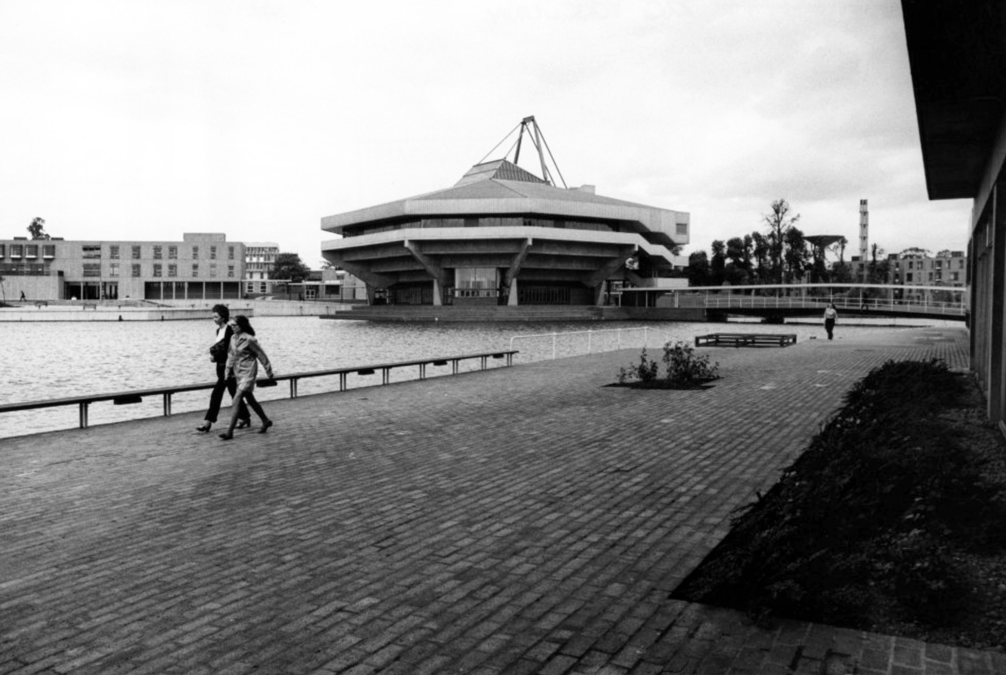
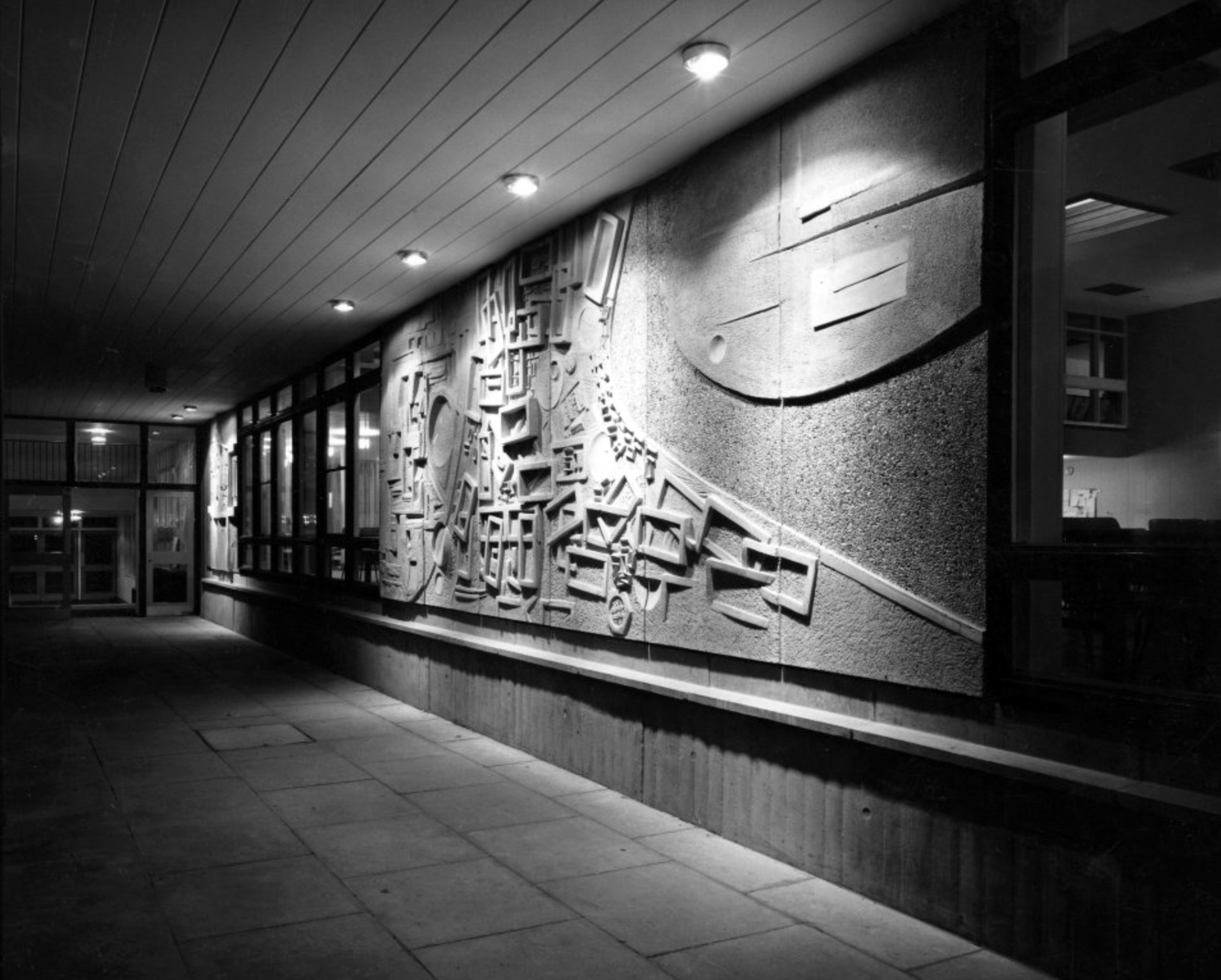
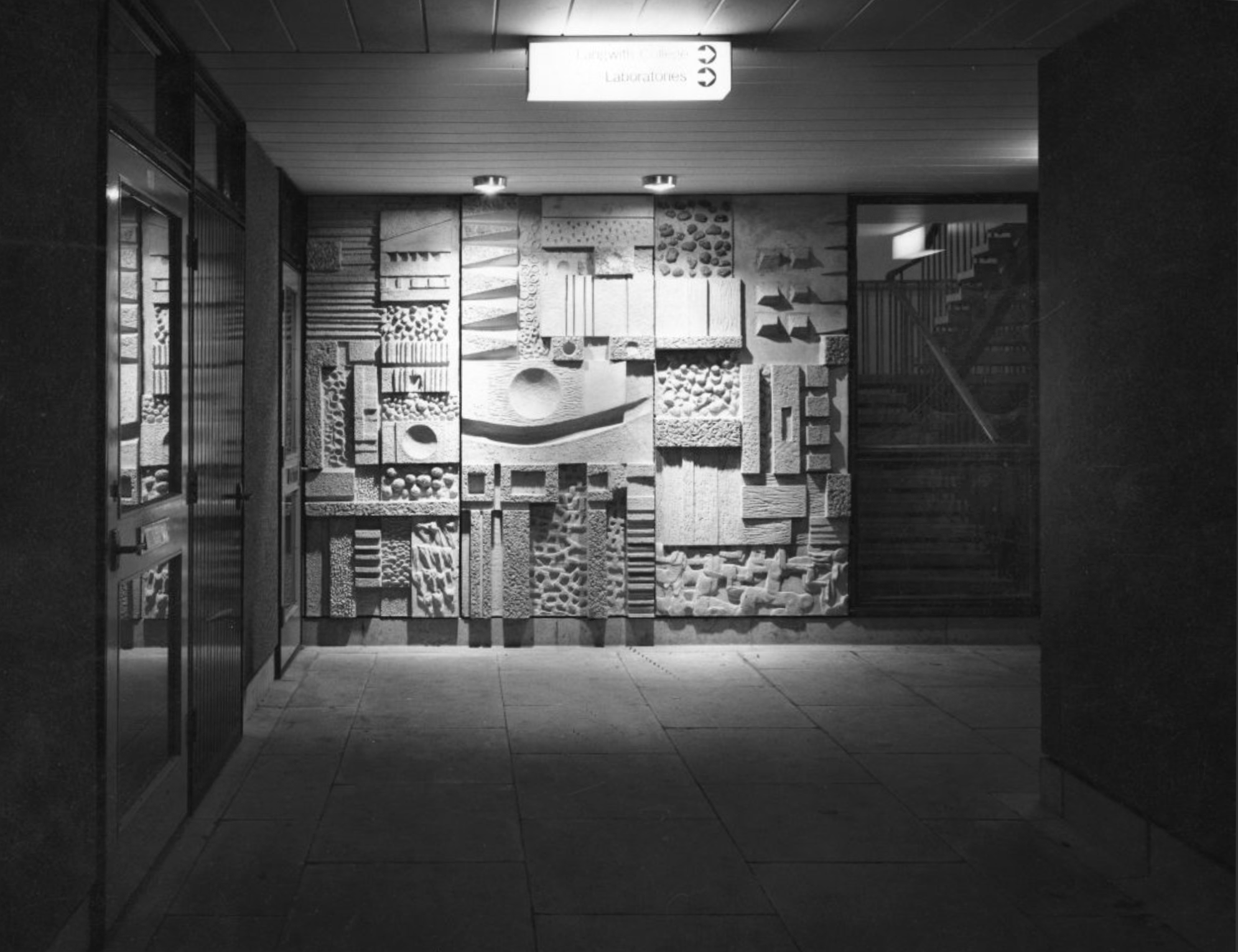
Following my previous visits to the University of York, recording the history and the Fred Millett Reliefs, I have searched the RIBA pix archives to find further images.
They mainly illustrate the Derwent and Langwith Colleges – both built using the CLASP system of construction.
The University of York was founded in 1963 and work on its campus facilities in the grounds of Heslington Hall was begun in 1964. The first two colleges, Langwith and Derwent, accepted residential students for the autumn term of 1965. The original buildings were designed by Sir Andrew Derbyshire of Robert Matthew Johnson-Marshall & Partners, and assembled using the CLASP system of prefabricated construction.
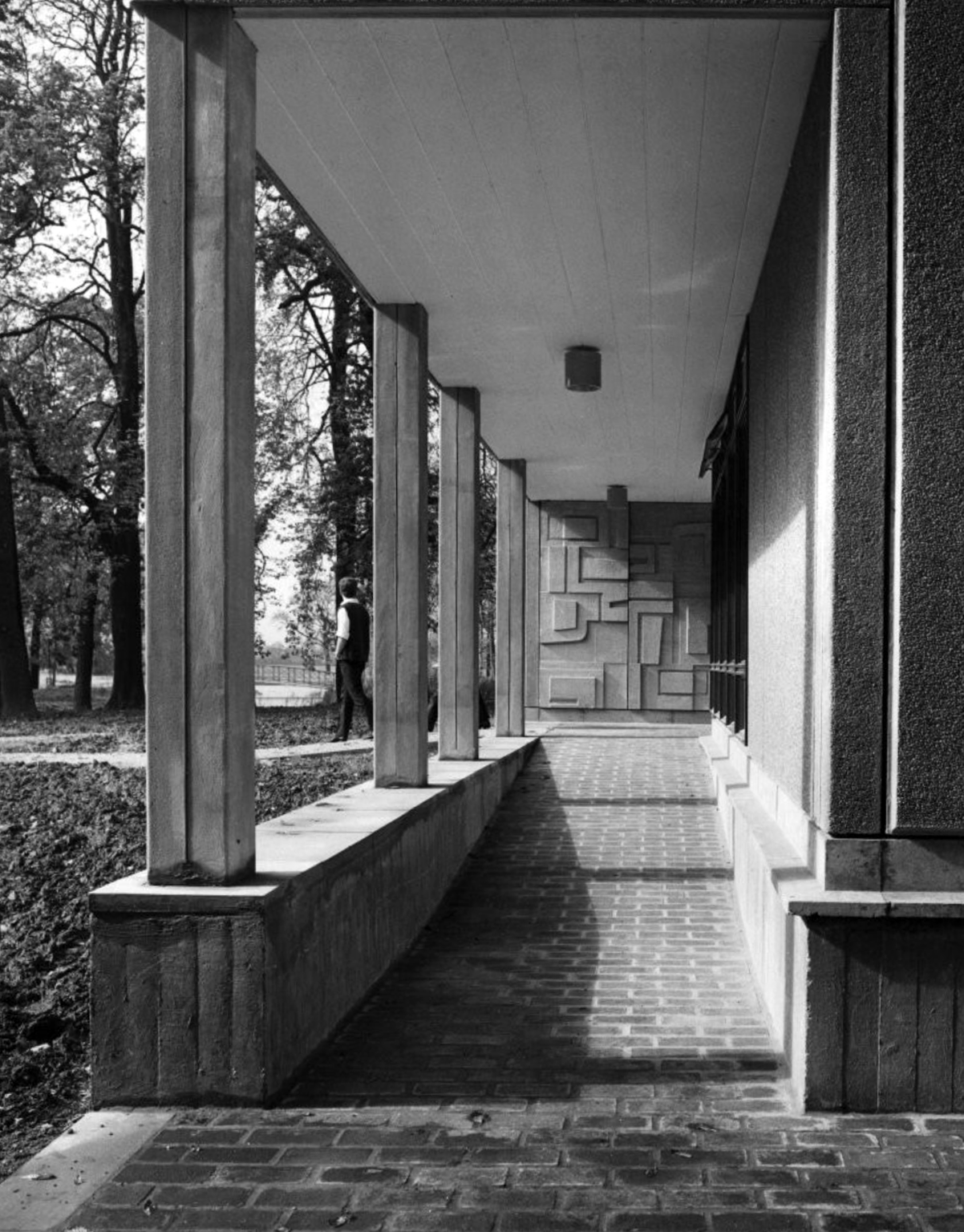
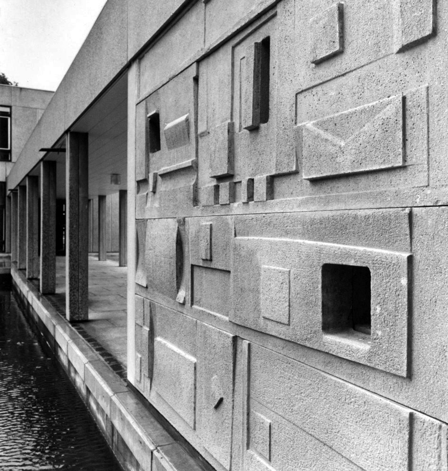
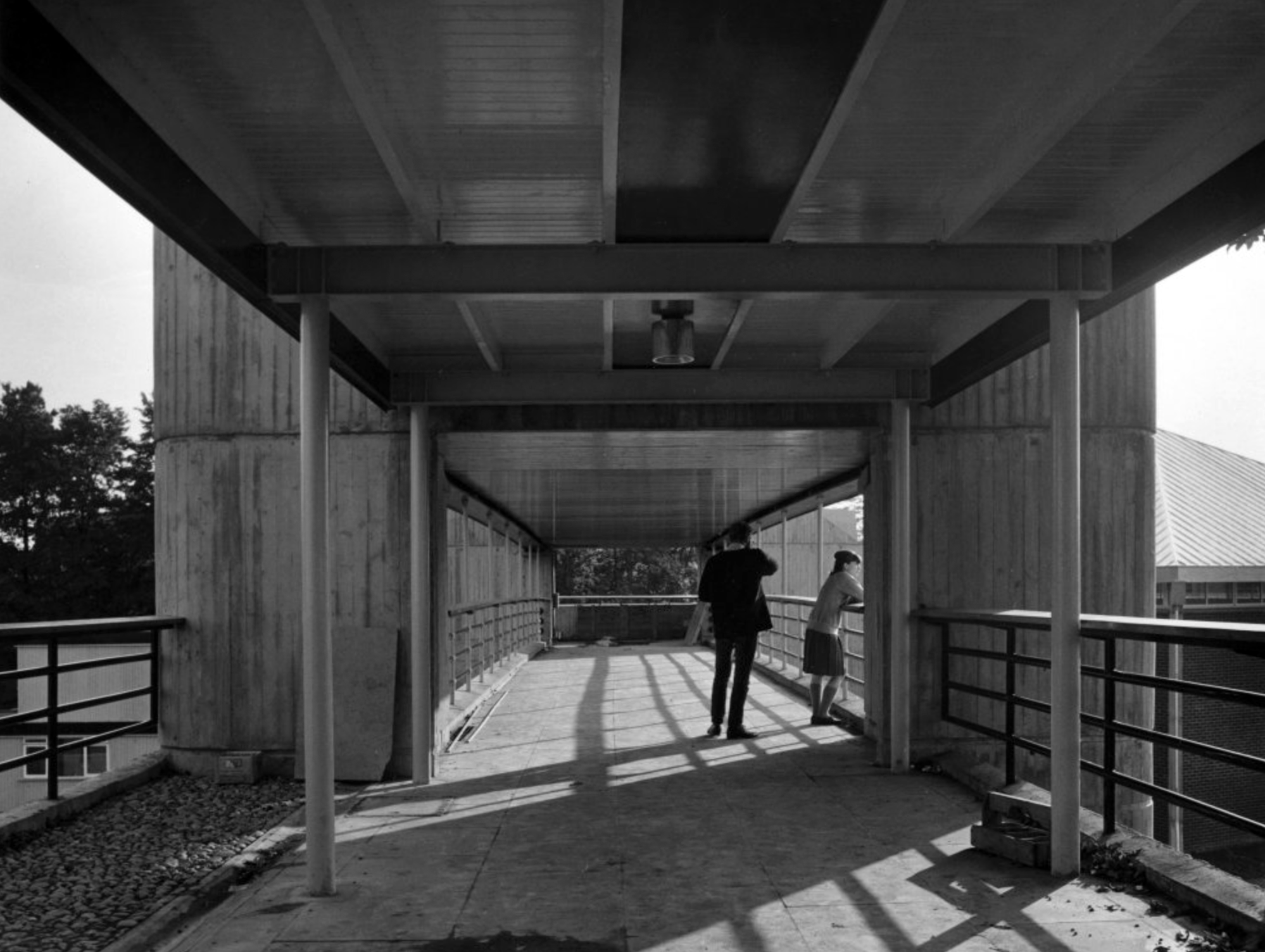
Derwent College: one of the two covered walkways linking the college buildings with sculptural relief by Fred Millett at the far end.
Photographs 1965 – Reginald Hugo de Burgh Galwey.
Derwent College: a concrete panel sculptured by Fred Millett.
Derwent College.
Photographs 1965 Keith Gibson.
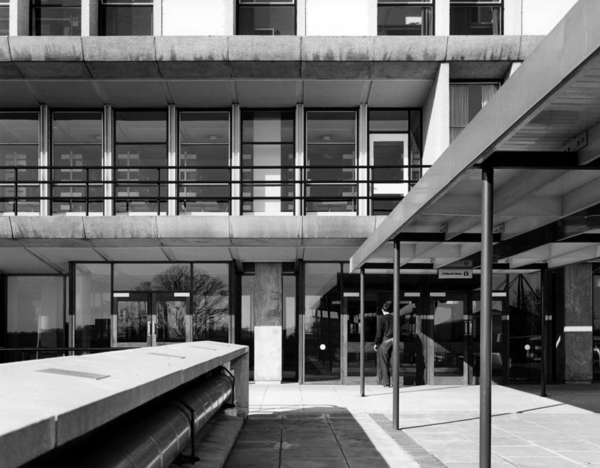
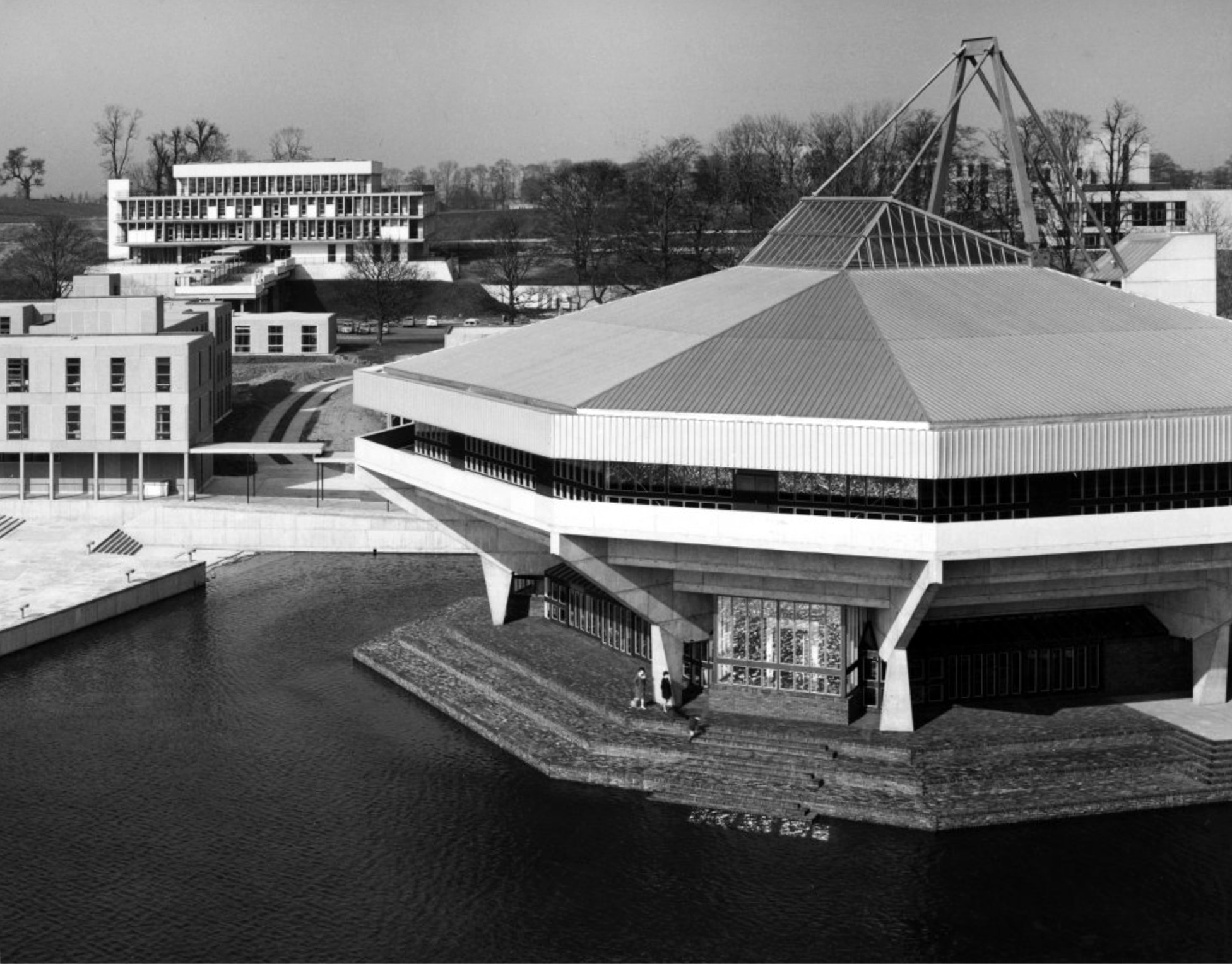
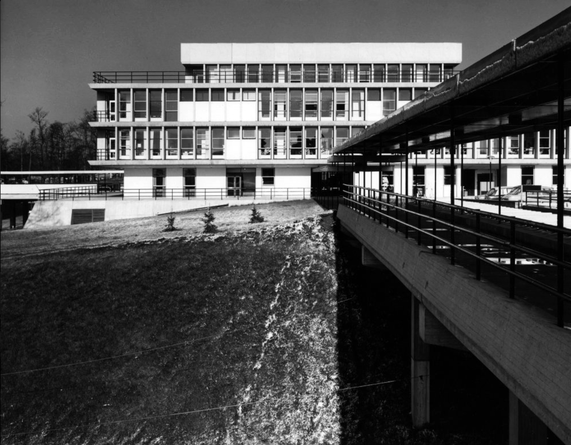
JB Morrell Library.
Derwent College: a covered walkway over the lake.
Central Hall.
Photograph 1972 Bill Toomey.
Vanbrugh College: stepped roof to the covered way leading down to the lake.
Photograph 1972 Peter Bairstow.
Derwent College and Heslington Hall.
Photographs 1965 – Reginald Hugo de Burgh Galwey.
Langwith College, seen from the lake.
Langwith College.
Photographs 1965 Bill Toomey.
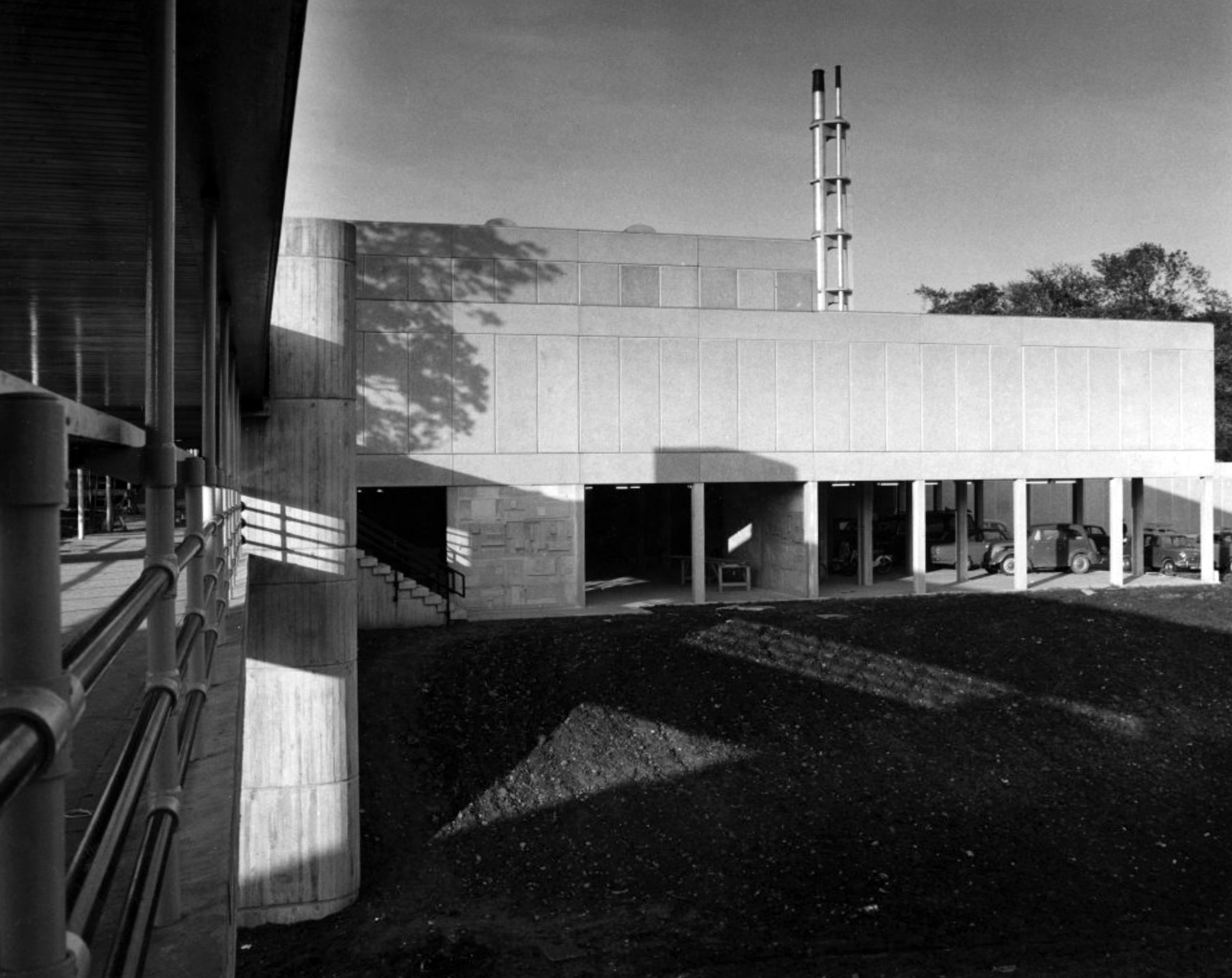
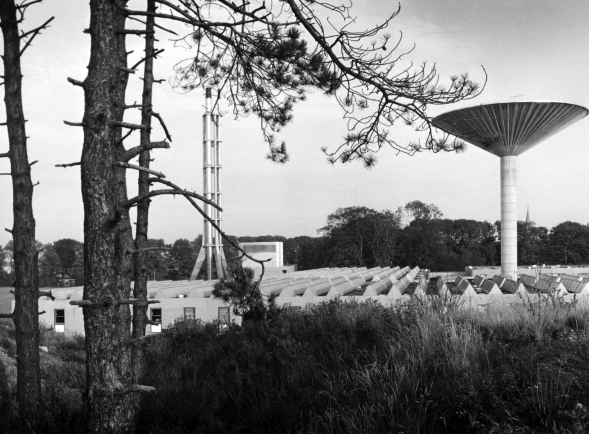
David Brown Laboratories: the flue stack.
David Brown laboratories: the water tower.
Photographs 1965 – Reginald Hugo de Burgh Galwey.
Derwent College.
Derwent College.
Langwith College: close-up of the oriel windows.
Photographs 1965 Bill Toomey.
Derwent College: a concrete sculptured screen flanking a covered way.
Derwent College: a concrete sculptured screen flanking a covered way.
One of several concrete link bridges.
Another of the several concrete link bridges.
Photographs 1965 – Reginald Hugo de Burgh Galwey.
David Brown laboratories: seen from one of the link bridges.
David Brown Laboratories: the flue stack and water tower rising above the laboratory blocks.
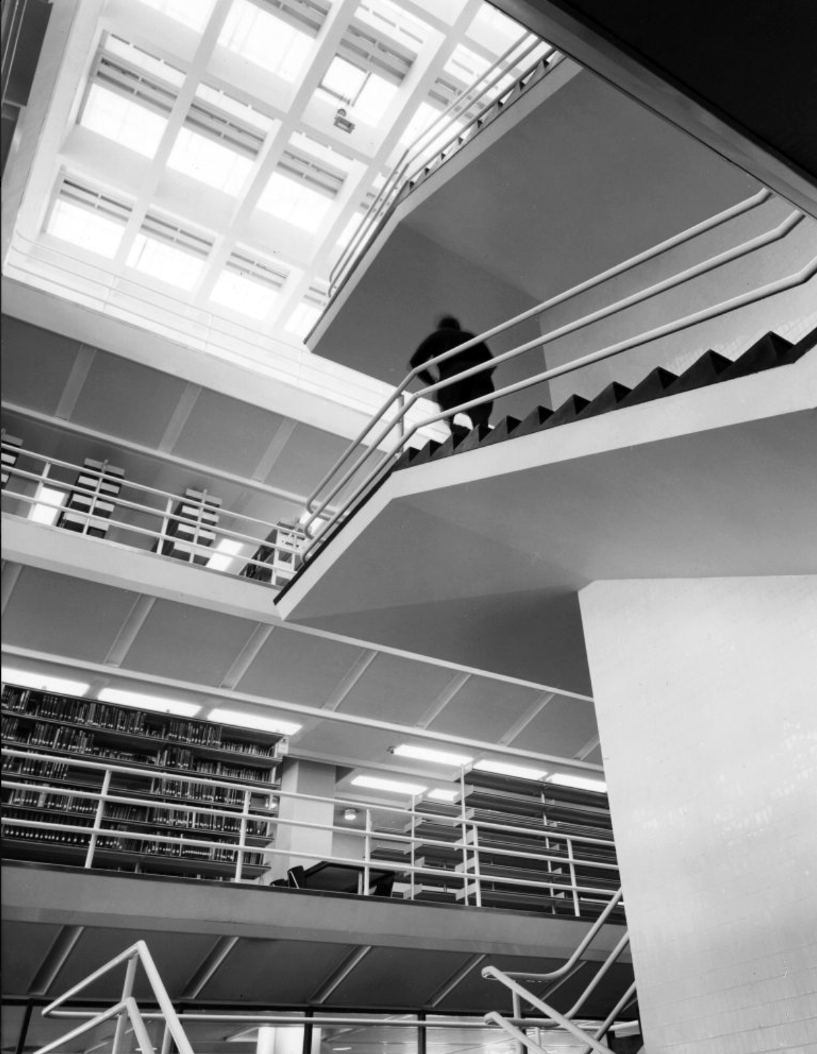
J. B. Morrell Library: the central staircase and lift tower.
Photographs 1965 Keith Gibson.
Central Hall.
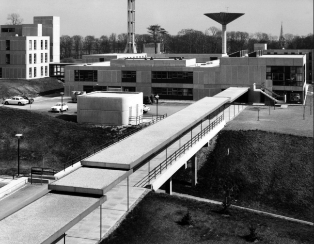
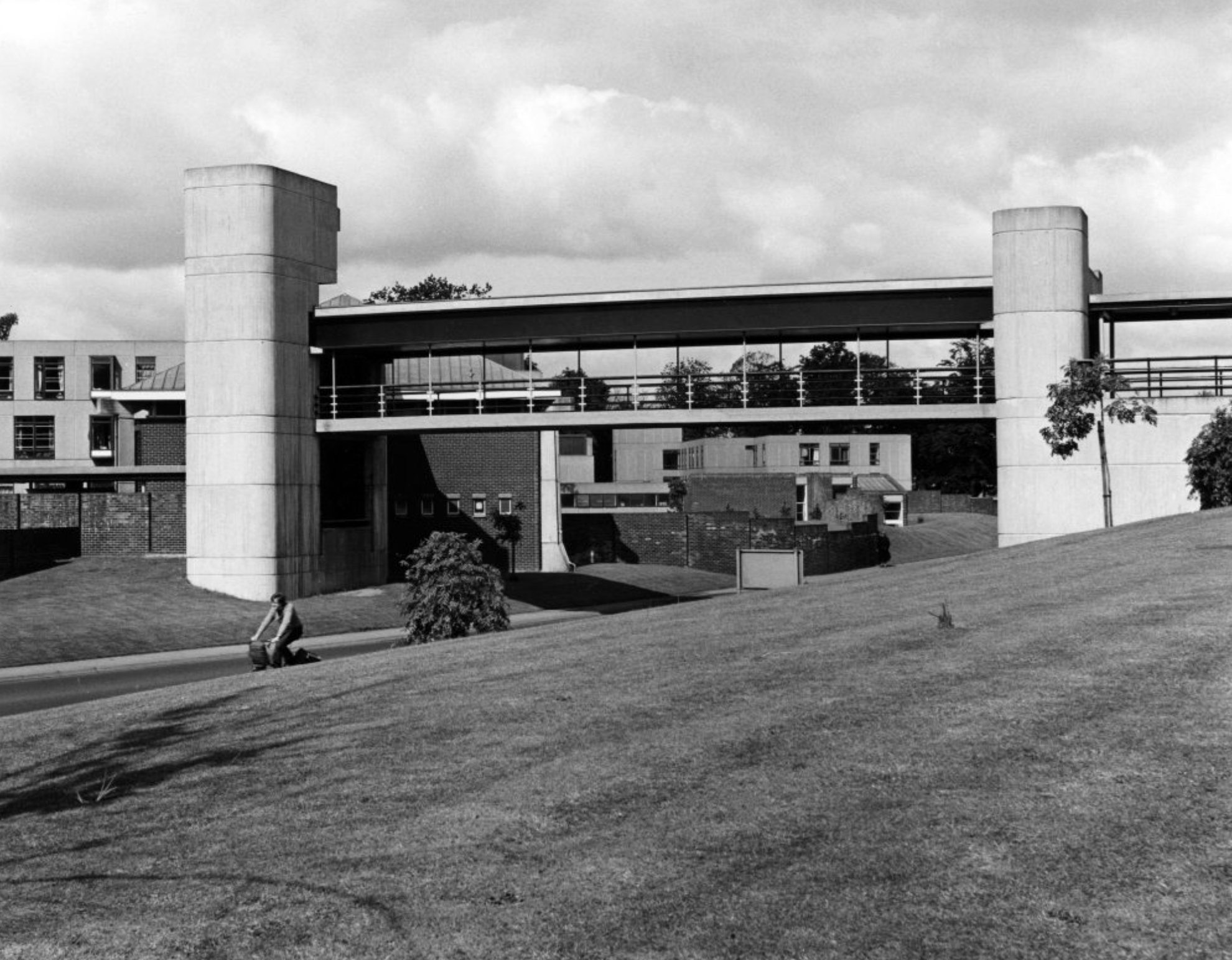
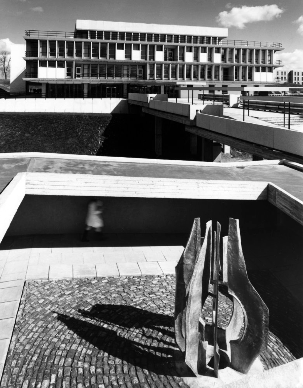
JB Morrell Library, University of York, seen from the south side of Heslington Road with linking pedestrian bridge and ramp in foreground and cast aluminium sculpture by Austin Wright
JB Morrell Library: the covered pedestrian bridge linking the library to the southern side of the campus.
JB Morrell Library.
JB Morrell Library: the main entrance and terrace.
JB Morrell Library: the issue counter seen from the second floor.
JB Morrell Library: viewpoint from the fourth floor.
The covered pedestrian bridge linking the southern side of the campus to the JB Morrell Library on the north side.
1971 built of a pre-cast concrete panel system, dour, on an awkwardly sloping site.
I beg to differ – what’s the opposite of dour?
So says the online Thesaurus – and I heartily concur, for the whole building has had a makeover and a half.
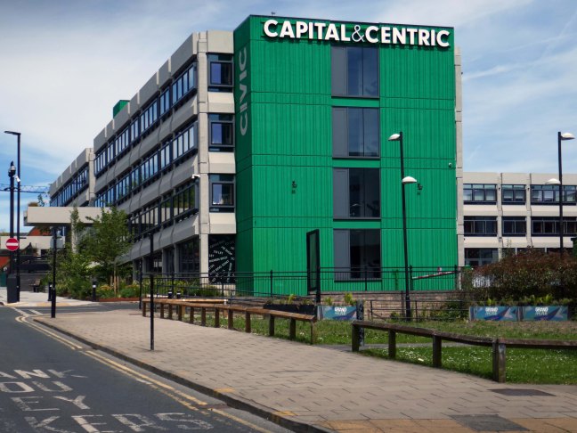
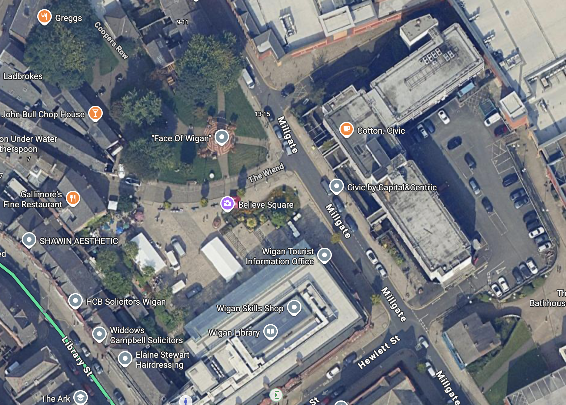
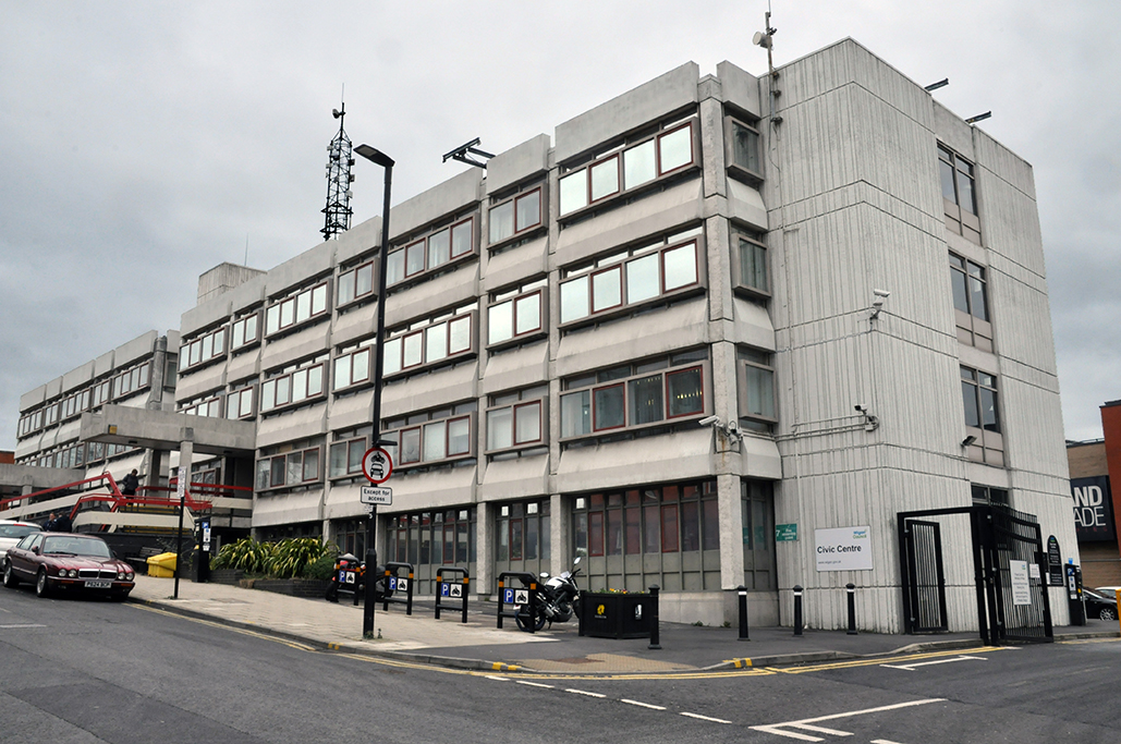
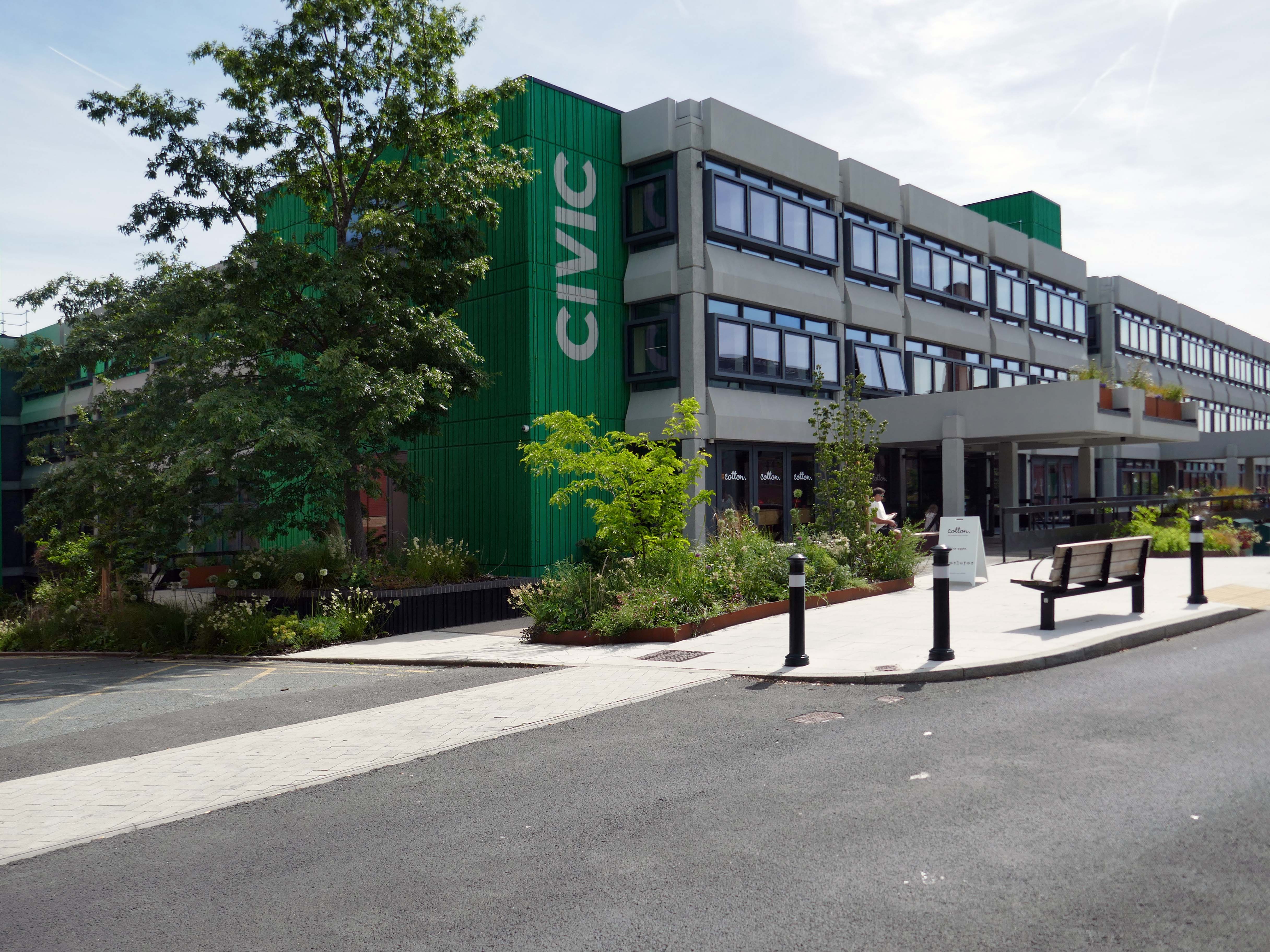
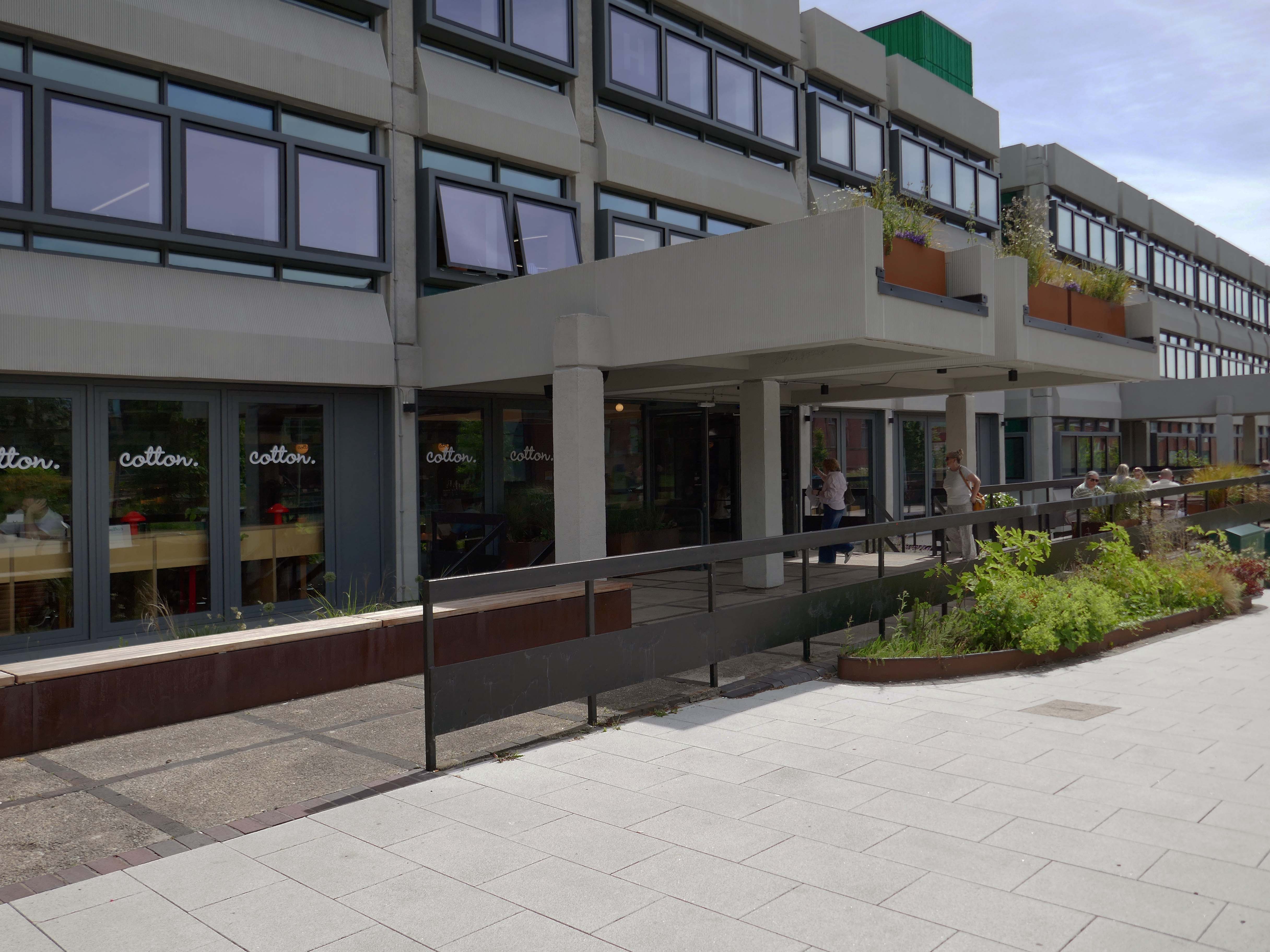
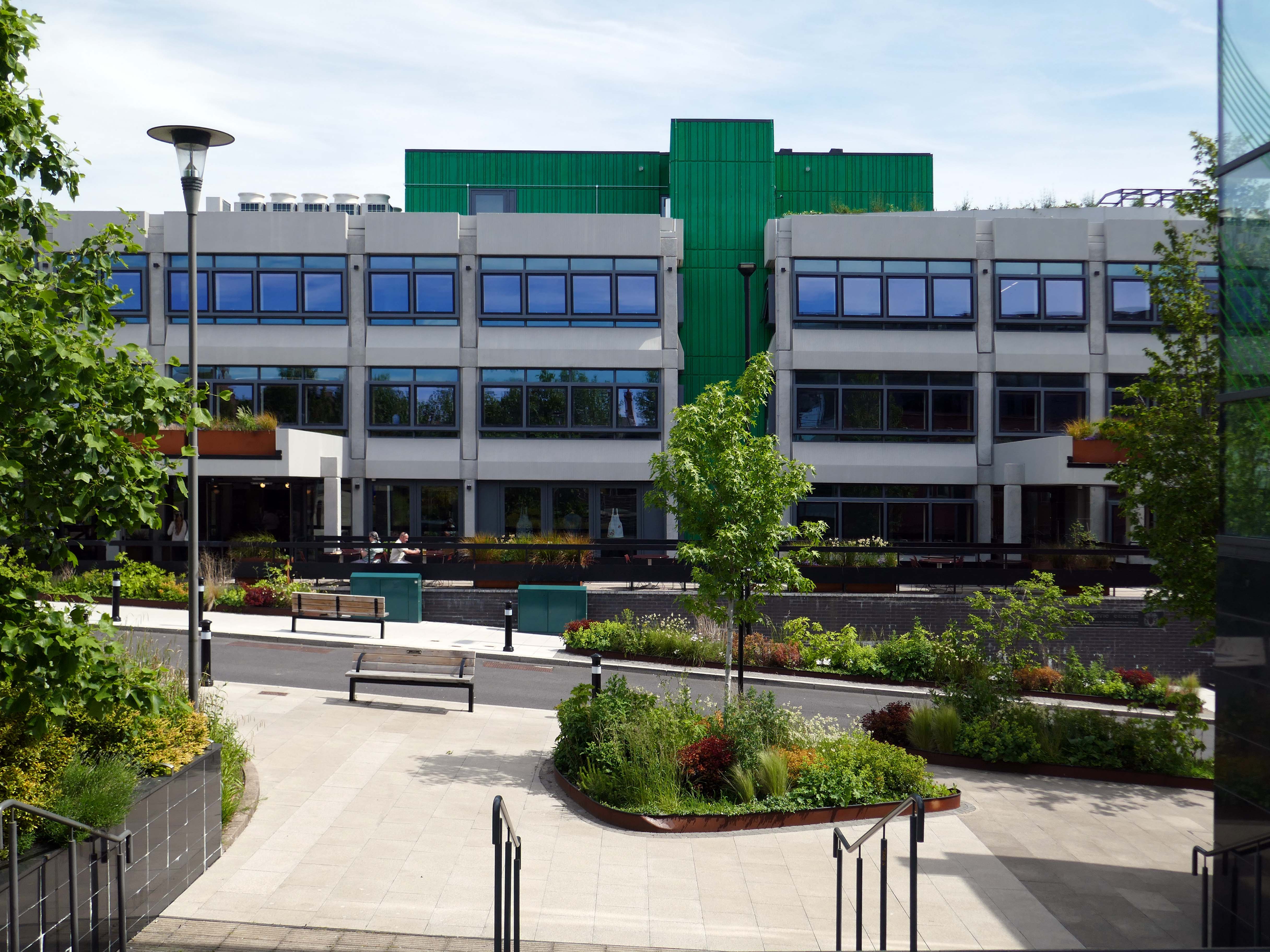
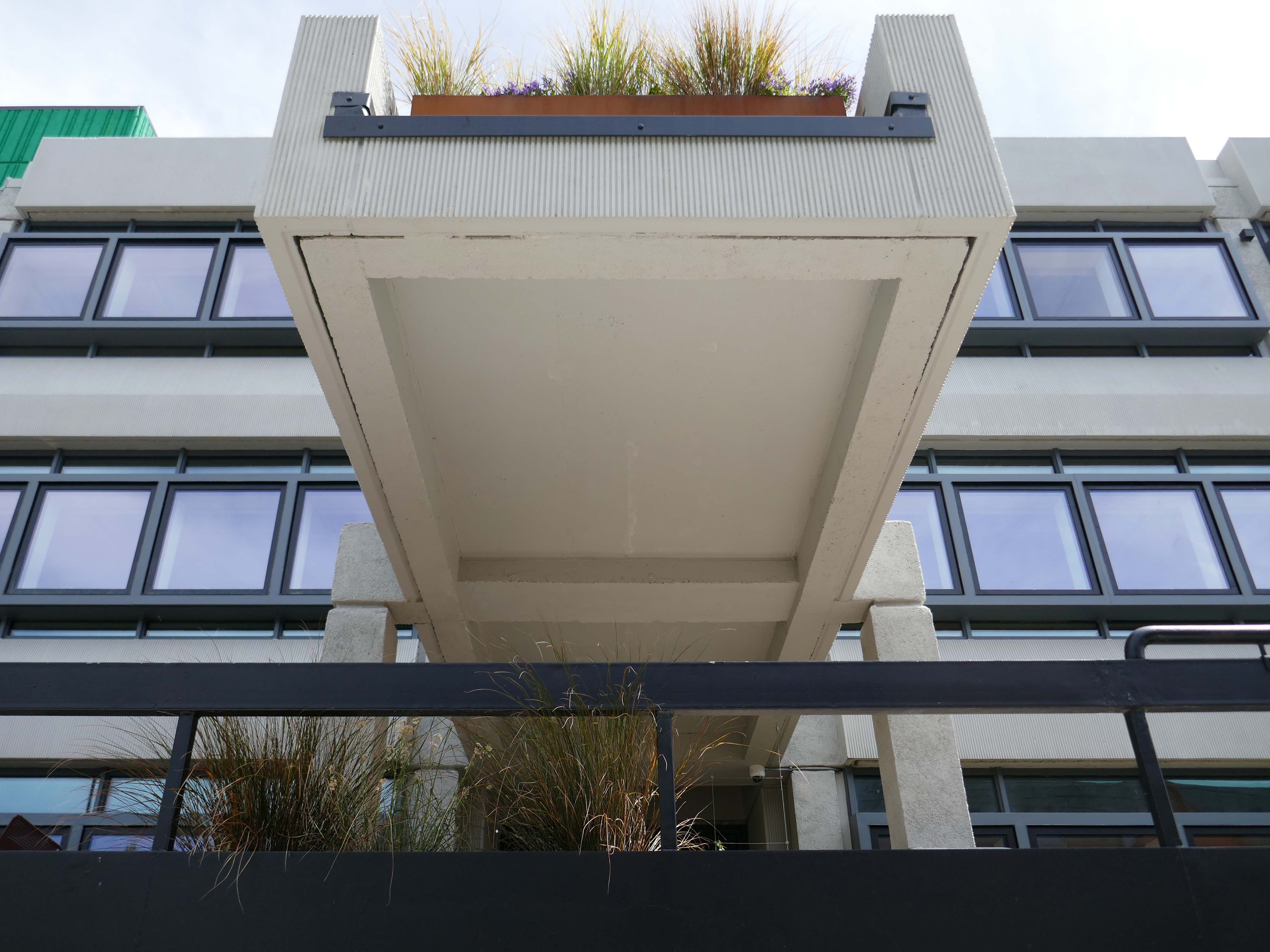
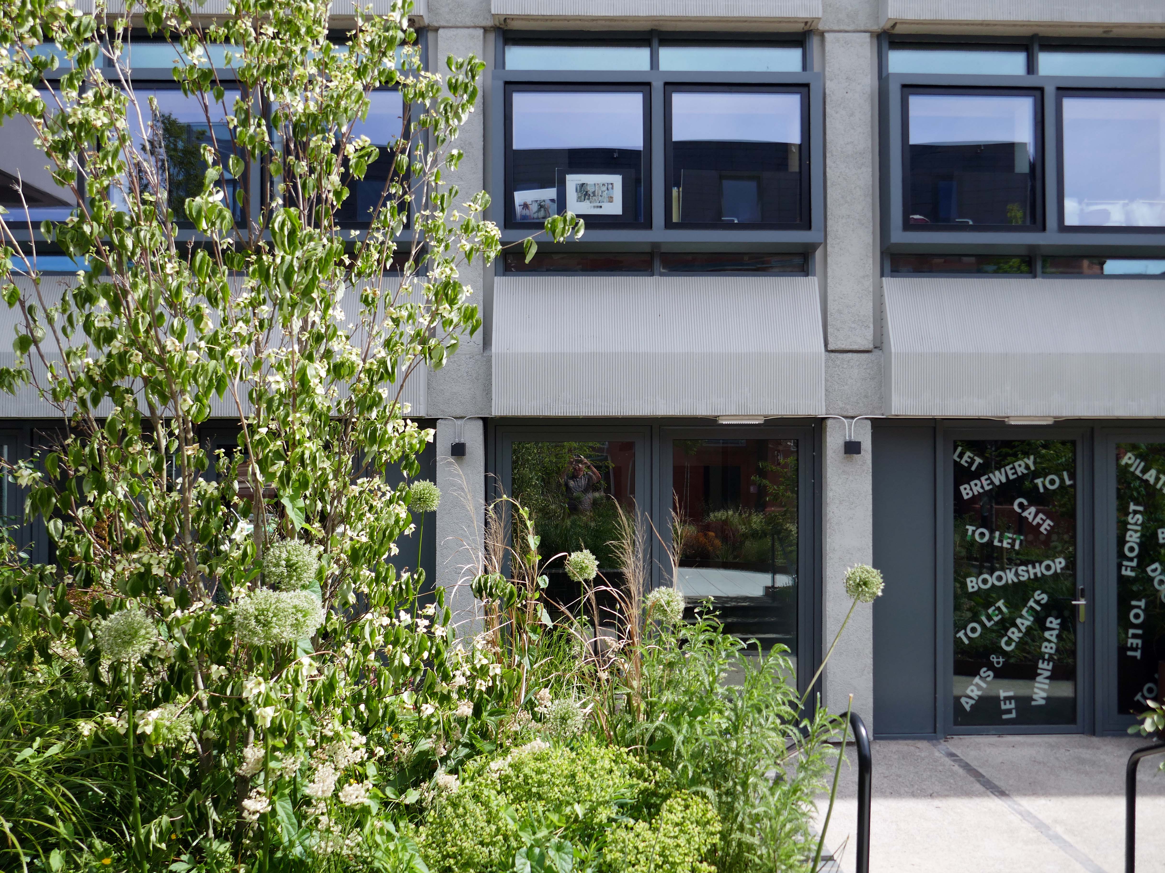
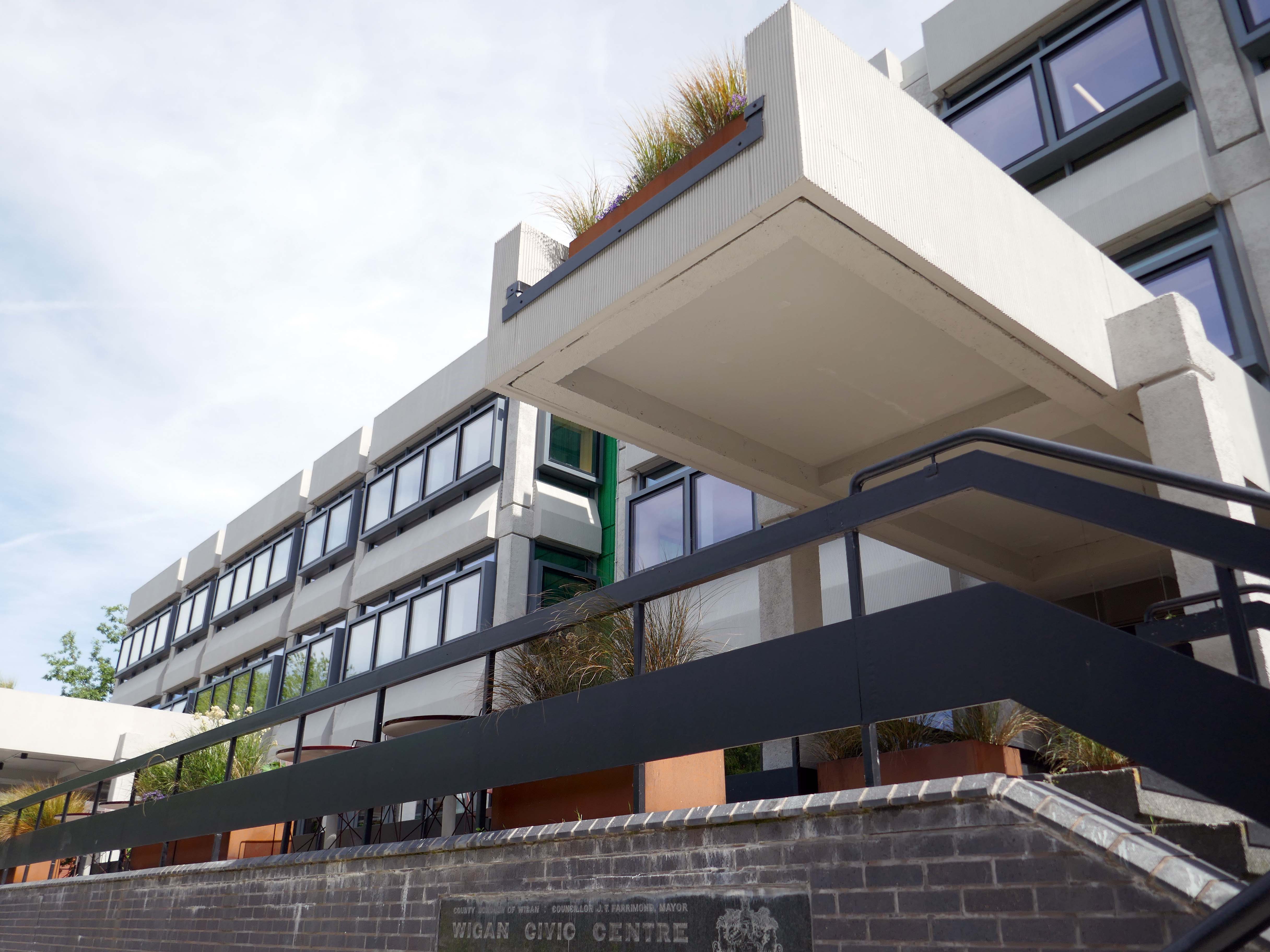
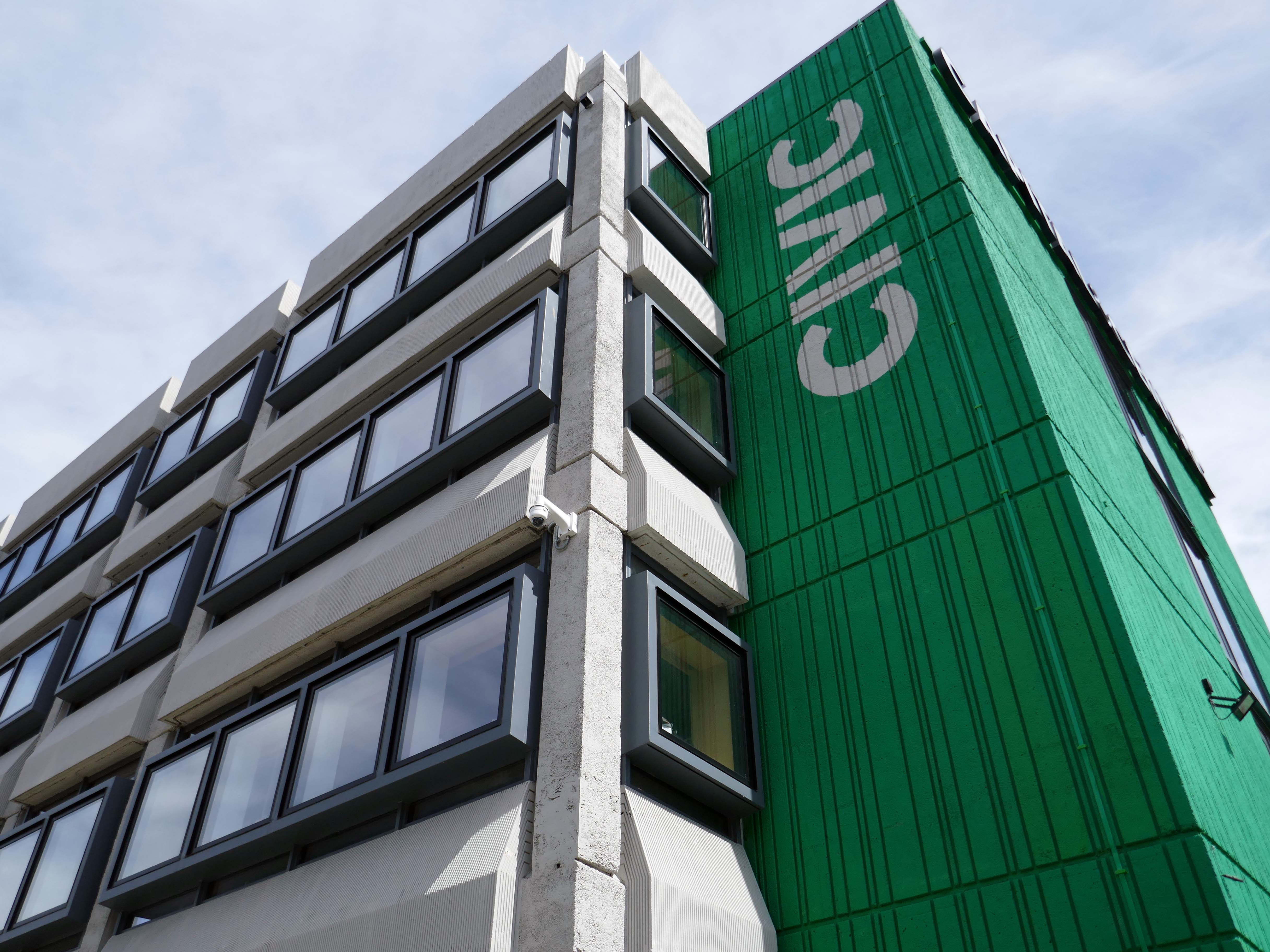
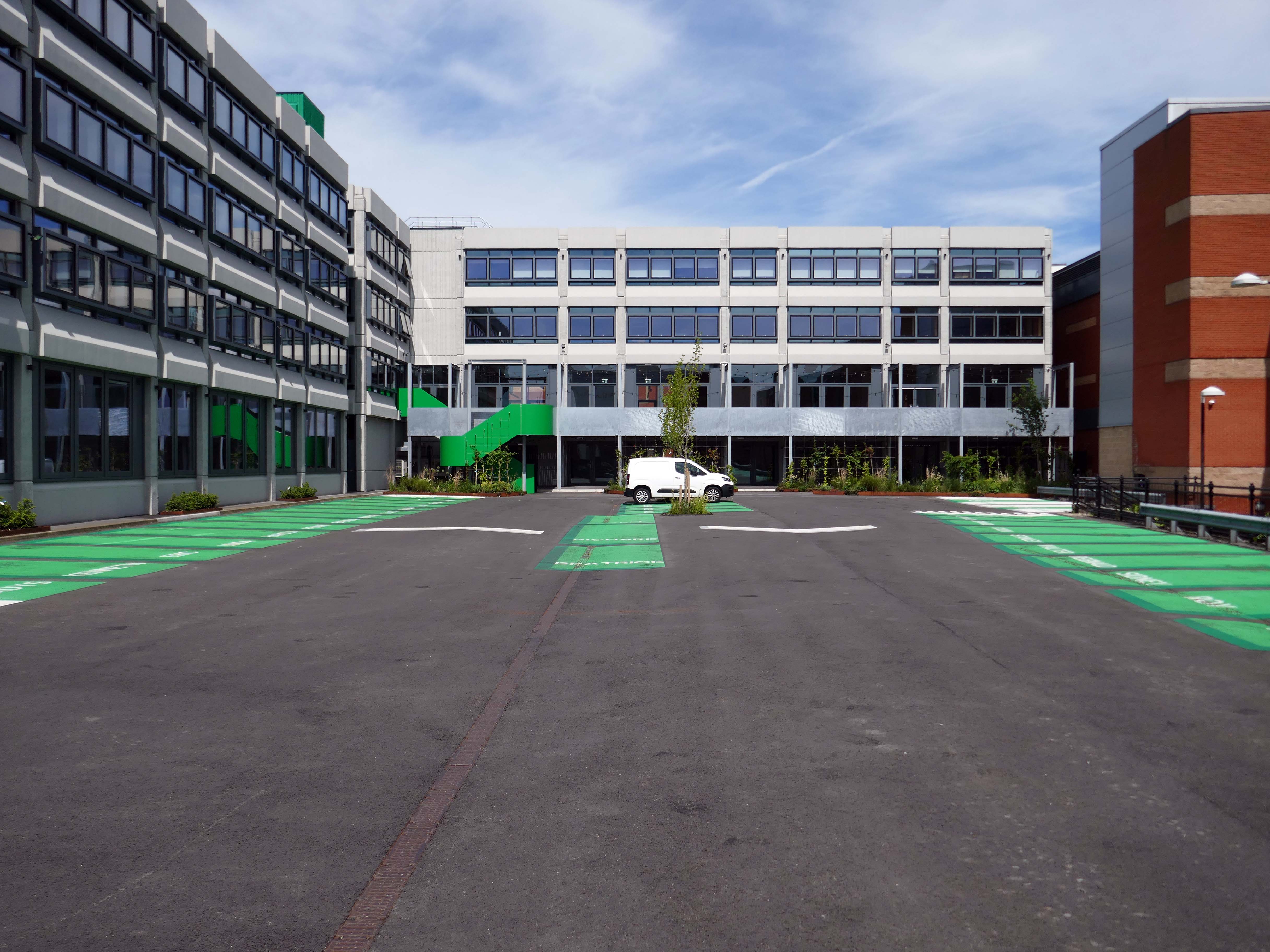
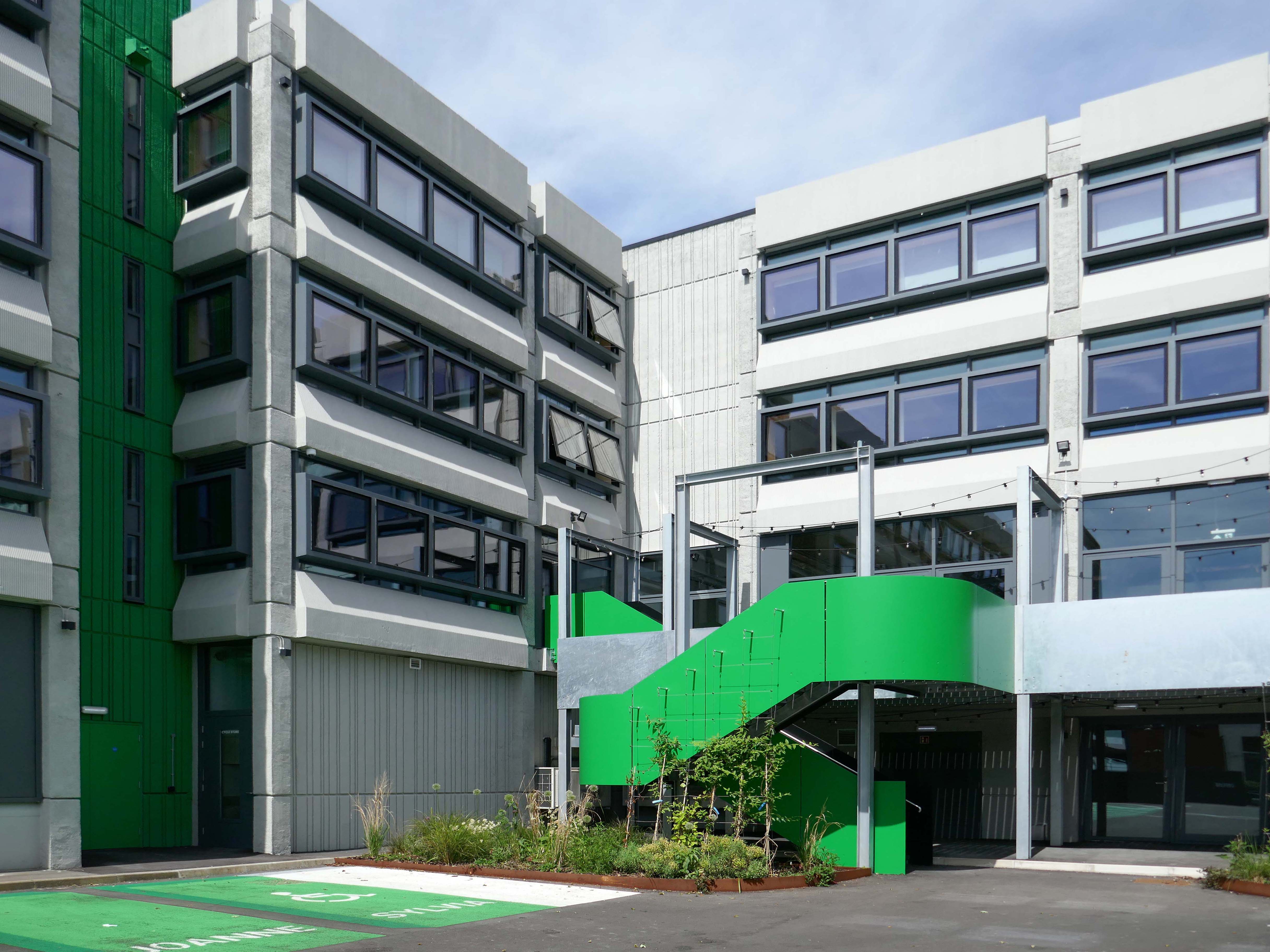
Civic is a super energy-efficient workspace in the centre of Wigan town centre. The BREEAM Excellent building has space for business of all sizes, from desks for solo start-ups, all the way to big open plan offices with their own front door.
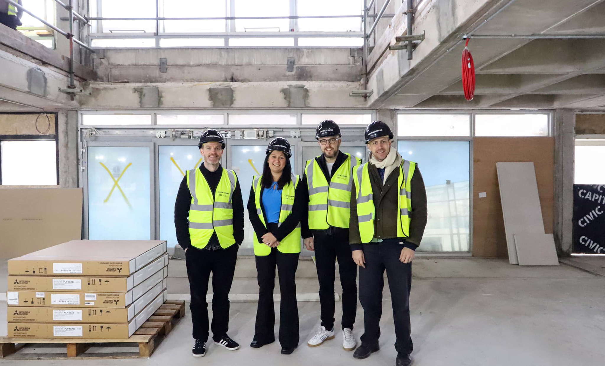
The brutalist beast has been lovingly restored by Capital&Centric to celebrate its architecture, with original waffle ceilings, corduroy concrete and stunning feature windows that flood the space with light.
It was great to visit and tour Wigan Civic Centre on Millgate, to see the inspiring work being done to create sustainable workspaces and amenities in the centre of our town. This development, alongside others taking place and planned across the North West, will help to revitalise our public spaces
With students, start-ups and professionals situating themselves elsewhere in Greater Manchester, Wigan town had been missing out on the economic and cultural vitality that high quality workspace brings. Civic’s transformation represents not just the overhaul of a tired concrete building, but a wider renewal of place and opportunity for Wigan.
Working with Wigan Council and Capital & Centric, we completed the refurbishment of the 50,000 sq ft building that is Wigan Civic Centre. Delivering aspirational office accommodation to stimulate economic growth with the goal to create a lasting social impact in Wigan. In addition to exemplar market-leading workspace, amenities include a rooftop terrace, mini cinema, gym studio and co-working/coffee shop space.
Here’s the exterior.
Many thanks to the Cotton CaféBar for kindly allowing us in after hours.
Ultimately, civic stands as a symbol of optimism for Wigan, proving that intelligent commercial design can catalyse economic renewal, secure a sustainable future, and truly lift a town’s spirits, without erasing its history. It is a gold standard for the adaptive reuse of 20th-century landmarks.
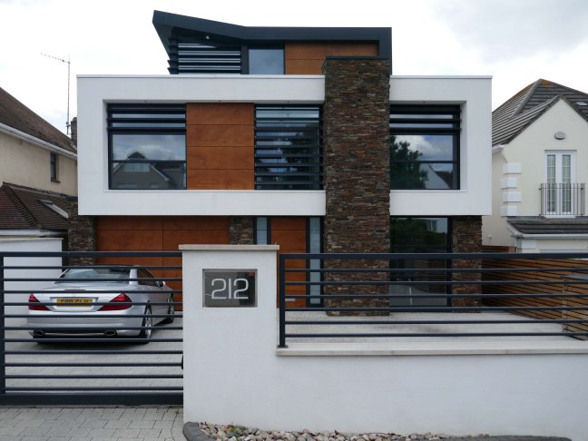
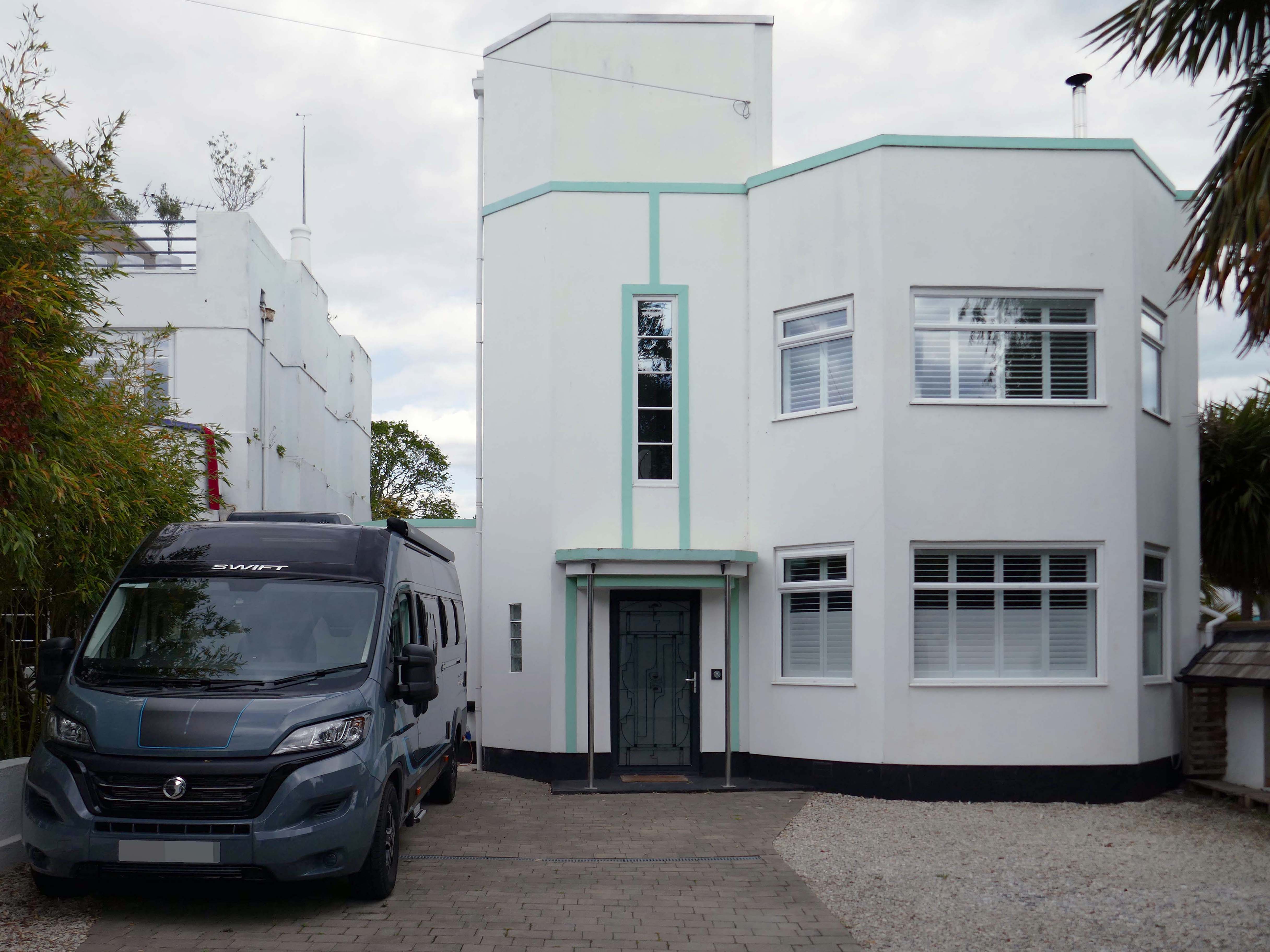
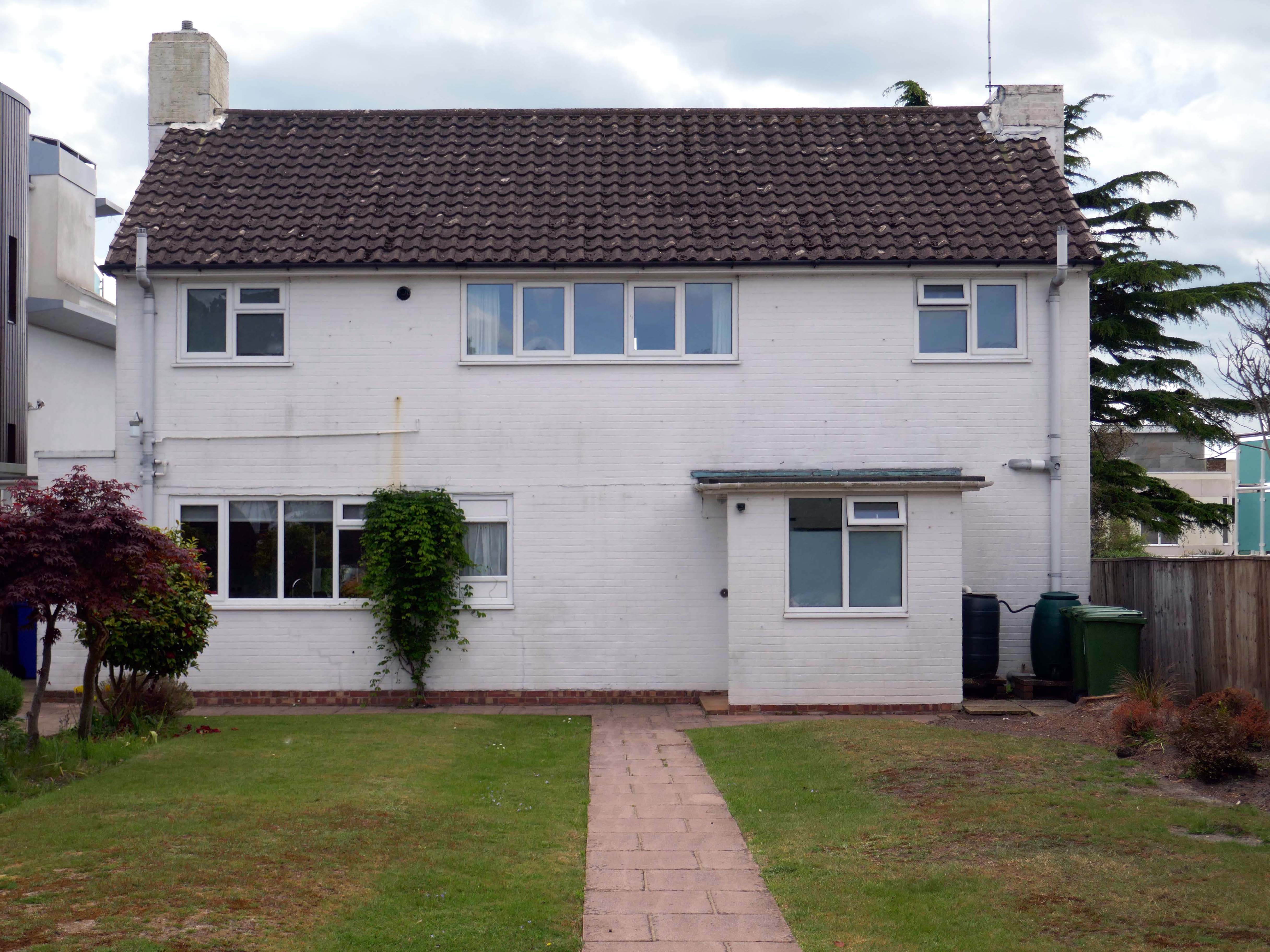
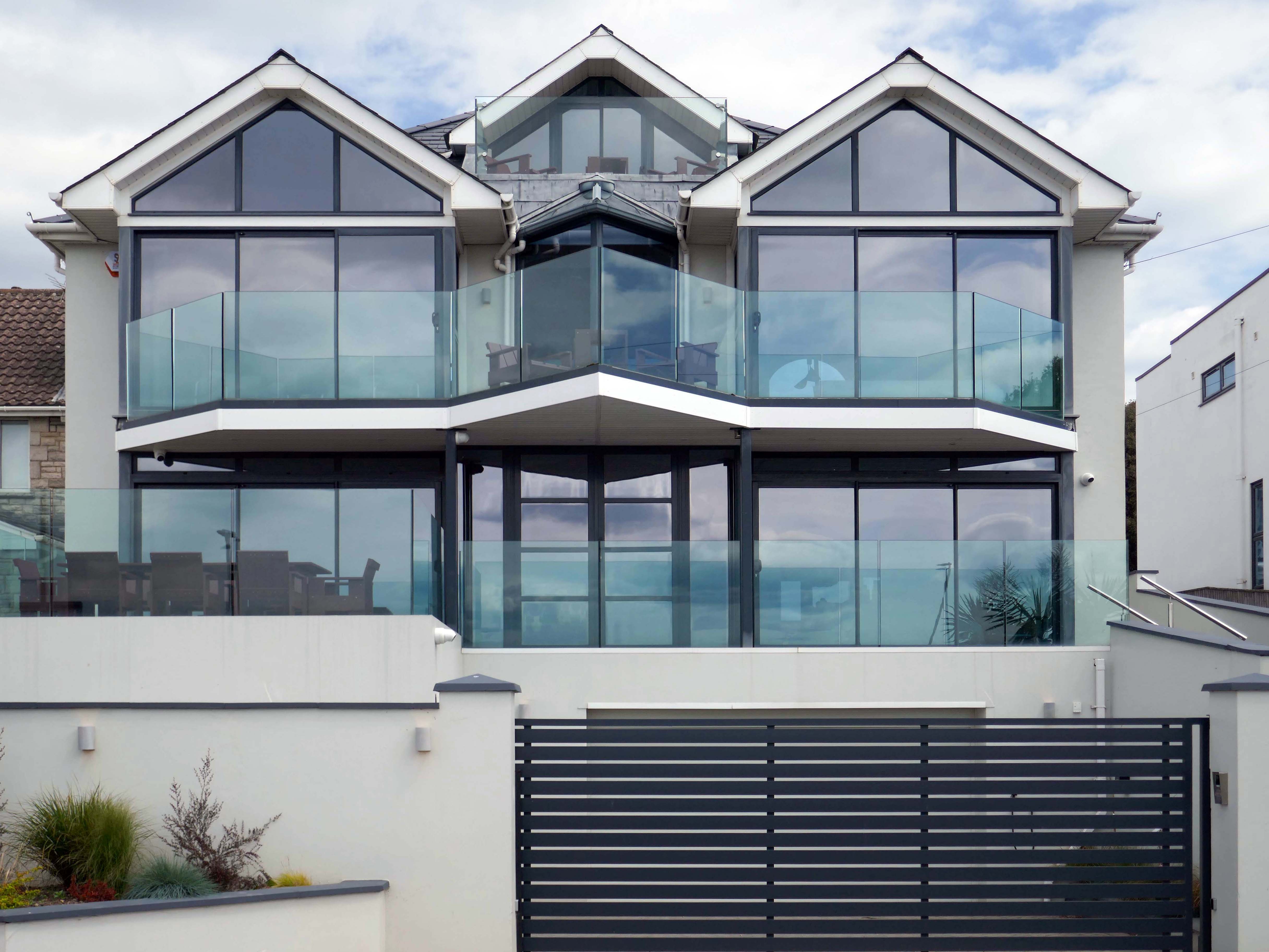
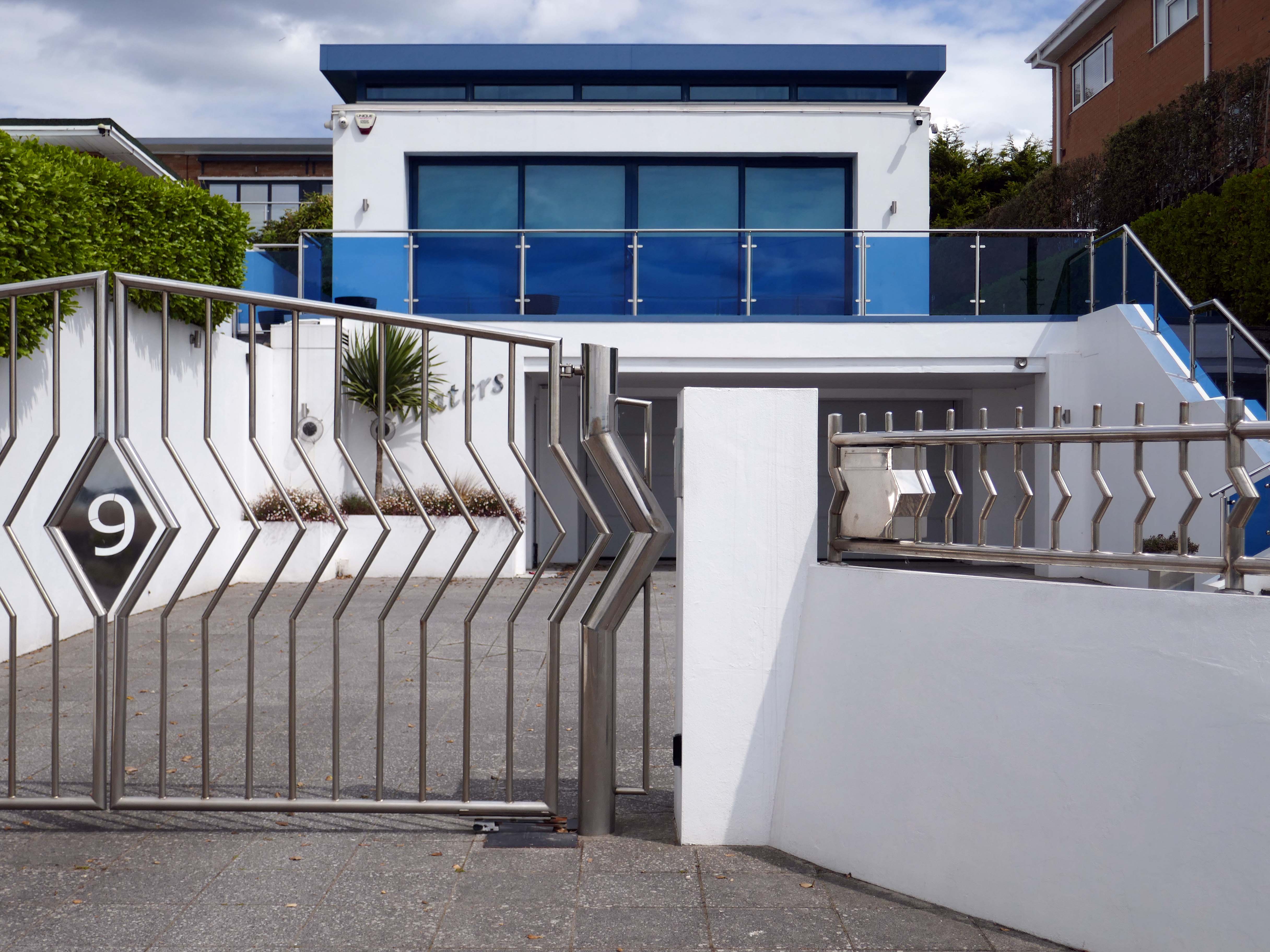
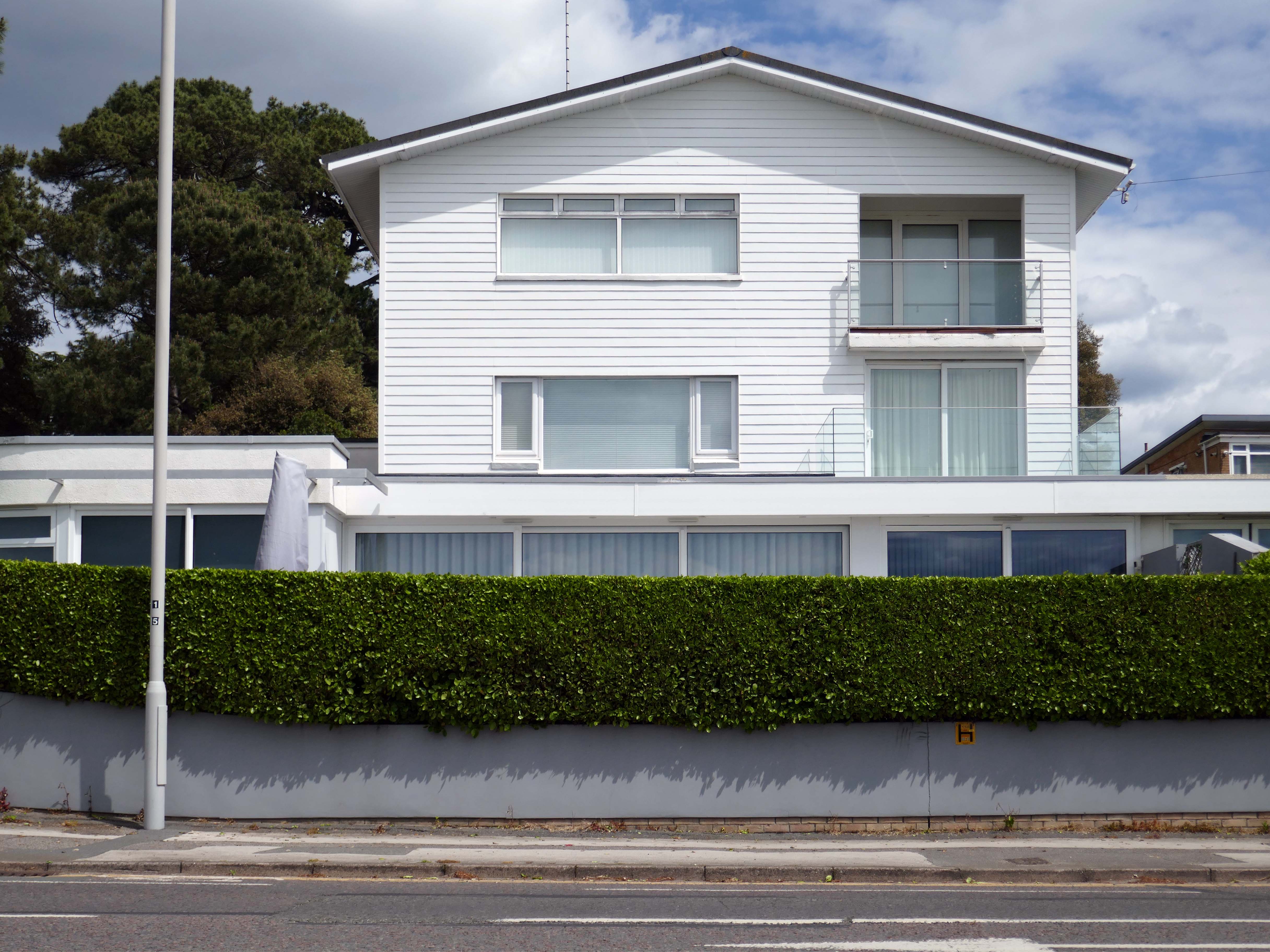
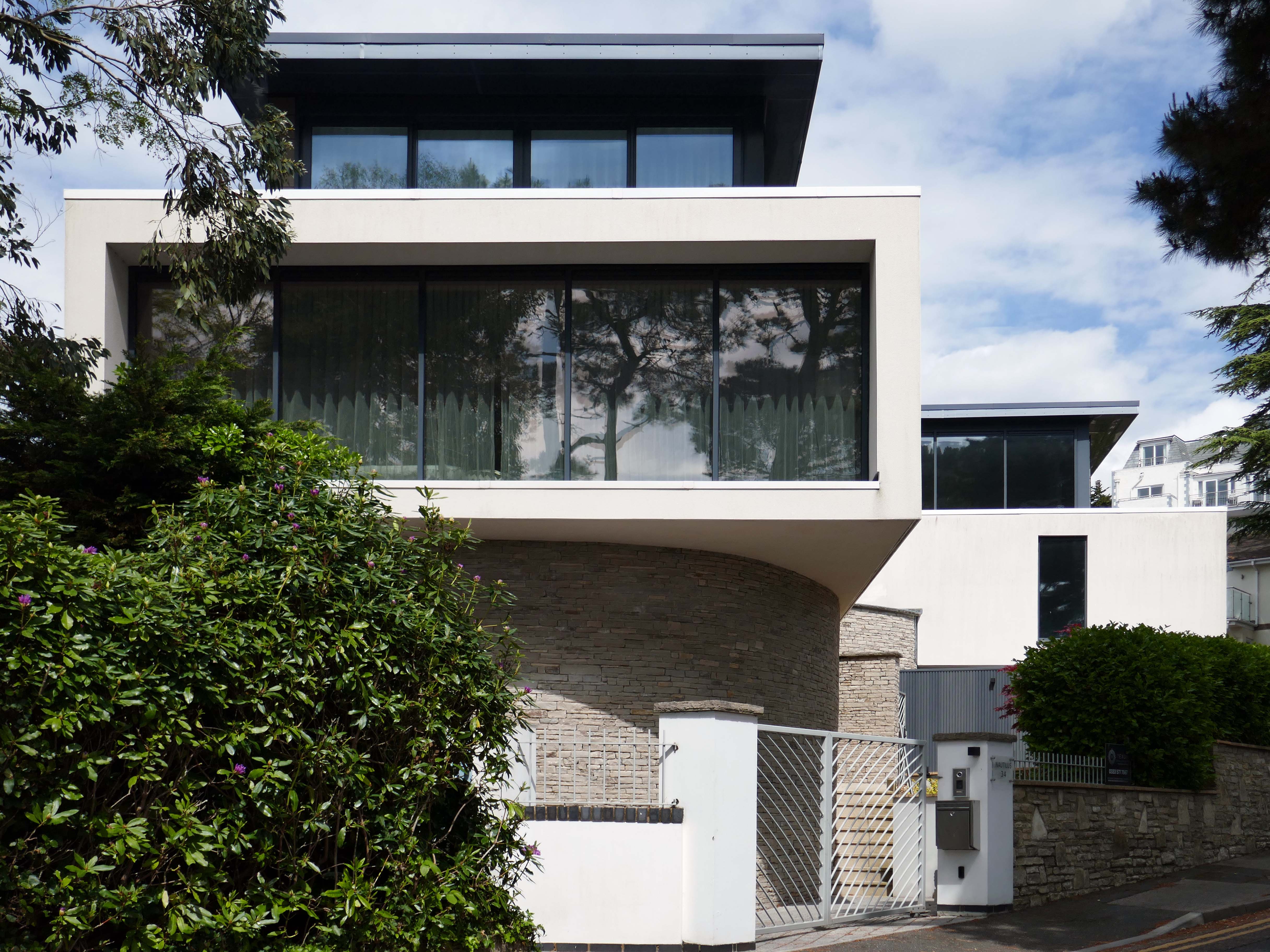
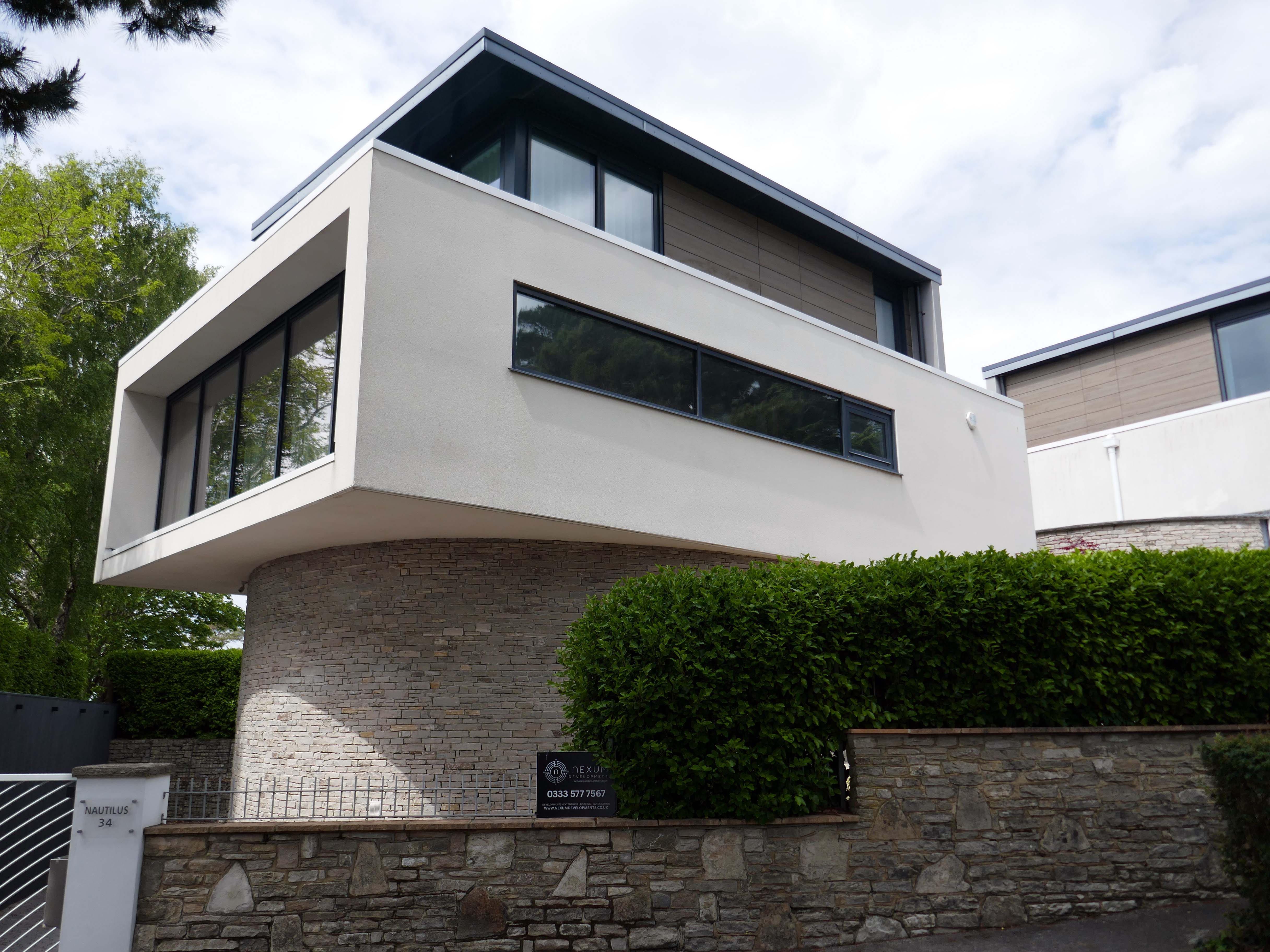
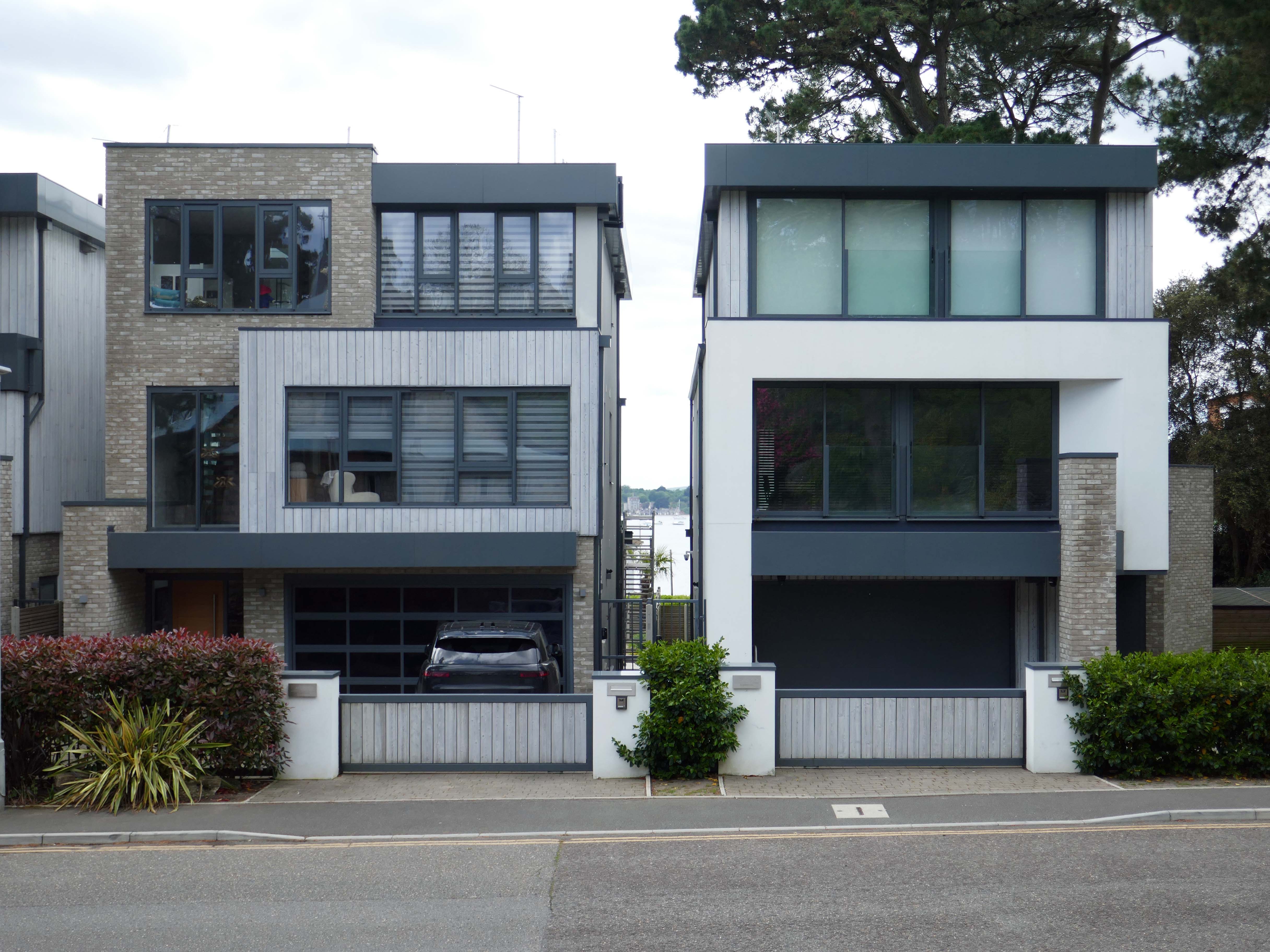
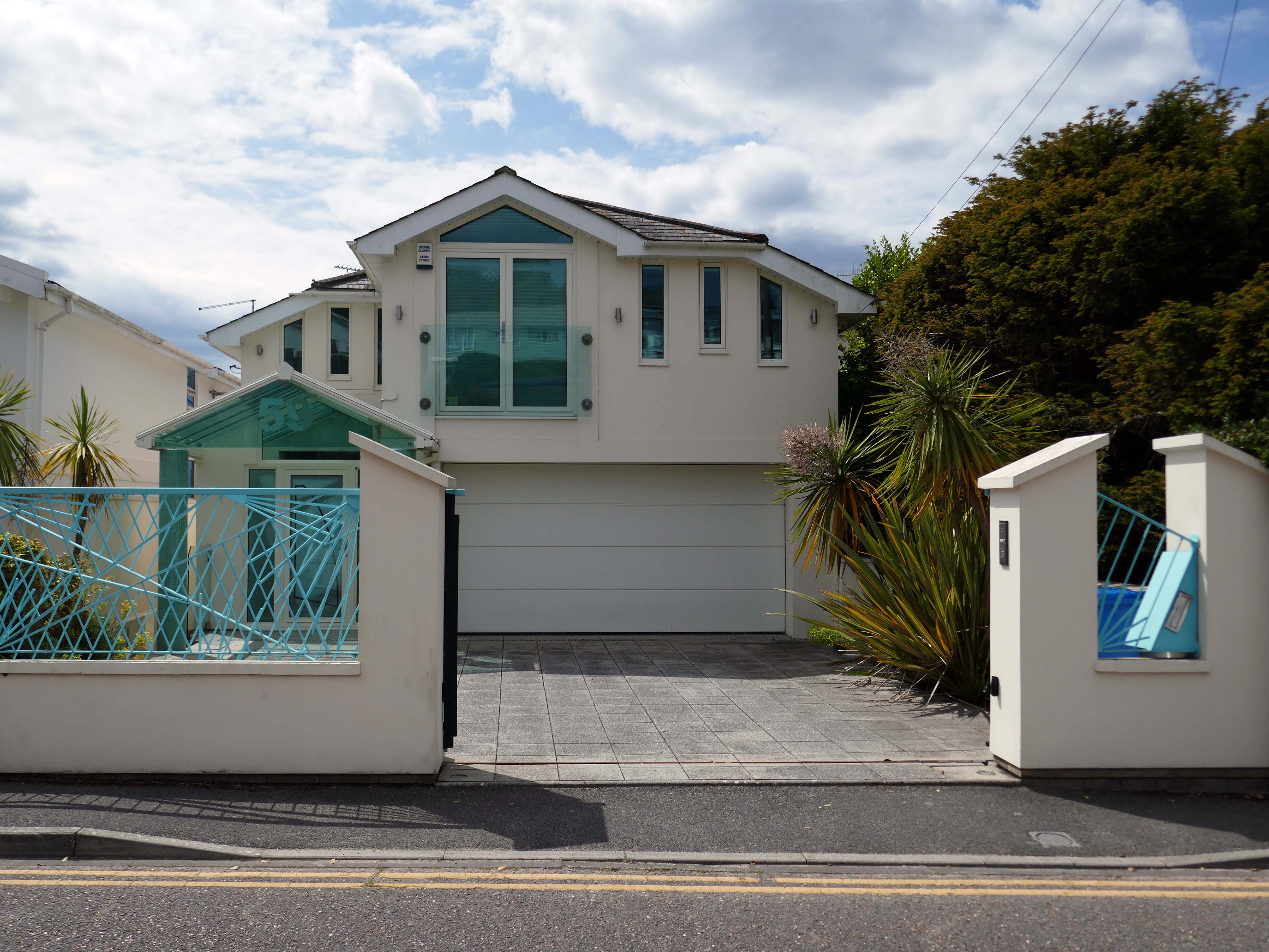
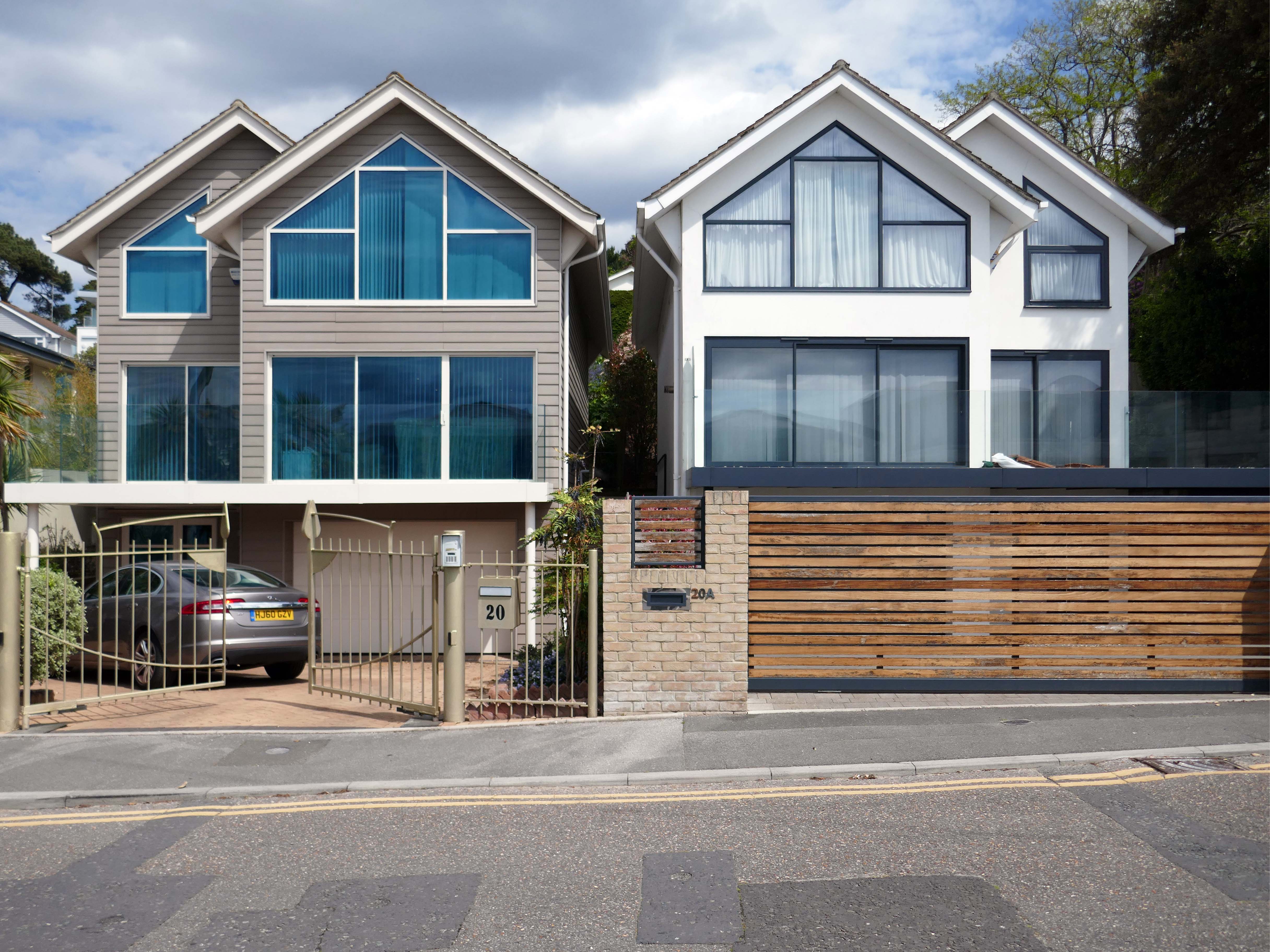
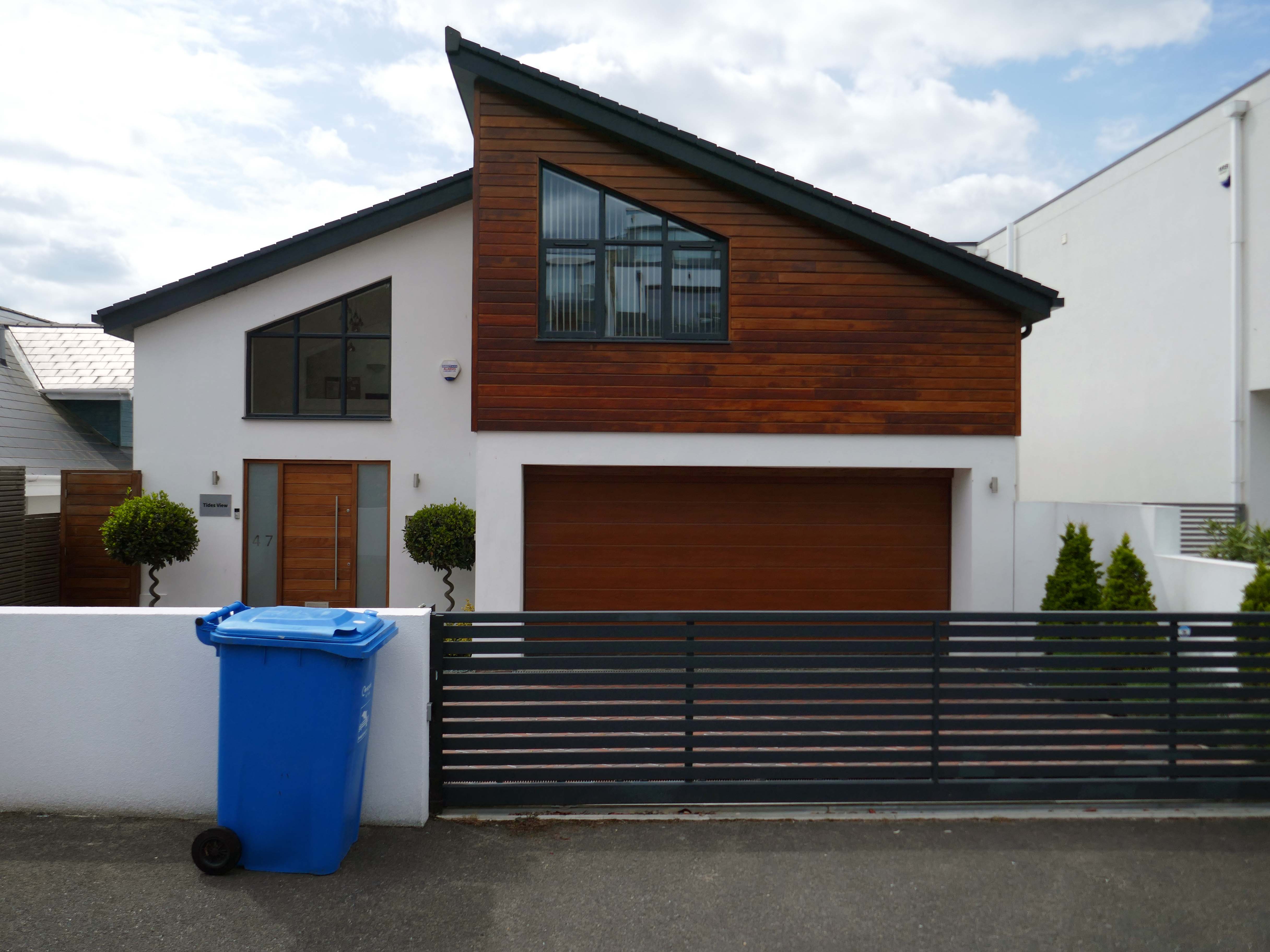
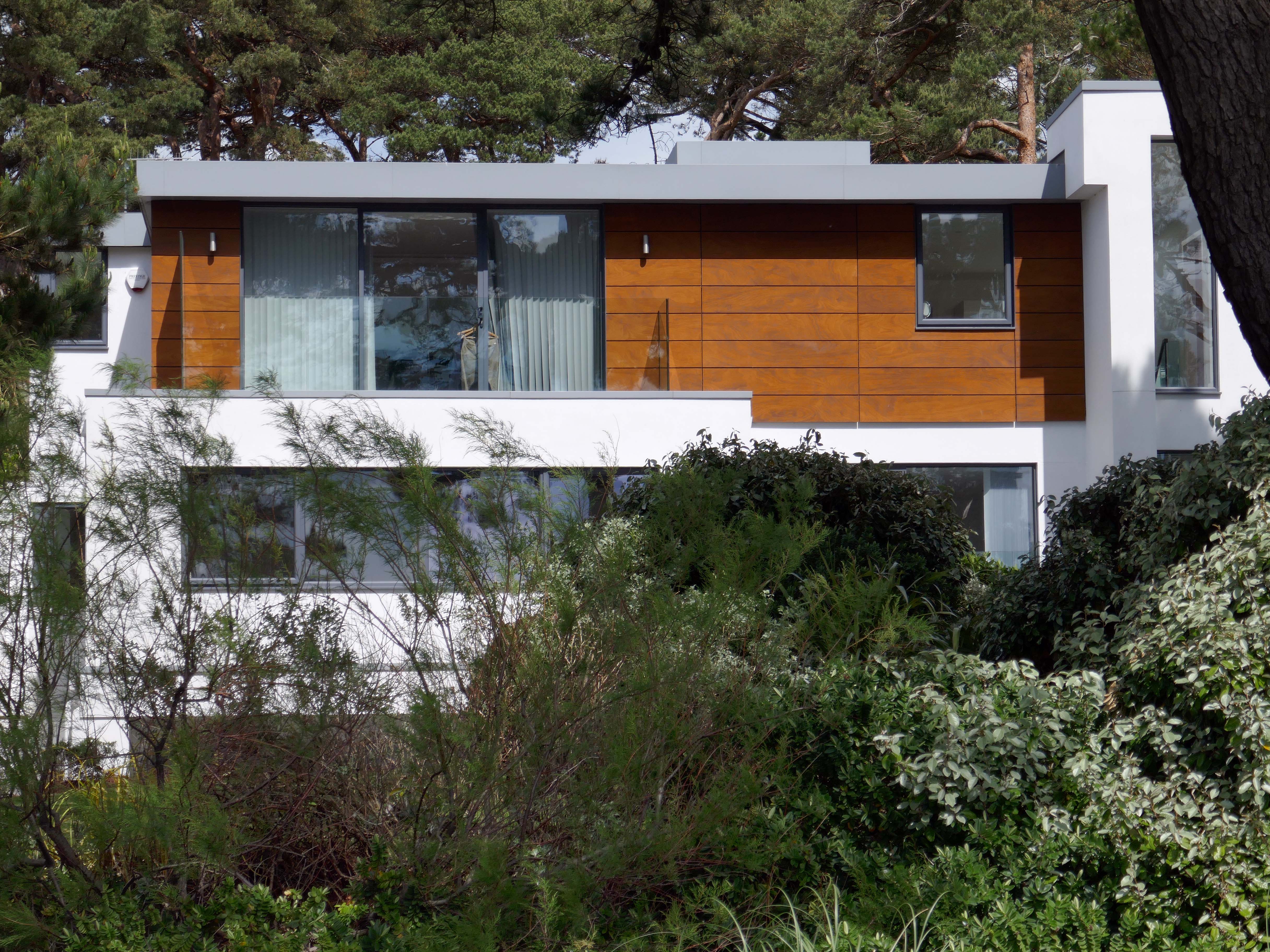
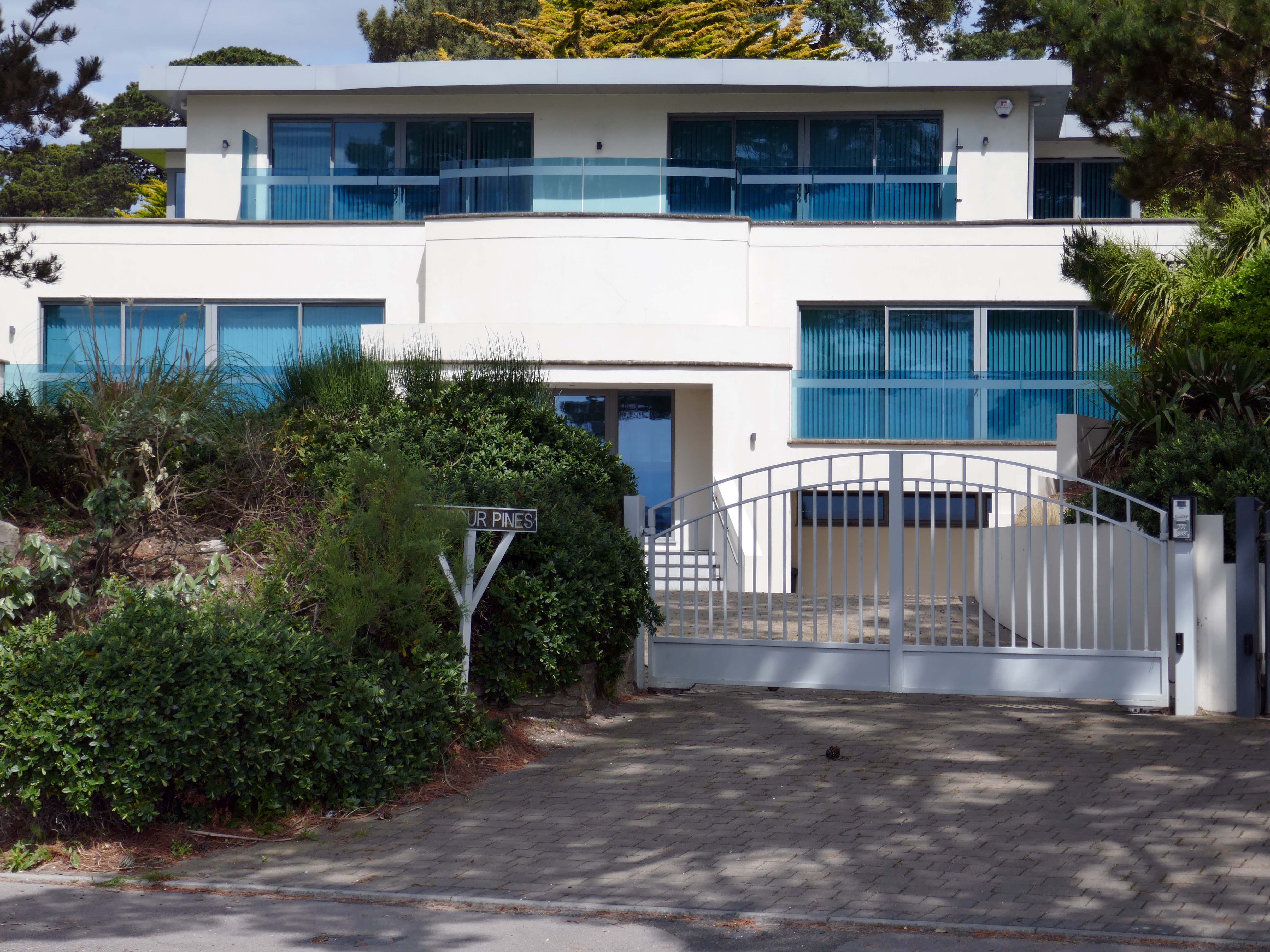
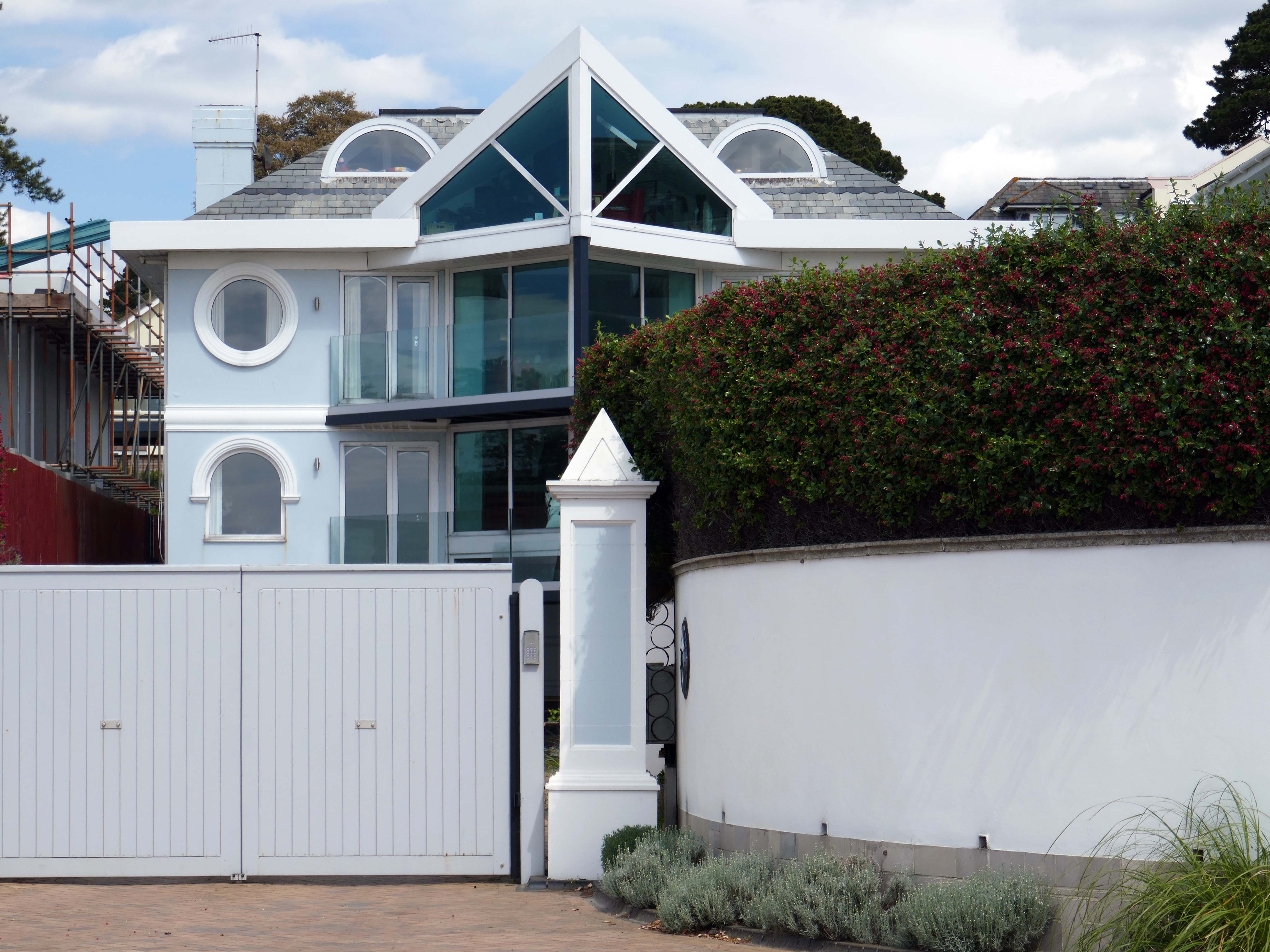
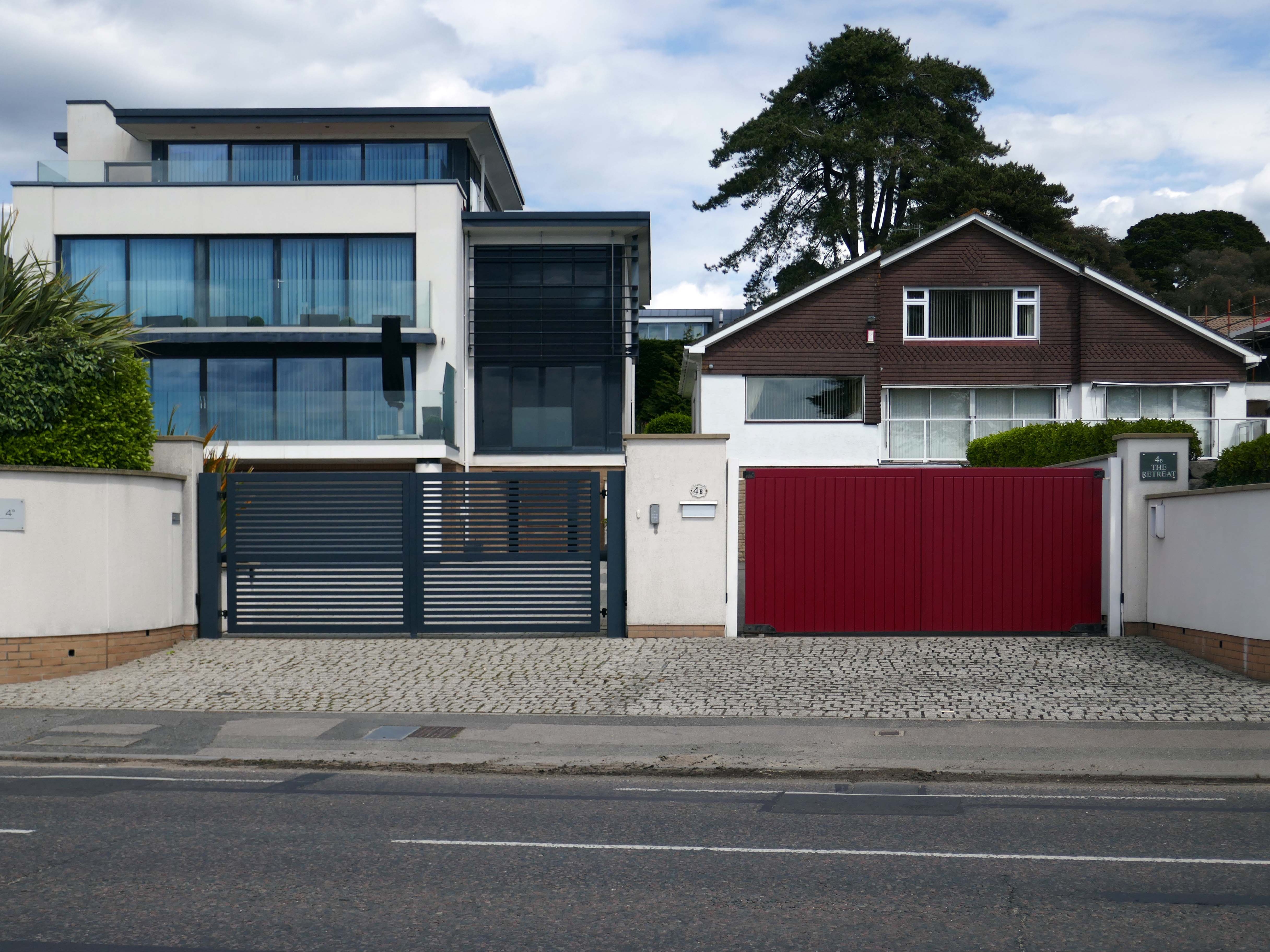
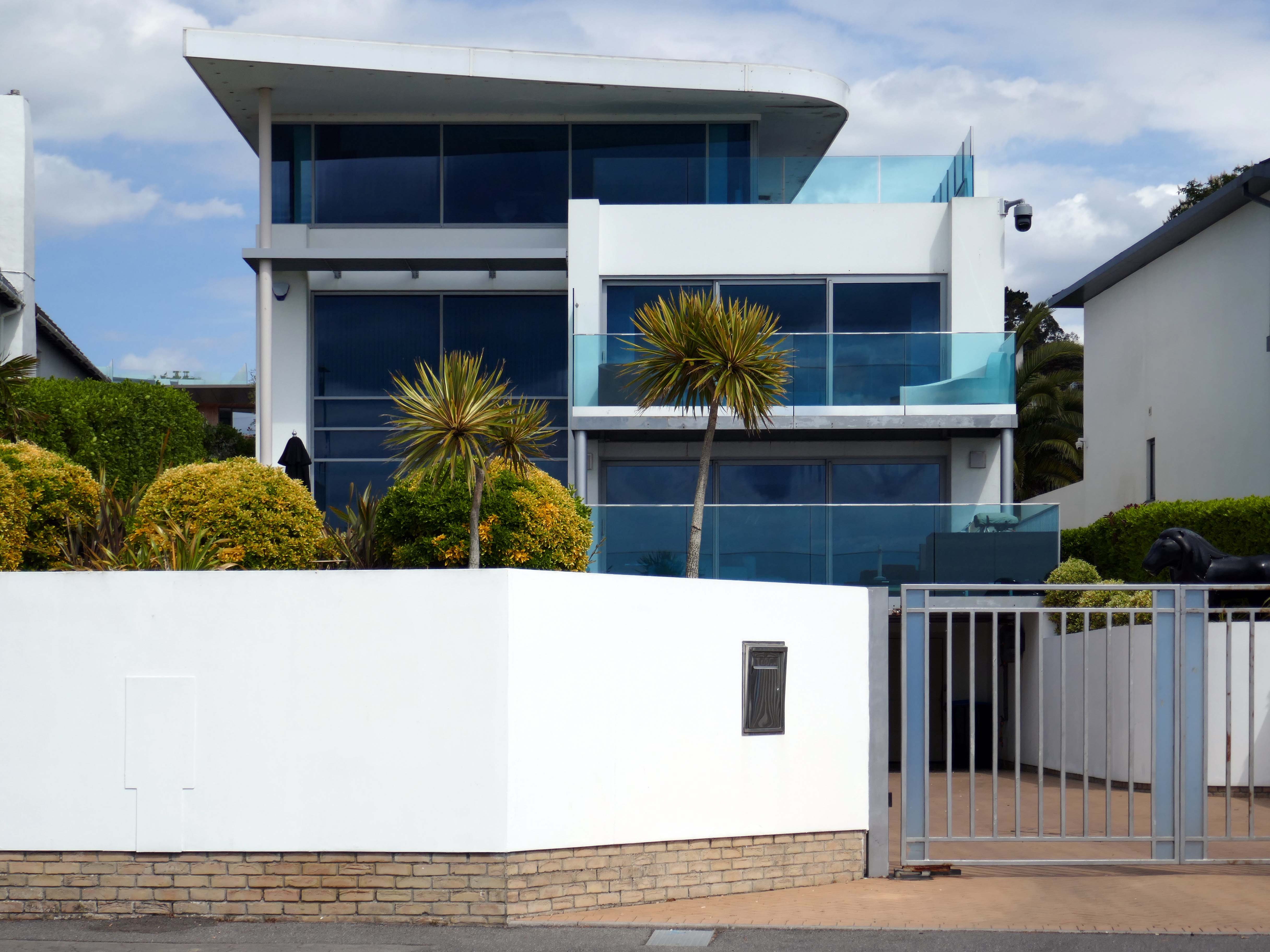
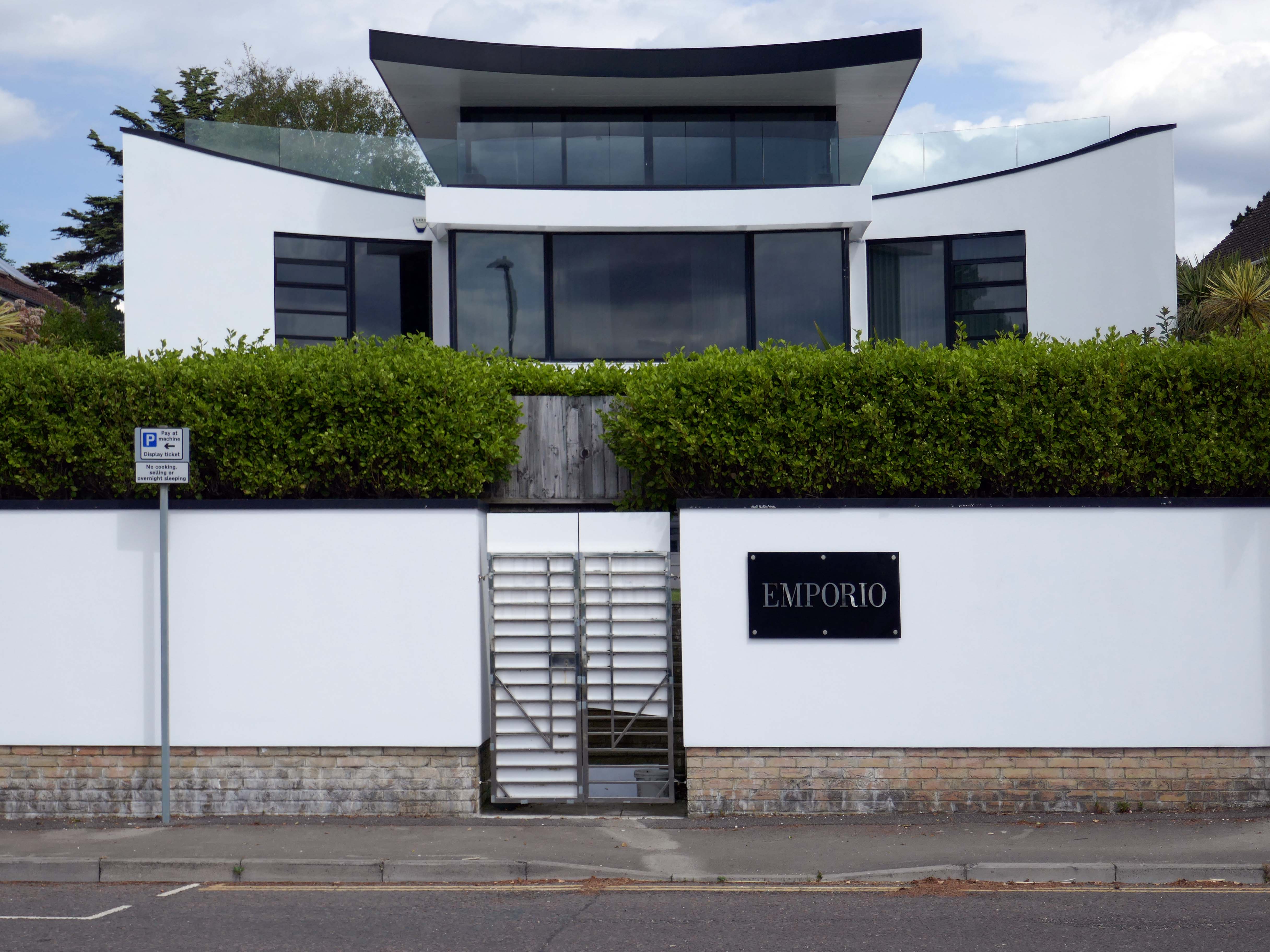
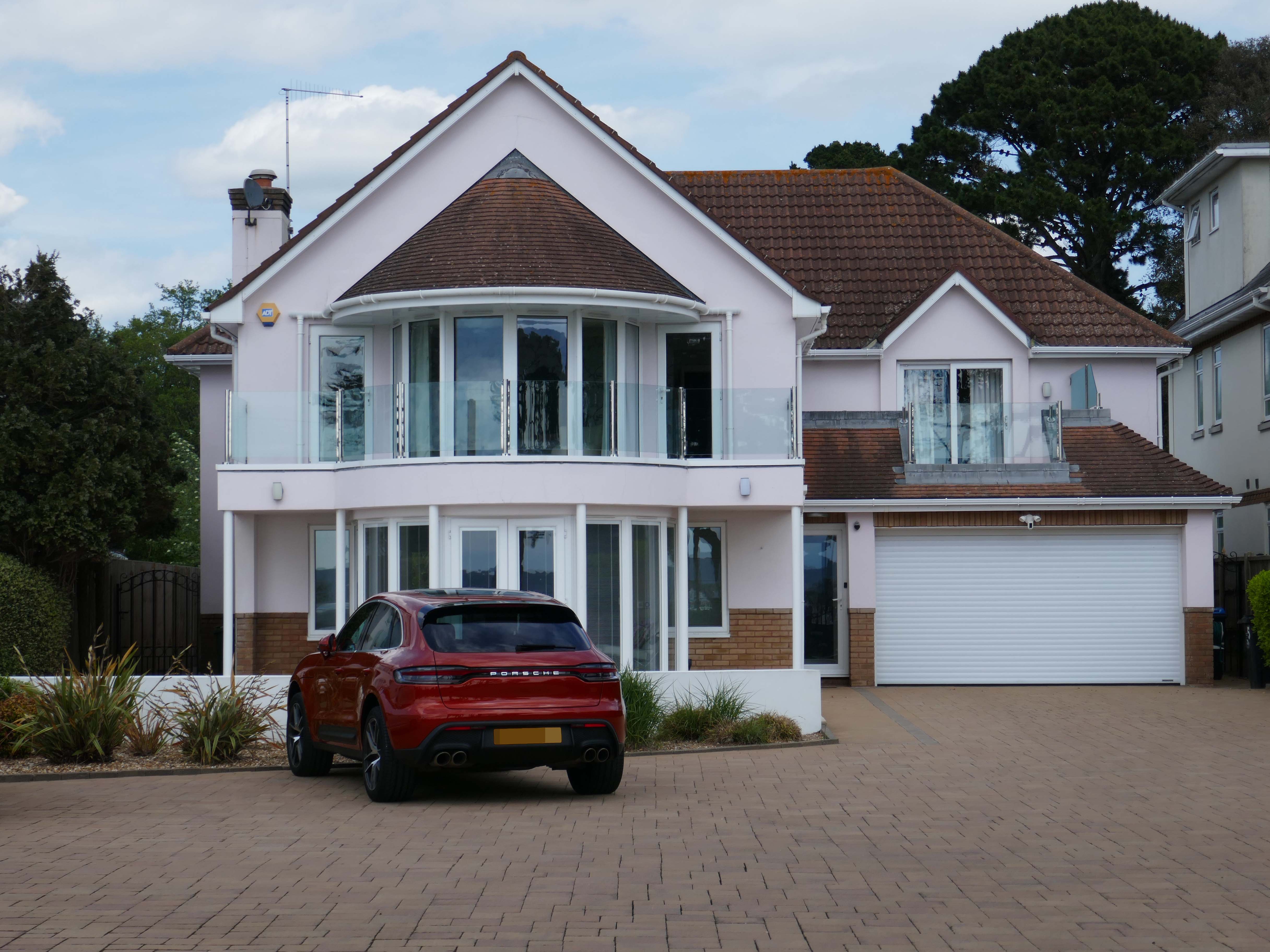
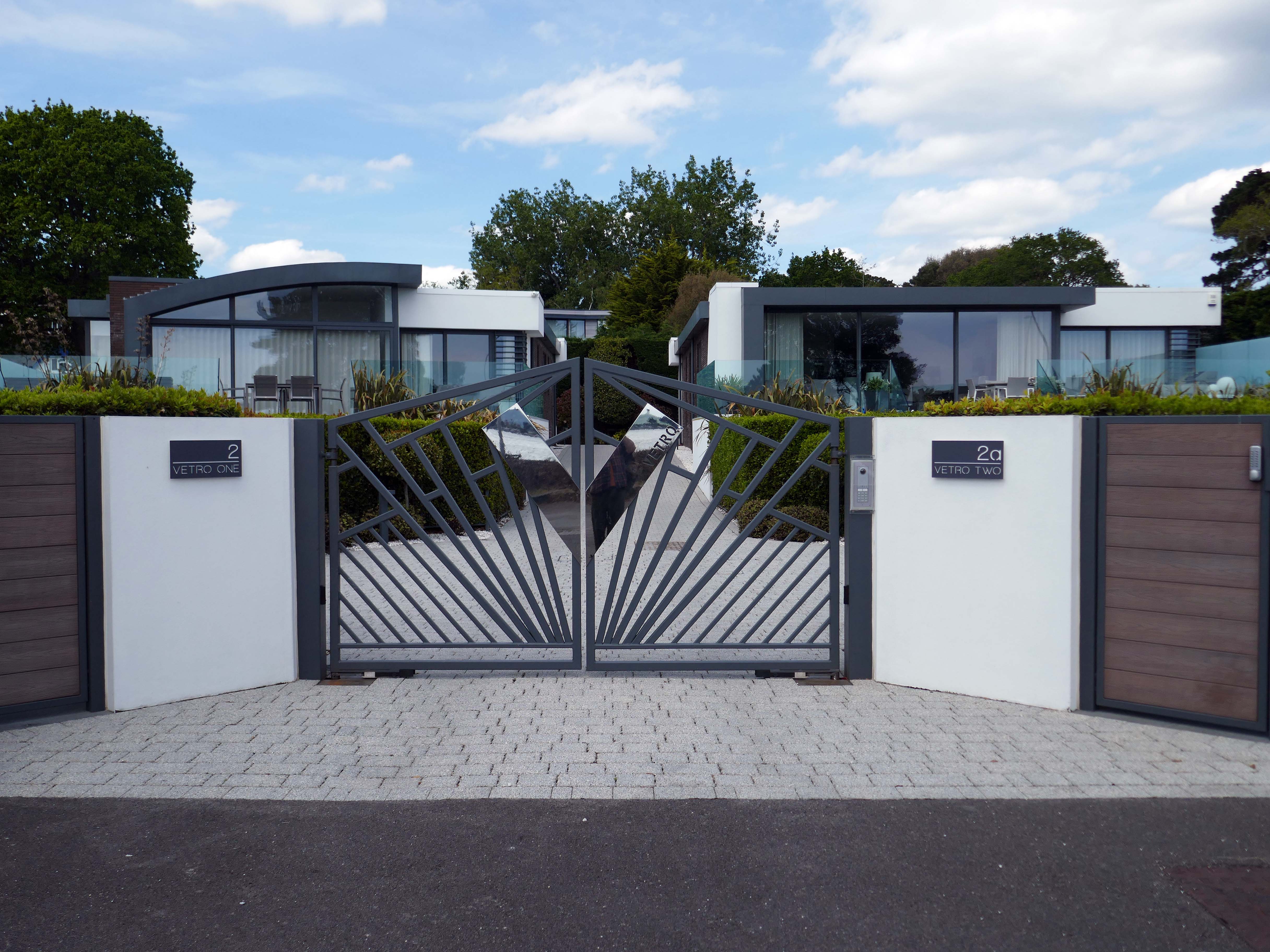
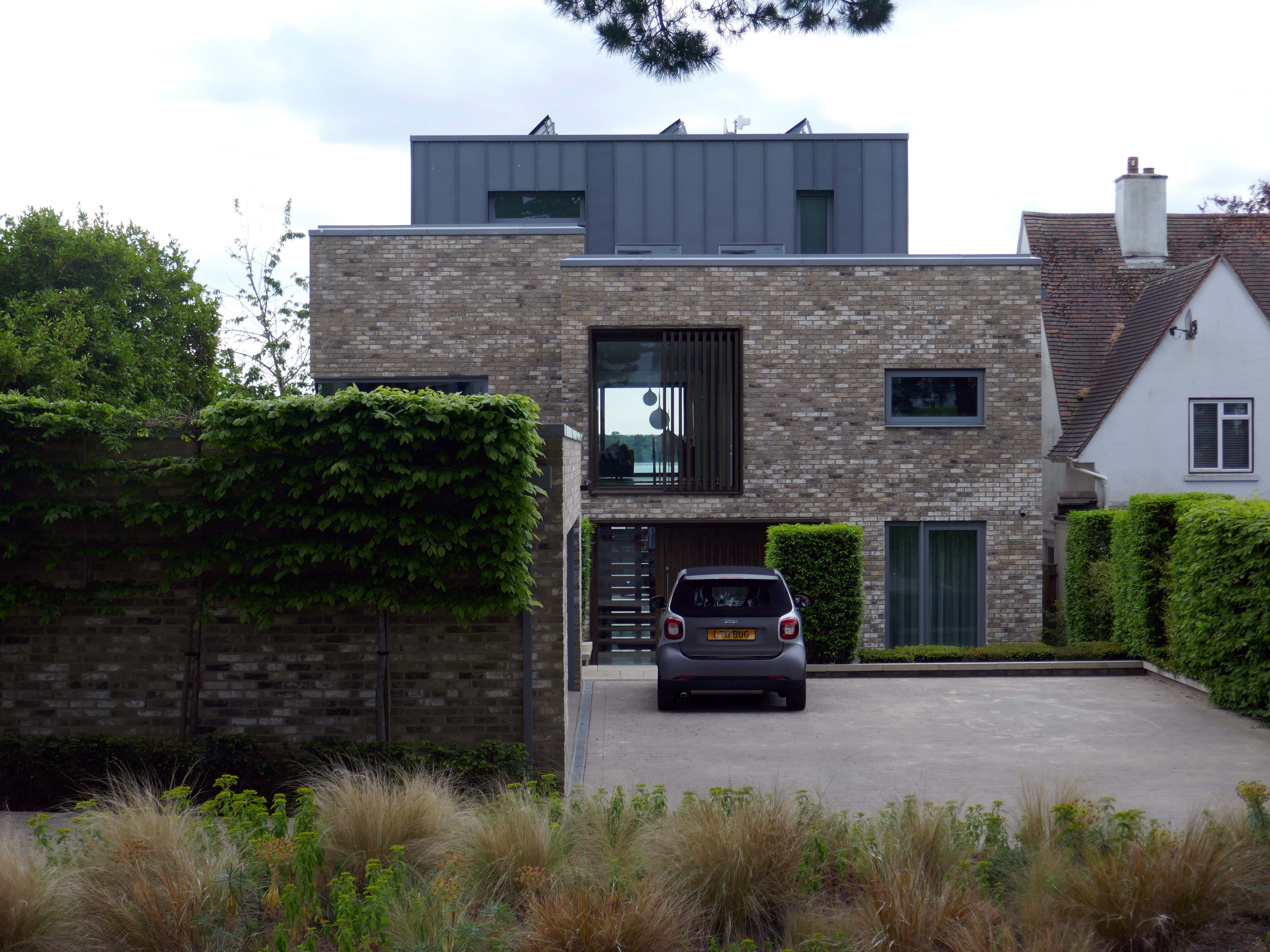
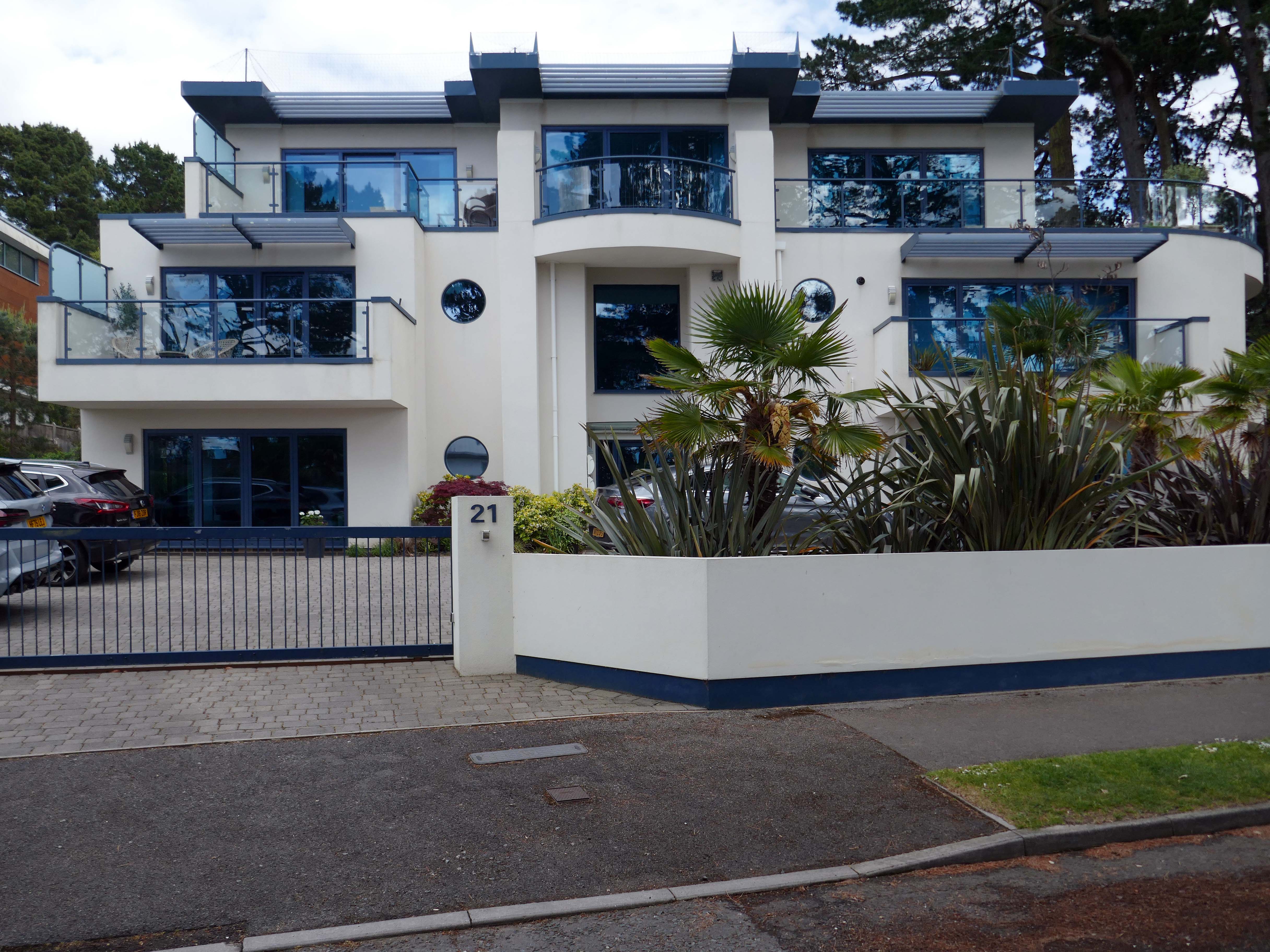
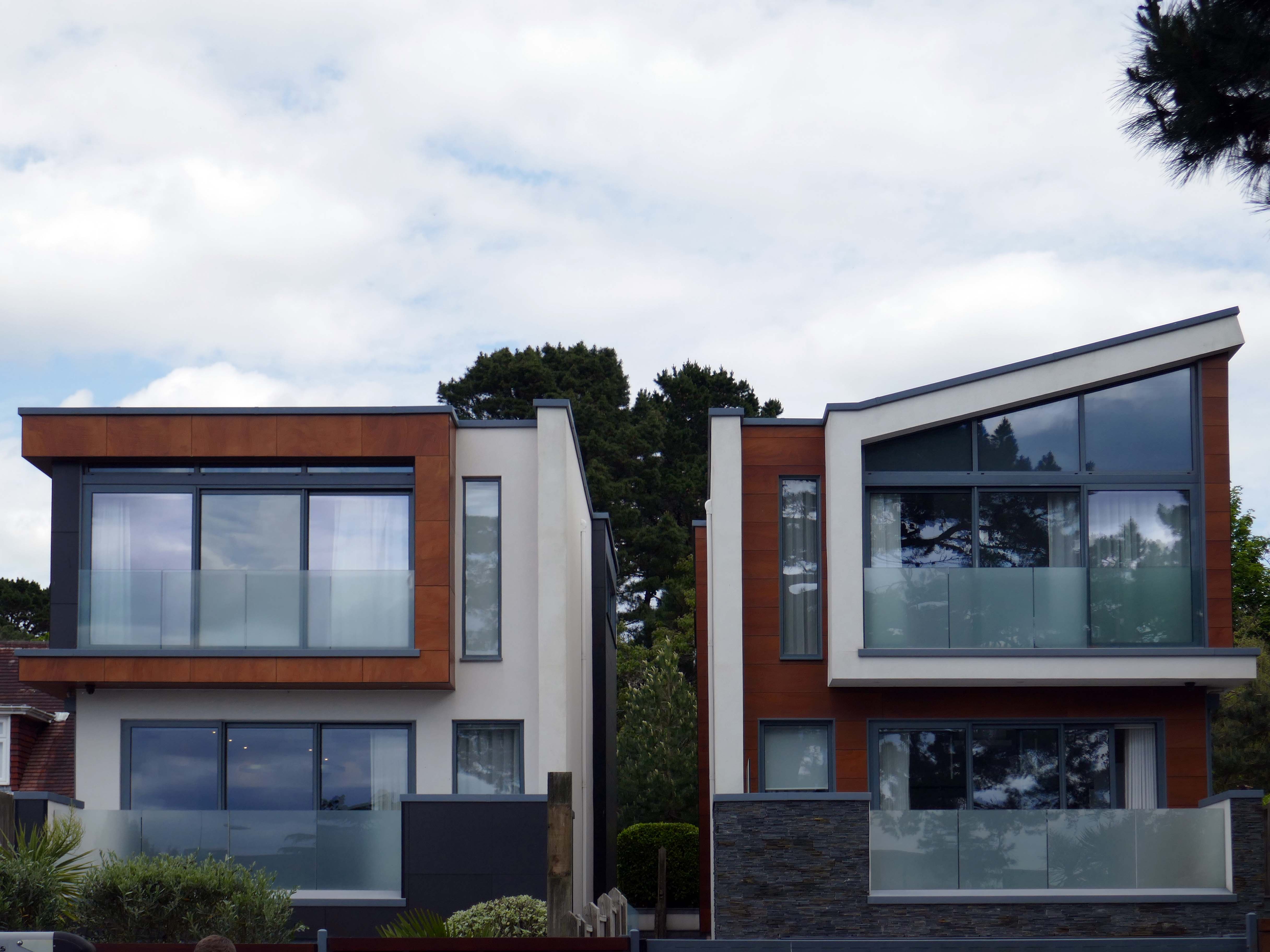
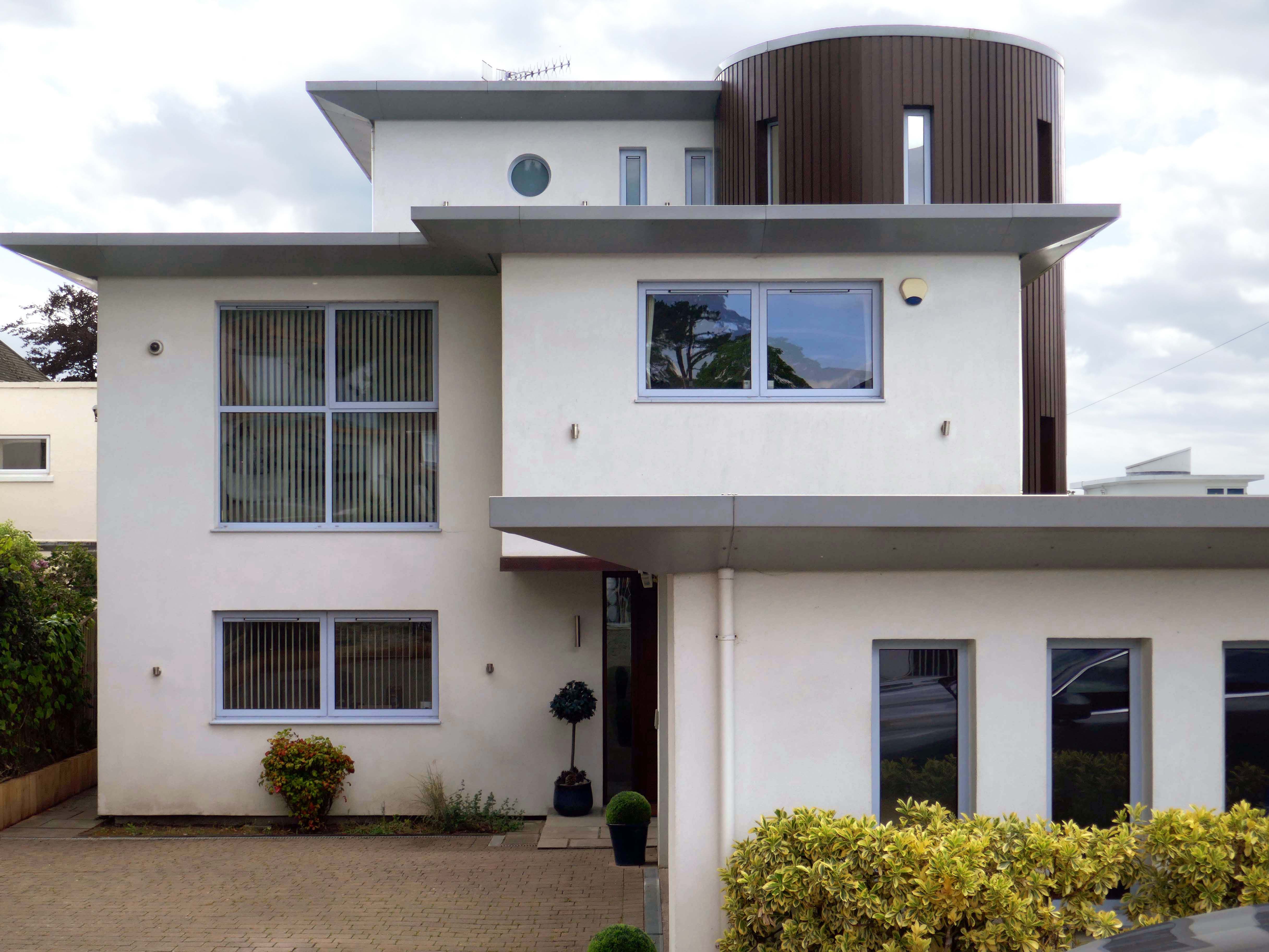
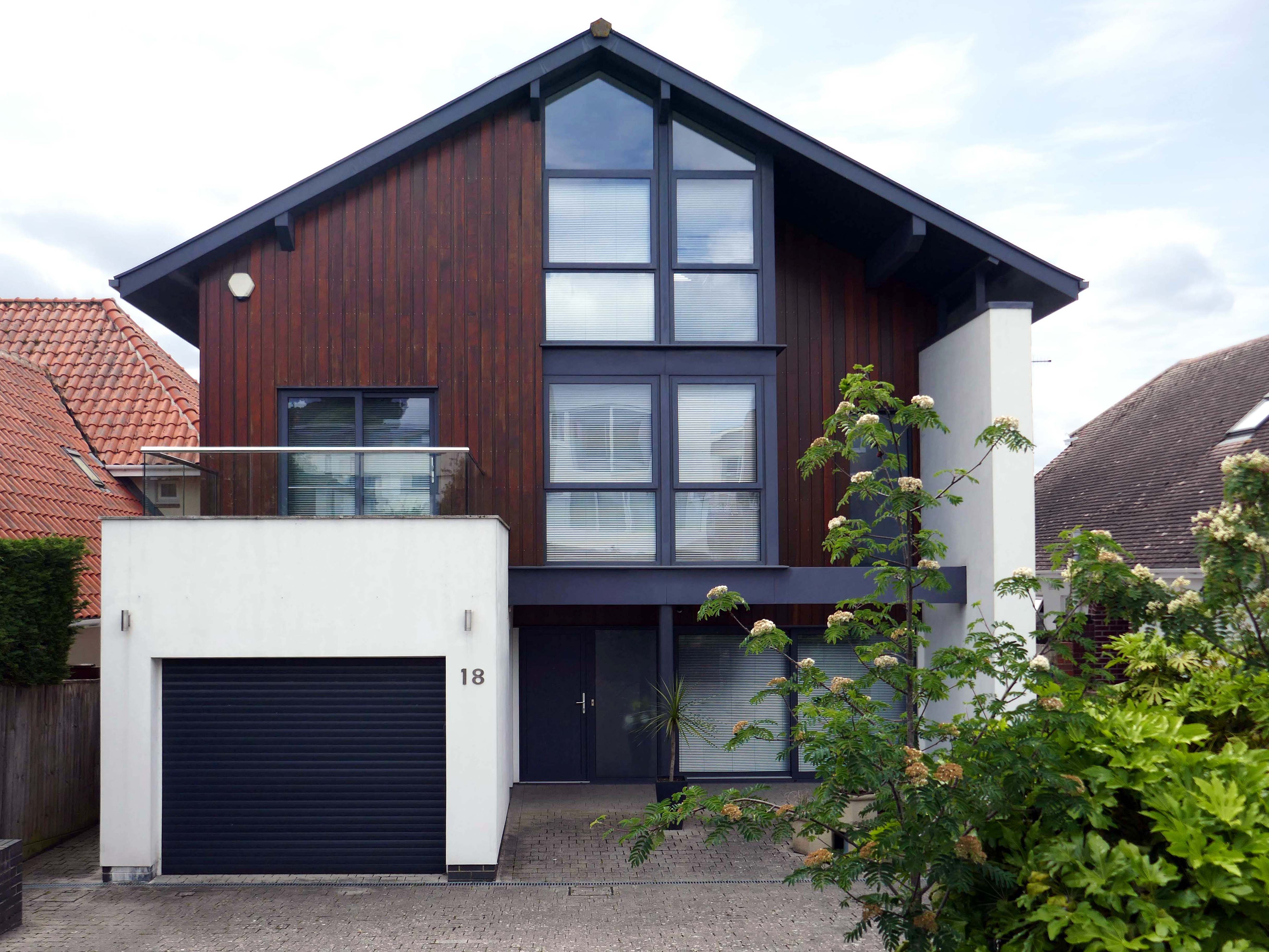
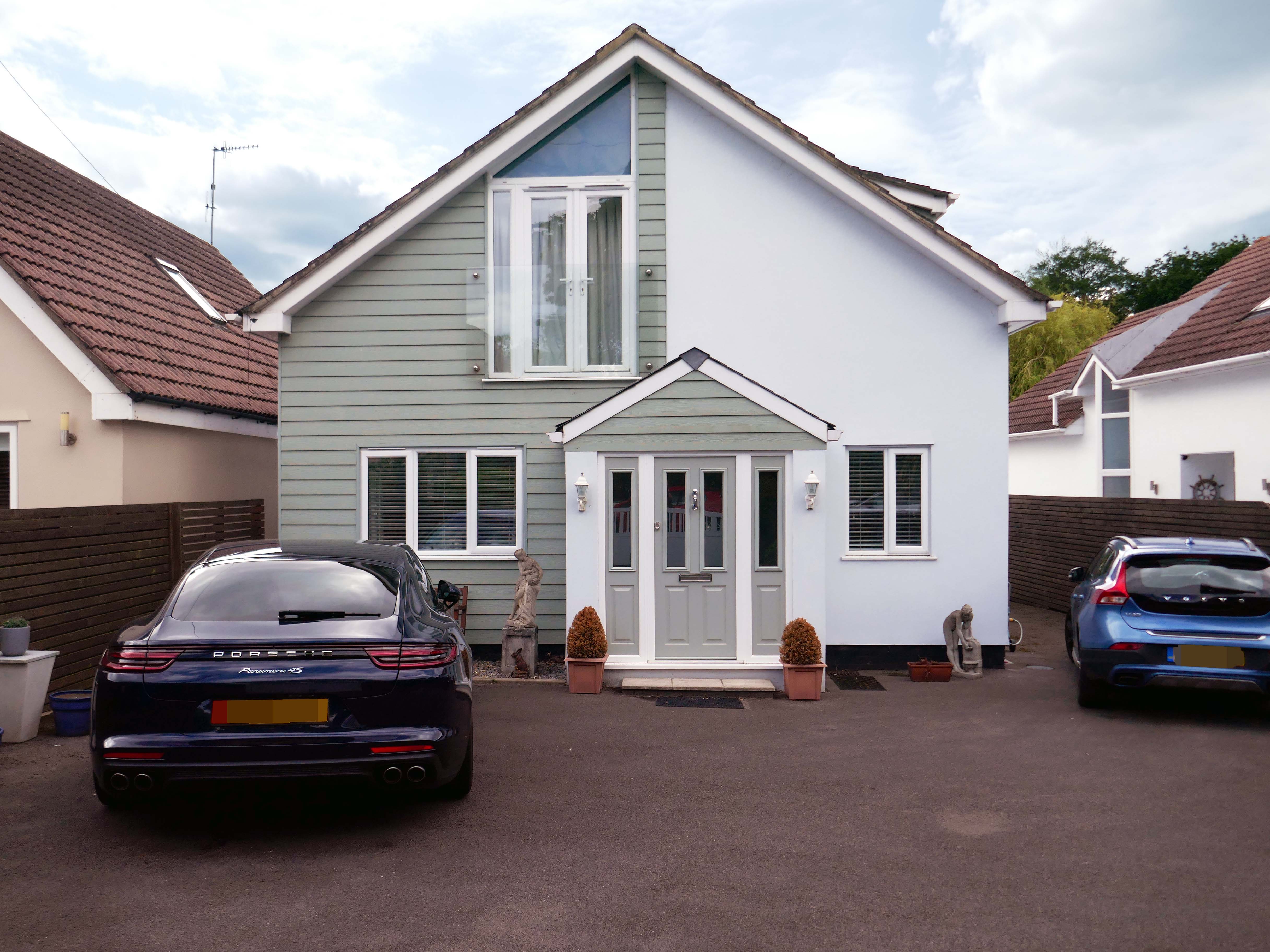
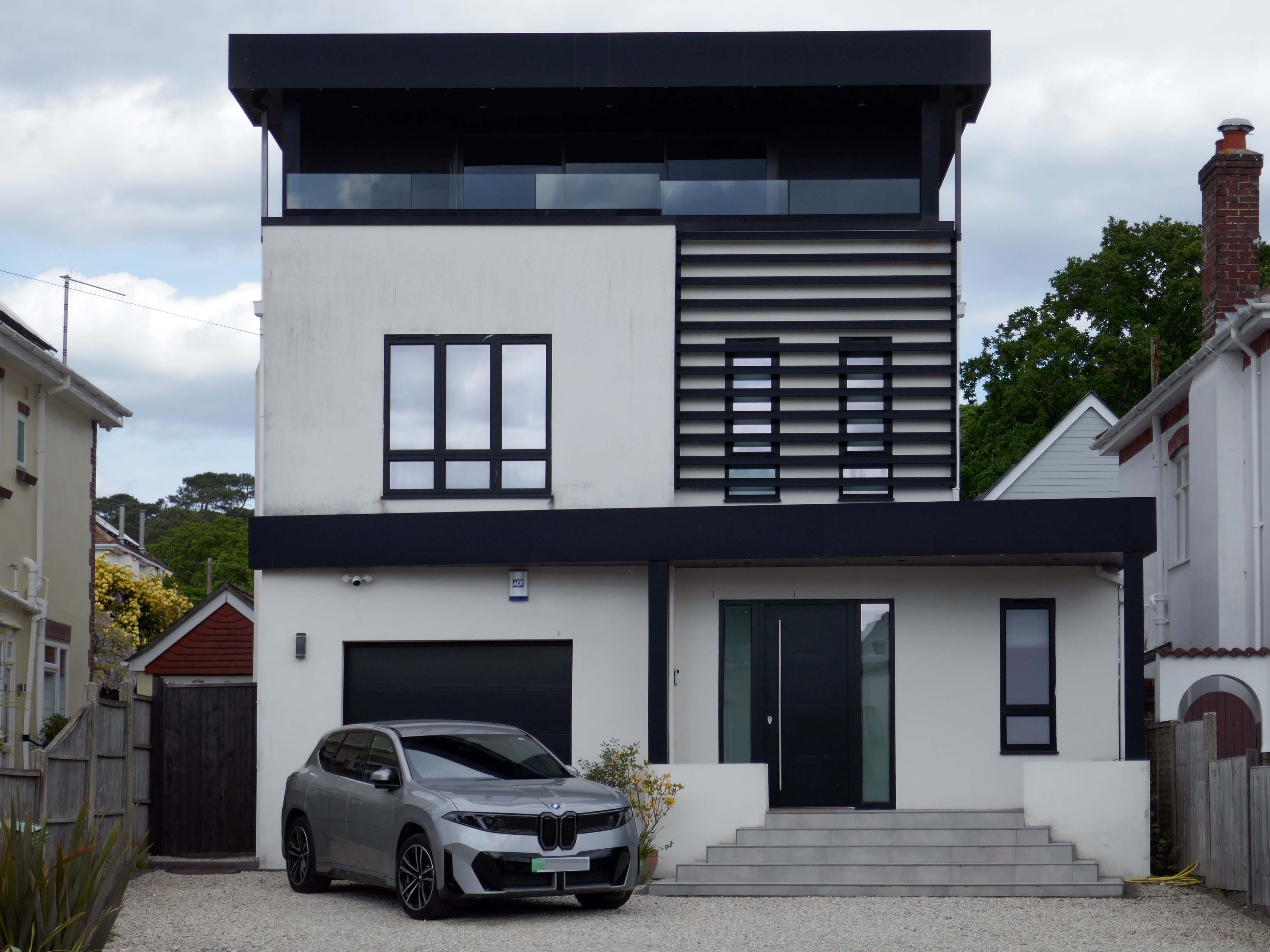
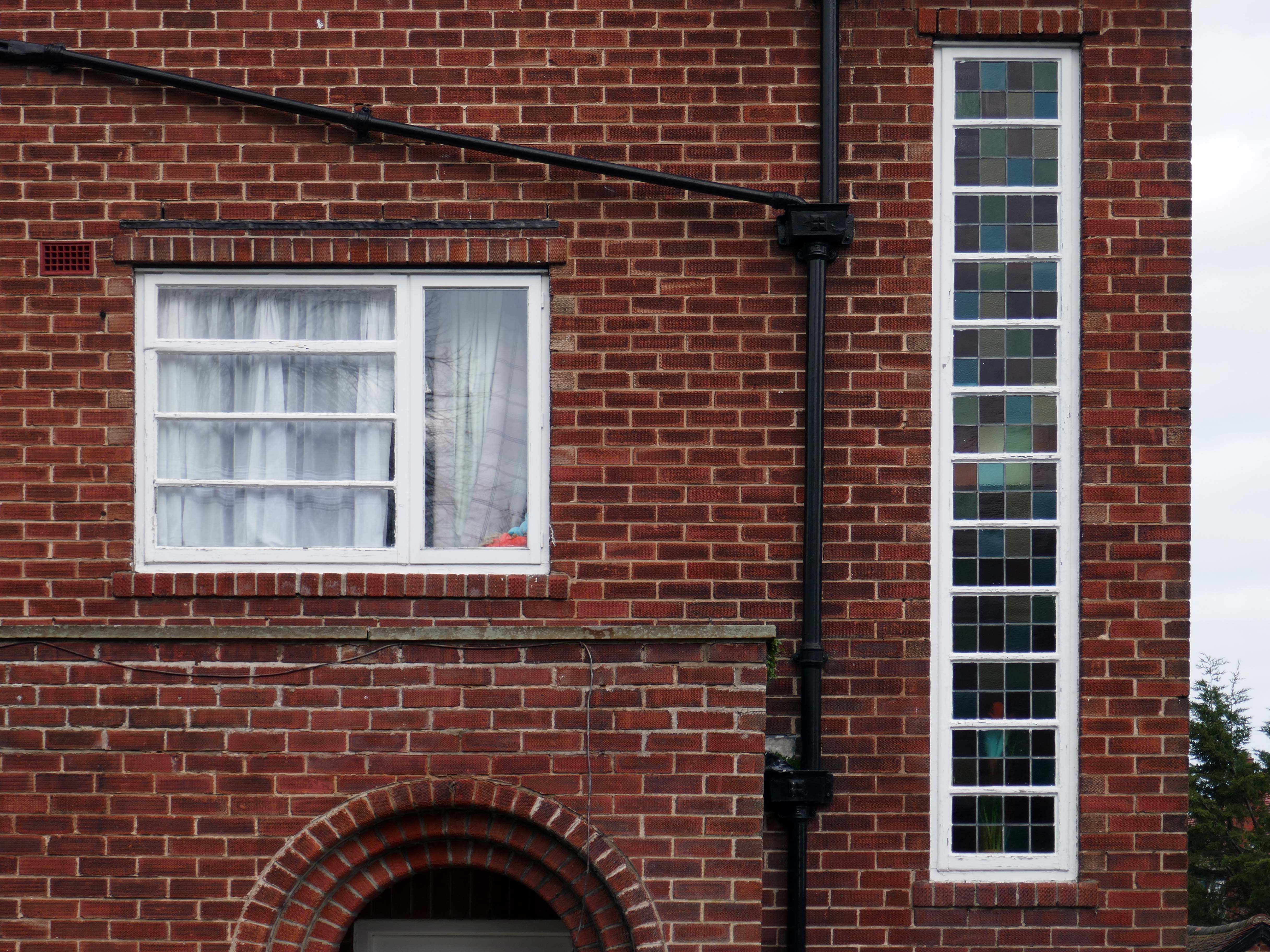
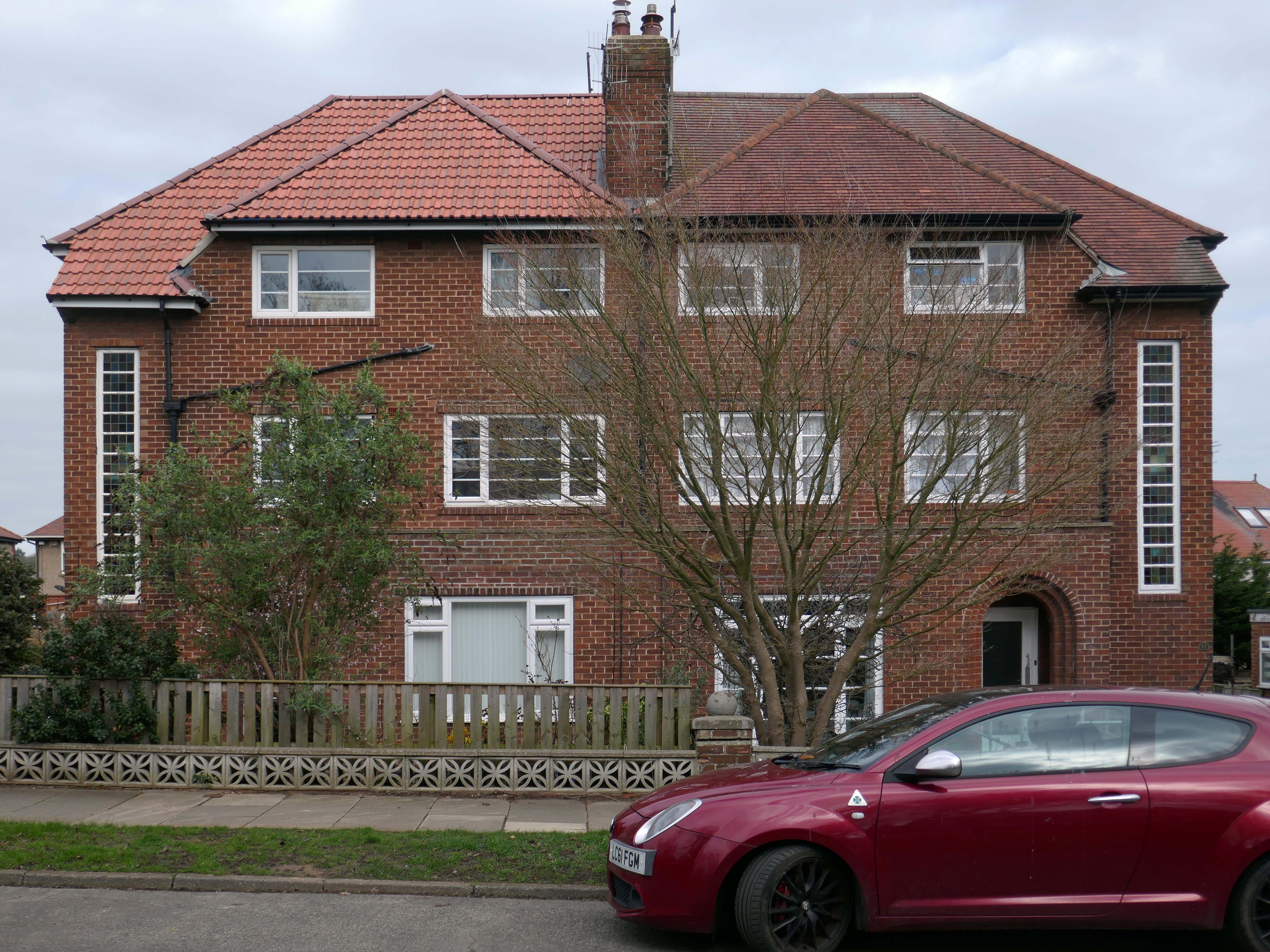
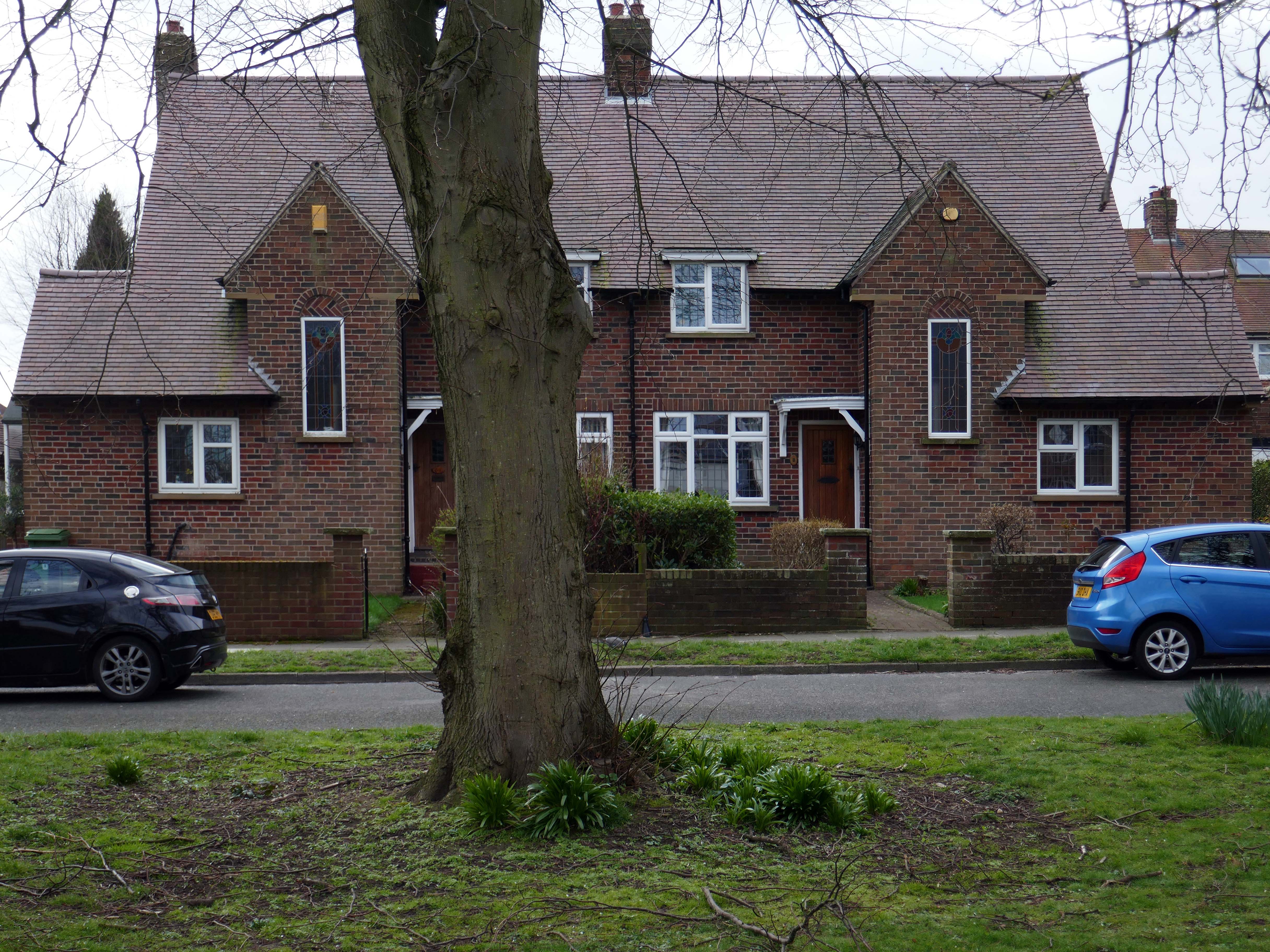
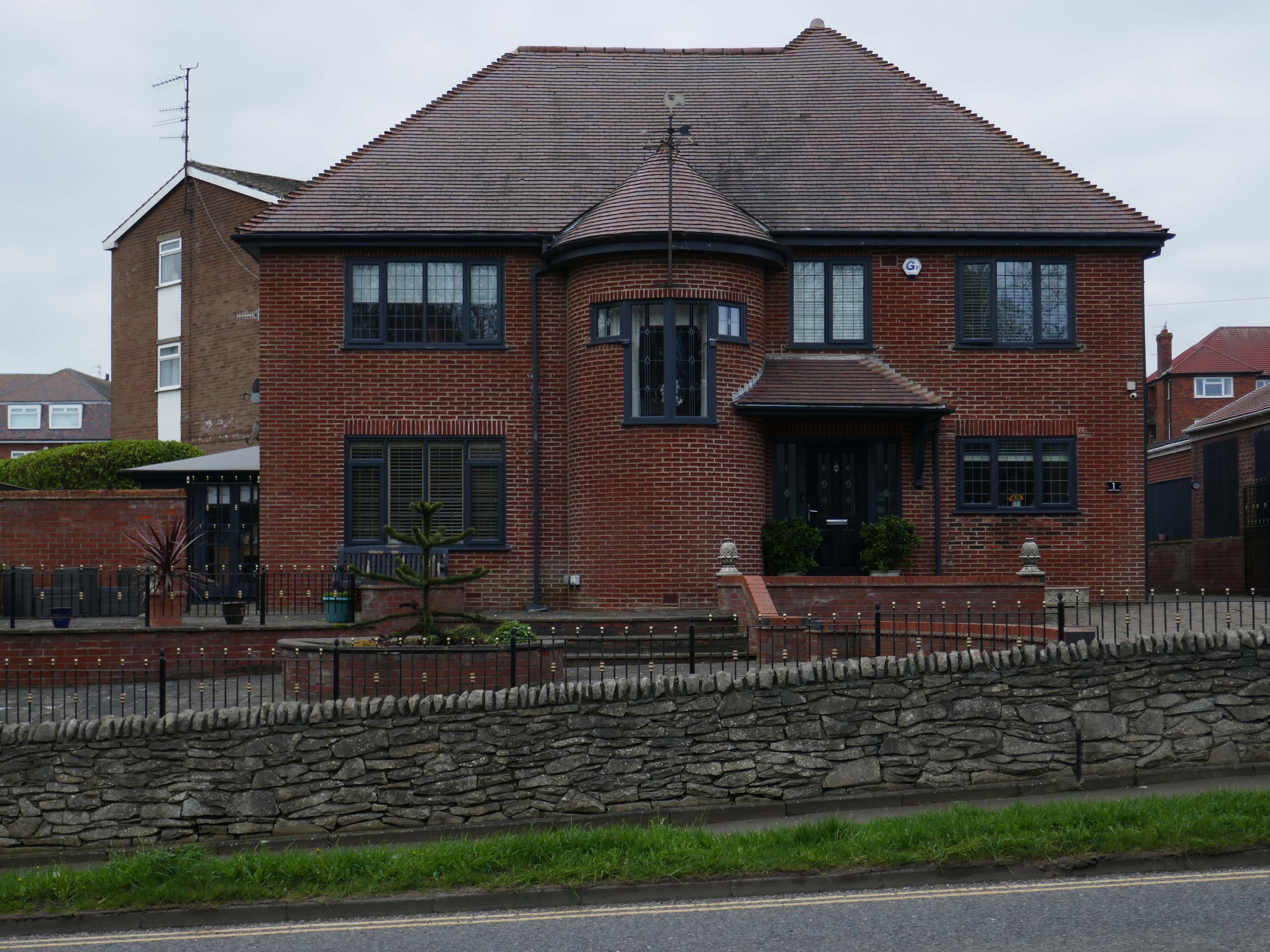
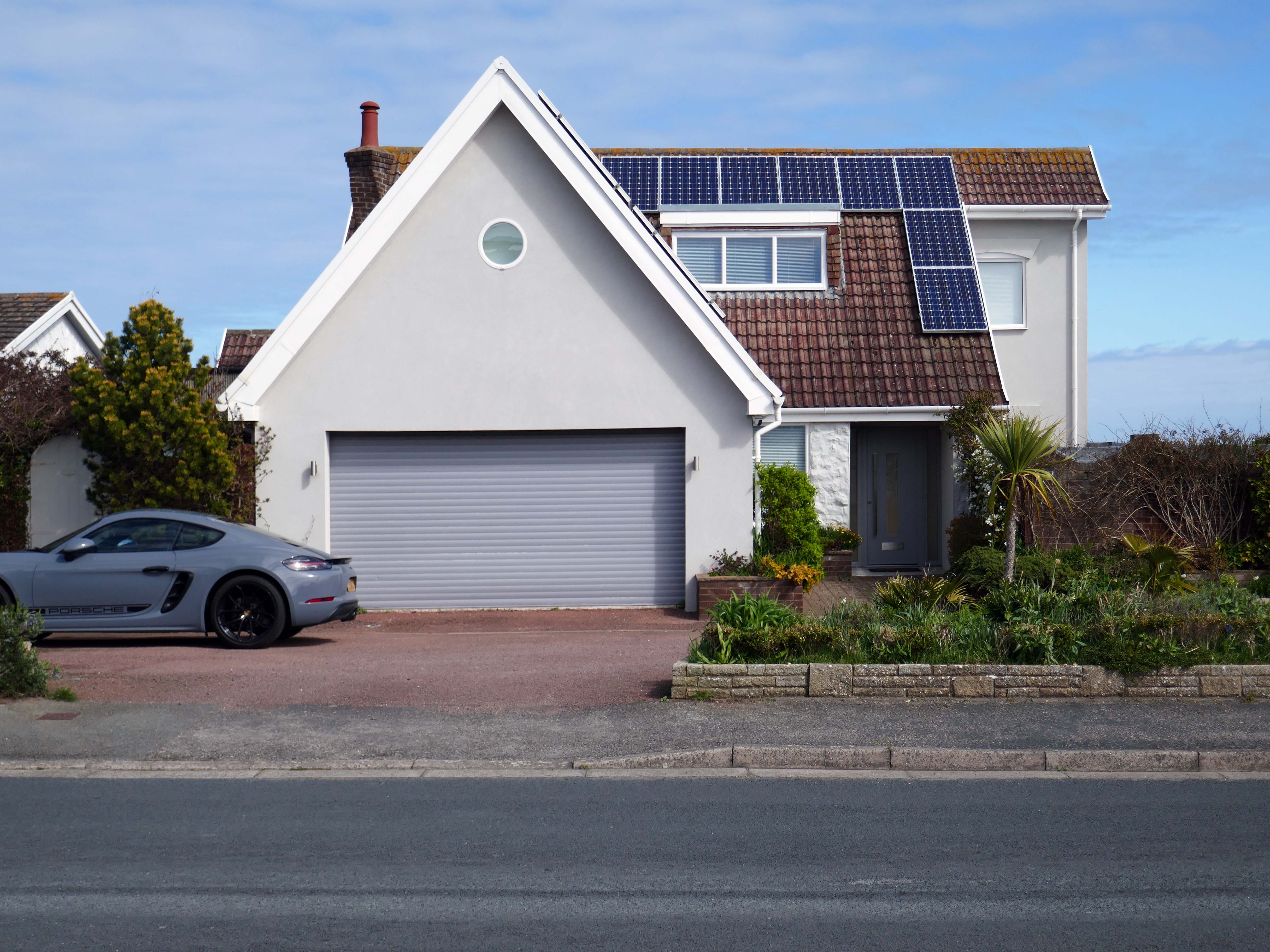
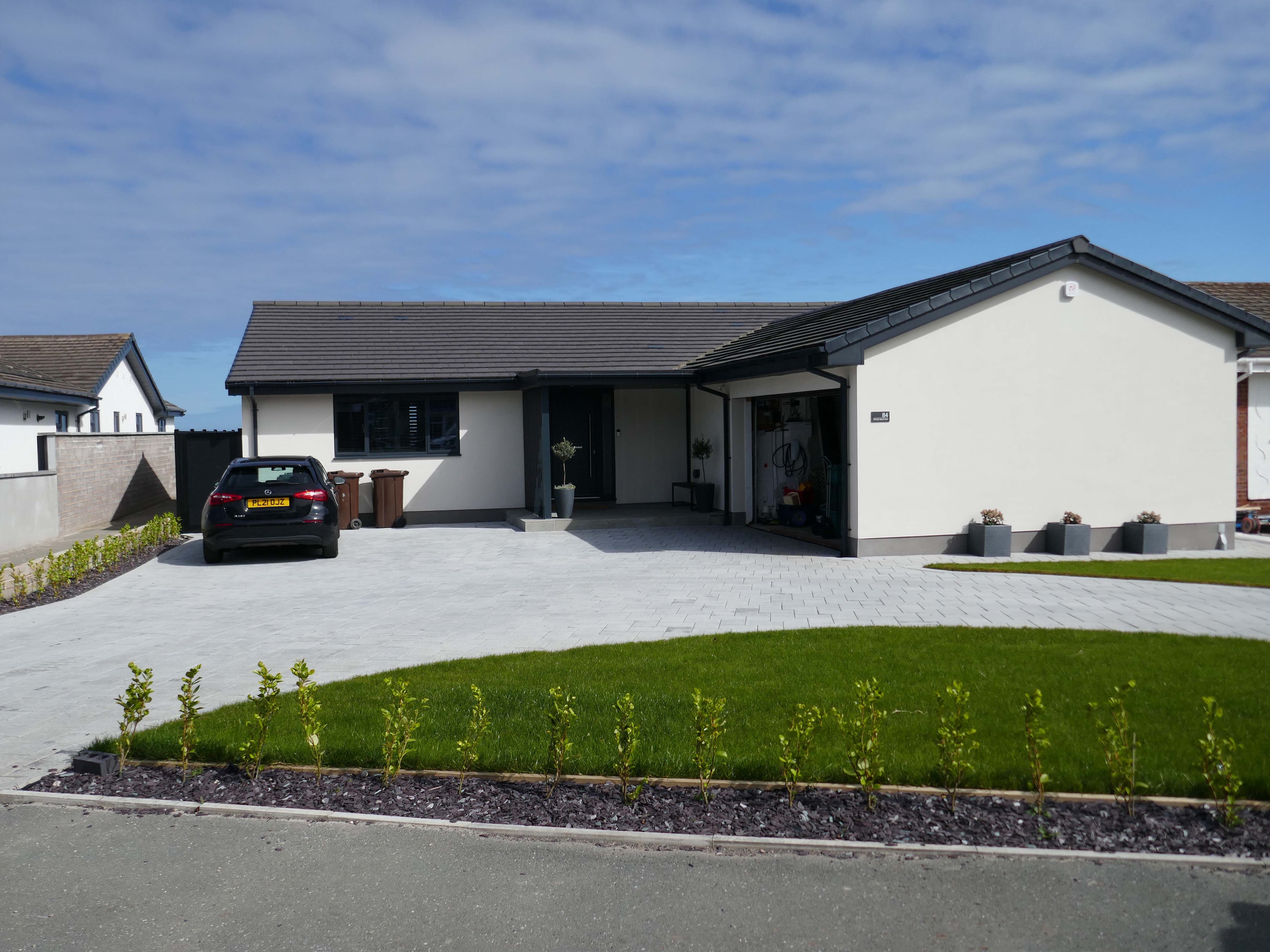
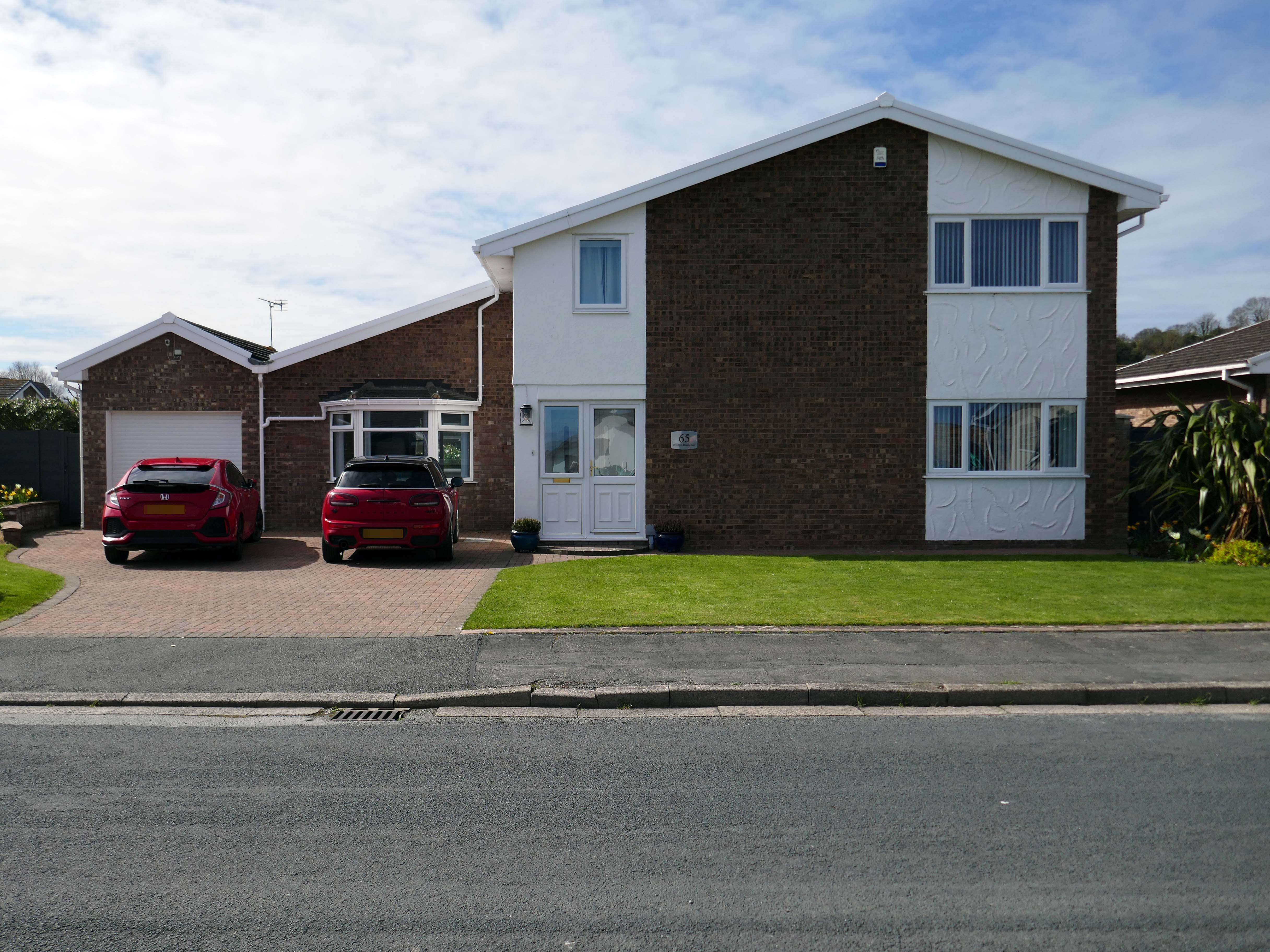
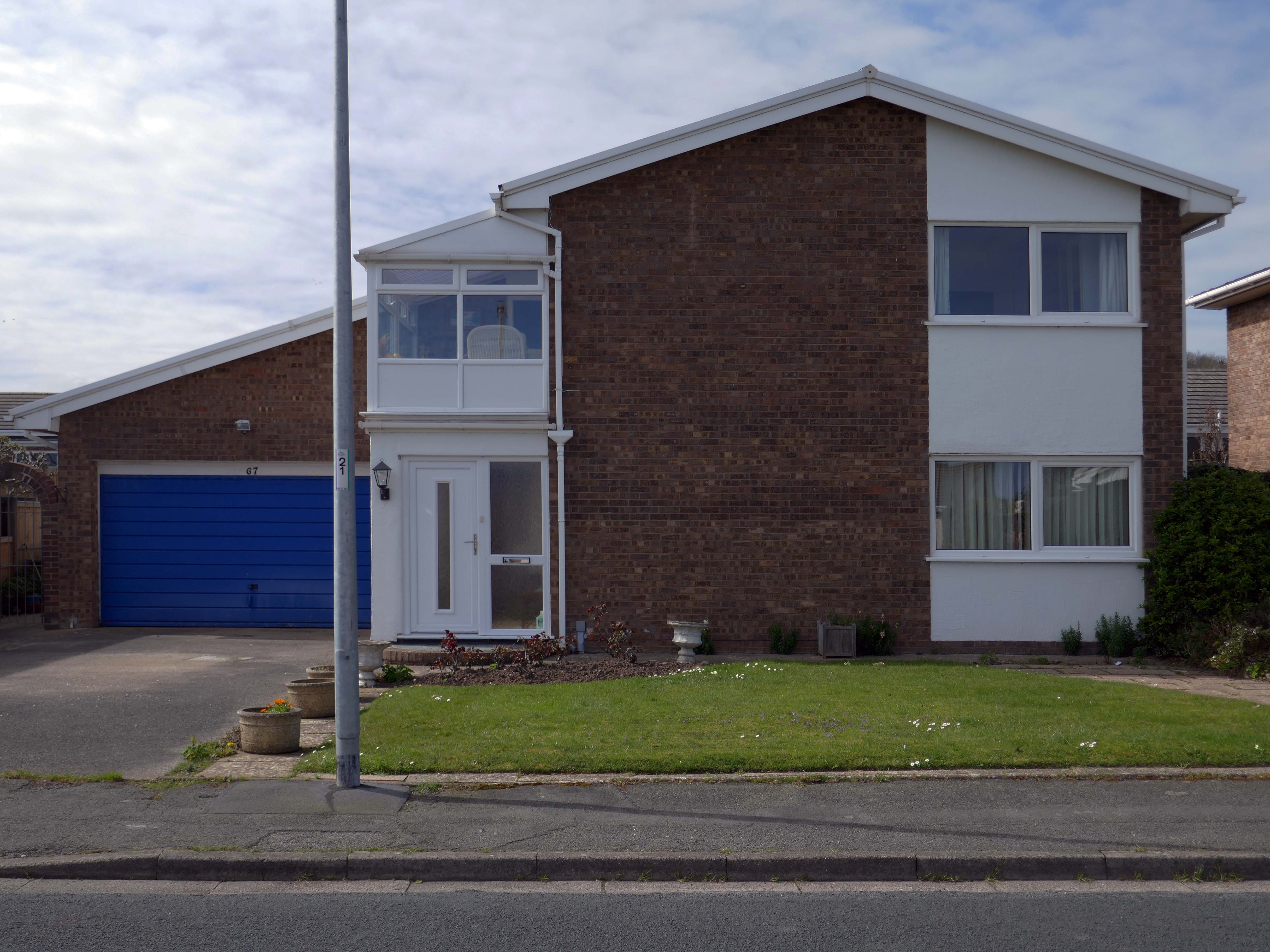
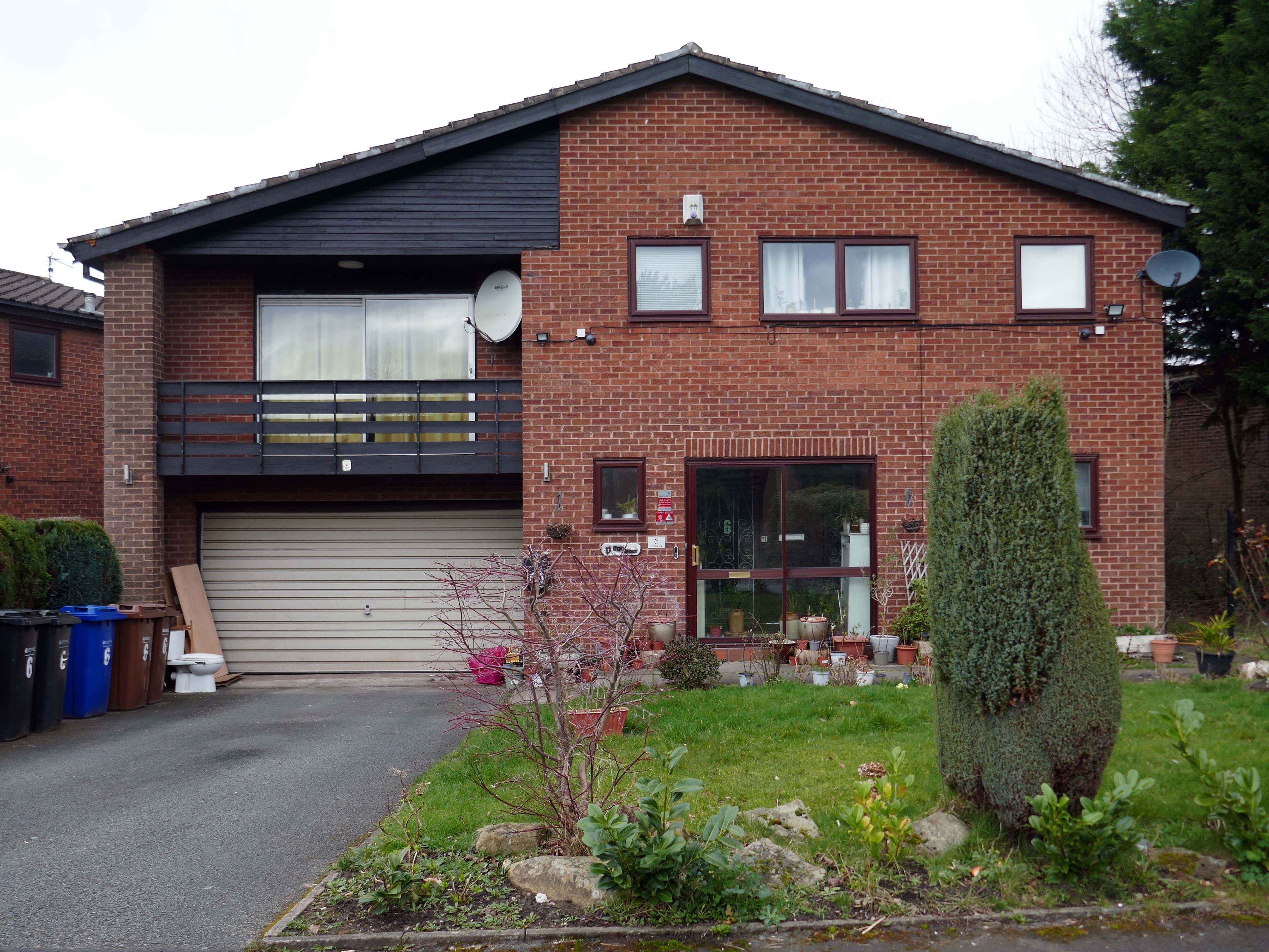
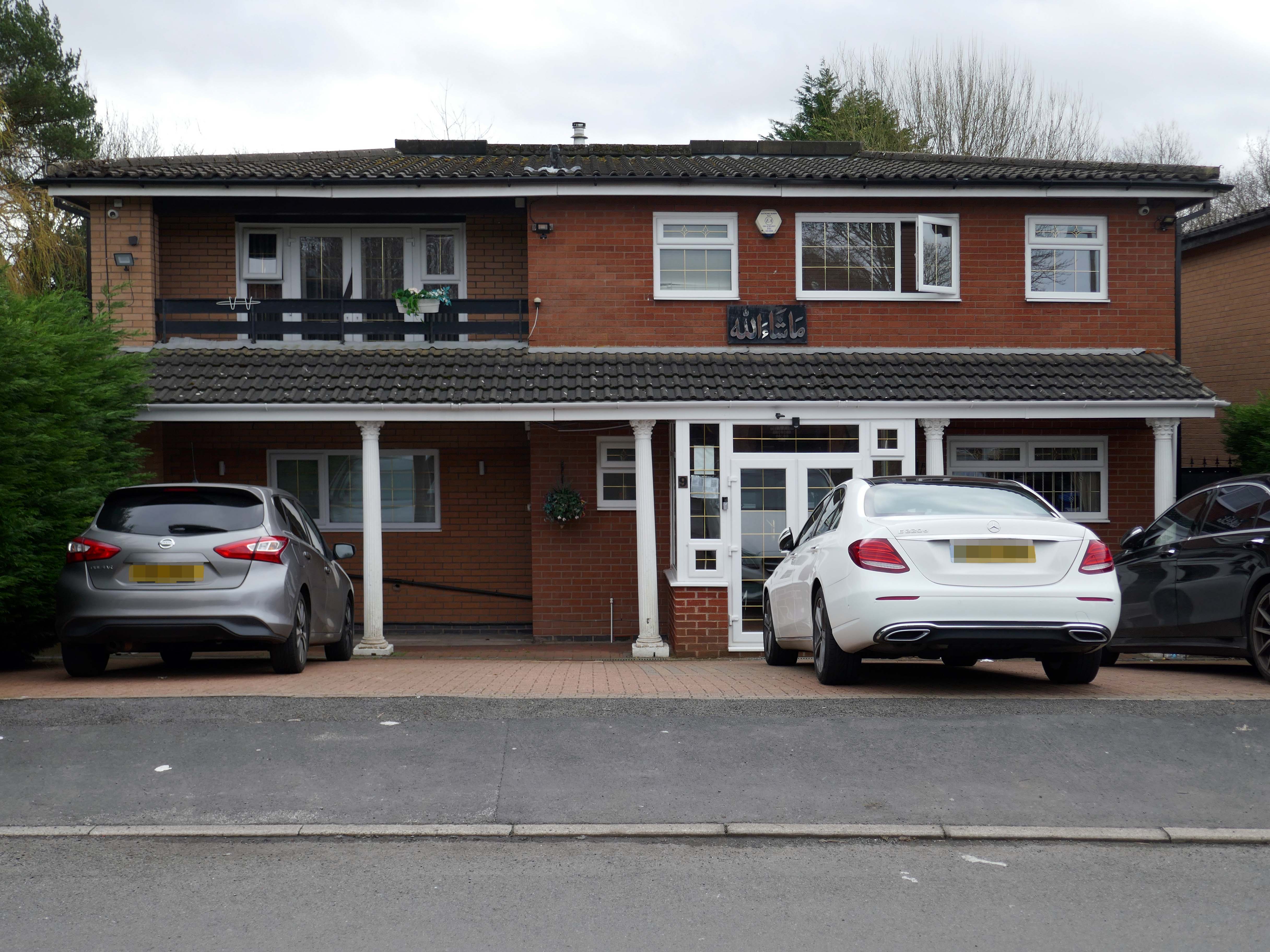
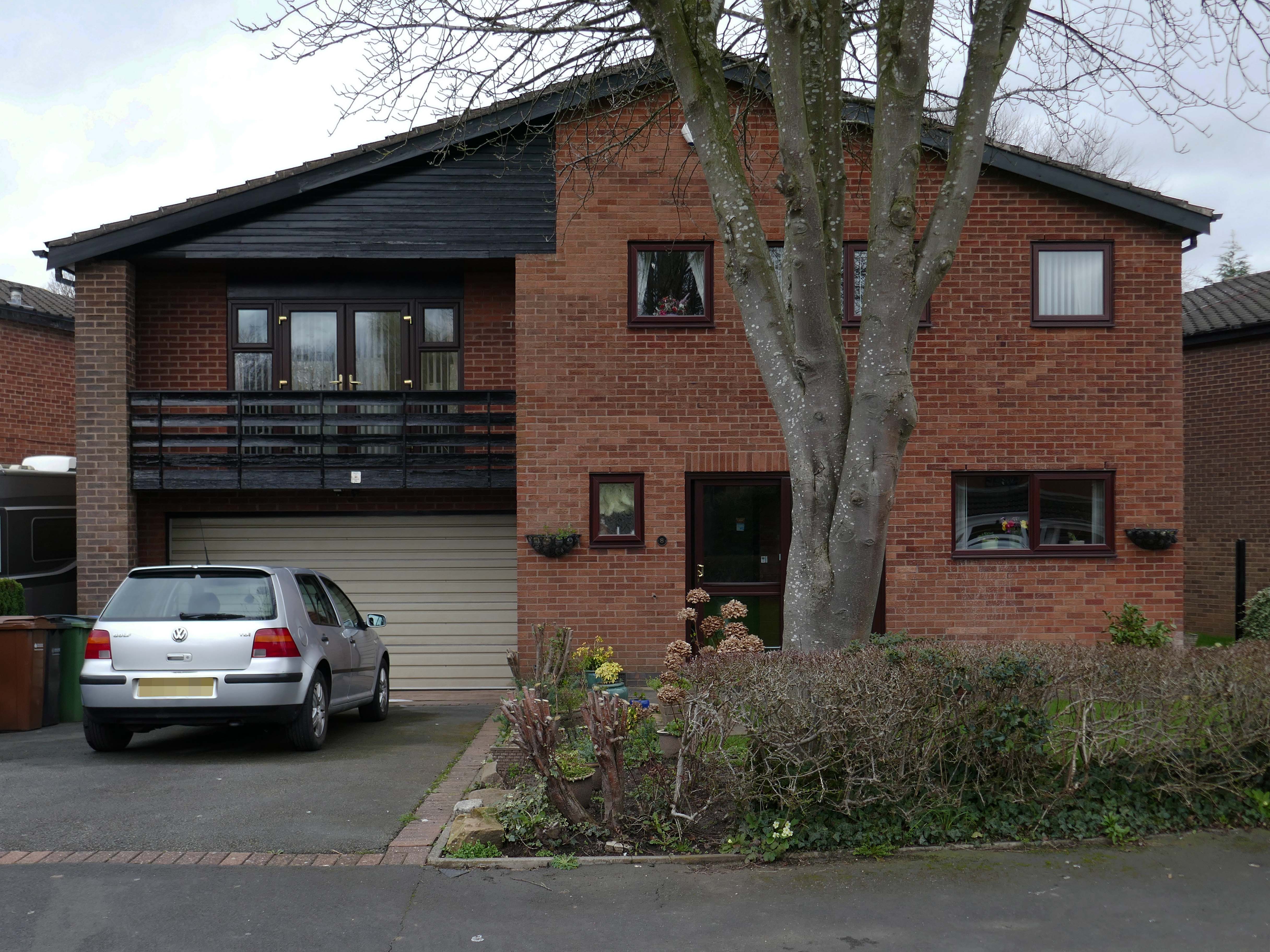
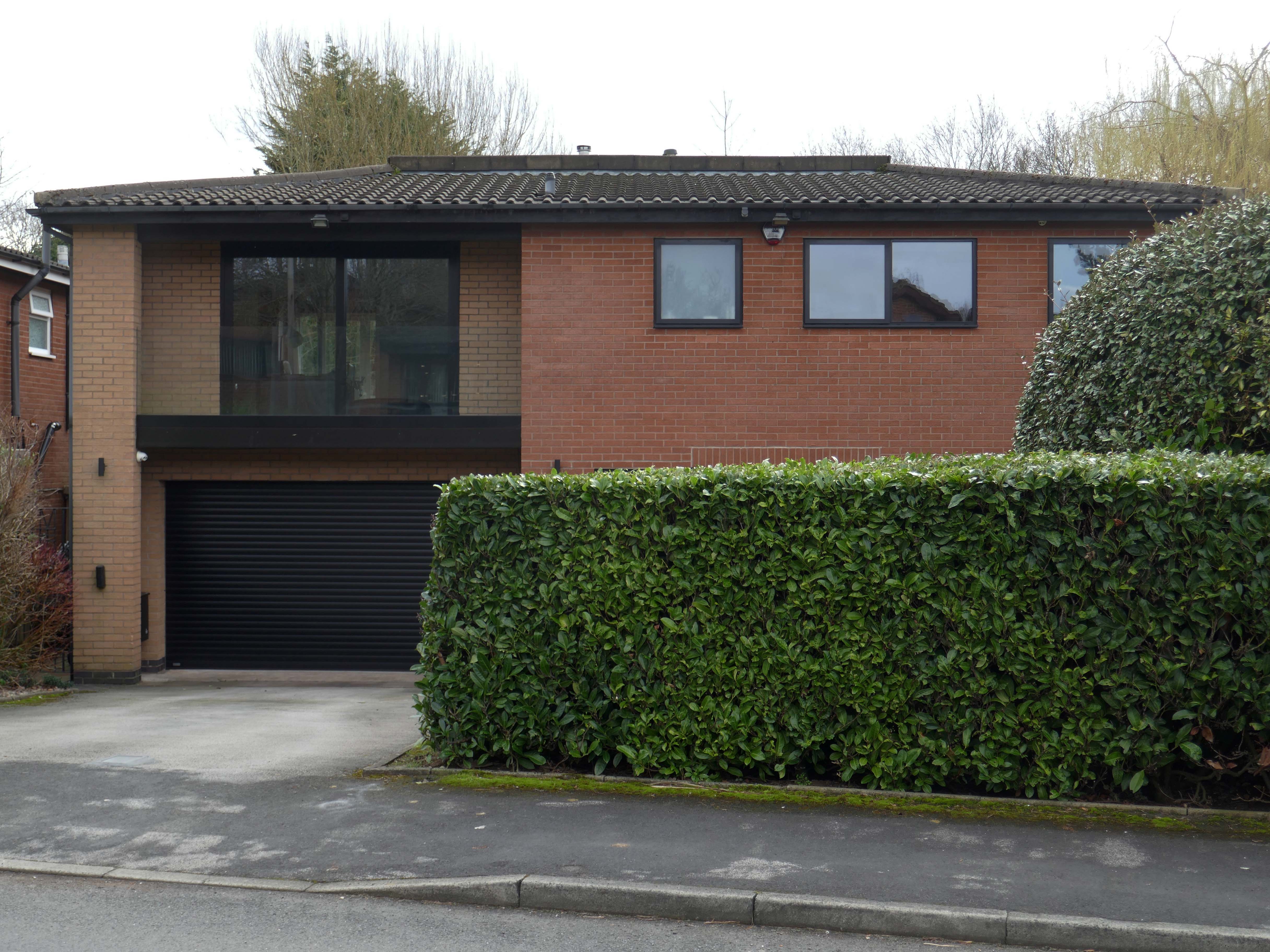
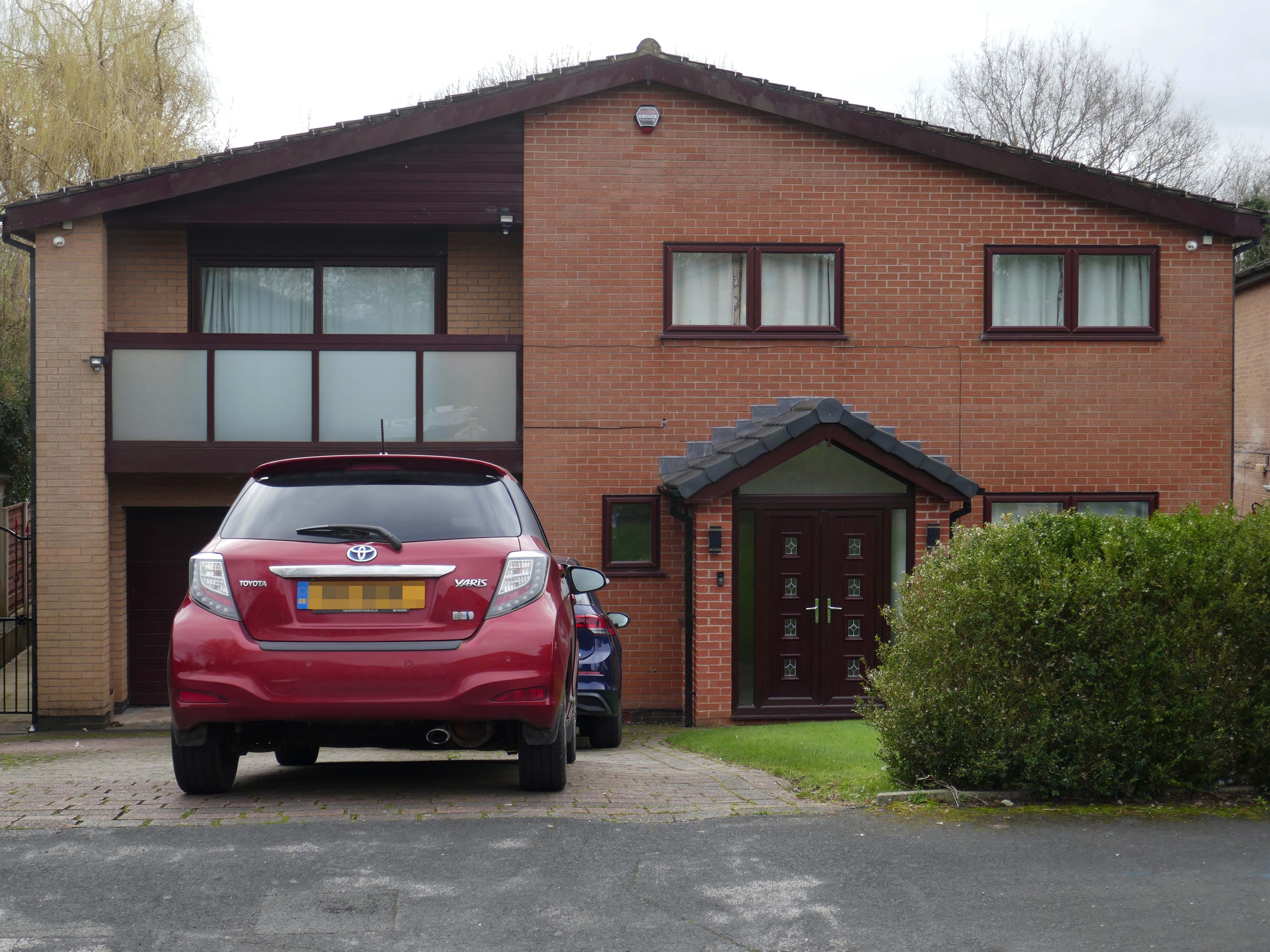
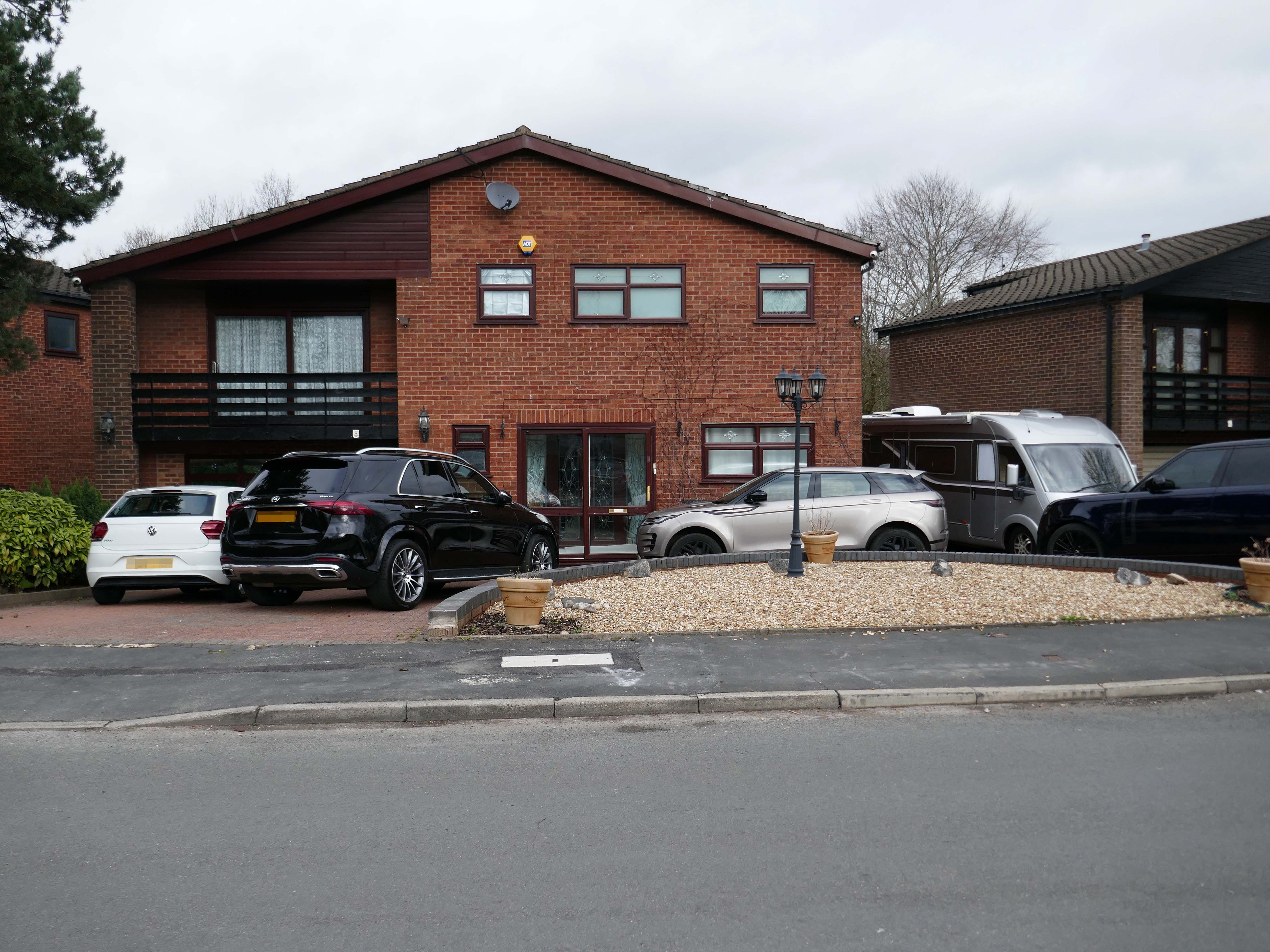
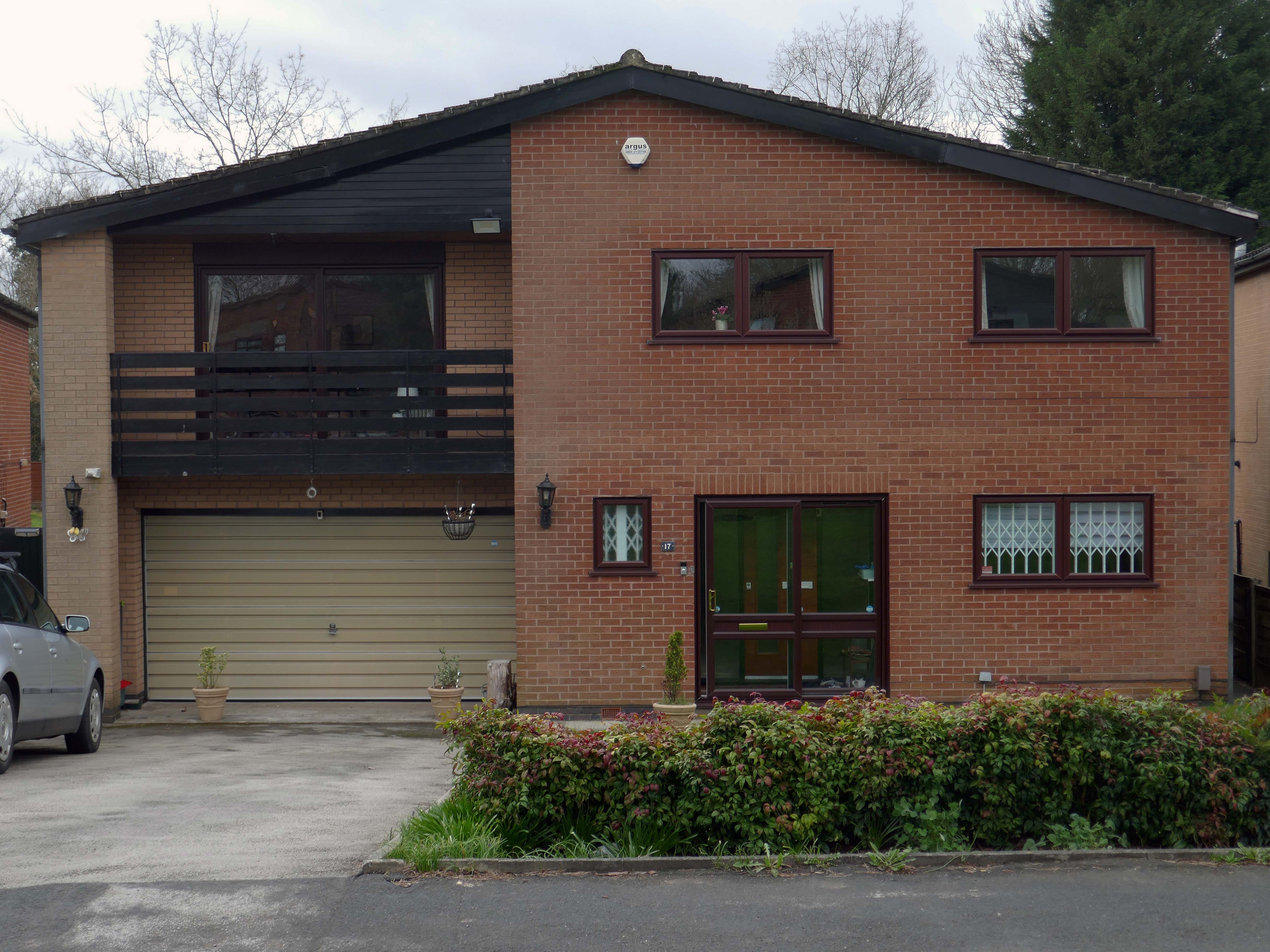
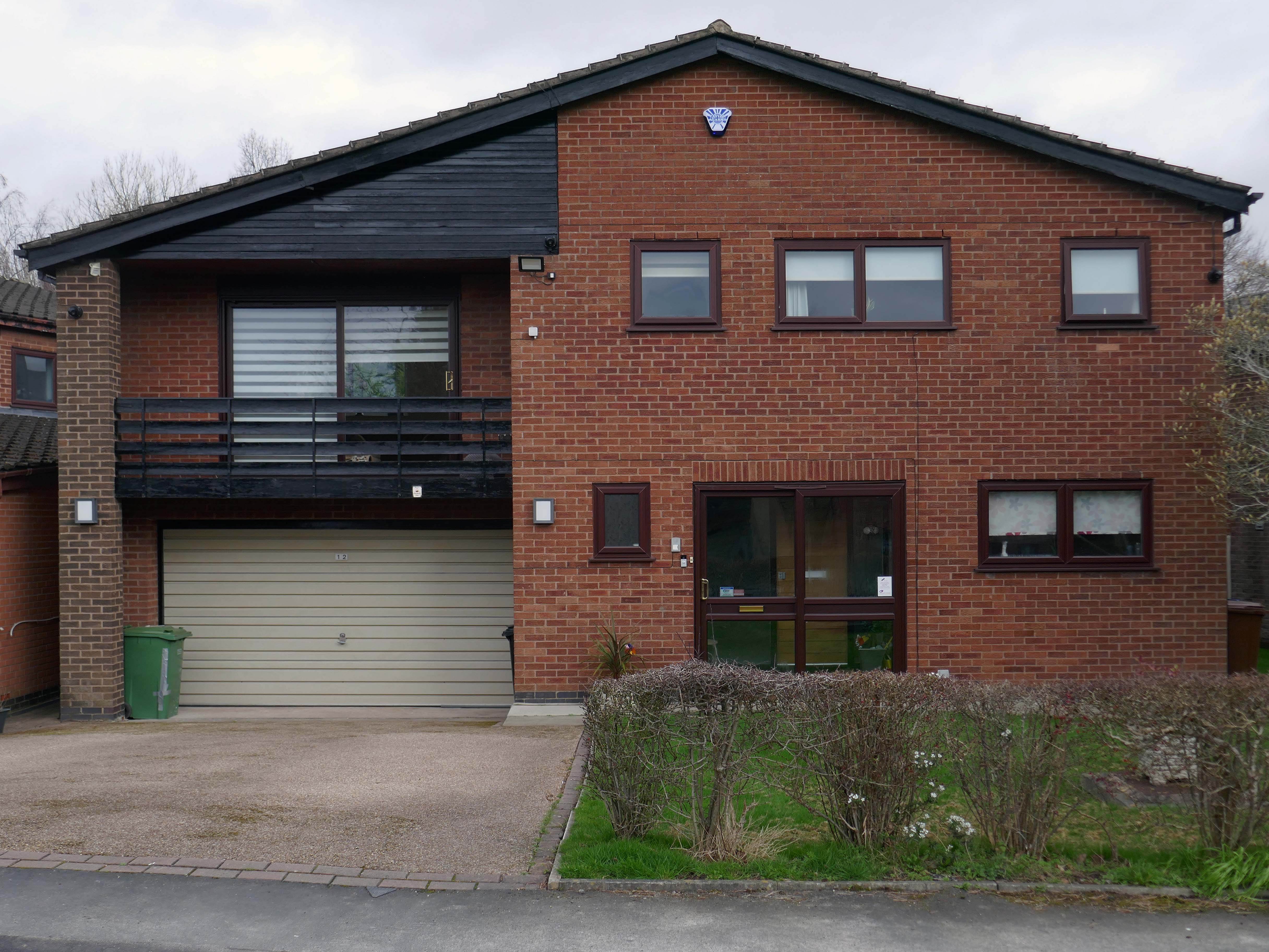
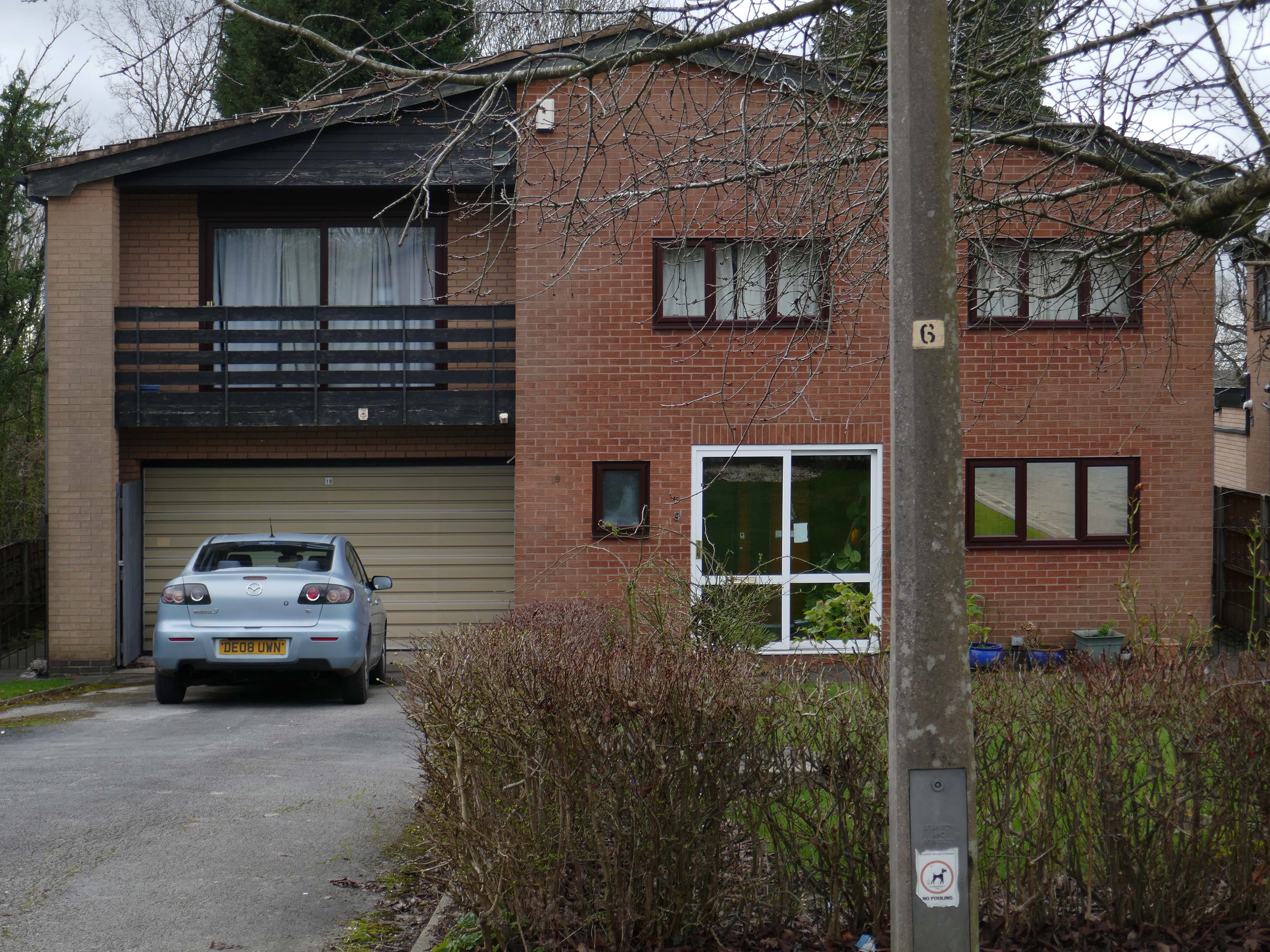
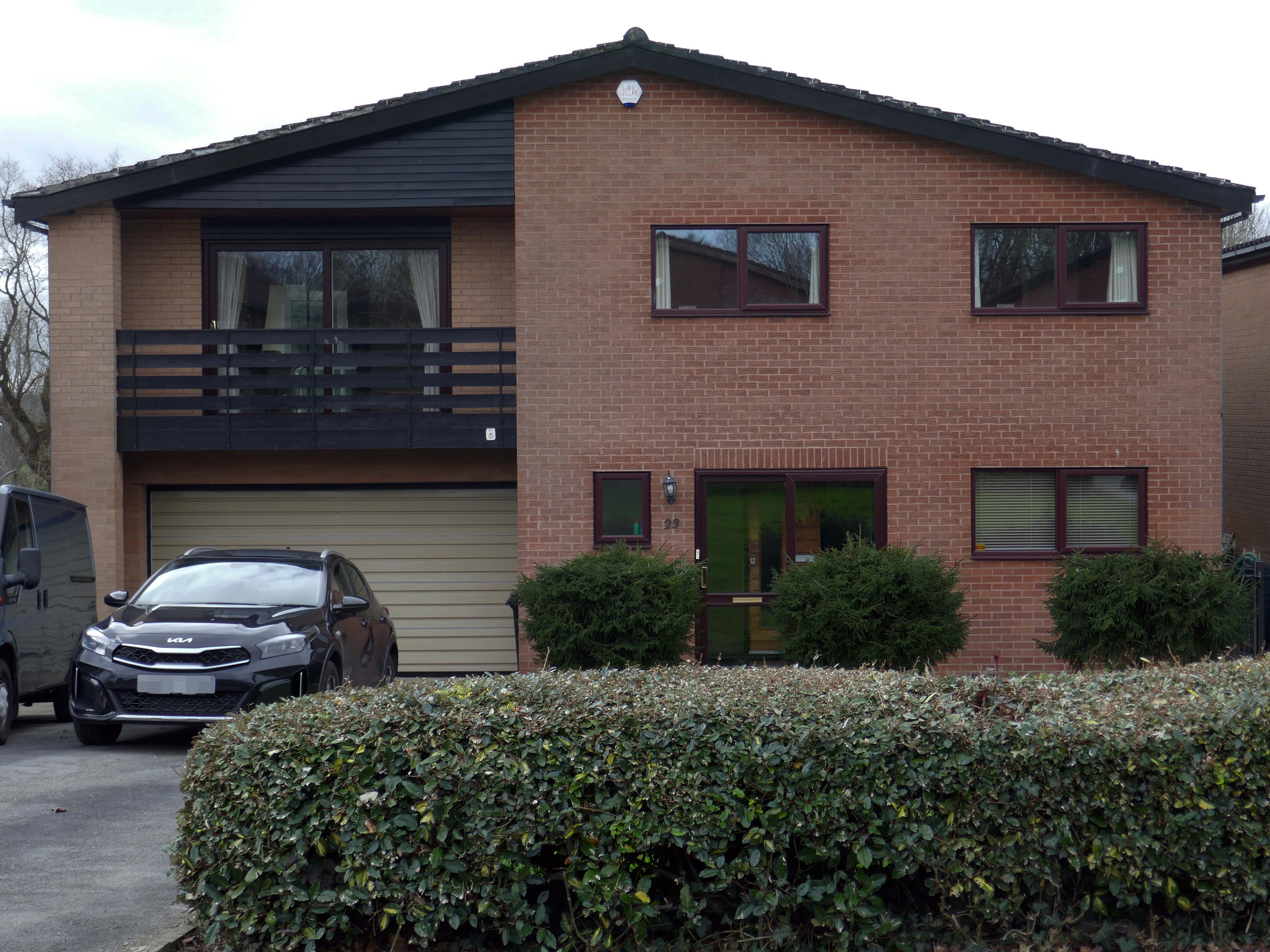
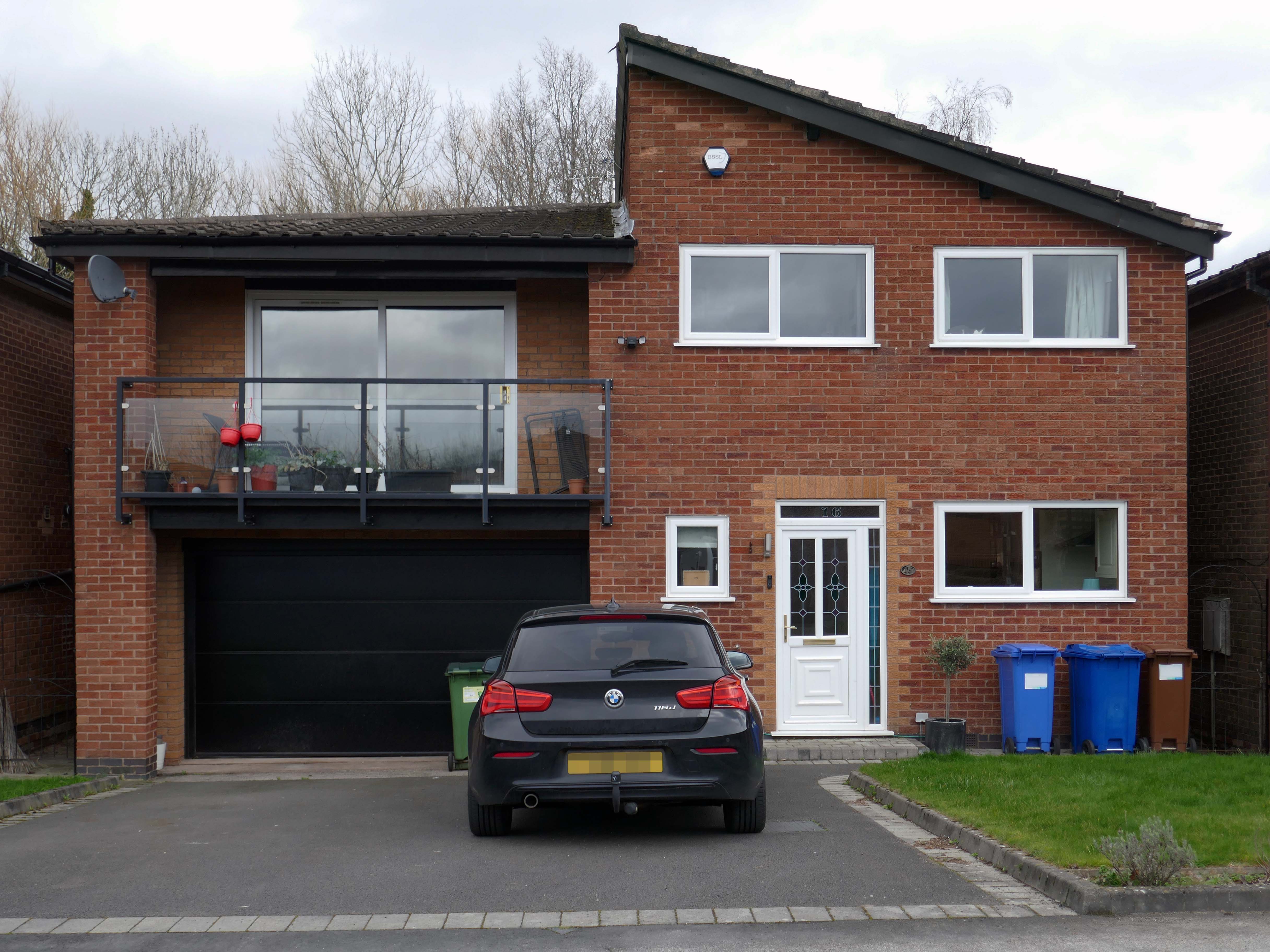
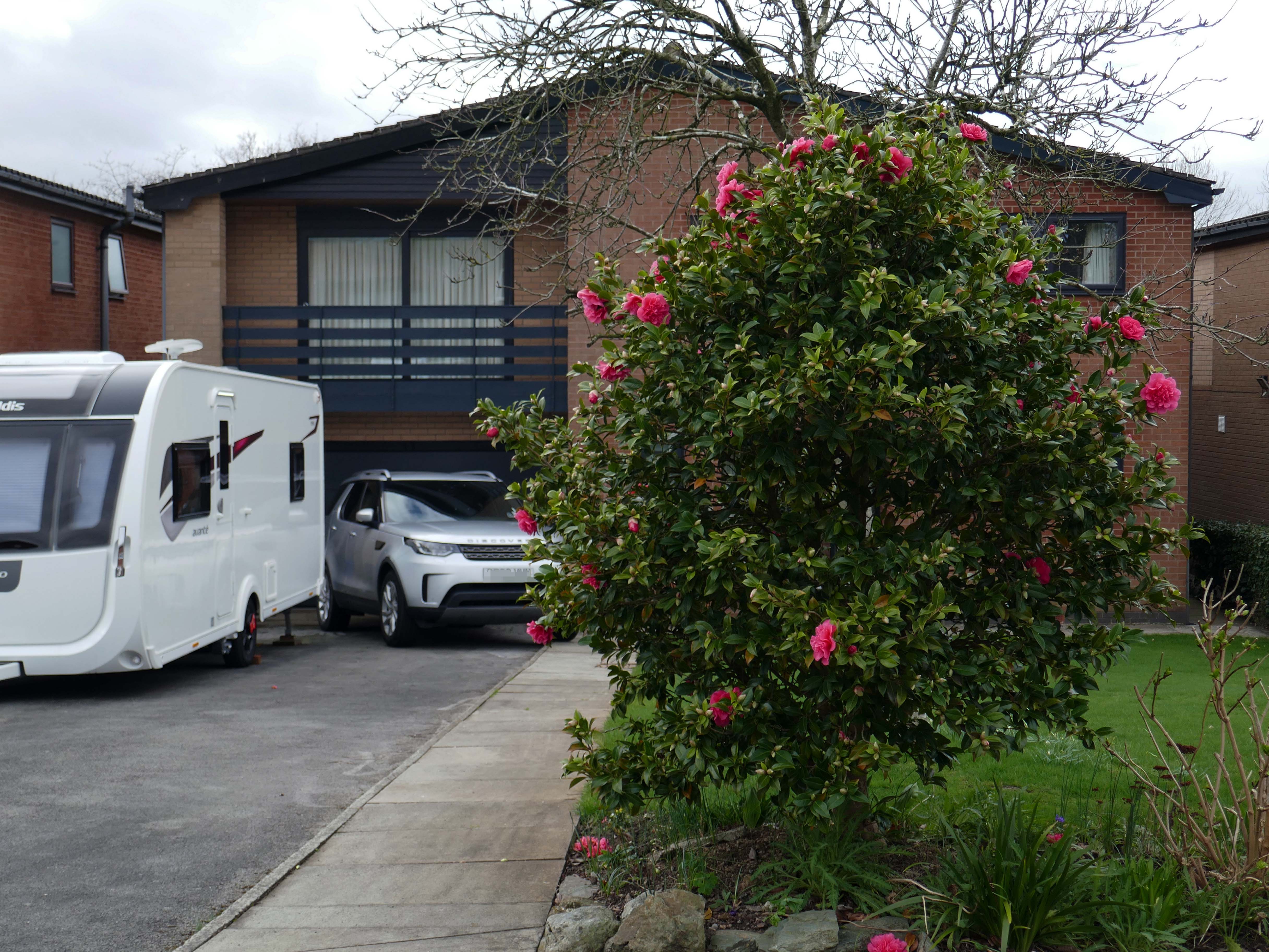
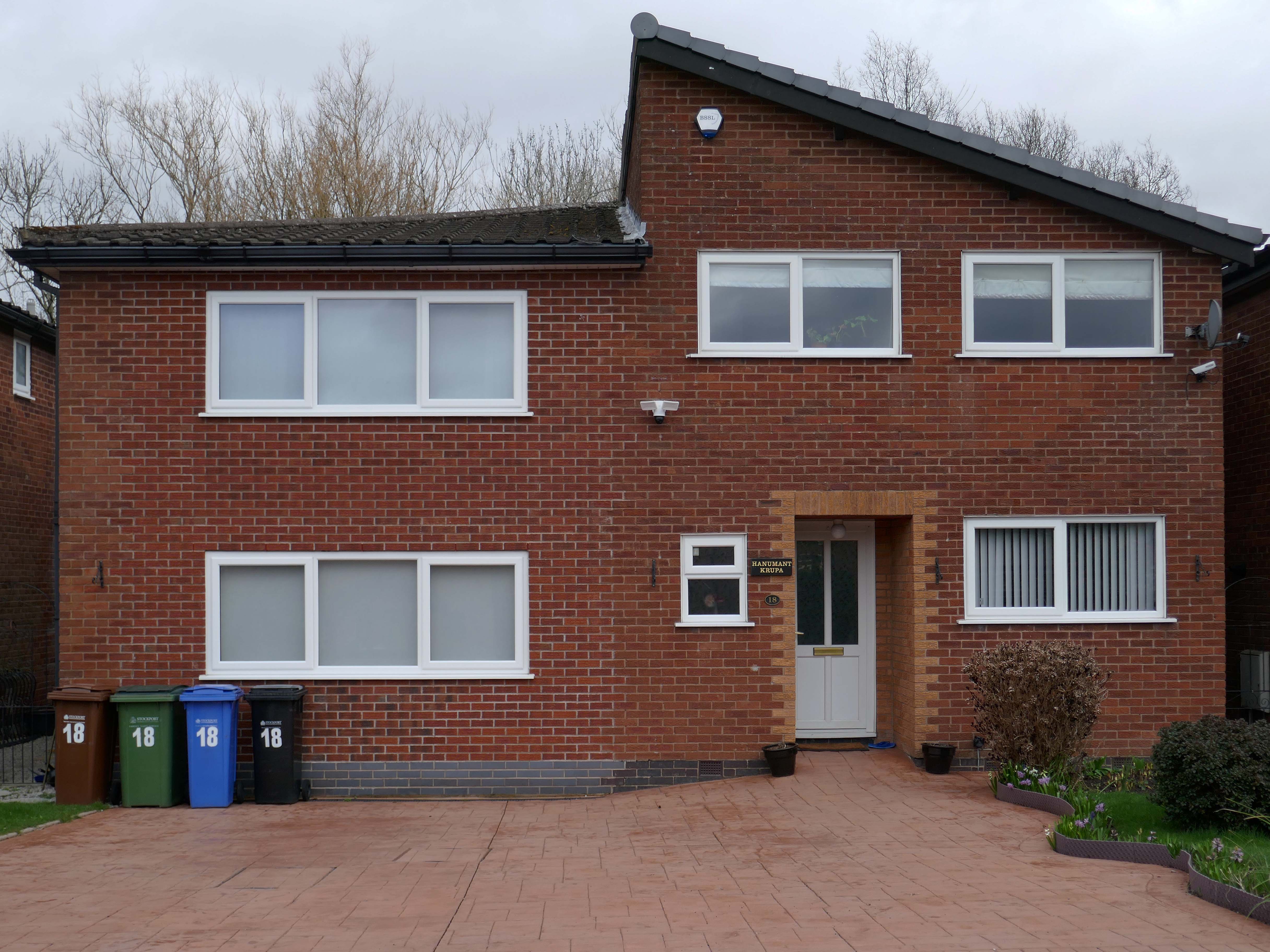
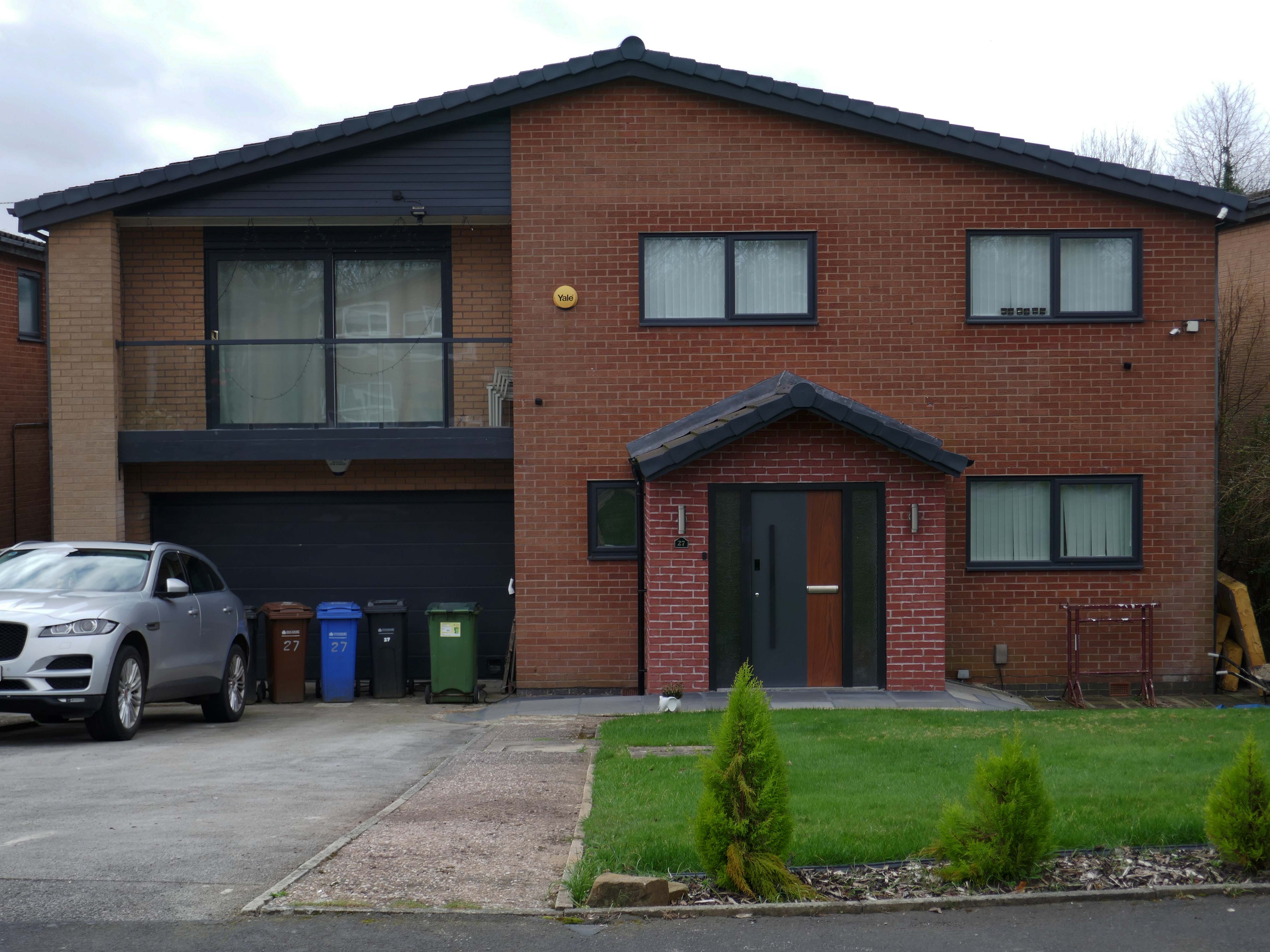
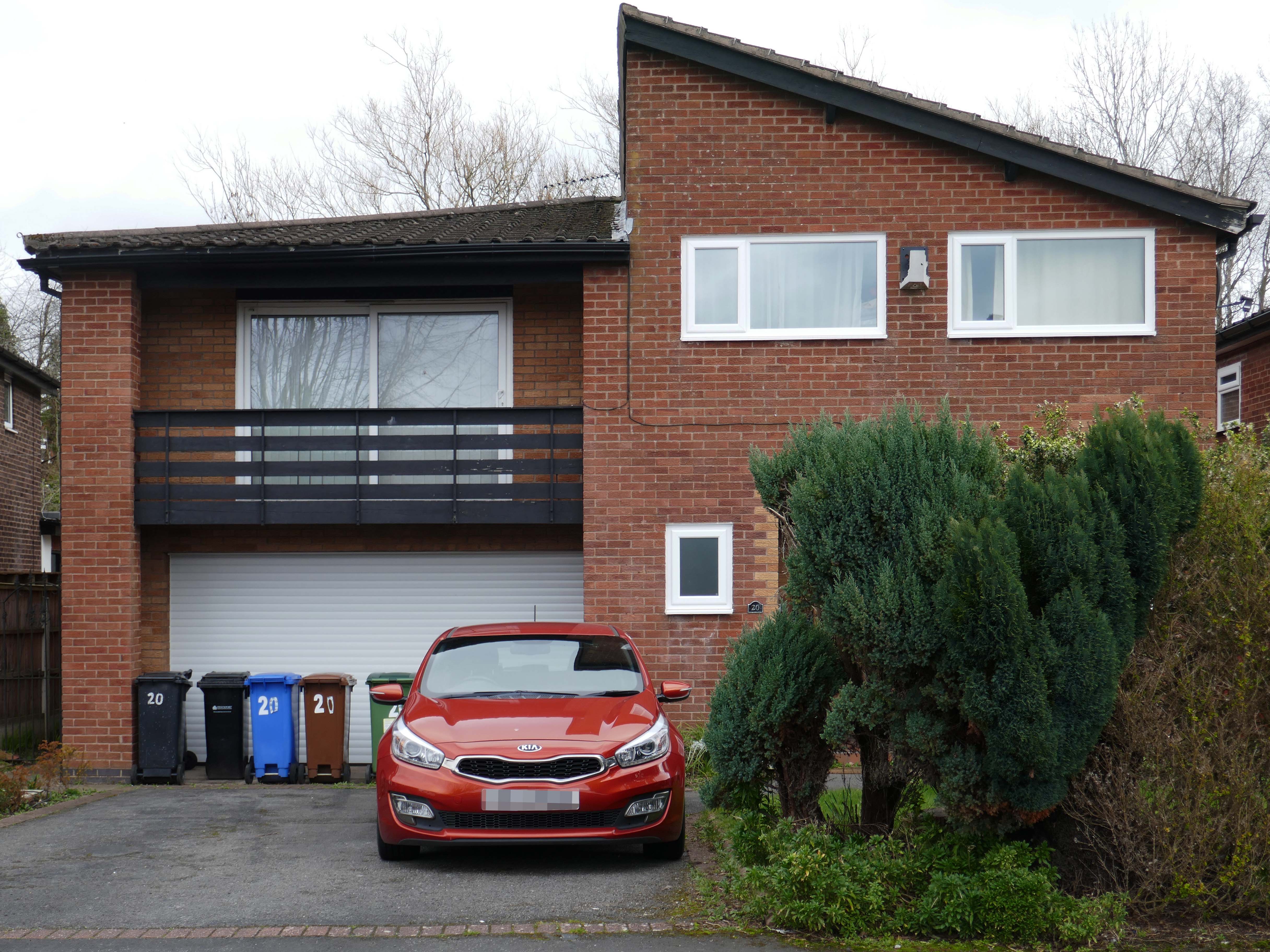
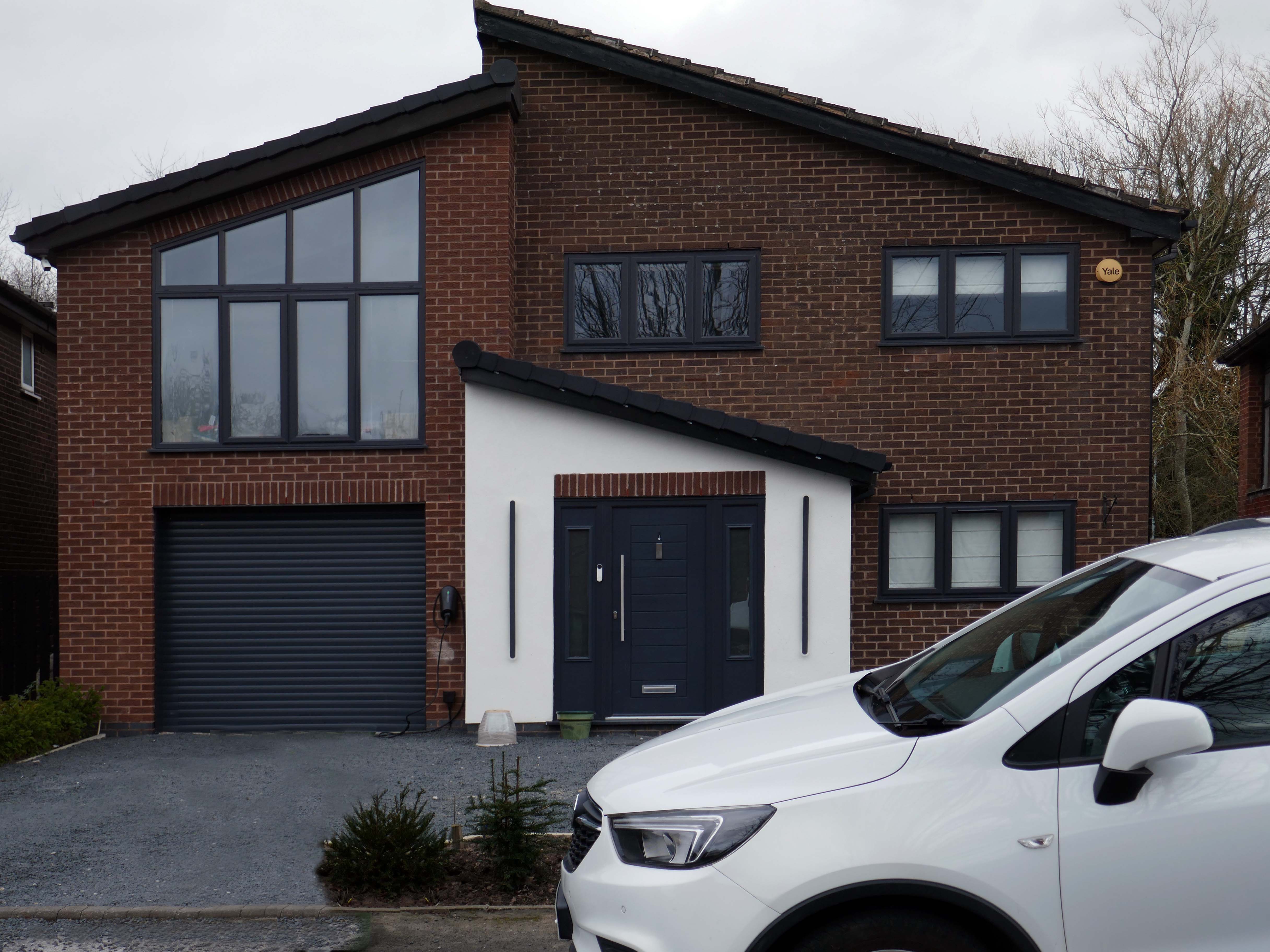
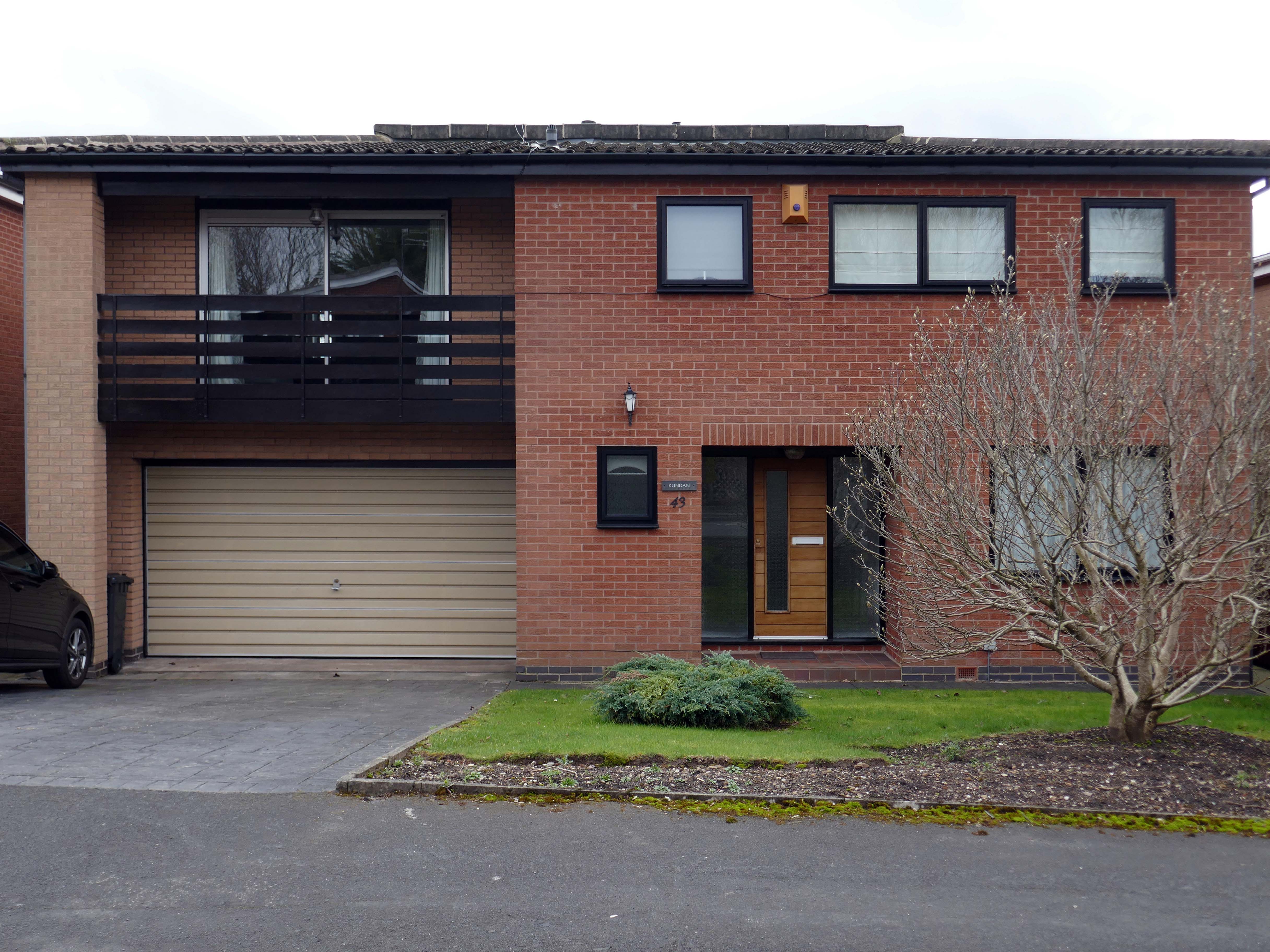
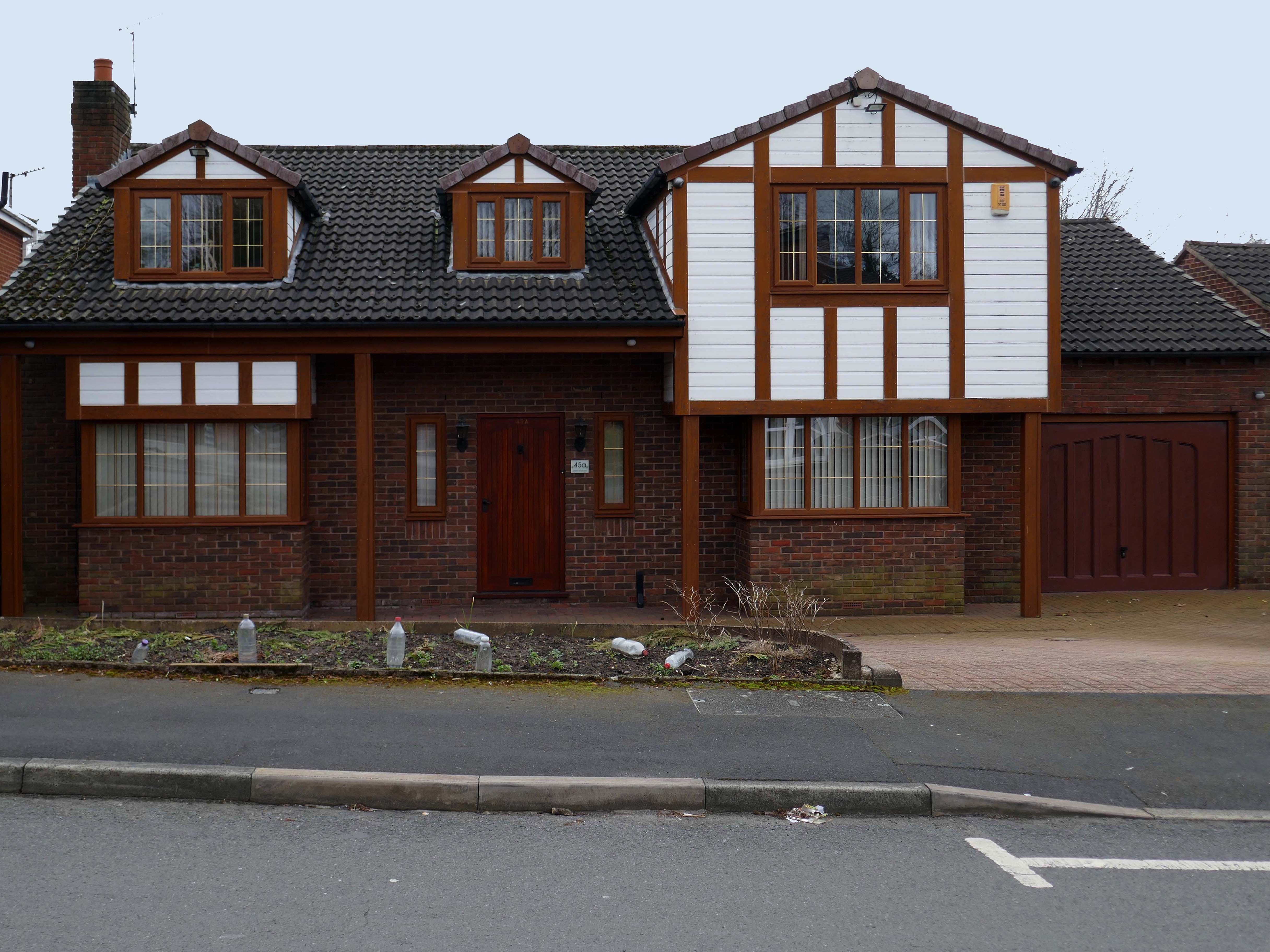
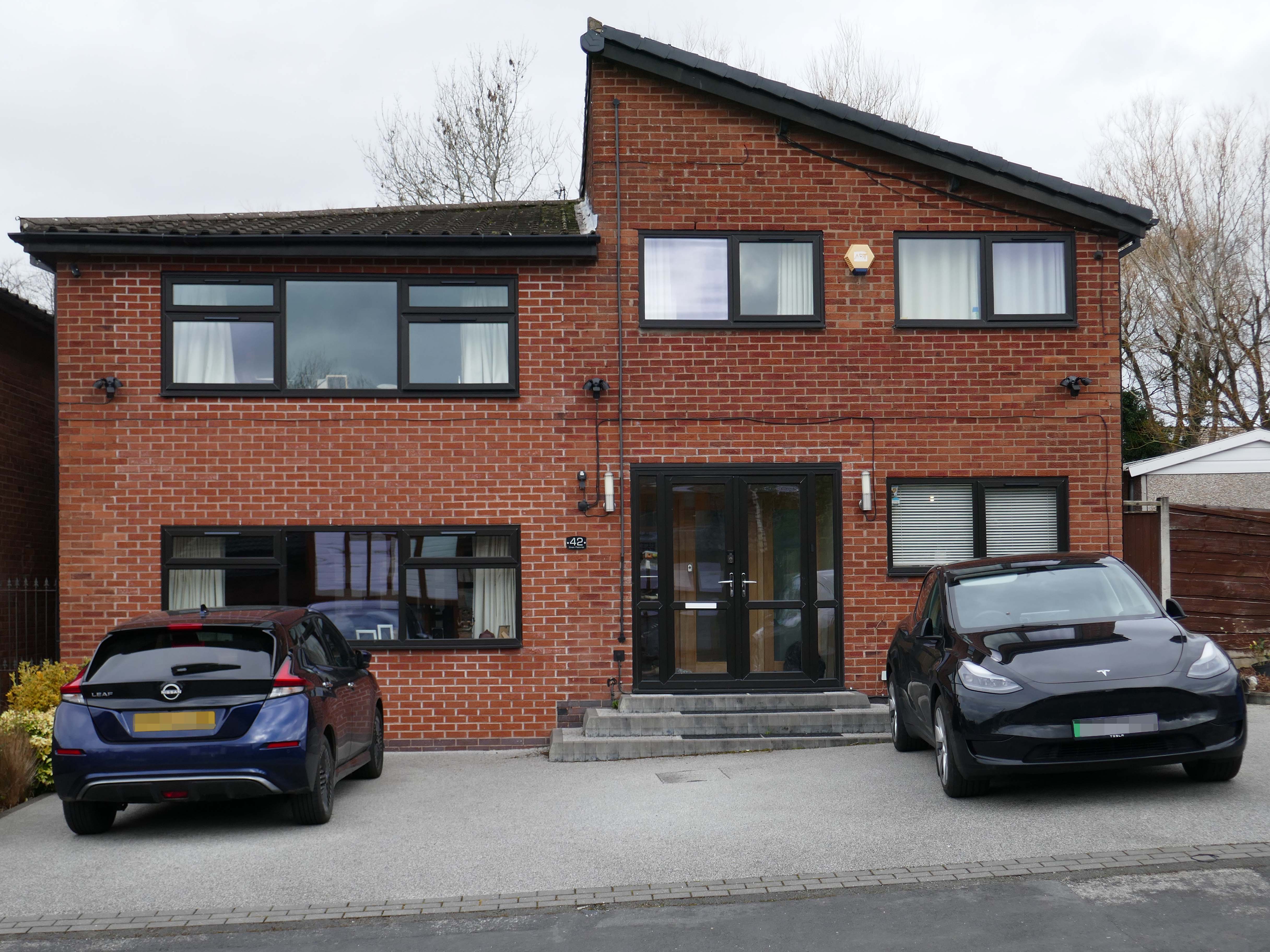
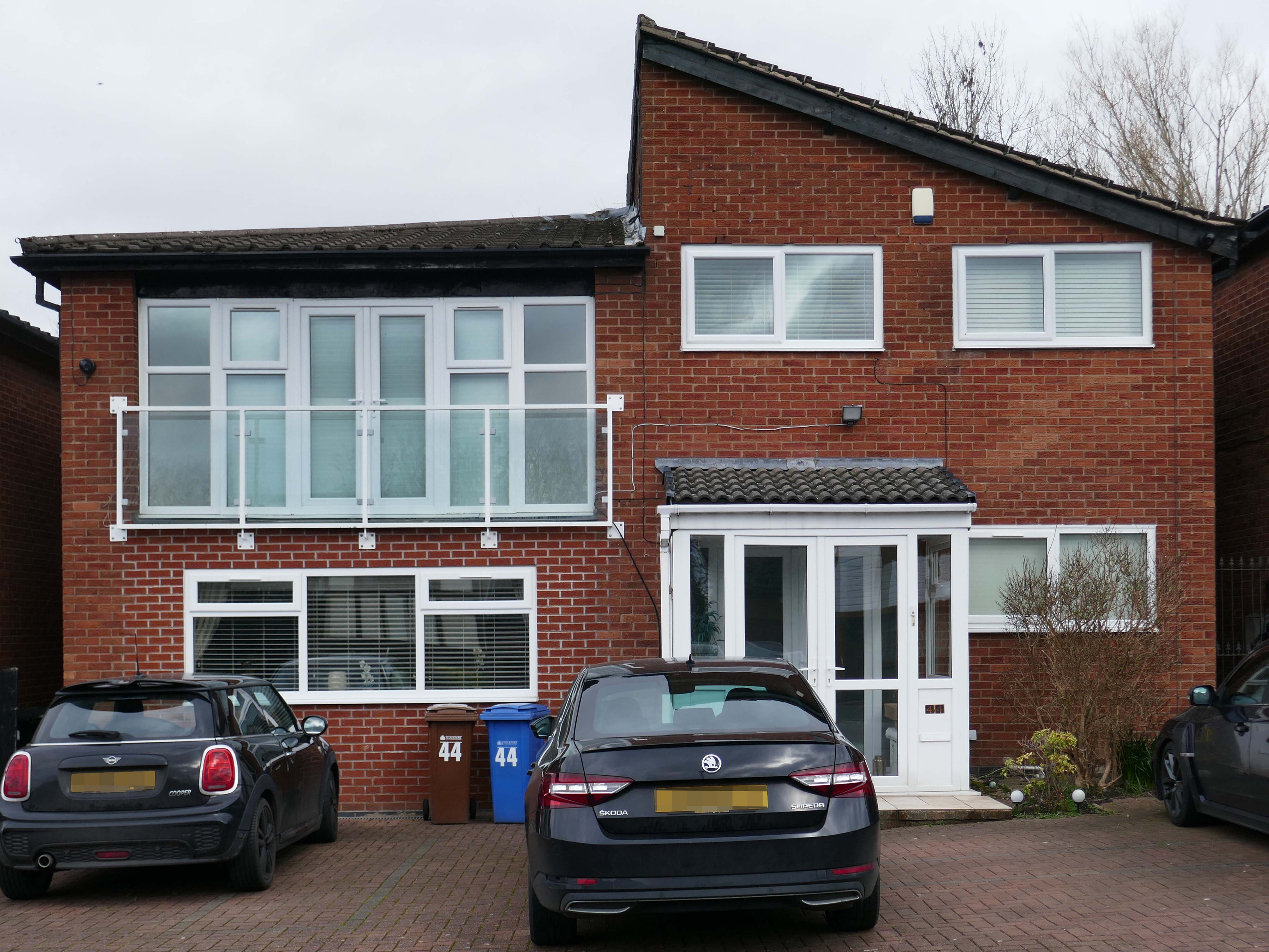
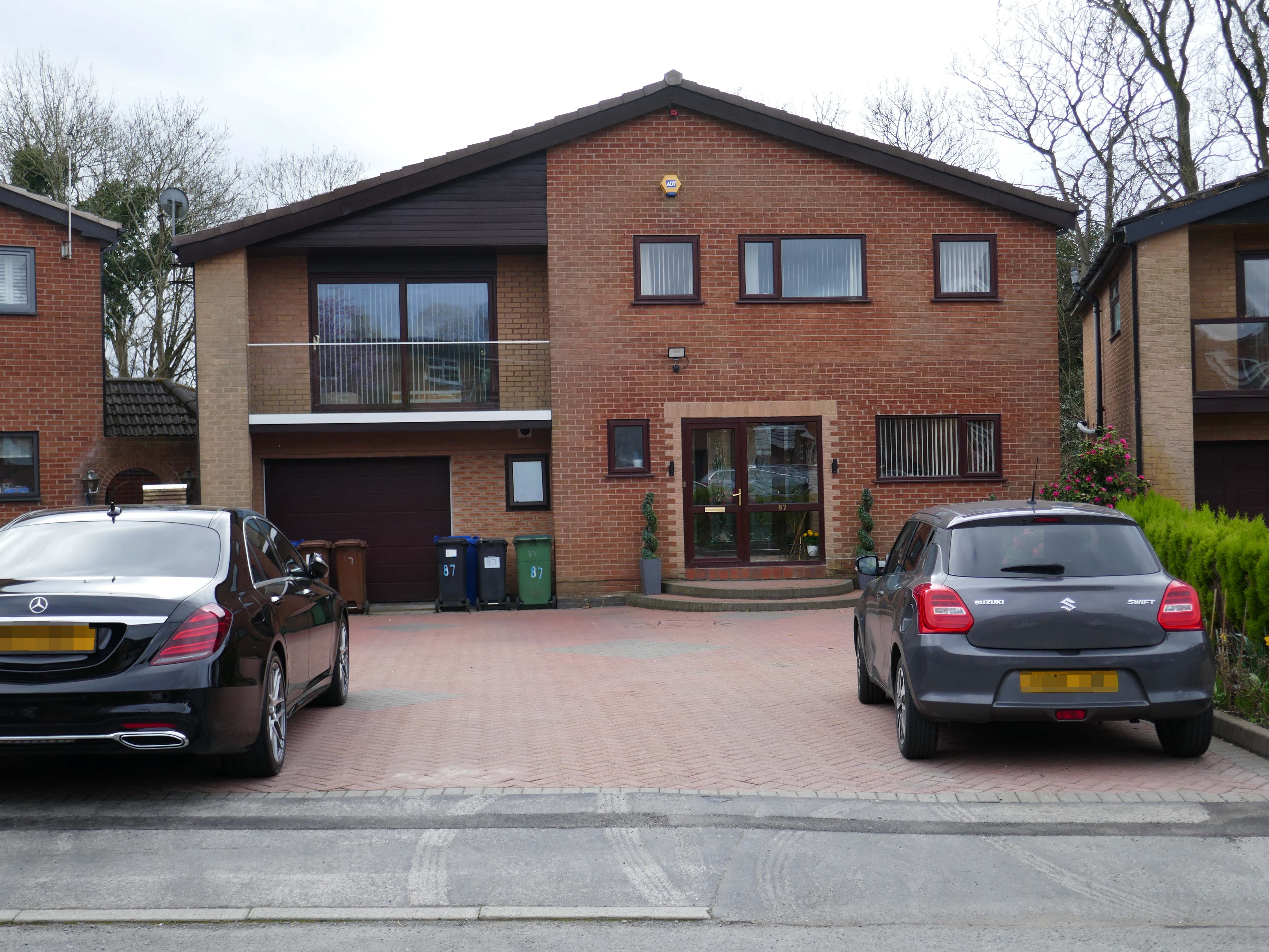
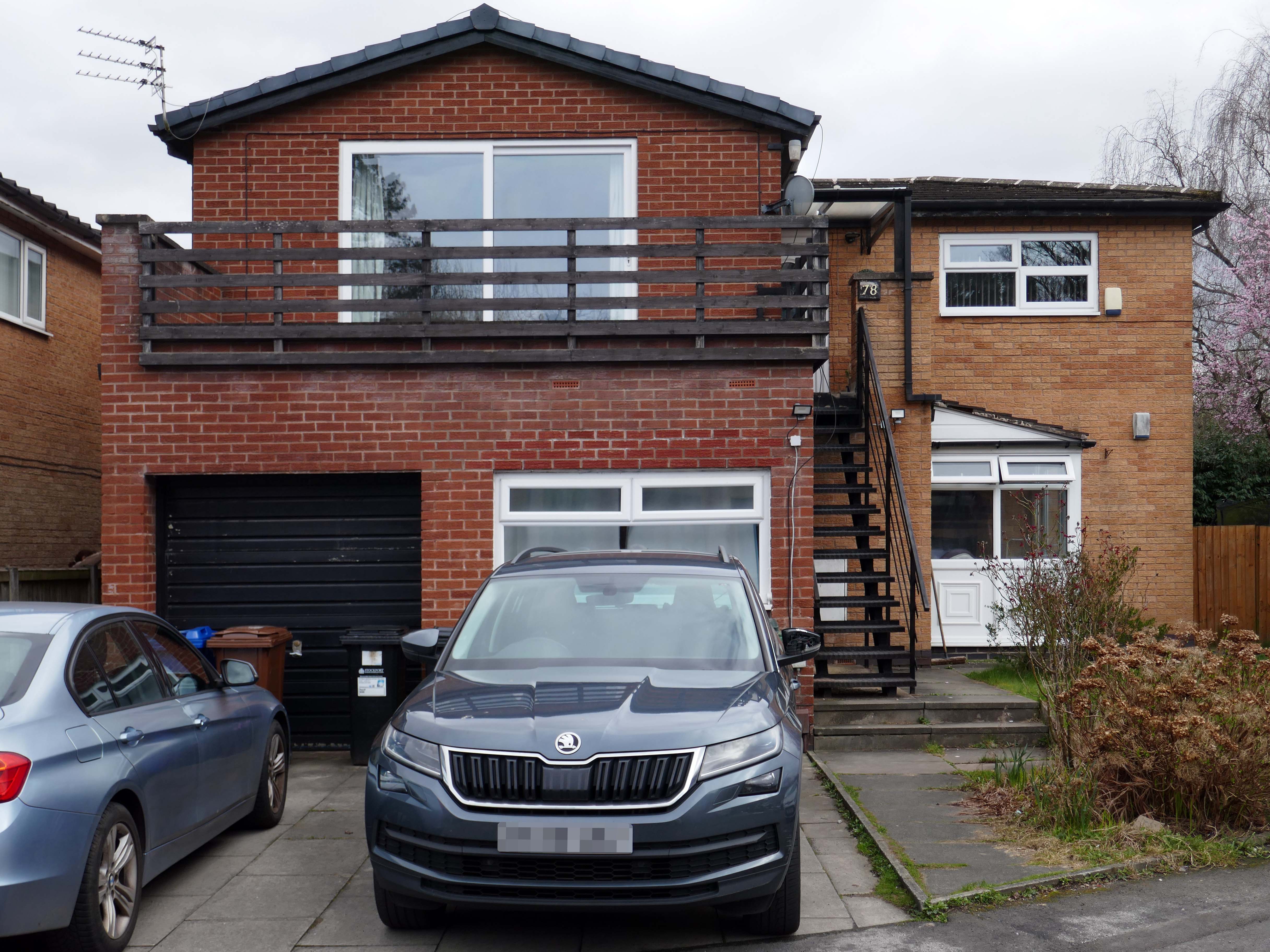
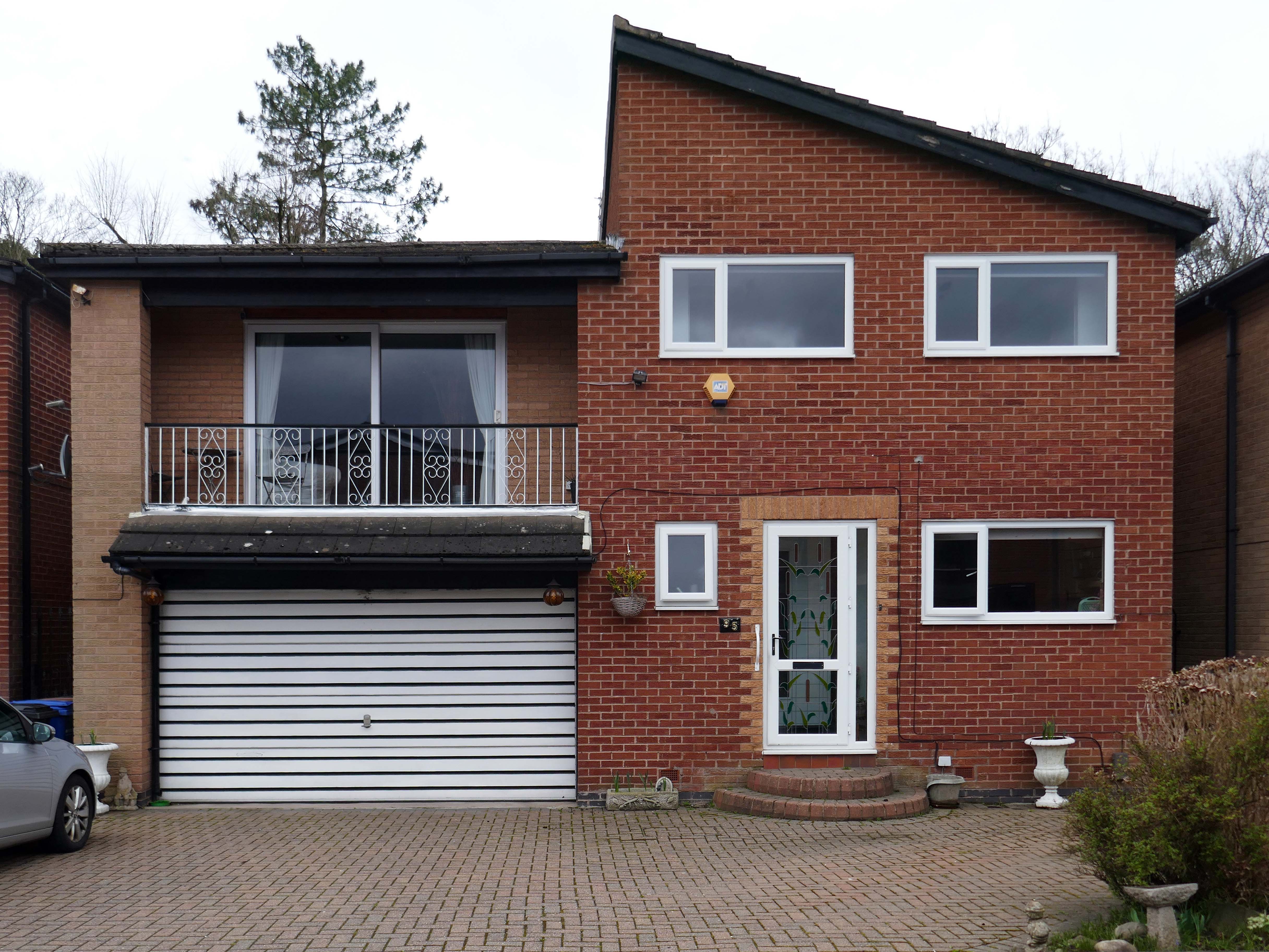
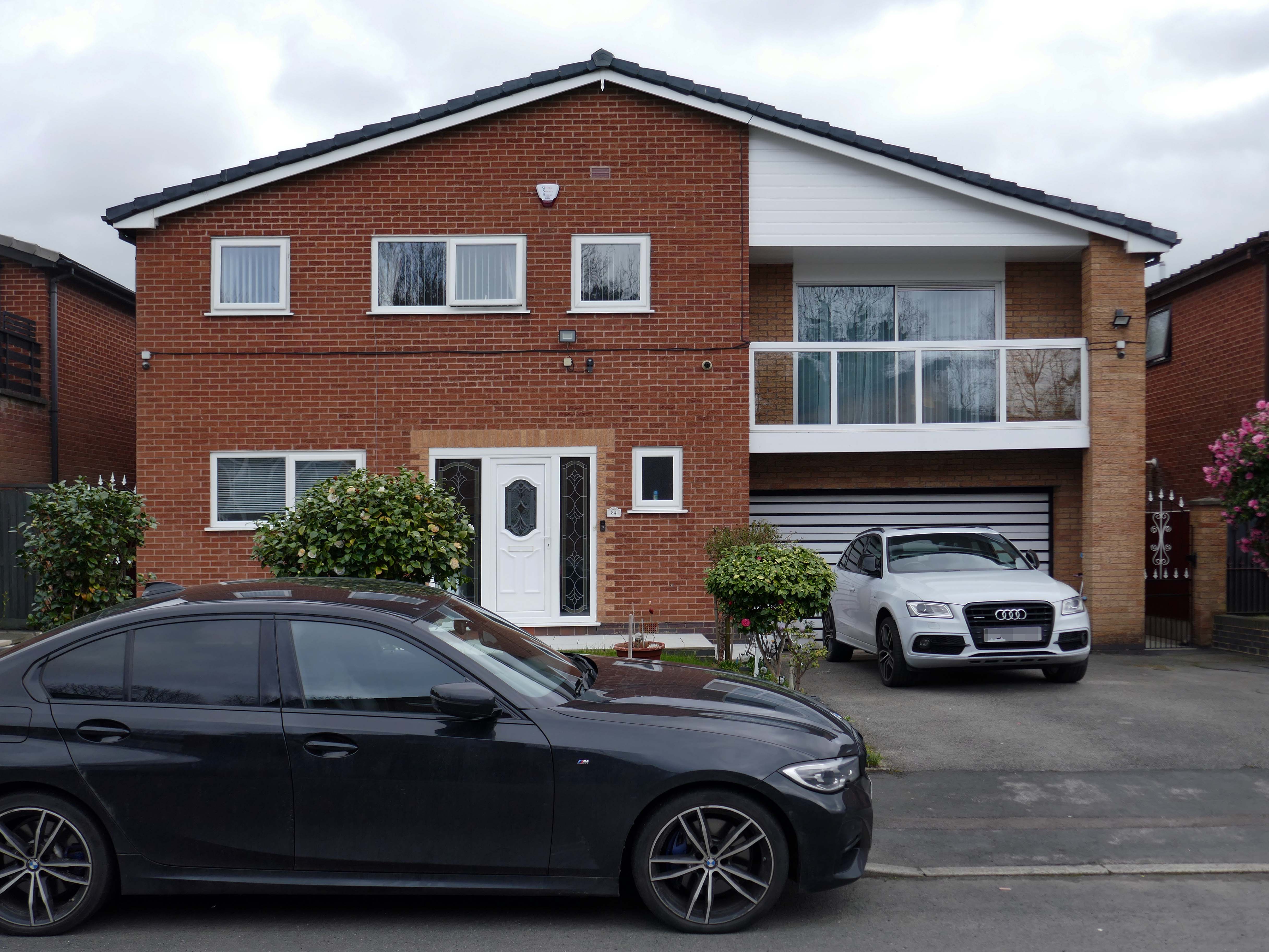
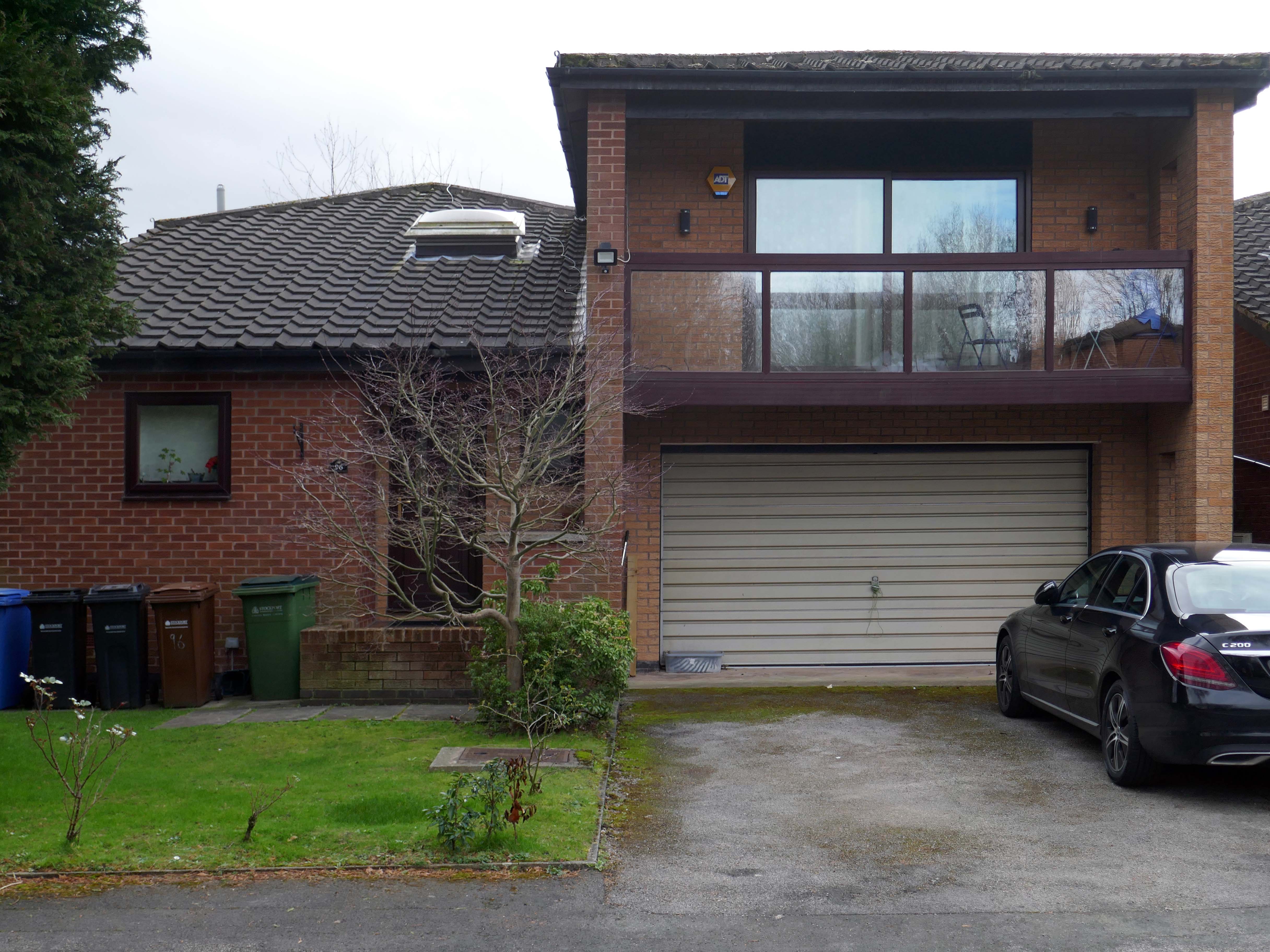
To begin at the middle, the middle of the Twentieth Century, houses may have looked like this:
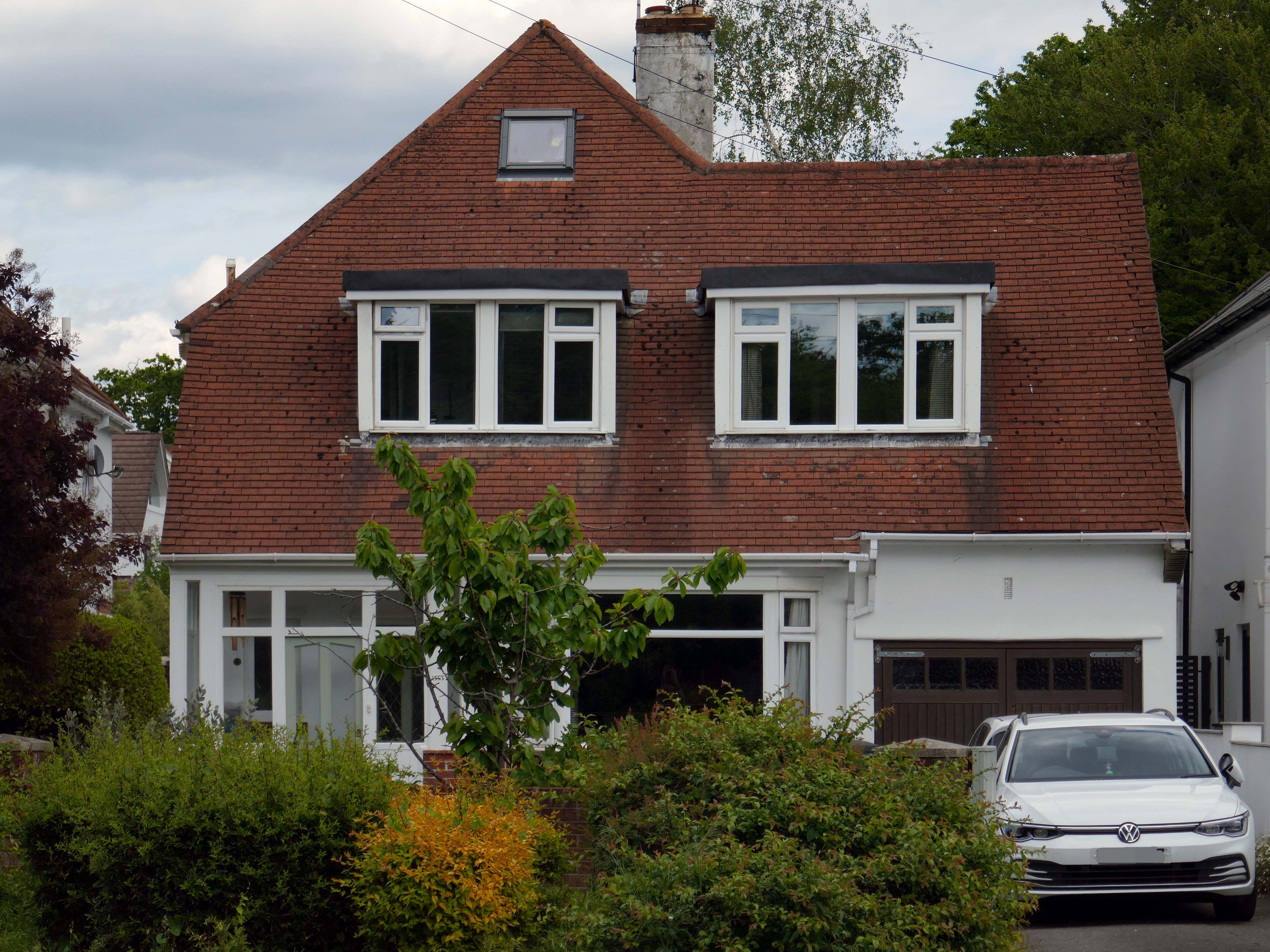
Or possibly these:
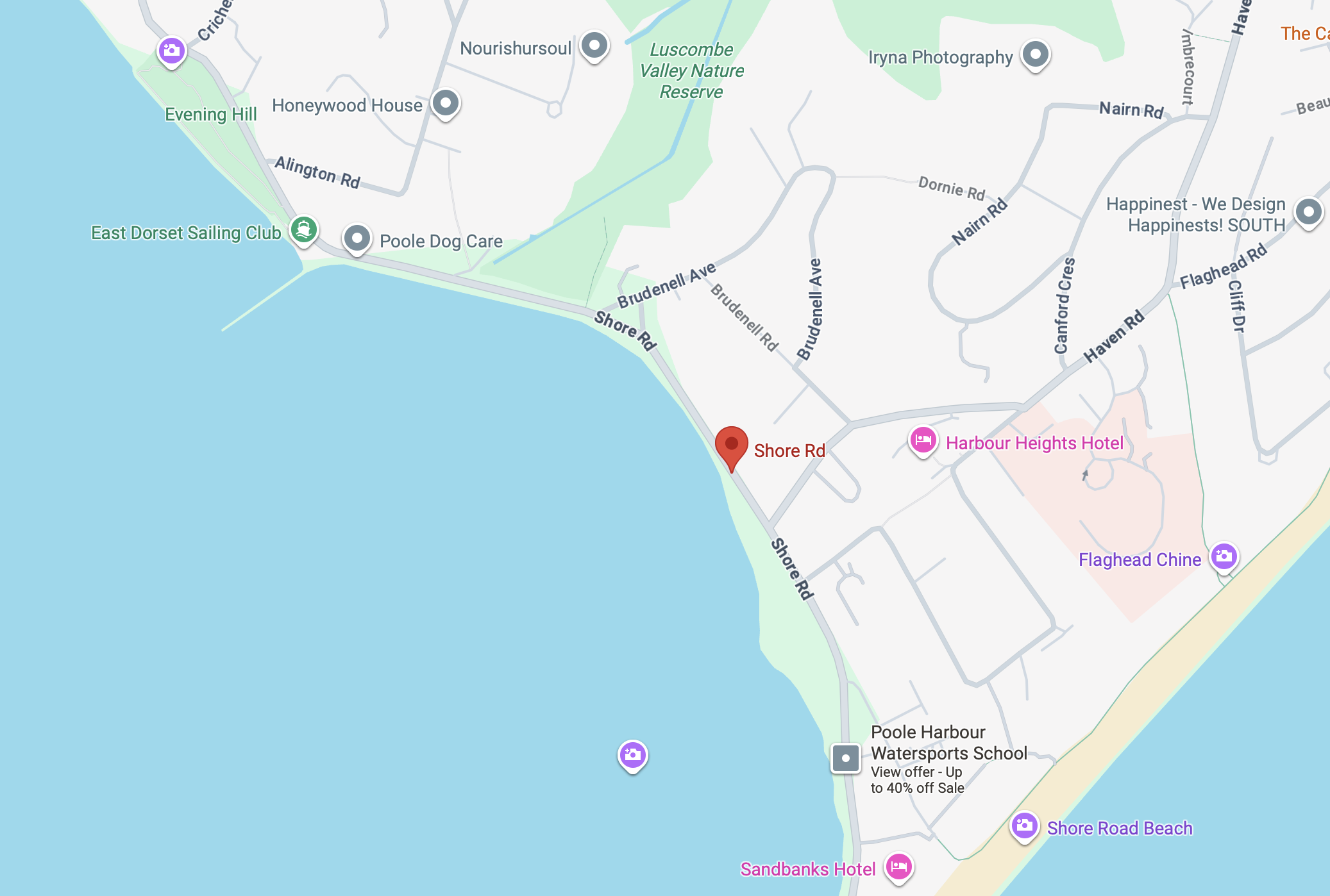
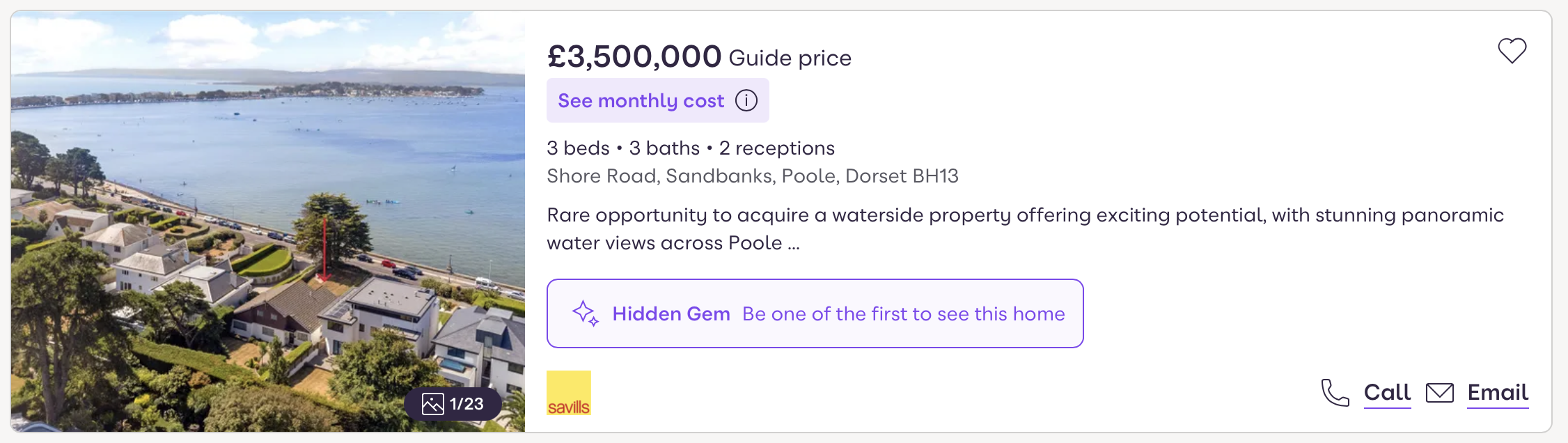
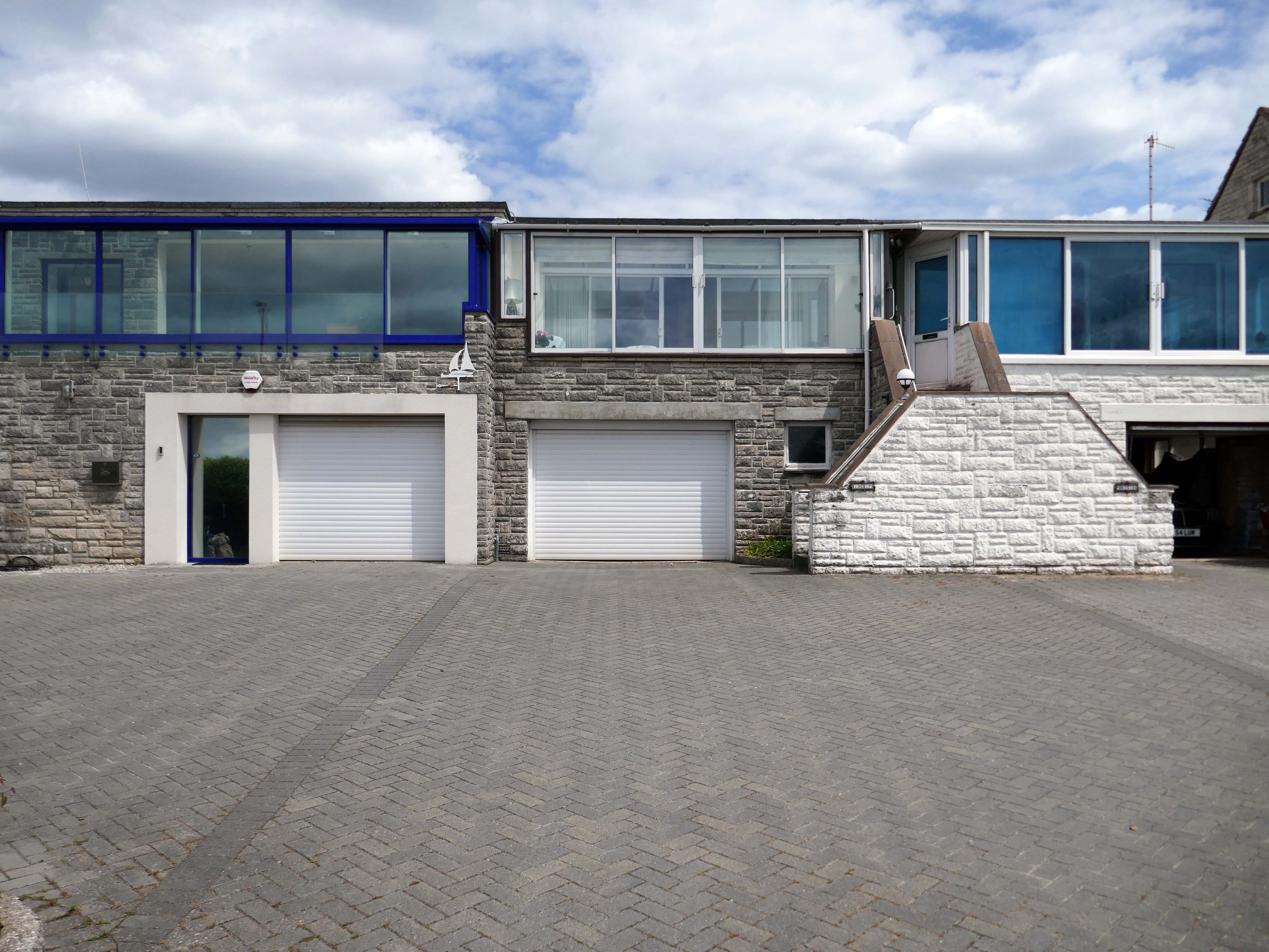
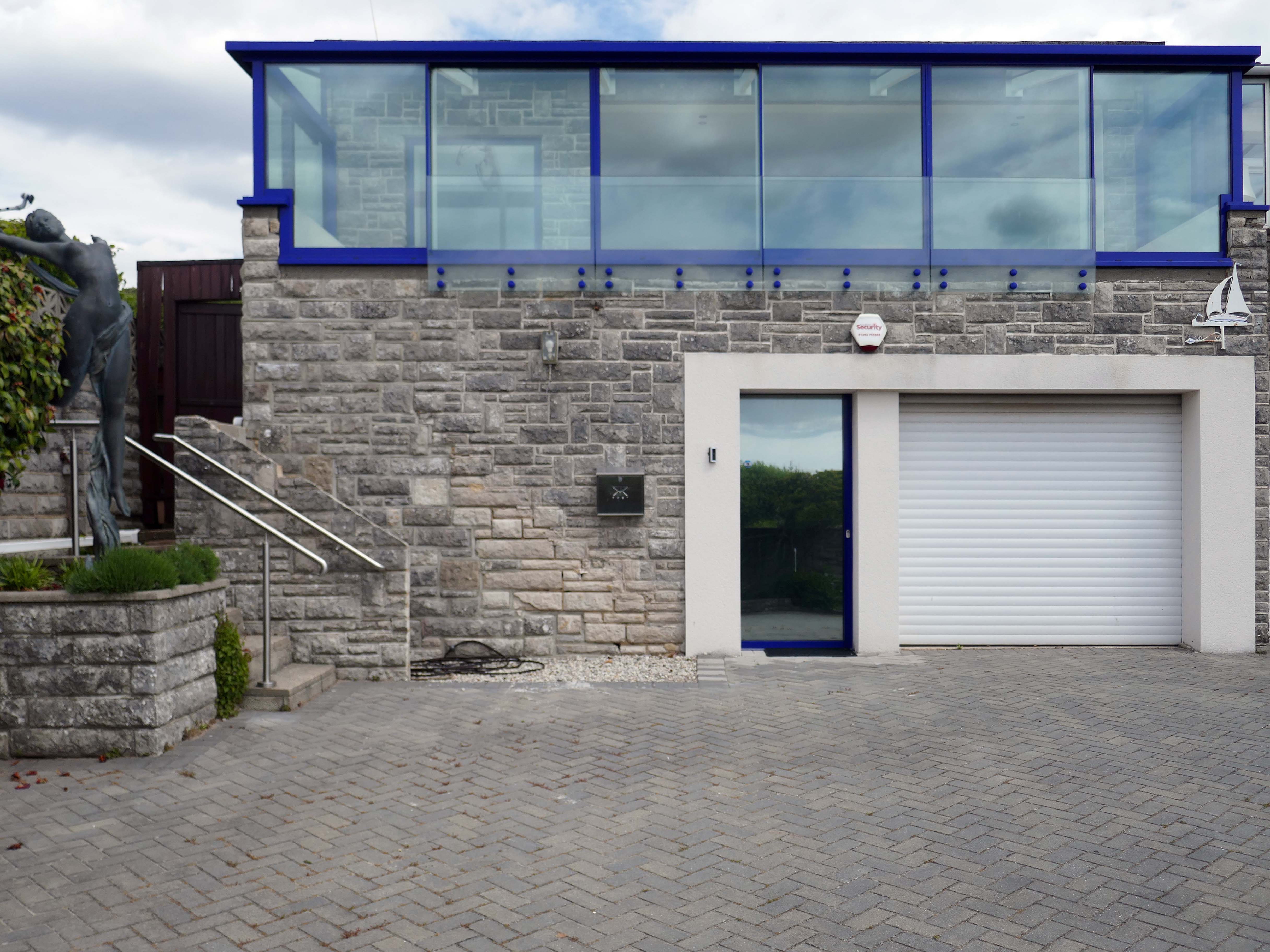
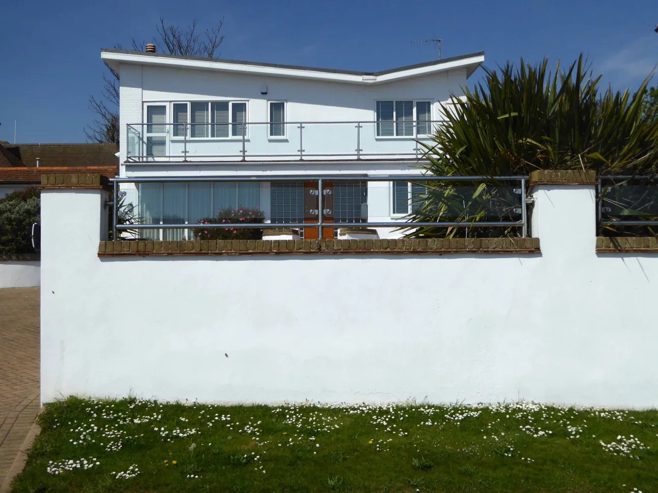
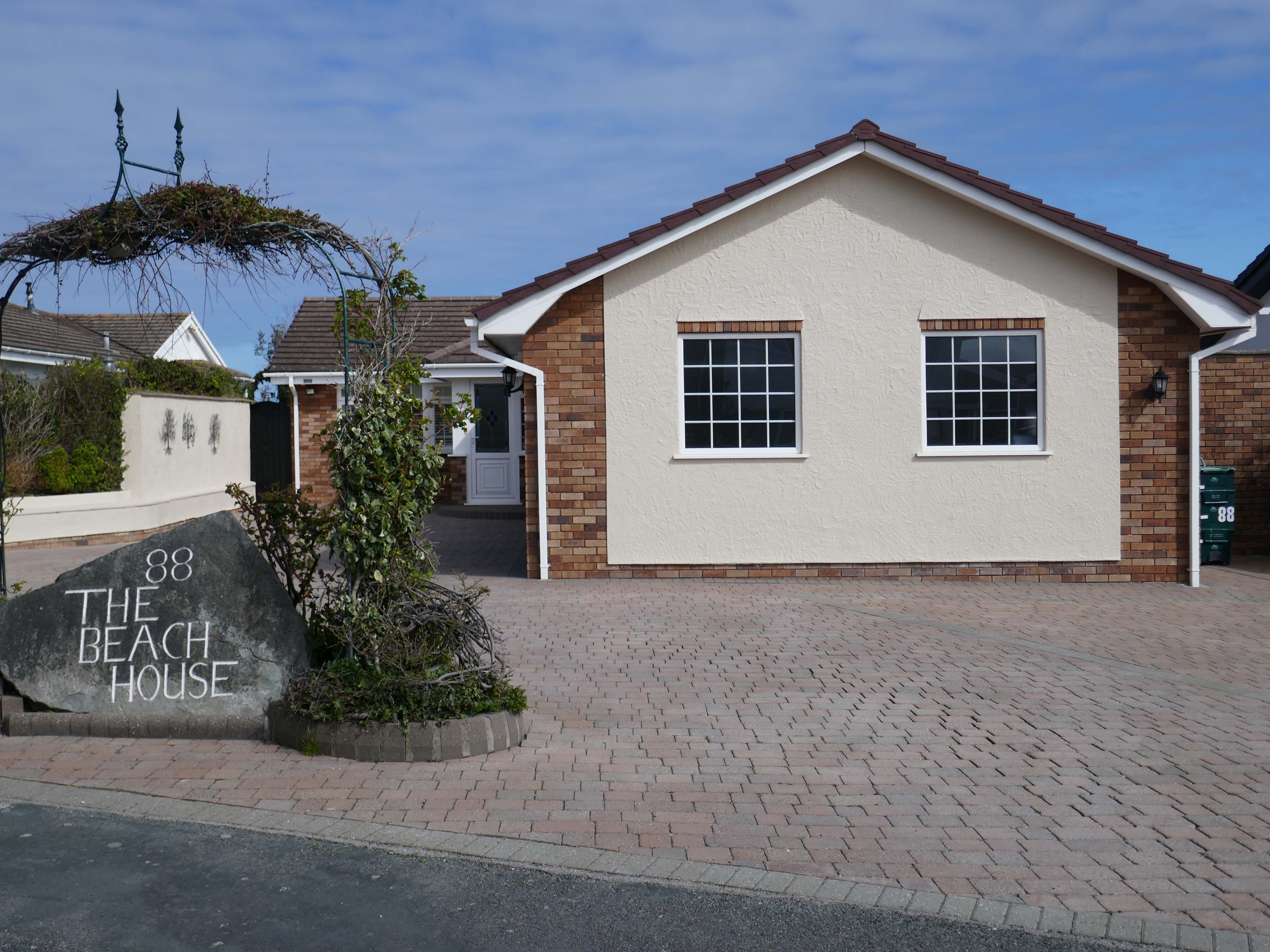
These Shore Road survivors have resisted the charm of redevelopment, the demolition and new build, or the uPVC over cladding, relentless render or reglaze.
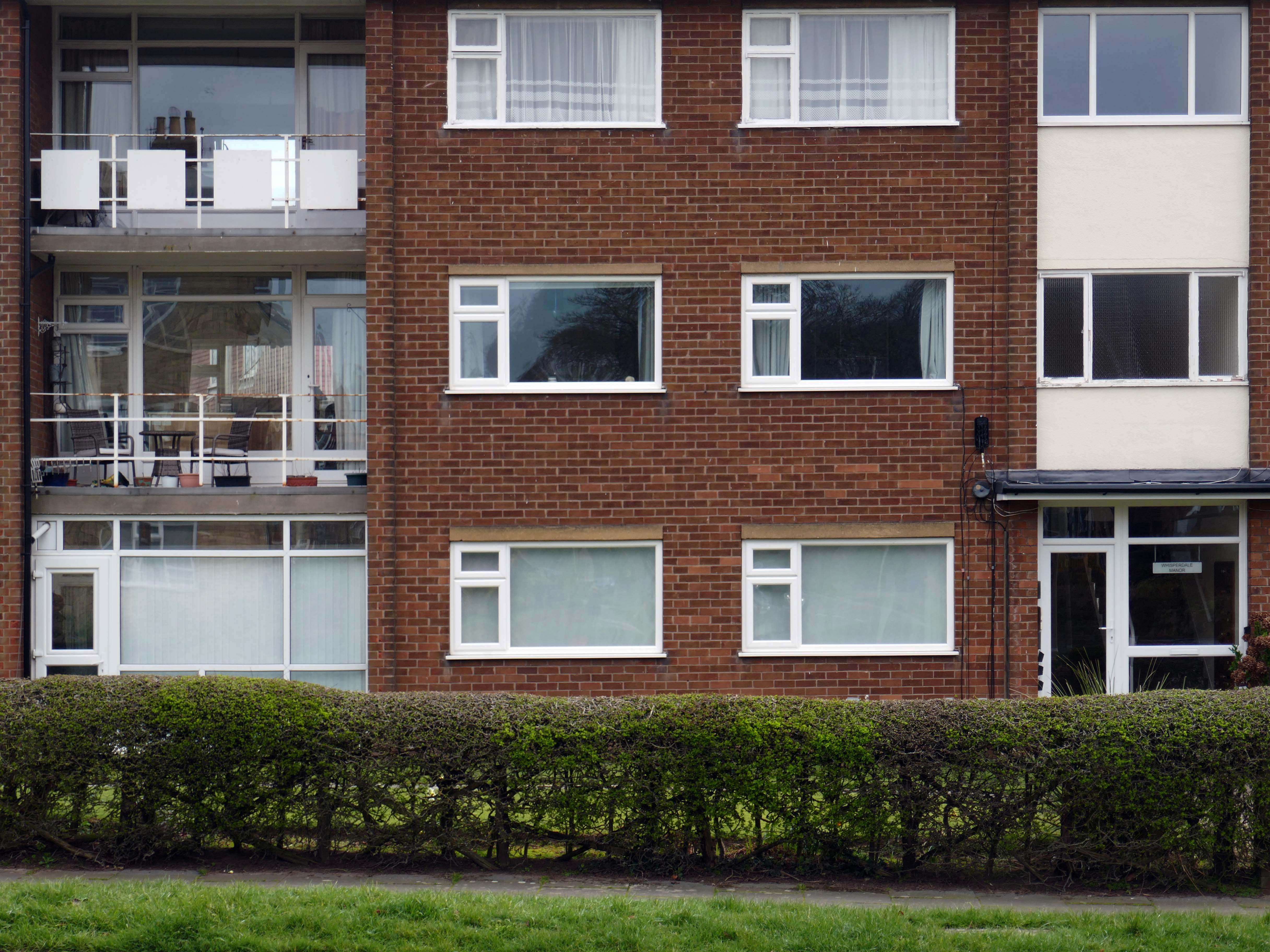
So what happened to houses that look like houses?
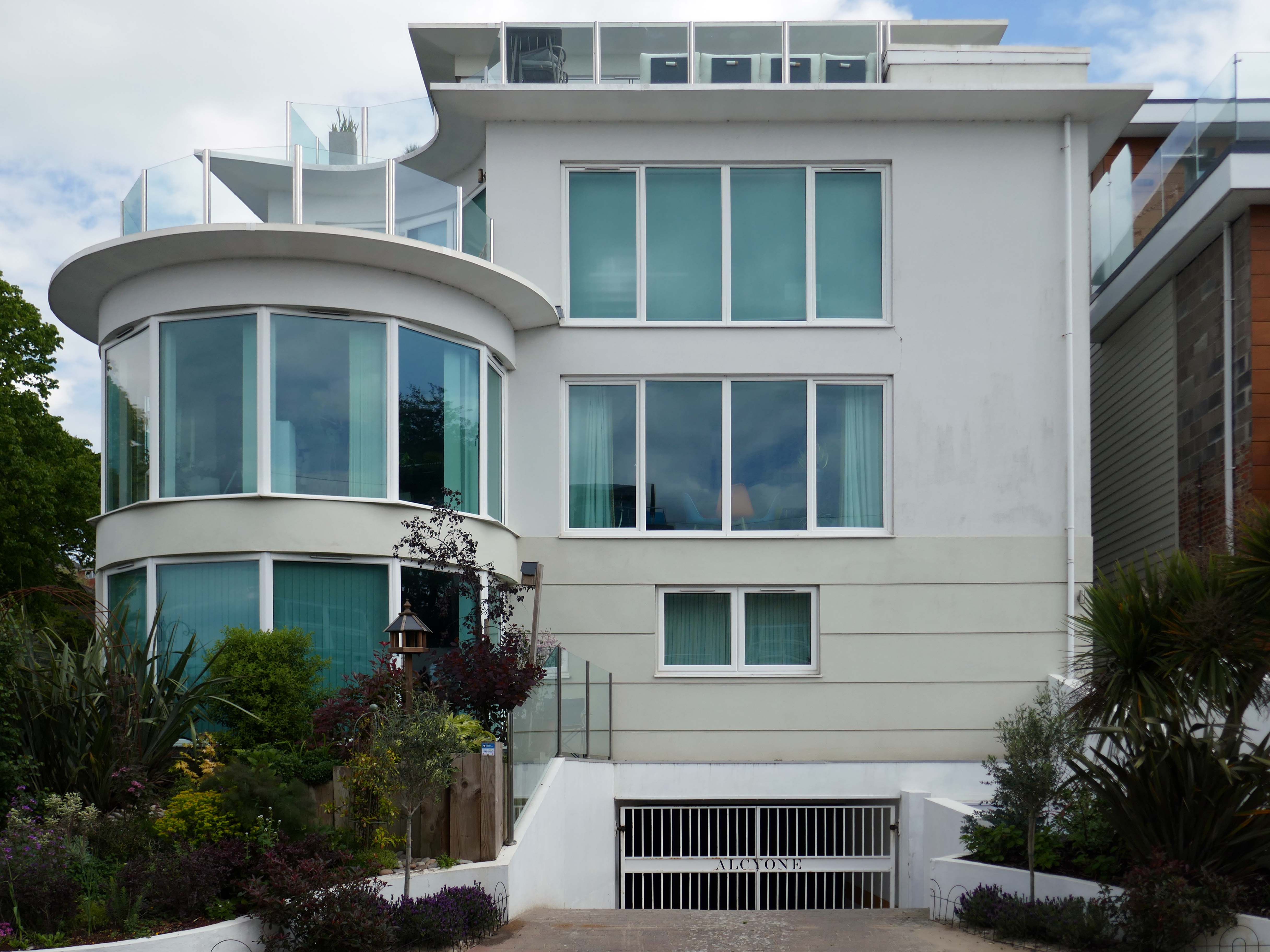
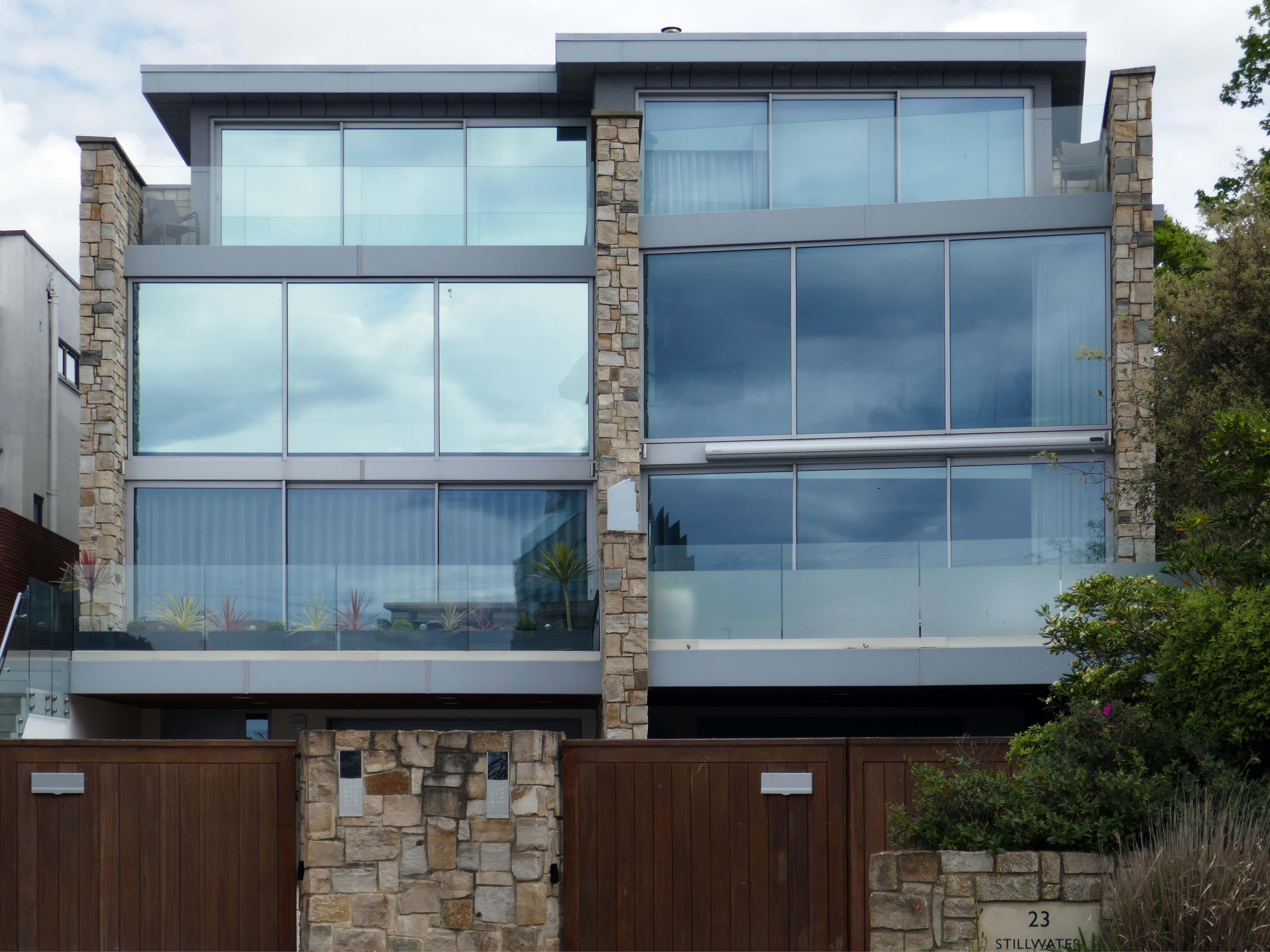
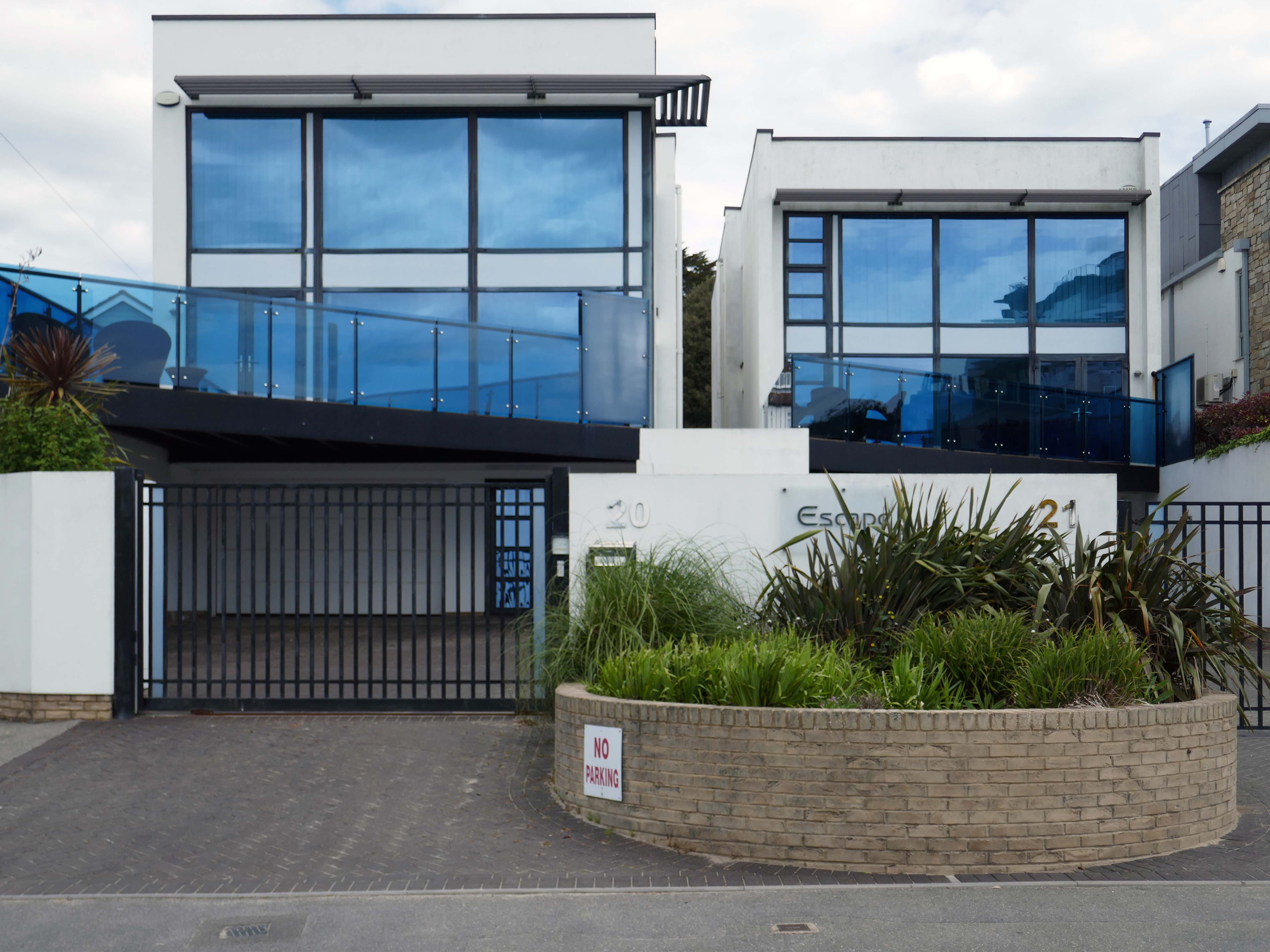
This upwardly mobile trend, fuelled by the rakish progress on the so called property ladder, fanned by 80’s Thatcherite tax cuts, and the ever so irresistible allure of conspicuous consumption.
Architectural historian Virginia Savage McAlester, coined the term Millennium Mansion, though these houses are also referred to as a McMansion, Persian Palace, Garage Mahal, Starter Castle, and Hummer House.
Marketing parlance often uses the term tract mansions or executive homes.
Let’s take a closer look at the look of luxury, is it playful and witty pastiche or Post Modern mumbo jumbo – un repas de chien.
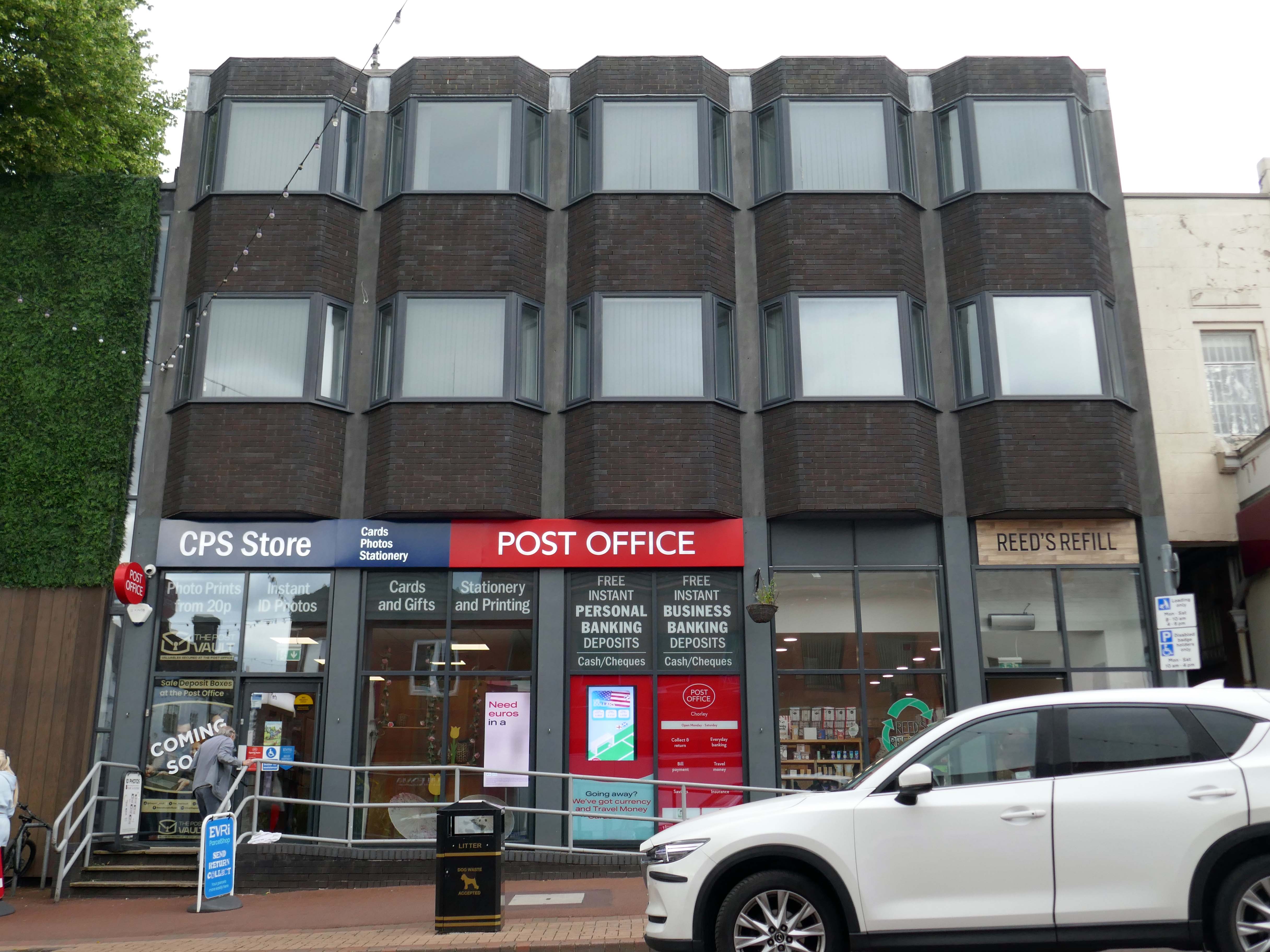
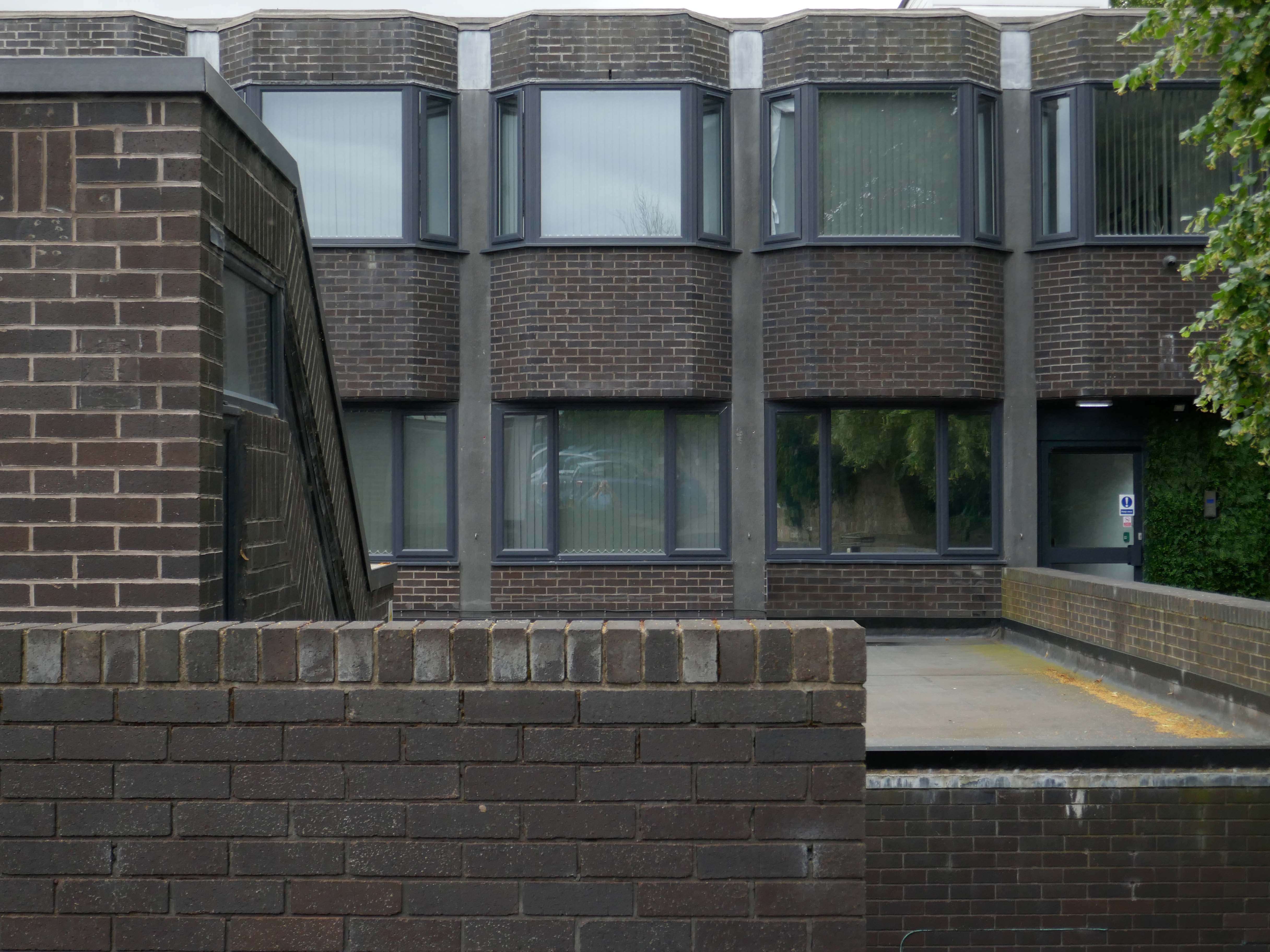
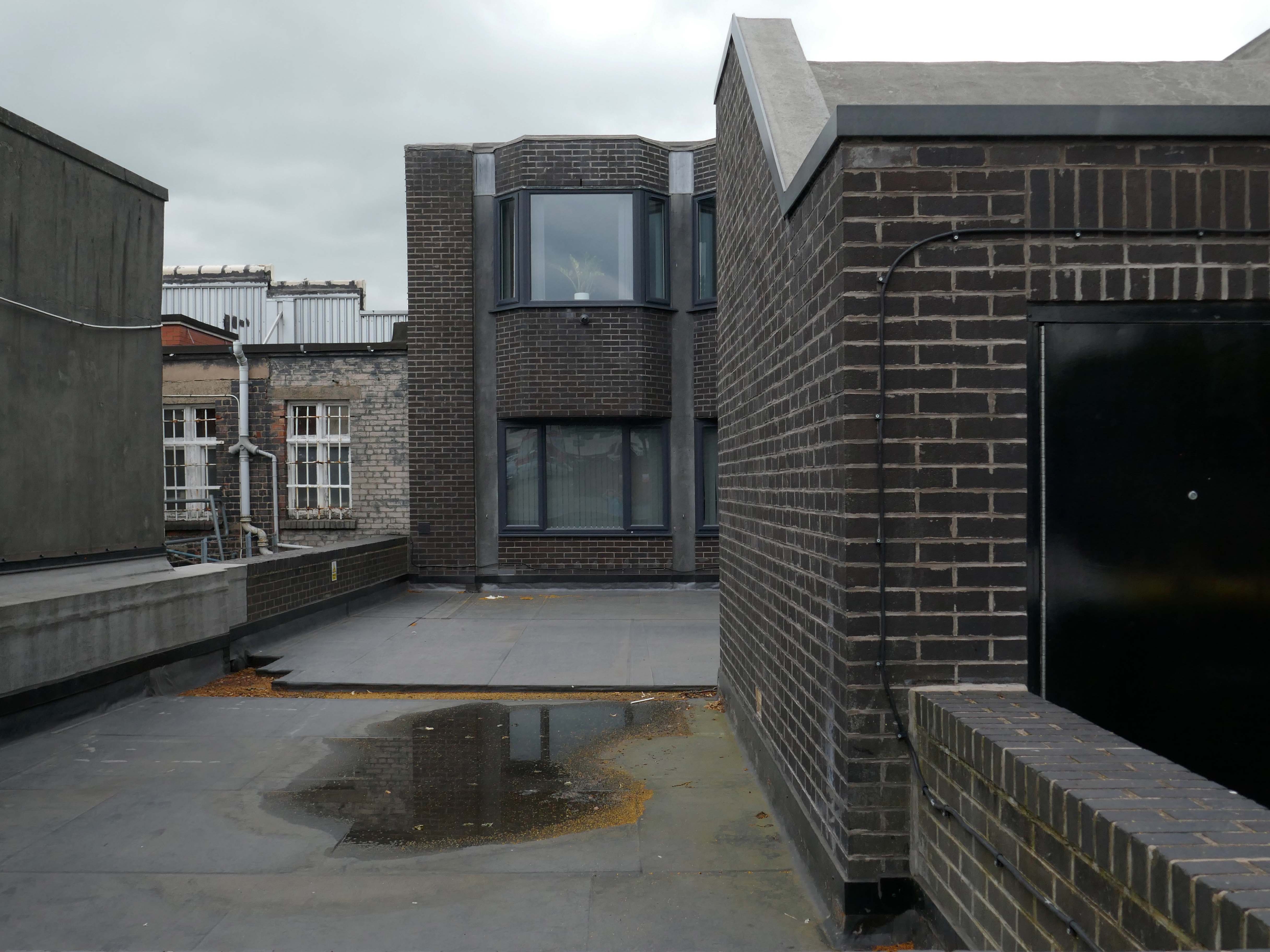
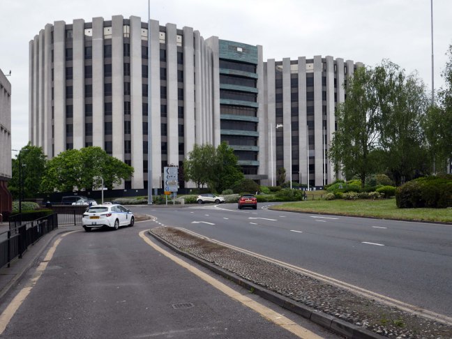
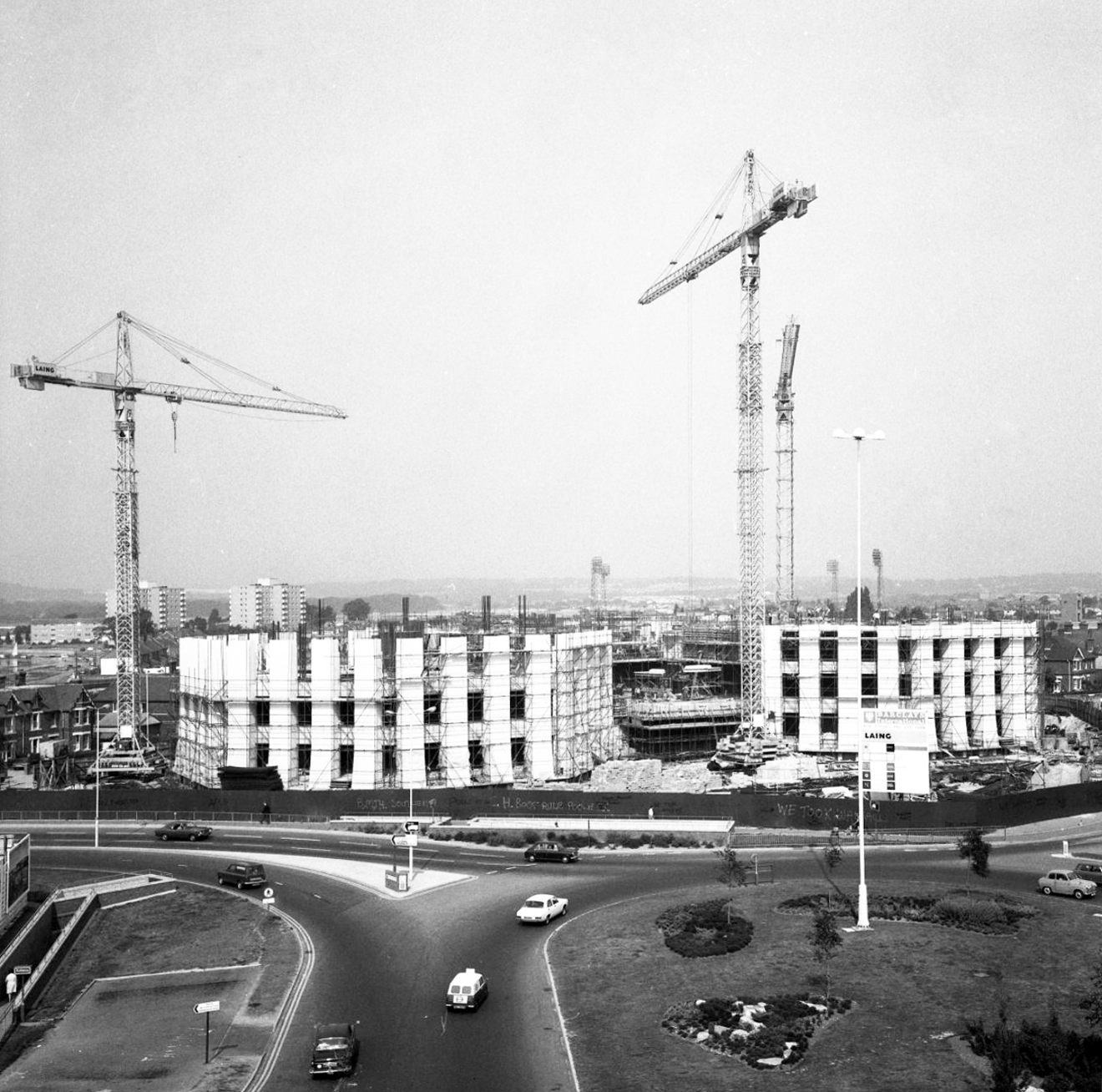
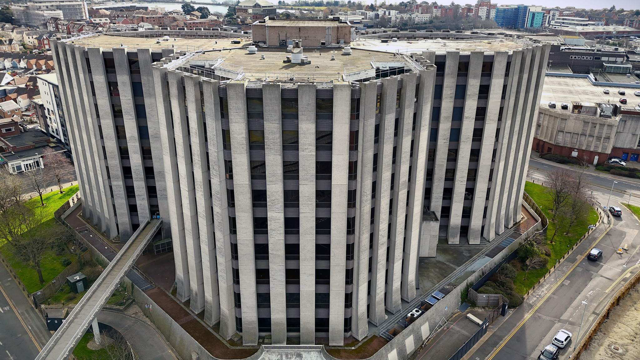
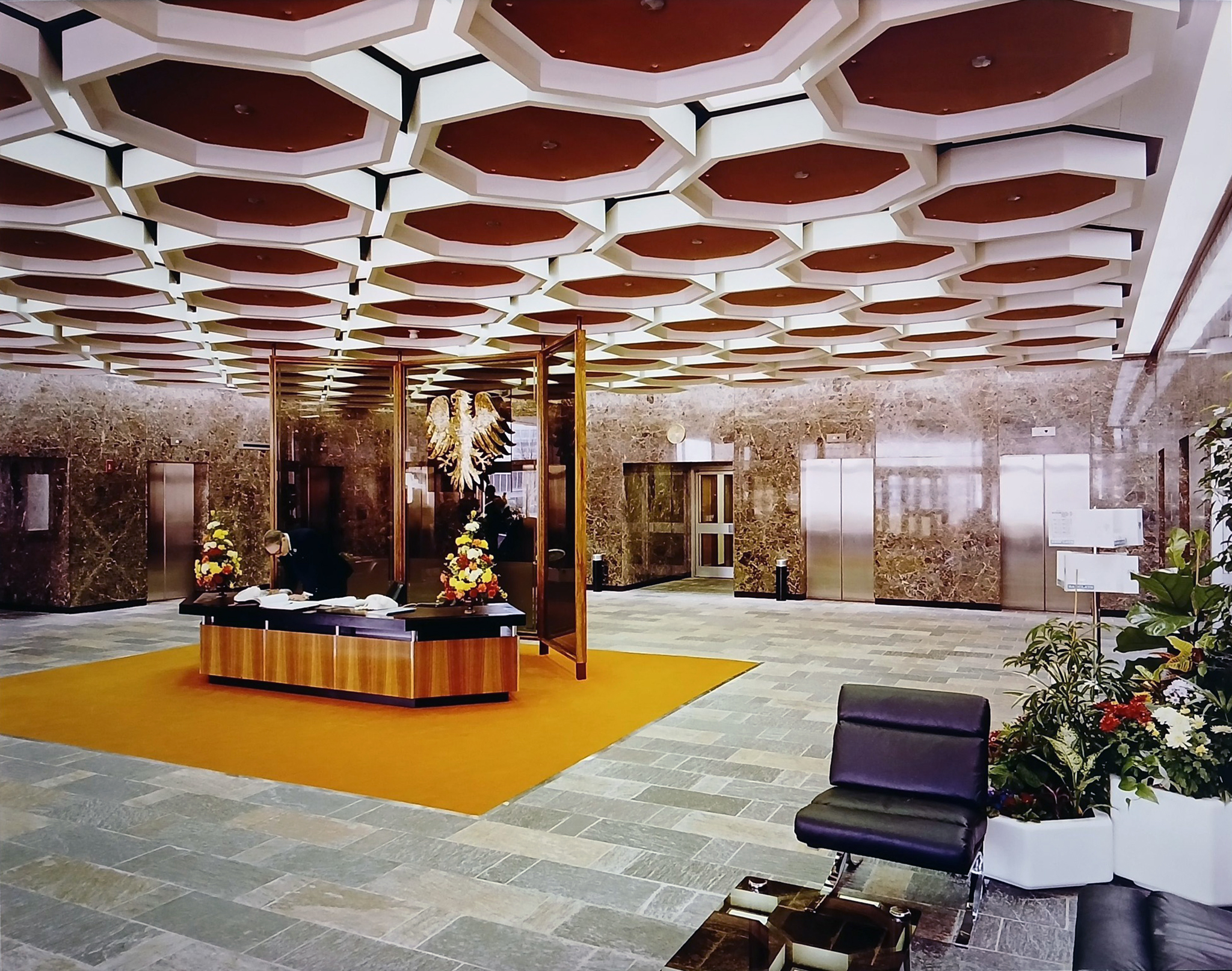
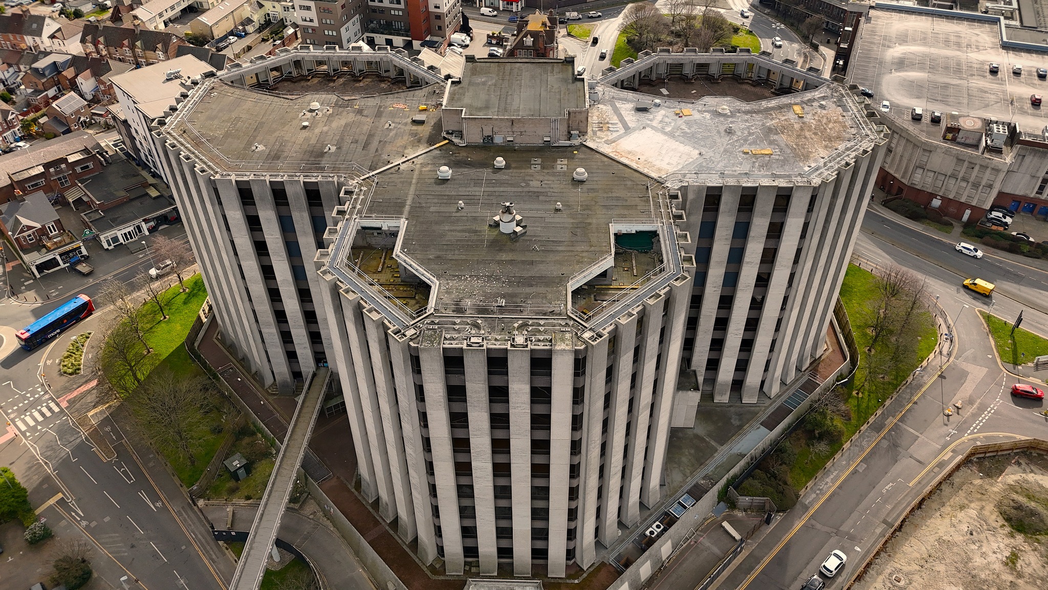
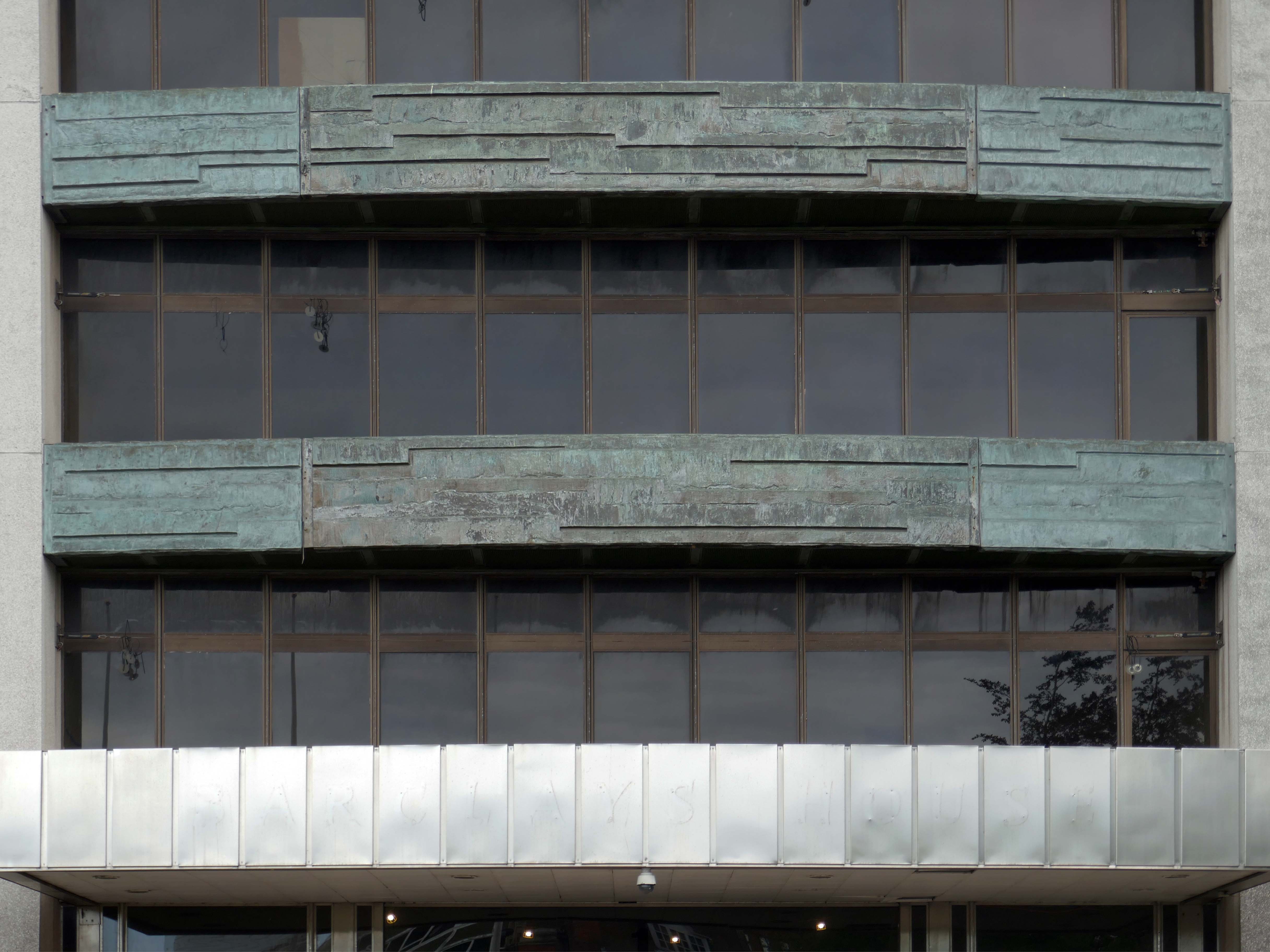
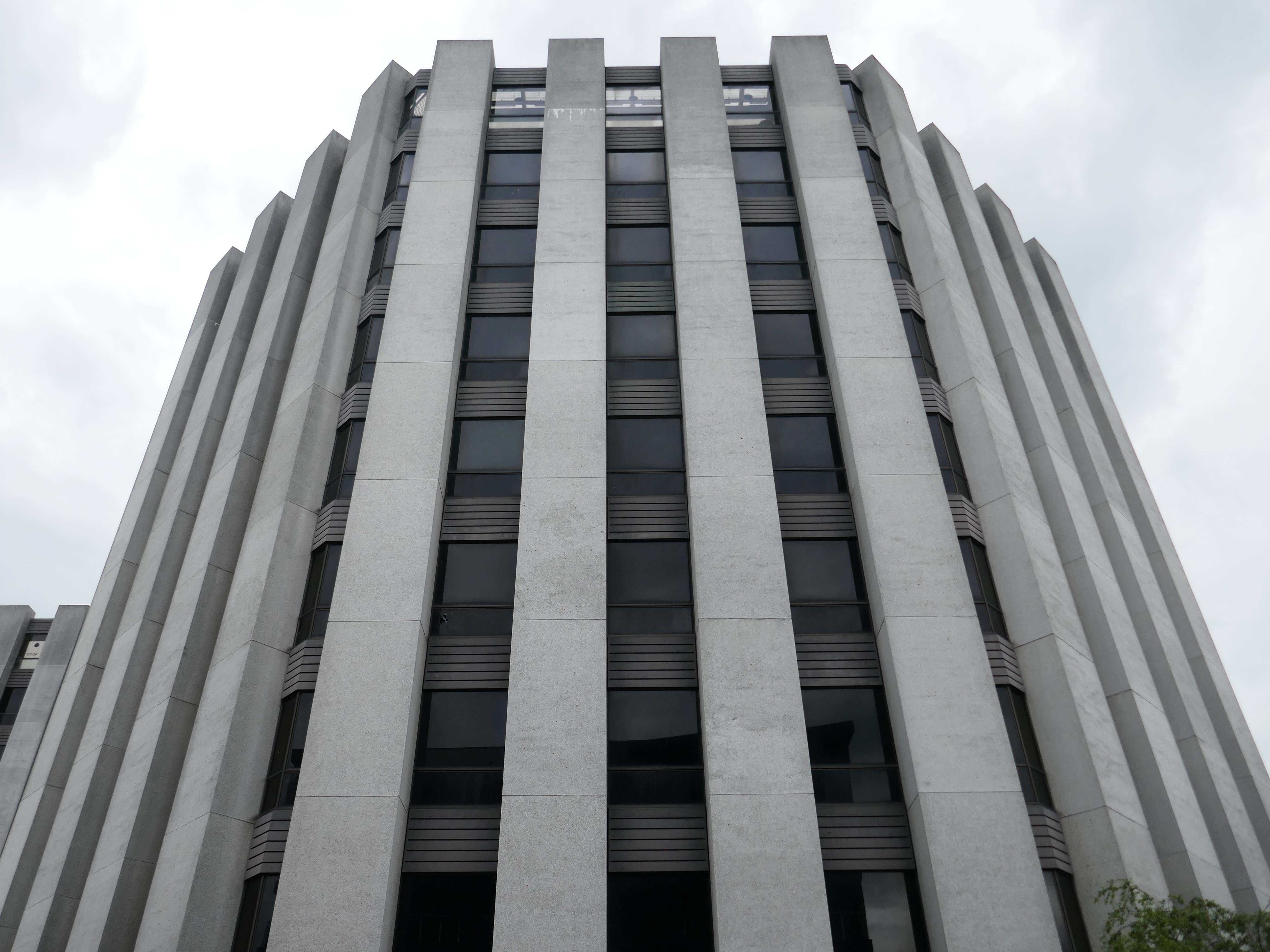
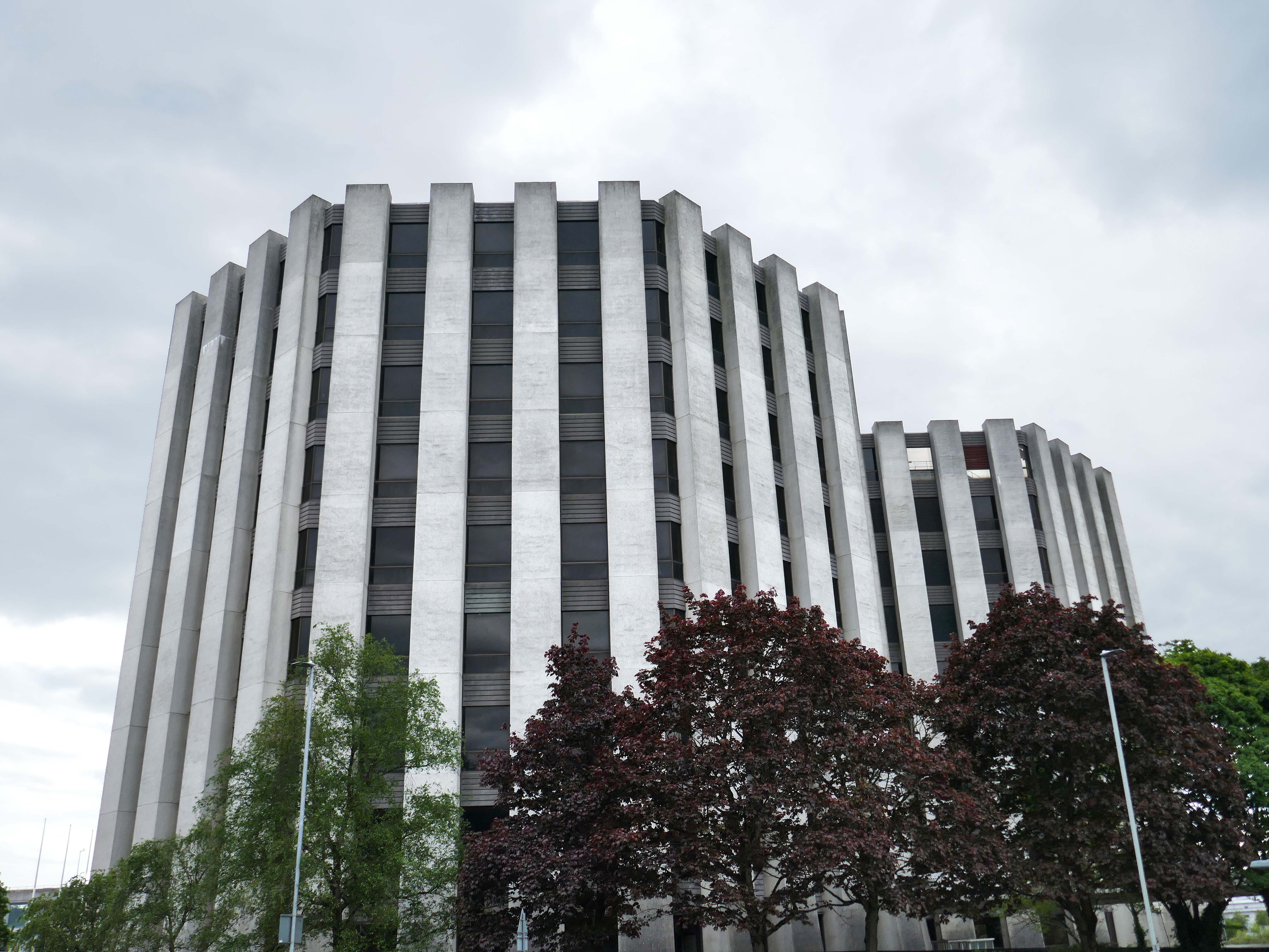
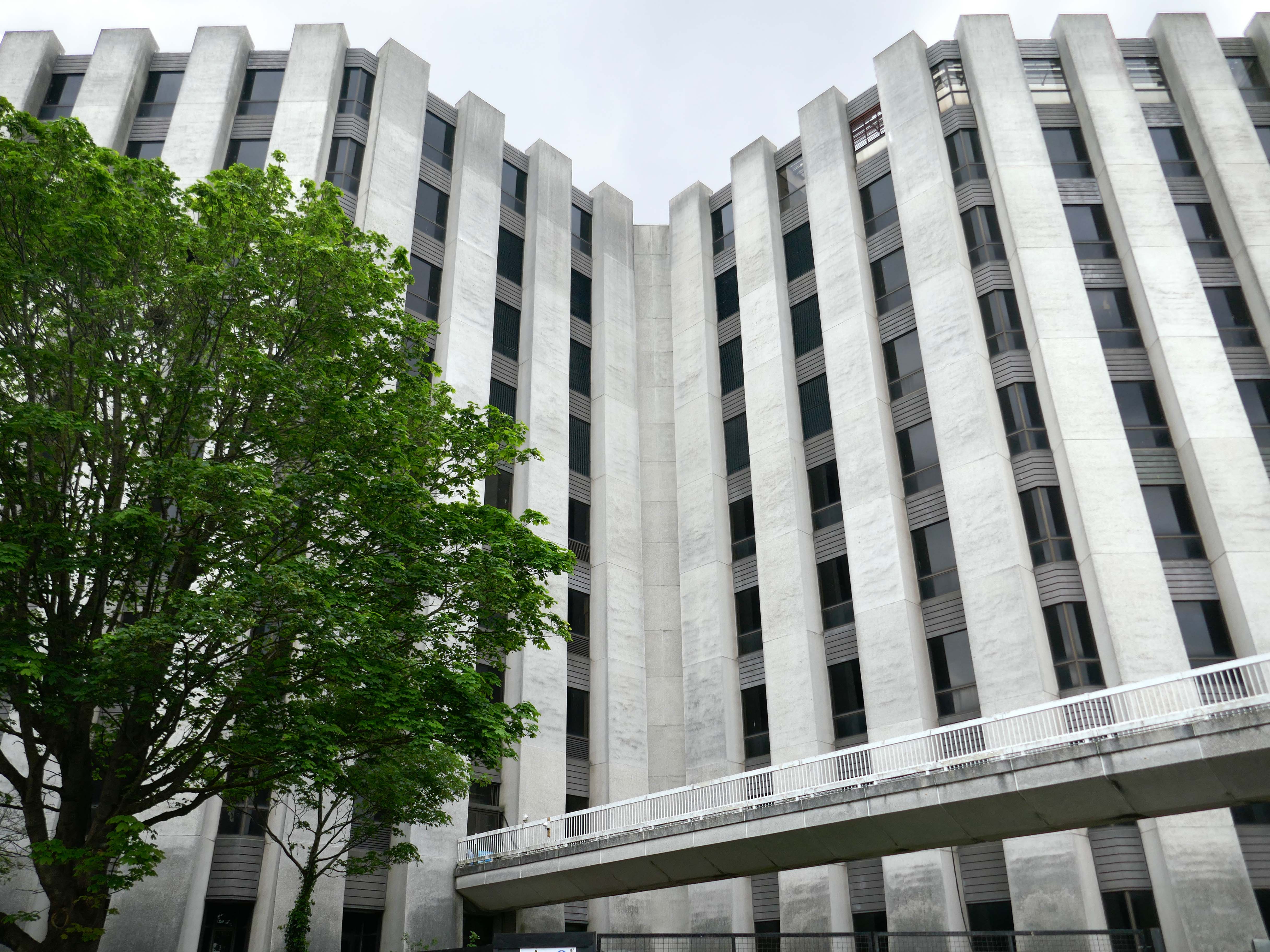
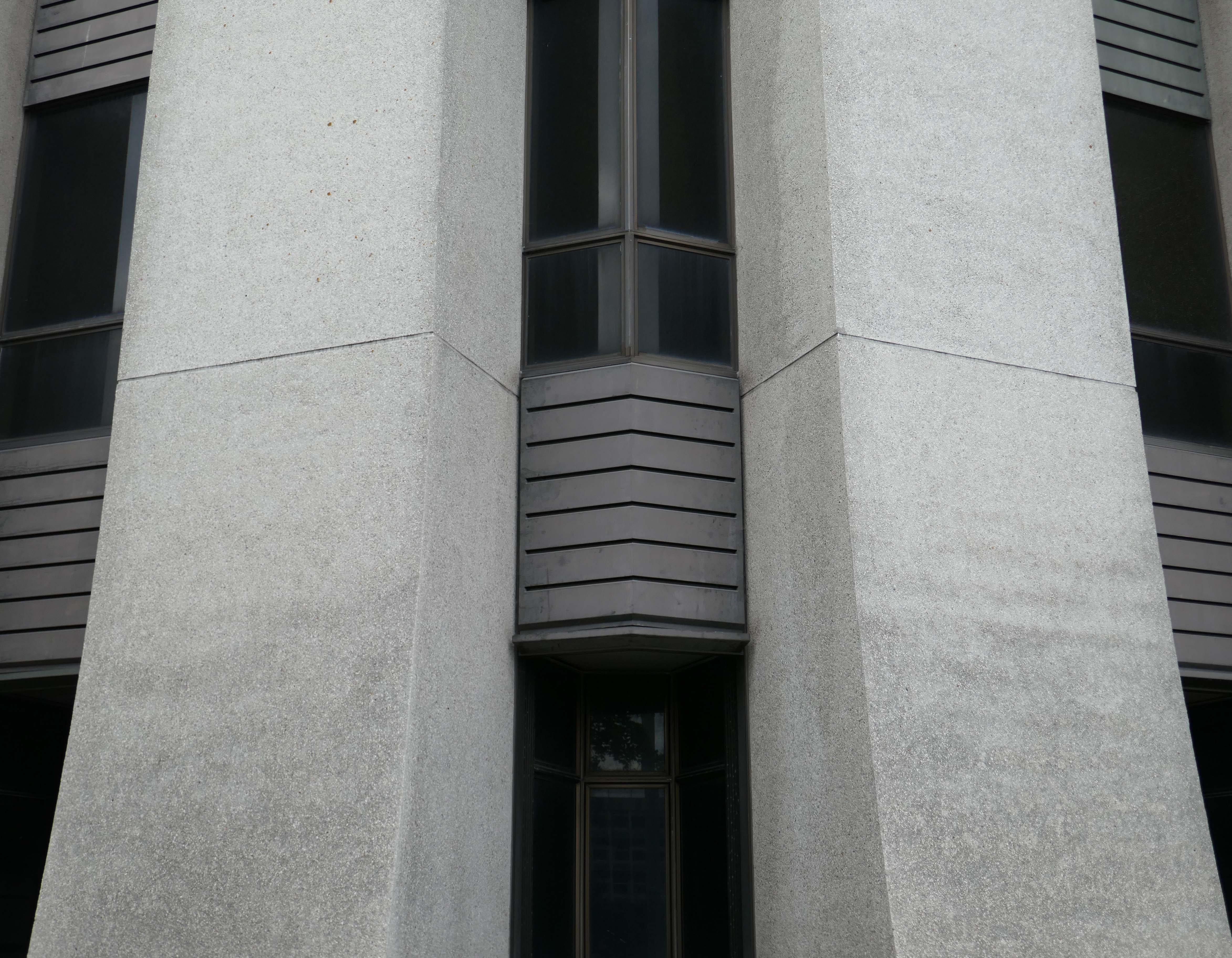
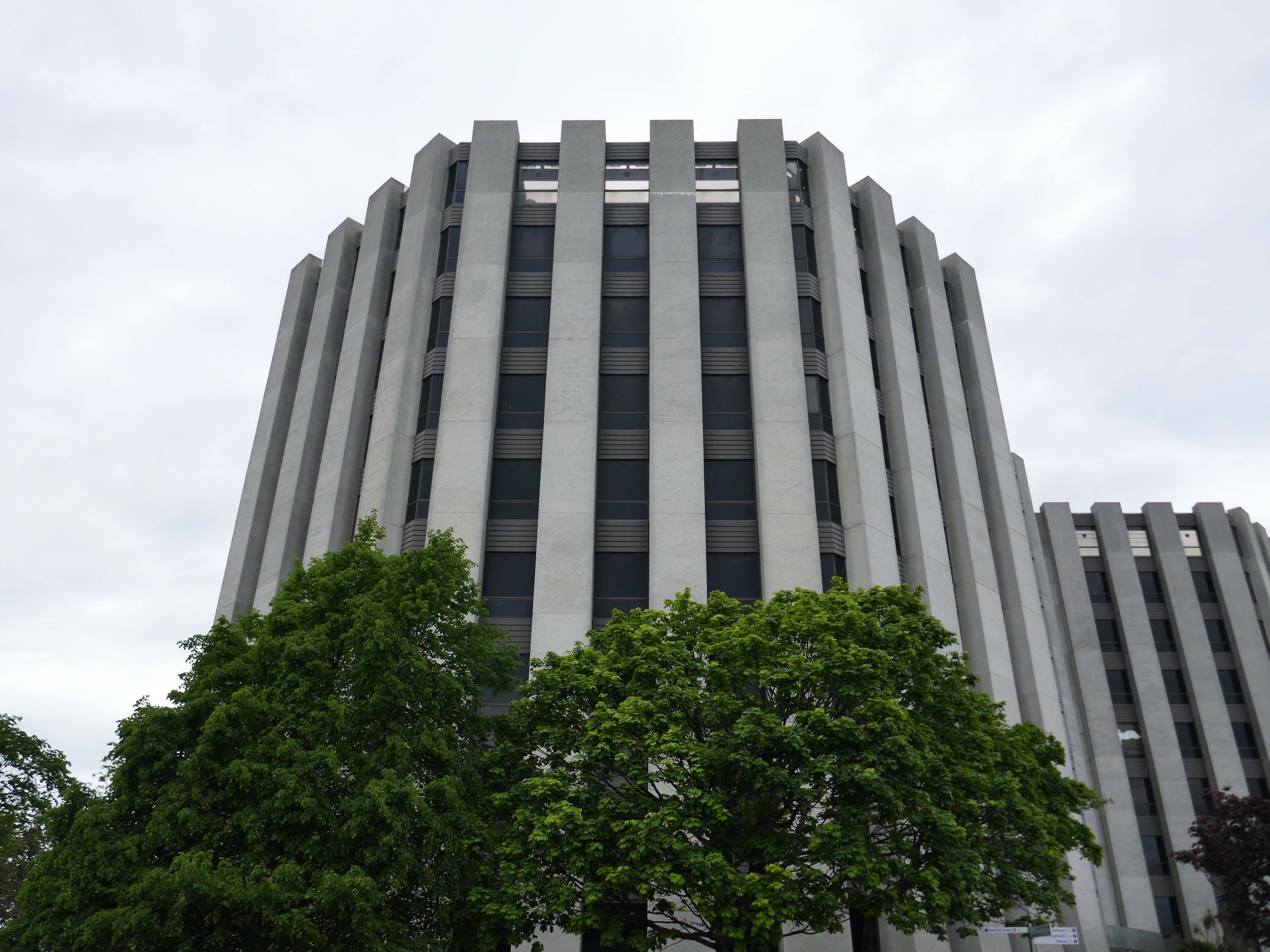
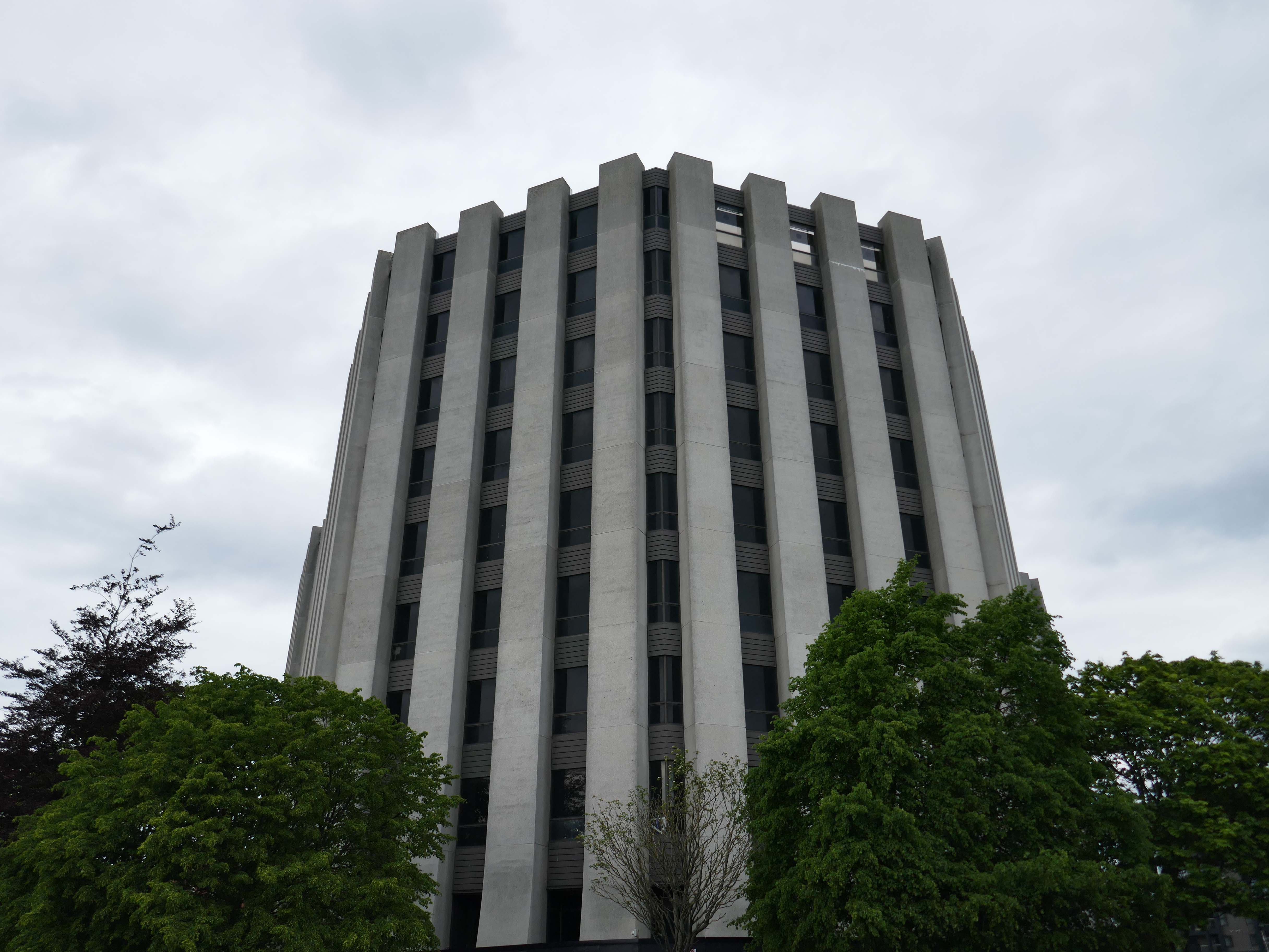
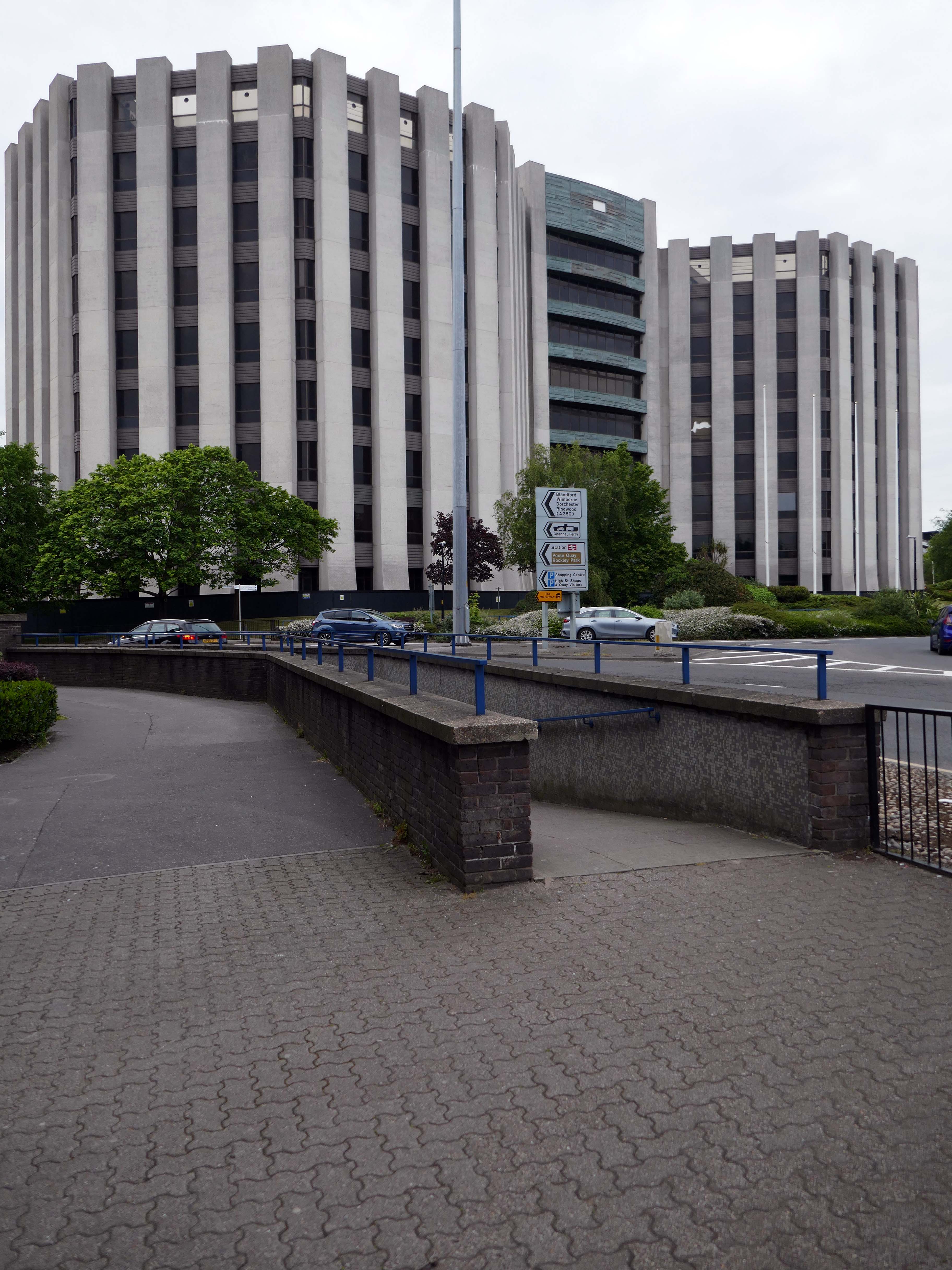
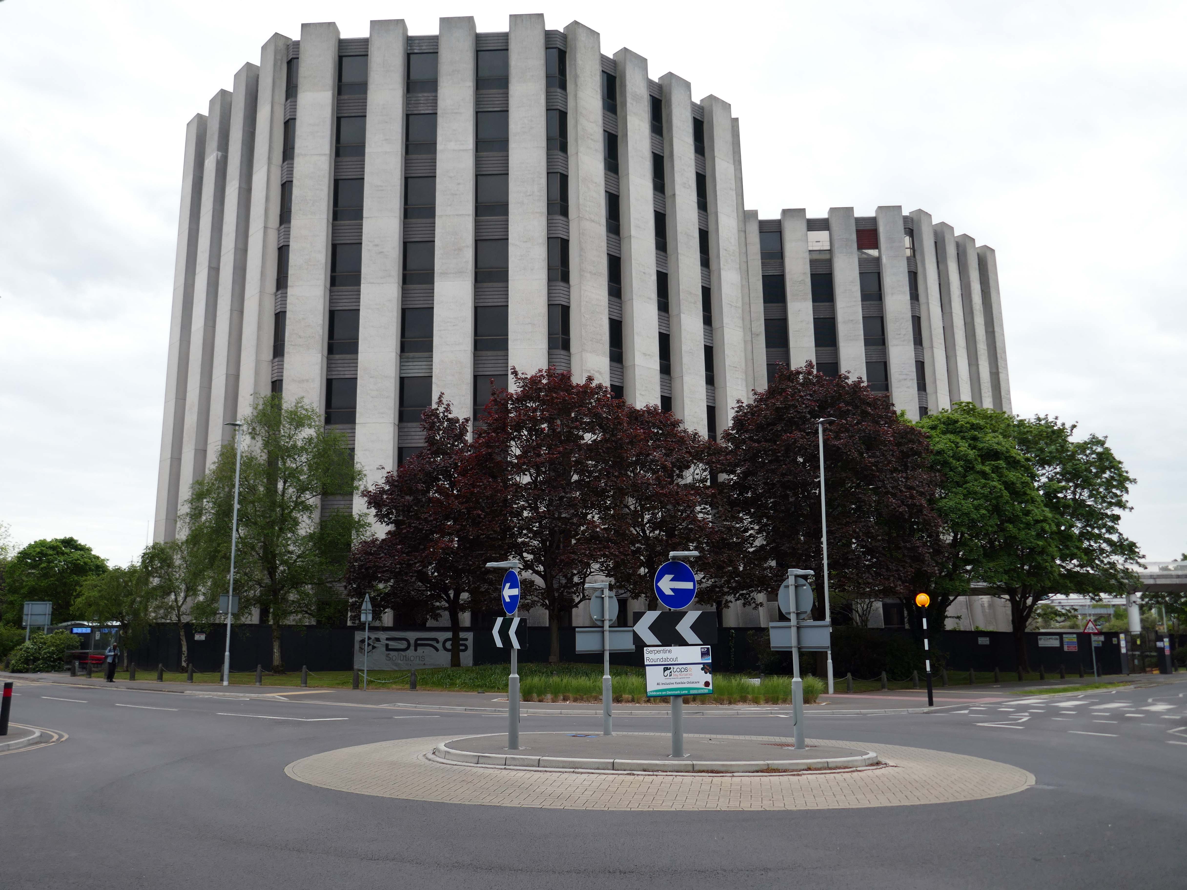
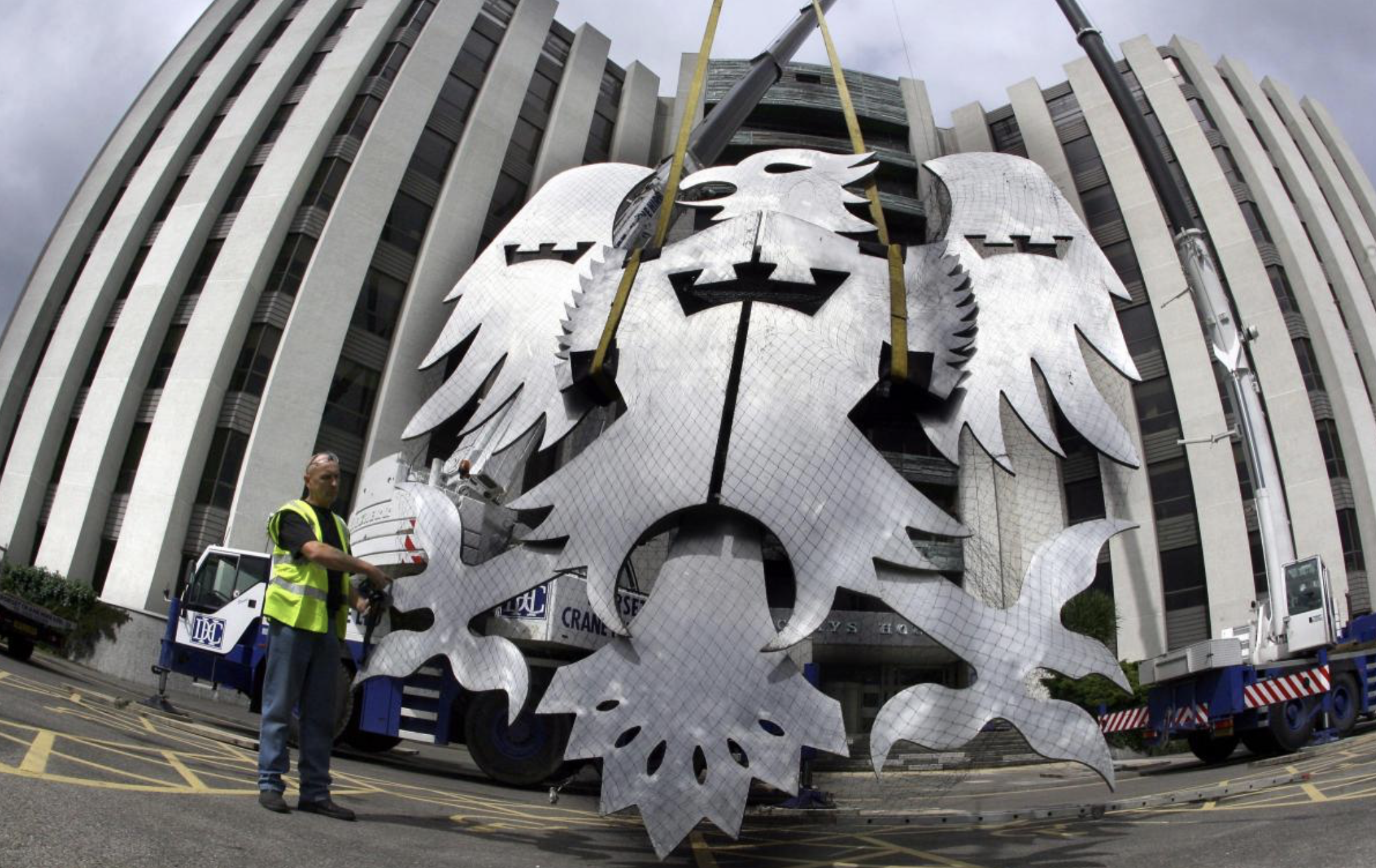
Barclays House was constructed by Barclays bank from 1972 to 1975 as part of a move to decentralise its offices from London.
The structure, was designed in the Brutalist style by architects Wilson, Mason and Partners. It consists of three main wings, each octagonal in plan, and dominates the town centre skyline.
Barclays first occupied the office in January 1976. The building’s basement is below sea level and is often flooded or damp, which prevented its use by the bank for storage. The structure has also sunk over time due to its significant mass
Barclays left the site in January 2022 and put the structure up for sale by sealed bid auction. The highest bidder was Bournemouth, Christchurch and Poole Council but they withdrew from the purchase in September 2022.
BCP offered £17 million, almost three times more than the next highest bidder, thought to be Fortitudo at £6.5 million, who wanted to demolish the structure and build three apartment towers.
In February 2023, boarding was put up around the building and the Bournemouth Daily Echo reported that a new buyer had been found. In November 2023, proposals for redevelopment to residential use were announced, 362 flats are proposed for the building.
Town hall planner Gareth Ball has given the go-ahead for VCRE Four Poole Limited to convert the historic building into a 362-bedroom apartment block.
No parking spaces will be available for the future residents, as noted by BCP case officer Mr Ball as being in accordance with the council’s rules. Instead, the development will come with 488 cycle spaces – or one space for every resident. The scheme will feature a gym, communal workspace, squash courts, a games room with table tennis, pool, video games, surfboard storage and a rooftop garden.
Barclays House was bought last year for £5.3 million, according to documents.
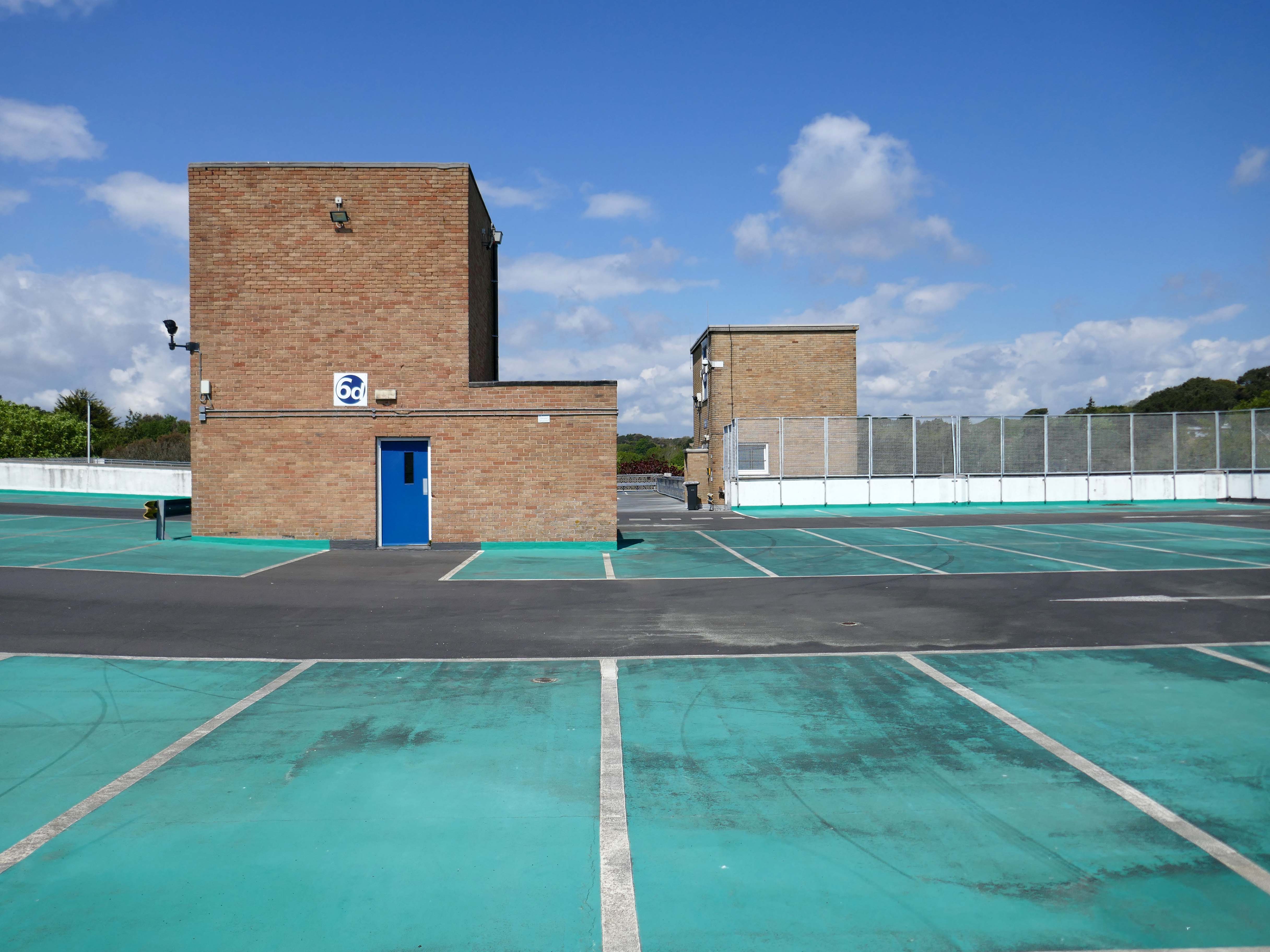
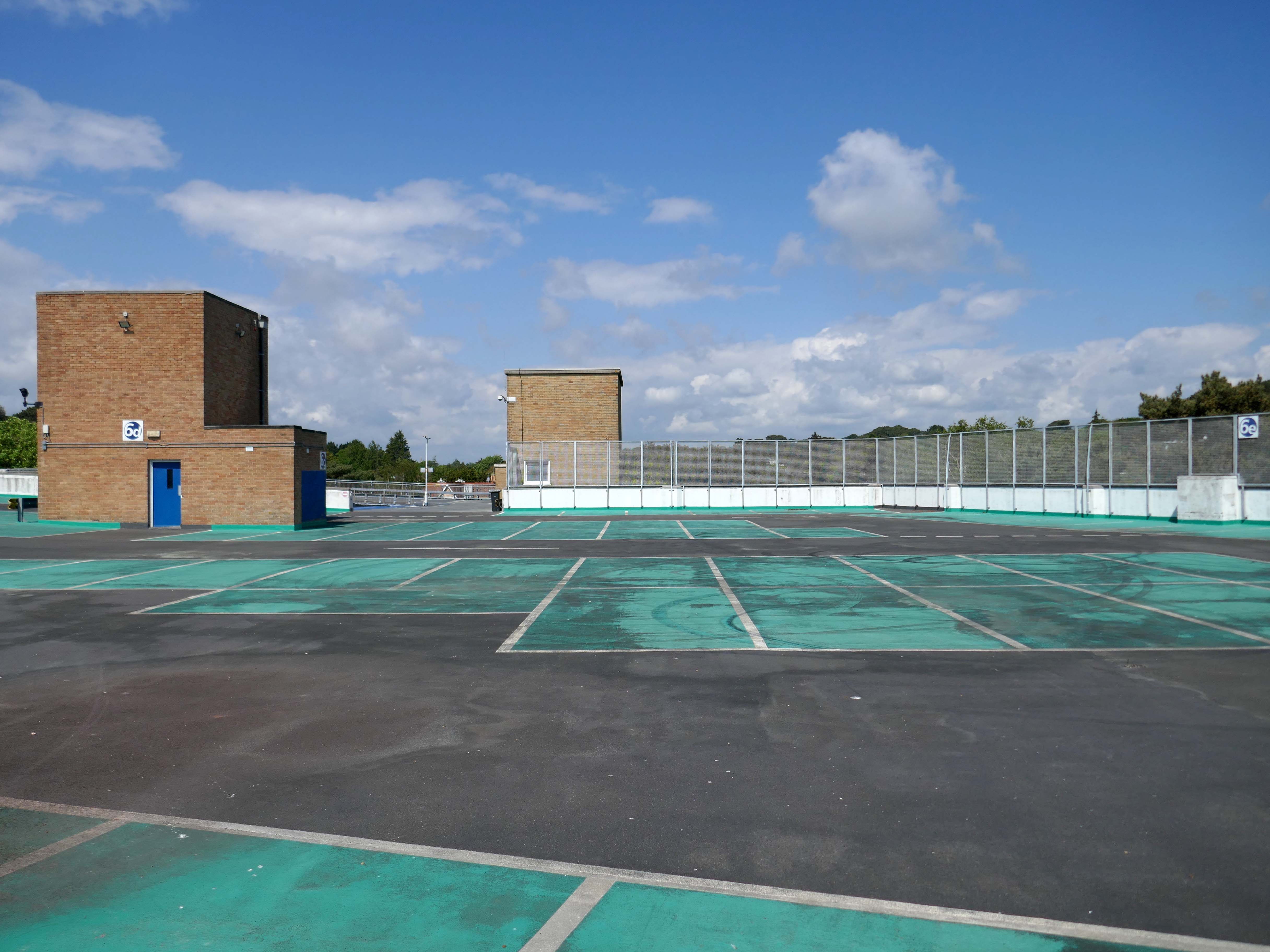
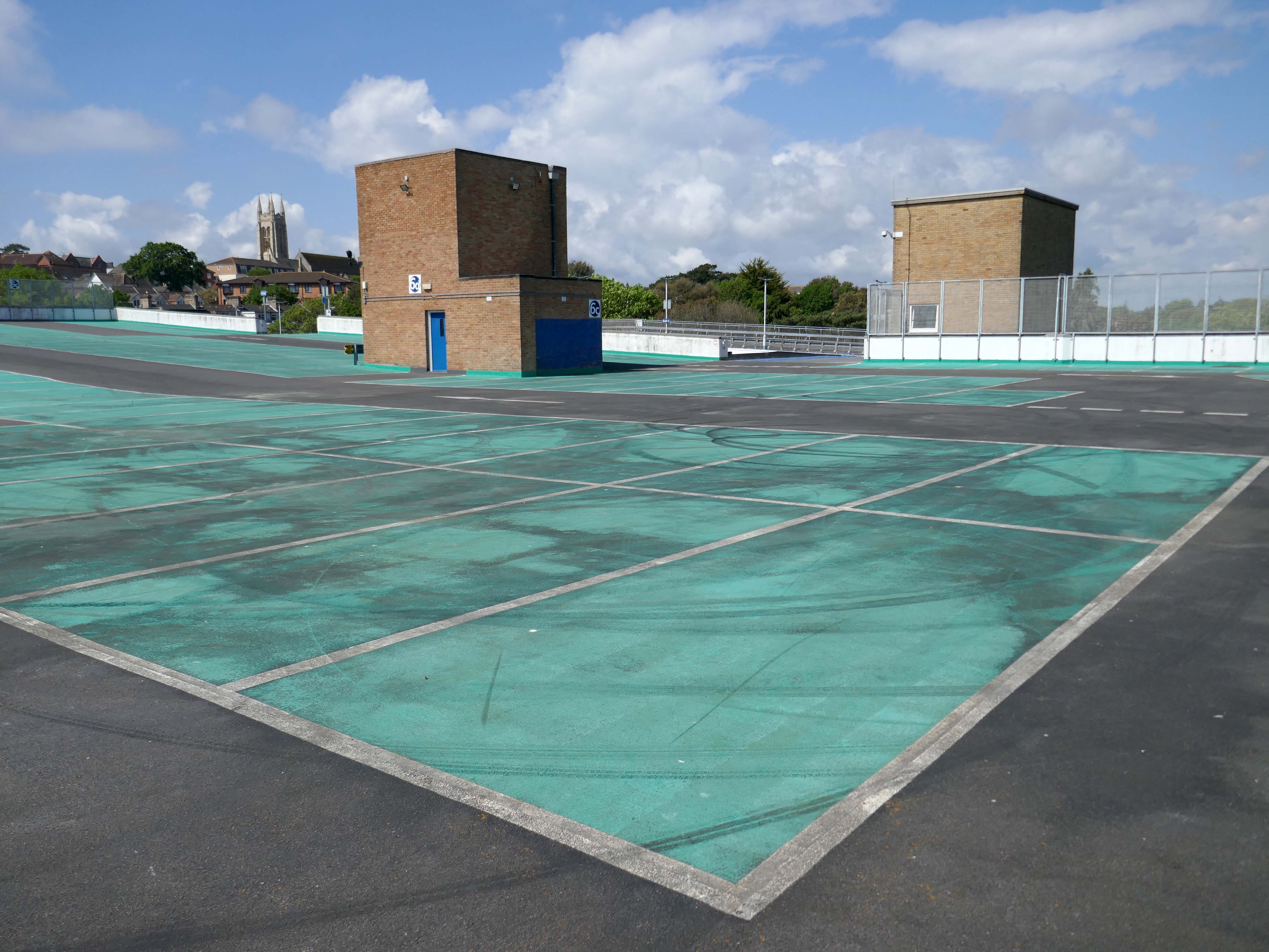
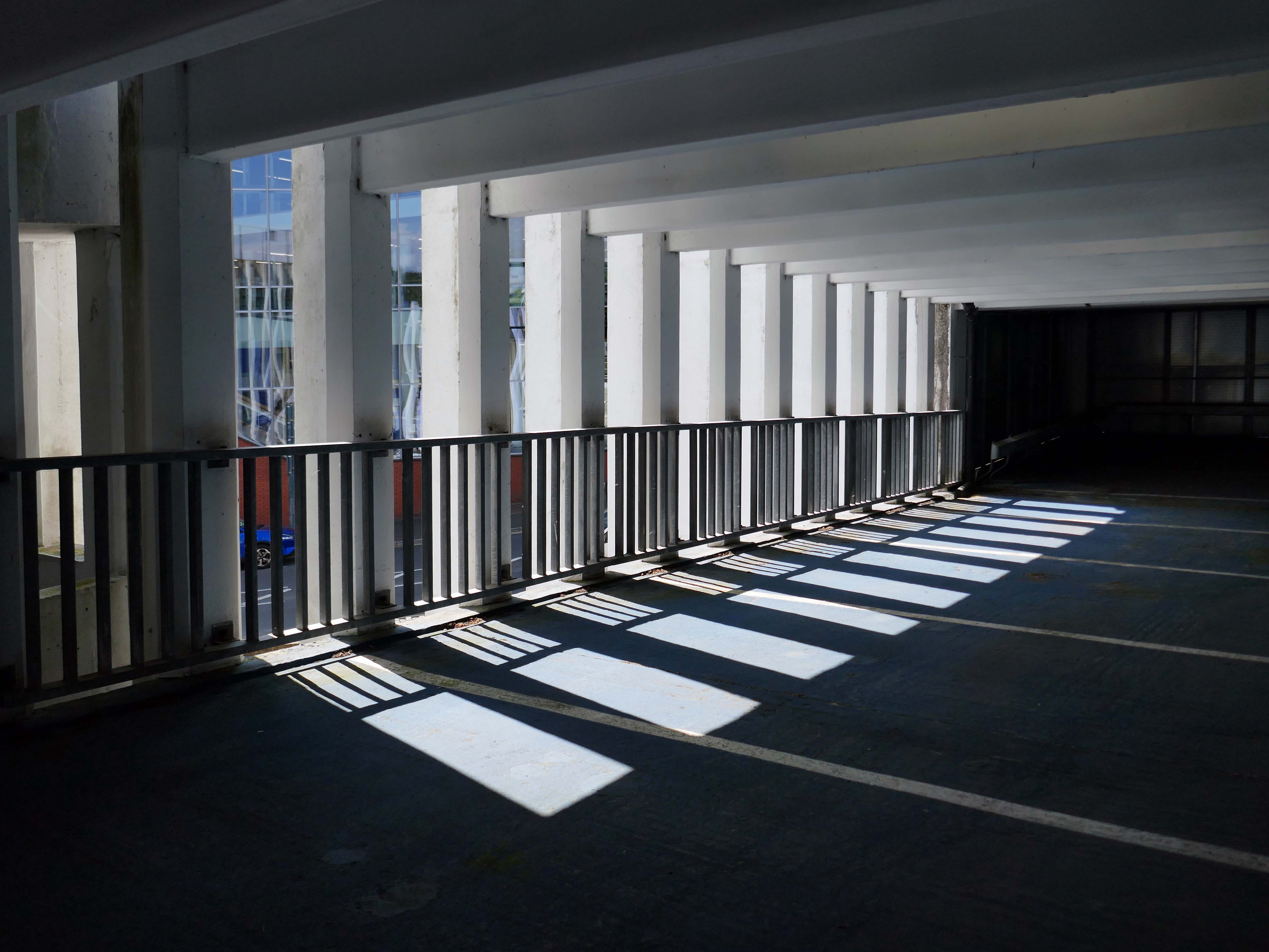
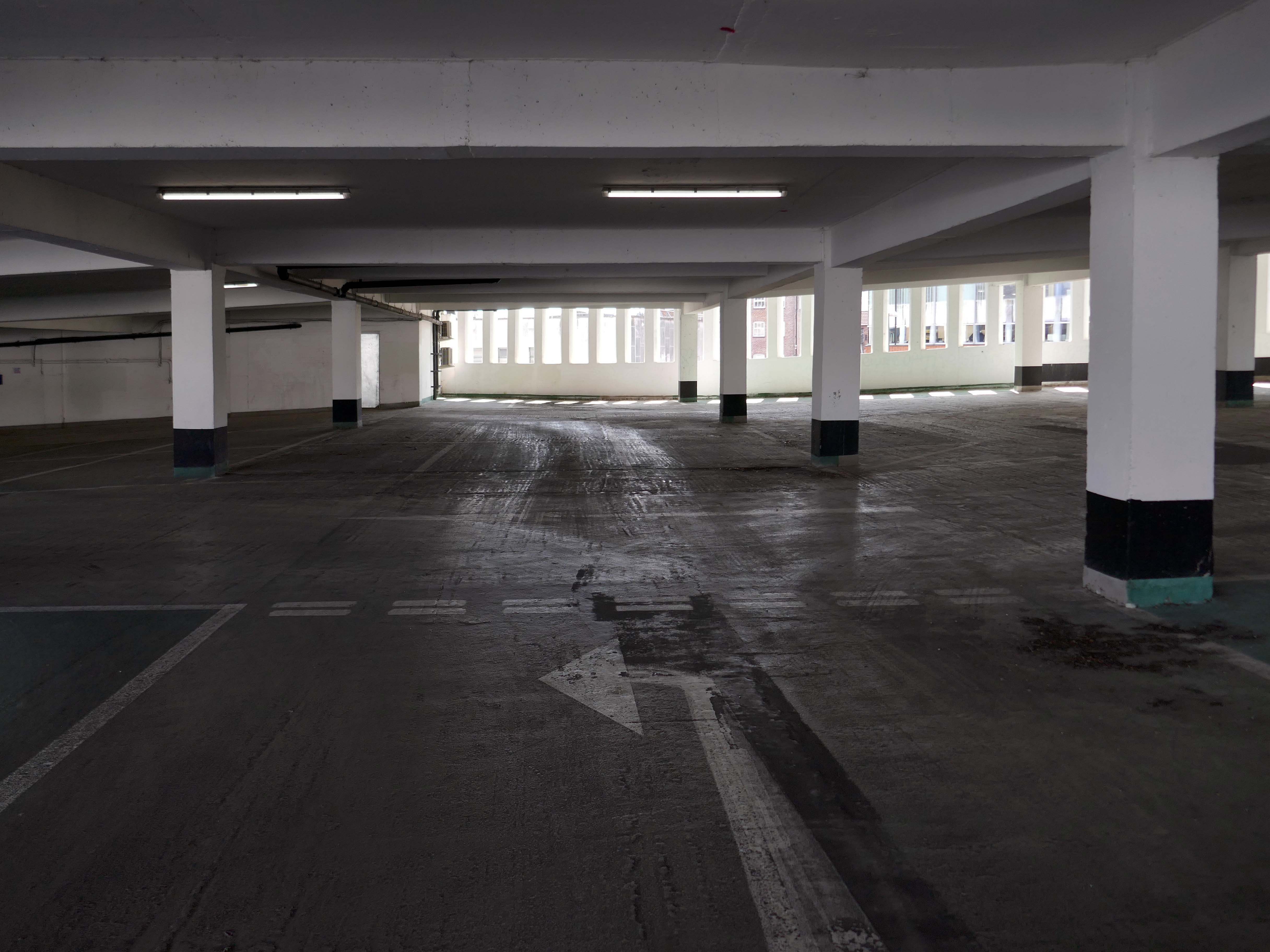
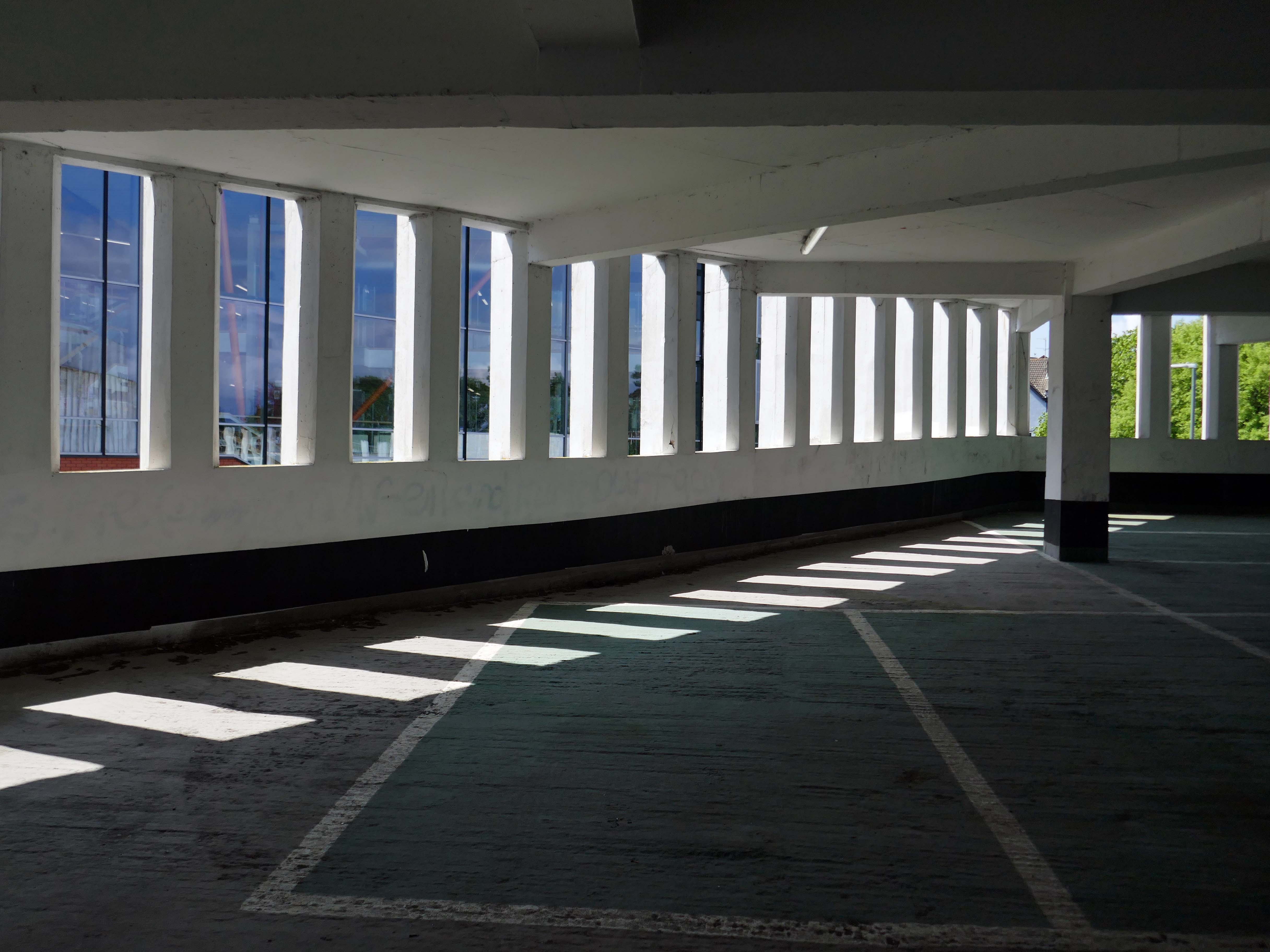
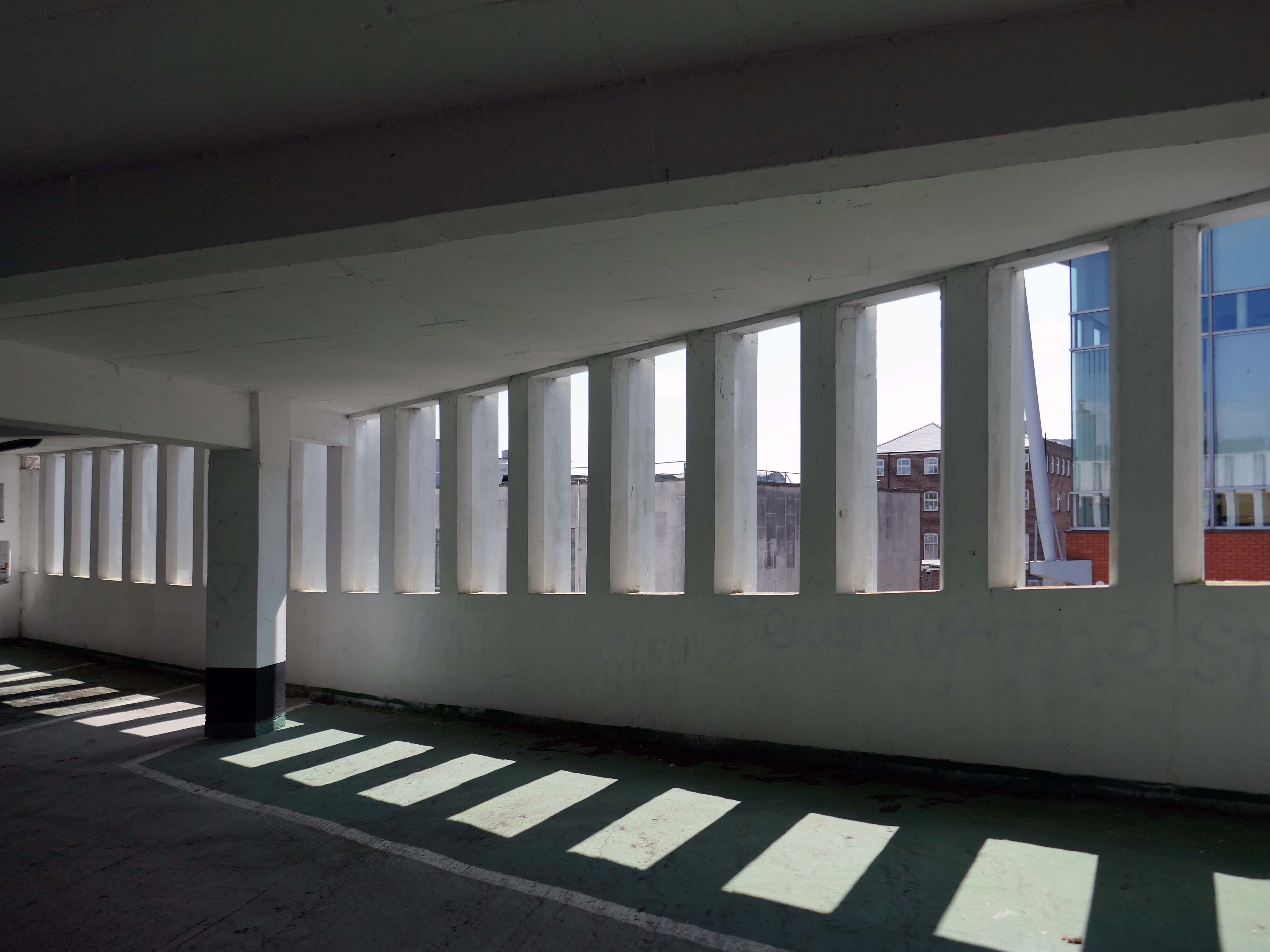
Here are the photographs I took in May 2026 – incorporating the multi storey car park.
But what of the future?
This recent ARC projectinvolves transforming the former Barclays building in Poole into 362 modern residential flats while preserving the existing building’s façade. This project focuses on revitalising a heritage landmark by repurposing it with innovative designs that offer easy access to public transport, exceed space standards for comfort and practicality, and create a strong sense of community through shared internal and external amenities.
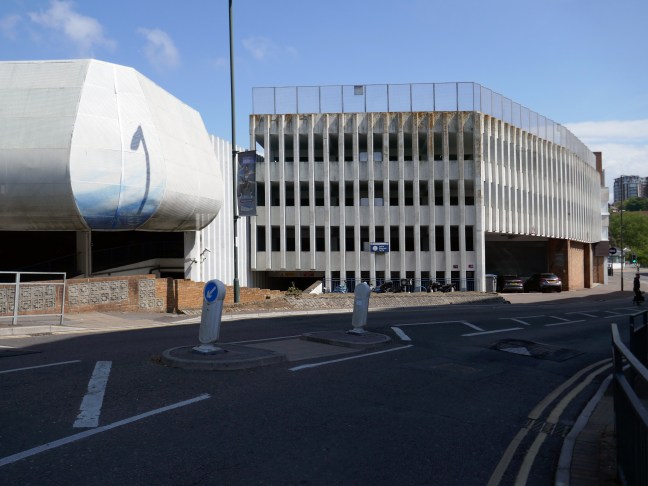
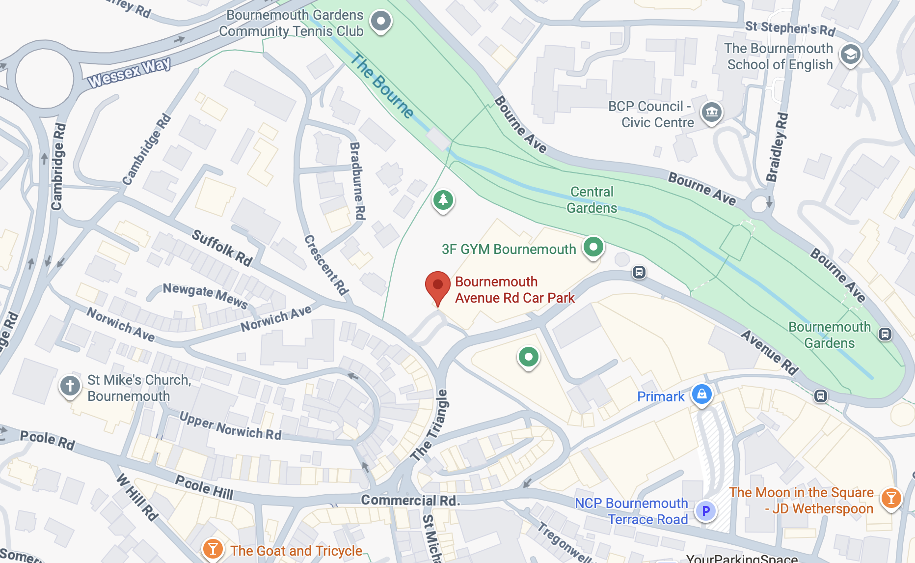
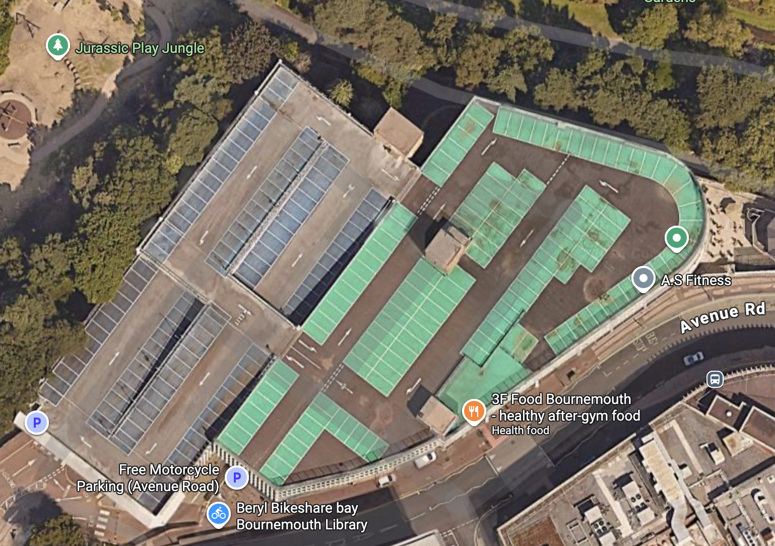
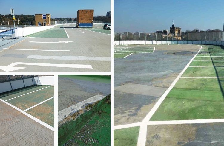
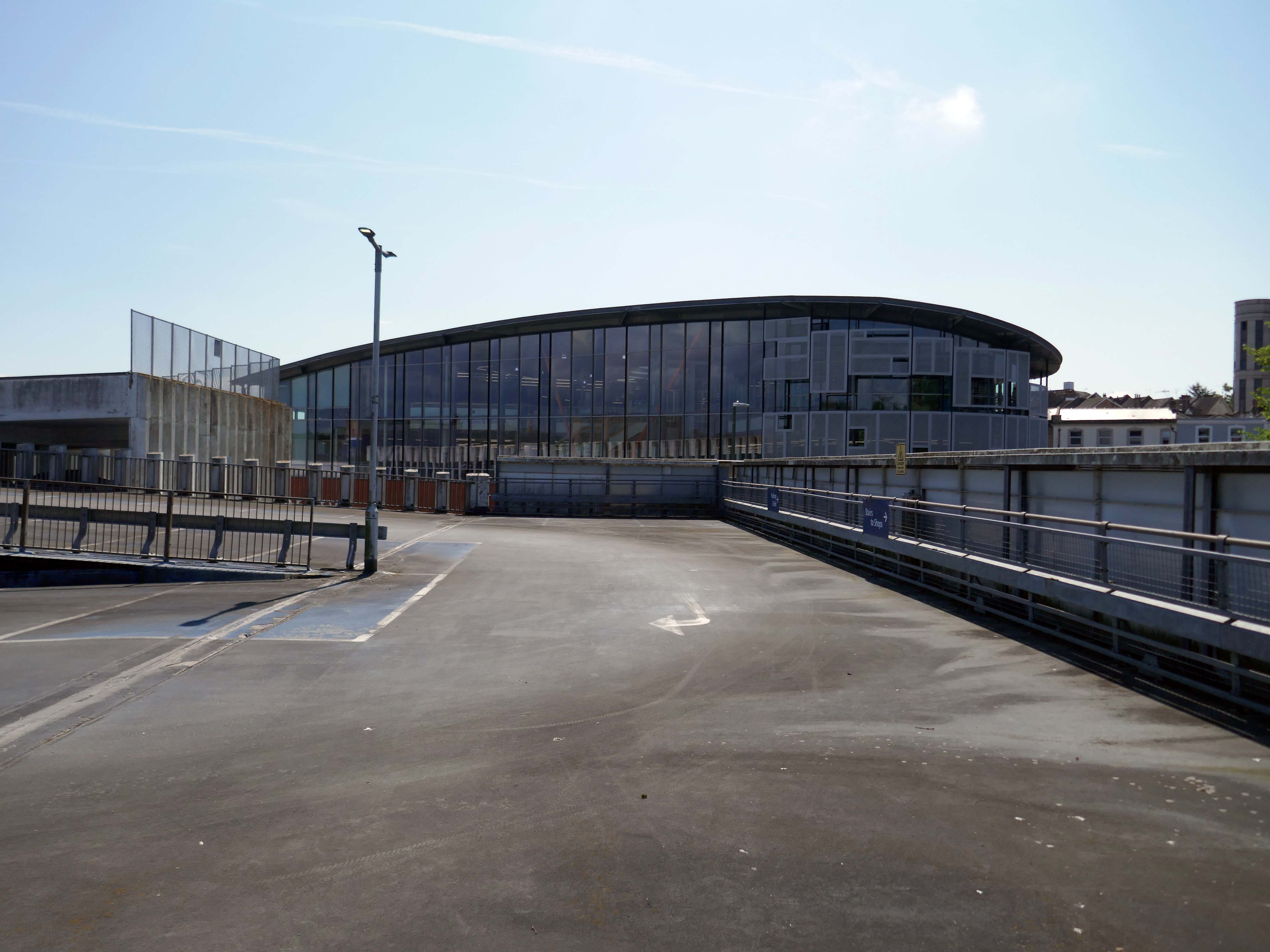
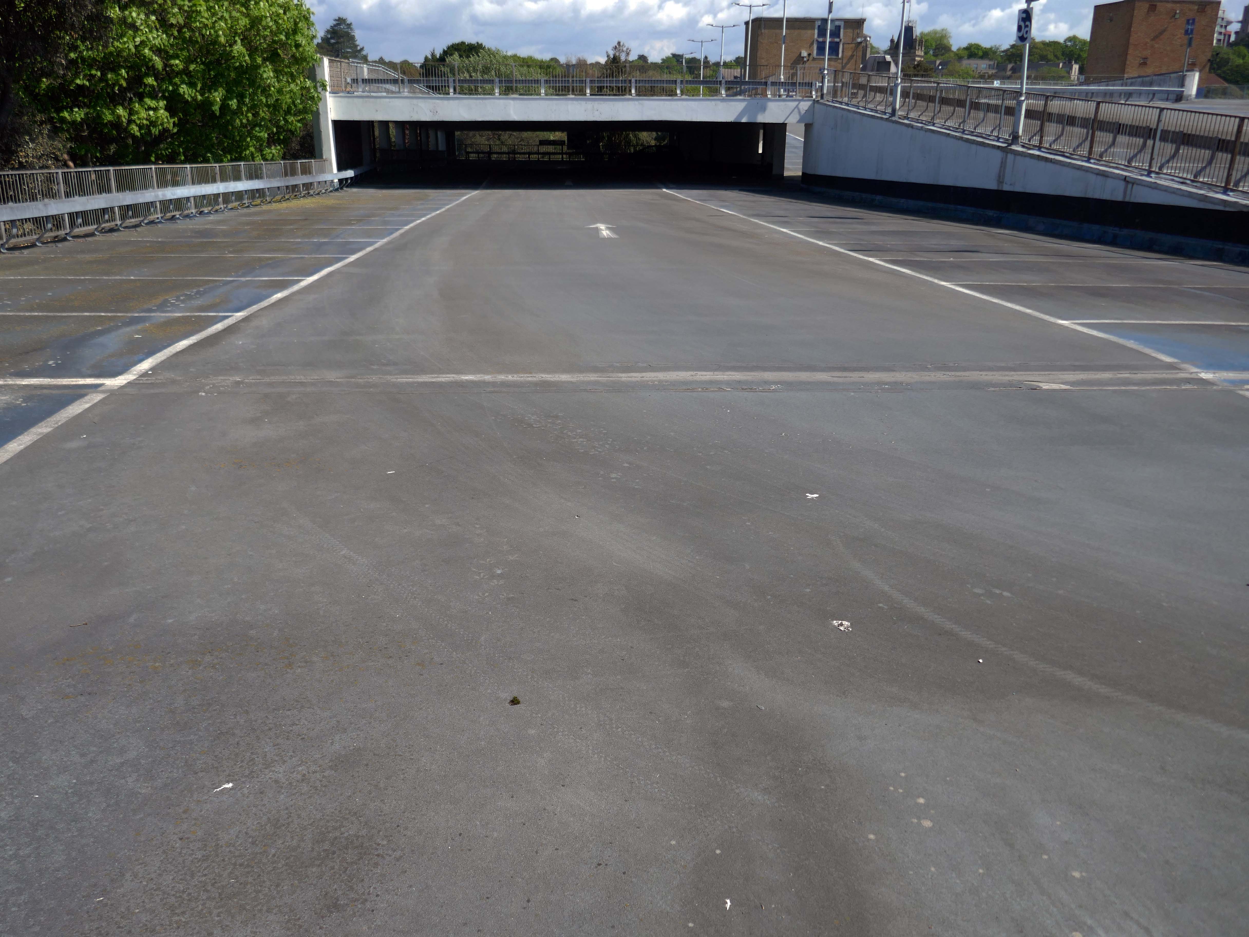
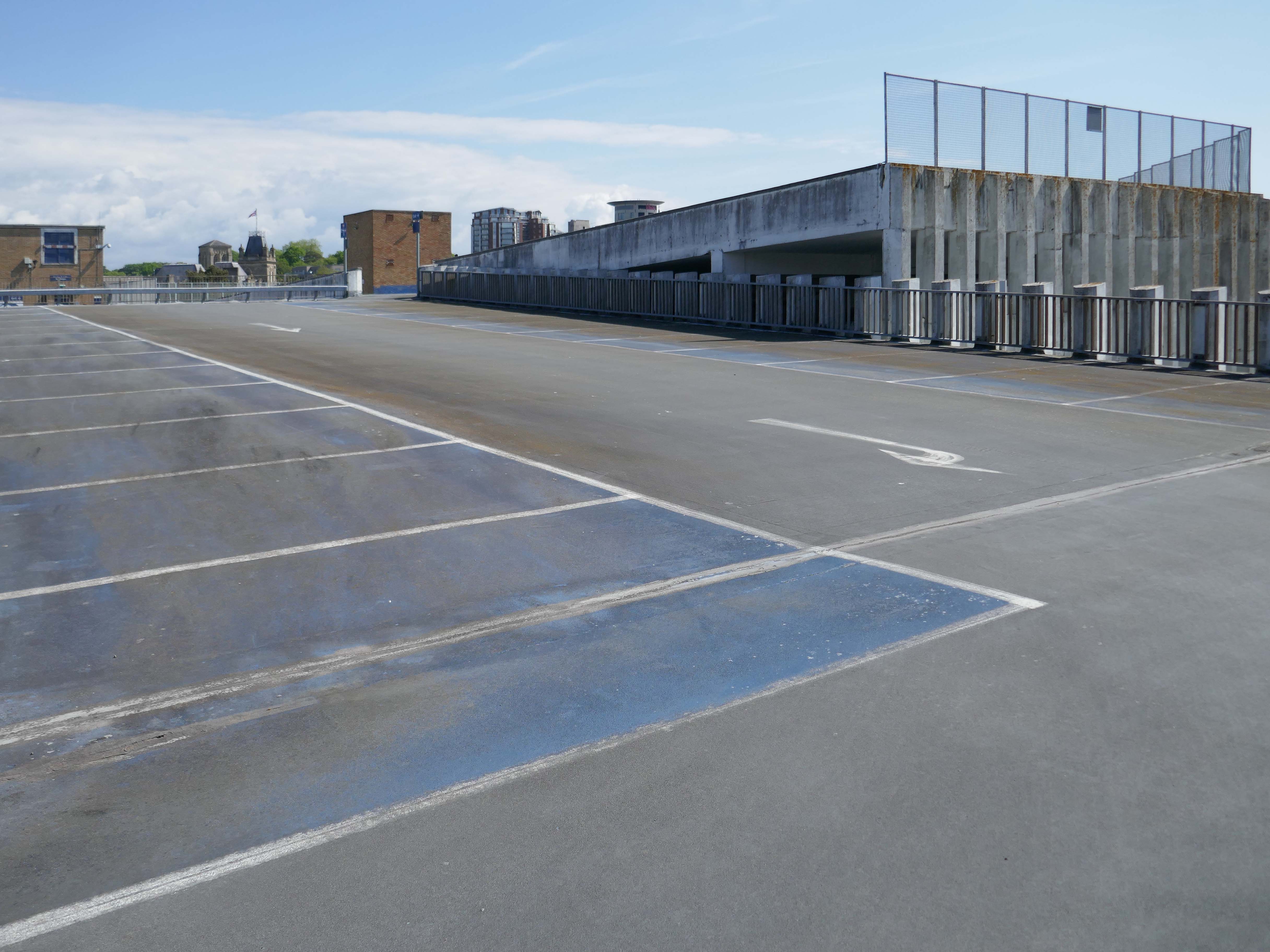
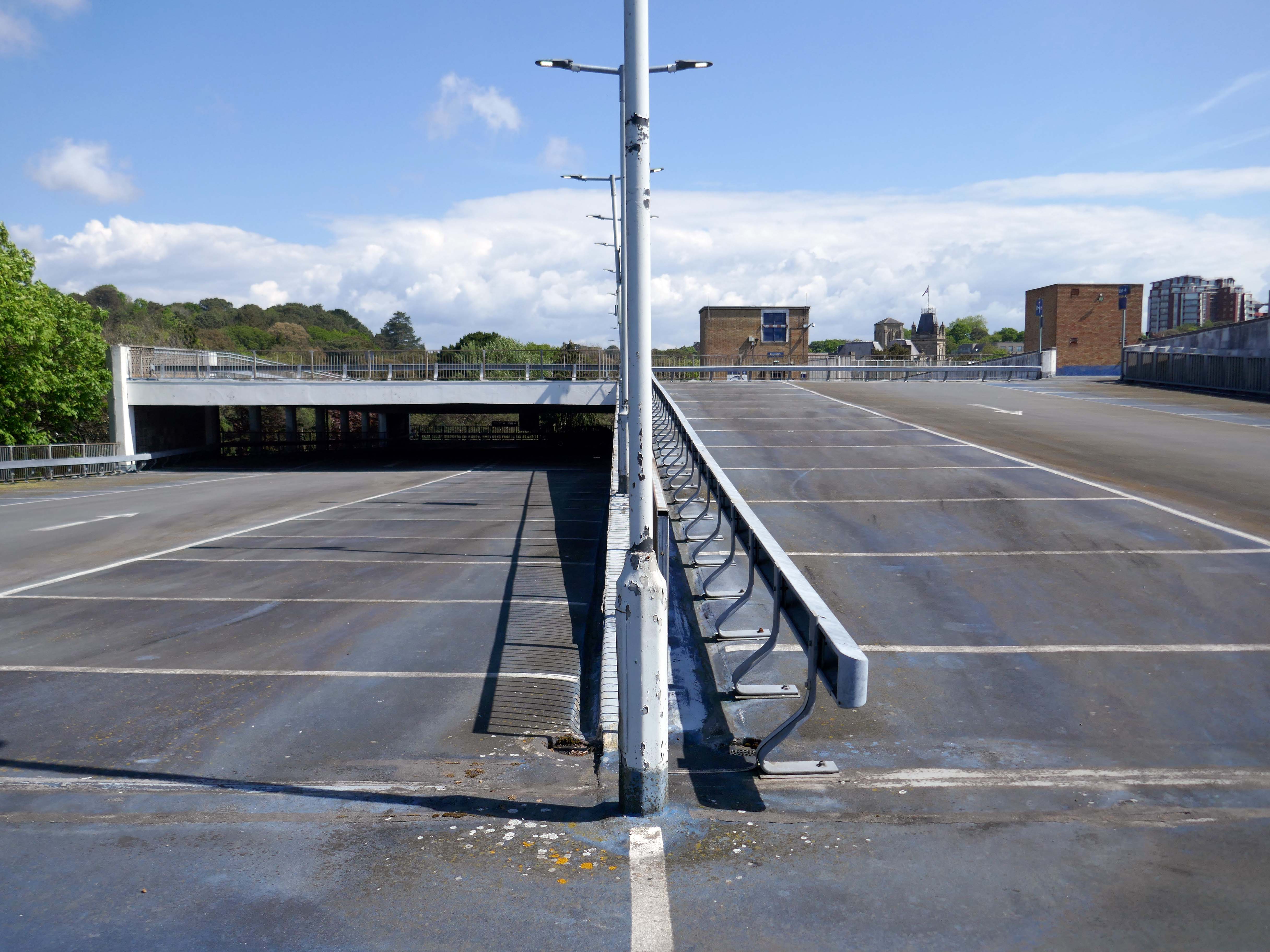
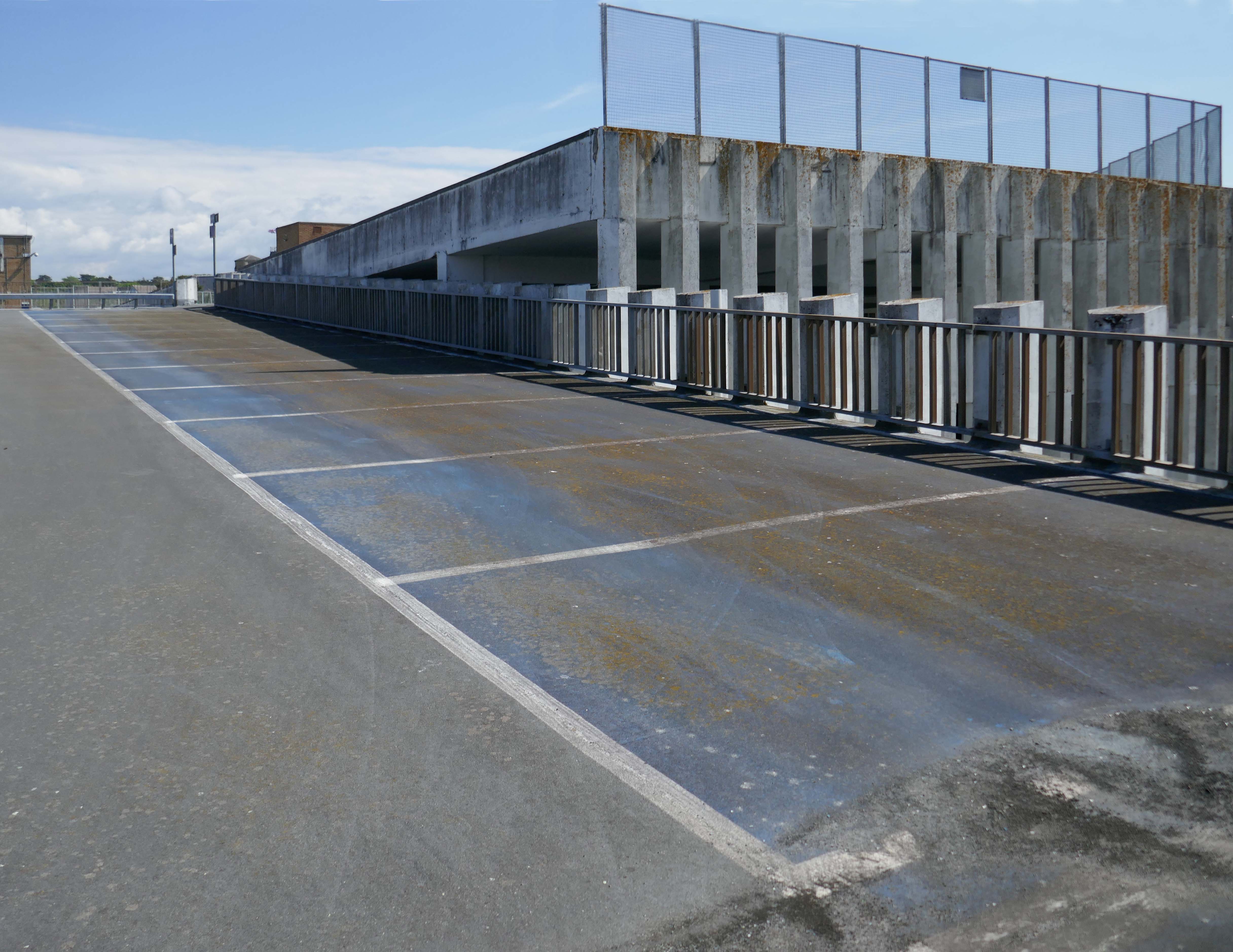
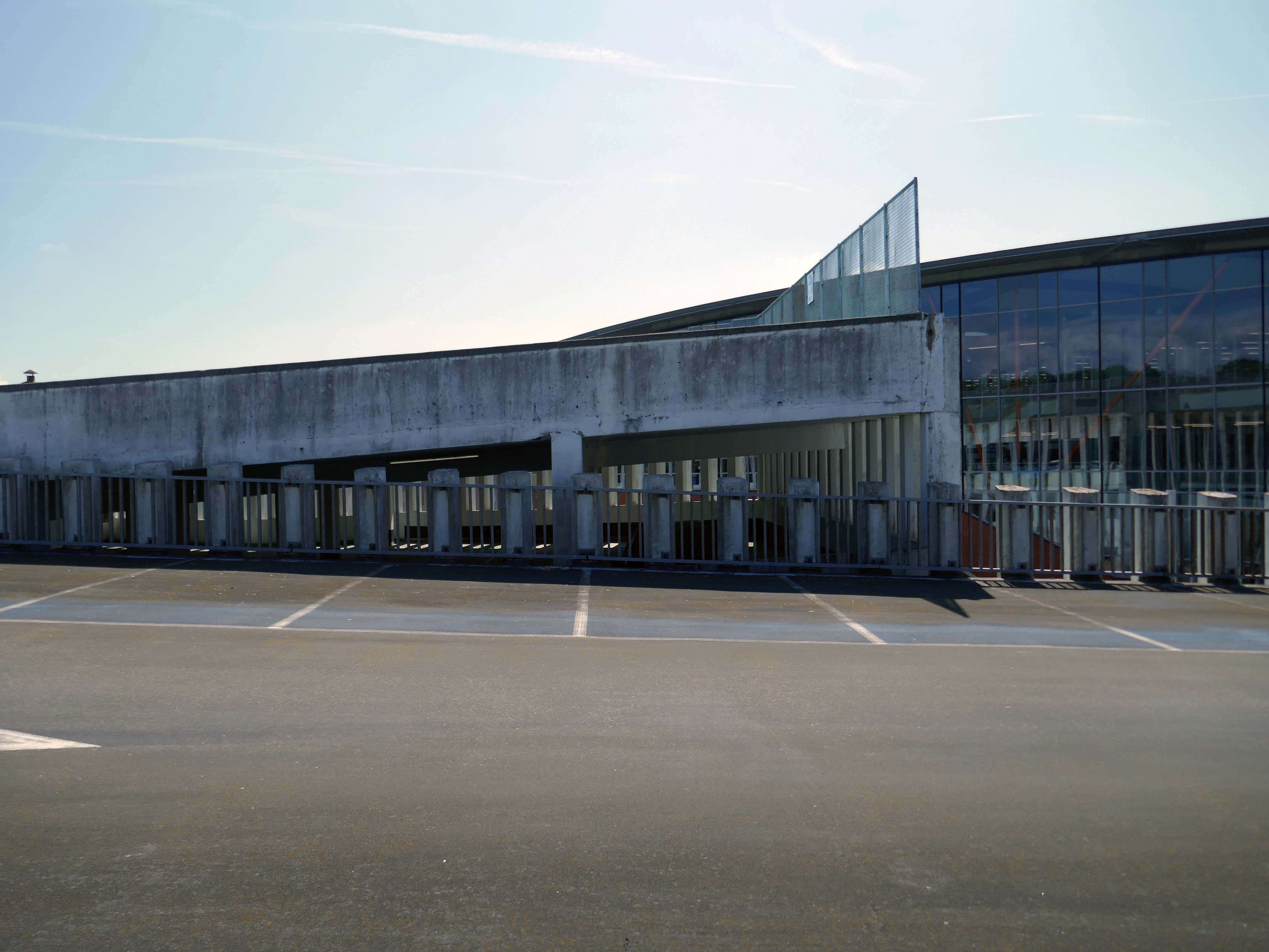
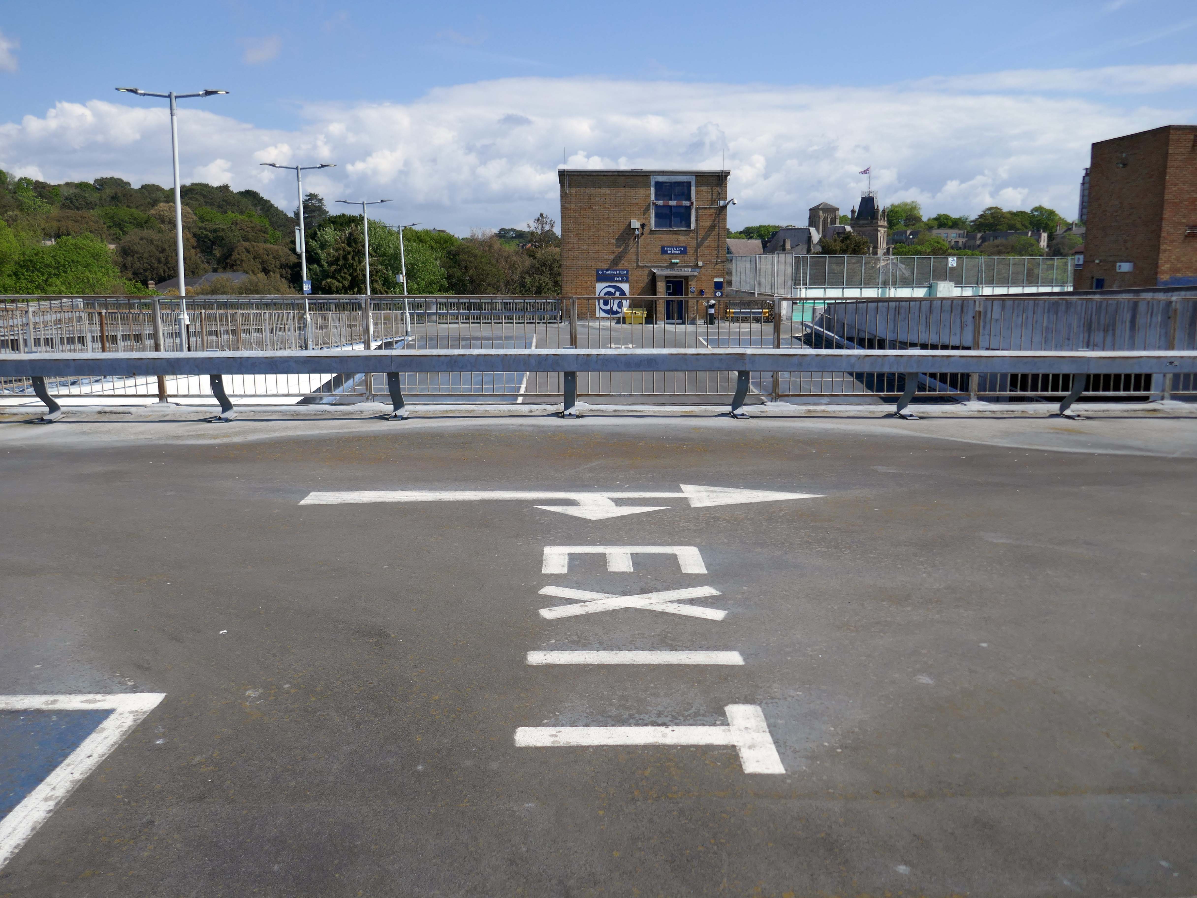
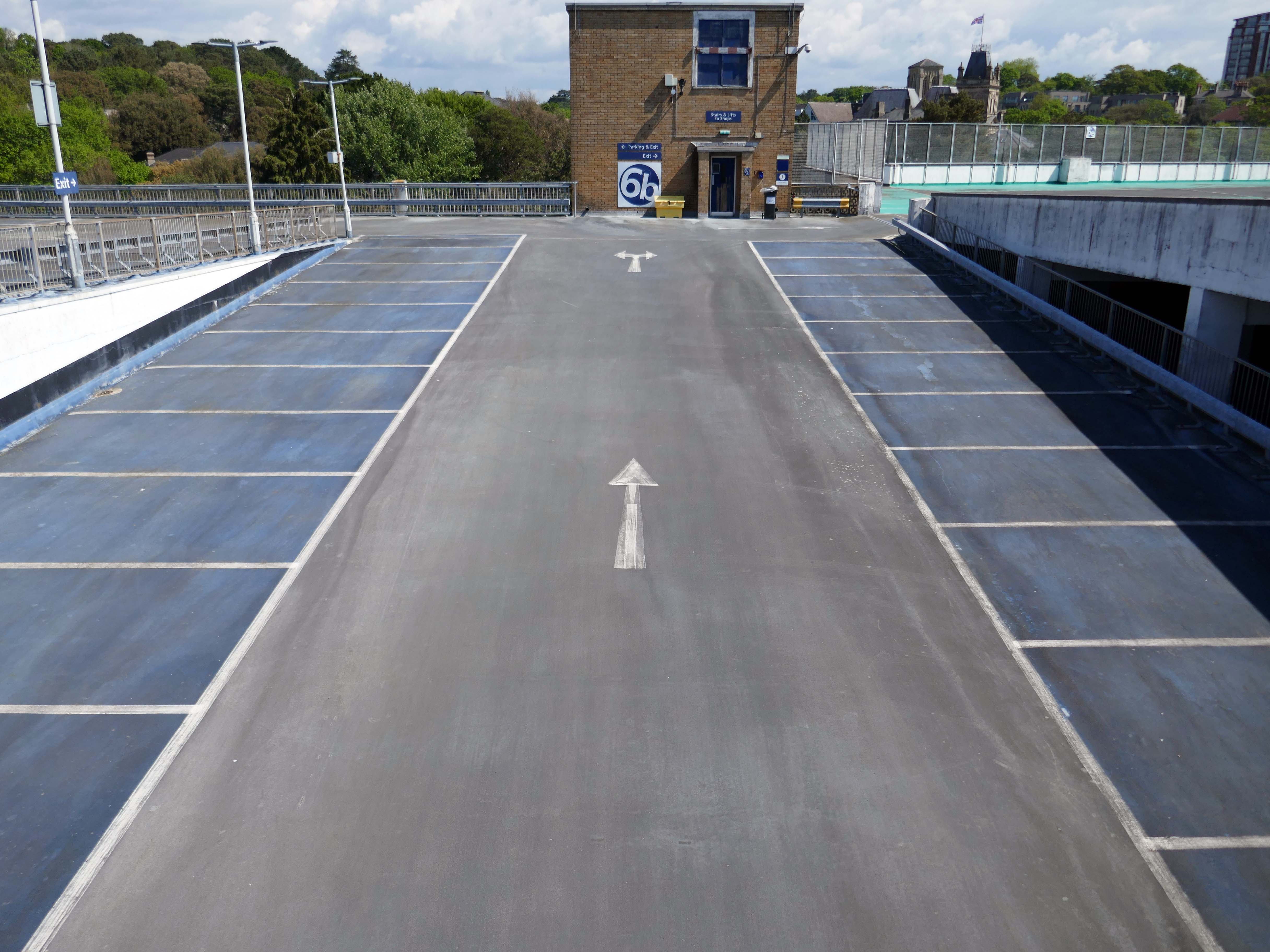
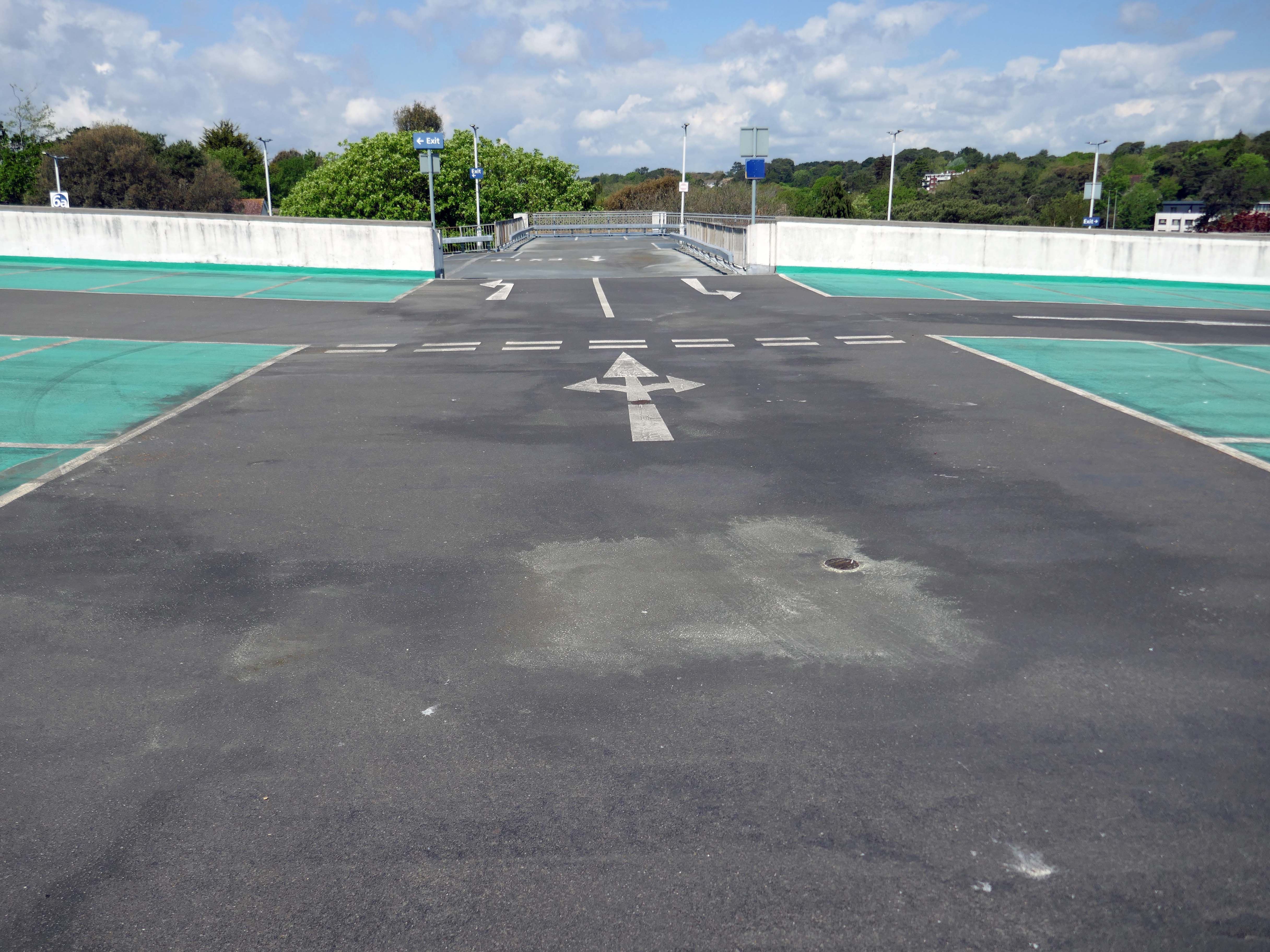
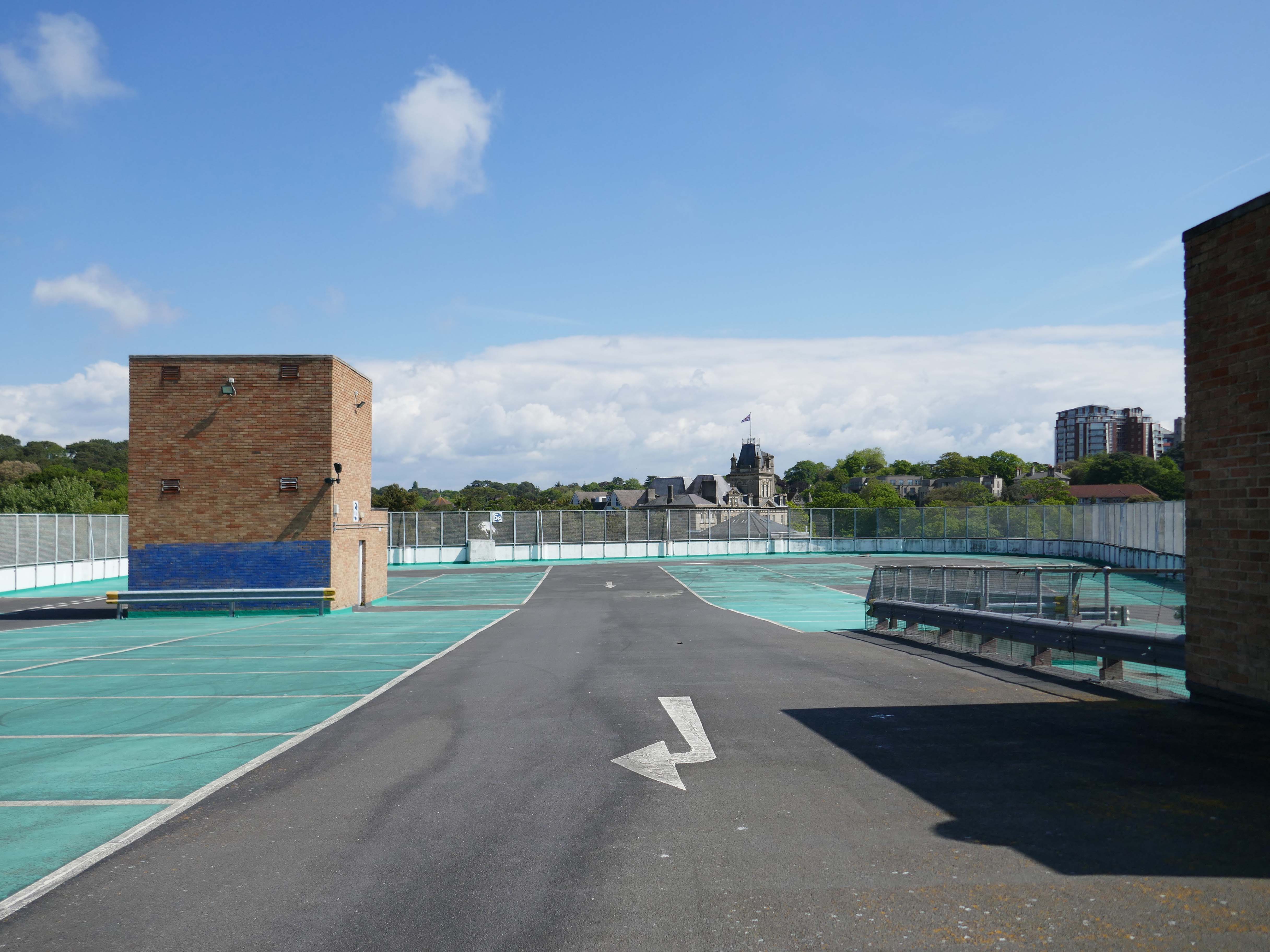
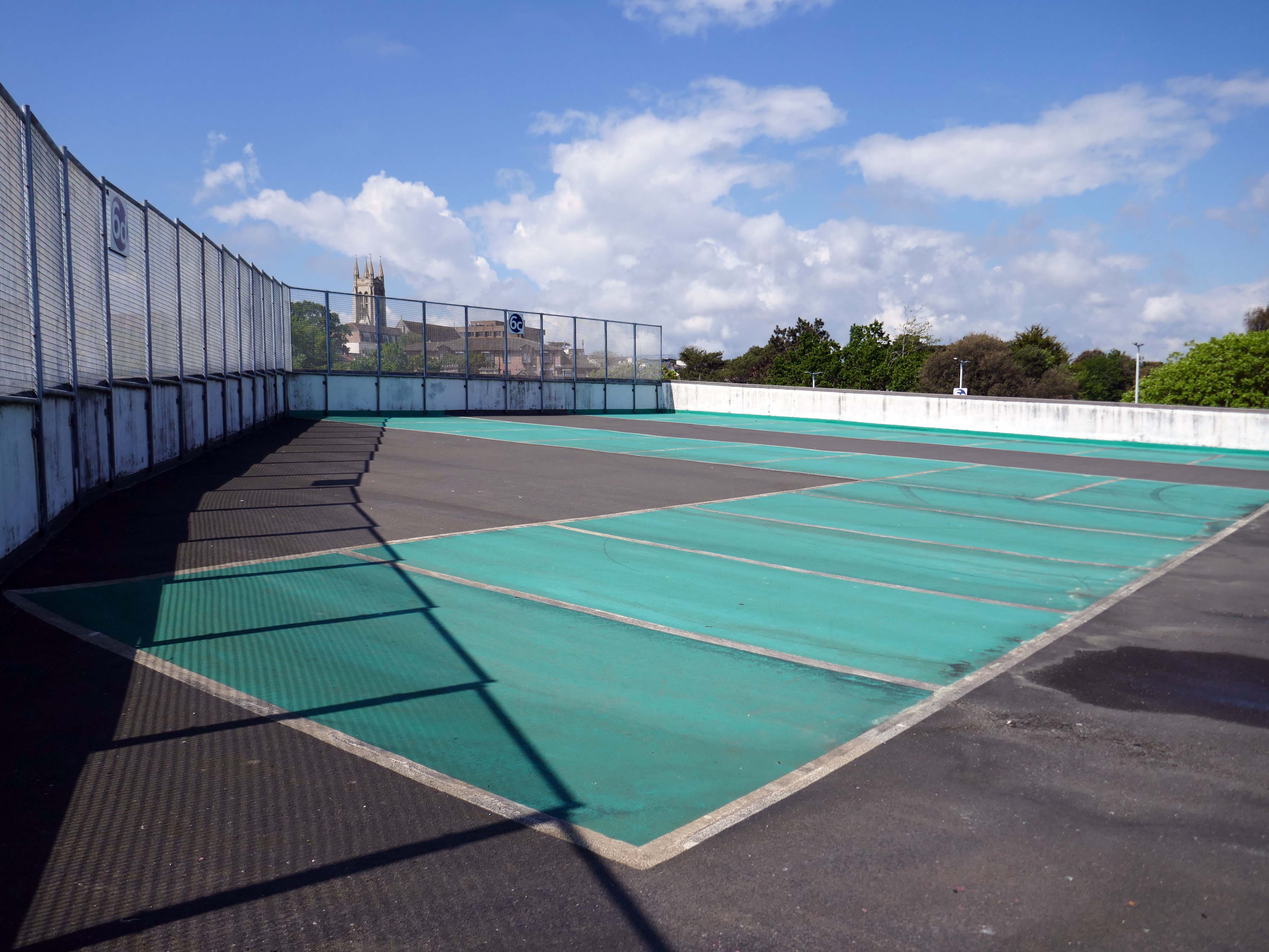
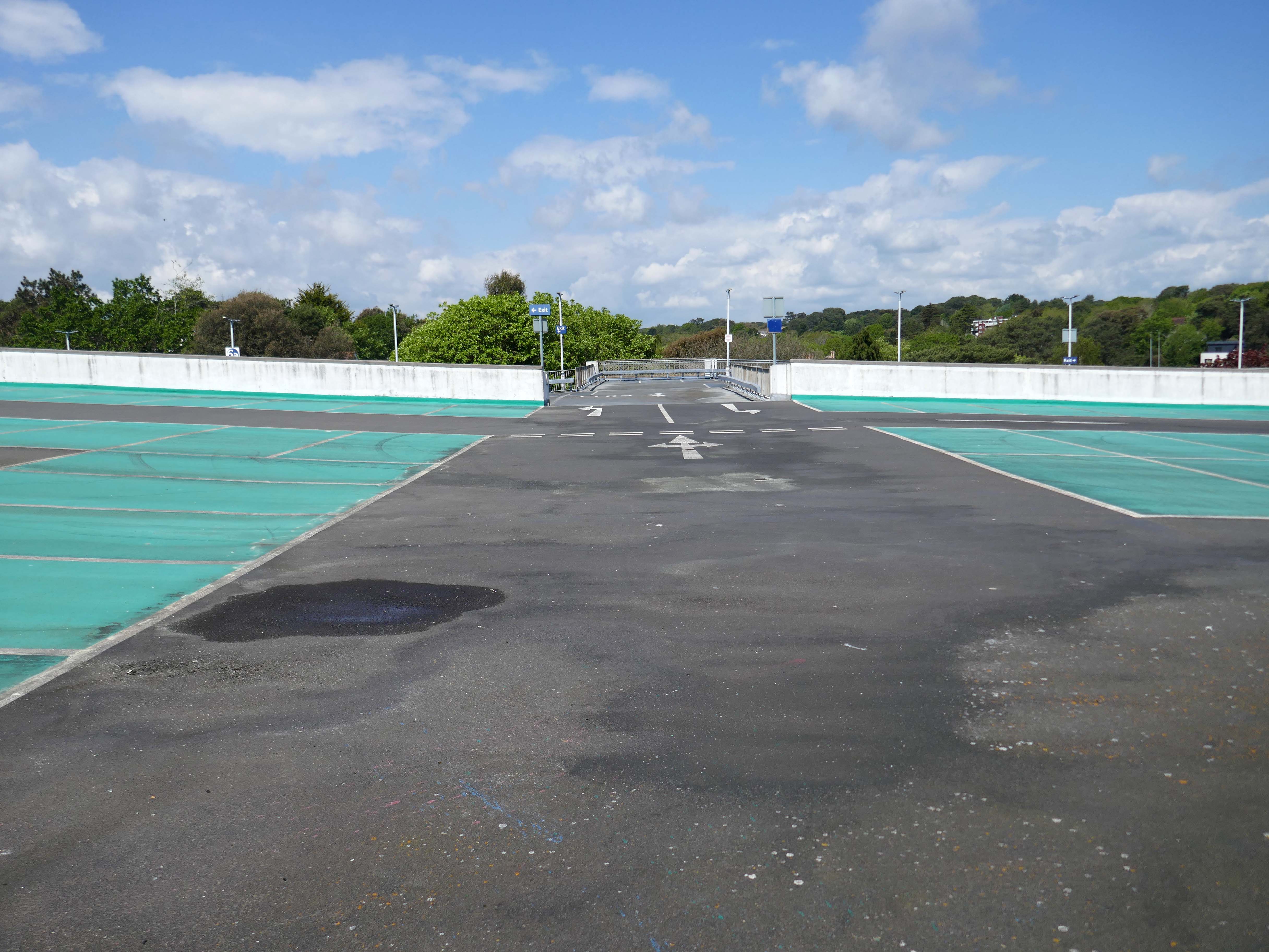
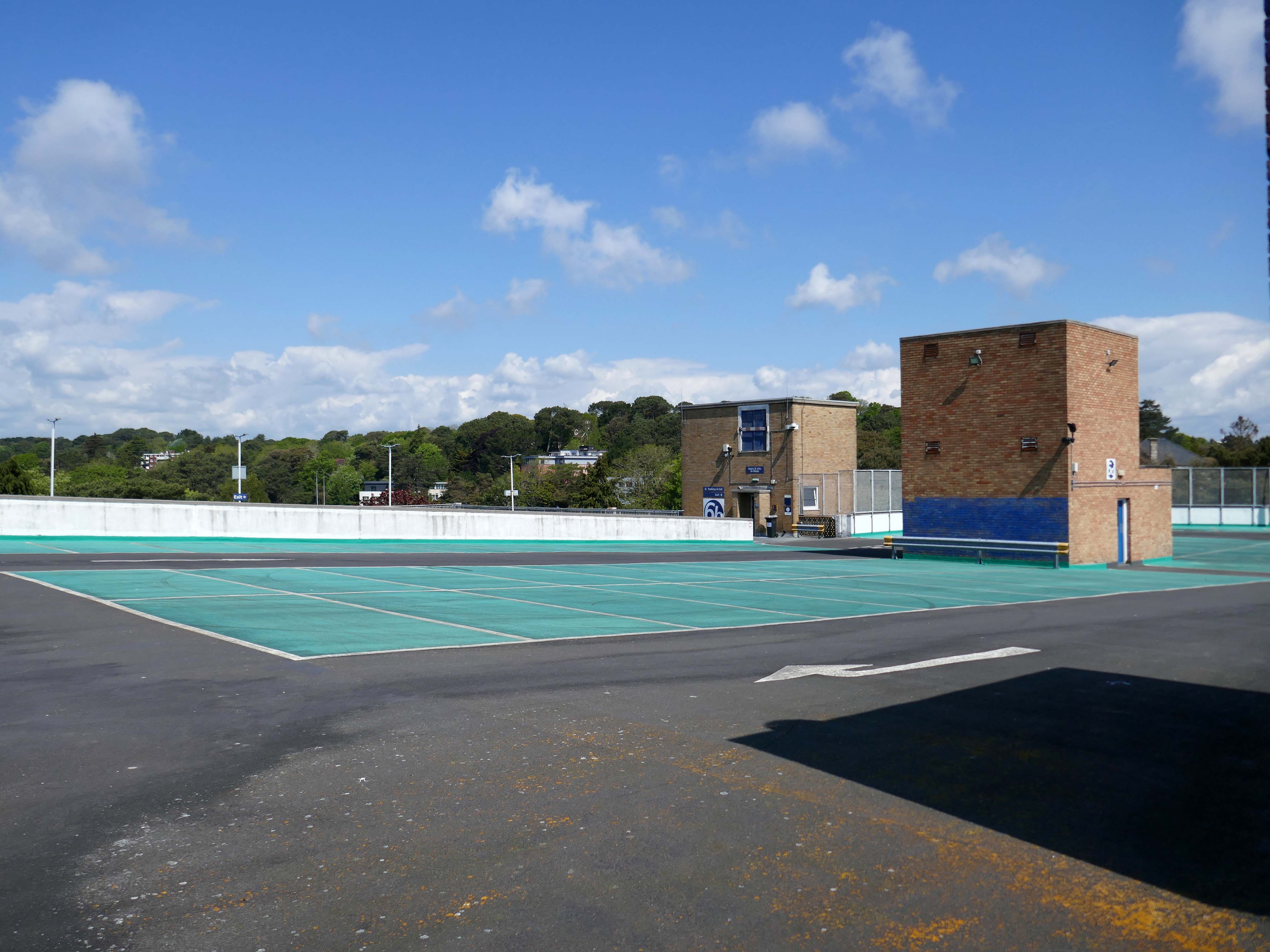
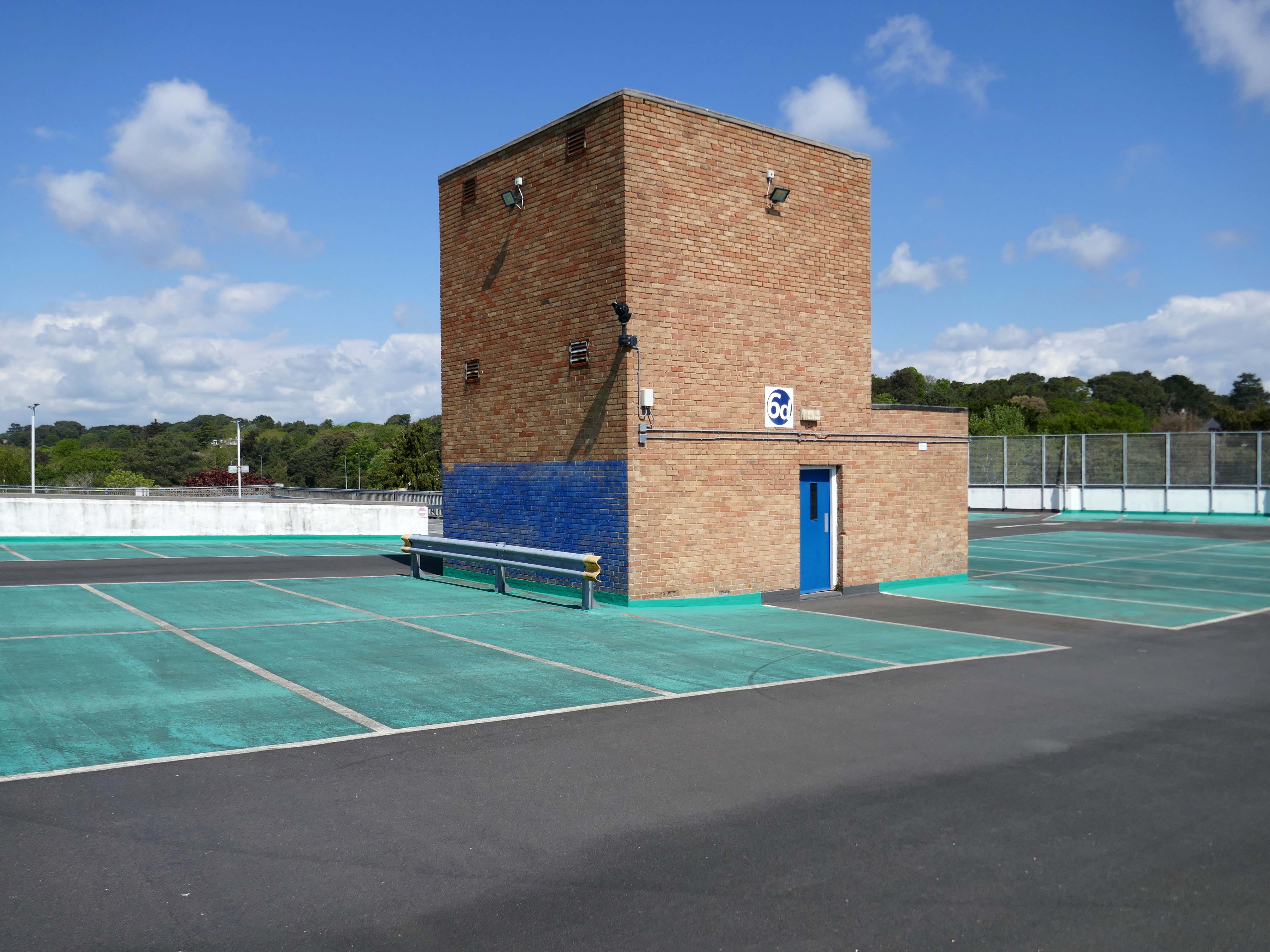
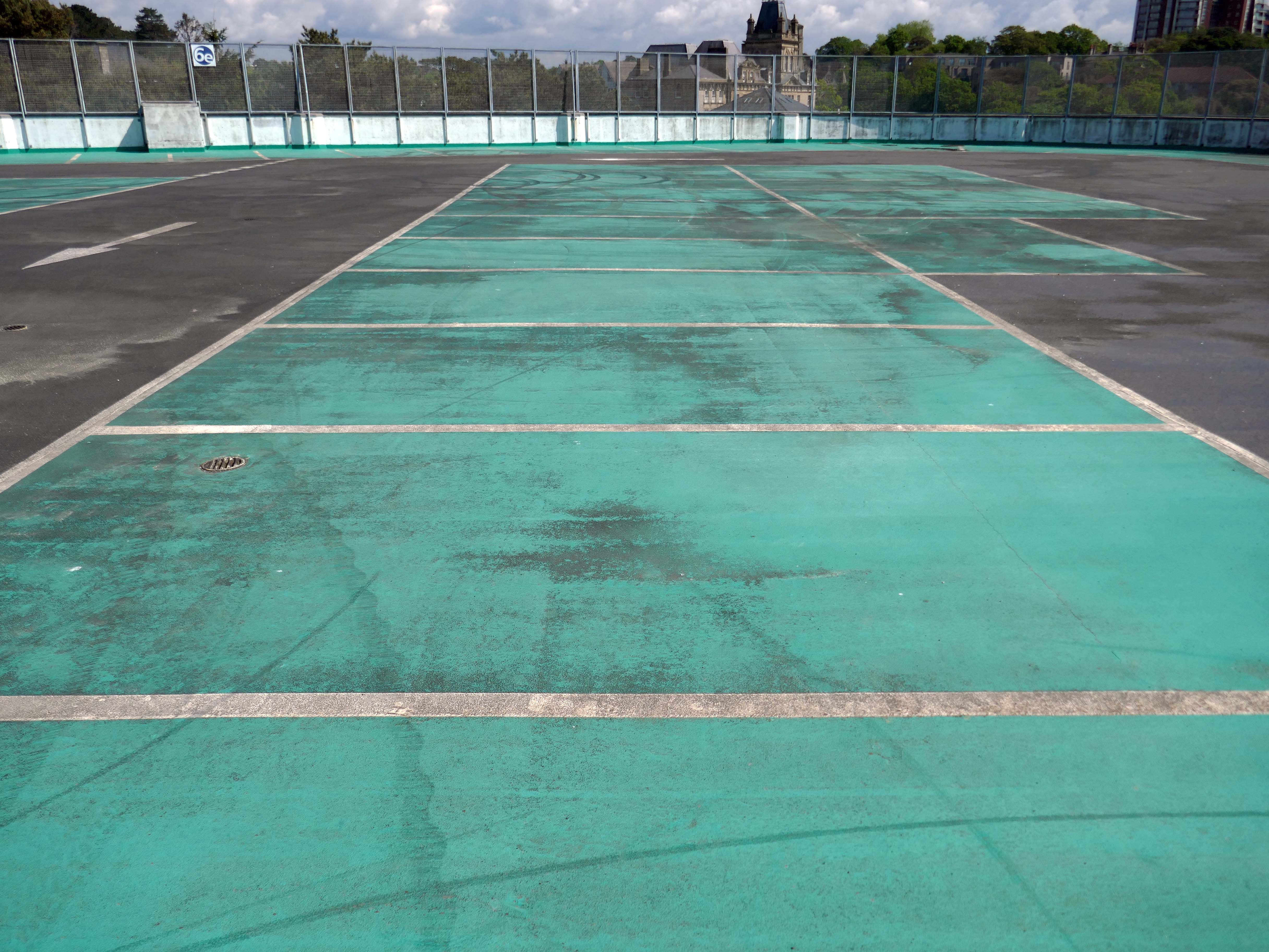
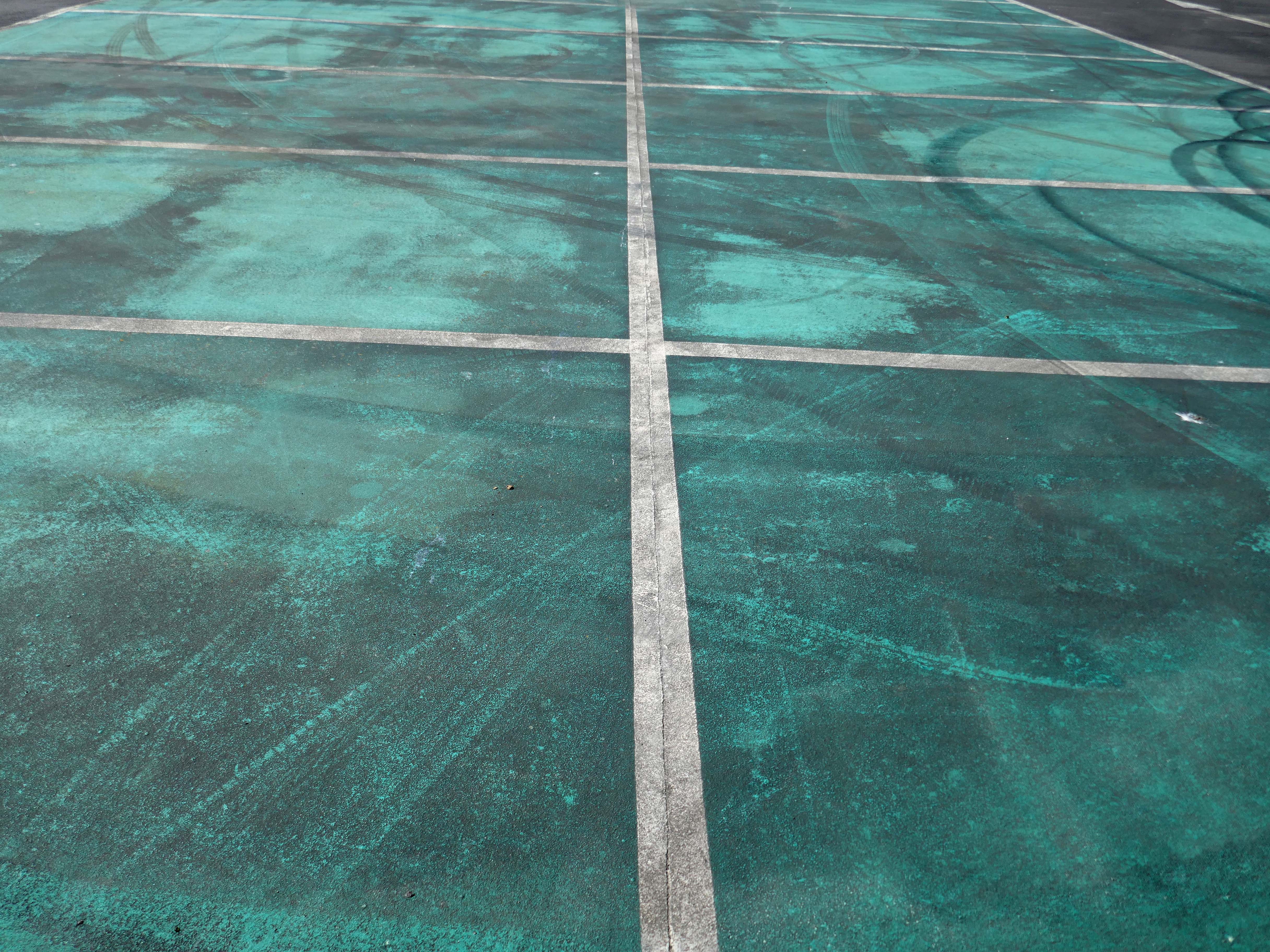
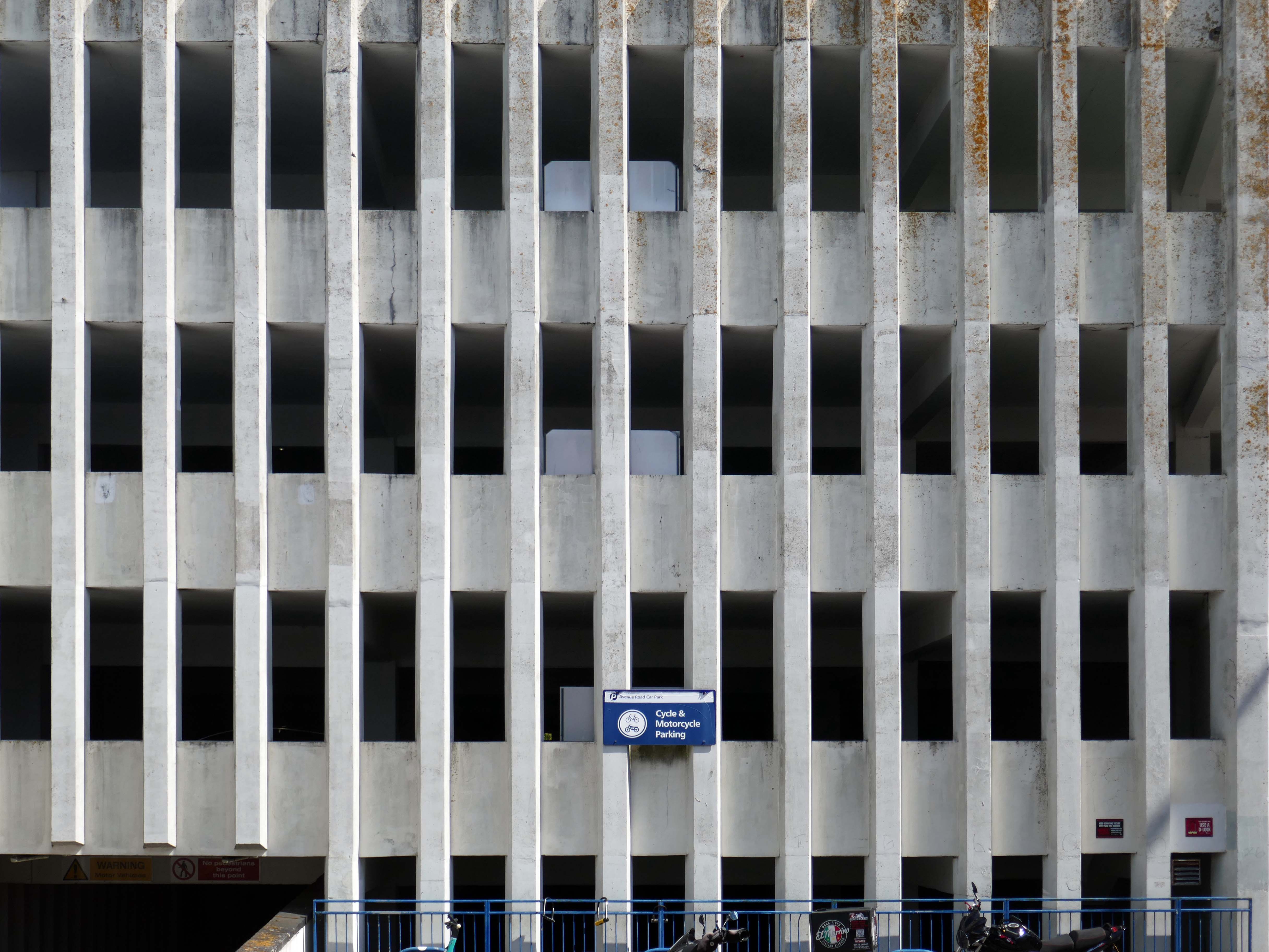
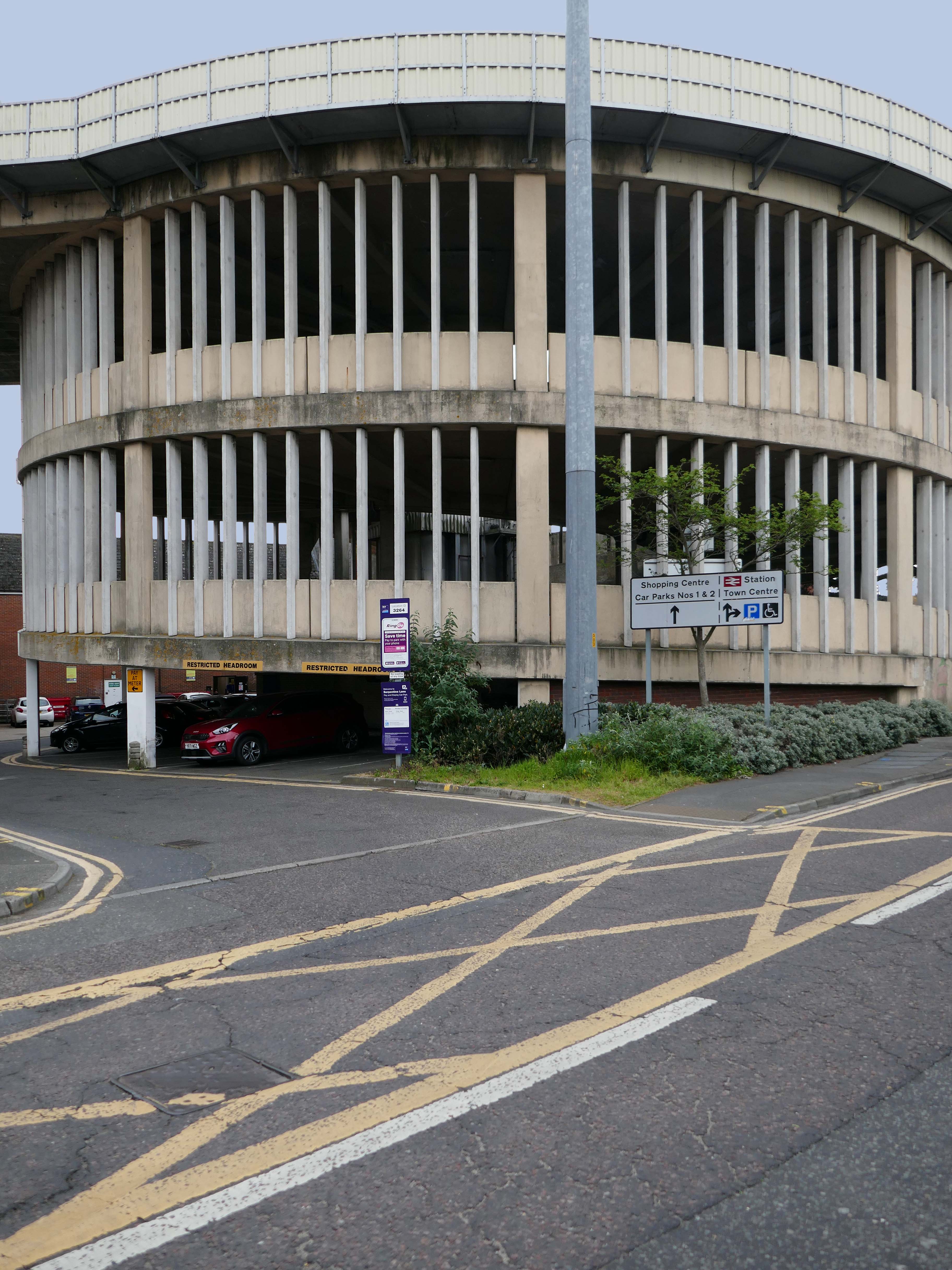
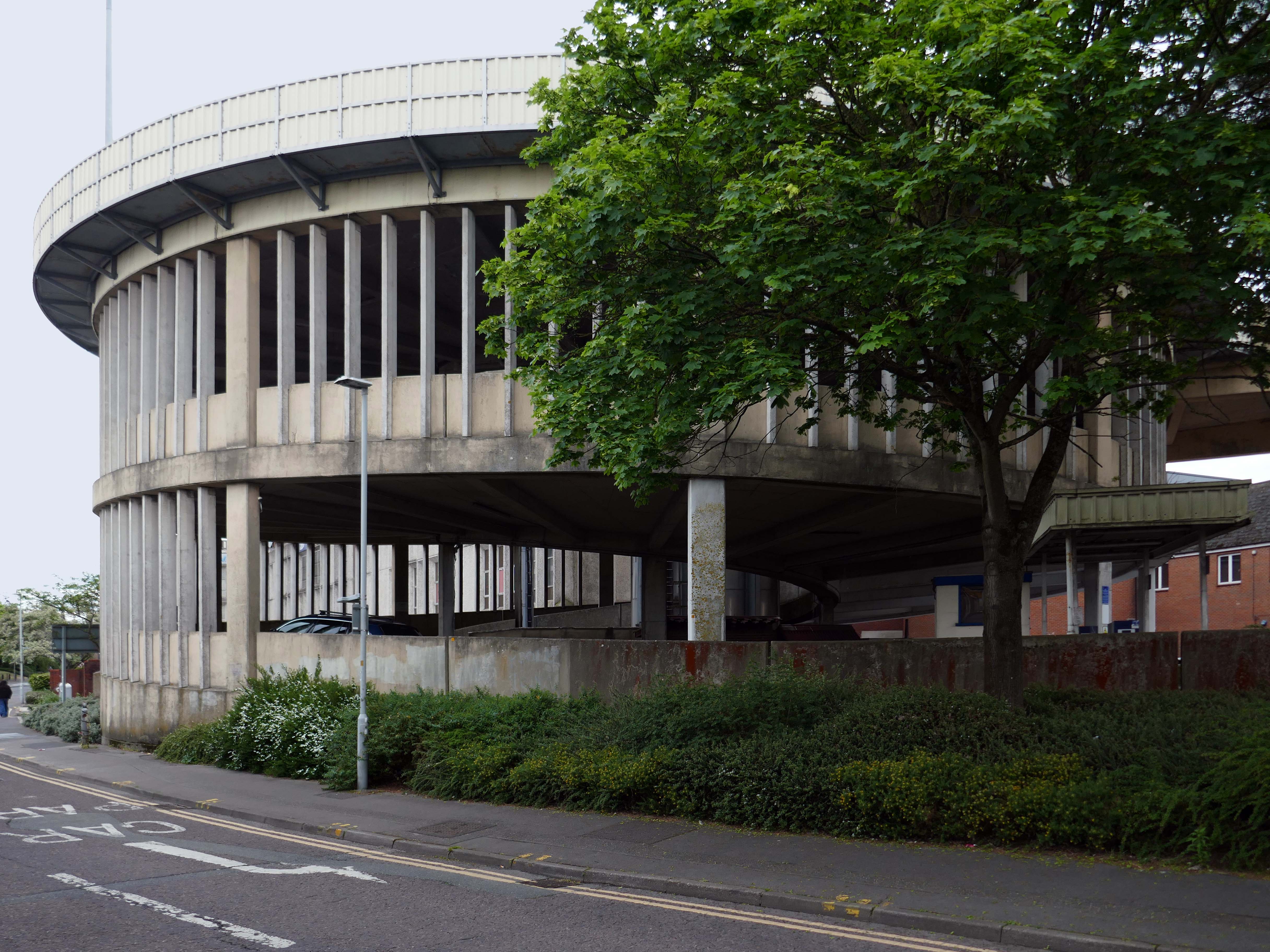
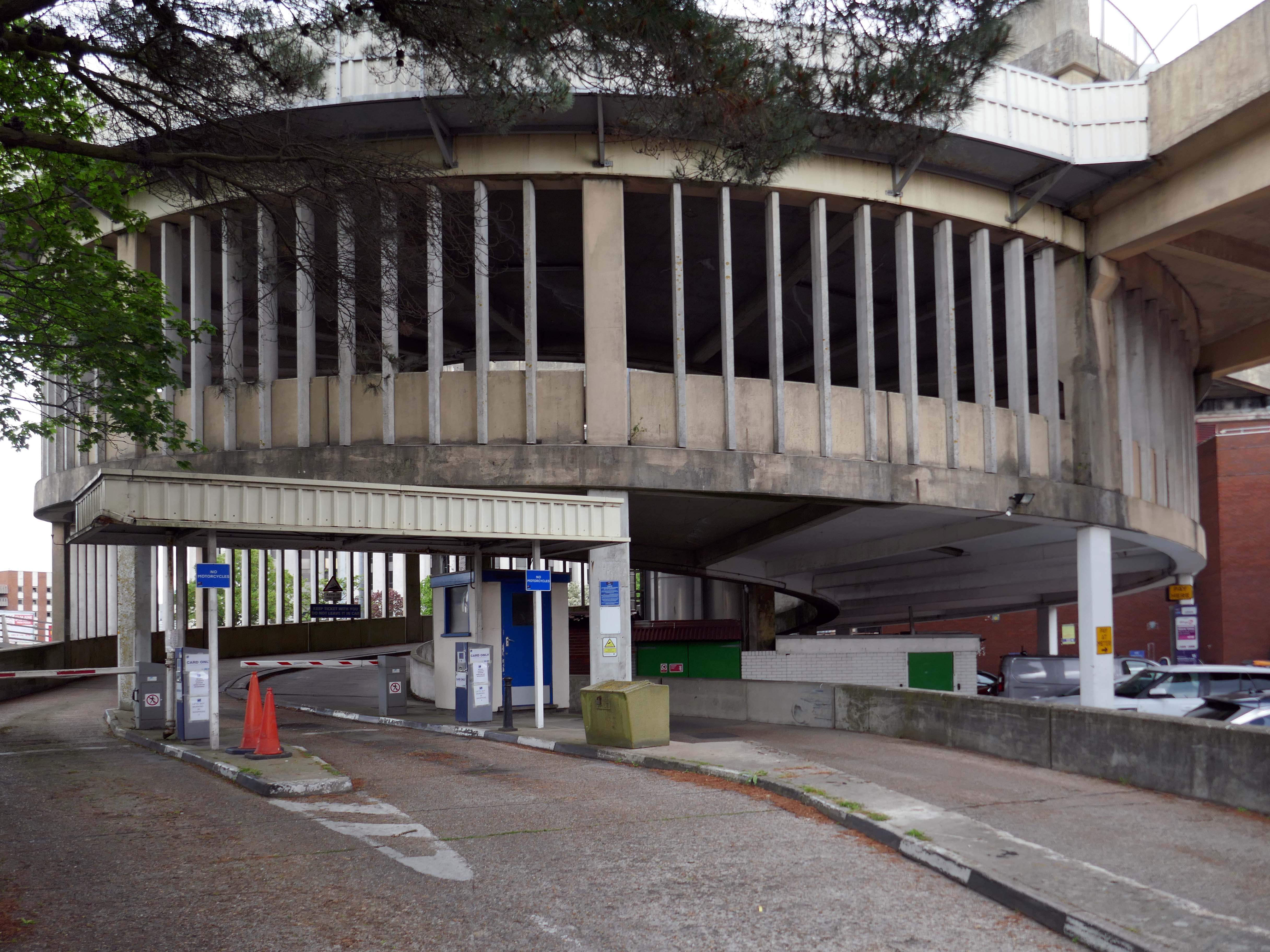
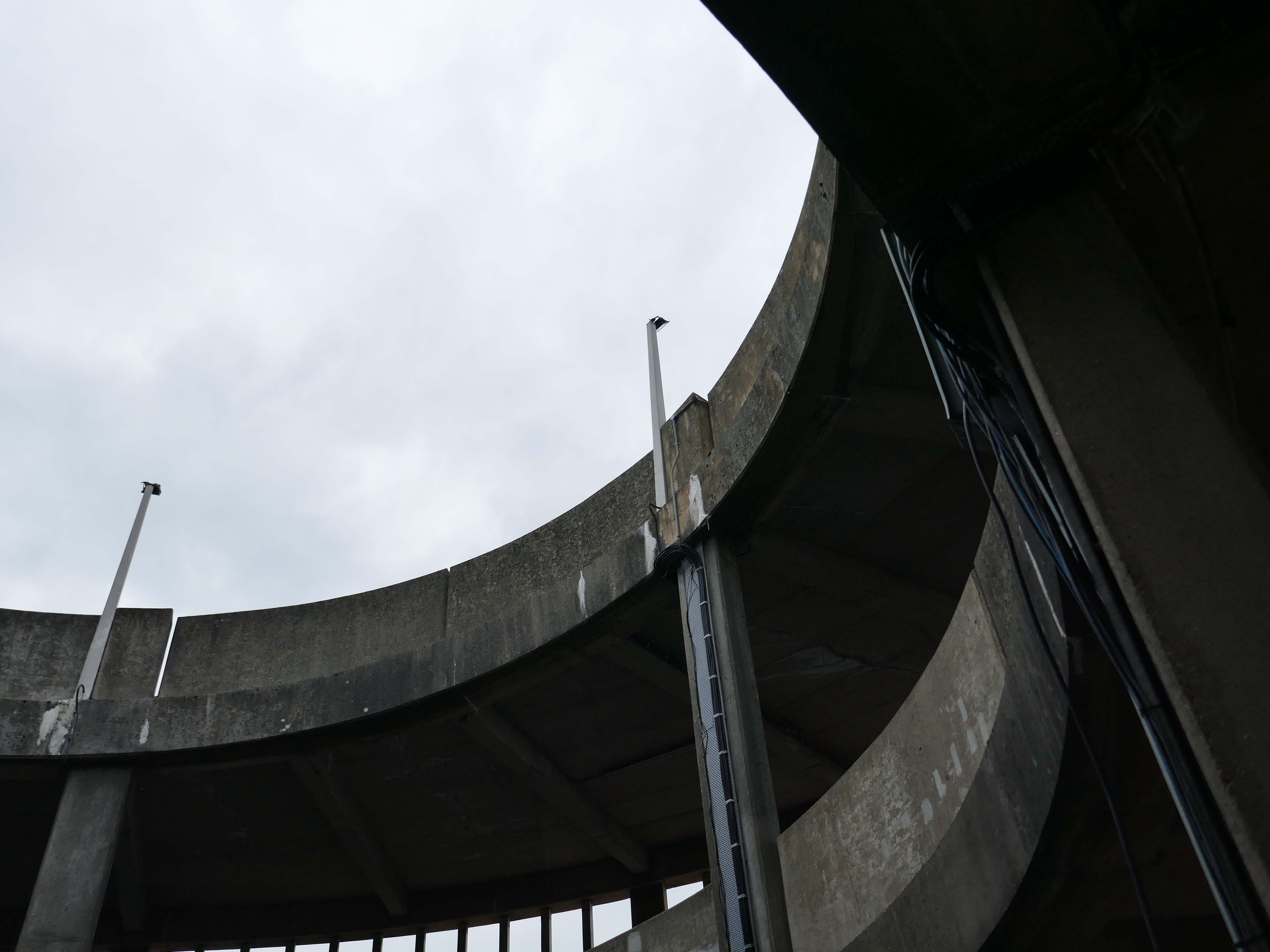
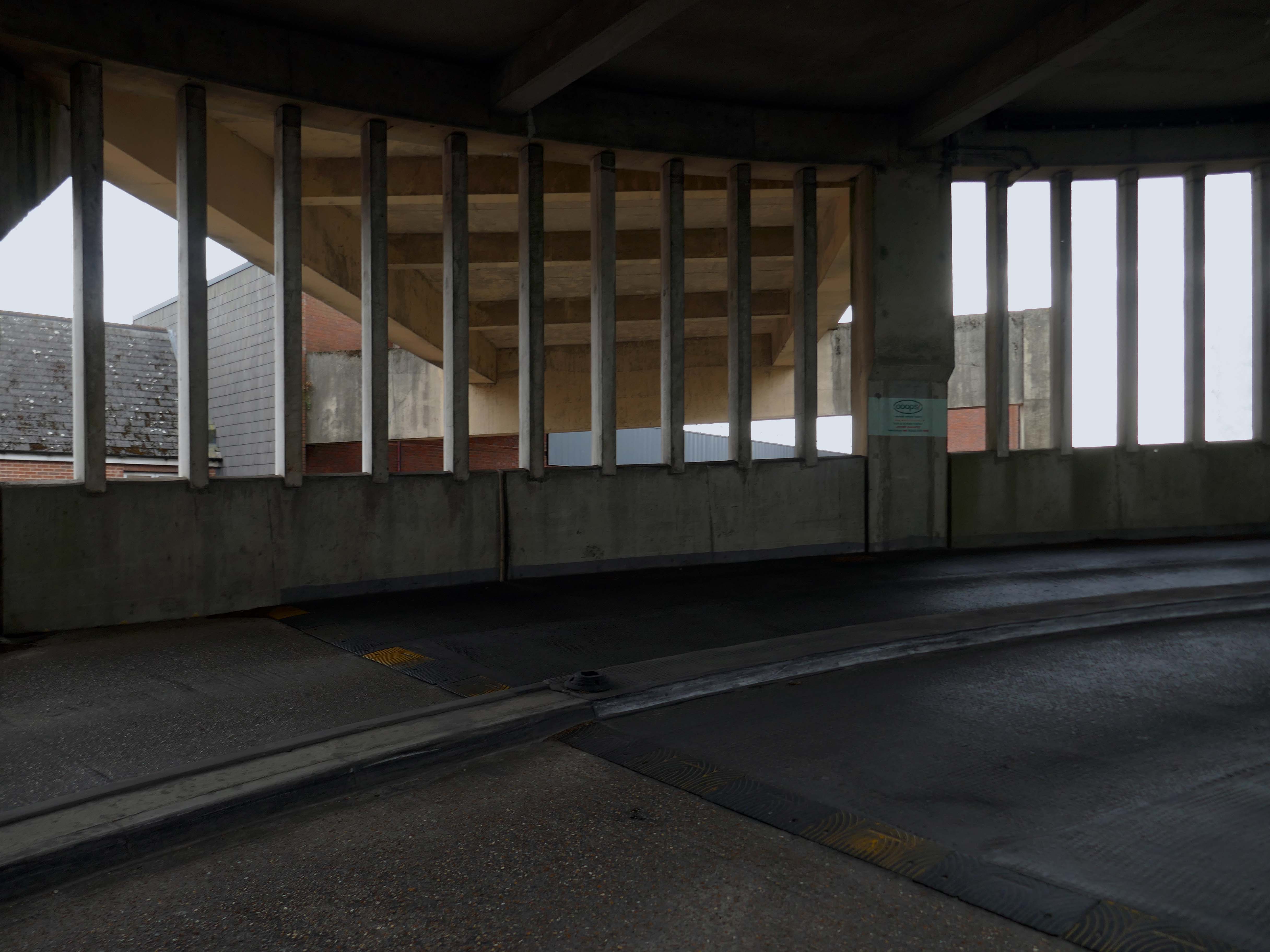
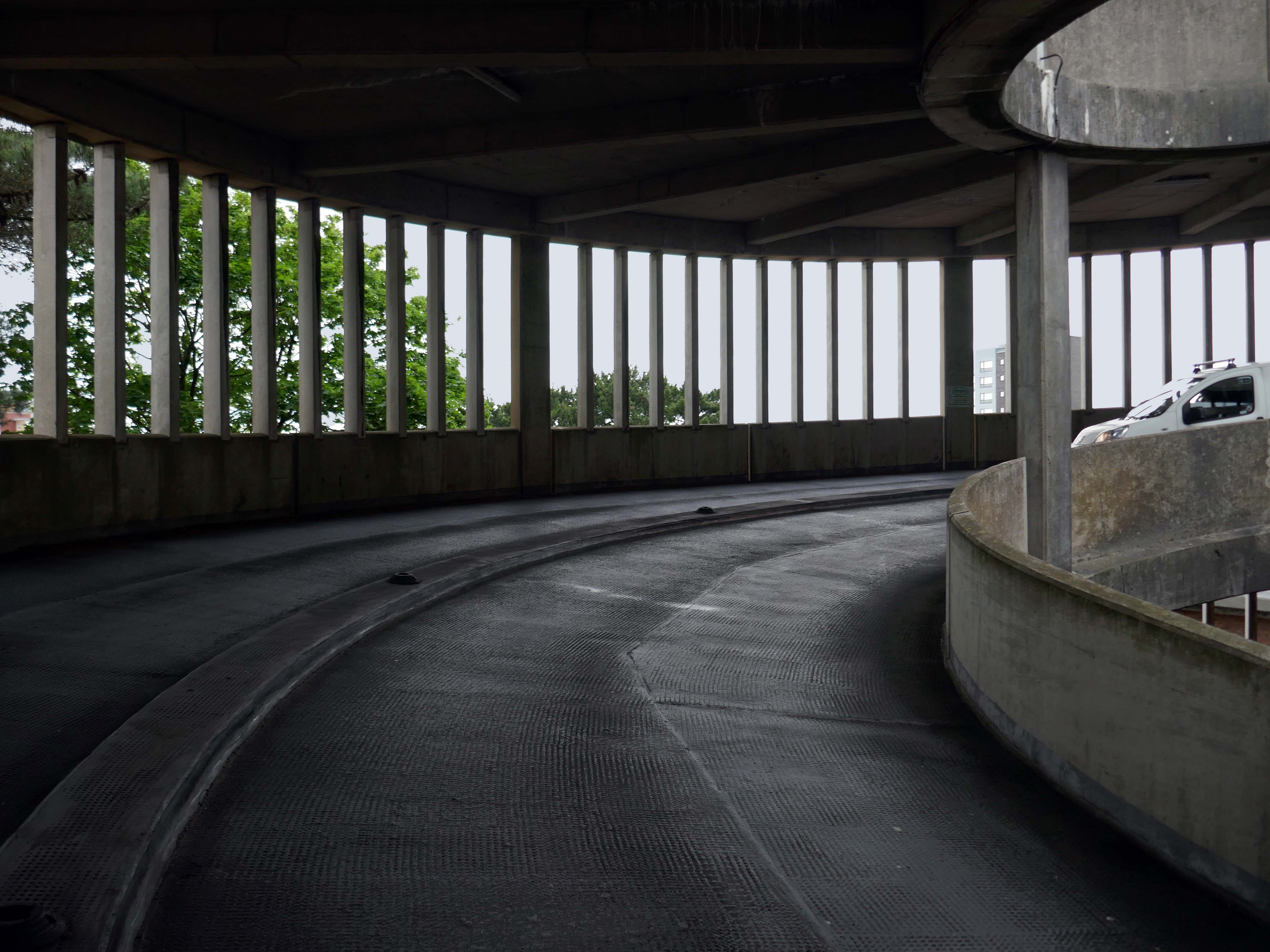
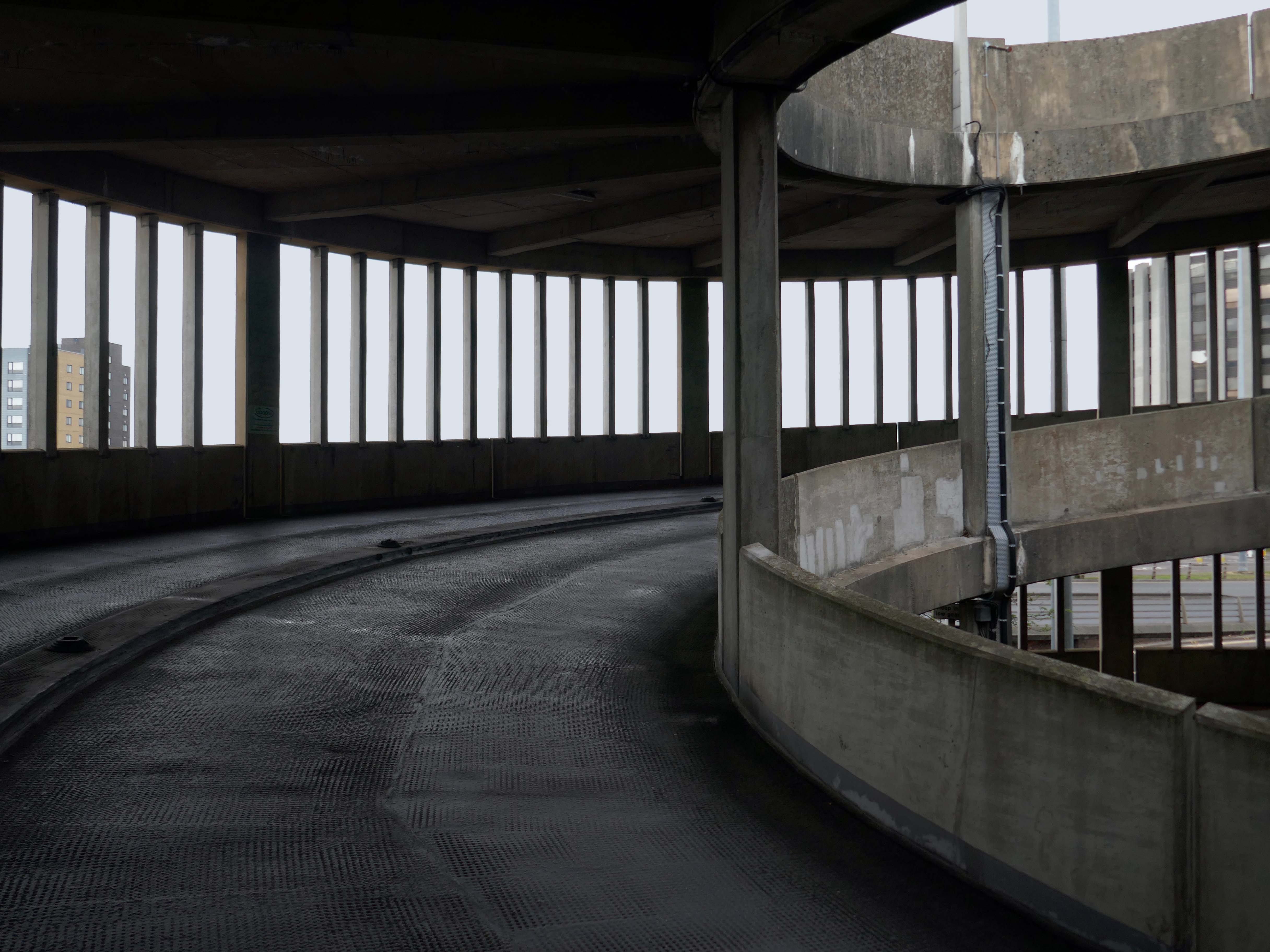
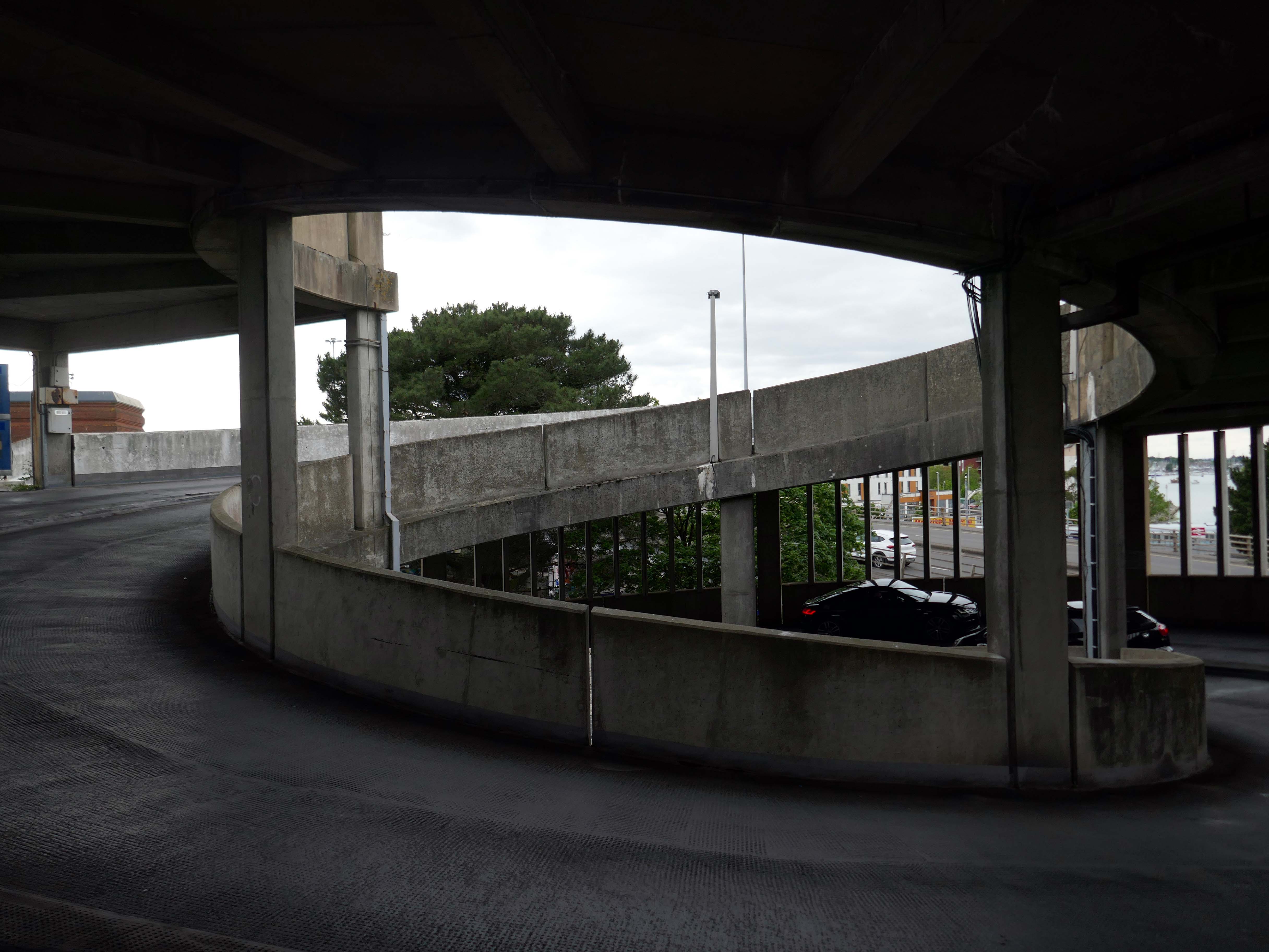
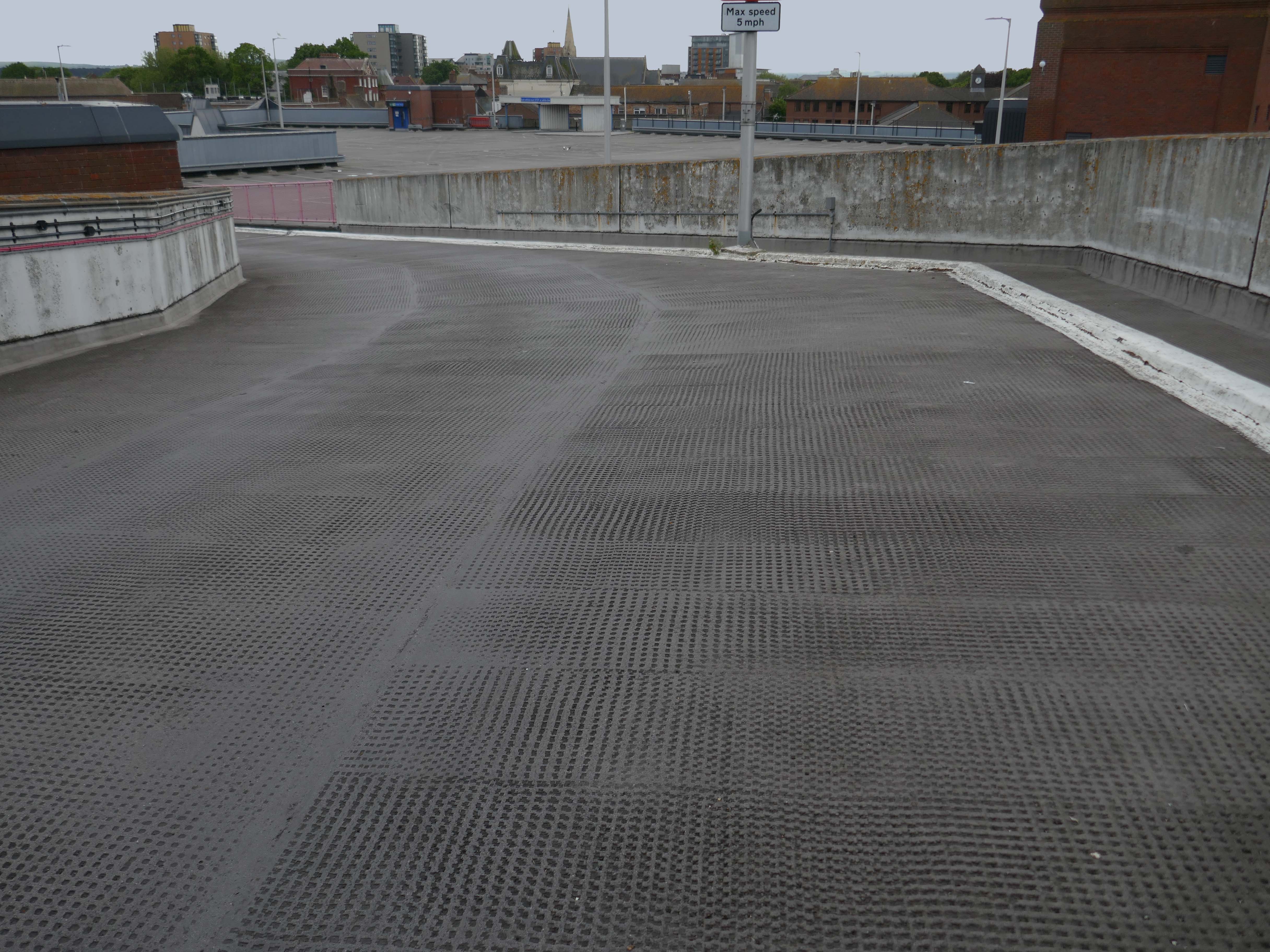
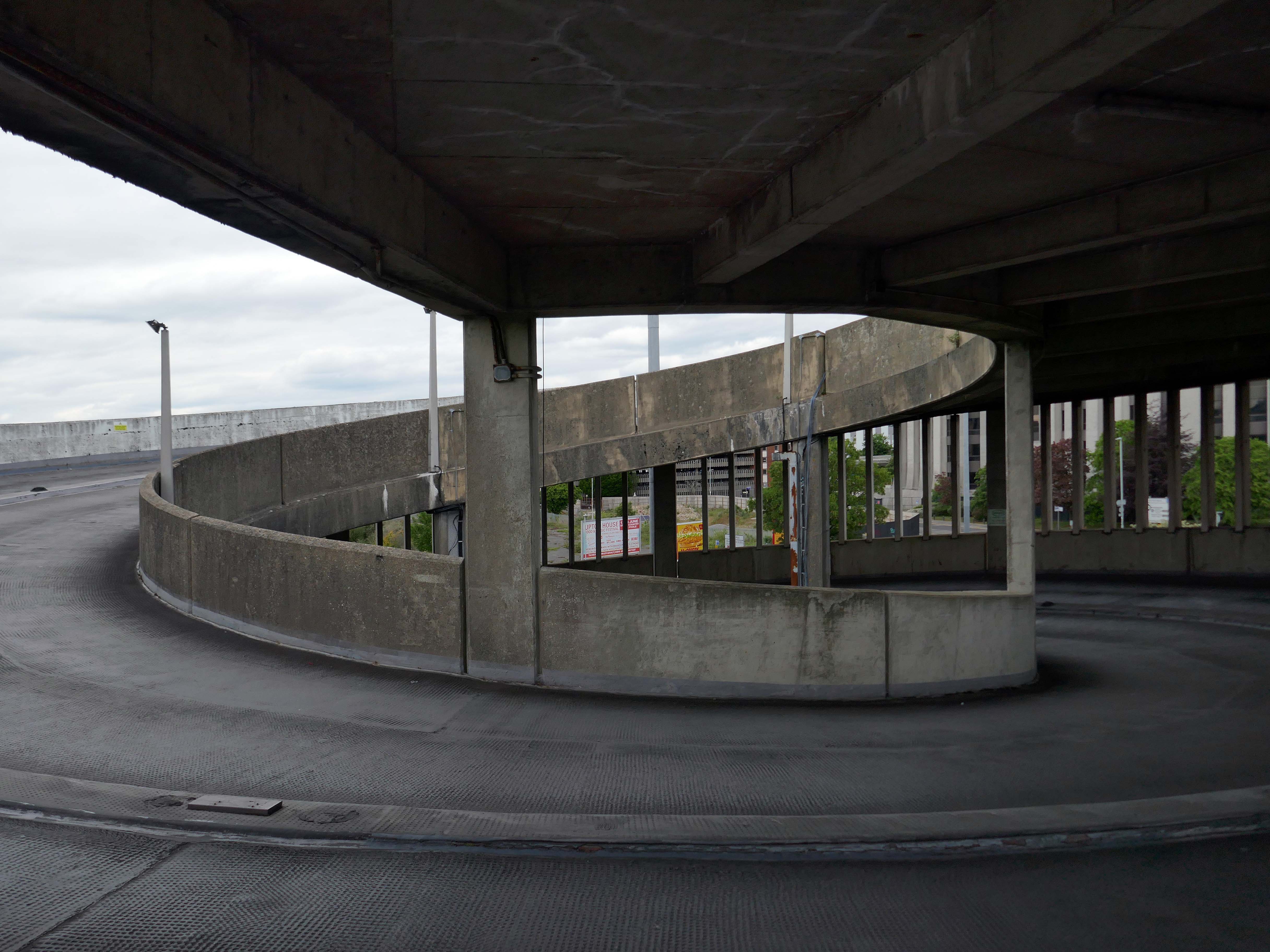
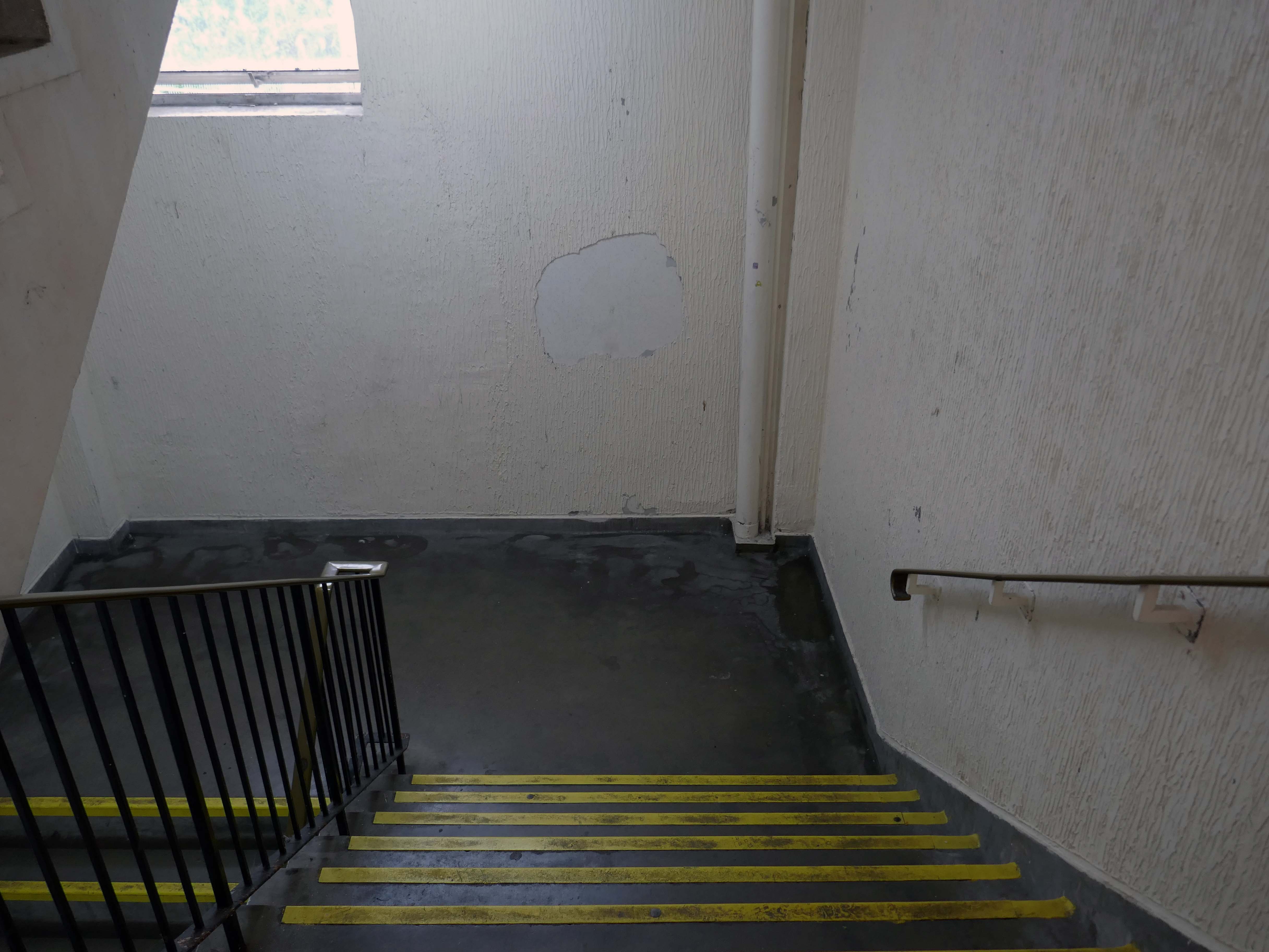
After twenty years, the waterproofing on the top deck of the busy Avenue Road council car park in Bournemouth was failing. Water was penetrating the structure and dripping onto users’ cars on the lower levels and also into a tenant’s offices situated below. More importantly, this was affecting the structural integrity of the car park.
Being close to the sea, the car park is subjected to highly corrosive moisture and salt levels, which if left unprotected could cause long term structural damage. And indeed, further investigation by the contractors Concrete Repairs Ltd. and Triflex’s Technical Team revealed that part of the concrete substrate was cracking and failing causing potential health and safety issues.
As a result, the council needed to refurbish the car park and have a reliable waterproofing solution that would extend the car park’s service life. In addition, this work needed to be finished before the start of the busy summer tourist period.
Concrete Repairs Ltd. and the Triflex Technical Team visited the site to complete an extensive site survey. Testing was also conducted to determine the suitability and compatibility of the substrate and the requirements for its preparation. Triflex DeckFloor was specified for the decks with DeckFloor Ramp System to provide a more aggressive aggregate was to the ramps and inclined areas of the car park. The ramp system incorporates emery aggregate which provides additional traction for those harder wearing areas.
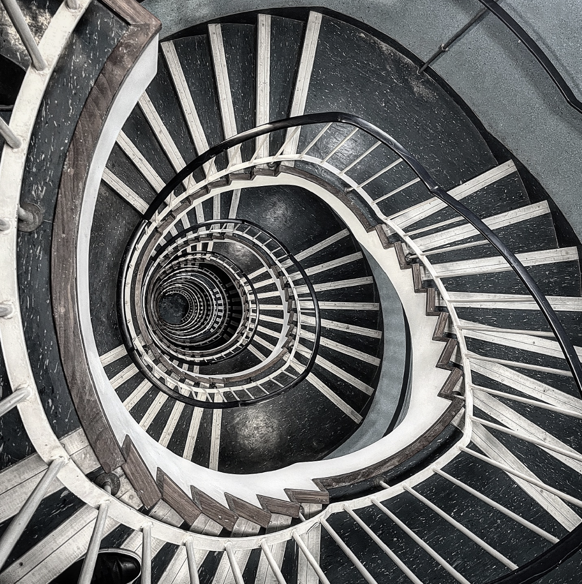
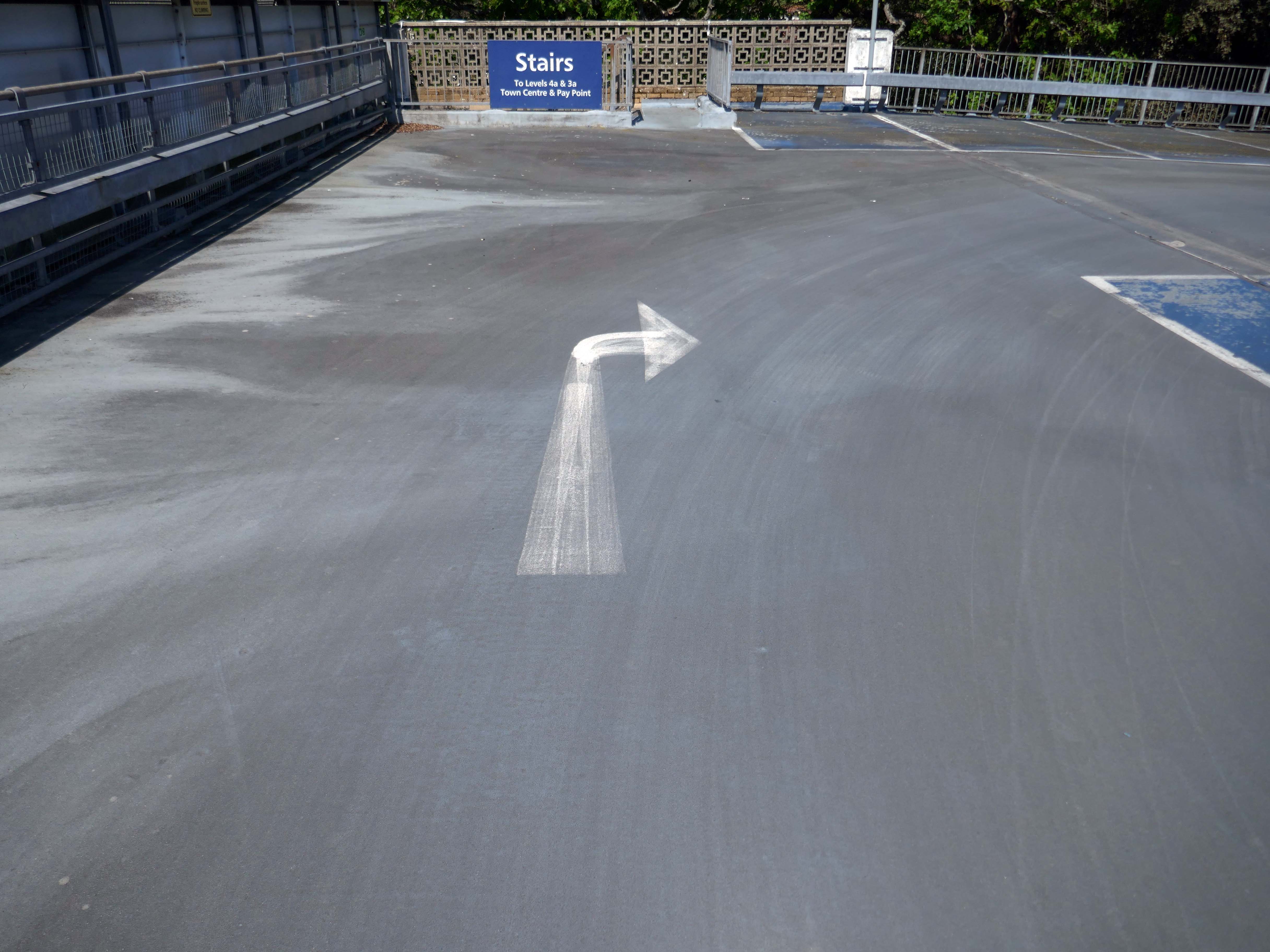
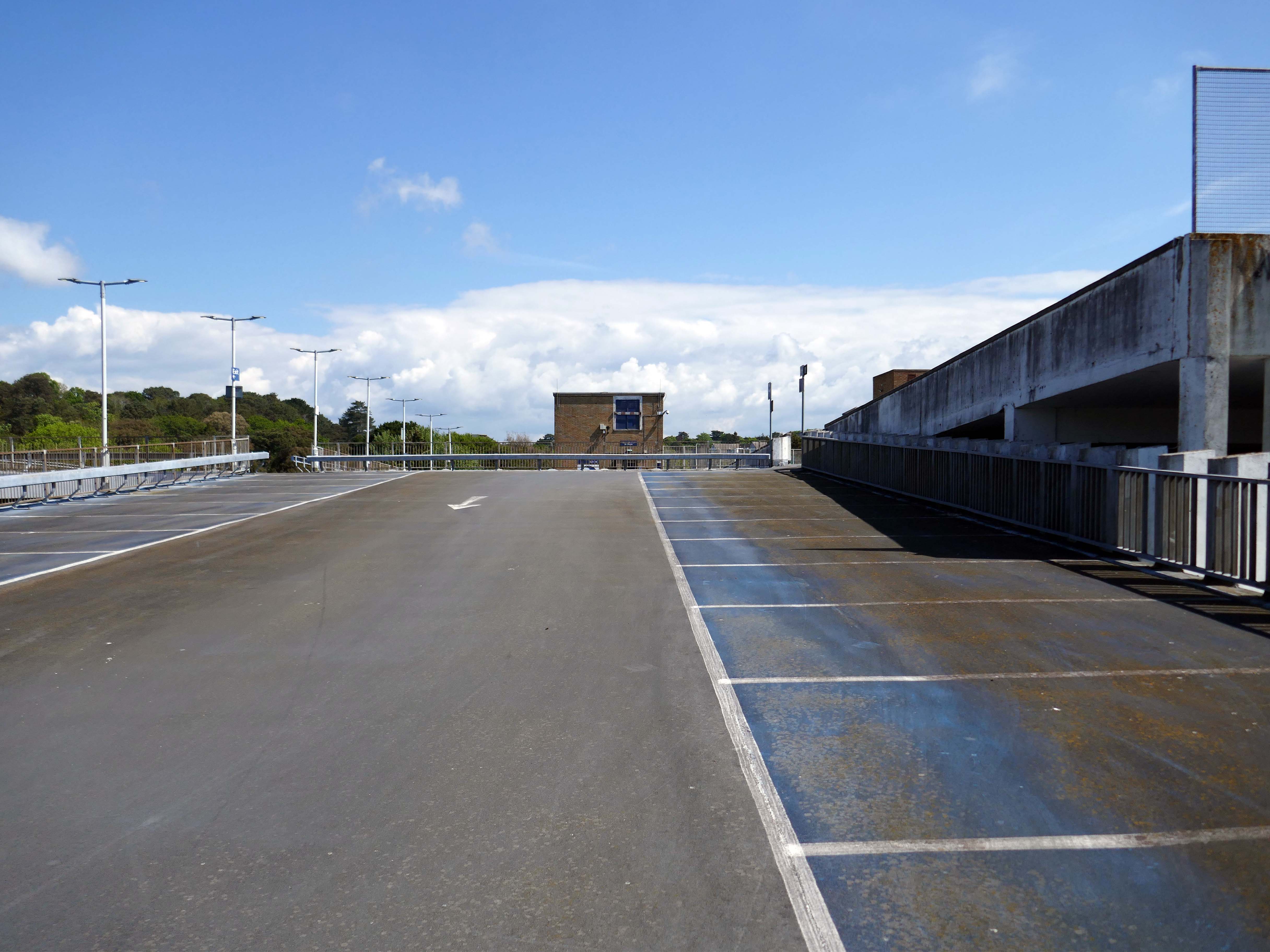
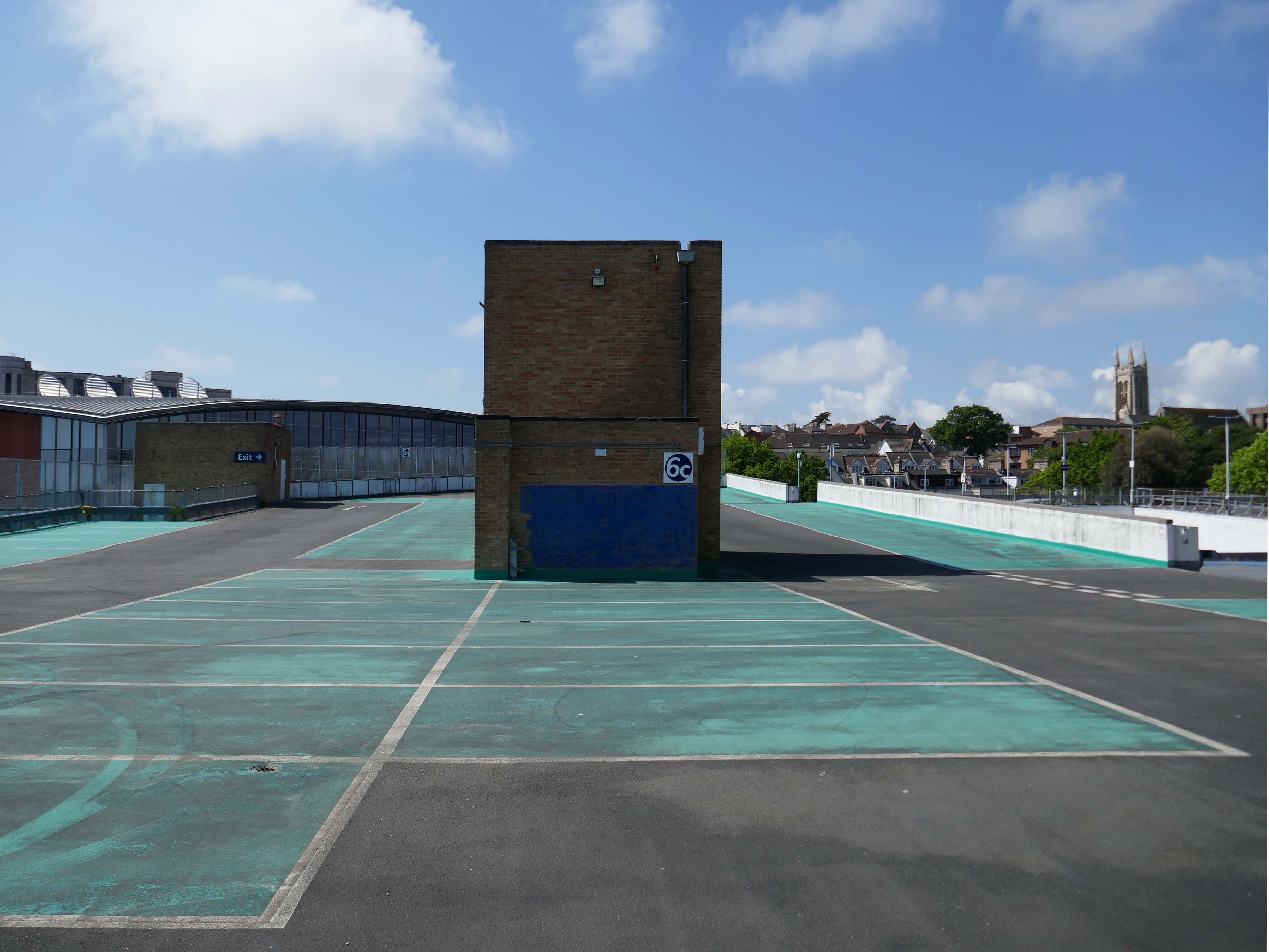
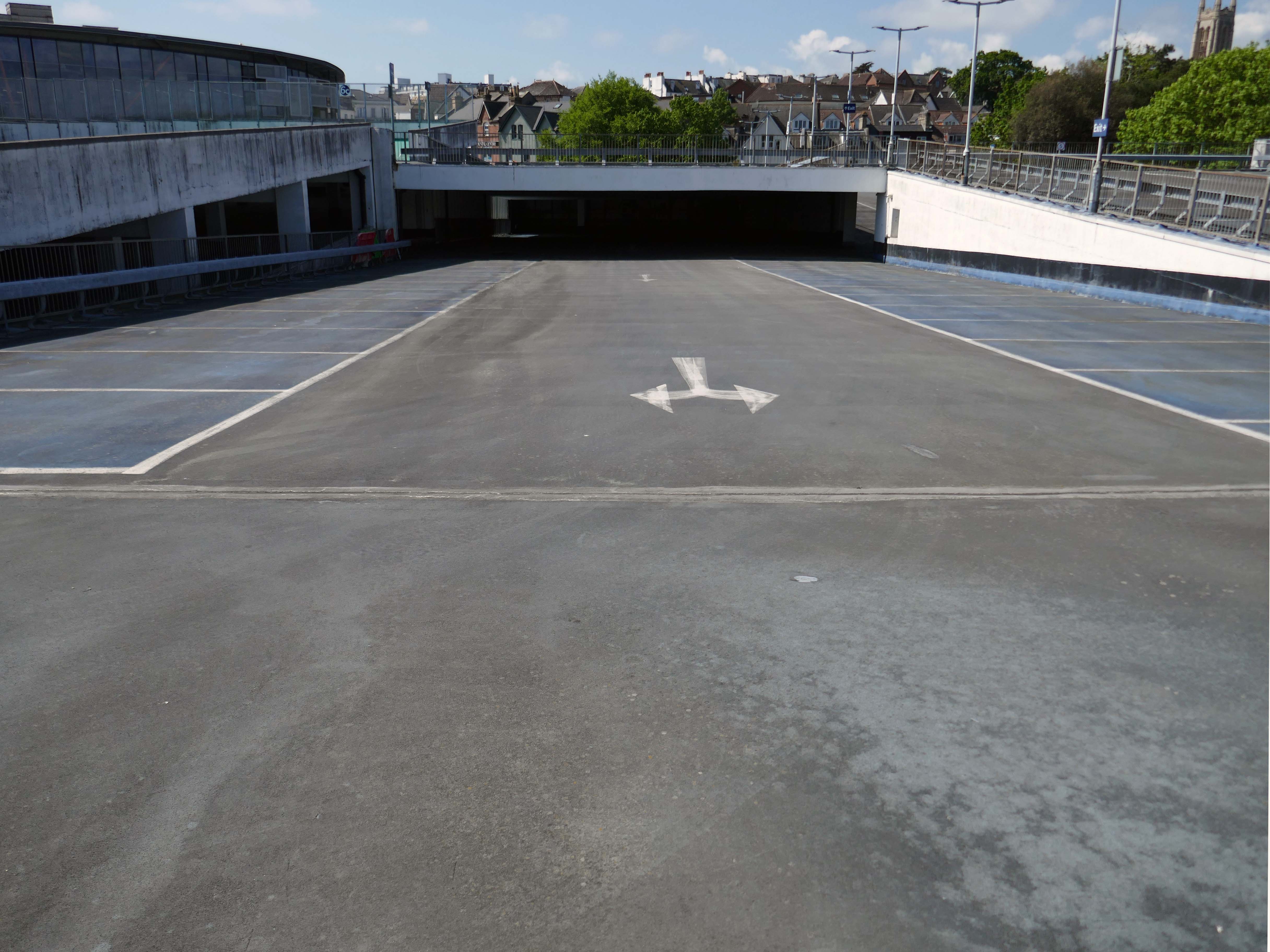
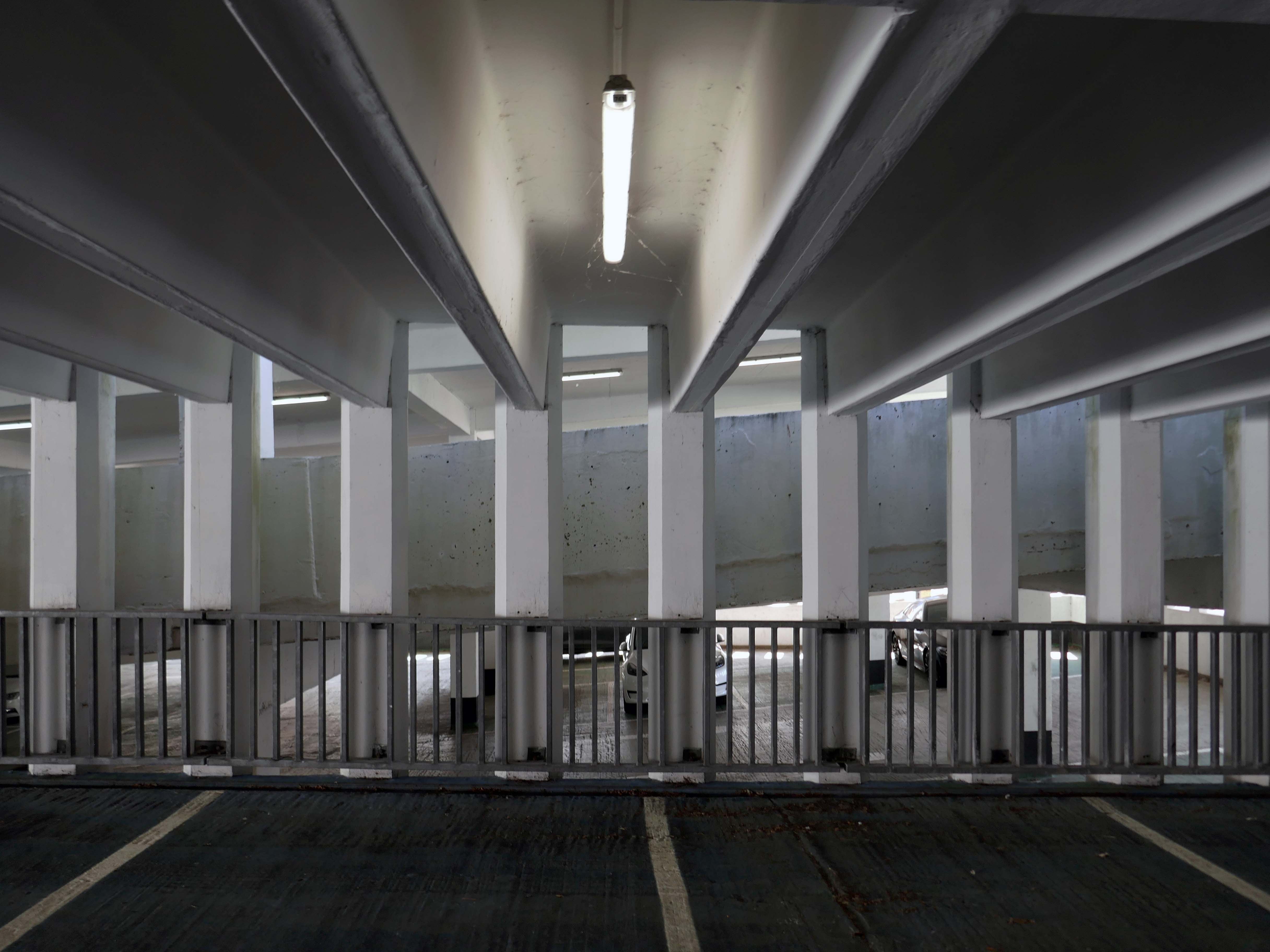
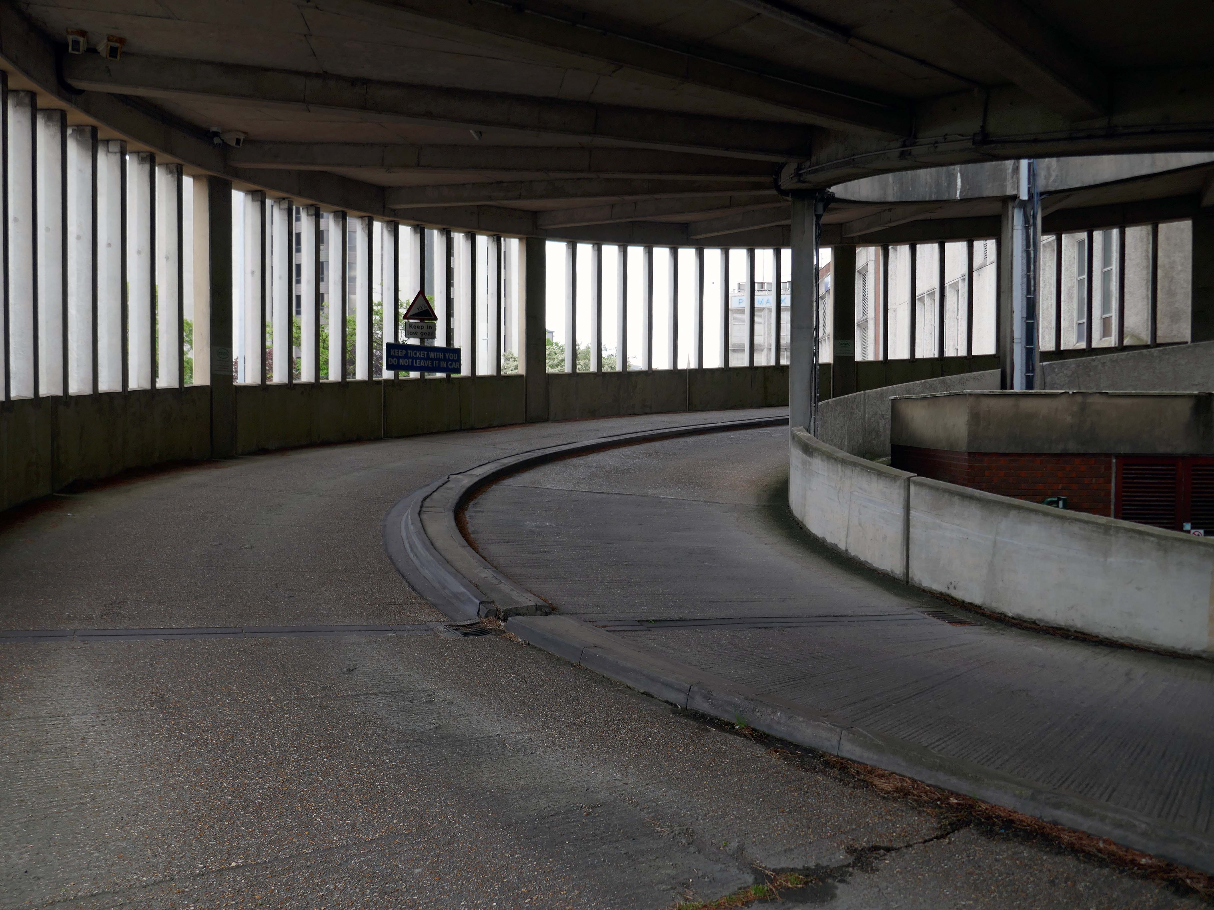
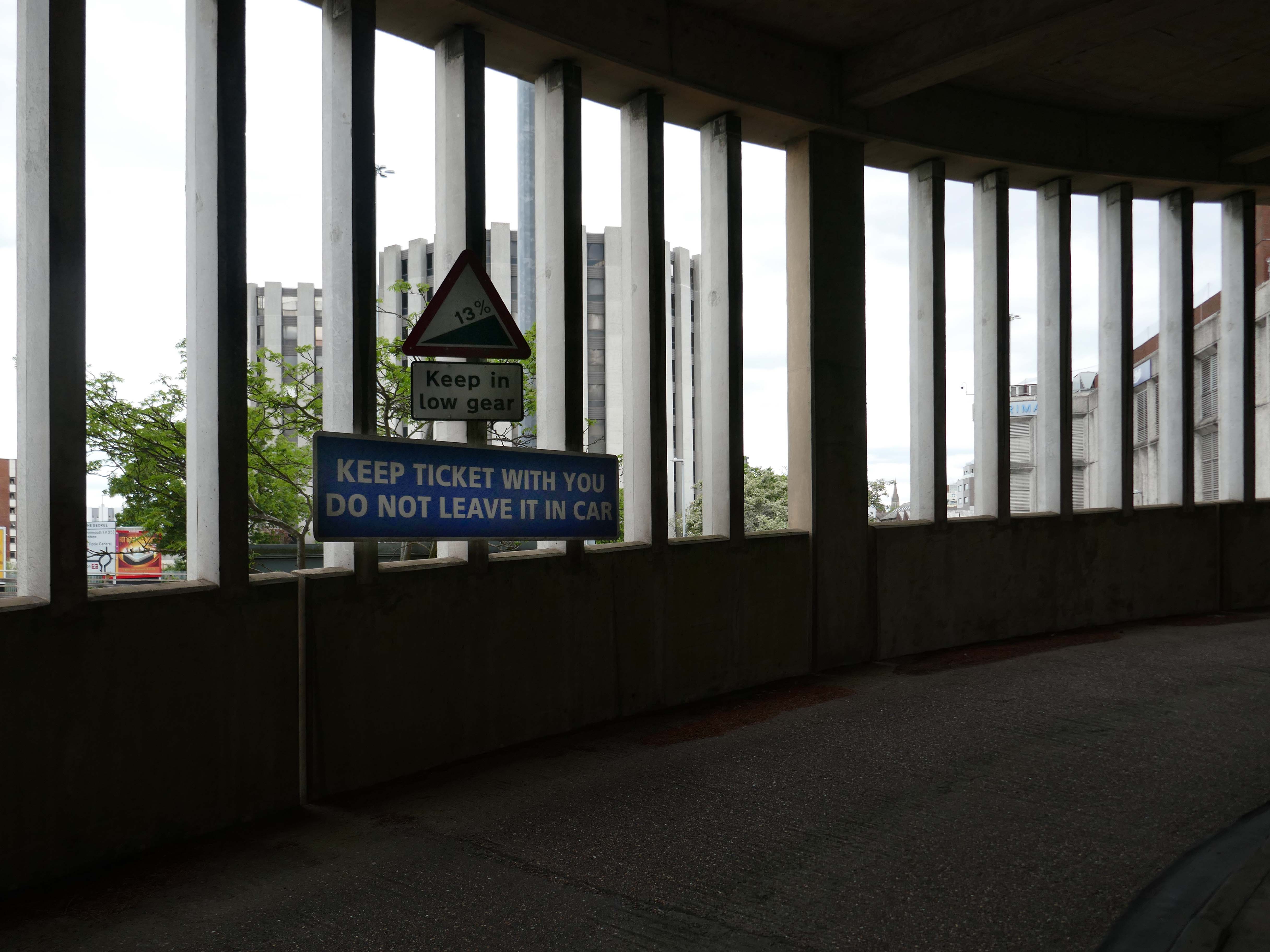
Always a pleasure to walk the spiral ramp of a multi-storey car park, with the extra added pleasure of a passing motorist enquiring after my well being.
“Are You Lost?”
“No I’m taking pictures, but thanks anyway, if I ever am lost I’ll certainly know who to ask.”
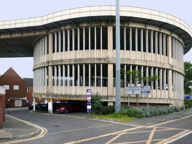
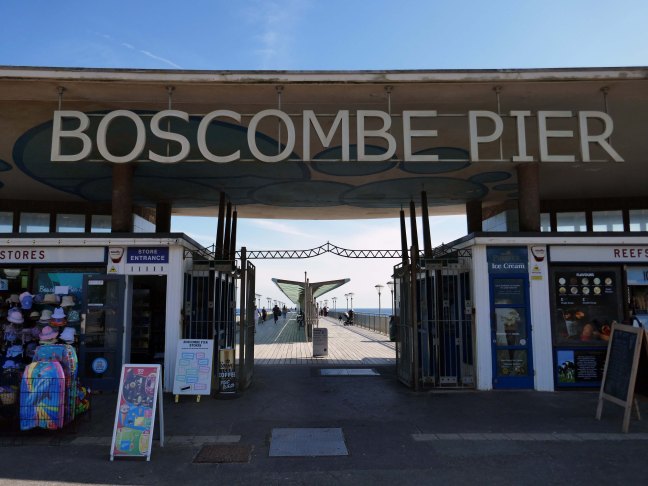
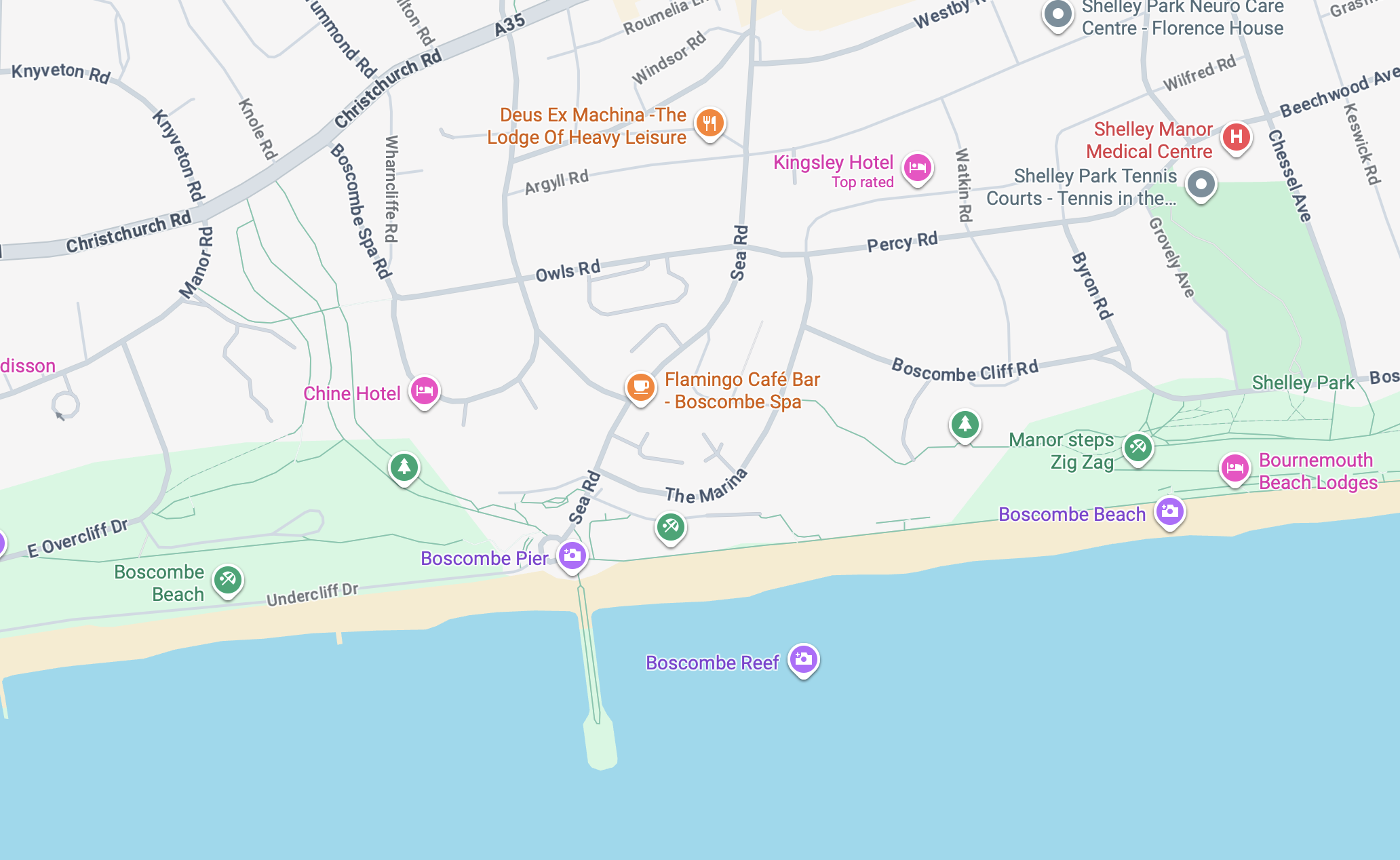
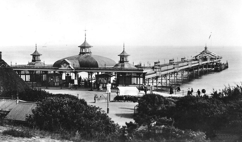
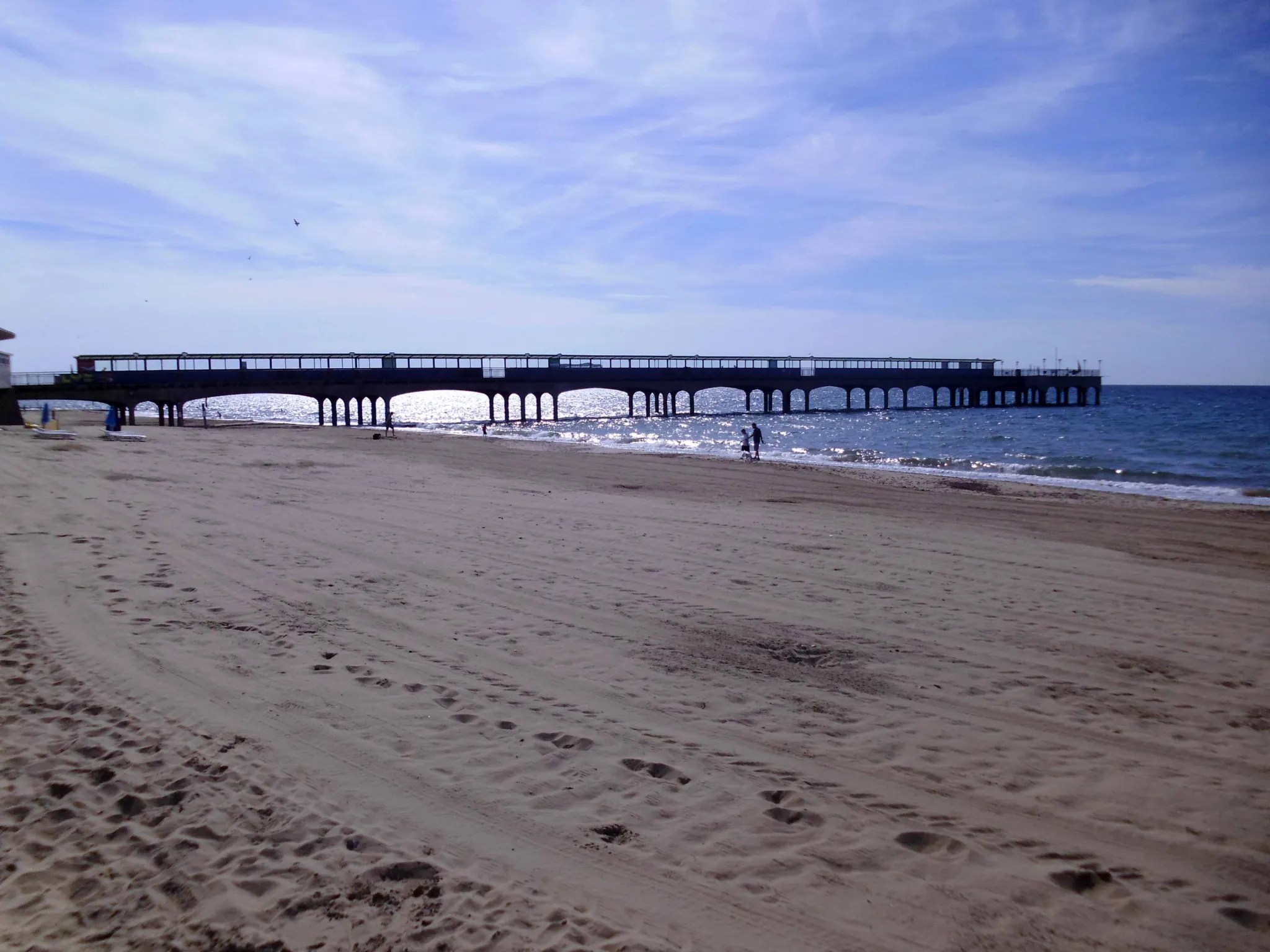
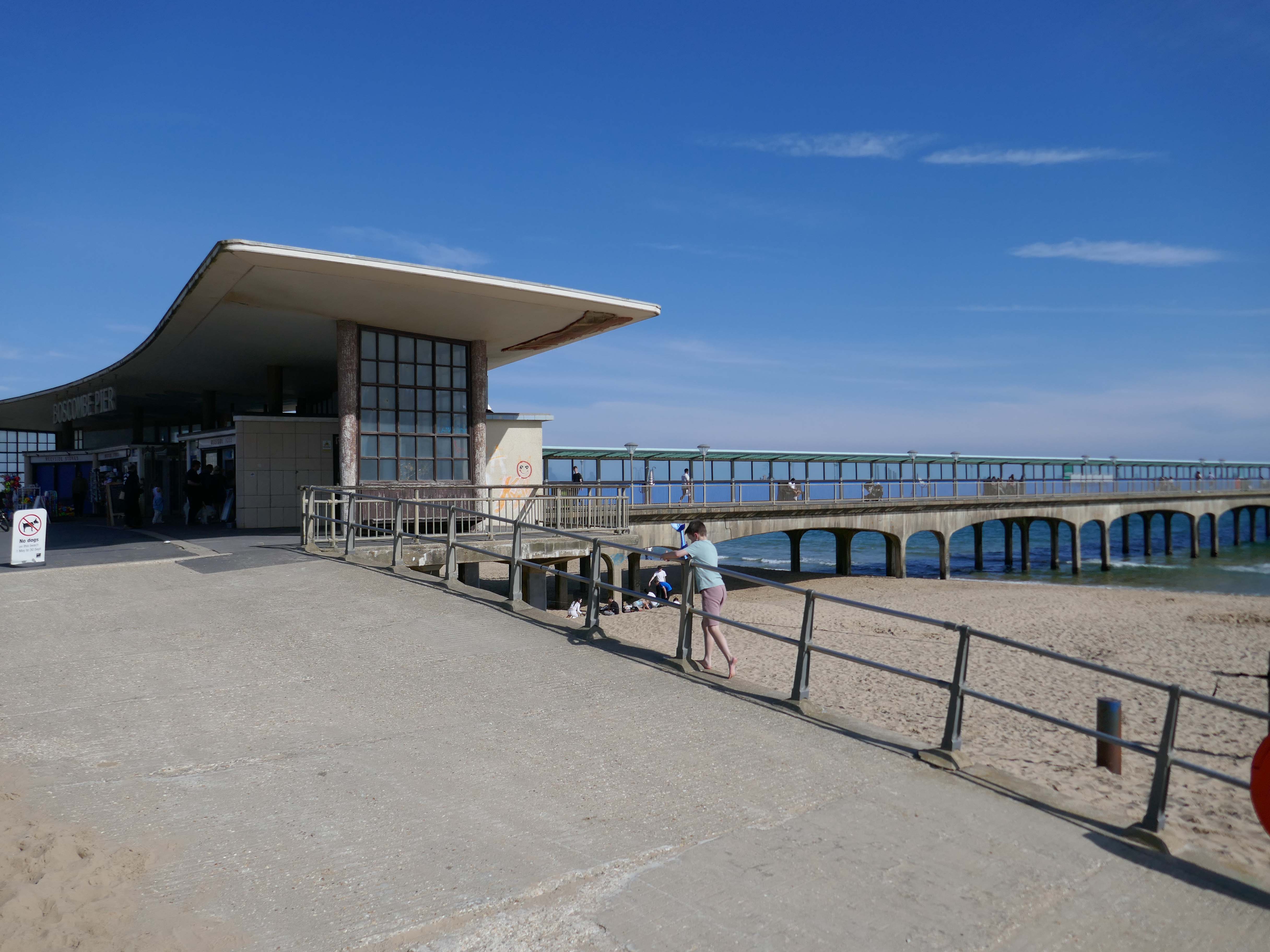
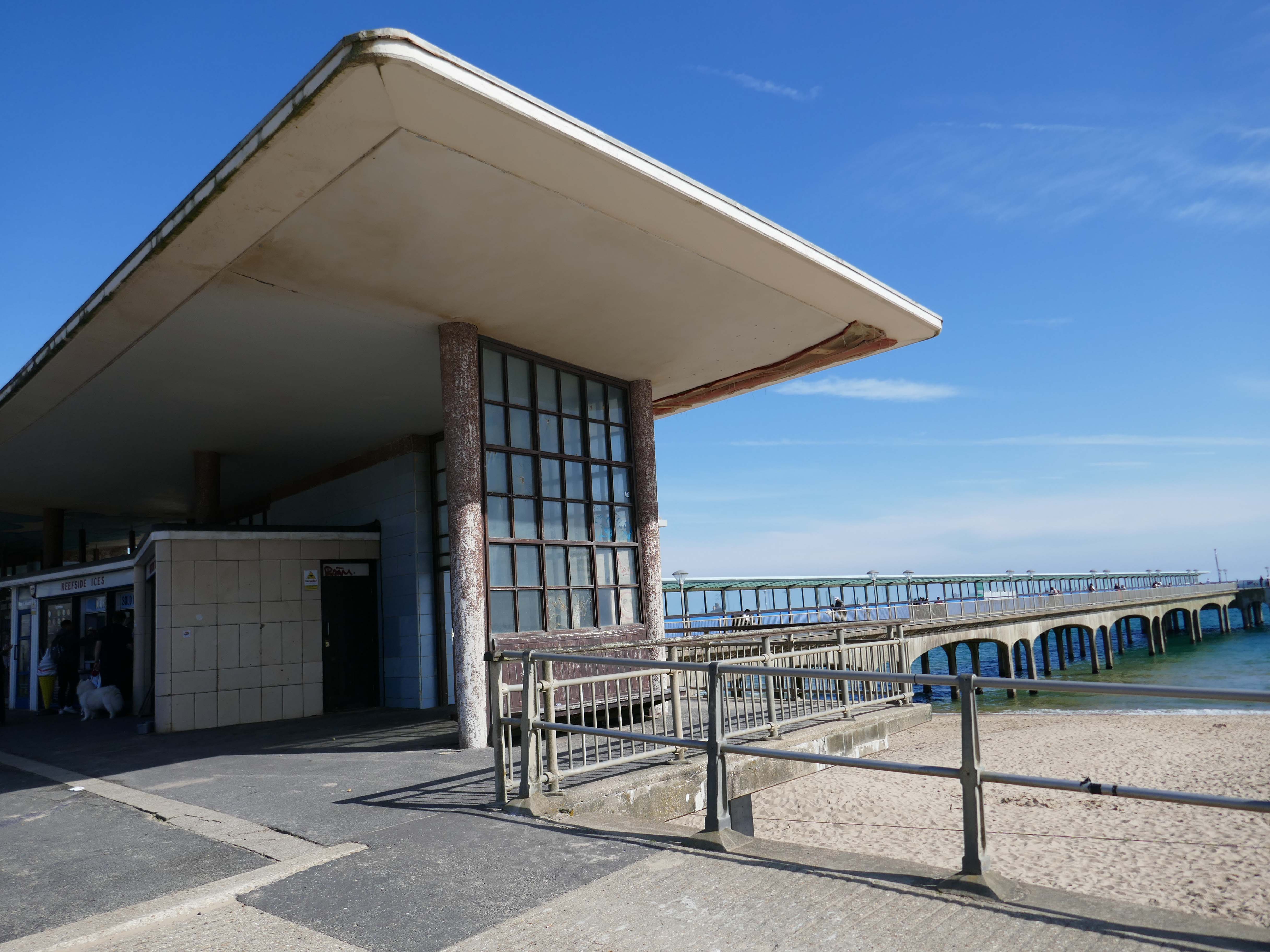
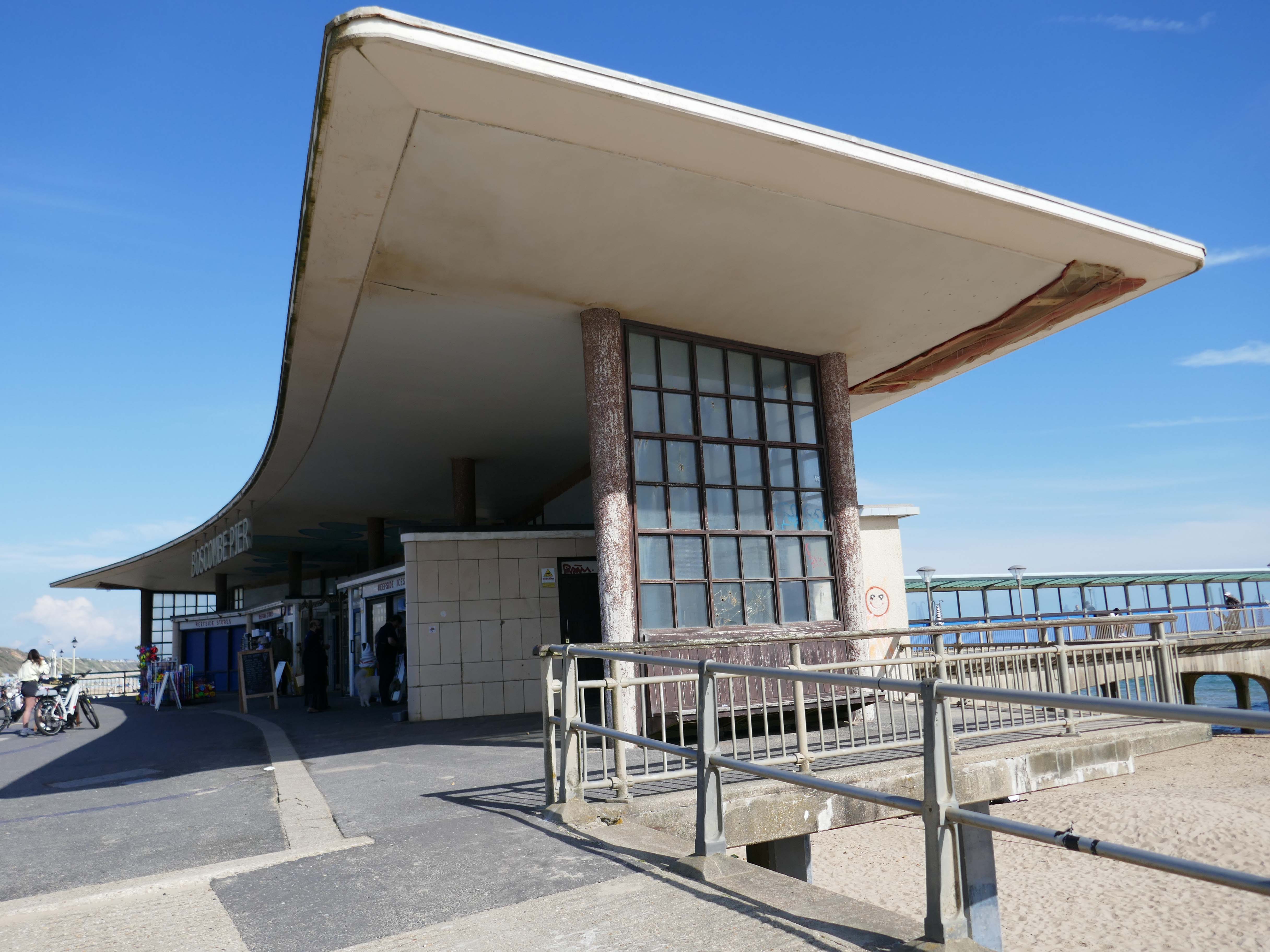
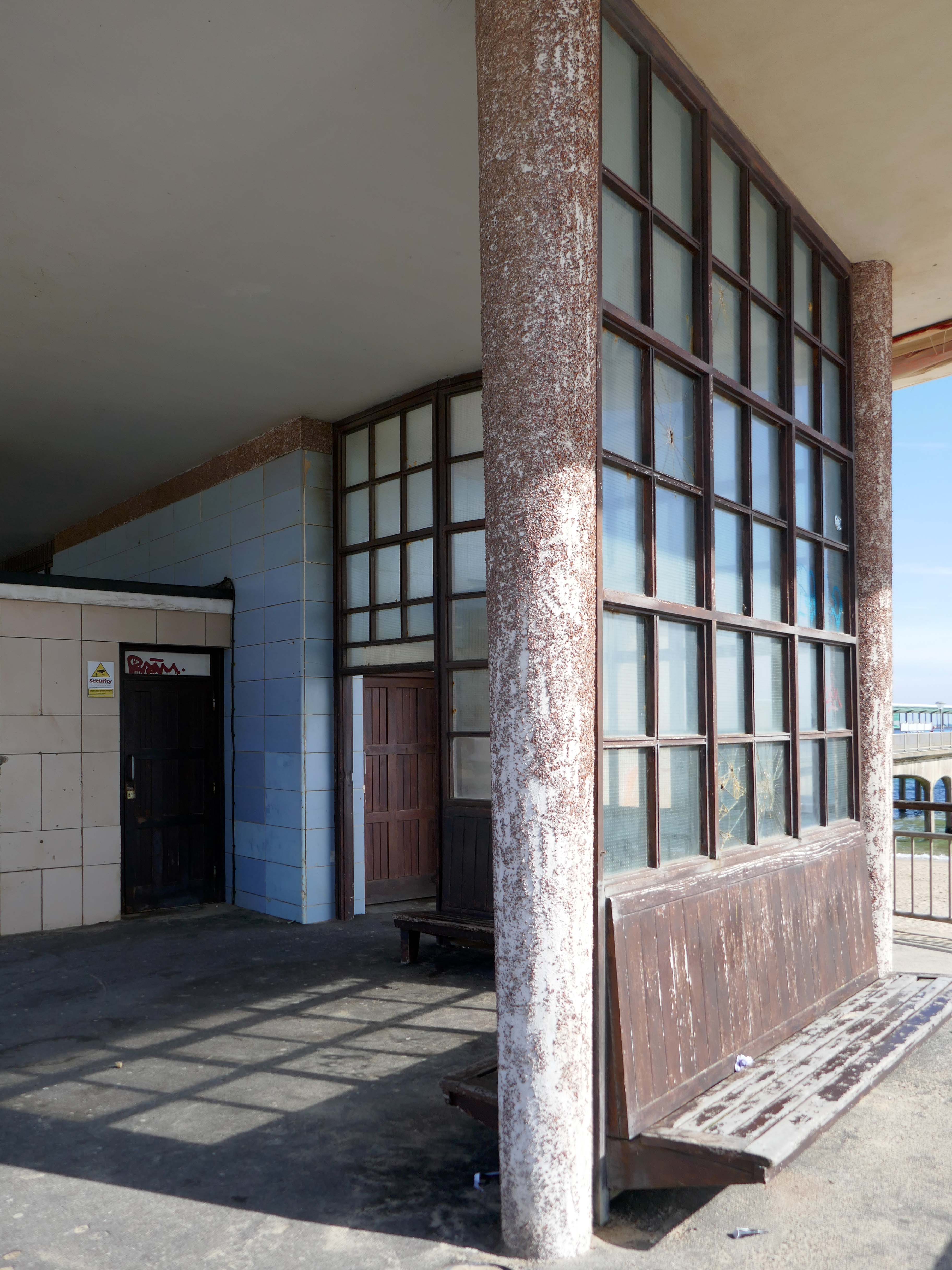
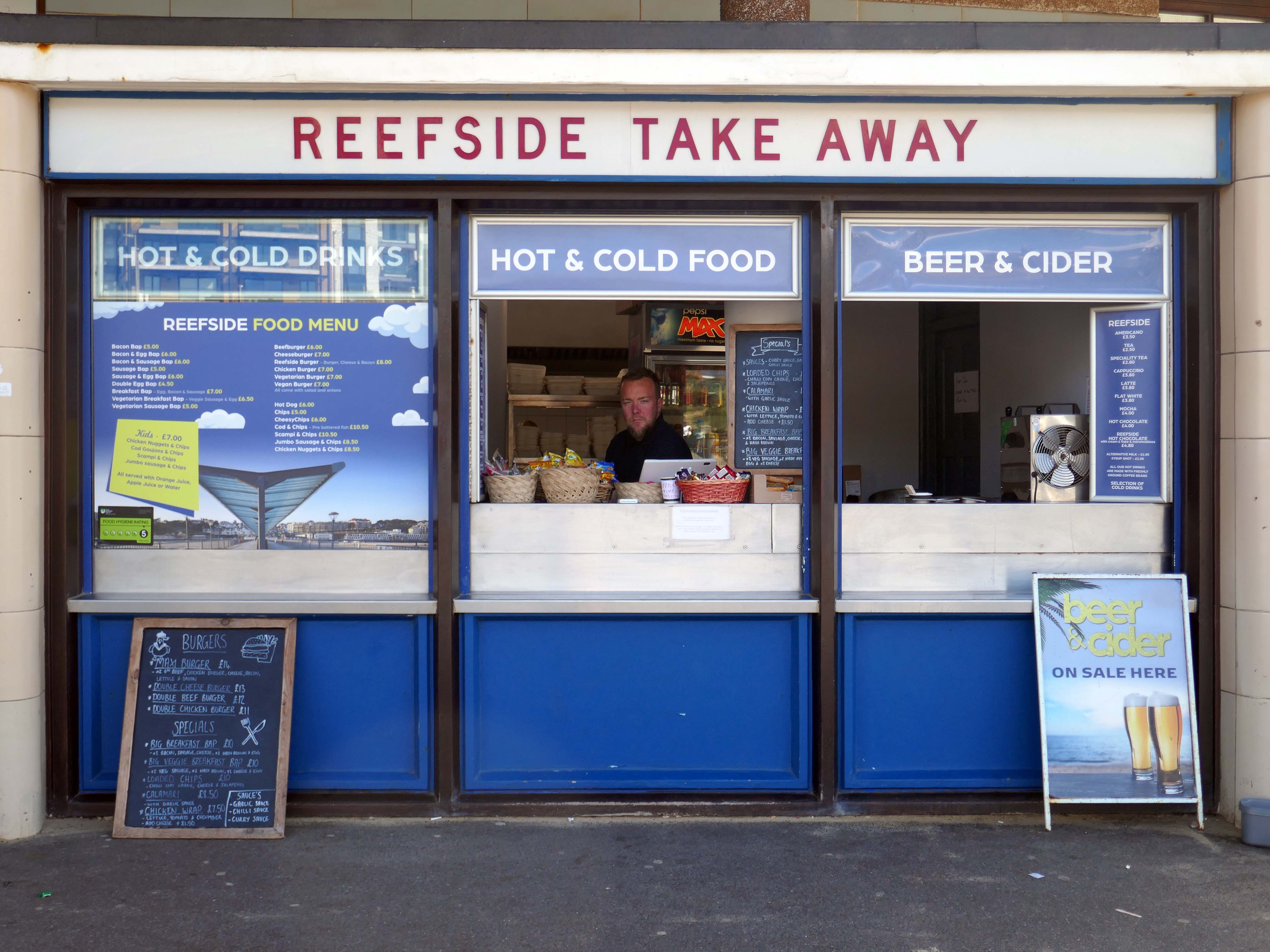
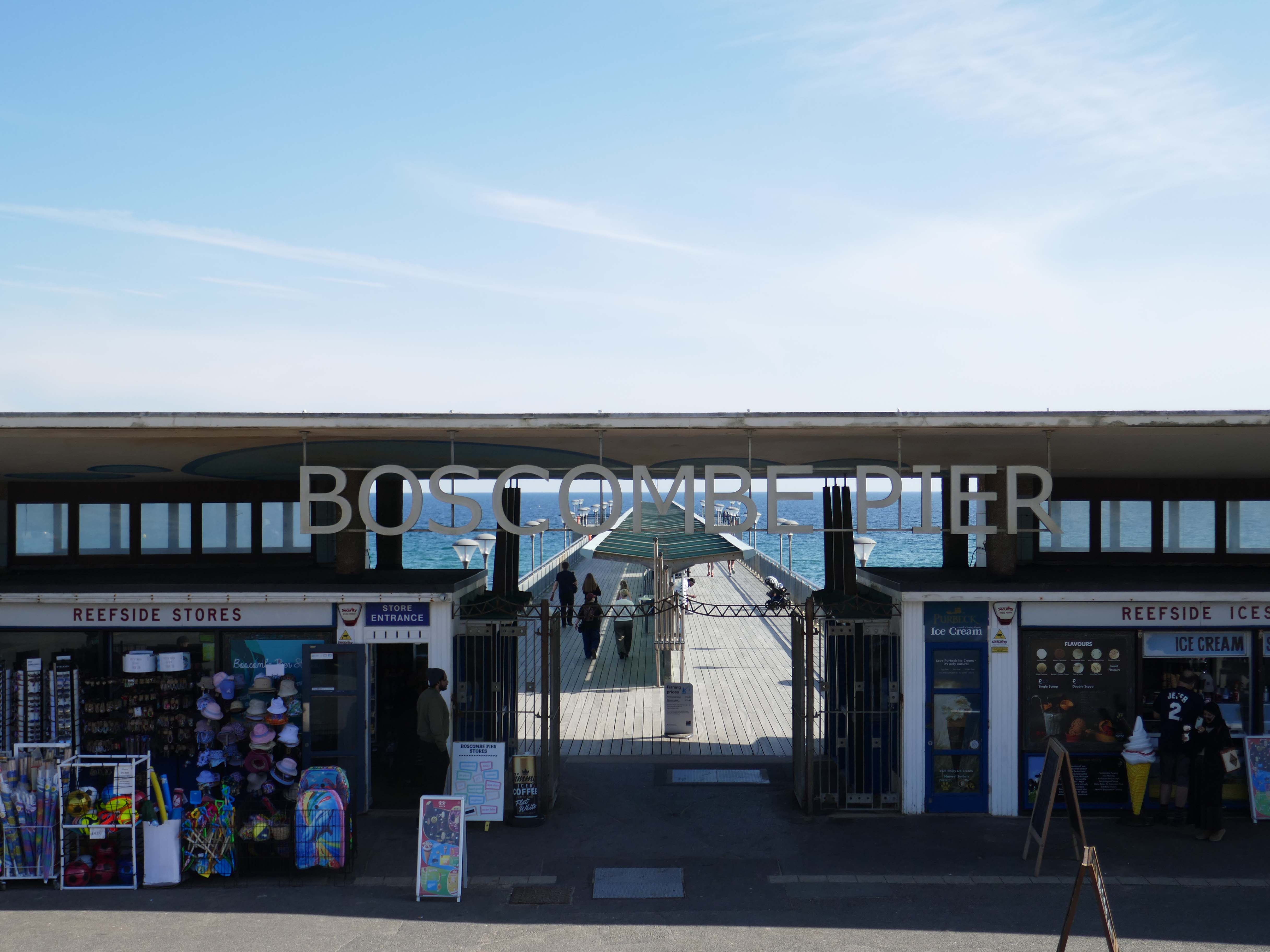
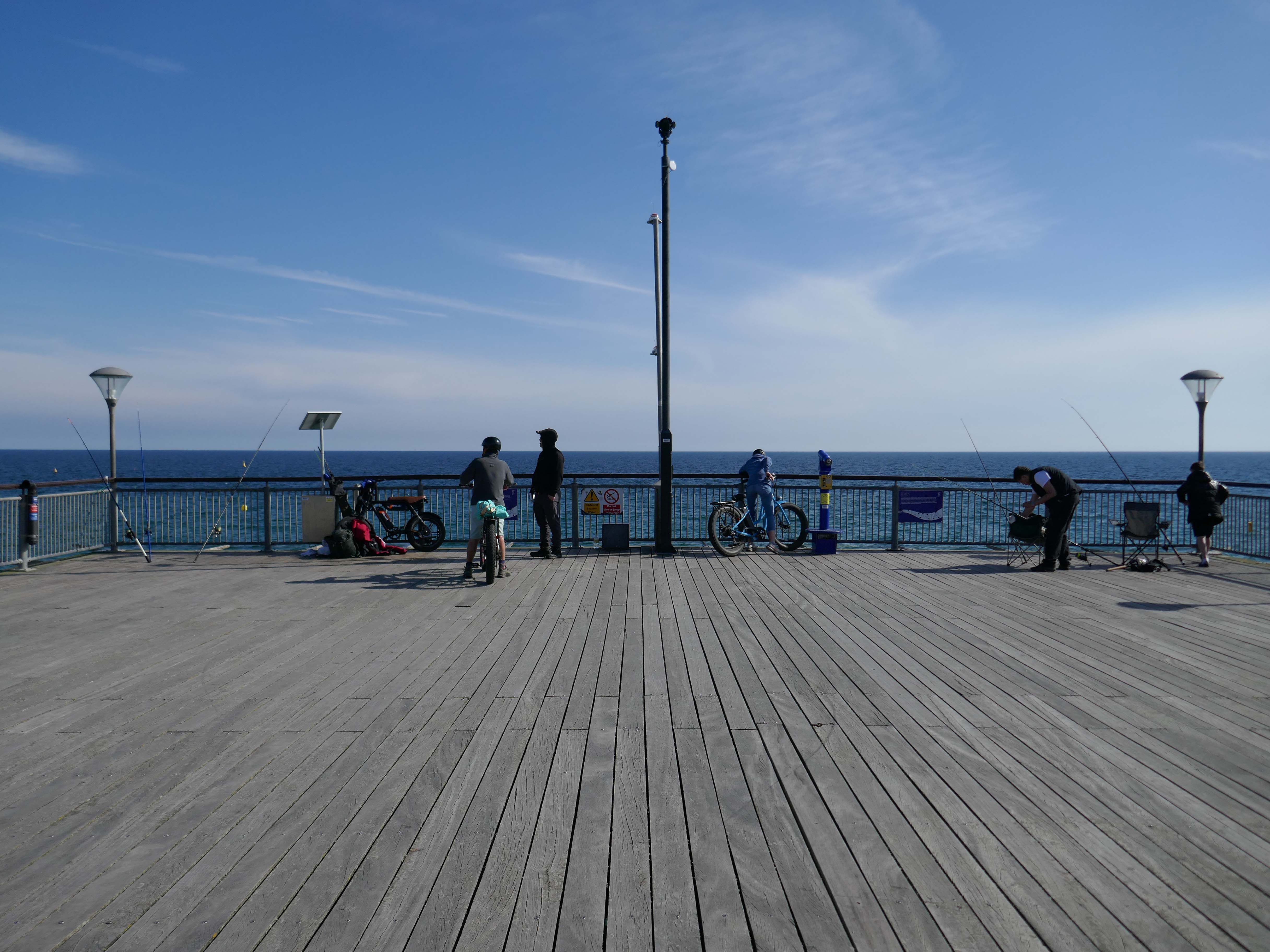
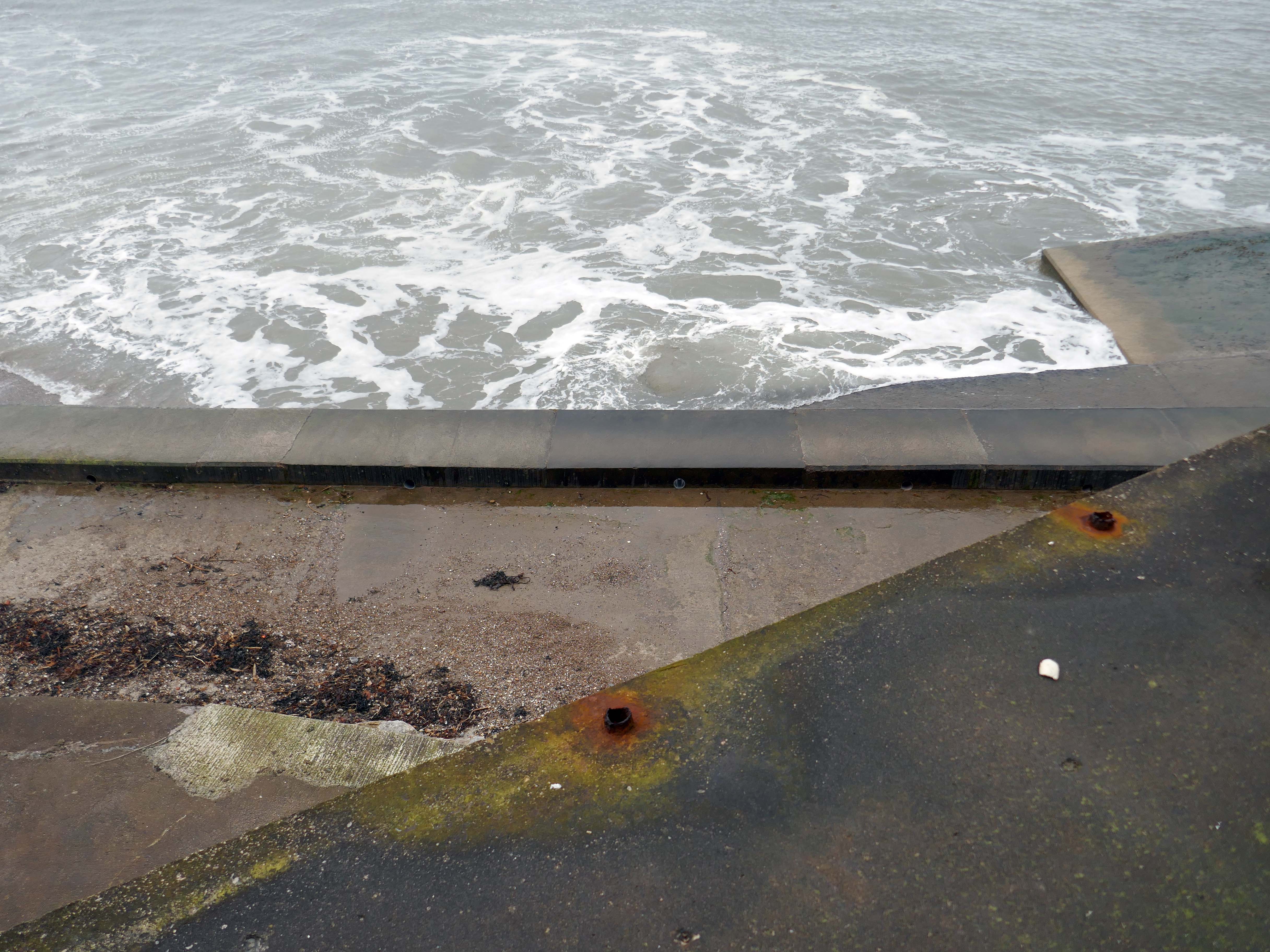
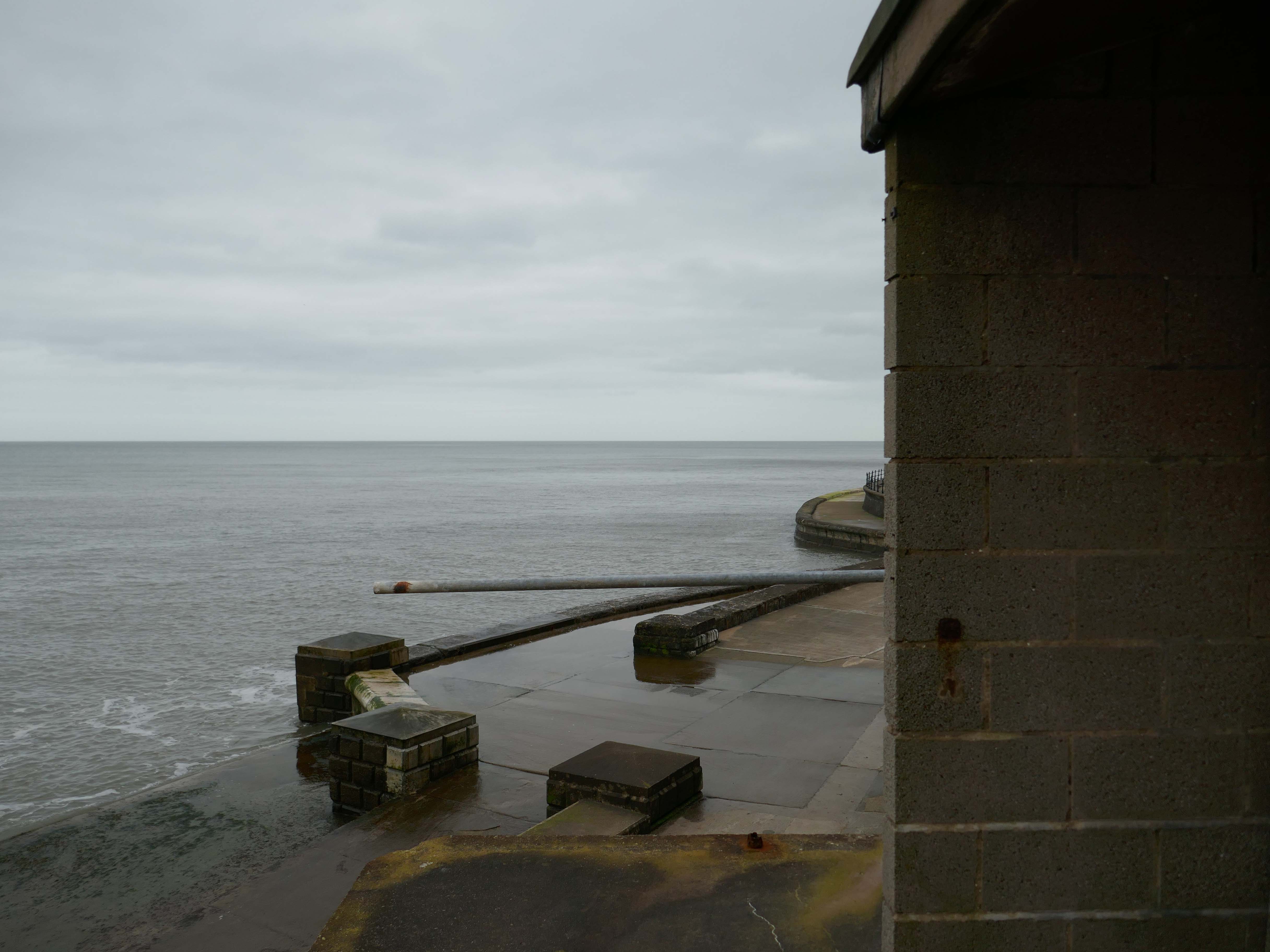
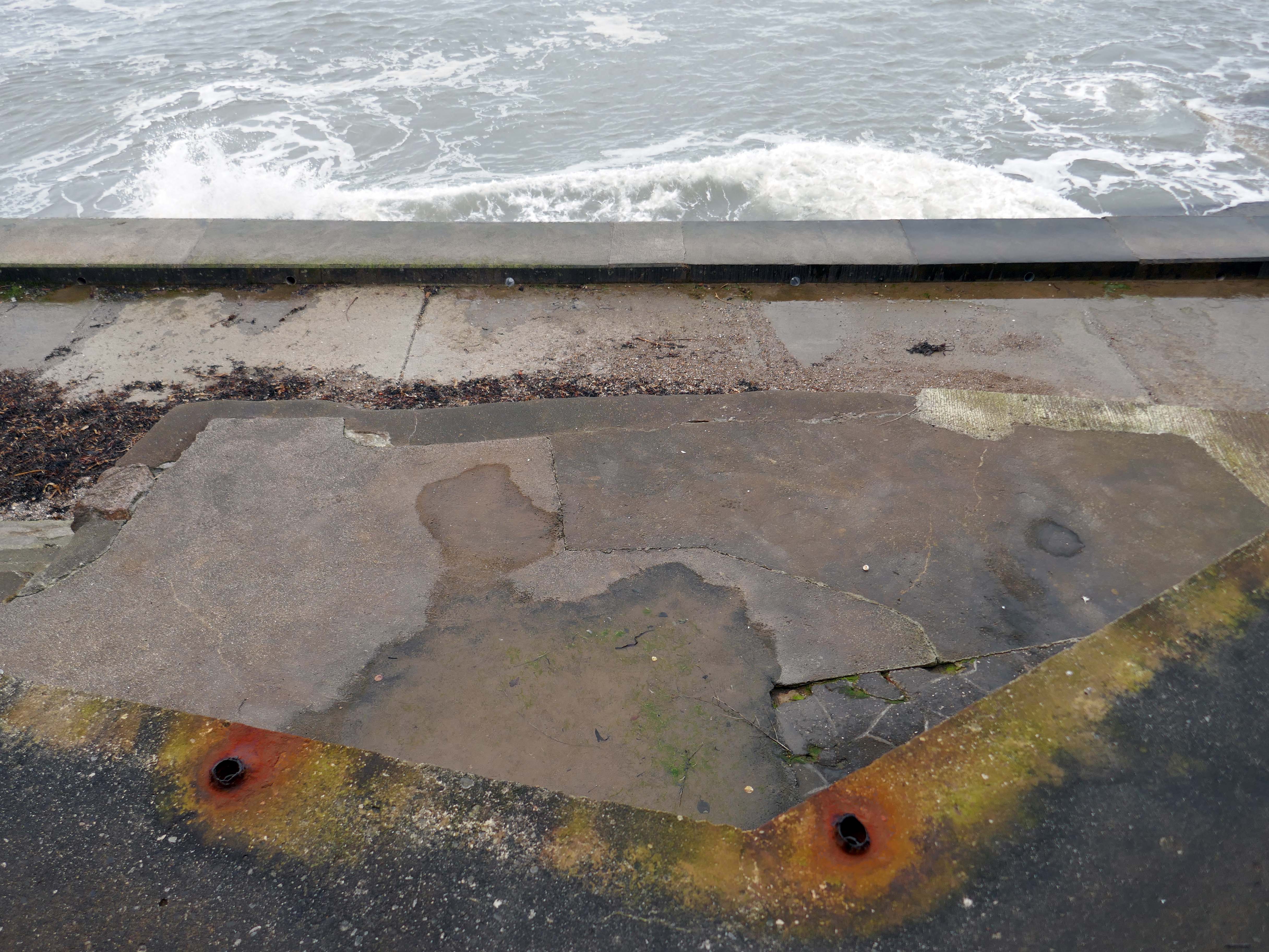
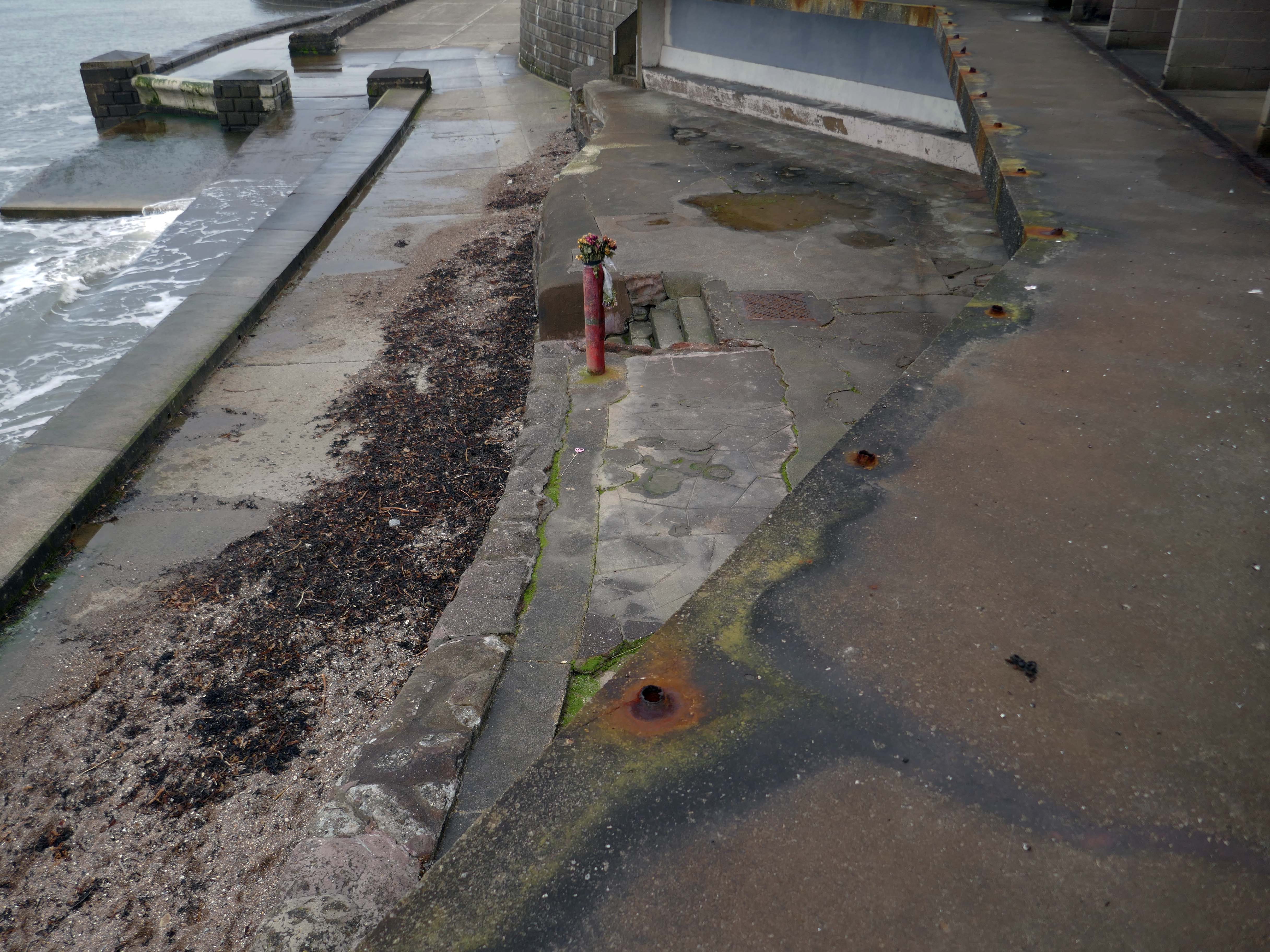
The Boscombe Pier Company was formed in 1886 and the first pile was laid on 11th October 1888. Designed by Archibald Smith, the 600 foot pier opened on 28th July 1889.
The local council took over the pier in 1904 and erected buildings at the entrance and on the pier-head. Facilities included a busy steamer landing stage.
In 1924/5 and 1927, the head was renewed in high alumina concrete. Between 1958 and 1960, the neck was reconstructed using reinforced concrete. In 1940, the pier was breached for defence reasons.
Between 1958 and 1960, the neck was reconstructed using reinforced concrete.
A restaurant and the Mermaid Theatre were built at the pier-head in 1961 although the ‘Theatre’, in fact, opened as a covered roller-skating rink for its first two seasons. In April 1965, the leaseholder, Cleethorpes Amusements, converted it into an arcade. The council formally took over the Mermaid ‘Theatre’ in 1988 when the lease ended.
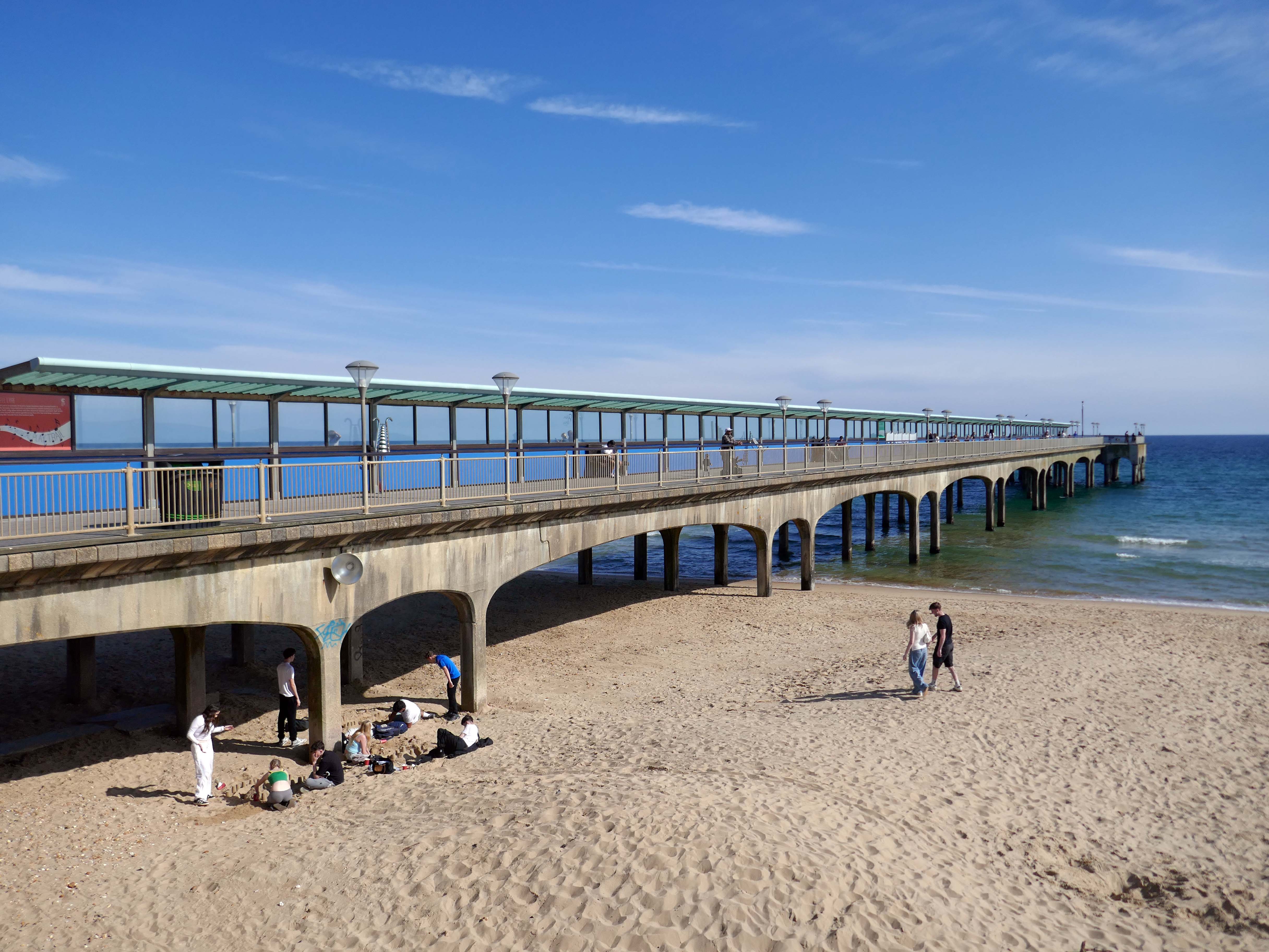
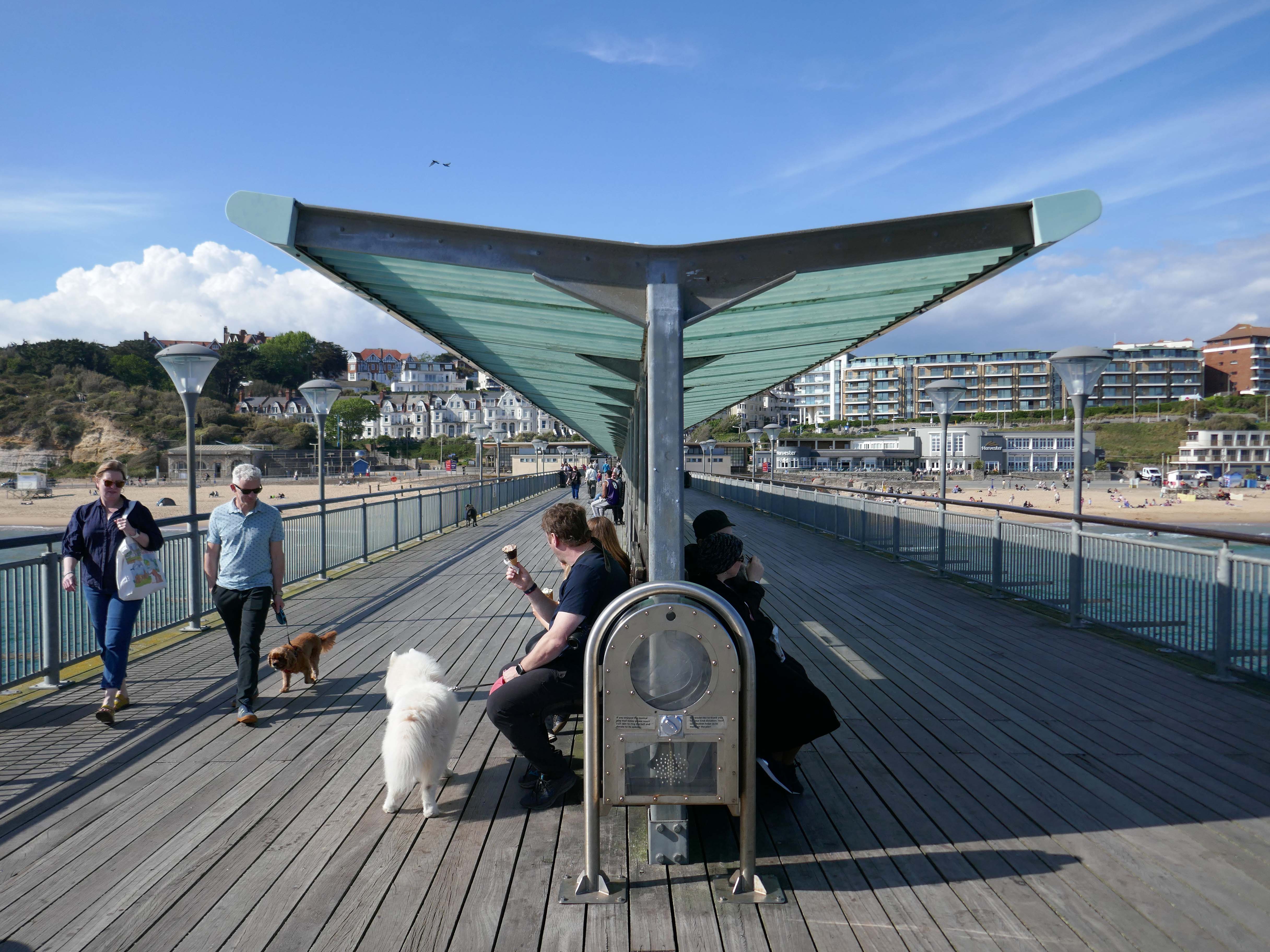
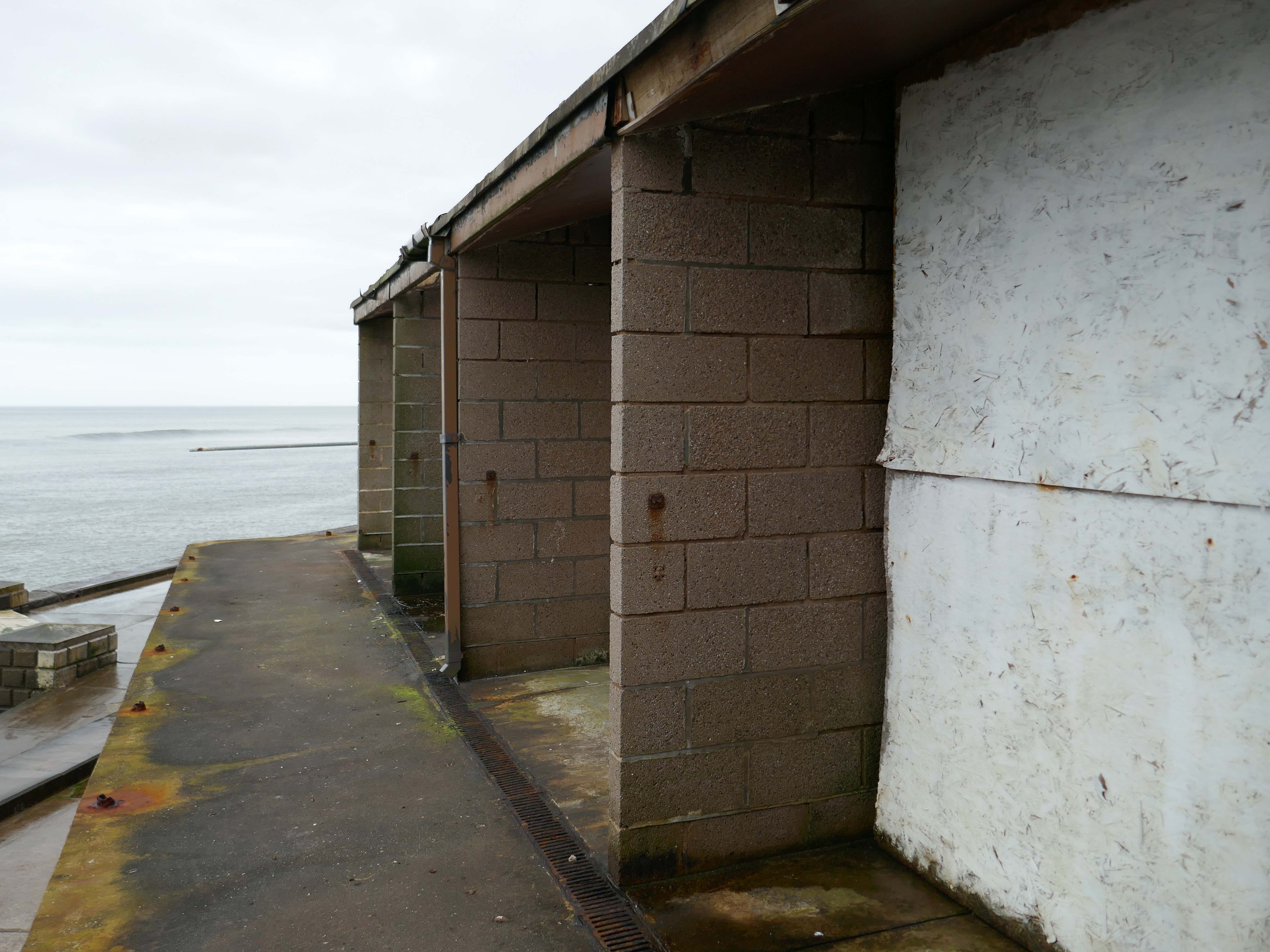
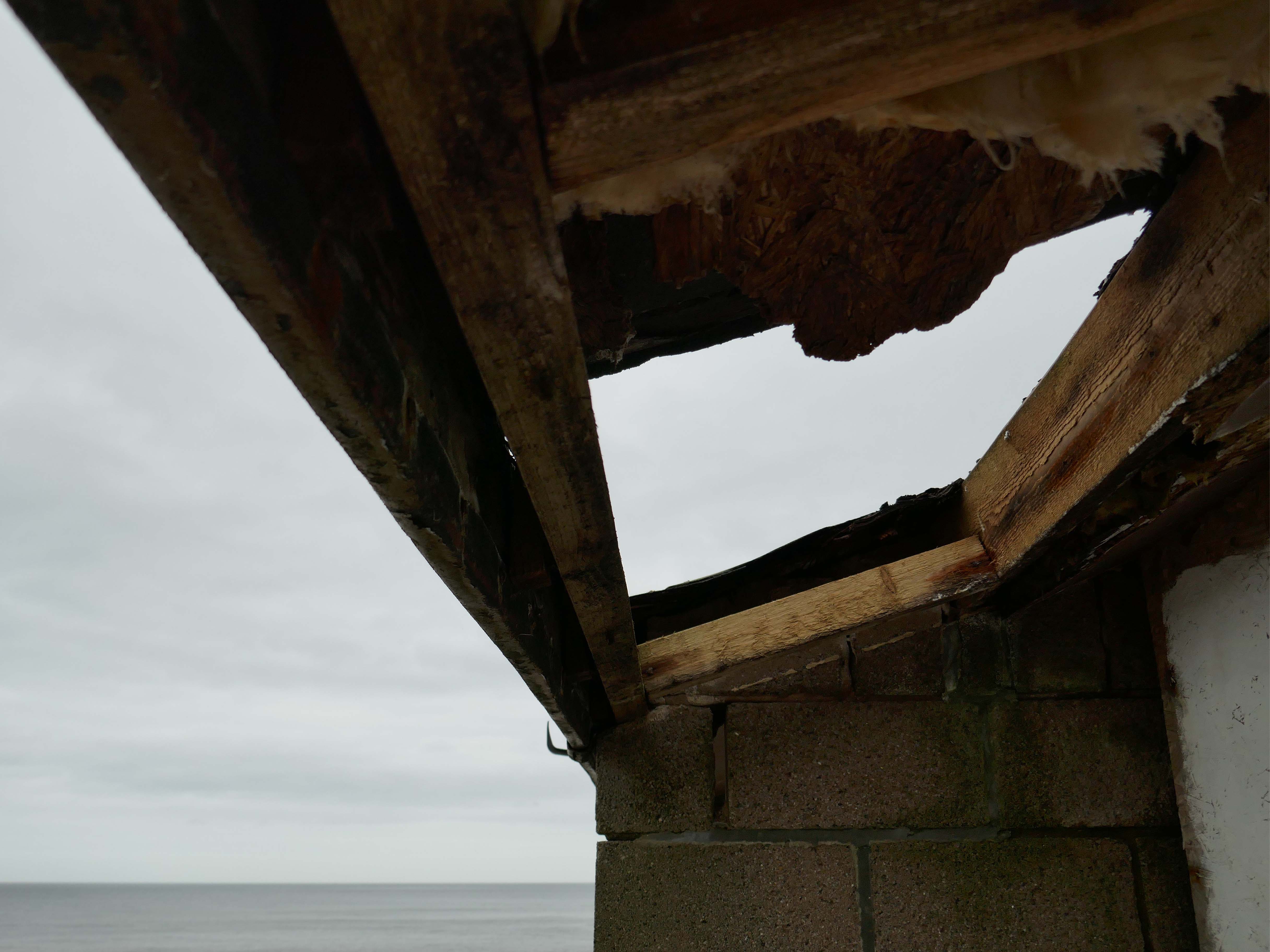
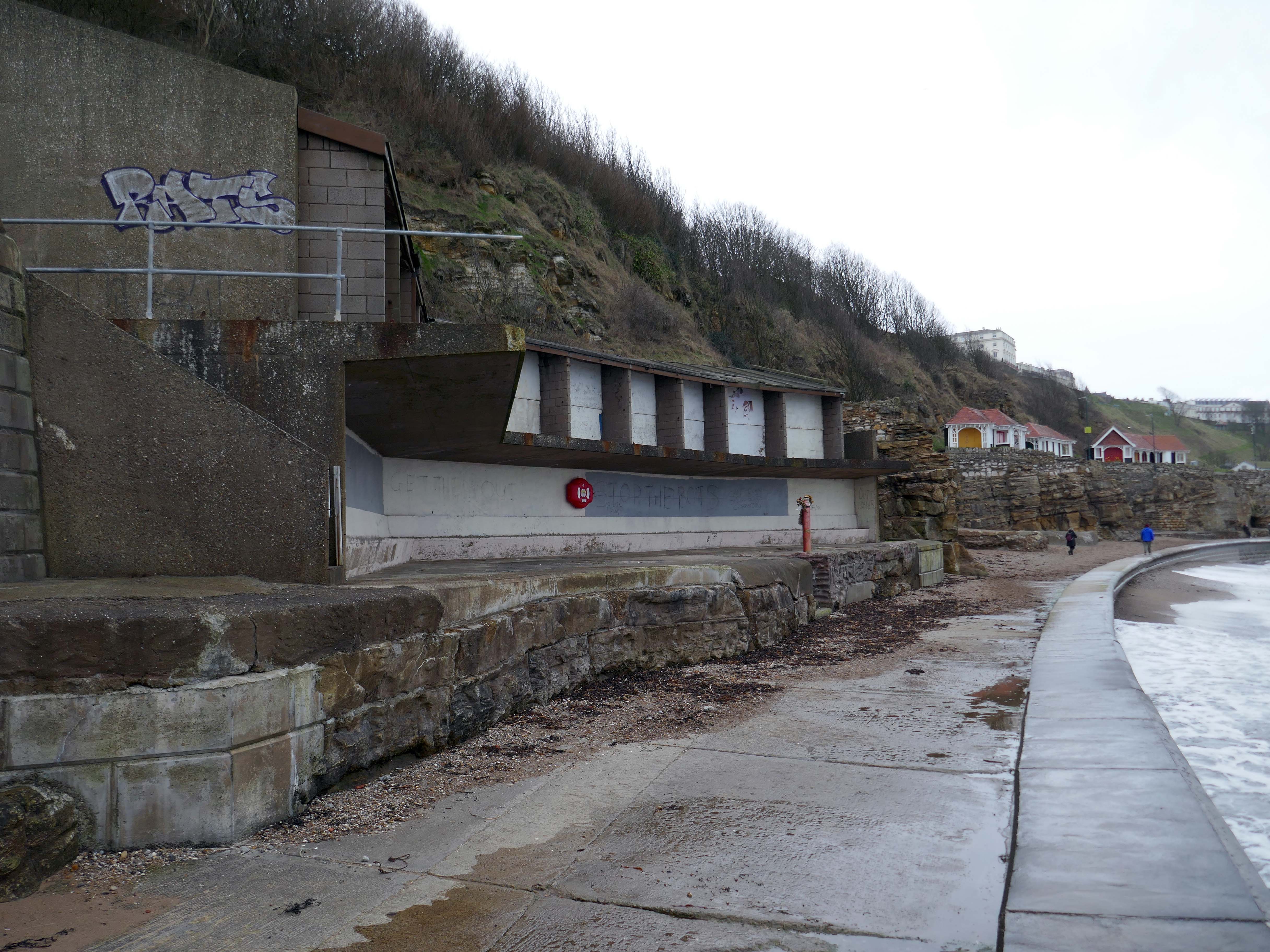
In 2008, the area around Boscombe pier underwent extensive renovation. The derelict and unsafe building at the end of the pier was demolished, and replaced by a simple viewing and fishing platform. The rest of the pier was also restored.
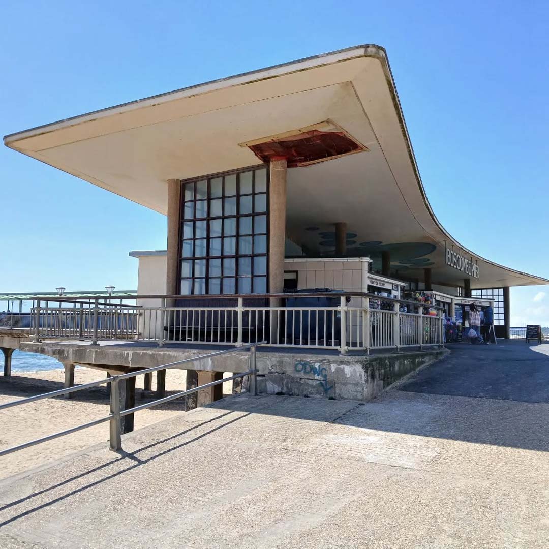
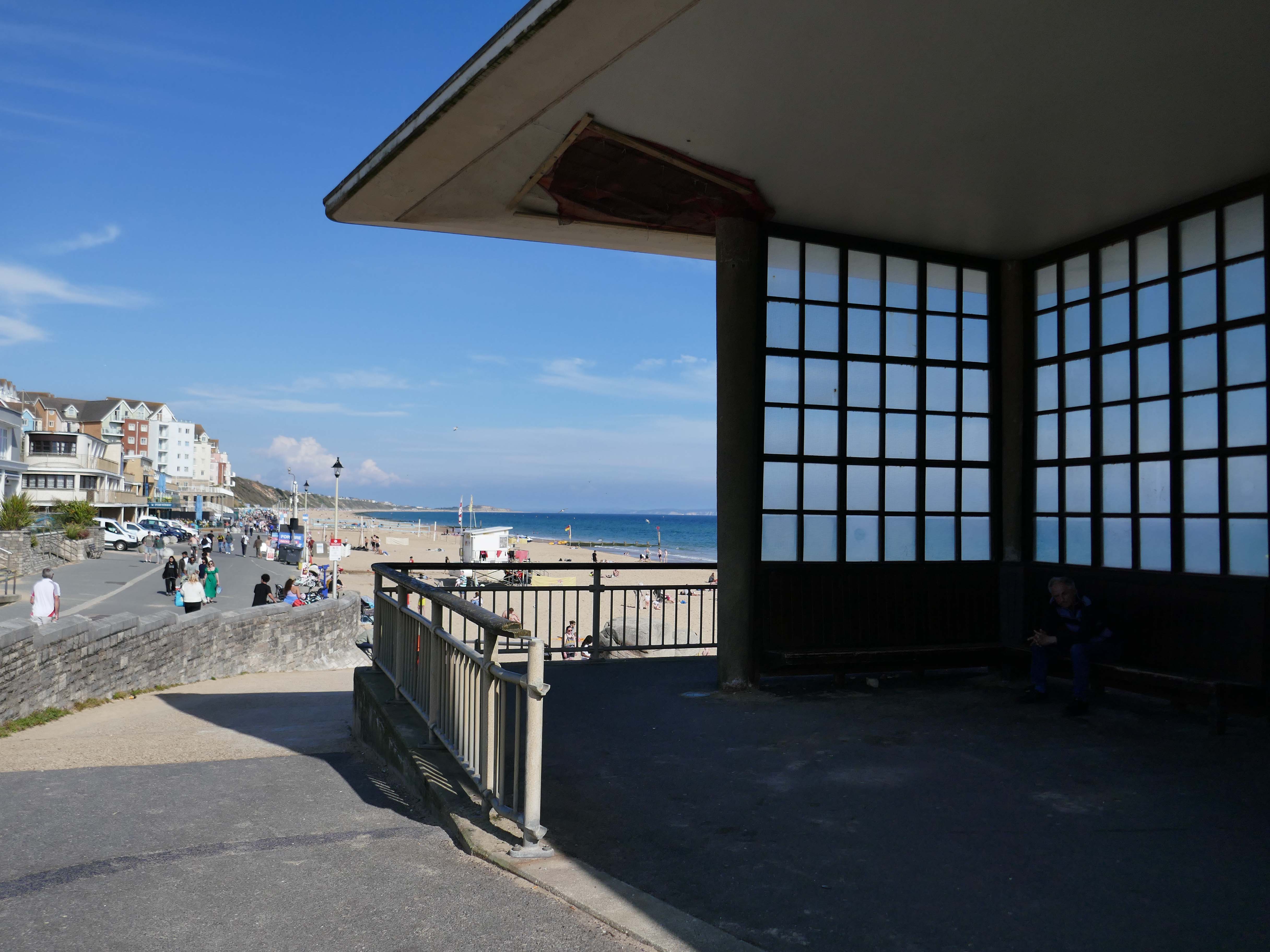
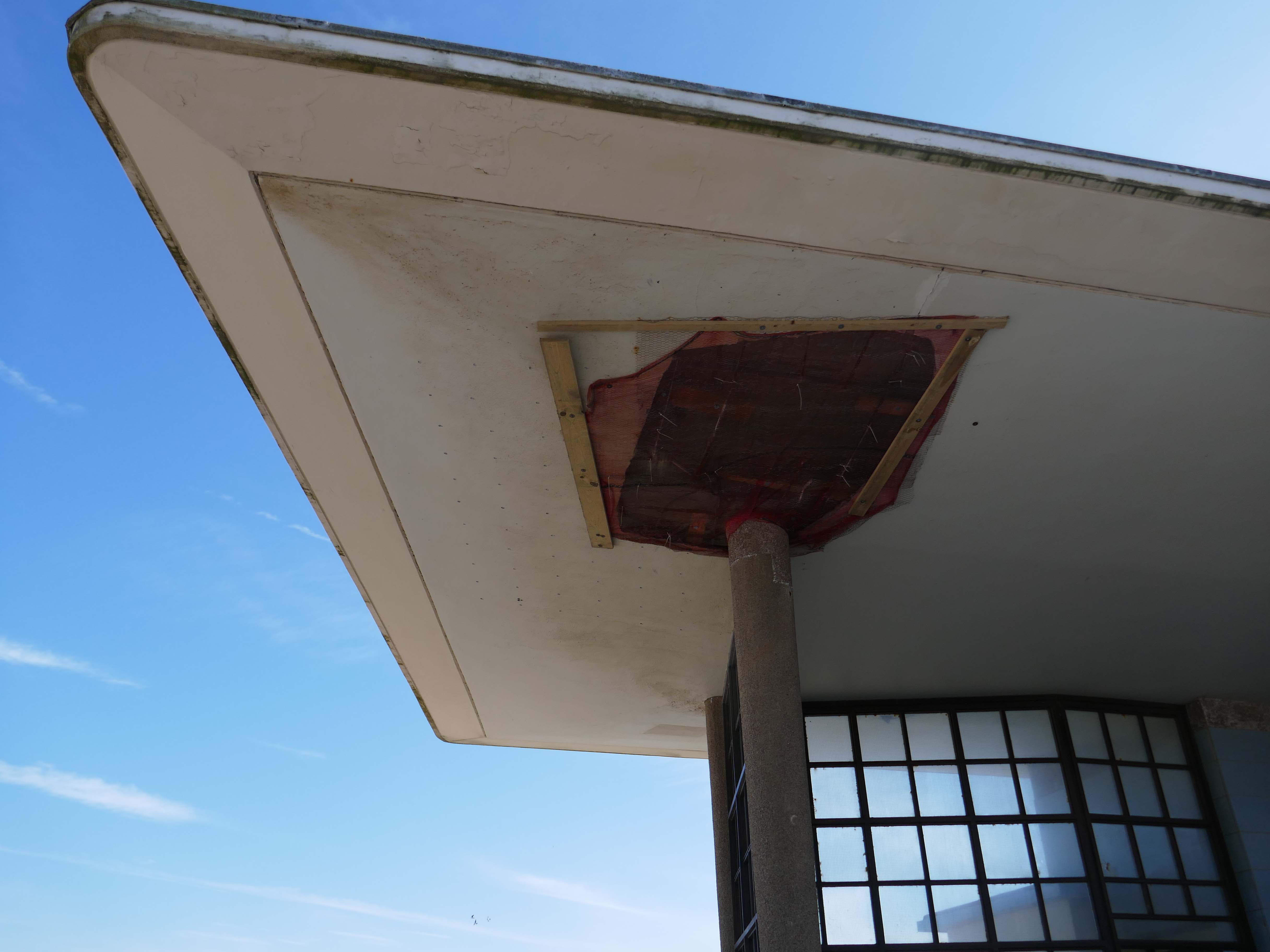
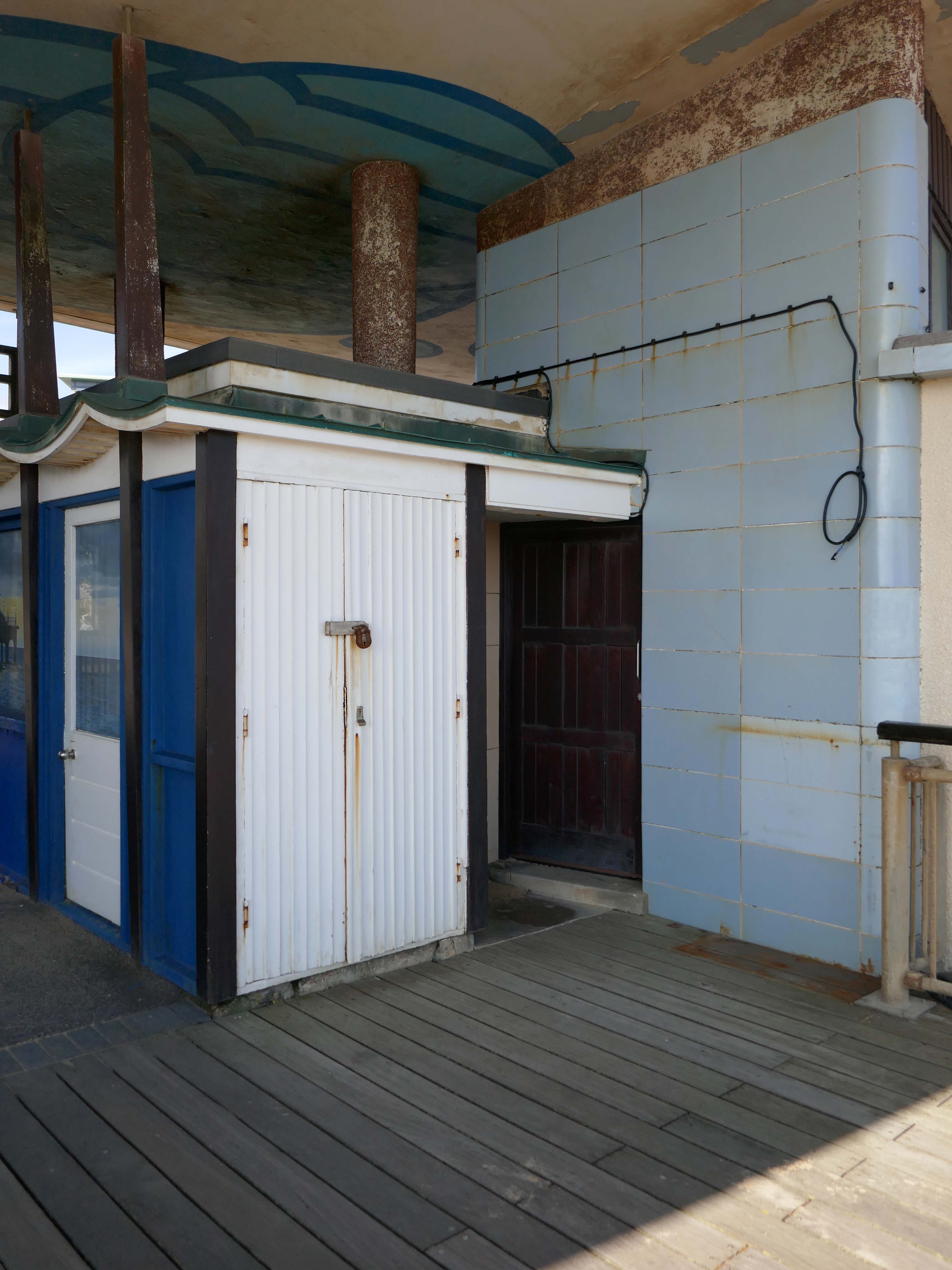
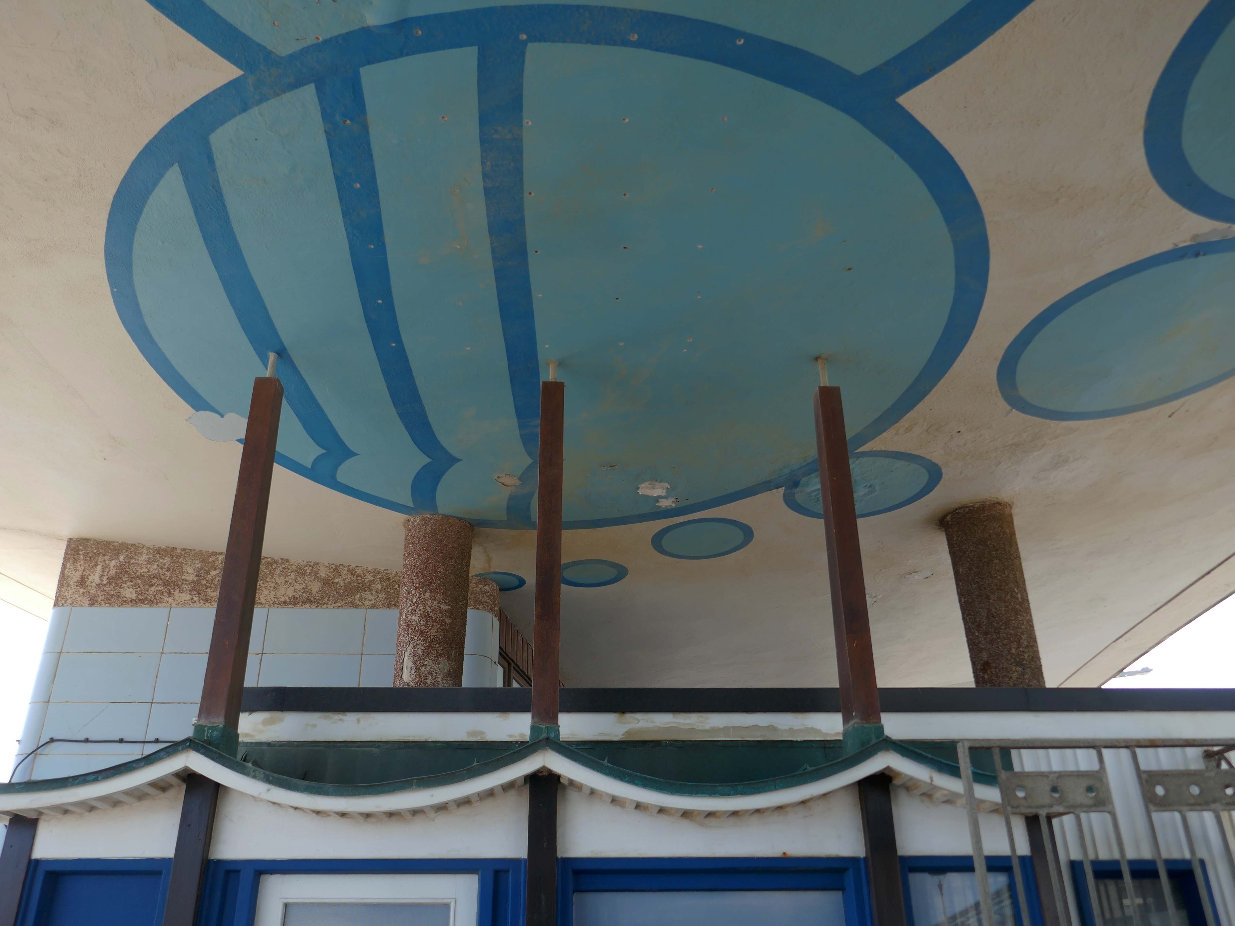
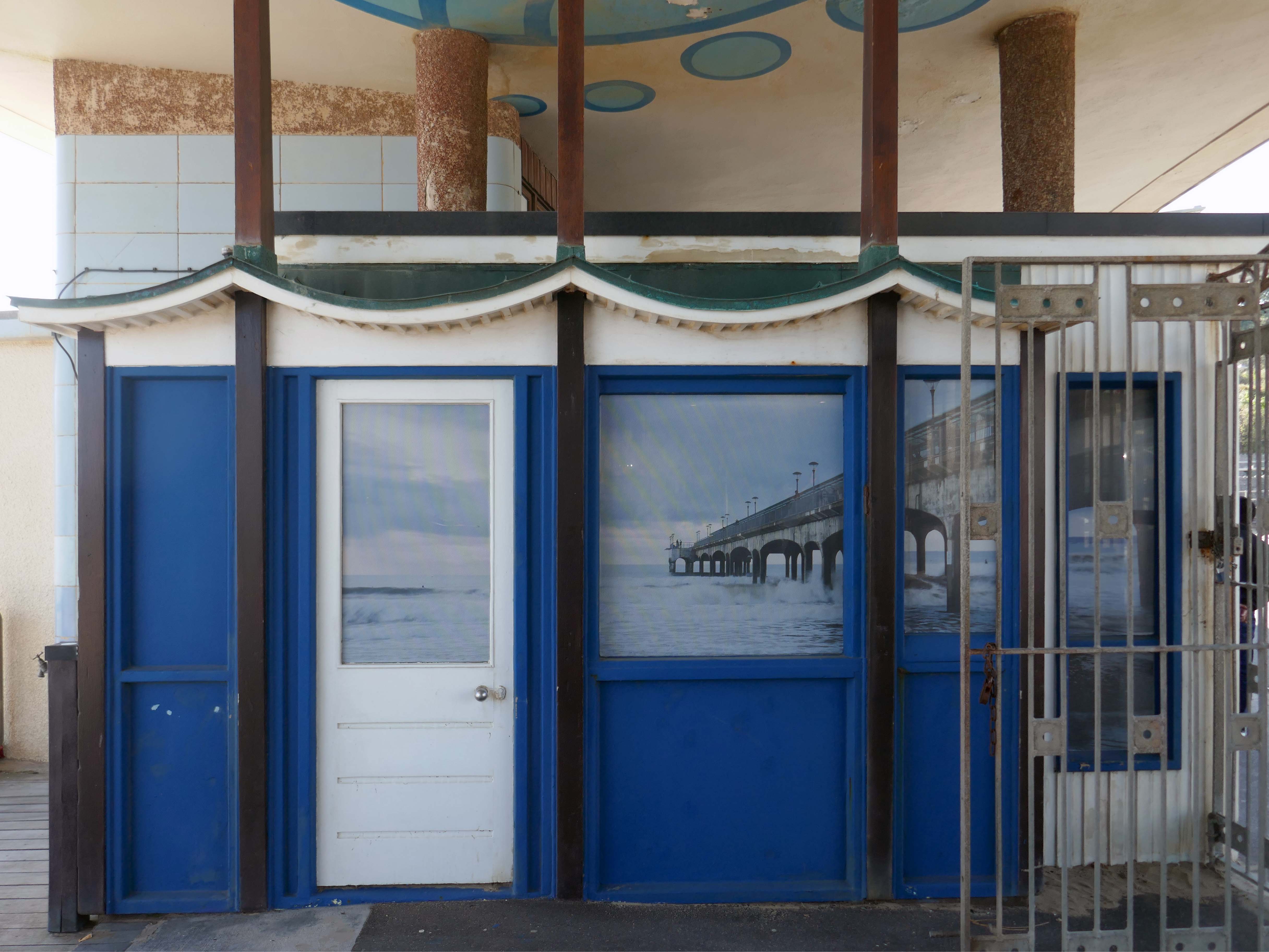
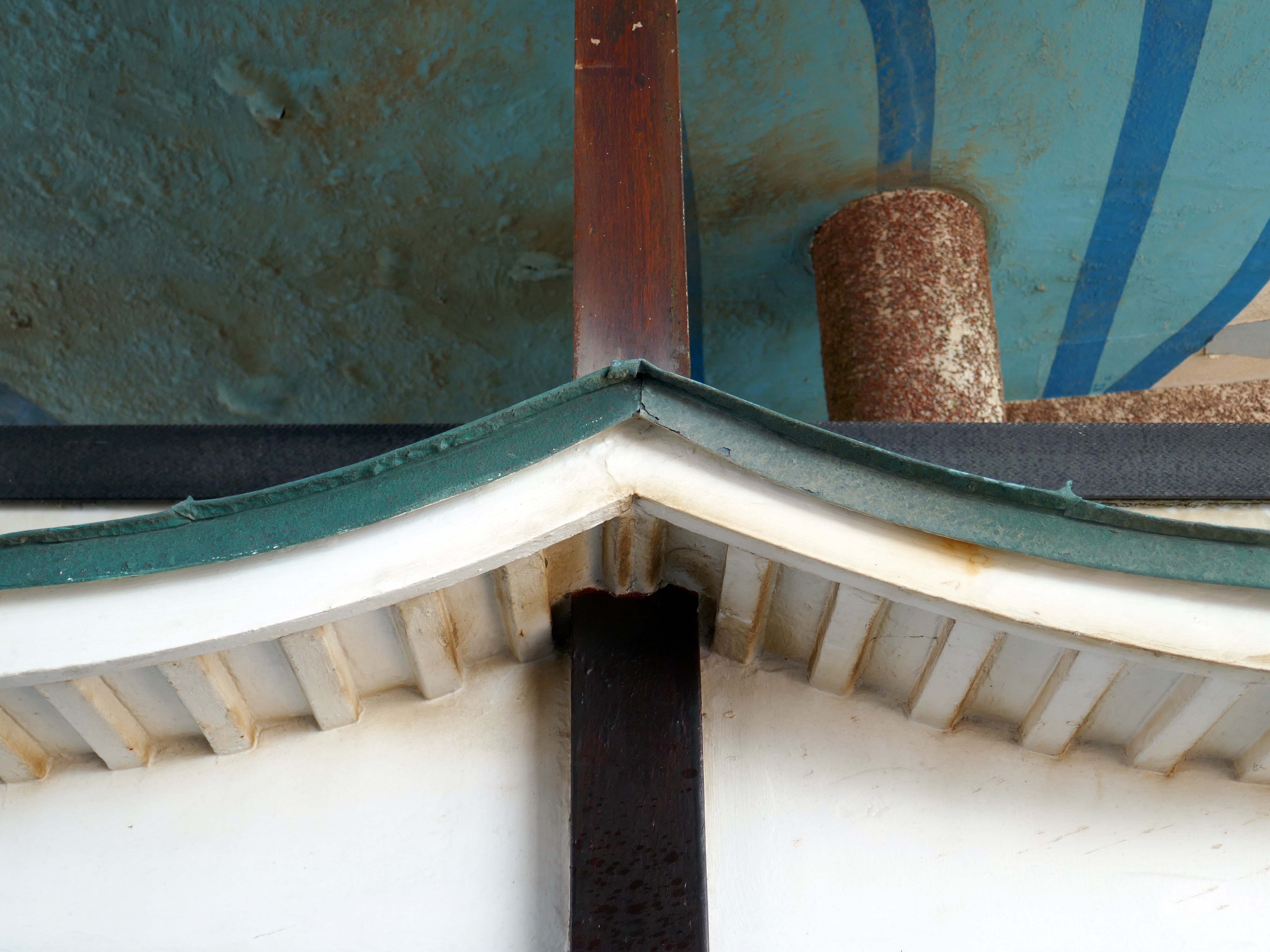
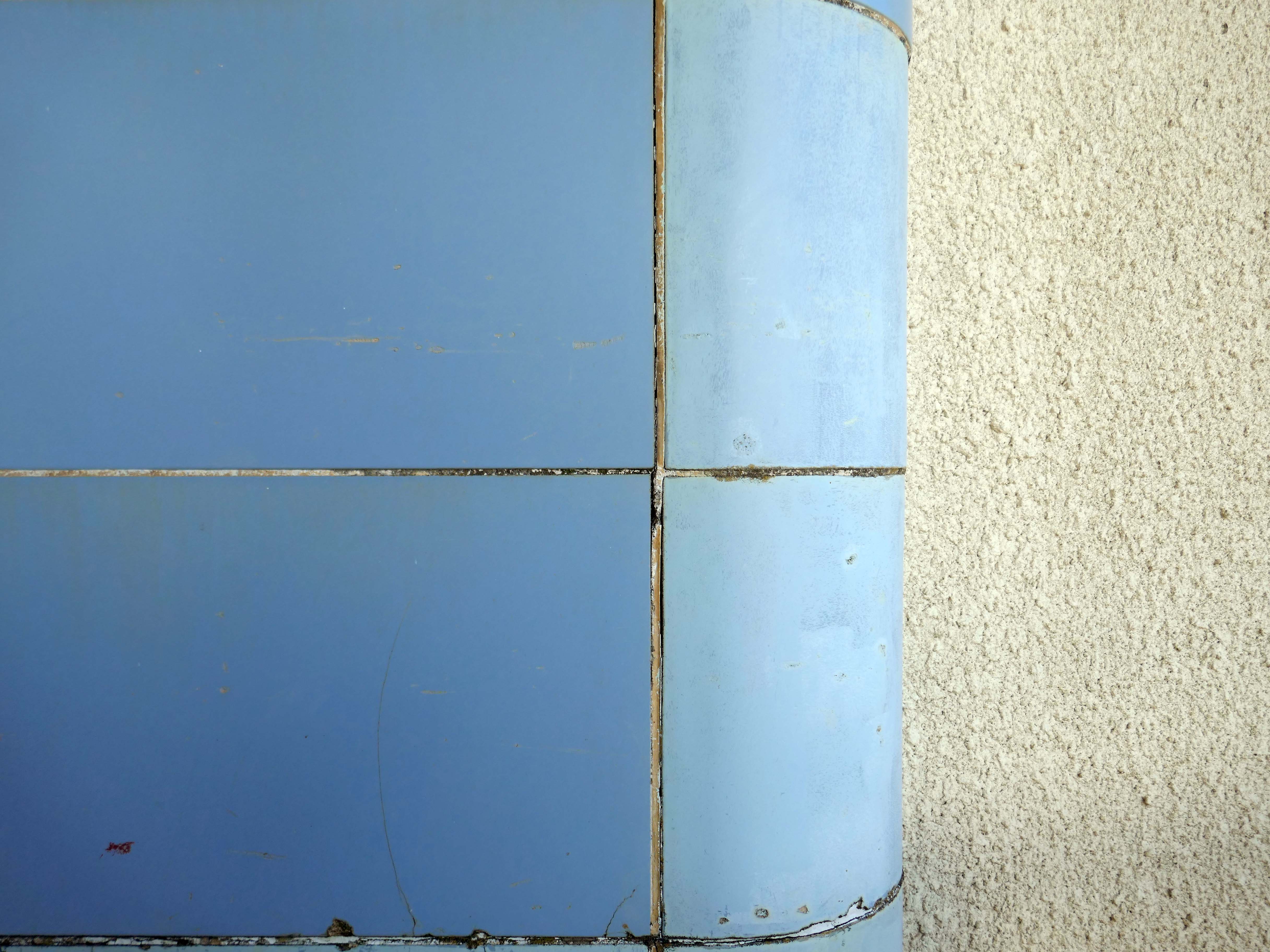
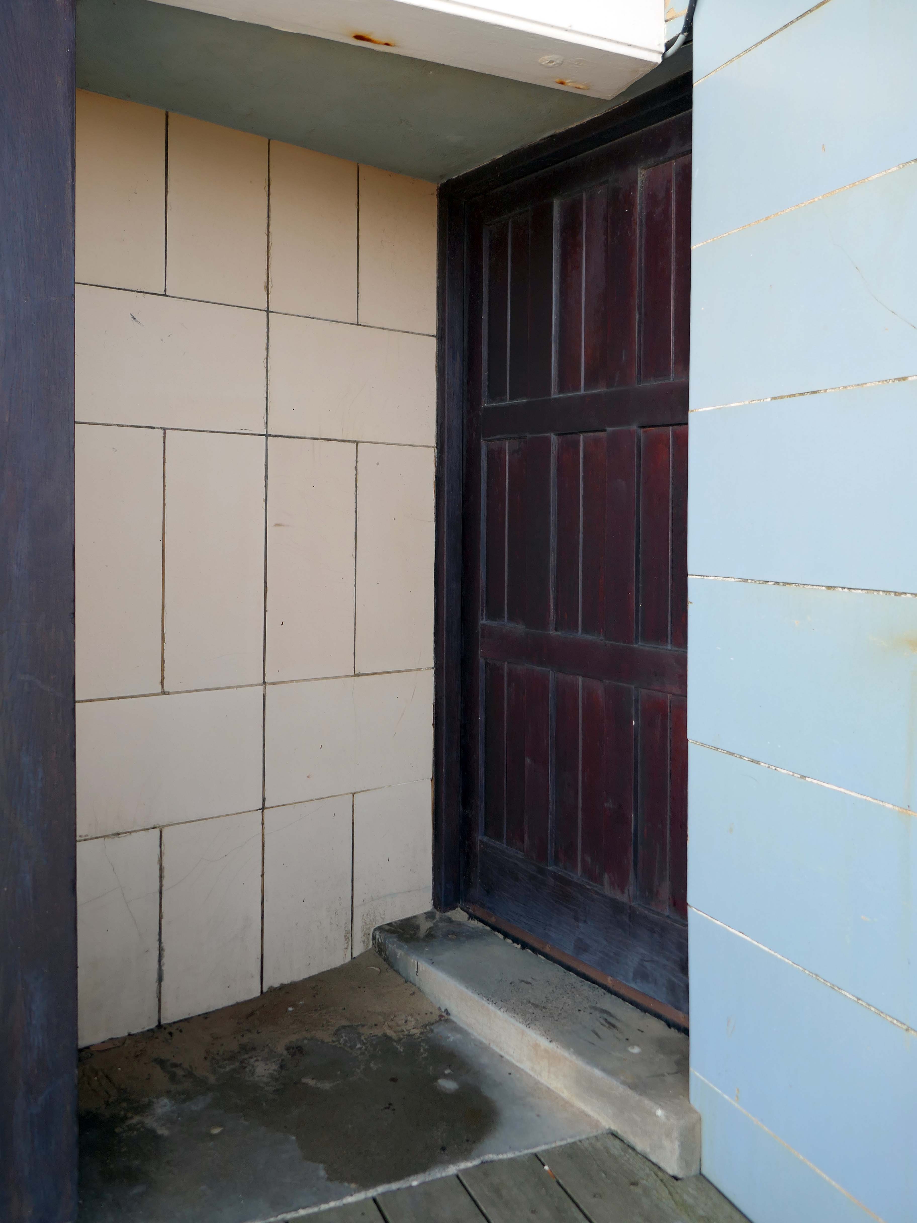
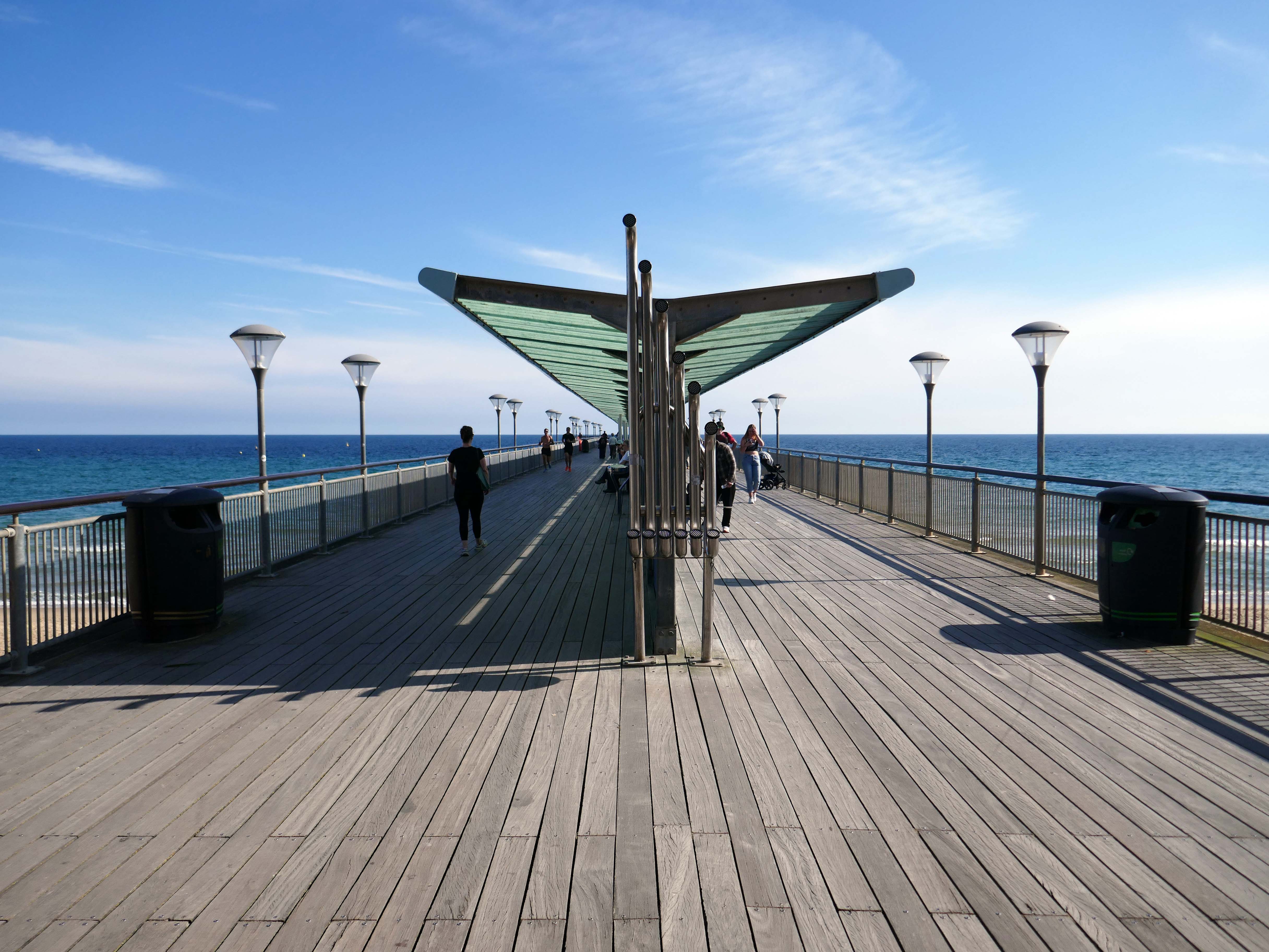
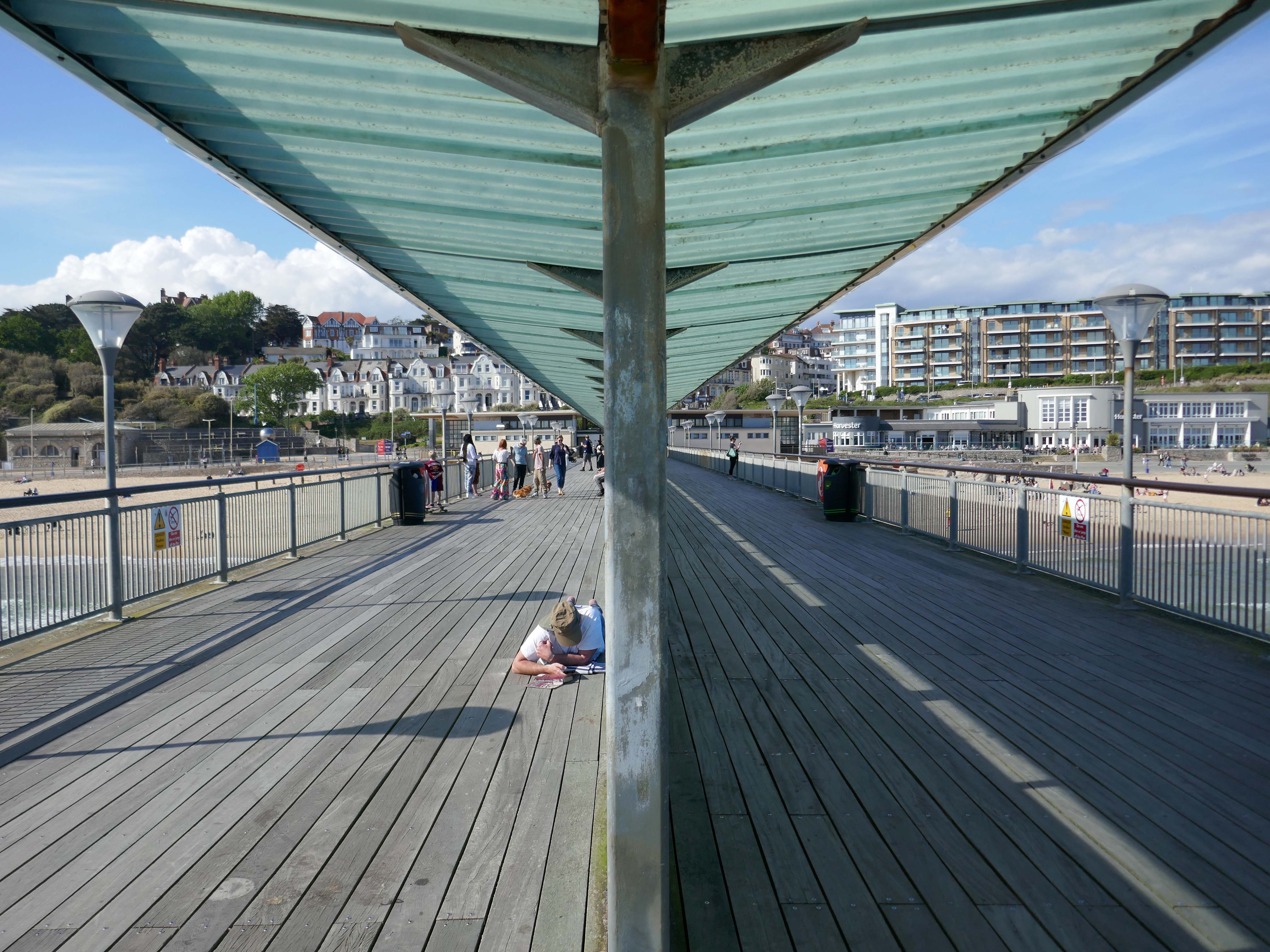
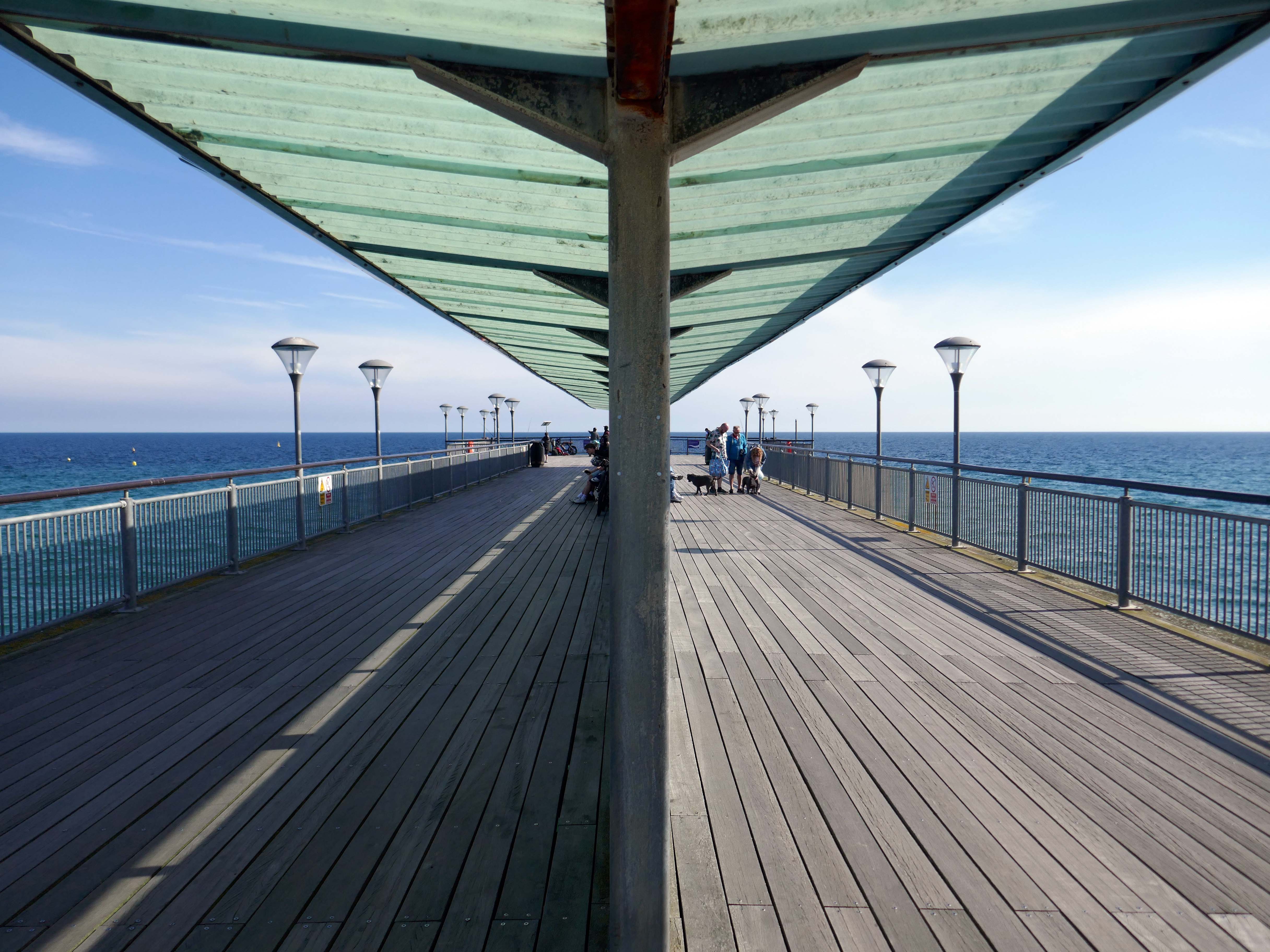
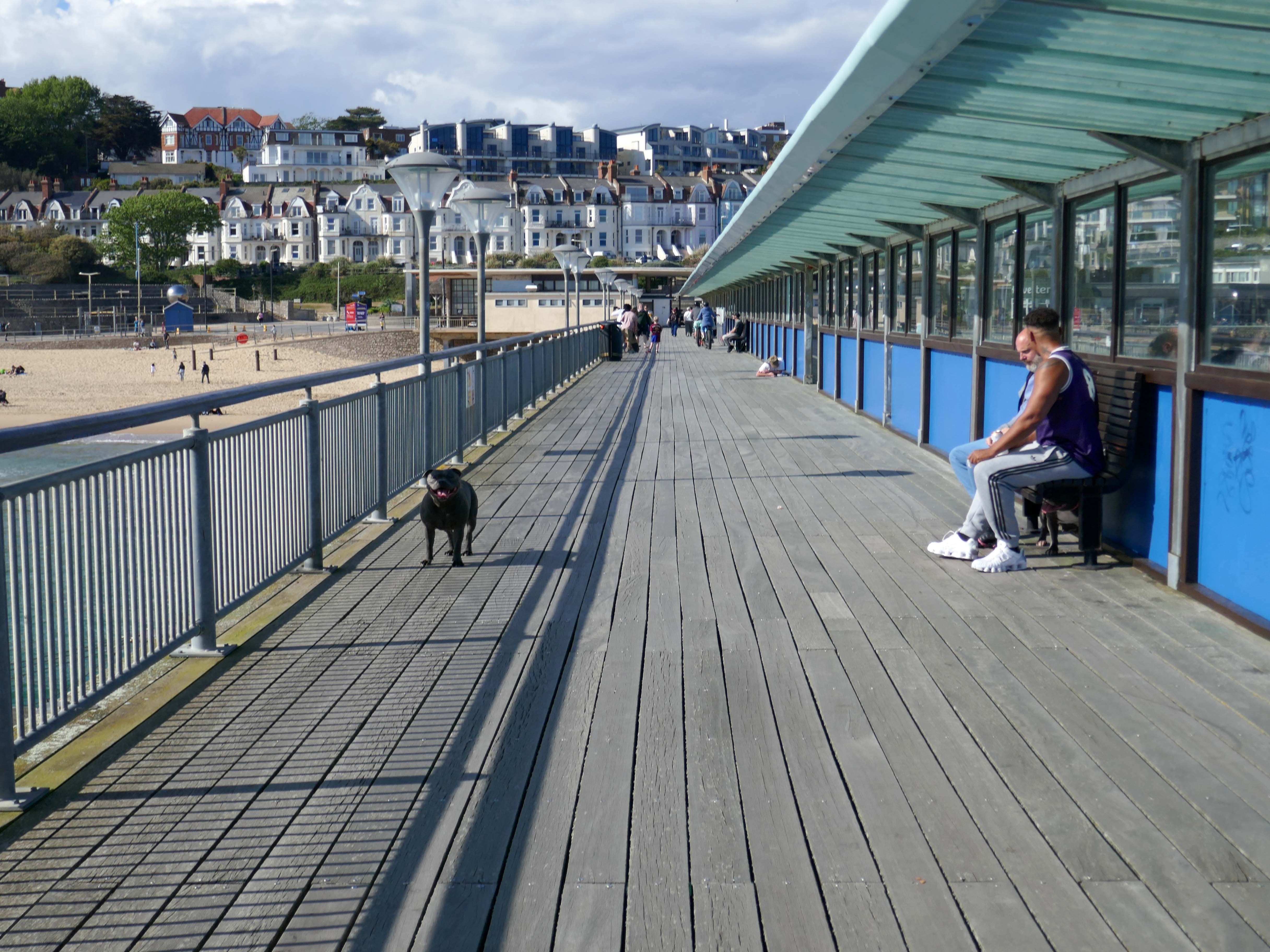
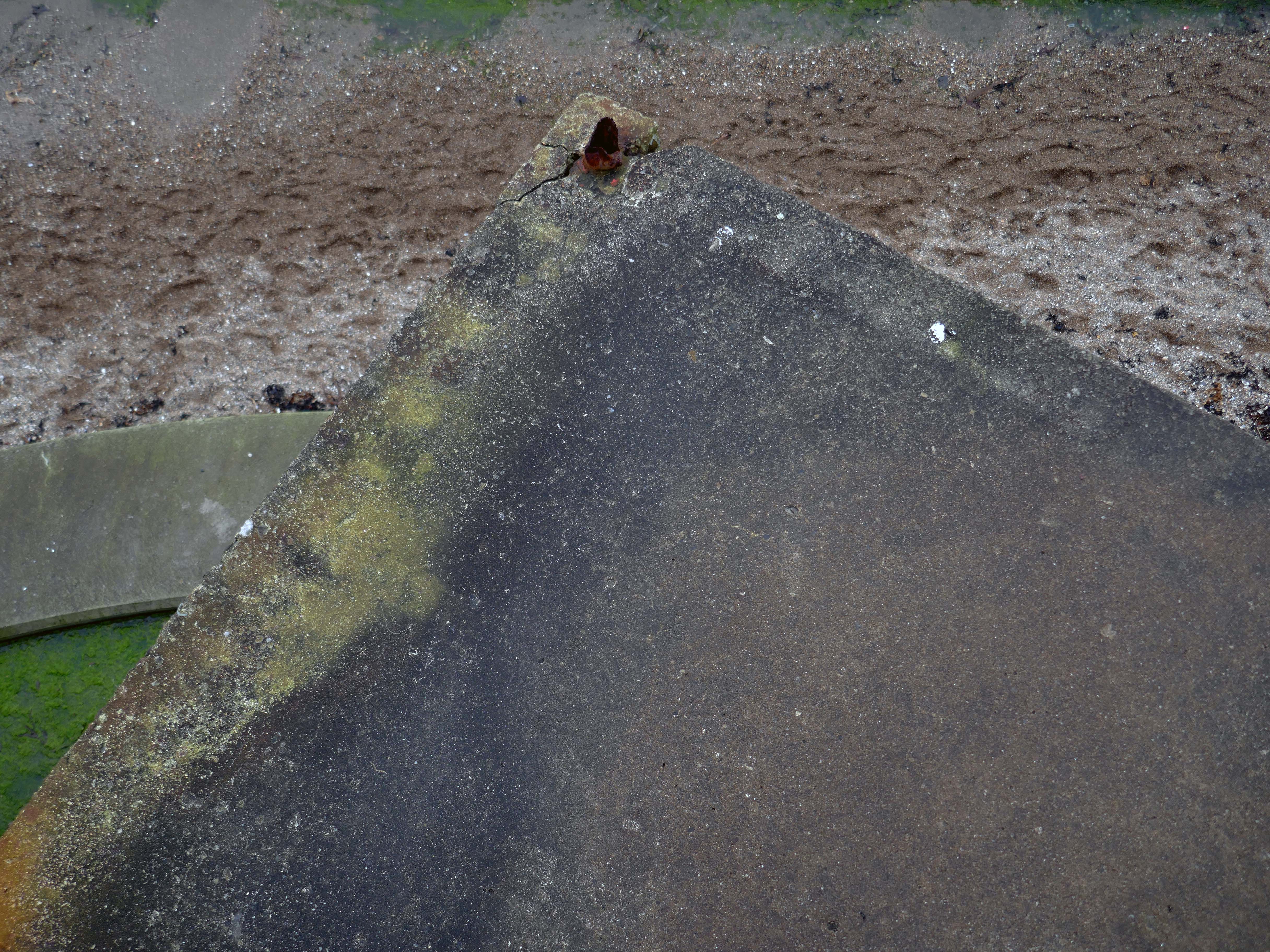
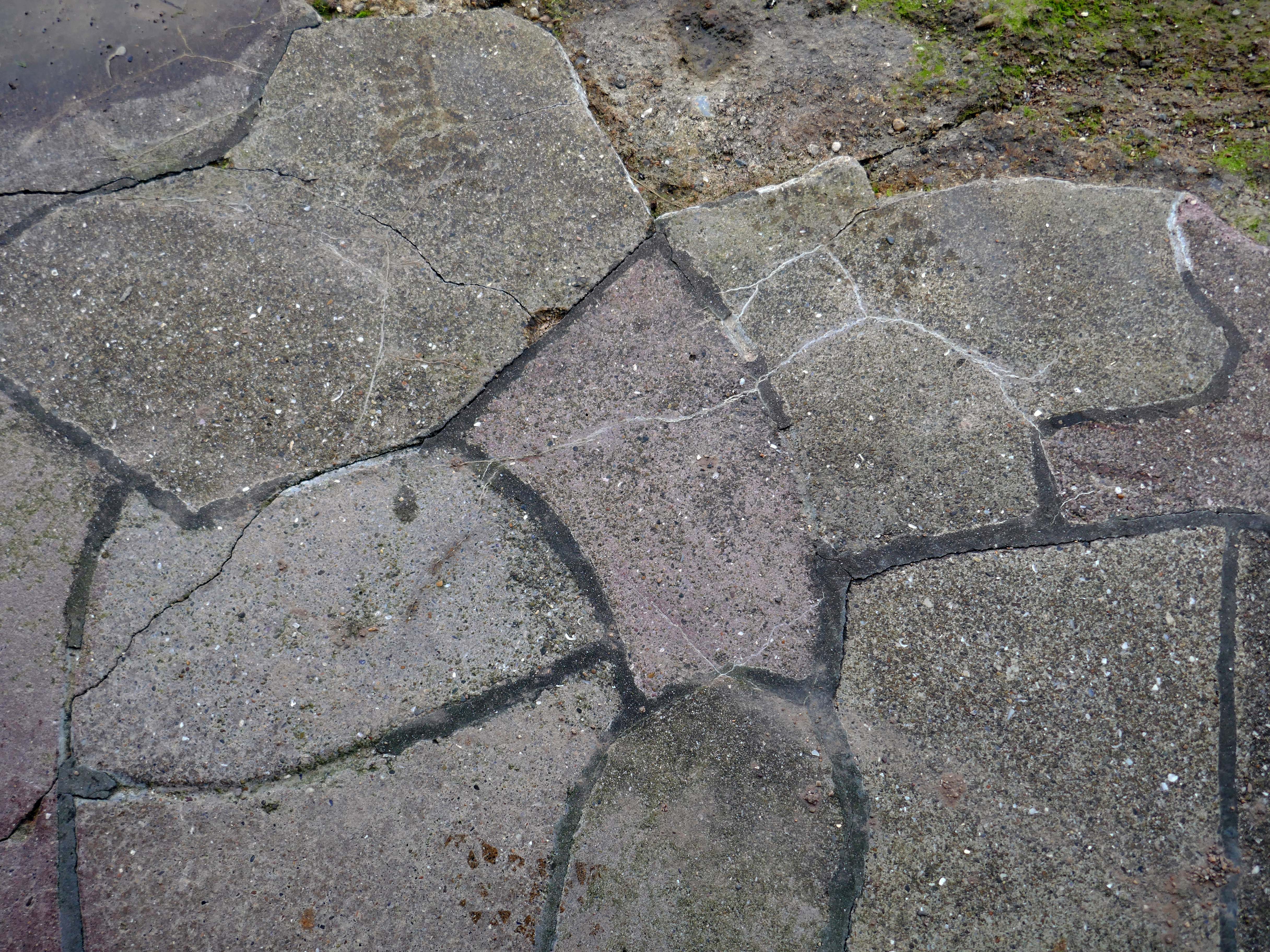
However, the neck building is a design of great verve and vivacity that well demonstrates the revitalisation of the British seaside resort in the 1950s. The contemporary style associated with Frank Lloyd Wright’s Usonian houses and made popular with Californian homes in the 1940s was well suited to the requirements of an architecture that combined ‘sun and fun’. The contemporary style made a feature of expressing different elements or planes of a composition with different materials, and here the combination is honest and each element well detailed. The sweep of the cantilevered, boomerang-shaped roof is a particularly joyous feature. It is a building that would have been despised as being exactly of its date until recently; now it is a building that can be celebrated for that very reason, and a rare example of pier architecture from these years.
Open seven days a week from 9am to 11pm – may be subject to change due to weather conditions.
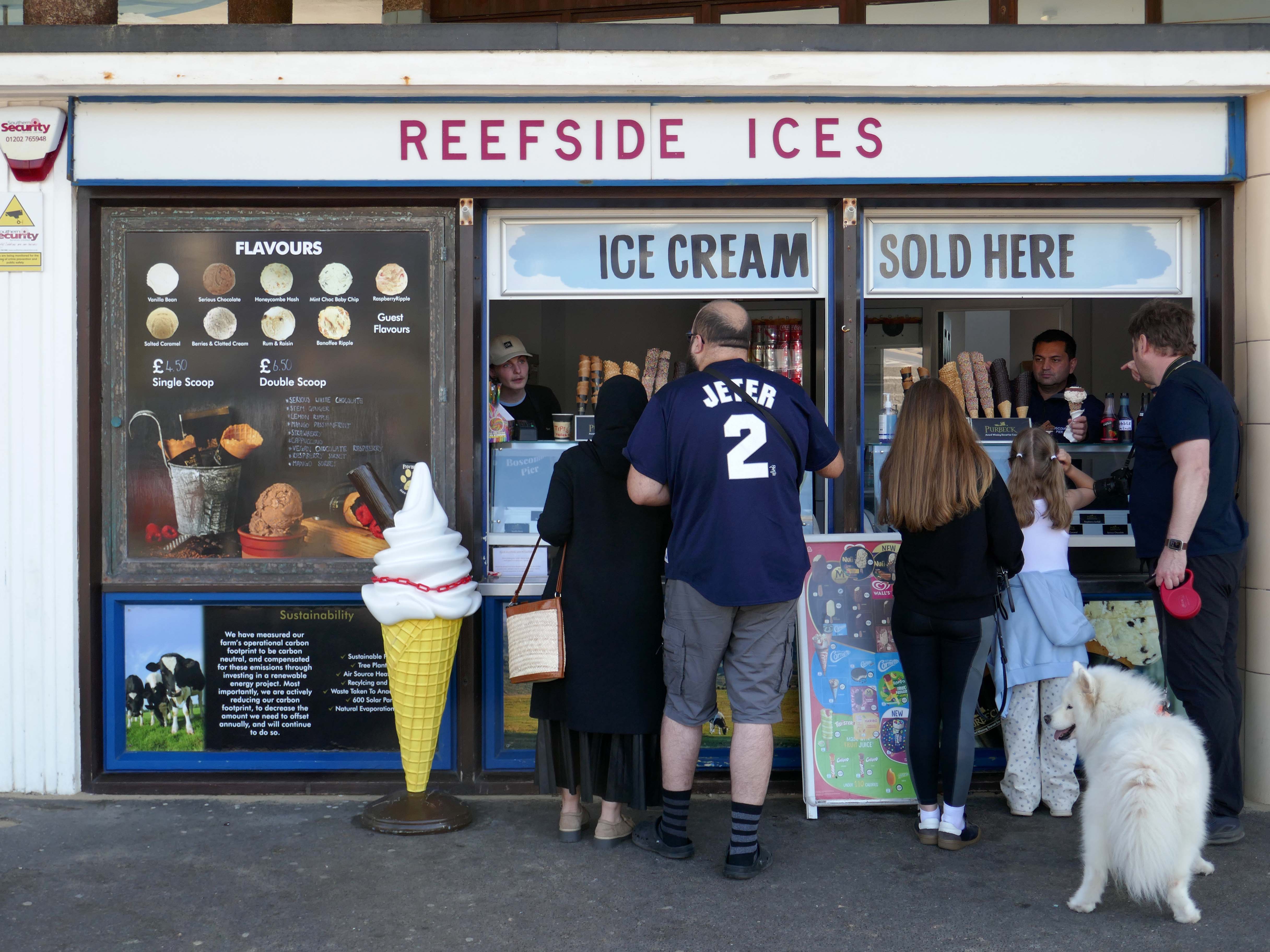
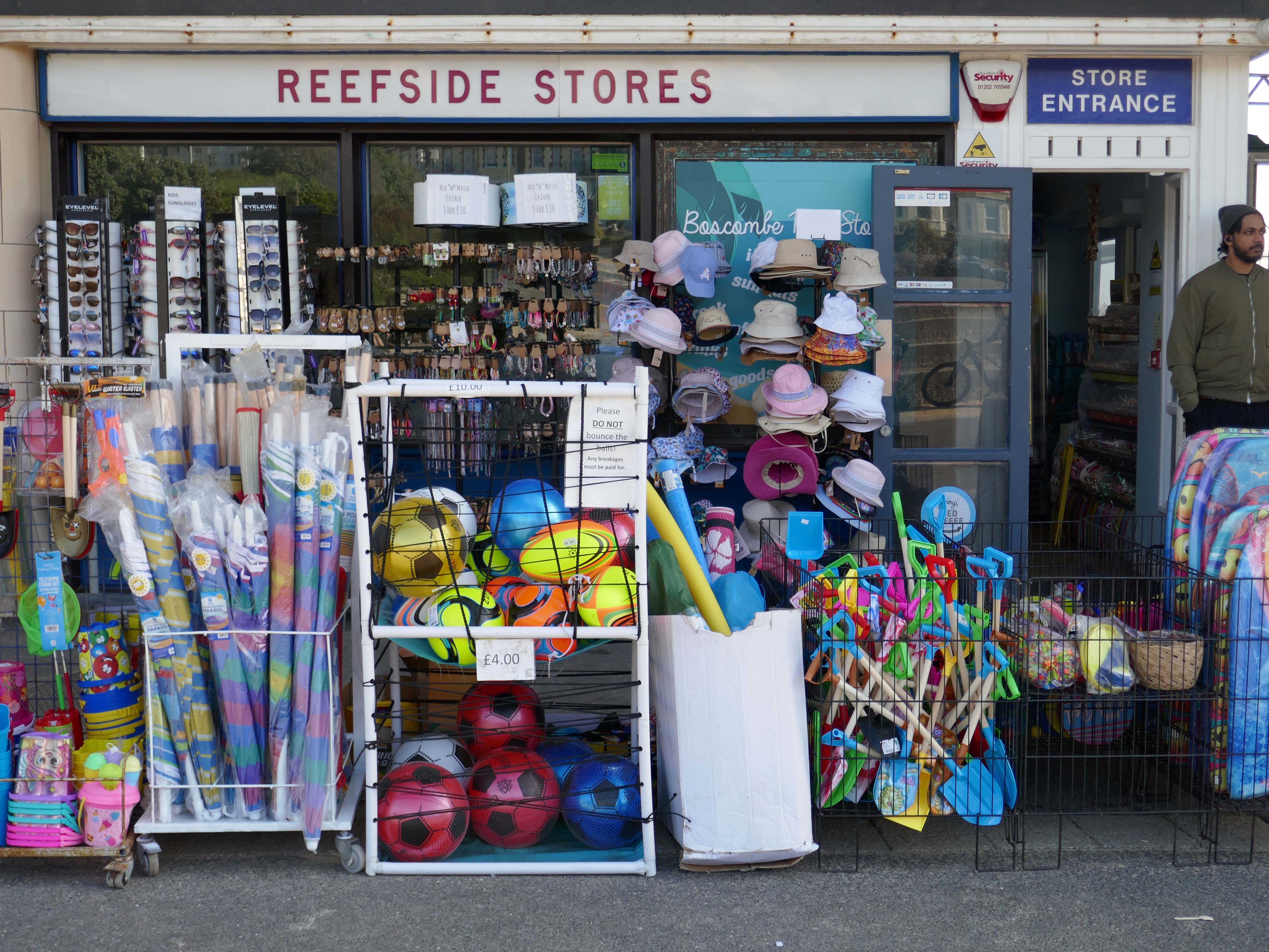
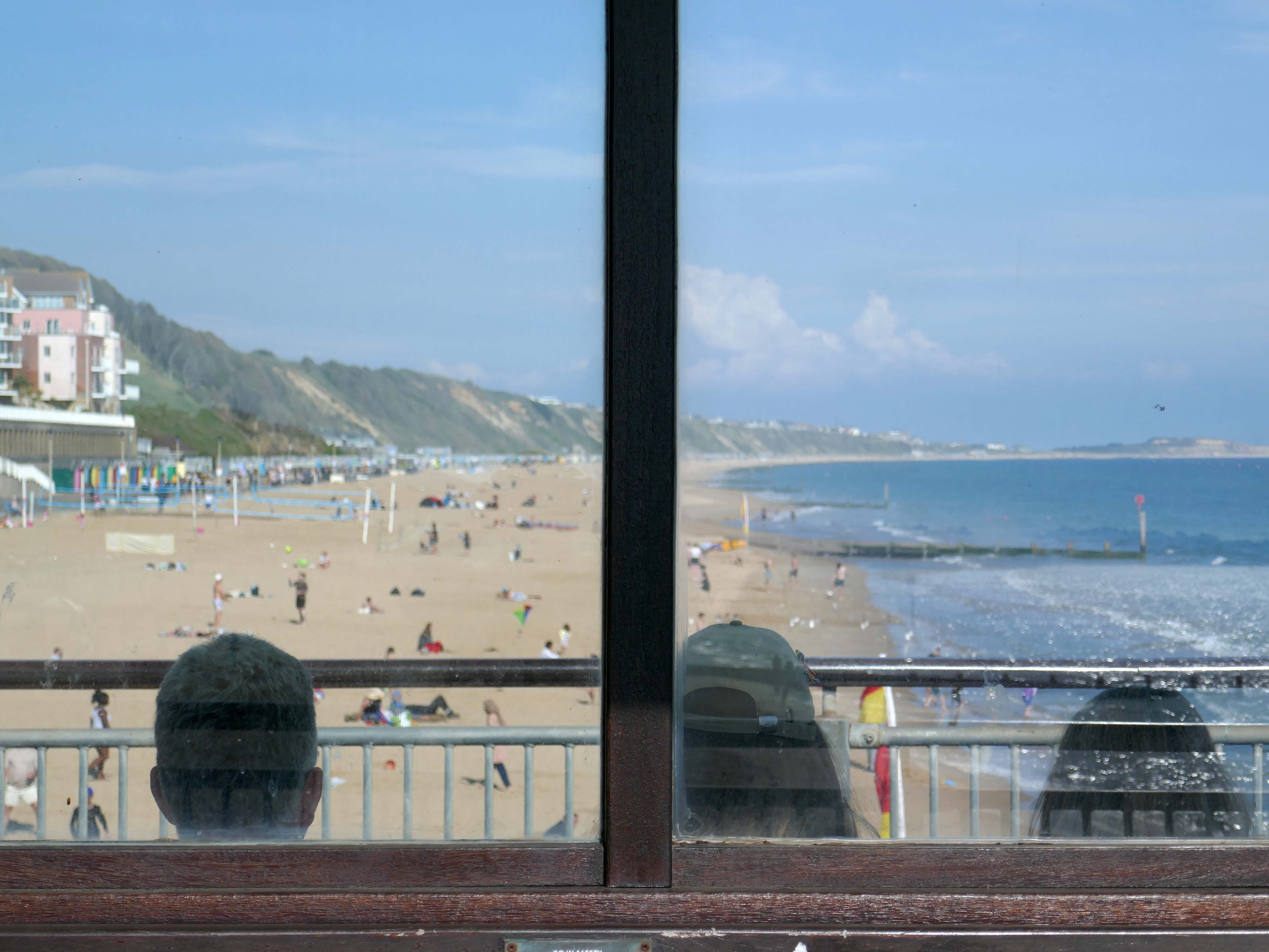
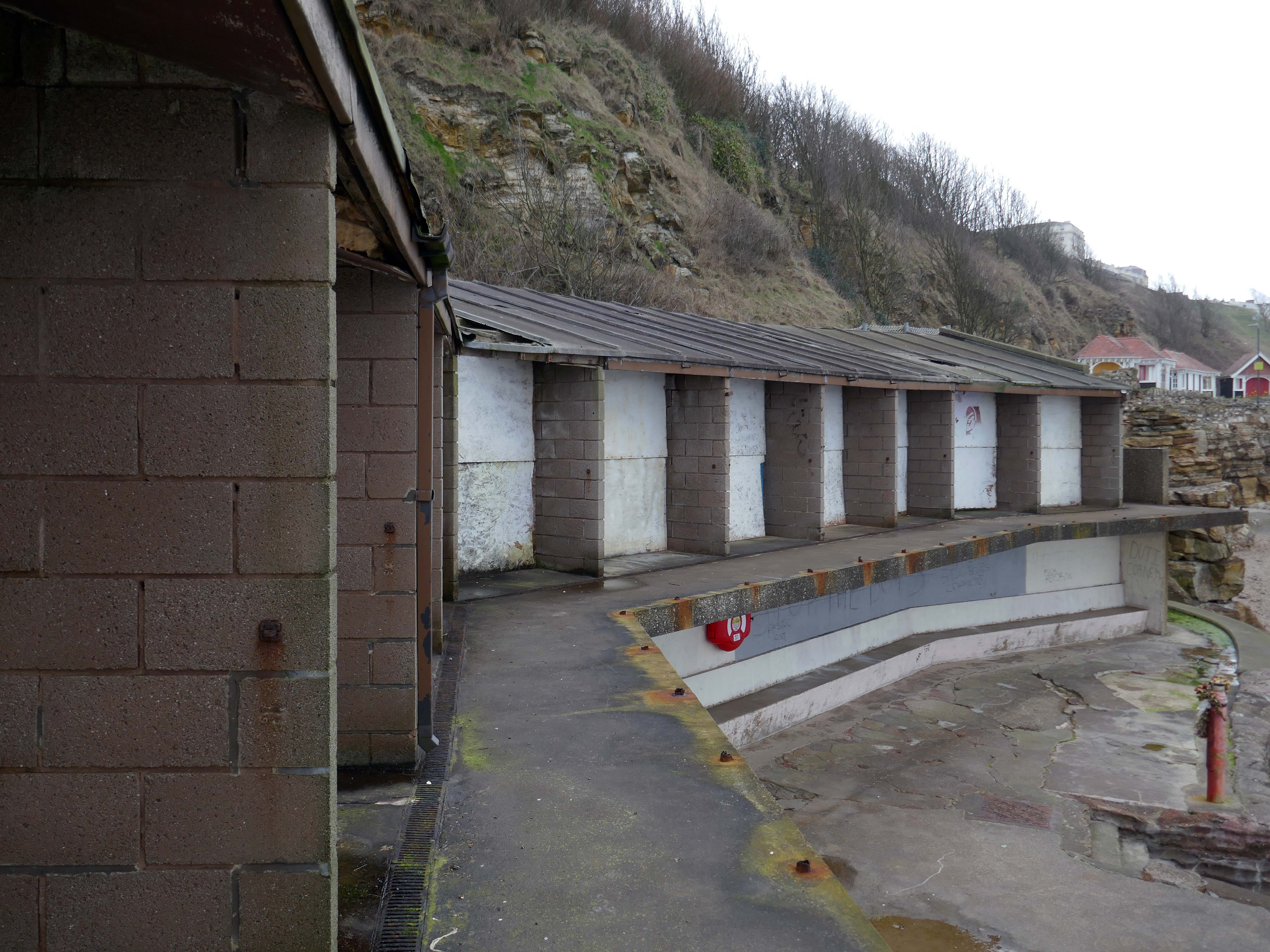
Inside the Grade II listed building at the pier’s entrance, you’ll find a café, takeaway and a beach shop. Outside you can have a go on the bouldering walls and the slackline.
There’s no charge to go on Boscombe Pier, there’s also a viewing platform at the end of the pier.
The resident, who does not wish to be named, was walking along the seafront from Southbourne to Boscombe Pier on Thursday, March 17, at around 10.30am when he noticed strange objects in the sky.
He told the Echo:
“I noticed in the sky three bright, what looked like orange, lights approaching me head on from the west to the east quite low down. I thought they might be aircraft landing lights which seemed strange as it was blue sky and a sunny day.
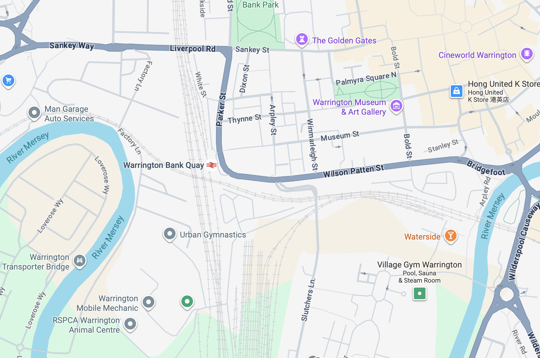
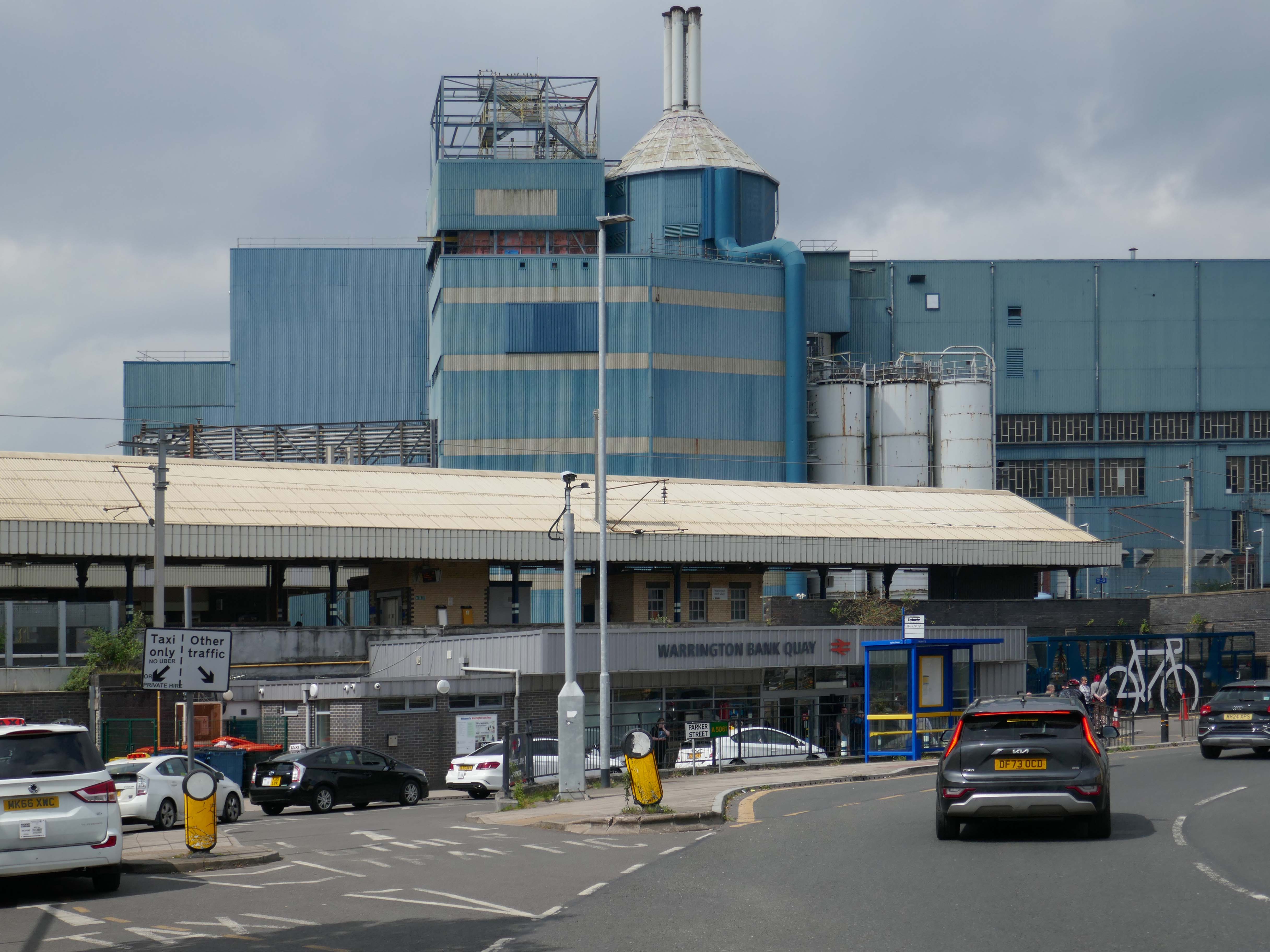
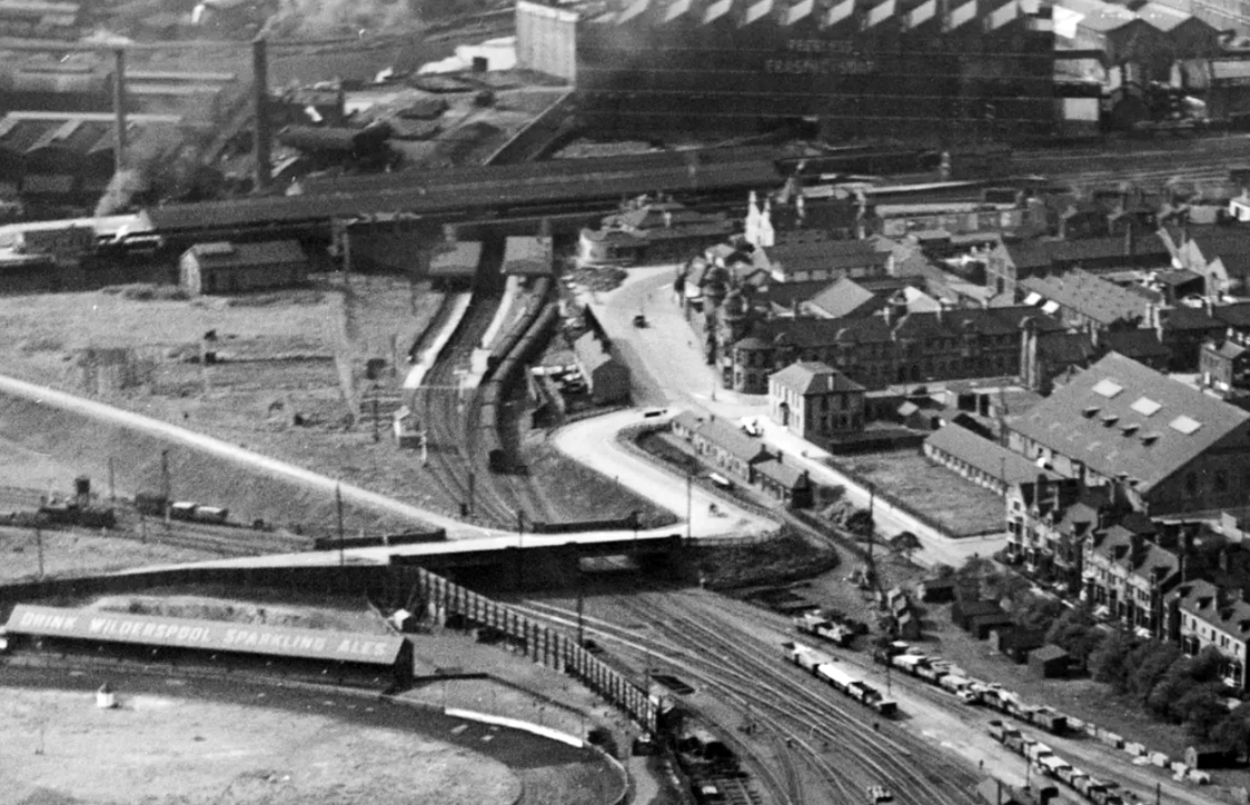
It’s a sunny day in May and we begin at Warrington Bank Quay station.
The first Warrington Bank Quay station opened on 4 July 1837.
The station was rebuilt when the line was electrified in 1973, a new power signal box covering an extended area was built east of the station for the electrification.
In 2009 a new entrance hall was completed, with a travel centre/ticket office and a shop.
The buffet on the London bound platforms was modernised.
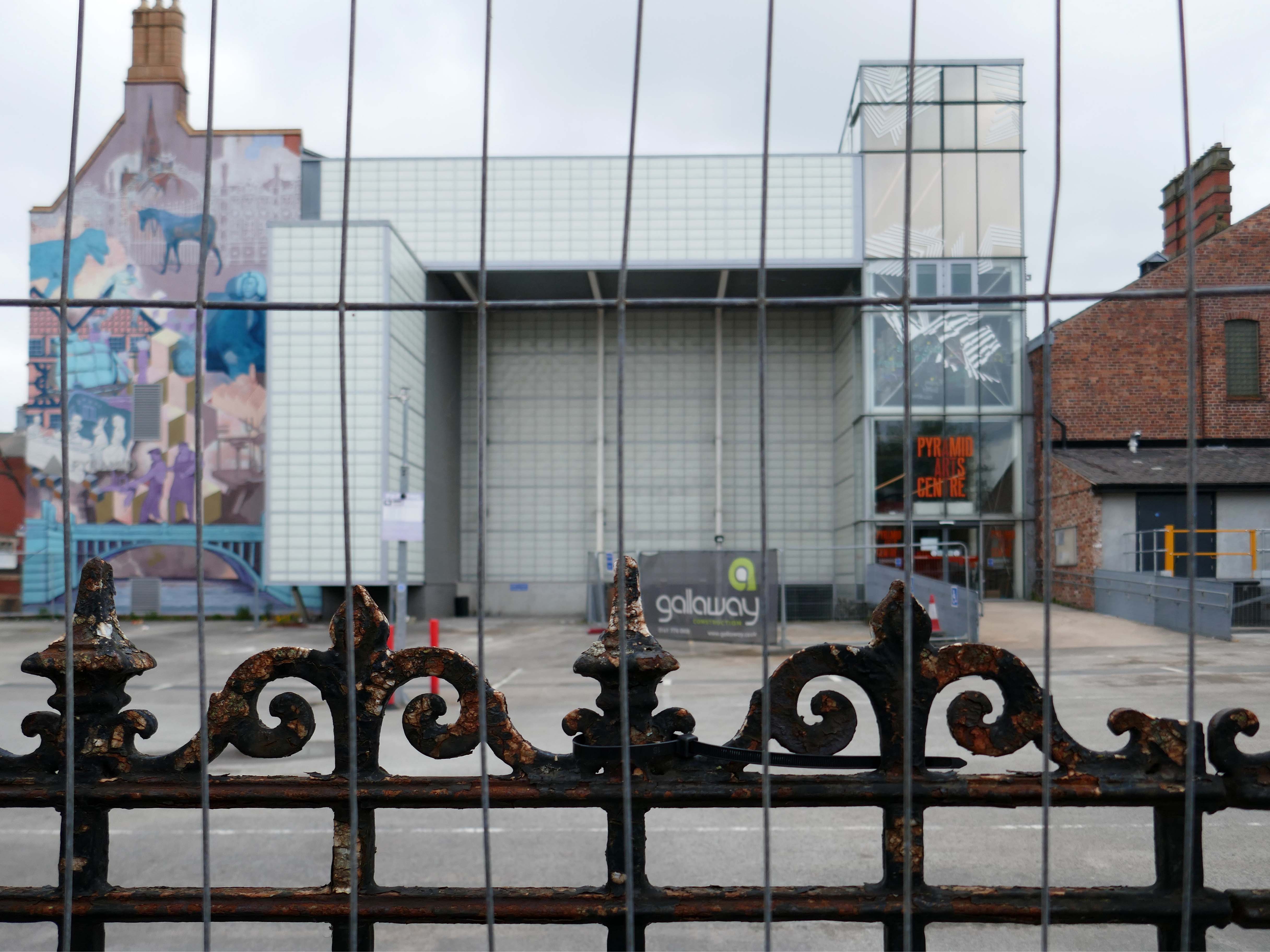
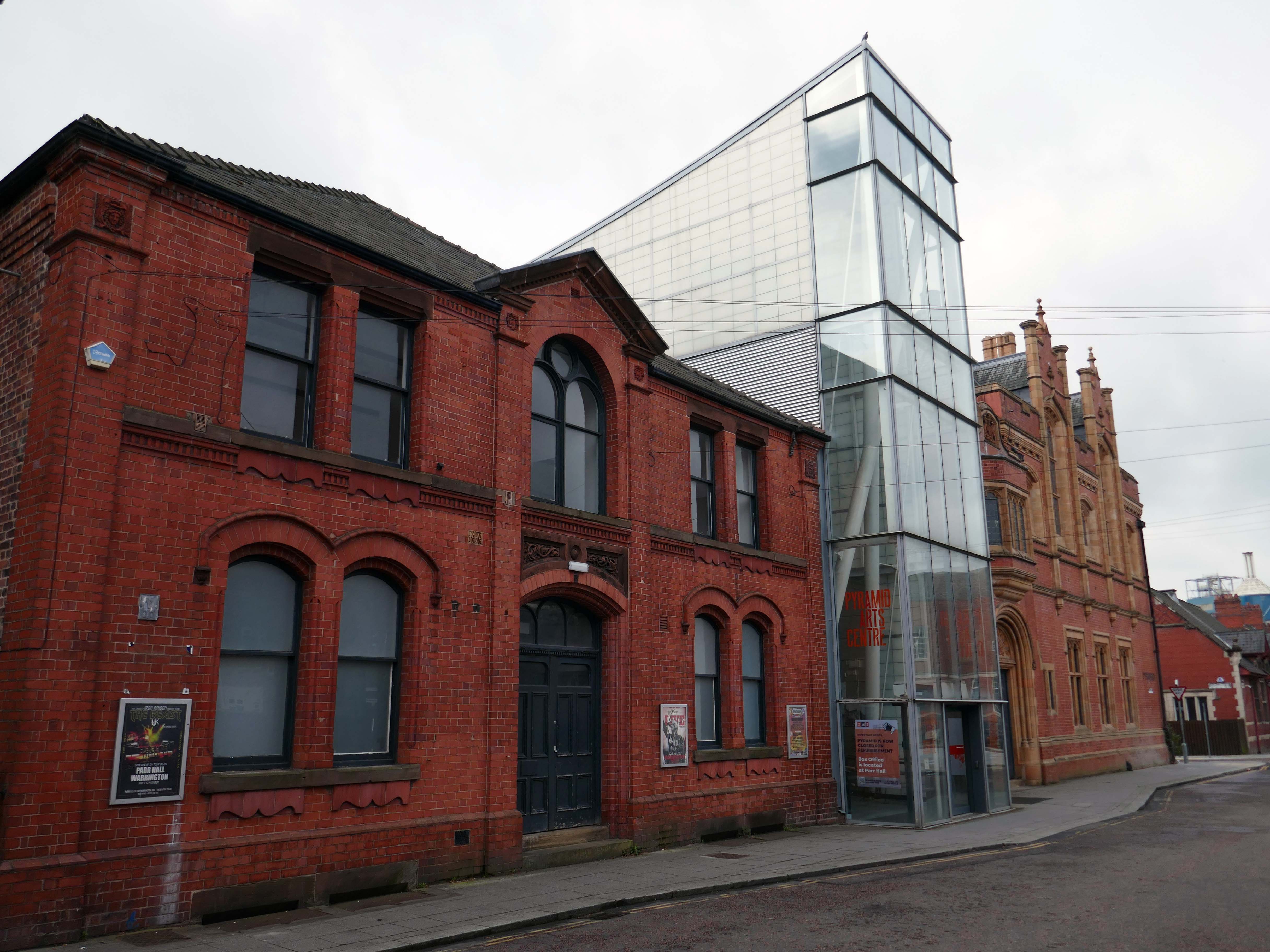
Next onwards to the Pyramid Arts extension 2002, a reworking by Studio BAAD of the former County Court and Inland Revenue Offices 1897-8 by Sir Henry Tanner.
Studio BAAD Ltd started winding up proceedings for a Creditors Voluntary Liquidation in April 2021 and the company was dissolved on 21 July 2021
The centre is currently closed – work began on the redevelopment, which has been funded by a £5 million grant from the Government, in July 2024.
The project aims to make the building more modern, accessible and fit for the future.
The redevelopment includes the addition of a new café and bar area while the Exhibition Hall will become a bigger capacity venue.
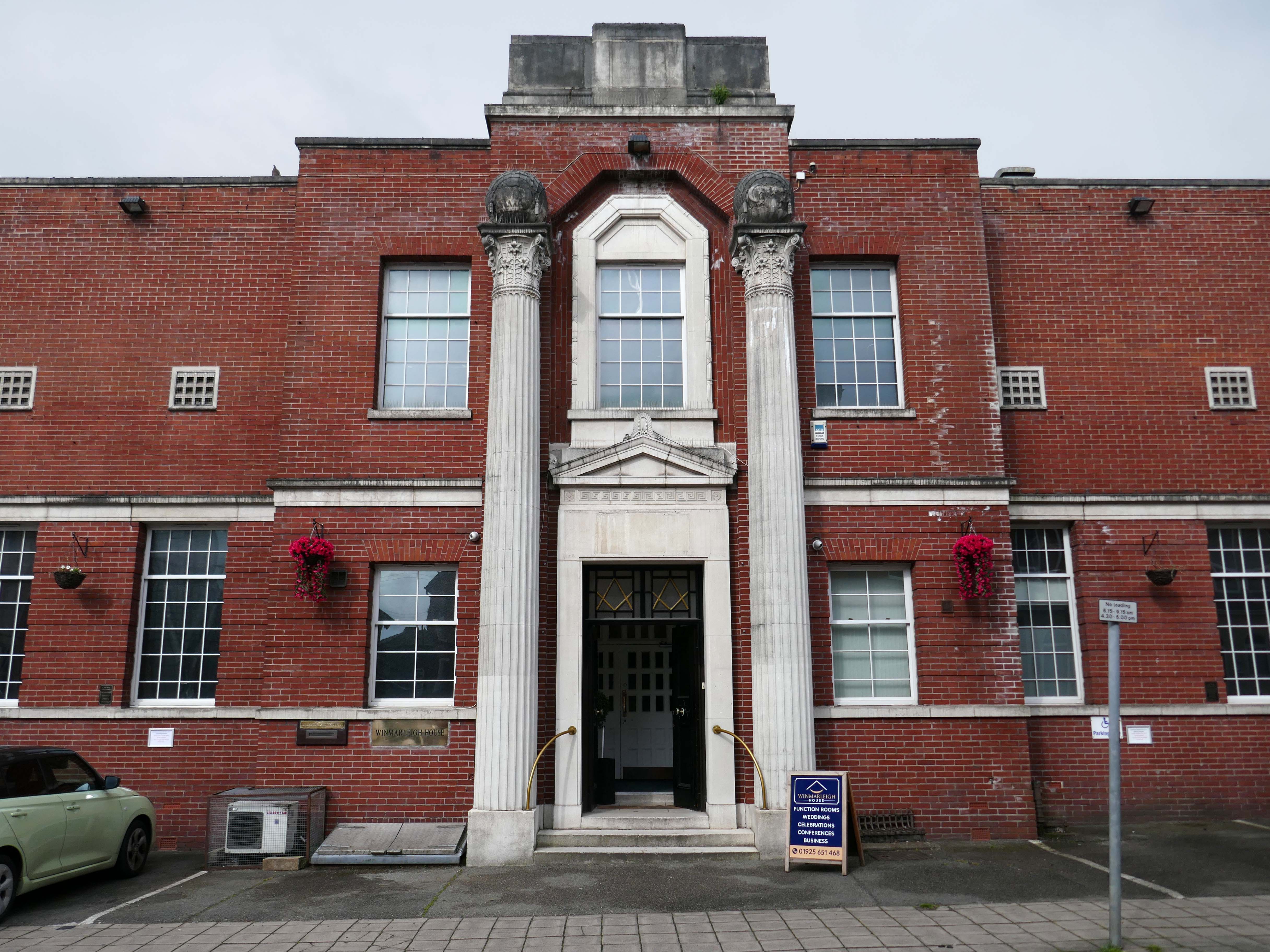
Across the way the Masonic Hall 1932-33 Albert Warburton.
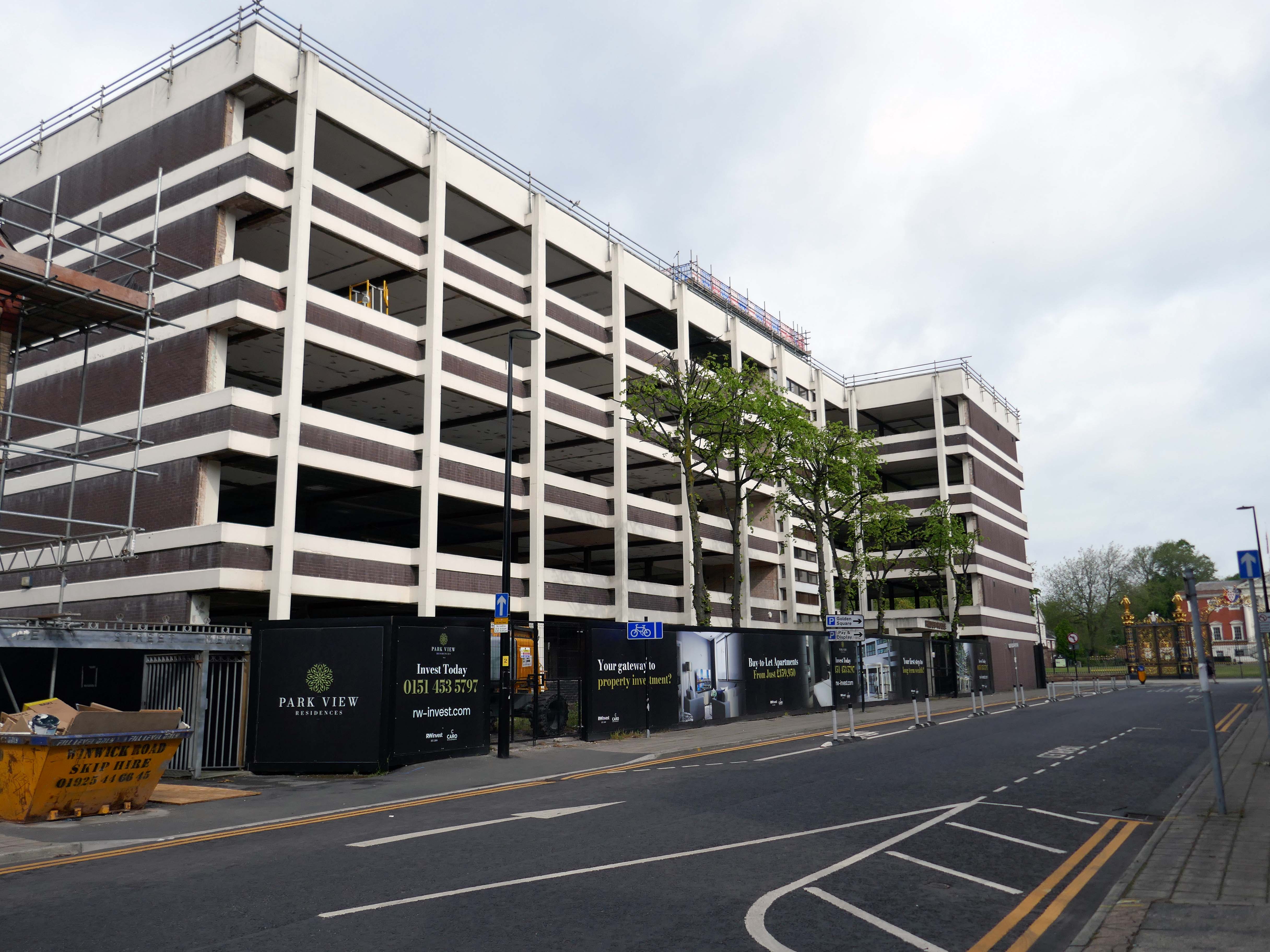
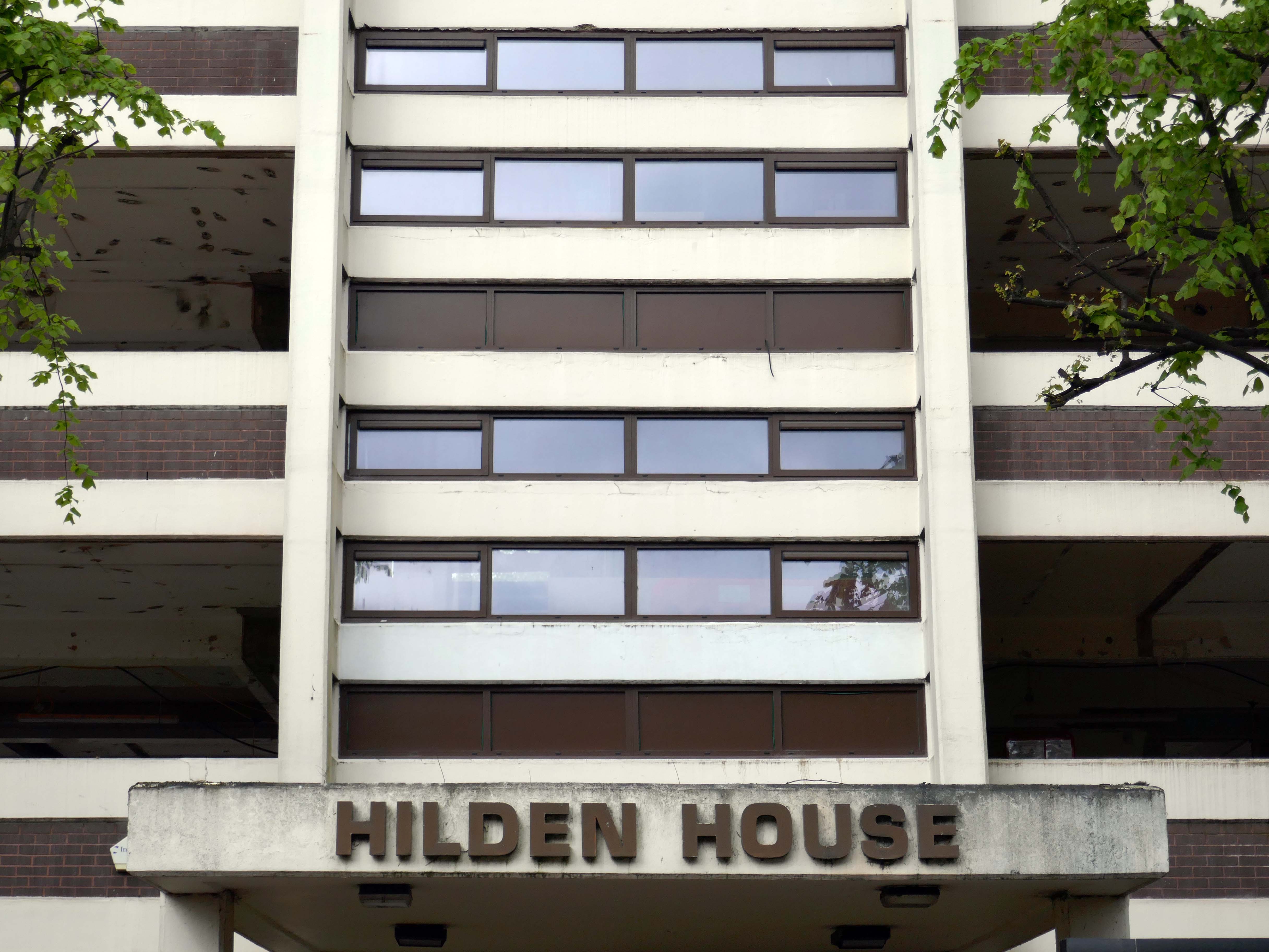
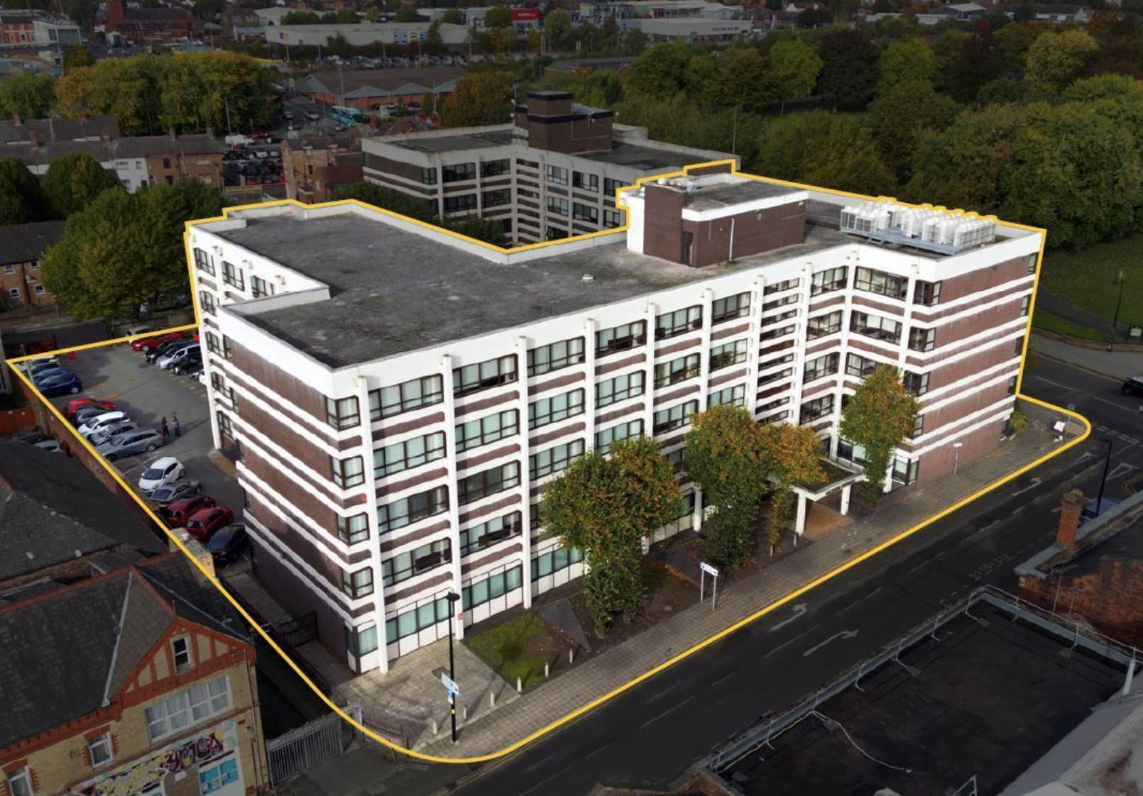
Further along to Hilden House a former Department of Works and Pension building, currently undergoing a transformation into a residential block.
The £18m office to residential reset of the 52,400 sq ft building will offer a mix of one- and two-bedroom apartments in plans now approved by the local authority.
Caro Developments, working in tandem with architectFalconer Chester Hall, hopes to start construction later this year.
According to a planning statement submitted on the developer’s behalf by Savills, once complete, the five-storey block will offer residents a concierge service, a gym and wellness facility, a resident’s lounge, and a co-working area.
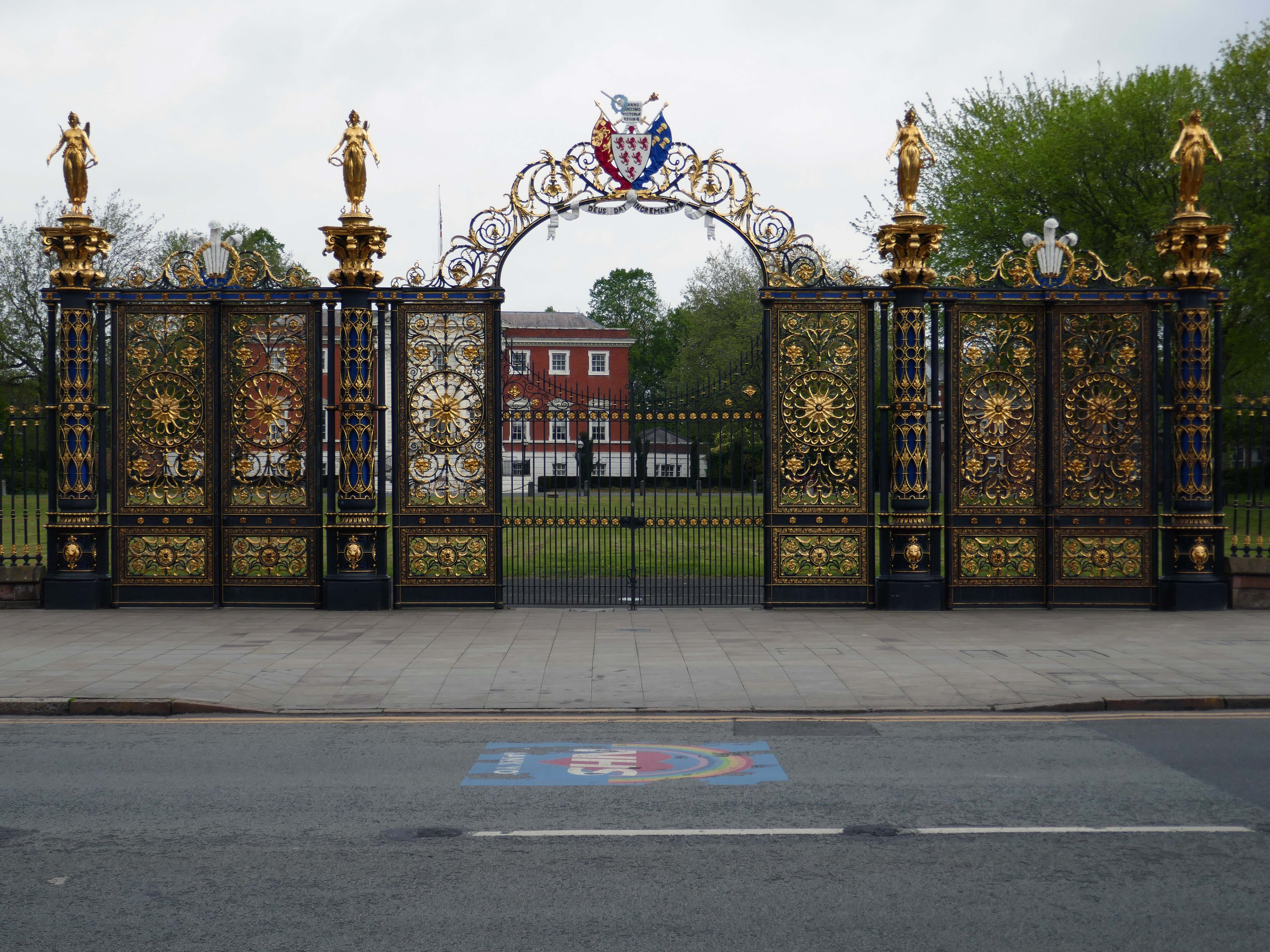
Way out of period but a notable Warrington landmark are the Golden Gates designed in 1862.
The gates were made for the International Exhibition of 1862, and then intended for Queen Victoria’s Sandringham home in Norfolk. Coalbrookdale found it hard to find a buyer for such grand gates, so Frederick Monks, one of the town’s earliest councillors, was able to buy and bring them to Warrington to stand at the front of the town hall lawn. Monks also presented the cast iron Cromwell statue, designed by John Bell, to Warrington in 1899.
The Golden Gates are Grade II* Listed, along with the gate piers and the lamps which line the driveways at either side of the town hall
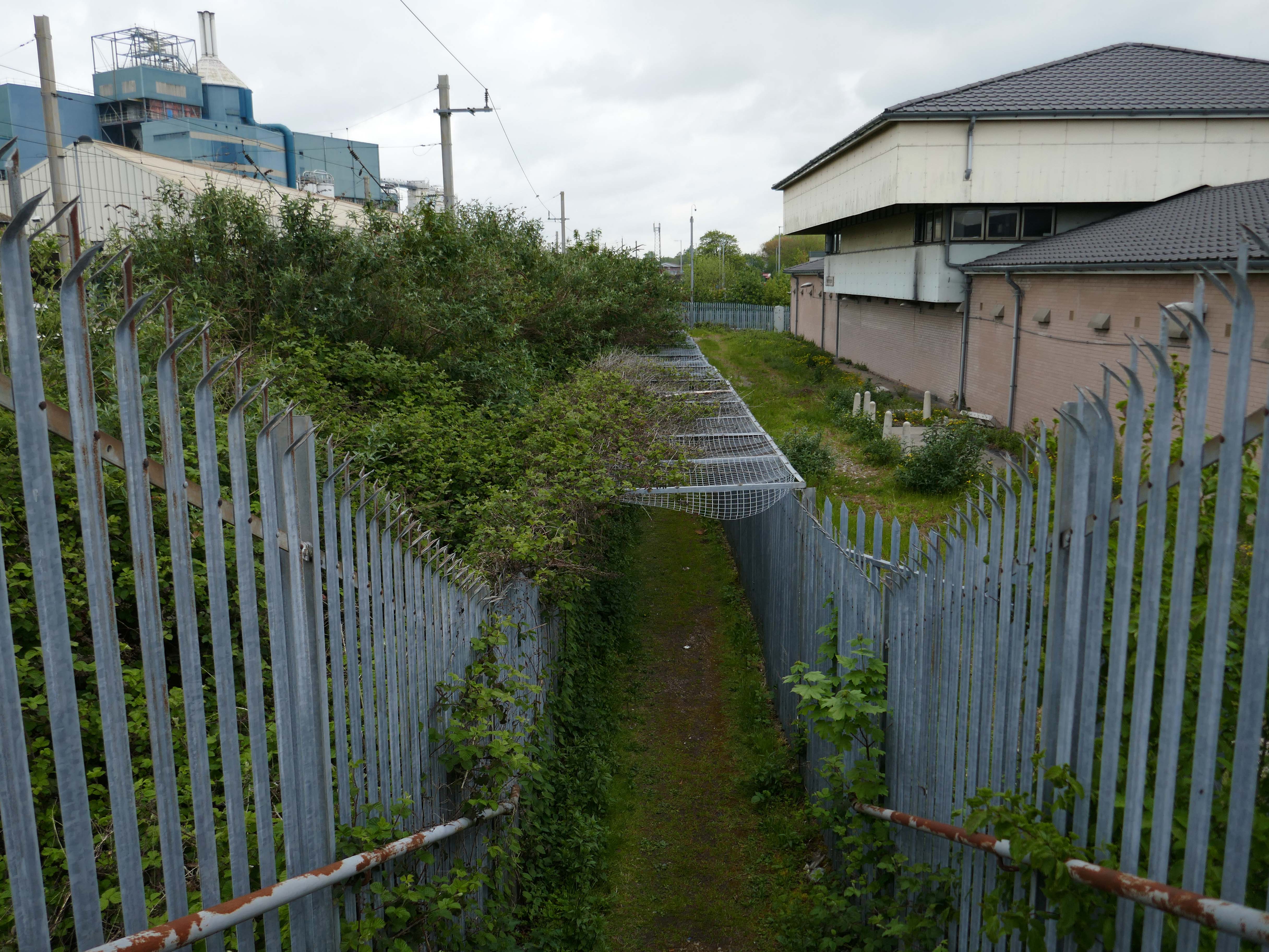
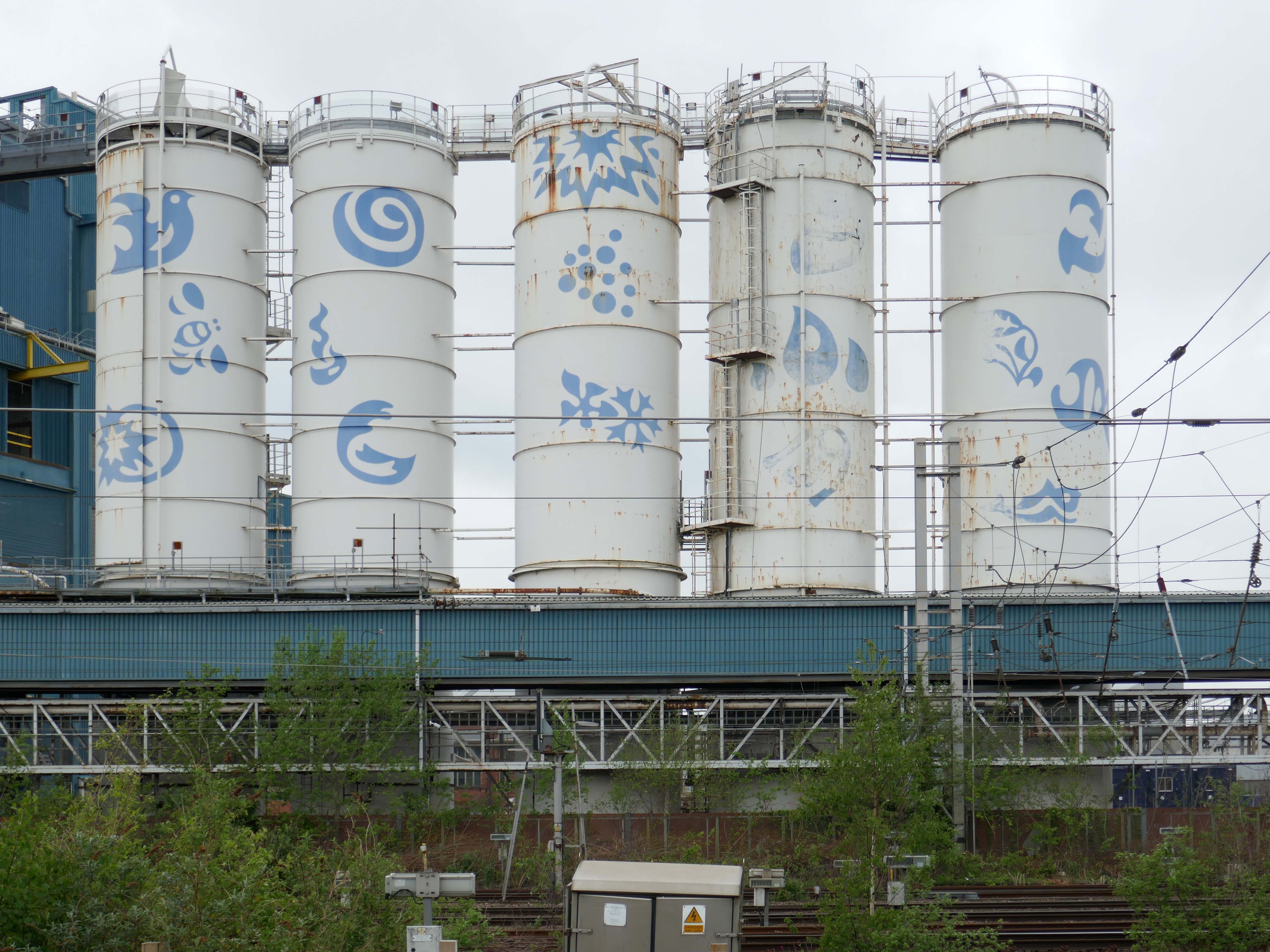
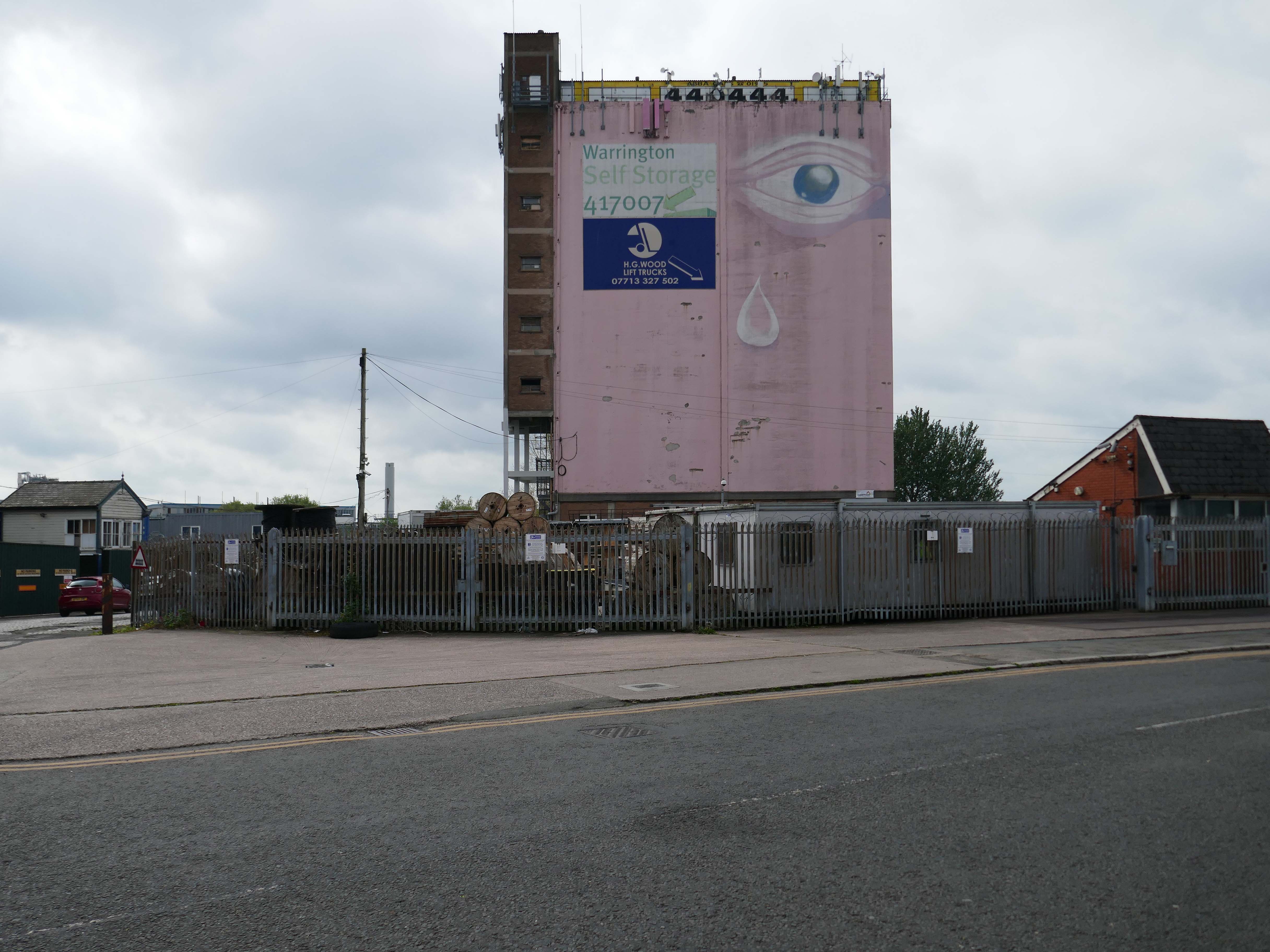
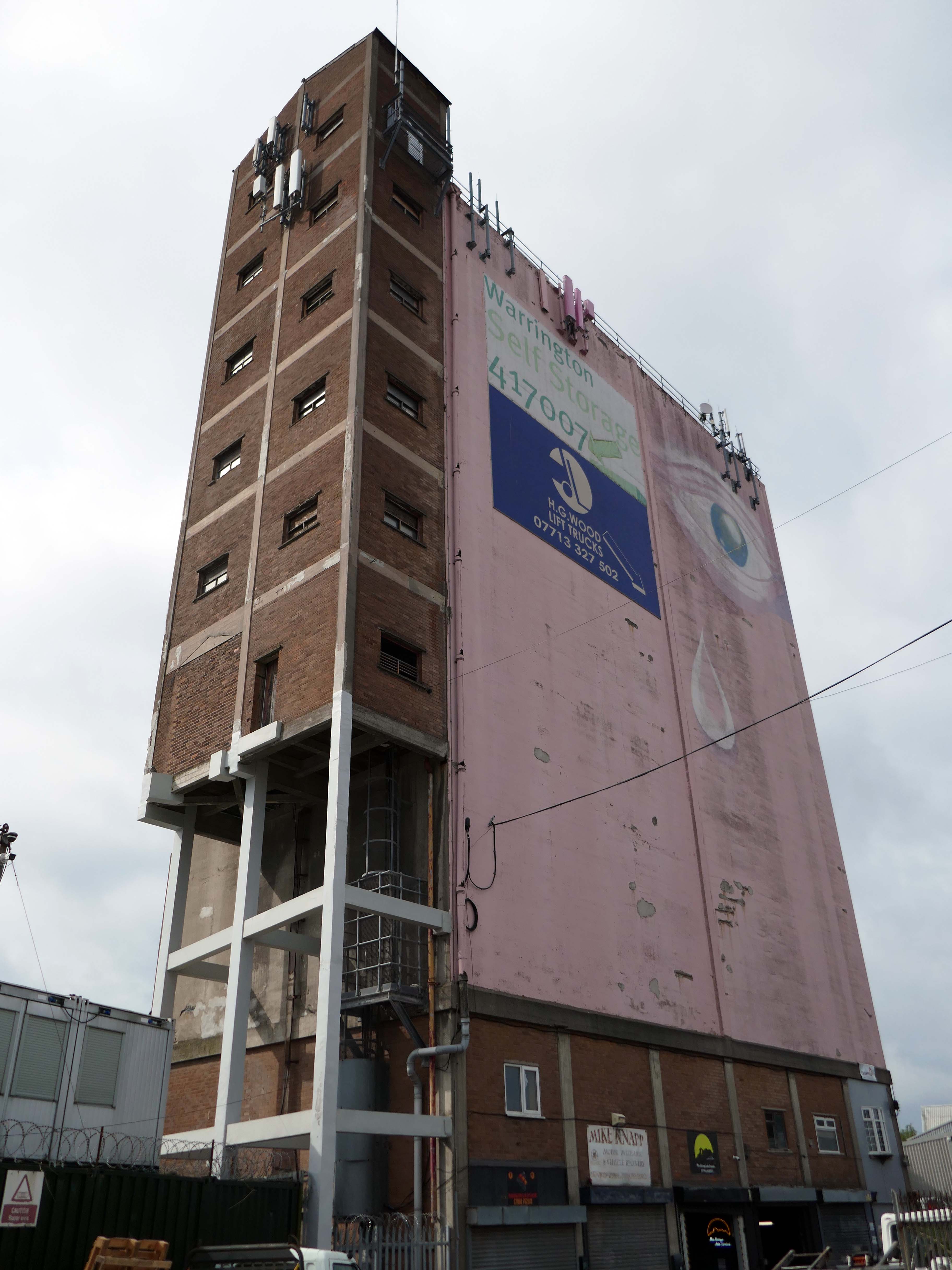
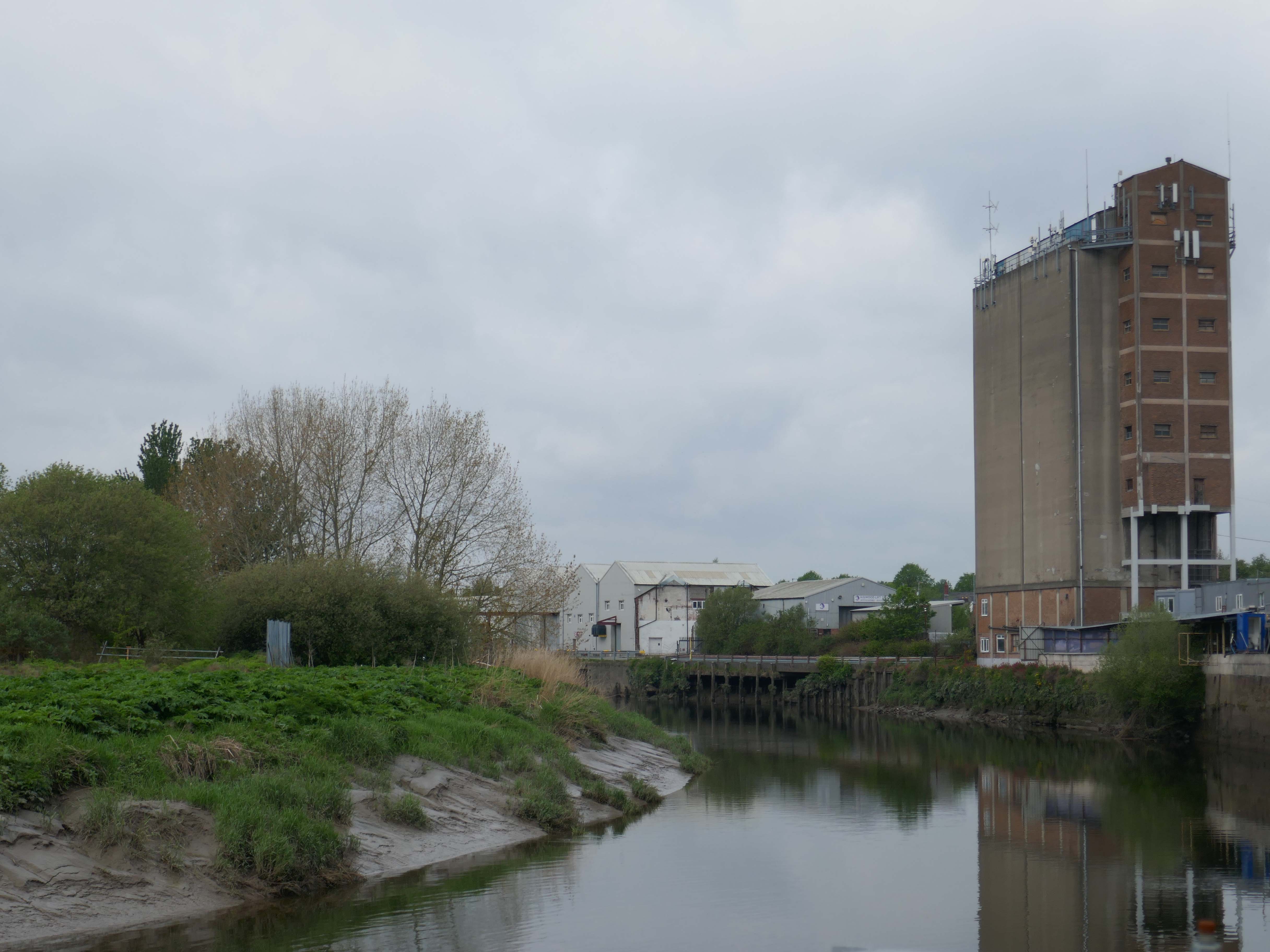
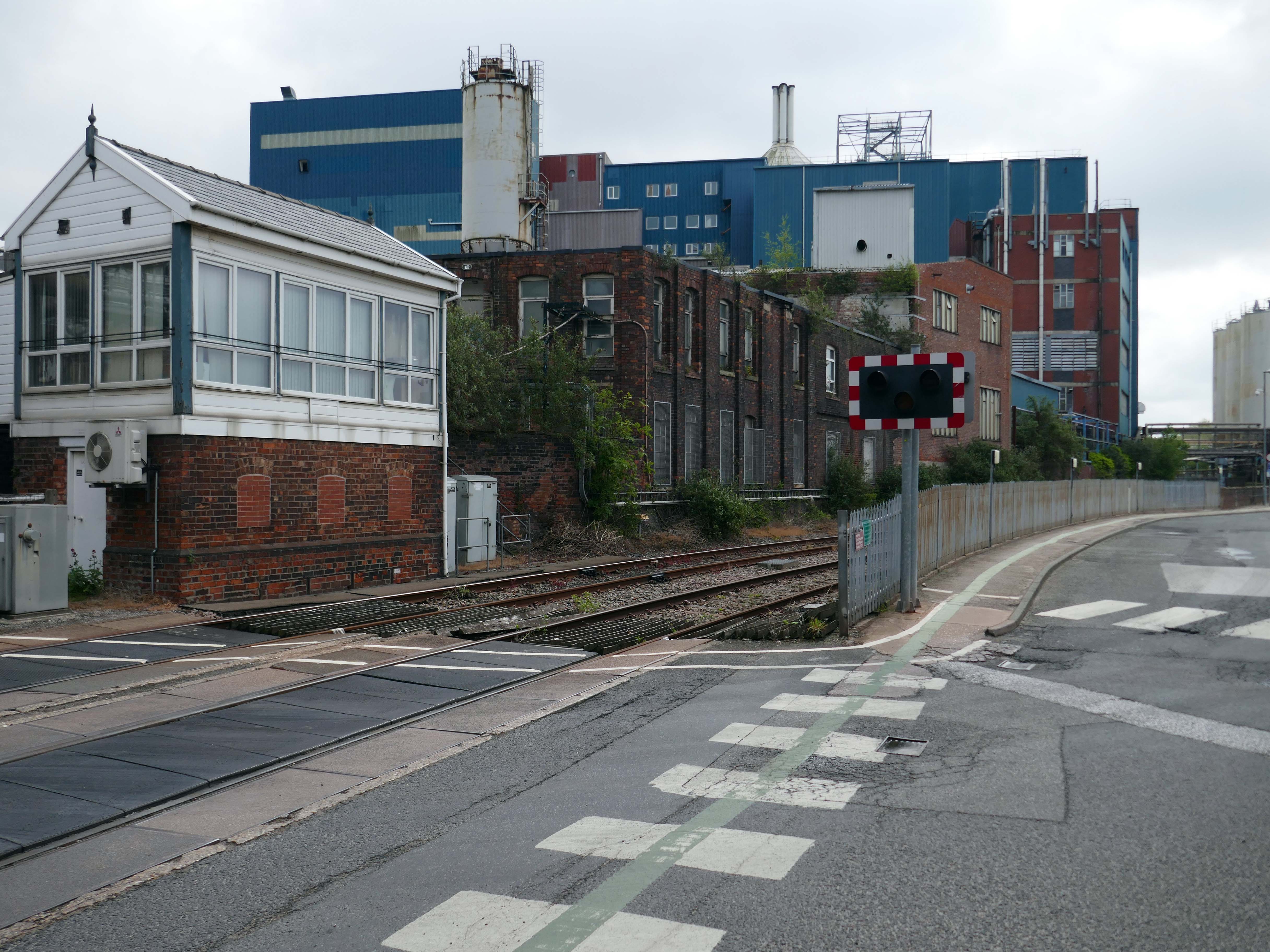
Up the road now to the Soap Works – first views from across the railway tracks.
Then over the bridge.
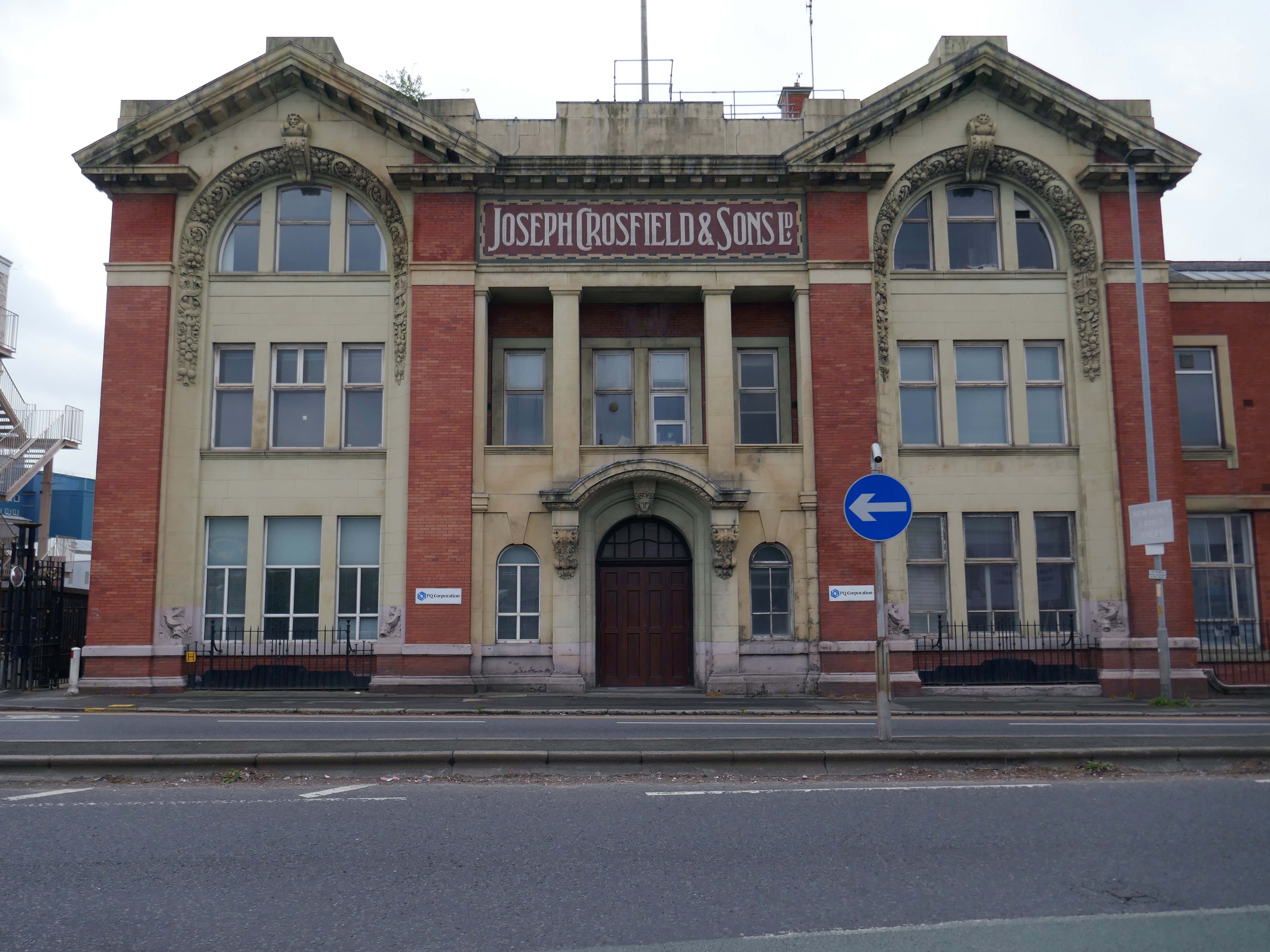
Joseph Crosfield was born in Warrington, the fourth son of George Crosfield and his wife Ann née Key. In 1814, Joseph’s apprenticeship having finished, at the age of 21 he decided to establish his own soap making business in Warrington.
In 1911 the company was purchased by Brunner, Mond & Company and 1919 it was absorbed into Lever Brothers. From 1929 Crosfield was a subsidiary of Unilever. In 1997 its Warrington speciality chemicals division that made ingredients for detergents and toothpastes was acquired by ICI and in 2001, Ineos Capital purchased the company. The name Crosfield was finally lost as it was renamed Ineos Silicas. In 2008 Ineos Silicas was merged with PQ Corporation, with the new company retaining the name of PQ Corporation.
The Crosfield’s factory closed for good in October 2020.
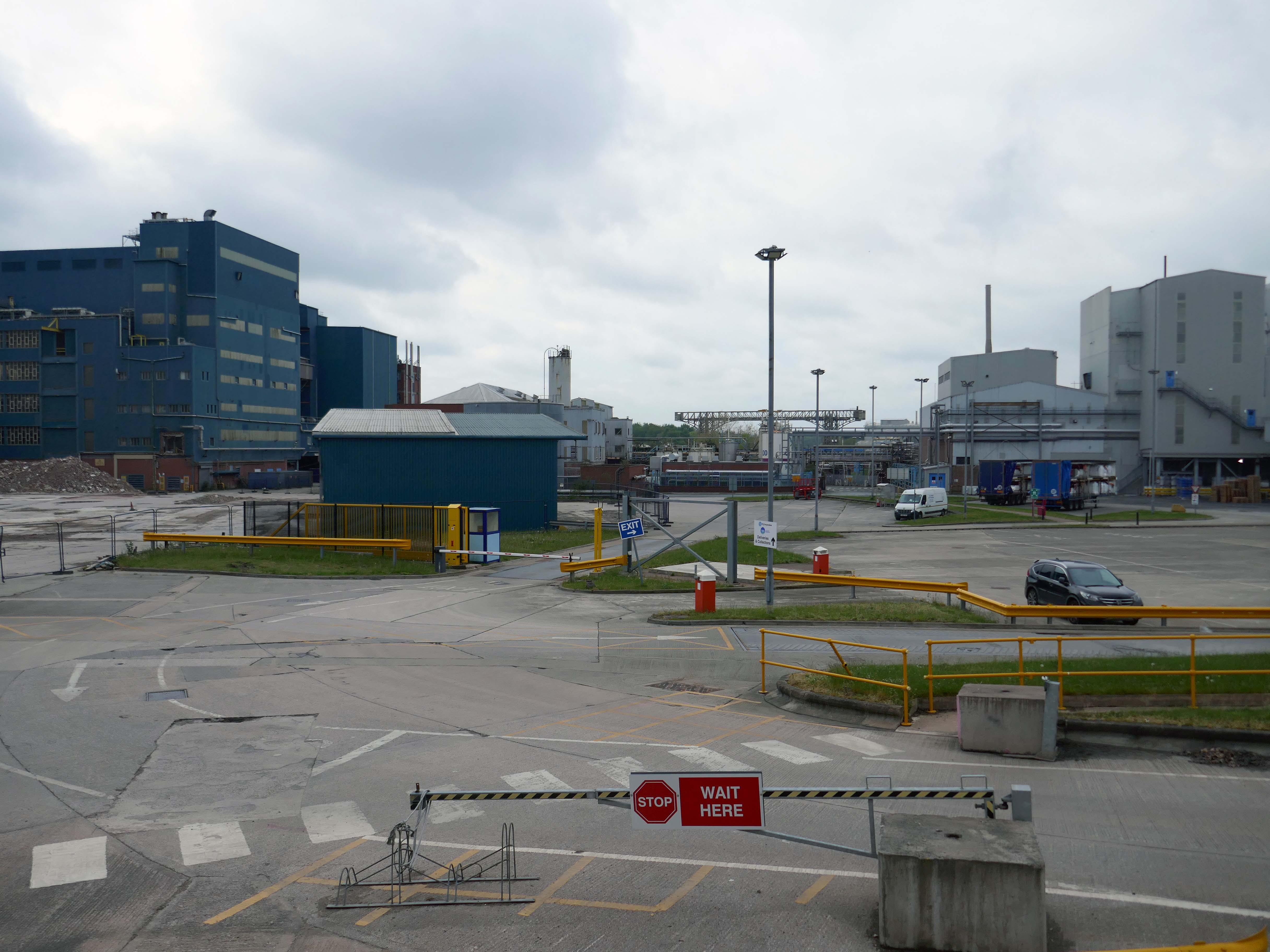
Dante FS Group formally acquired four acres of the site this month for an undisclosed fee from EcoVyst.
The latter firm will continue to operate from sections of the site, as will PQ Corporation, with Dante buying land closest to the train station, including the visible blue buildings and white Unilever tanks.
Renamed Platform at Bank Quay, the ‘next-generation, state-of-the-art modular data centre’ is ‘set to power the UK’s growing AI economy’ and bring high-tech jobs to the town.
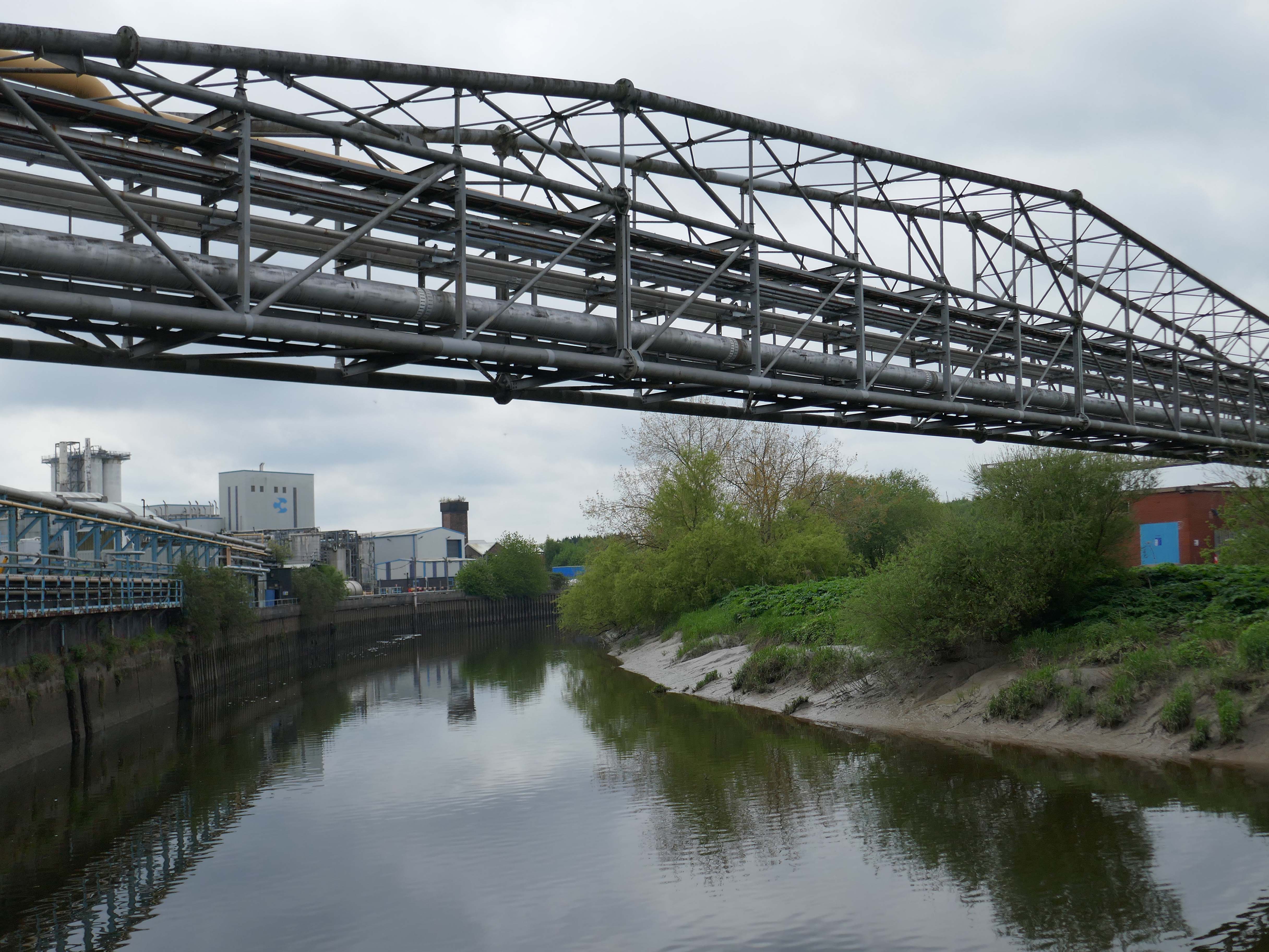
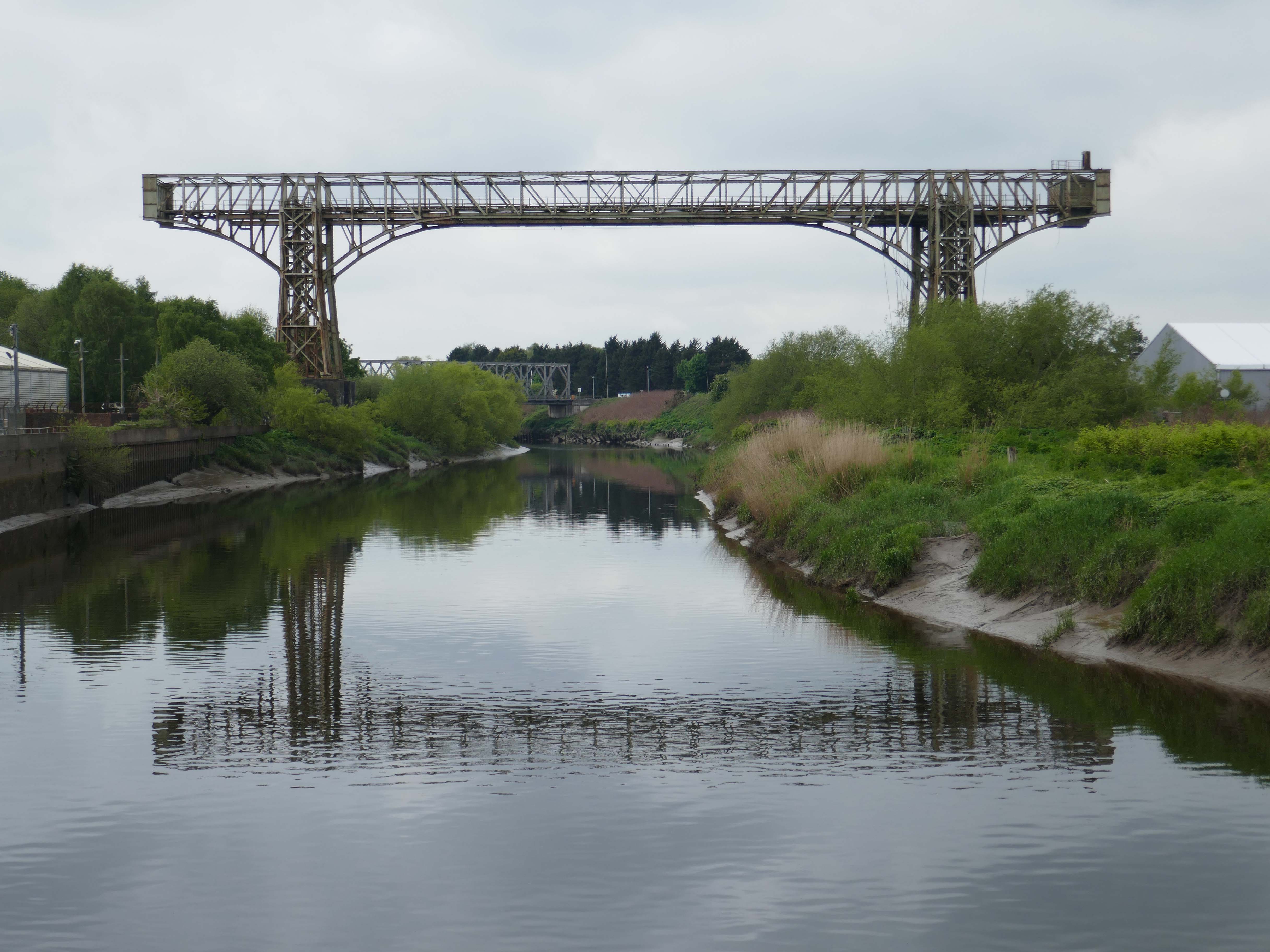
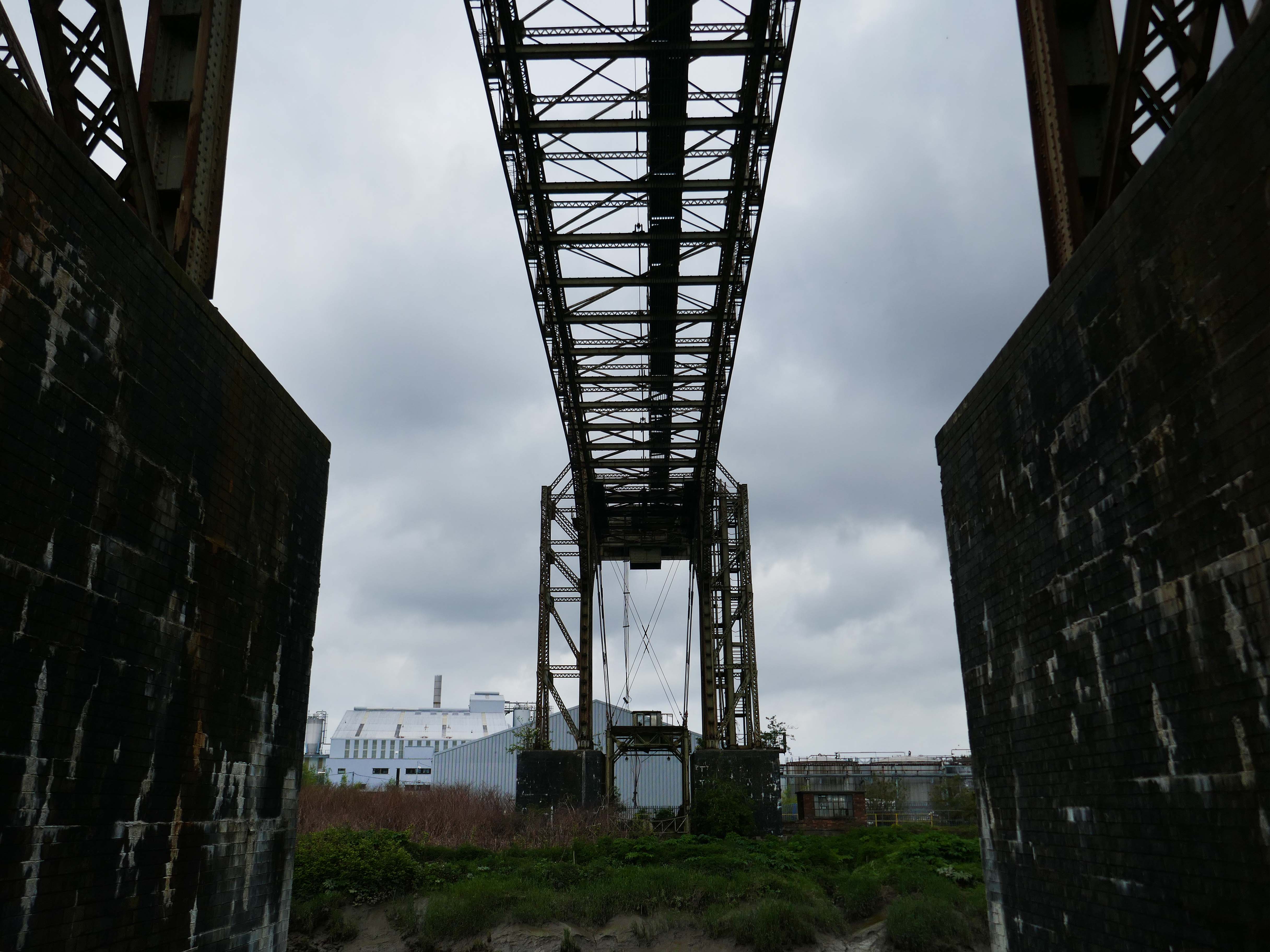
Warrington Transporter Bridge aka Bank Quay Transporter Bridge or Crosfield’s Transporter Bridge across the River Mersey is a structural steel transporter bridge with a span of 200 feet.
It is 30 feet wide and 76 feet above high water level, with an overall length of 339 feet.
It was commissioned in 1916 and, although it has been out of use since about 1964, it is still standing. It was designed by William Henry Hunter and built by William Arrol and Co.
The Transporter Bridge was built to despatch finished product from the cement plant that had been built on the peninsula. It was originally designed to carry rail vehicles up to eighteen tons loaded weight.
The bridge was converted for road vehicles in 1940, and was certified to carry loads of up to thirty tons in 1953.
This was my first visit in 2017 – recorded on Modern Mooch.
Highlight on any day out anywhere is the discovery of arcane British Rail typography.
There’s a brief history of Freightliner history right here.
Back now to Bank Quay and off to the Telephone Exchange.
This is the 1969 building designed by the MODBW, Reginald Norman Dixon with lead architect P Clinton.
Linked to the 1955 building designed by John Onslow Stevens.
Biggest thanks to Lisa Kinch who can be found over on Instagram, for all her informative research into telephone exchanges.
Toward the town centre and we pass the Bold Street Methodists Church – 1973-75.
Currently closed and for sale.
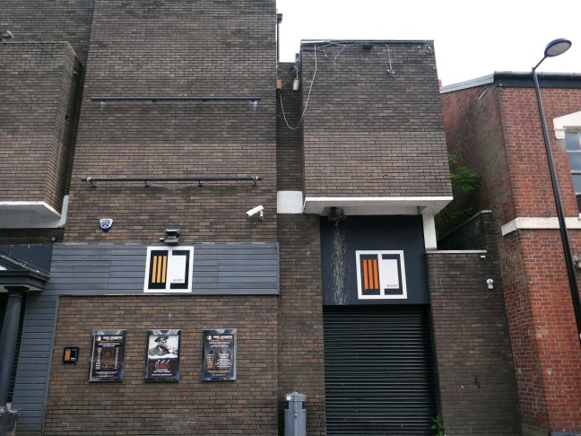
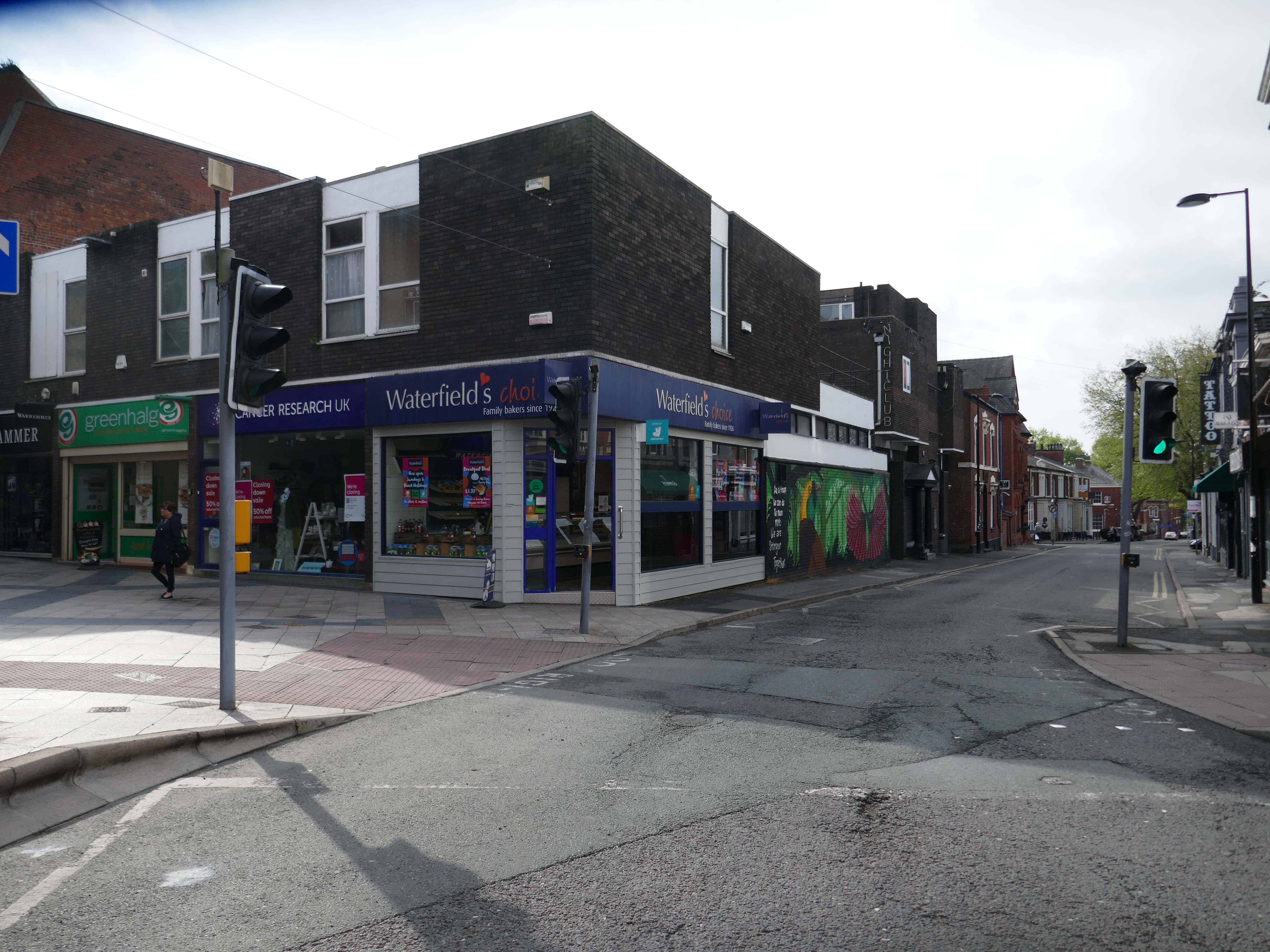
Thence to the Block 1 nightclub.
Medicine night club early 2000s.
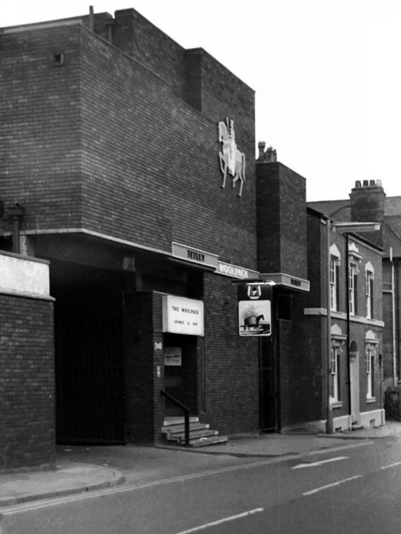
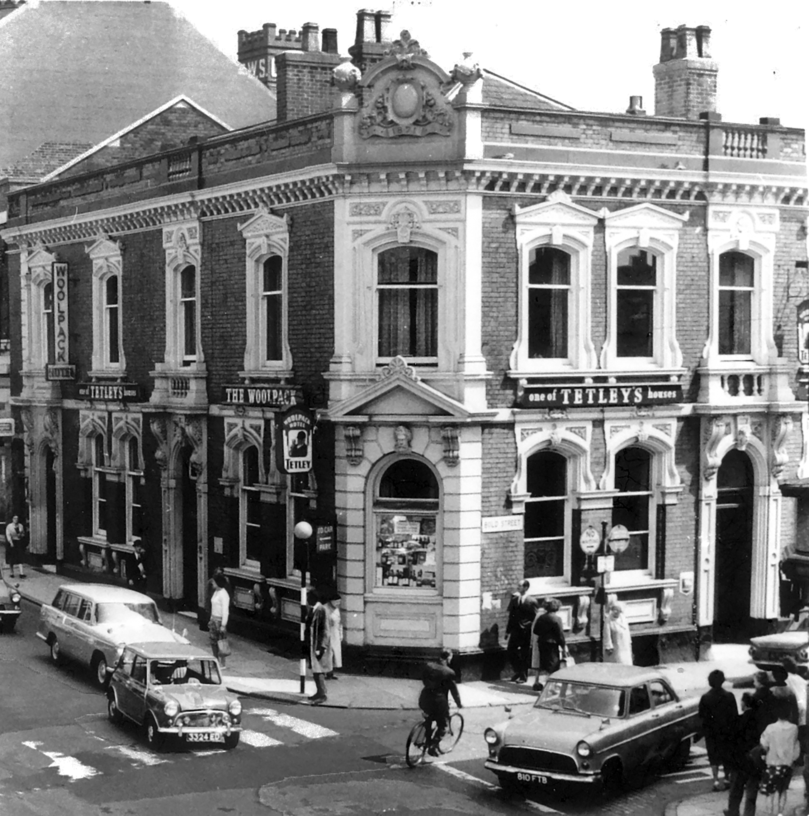
Originally a Tetley’s house named The Woolpack.
Got served my first pint in there, I was only 14.
Karl Beckett
Coming down those stairs, I slipped and the heel came off my boot, I’d only had one drink – loved those boots.
Sue Duncan
This was the original Woolpack on the site.
Much of the town centre is dominated by the Golden Square shopping centre.
Designed in 1974 by Ardin and Brookes and Partners, since enlarged.
There is also extensive pedestrianisation and hard landscaping on the surrounding streets, carried out in 2002 by Landscape Design Associates with sculptural works by Howard Ben Tre.
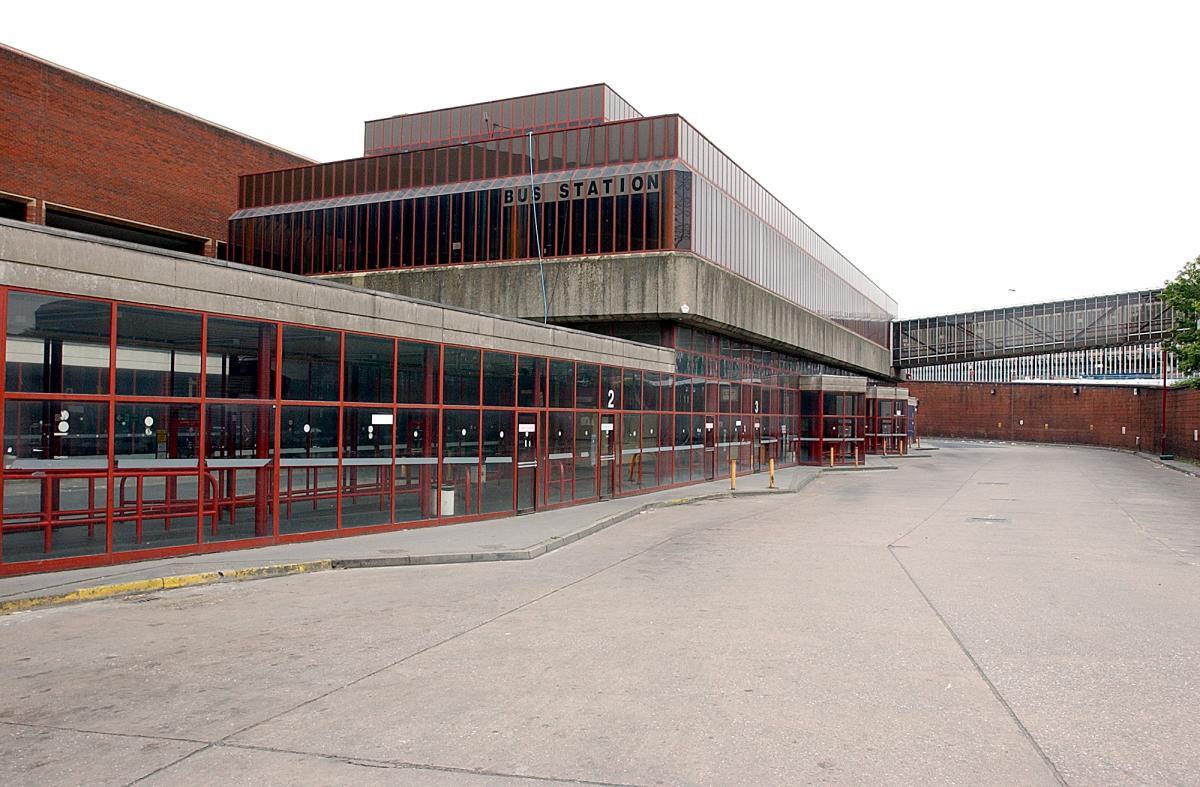
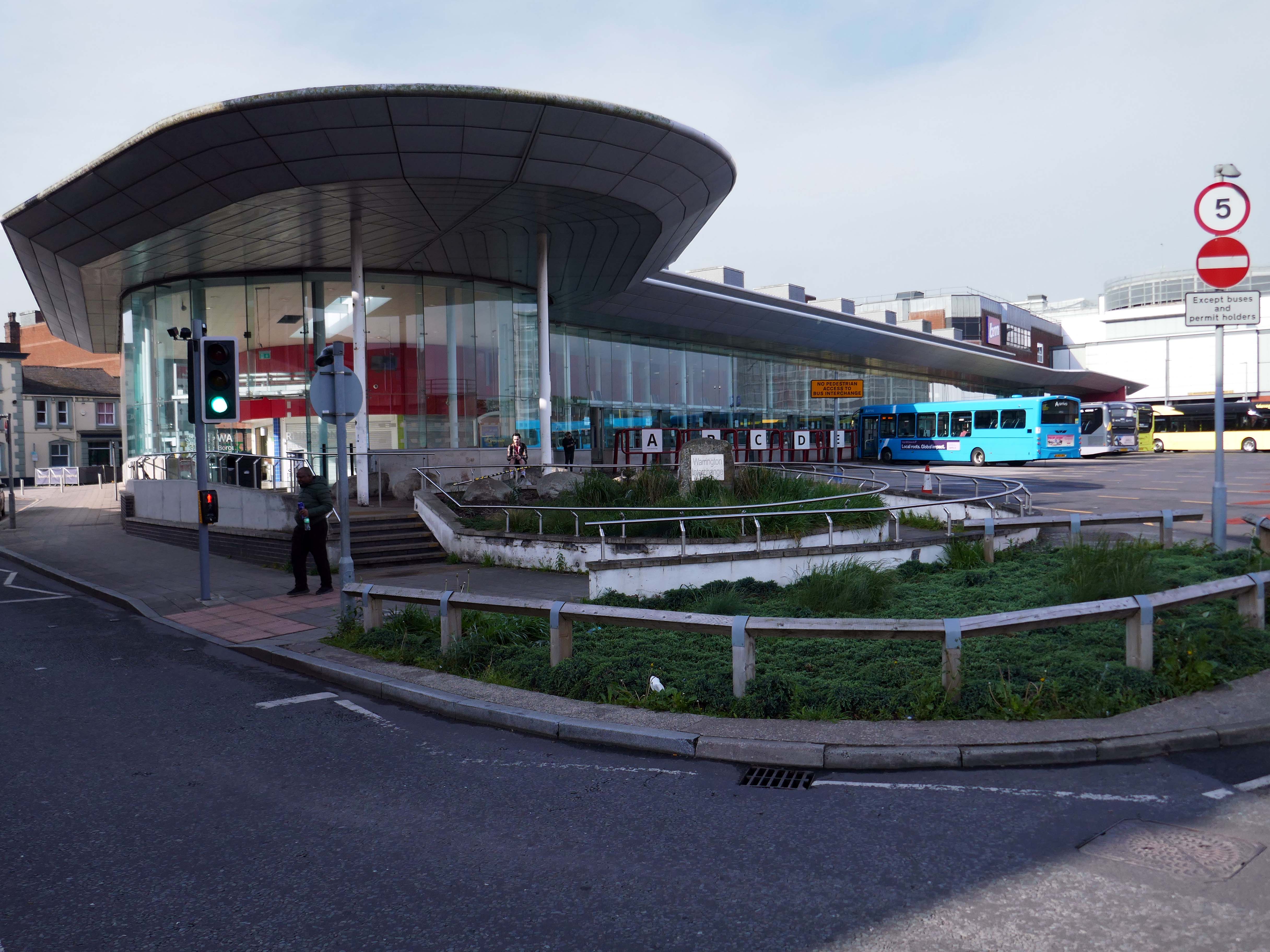
Finally to the Bus Station which used to look like this:
Until it became an Interchange and looks a lot like this.
Warrington’s new bus interchange was opened on 21 August 2006. From 1979, bus users travelled from a facility on Golborne Street, but it was very unpopular due to its very dreary appearance.
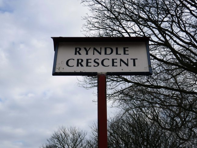
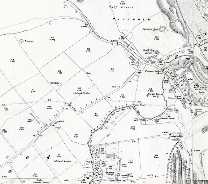
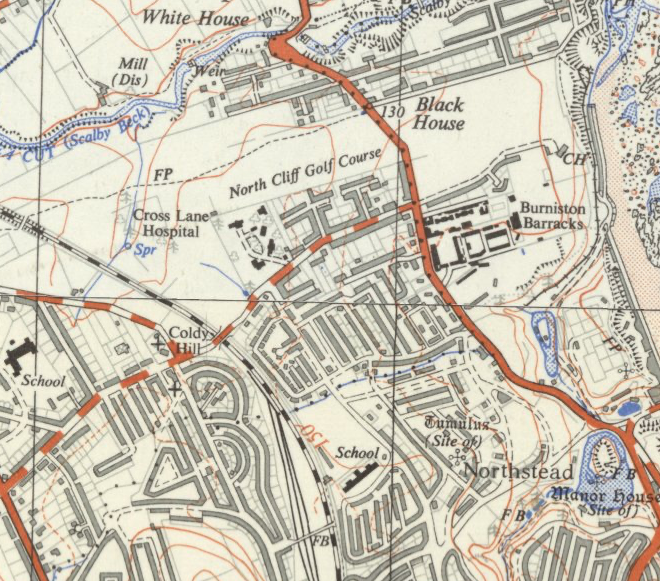
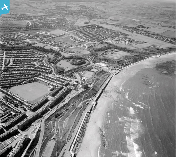
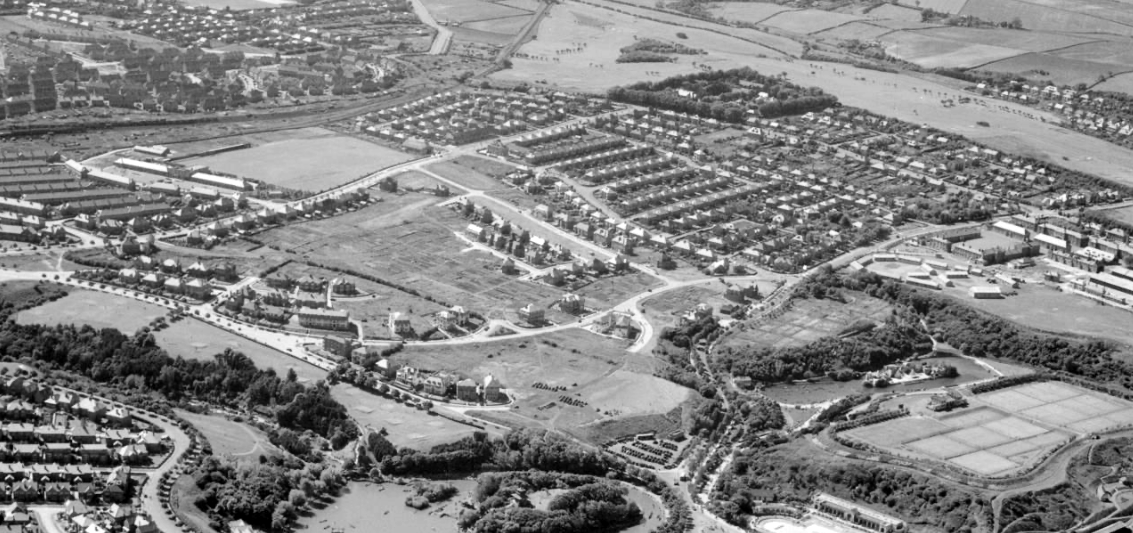
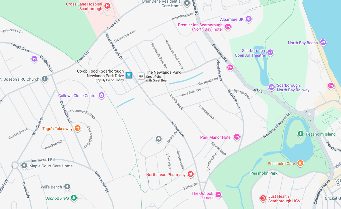
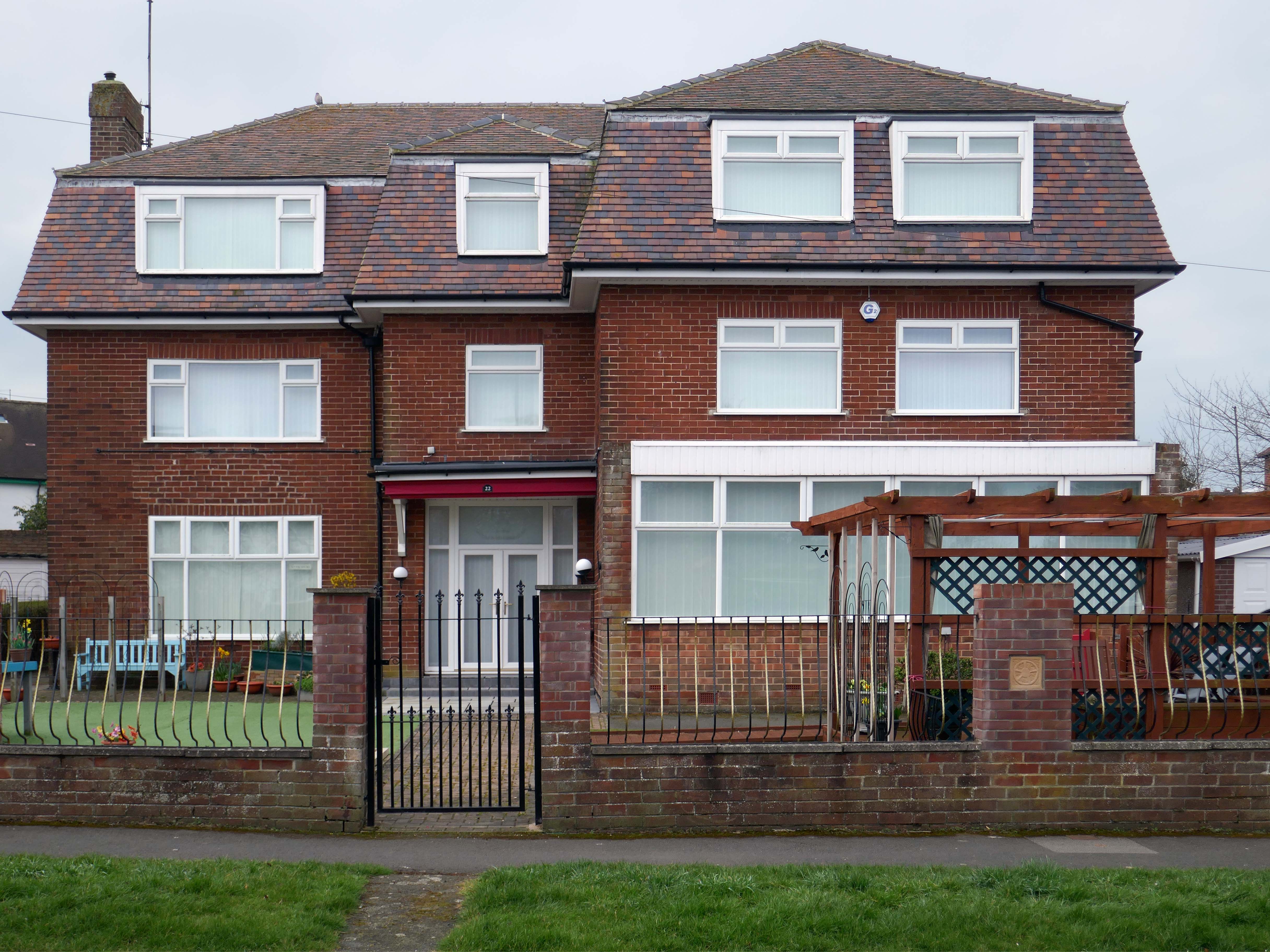
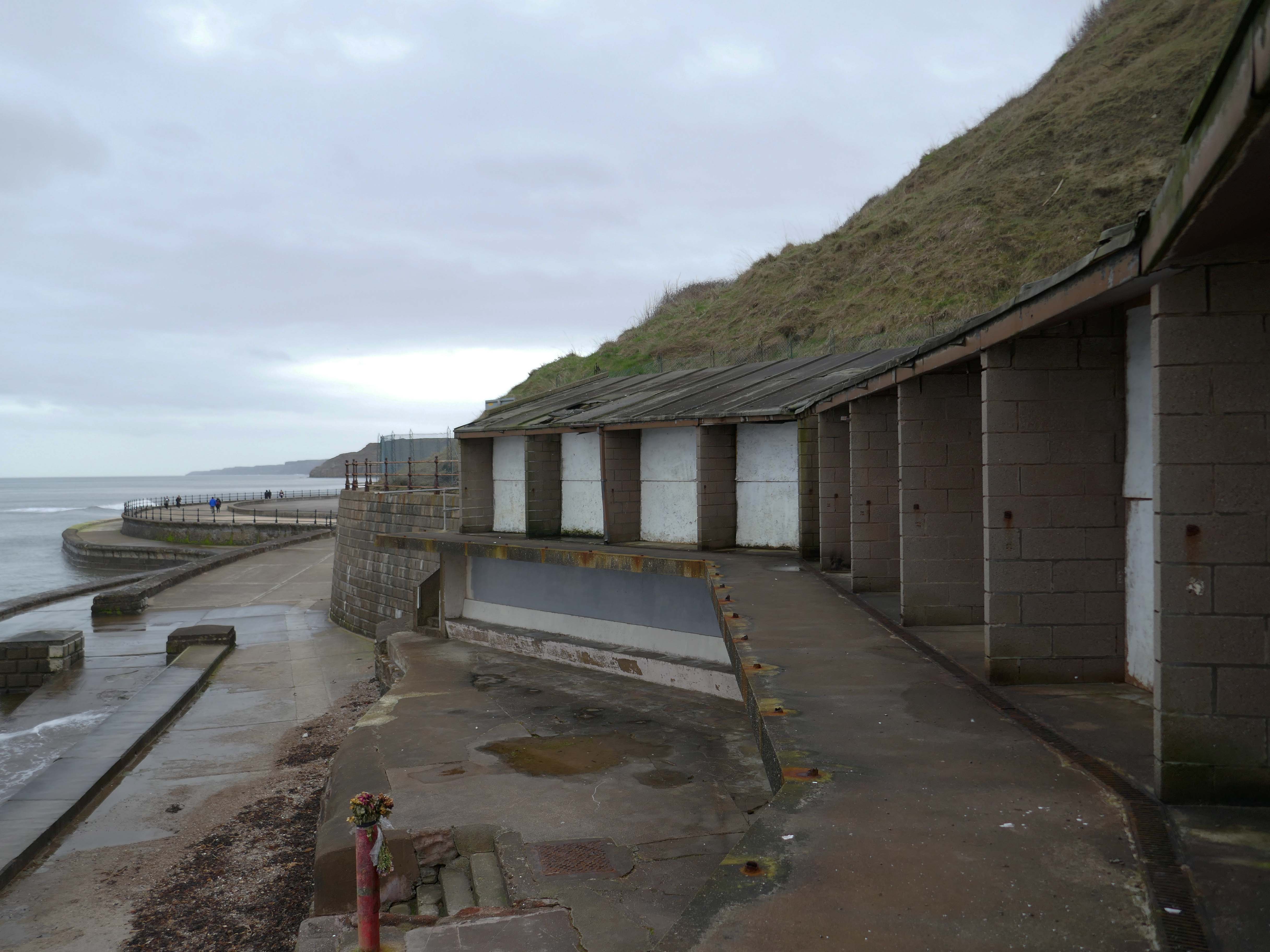
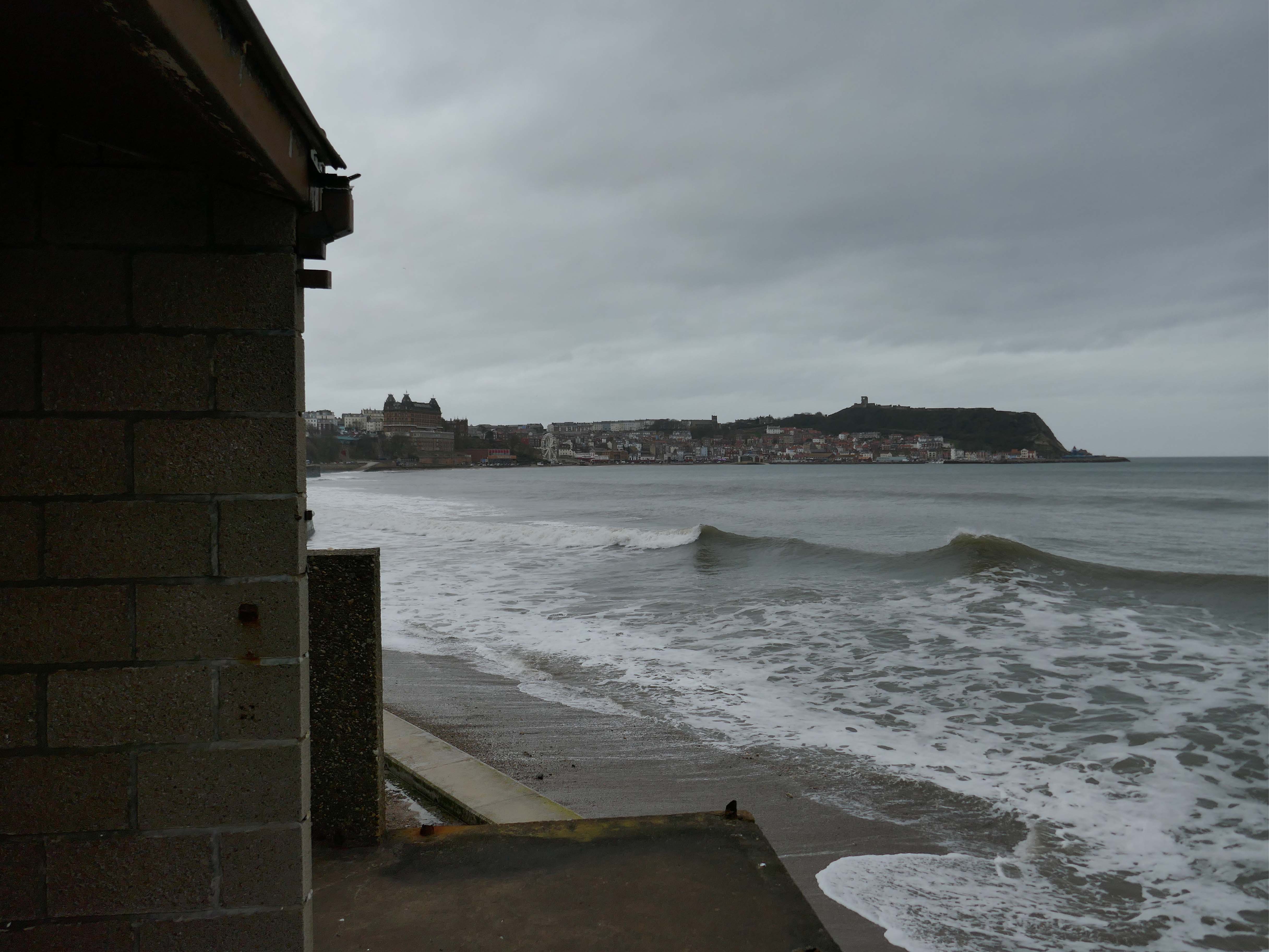
It’s 1892 and the Twentieth Century is about to overwrite the expansive green sward of Northstead and Newlands.
The Manor of Northstead consisted of a medieval manor house surrounded by fields and farms in the parish of Scalby in the North Riding of Yorkshire. The estate originally bordered the northern side of the ancient boundary of the Borough of Scarborough, following the line of Peasholm Beck. The estate passed into the ownership of the Crown during the reign of King Richard III. By 1600, the manor house had fallen into disrepair, being latterly occupied by Sir Richard Cholmeley’s shepherd until it finally collapsed
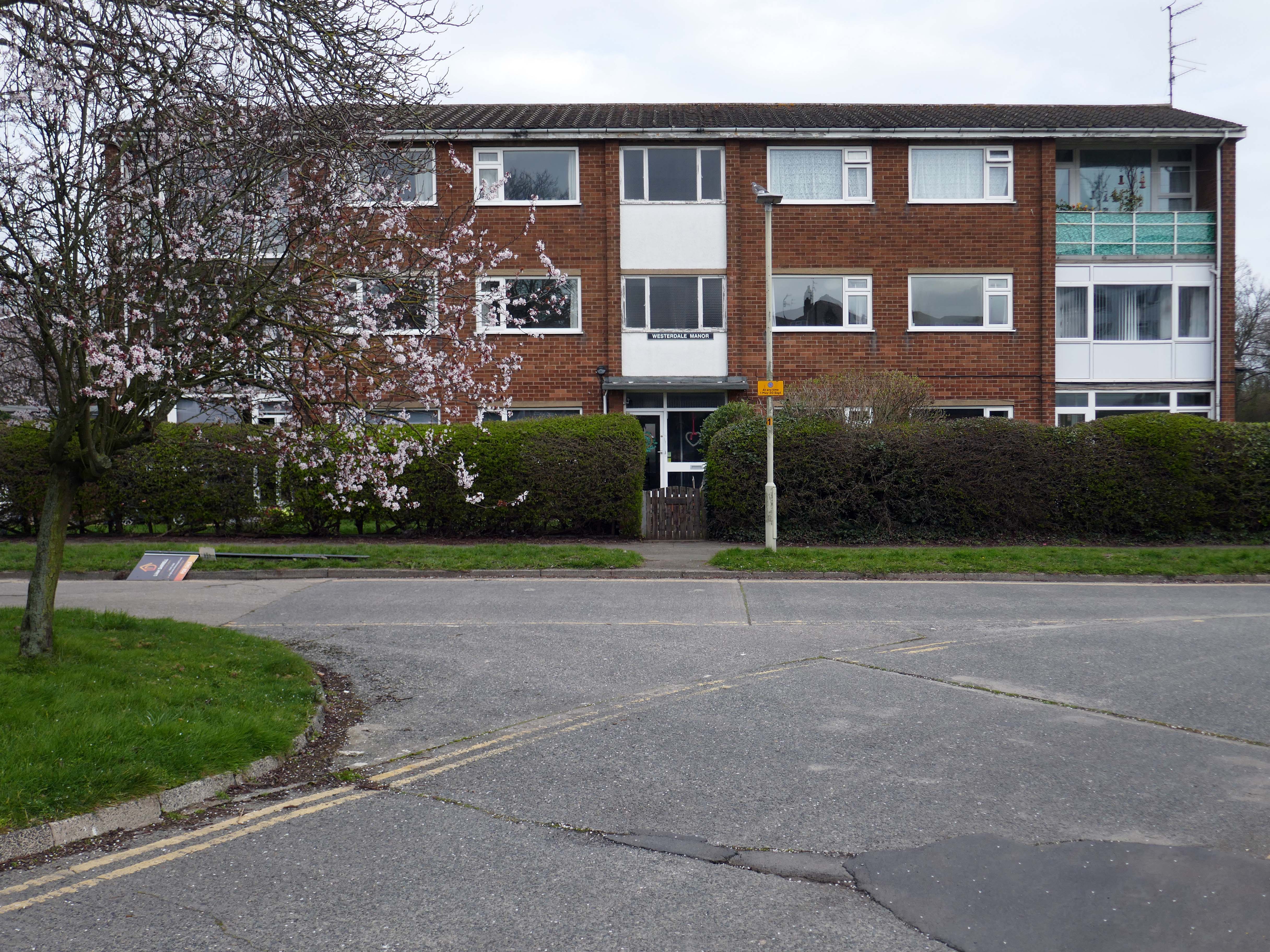
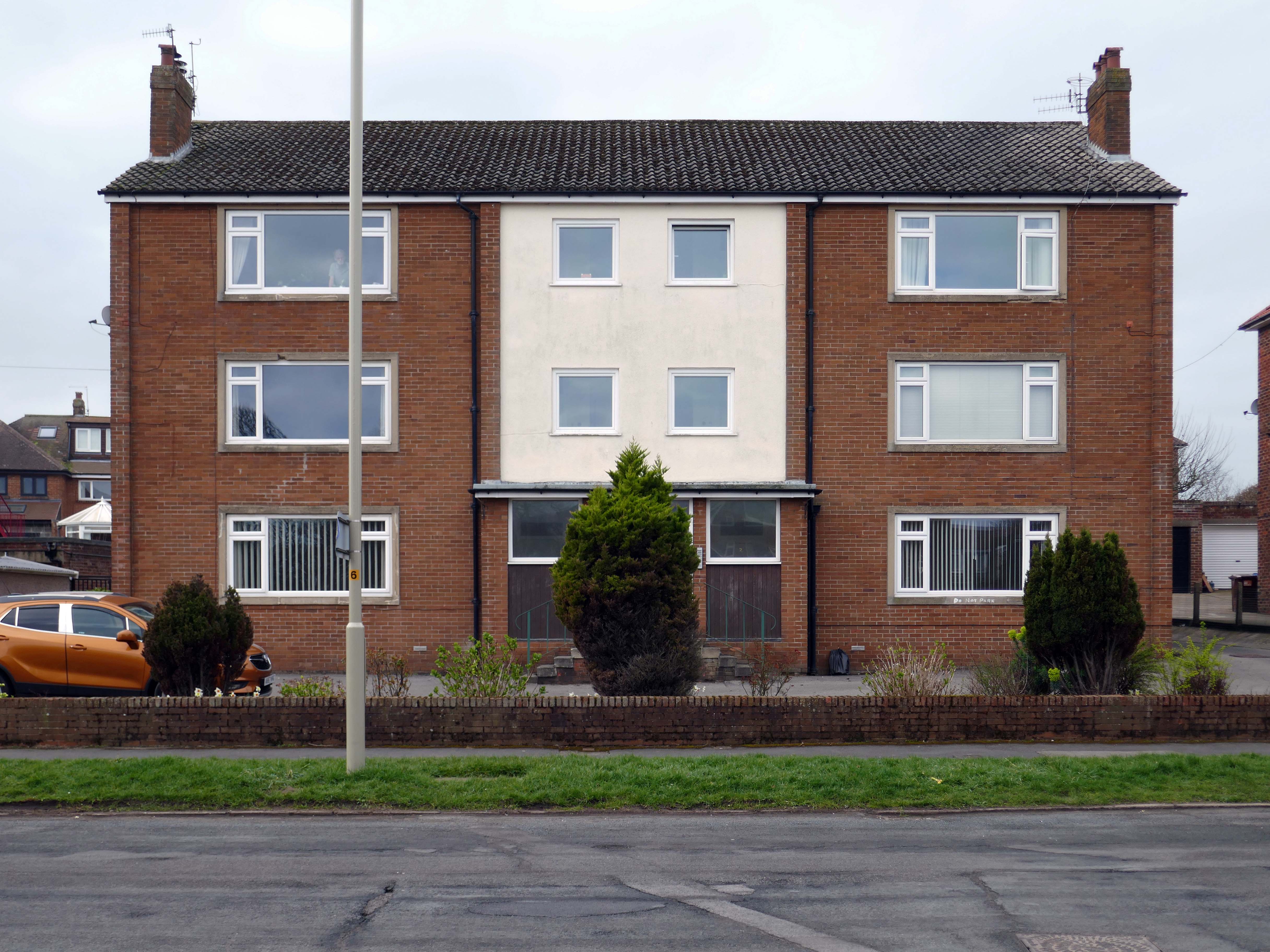
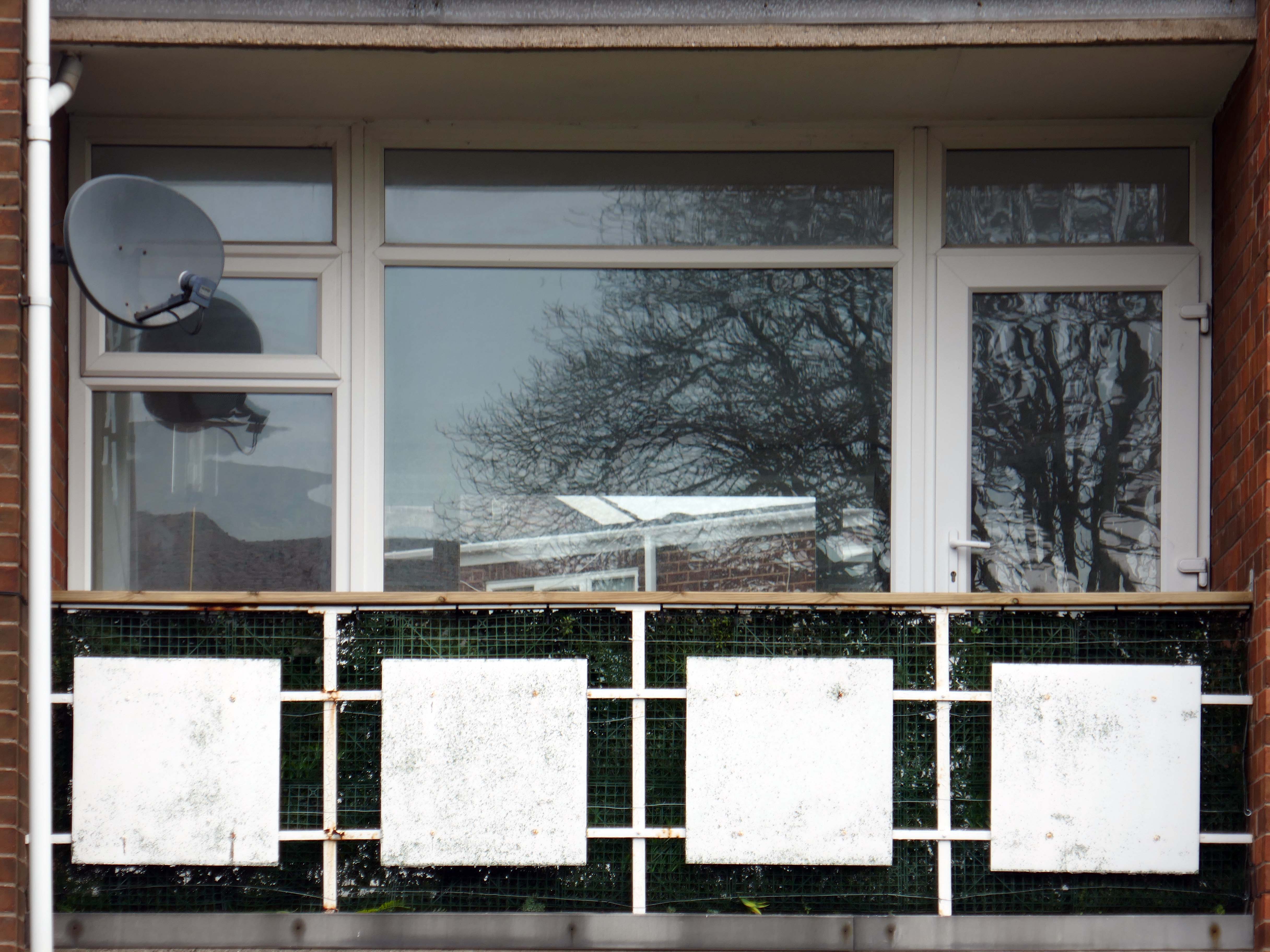
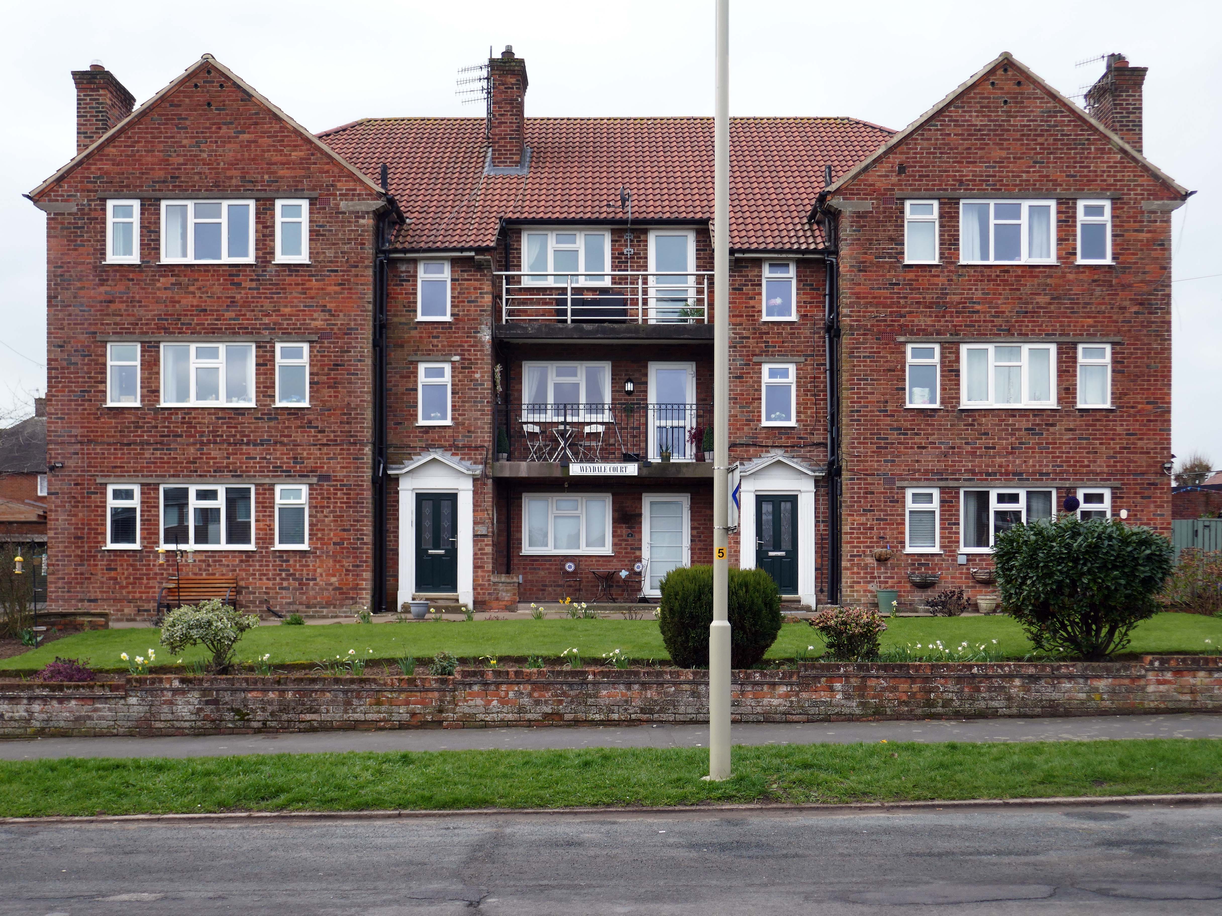
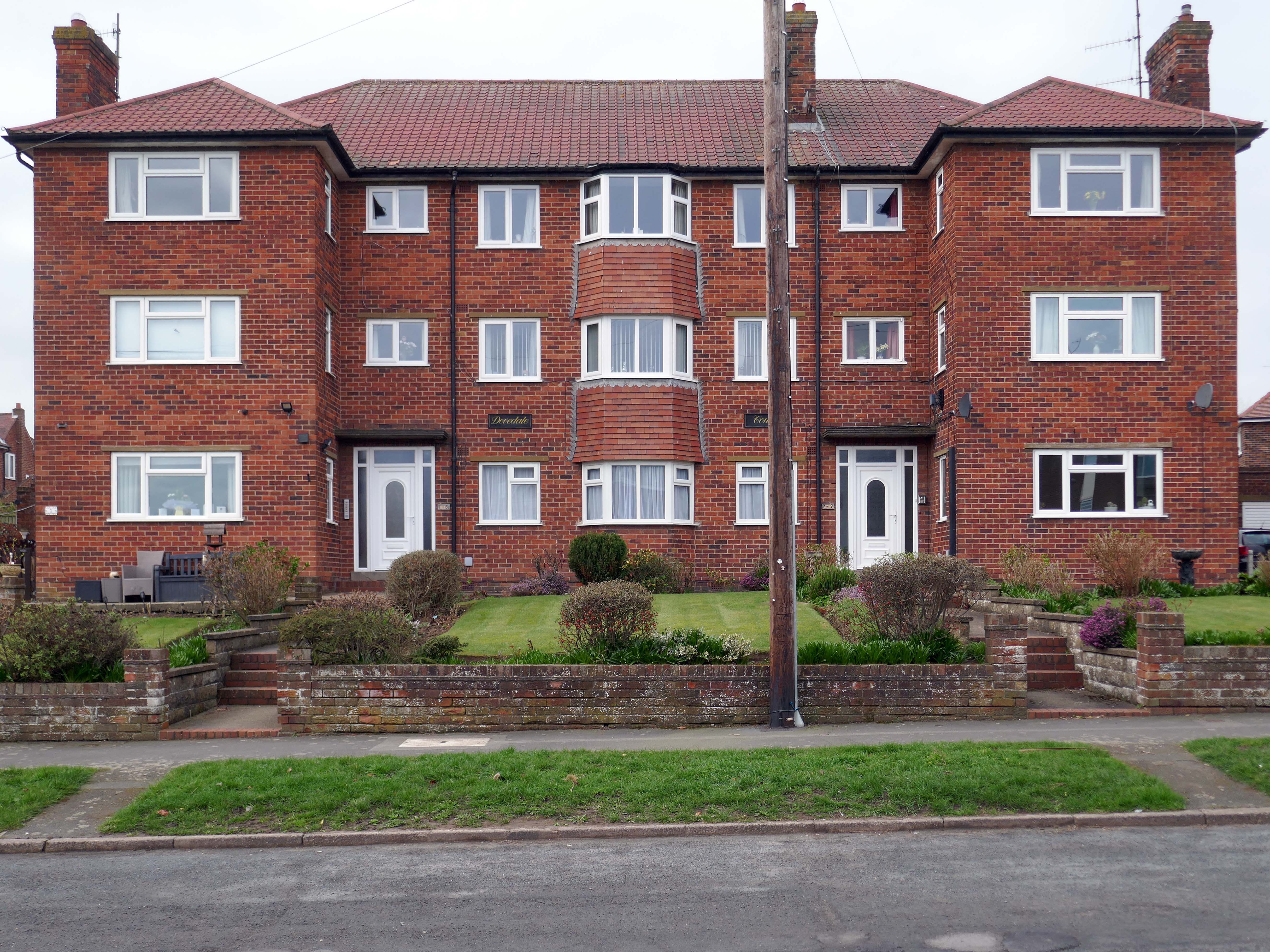
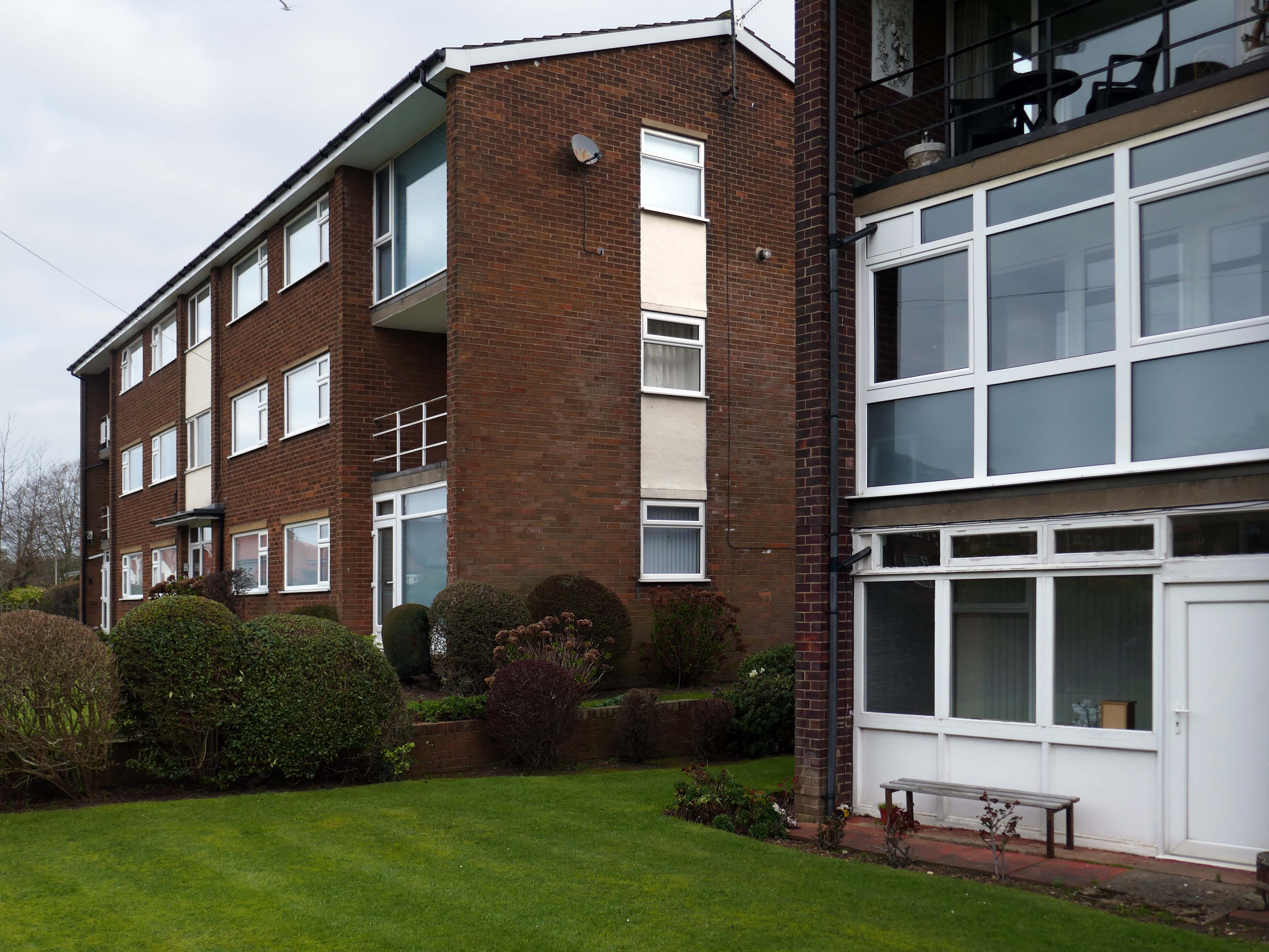
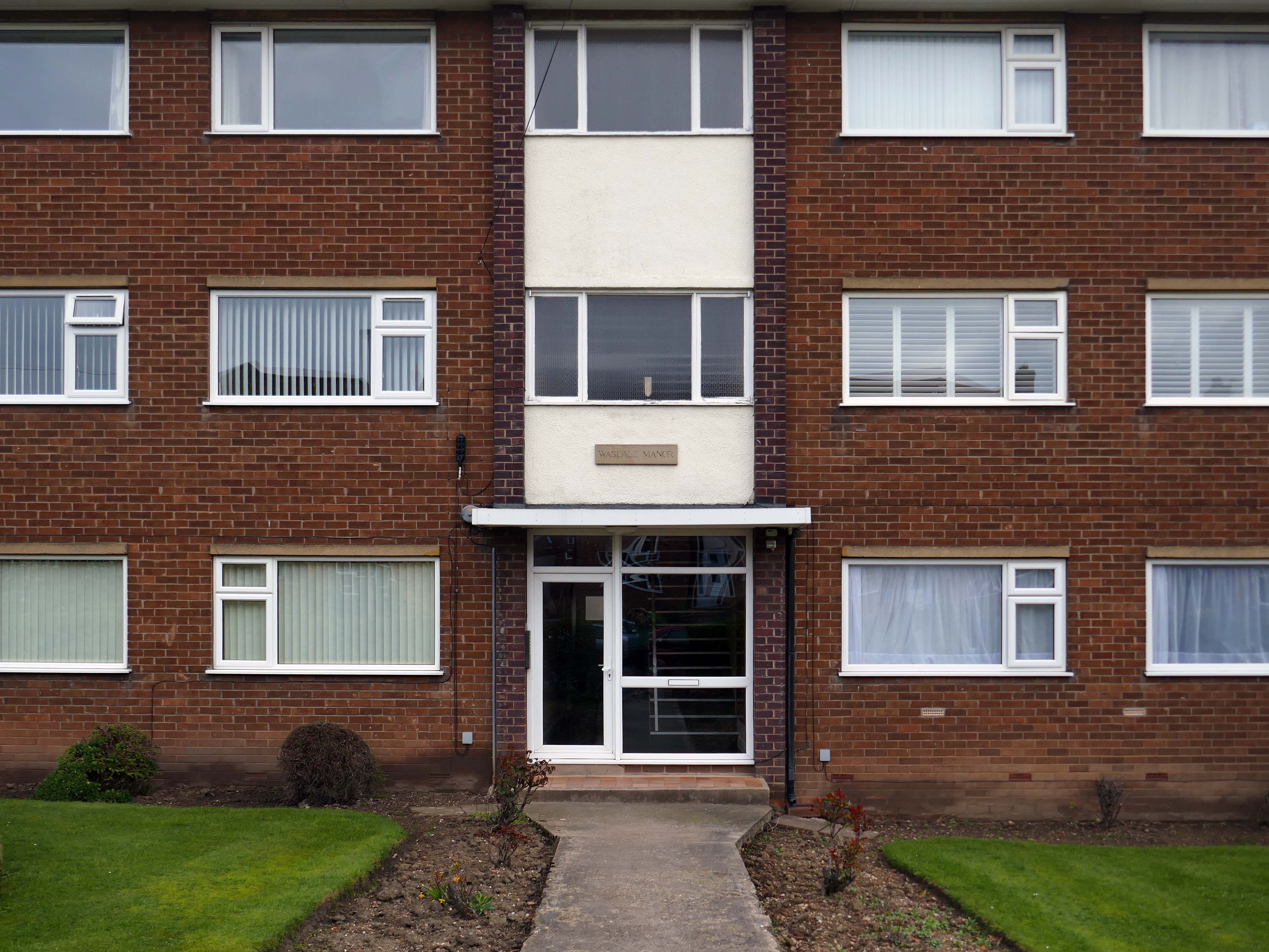
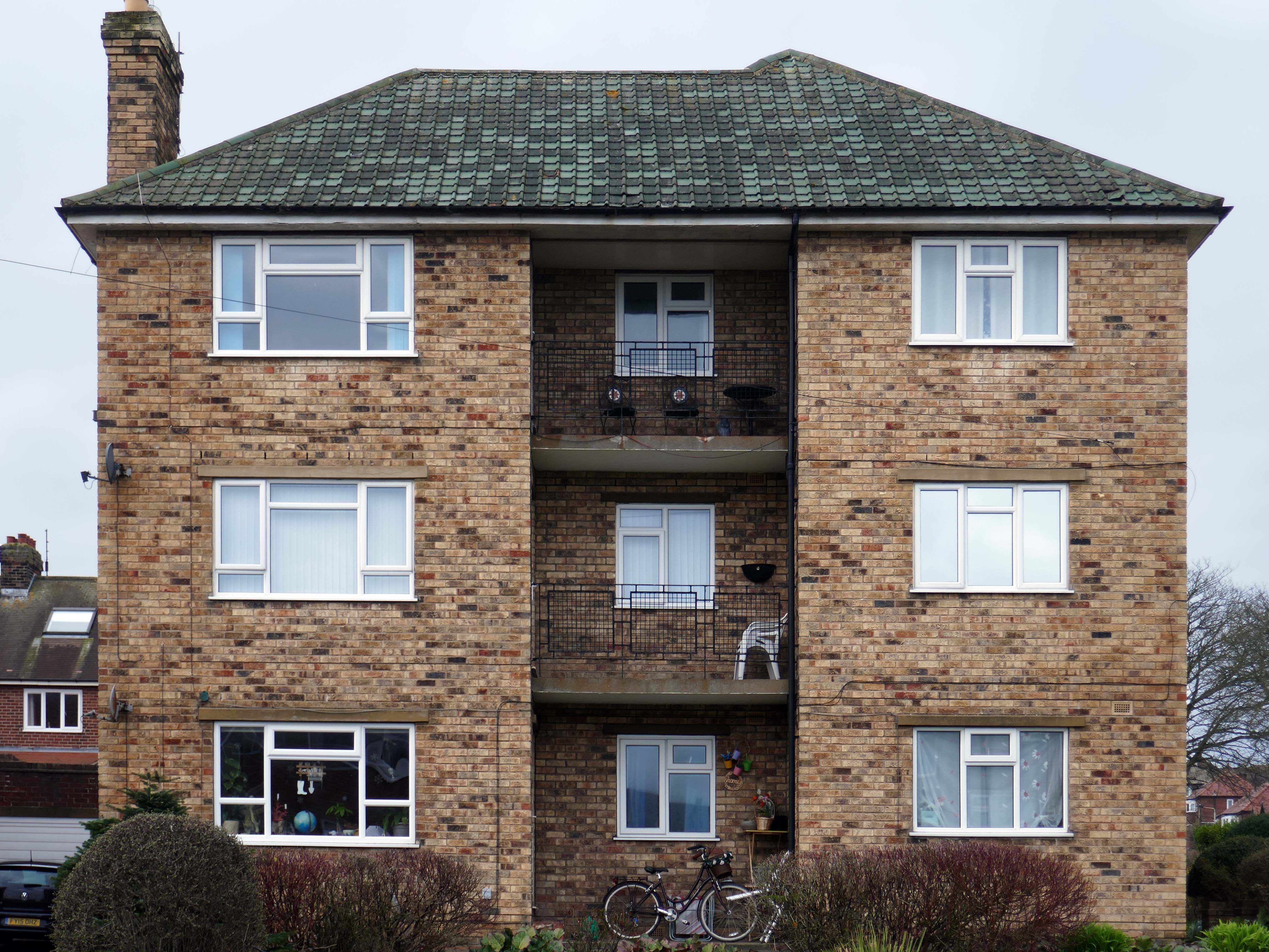
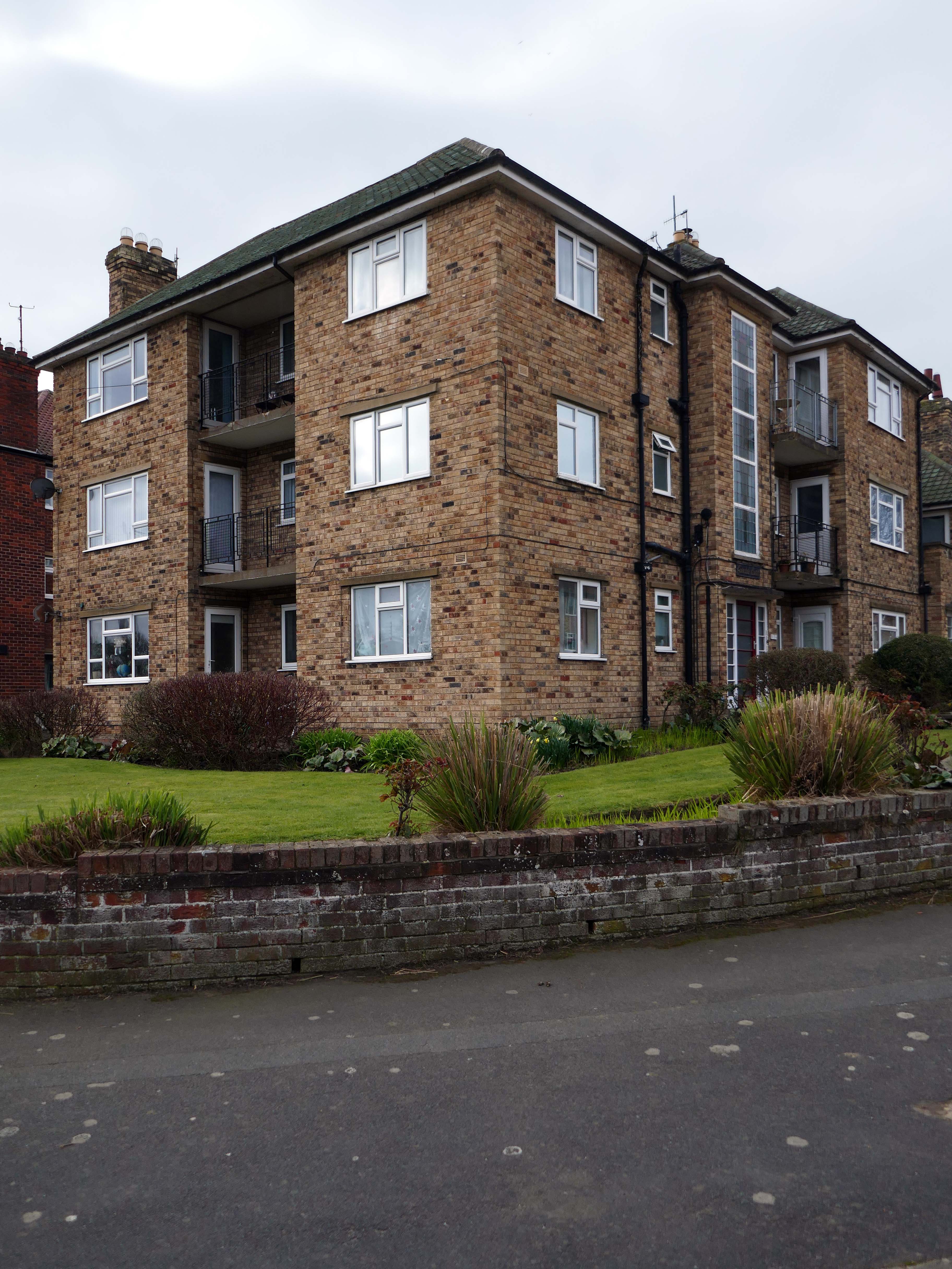
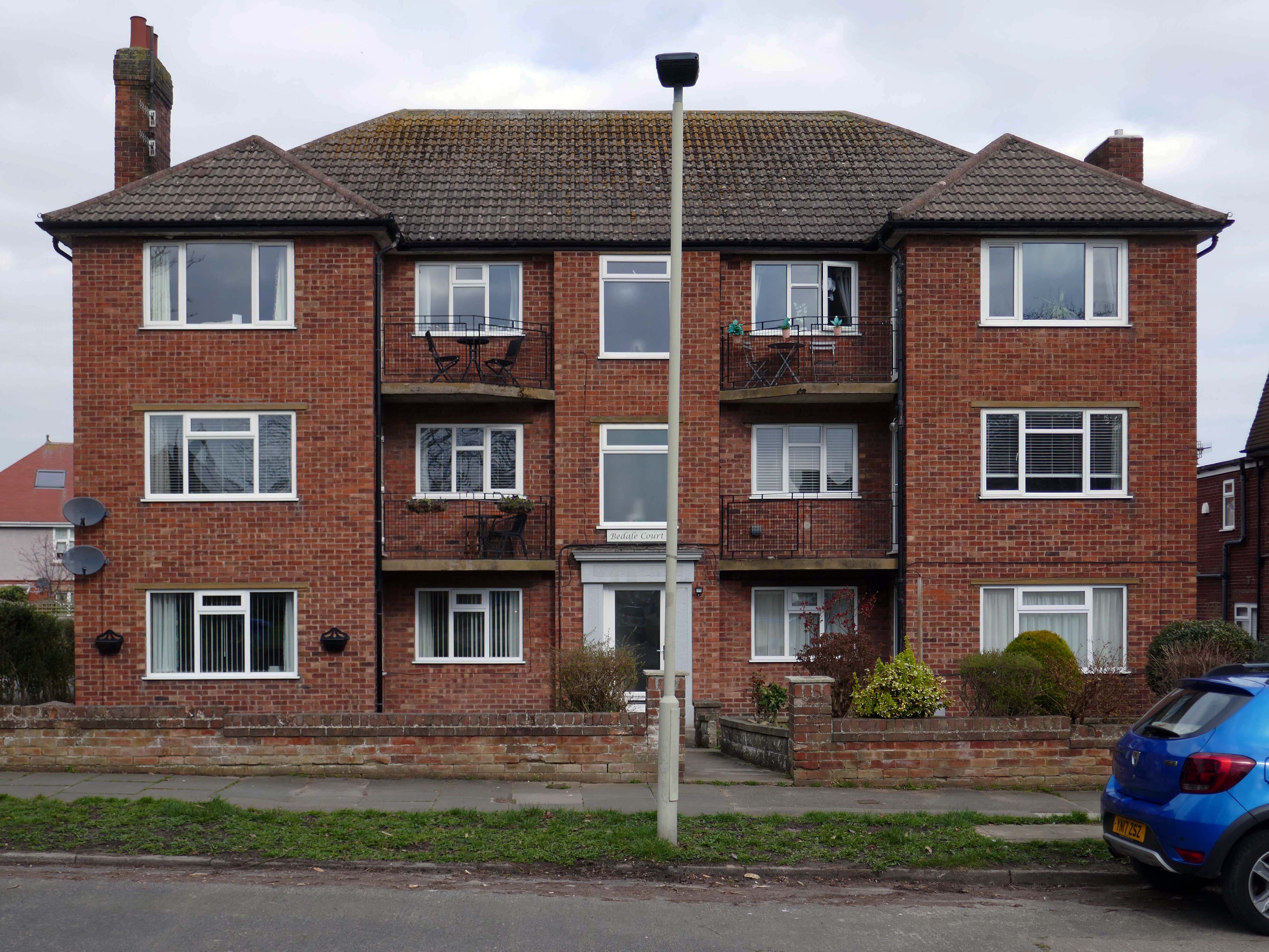
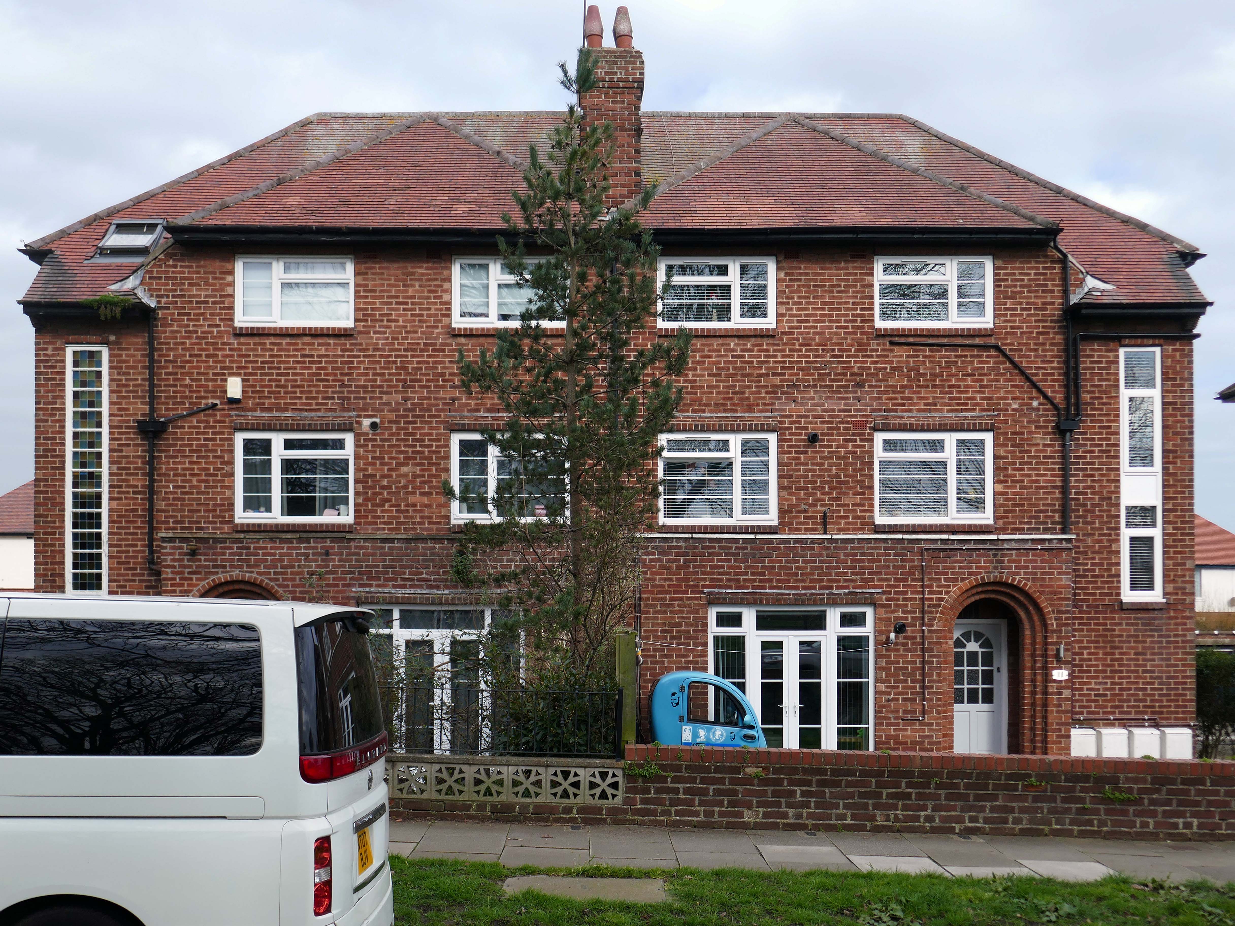
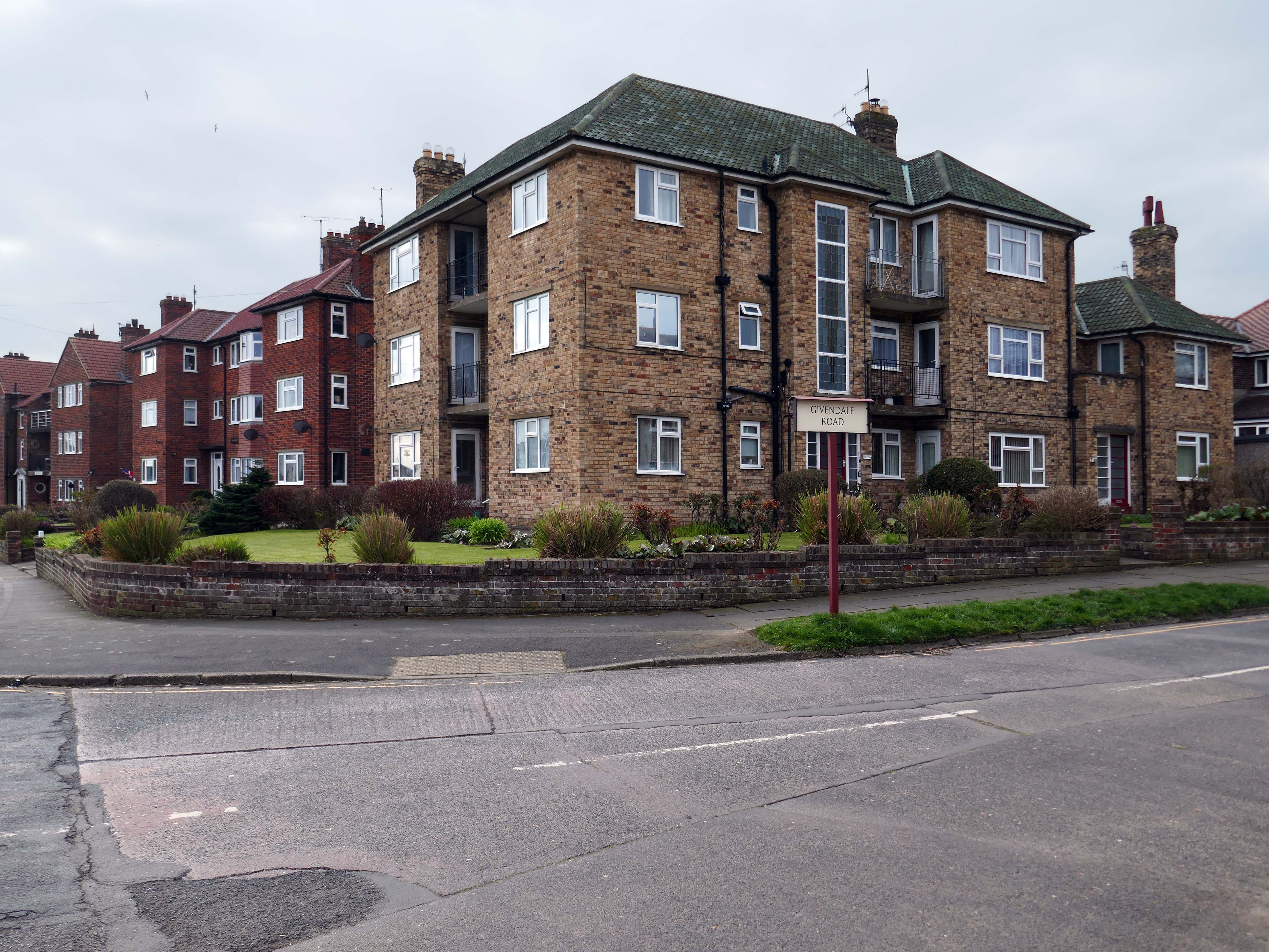
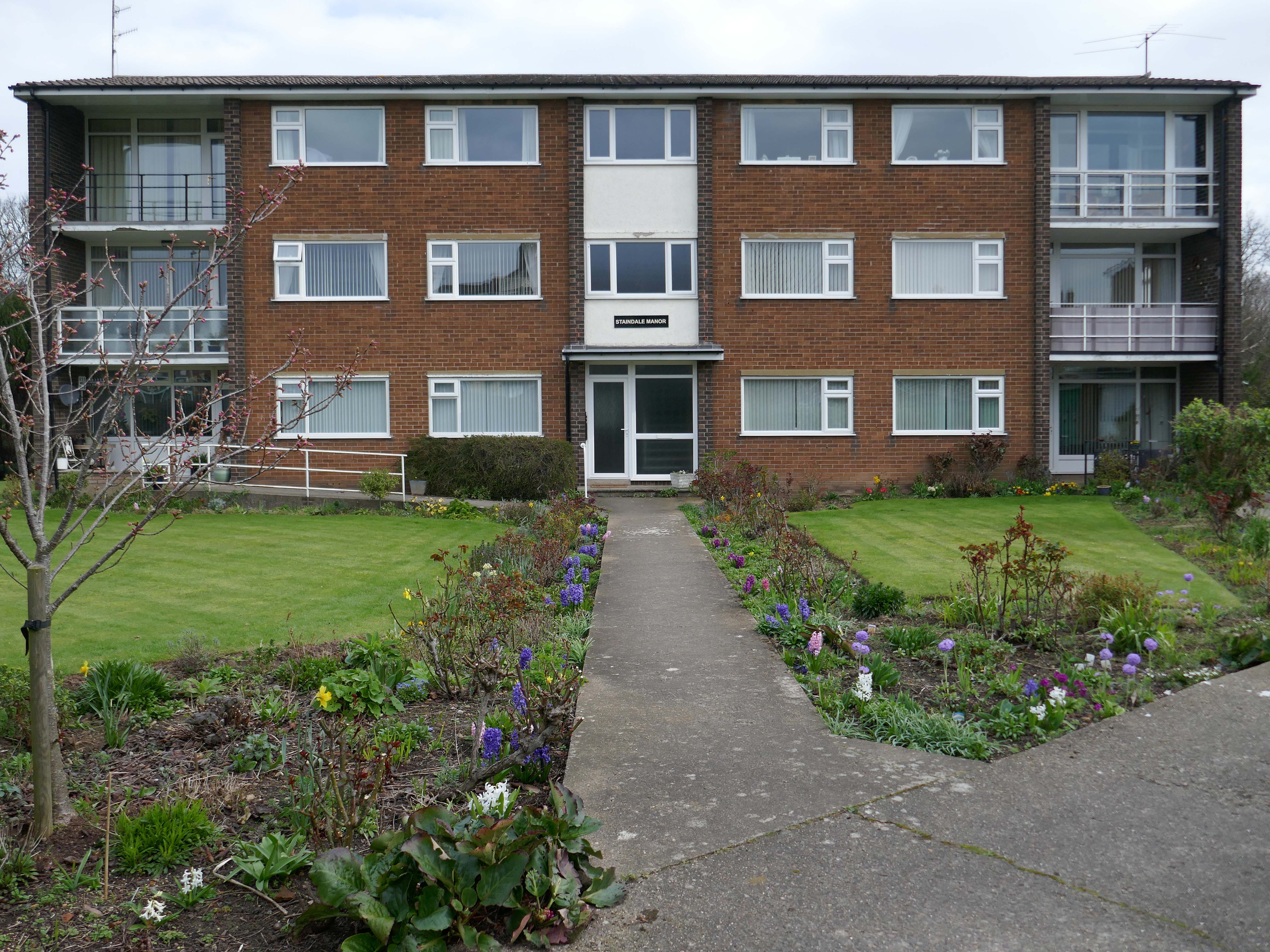
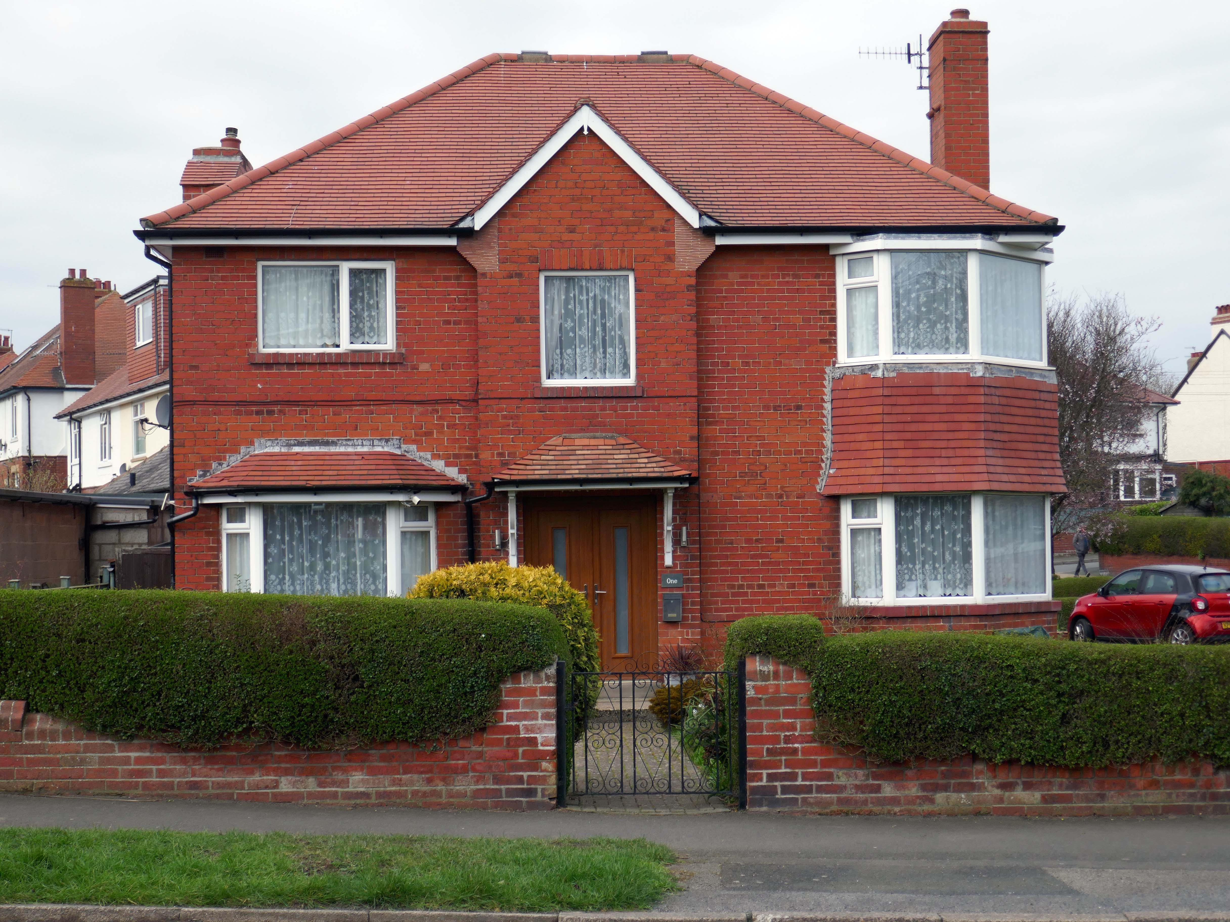
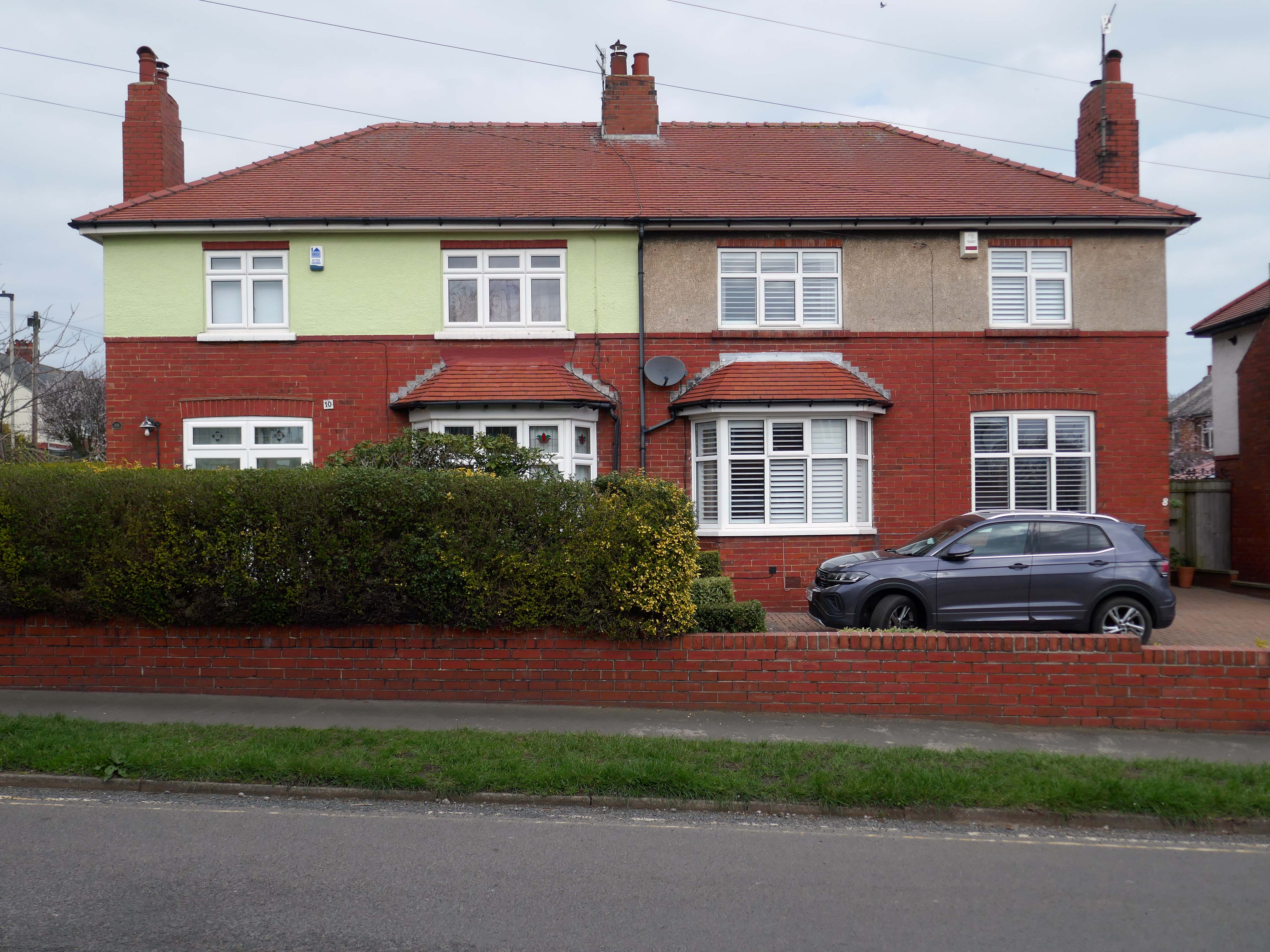
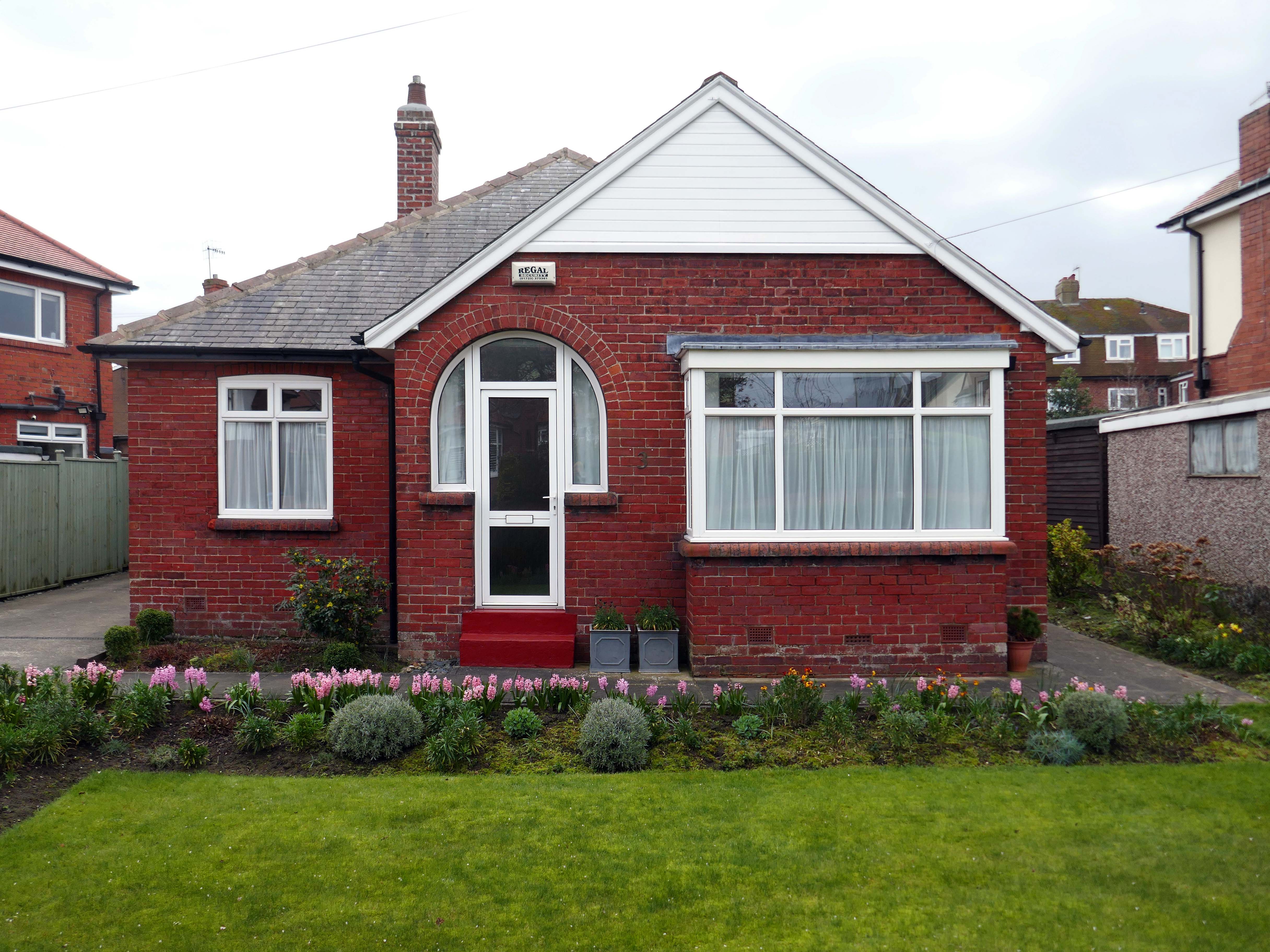
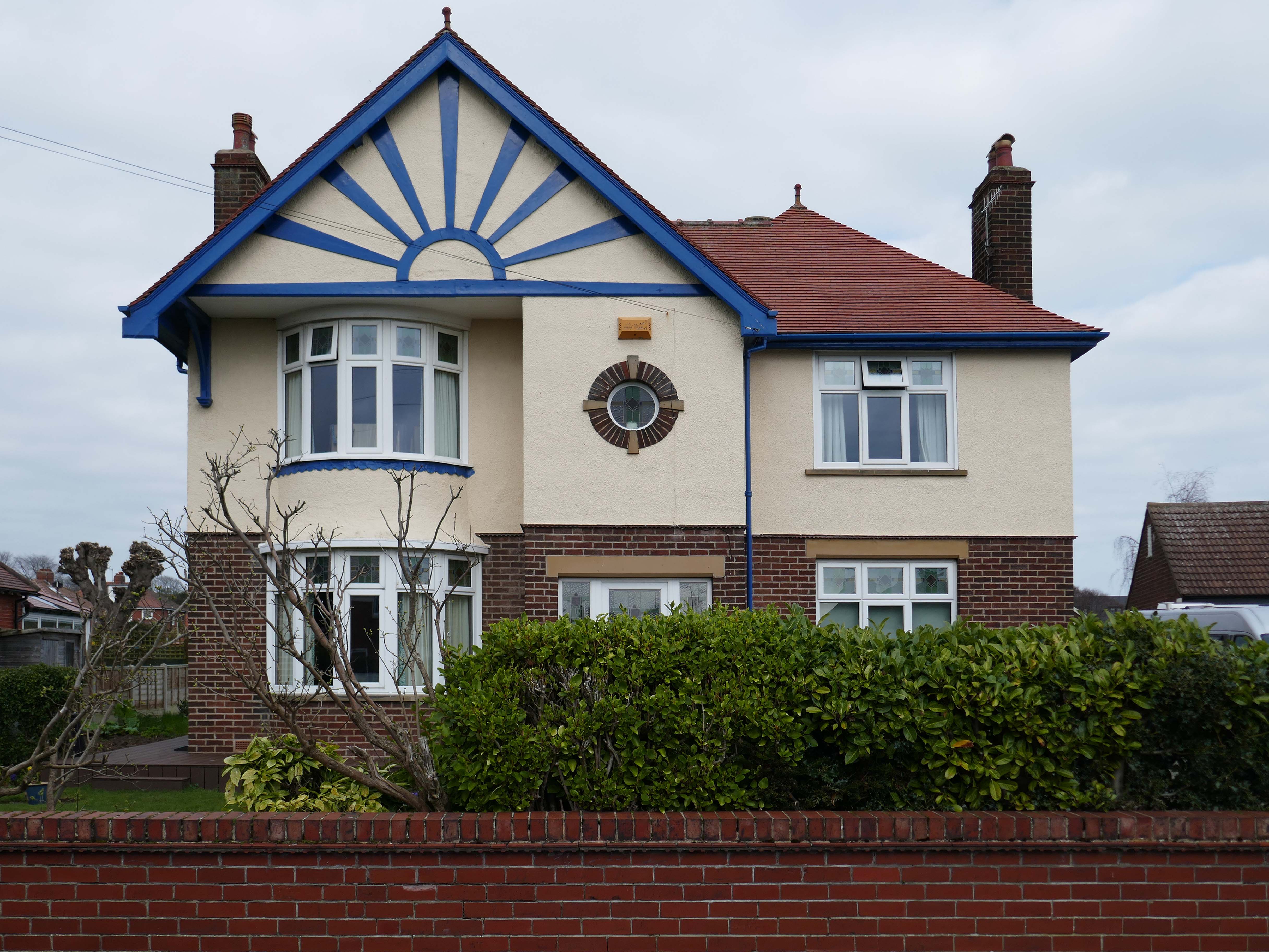
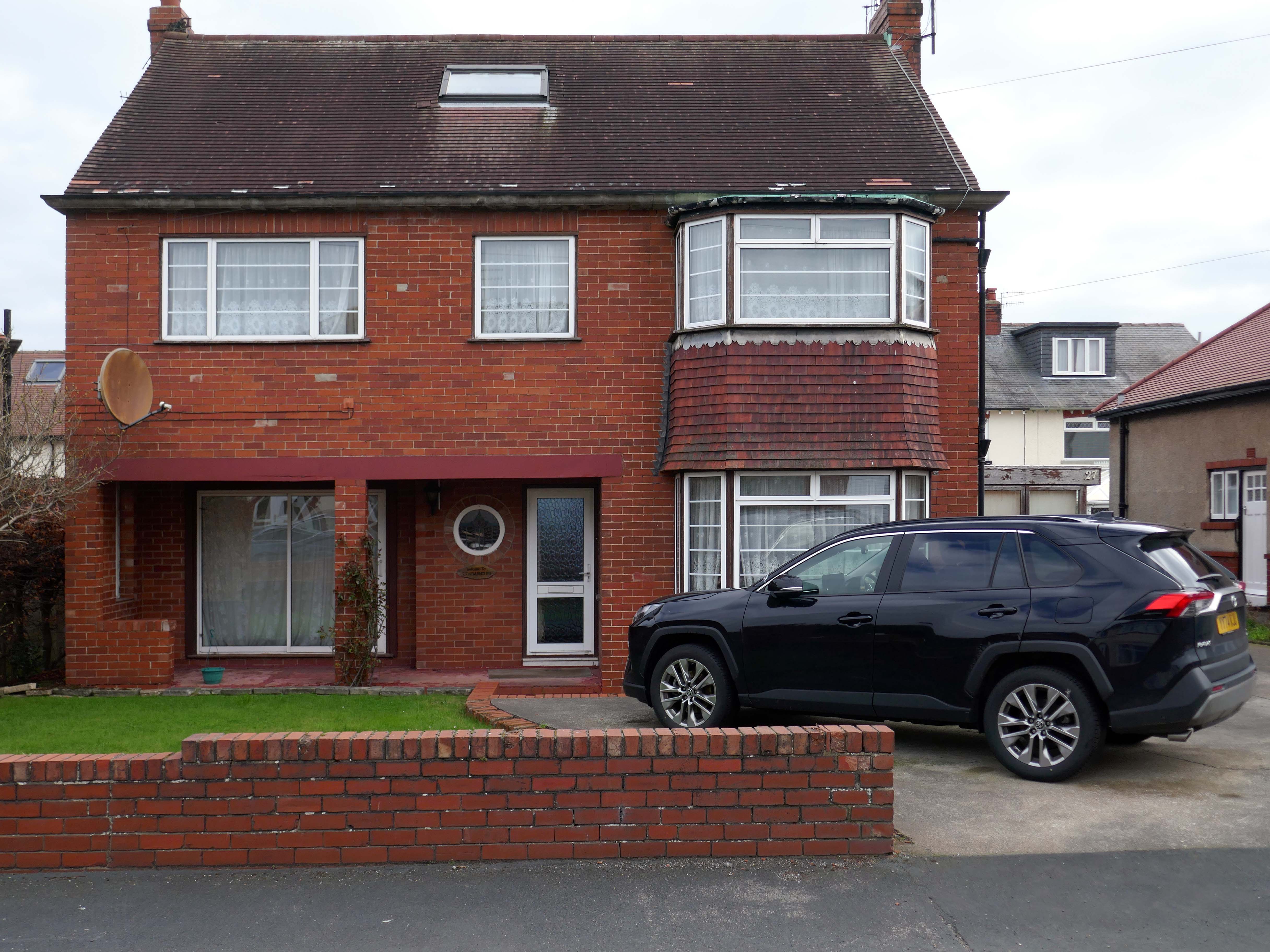
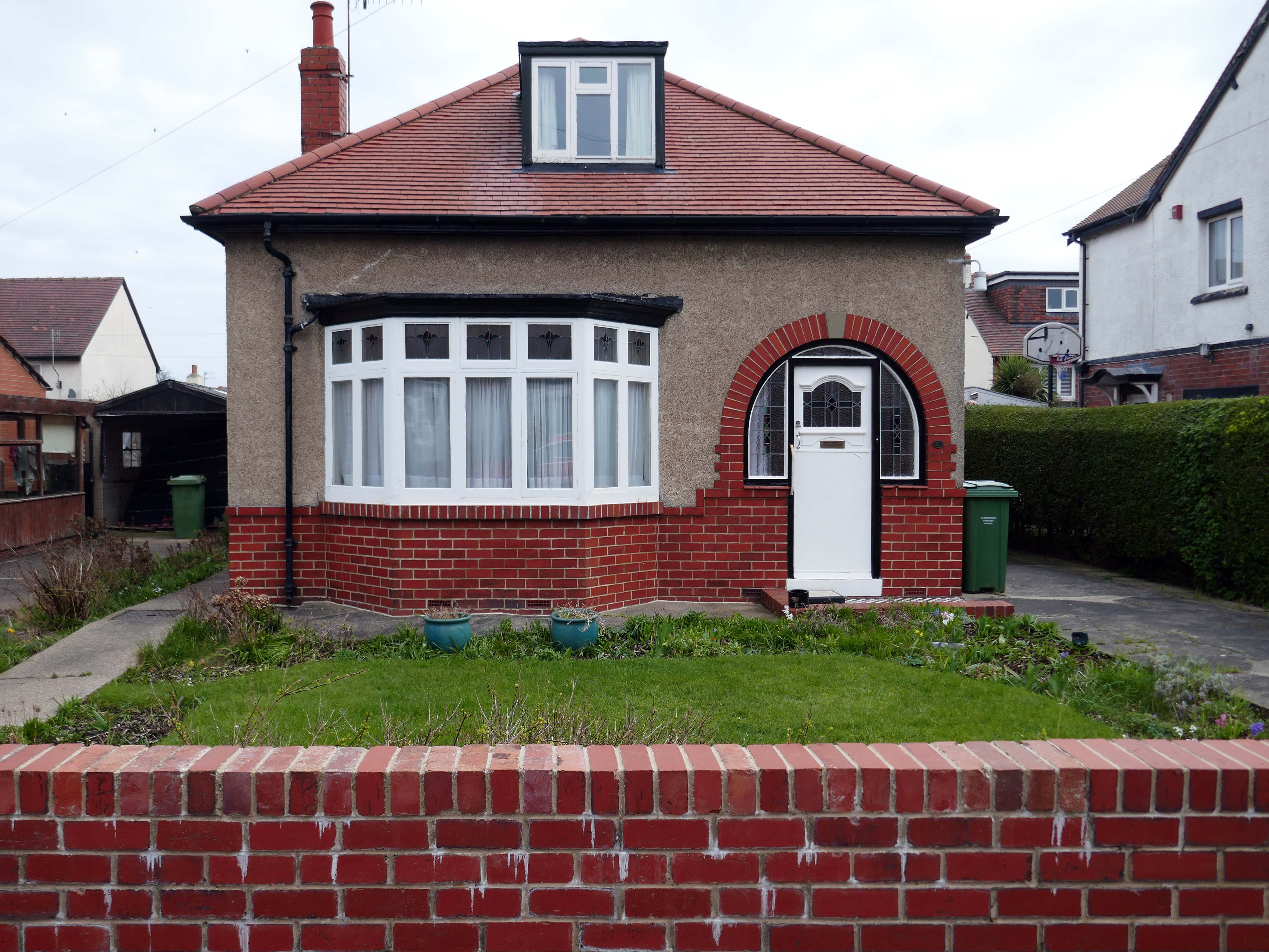
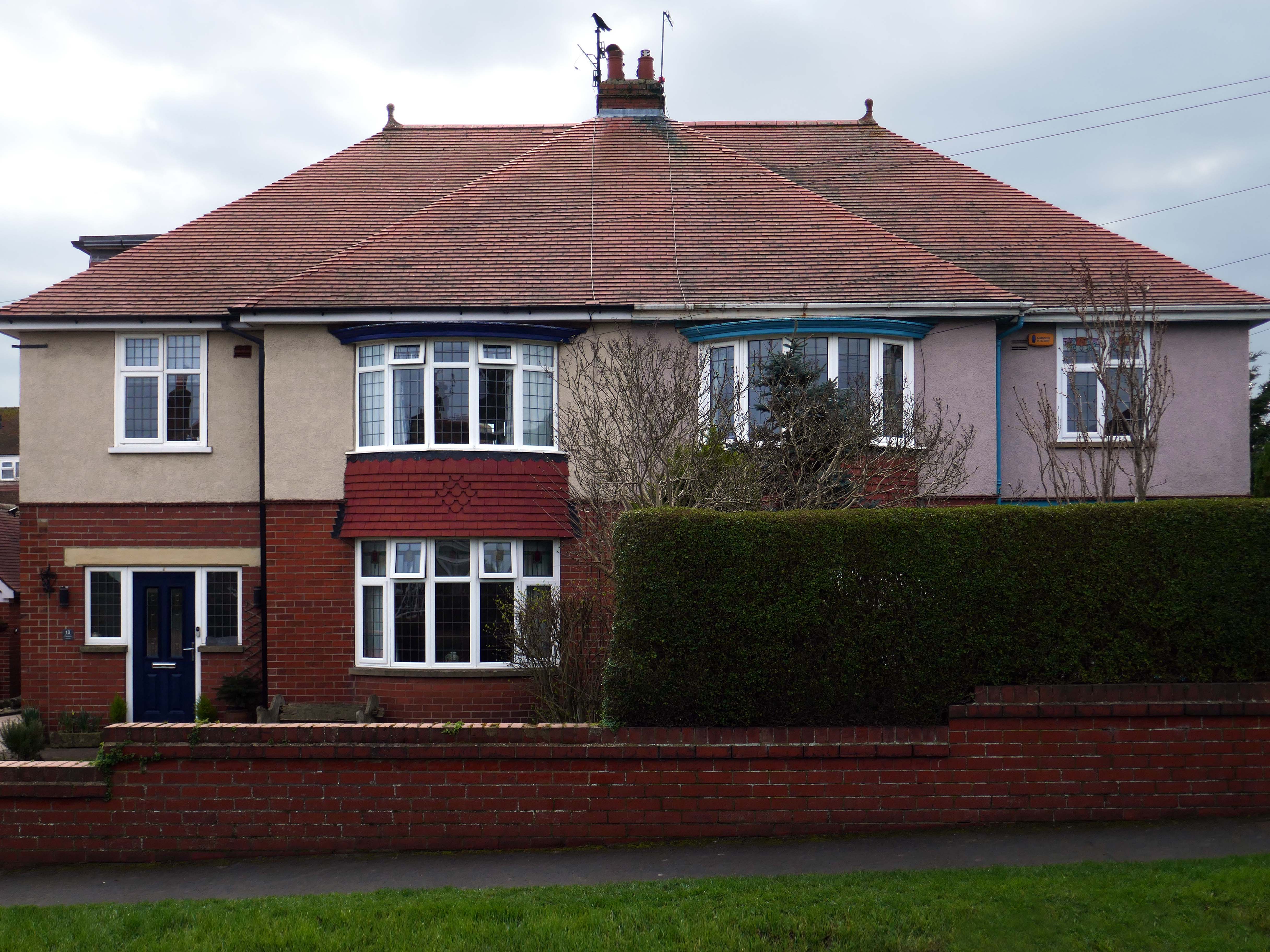
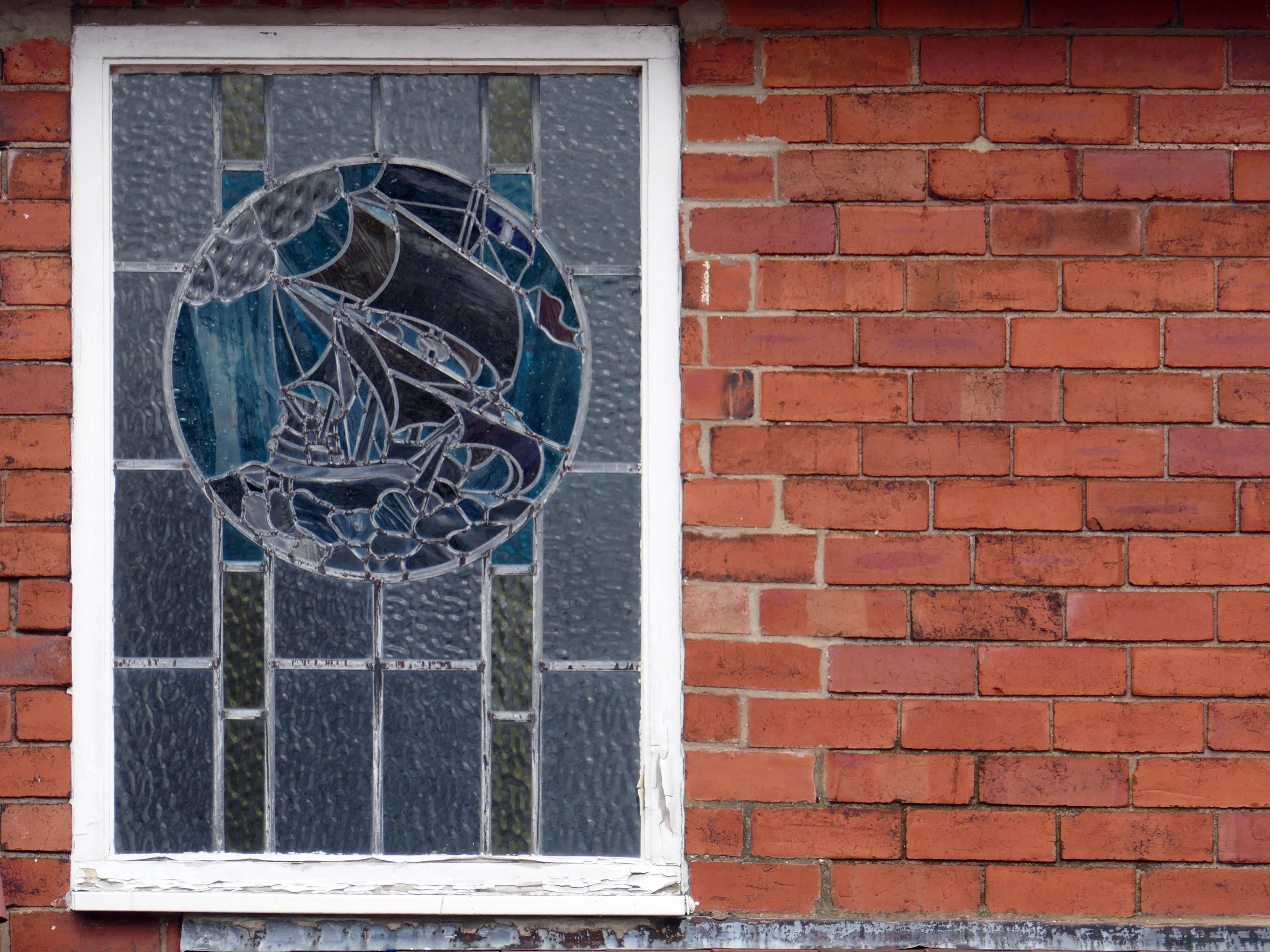
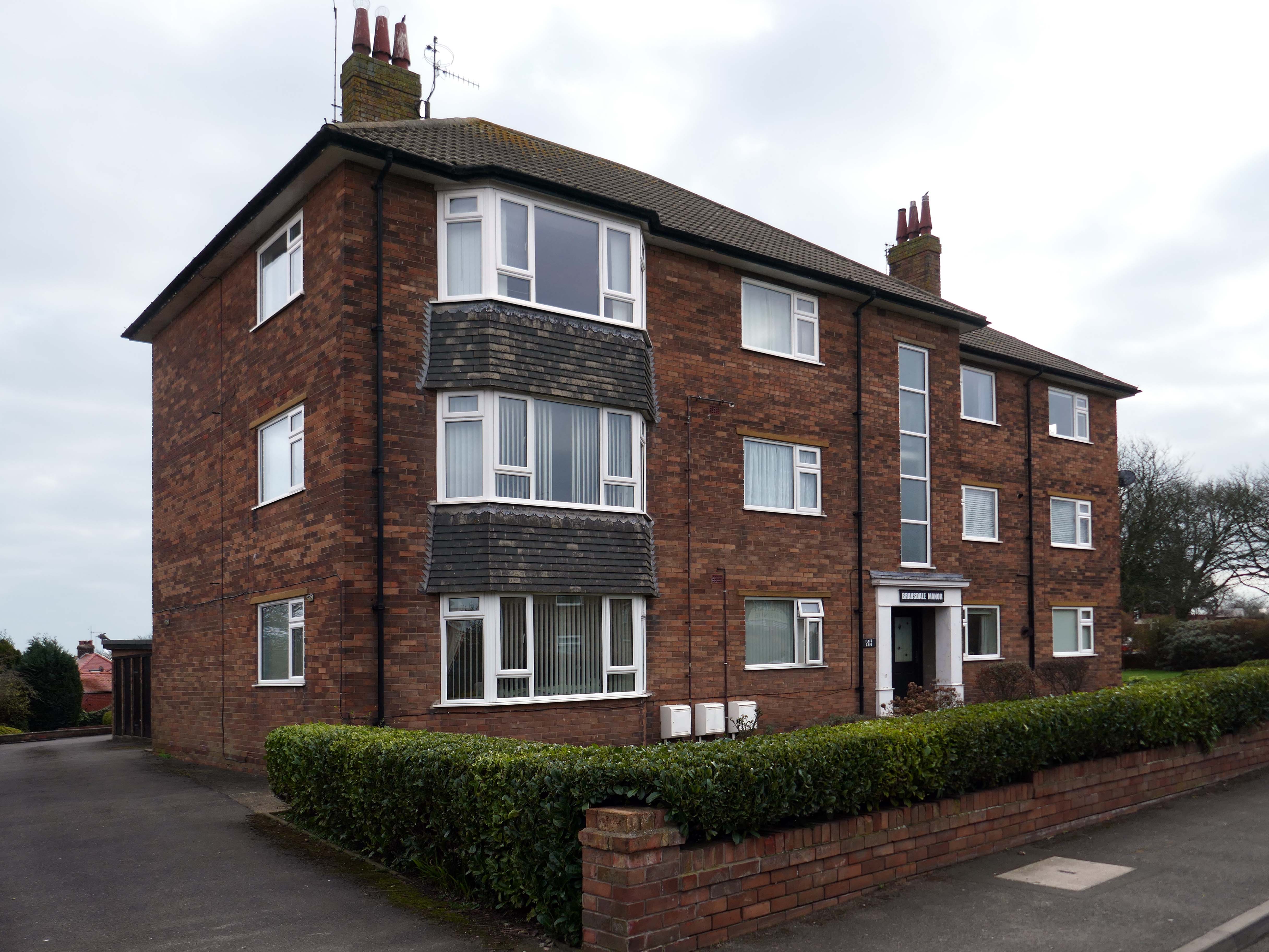
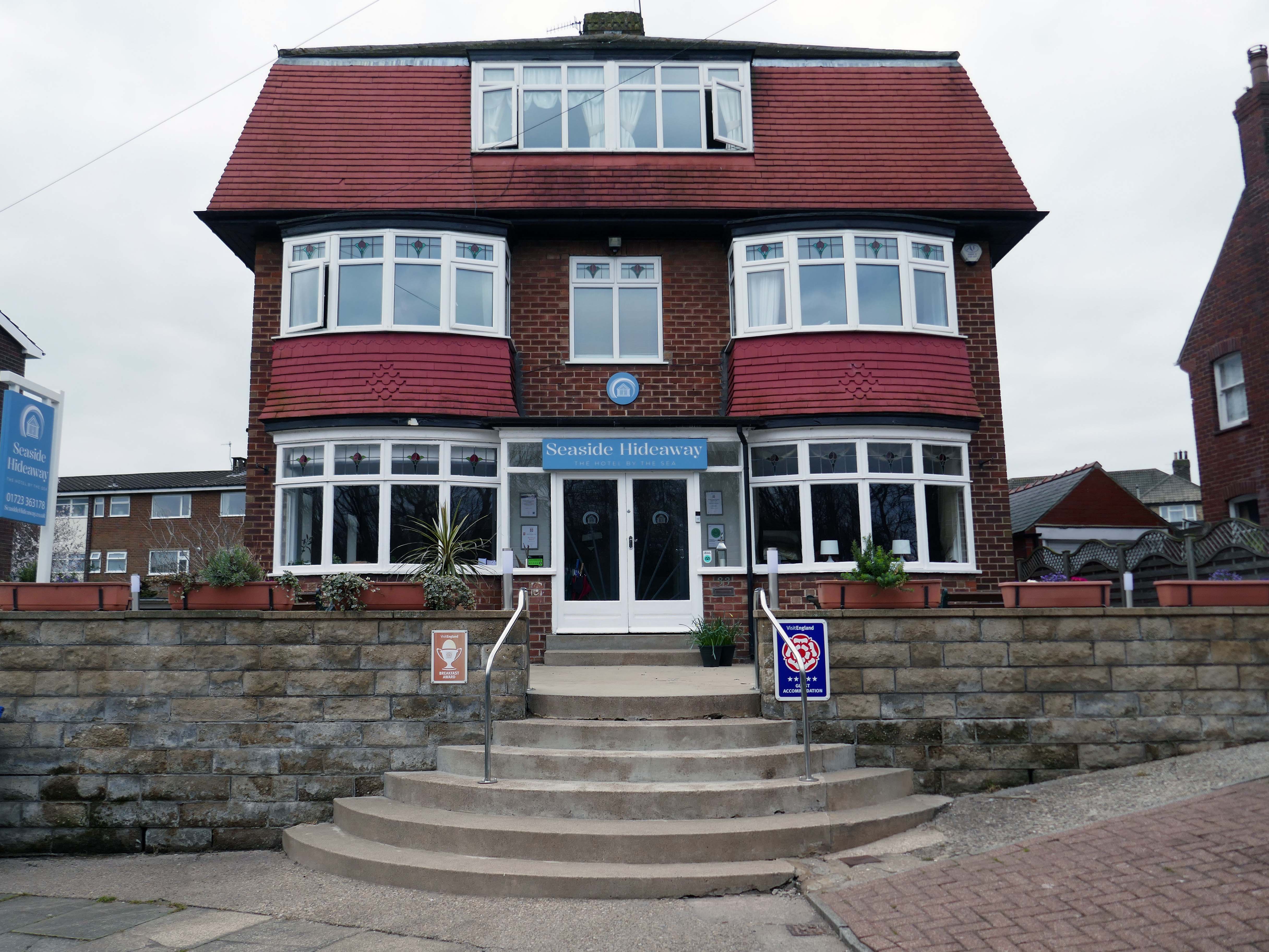
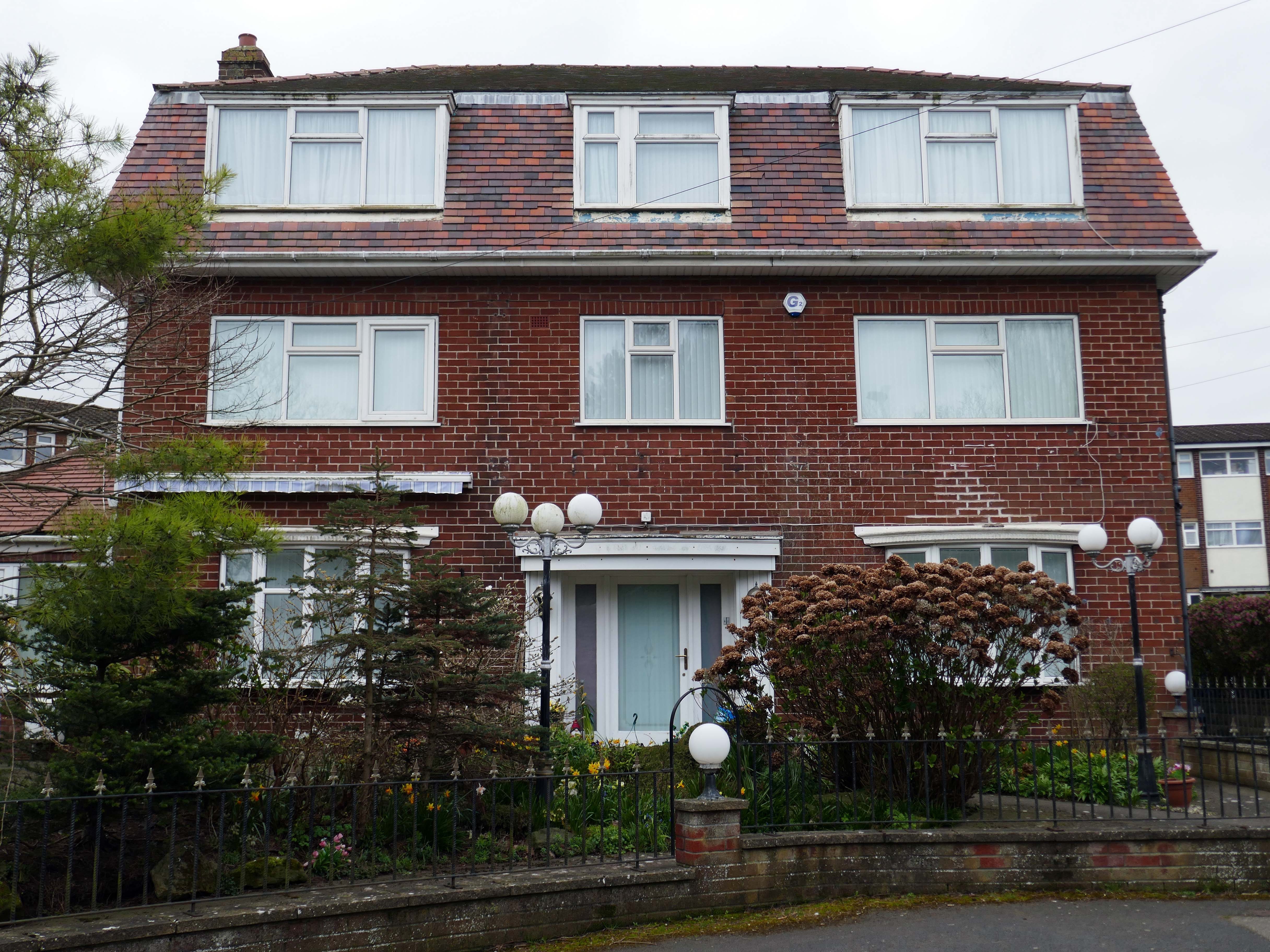
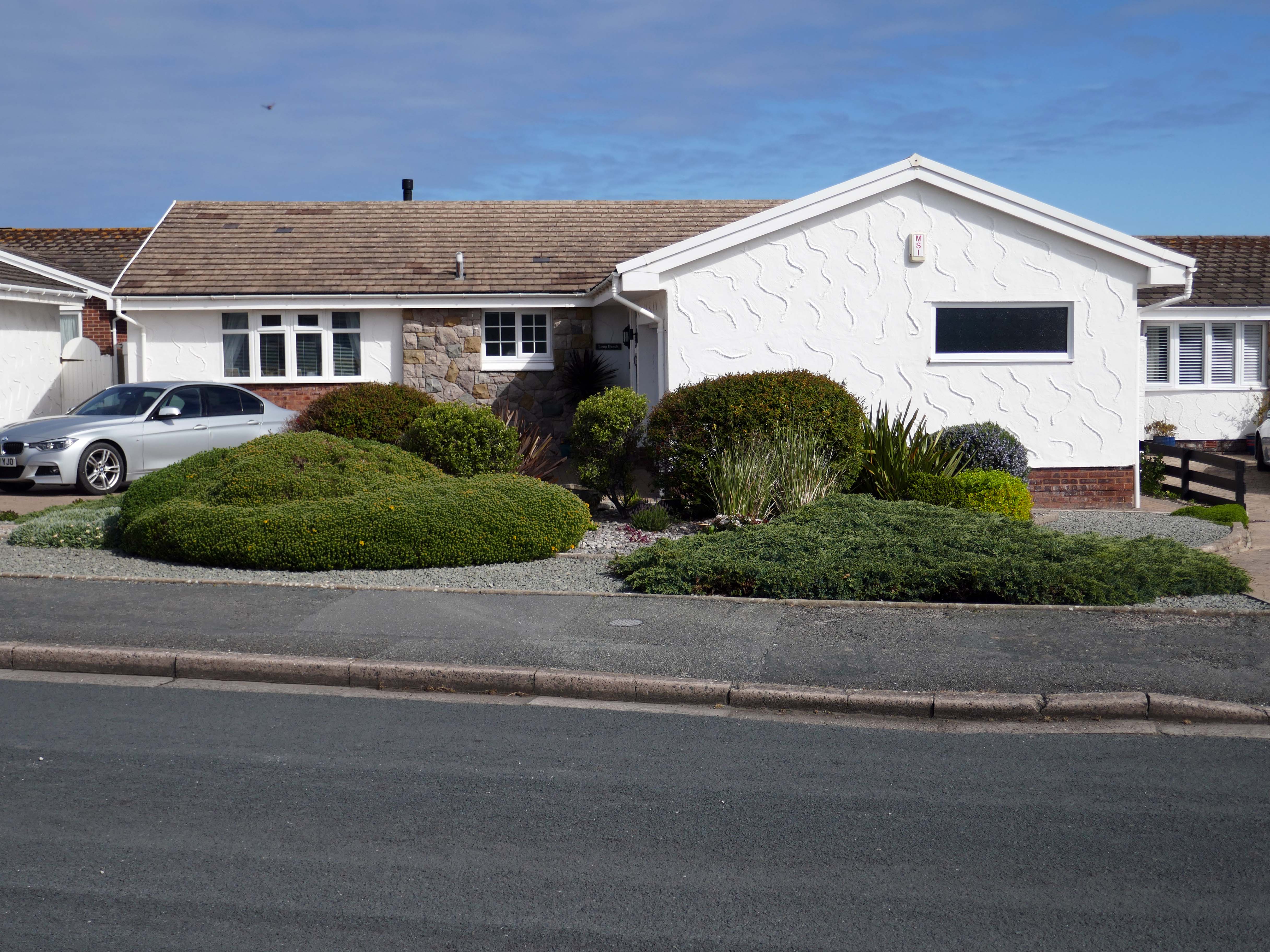
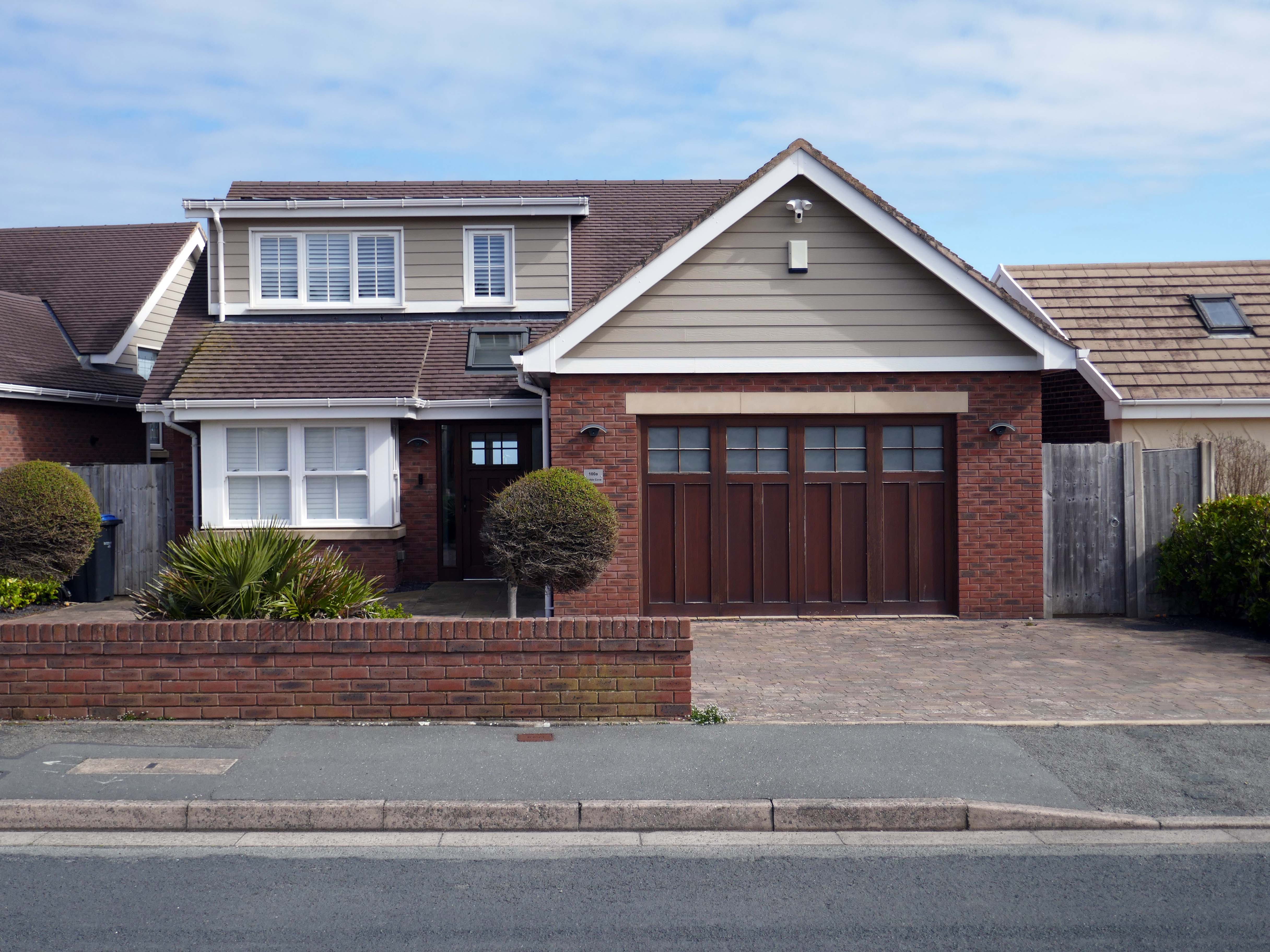
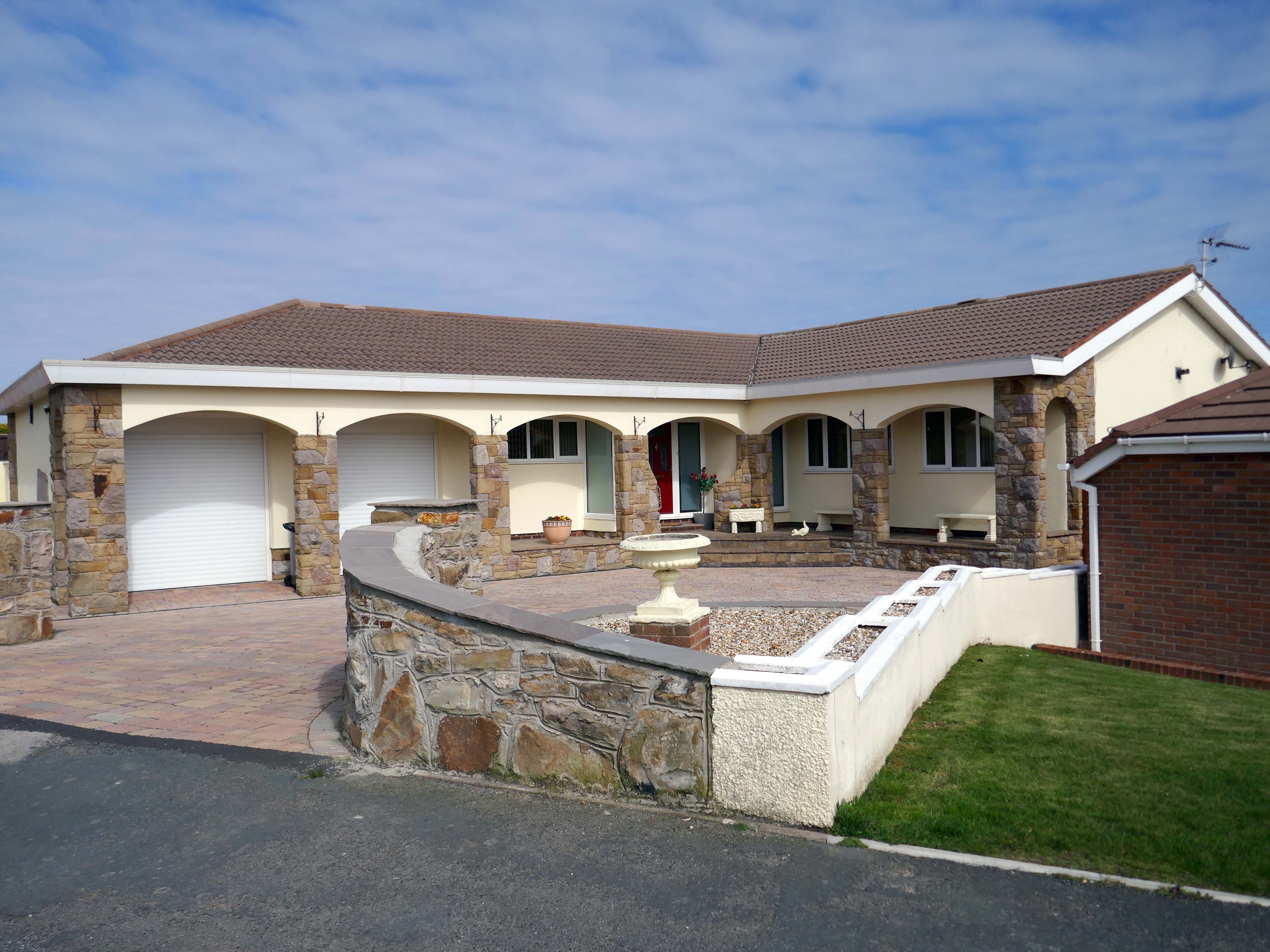
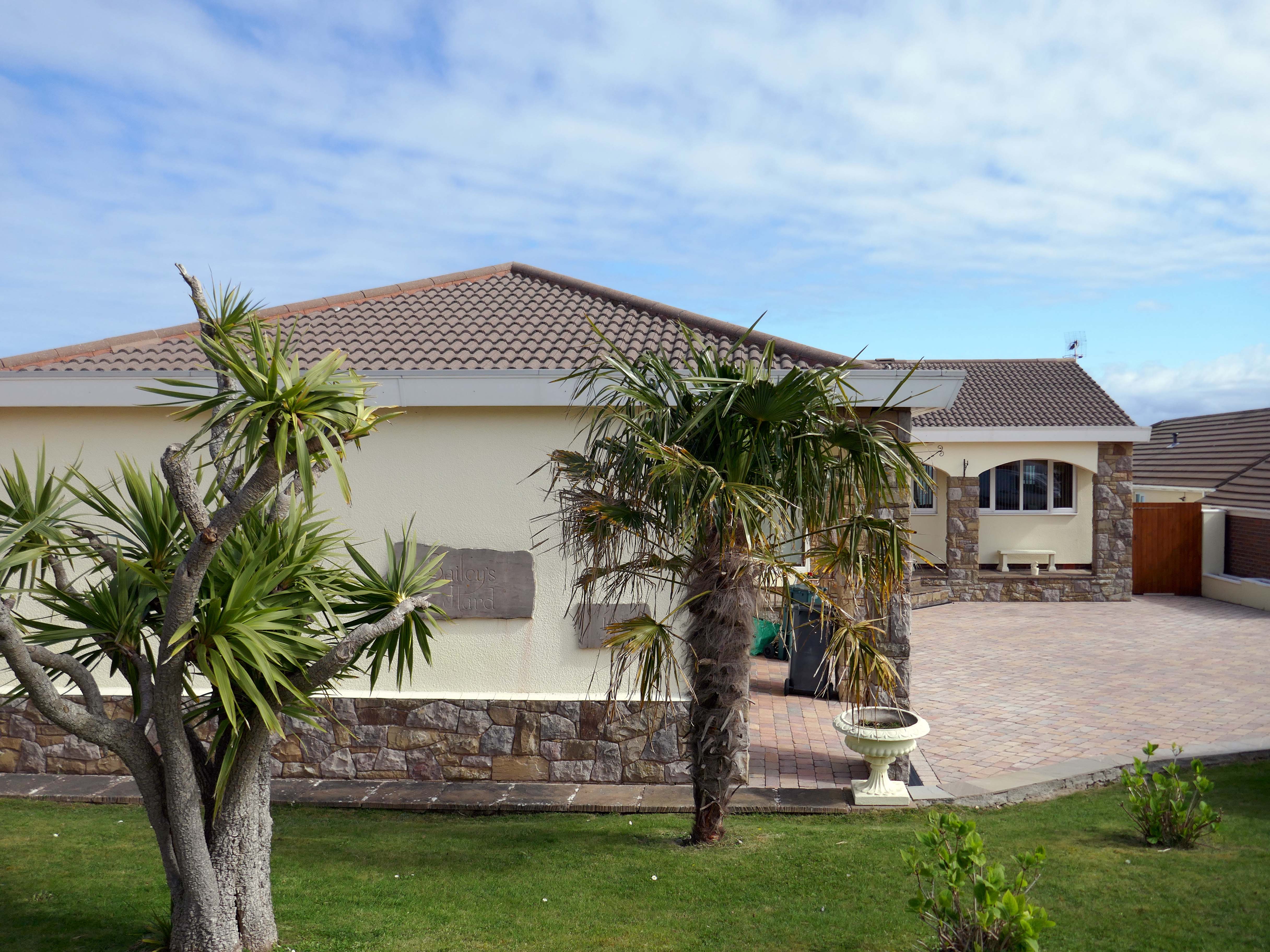
Walking the streets on a sunny Scarborough day, I was struck by the capricious cornucopia of interwar and postwar architectural styles. These are well kept well behaved homes, many of which were built as imposing apartment blocks, possibly for the seaside retirees, or the transient tourist.
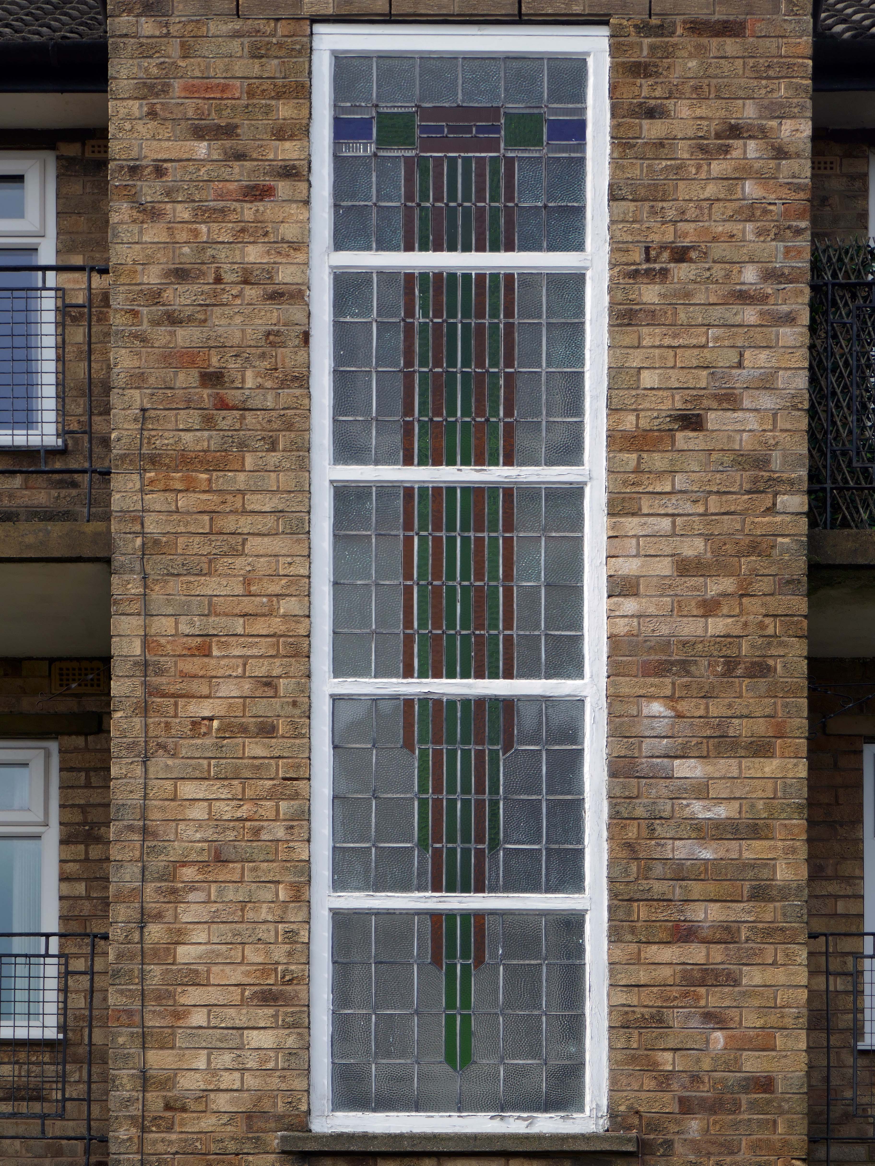
The coast encourages a playful sense of design, referencing vernacular styles and including several decorative devices.
So let’s take a wander around, see what we can see.
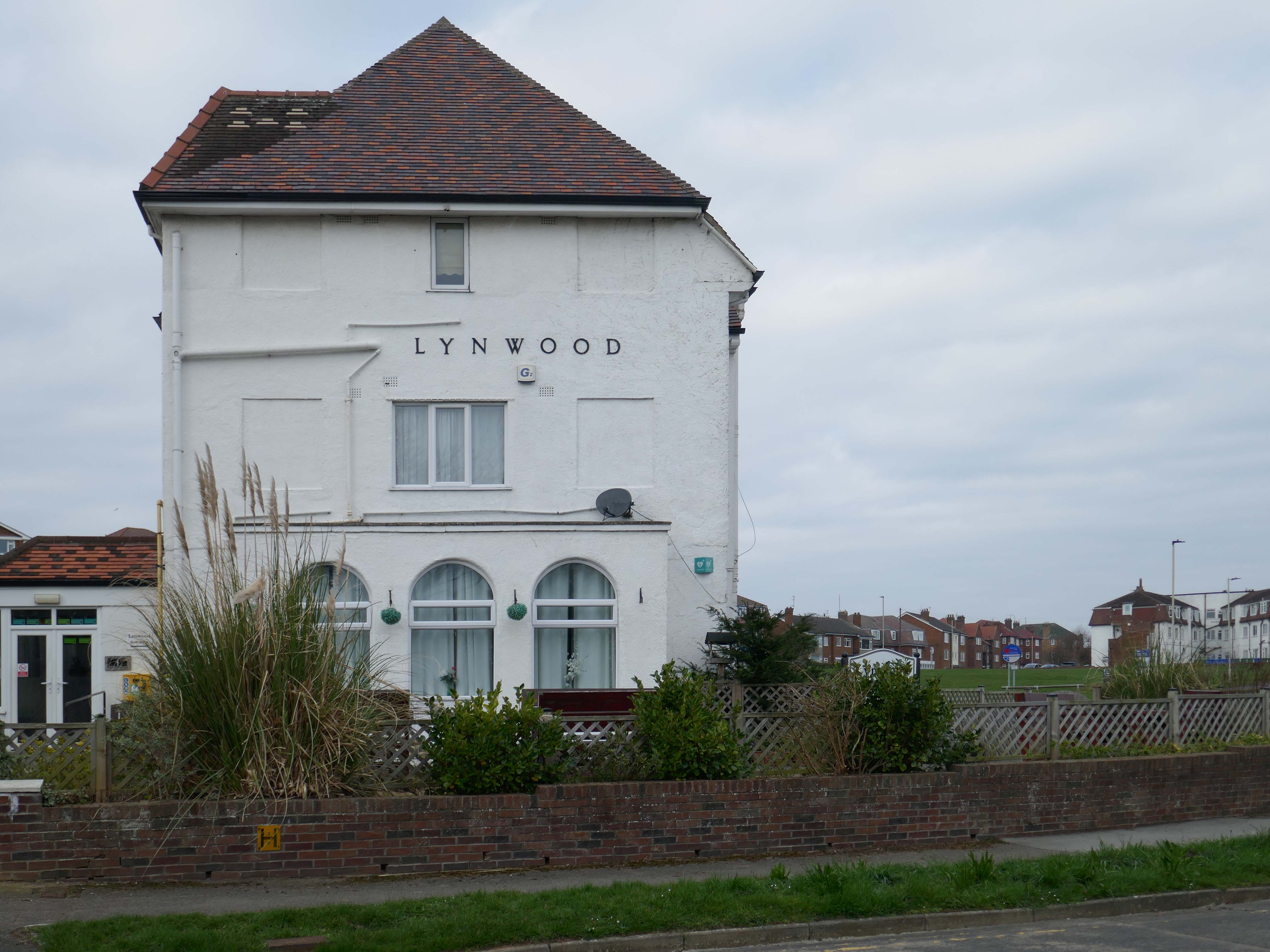
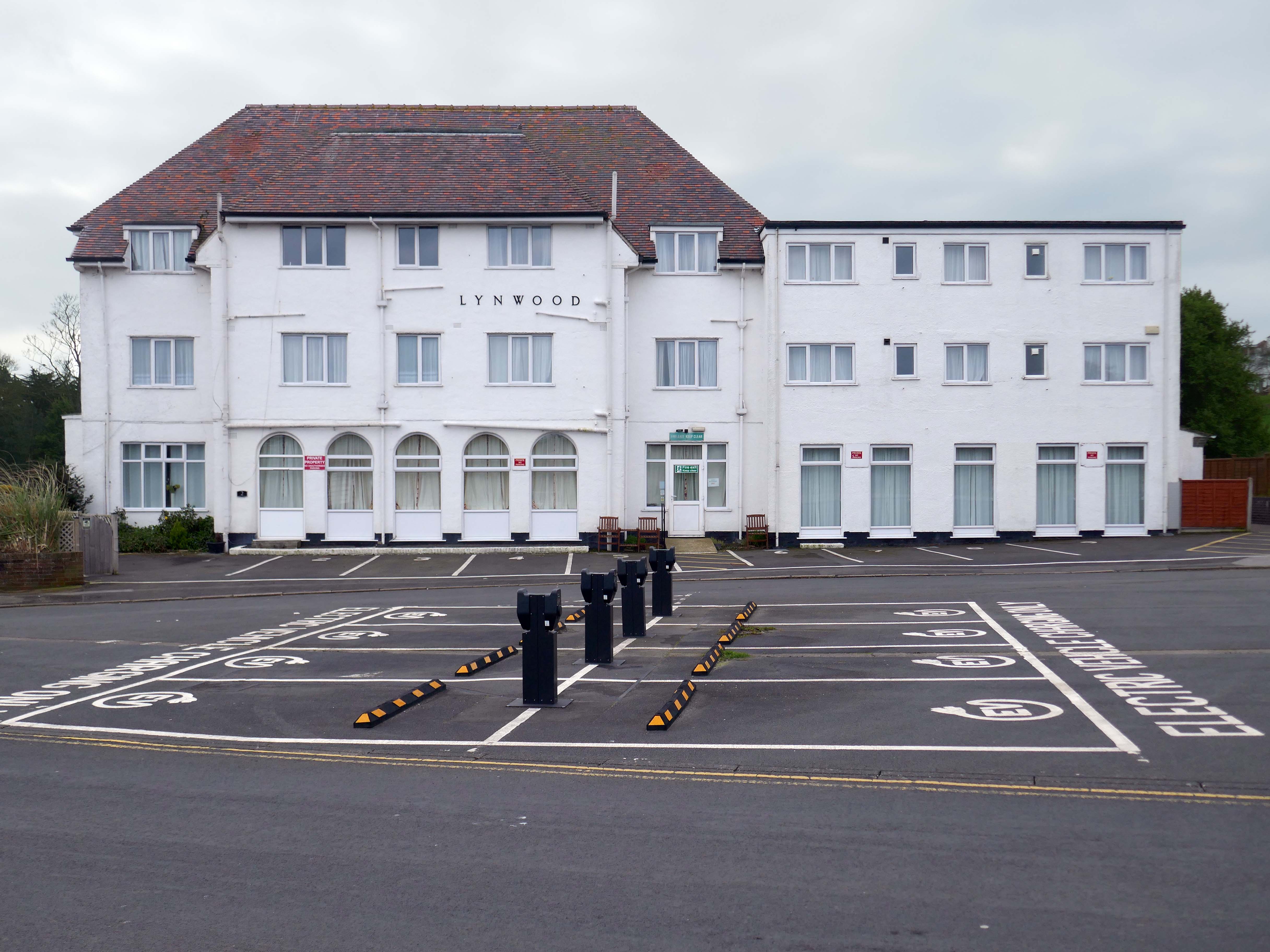
It is with deepest regret that despite the best efforts of everyone involved, it has now been confirmed that Lynwood Convalescent Home will close at the end of 2025. Whilst it was previously hoped that Lynwood could remain open for a further period, unfortunately, there are insufficient funds required to keep the Home operating and a sale of the building is progressing.
The Yorkshire Miners’ Welfare Convalescence Home charity who owns the home is continuing to support beneficiaries and staff during this difficult period. The trustees of the Home are currently discussing how the charity will use the funds from the property sale to support beneficiaries going forward and plans will be communicated in the coming weeks and months.
We fully understand the disappointment and impact this decision will have on our beneficiaries and staff. Please be assured that the trustees remain committed to keeping all stakeholders informed about the future of the charity.
Hi, there are a few point that we feel need addressing, the WiFi kept going off. Both shower heads were very high and we could not adjust them. The grouting in the bathroom floor was broken, which made the tiles loose and needs attention. The toilet in the bathroom was loose and felt insecure. The cooker was not properly secured to the housing, it felt loose in the housing. The TV kept loosing signal and the picture would break up – thank God for youtube, as that was pretty good
Apart from the points mentioned the apartment was clean and tidy and very nice.
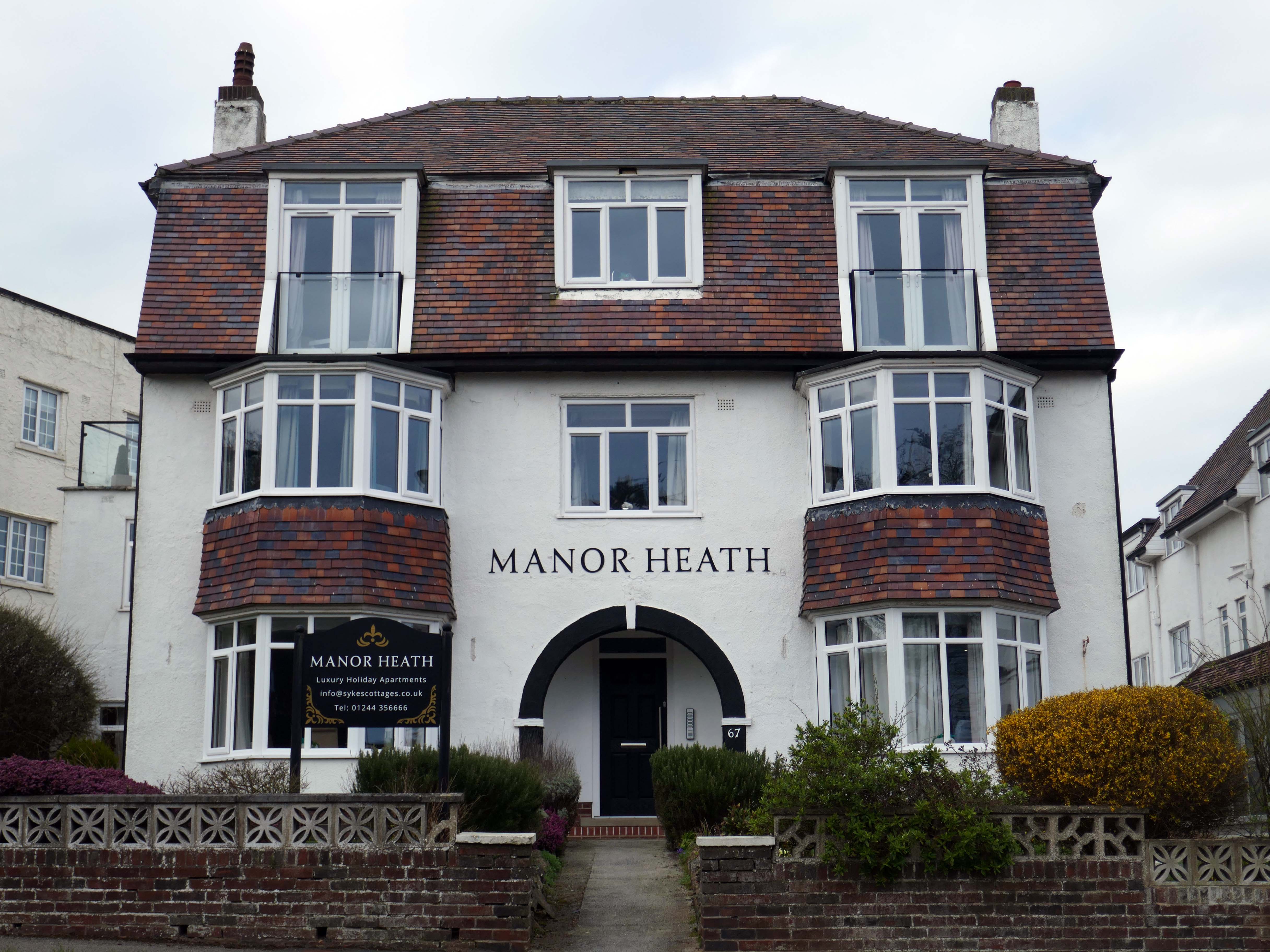
We have previously stayed at Manor Heath on four occasions and always enjoy it and look forward to our next visit. We stayed in apartment two, which was very comfortable, but would benefit from a coffee table or nest of tablets, so you could relax and put your drinks on it
Reviewed by Sharon 5.0 ★
Seaside Hideaway combines a fantastic North Bay location with comfortable rooms, delicious breakfasts and a warm personal welcome from your hosts, Jim and Sarah.
If you’re thinking about a spring break by the coast, take a look at our spring breaks in Scarborough guide for ideas on where to stay and what to do.
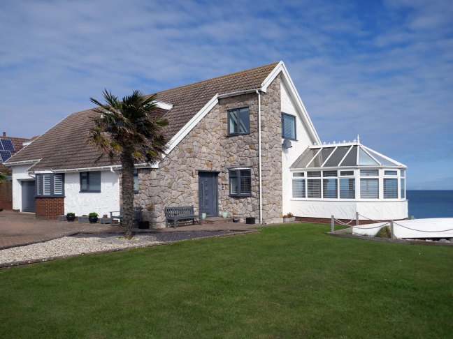
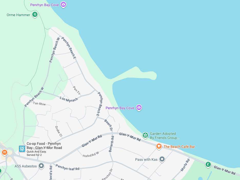
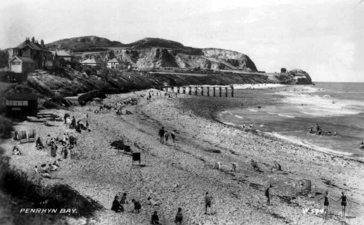
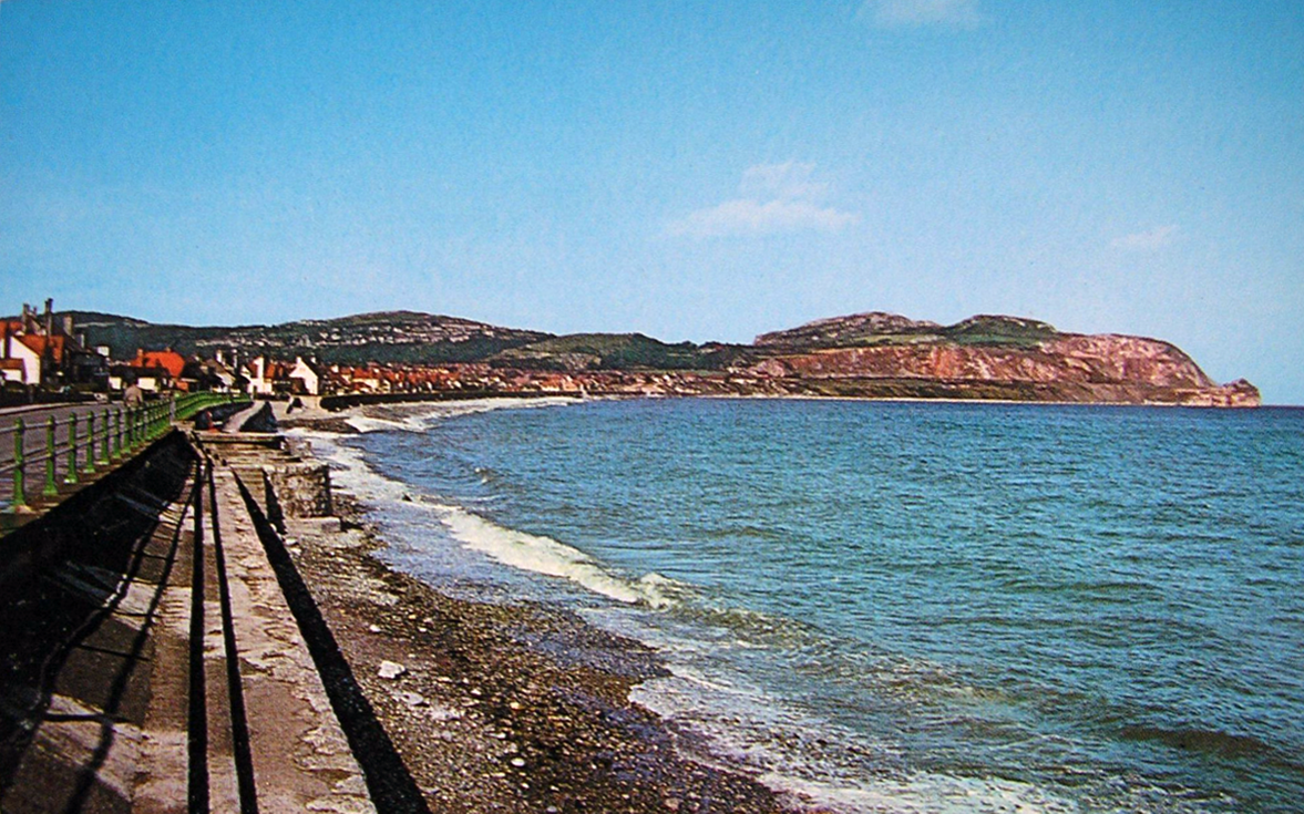
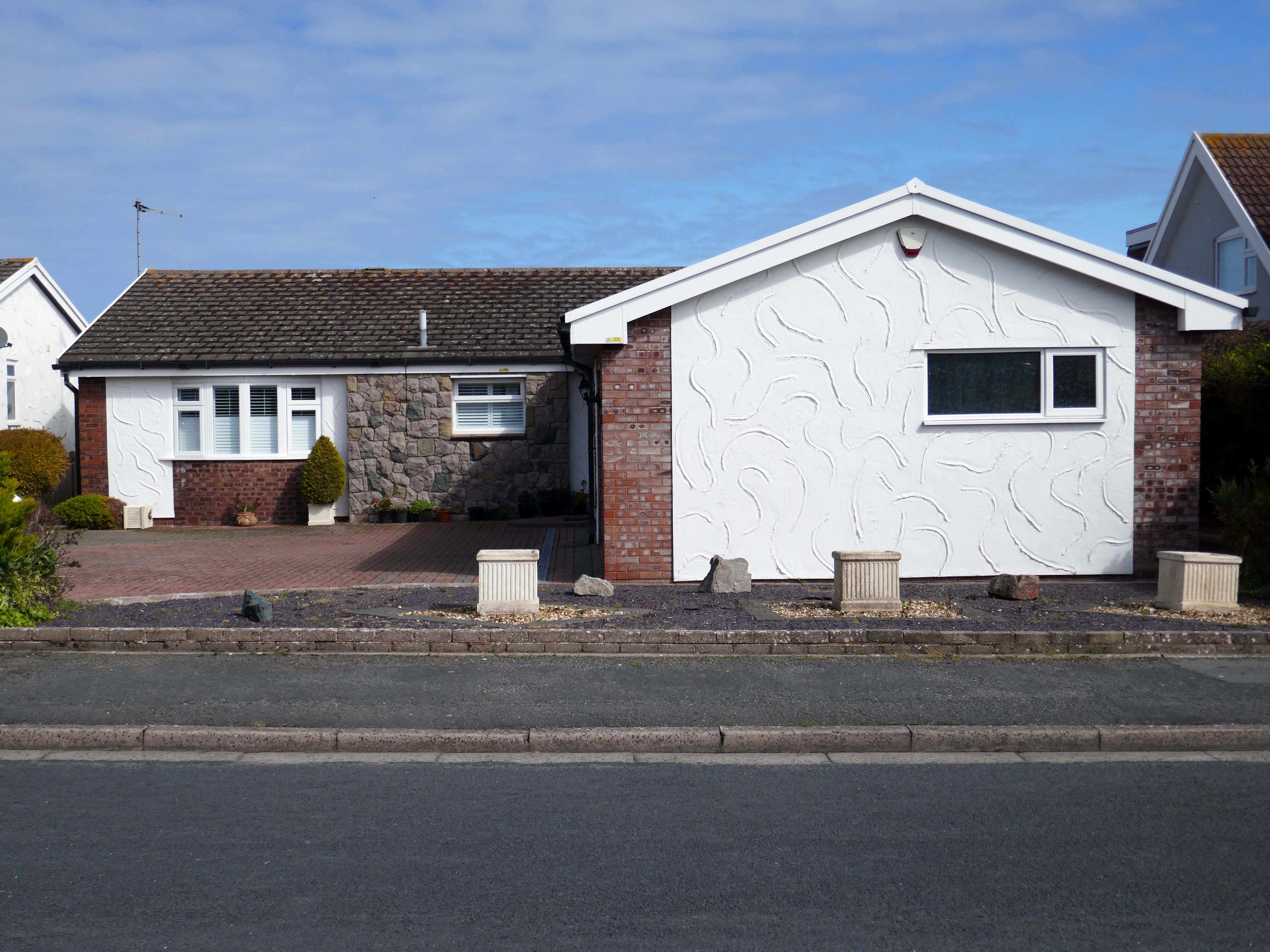
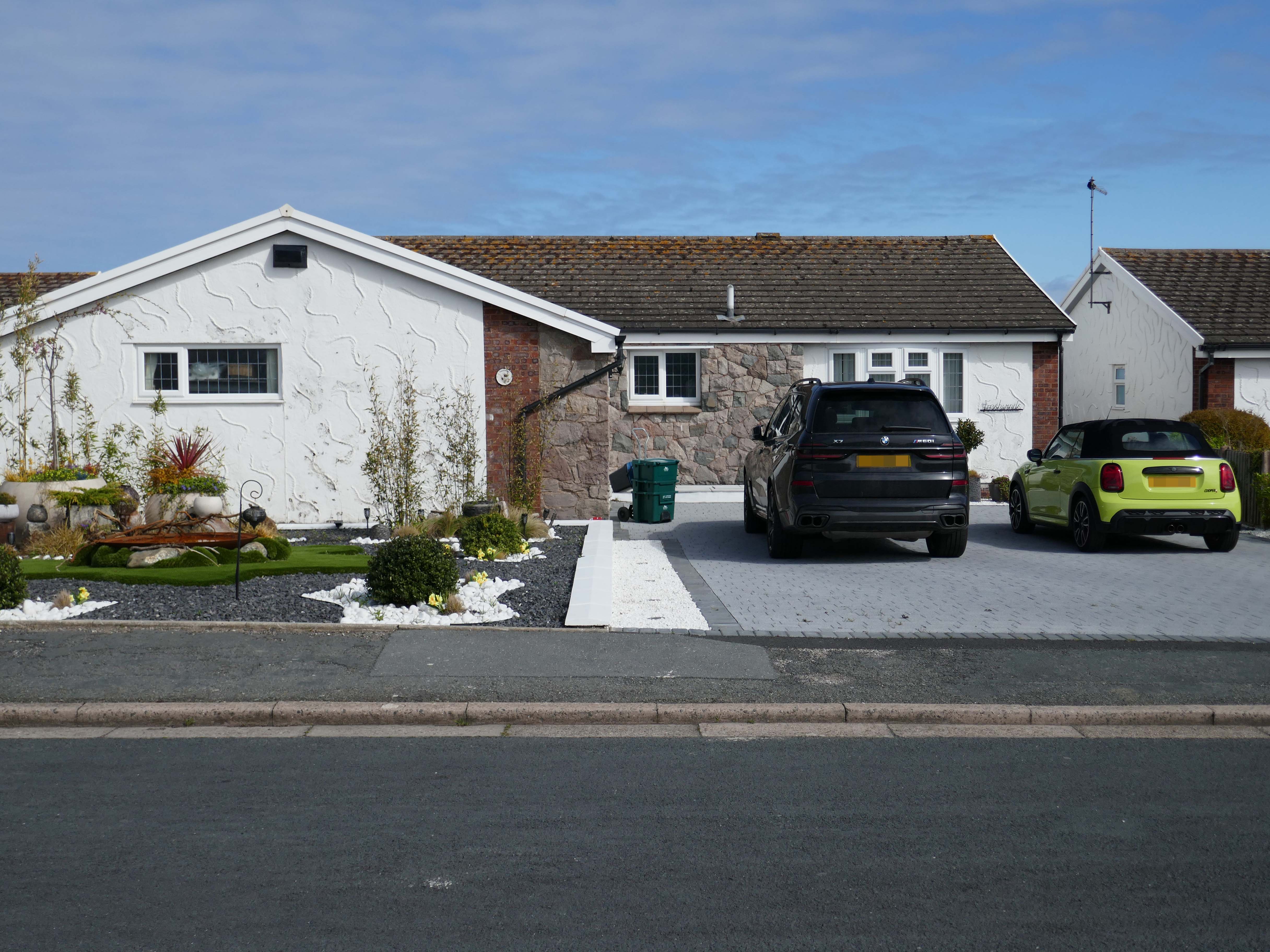
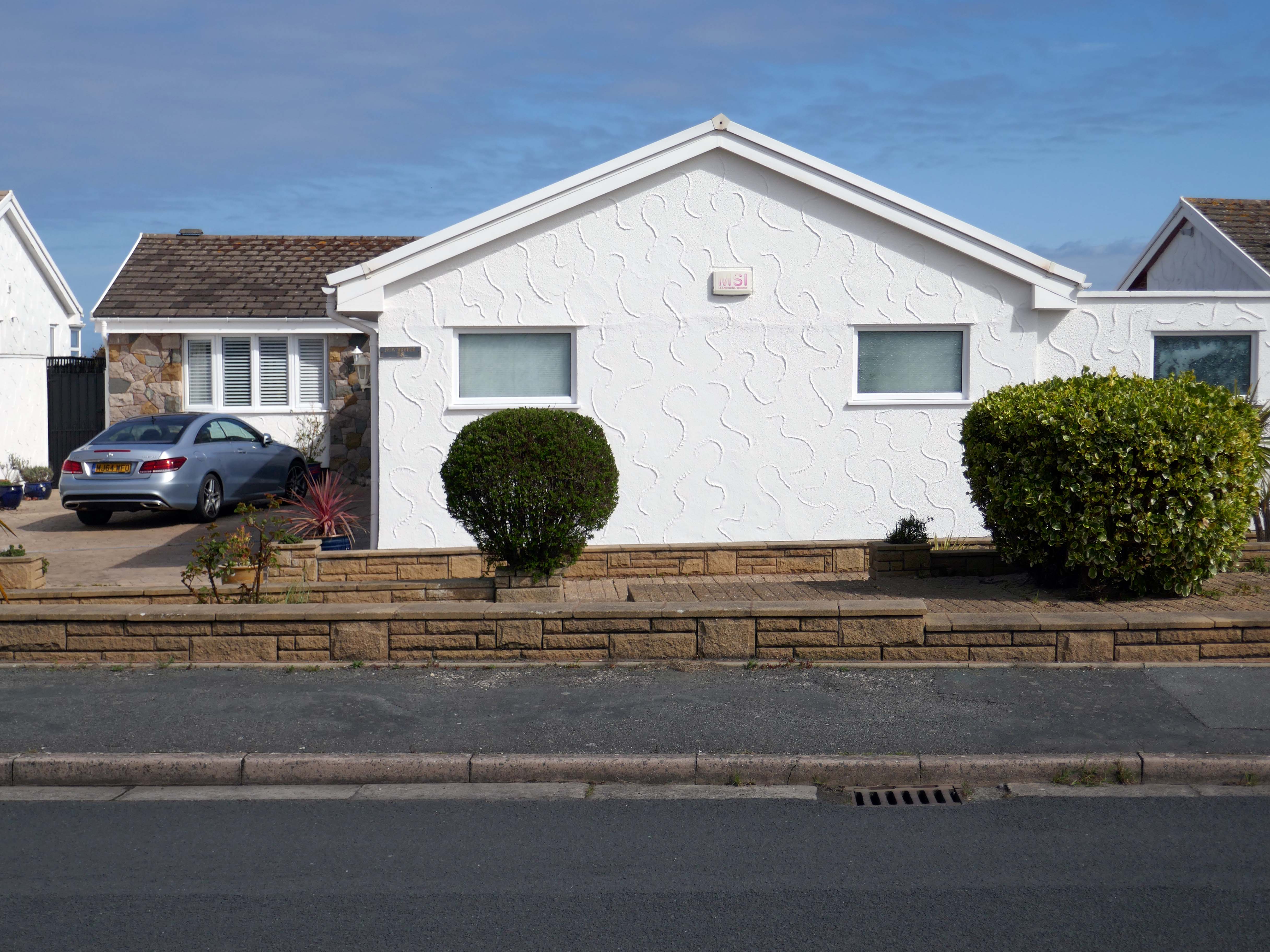
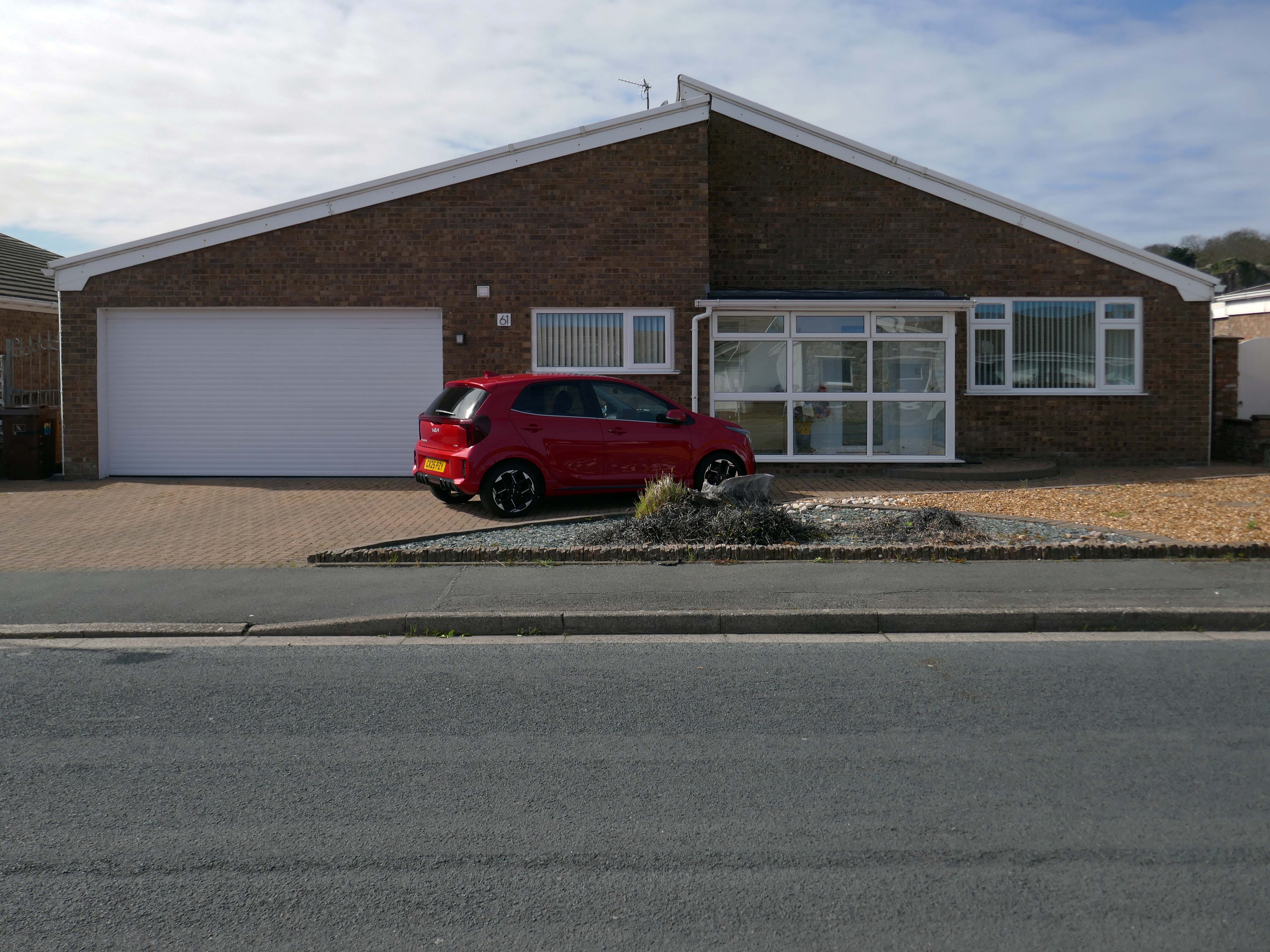
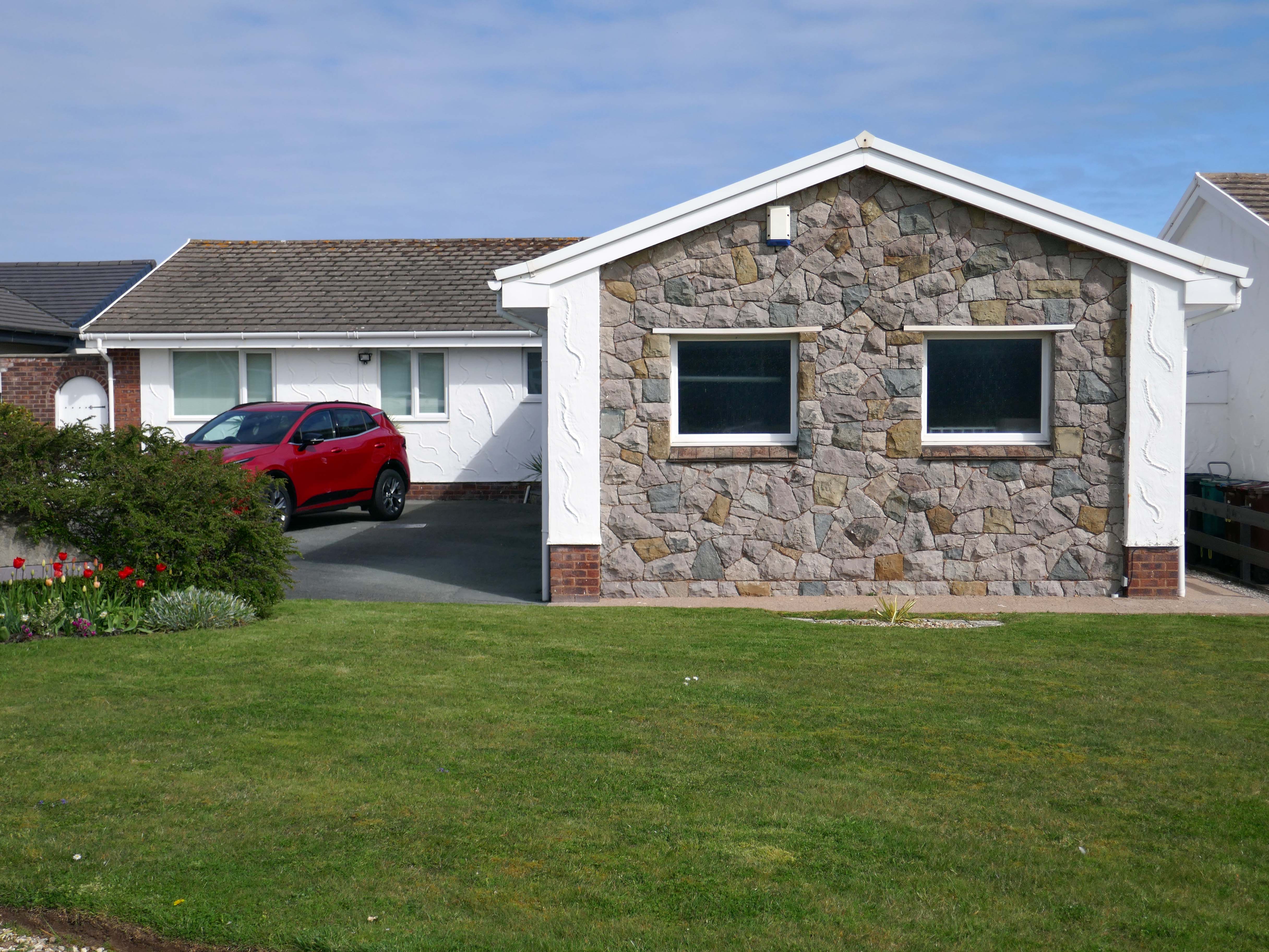
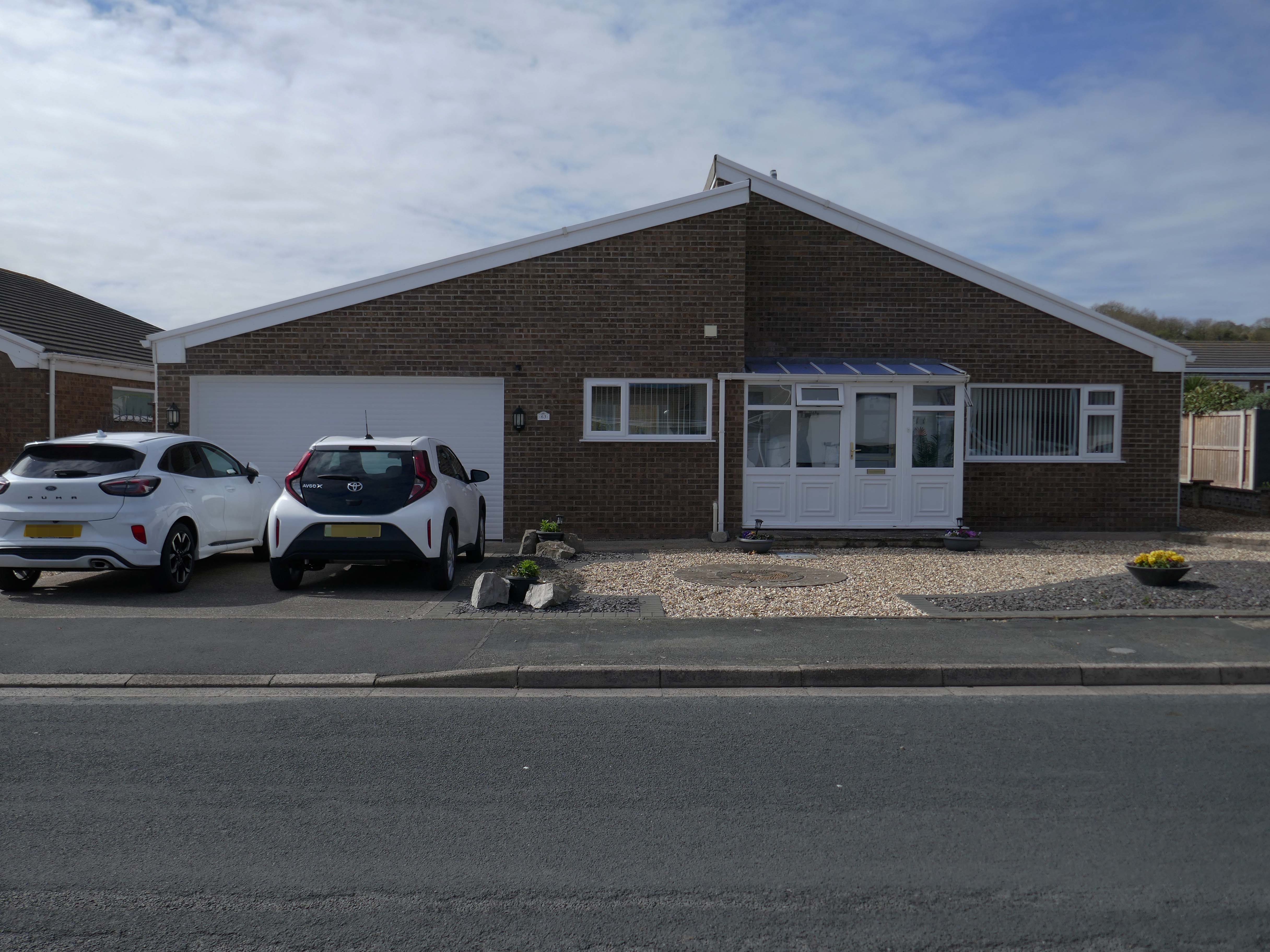
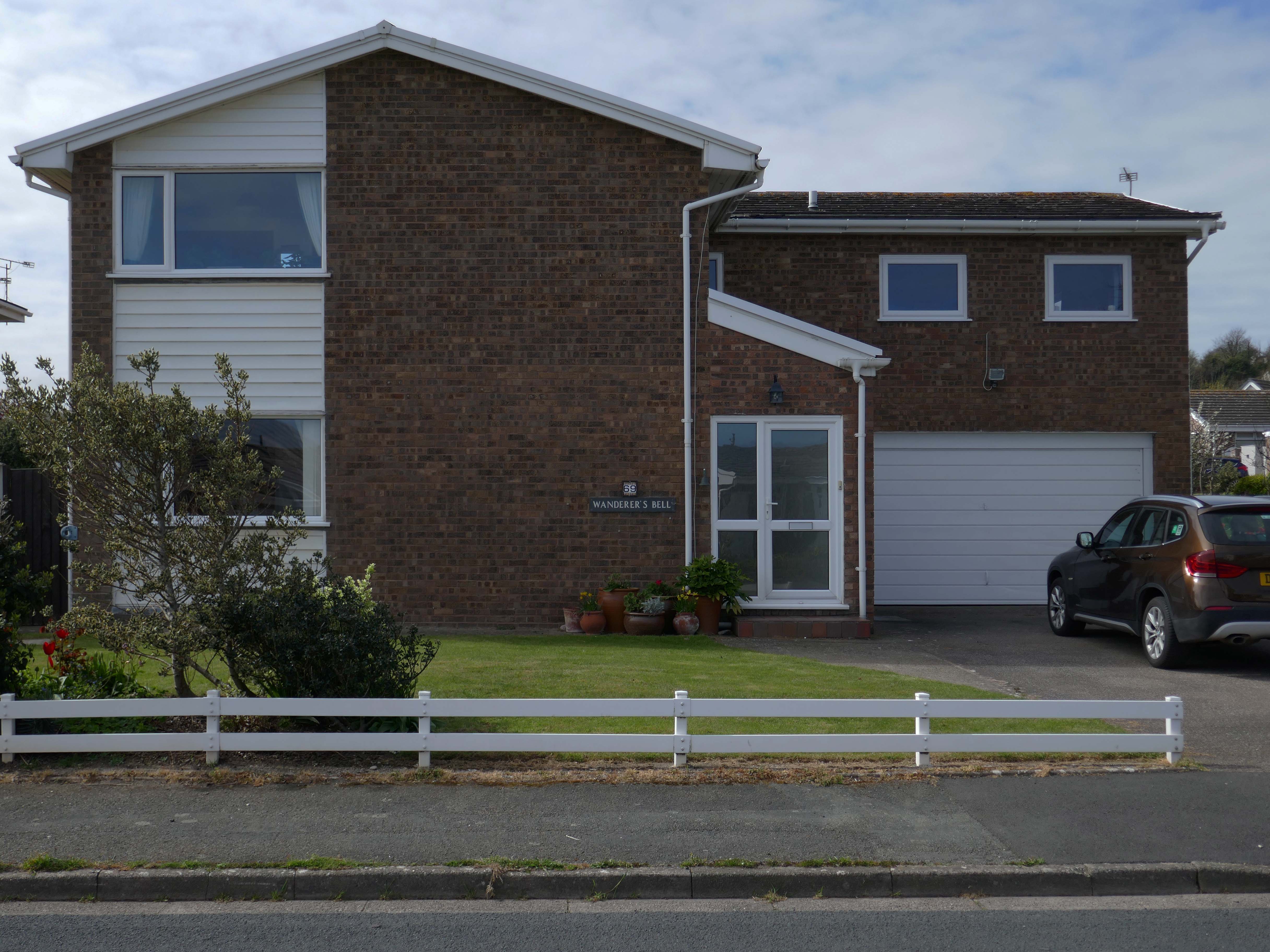
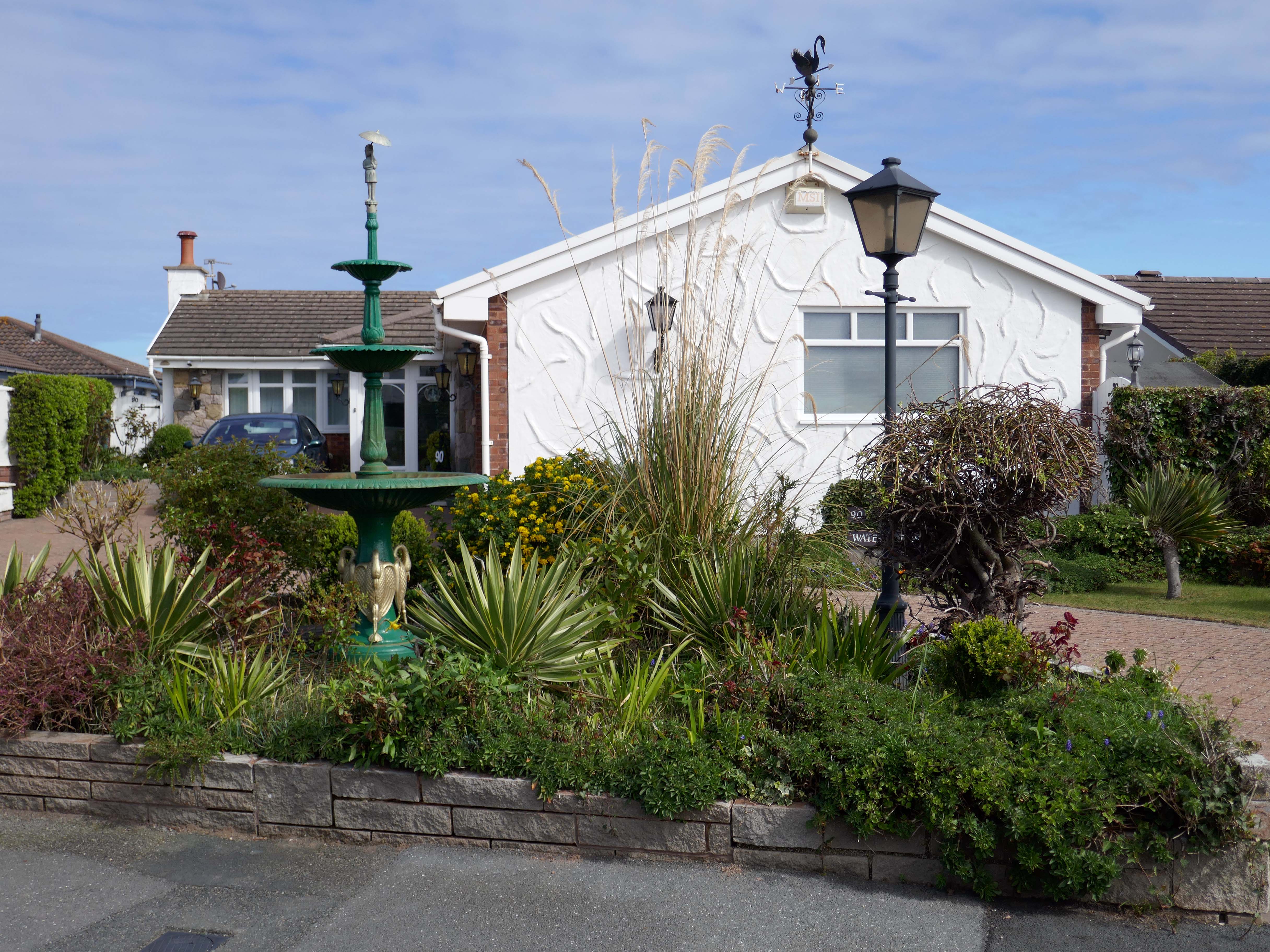
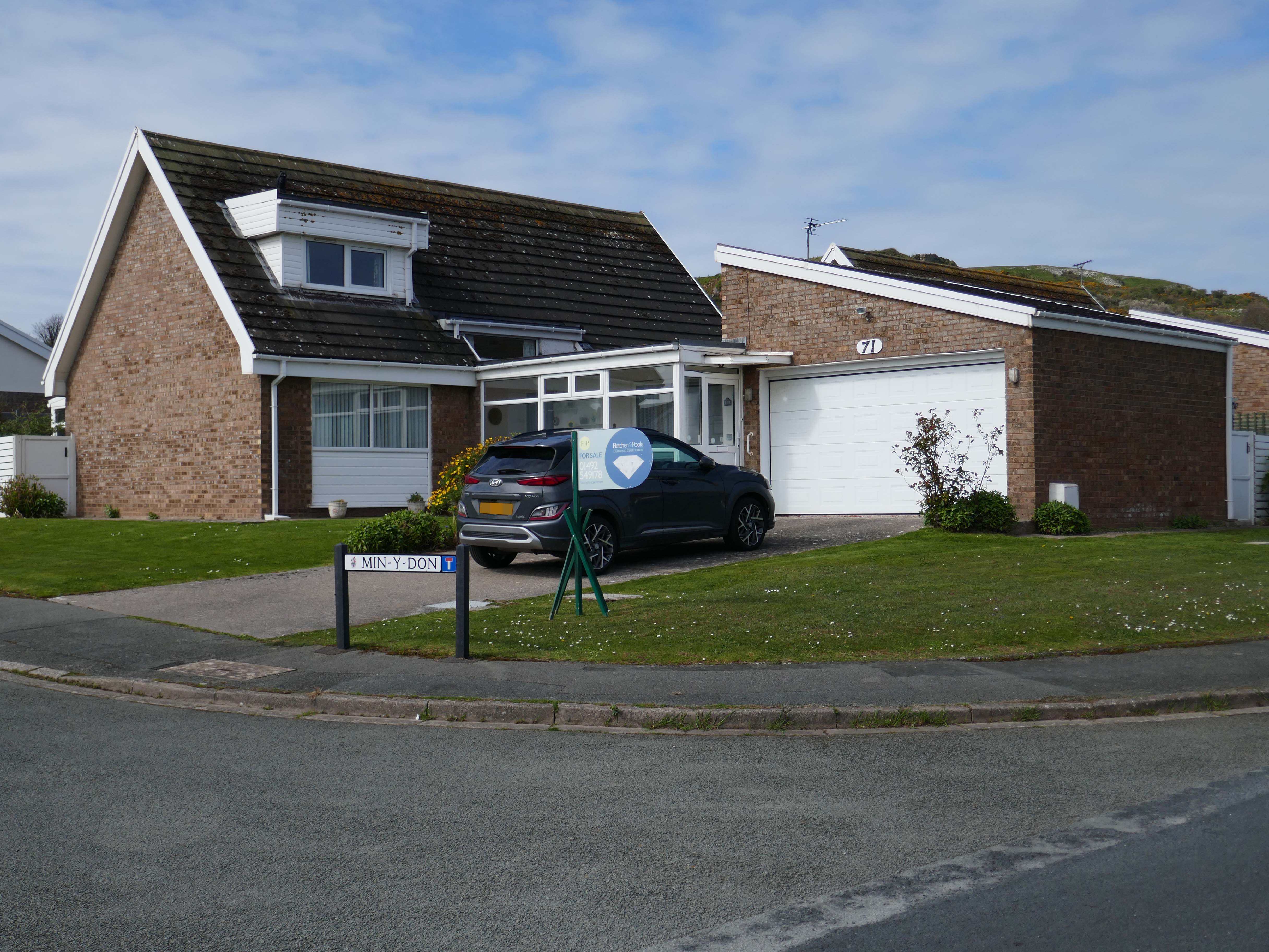
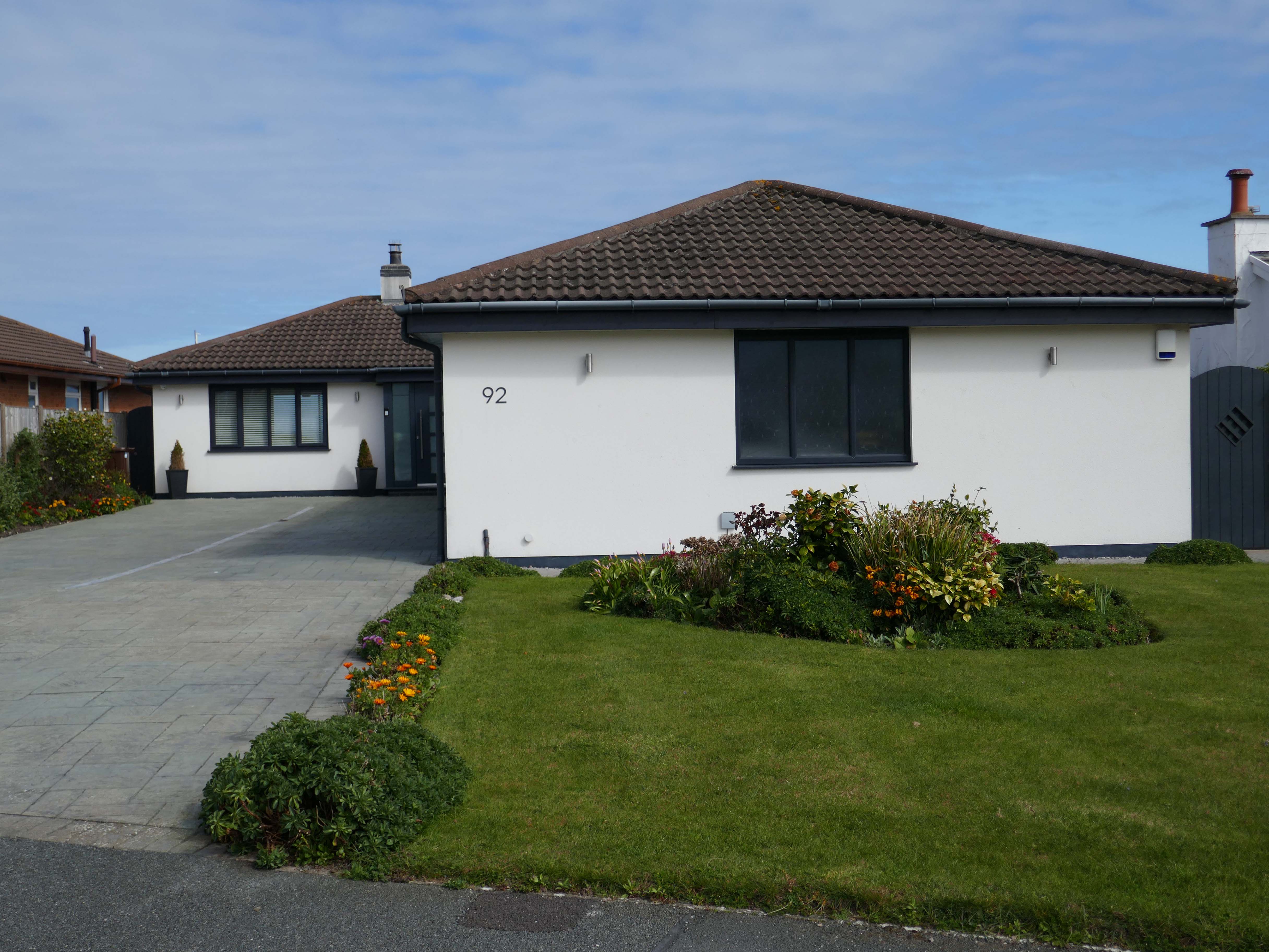
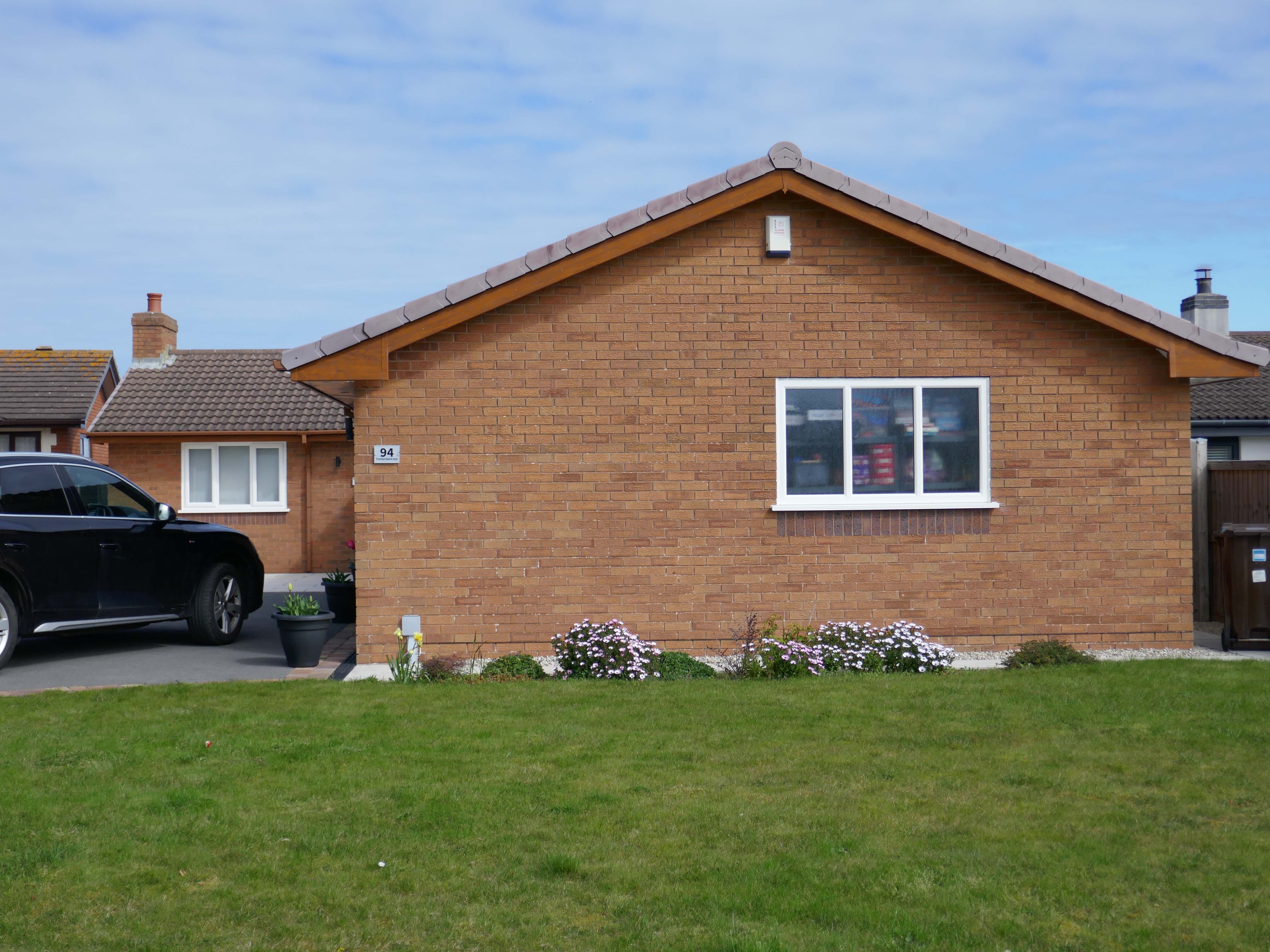
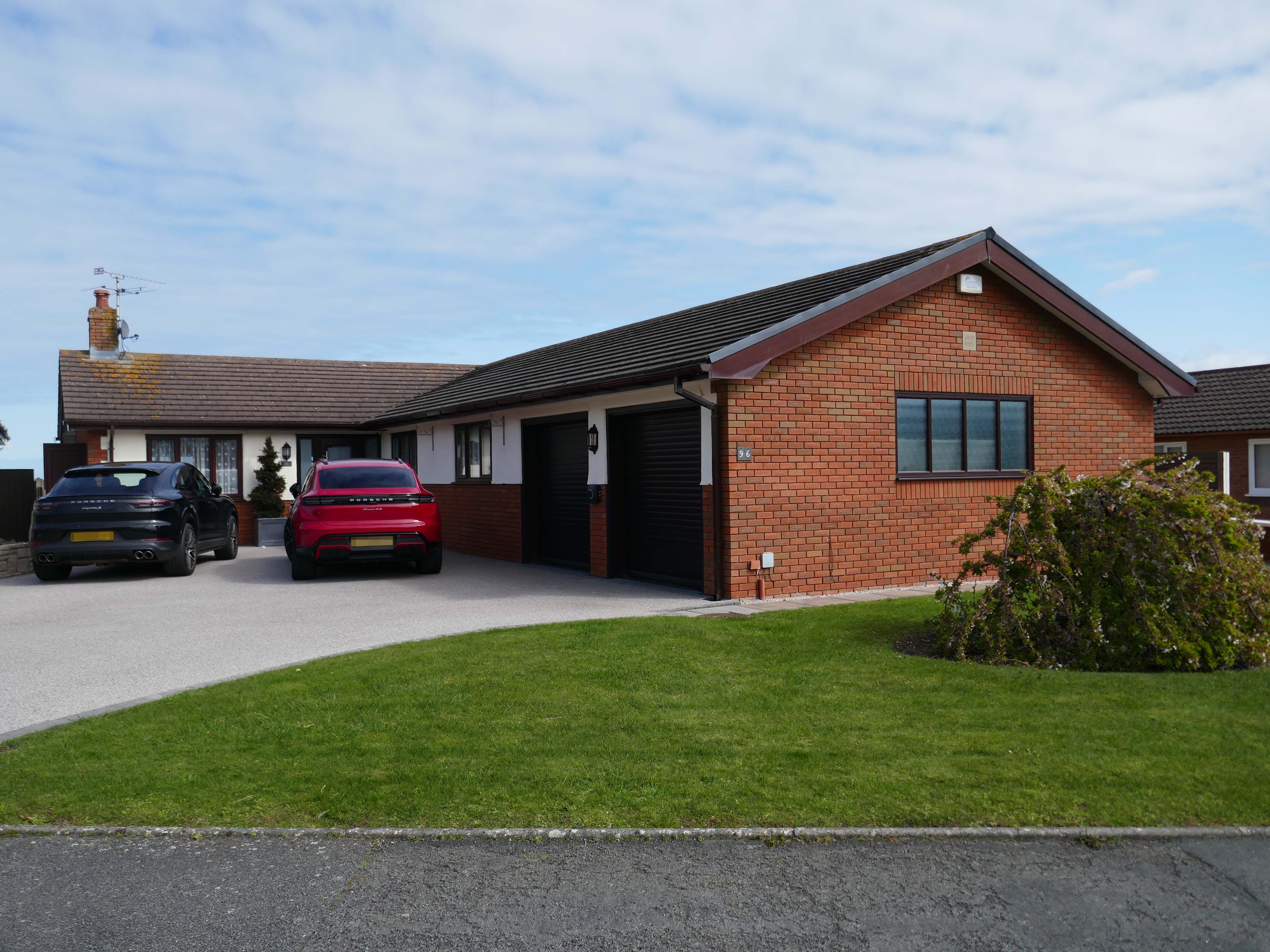
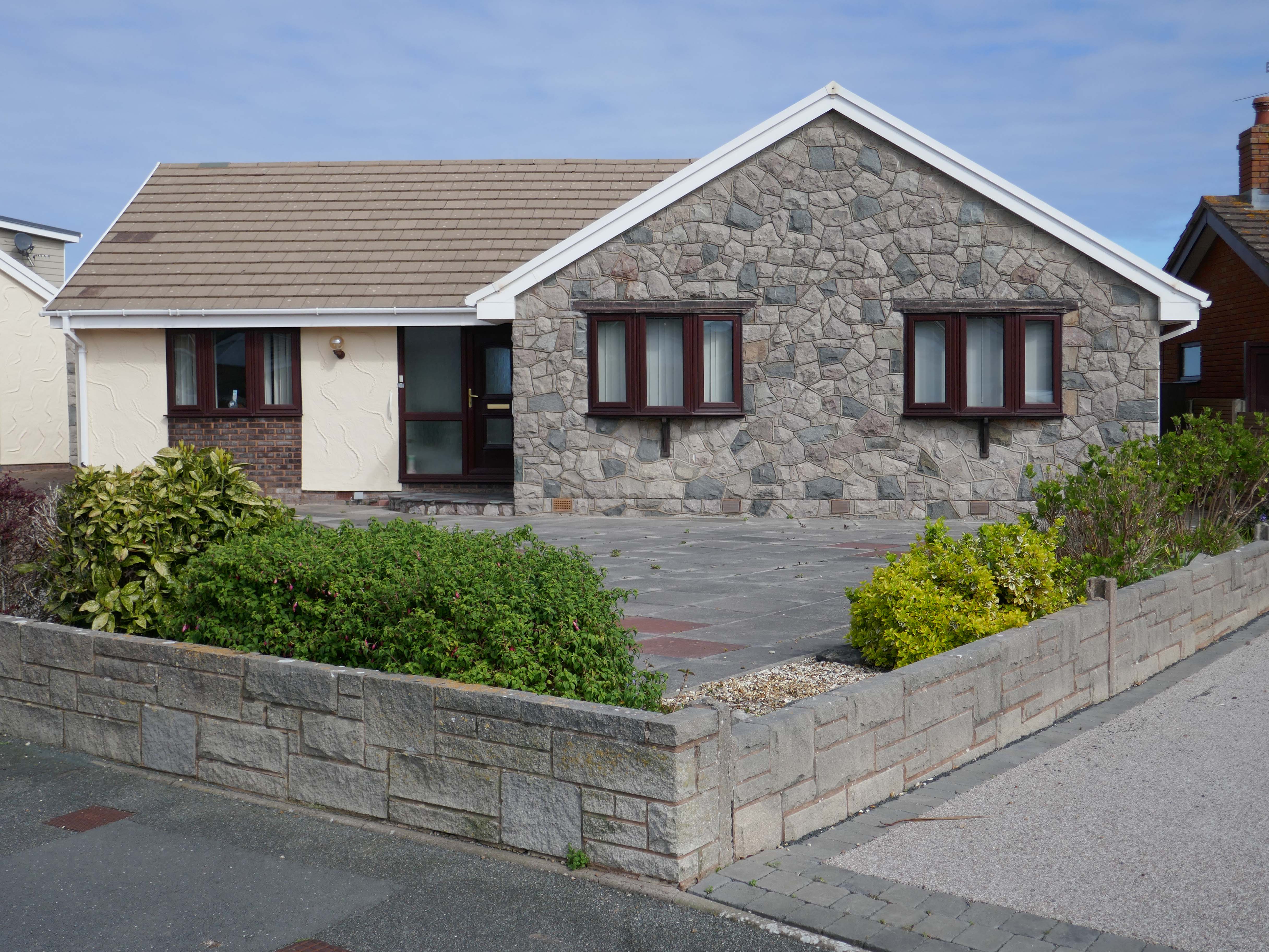
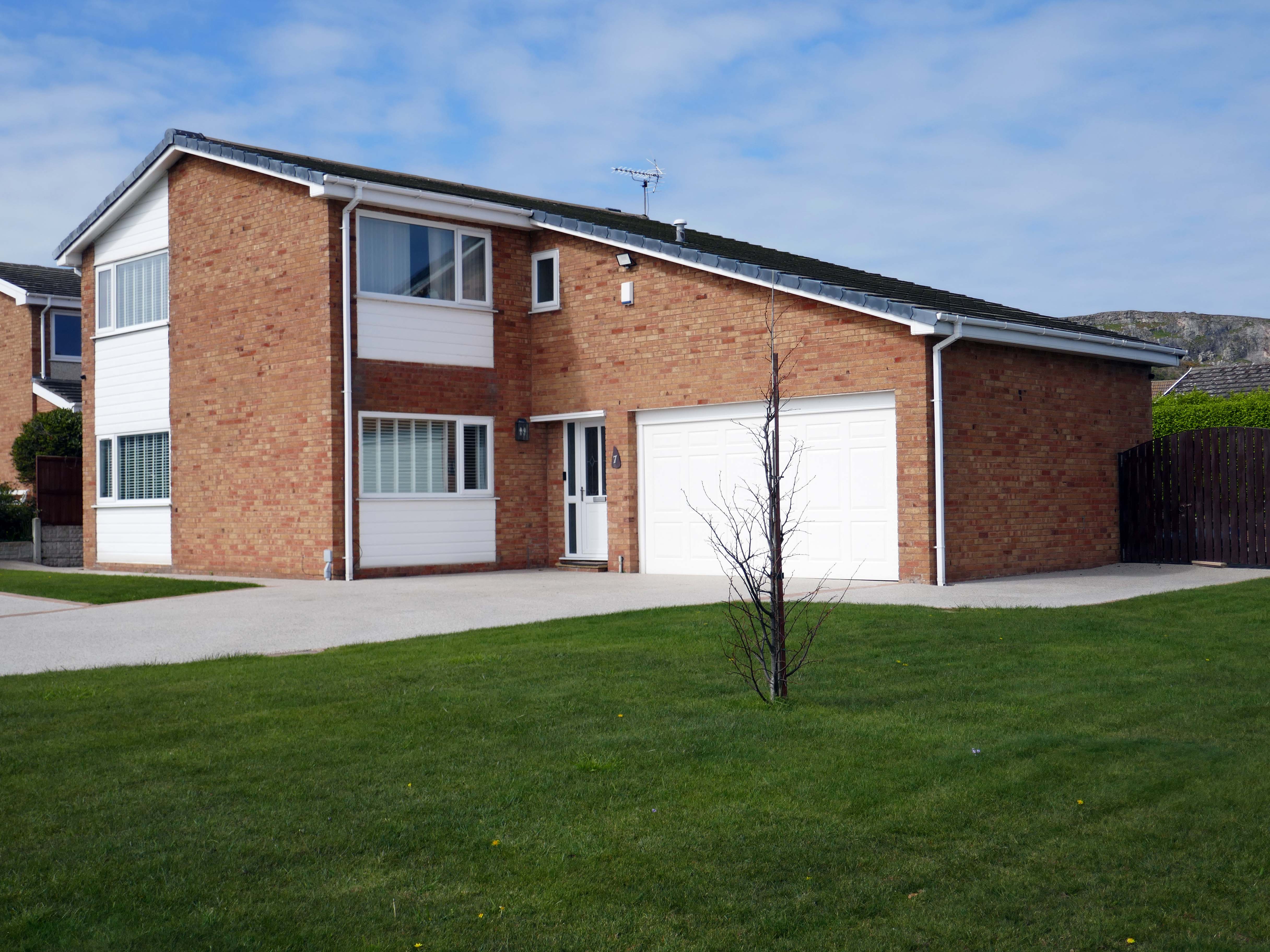
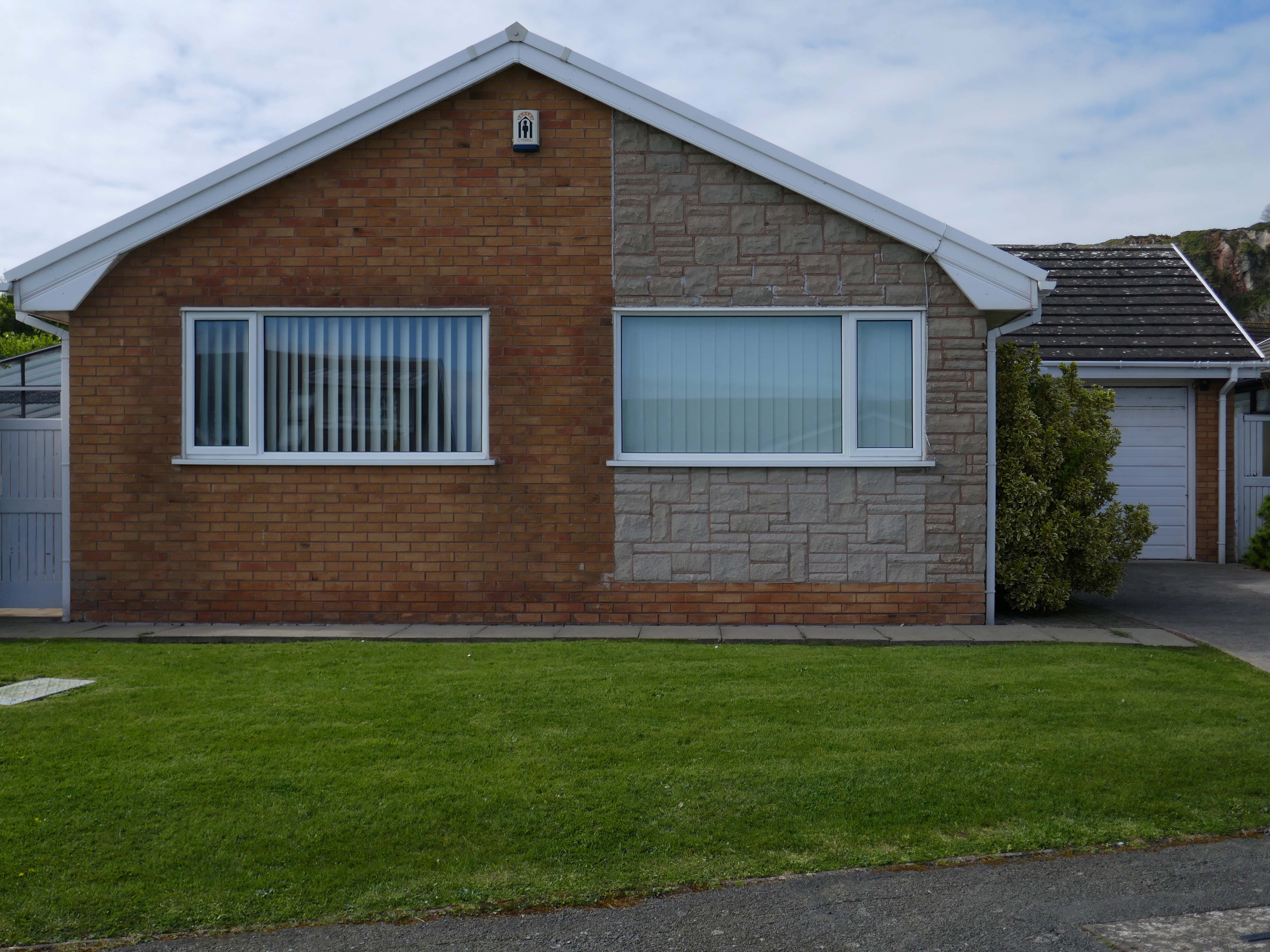
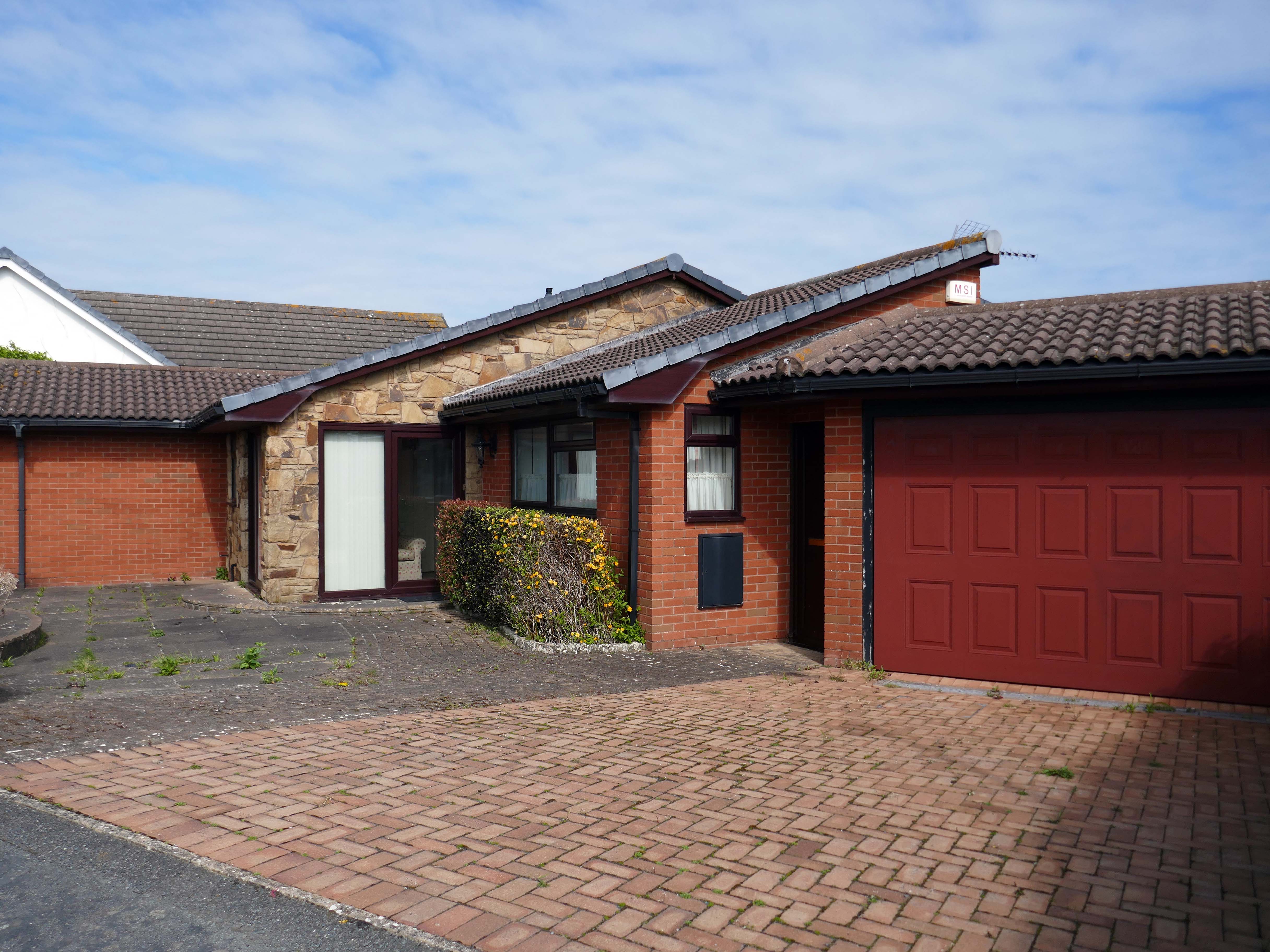
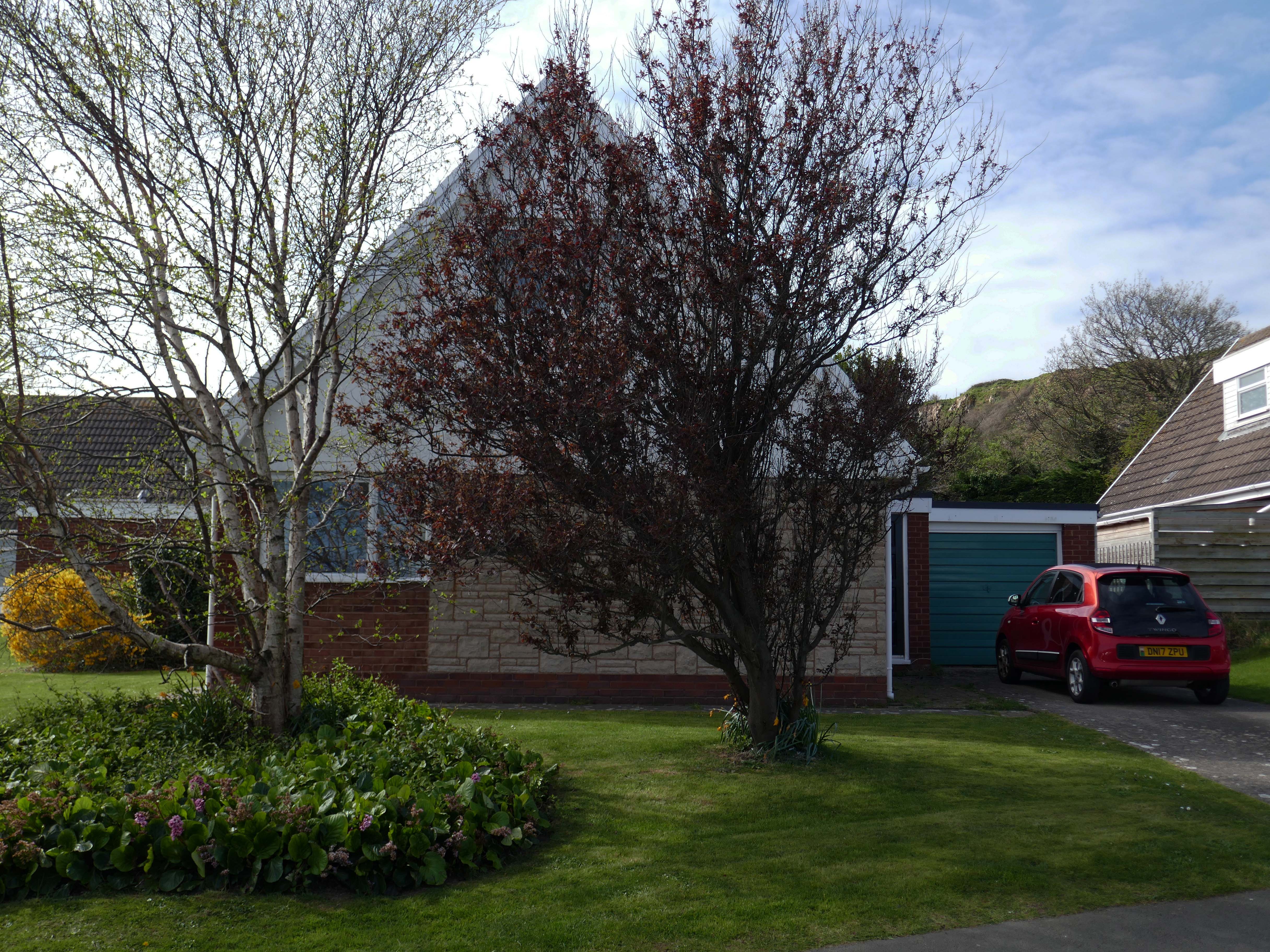
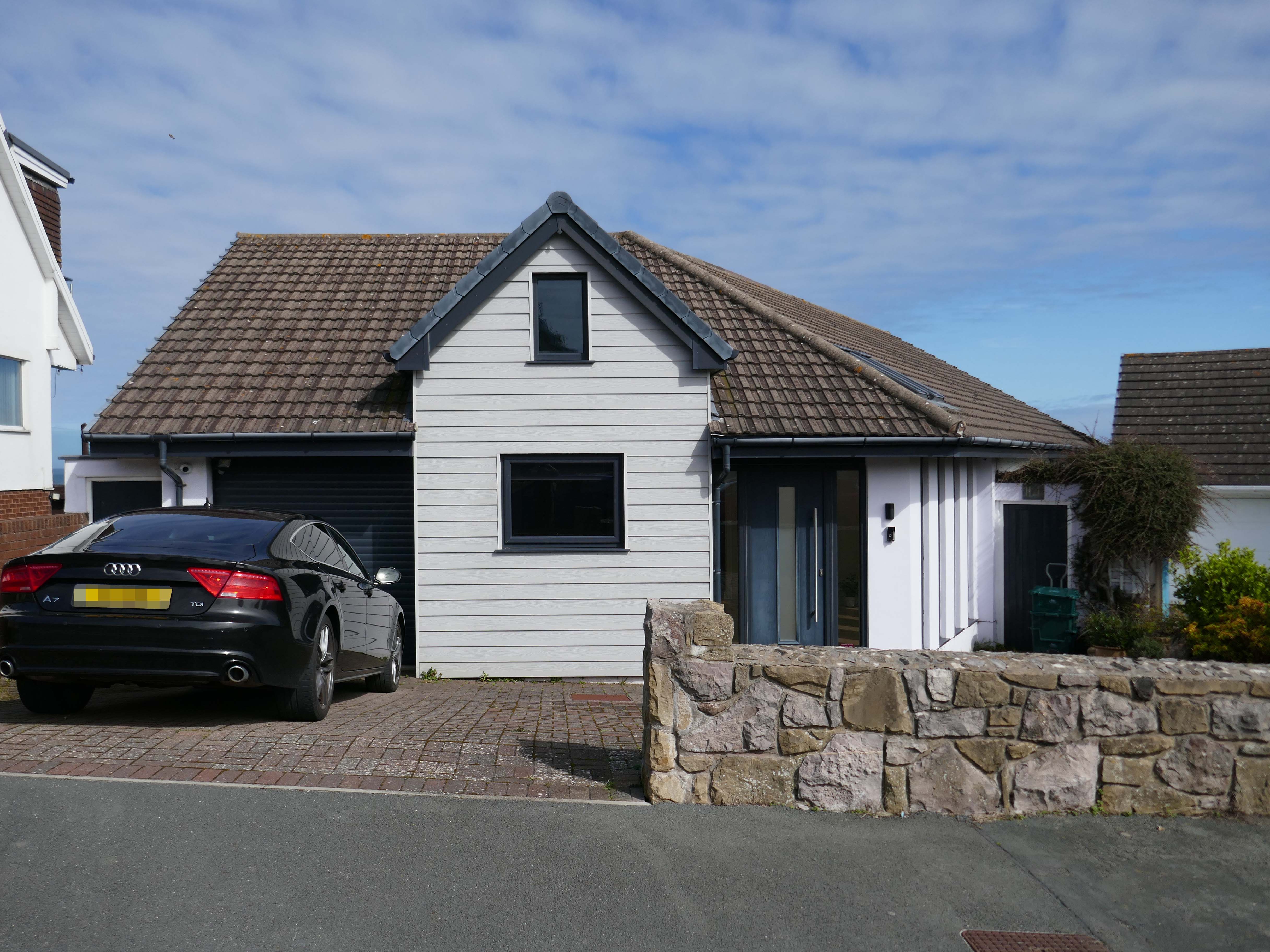
Penrhyn Bay is a peaceful seaside town and residential suburb of Llandudno in Conwy County, North Wales, known for its scenic sand-and-shingle beach. Located east of the Little Orme, it offers coastal walks, rock pooling, and a quiet alternative to nearby bustling resorts. The area is popular for its local community feel, nearby seal spotting, and easy access to North Wales attractions.
Following several recent suburban posts in my local area, I decided to take a train to Colwyn Bay, in order to revisit an old friend, last seen in 2023.
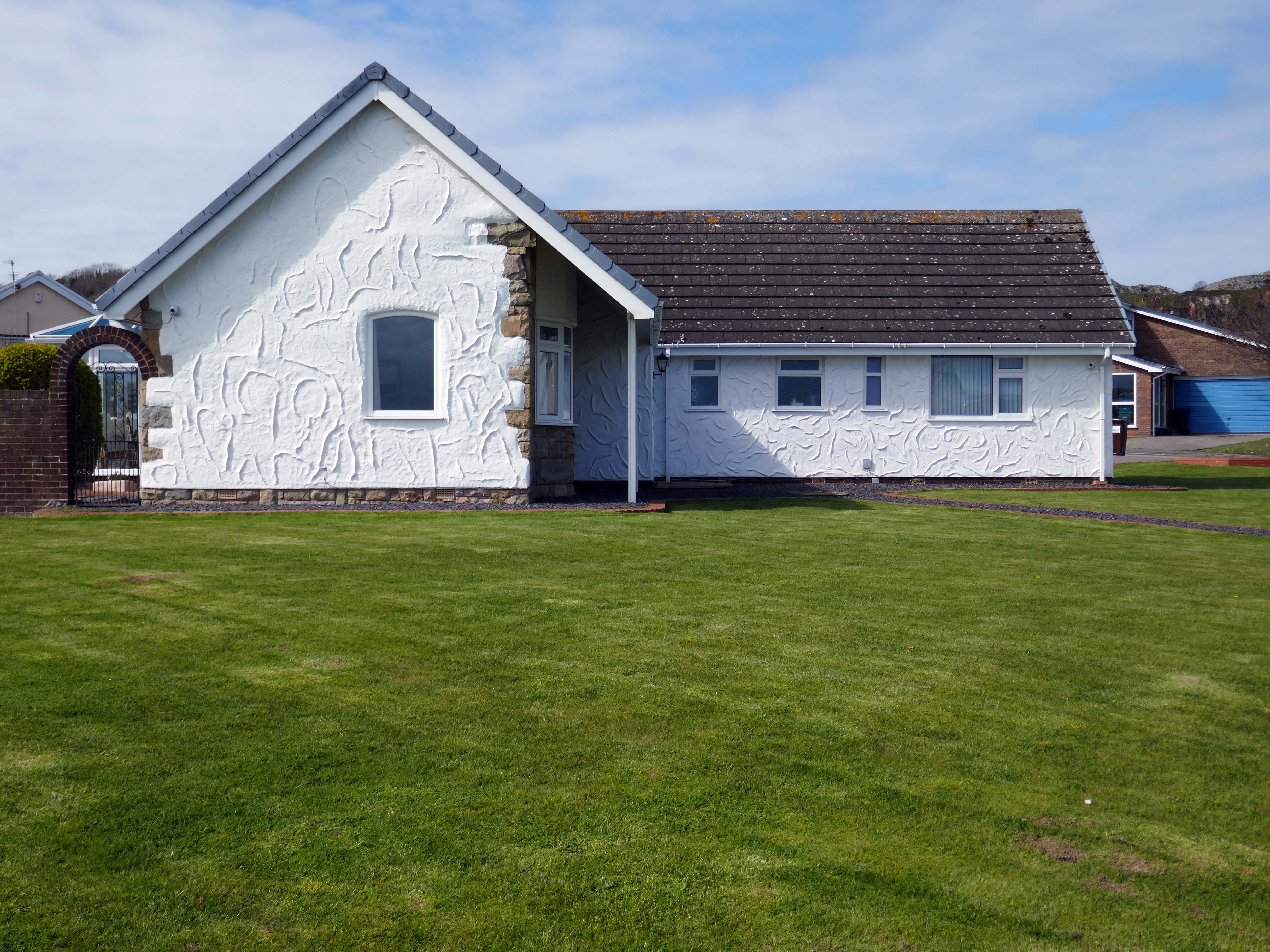
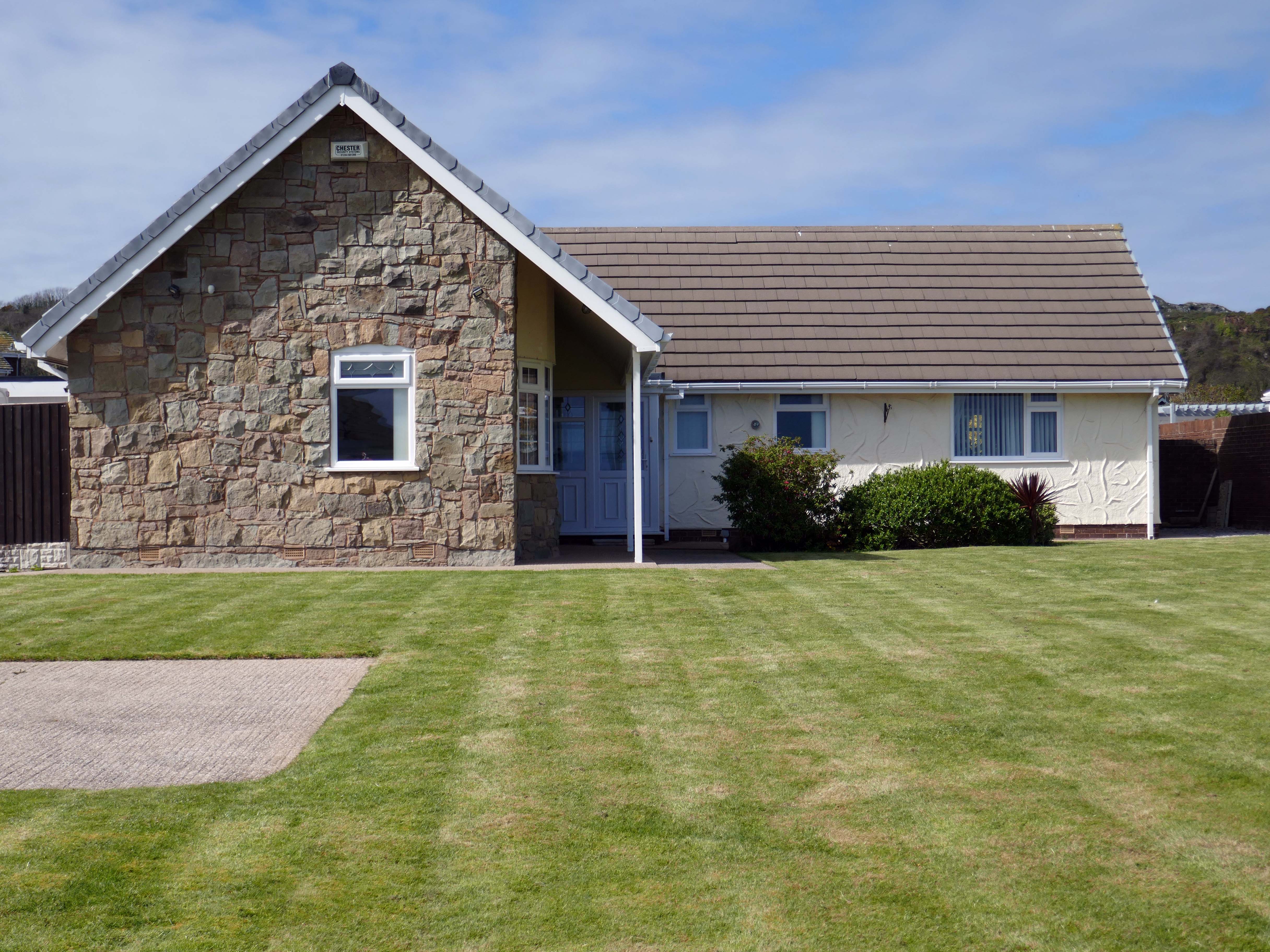
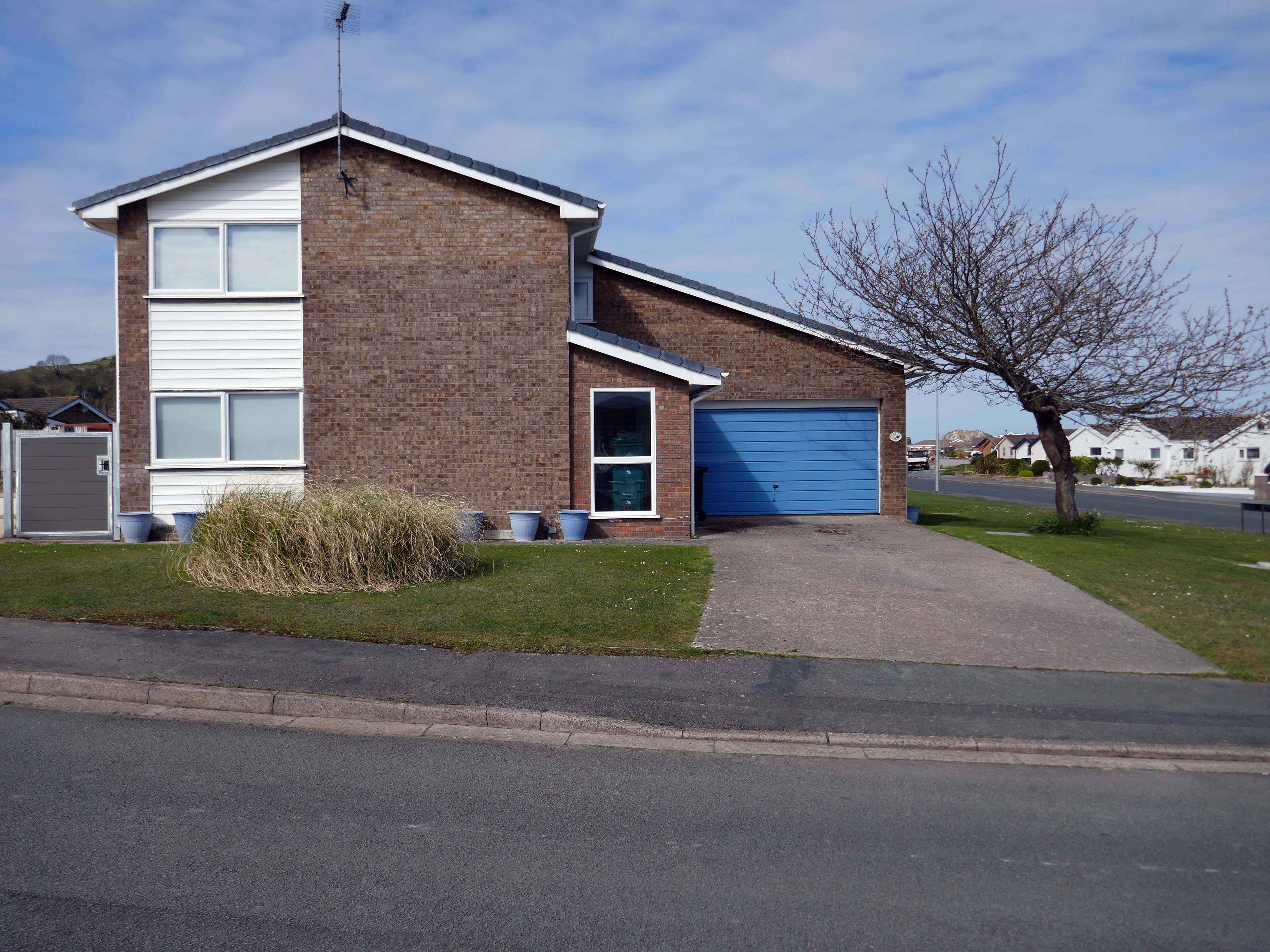
The quality of light and the well behaved deportment of the houses and owners, exuded the demeanour of a model village.
There are new model cars, extensions, impressed drives, garden ornamentation, quirkily rendered reliefs and cladding.
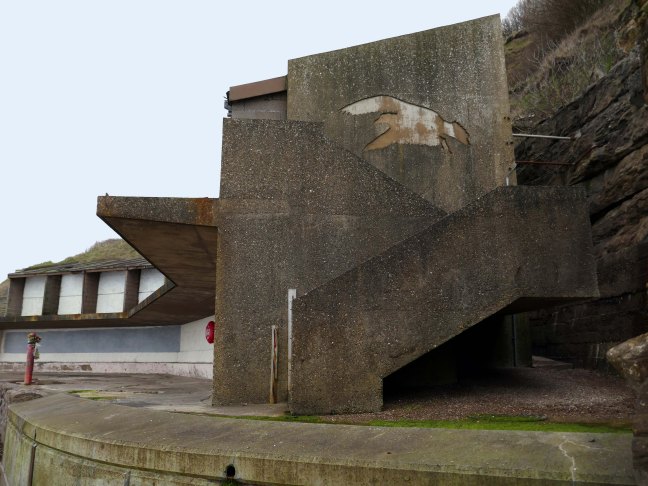
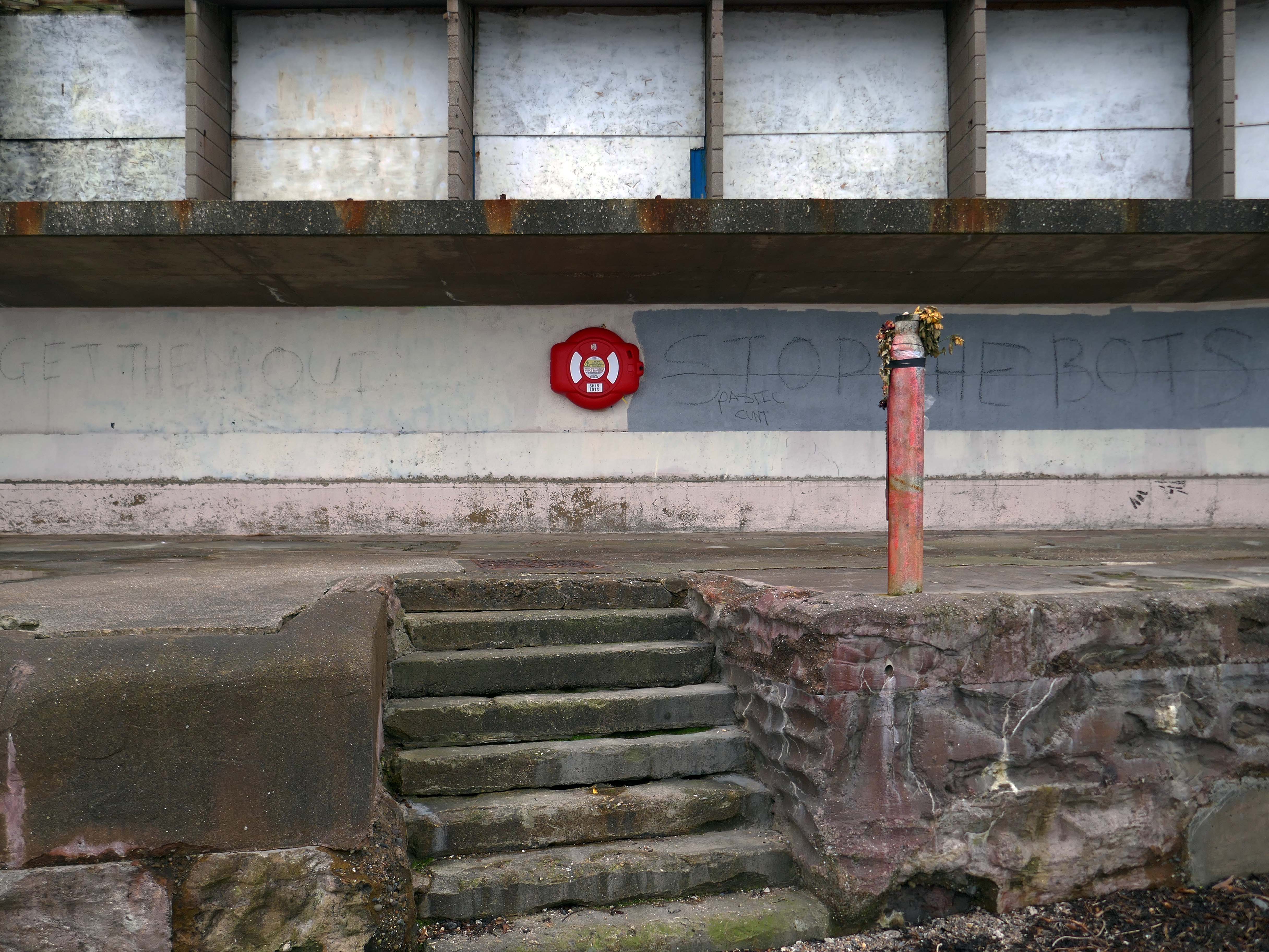
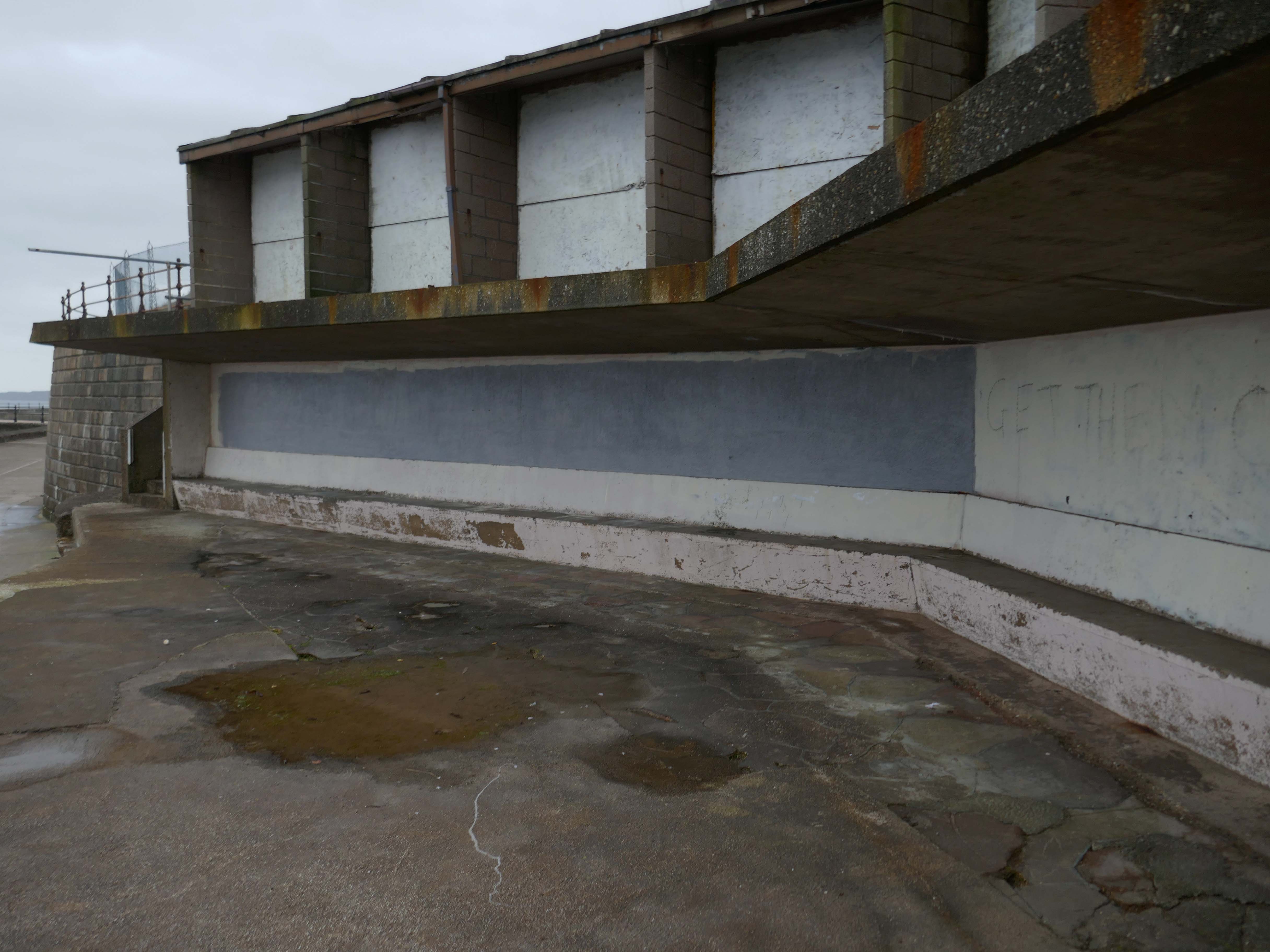
Here we are again, following visits in 2020 and 2023.
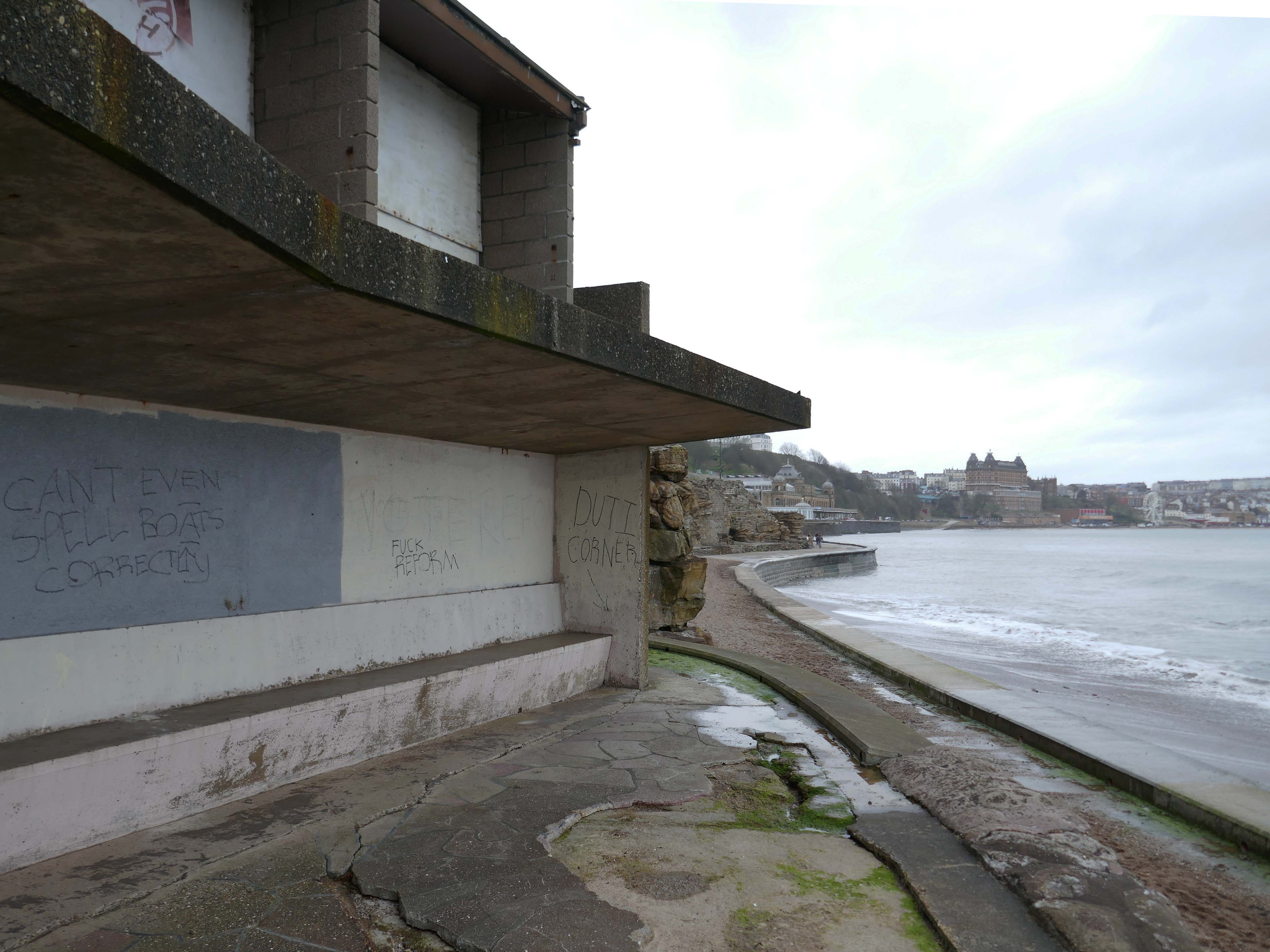
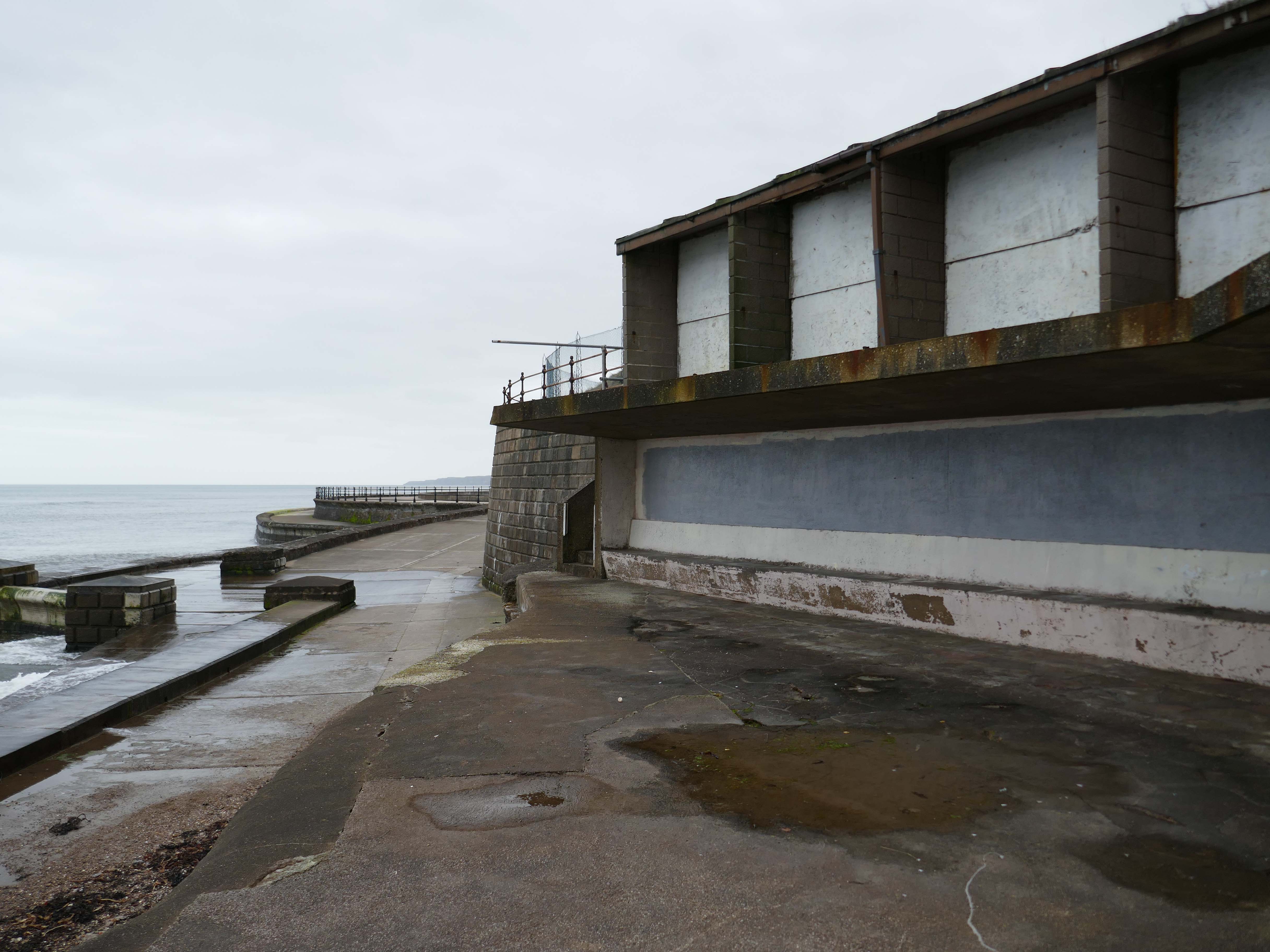
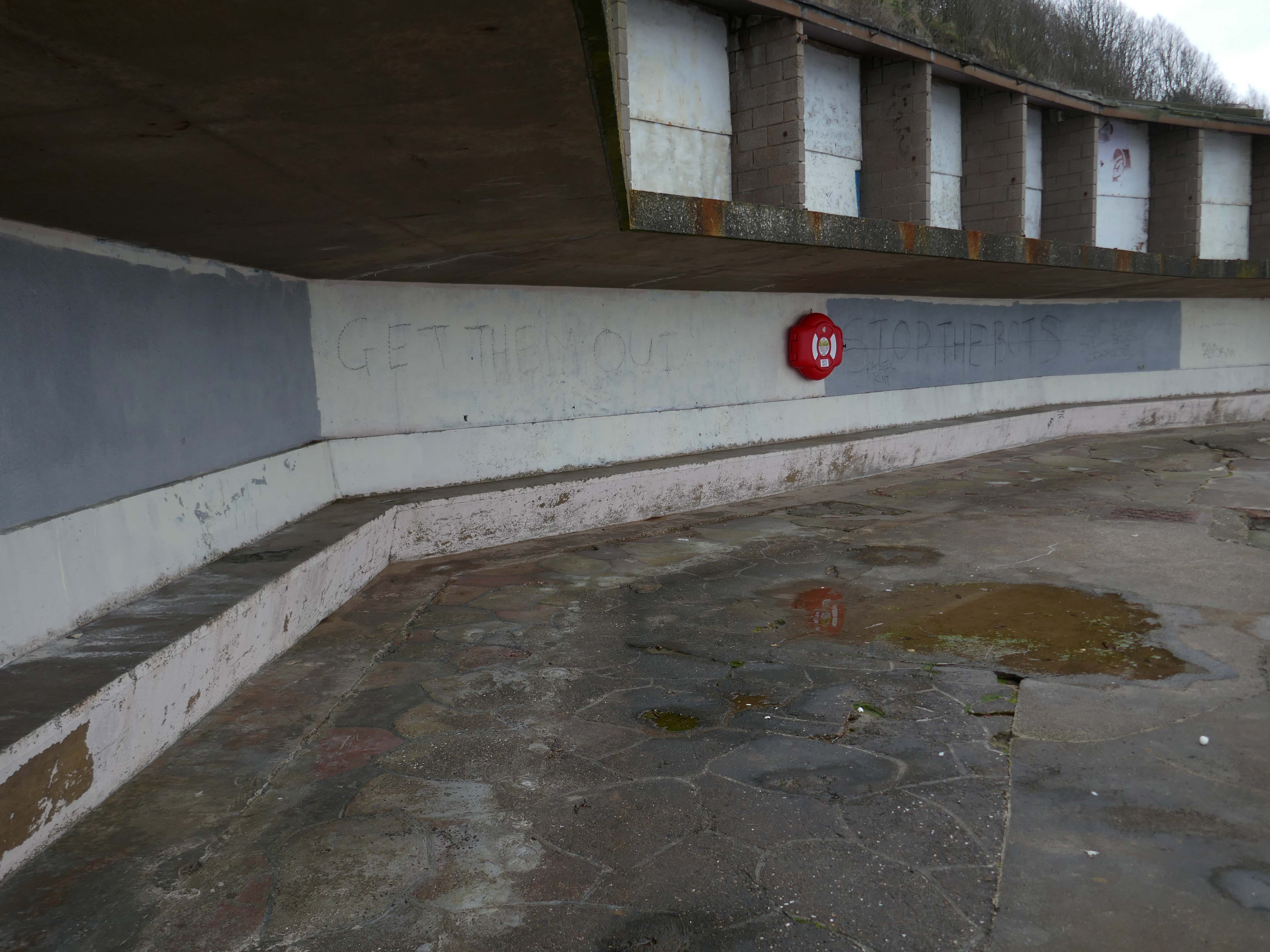
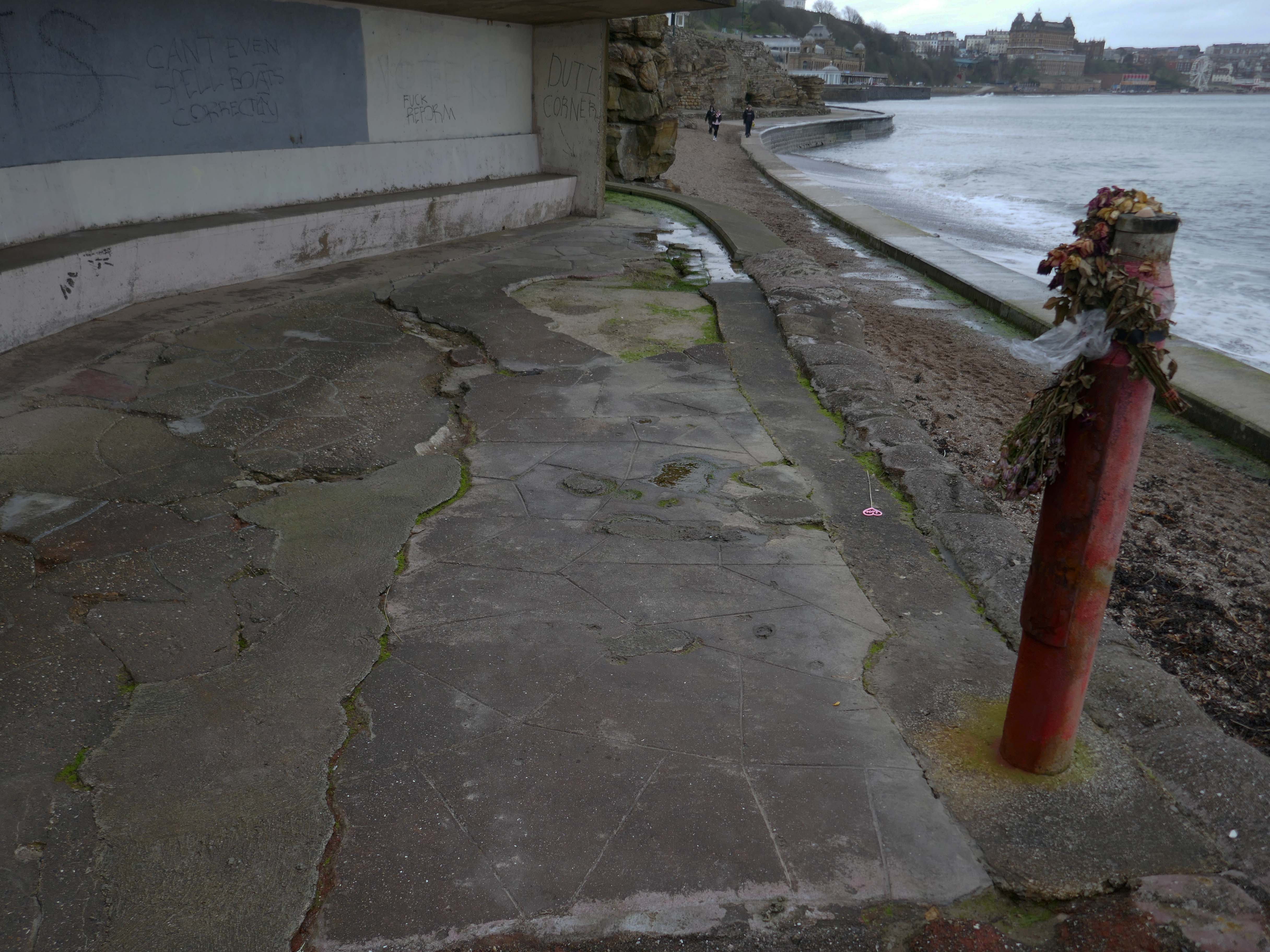
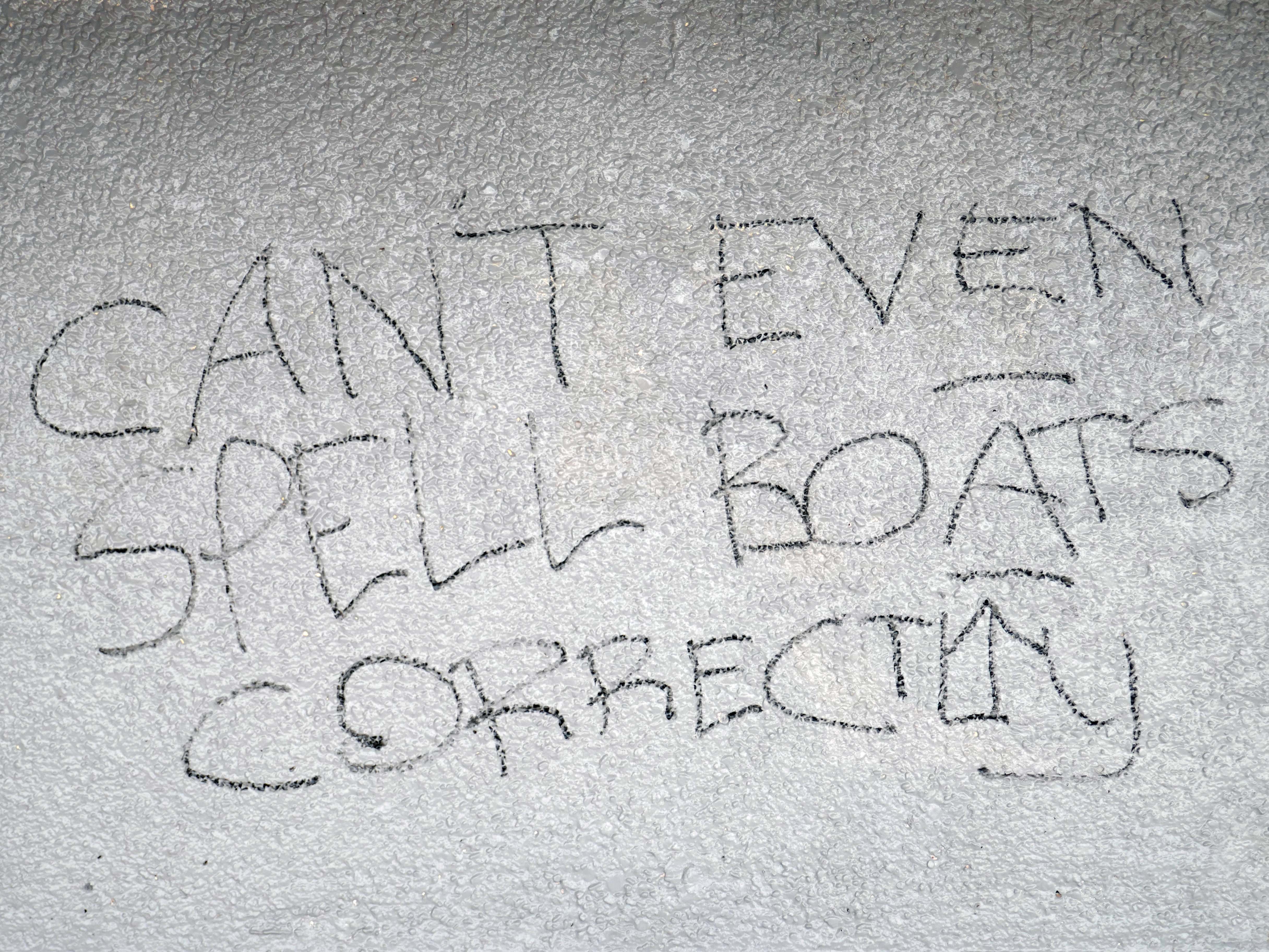
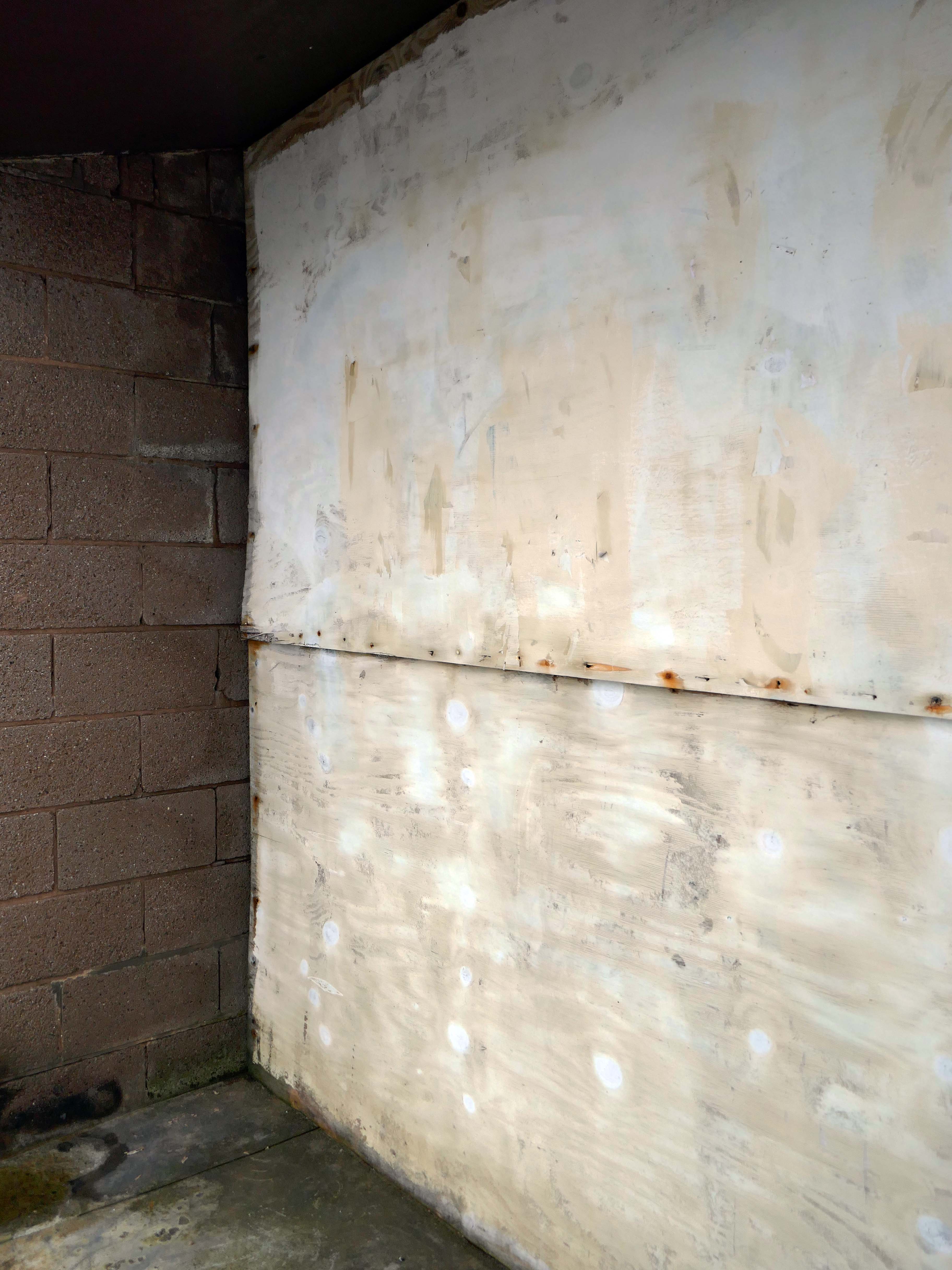
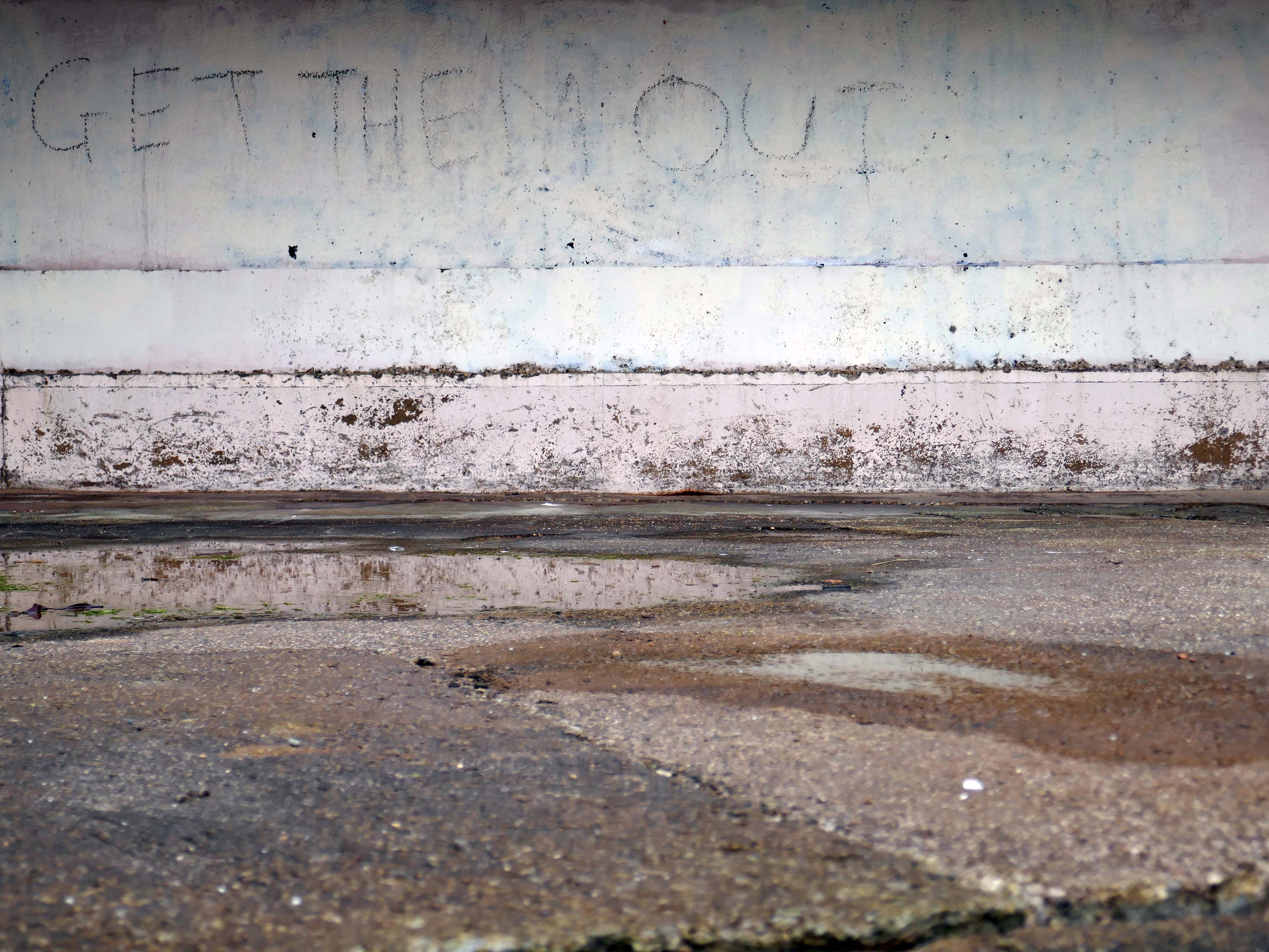
There has been some low level maintenance undertaken to almost secure the site, and someone from the Corporation has given the walls a coat of paint, subsequently undone by the local scrawlers.
Who knows what fate awaits them?
I shall endeavour to keep you posted with further posts.
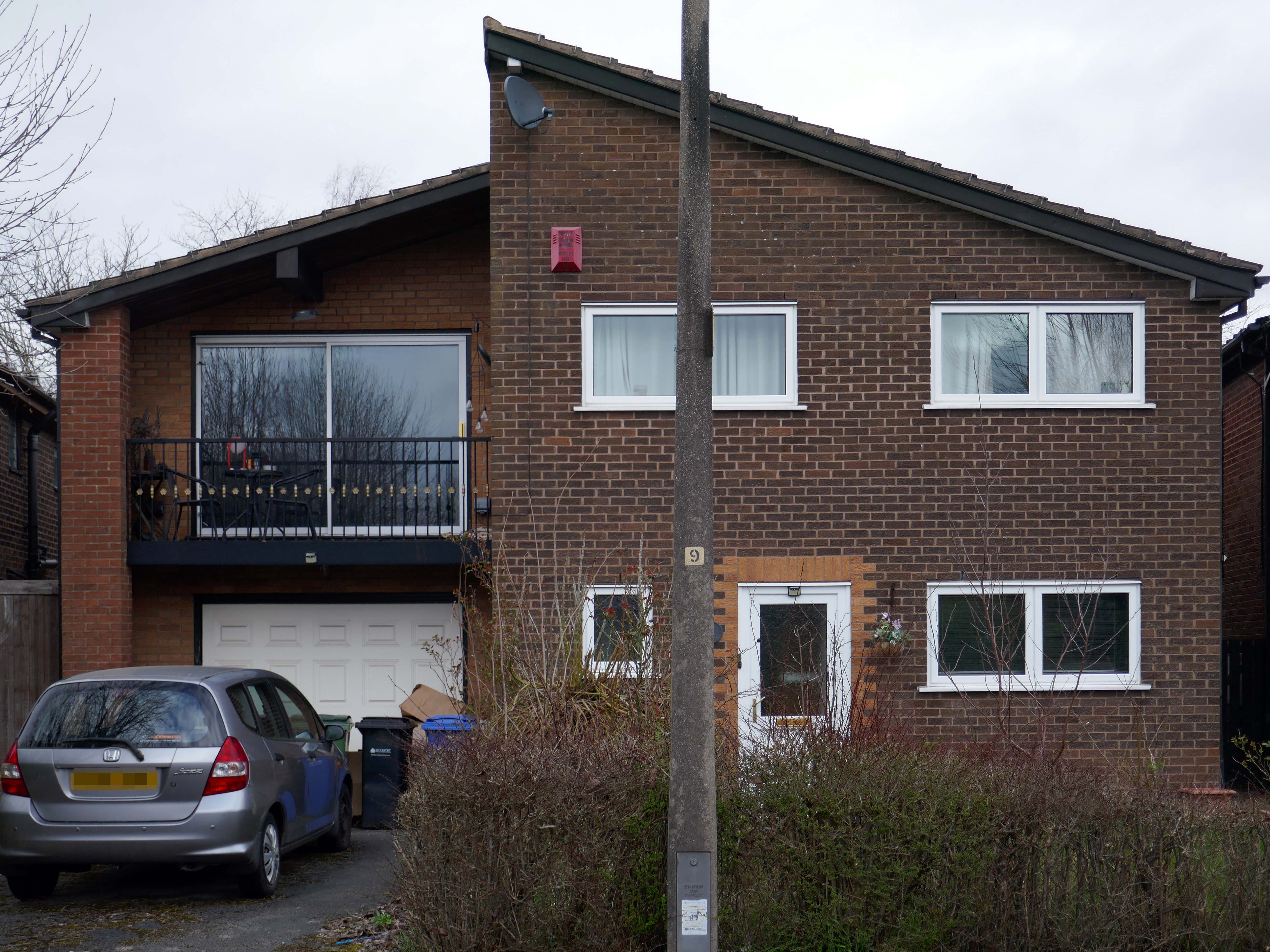
For my part I cannot help bur recall the TV show Green Acres whenever I pass by Green Pastures.
Eva Gabor preferring the glamour of Manhattan.
To the rural life.
Culturally and stylistically, Green Pastures sits somewhere betwixt and between.
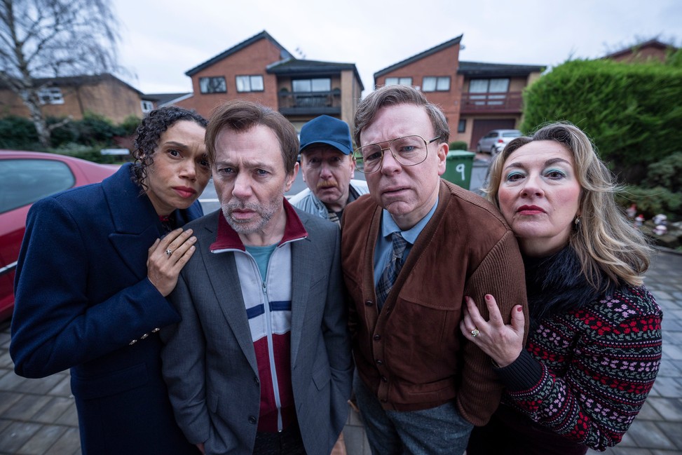
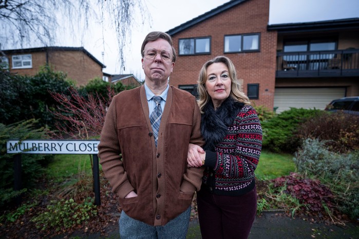
In reality the fictional life of Green Pastures became Mulberry Close, in the hit TV show Inside No. Nine
Vinette Robinson, Reece Shearsmith, Adrian Scarborough, Steve Pemberton and Dorothy Atkinson.
So much for the scriptwriters wild imaginings, what does the road look like?
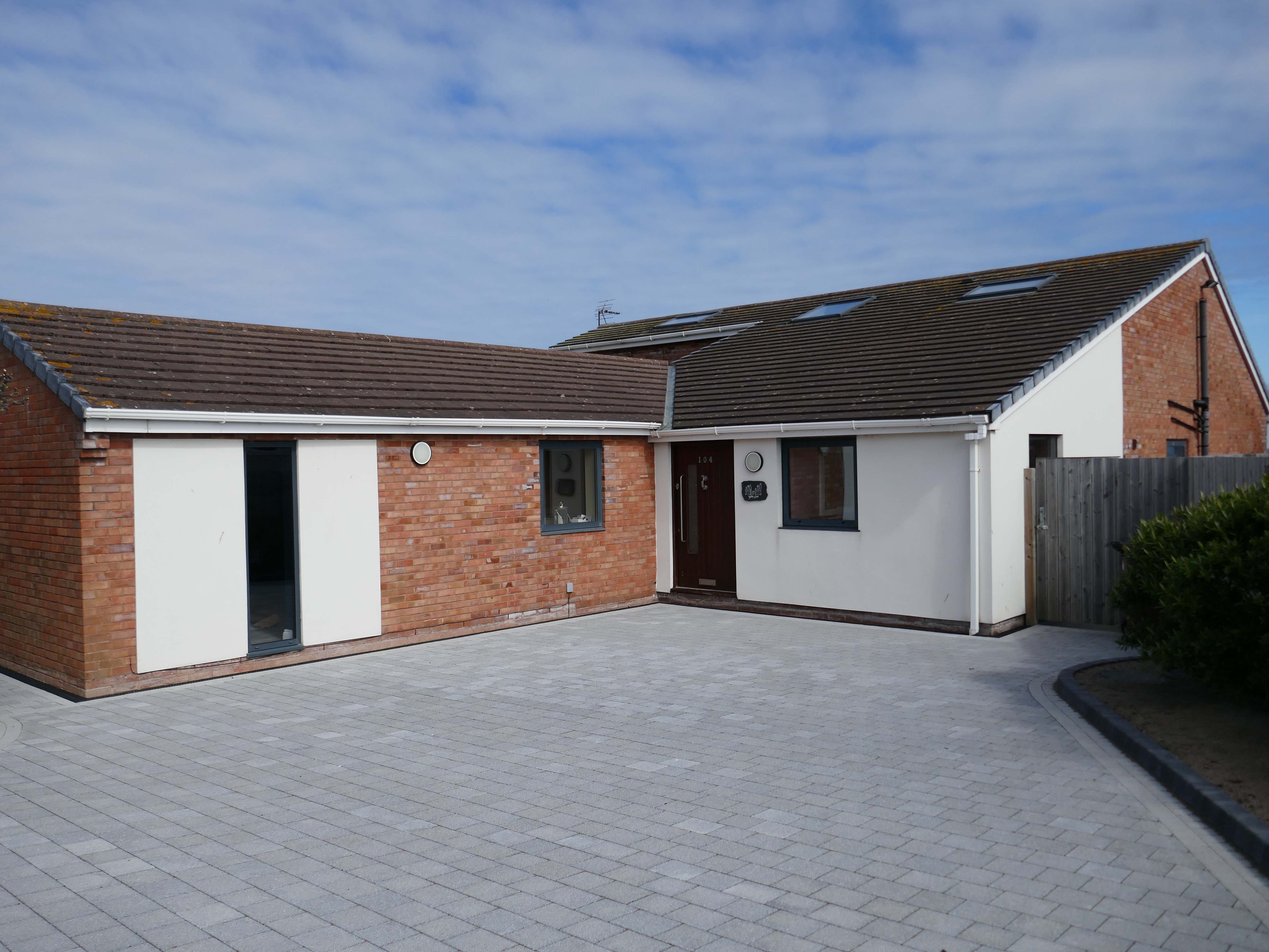
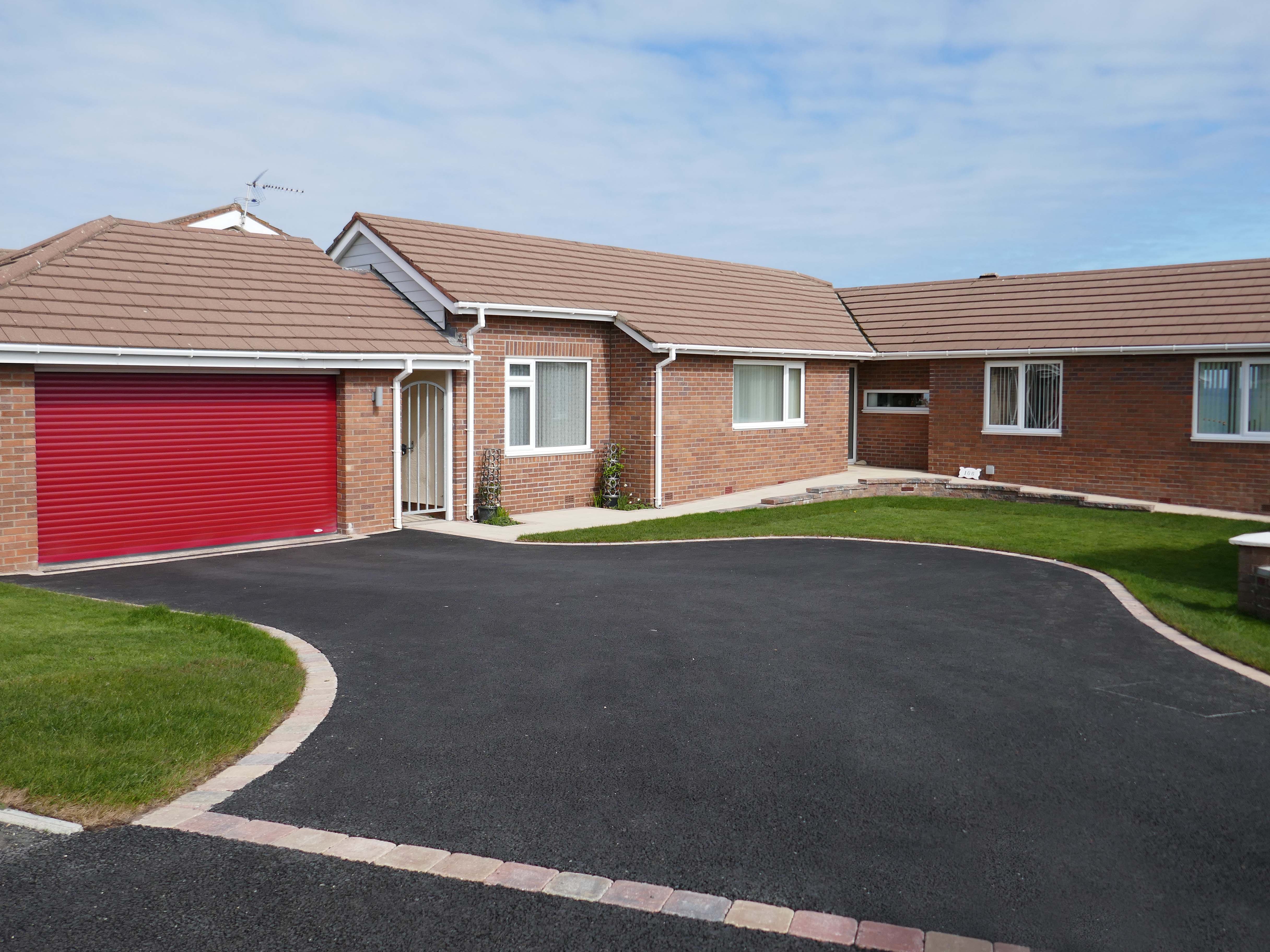
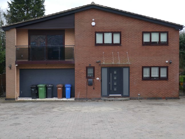
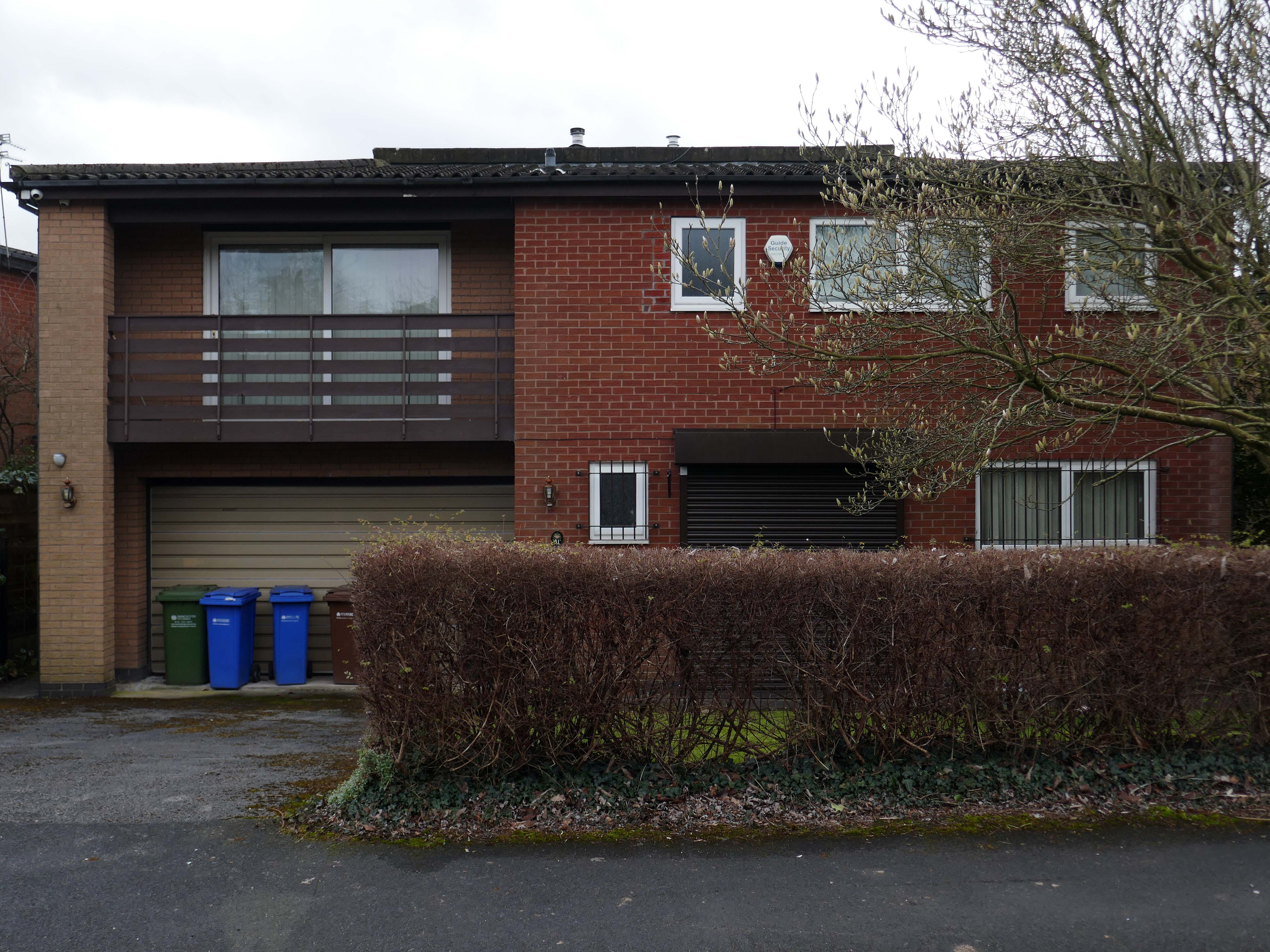
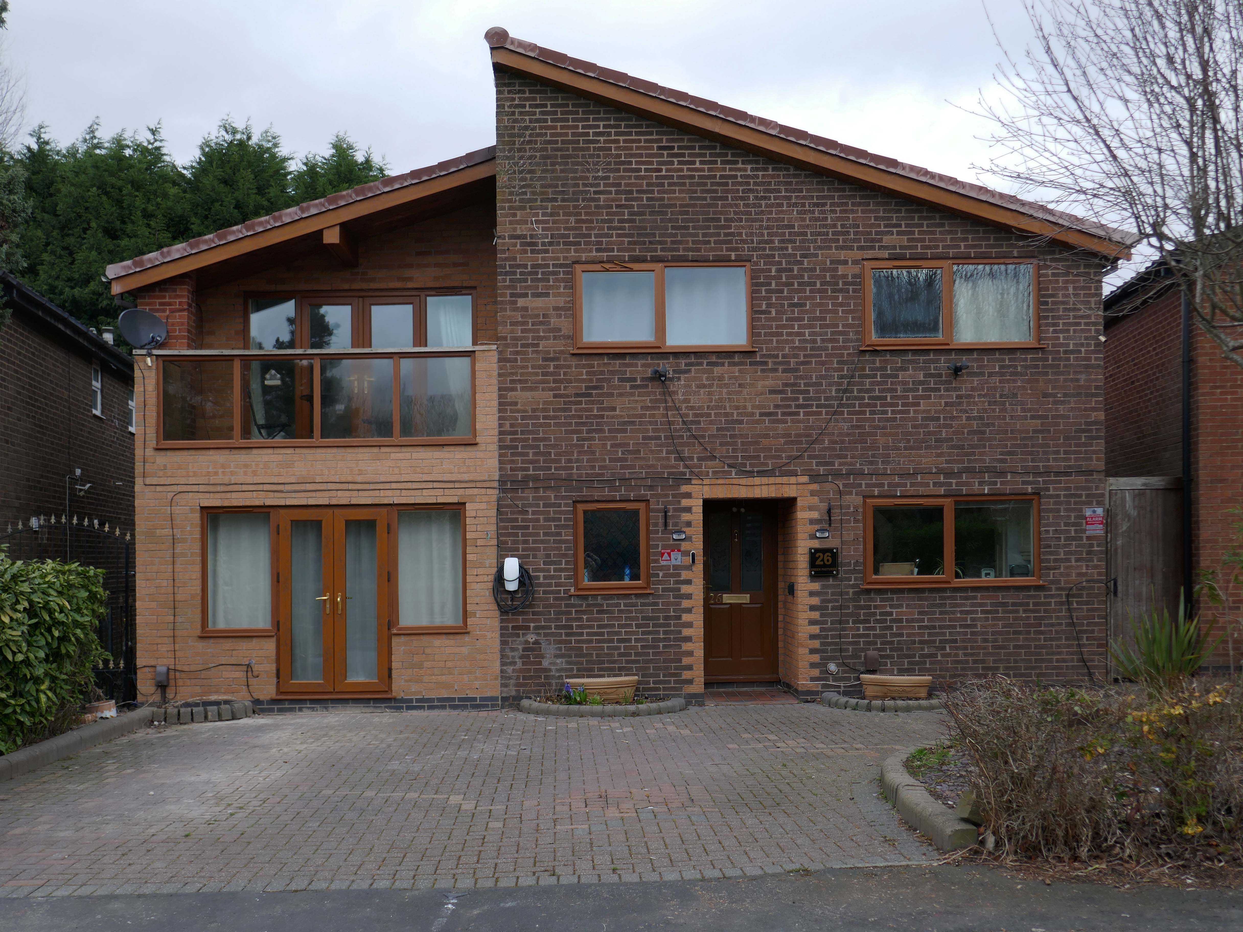
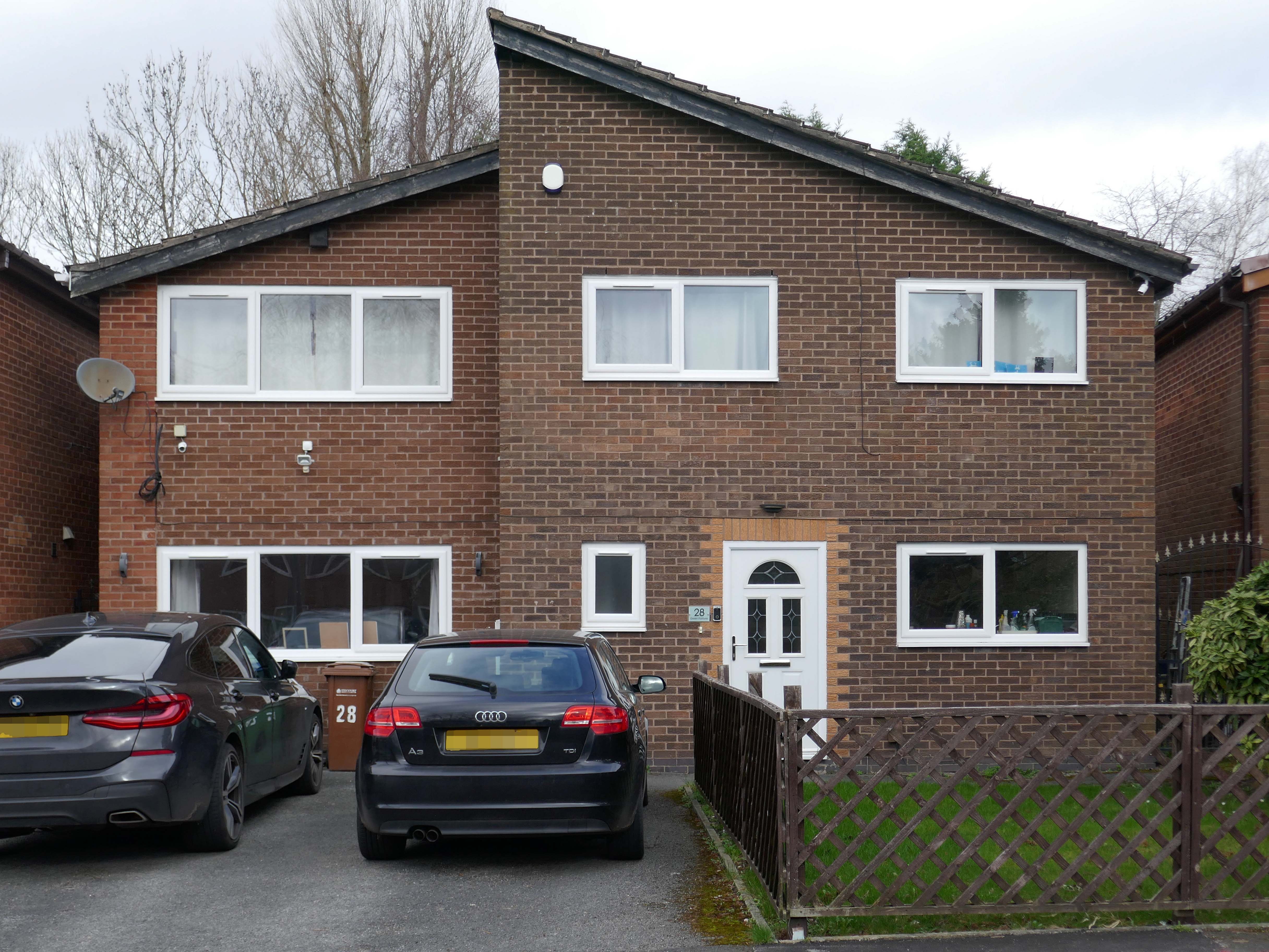
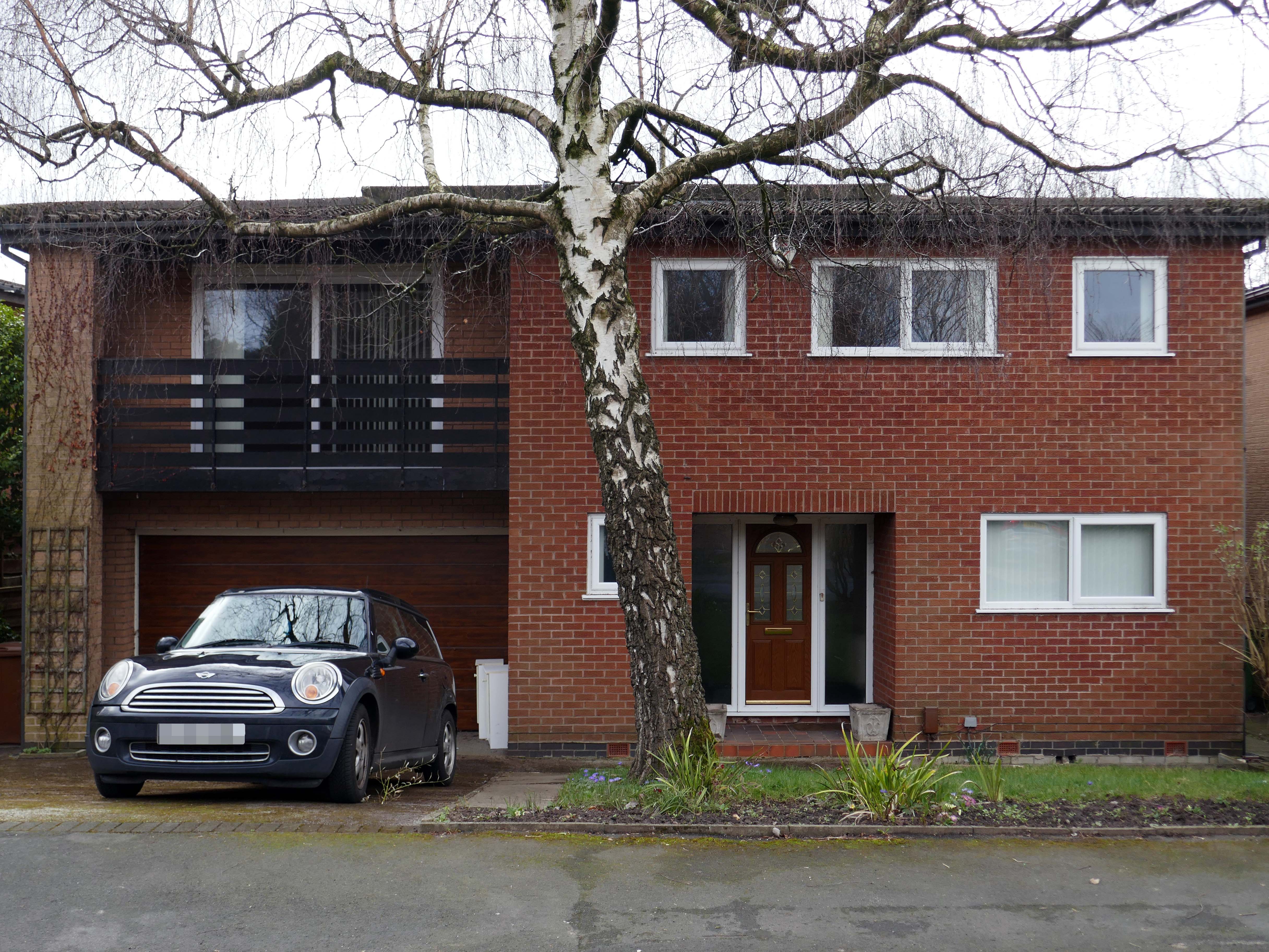
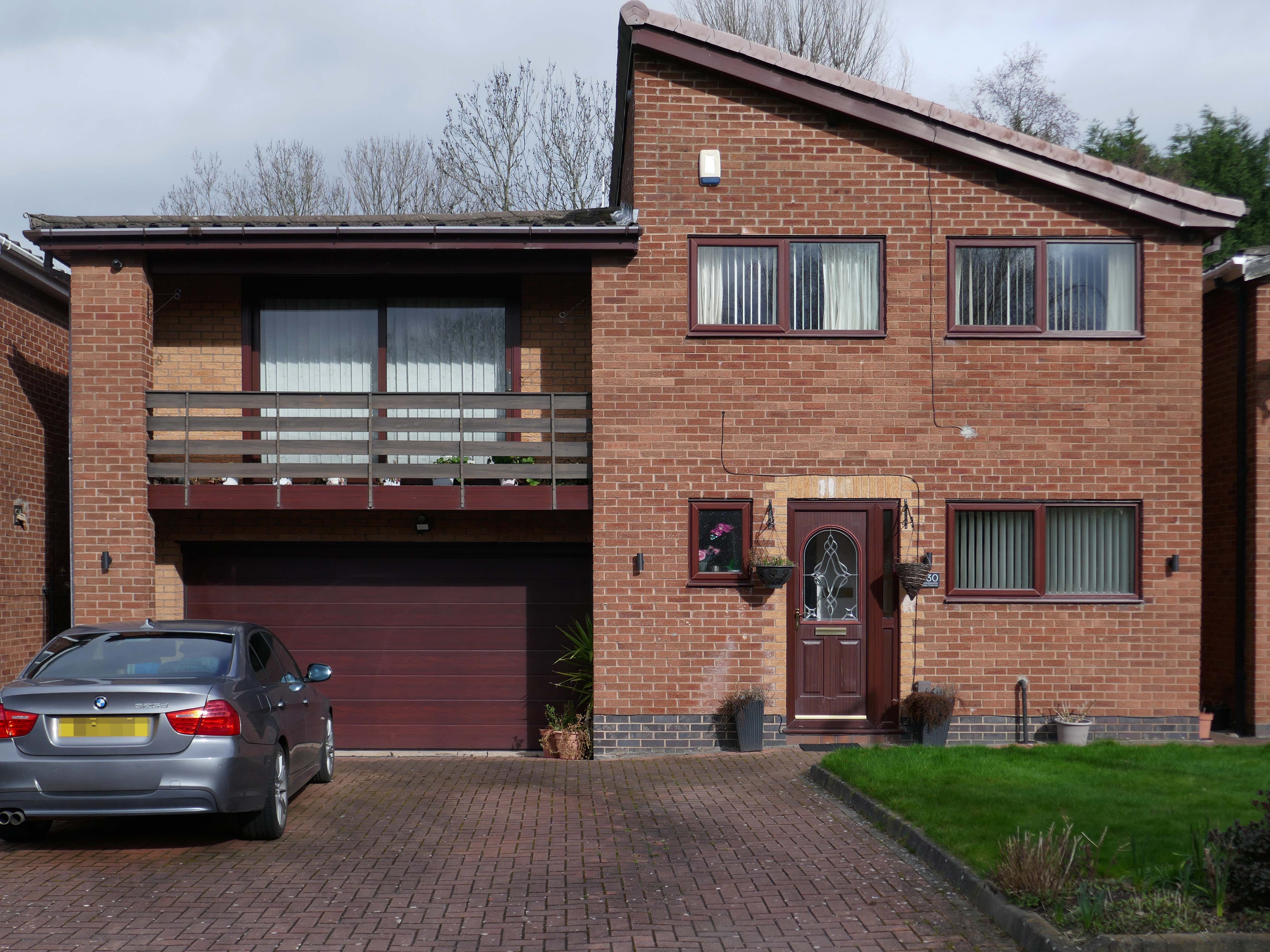
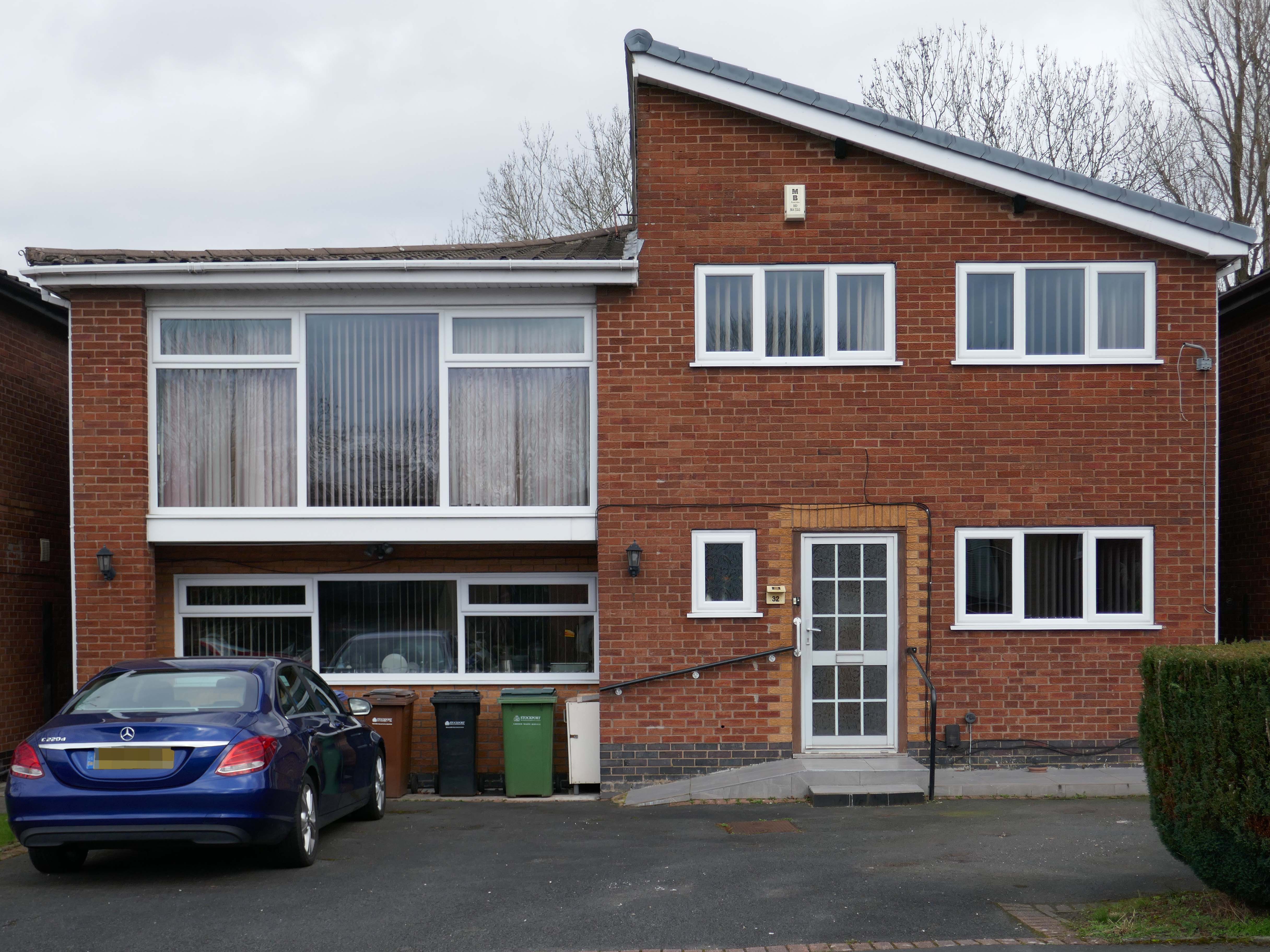
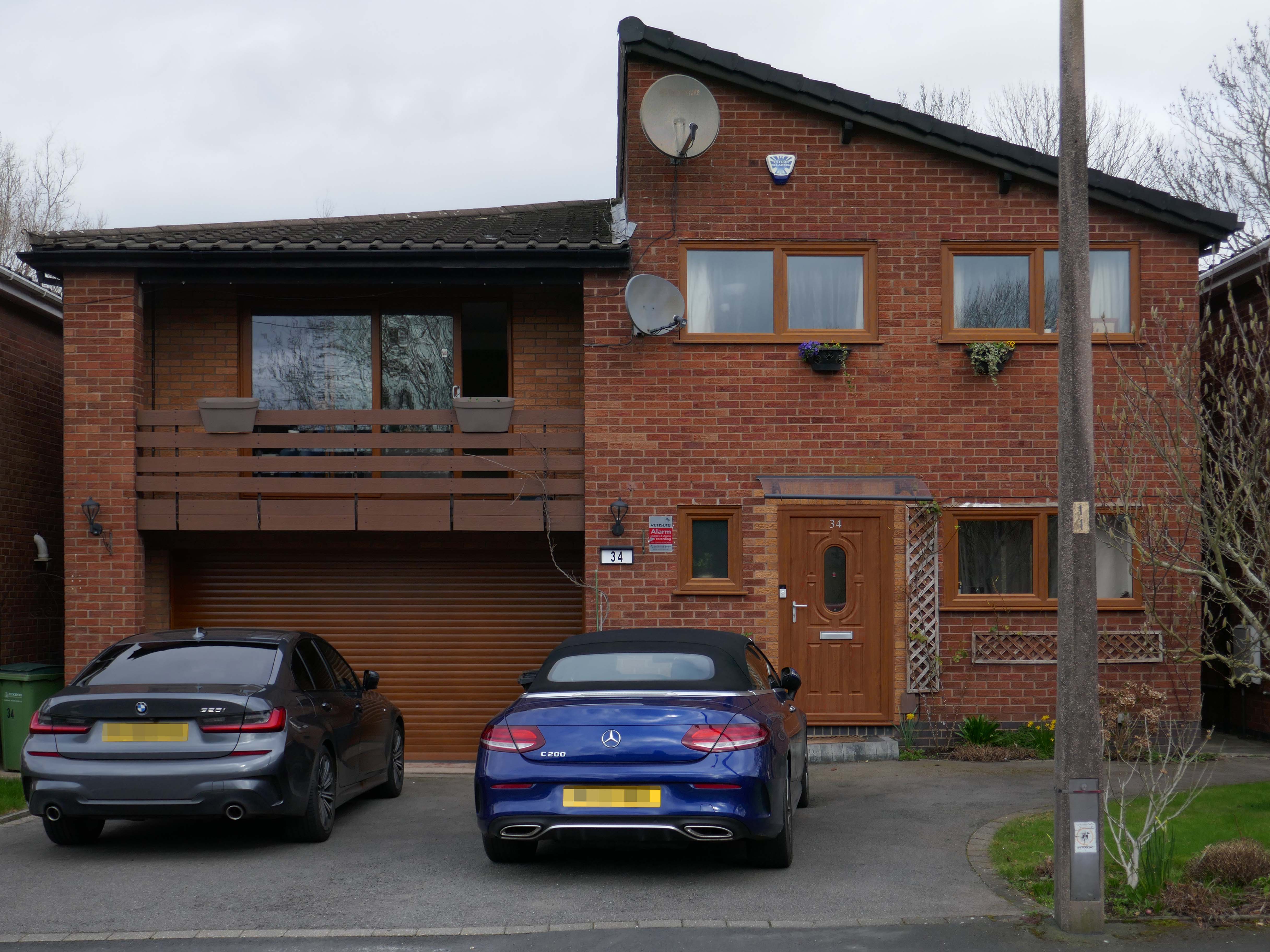
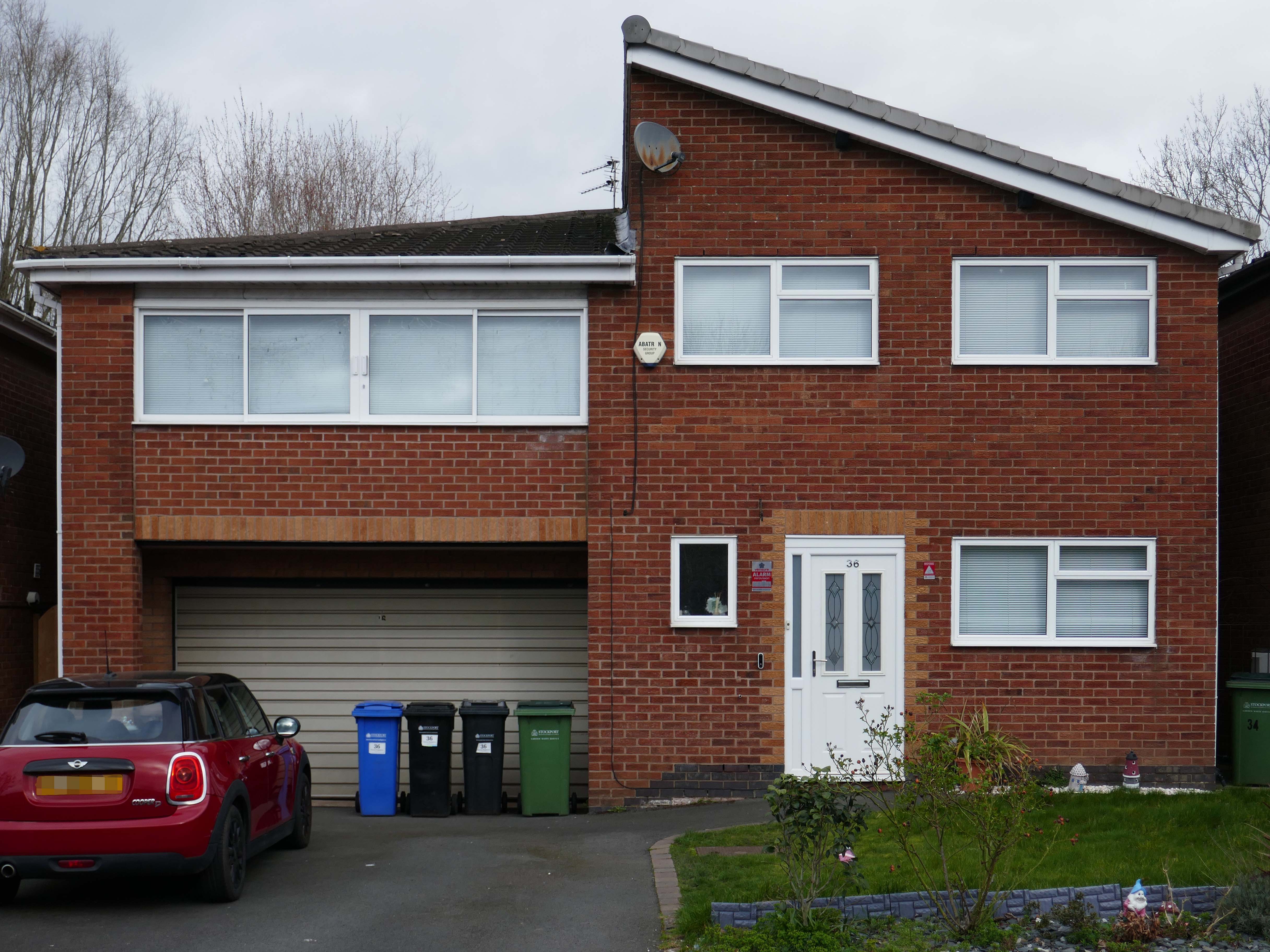
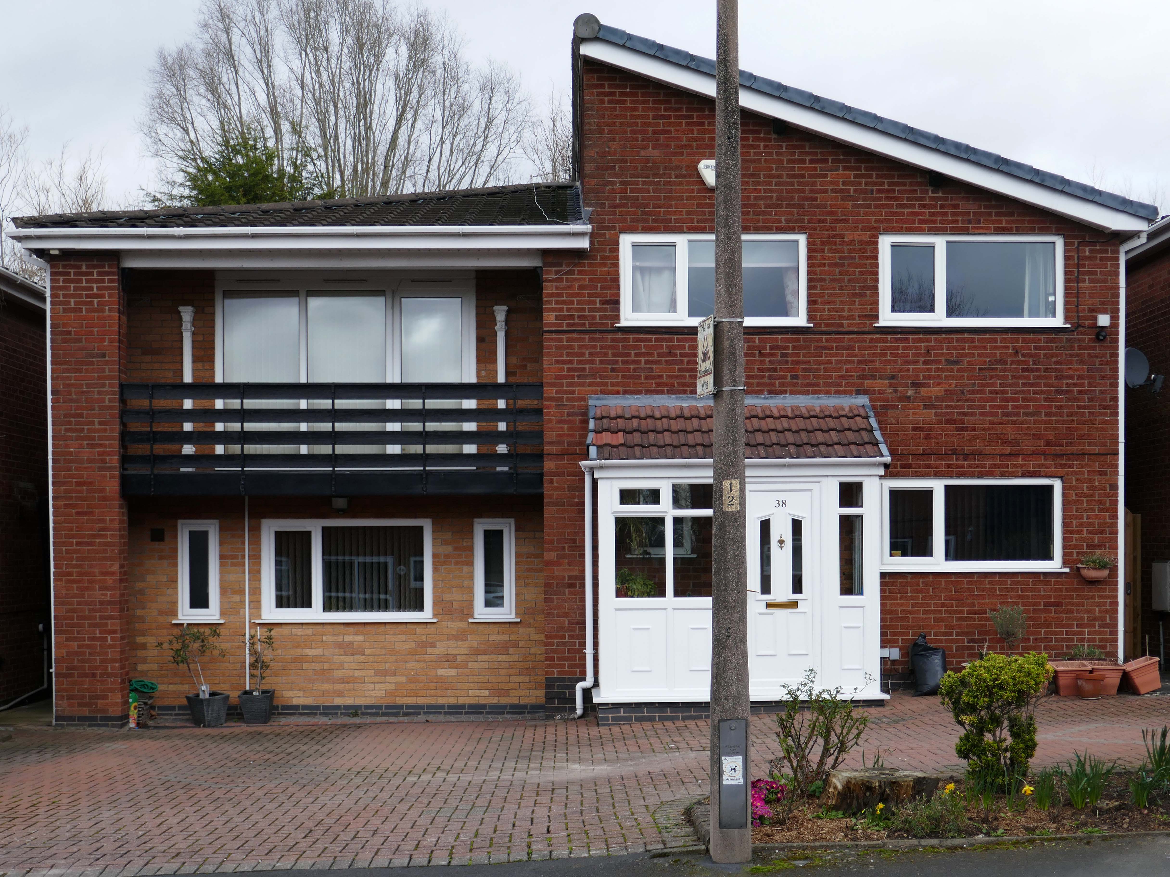
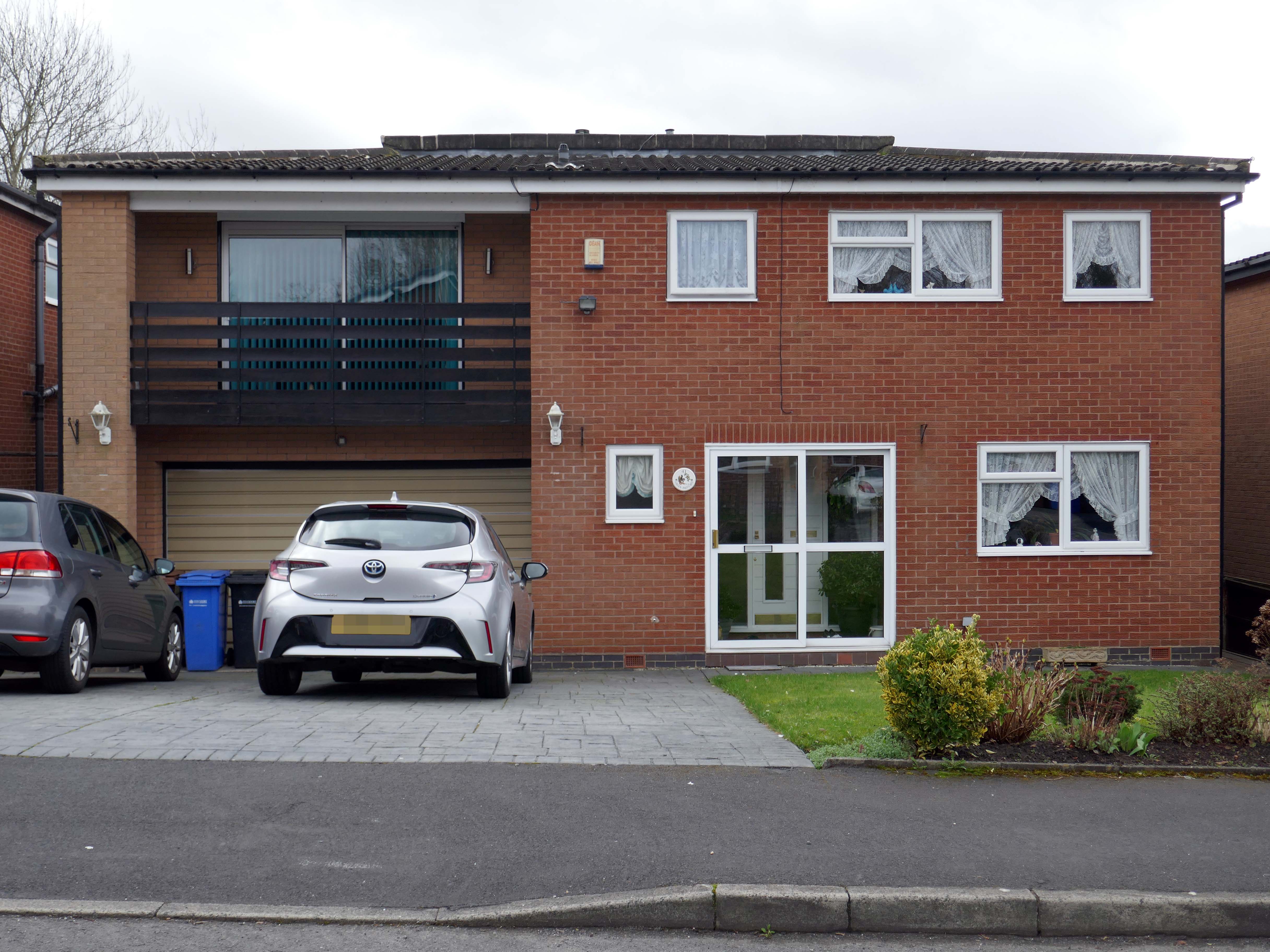
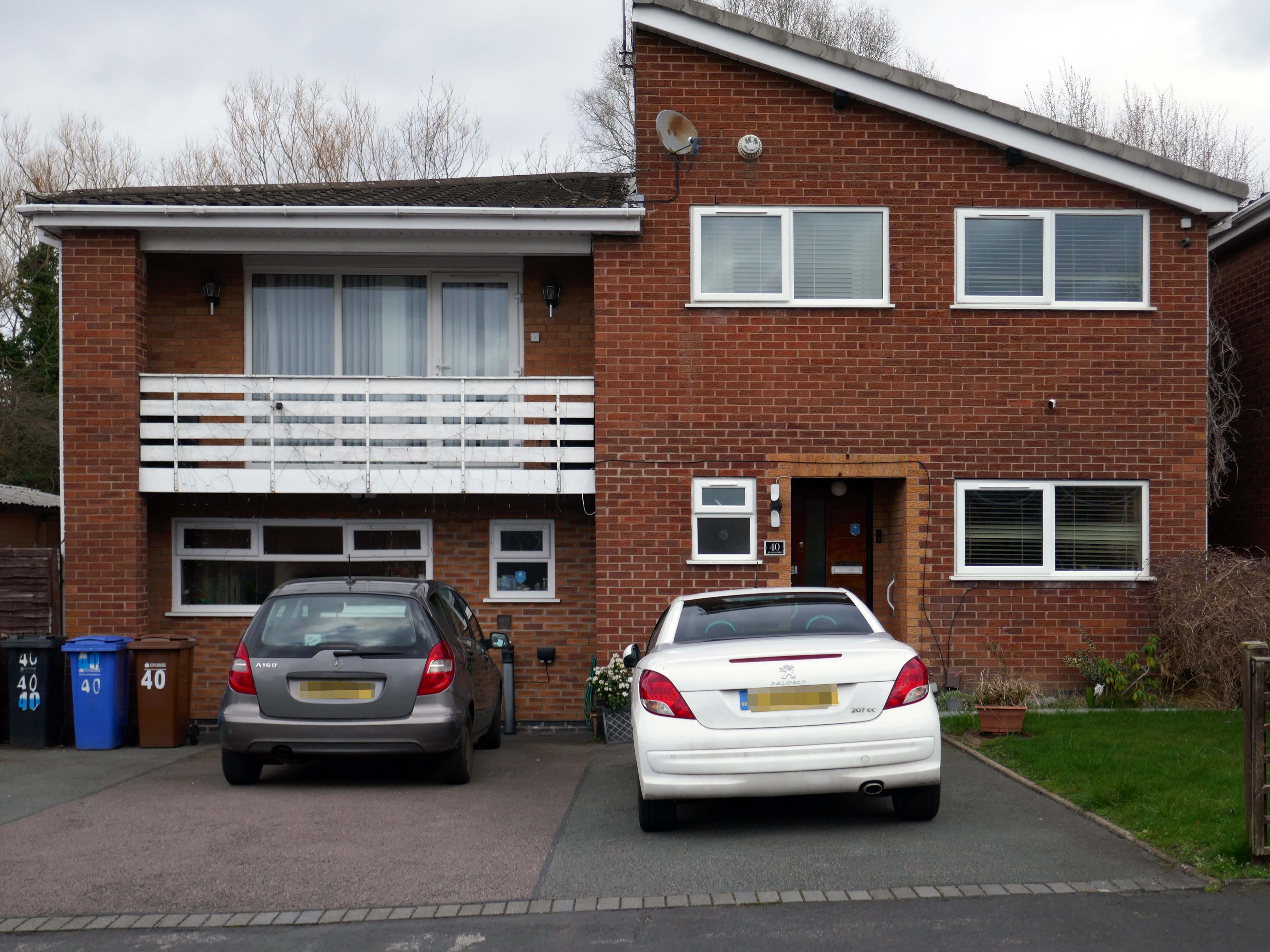
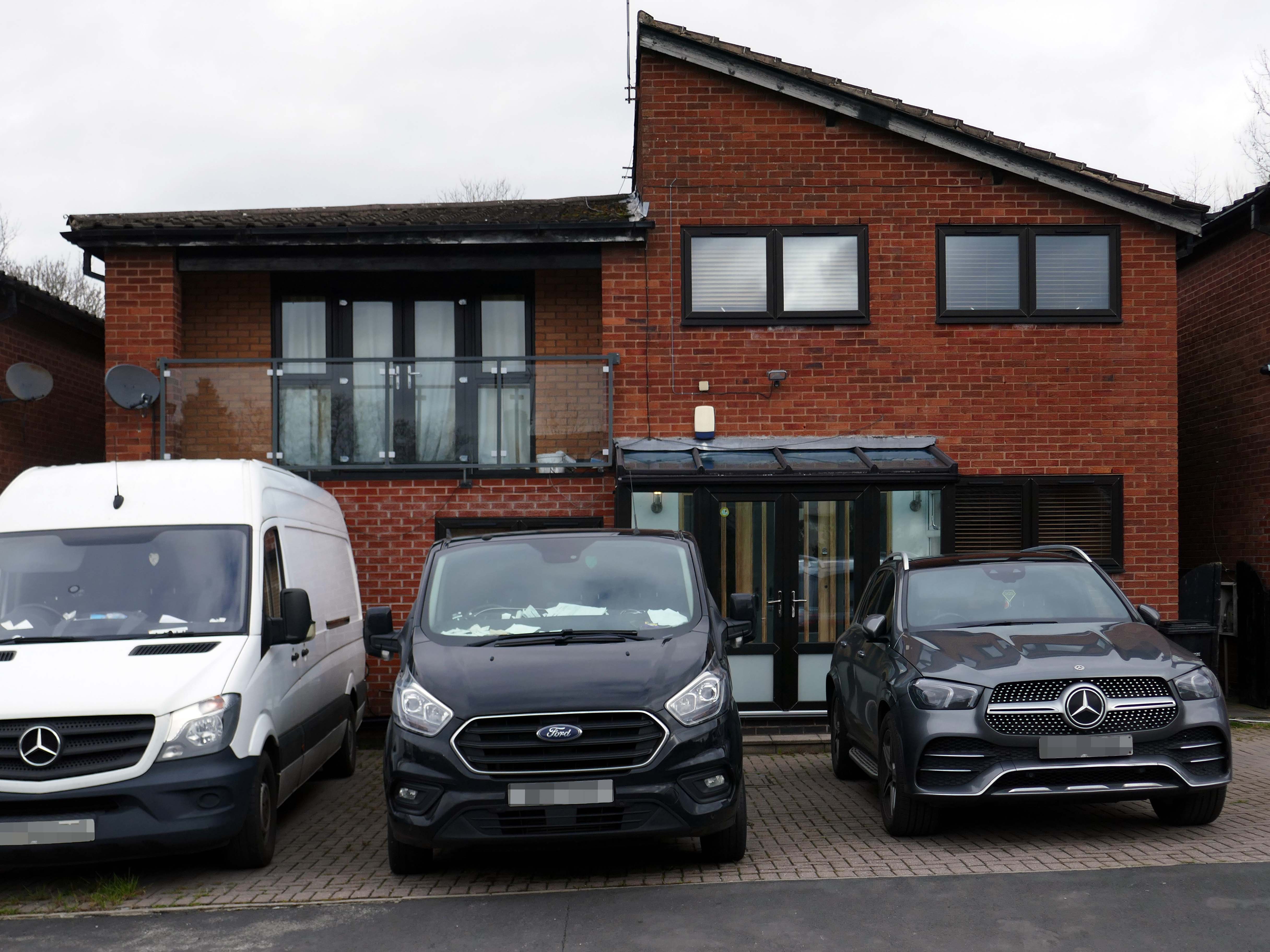
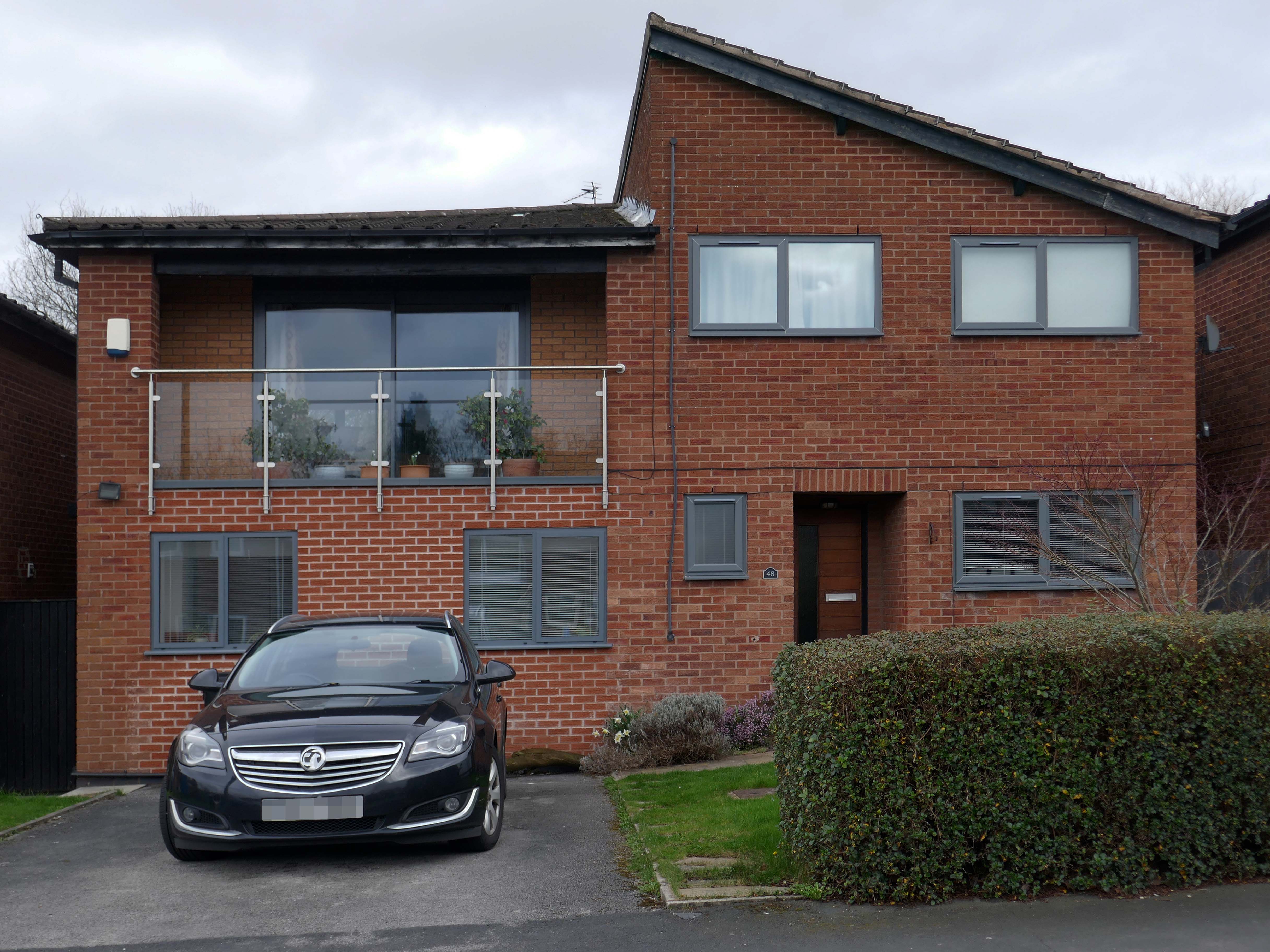
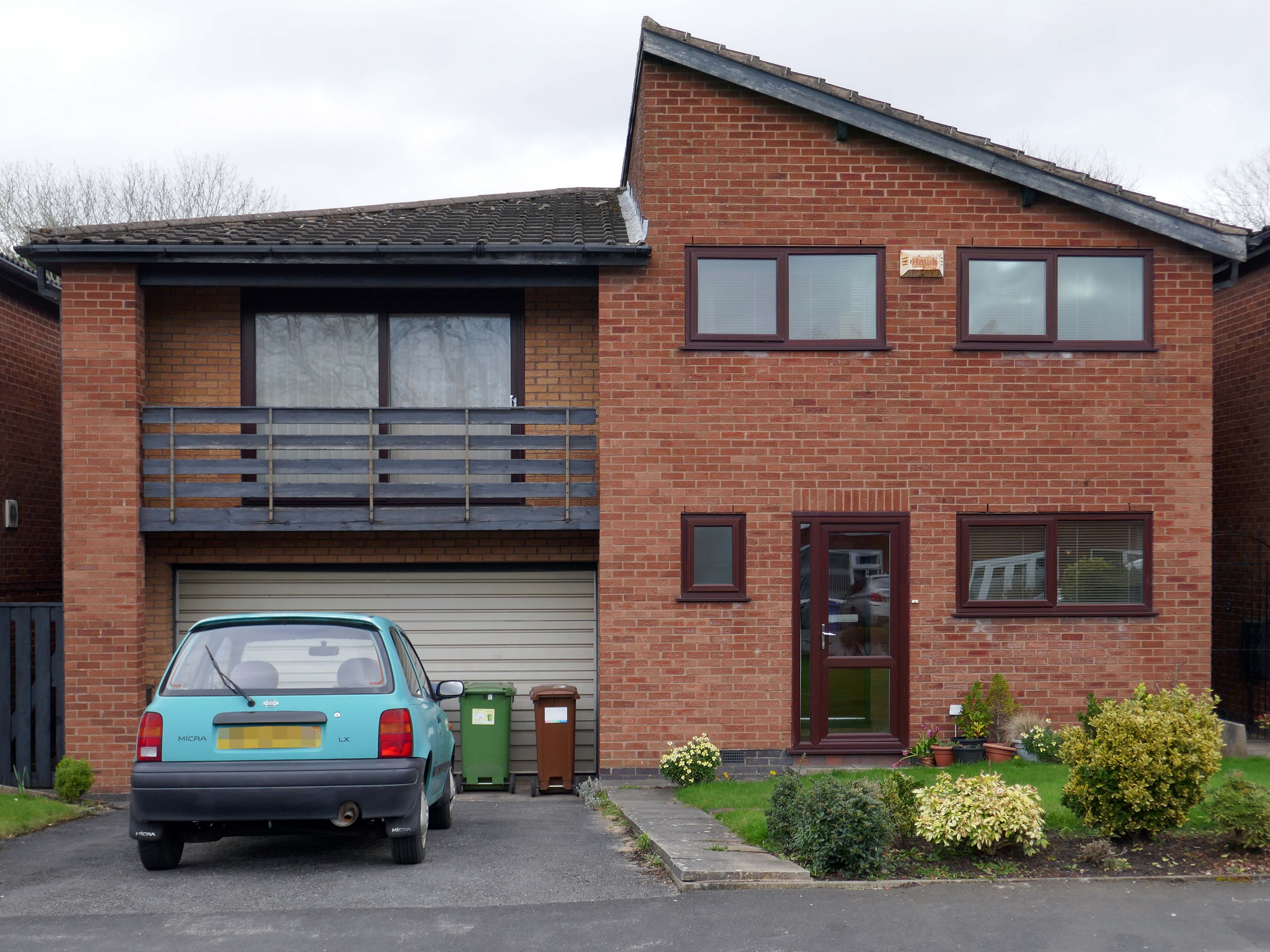
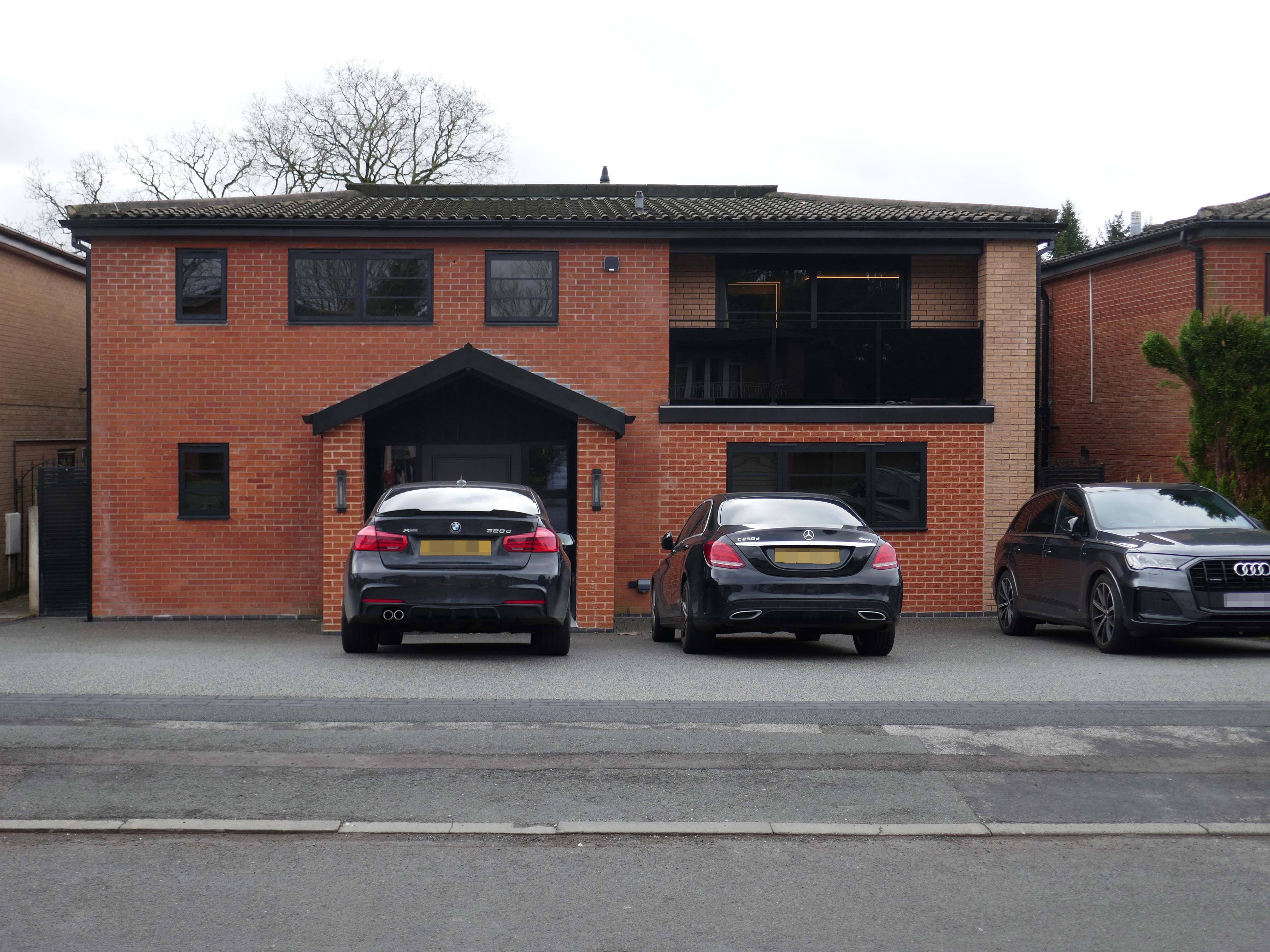
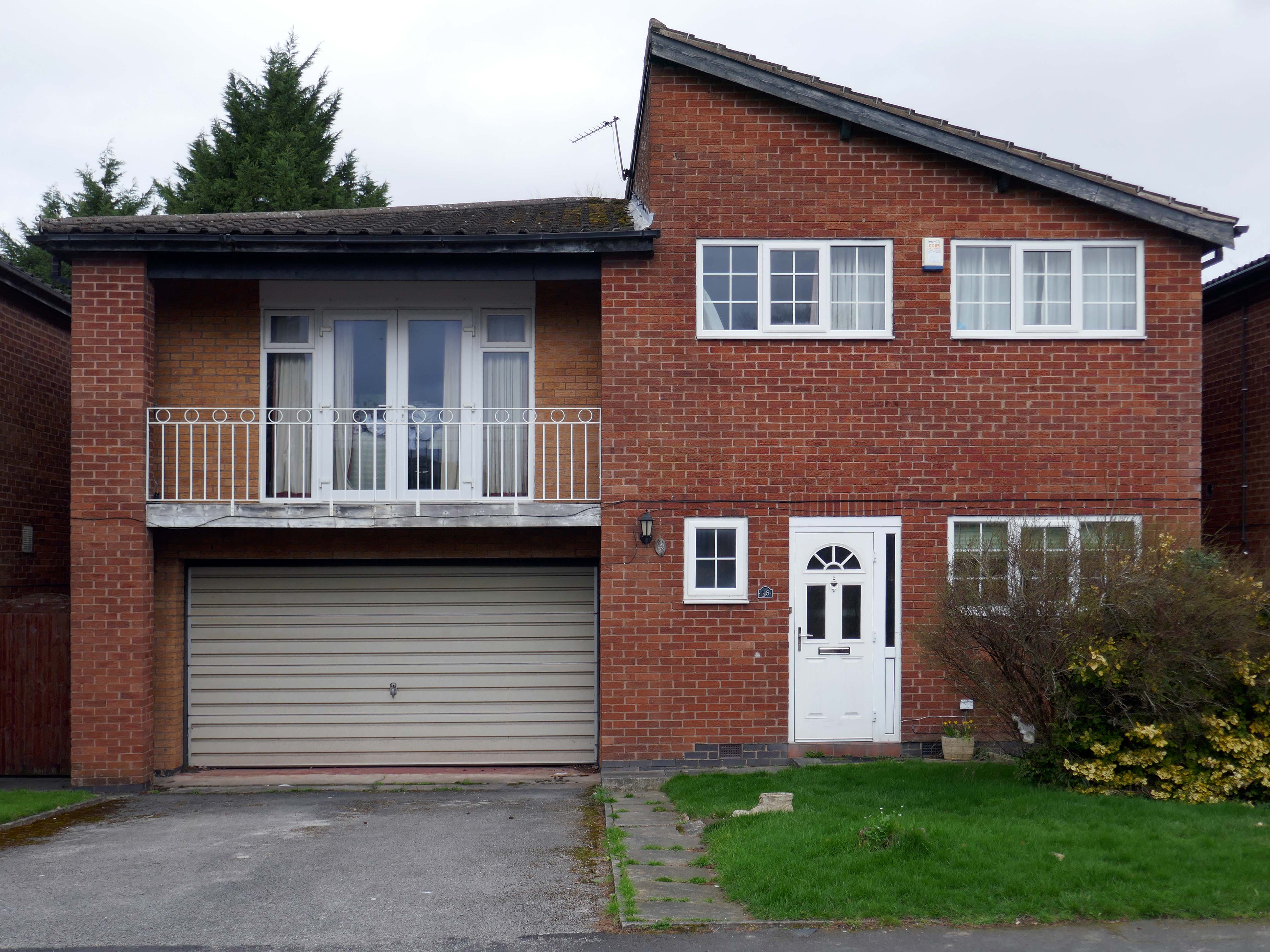
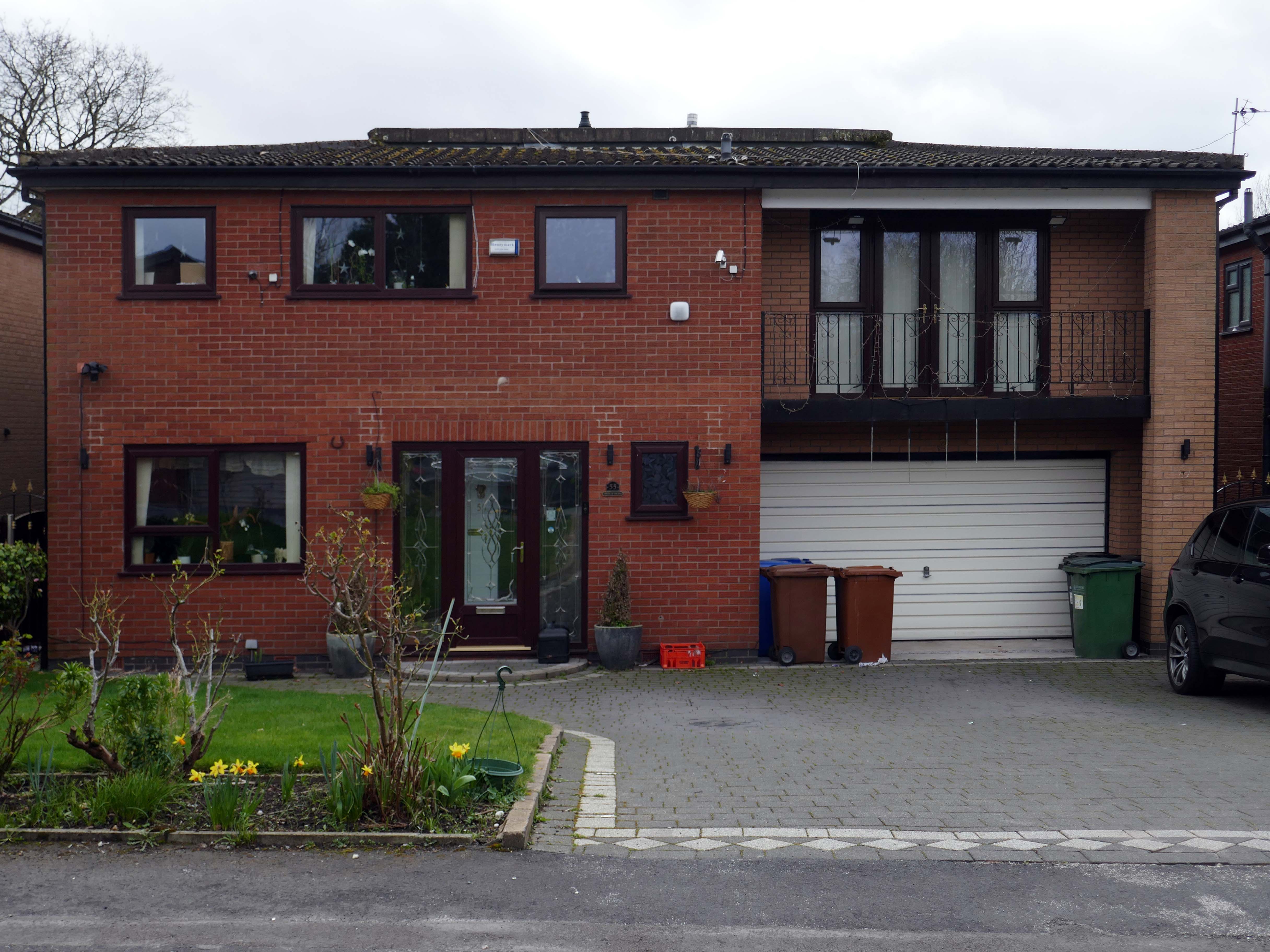
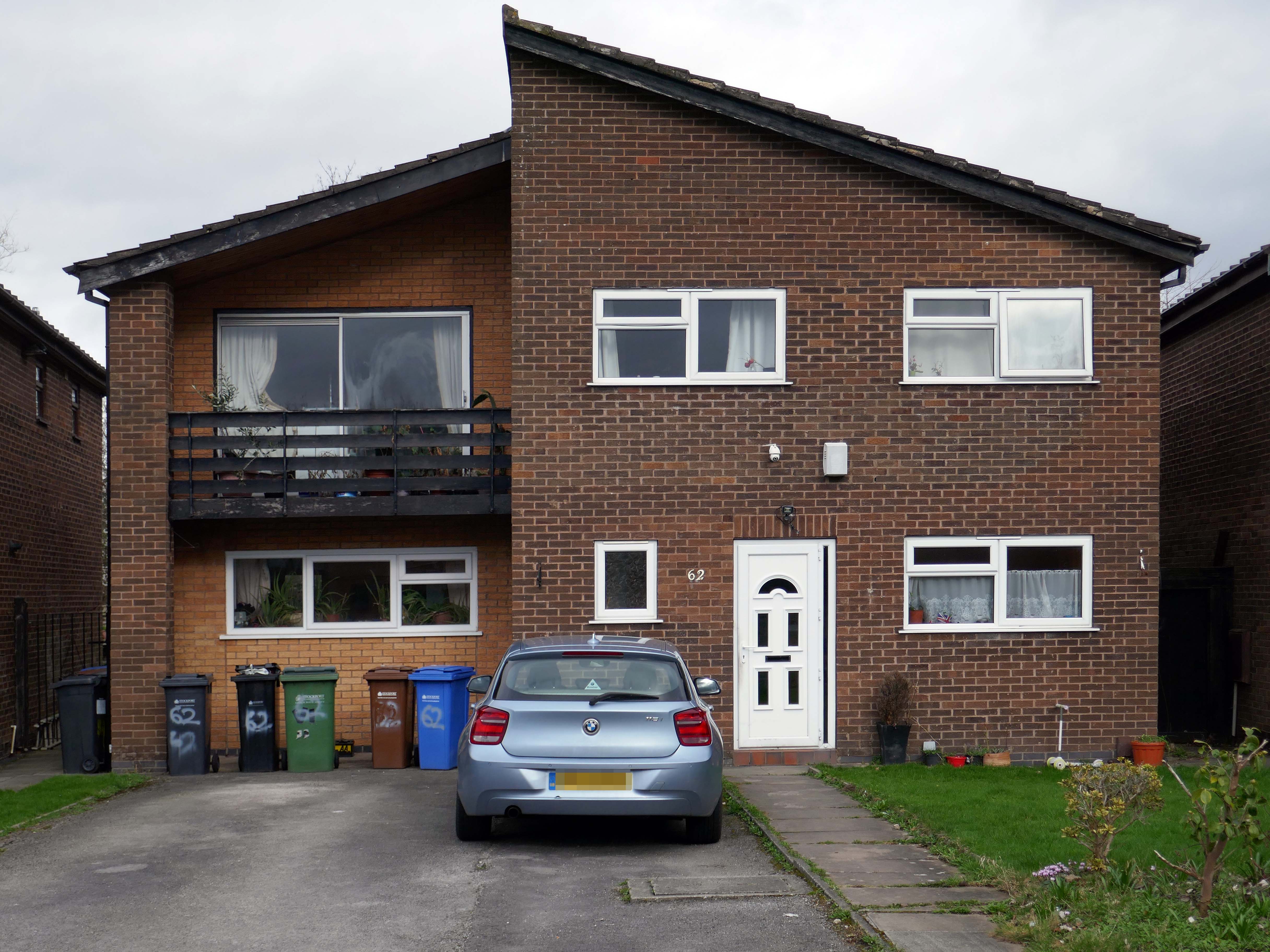
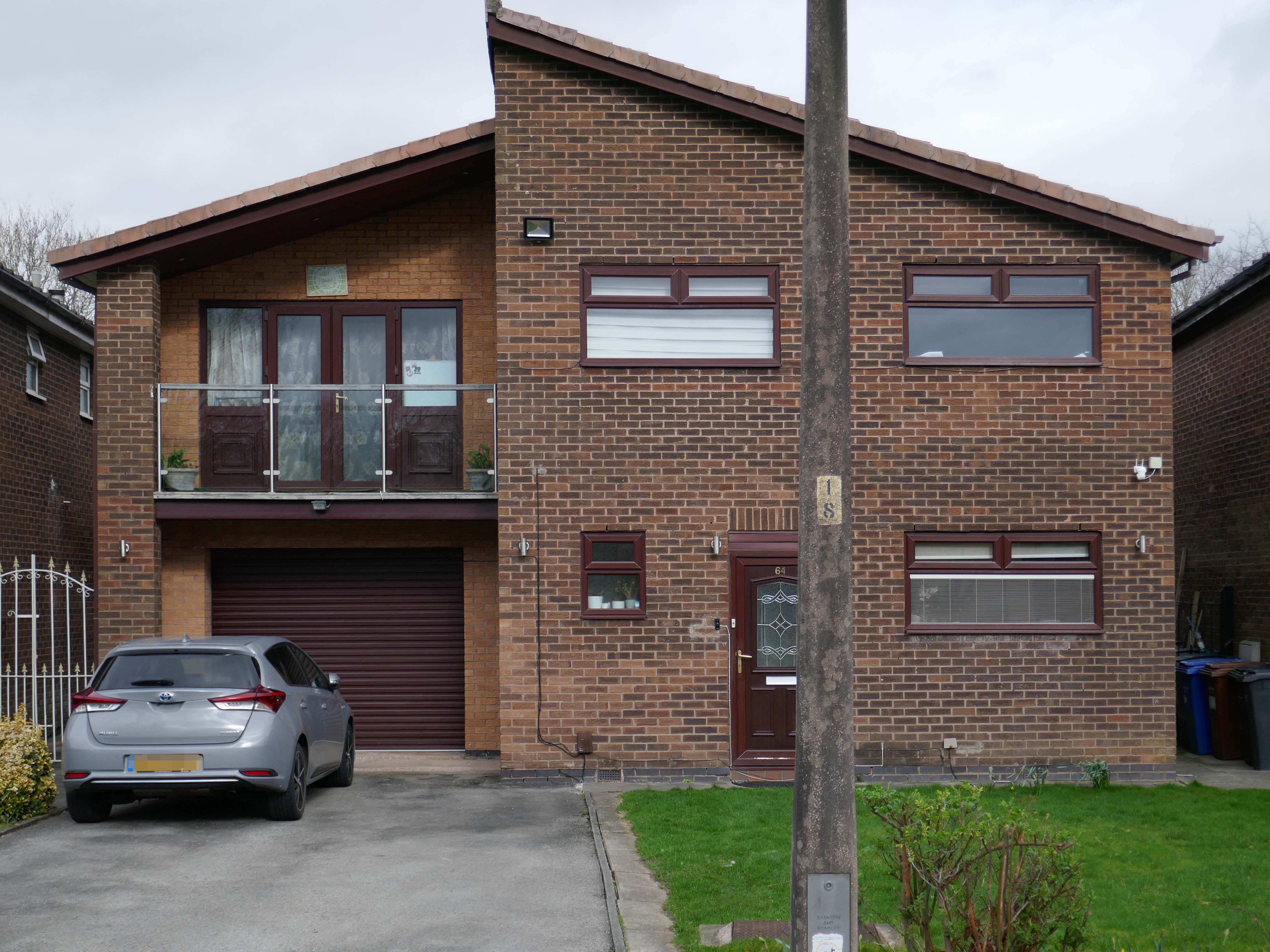
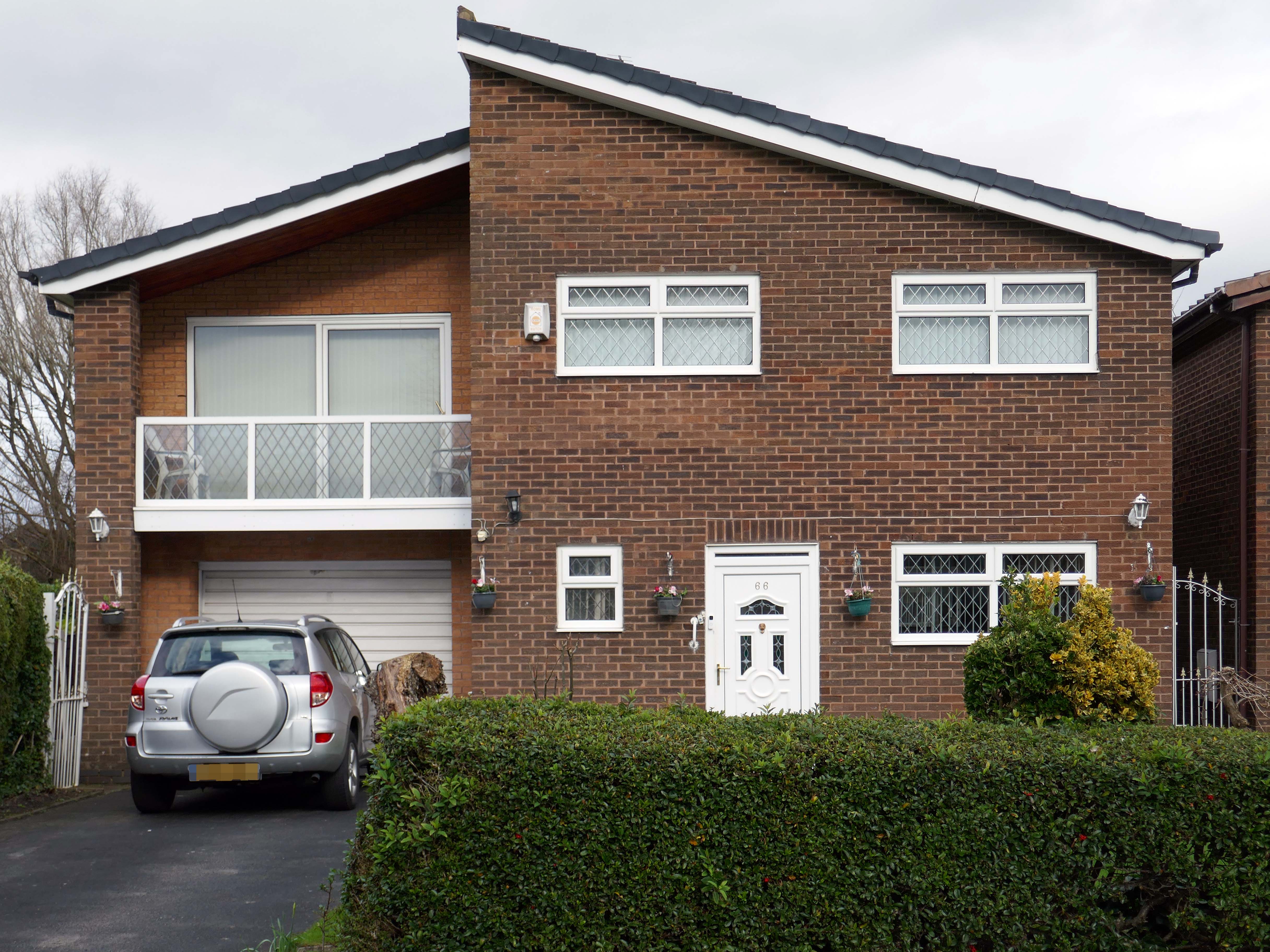
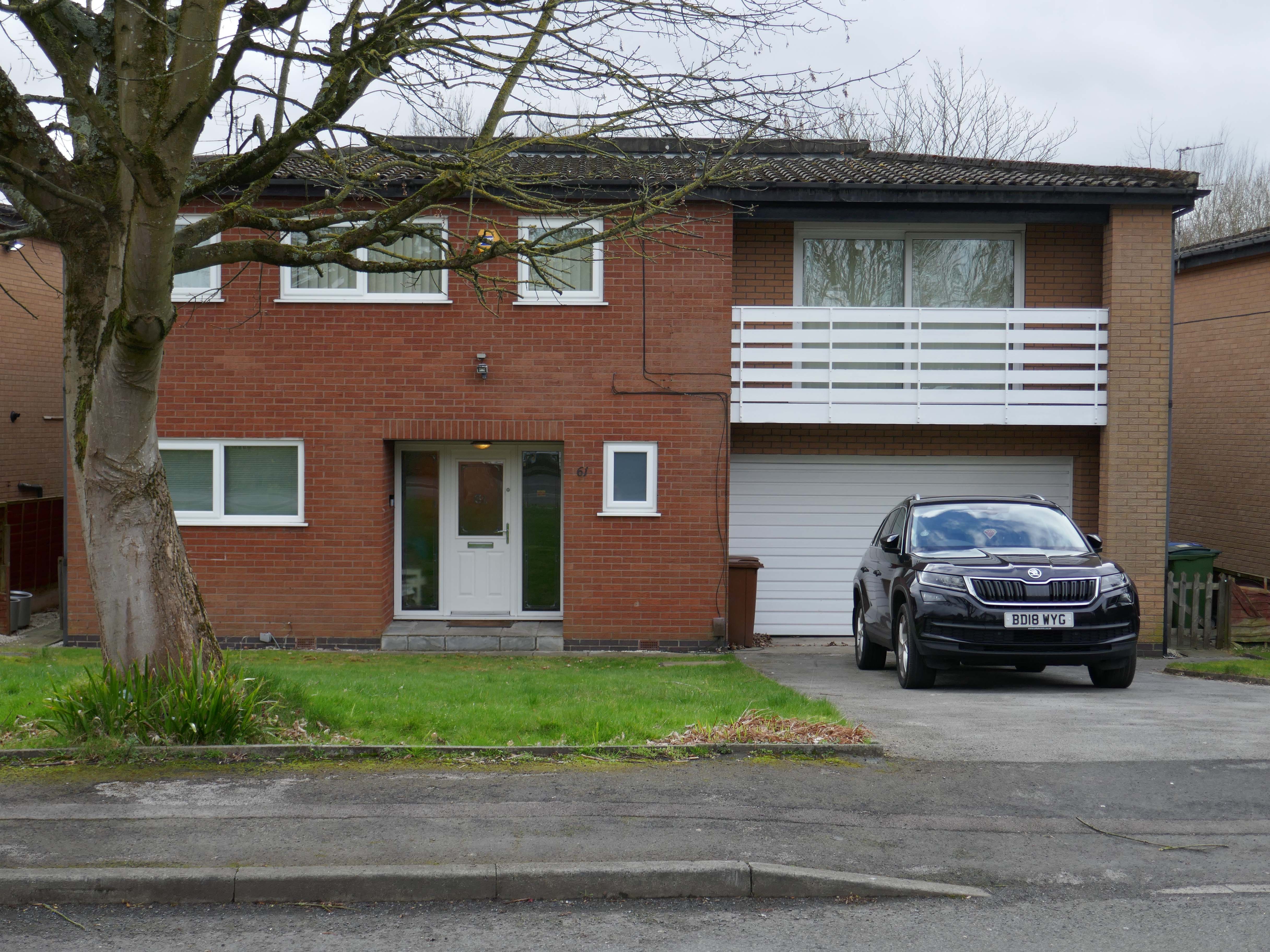
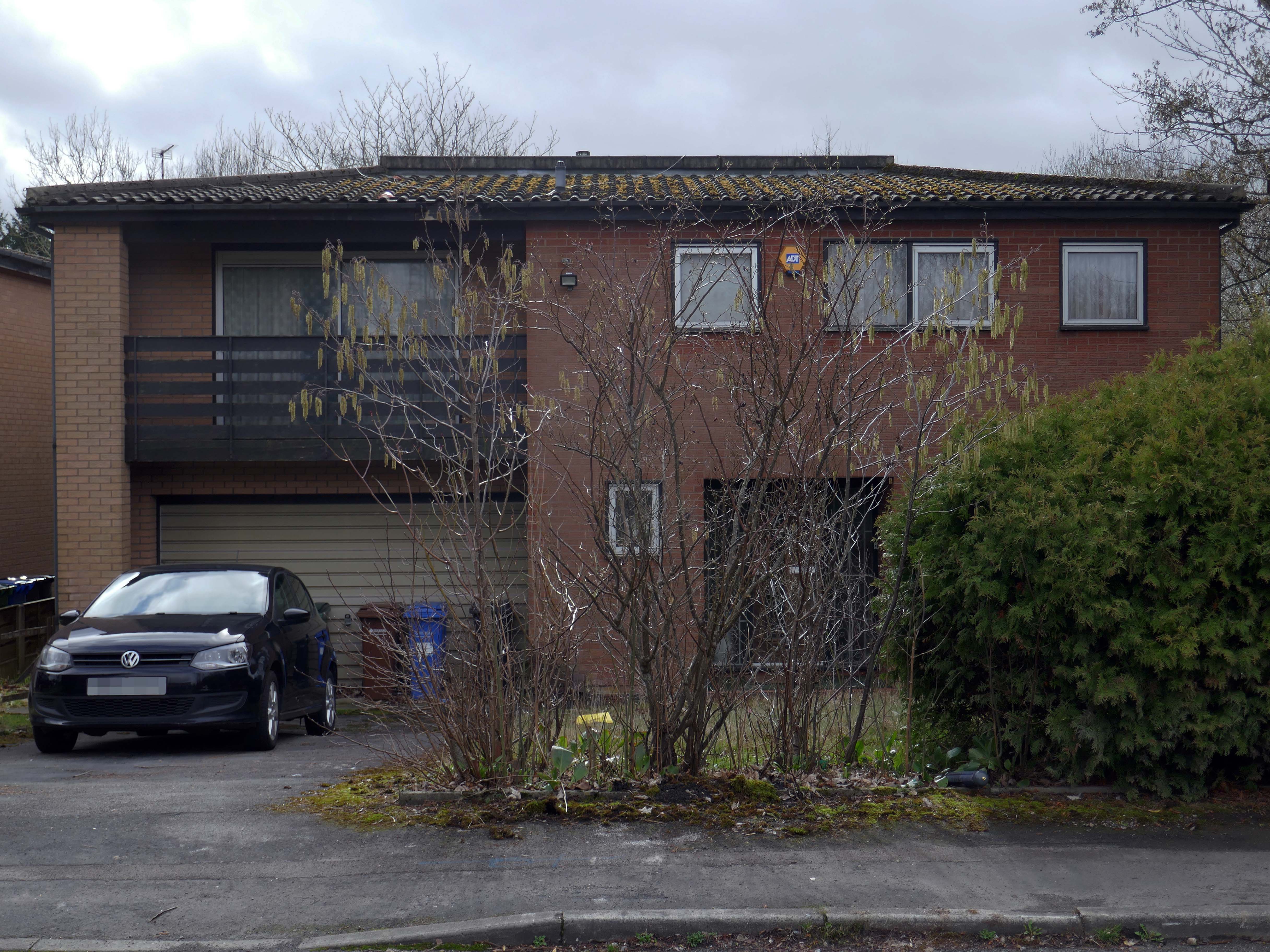
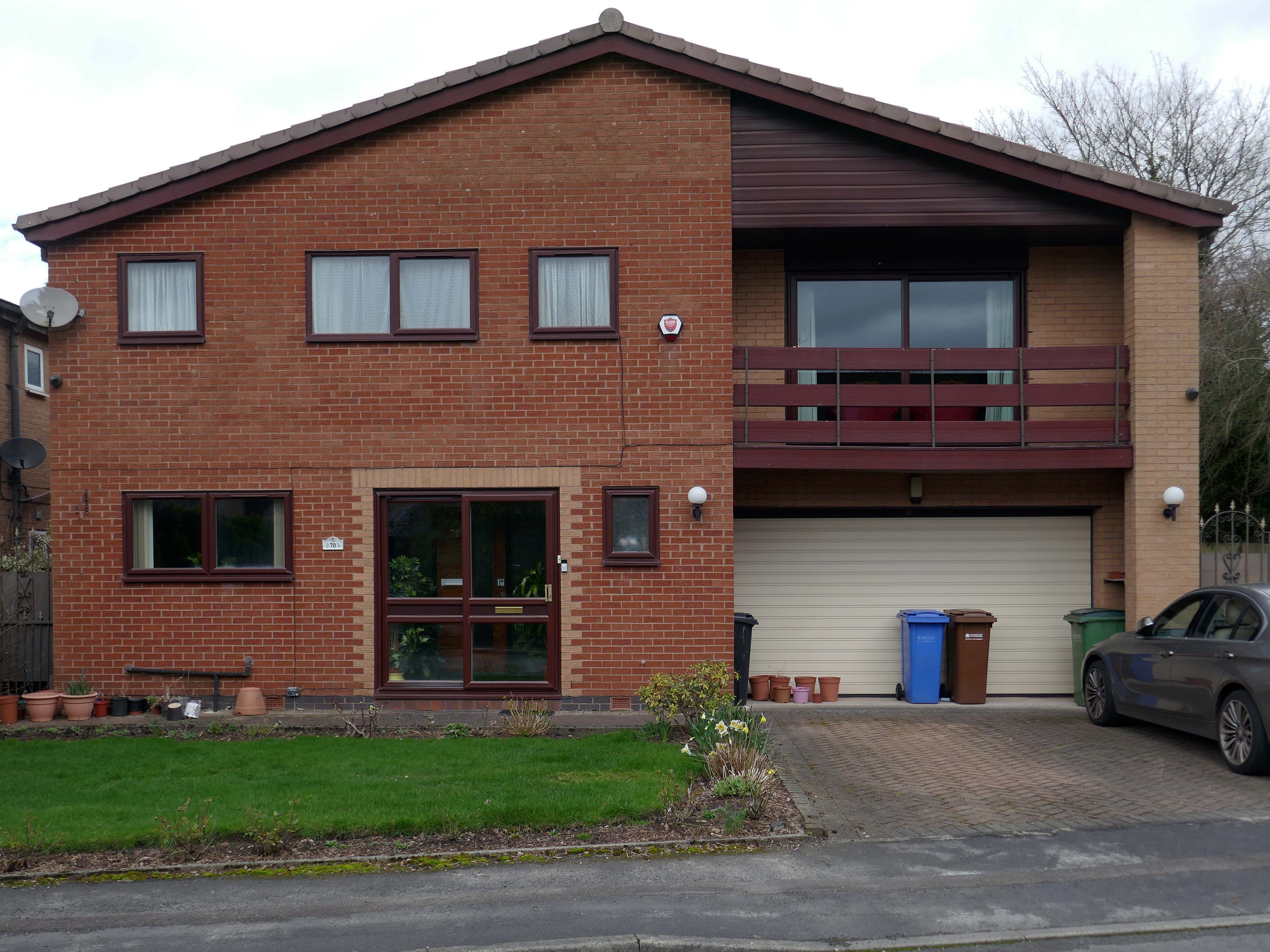
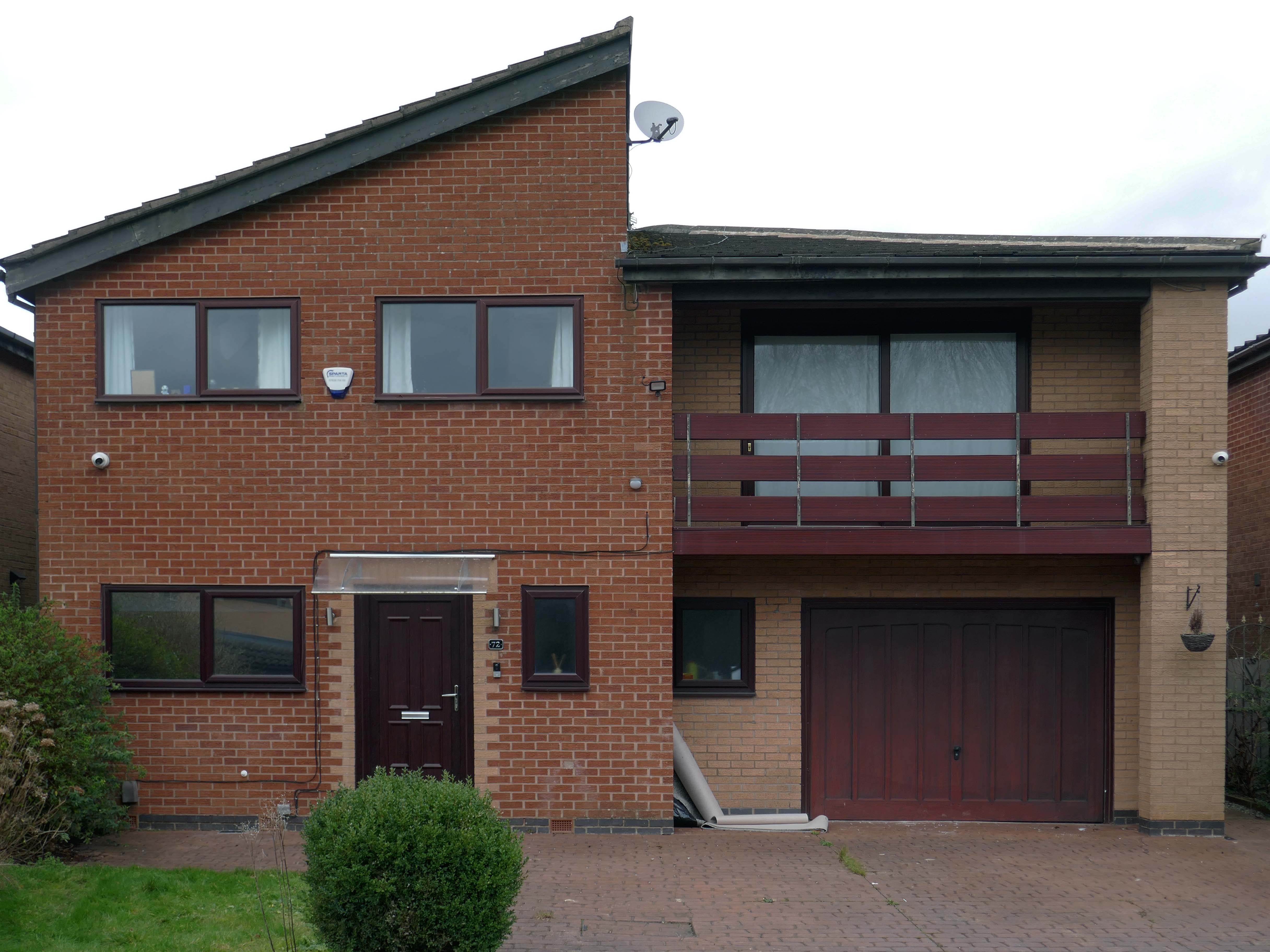
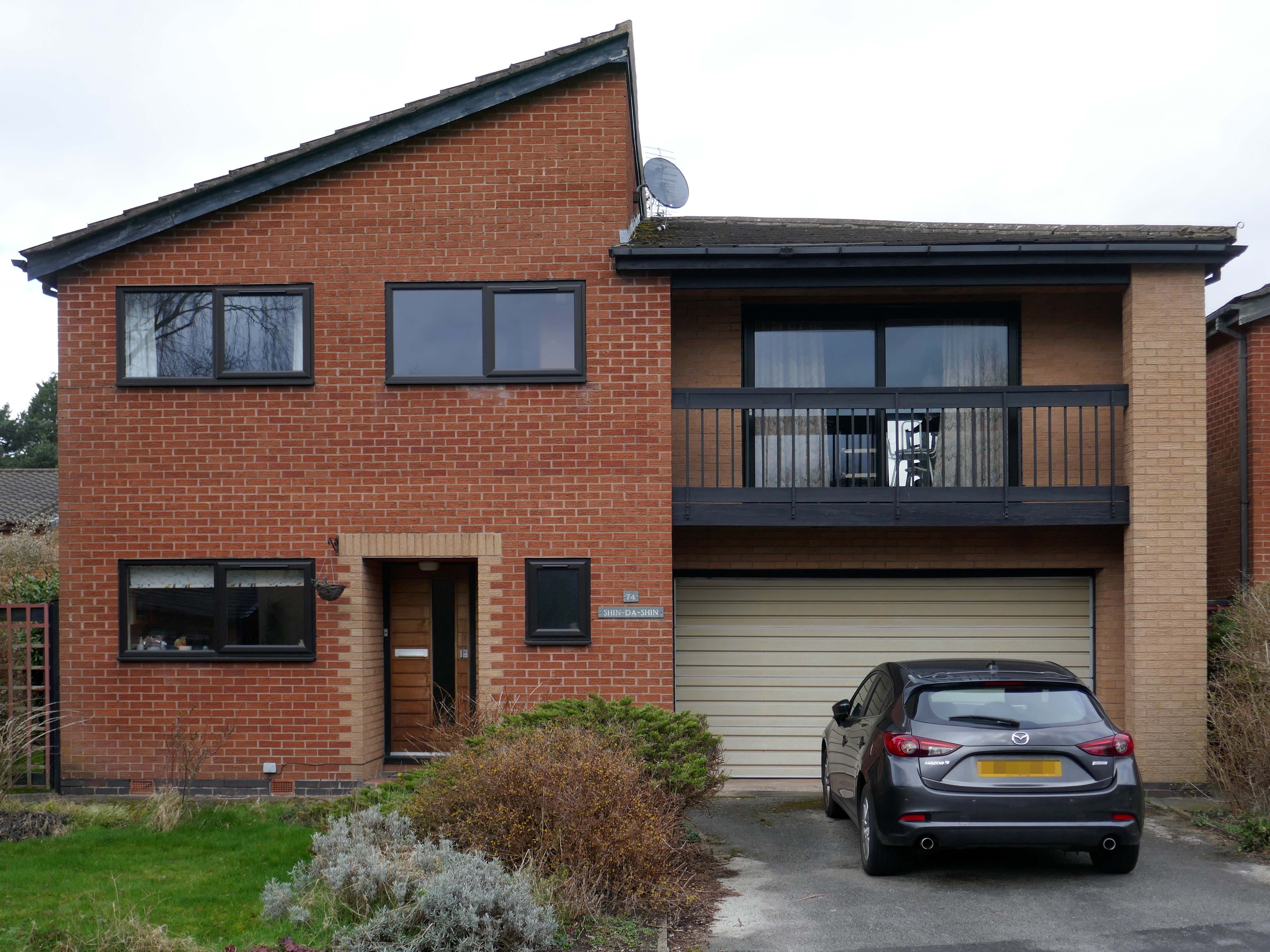
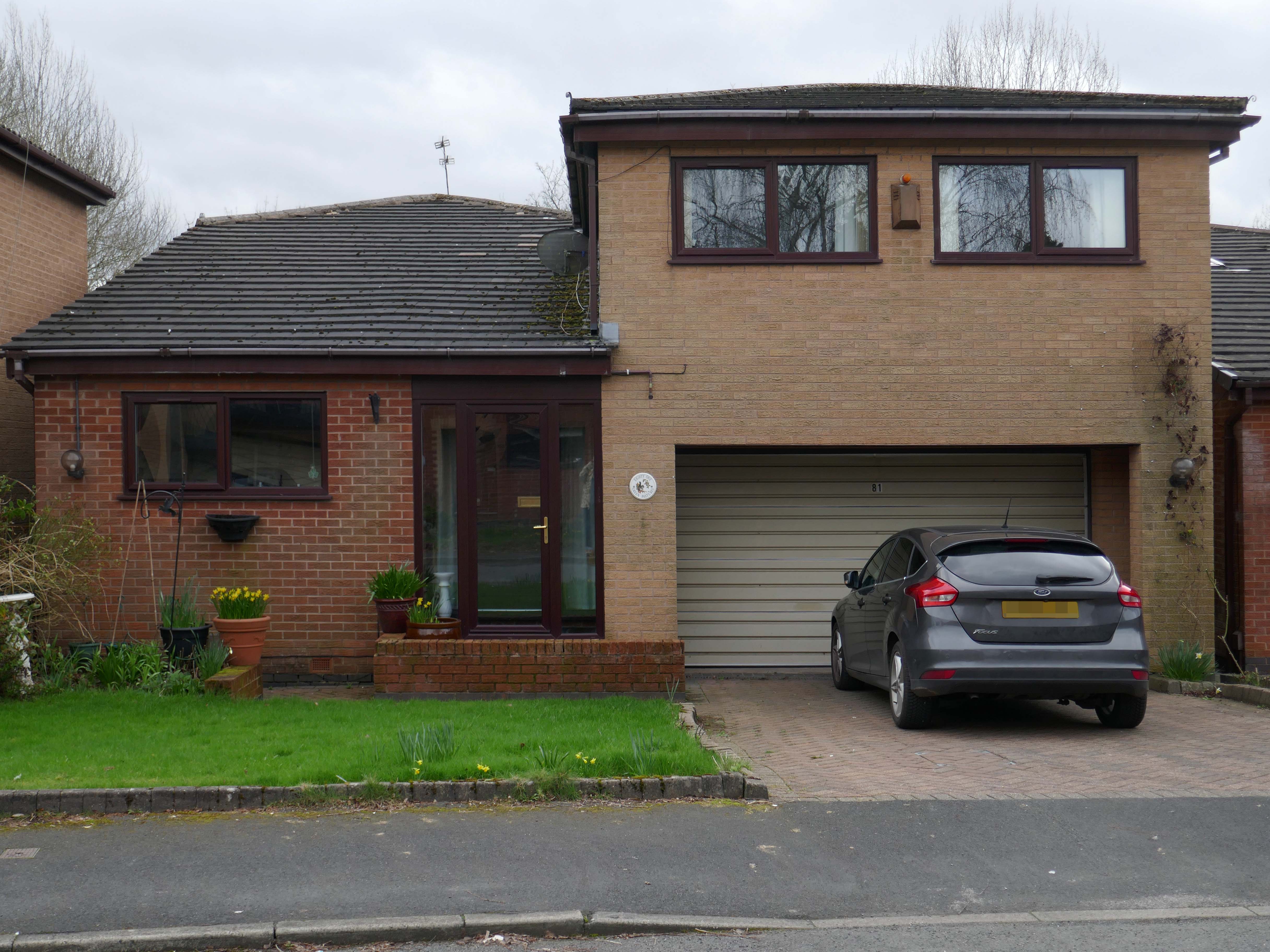
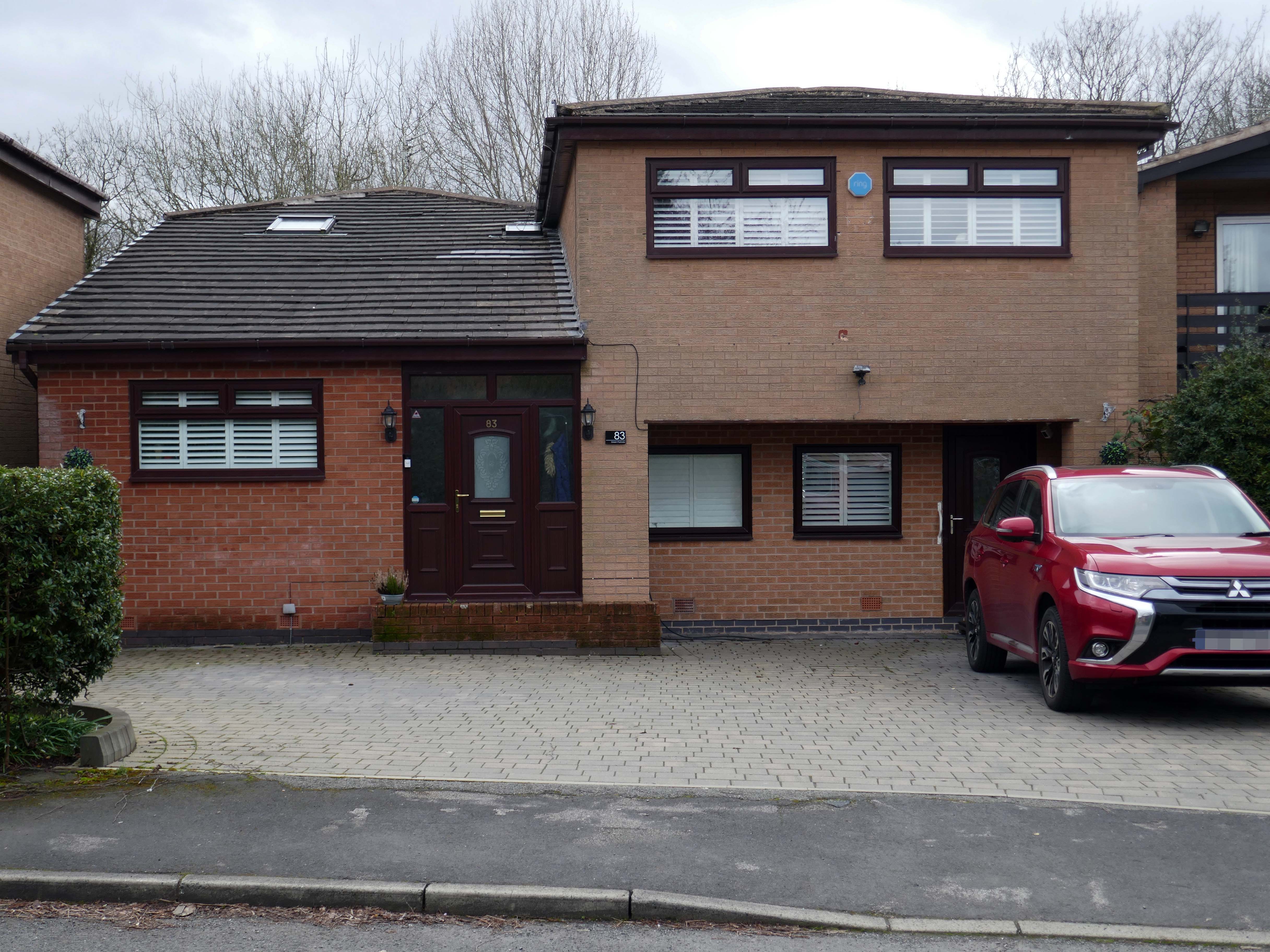
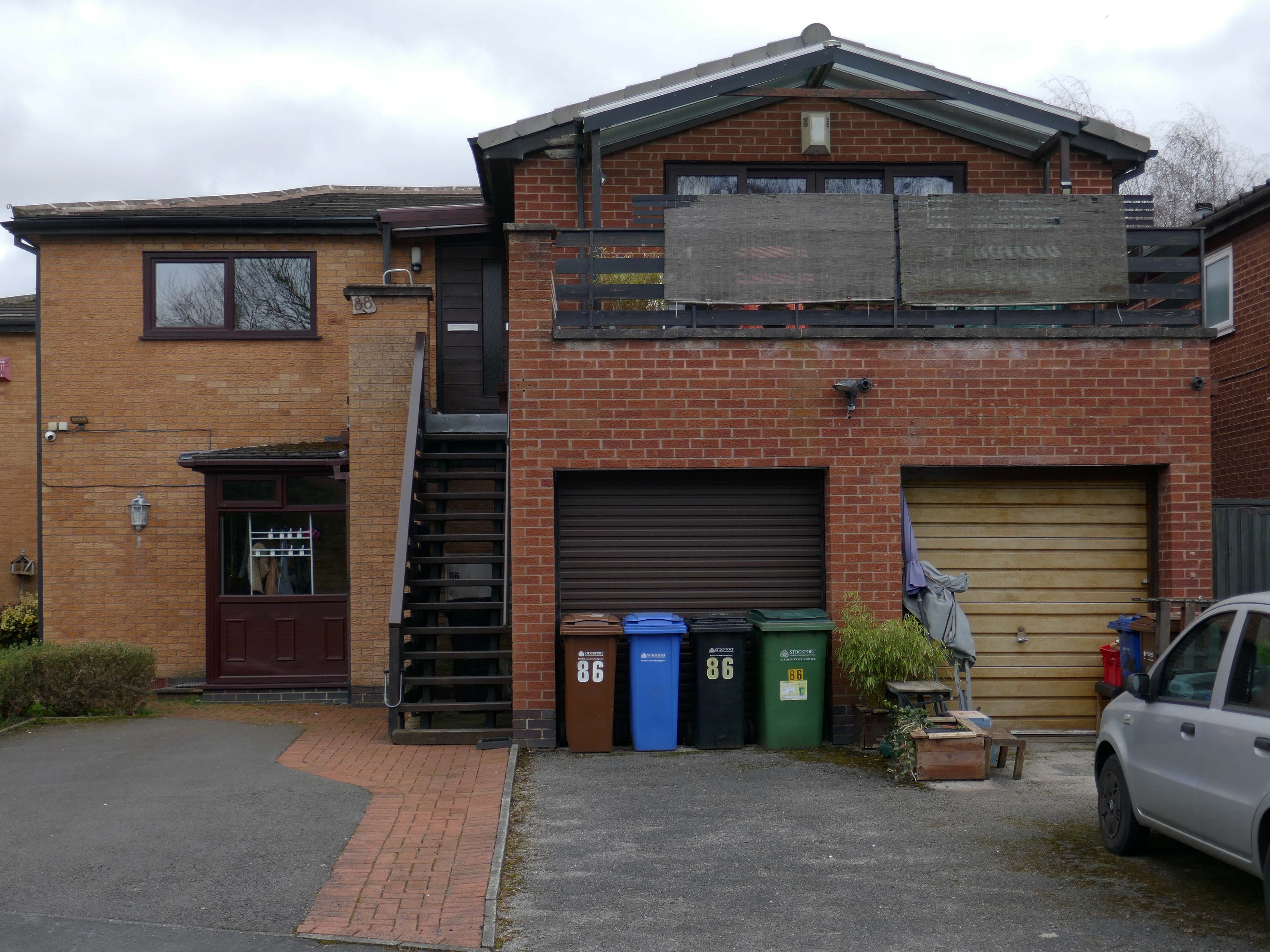
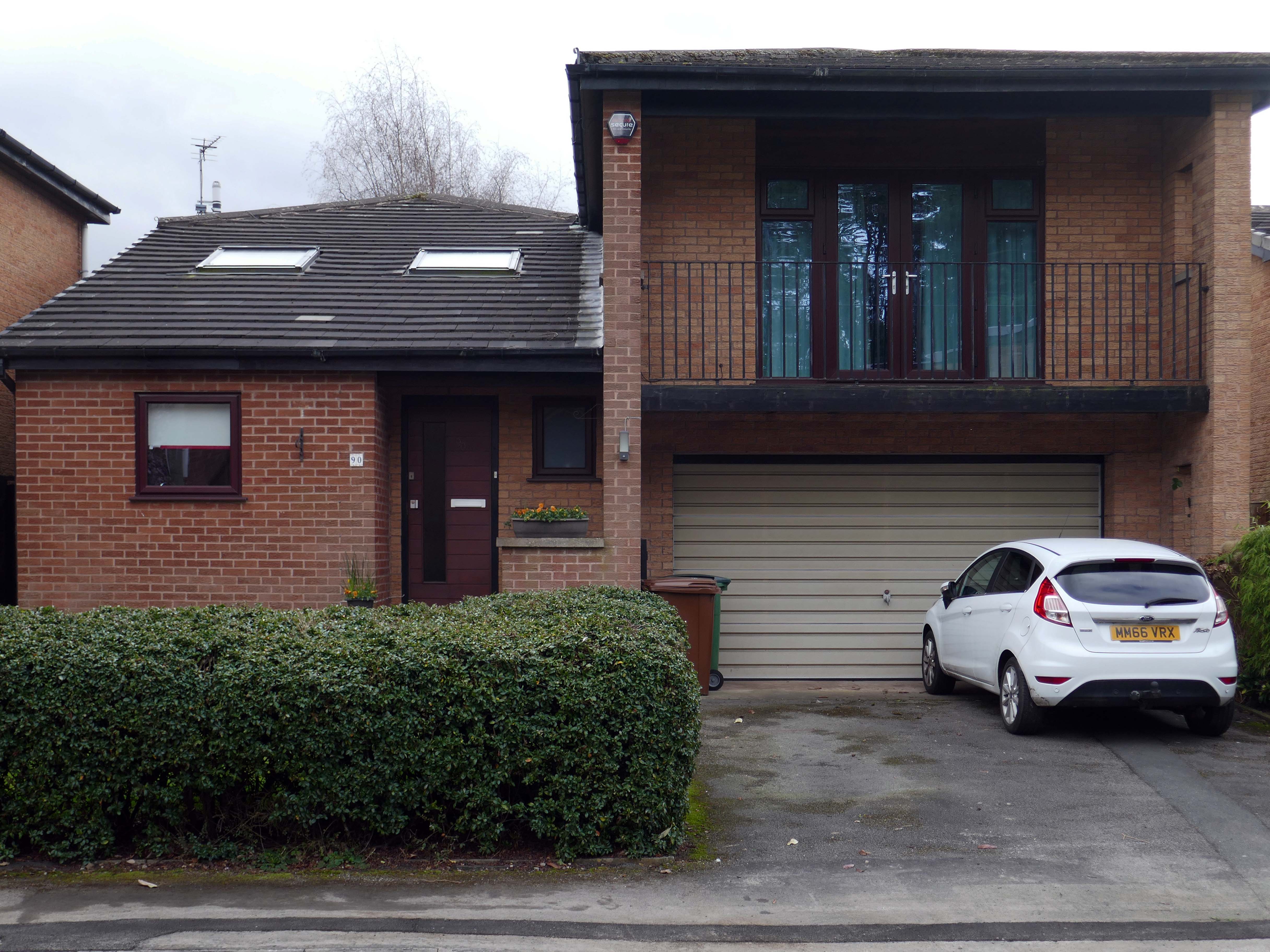
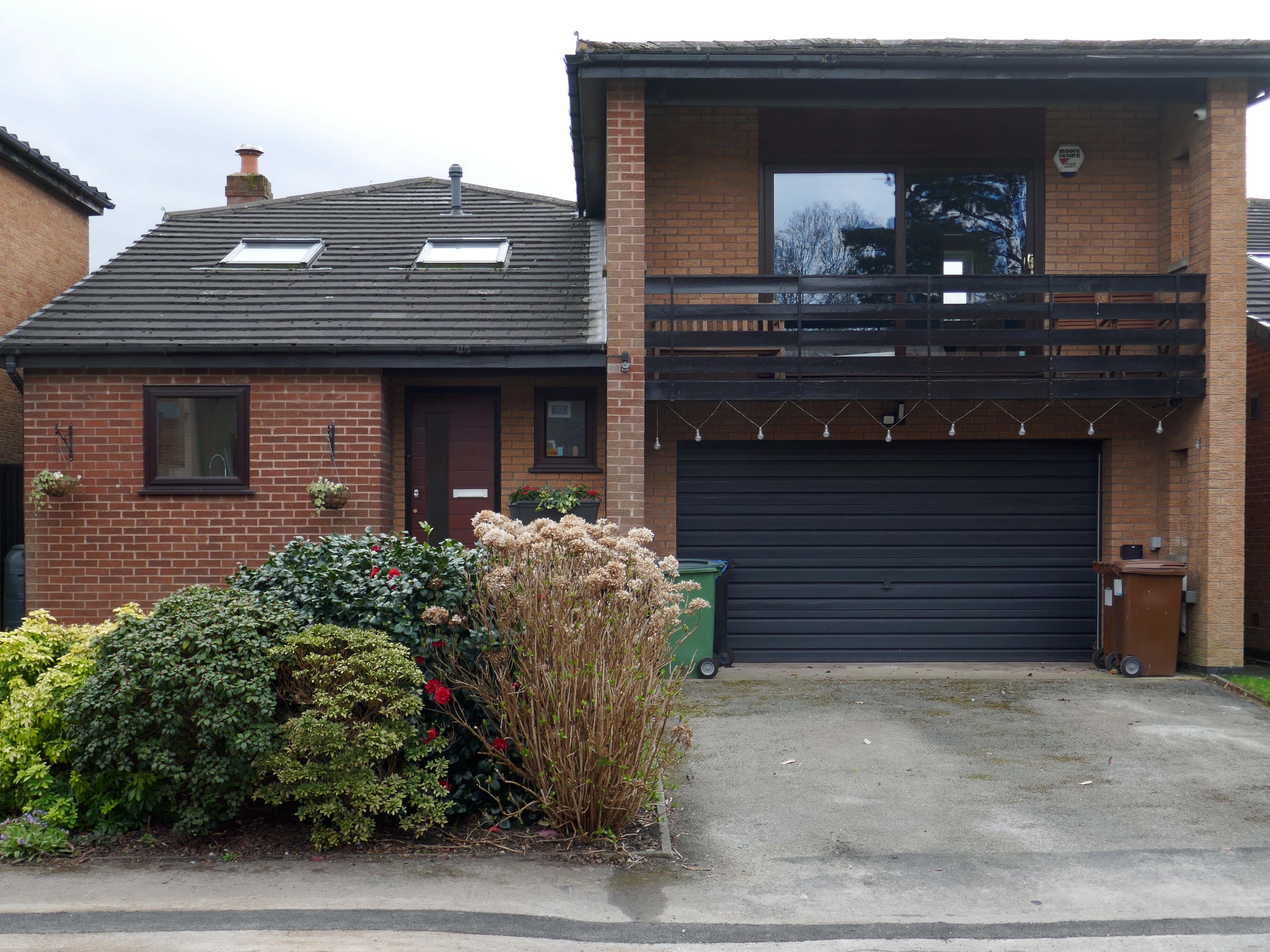
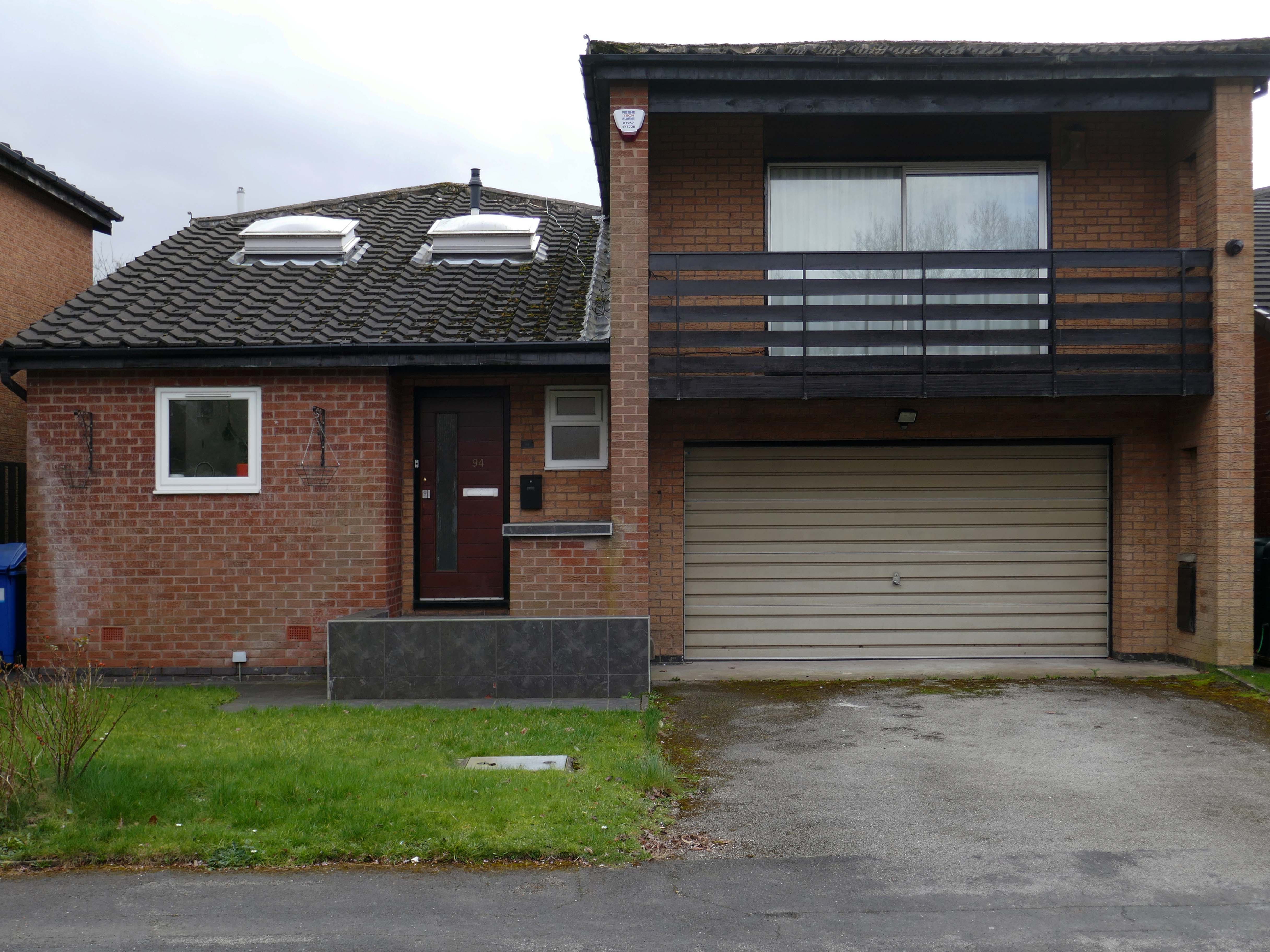
A broad sweeping swathe of tarmac, with a range of 70s housing typologies – wall less gardens, where grass becomes easily impressed concrete, gravel and artfully paved car parks.
Asymmetric roof, bedroom balcony with optional infill, ever more pointless integrated garage, as the inflated automobile refuses to fit in.
The ubiquitous carriage lamp, B&Q Georgian front door and hanging basket, all head up the relentless quest to defy period integrity, in favour of a free market, free for all of undiluted historicism.
The future and the past and the houses are infinitely all extendable.