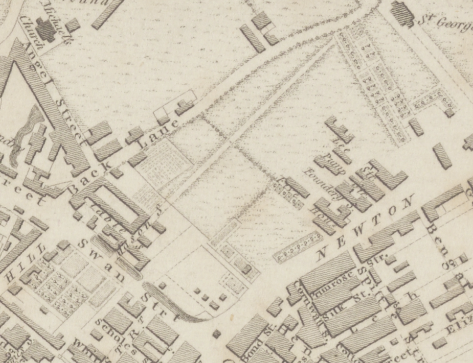
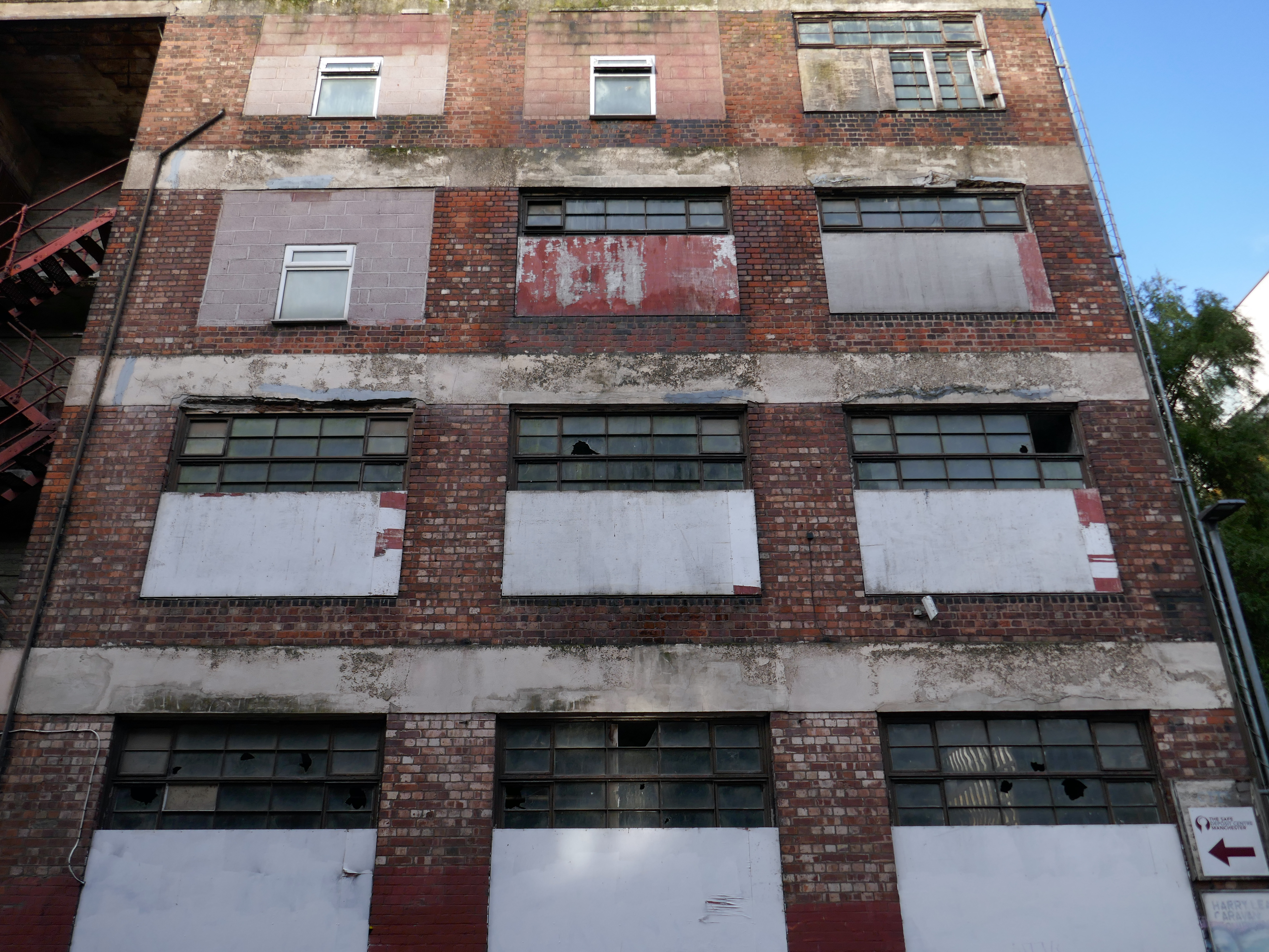
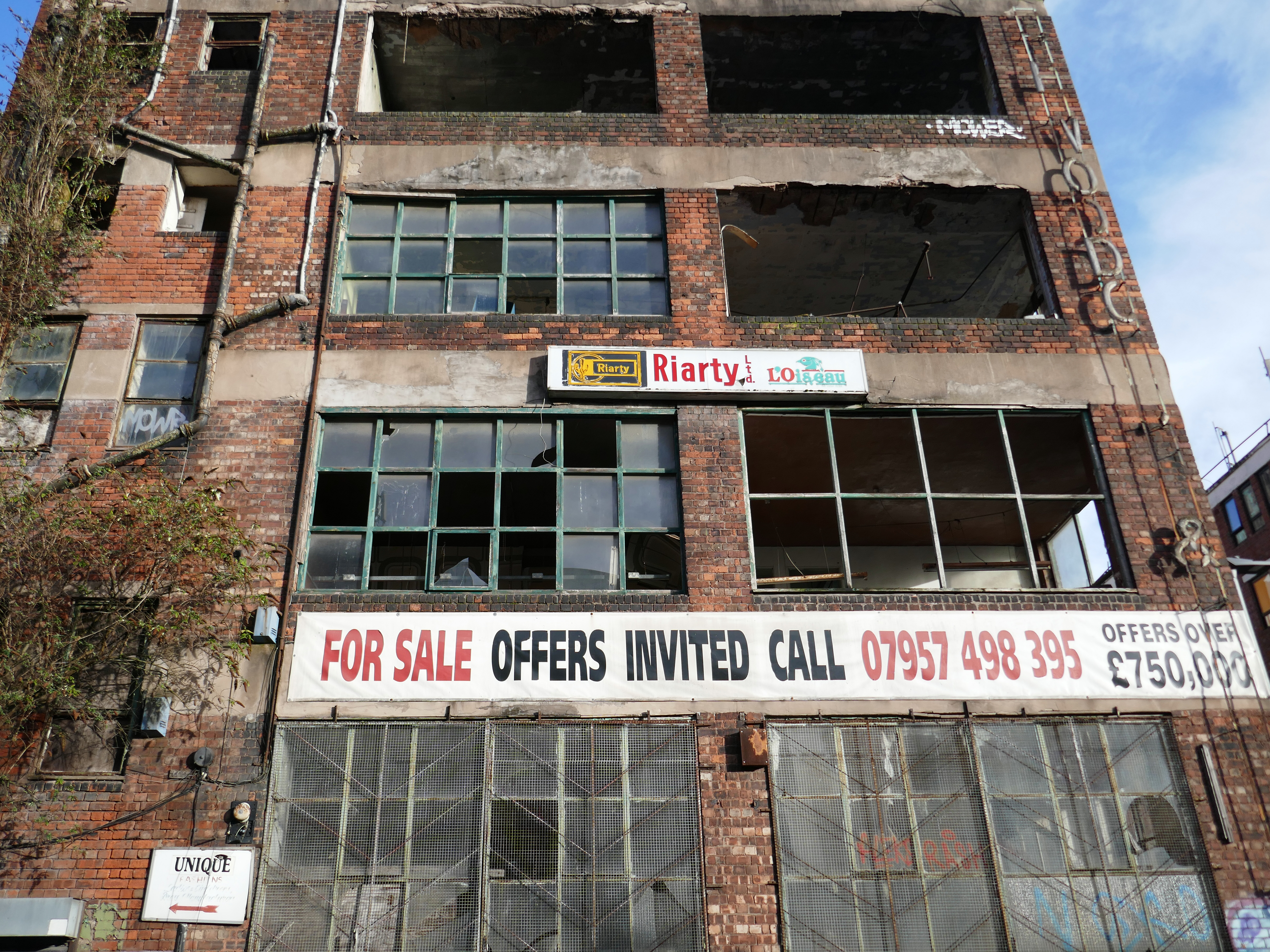
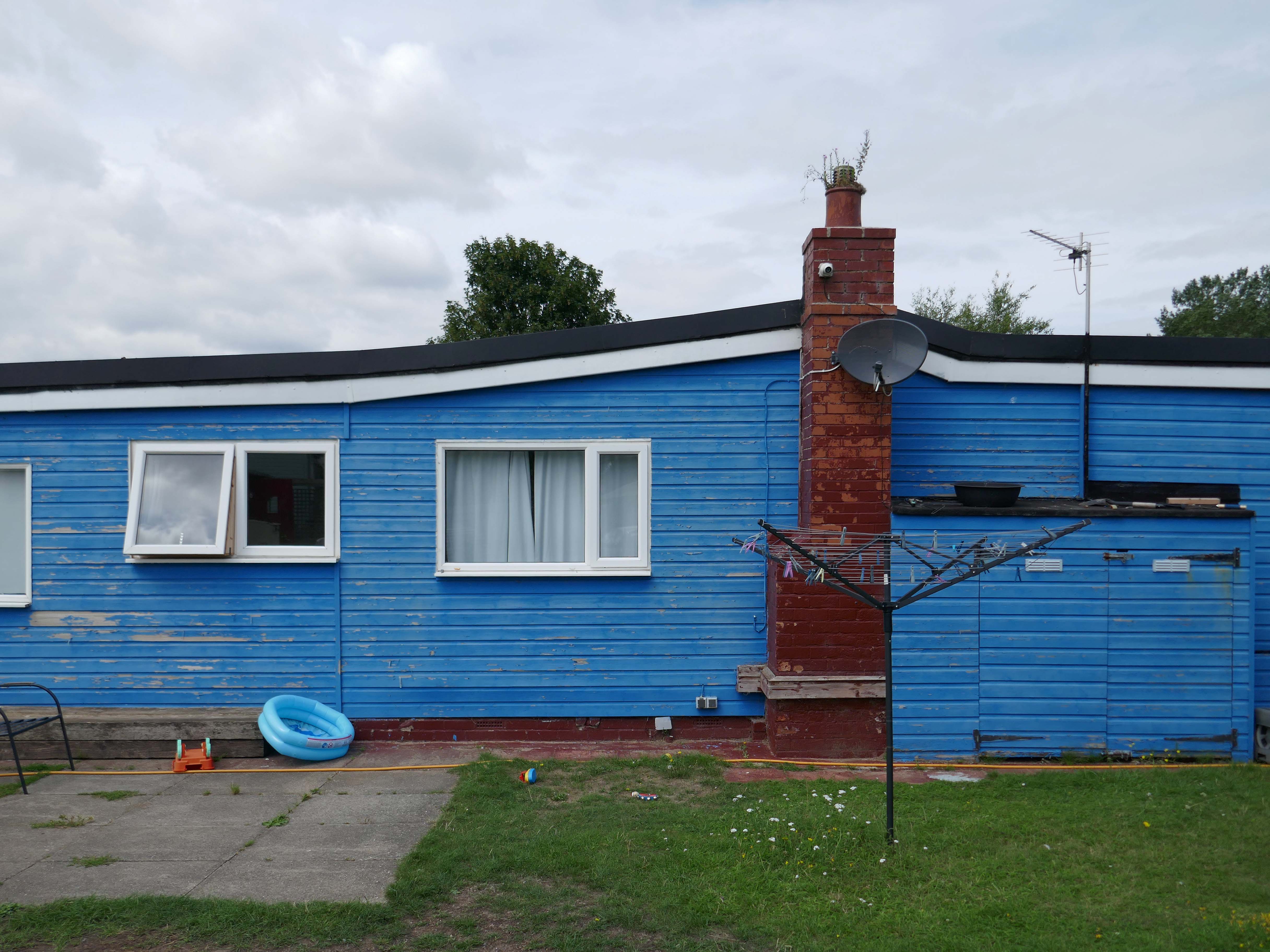
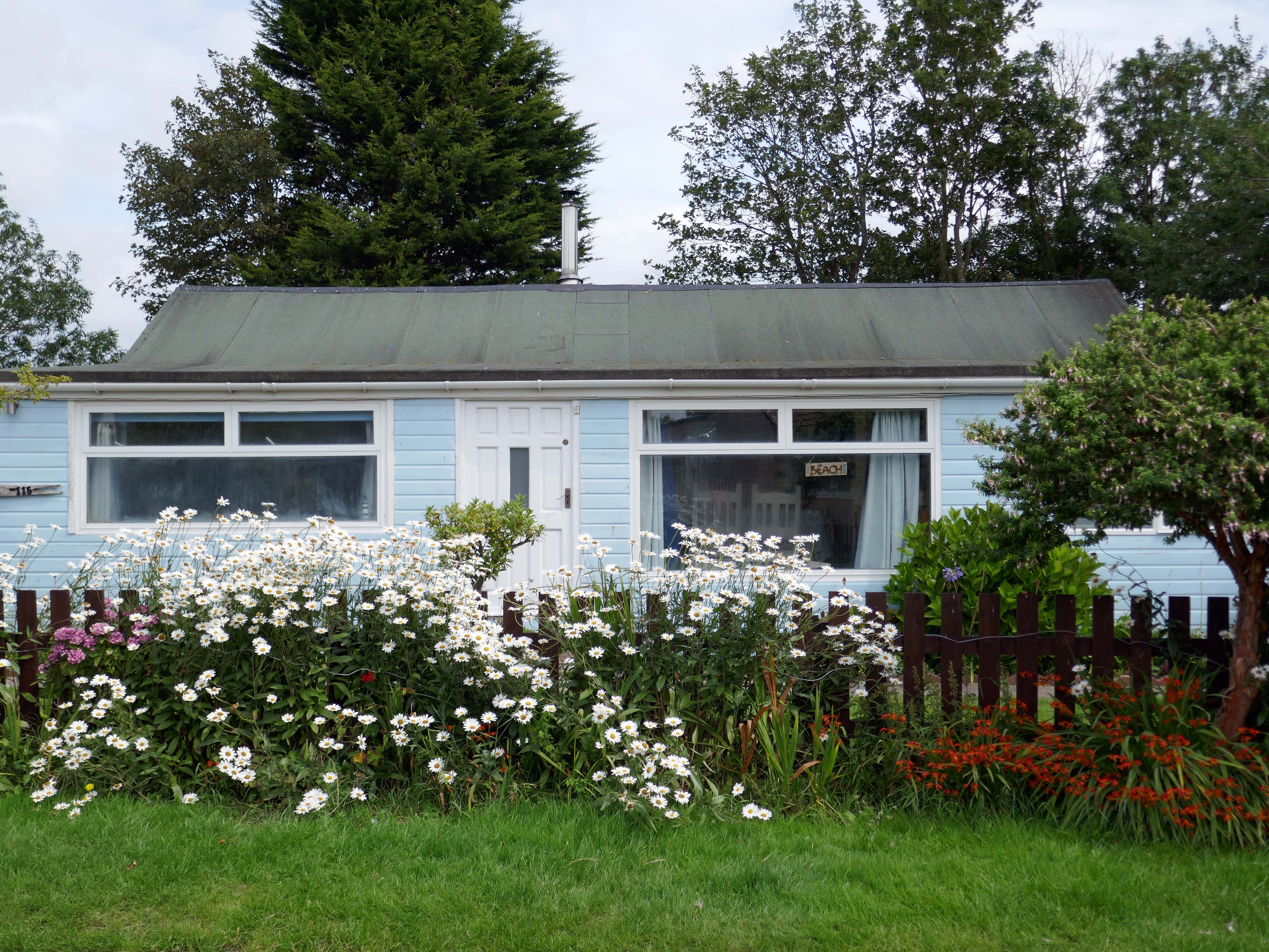
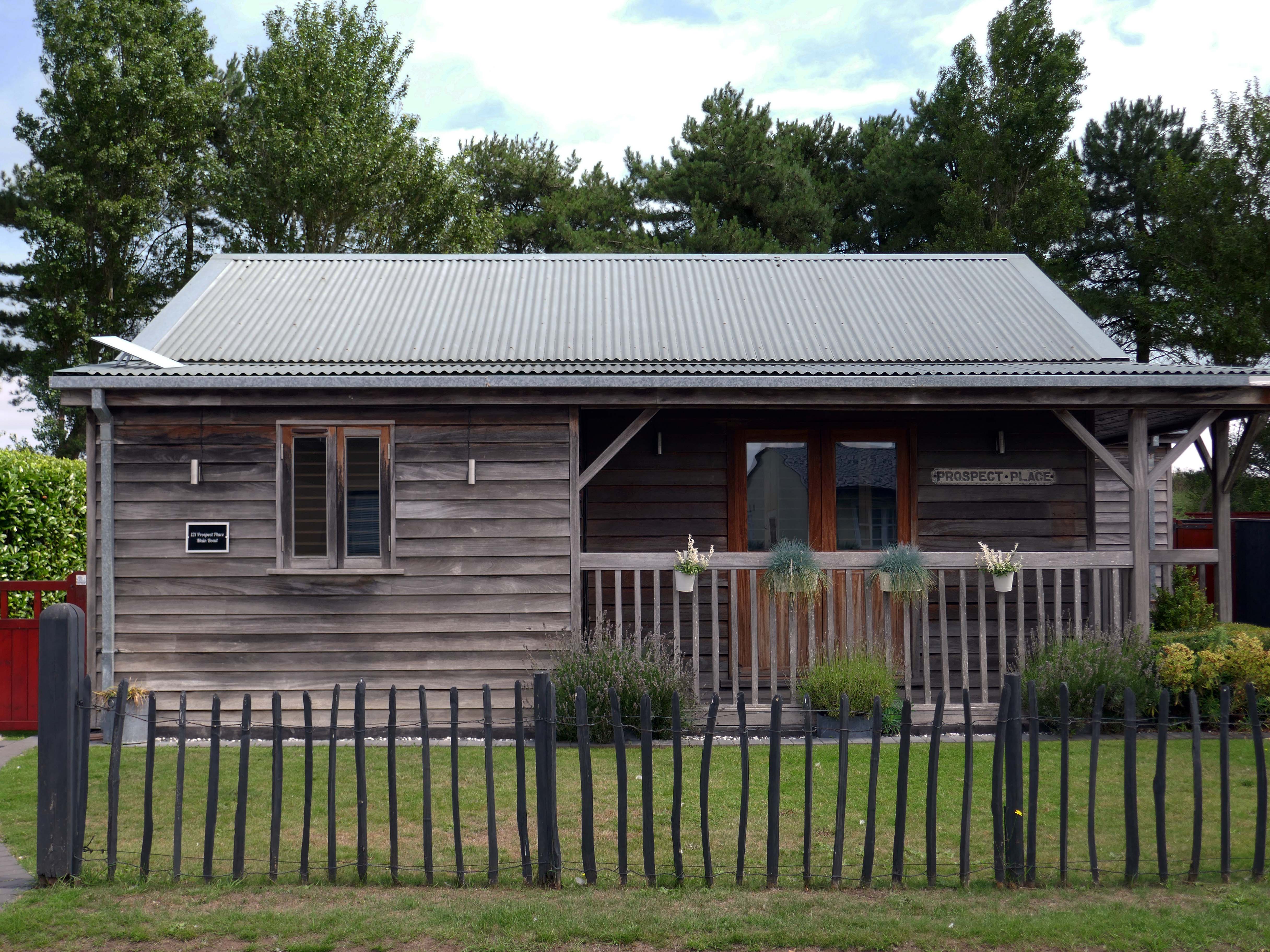
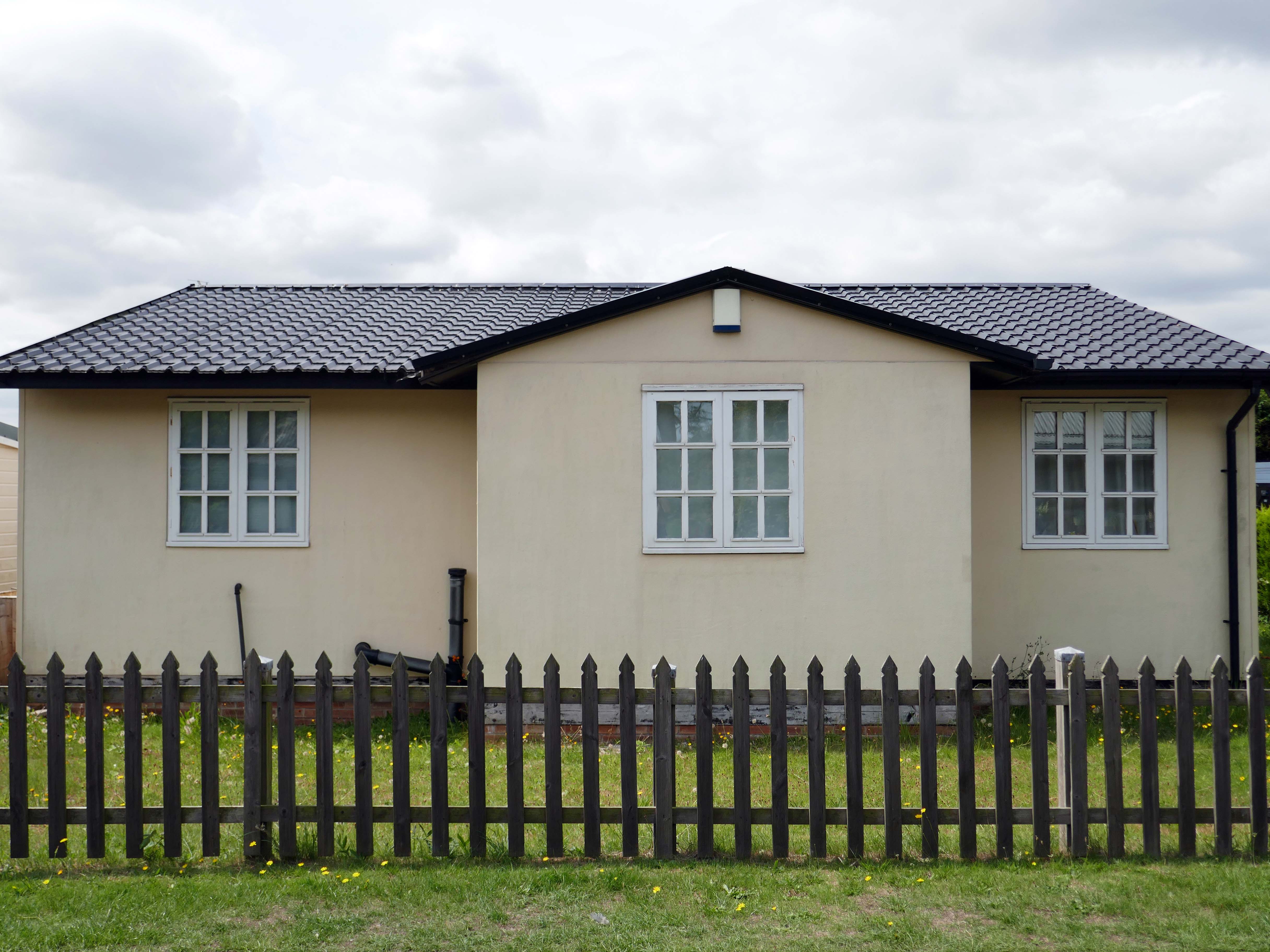
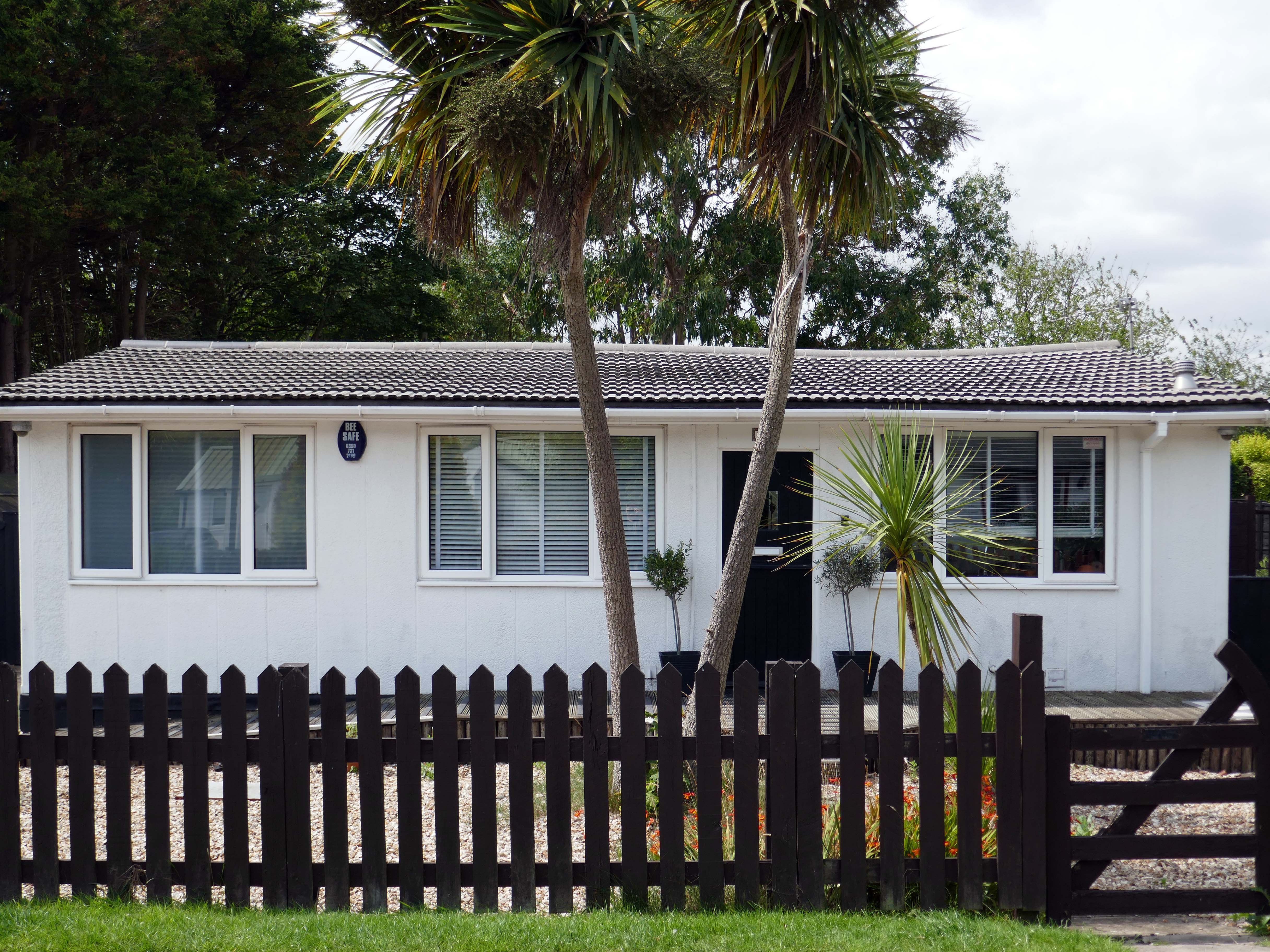
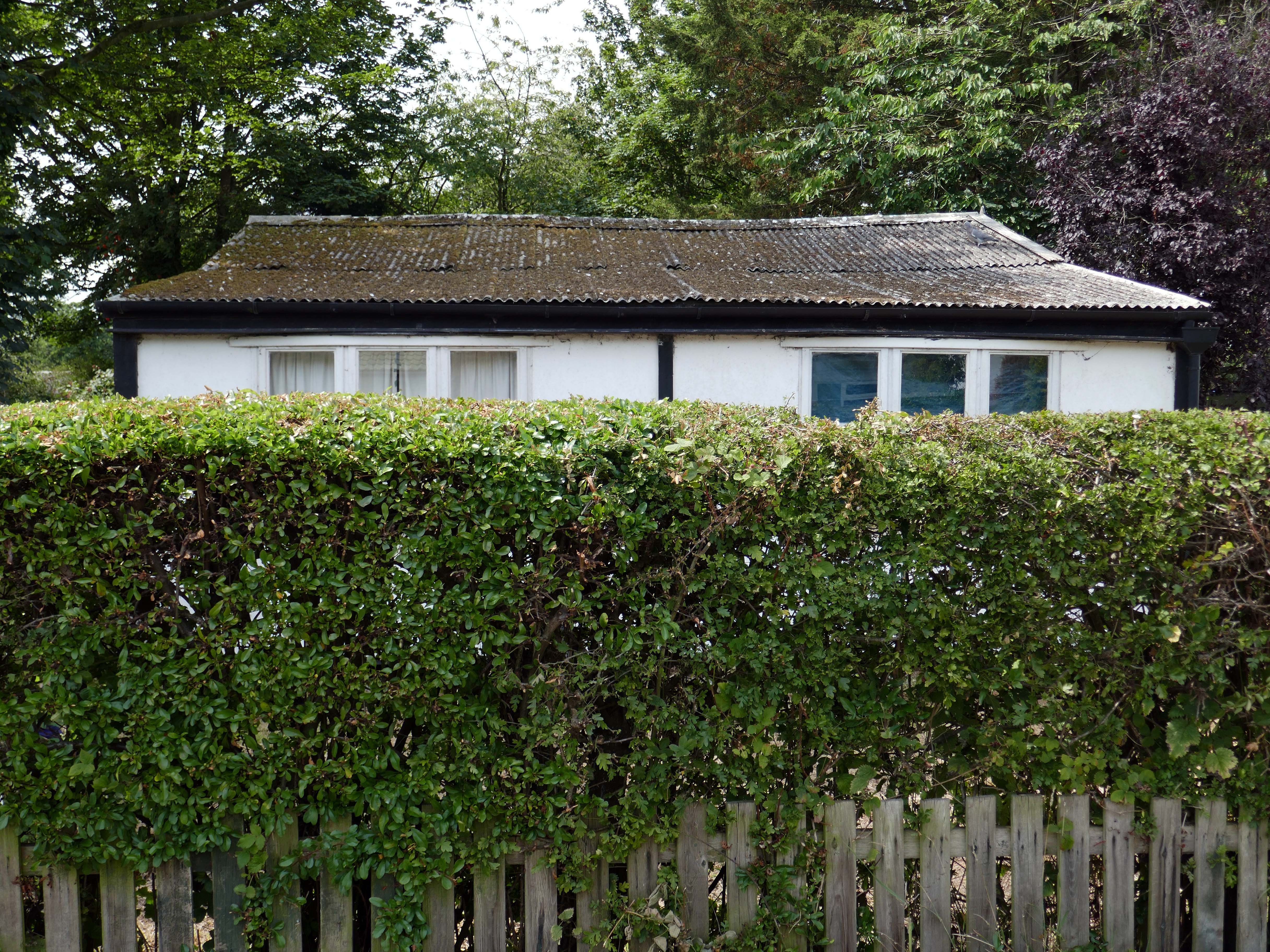
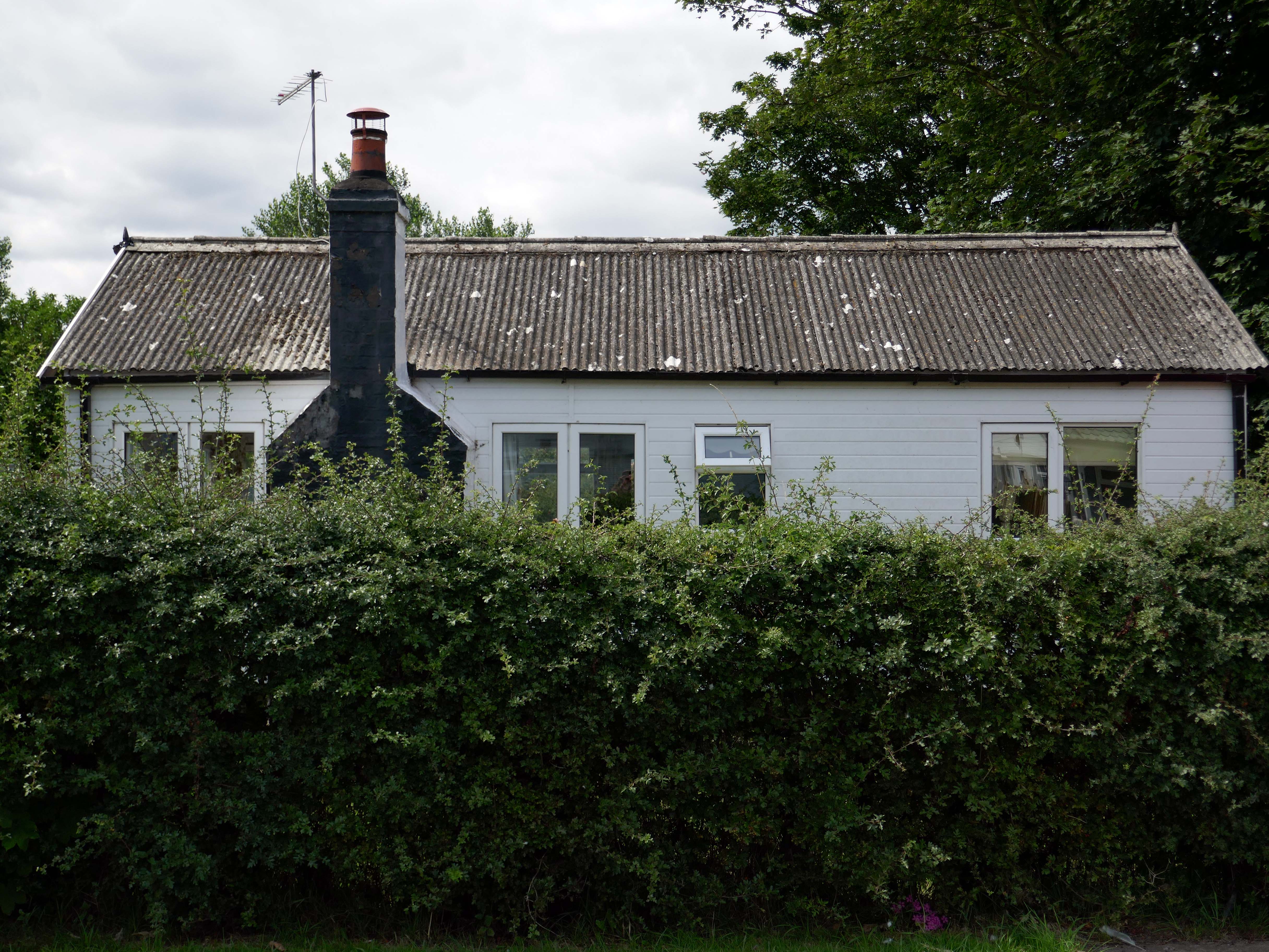
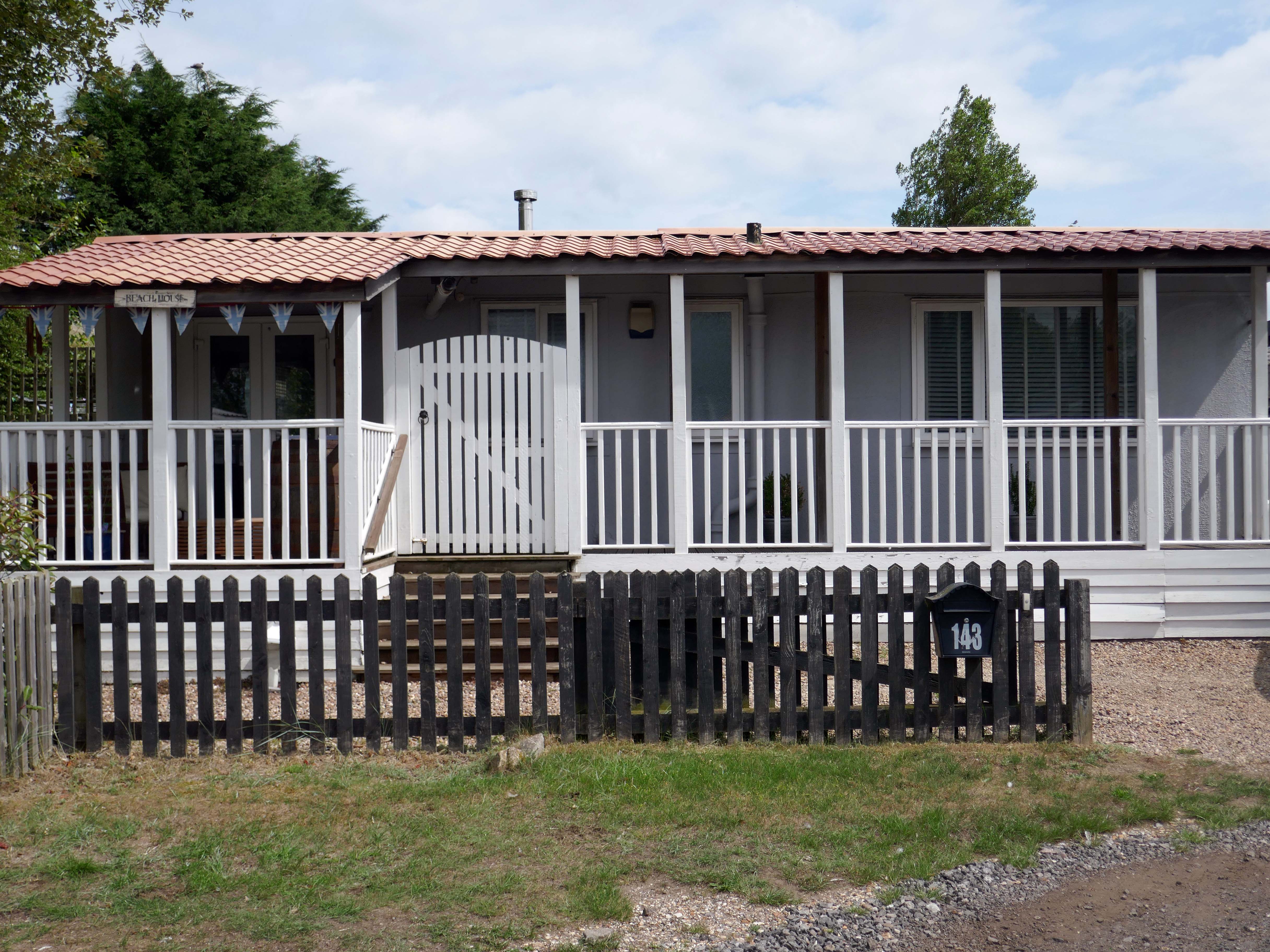
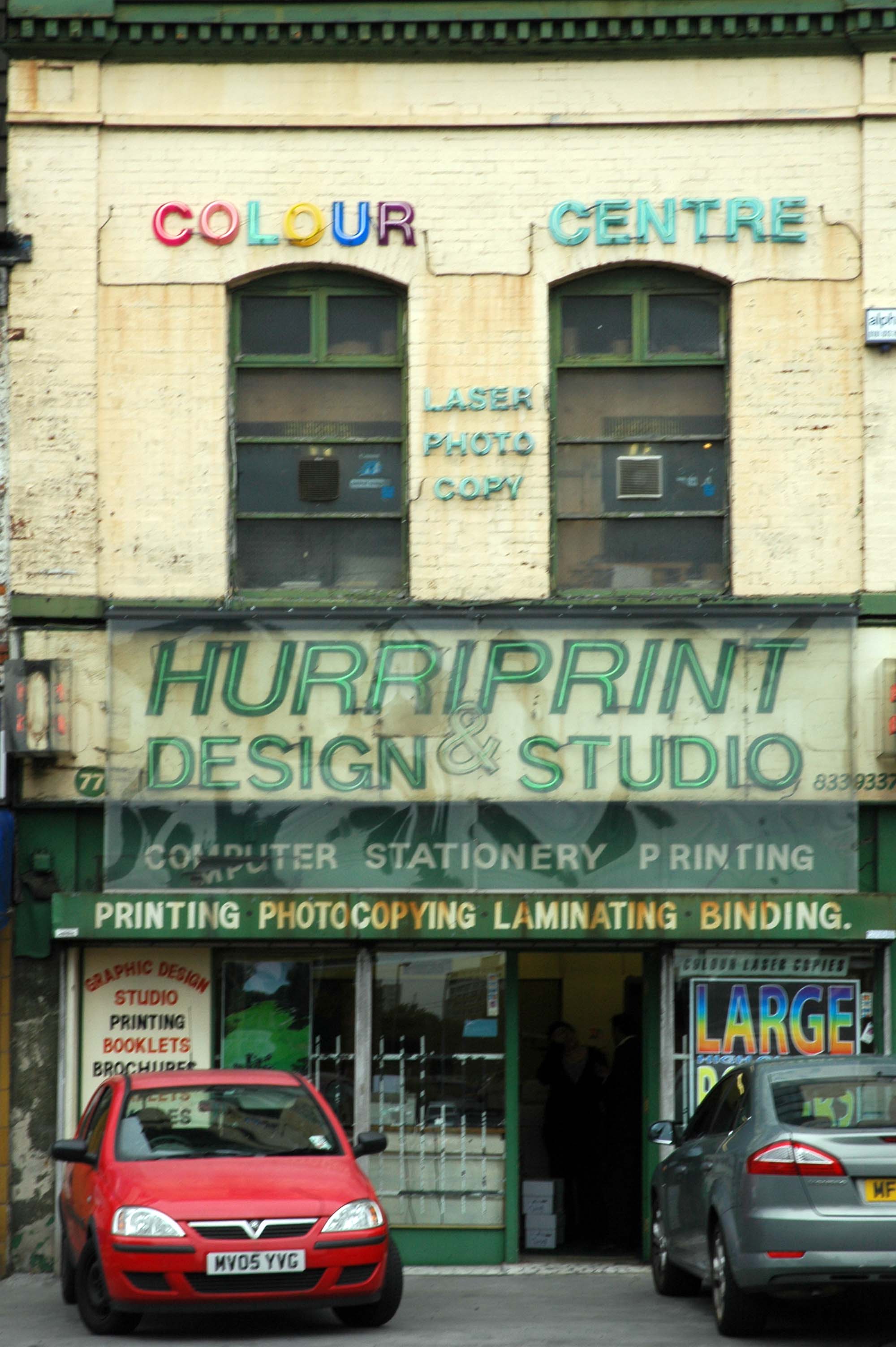
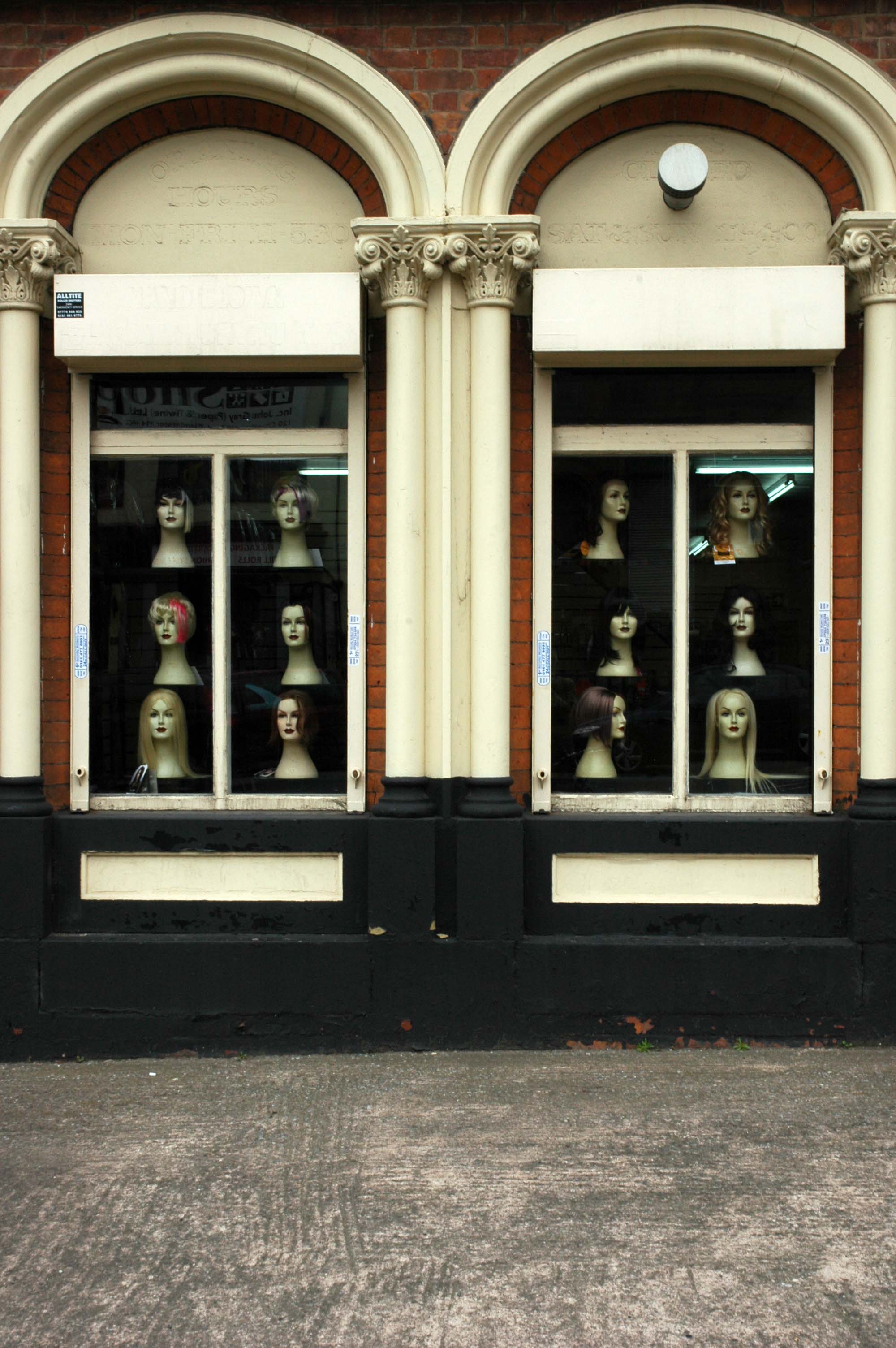
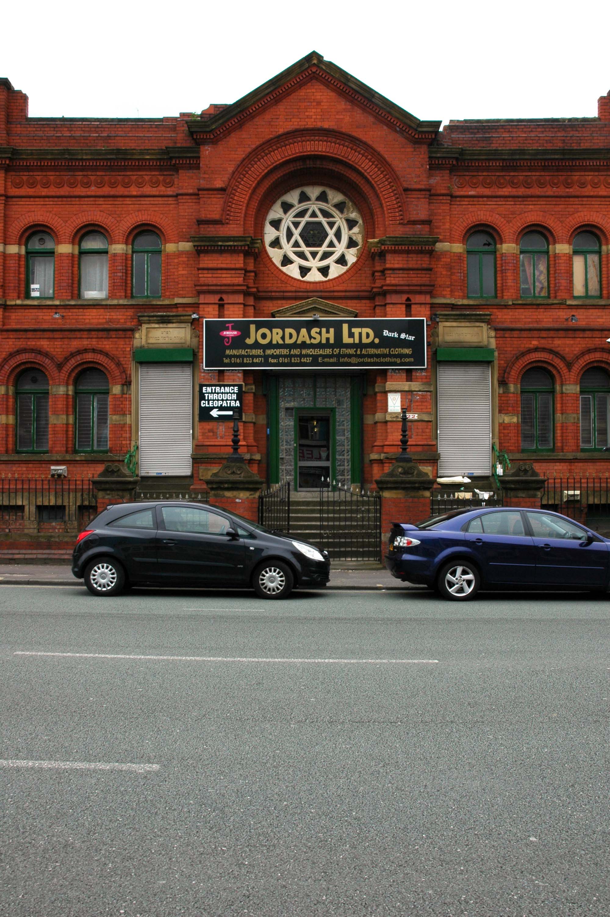
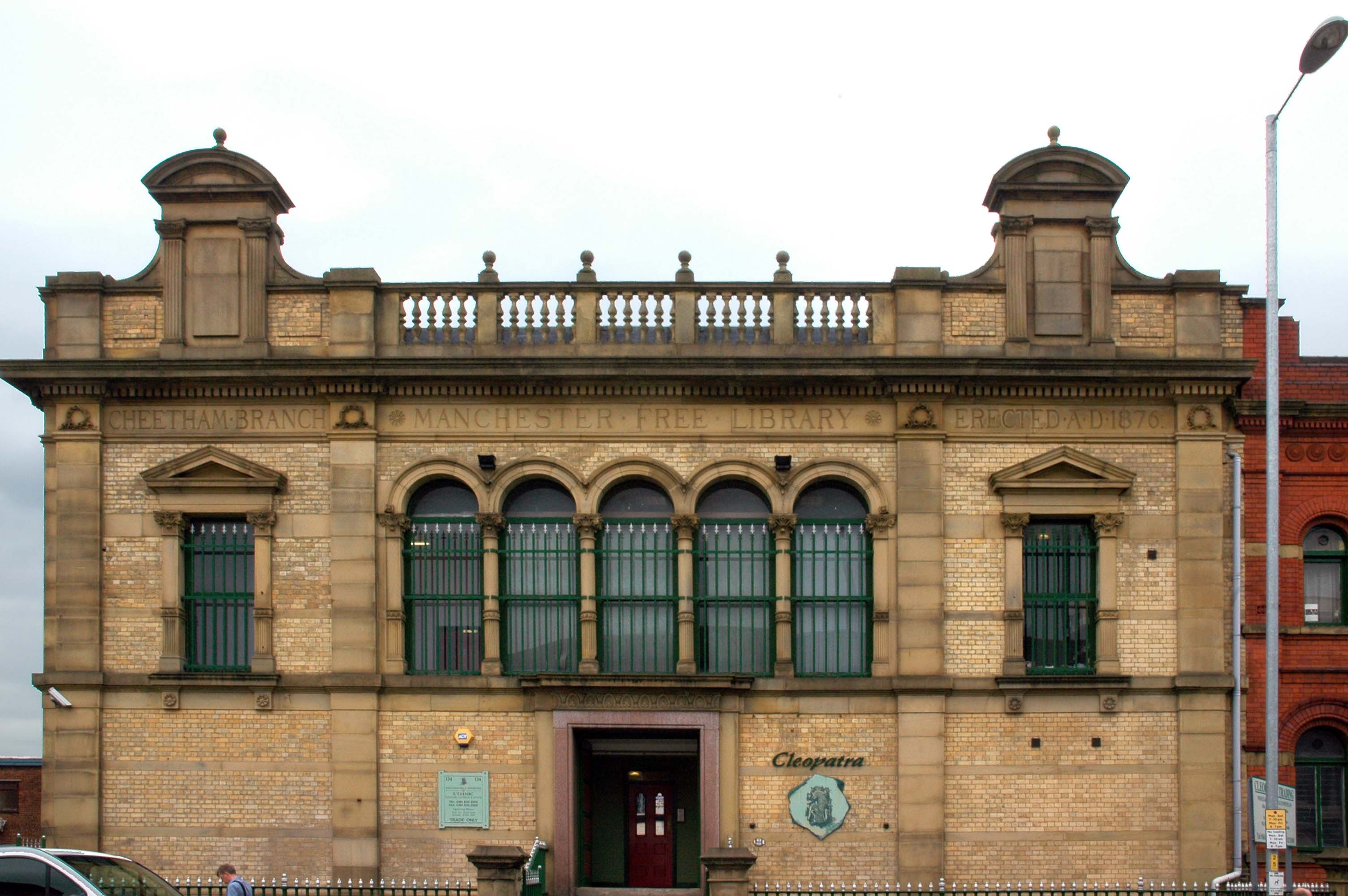
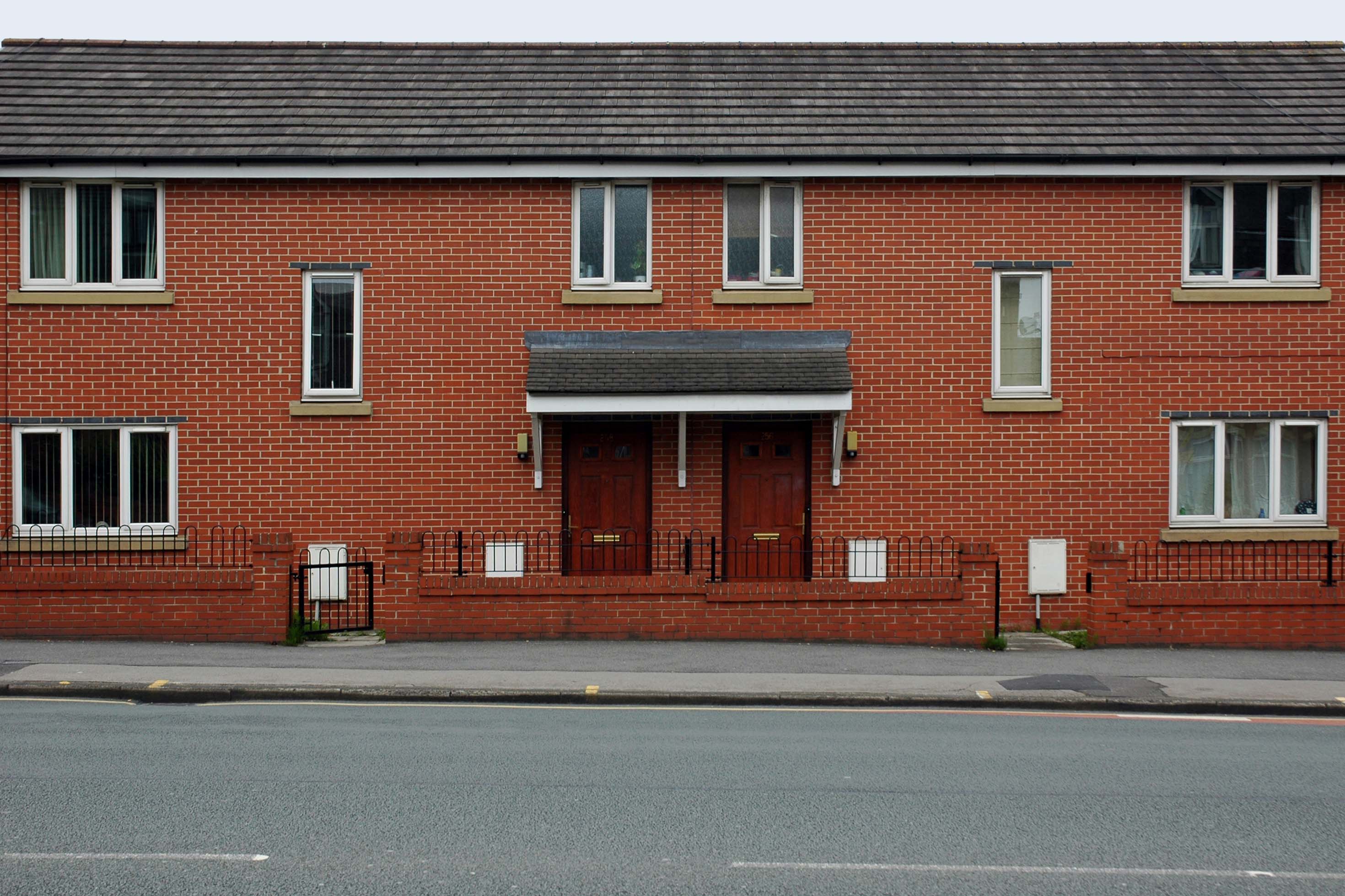
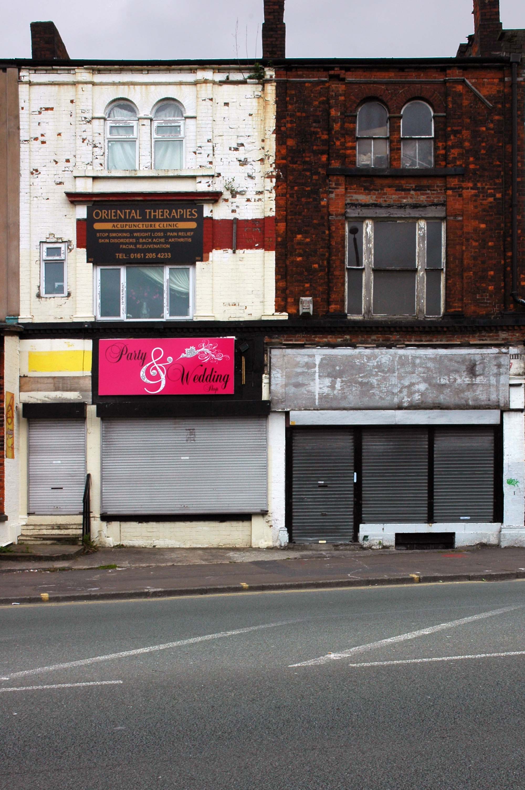
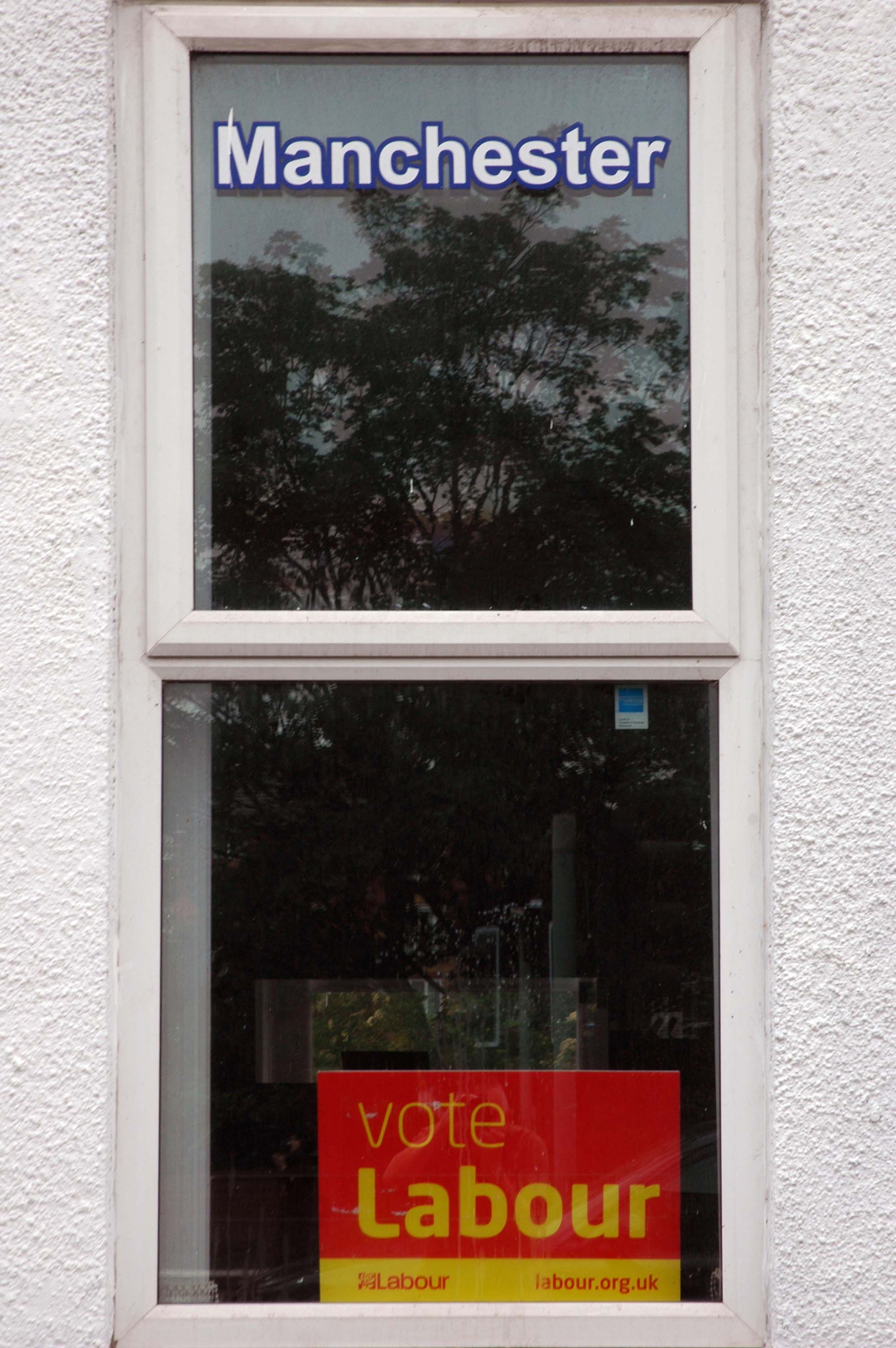
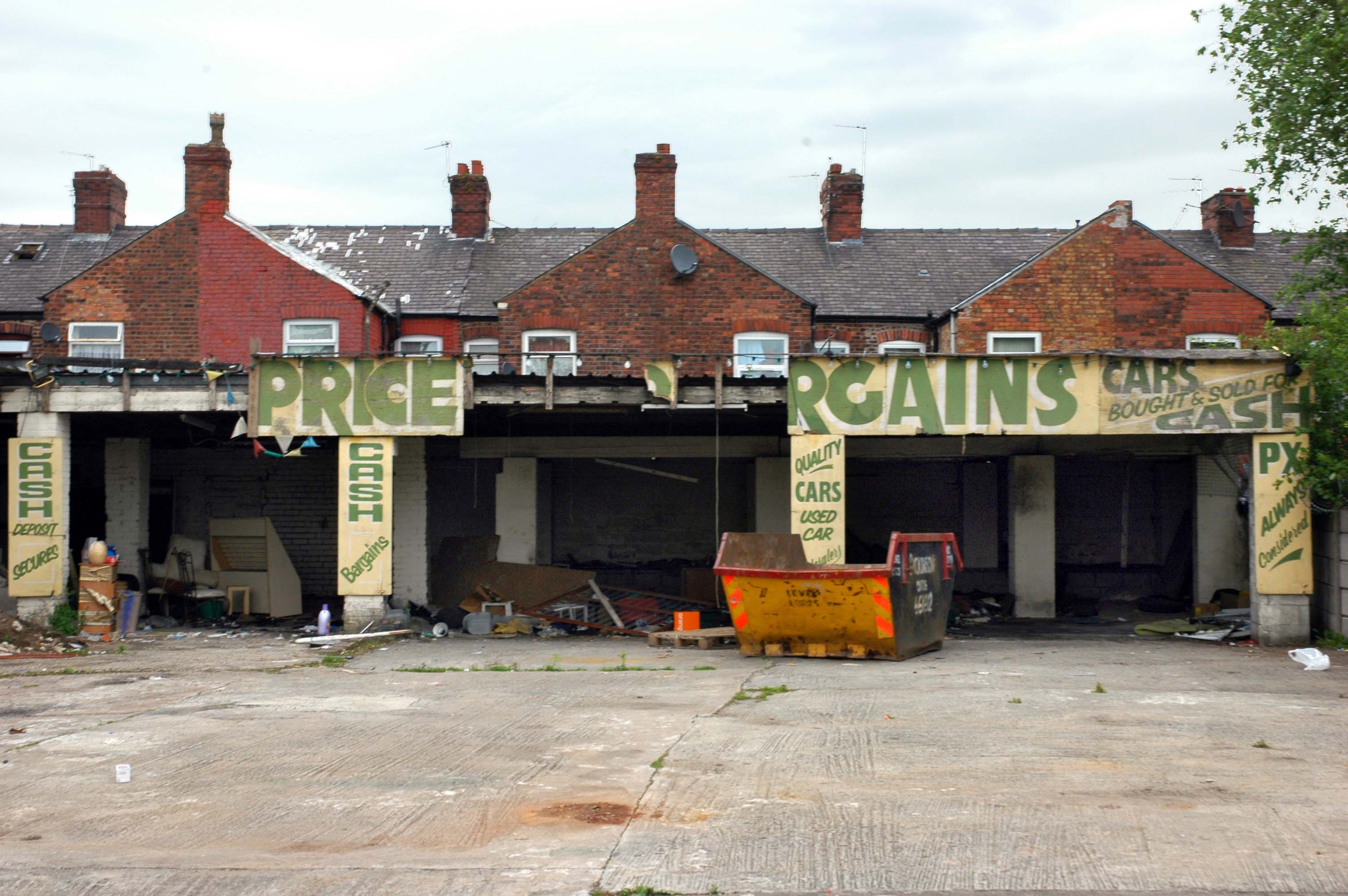
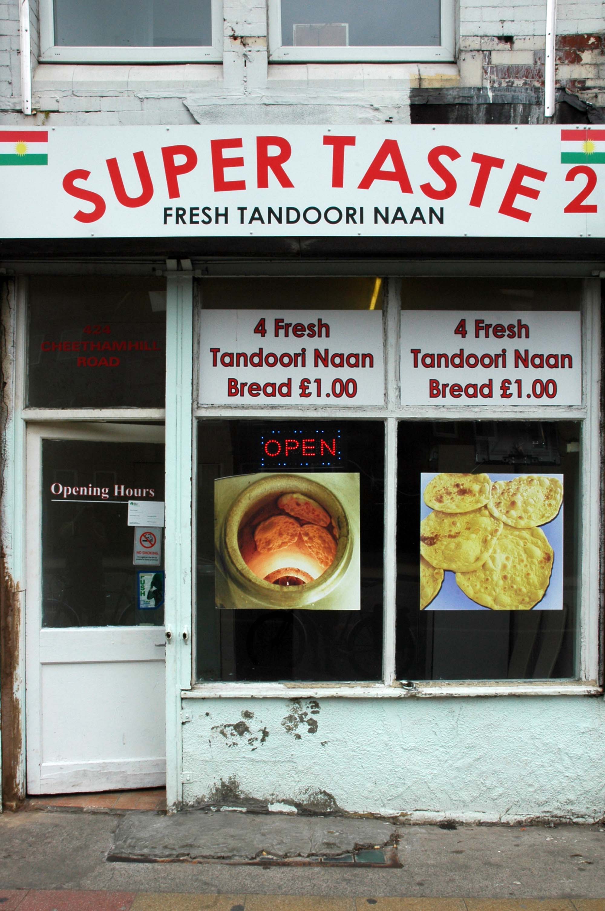
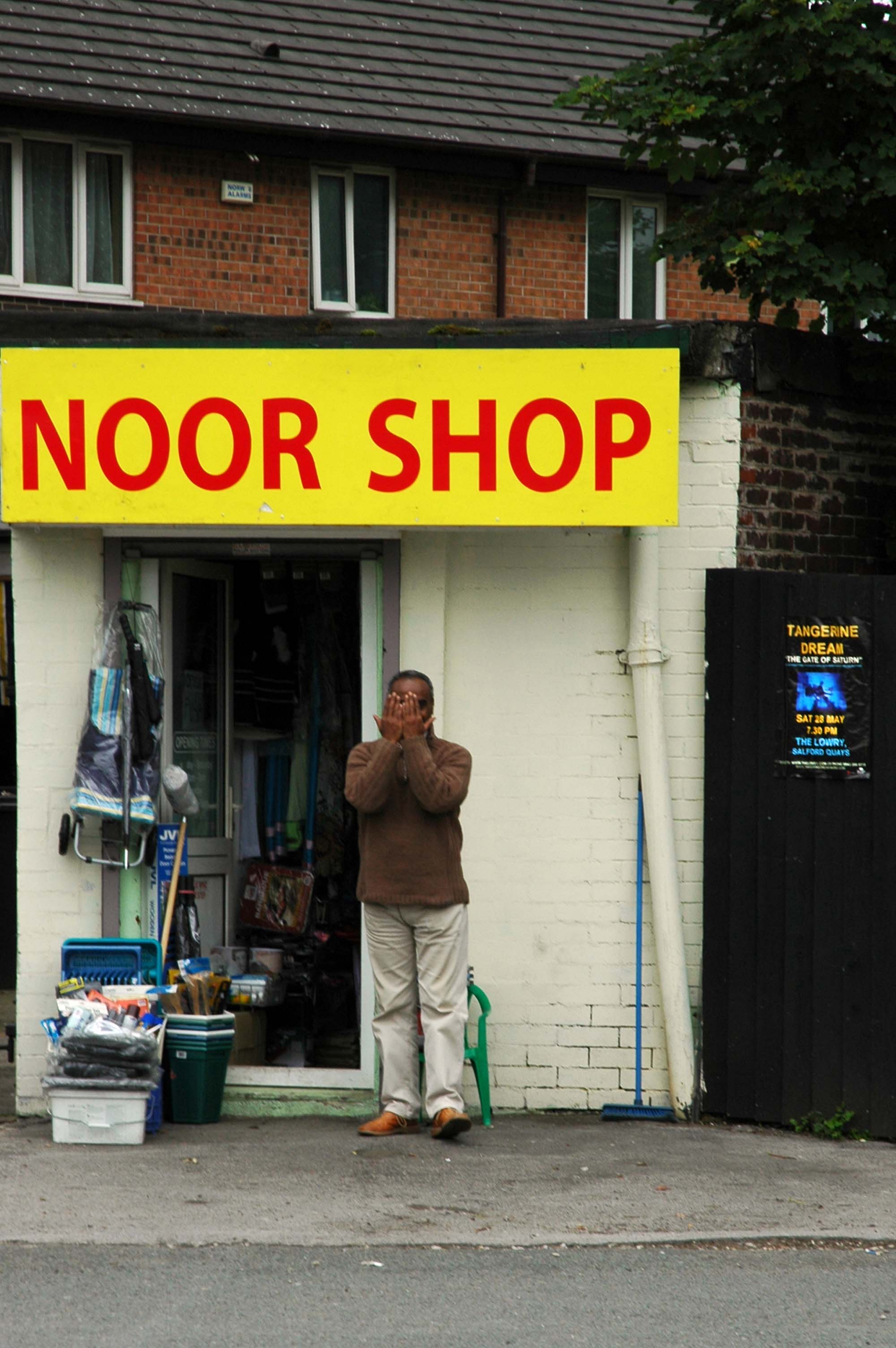
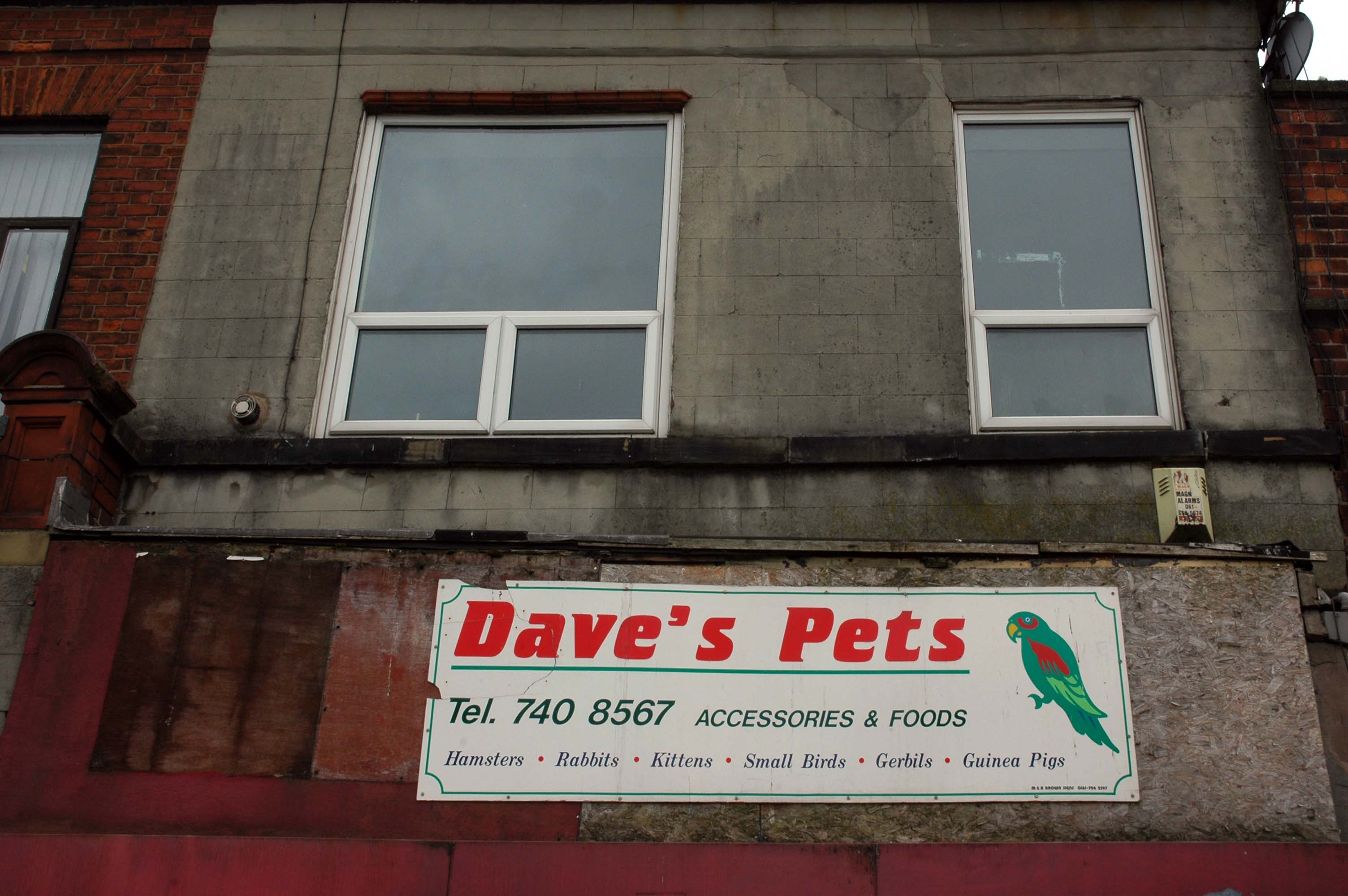
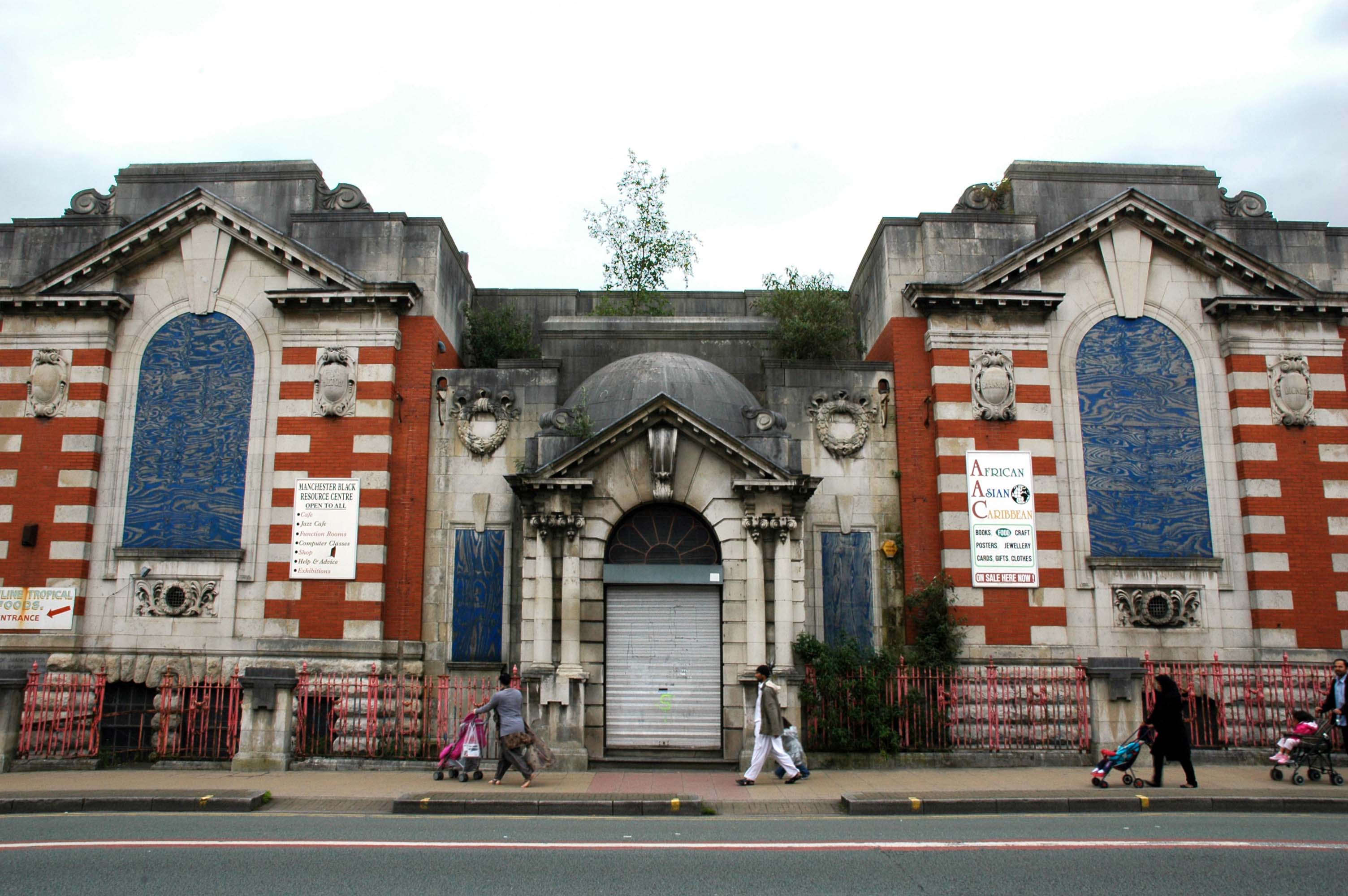
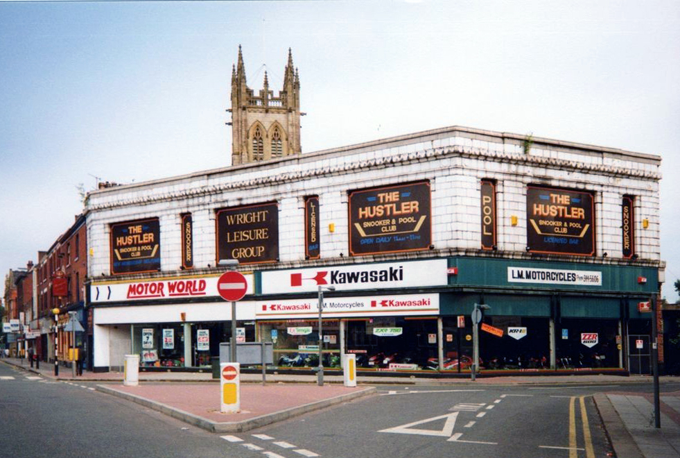
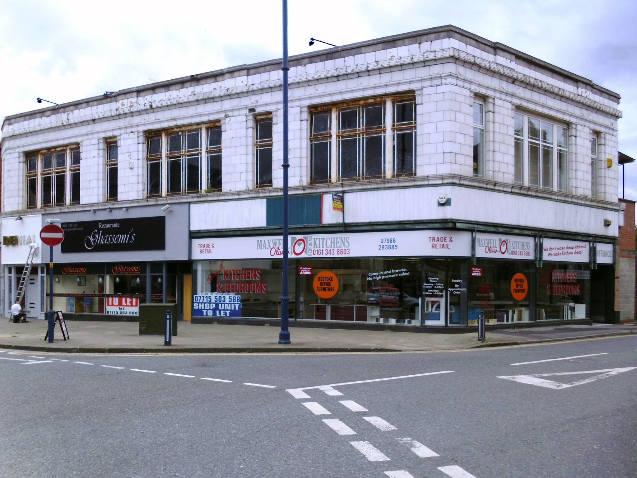
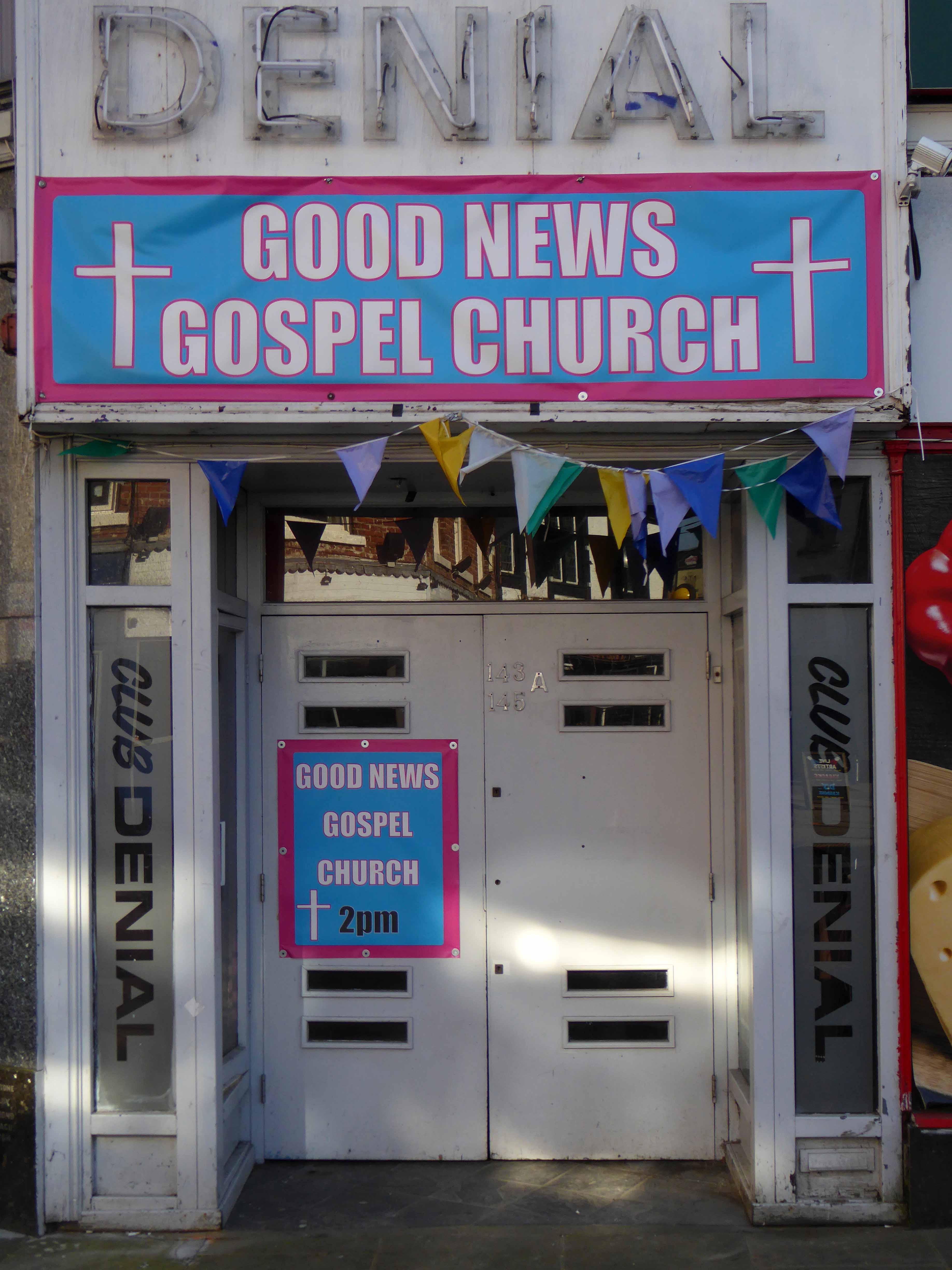
1900

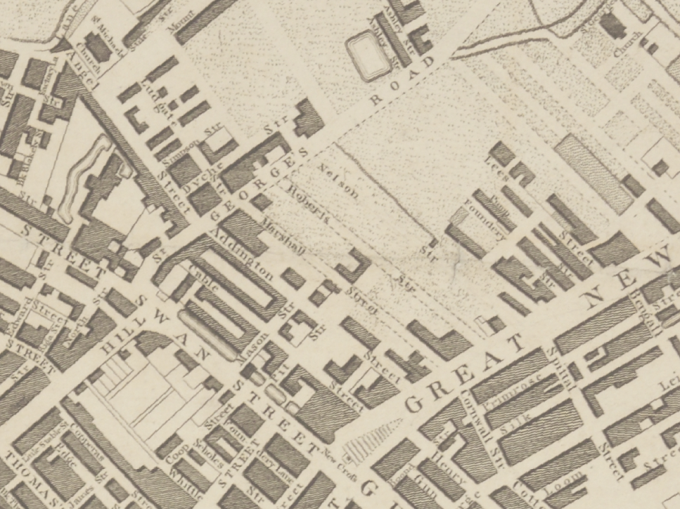
1920

1960

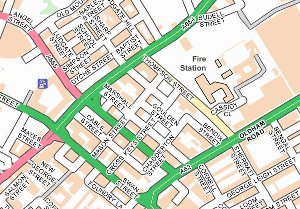
2026

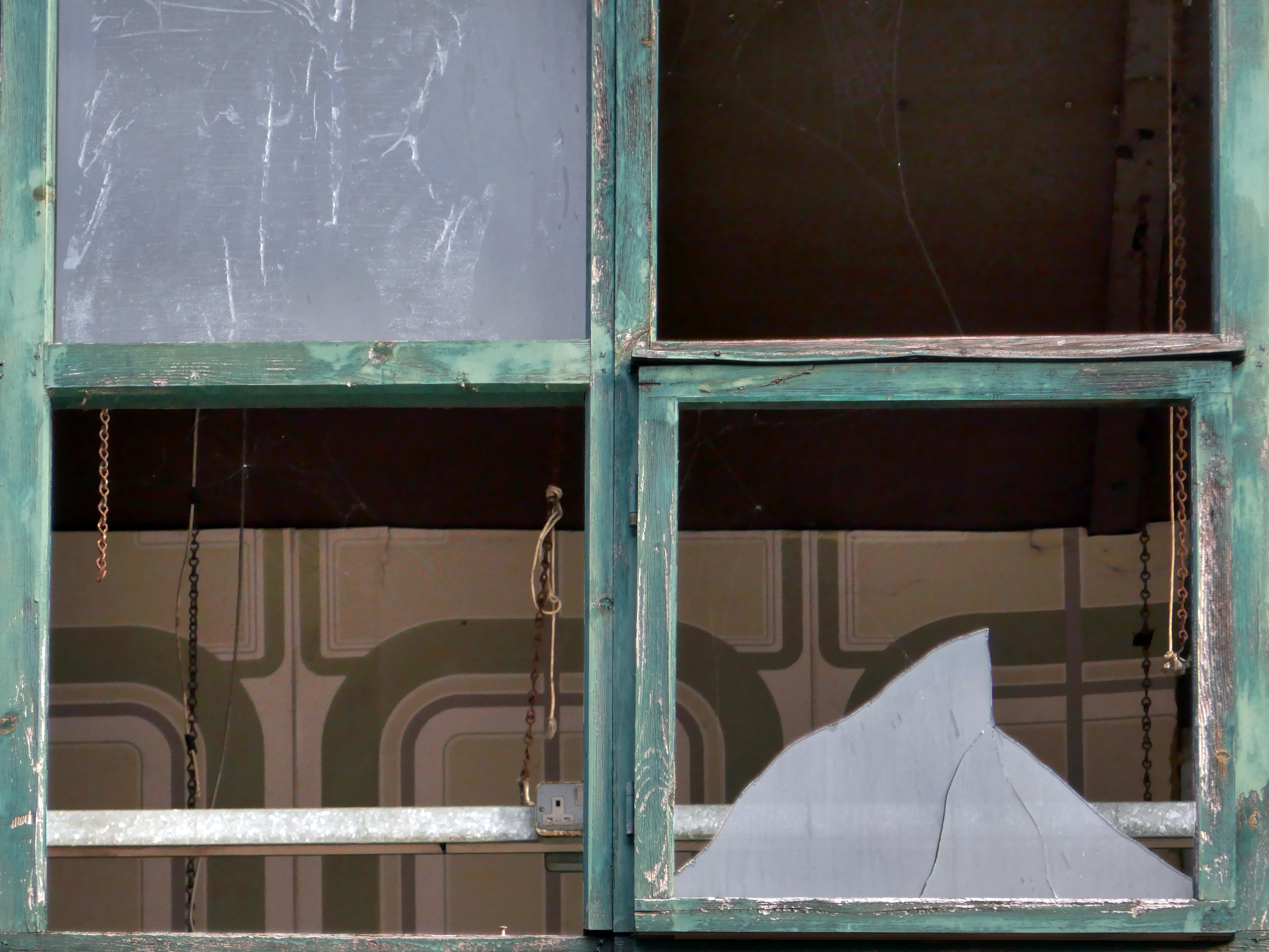
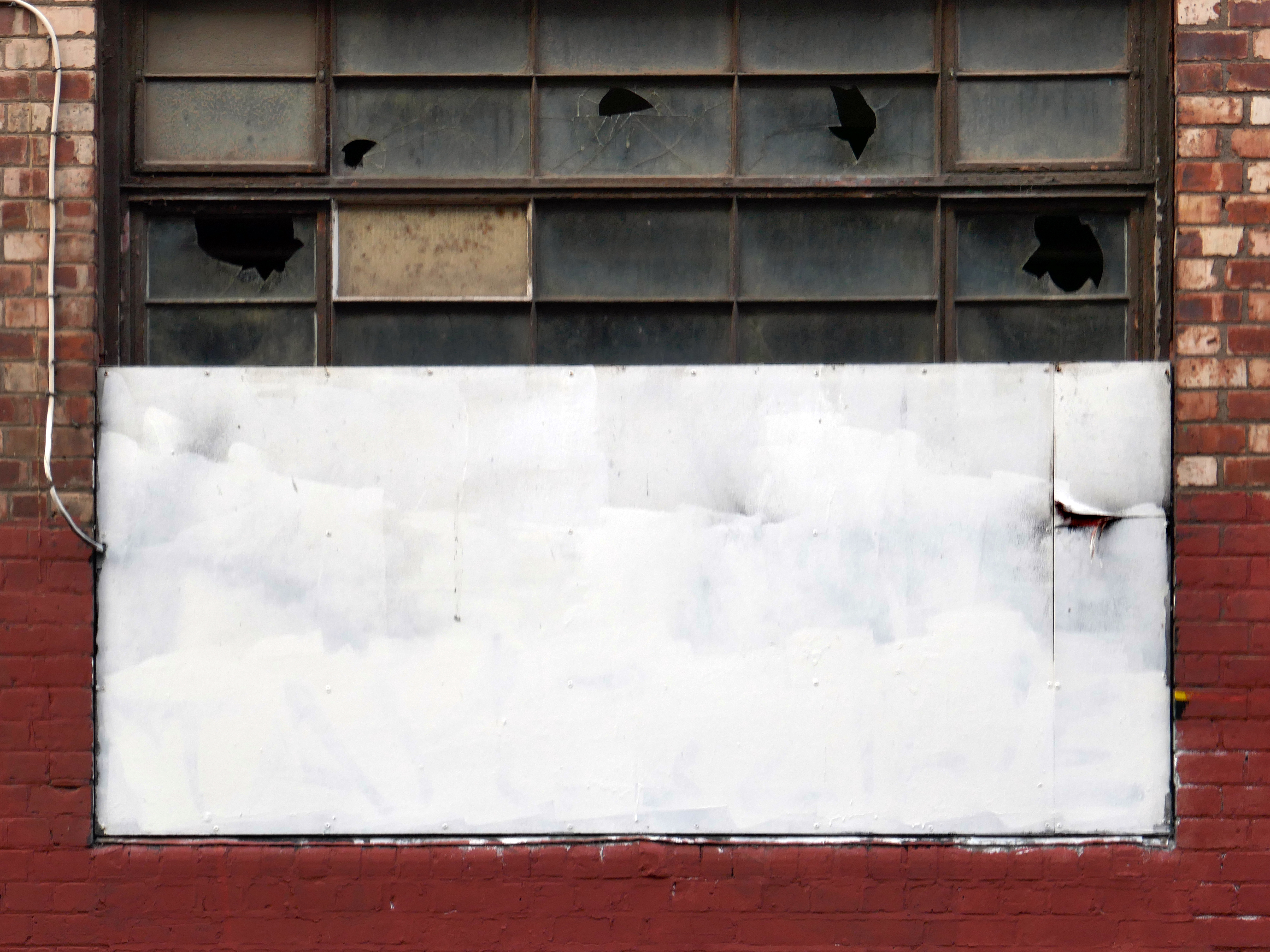
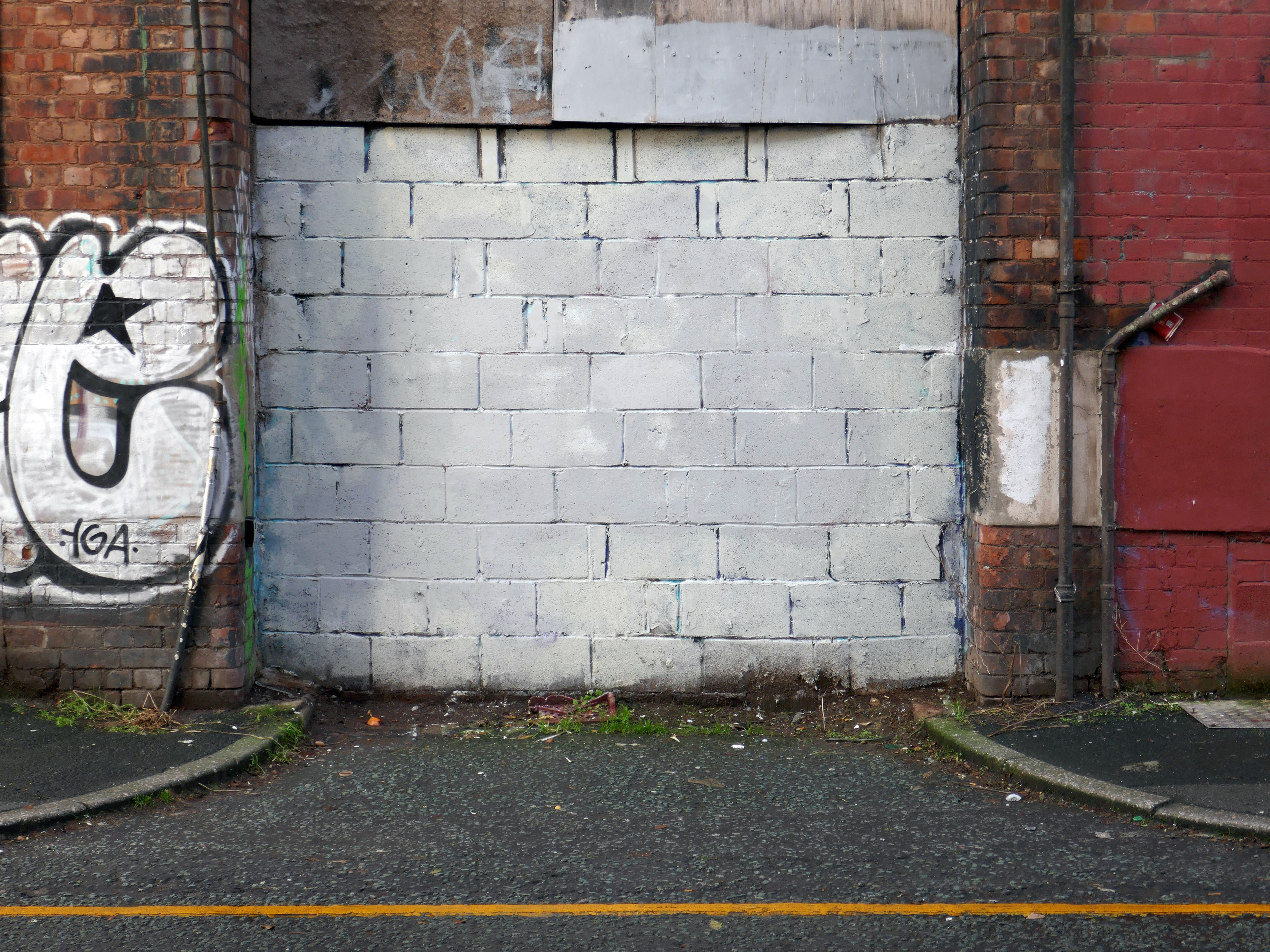
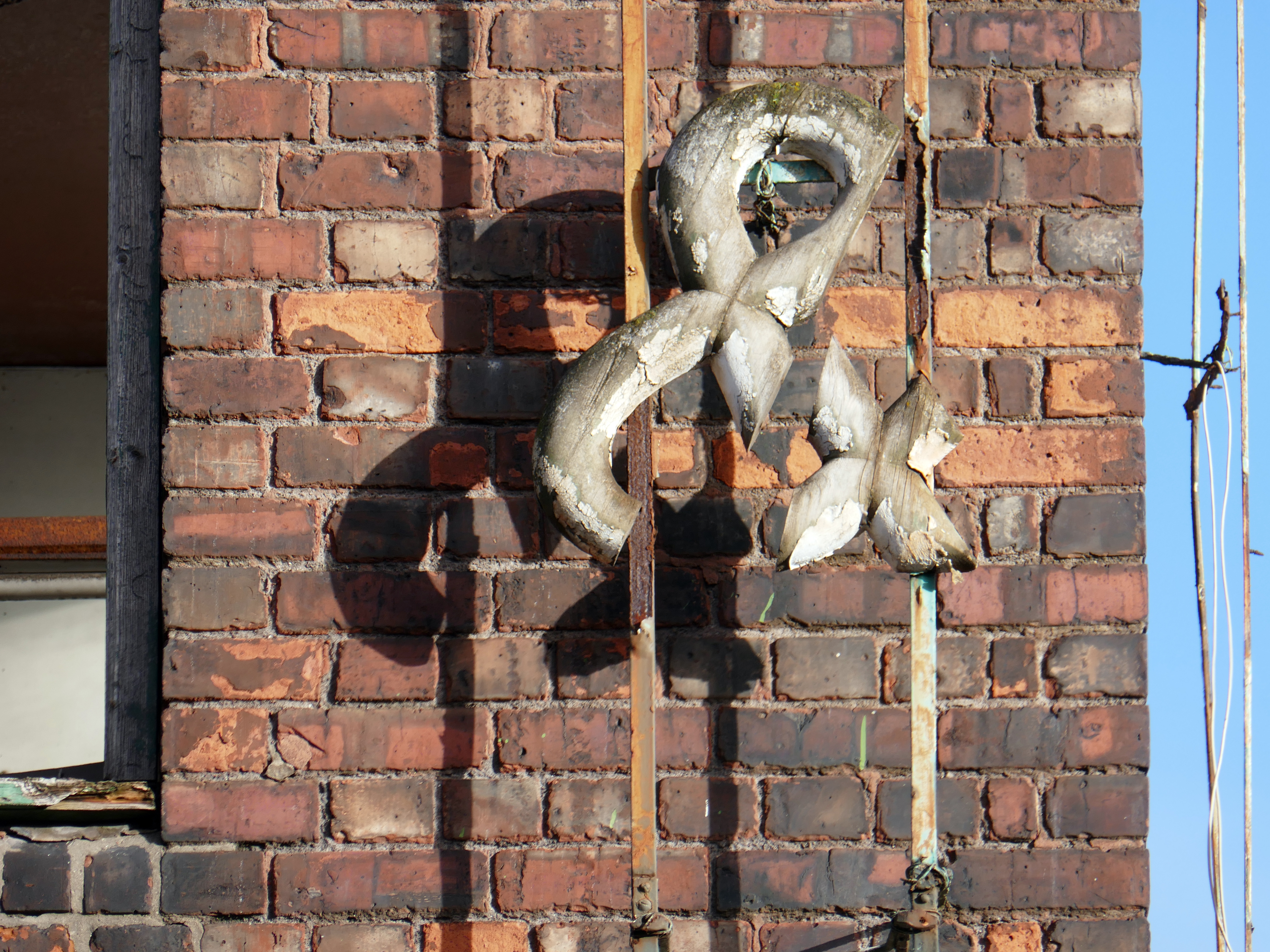
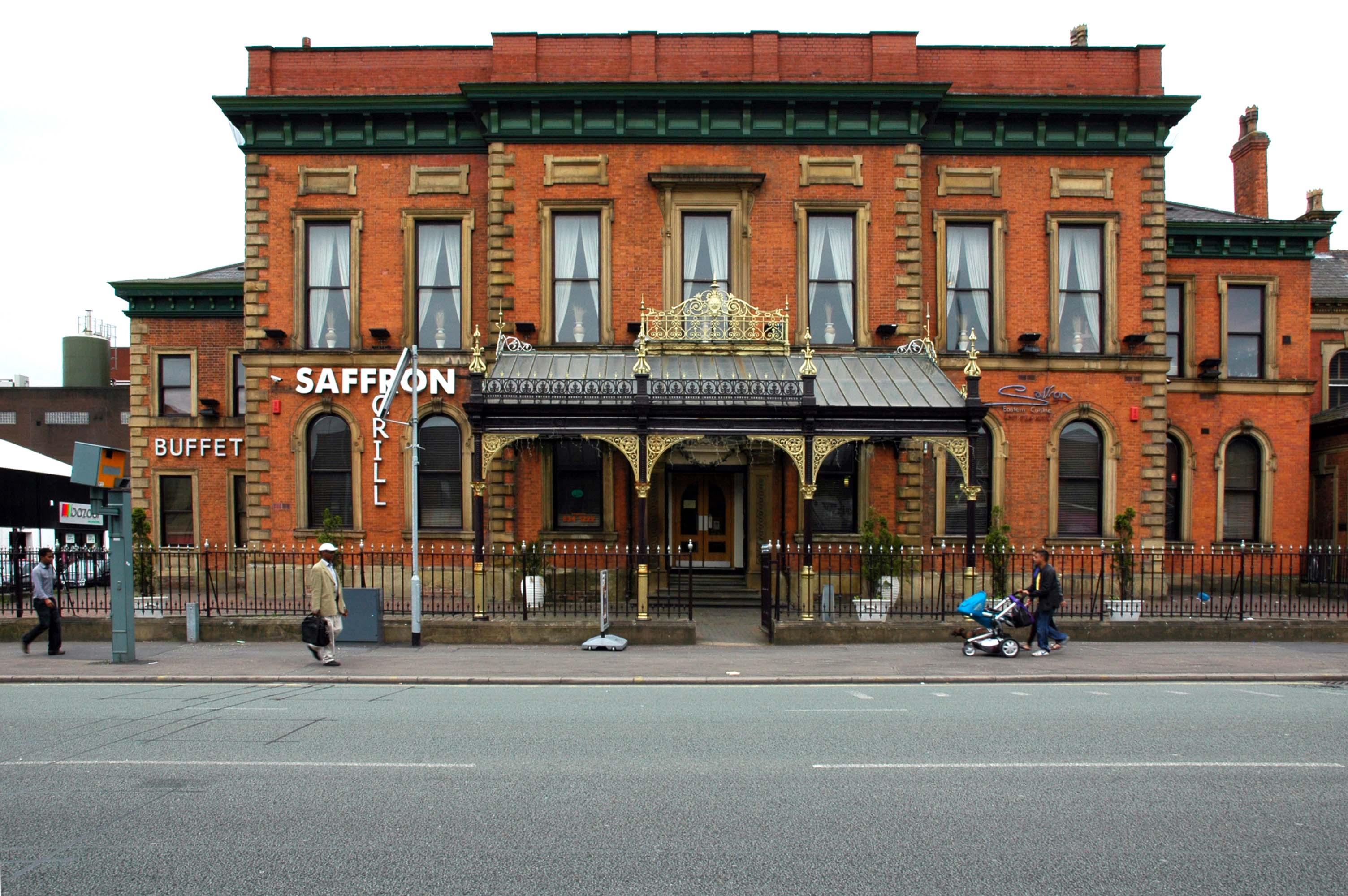
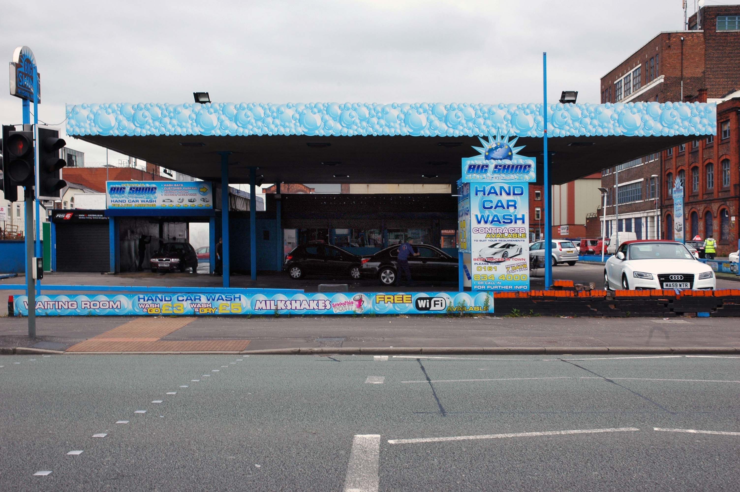
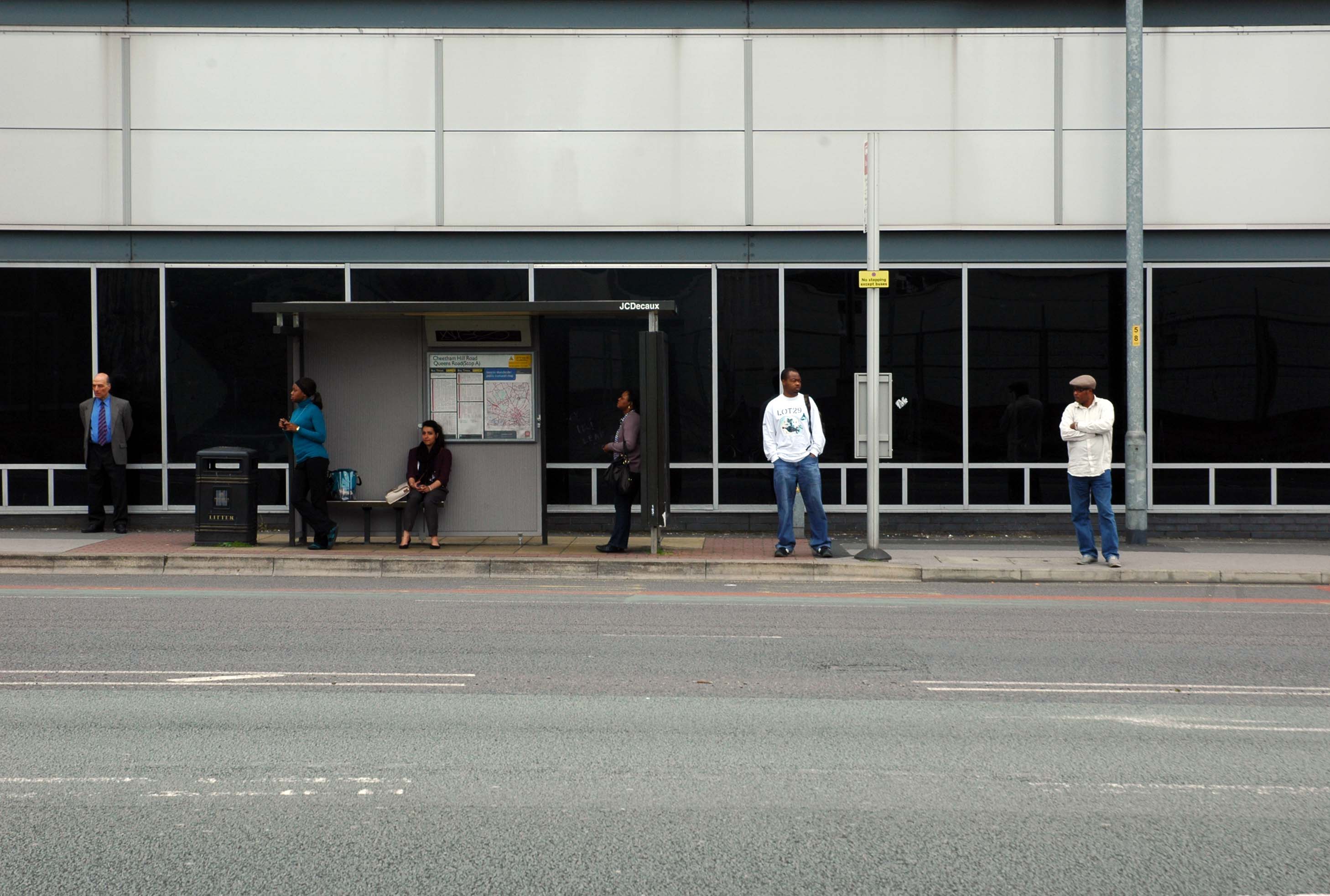
I often wander these streets and write about the area’s history, or record the current state of affairs, then returning with 35mm film to photograph a black and white world.
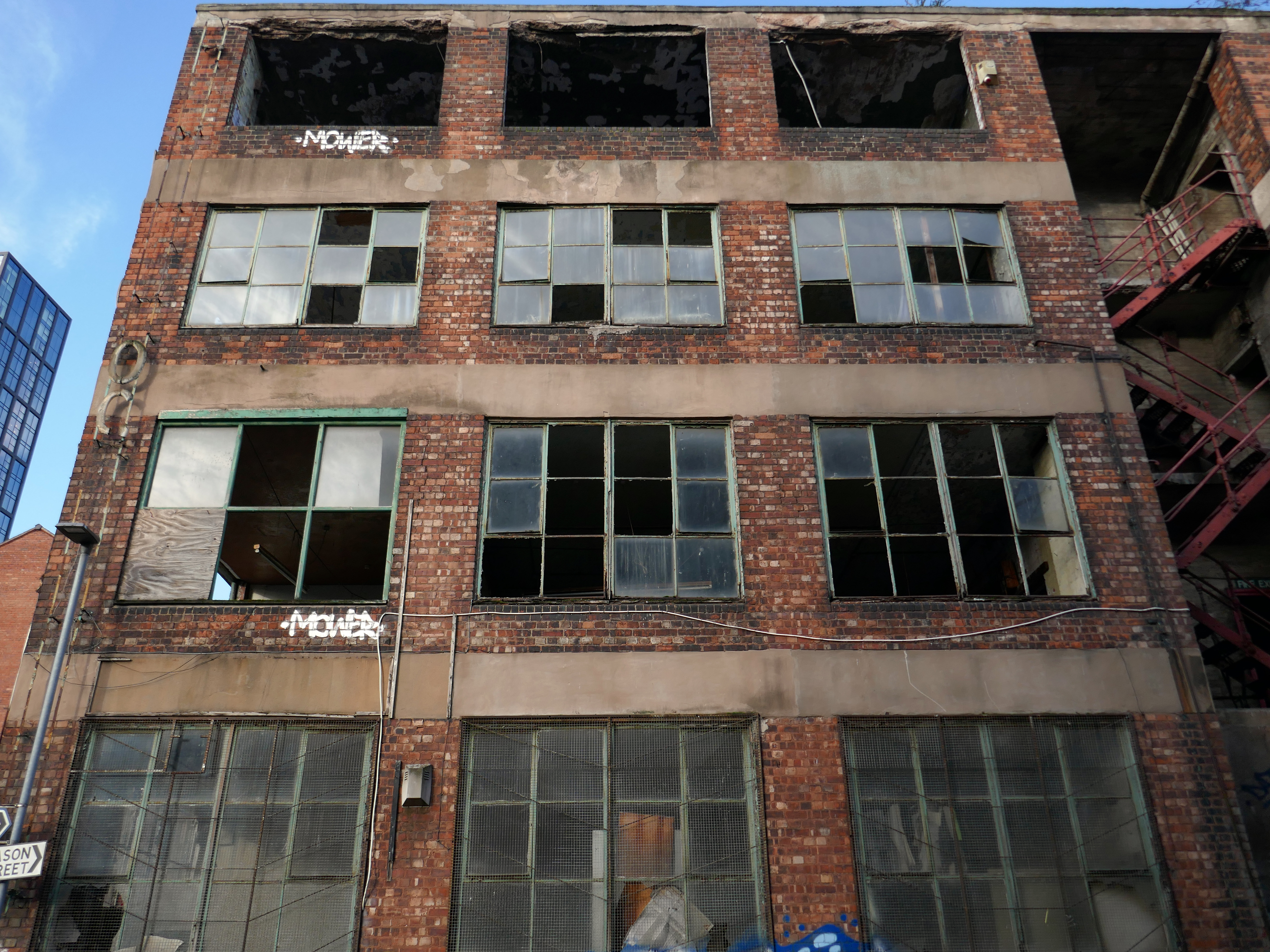
On this occasion I am concerned with the tight little rectangle formed by Cheetwood Road, Broughton, Alison and Sherborne Streets.

Cheetwood Road is a postwar construction, a straight route replacing the meandering Cheetwood Lane. The road is lined with low level functionalist brick, steel and concrete industrial units.
Having fallen into disrepair they are now being renovated and reused.


In the early Twentieth Century the area was a mix of semi-derelict Victorian housing and industry.
Corner of Sherborne Street 1905

Cheetwood Lane 1917

The huge Holt’s Cheetwood Hotel has since been demolished, lasting until c1990.

Cheetwood Lane 1920

Images: Thomas Baddeley
Progress House 1969 – Domtar Howard Smith Ltd Paper Manufacturers.


Norweb Electricity

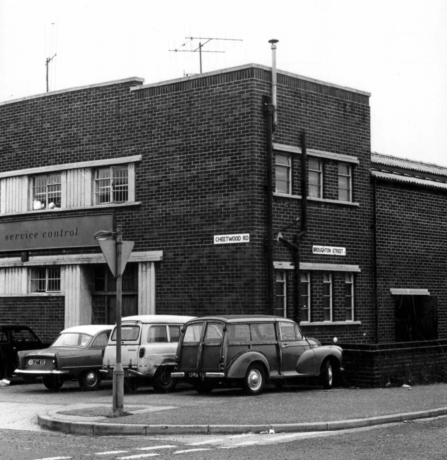
Images: Louis H Price Manchester Local Image Collection.
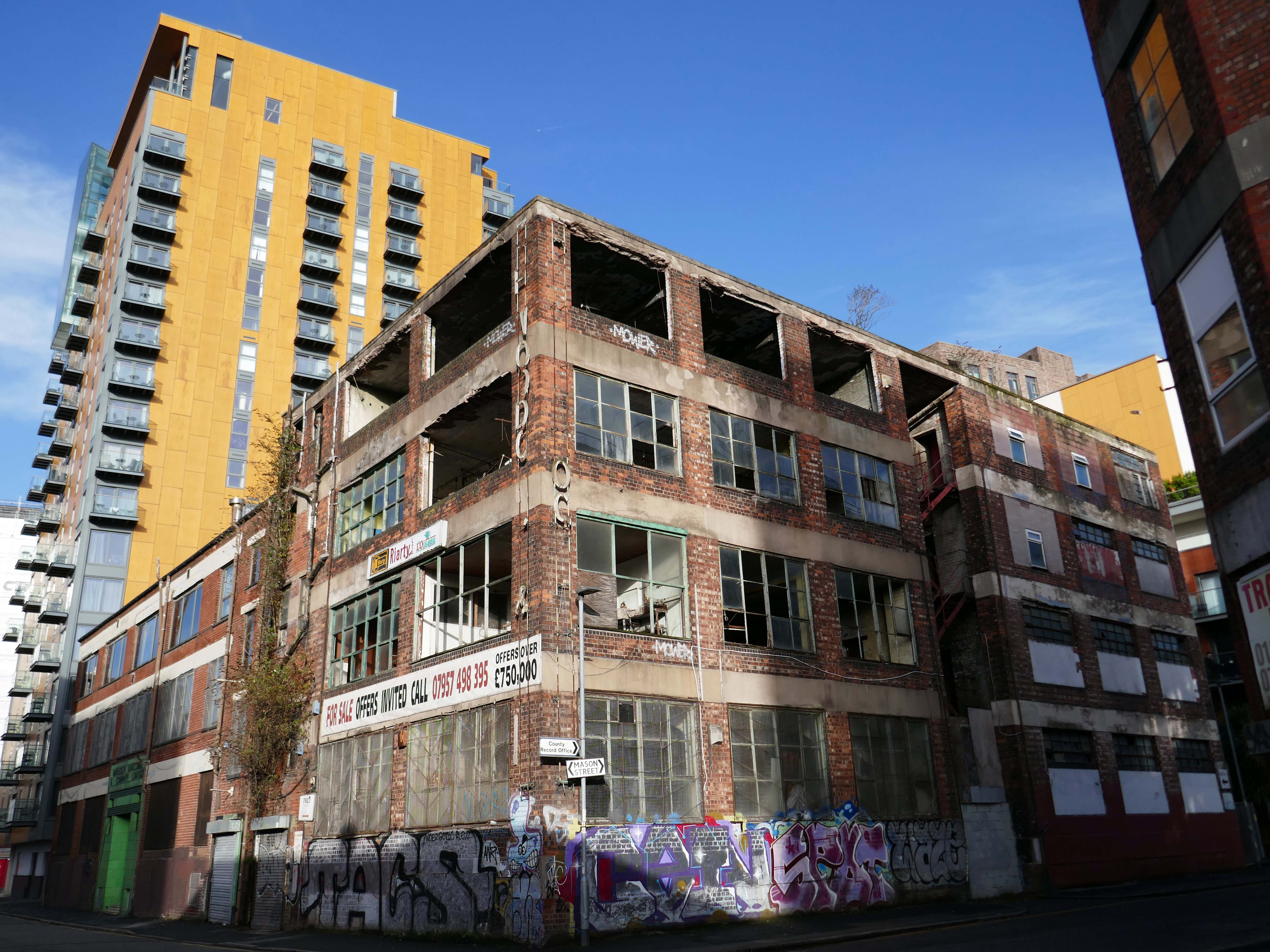
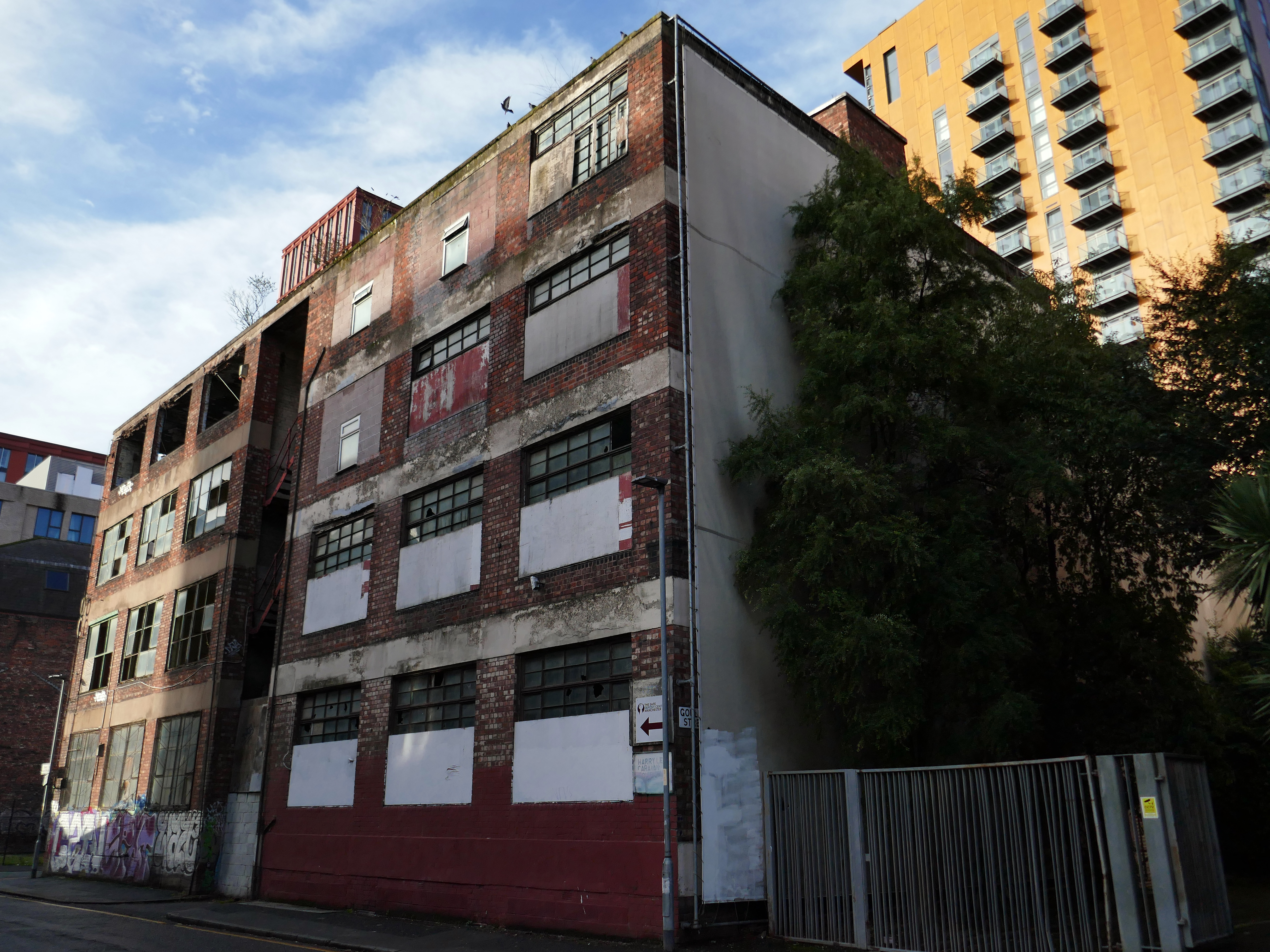
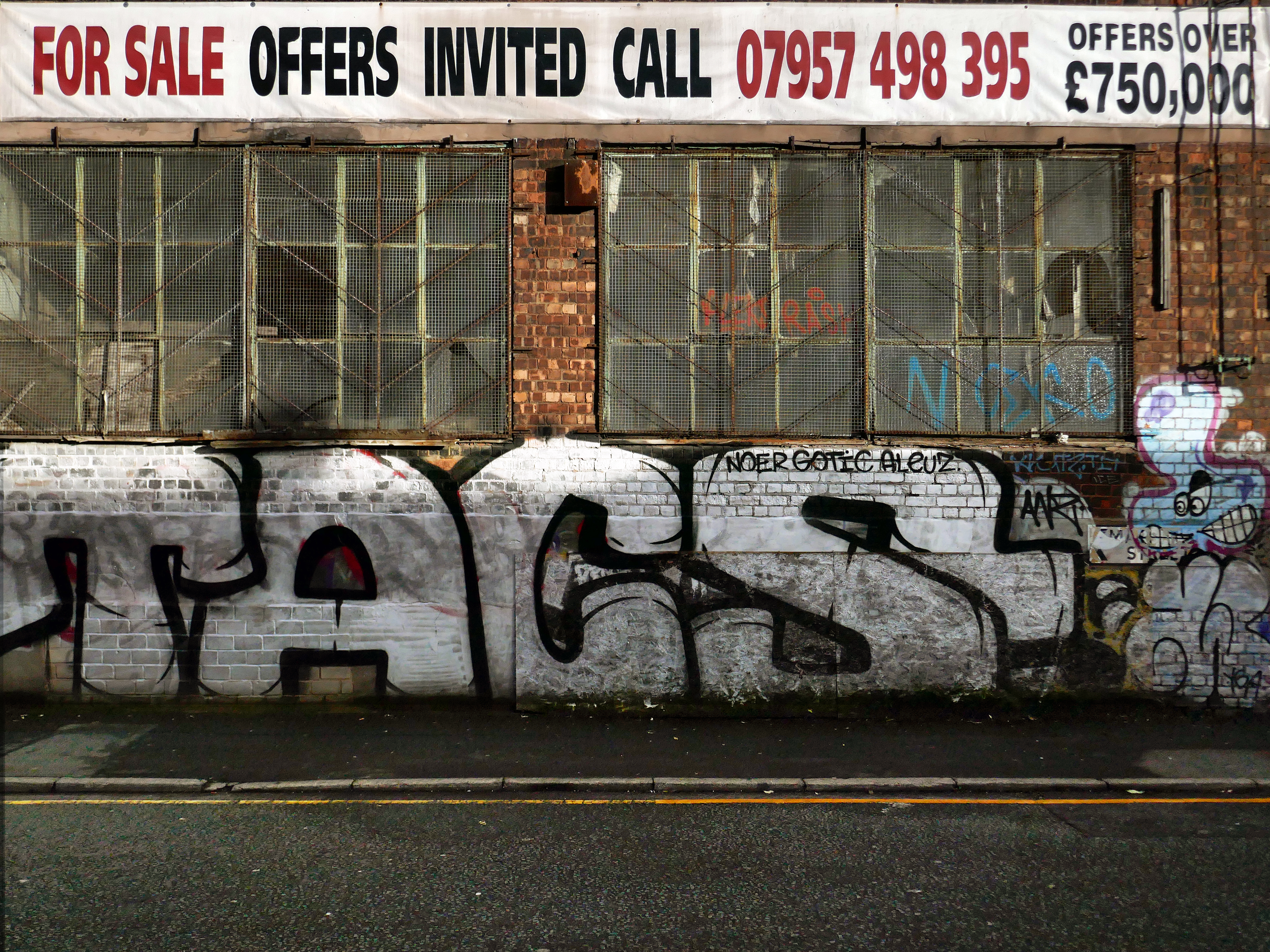
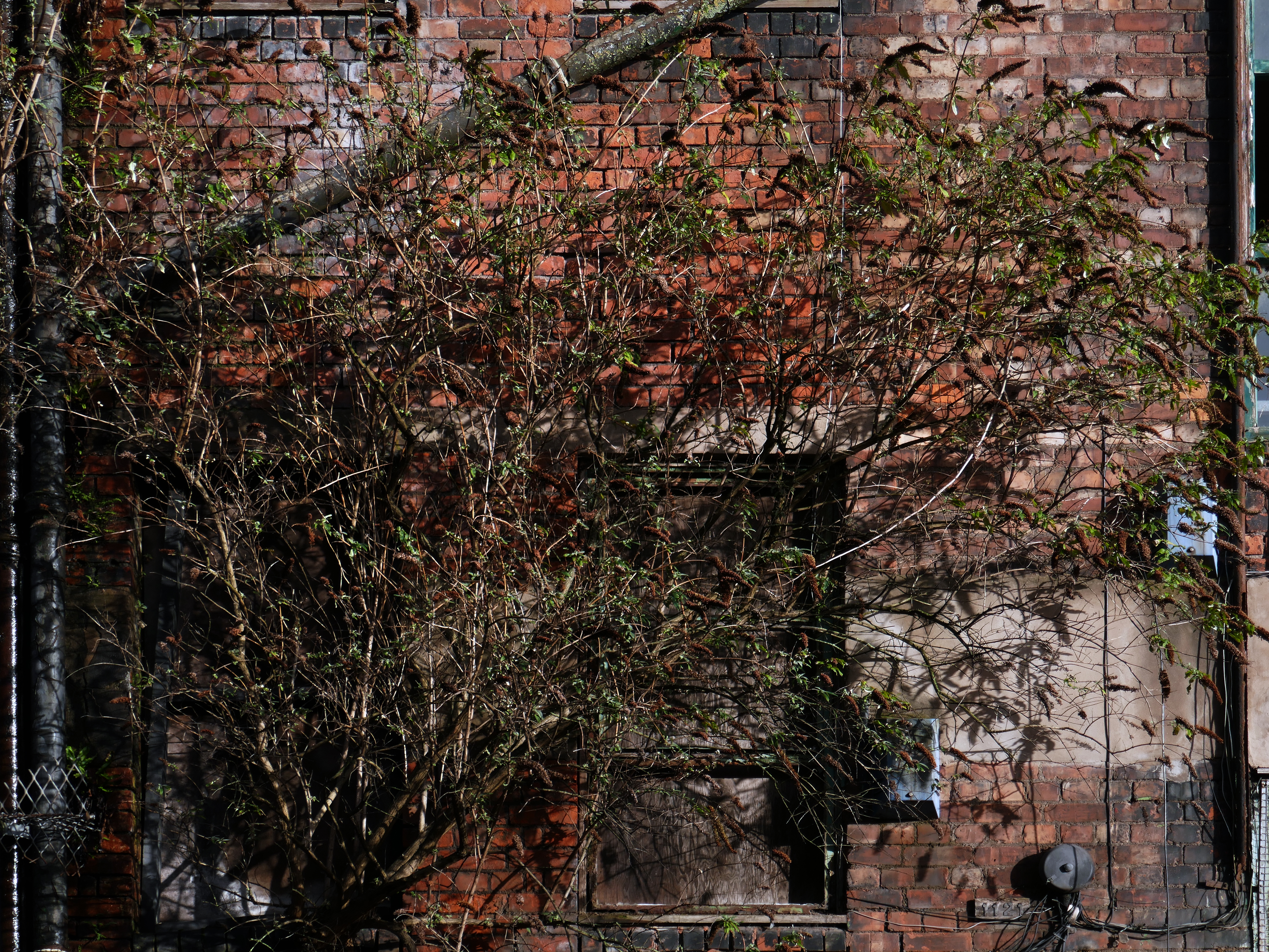
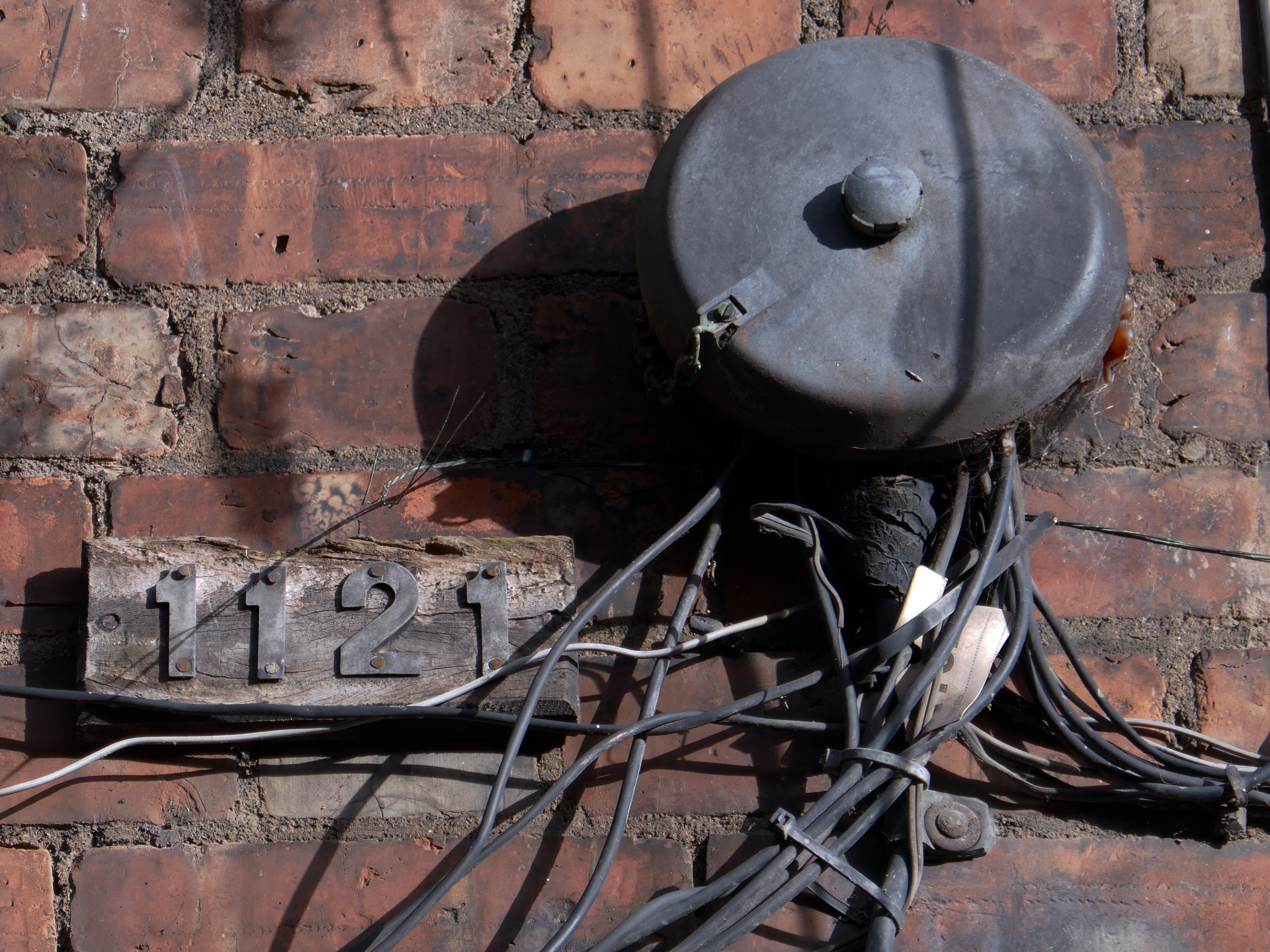
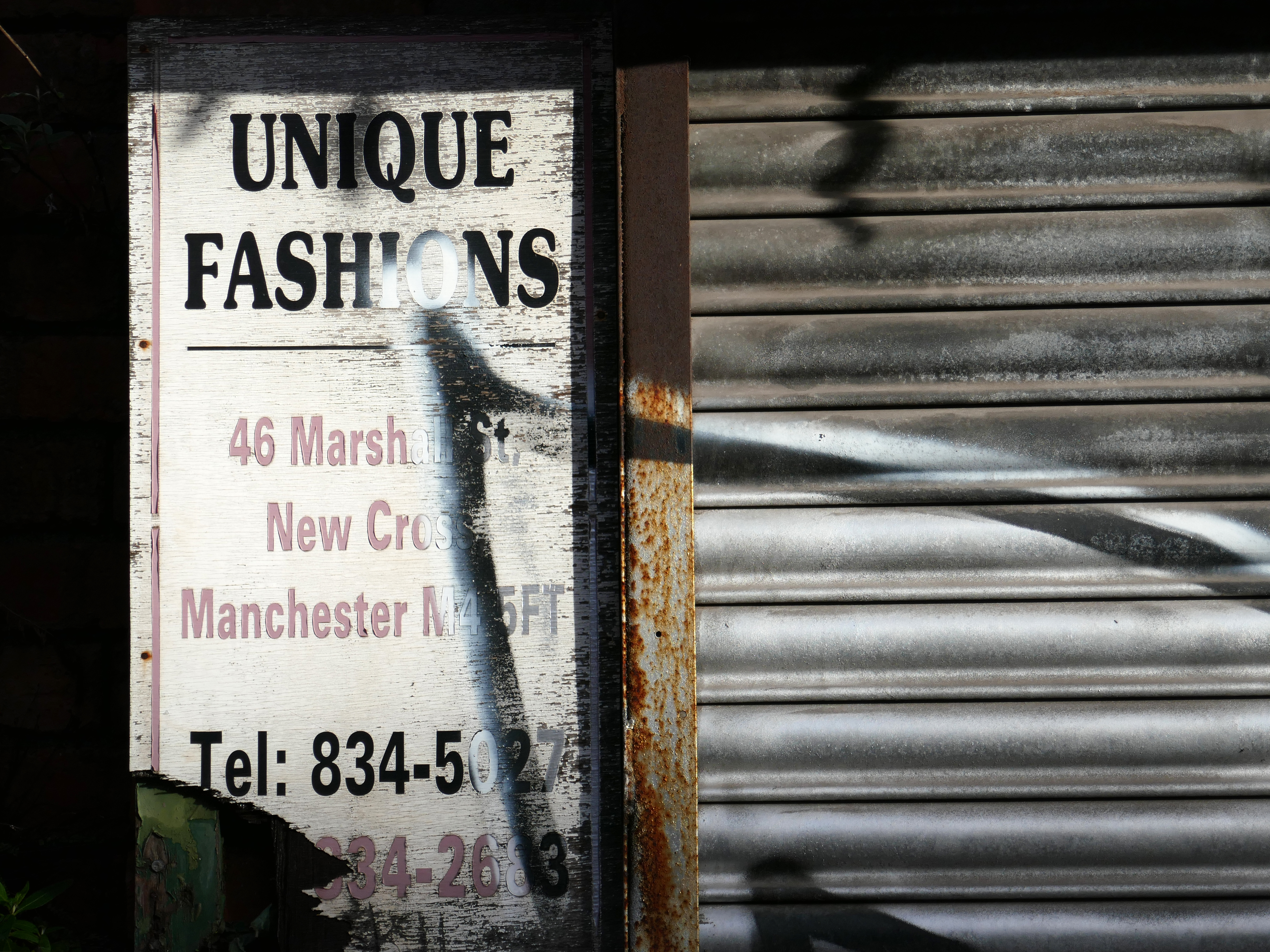
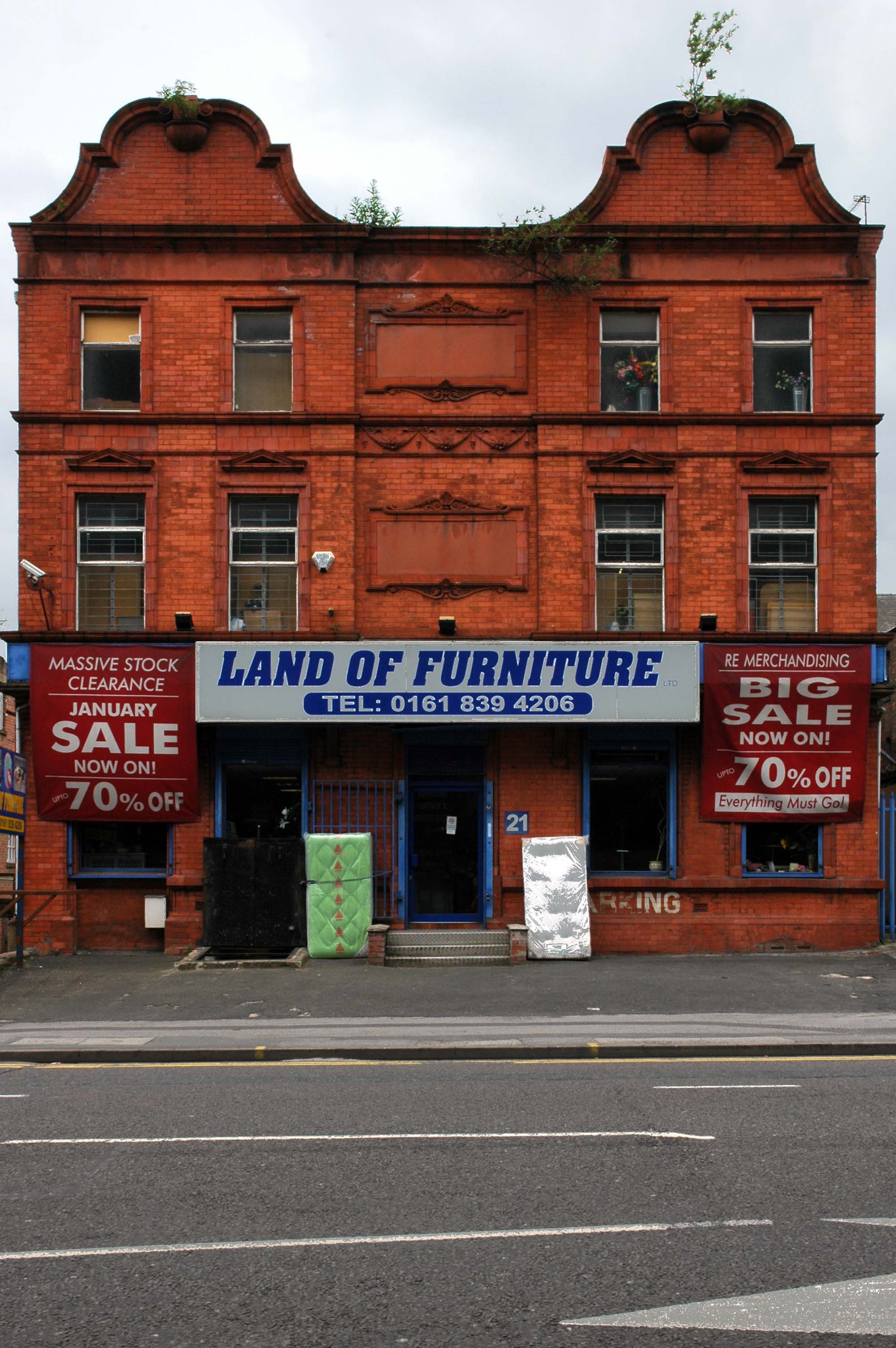
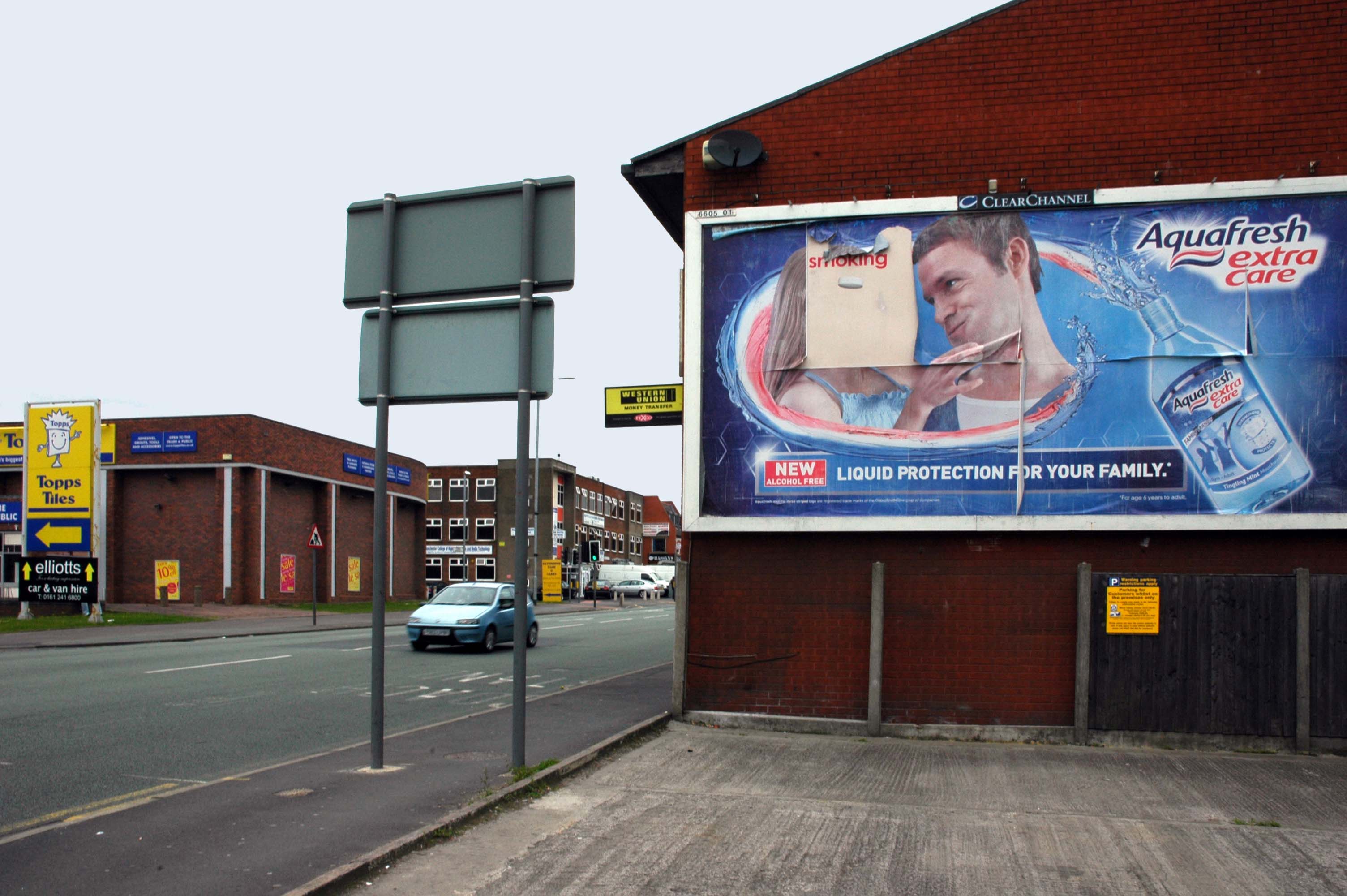
So here we are on Friday 7th August, taking yet another look.


The whole area and beyond is now the centre of a plan for regeneration.
Salford City Council and Manchester City Council have developed a joint Strategic Regeneration Framework to transform the Strangeways and Cambridge areas.
This plan addresses long-standing challenges such as counterfeit crime, poor-quality buildings, and flood risk, while creating opportunities for new homes, businesses, and green spaces.

The Strangeways and Cambridge strategic regeneration framework sets out a vision to deliver around 7,000 homes in buildings up to 30 storeys and 3.1m sq ft of new or improved commercial space across 320 acres spanning both Manchester and Salford.
HMP Manchester & Jury Street: A catalytic neighbourhood at the heart of the SRF. Home of the existing HMP Manchester with potential for long term change subject to the relocation of the prison.
Derby Street: An intensified business district, supported to ensure the long-term preservation and evolution of the business base in the area.
Copper Park: A regional destination, multi-functional open space delivered to create positive amenity and biodiversity in response to future flood risk.
Overbridge: Gateway to Copper Park from the city centre, an area of significant residential potential – up to 2,000 homes – but with important economic assets and heritage.
Cheetham Park: A new urban-suburban residential neighbourhood of up to 1,000 homes, building on the heritage of the Victorian Cheetham Park and the nascent residential community around it.
Dutton Street: The Dutton Street area is a natural extension of the city centre. Subject to the existing Great Ducie Street SRF, it is identified as residential-led mixed use area – up to 4,000 homes – where significant development and investment is already evident. This part of the SRF could accommodate 1.75m sq ft of new commercial space
Lord Street: A transitional neighbourhood, connecting the residential-led change in Dutton Street with the economic focus of Derby Street to the north, and with Red Bank and Victoria North to the east.