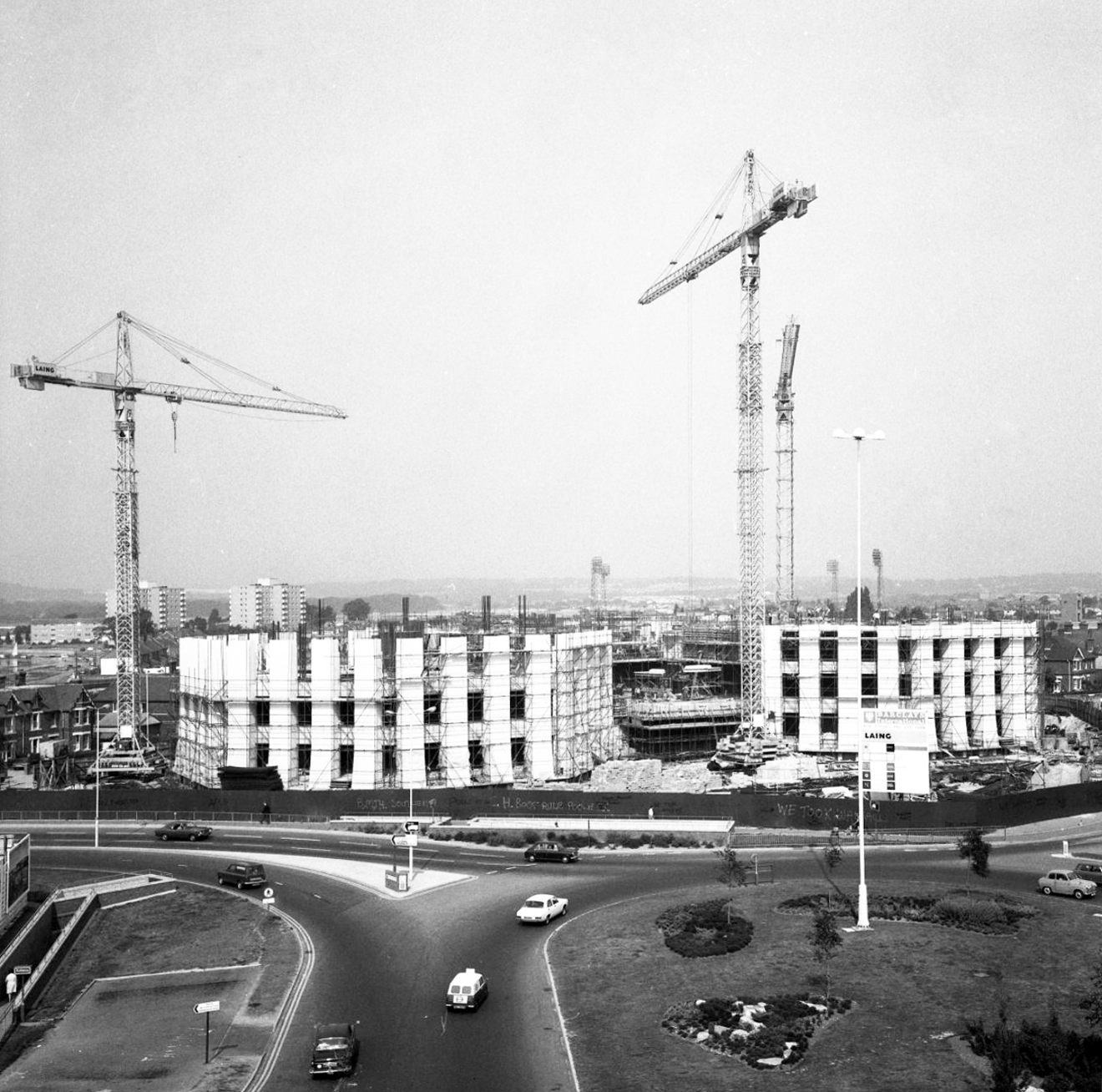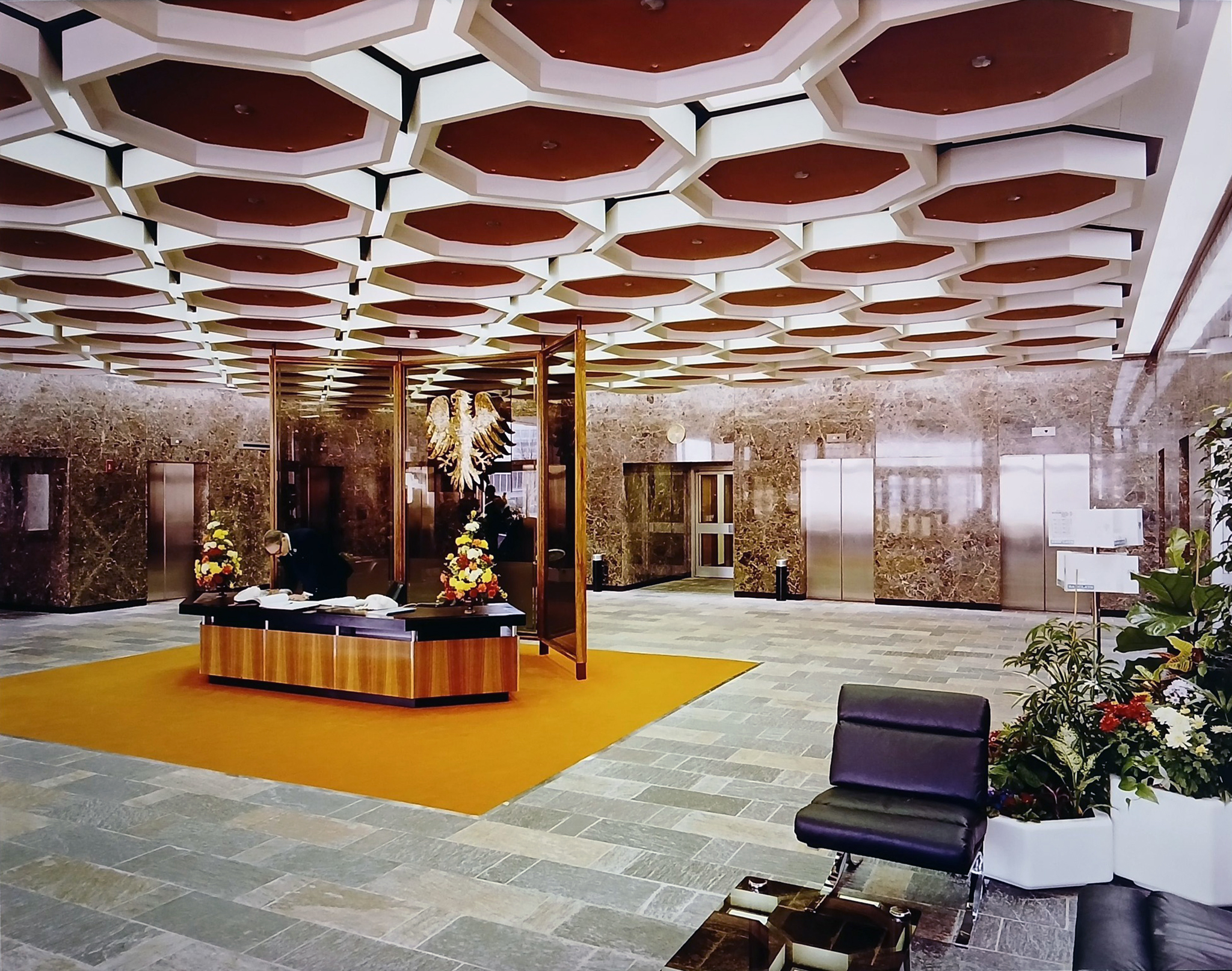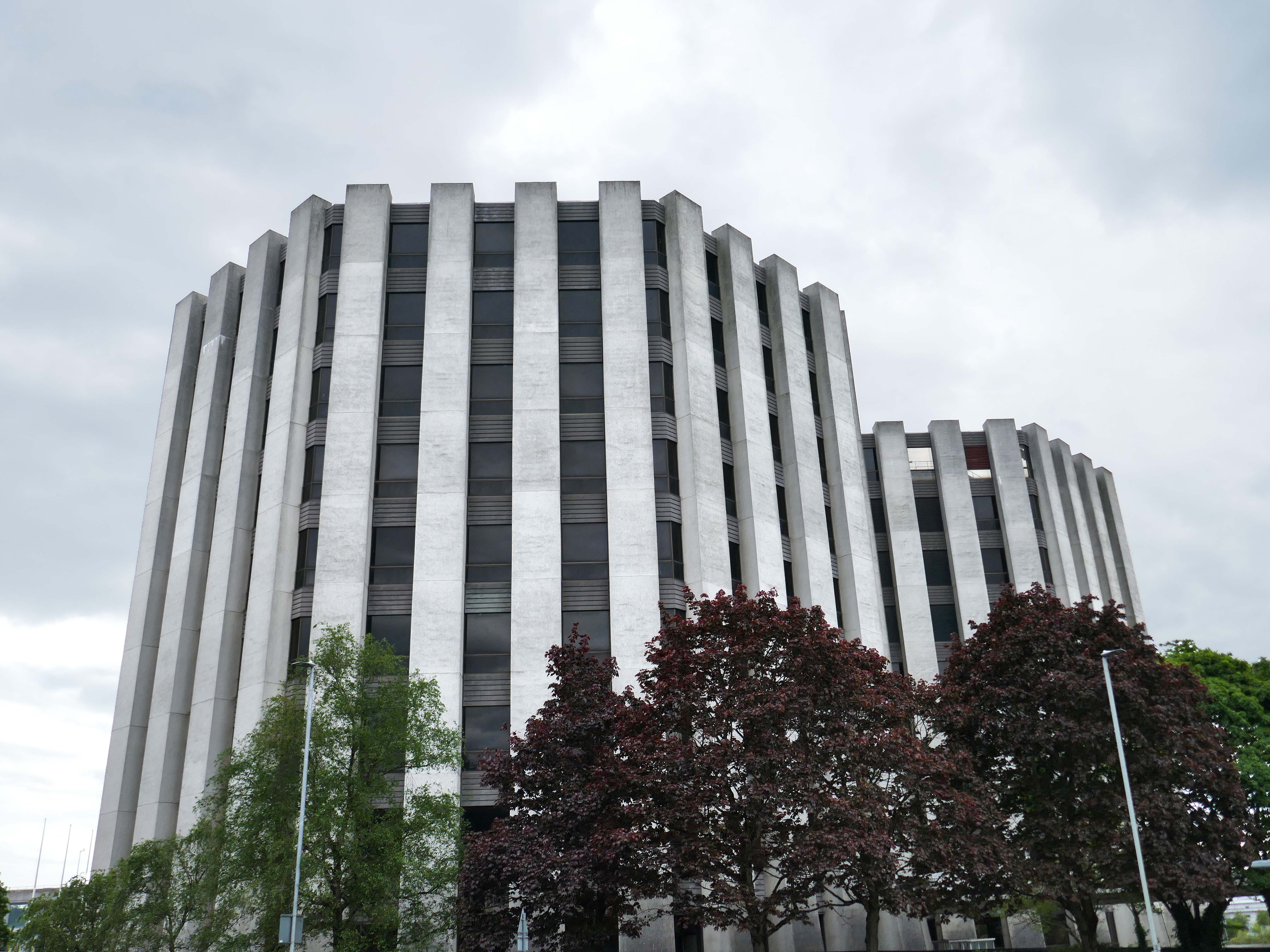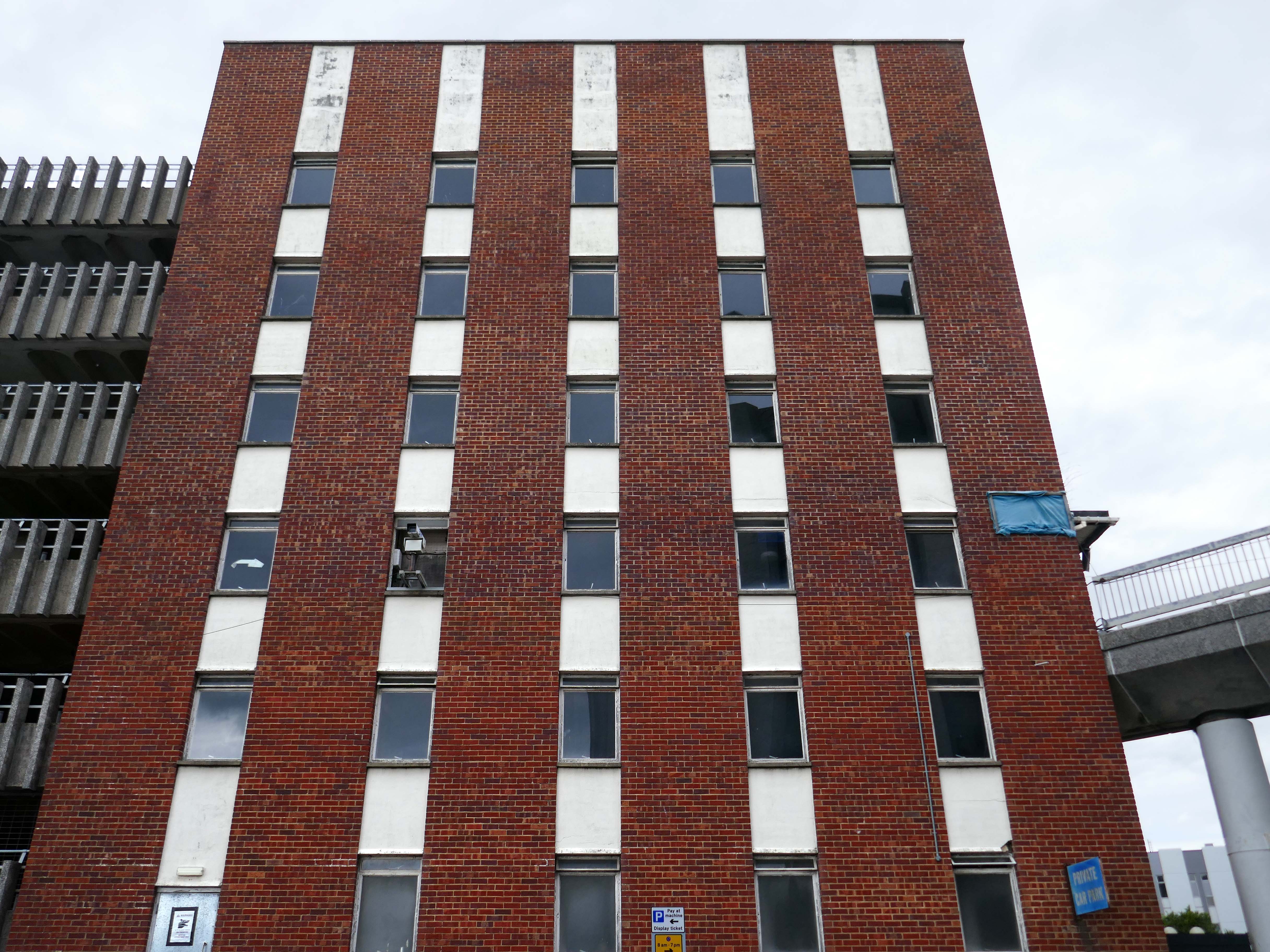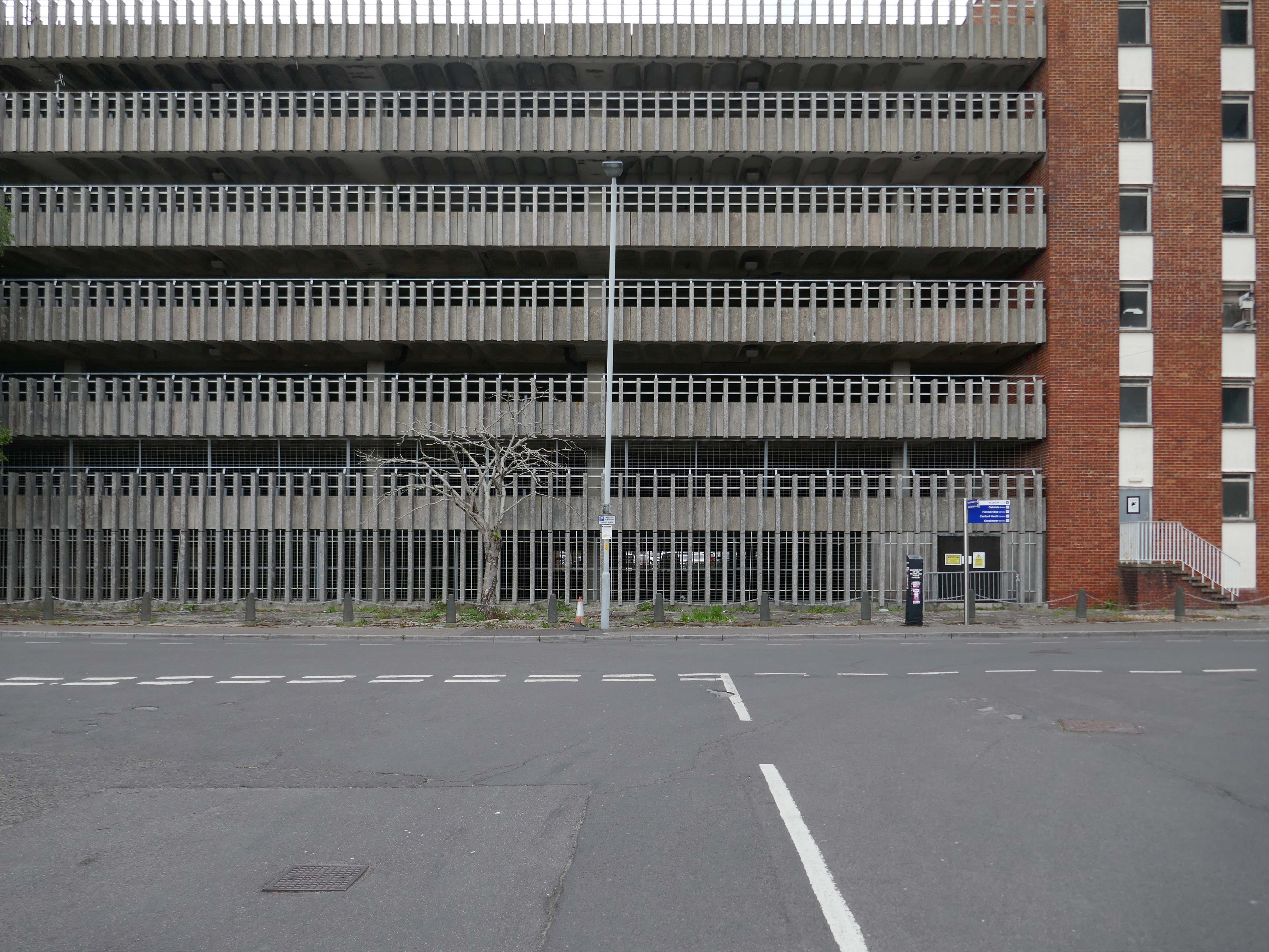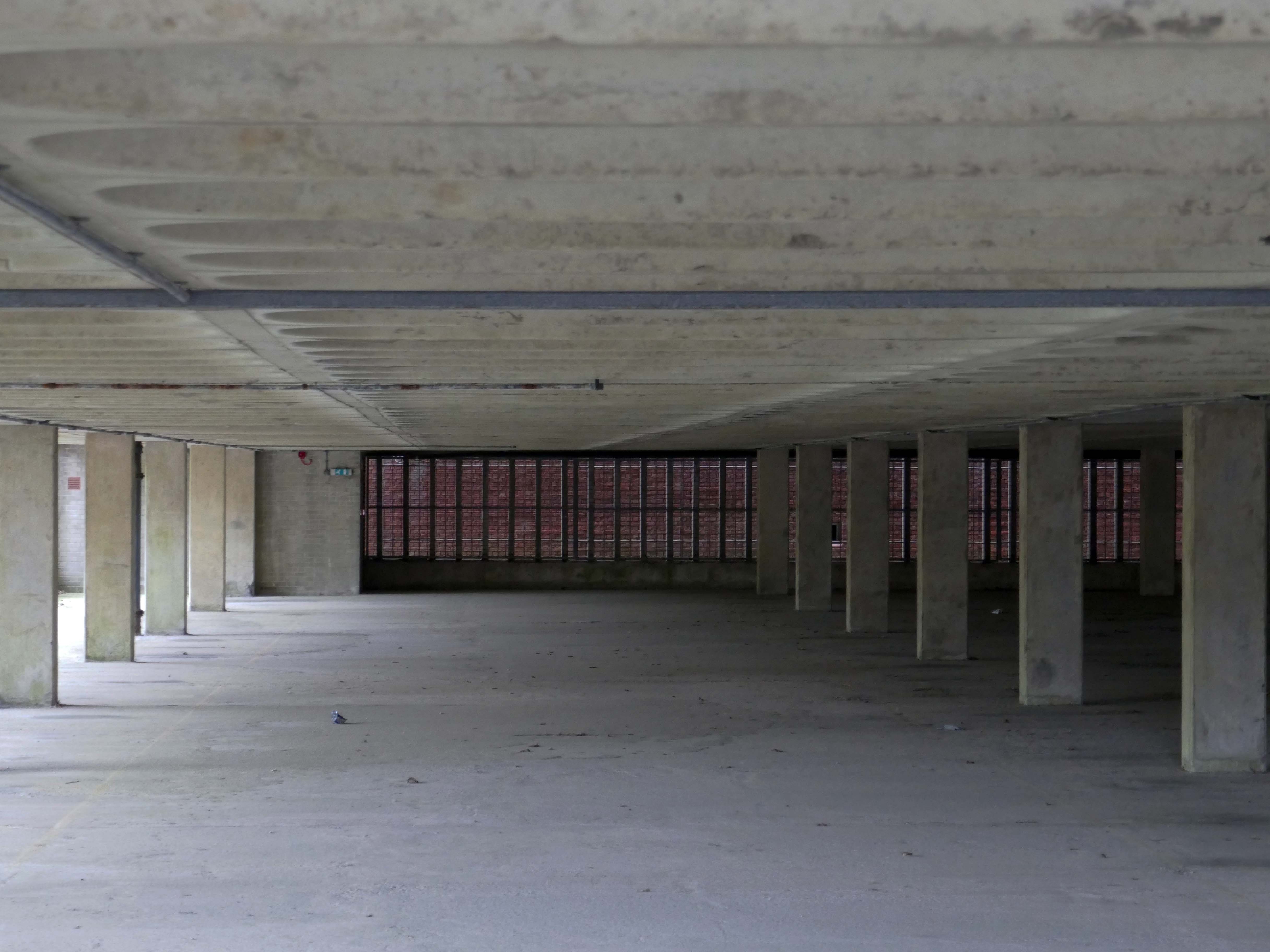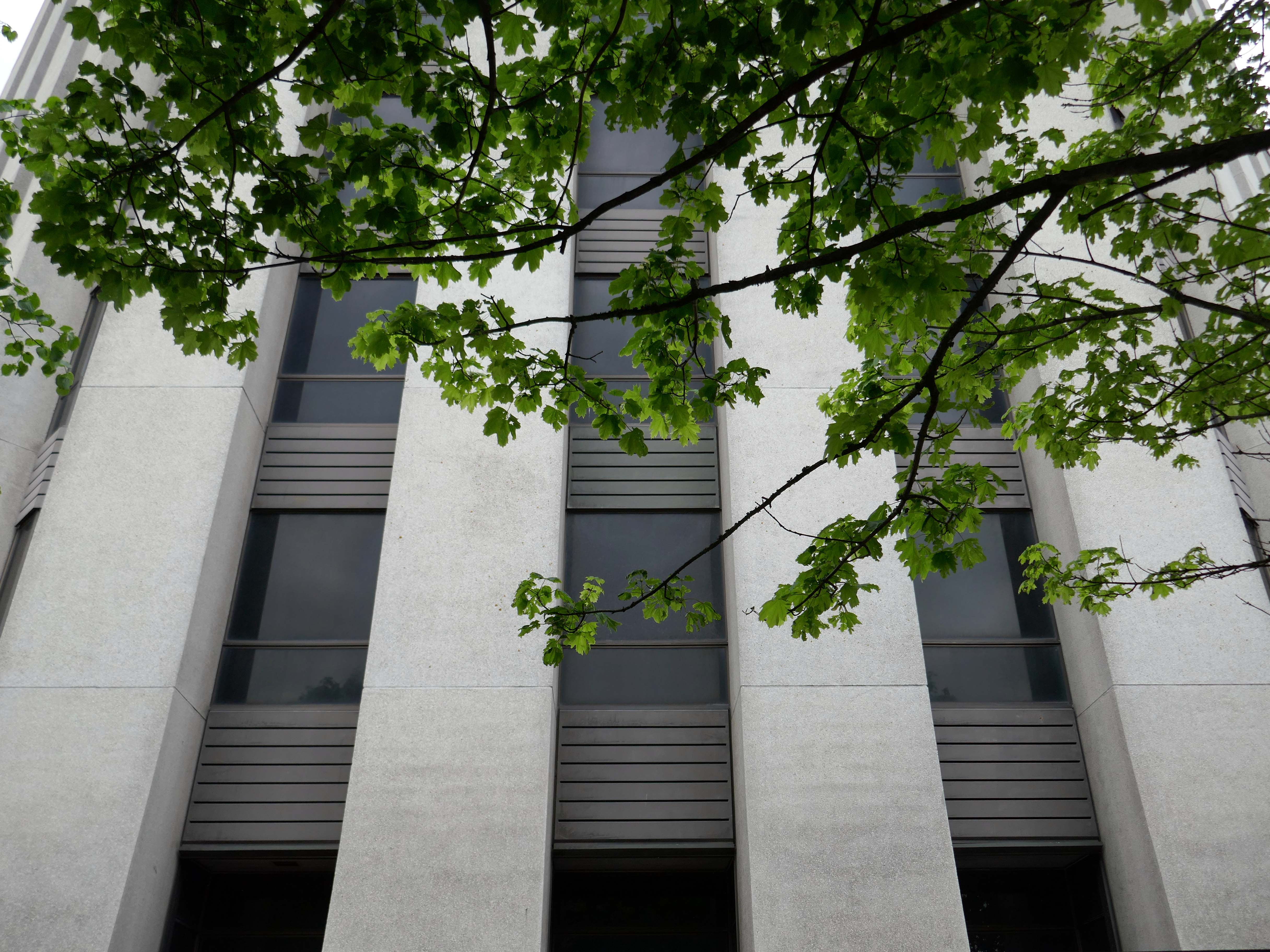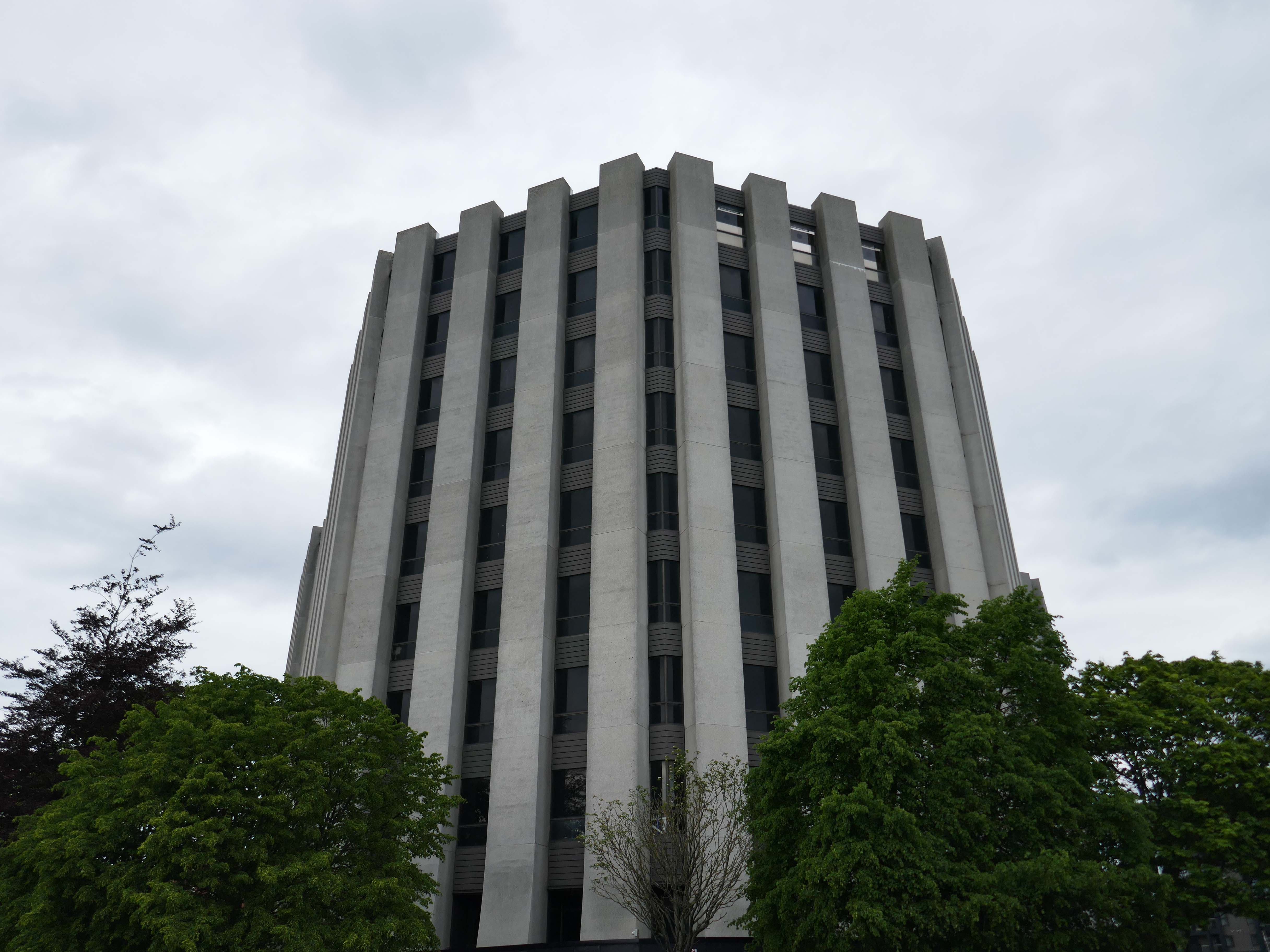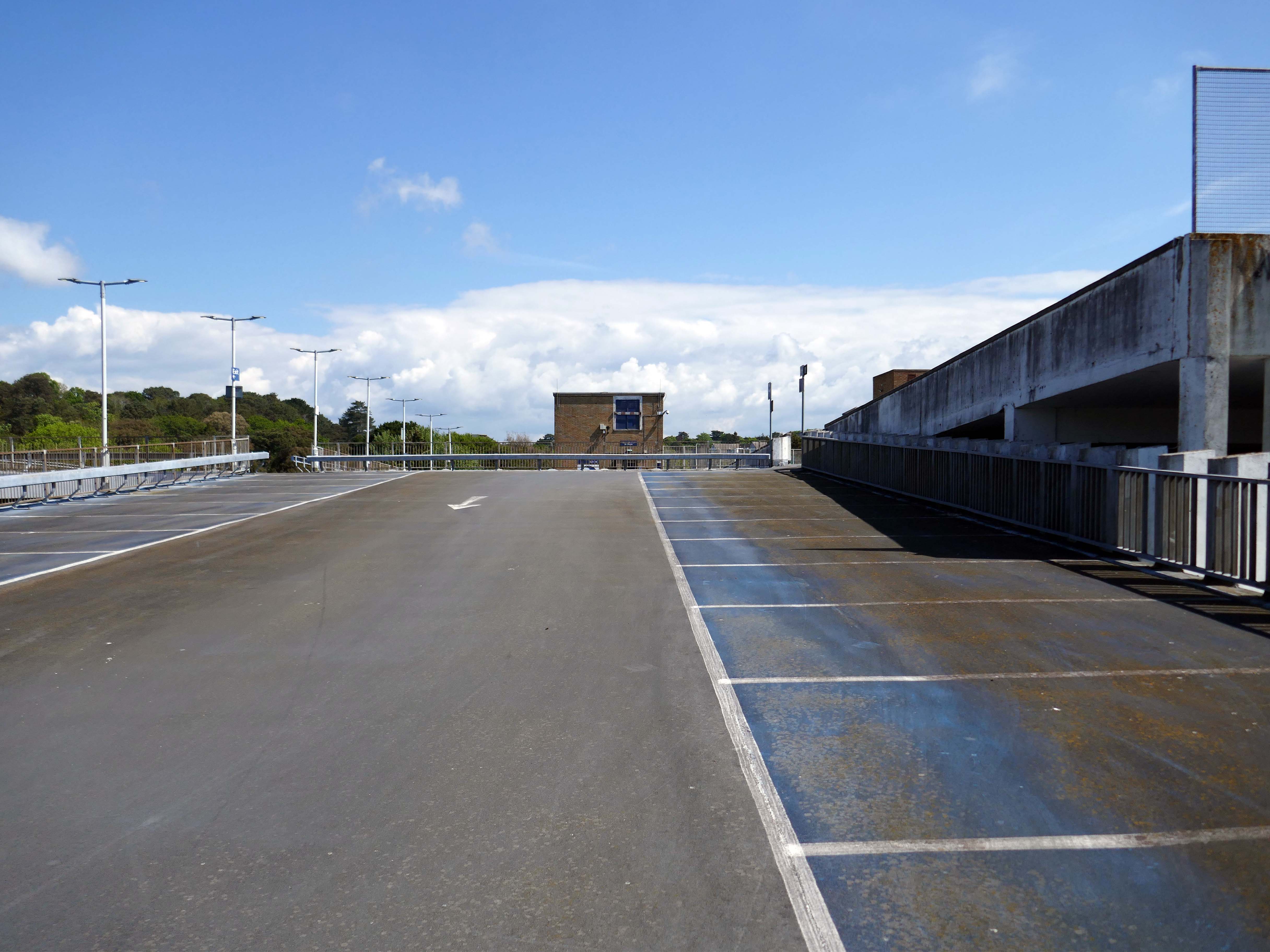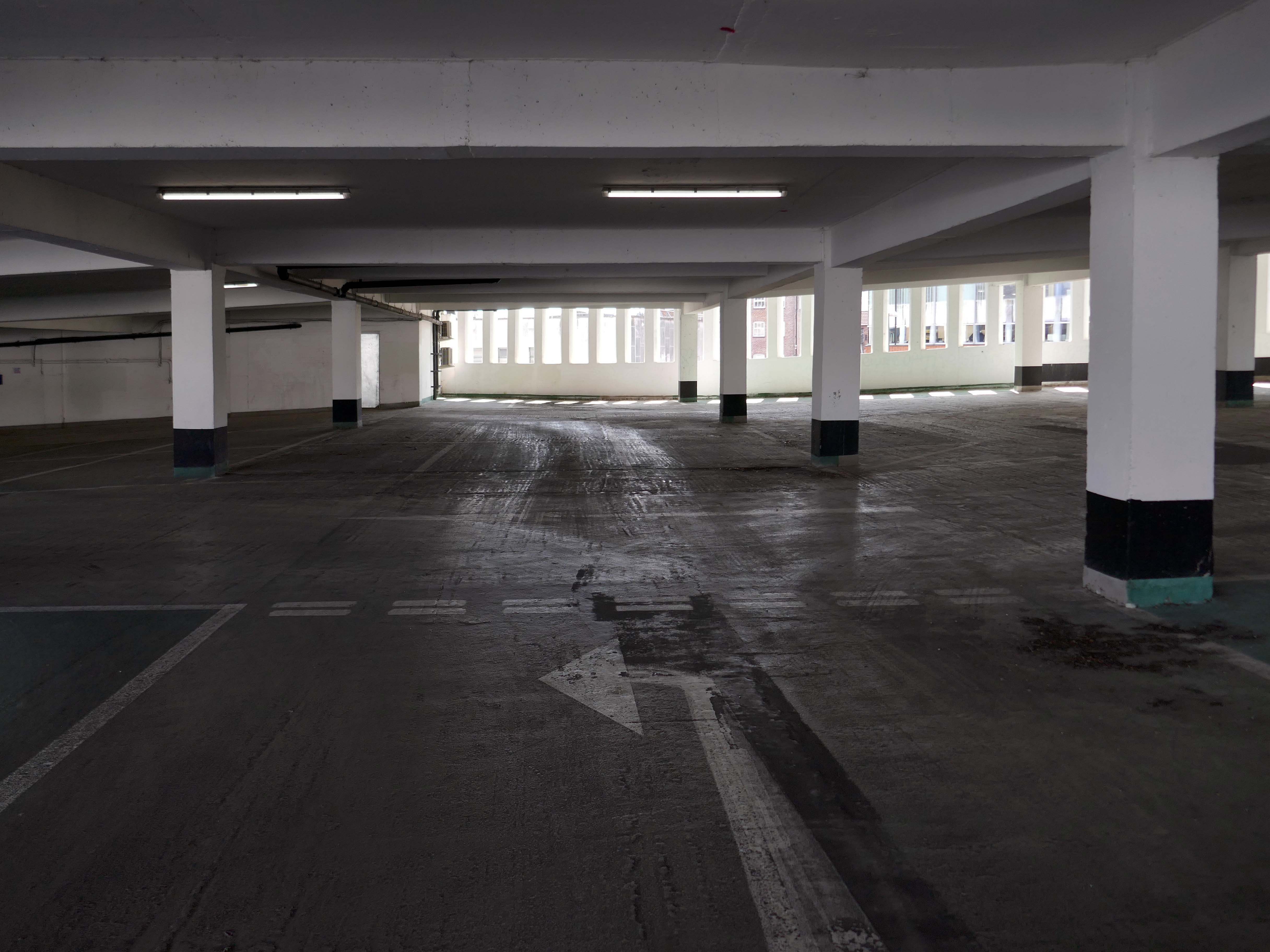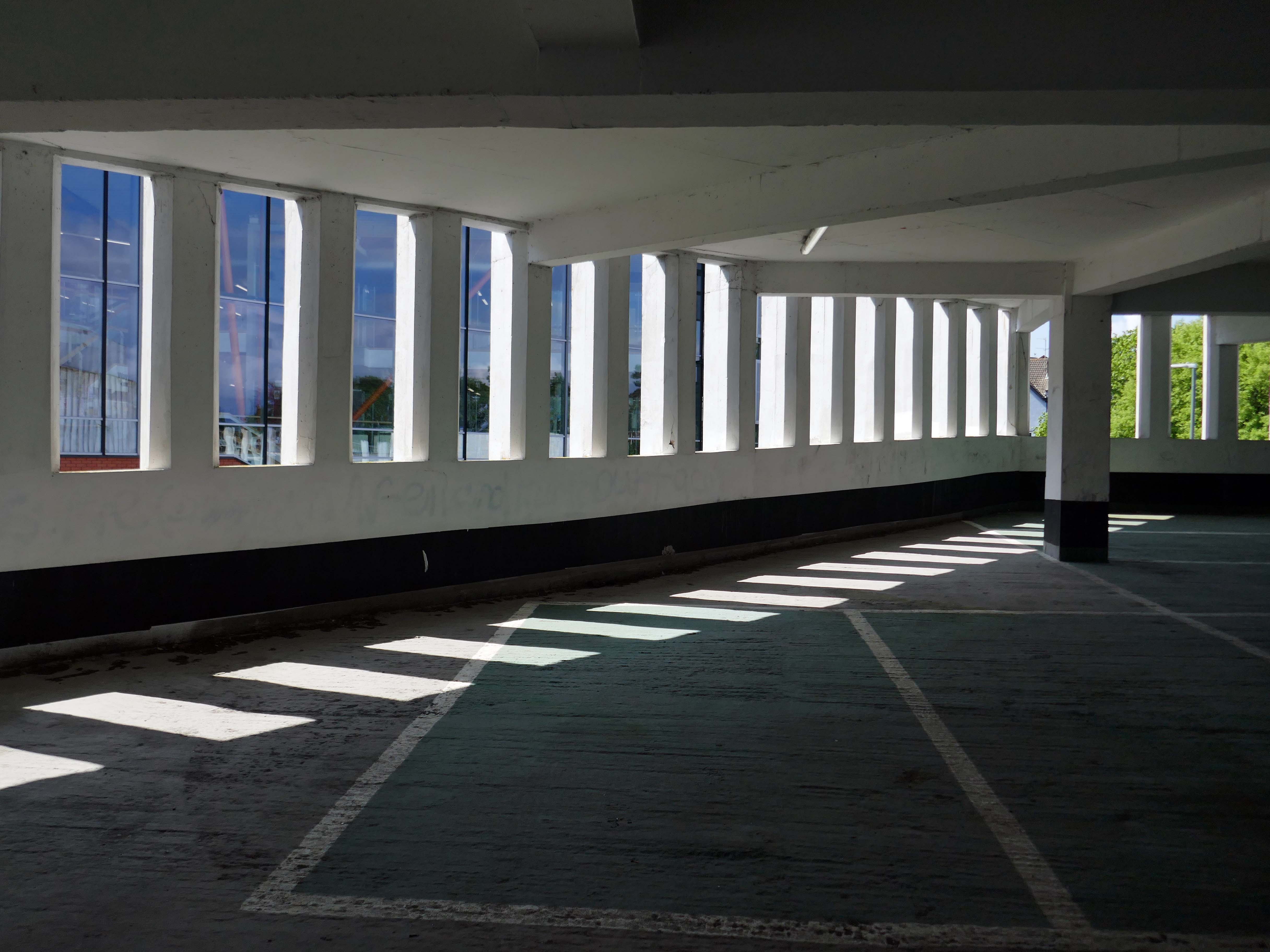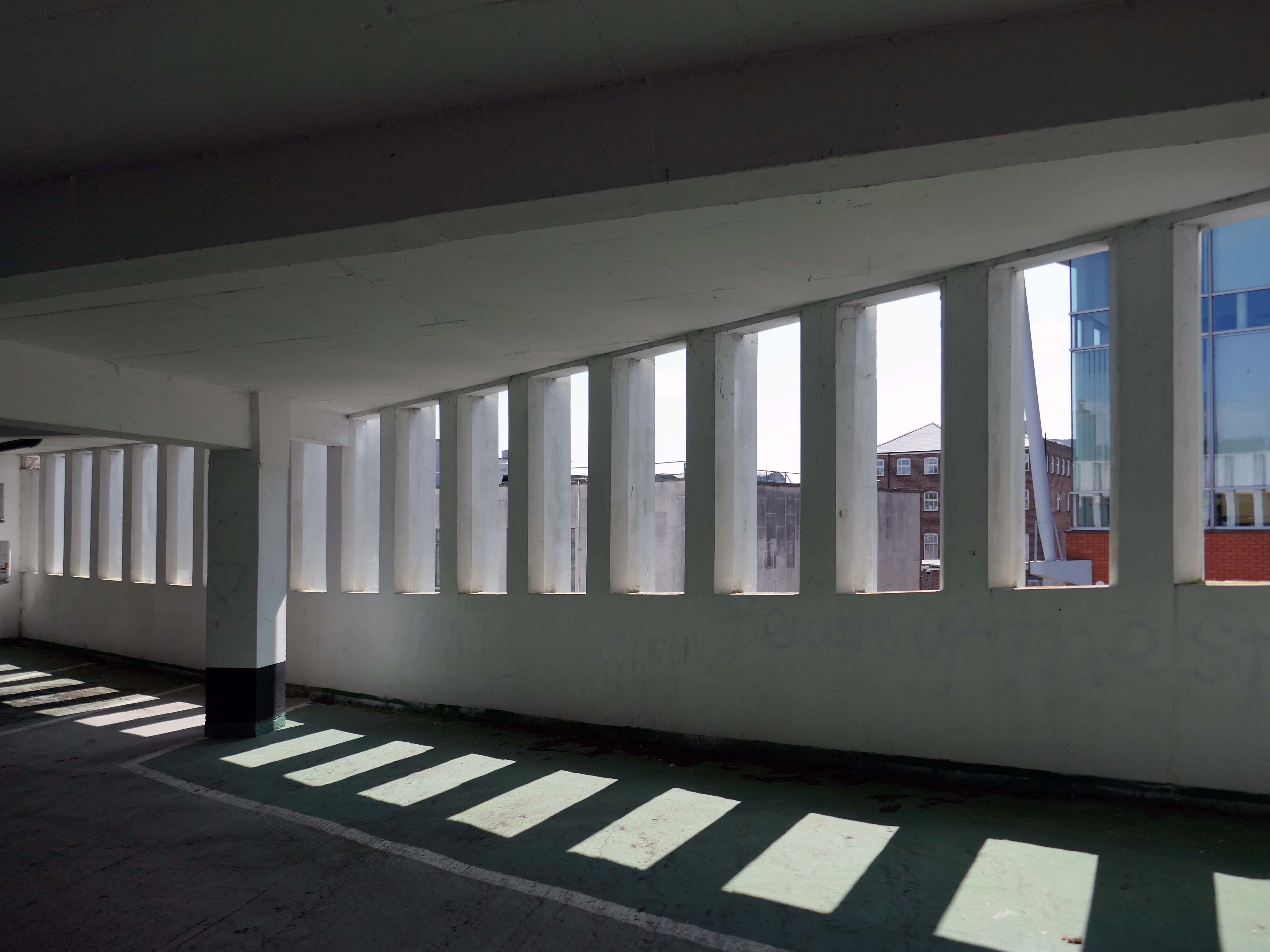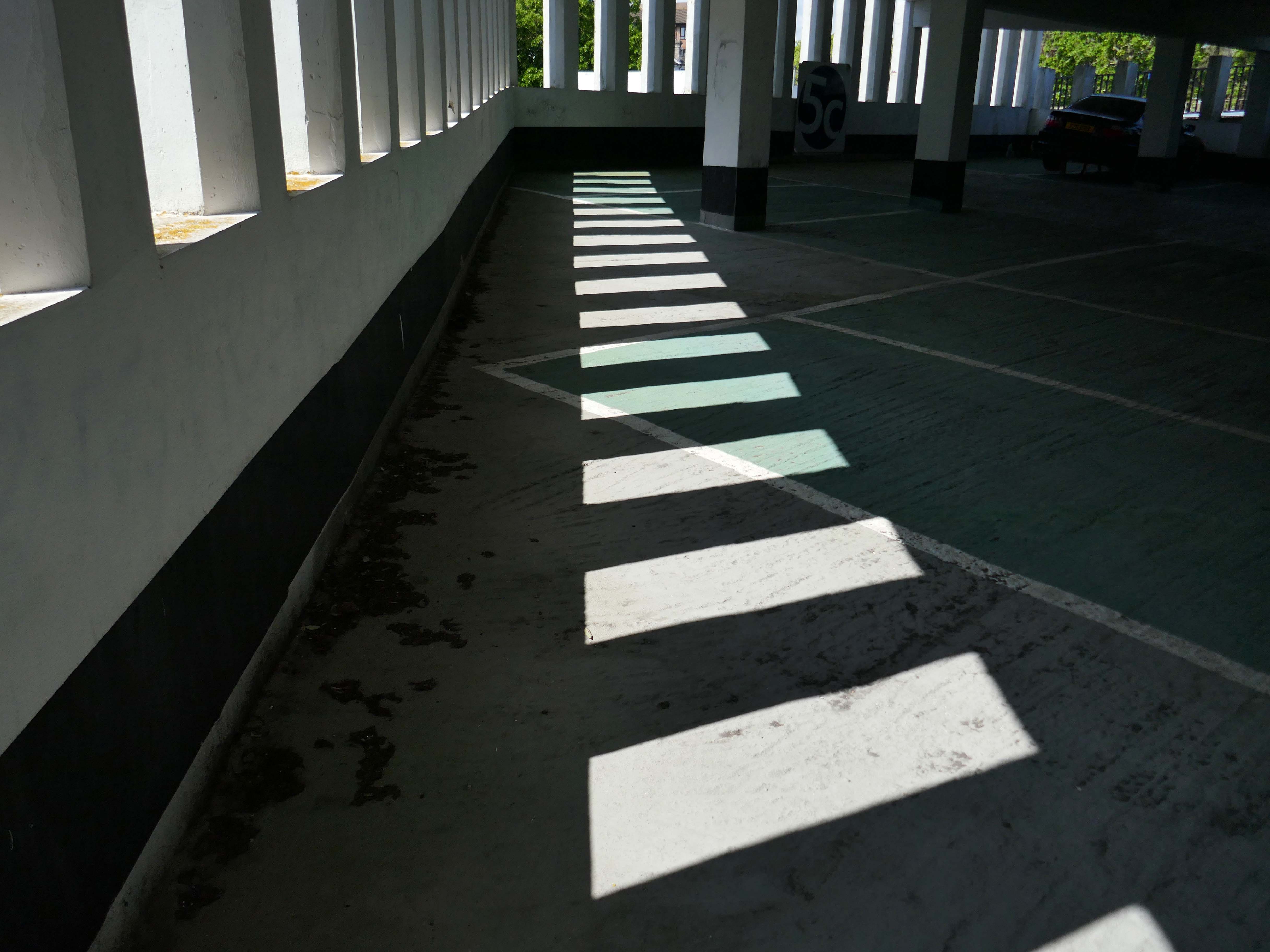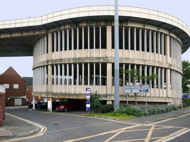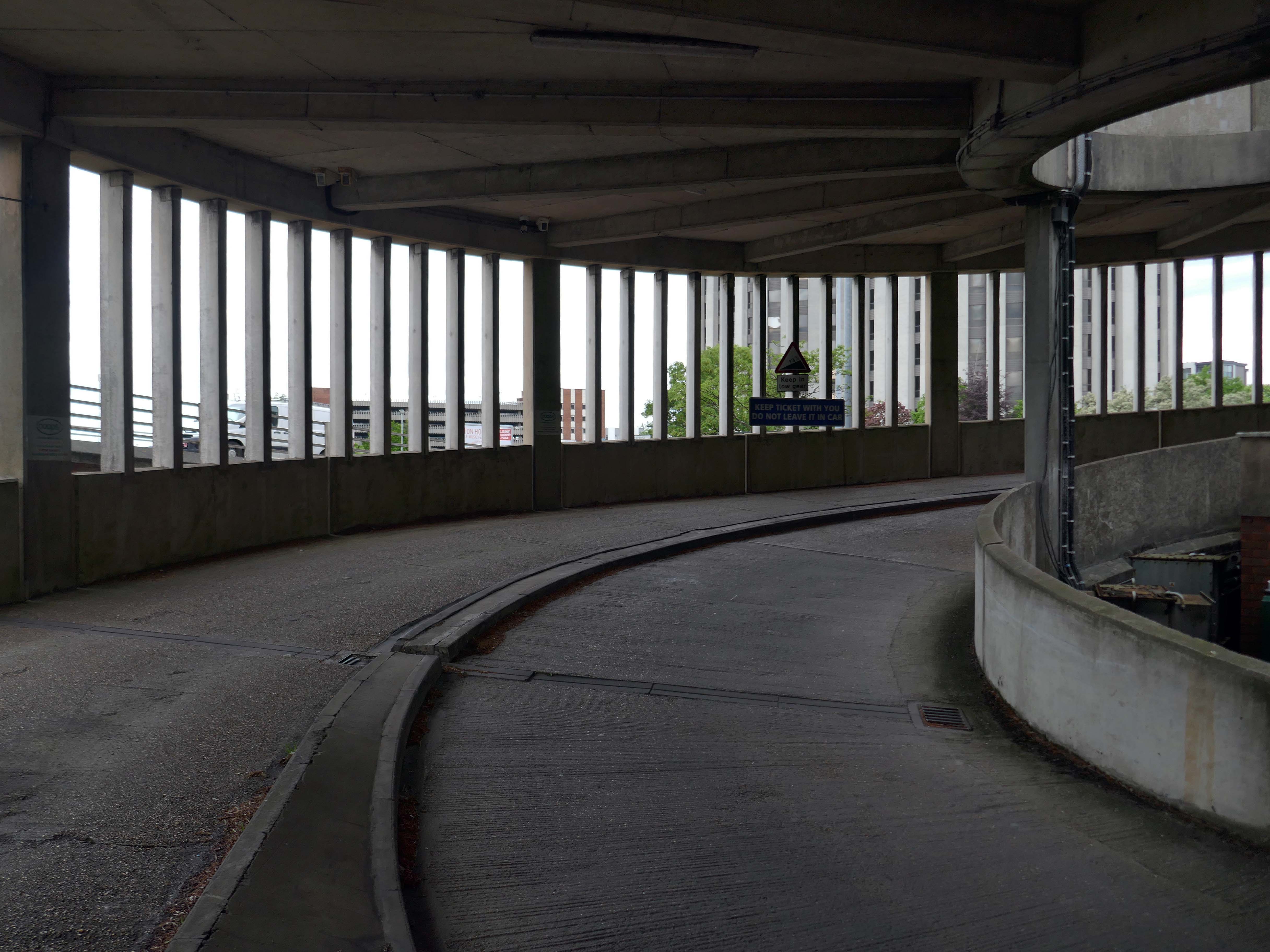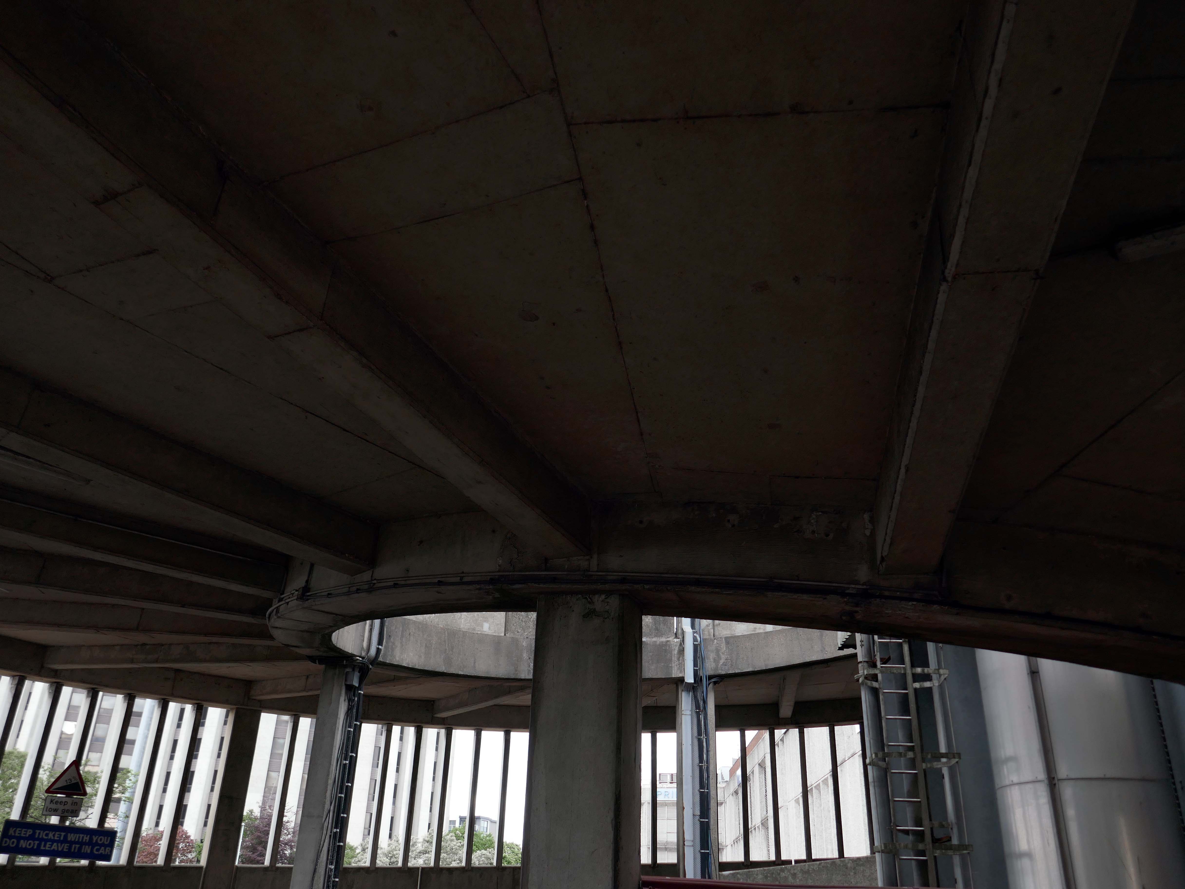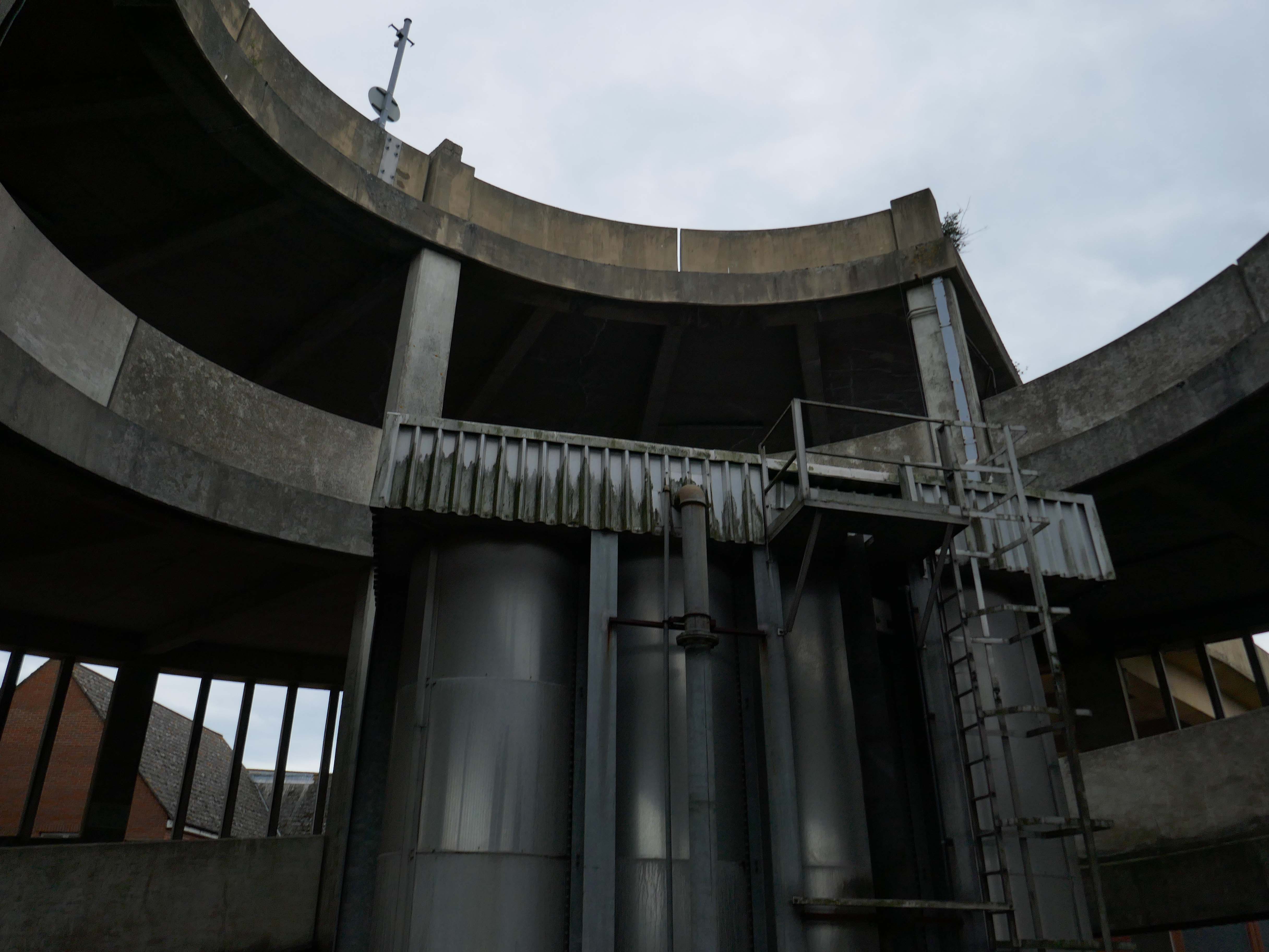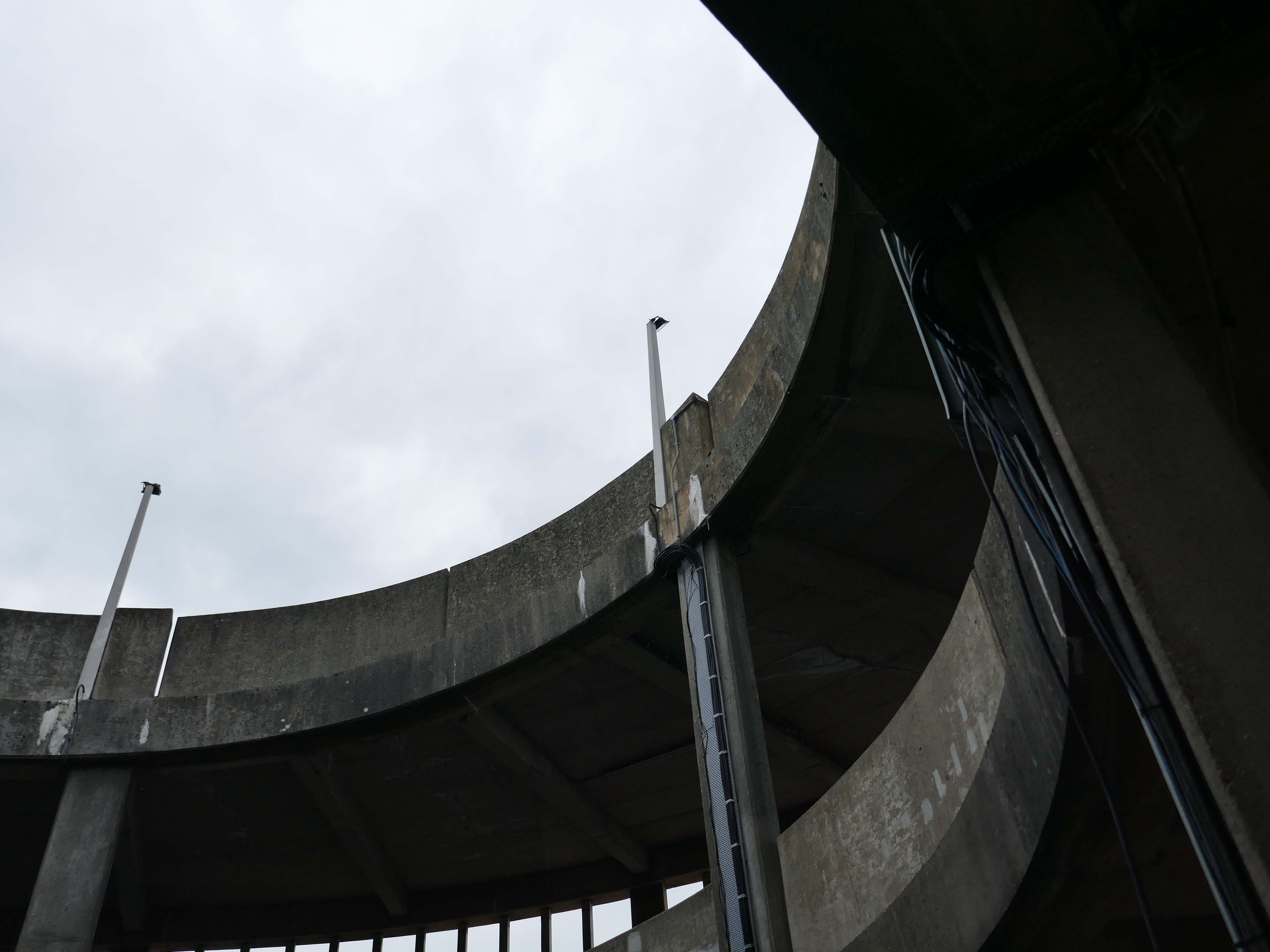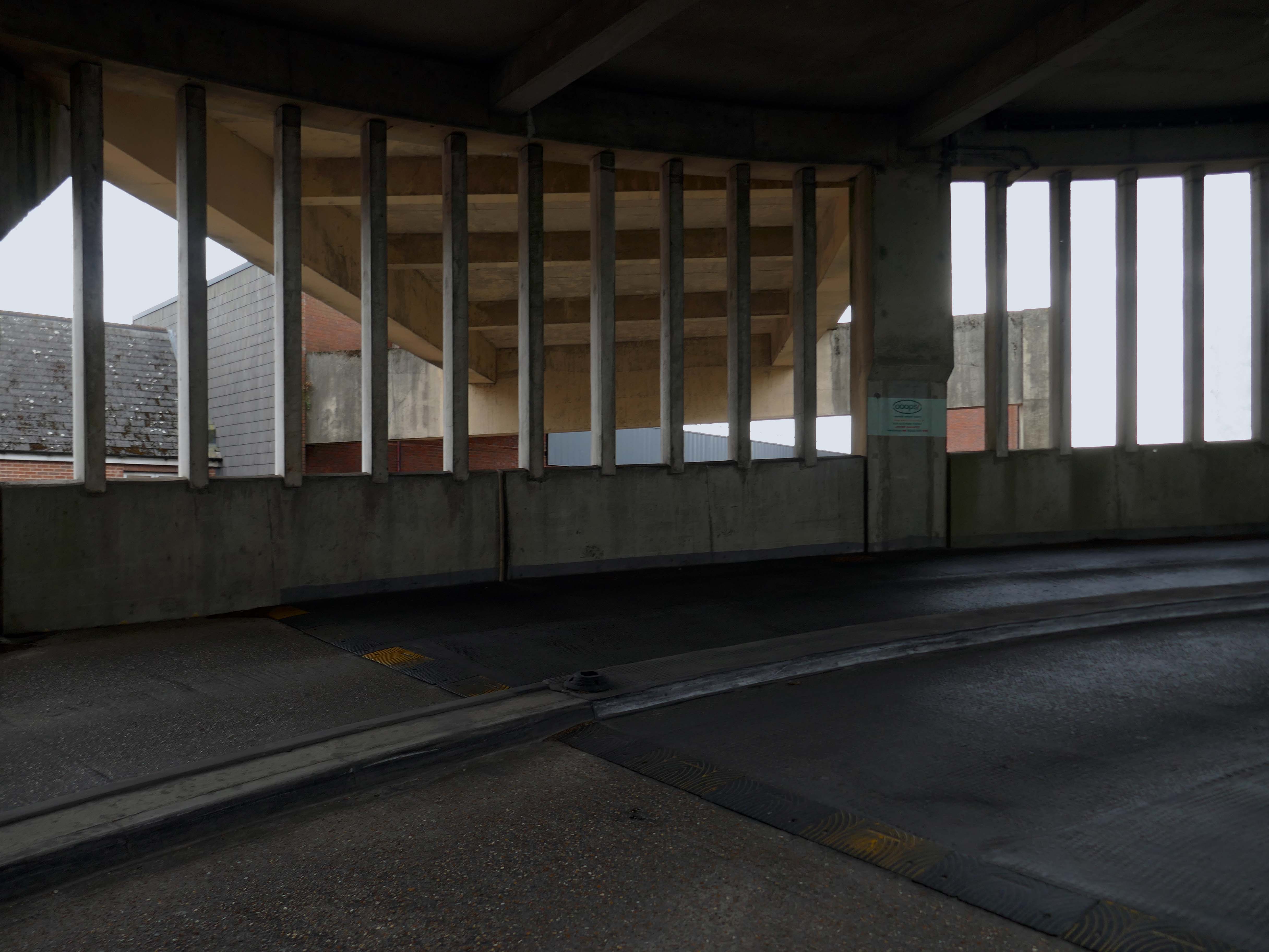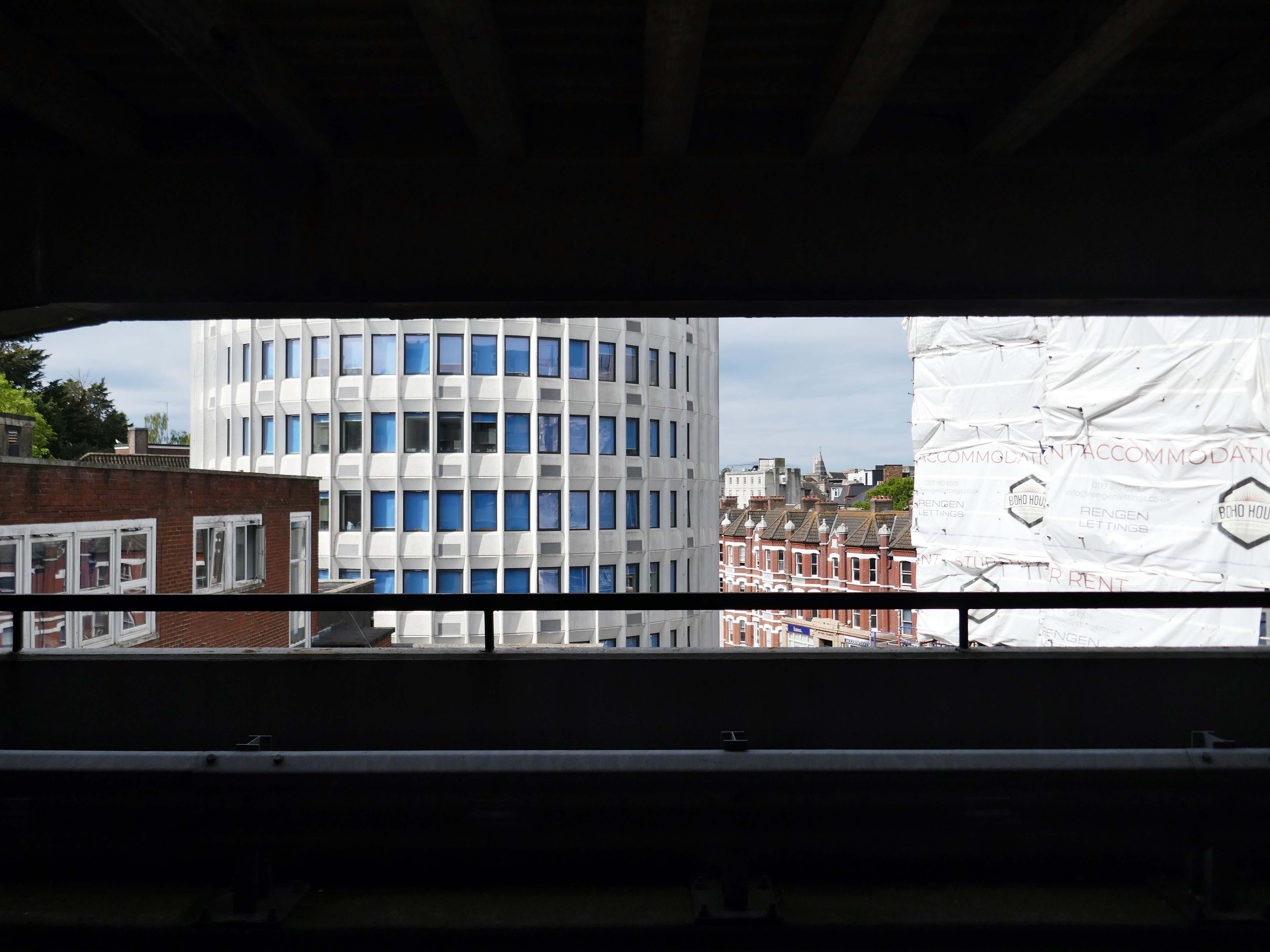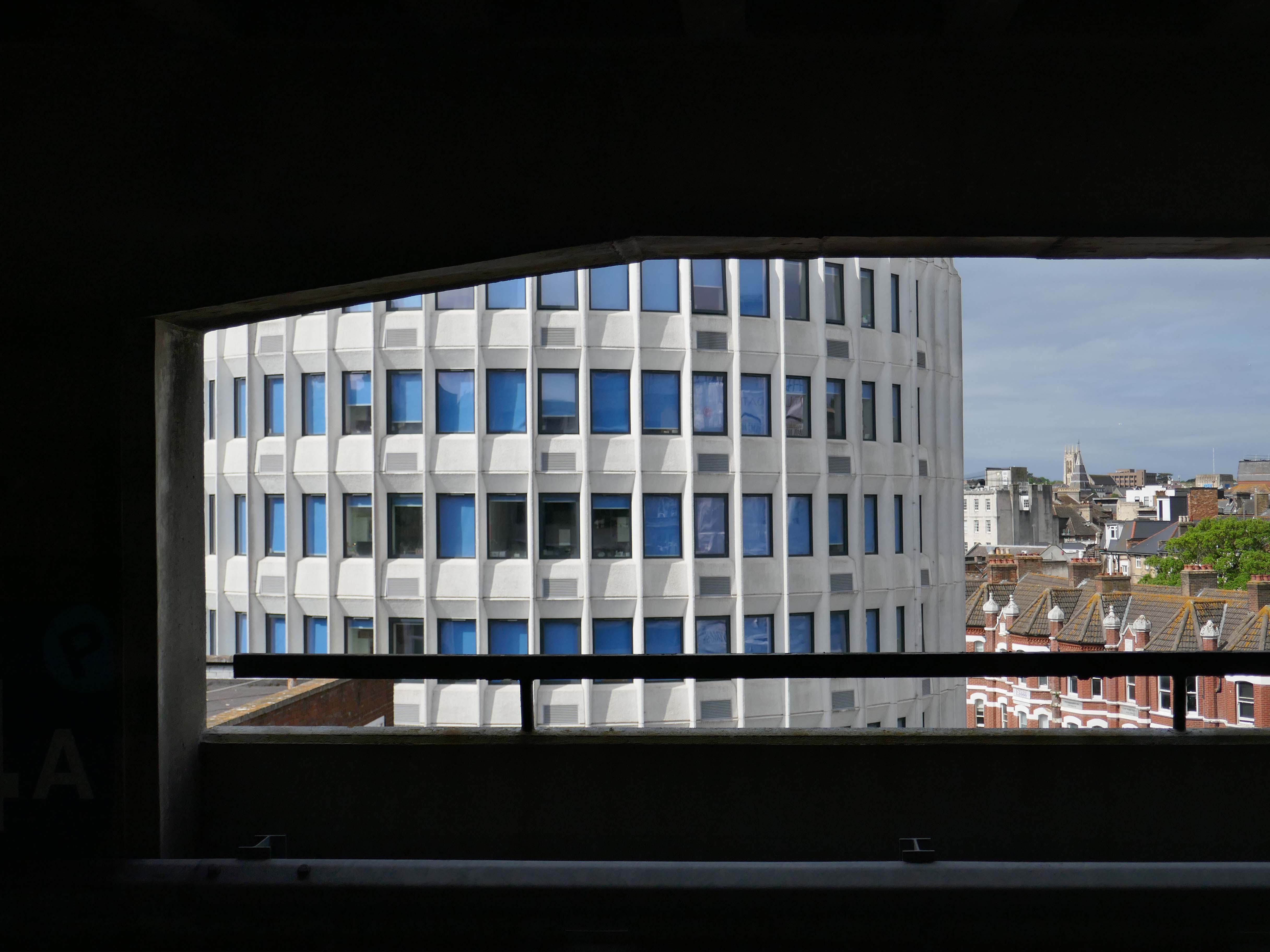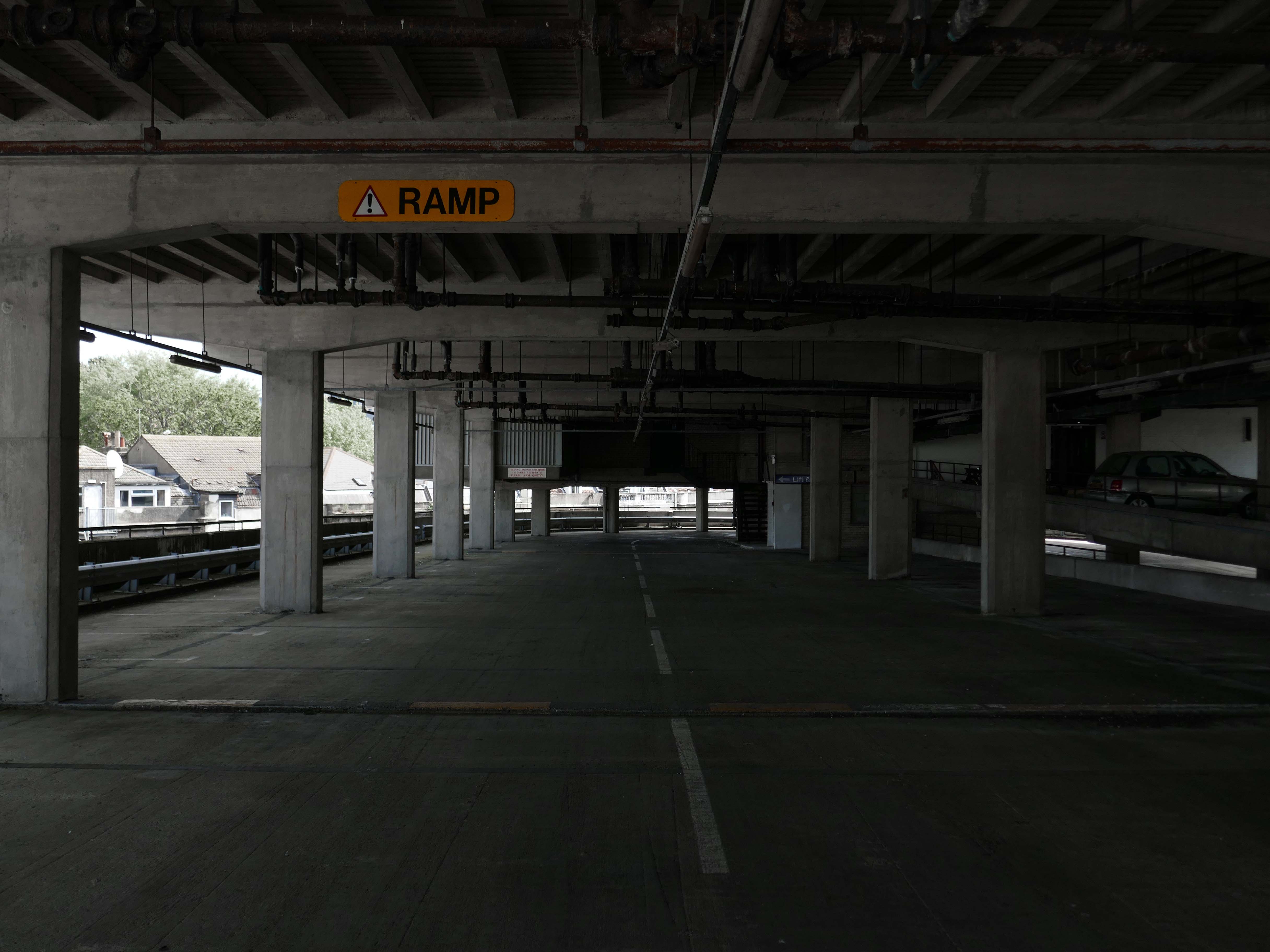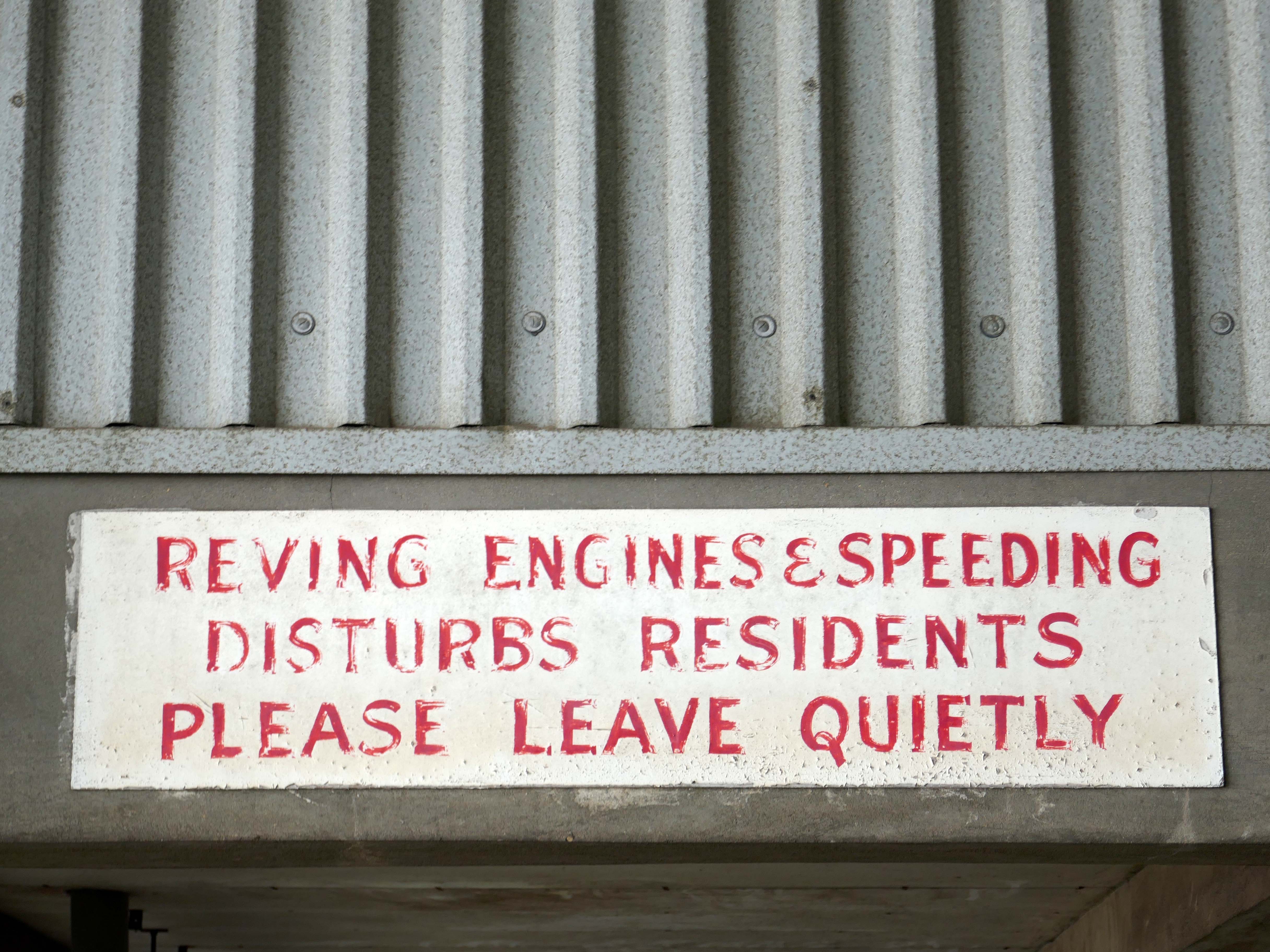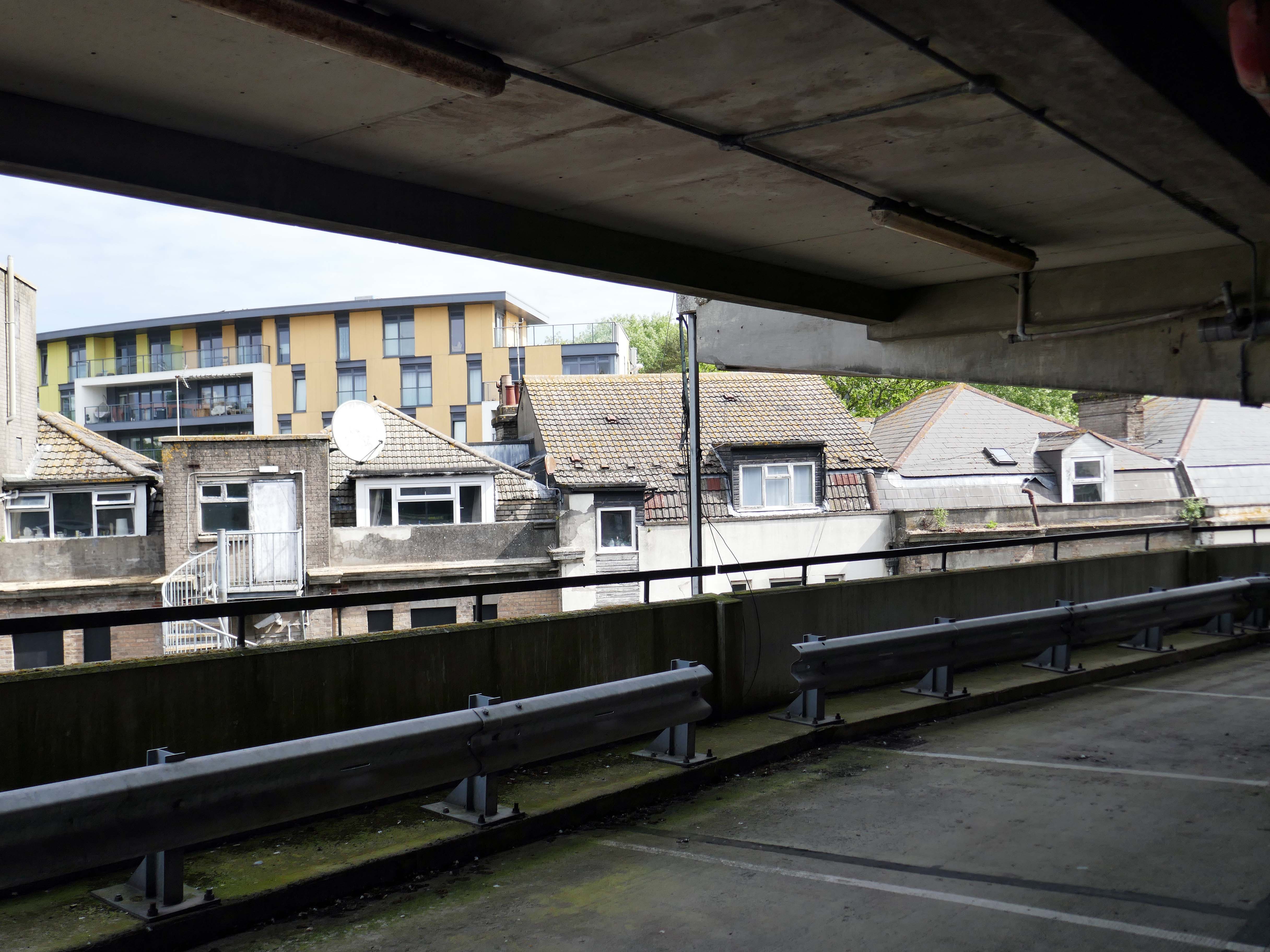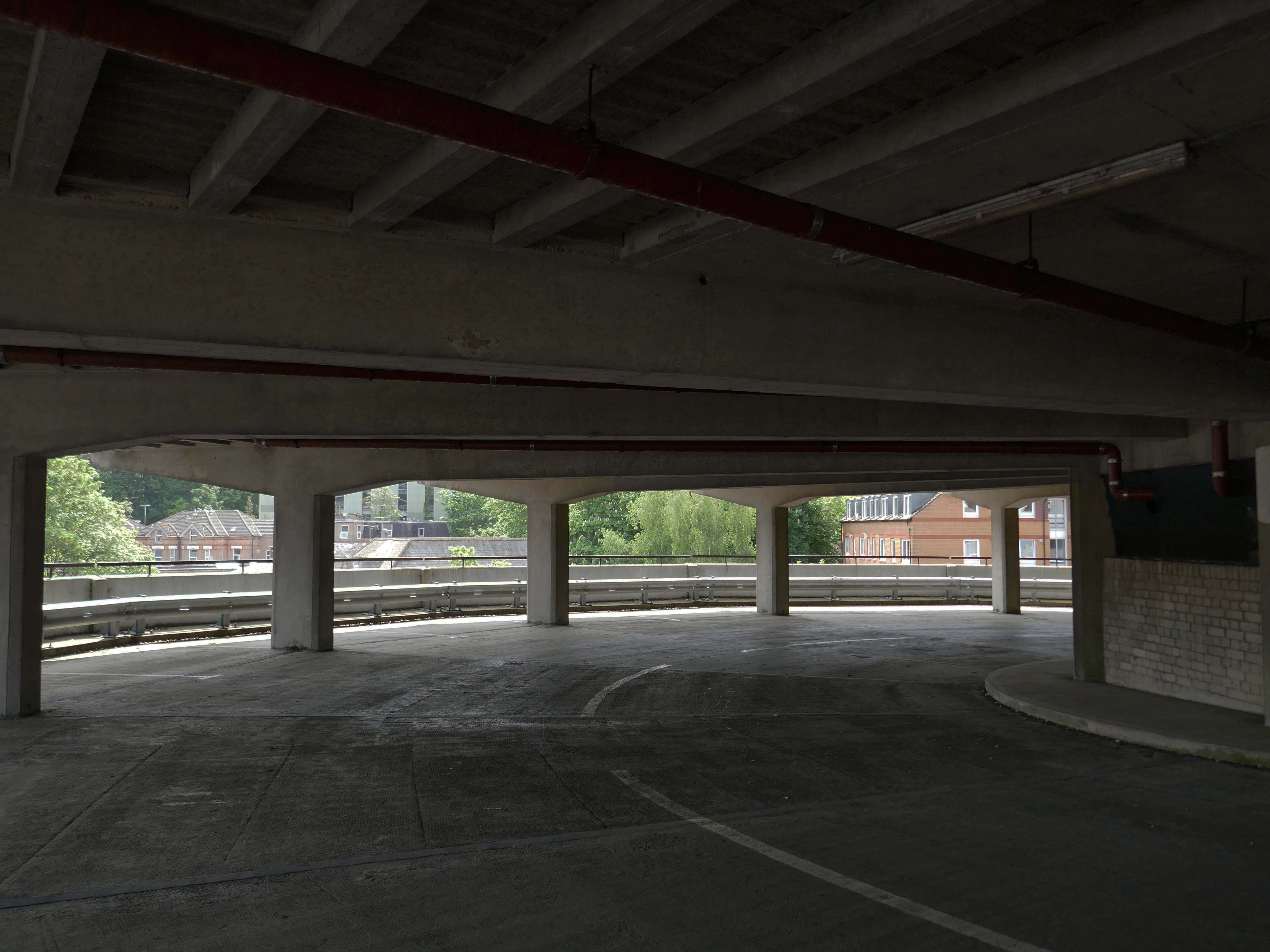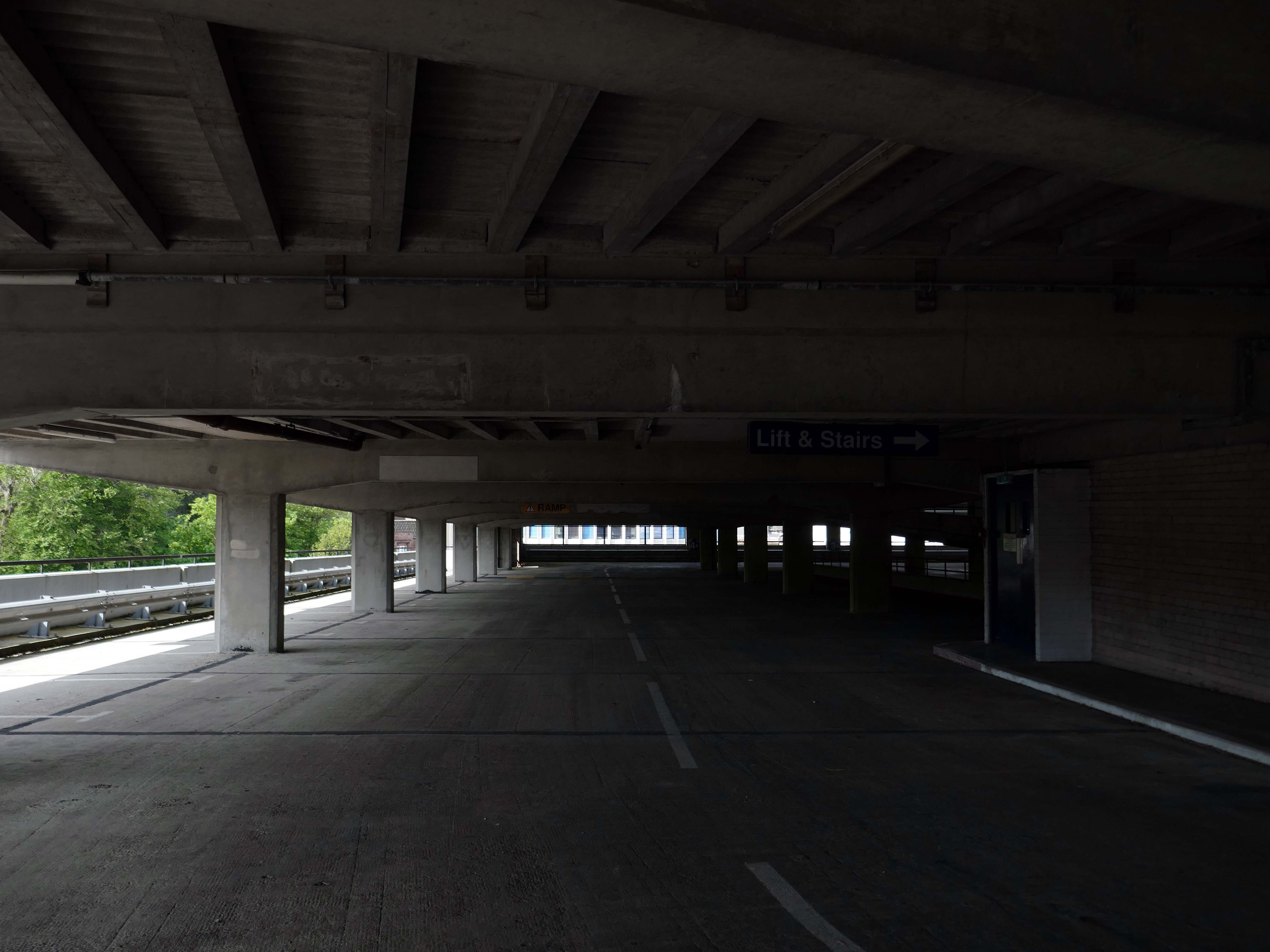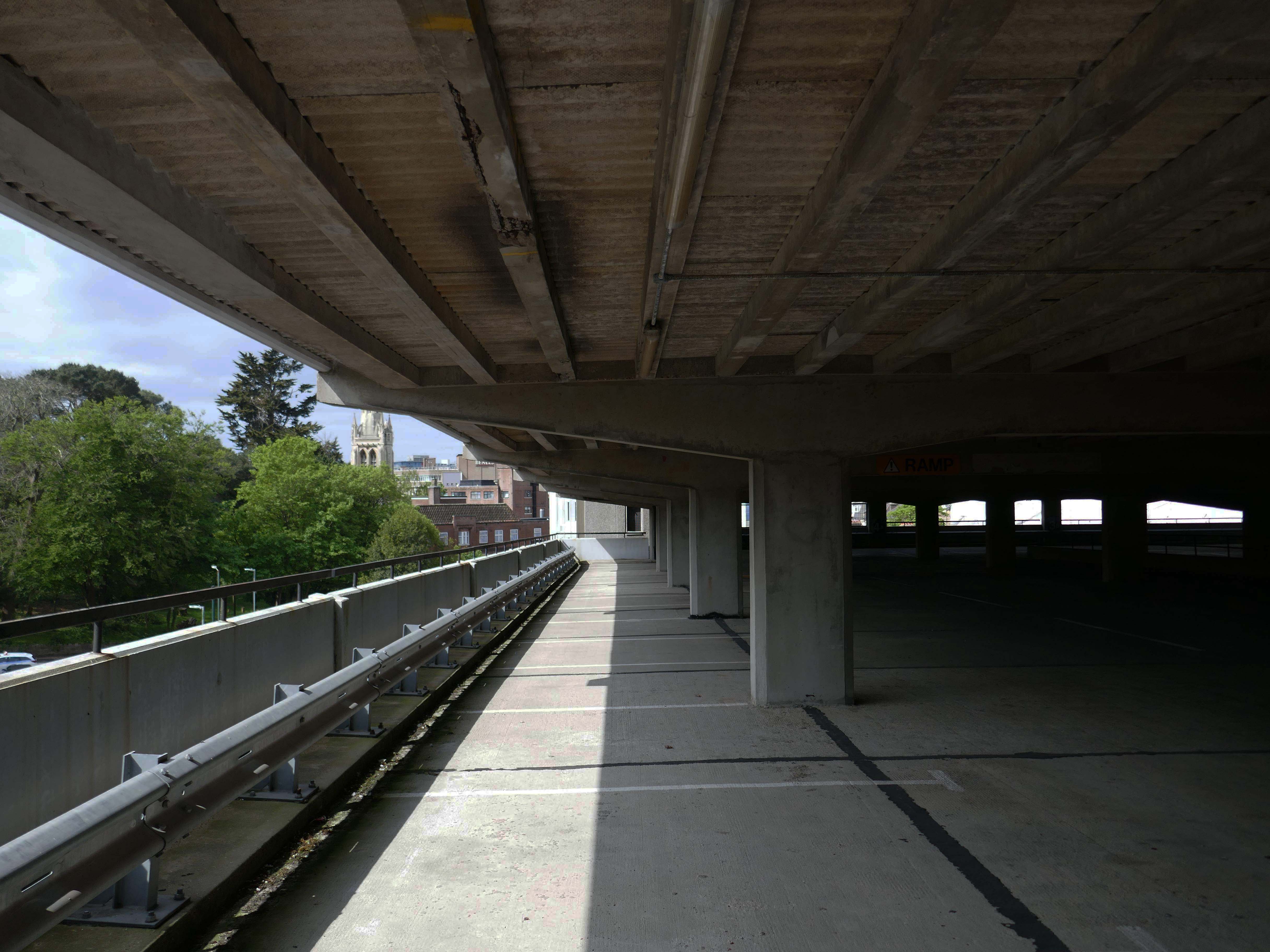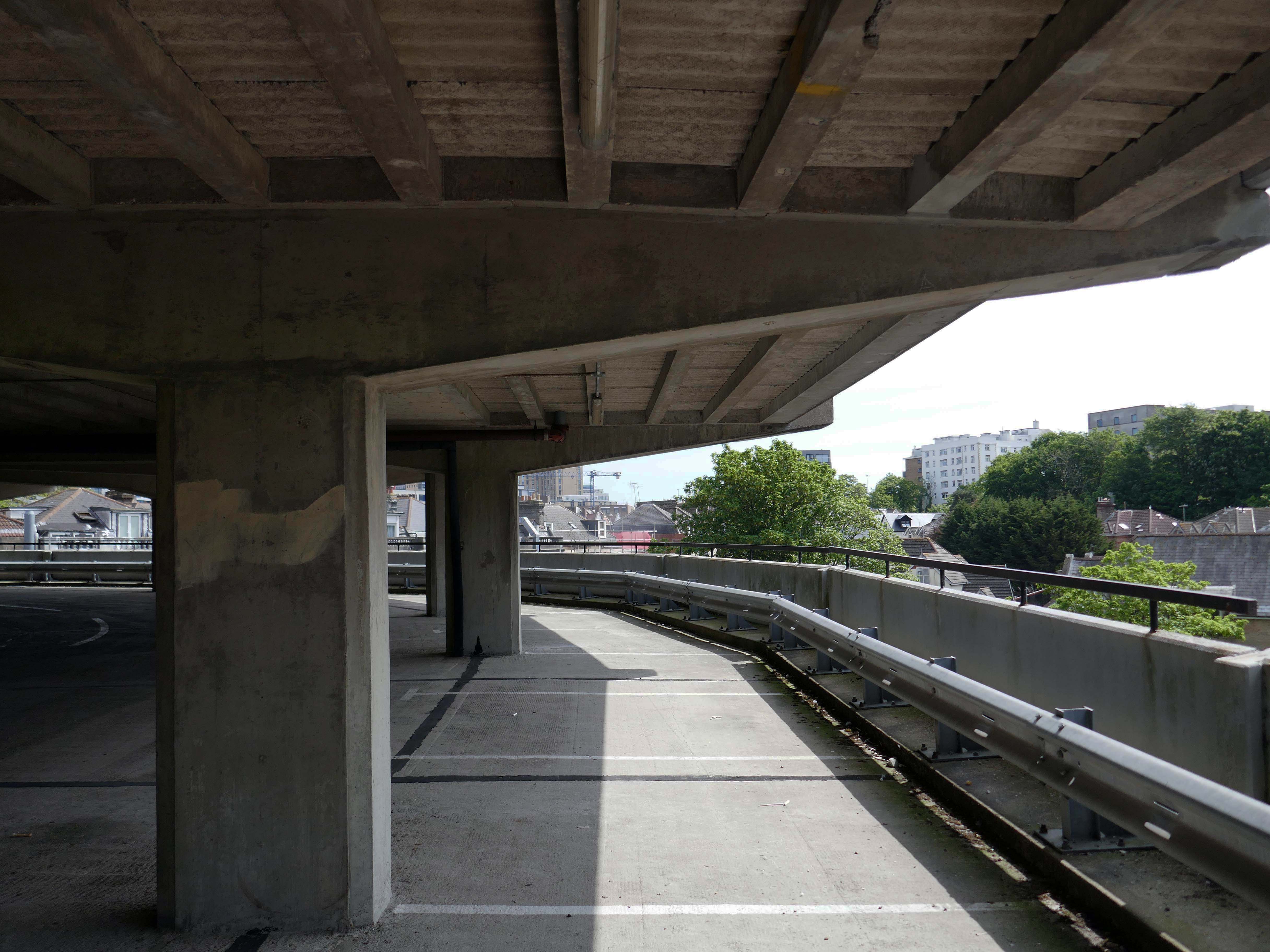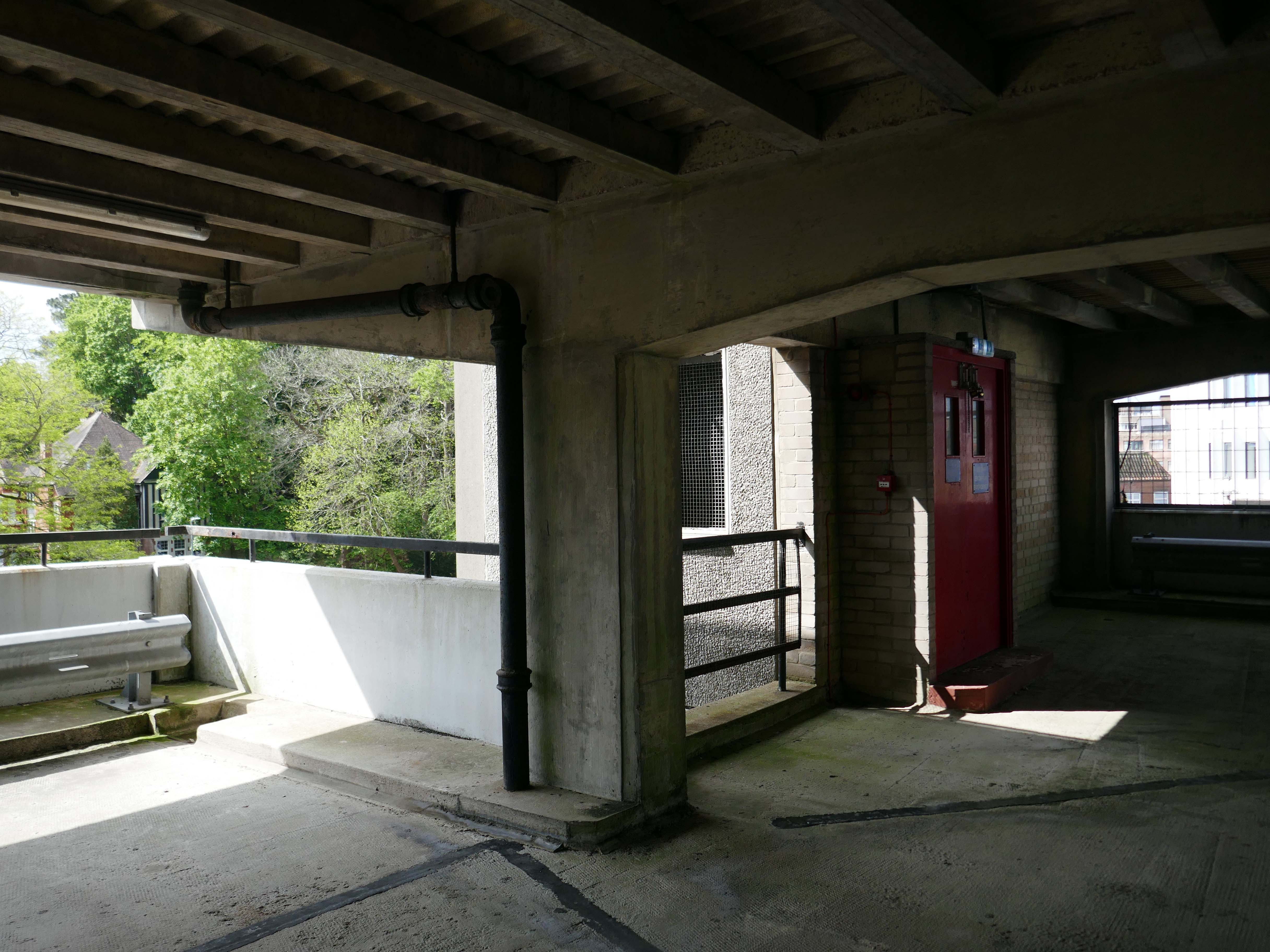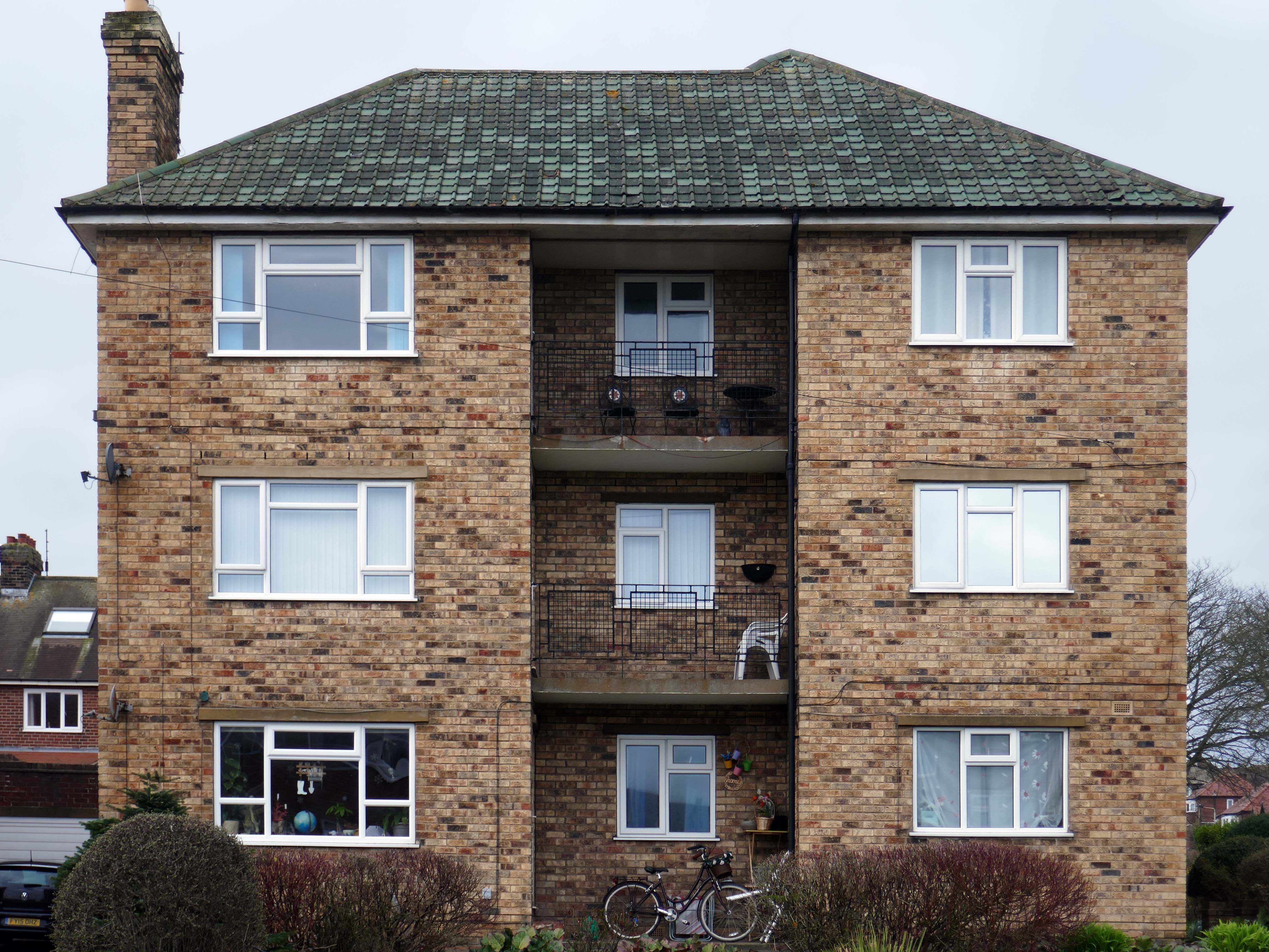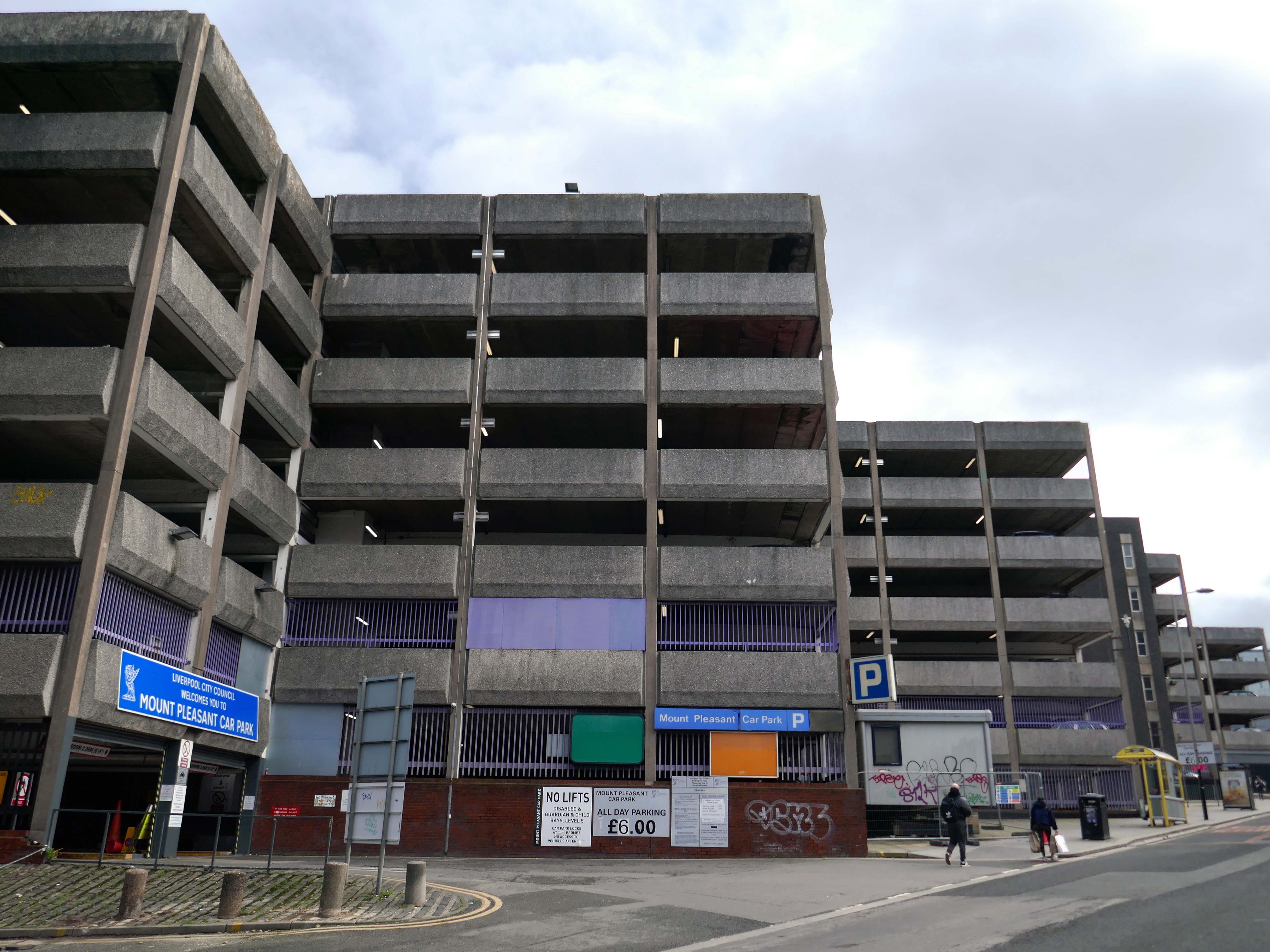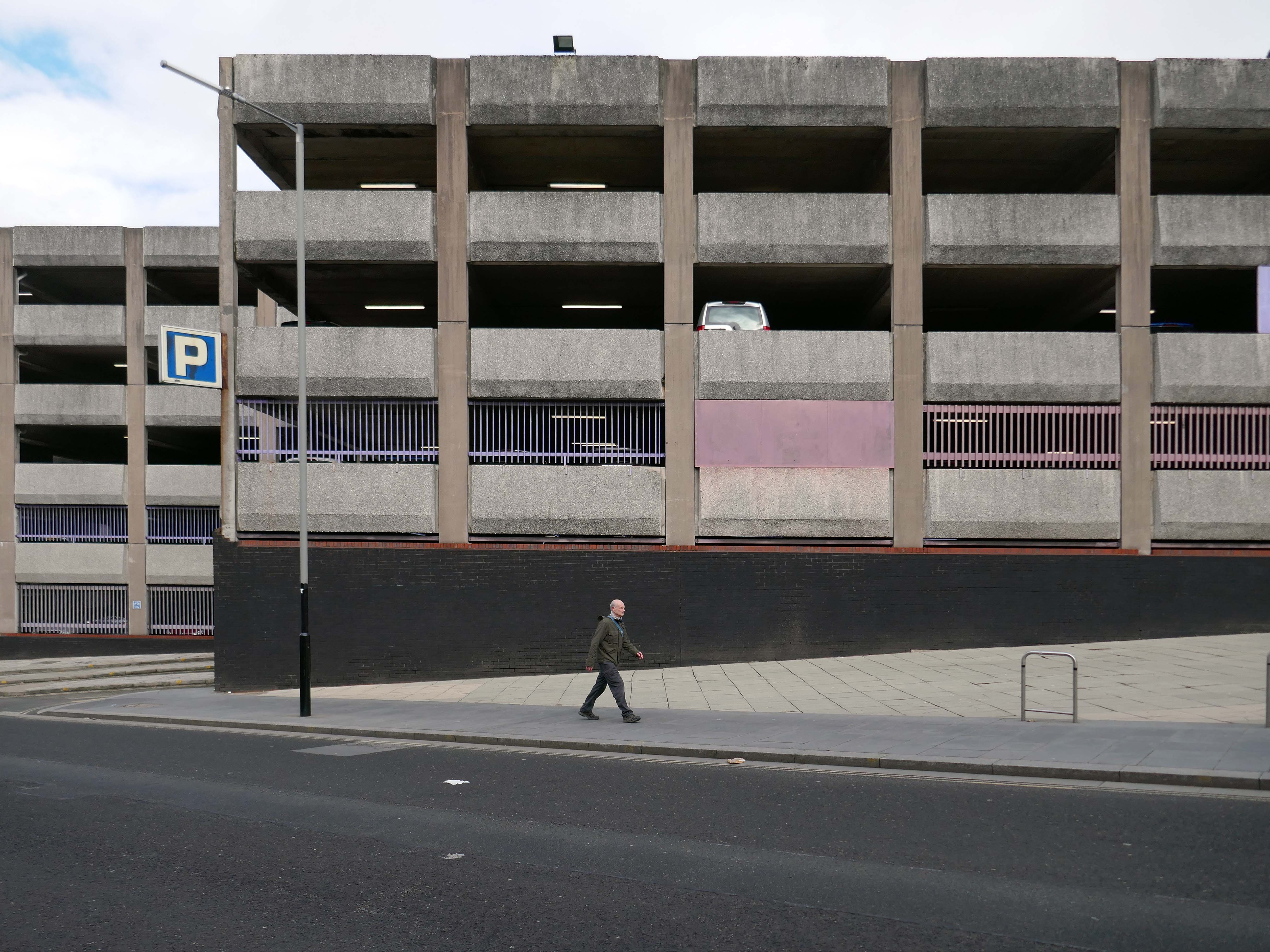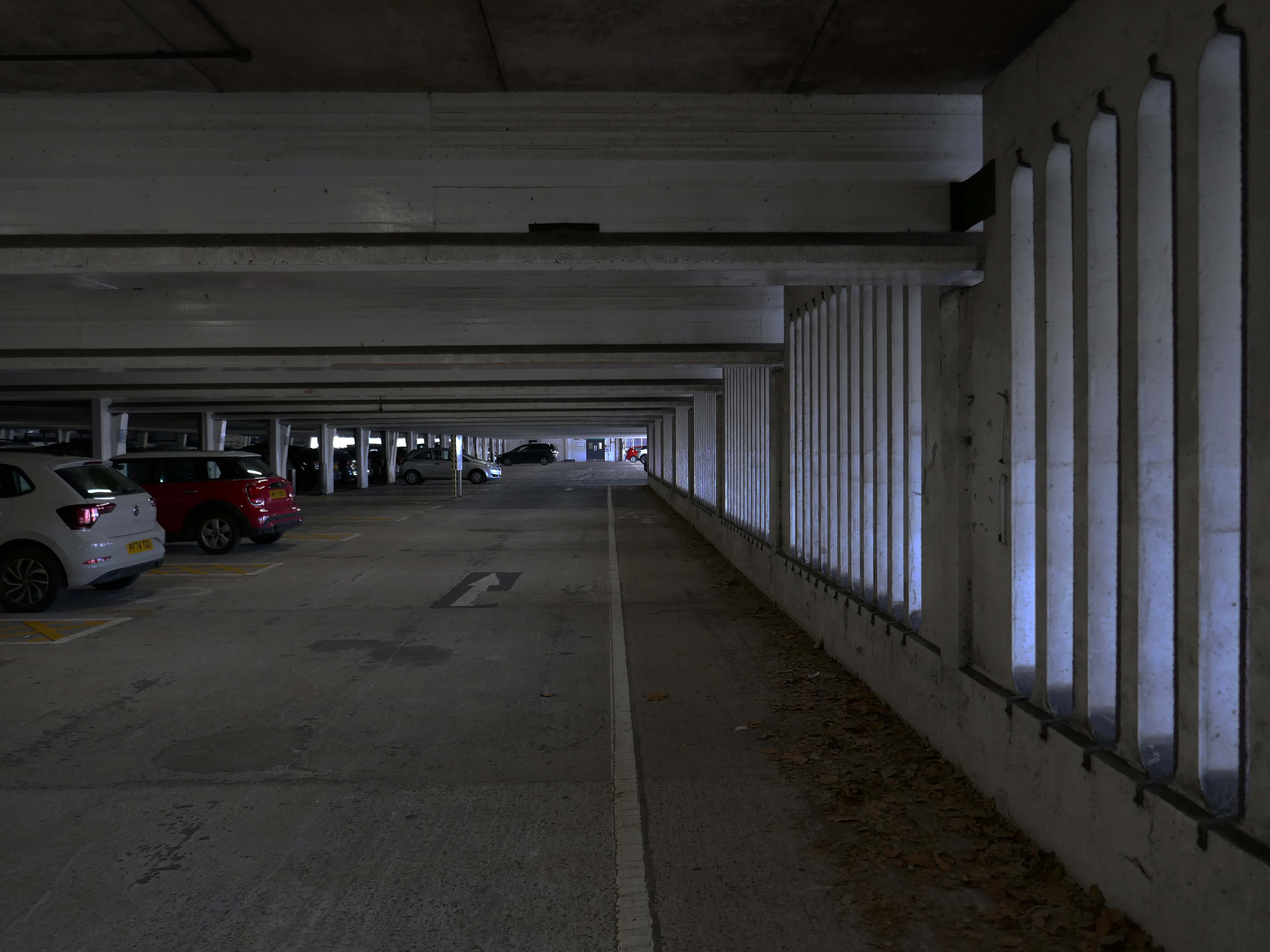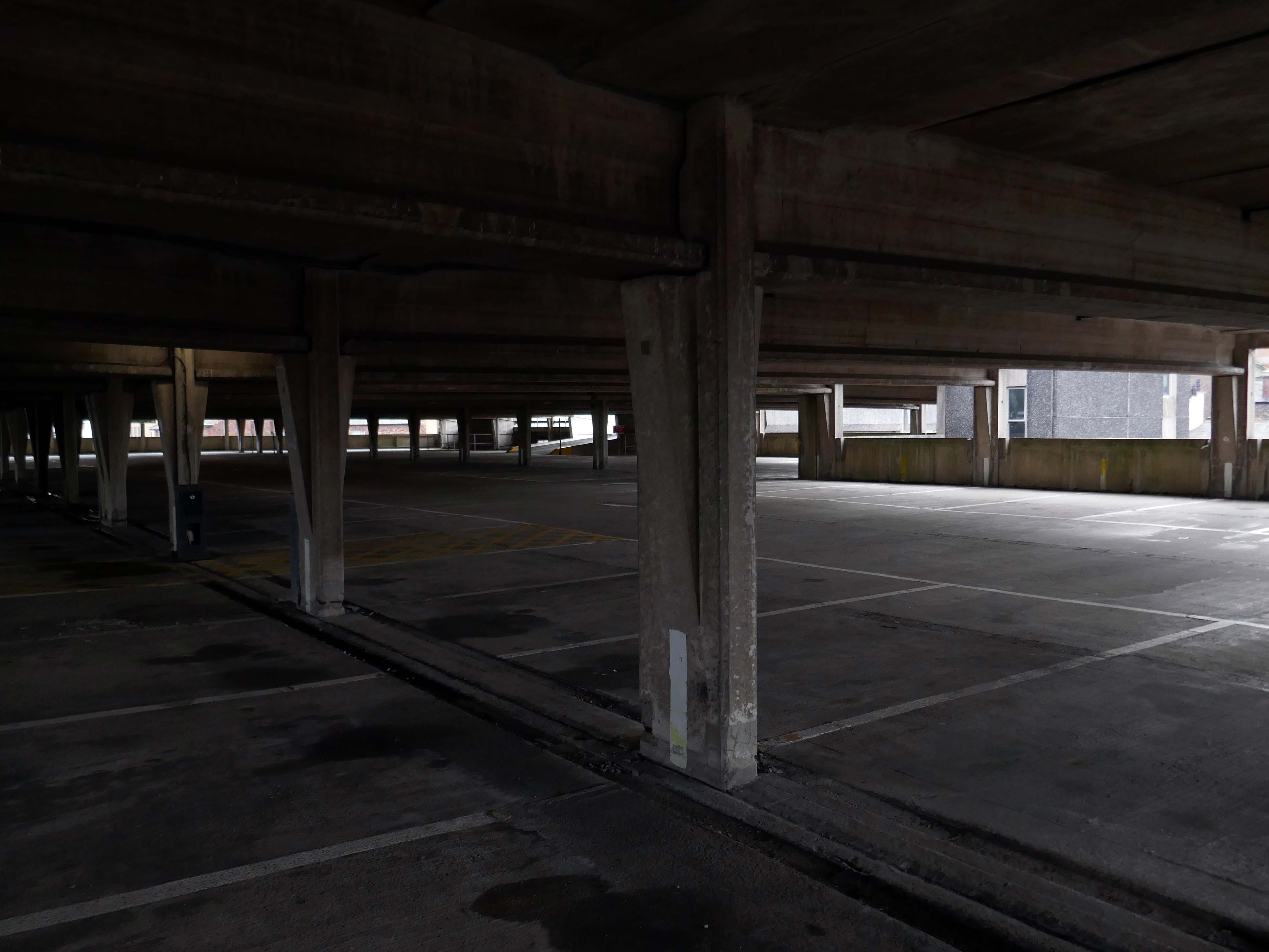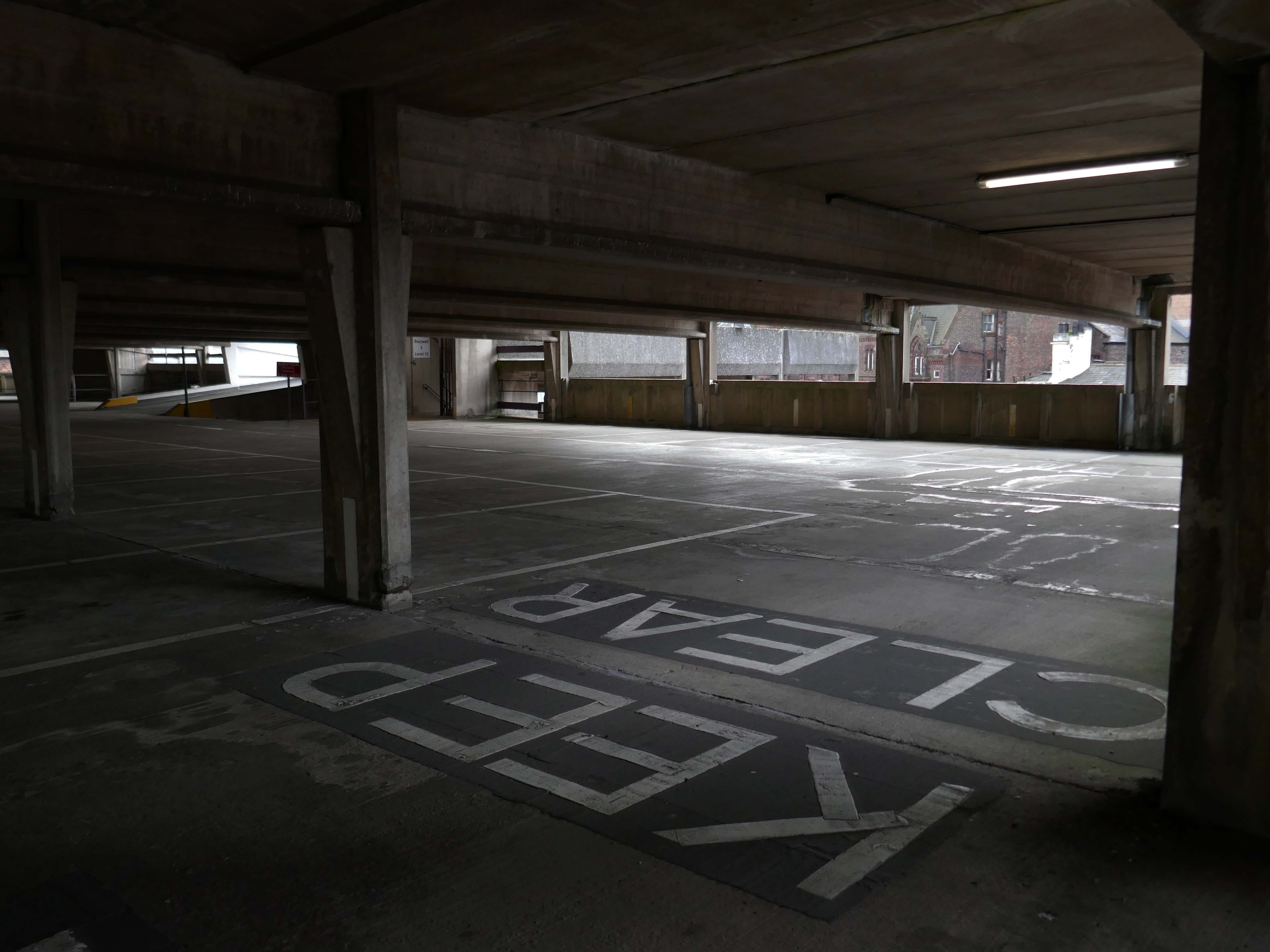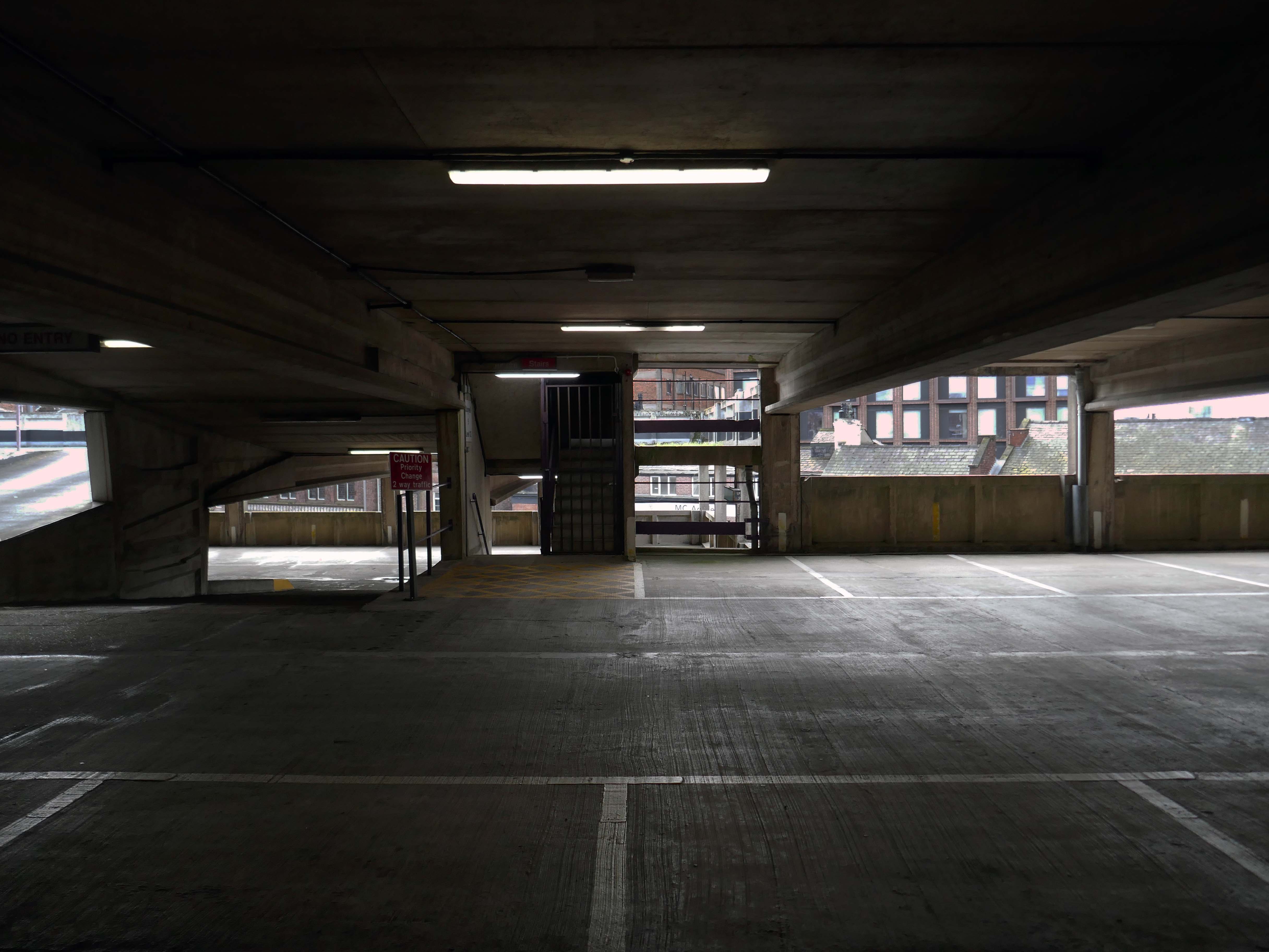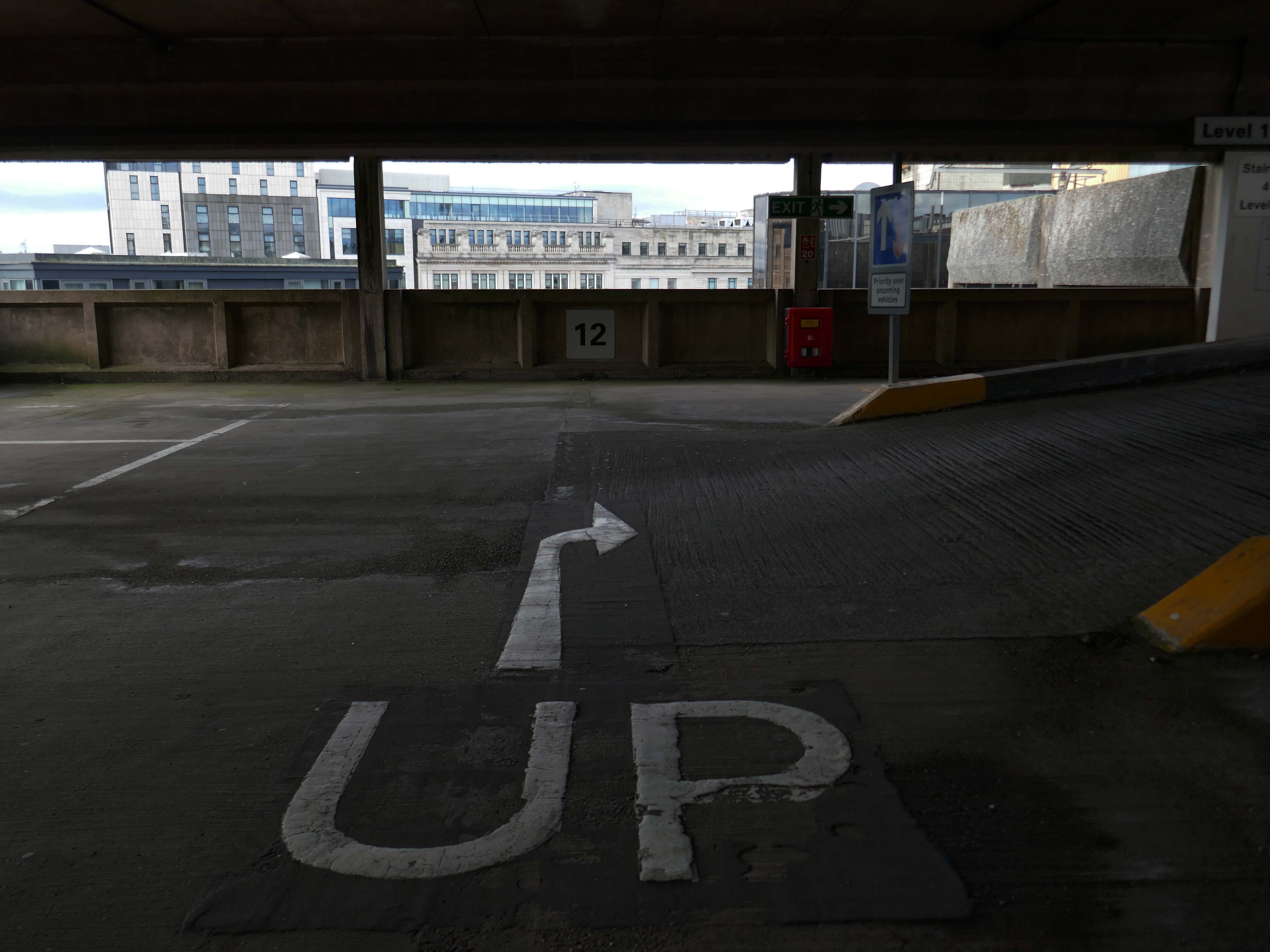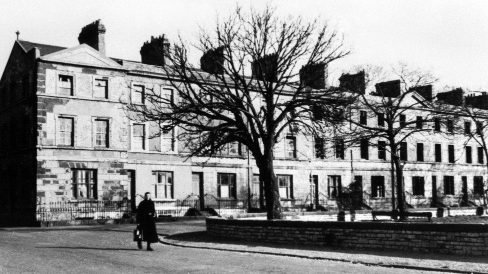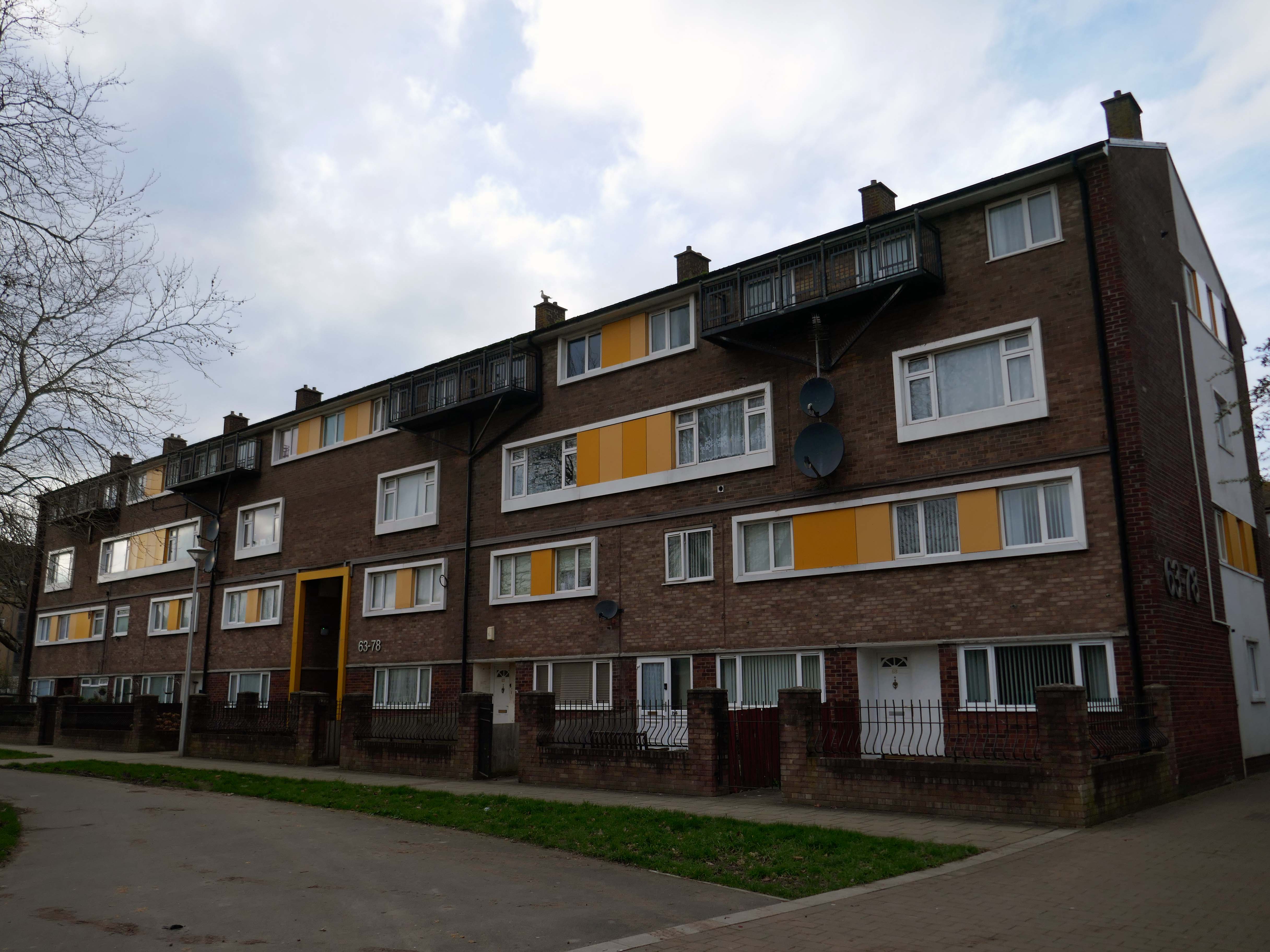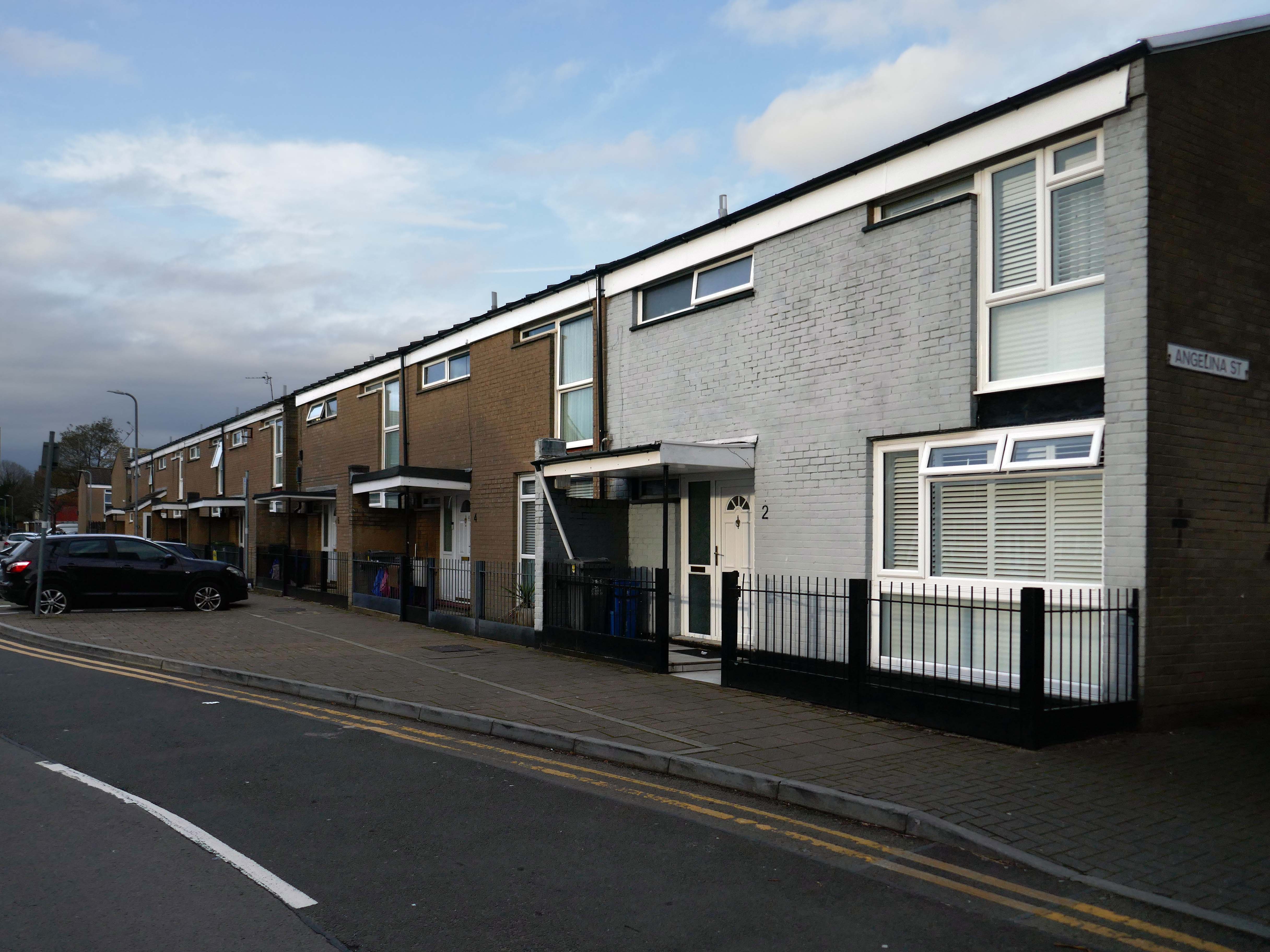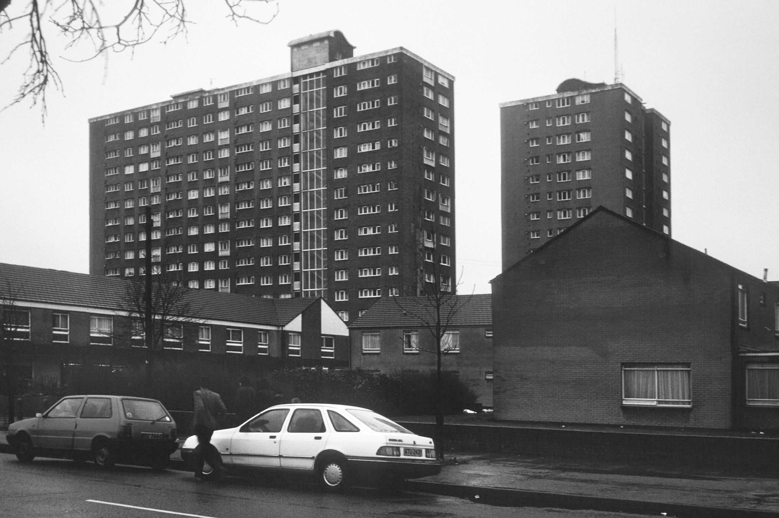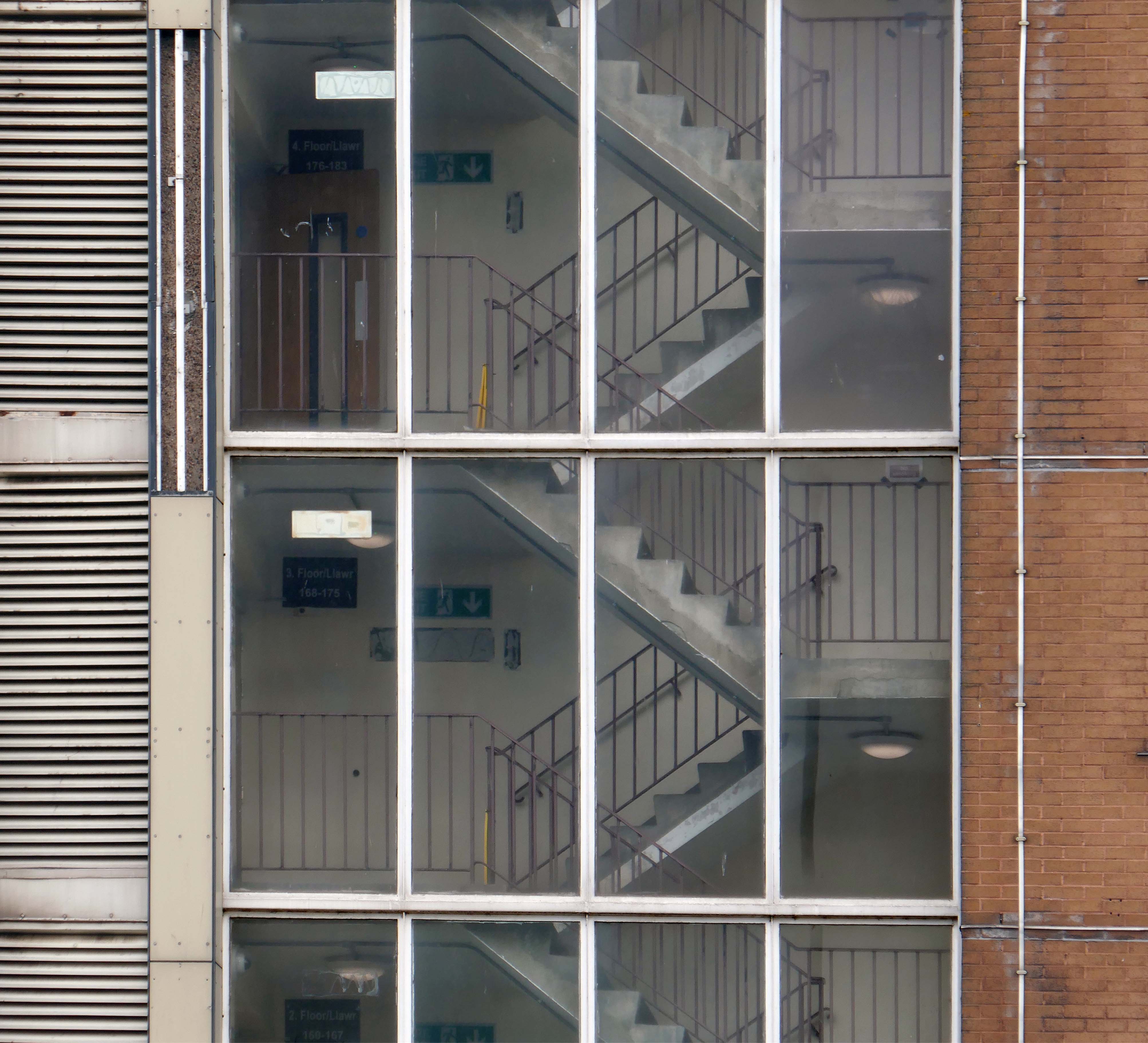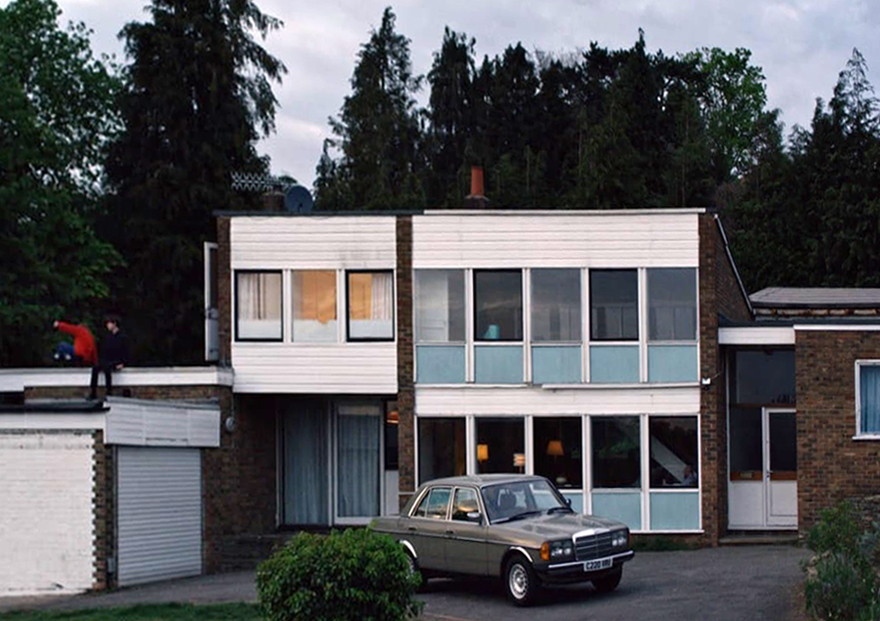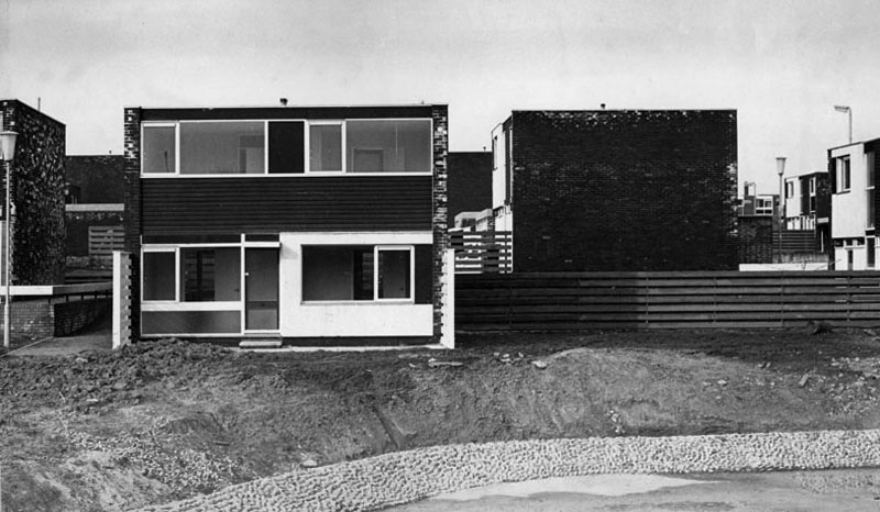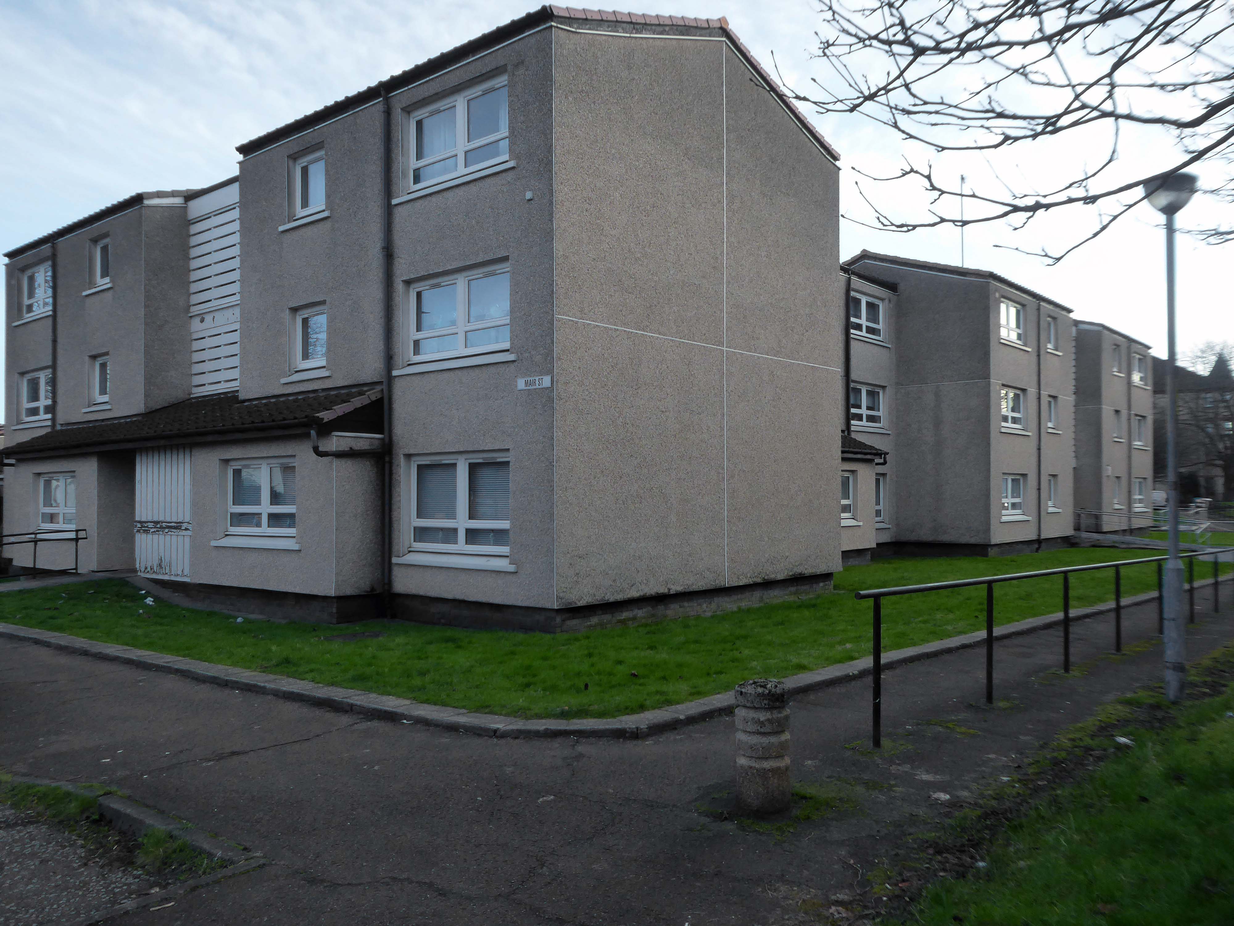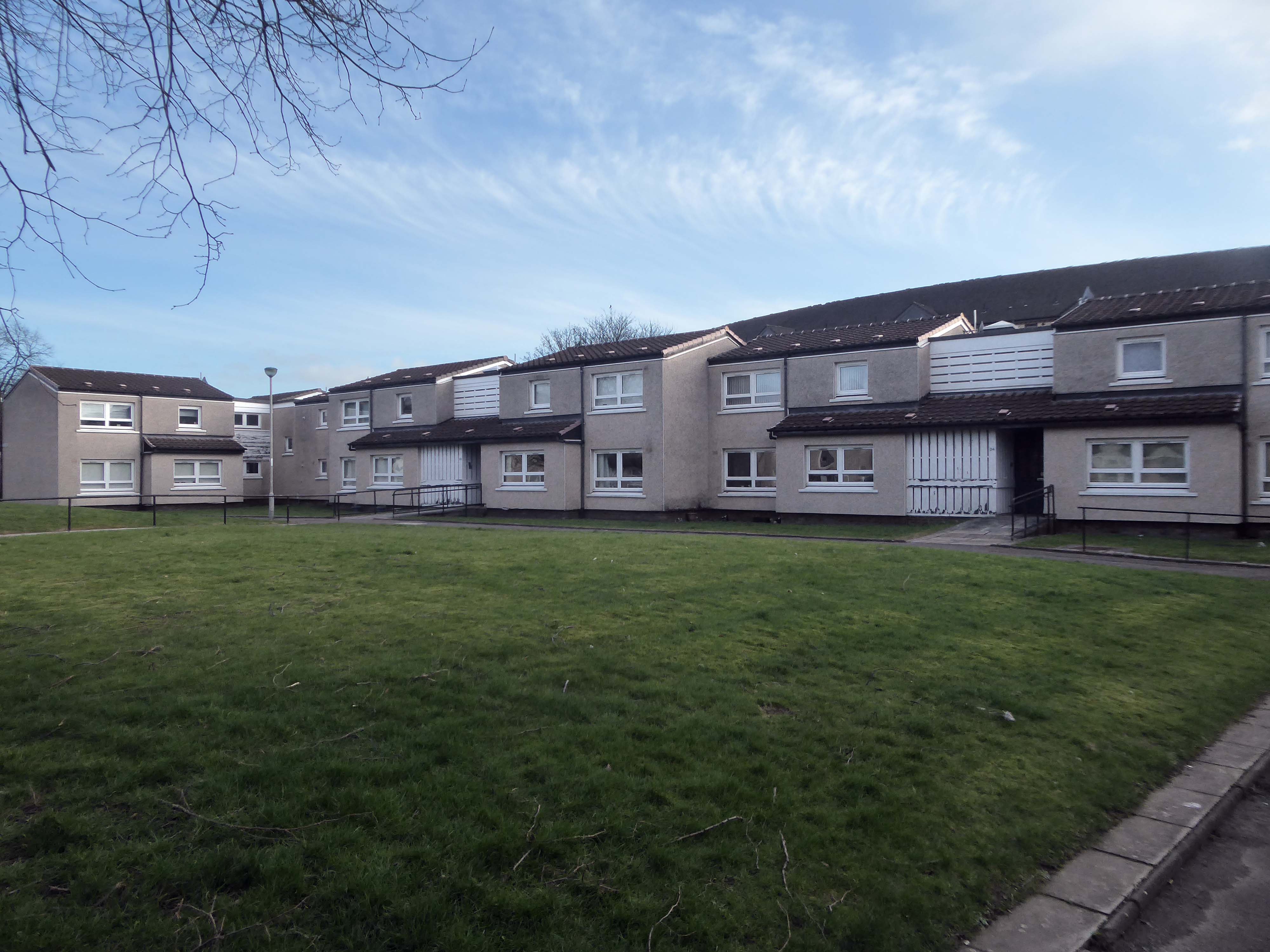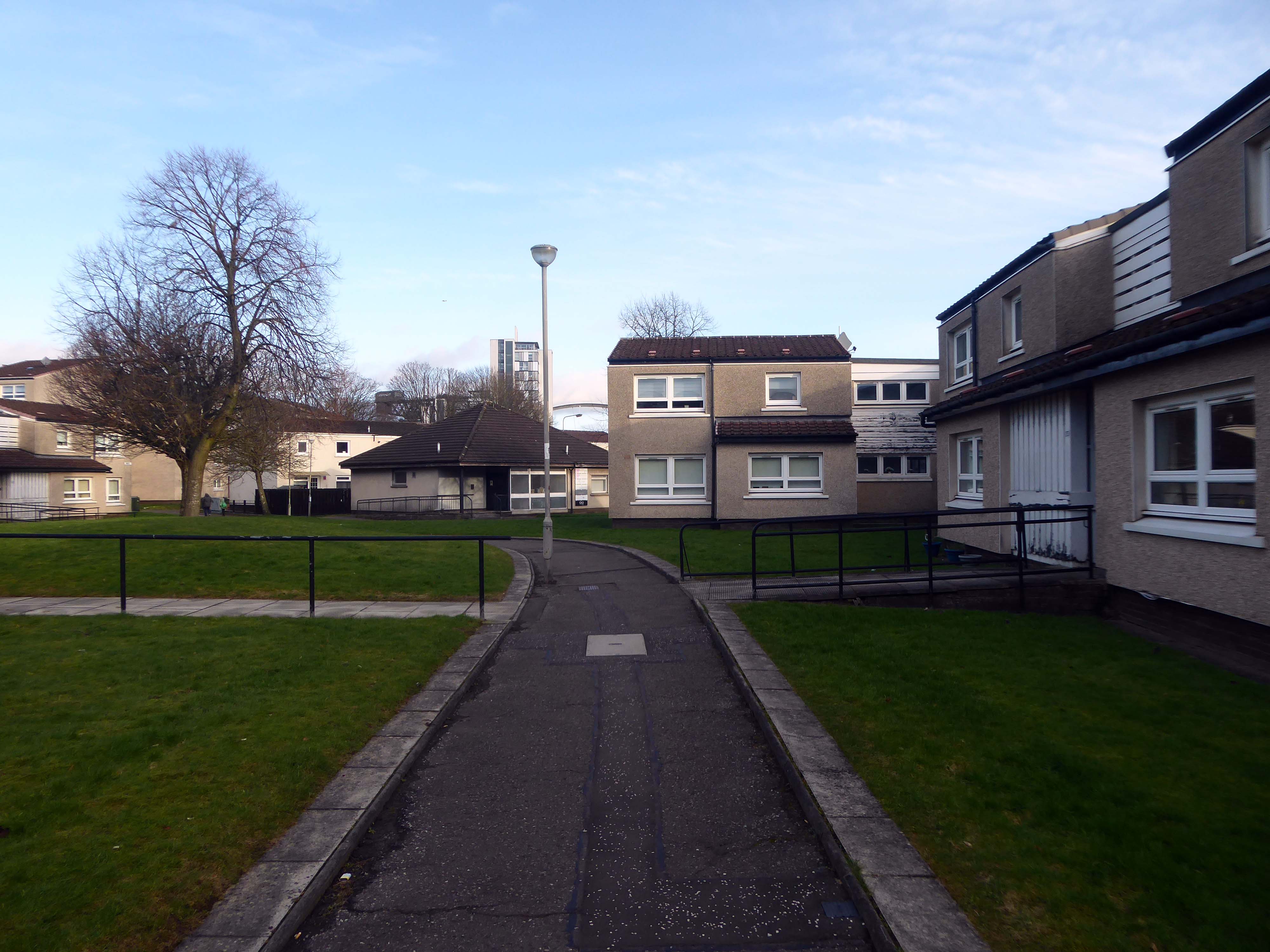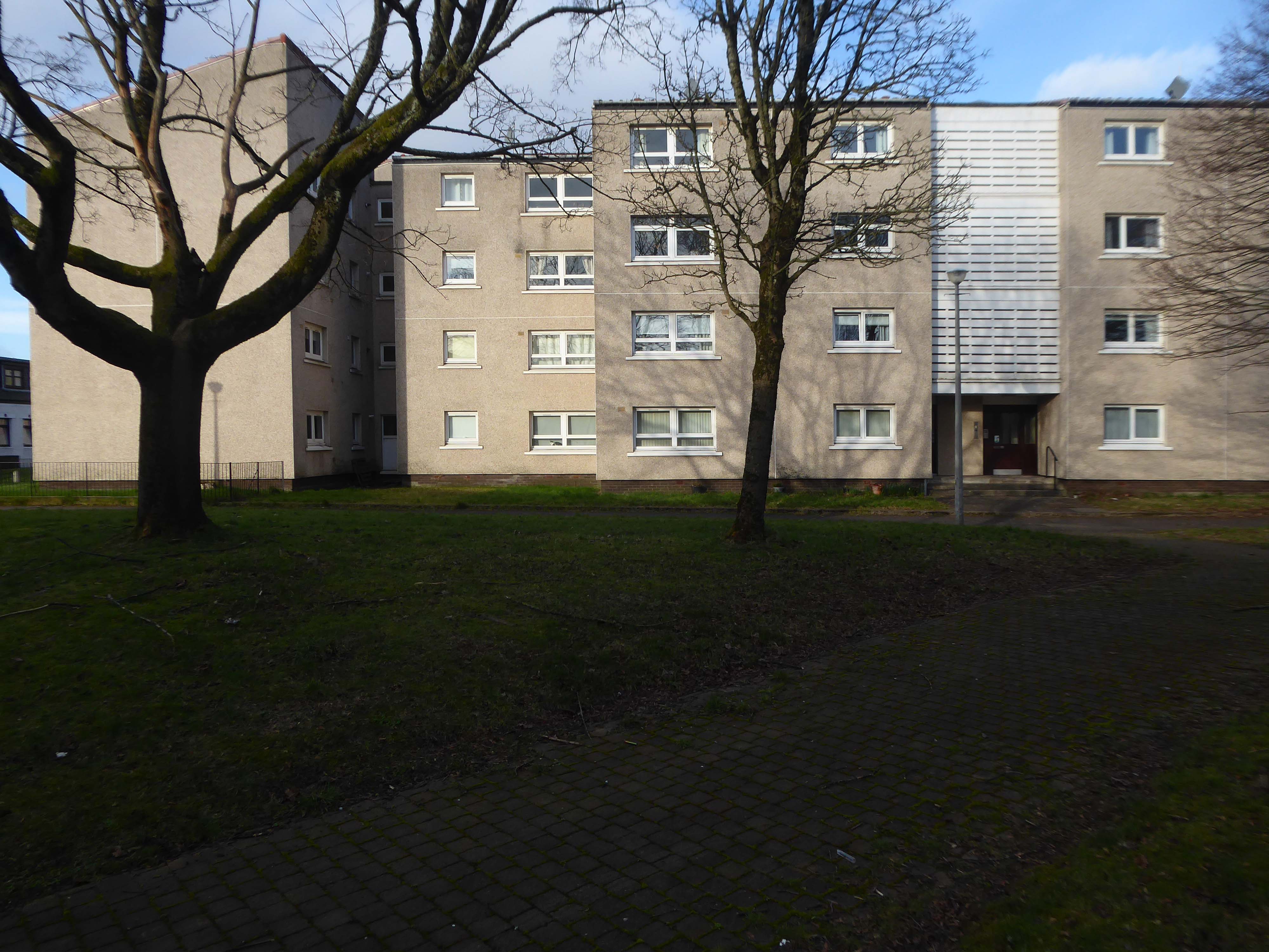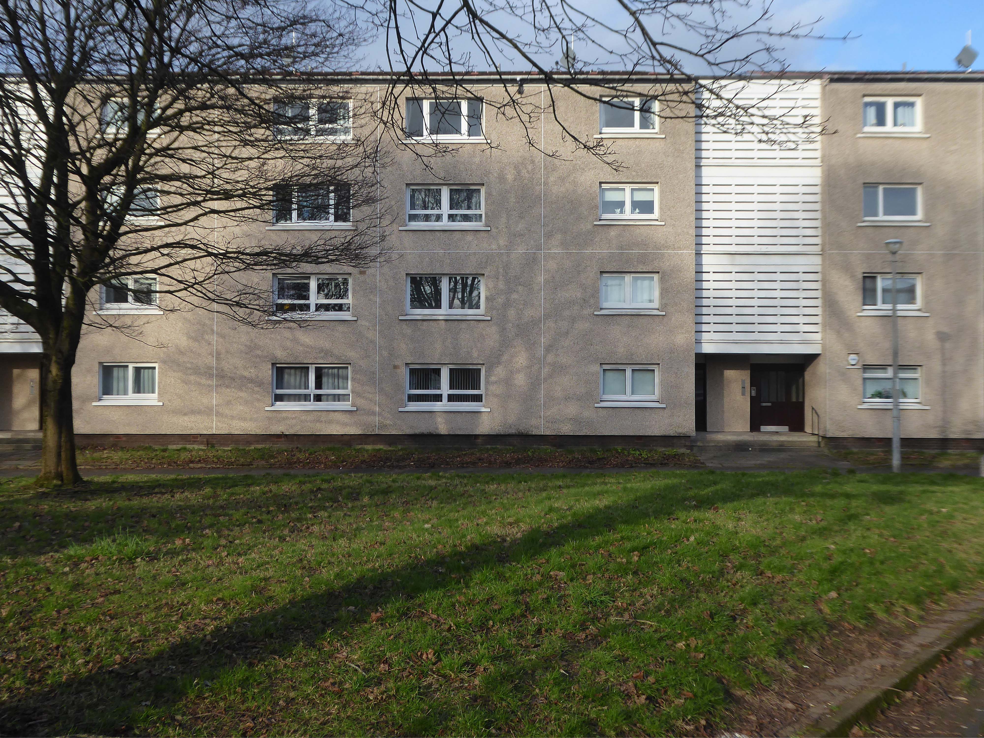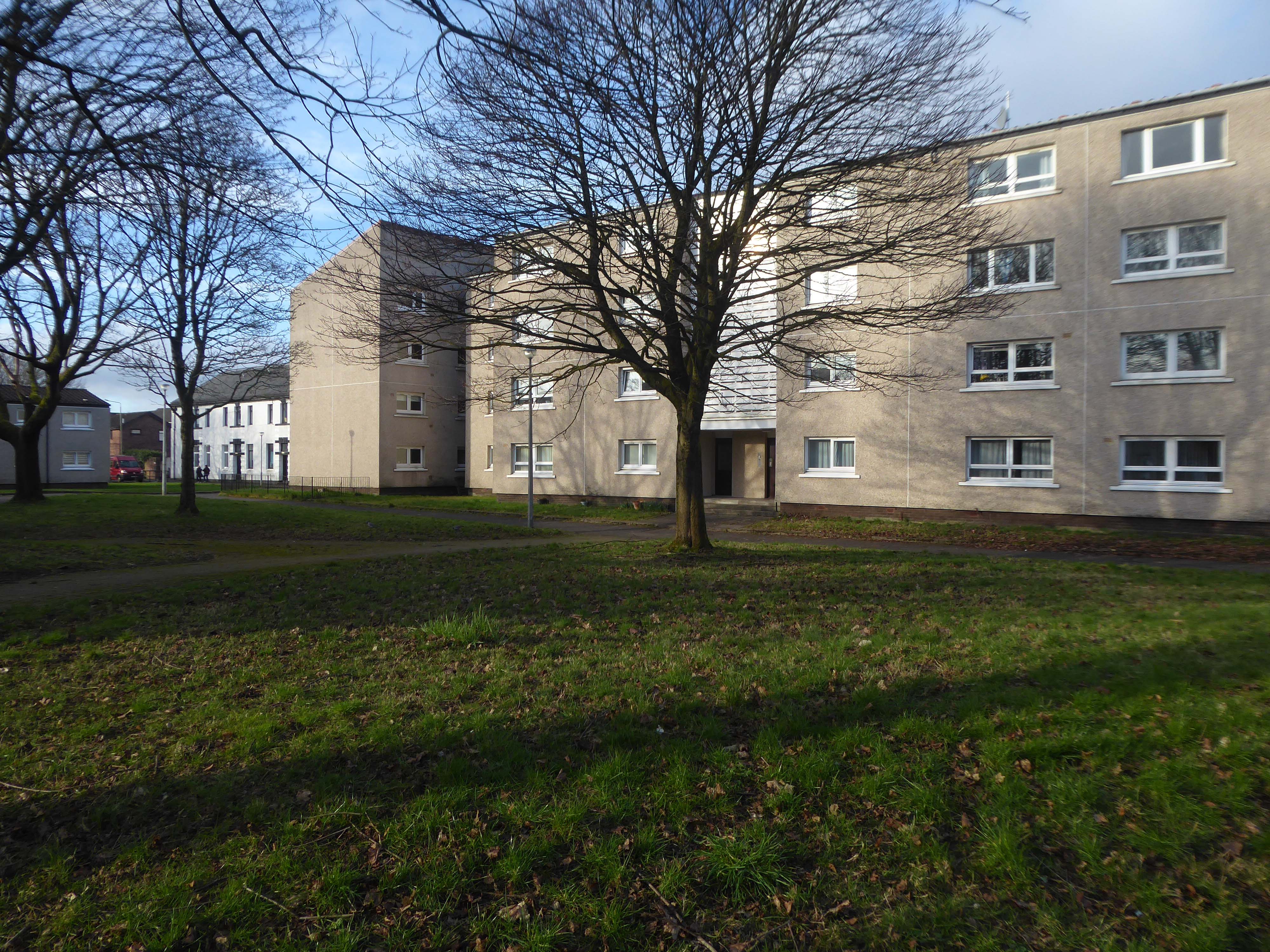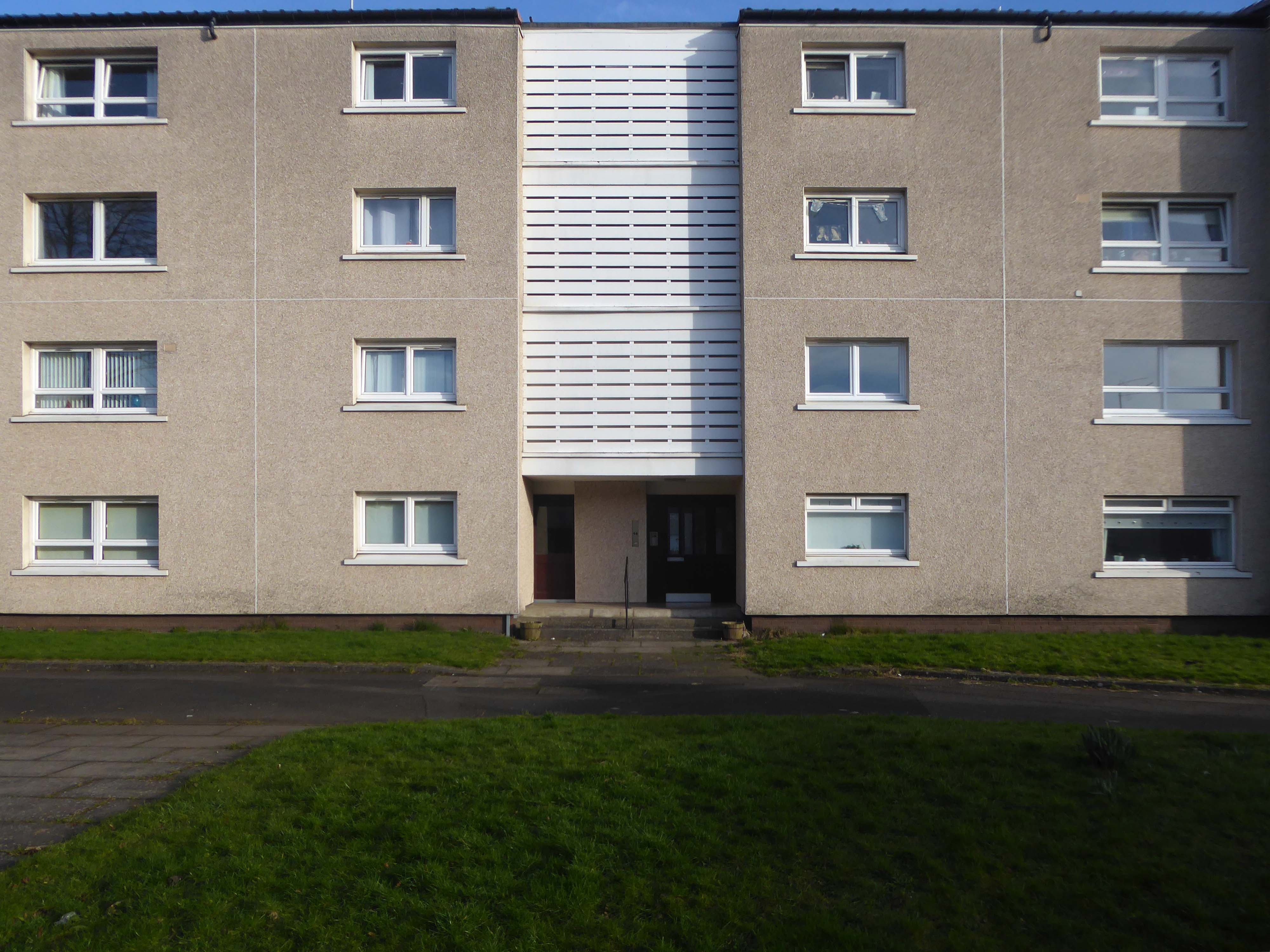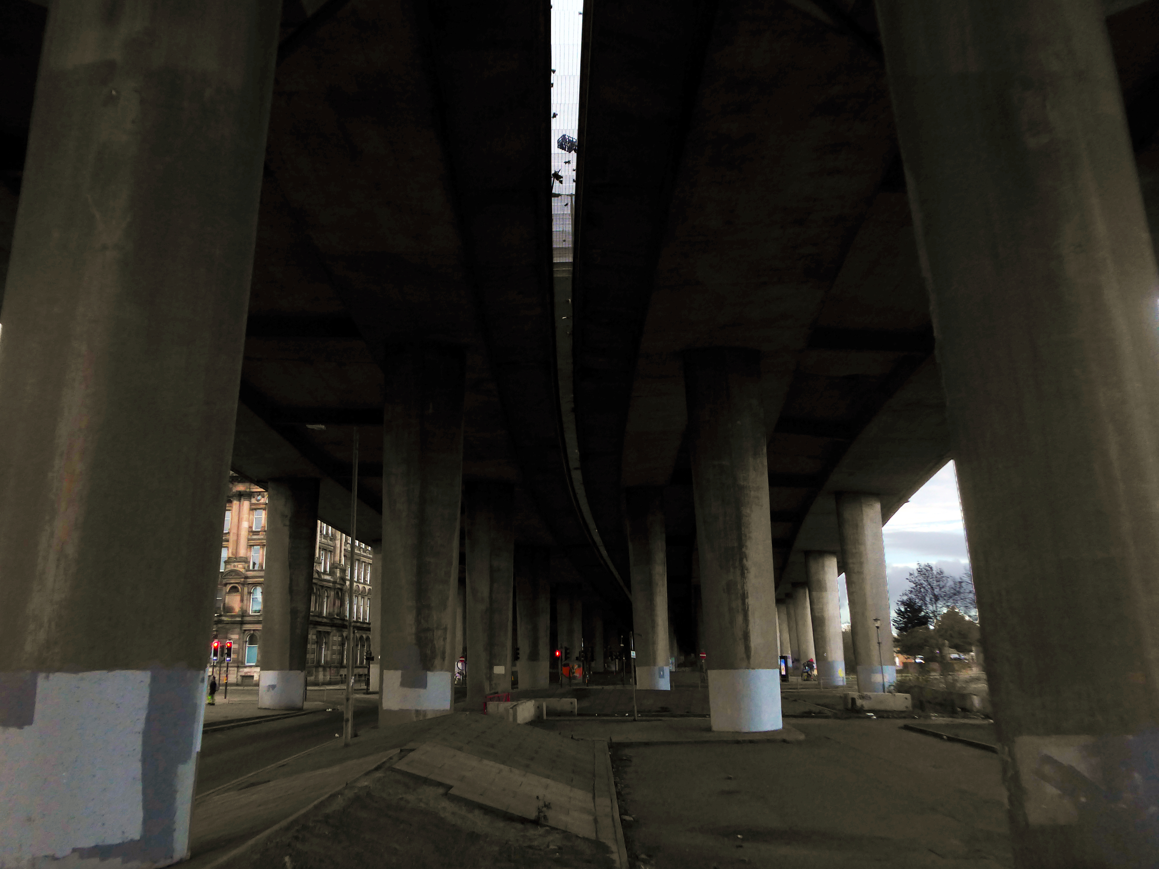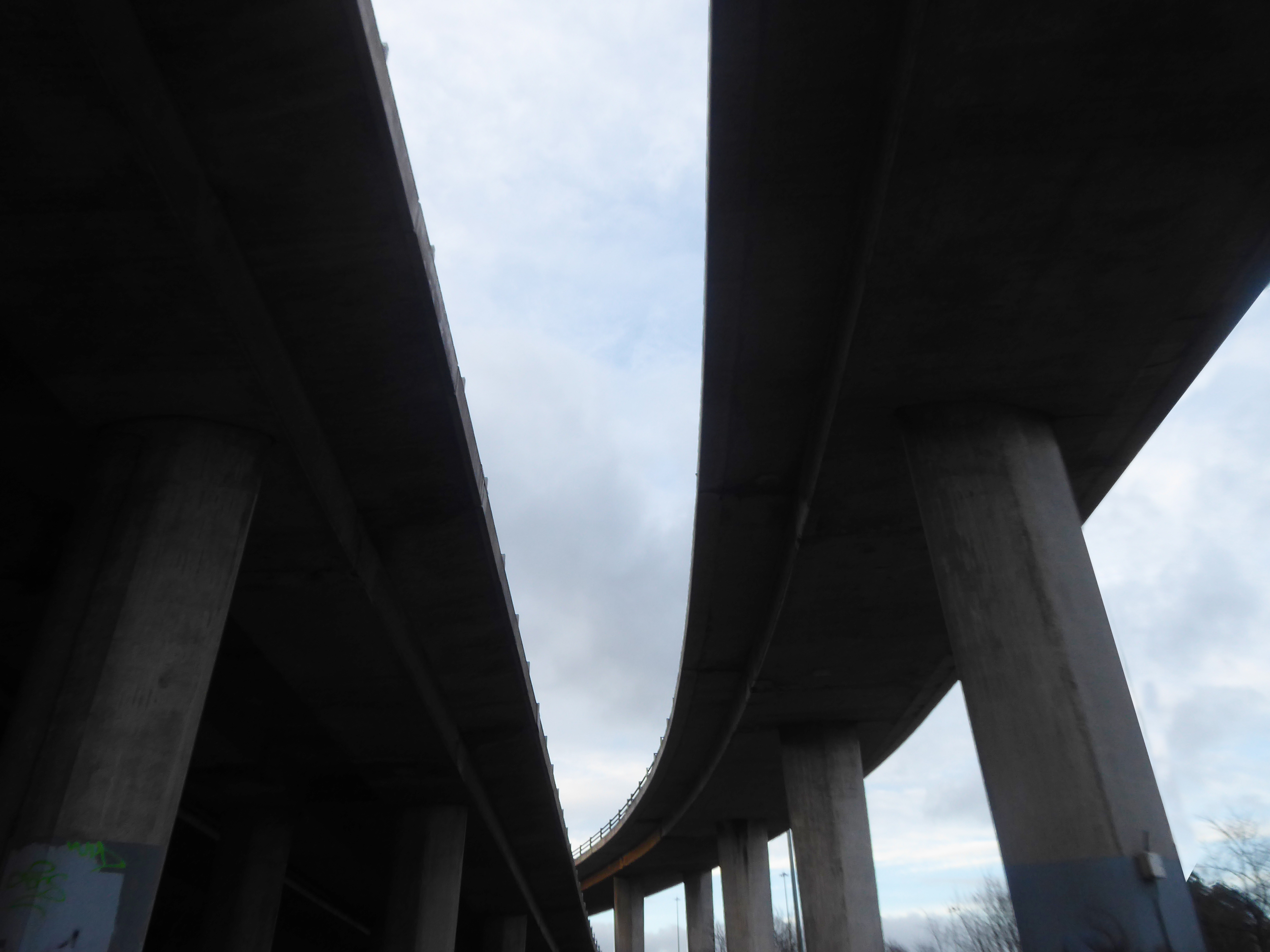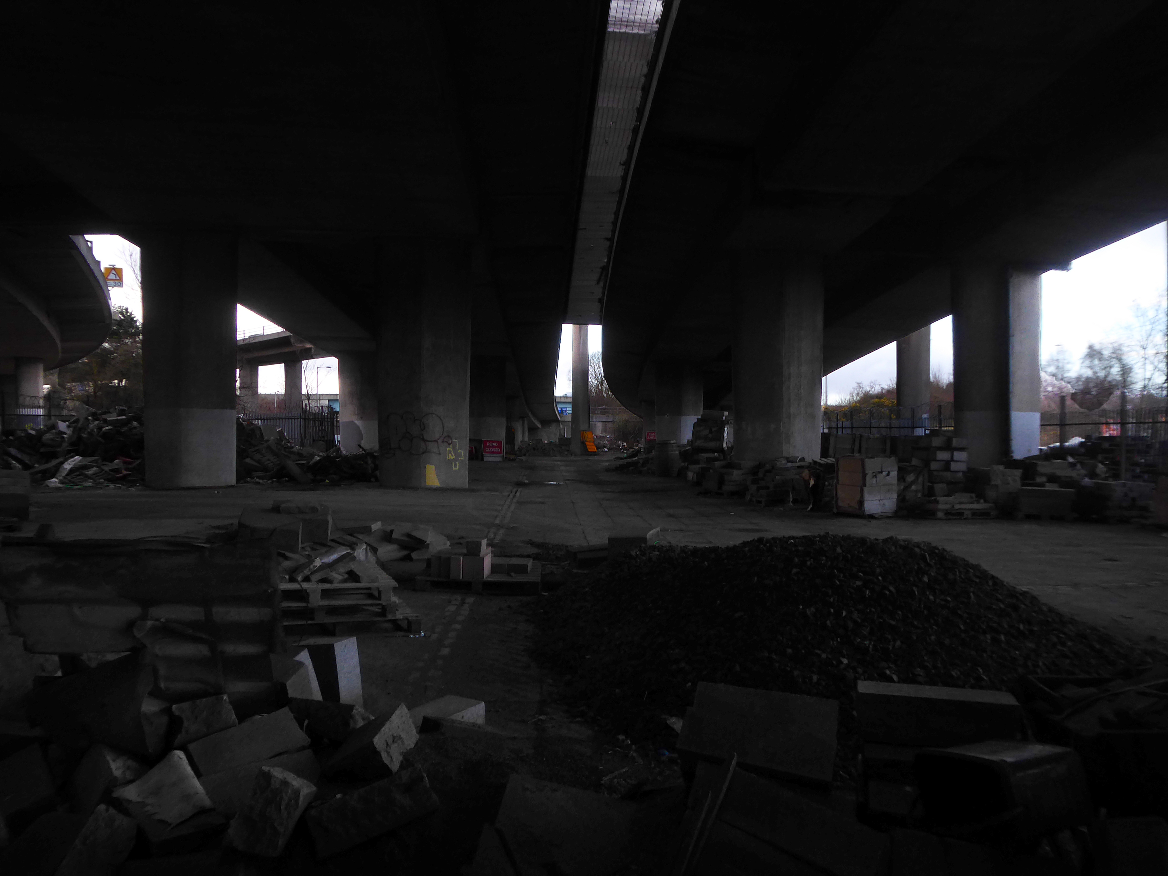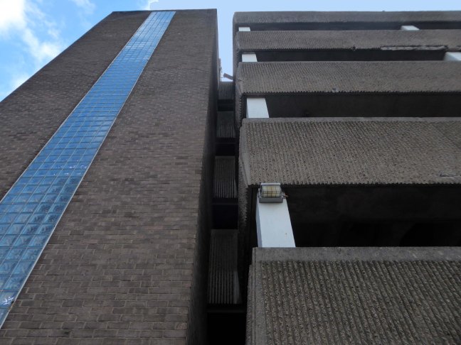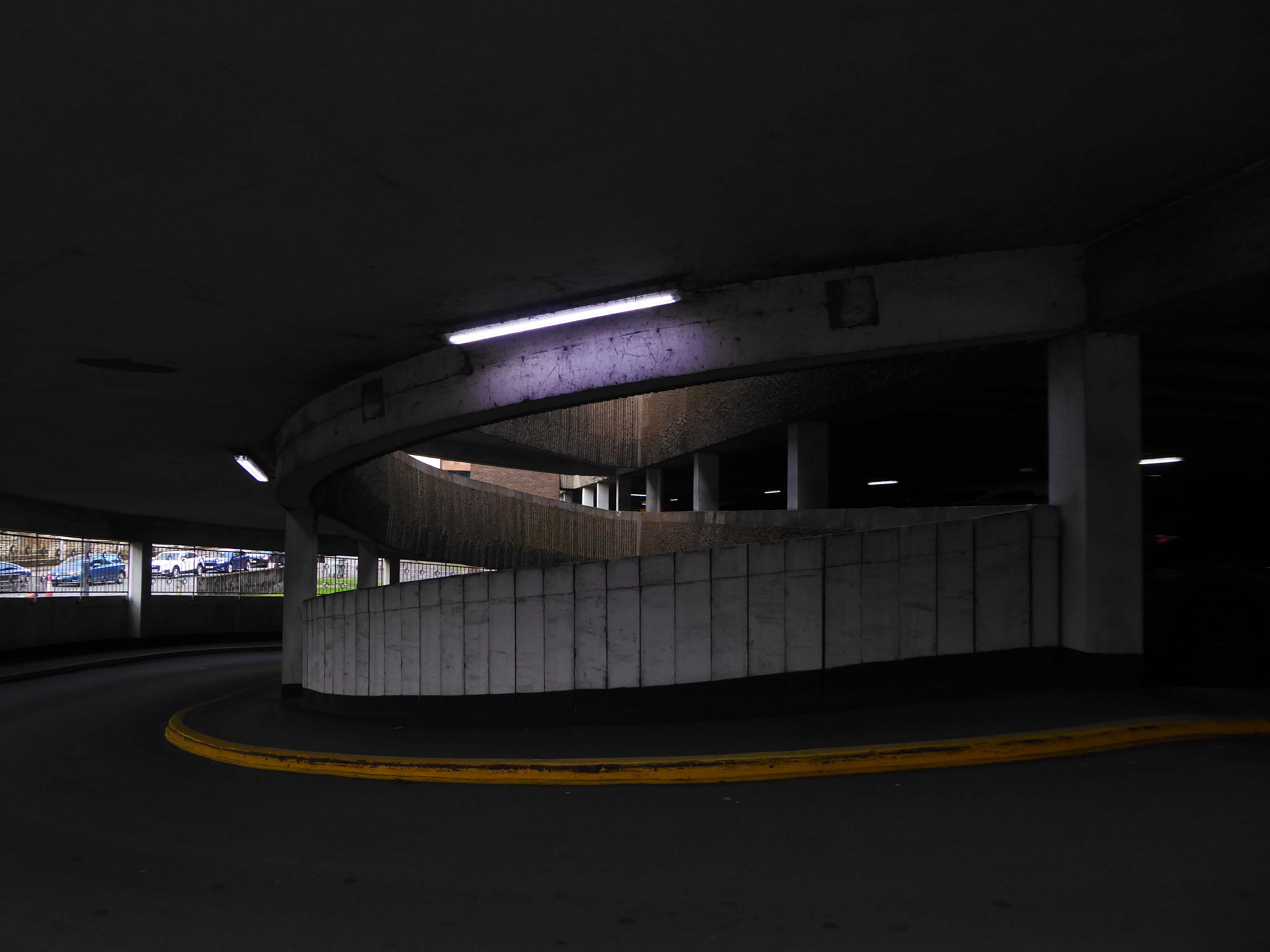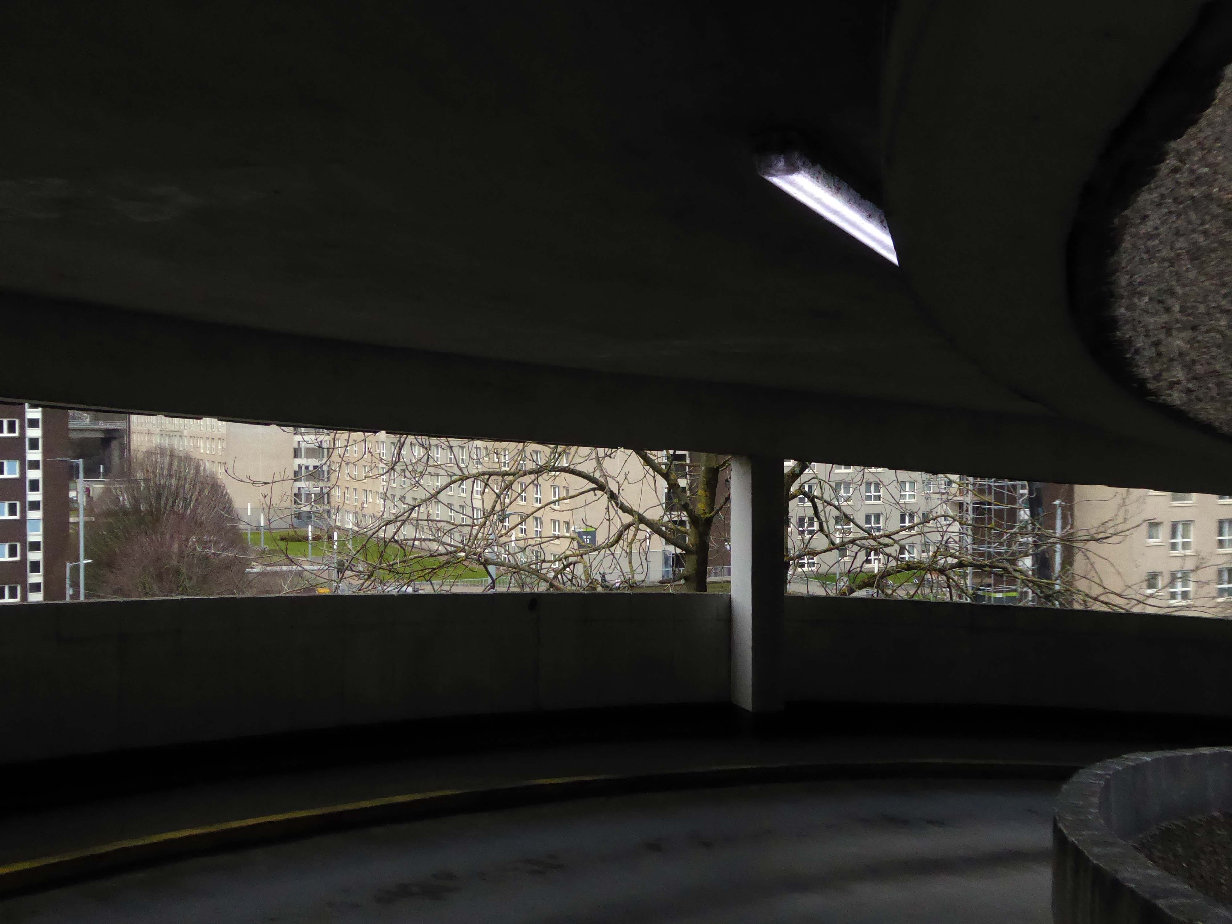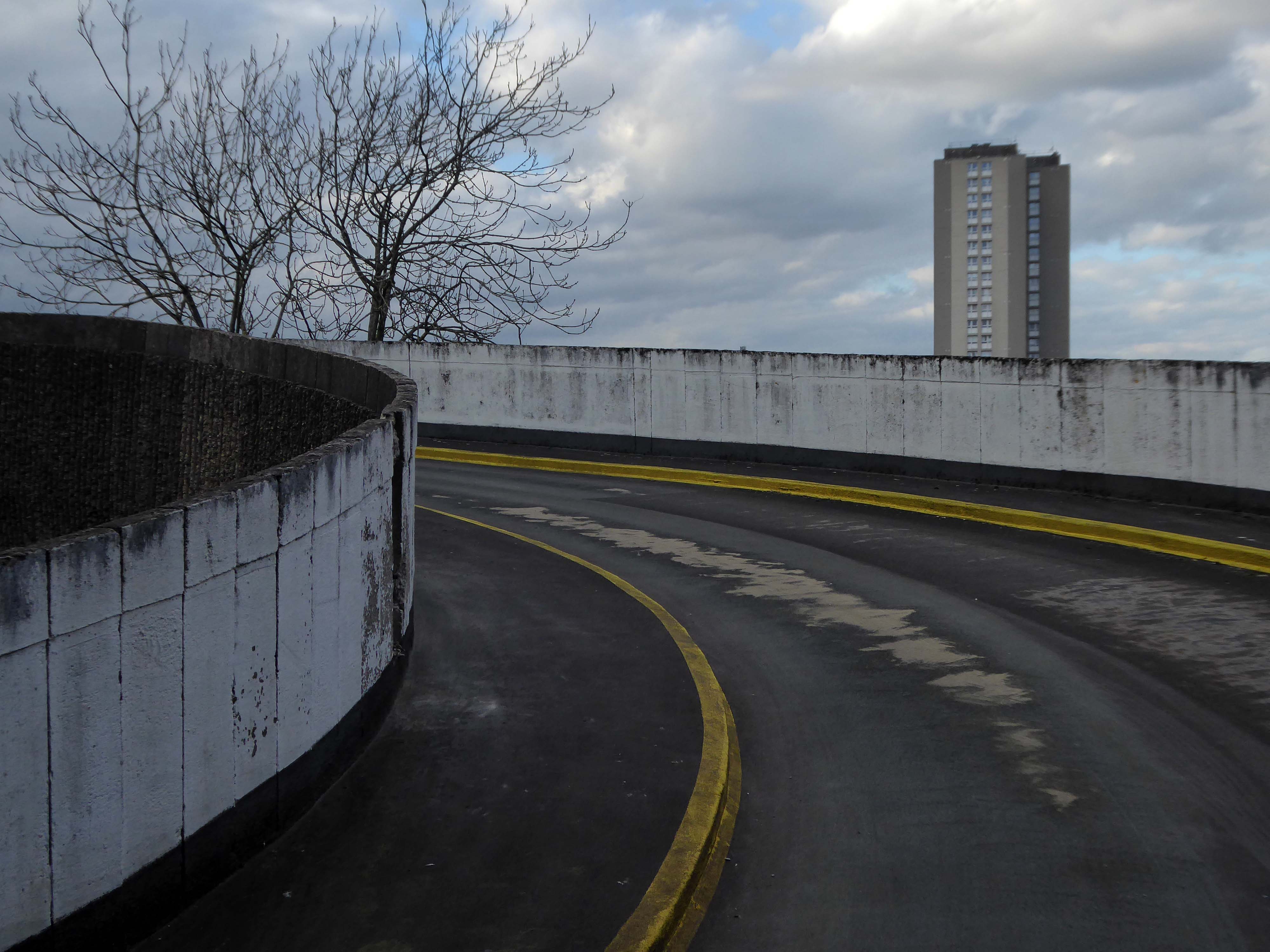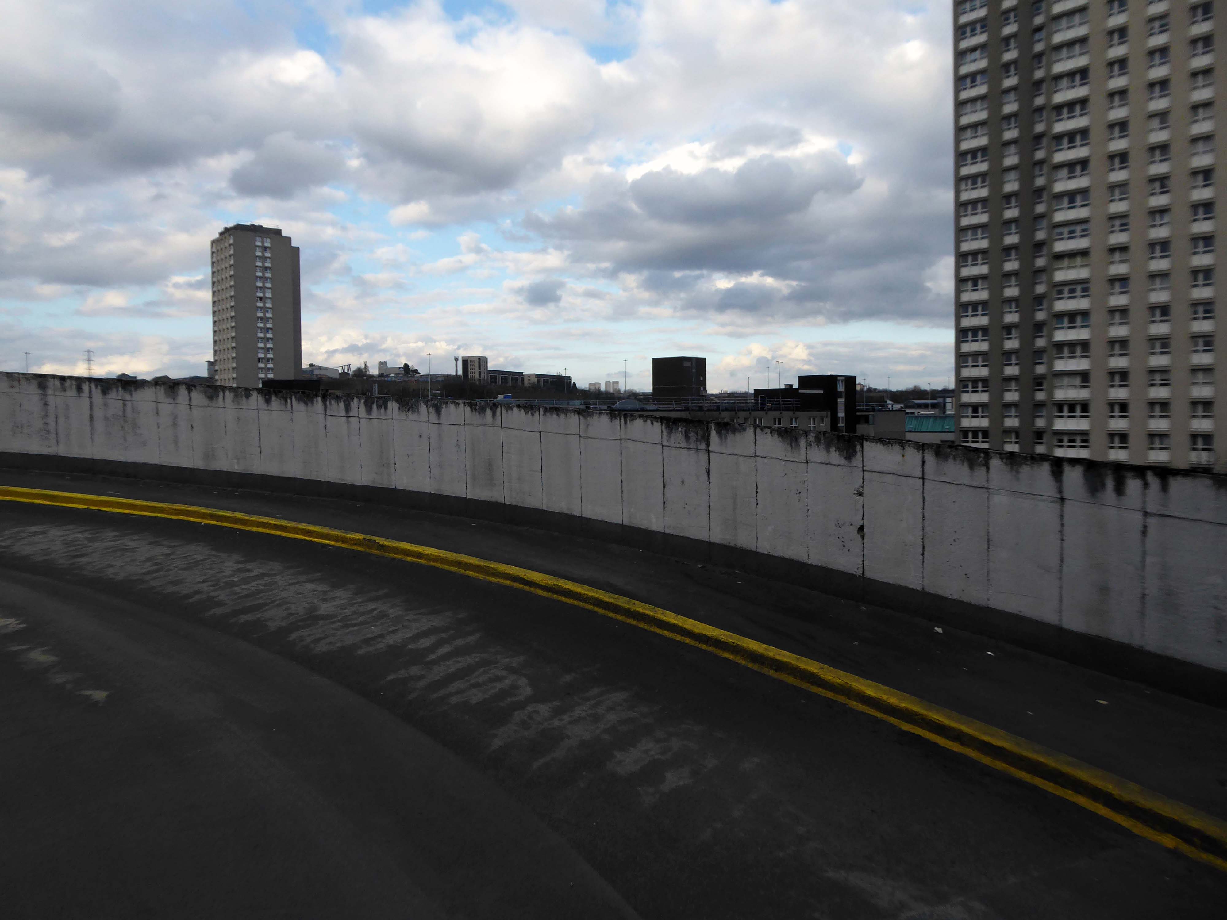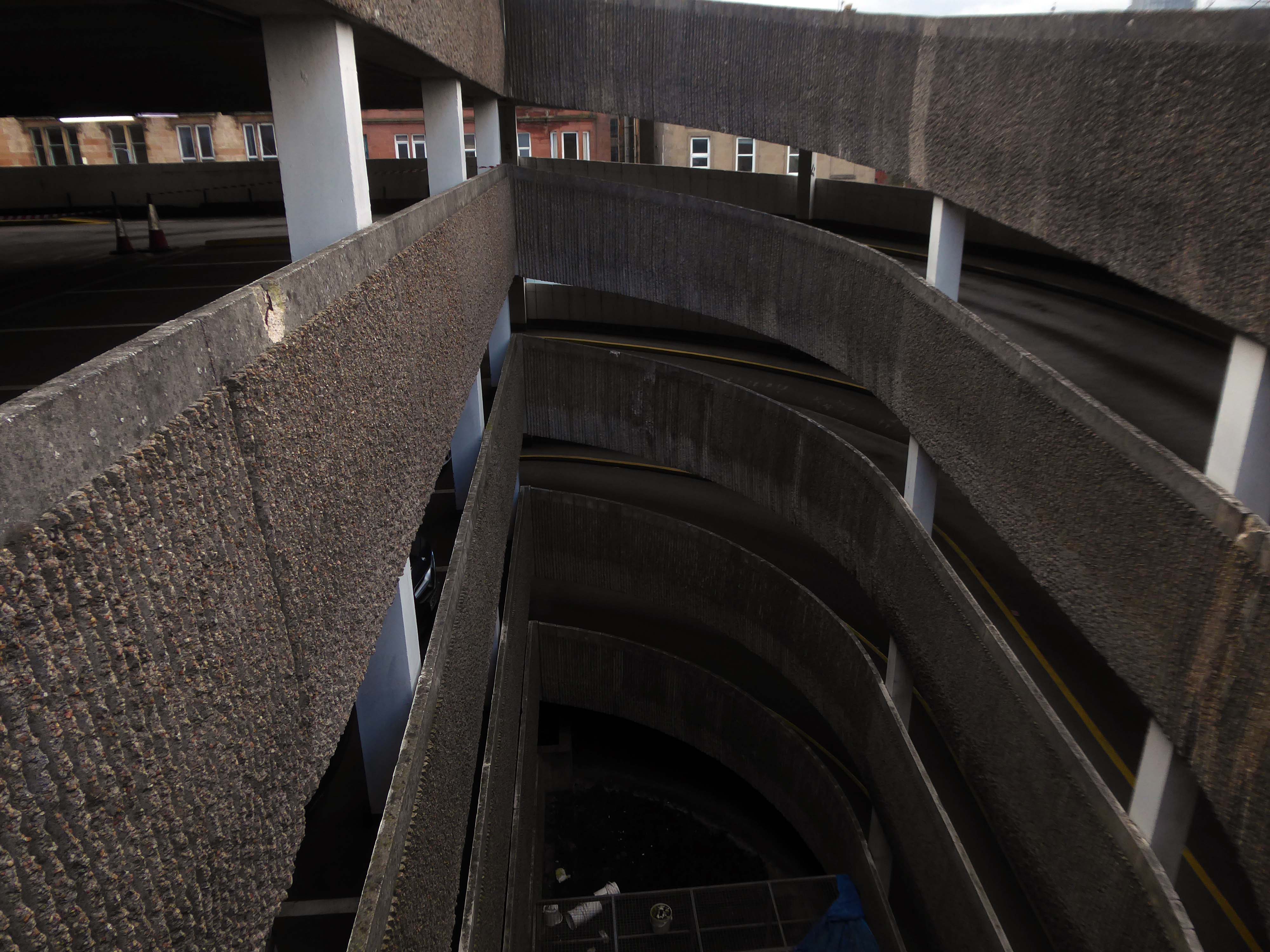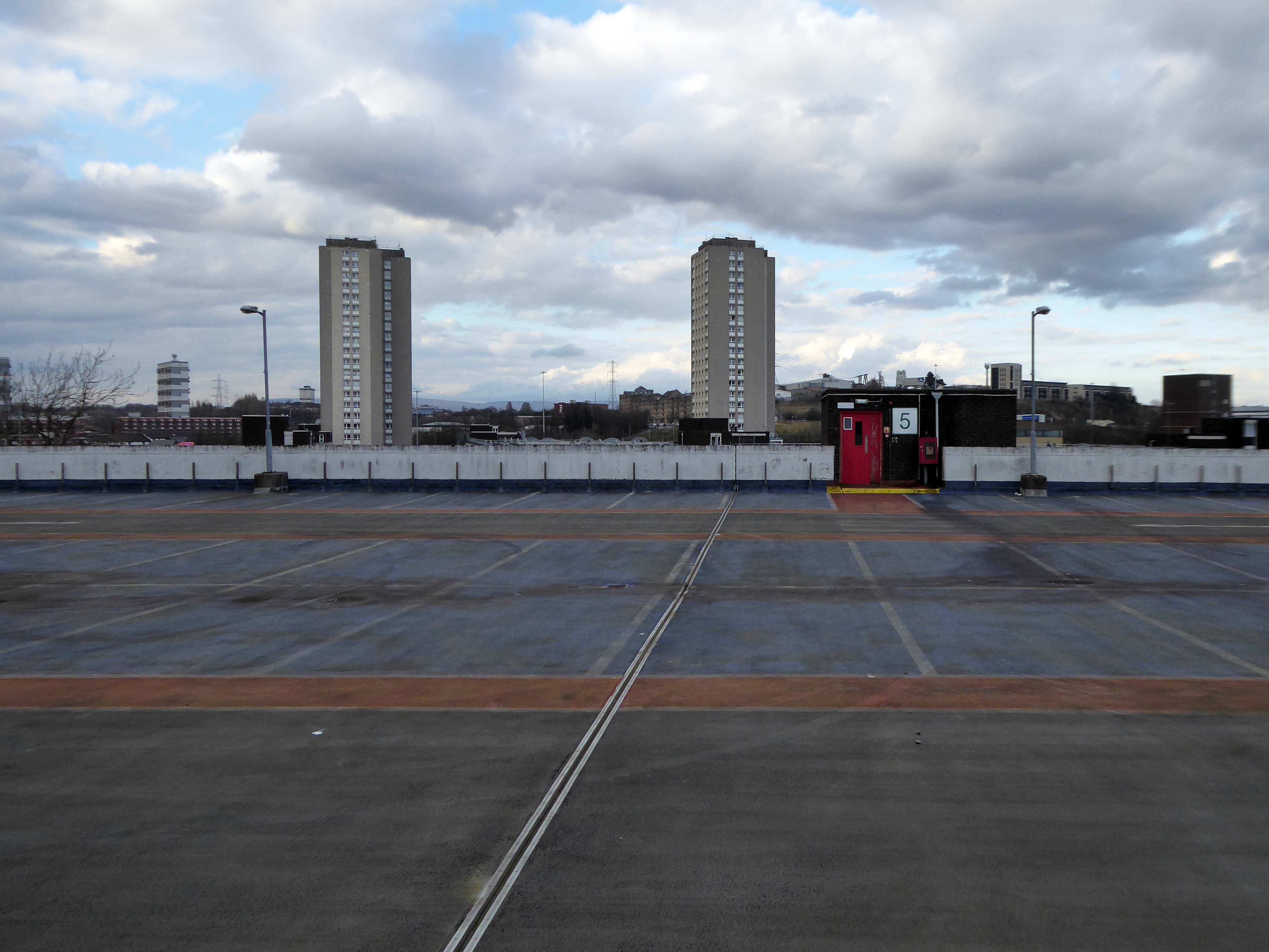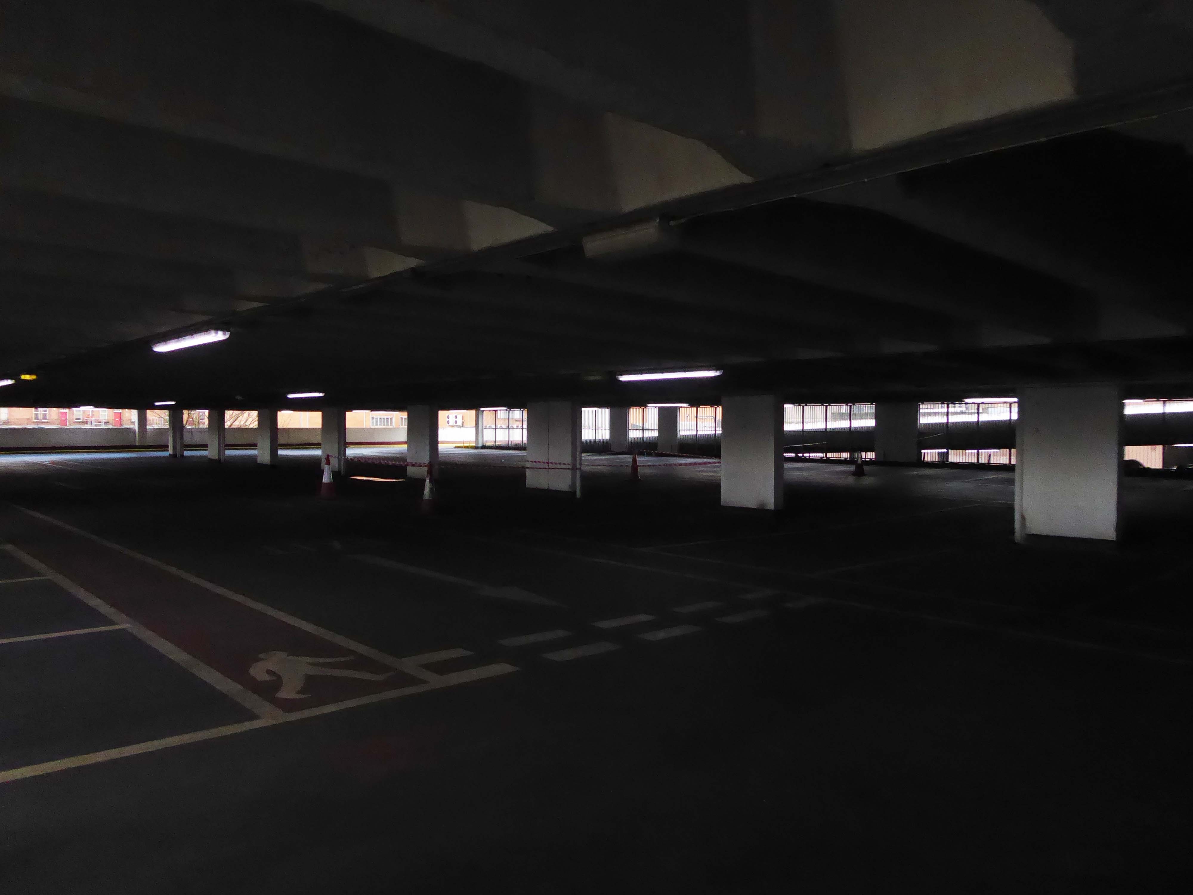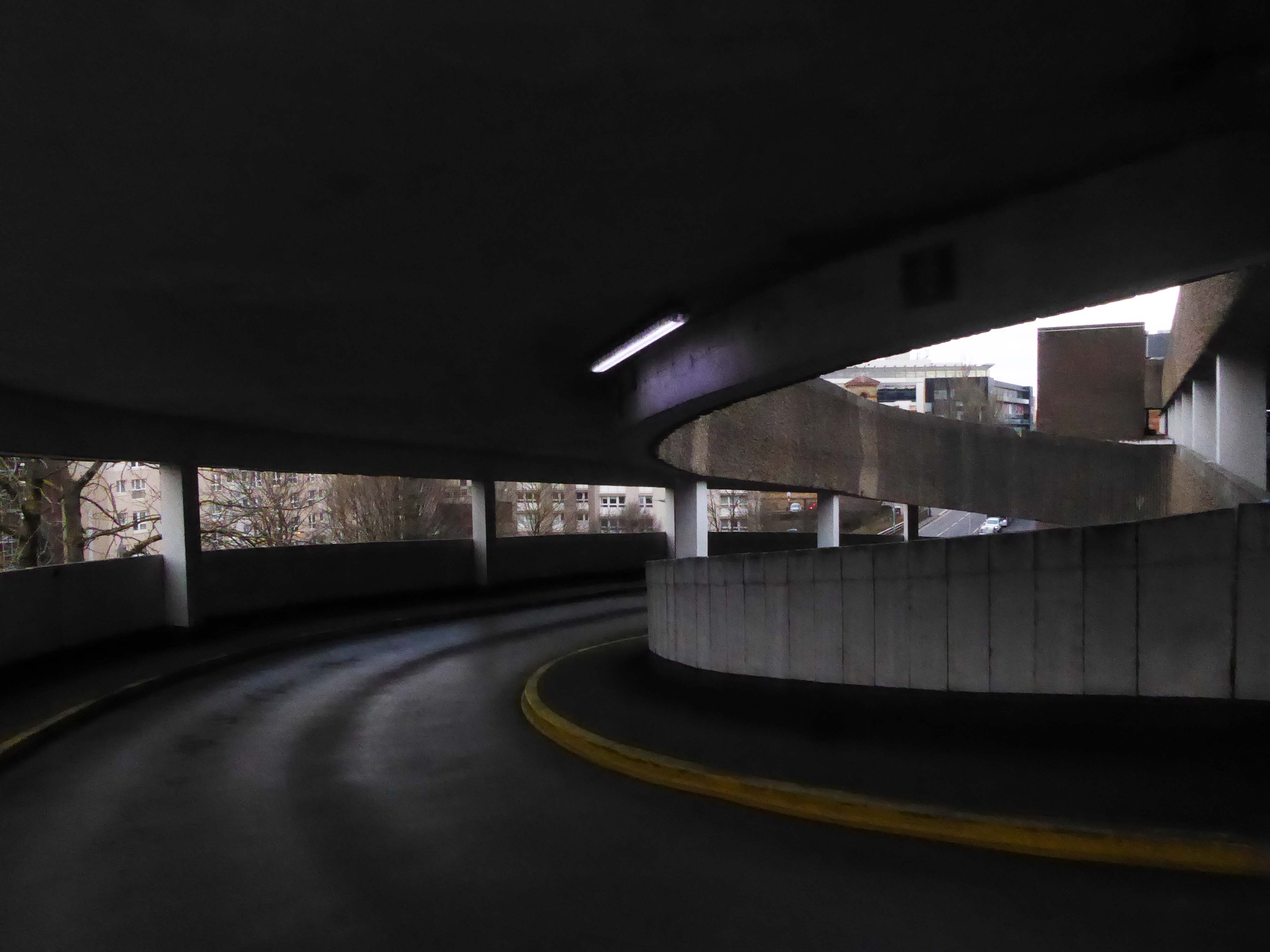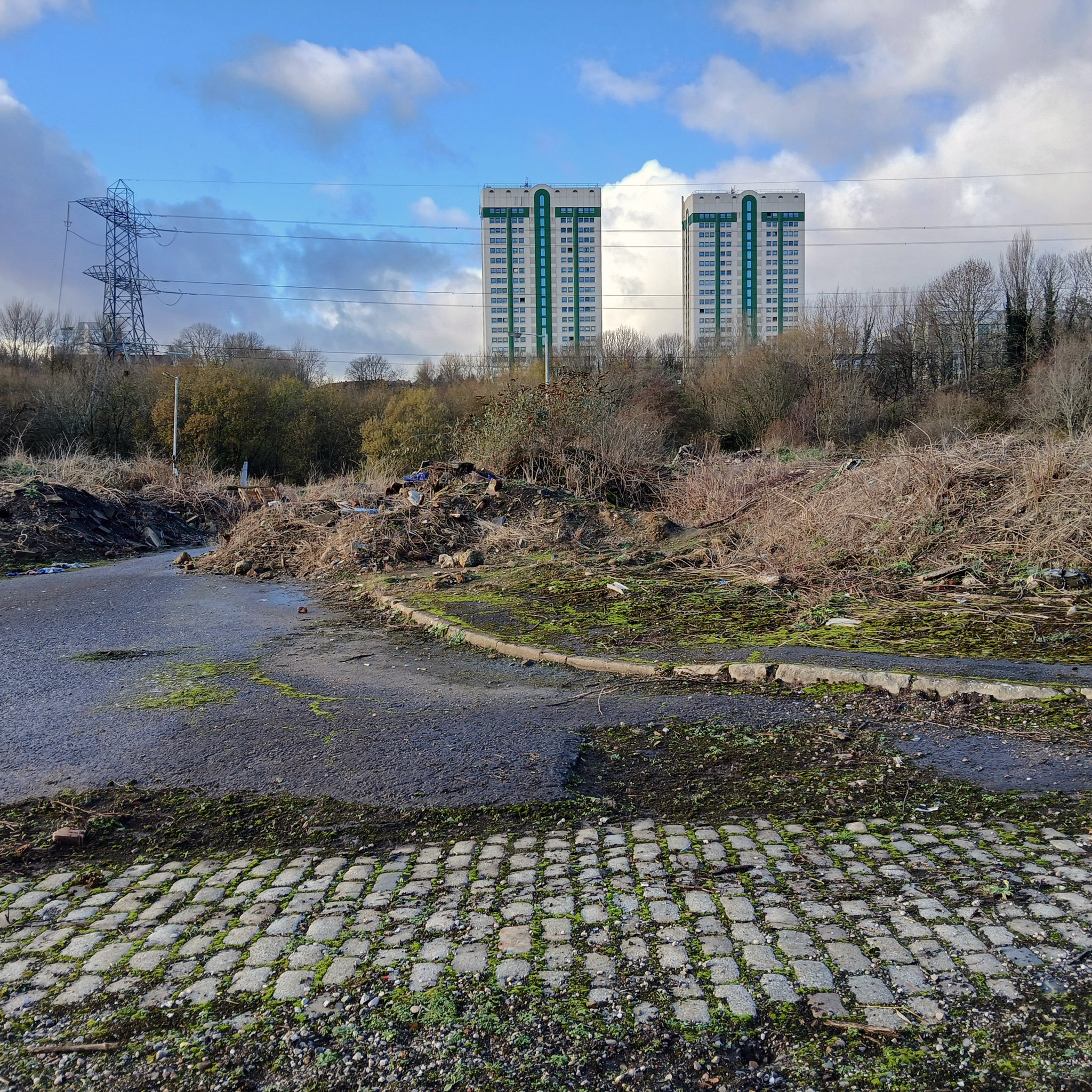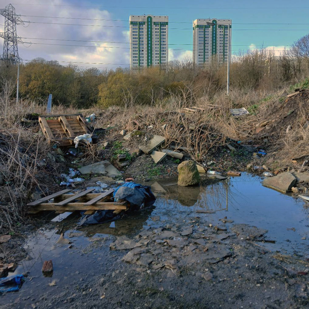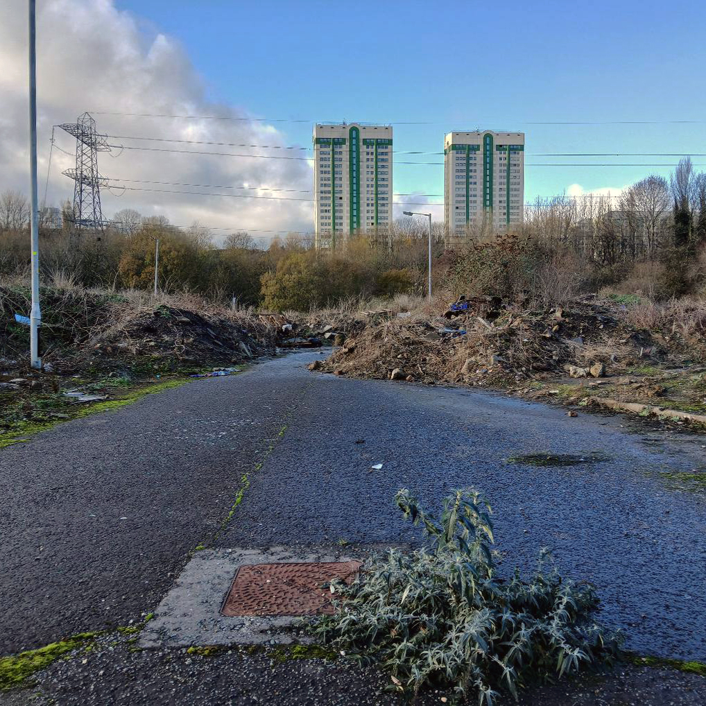
Over ten years ago I visited Wigan Civic Centre.
It looked a lot like this:
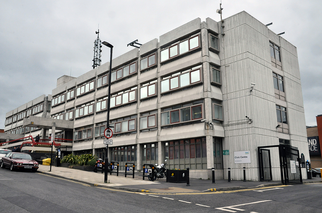
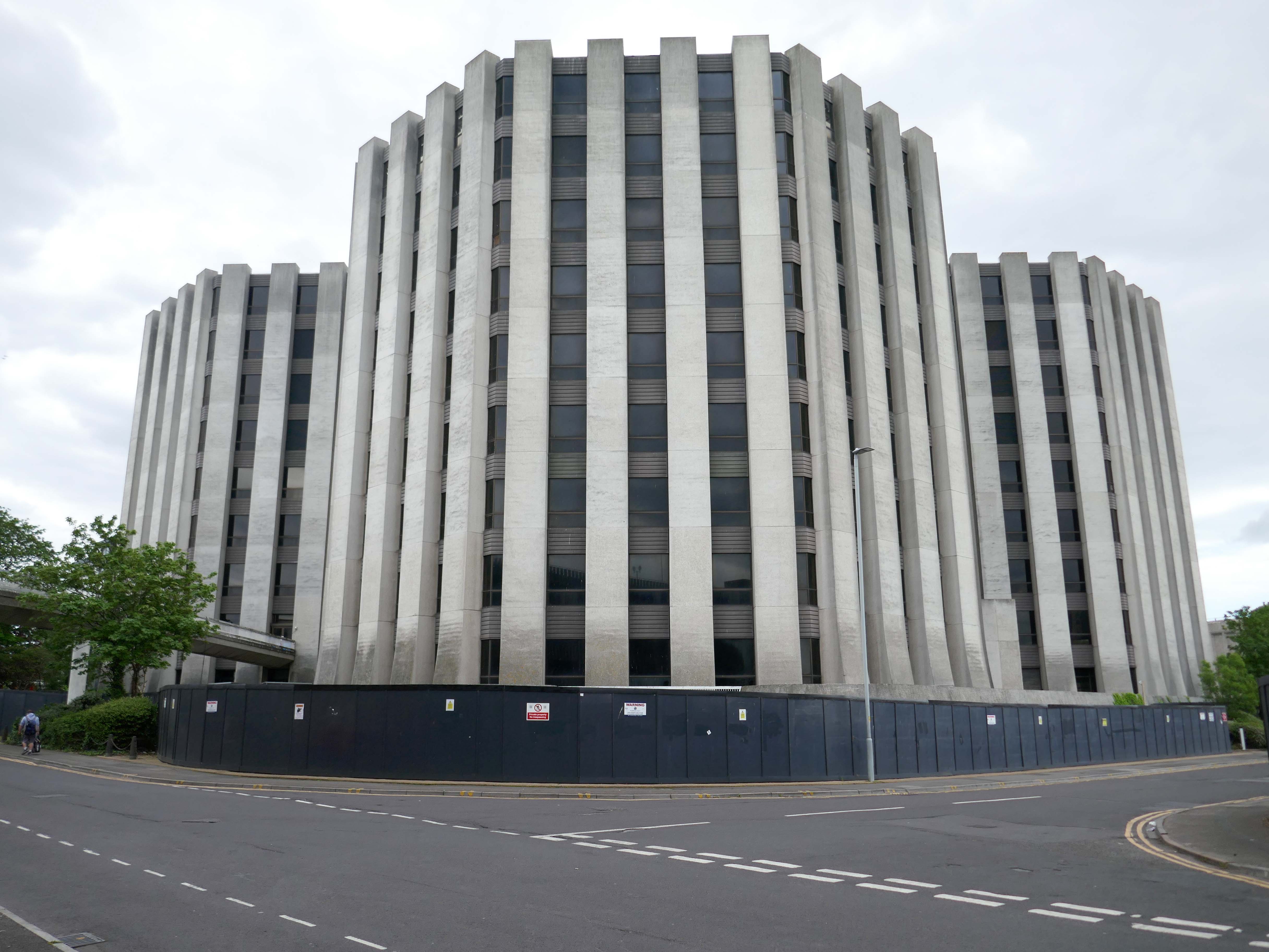
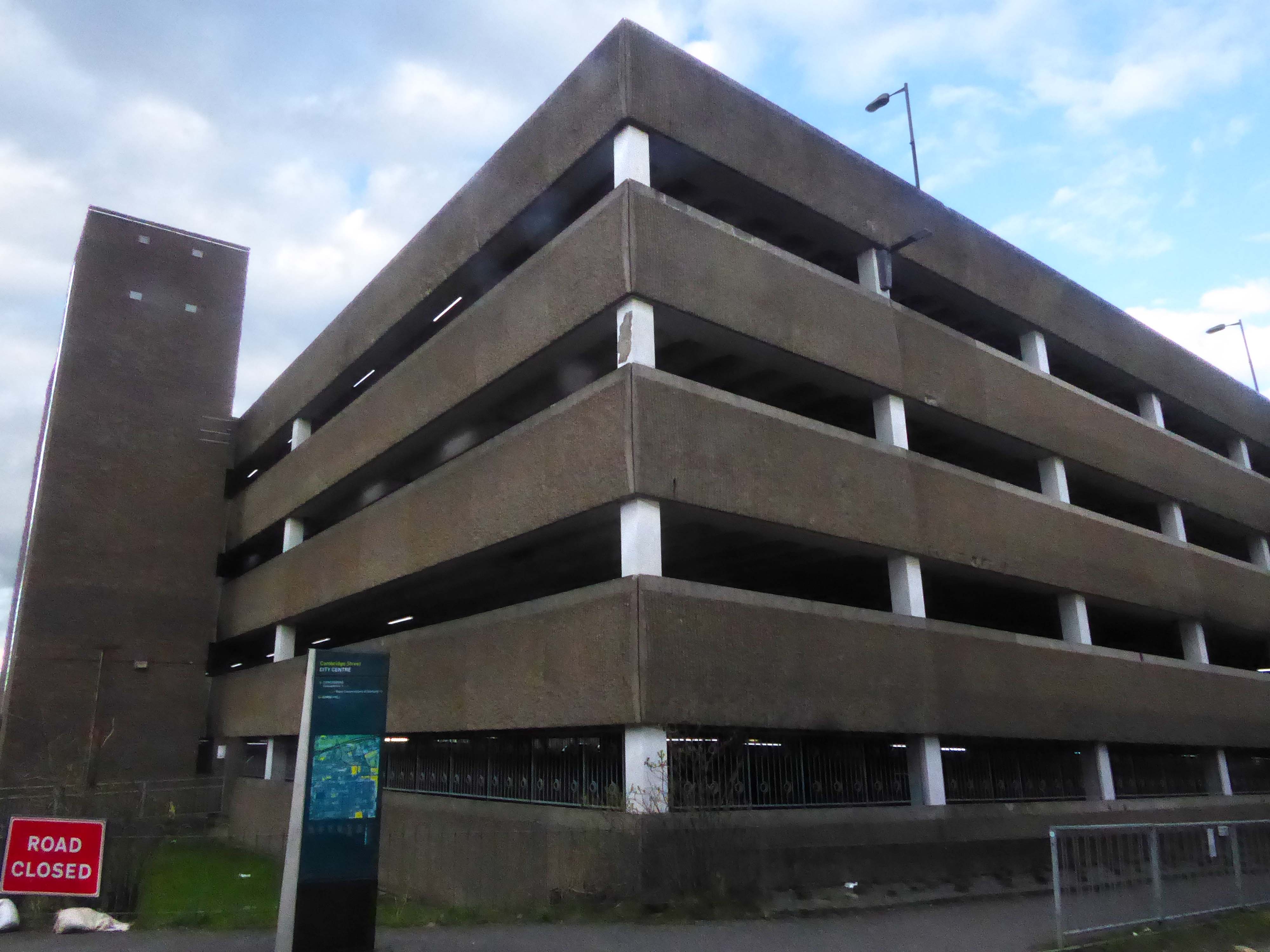
The current Pevsner Guide remarks:
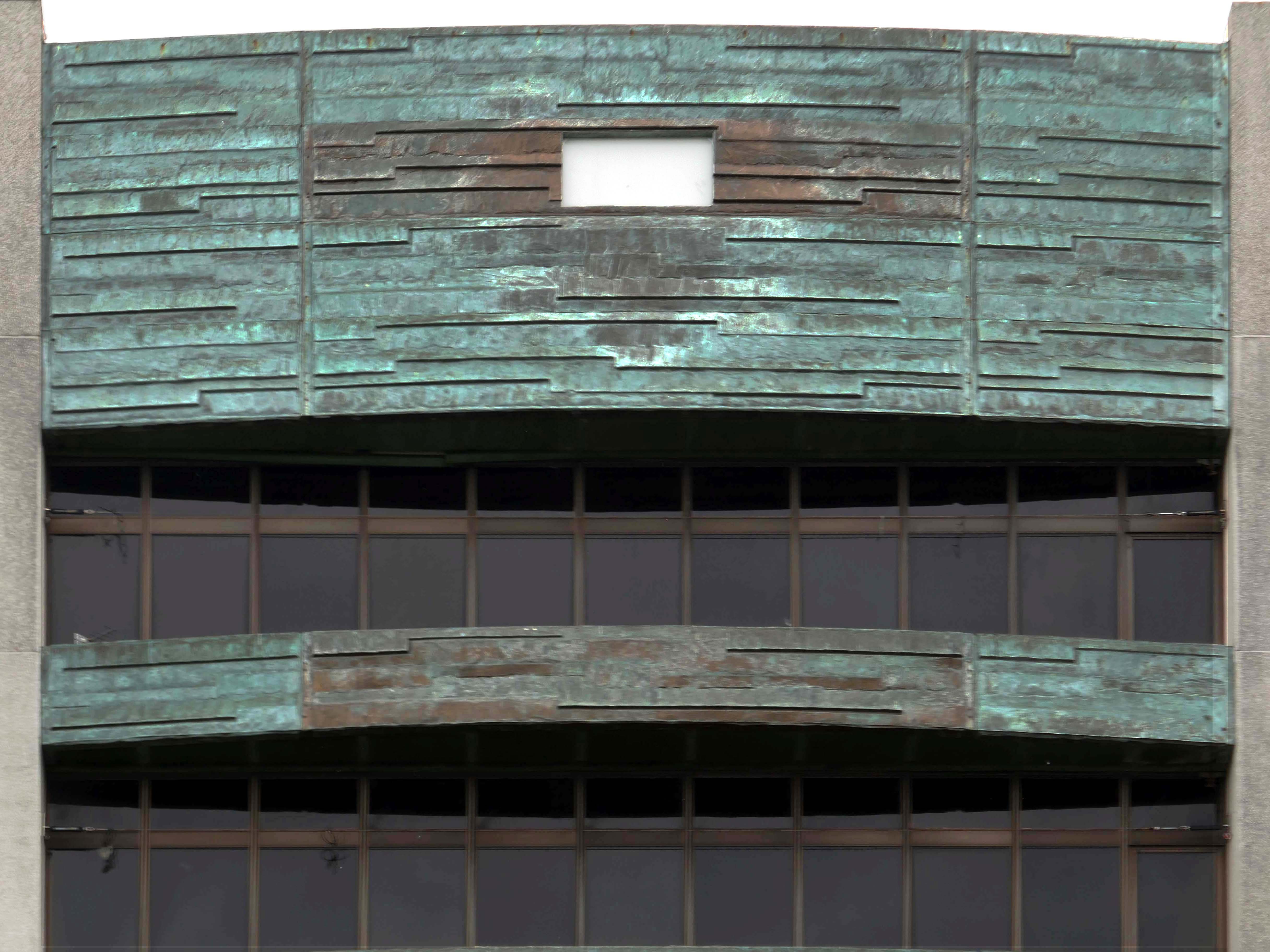
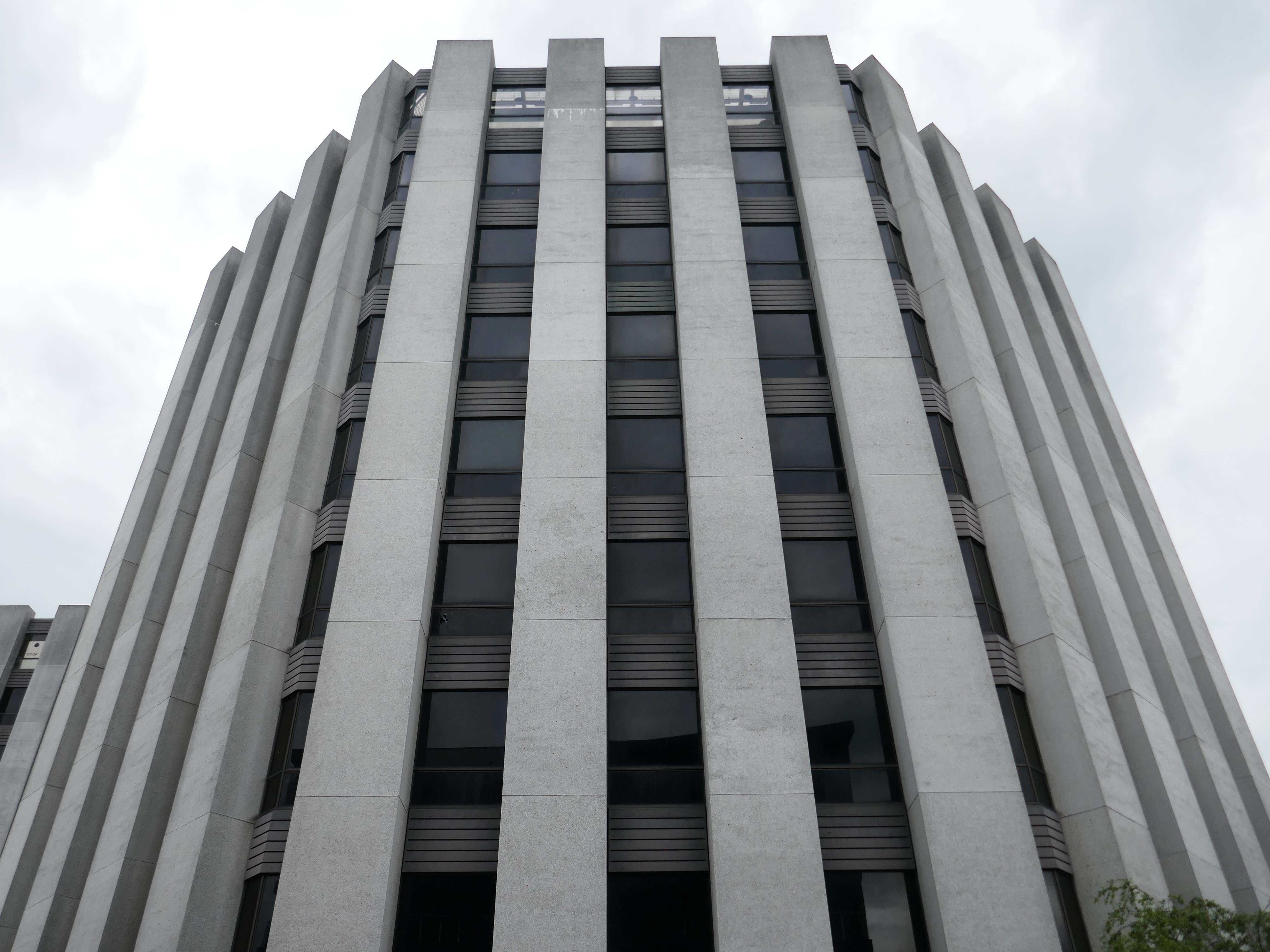
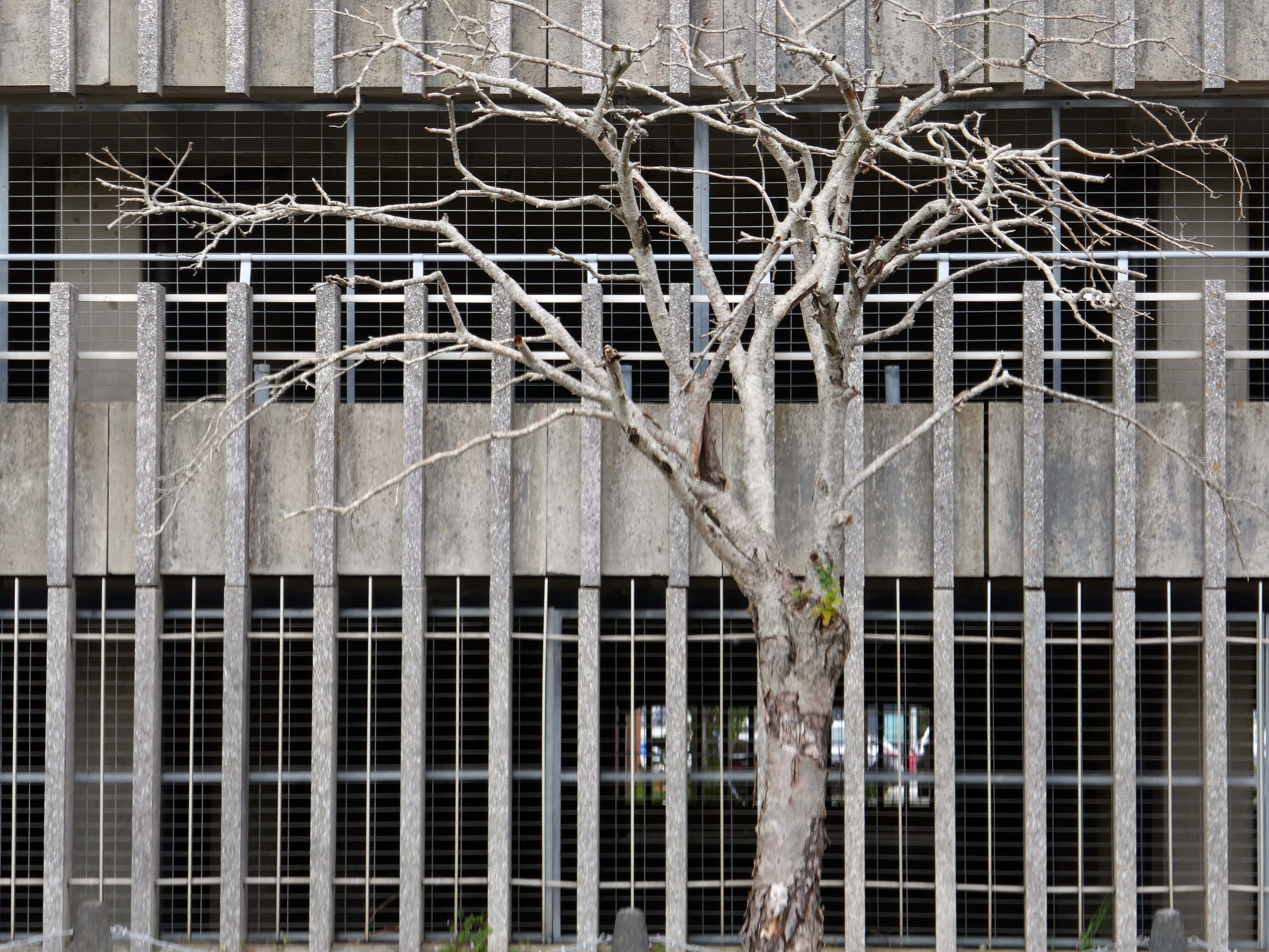
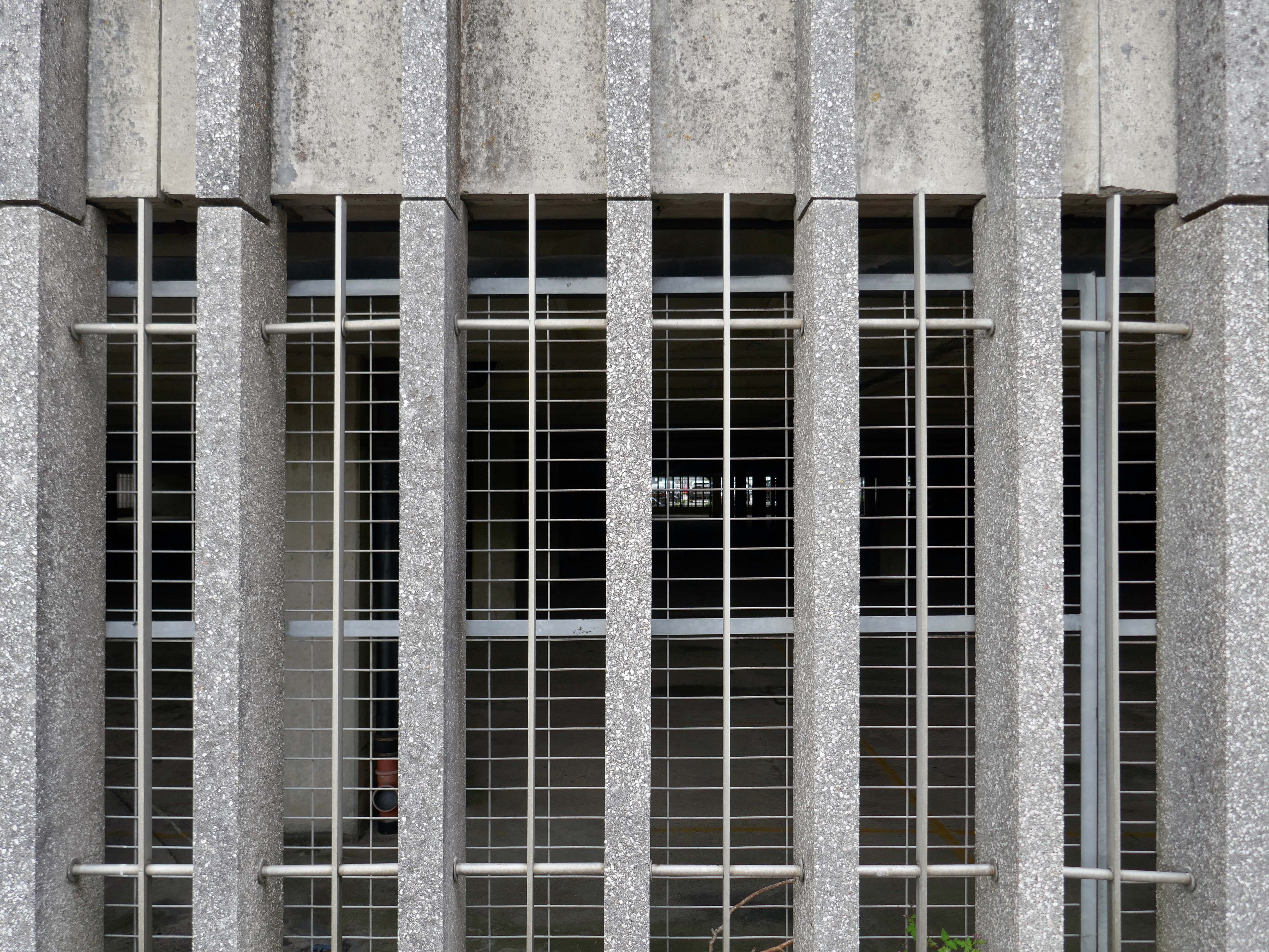
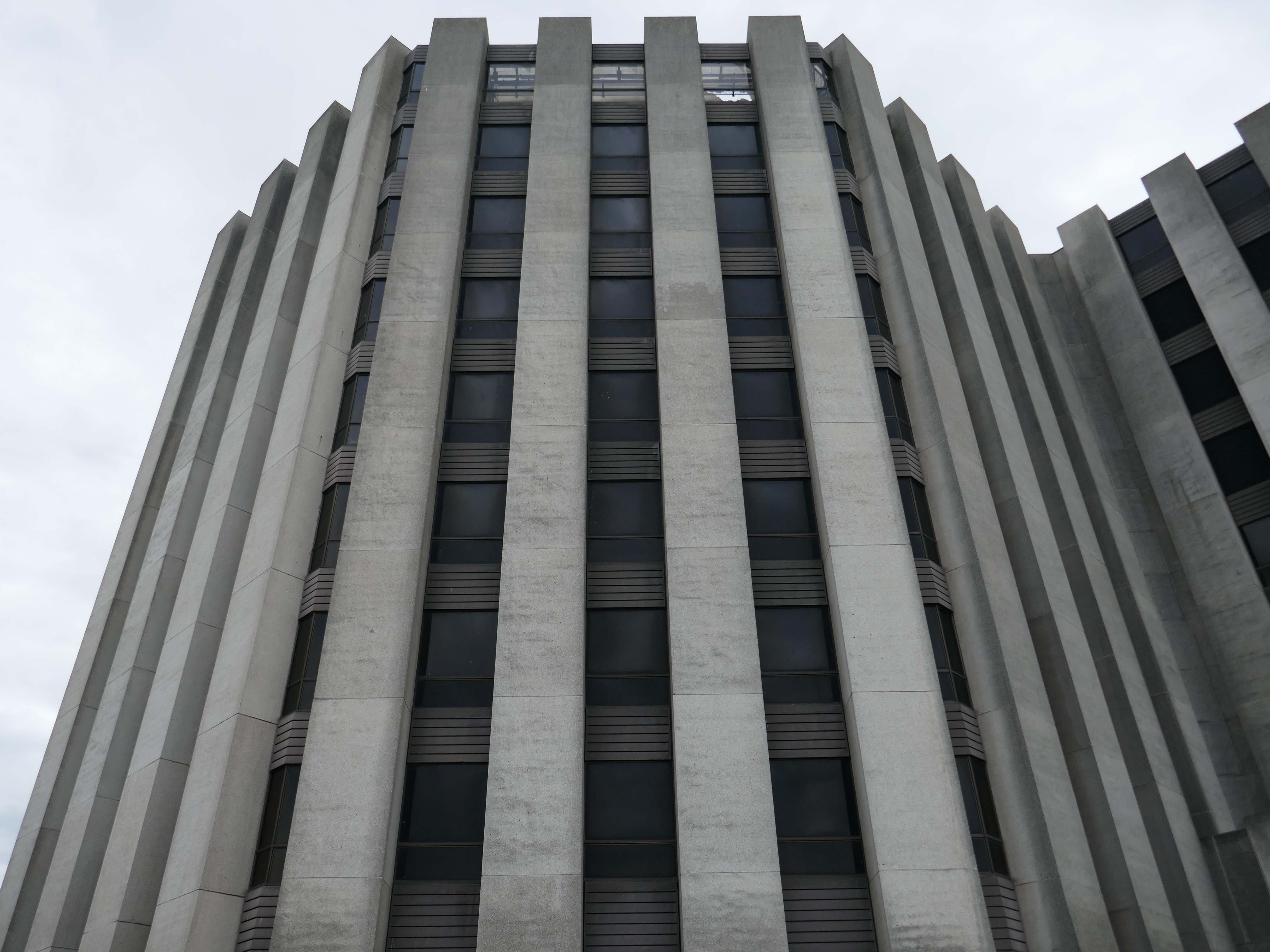
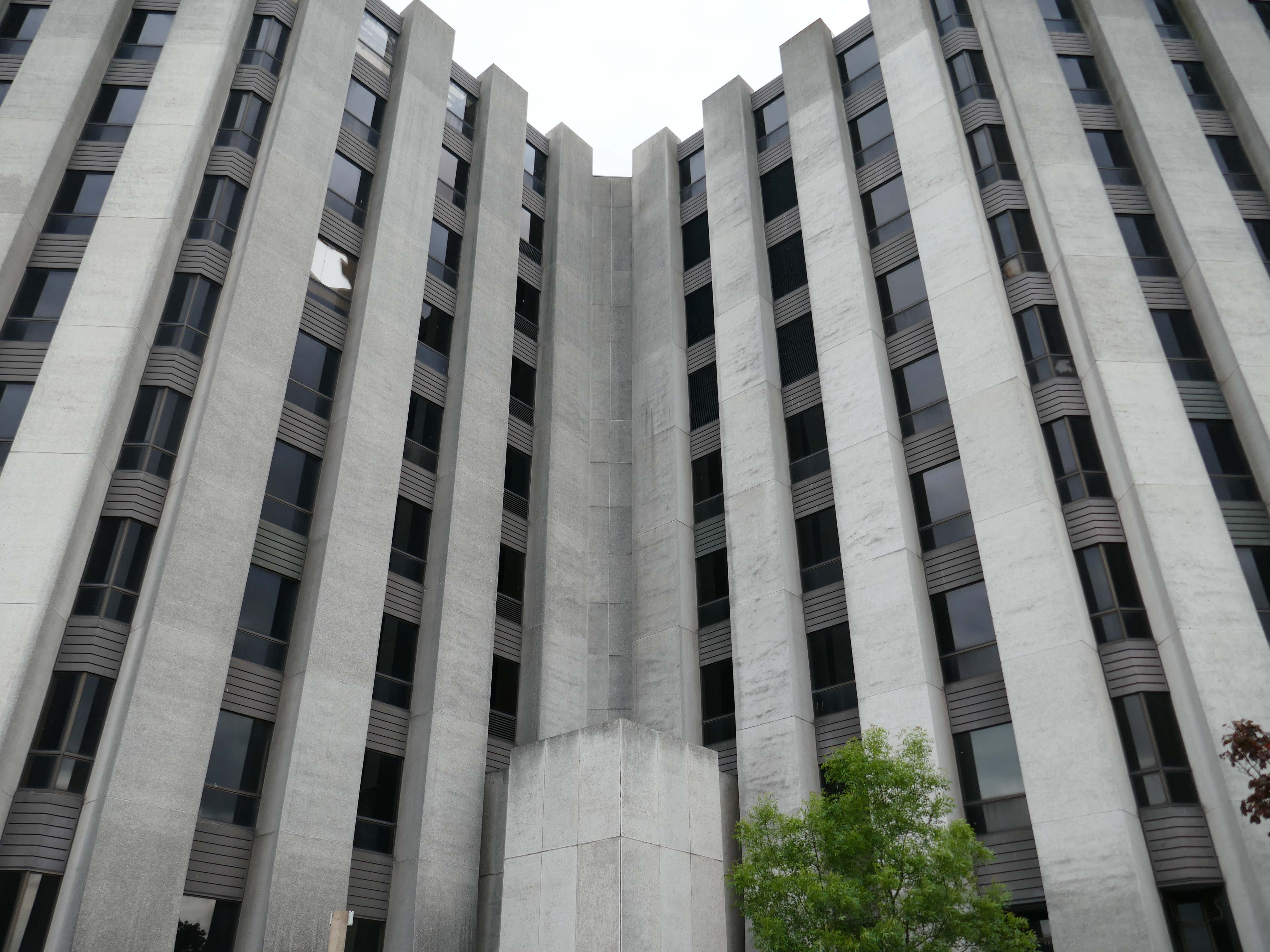
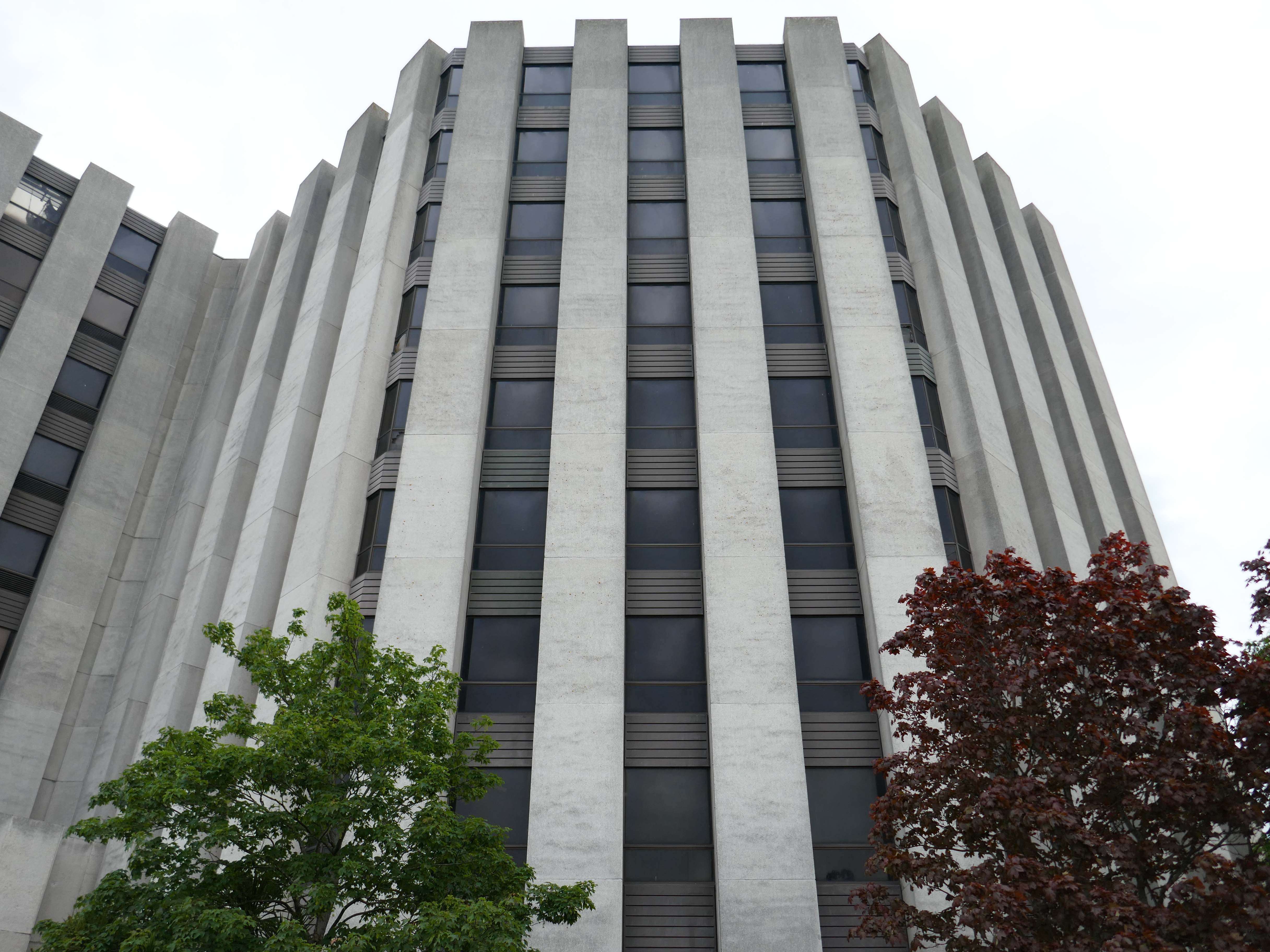
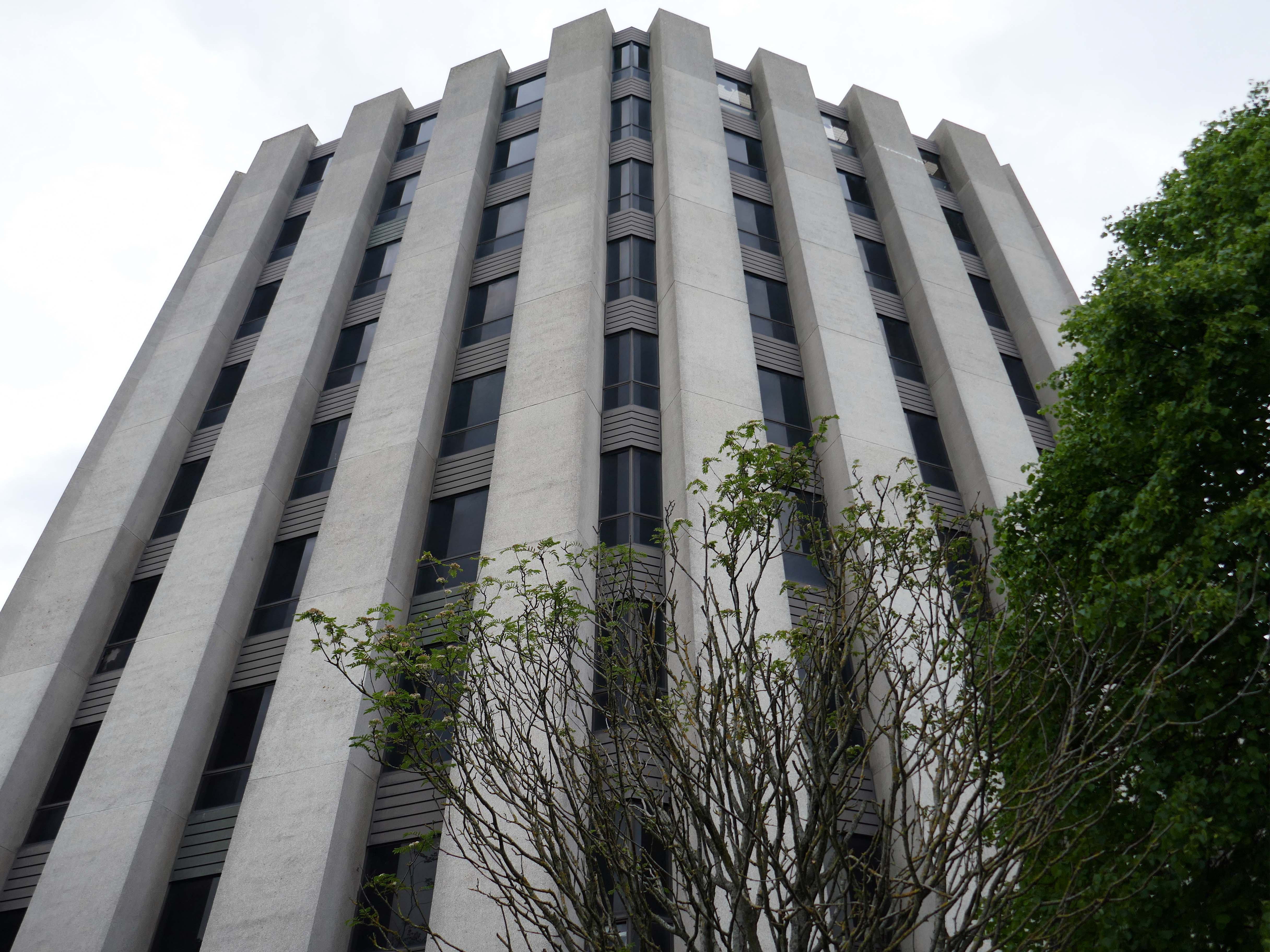
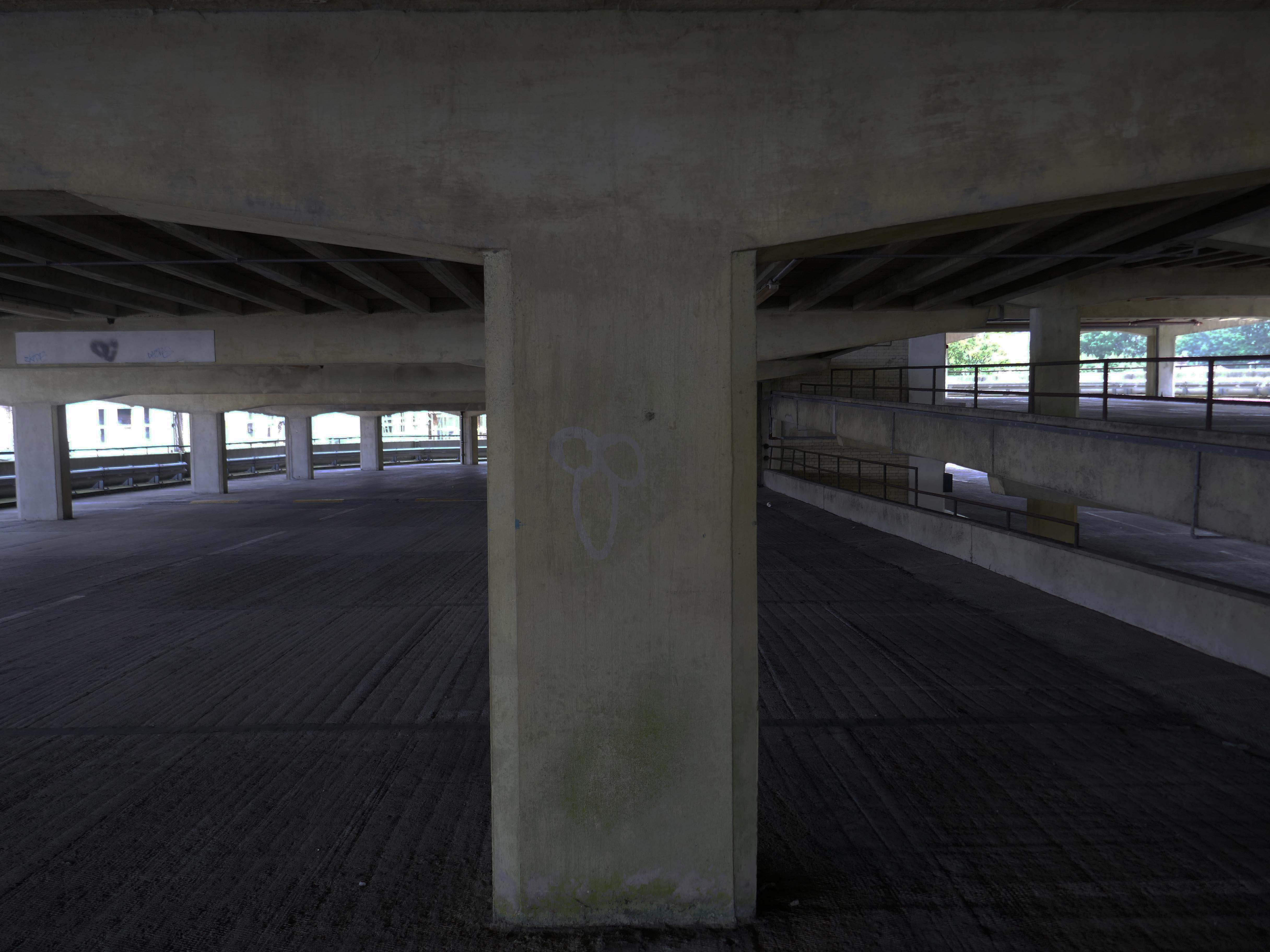
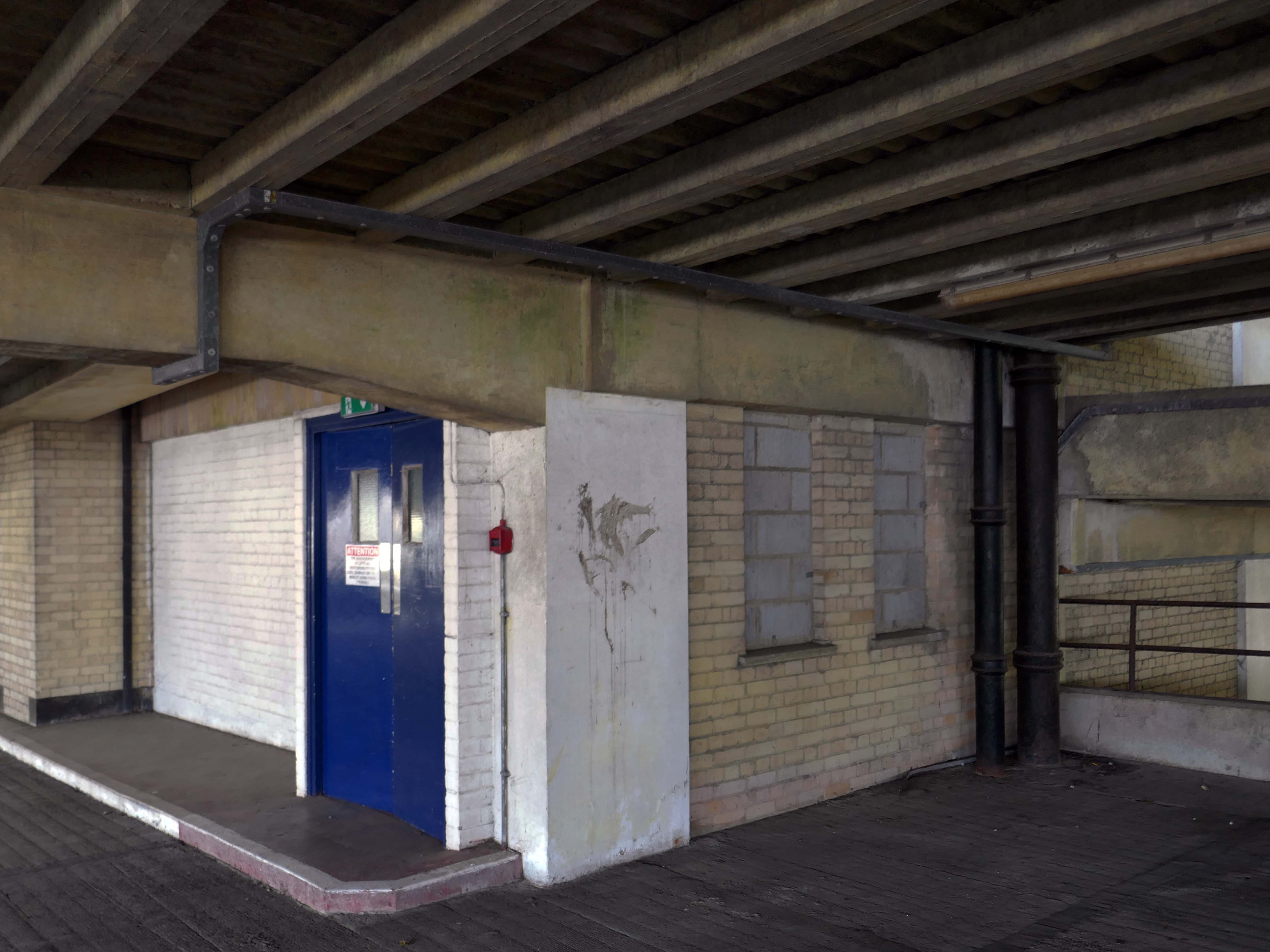
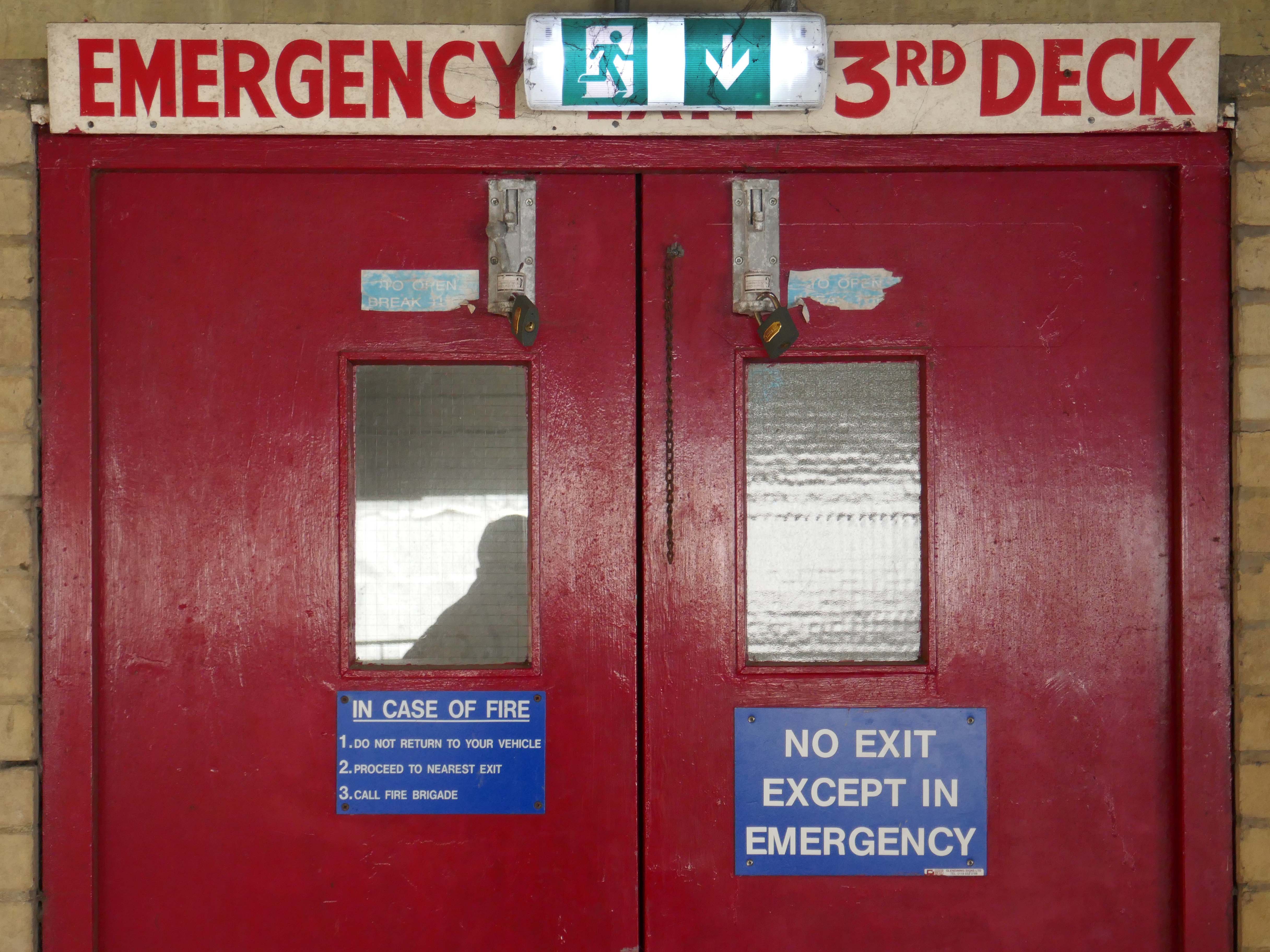
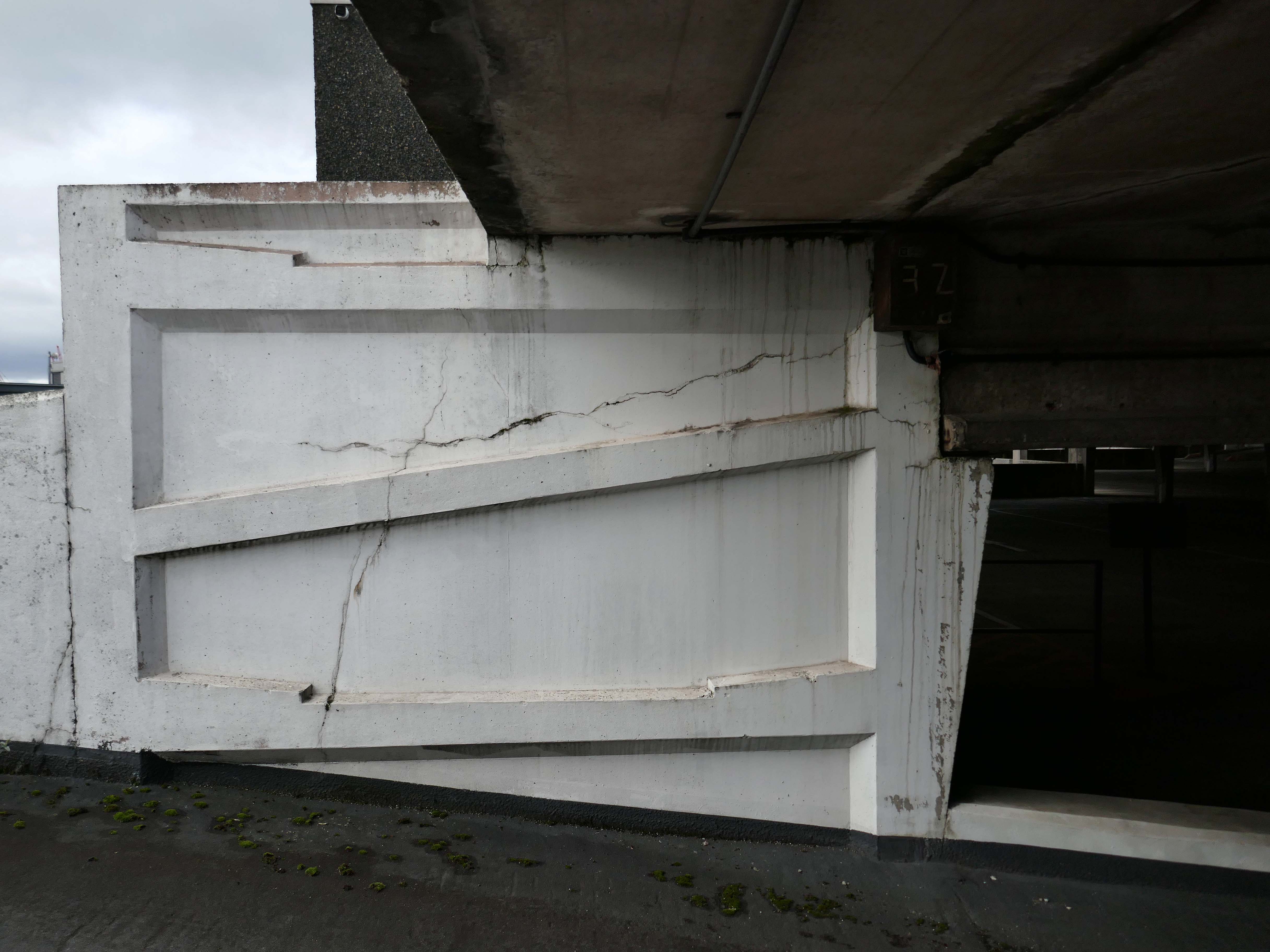
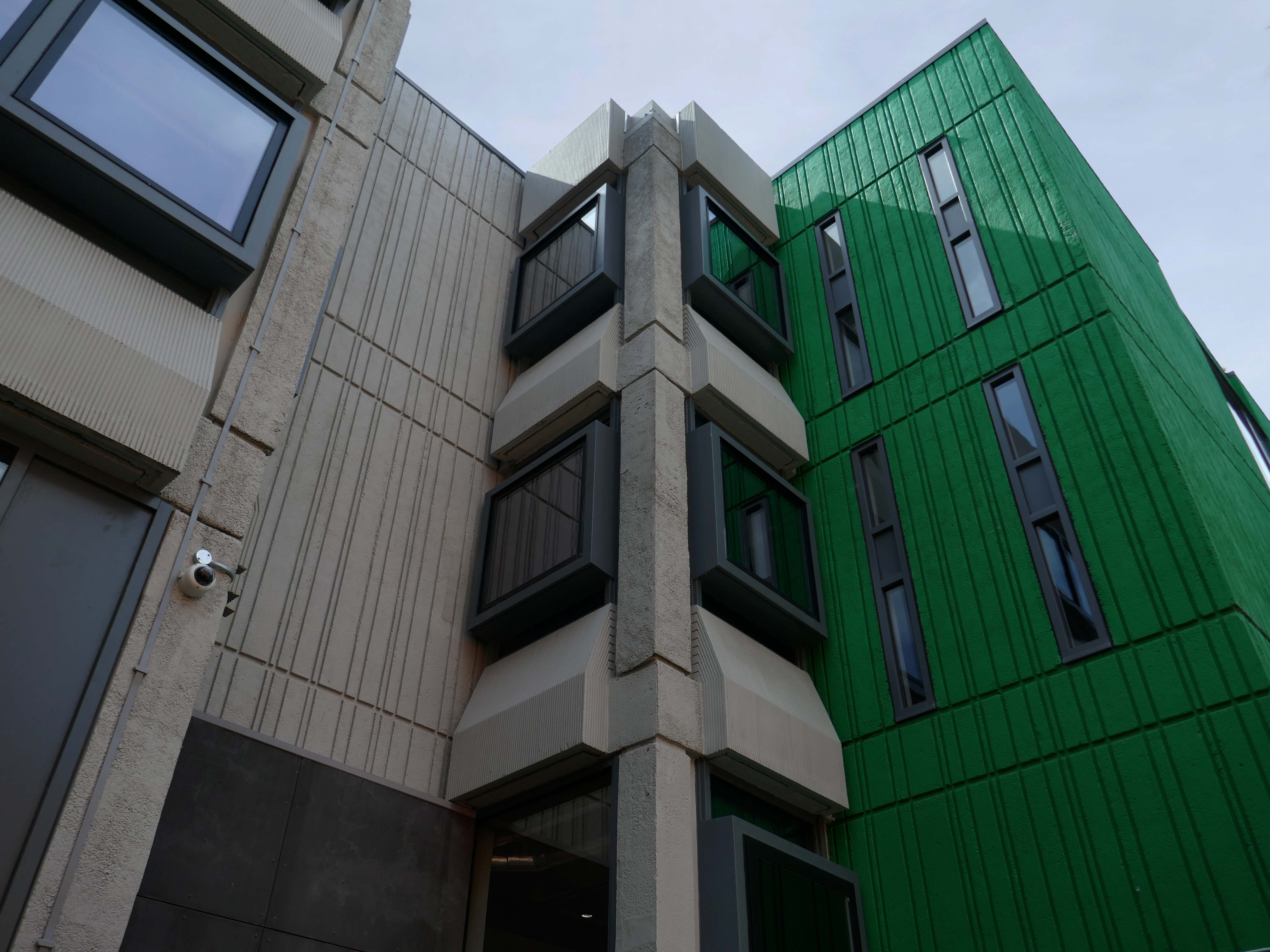
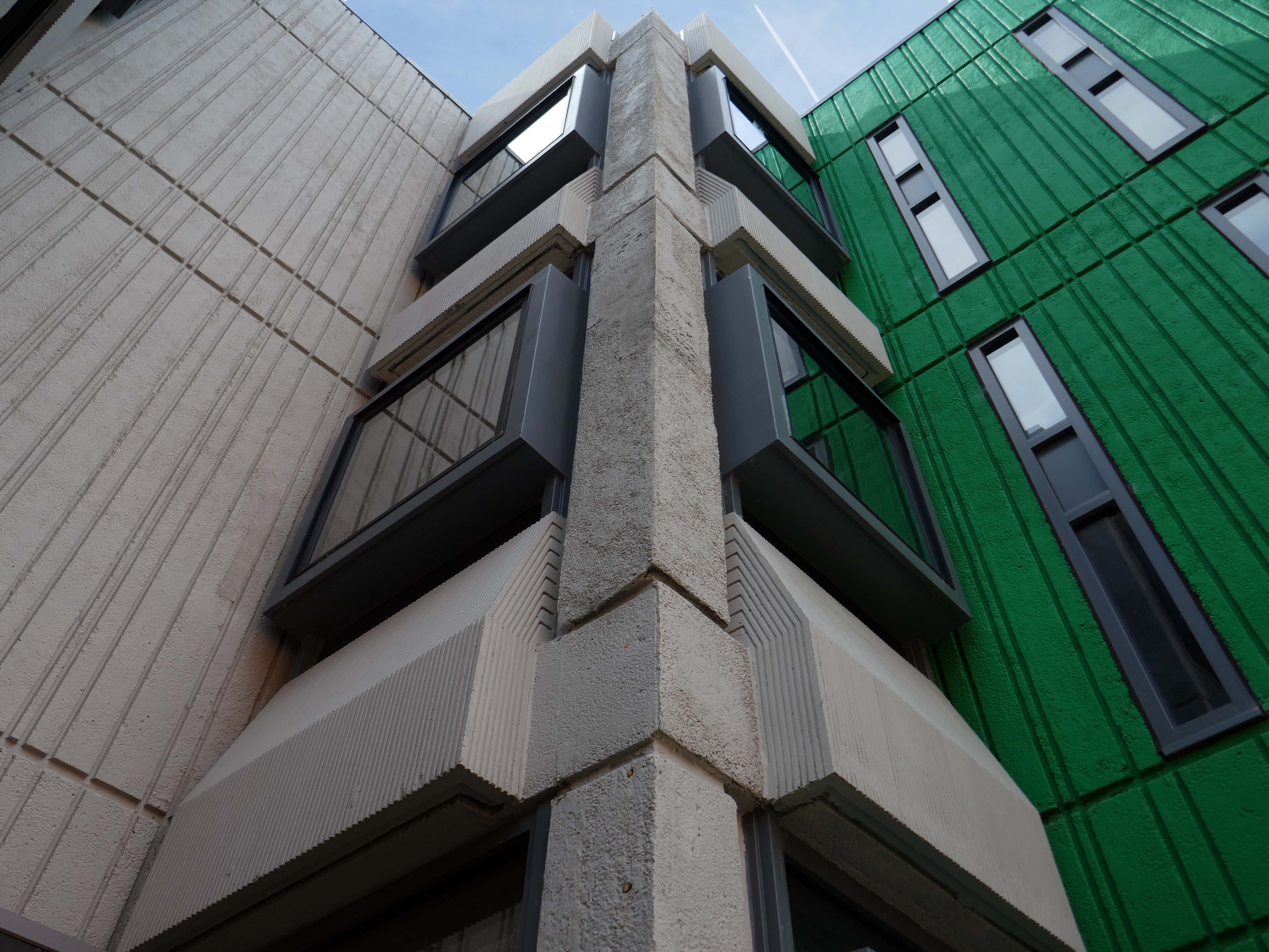
1971 built of a pre-cast concrete panel system, dour, on an awkwardly sloping site.
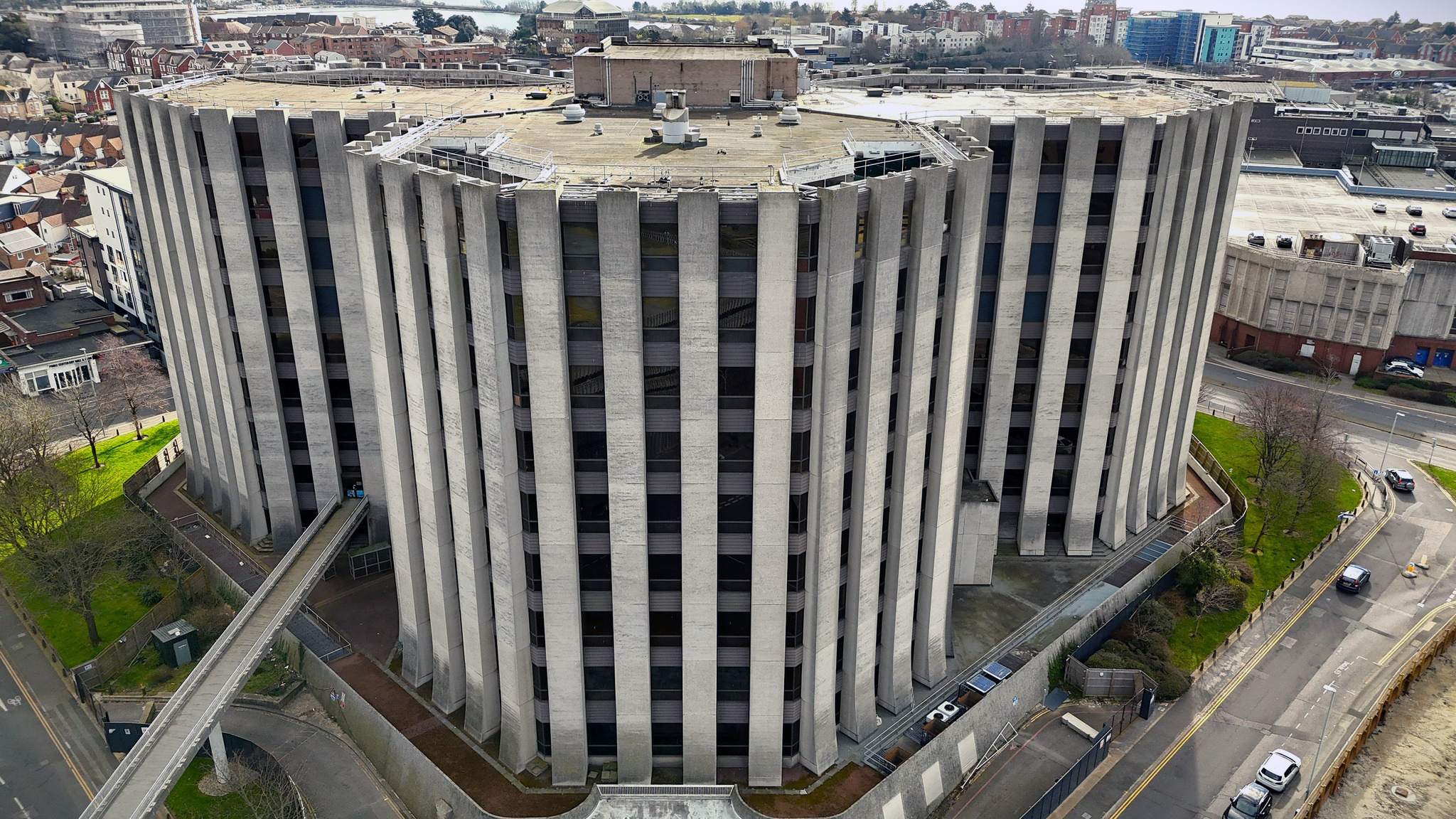
I beg to differ – what’s the opposite of dour?

So says the online Thesaurus – and I heartily concur, for the whole building has had a makeover and a half.
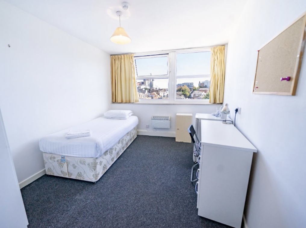
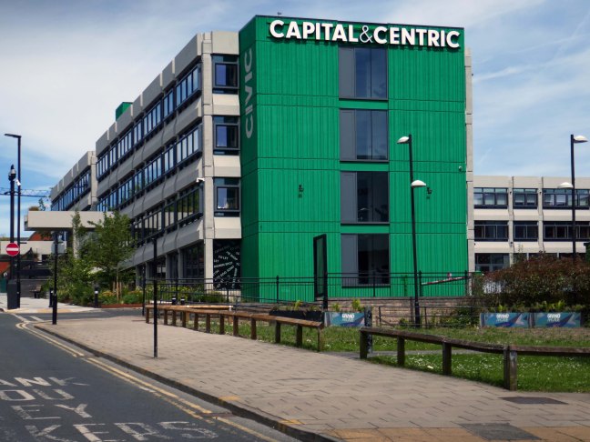
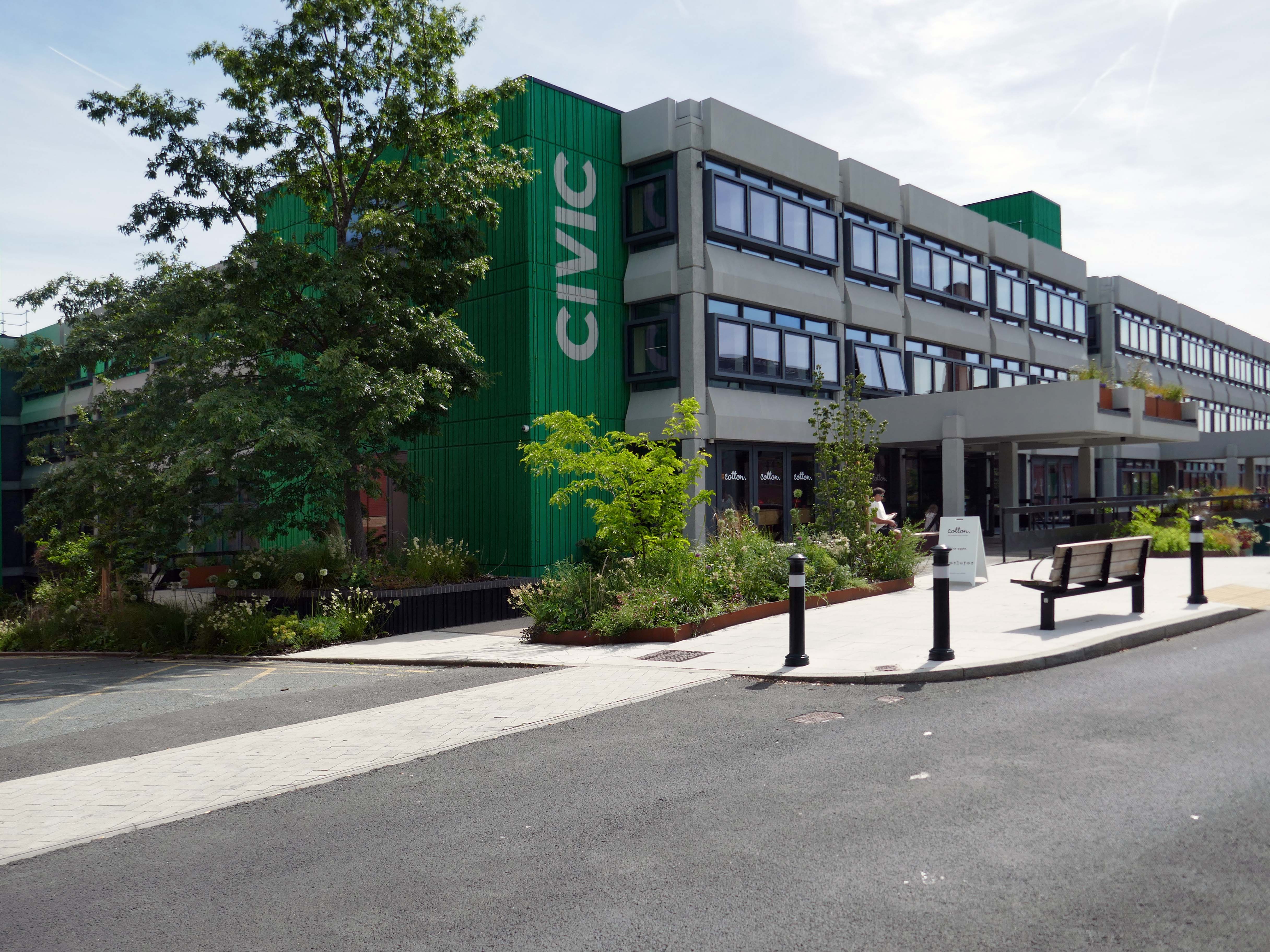
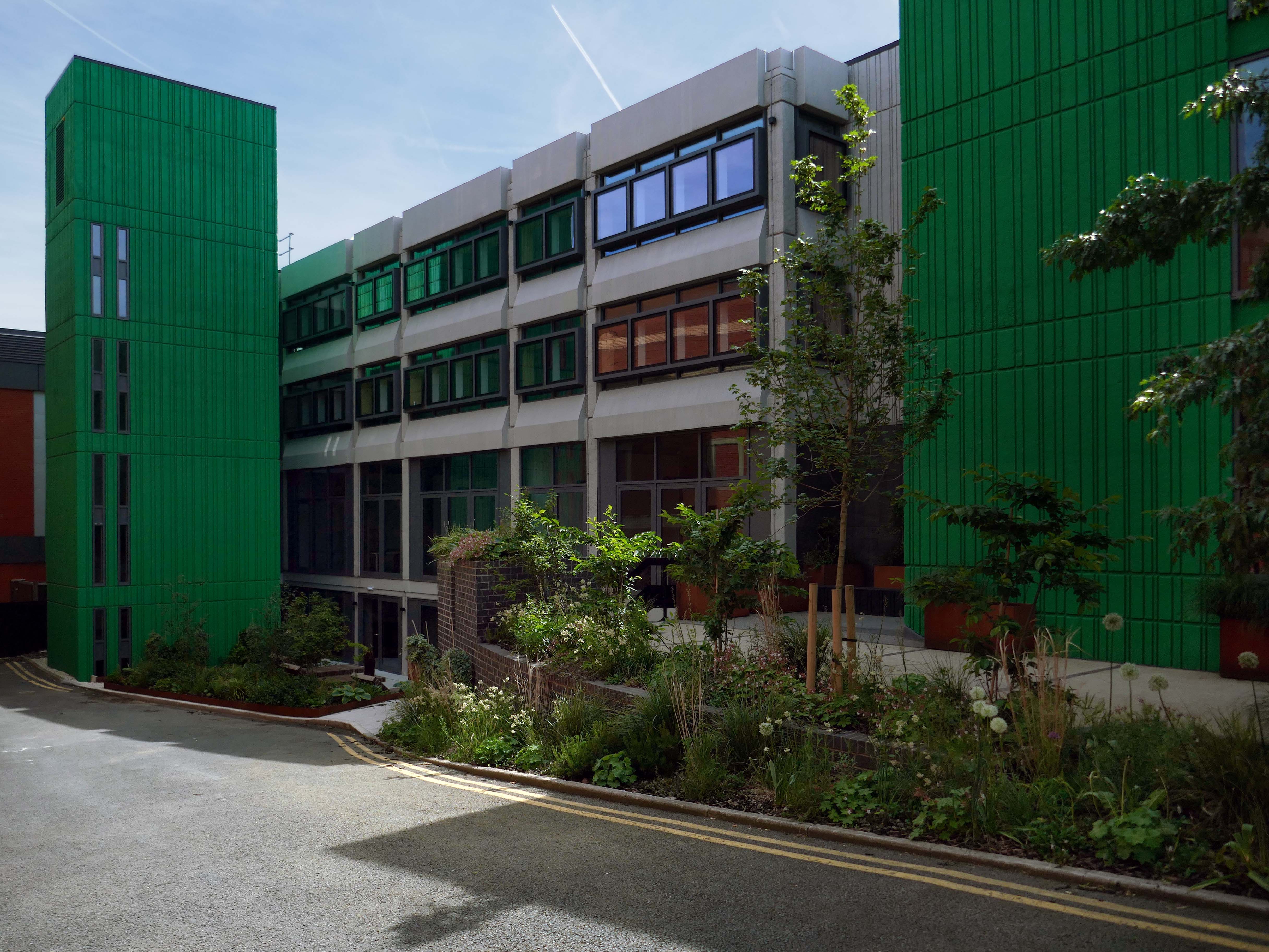
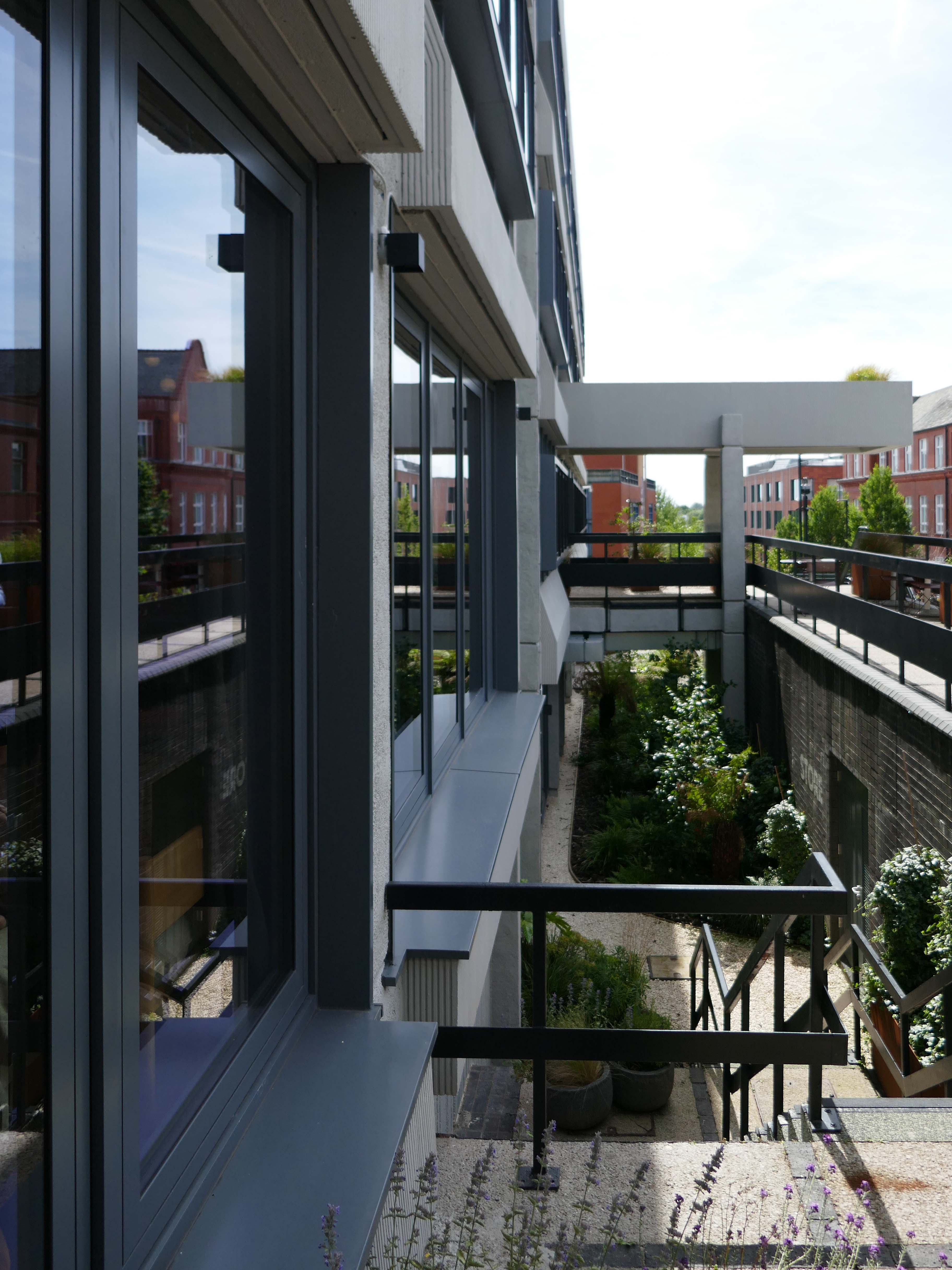
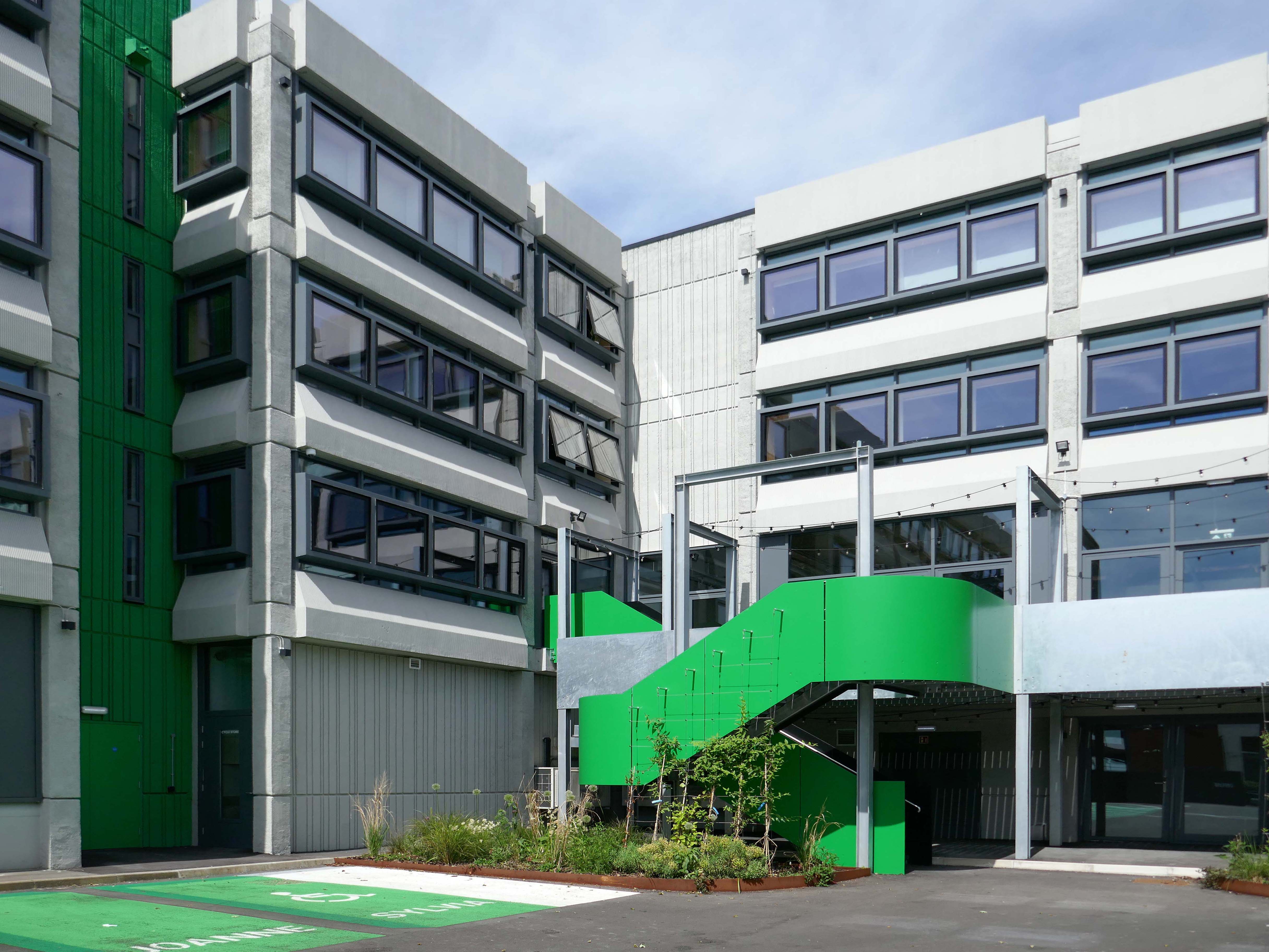
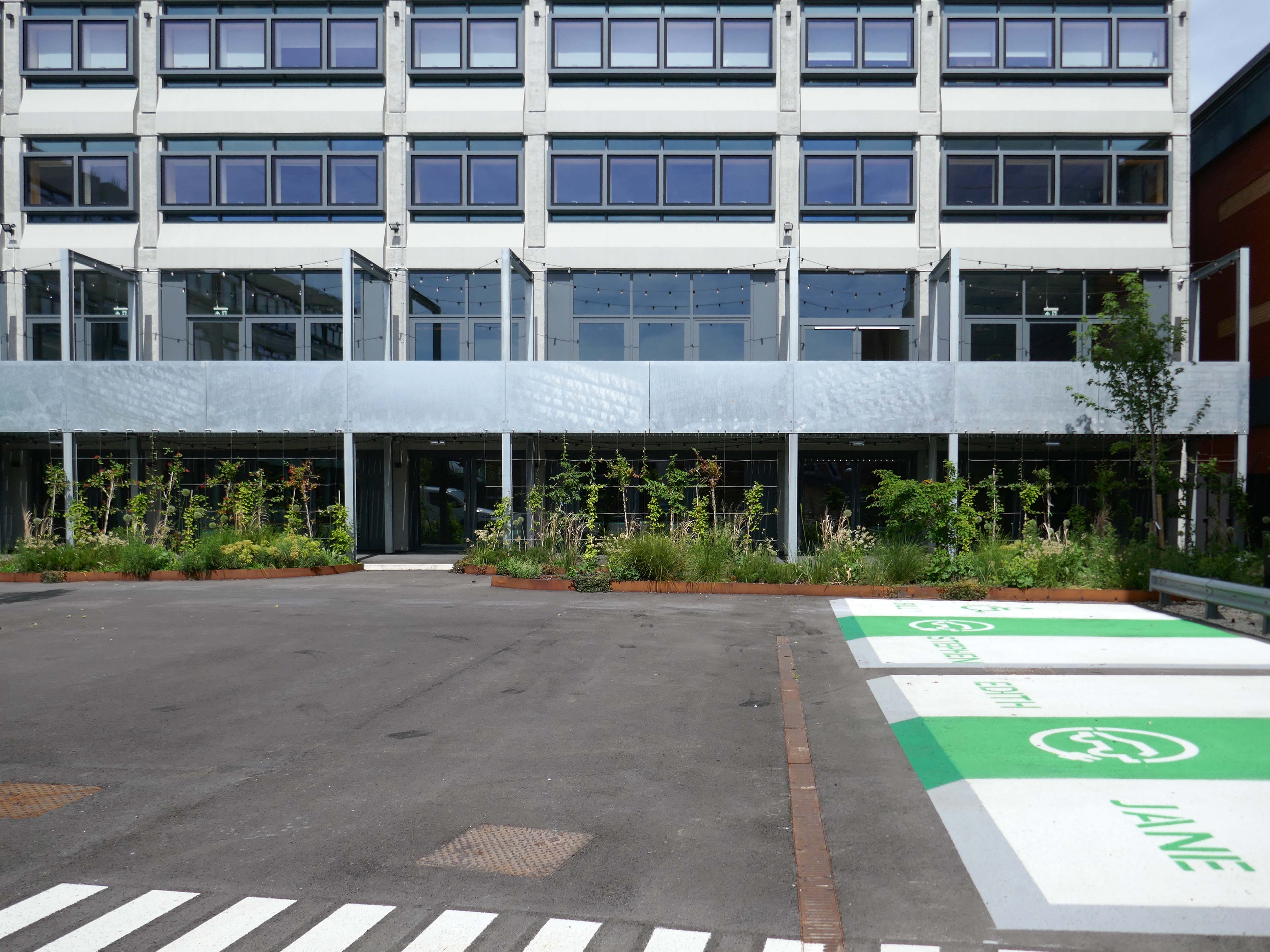
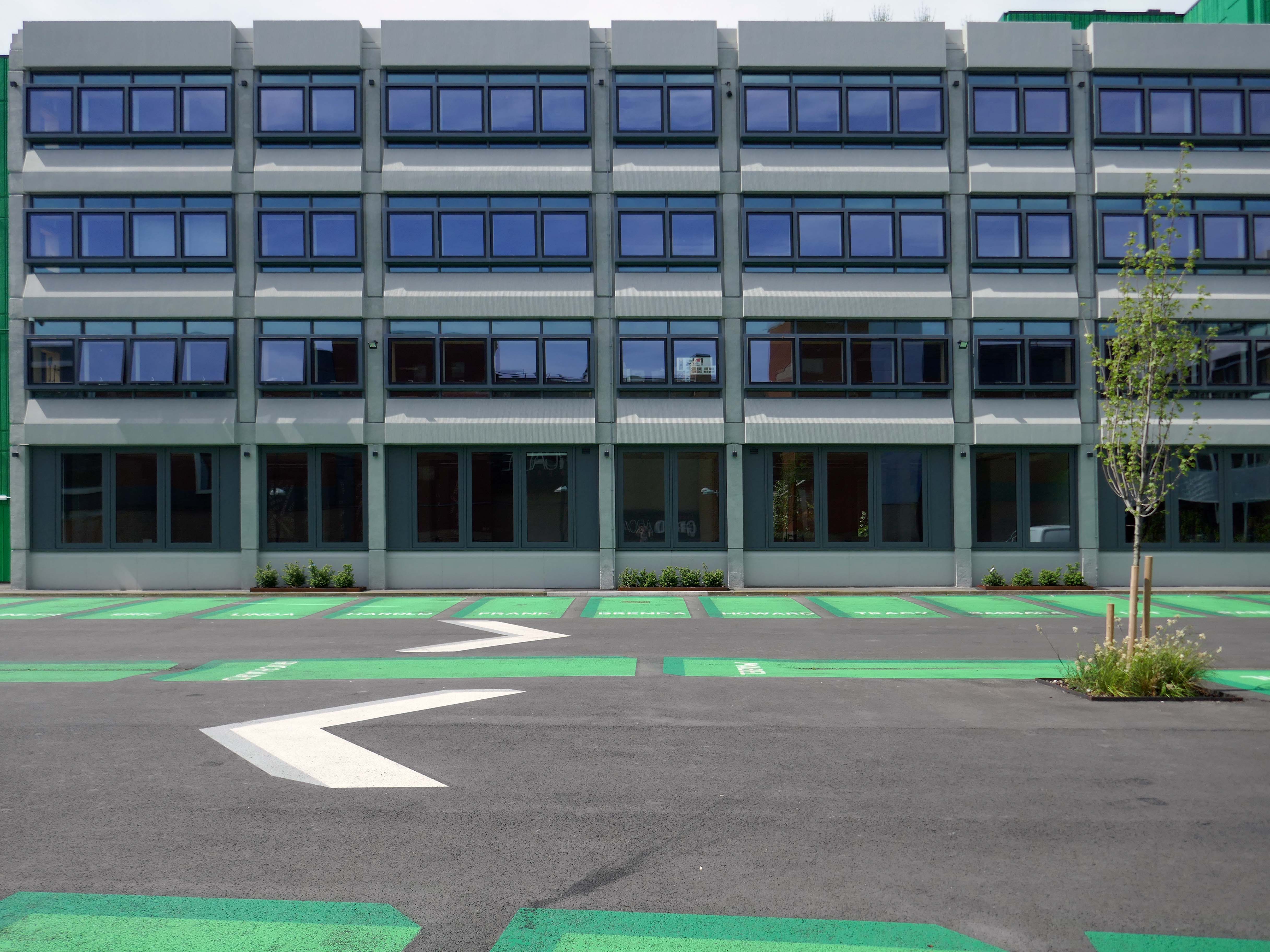
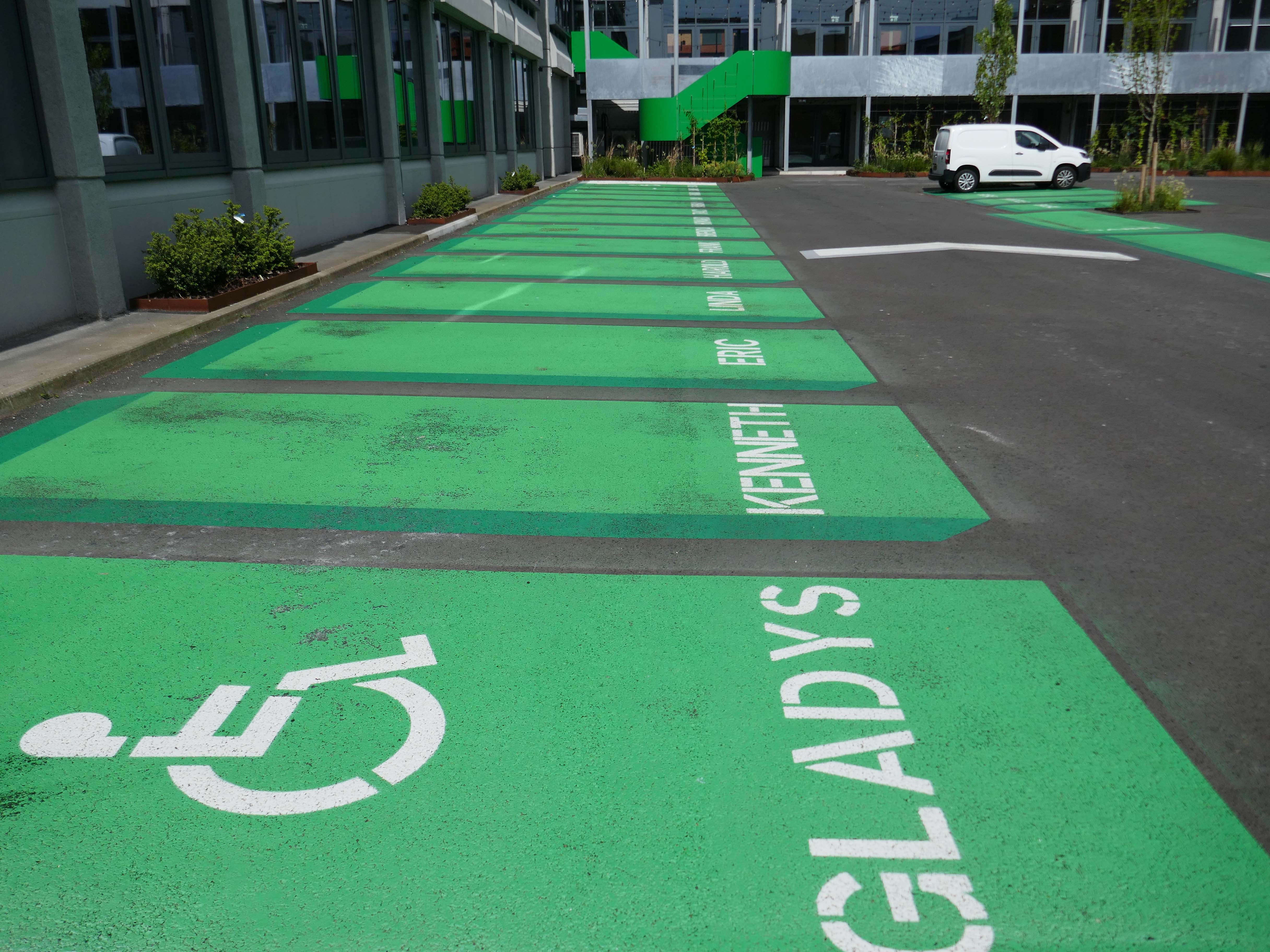
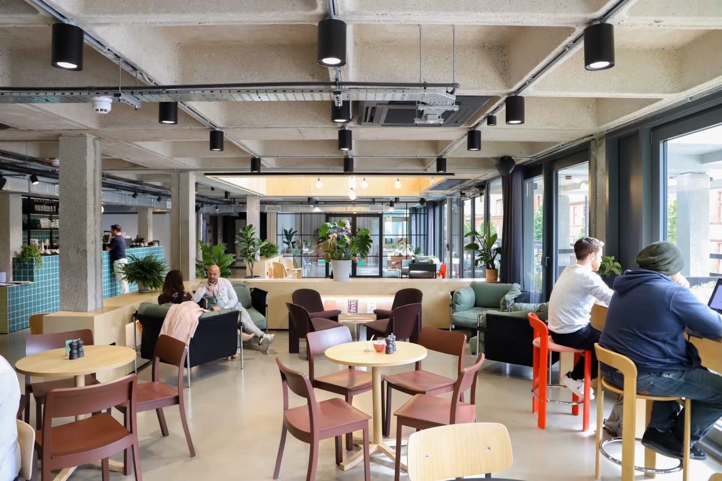
Civic is a super energy-efficient workspace in the centre of Wigan town centre. The BREEAM Excellent building has space for business of all sizes, from desks for solo start-ups, all the way to big open plan offices with their own front door.
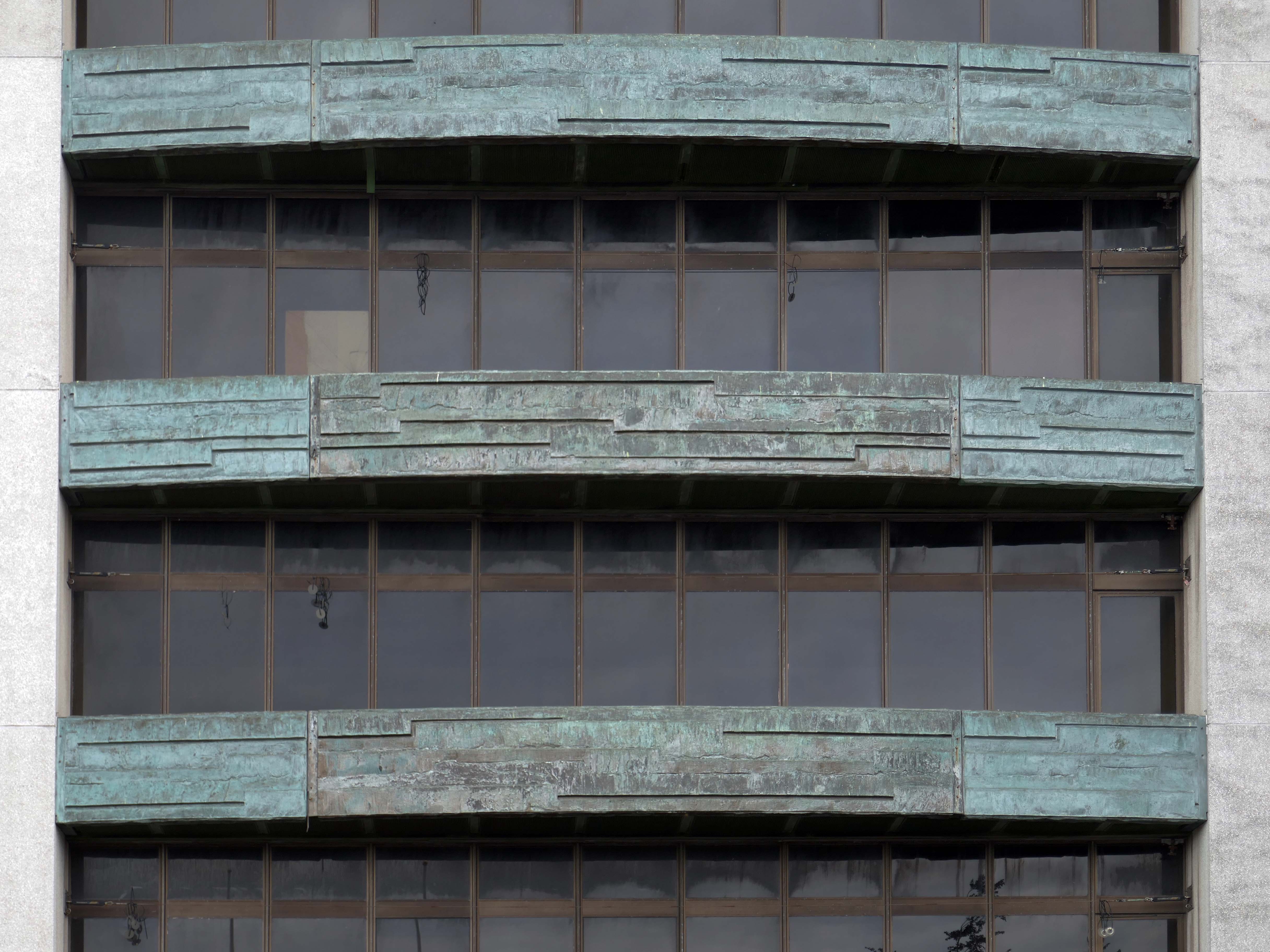
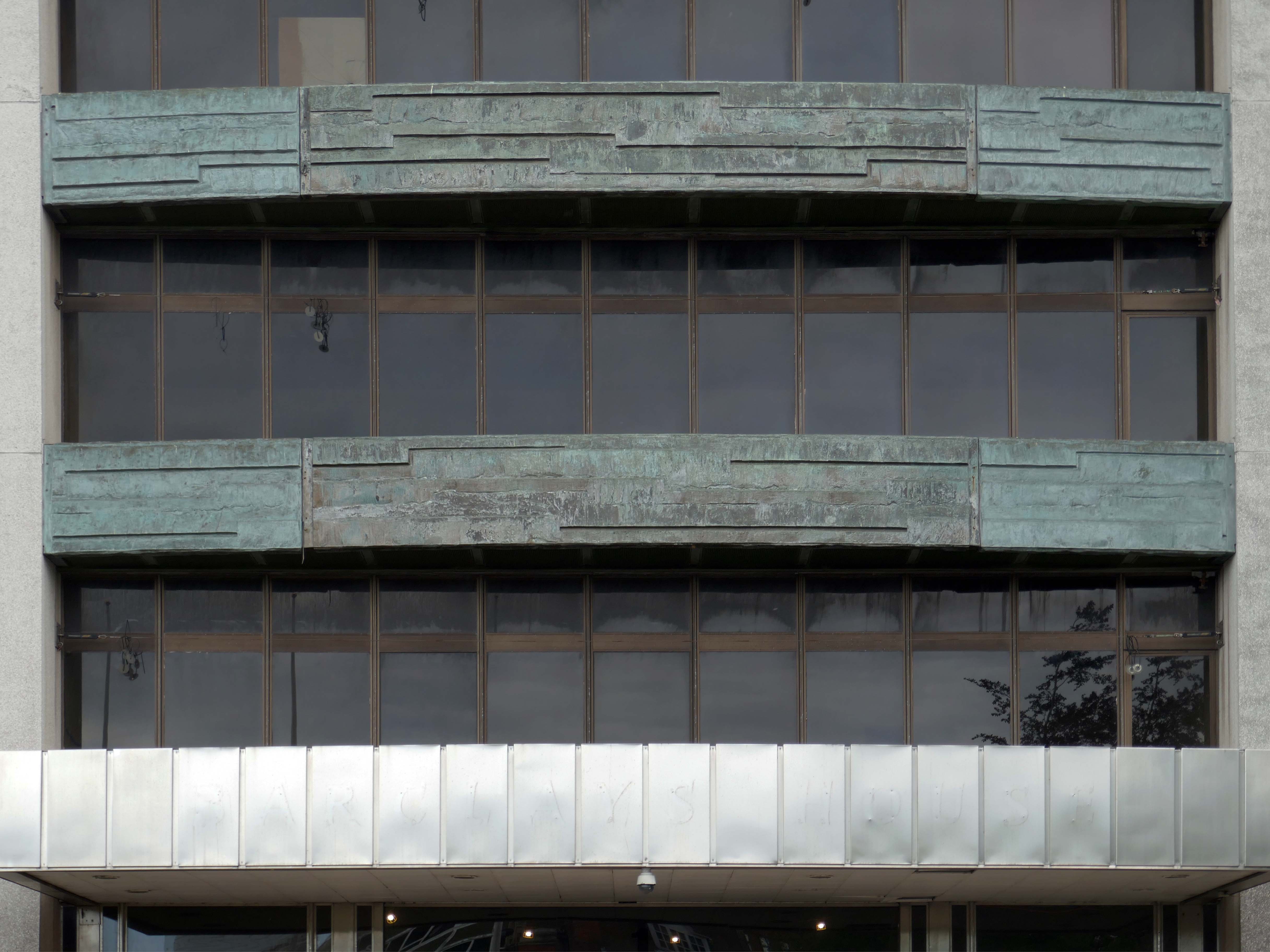
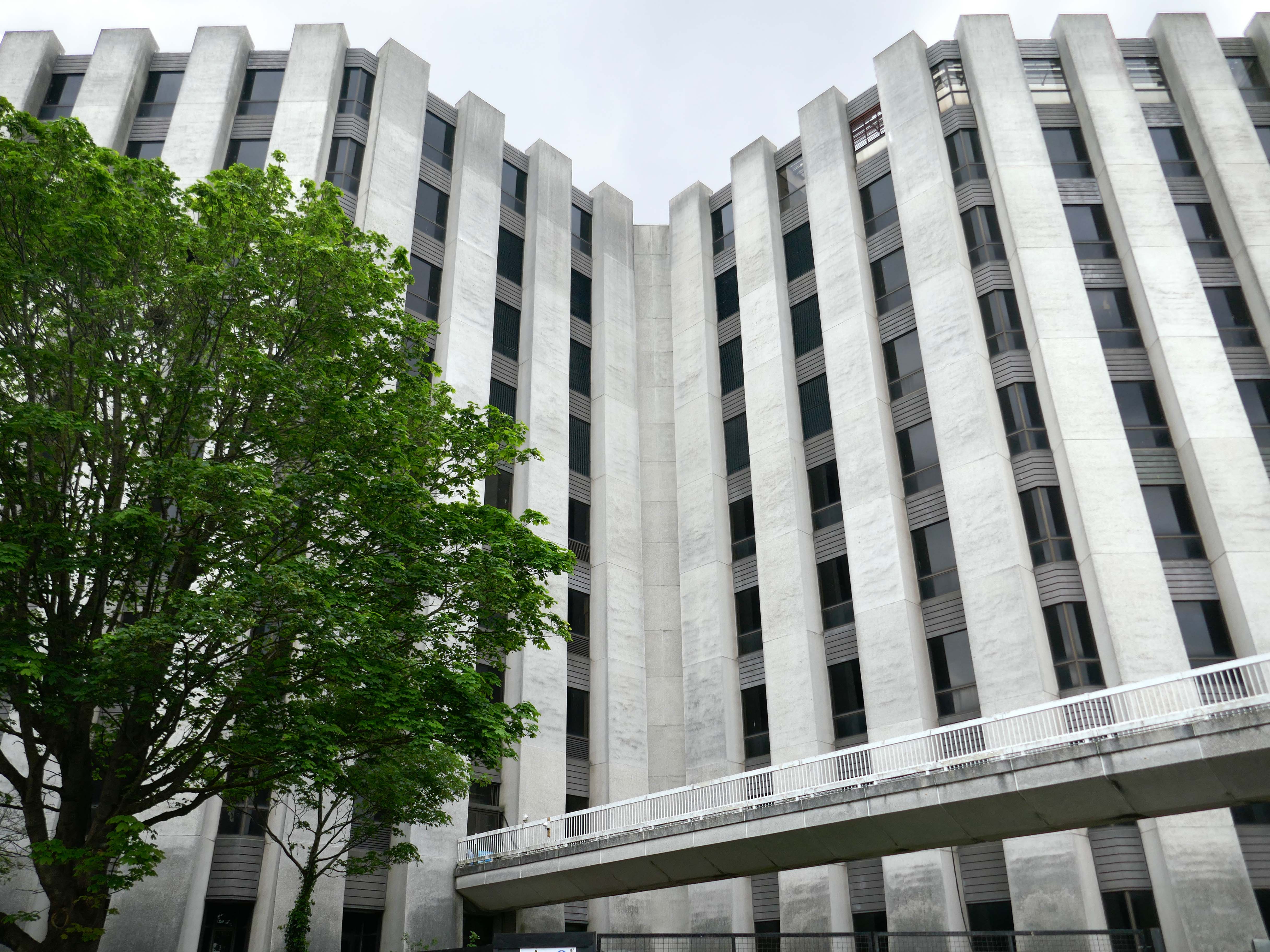
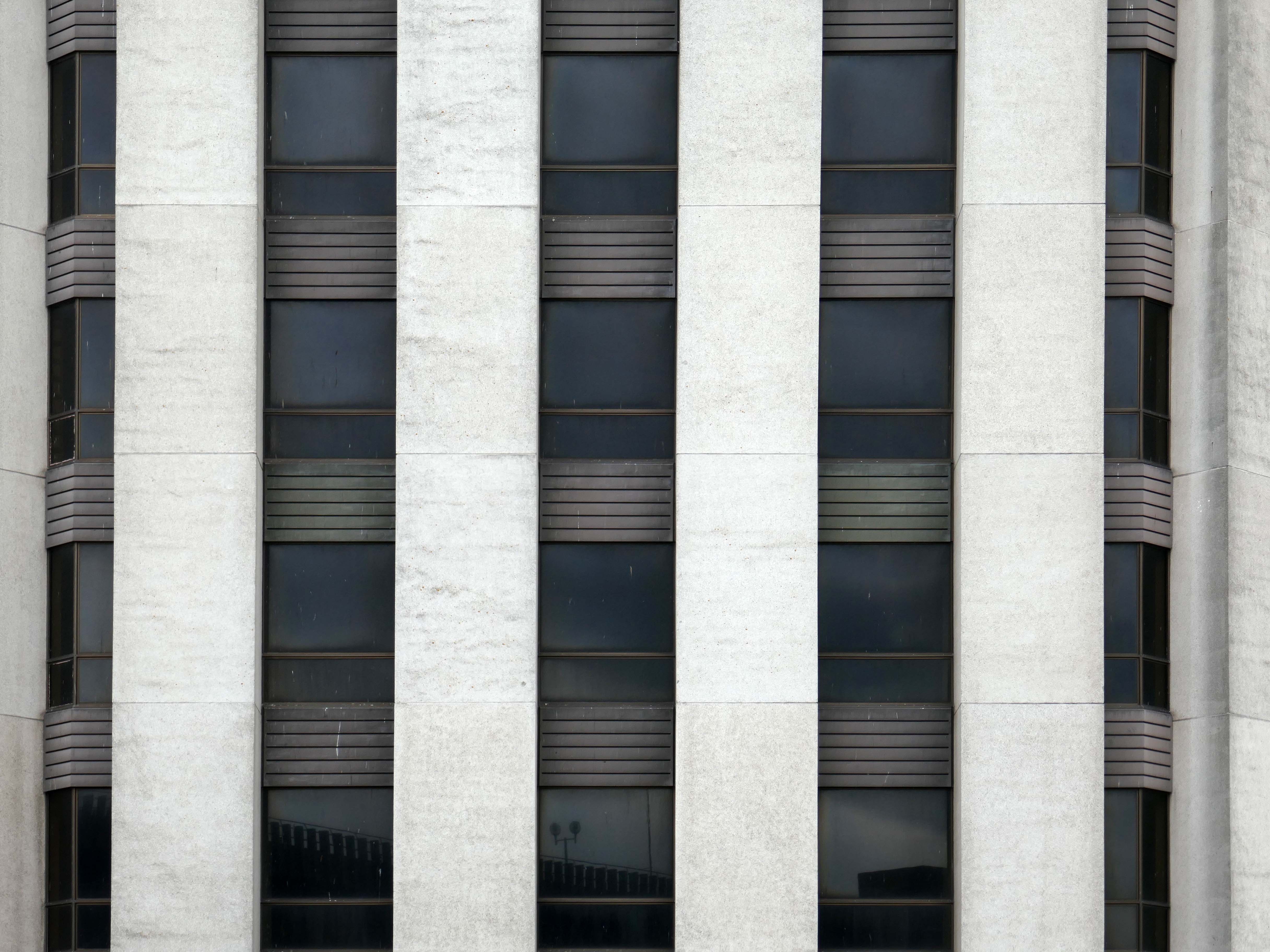
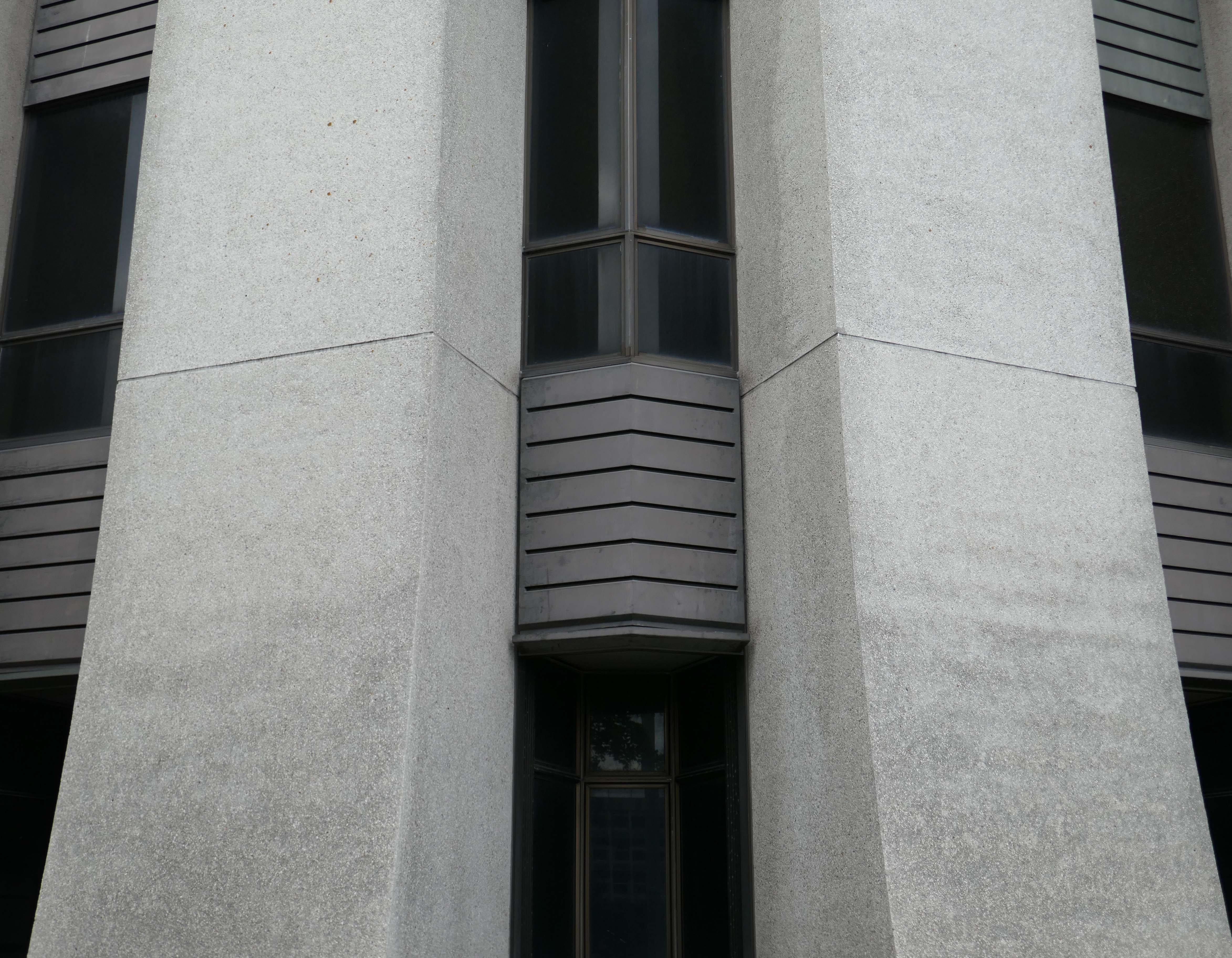
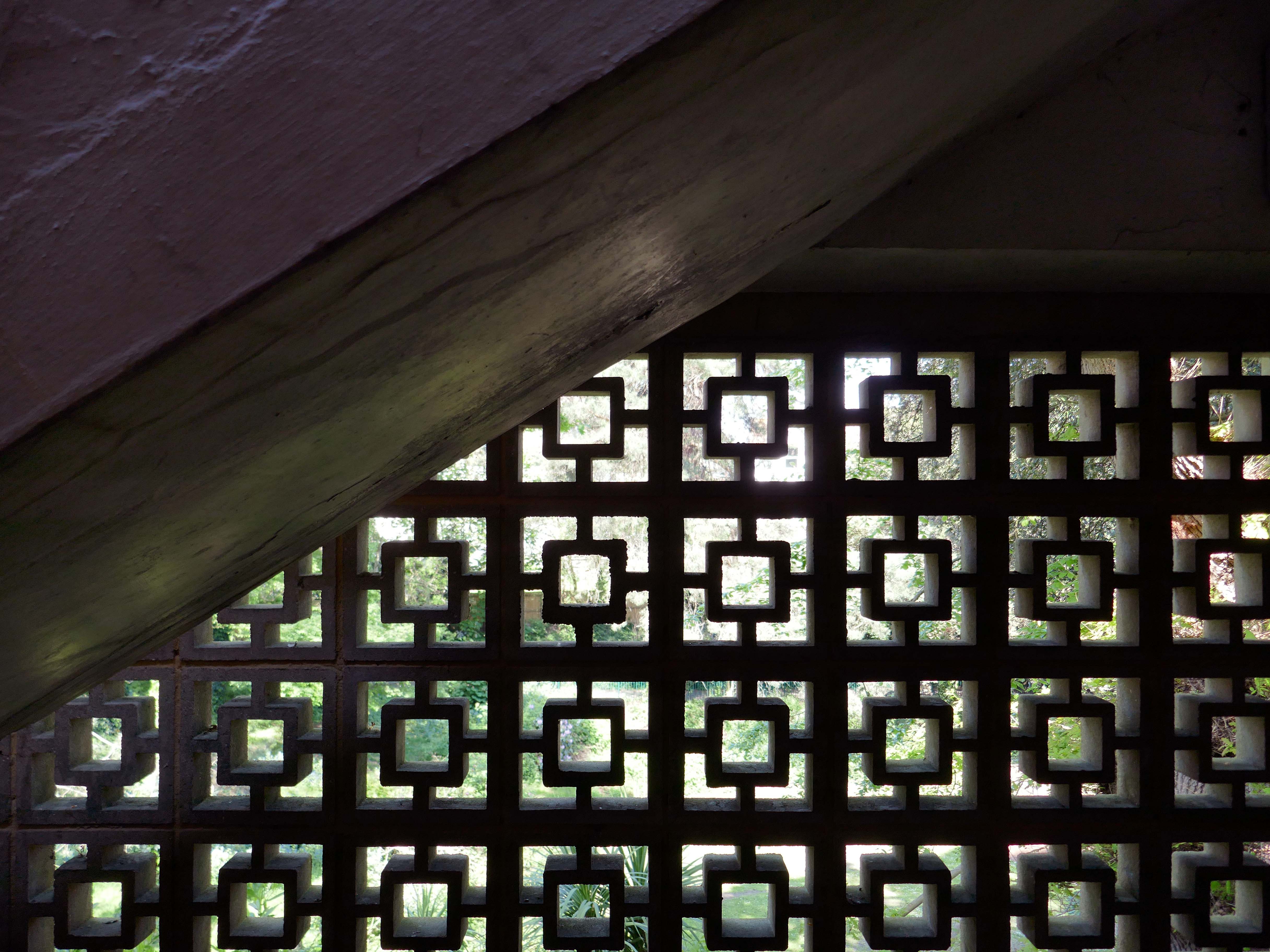
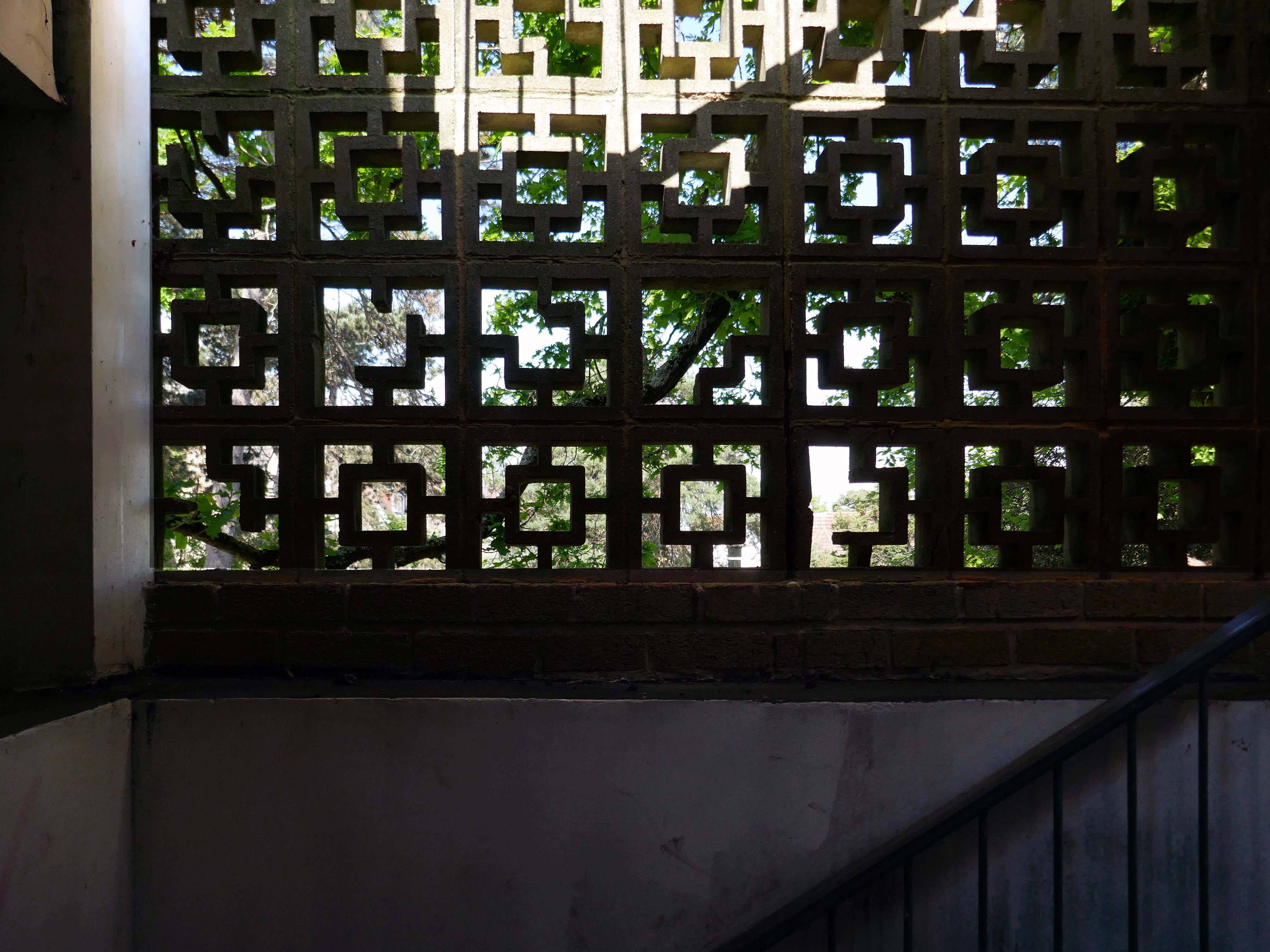
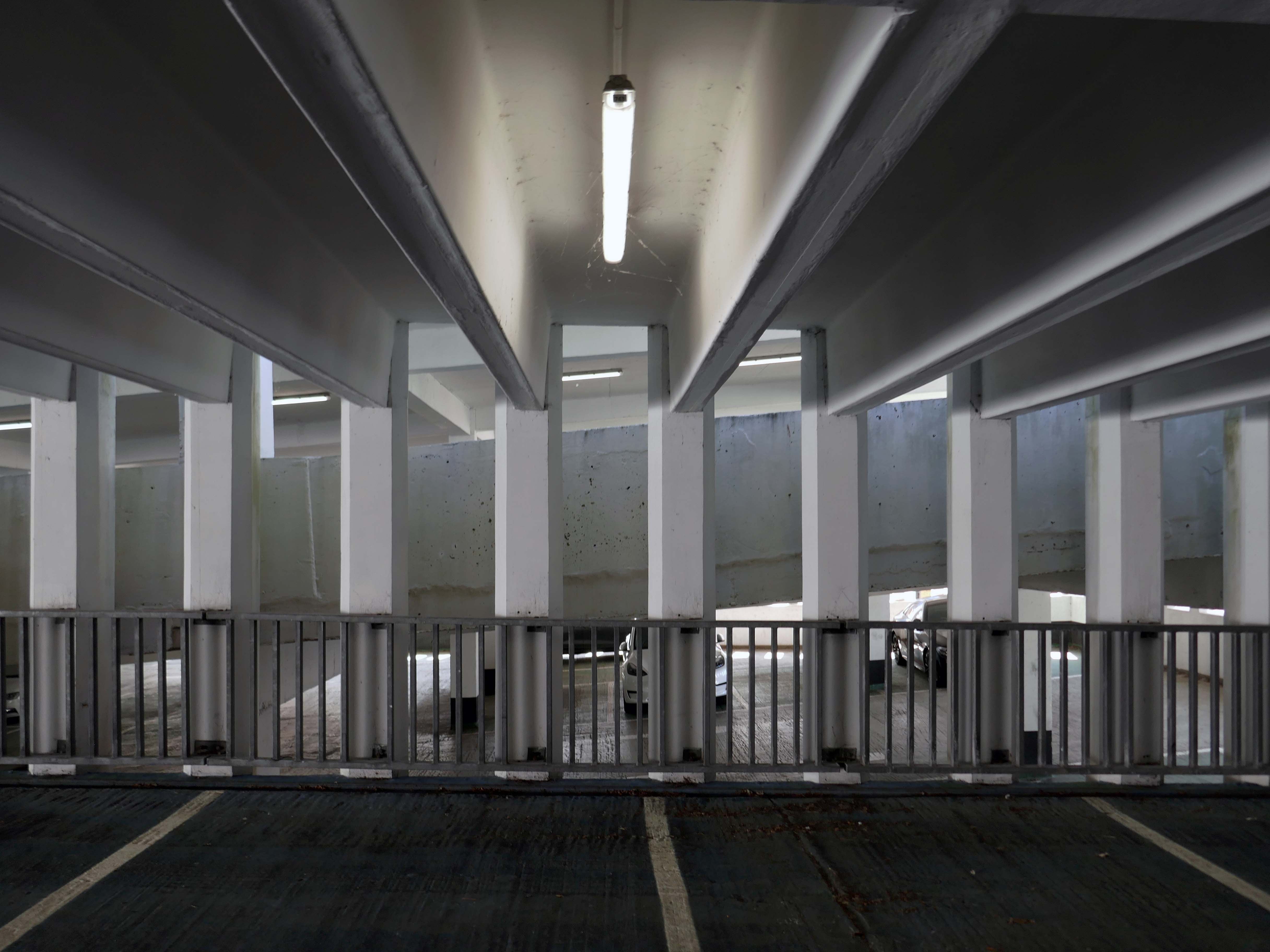
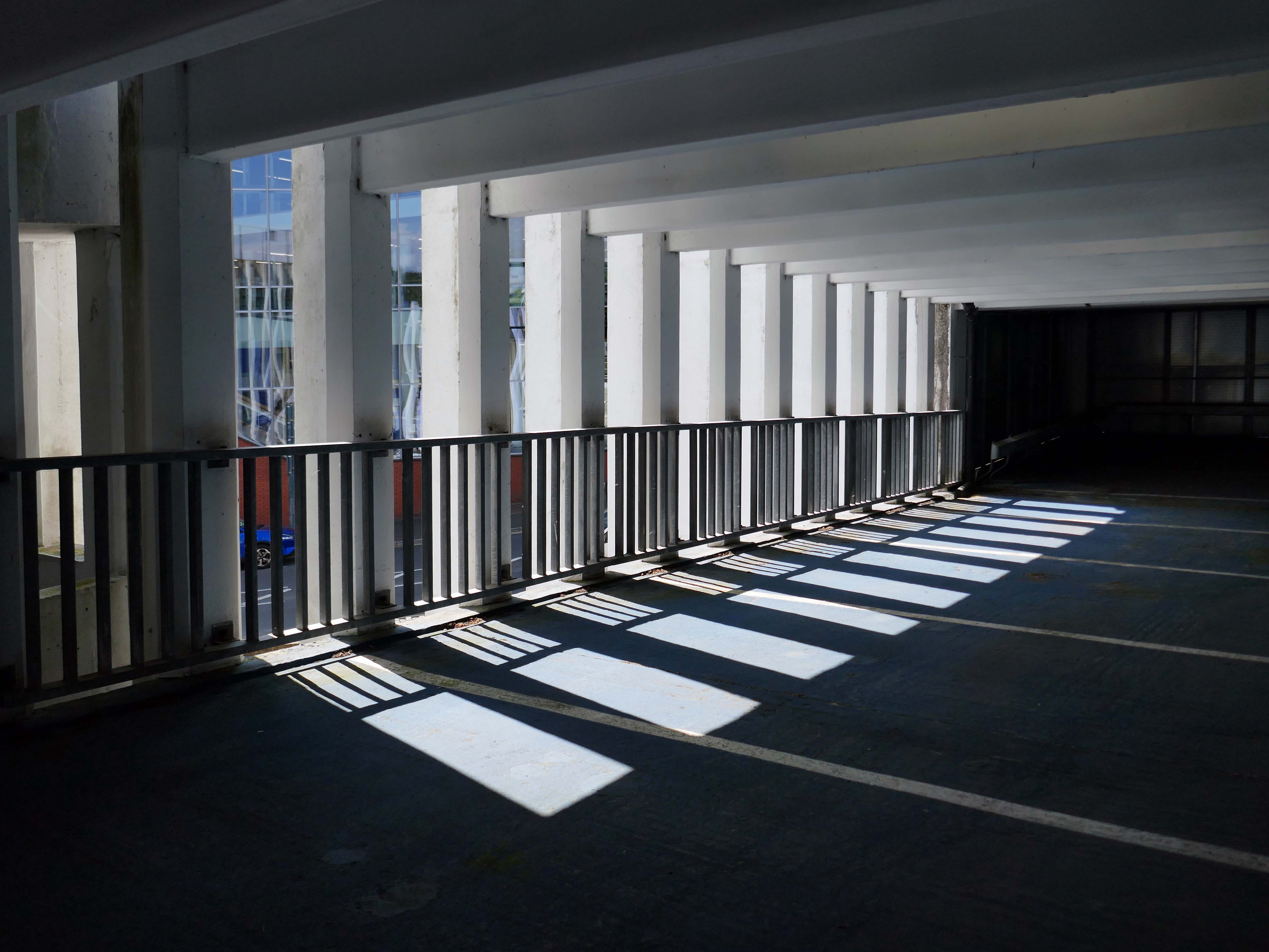
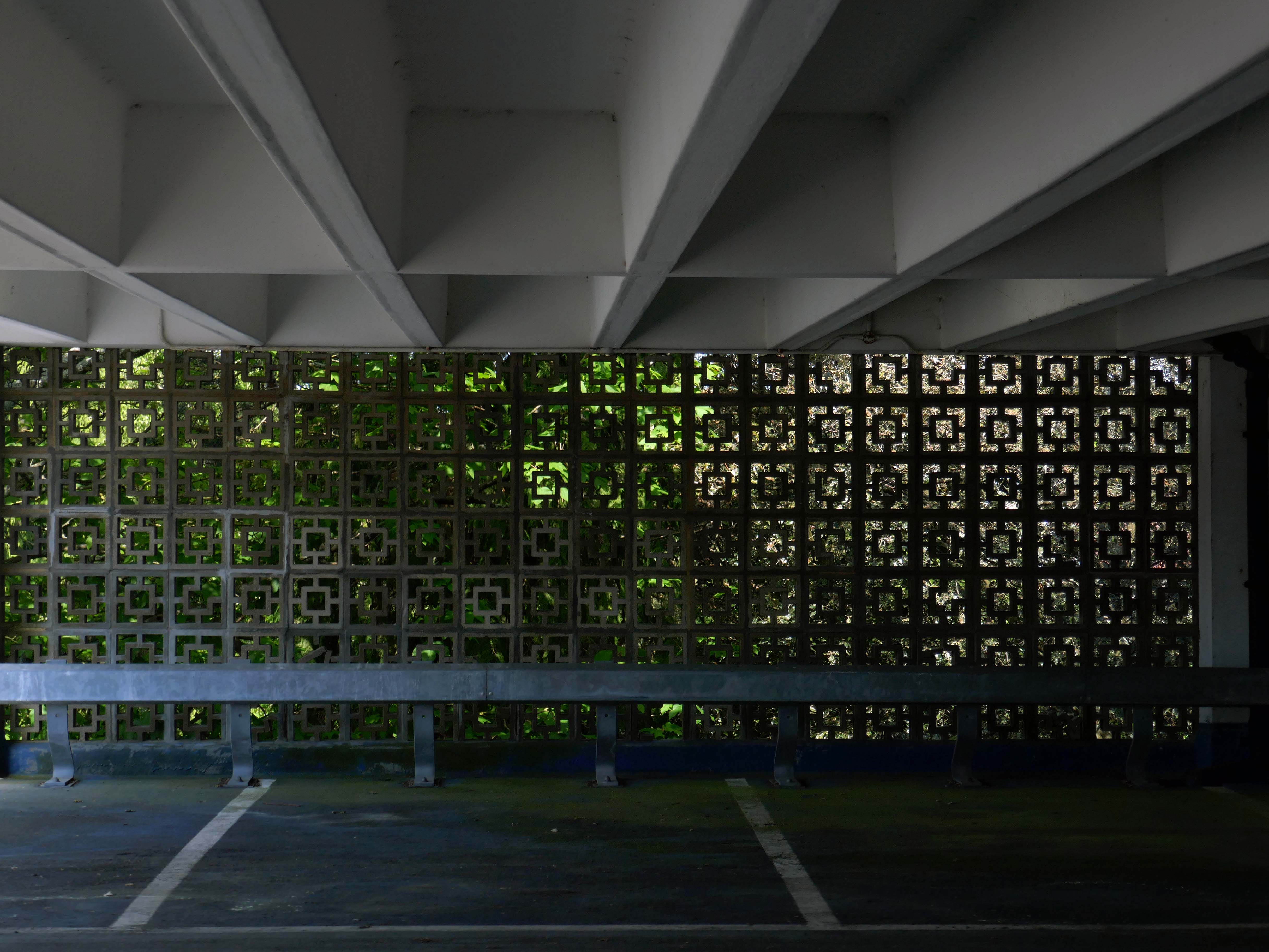
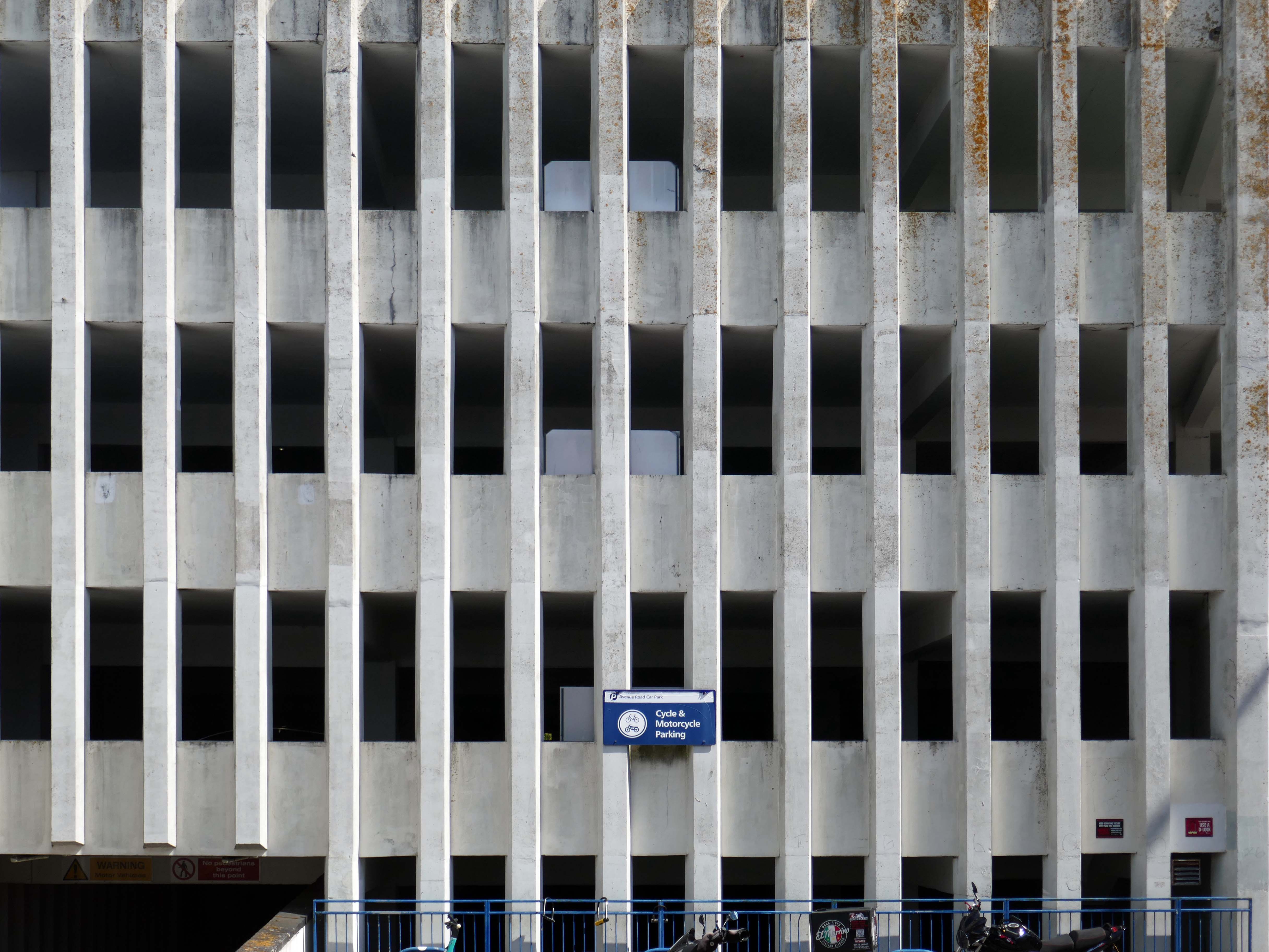
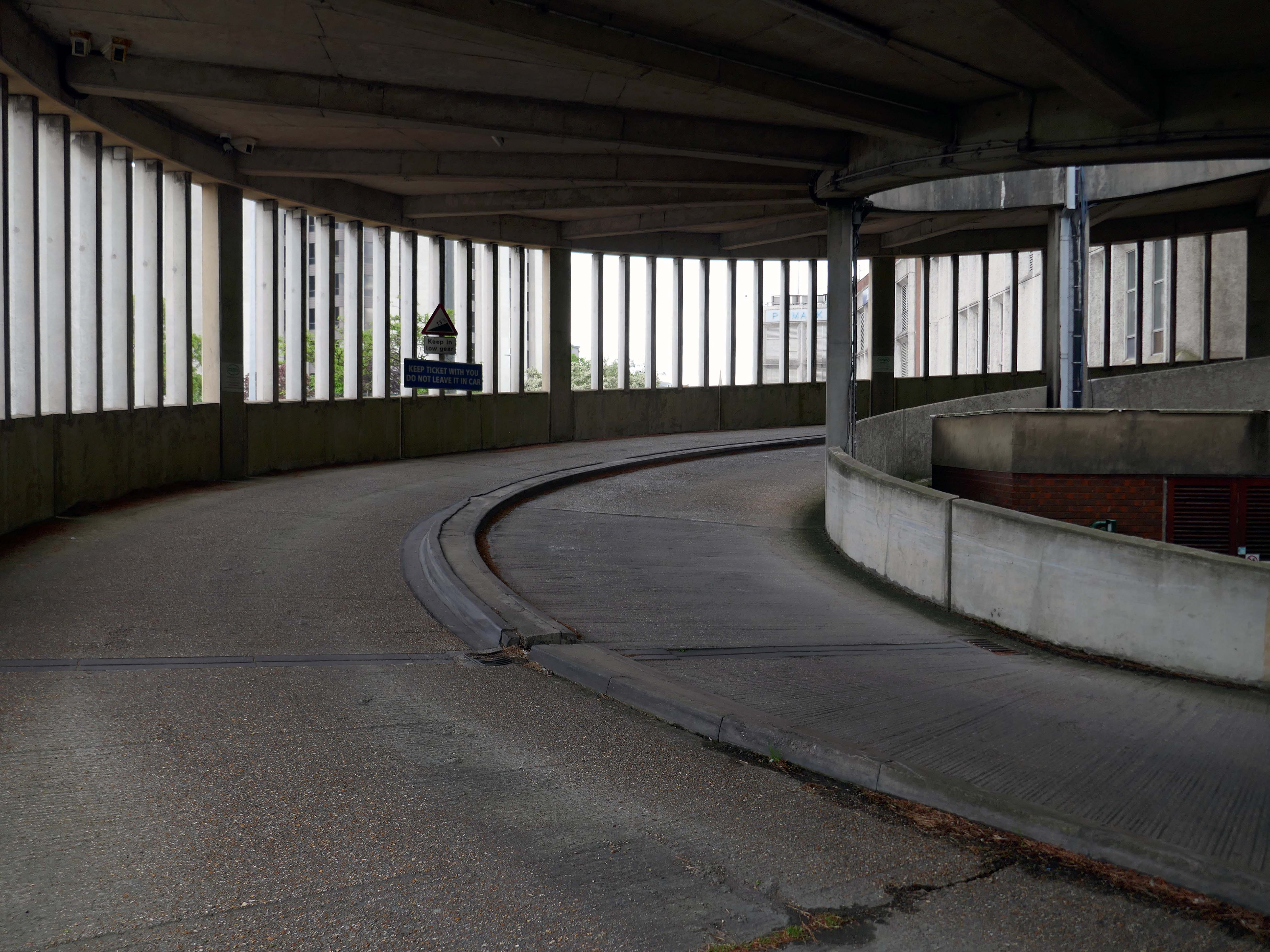
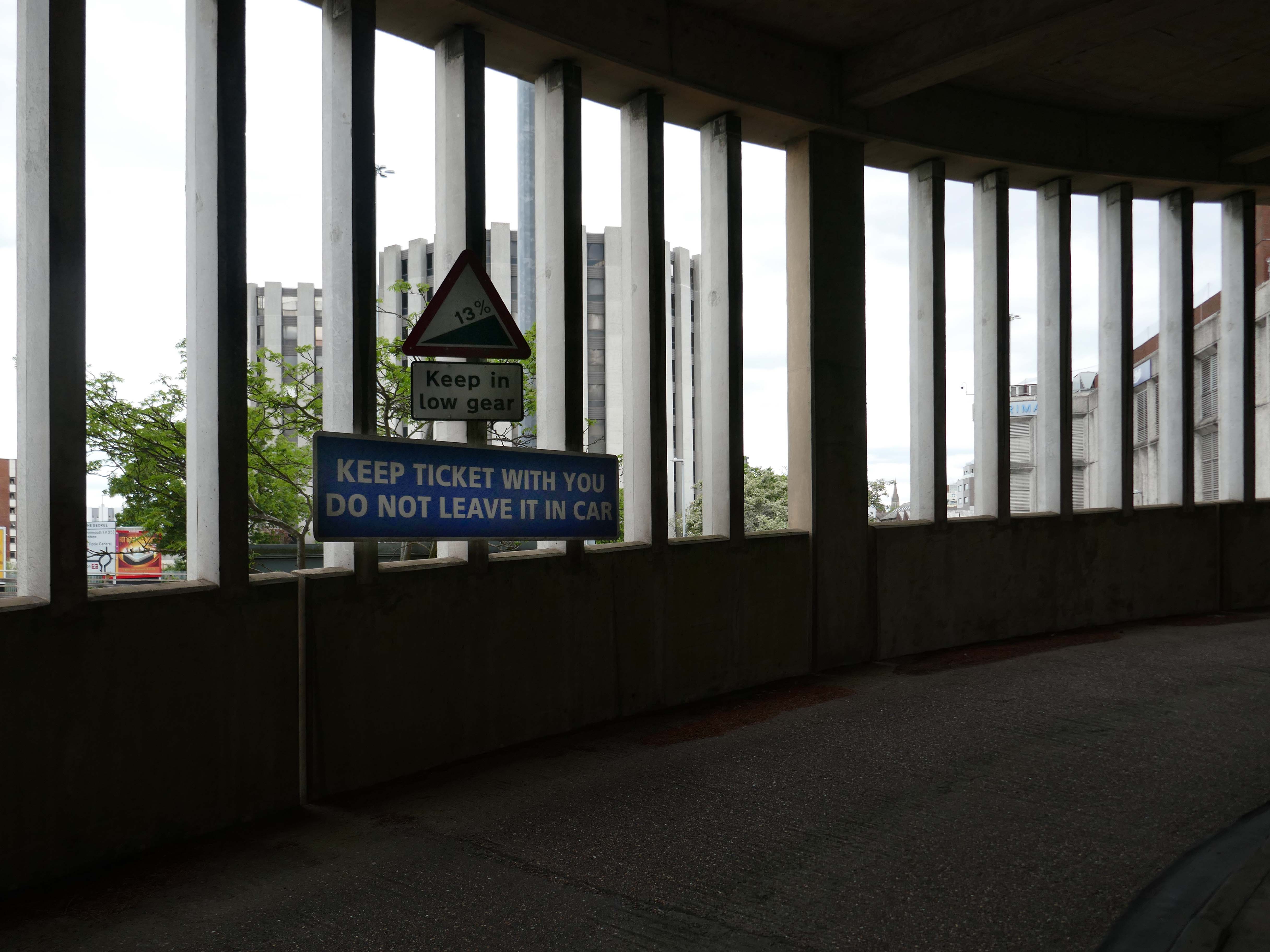
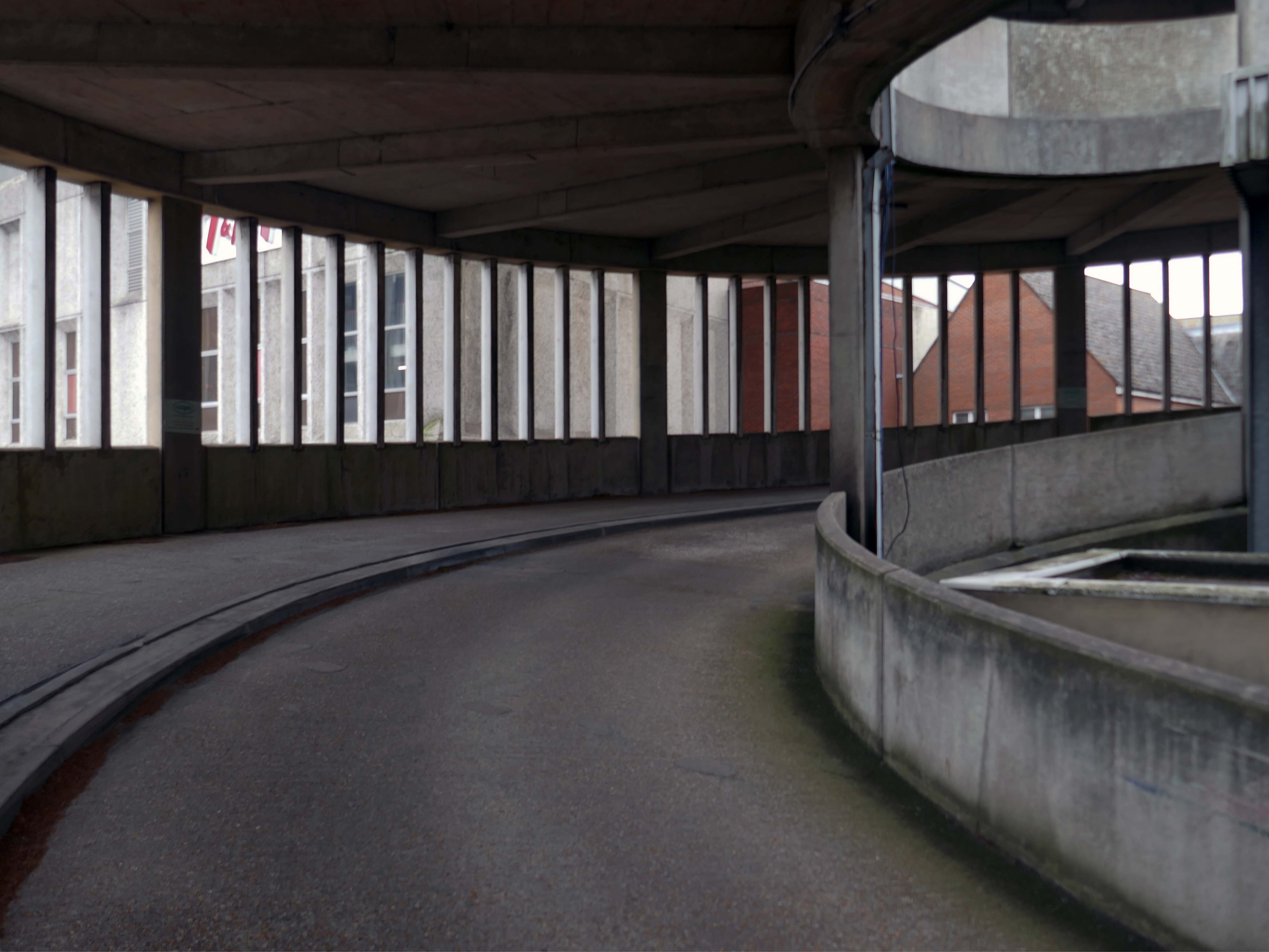
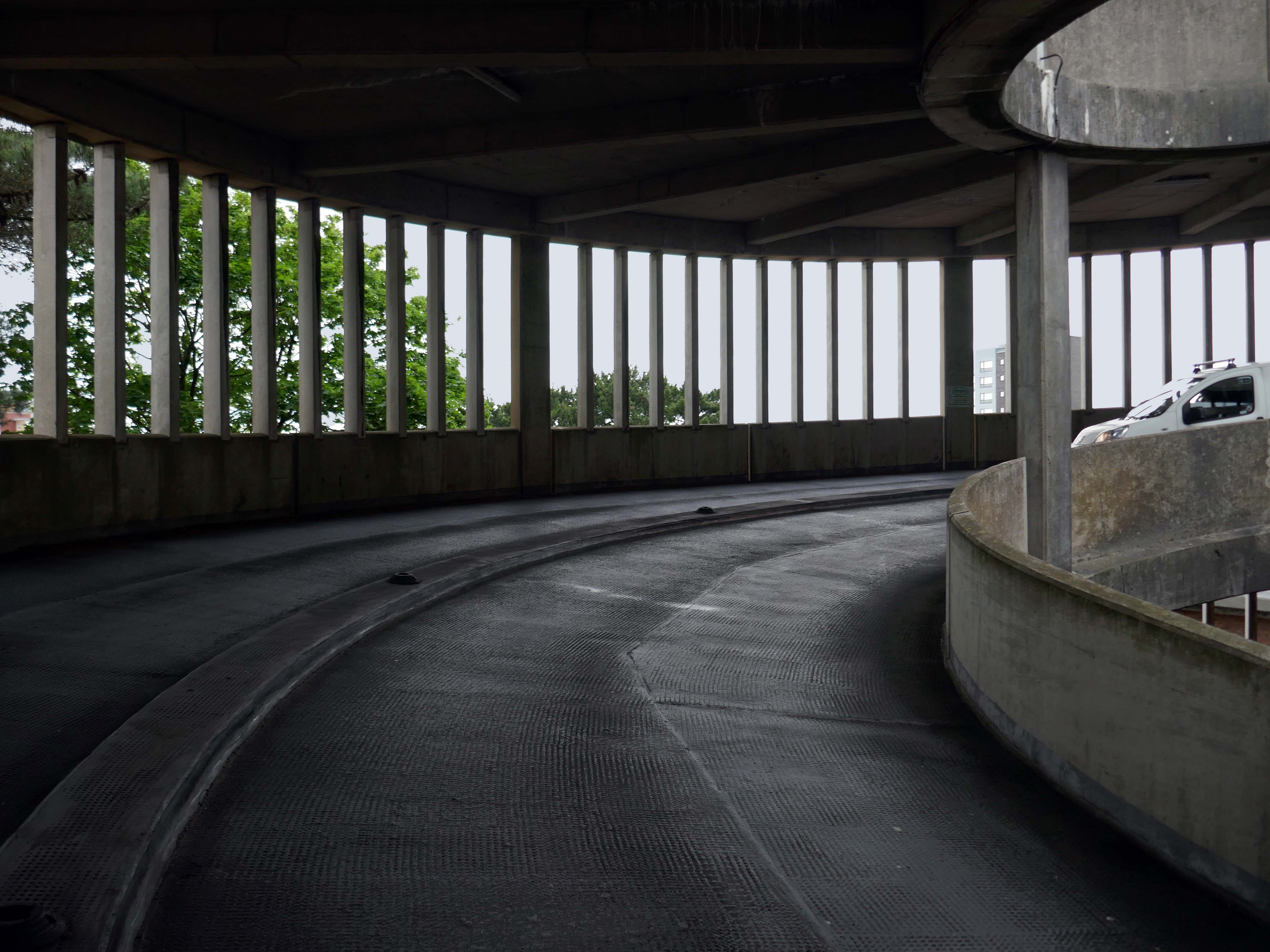
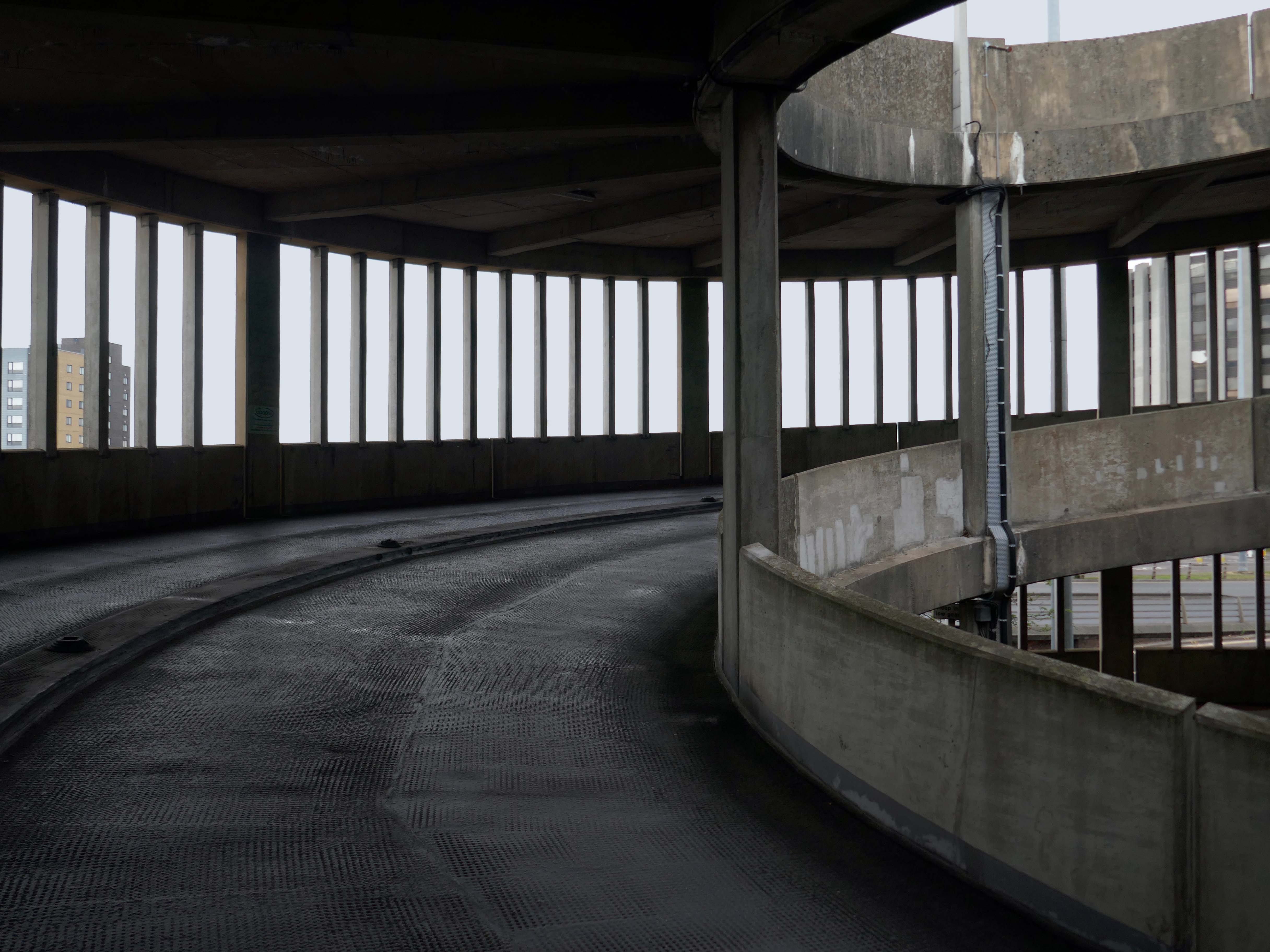
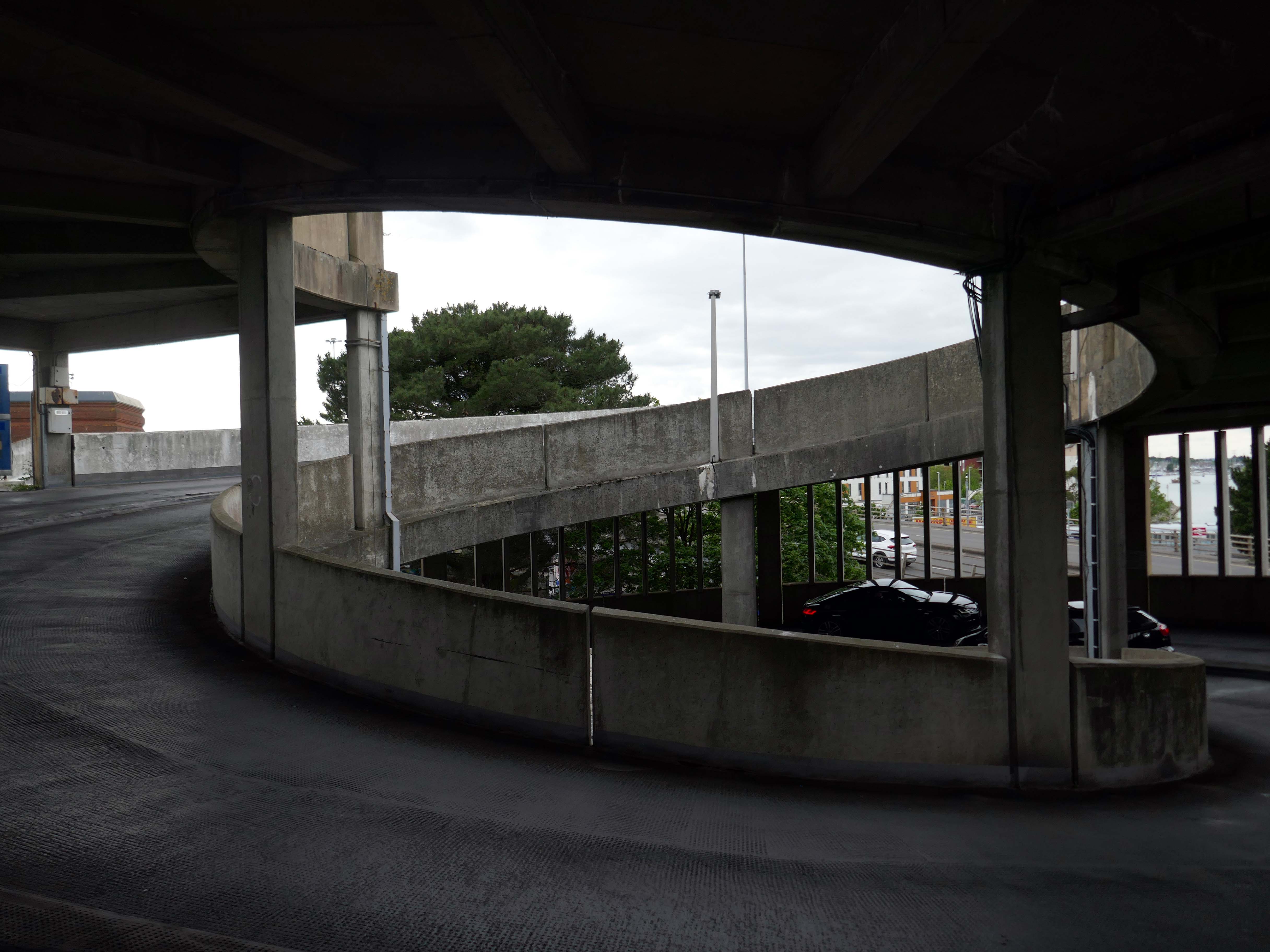
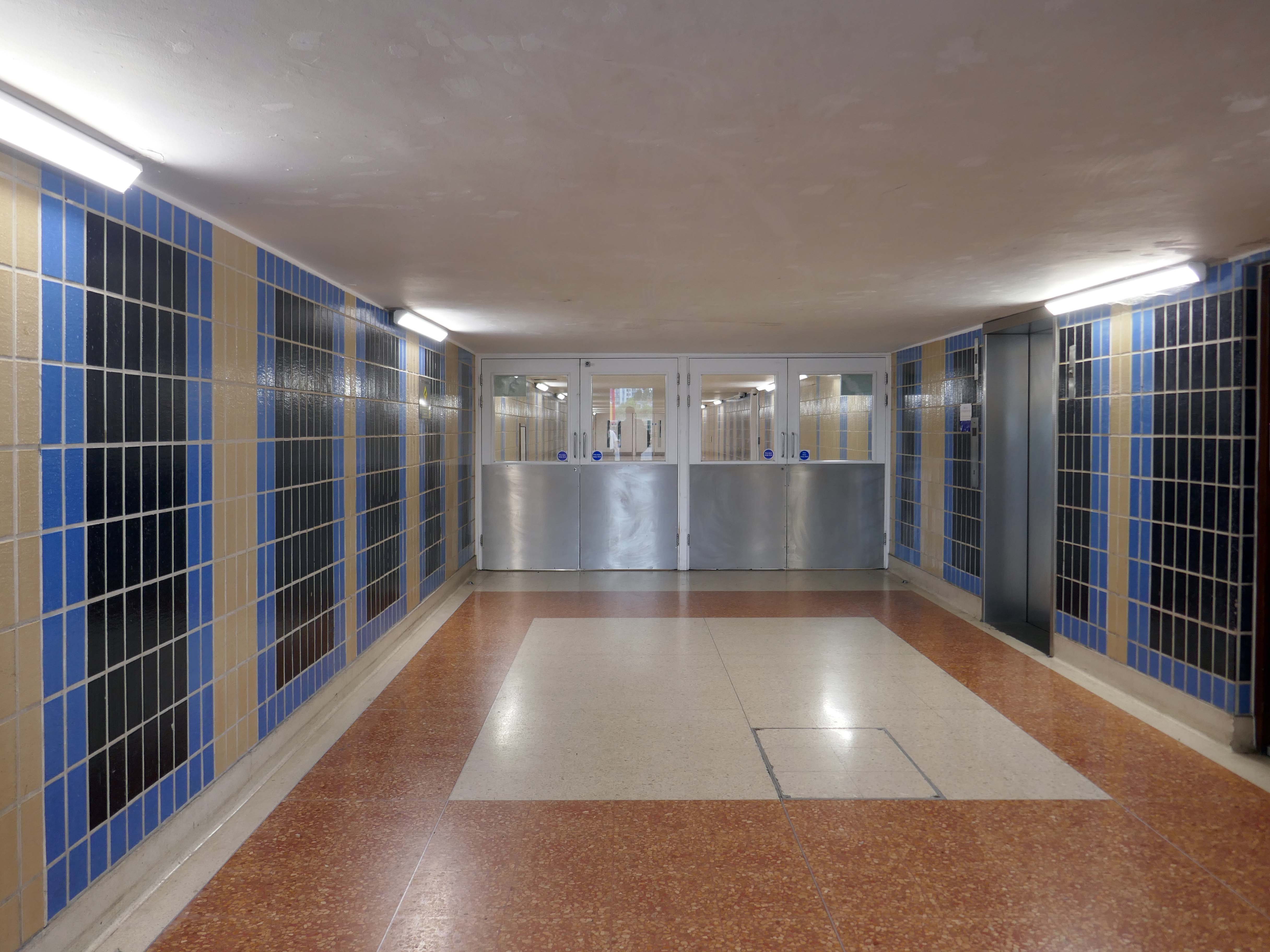
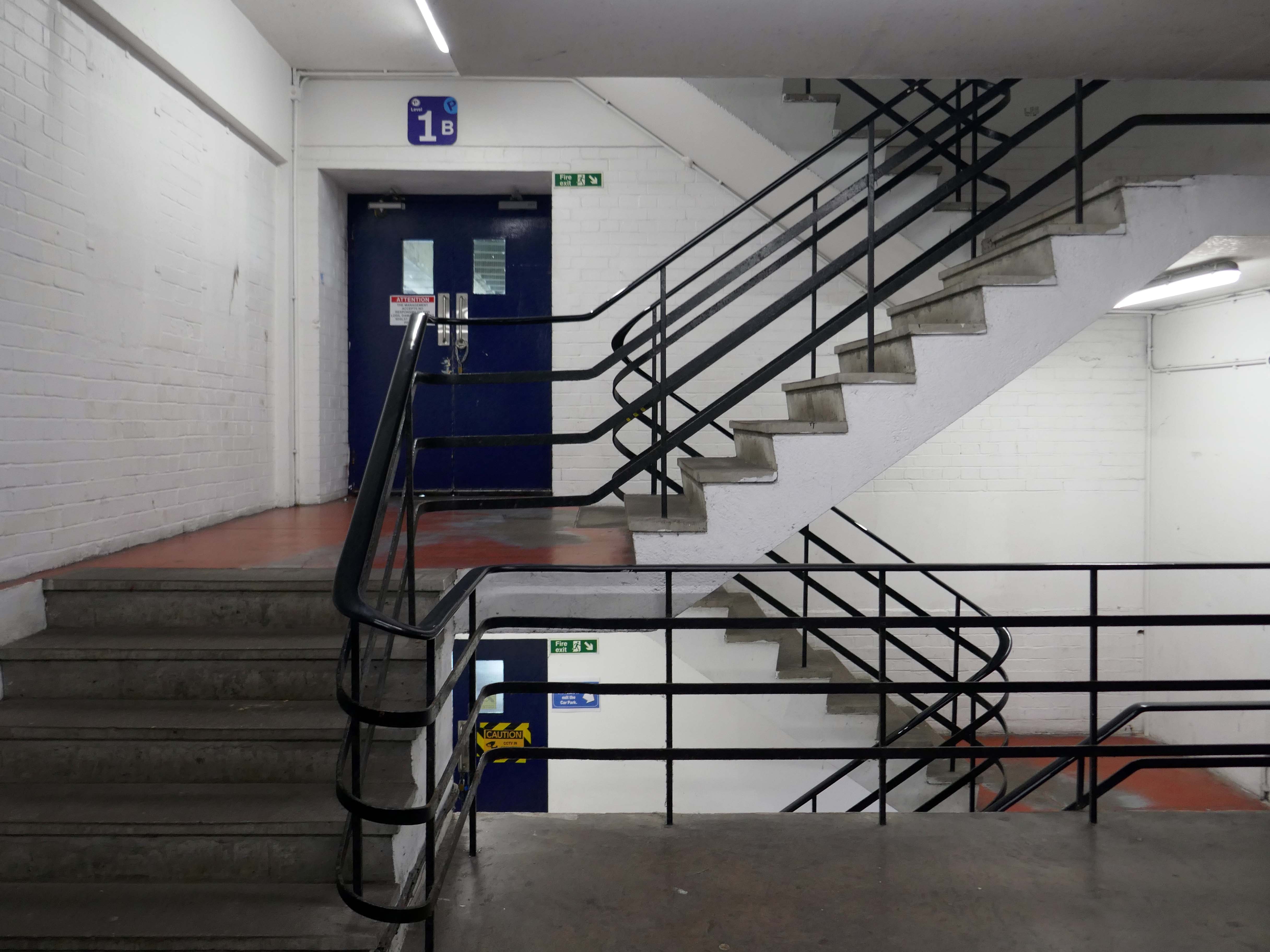
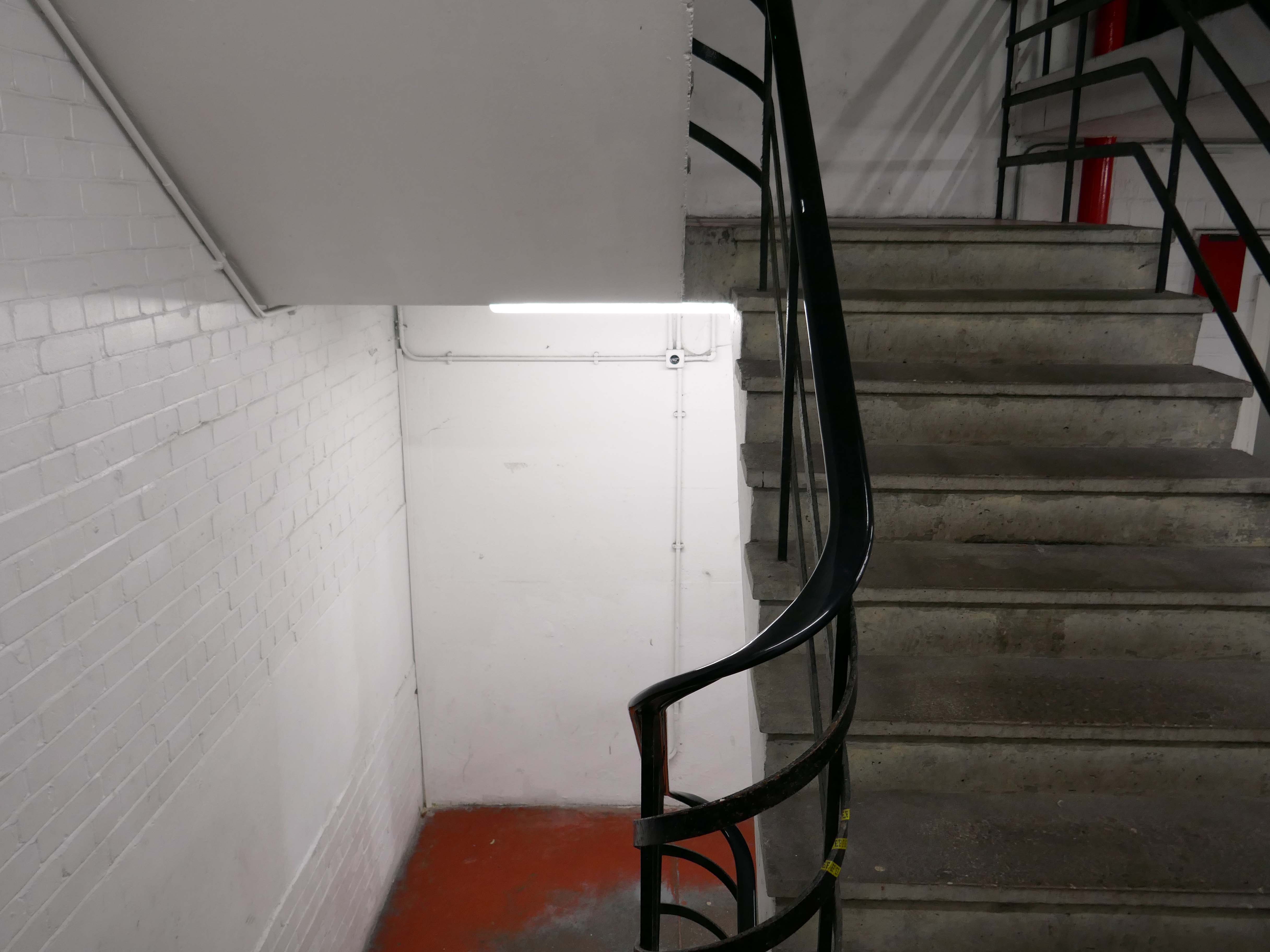
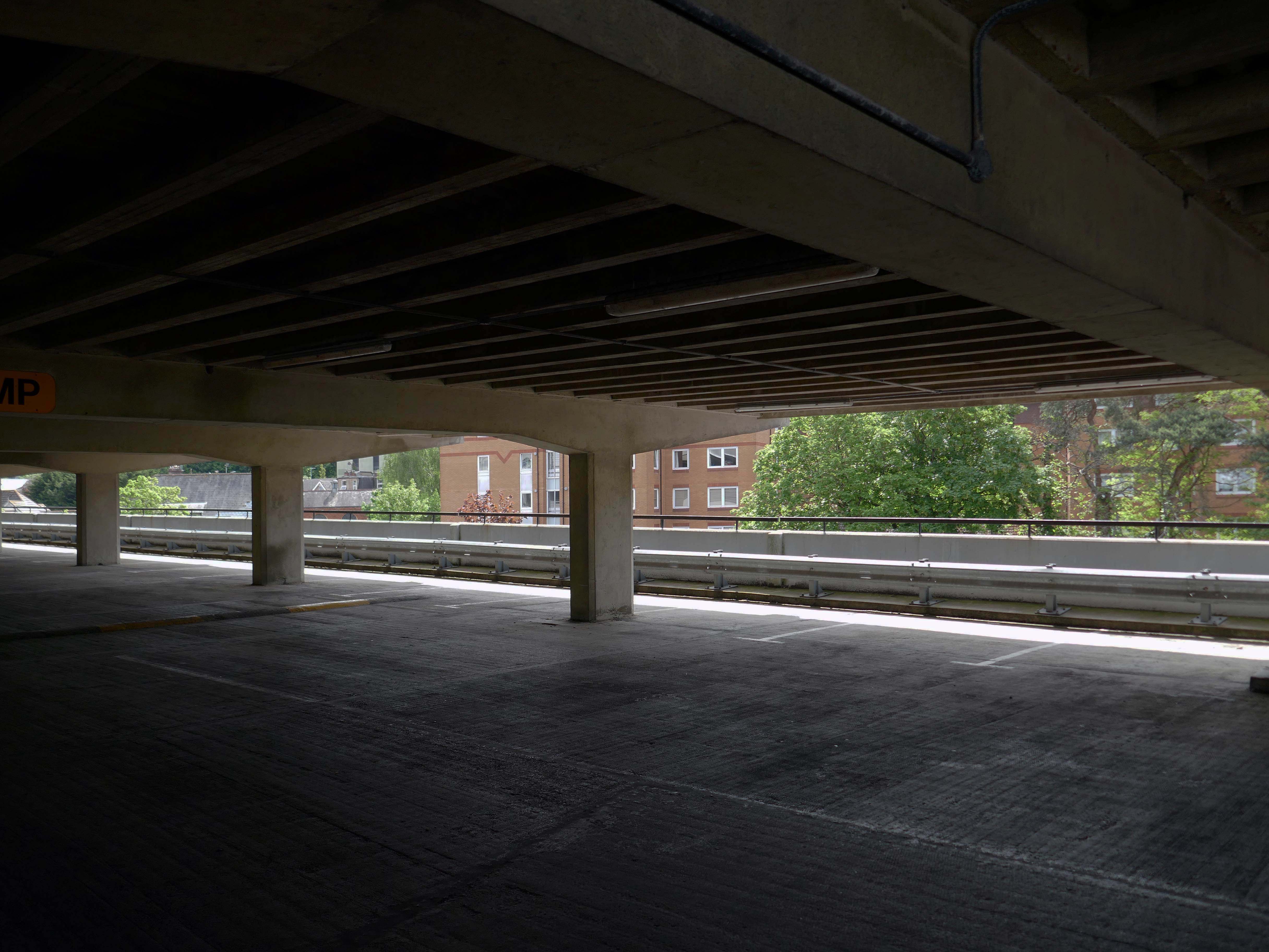
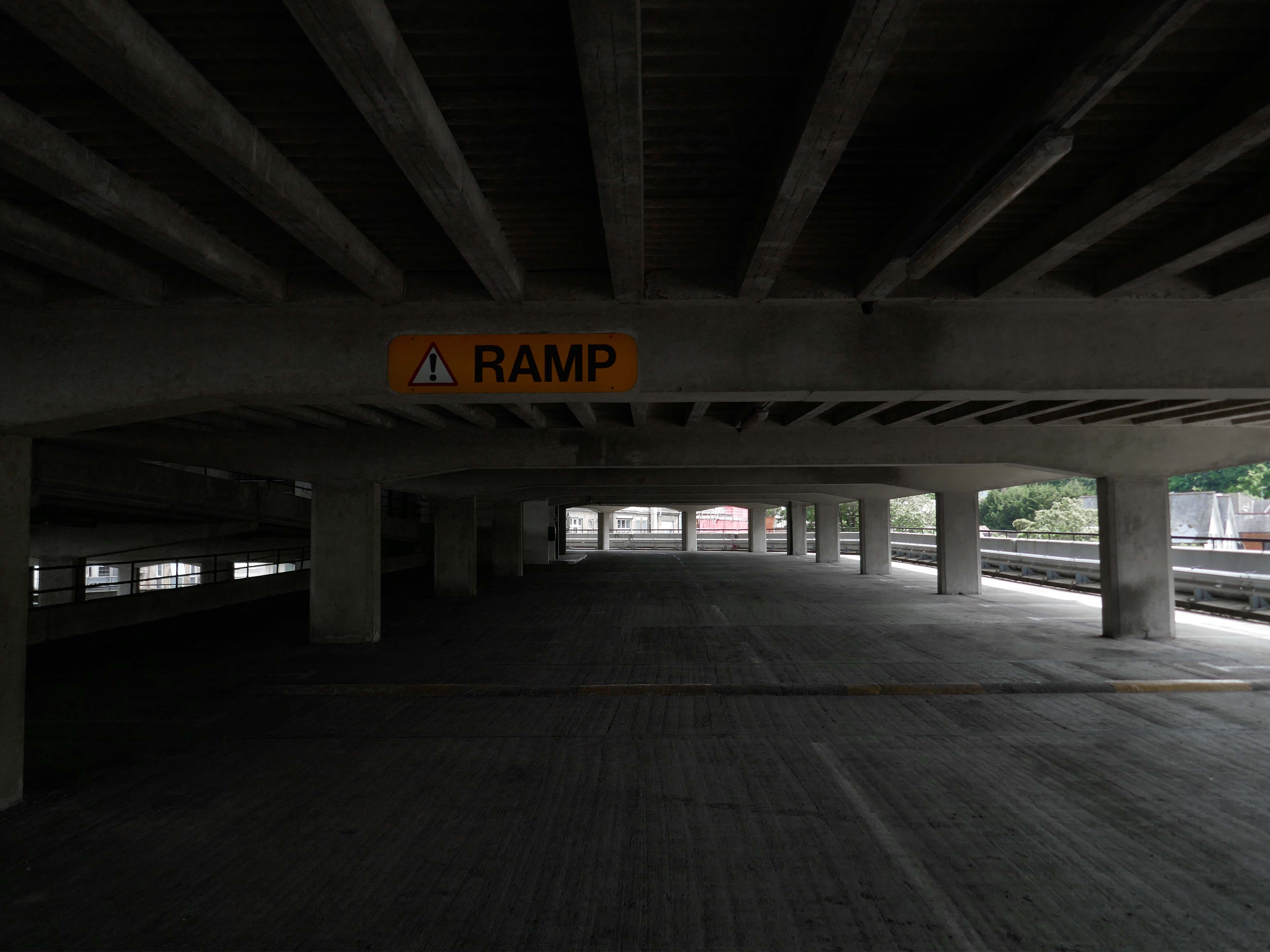
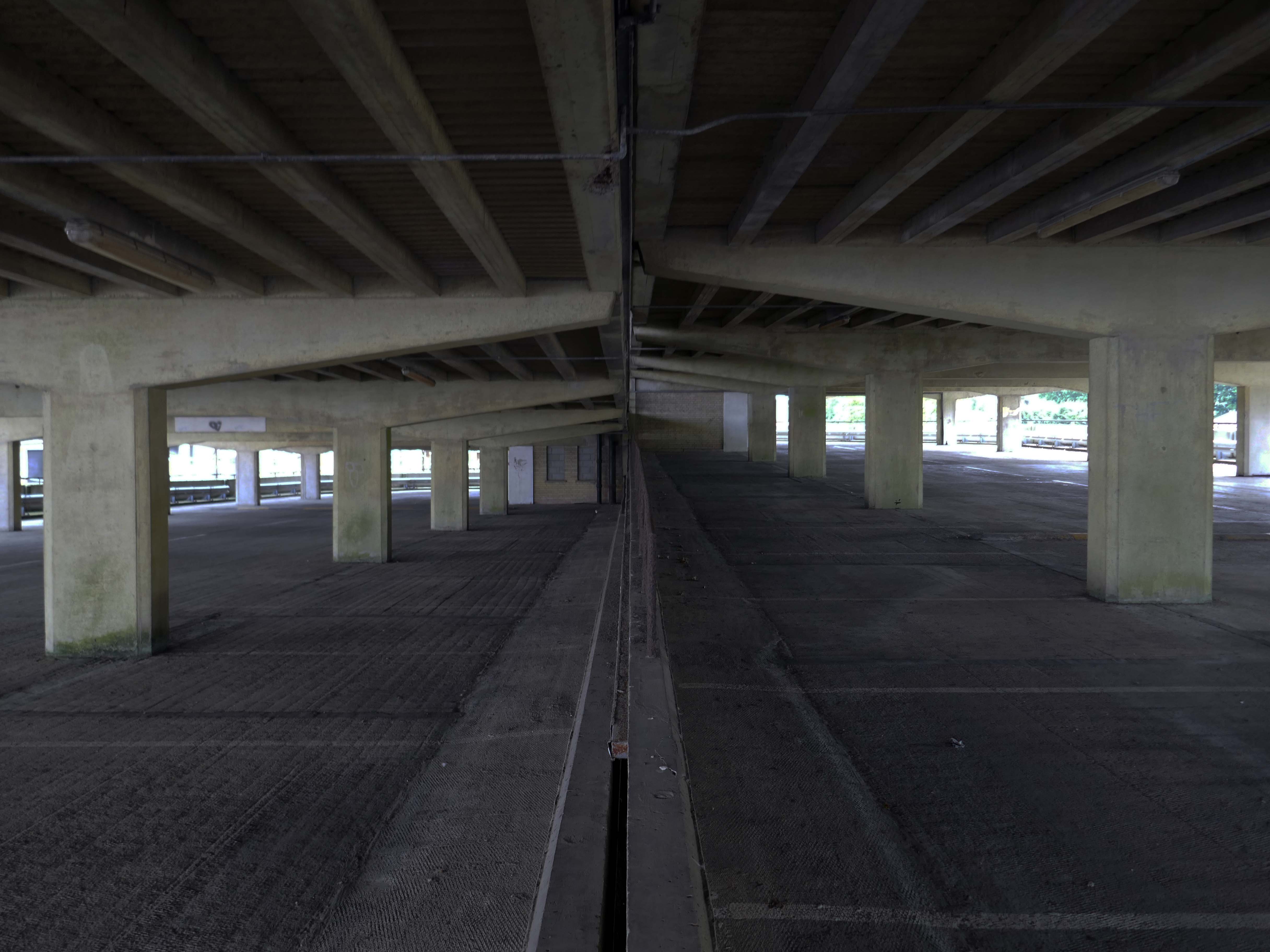
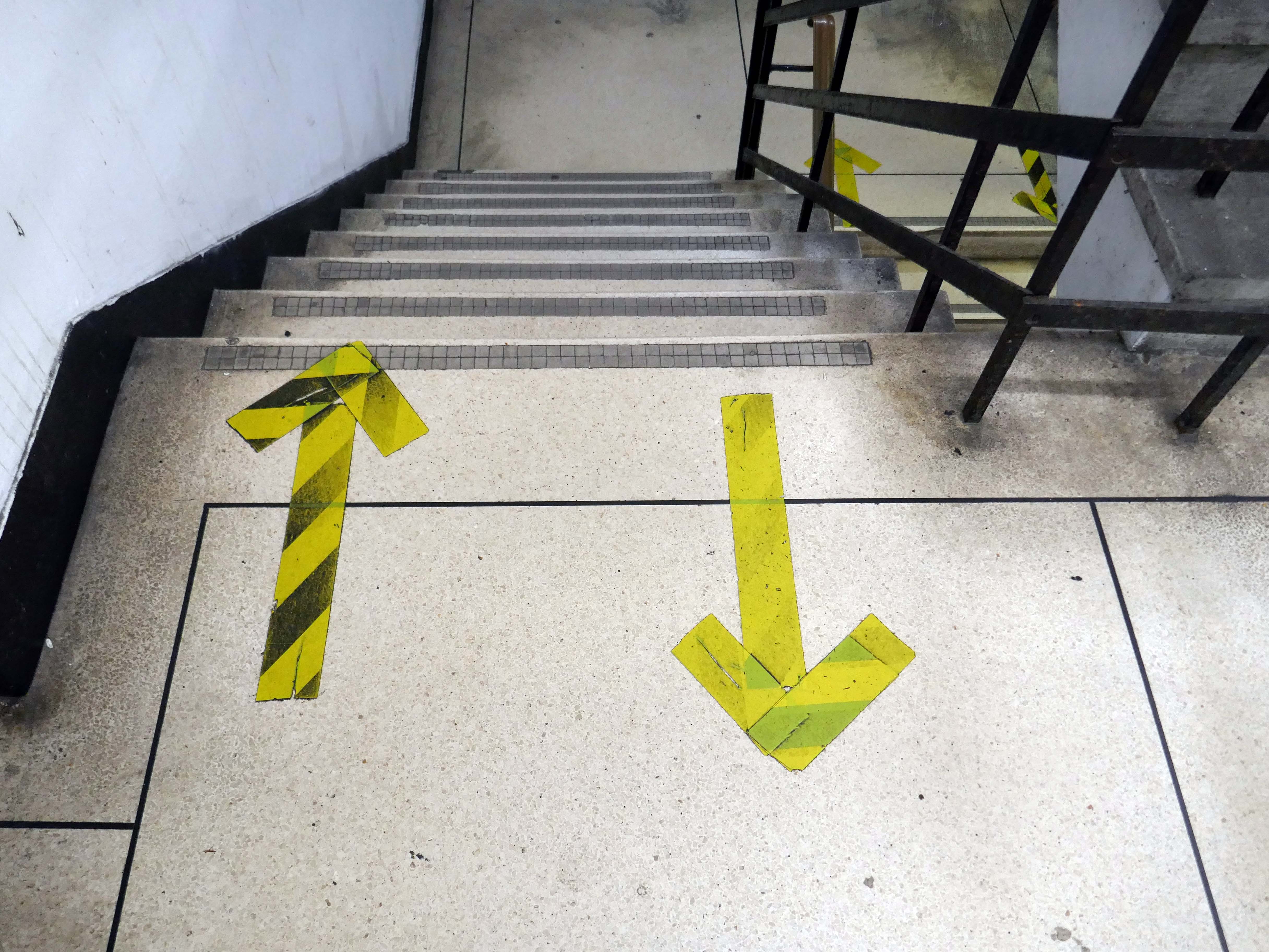
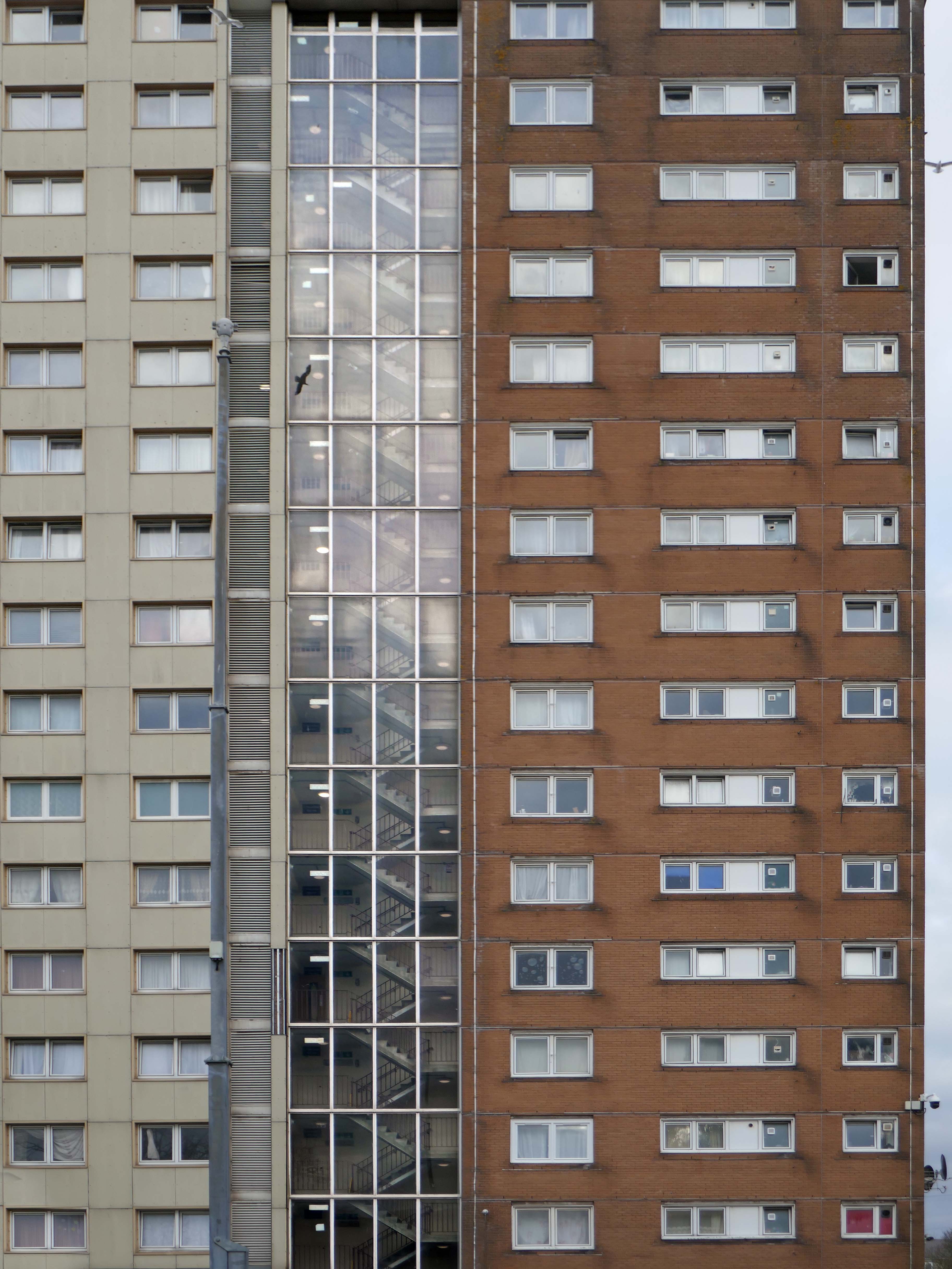
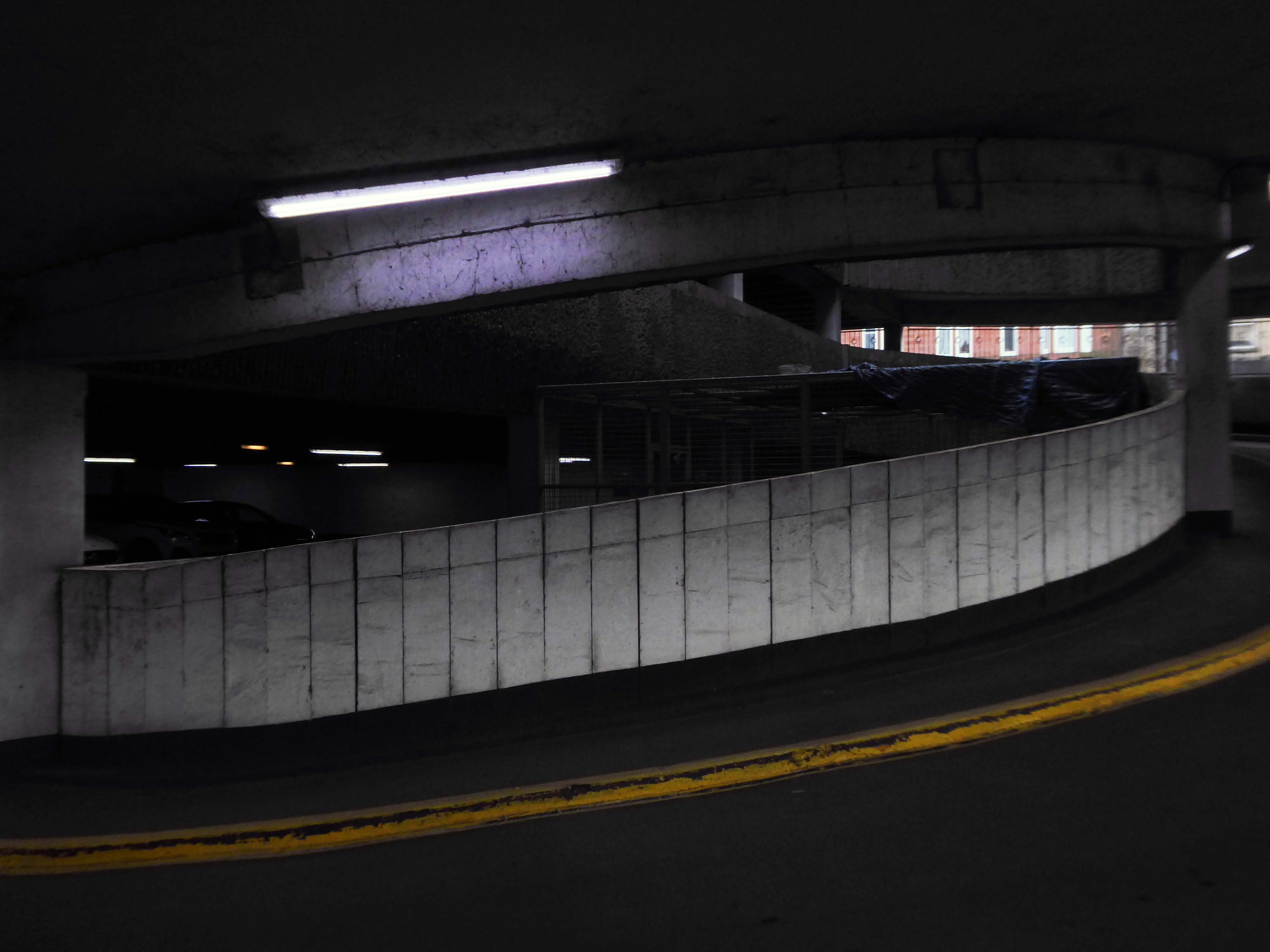
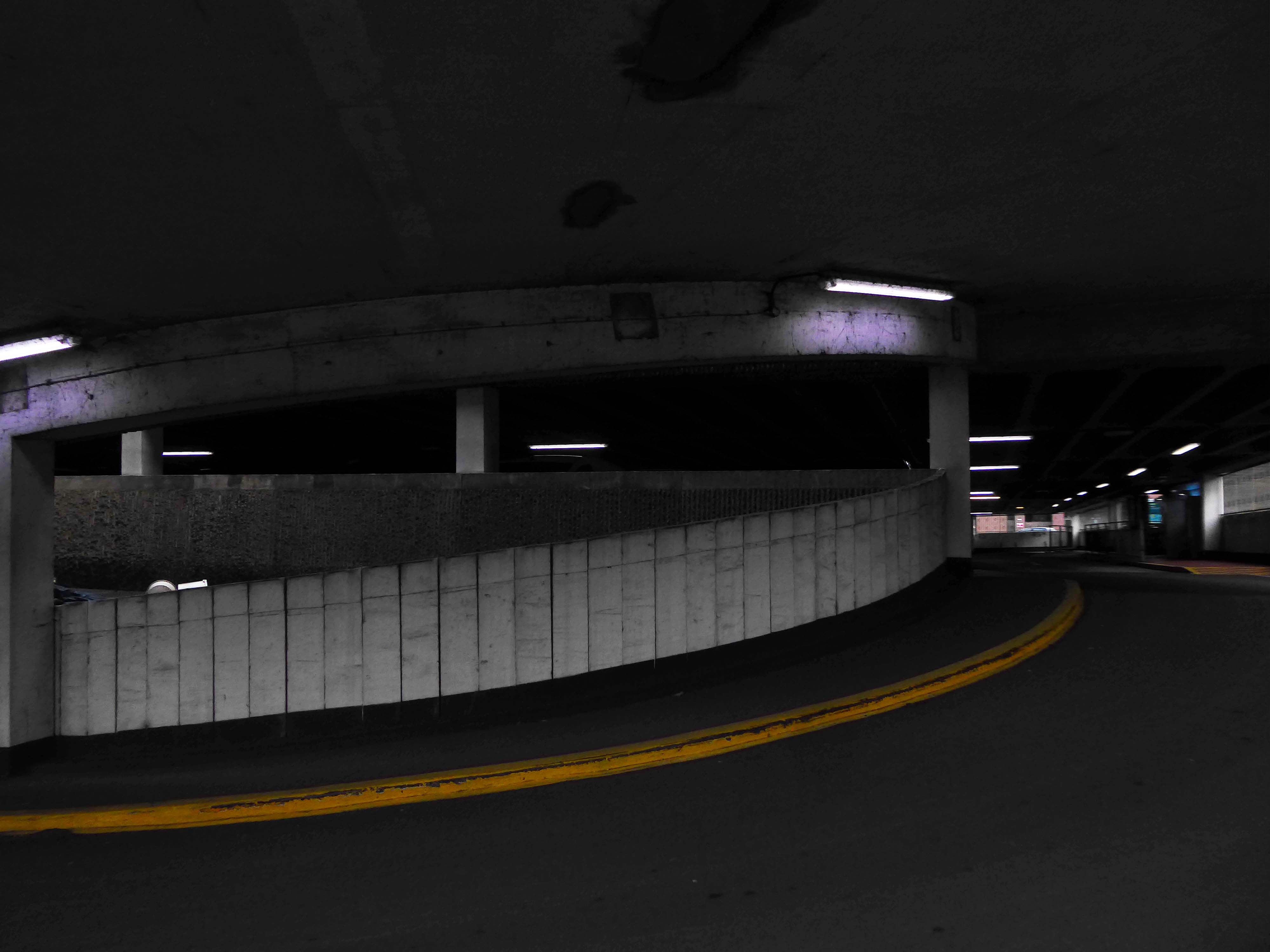
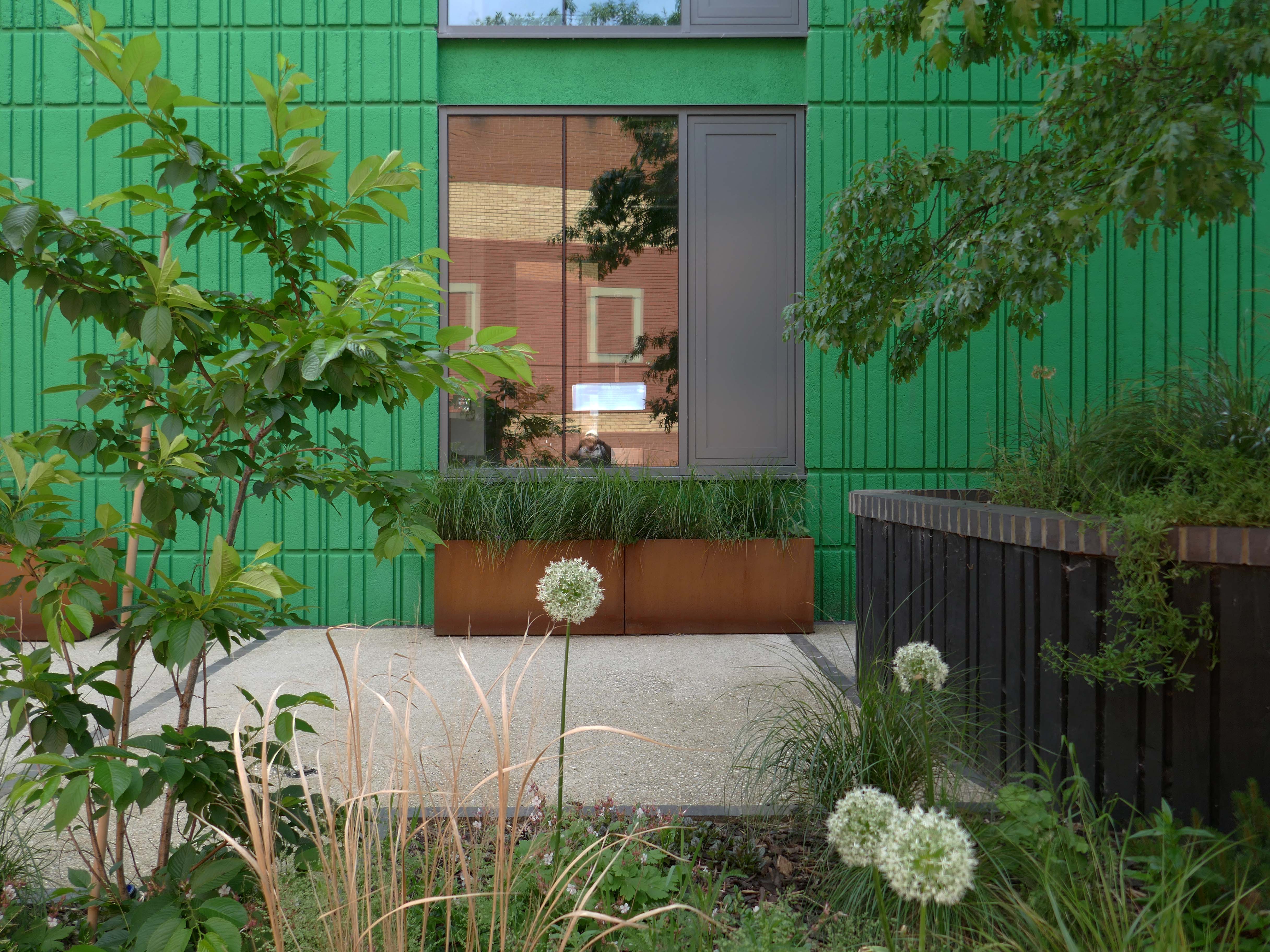
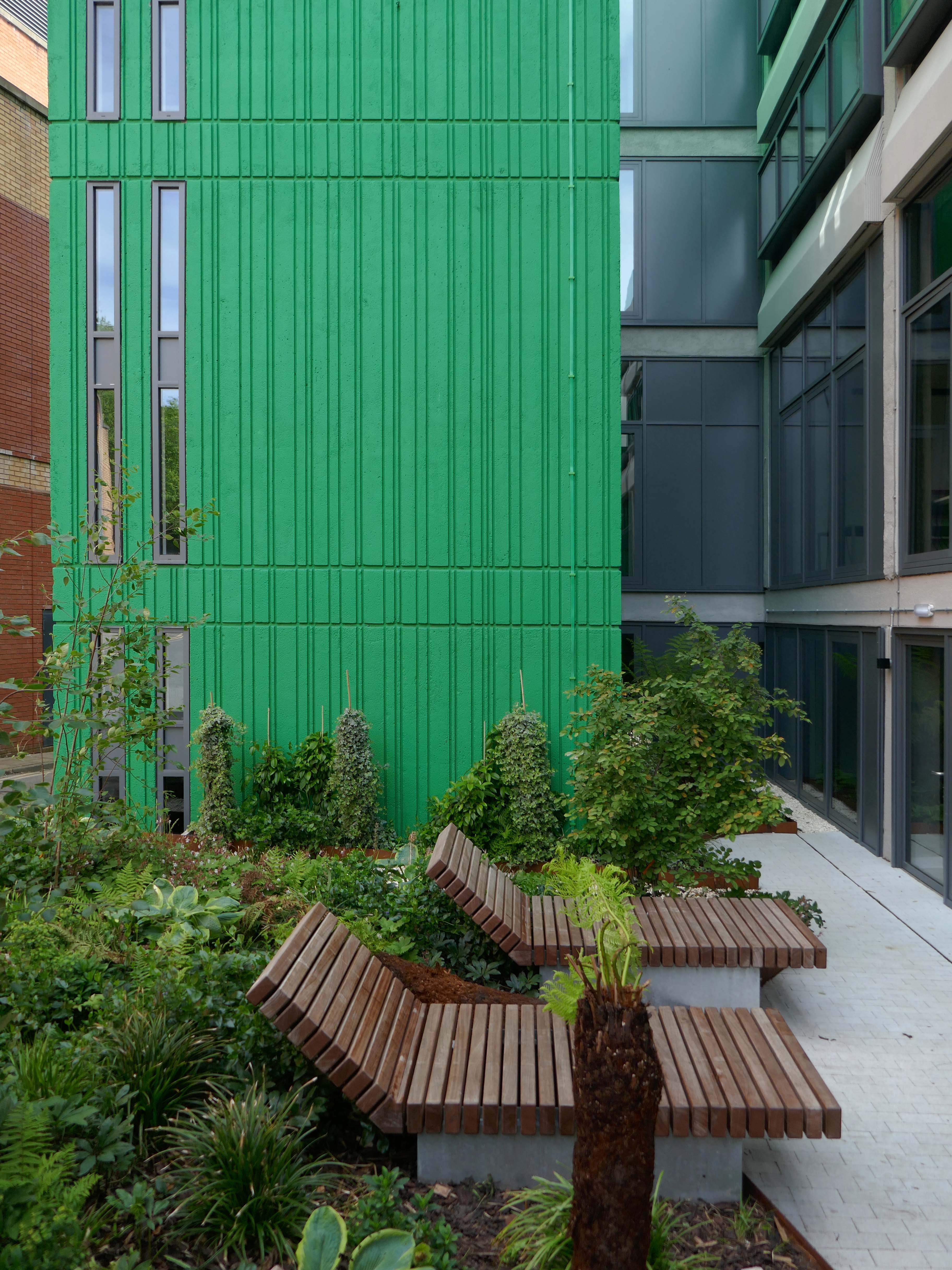
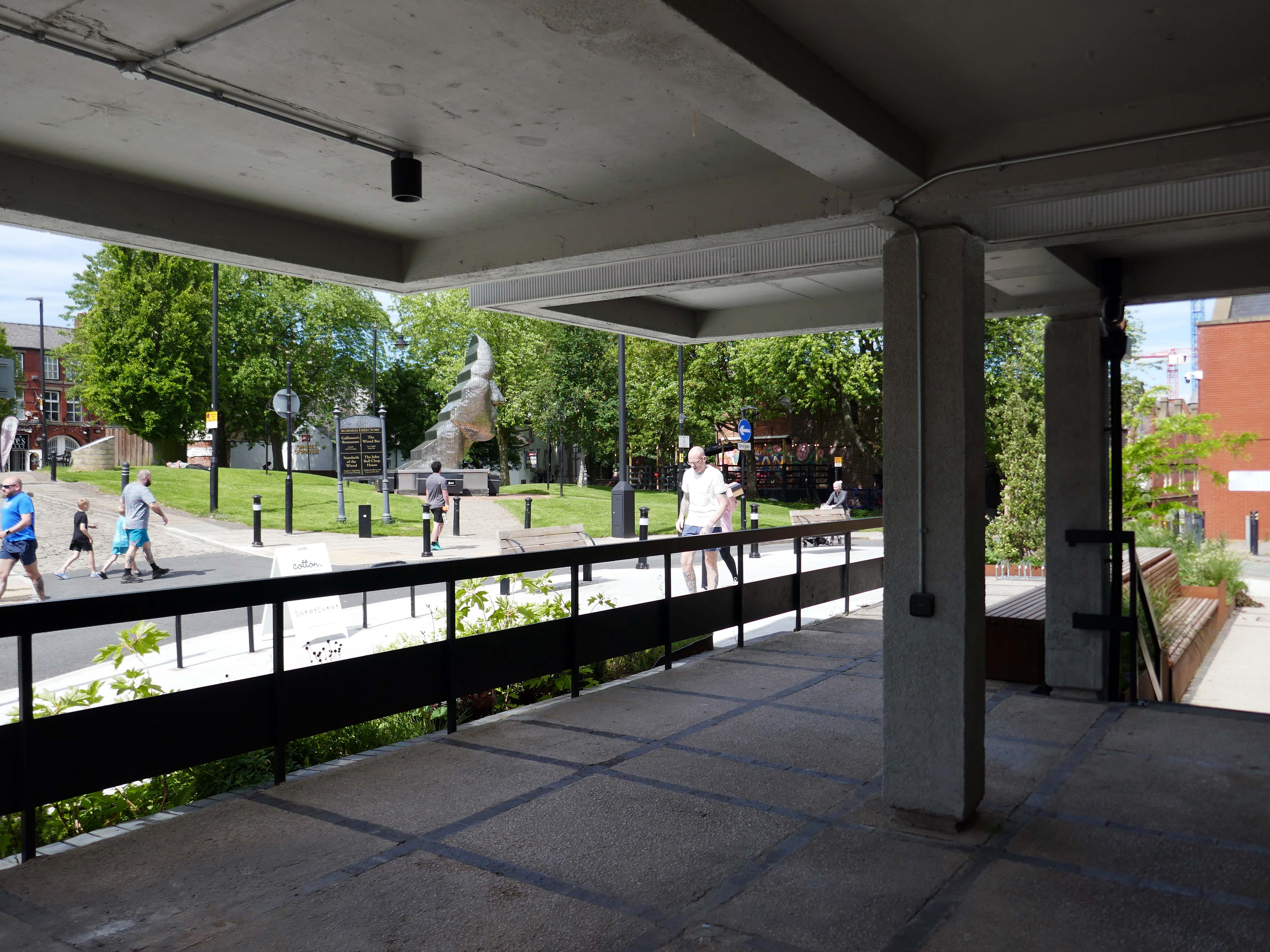
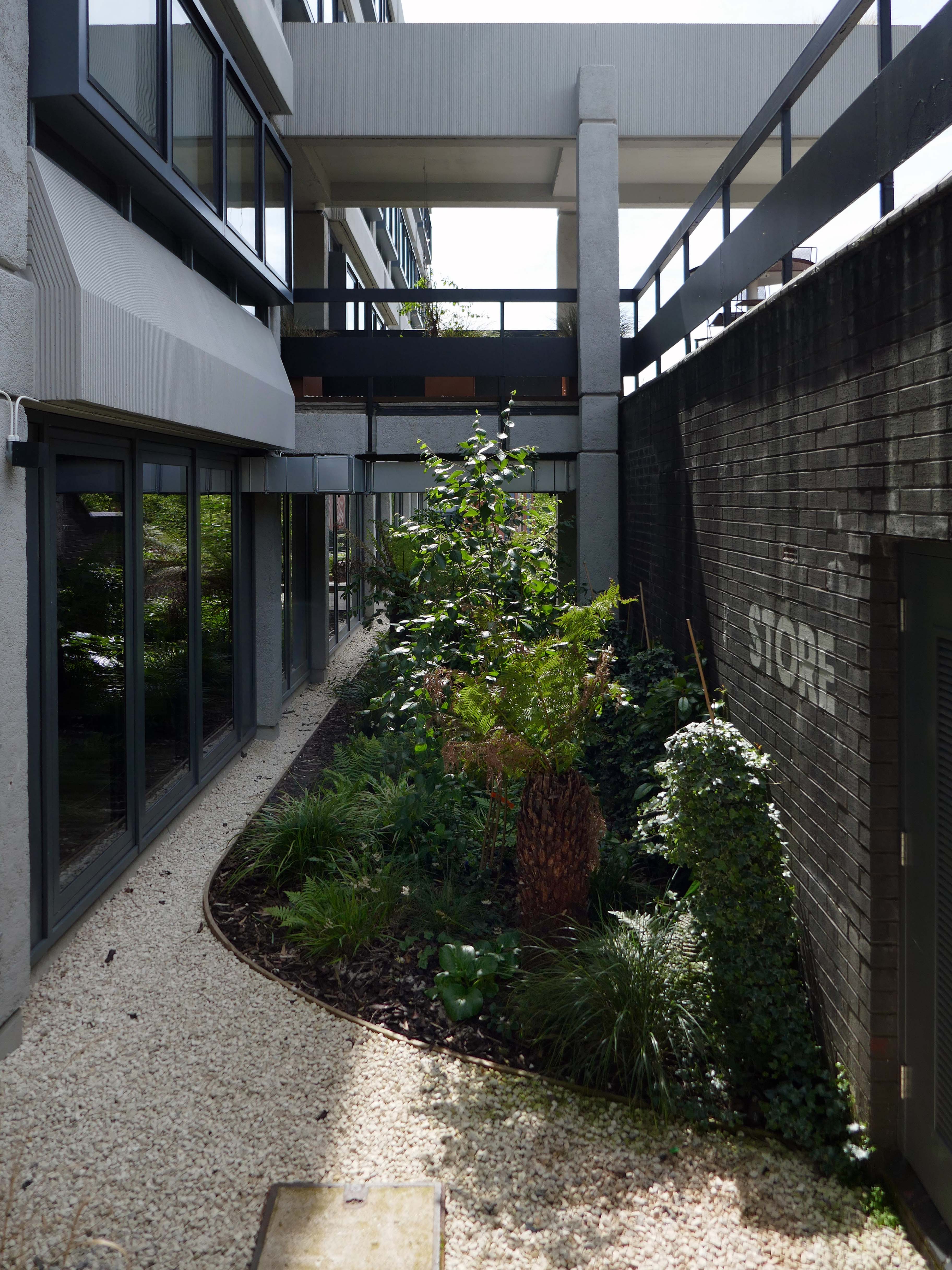
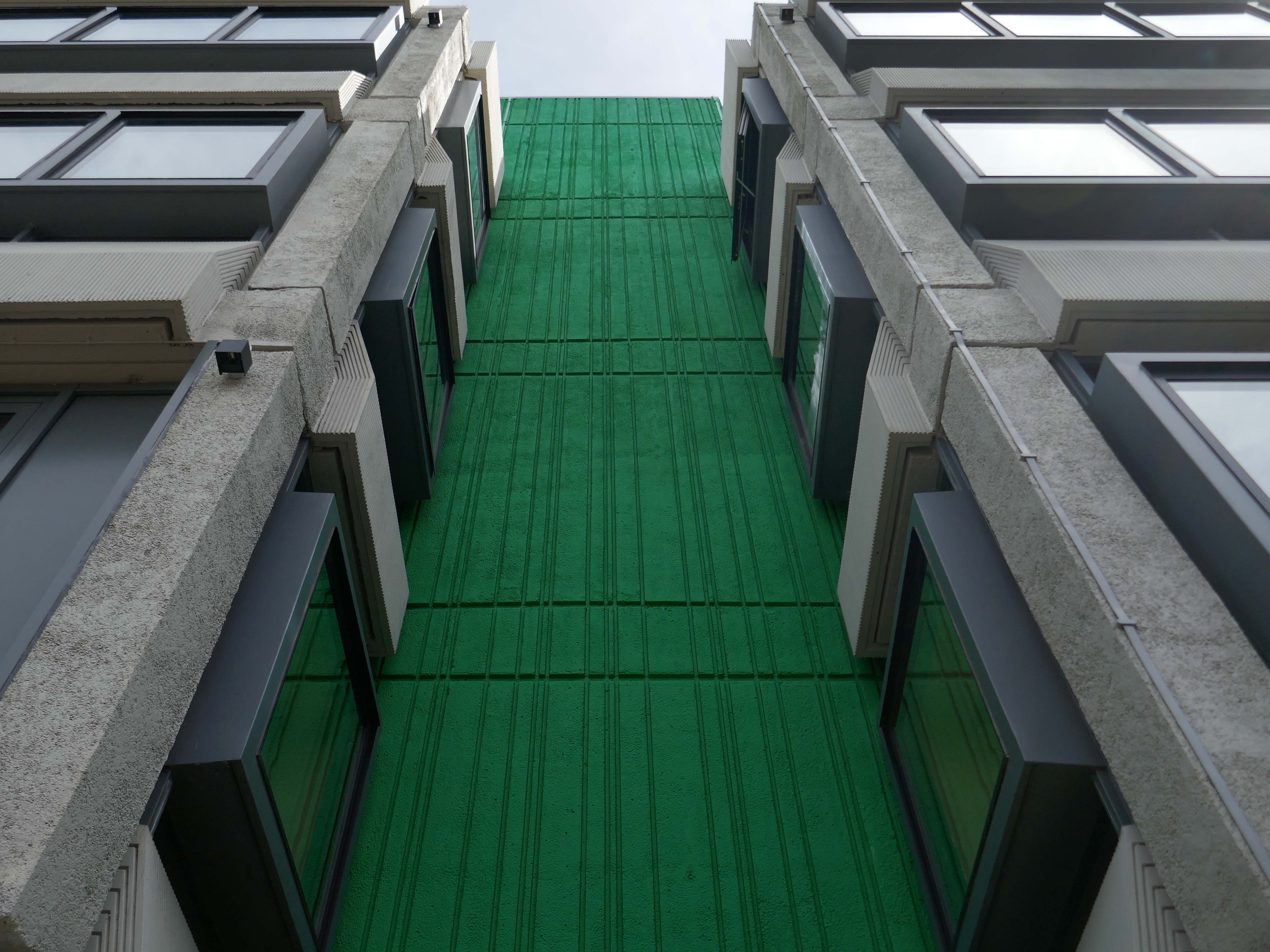
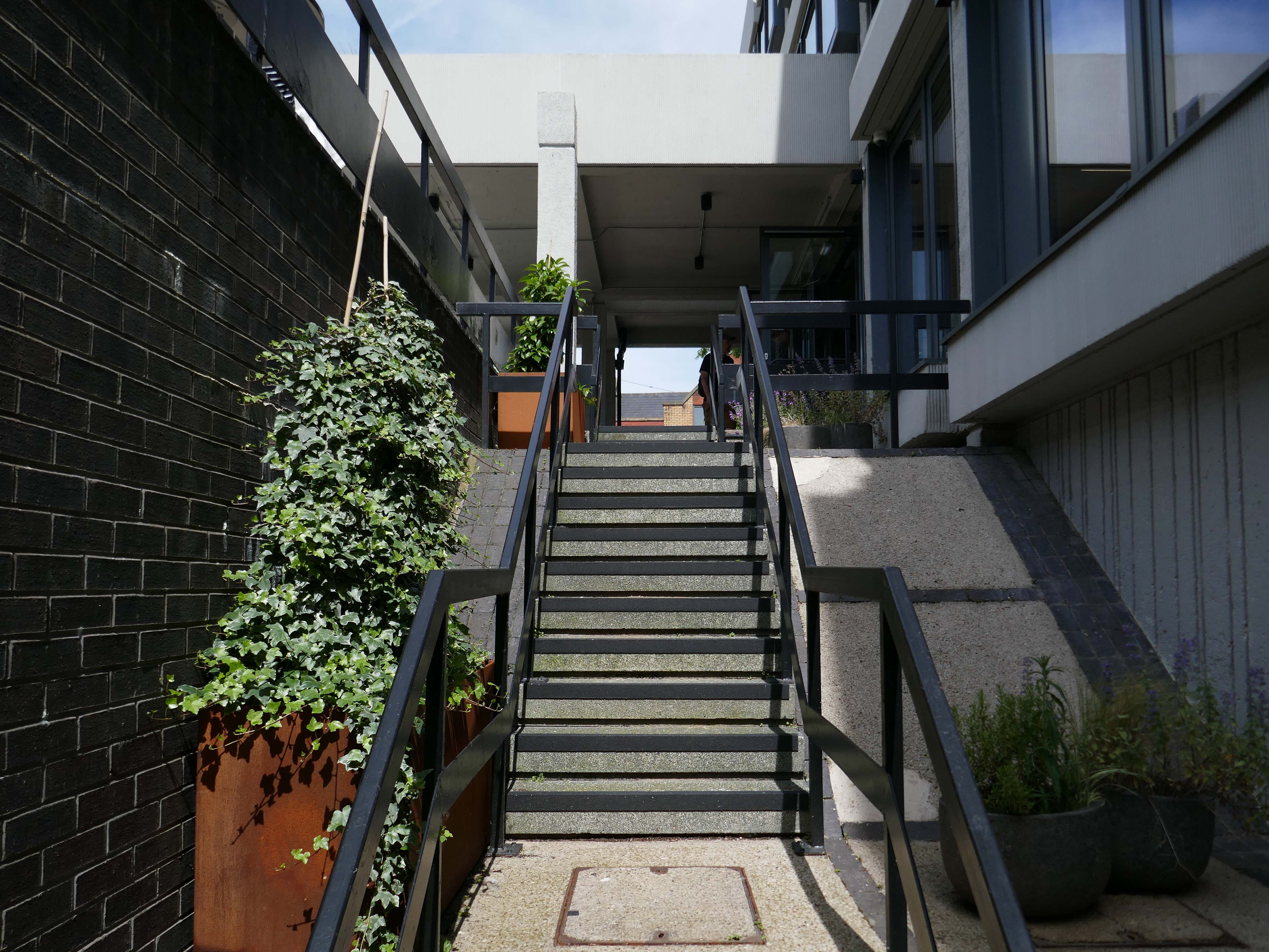
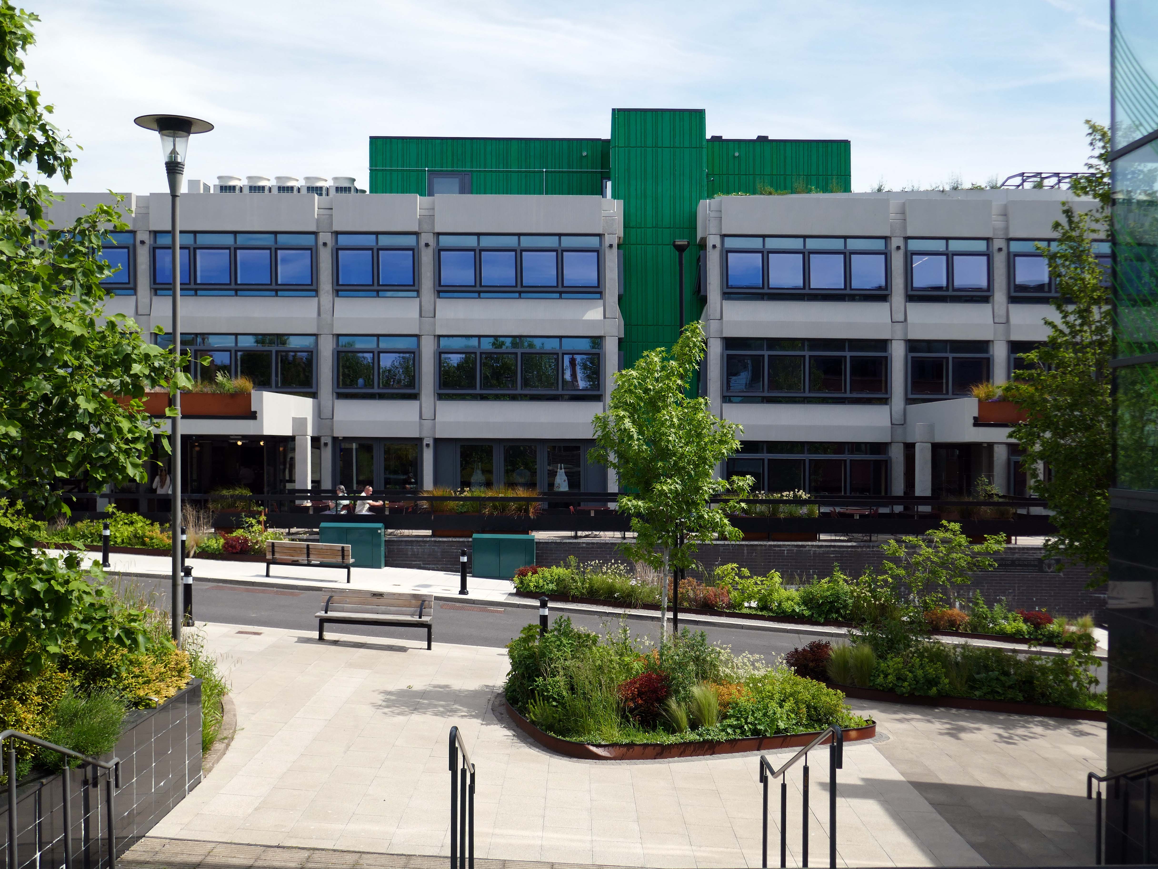
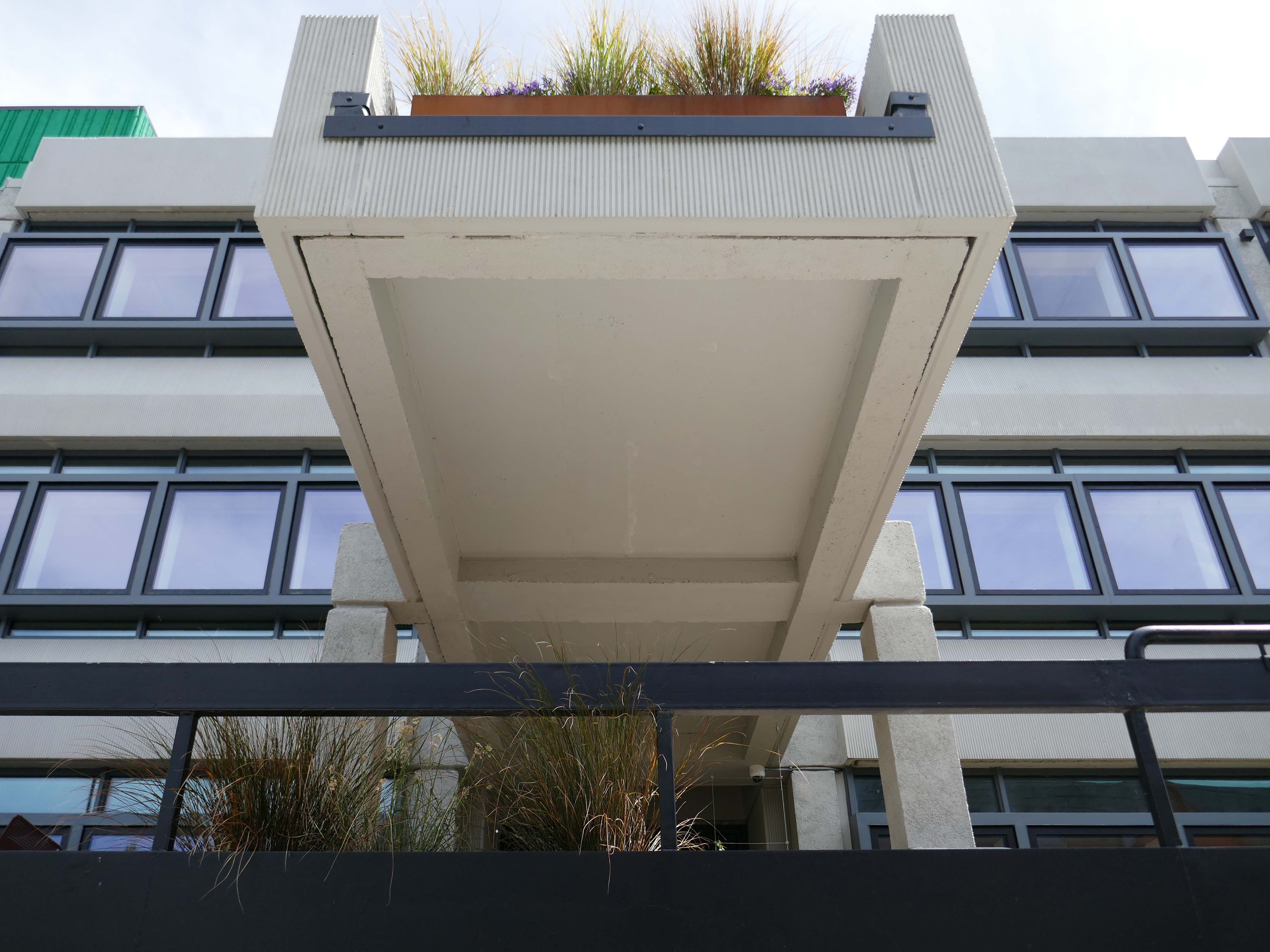
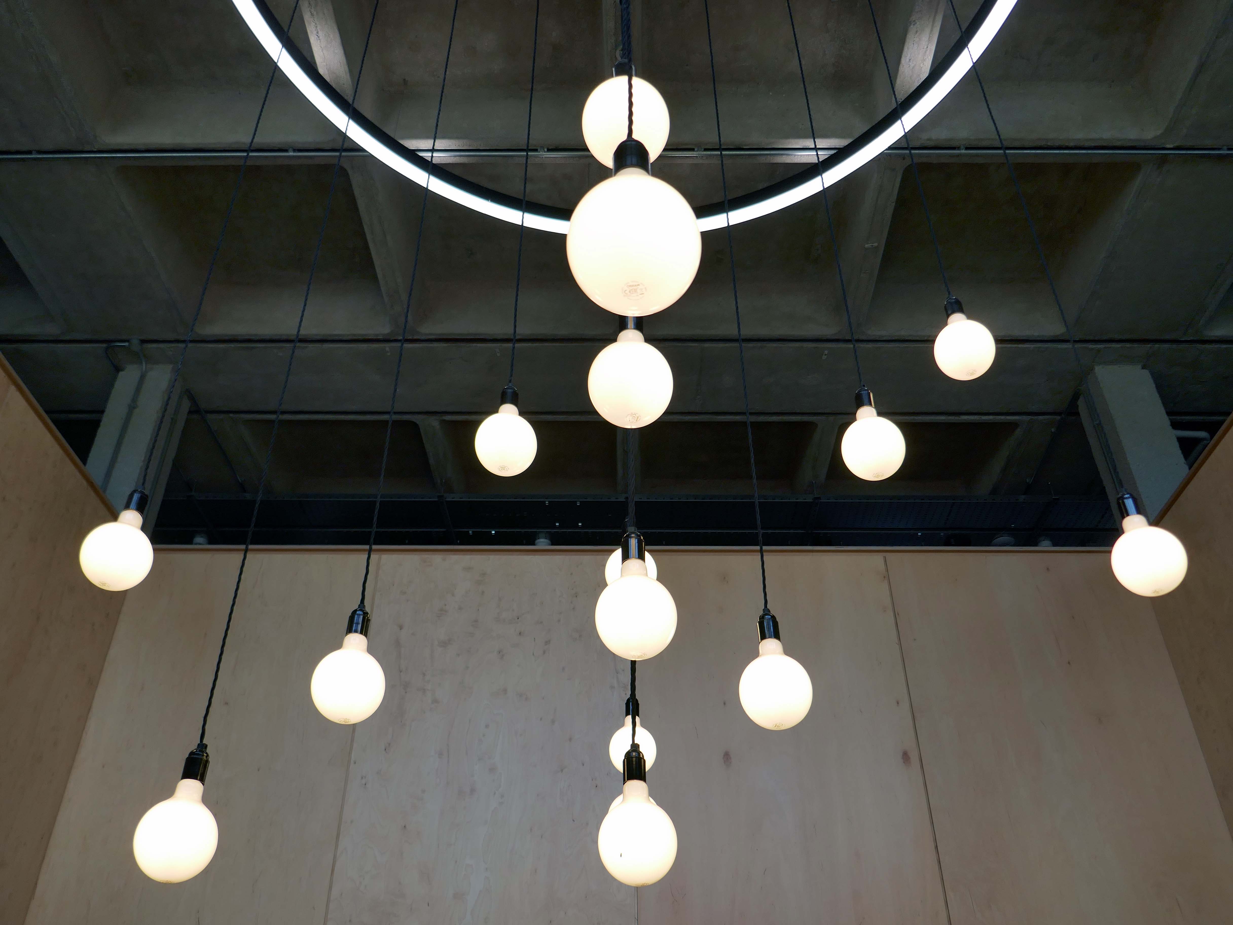
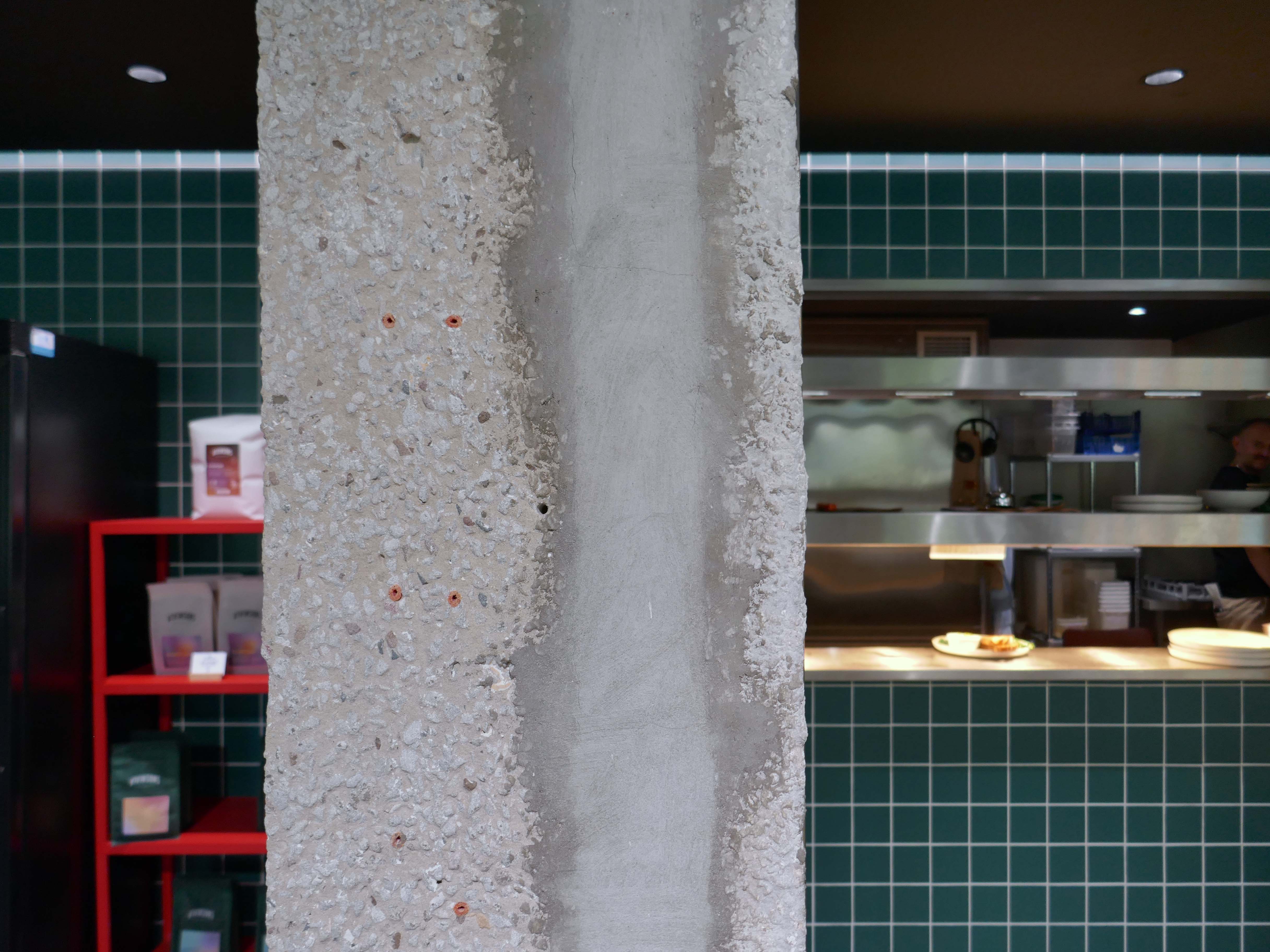
The brutalist beast has been lovingly restored by Capital&Centric to celebrate its architecture, with original waffle ceilings, corduroy concrete and stunning feature windows that flood the space with light.
The redevelopment was supported by cash from the UK Shared Prosperity Fund – UKSPF.
Dave Molyneux, the leader of Wigan Council, said:
I had an office in here for quite a while and it had that 1970s retro, concrete building style but this is something special.
For businesses, we’re probably the best located local authority in Greater Manchester because of the West Coast Main Line and the M6 motorway.
It was great to visit and tour Wigan Civic Centre on Millgate, to see the inspiring work being done to create sustainable workspaces and amenities in the centre of our town. This development, alongside others taking place and planned across the North West, will help to revitalise our public spaces
Lisa Nandy MP
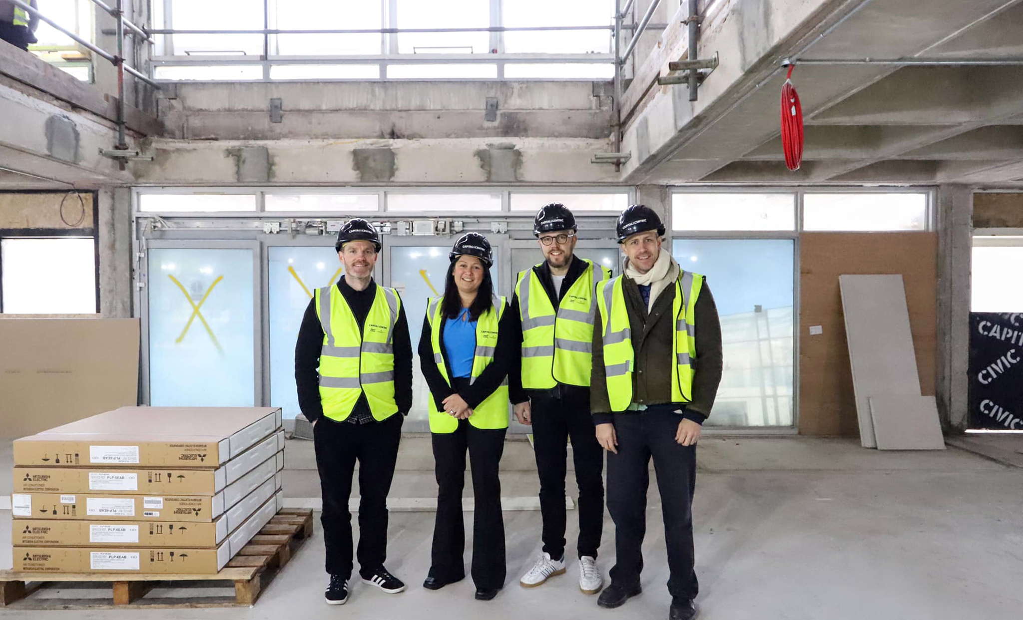
The refit was handled by shedkm.
With students, start-ups and professionals situating themselves elsewhere in Greater Manchester, Wigan town had been missing out on the economic and cultural vitality that high quality workspace brings. Civic’s transformation represents not just the overhaul of a tired concrete building, but a wider renewal of place and opportunity for Wigan.
Main interior contractors were Workspace Design & Build.
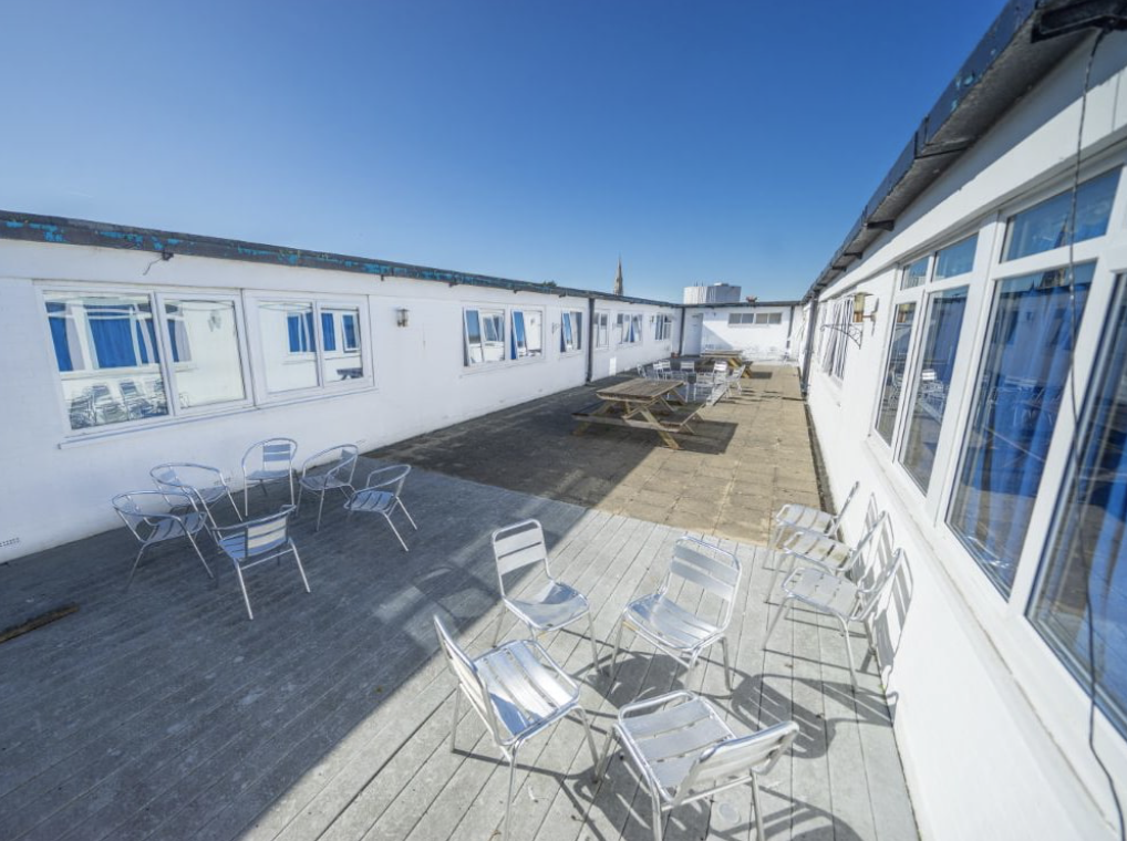
Working with Wigan Council and Capital & Centric, we completed the refurbishment of the 50,000 sq ft building that is Wigan Civic Centre. Delivering aspirational office accommodation to stimulate economic growth with the goal to create a lasting social impact in Wigan. In addition to exemplar market-leading workspace, amenities include a rooftop terrace, mini cinema, gym studio and co-working/coffee shop space.
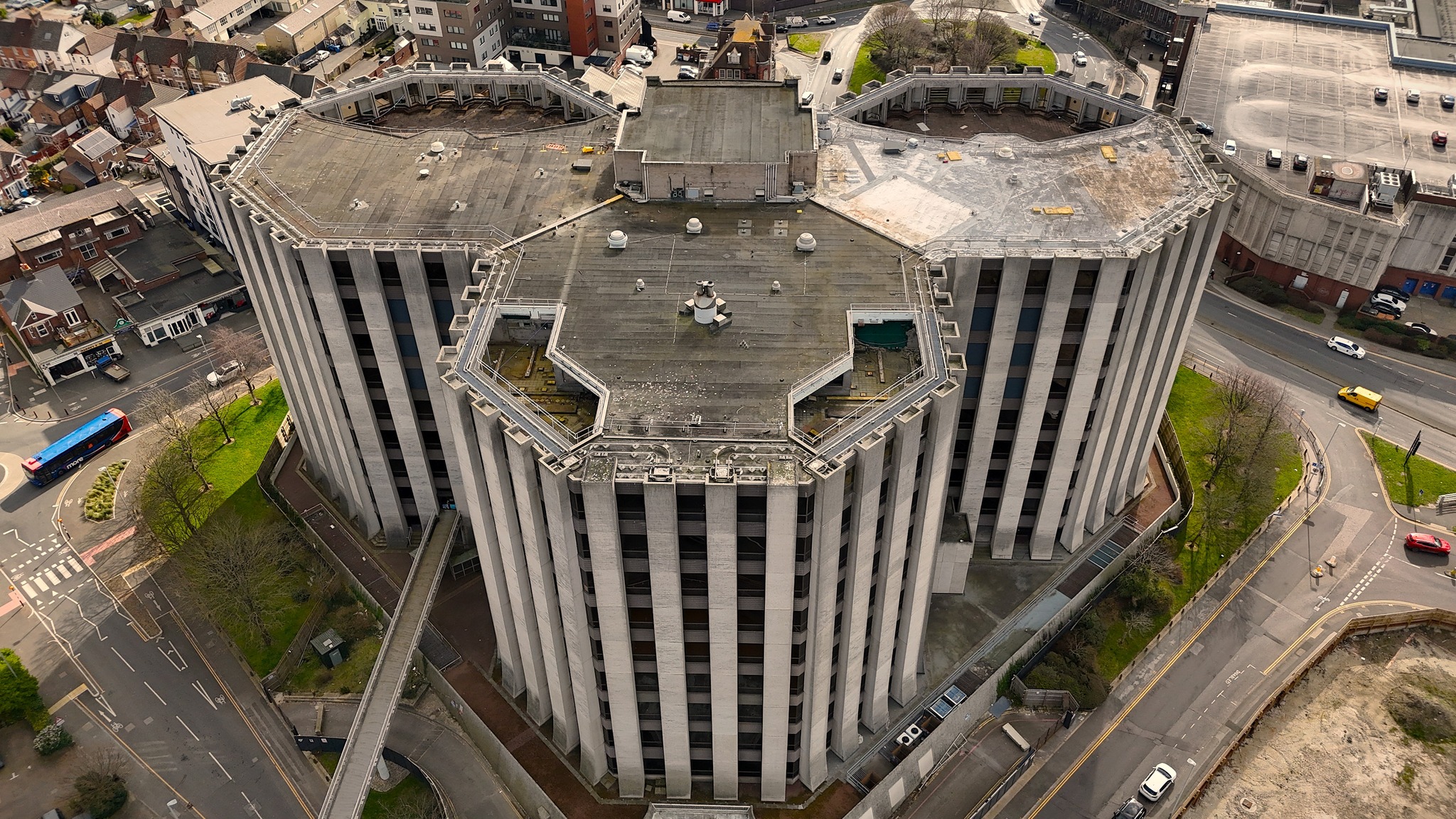
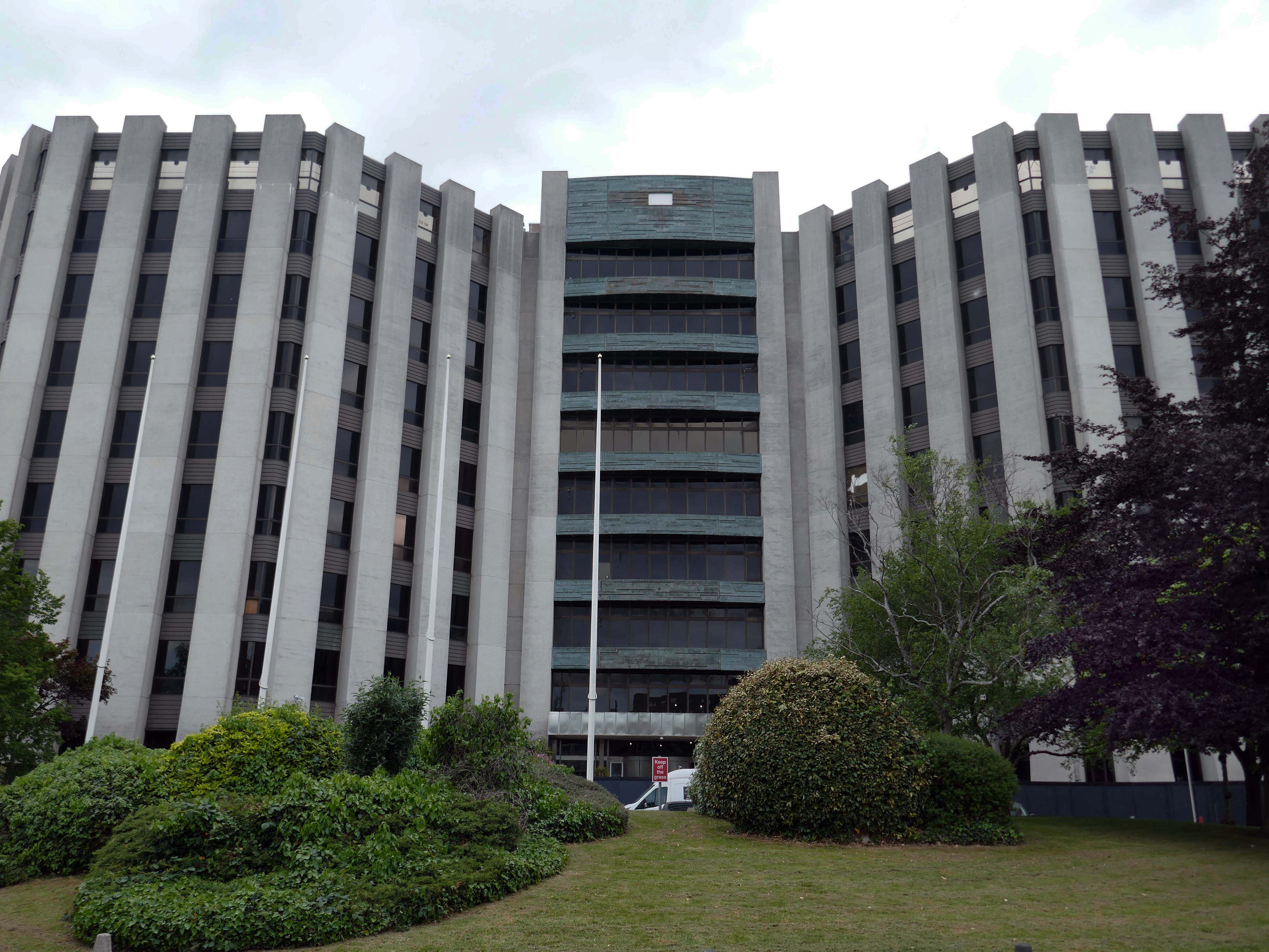
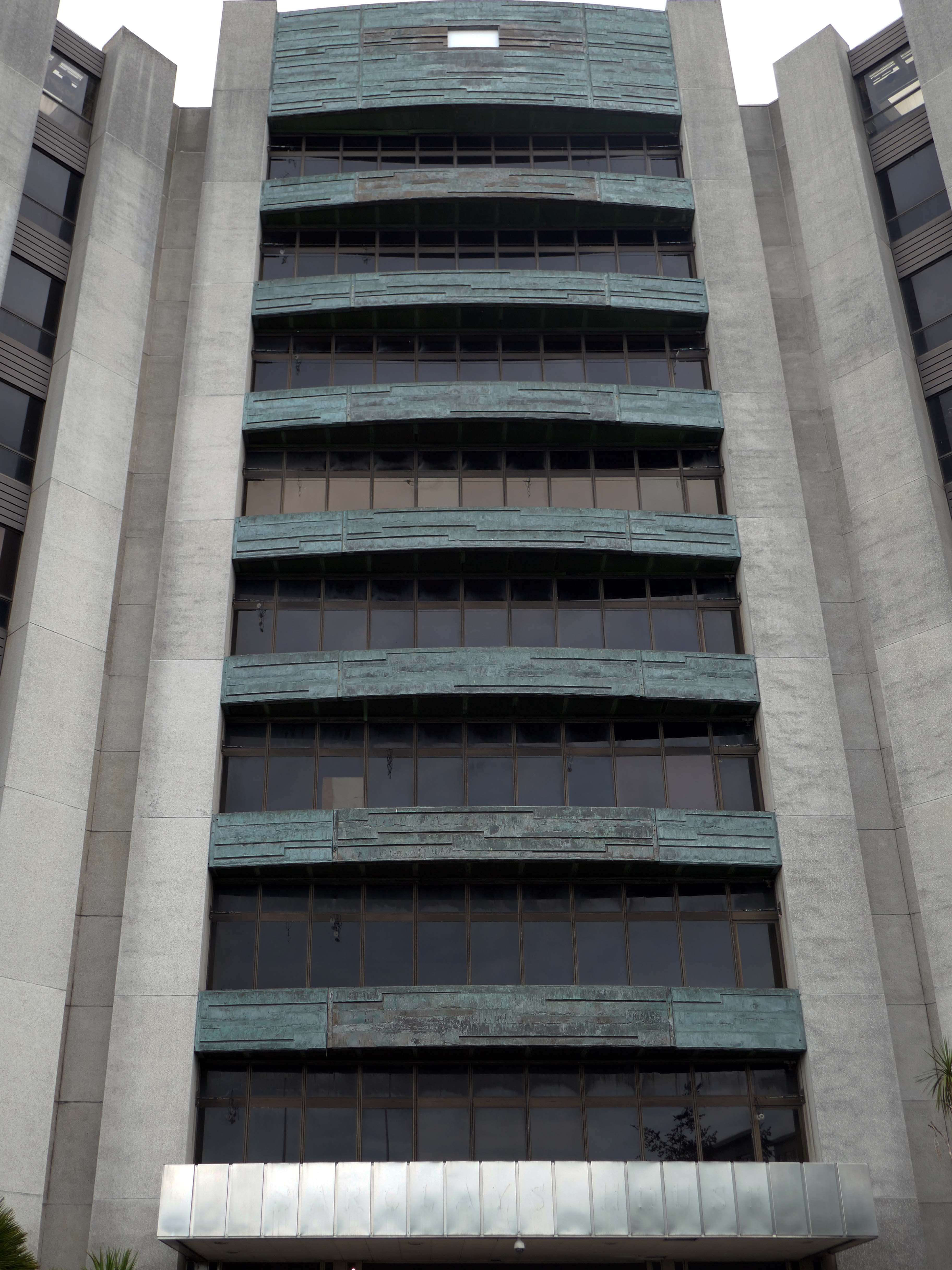
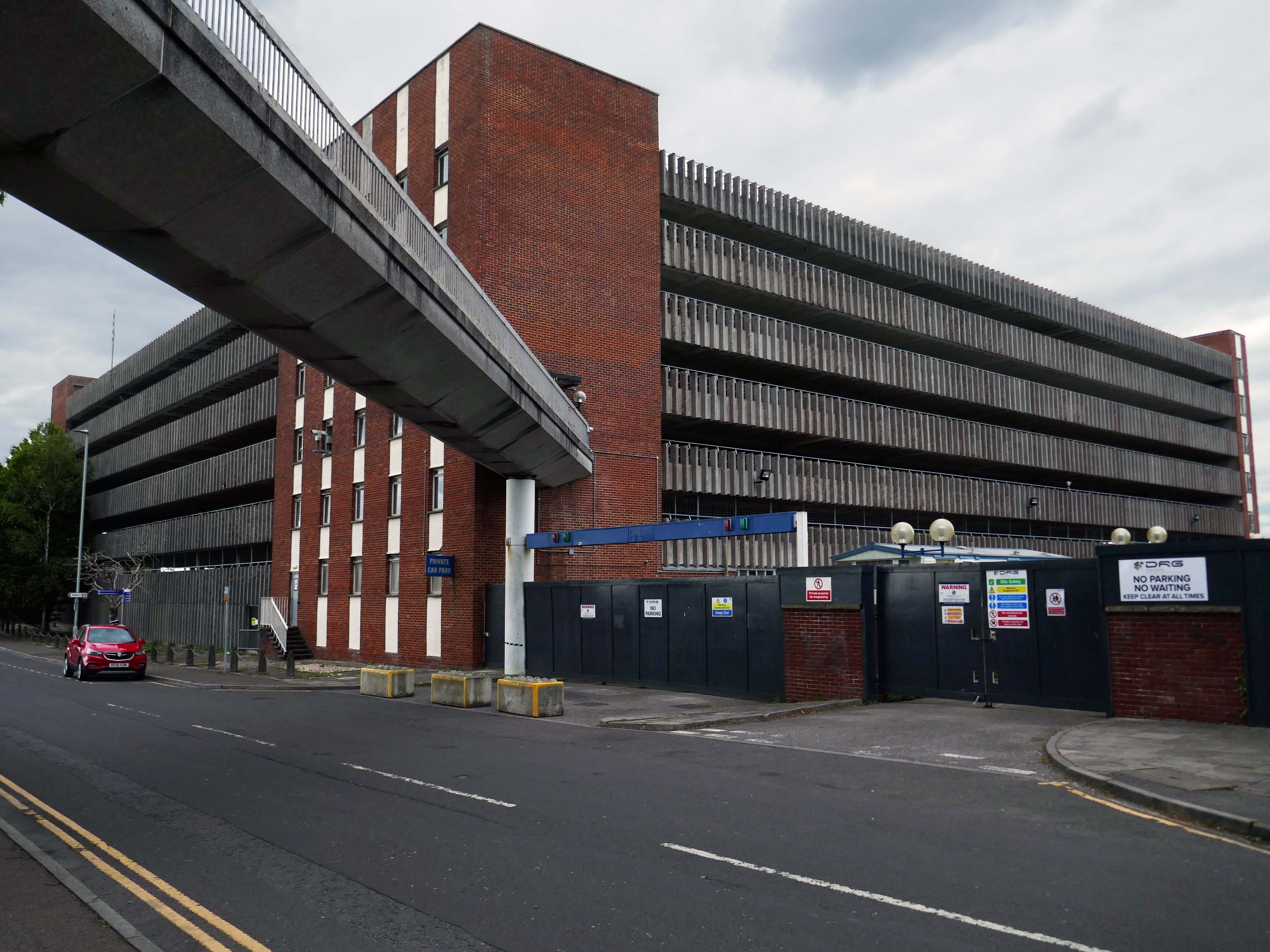
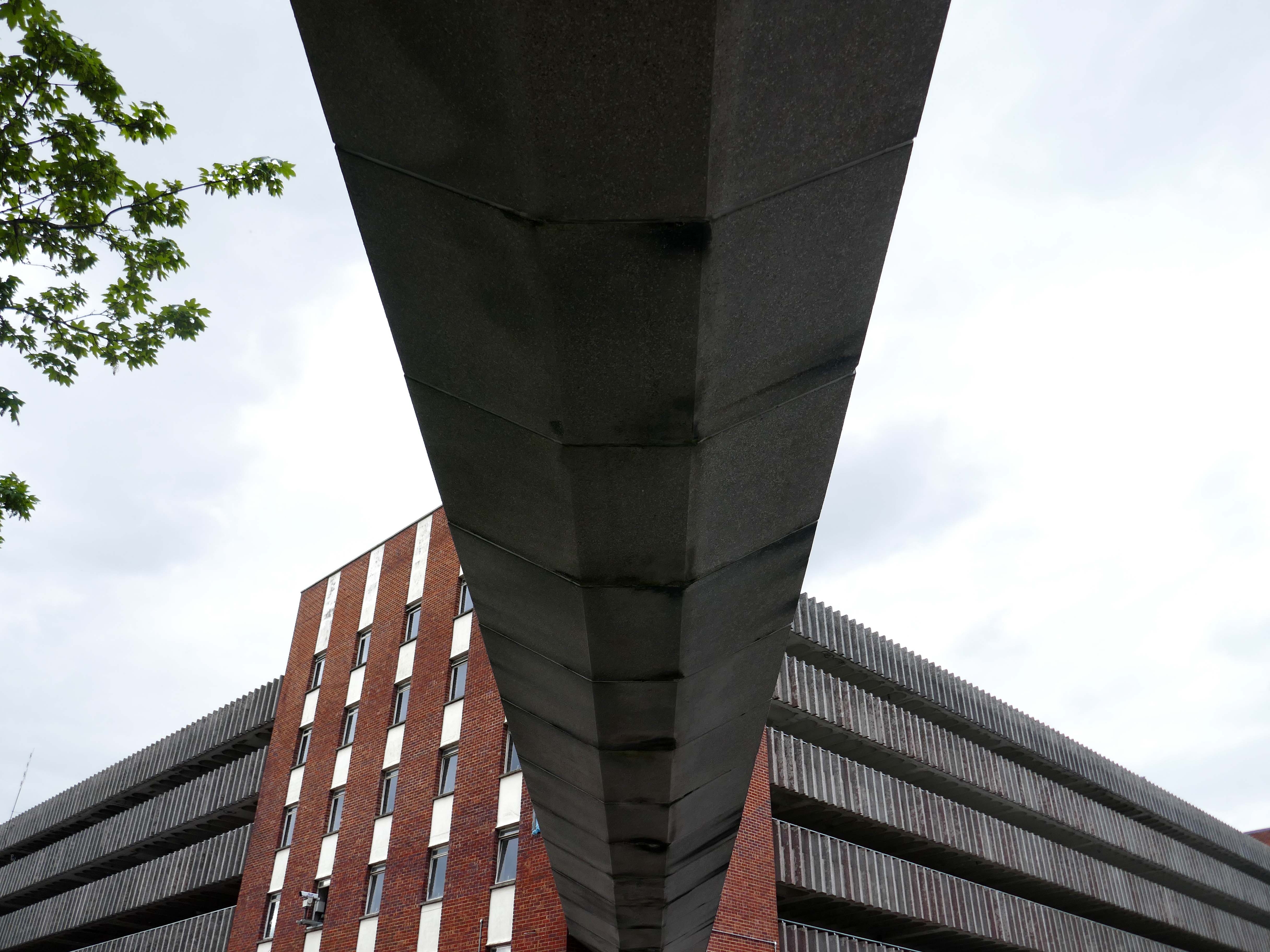
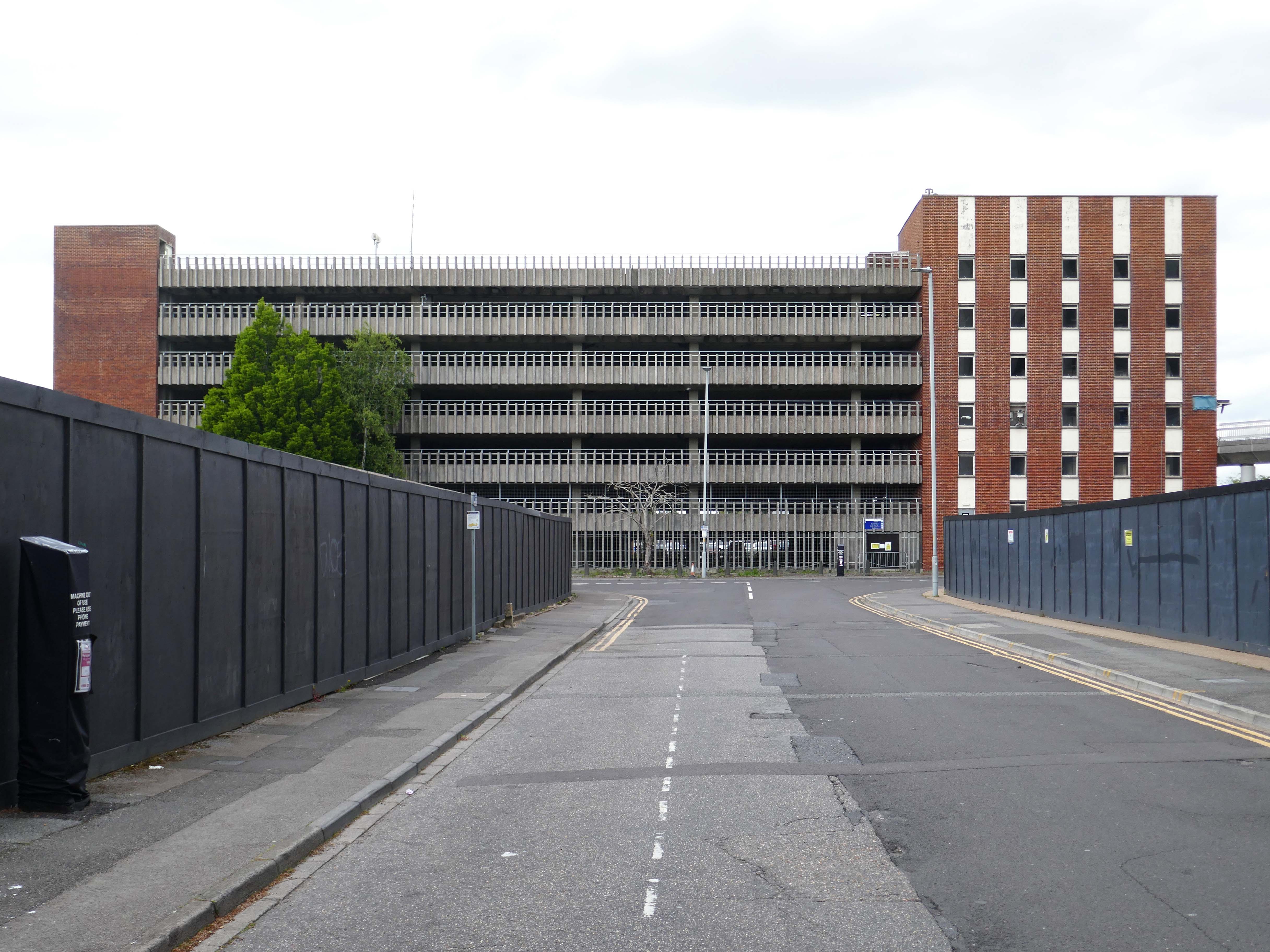
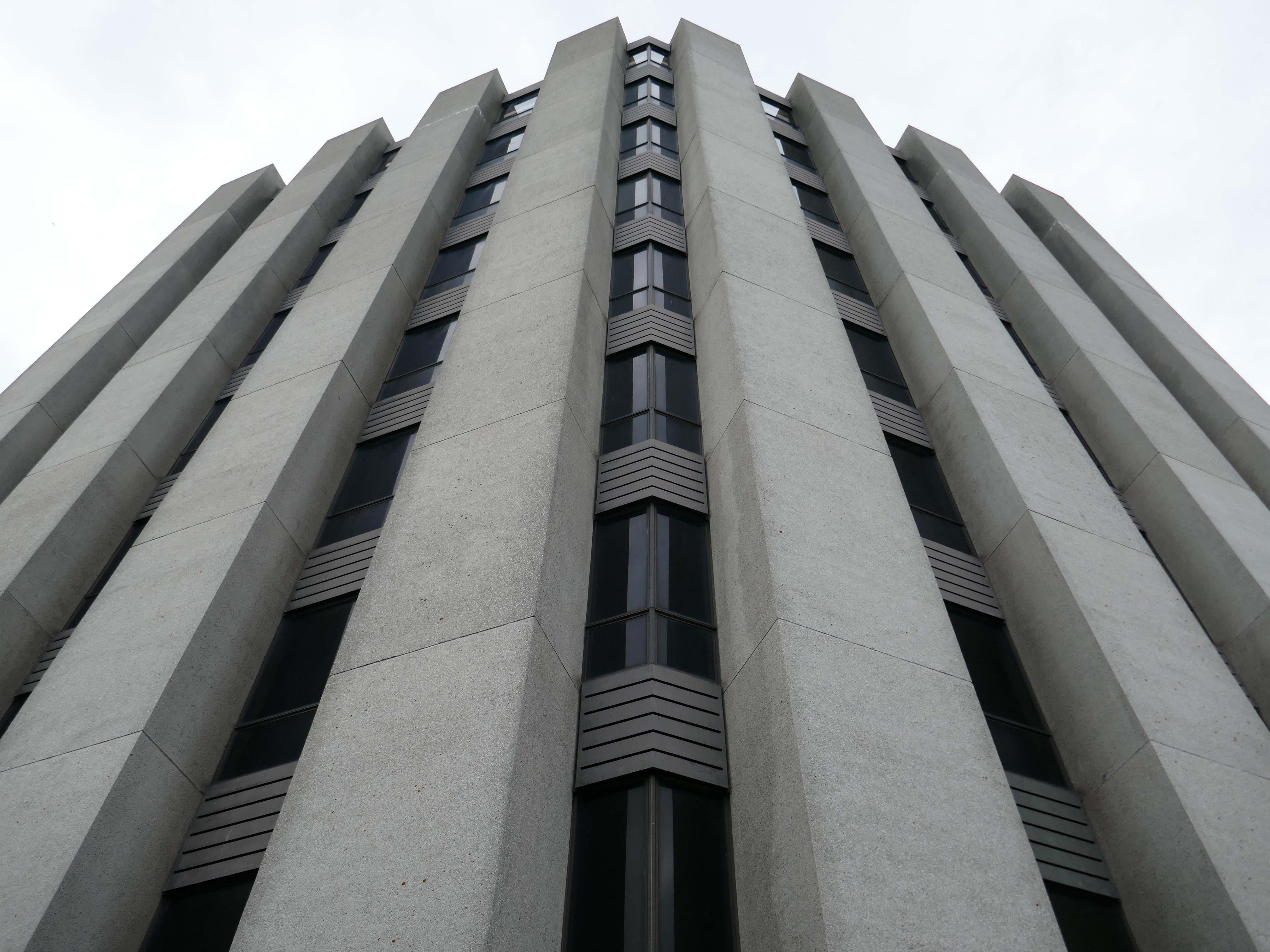
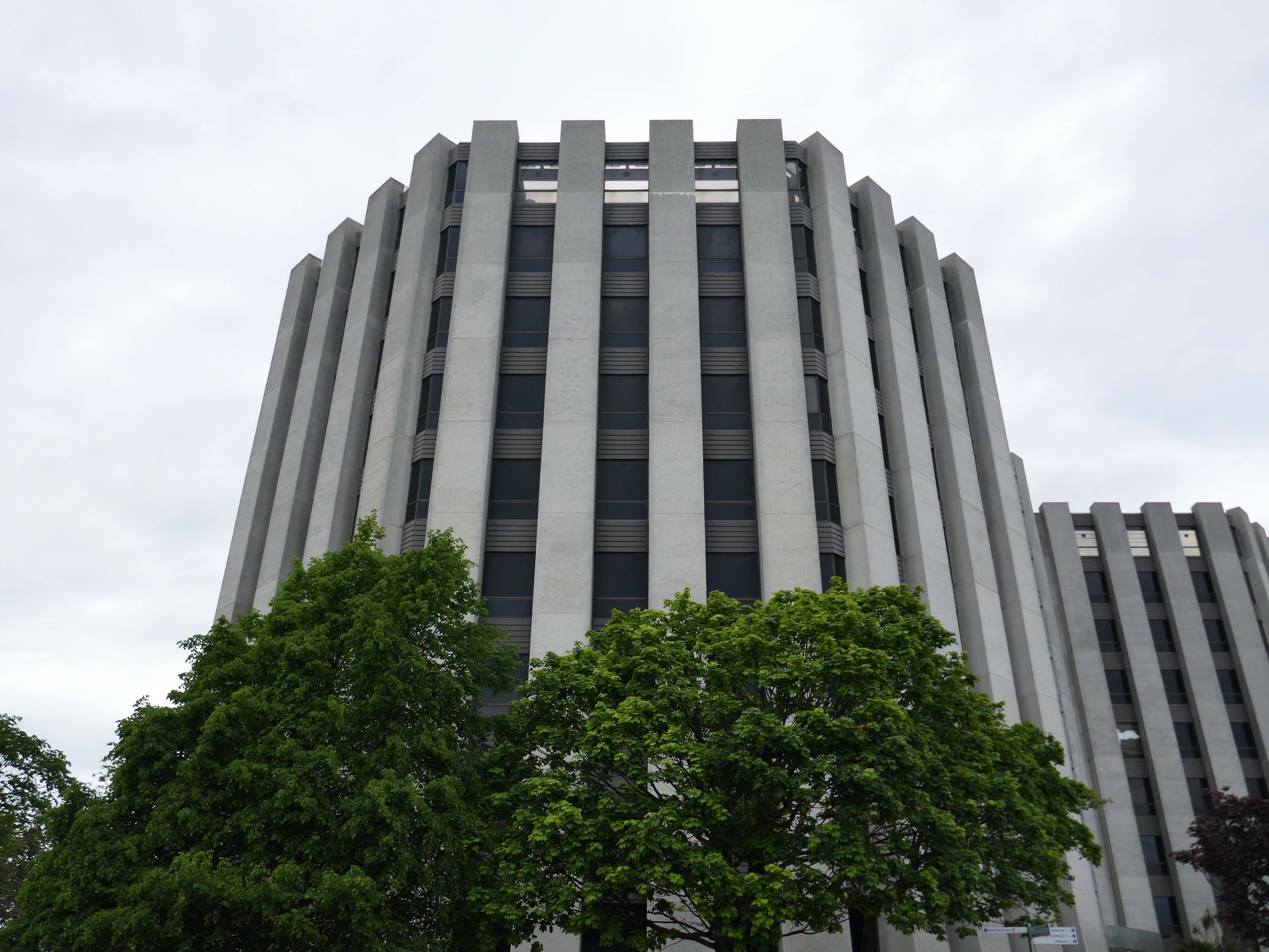
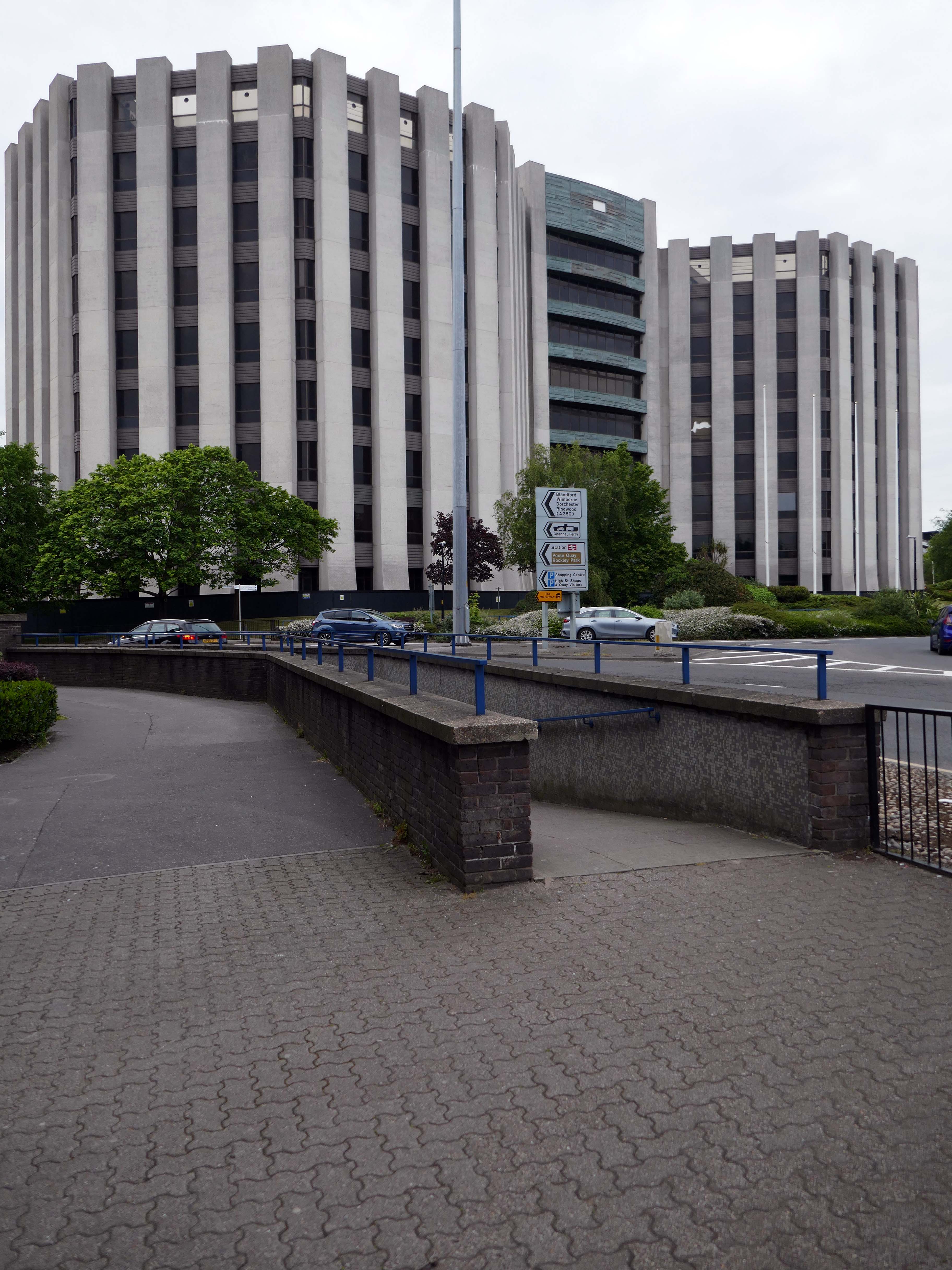
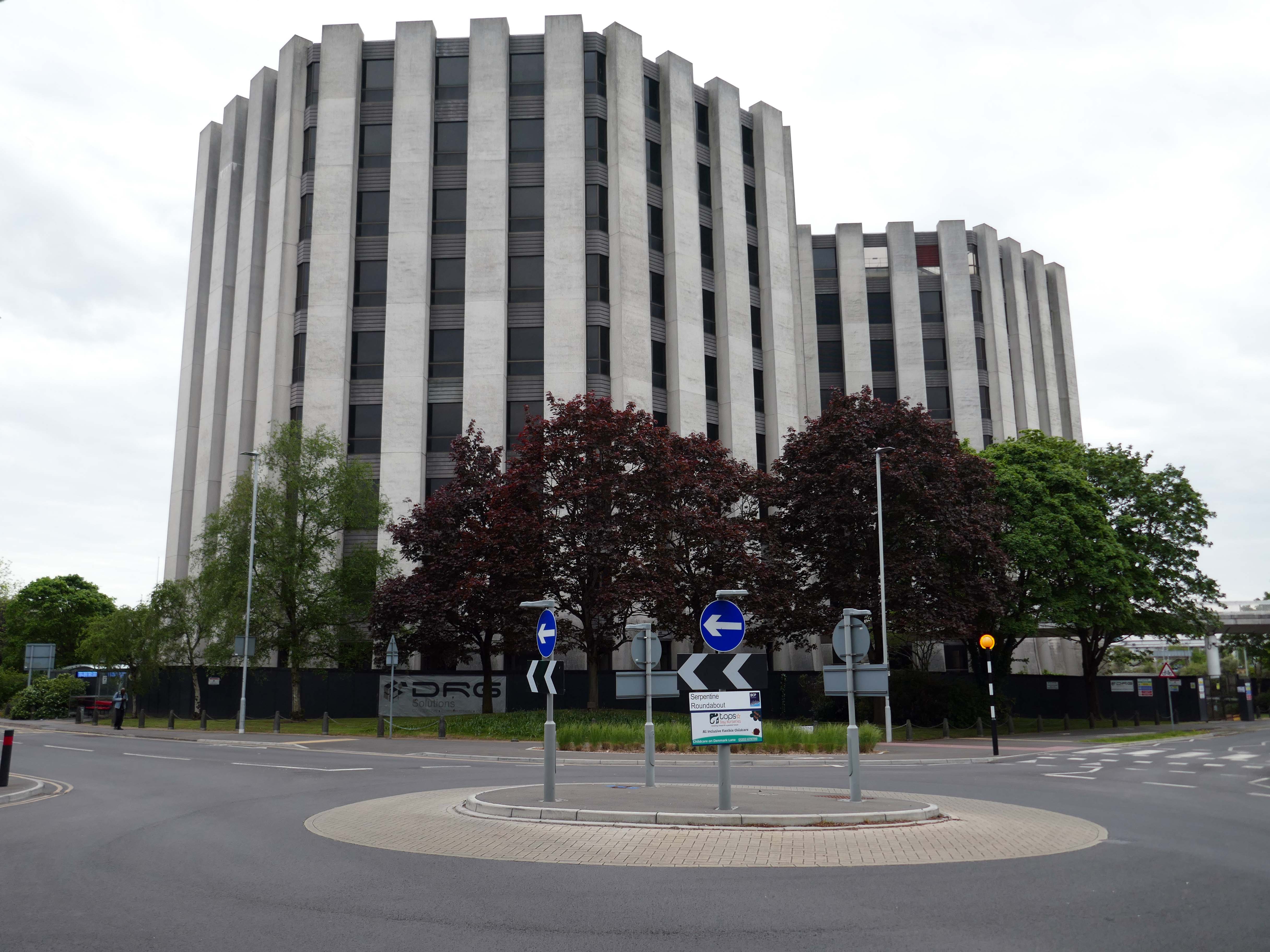
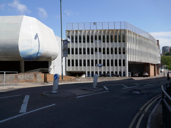
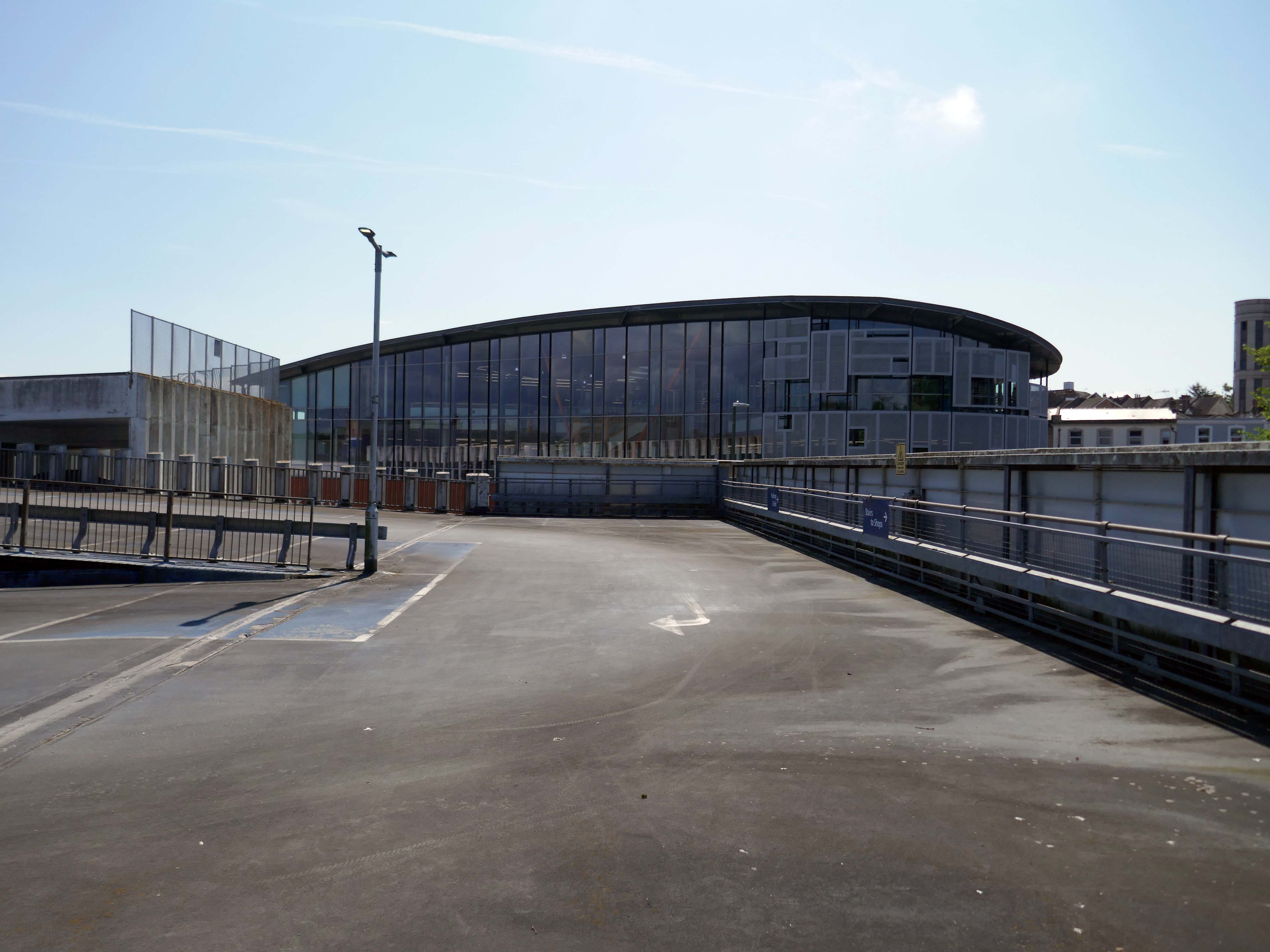
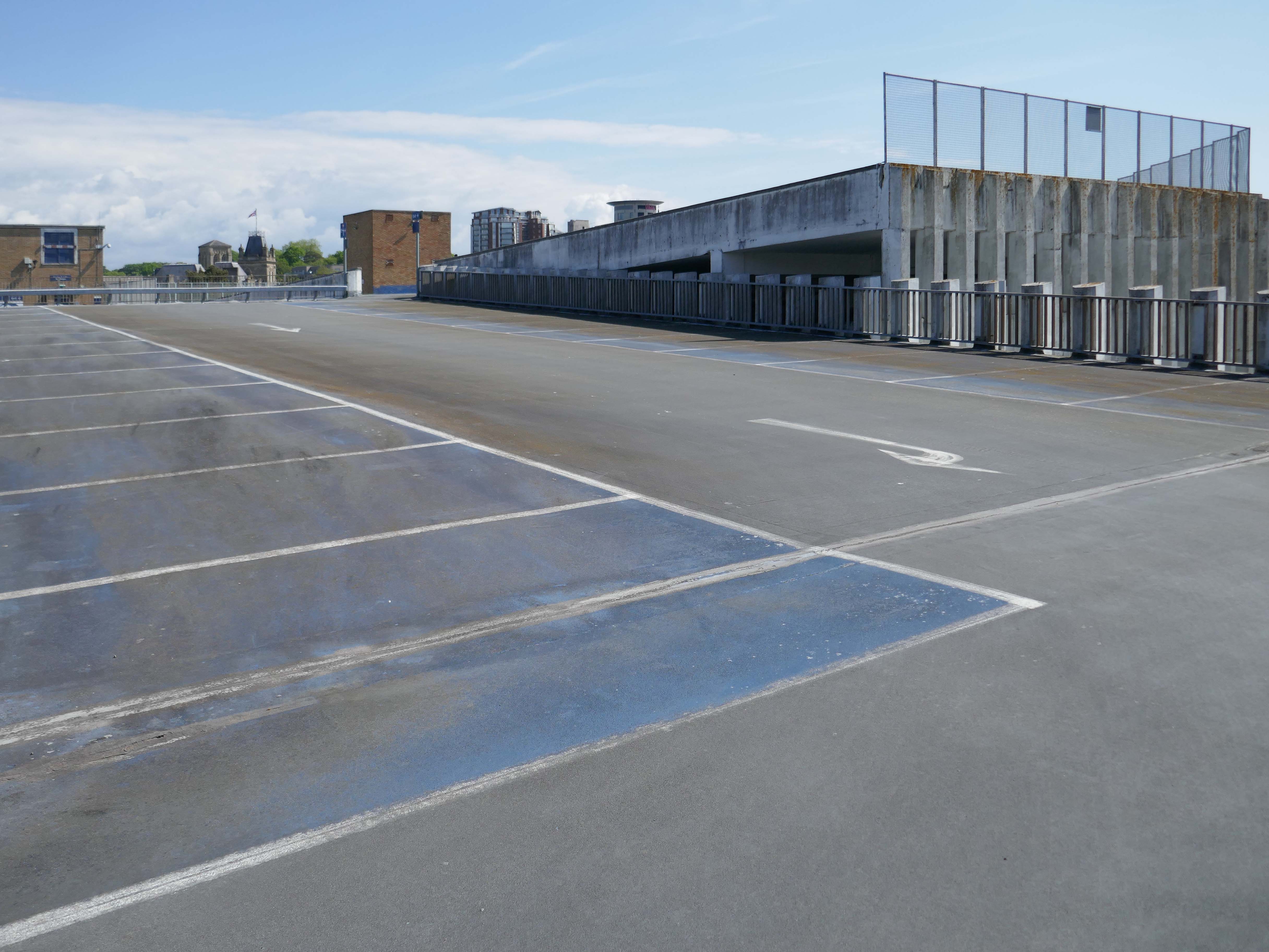
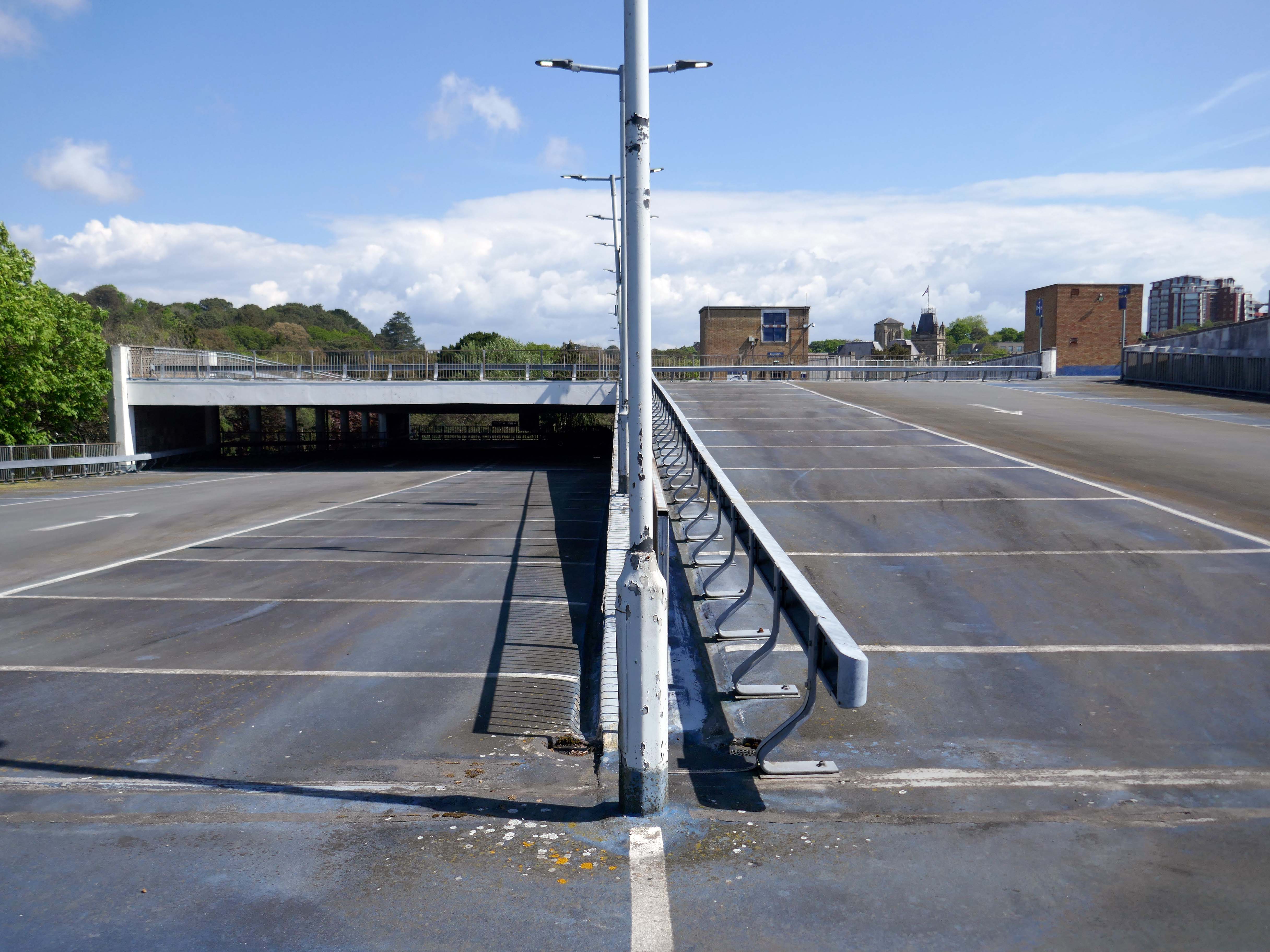
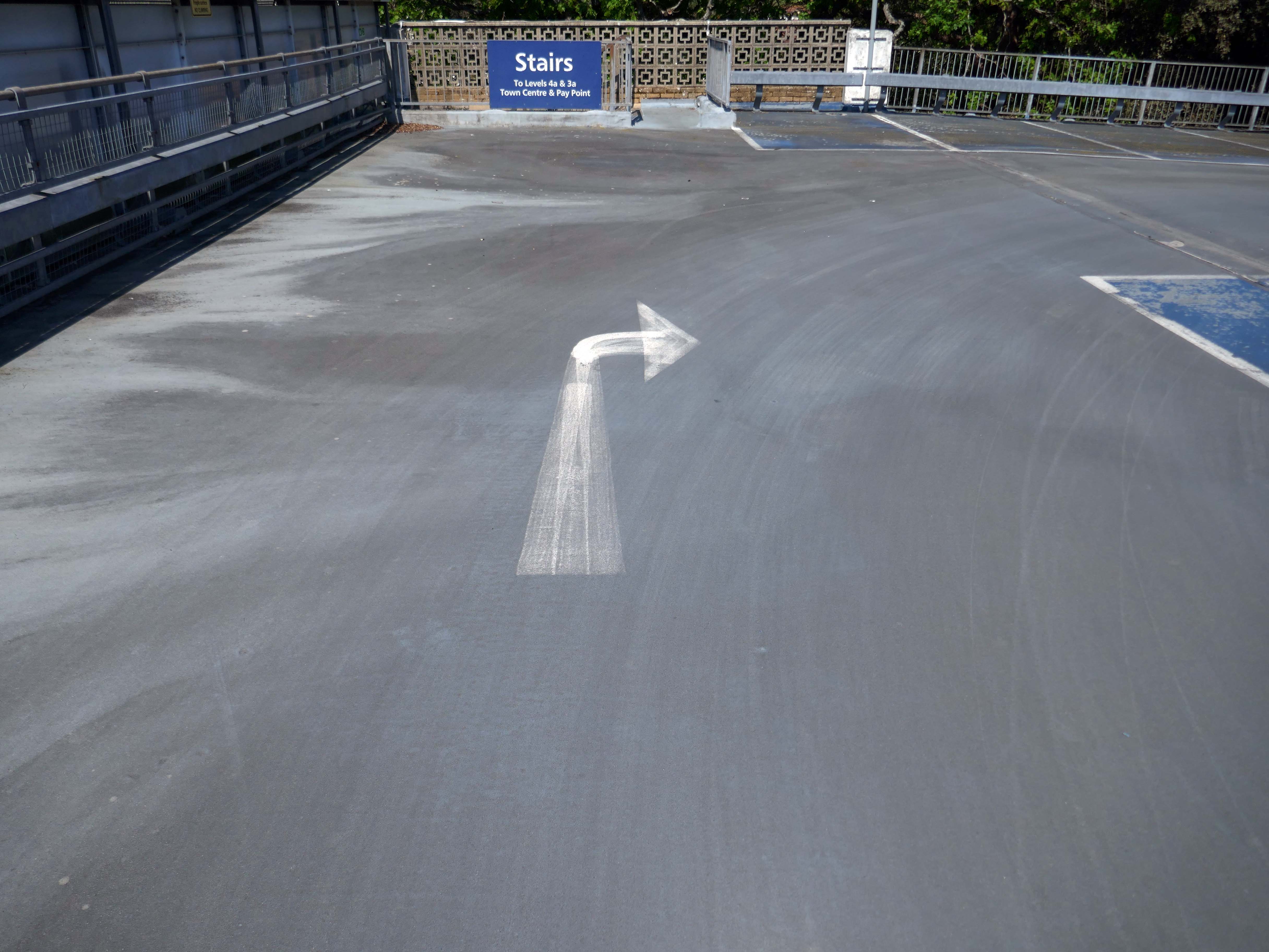
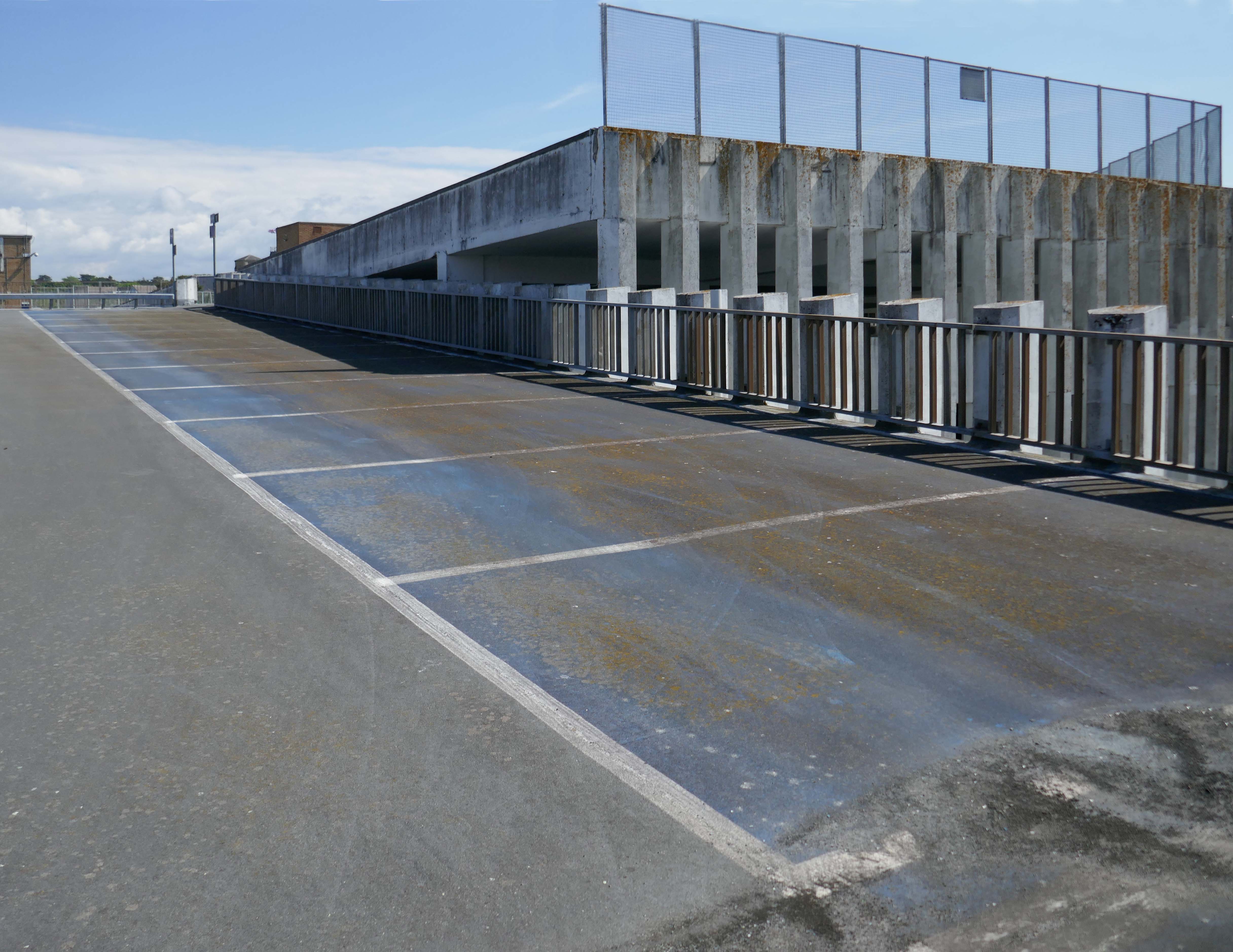
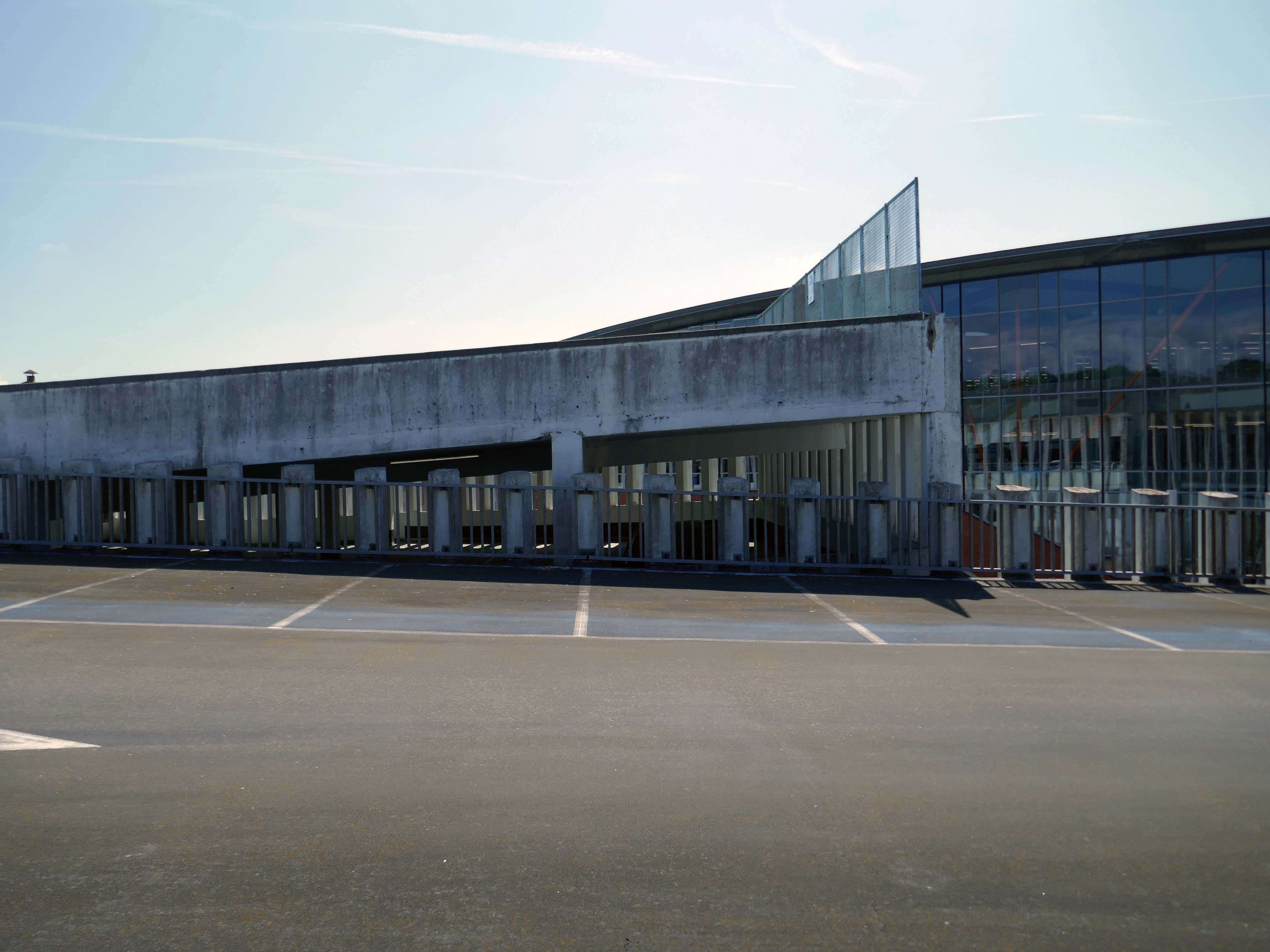
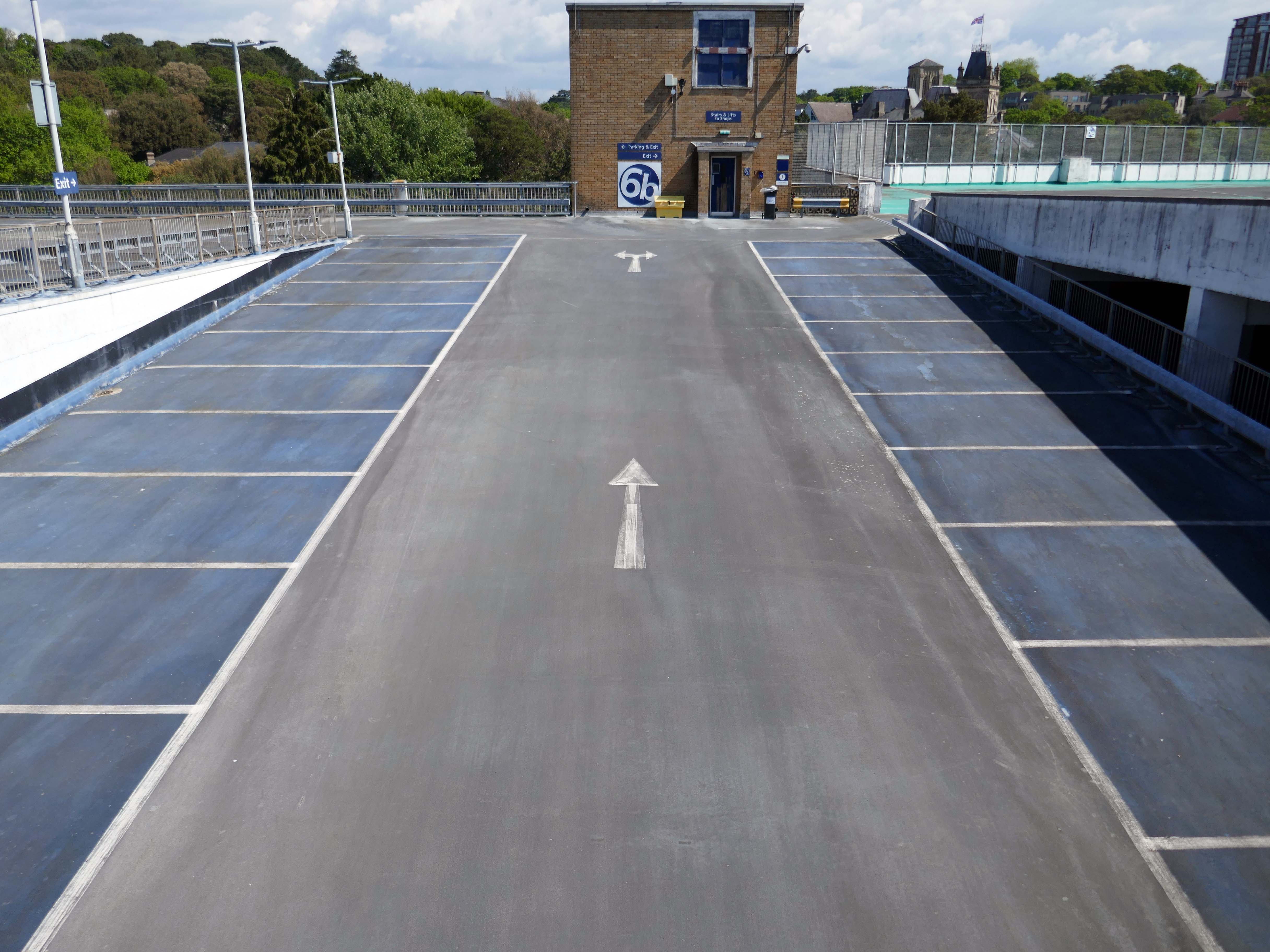
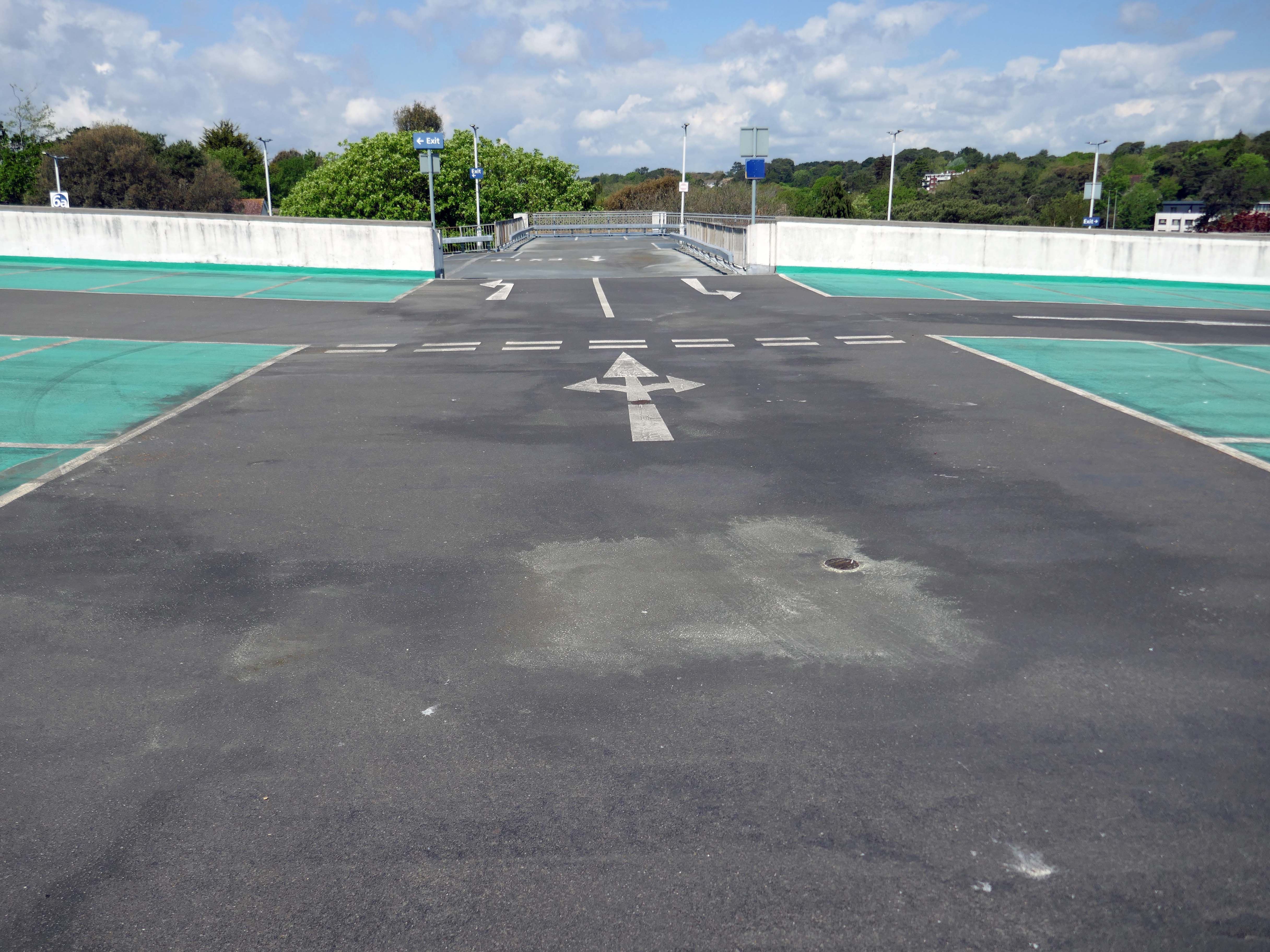
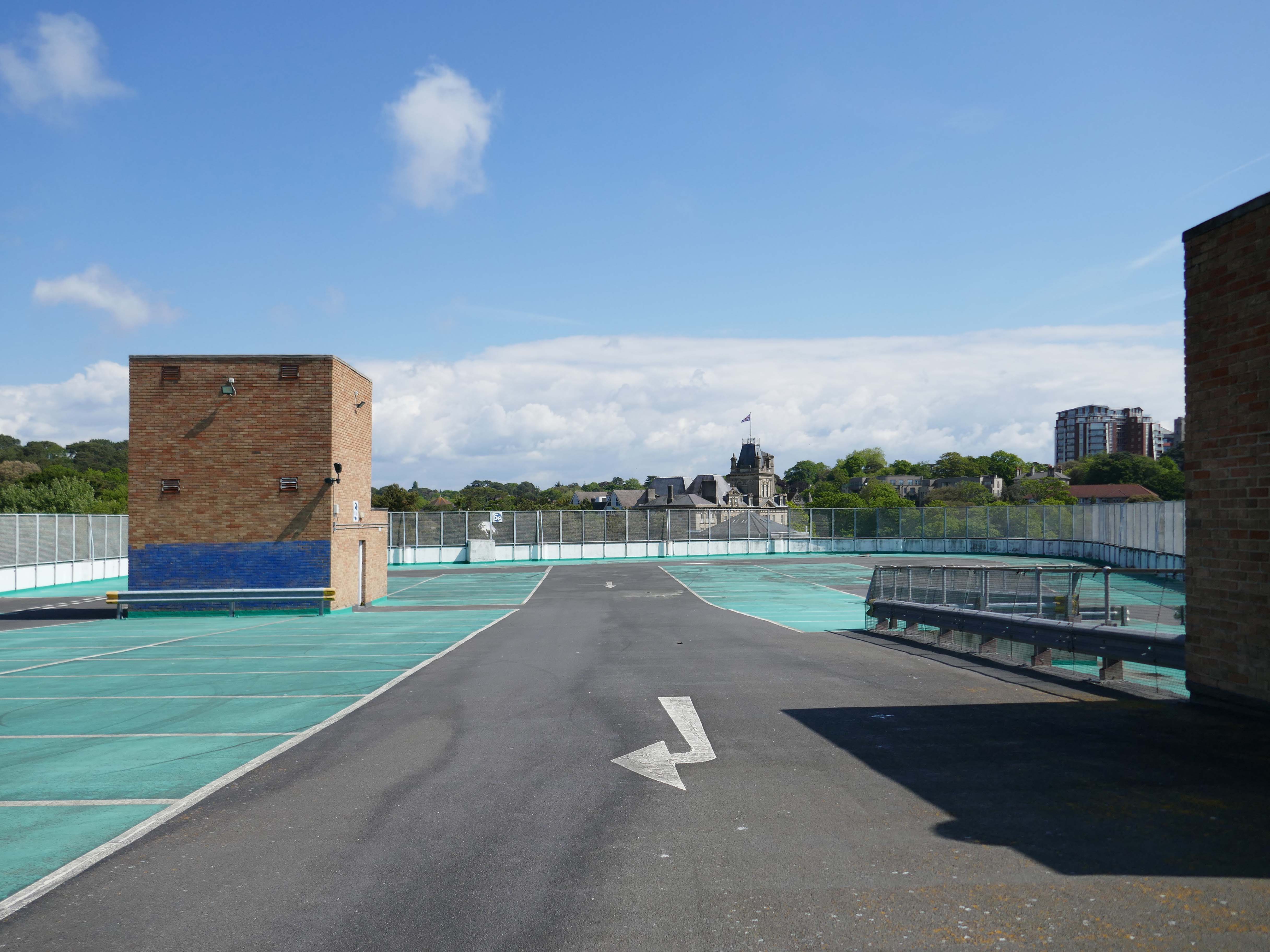
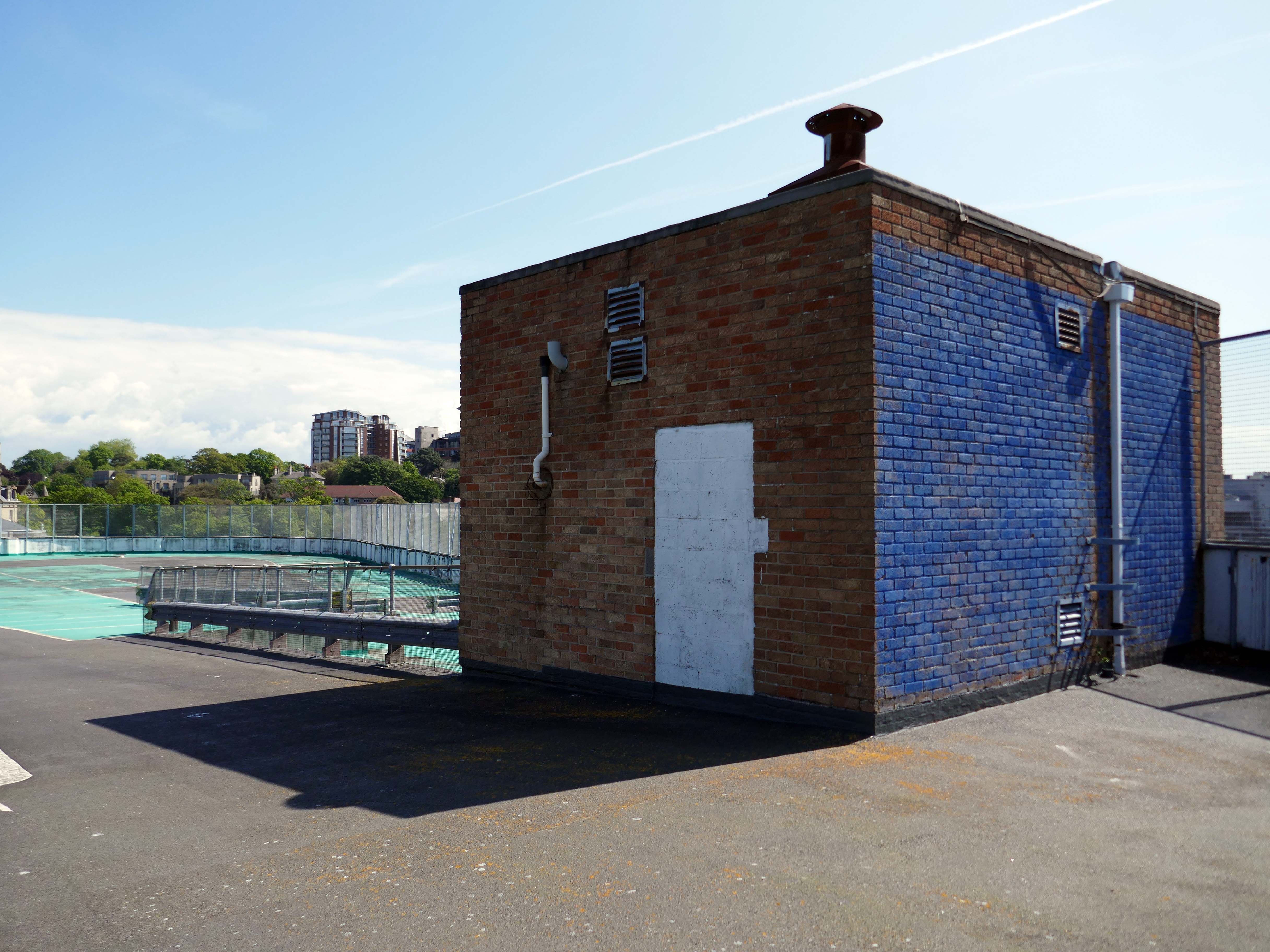
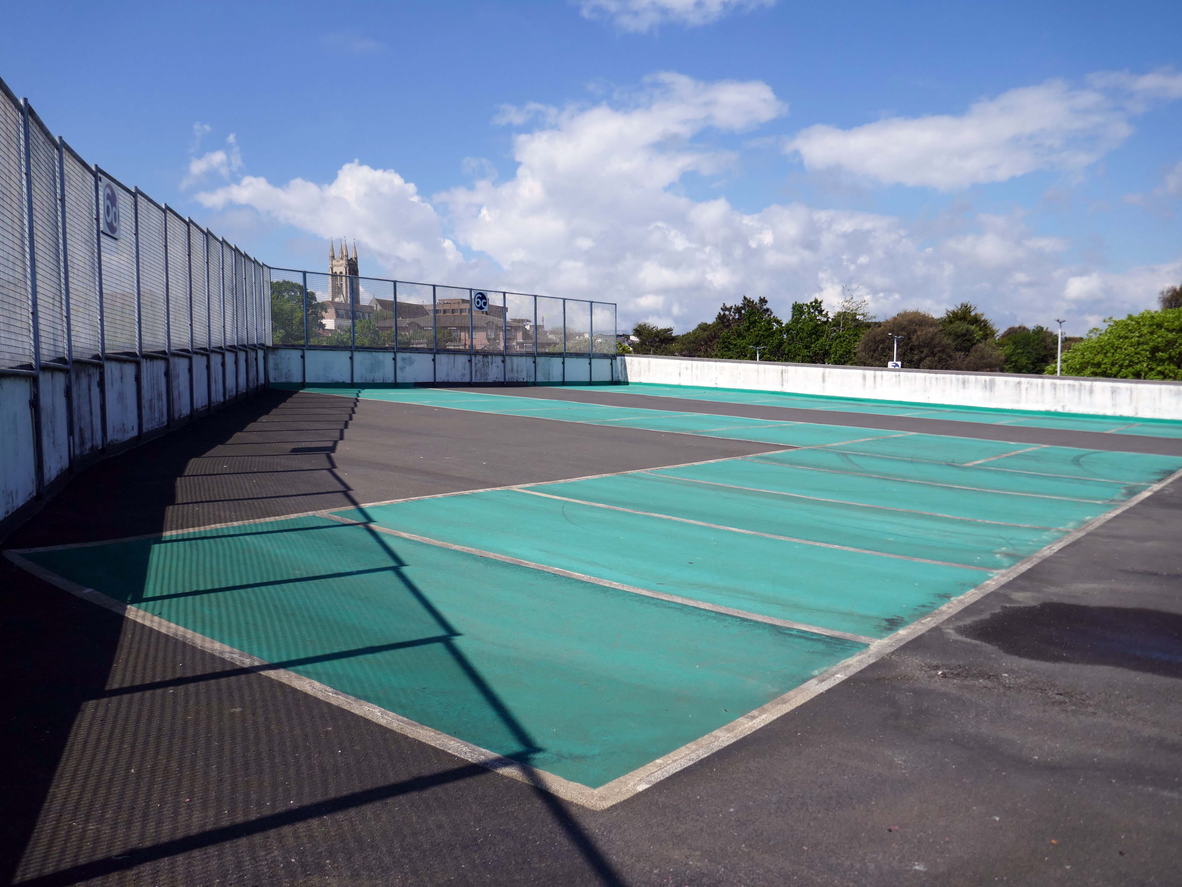
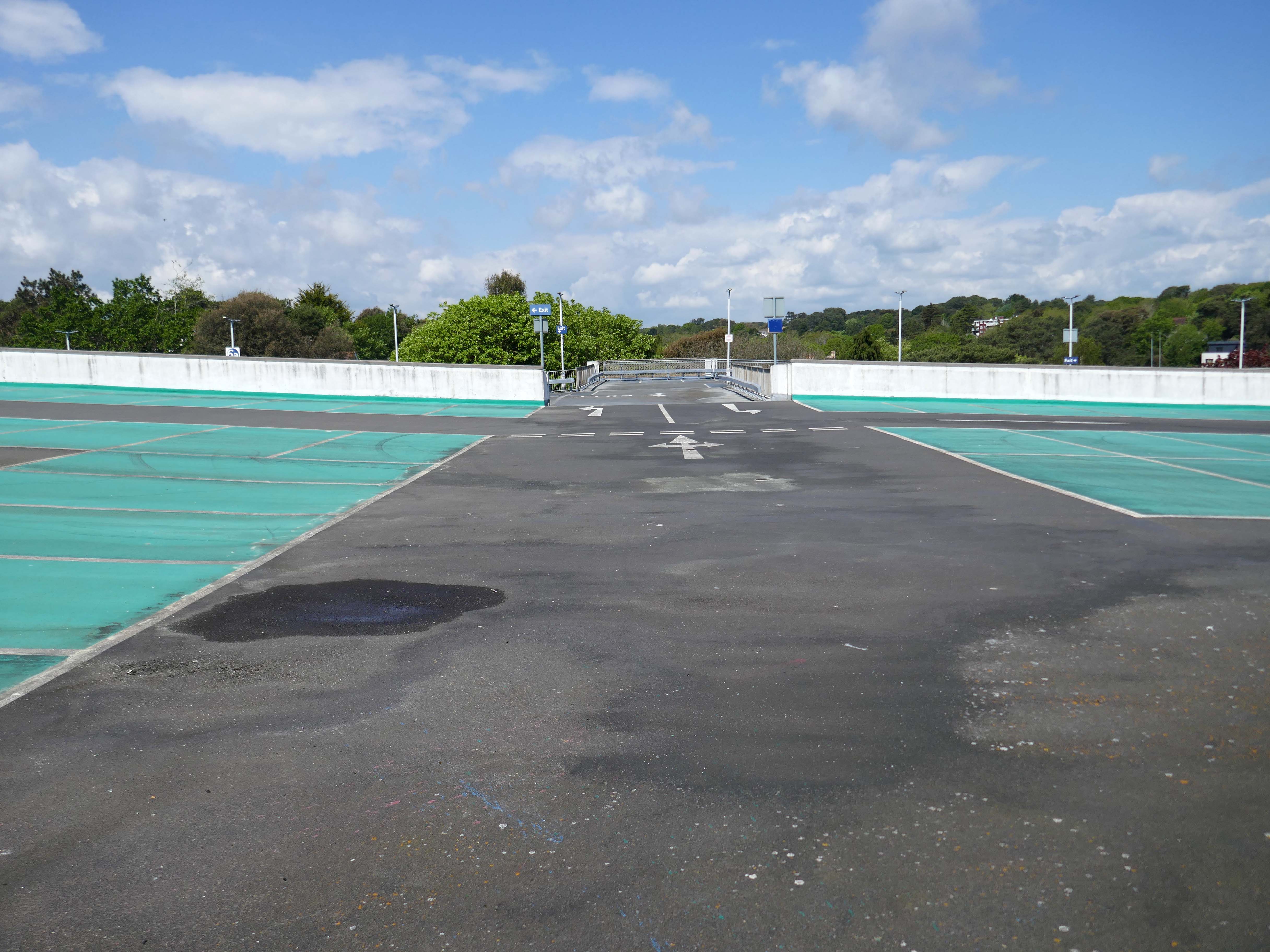
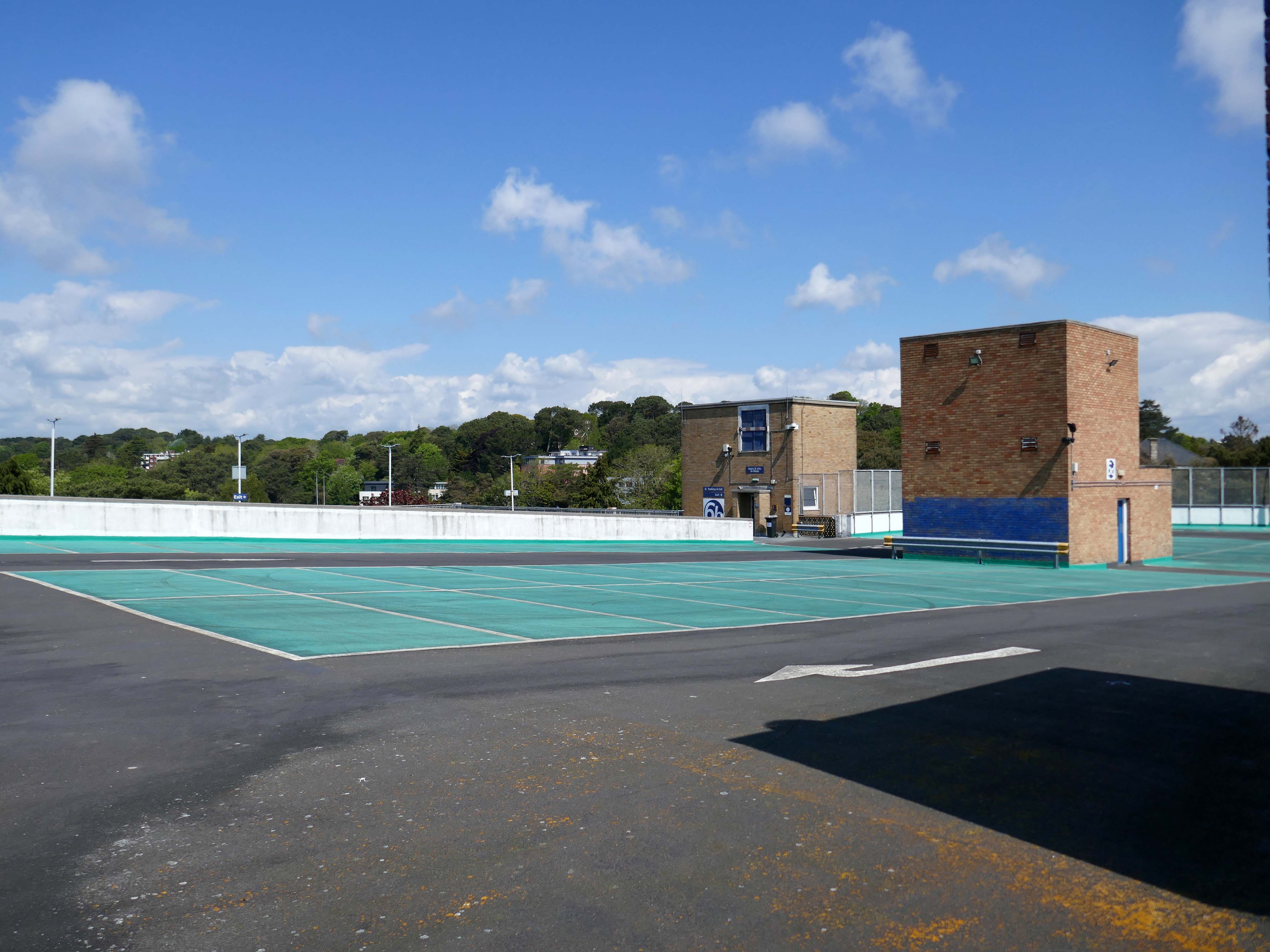
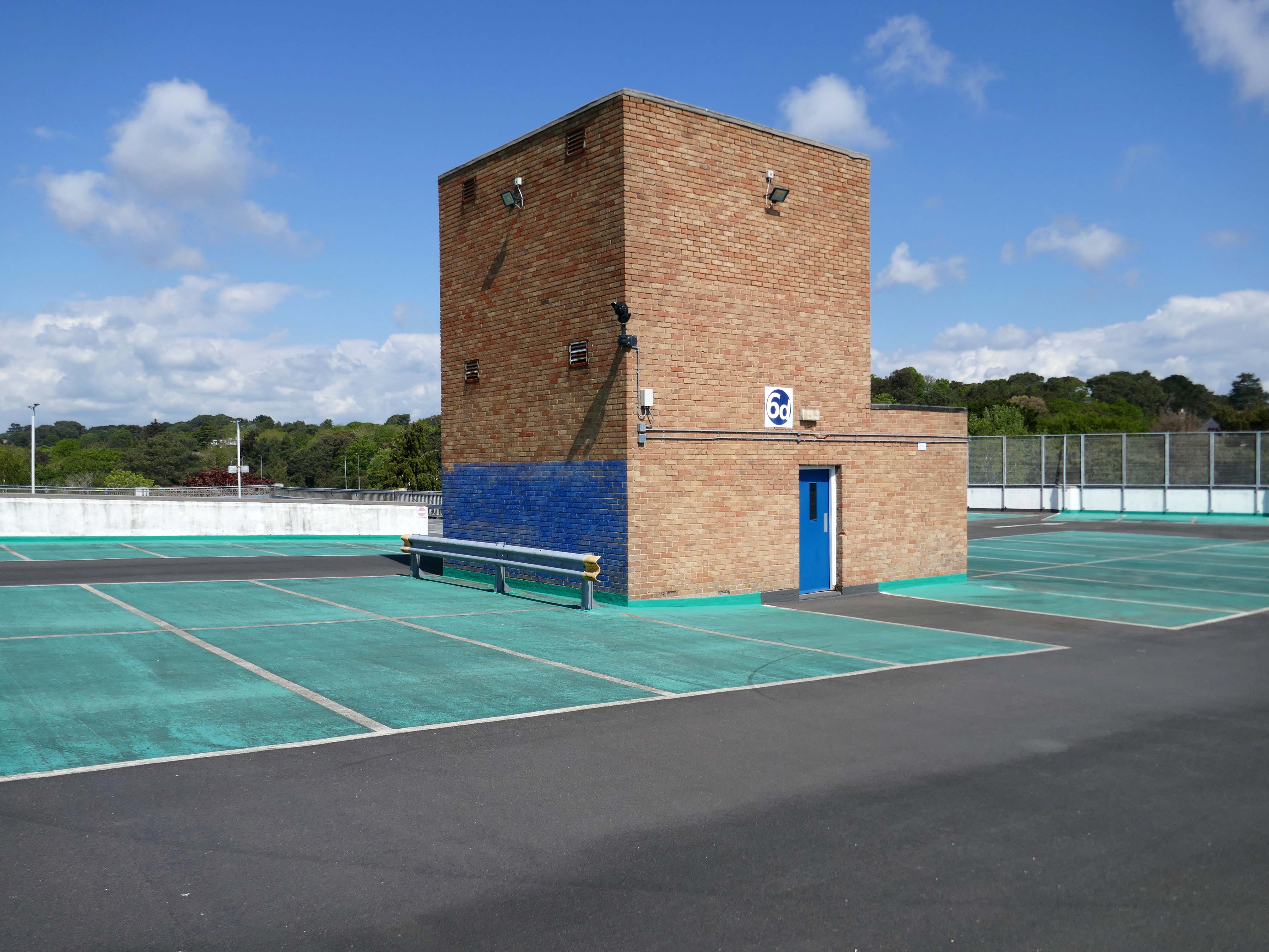
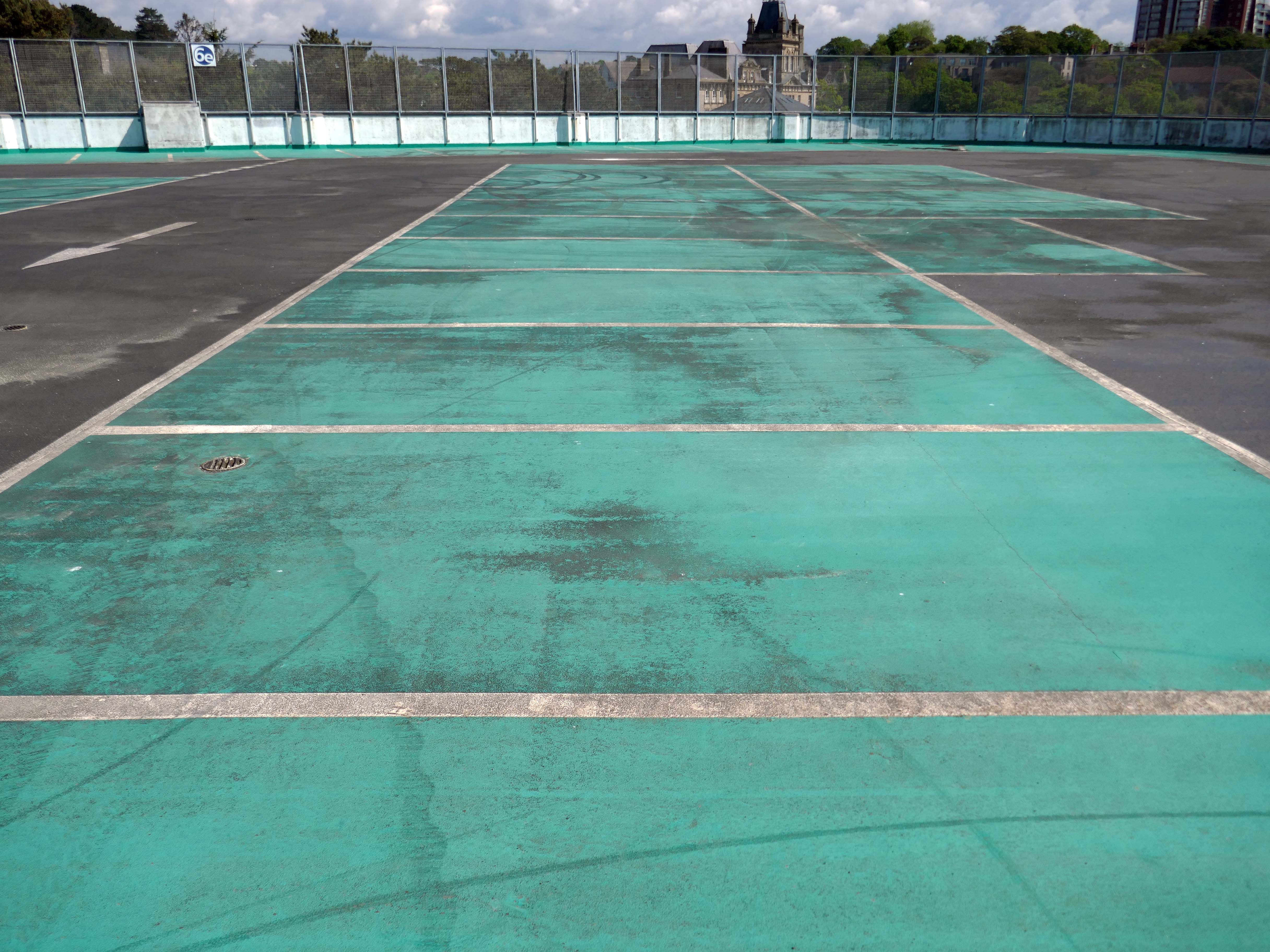
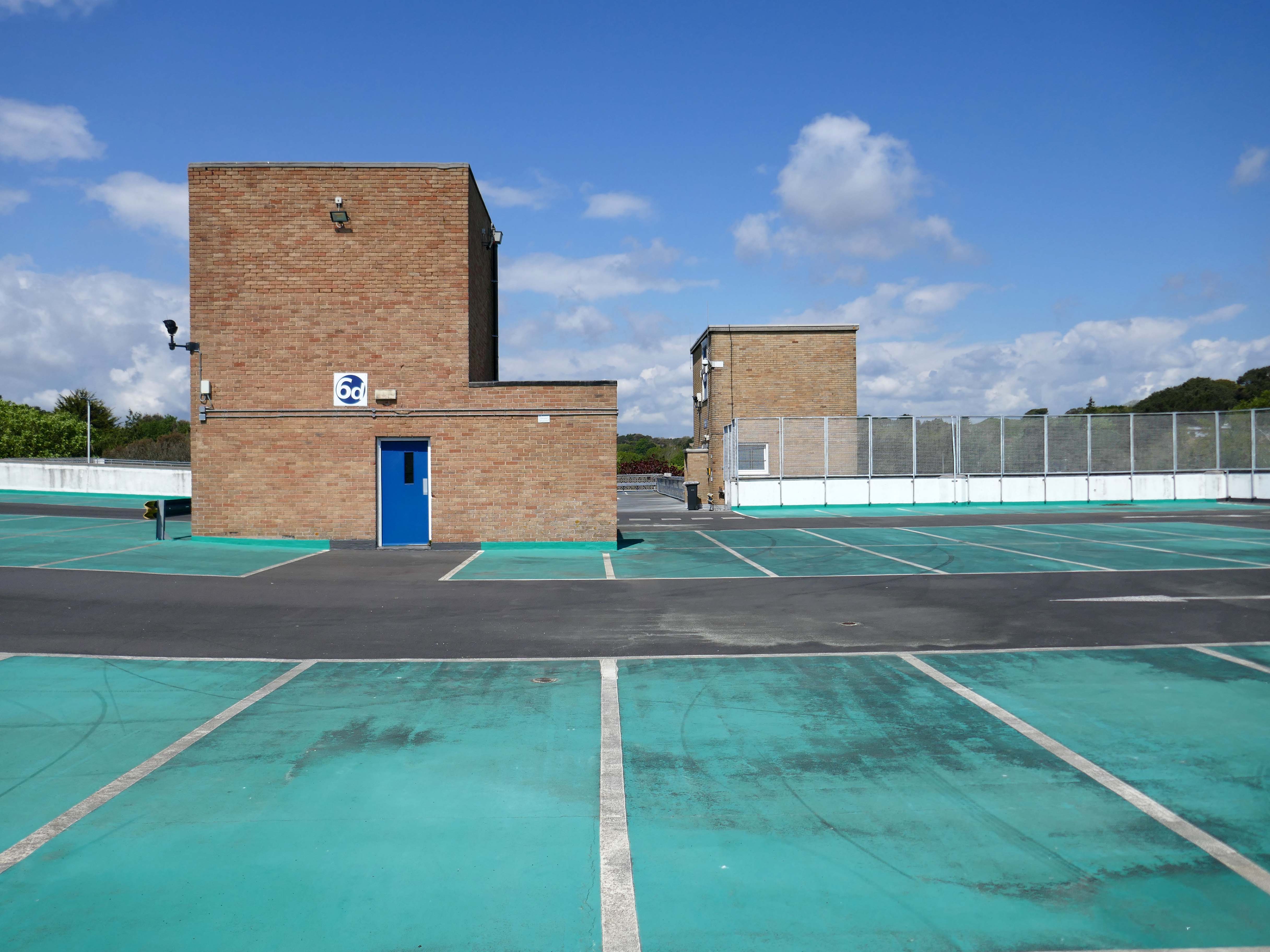
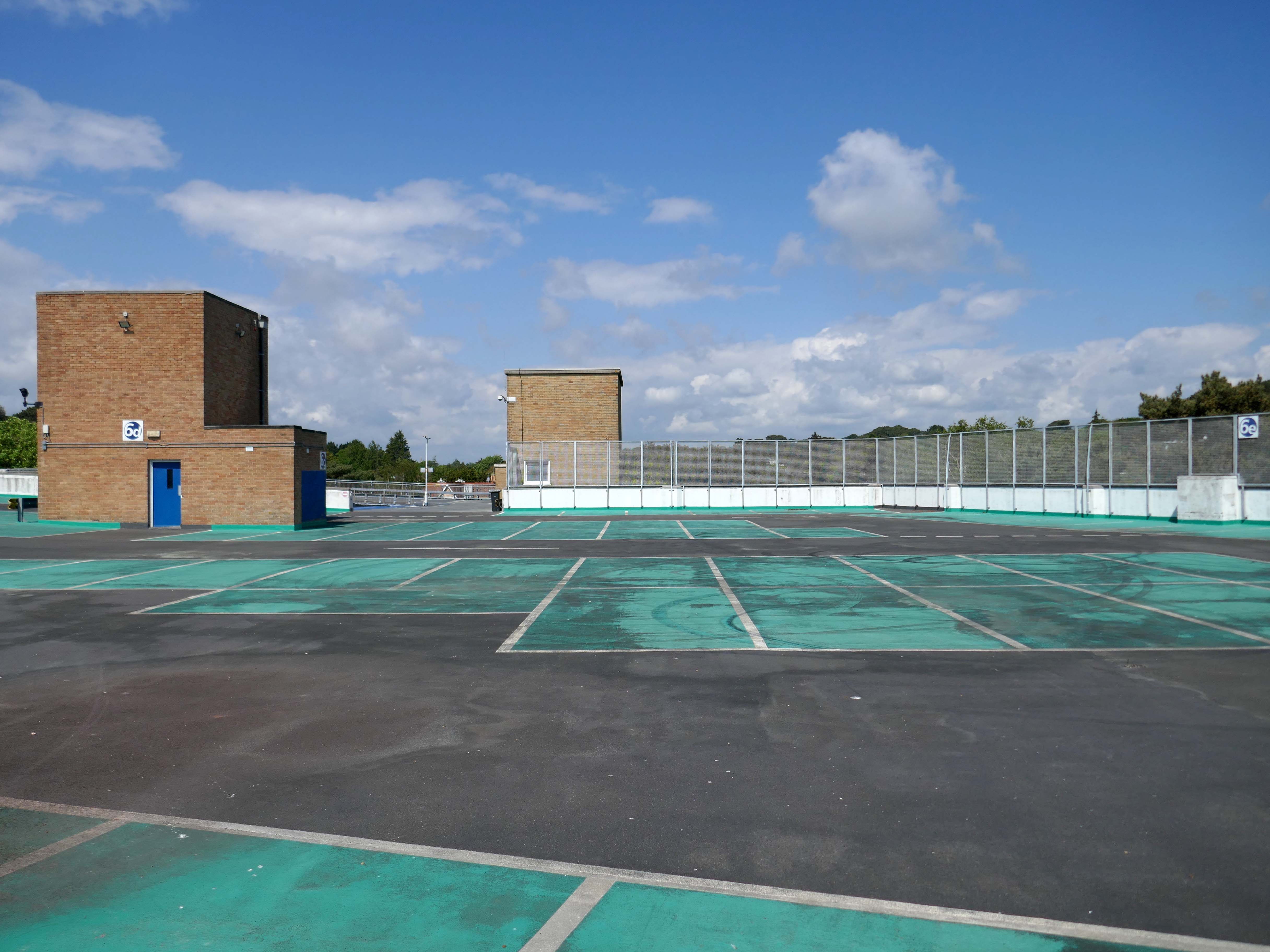
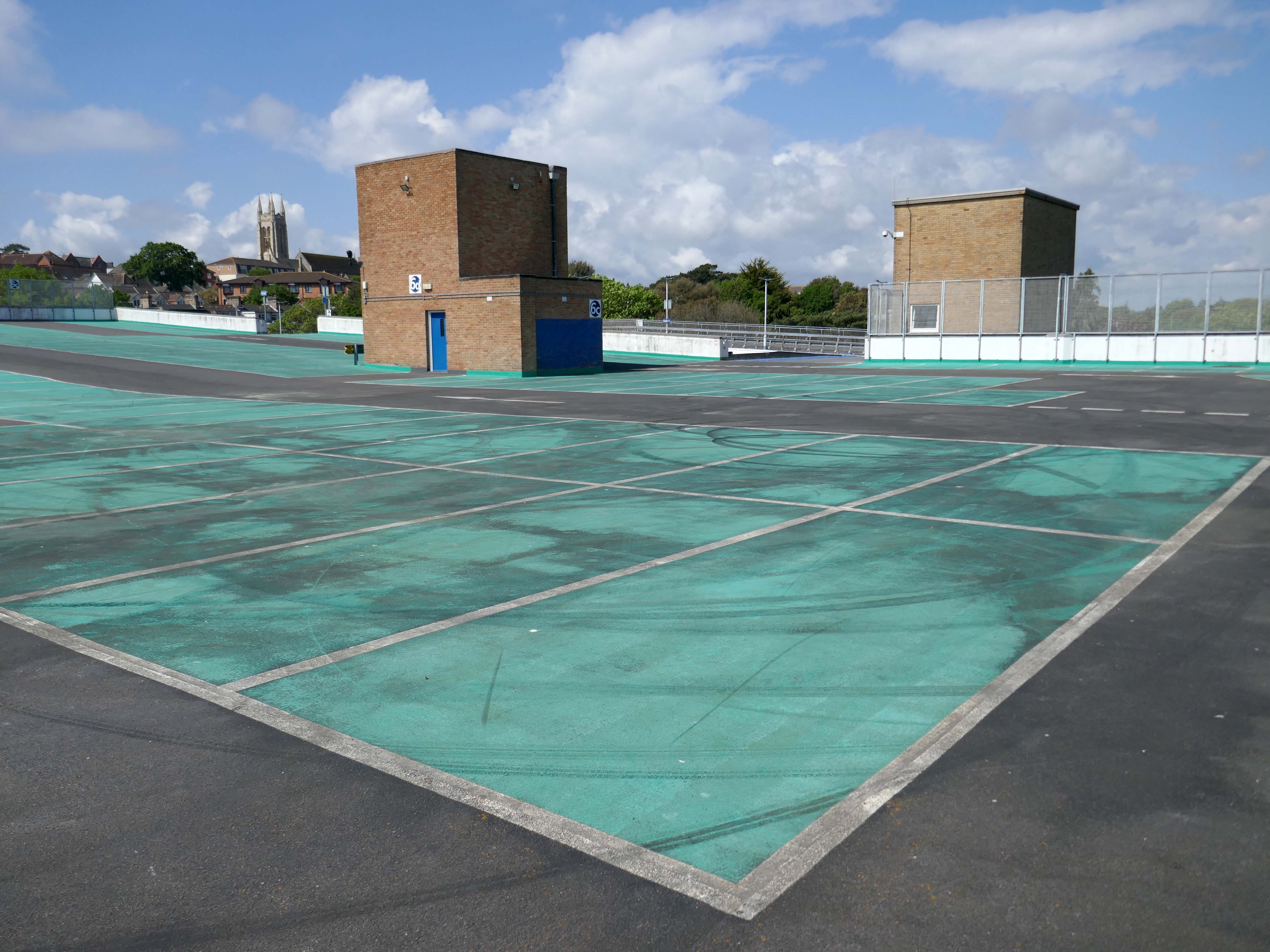
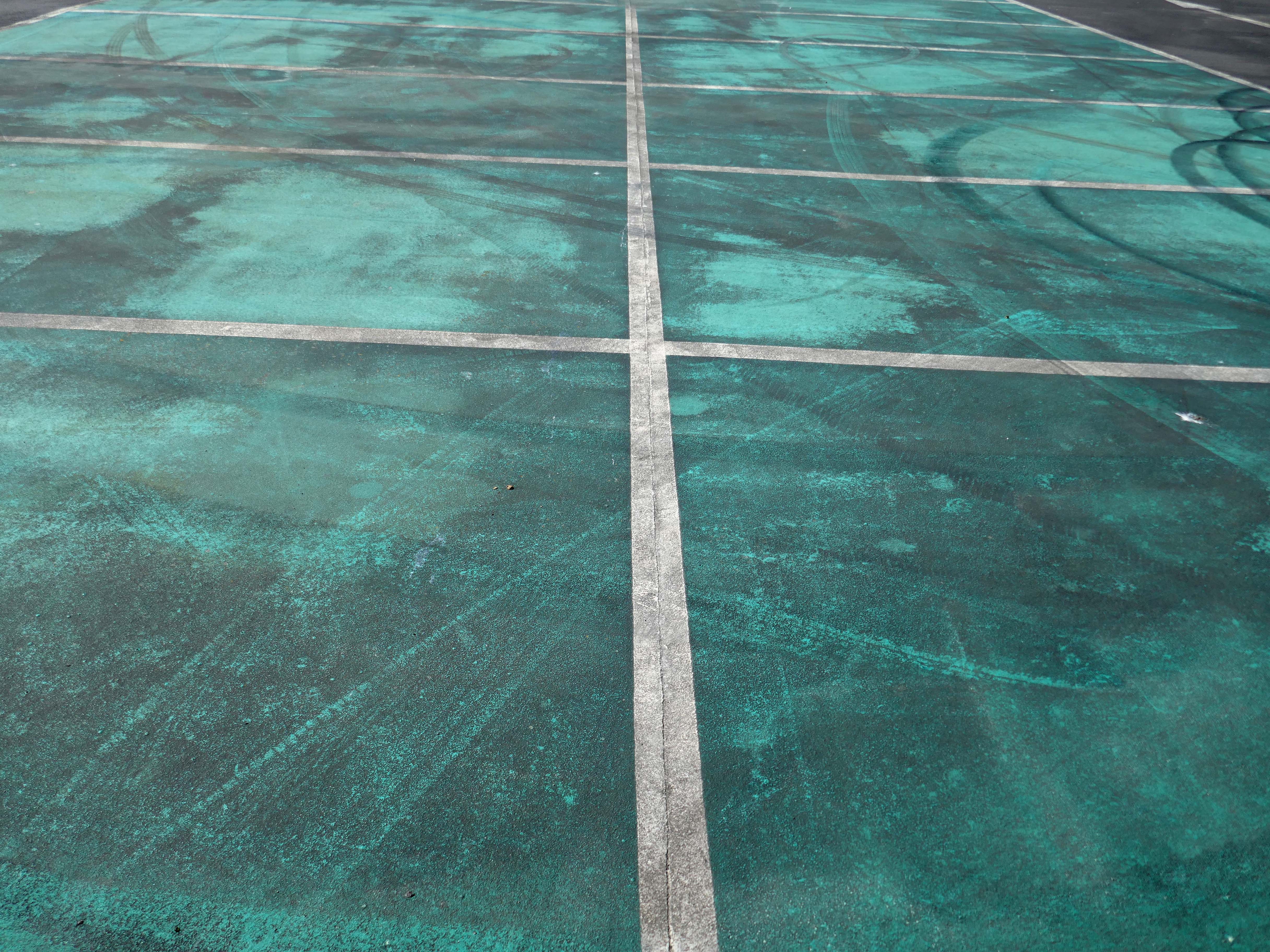
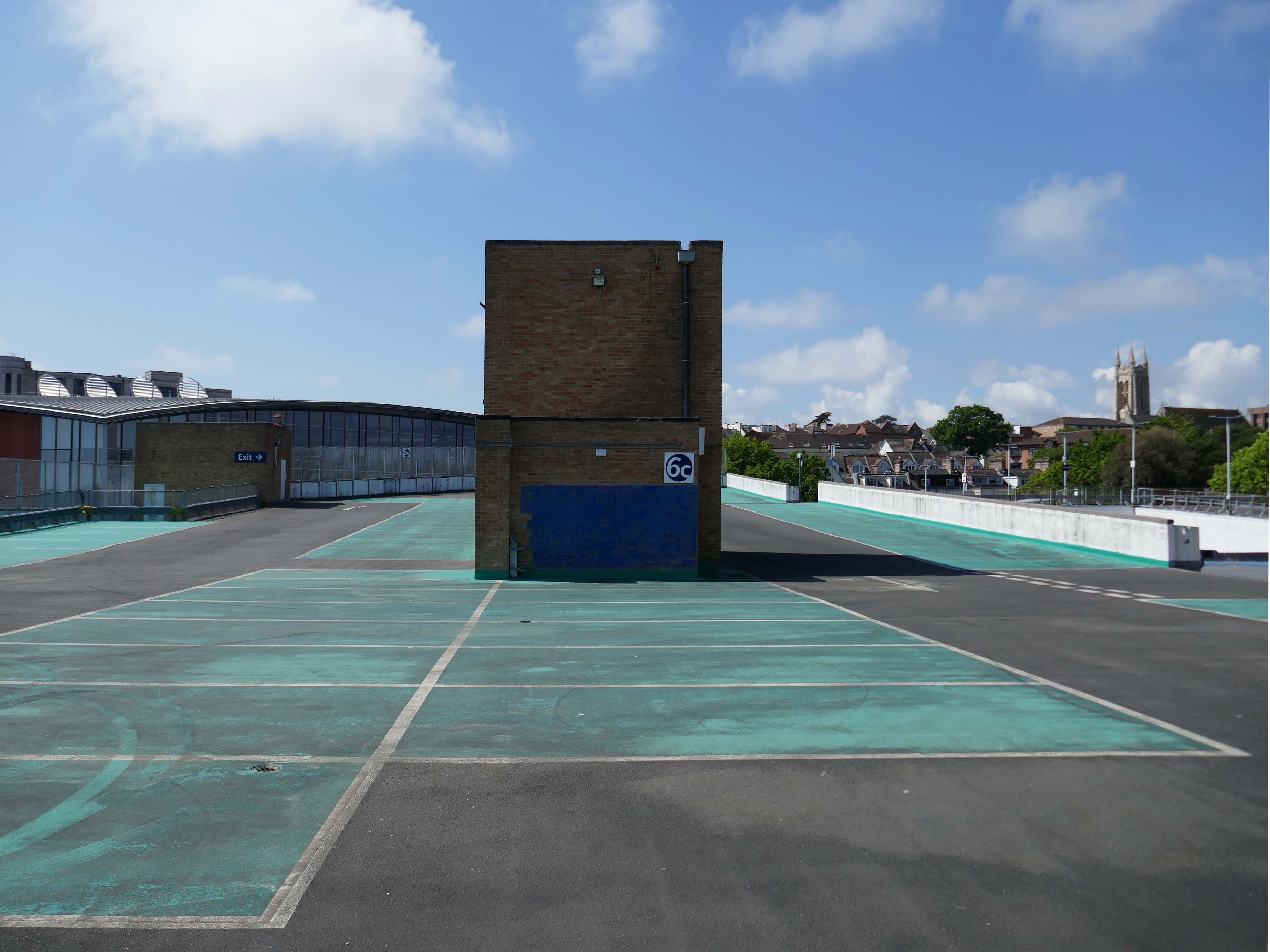
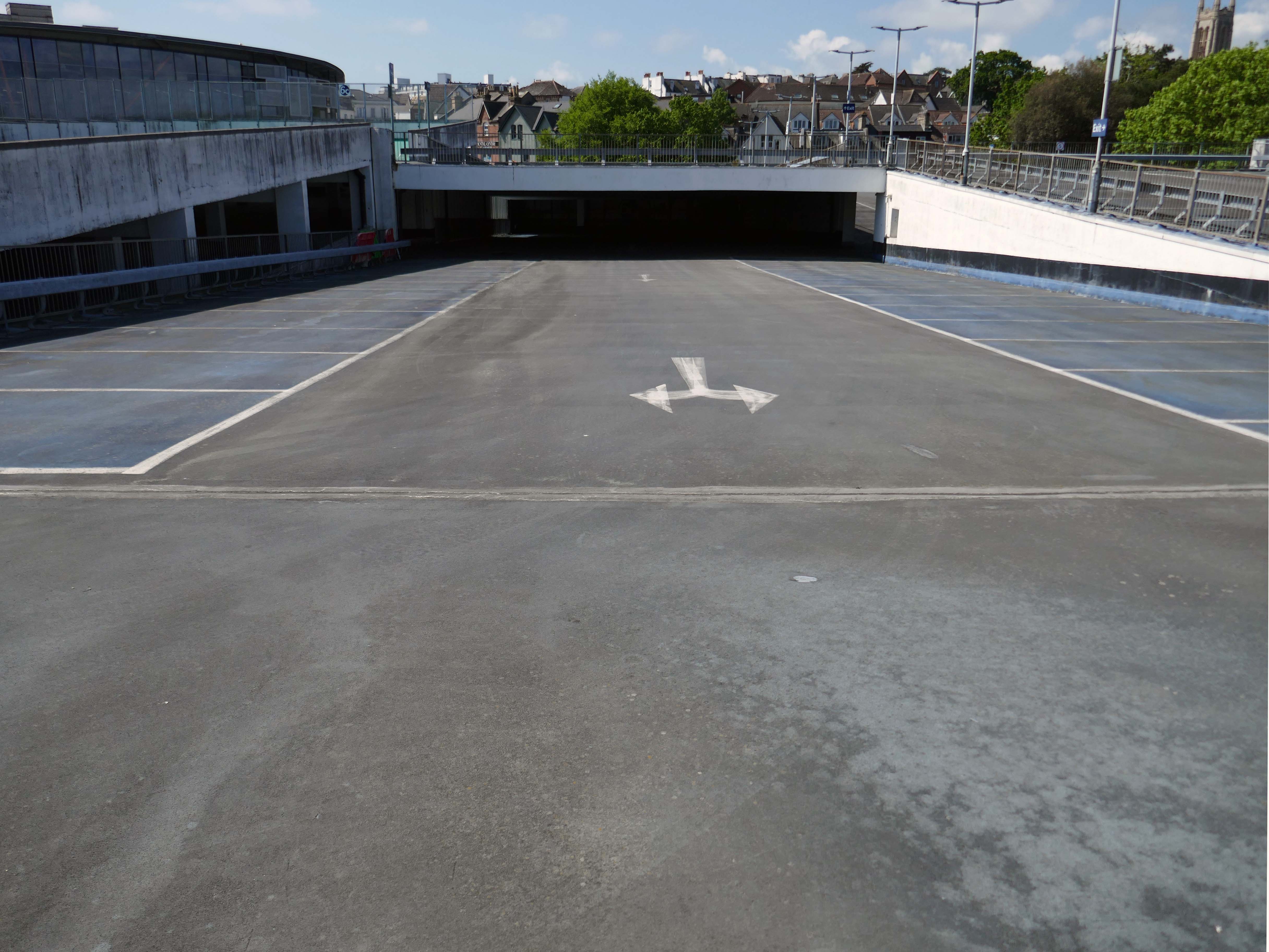
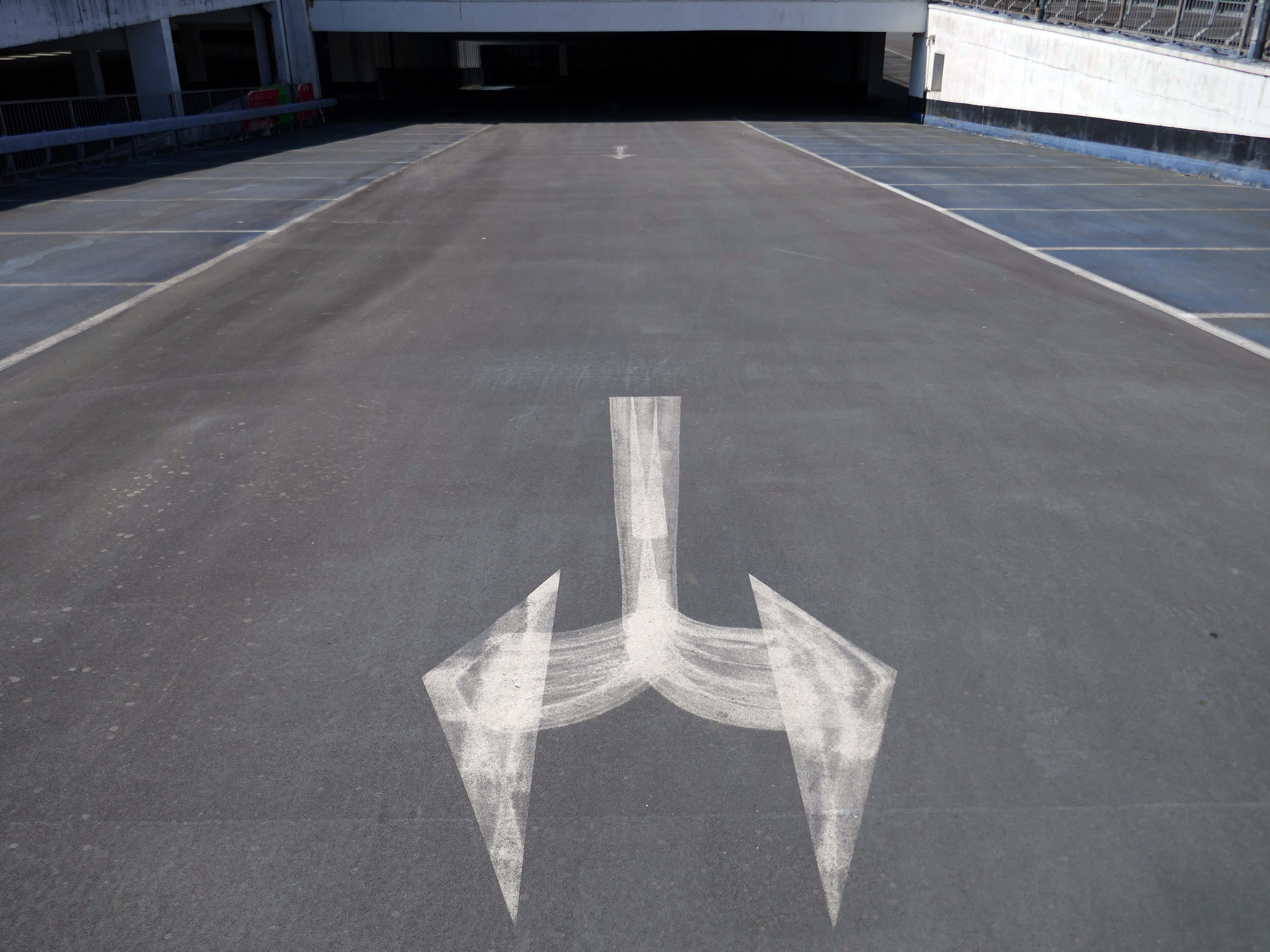
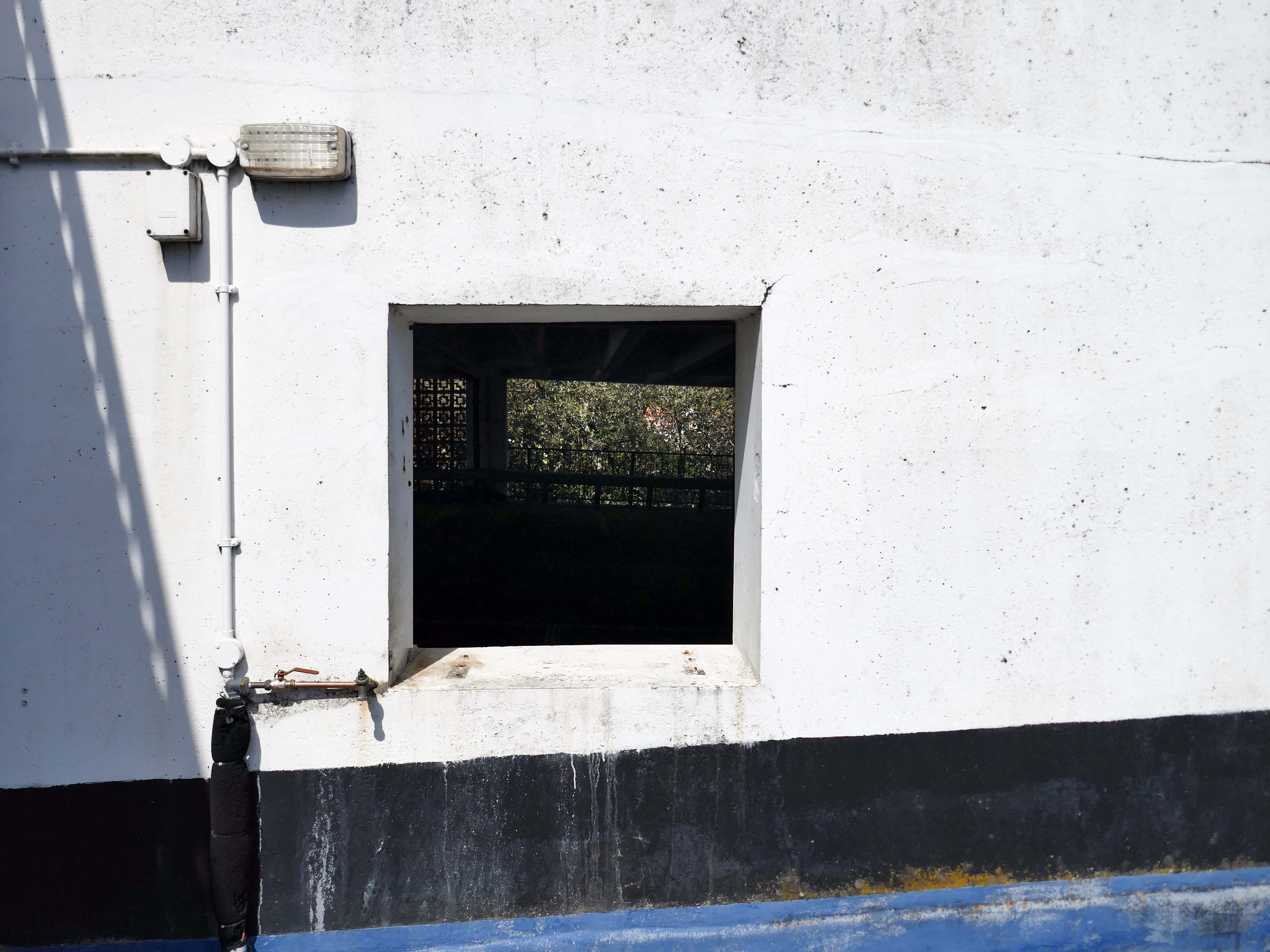
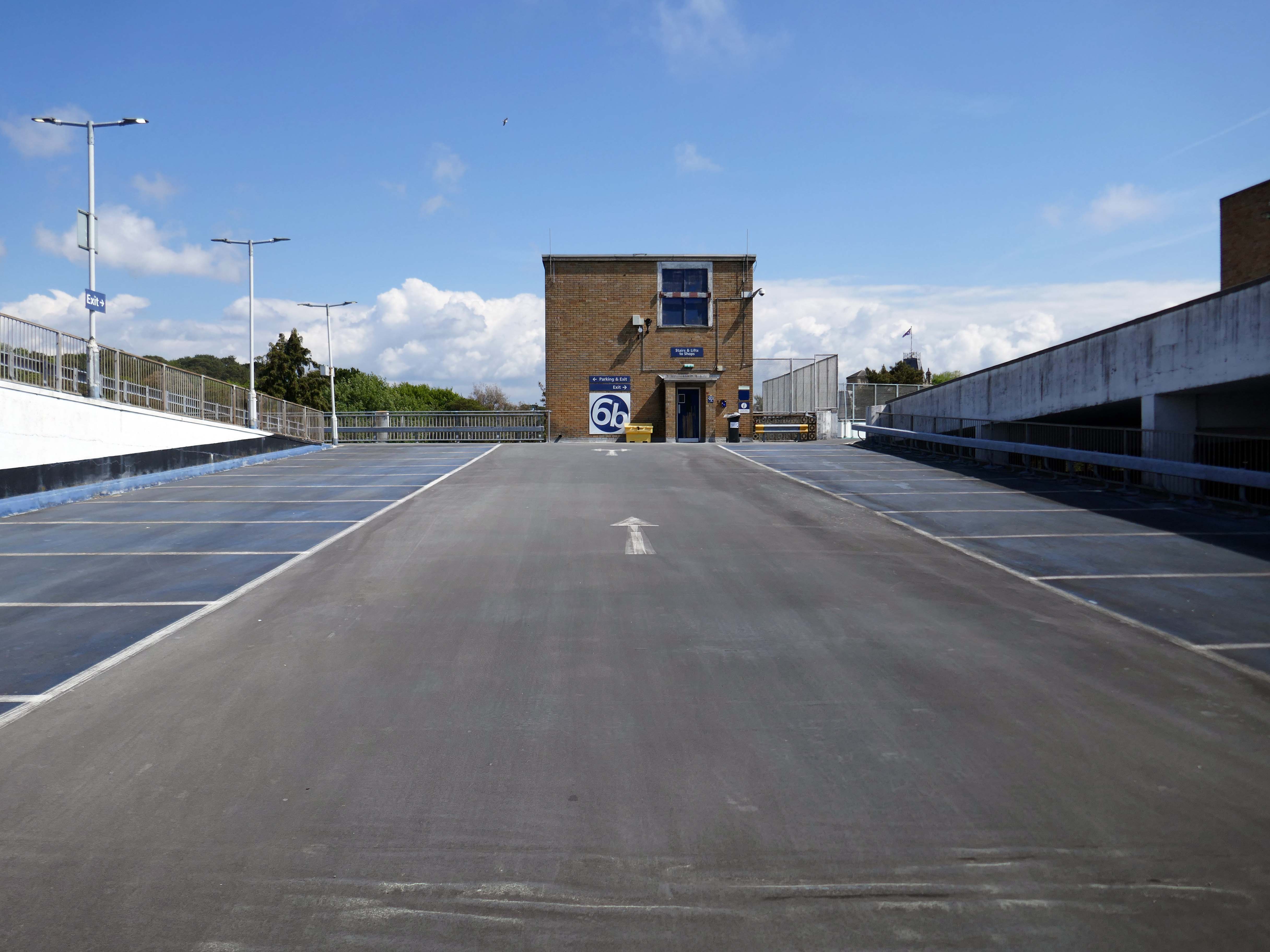
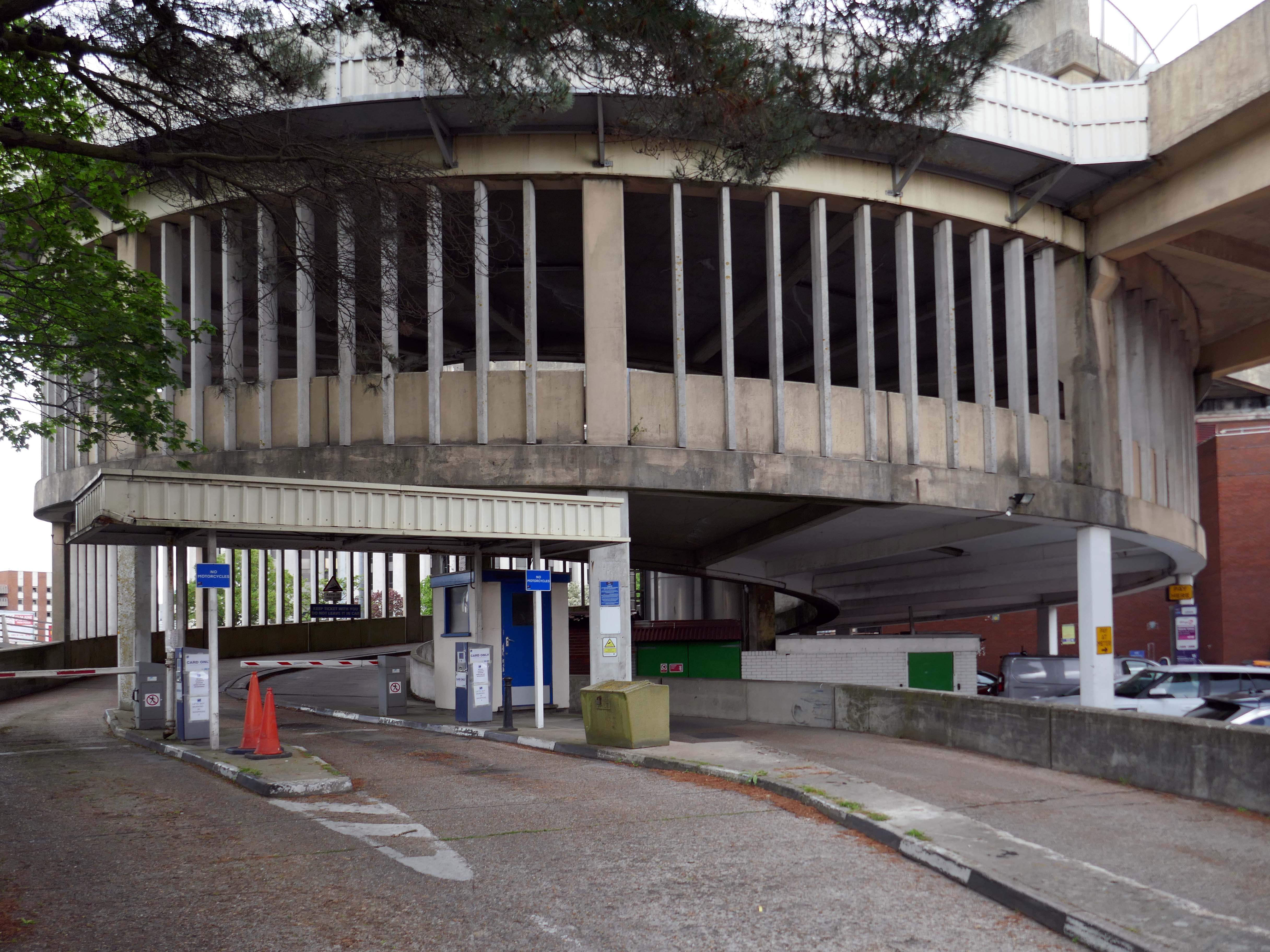
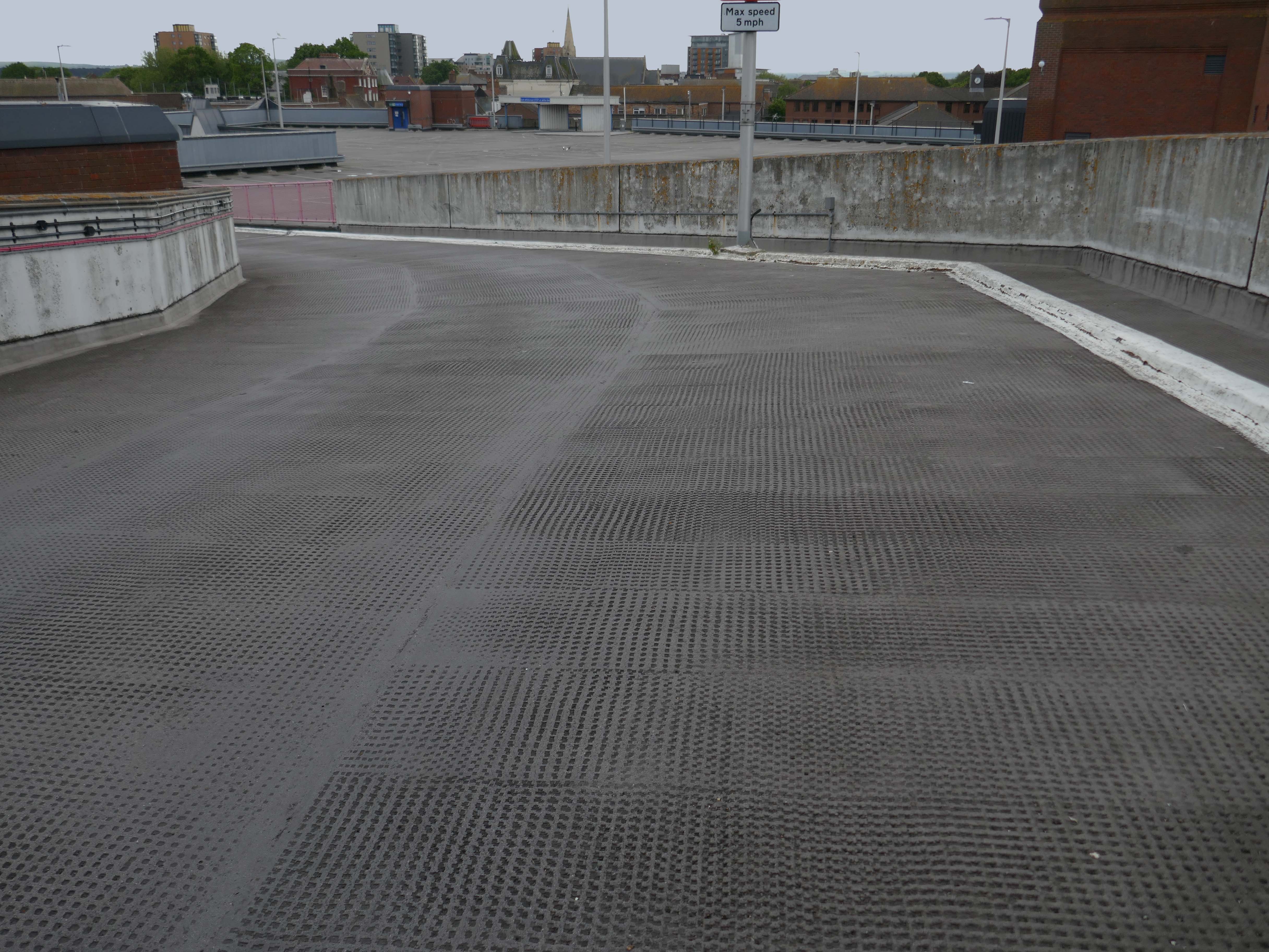
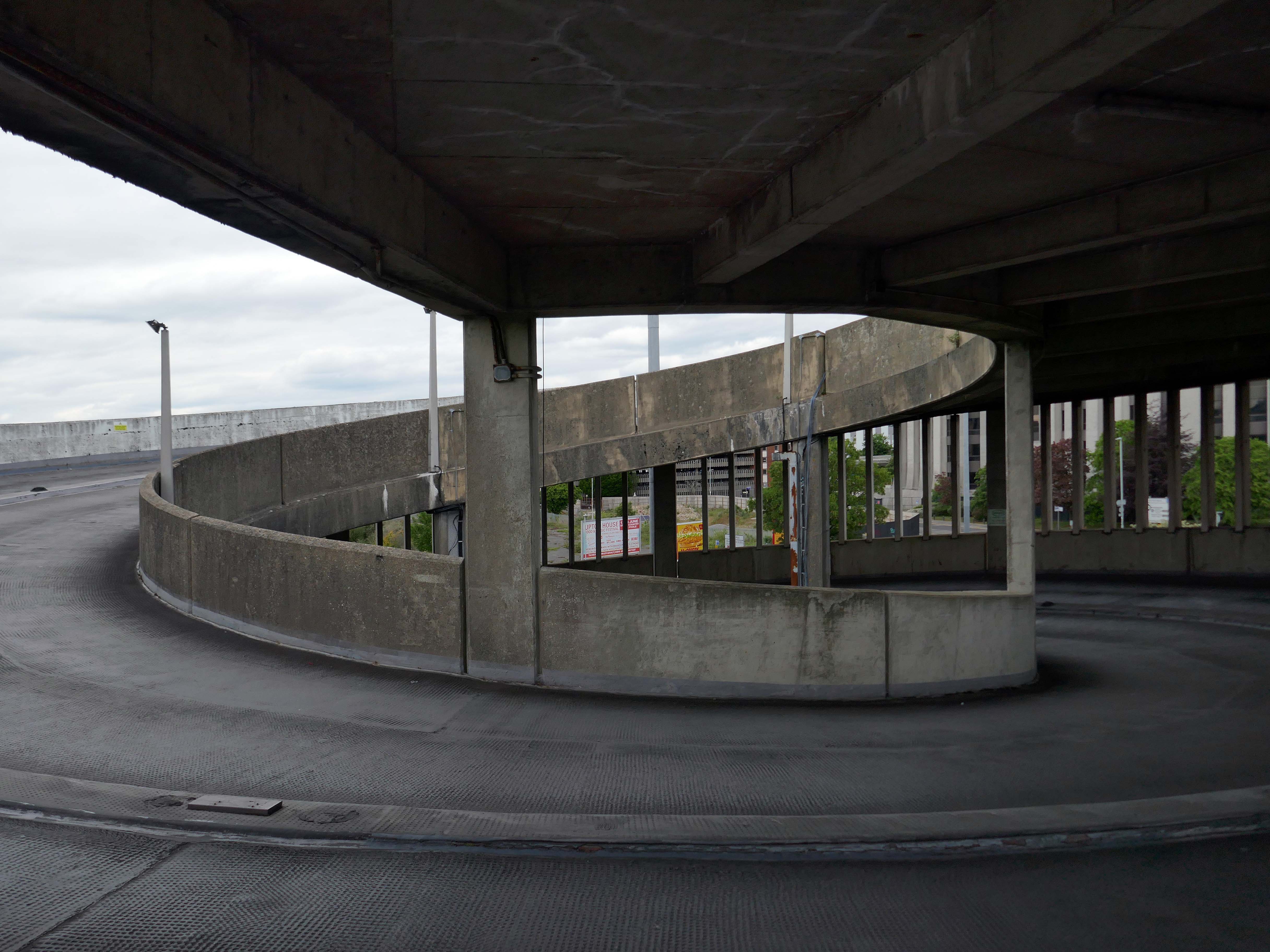
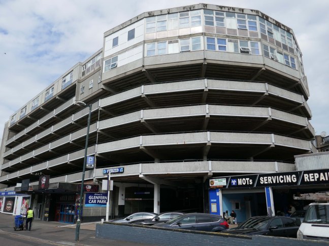
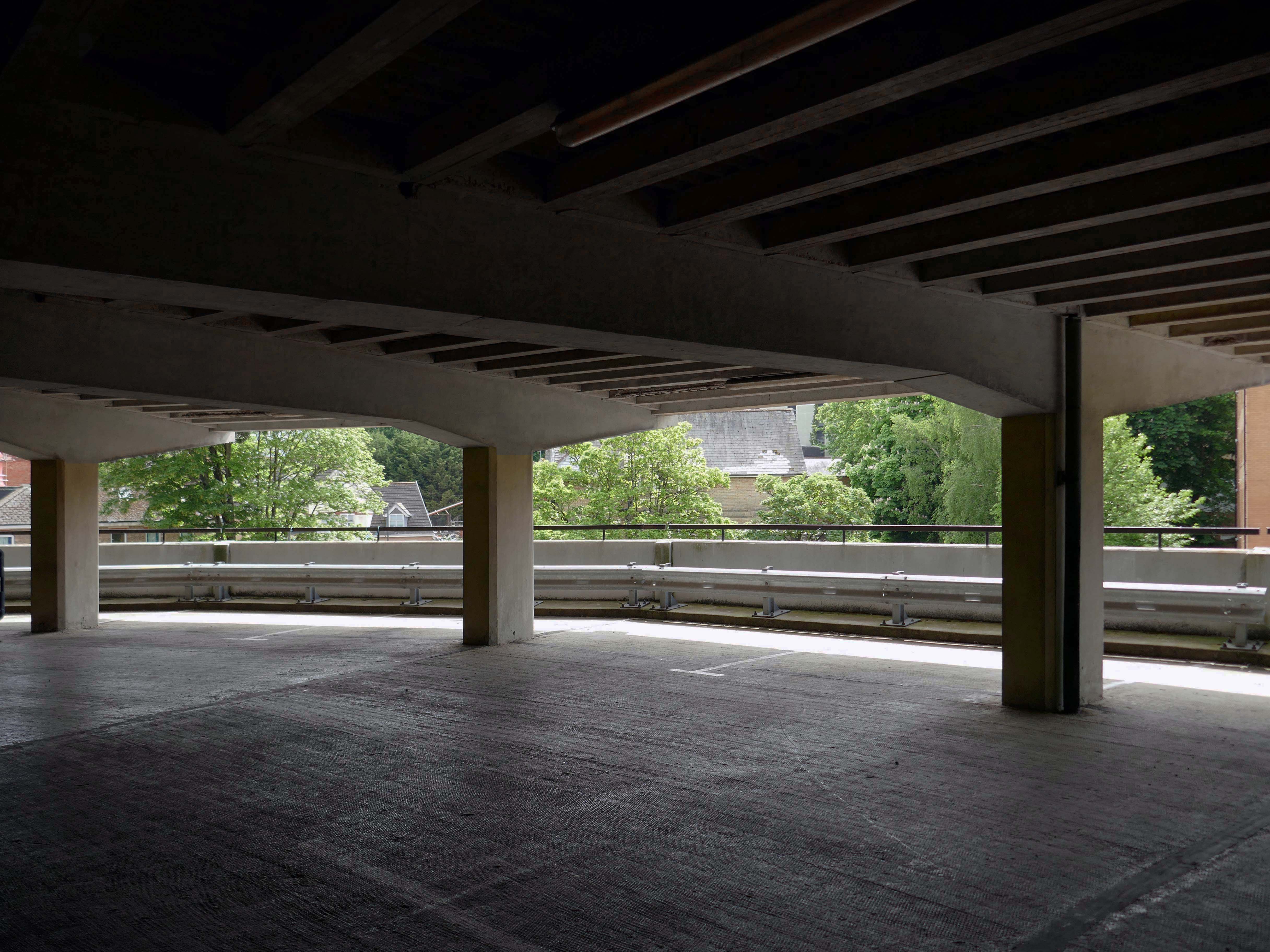
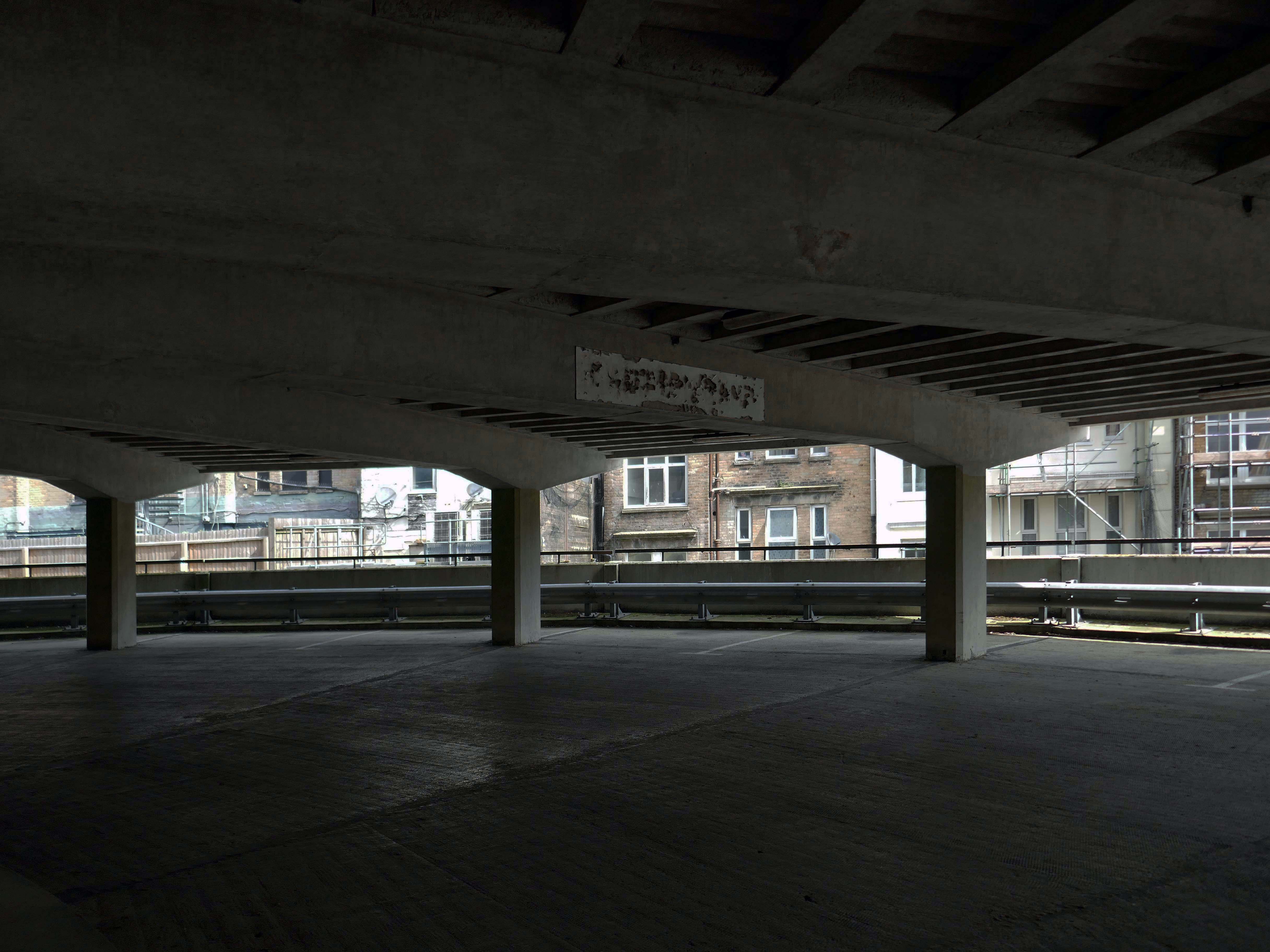
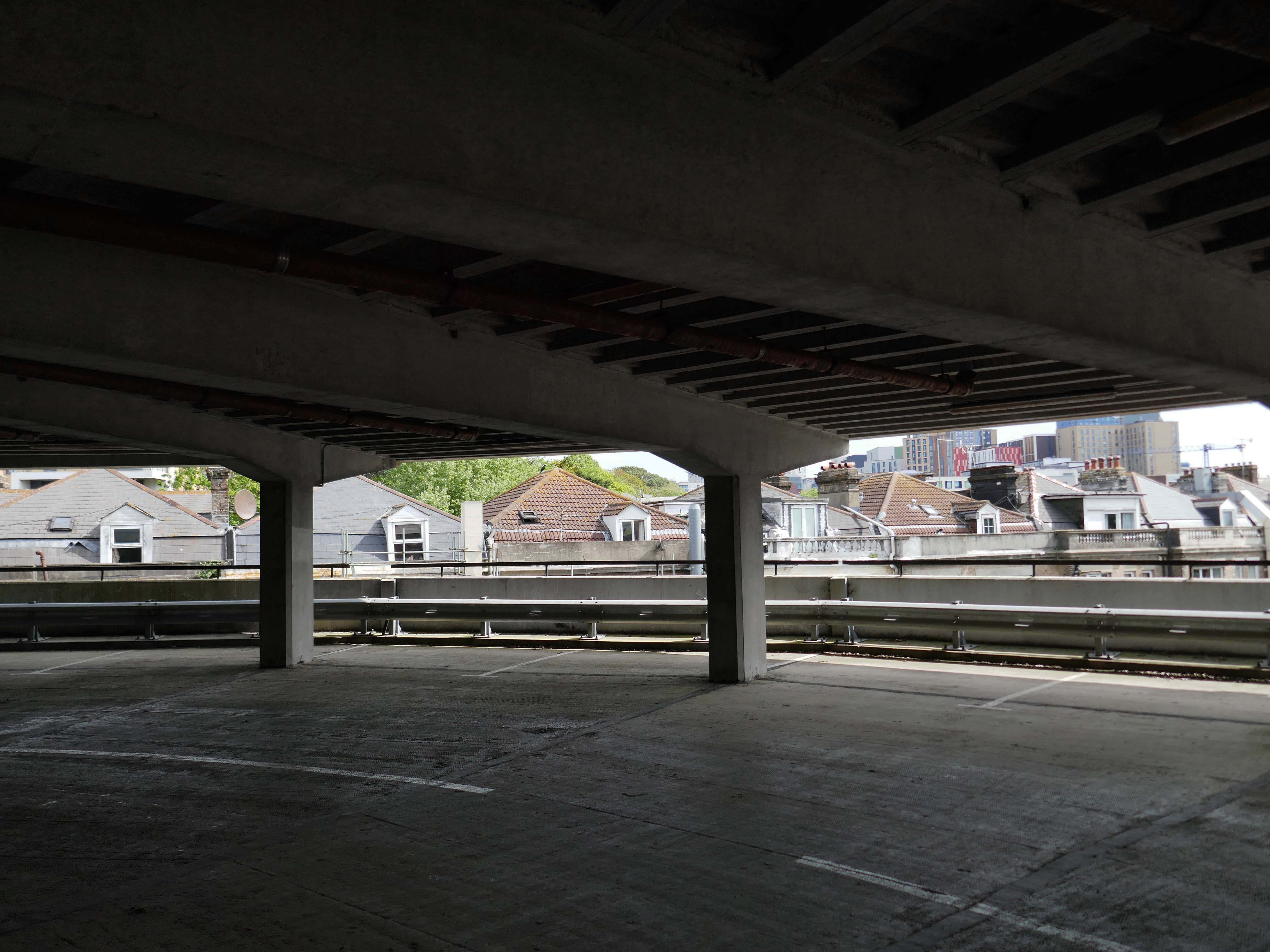
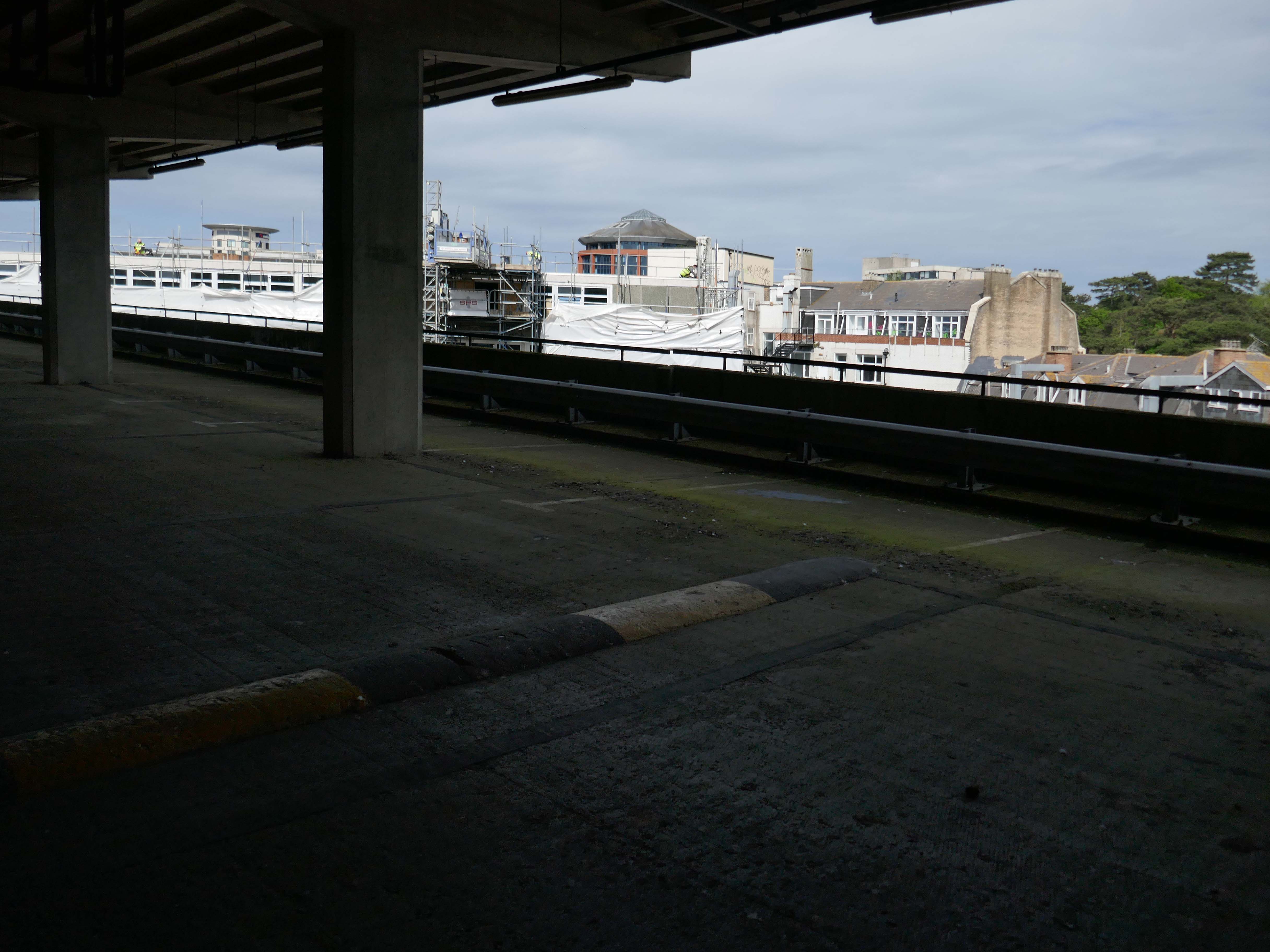
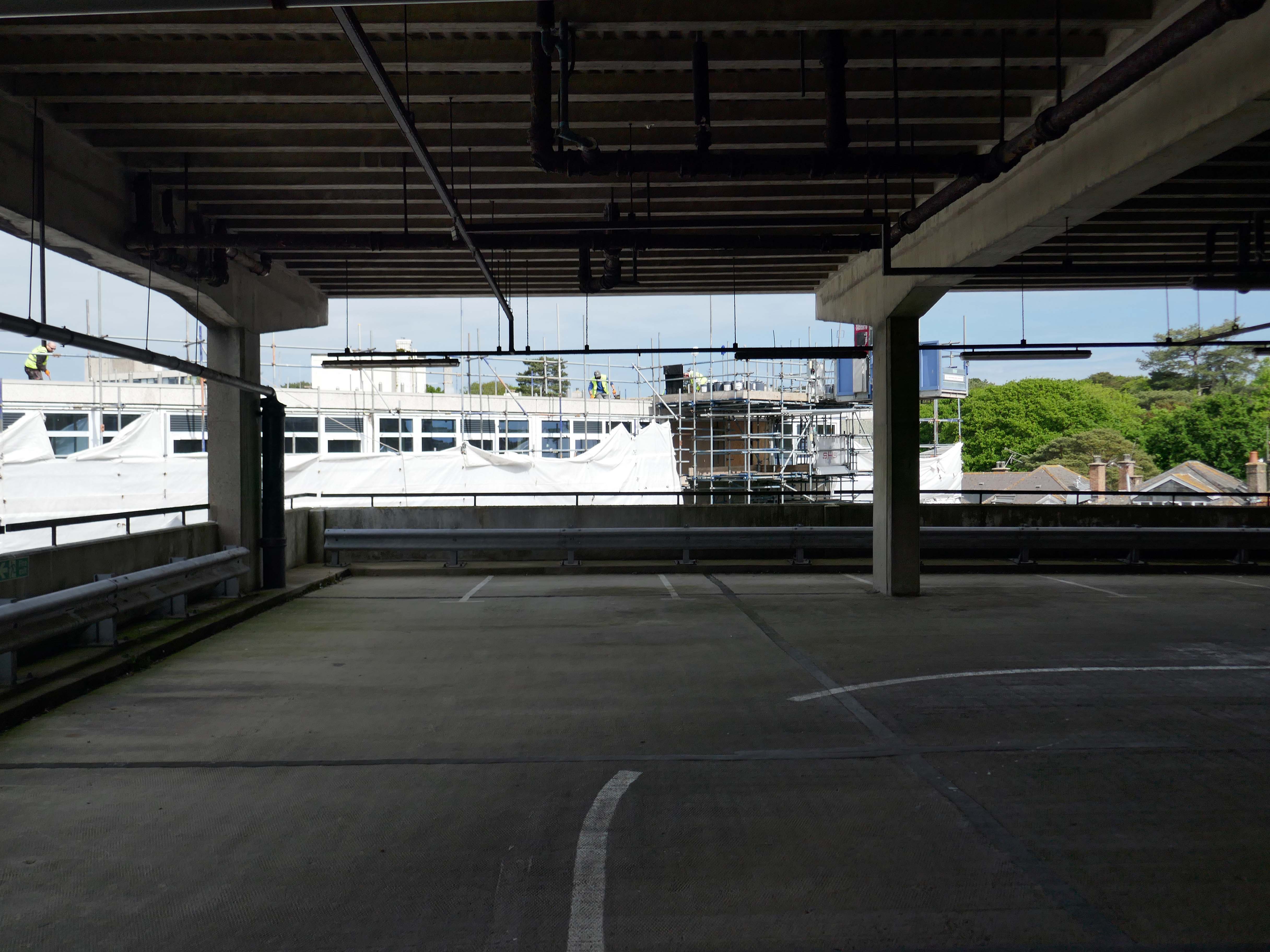
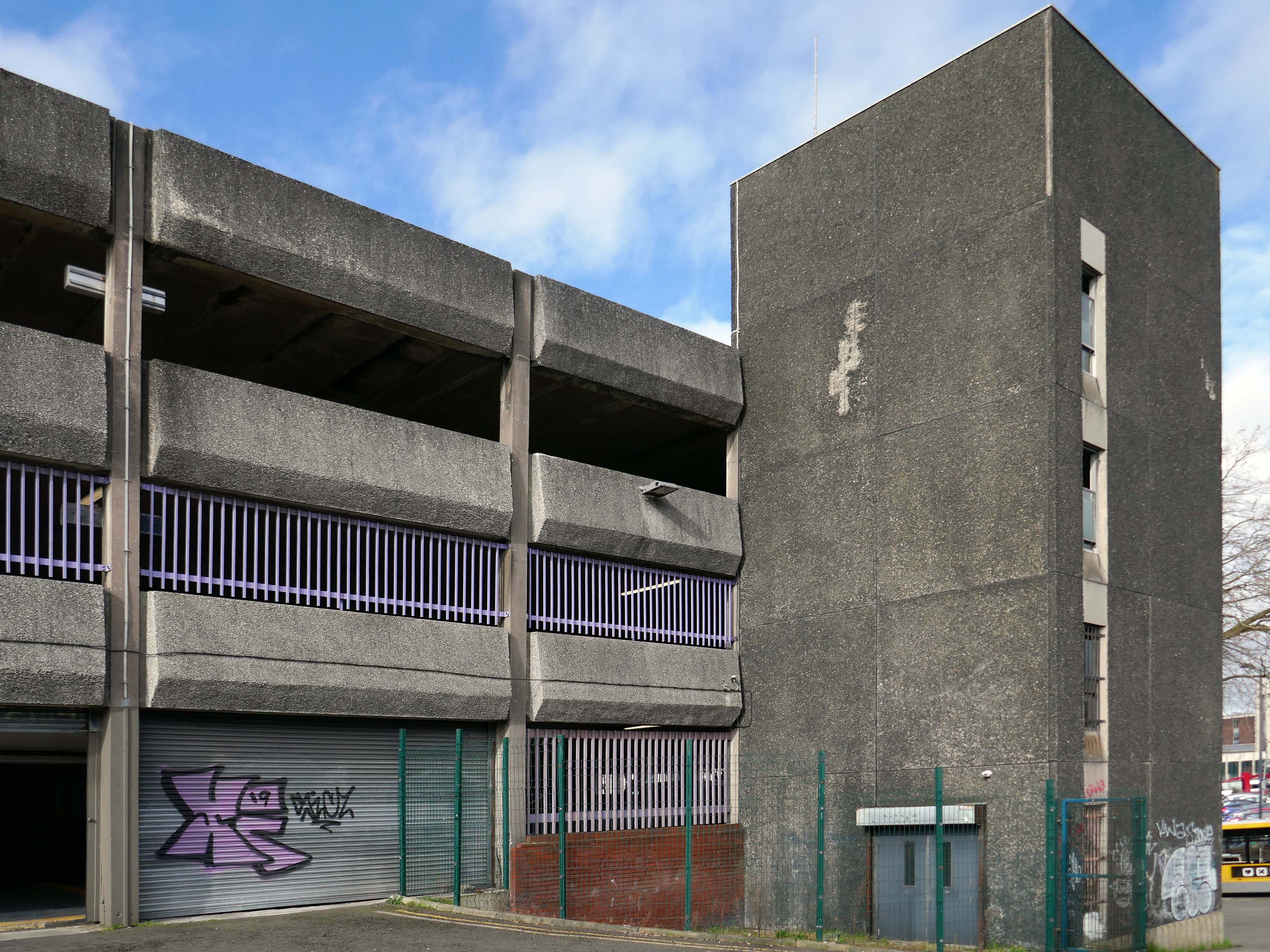
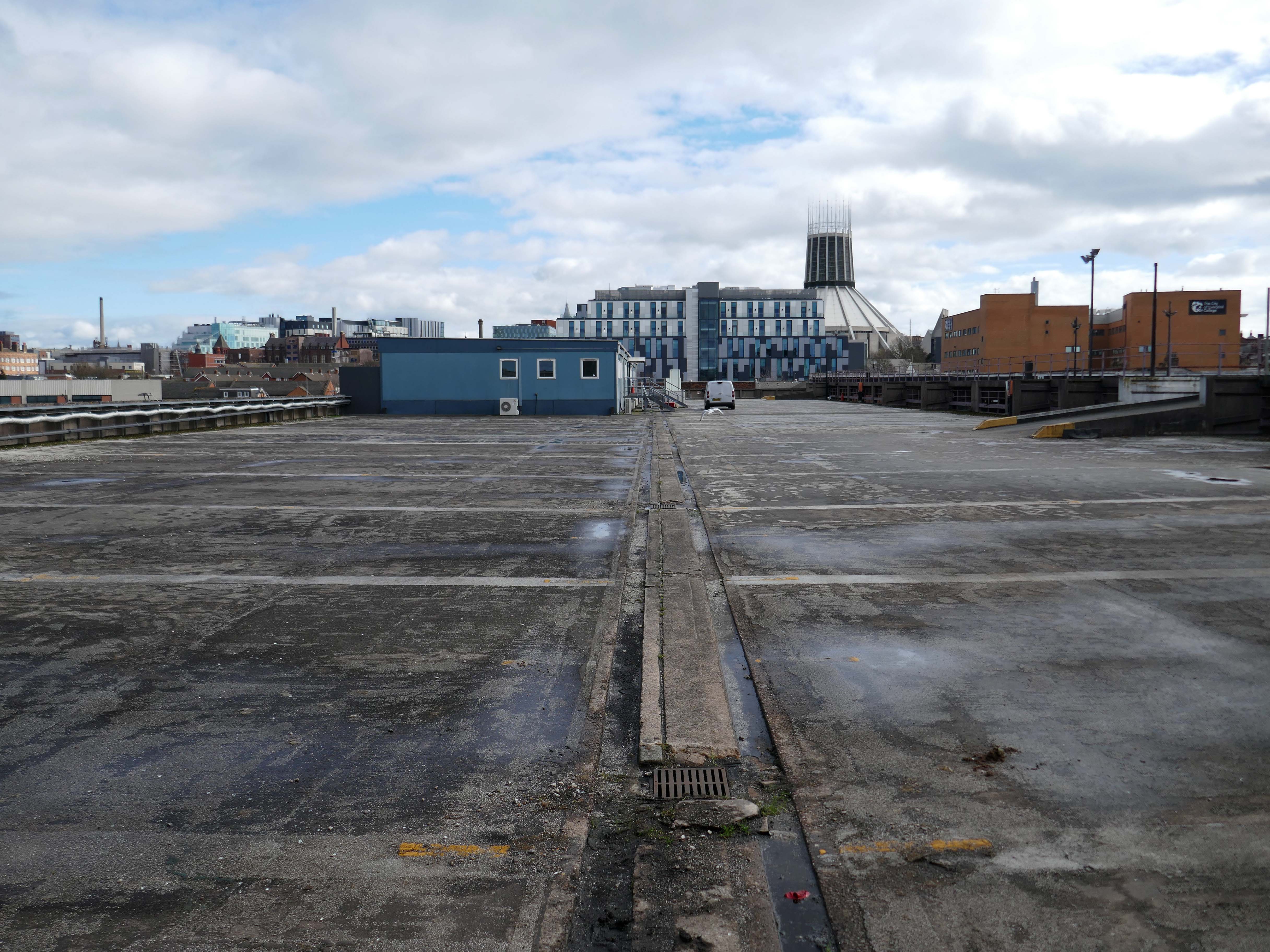
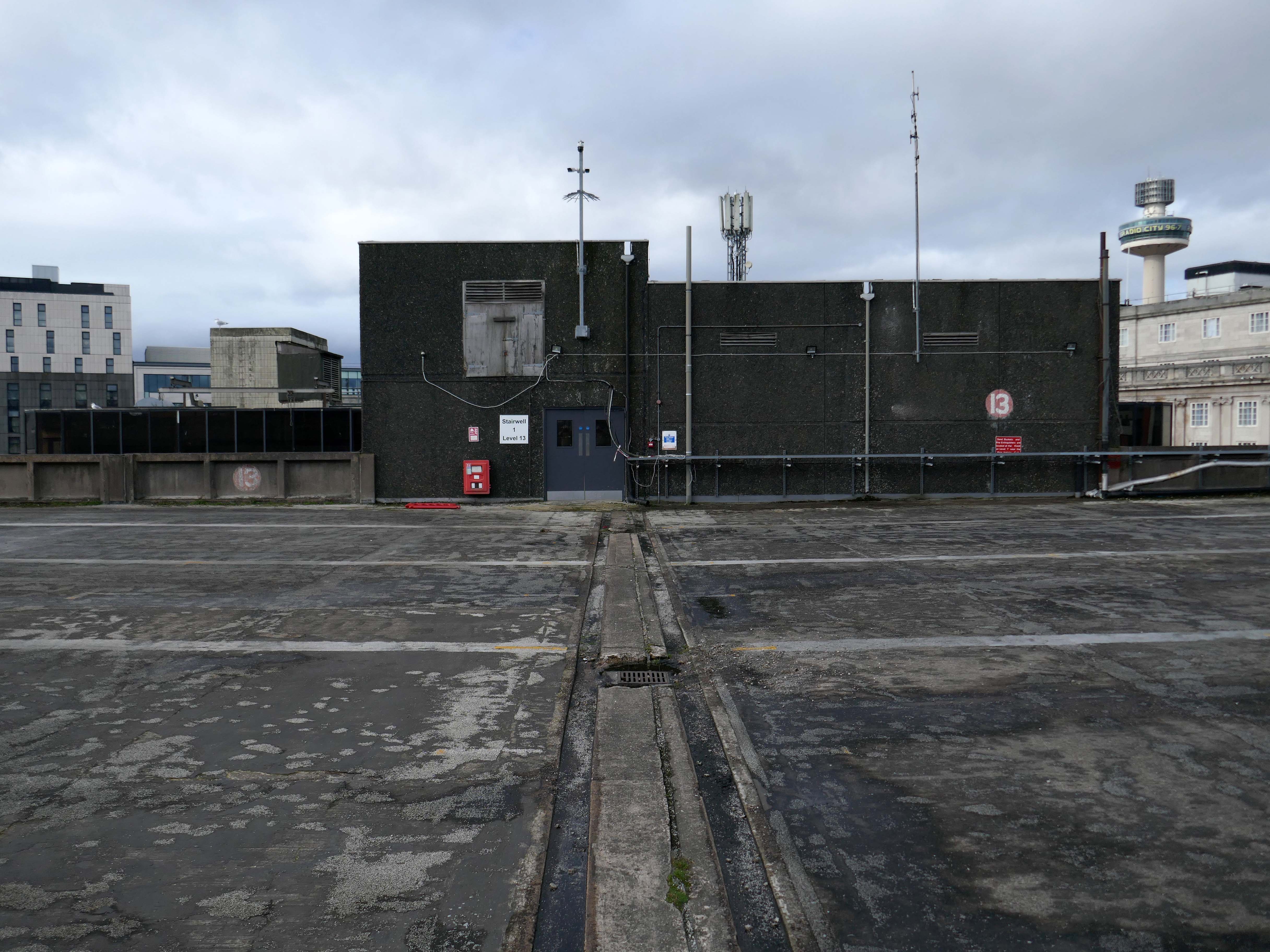
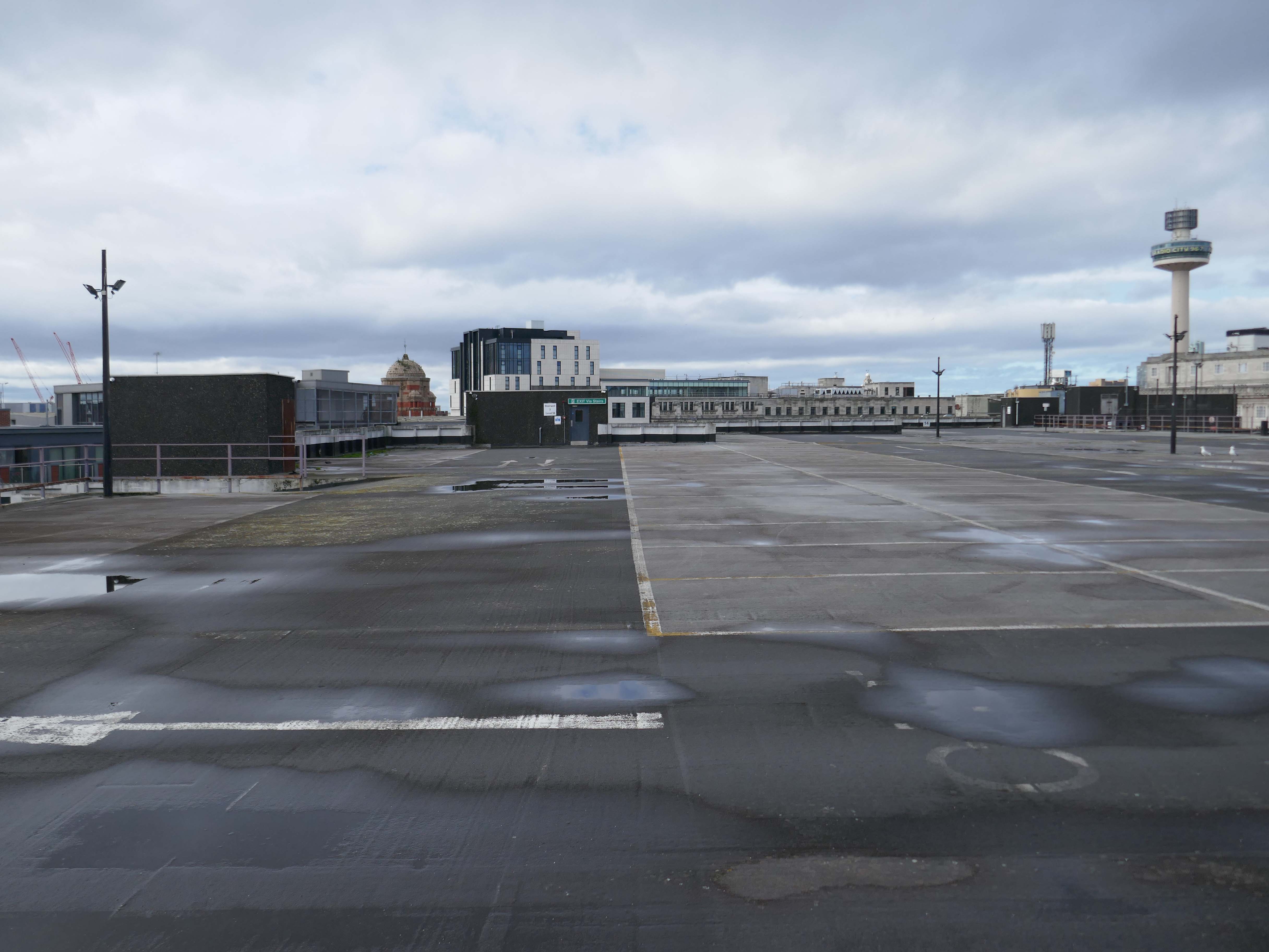
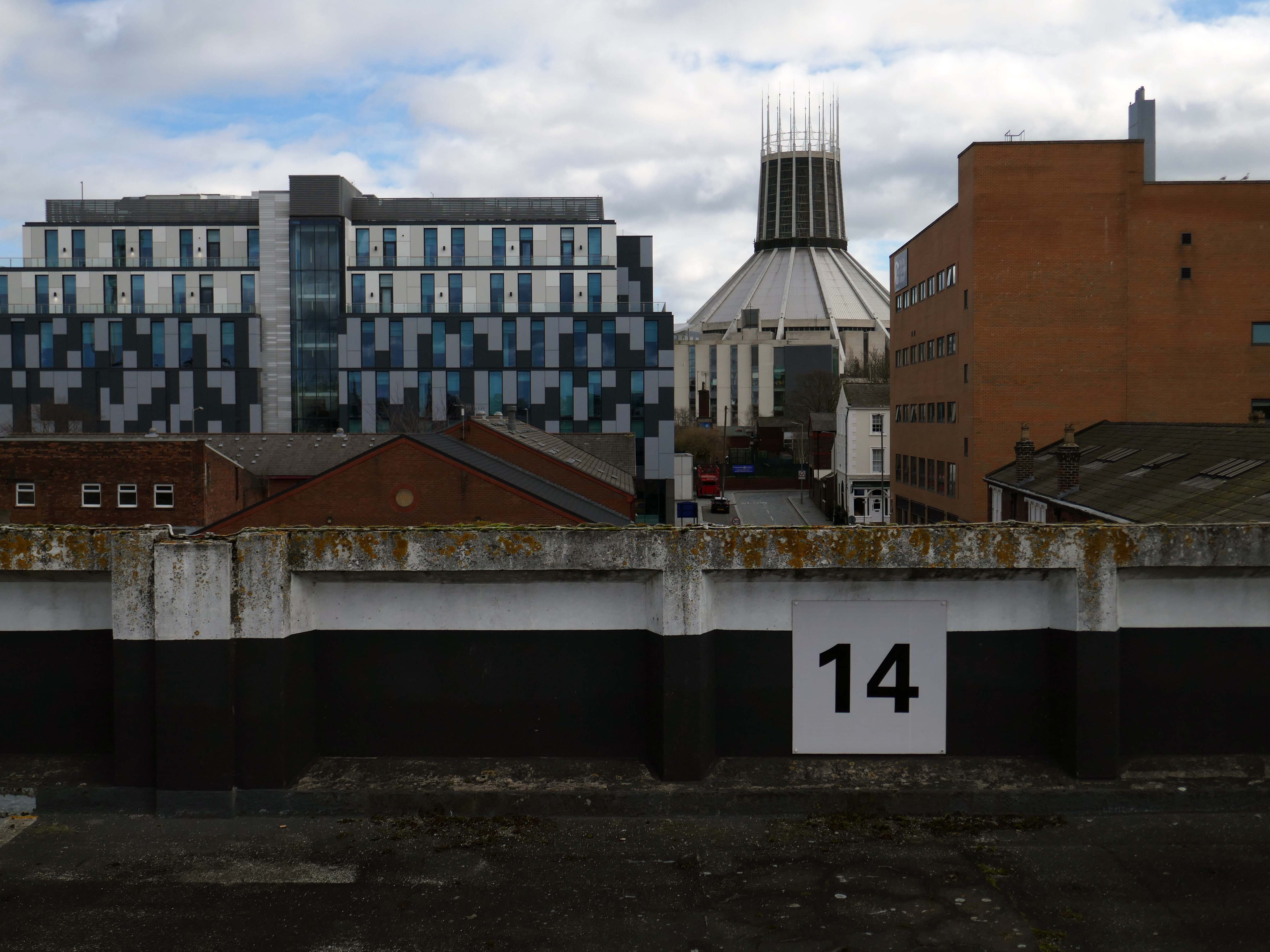
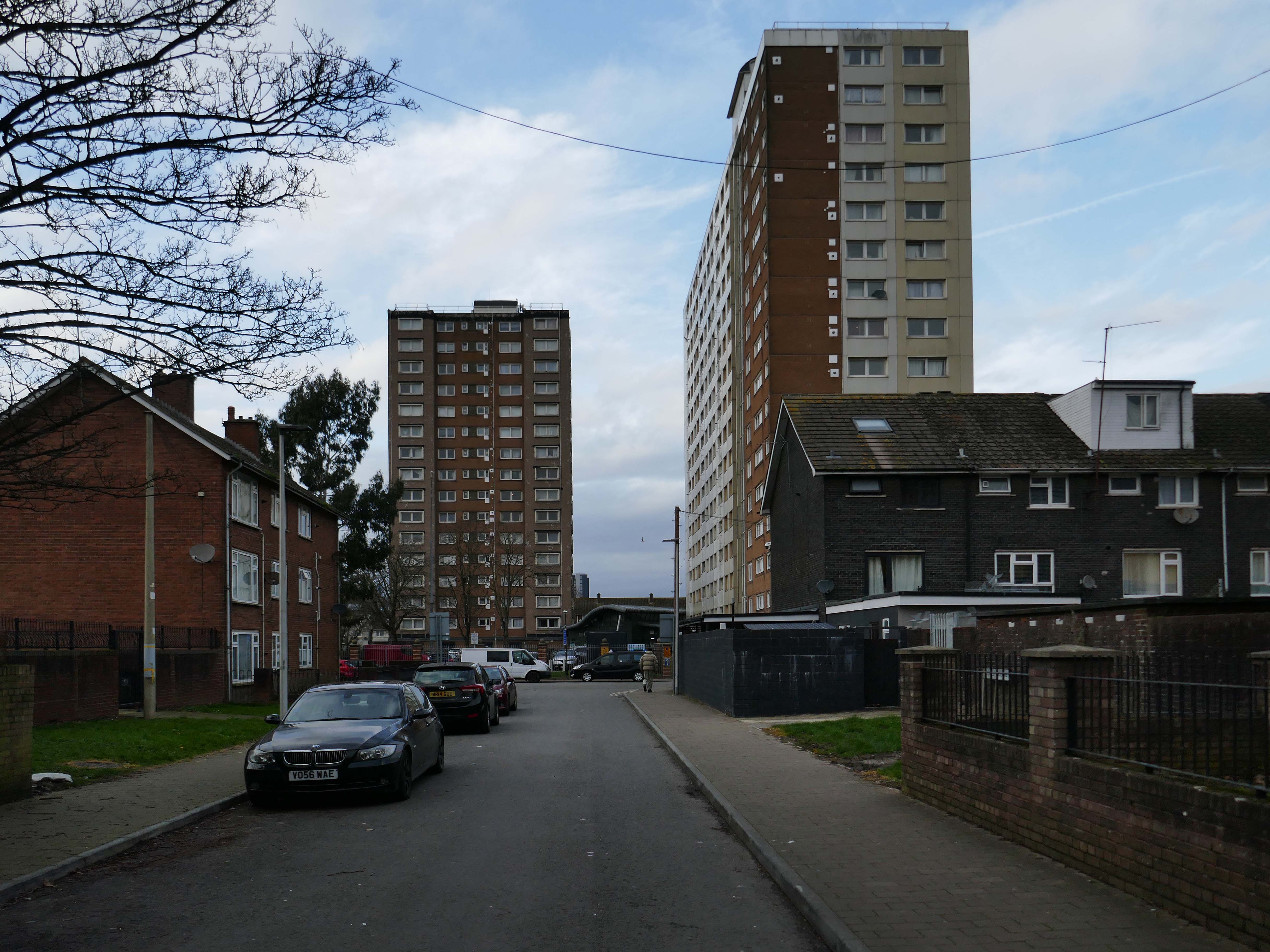
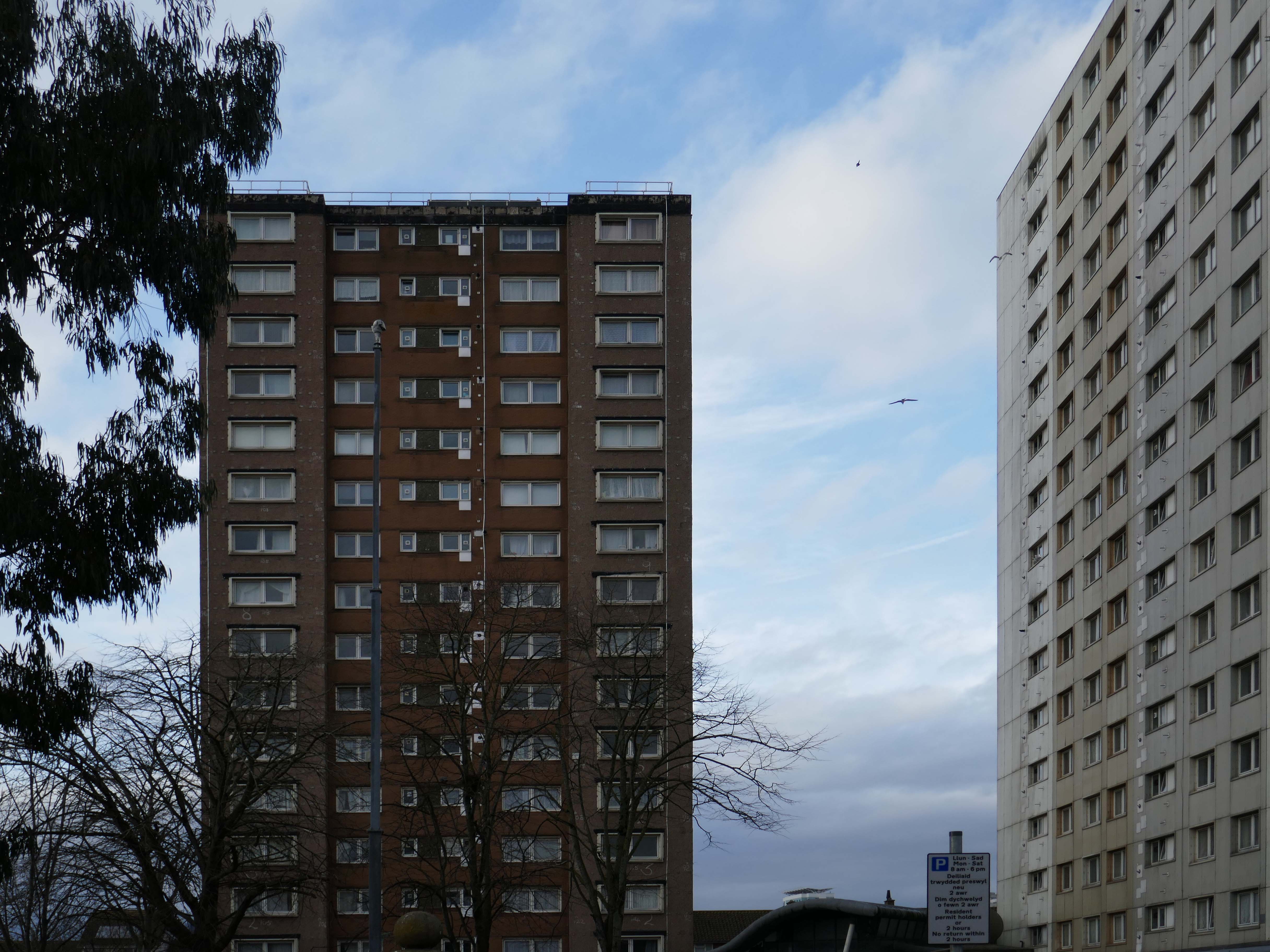
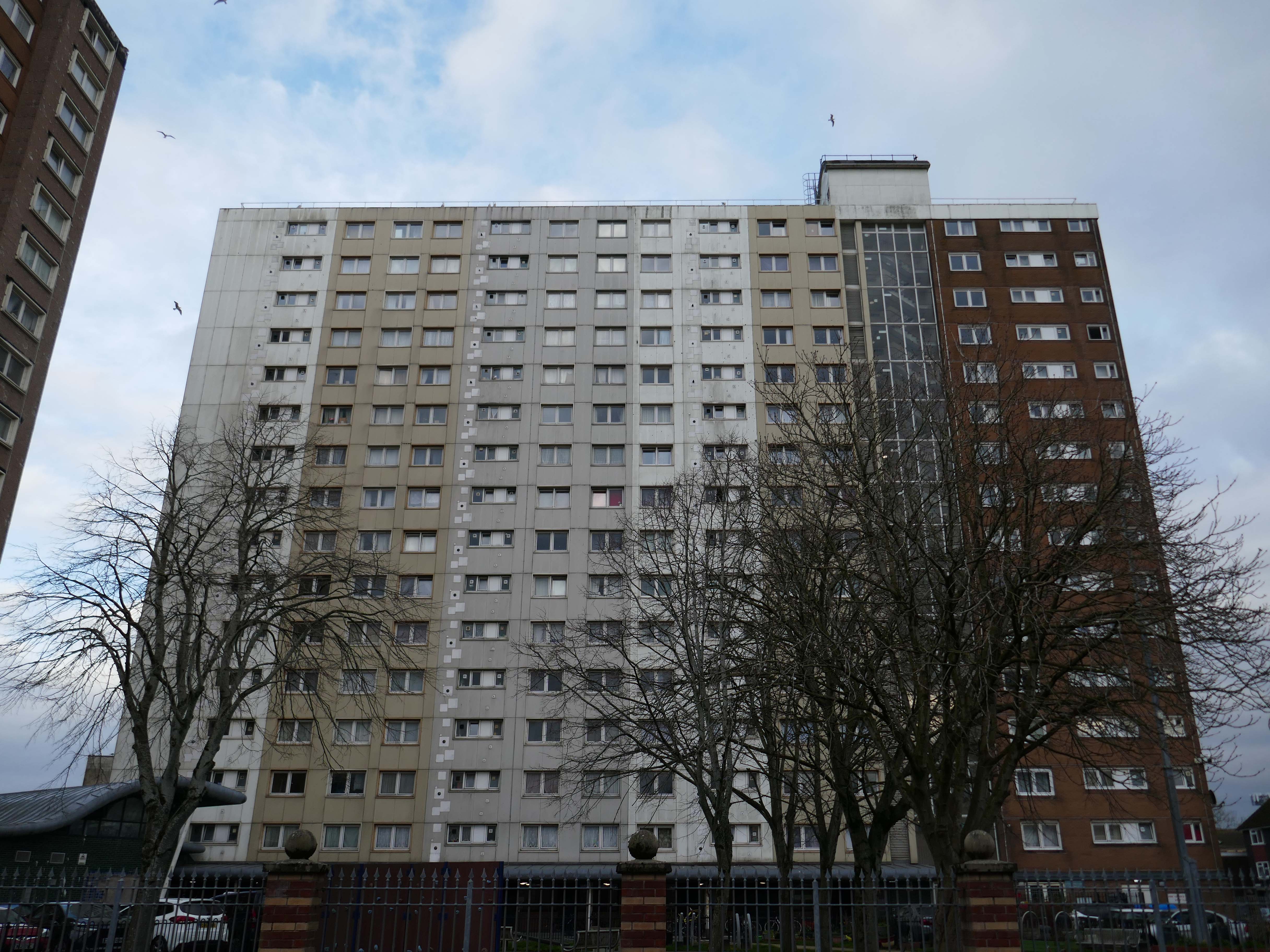
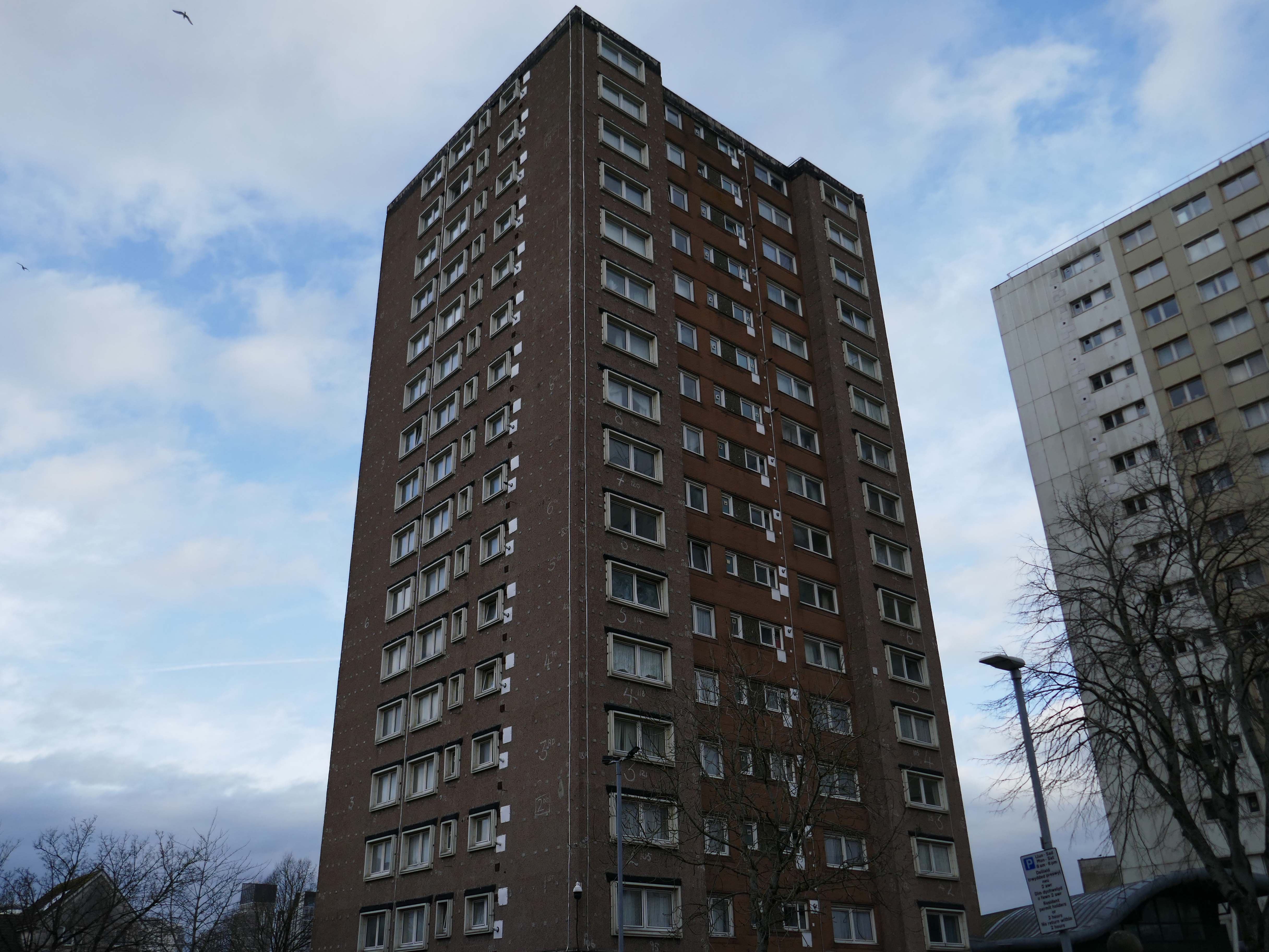
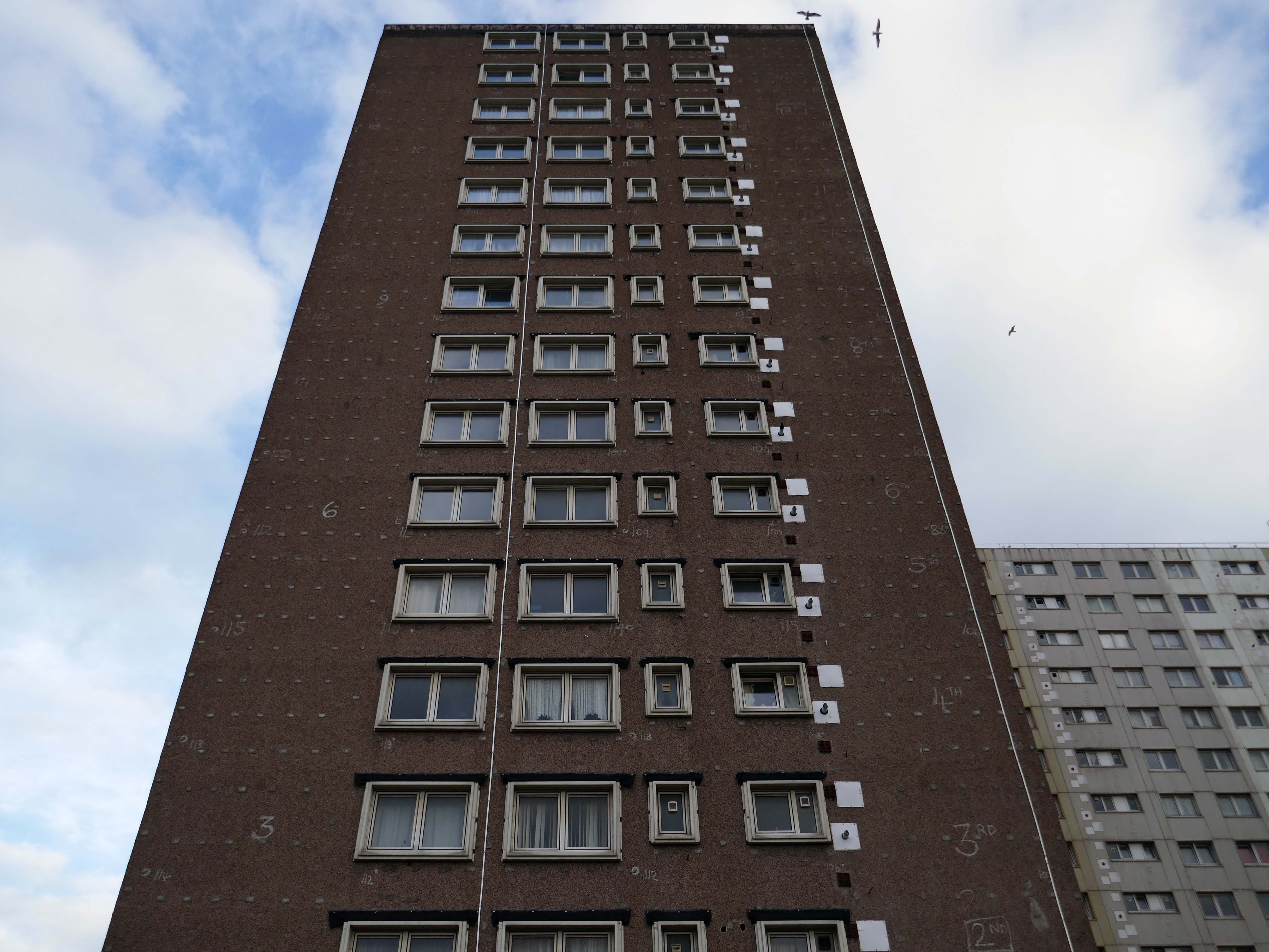
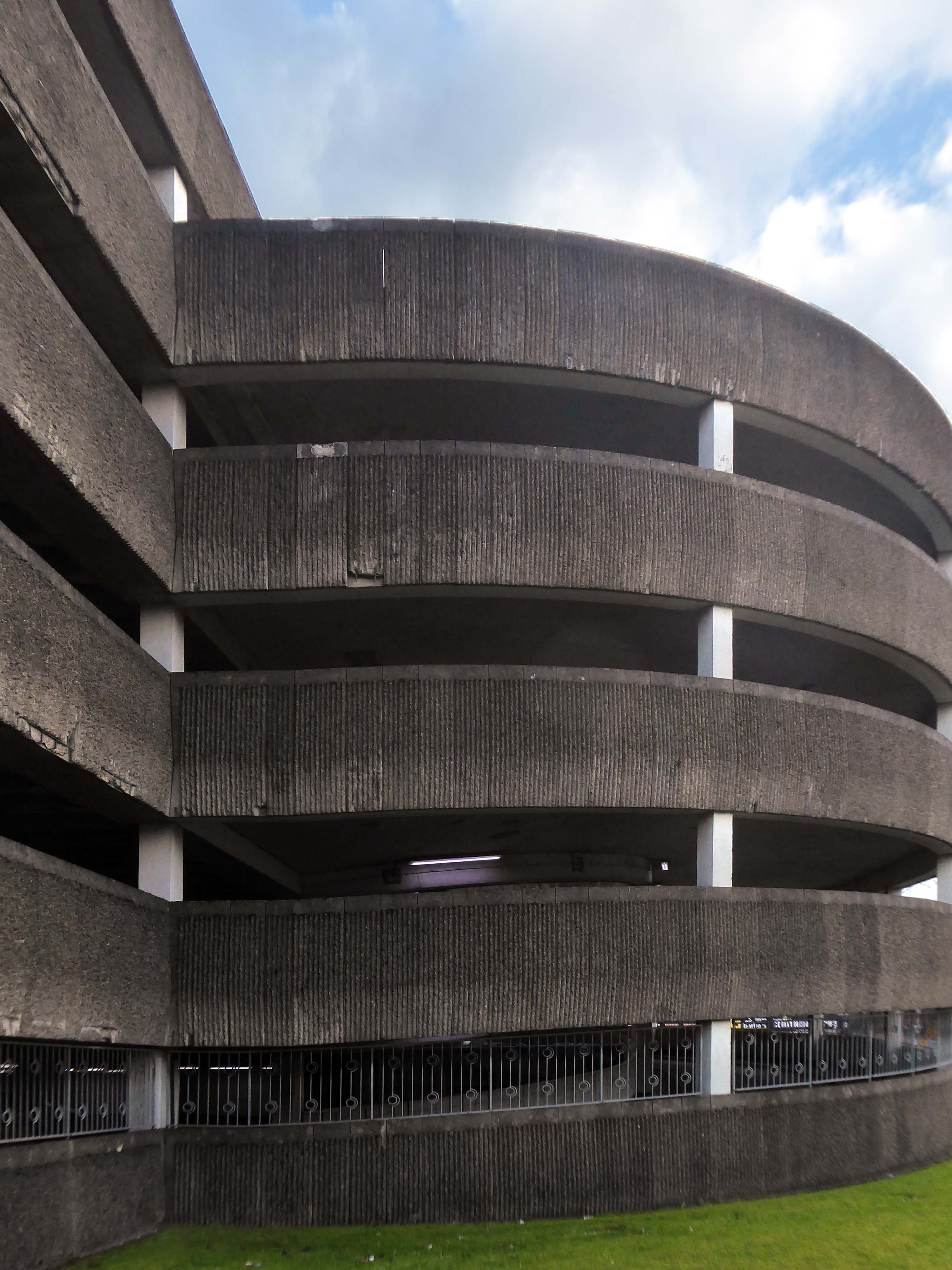
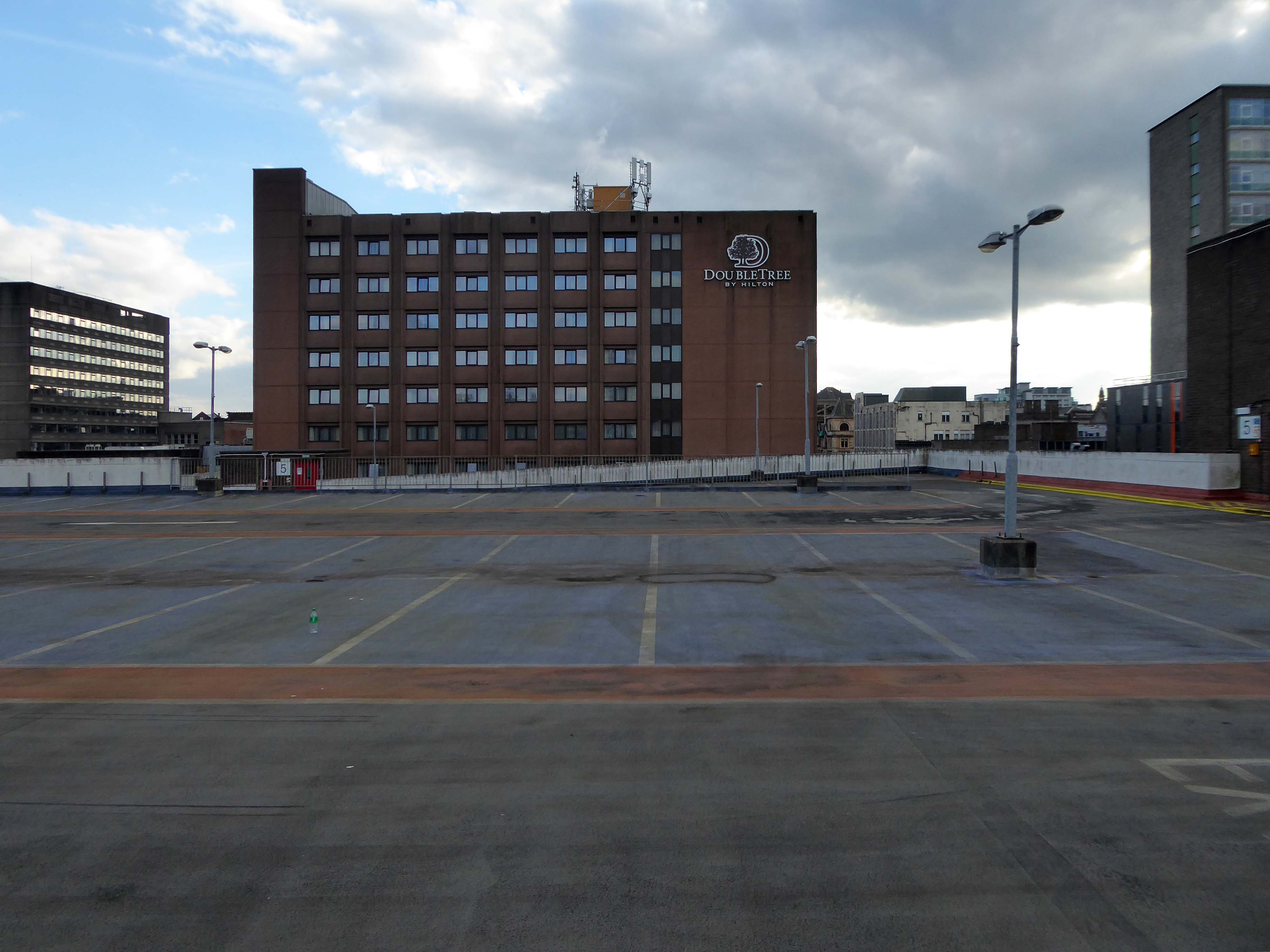
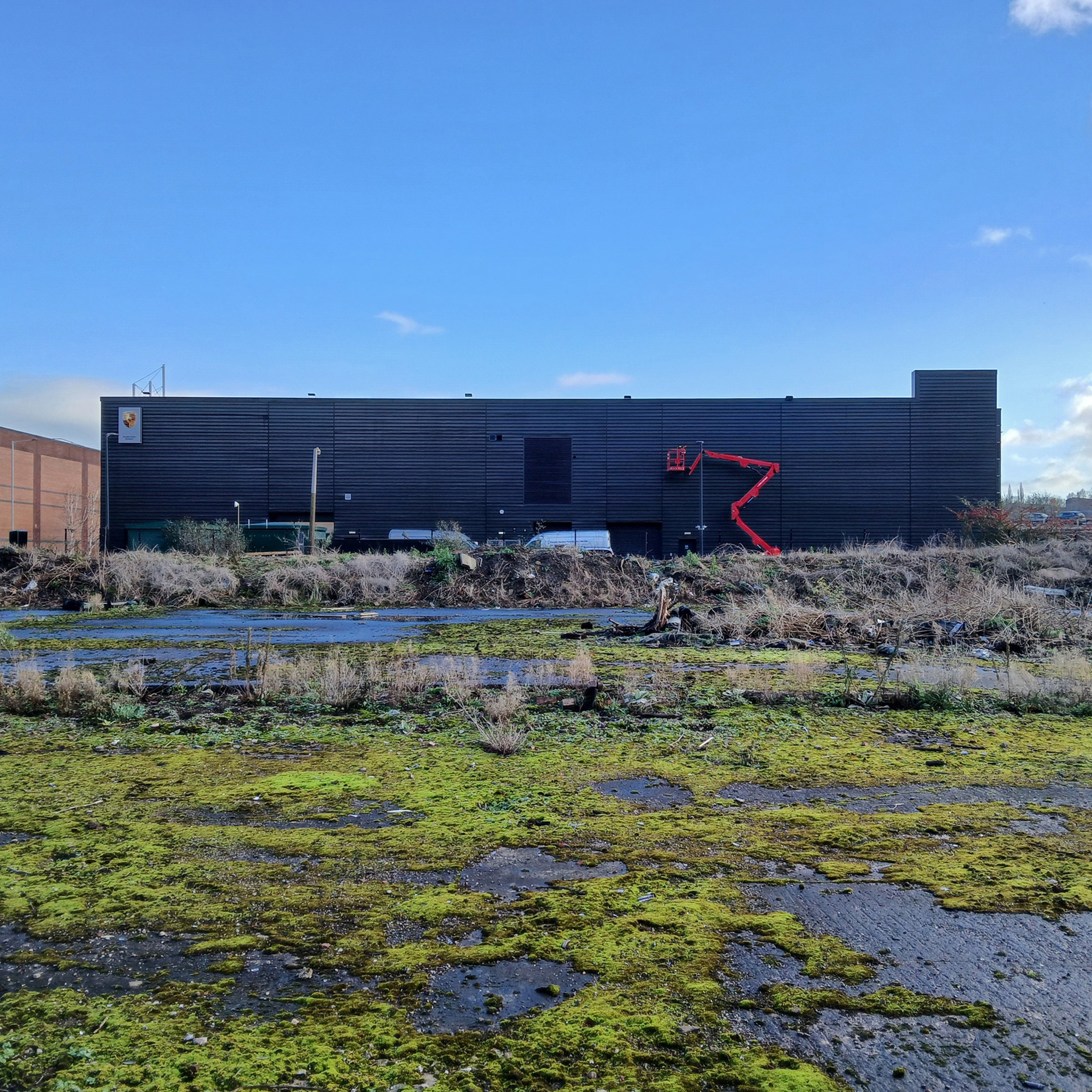
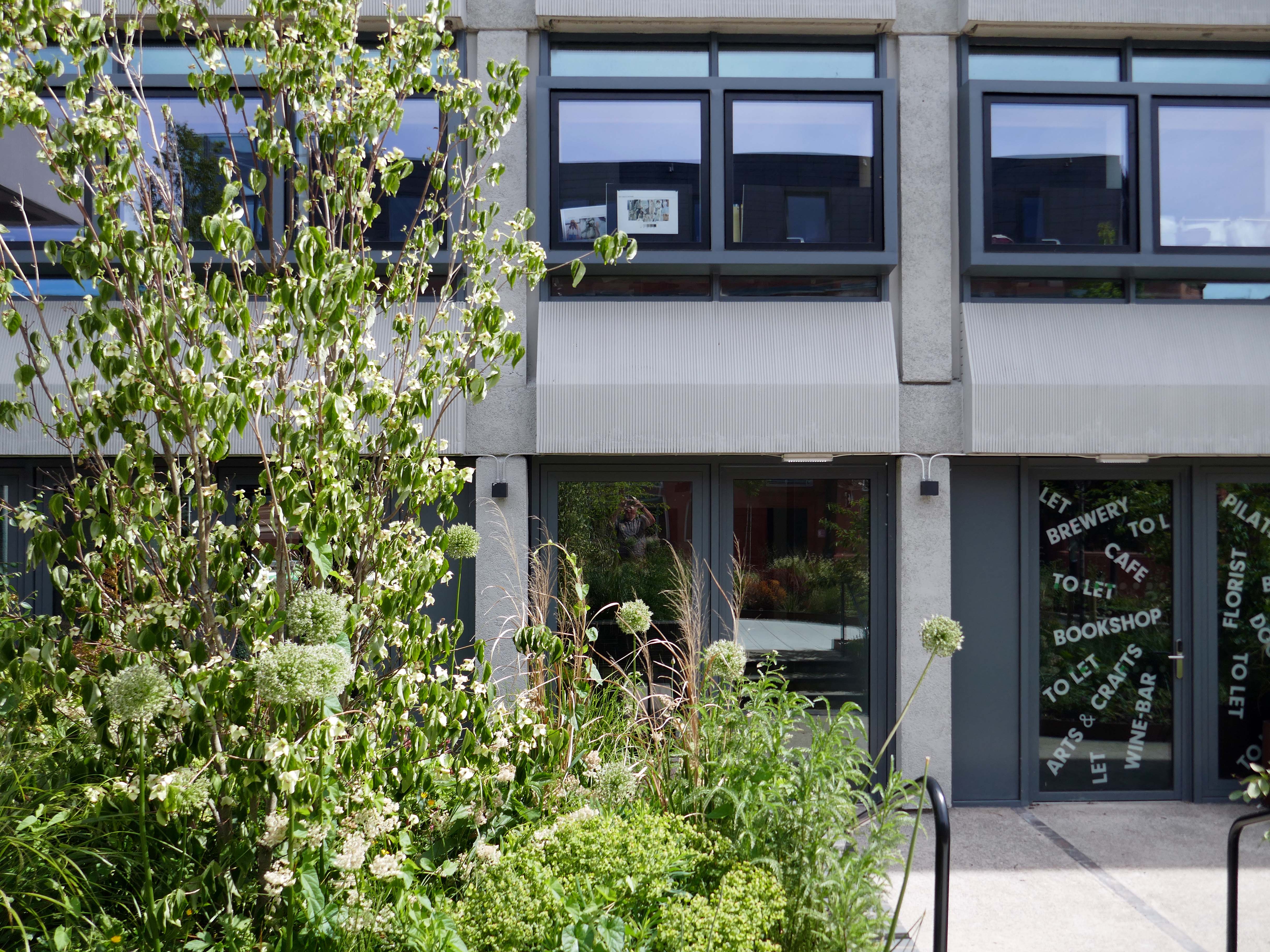
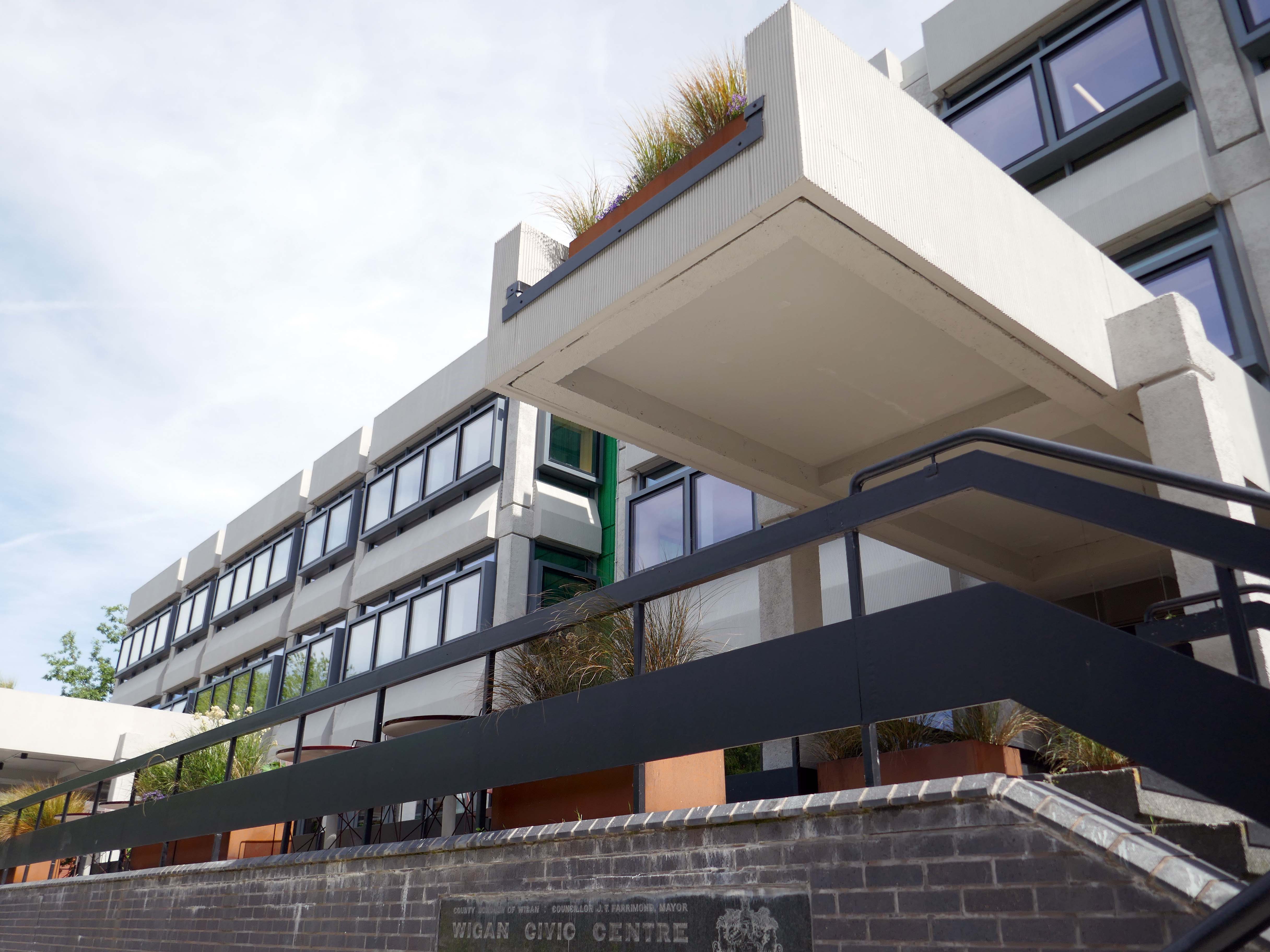
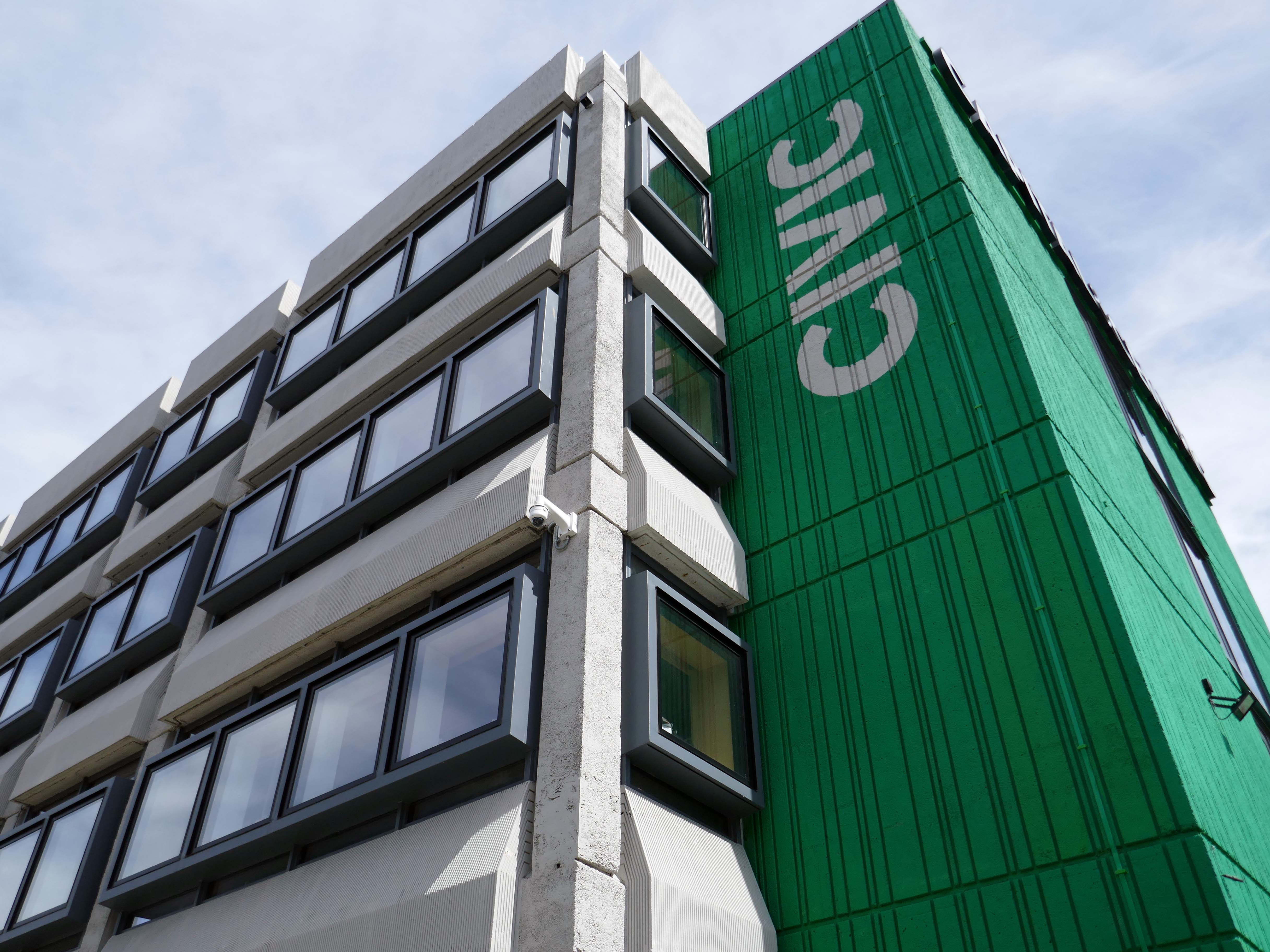
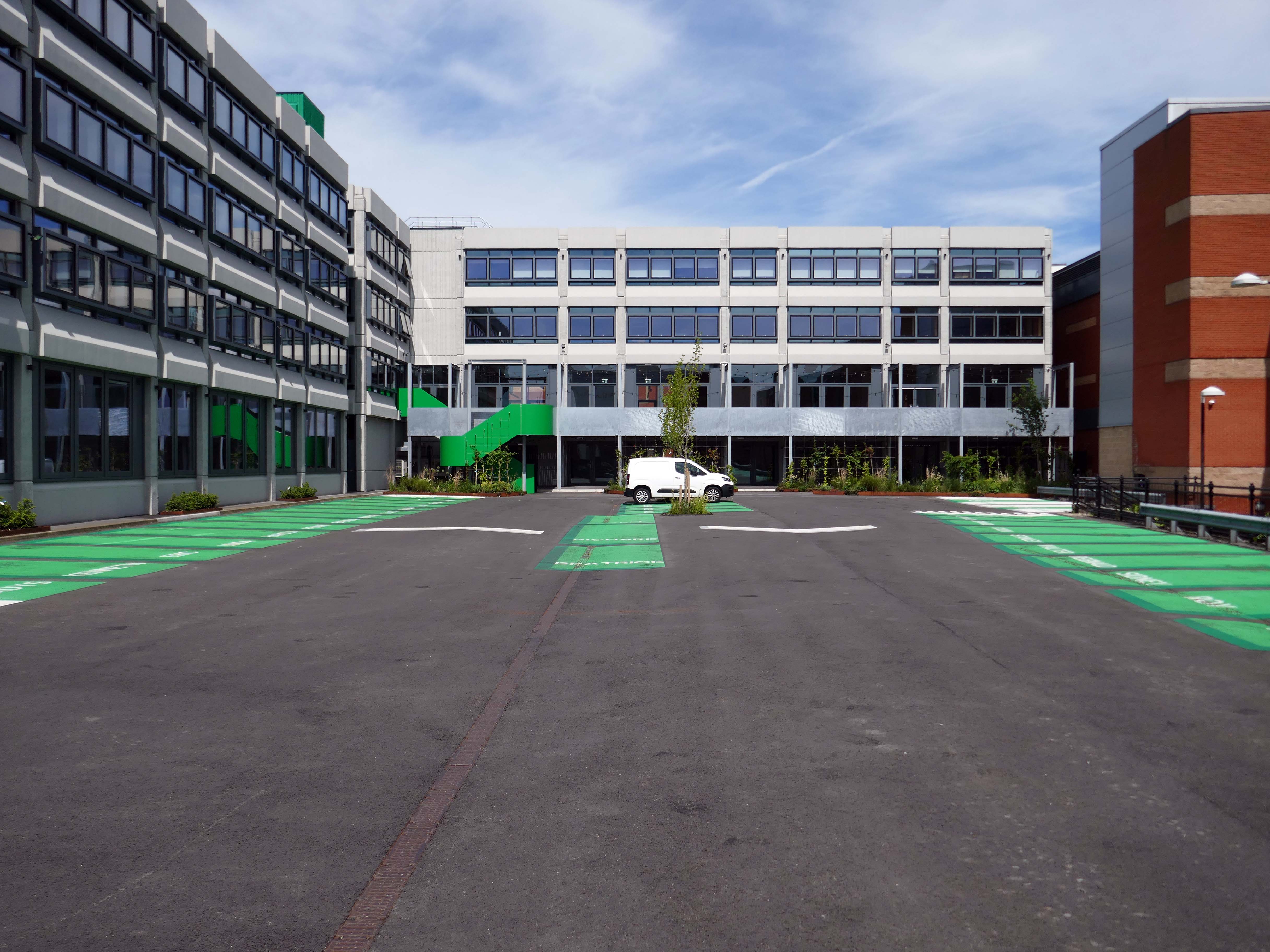
Here’s the exterior.

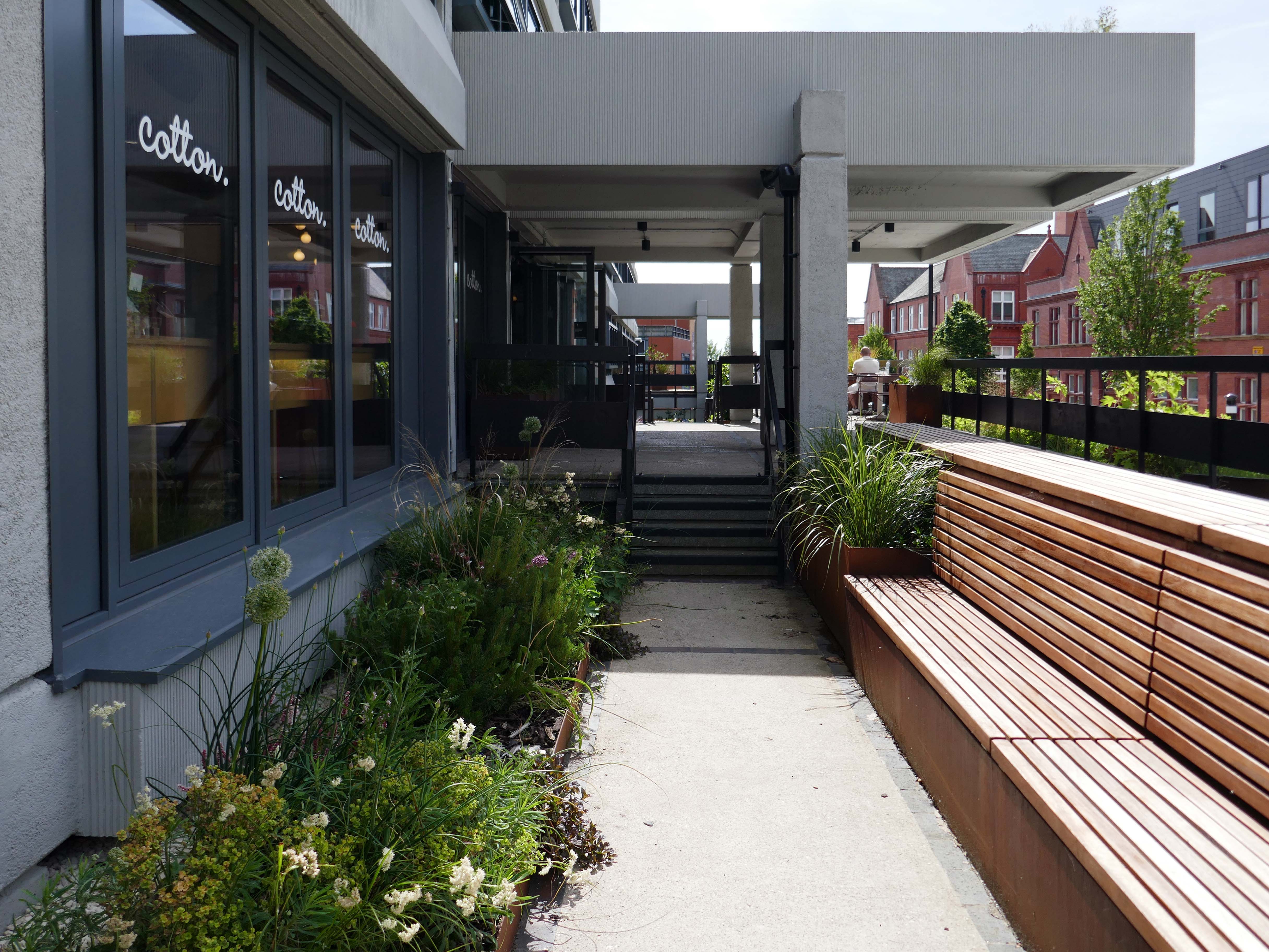
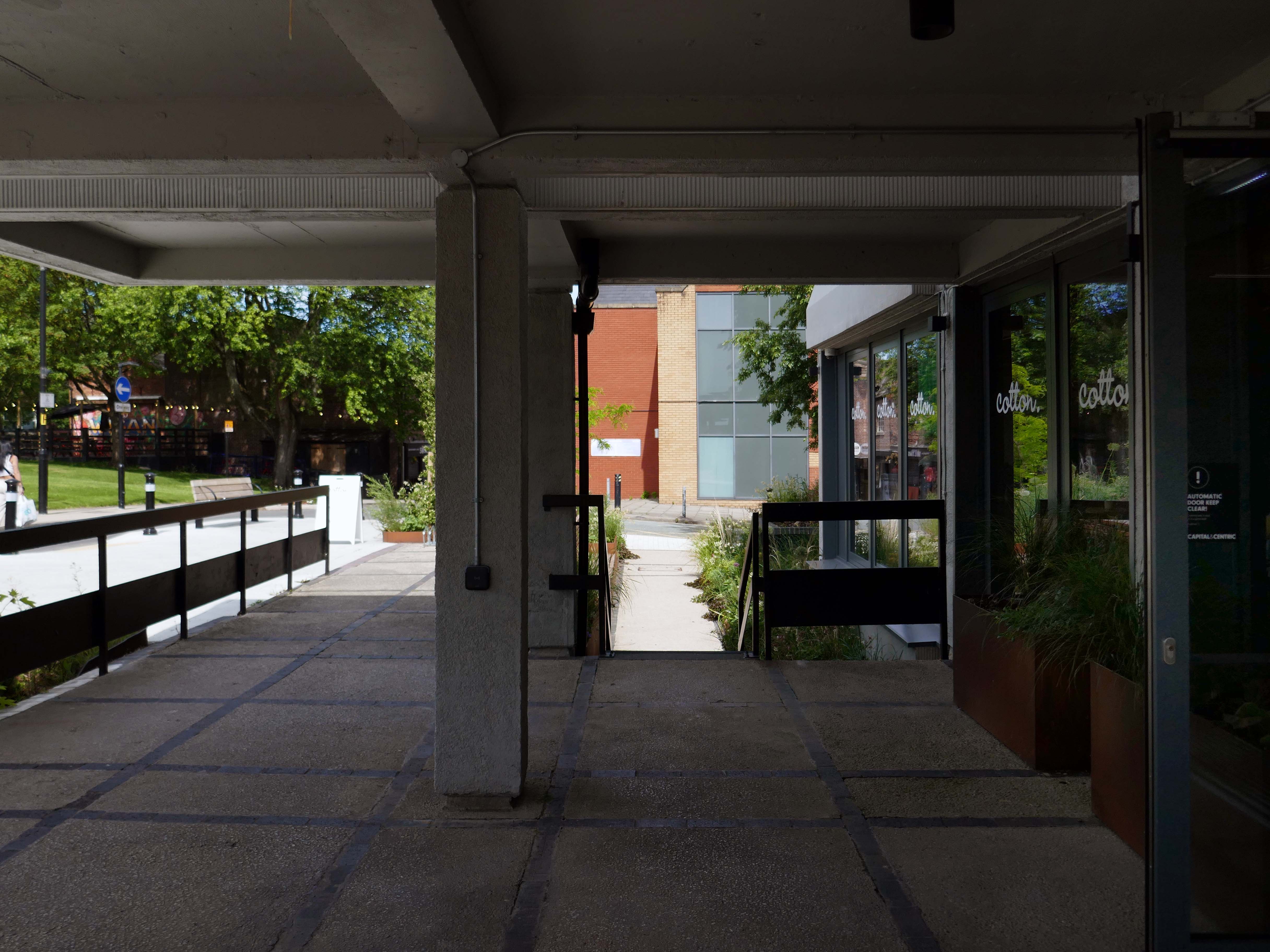
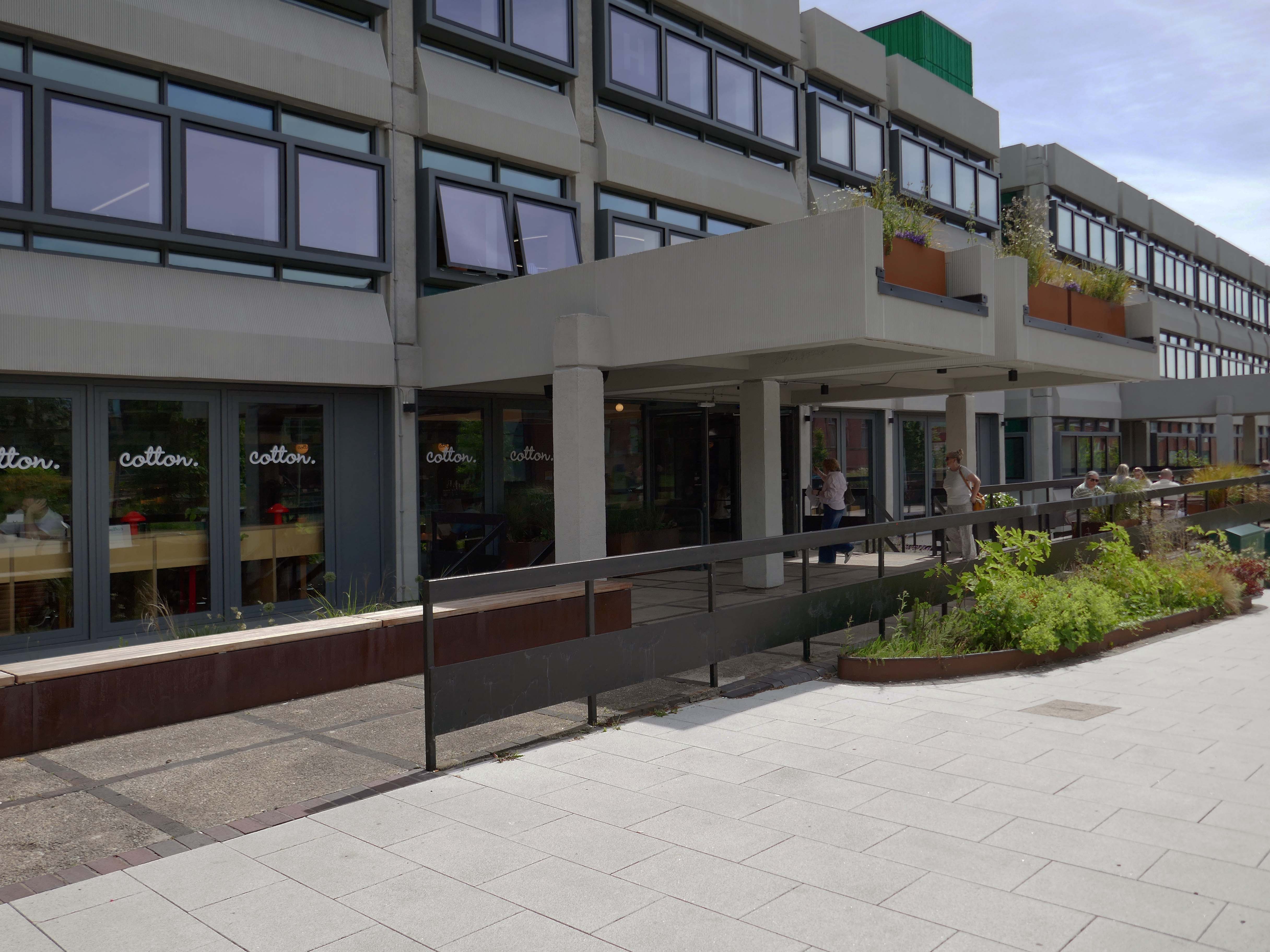
Many thanks to the Cotton Café Bar for kindly allowing us in after hours.
Diners image Canning O’Neill – spaces to let.
Ultimately, civic stands as a symbol of optimism for Wigan, proving that intelligent commercial design can catalyse economic renewal, secure a sustainable future, and truly lift a town’s spirits, without erasing its history. It is a gold standard for the adaptive reuse of 20th-century landmarks.
Judge, BCO Awards 2026
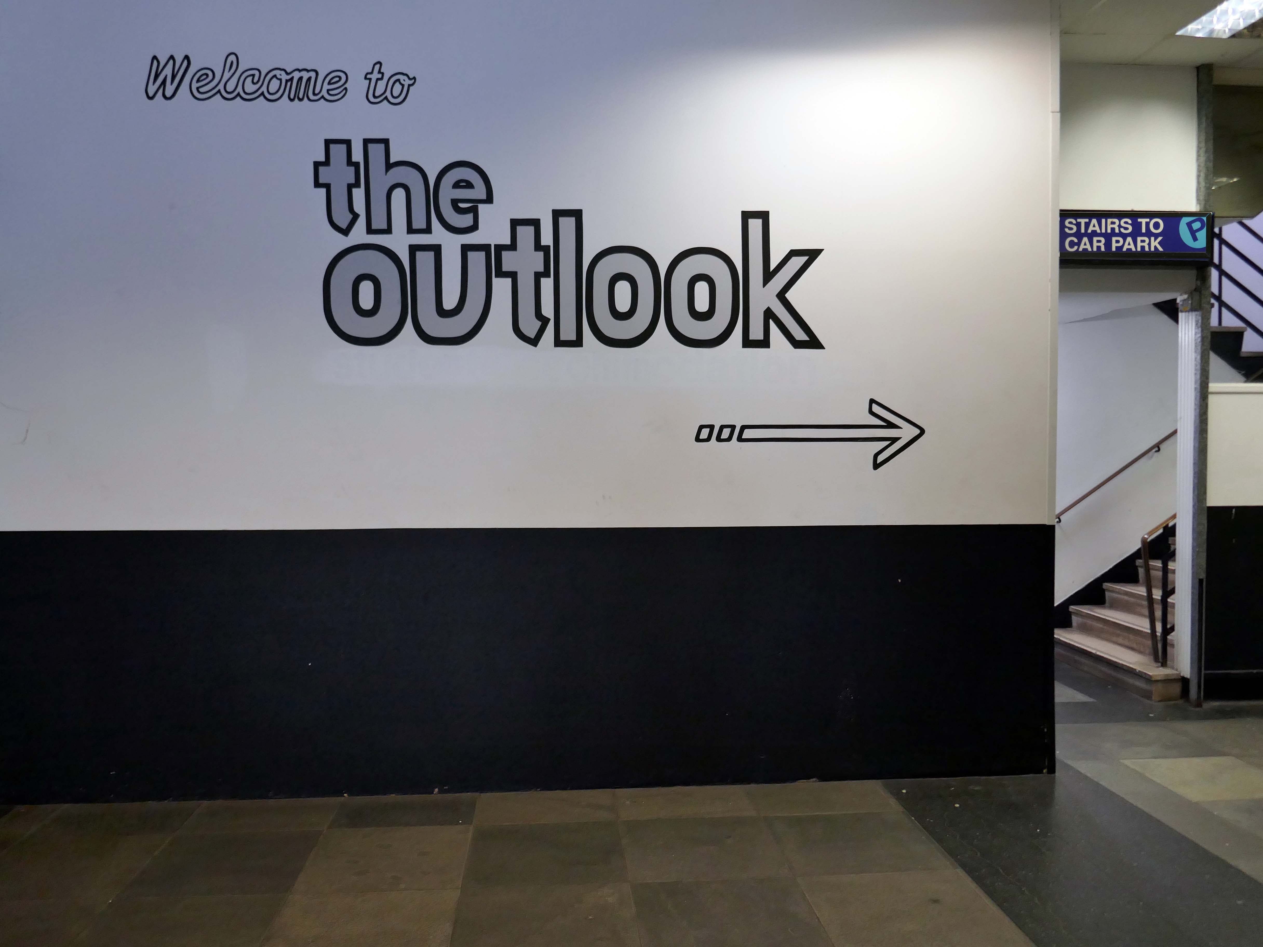
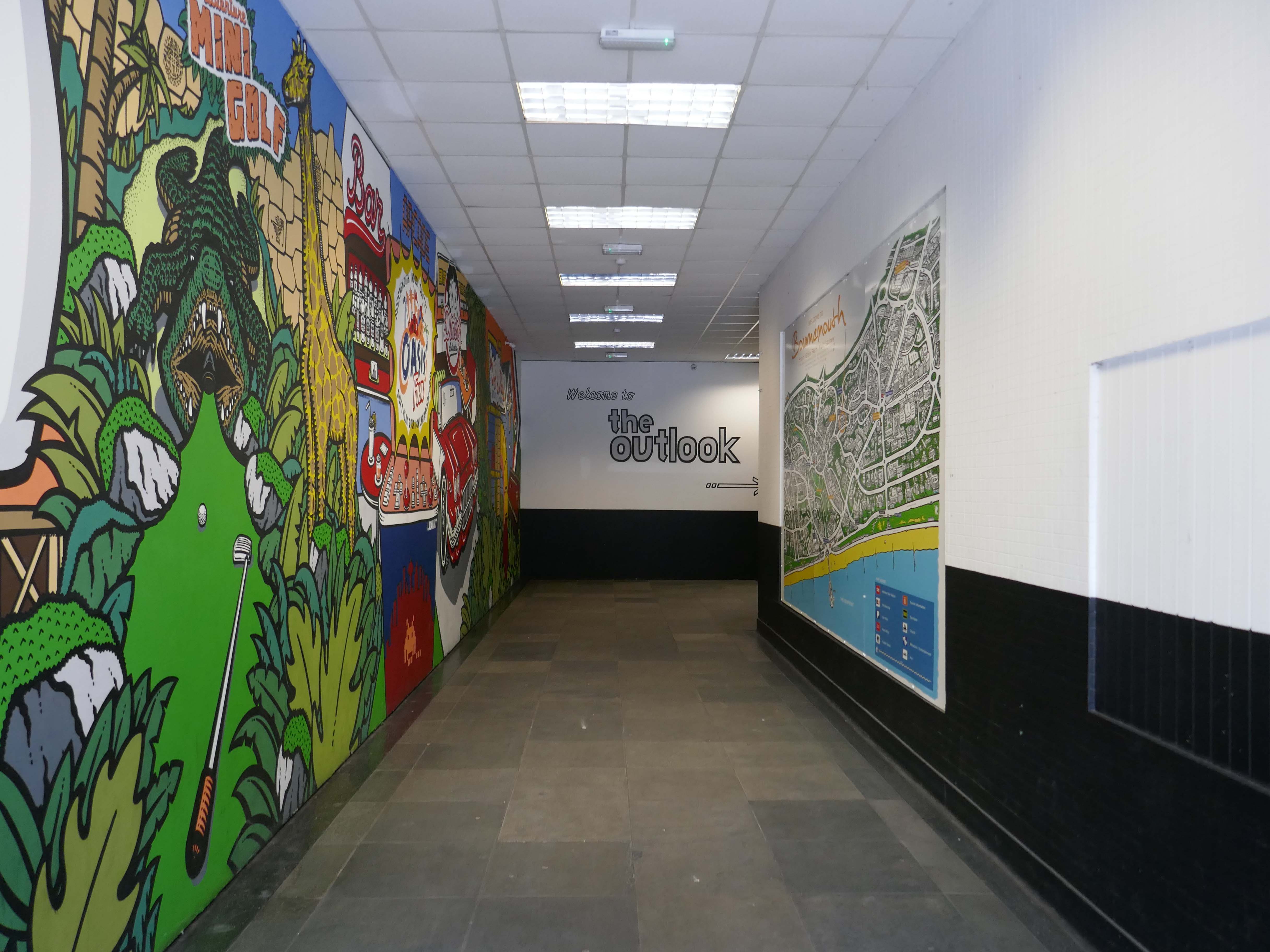
Open for business bob along pronto.