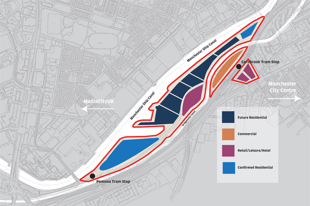
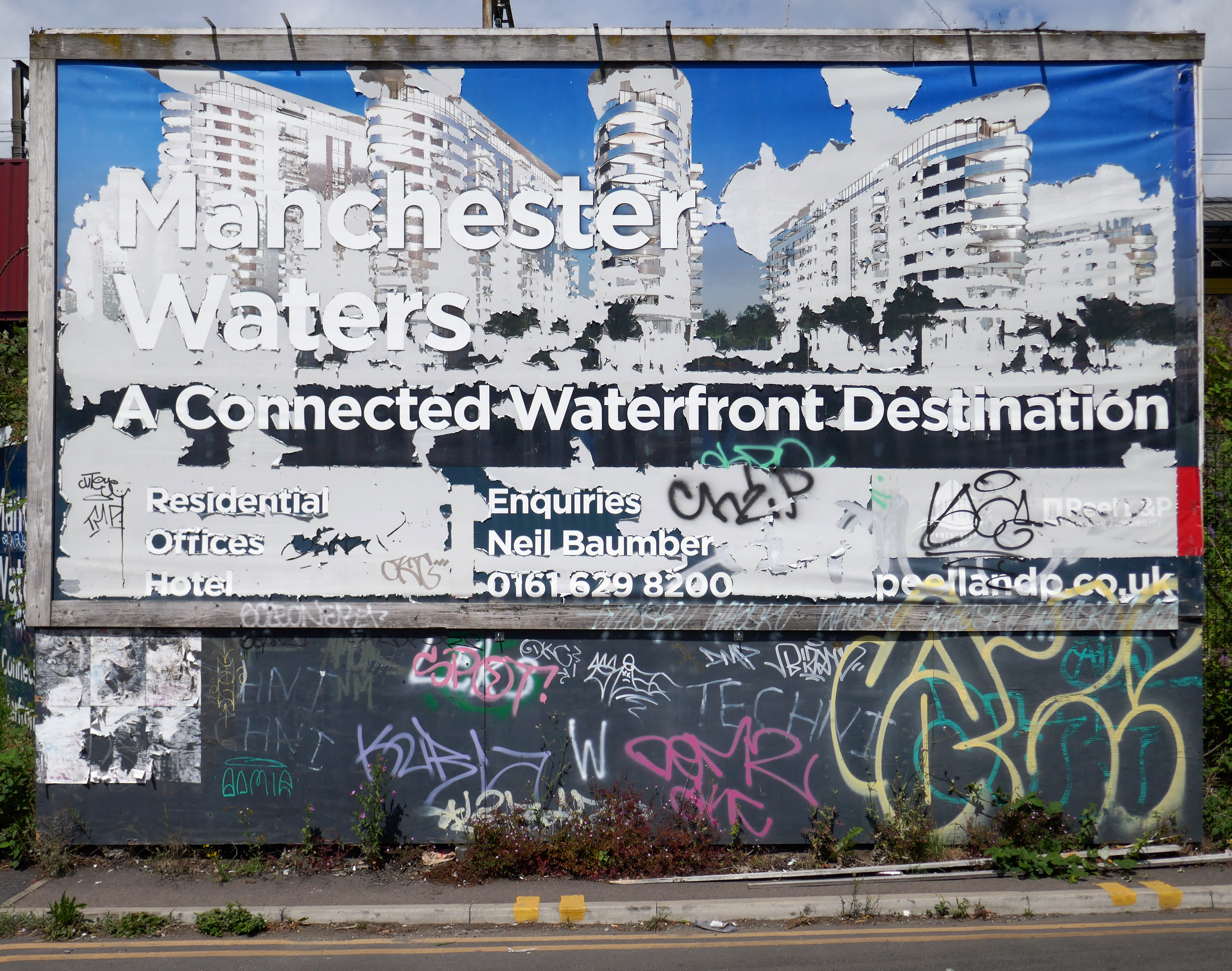
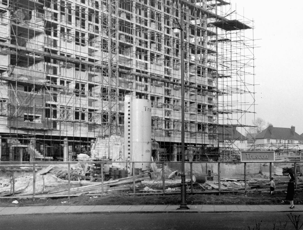
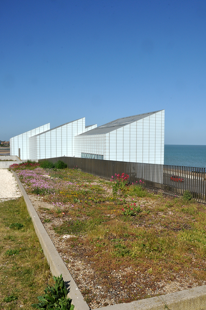
X1 has launched the first phase of its major Manchester Waters development on the outskirts of the city centre. The development will be delivered in partnership with property developer and landowner Peel and is located on Pomona Island. Phase one will include 755 flats, with the first completions scheduled for 2019.
Thus far phase one has arrived, other phases less so.
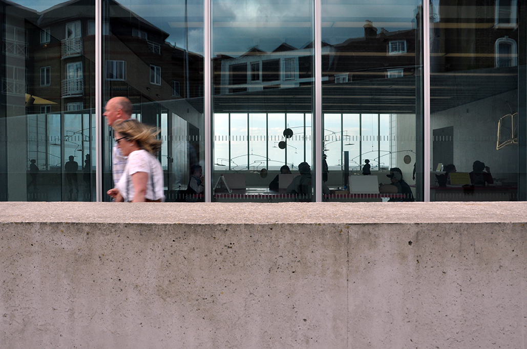
A Covid induced hiatus has meant that the masterplan has hit the buffers.
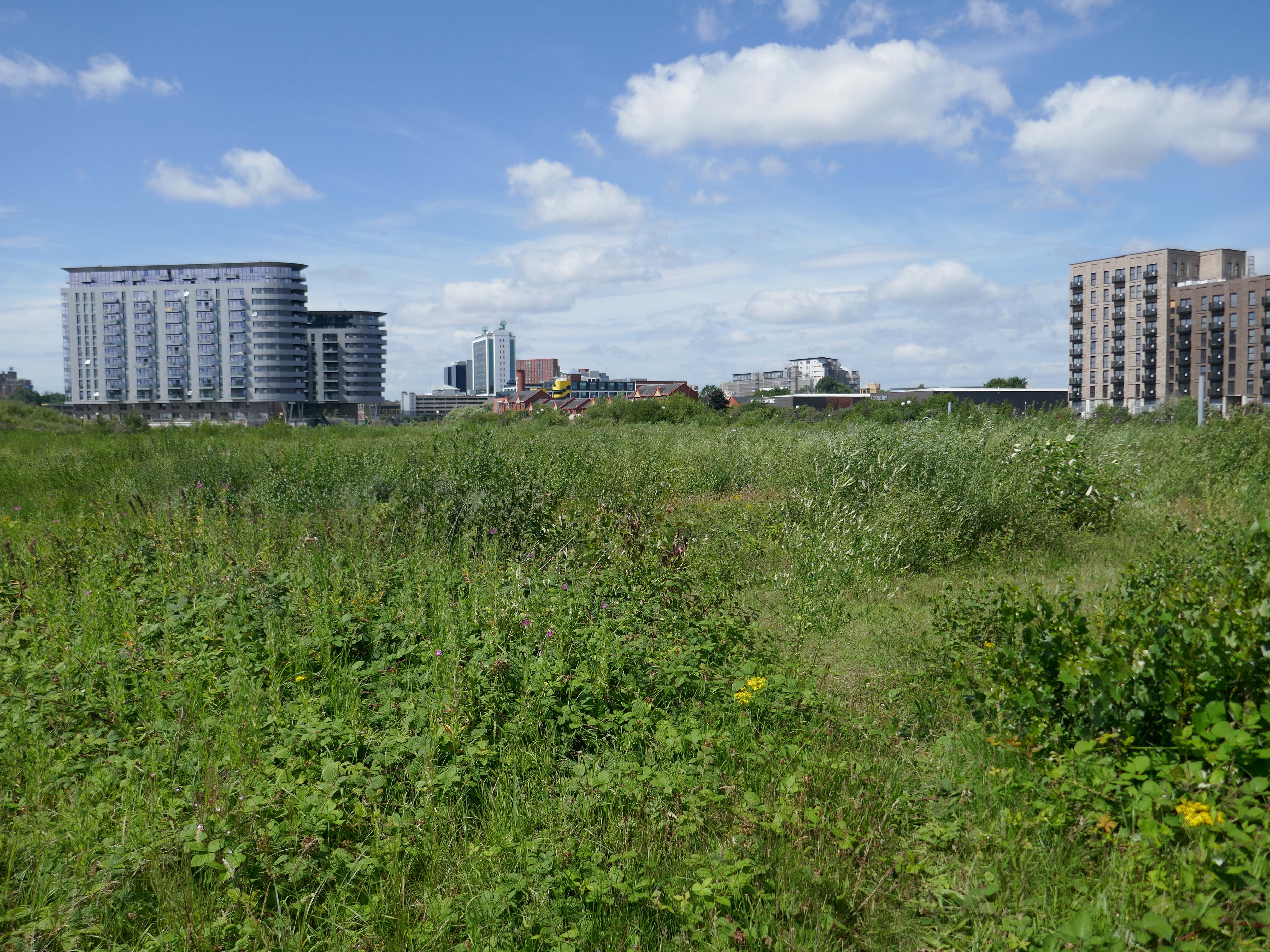
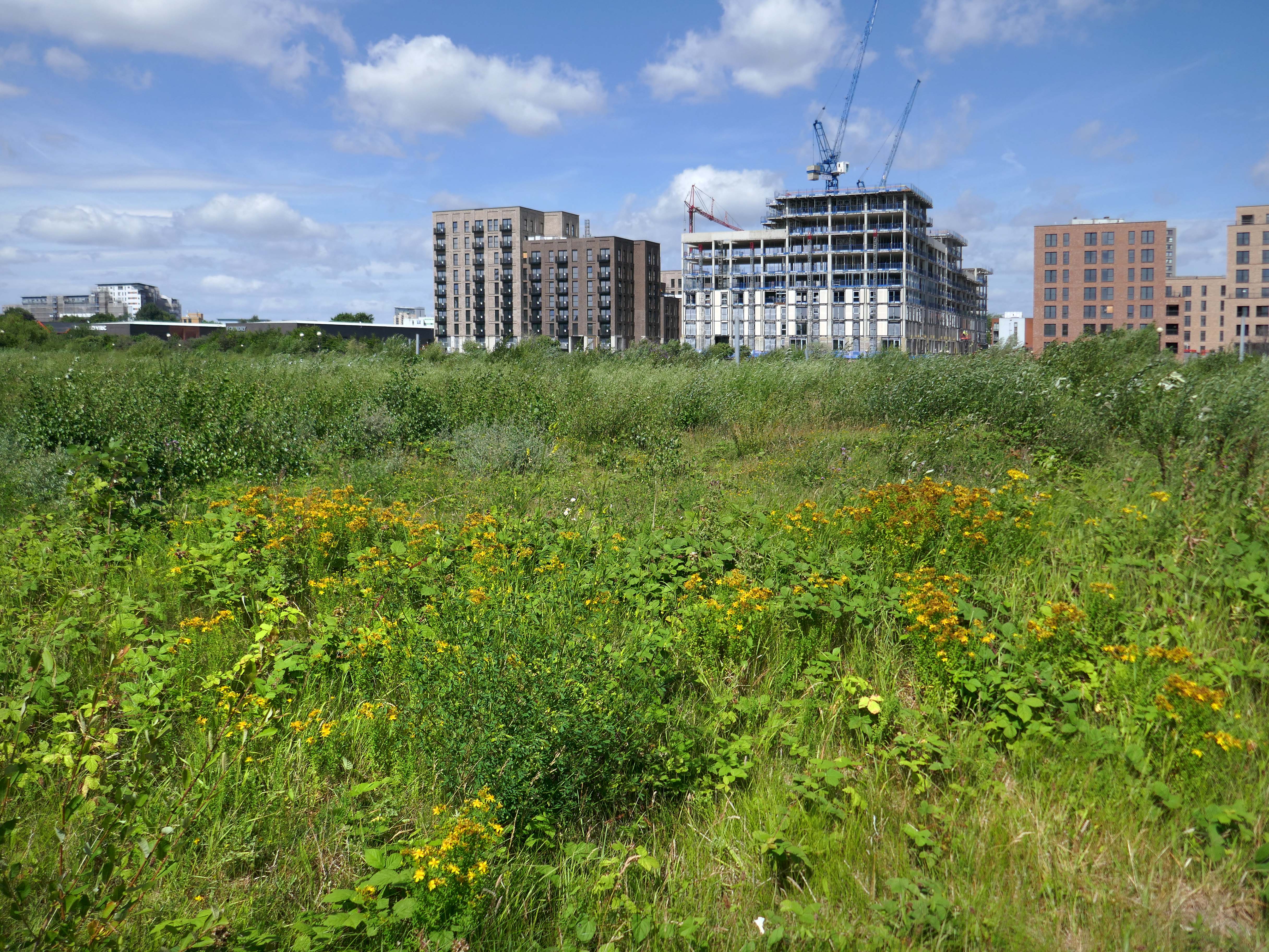
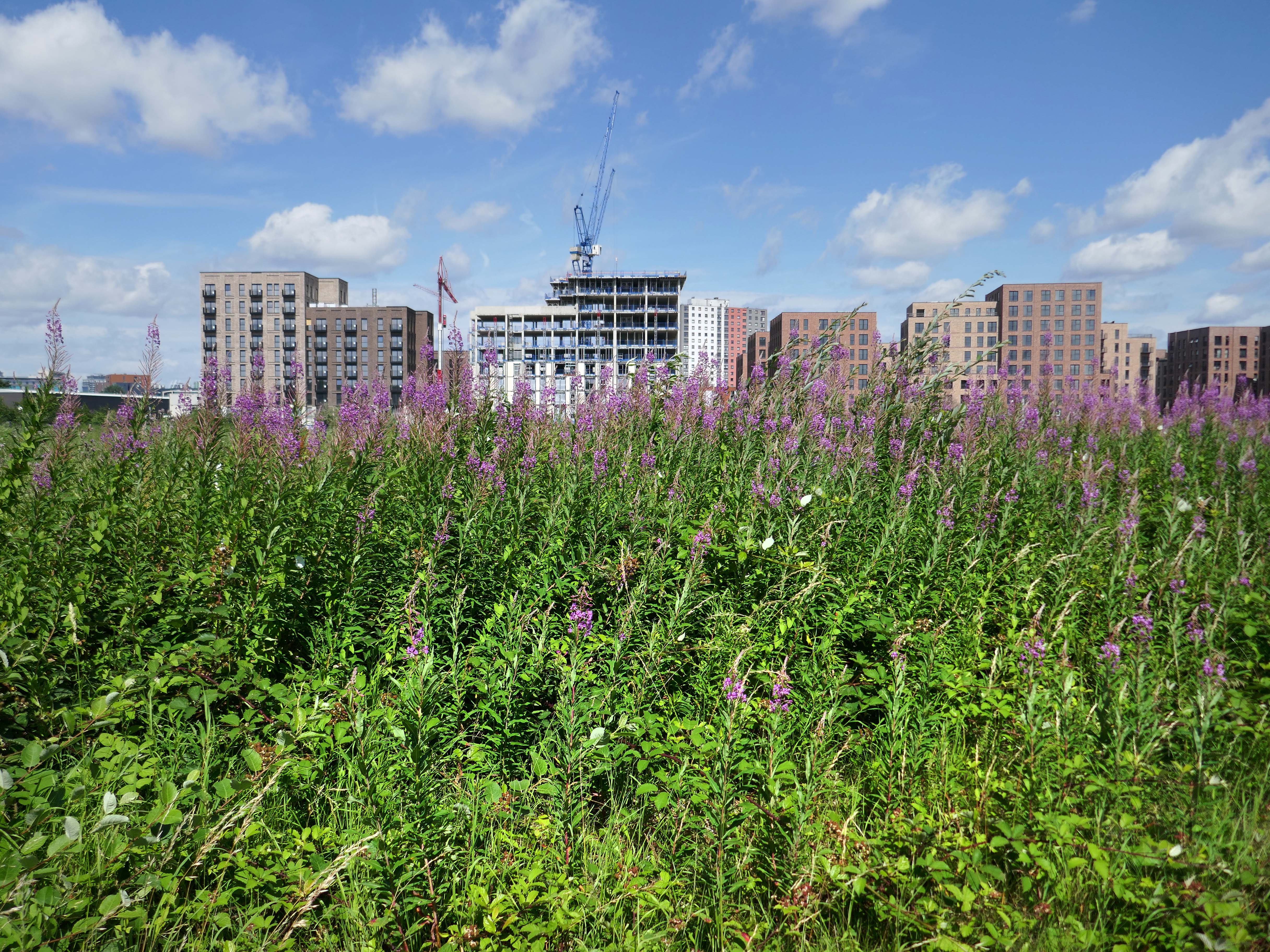
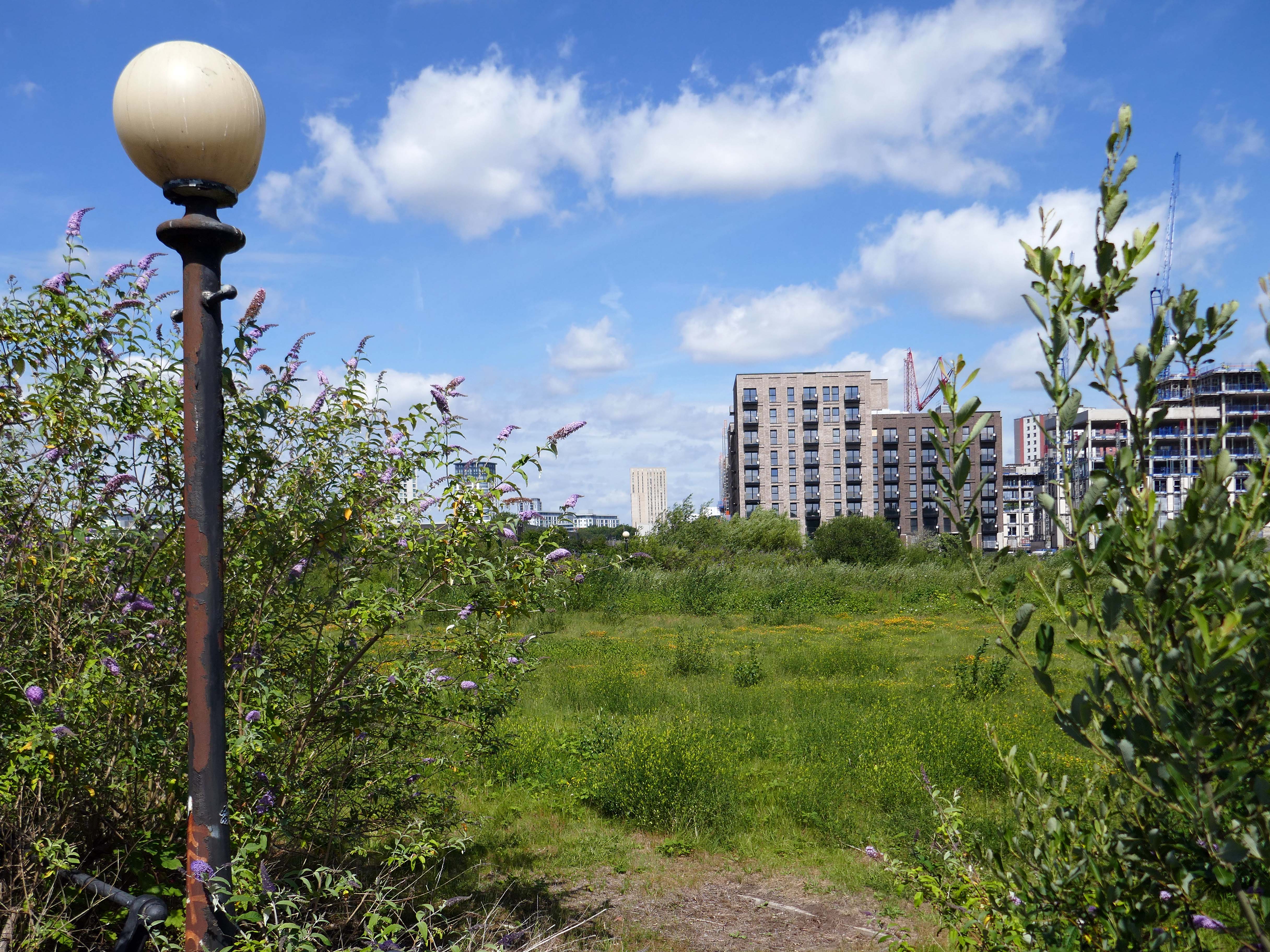
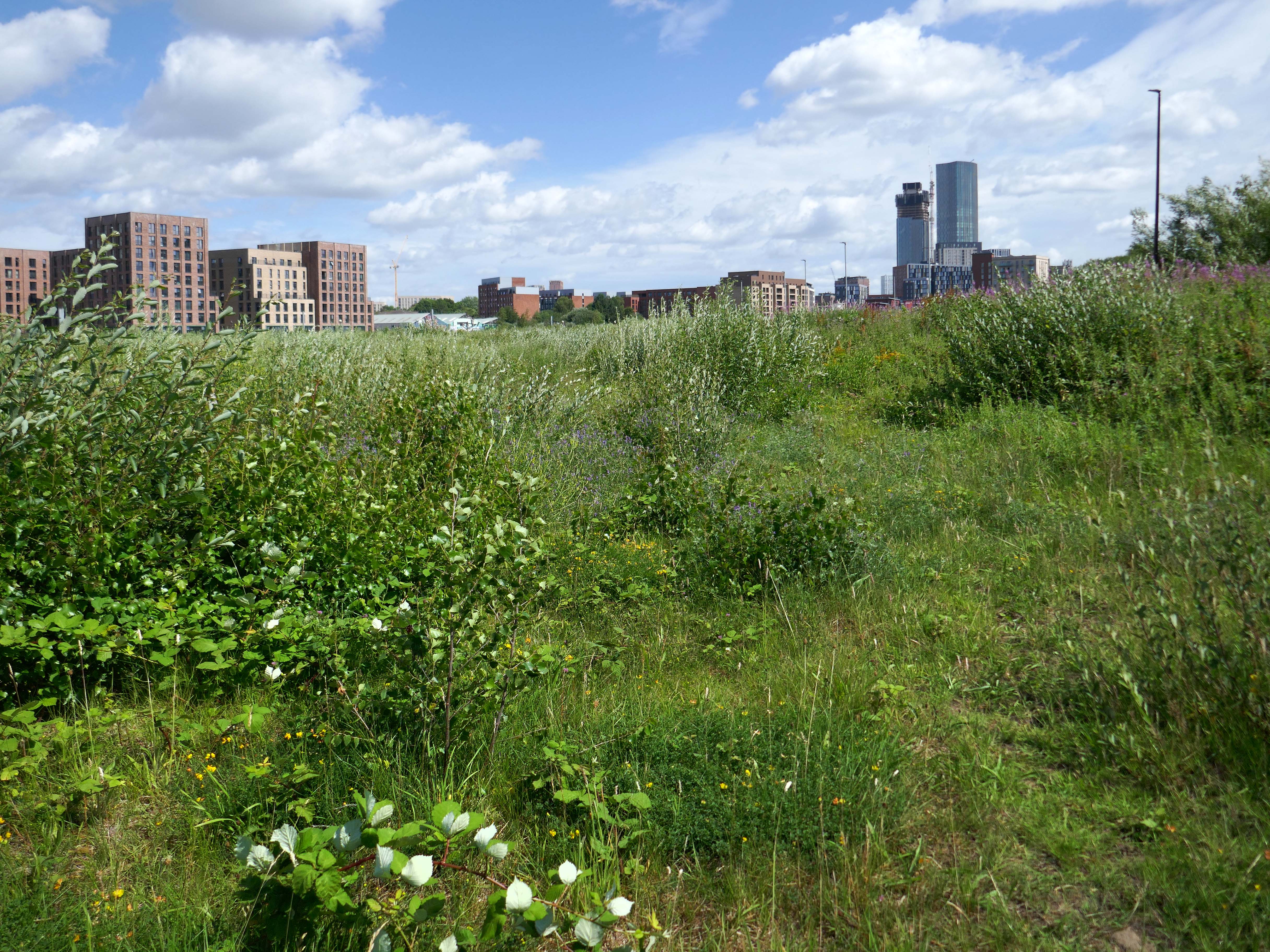
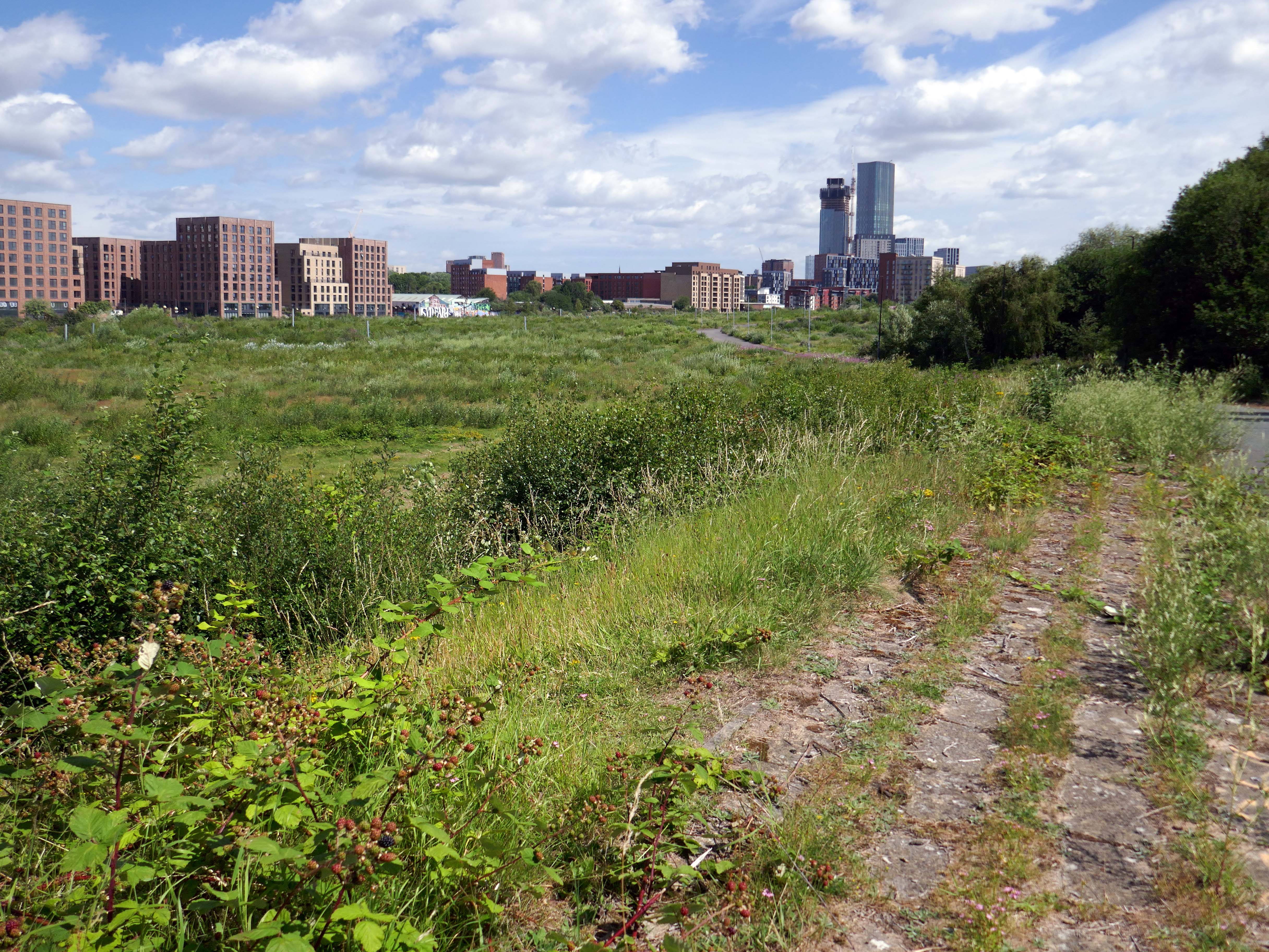
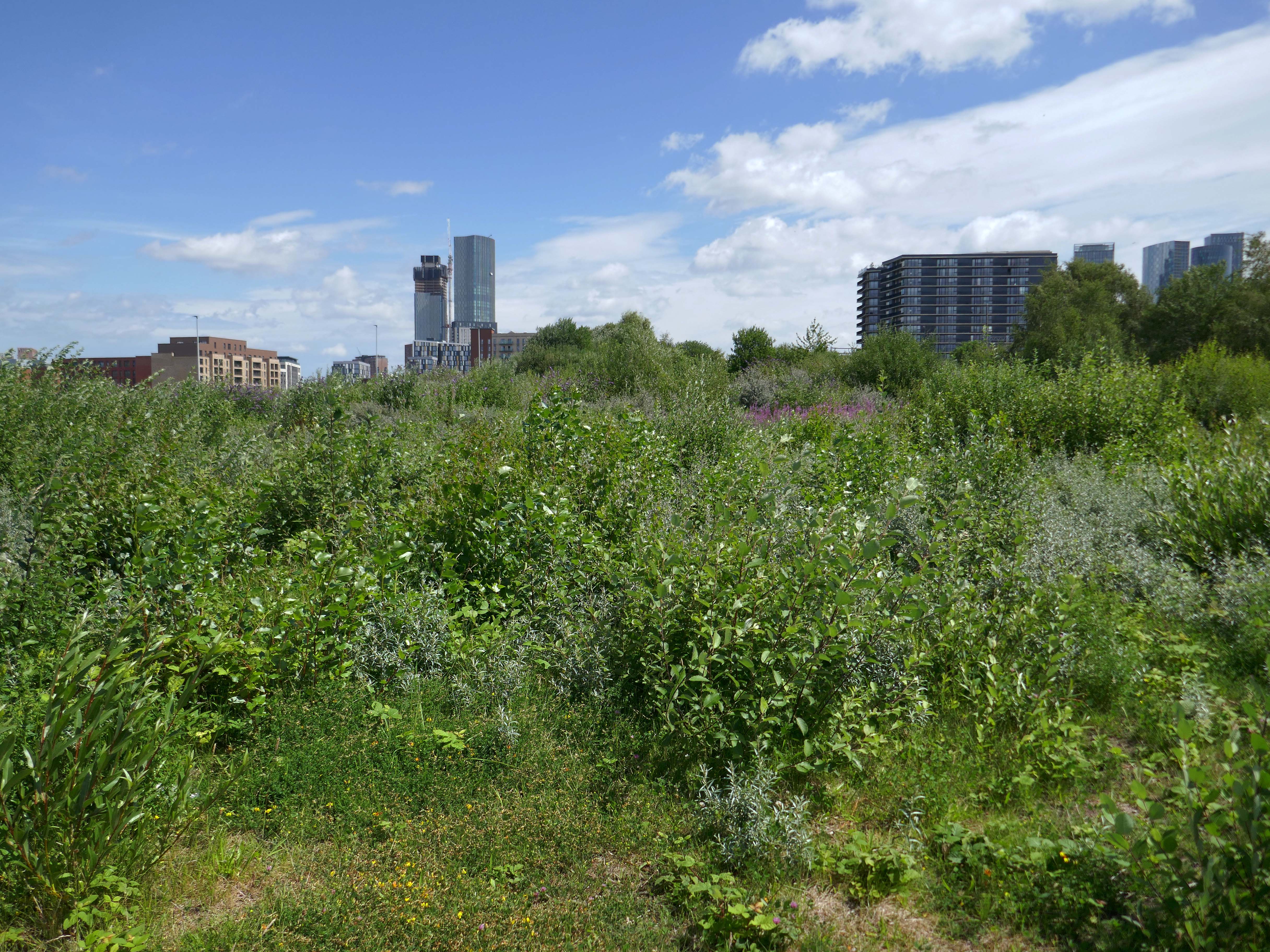
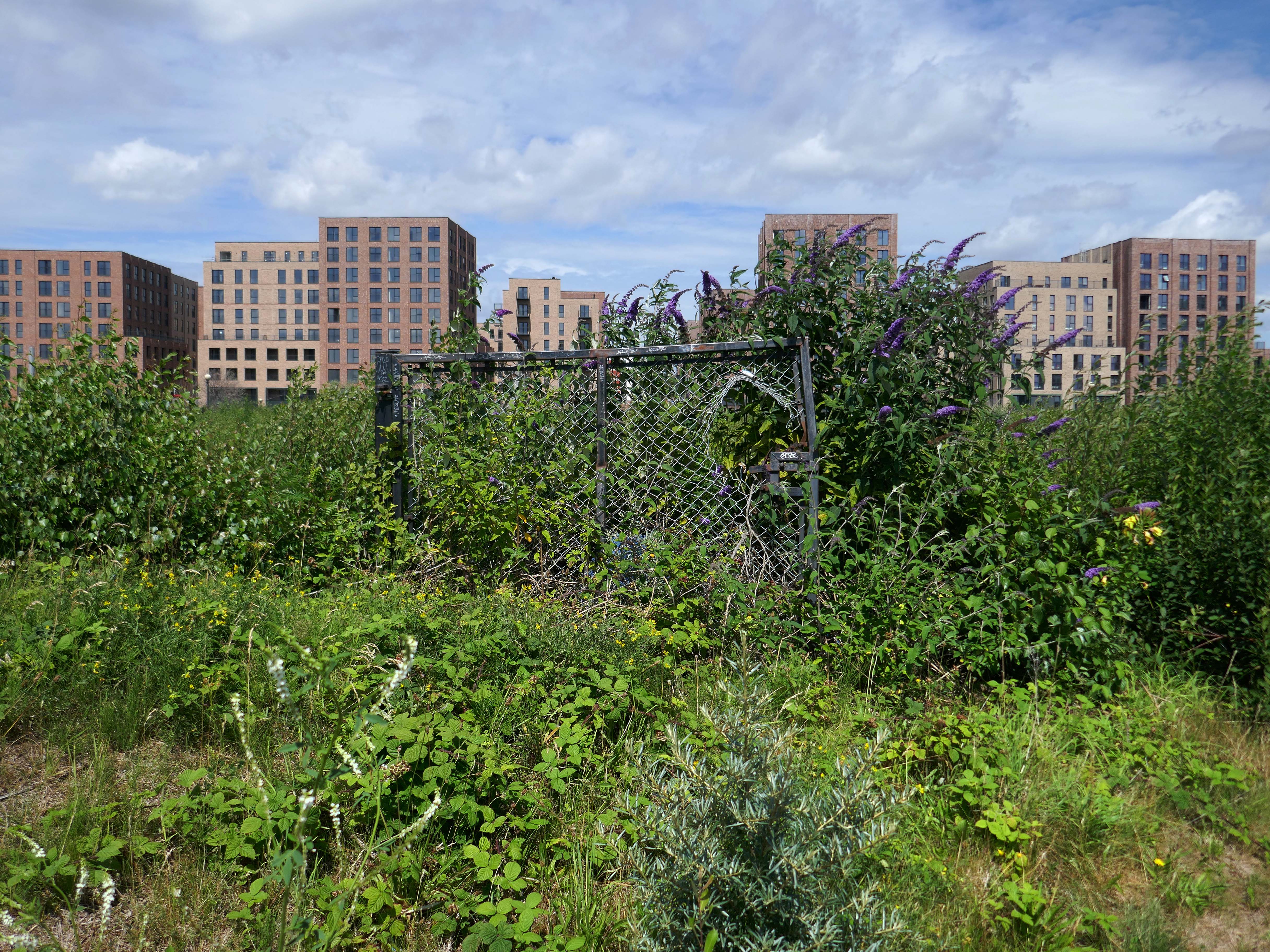
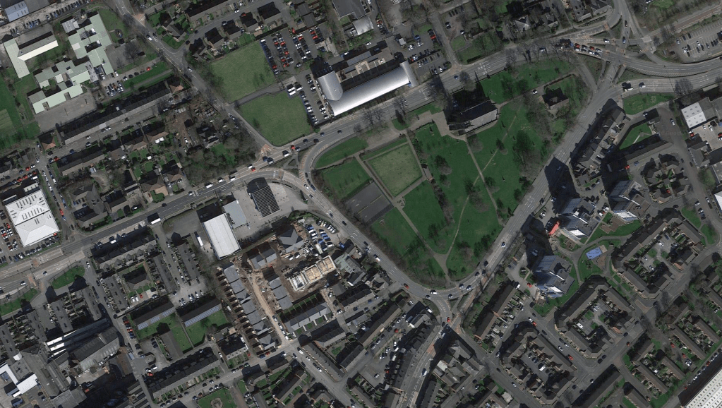
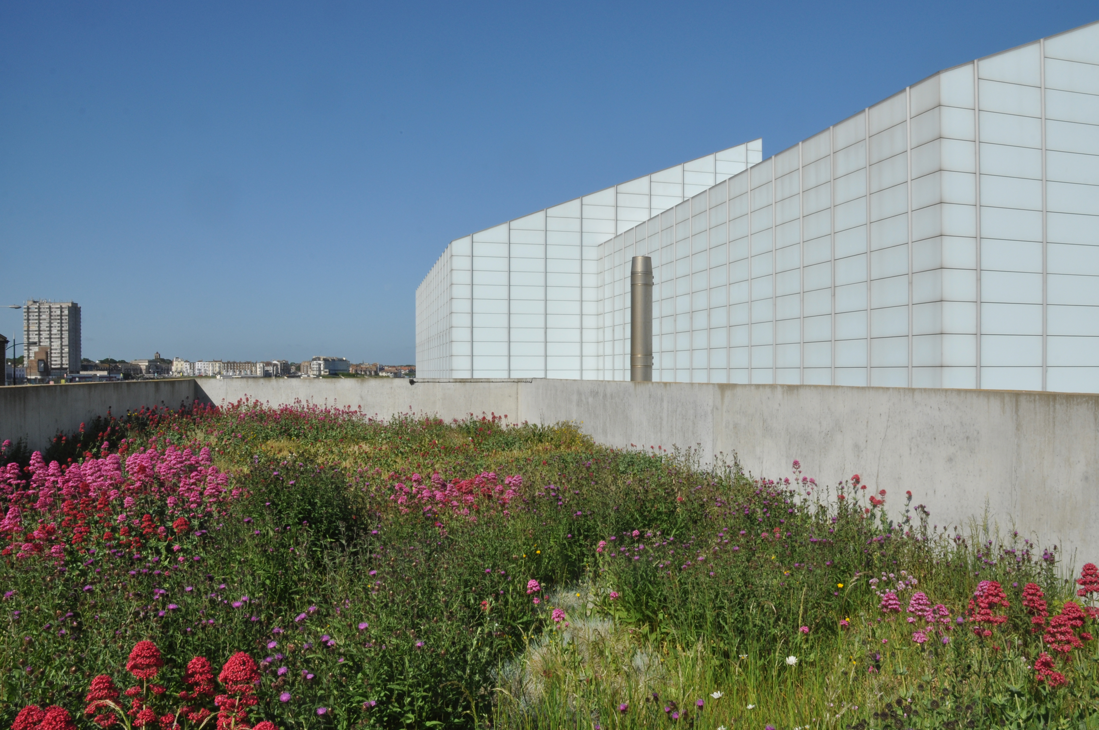
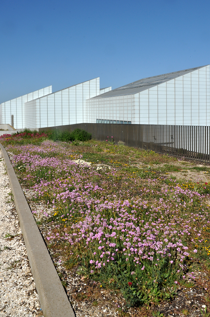
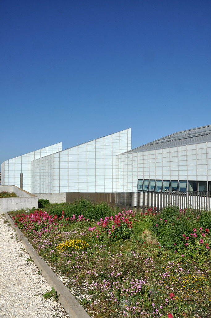
The revamped masterplan, covering almost 25 acres of currently underdeveloped brownfield land, would transform around 60% of the masterplan area into public realm and open space to help promote active lifestyles and the natural beauty of the waterfront site which is surrounded by the Manchester Ship Canal and the Bridgewater Canal.
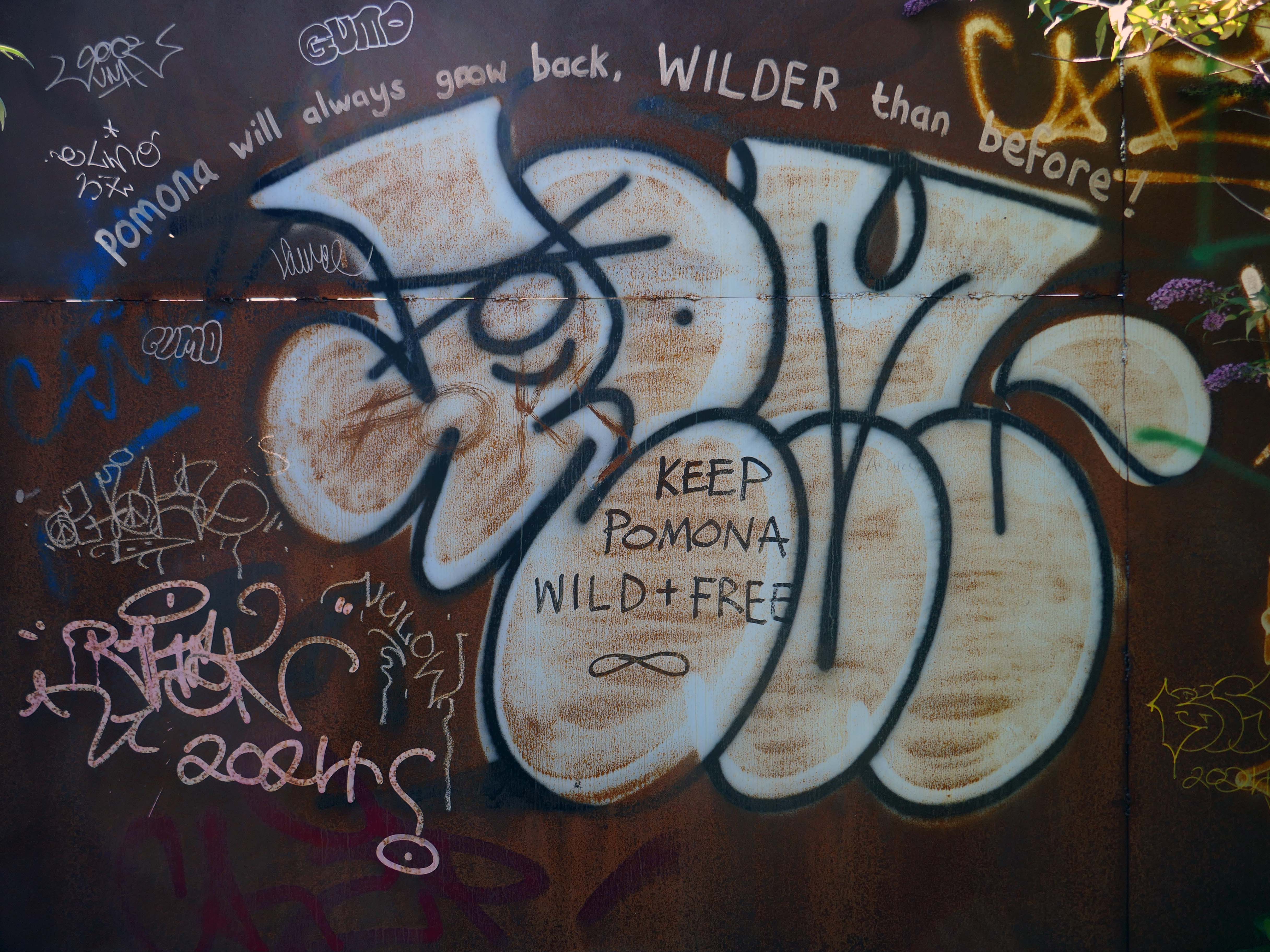
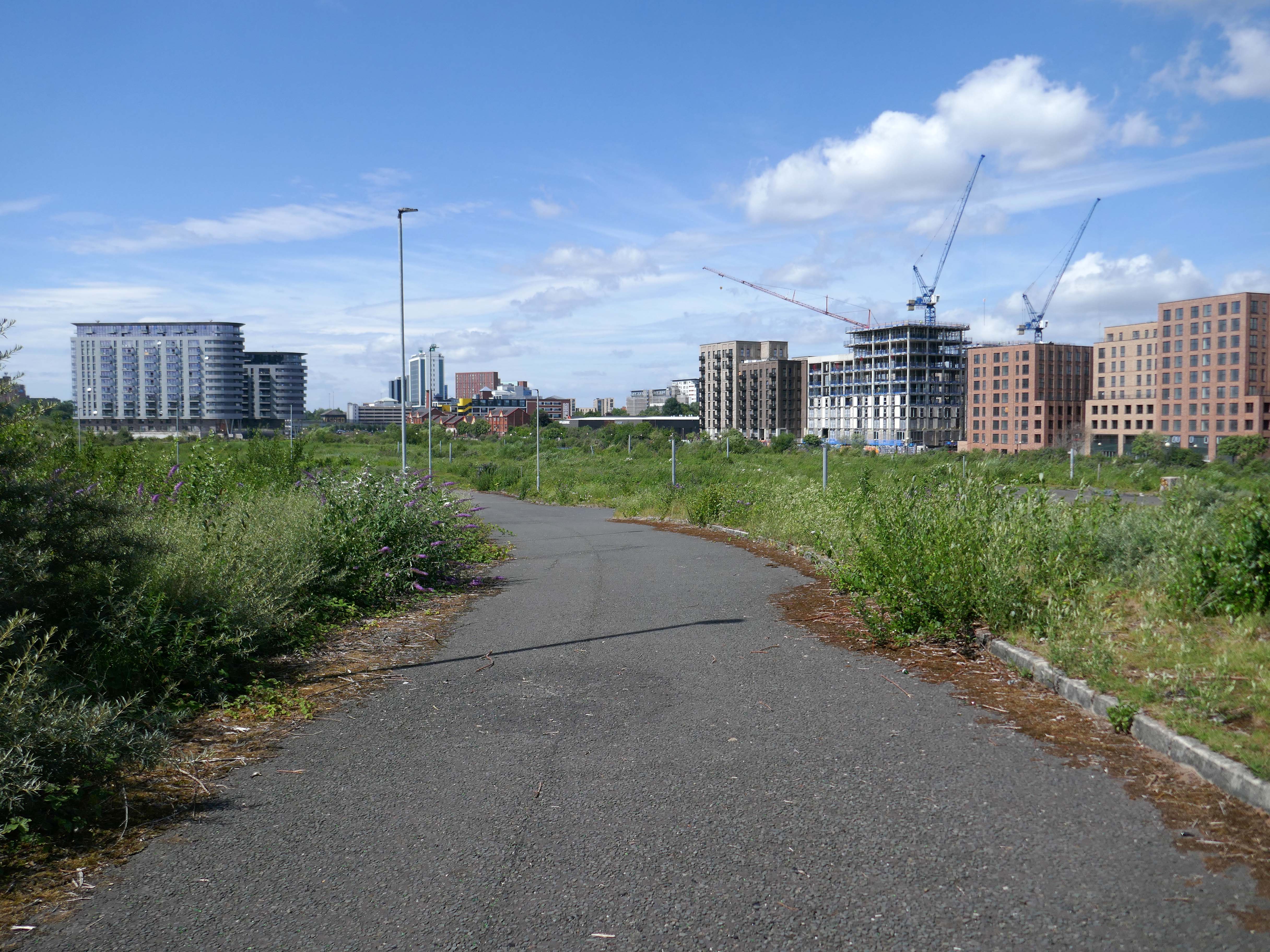
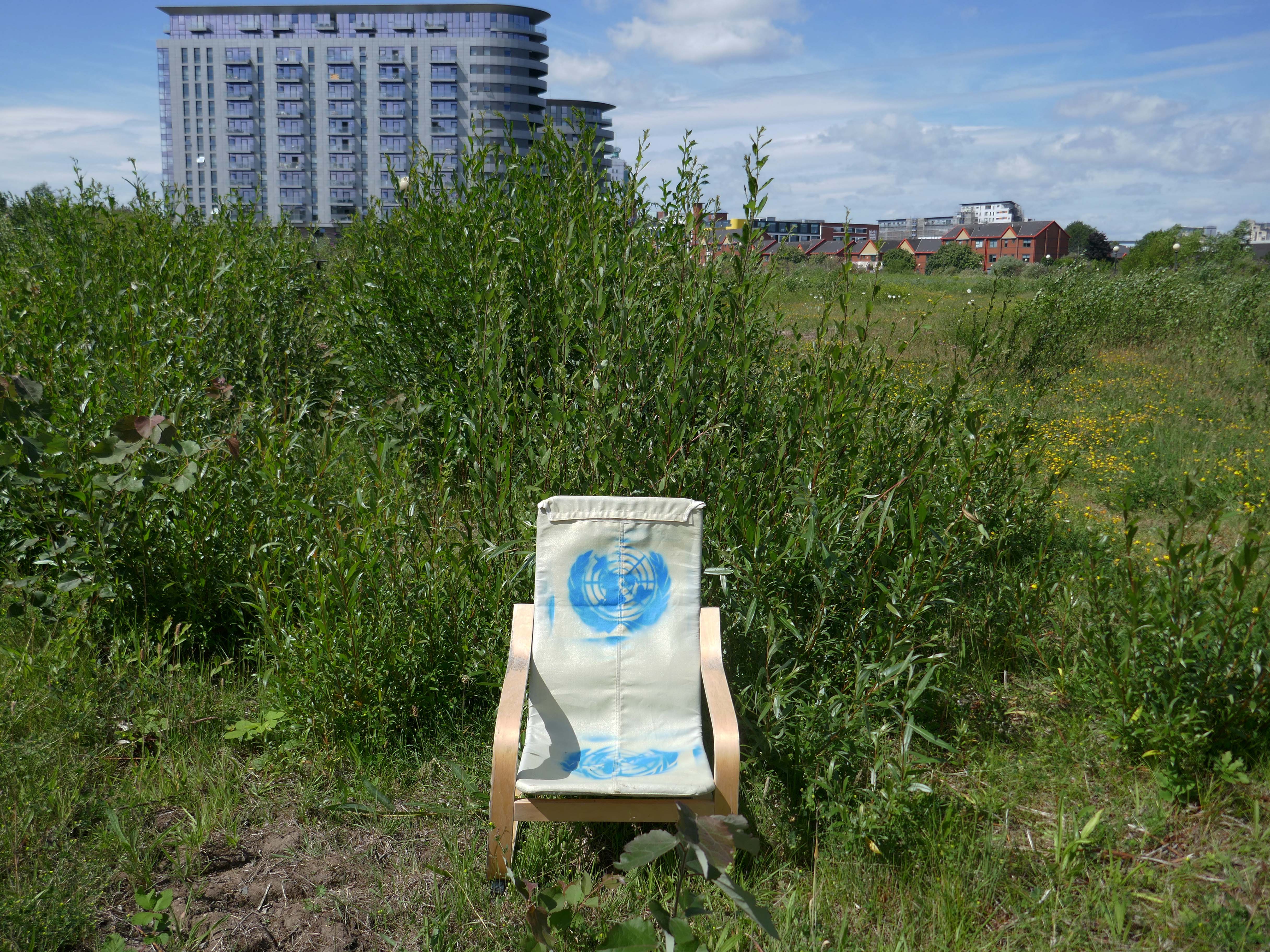
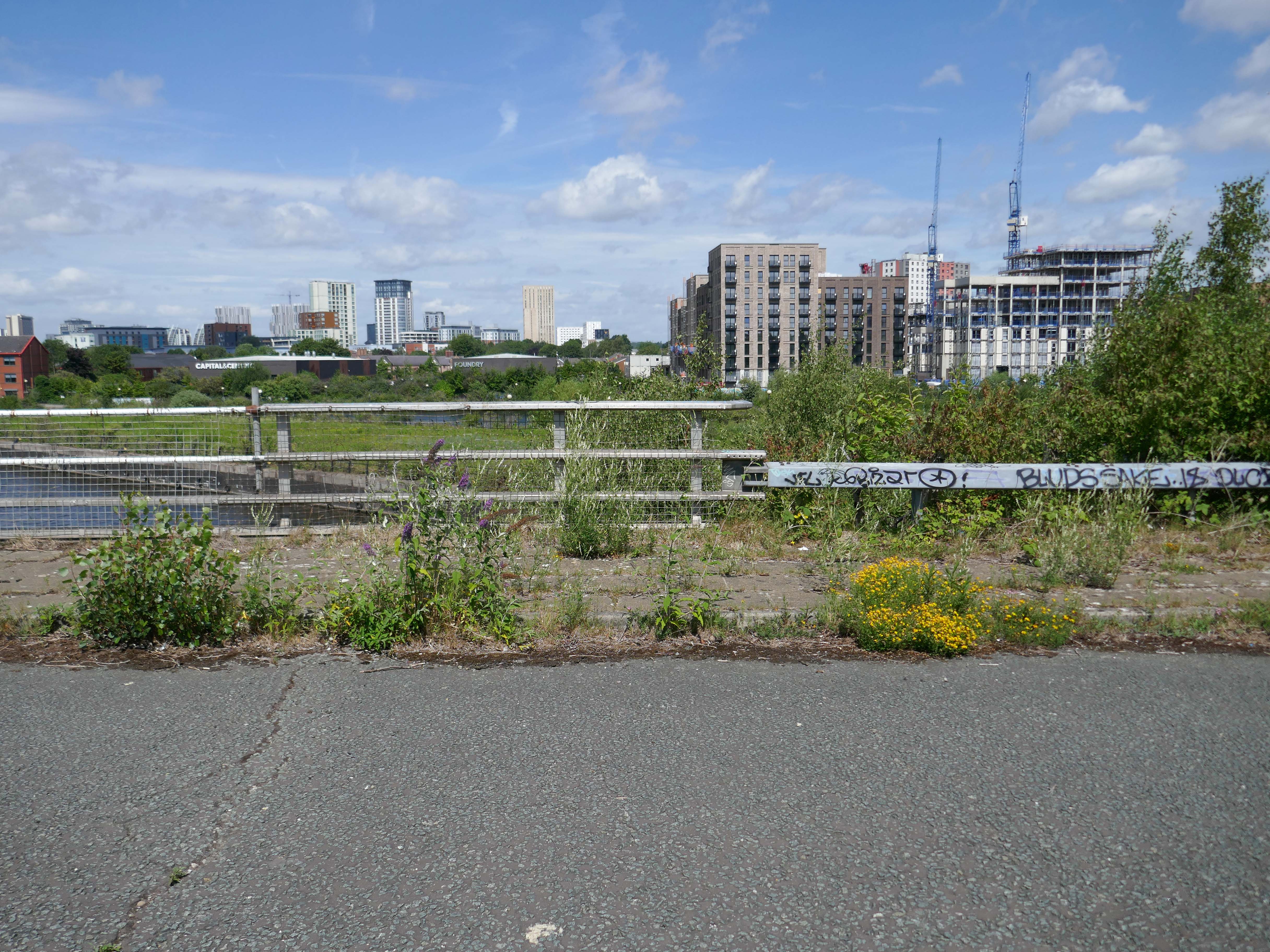
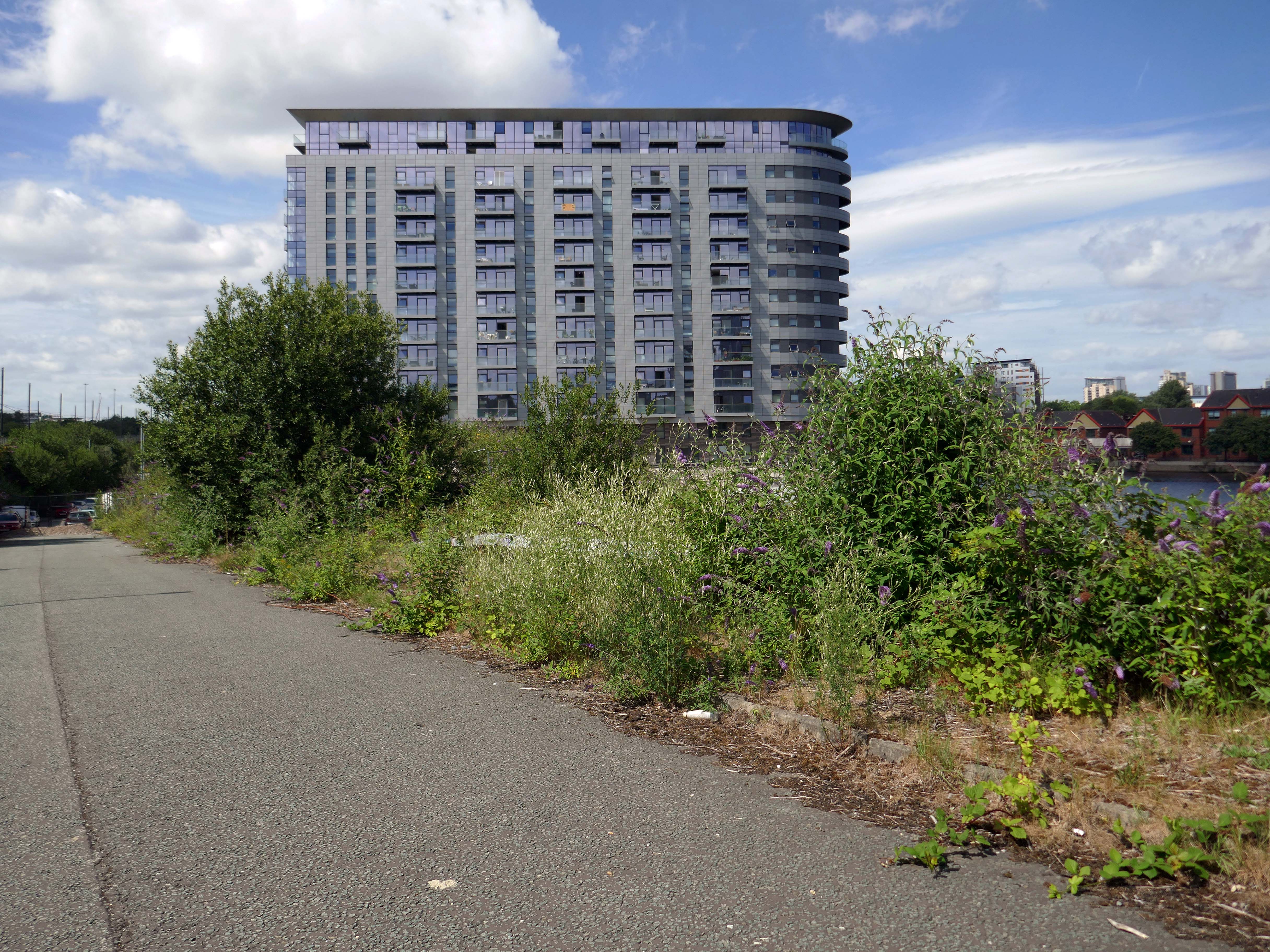
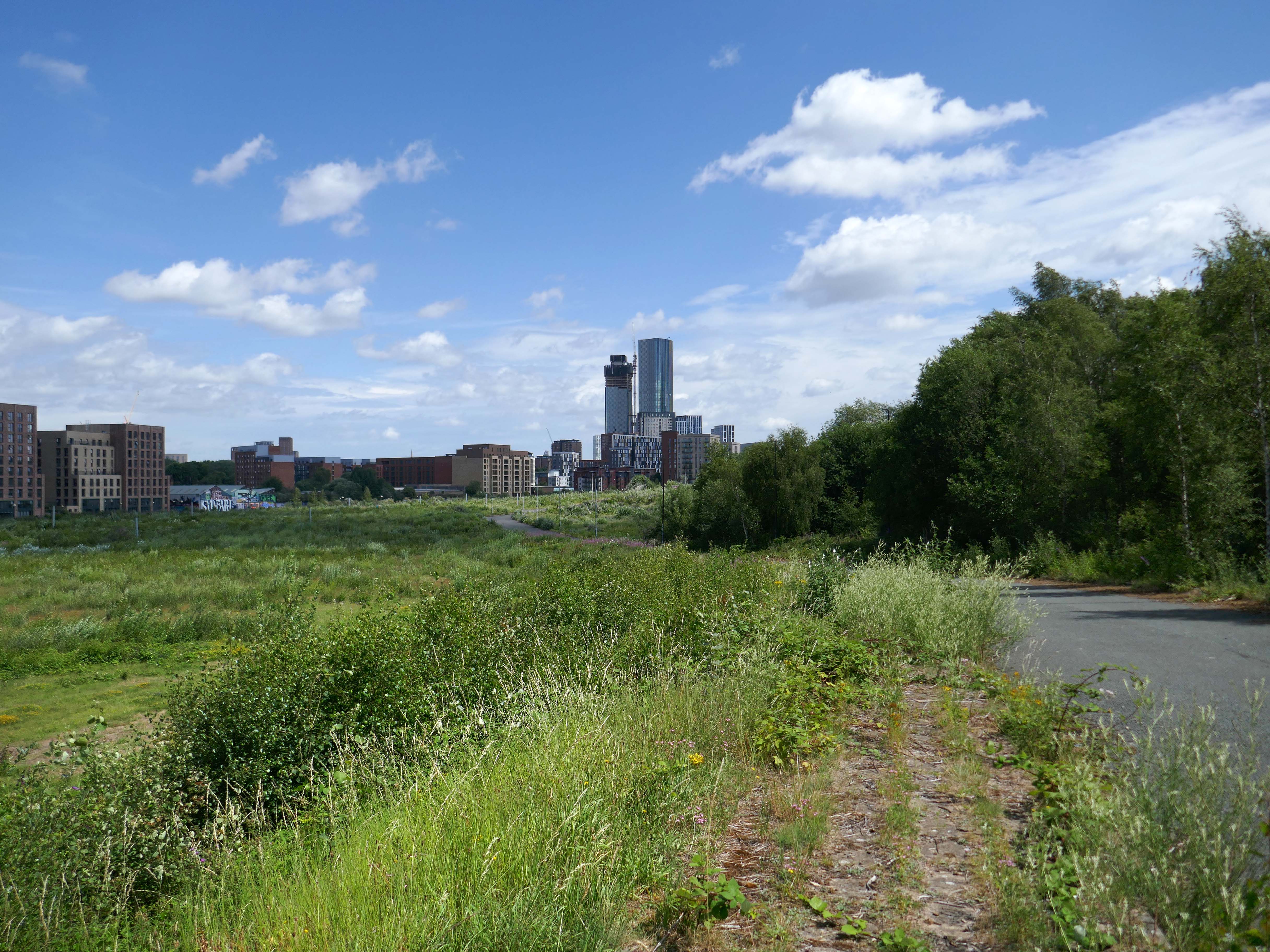
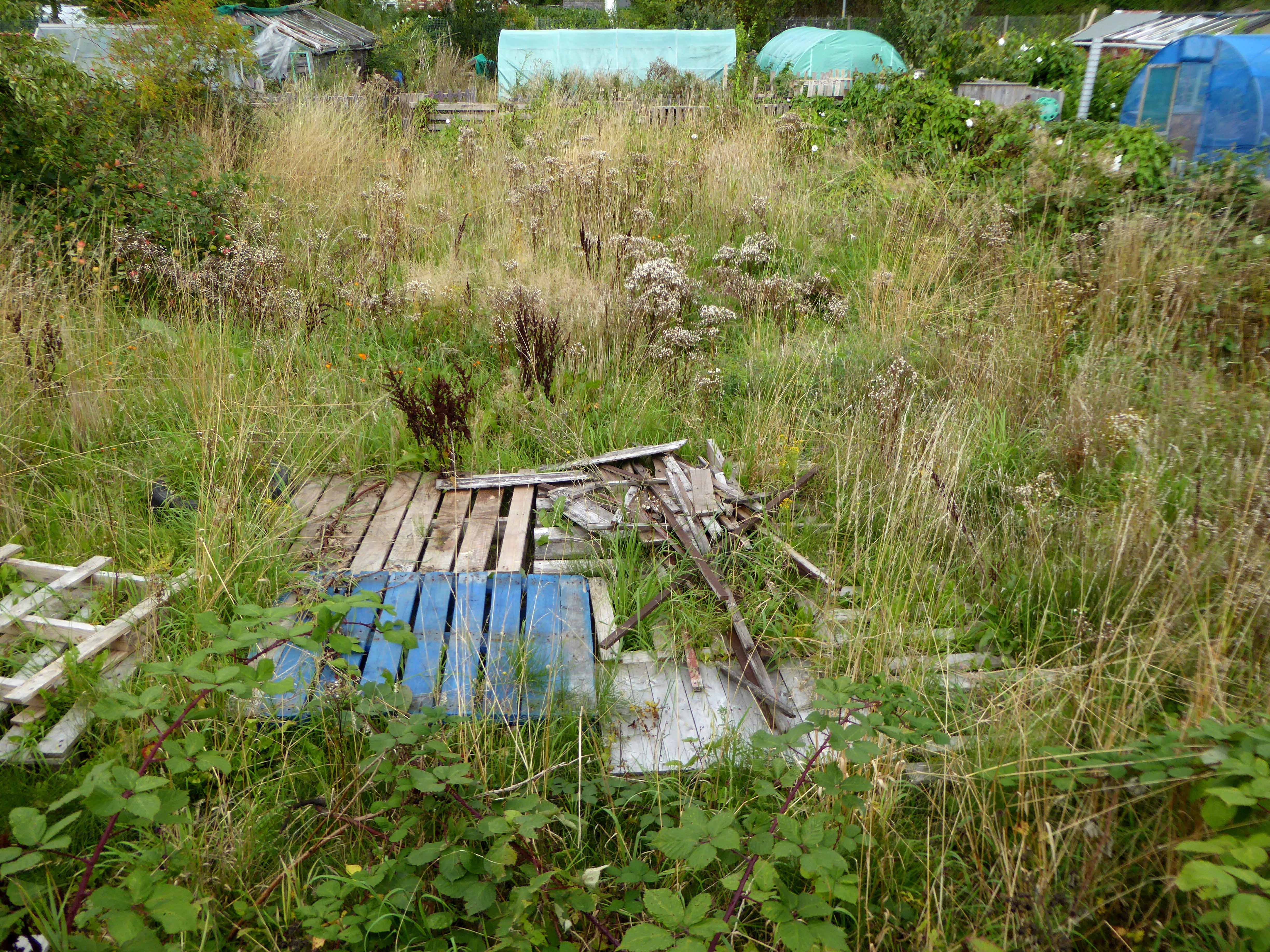
Over time there has been resistance to the tidal wave of regeneration that is sweeping down the Ship canal engulfing Pomona Island.
Save Pomona are a group of Manchester/Salford and Trafford residents committed to seeing the future of Pomona be a community based and sustainable one rather than a purely commercial one that benefits only a few.
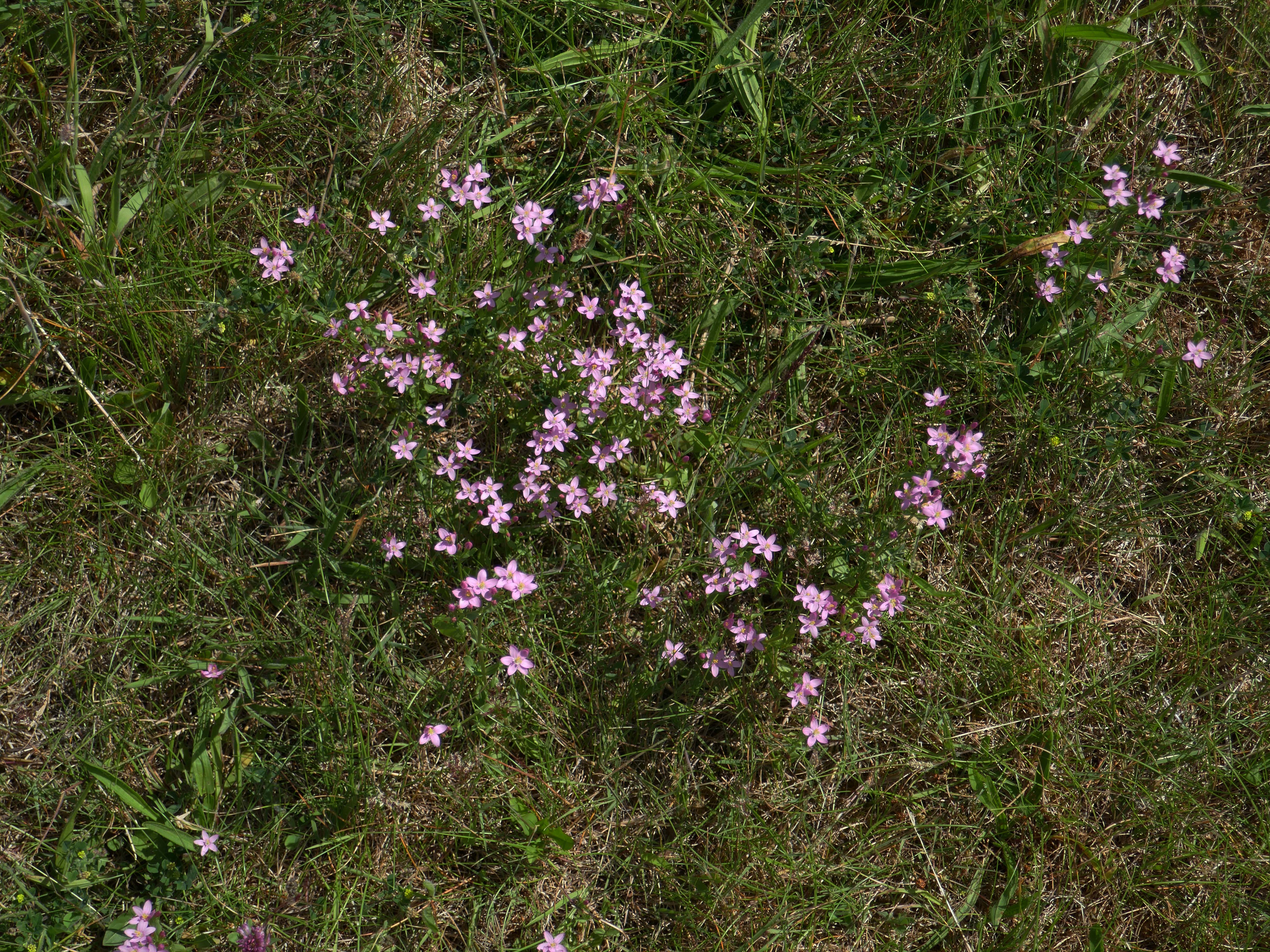
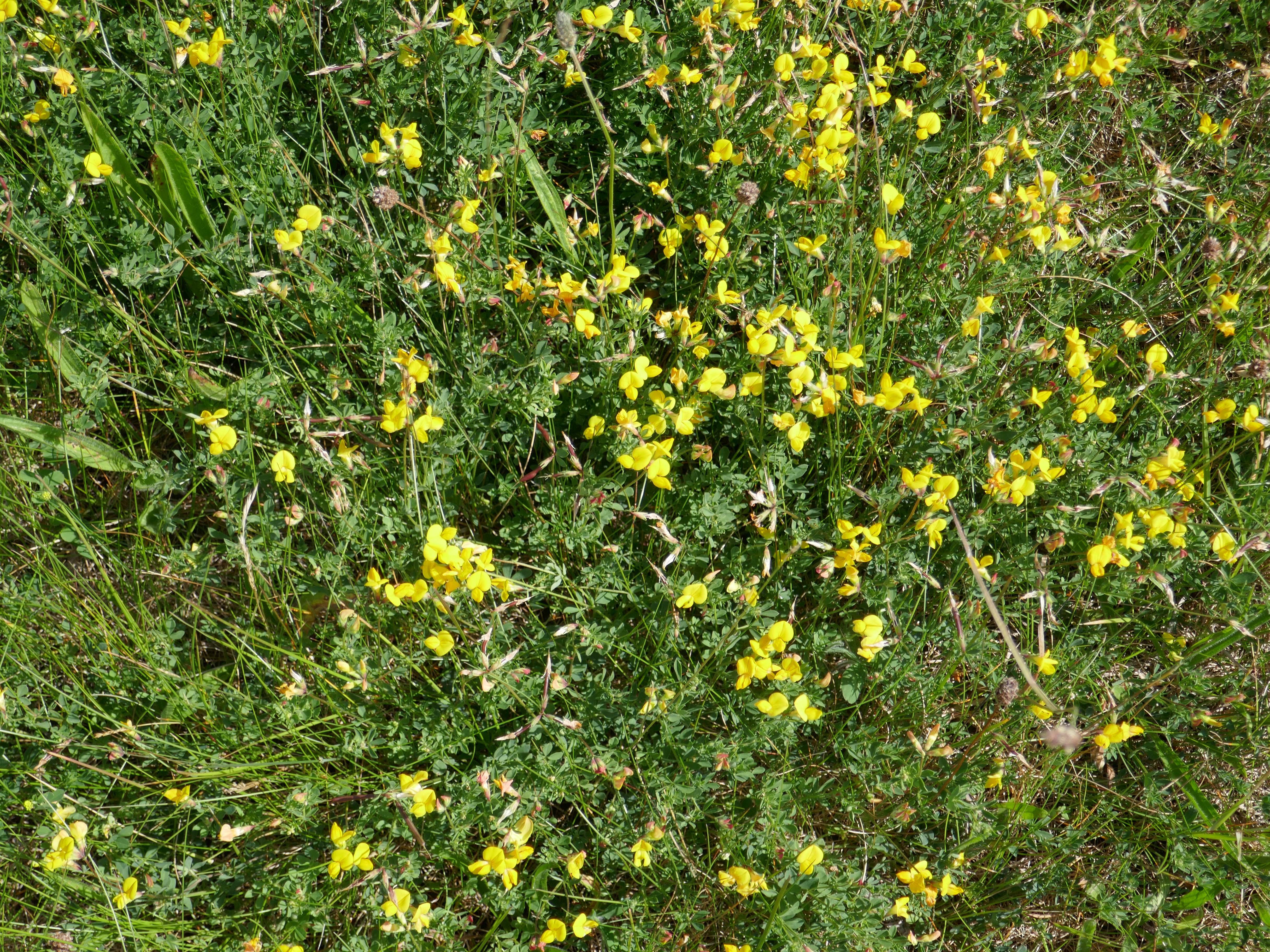
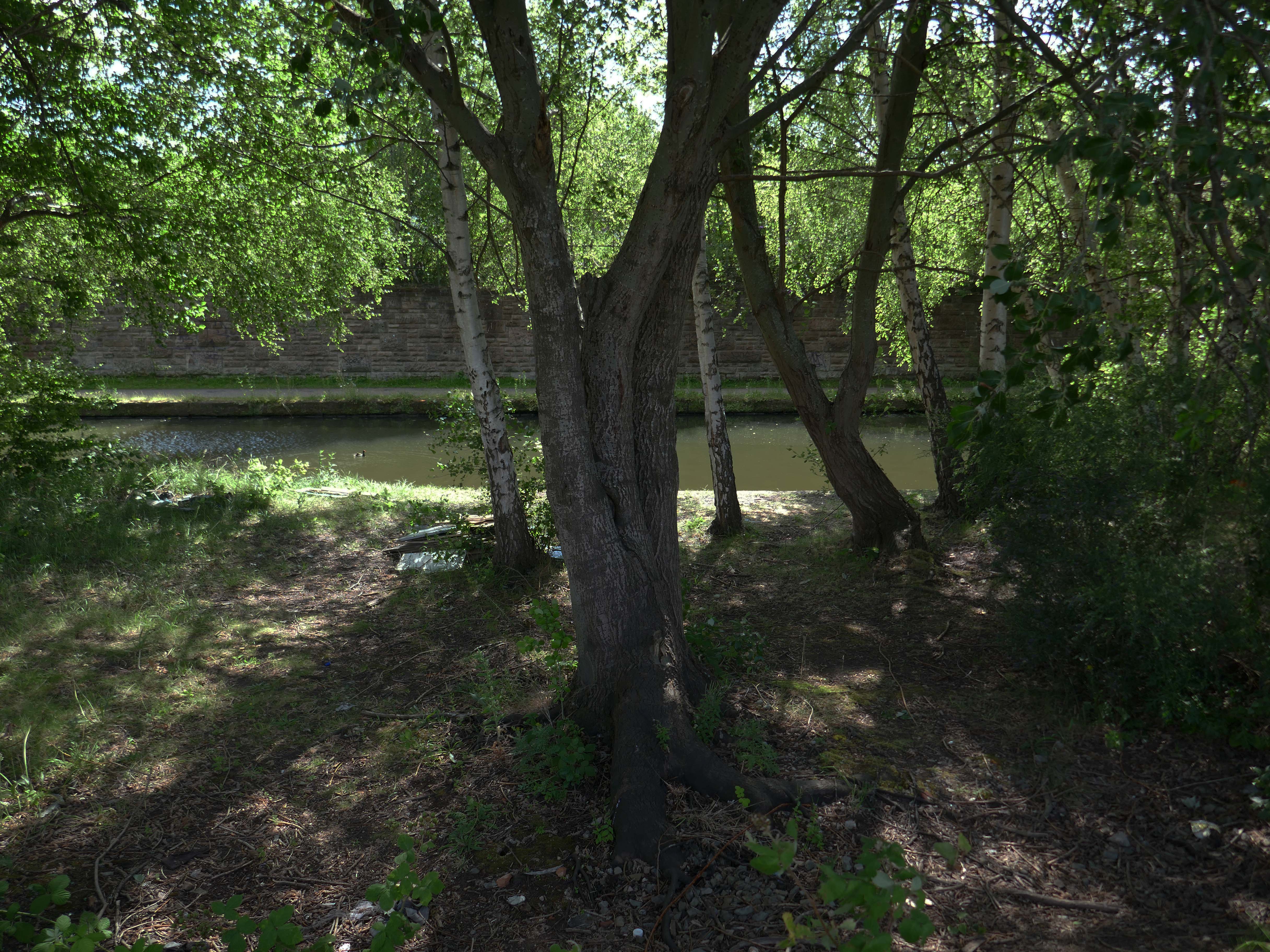
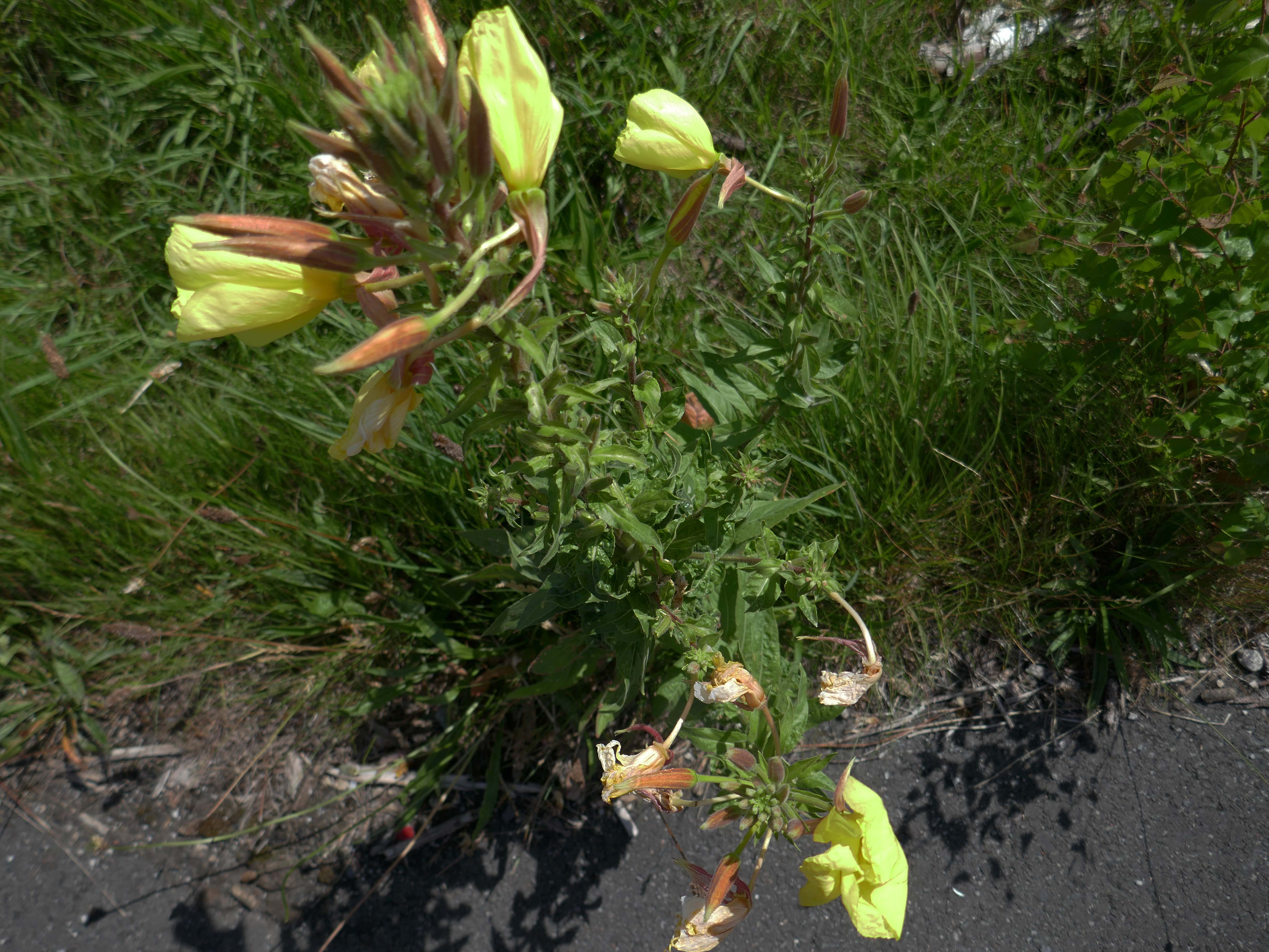
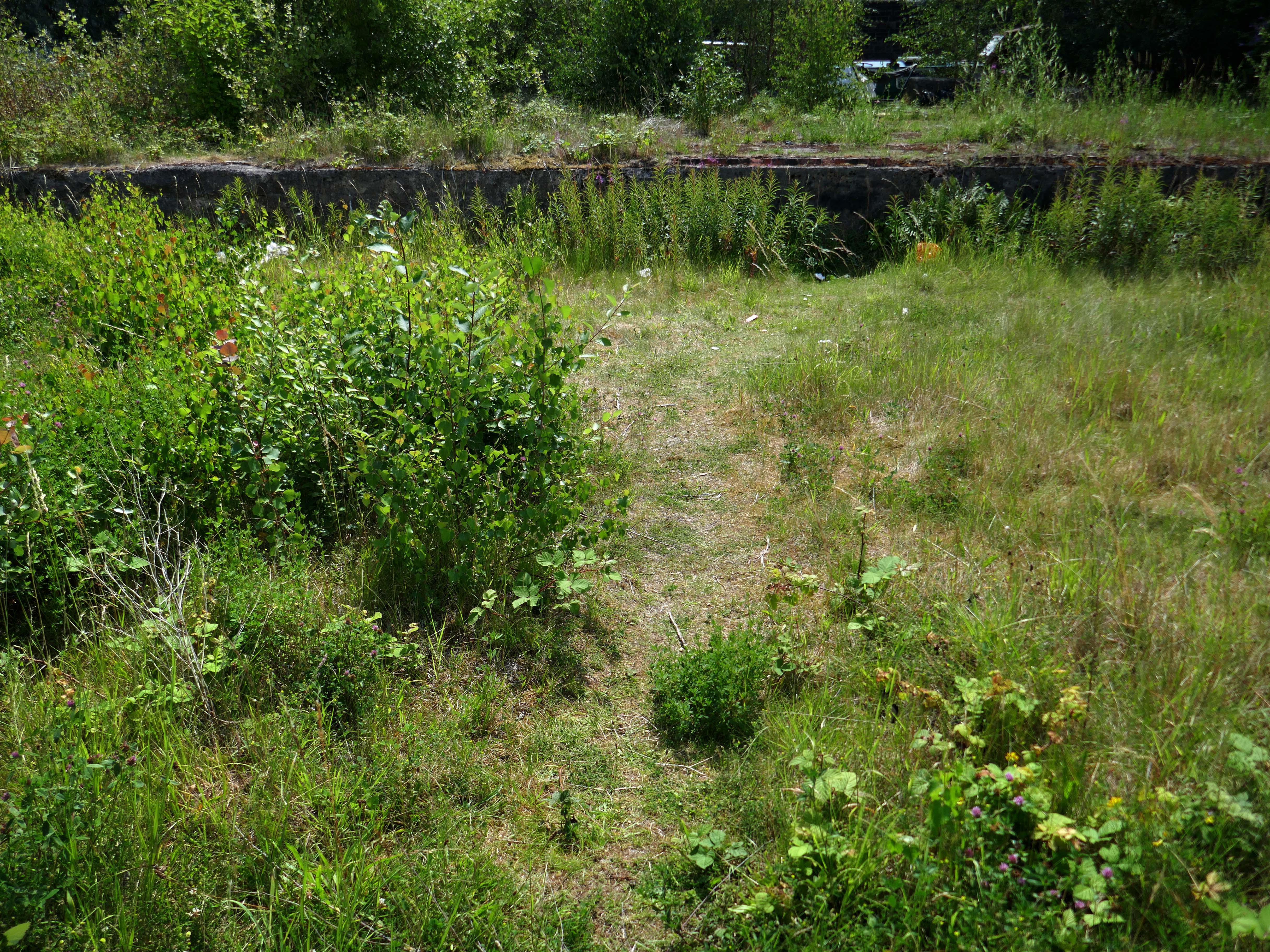
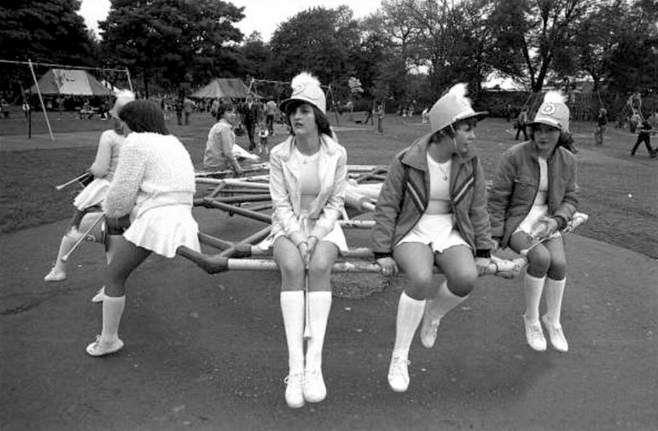
Last Thursday, campaigners aiming to save the old dockland site across the Manchester Ship Canal from Ordsallheld a Pomona Day, and yesterday it was the Pomona Festival as the community turned out to view the wildlife and flora that has sprung up on the abandoned dockland site.
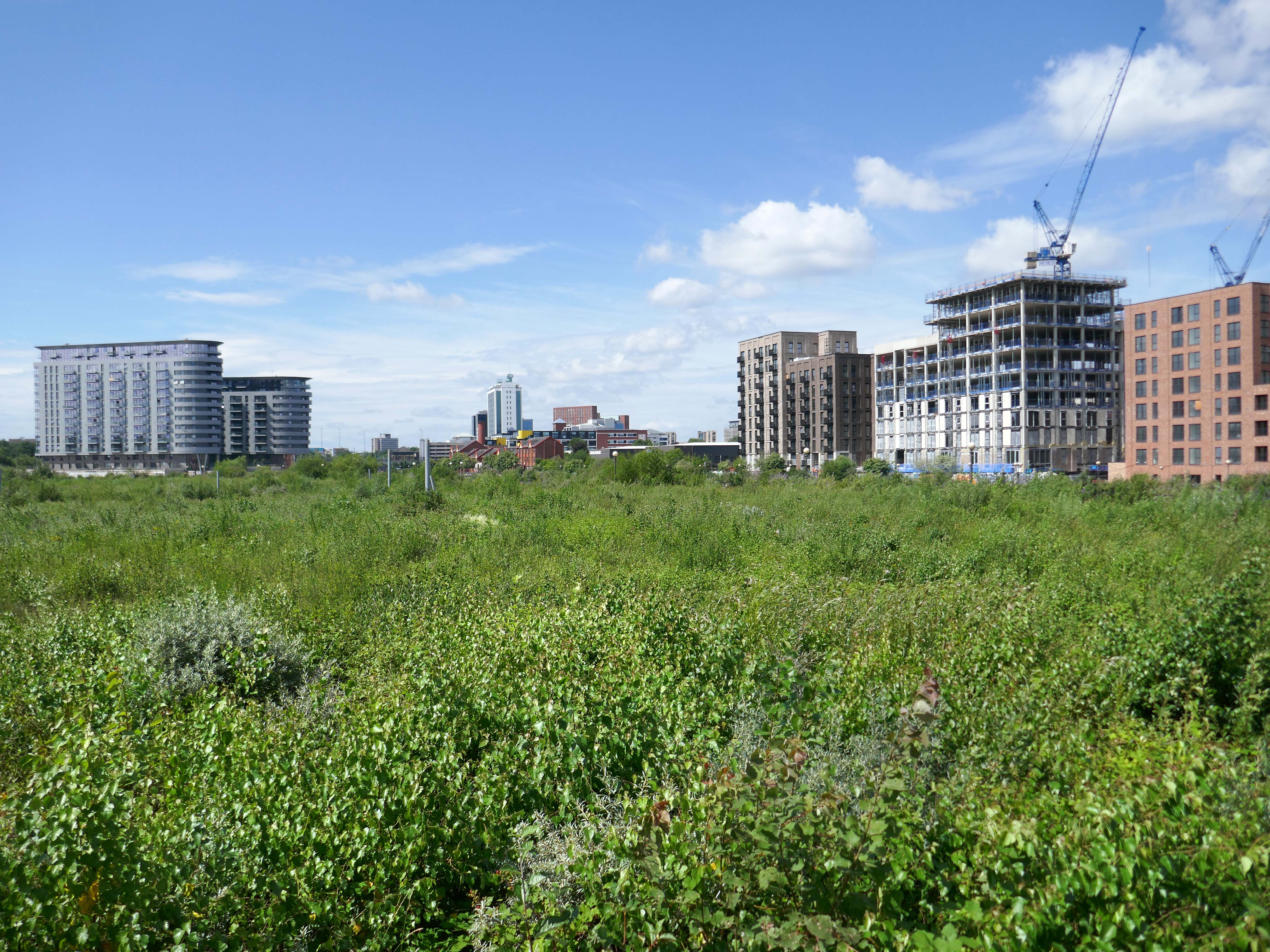
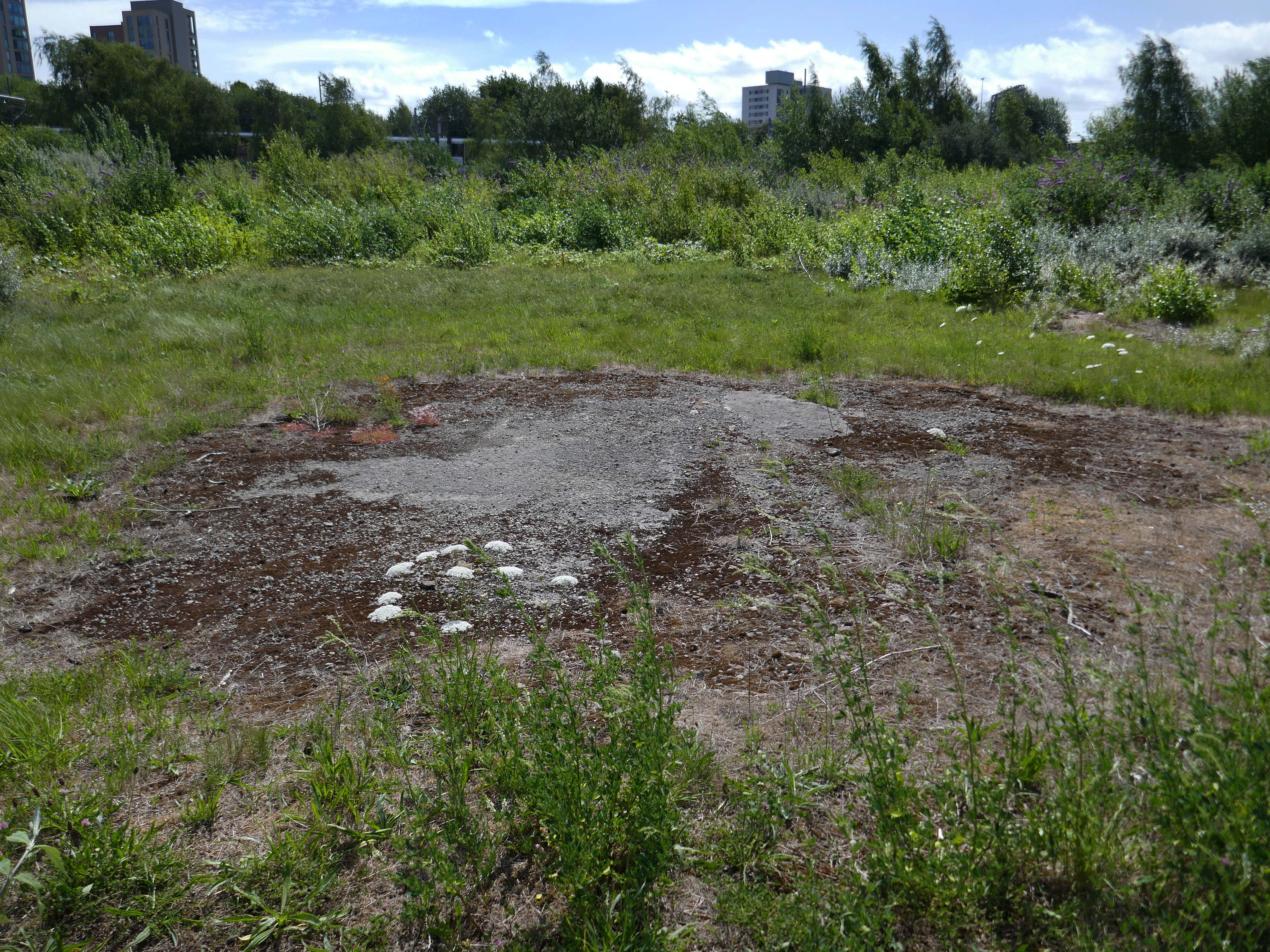
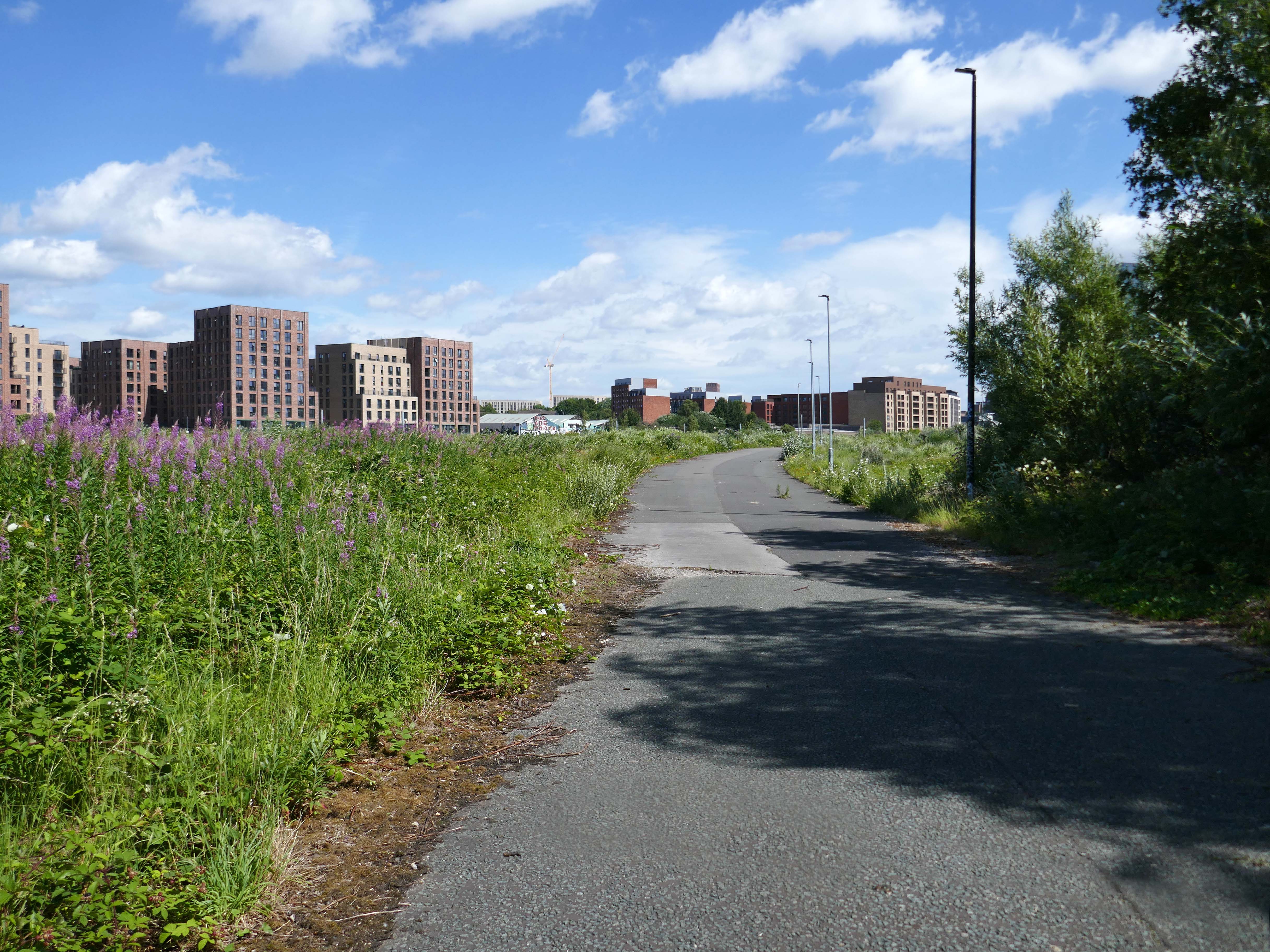
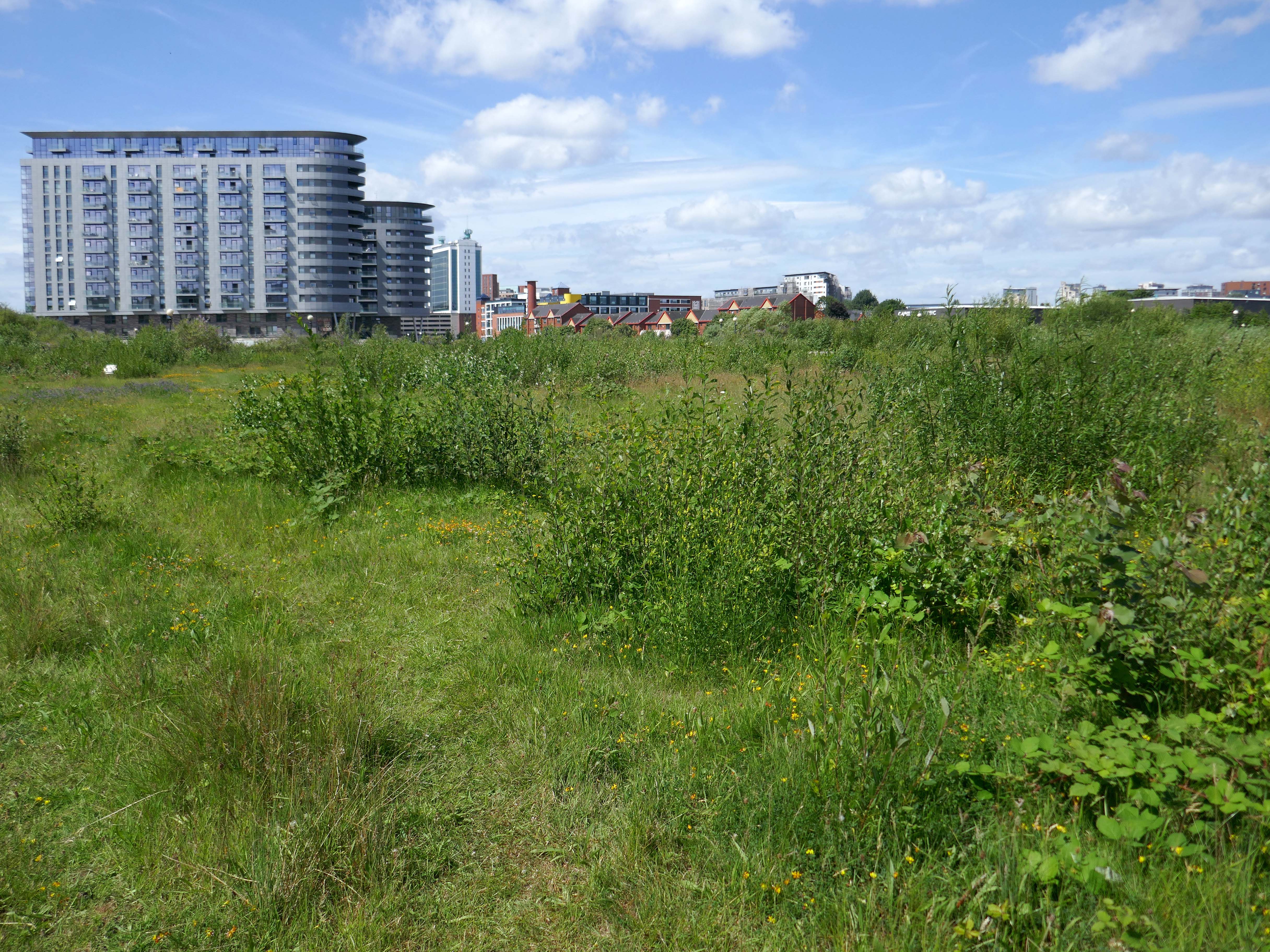
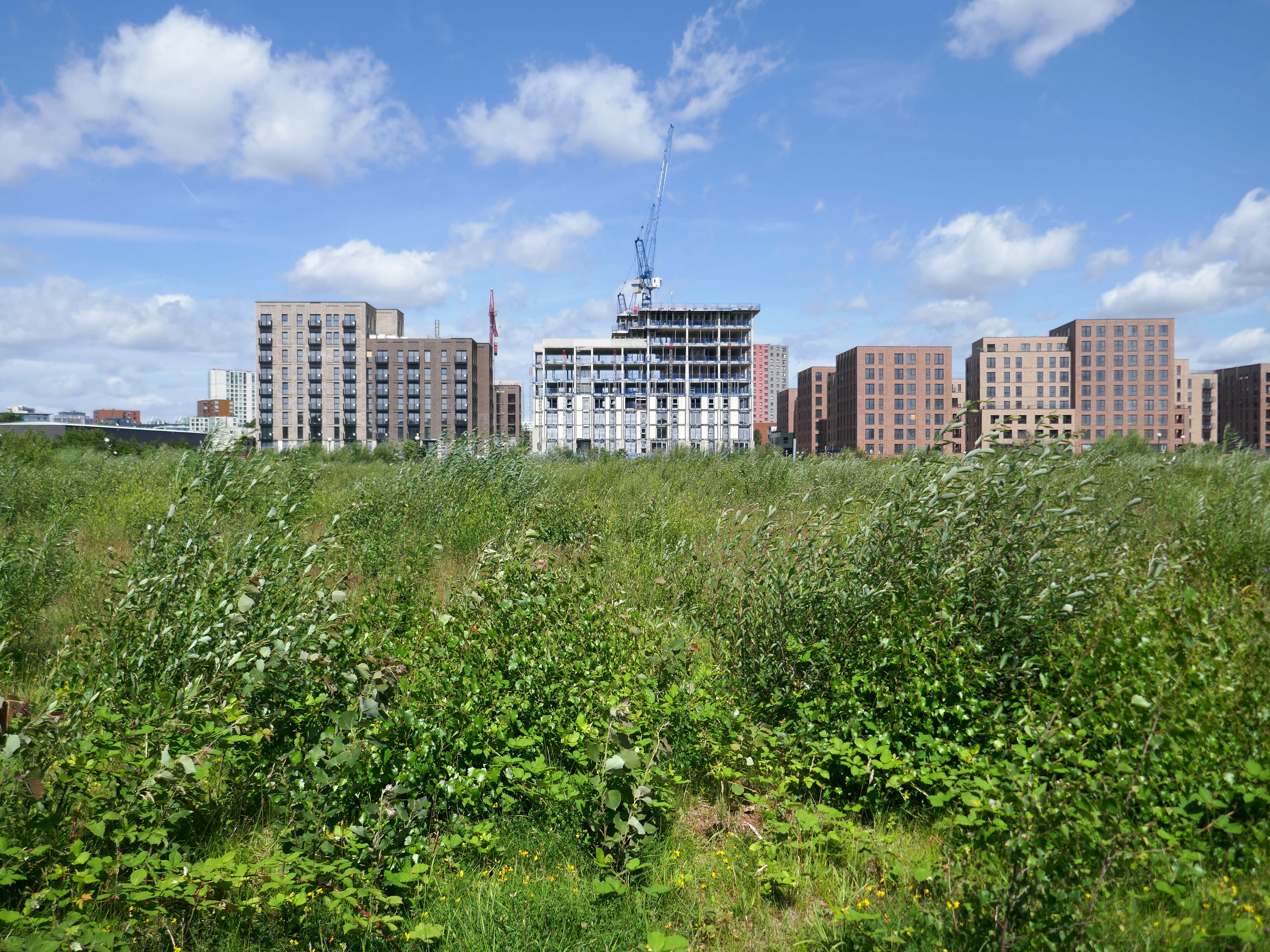
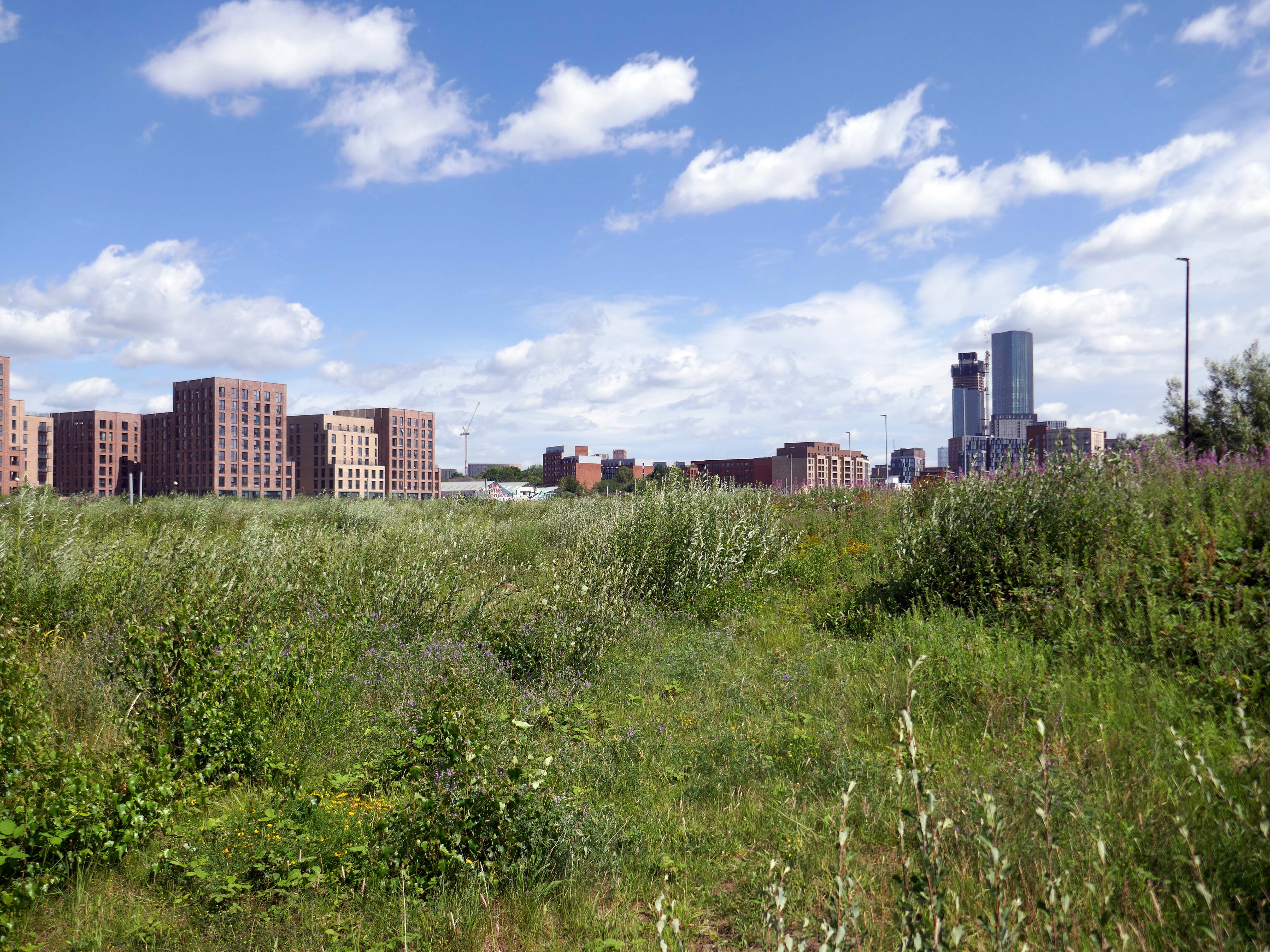
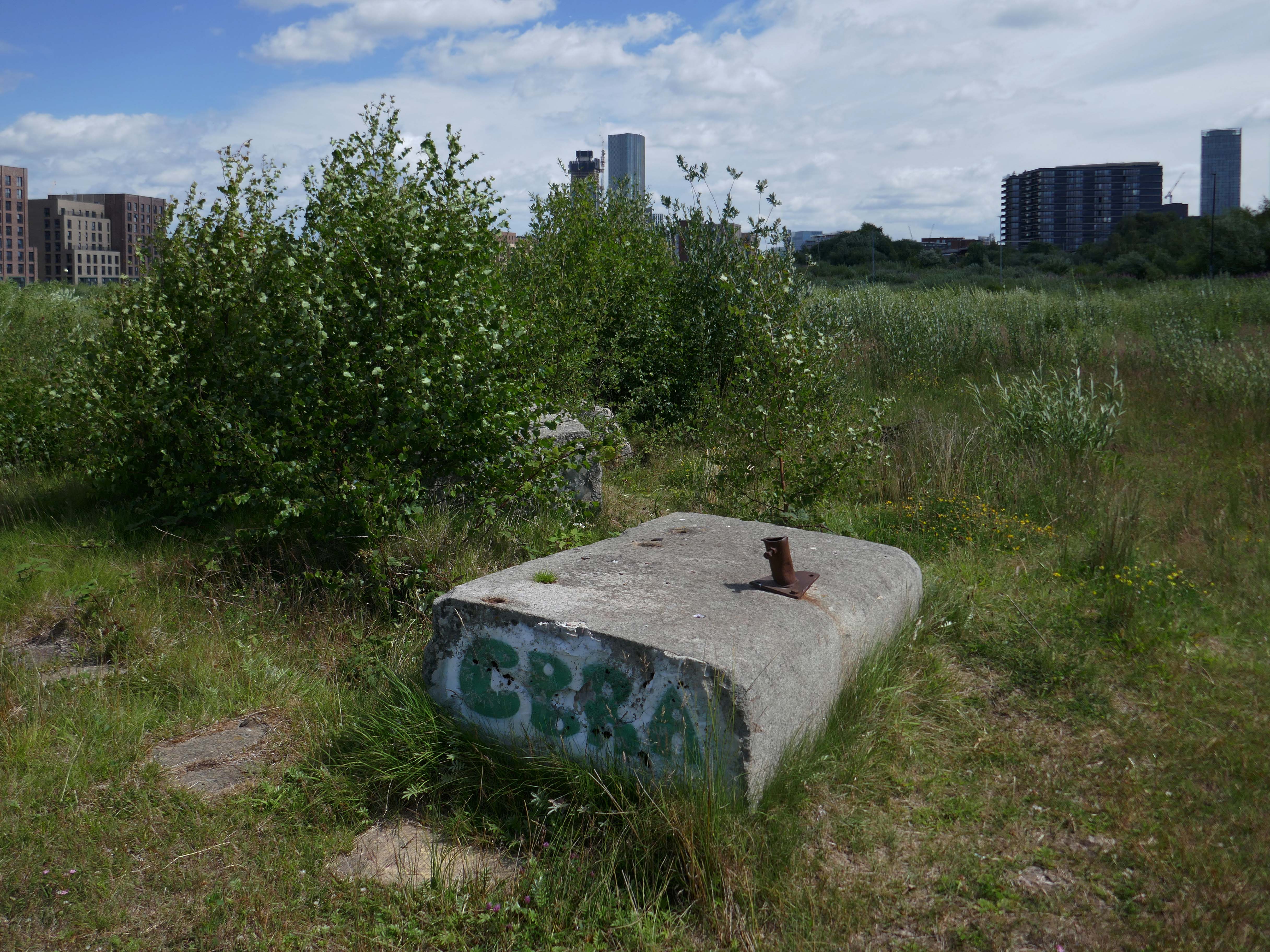
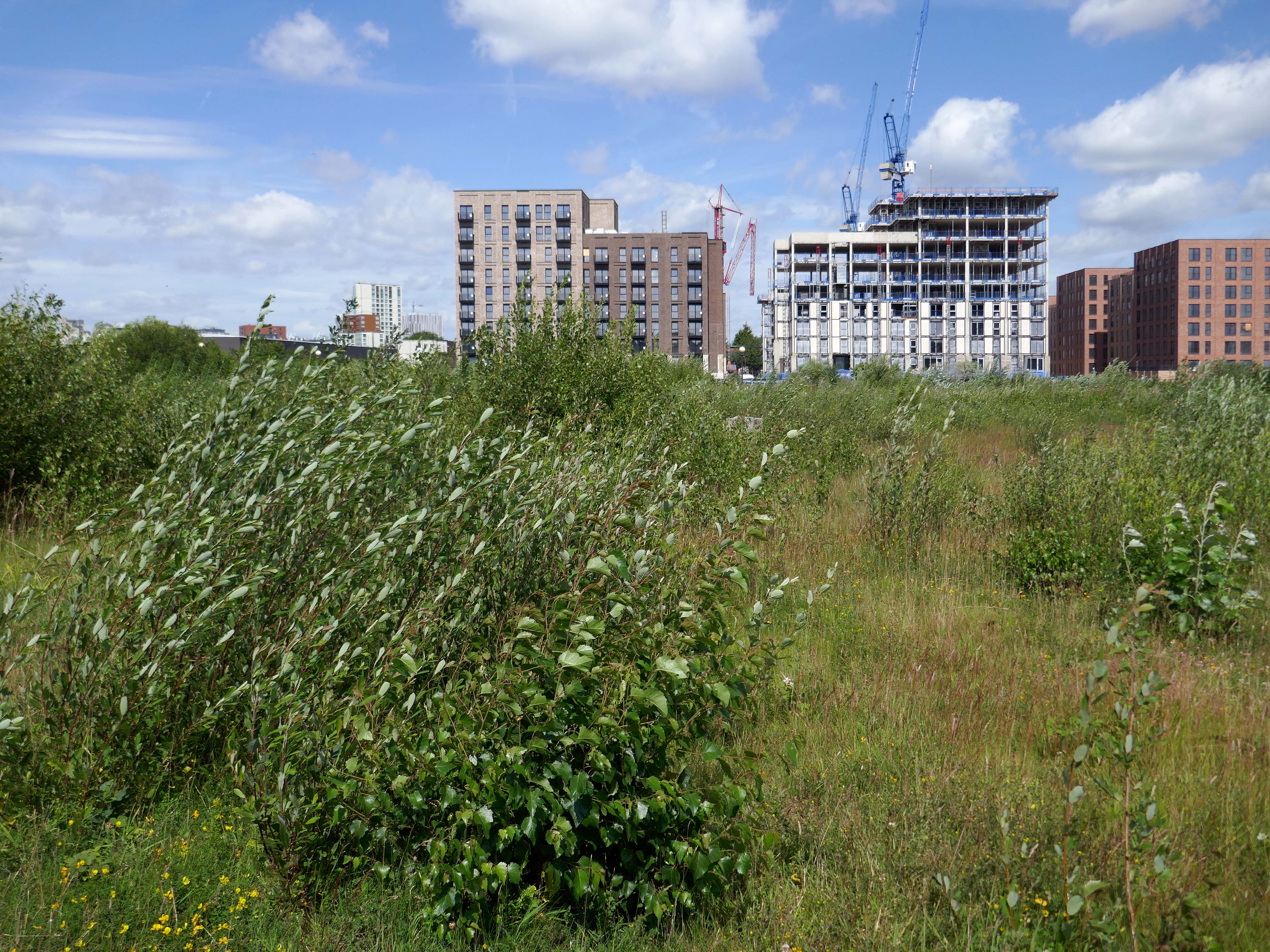
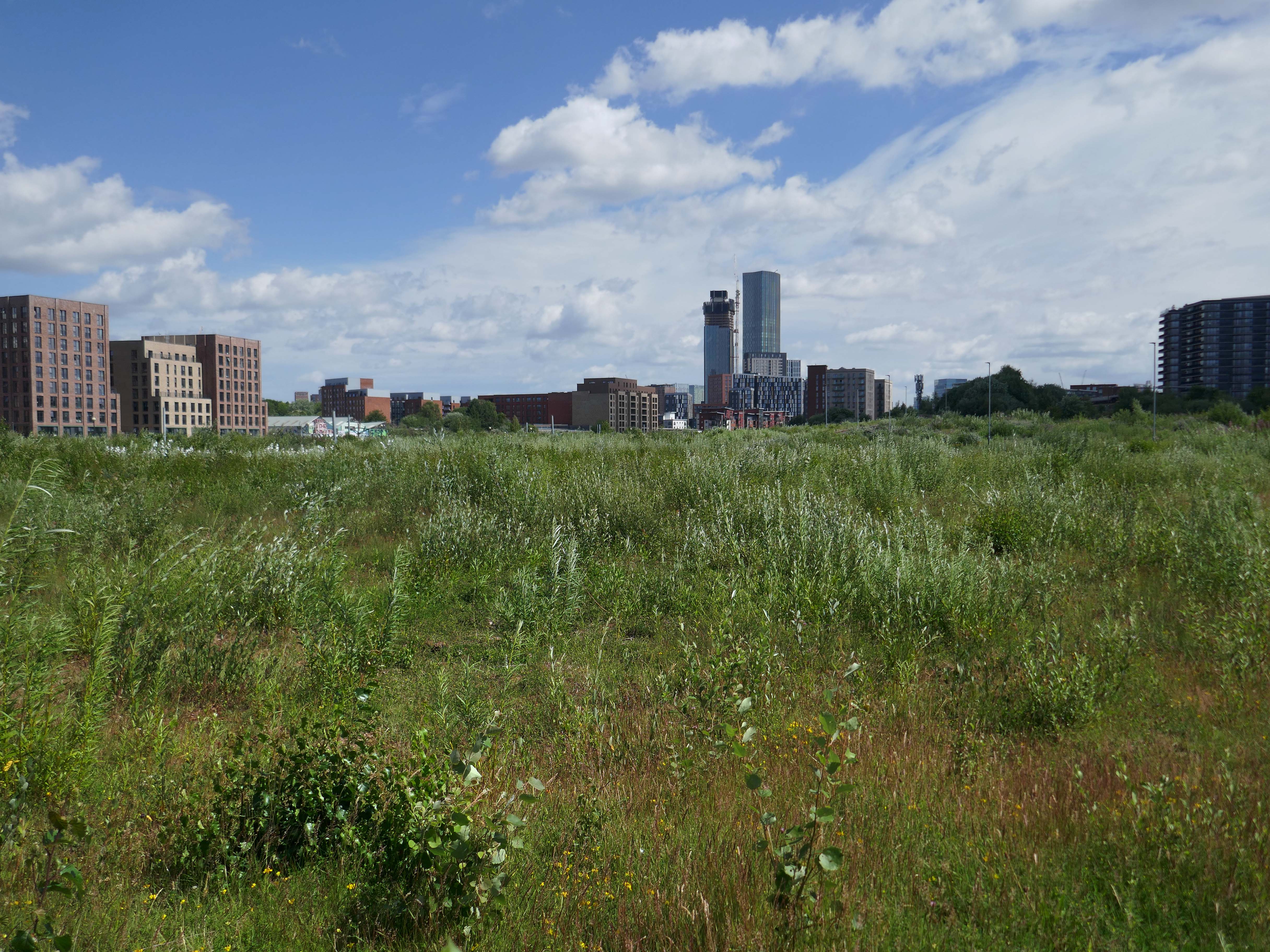
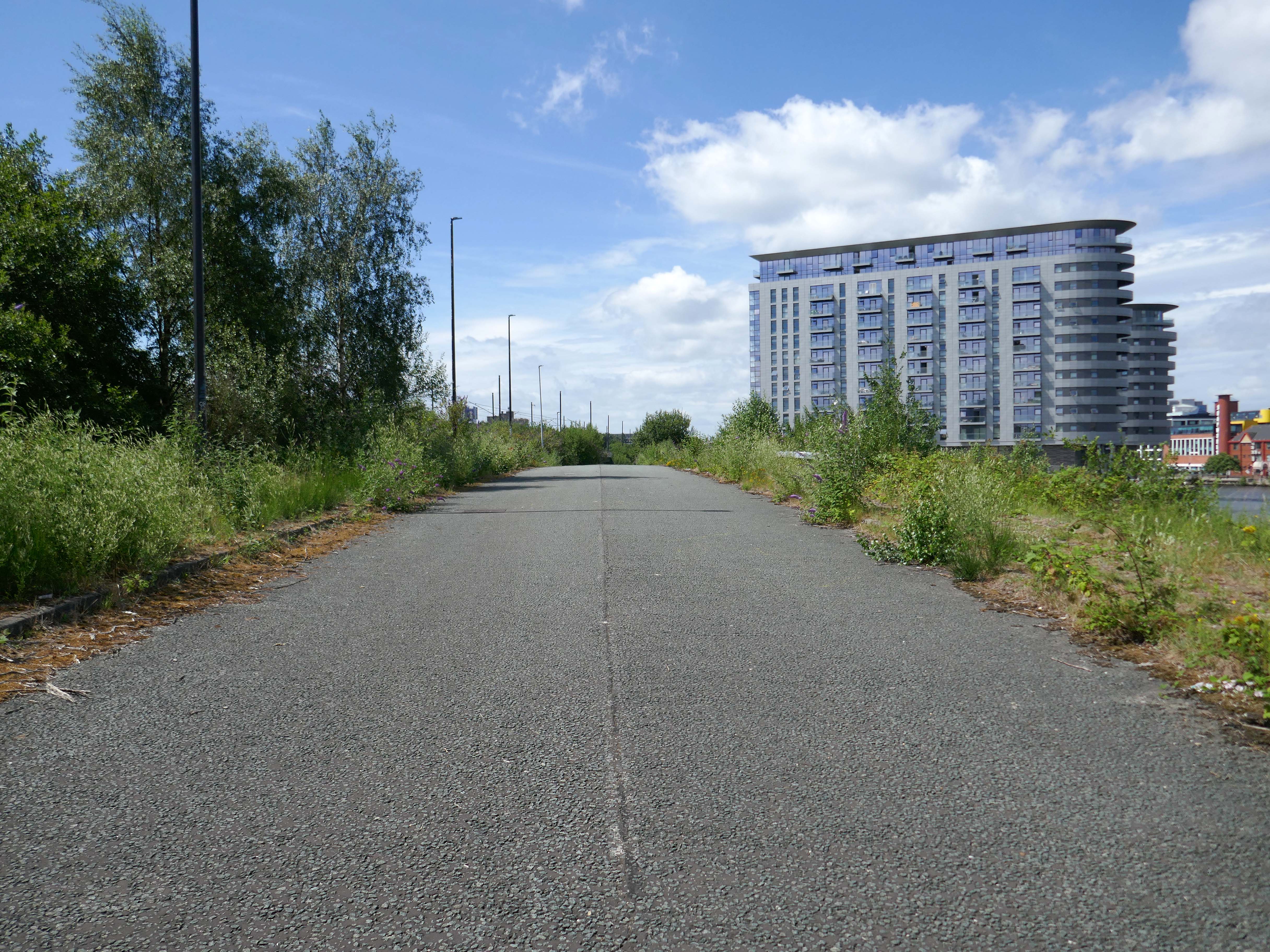
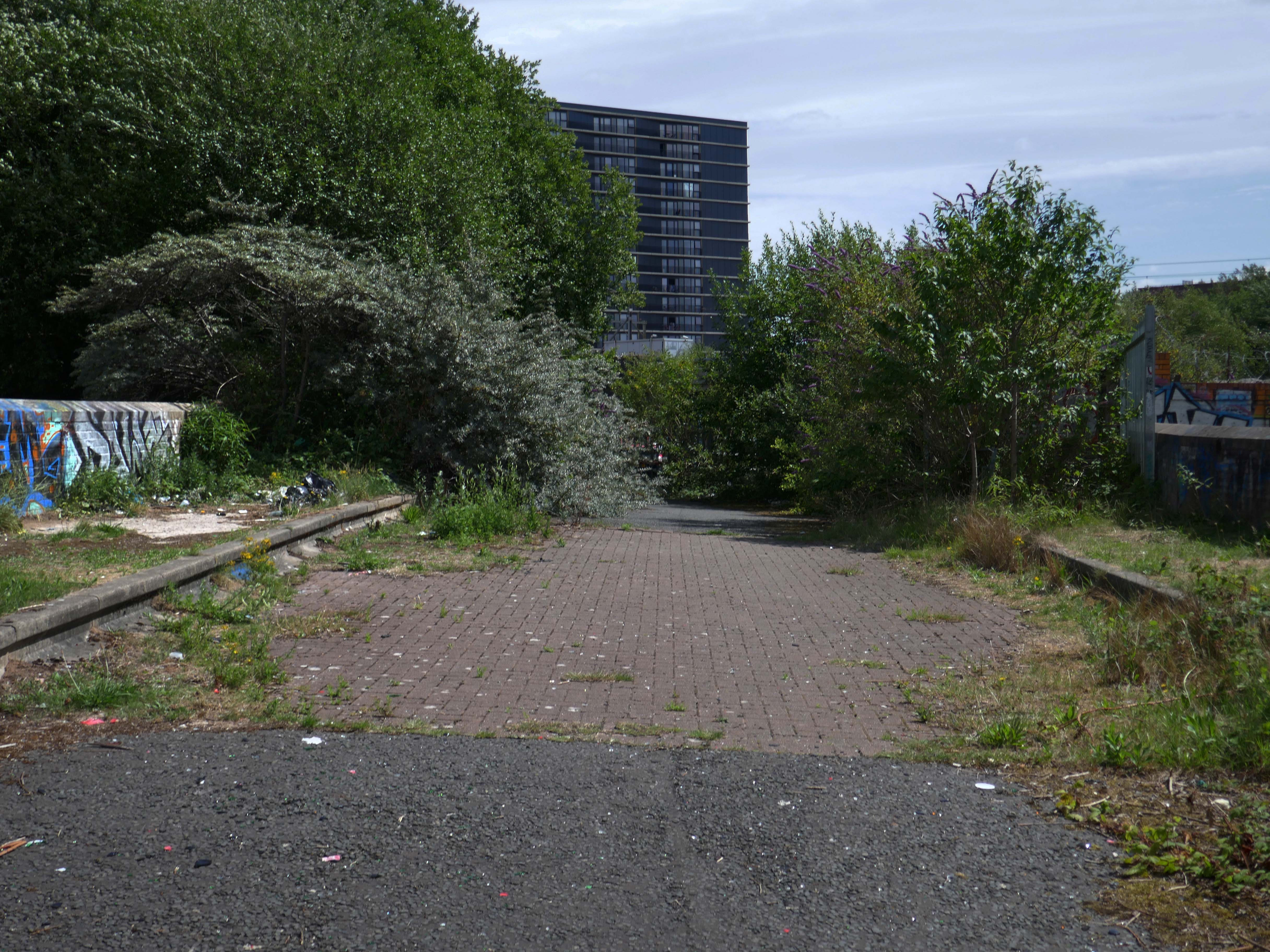
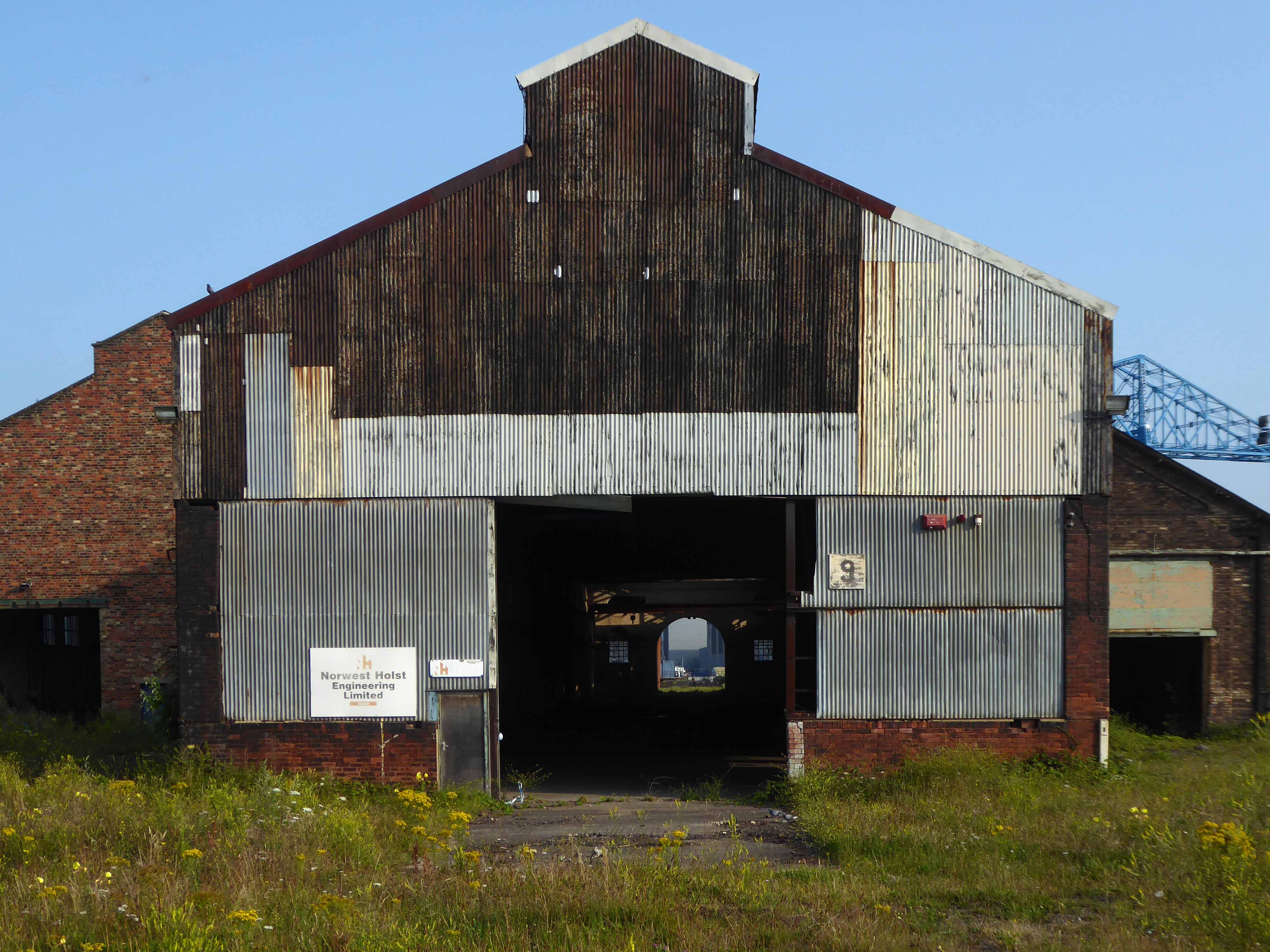
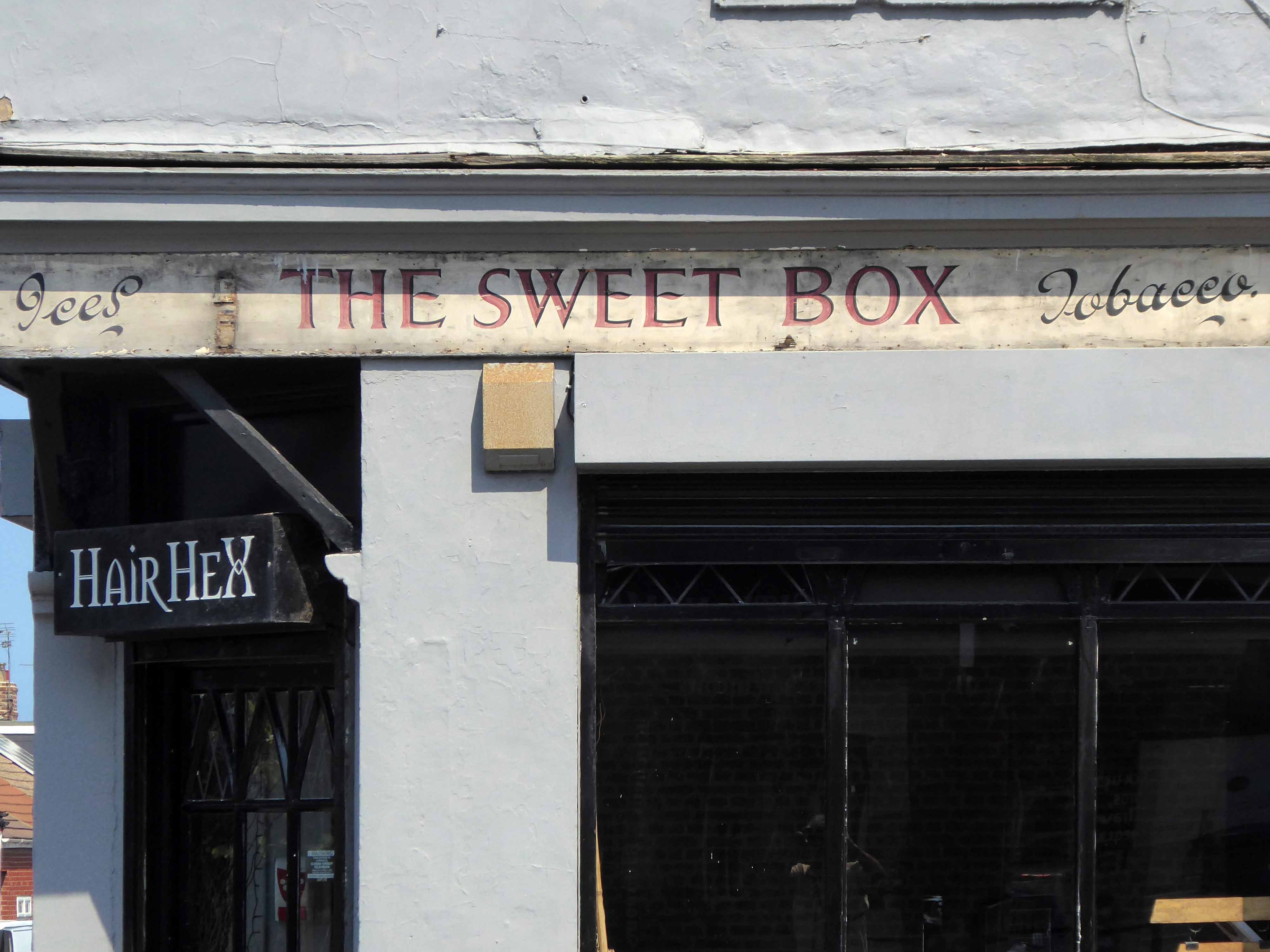
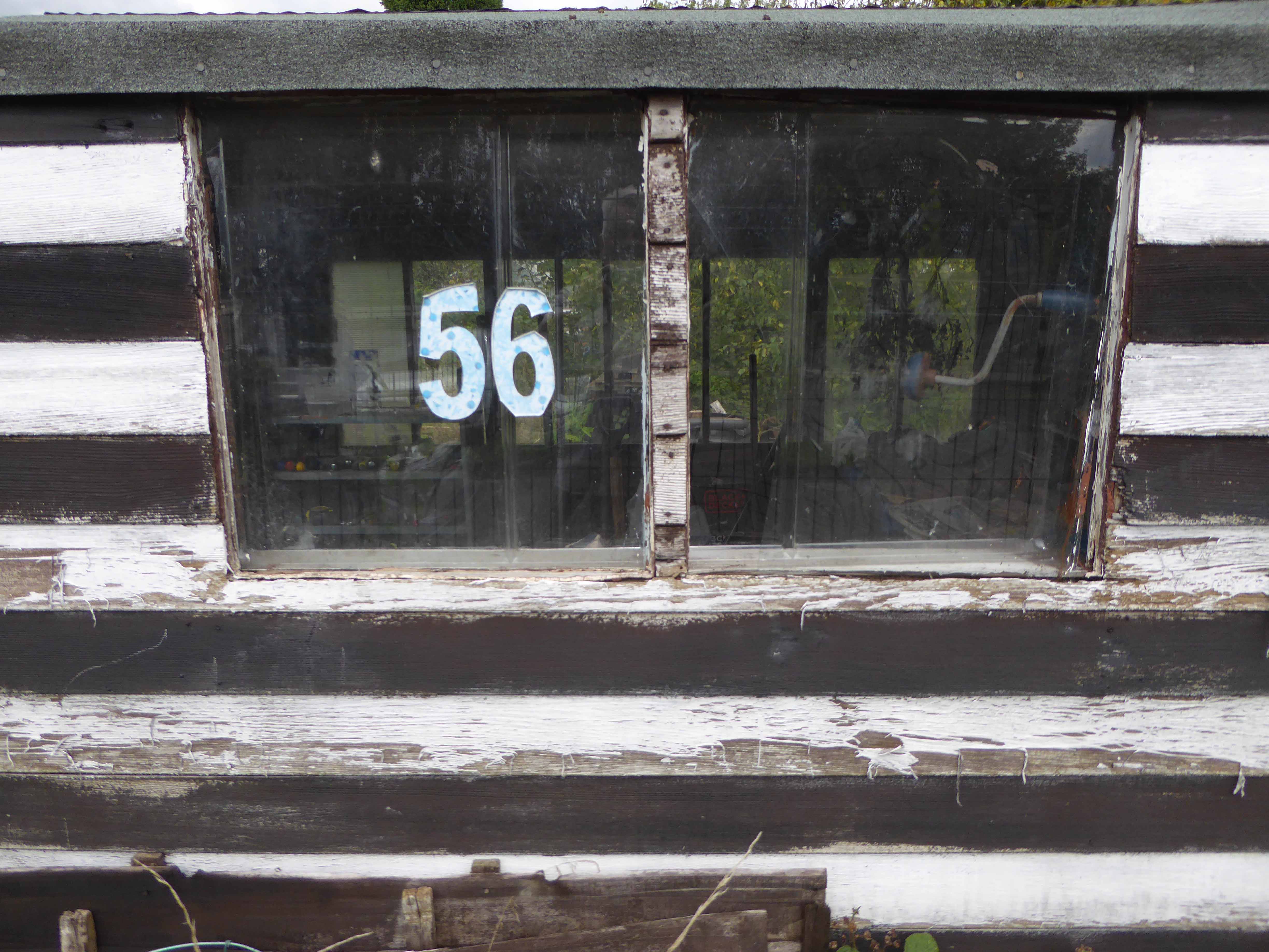
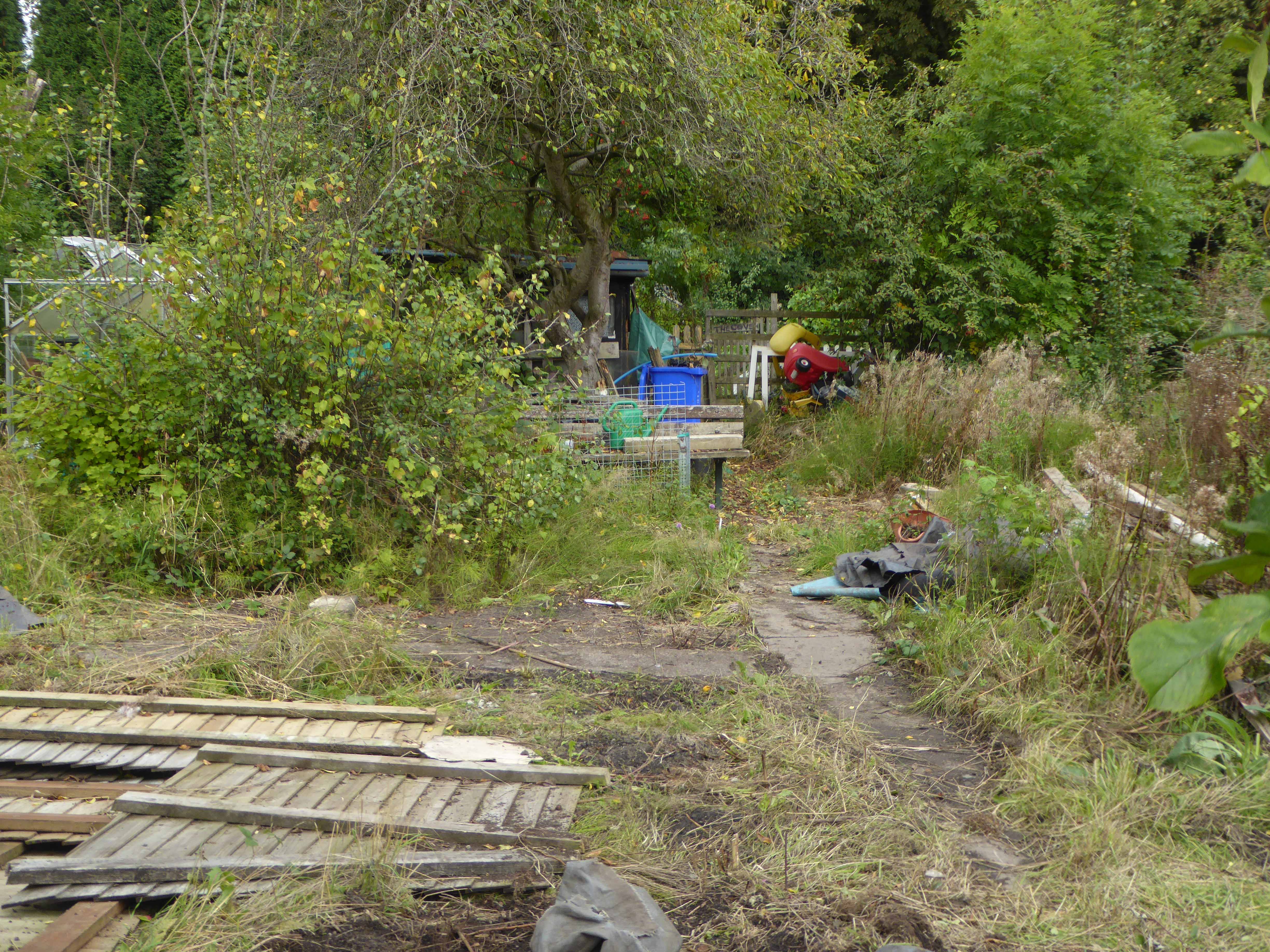
Peel have already cleared most of the scrub, before they submitted the planning application, probably because they know they can get away with it and because they think there is less chance of objection from the public.
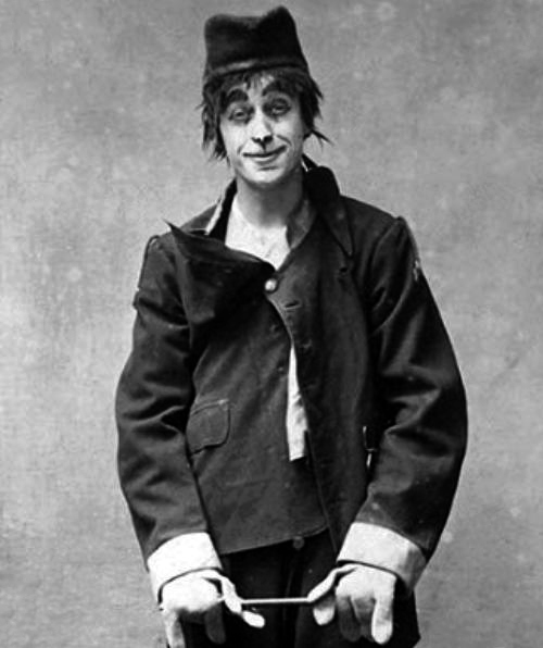
Several Years ago Martin Zero celebrated the flowers and fauna in video from.
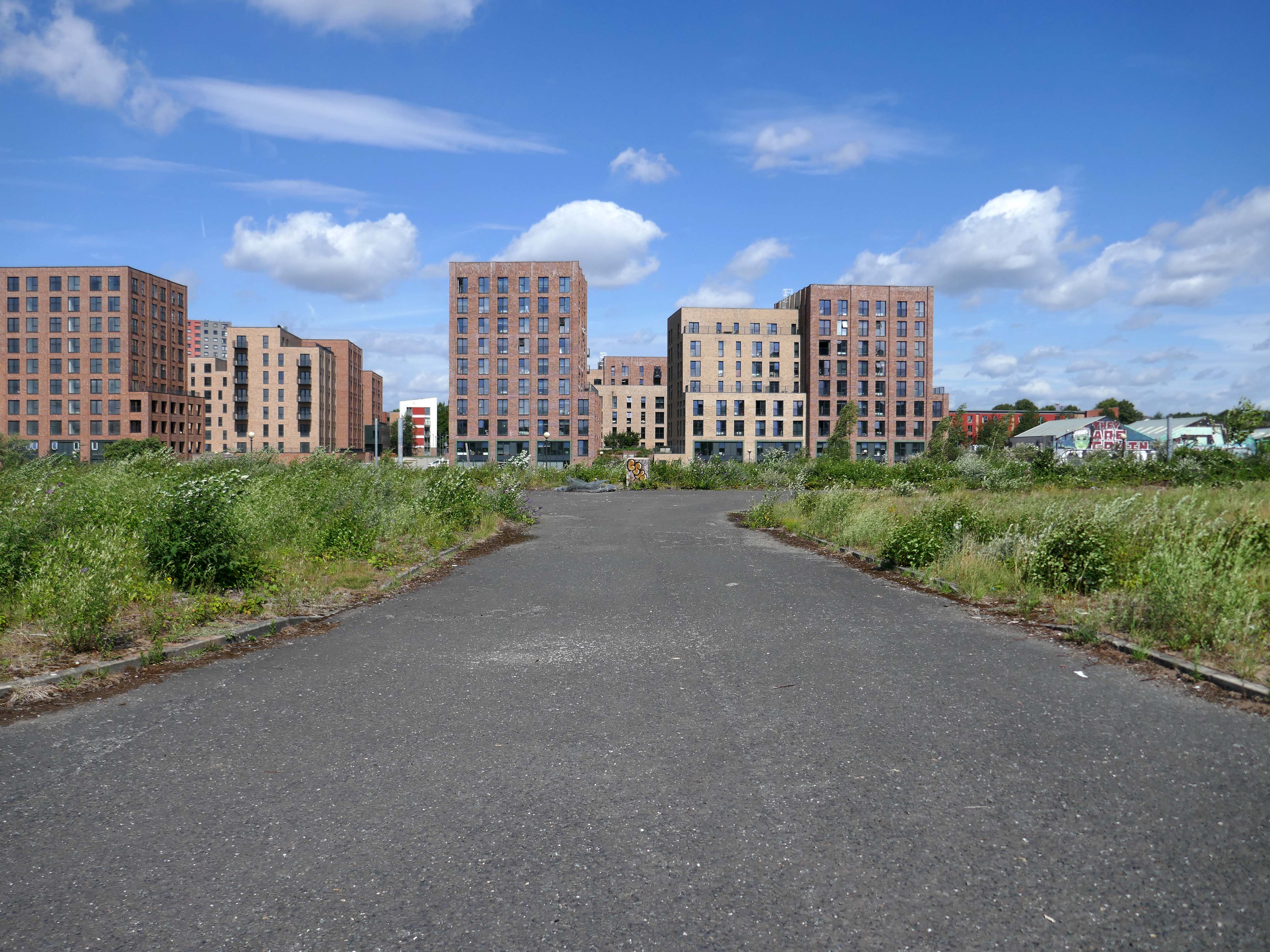
However the overwhelming might of Peel Holdings, along with the collective commercial imperatives of the local Local Authorities, has proved to be an unstoppable force, with few unmovable objections.
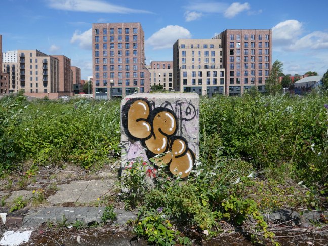
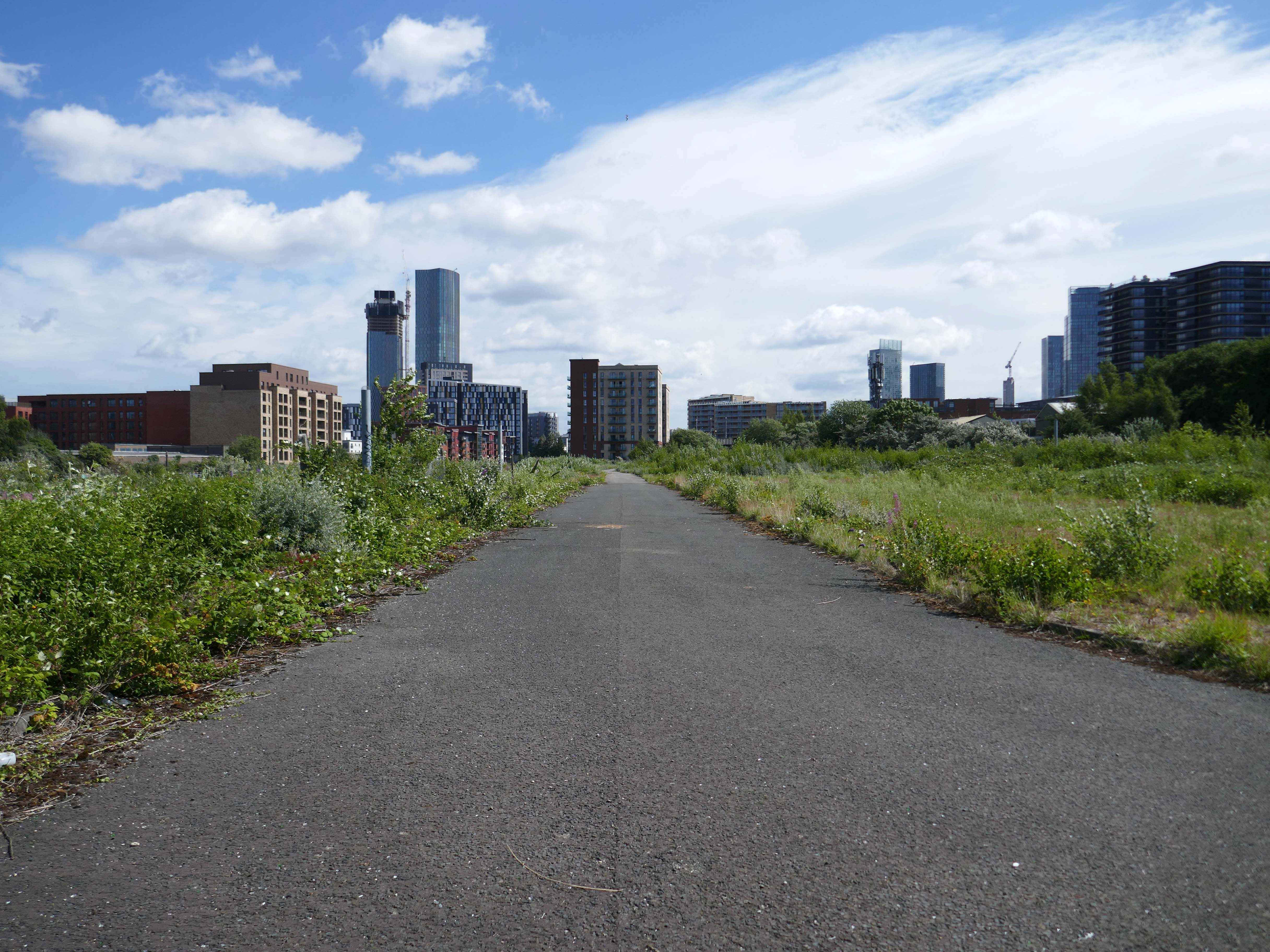
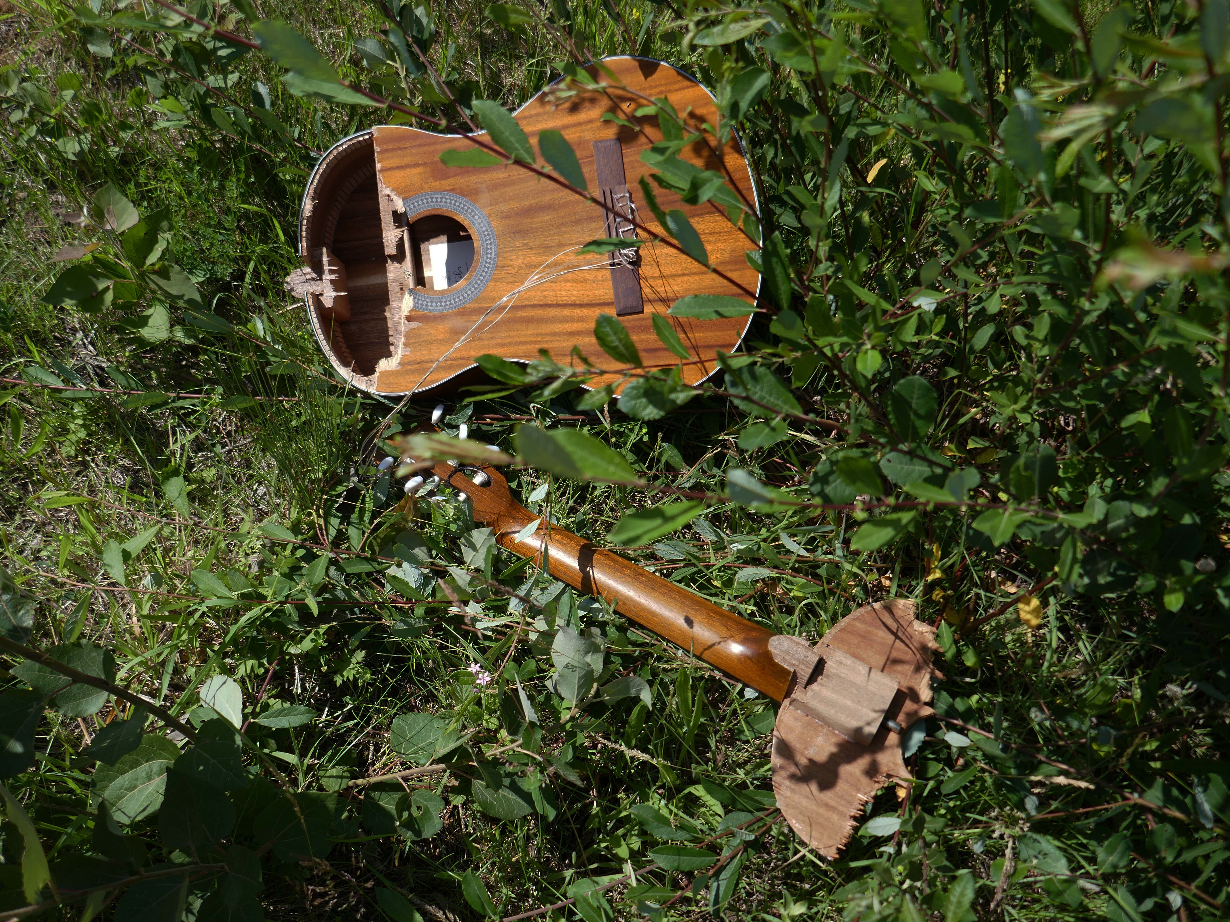
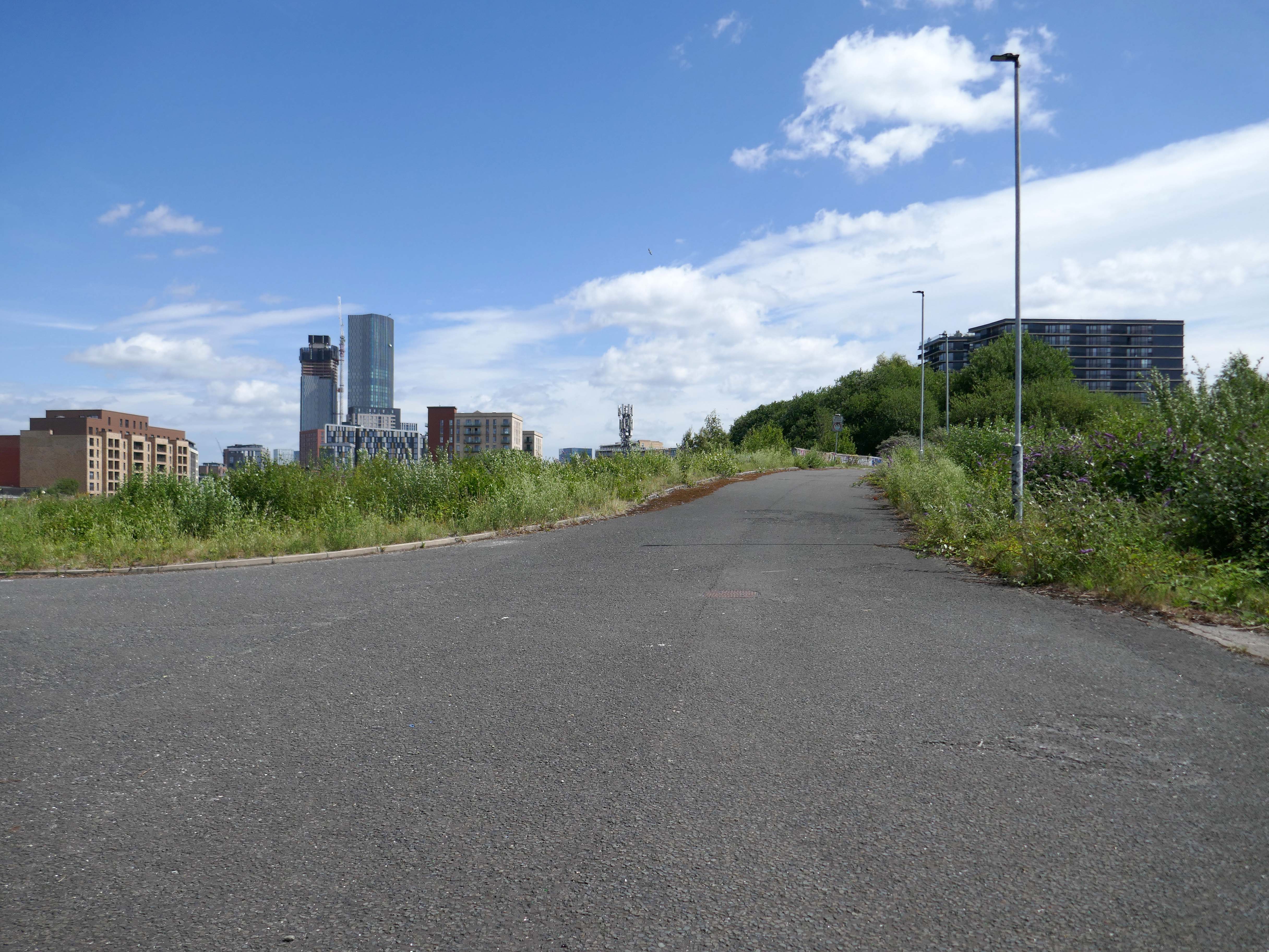
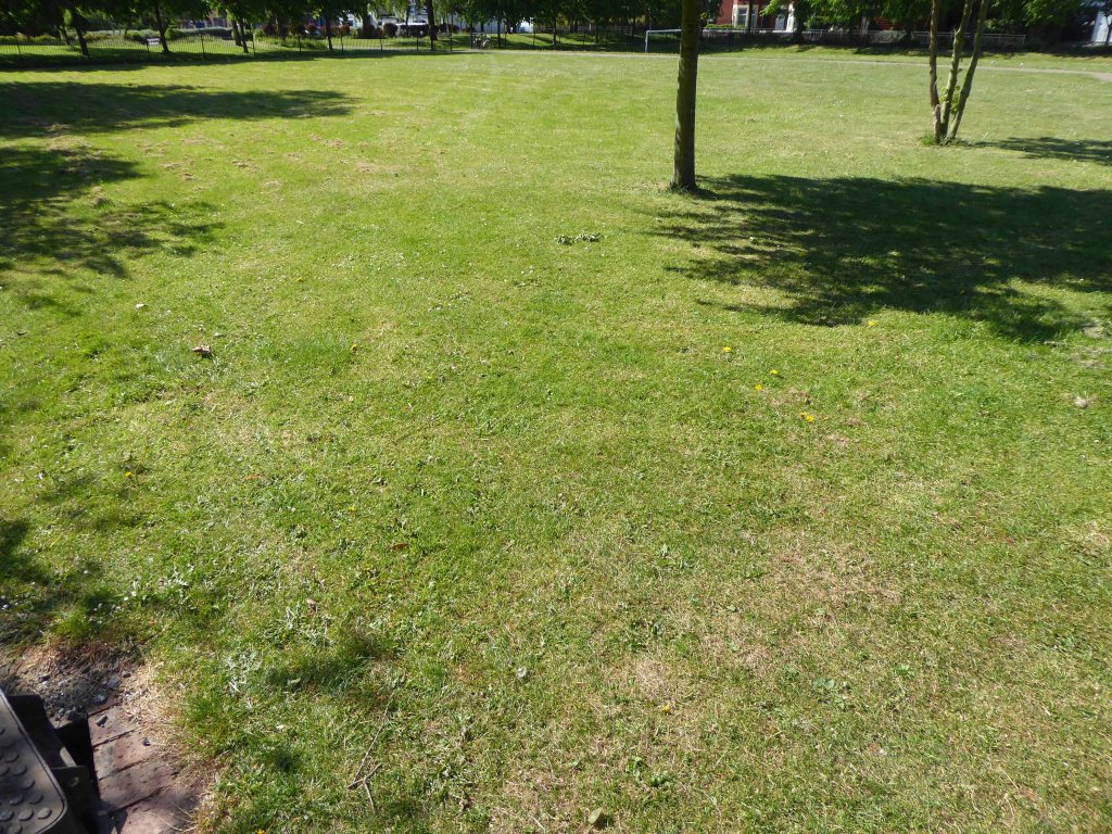
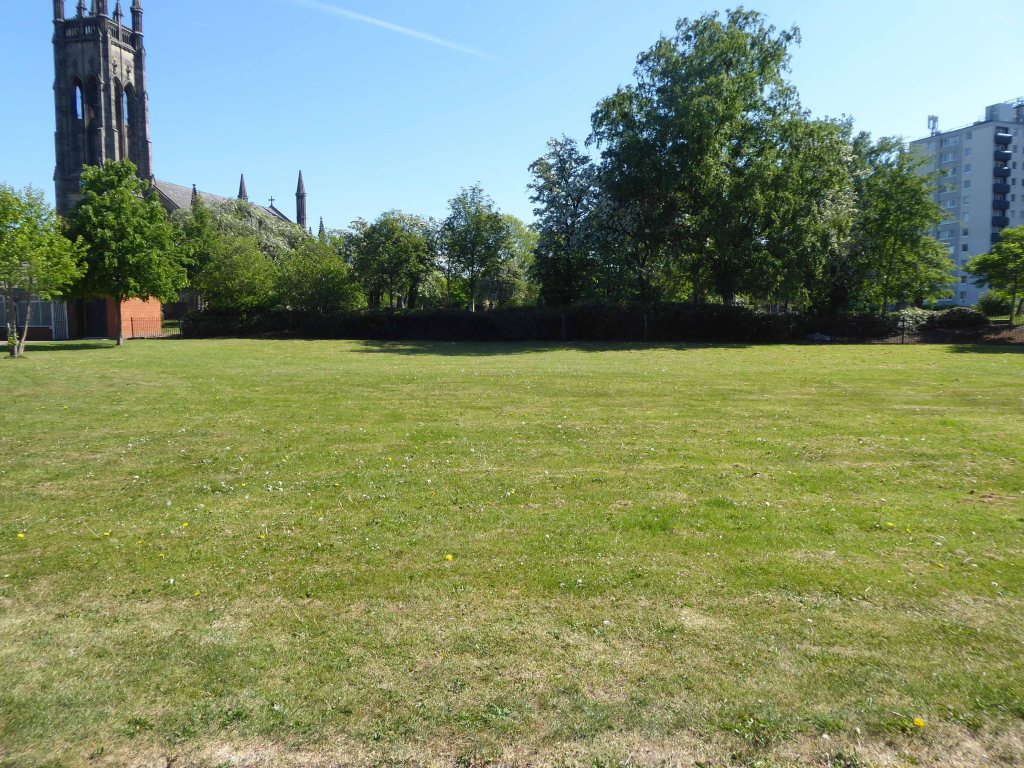
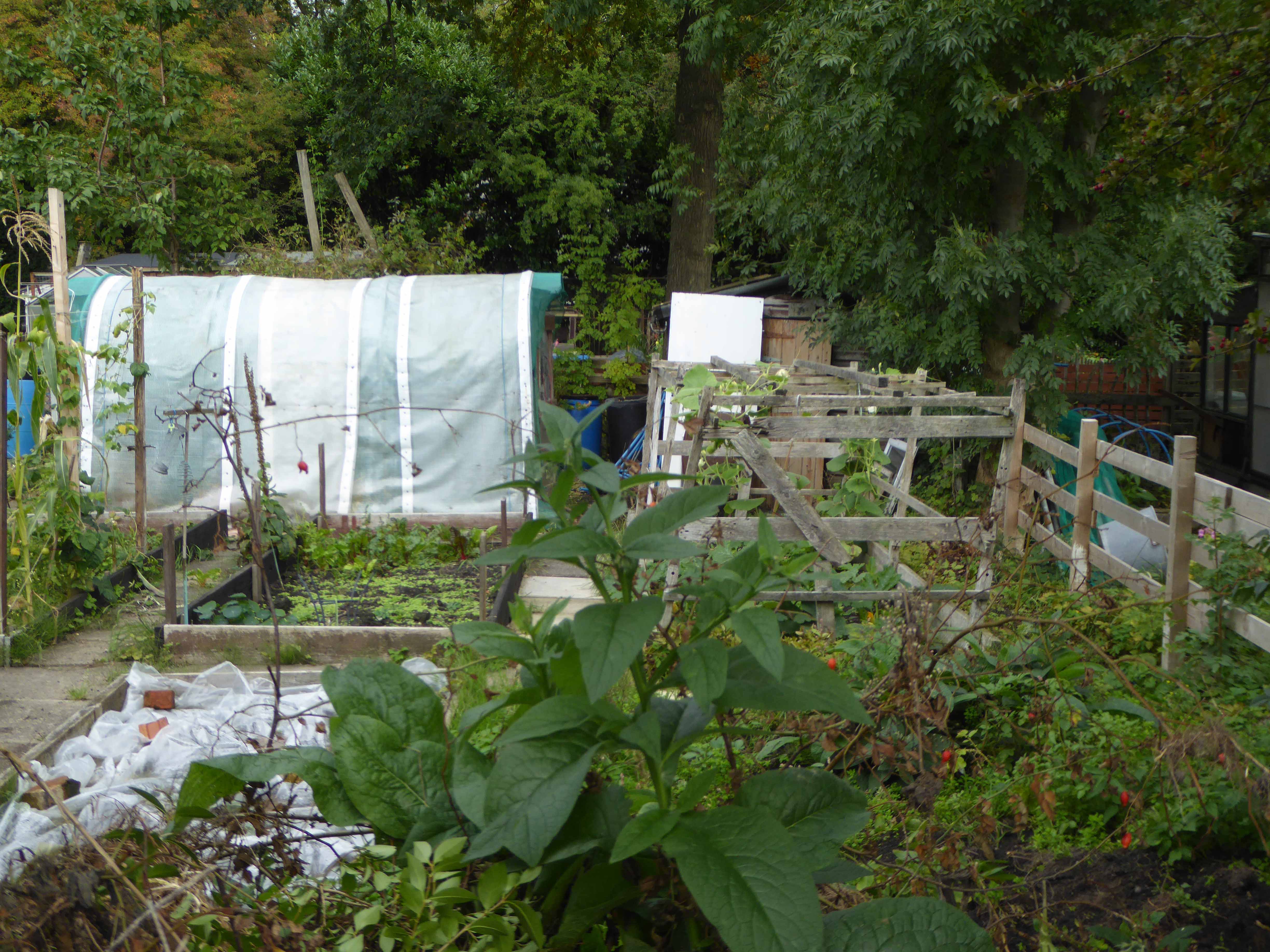
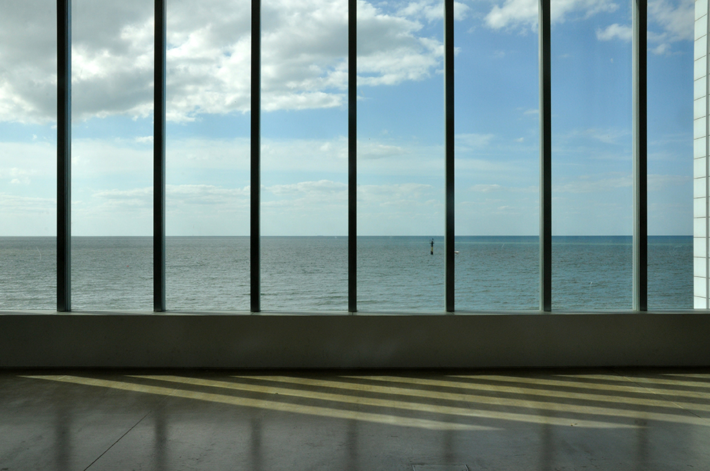
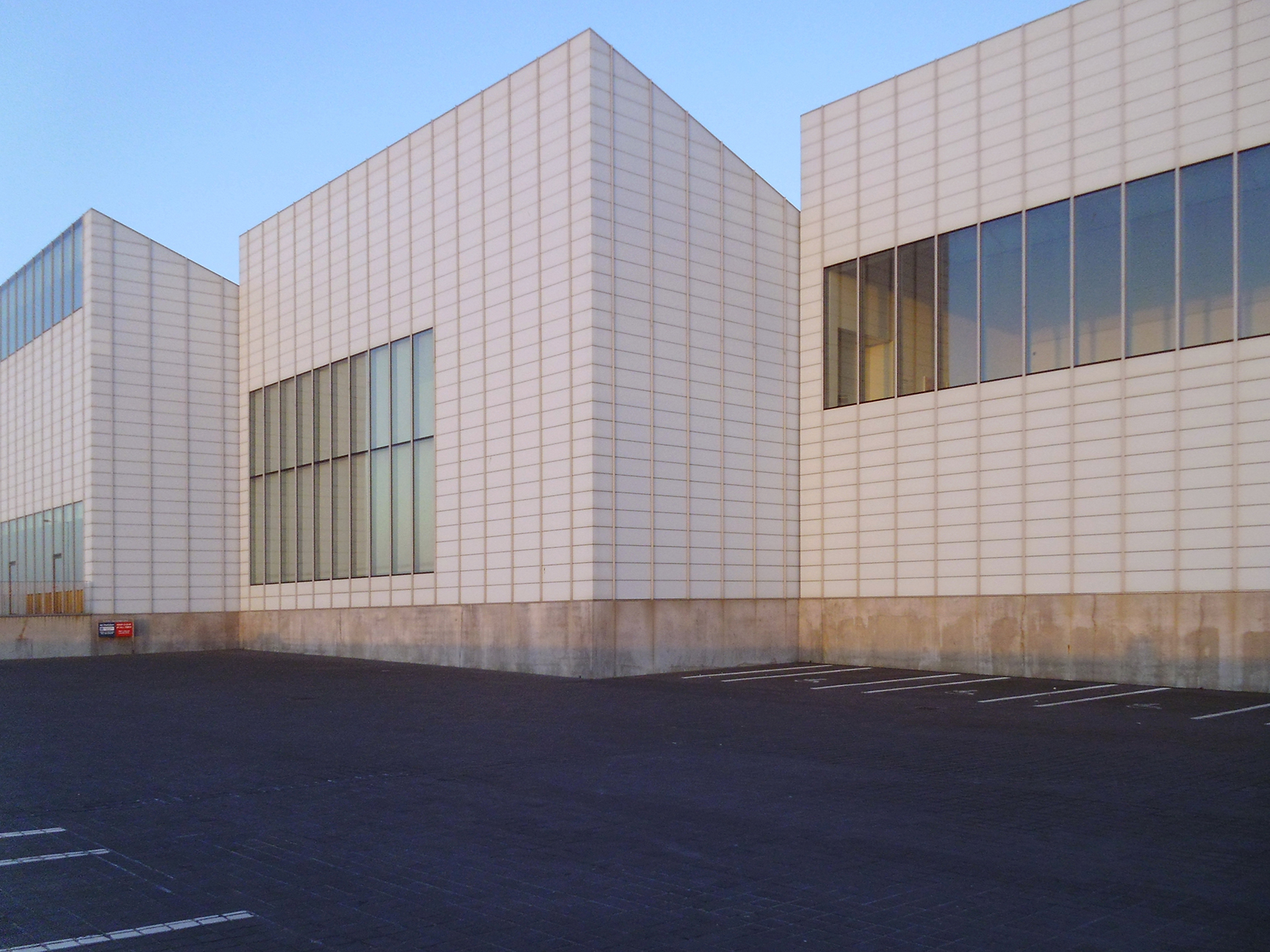
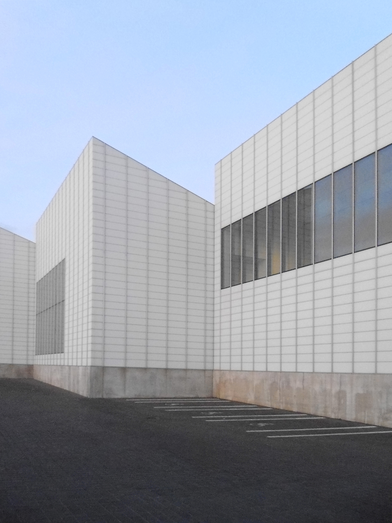
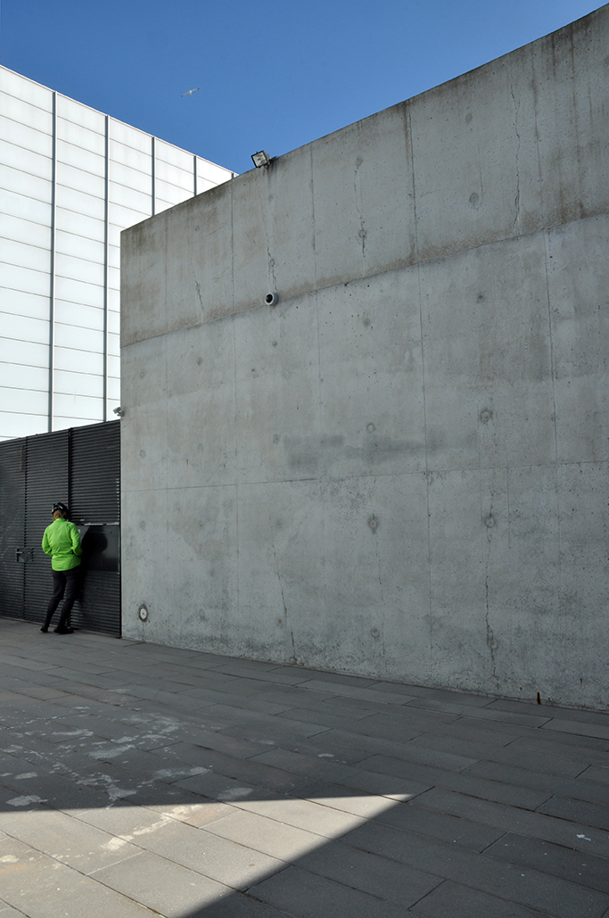
Friday July 4th 2025, I happened to slip through the often locked gates at Cornbrook, to take a look at the current state of play. Over time the site has been mechanically scraped and cleared, but the undergrowth simply grows back again.
The A5103 is a major thoroughfare running south from Piccadilly Gardens in Manchester city centre to the M56 in Northenden. The road is two-lane dual carriageway with a few grade-separated junctions. It is used by many as a link to the airport and to the motorway network south.
The road starts at Piccadilly Gardens where it meets the A6. It heads along Portland Street – at one time it ran along the parallel Mosley Street, past fast-food outlets and off-licences and then meets the A34 Oxford Street. It multiplexes with that road north for 200 yards into St Peter’s Square and then turns left into Lower Mosley Street, initially alongside the tramlines and then past the former Manchester Central station, now a conference centre with the same name. The road becomes Albion Street and goes over the Bridgewater Canal and under the railway line east of Deansgate station. The road then meets the A57(M) Mancunian Way at a roundabout interchange. This is where most of the traffic joins and leaves.
The road is now 2×2 dual carriageway with the name Princess Road. It passes under the Hulme Arch, a grade-separated junction with the A5067, with an unusually large central reservation. This is presumably because of the proposed plans from the 1960s of a motorway. However, after passing under the junction, there are innumerate sets of traffic lights, with the B5219, the A6010 and the A5145, as well as many other unsigned roads. There are also many speed cameras set at 30 mph.
The road picks up pace as we exit the sprawl of South Manchester and the road becomes Princess Parkway, with a 50 mph speed limit. We cross the River Mersey and almost immediately hit the M60 at J5.
Except for the Manchester City Centre section – which was numbered A5068, this road did not exist on classification in 1922. Princess Road was built in 1932 to serve the new southwestern suburbs; initially it ran between the B5219 and A560 and was numbered B5290, with the road later extended north into the A5068 on the southern edge of the city centre and renumbered A5103.
The northern extension through Hulme initially followed previously existing roads, so followed a zigzag route. As part of the road’s upgrade and the reconstruction of Hulme in the 1970s the road was straightened and the original route can no longer be seen. The A5068 was severed around this time with the construction of the A57(M) and the A5103 took on its city-centre section, taking it to the A6.
The obvious place for the A664 to start is on the A665 Manchester & Salford Inner Relief Route, which at this point is actually two parallel one-way streets. However, many maps show the road continuing a short distance into the city centre to end at traffic lights by the Shudehill Interchange – this is presumably for historic reasons: the road originally continued along the High Street to its terminus on the A6 Market Street.
The road heads northeastwards through the suburbs, the street name Rochdale Road, already emphasising its destination. Initially dual, the road narrows just before crossing the bridge over the railway line east of Victoria station. It continues through Collyhurst and widens again just before crossing the A6010 Intermediate Ring Road, which here is made up of two parallel one-way streets, requiring two separate sets of traffic lights to cross.
Now non-primary – but still dual for a short distance more, the road runs in a more northerly direction through Blackley, where it becomes wooded for a short distance as it passes the Boggart Hole Clough park. Slightly further on the road has been straightened, after which it bears right to widen considerably and cross the A6104 at traffic lights just before M60 J20, which only has west-facing sliproads. The road narrows again on the far side of the motorway and leaves Manchester for Rochdale at the same point.
Cheetham Hill Road is part of the designated A665. Cheetham Hill Road starts at the junction of the A6042 Corporation Street and the A665 Miller Street. It crosses the culverted River Irk to the east of Victoria Station. At its junction with New Bridge Street, it turns north-northeast and is straight for 1 km, to the A6010 Queen’s Road . This stretch was called York Street until about 1900. Cheetham Hill Road leads from here to the community of Cheetham Hill, where at Bourget Street and Crescent Road – formerly Sandy Lane, Cheetham Hill Road becomes Bury Old Road.
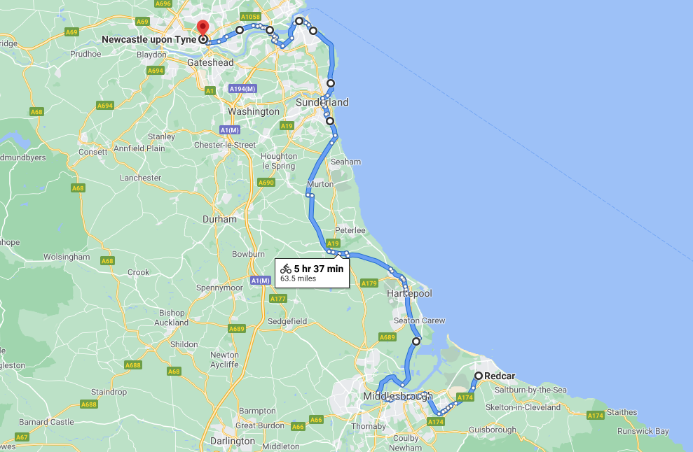
An early start on another sunny day, cycling along long straight roads out of town, towards Middlesborough.
Having previously visited Hull and Scarborough and all points in between.
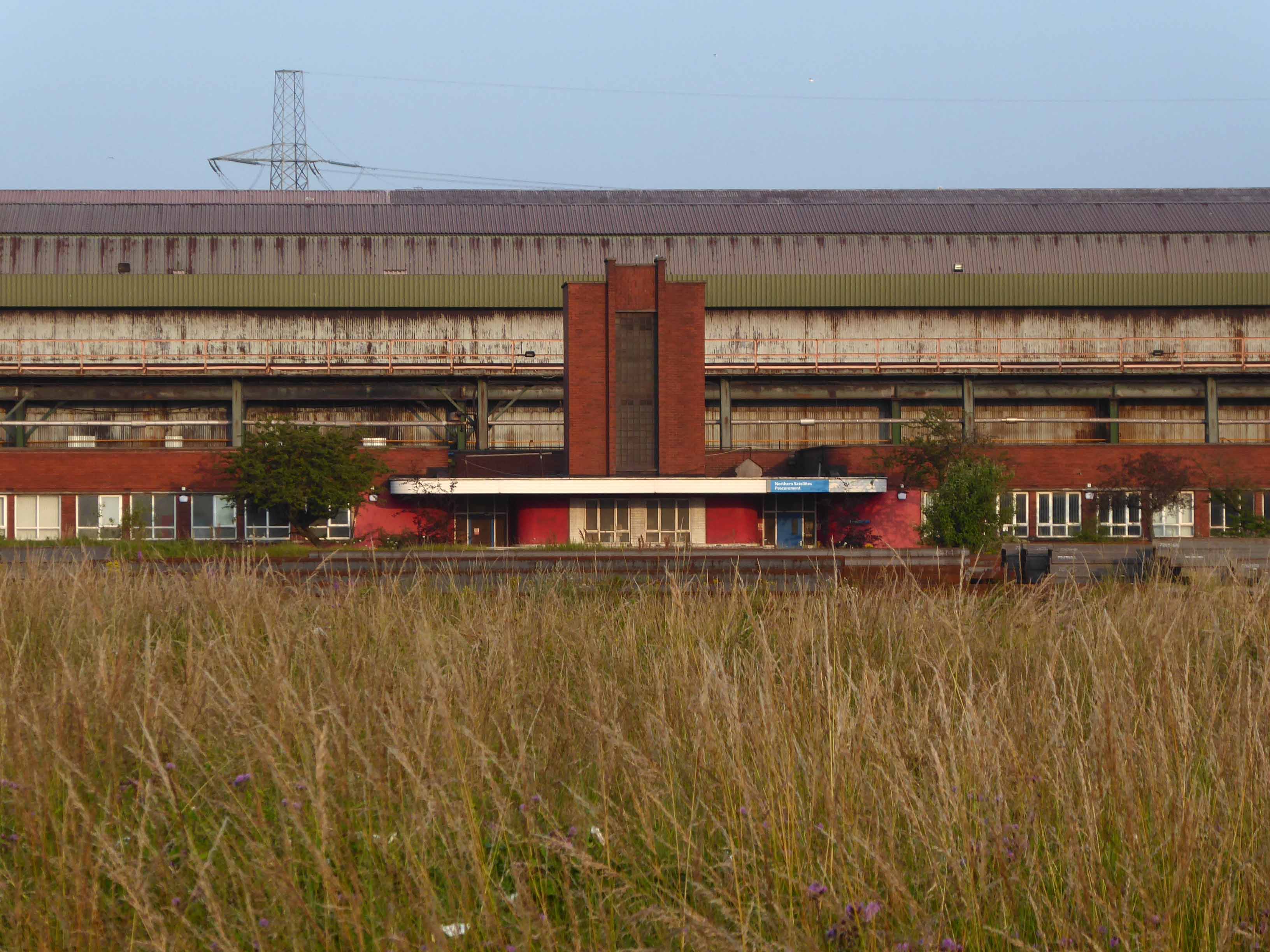
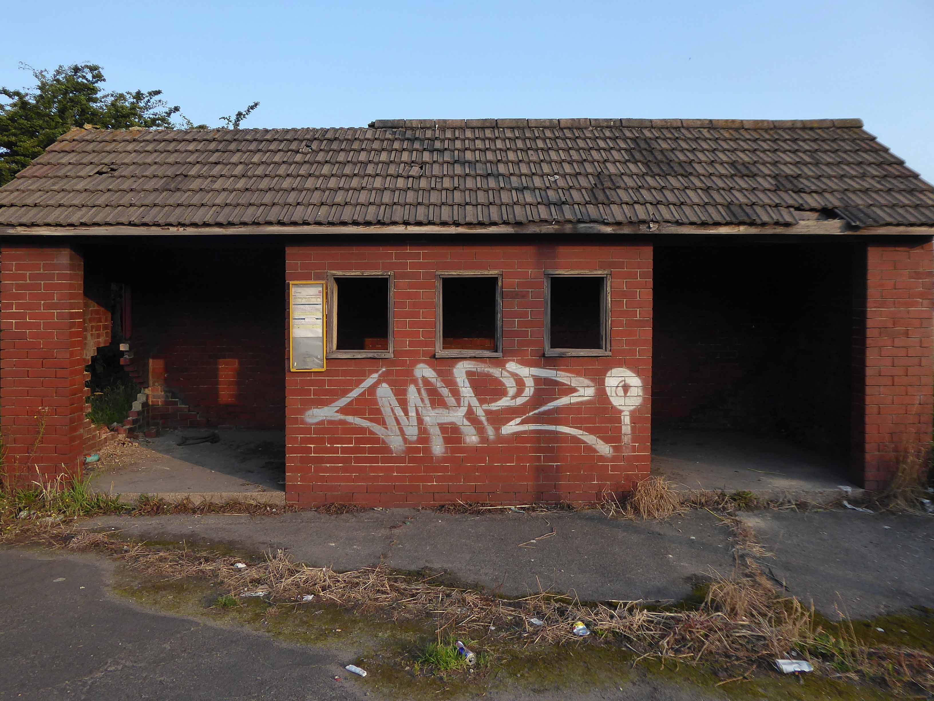
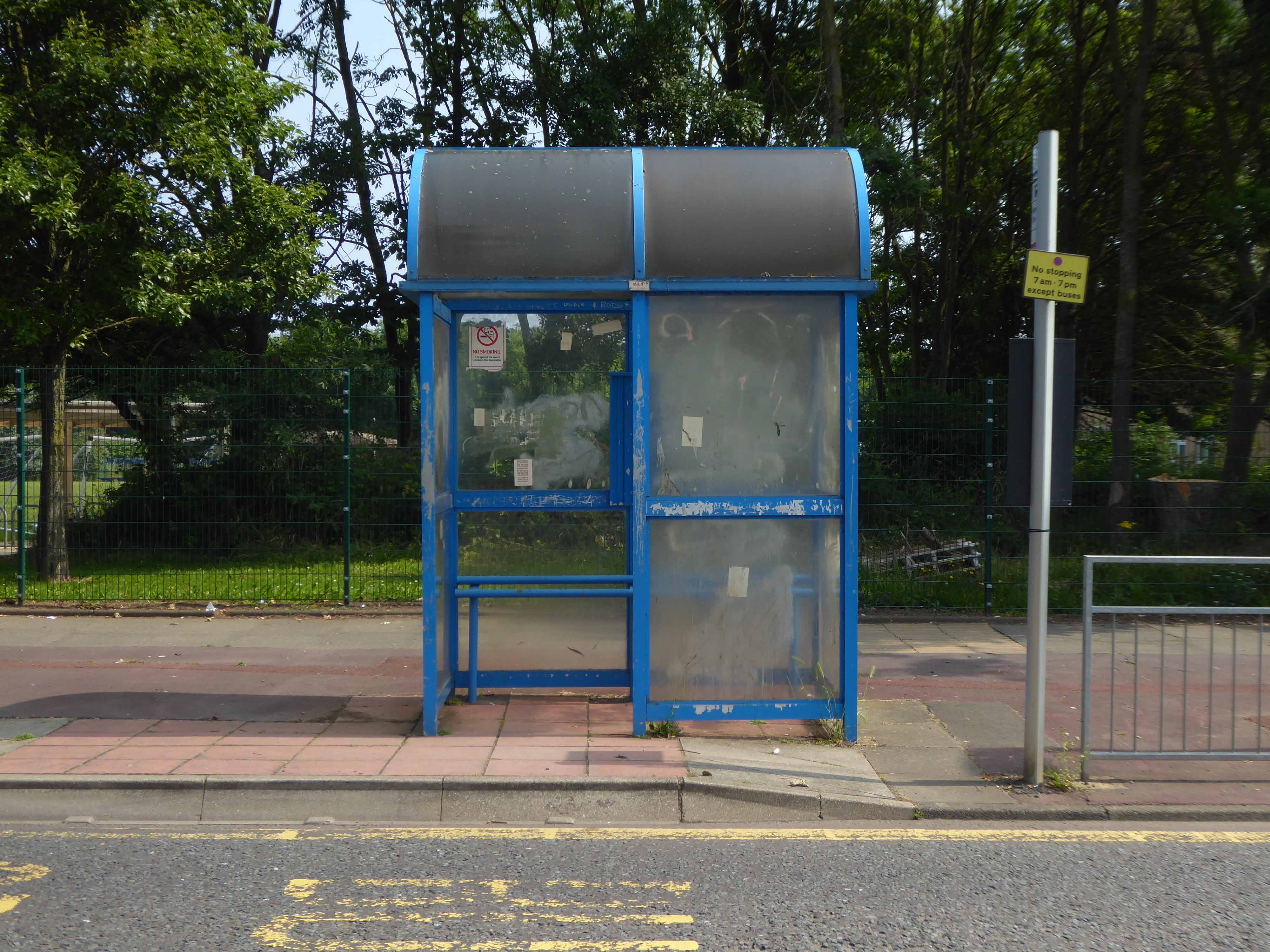
Slowly passing sleepy factories and desolate bus shelters.
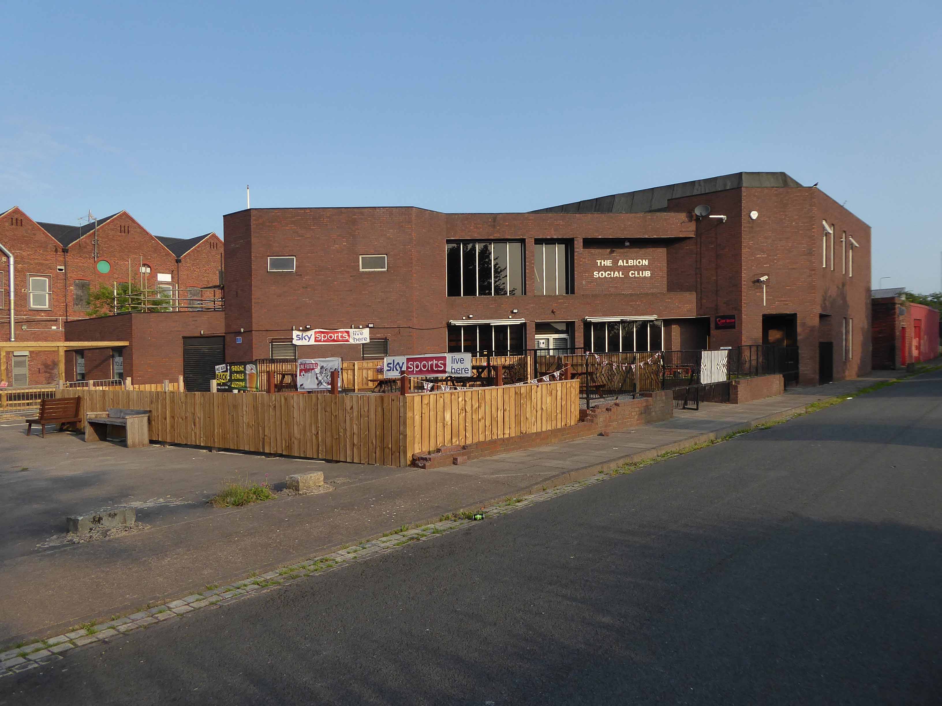
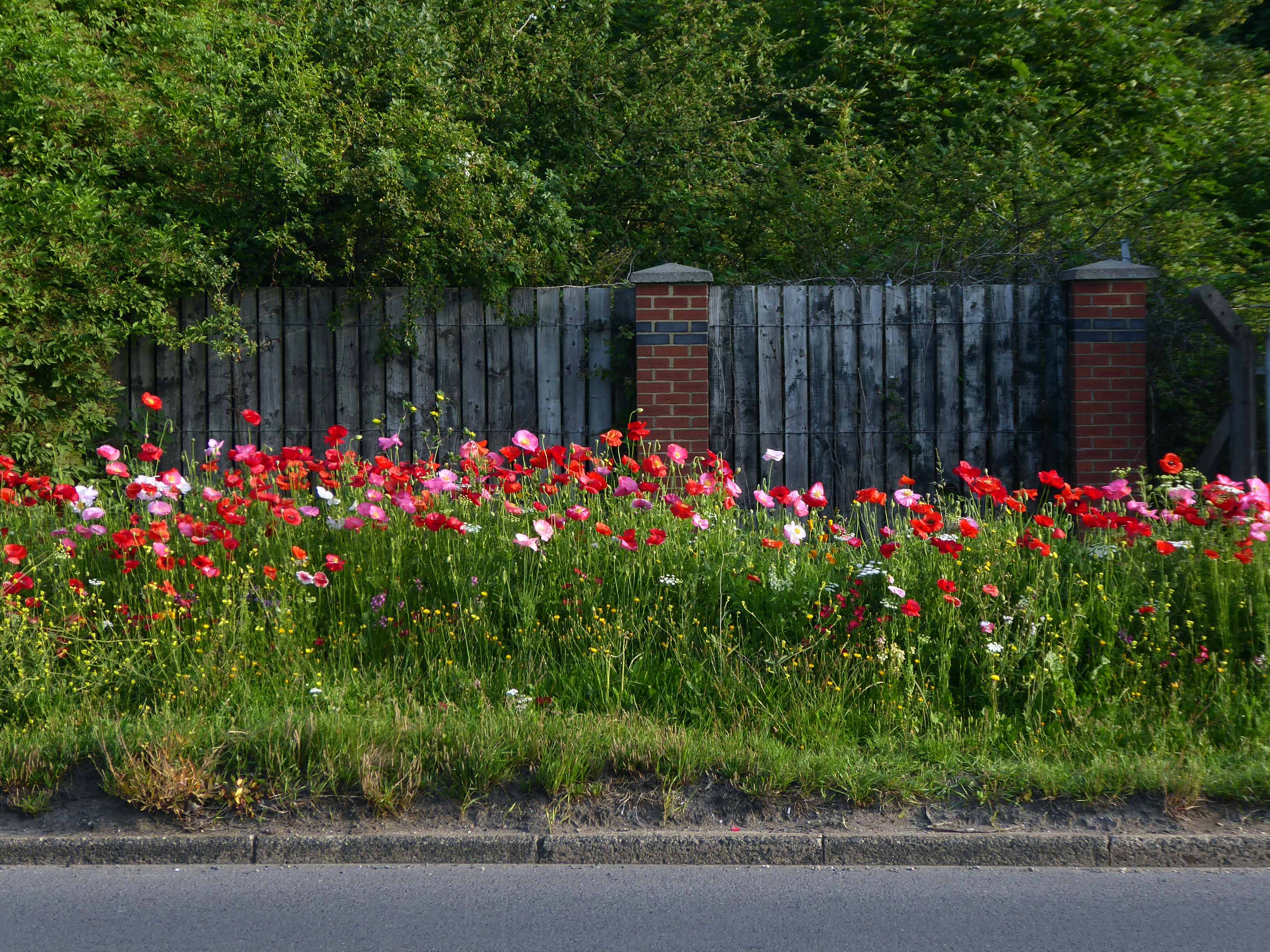
Bunker like social clubs and flower lined roads.
The Albion club in South Bank has stood empty for the last three years.
Now local lad Mark Trainor has the keys – and says opening the doors to the club his own family frequented for years will be a dream come true.
He’s planning to cater for everyone, he says, and it won’t just be all about drinking.
Parents will be able to call in for a coffee after dropping the kids at school, there will be pool nights and Mark’s personal favourite – Pie Day Fridays.
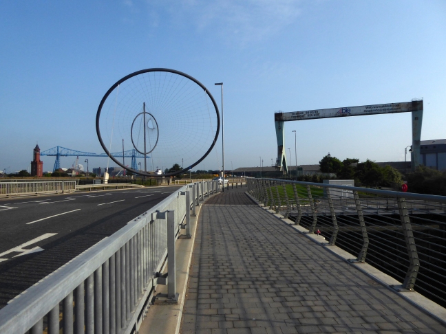
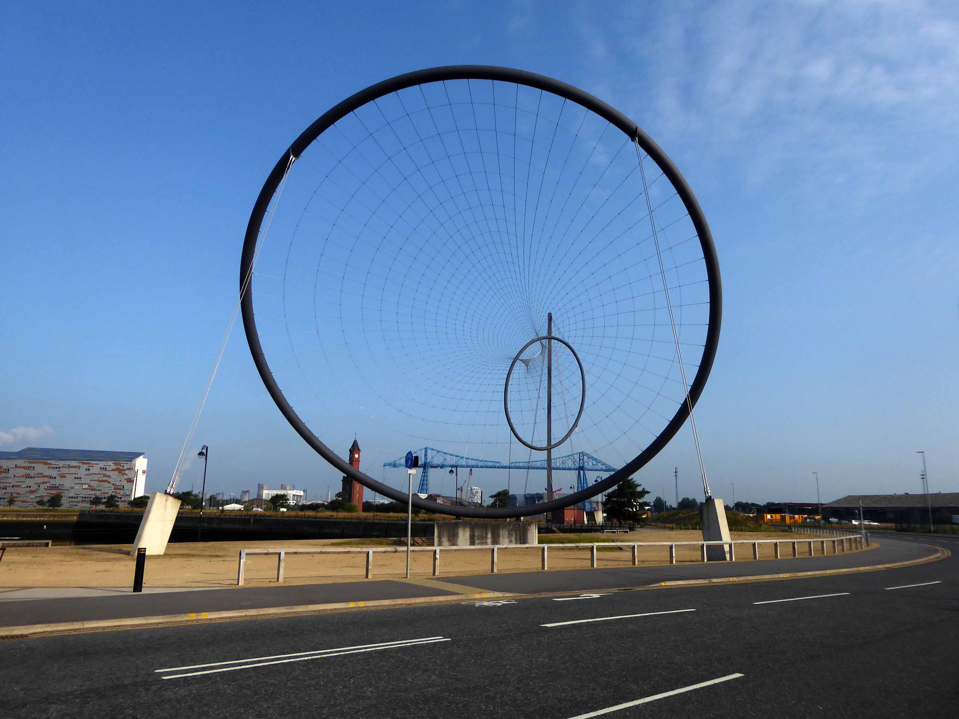
Temenos is a Greek word meaning land cut off and assigned as a sanctuary or holy area.
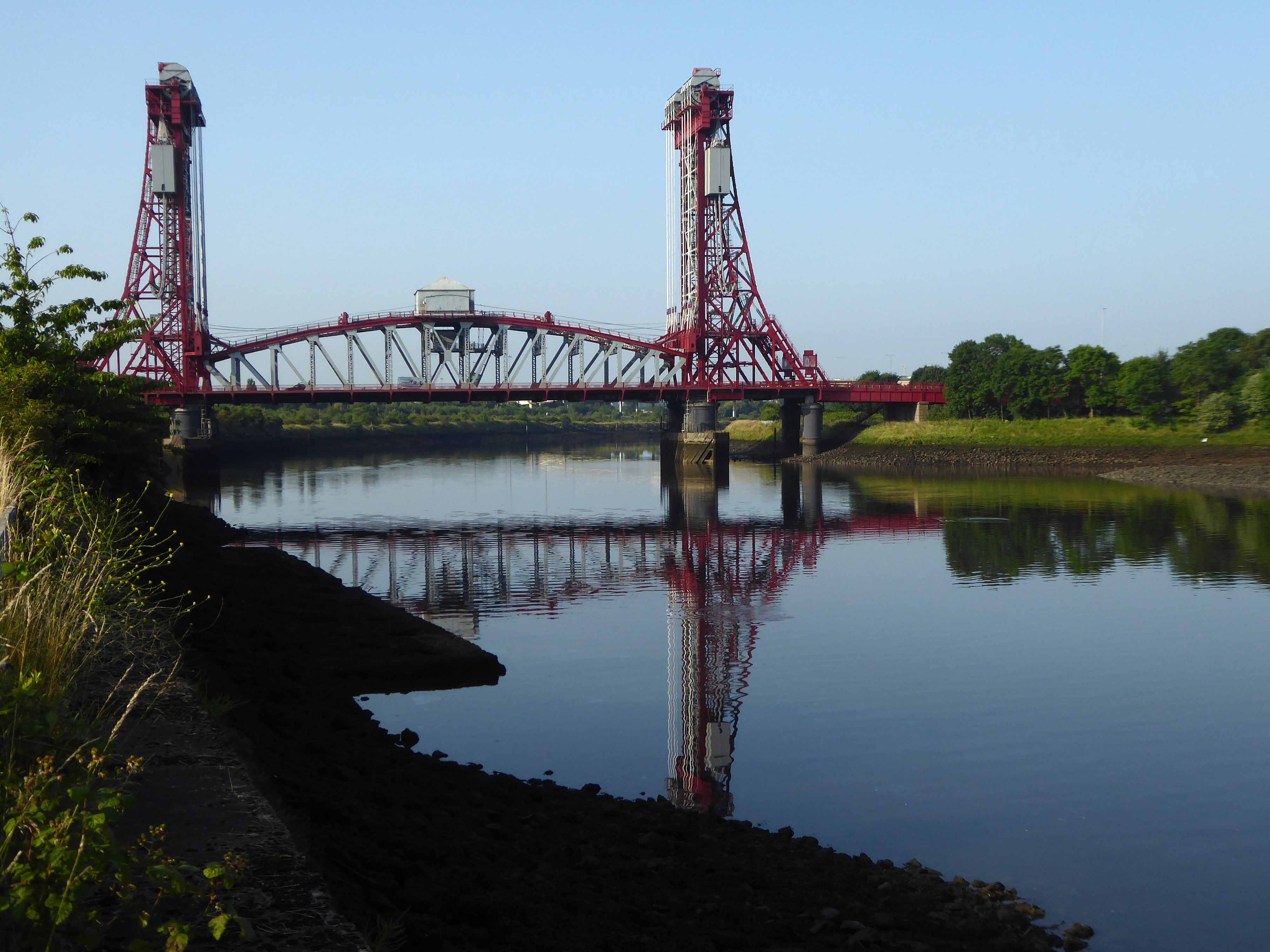
Following a 1907 Act of Parliament the bridge was built at a cost of £68,026 6s 8d by Sir William Arrol & Co. of Glasgow between 1910 and 1911 to replace the Hugh Bell and Erimus steam ferry services. A transporter bridge was chosen because Parliament ruled that the new scheme of crossing the river had to avoid affecting the river navigation.
The opening ceremony on 17 October 1911 was performed by Prince Arthur of Connaught, at its opening the bridge was painted red.
In 1961 the bridge was painted blue.
In 1974, the comedy actor Terry Scott, travelling between his hotel in Middlesbrough and a performance at the Billingham Forum, mistook the bridge for a regular toll crossing and drove his Jaguar off the end of the roadway, landing in the safety netting beneath.
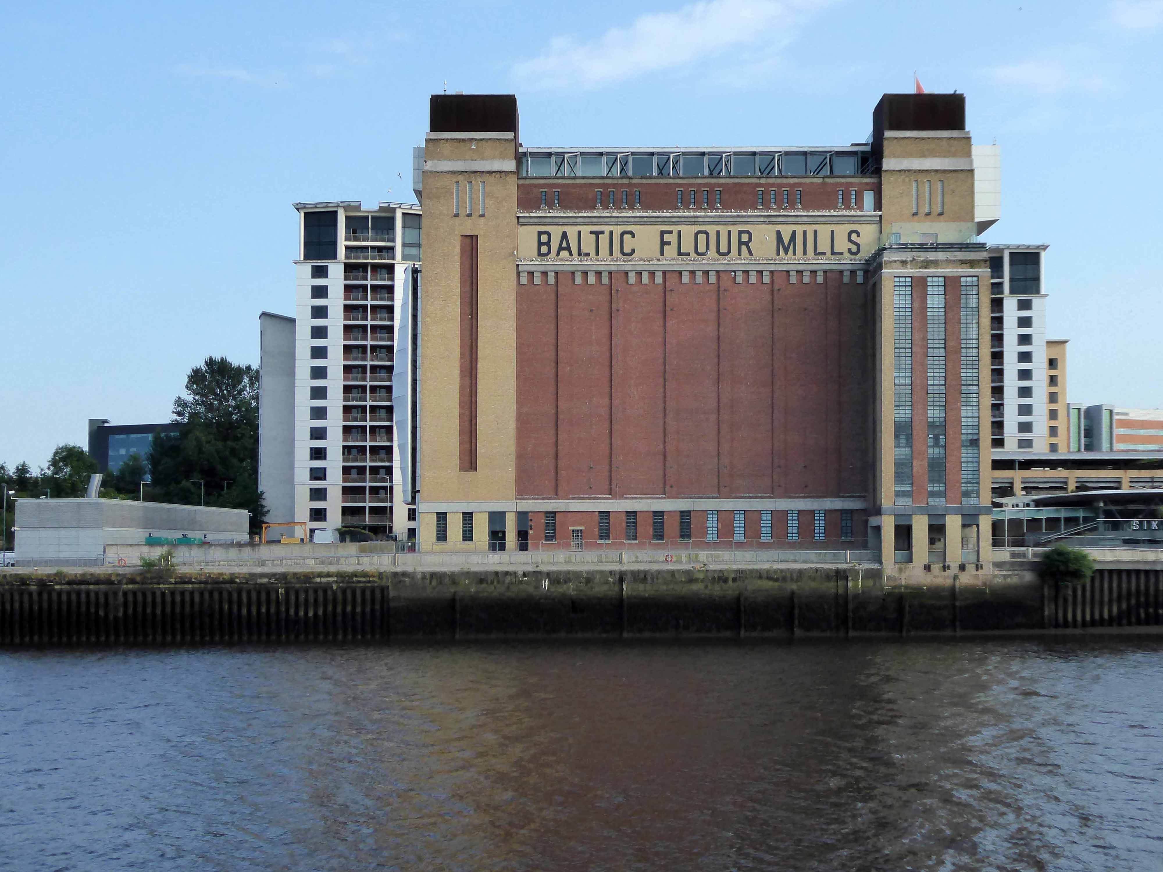
The cycle track followed the river, which sports a fine array of industrial architecture.
Tees Newport Bridge designed by Mott, Hay and Anderson and built by local company Dorman Long who have also been responsible for such structures as the Tyne Bridge and Sydney Harbour Bridge, it was the first large vertical-lift bridge in Britain.
In a slightly more upbeat mode St James the Apostle Owton Manor.
I convinced myself that this building on Station Road Seaton Carew was a former pub, I discovered following consultation with the local studies offices, that it was in fact a former children’s home destined to become a doctors.
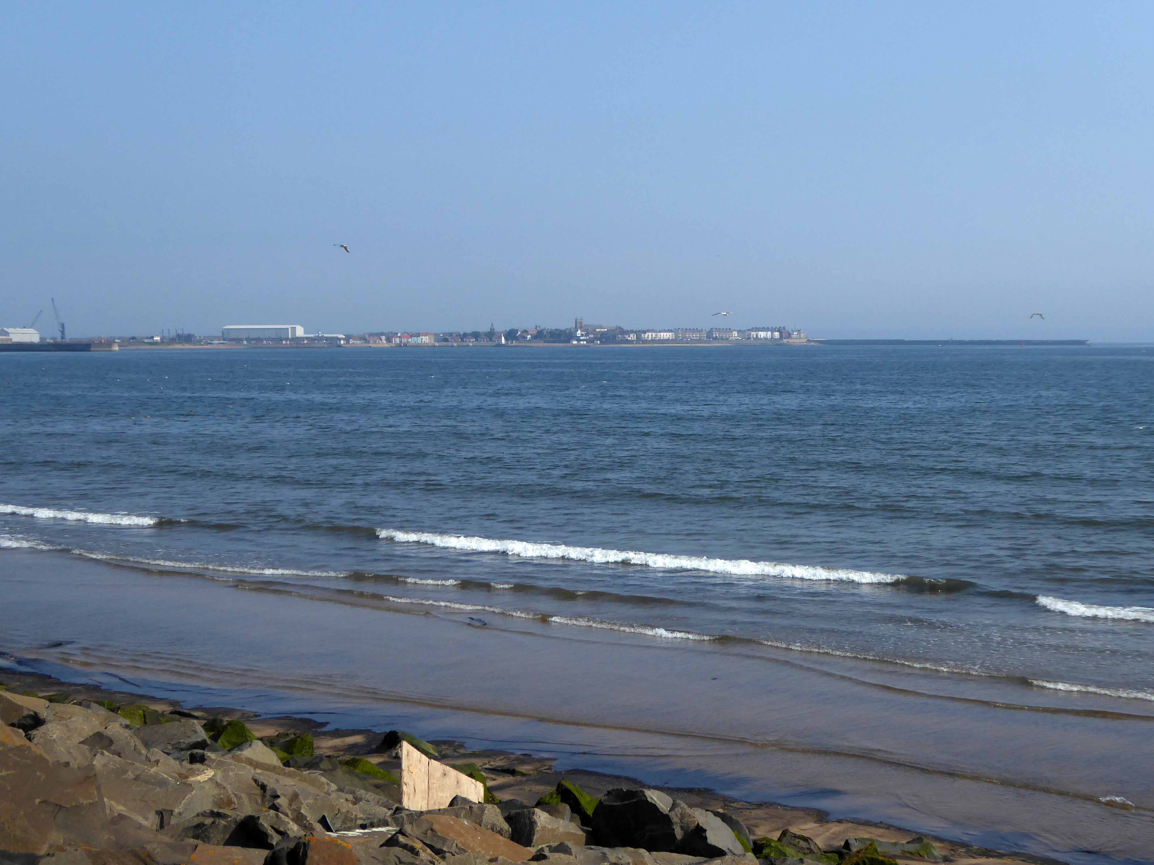
I found myself looking back across the estuary to Redcar.
Northward toward Hartlepool.
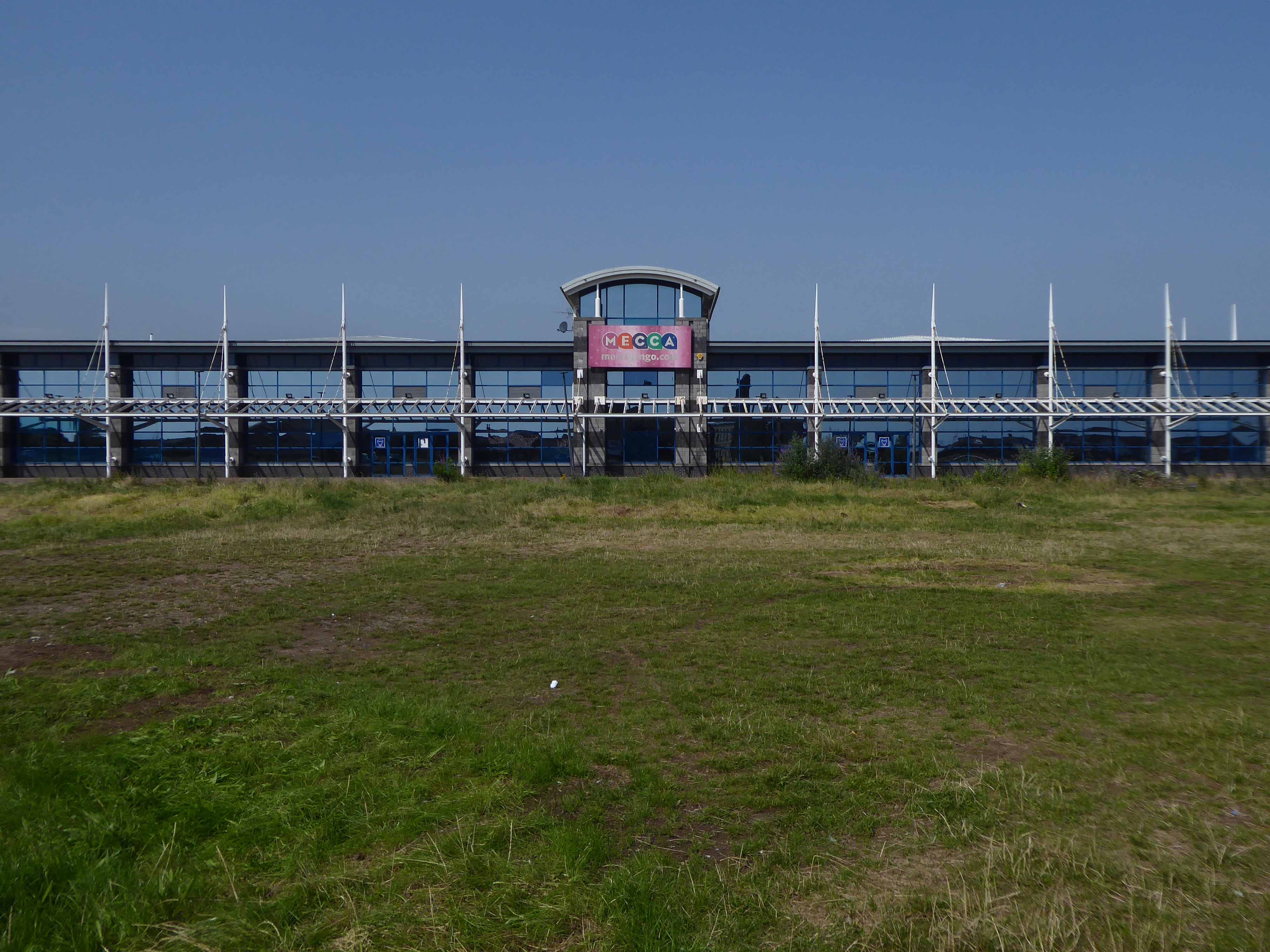
Where the bingo was closed and the circus had left town.
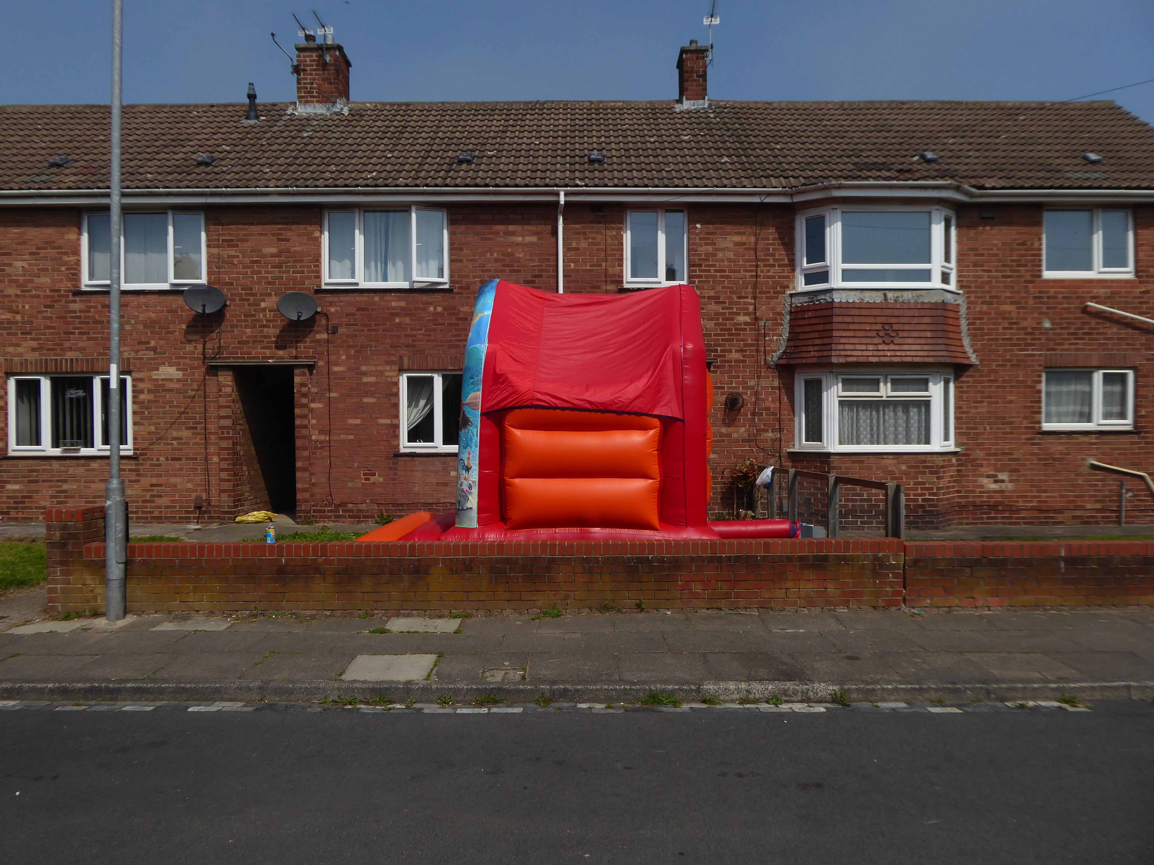
Every Englishman’s home is a bouncy castle.
St John Vianneylocated on King Oswy Drive West View Estate.
Architect: Crawford & Spencer Middlesbrough 1961.
A large post-war church built to serve a housing estate, economically built and with a functional interior. The campanile is a local landmark.
The parish of St John Vianney was created in 1959 to serve the growing West View Estate, on the north side of Hartlepool. The church was opened by Bishop Cunningham on 4 April 1961. The presbytery was built at the same time.
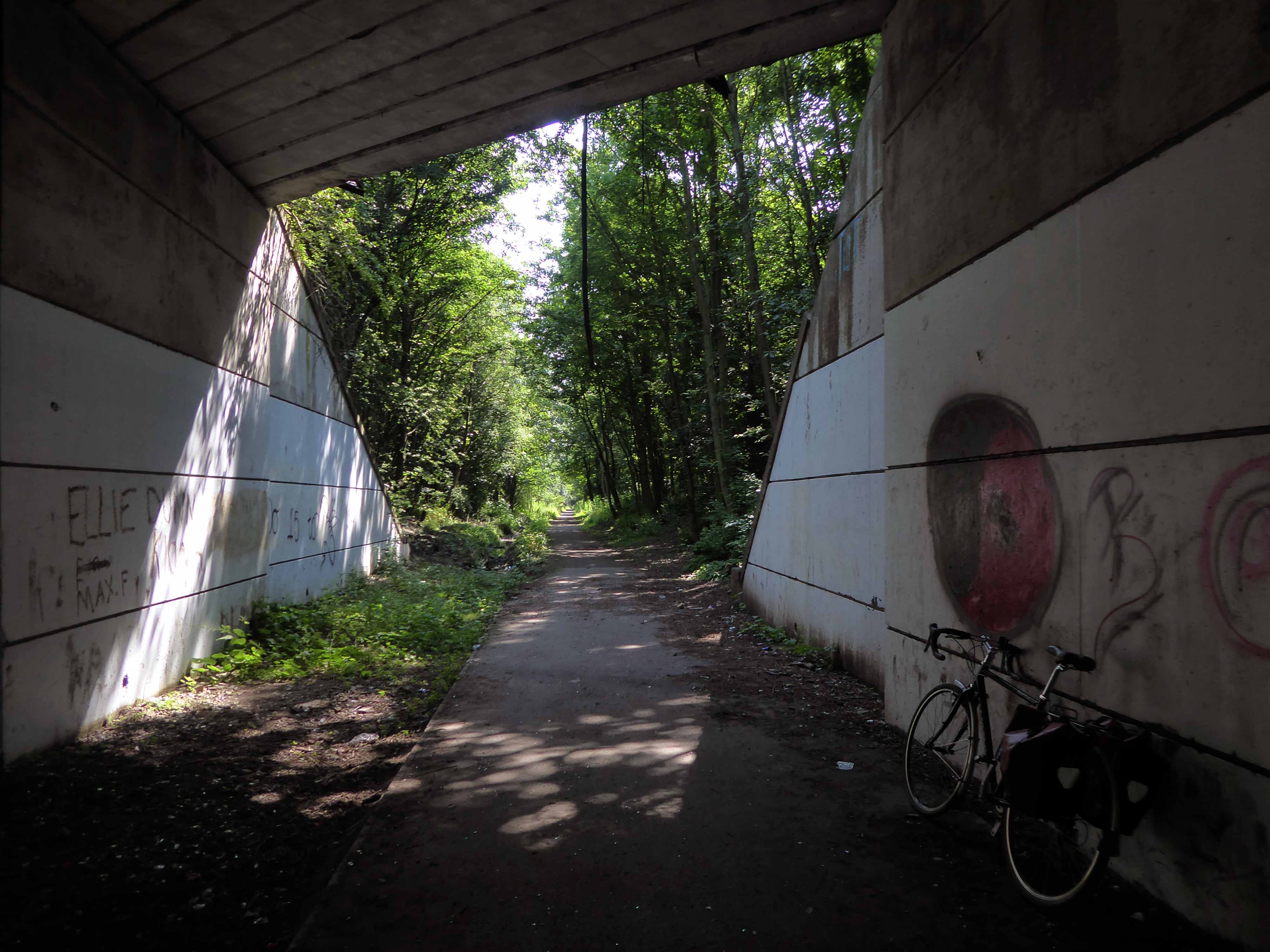
I found myself on yet another former railway line.
The Cycleway was once a railway line designed by George Stephenson to take coal from the Durham coal fields to the docks in Hartlepool, where the coal was then distributed throughout the world.
Seeking assistance from a passing cyclist I negotiated a safe passage to Sunderland.
The Sunderland Synagogue is a former synagogue building in Sunderland, England. The synagogue, on Ryhope Road, was designed by architect Marcus Kenneth Glass and completed in 1928. It is the last surviving synagogue to be designed by Glass.
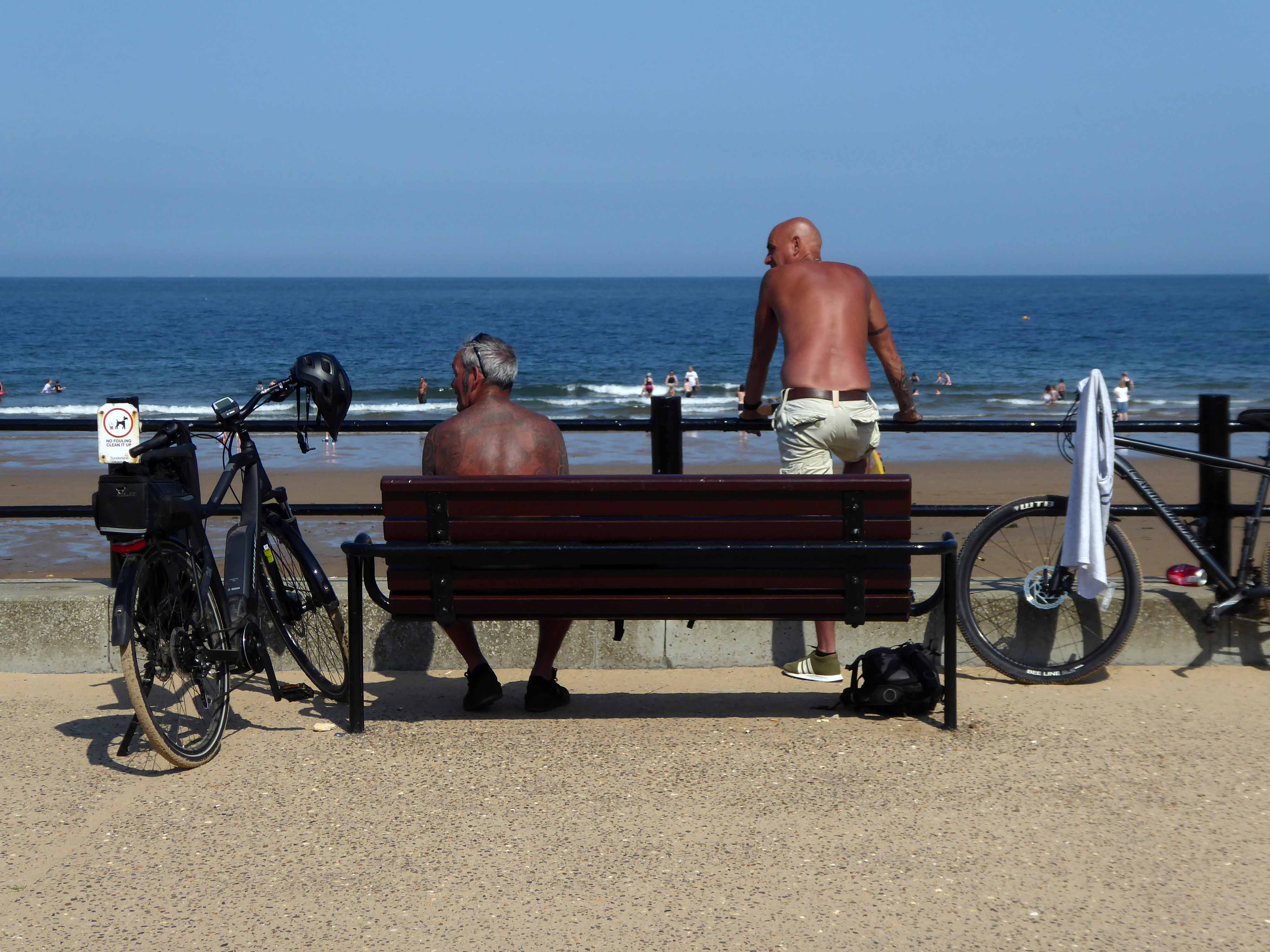
I took a right and arrived in Roker, where I saw these well tanned and tattooed cyclists taking a rest.
Pressed on, largely alongside the coast to South Shields.
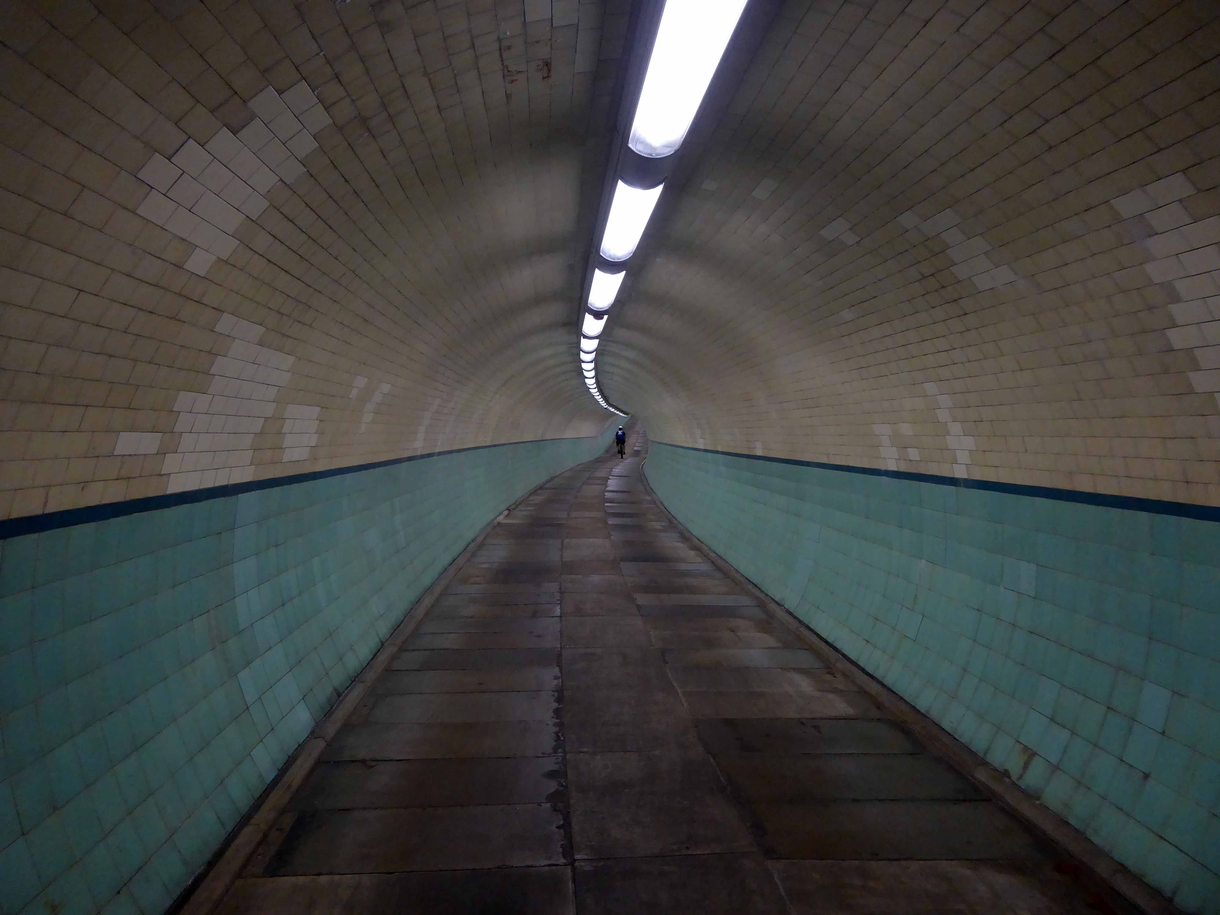
Under advisement from a jolly passing jogger I took the Tyne Pedestrian Tunnel.
Tyne Cyclist and Pedestrian Tunnel was Britain’s first purpose-built cycling tunnel. It runs under the River Tyne between Howdon and Jarrow, and was opened in 1951, heralded as a contribution to the Festival of Britain.
This is a short history of a park, a short history of my family and me.
The movement of earth and people, a tale until now untold now told.
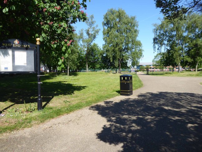
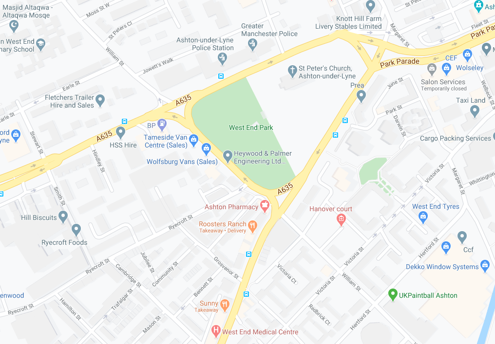
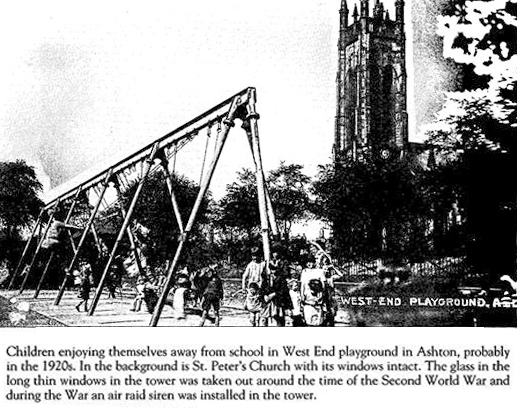
West End Park is a public park, opened in 1893. The site is bounded by Stockport Road, Manchester Road and William Lane. It was developed on land associated with St Peter’s Church.
St Peter’s was built between 1821 and 1824, and was designed by Francis Goodwin. A grant of £13,191 was given towards its construction by the Church Building Commission. The land for the church was given by the patronage of George 6th Earl of Stamford and Warrington, whose cousin, Revd Sir George Booth, had been Rector of Ashton from 1758 until 1797
The benevolent Victorian landowners thought it politic to provide parks for the working folk, fresh air, exercise and perambulation being preferable to the demon drink.
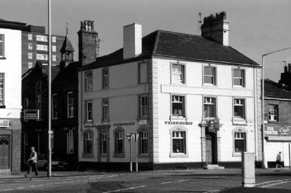
Friendship Old Street – now a solicitor’s office
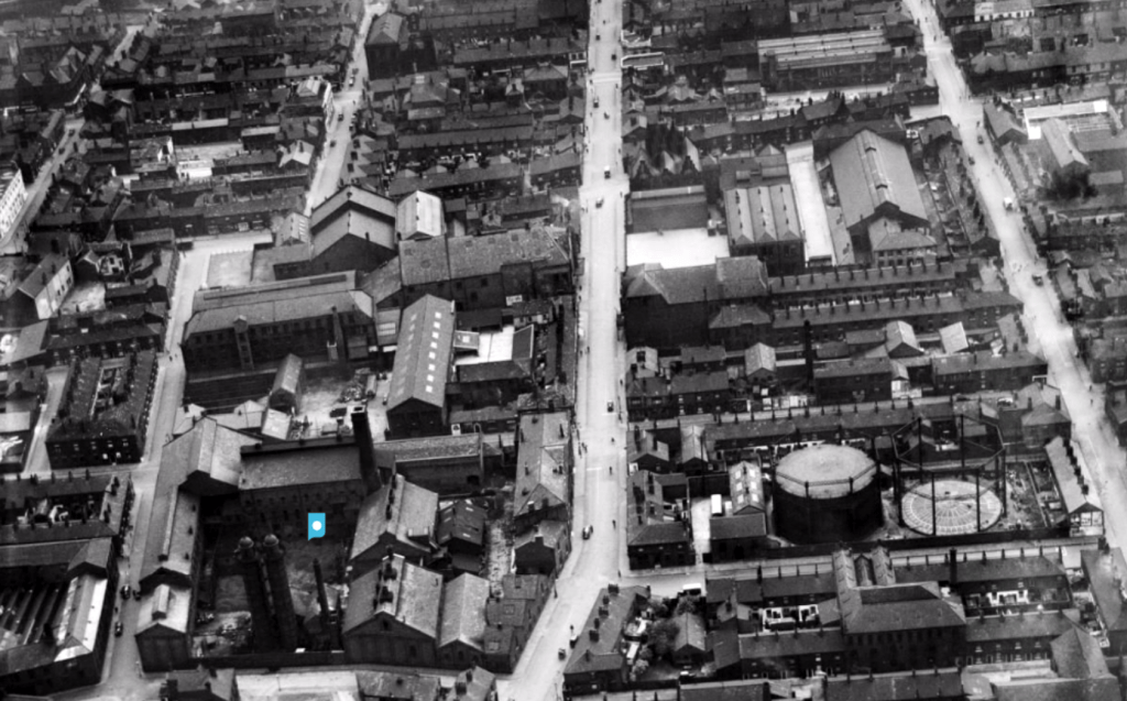
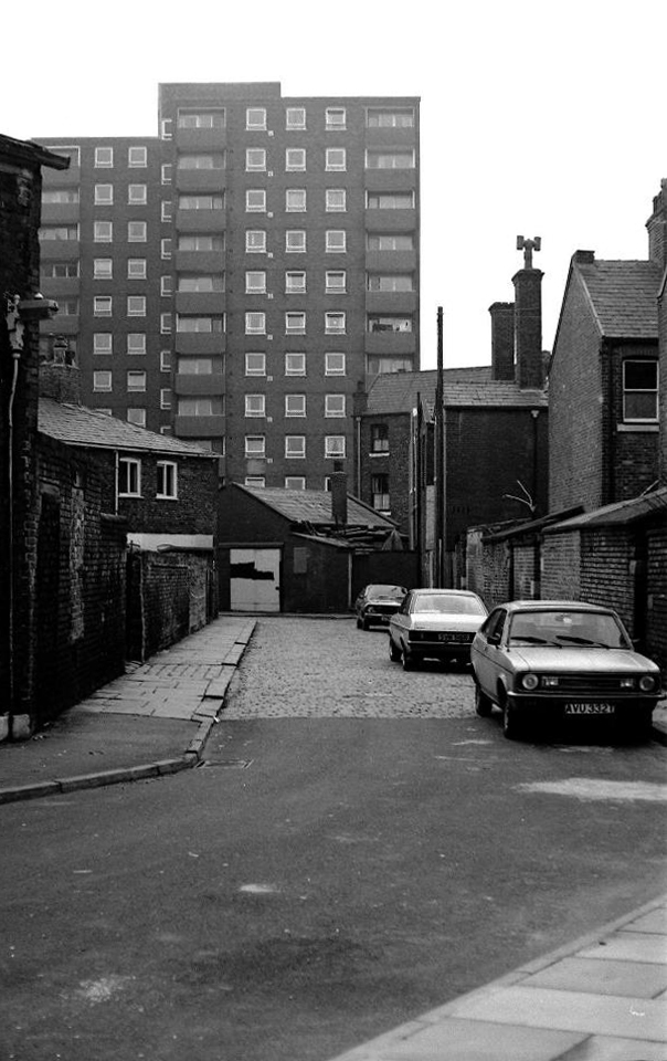
The area around the park was a dense warren of housing and industry.
There’s a plaque for George – there isn’t one for Sam.
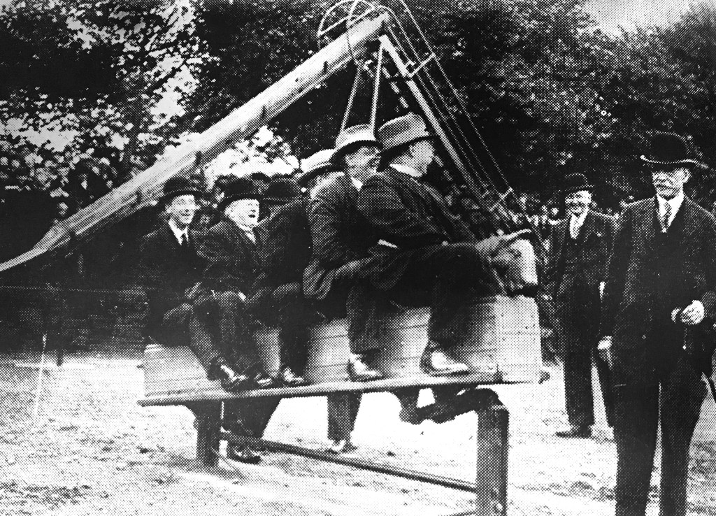
During the Great Depression men were required to work for the Dole – Sam was required to dig out a sunken garden in the park – he was a collier by trade, a good man with a shovel, built for back breaking work on Ashton Moss.
Thirty yards wide, forty yards long and three yards deep, shifted by hand.
Three thousand six hundred cubic yards of earth.
One cubic yard of topsoil weighs about two thousand pounds on average.
Seven million two hundred thousand pounds of earth.
I worked there in the 1970s along with Alec and Danny bedding out the sunken garden, maintaining the bowling green, tennis courts and playground.
Keith Ingham
There were two permanent gardeners in the park, and a keeper in the summer – plus Danny Byrne and me brought in to help at busy times.
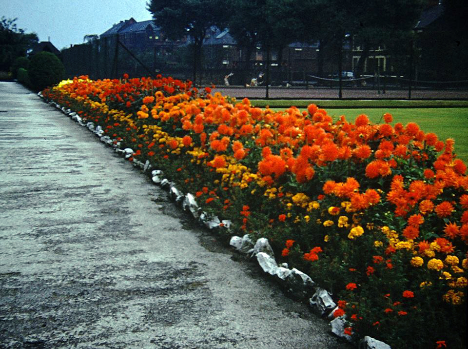
Throughout the 70s and onwards, economic decline hit the area hard, the closure of the cotton mills and little hope for the future. Rising unemployment and severe cuts to public spending did little to assure a rosy future for West End Park, or anything or anyone else for that matter.
Help was at hand – one of many public projects funded by our old friends the EU. Changes in the way that parks were used and further spending cuts sounded the death knell for the flowers and bowling. Large open grassed areas were cheaper and easier to maintain.
And so the sunken garden was filled in, this time by mechanical means – all in a days work for a bloke with a JCB.
So I sit and reflect on the labour and conditions that created this and many of our public parks, our legacy is a much impoverished version of the original vision.
I think of my grandad Sam and his comrades, the sweat of their collective brows buried forever.
Our legacy the small state, a bring and buy your own world economy.
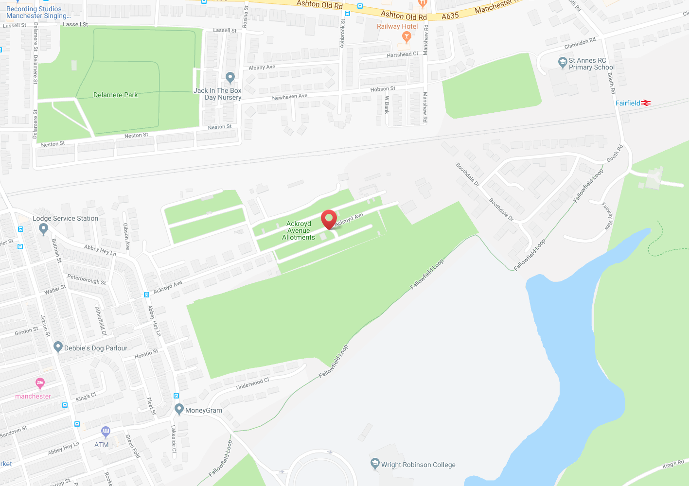
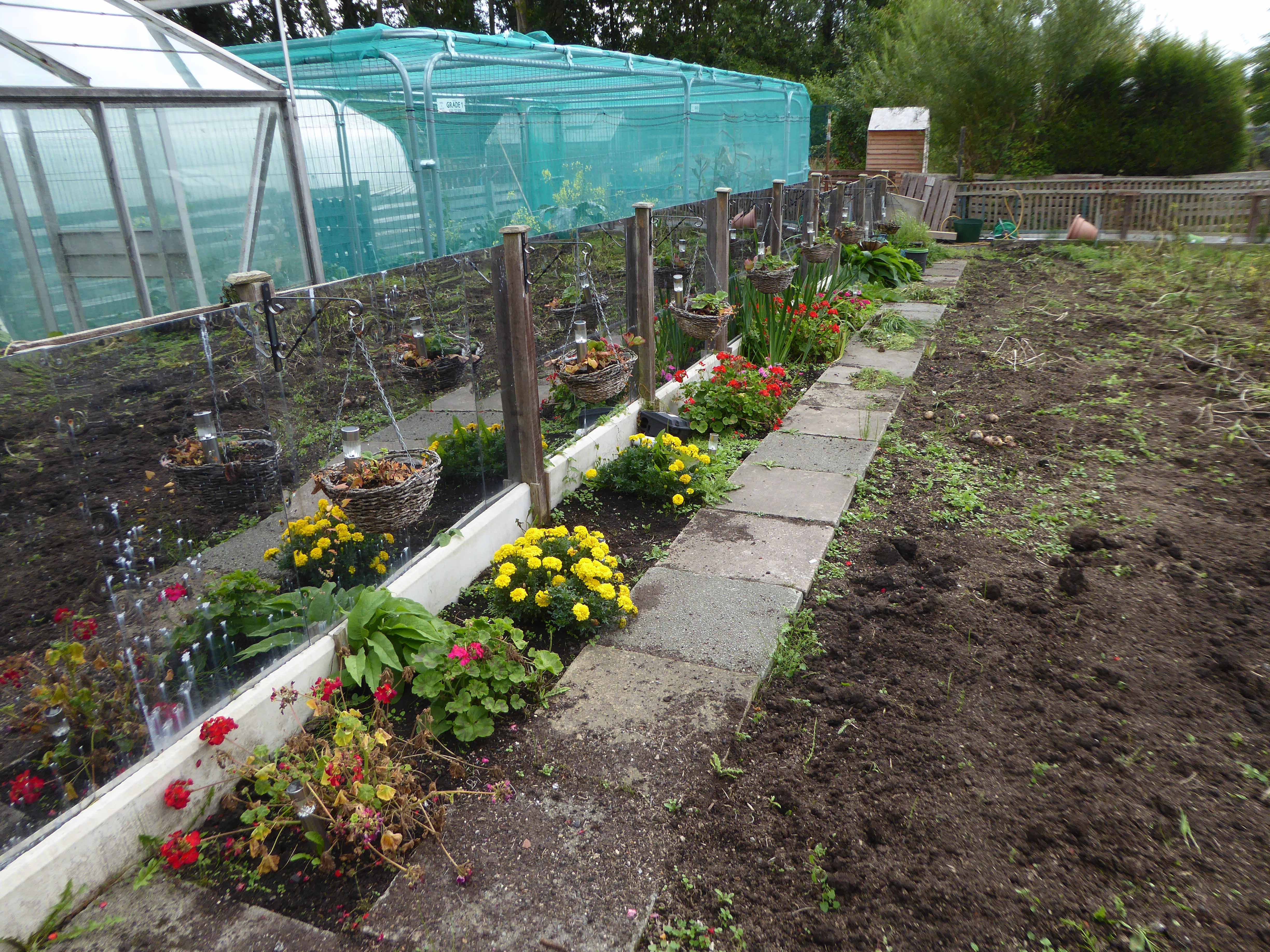
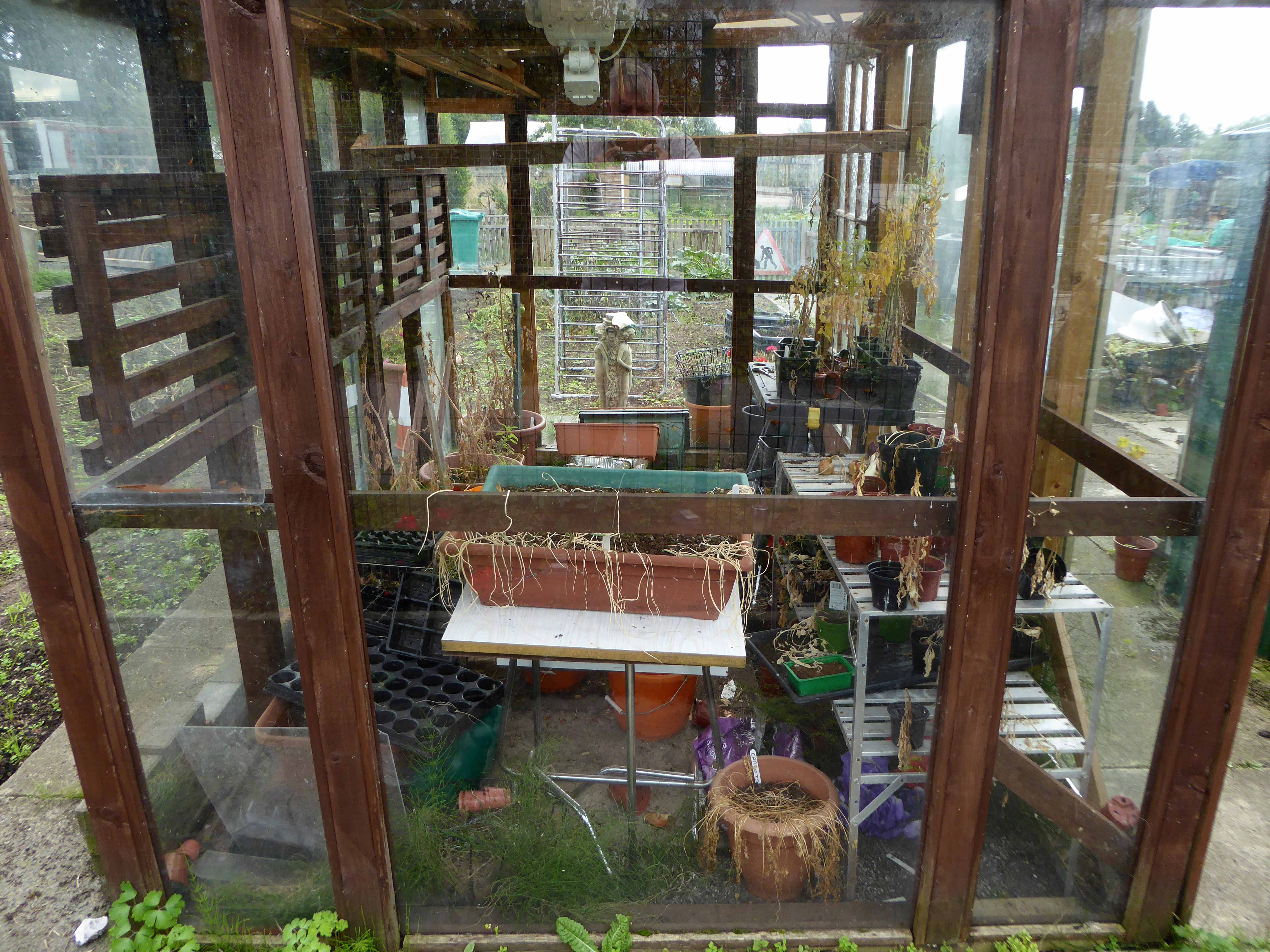
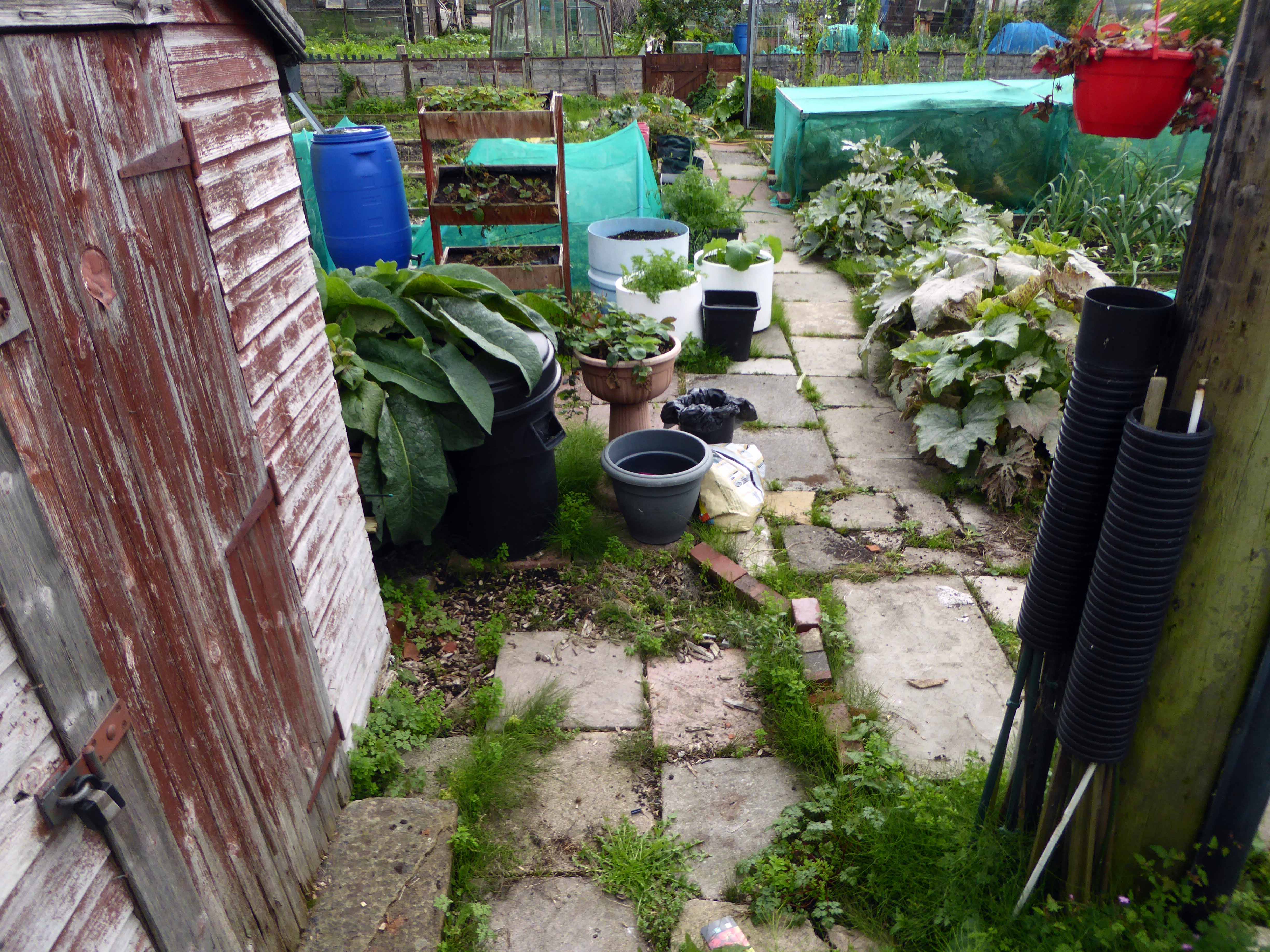
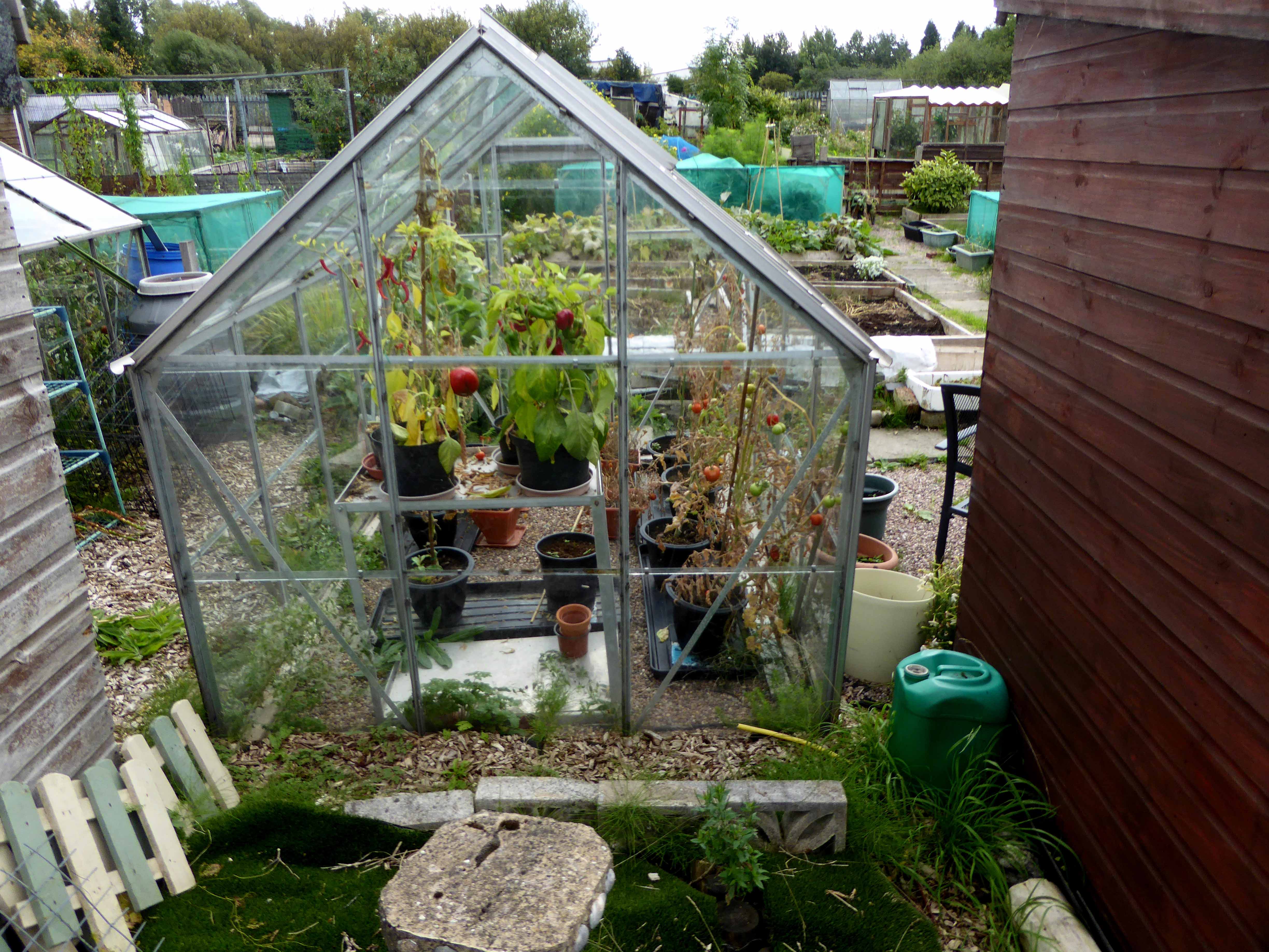
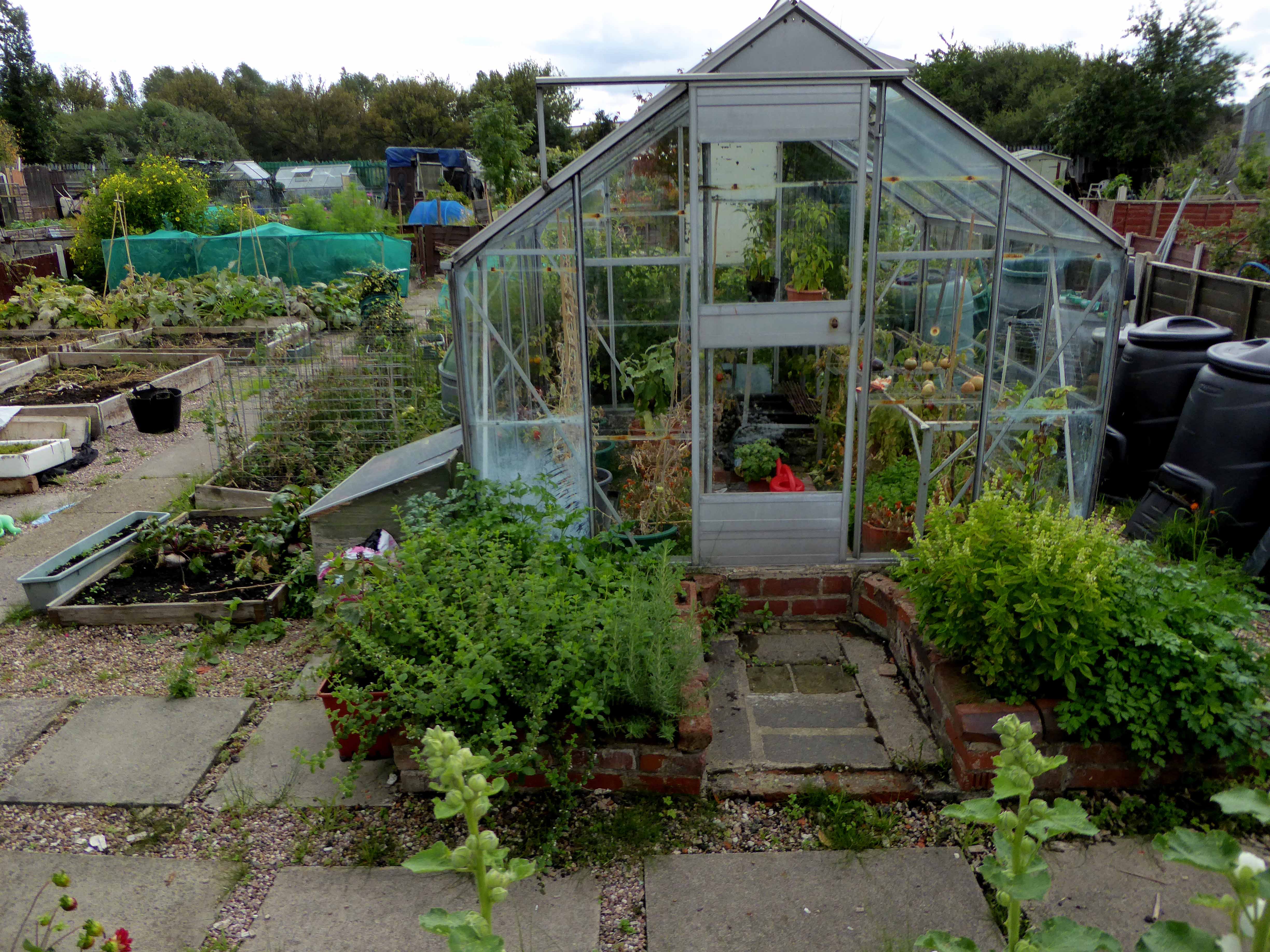
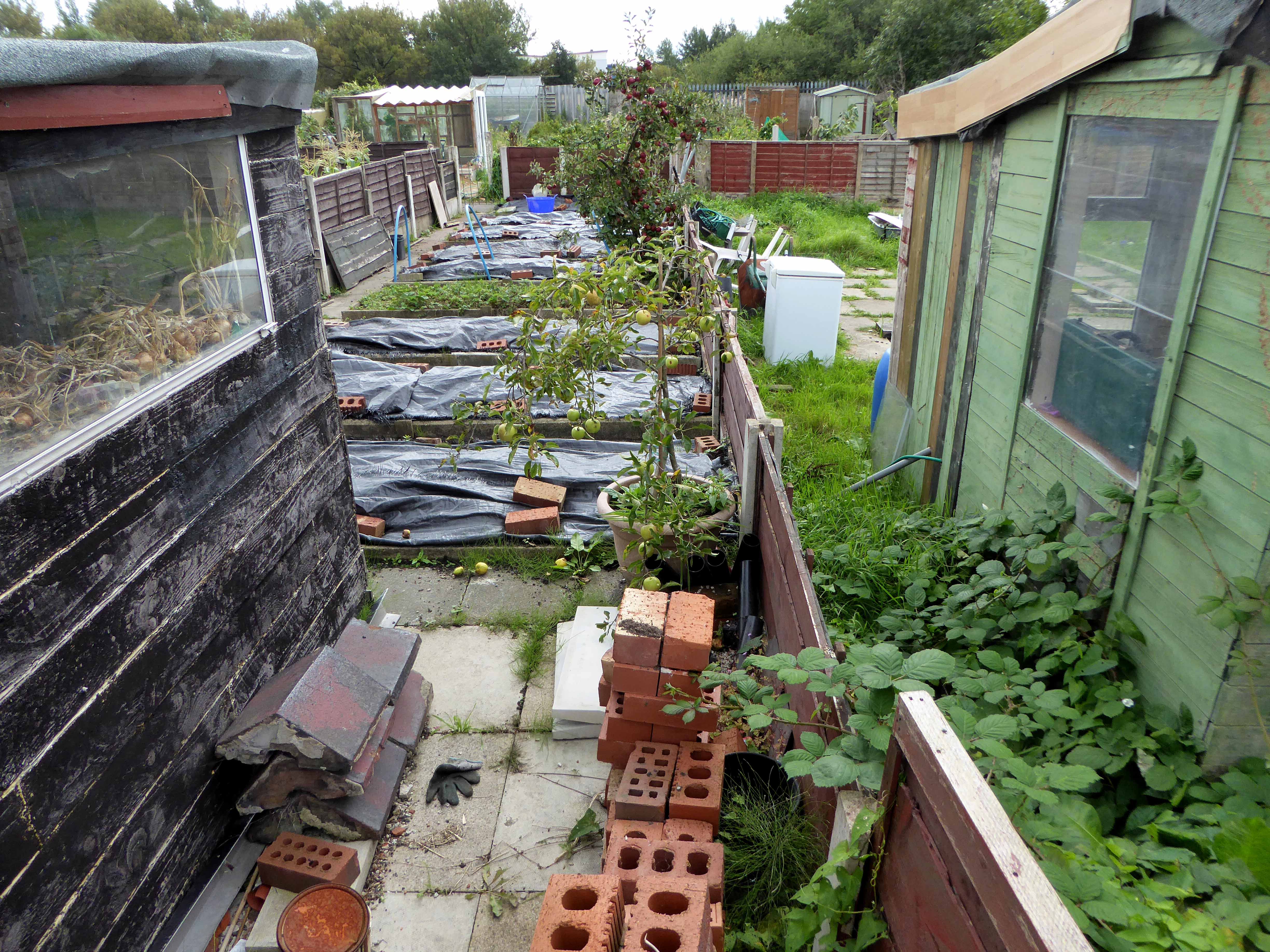
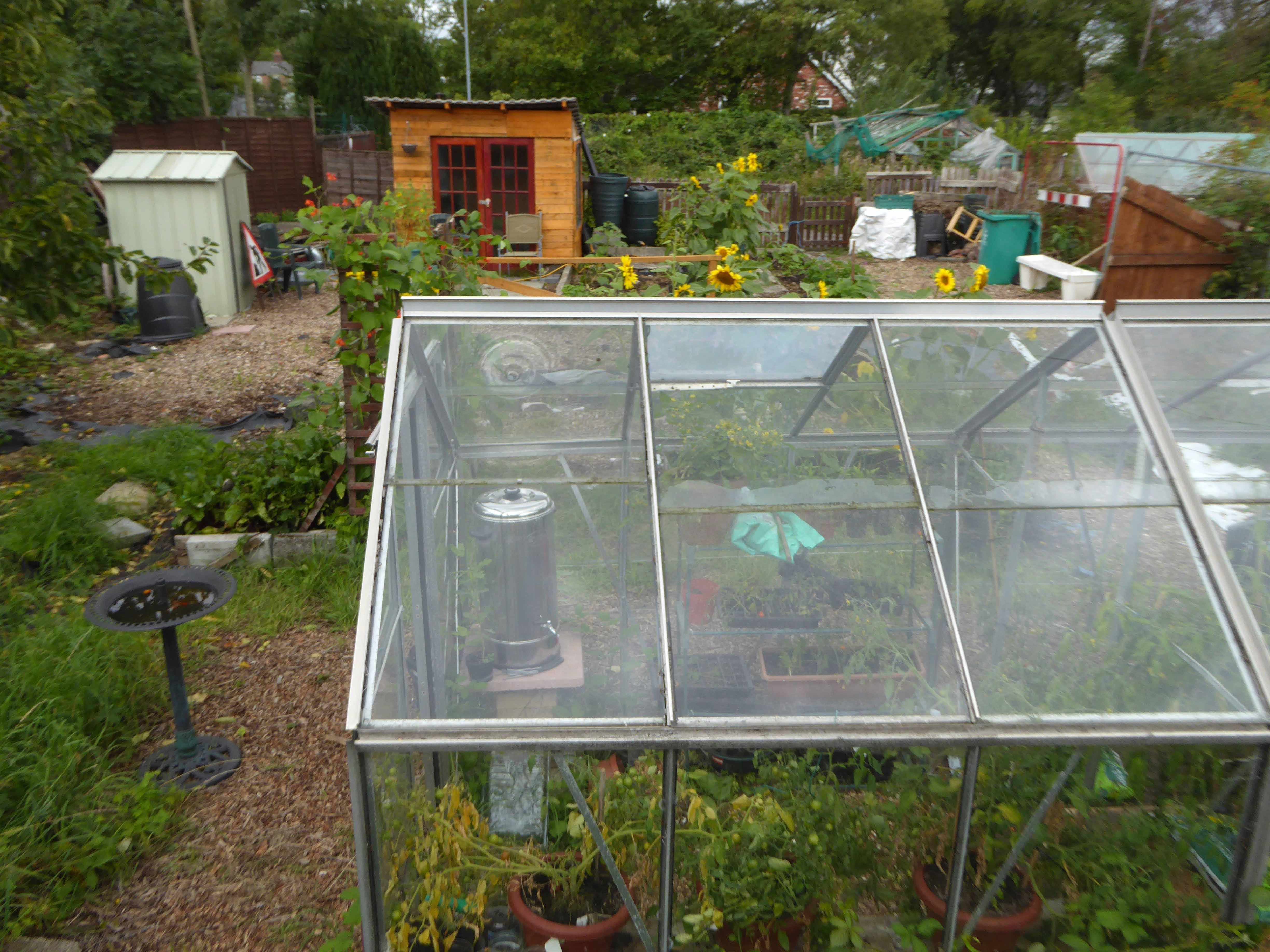
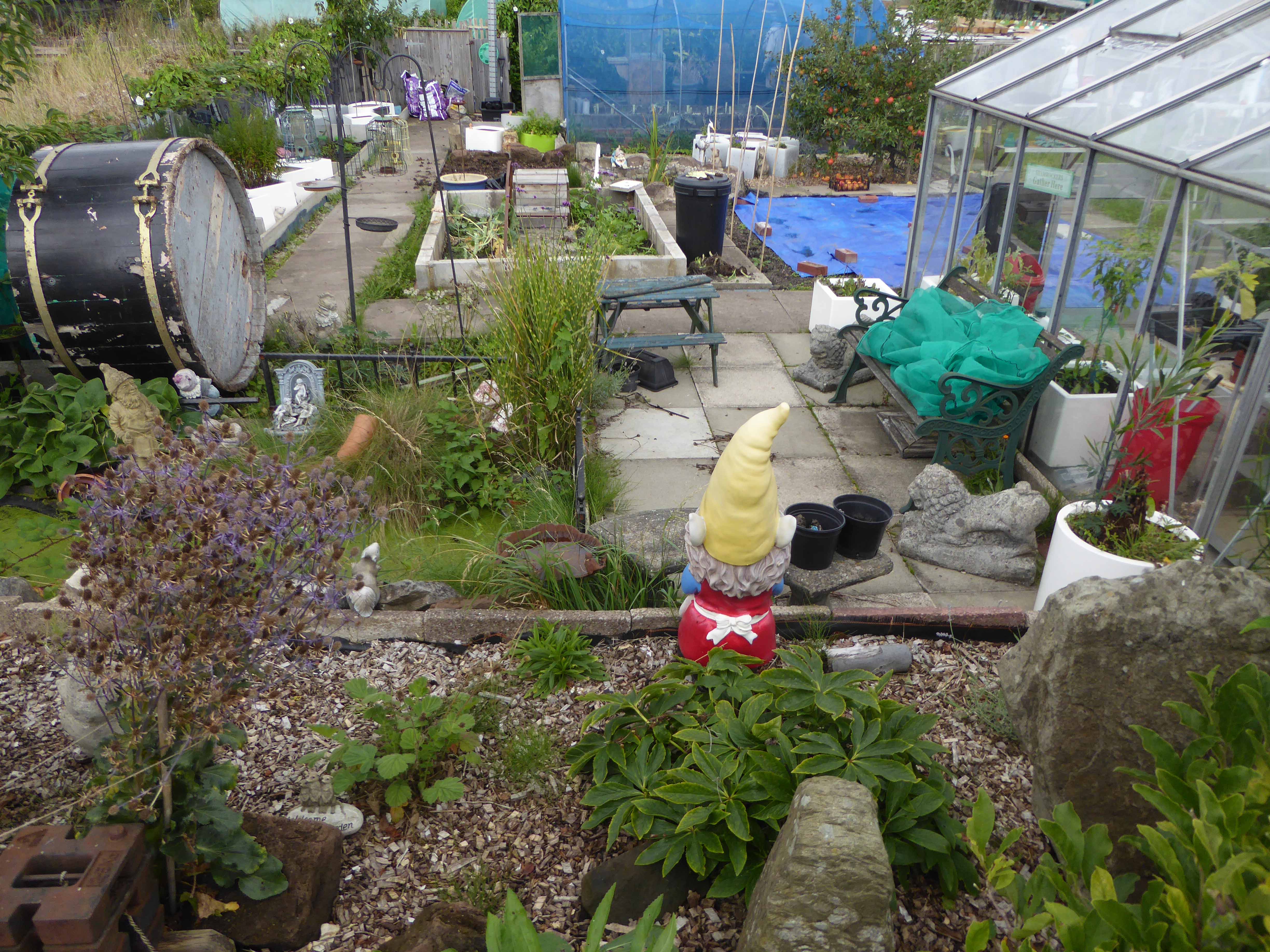
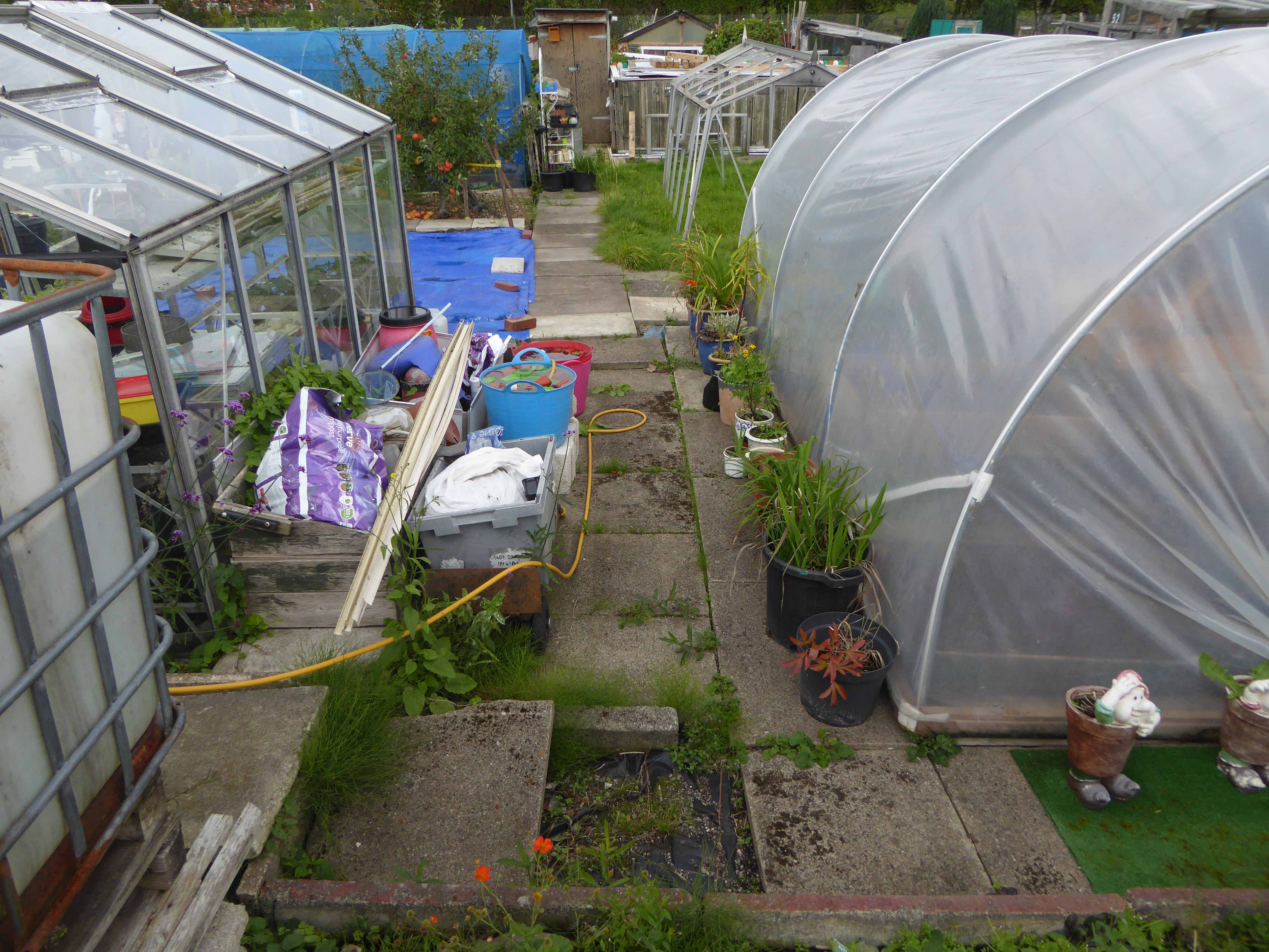
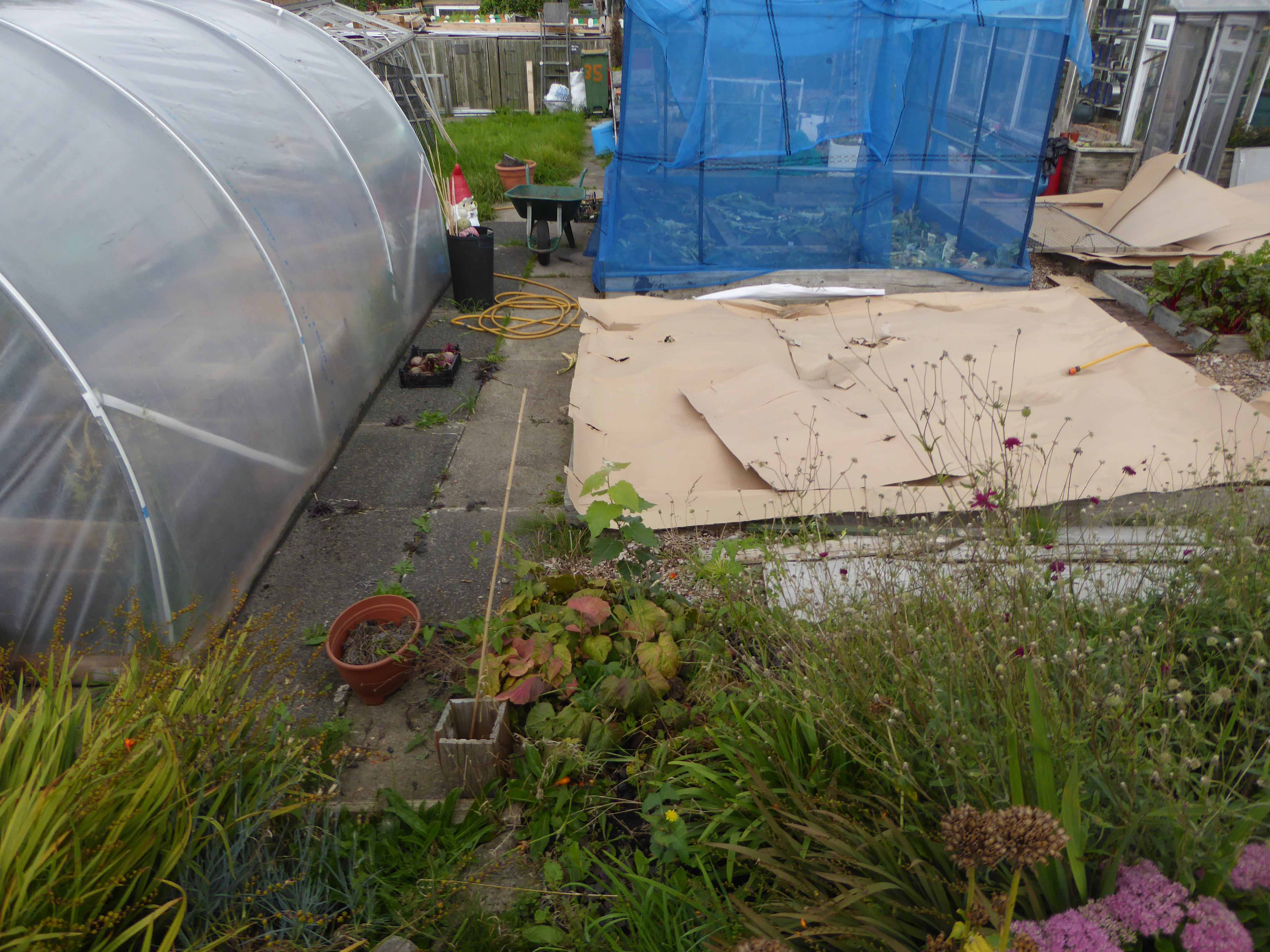
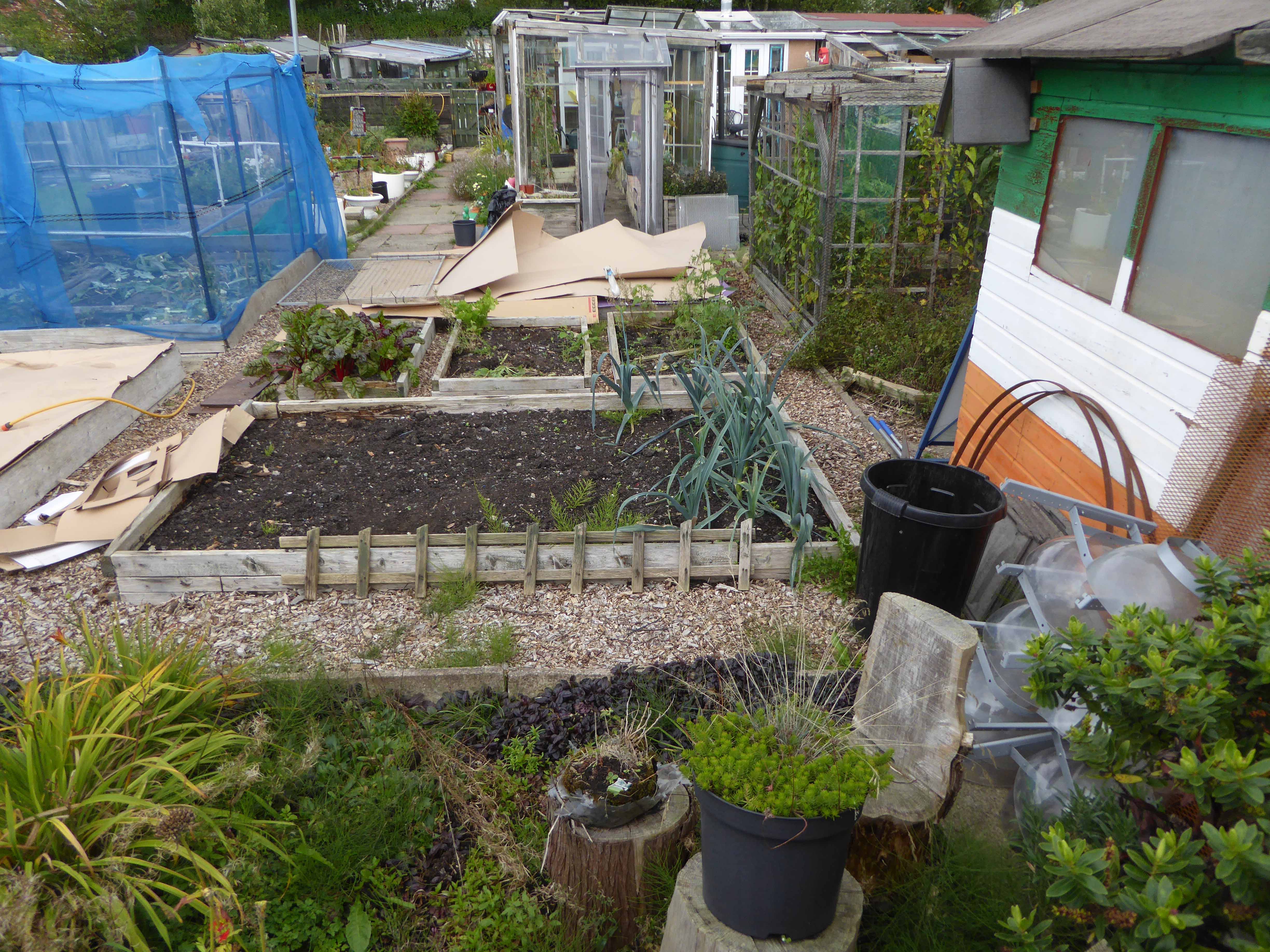
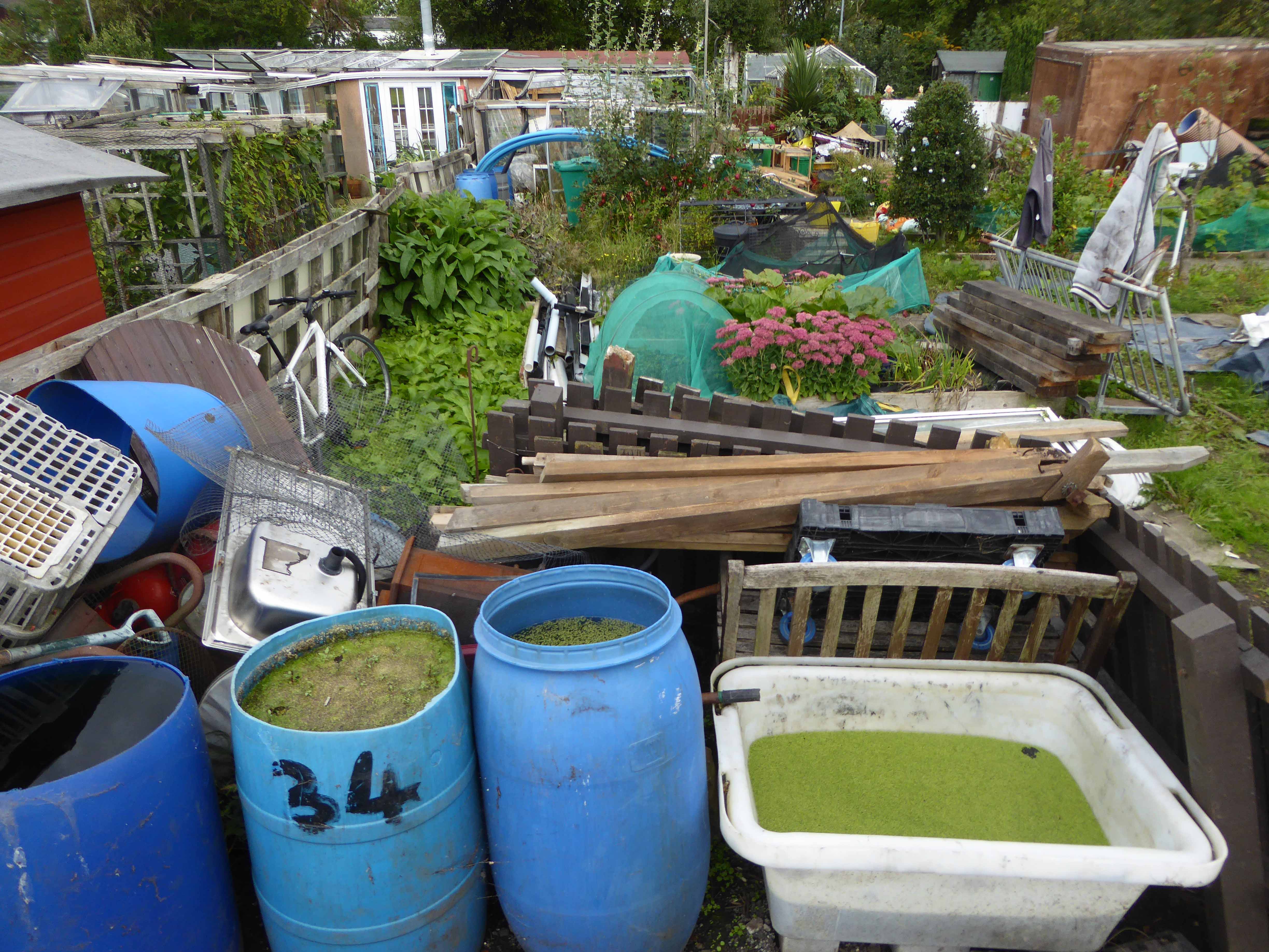
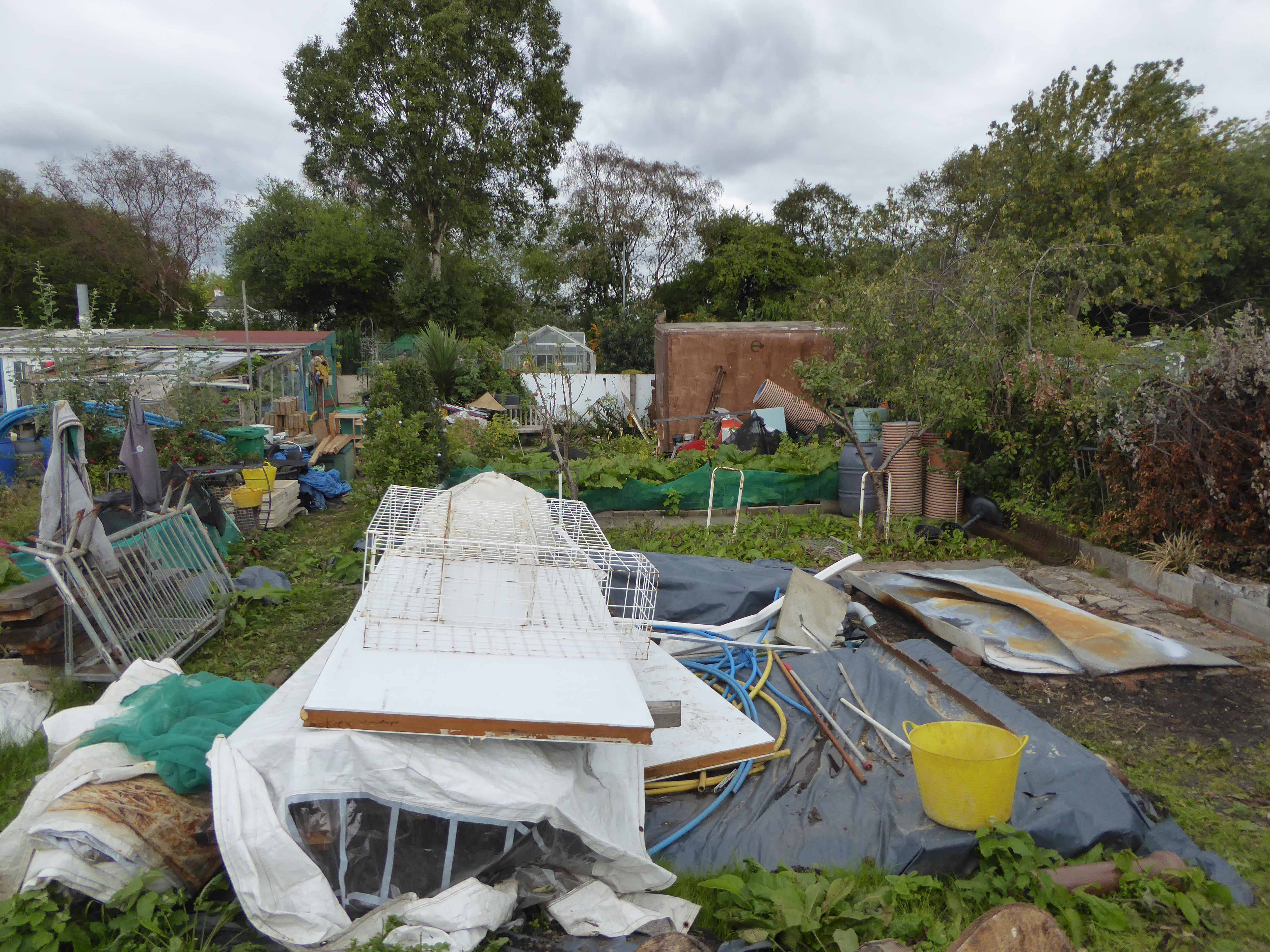
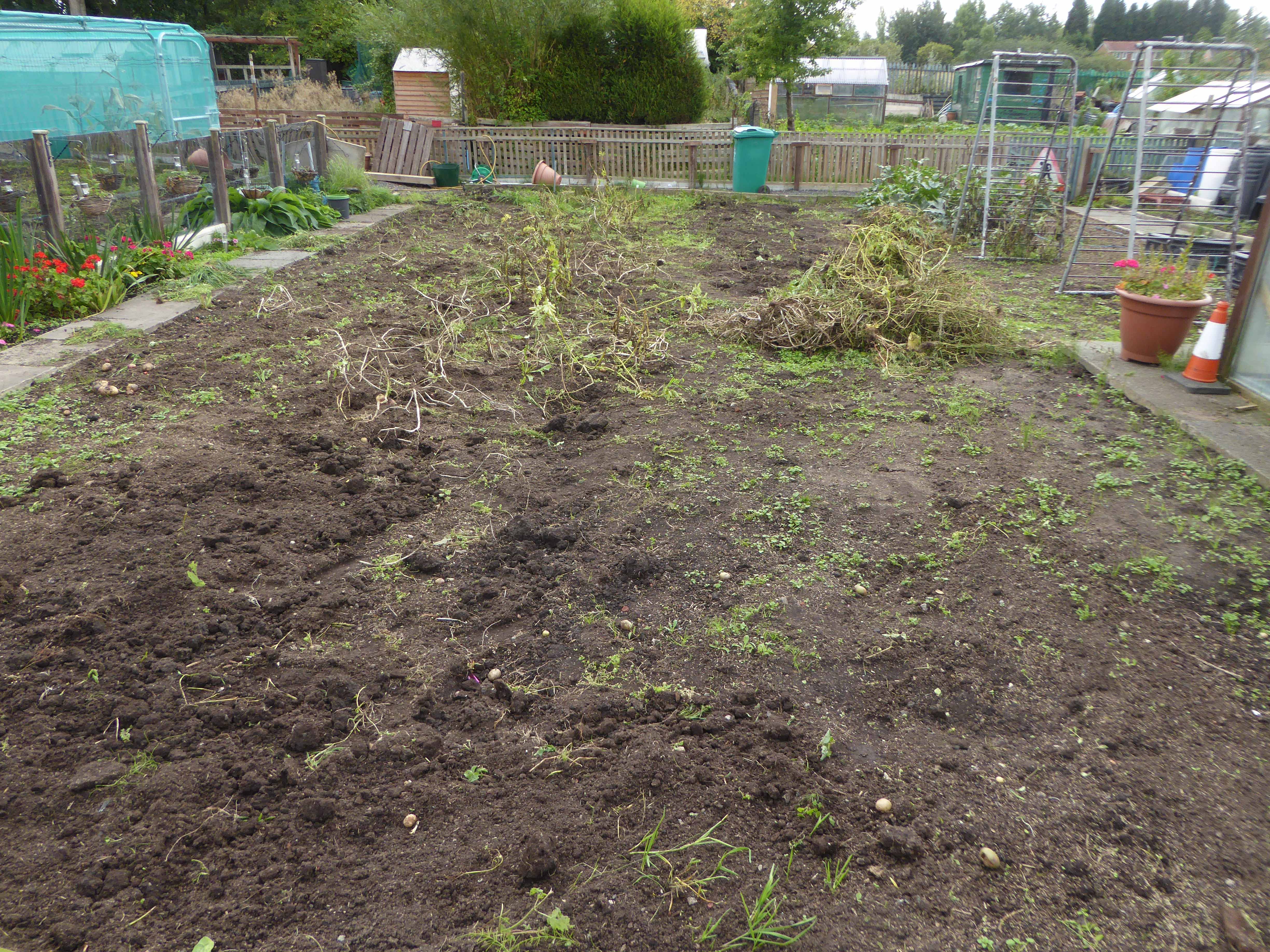
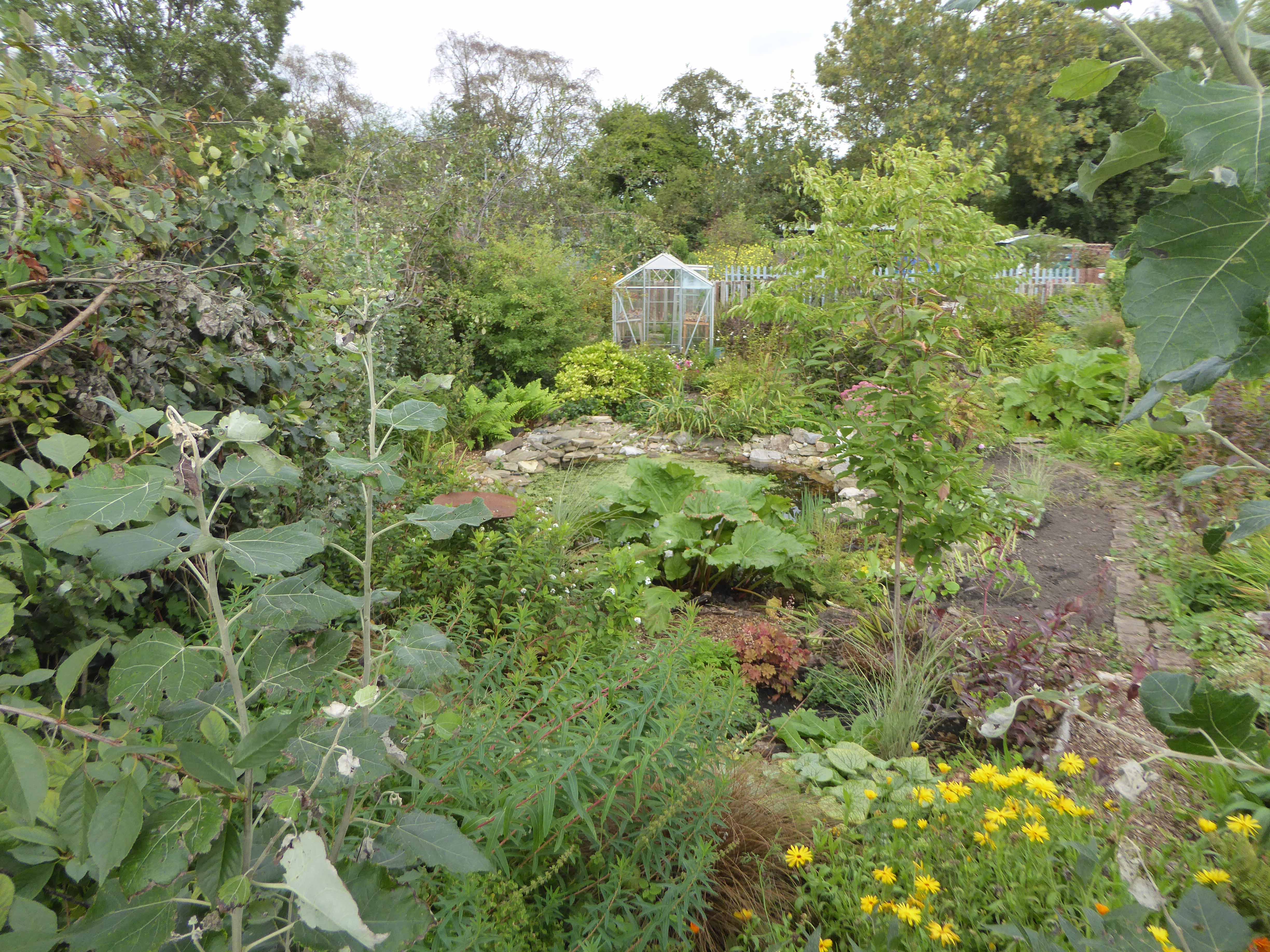
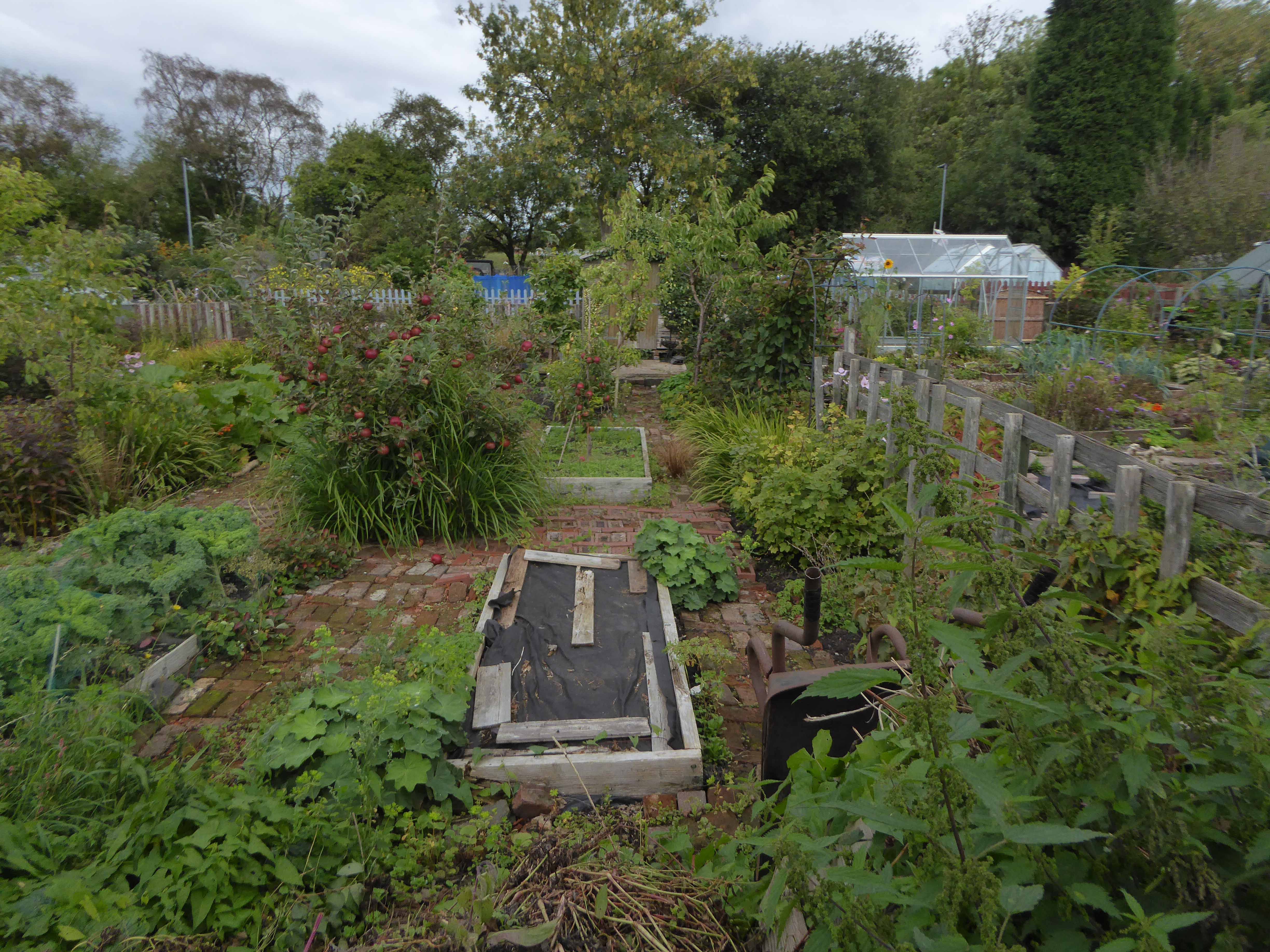
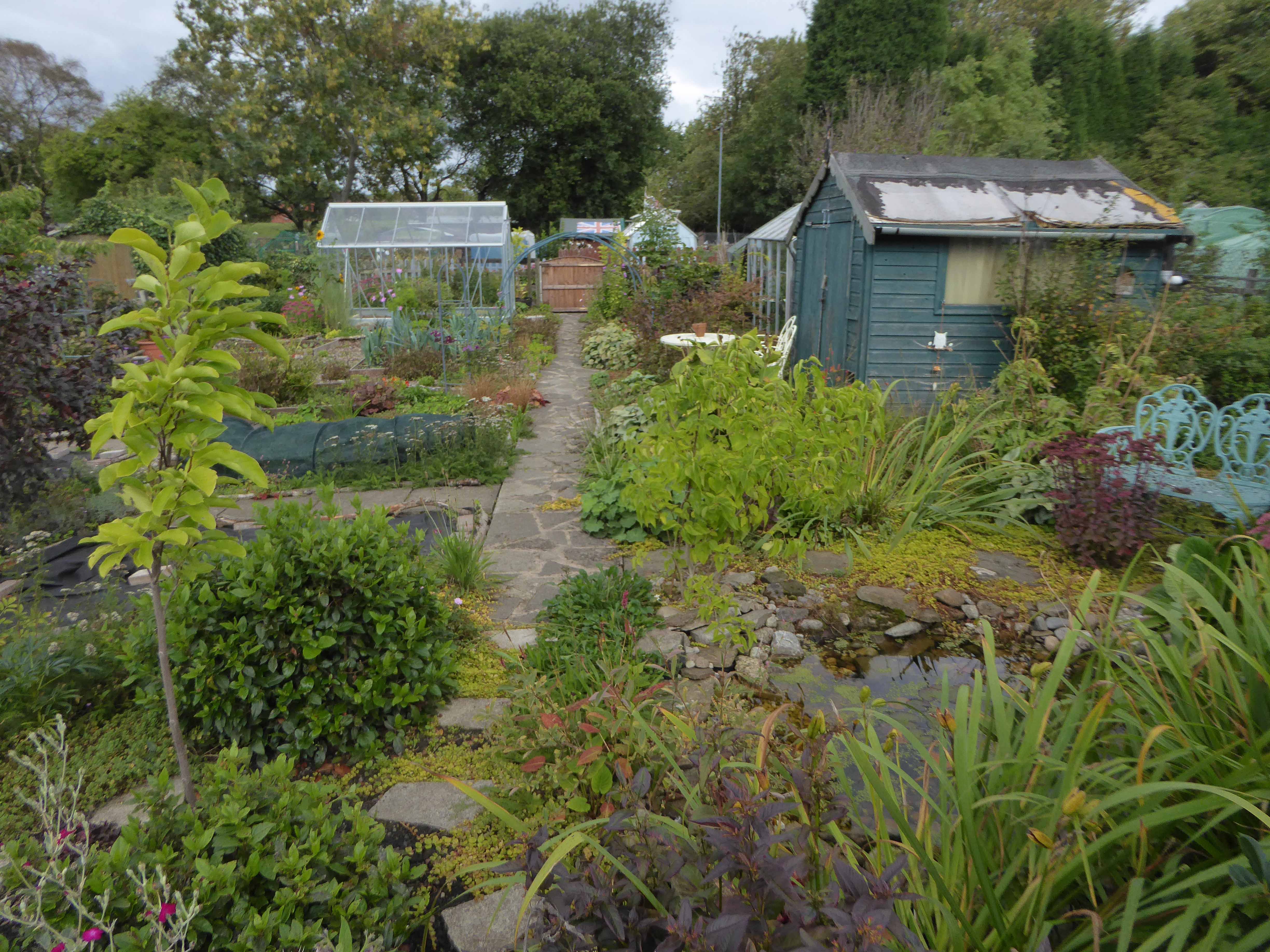
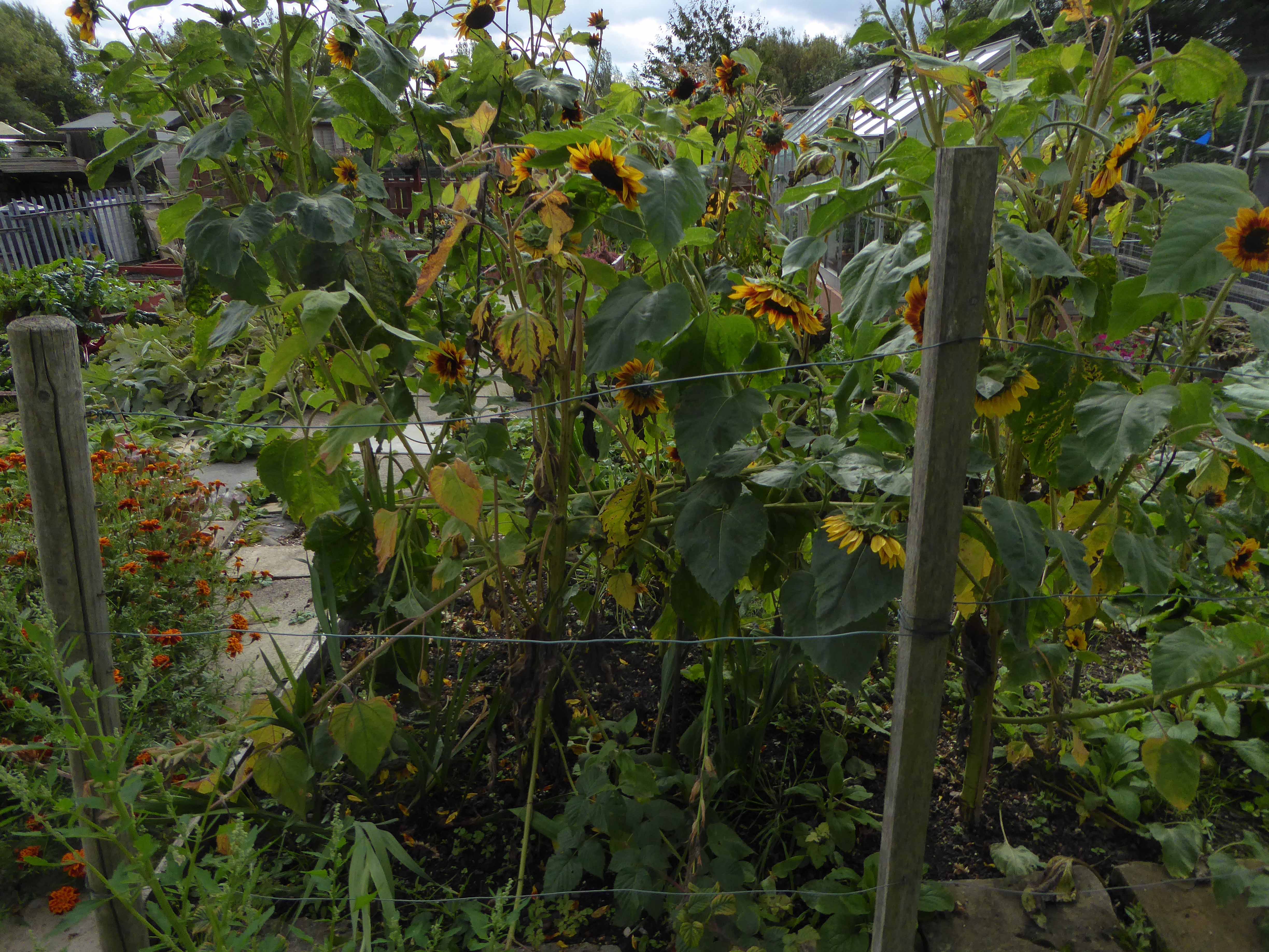
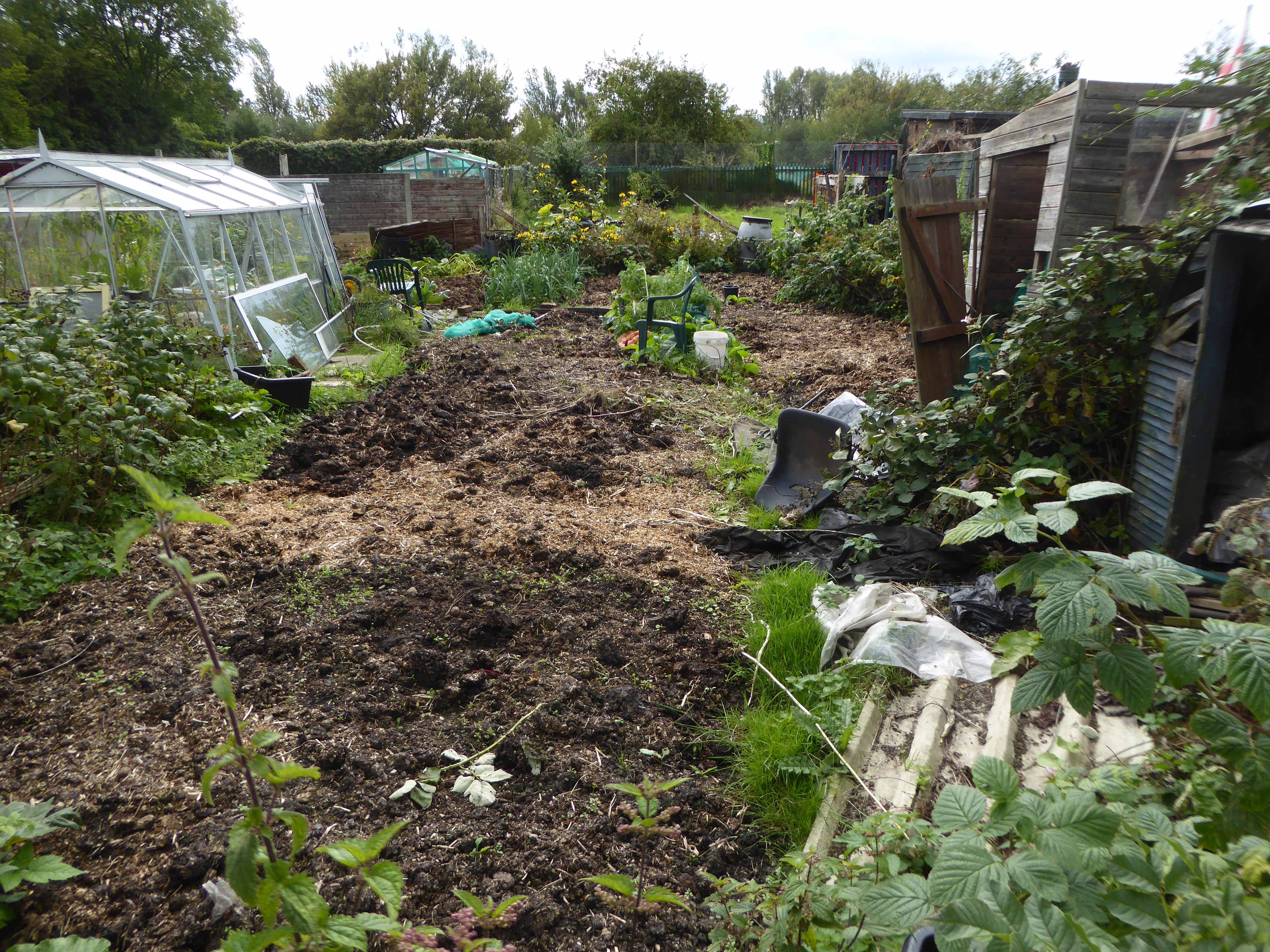
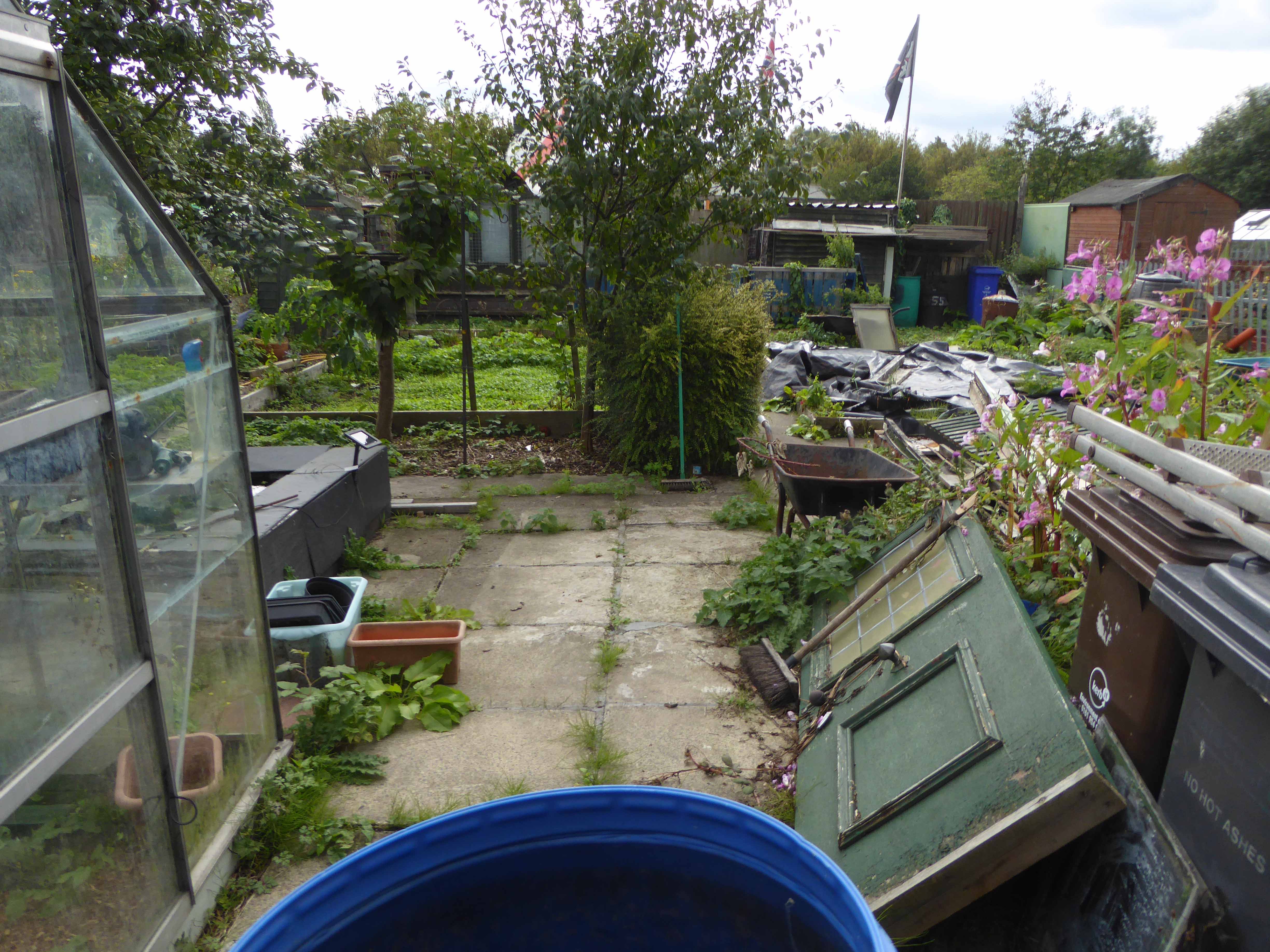
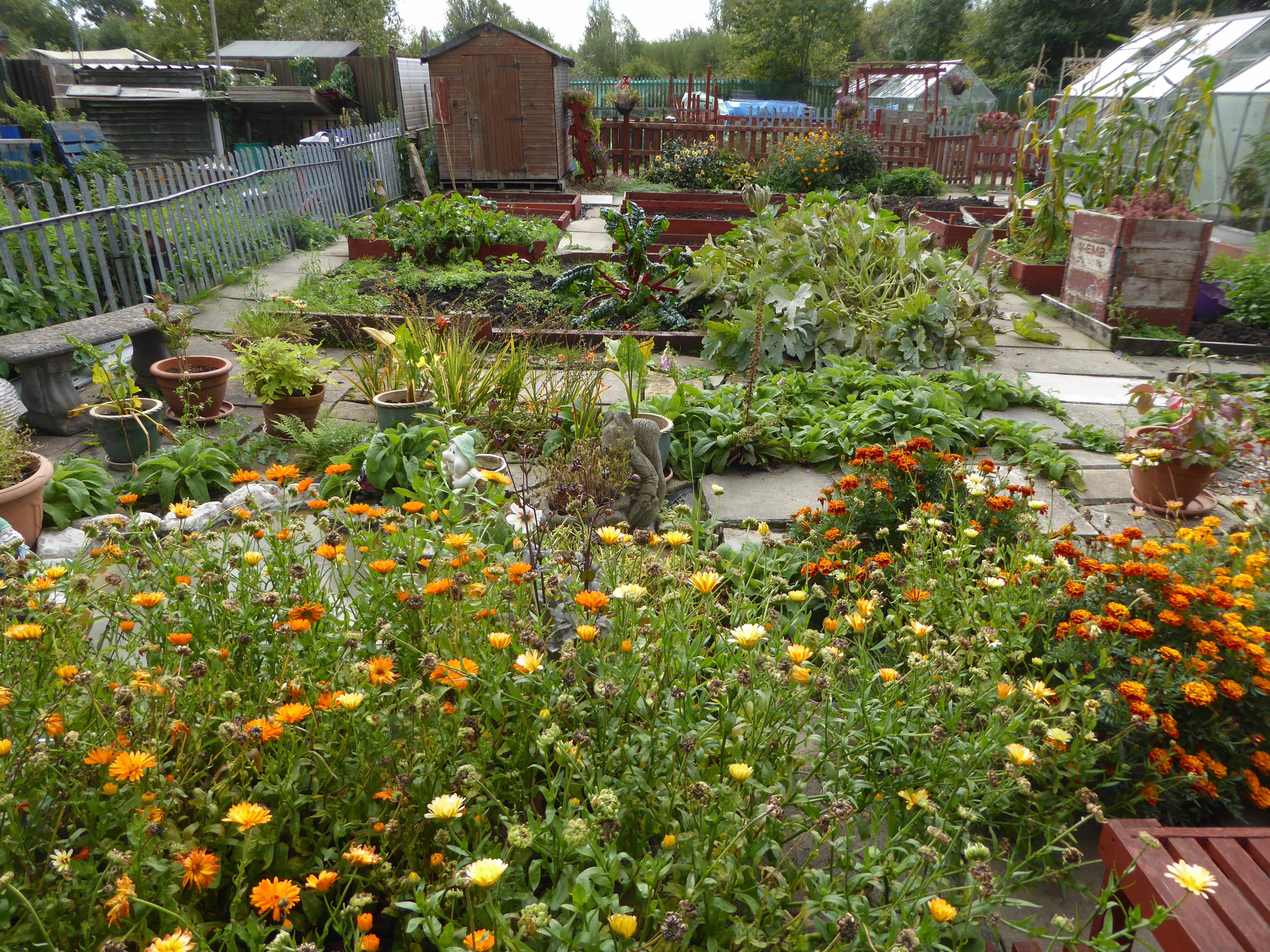
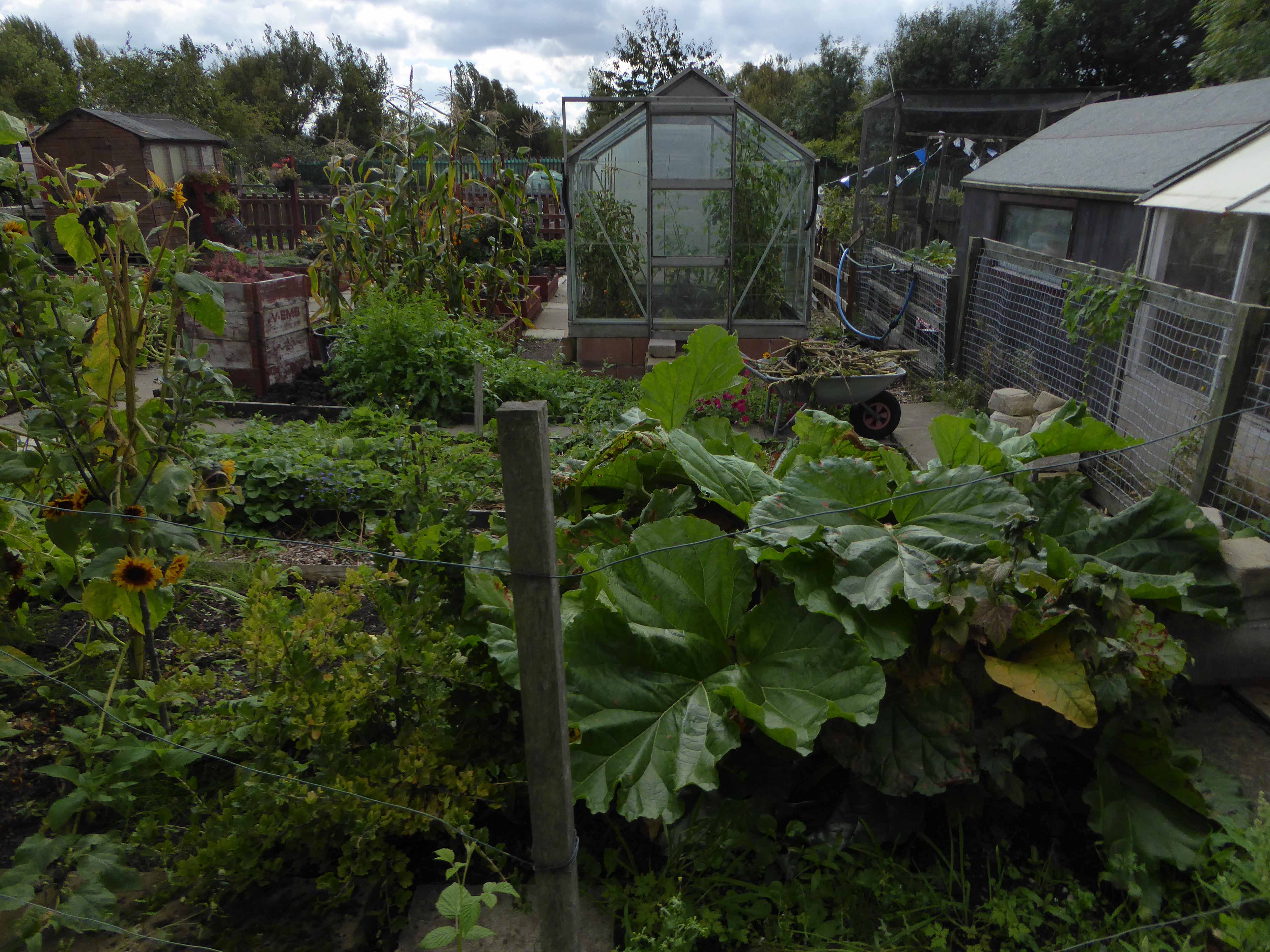
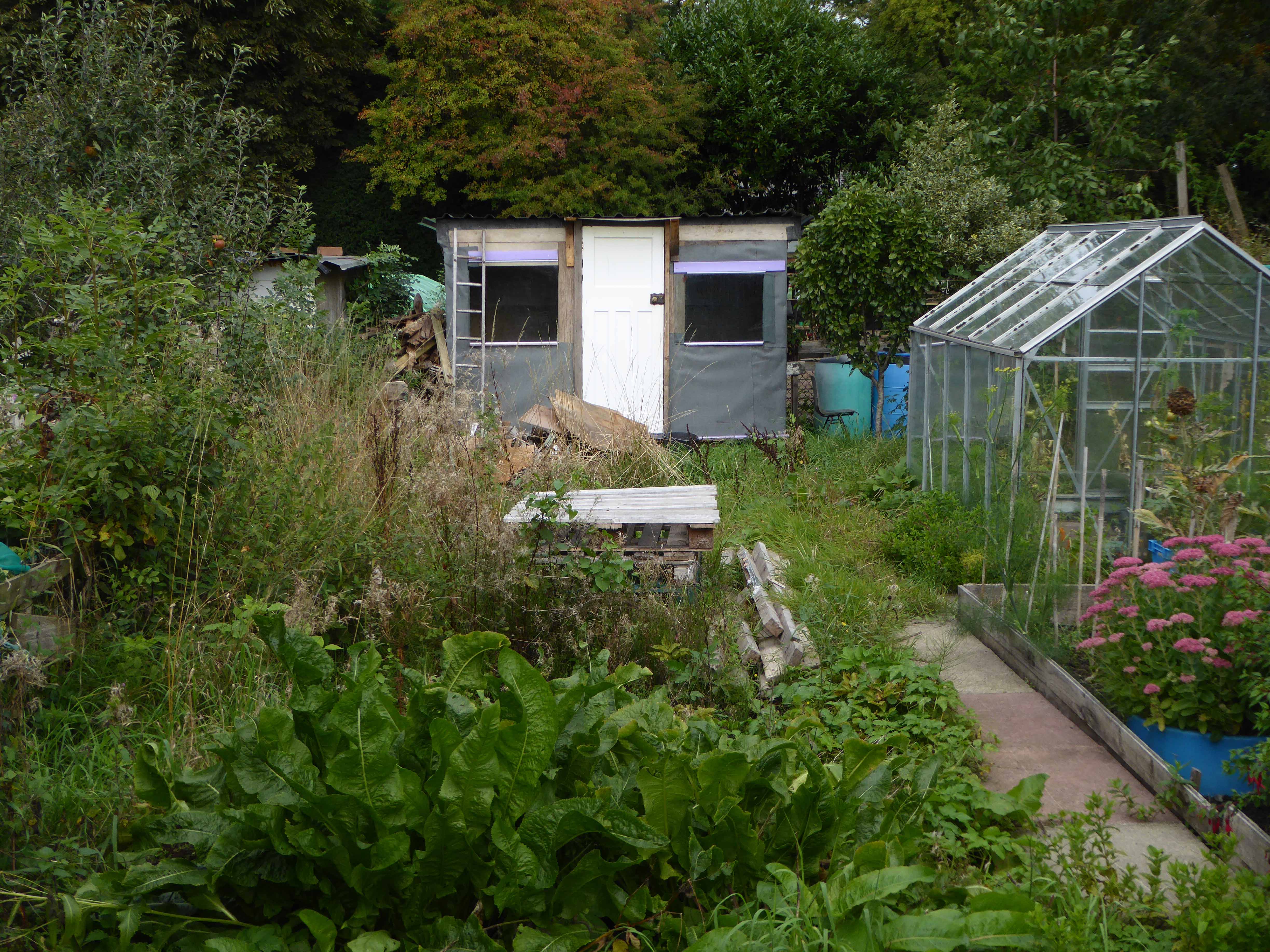
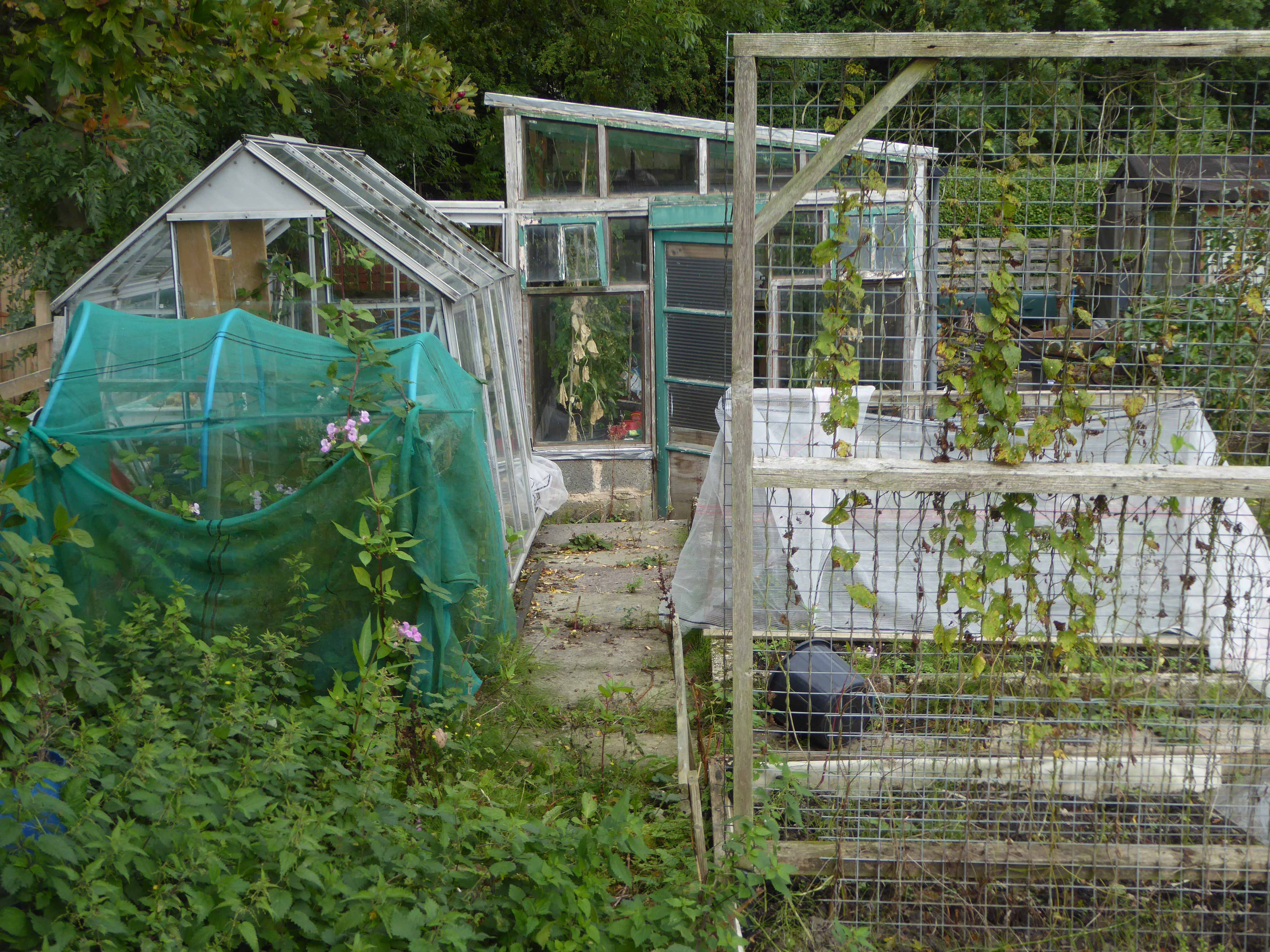
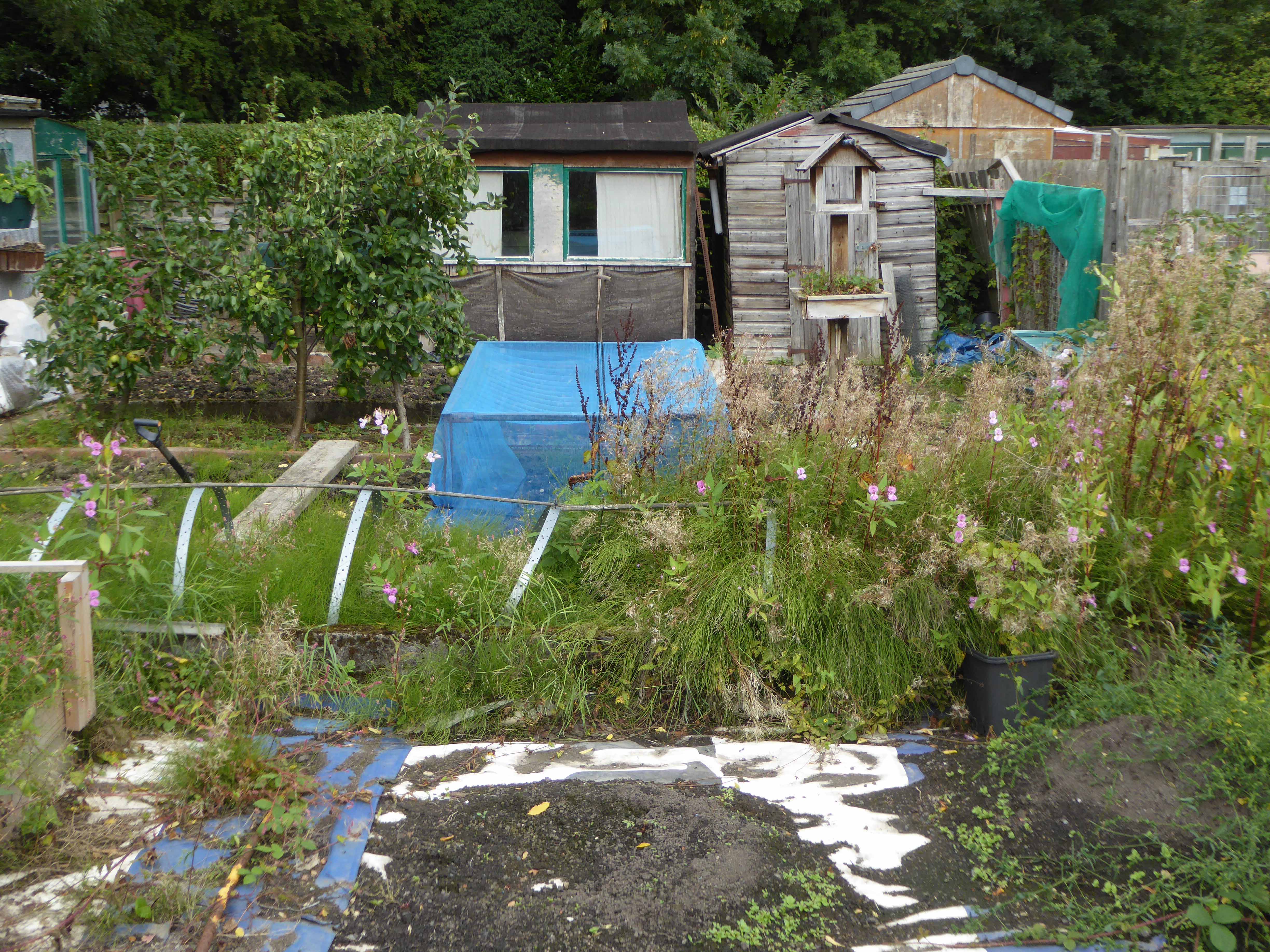
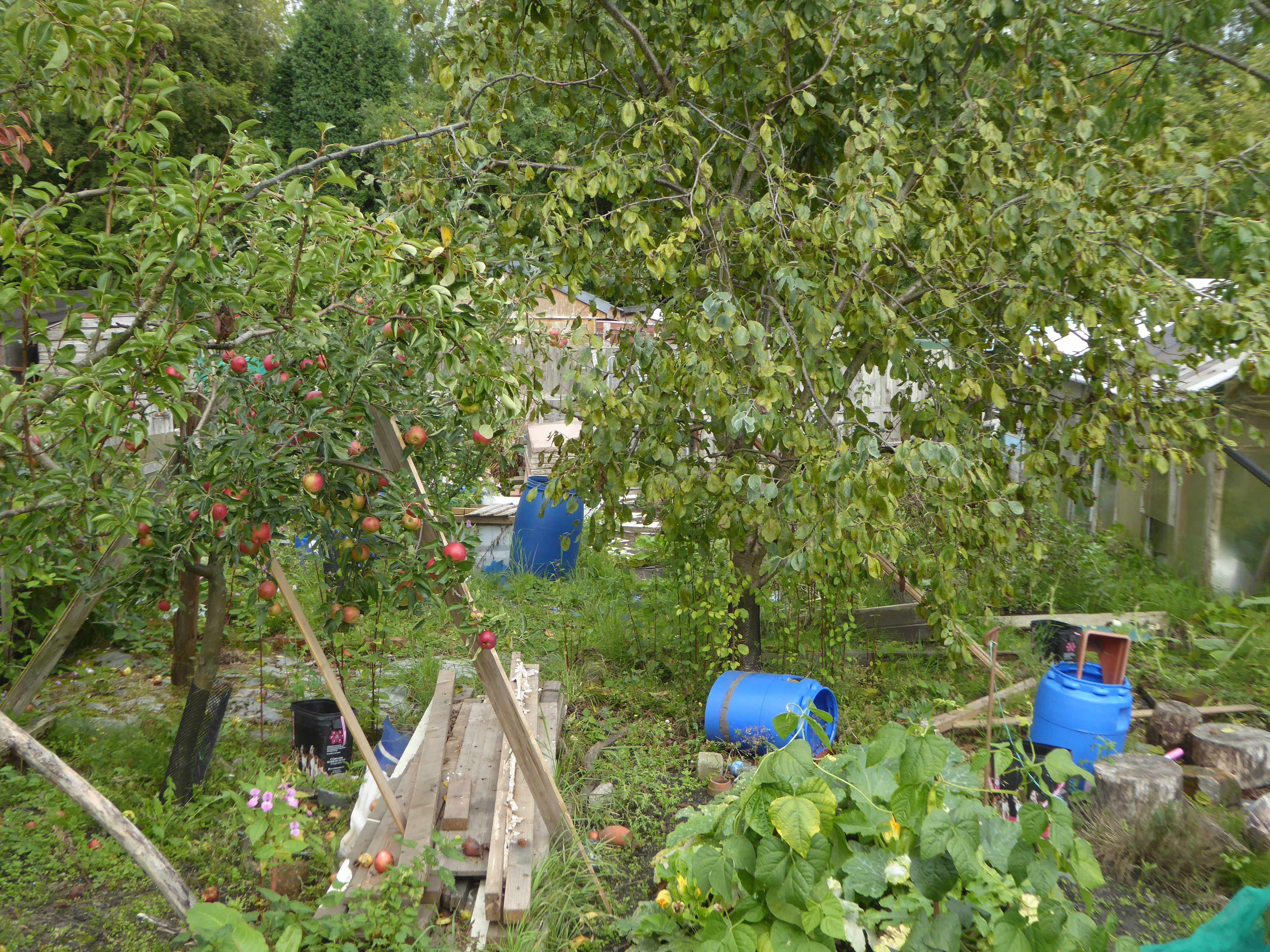
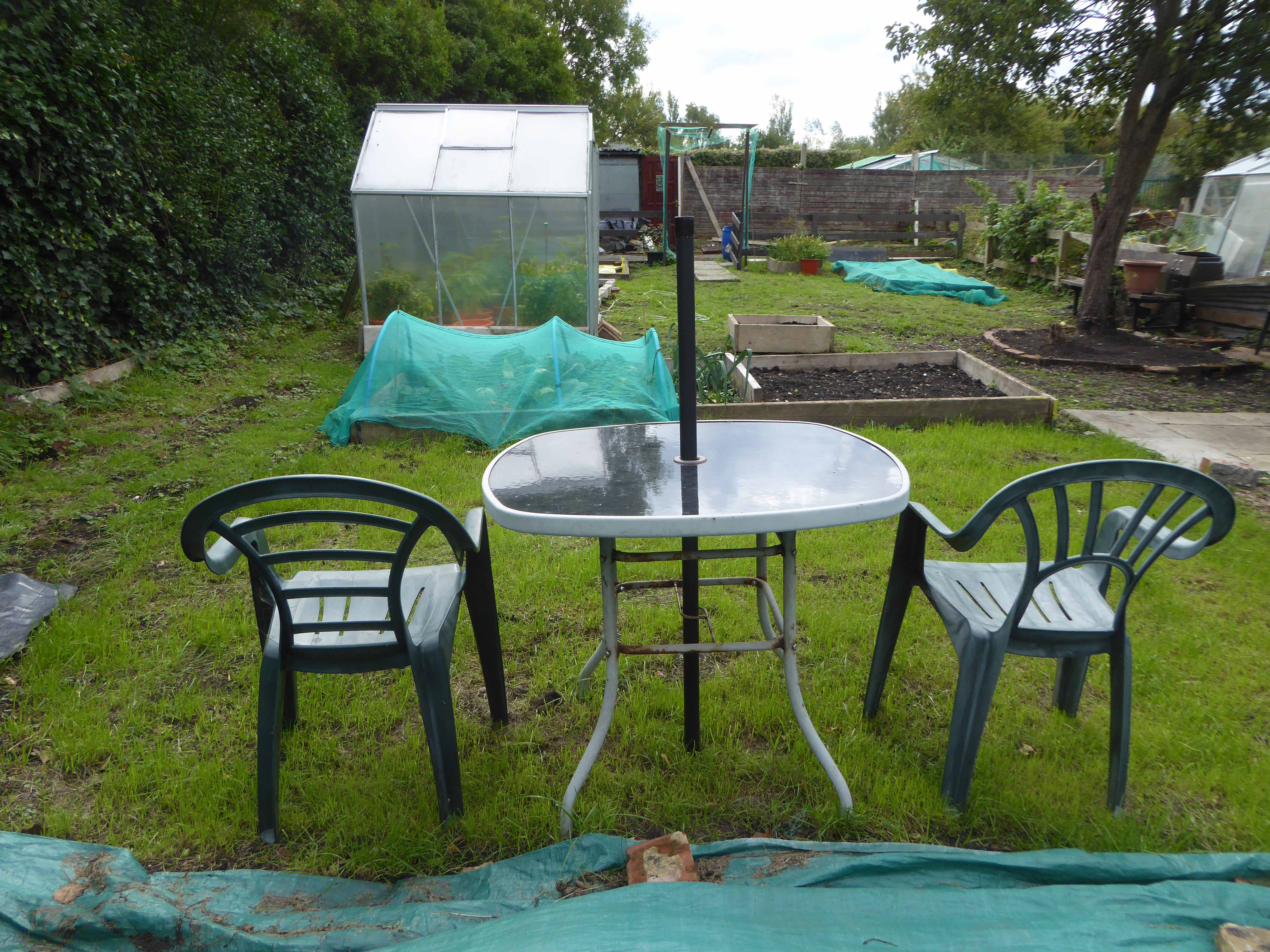
Located in a residential area in East Manchester, Abbey Hey Allotment site is an award winning and thriving allotment community with over 100 plots.
I have to admit that not for the first time and certainly not the last, I was slightly lost. On my way to nowhere in particular via somewhere else, I cycled down a dead end track, along the wrong end of Ackroyd Avenue.
Allotments have been in existence for hundreds of years, with evidence pointing back to Anglo-Saxon times. But the system we recognise today has its roots in the Nineteenth Century, when land was given over to the labouring poor for the provision of food growing. This measure was desperately needed thanks to the rapid industrialisation of the country and the lack of a welfare state. In 1908 the Small Holdings and Allotments Act came into force, placing a duty on local authorities to provide sufficient allotments, according to demand. However it wasn’t until the end of the First World War that land was made available to all, primarily as a way of assisting returning service men (Land Settlement Facilities Act 1919) instead of just the labouring poor. The rights of allotment holders in England and Wales were strengthened through the Allotments Acts of 1922, but the most important change can be found in the Allotments Act of 1925 which established statutory allotments which local authorities could not sell off or covert without Ministerial consent, known as Section 8 Orders.
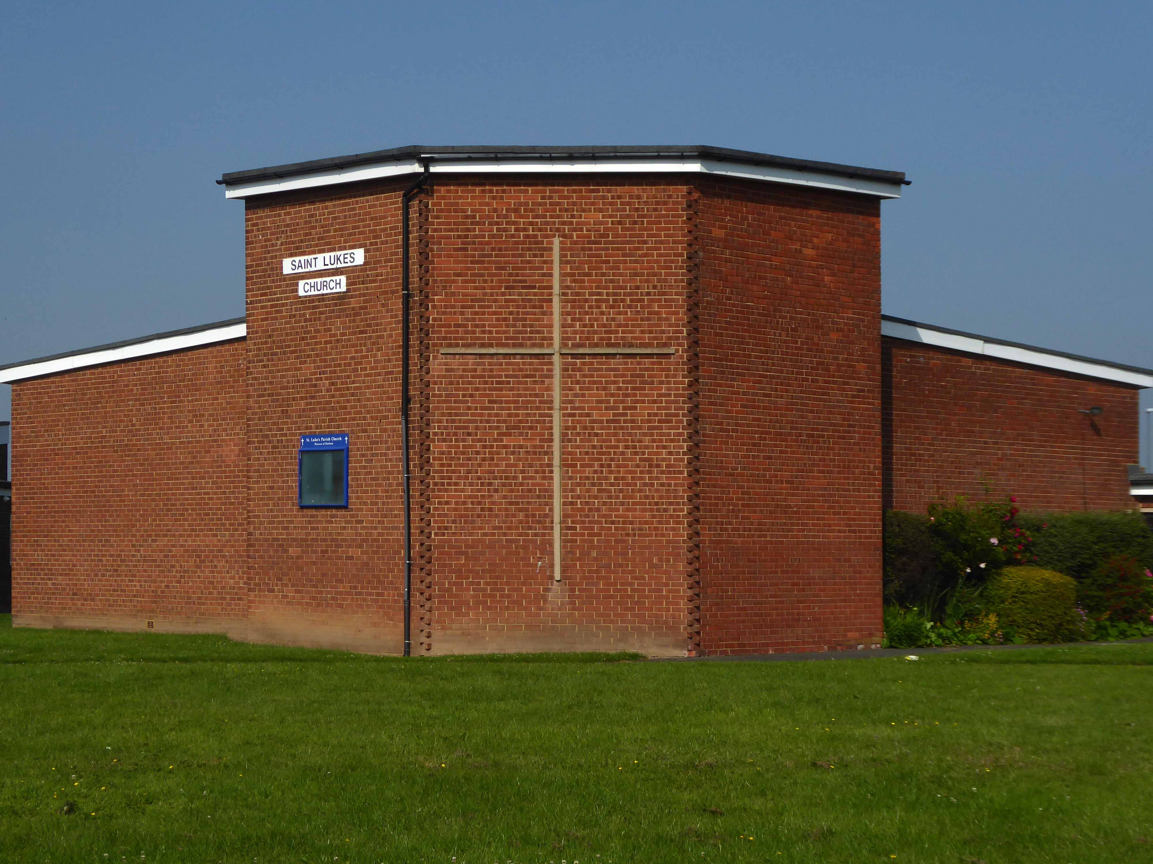
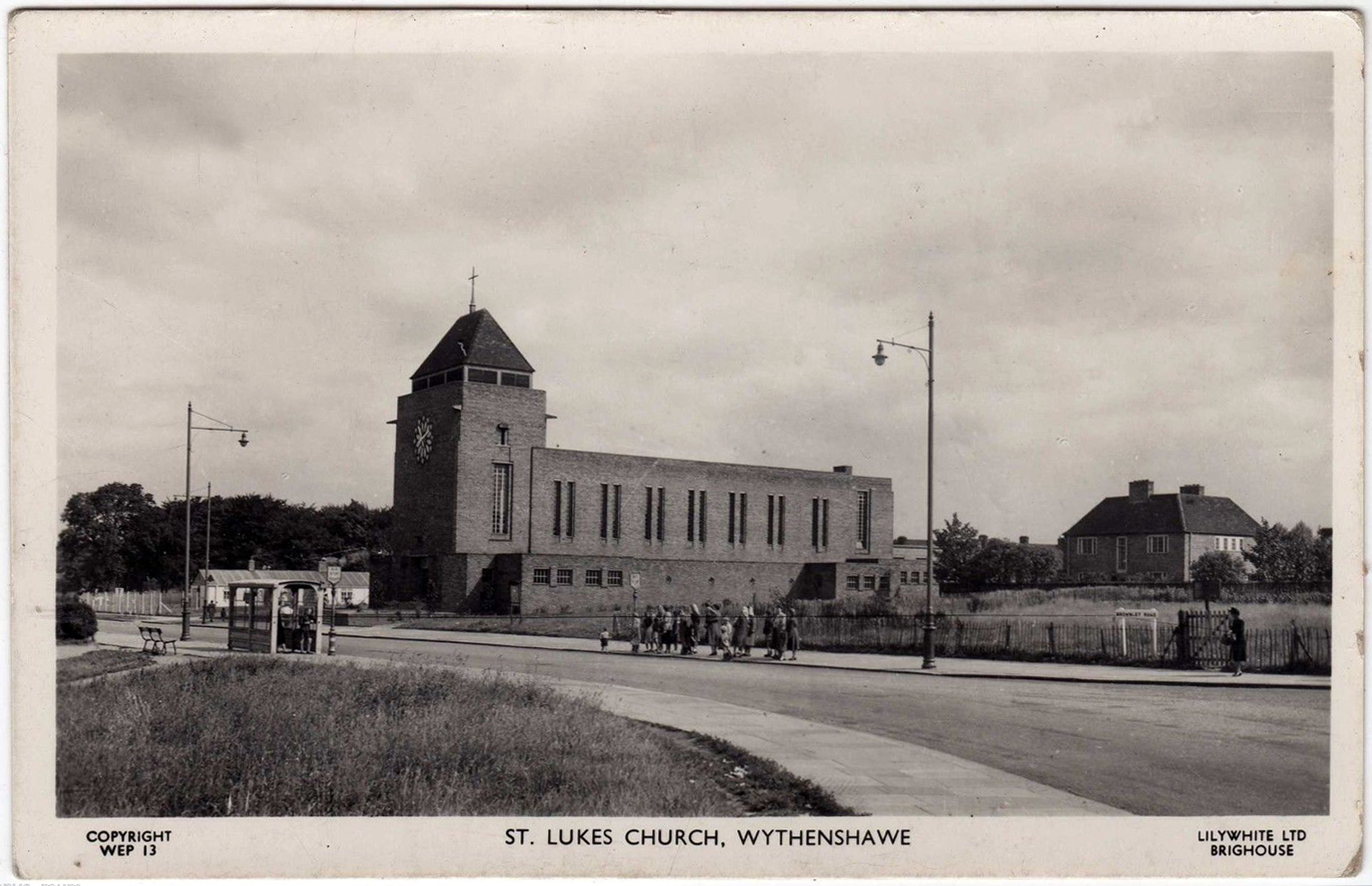
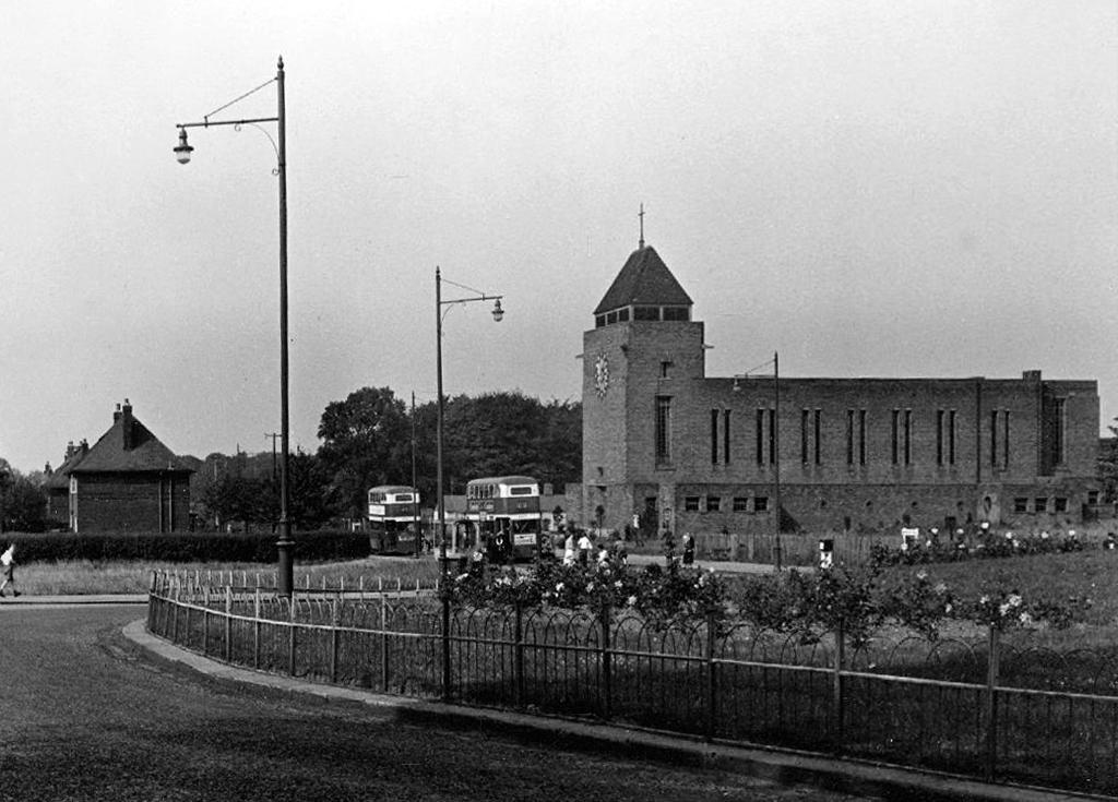
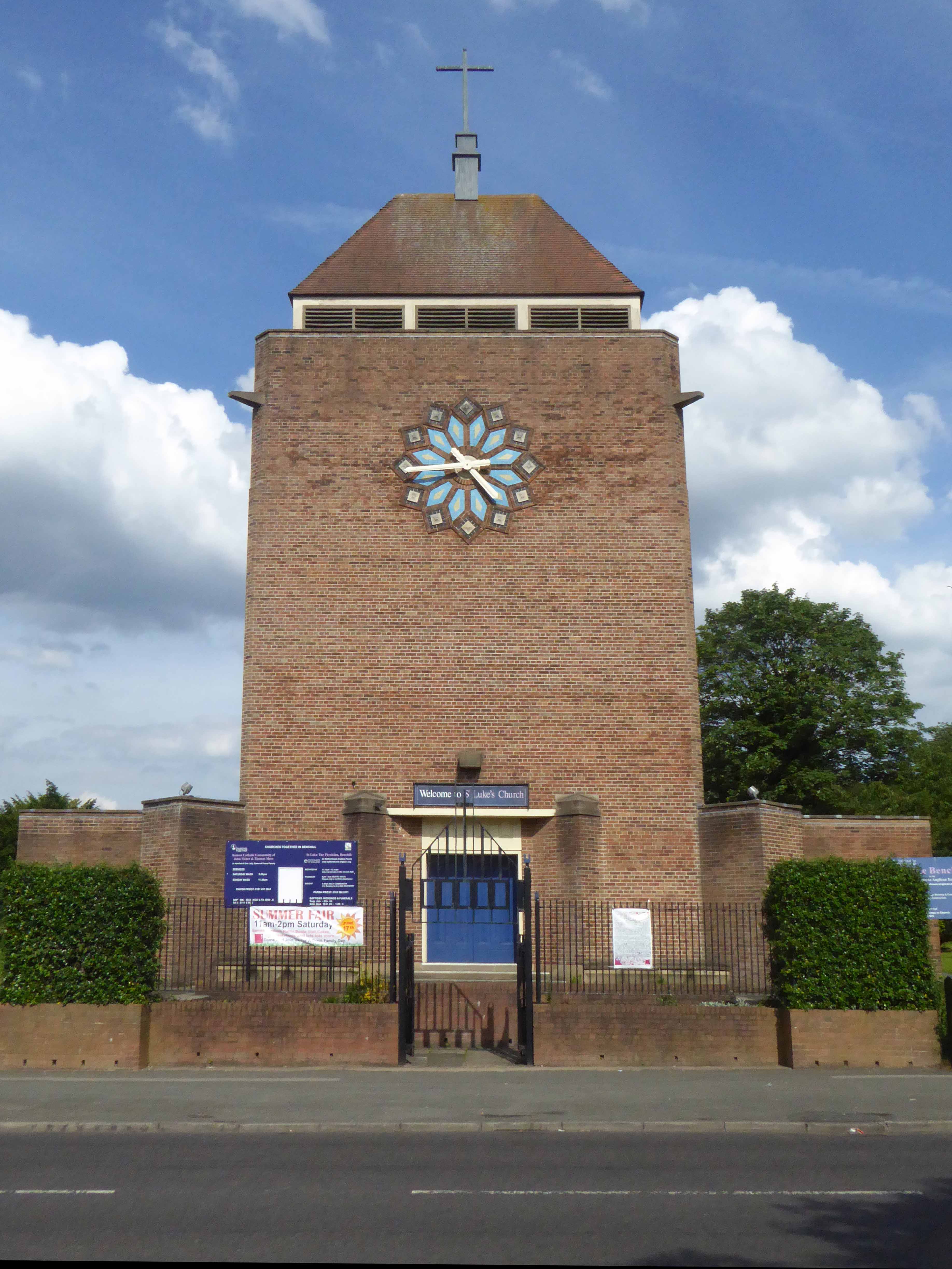
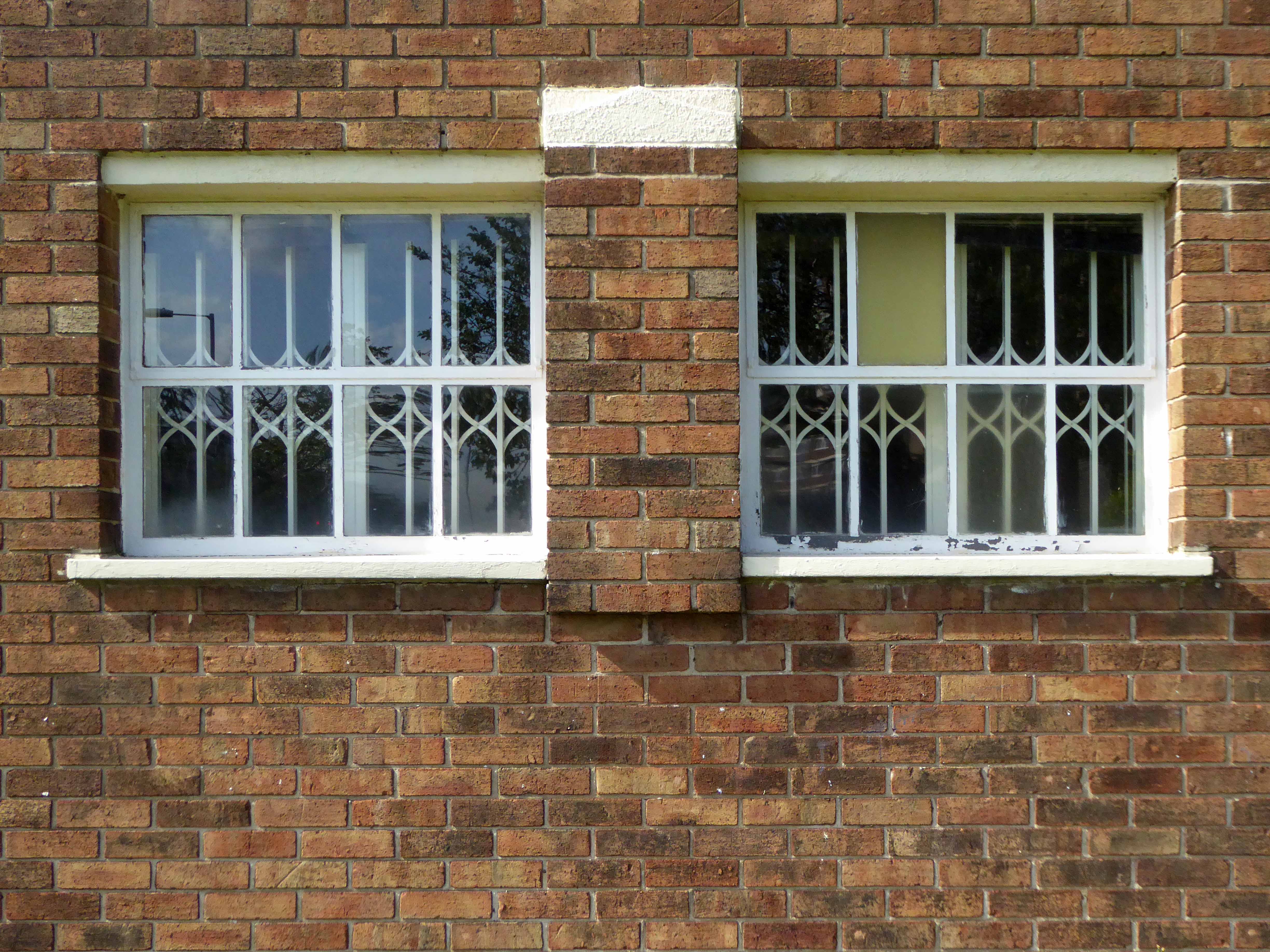
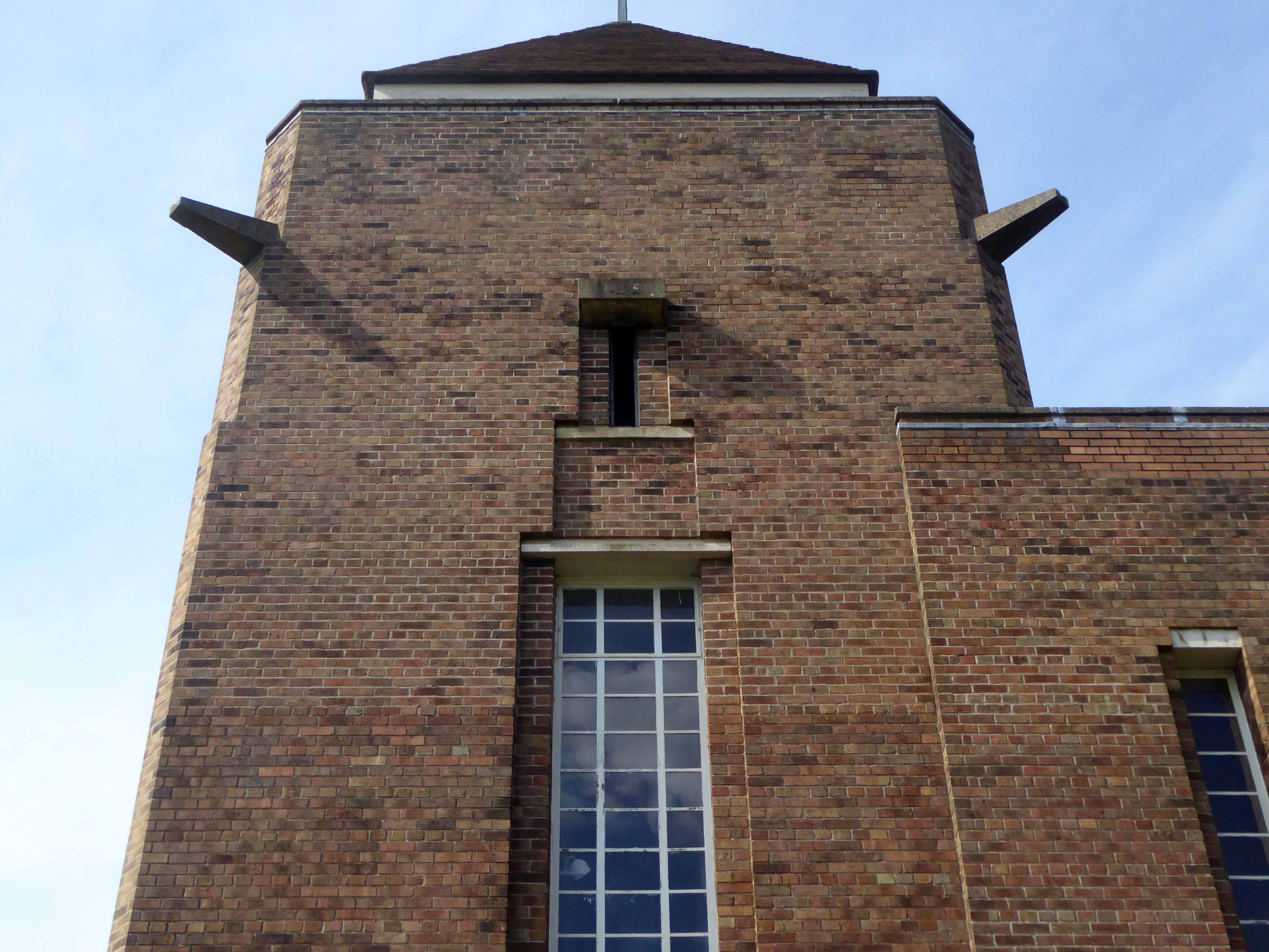
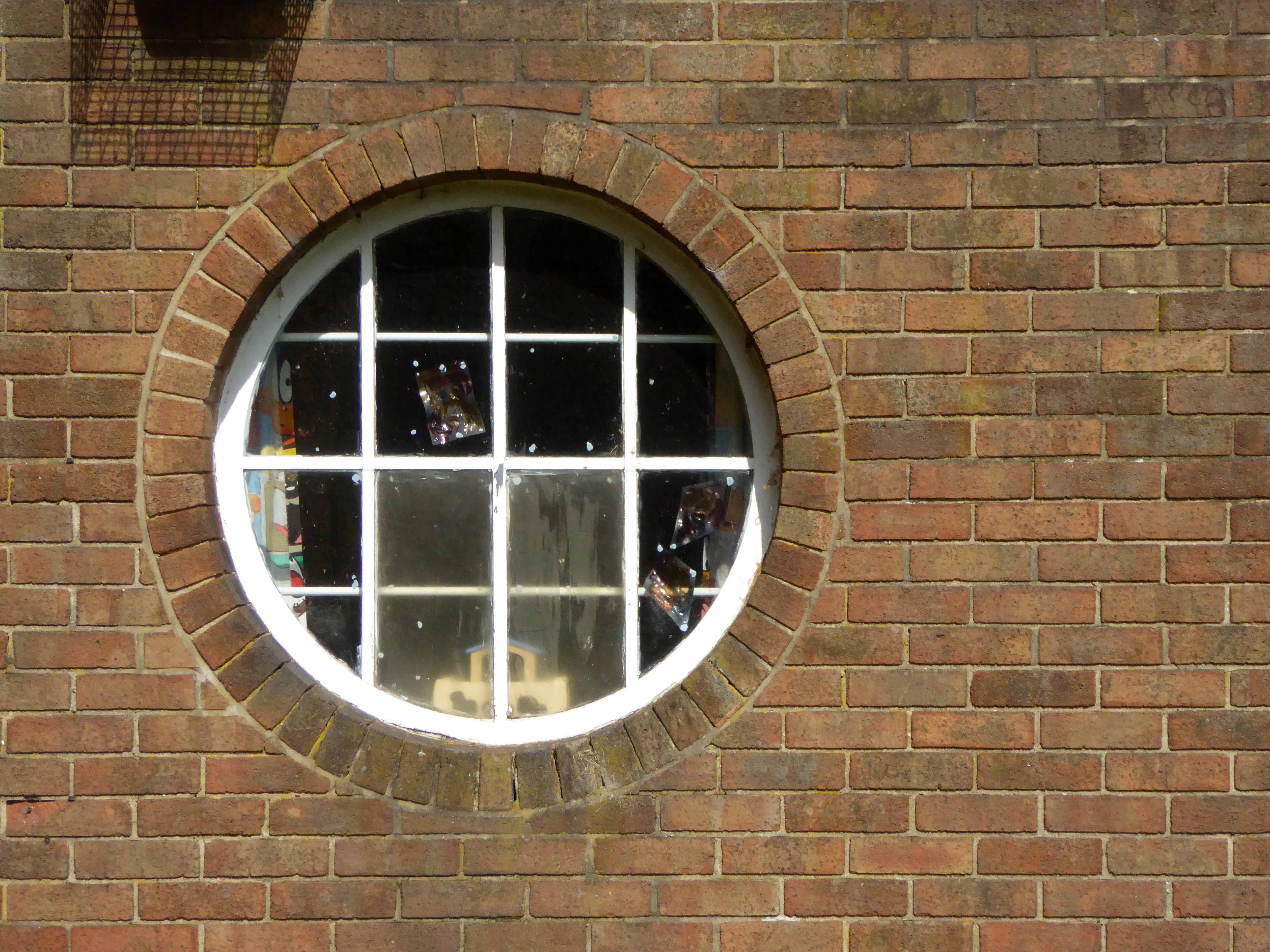
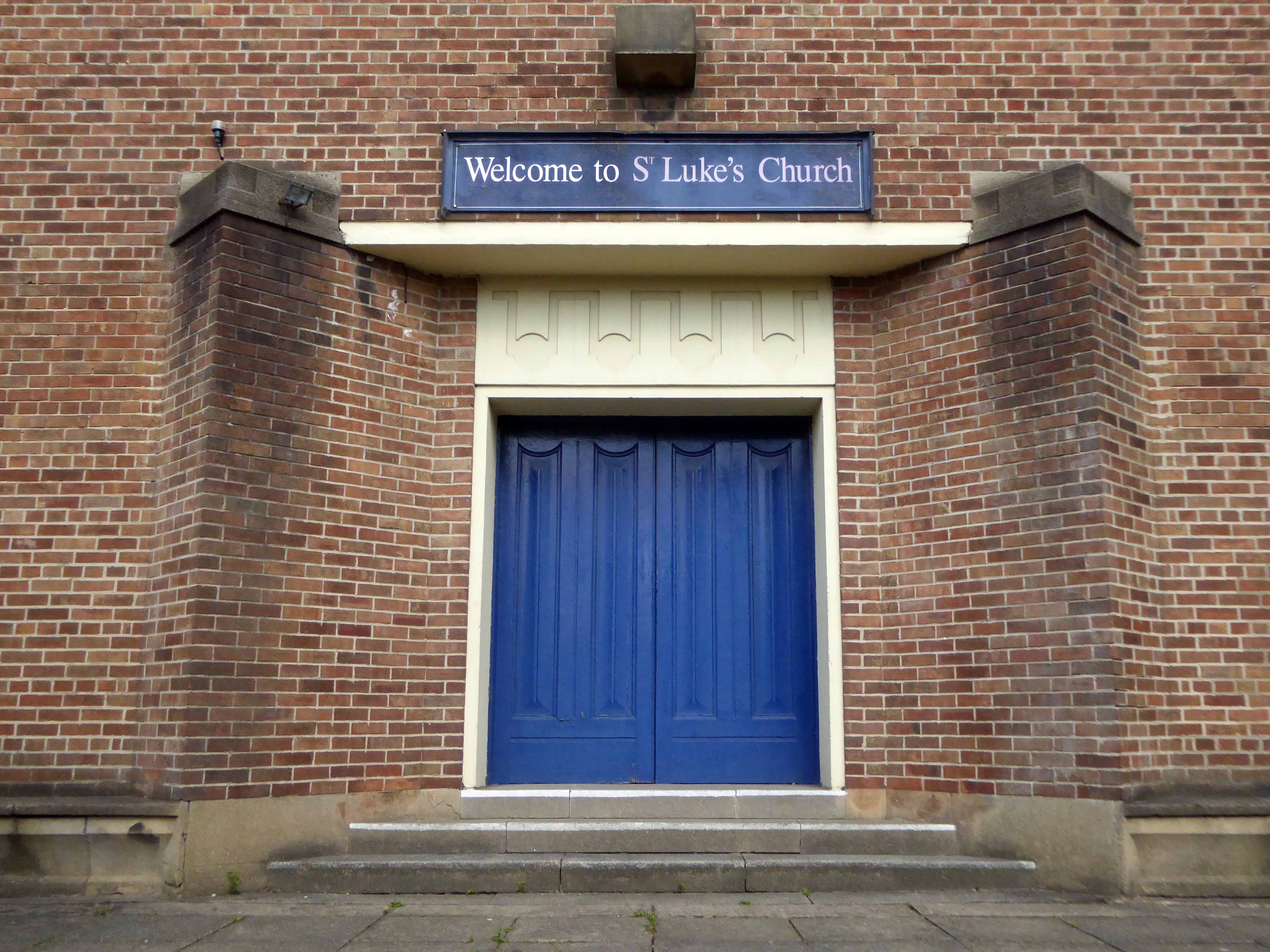
Cycling around Wythenshawe one sunny day yesterday, in search of friends old and new, I found myself beside myself, beside St Luke’s.
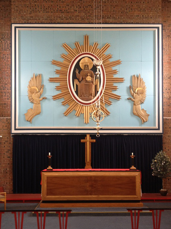
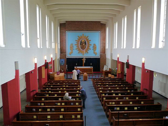
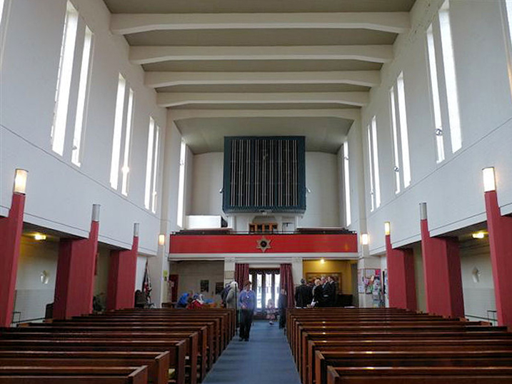
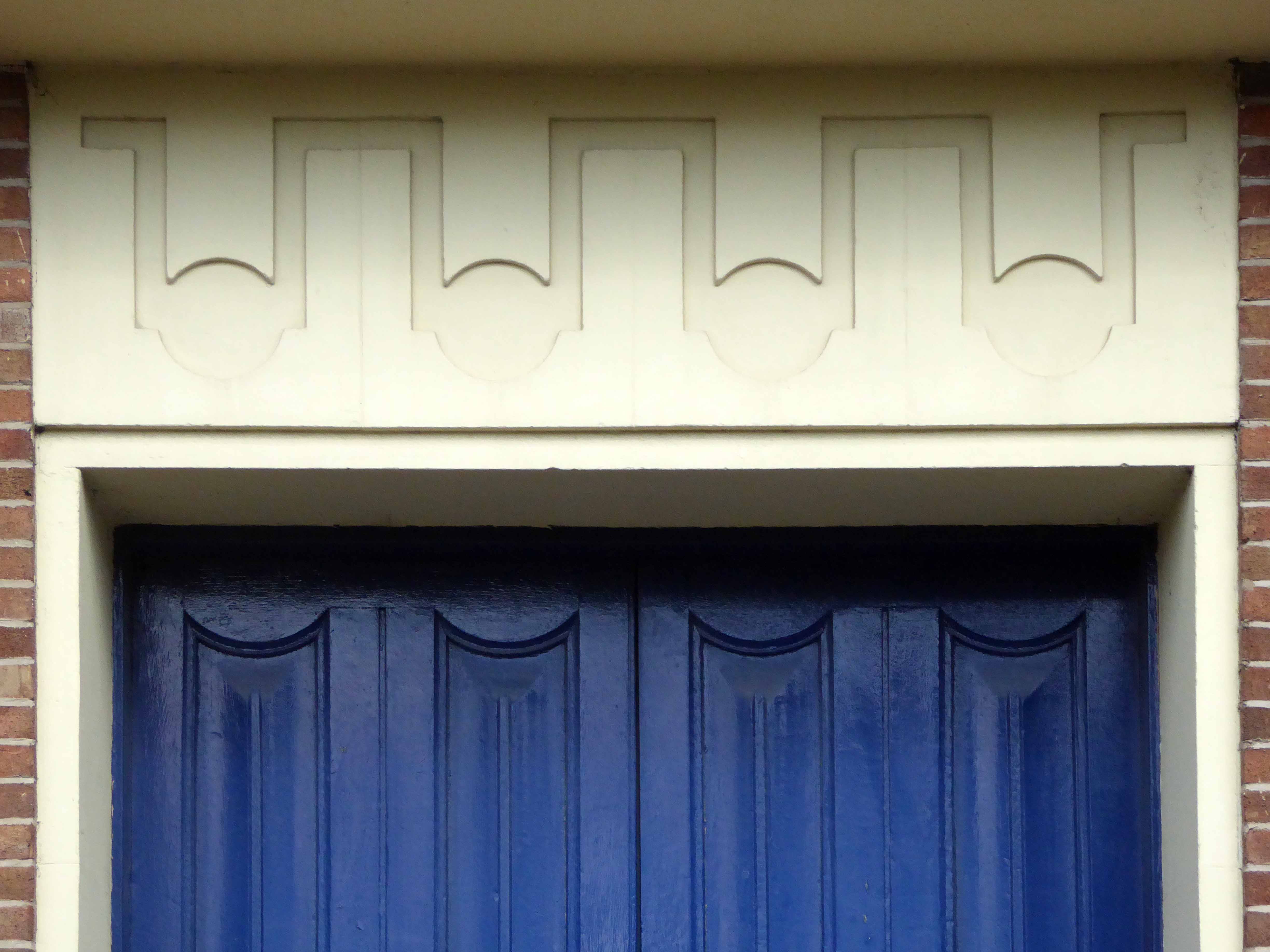
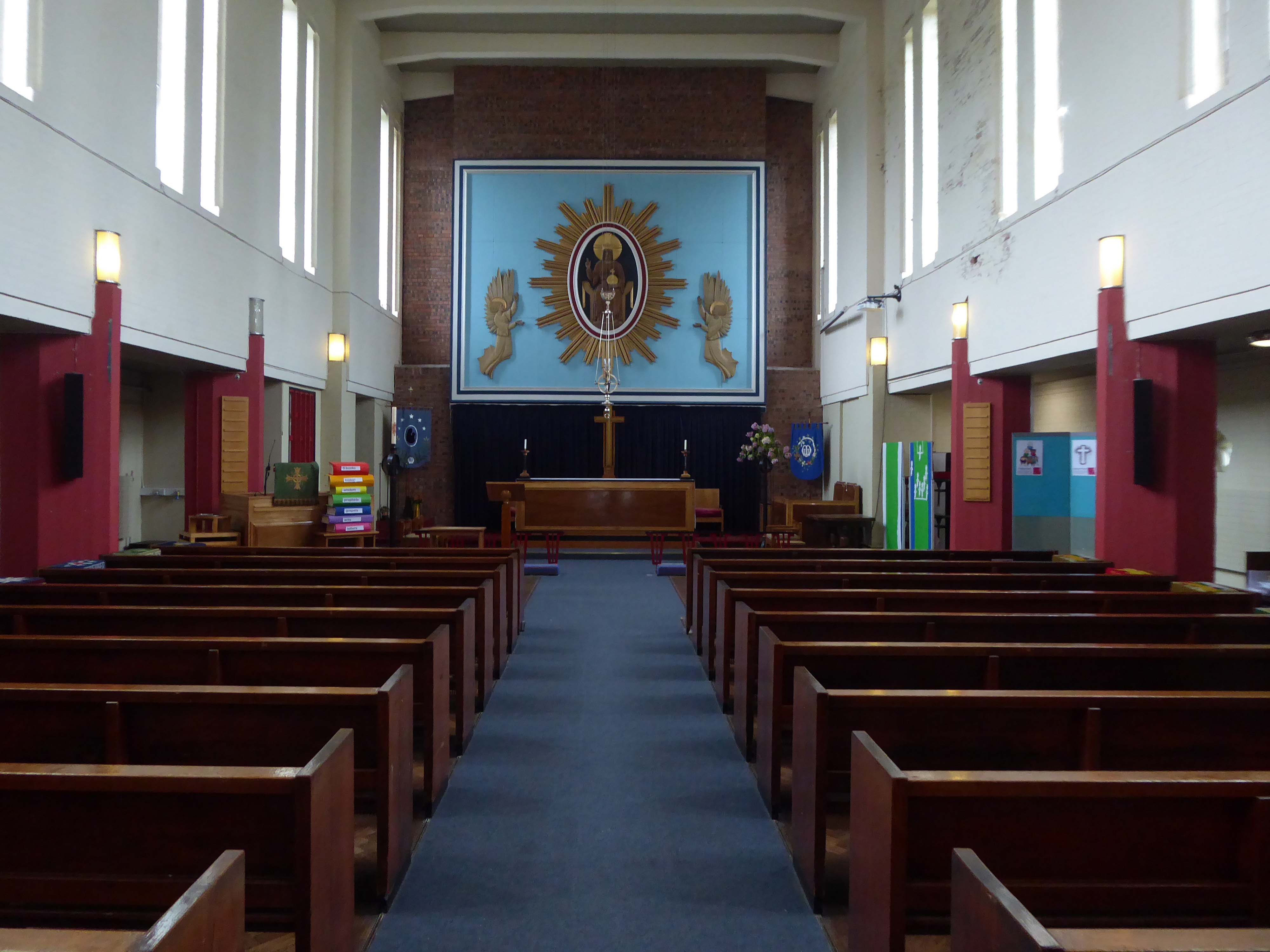
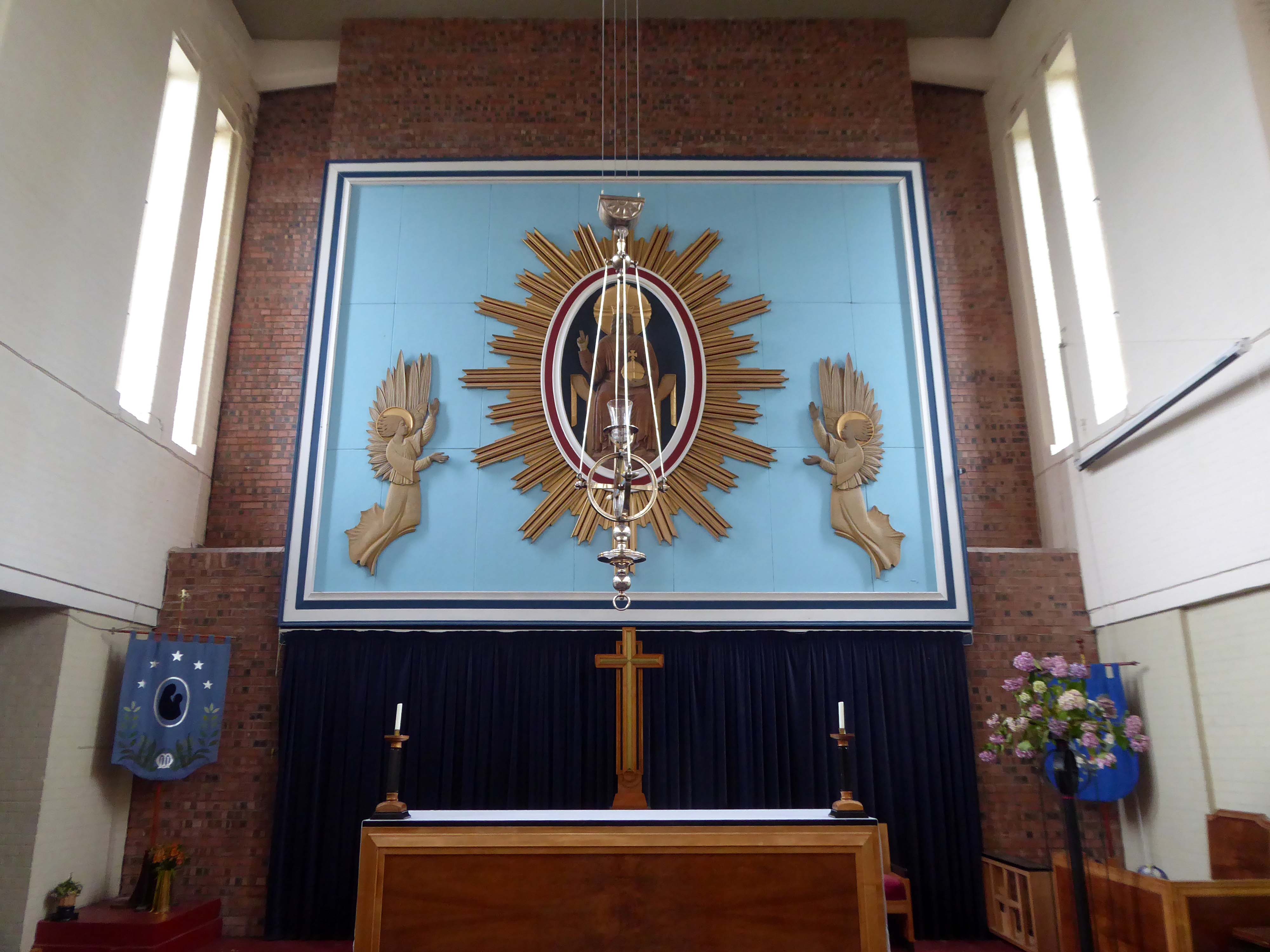
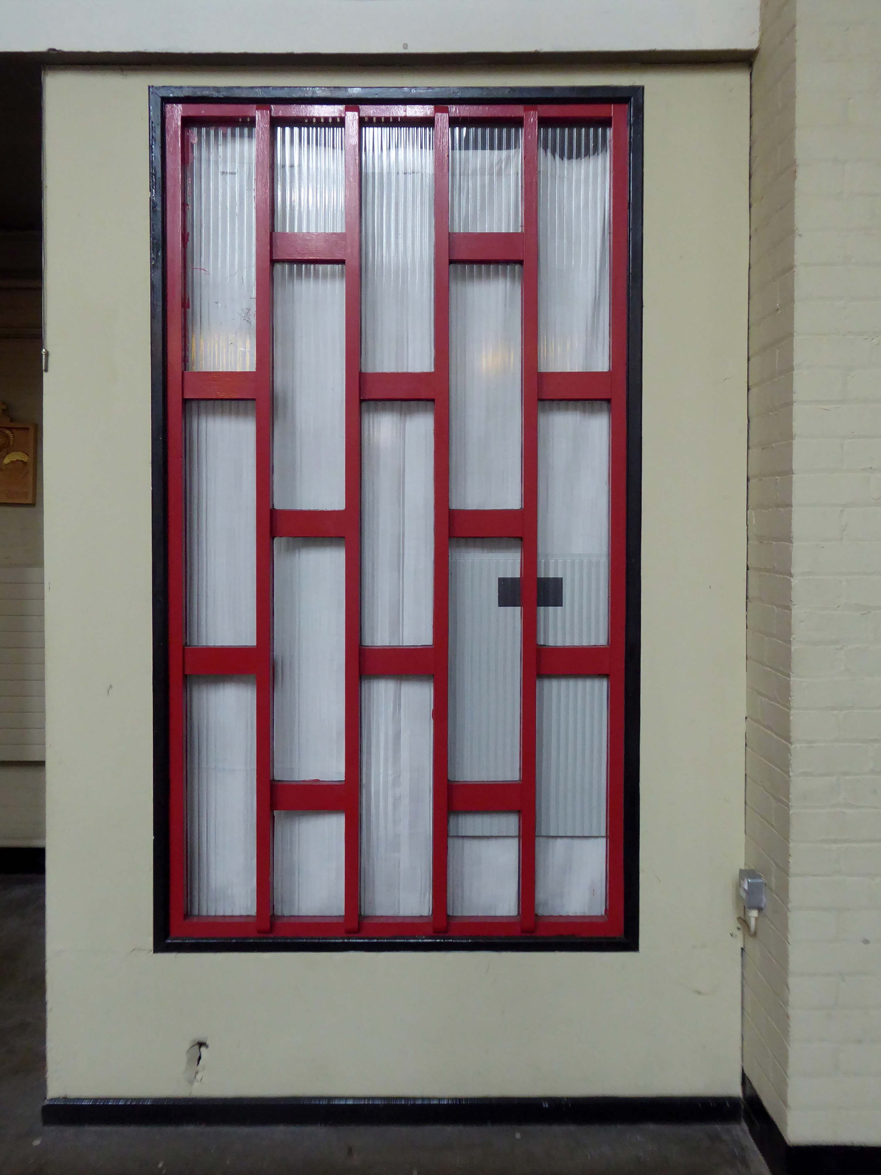
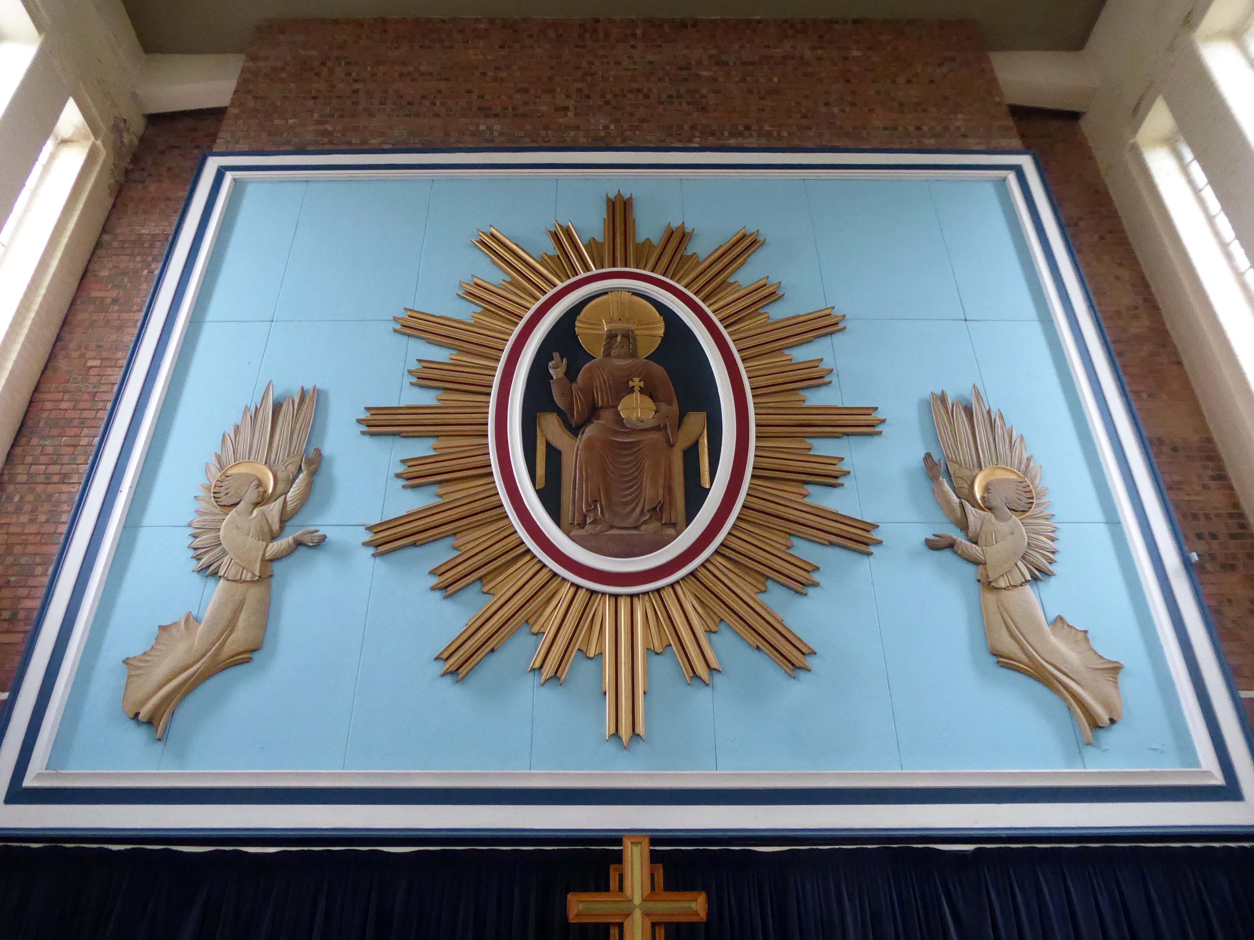
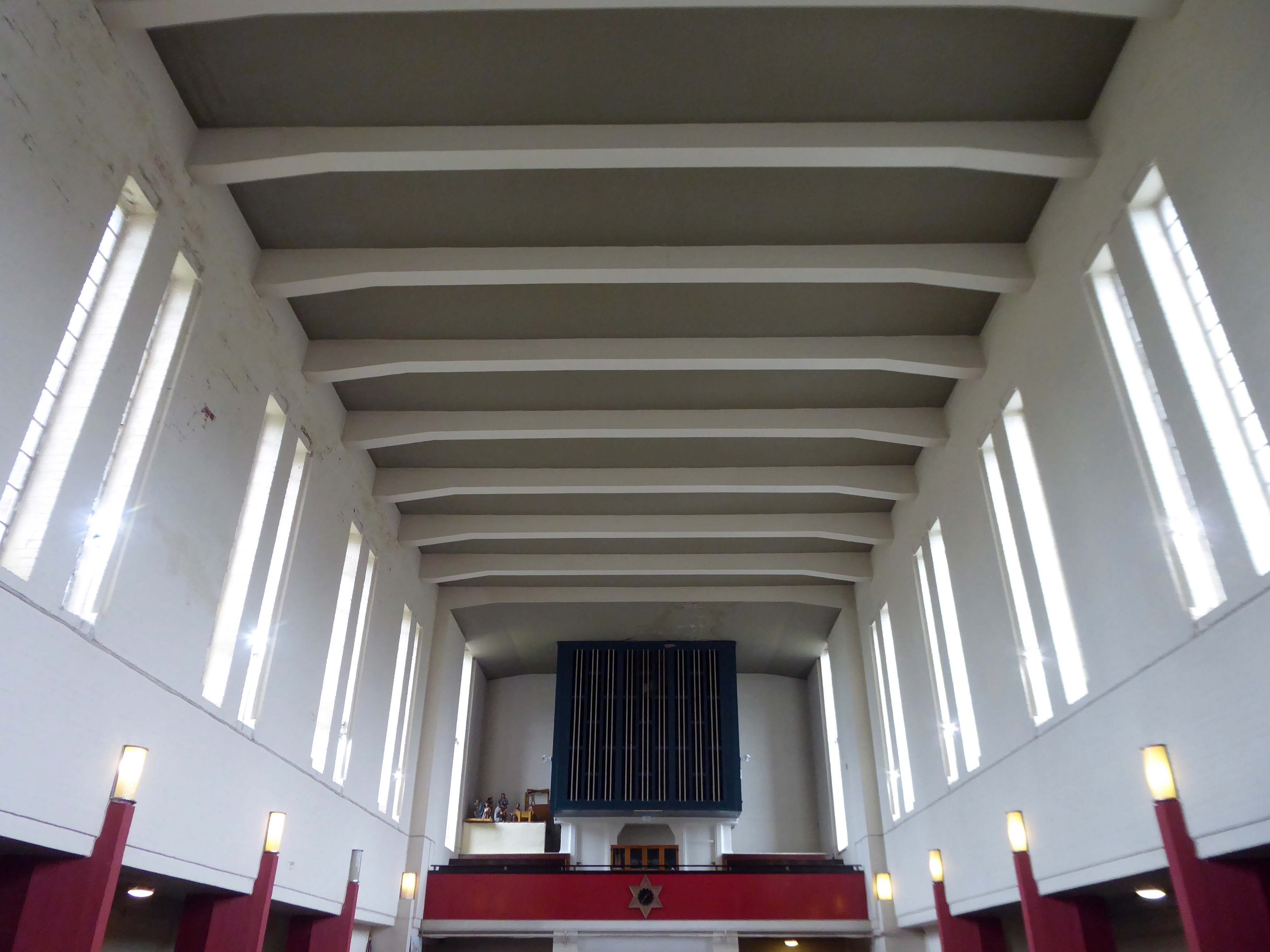
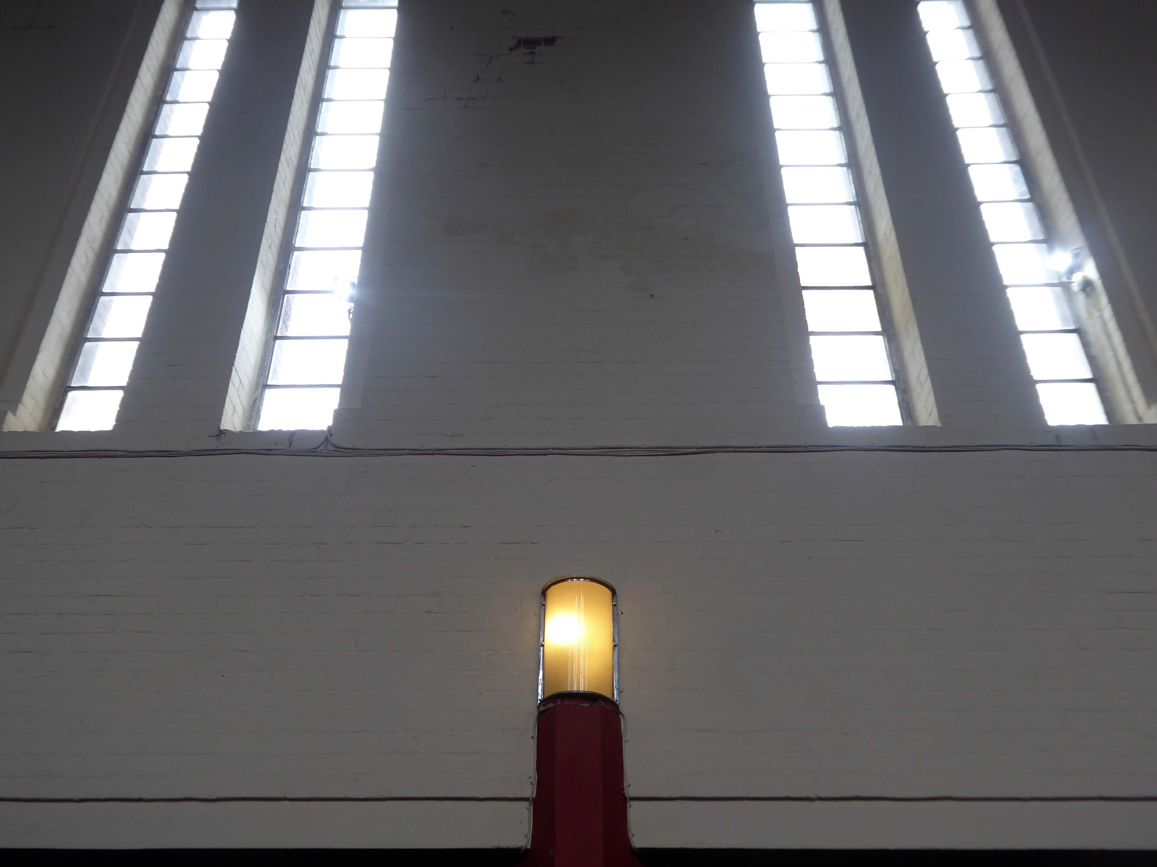
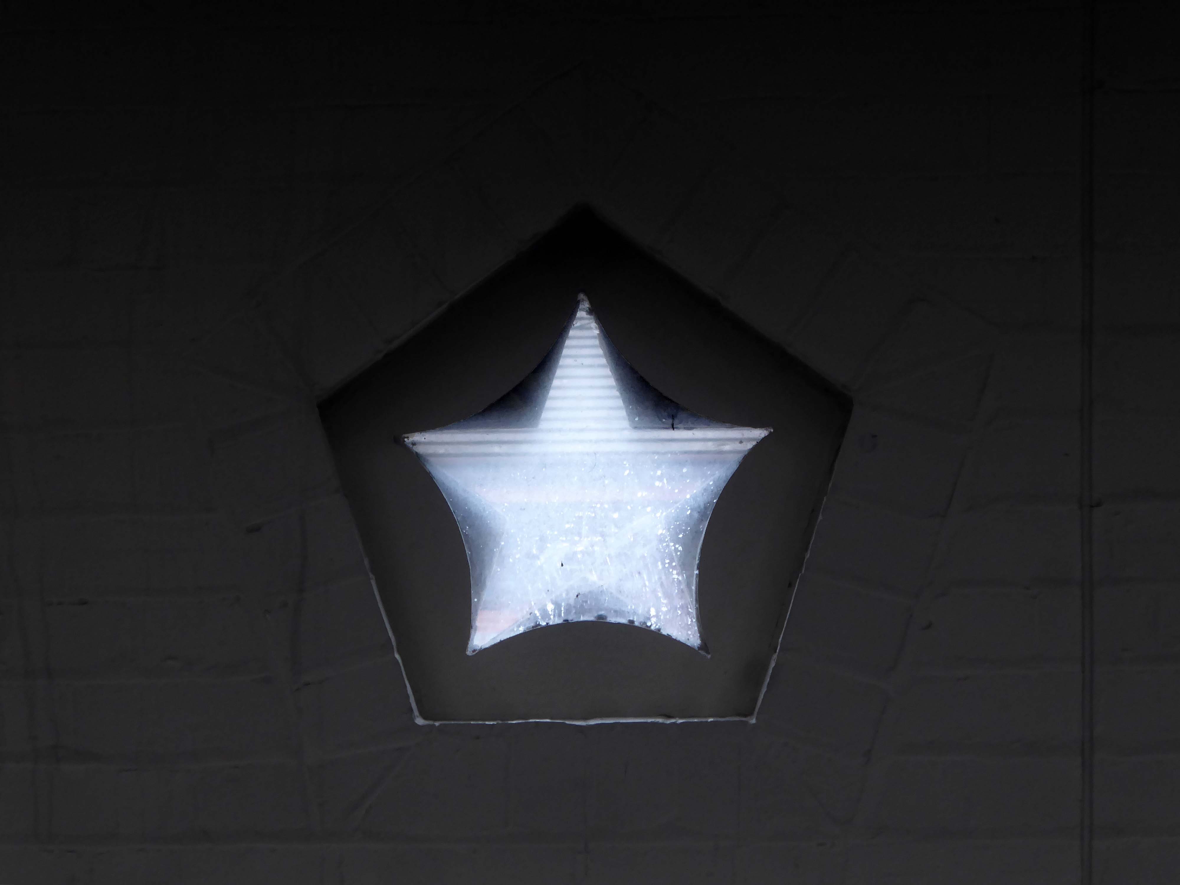
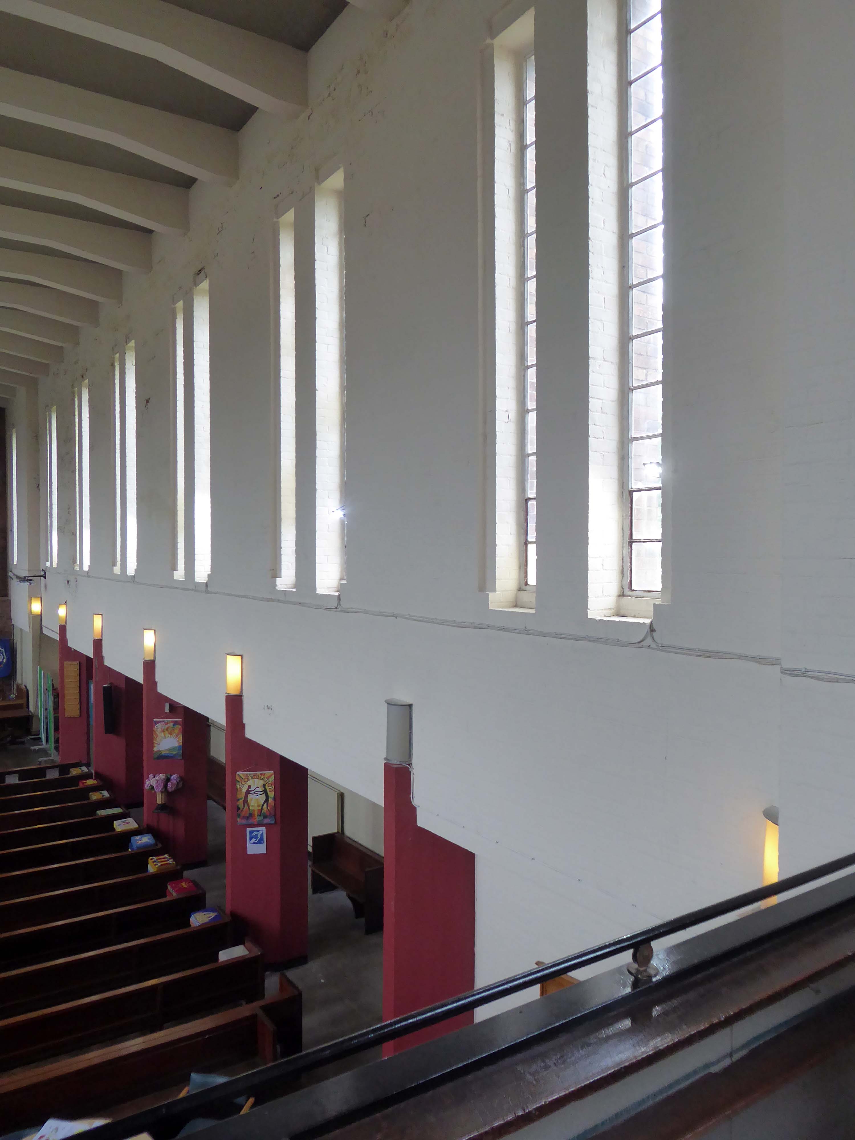
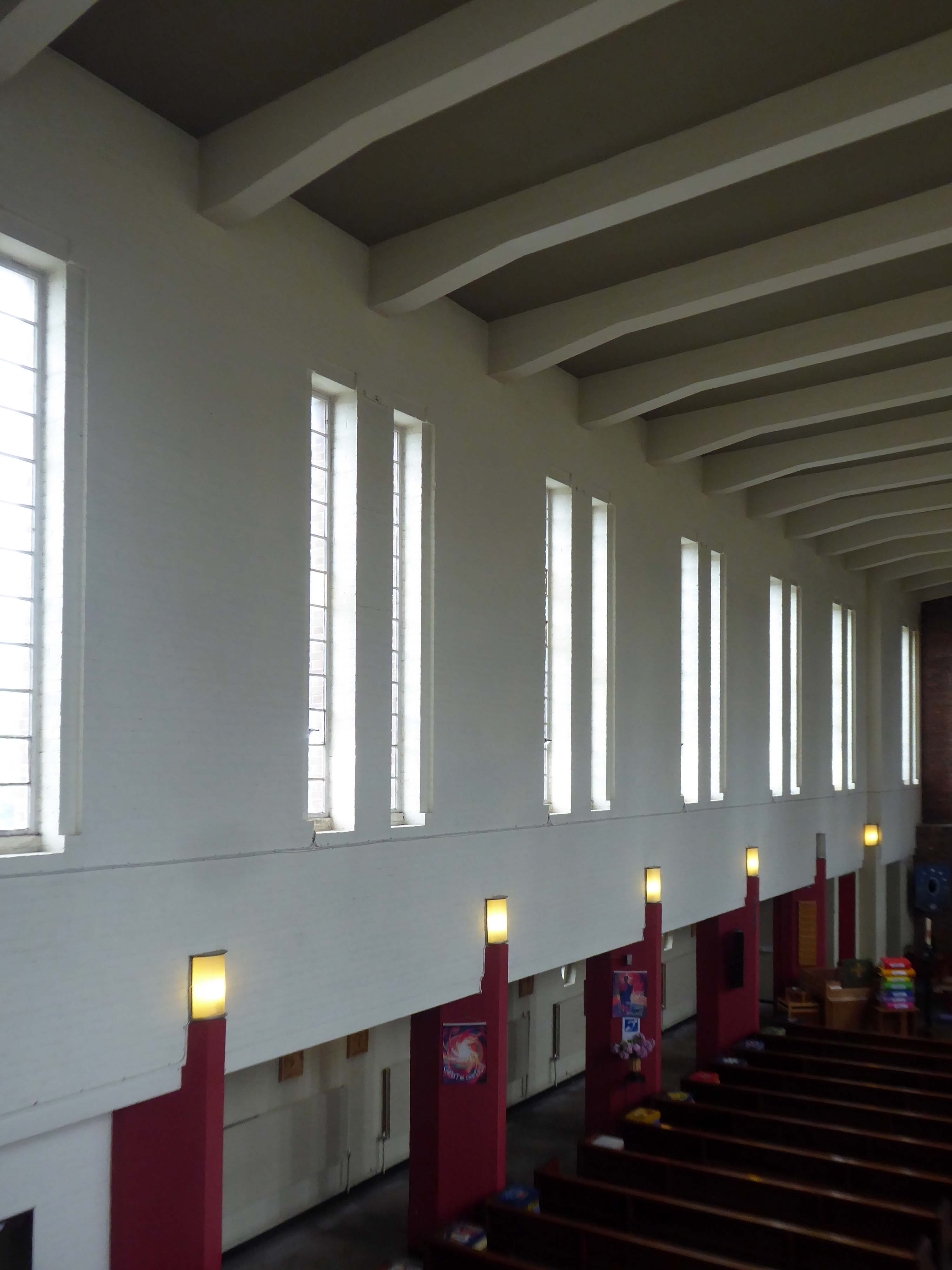
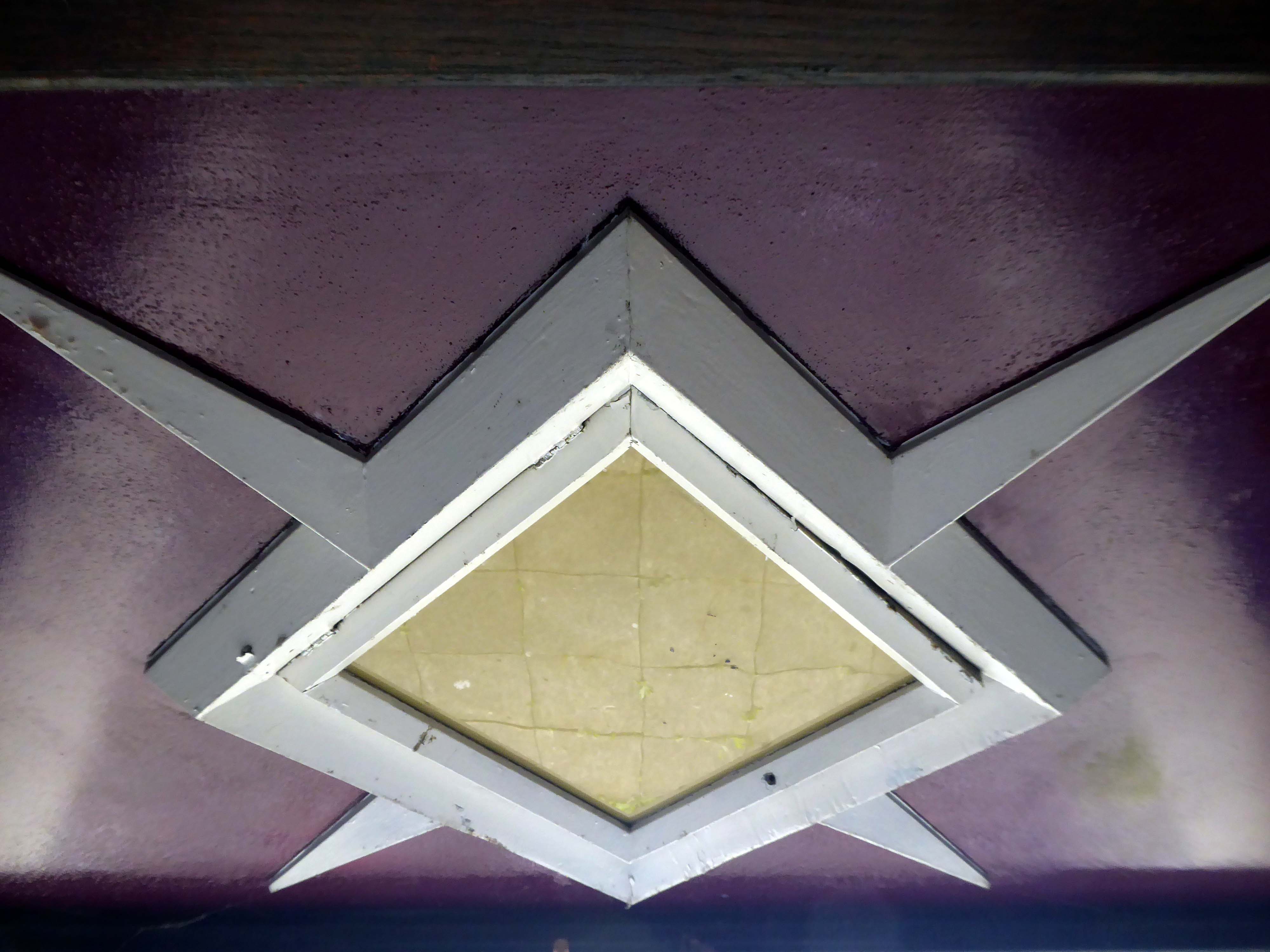
1938-9 by Taylor and Young. Light brown brick in English garden wall bond (roof concealed). Modern functionalist style. Nave with west tower, north and south aisles with porches and side offices, short chancel. Rectangular tower to same width as nave, with short triangular buttresses flanking a square-headed doorway, plain wall except for very large geometrical-floral clock, parapet and very low set-back louvre stage with steeply-pitched hipped roof. Flat-roofed aisles have projected triangular west ends flanking tower, a projected porch at each end of north aisle and corresponding projected offices to south aisle, and very small star-shaped windows with pentagonal surrounds. Nave has 7 pairs of tall square-headed lancets. Short one-bay chancel has concrete cross in place of east window. Interior: basilican character, with low passage-aisles, chamfered piers terminating with lights, flat concrete-beamed ceiling; side-lit chancel with relief figures of angels.
Those are the facts – the fabulous thing is the clock, a playful lesson in geometry, surface and colour, and it keeps time as well.
Wythenshawe is awash with modern churches and this pale brick giant is hard to miss dominating the Brownley Road junction, built to serve the then ever expanding housing estate to the south west of Manchester.