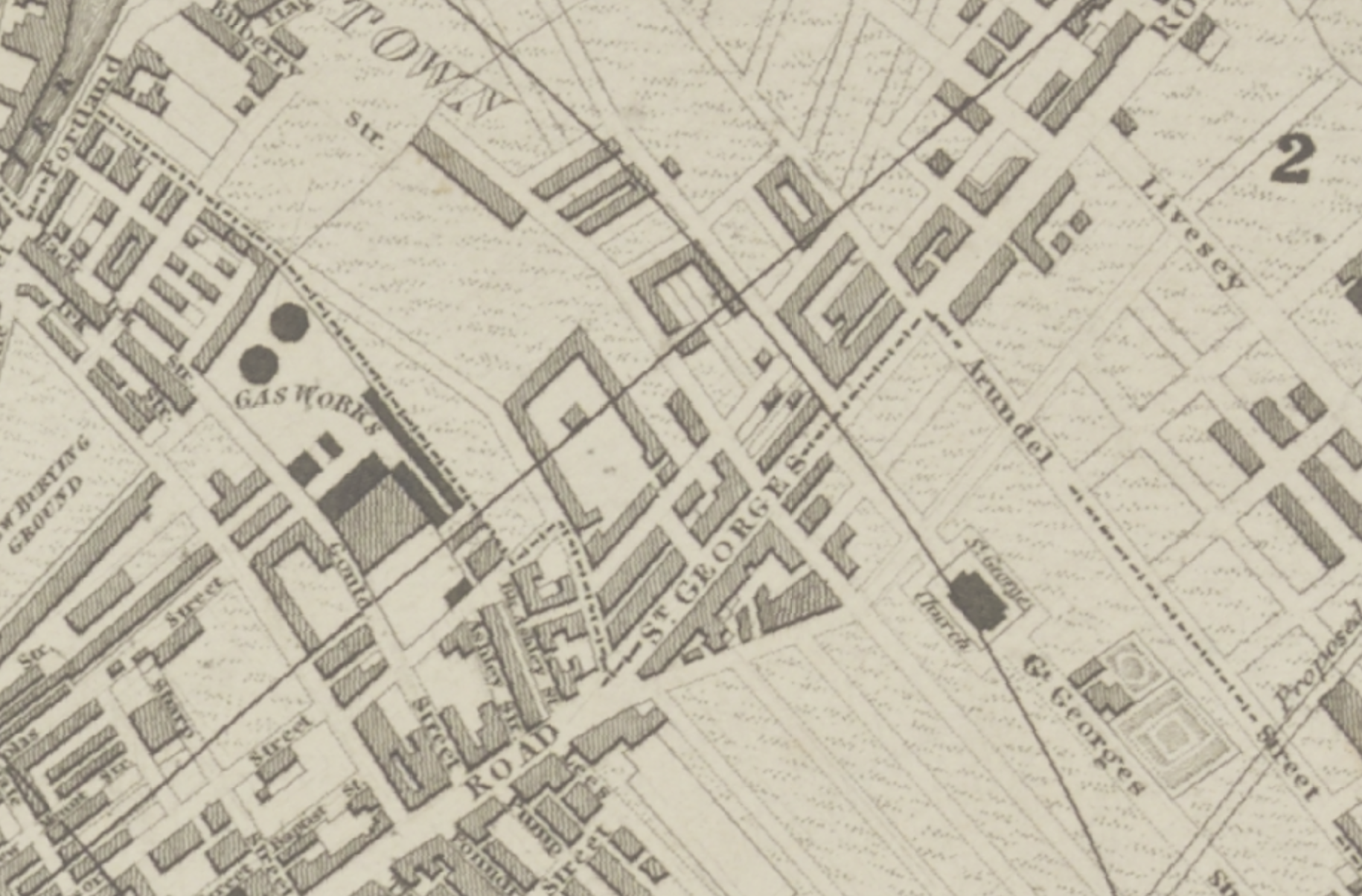
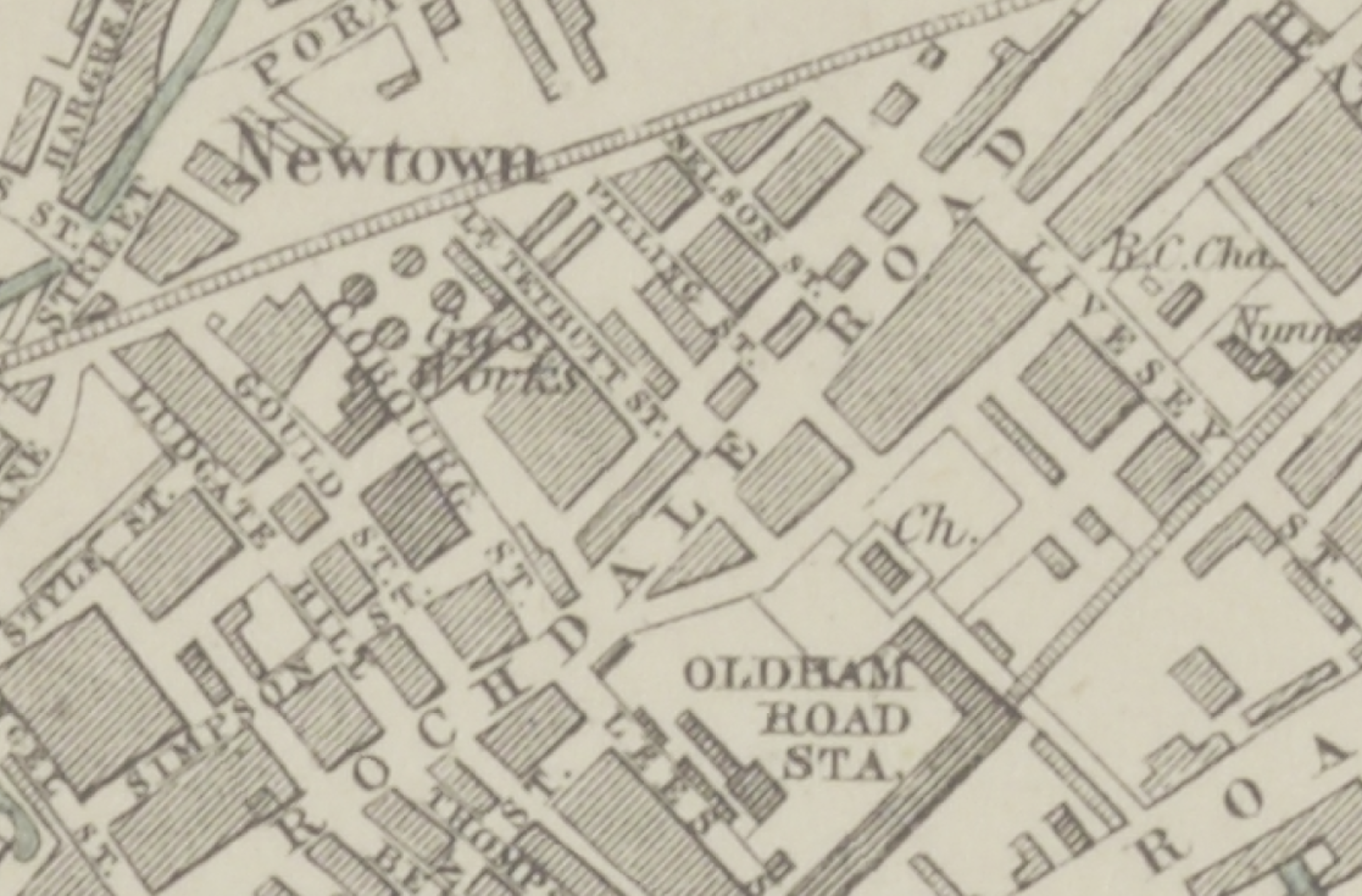
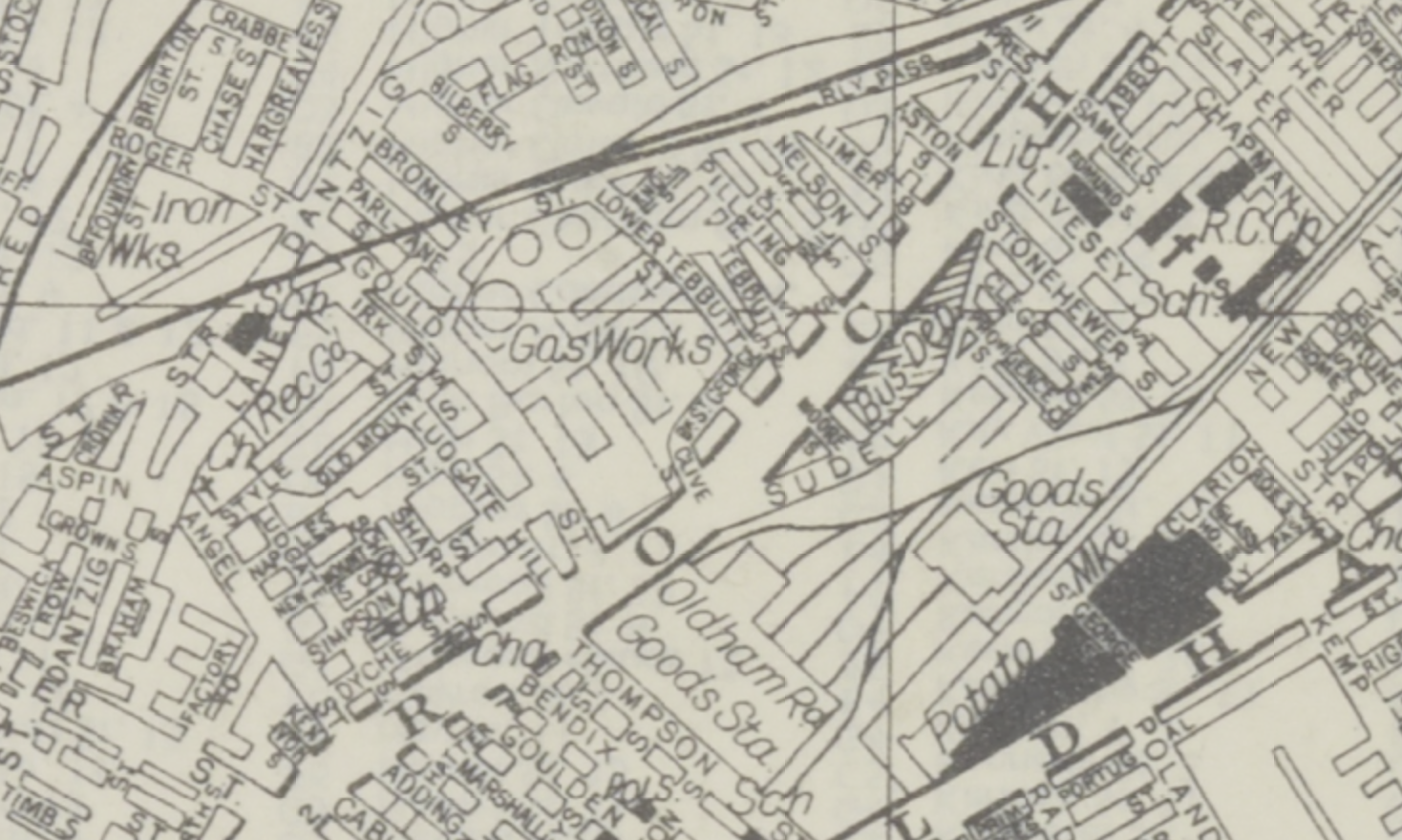
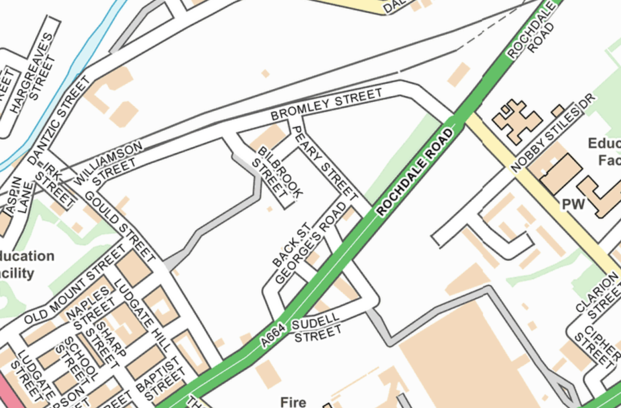
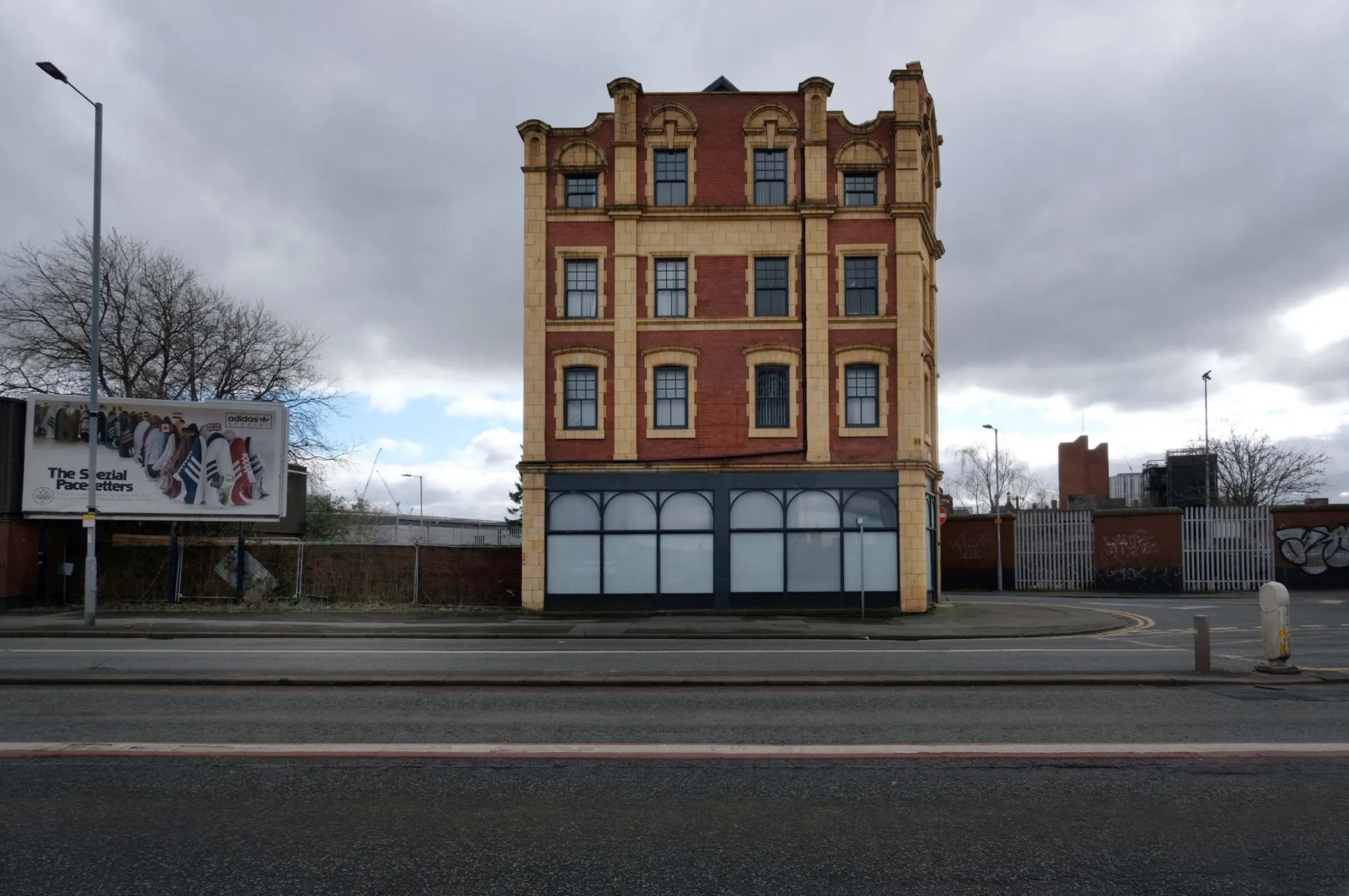
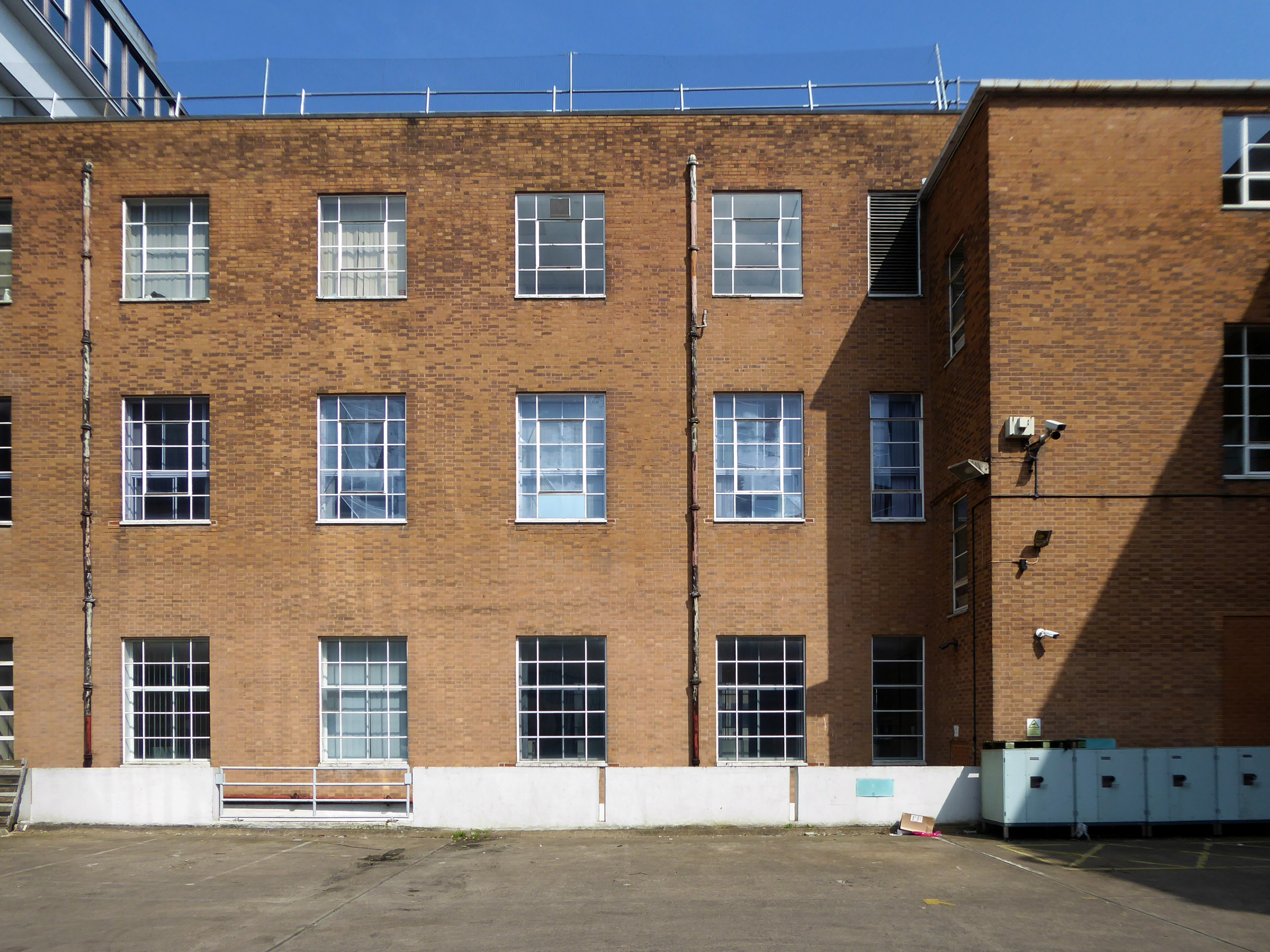
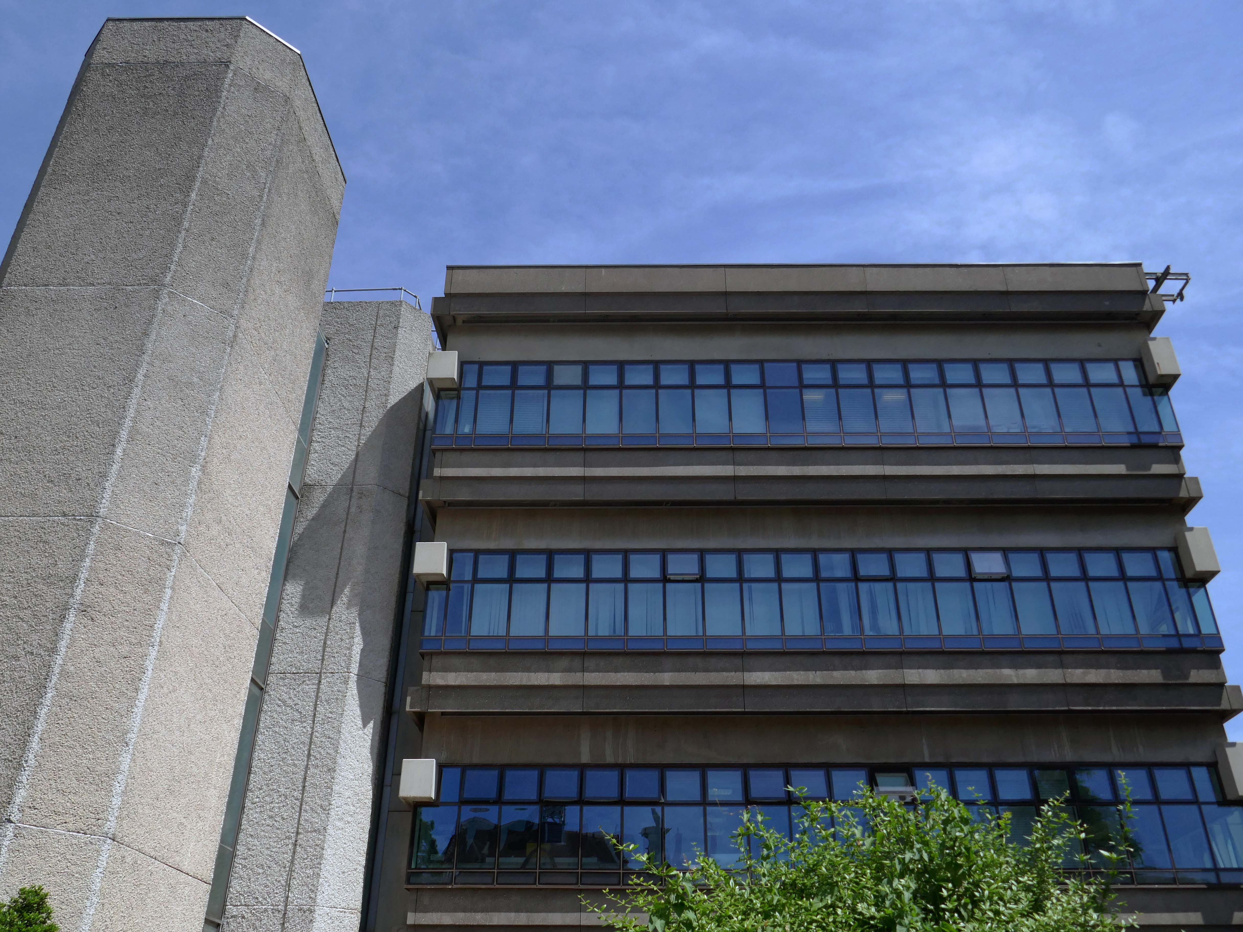
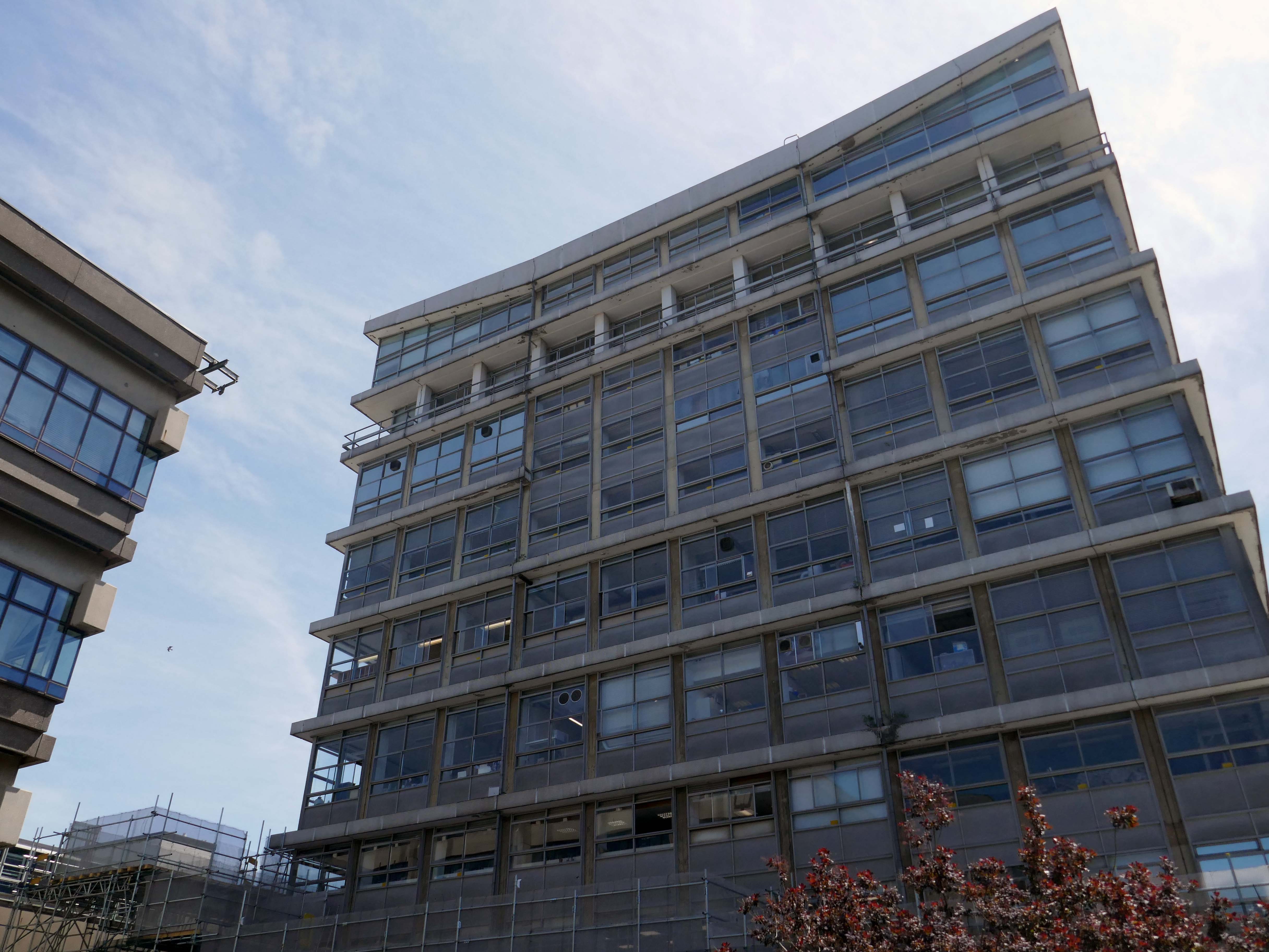
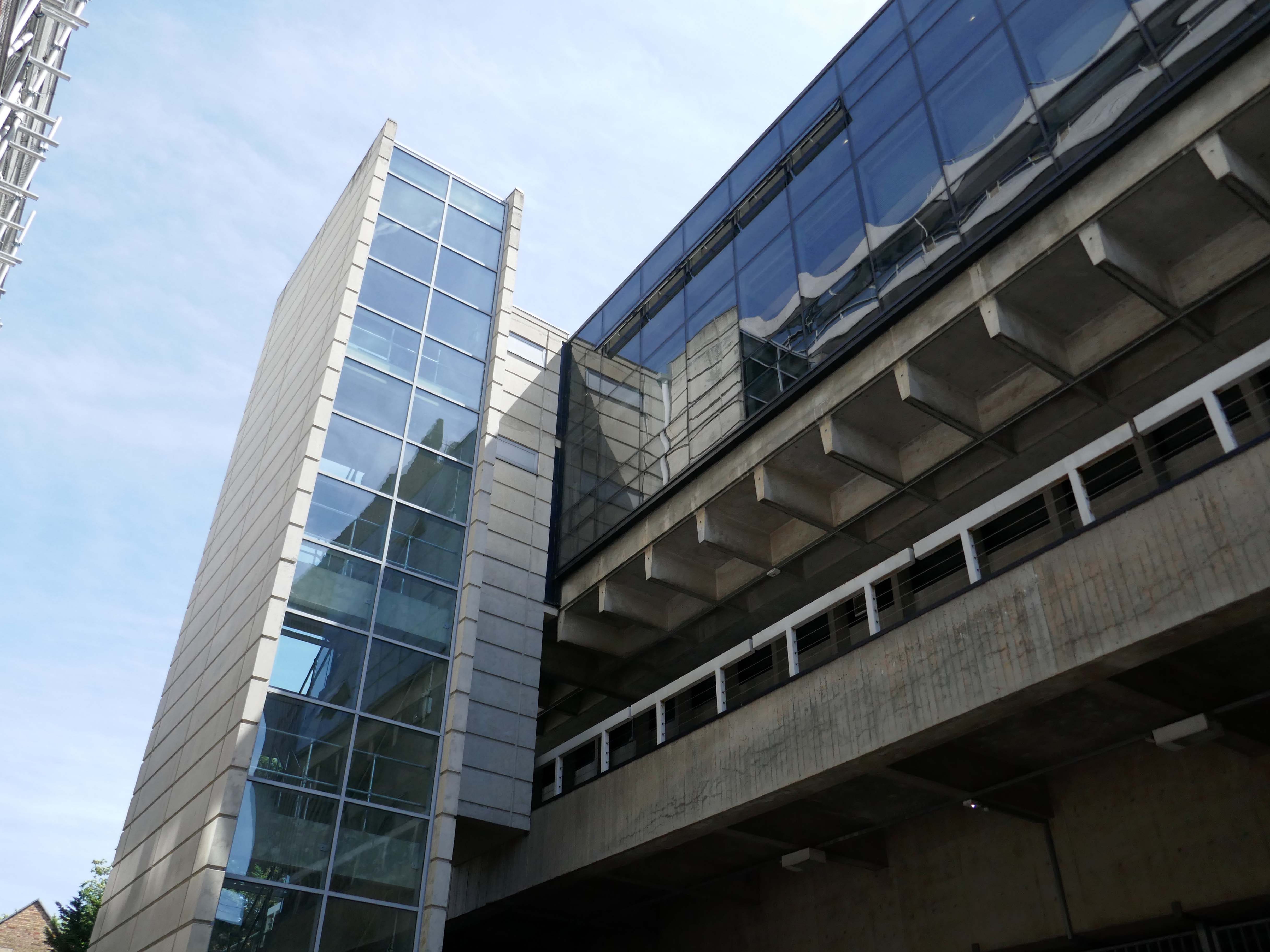
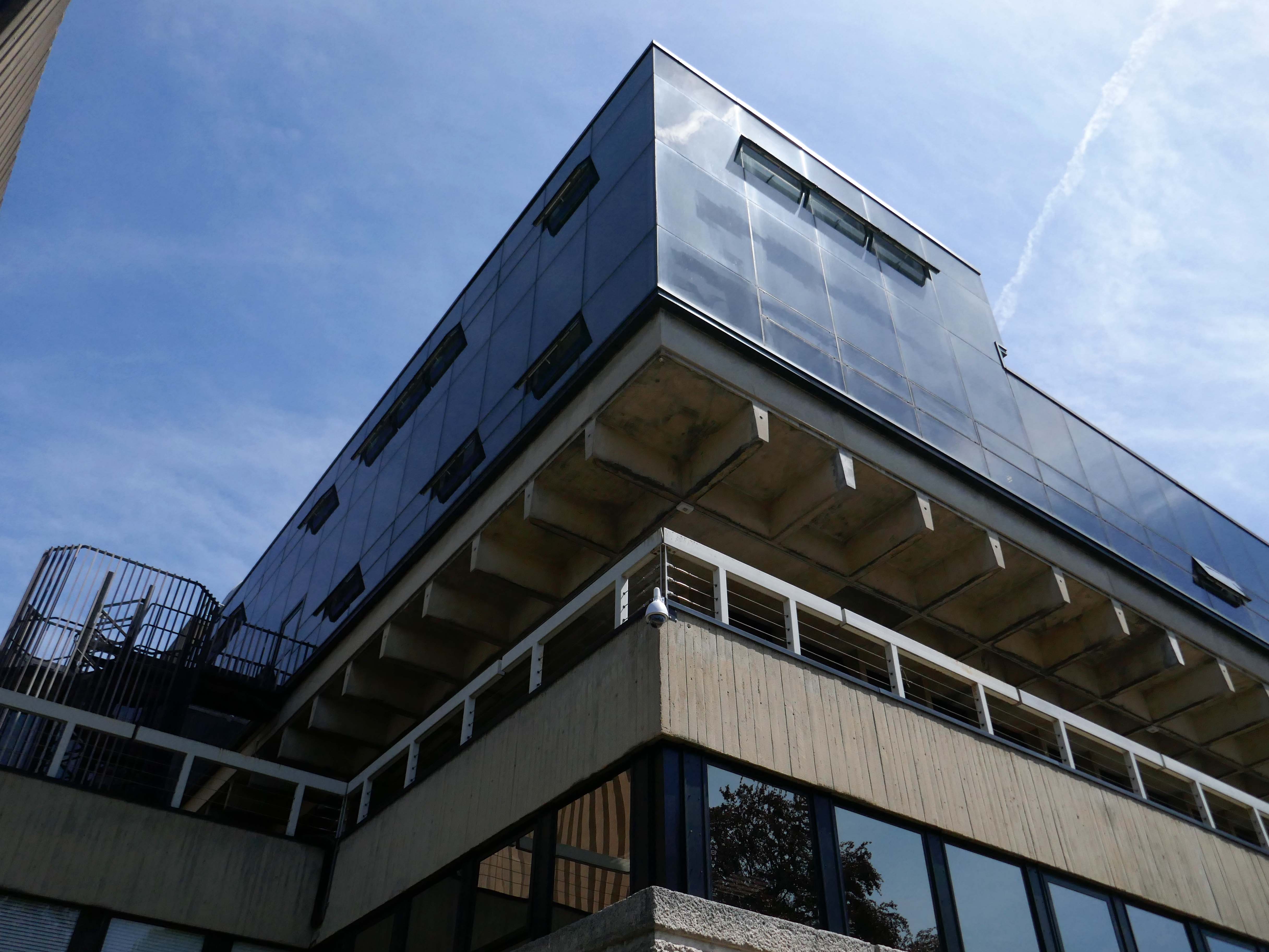
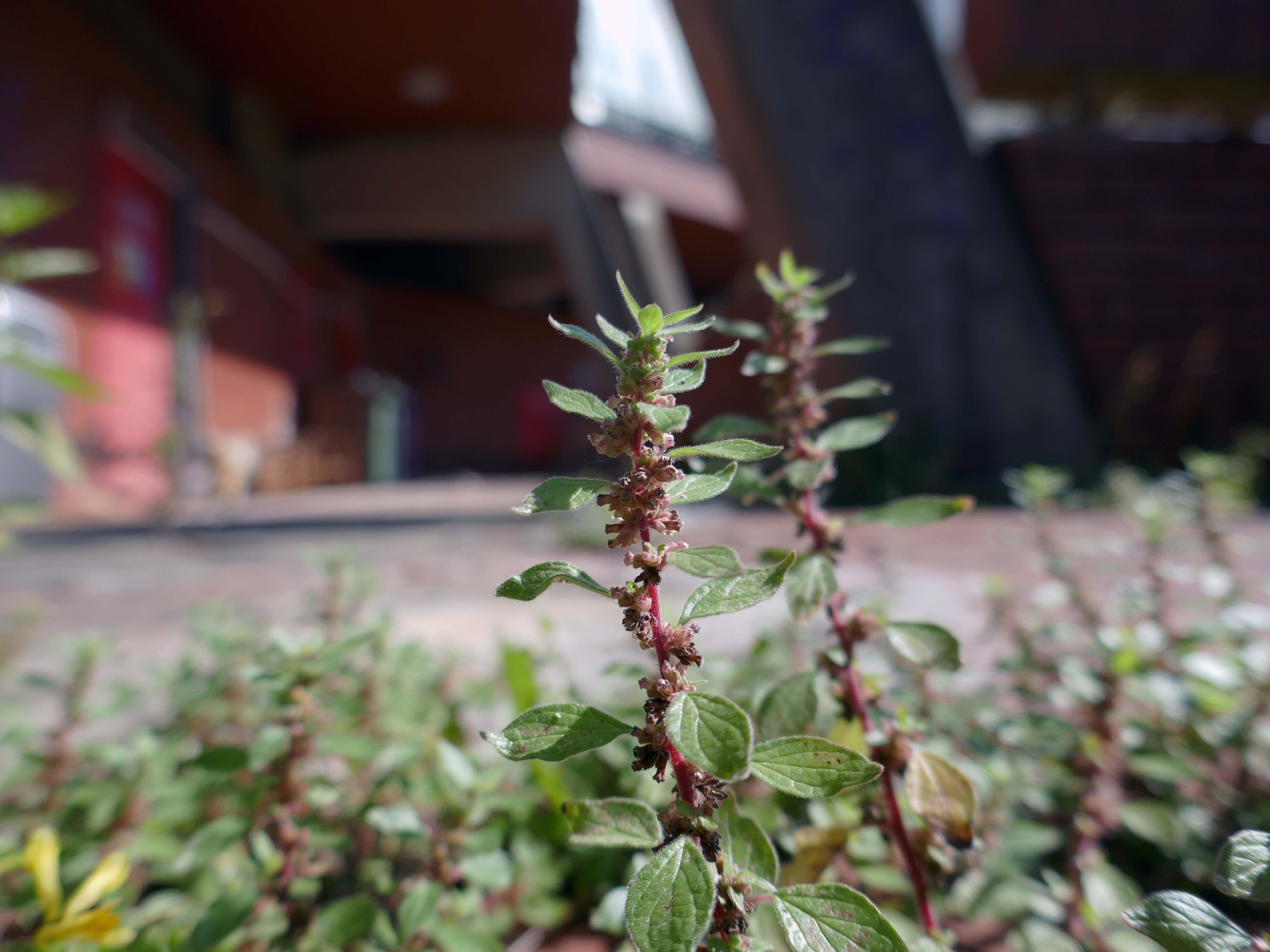
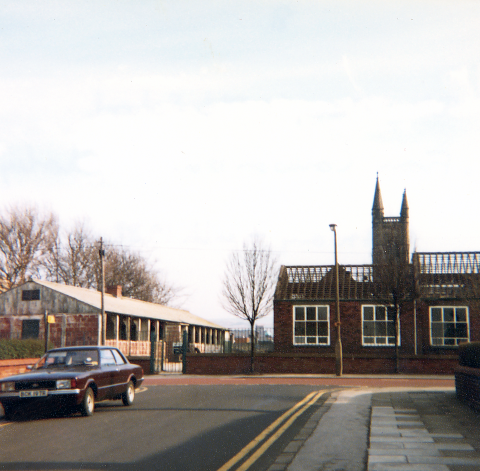
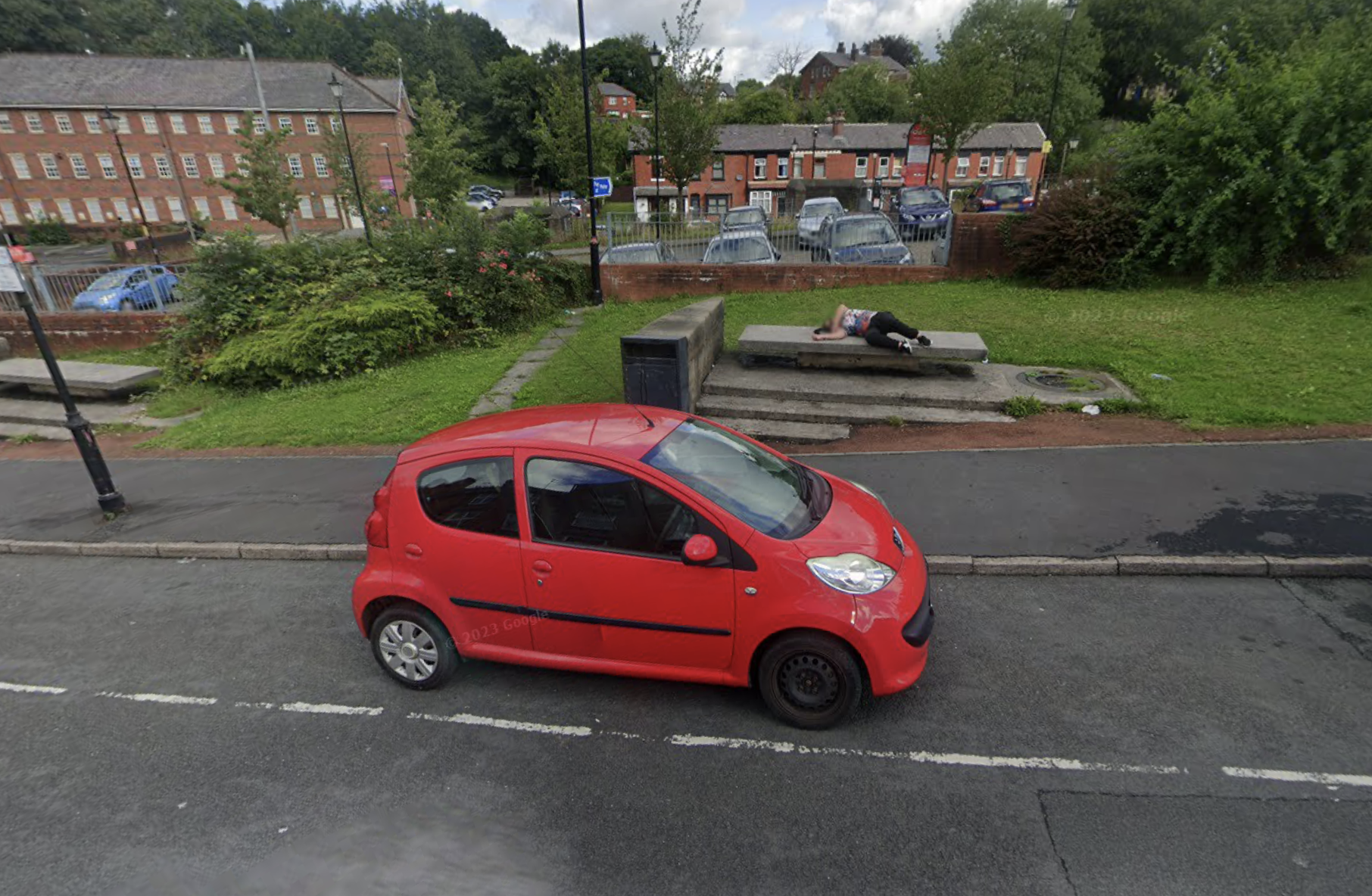
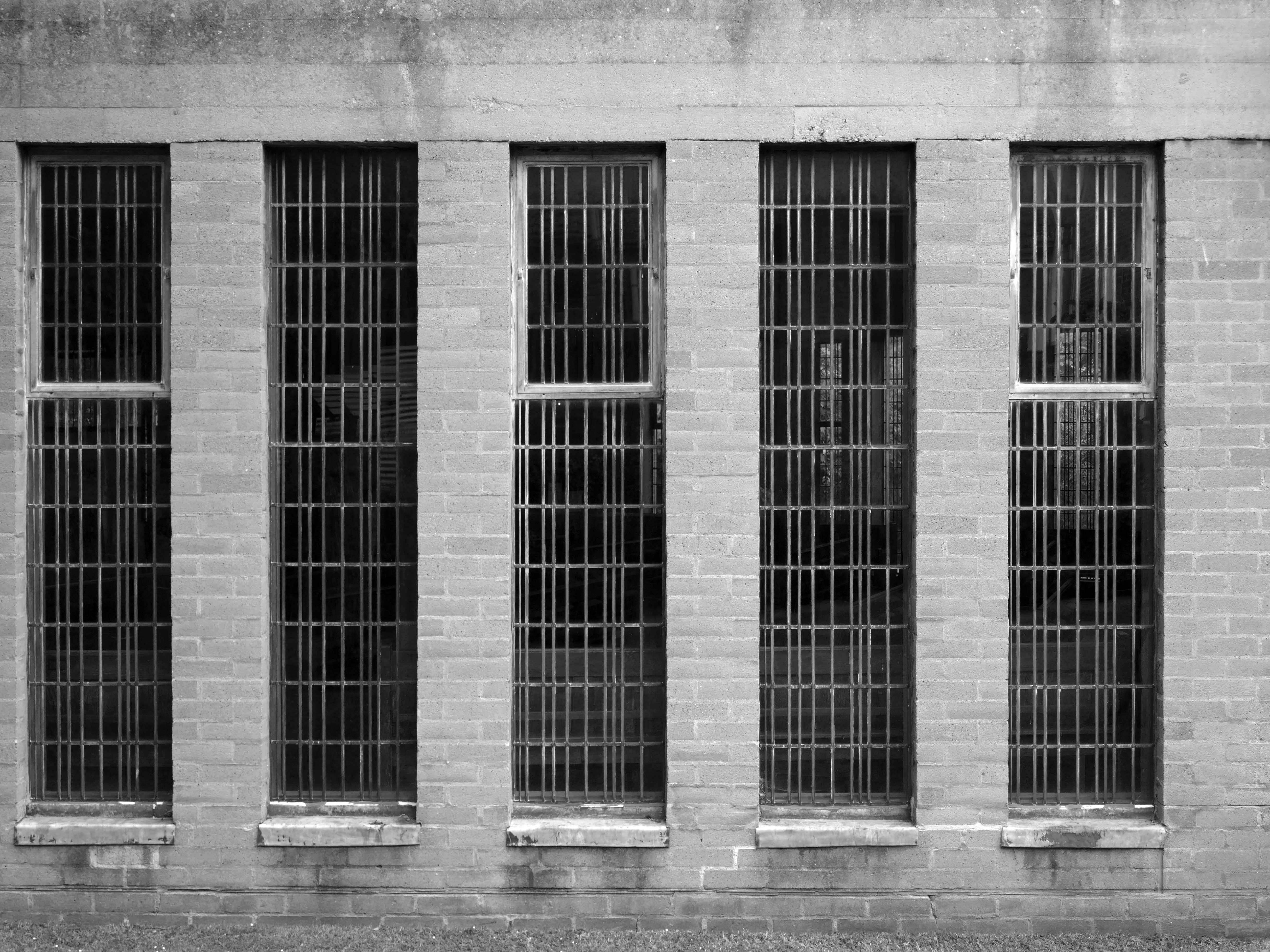
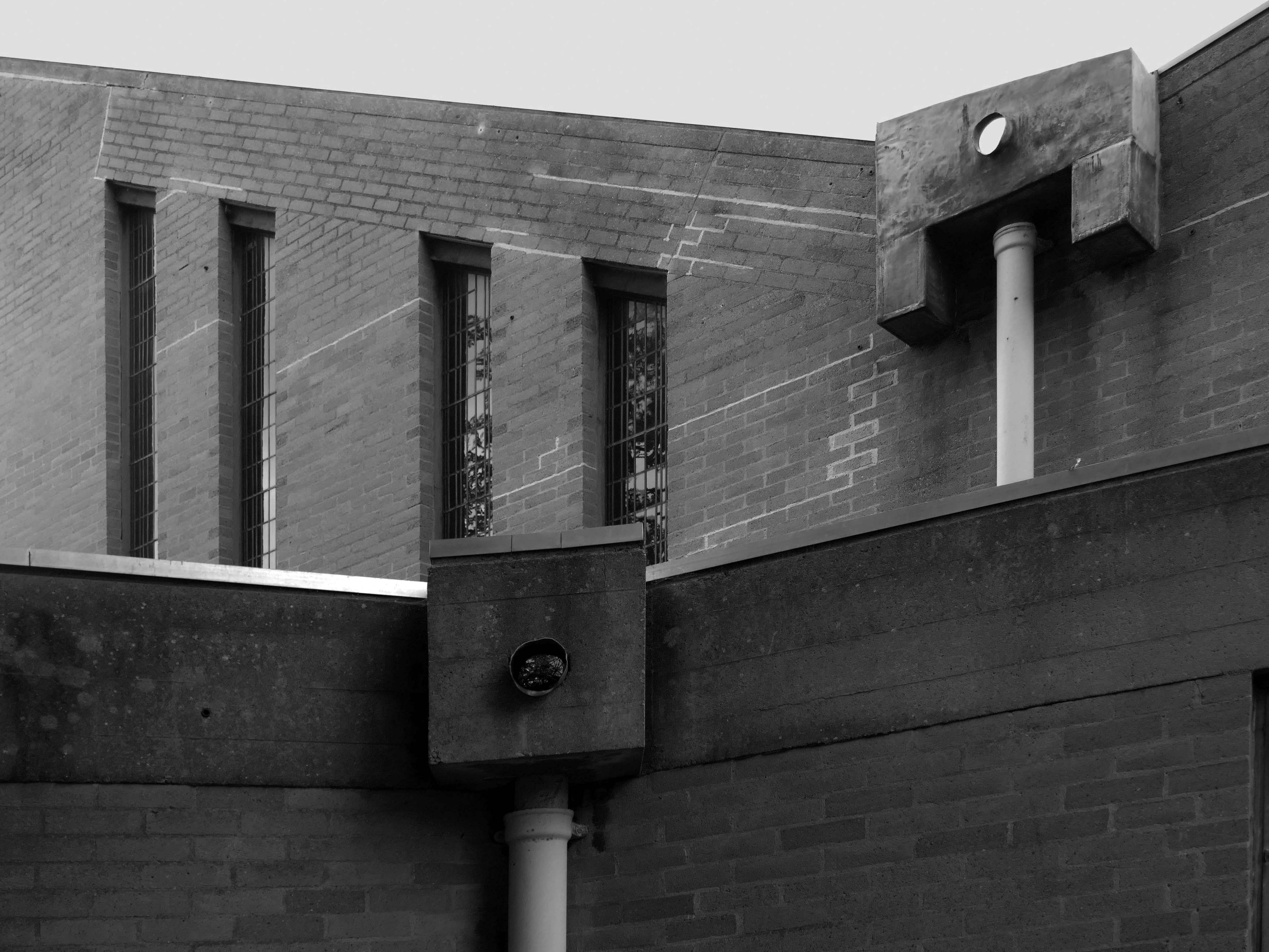
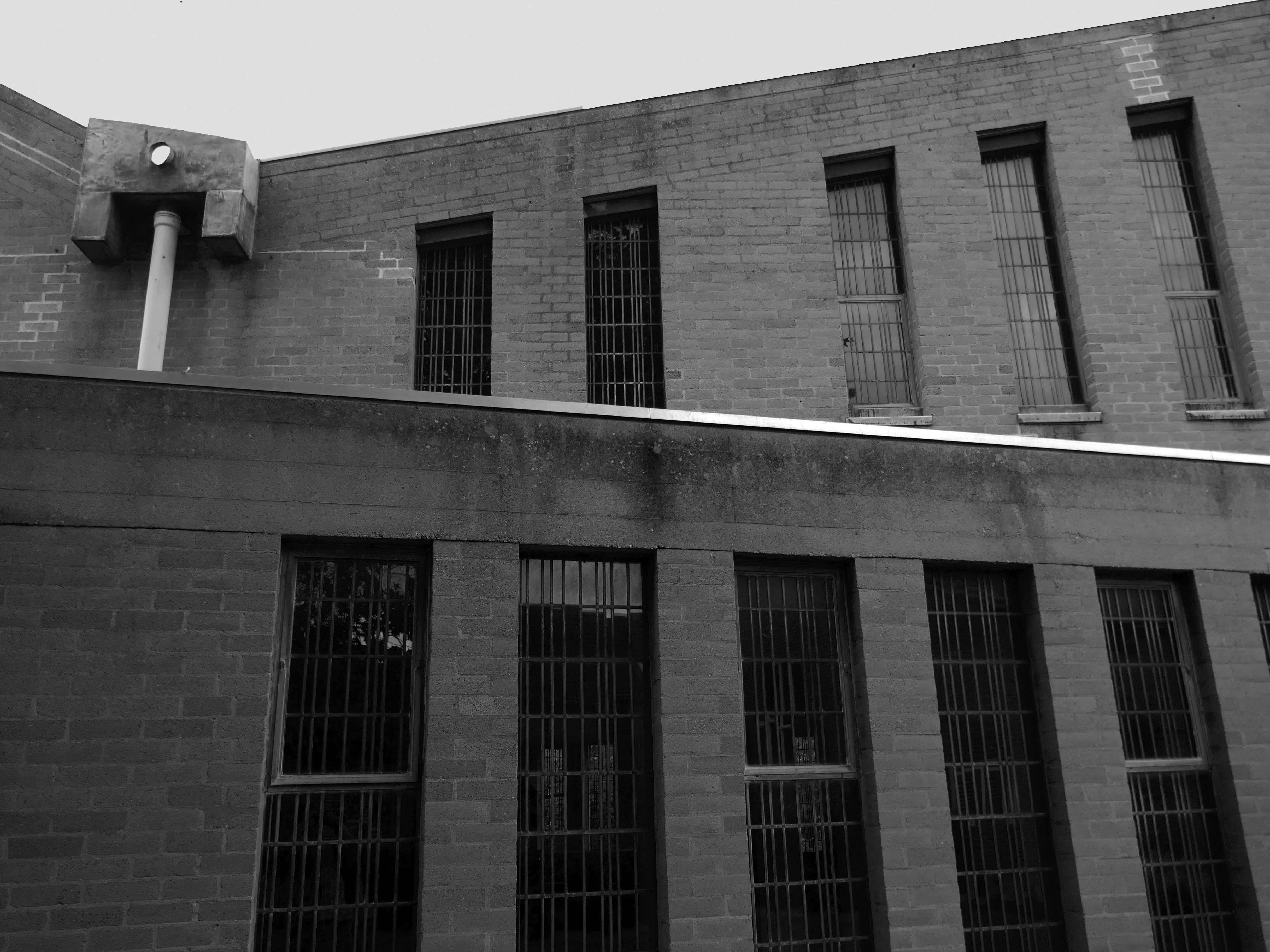
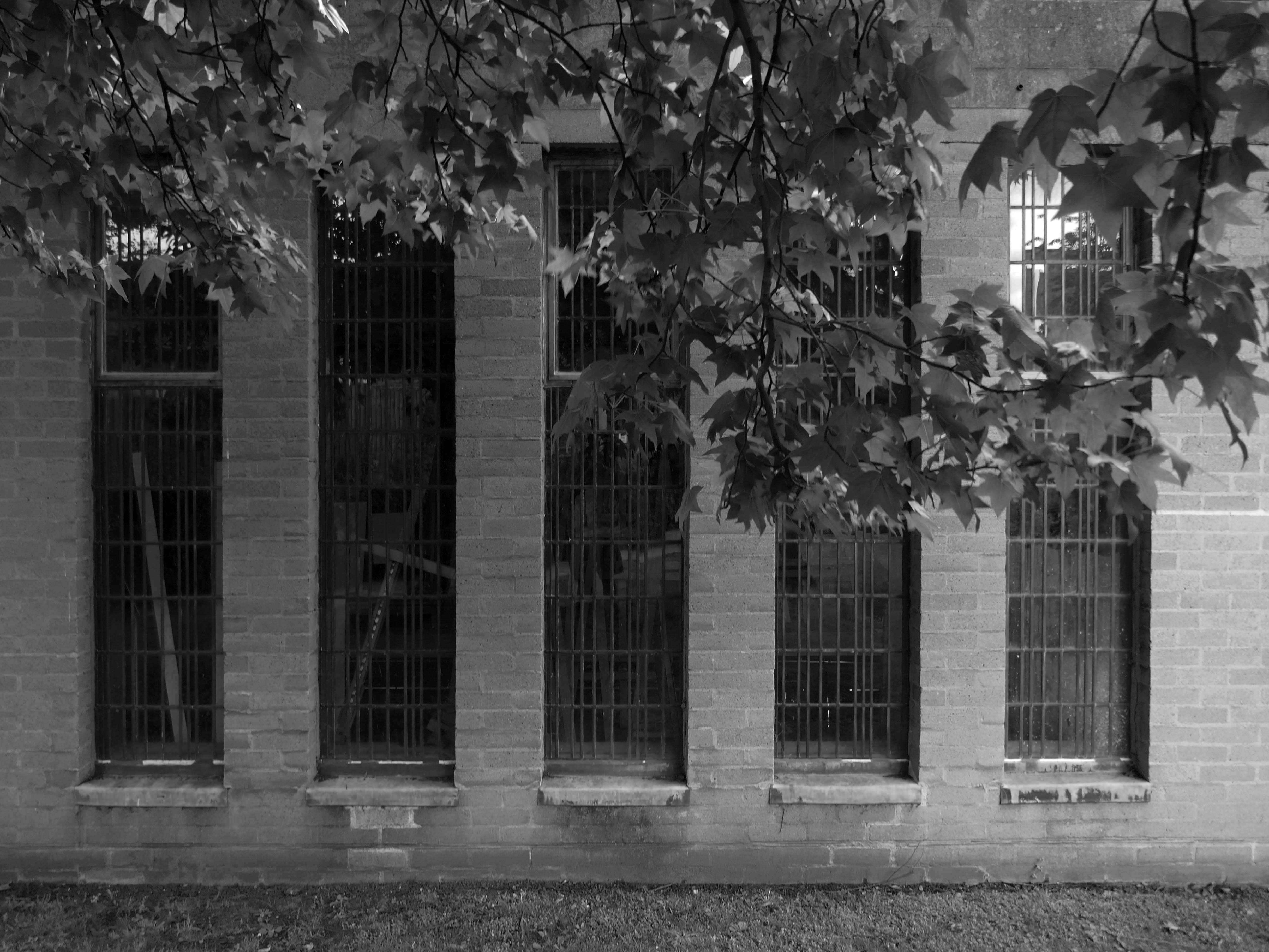
By 1870 there are a number of streets which now no longer exist, along with the homes and industry, they have been subsumed by car parks.
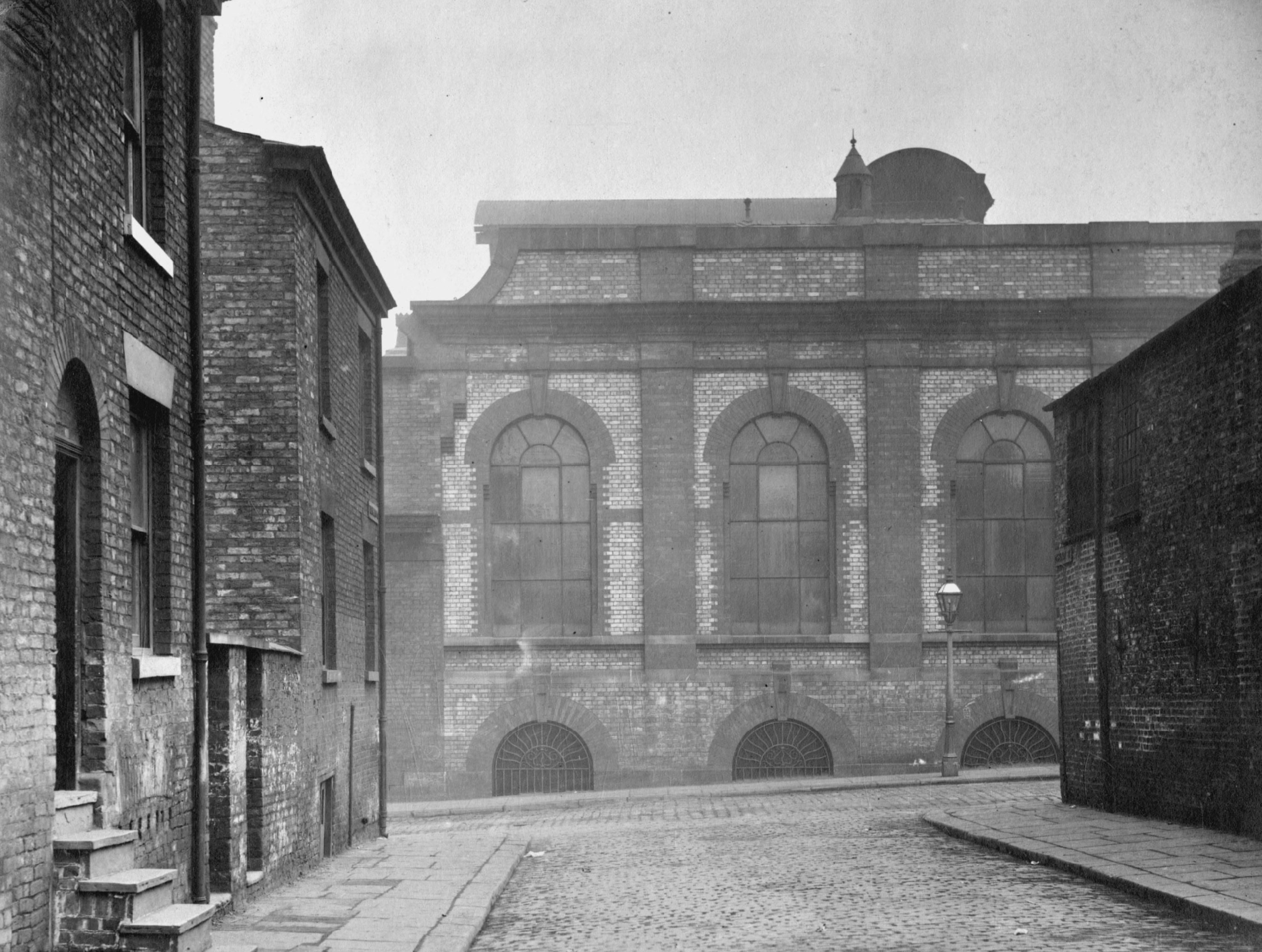
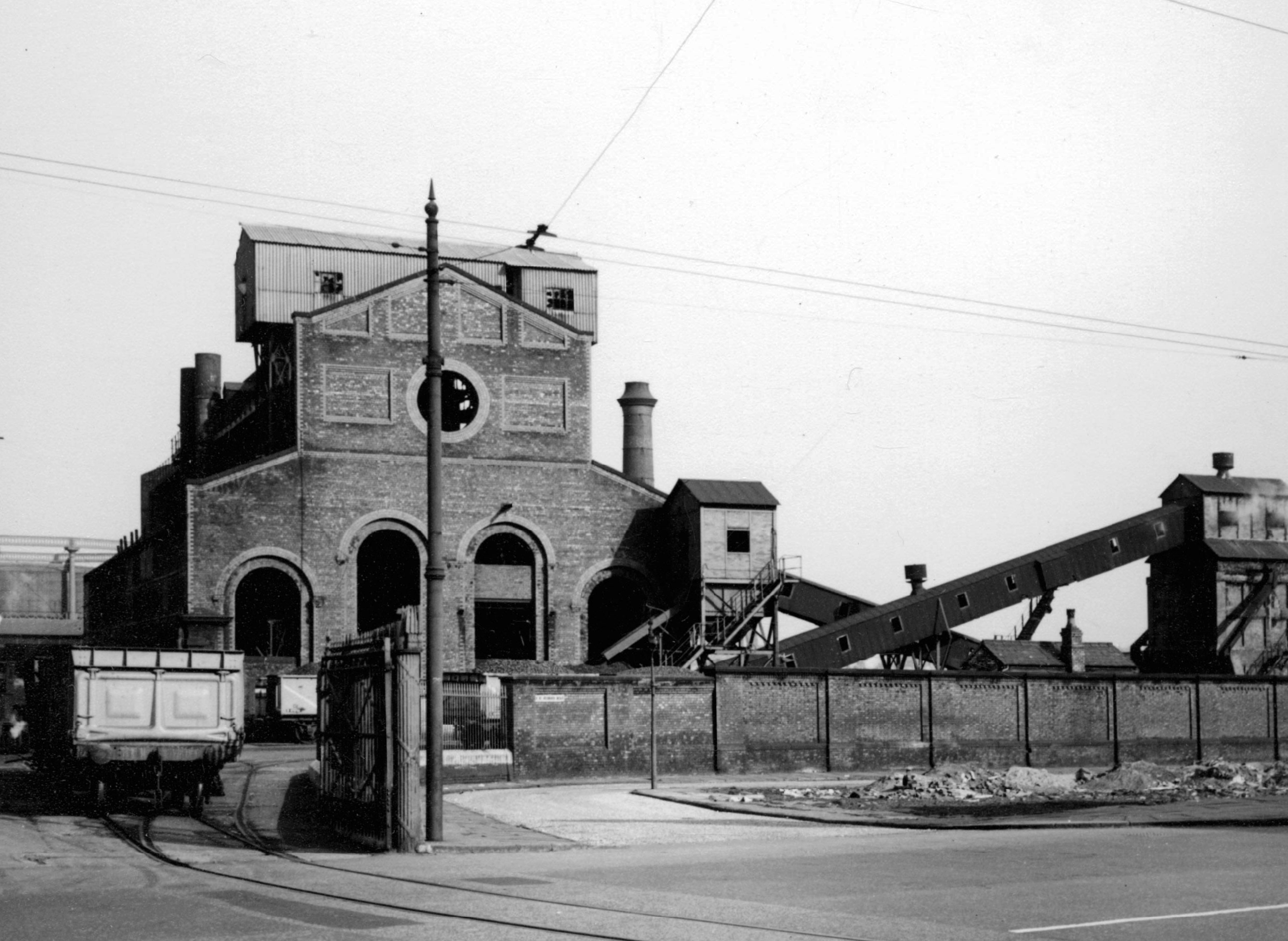
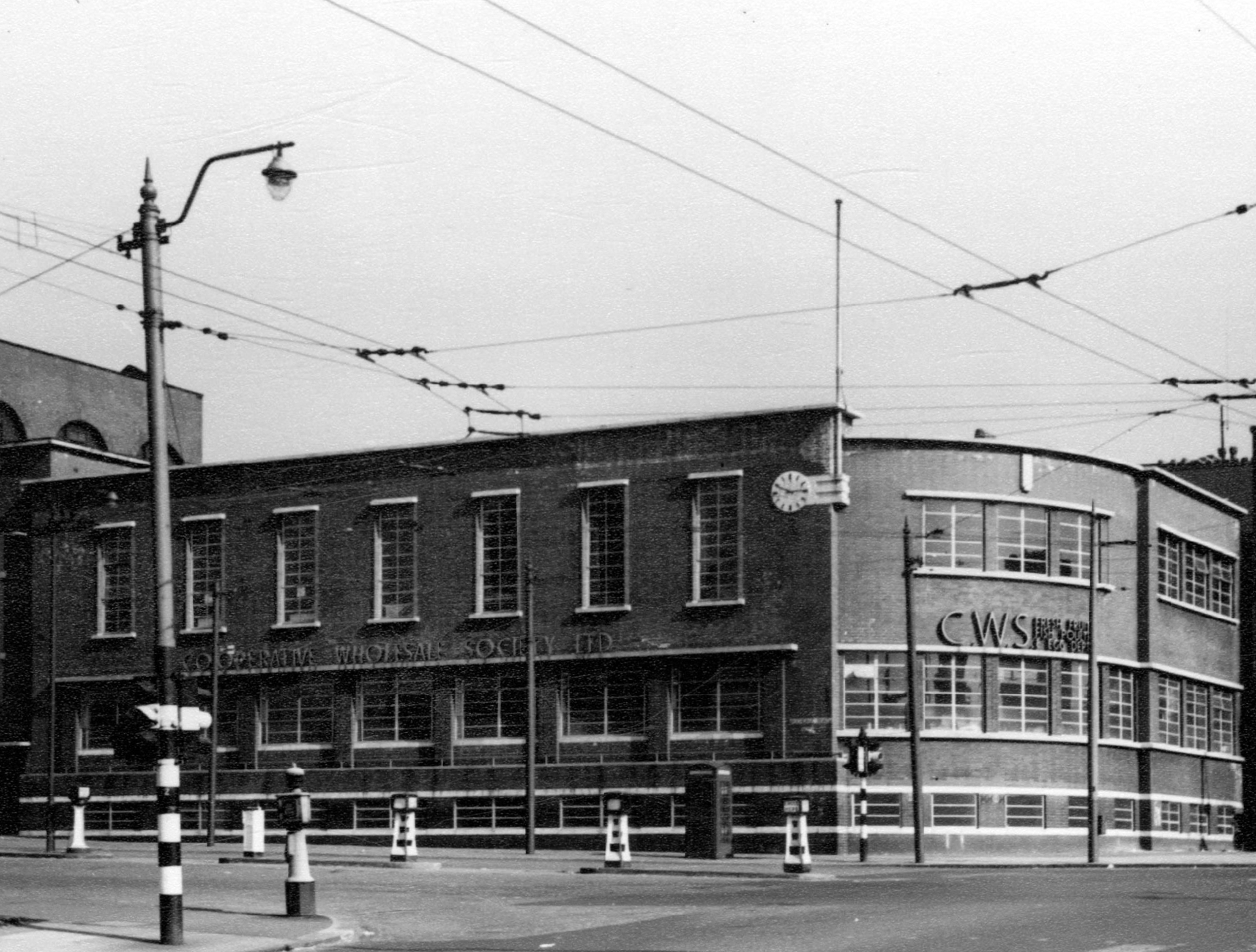
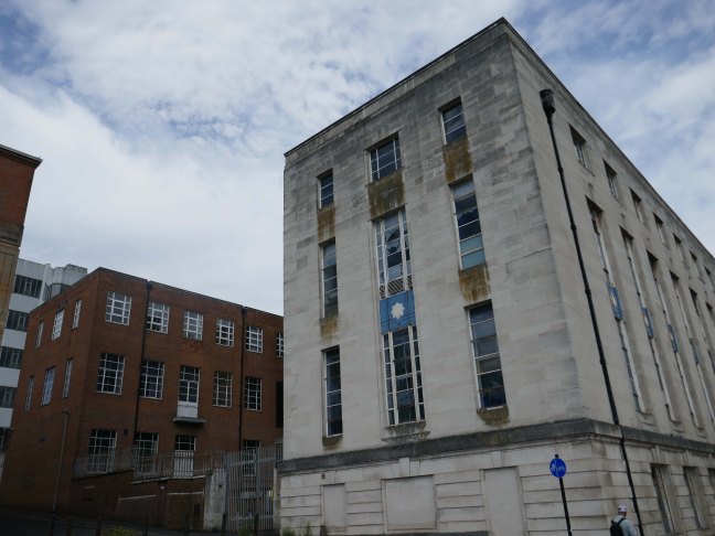
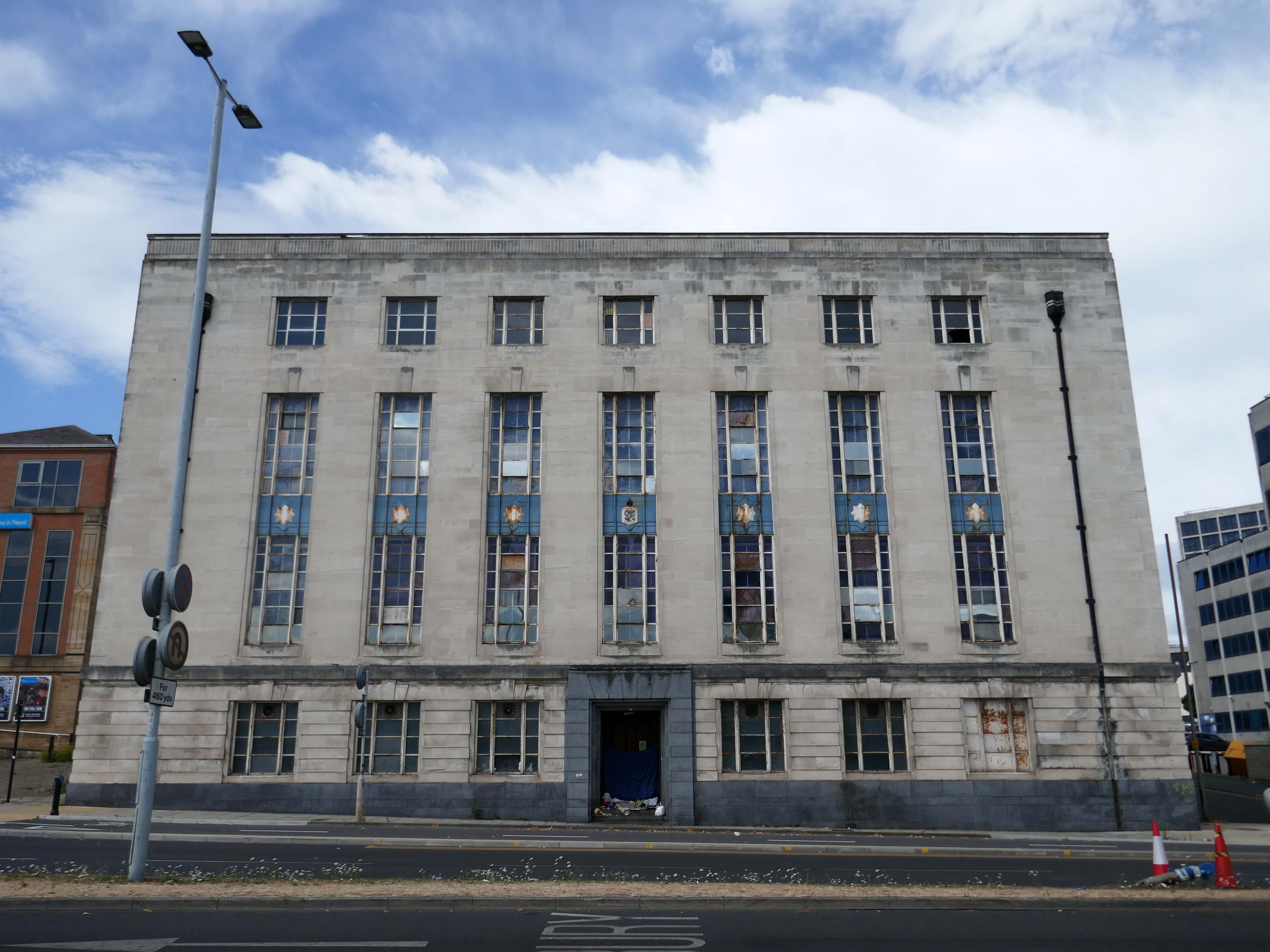
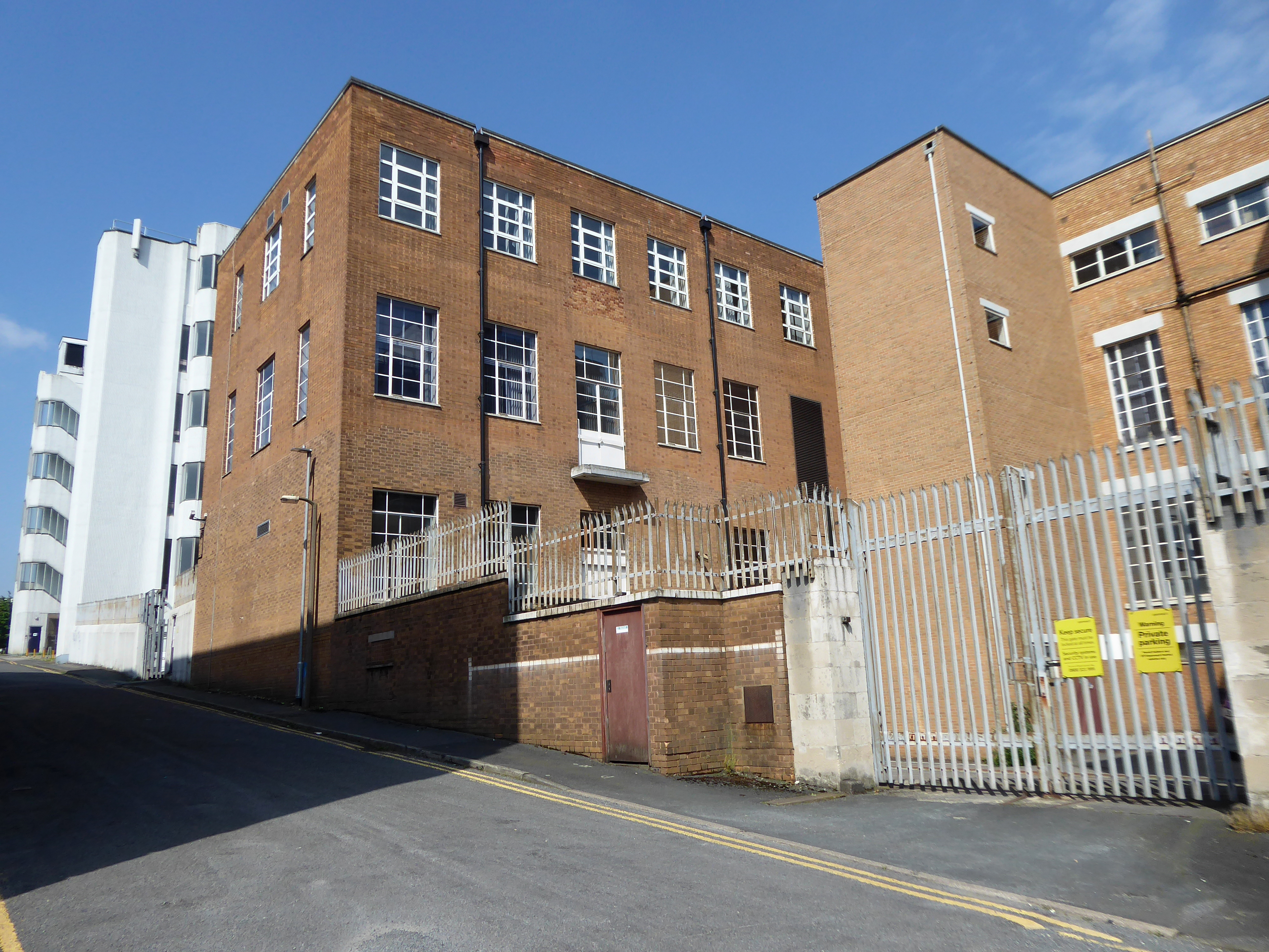
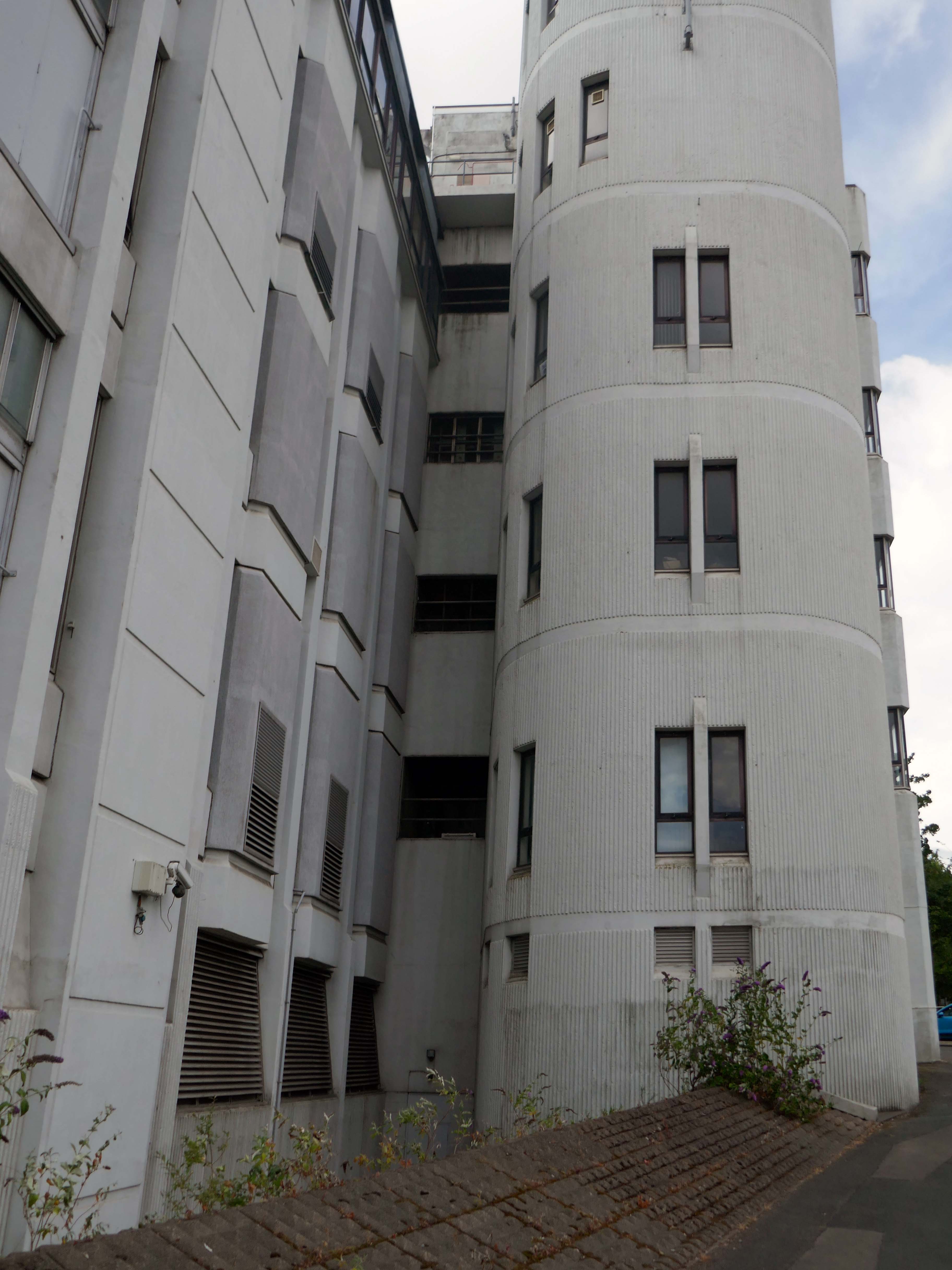
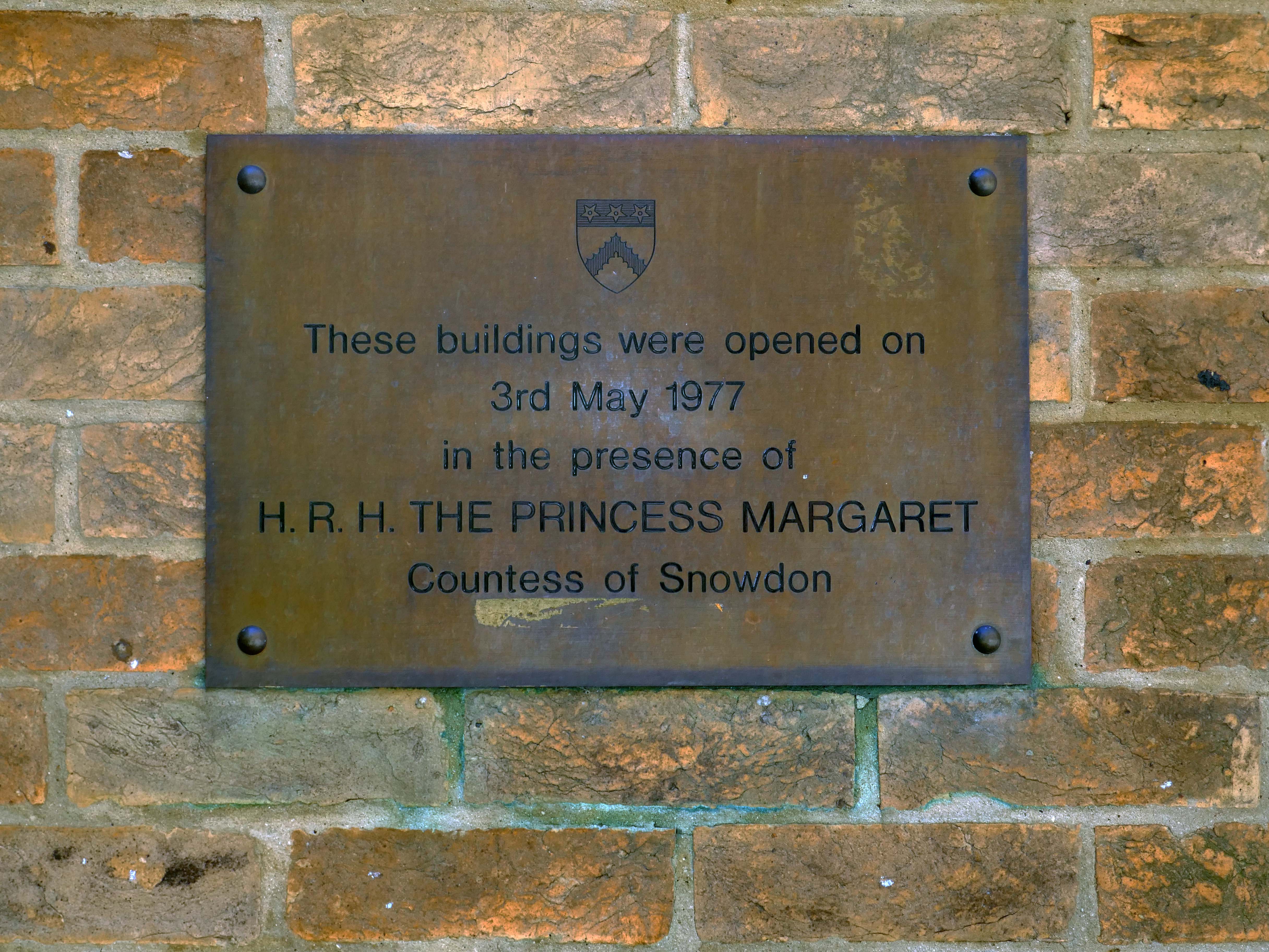
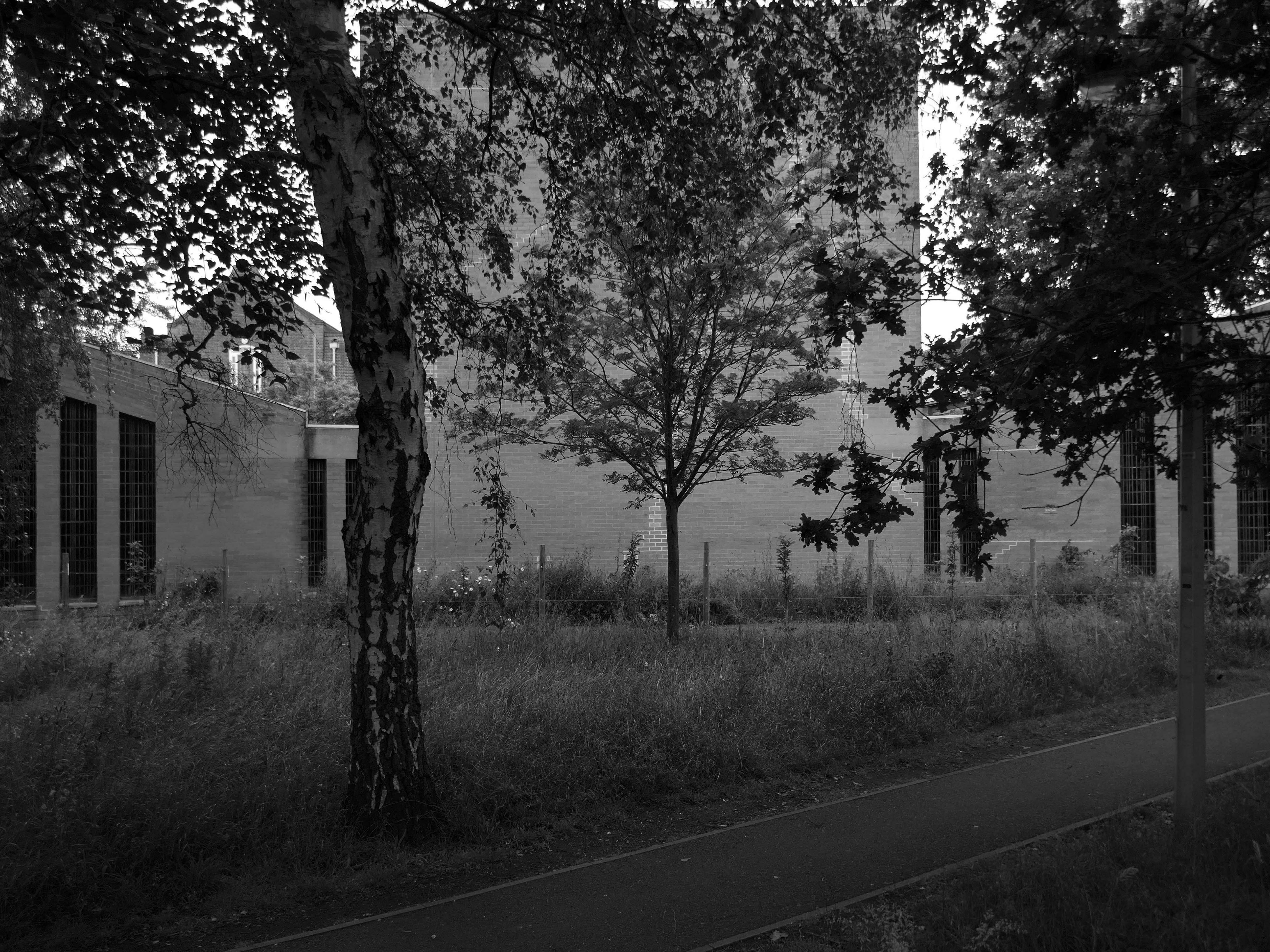
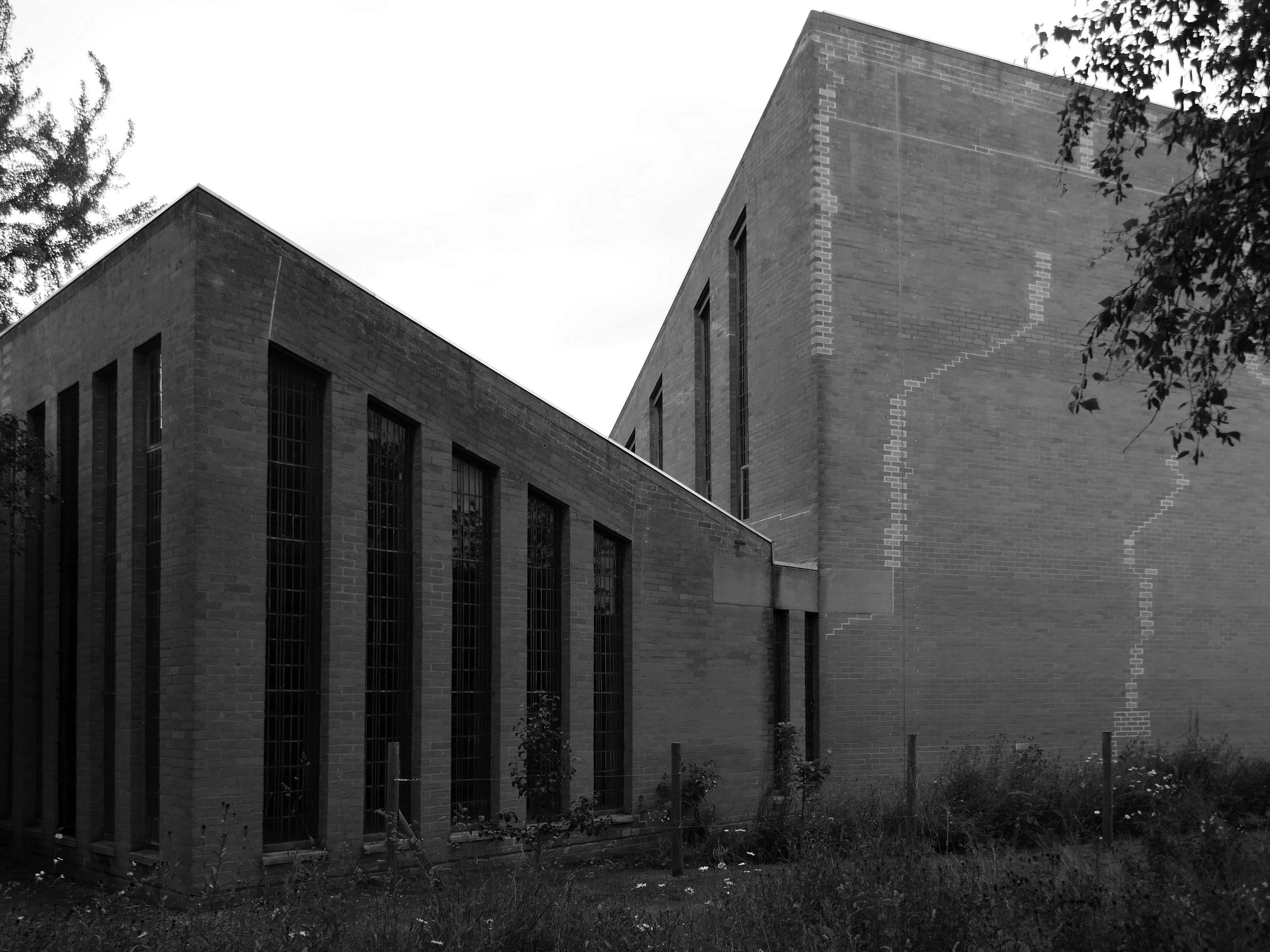
In 1960 the Rochdale Road Gas Works built in 1824, is then still extant.
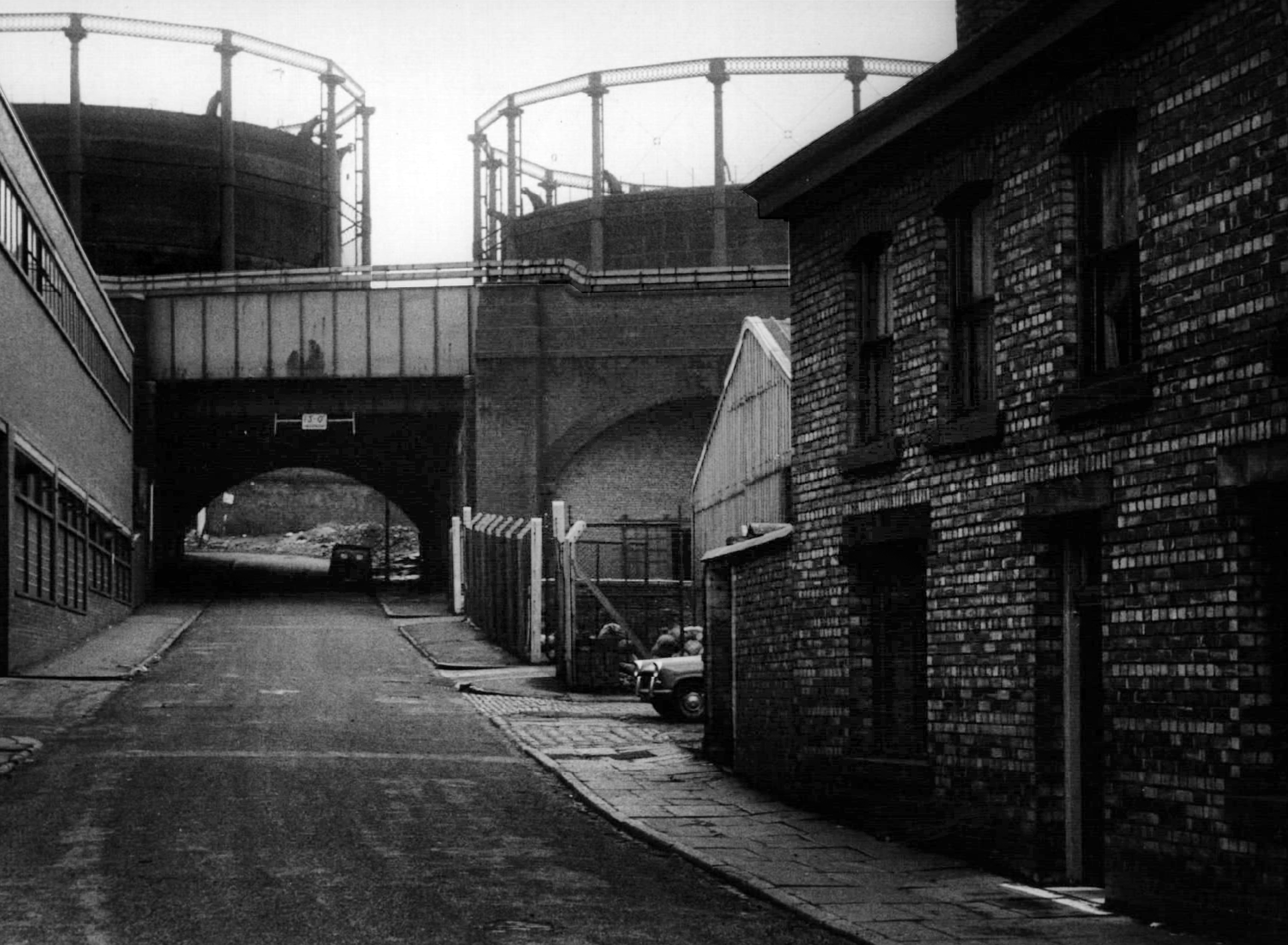
The expansive site spanned over nine acres, including four retort houses, with a capacity of producing 8,500,000 cubic feet of gas daily. Since the end of the 18th century, the site was home to a locomotive/goods shed outside of the main works tramline infrastructure which was used for coal transportation for off-site refining. In the early 1940s, reorganisation and reconstruction ledto alterations and clearance of existing above-ground structures.
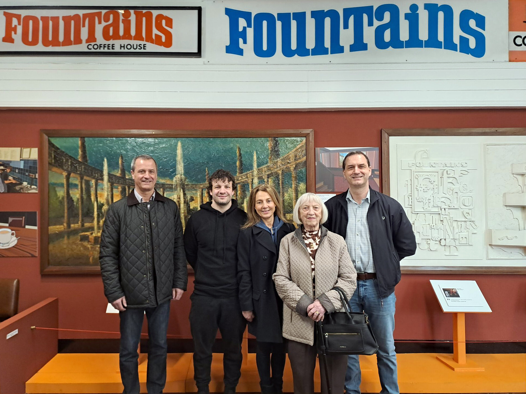
Image – Britain from the Air
Image 1907 J Jackson Manchester Local Image Collection.
Image 1958 Lawrence Kaye Manchester Local Image Collection.
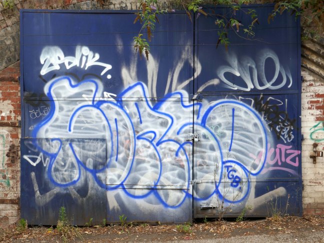
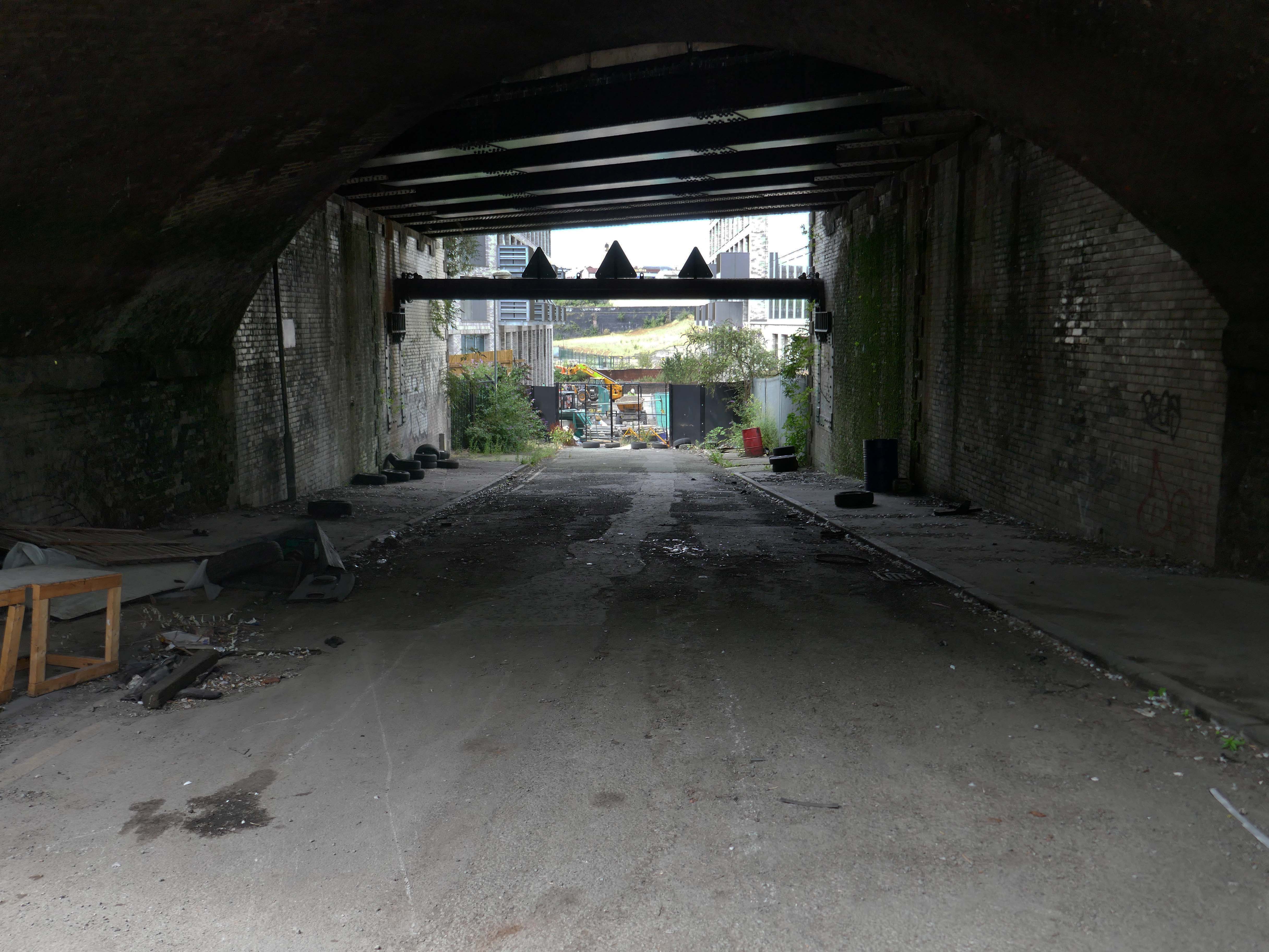
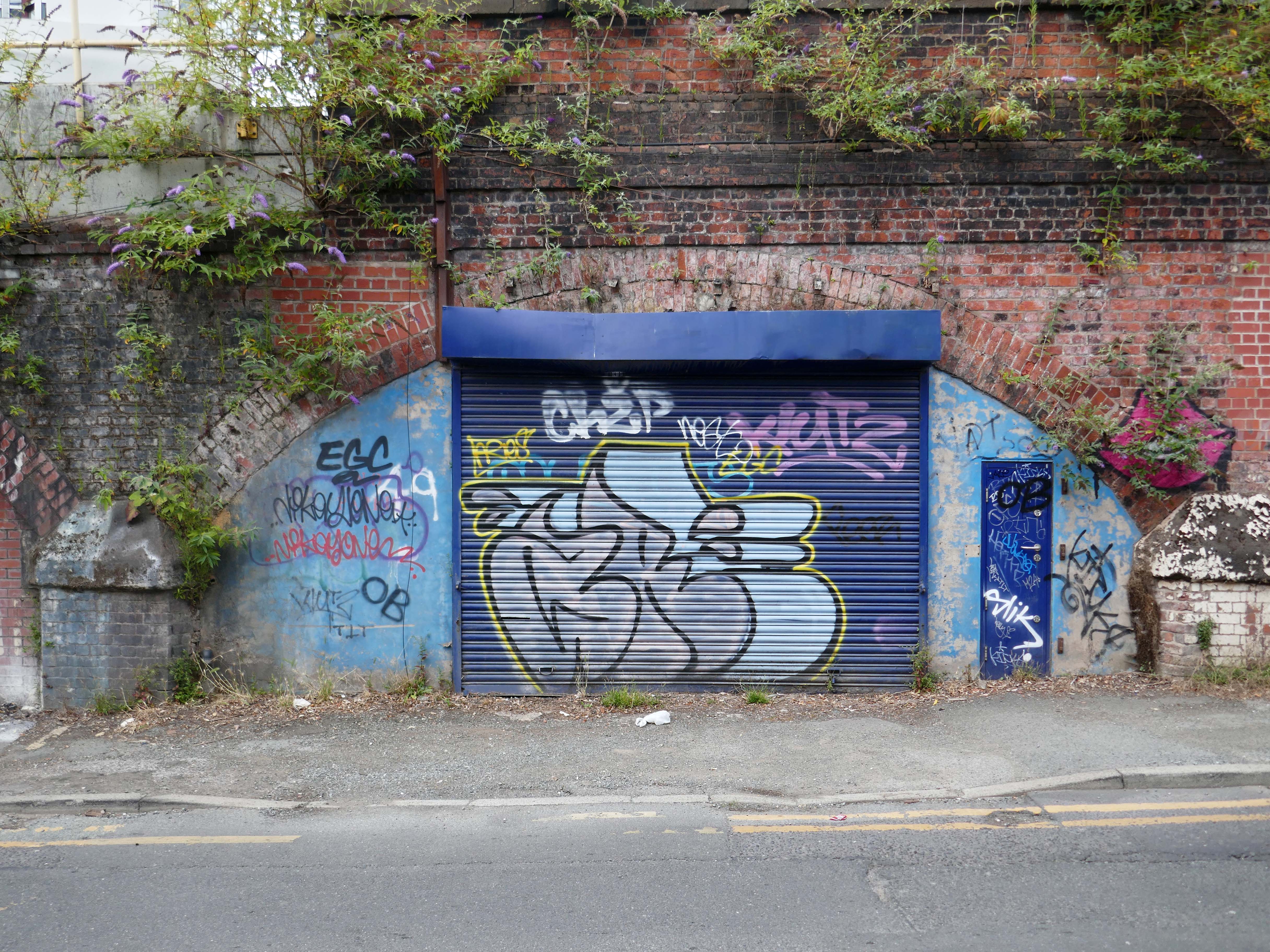
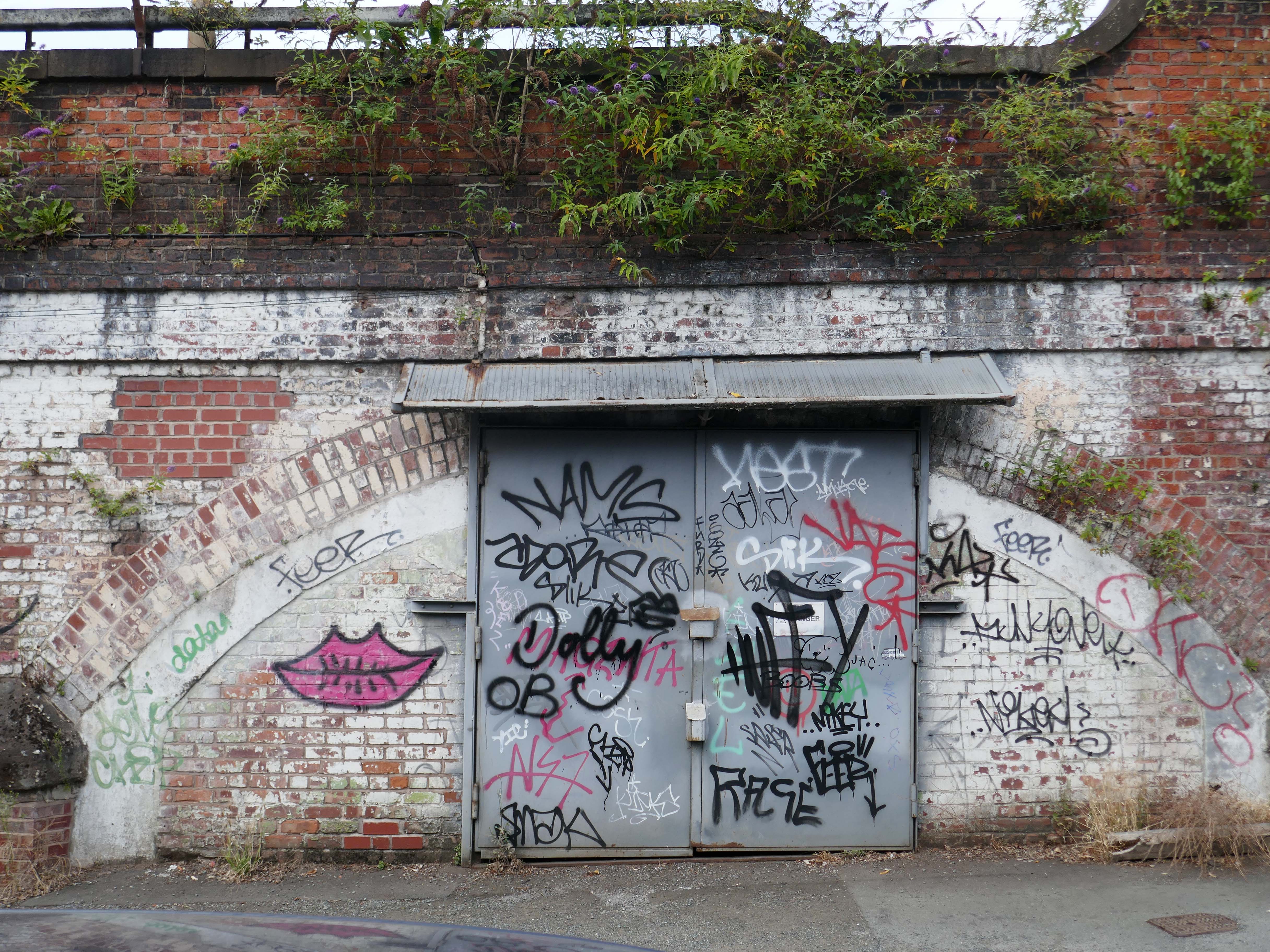
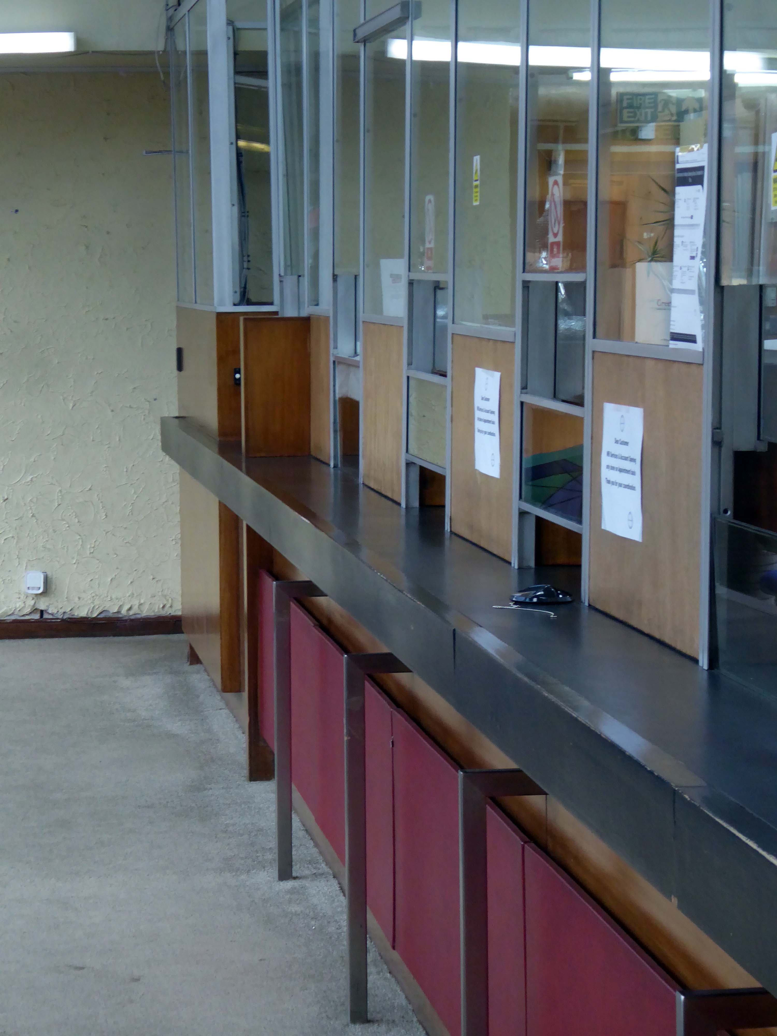
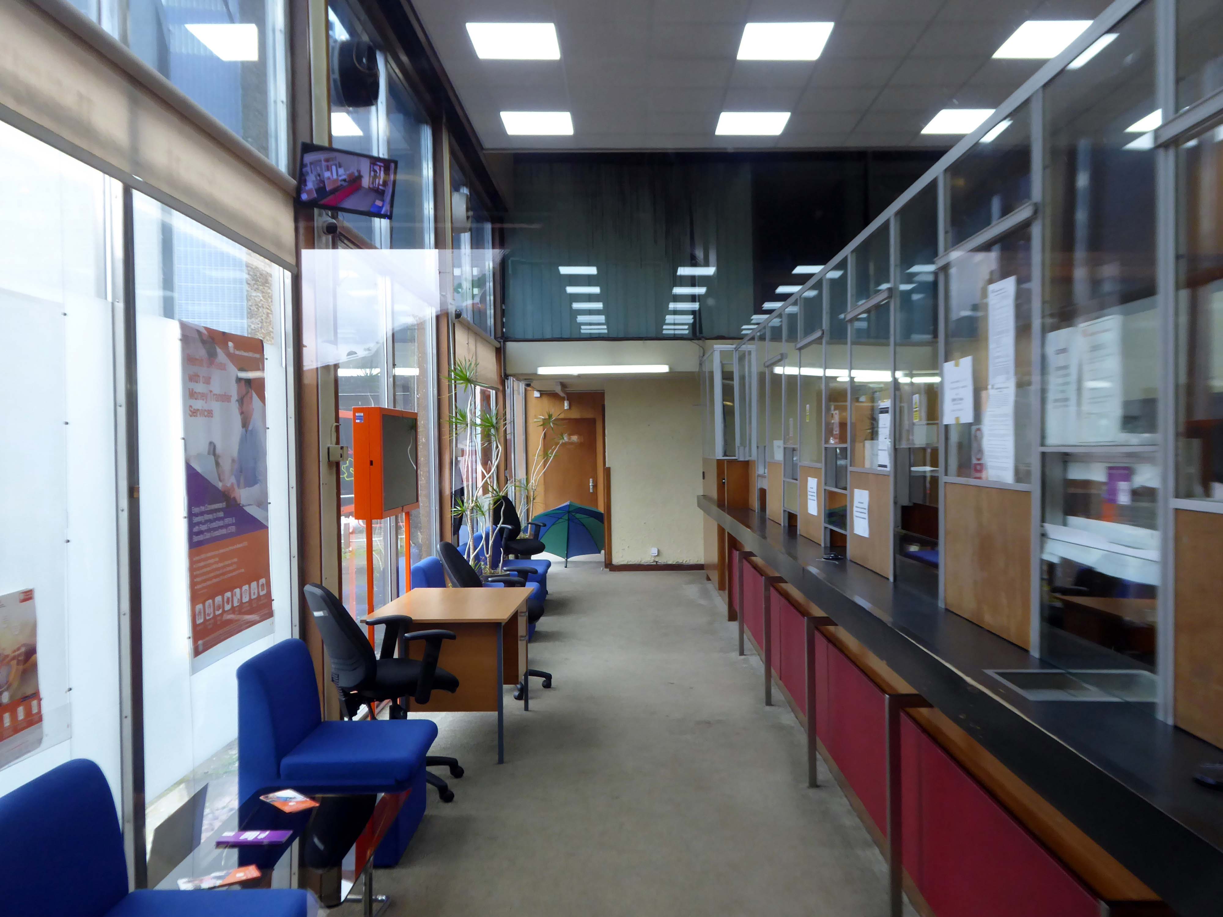
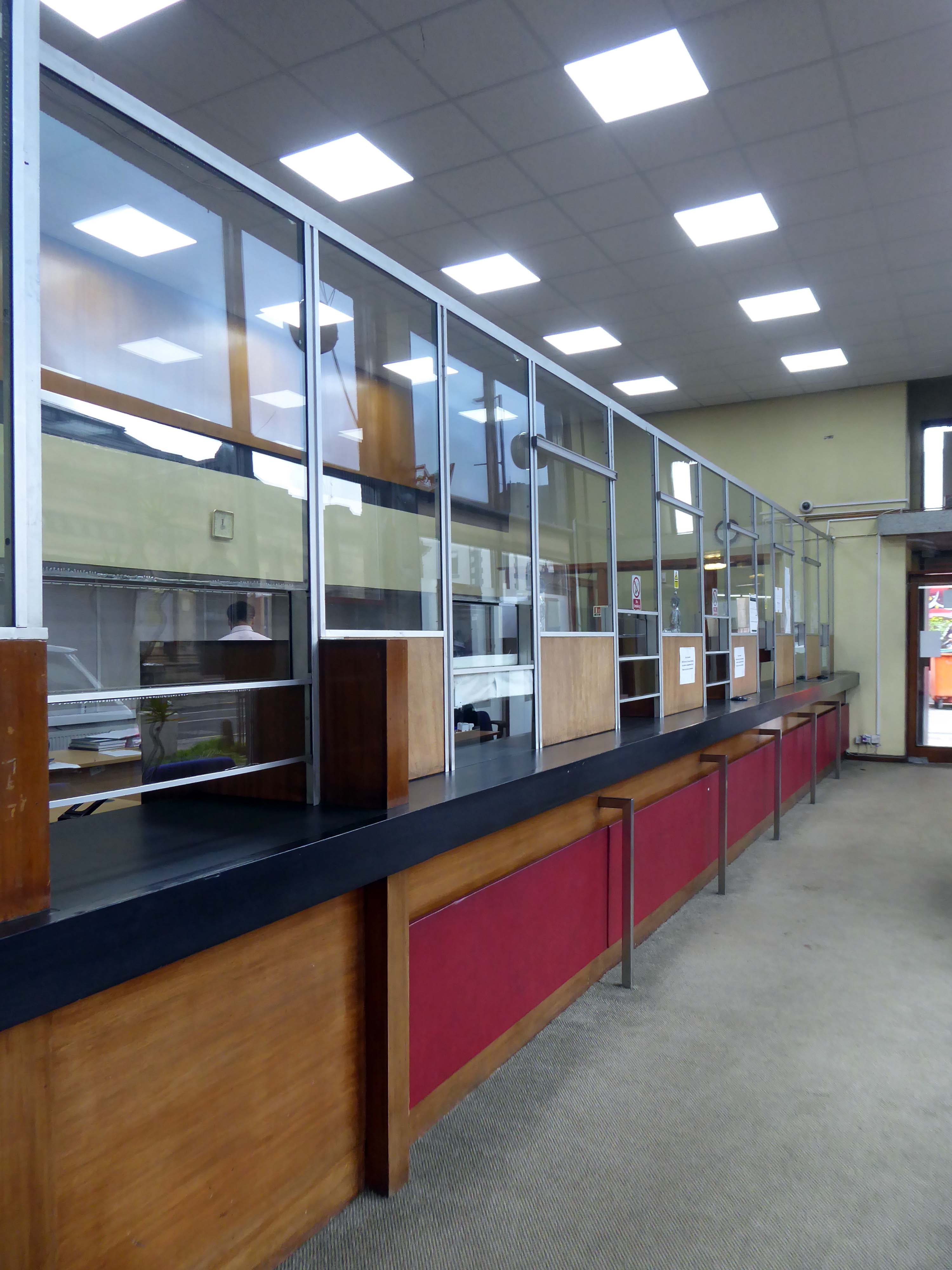
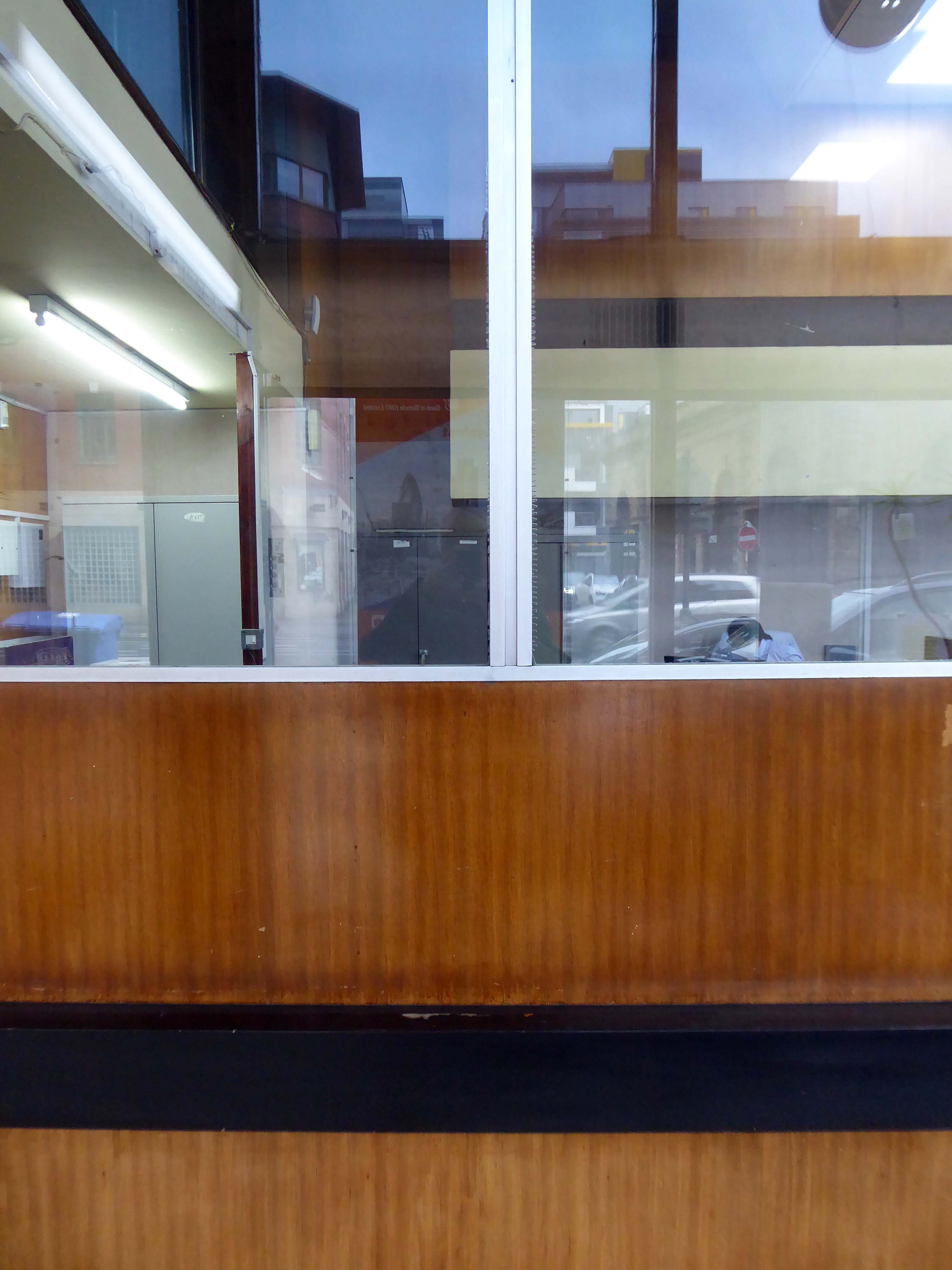
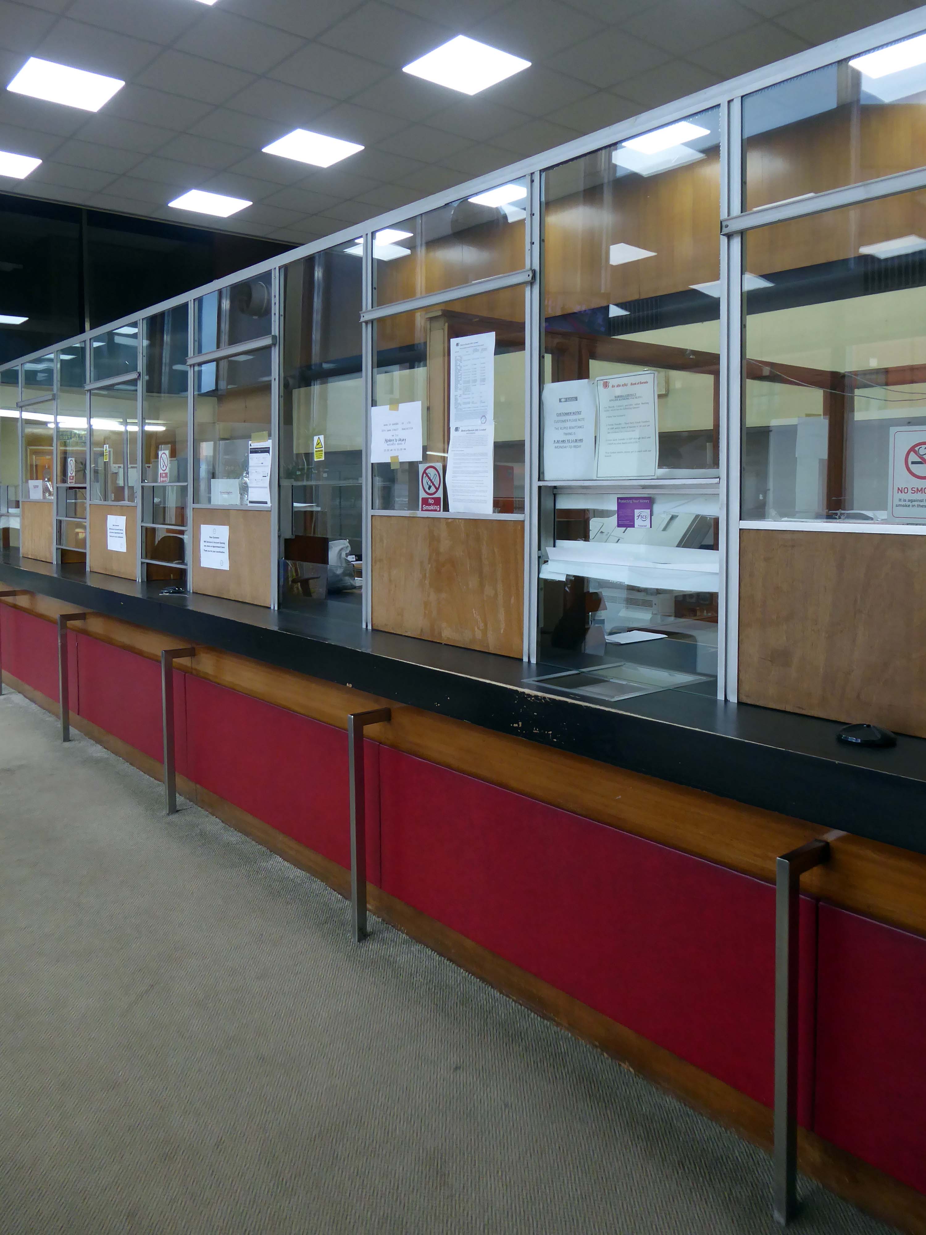
Bromley Street.
Image 1964 Lawrence Kaye Manchester Local Image Collection.
Image 1966 Thomas Brooks Manchester Local Image Collection.
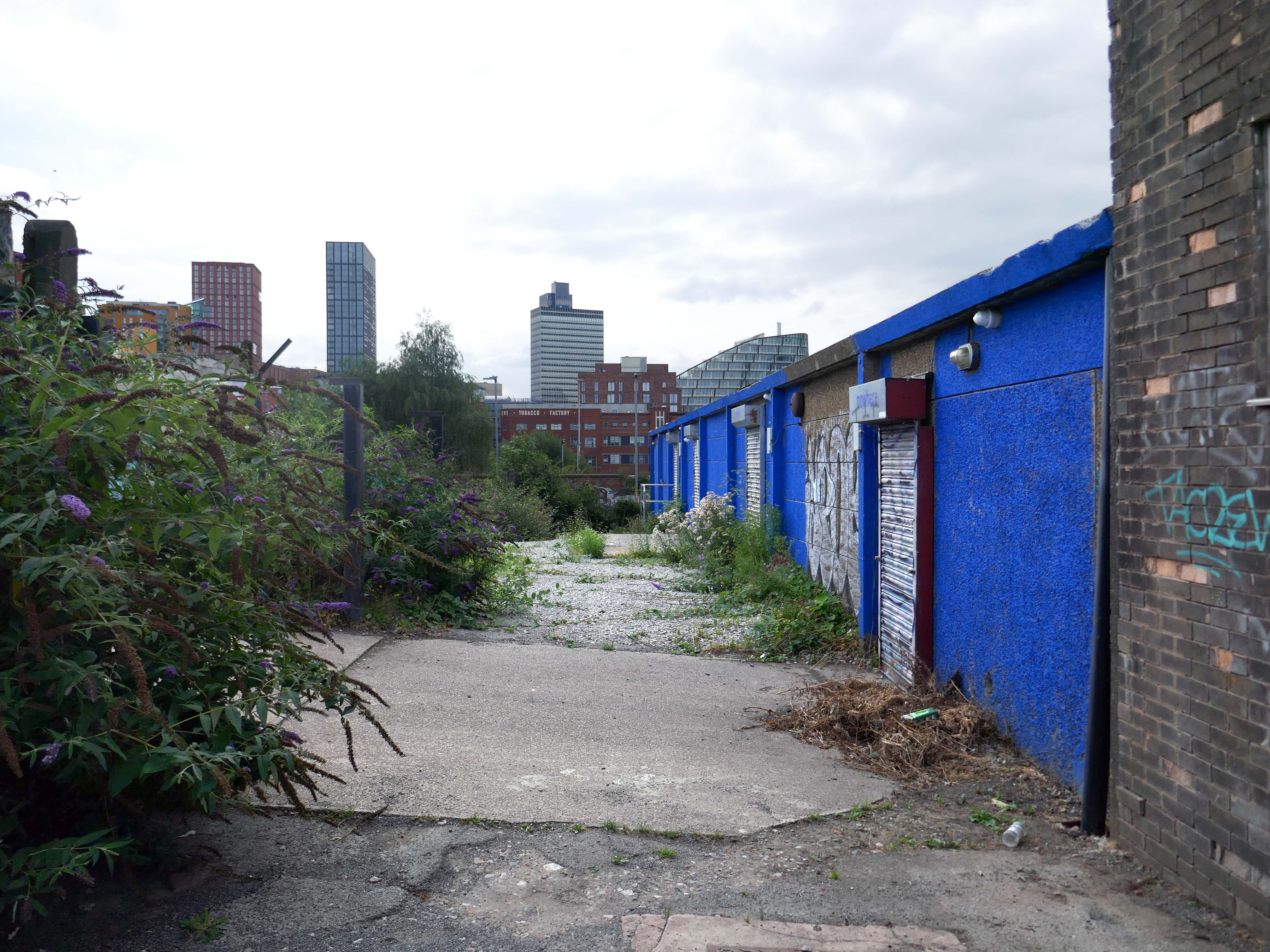
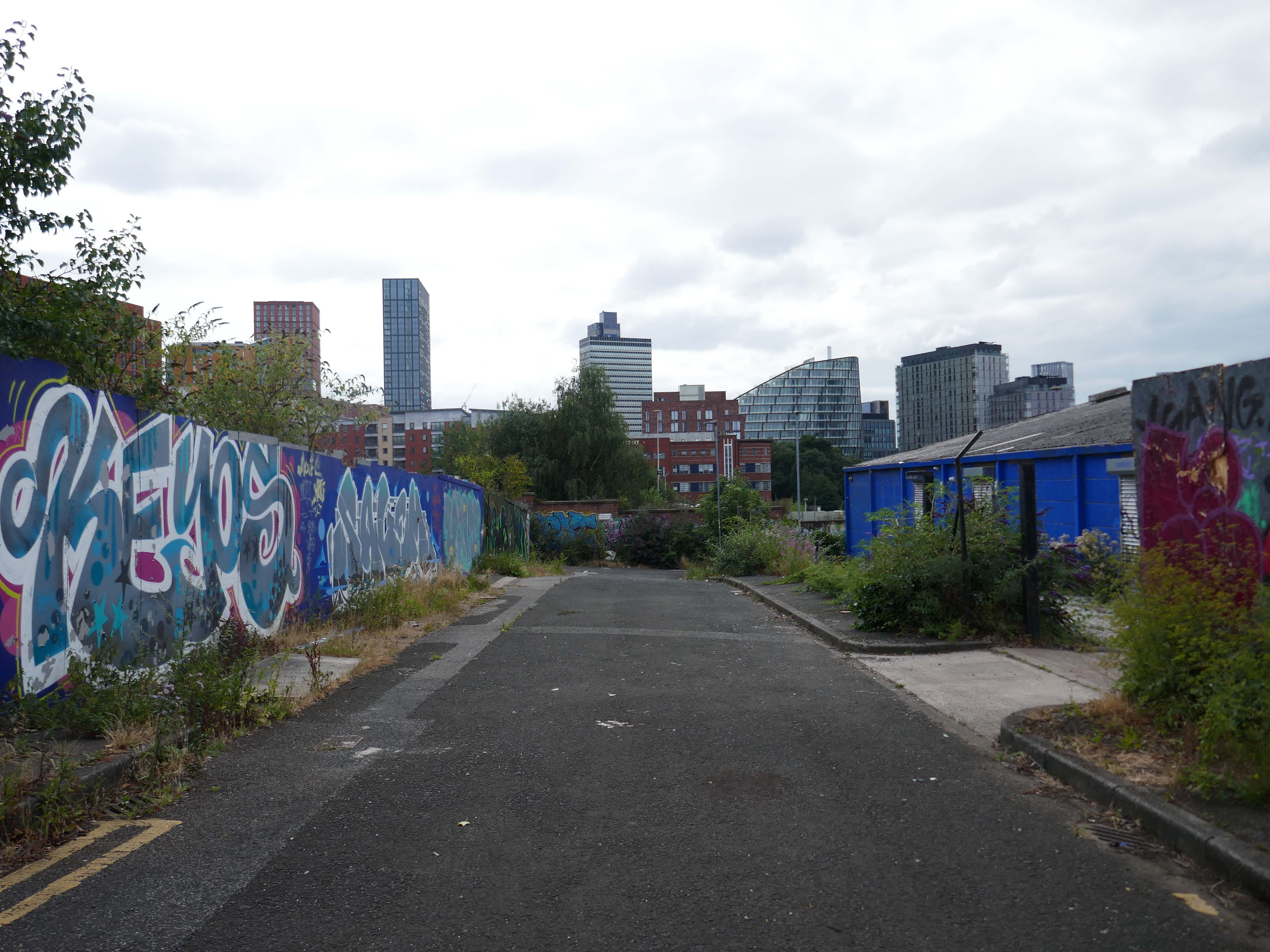
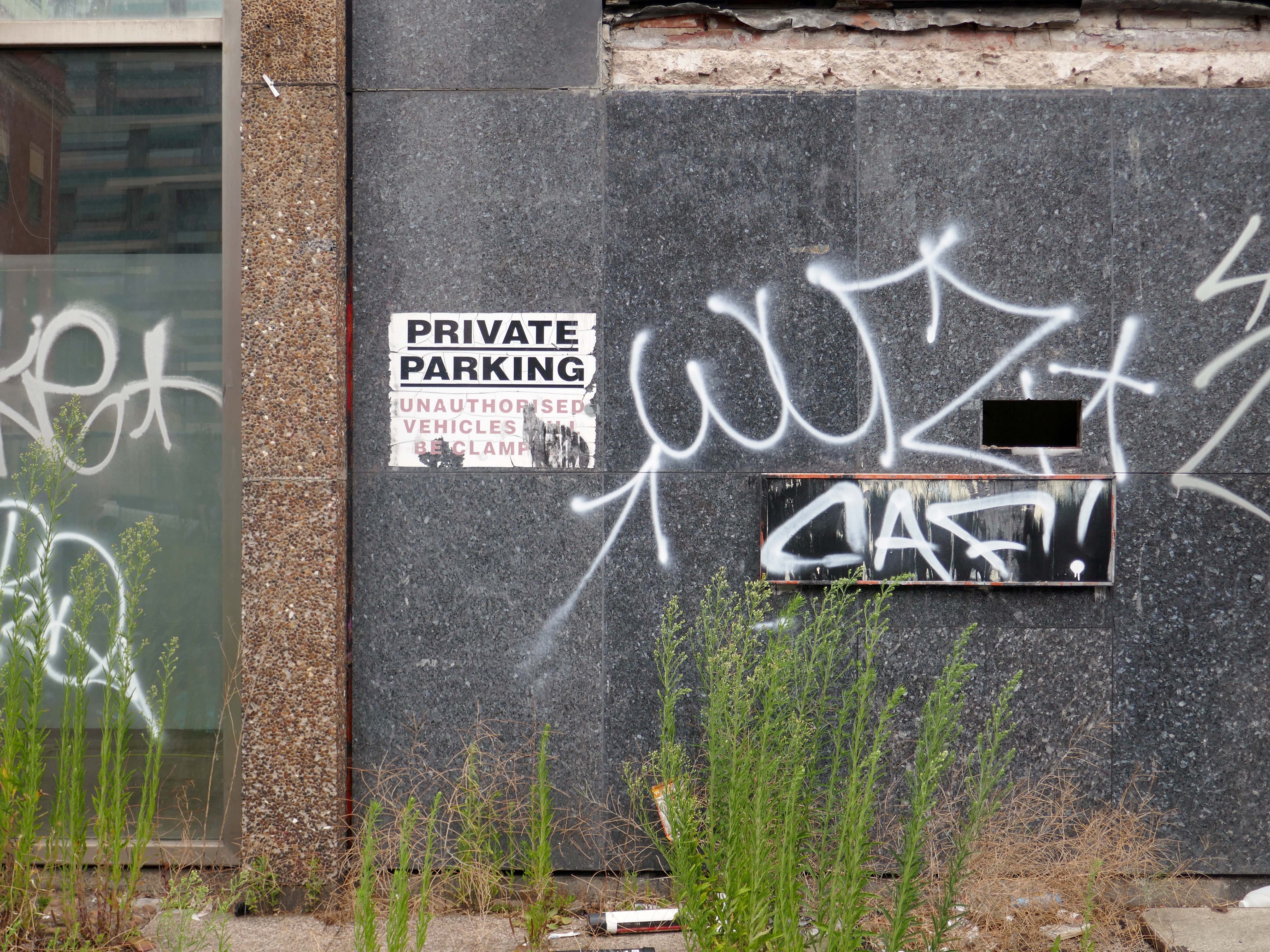
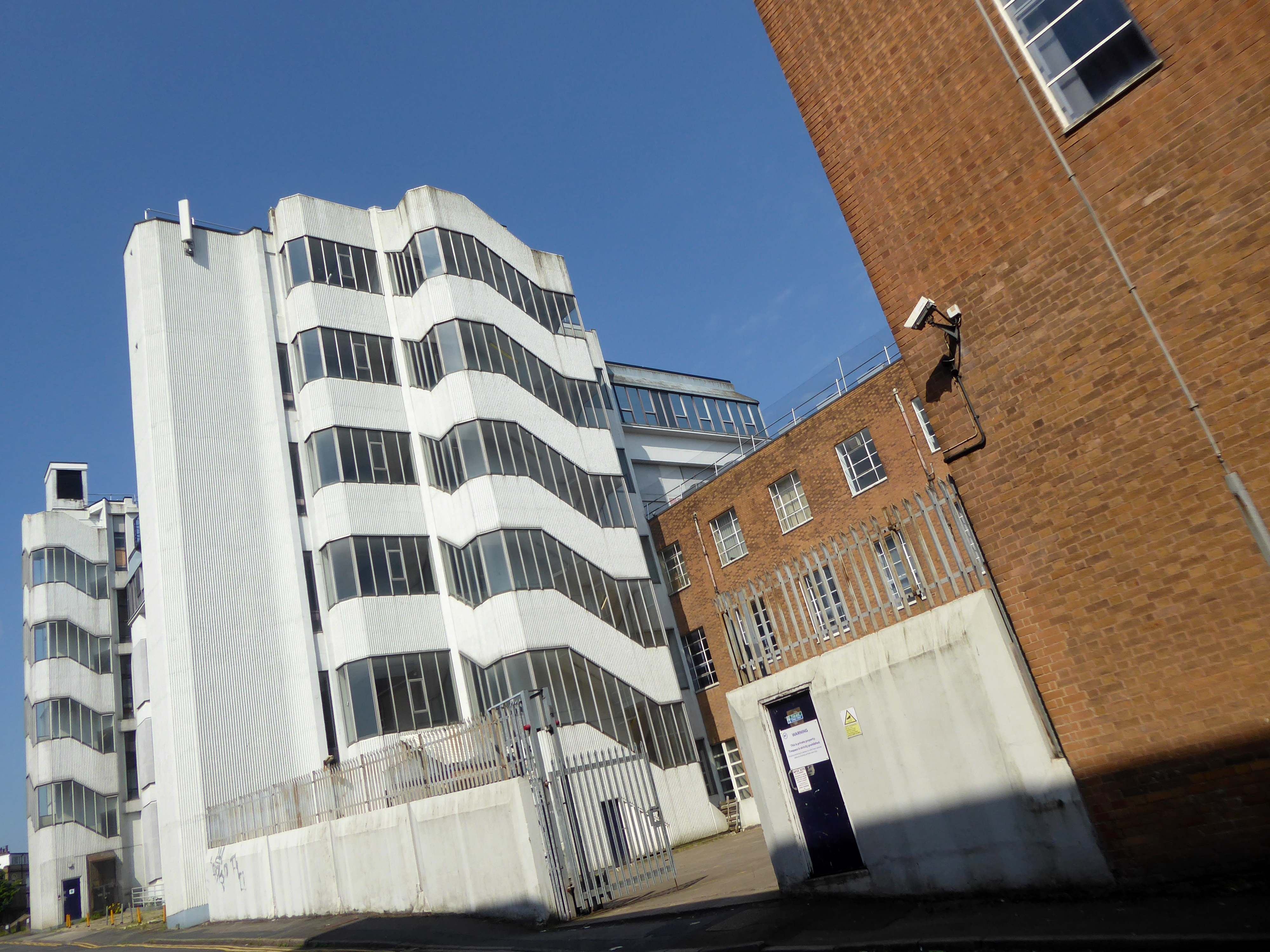
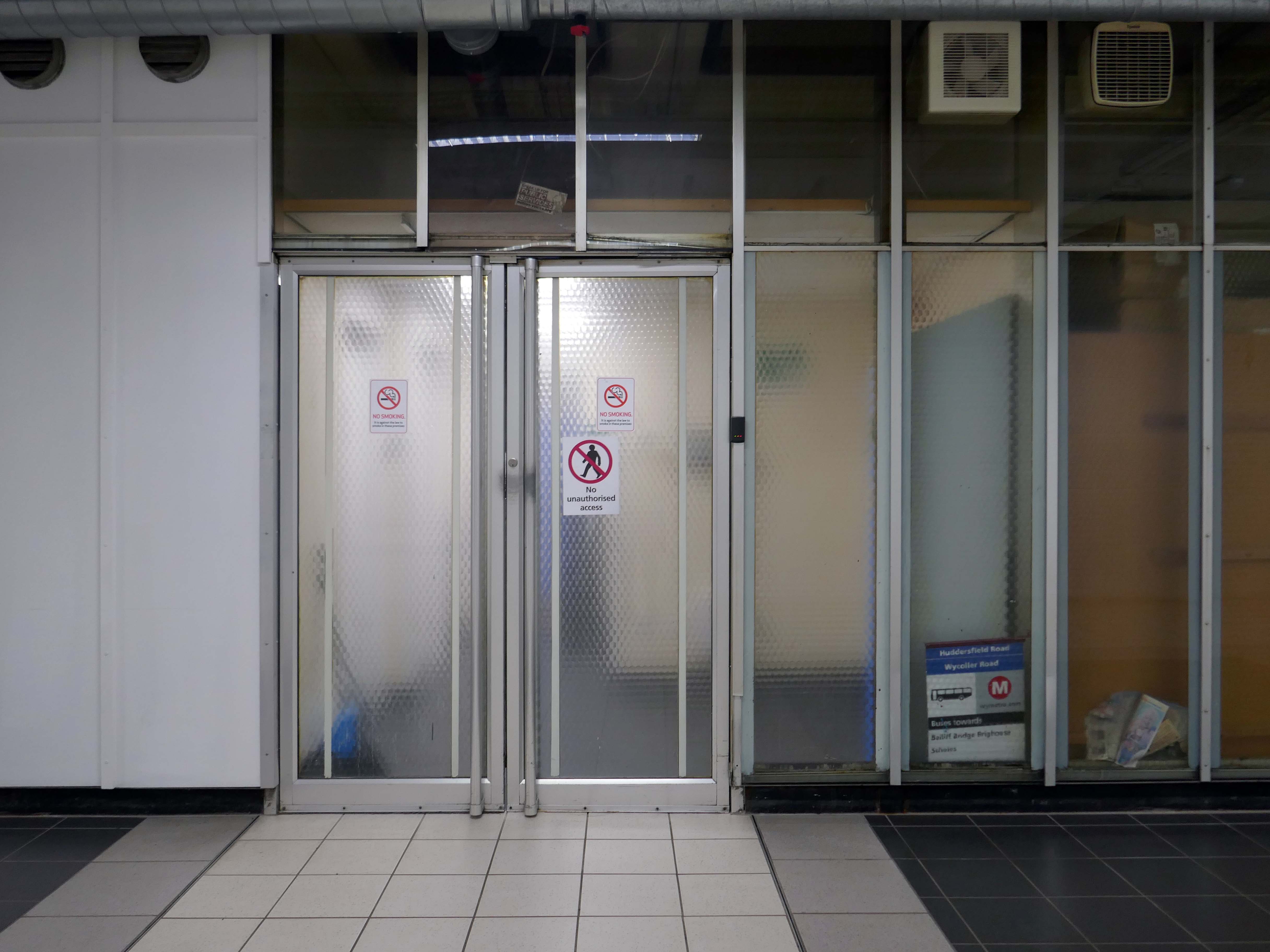
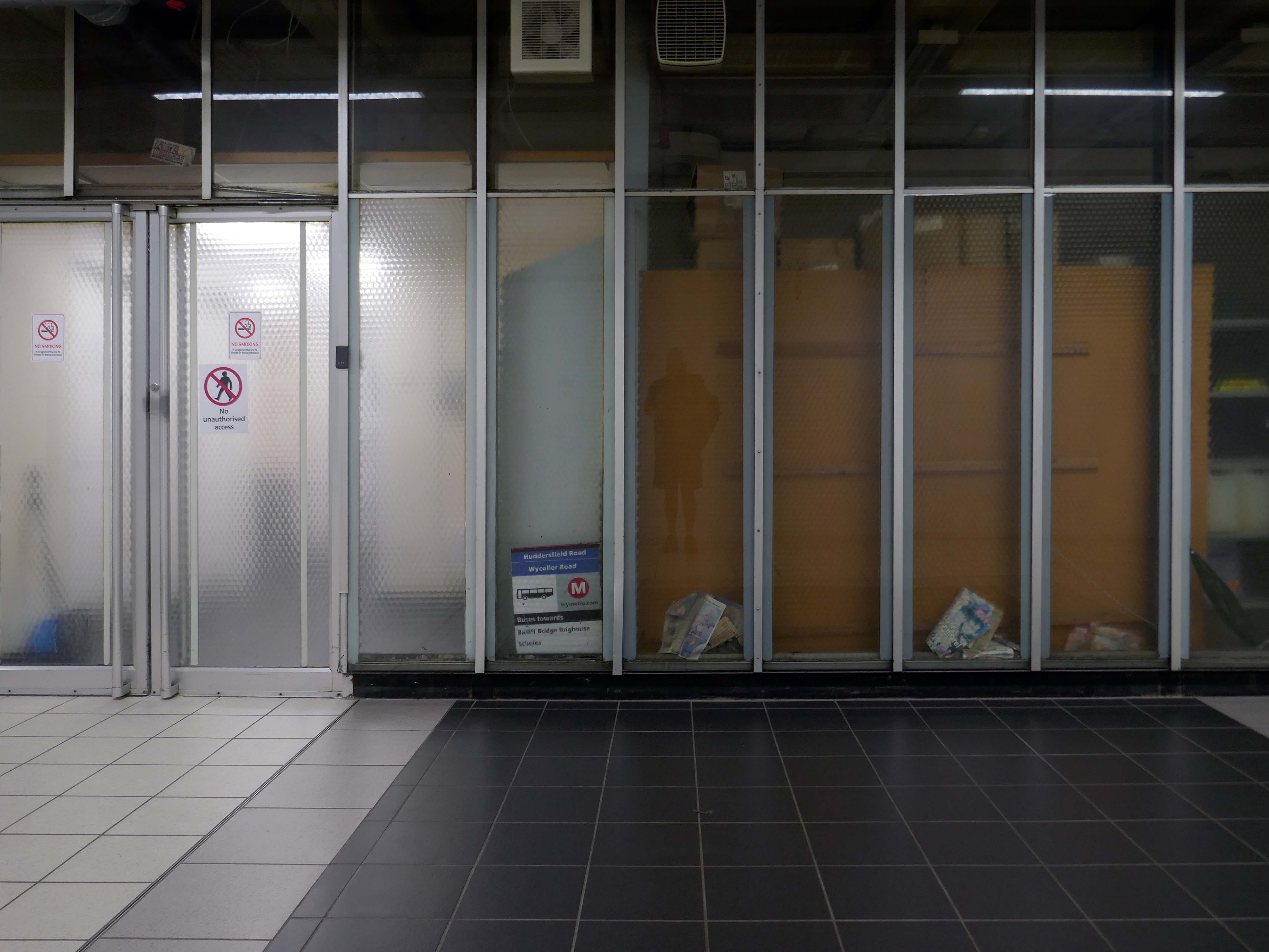
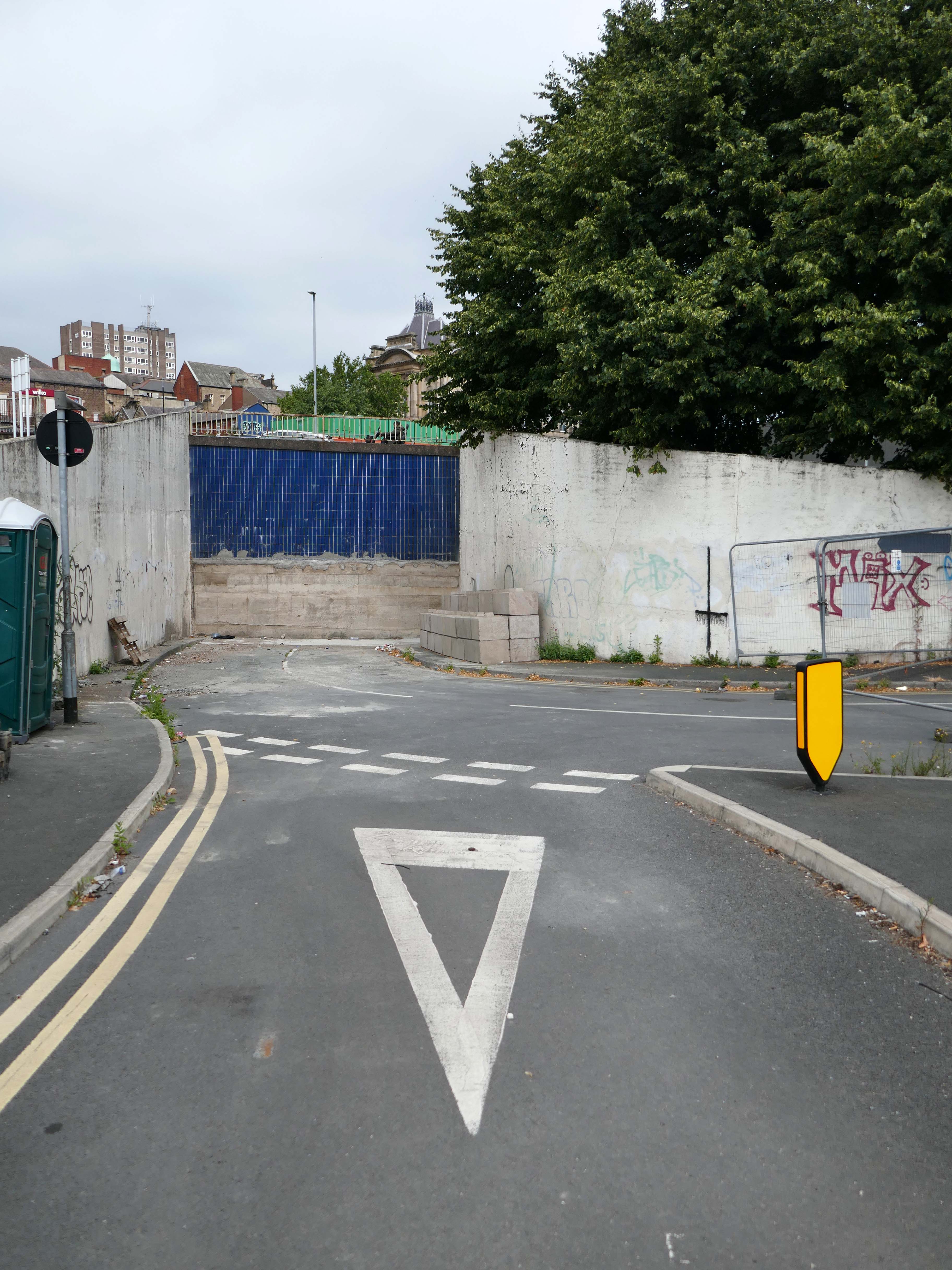
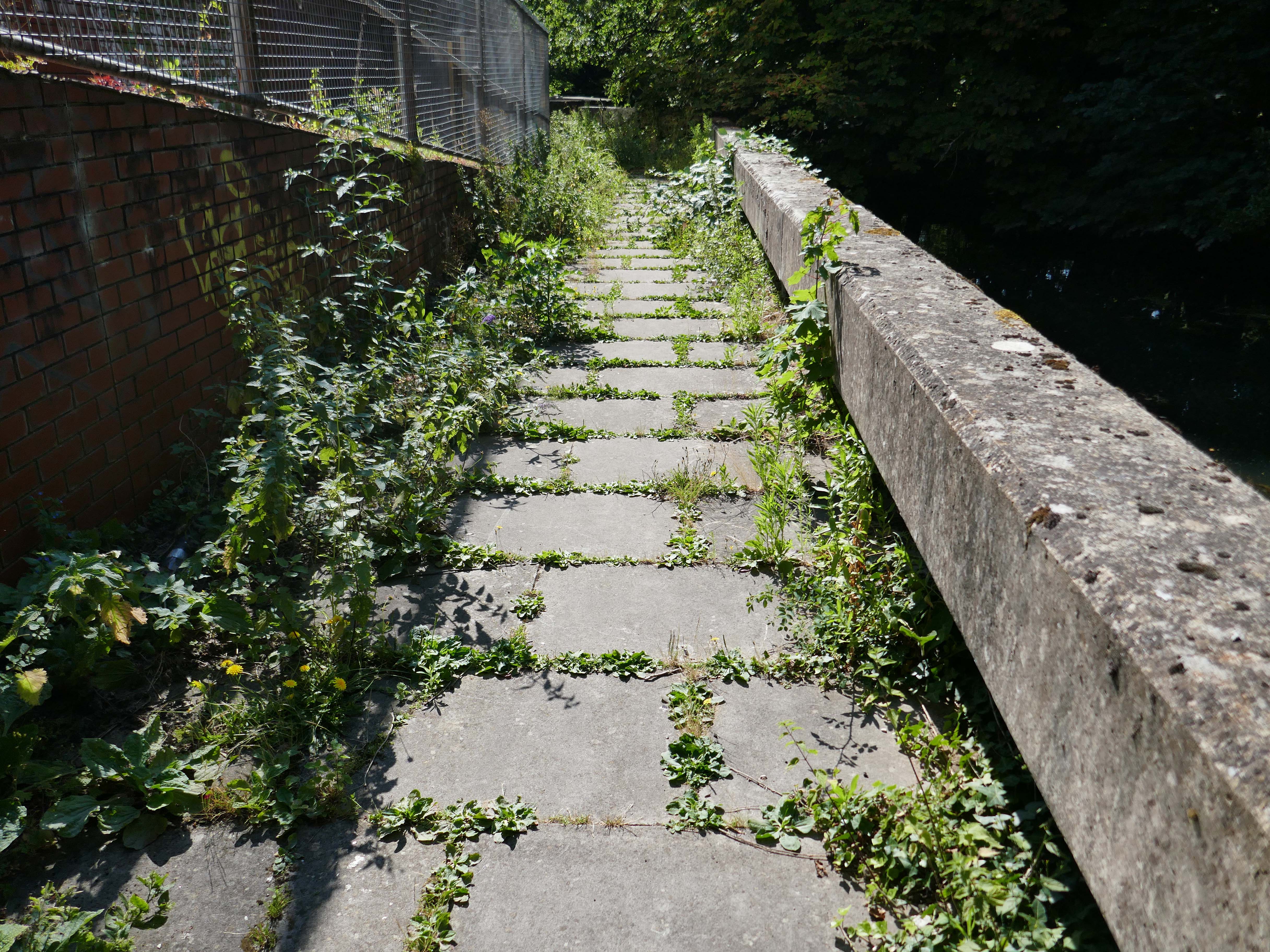
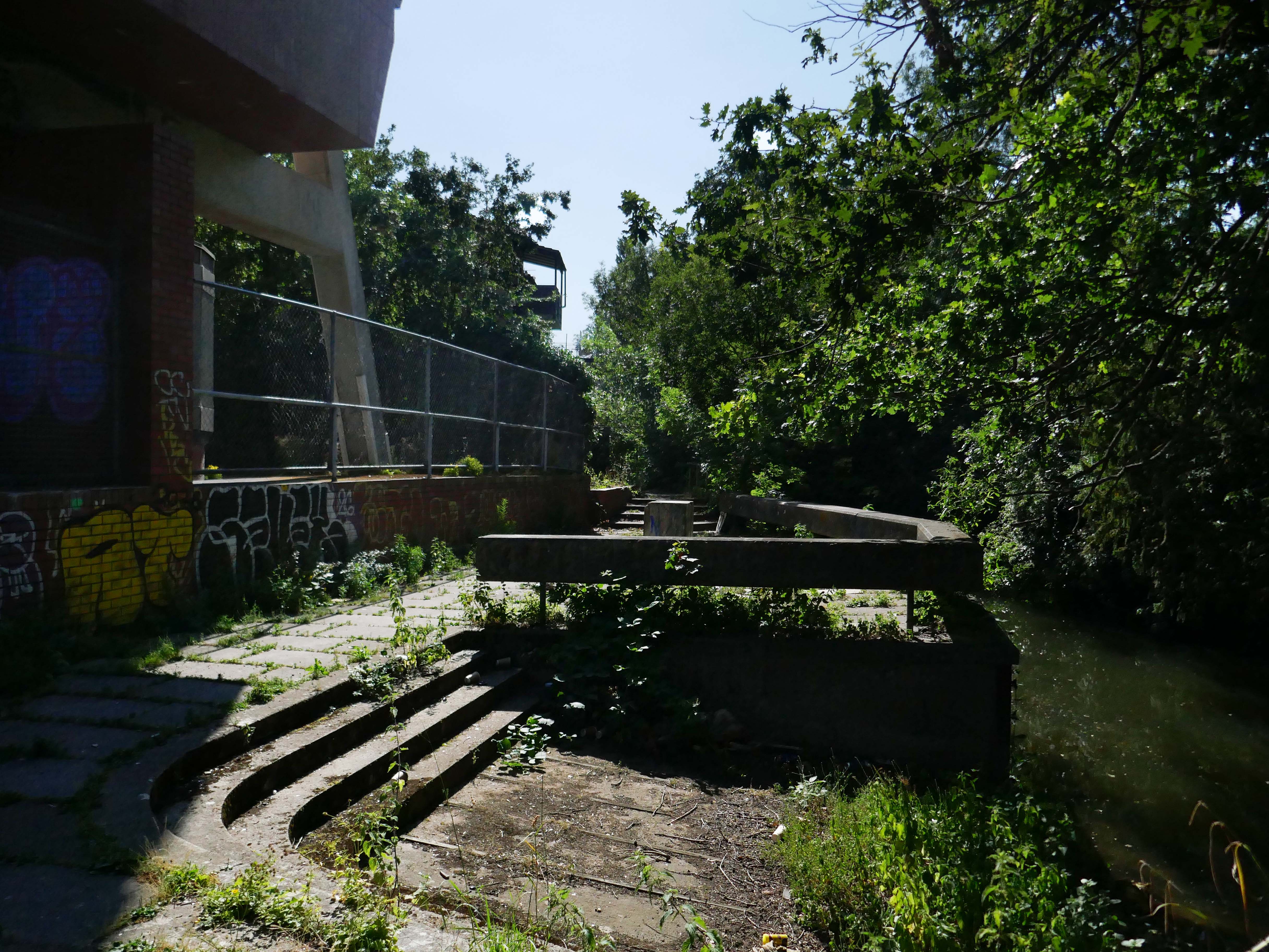
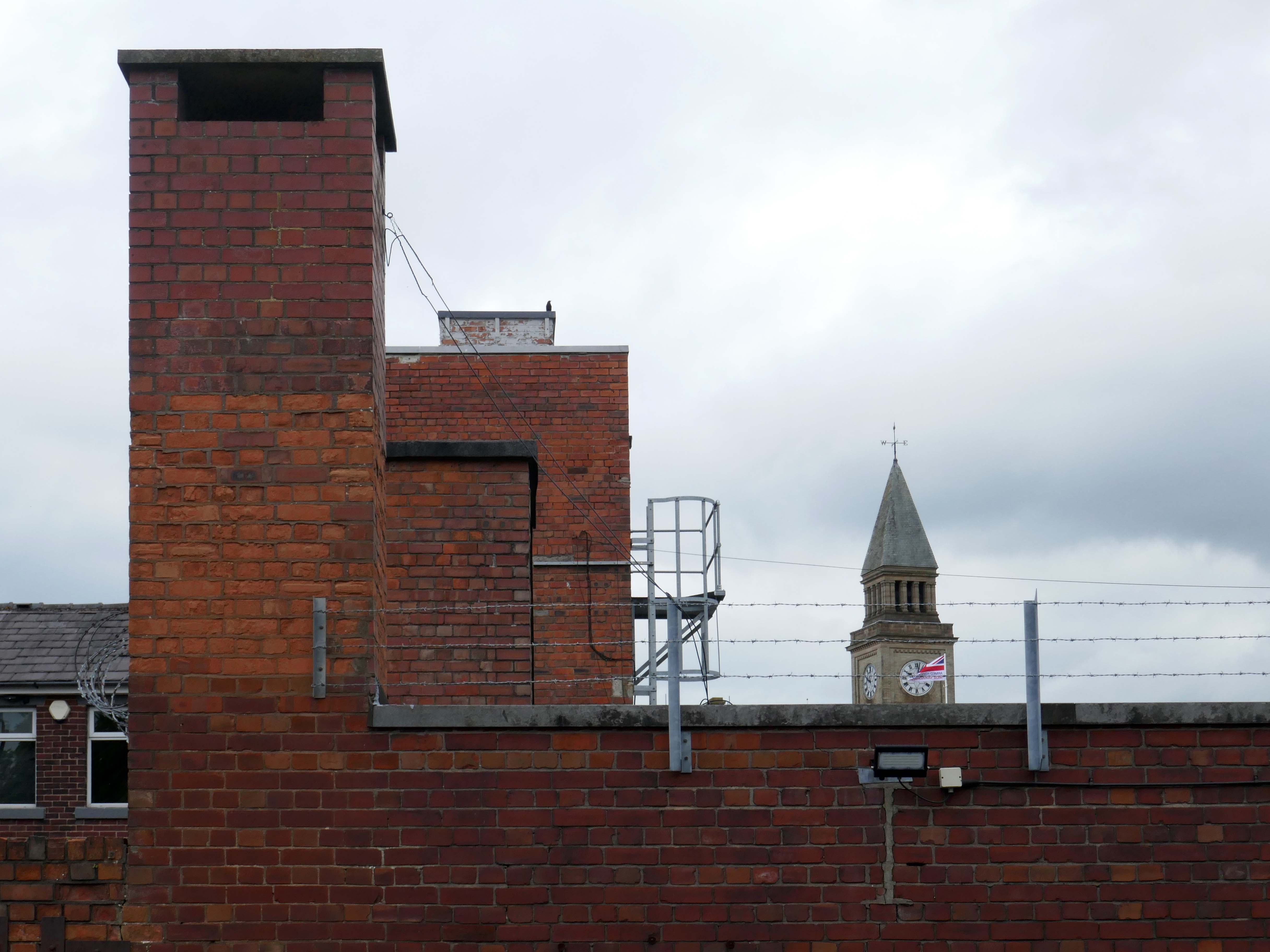
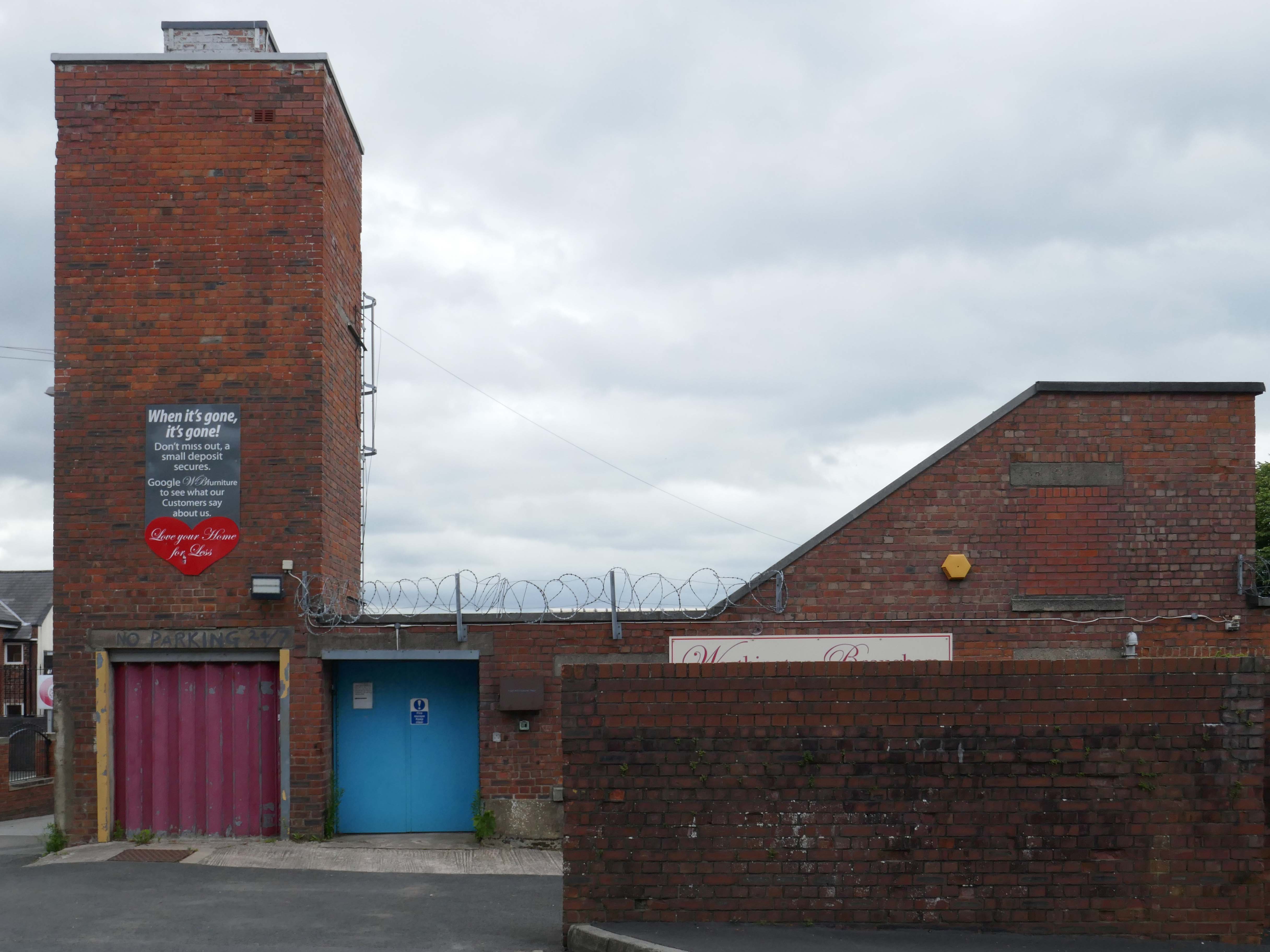
It’s 2026 and almost everything has been erased.
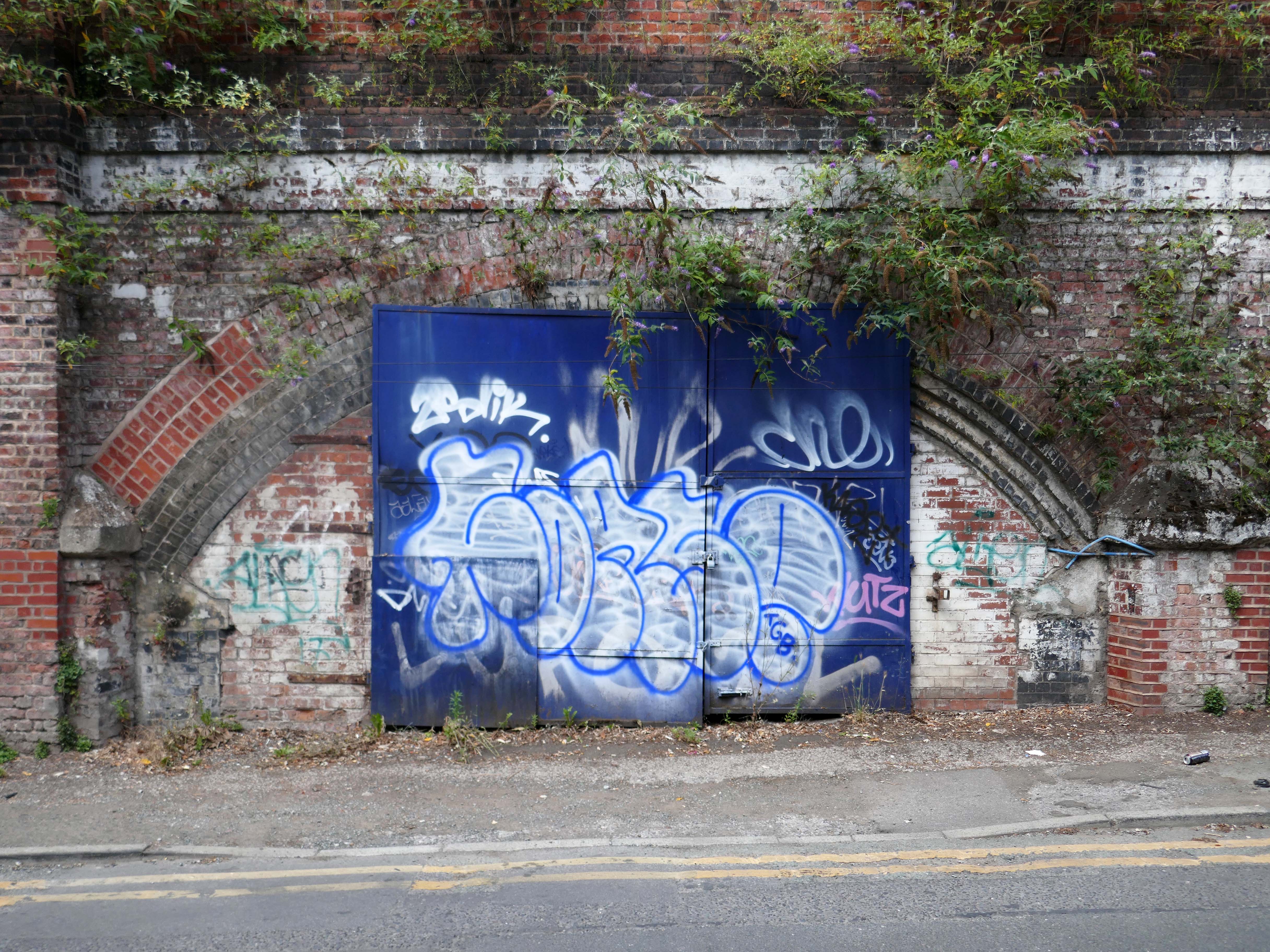
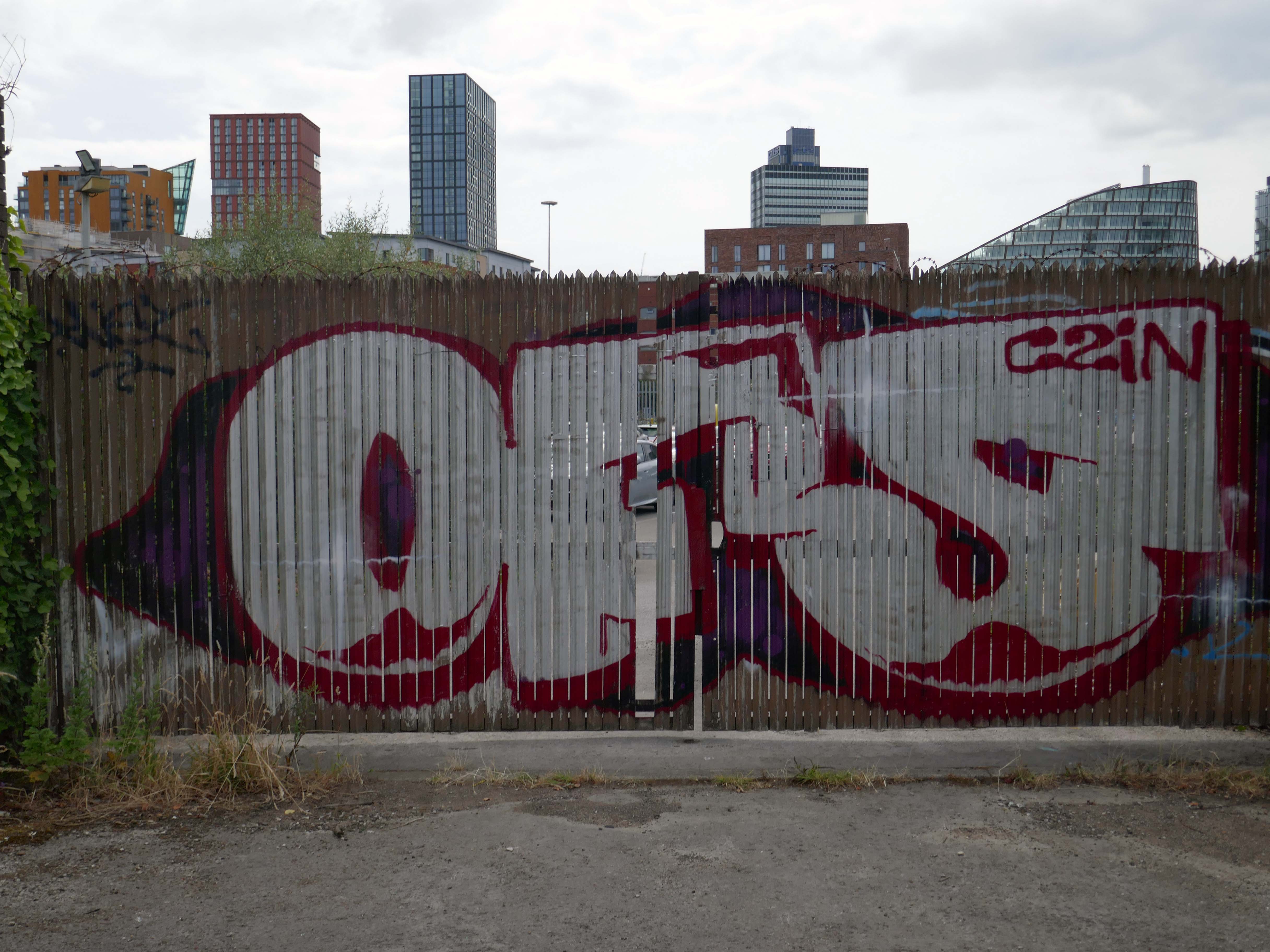
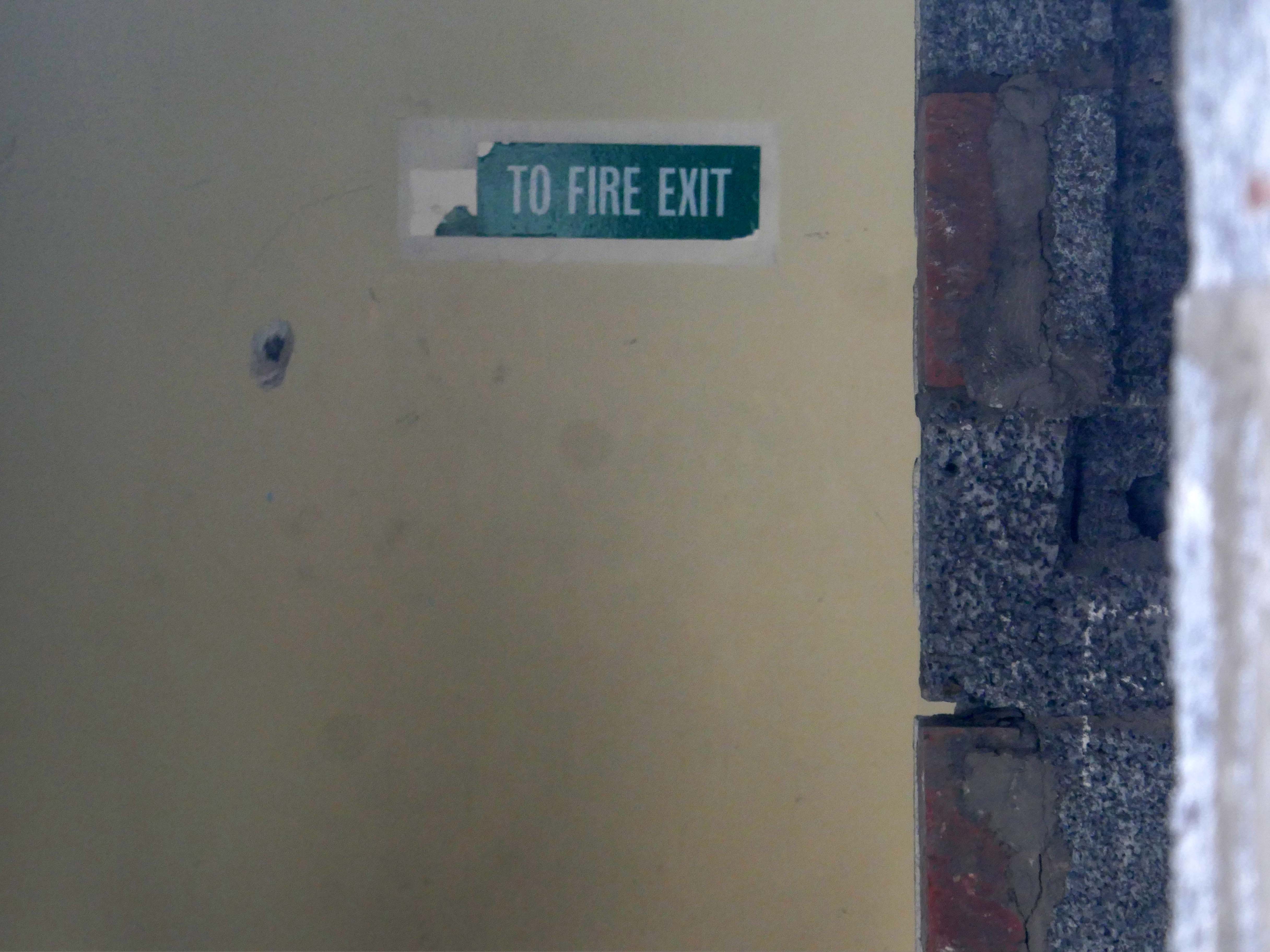
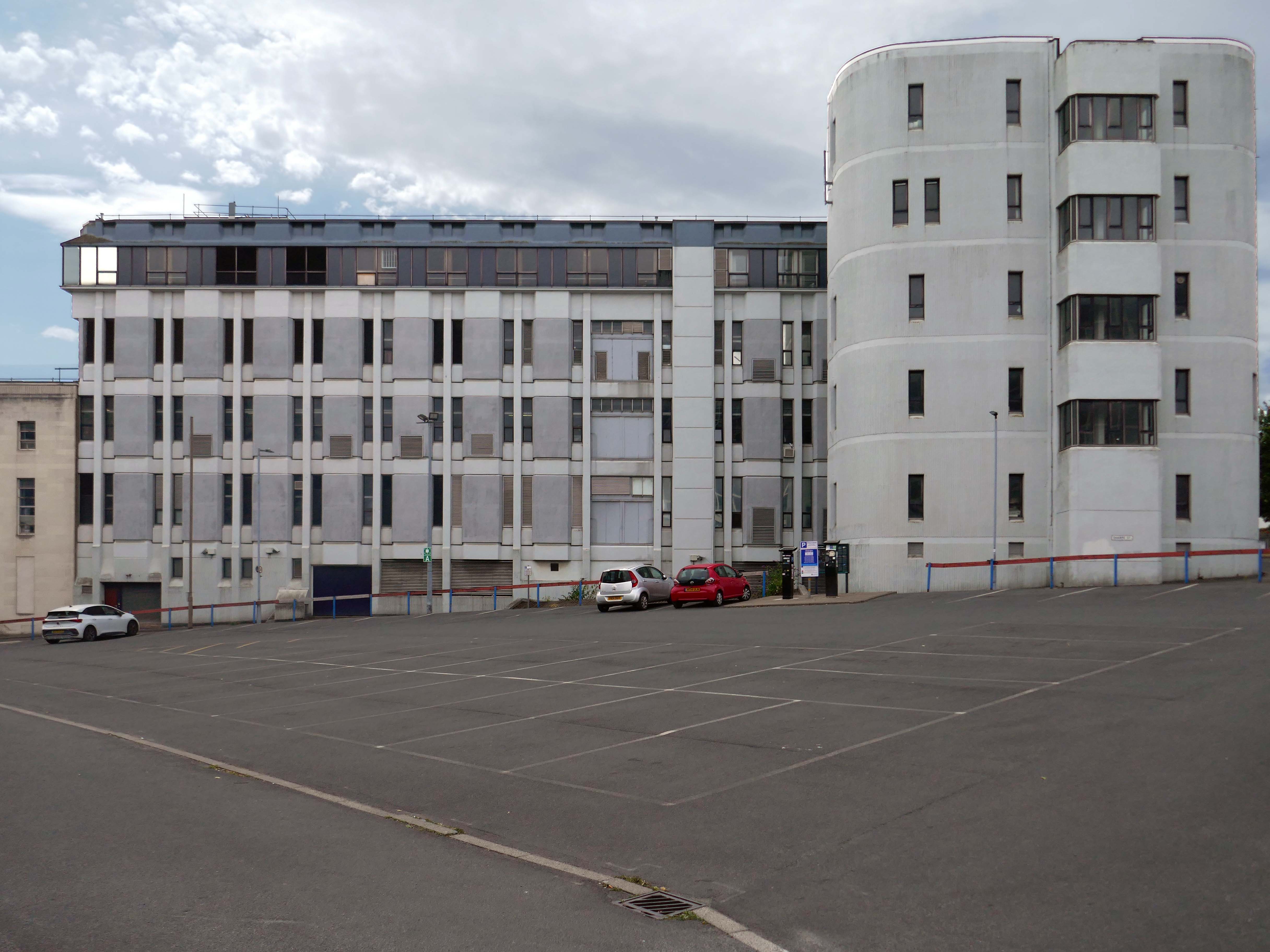
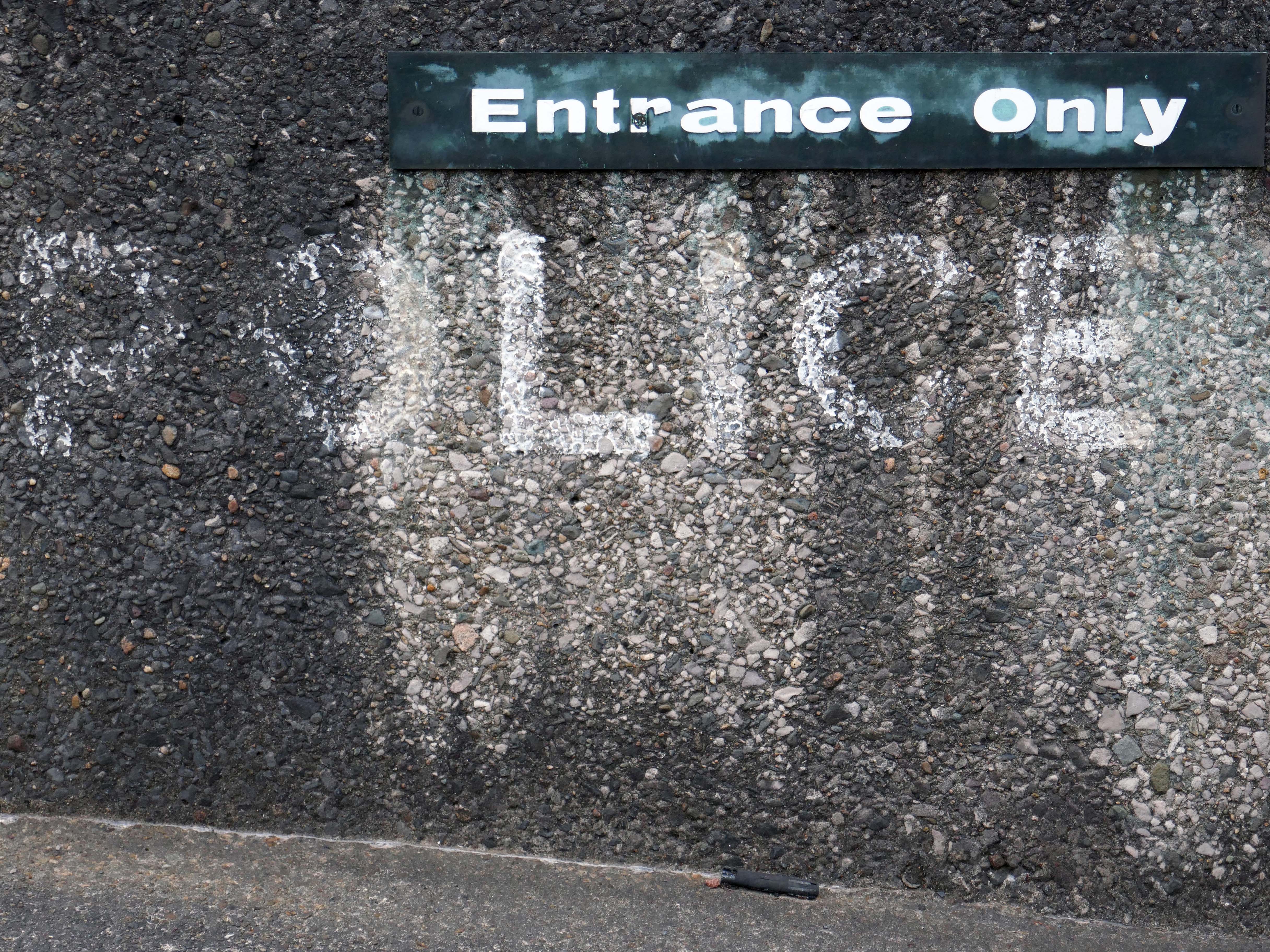
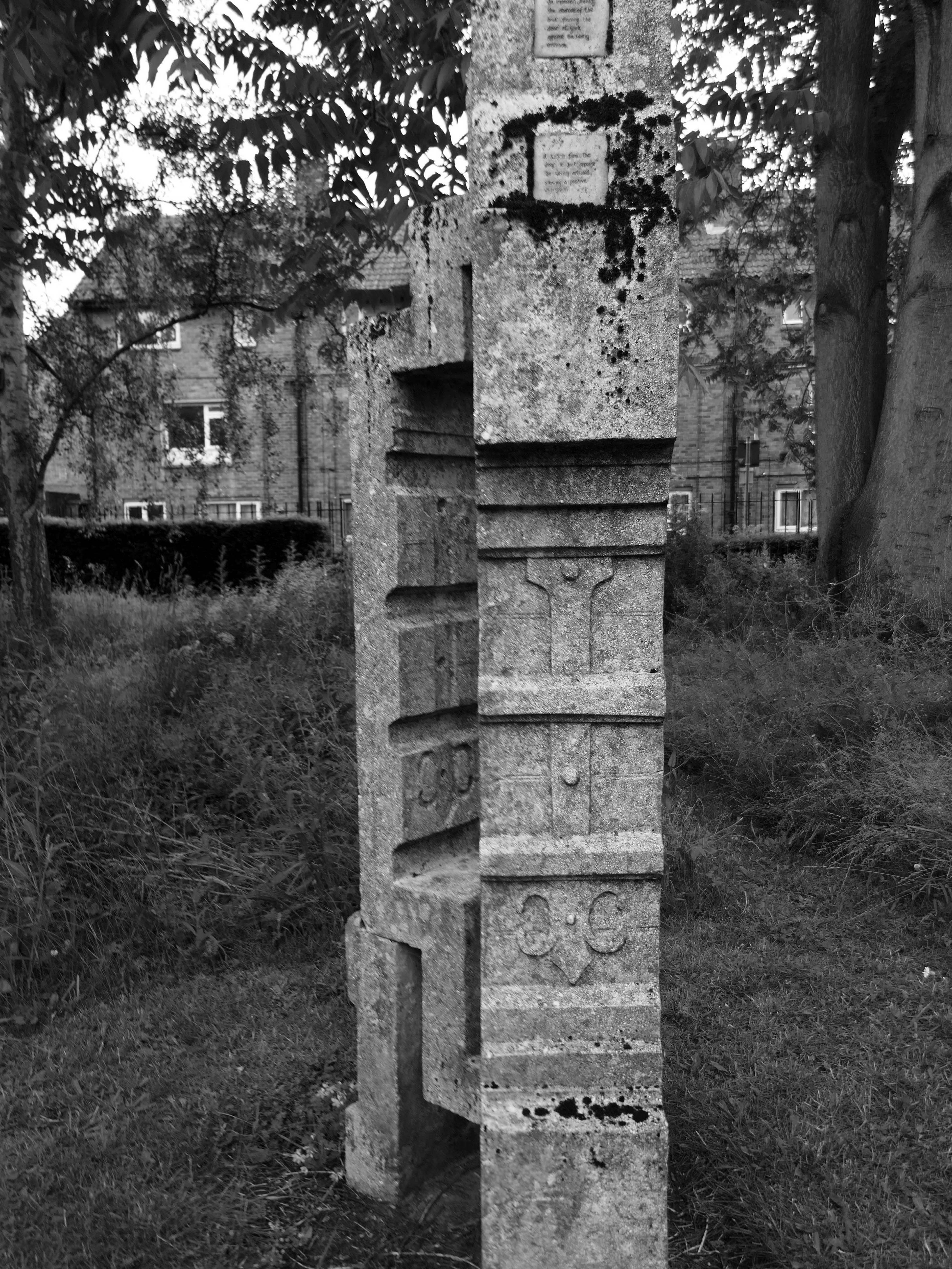
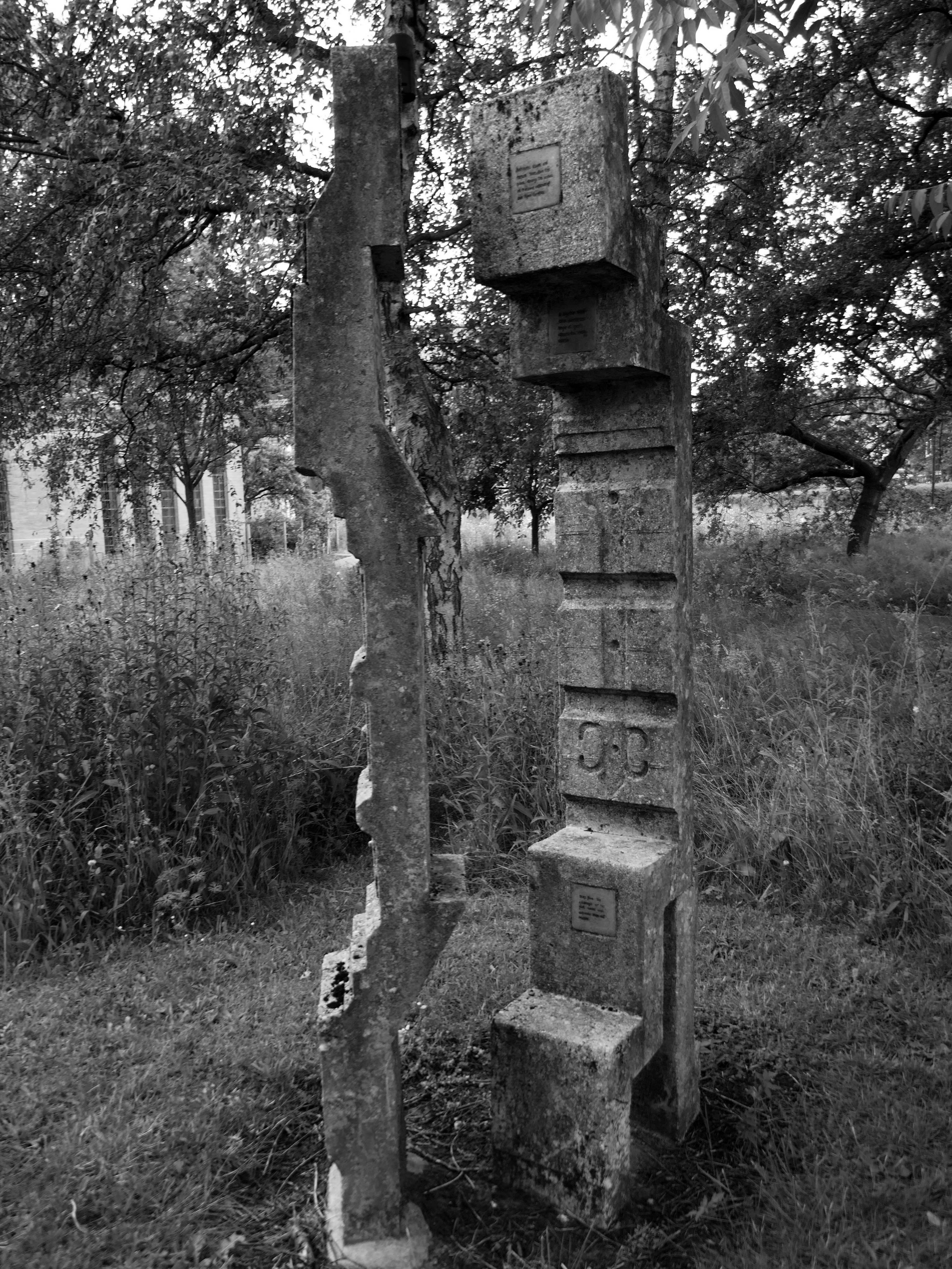
This is the only remnant of the former gasworks, preserved on Gould Street car park.
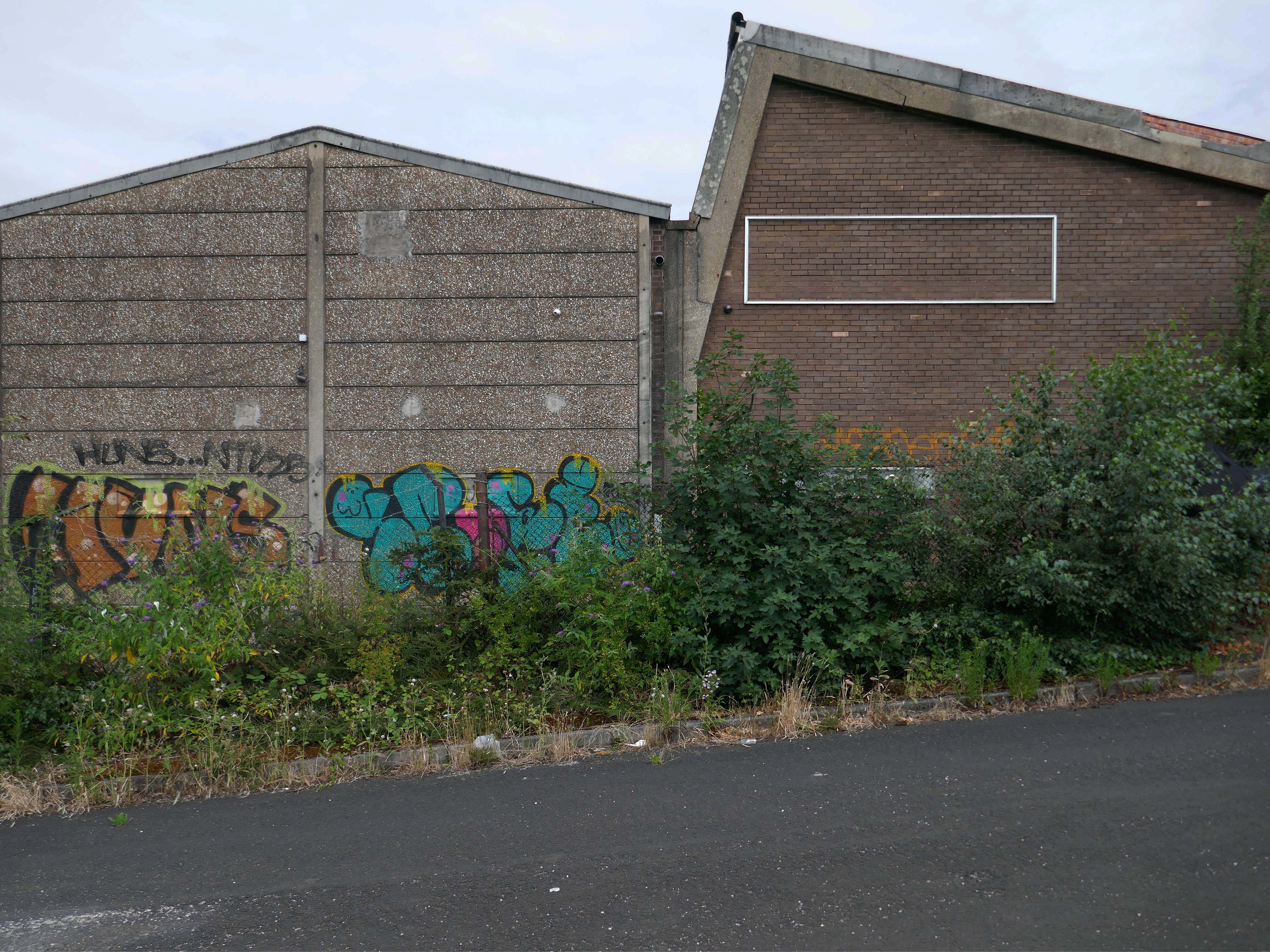
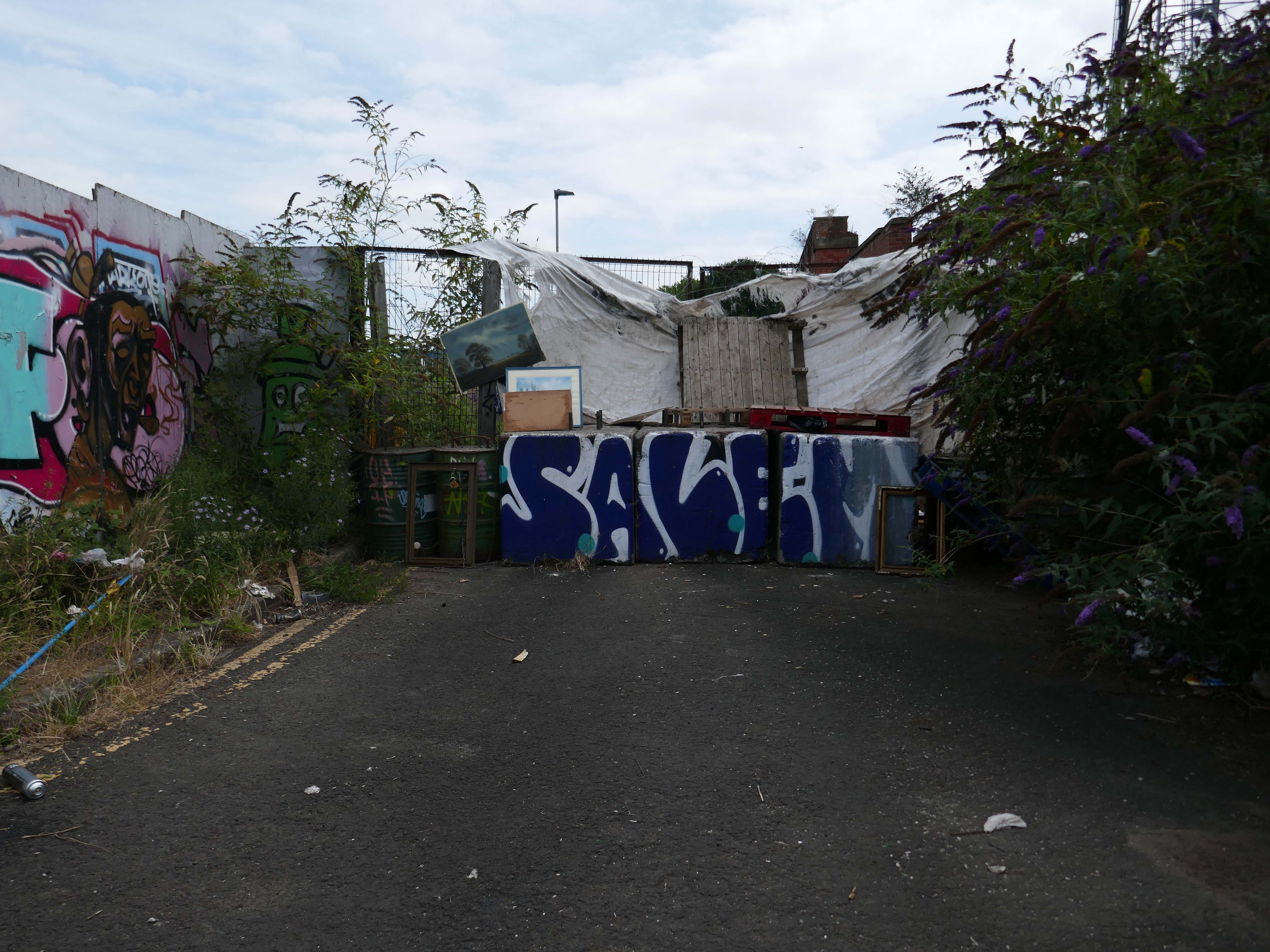
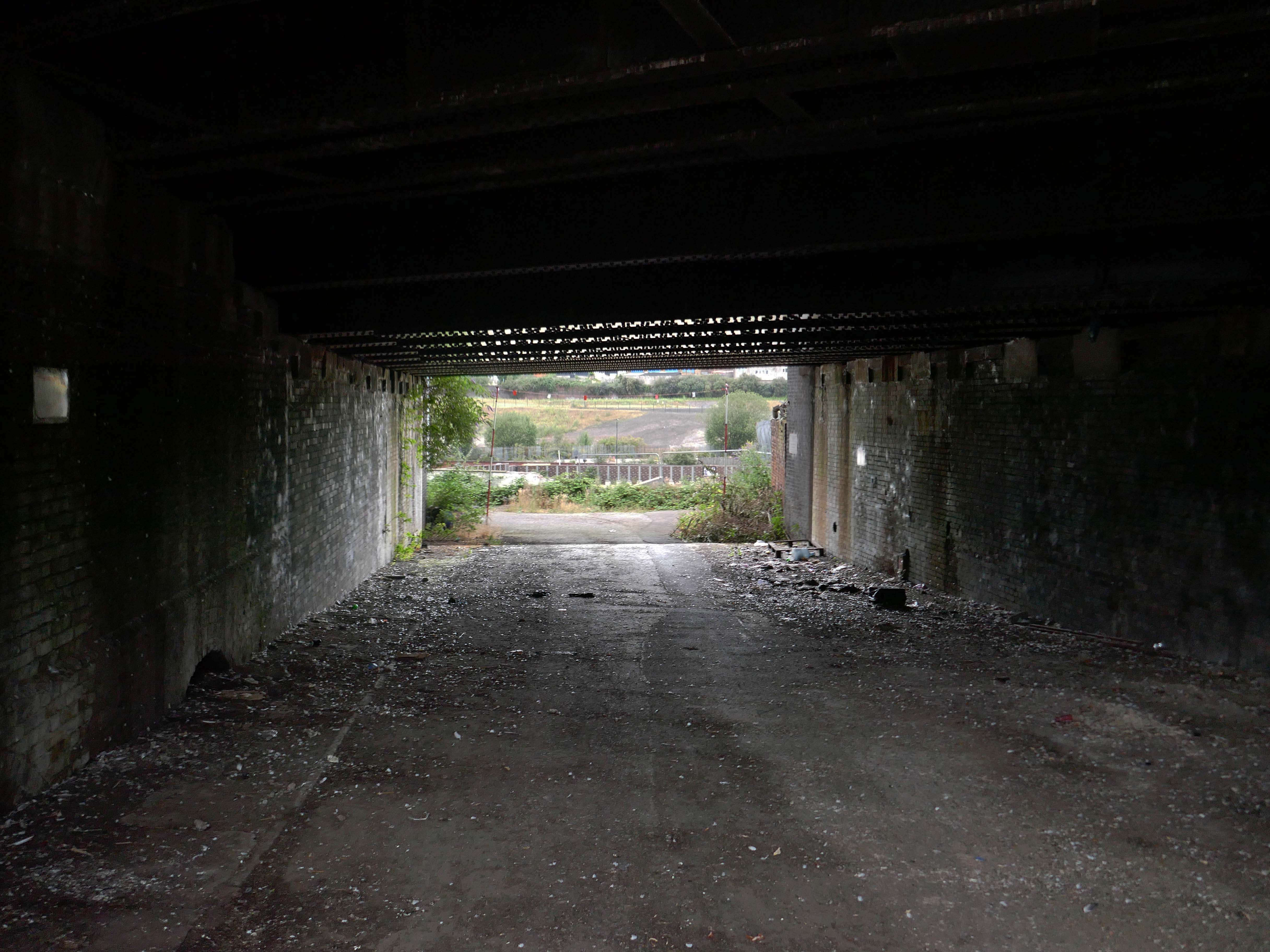
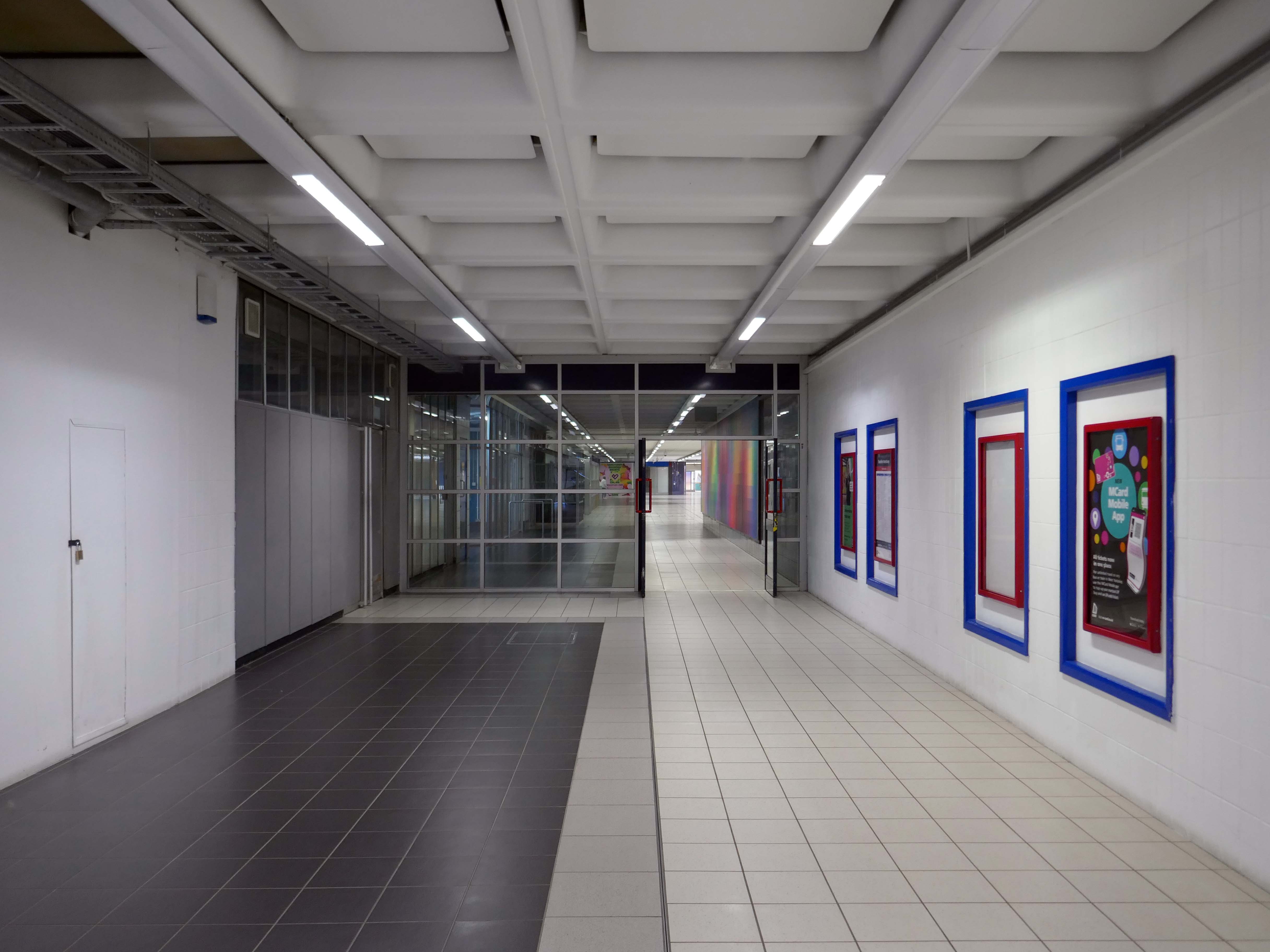
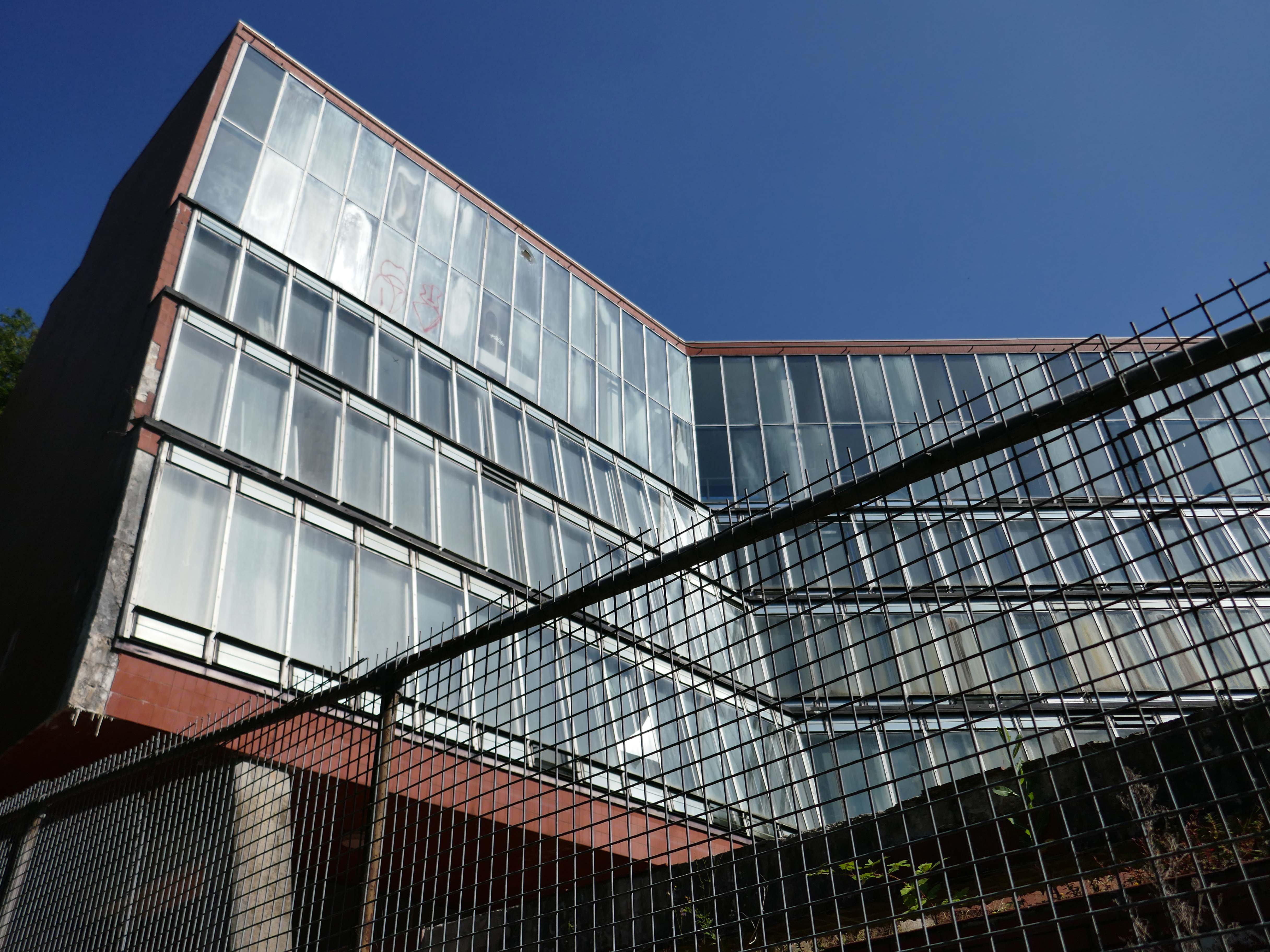
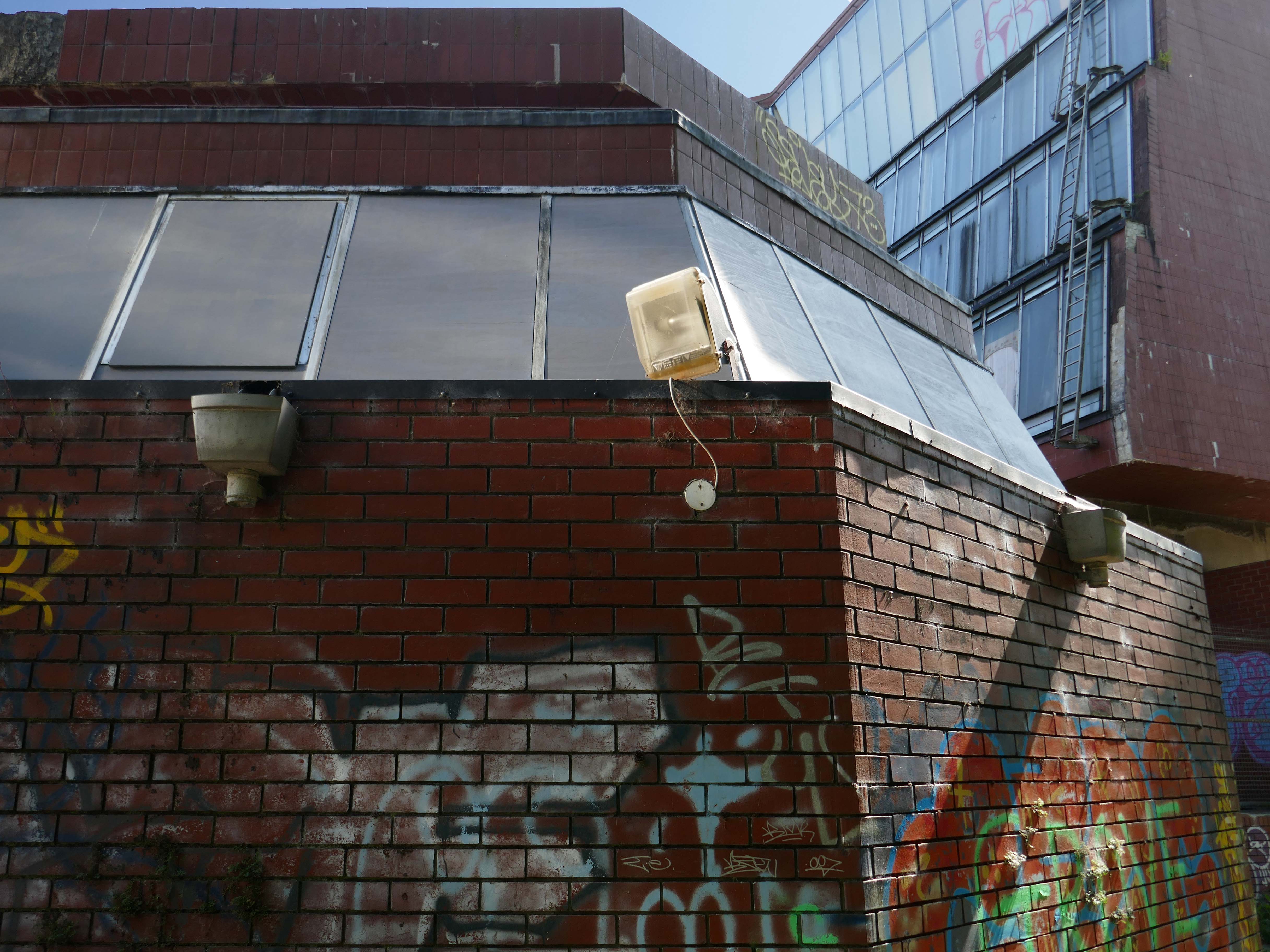
The raggle-taggle gaggle of businesses cling on to the Bromley Street arches beneath the railway.
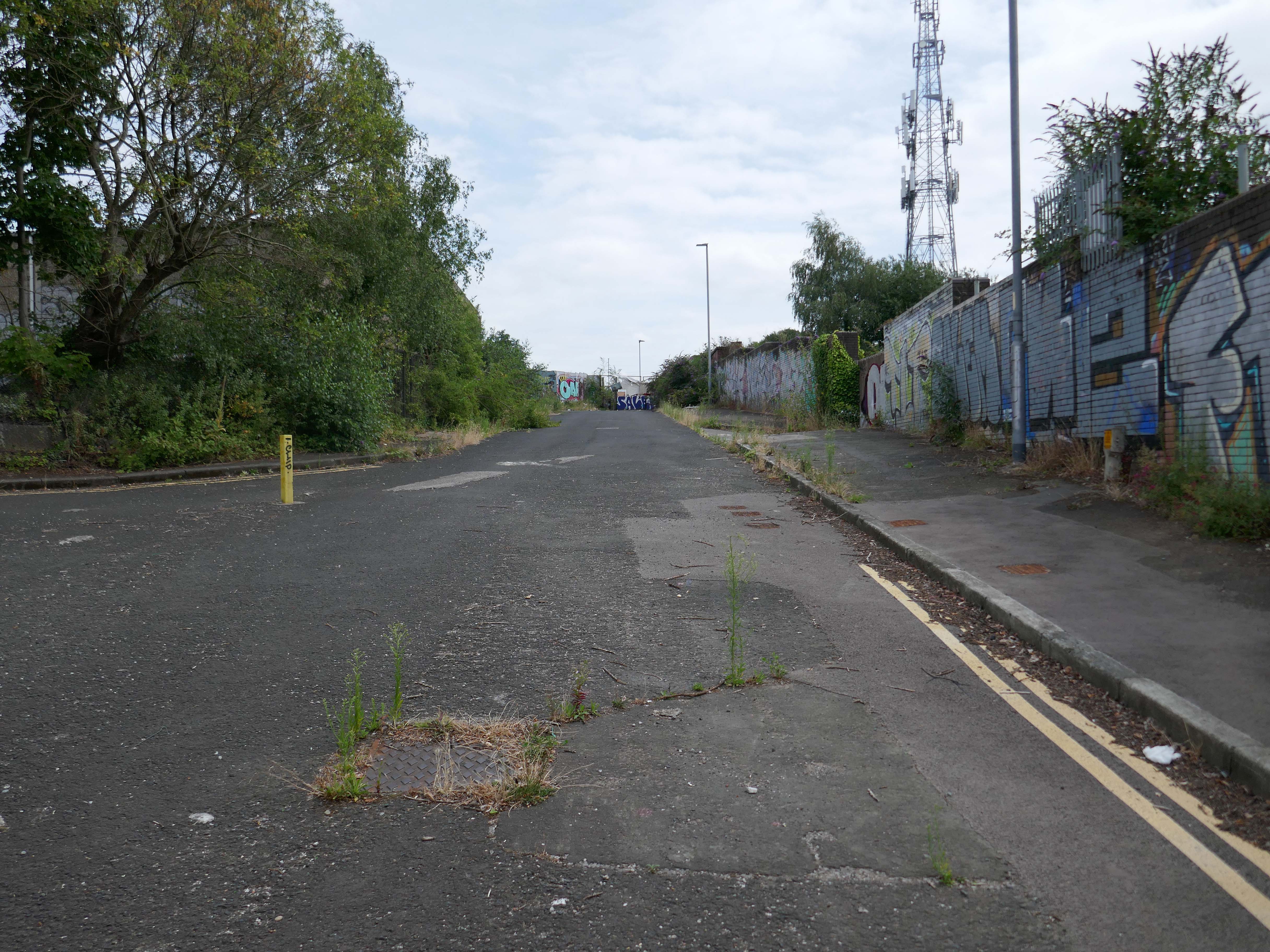
The other side of the tracks.
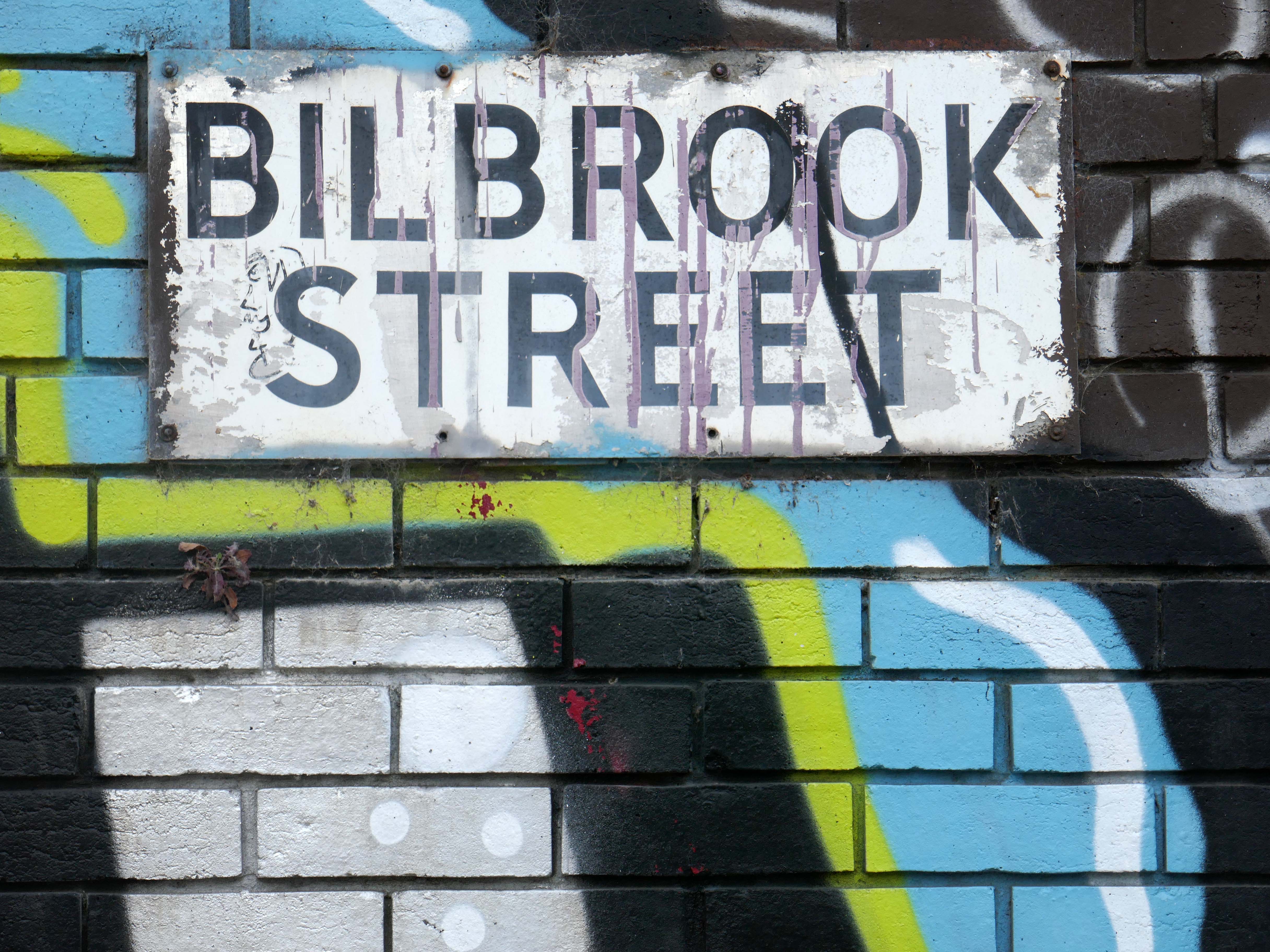
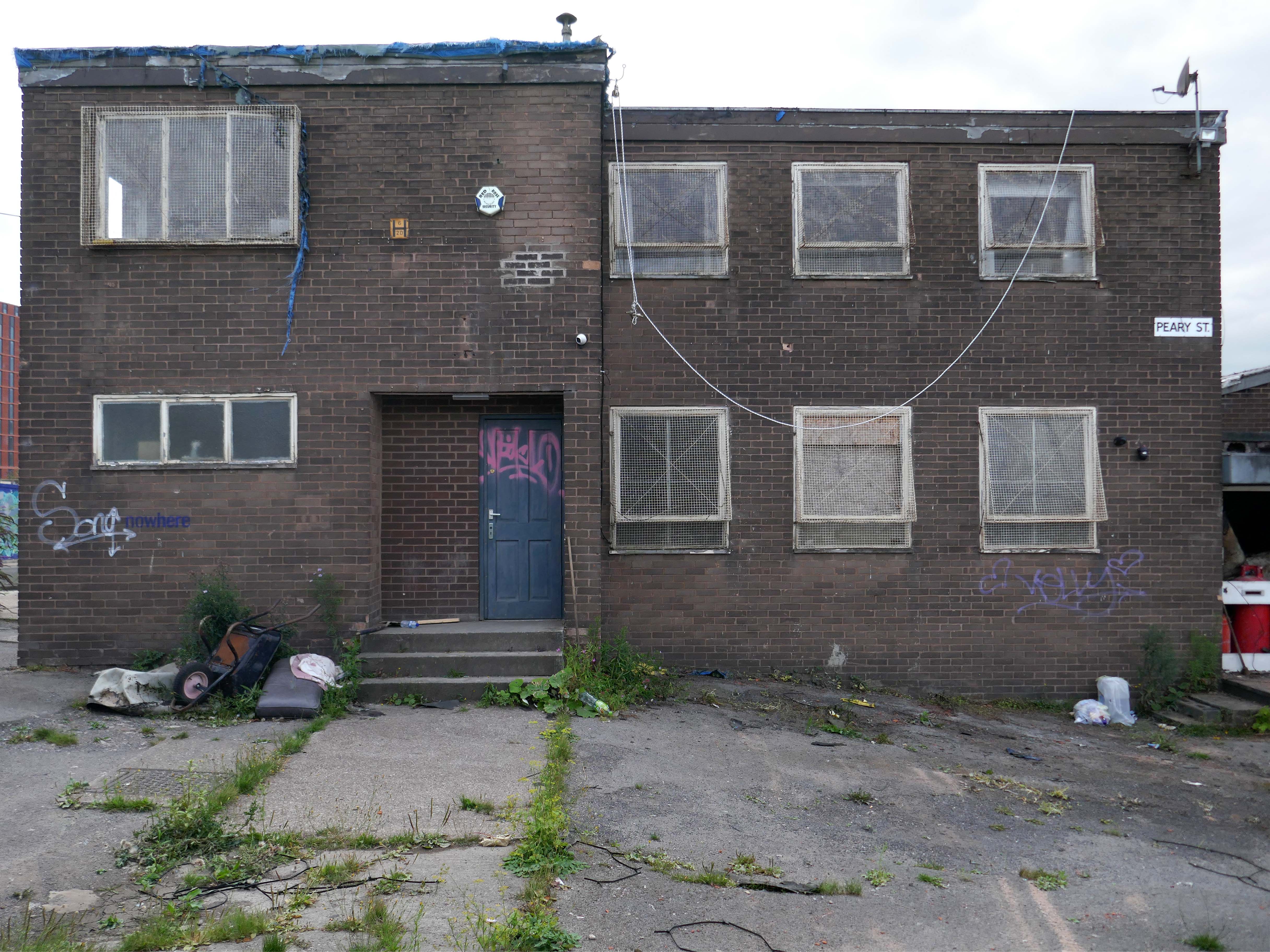
Bilbrook Street just about hanging in there.
Burstock Street.
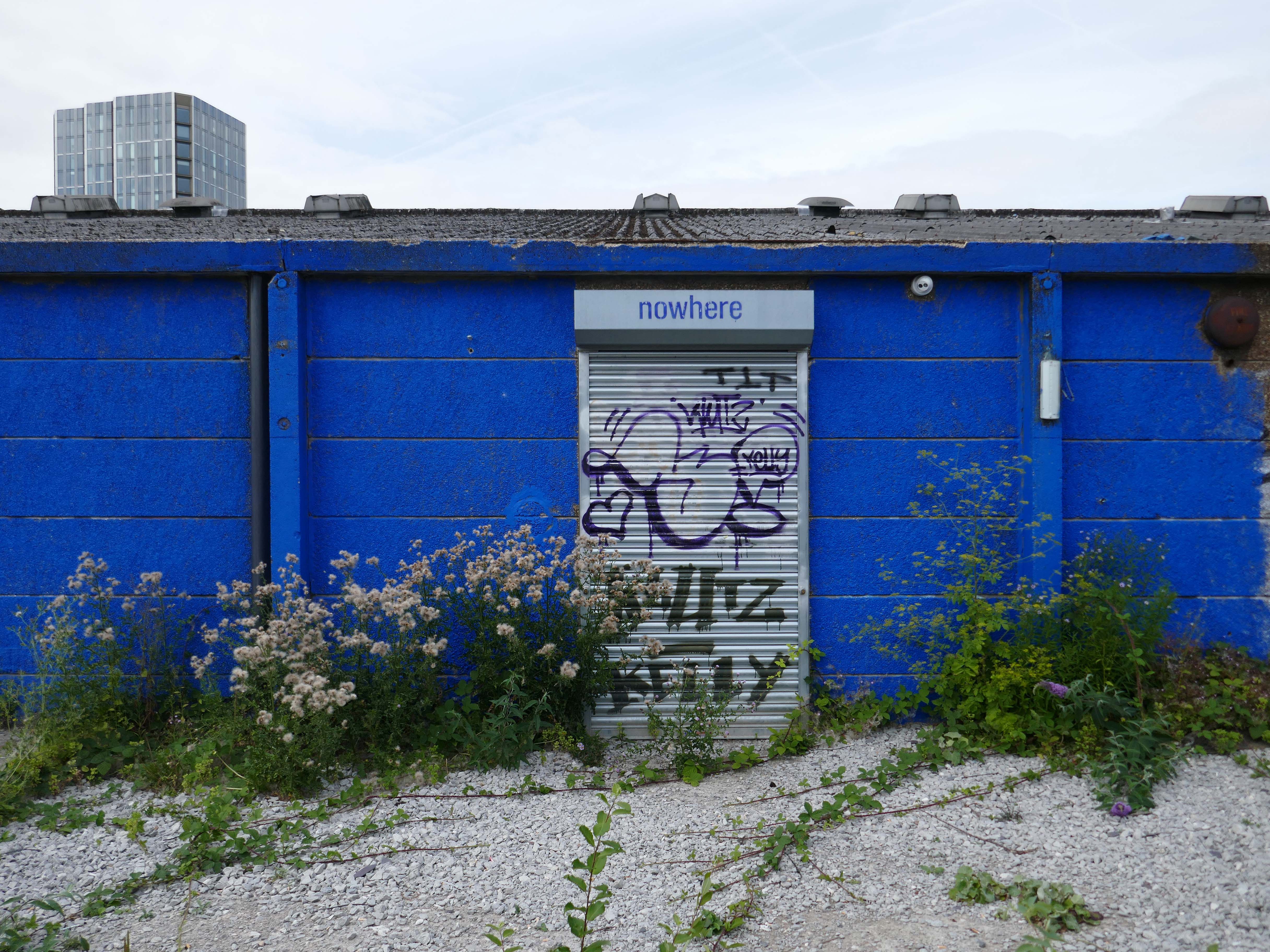
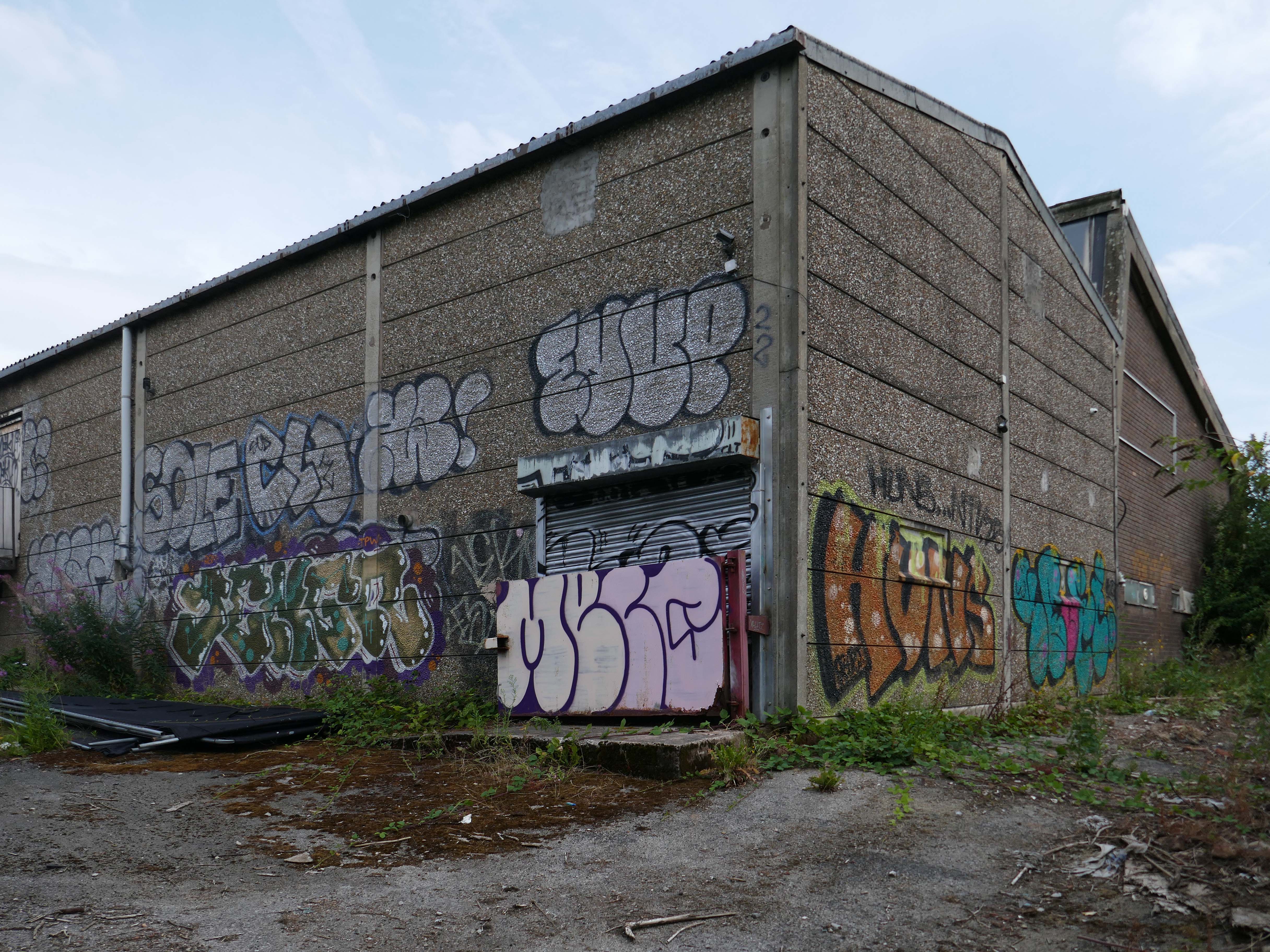
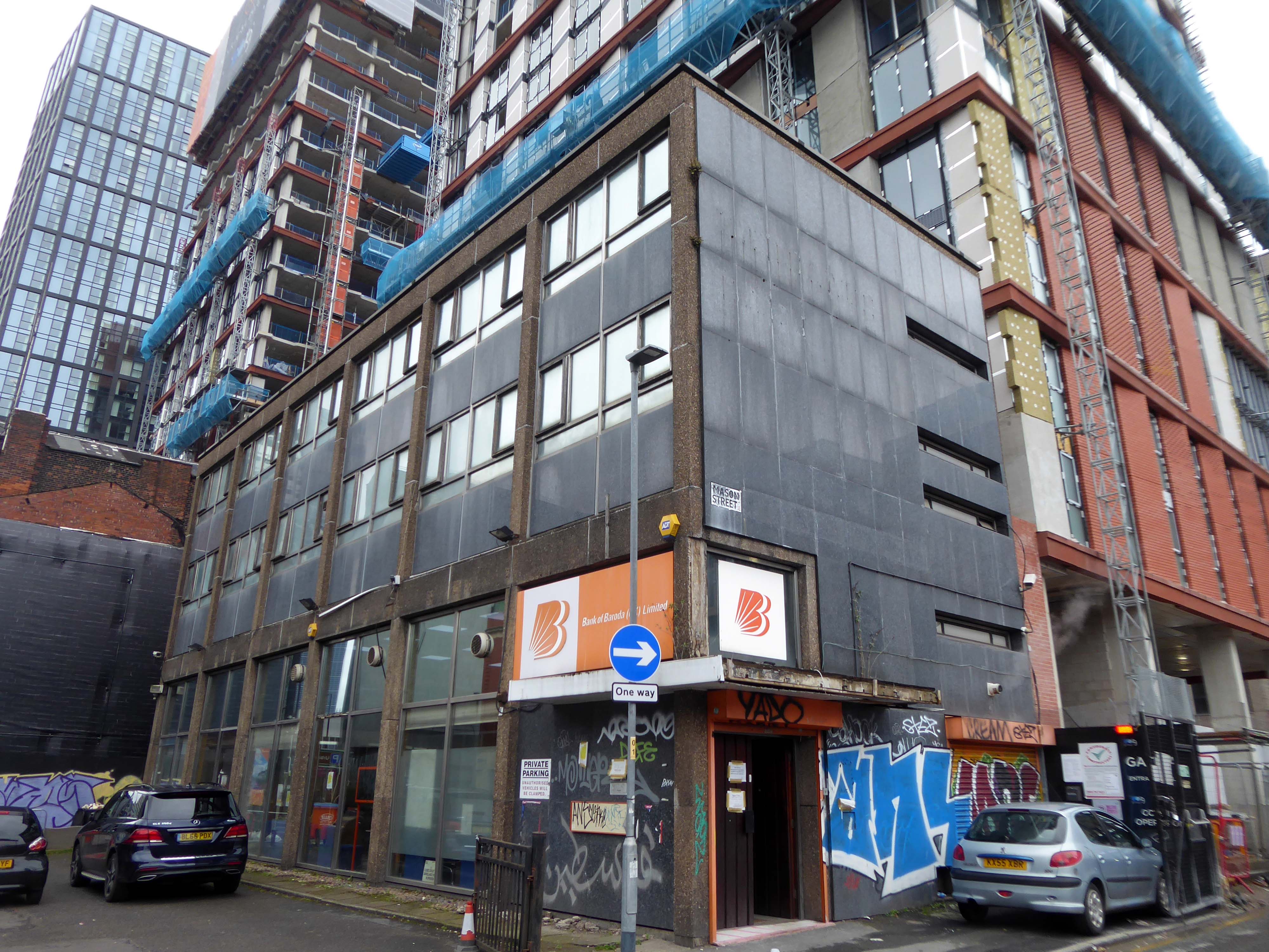
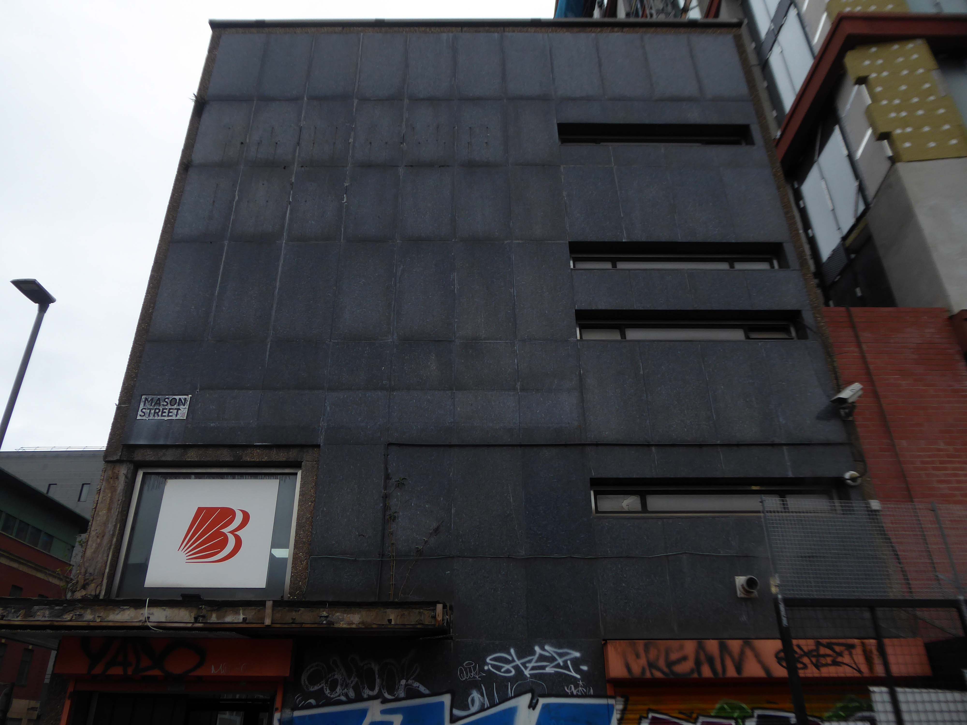
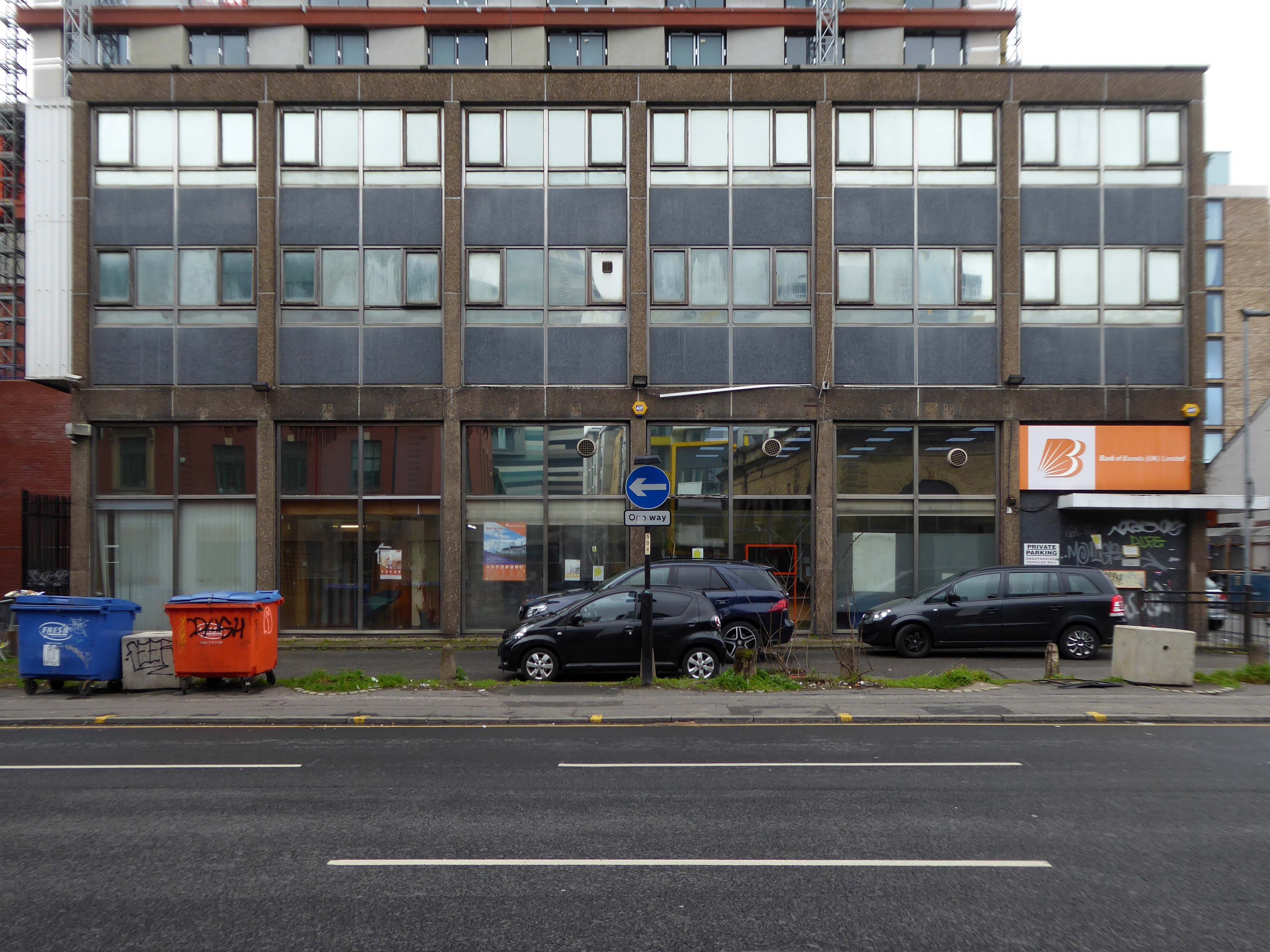
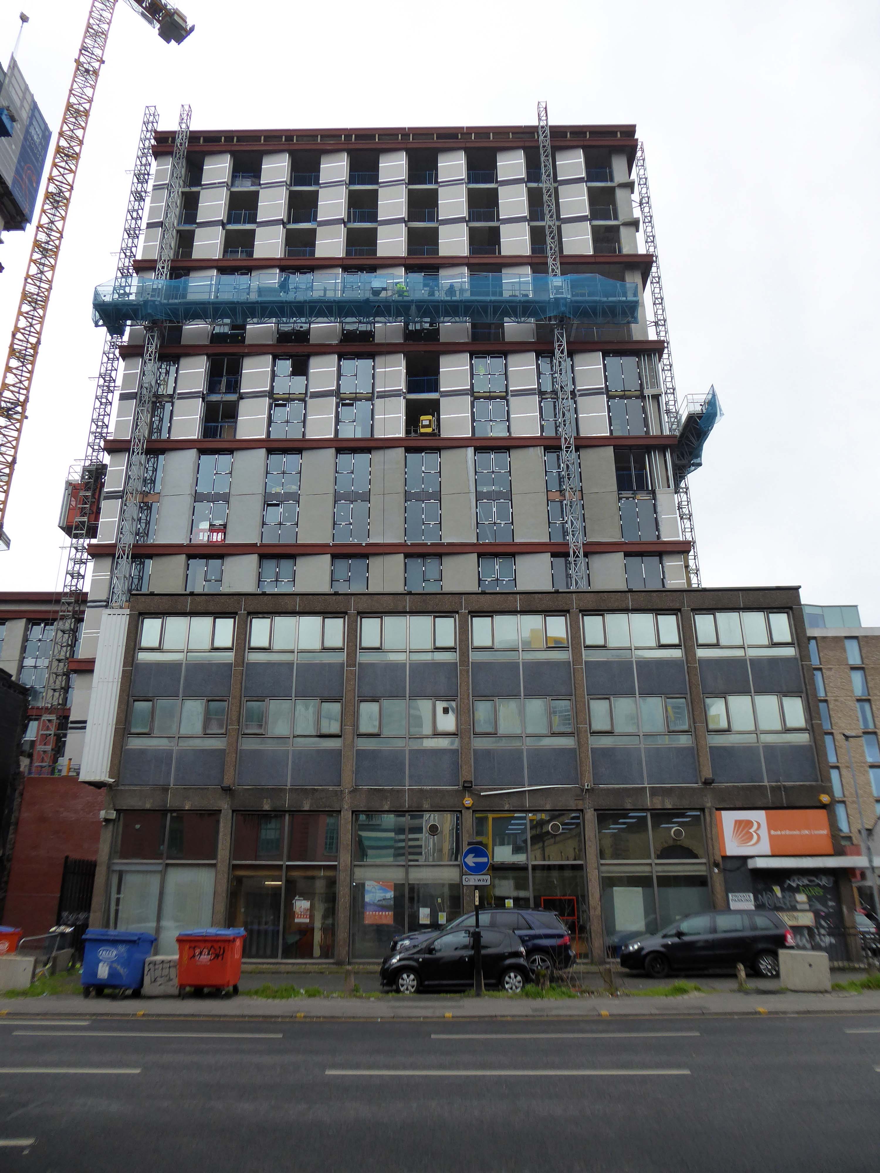
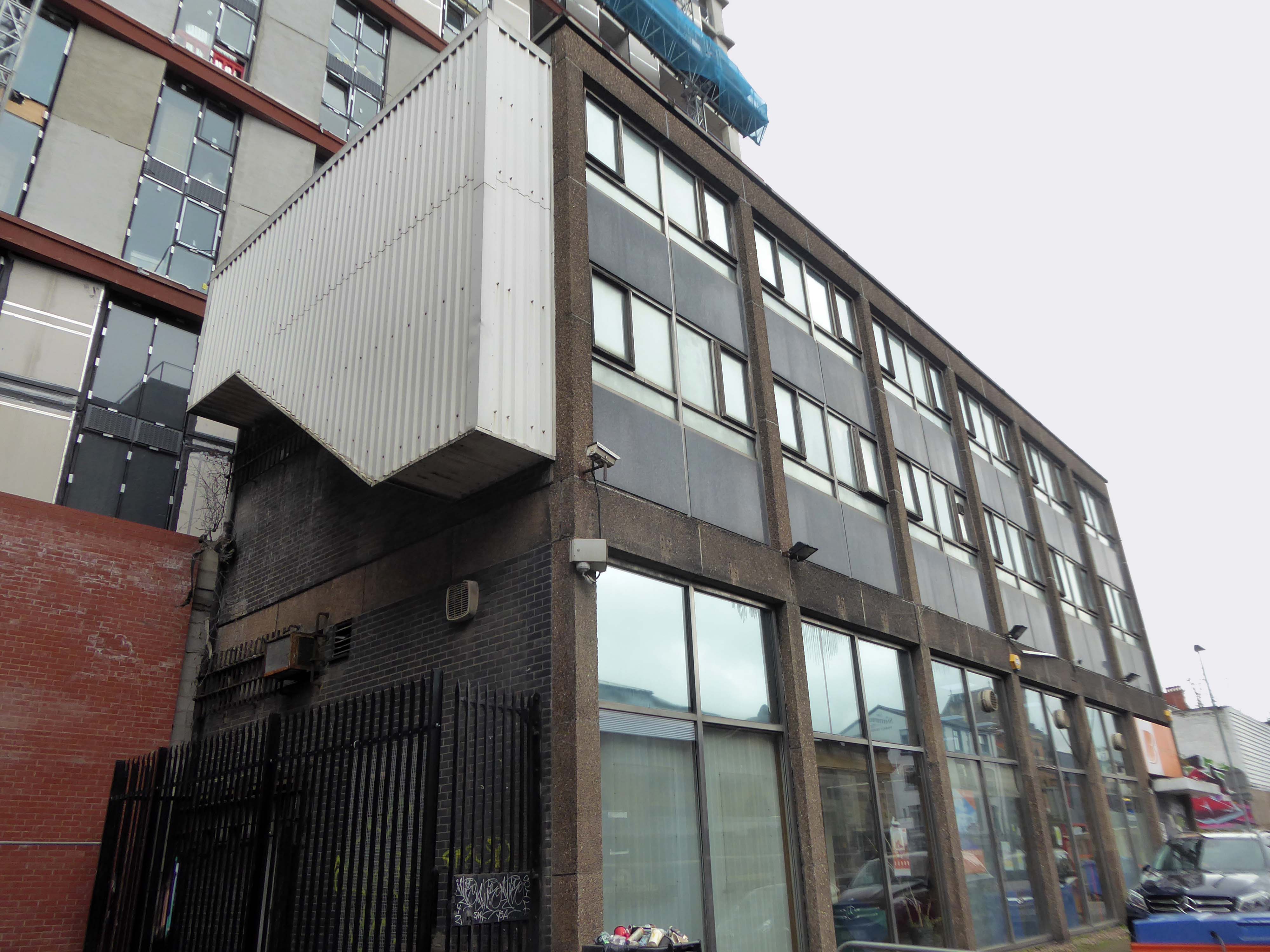
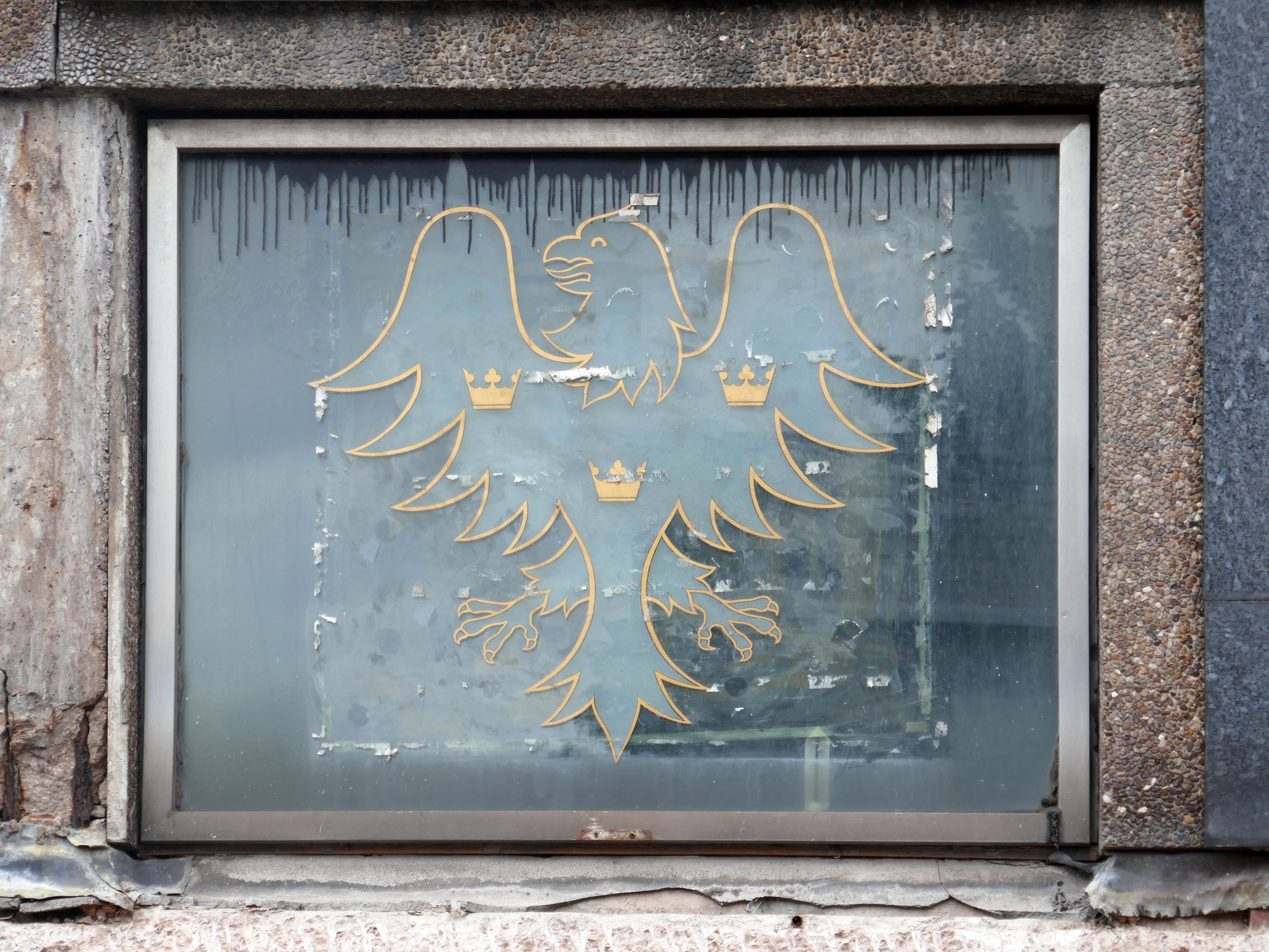
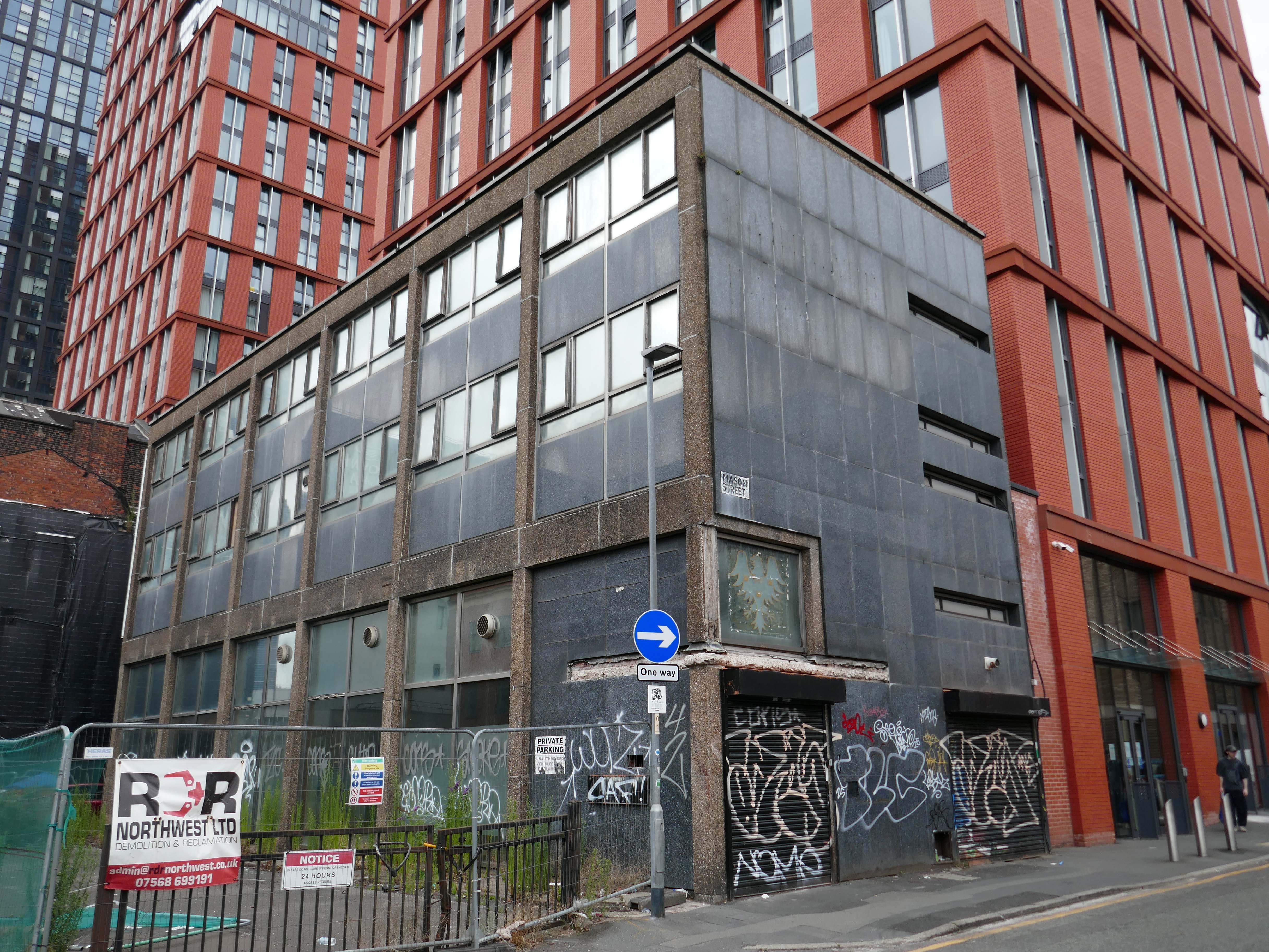
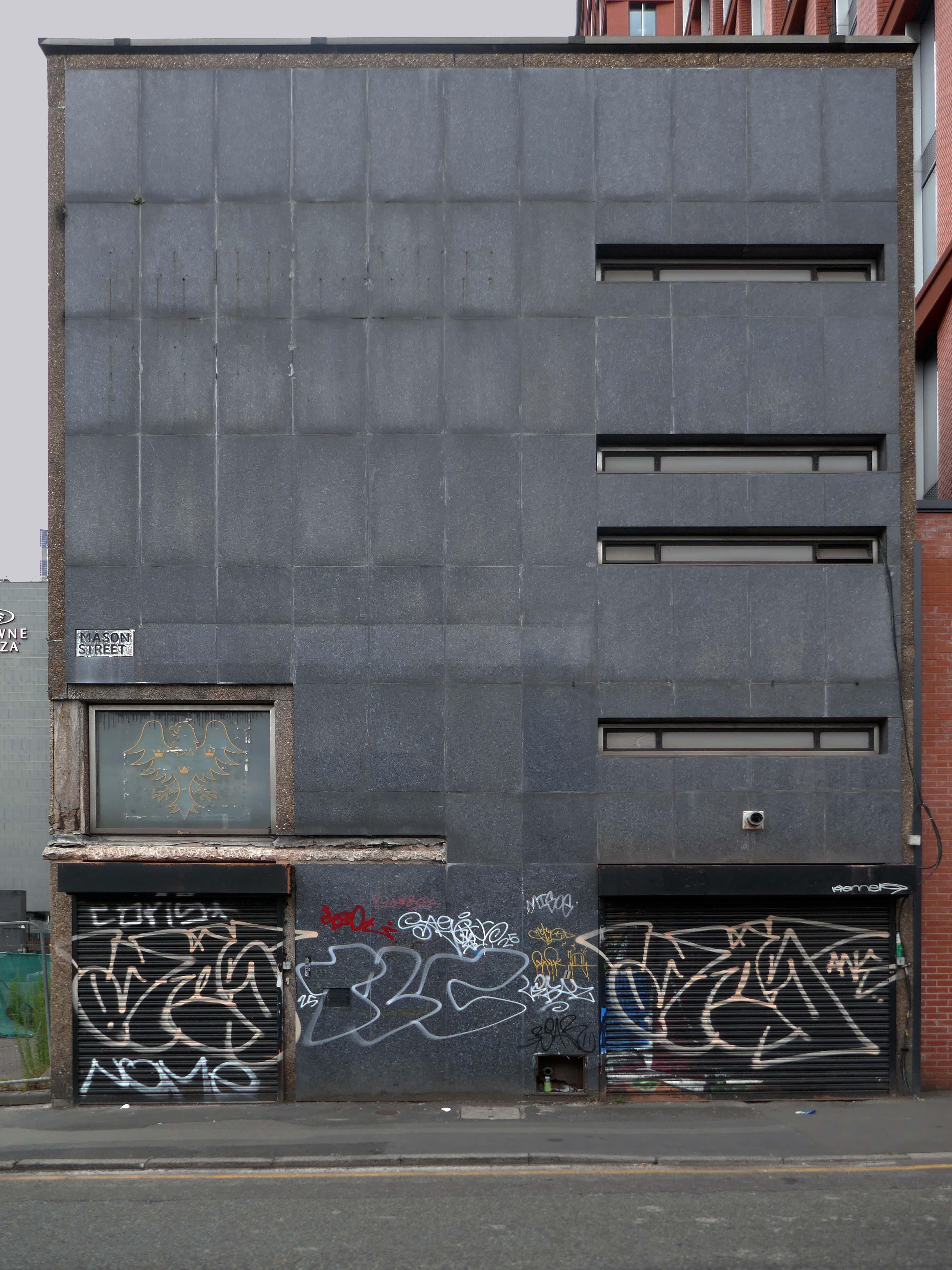
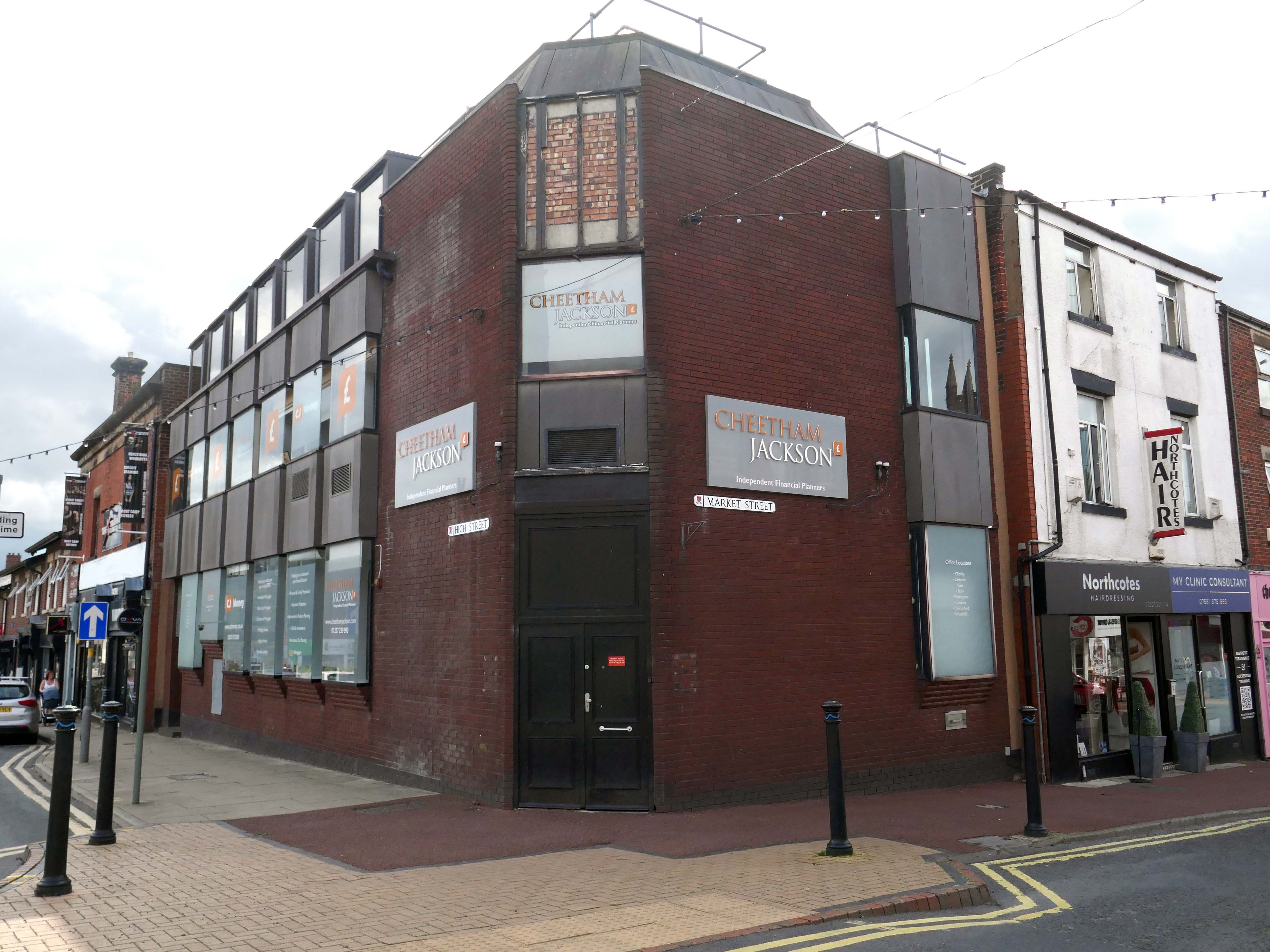
Here we are at the former home of Isomax Construction Company Ltd.
Manufacturing and execution of liquid waterproofing systems since 1990. All products are unique development, protected by patents and trademarks. All products are water-based and thus are 100% ecological. More than 1,200,000 sqm of executed projects with ten years warranty, since 1990.
Export to Serbia, Poland, Spain, Montenegro, France,
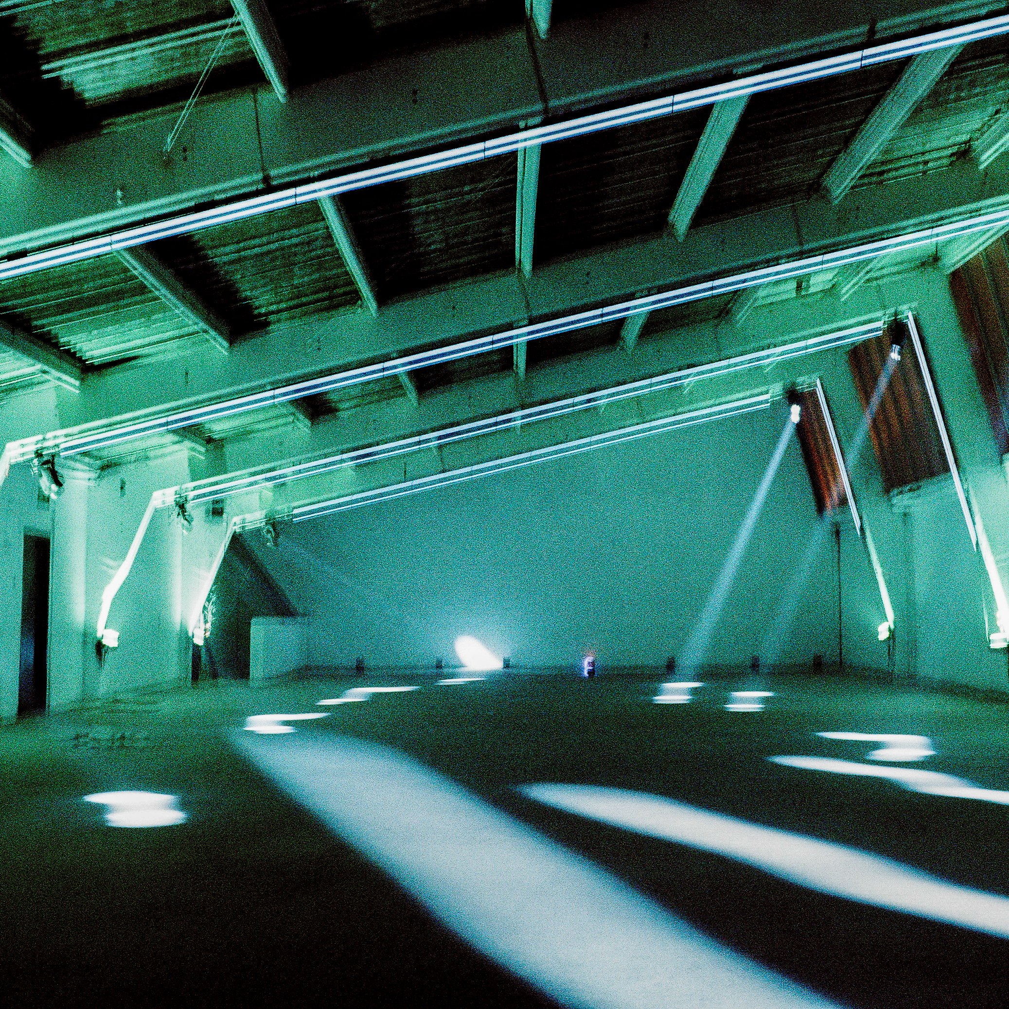
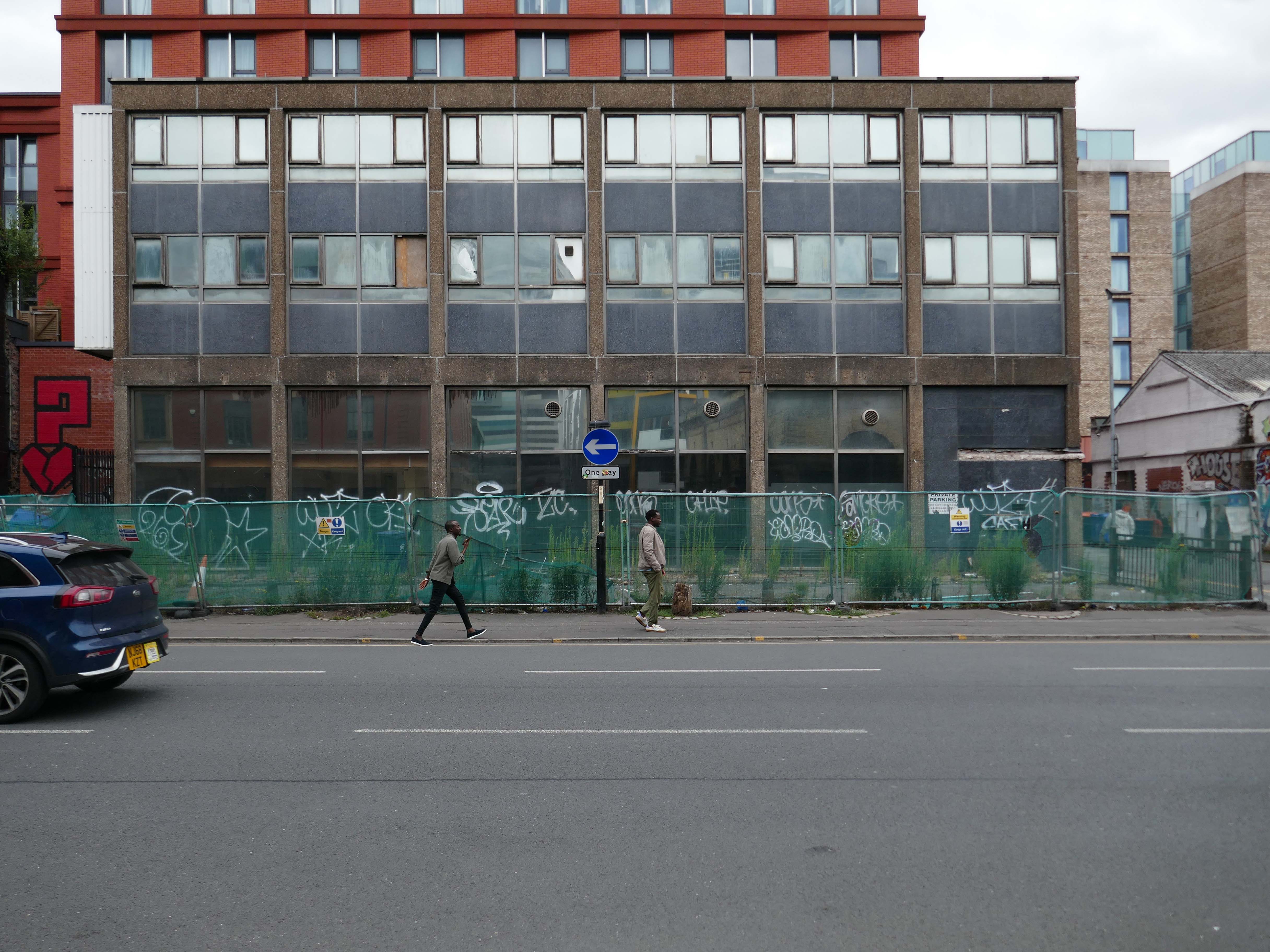
Latterly the former industrial premises have become temporary home to a Warehouse House Party – under the banner of We Are Nowhere.
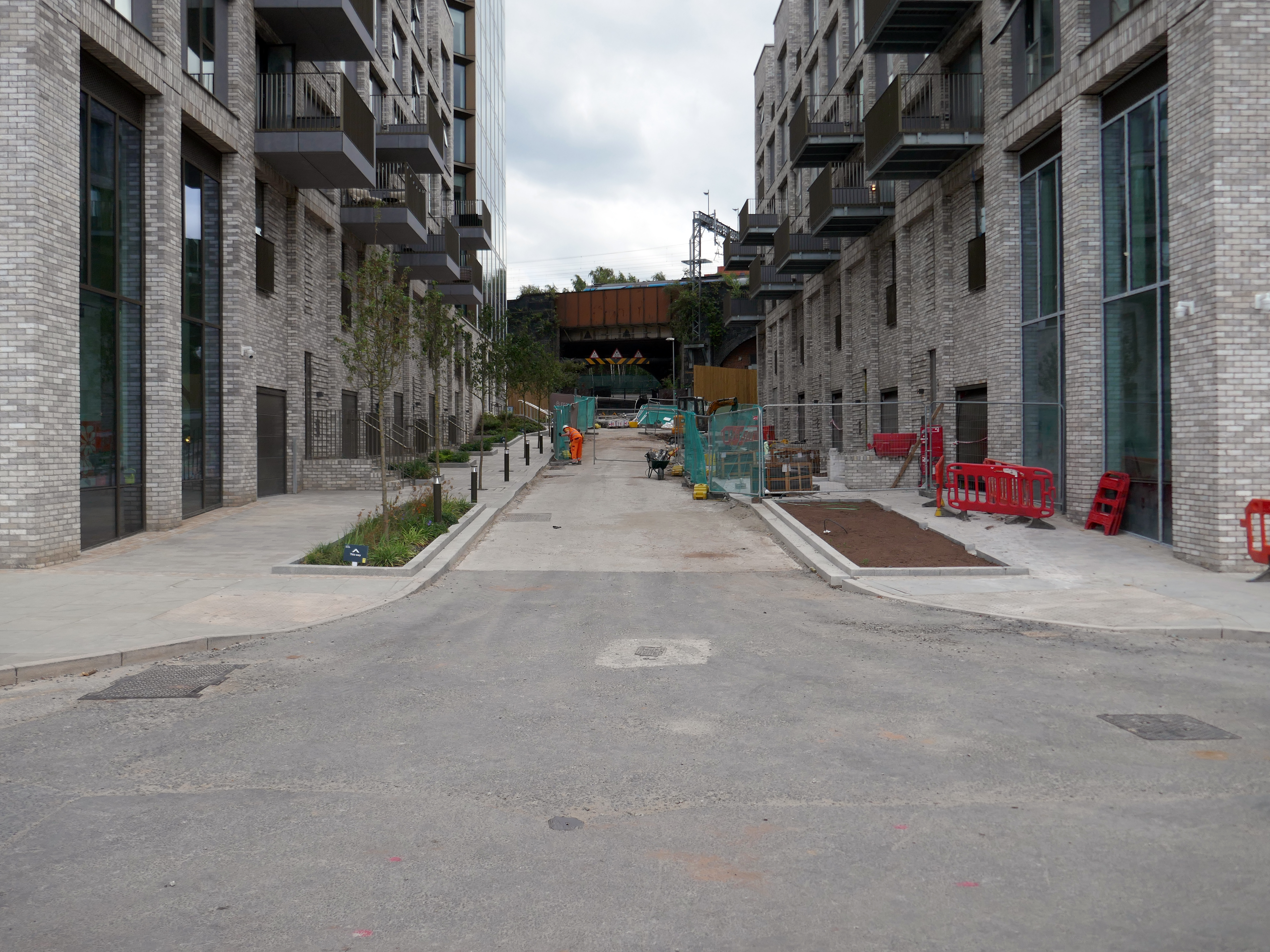
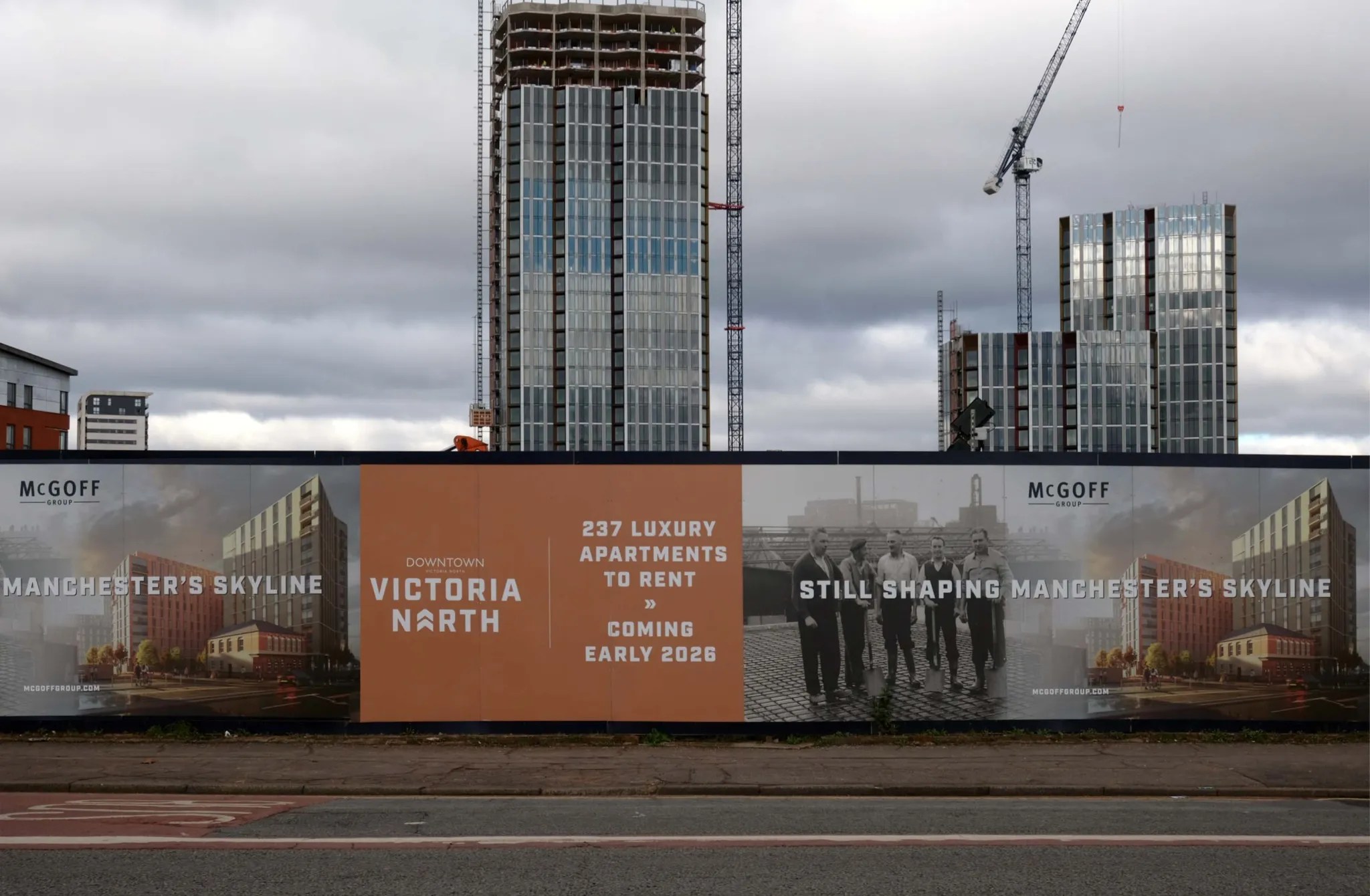
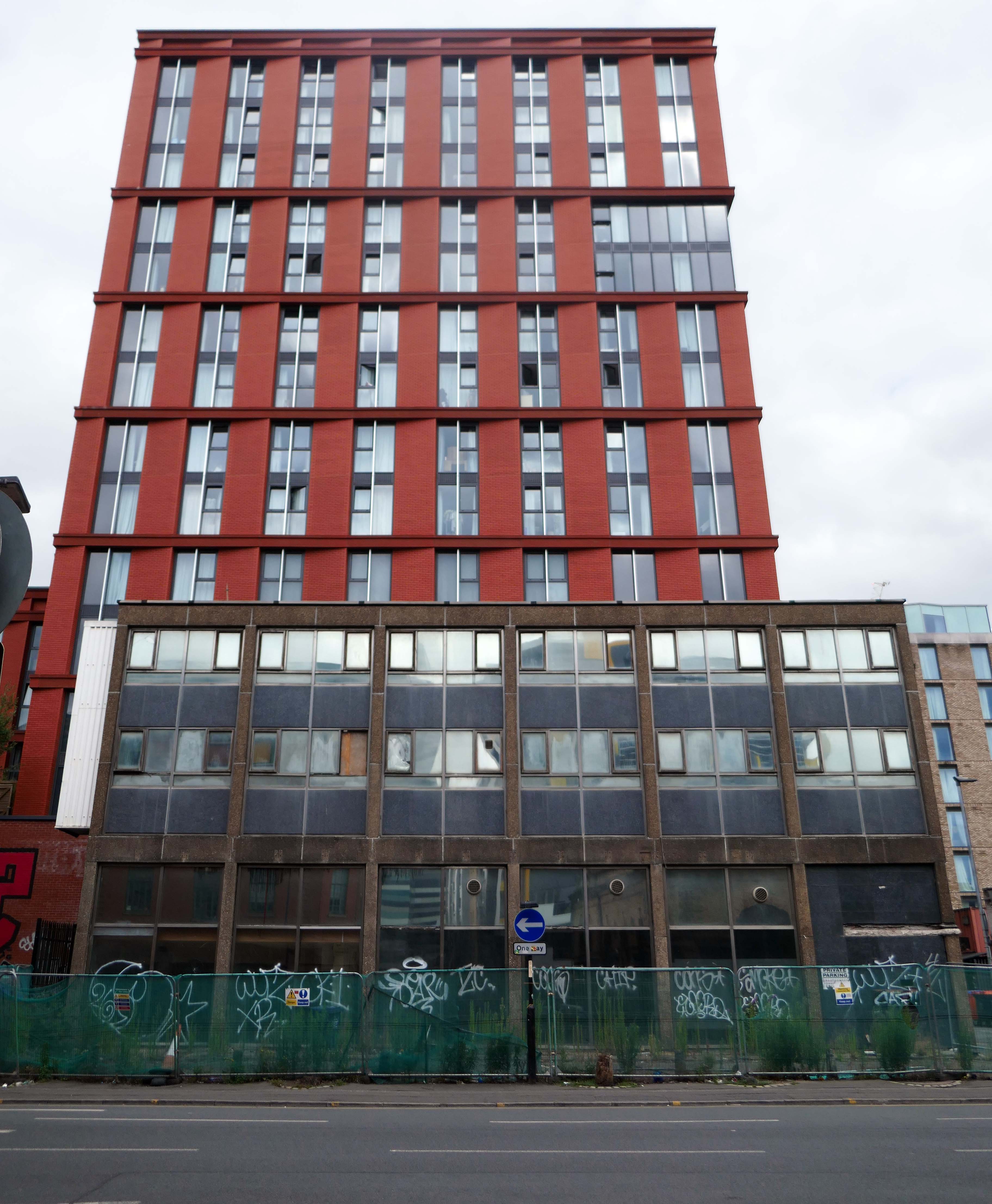
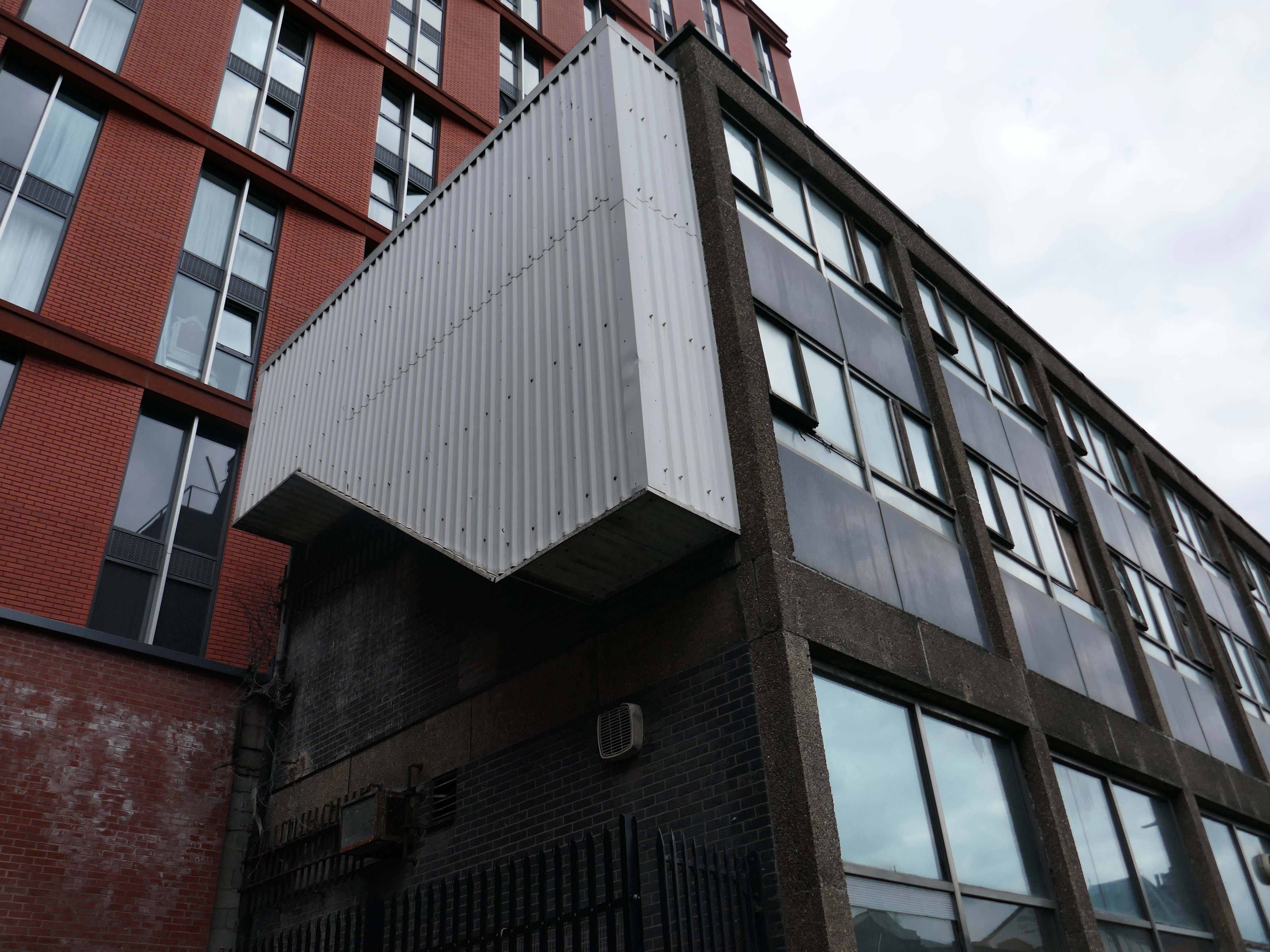
In 2024 the are was becoming Victoria North – with the incipient intrusion of gargantuan residential blocks.
The redevelopment project will create better-connected public spaces, new and improved transport links, and more homes, parks and retail spaces for the city’s growing population. Victoria Riverside is at the forefront of the new, distinct residential neighbourhood at Red Bank and New Town, benefitting from its location within Manchester City Centre, but offering something new to its community.
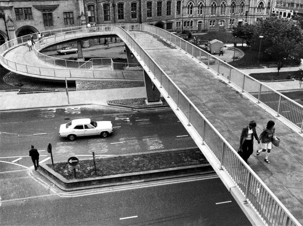
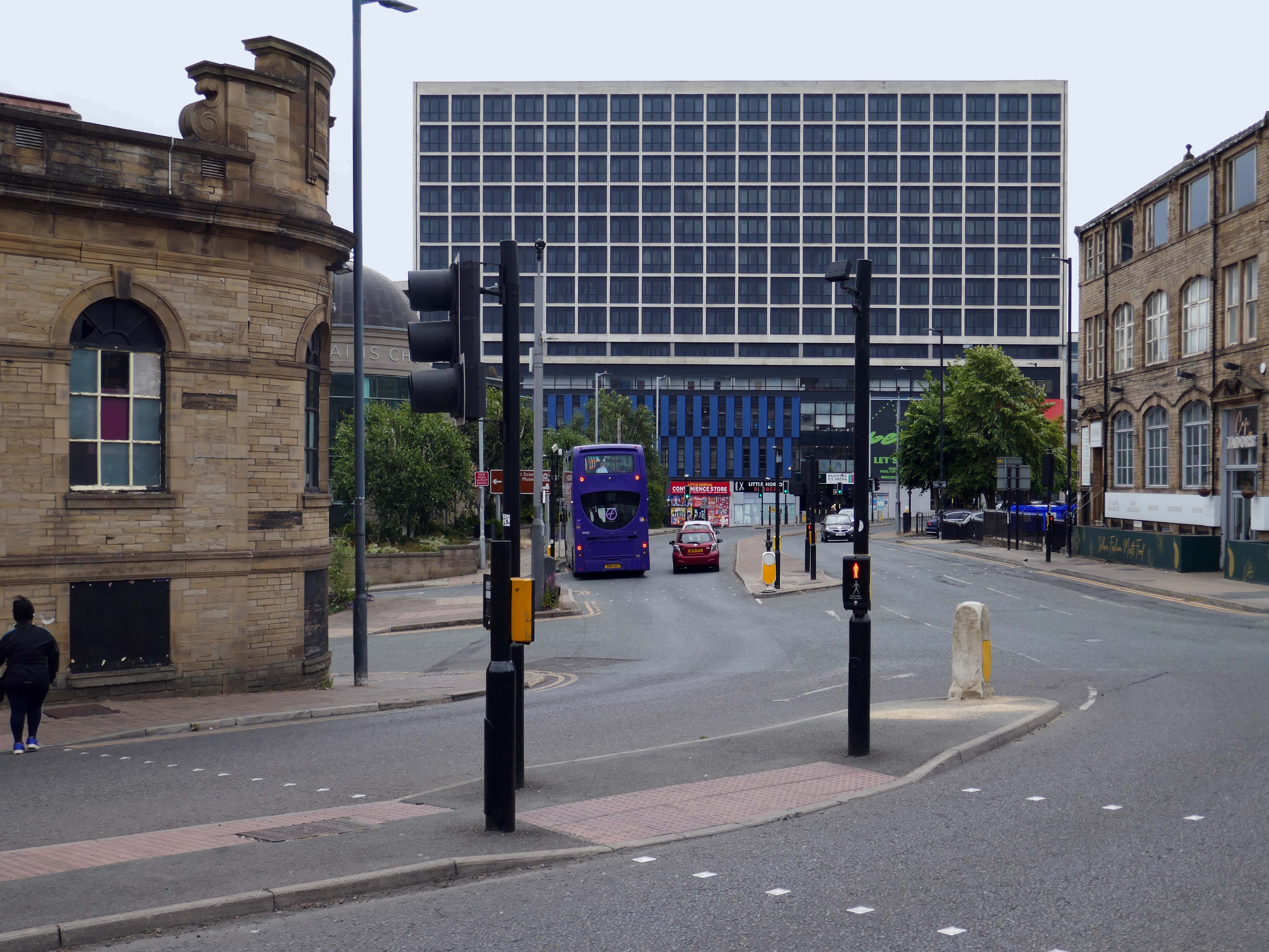
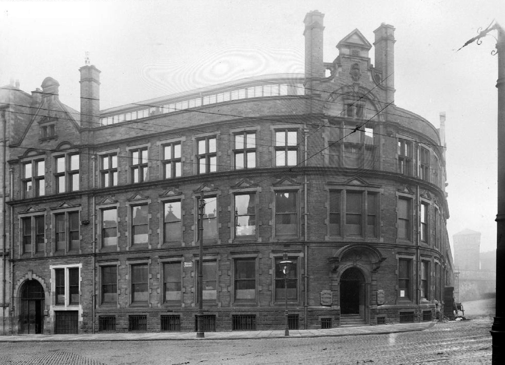
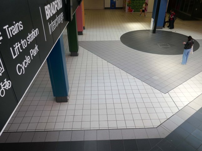
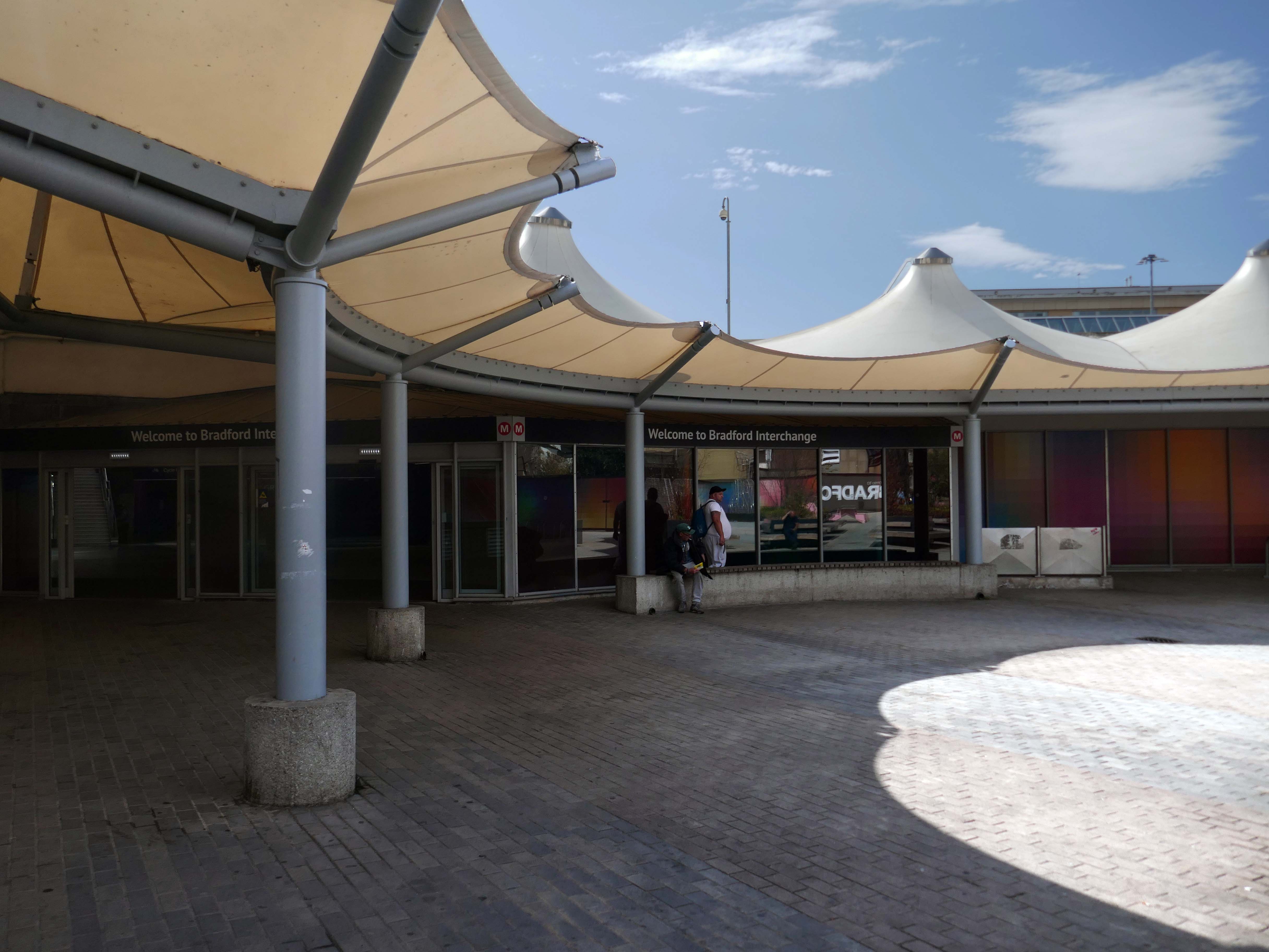
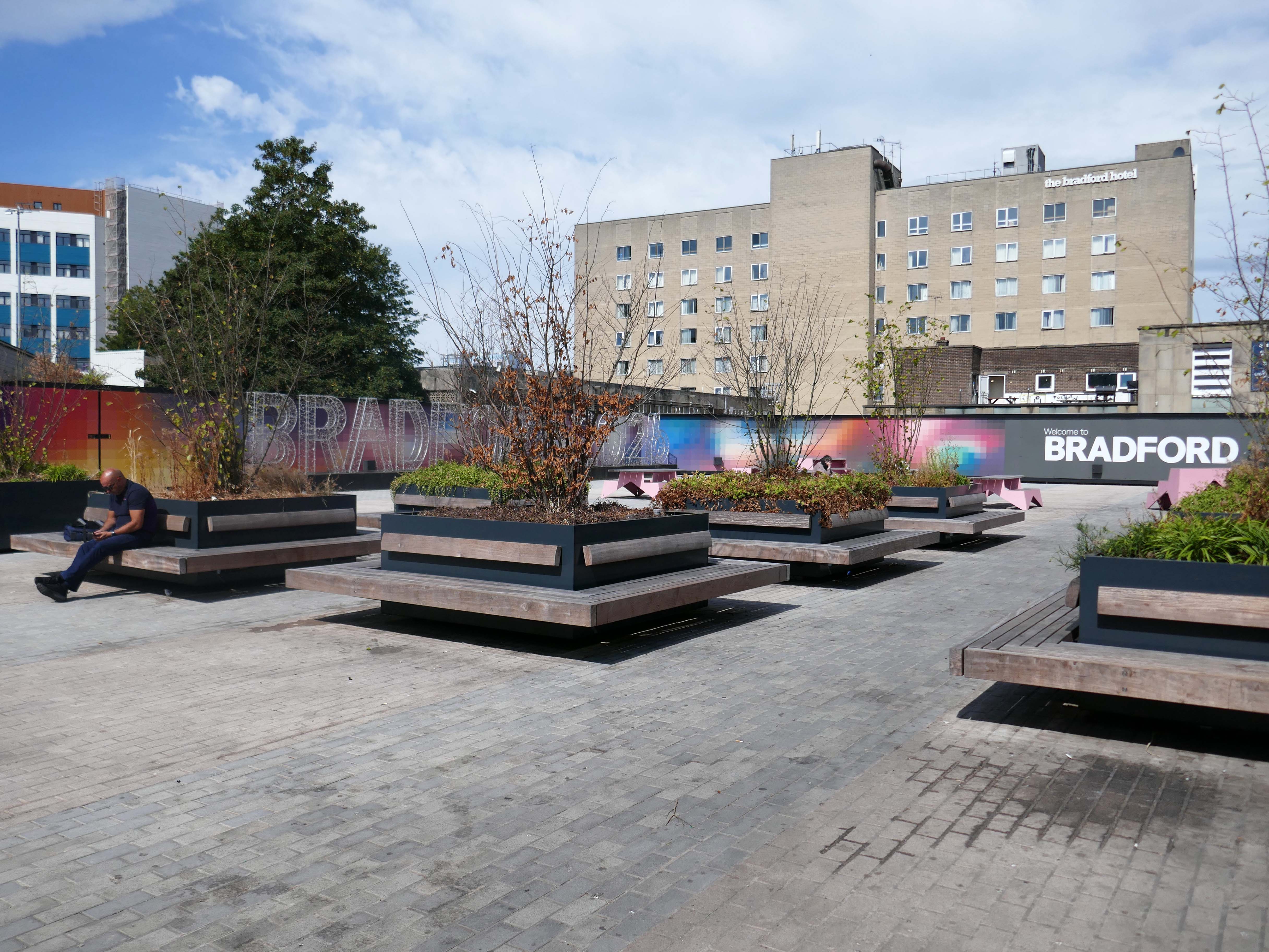
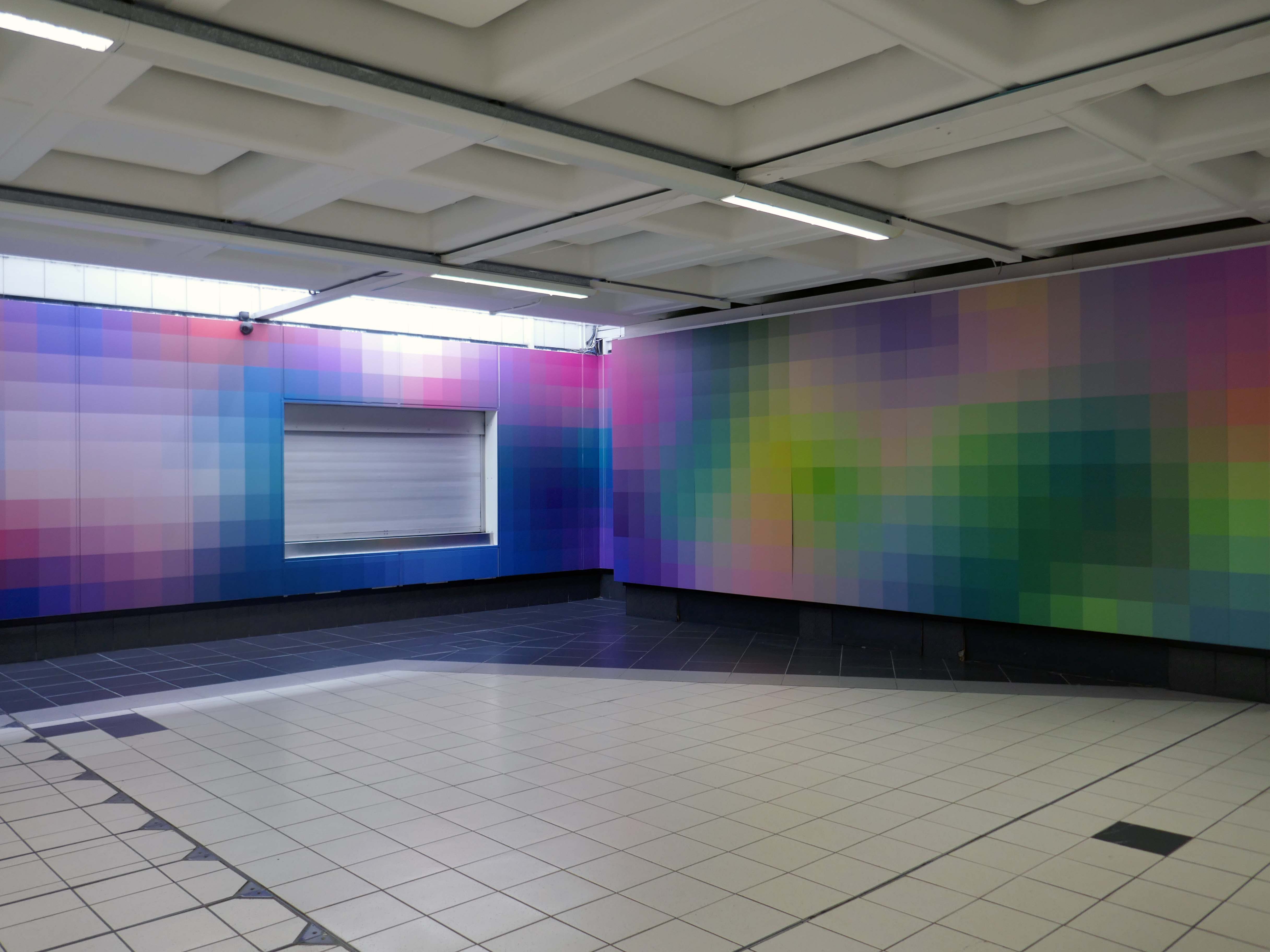
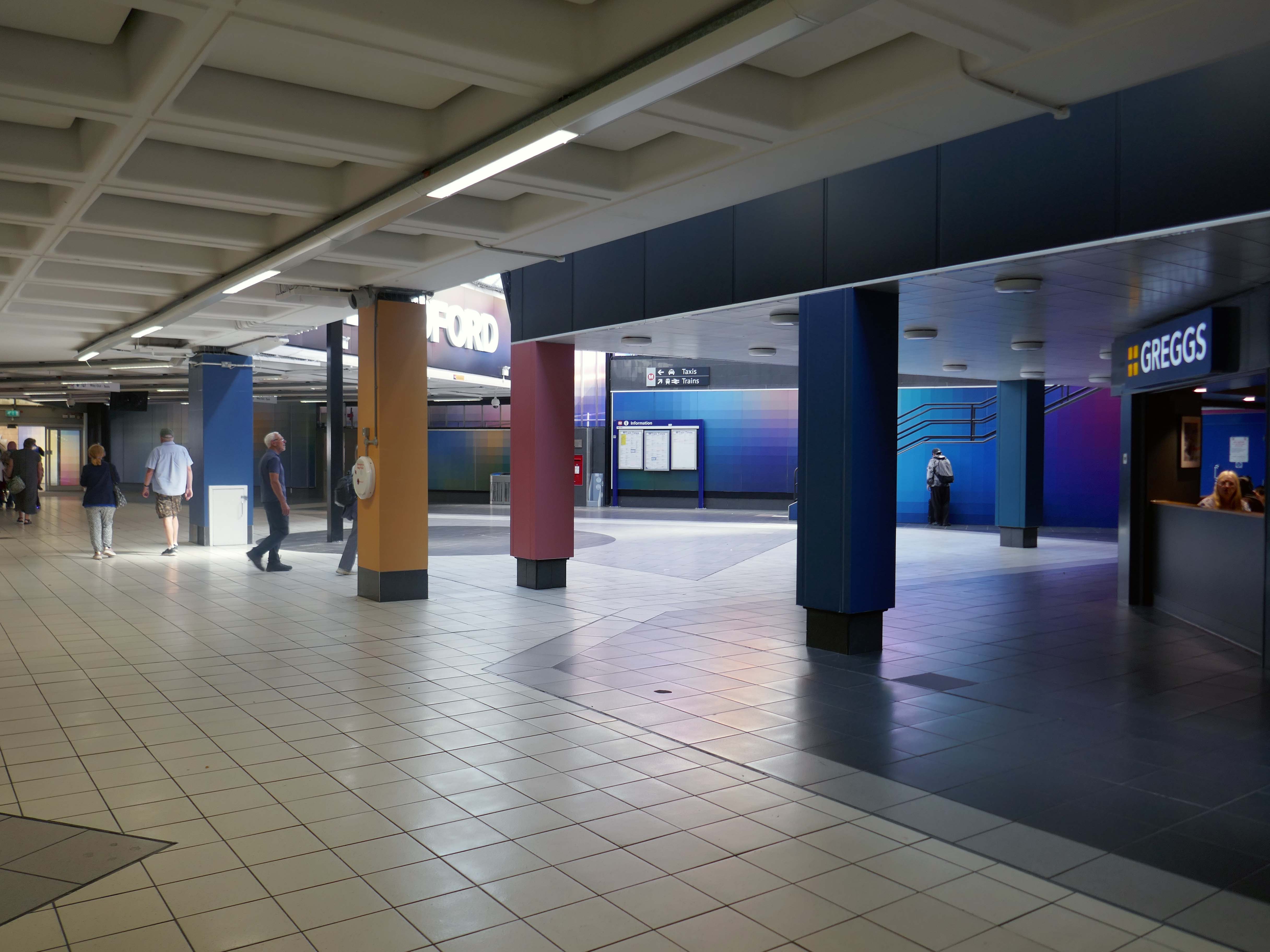
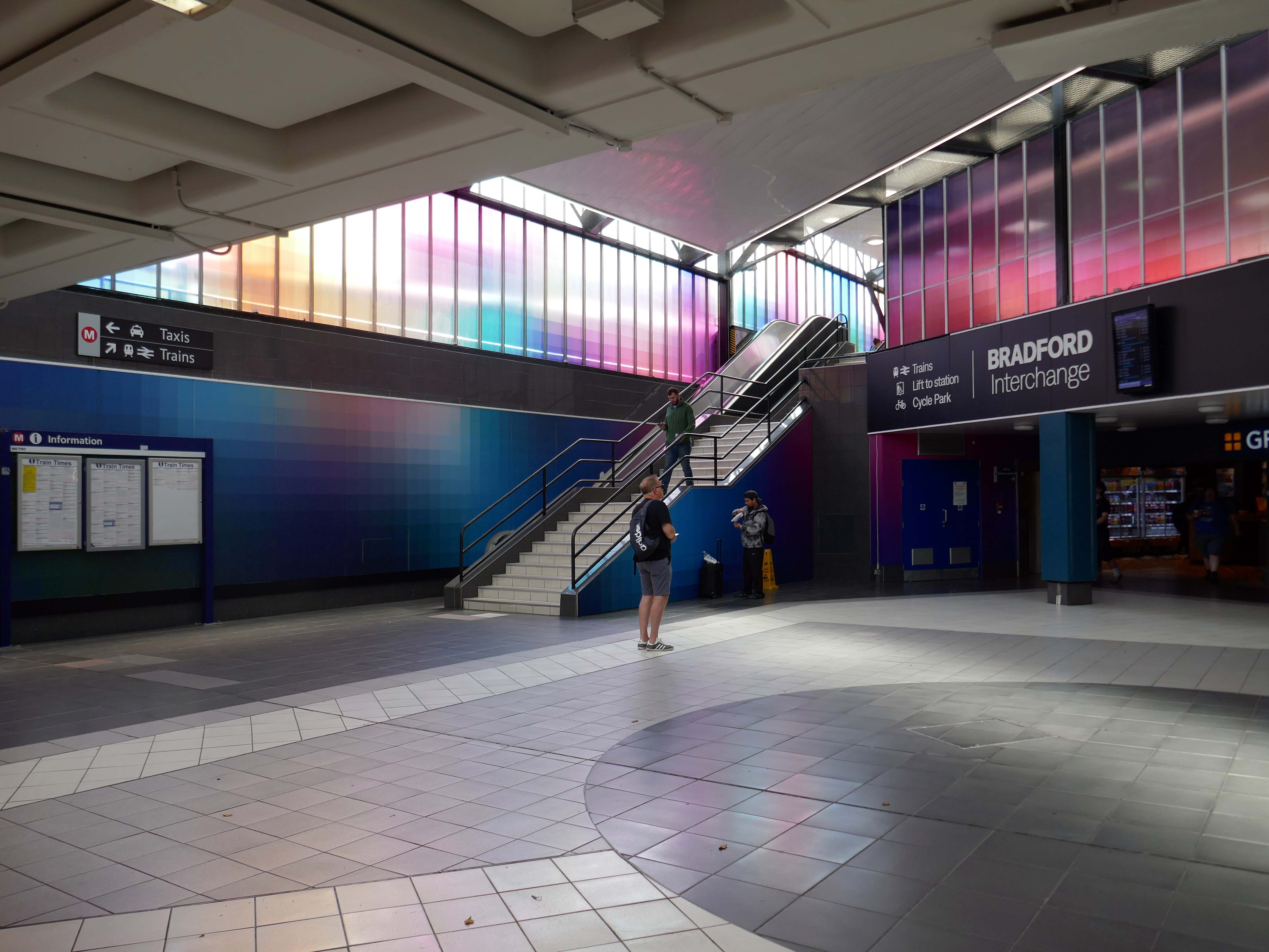
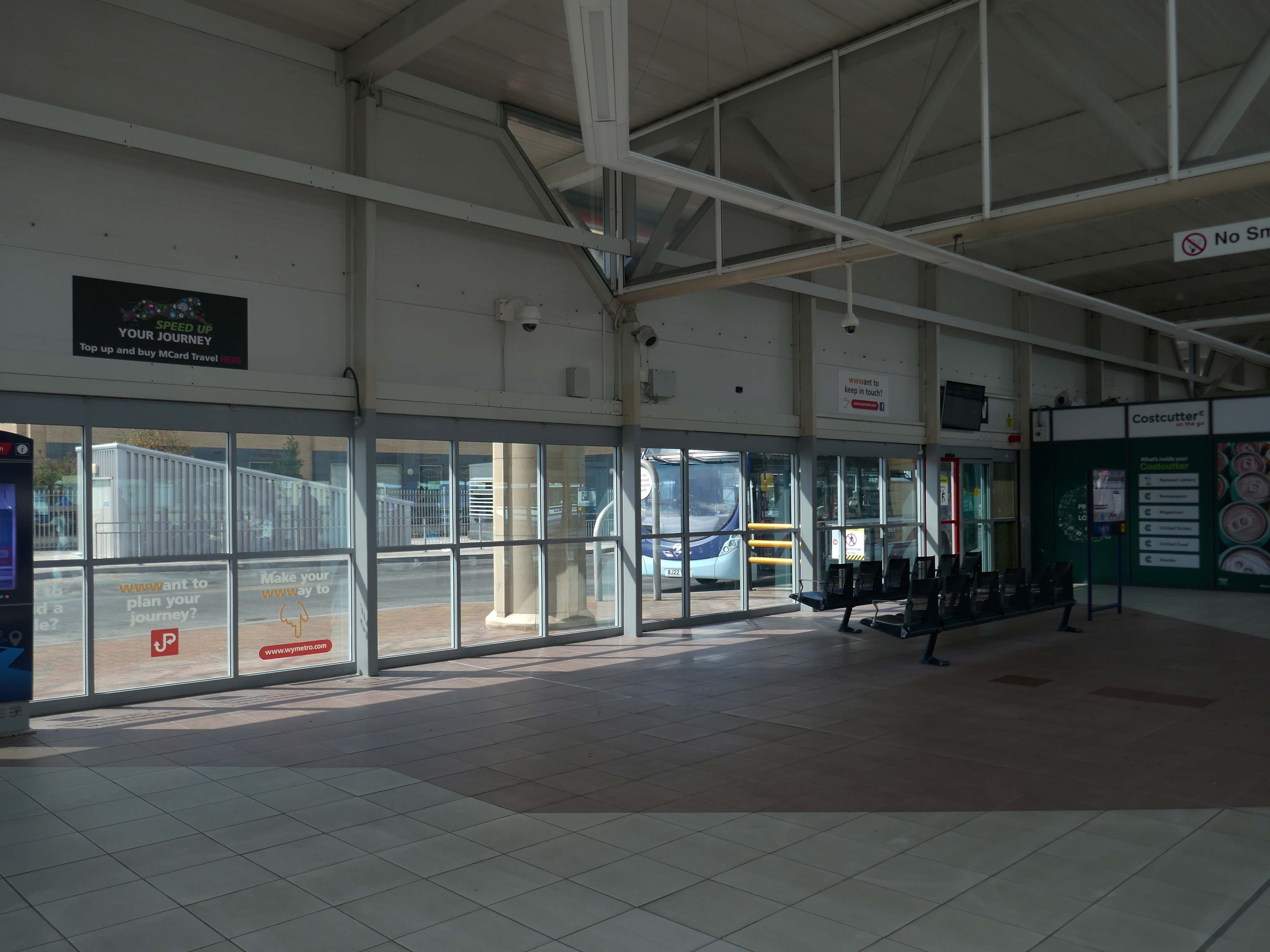
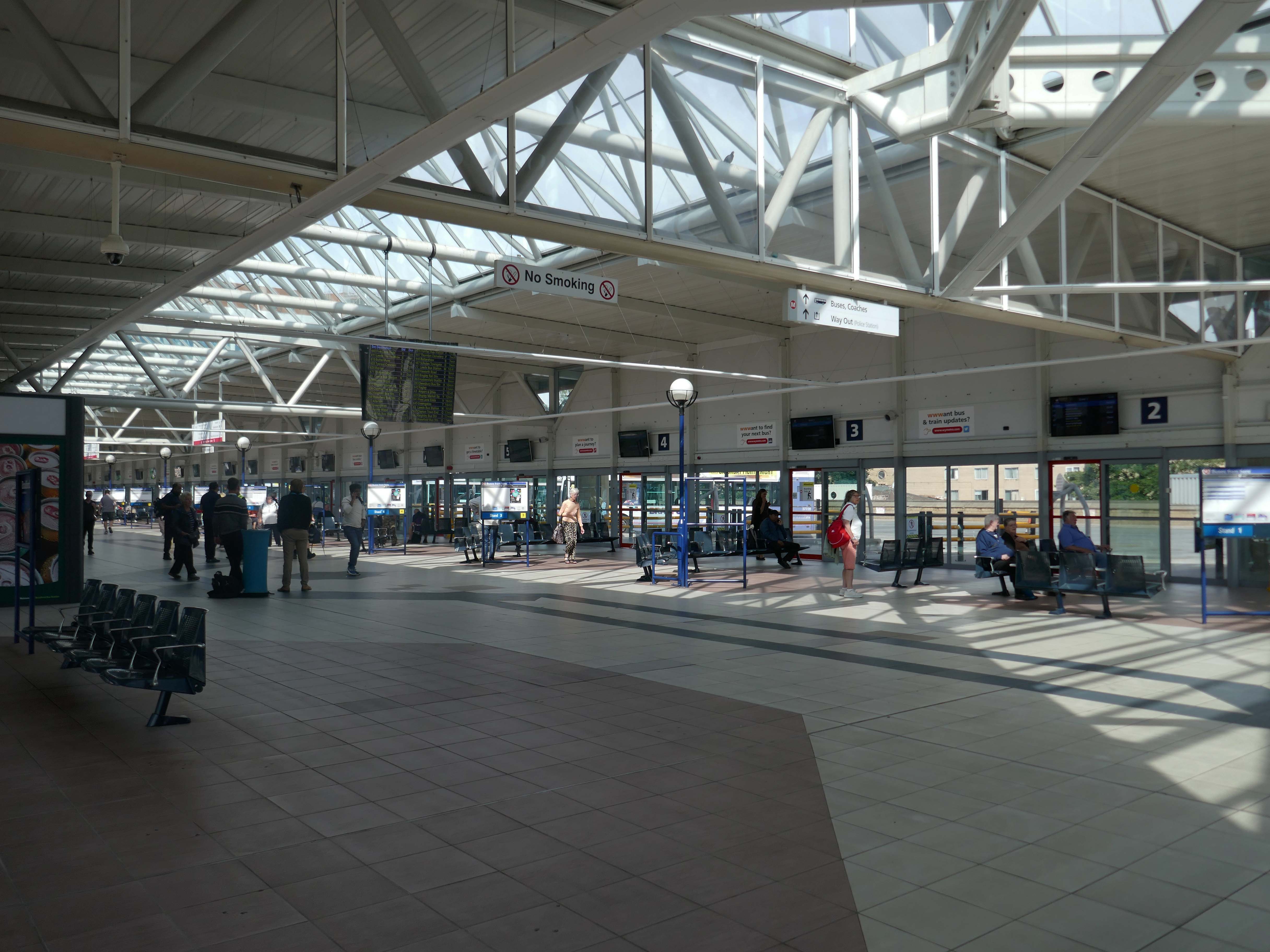
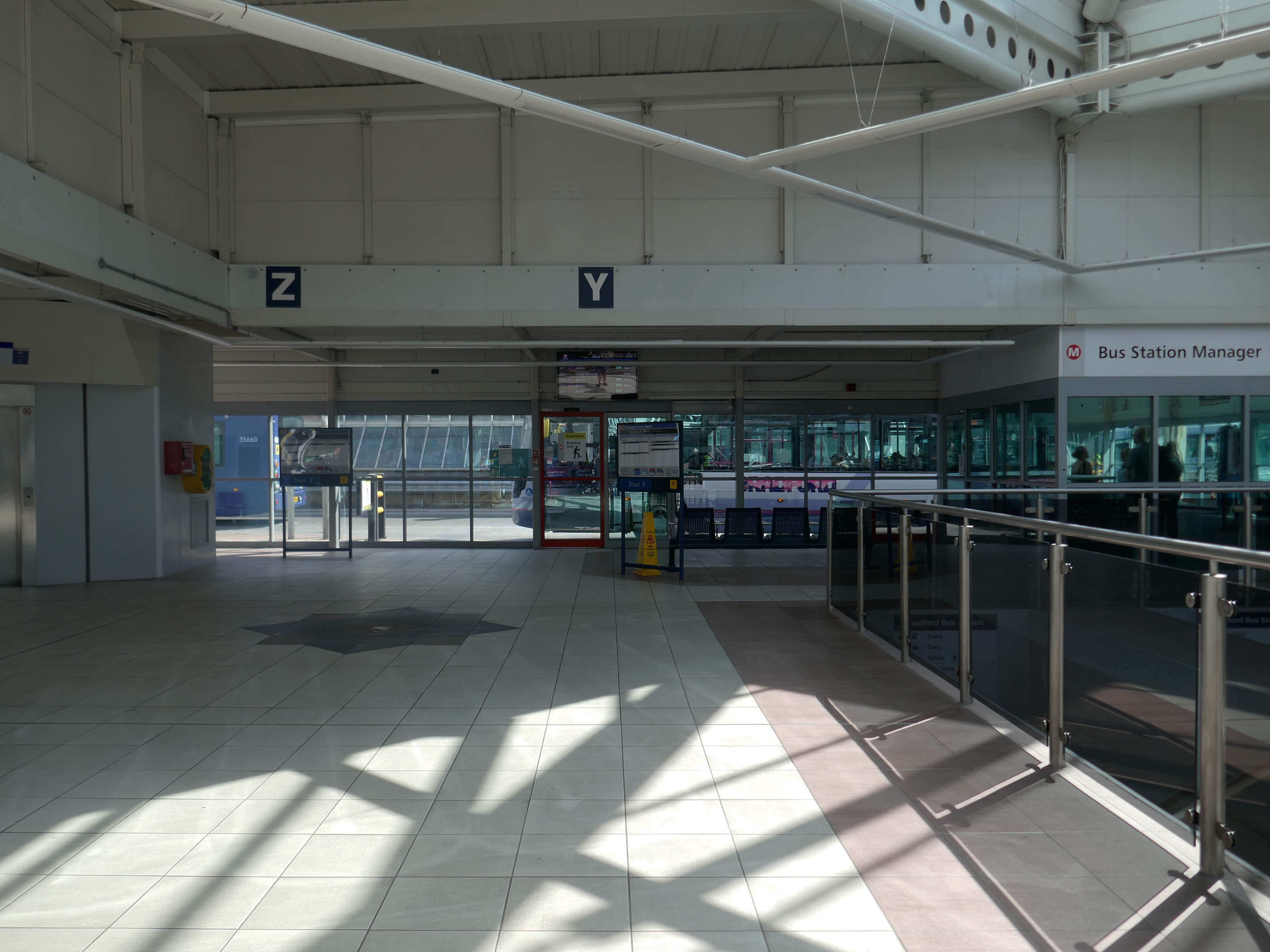
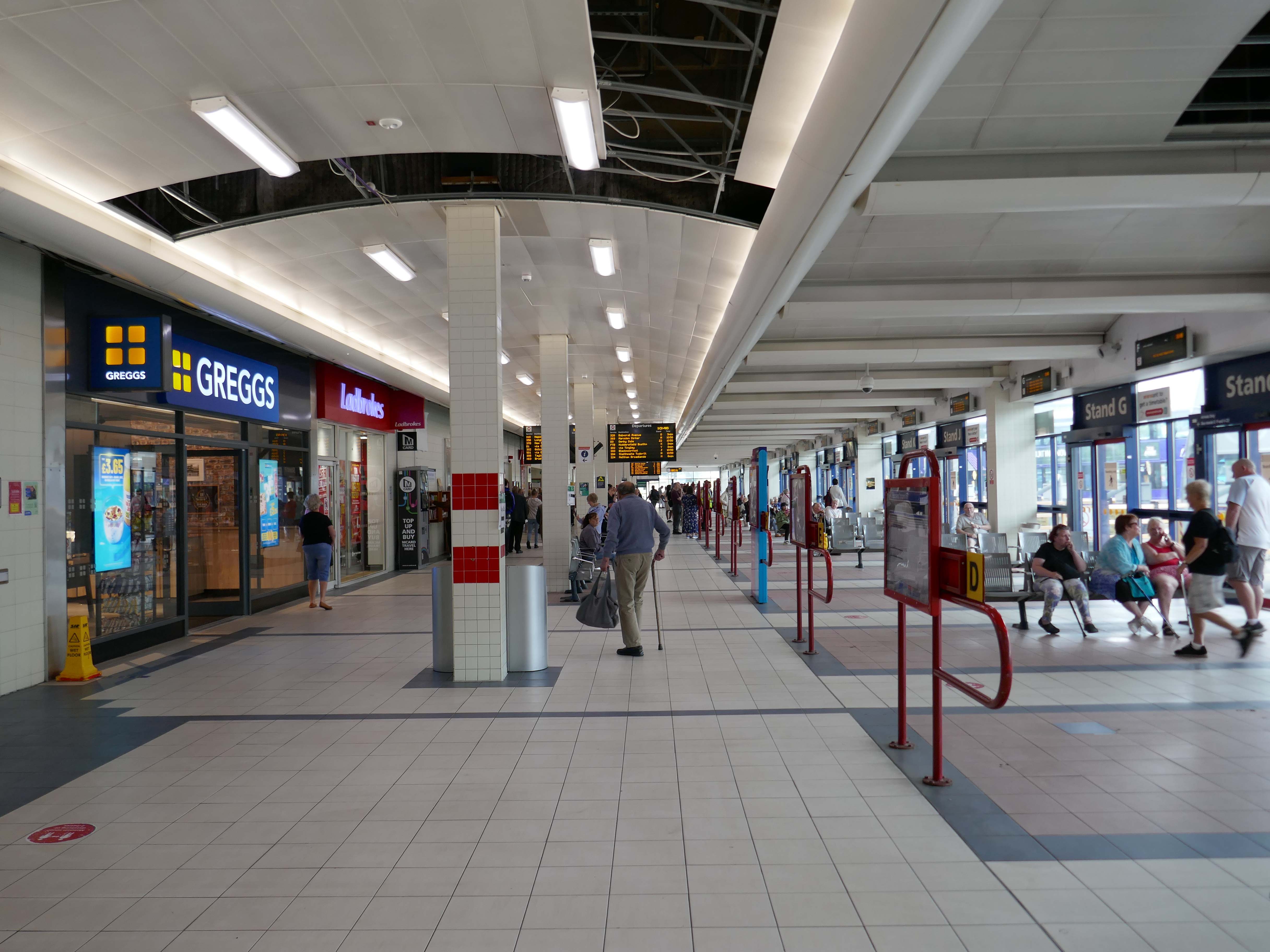
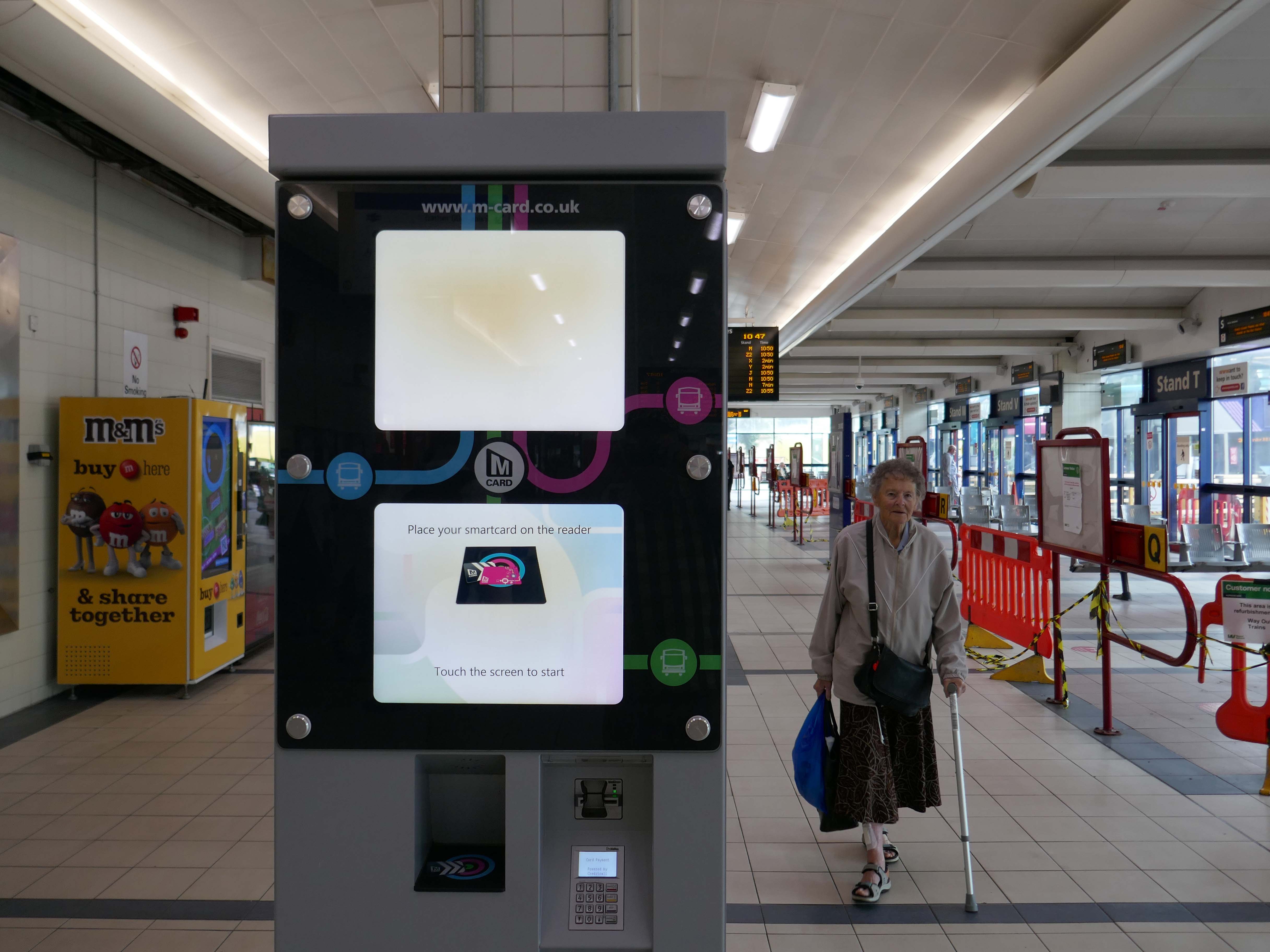
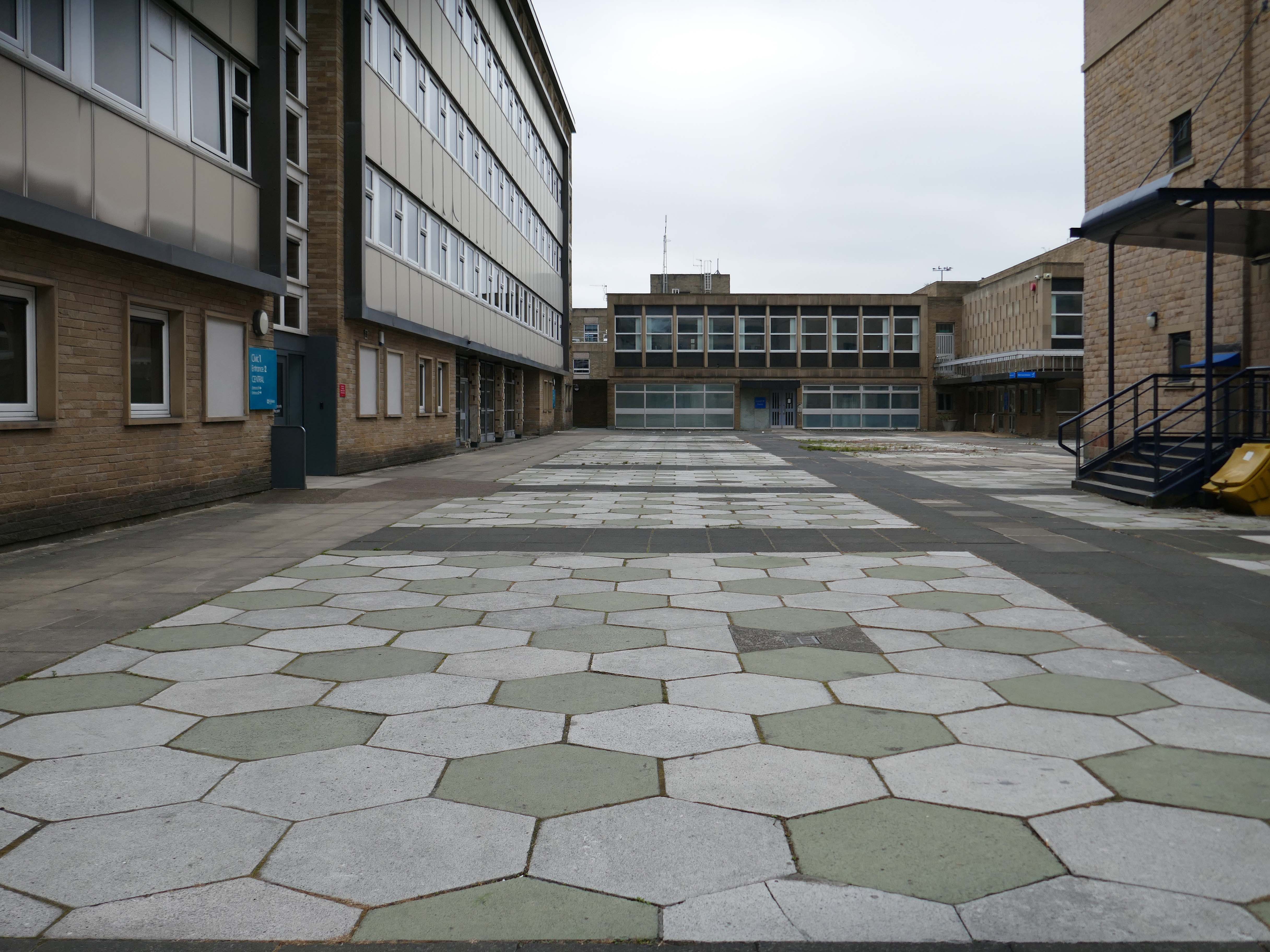
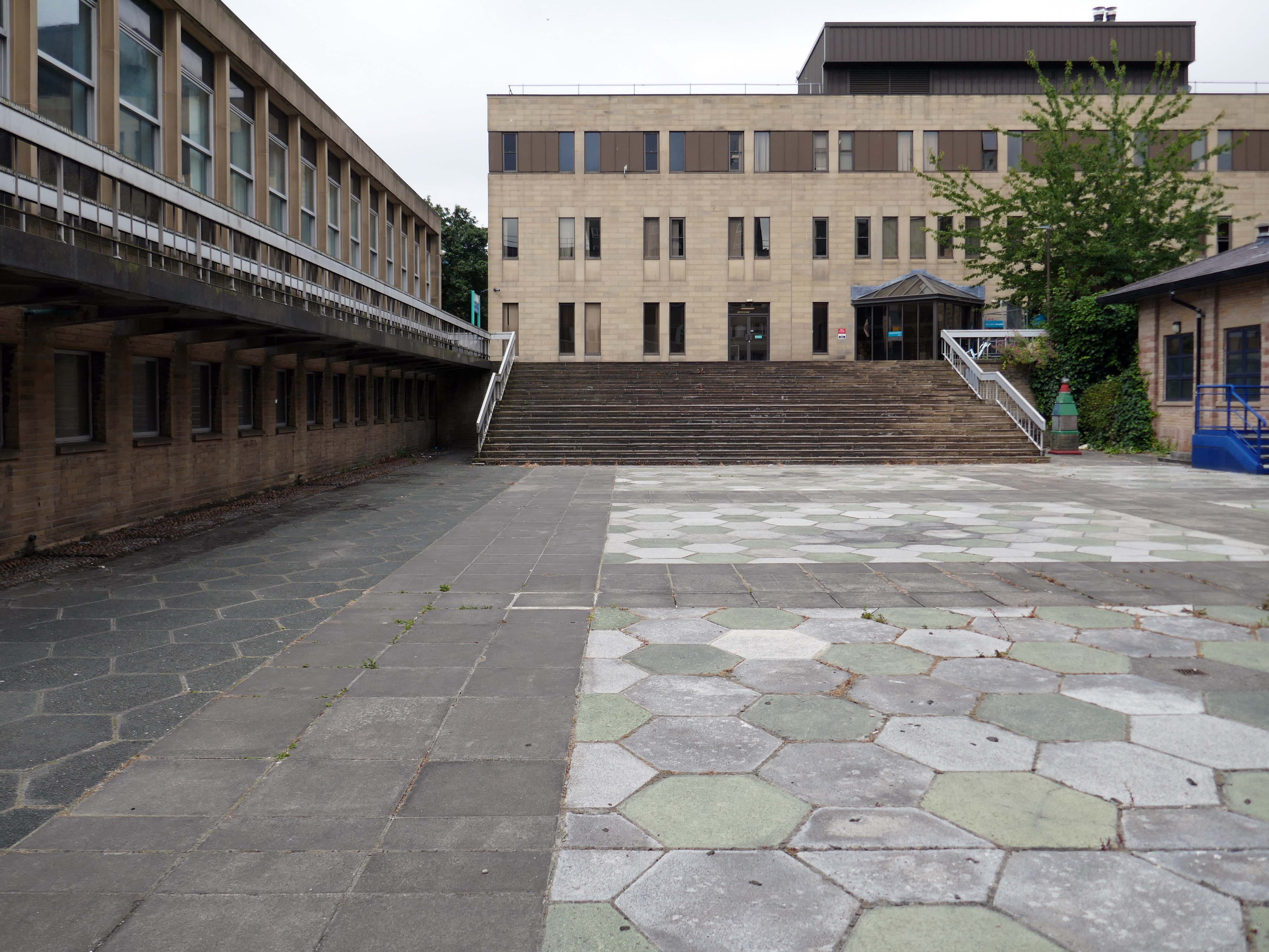
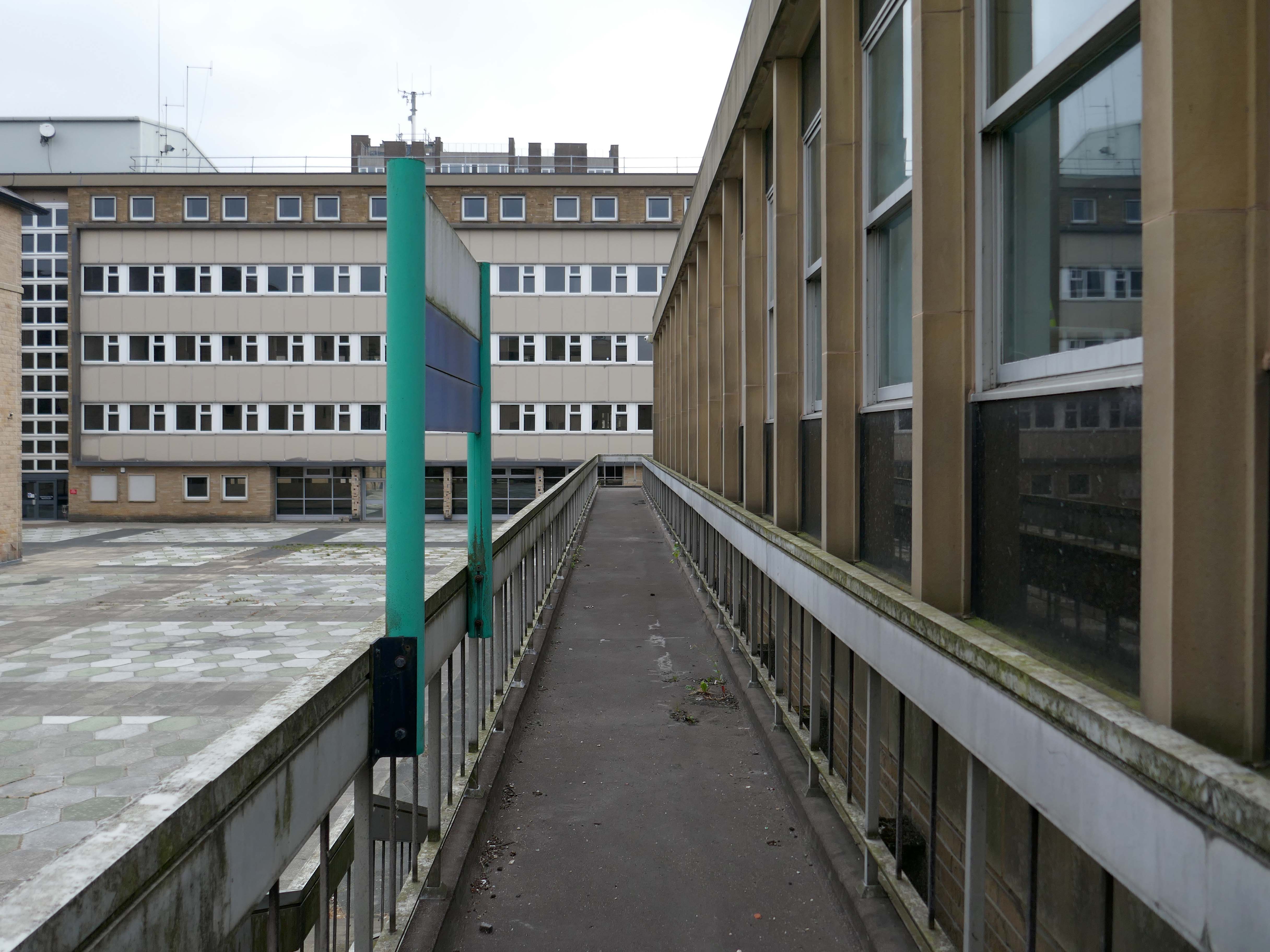
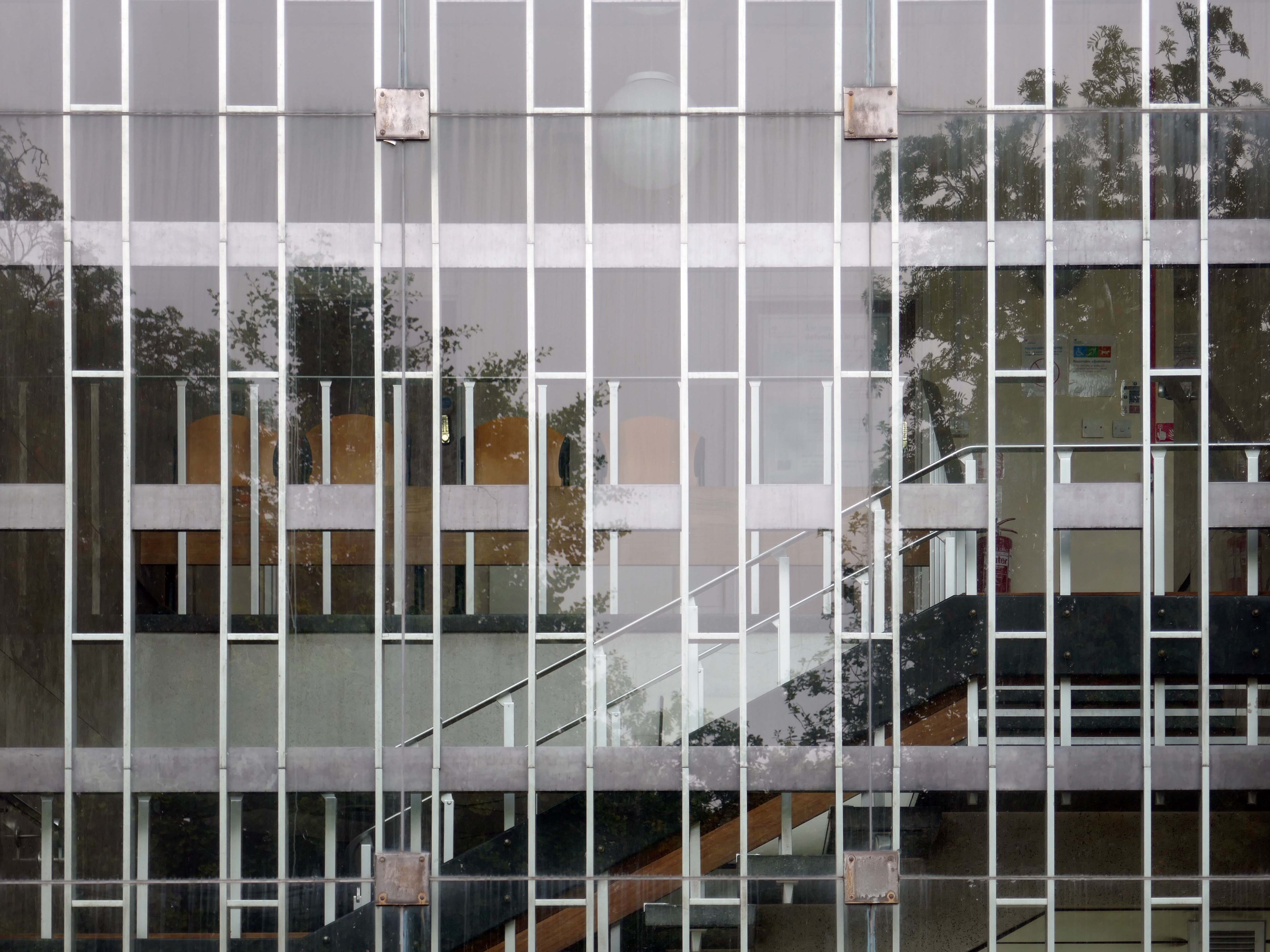
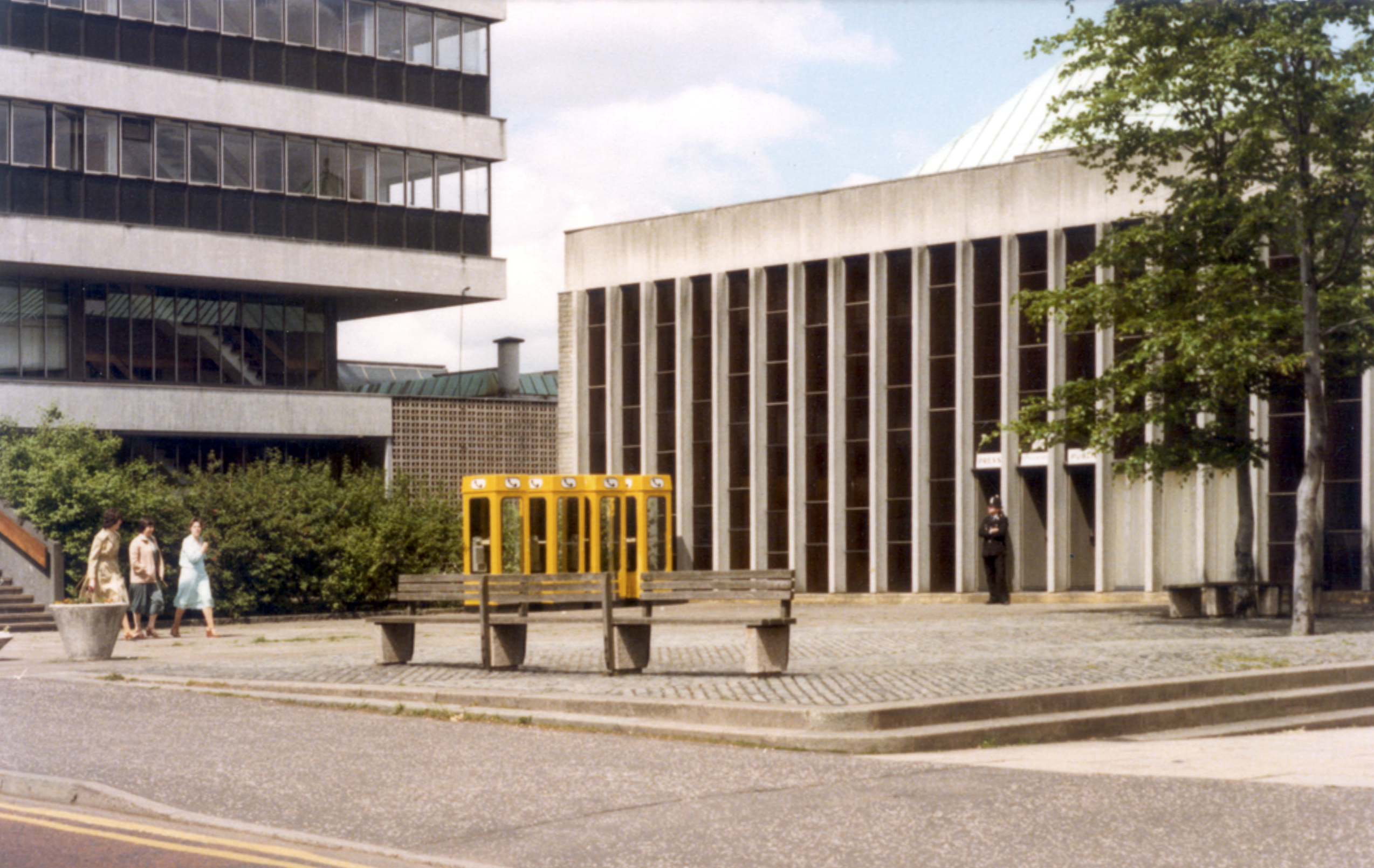
Saturday 25th July arriving in bright sunshine at the Bradford Interchange – architects WC Brown City Architect and RL Moorcroft BR 1971.
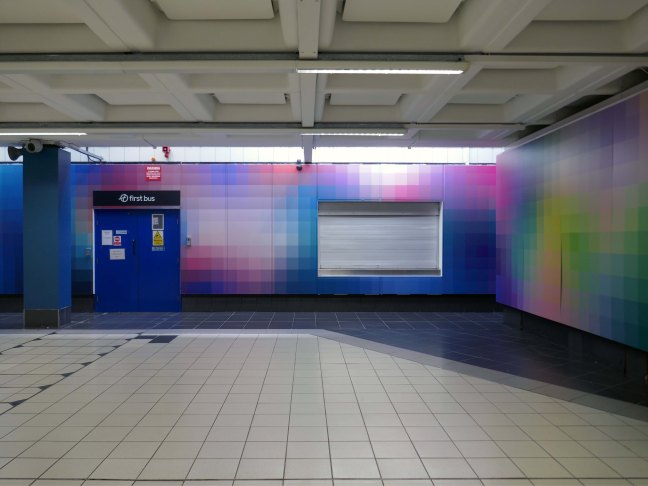
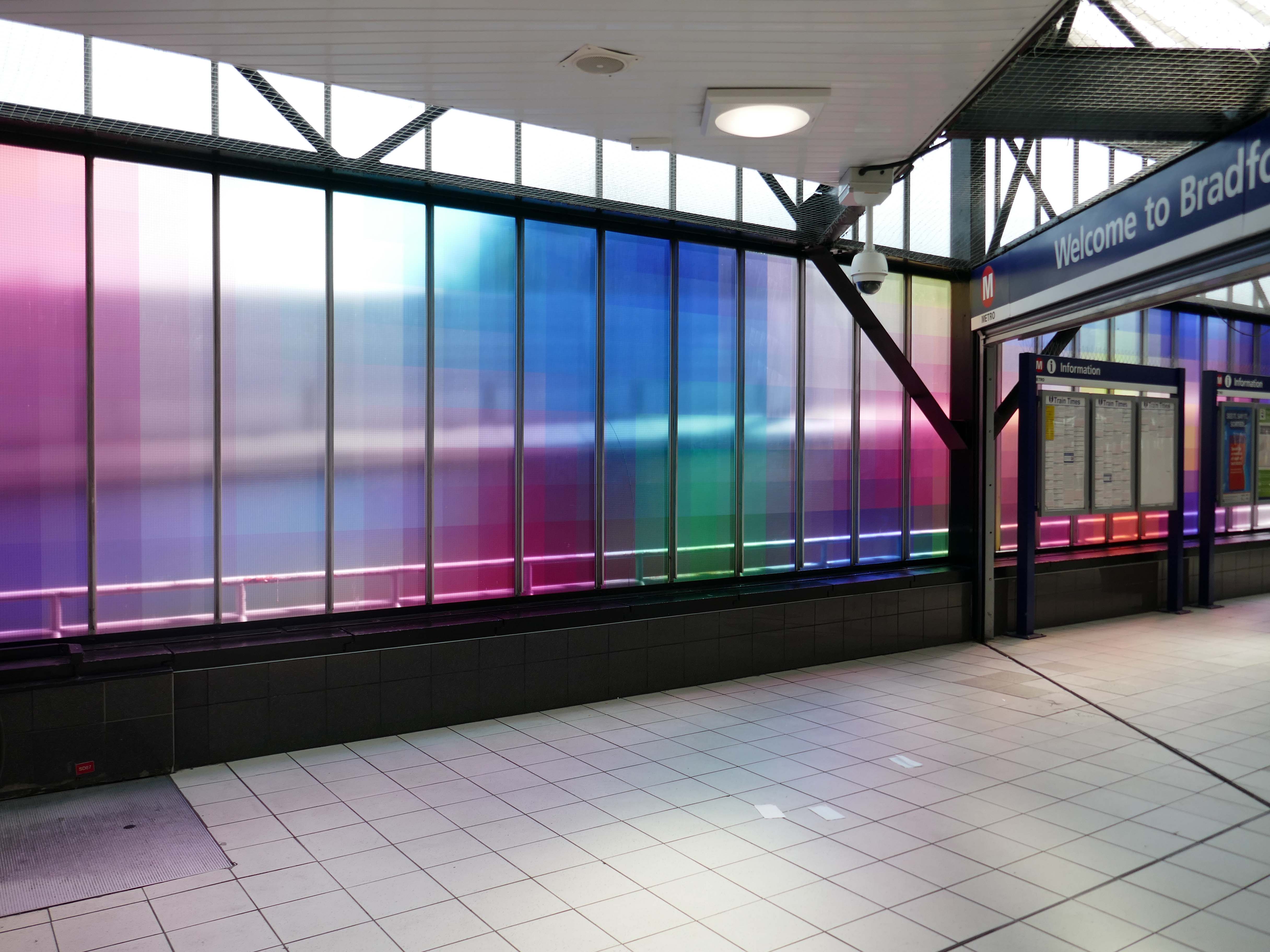
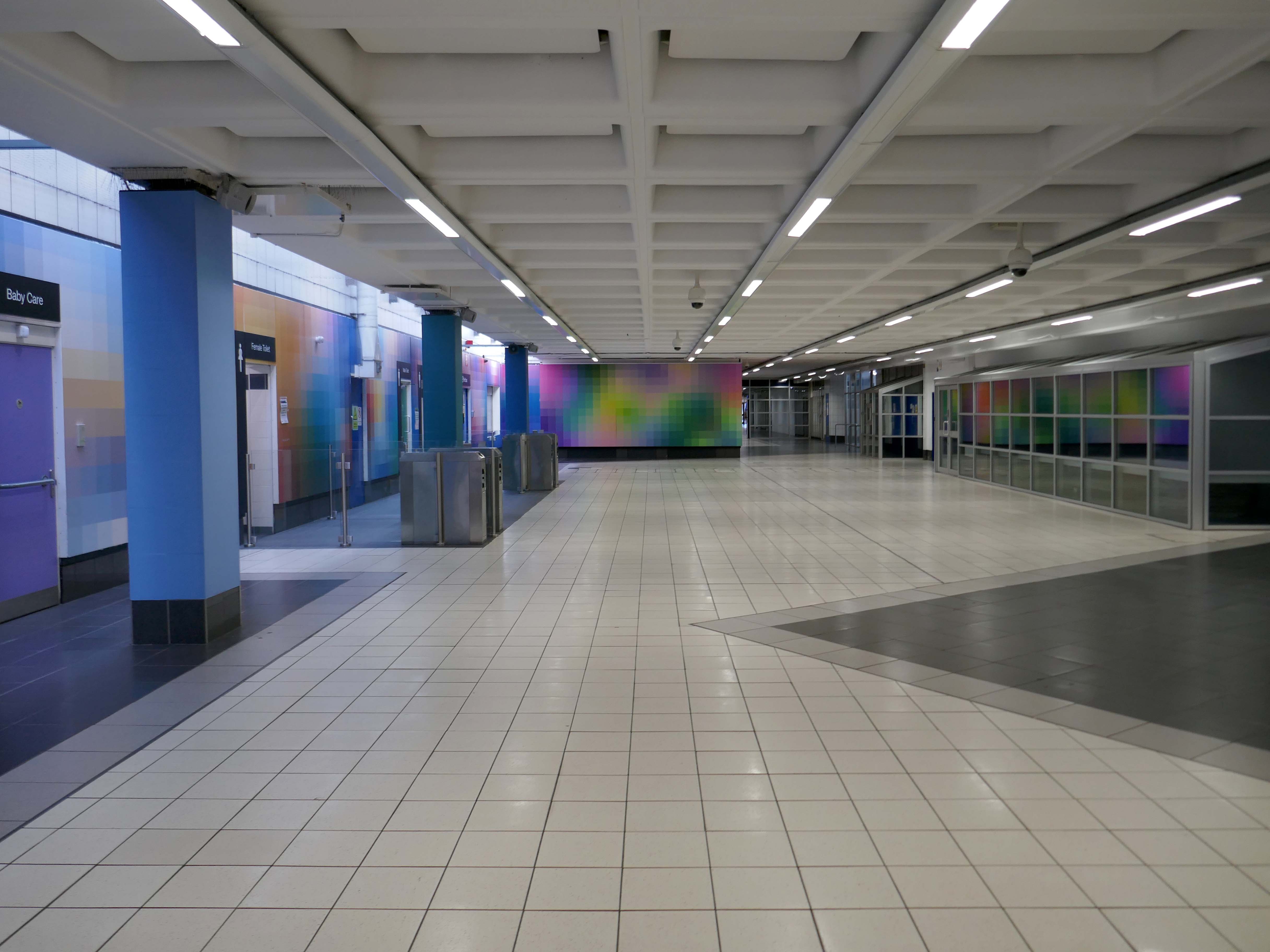
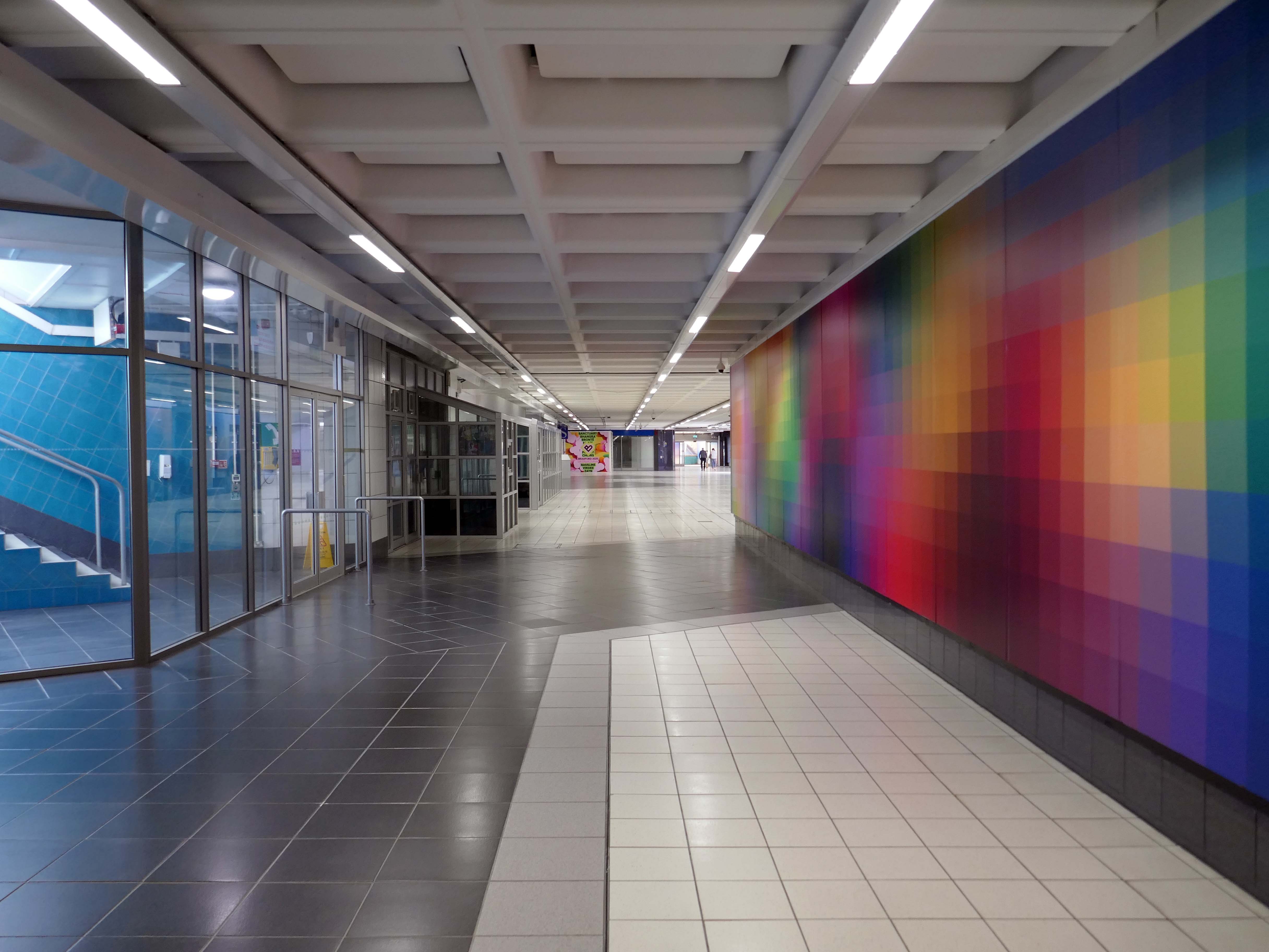
Which has been transformed for the City of Culture 2025 by Bigg Design, with their multicoloured panels.
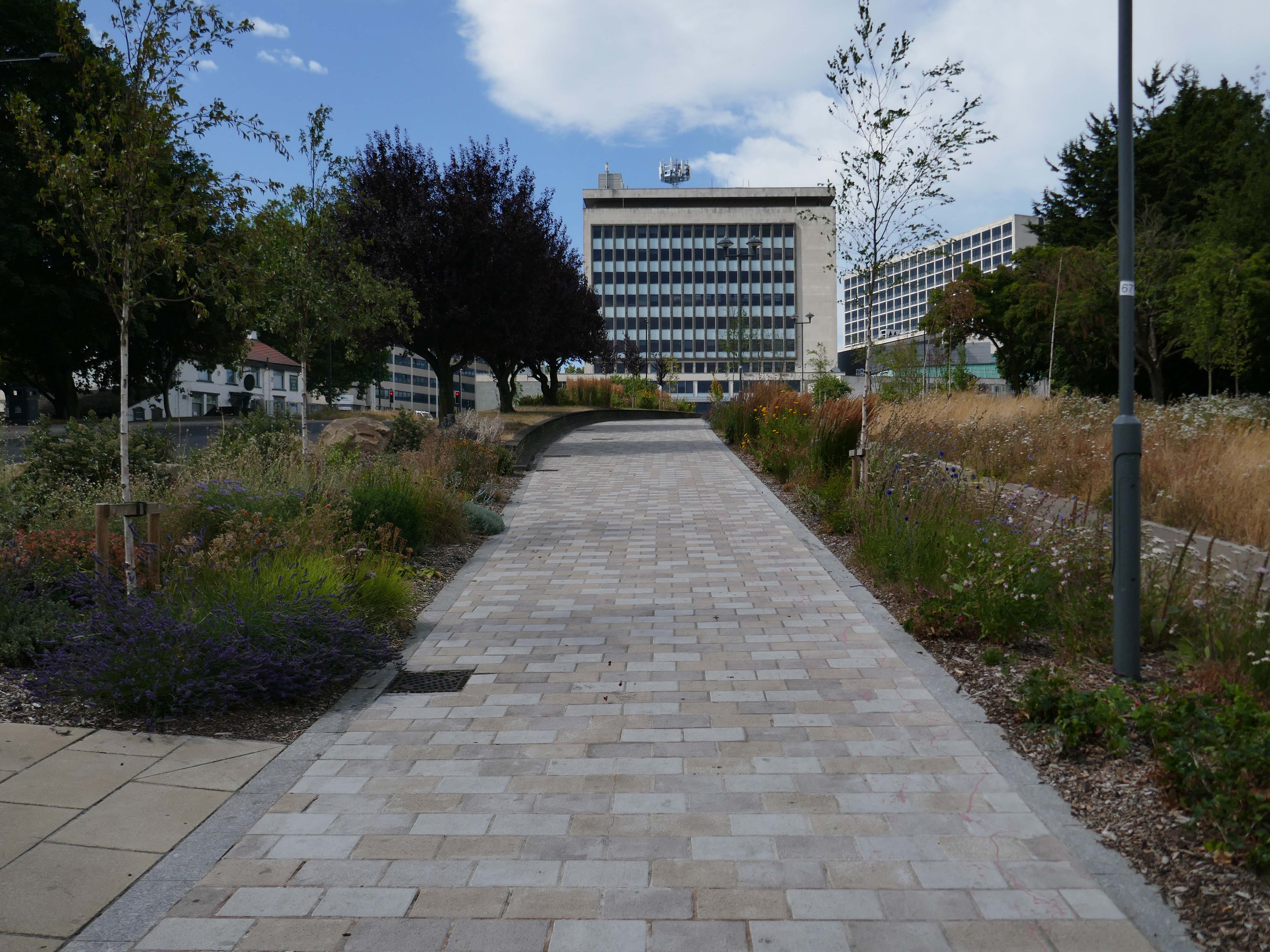
In addition there has been a transportation of the approach by Fereday Pollard, with the addition of seating in the newly landscaped plaza area.
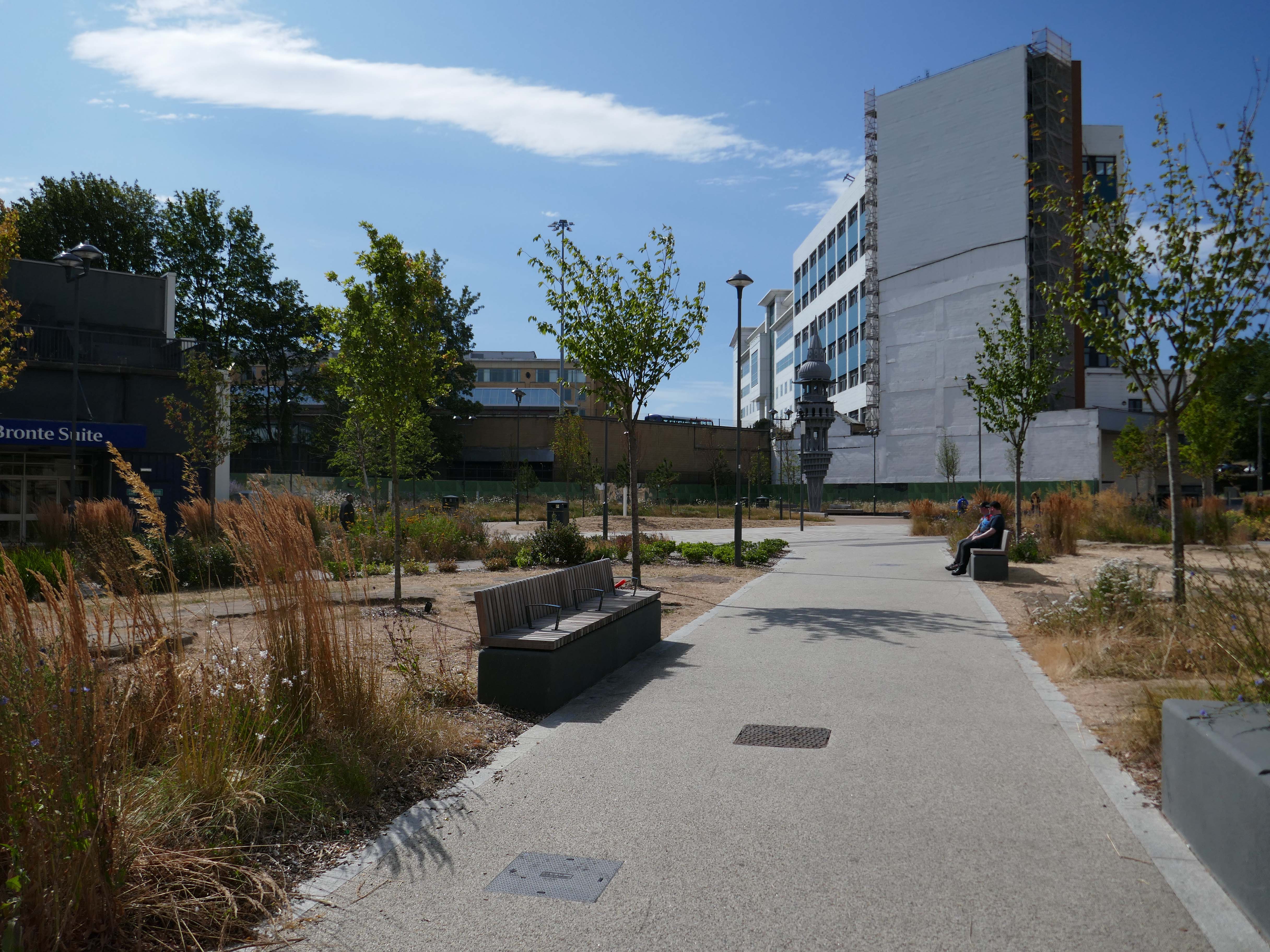
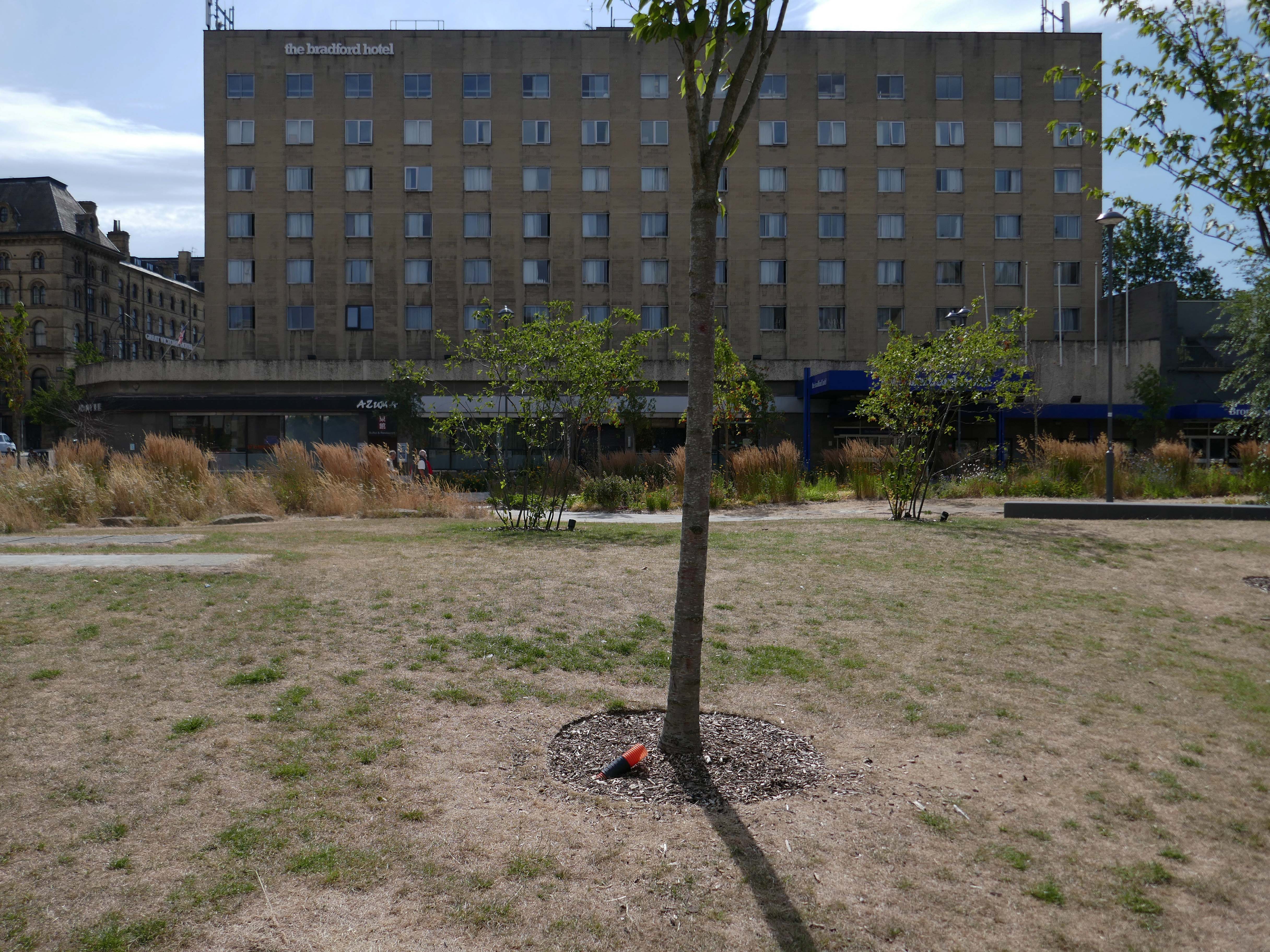
Moving into the city centre there have been changes in the area between the Bradford Hotel and the Town Hall, it’s now a freshly landscaped space especially for pedestrians.
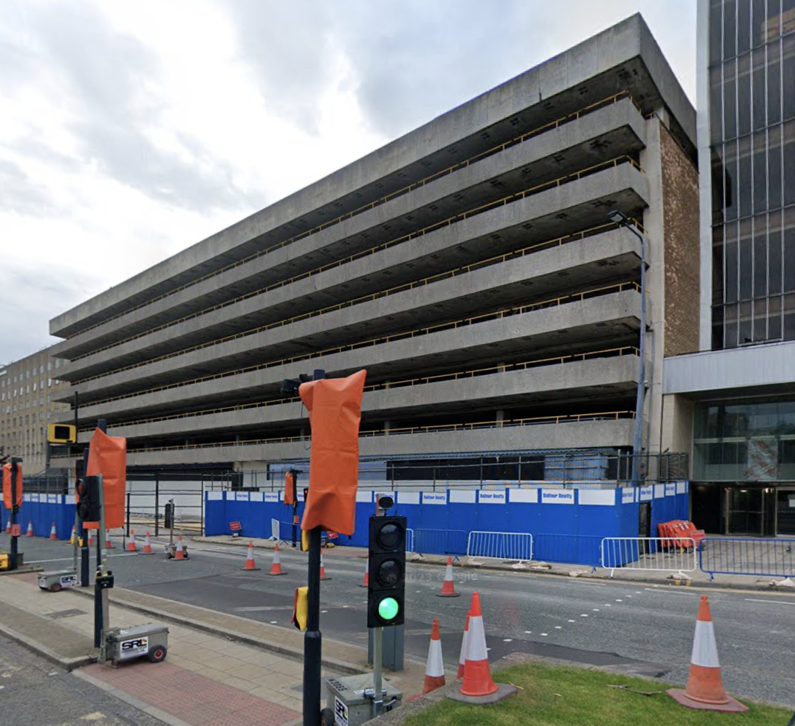
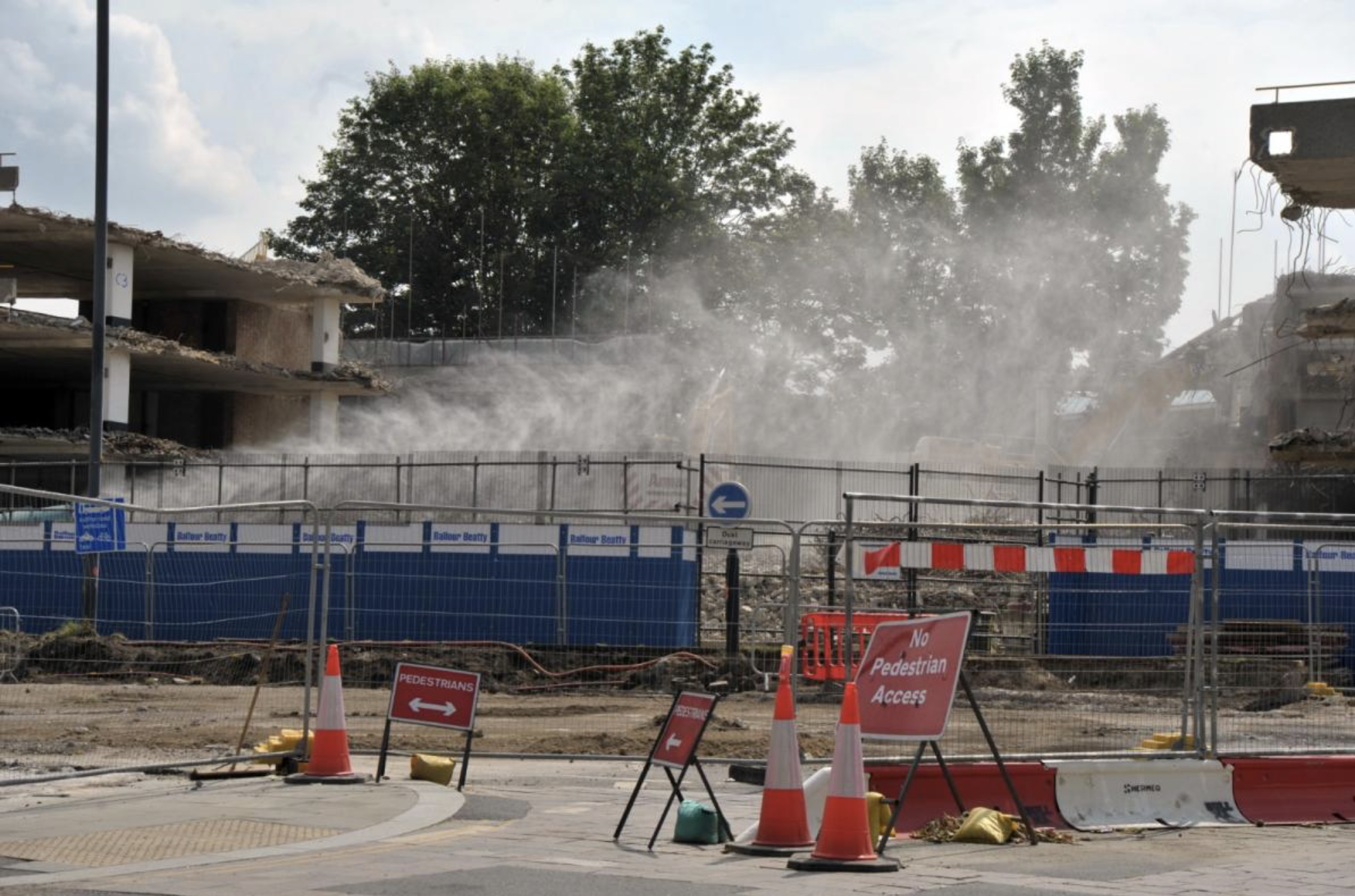
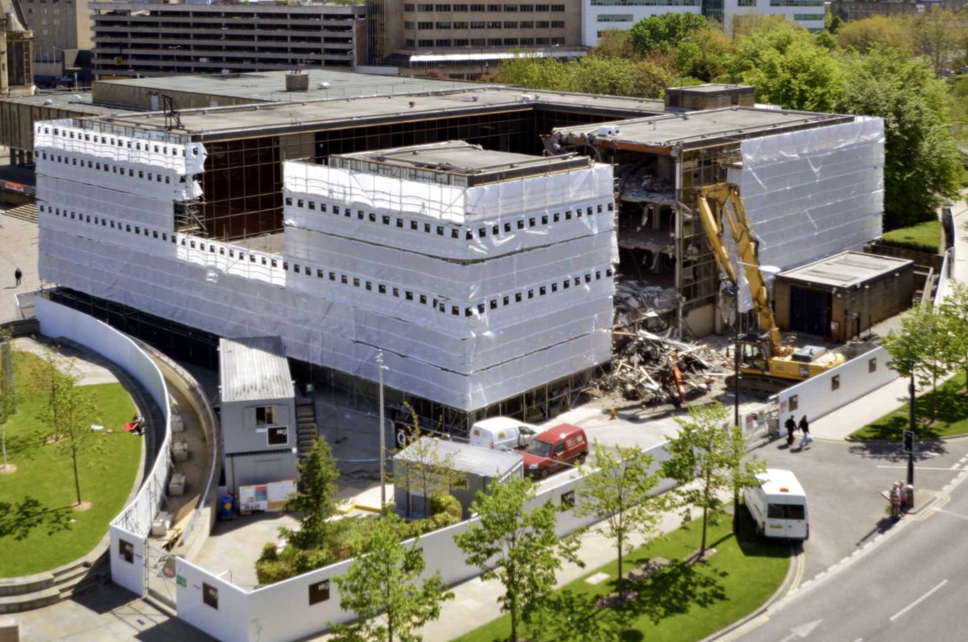
The NCP multi storey car park on Hall Ings has been demolished.
The demolition work is part of the Government-funded Transforming Cities Fund for Bradford.
Bradford Council, in partnership with the West Yorkshire Combined Authority, is bringing forward a flagship programme of forward-thinking transport schemes, alongside major public space enhancements, that will help us shape and drive forward Bradford’s future regeneration in the city centre and beyond.
Providing an accessible, attractive and cleaner alternative to car journeys is at the heart of the Leeds City Region Transforming Cities Fund, a major new programme of transport infrastructure investment secured as part of the West Yorkshire devolution deal. The programme, which is being delivered by the Combined Authority in partnership with local authorities, will be funded through £317 million from the Department for Transport plus local match funding up to £140 million.
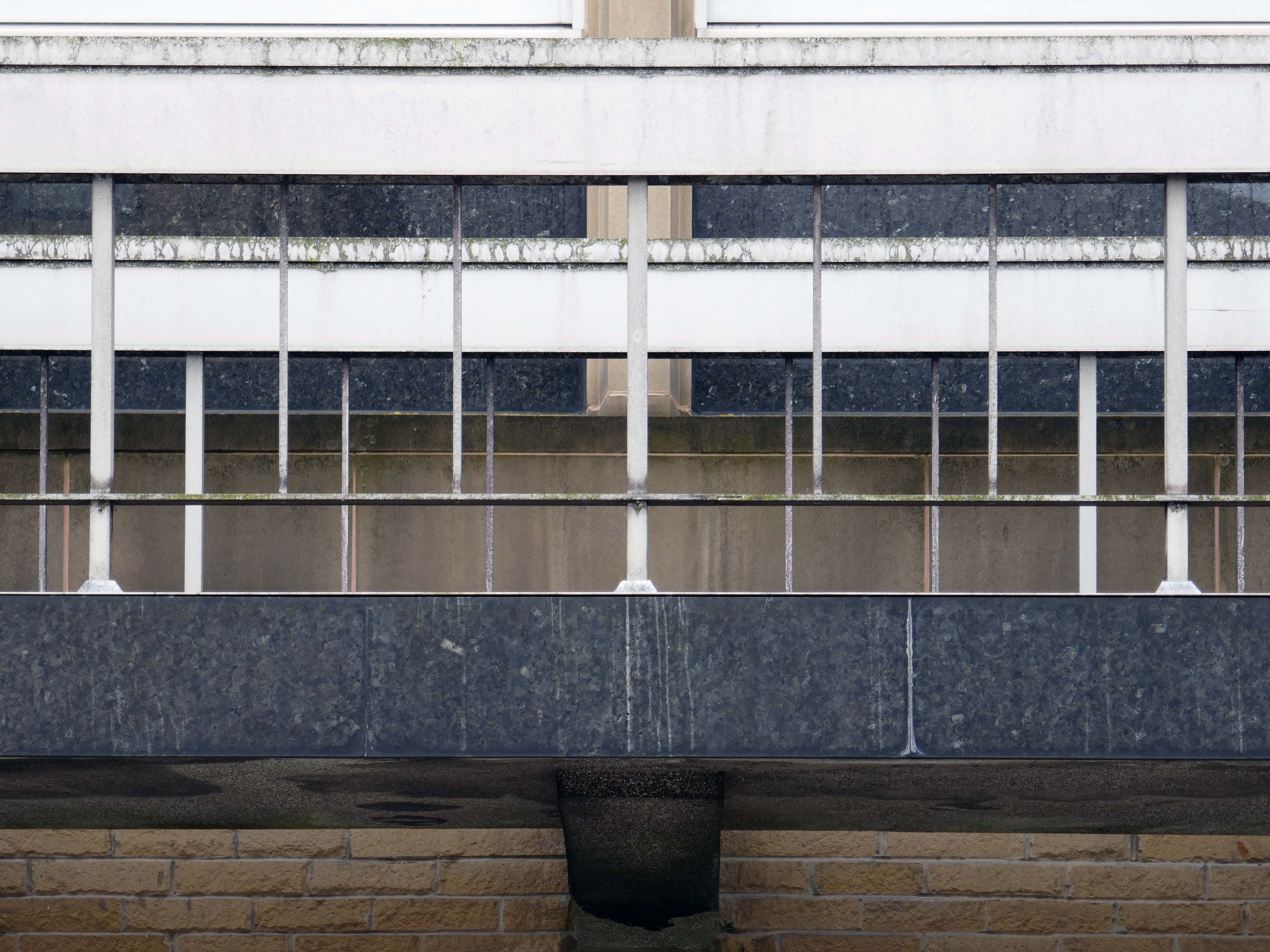
The area was once traversed by this elegant raised walkway.
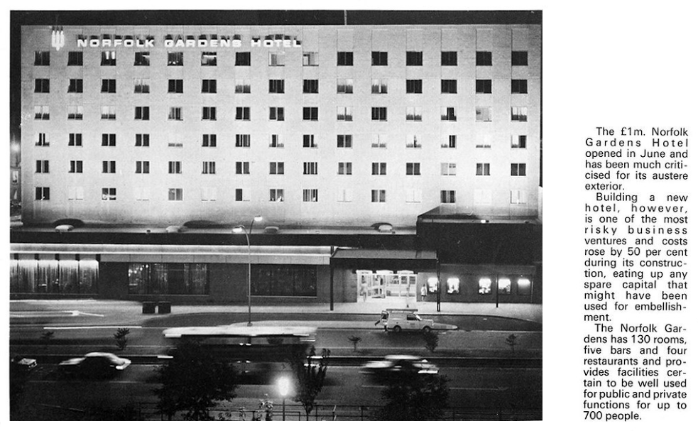
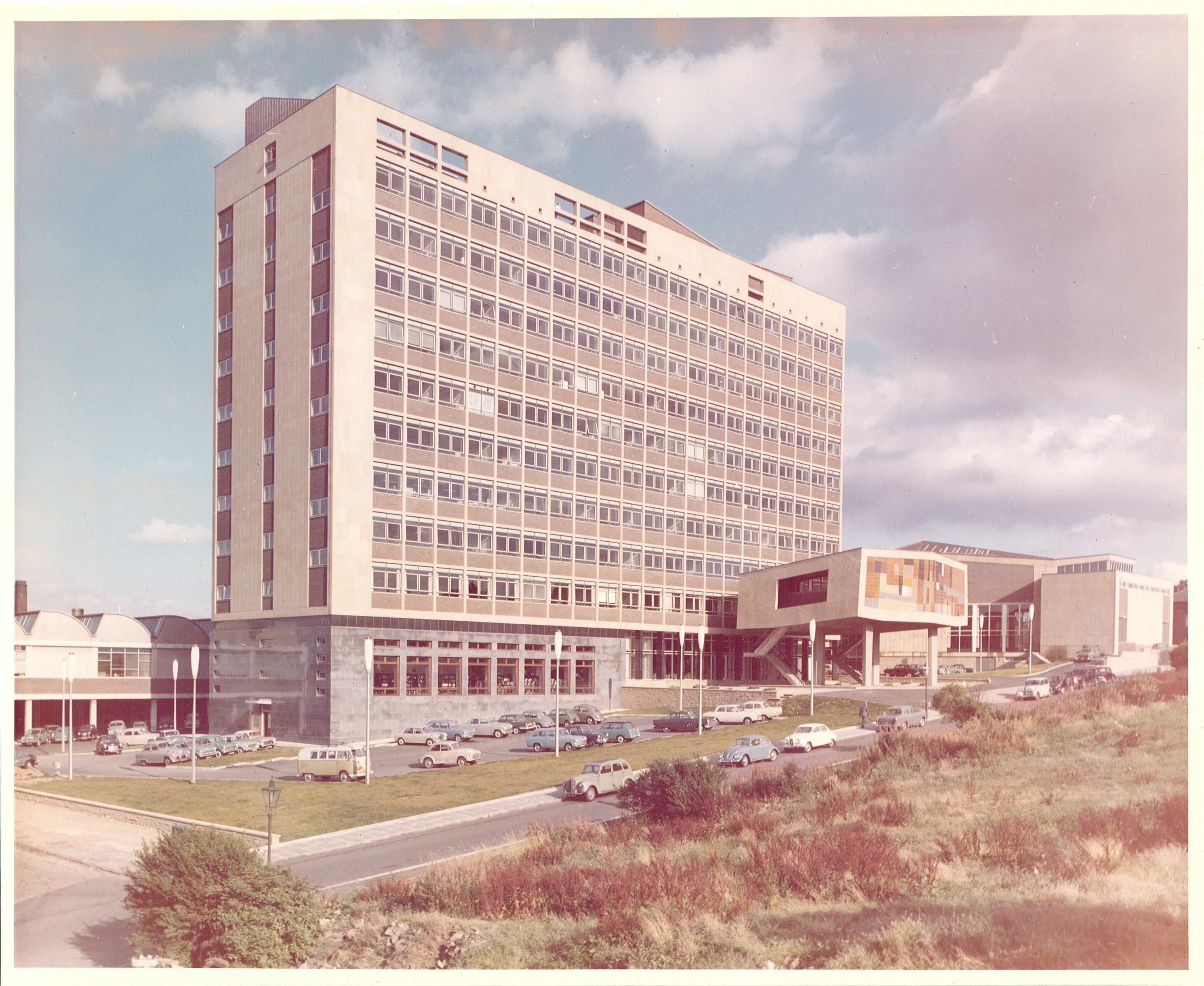
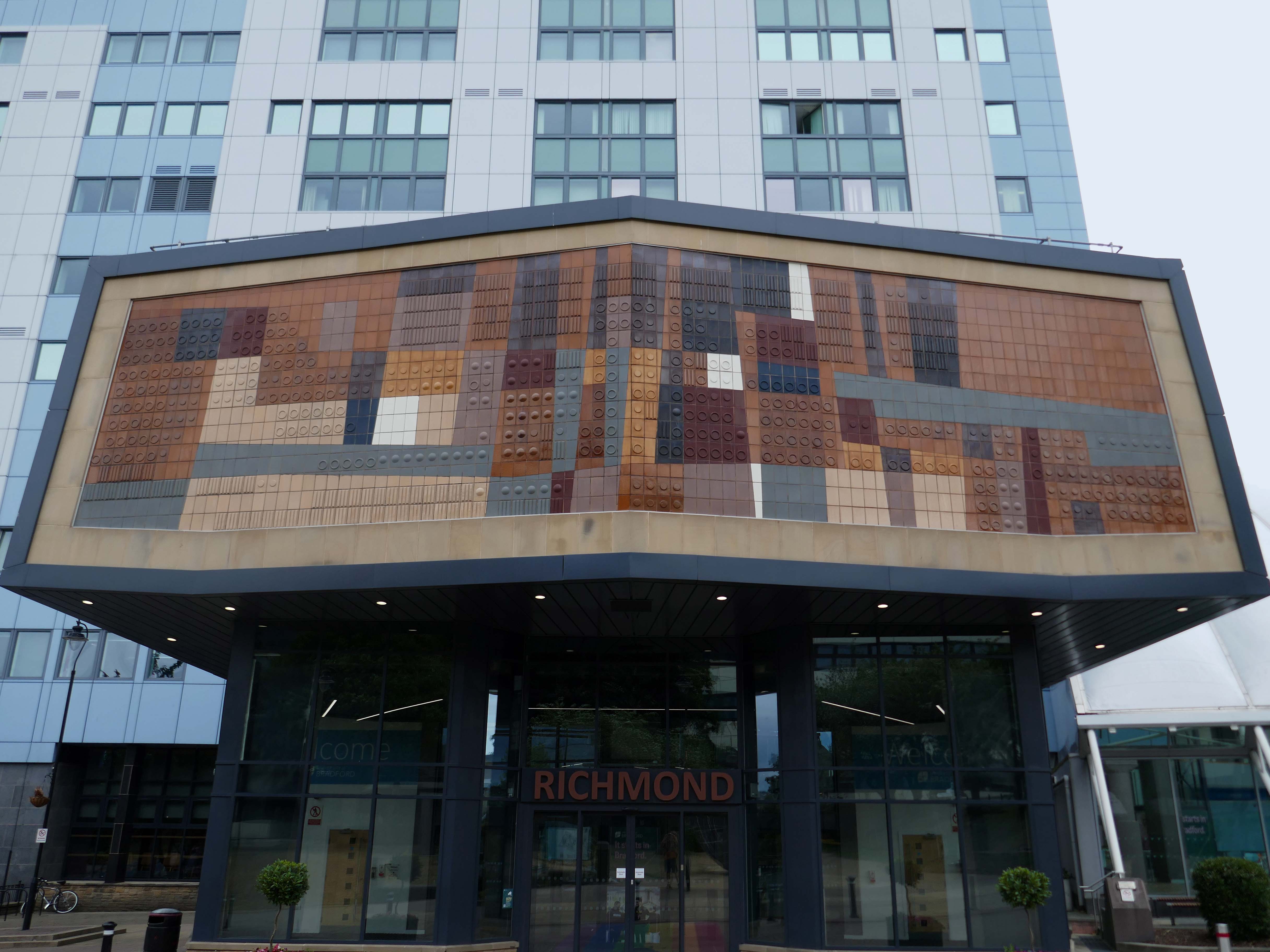
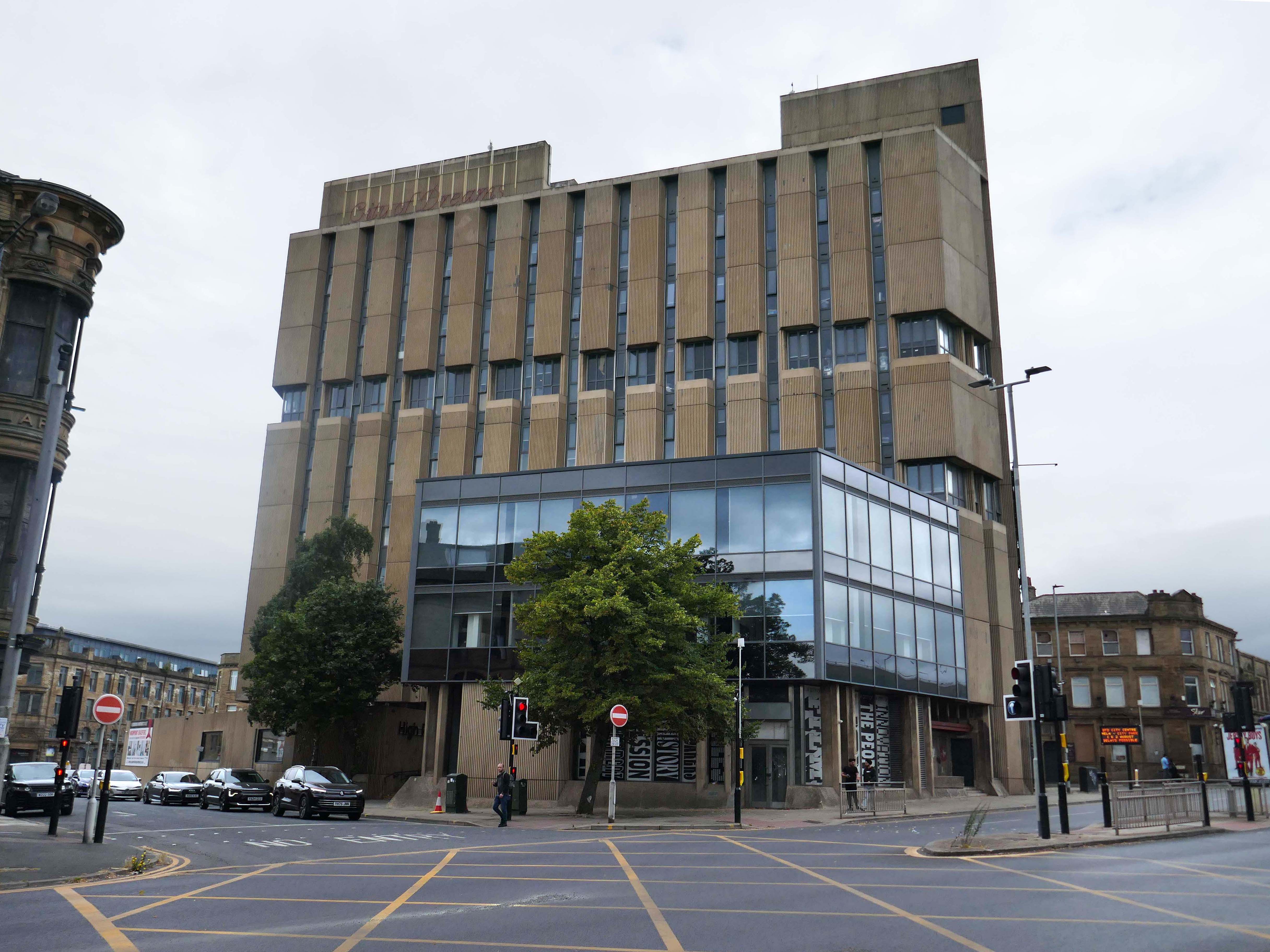
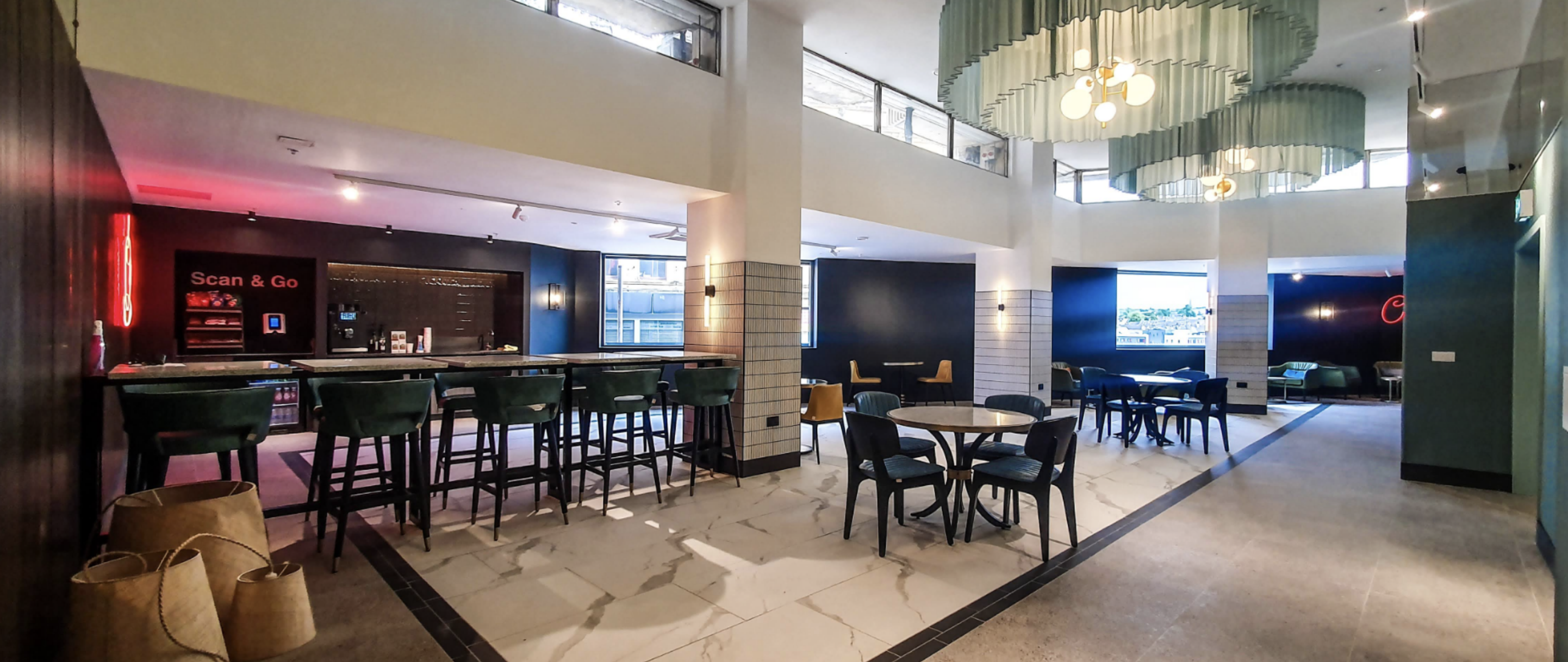
The Bradford Hotel remains resolutely unmoved, recently it has been used as an Asylum Hotel, unsure that this is still so.
Located in the heart of central Bradford, The Bradford Hotel provides an elegant refuge in the midst of the bustling city.
Originally opened as the Norfolk Gardens Hotel, the hotel was completed in 1972 and opened in June of that year.
Architects – William Walker Partnership.
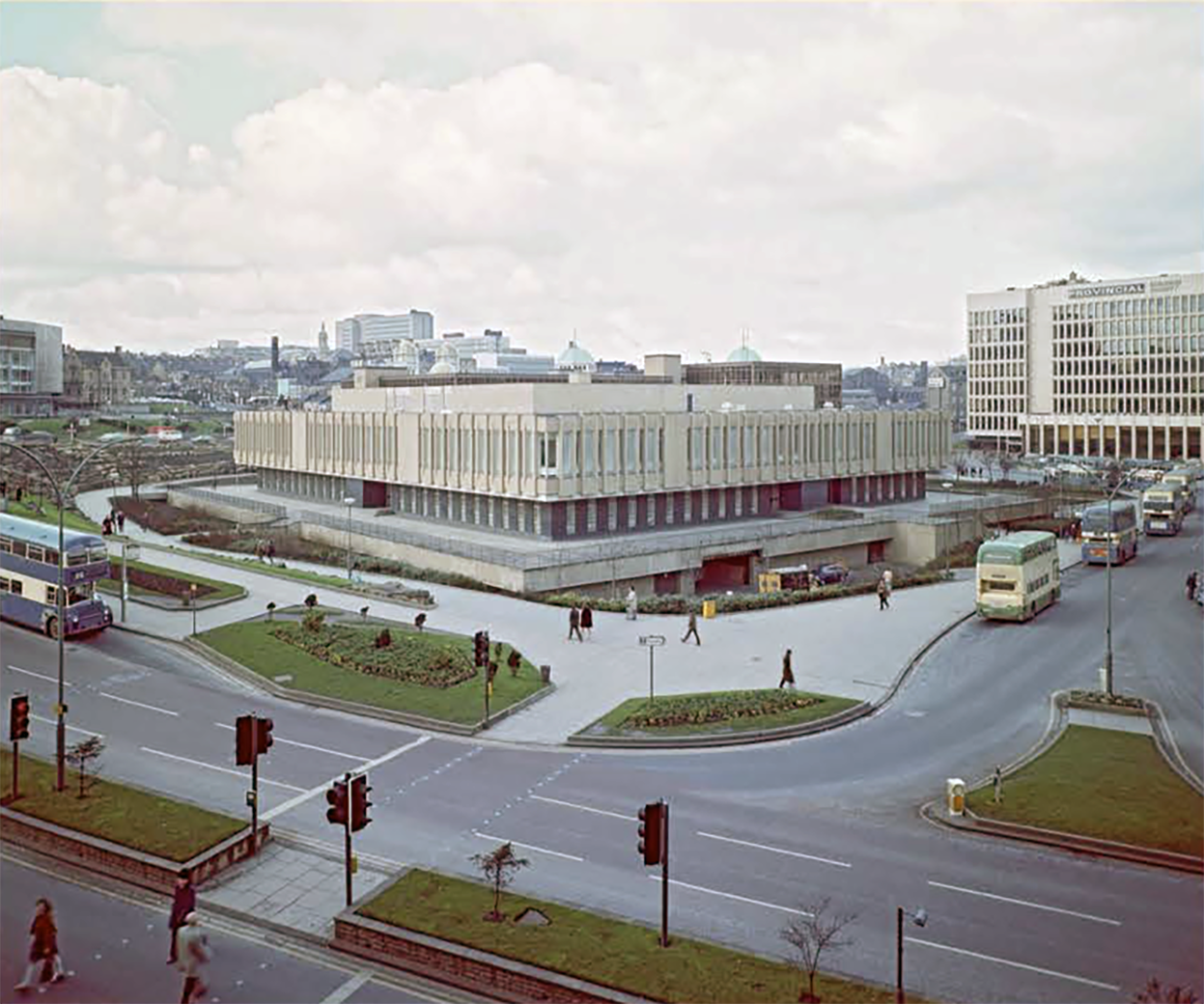
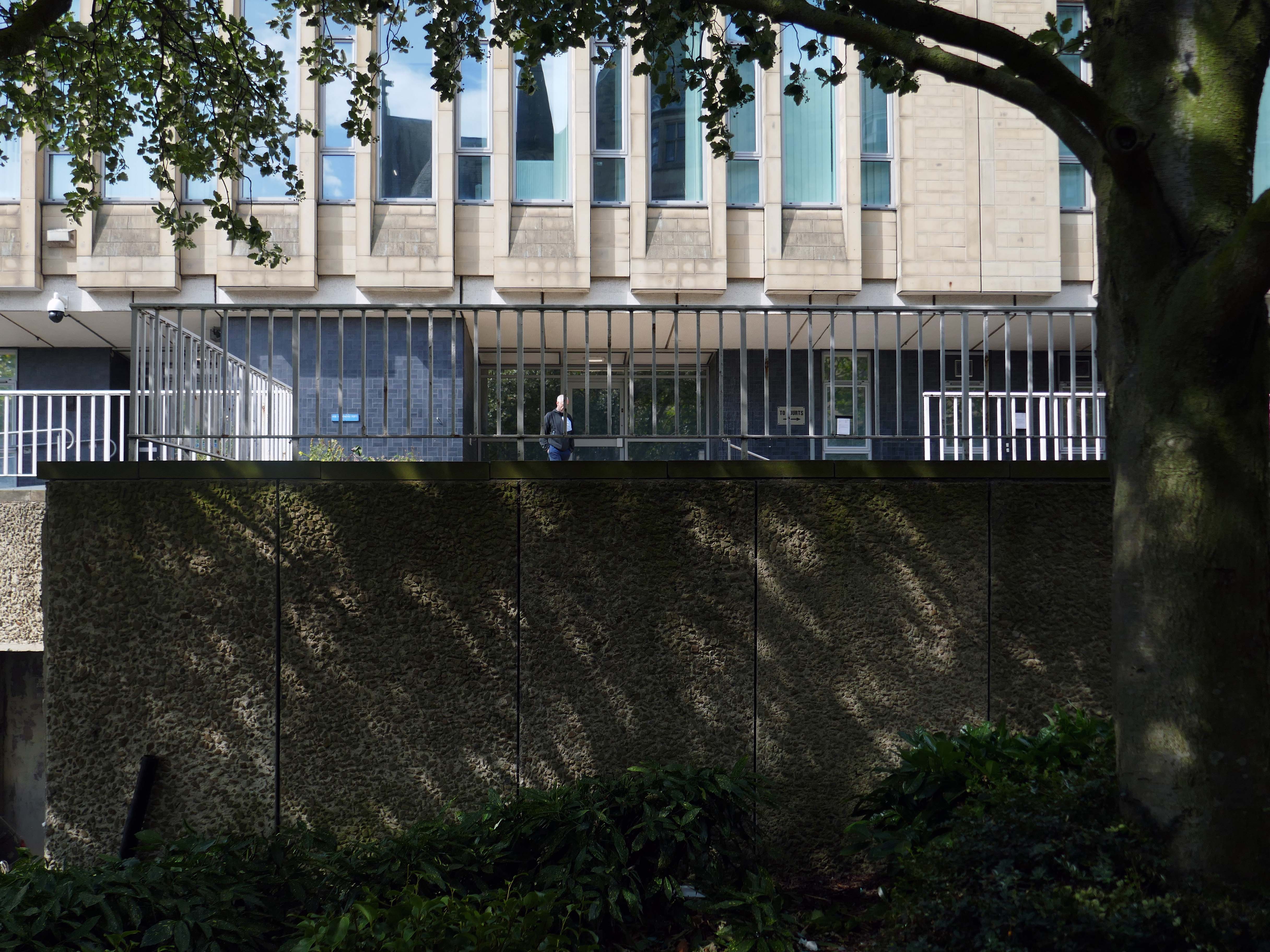
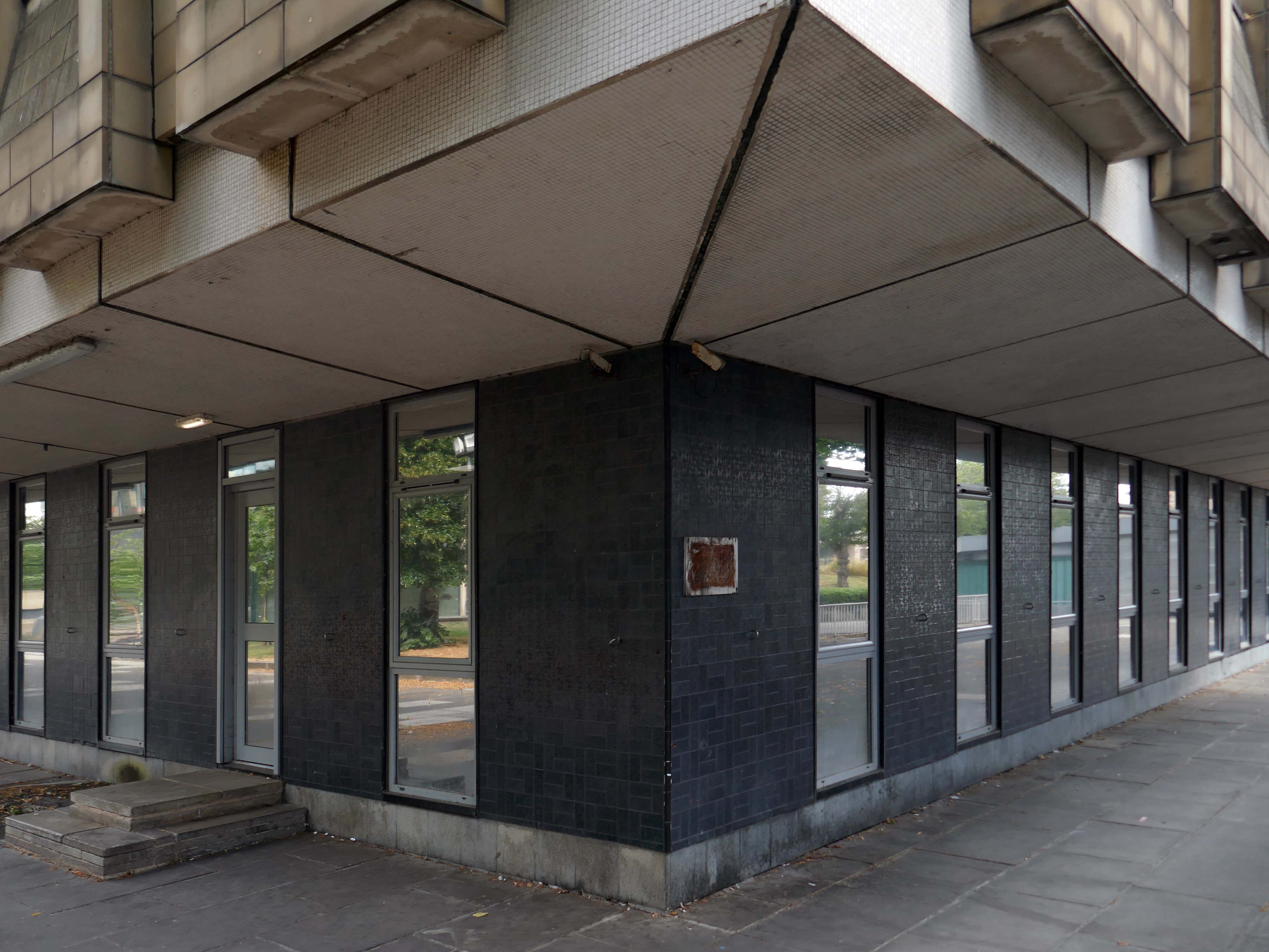
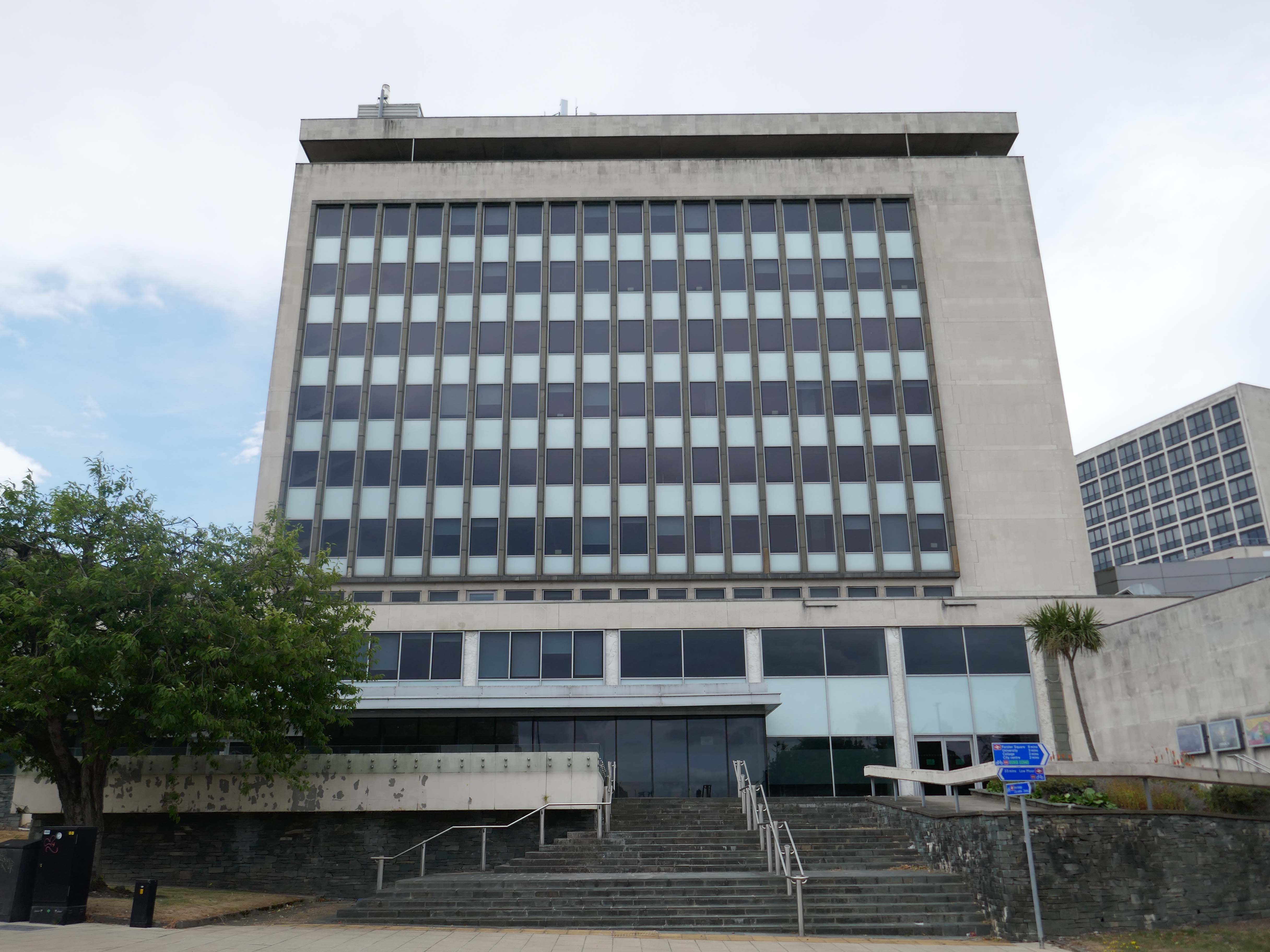
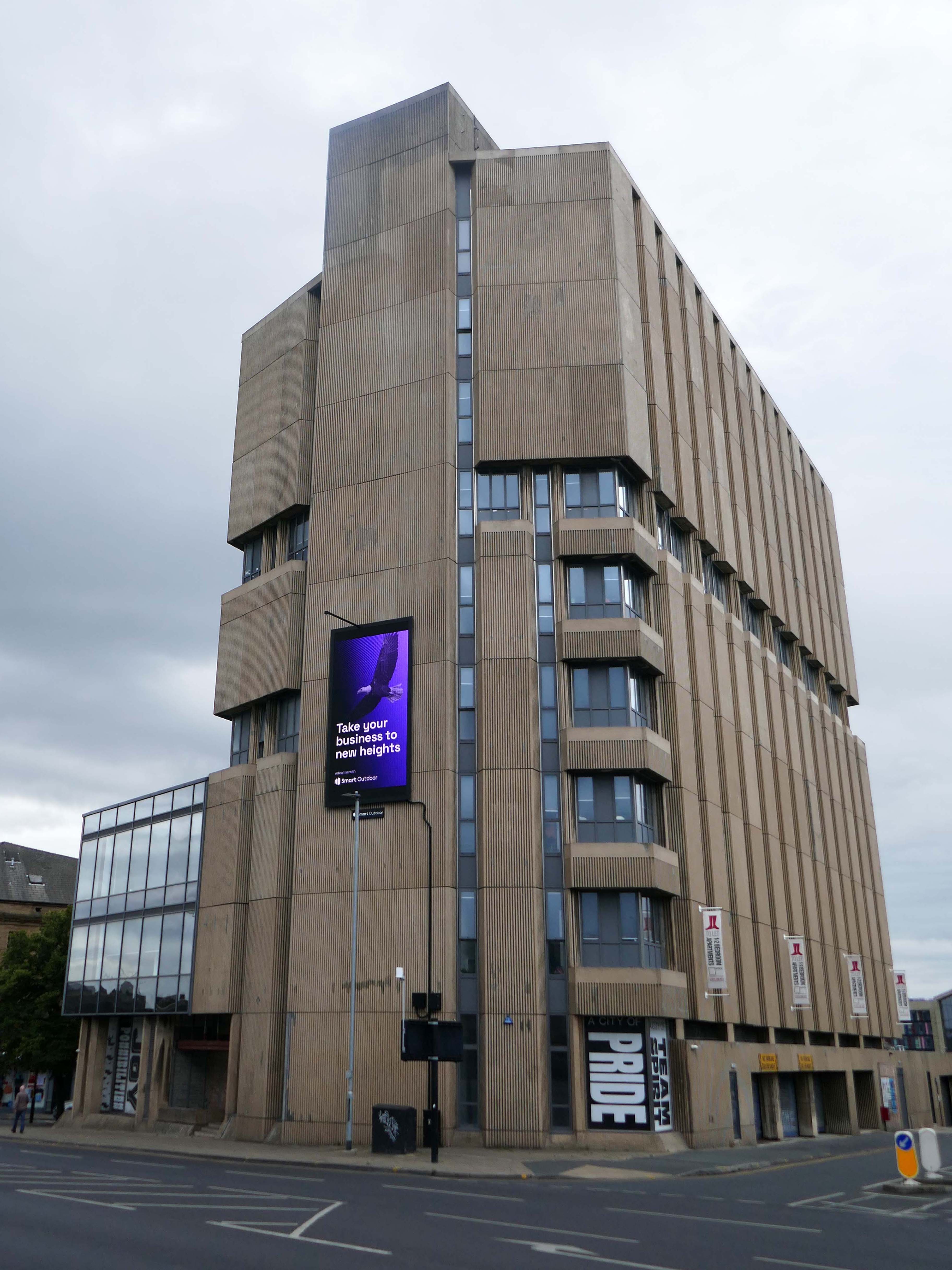
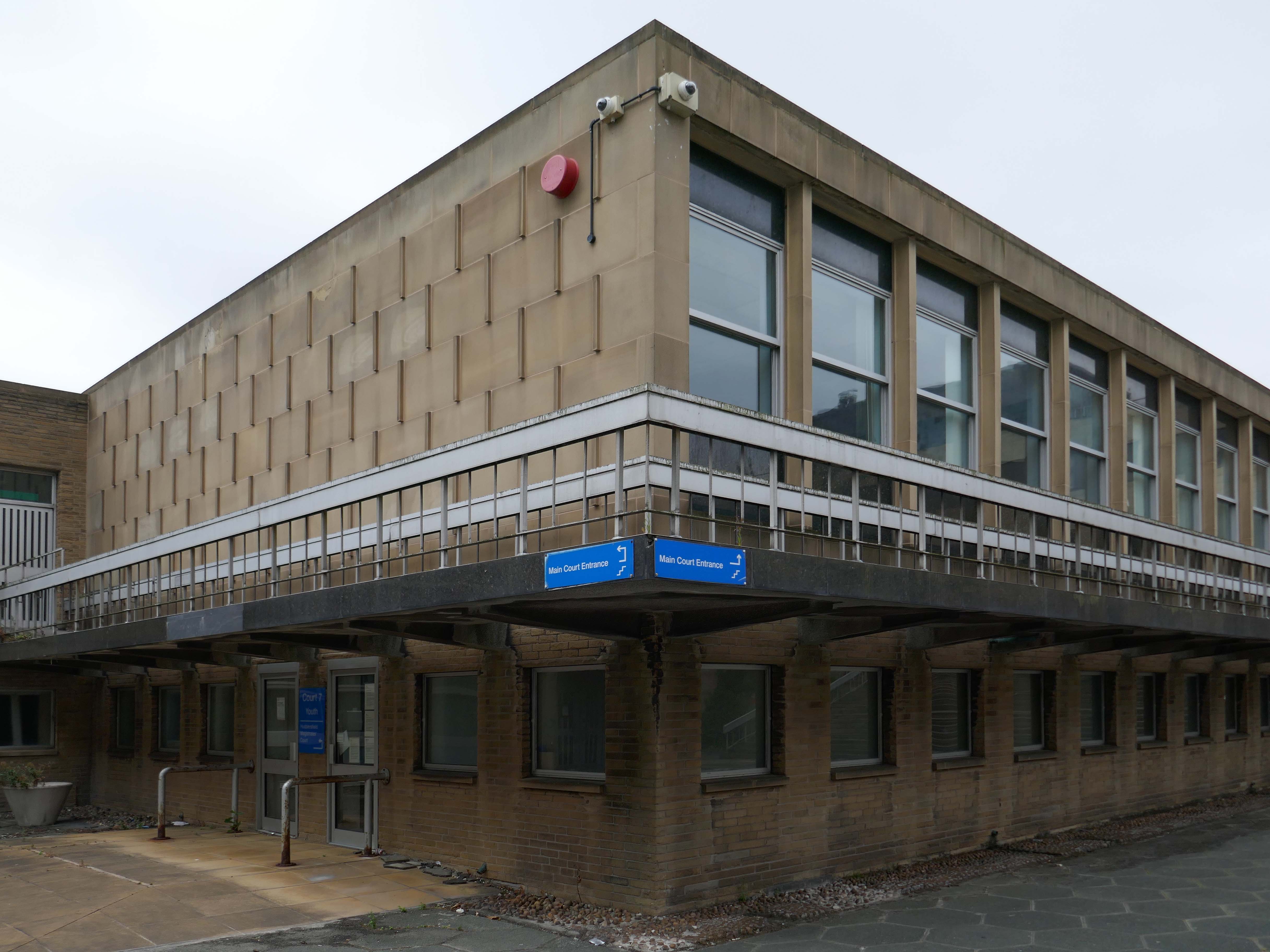
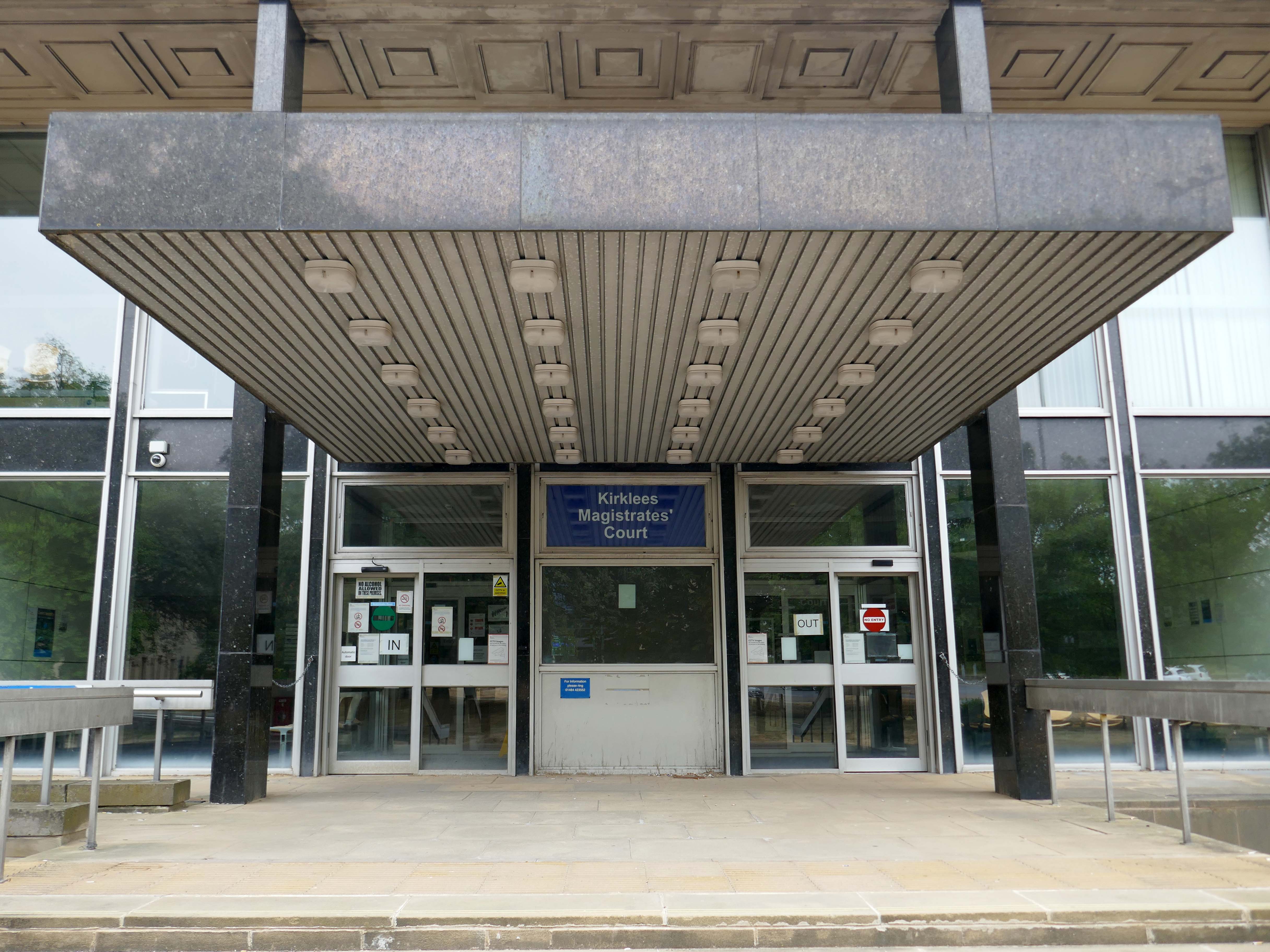
Adjacent is the Magistrates’ Court 1972.
City Architect WC Brown.
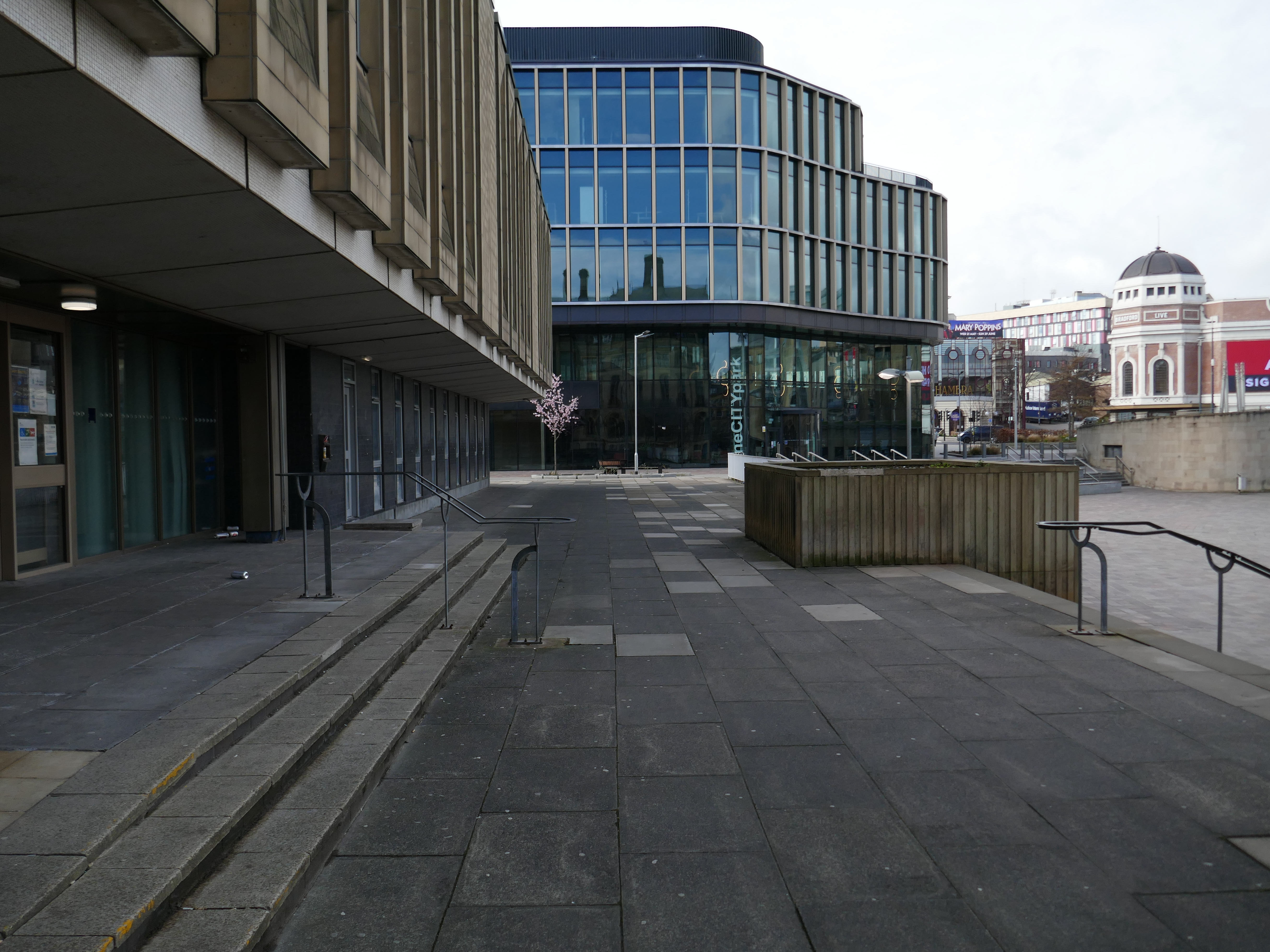
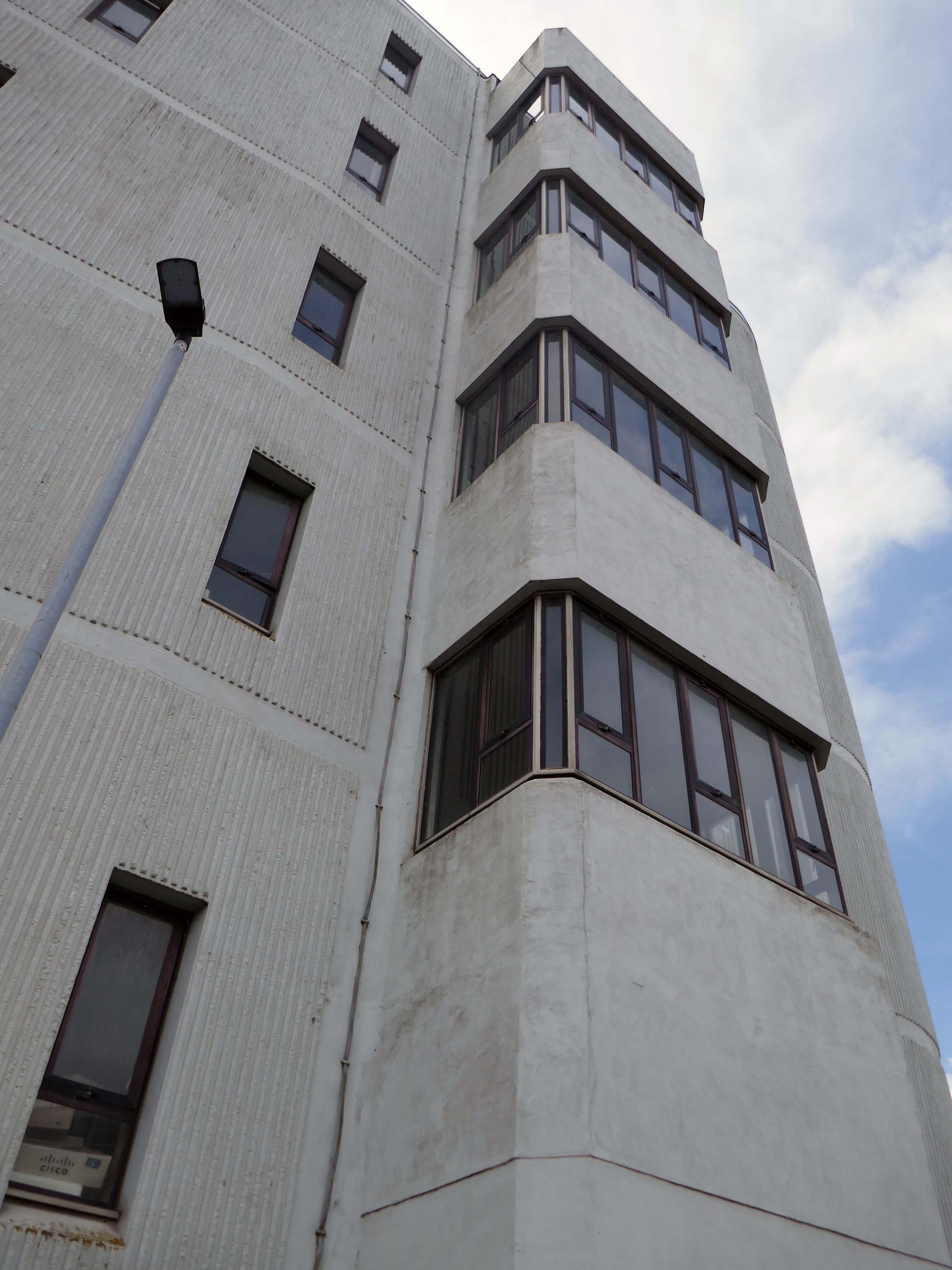
With a view through to One City Park 2024 Sheppard Robson.
One City Park in Bradford, England, draws attention with its striking architecture. The building’s curved design and forward-thinking concept create significant interest. For Sheppard Robson Architects, sustainability and the needs of people were paramount in the design. The facade of the complex features 1,700 glassfibre reinforced concrete elements from Rieder, making a distinctive design statement. The sandstone-coloured concrete components serve as both an architectural feature and a key element in creating a sustainable, visionary work environment.
One City Park has been built on the site of the old Police Station opened in 1974 and demolished in 2010.
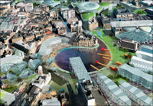
The area was once the centre of Will Alsop’s 2003 masterplan.
Which three years later are somewhat diluted:
The latest images of the scheme for the Bowl are generally disappointing and at the risk of a bad pun, the lake is now a watered-down version of Alsop’s vision.
Philip Veitch – of local practice Waller and Partners.
The Norfolk Gardens landscaping has opened up a fresh toward the Central Library 1965.
Architect – City Architect WC Brown with project architects G Sunderland and KLS Glen.
The Exchange of 1976 by Trevor H Anson PSA Architect.
Turn right around to take a look at the rear of the Ice Arena.
In January 1966 Mecca Leisure Limited opened the ice rink in Bradford under the name of the Silver Blades Ice Rink, it was reputed to be “The finest rink in the world”, with coloured lighting in the barriers, sparkling chandeliers over the ice, and a plush bar and restaurant.
The resplendently dressed skaters were entertained with organ music. The opening gala at the rink had performances by British skaters who had just returned from the World Championships, they included Sally Anne Stapleford, John Curry and ice dancers Bernard Ford and Diane Towler.
Architect W A Johnson worked for the Cooperative Wholesale Society from 1899 until 1950. He was heavily influenced by the German architect Erich Mendelsohn after 1930, evident in his embrace of the International Modernist style. Johnson travelled widely in Germany and Holland, and Mendelsohn’s Schocken store in Stuttgart 1928 is quoted as being a particular inspiration for the Bradford Co-op.
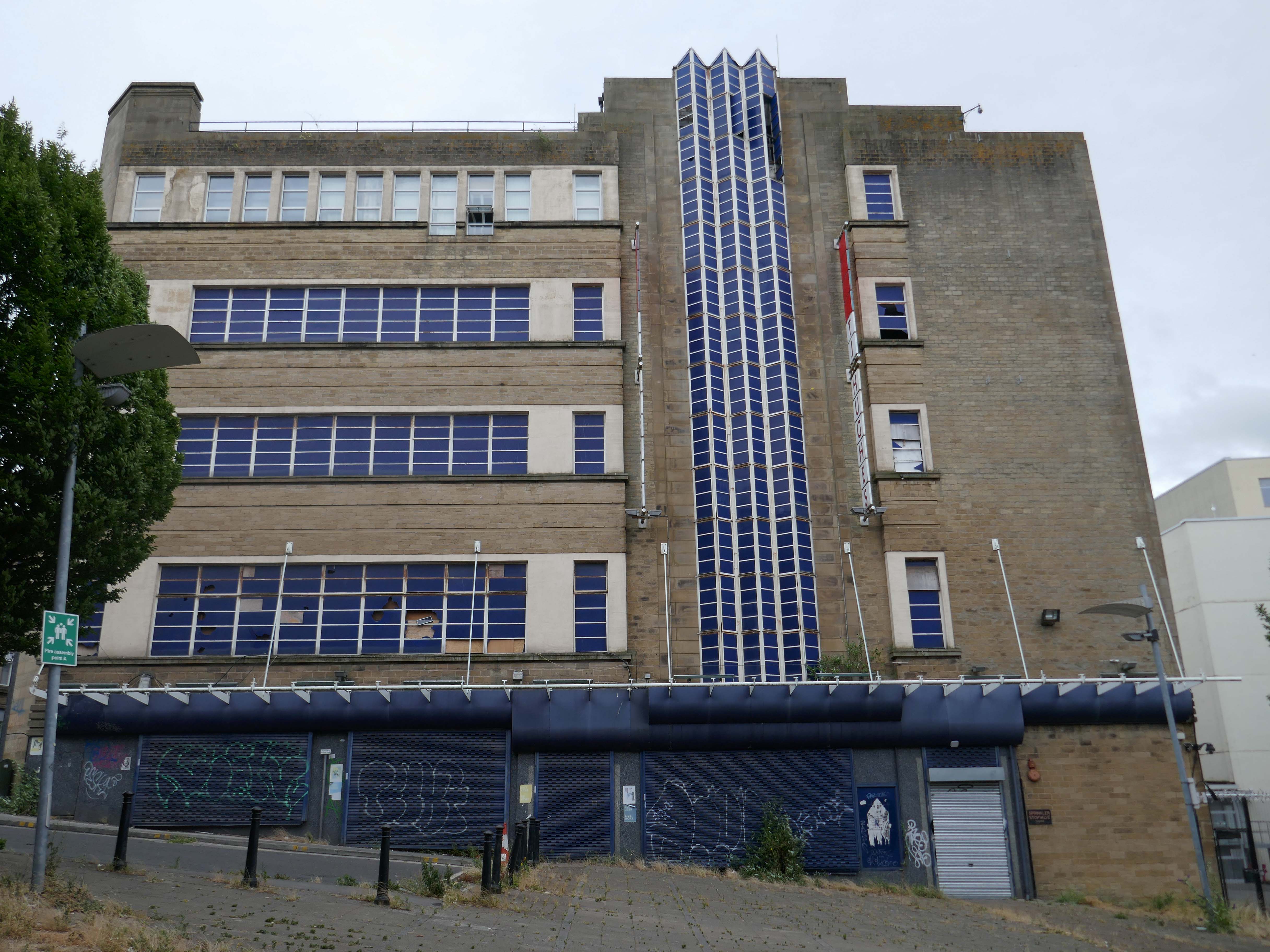
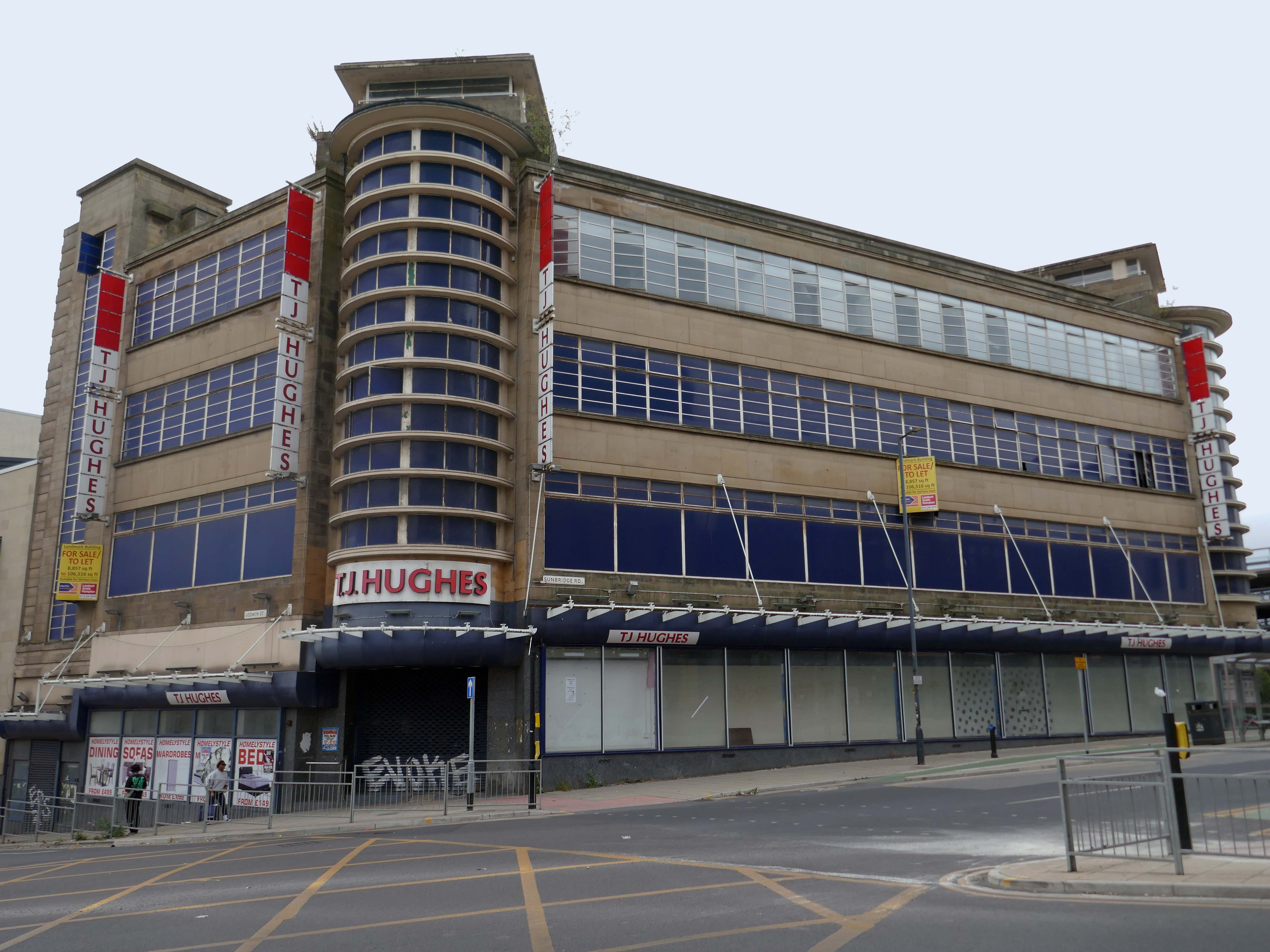
Sunwin House had been – one of the most modern and stylish looking shops in Britain, when it was built in 1936, according to The 20th Century Society.
But the charity warned that the building, whose architectural style was inspired by Germany’s Bauhaus art movement, had stood empty for nearly 15 years and was in danger of creeping neglect.
Sunwin House, which was most recently used as a TJ Hughes department store after the firm went into administration in 2011, is one of 10 buildings featured on The 20th Century Society’s risk list for 2025.
The Freehold of Sunwin House, 65 Sunbridge Road, Bradford has been sold to a Bradford based investment company who have plans to refurbish the whole building principally based off a Retail/ Emporium use.
The building was purchased by Legal and General from the Co-operative Wholesale Society in 2005 subject to a lease to T J Hughes, who ceased trading in 2012. Following Administration, and the release and separation from the former Godwin Street Annexe, the original 95,000 sq ft Grade II Listed Store became an independent asset in 2017.
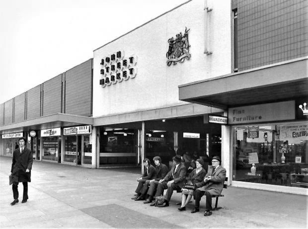
A stride away is the now closed Kirkgate Centre and Market – John Brunton and Partners 1975.
Demolition work will begin later this year to make way for the recently approved City Village development, comprising up to one thousand new homes, with the aim of creating a stronger, more welcoming, and sustainable future for Bradford.
Some residents have welcomed the changes, with the Kirkgate Centre previously described as a blight on the landscape. But others, like Barbara, lament the loss of the places they knew and loved.
Every time you go anywhere something has gone missing. Some of the changes are alright, some of them I think they could do without.
In 1979, the building won a European award from the International Council of Shopping Centres.
But the Historic England report described its design as mundane and repetitive.
The William Mitchell concrete reliefs housed in the market are to be conserved along with the Fritz Steller tiles.
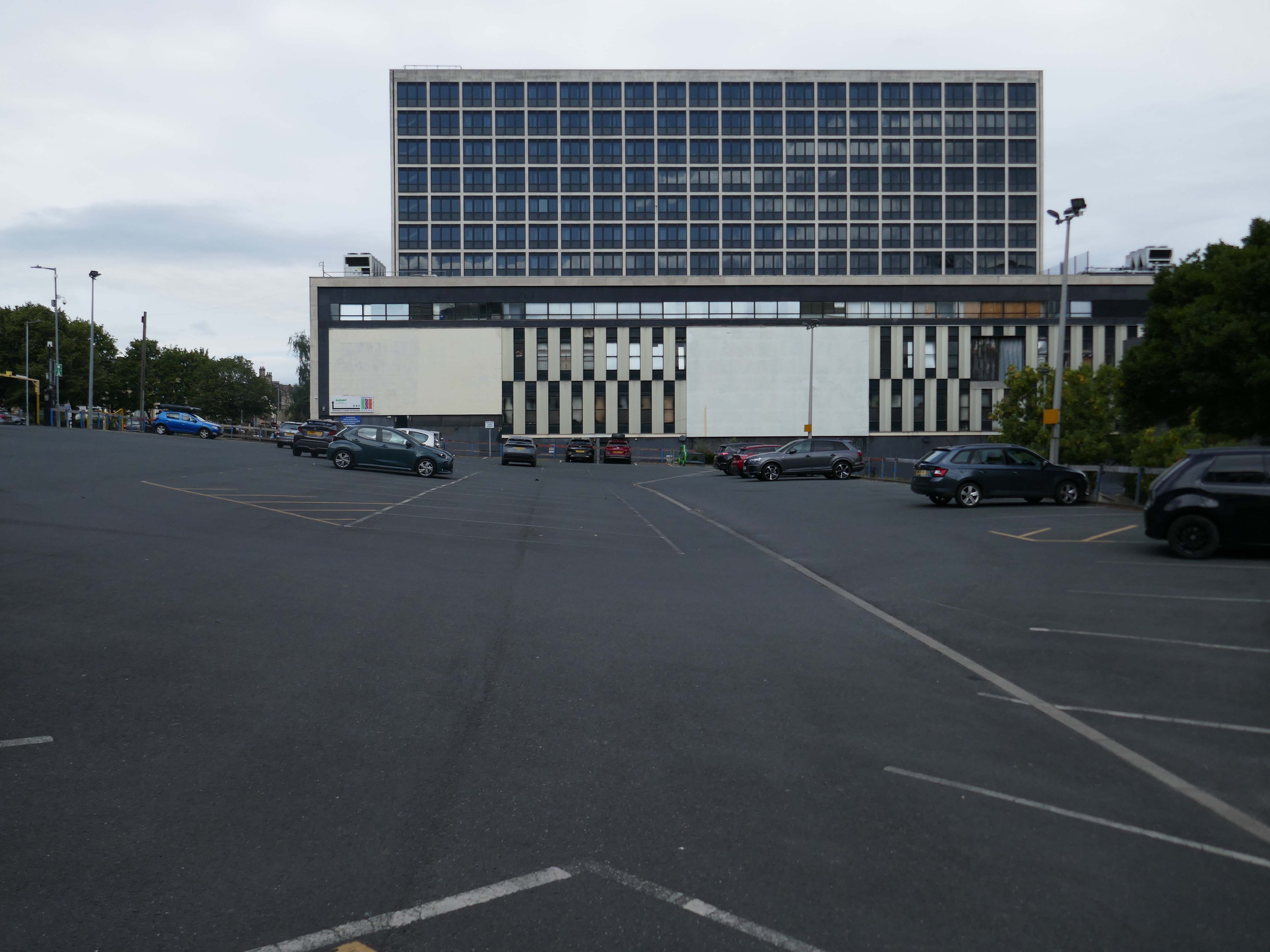
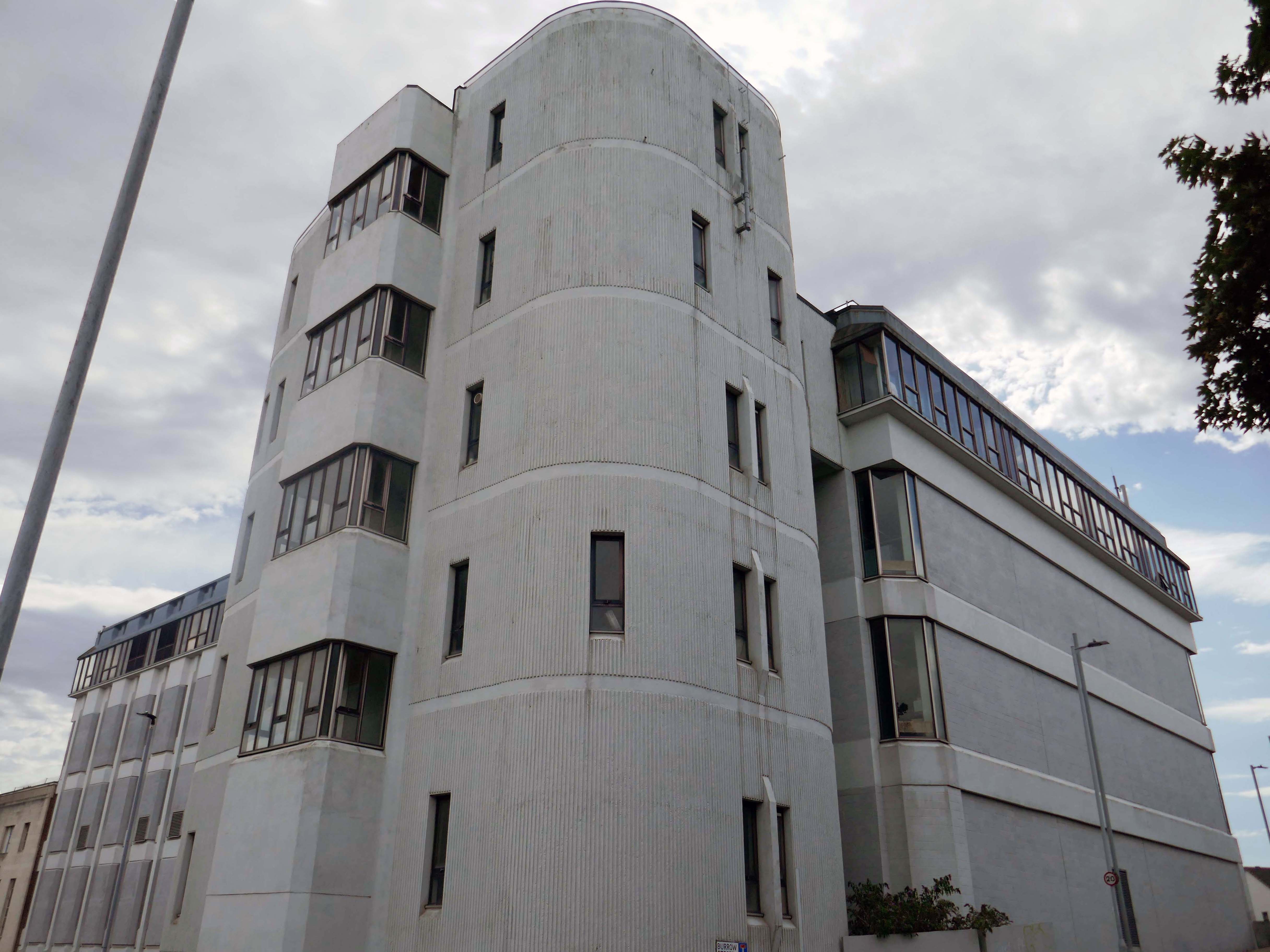
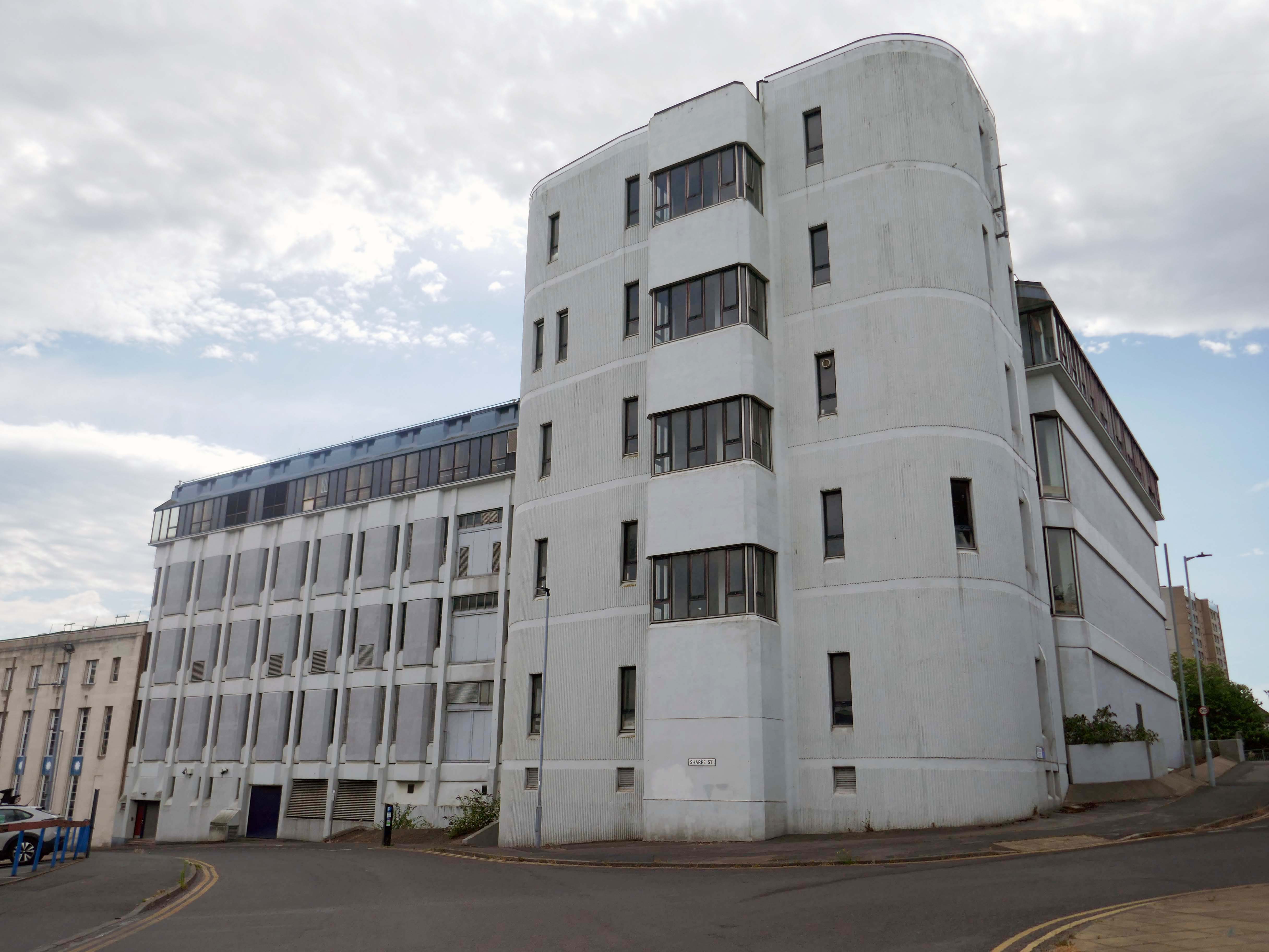
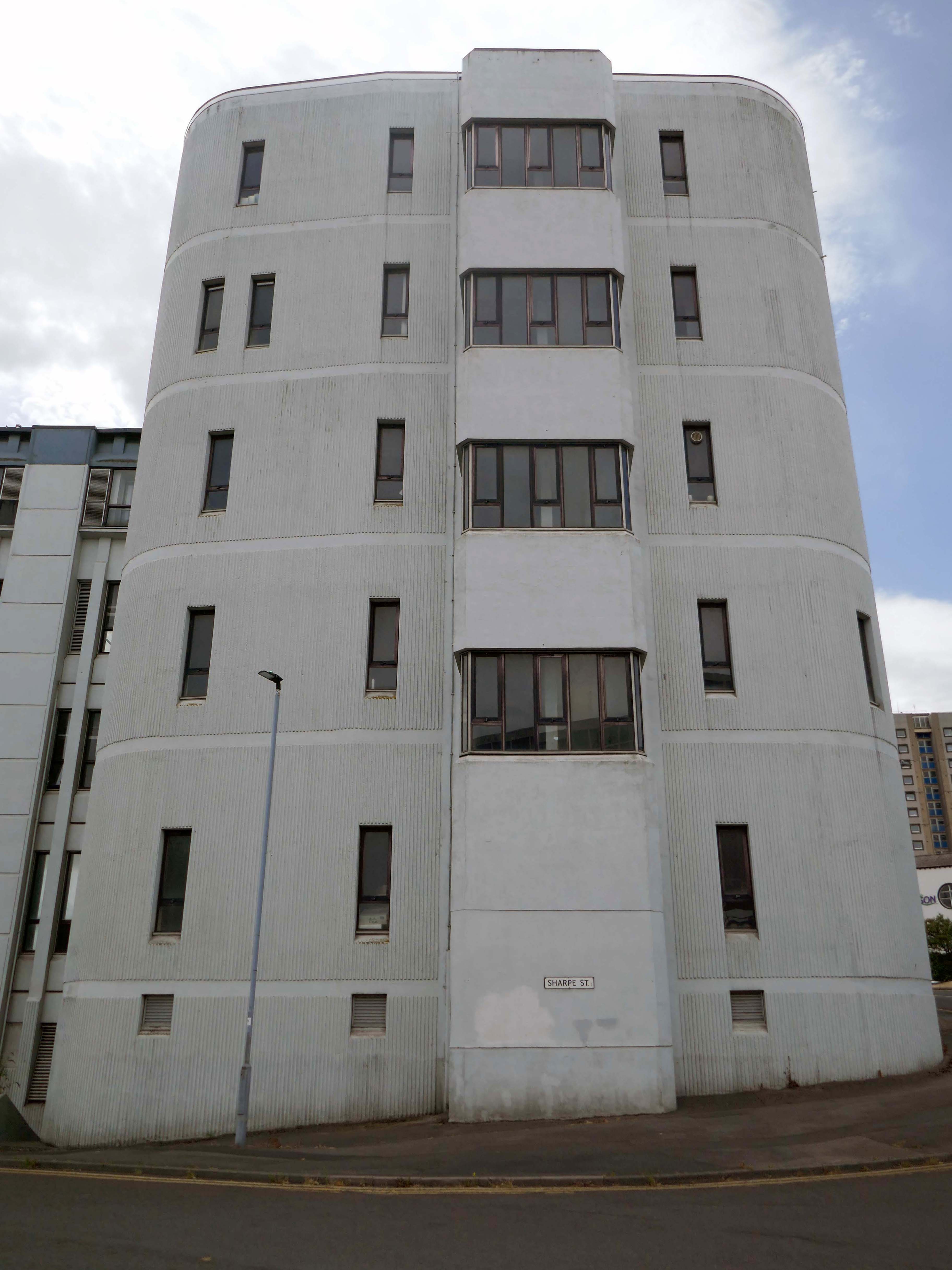
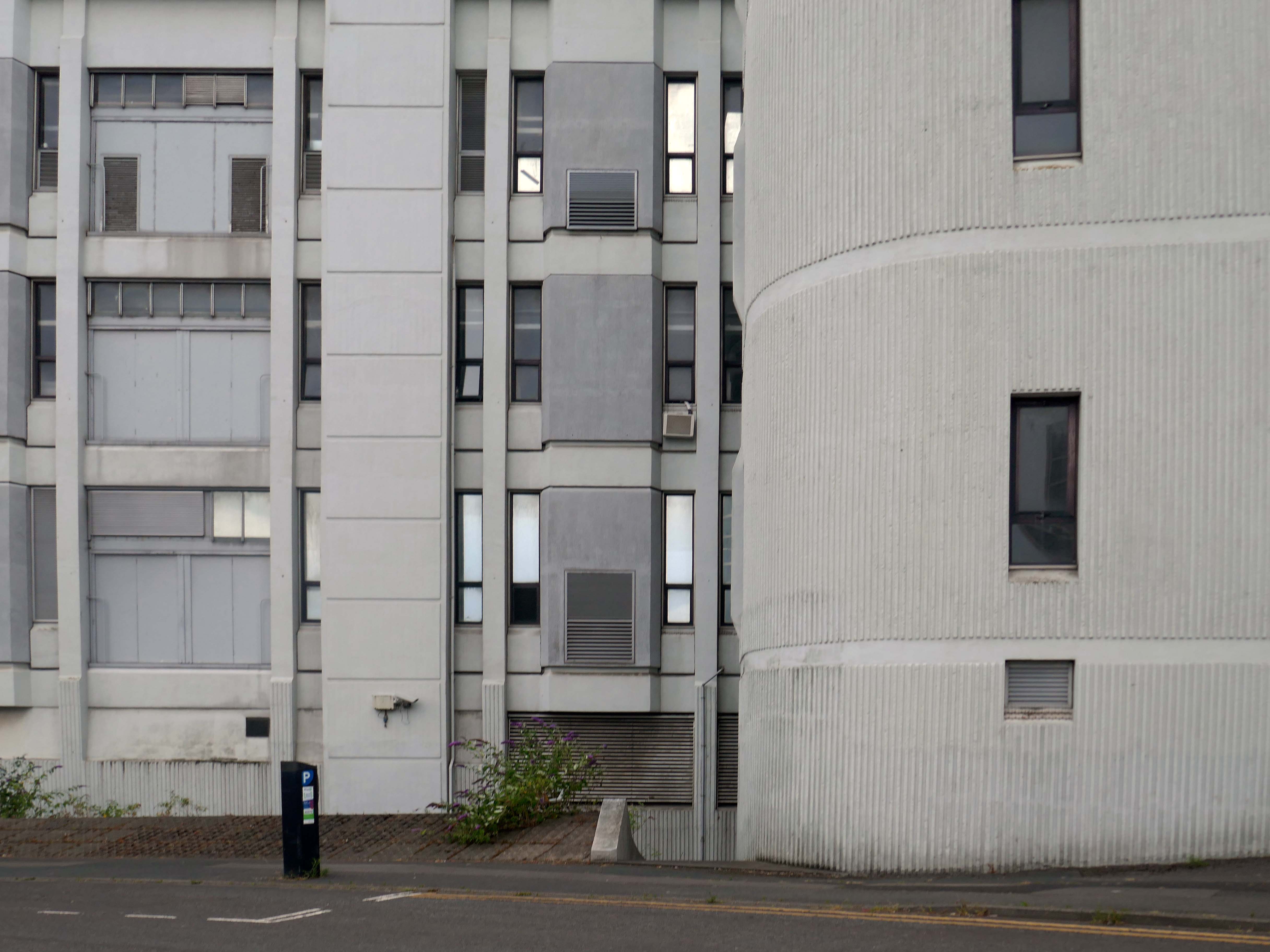
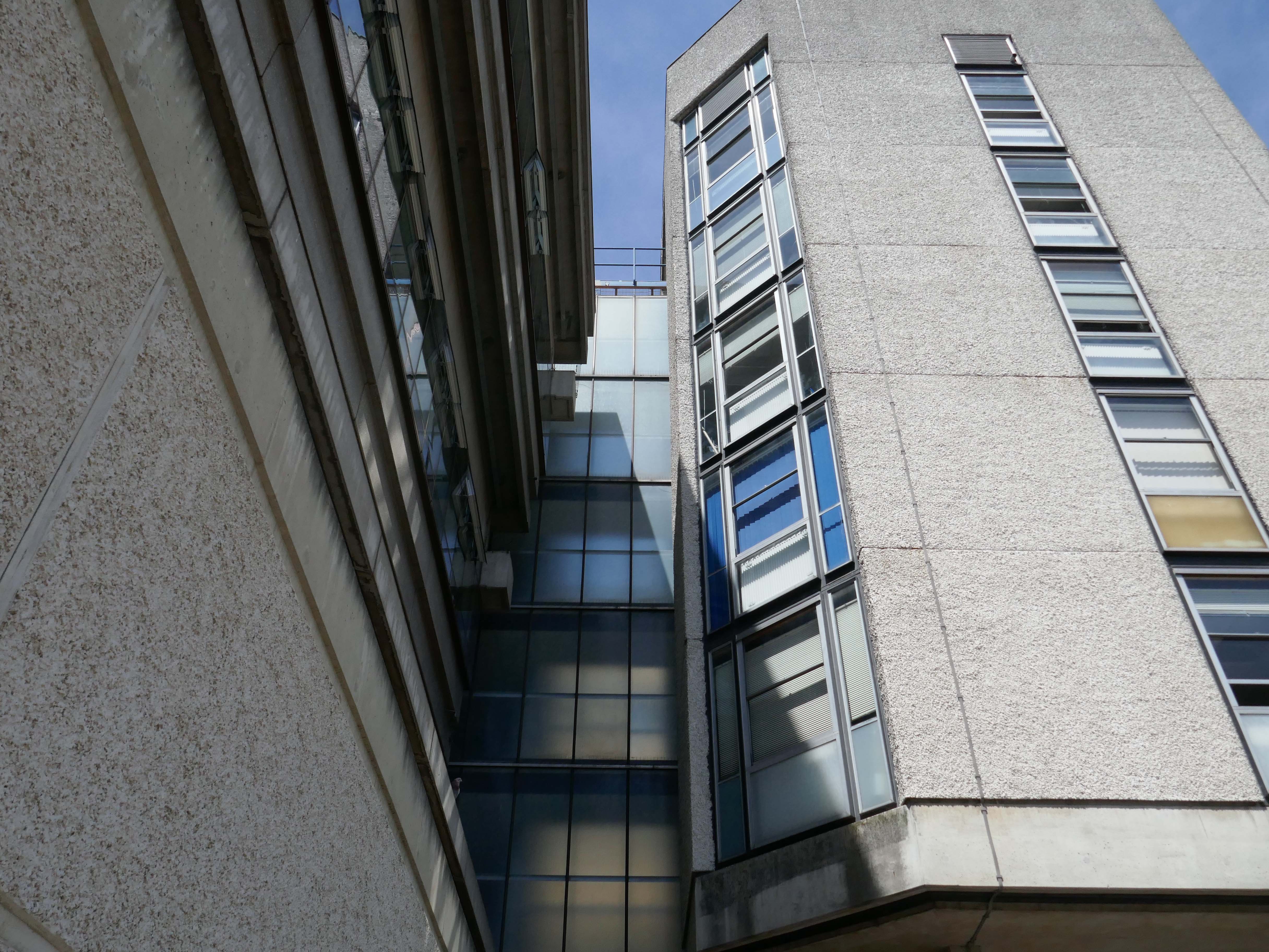
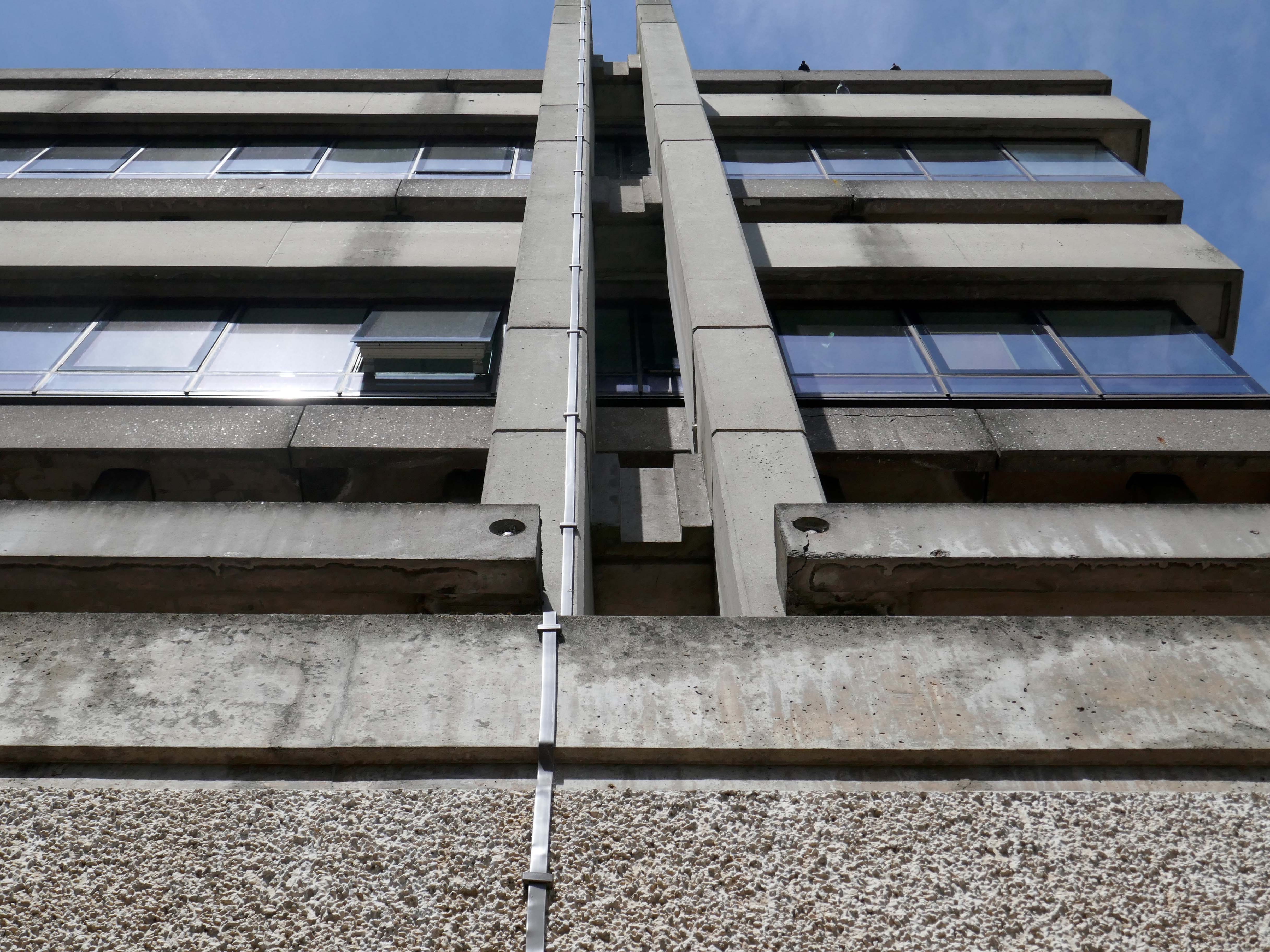
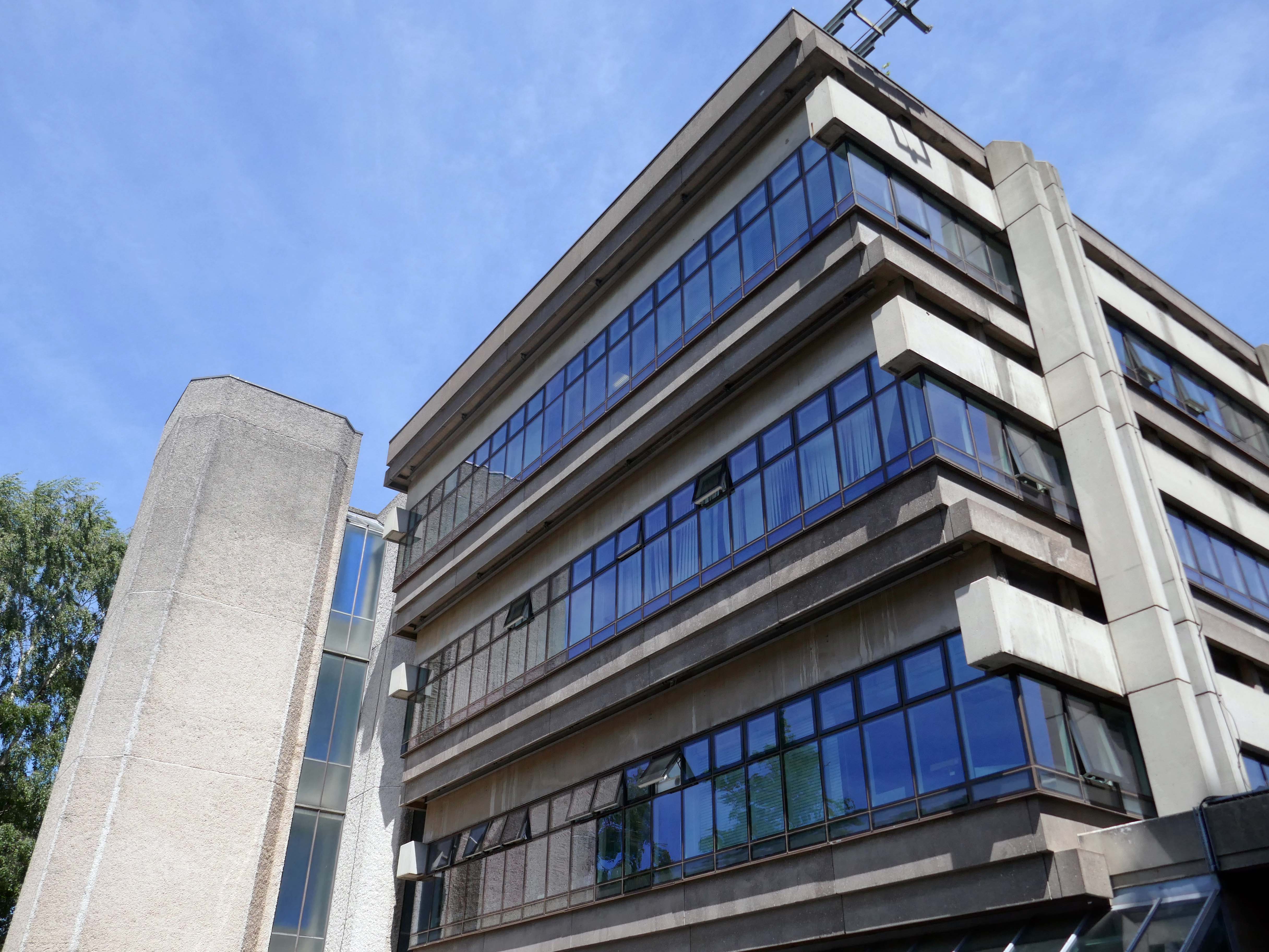
Higher up the hill John Brunton’s Highpoint has survived the call for demolition.
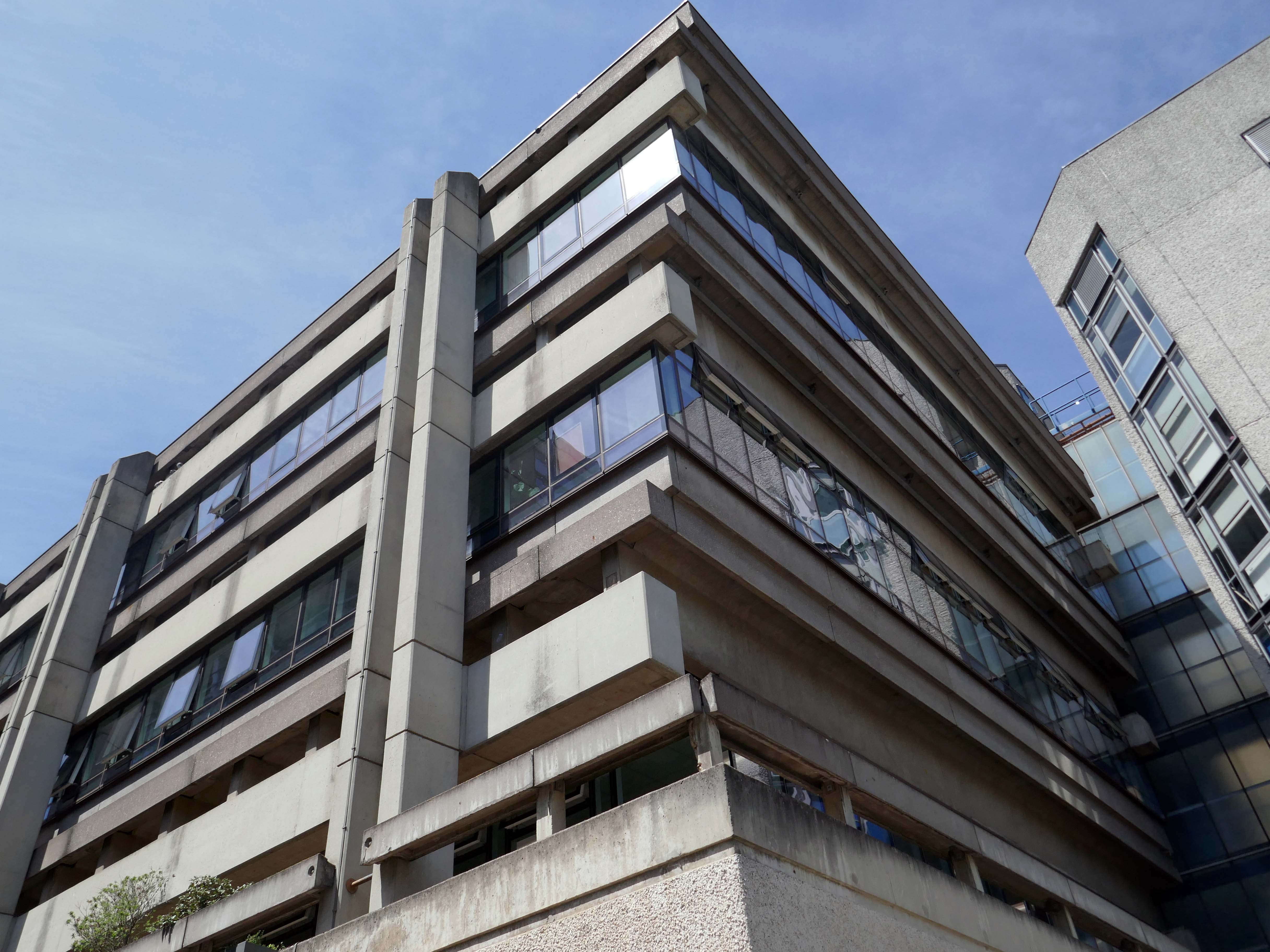
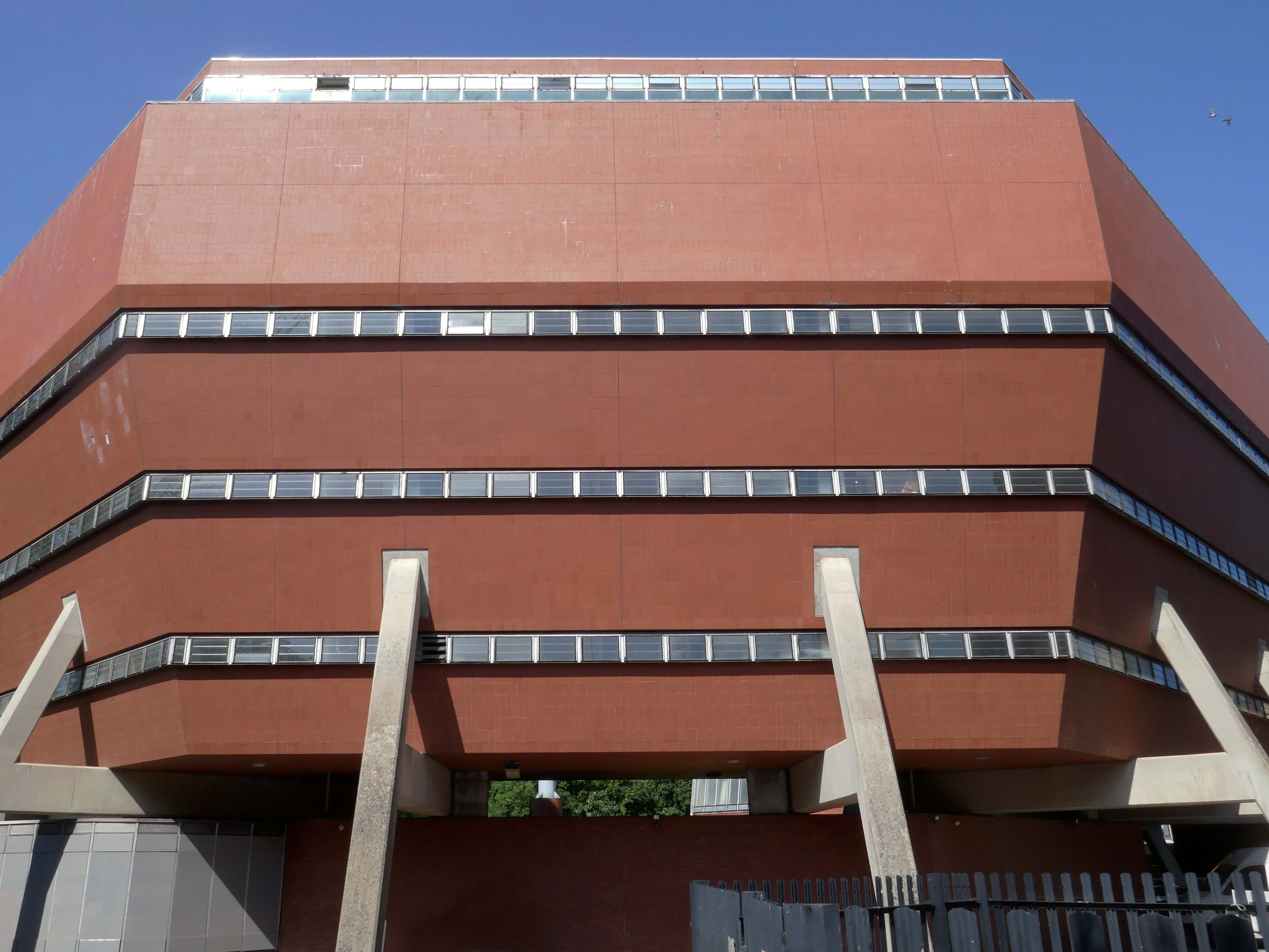
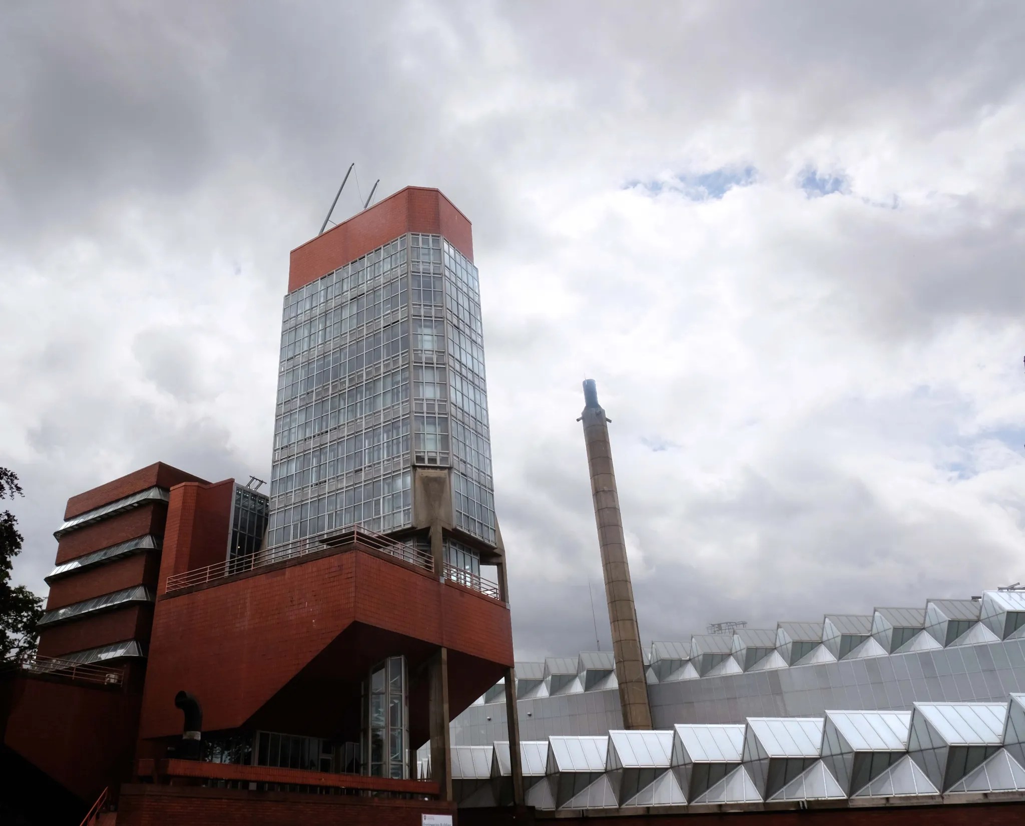
The derelict former headquarters of Yorkshire Building Society, on one of the highest parts of the city centre, looms over the city centre, and to many people is the city’s ugliest building.
It is now home to an innovative residential apartment complex with a community at its heart, which embraces ideas of sustainability, preservation, and rejuvenation that will bring a new lease of life to this abandoned landmark.
A tower block in Bradford likened to a structure from sci-fi movie Blade Runner has been named as the best brutalist building in the country.
Built in the 1970s, High Point, the former headquarters of the Huddersfield and Bradford Building Society, was recently converted into eighty seven flats as part of a £12m regeneration scheme.
National newspaper The Telegraph named the building top of its brutalist list – ahead of the Barbican, in London, Bristol’s Clifton Cathedral and Preston bus station.
Si Cunningham, who chairs Bradford Civic Society, said it remained one of the city’s
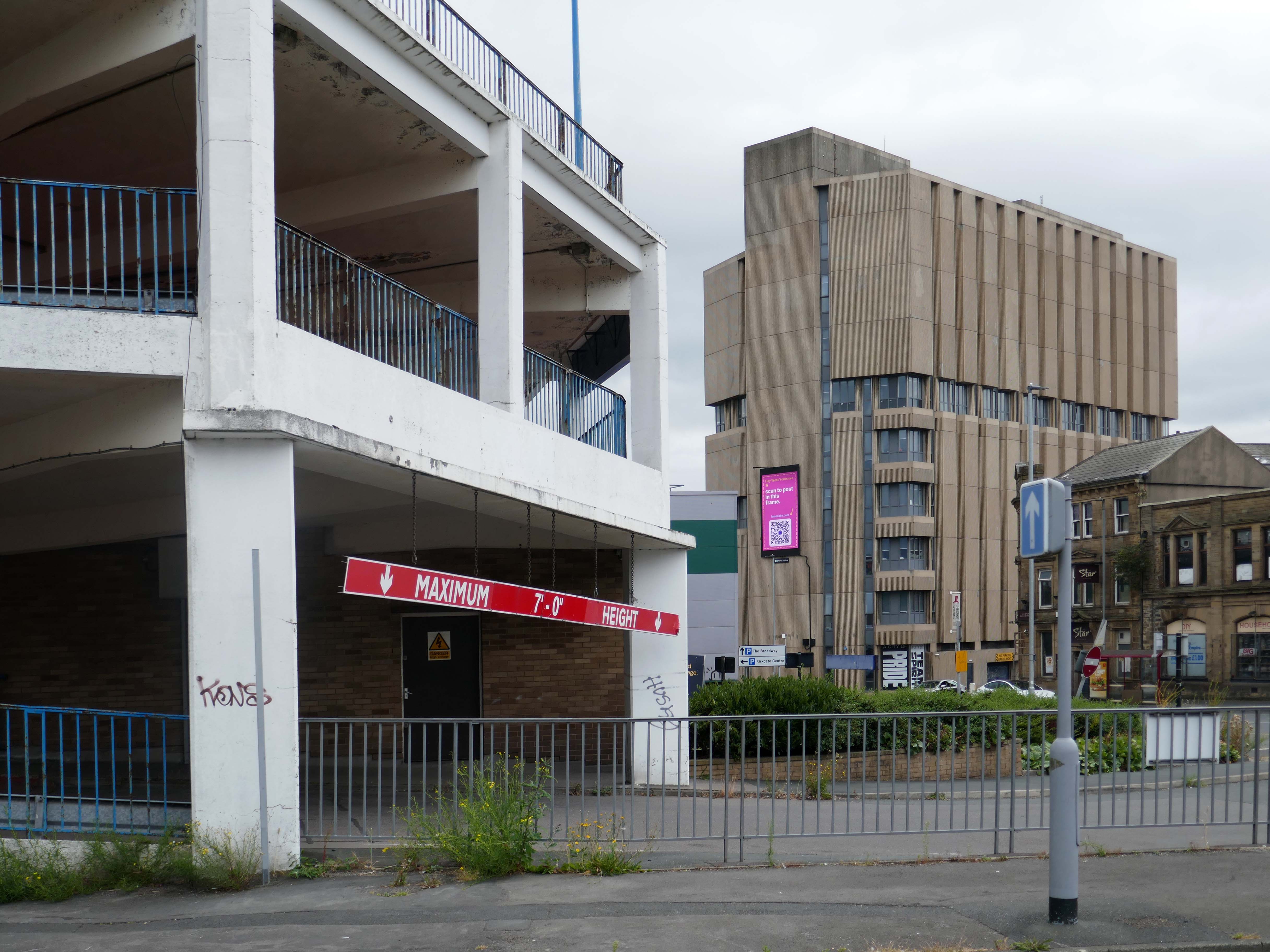
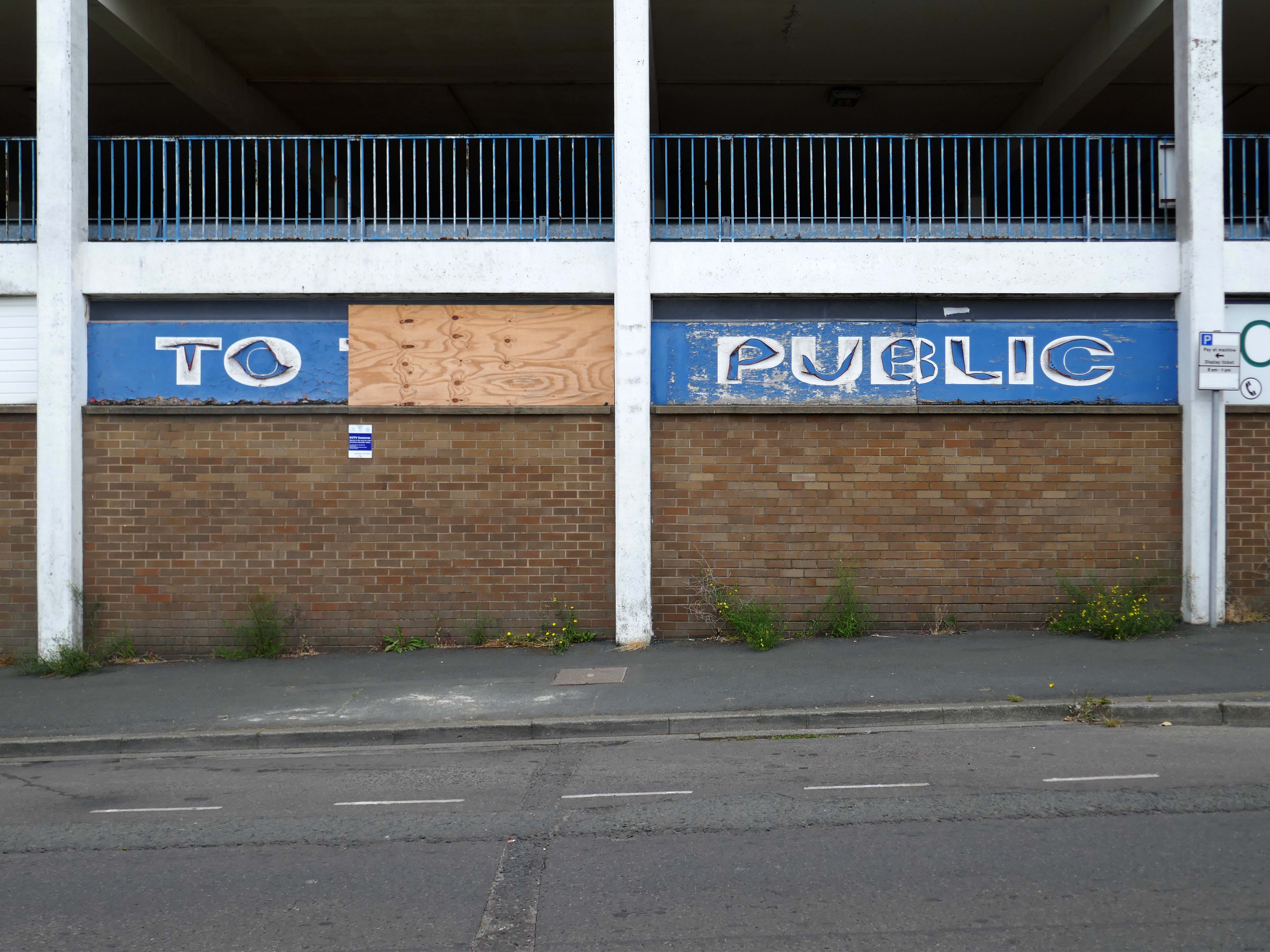
Highpoint’s neighbour the Oastler Centre is closed and awaiting demolition.
The Oastler Shopping Centre, formerly known as the John Street Market contained 176 stalls comprising a retail area, with an additional twenty three external shops and twenty seven storerooms. The cafes and stalls within the centre were various food, clothing and craft shops with some of the cafes and stalls having been in business since the 1960s.
The original outdoor open-air market was renovated to an indoor market in the early 1970s to make economic improvements to the upper side of the city centre and was named for the abolitionist Richard Oastler.
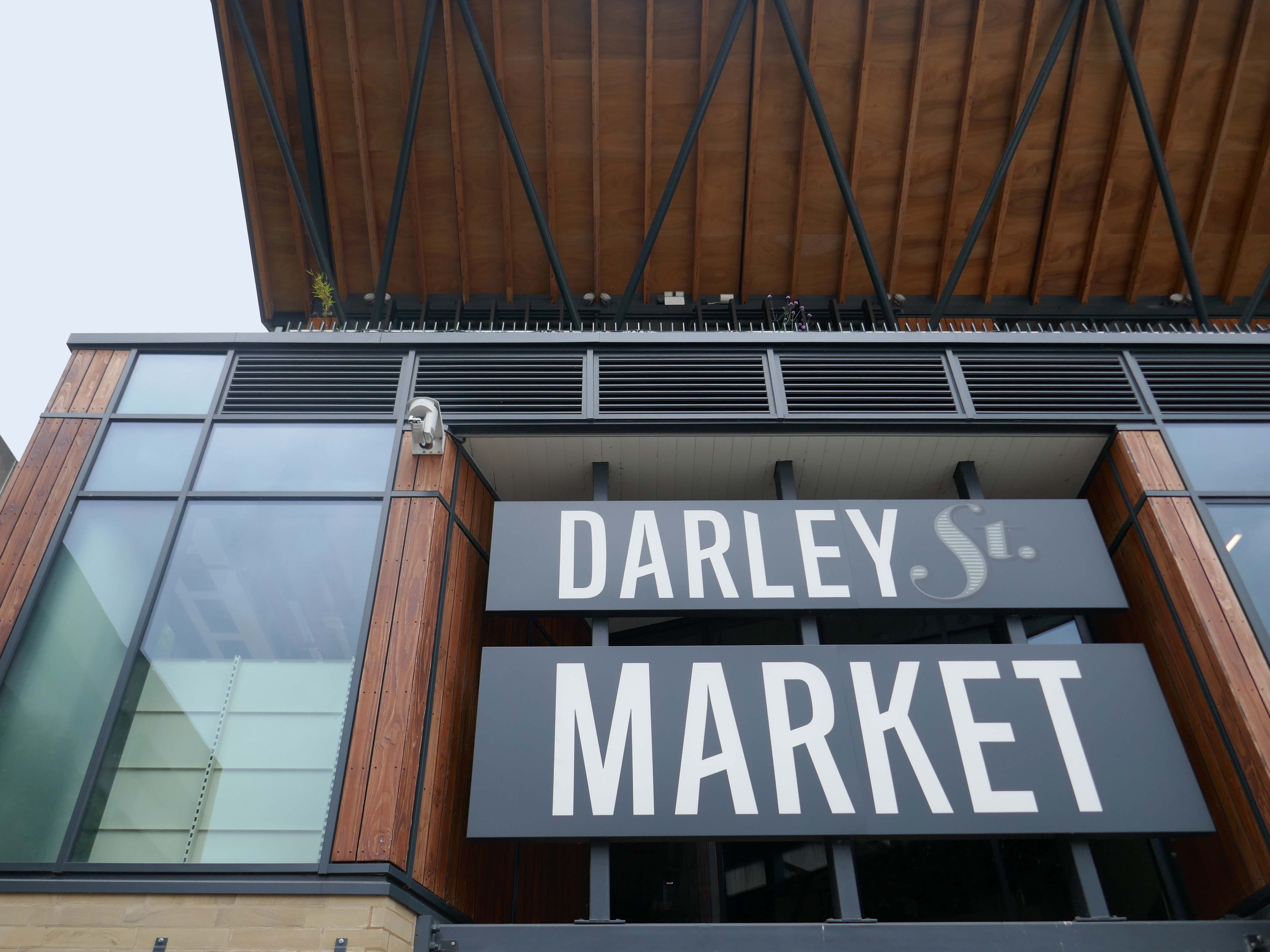
As part of the Bradford’s regeneration projects in line with the successful UK City of Culture 2025 bid, the Oastler Centre was scheduled to be demolished in late 2023 to make way for the new Darley Street Market.
The Oastler Marker had its final day of trading on 28 June 2025.
The centre along with the nearby Kirkgate Market will be demolished and replaced with green space, housing and new commercial spaces in line with the new Darley Street Market and planned City Village, an area of green space nearby the site.
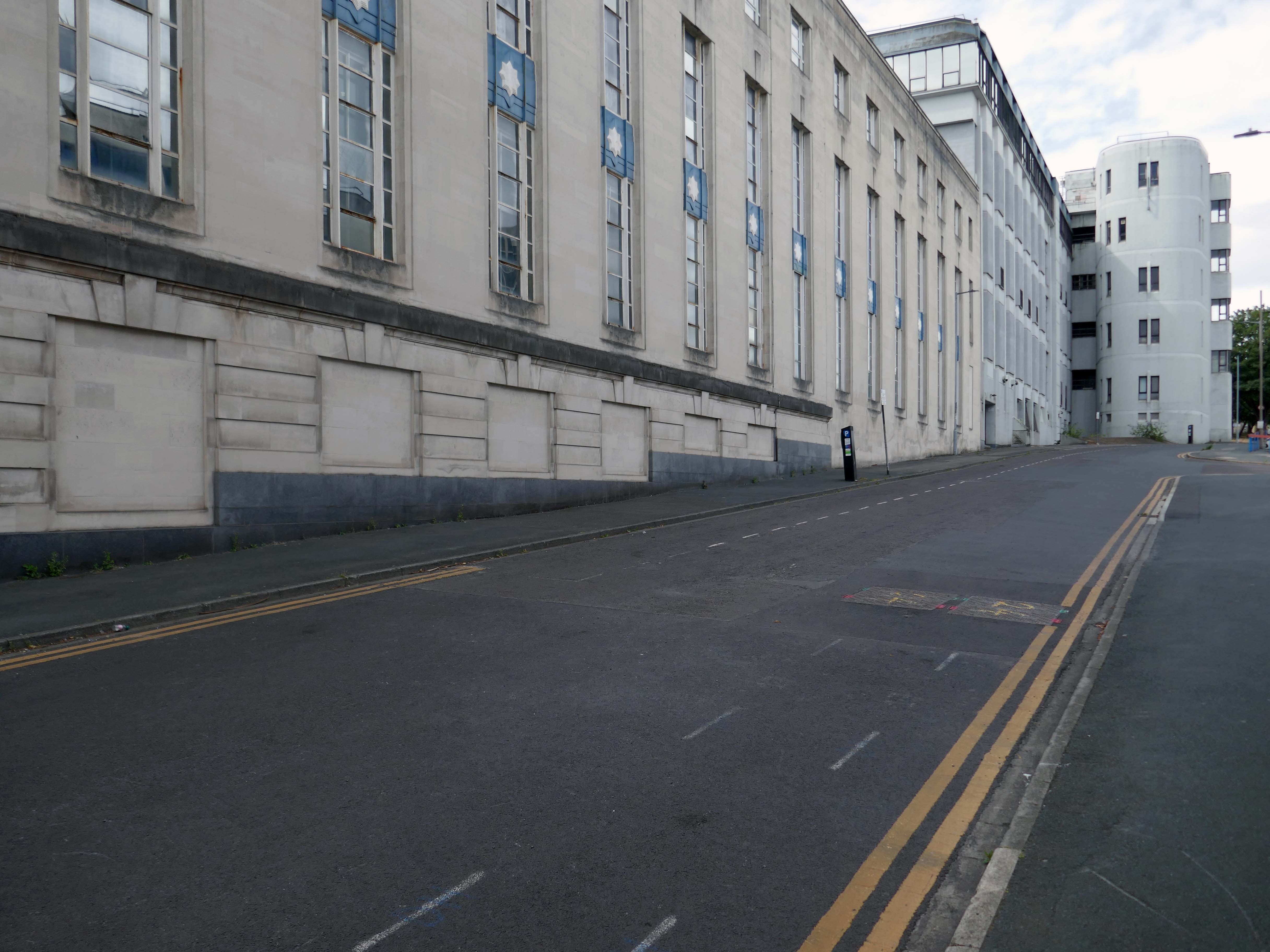
A tale of two exchanges in one city – forty years apart.
It was the best of times, it was the worst of times, it was the age of wisdom, it was the age of foolishness, it was the epoch of belief, it was the epoch of incredulity, it was the season of Light, it was the season of Darkness, it was the spring of hope, it was the winter of despair, we had everything before us, we had nothing before us, we were all going direct to Heaven, we were all going direct the other way – in short, the period was so far like the present period, that some of its noisiest authorities insisted on its being received, for good or for evil, in the superlative degree of comparison only.
Charles Dickens.
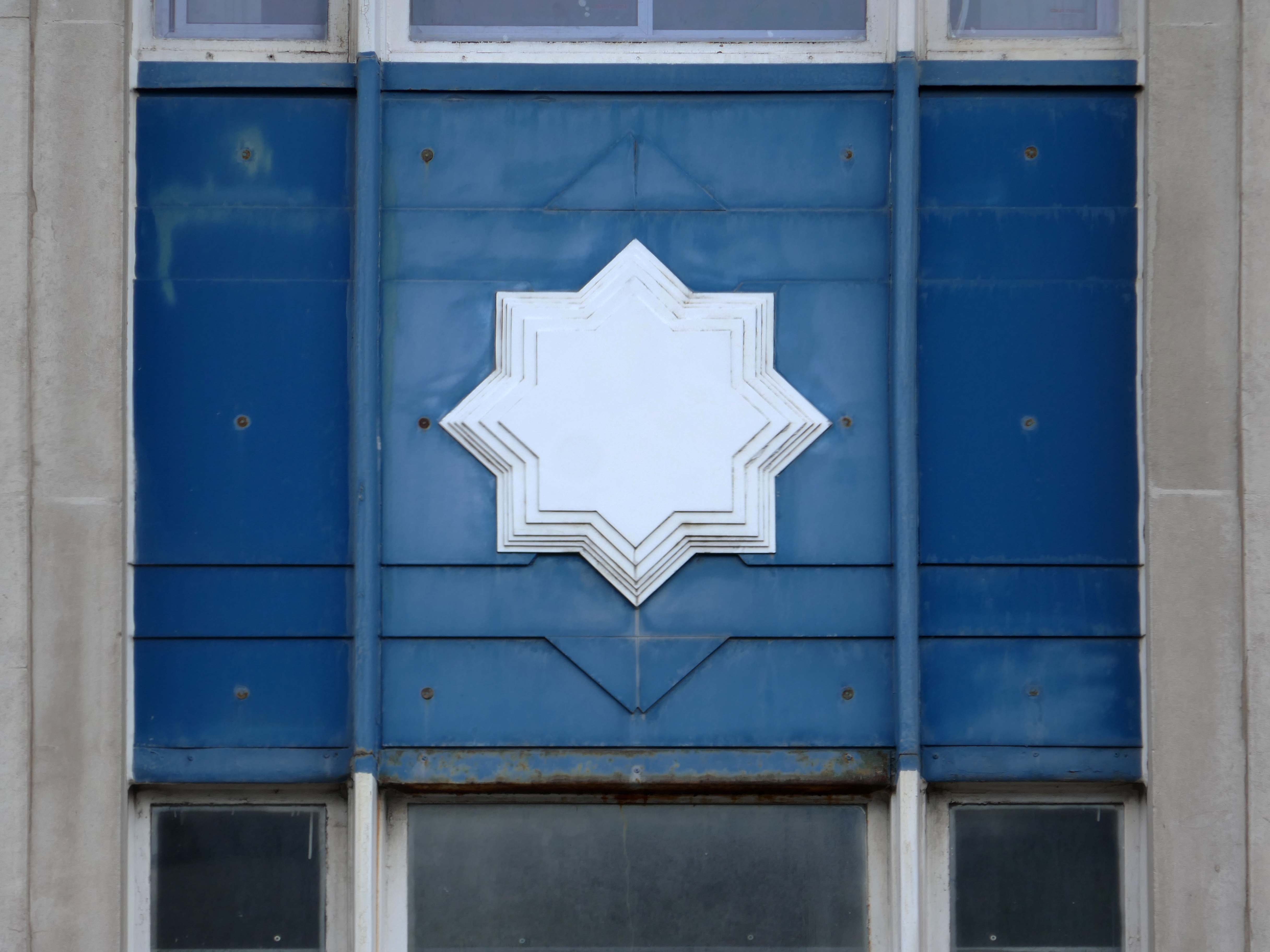
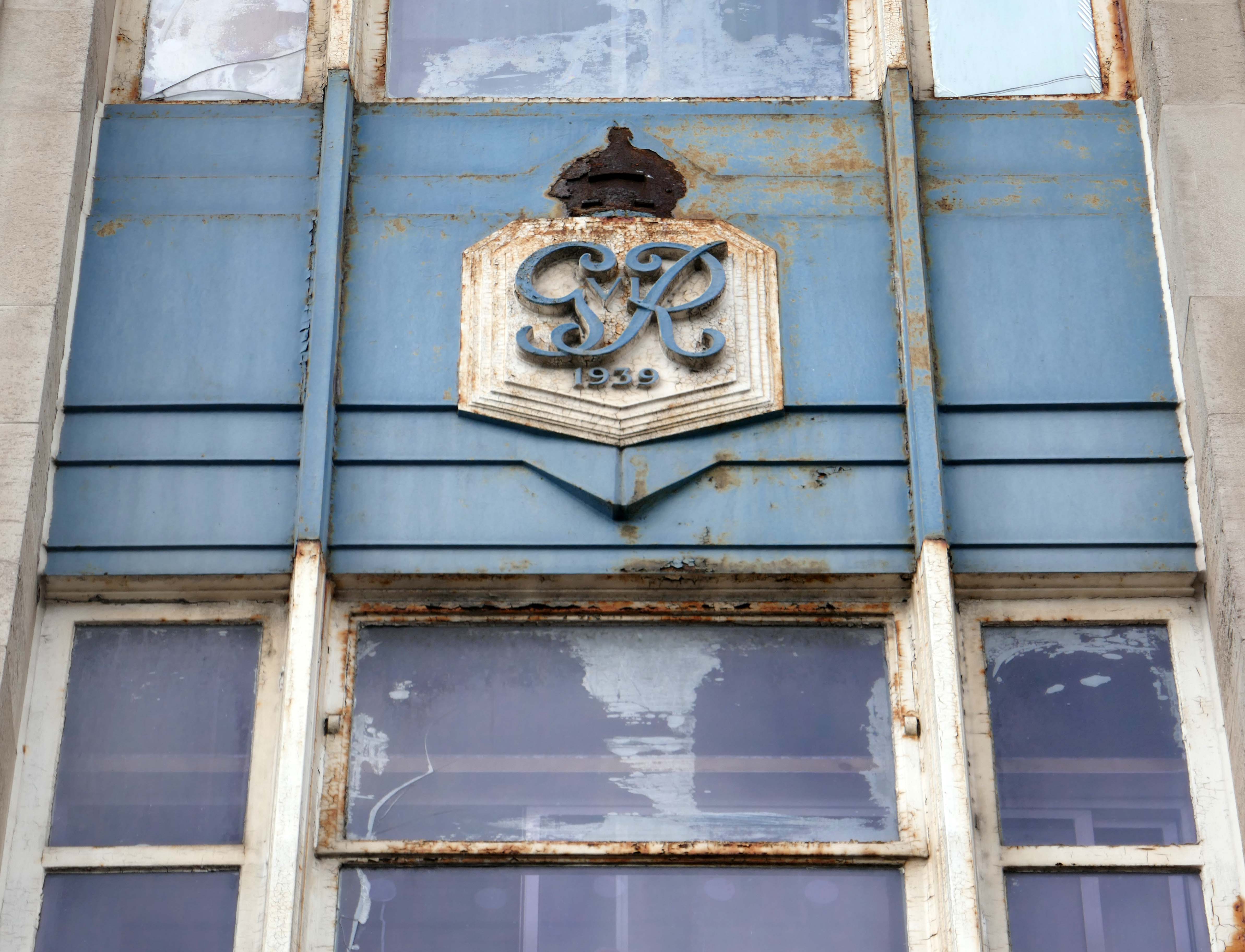
The Exchange of 1939 designed by FA Key.
The Exchange of 1976 by Trevor H Anson PSA Architect.
My thanks to Lisa Kinch of tele_exchange over at Instagram for the facts.
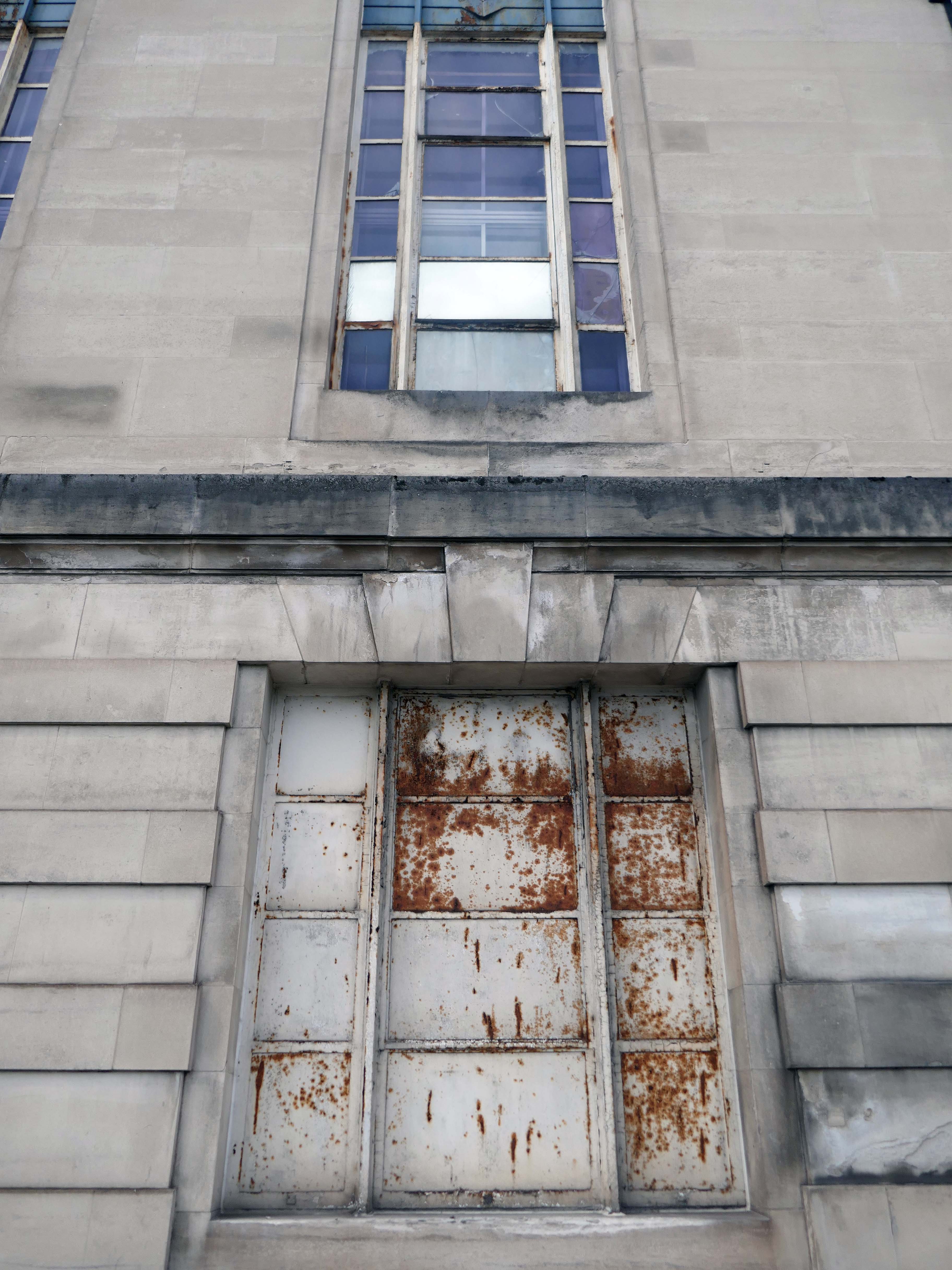
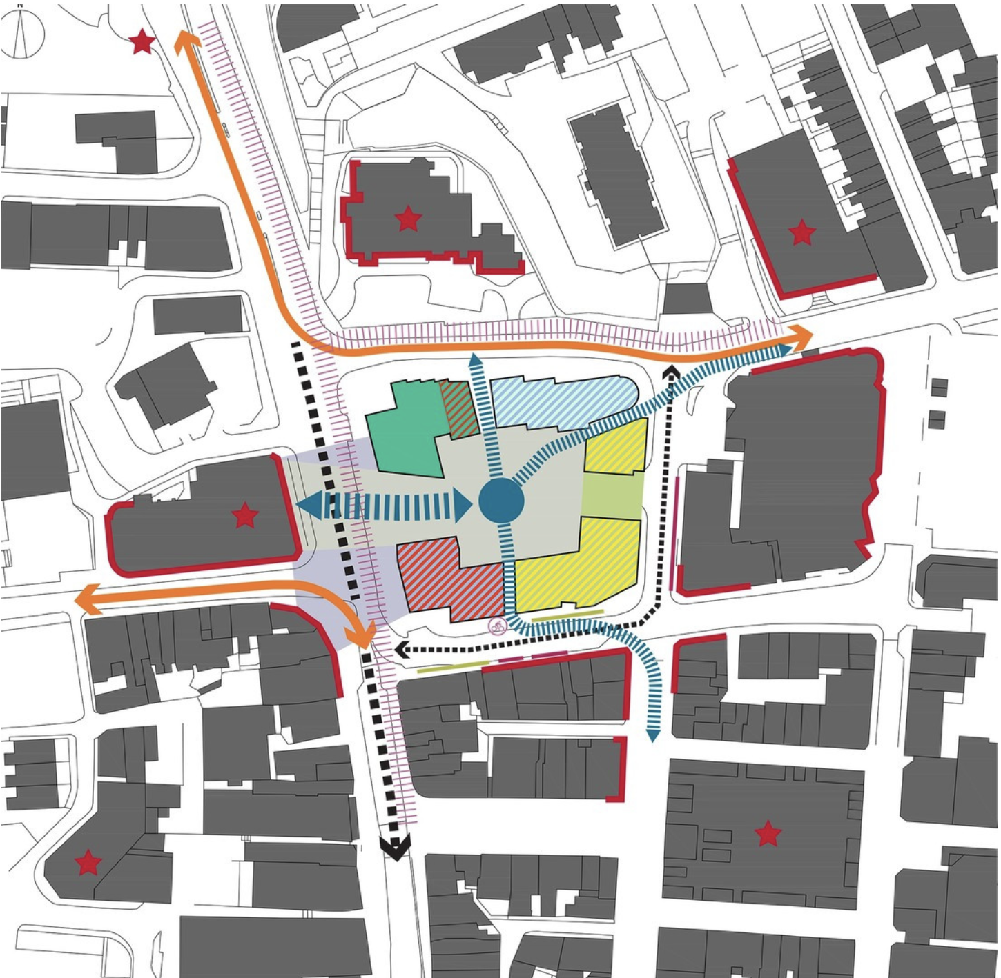
Let’s circumnavigate the site.
Just to spoil the twosome allusions there was a third exchange – just as there was a Third Man, returning from the dead.
Bradford’s last manual exchange was on the corner of Nelson Street and Union Street, opposite Bradford Town Hall.
It was opened by the National Telephone Company around 1900 to replace a magneto manual exchange in Swan Arcade. It closed on Saturday 26 July 1947 when the current Bradford exchange was opened.
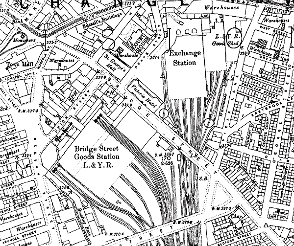
The original railway station, named Bradford Exchange, was opened by the joint efforts of the Lancashire and Yorkshire Railway and the Great Northern Railway on 9 May 1850. The railway station with its 10 platforms was deemed too large and was again rebuilt, this time on a different site slightly further south.
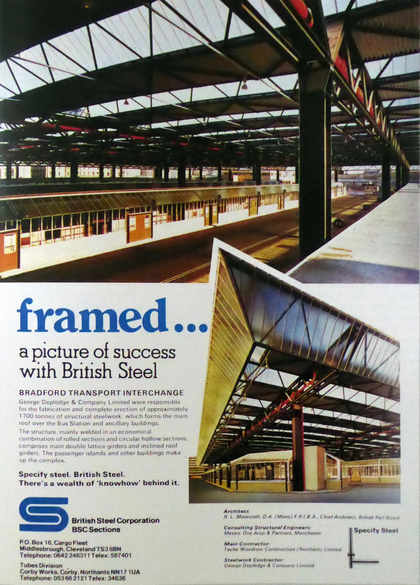
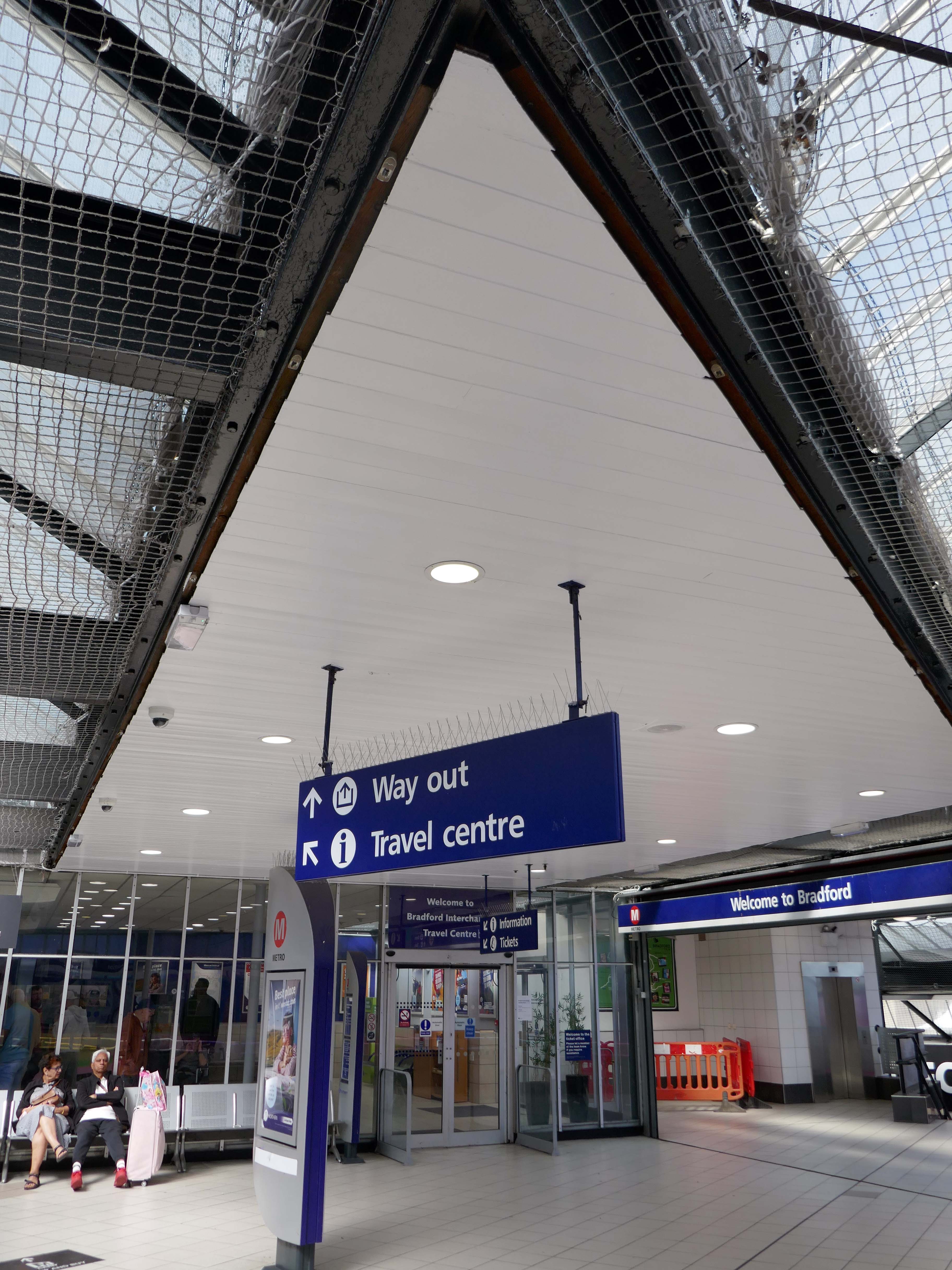
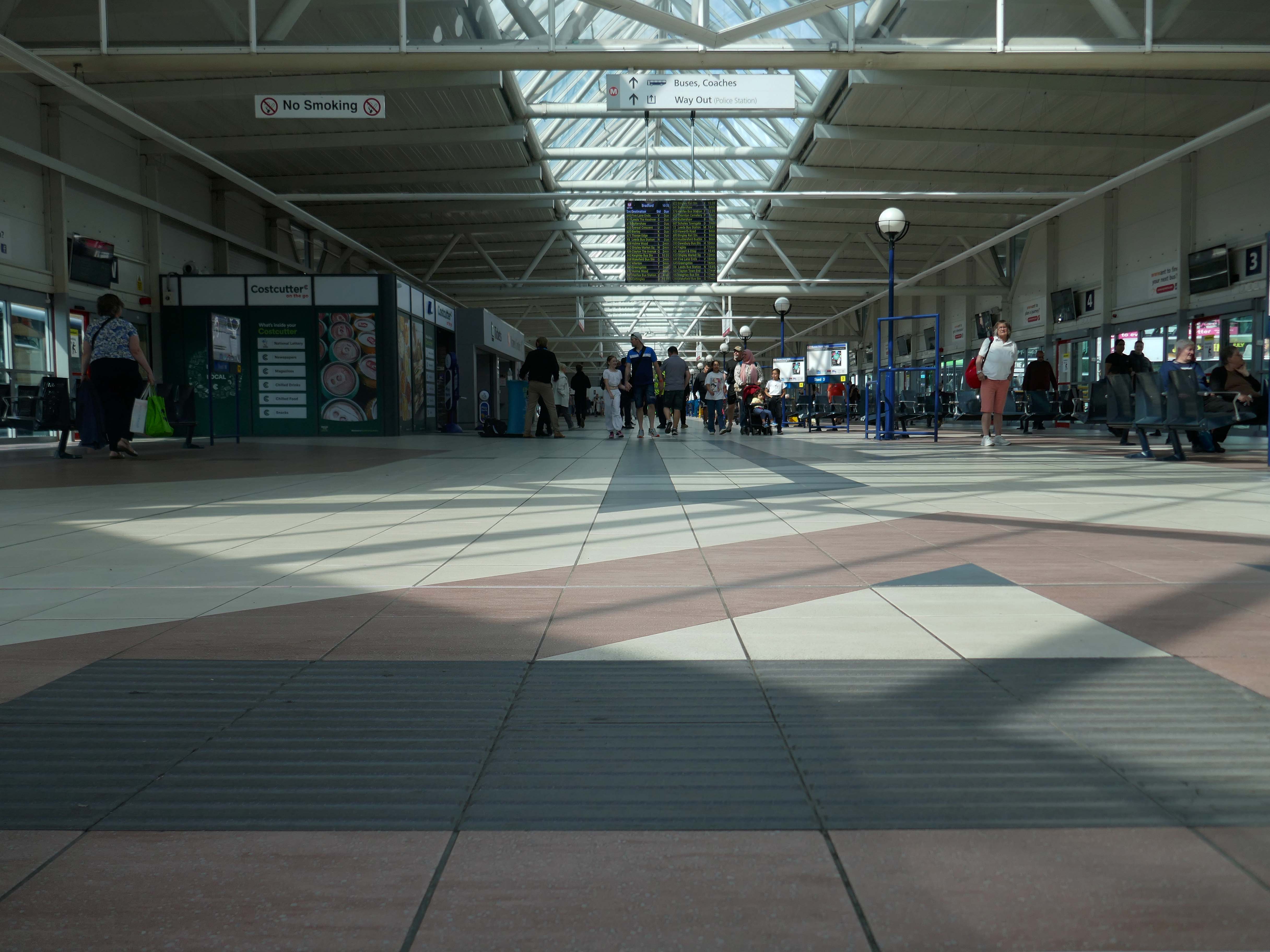
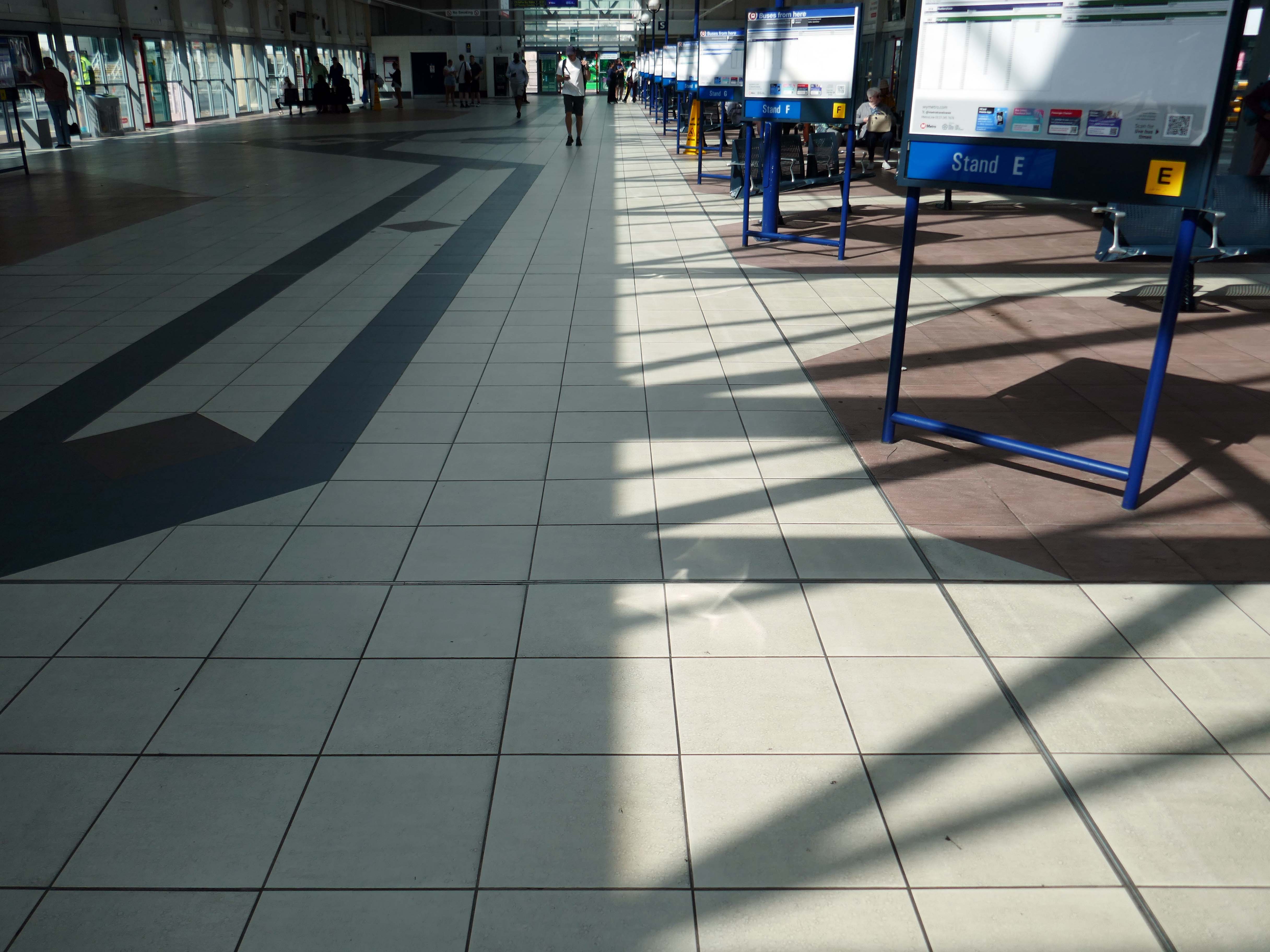
The Interchange was designed in 1962, it was hailed as a showpiece of European design when it opened in 1971.
Architects WC Brown Borough Architect and RL Moorcroft BR.
The bus station featured a large ridge and furrow design of overall roof, which was subsequently demolished in 1999 to allow for a rebuilding of the bus station, which was opened in 2001.
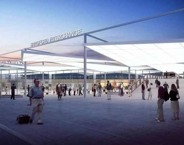
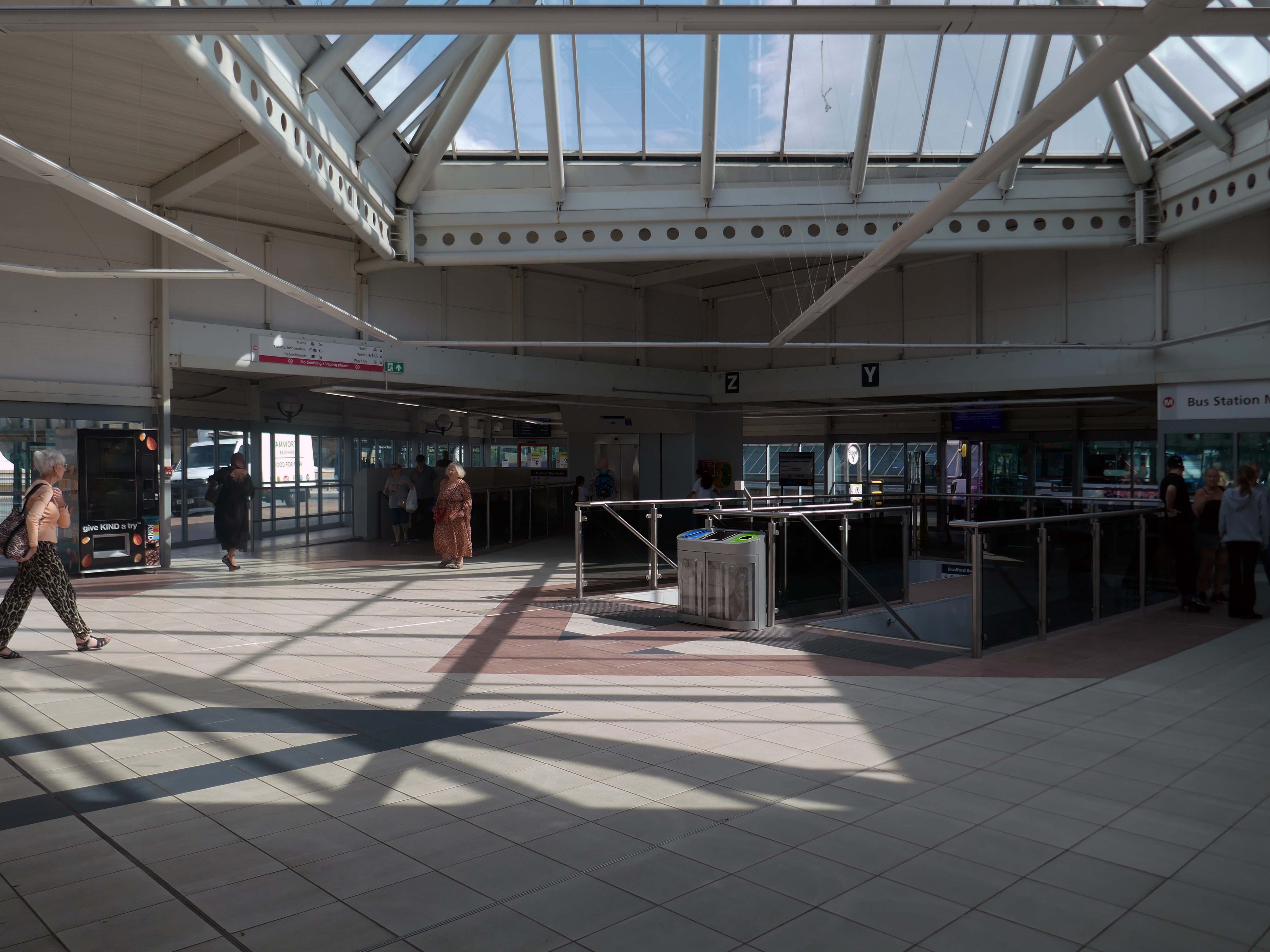
Further down the line, the plans of 2020 are yet to be realised.
So the curved and tented canopy is still in place, with the addition of seating in the newly landscaped plaza area – designed by Fereday Pollard.
The area has replaced the former taxi rank and drop-off point, and has new paving, seating and planters.
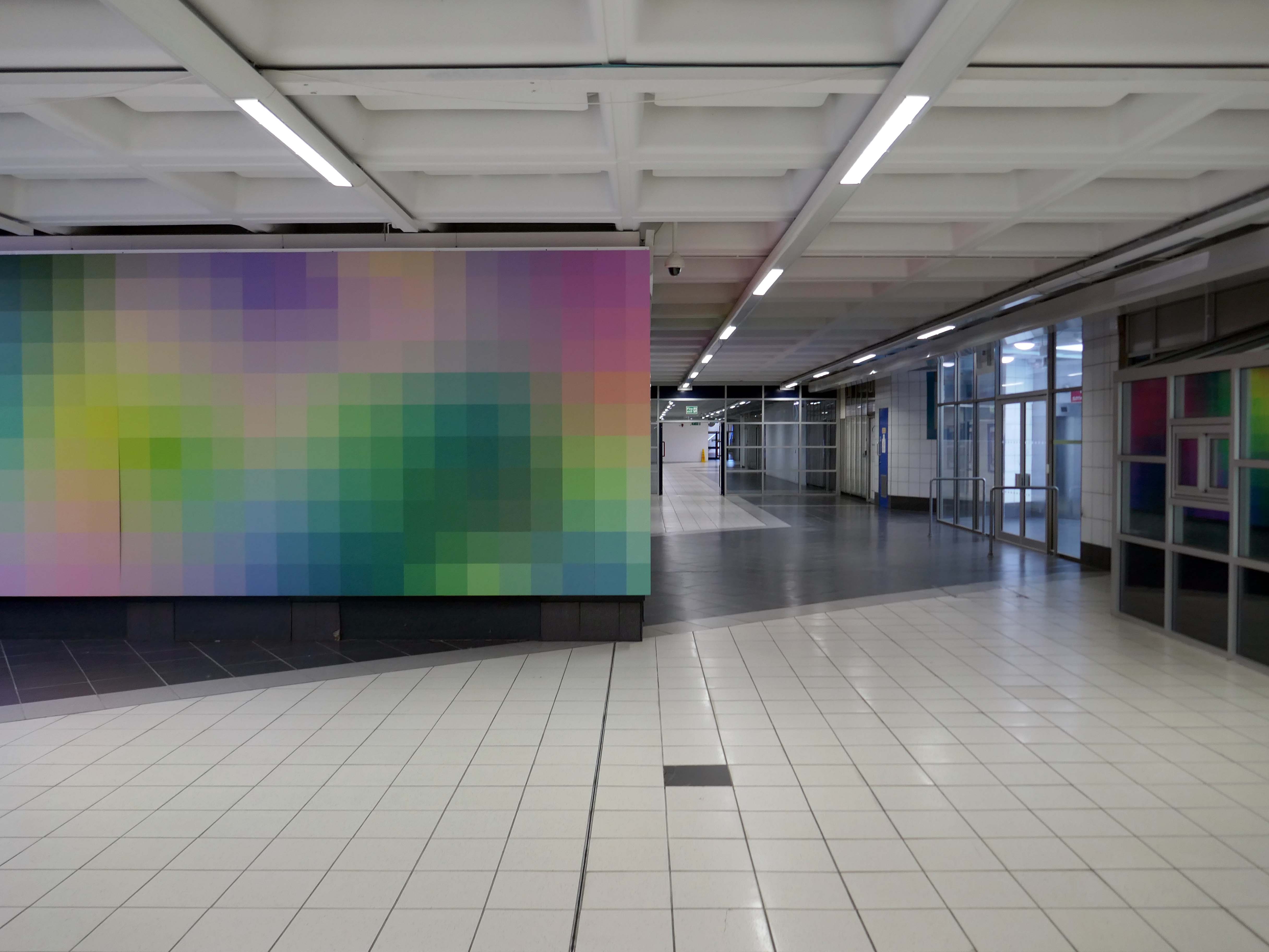
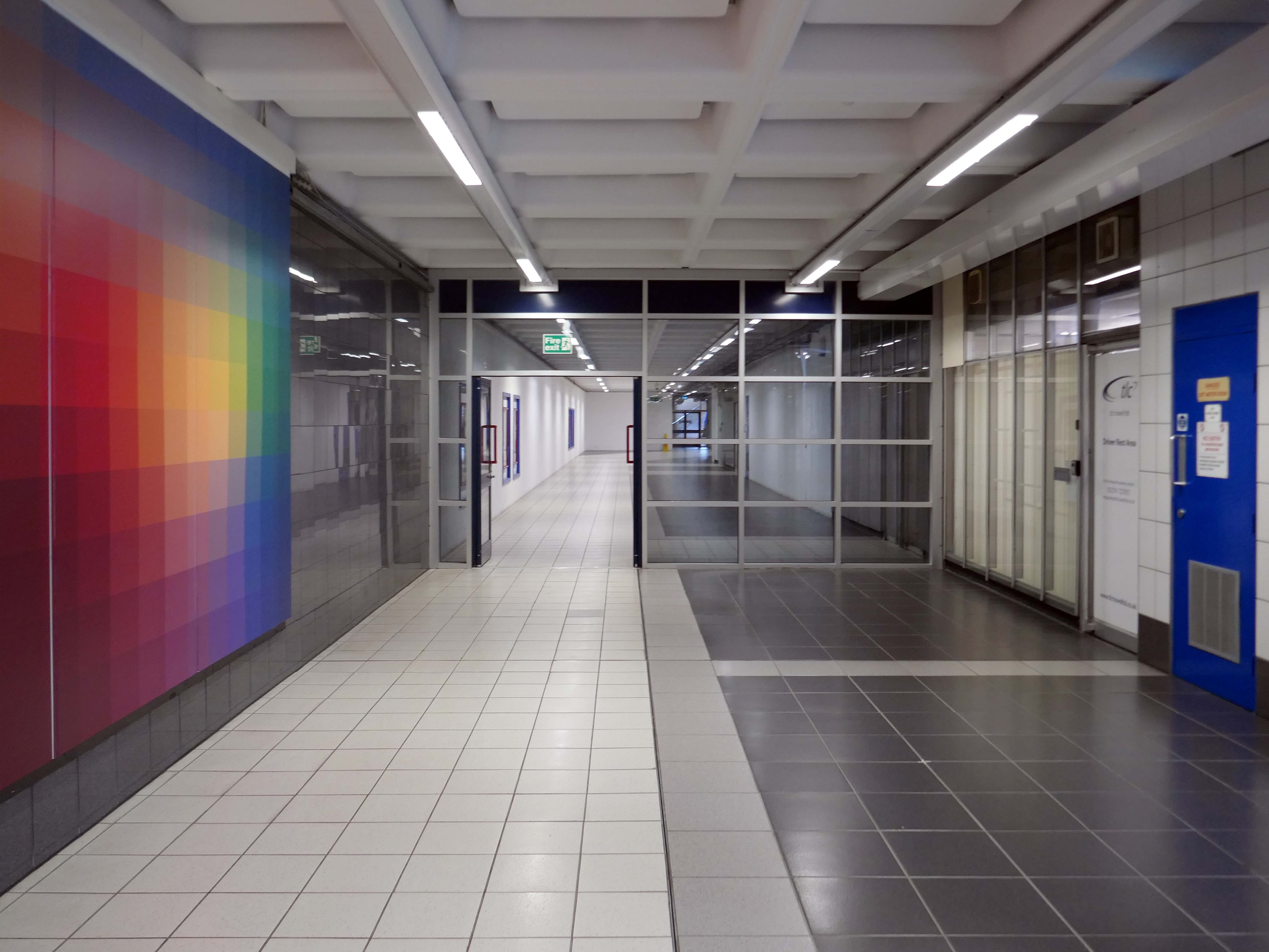
Designs include a new pocket park, plaza and interiors, all formed as a high quality welcoming visual amenity whilst repairing the disparate components which form the backdrop of the proposals. In the plaza, a kaleidoscope of colours is complemented by a grid of generous planters with integrated seating and vibrantly coloured furniture to create a celebratory and flexible meeting space. The ‘Colours of Bradford’ introduce clarity and joy, with the new plaza serving as an extension to the station concourse, allowing meeting and dwell space to interact with the city and onward journeys. Reinforcing the moor to meadow narrative of our original scheme, the new pocket park creates a pollinator park, encouraging and promoting a connection with the wider surrounding landscape of Bradford and combined with the Tower of Now, pays tribute to the rich and varied cultures found in Bradford.
Fereday Pollard
With Bradford awarded the UK City of Culture 2025, and an expected 15 million visitors during its year of celebrations, the city is ready for its moment in the spotlight. As part of these exciting developments, Bigg Design and Fun Makes Good are transforming Bradford’s main bus and rail interchange with super-scale, multi-surface artworks that will create an exciting, welcoming gateway to the city.
Their design work not a million miles from the prints and paintings of Richard Paul Lohse.
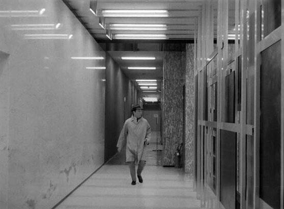
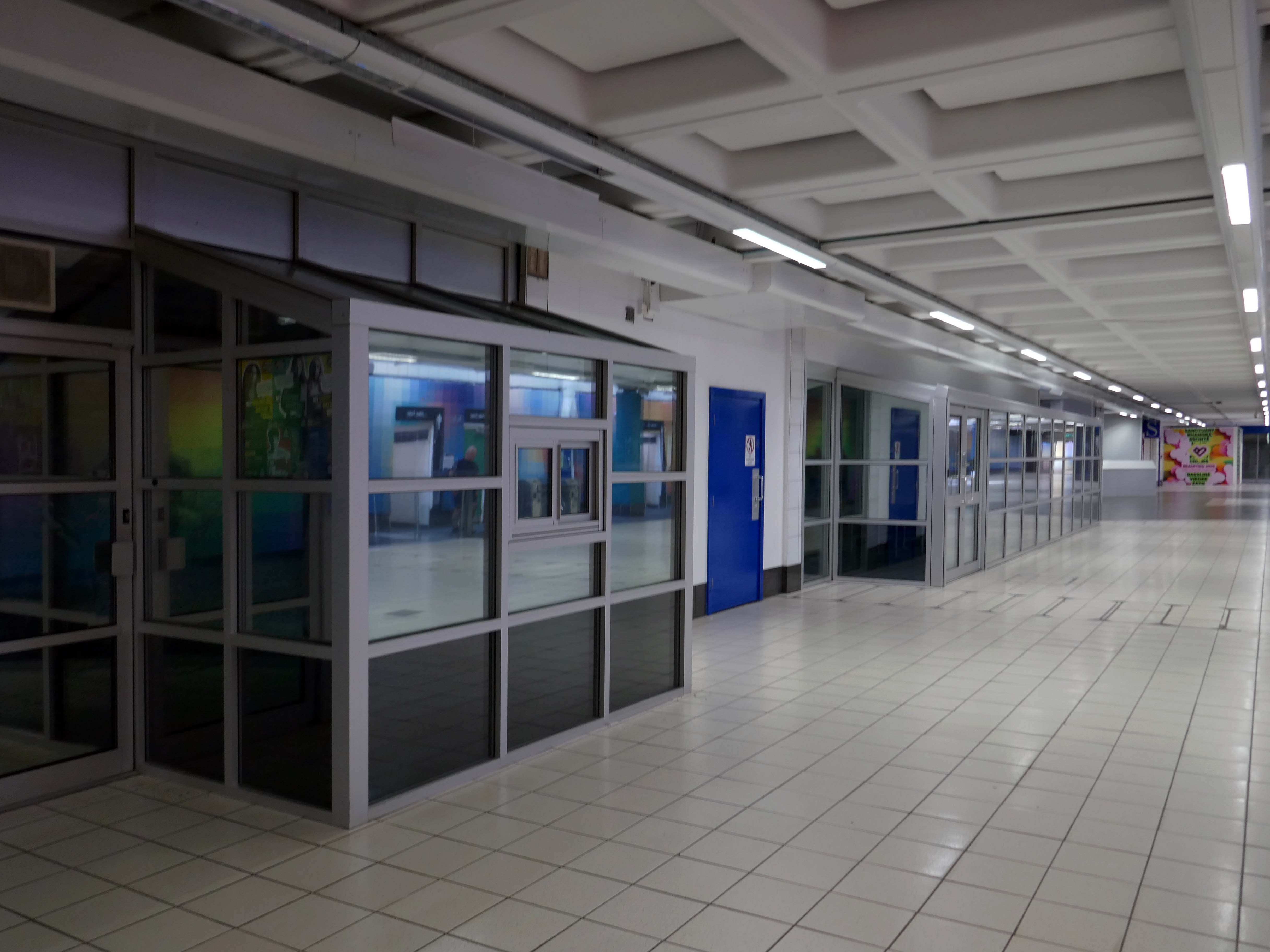
For me, this lower concourse always seems to have echoes of Jean-Luc Godard’s film Alphaville.
There are no special props or futuristic sets: instead, the film was shot in real locations in Paris, the night-time streets of the capital becoming the streets of Alphaville, while modernist glass and concrete buildings – which in 1965 were new and strange architectural designs, represent the city’s interiors.
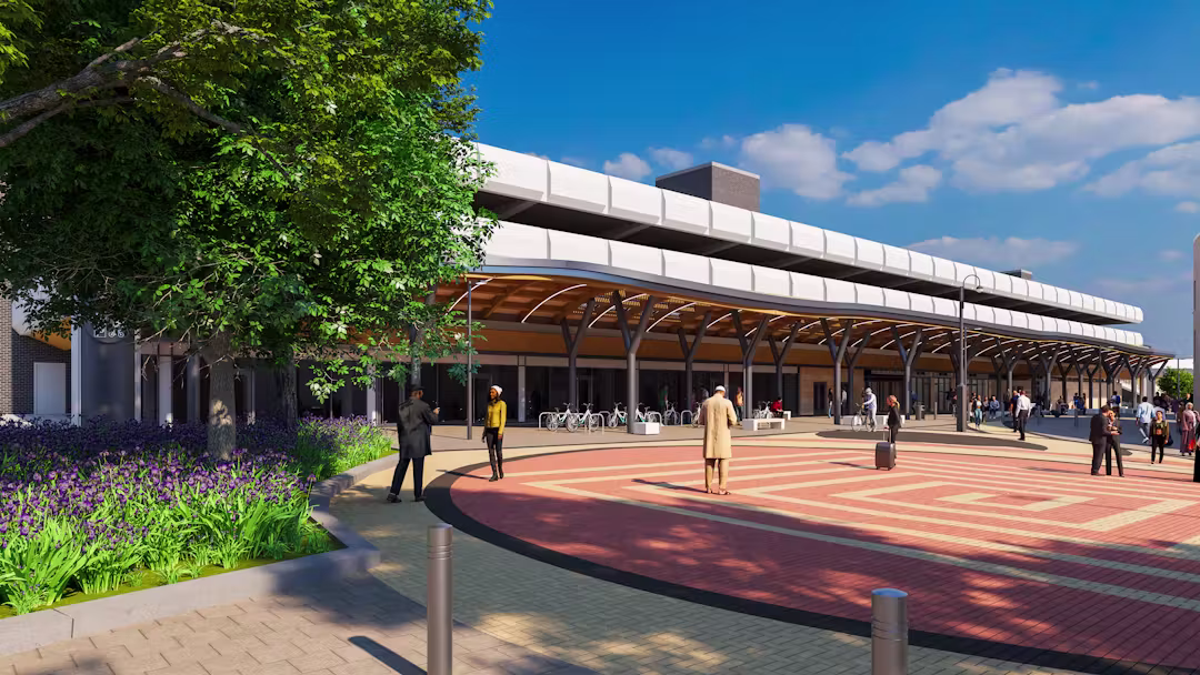
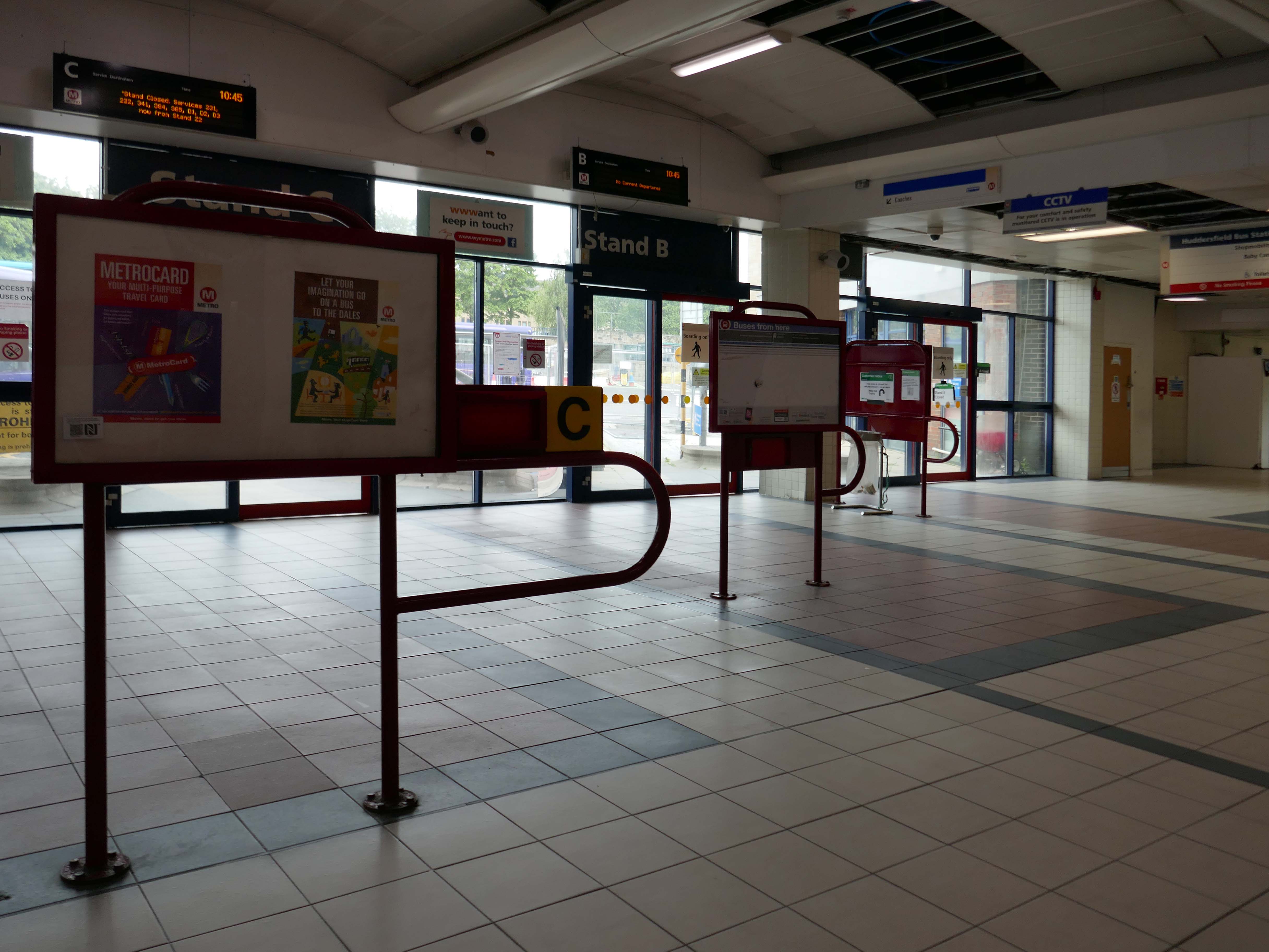
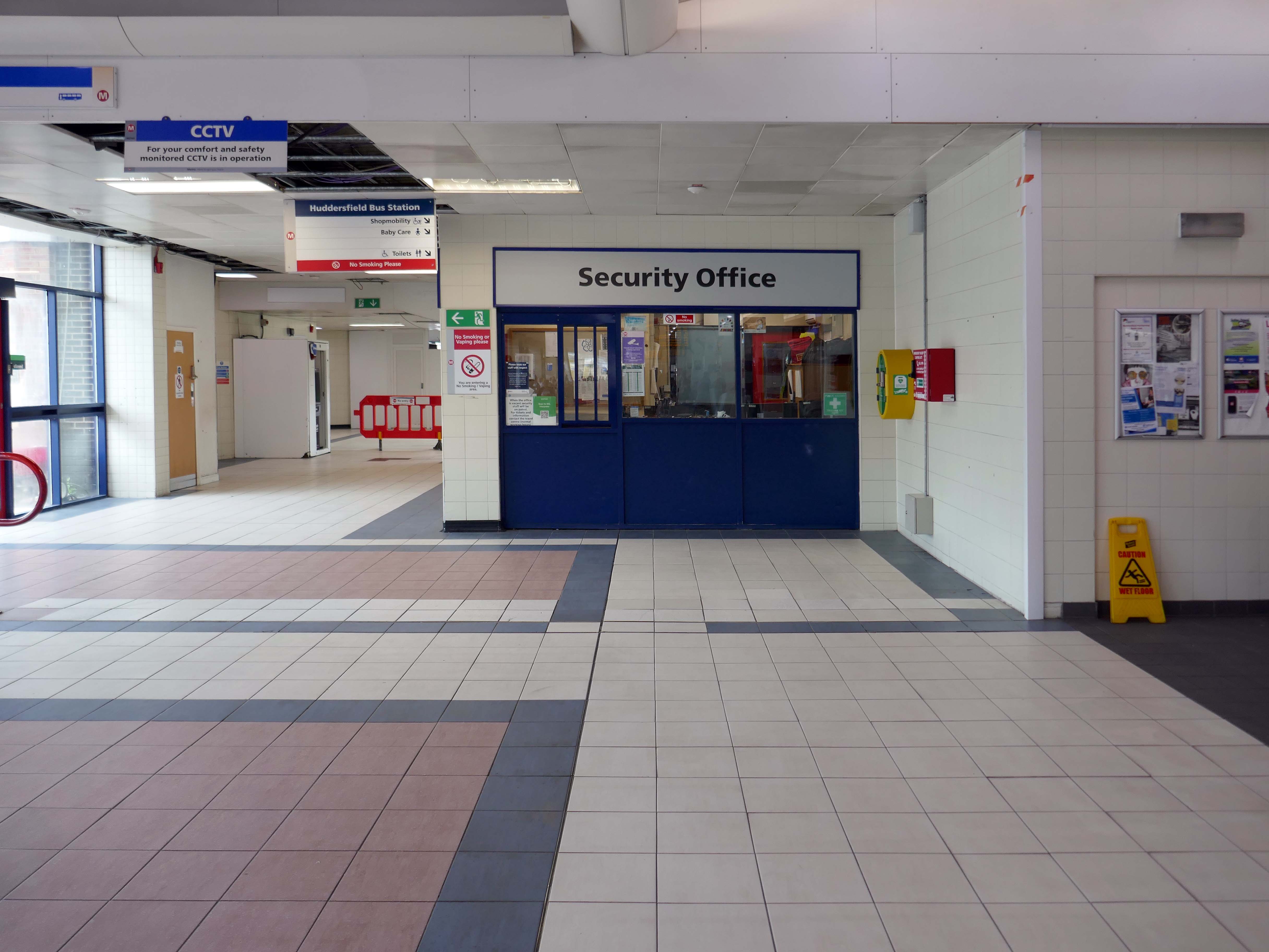
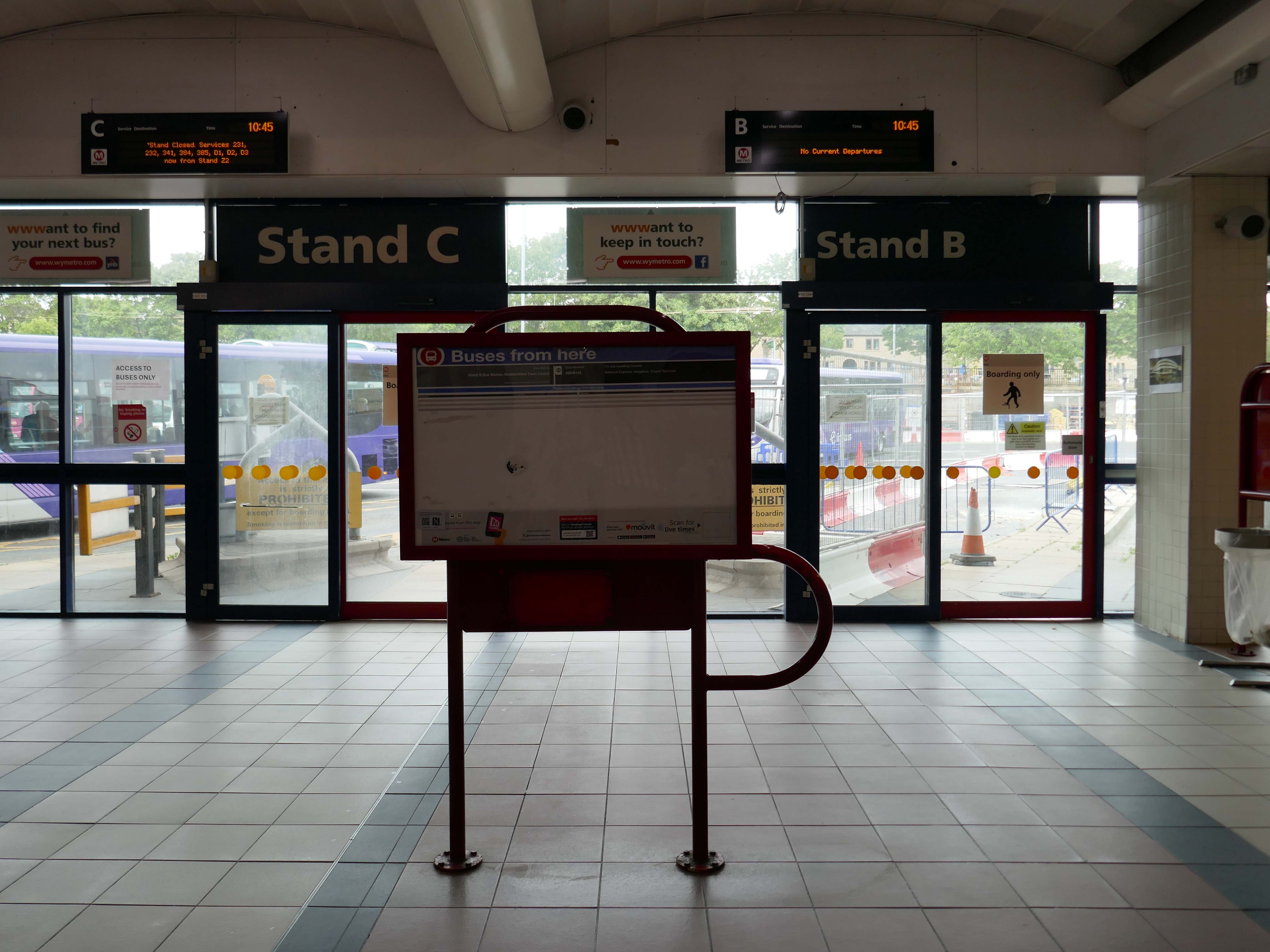
We are transforming Huddersfield Bus Station into a fully accessible facility.
Work is underway on the £28 million facility, which is funded by the West Yorkshire Combined Authority and Kirklees Council.
I was informed by the seriously erudite Christopher Marsden, that the bus station and car park were the work of Derek C W Vane: Borough Architect 1972-1974.
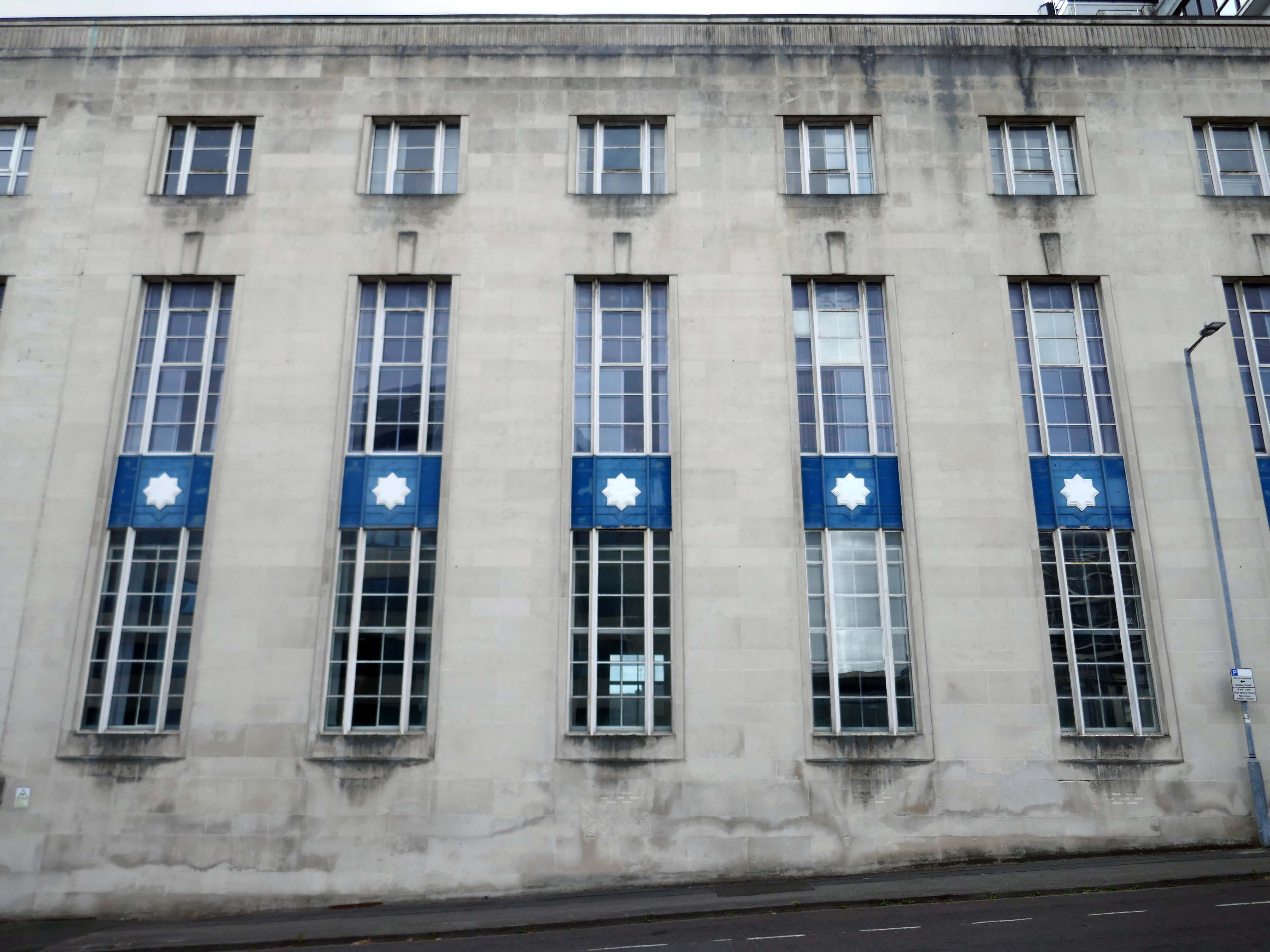
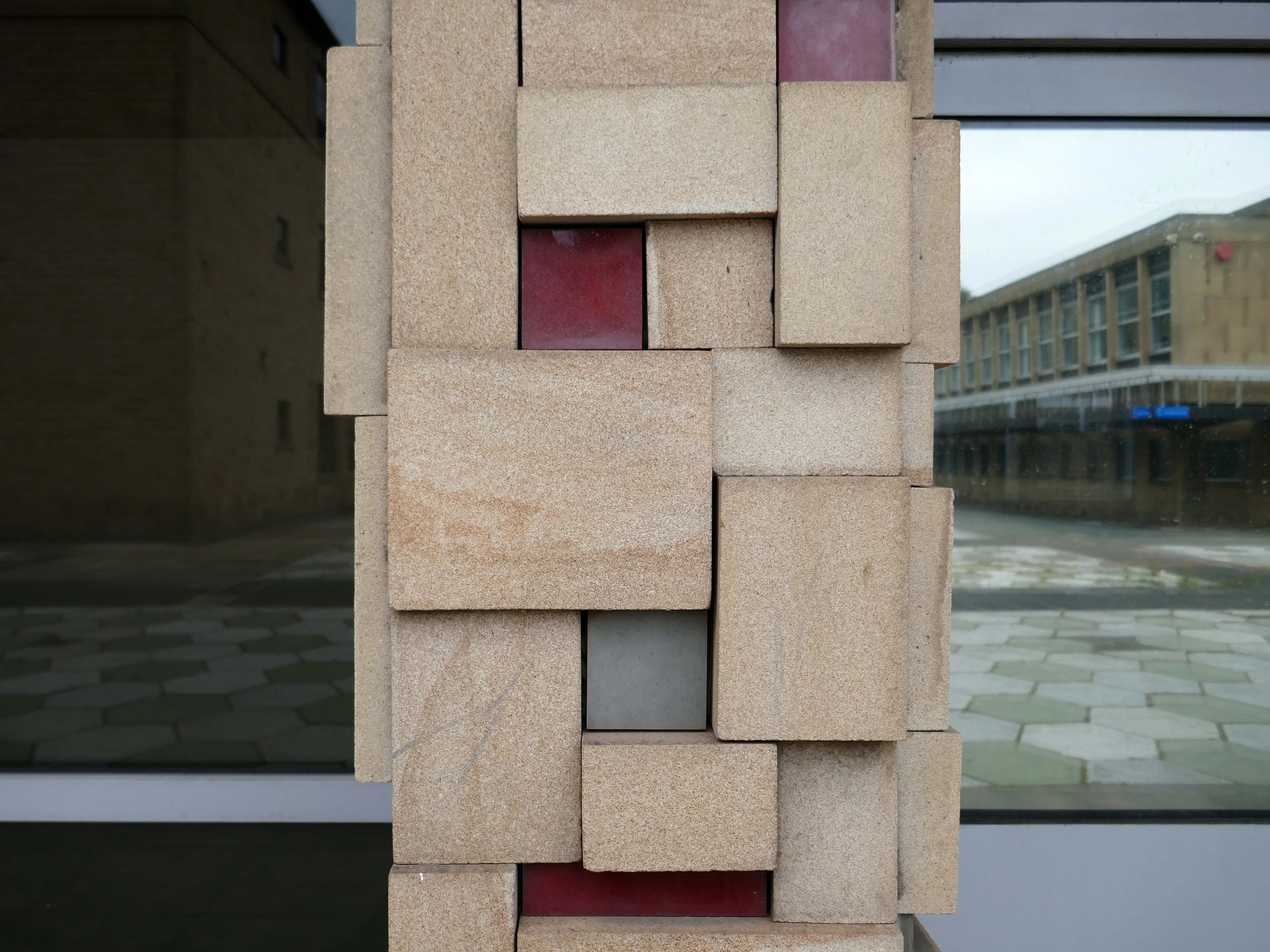
We then cross over the road to the Civic Centre, with its gold leaf facade, and the perennially empty piazza, which along with the Magistrates’ Courts and Police Station, was the work of the Borough Architects team – led by Charles Edmund Aspinall.
Exsilite panels set in the stone faced columns – a brand name for a synthetic, moulded, artificial marble.
Exsilite is made by fusing grains of silica and pigments to form a slab that simulates onyx marble.
Exsiliteis a Latin word meaning – spring/leap/burst forth/out, leap up, start up, bound; emerge into existence.
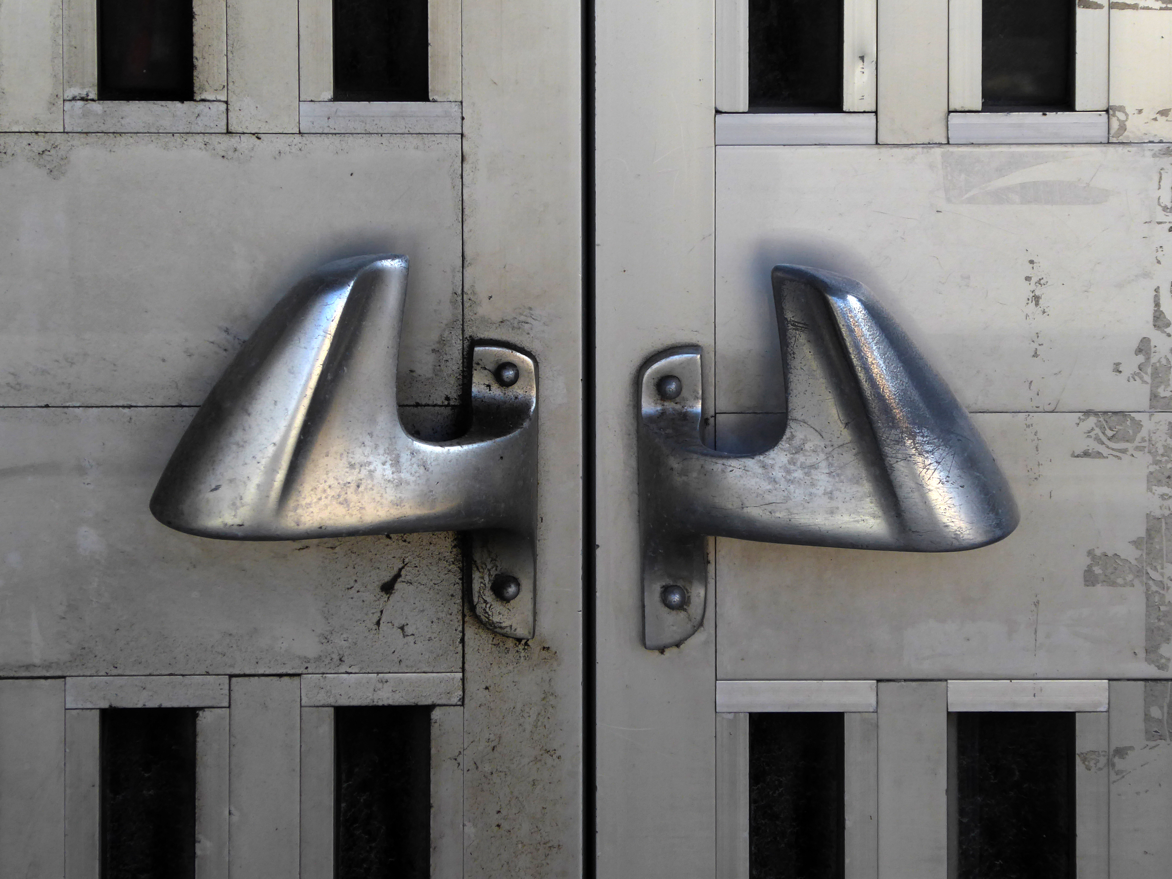
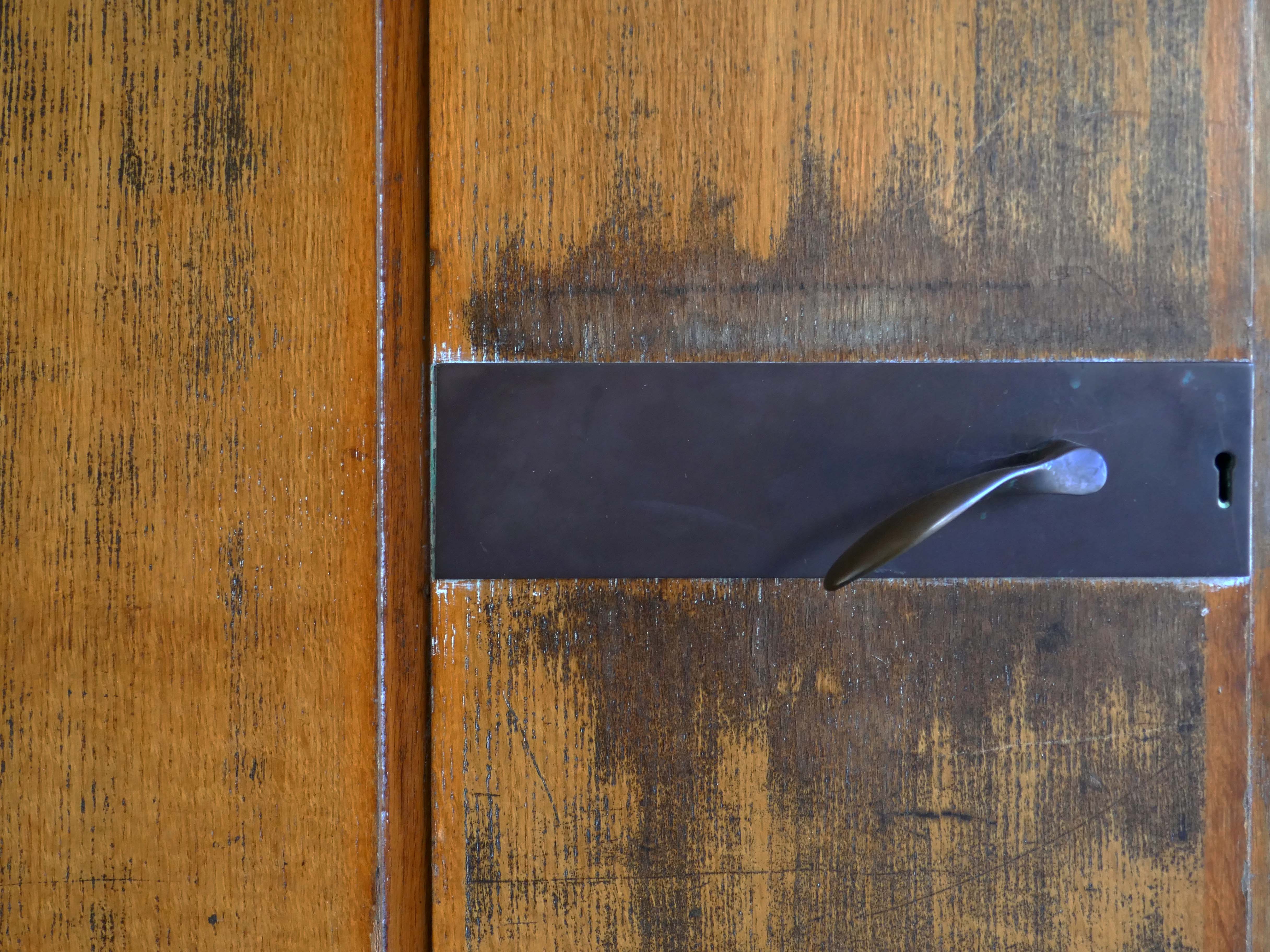
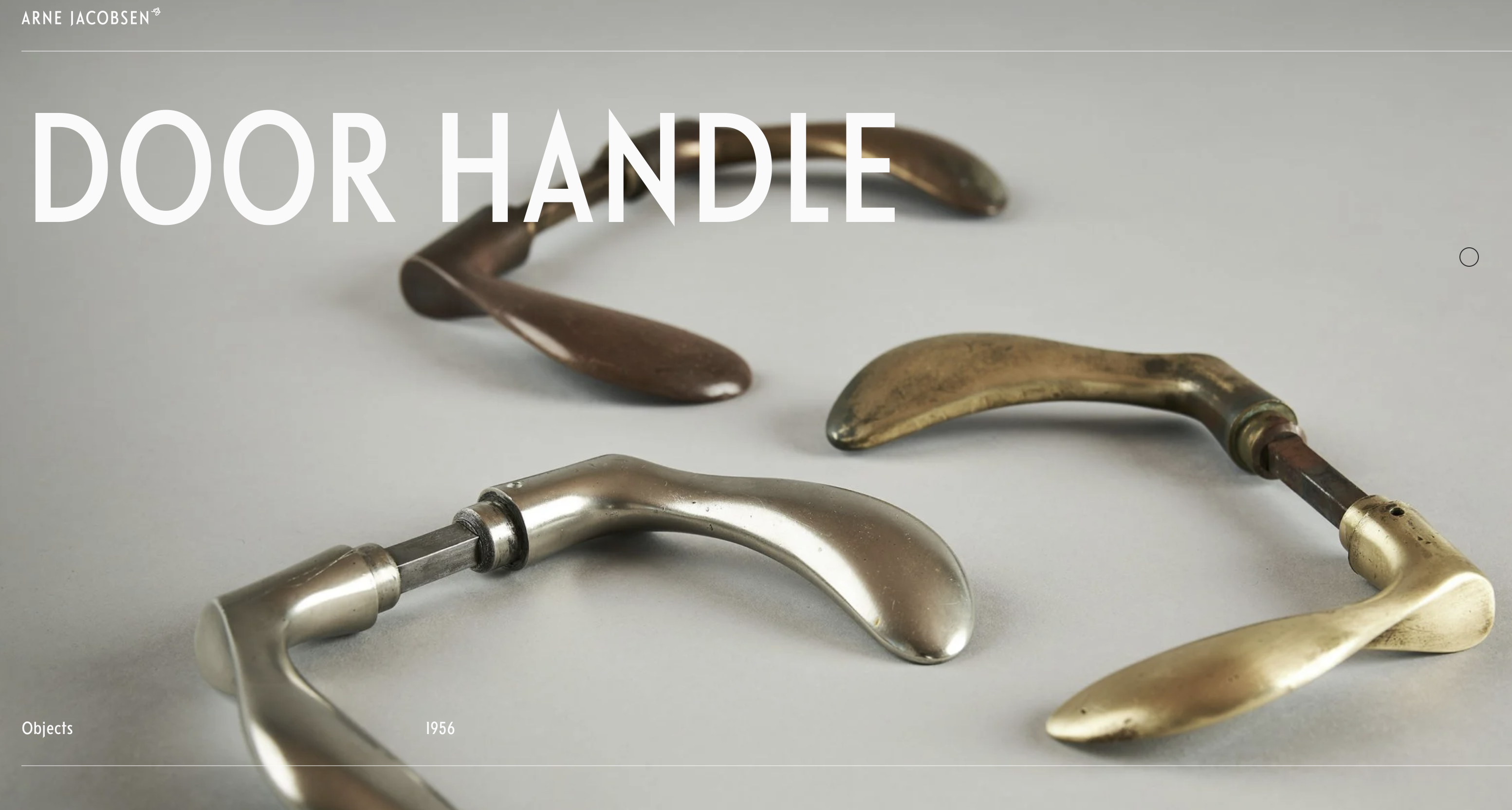
It is to be note that the doors and distinctive handles from the Courts to the Piazza have been removed.
The Police Station is to be vacated on completion of the new Police Station.
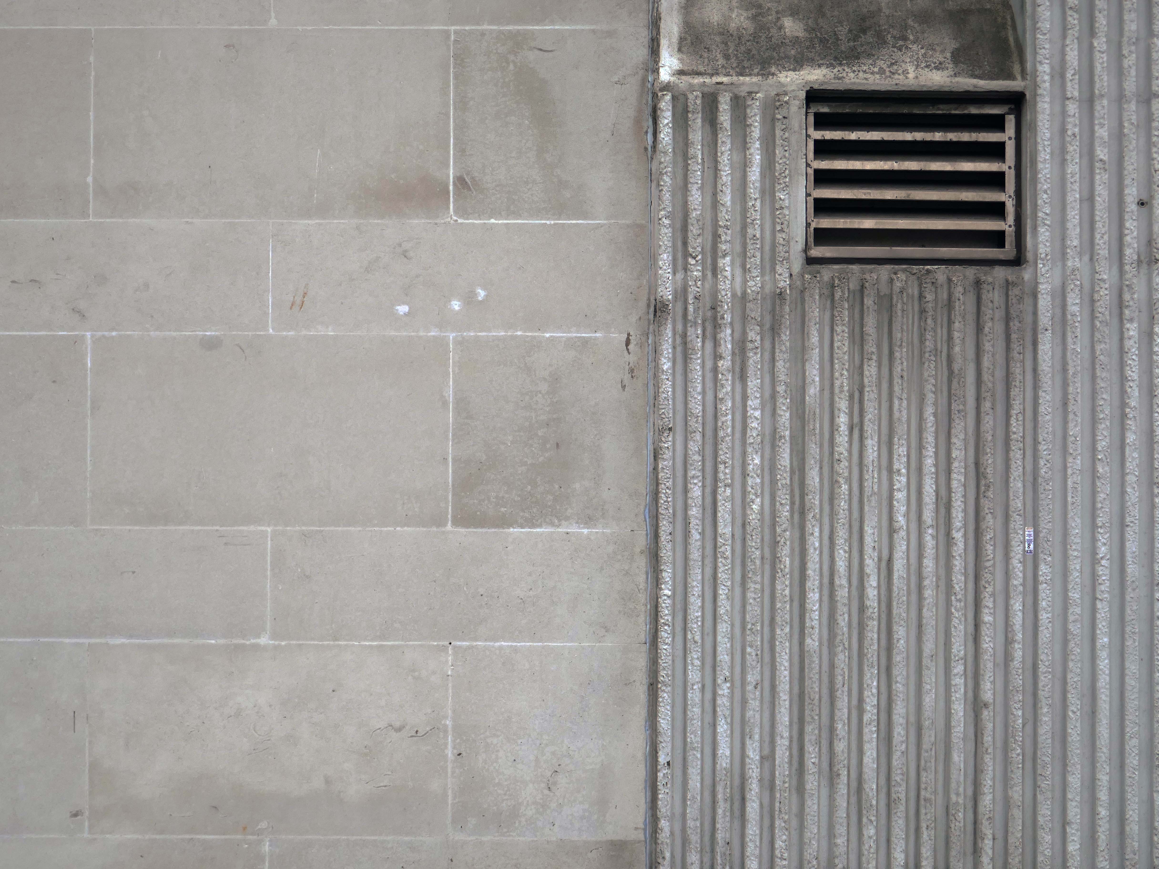
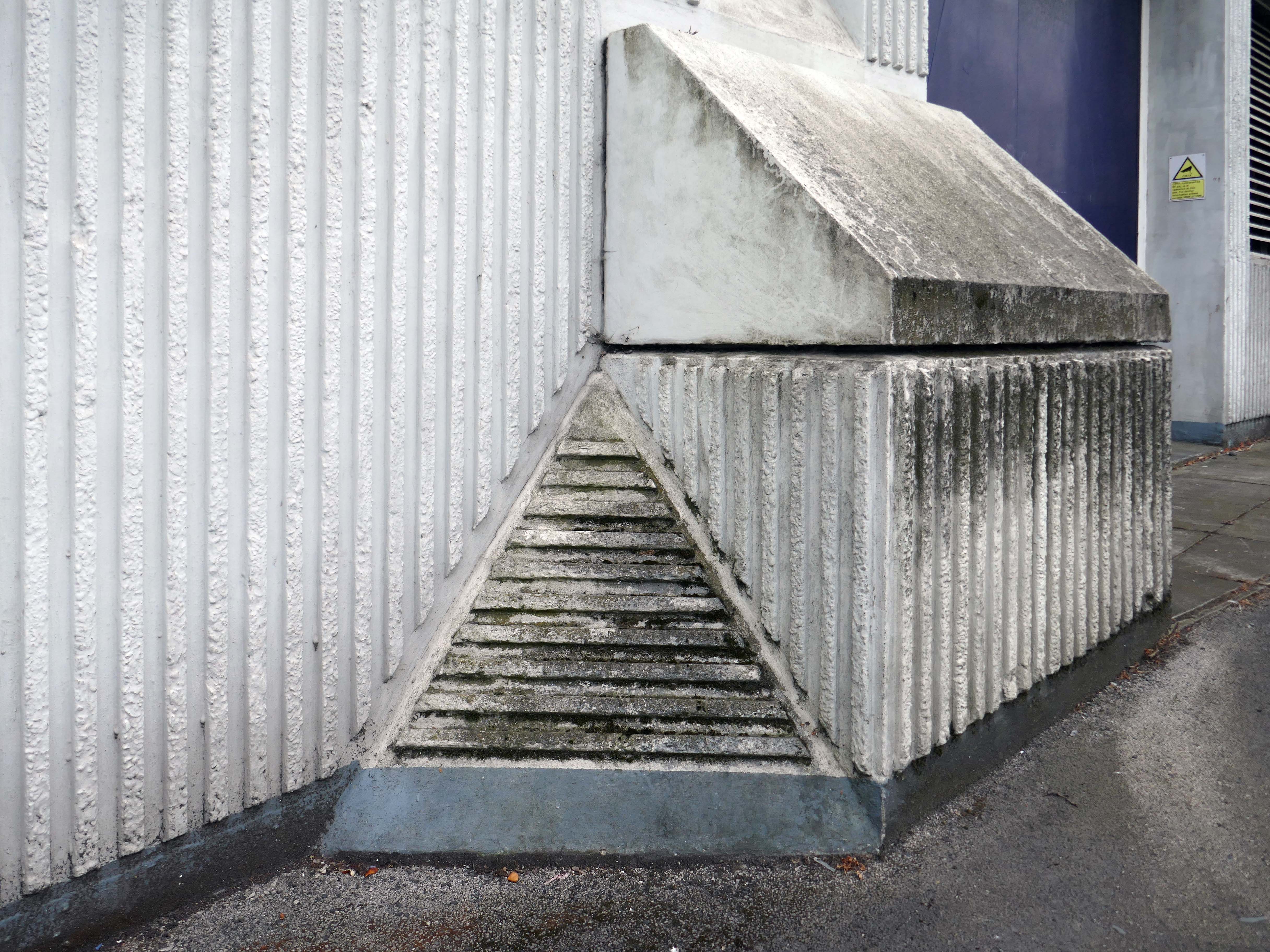
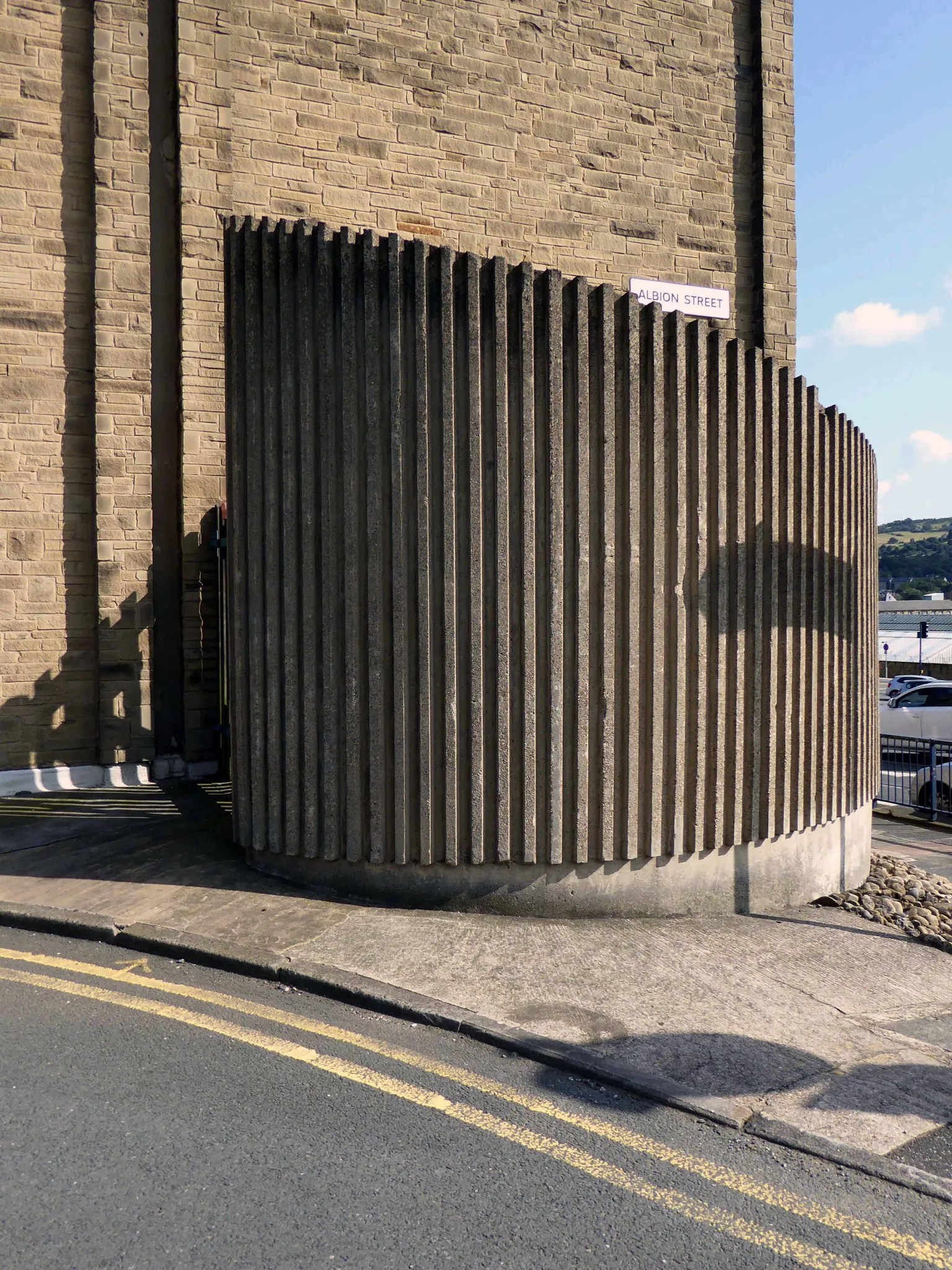
Next to the curved and ribbed concrete wall, concealing an electrical sub-station.
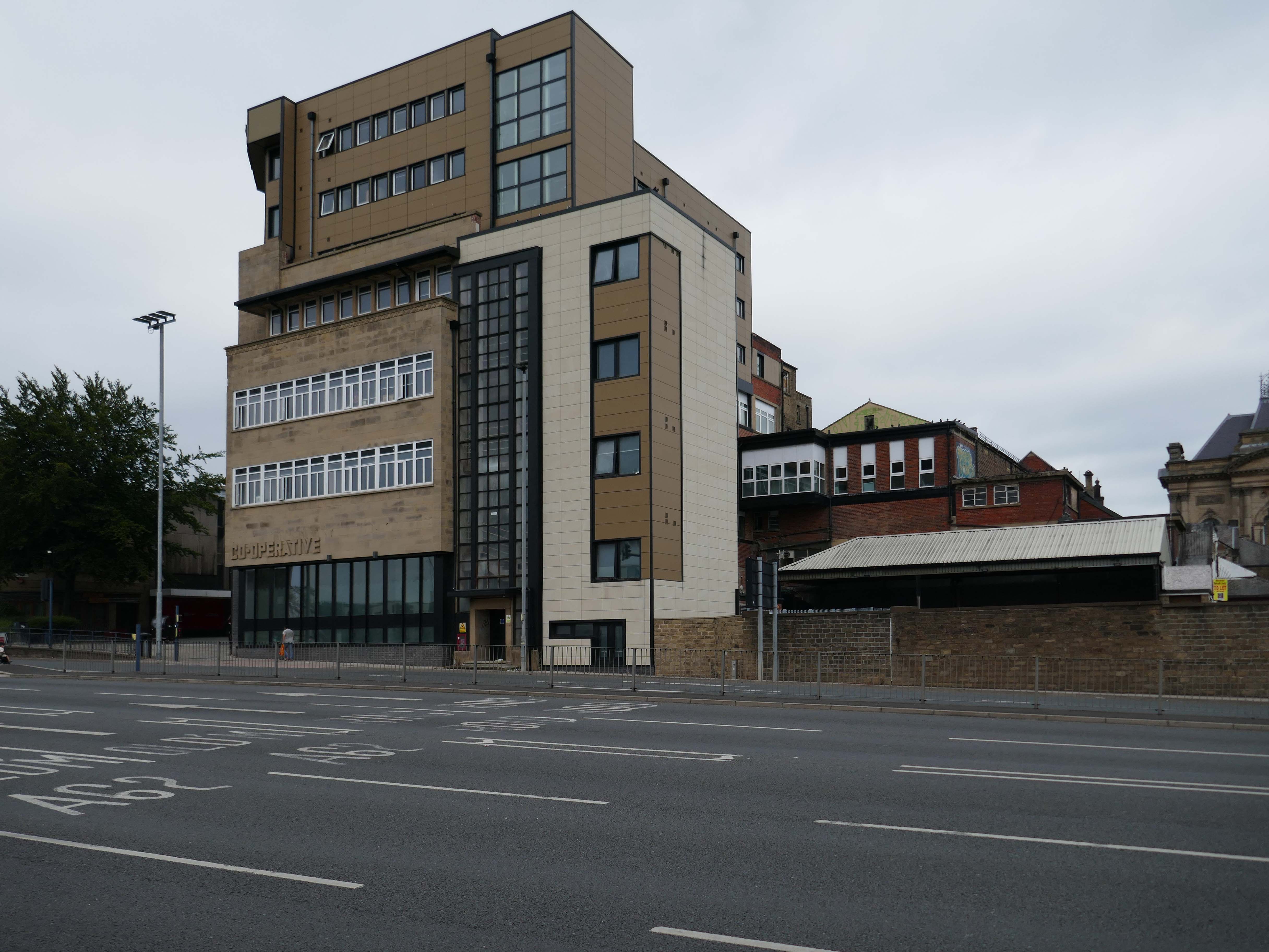
Further on down the road the former Co-operative store 1936 JW Cropper.
On opening day, the Examiner said the Co-op gave:
The town of Huddersfield a store that is entirely modern in design and equipped on the most up-to-date lines-a store of which the townspeople generally, and co-operators in particular, can be proud.
It has subsequently been seriously disabused by insensitive refurbishment and extension.
We cross over to view the access road to the service area of the market – now closed.
It was formerly topped off by a multi-storey car park – since demolished.
Then onward to the Grade II Bath House at Broadbent’s Engineering in Huddersfield.
1955, by Abbey Hanson architects – designing architect Andrew Buck, project leader Geoffrey Rowe.
The building is a very rare, possibly unique example of a purpose built bath house for foundry workers
* Its continuing function as a bath house has preserved its original purpose in both its layout and its fixtures and fittings as well as its design
* The design of the building manifests inspiration from both W Dudok and Frank Lloyd Wright, and achieves a high standard of accomplishment in its interpretation of contemporary architectural influences
* The use of local stone for external walls distinguishes it from brick built pithead baths of similar style, and the imaginative use of finishes lends further distinction
* The interior survives almost entirely intact, with original wash basins, shower and tap fittings, lockers, floor and wall surfaces, doors and light fittings.
One of Huddersfield’s hidden architectural gems has been transformed into an attractive and unusual gallery-cum-coffee house and restaurant, destined to become a popular public space for meeting, eating and art appreciation. But among the attendees at a special unveiling event there were men who remembered its original function – as a bath house where scores of foundry workers could shower away a day’s grime.
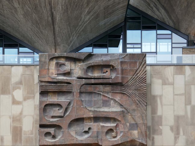
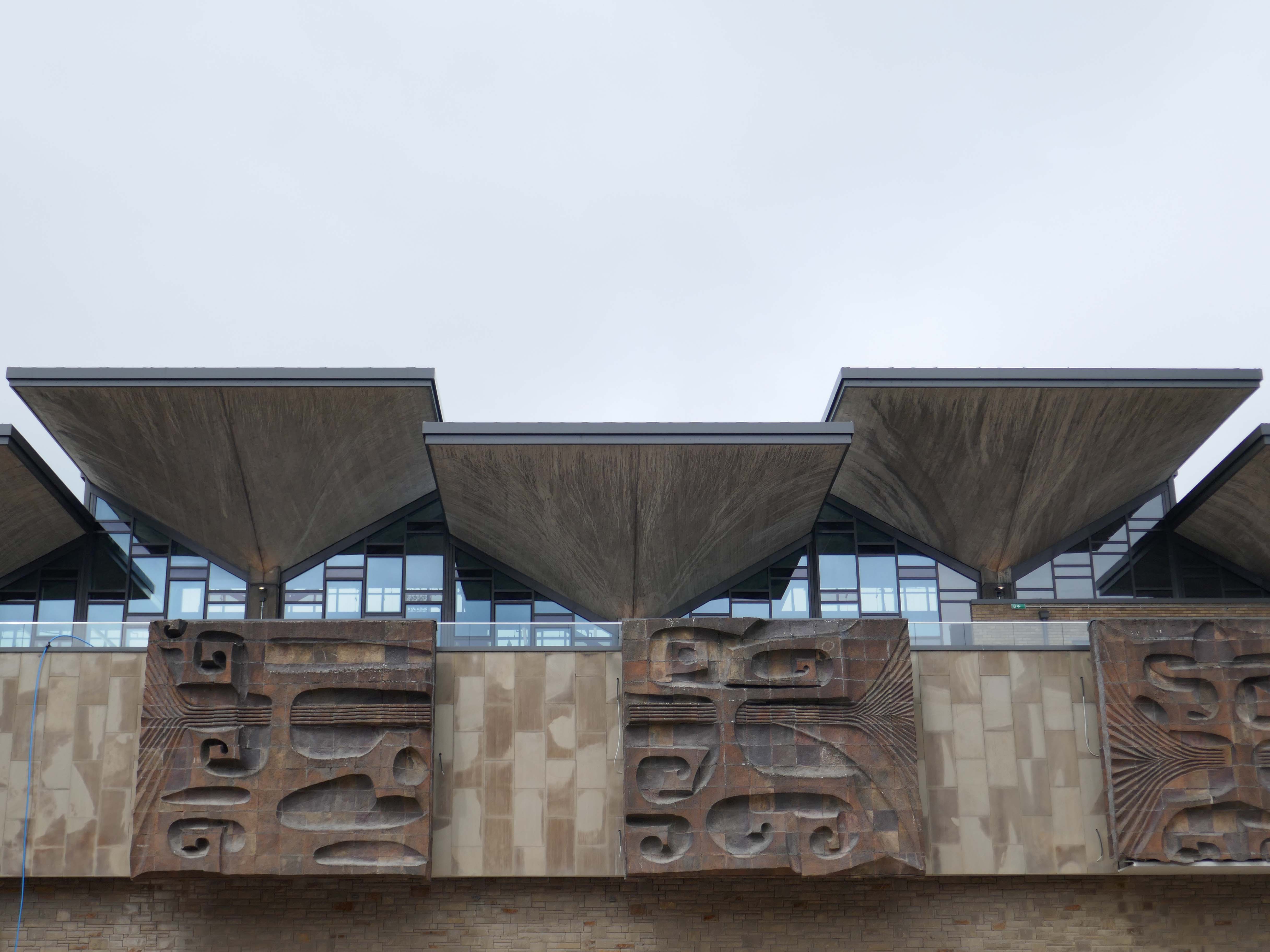
Up around the the bend and here we are at the Grade II listed Queensgate Market, 1968-70 to the designs of the J Seymour HarrisPartnership, with Leonard and Partners as consultant engineers.
Another feature of Huddersfield Market which sets it apart from other post-war market buildings is its incorporation of works of art. Fritz Steller was a German-born refugee architect who had settled in Stratford-upon-Avon. He pioneered the production of large scale ceramic art, having been interested in the use of a wide variety of materials in sculpture. The development company Murrayfield had a policy of incorporating public art into their schemes, and the project manager of J Seymour Harris, the architects for the Huddersfield development, was Gwyn Roberts, a friend of Steller. One of the Borough Councillors at Huddersfield was Clifford Stephenson, an enthusiast for public art and particularly for modern ceramic sculpture. This combination led to the appointment of Steller to produce designs for the new market hall. The size of the panels necessitated the construction of a special kiln for their firing, and experimental mixes for the composition of the clay which was resistant to acid rain and chemicals.
Straight ahed to the service entrance at the rear of ThePiazza.
The council wants to demolish the Piazza buildings as soon as possible.
Phase 3 was originally to be the Queen Street plot but Greenhead College’s plans for a new education building on the site failed to secure Government funding. Since then the council has been looking at alternatives – including a hotel, residential or offices – but now believes a new multi-storey car park could be the best way forward.
Phase 5 was to have been a £90 million events and concert venue with a multi-storey car park attached but that is no longer affordable. A review of the venue is underway and the council now thinks a “flexible multi-purpose” venue is the way forward. It would have a fully-seated capacity of 1,200 or 2,000 with a standing floor and seated balcony.
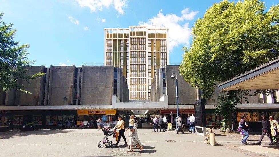
Turning our back on the market and away to Buxton House 1968.
Kirklees Council’s plans for the £16 million re-development of a Huddersfield town centre block of flats have collapsed.
Buxton House, between New Street and Albion Street, failed to meet modern fire safety standards and the council moved tenants and bought out owners and leases, pending a full-scale refurbishment.
Planning permission was granted in July 2024 to re-model the tower block to create forty one, one and two-bedroomed flats along with five studio flats with construction set to start in November 2025.
However, it has now been revealed that the council has failed to find a contractor and the scheme is on hold indefinitely.
The flats are part of a larger retail development by Bernard Engle & Partners.
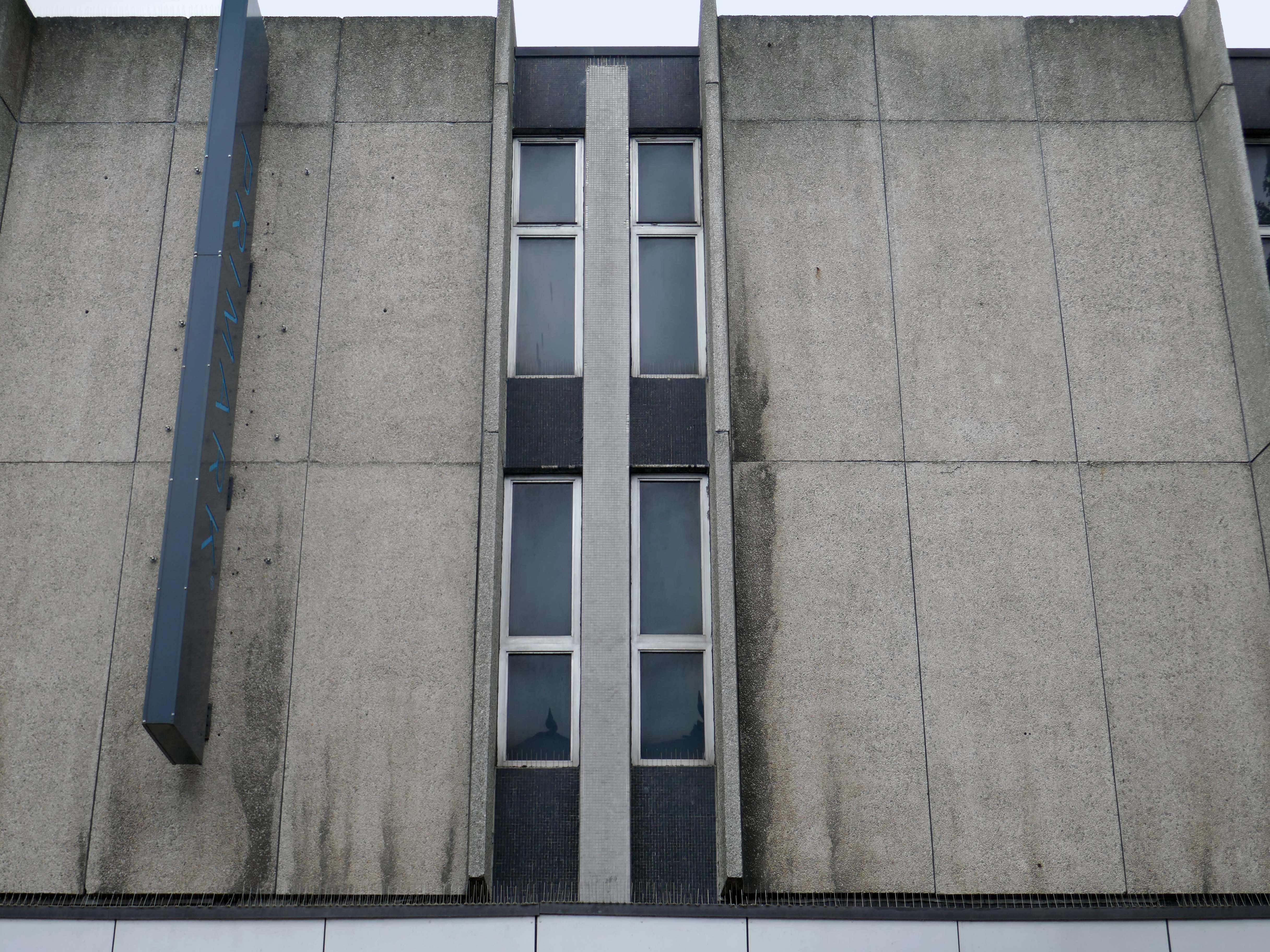
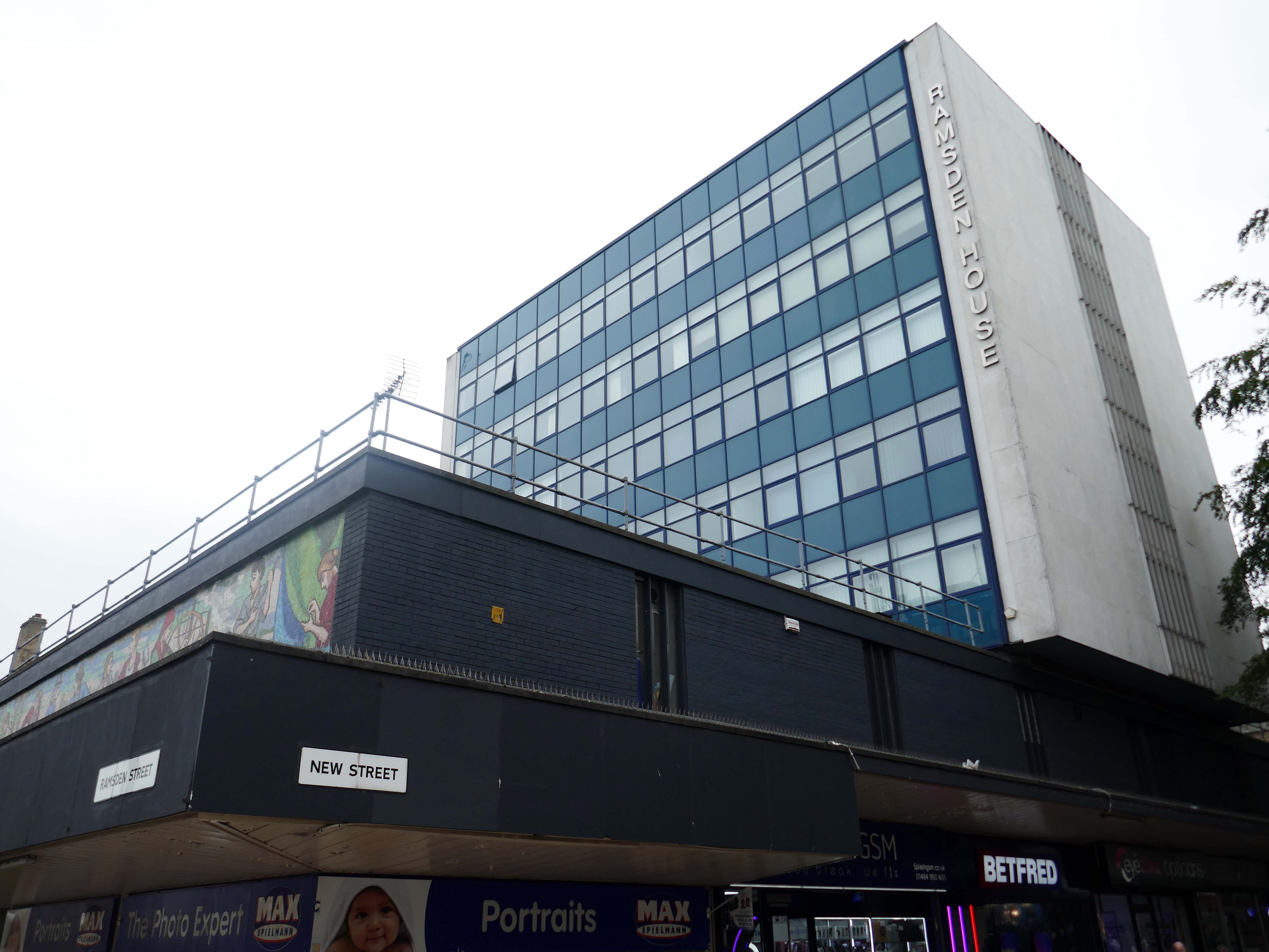
Across the way Ramsden House a slab on a podium, part of the Murrayfield Redevelopment 1968 J Seymour Harris Partnership.
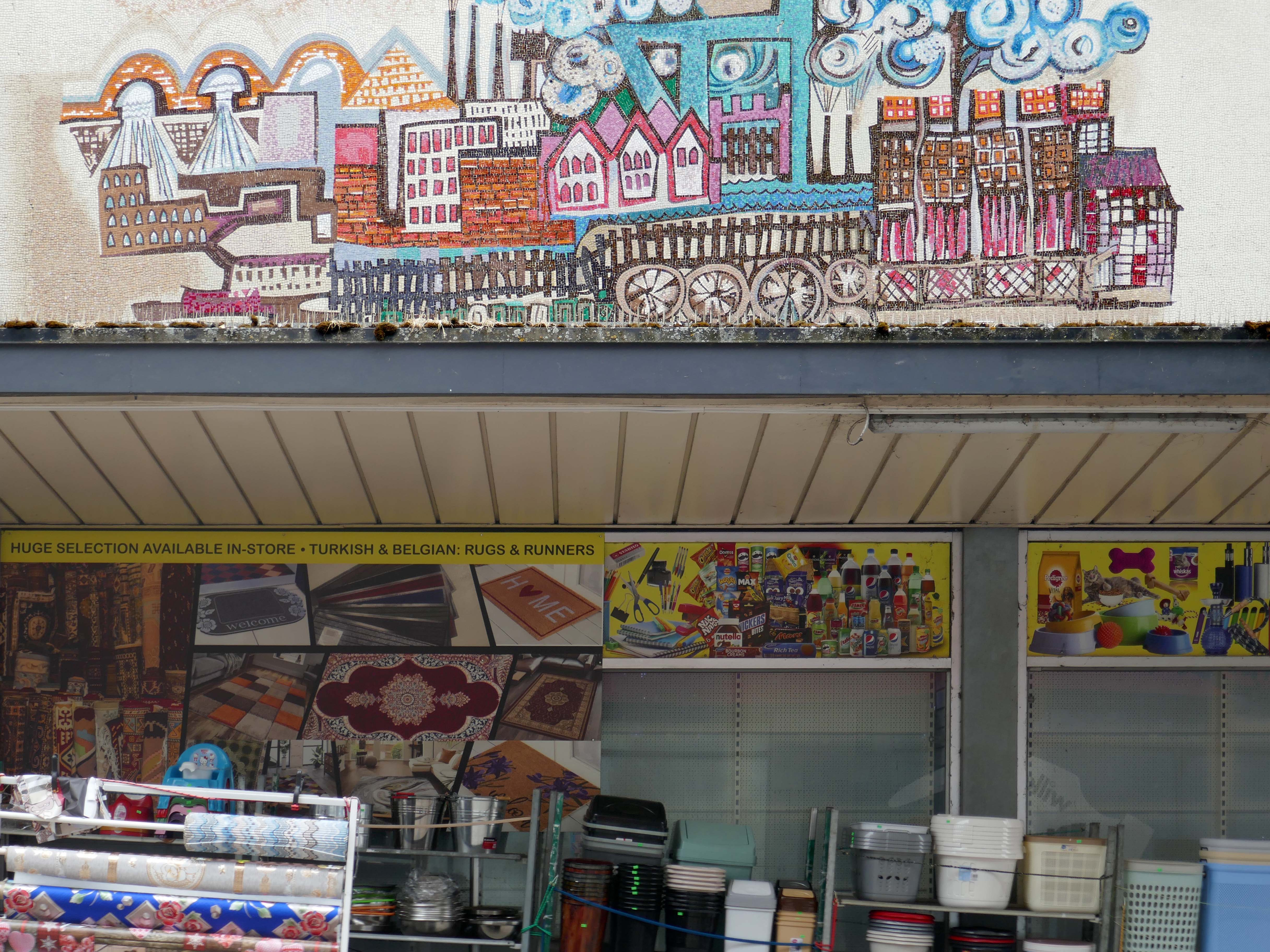
This block was the first and only phase of four that’s still intact. It’s a slab and plinth project with underground servicing marble finishes and two art mosaics that relate to the town. The Ramsden Street elevation mosaic depicts ‘Development of the woollen industry from a cottage craft to the beginning of the industrial revolution’ designed by Huddersfield artist, Harold Blackburn.
Princess Street bears ‘Facets of the Local Scene’ by Mural Consultants Ltd.
Across the way Whitfield’s Department Store 1963 Ralph Hudson.
The longstanding furniture & piano dealers, Whitfield’s expanded from numbers five and seven with this six6 storey tower.
Influenced by a tour of modern European retail premises the company chairman supplied the architect with photos of ideas.The glossy metallic finish reflects the excitement of the notion of an Ercol show room on the fourth floor and G-Plan on the fifth. Pianos were on the first floor and TVs & radio and their servicing were in the basement. Welcome to stylish living sixties style!
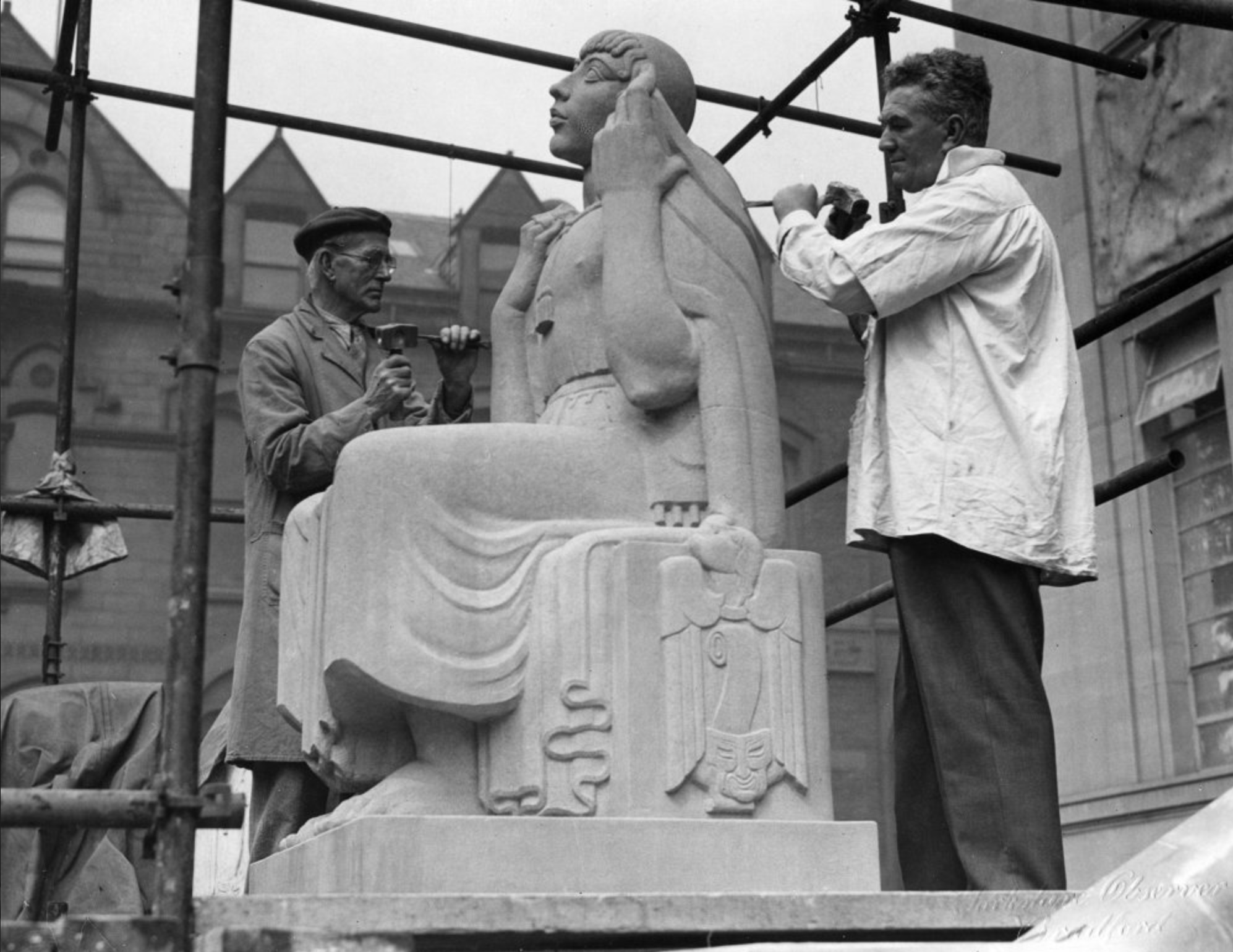
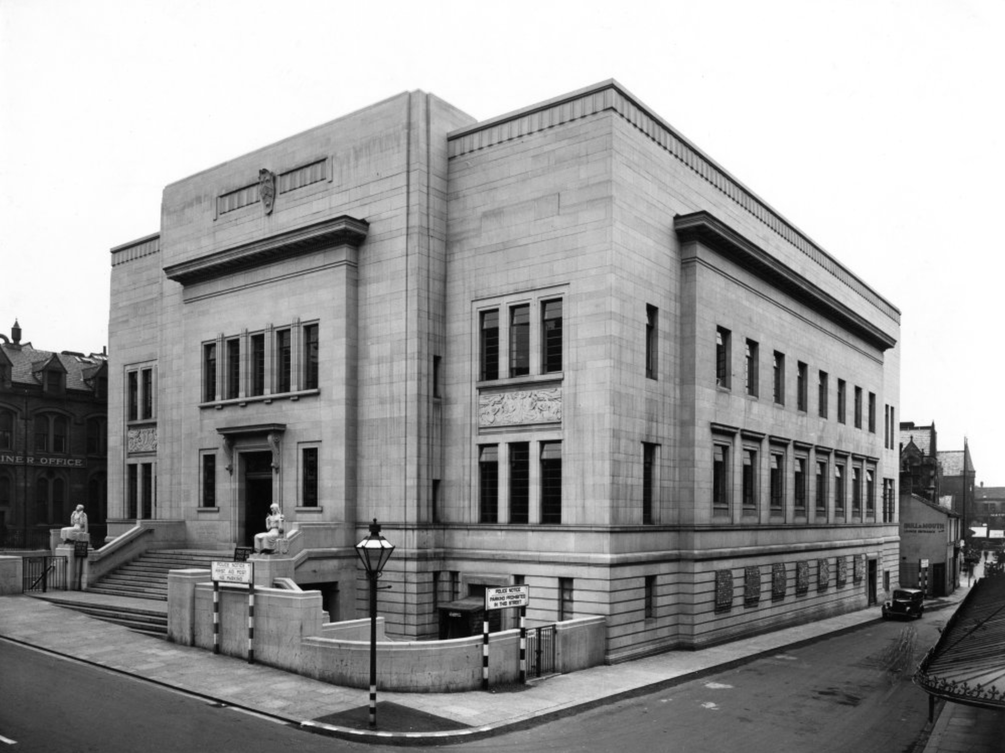
Public Library 1940 Architect: EH Ashburner&James Arthur Woodford.
James Woodford at work – on the right, sculpting figure representing the Spirit of Literature
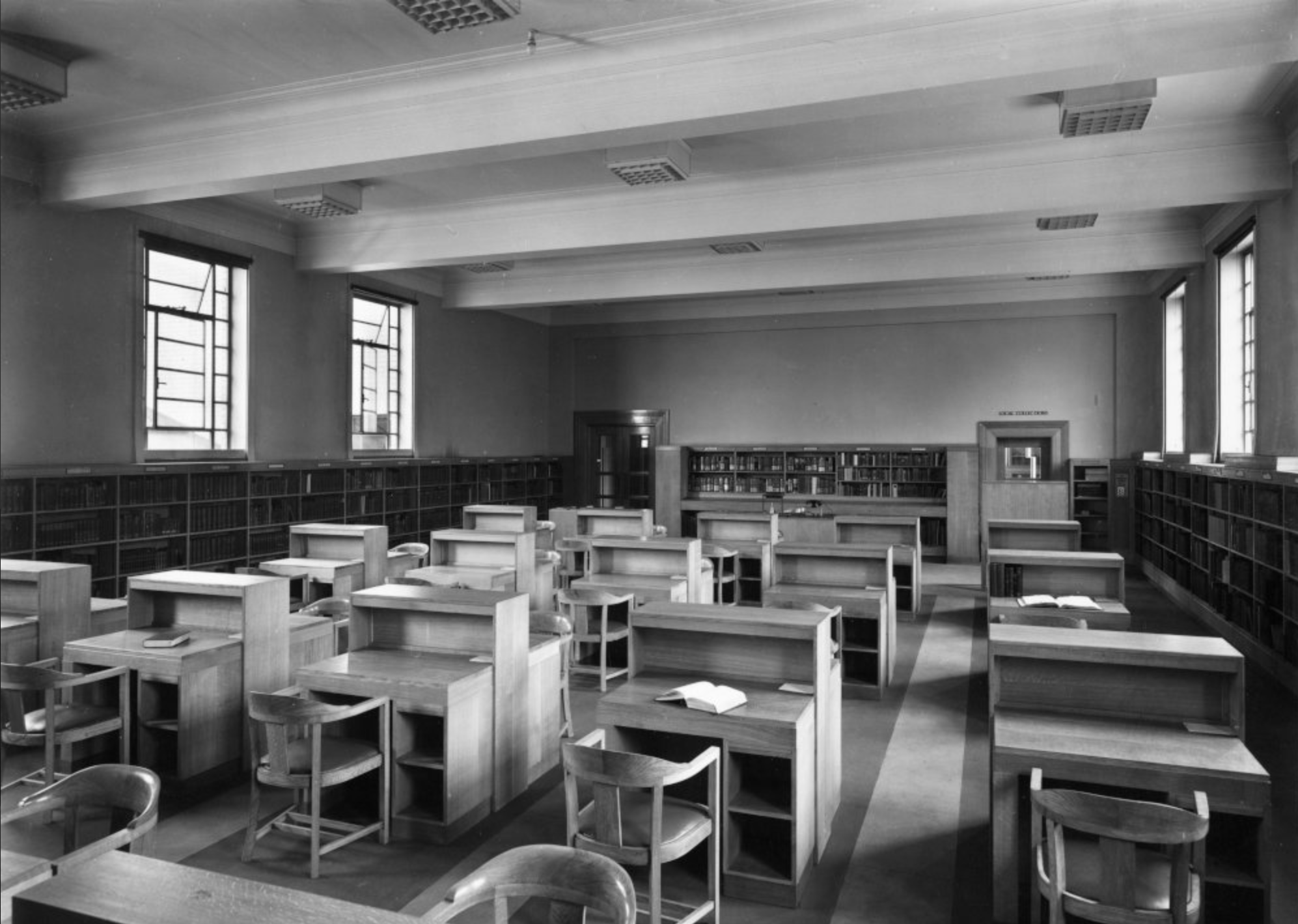
Reference Library.
Image – Charles Pickard 1940.
The food hall and library is due to open in summer 2026 but more problems have been uncovered with the former library and art gallery which will become the new museum. Internal works are underway and more asbestos than expected has been found and an extra £1 million has been needed to pay for removal.
The council has also found several other “significant issues” that also needed to be resolved.
It could be mid-2029 before the museum is ready to open.
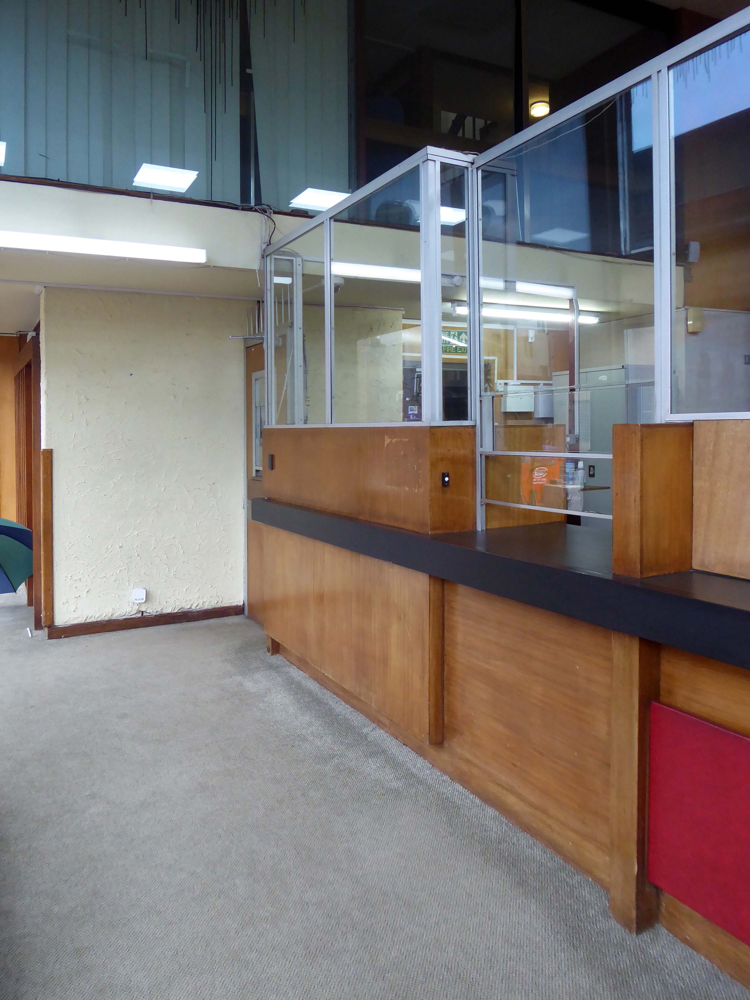
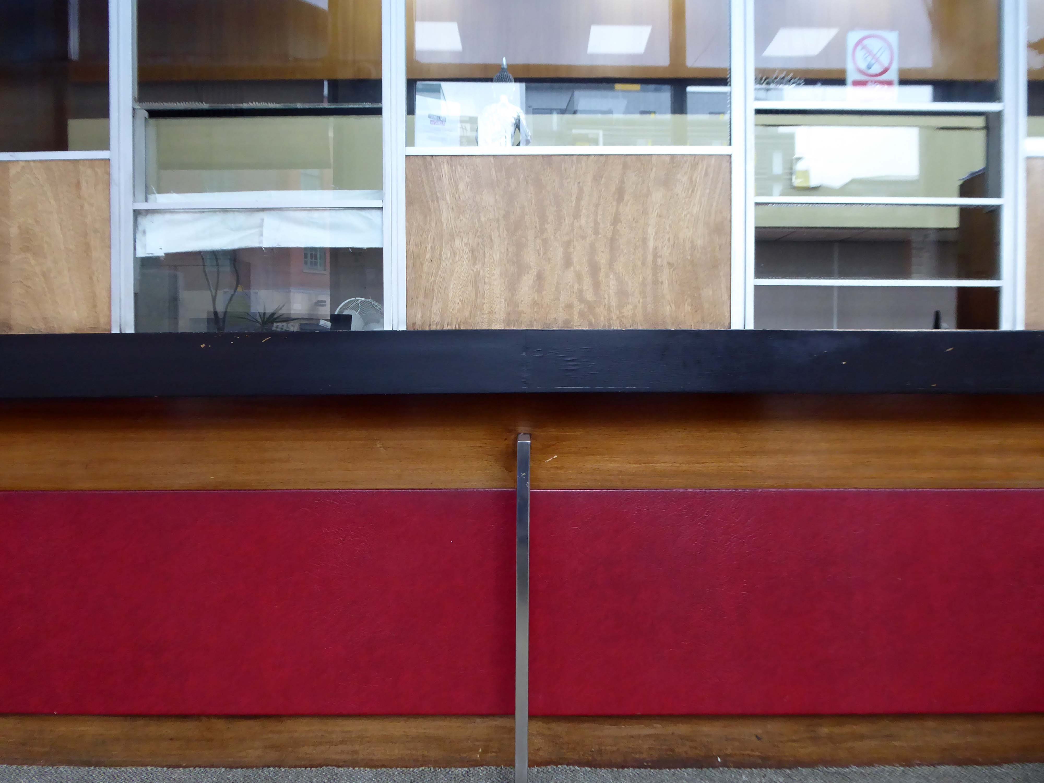
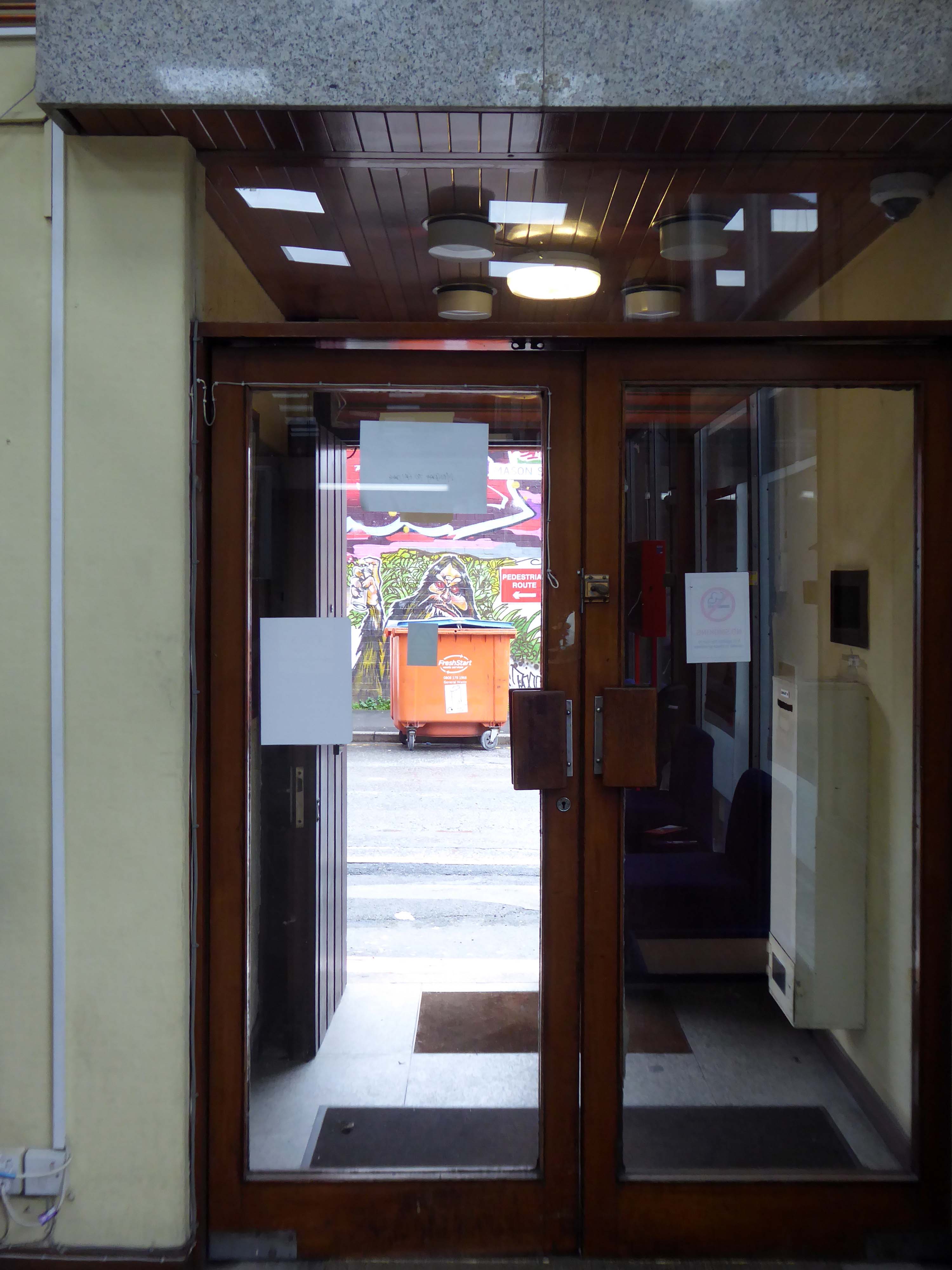
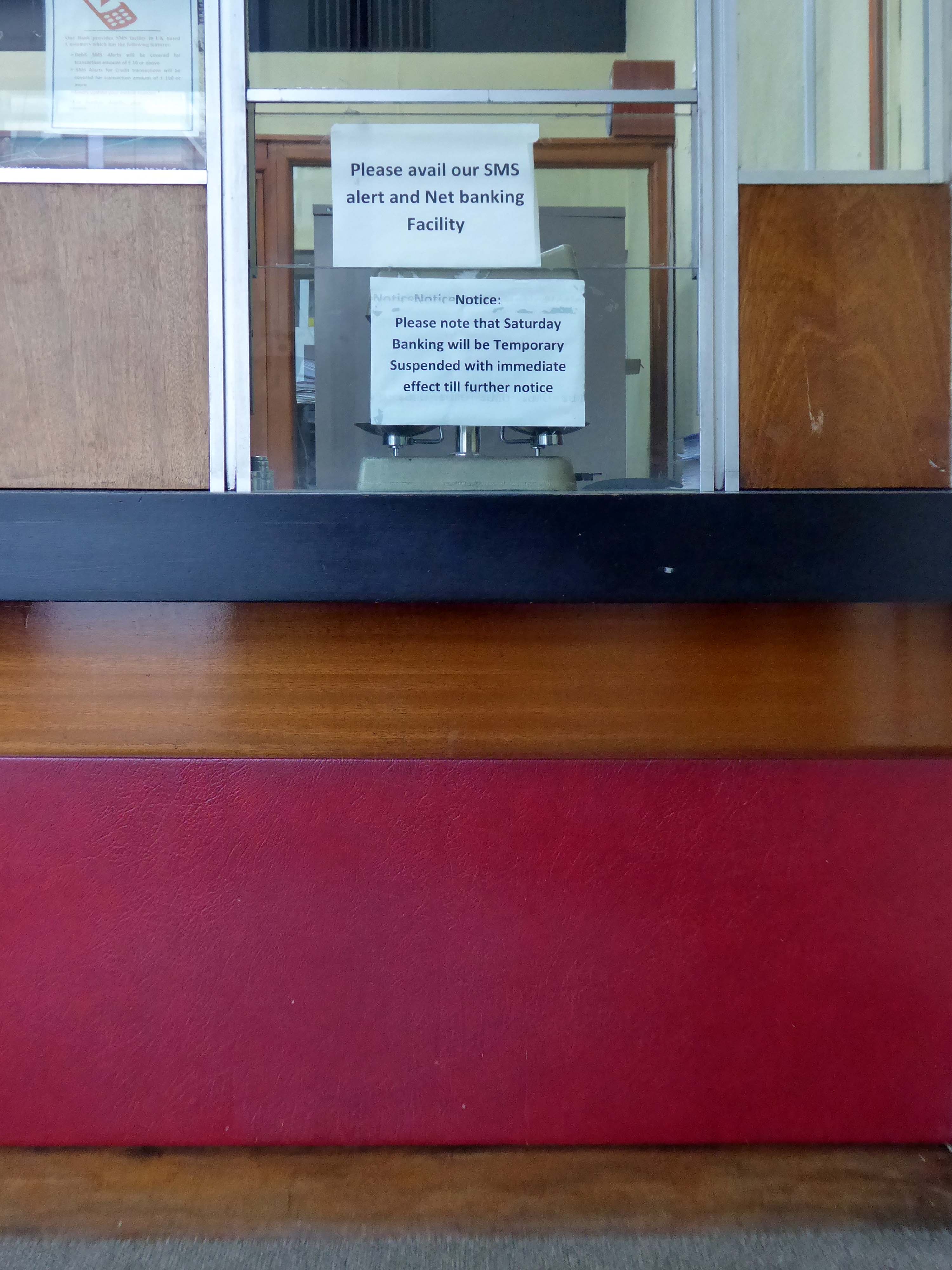
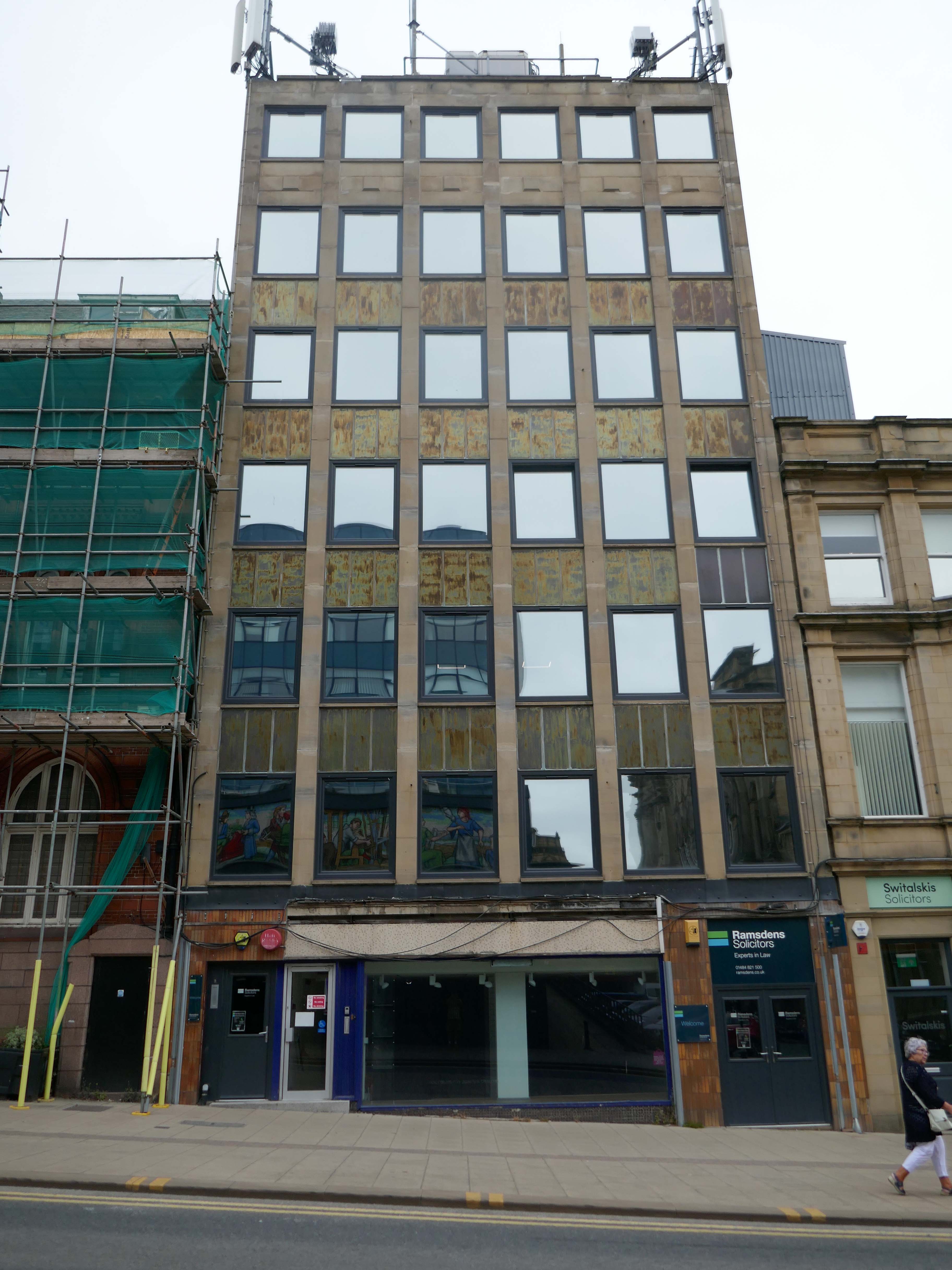
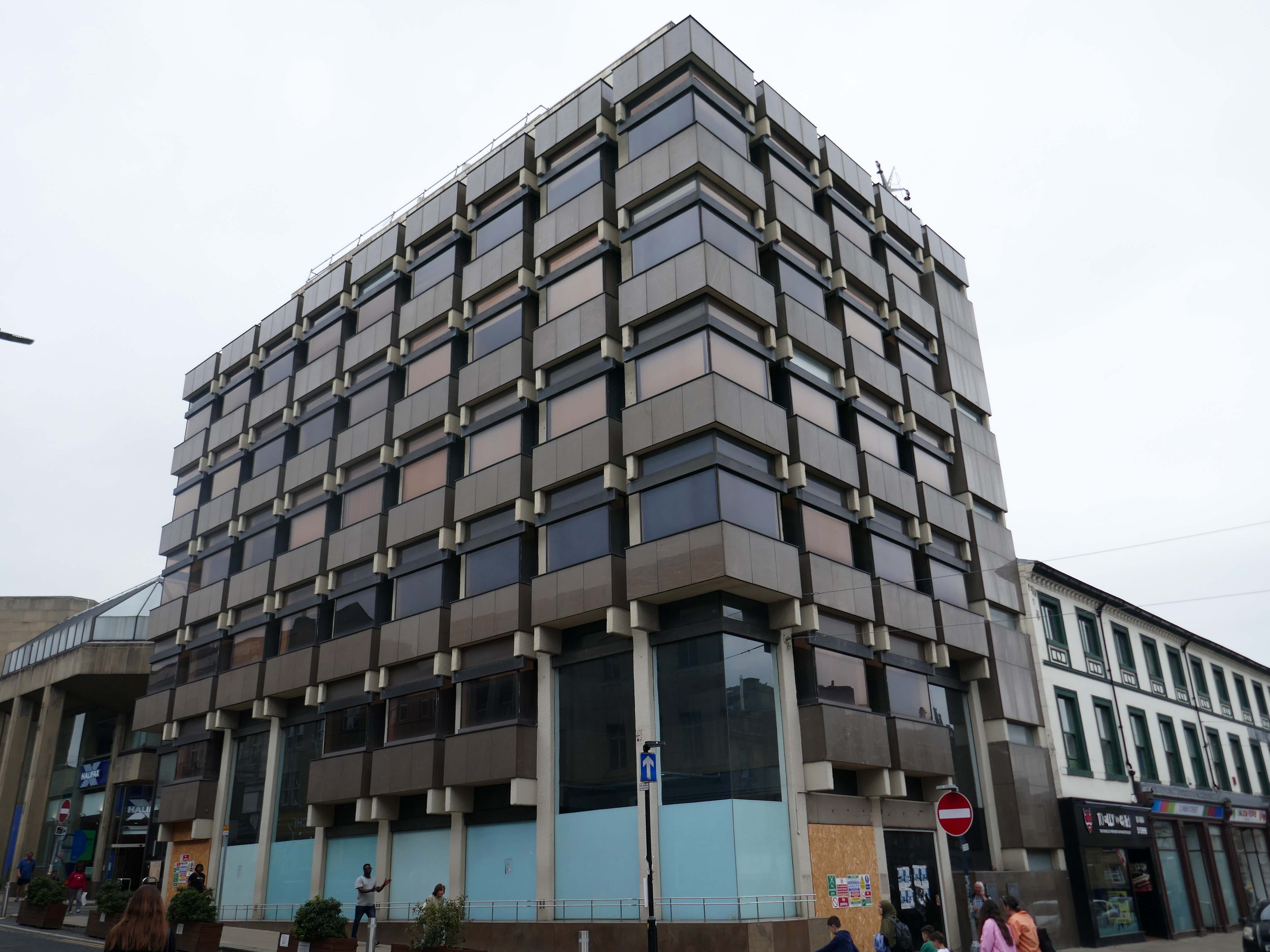
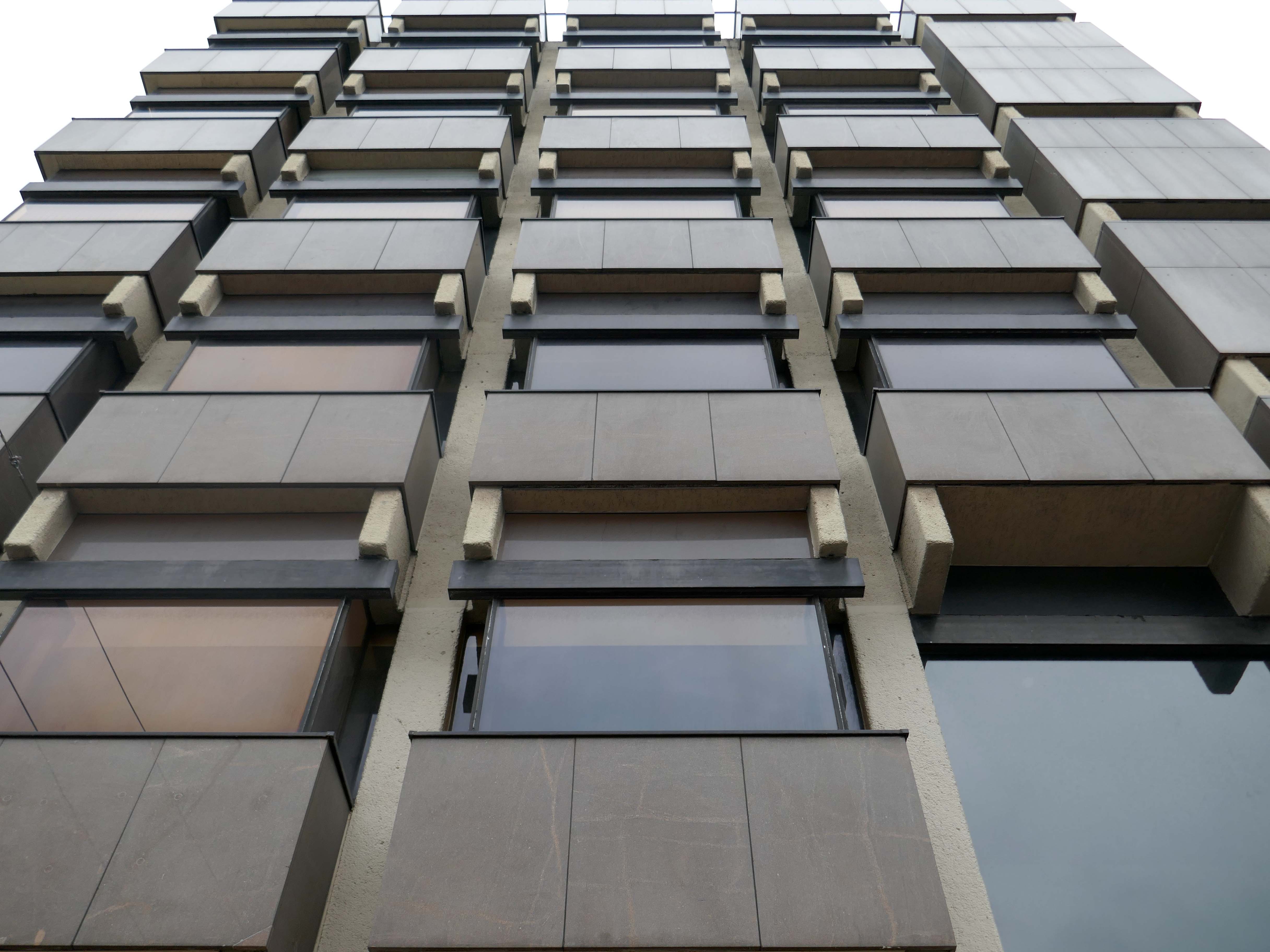
Off we go to the MidlandBank – then HSBC then not a bank at all, 1970 Peter Womersley with Roger Shaw of Kitson & Partners.
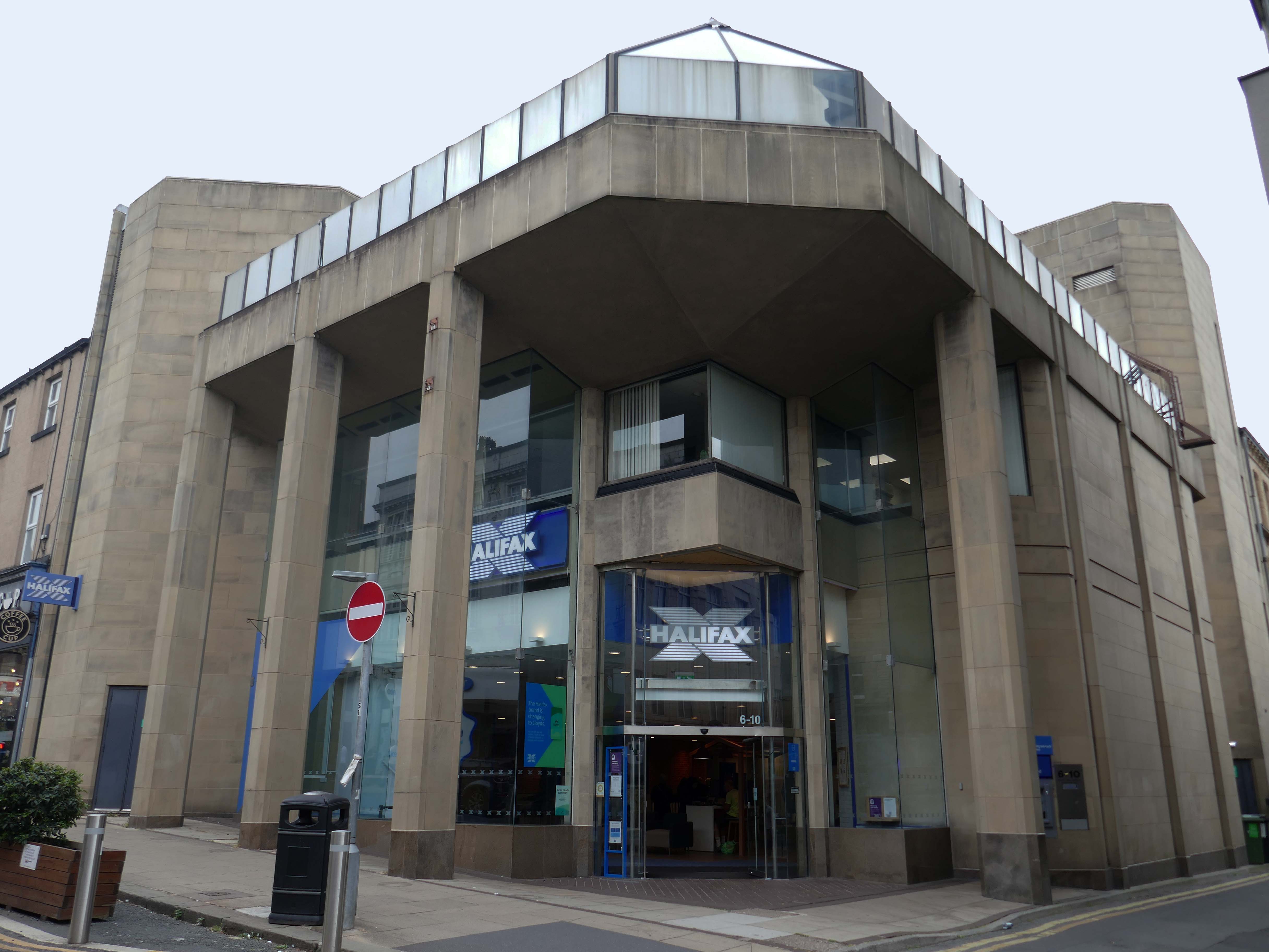
Next door the Halifax Building Society 1981 Abbey Hanson Rowe.
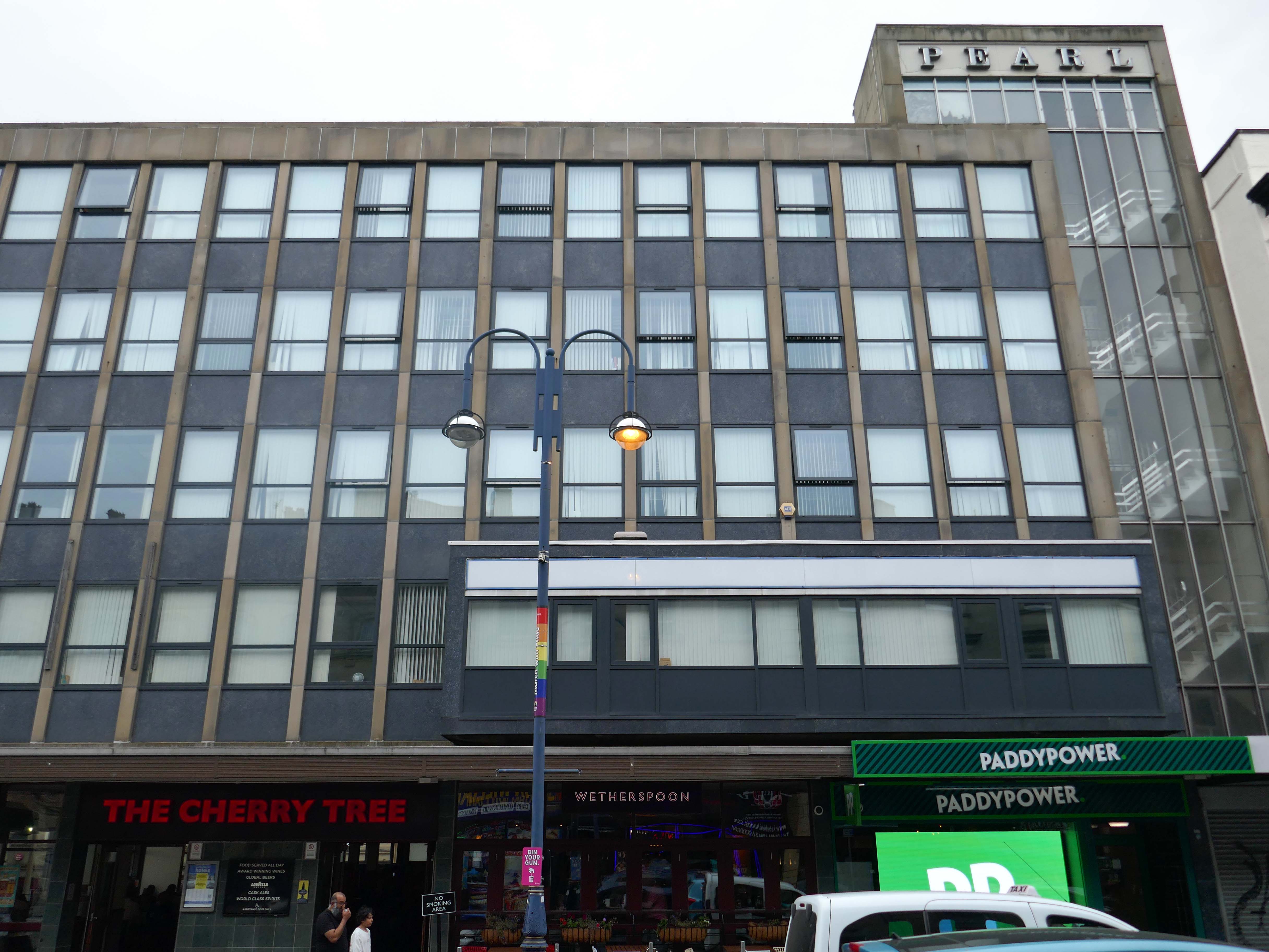
back to the main drag and the Pearl Assurance Building 1963 Elsworth Sykes & Partners.
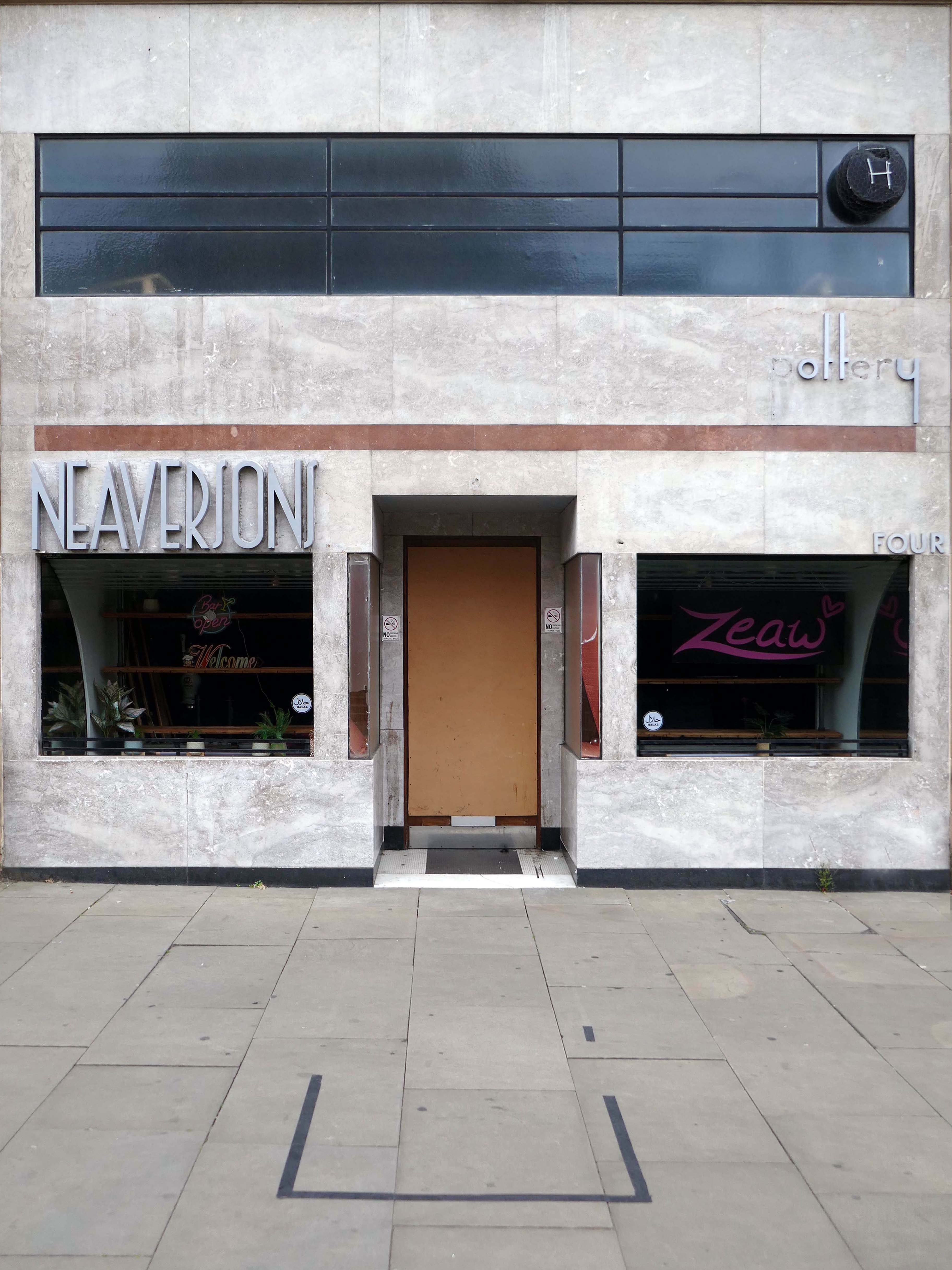
The nipping down the lane to Neaversons1935 with two Moderne fascia elevations by shop fitters Sharp & Law of Bradford, Grade II Listed as part of the Kirkgate Buildings.
Once selling bijou household goods, following occupation by several bars and cafes, currently empty.
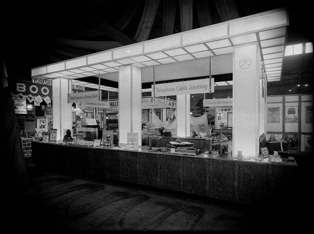
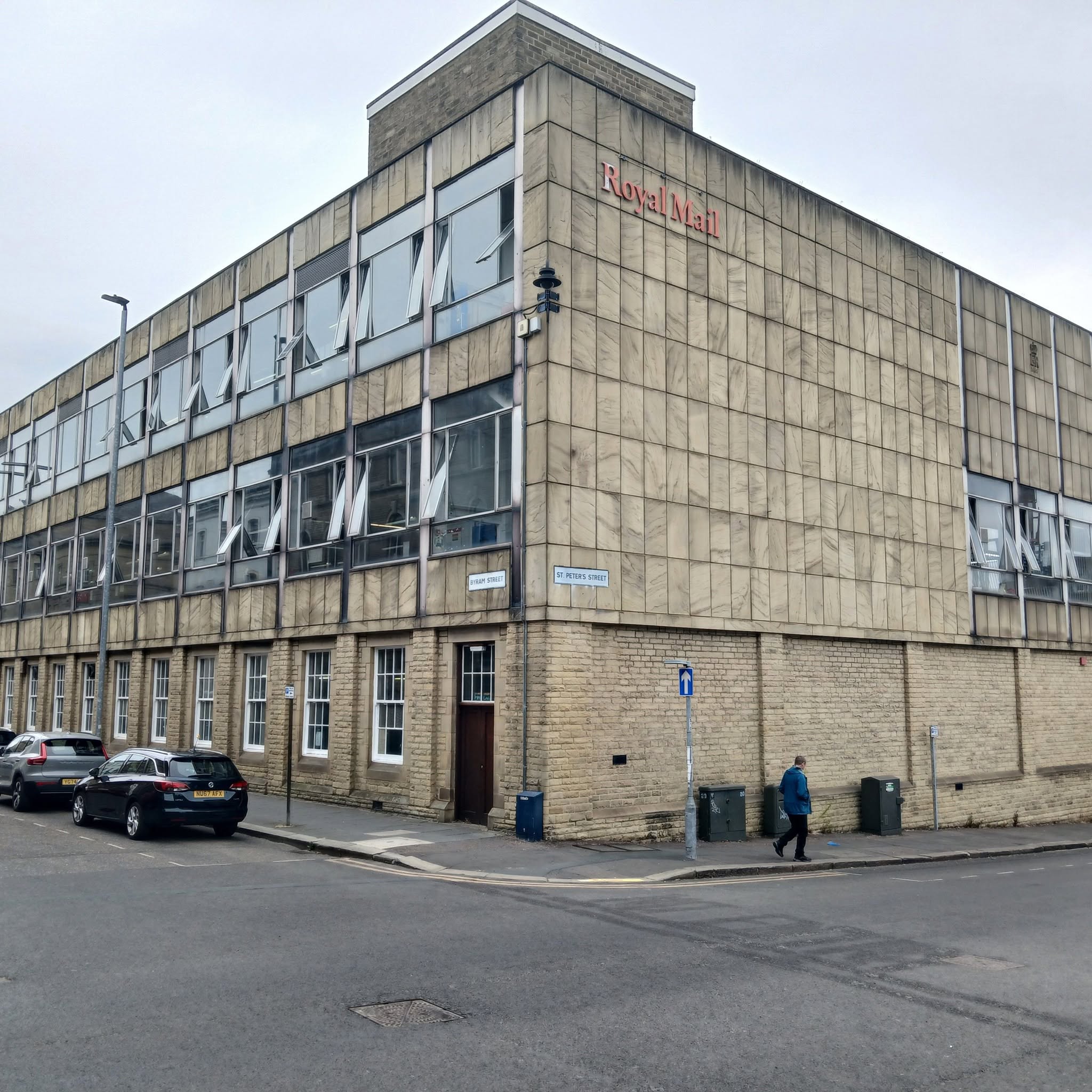
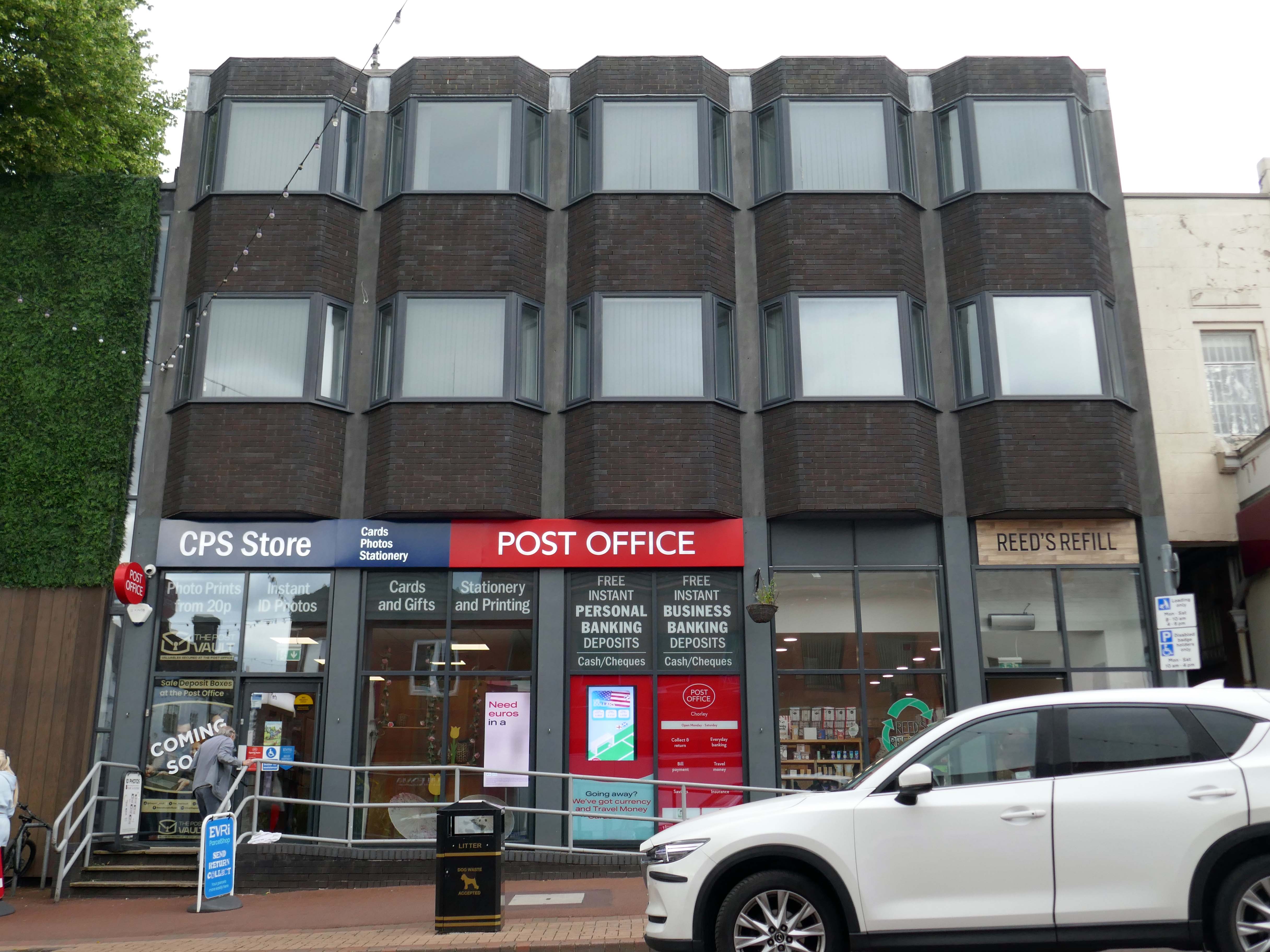
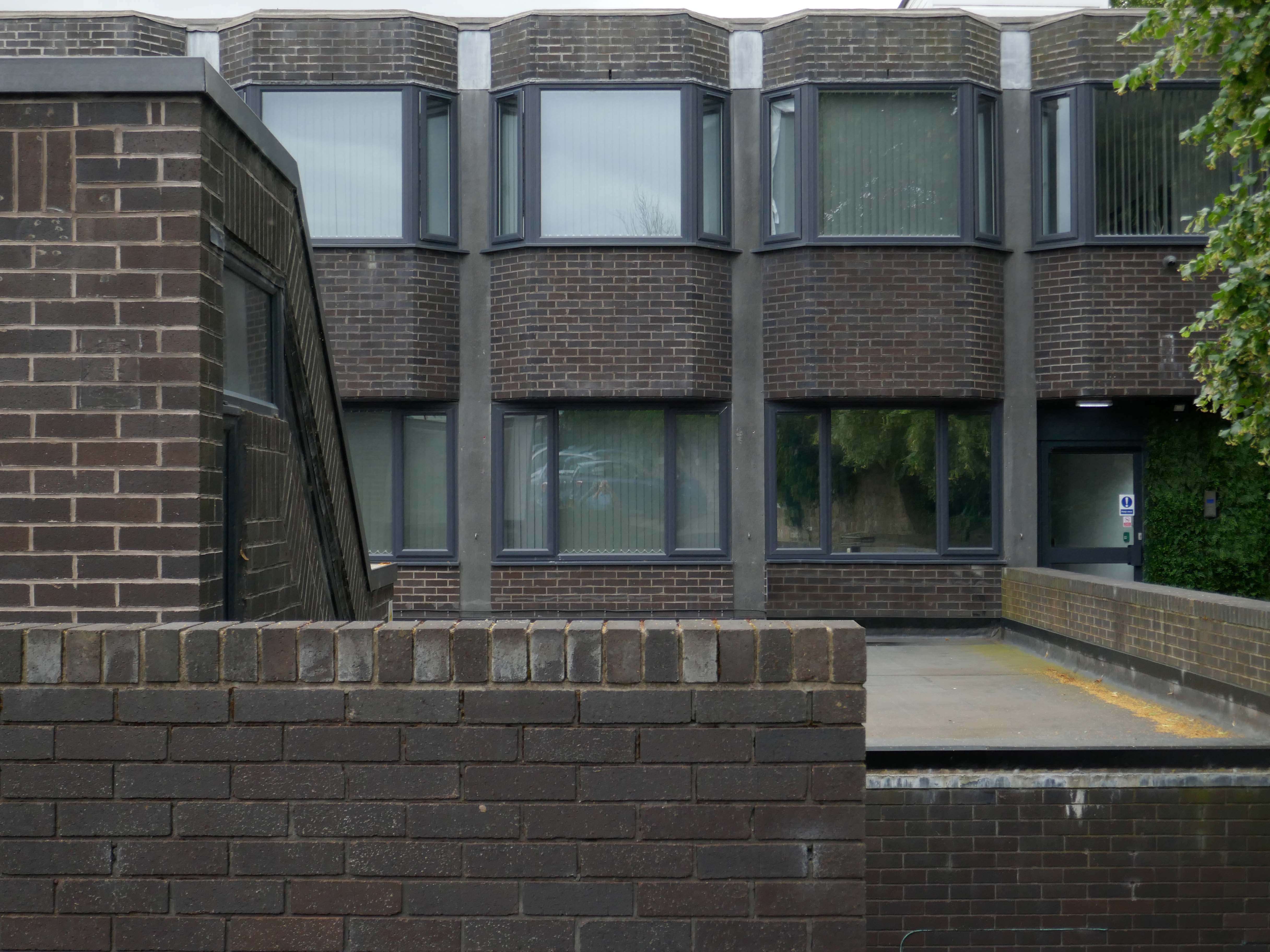
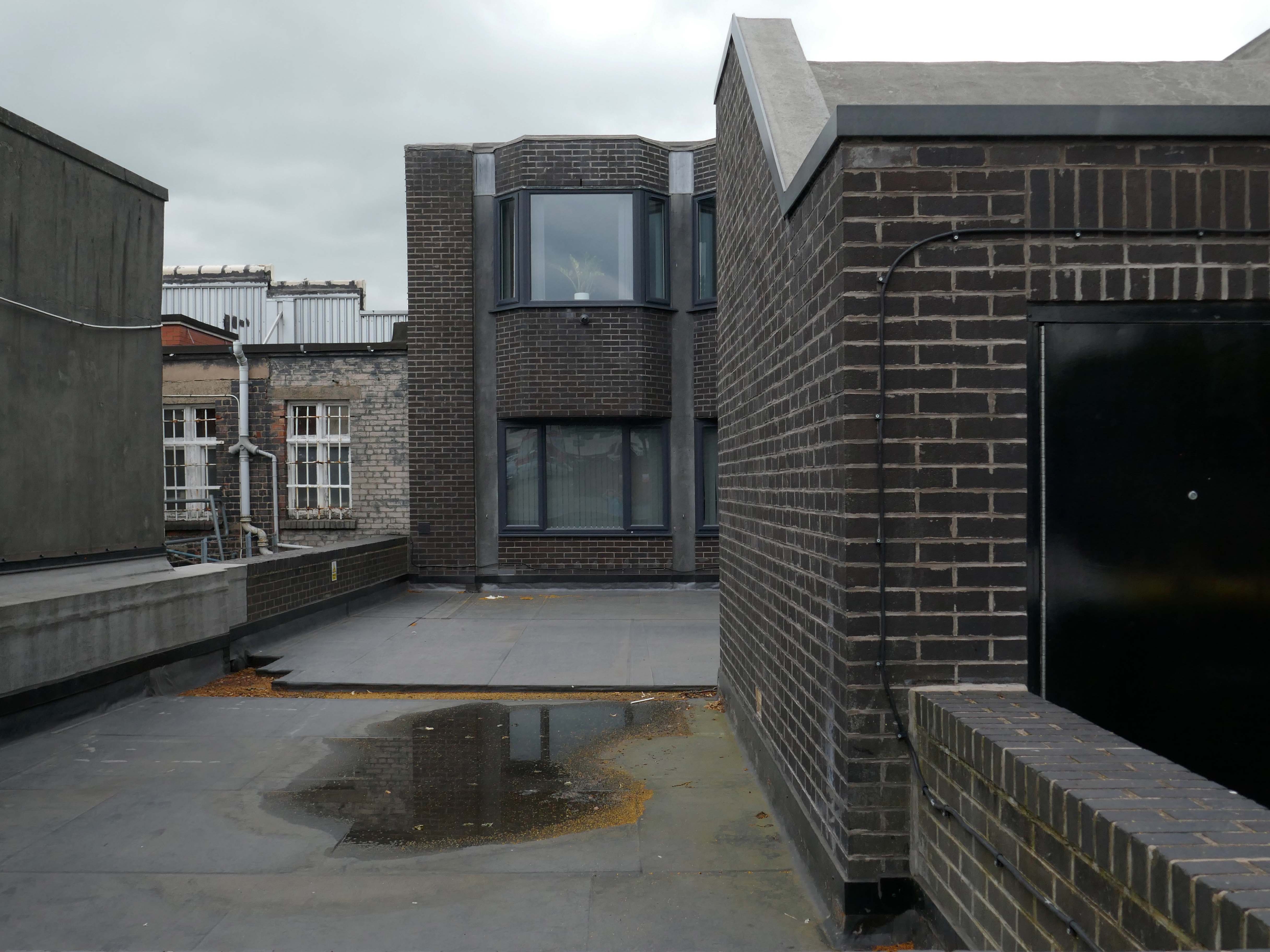
Finally just in time to catch the last post at the Royal Mail Sorting Office – Post Office extension 1968 Office of Public Works.
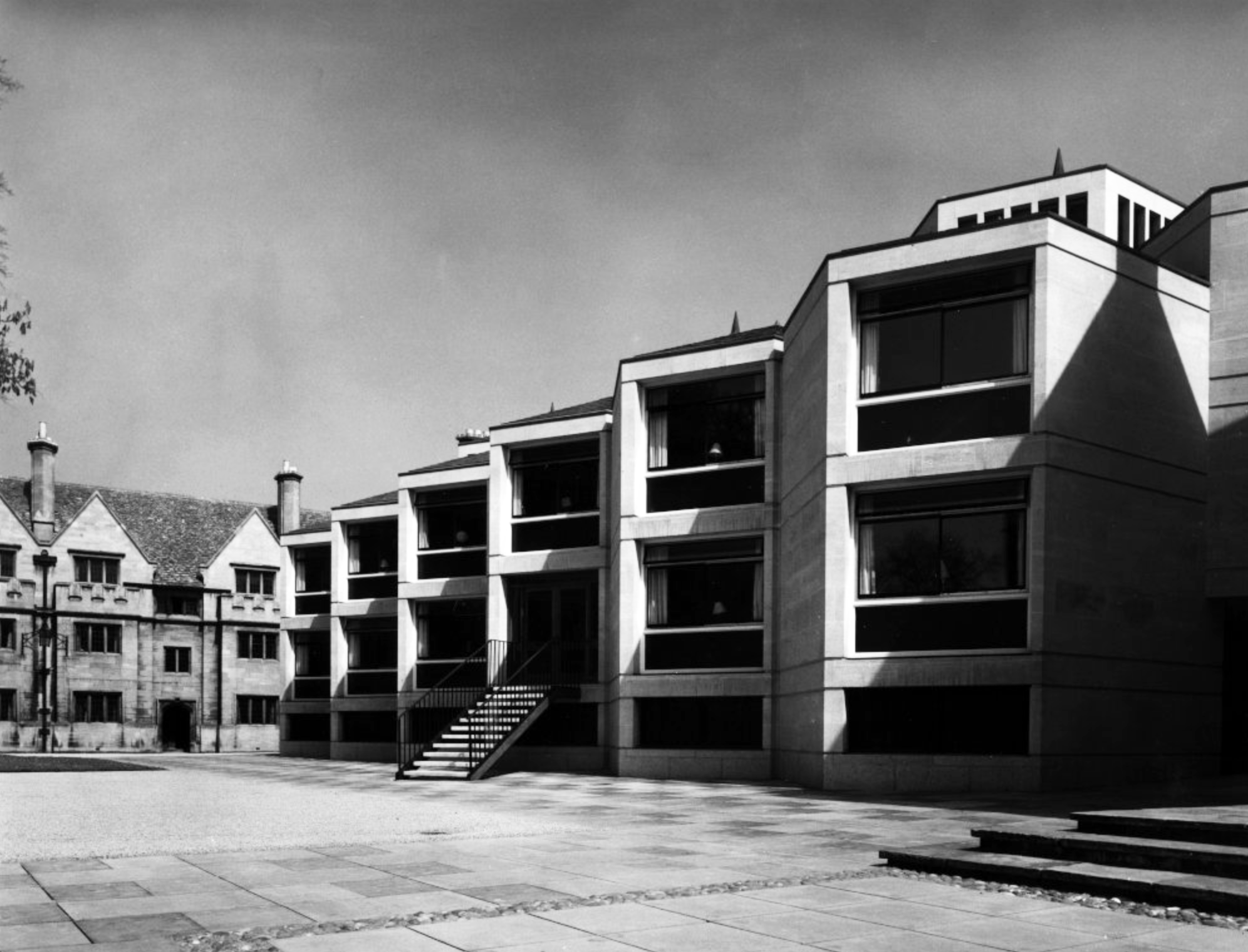
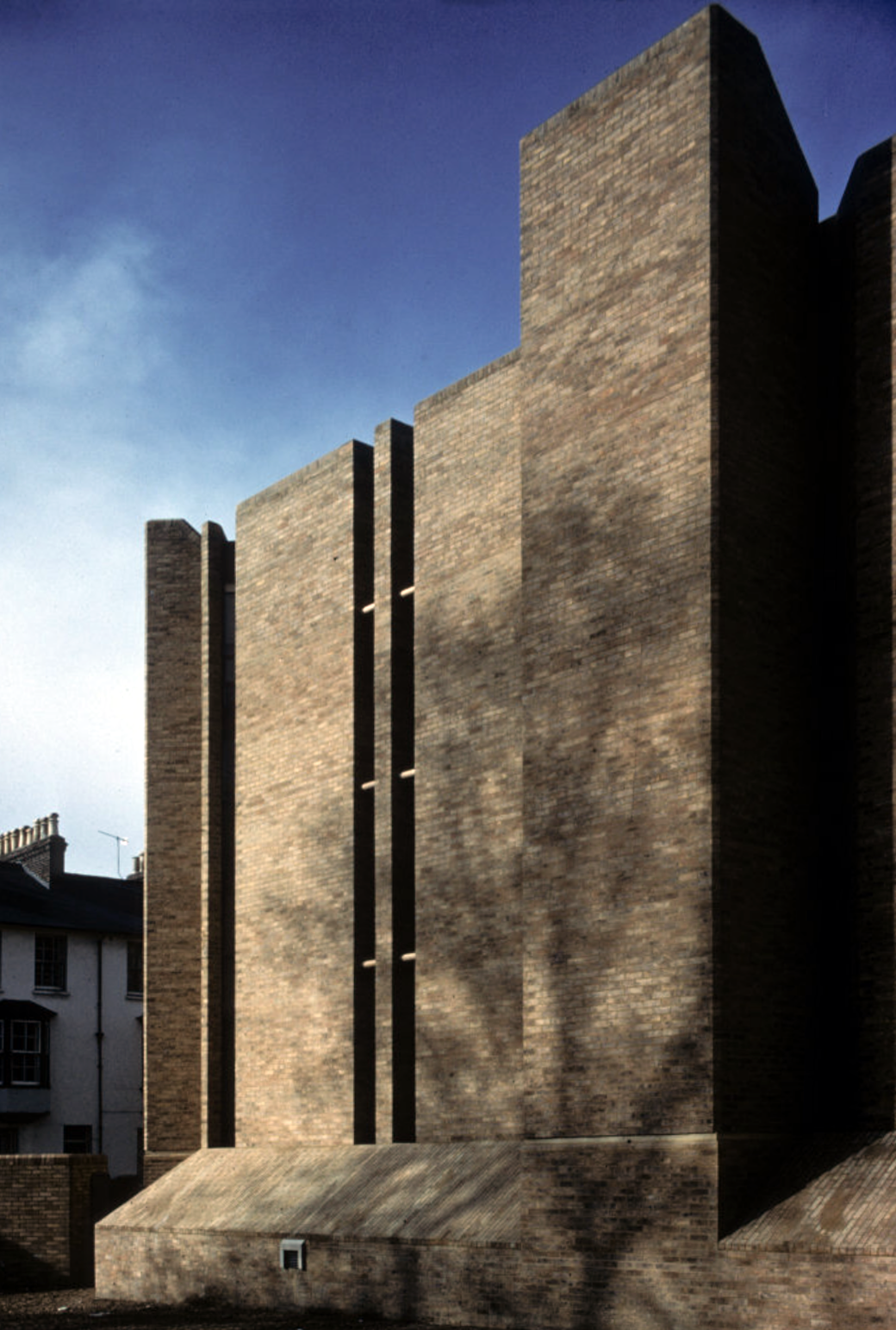
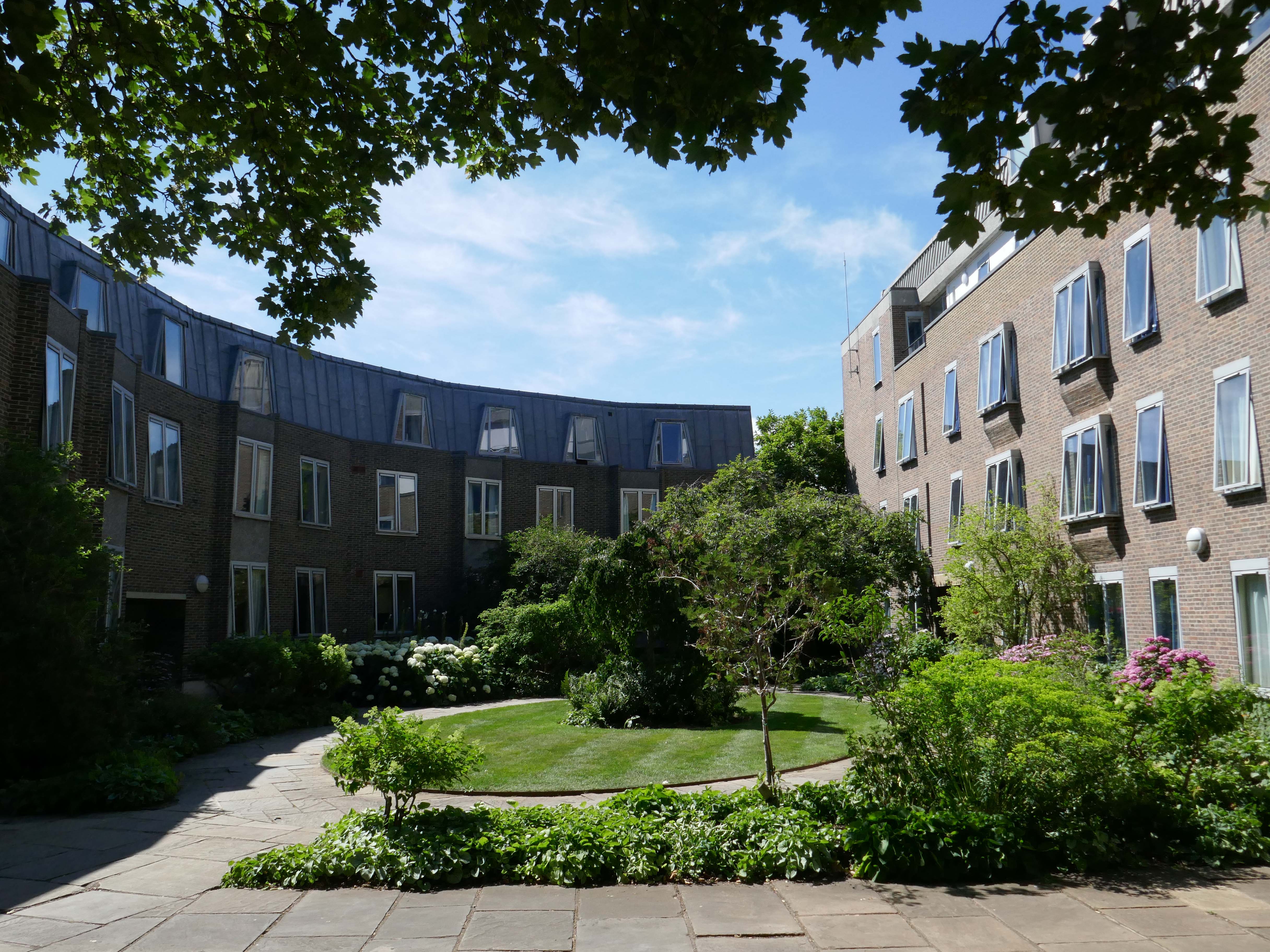
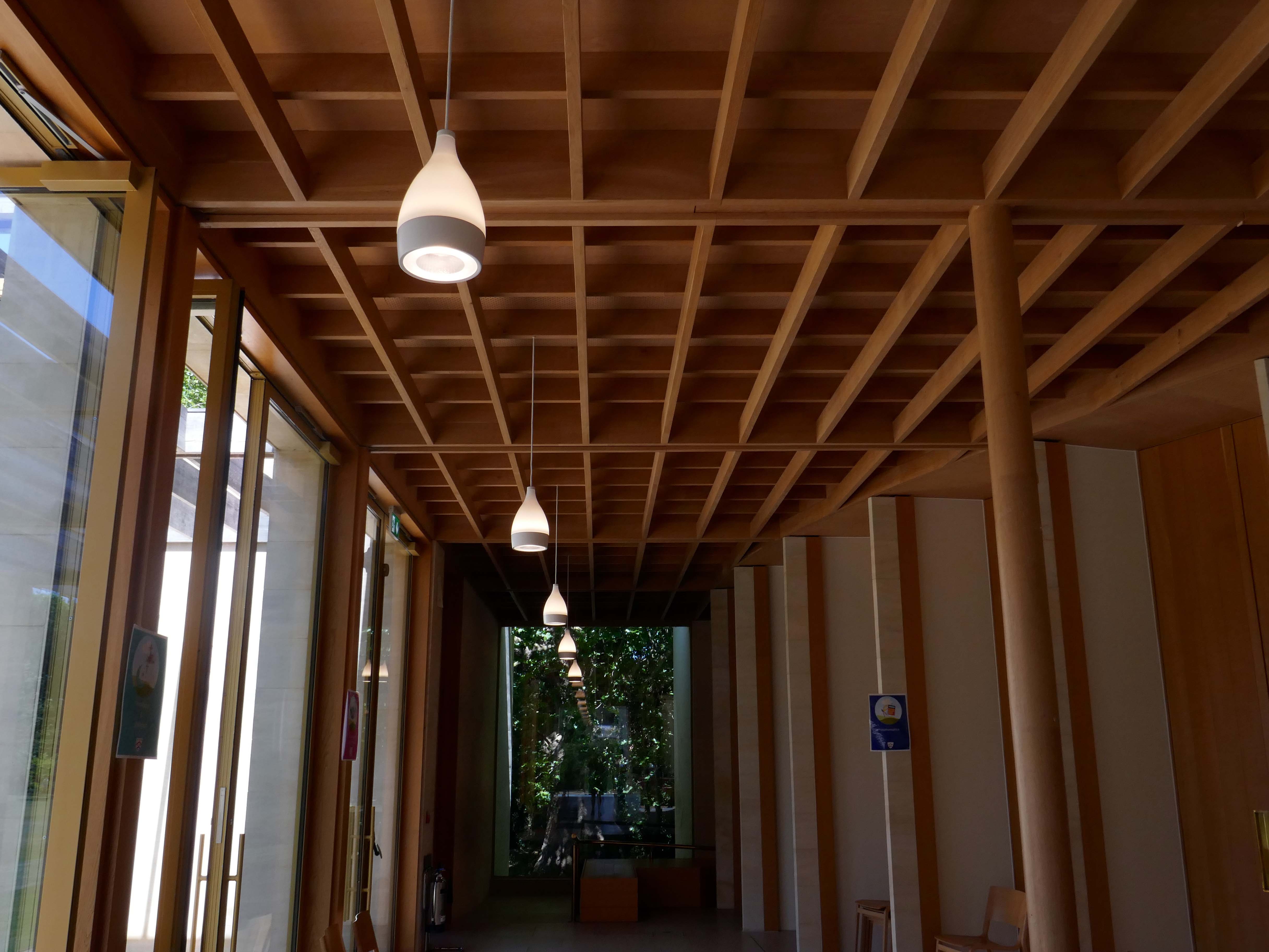
St John’s College was founded as a men’s college in 1555, it has been coeducational since 1979. Its founder, Sir Thomas White, intended to provide a source of educated Roman Catholic clerics to support the Counter-Reformation under Queen Mary.
St John’s is the wealthiest college in Oxford, with assets worth over £790 million as of 2022, largely due to nineteenth-century suburban development of land in the city of Oxford of which it is the ground landlord.
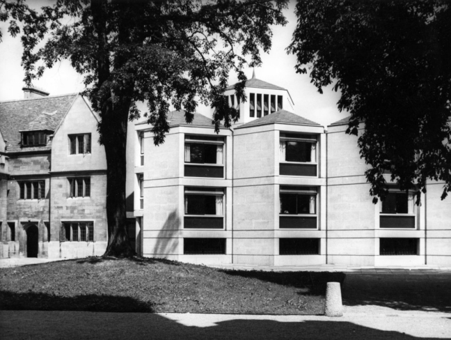
The original buildings of the College were designed by William Butterfield 1814-1900. Although the darling of the Tractarian movement, Butterfield was a controversial choice, as his style – a form of High Victorian Gothic had long provoked argument in Oxford. The original Gothic revival of the 1840s was purely imitative, seeking to blend new buildings with the pre-existing architecture of the city. However, this did not satisfy Butterfield, who “sought a new form of Gothic which would both convey eternal truths and would express the spirit of the age”.
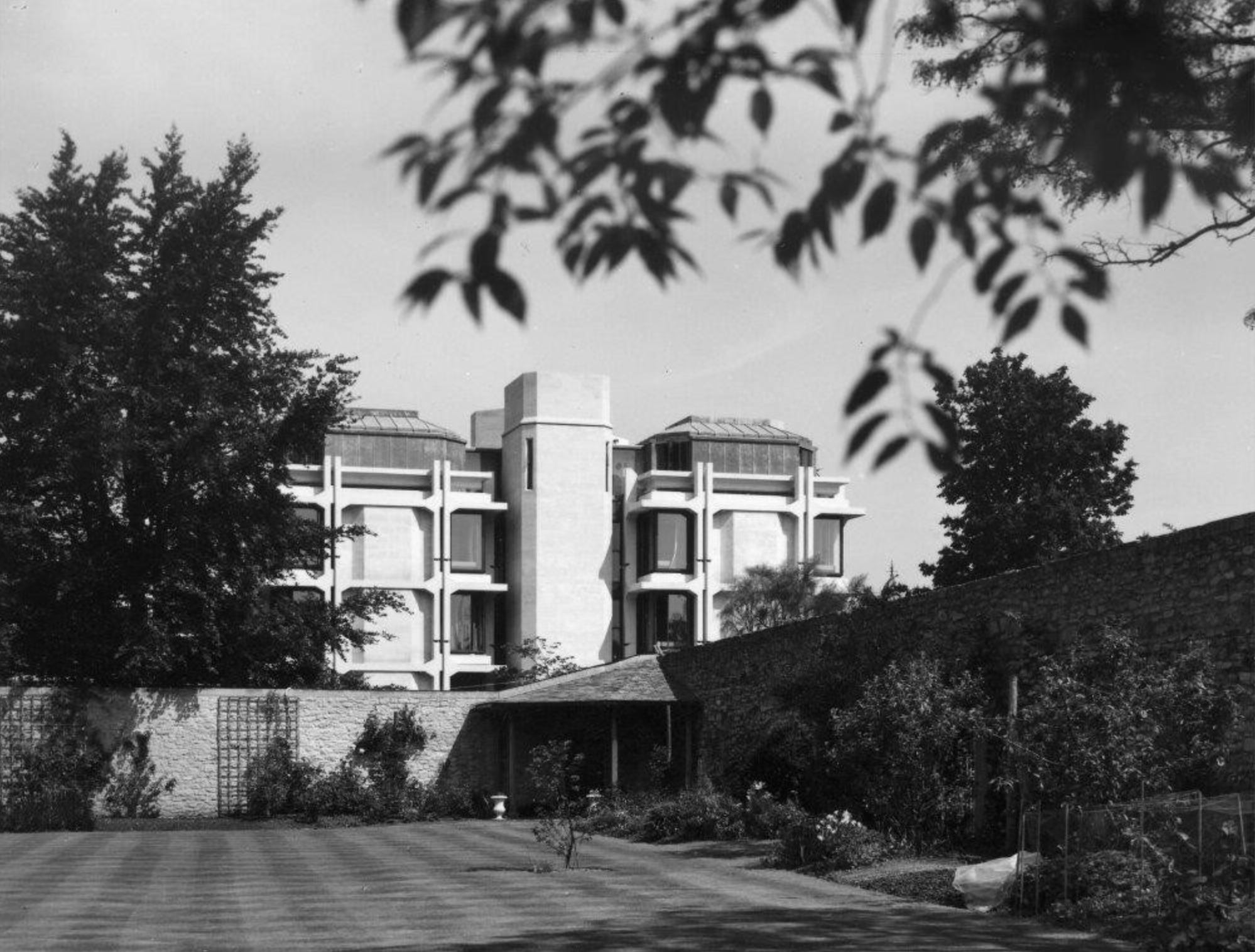
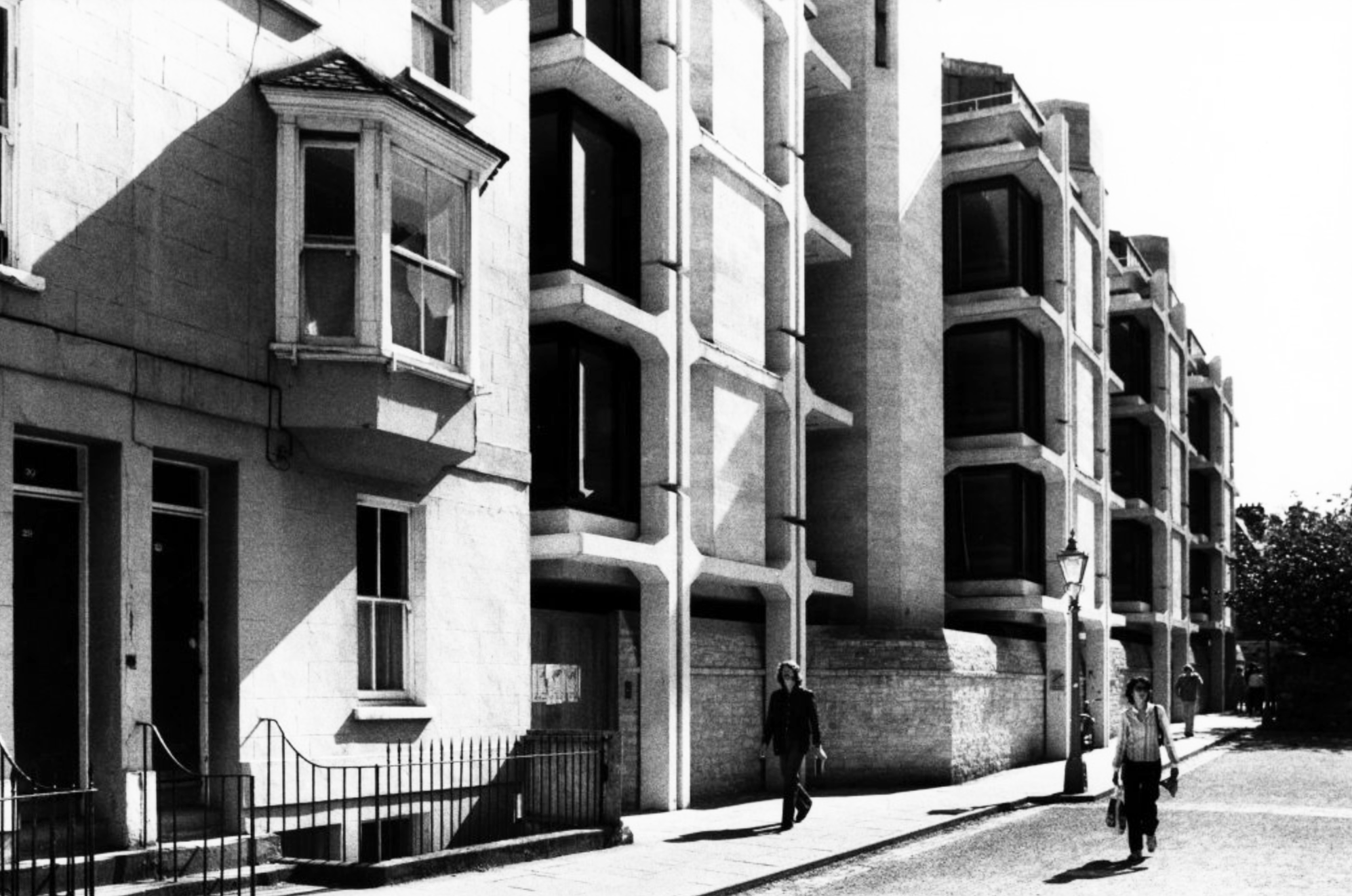
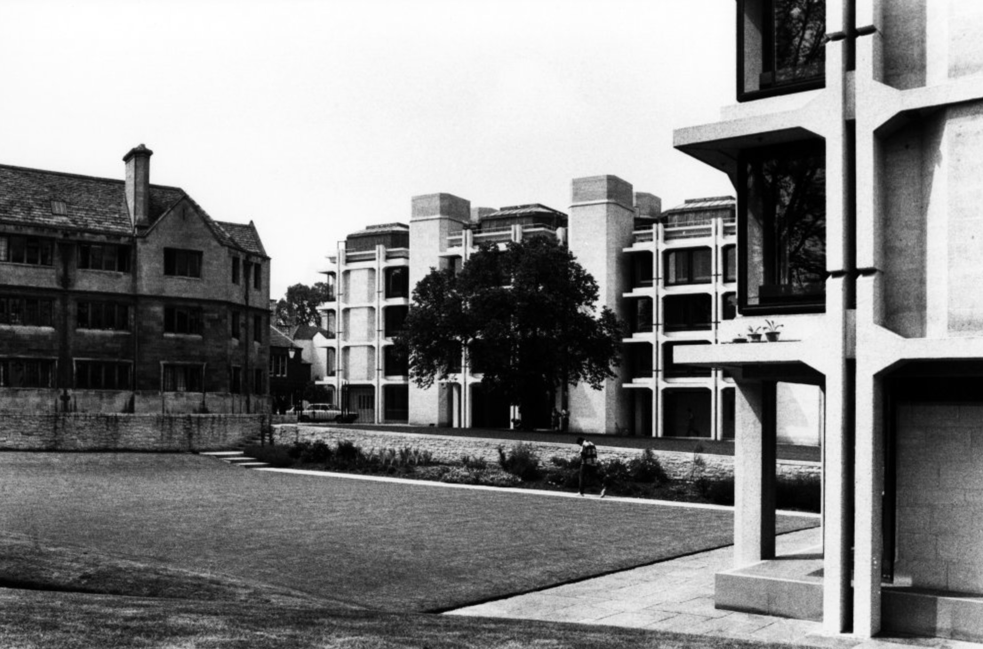
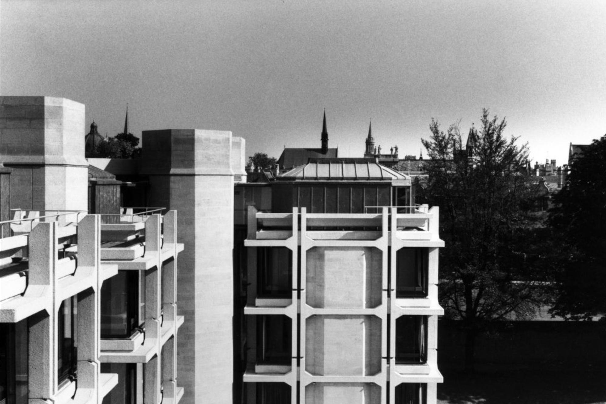
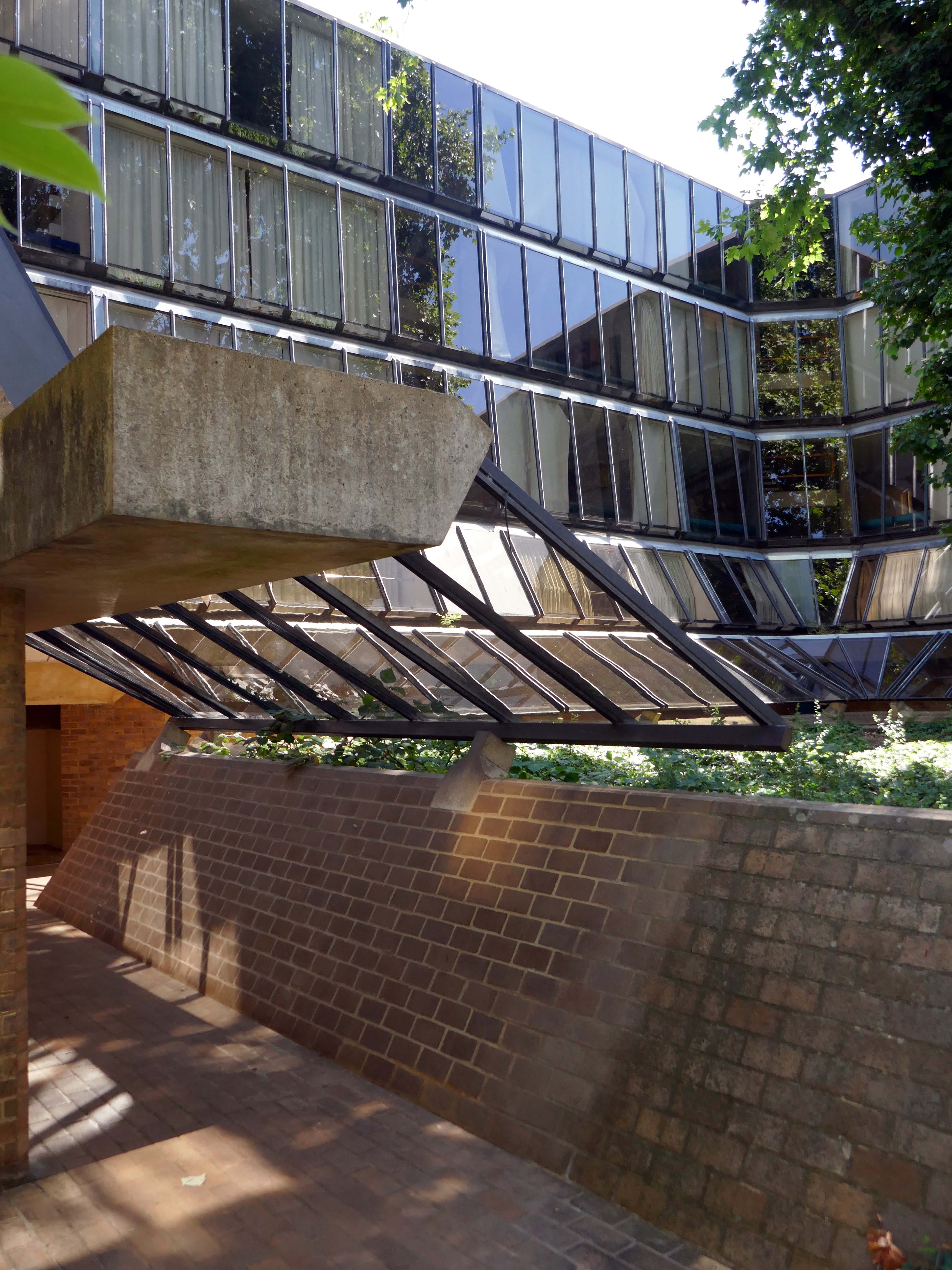
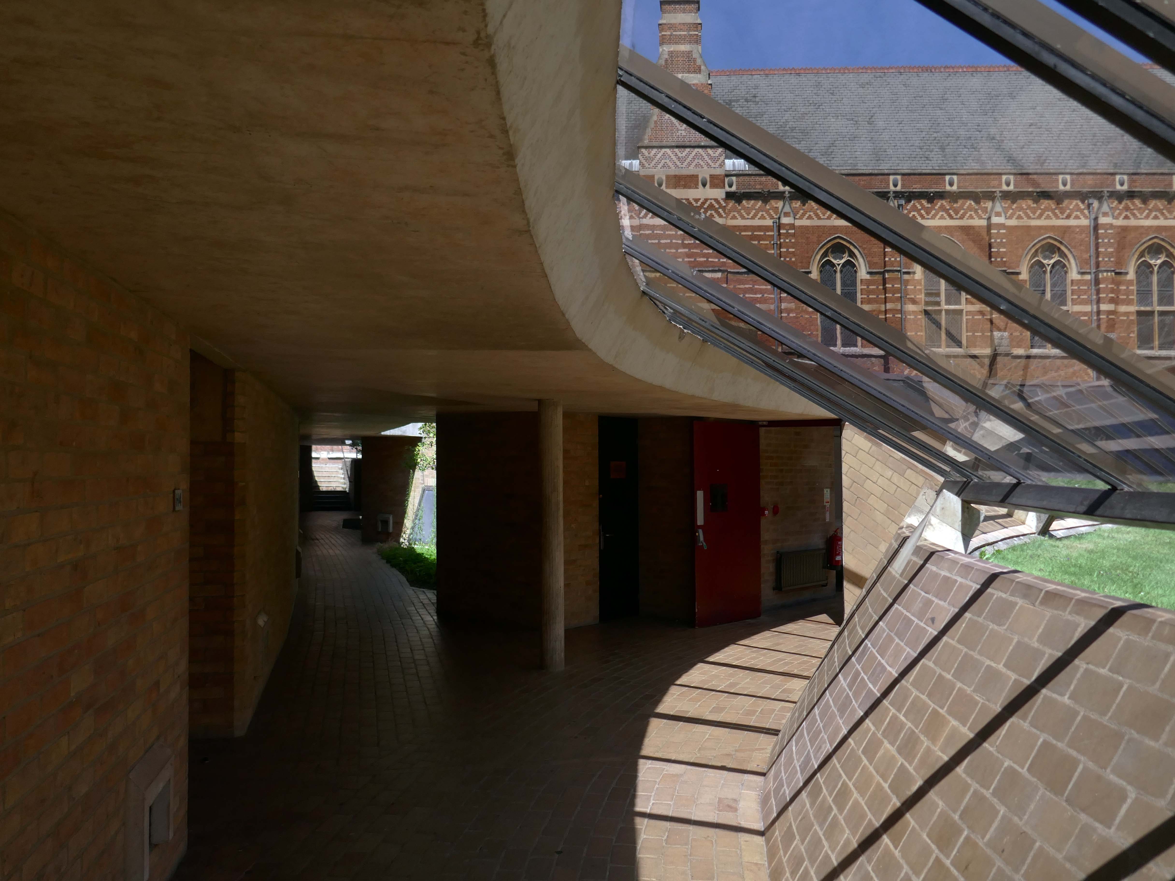
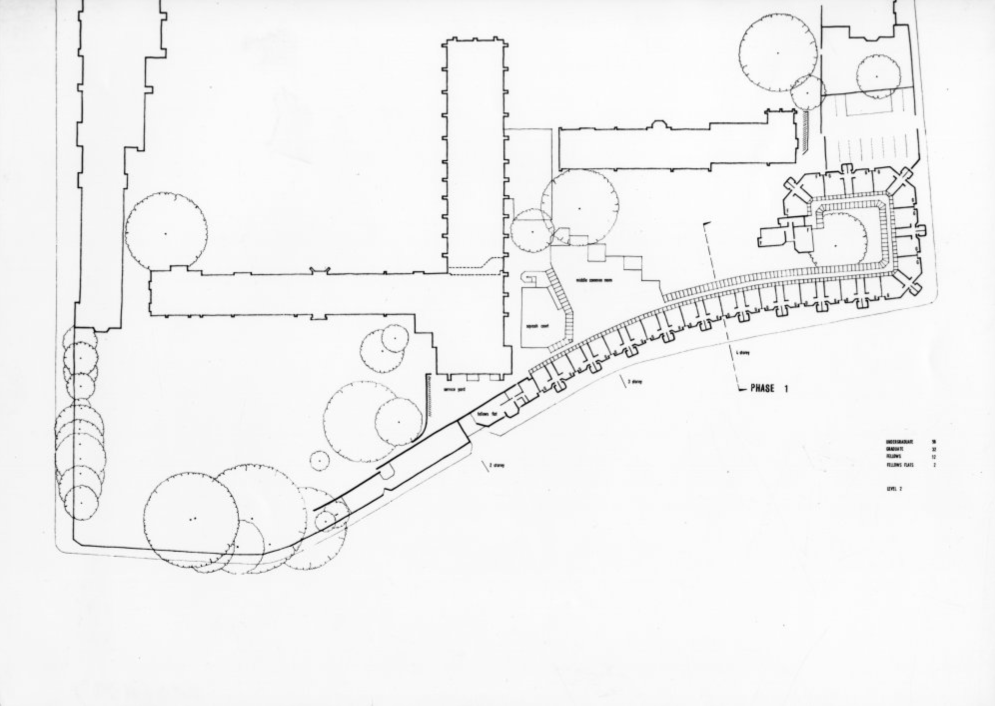
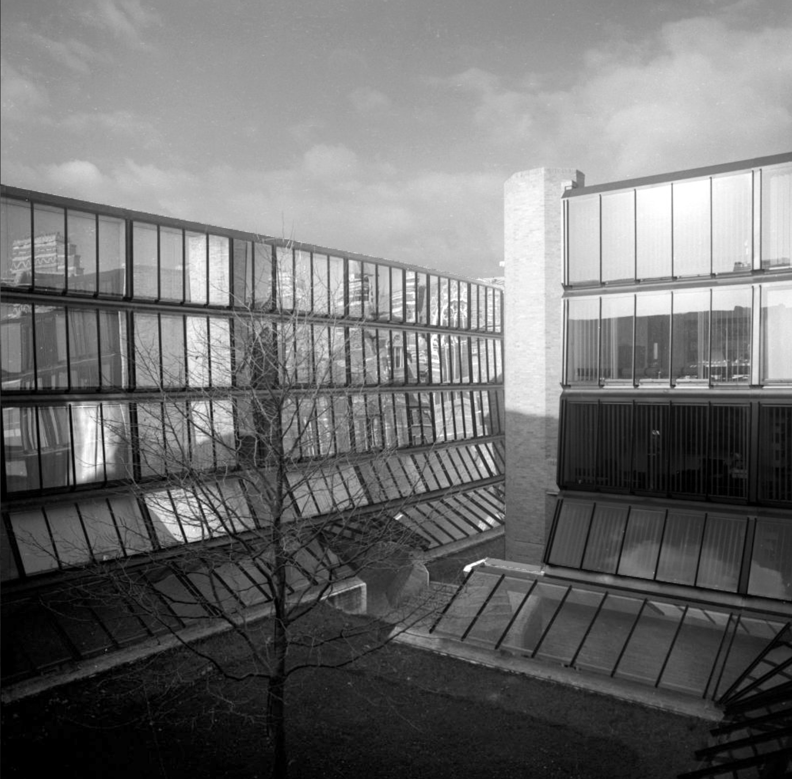
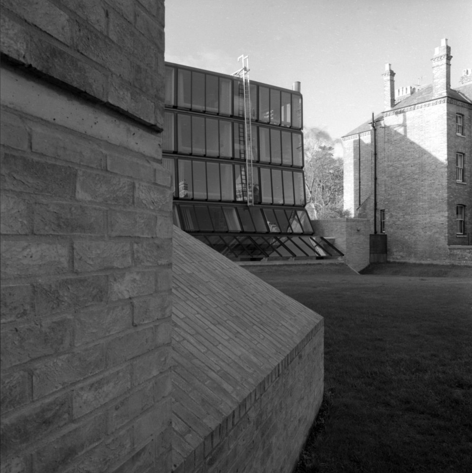
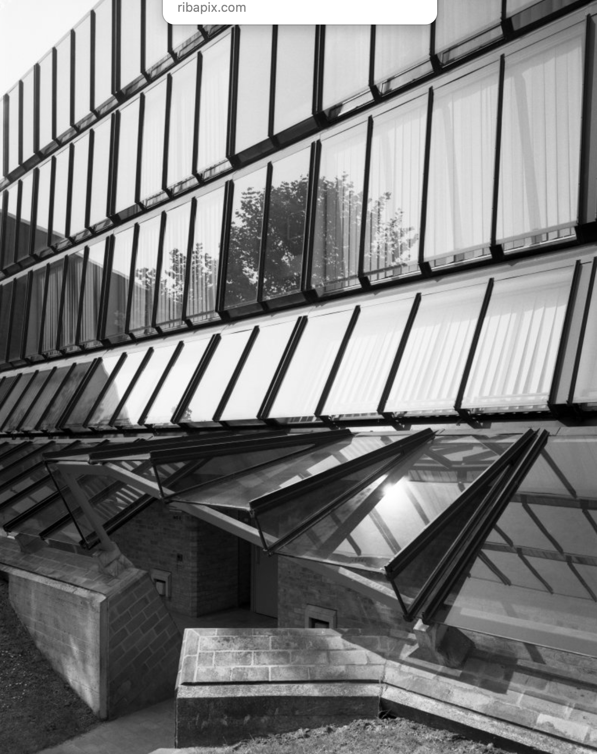
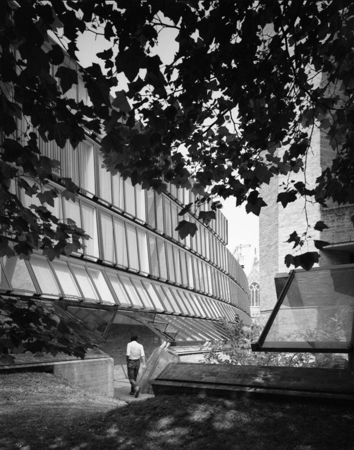
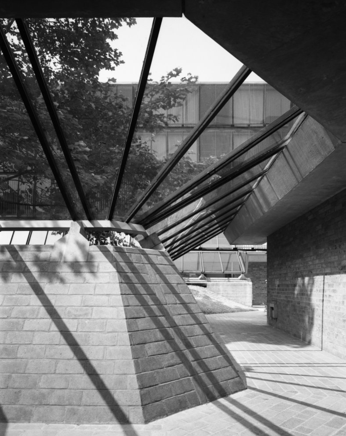
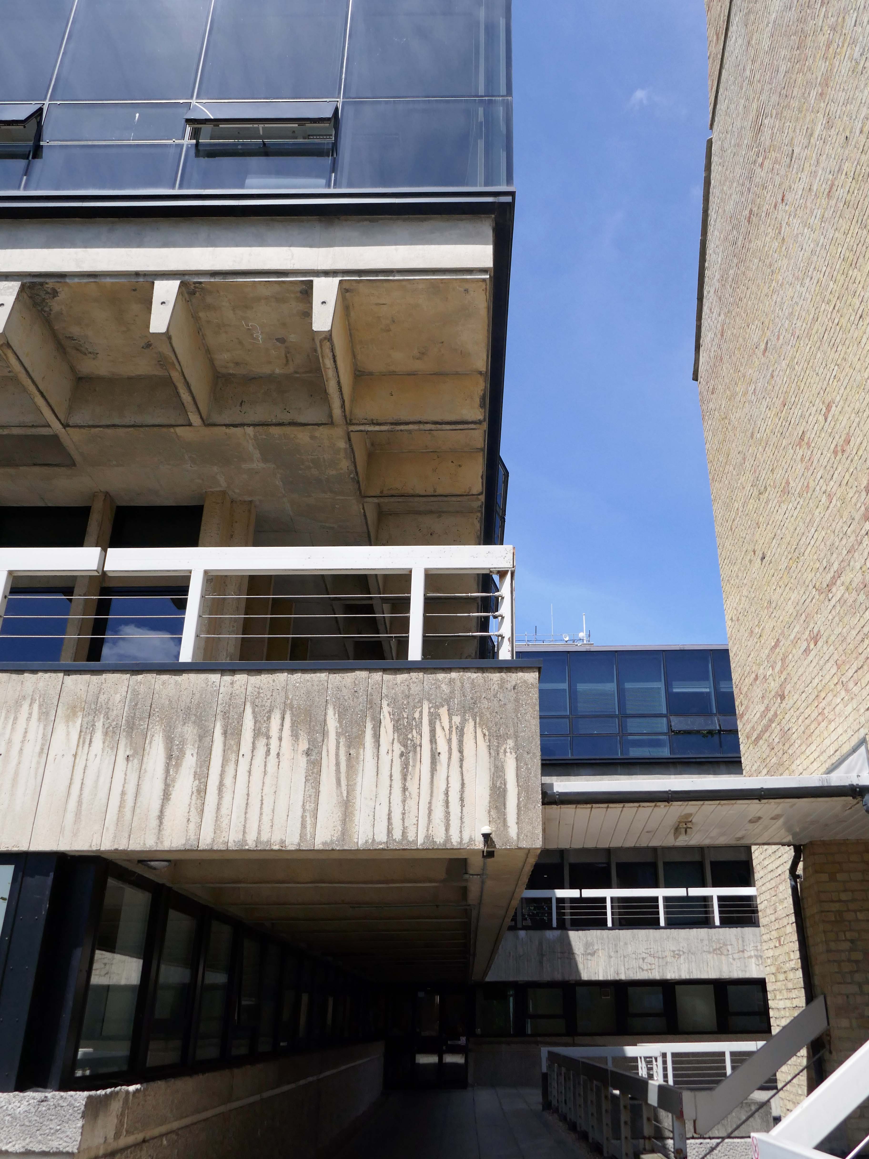
The College was lucky in that the ambitious vision of its founders allowed it to house the majority of its students for decades. However, by 1967, it had become clear to the College that there was a need to expand on a large scale. With the £500,000 cost funded via the Centenary Appeal, the project remained challenging – the site available was wedge-shaped, construction had to be phased, as funds became available, and the buildings had to stand next to Butterfield’s imposing work. To meet this challenge, the College chose an up-and-coming firm of architects, Ahrends, Burton and Koralek ABK.
Ahrends, Burton and Koralek – ABK was established in London in 1961 by three young AA graduates, Peter Ahrends, Richard Burton and Paul Koralek. By the 1970s, ABK was known as one of the most creative and versatile of Britain’s younger practices, its workload ranging from college buildings in Oxford and Chichester to housing, public libraries, retail and industrial buildings.
While influenced by High-tech, their buildings were characterised by a concern for strong form and materiality. Major projects of the 1980s included stations for the Docklands Light Railway and the pioneering St Mary’s Hospital on the Isle of Wight, as well as buildings at Hooke Park in Dorset designed in collaboration with Frei Otto.
ABK’s victory in the prestigious 1982 competition for an extension to the National Gallery in London reflected the firm’s standing but the scheme was abandoned following a controversial intervention by the Prince of Wales.
The College was lucky in that the ambitious vision of its founders allowed it to house the majority of its students for decades. However, by 1967, it had become clear to the College that there was a need to expand on a large scale. With the £500,000 cost funded via the Centenary Appeal, the project remained challenging – the site available was wedge-shaped, construction had to be phased, as funds became available, and the buildings had to stand next to Butterfield’s imposing work. To meet this challenge, the College chose an up-and-coming firm of architects, Ahrends, Burton and Koralek – ABK.
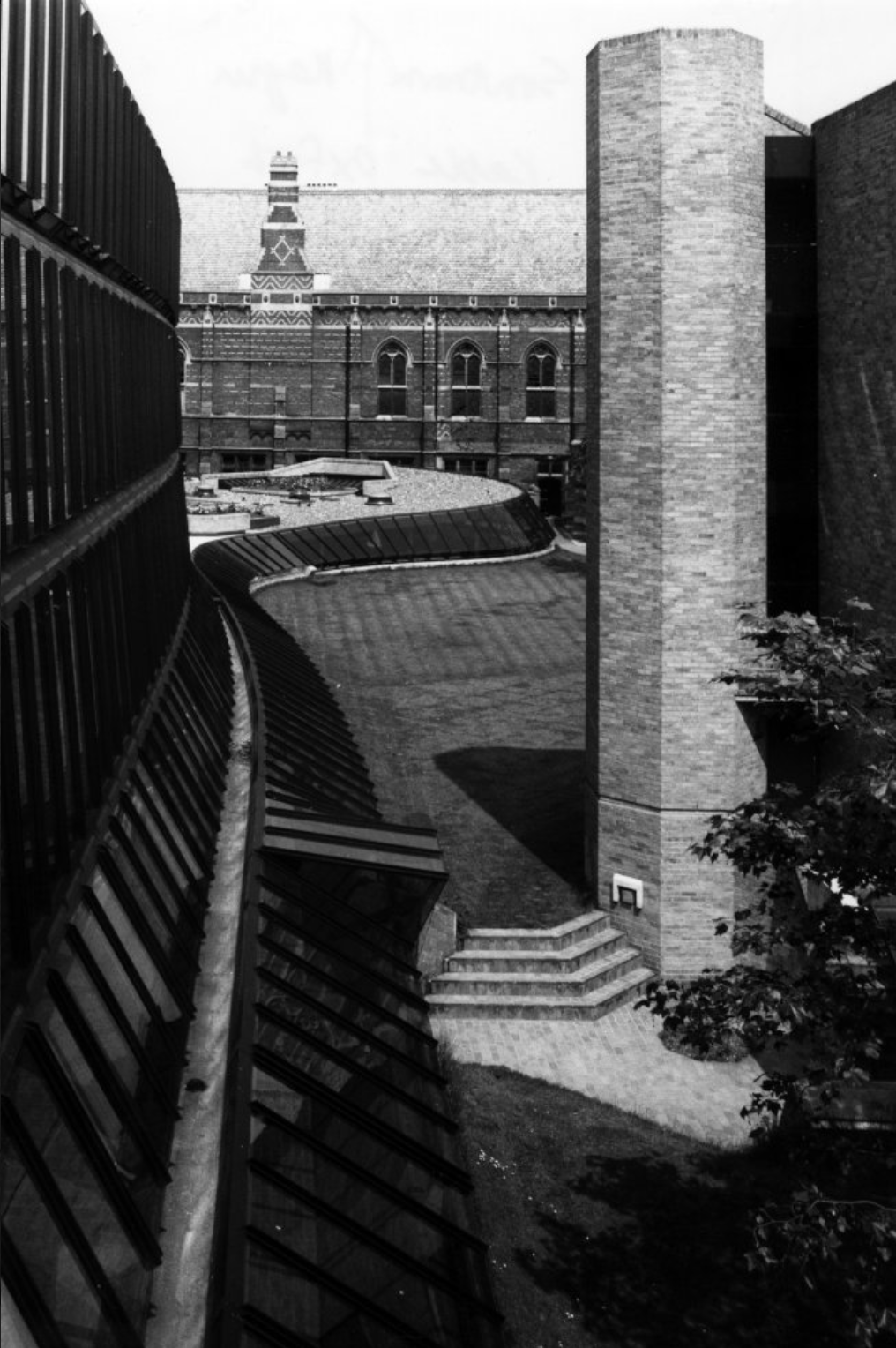
The construction was completed in two phases, the De Breyne quad – completed in 1972, was largely funded by the Adeby Trust. The second phase – completed in 1976, was primarily funded by the Hayward Foundation.
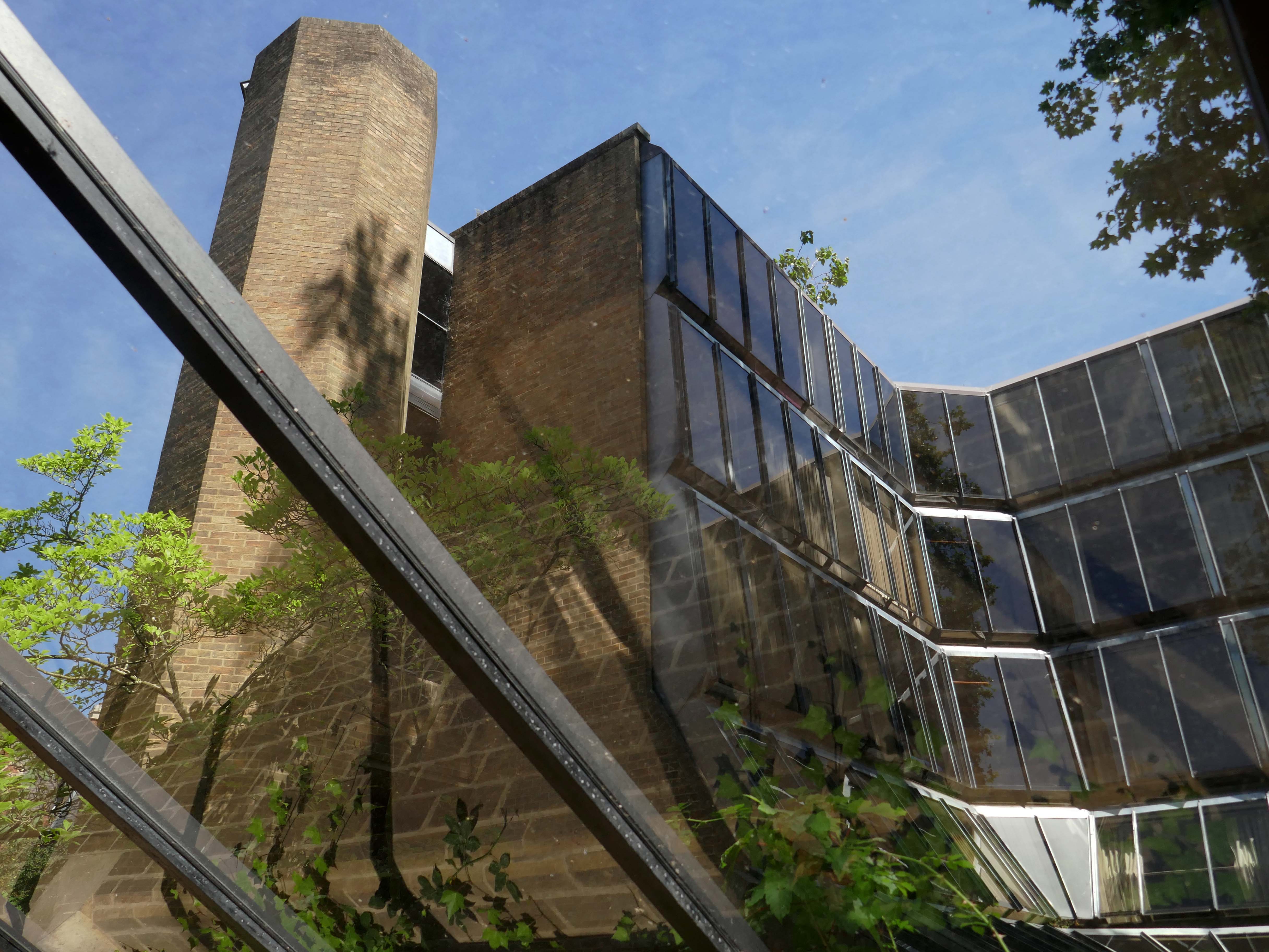
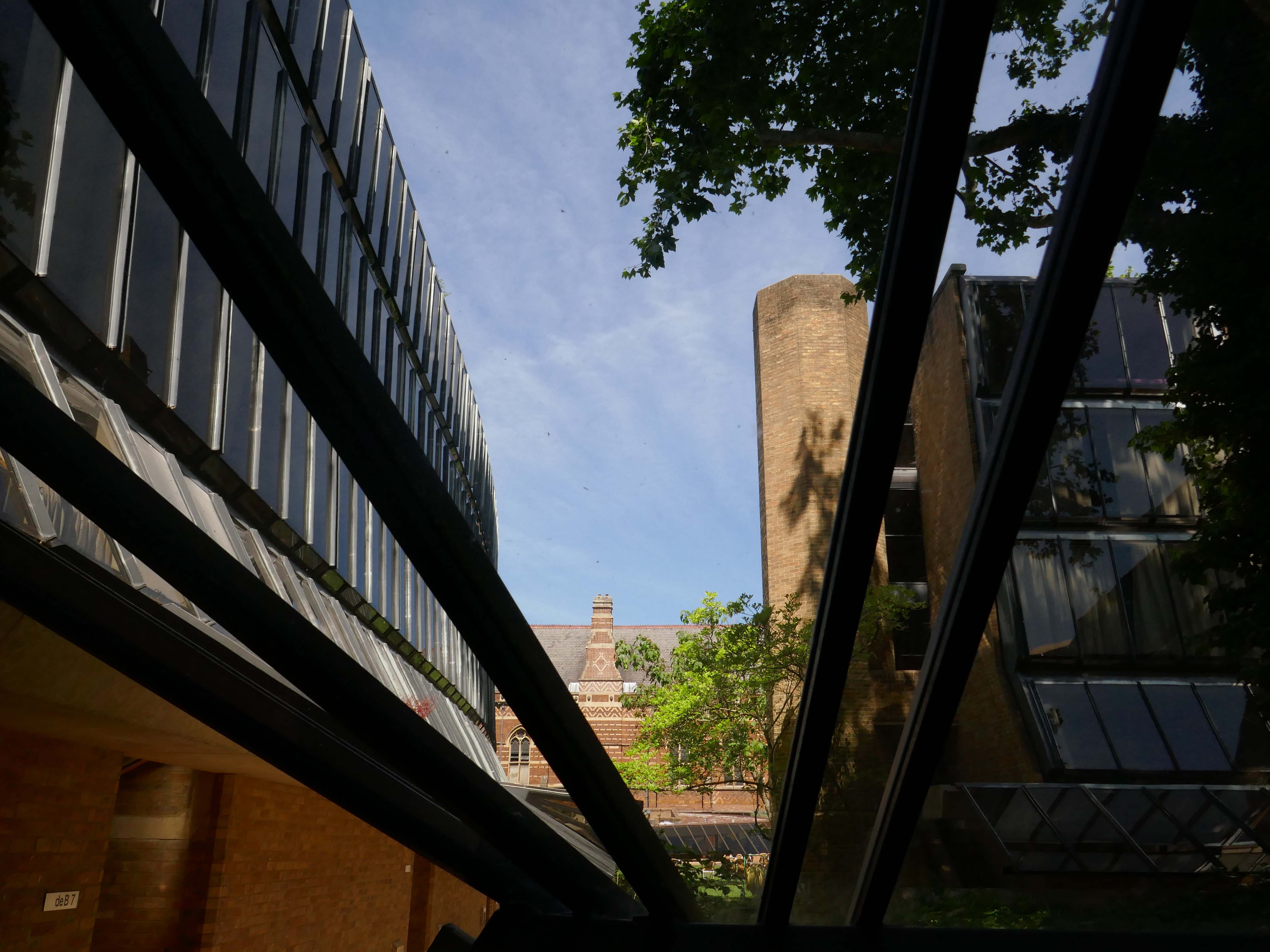
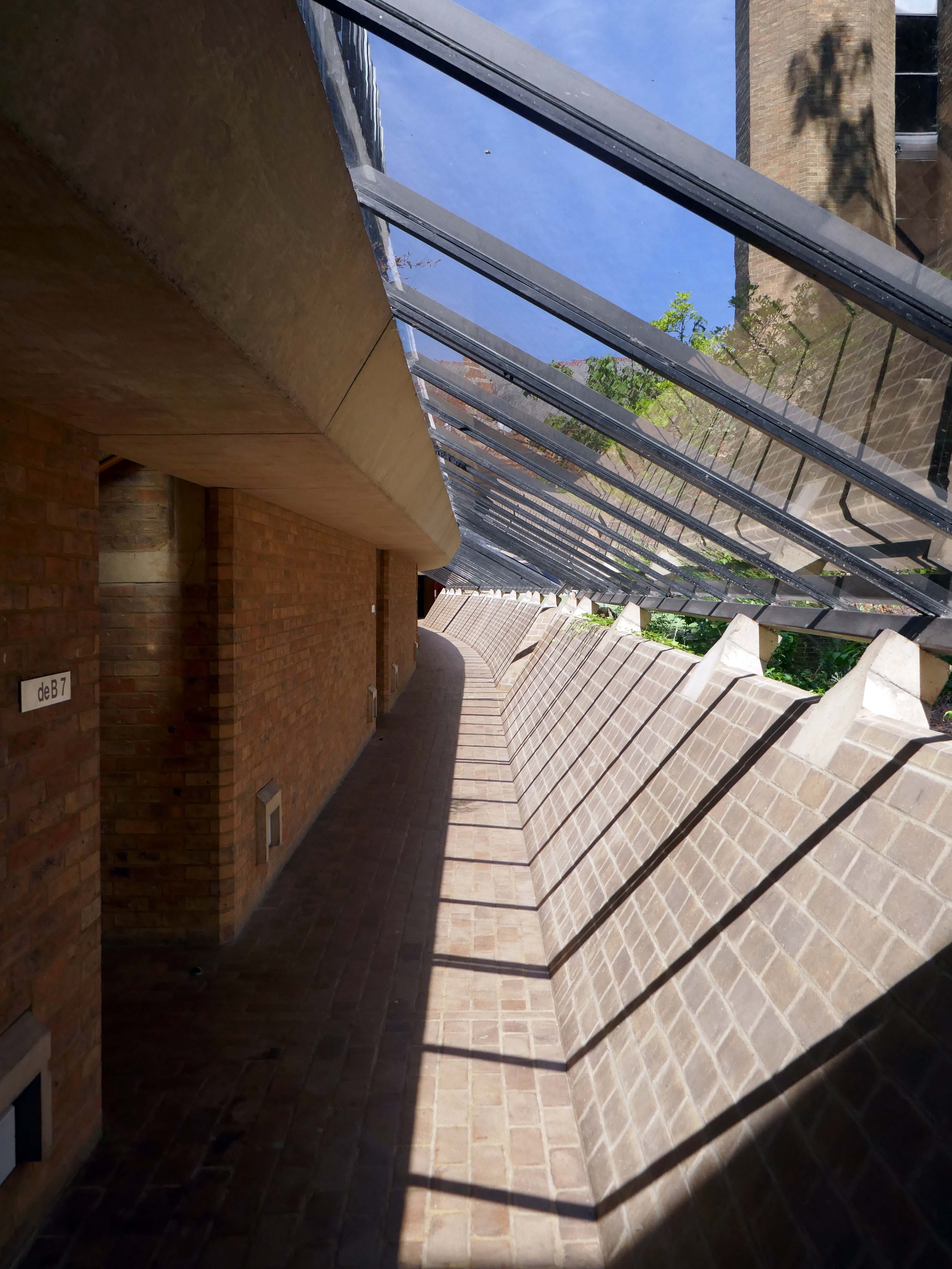
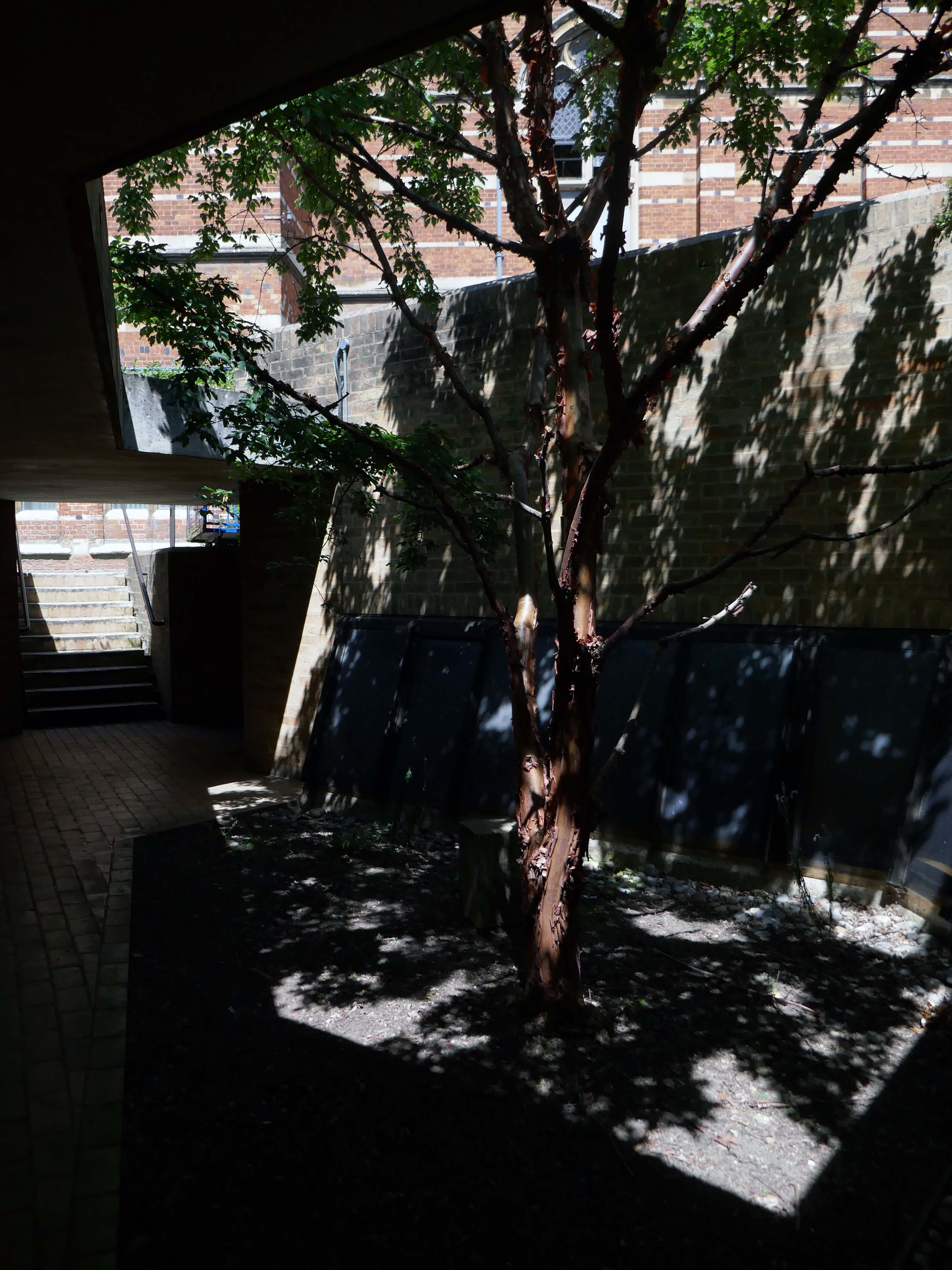
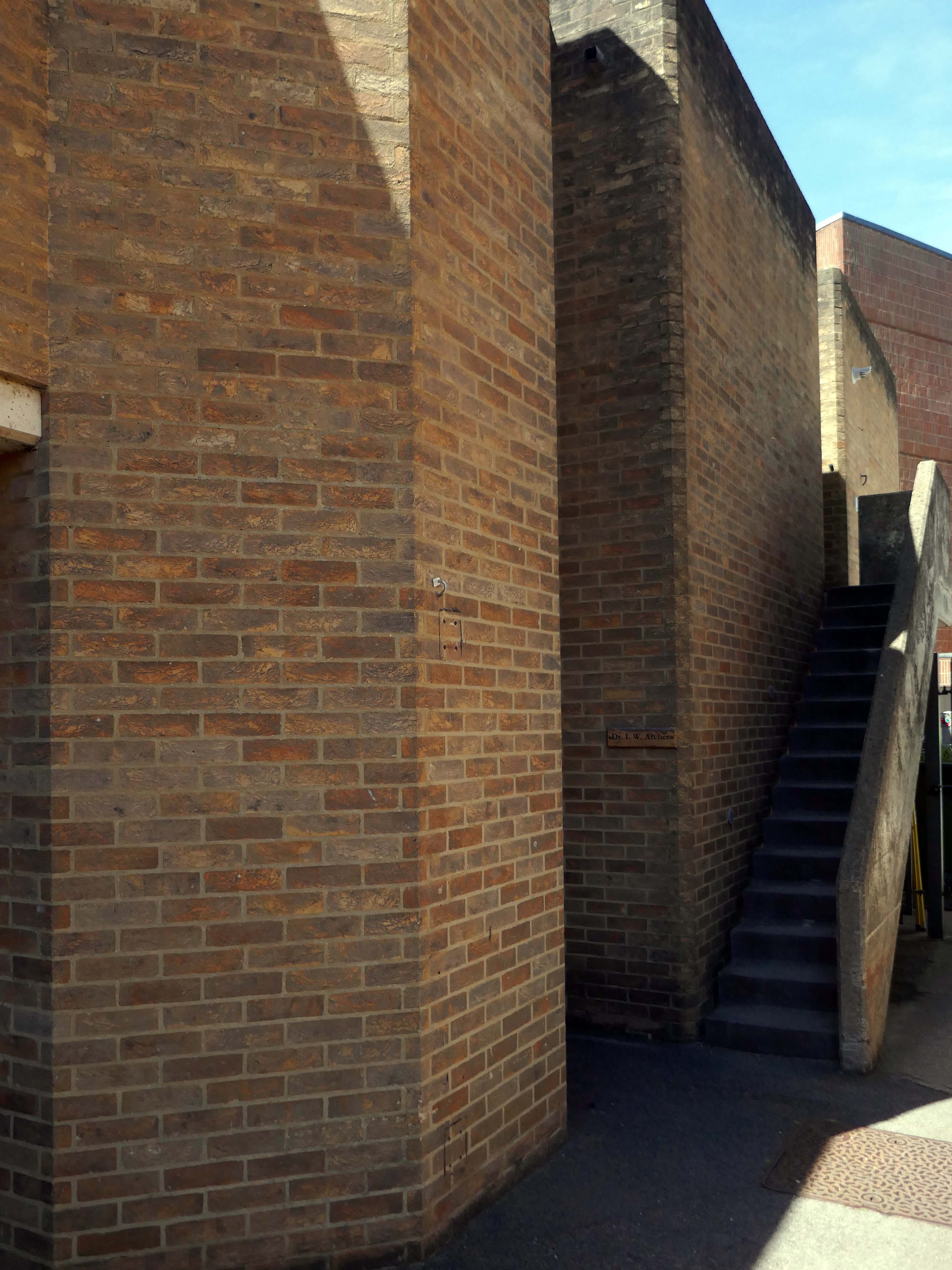
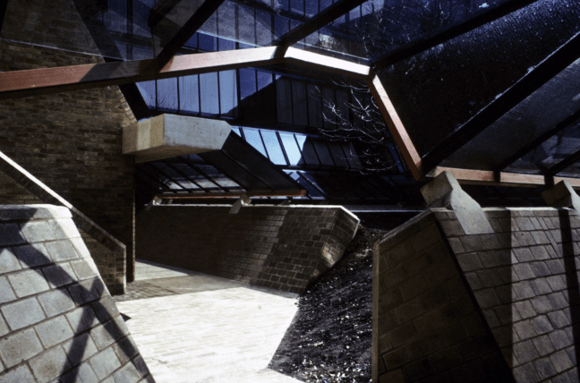
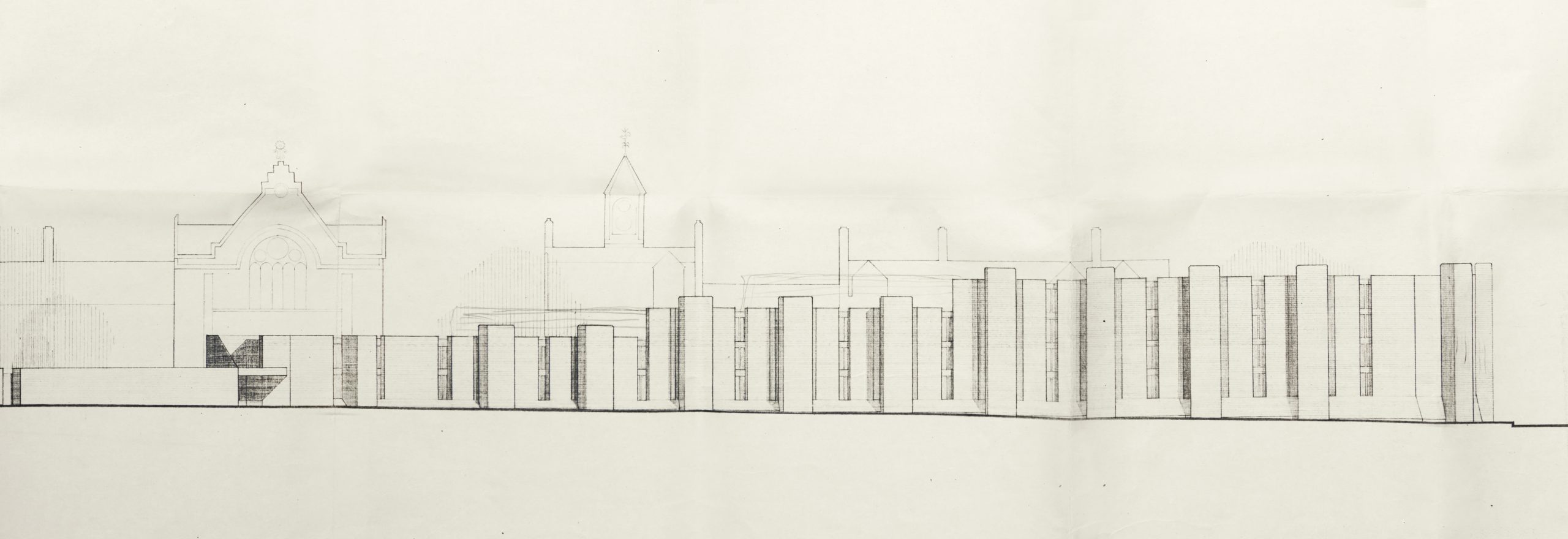
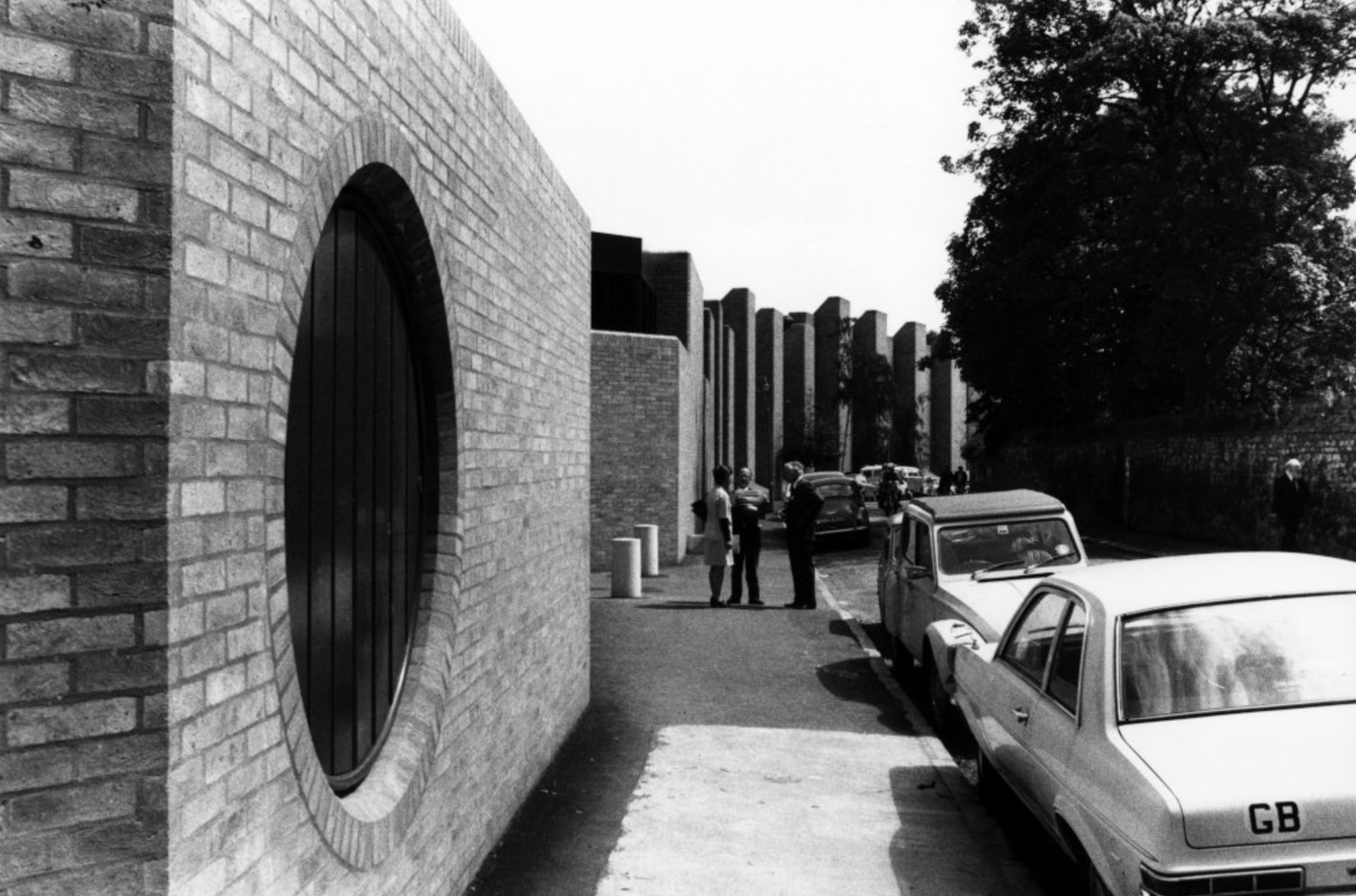
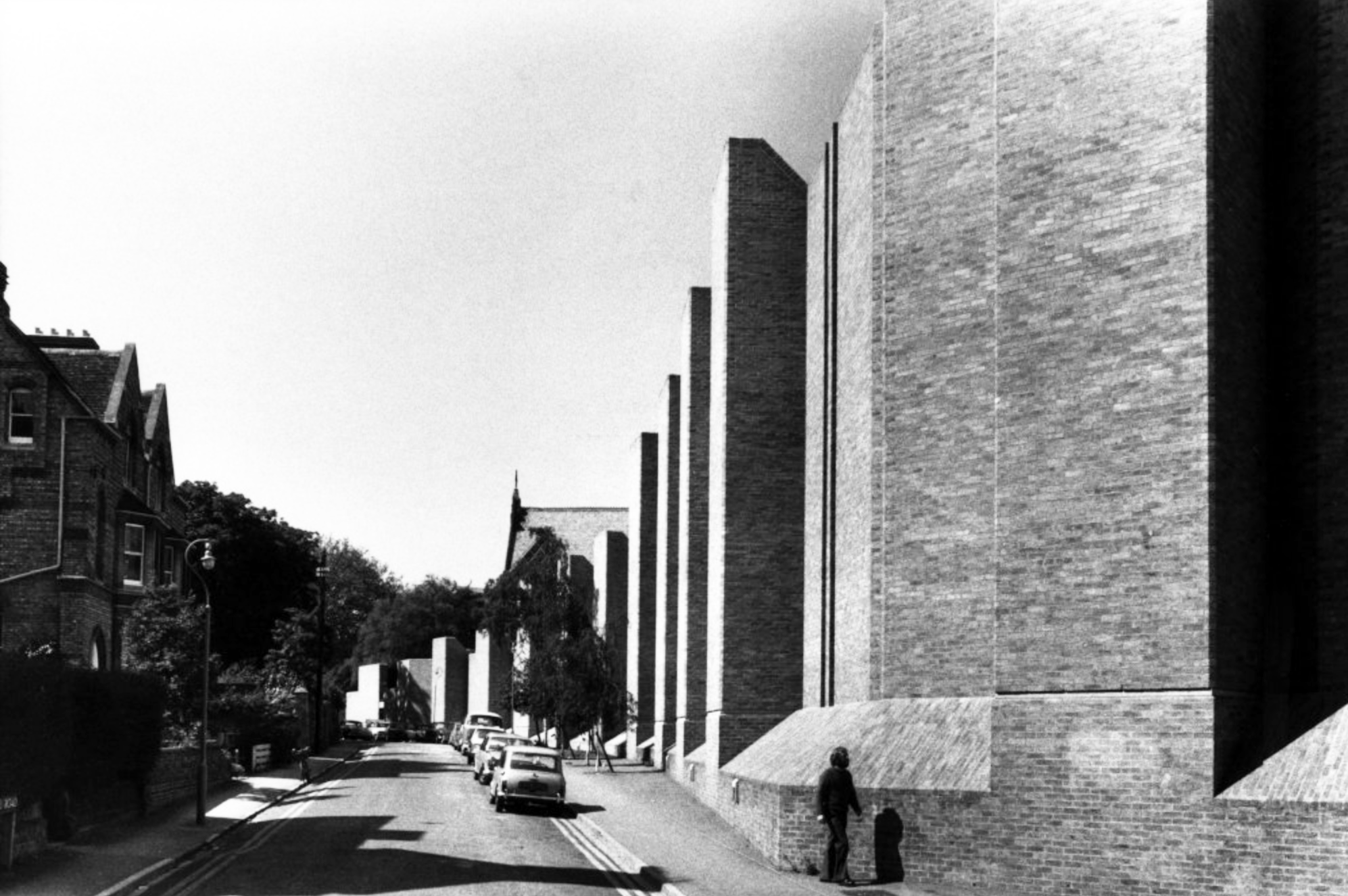
Whilst ABK’s architecture did not seek to imitate Butterfield, it nevertheless adopted elements from his work. The buildings follow the exterior line of the College and the roofline varies along its length, gradually decreasing as it approaches the Butterfield buildings. Yet, the architecture also manages to be innovative. The exterior is fortress-like, punctuated by slot windows, with the buff coloured brick forming a contrast to the red of the original buildings. Internally, the walls are formed by overlapping layers of glass, creating a “soft underbelly”, which mirrors Butterfield’s patterns in its reflective surface.
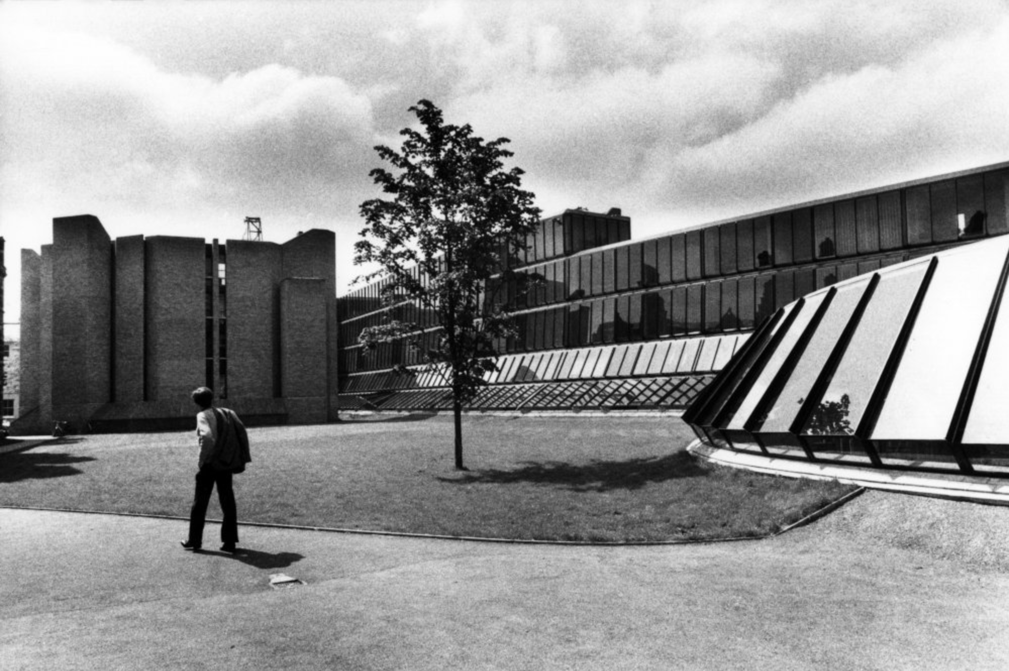
Once again, Keble’s choices proved to be controversial. The Architectural Review of 1977 claimed the walls “suggest the exterior of some strange zoo”, yet the Royal Institute of British Architects saw fit to award it their Southern region award in 1978 and in 2001 it became one of the youngest Grade 2* listed buildings, a ranking reserved for “particularly important buildings of more than special interest”.
I was walking from the railway station, a map of Oxford folded in my back pocket.
Having no real notion of anything really, I simply followed my intuition and ended up here.
Worcester College was founded in 1714 by the benefaction of Sir Thomas Cookes, 2nd Baronet 1648–1701 of Norgrove, Worcestershire, whose coat of arms was adopted by the college. Its predecessor, Gloucester College, had been an institution of learning on the same site since the late 13th century until the Dissolution of the Monasteries in 1539.
Founded as a men’s college, Worcester has been coeducational since 1979.
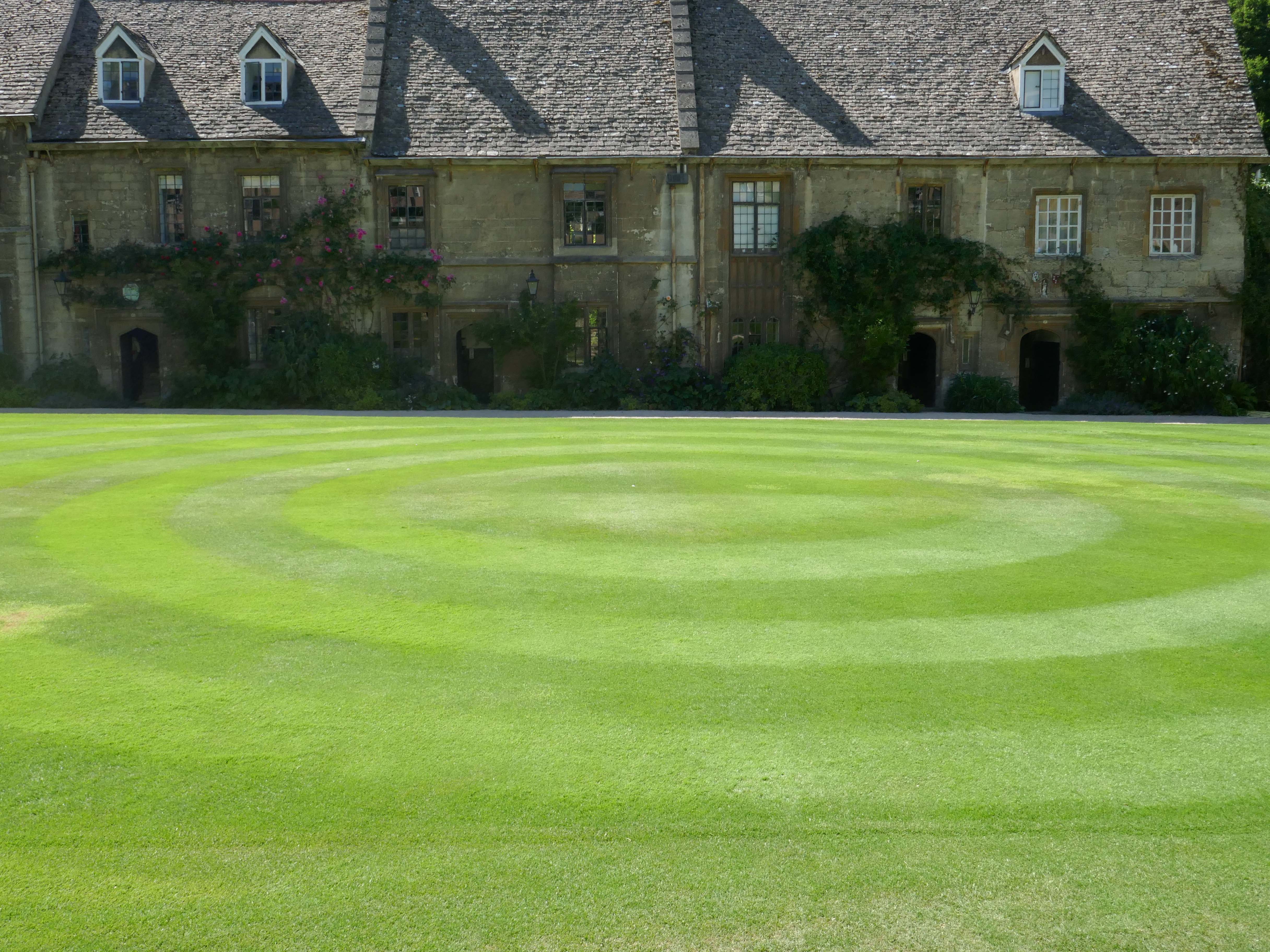
This Mediaeval terrace is thought to be the oldest surviving domestic building in the city, known as the cottages – forming one side of the Quad.
This is the Casson Building – undergraduate accommodation.
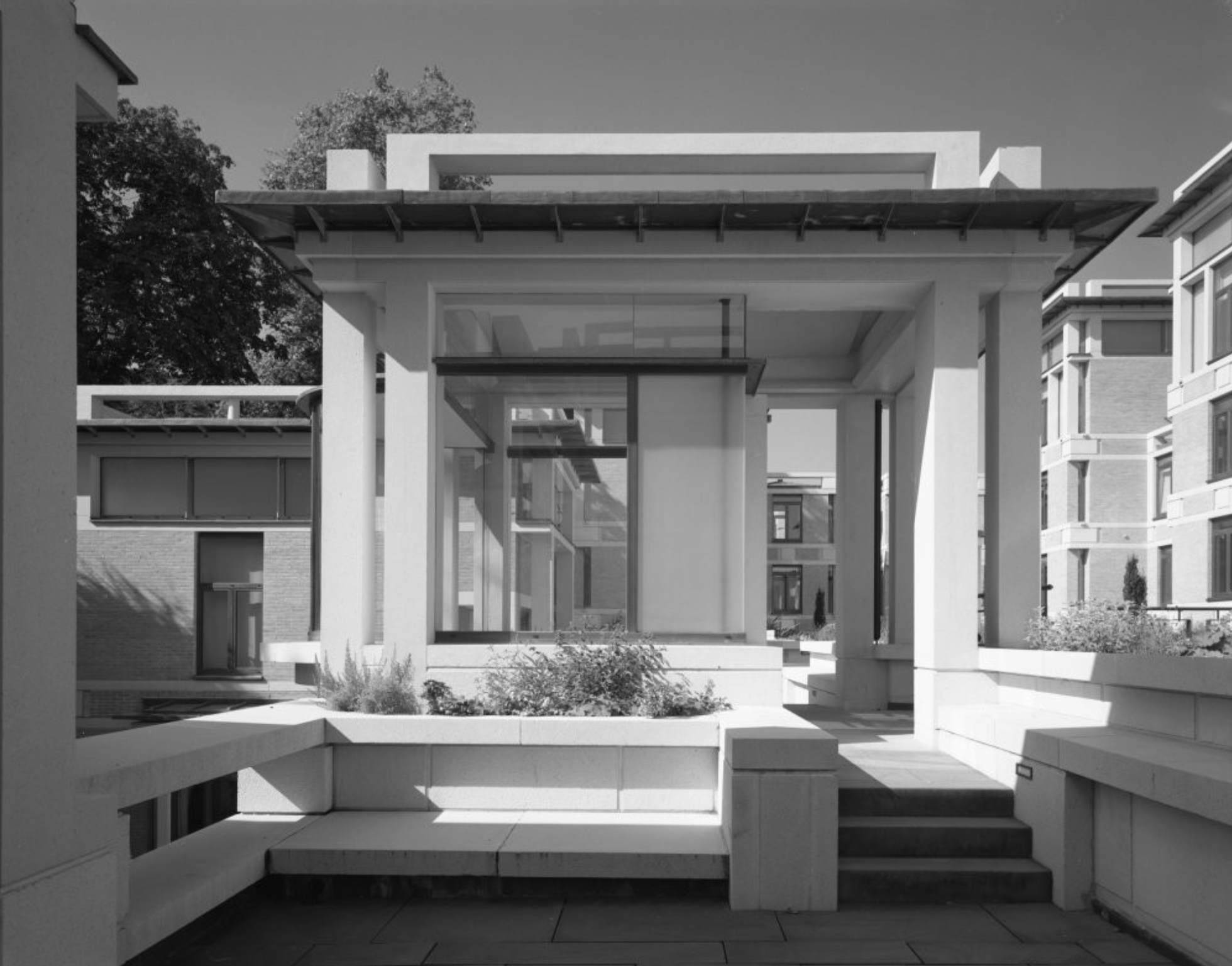
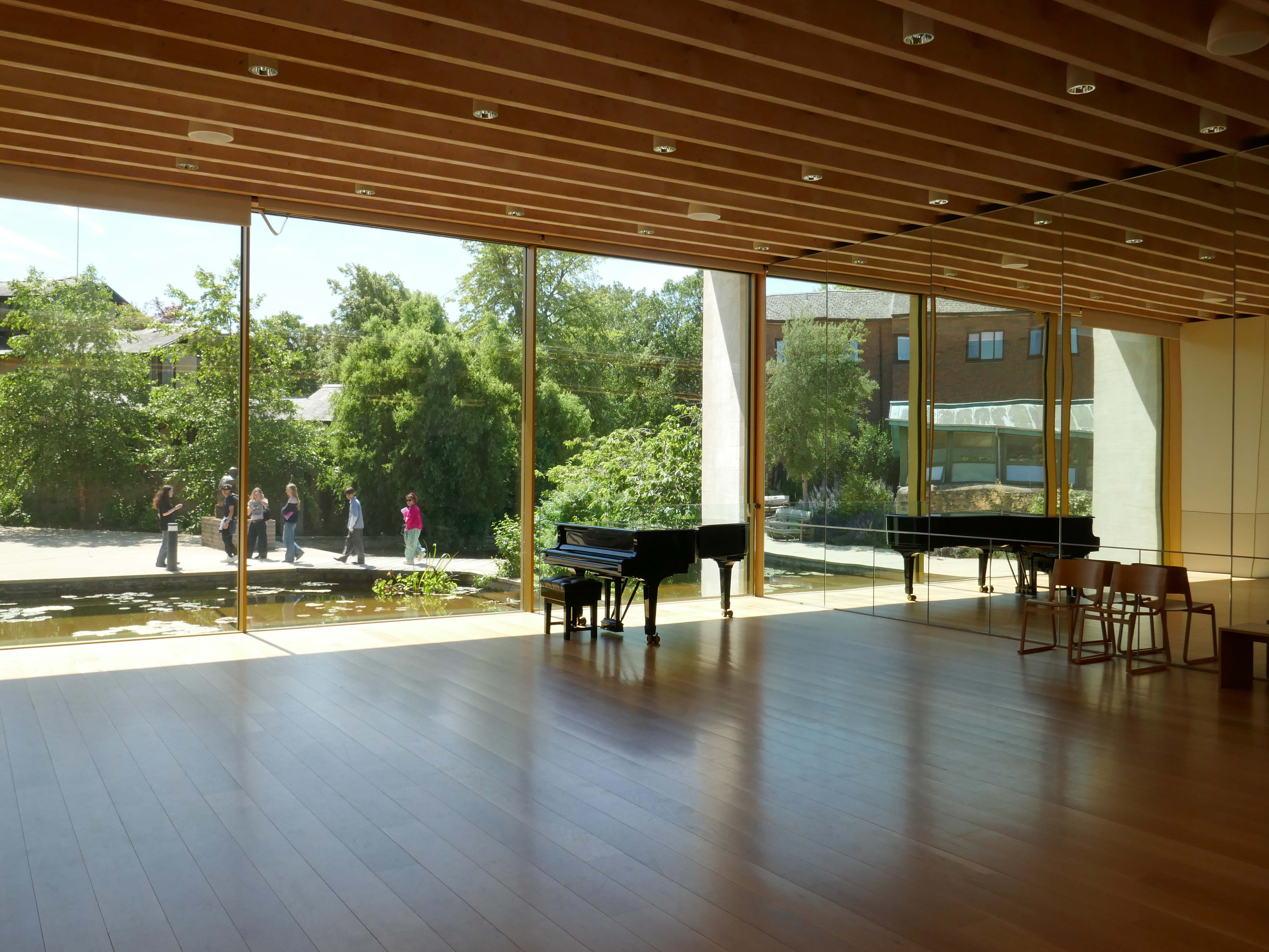
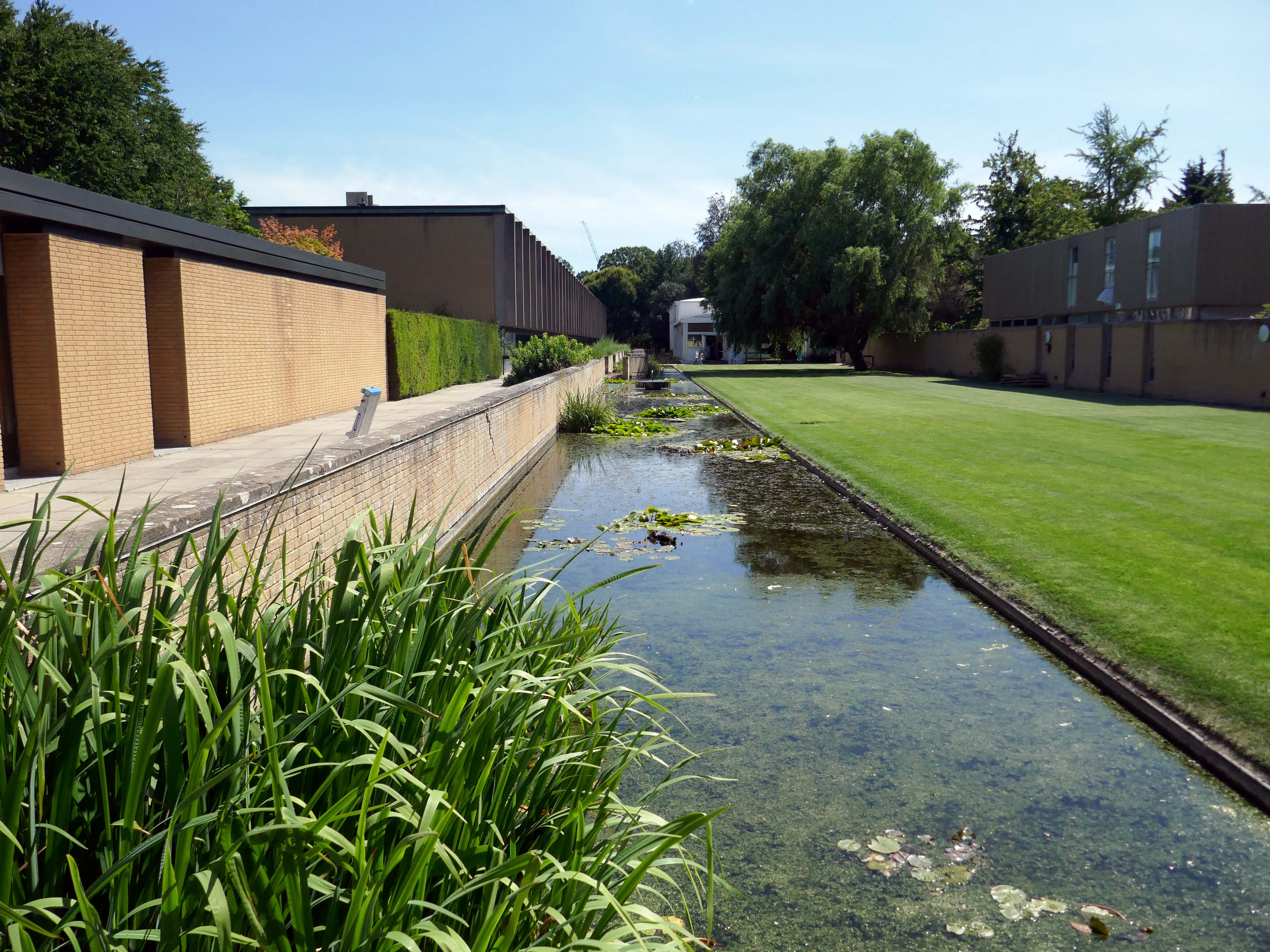
The Linbury Building is a dedicated conferencing and private dining venue enjoying a beautiful natural setting among mature trees and landscaped lawns.
Accommodating up to one hundred guests for receptions or forty eight on a fully-catered basis, the Linbury Building offers the perfect venue for your mid-sized event. Set among the College’s award-winning gardens, the Linbury allows you to enjoy our unique natural setting thanks to floor-to-ceiling glazing which can be retracted to create an al fresco space in the summer.
With its own bespoke furniture made from English oak and College-crested leather chairs, the main conferencing space can be adapted into a wide variety of configurations, from seminar, cabaret or theatre to private dining and drinks receptions. The adjacent foyer area is a perfect space for delegate registration, break-out coffee and pastries or buffet lunch service.
John Davan Sainsbury – Baron Sainsbury of Preston Candover 1927 – 2022 was a British businessman and politician. He served as the President of Sainsbury’s, and sat in the House of Lords as a life peer and member of the Conservative Party
Robert Alfred Maguire 1931–2019 was an influential British modernist architect and leading thinker in the British liturgical architectural movement of the Church of England. Maguire and Keith Murray formed an architectural practice in 1959.
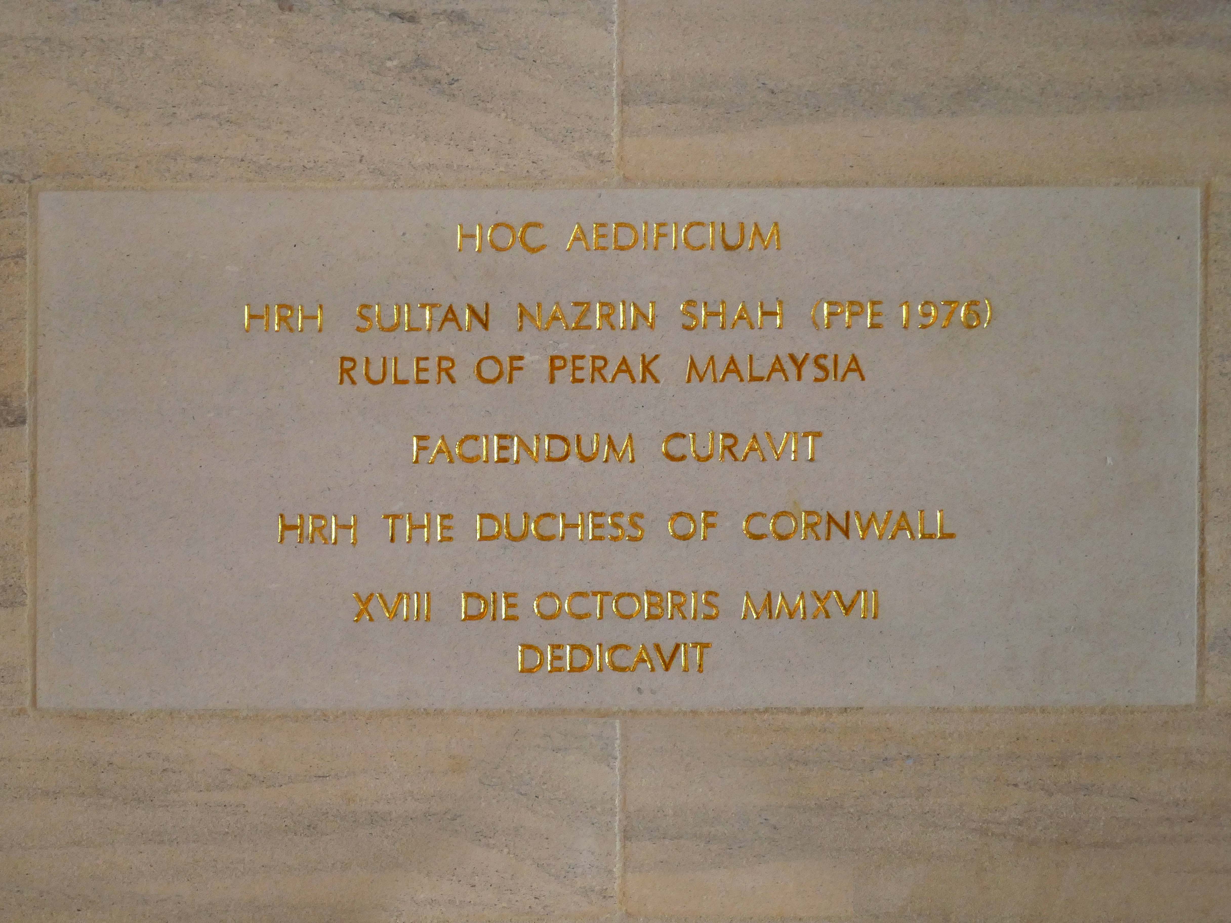
Nazrin Shah ascended the throne of Perak in 2014. As Sultan of Perak, he has been a strong advocate for education, Islamic moderation, and national unity. He has served as deputy king under Sultan Muhammad V of Kelantan, Sultan Abdullah of Pahang, and Sultan Ibrahim of Johor.
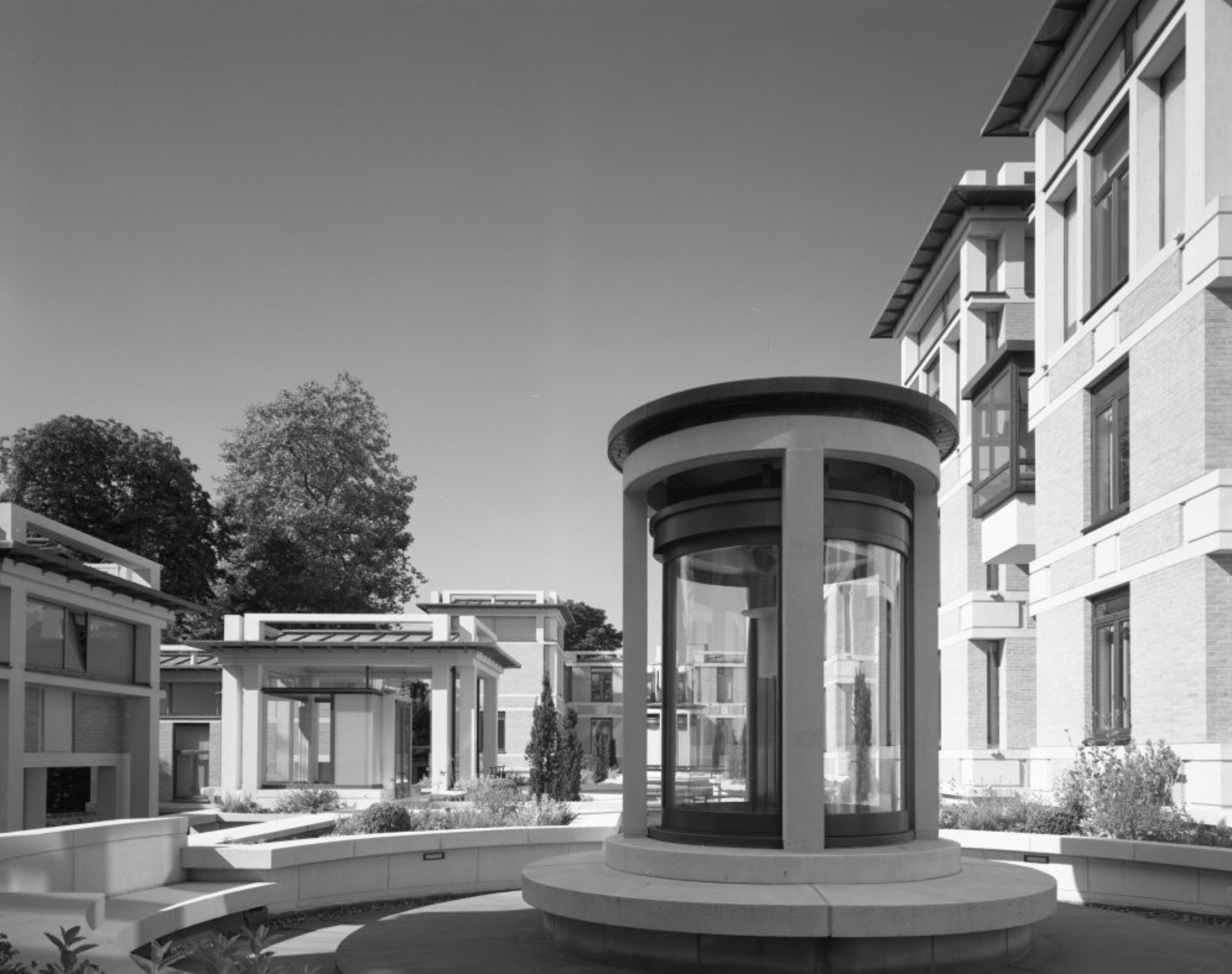
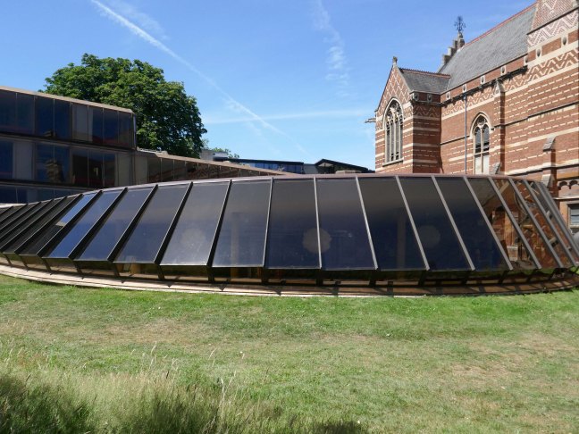
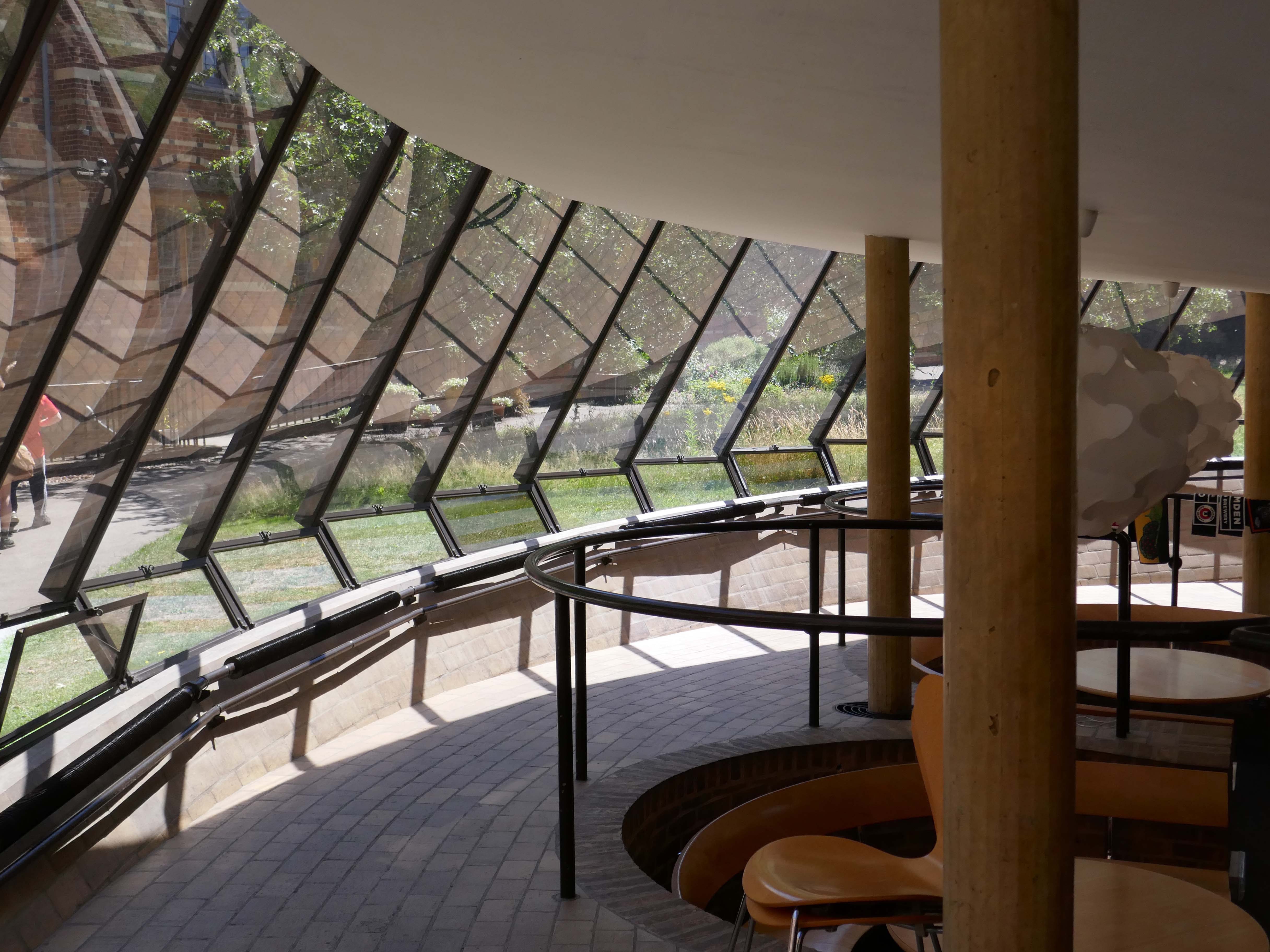
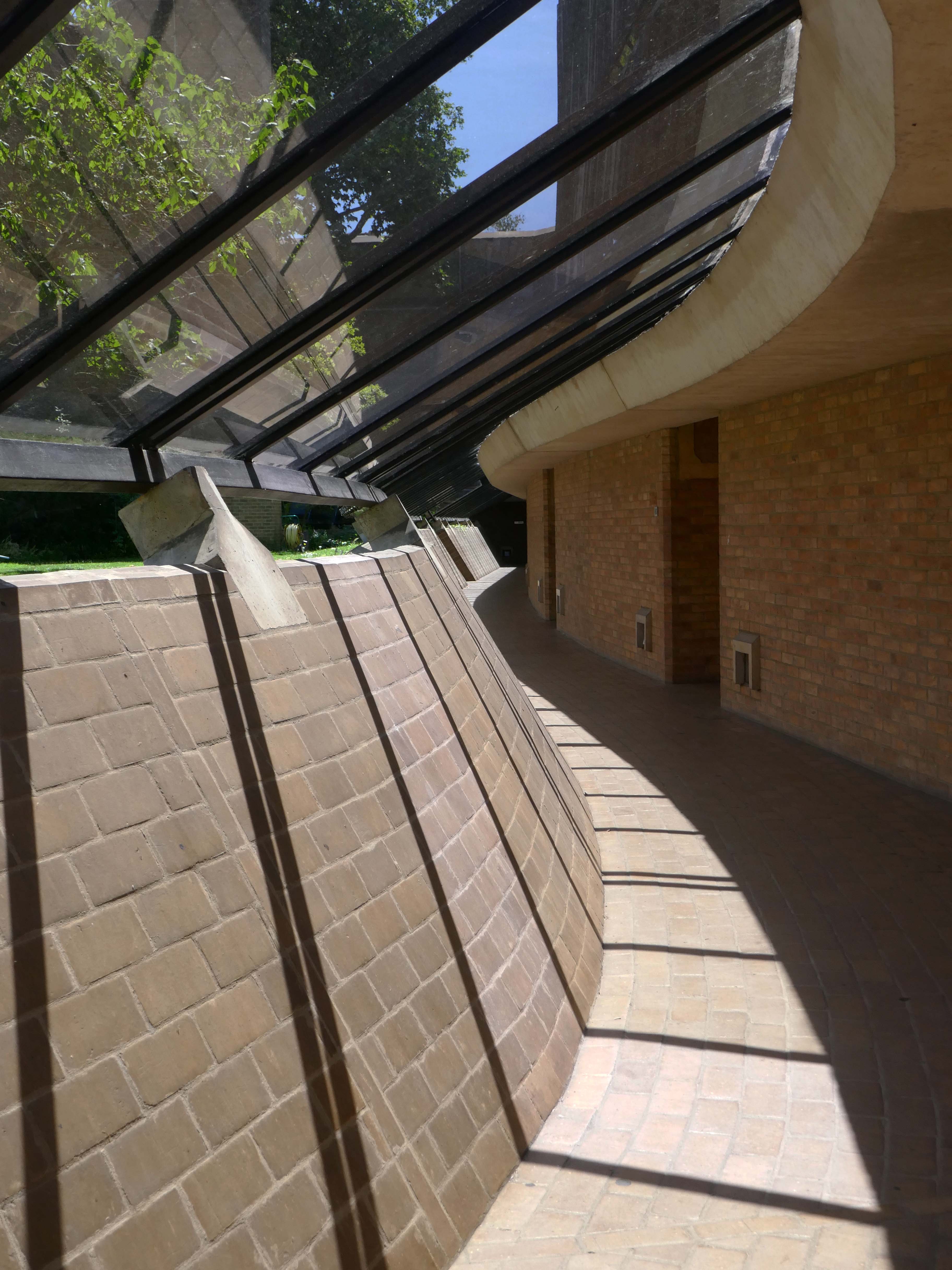
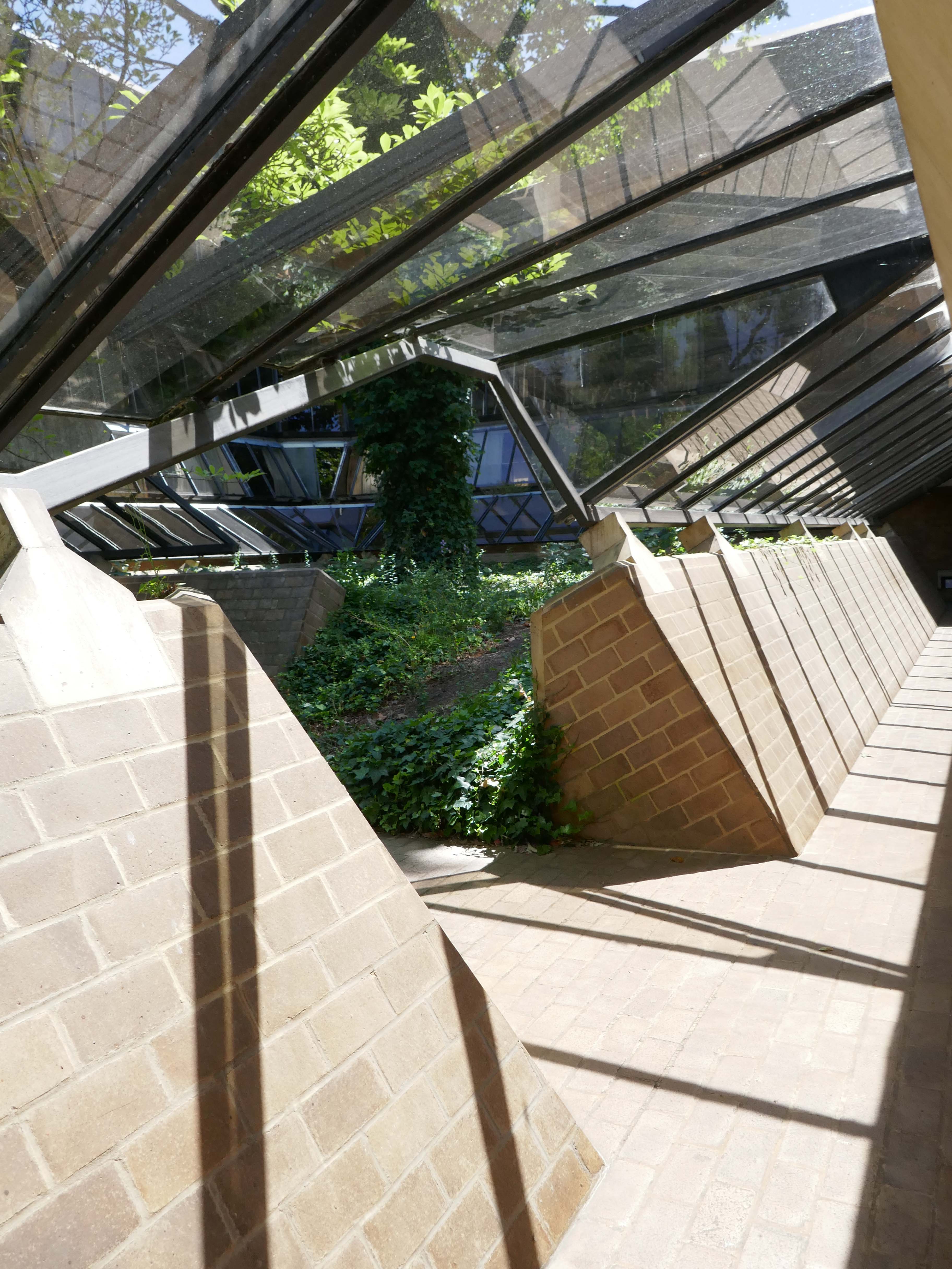
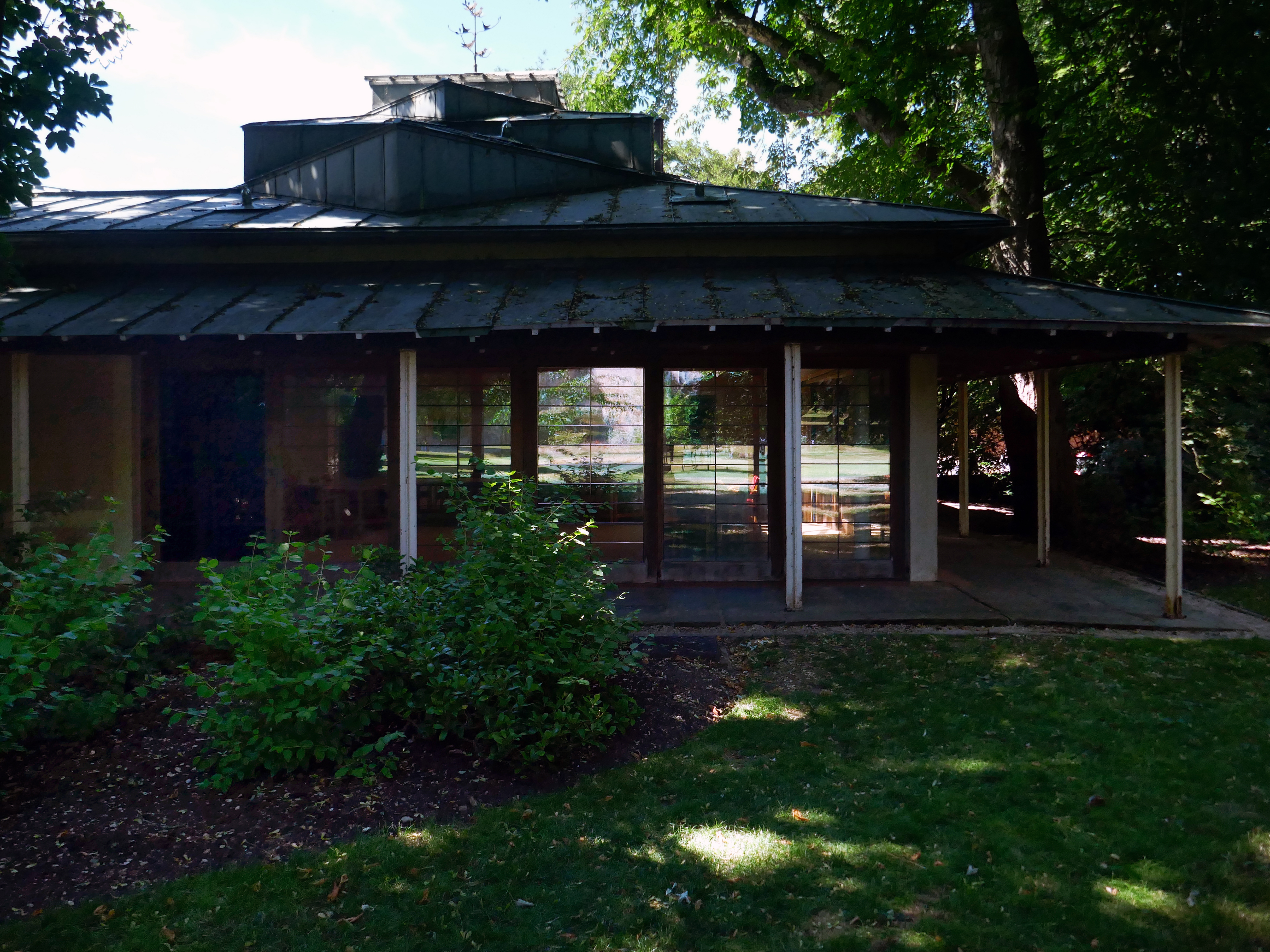
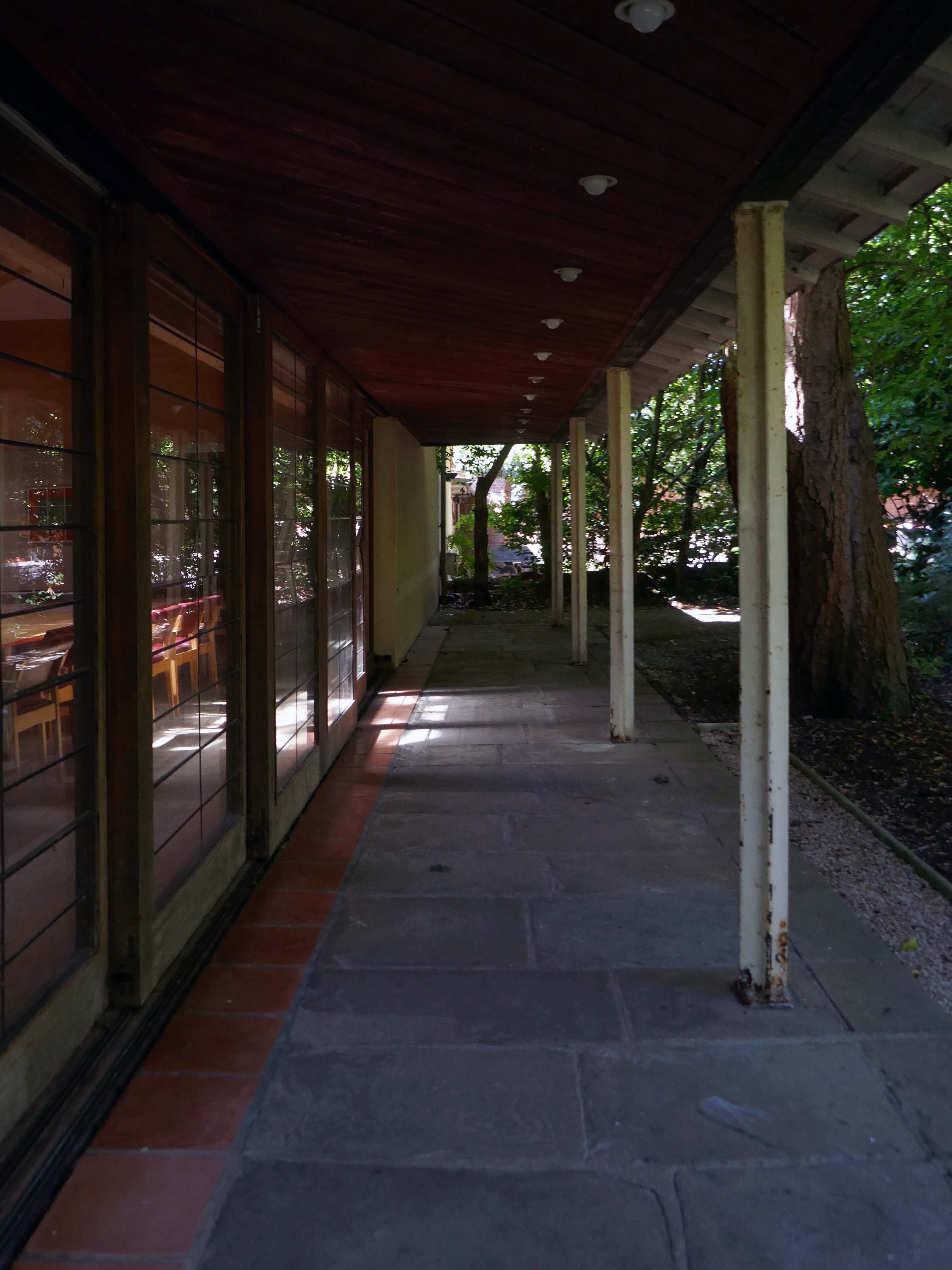
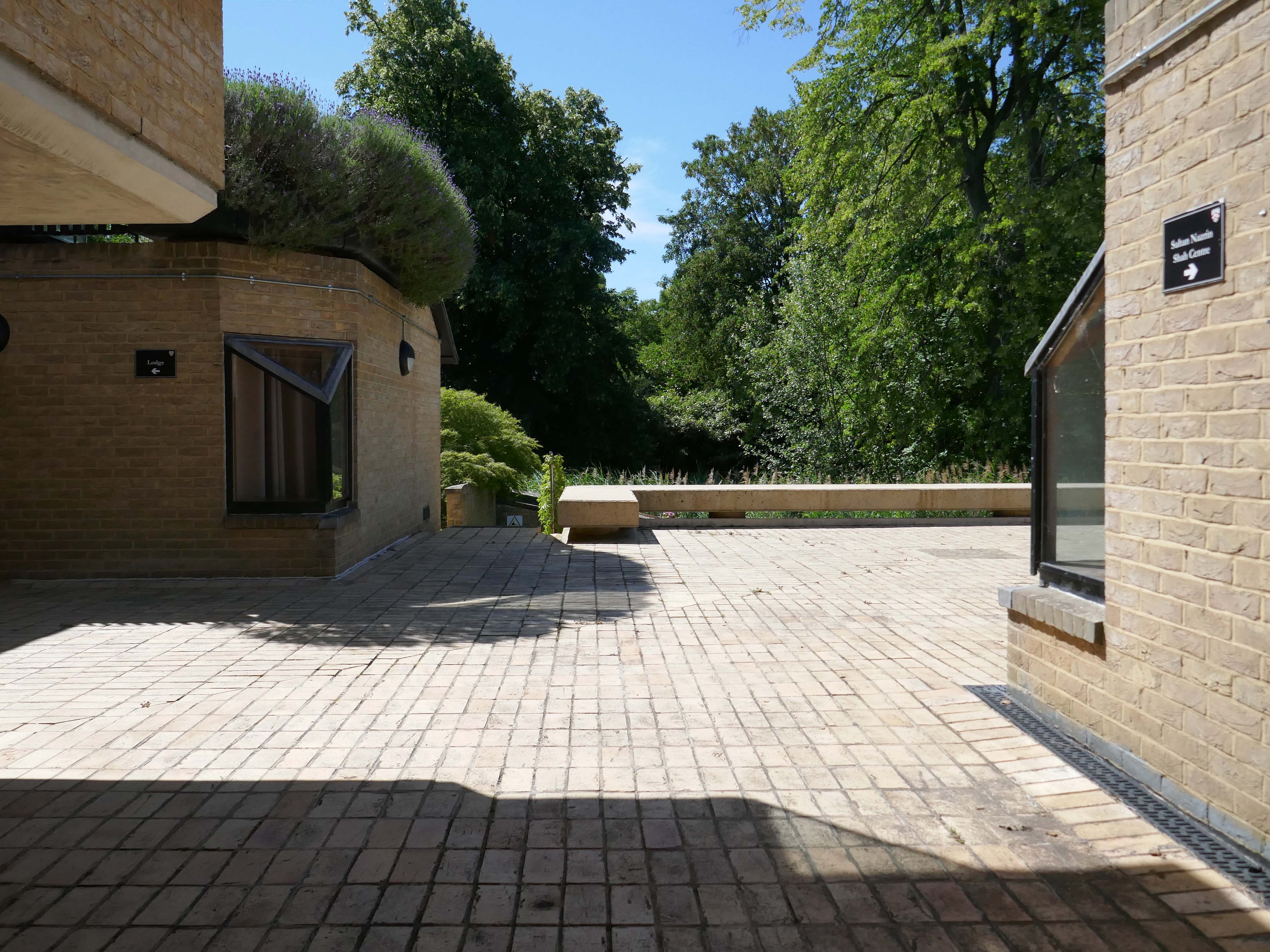
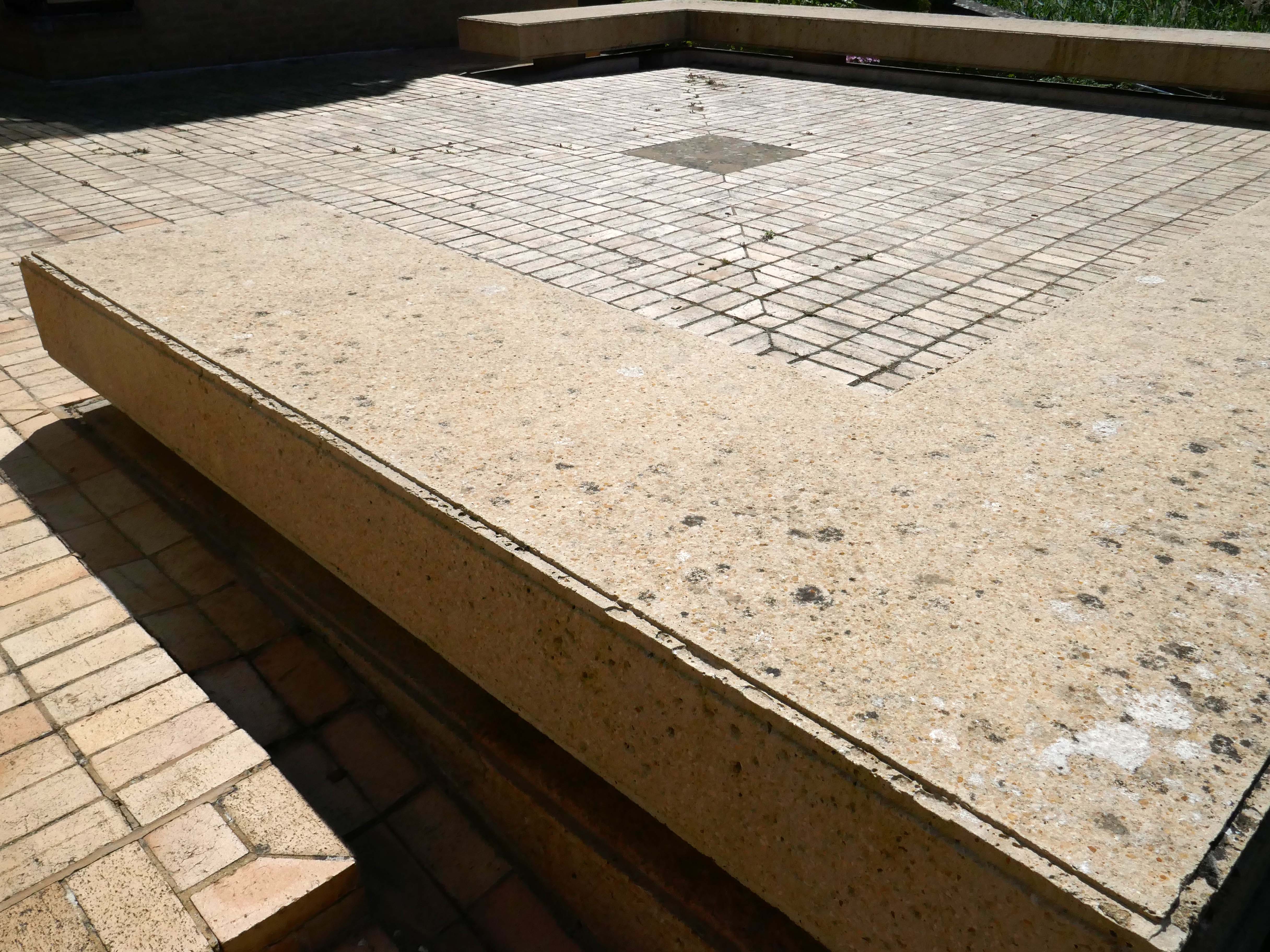
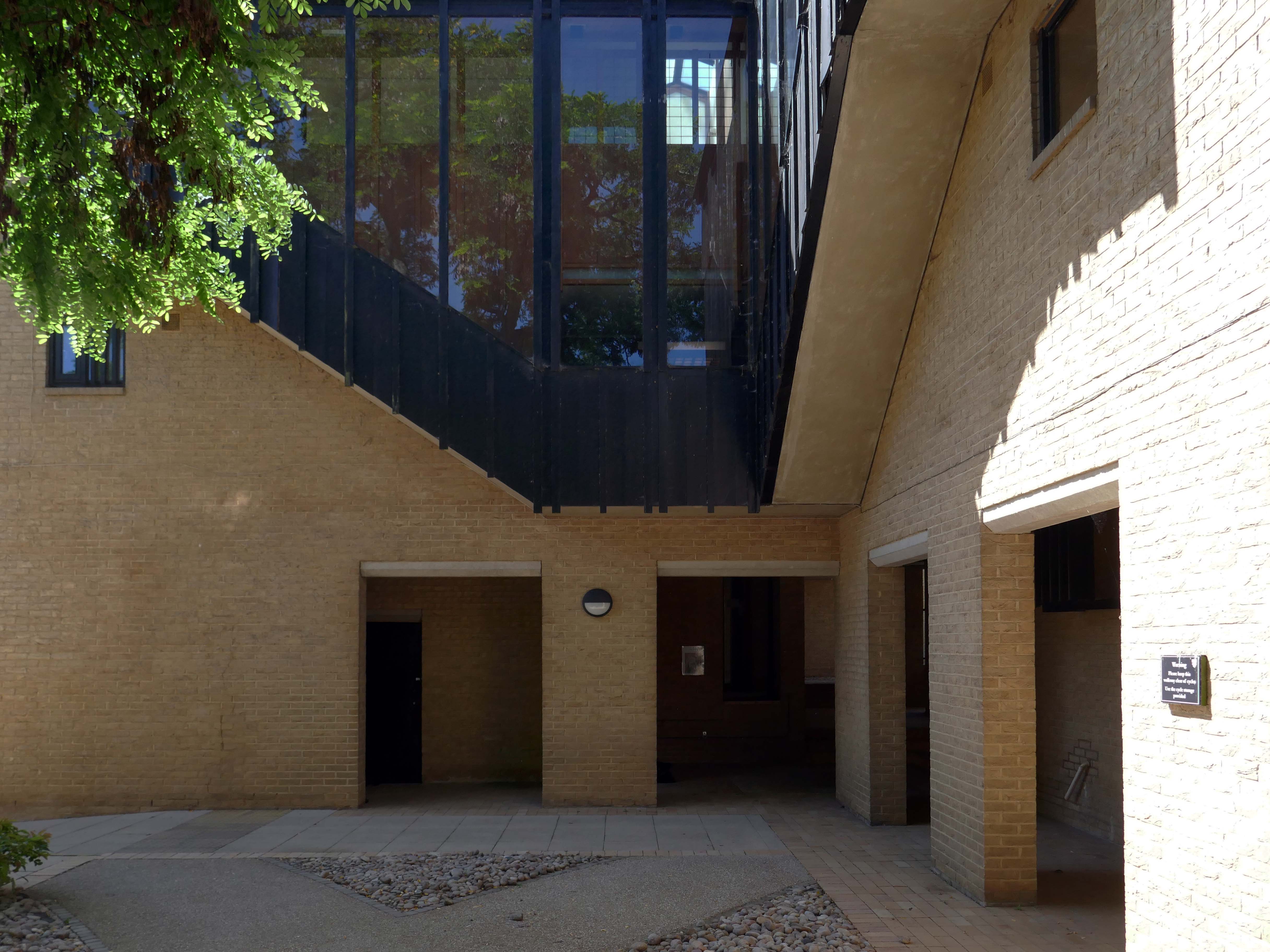
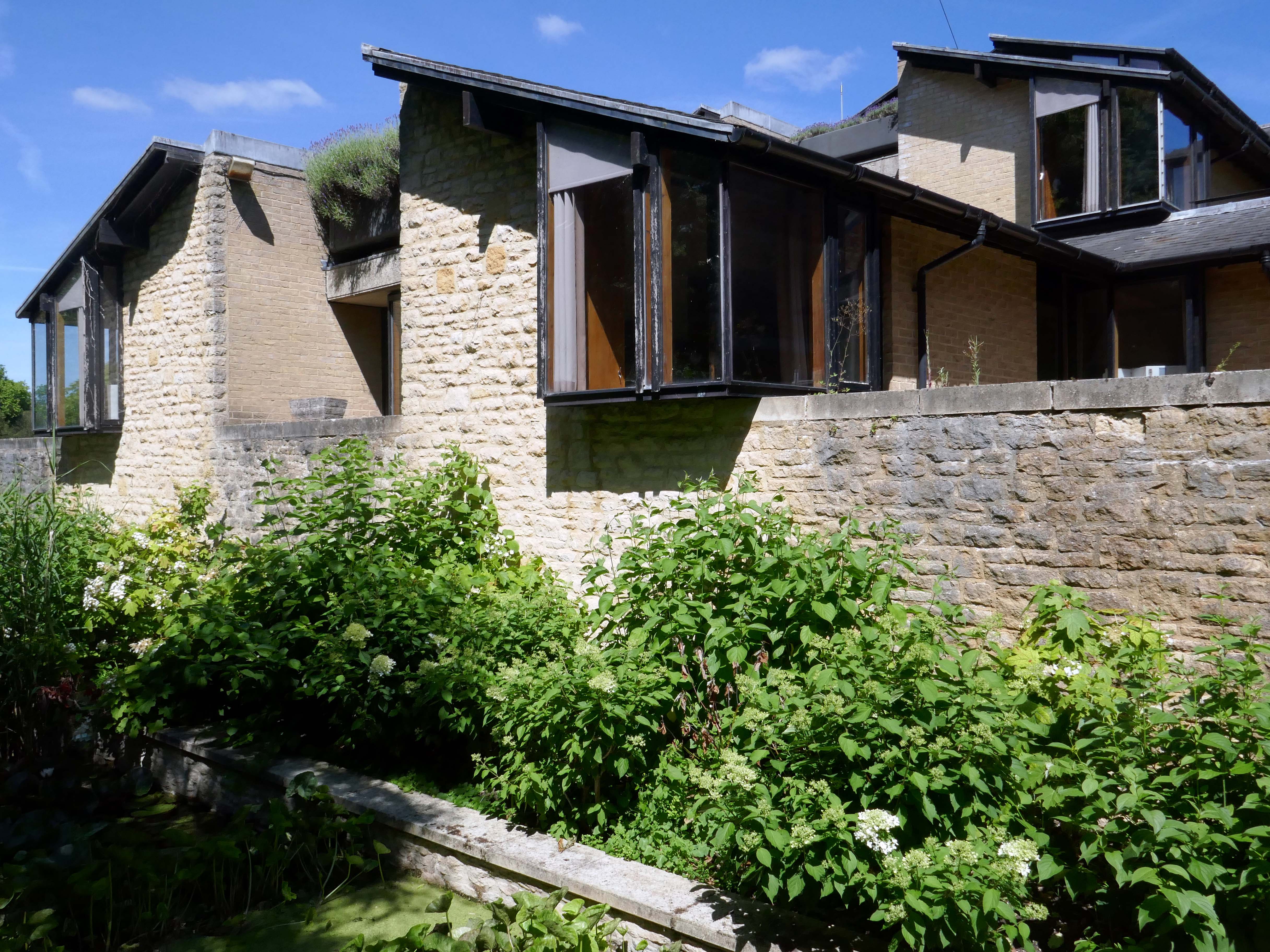
The Sultan Nazrin Shah Centre is a new building of 2017 housing a large lecture theatre, a student learning space, seminar rooms and a dance studio. The project is not simply the provision of new facilities, but also the development and enhancement of the setting of this significant part of the College site. Whilst the relationship between the new buildings and the listed parkland is important, it is only one part of a complex arrangement.
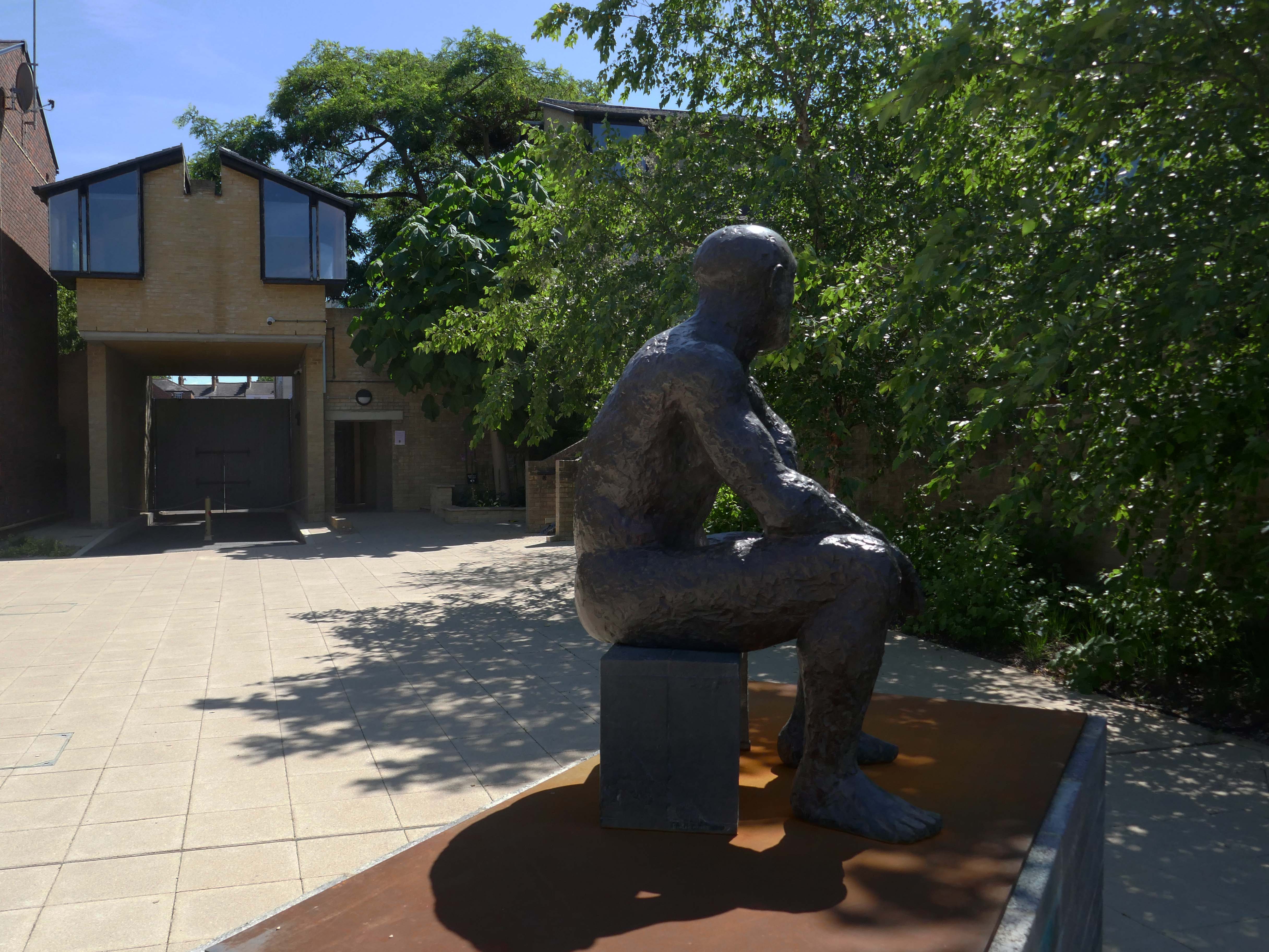
Elizabeth Frink’s sculpture Seated Man II – on loan from Yorkshire Sculpture Park, in accordance with the wishes of the artist’s late son, Lin Jammet, 2020.
He overlooks The Sainsbury Building student accommodation – 1983 Architect: Richard MacCormac
The College Chapel was built in the 18th century. George Clarke, Henry Keene, and James Wyatt were responsible for different stages of its lengthy construction 1720–1791, owing to a shortage of funds. The interior columns and pilasters, the dome, and the delicate foliage plastering are all Wyatt’s work. His classical interior was insufficiently emphatic for the tastes of militant Victorian churchmen, and between 1864 and 1866 the chapel was redecorated by William Burges.
It is highly unusual and decorative; being predominantly pink, the pews are decorated with carved animals, including kangaroos and whales, and the walls are riotously colourful, and include frescoes of dodos and peacocks. Its stained glass windows were to have been designed by John Everett Millais, but Burges rejected his designs and entrusted the work to Henry Holiday.
Wikipedia
My first visit to Oxford and the centuries wide cornucopia of architectural styles and fashion.
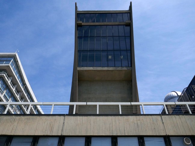
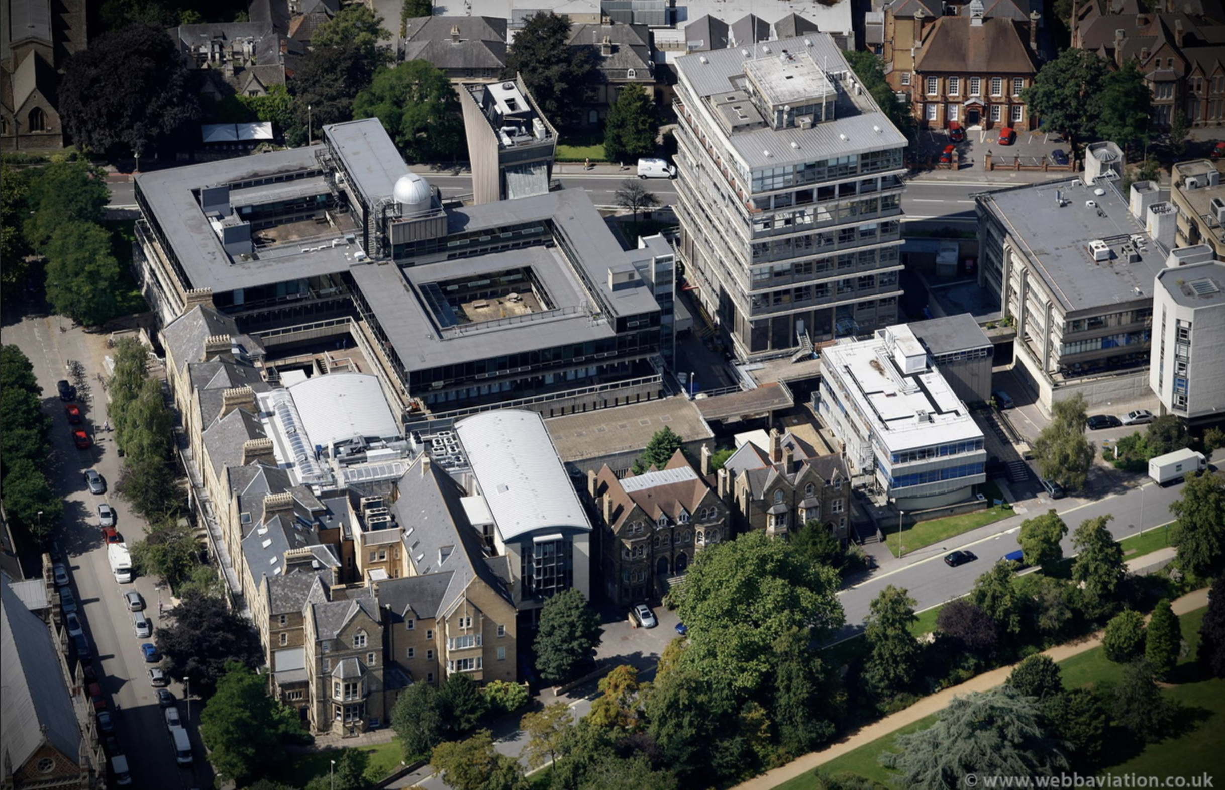
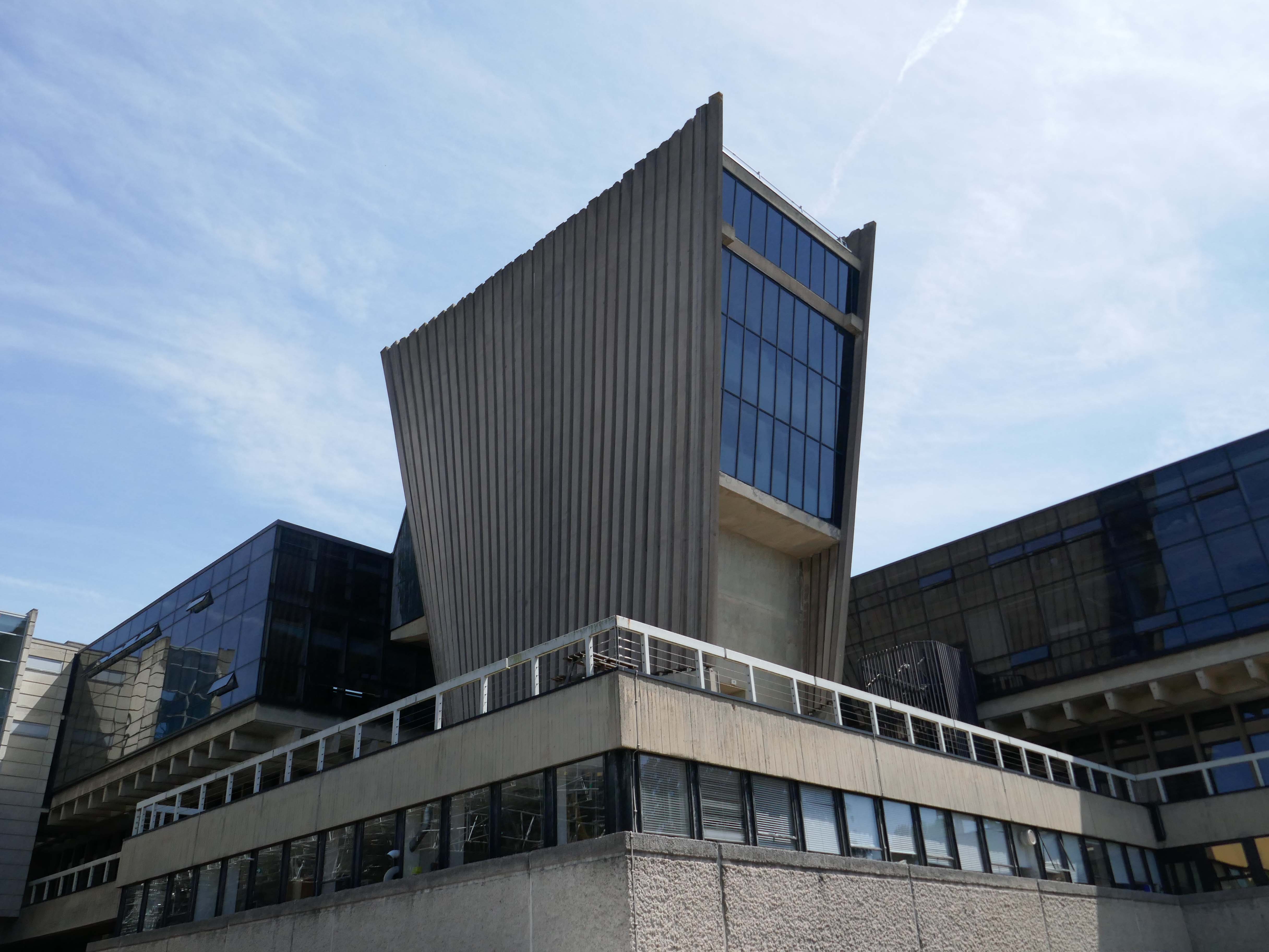
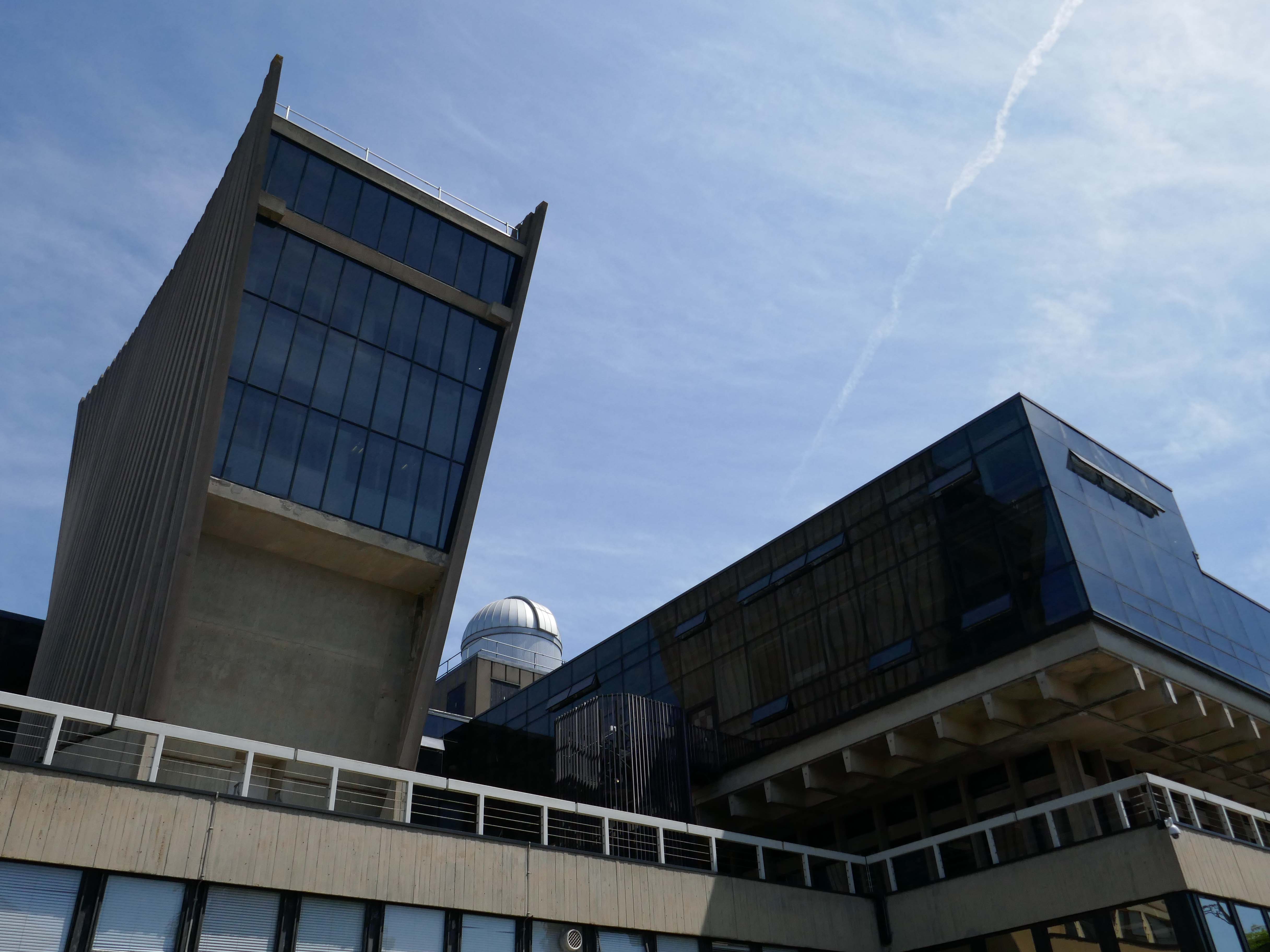
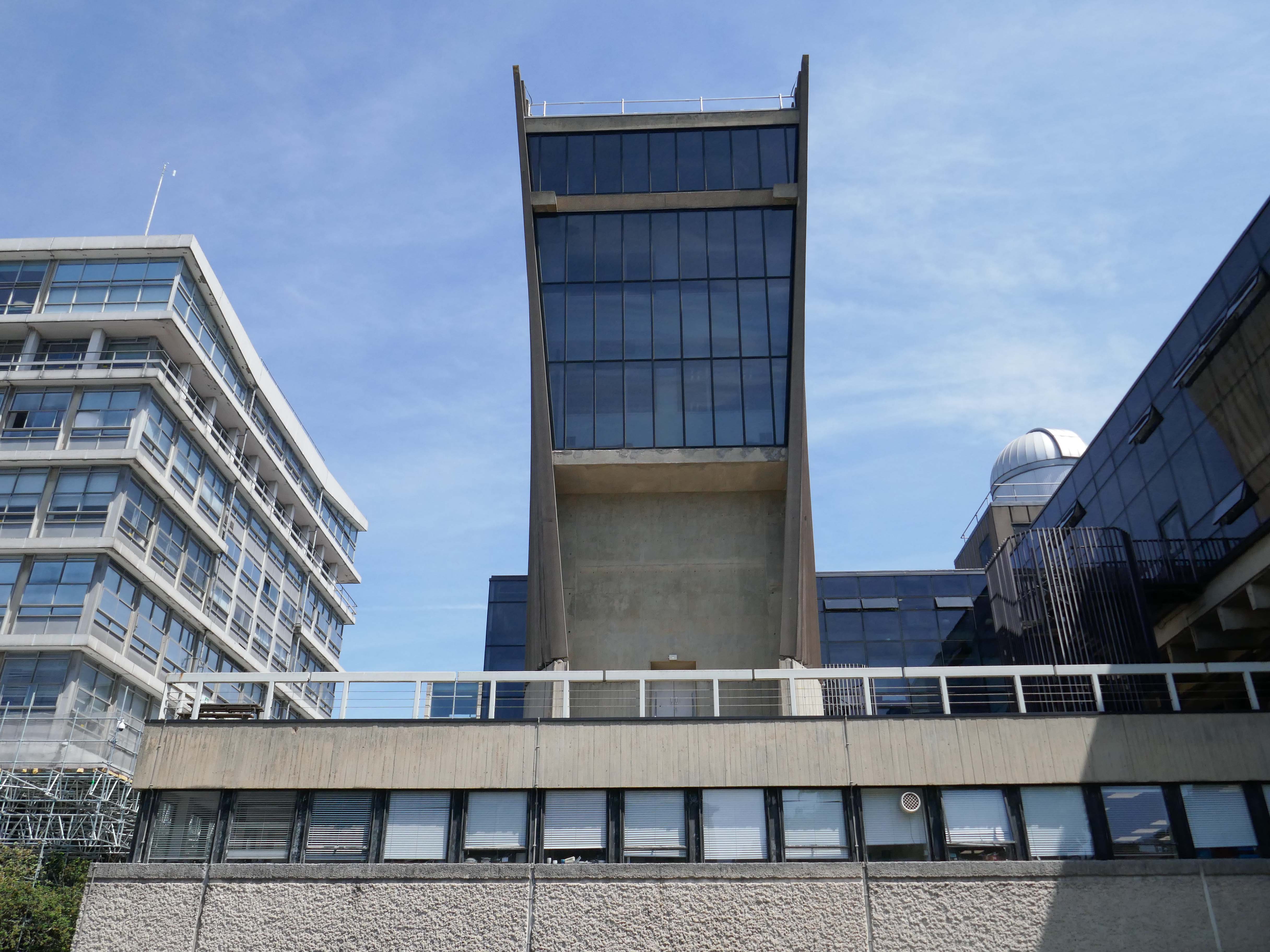
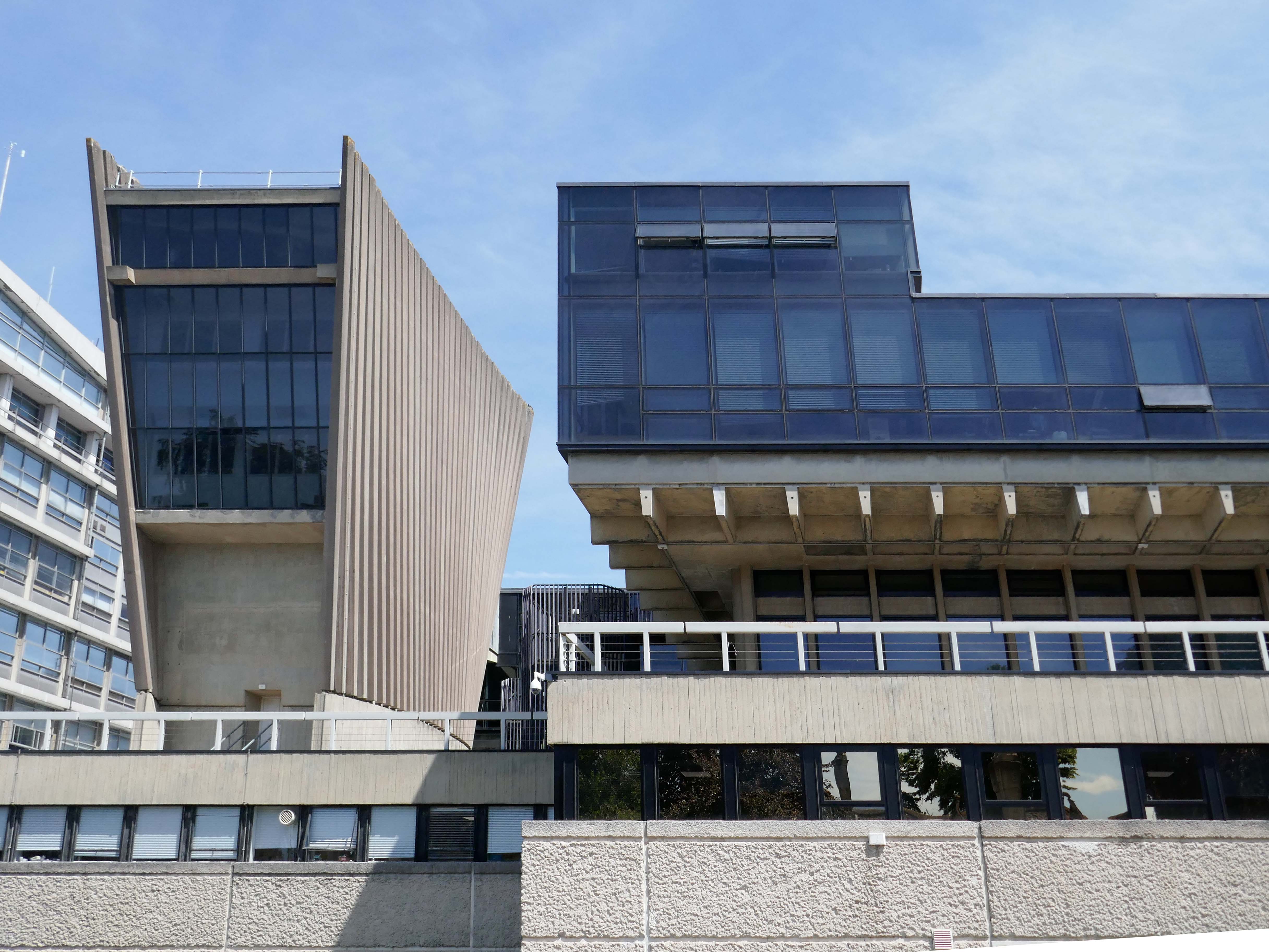
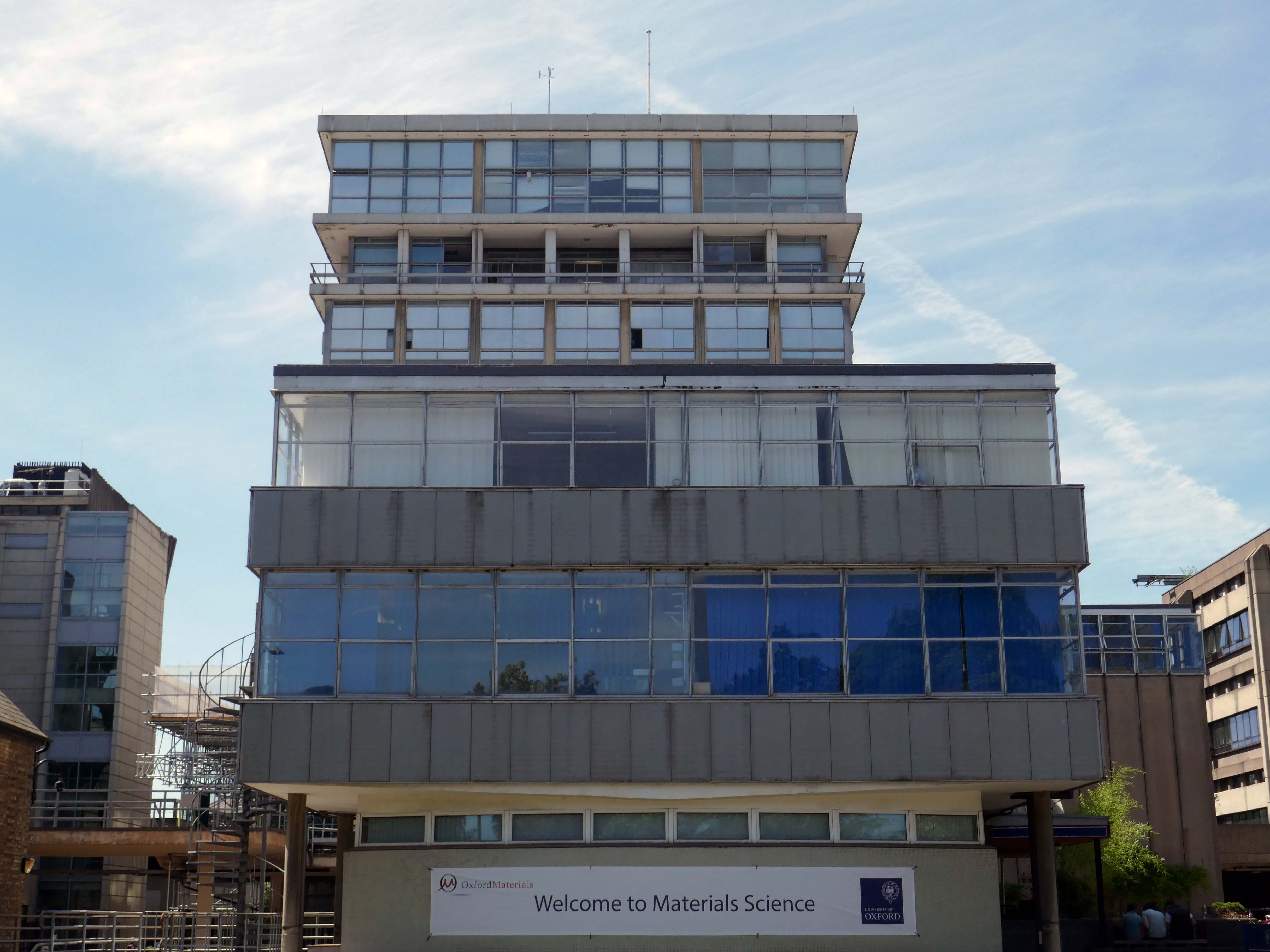
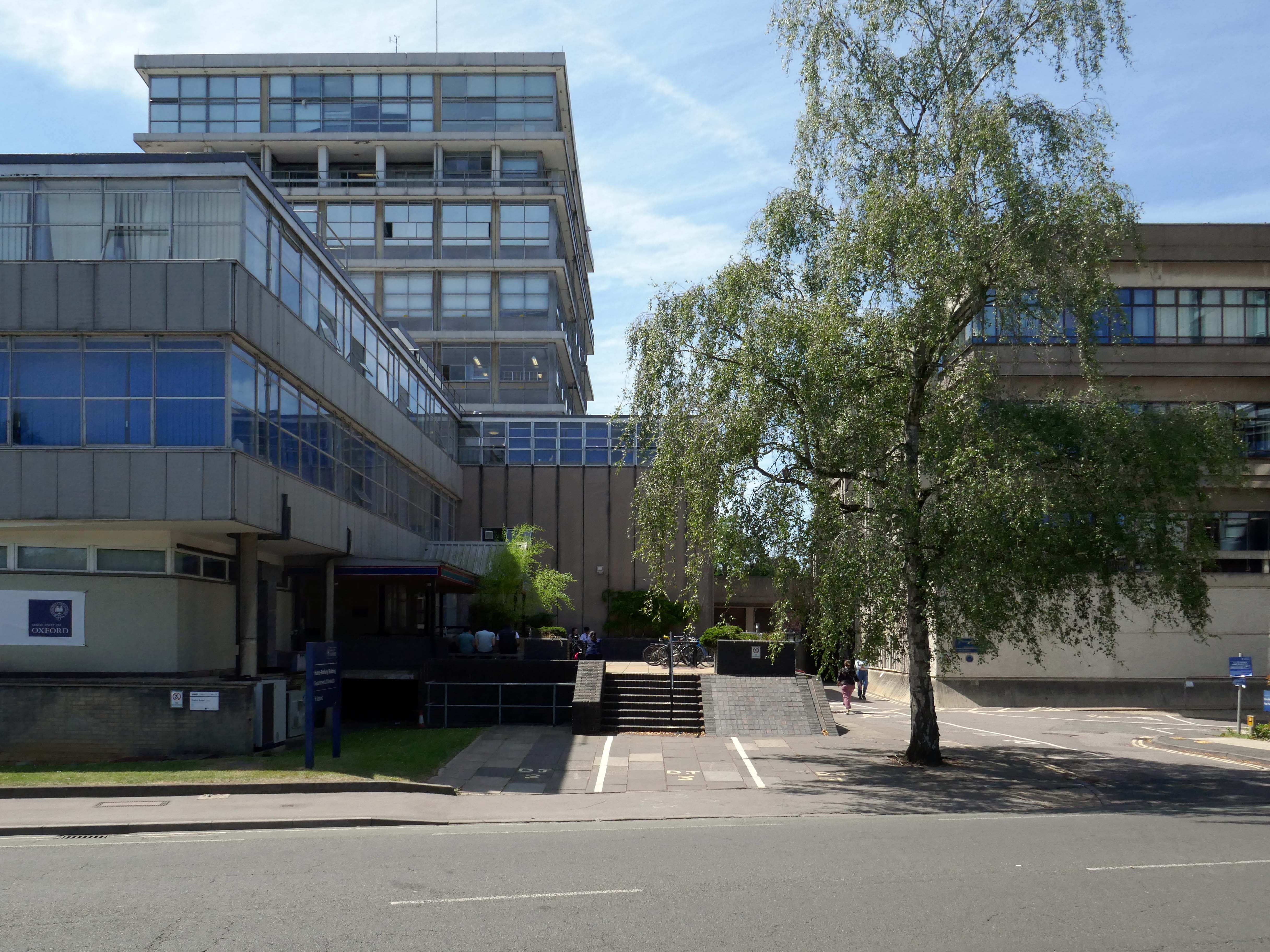
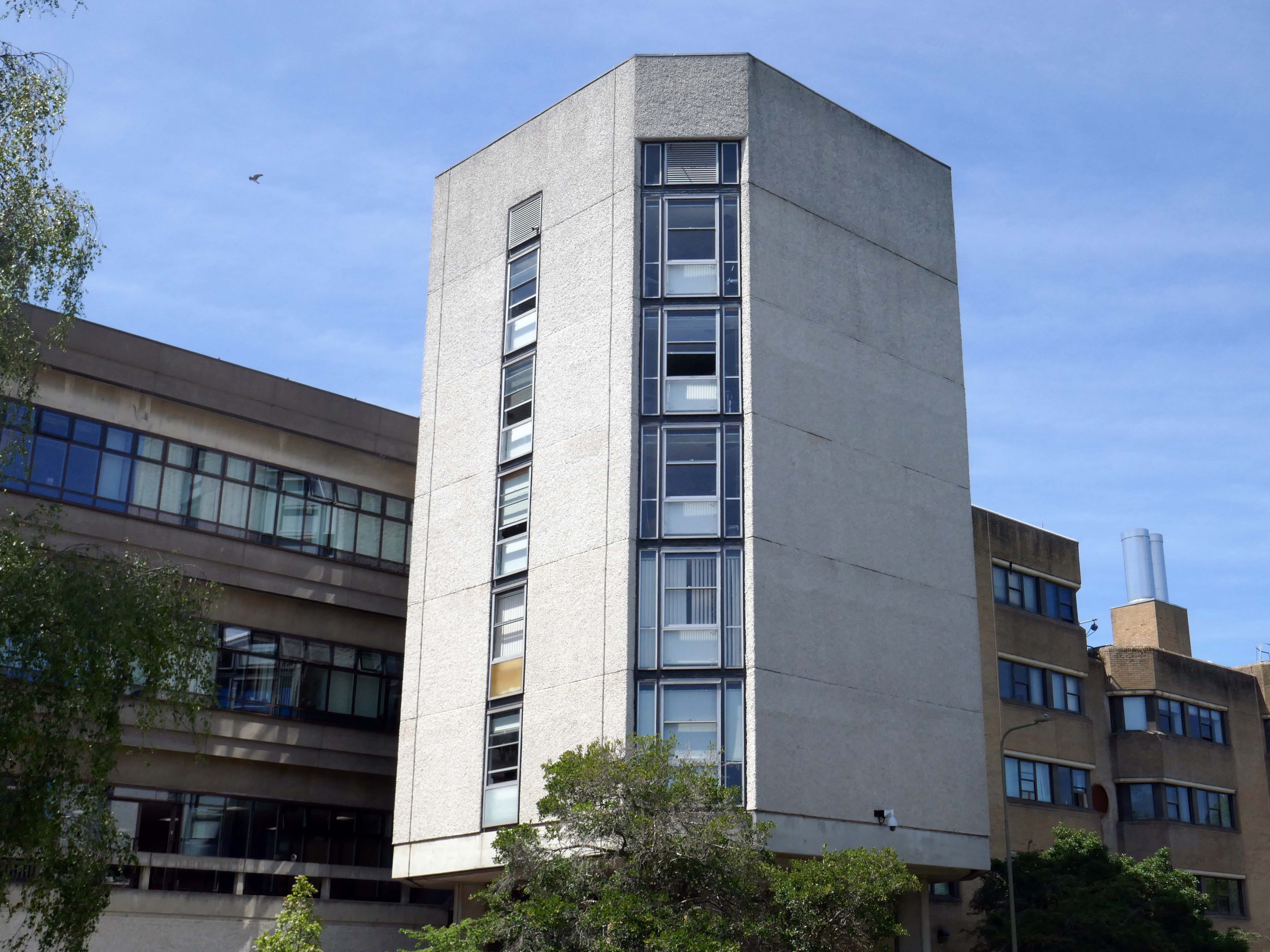
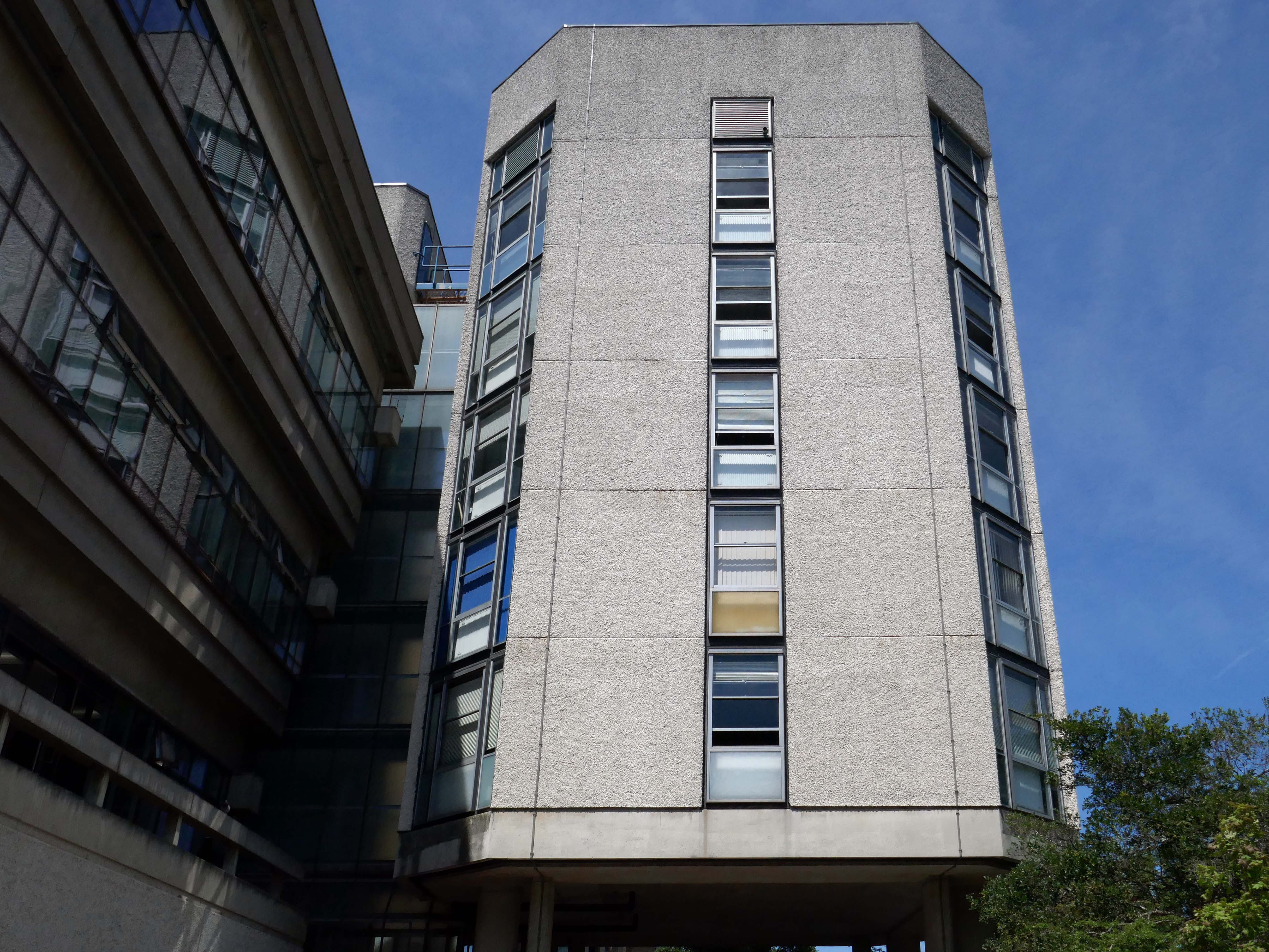
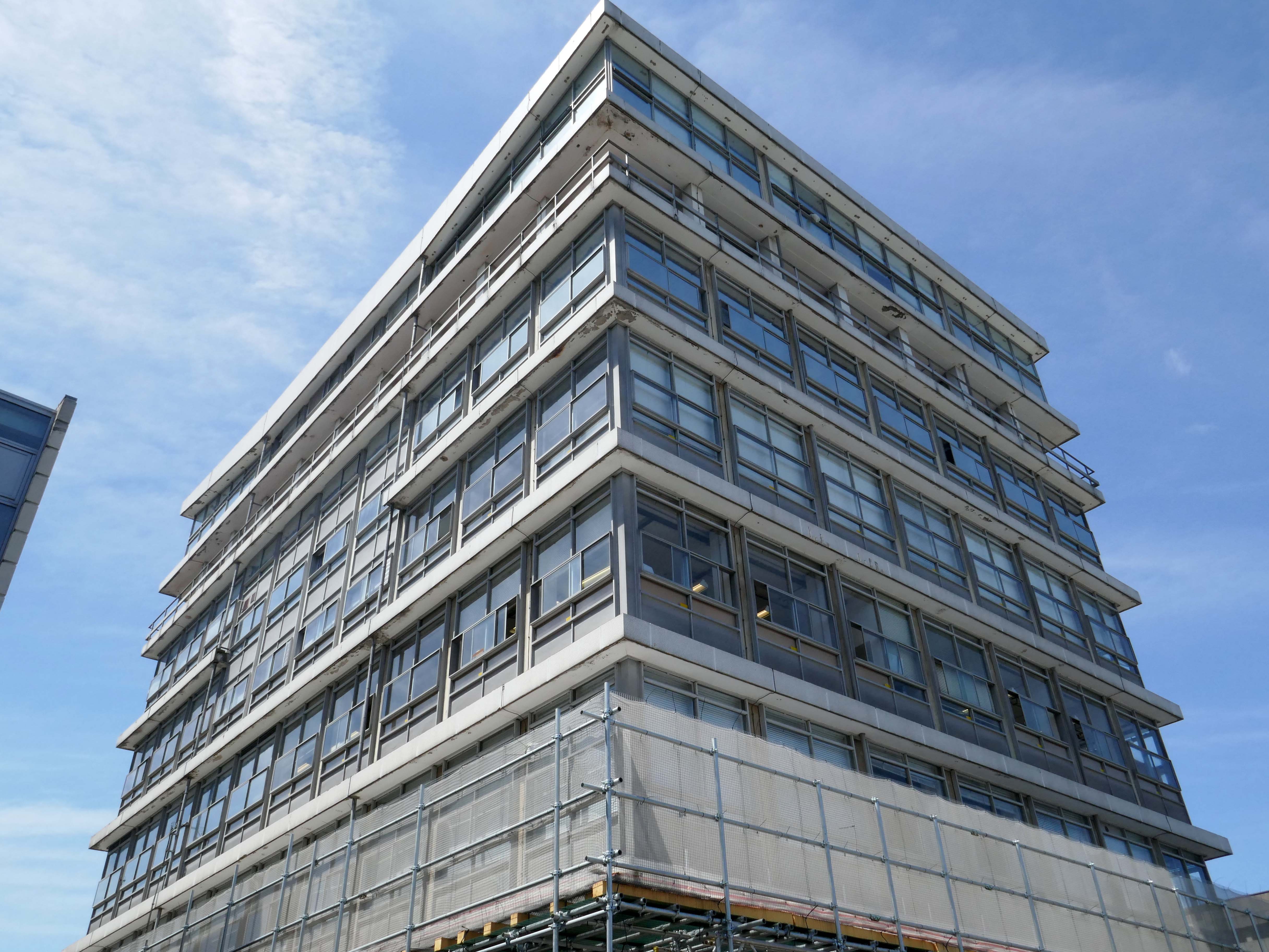
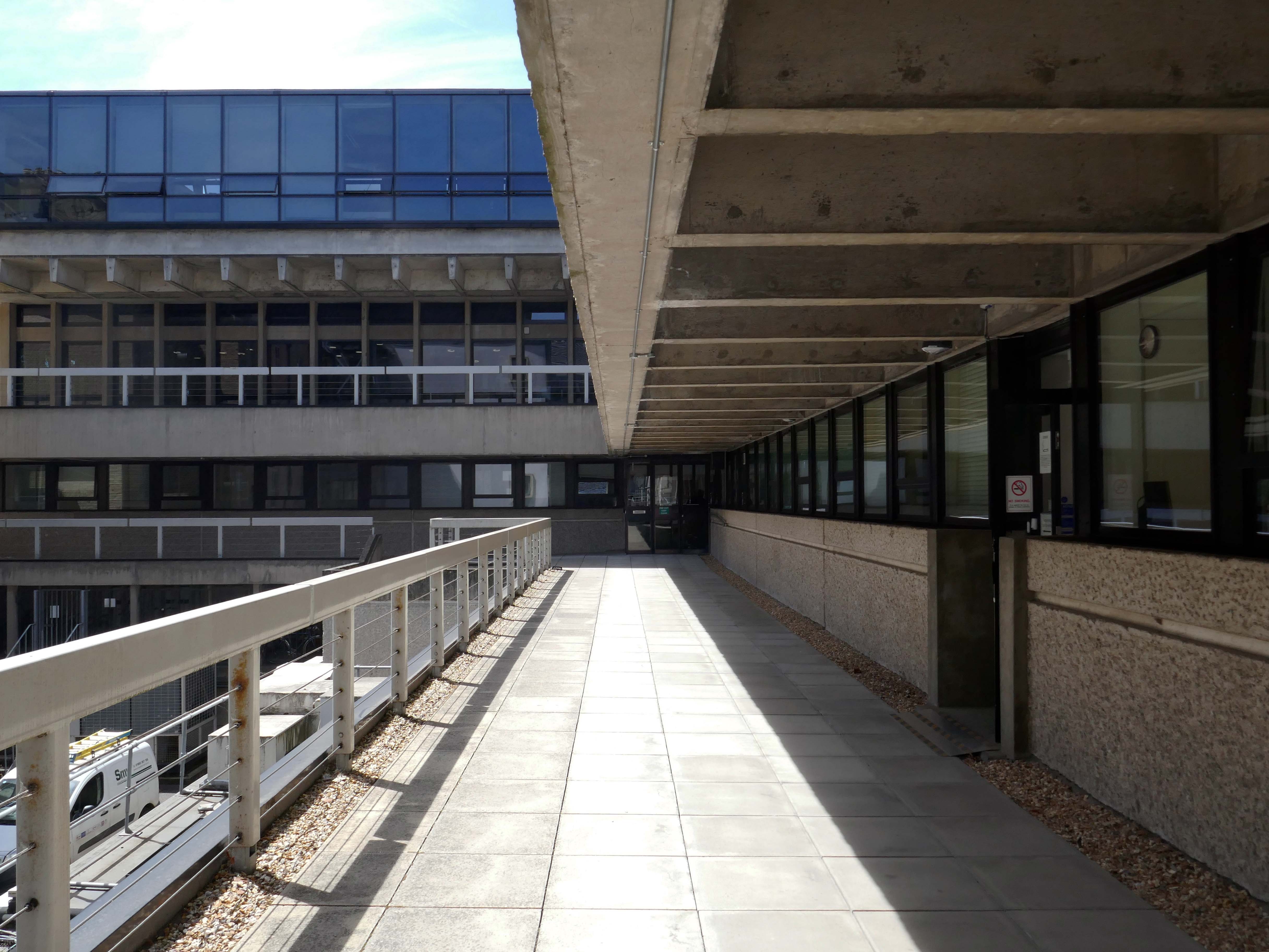
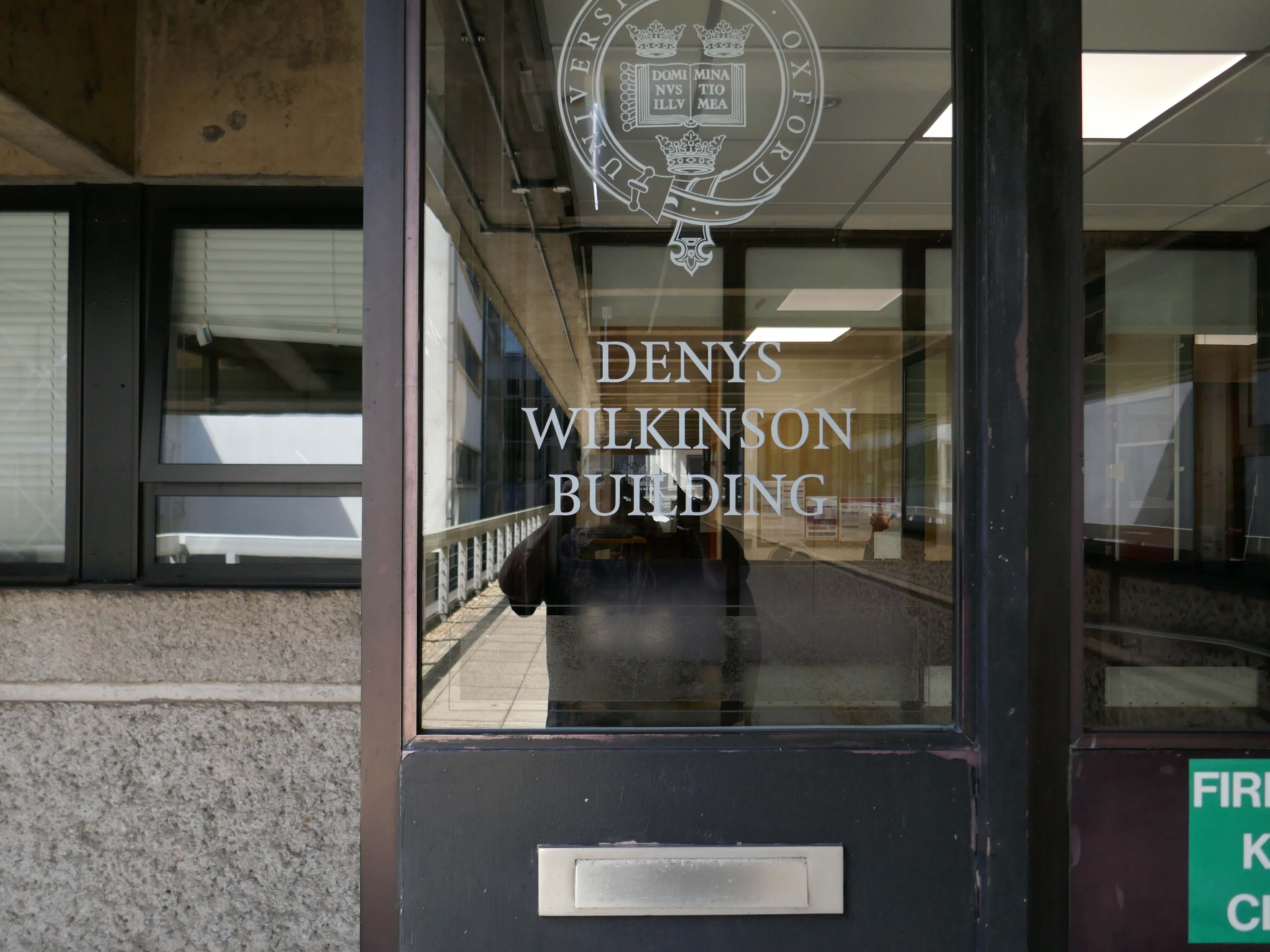
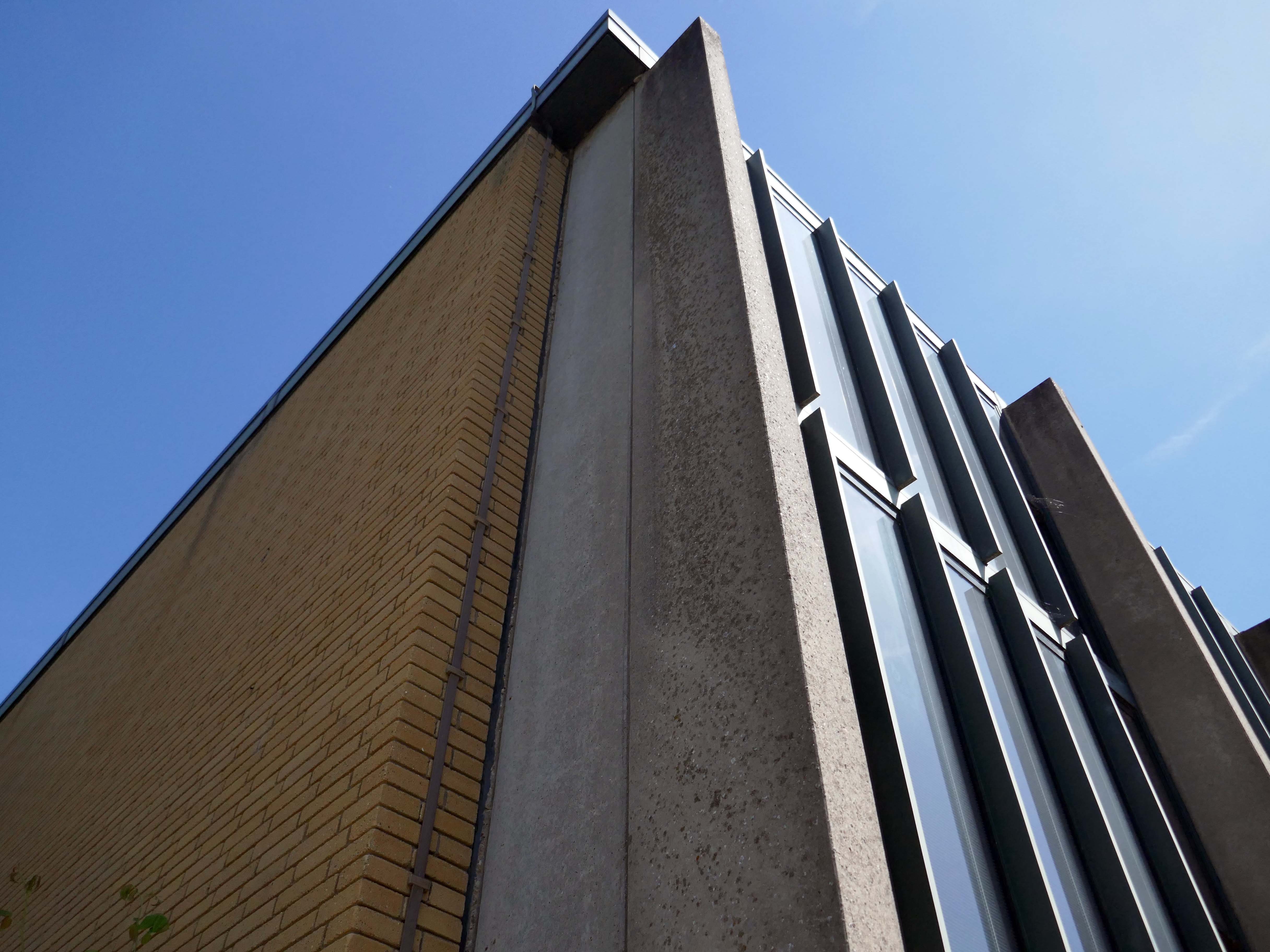
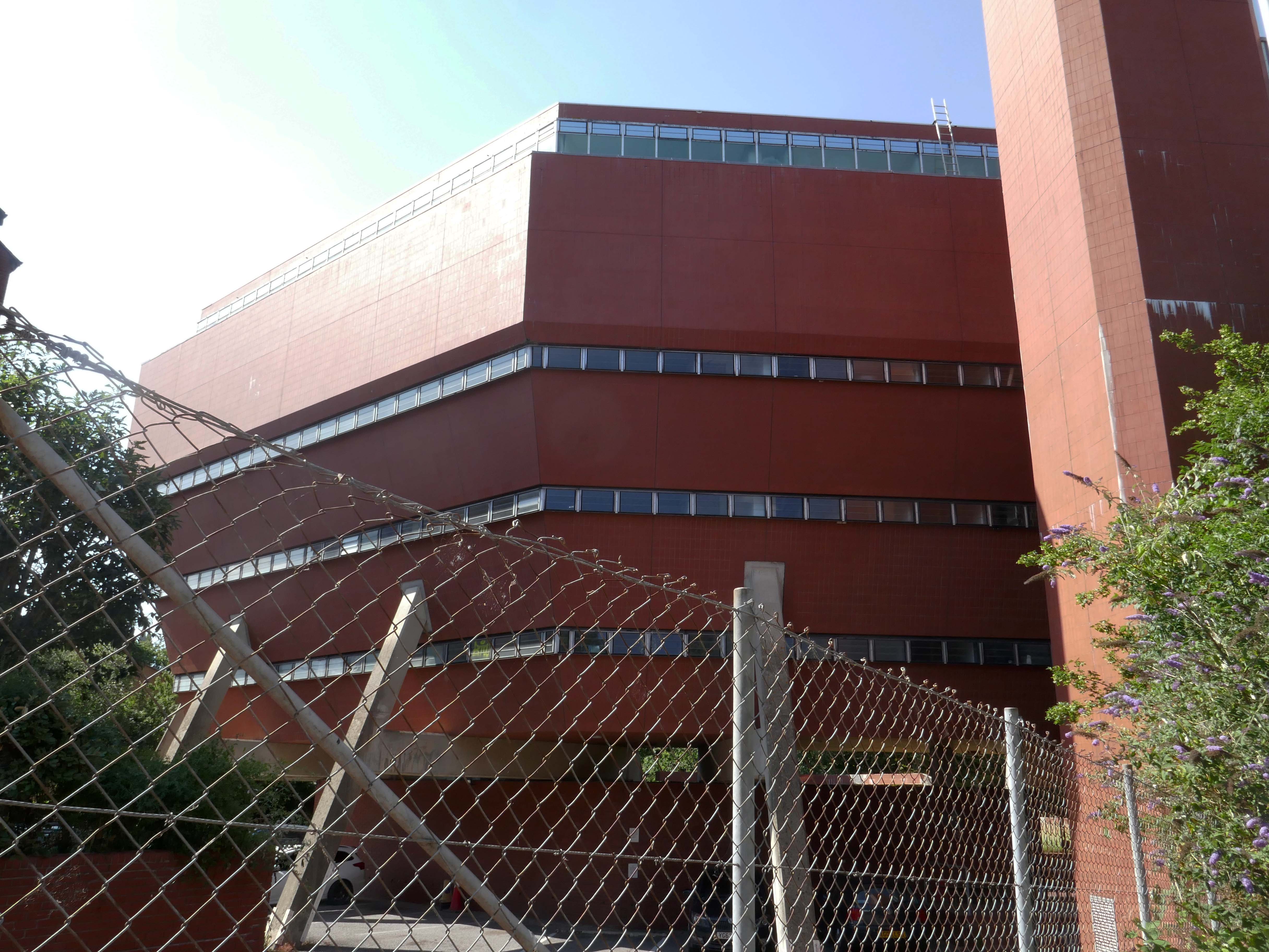
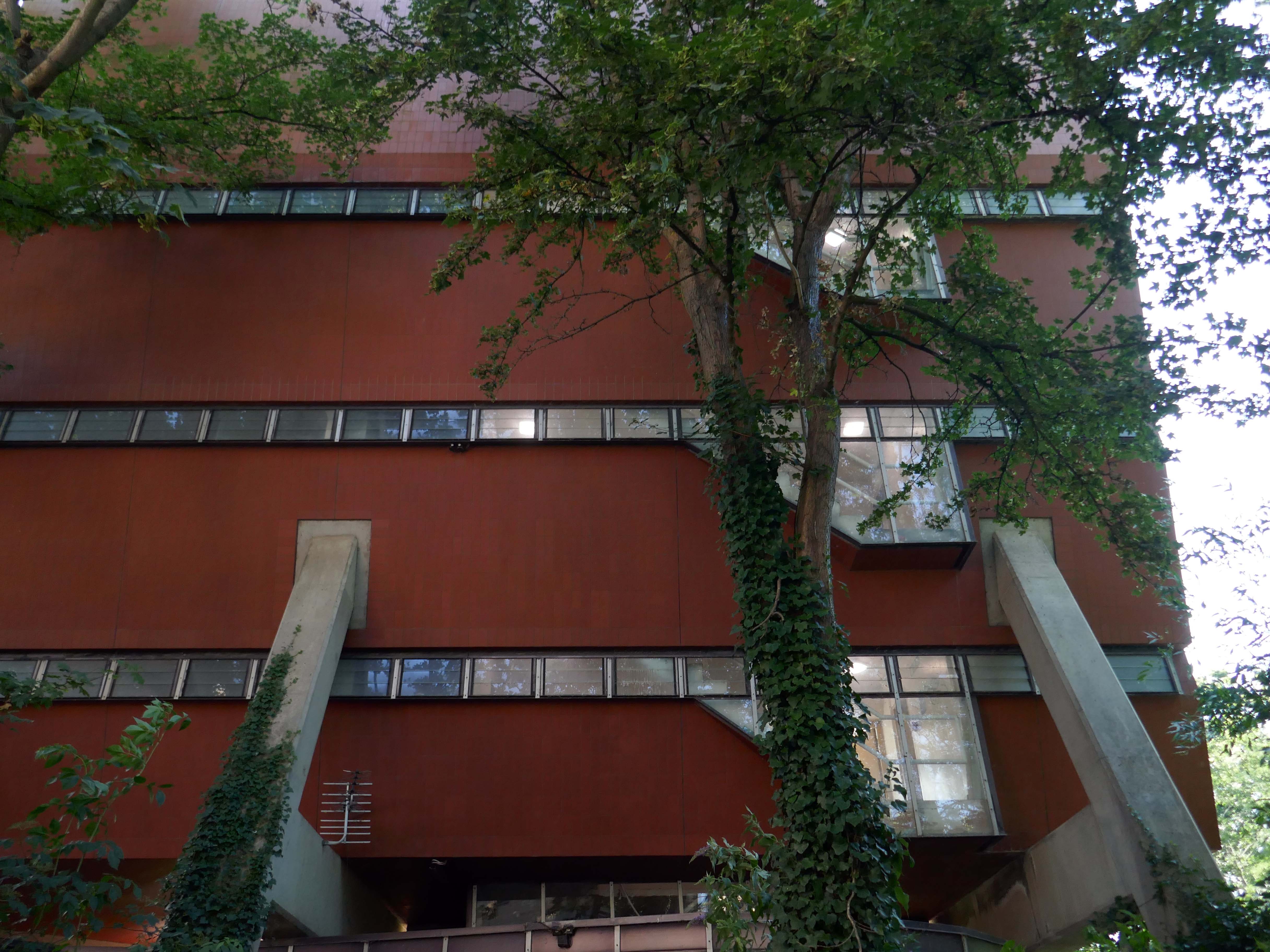
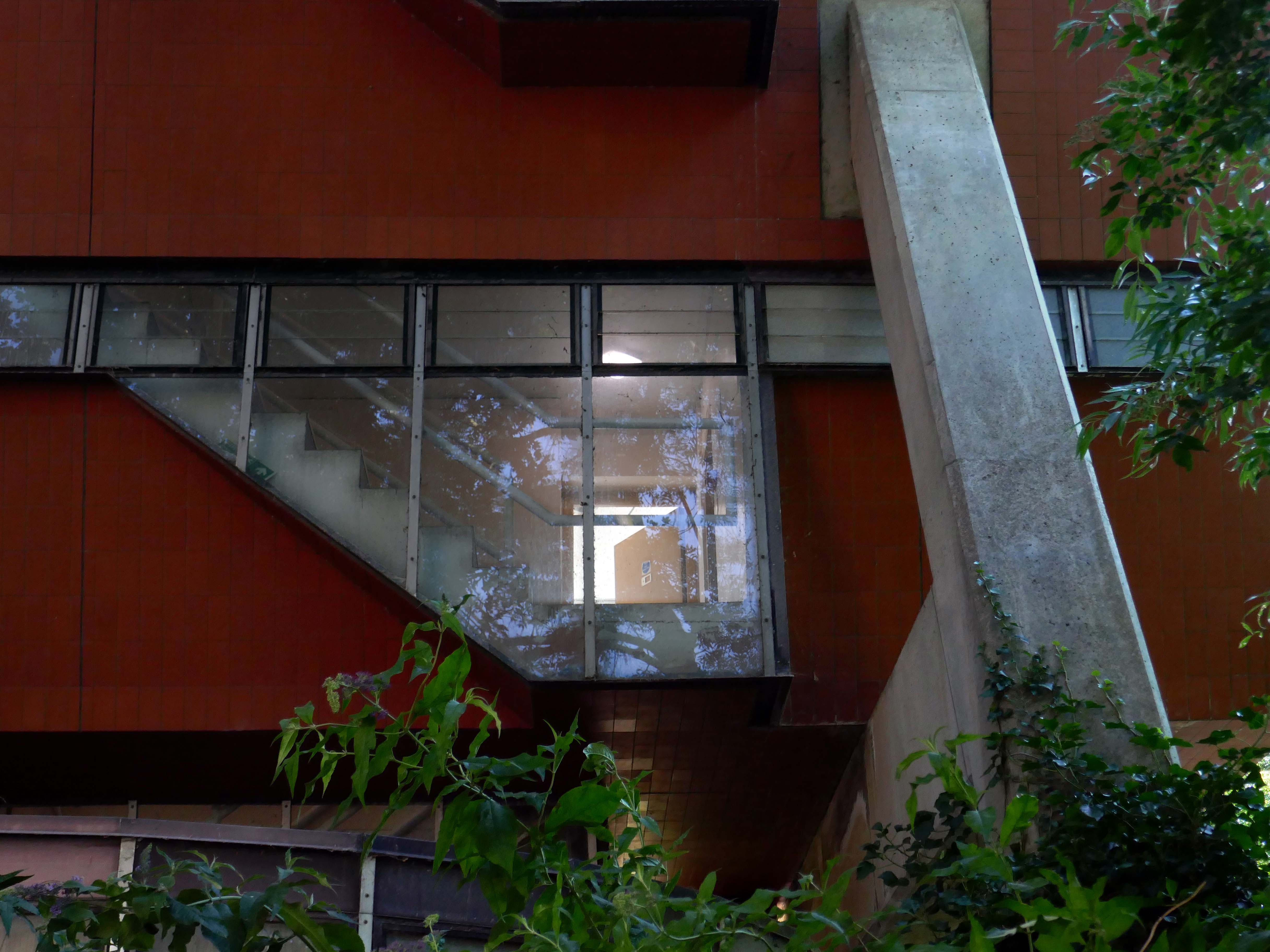
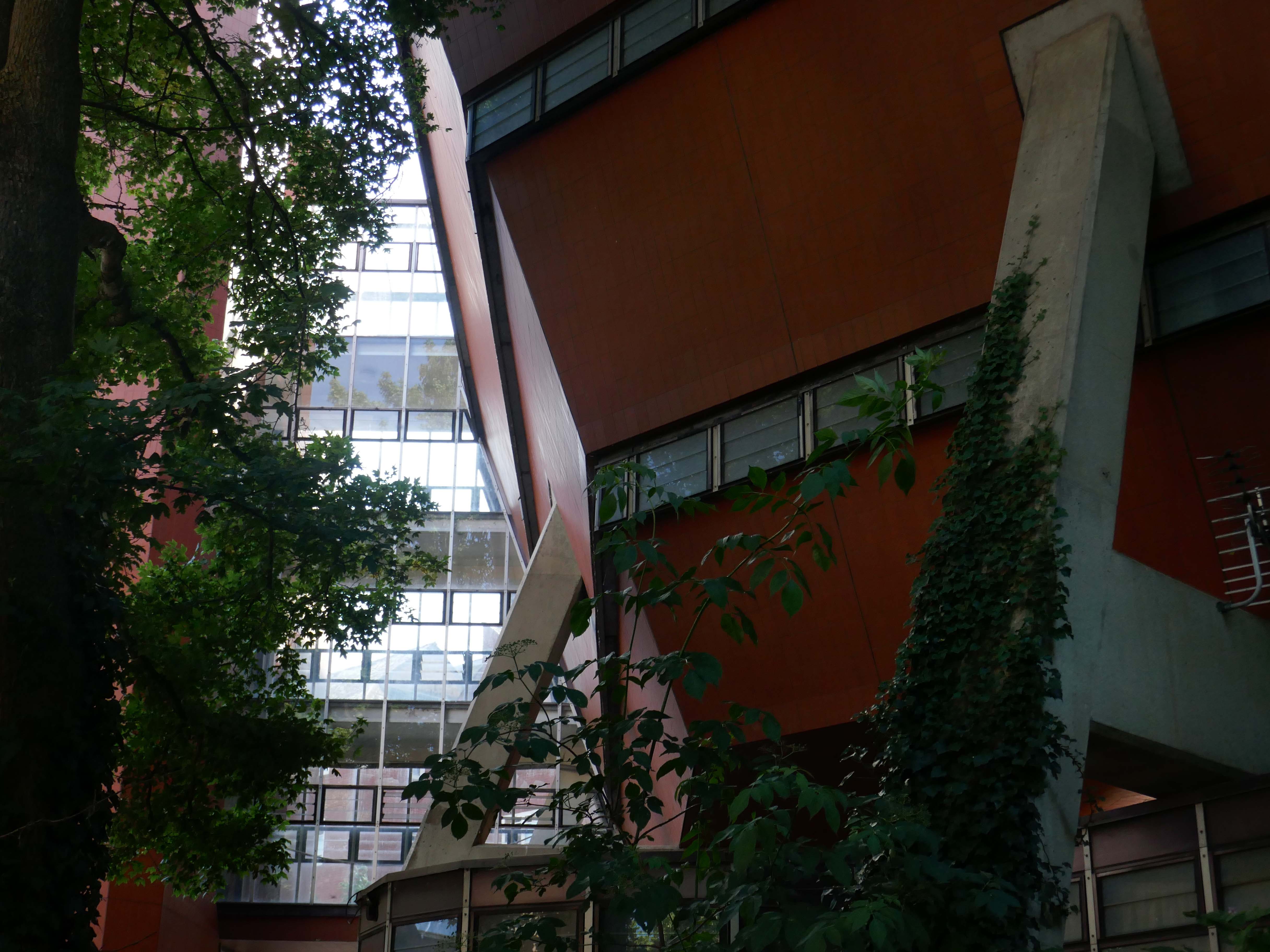
The Denys Wilkinson Building was designed by Philip Dowson at Arup in 1967.
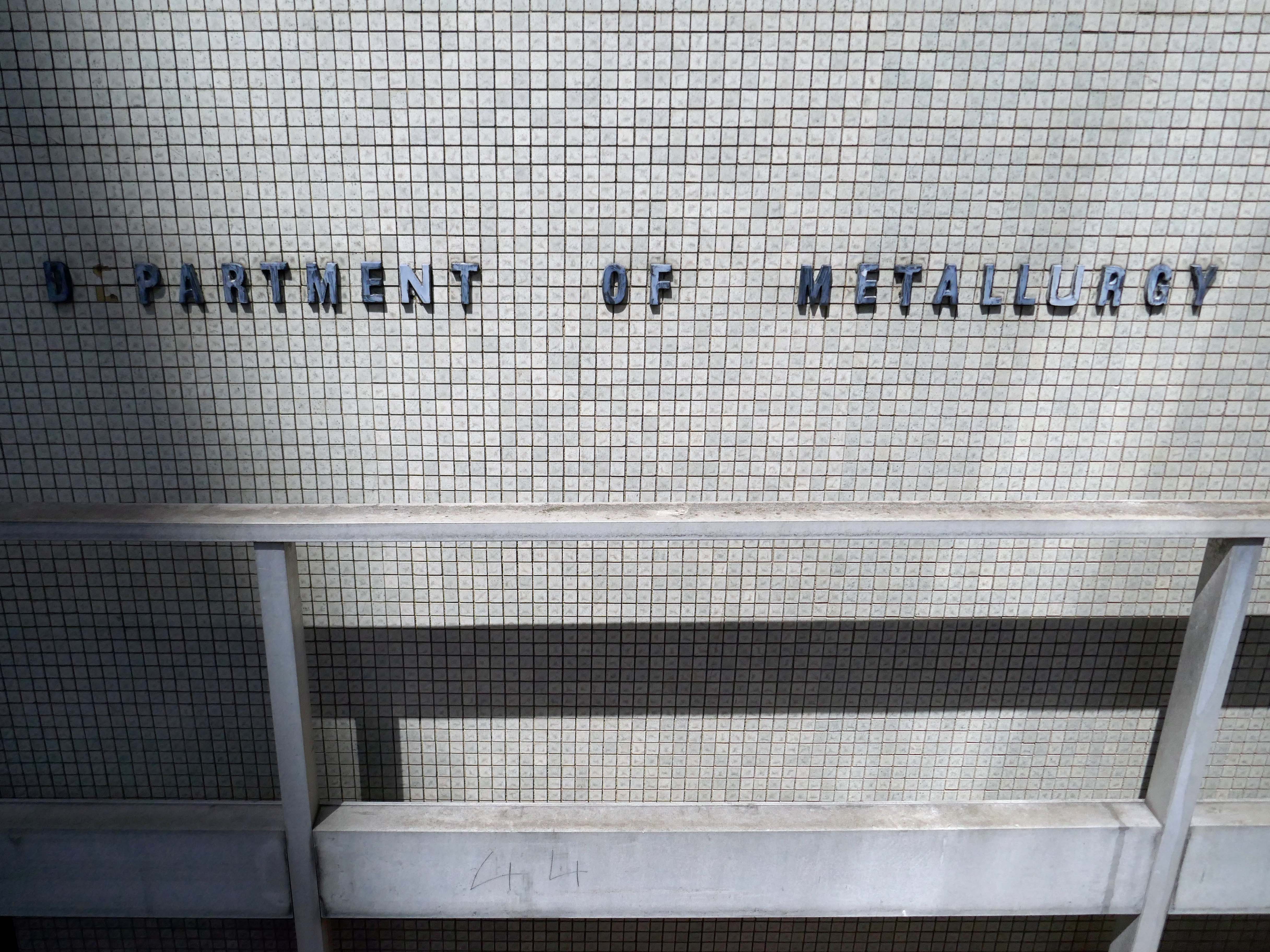
The building houses the astrophysics and particle physics sub-departments of the Department of Physics at Oxford University, plus the undergraduate teaching laboratories. It was originally built for the then Department of Nuclear Physics and named the Nuclear Physics Laboratory. From 1988, the building was known as the Nuclear and Astrophysics Laboratory after the Sub-Department of Astrophysics moved from the University Observatory in the Science Area. On 21st June 2002, the building was renamed as the Denys Wilkinson Building, in honour of the British nuclear physicist Sir Denys Wilkinson, who was involved in its original creation.
Denys Wilkinson Building Oxford photo – Webb Aviation.
Department of Nuclear Physics, Oxford Arup Associates 1971 – Colin Westwood RIBA pix.
The University of Oxford is relocating its undergraduate physics practical teaching from the Denys Wilkinson Building amid concerns about the presence of asbestos at the ageing site.
From Michaelmas this year, some practical teaching labs will move to the former Biochemistry and Biological Sciences Teaching Centre, with the remainder moving by Michaelmas 2027. The Biochemistry and Biological Sciences Teaching Centre will be adapted for physics practical teaching. Around six hundred undergraduates currently take part in compulsory practical coursework in the Denys Wilkinson Building across the first three years of Oxford’s physics degrees.
A University spokesperson told Cherwell that the decision to relocate had been taken proactively to avoid the risk of a sudden building failure causing disruption later. The spokesperson added that the Denys Wilkinson Building:
Is being carefully managed through the later years of its usable life, adding that the building has some legacy issues, including asbestos.
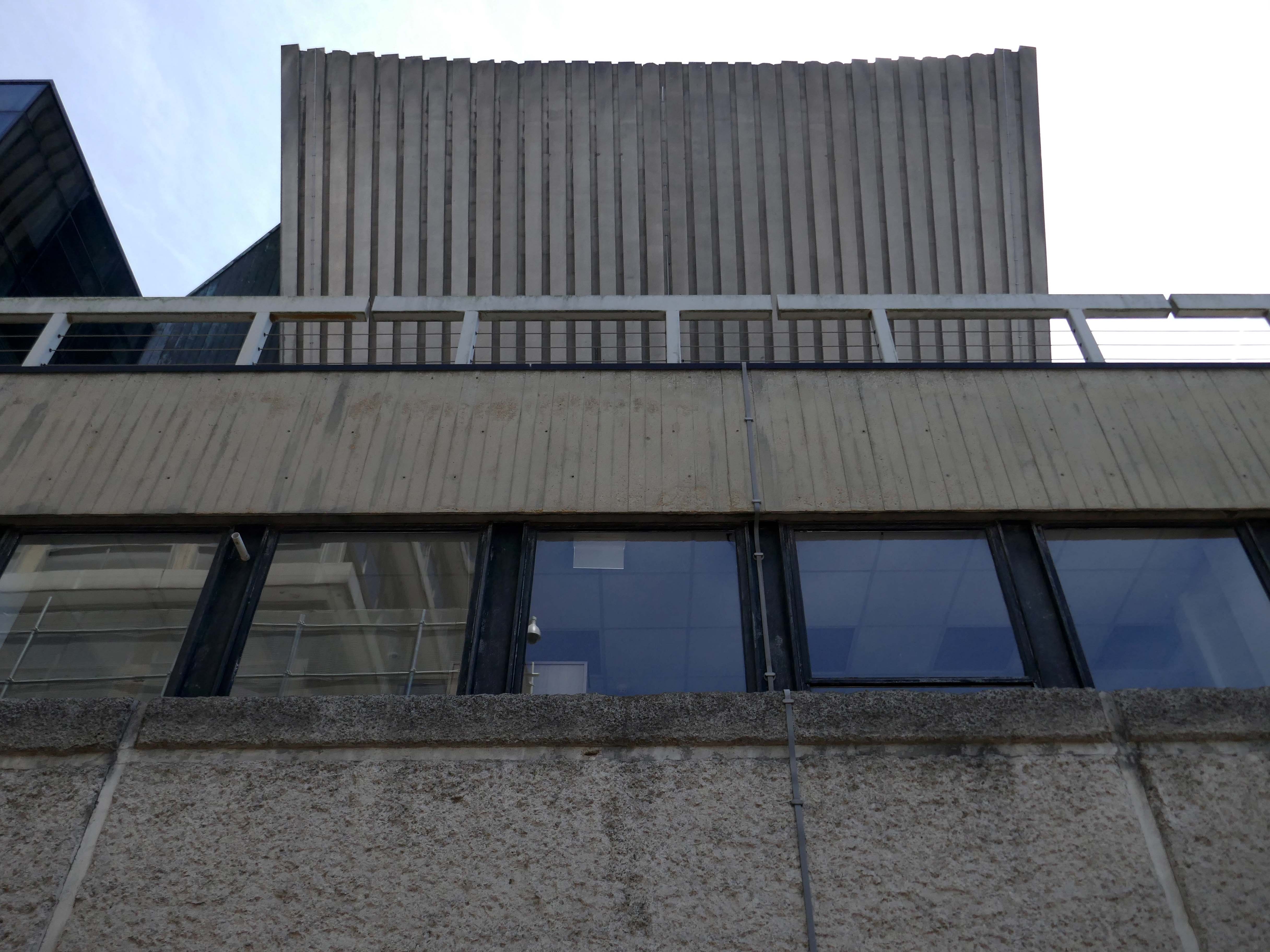
Originally completed in 1967, the building had not been maintained and required significant repairs to the roof structure of the accelerator tower, which had suffered from prolonged water ingress.
All defects were identified through a hammer test survey and thorough visual inspection, the original concrete was broken out back to a sound substrate and was square cut to depth of 10mm, thus preventing featheredging of the subsequent repair.
Exposed reinforcement was mechanically wire brushed, and prepared using high performing and sustainable products from Sika. Treated with Sika Monotop 1010; a bonding primer and corrosion protection, followed by the application of Sika Monotop 4012; a concrete repair mortar, to the original surface levels.
This building has been assessed under the Planning – Listed Buildings and Conservation Areas Act 1990 as amended for its special architectural or historic interest. The asset currently does not meet the criteria for listing.
It is not listed – the Secretary of State for Culture, Media and Sport disagreed with Historic England’s recommendation for this case23rd July 2015.
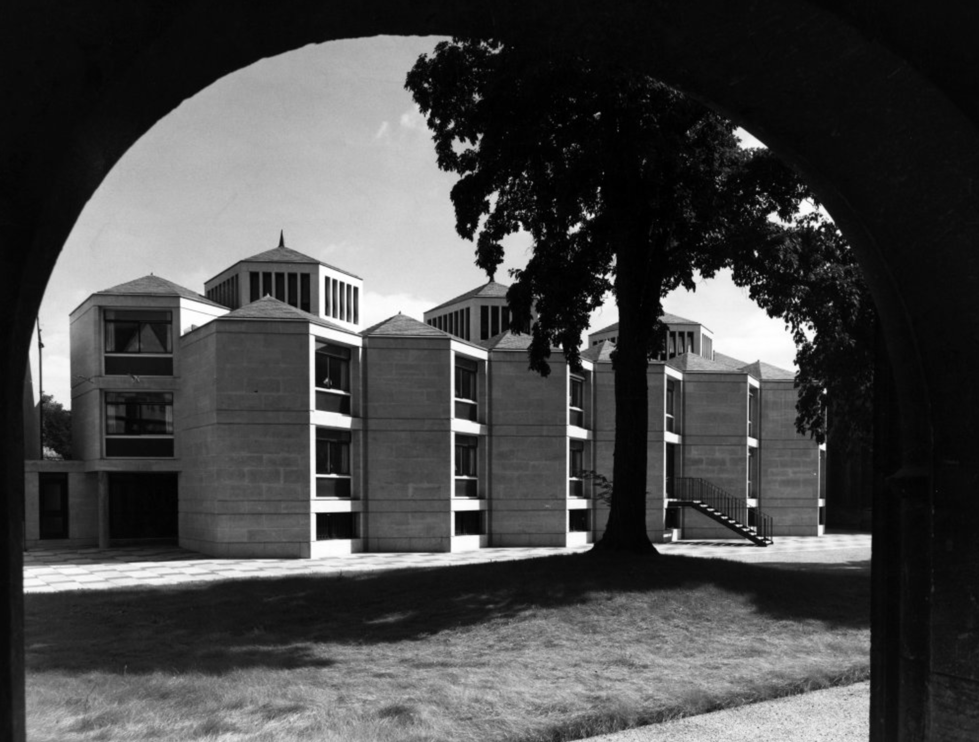
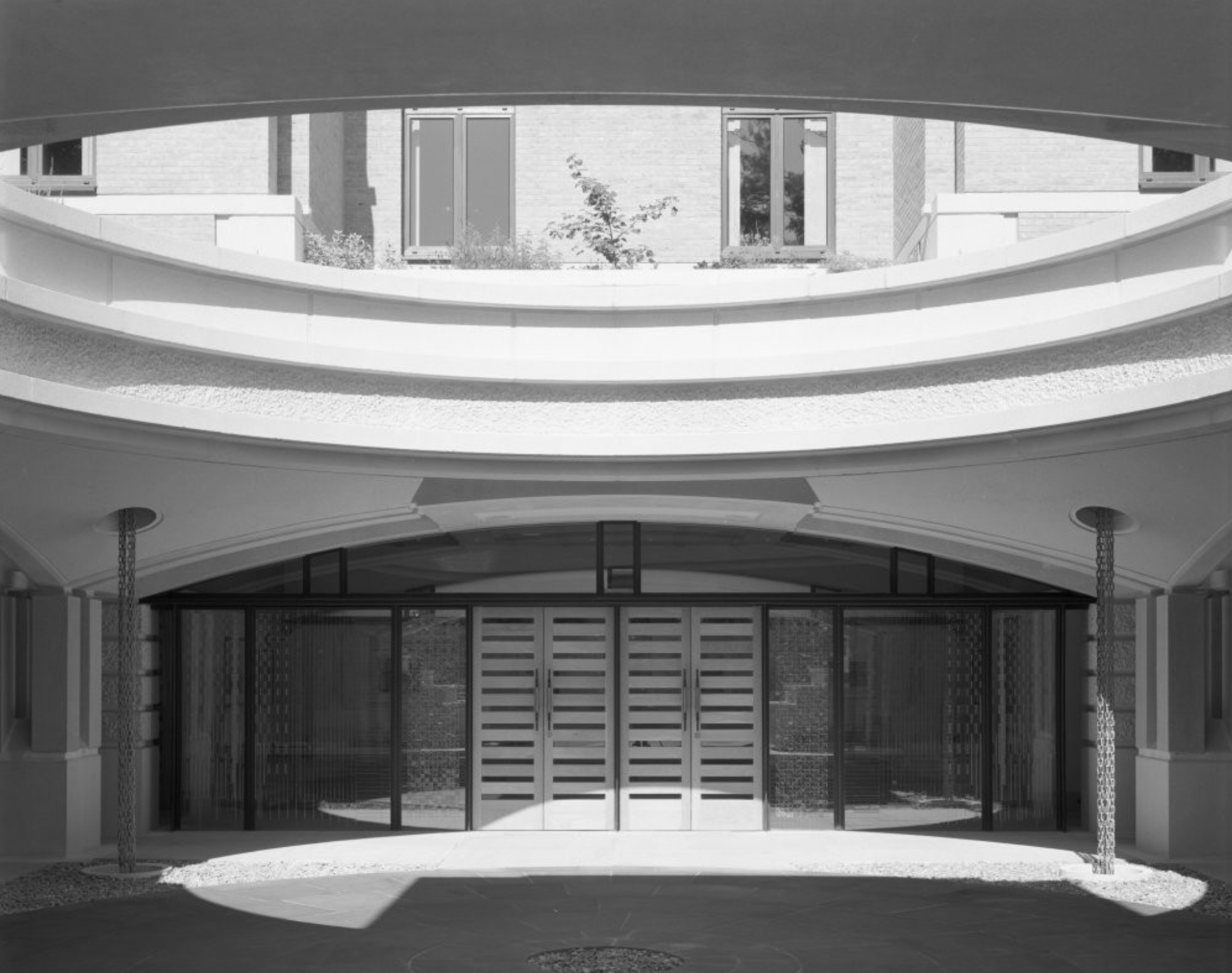
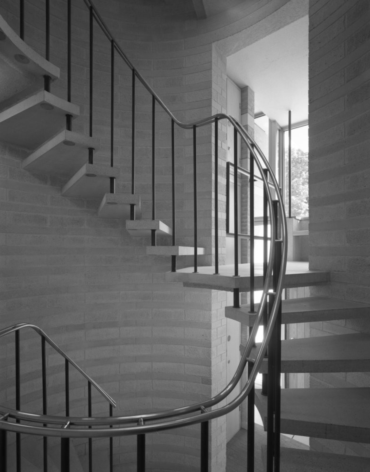
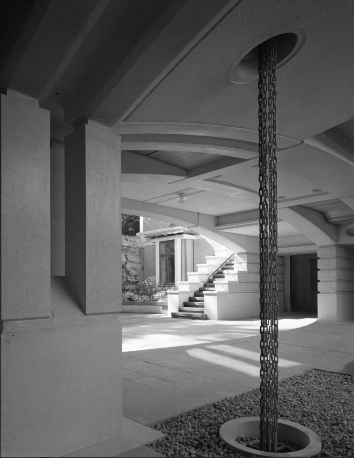
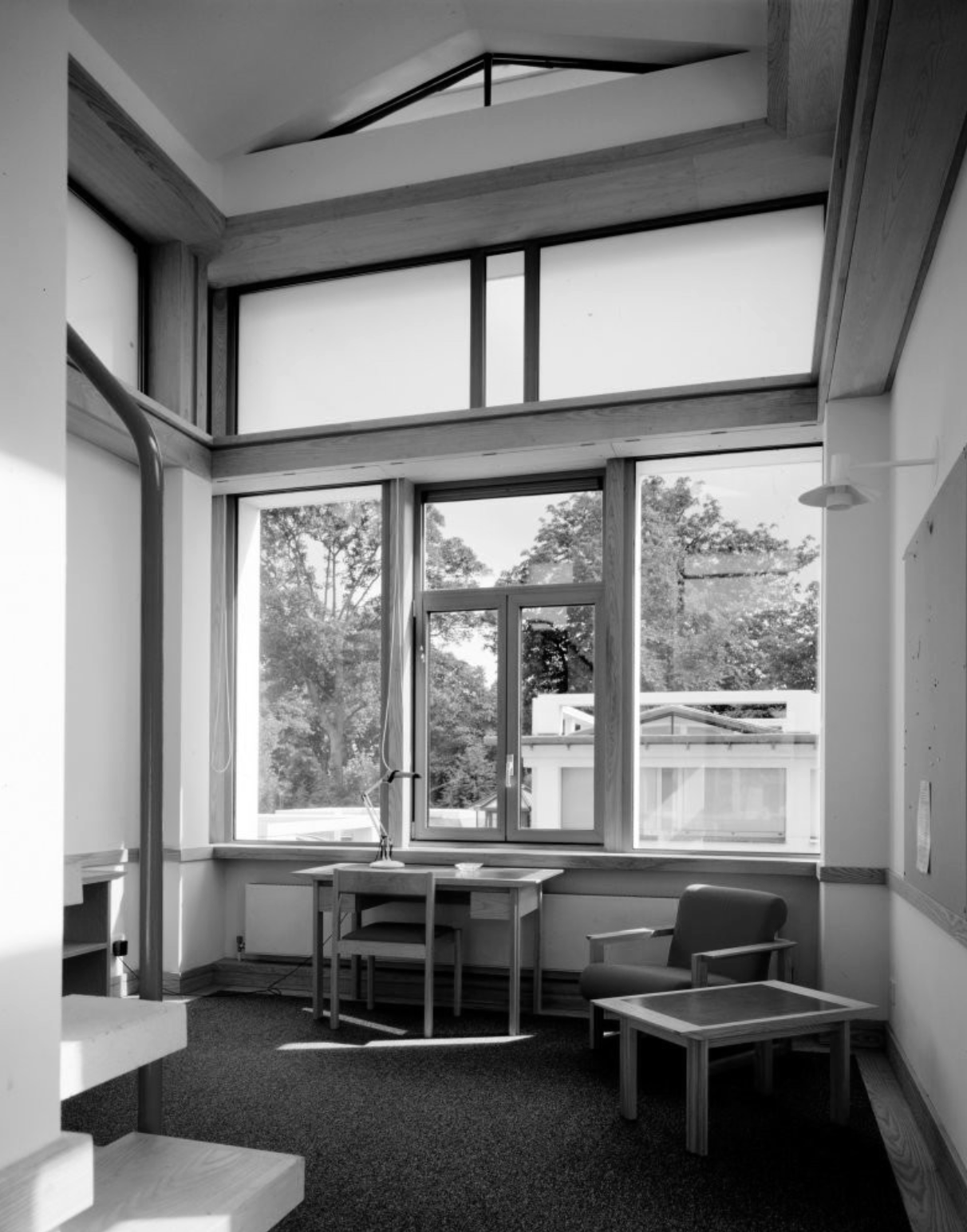
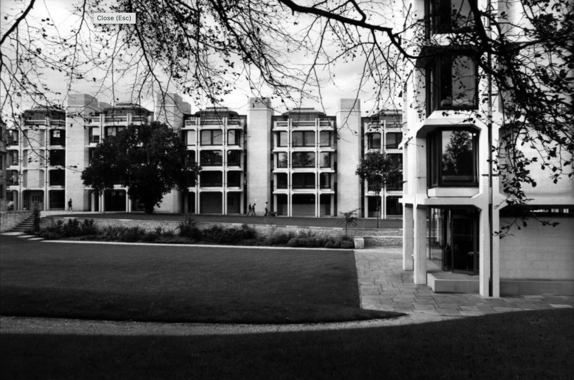
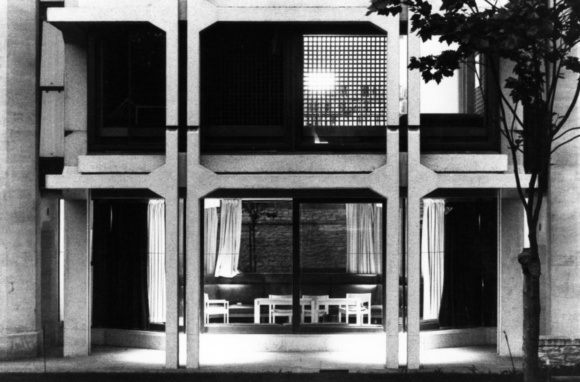
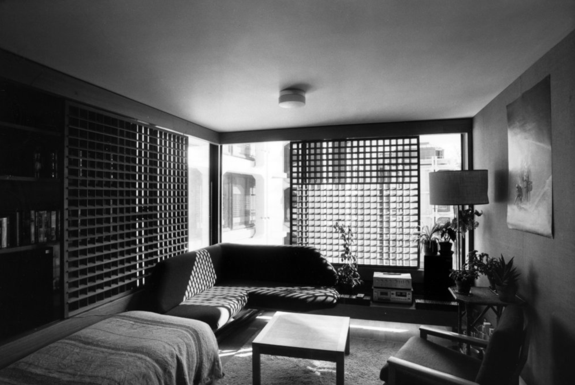
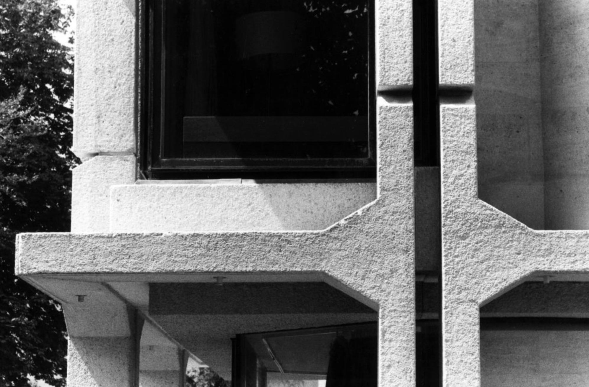
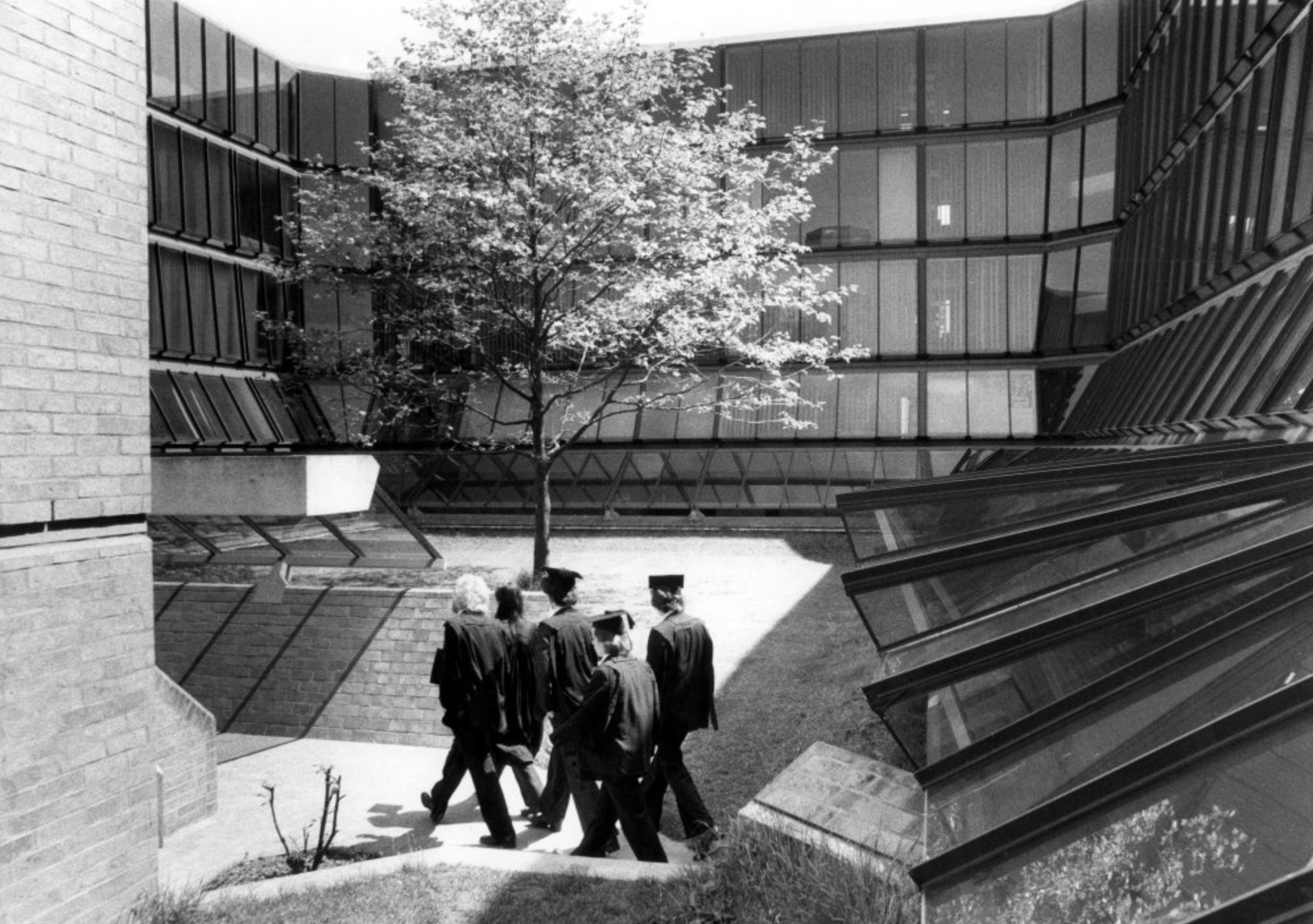
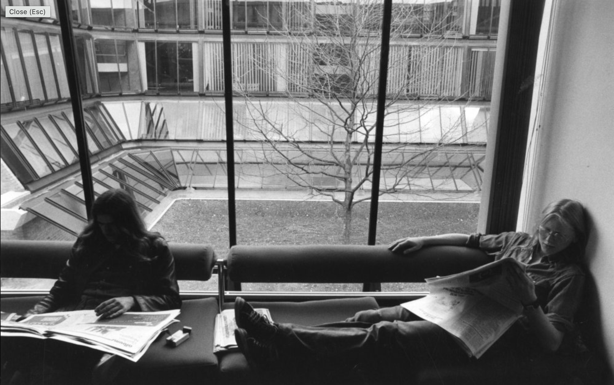
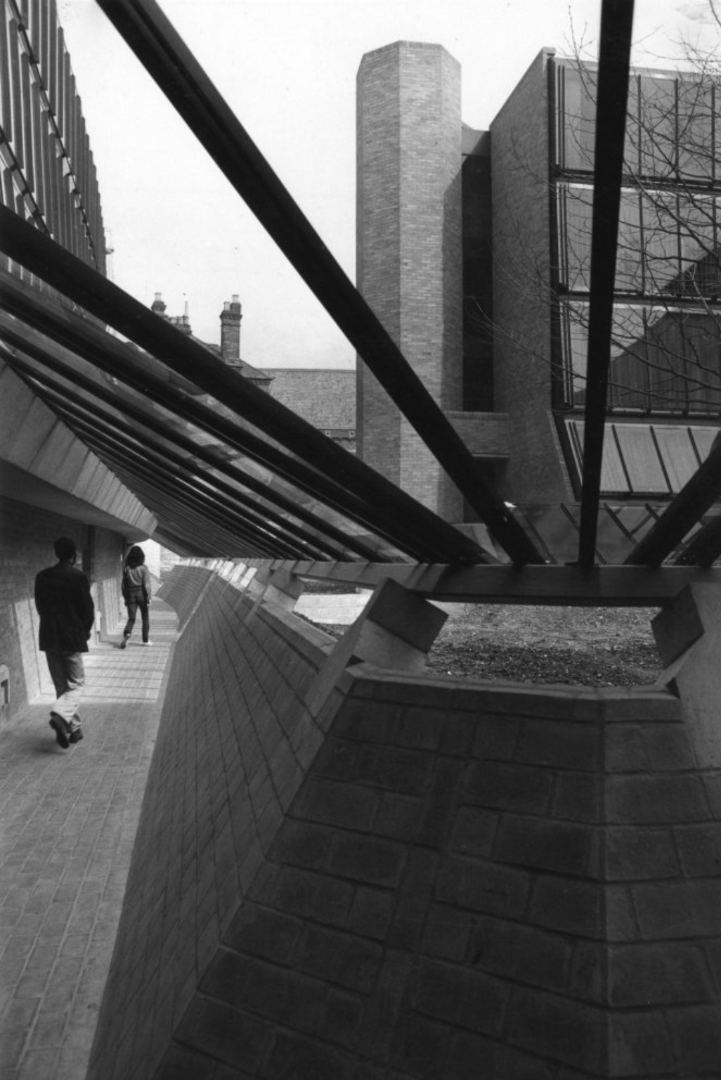
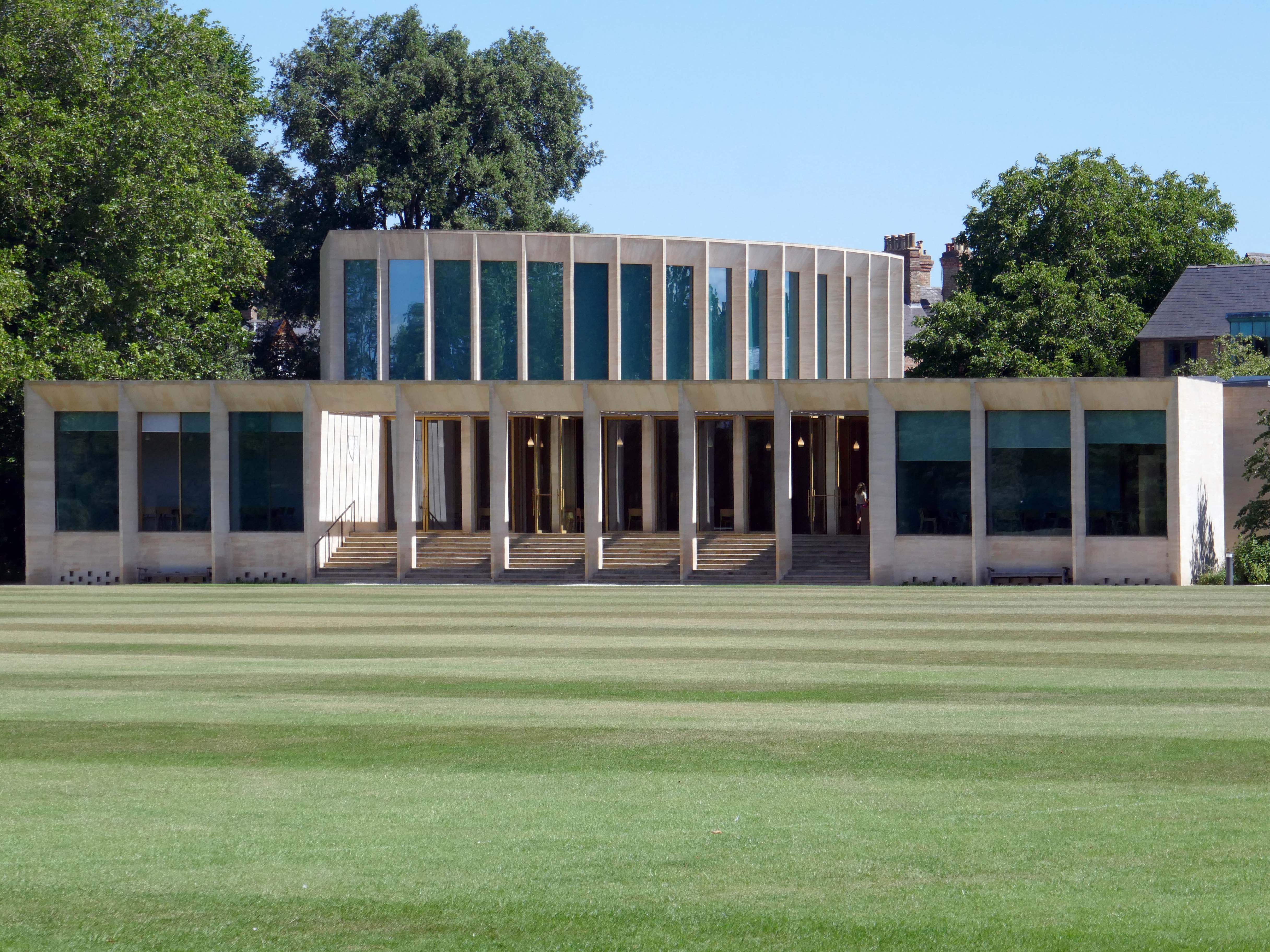
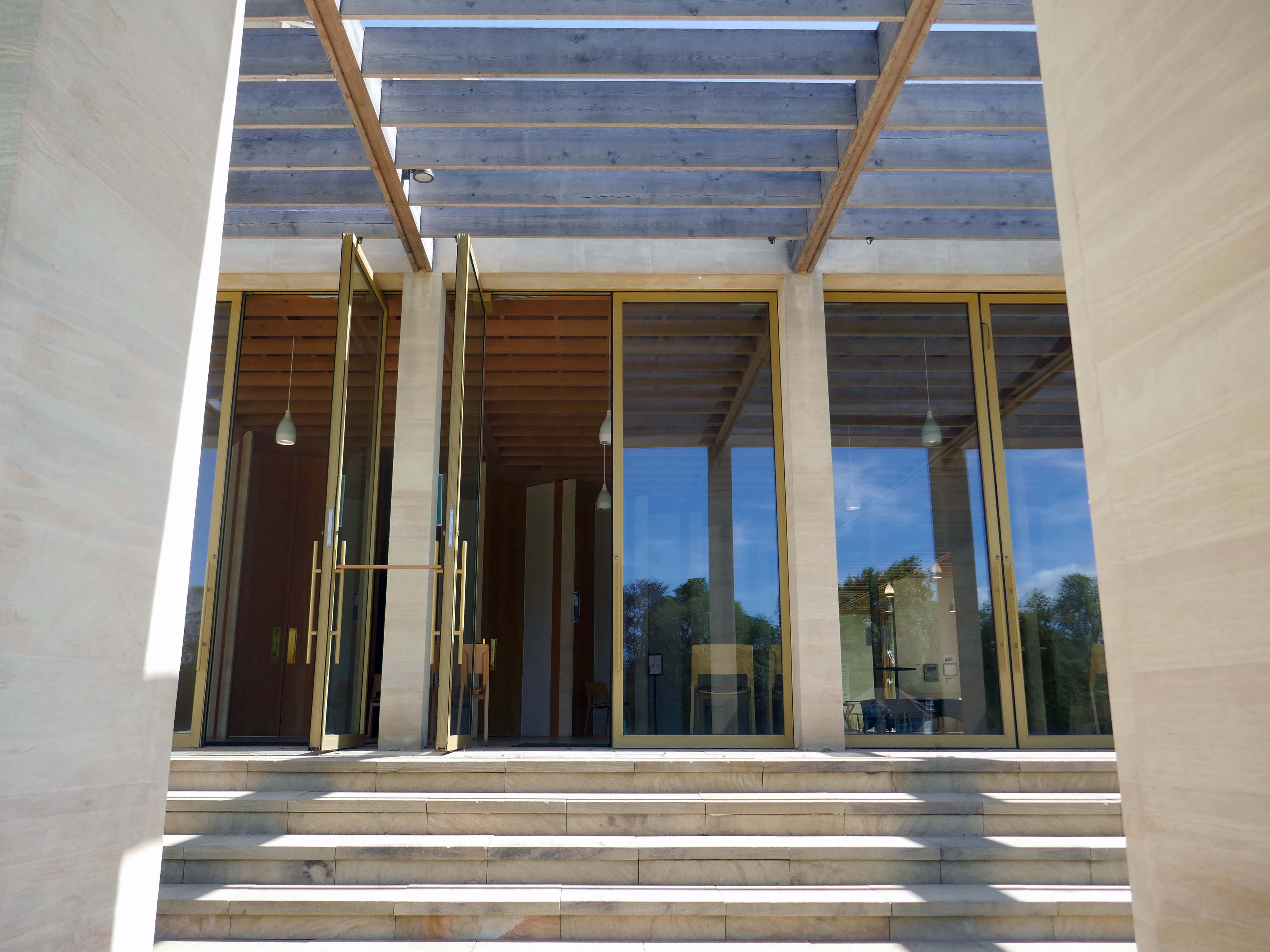
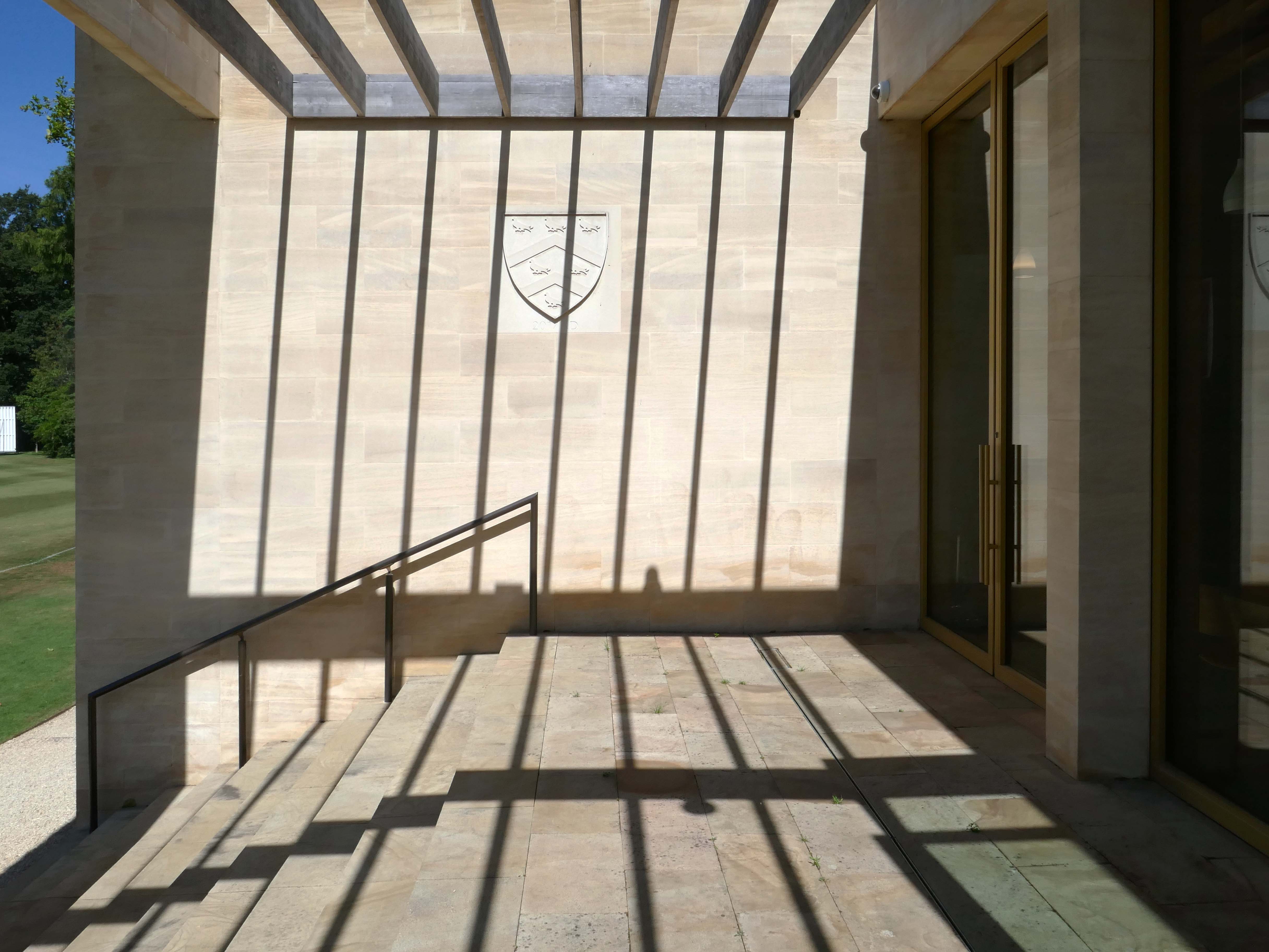
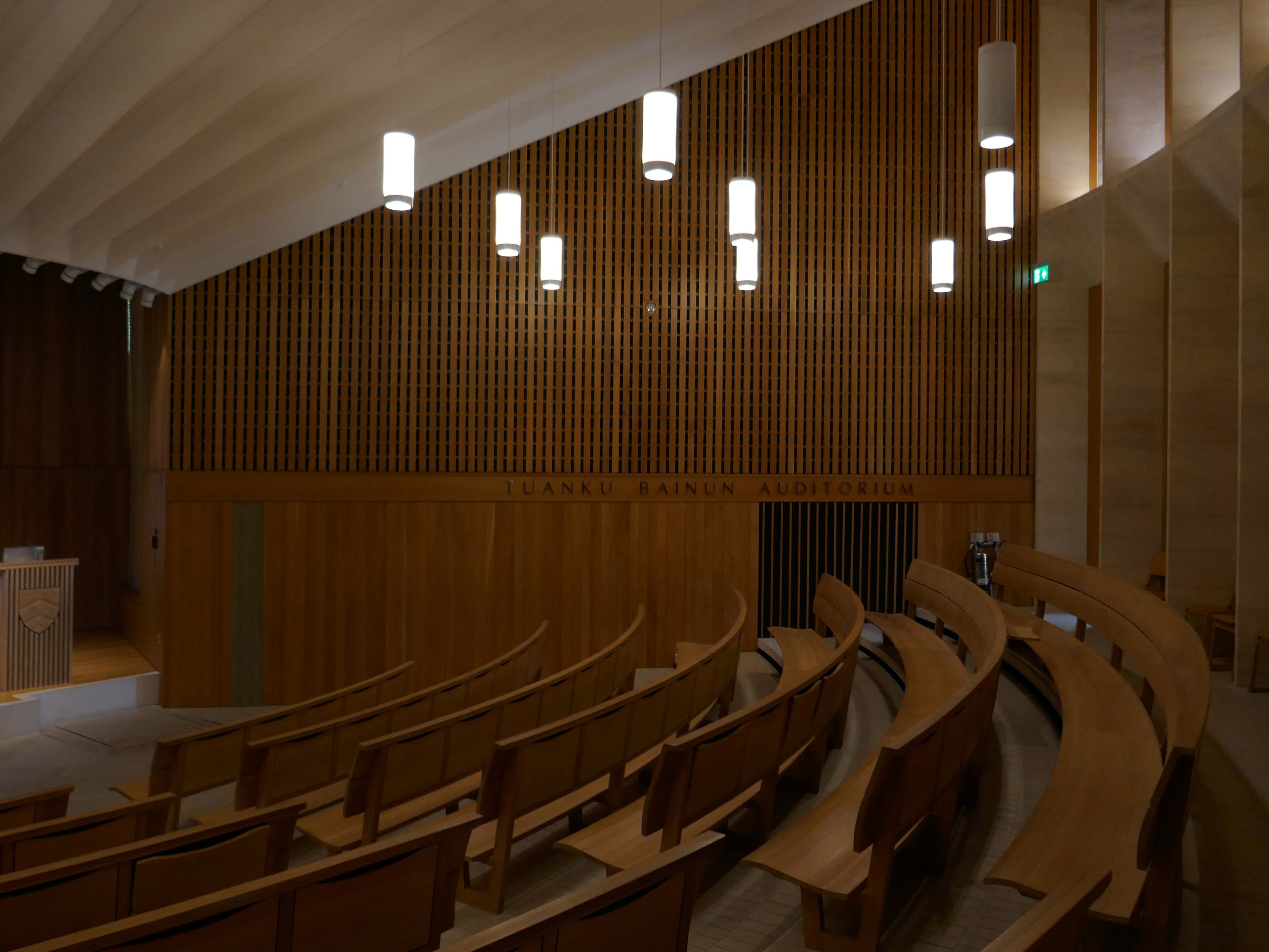
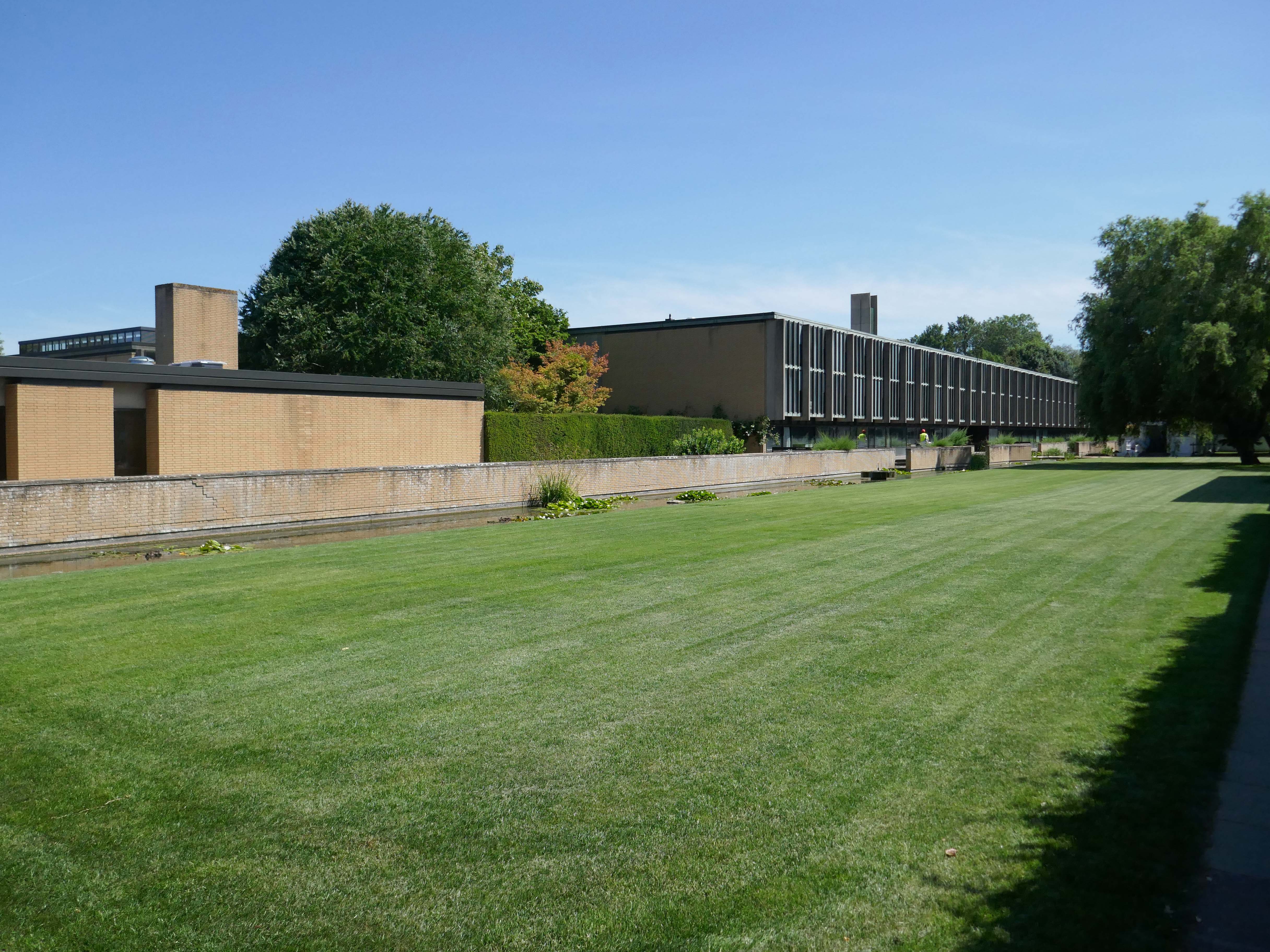
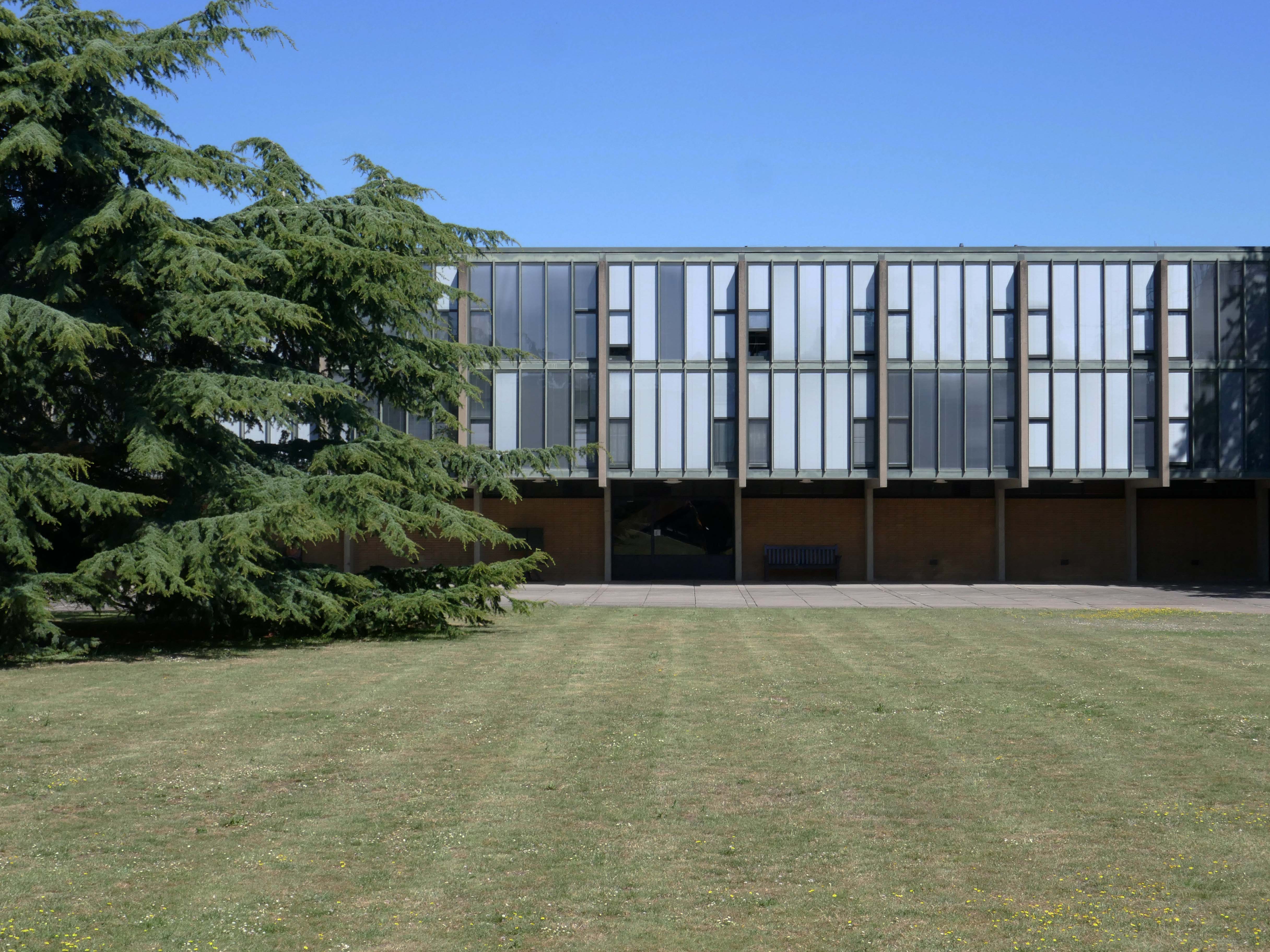
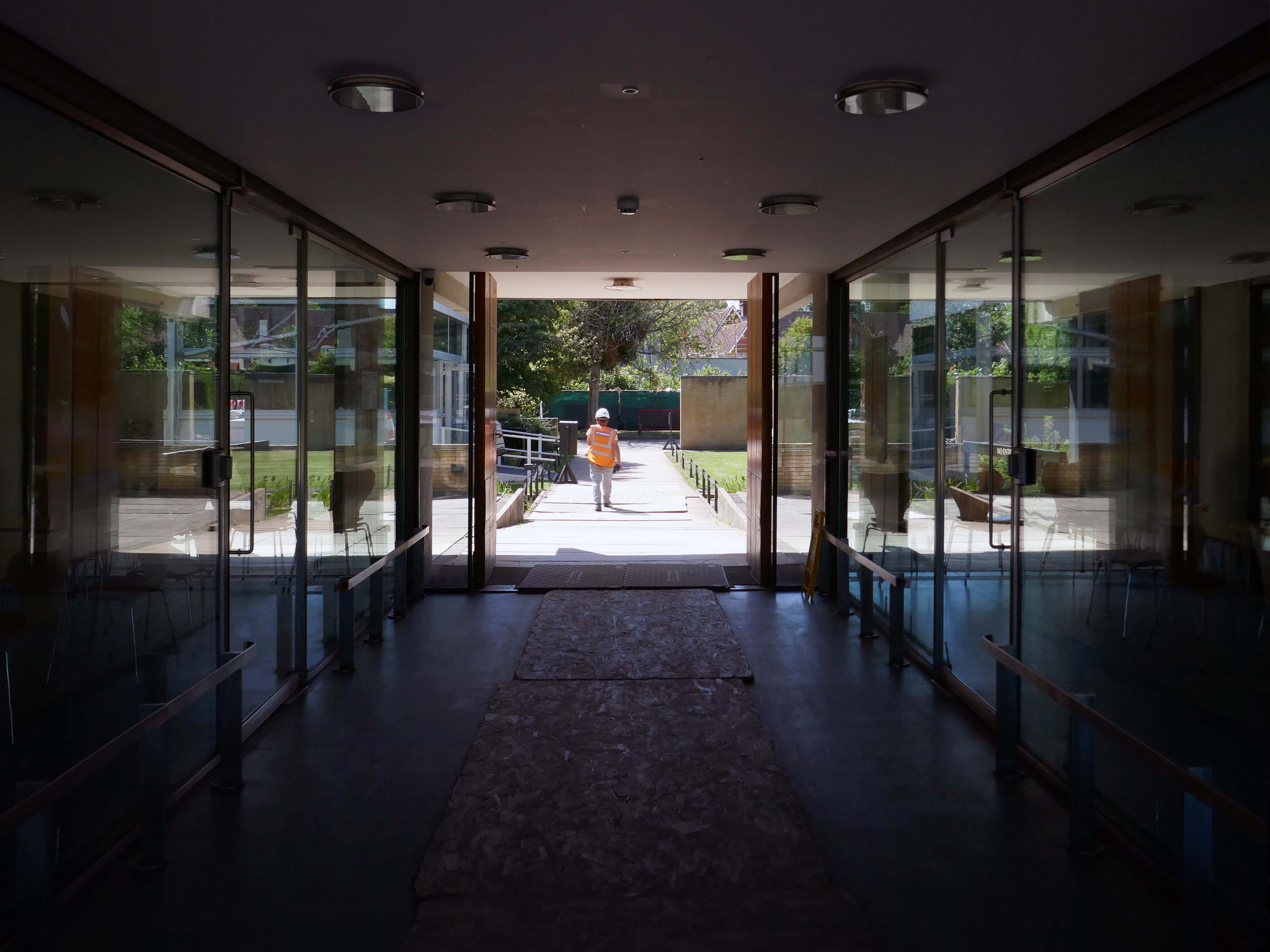
In 1956, with University considering plans for expansion, Alan Bullock obtained approval to transform St Catherine’s Society into a fully residential college – the search for a site and funding began.
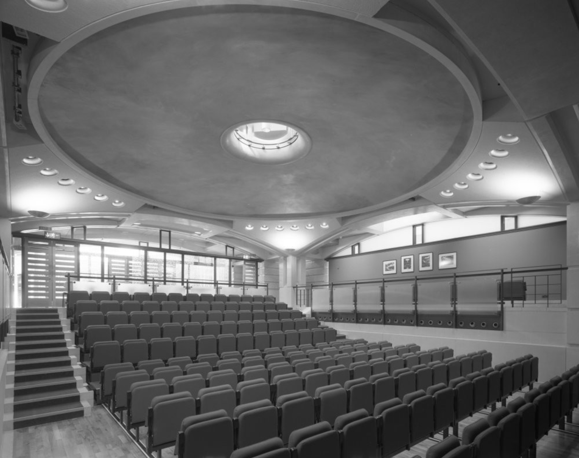
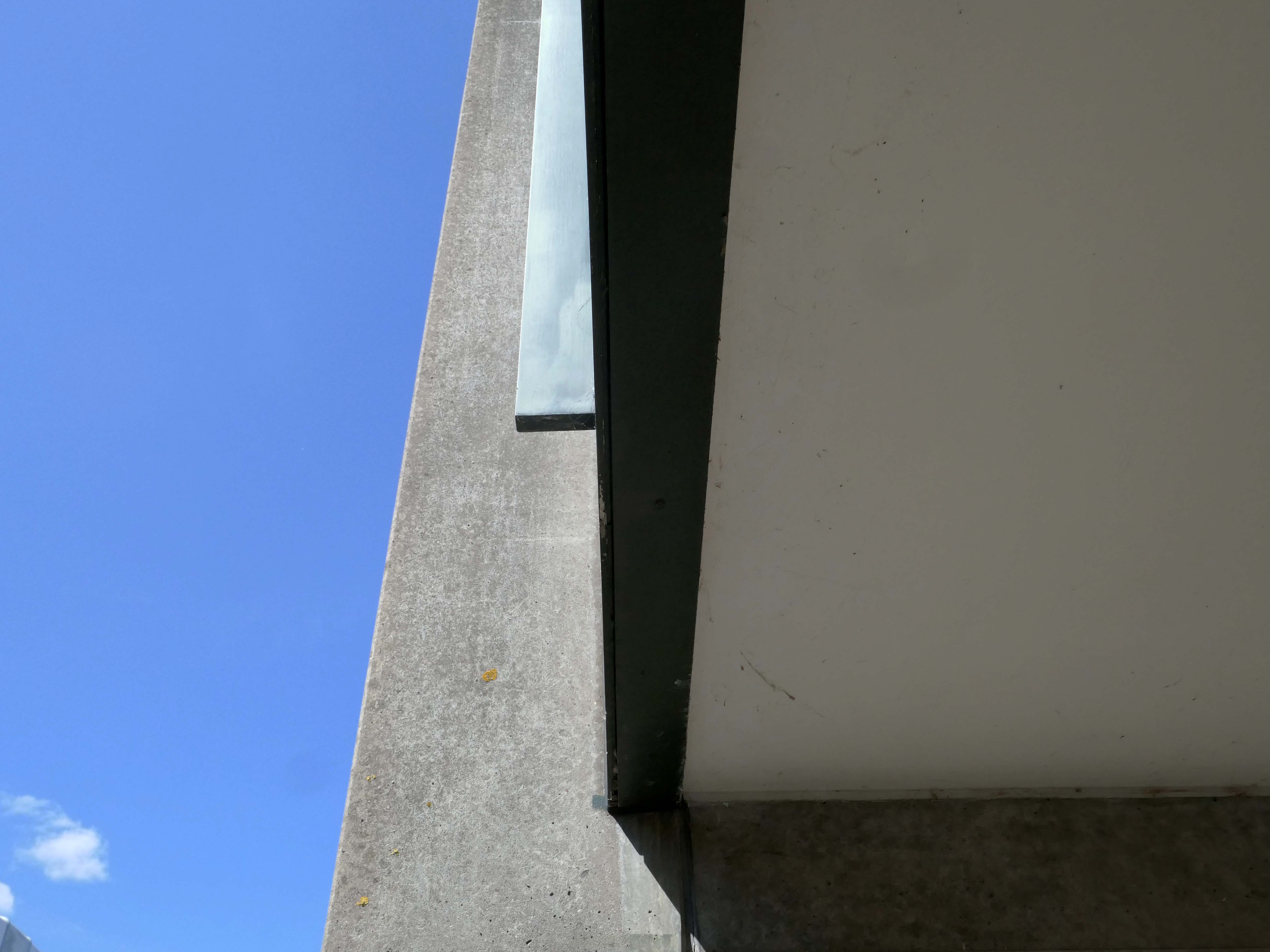
An ambitious fundraising campaign began, focusing on the national shortage of scientists and on Bullock’s proposal of an increased number of science students at St Catherine’s than was usual for an Oxford college. In 1960 almost eight acres of Holywell Great Meadow was acquired from Merton College and the College’s chosen architect, Arne Jacobsen of Denmark, began to implement his design. His modernist masterpiece was to become the most important 20th-century collegiate buildings in Oxford, and is now Grade I listed.
In 1962 St Catherine’s College opened its doors – while still under construction, with Alan Bullock as its Master. The first undergraduates were admitted, and were quickly dubbed the ‘Dirty Thirty’ owing to the lack of running hot water. 1964 saw the ceremonial opening of the College by the then Chancellor of the University, Harold Macmillan, and ten years later in 1974, staying true to its forward-looking ethos, it became one of the first colleges to admit women.
As a footnote – it’s possibly not a great idea to rush around an unfamiliar city trying to snap as much as possible on a very hot day time limited by budget train bookings largely underfed and thirsty.
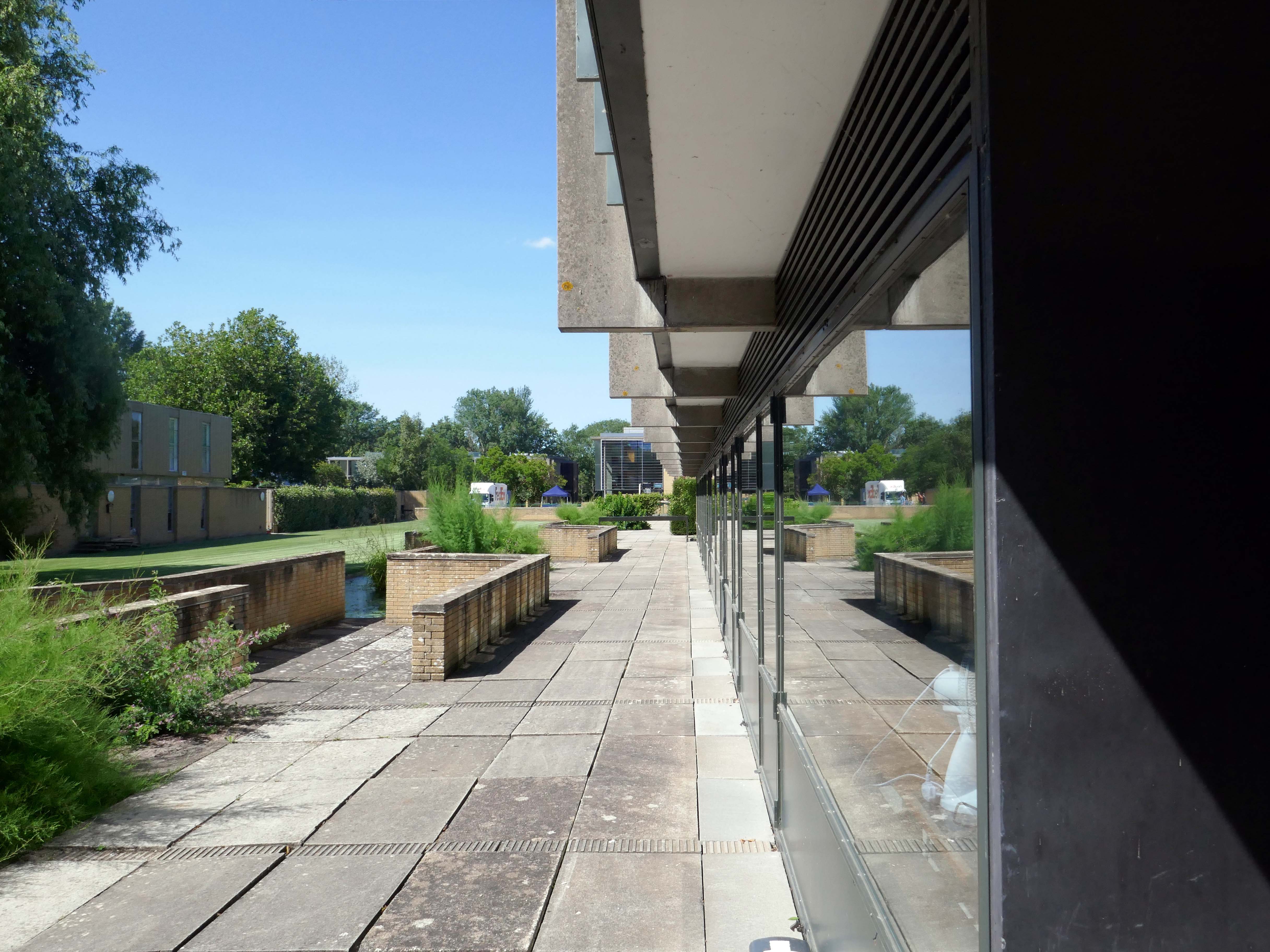
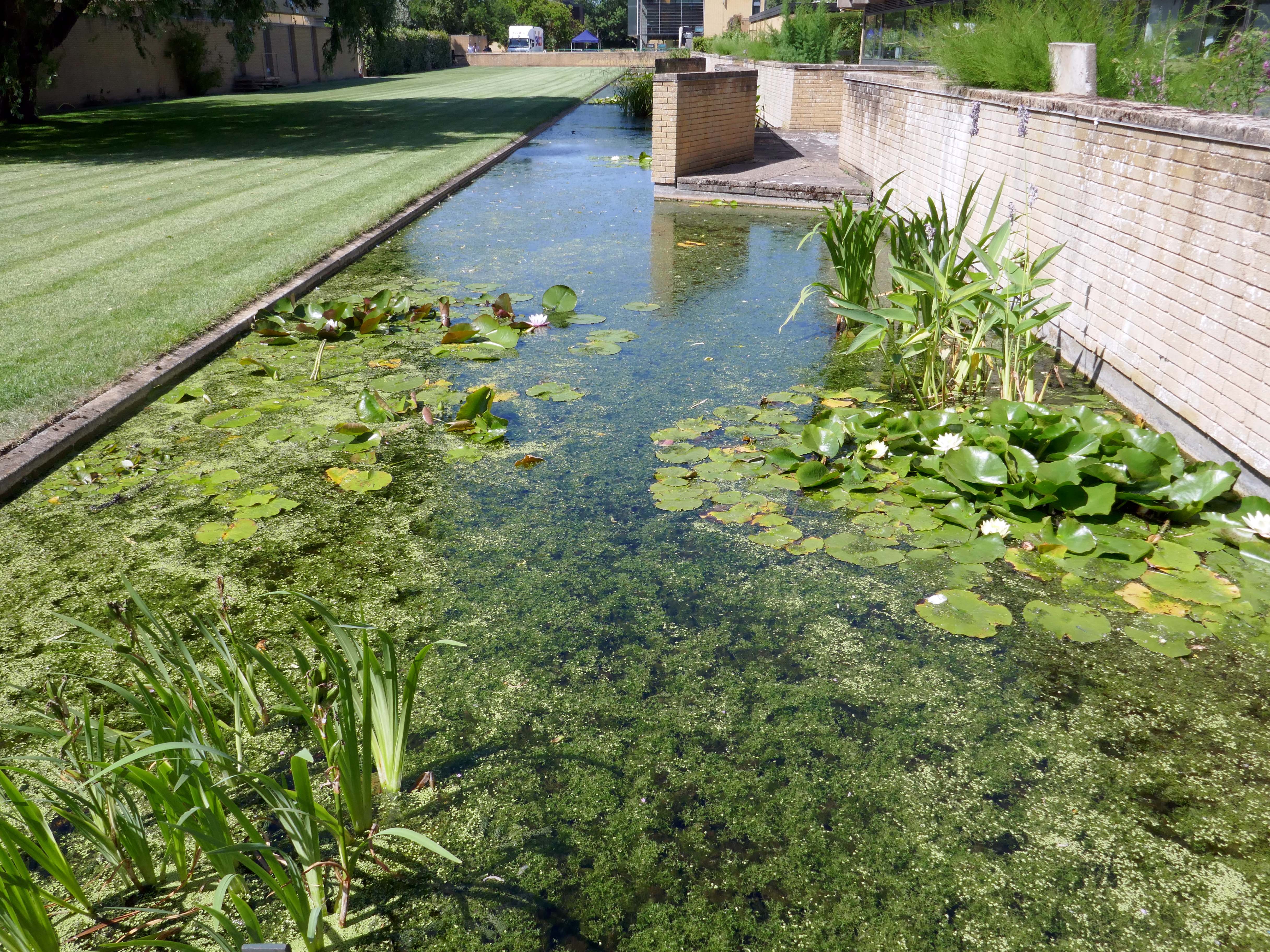
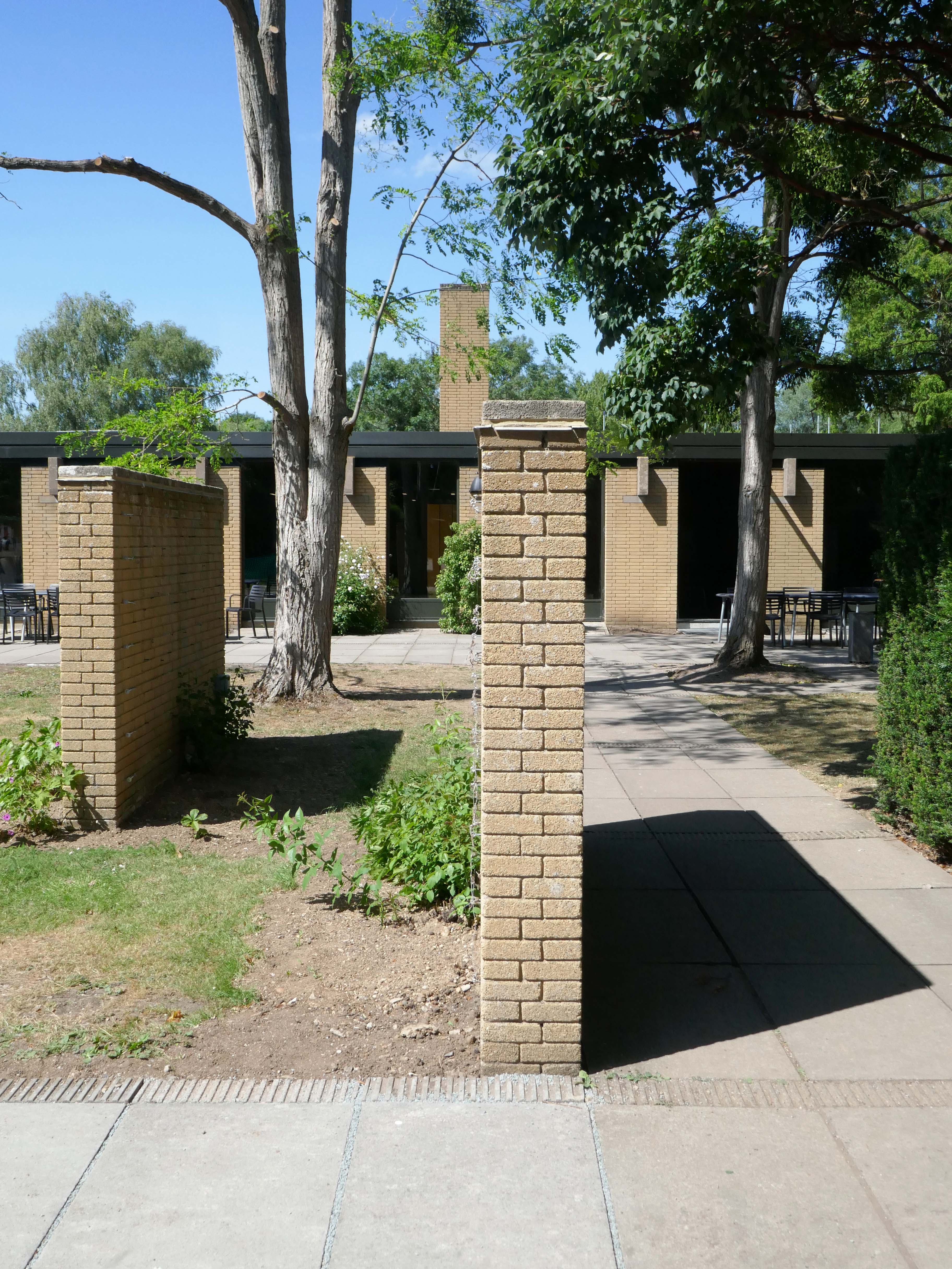
St Catherine’s College: 1961-66. Arne Jacobsen – Grade I Listed
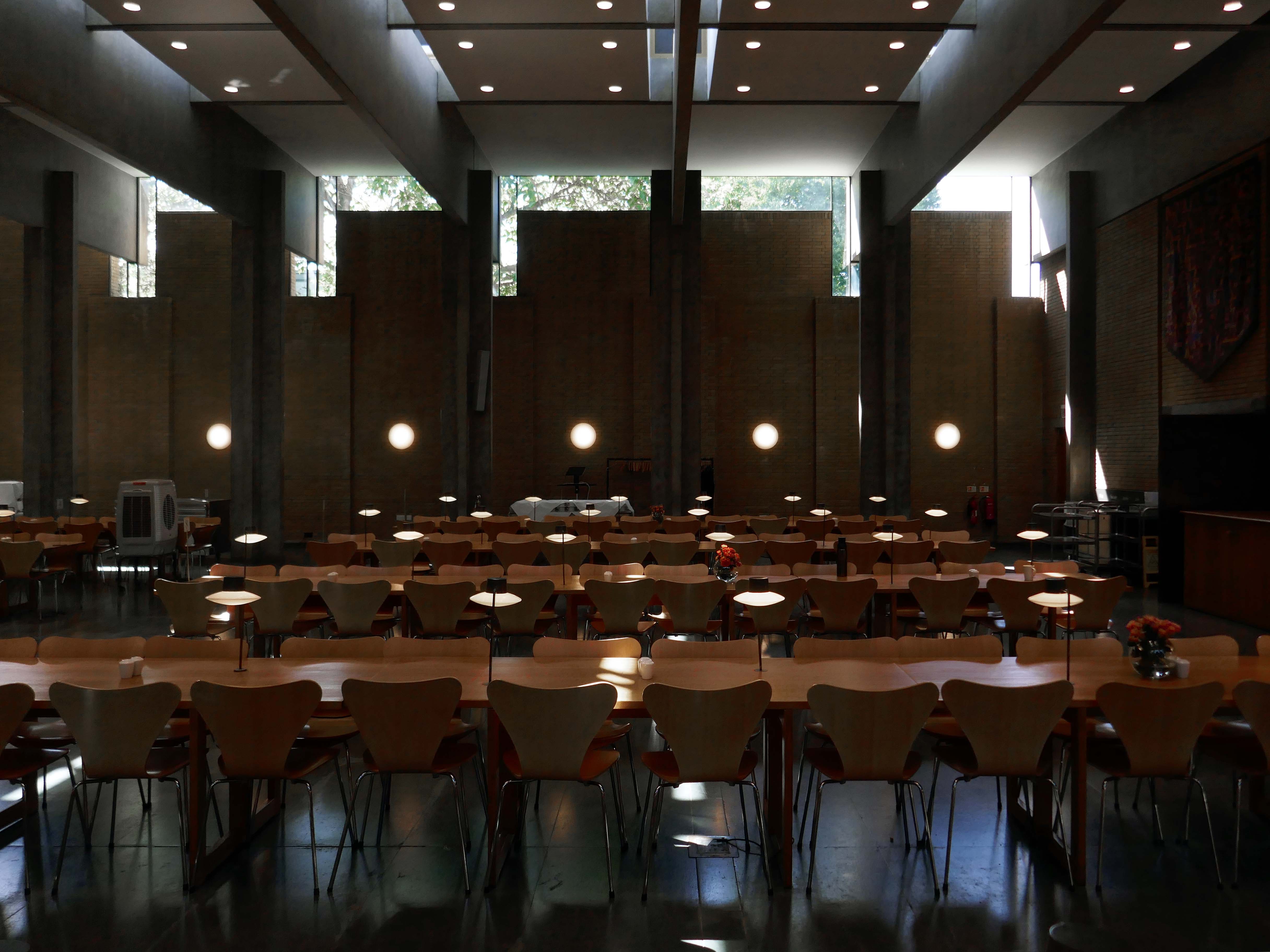
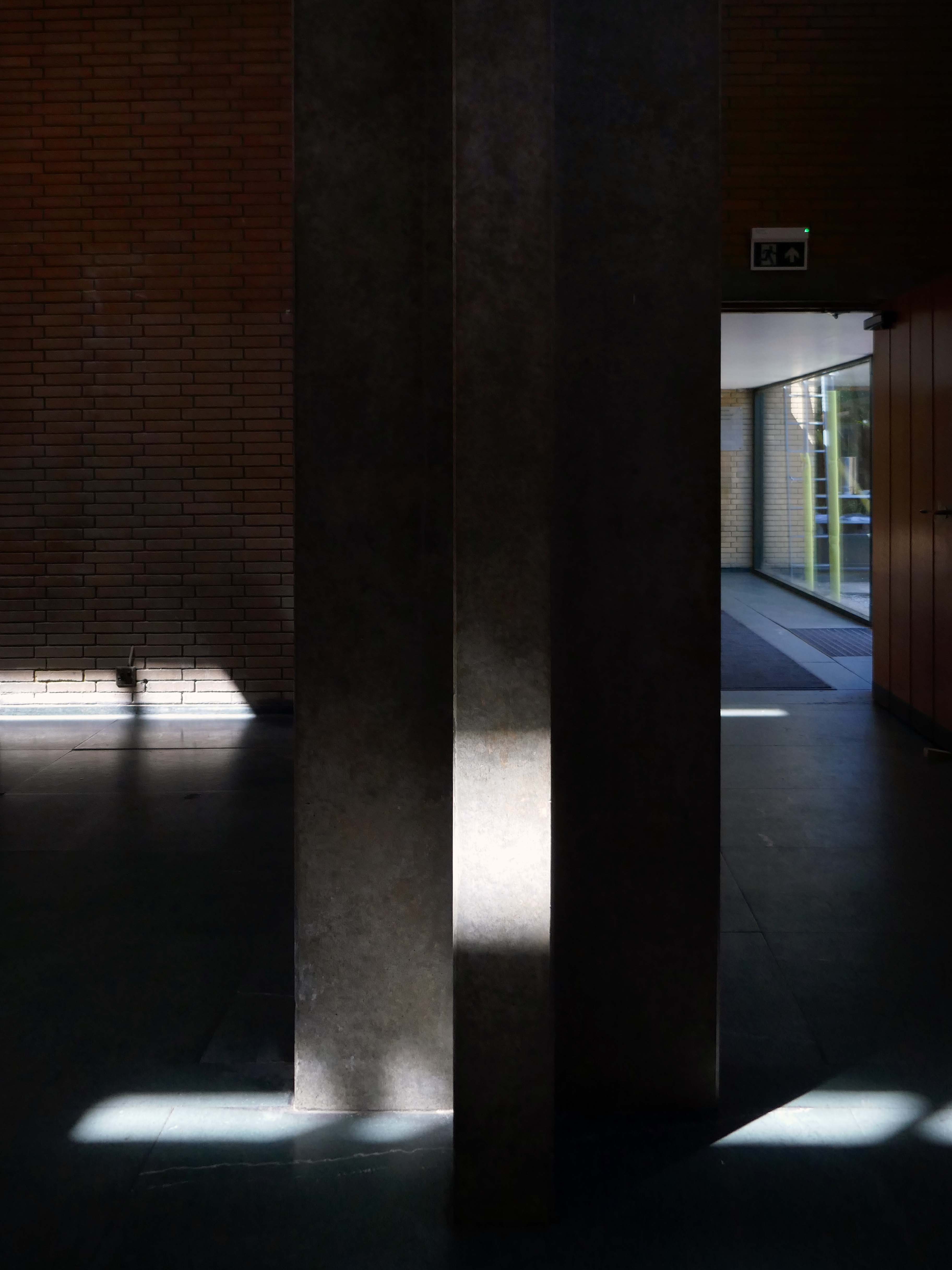
Podium and all buildings upon it. GV I College buildings, raised on a podium, including dining hall, common room blocks; two residential blocks; library; Bernard Sunley Lecture Theatre; bell tower; piers and covering to walkways to east and west of library and east and west of hall; bridge adjoining west side of podium; brick walls enclosing canal and patio areas on western edge of podium; brick walls to patio areas to eastern edge of podium; twenty five short stretches of garden wall all running east-west, some incorporating seats; paving to podium surface and steps to east and south sides.
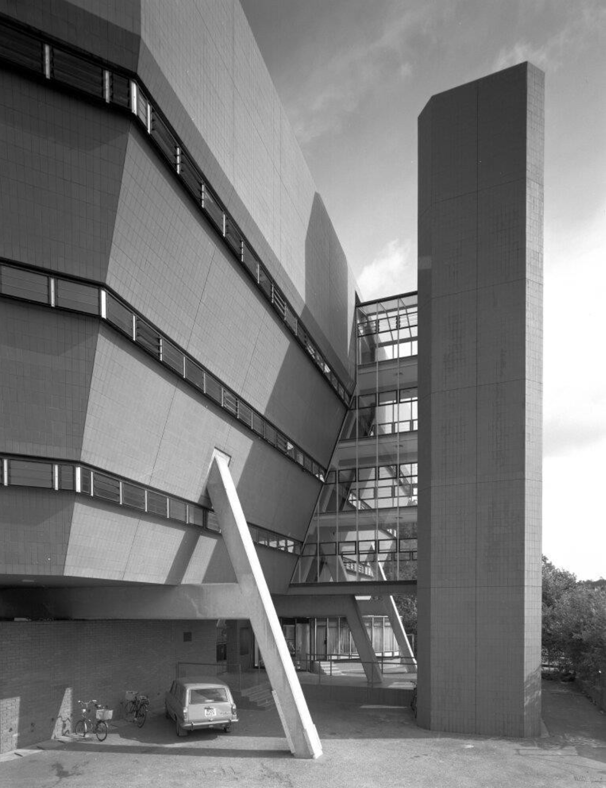
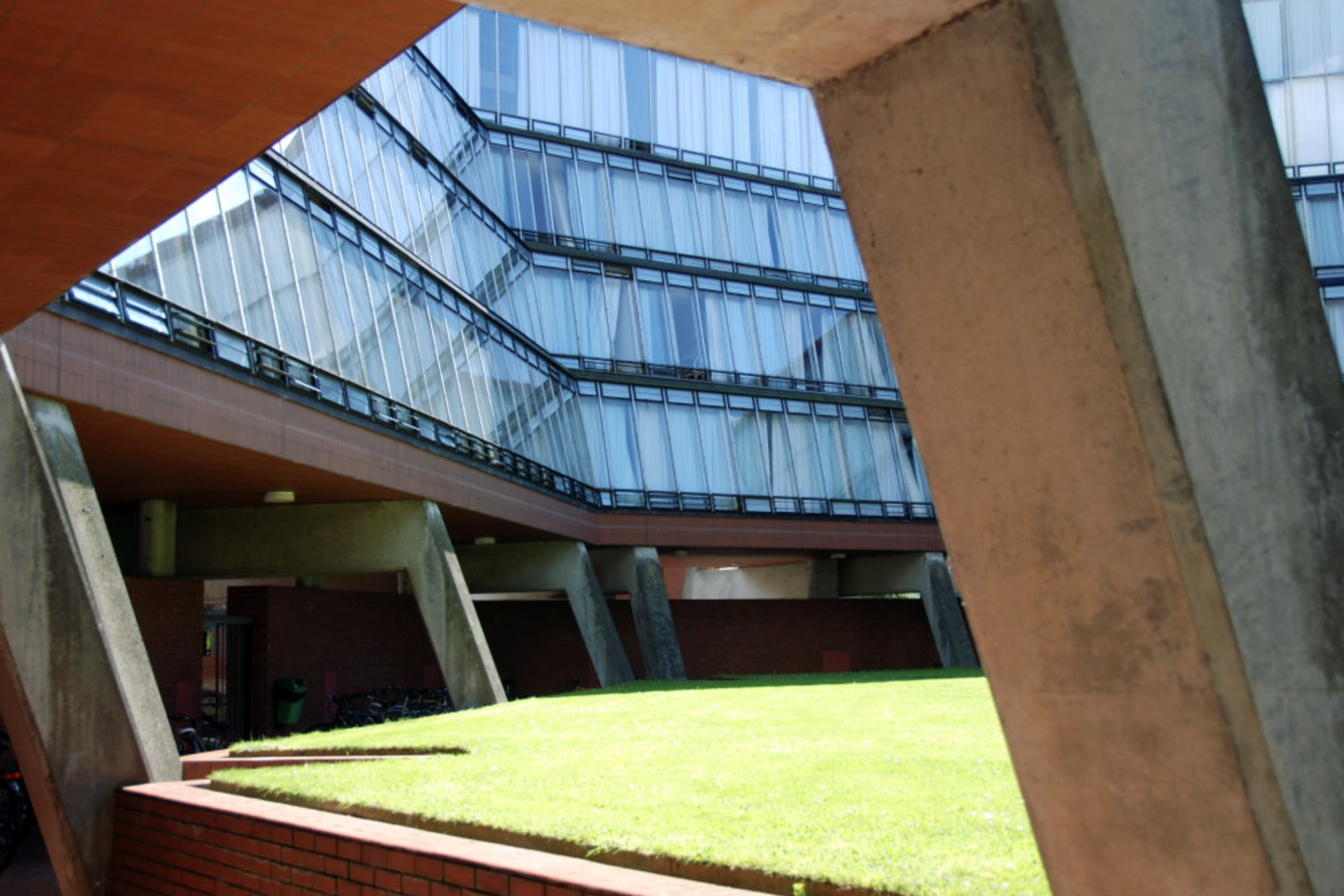
Designed by James Stirling and Partners in 1966-1967 for Queen’s College, Oxford, and built 1968-1971, with Roy Cameron as associate, and Frank Newby of F J Samuely and Partners as engineer.
RIBA pix 2005 Jeremy Harrison
Listed at Grade II* for the following principal reasons:
* as a highly significant work by Sir James Stirling, one of Britain’s foremost post-war architects;
* as the last of a triumvirate of university buildings that are without doubt amongst Stirling’s most significant works in England;
* as a highly creative re-working of a familiar formal language, executed with masterful handling of form and colour, characteristic of Stirling’s style;
* for the high degree of survival of the original plan form, fixtures and fittings, which have been little altered since the building’s completion, including but not limited to the bedrooms, porter’s lodge, and breakfast room;
* as a distinctive and popular piece of post-war university architecture.
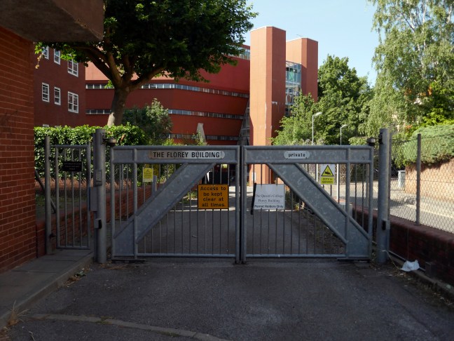
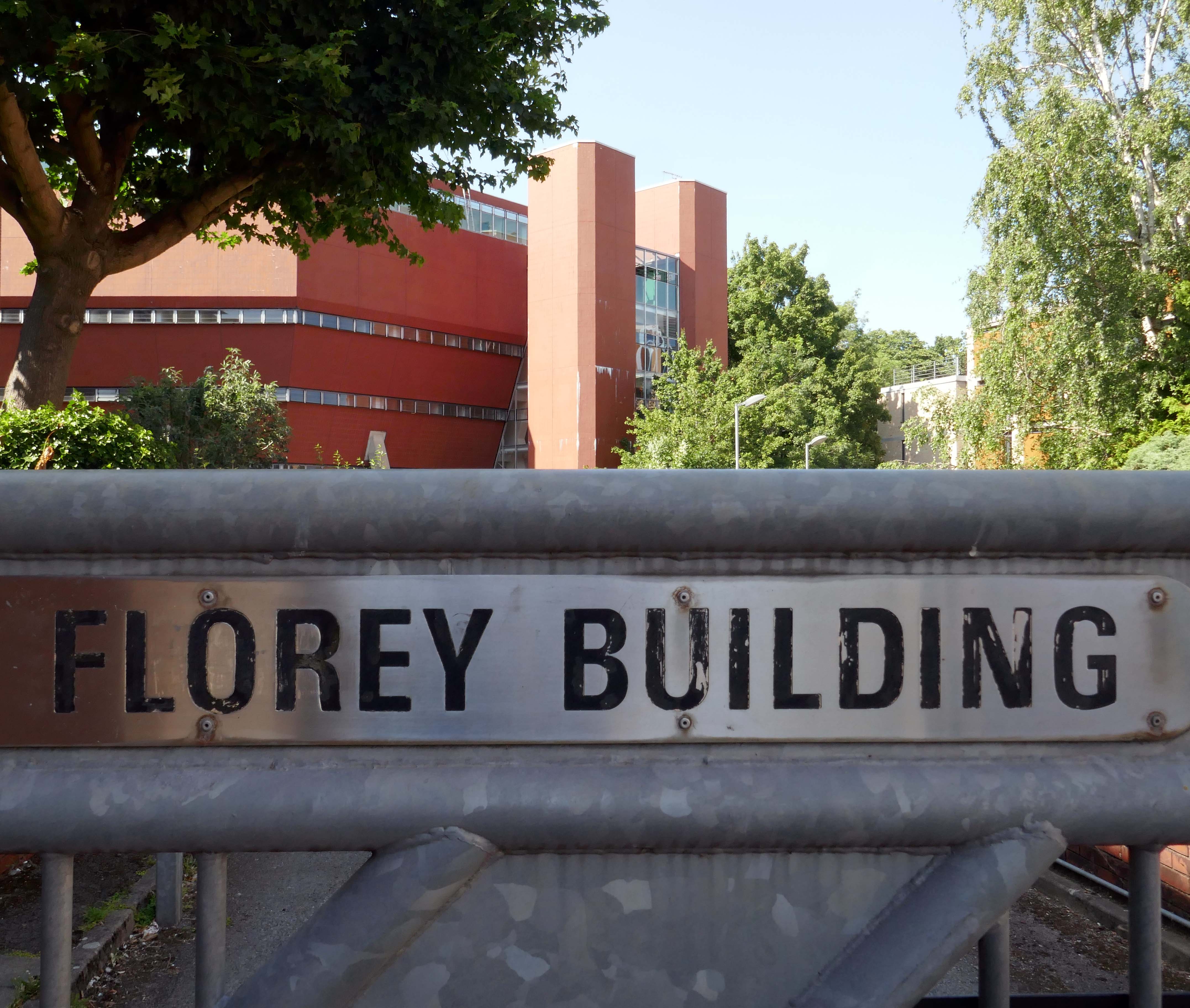
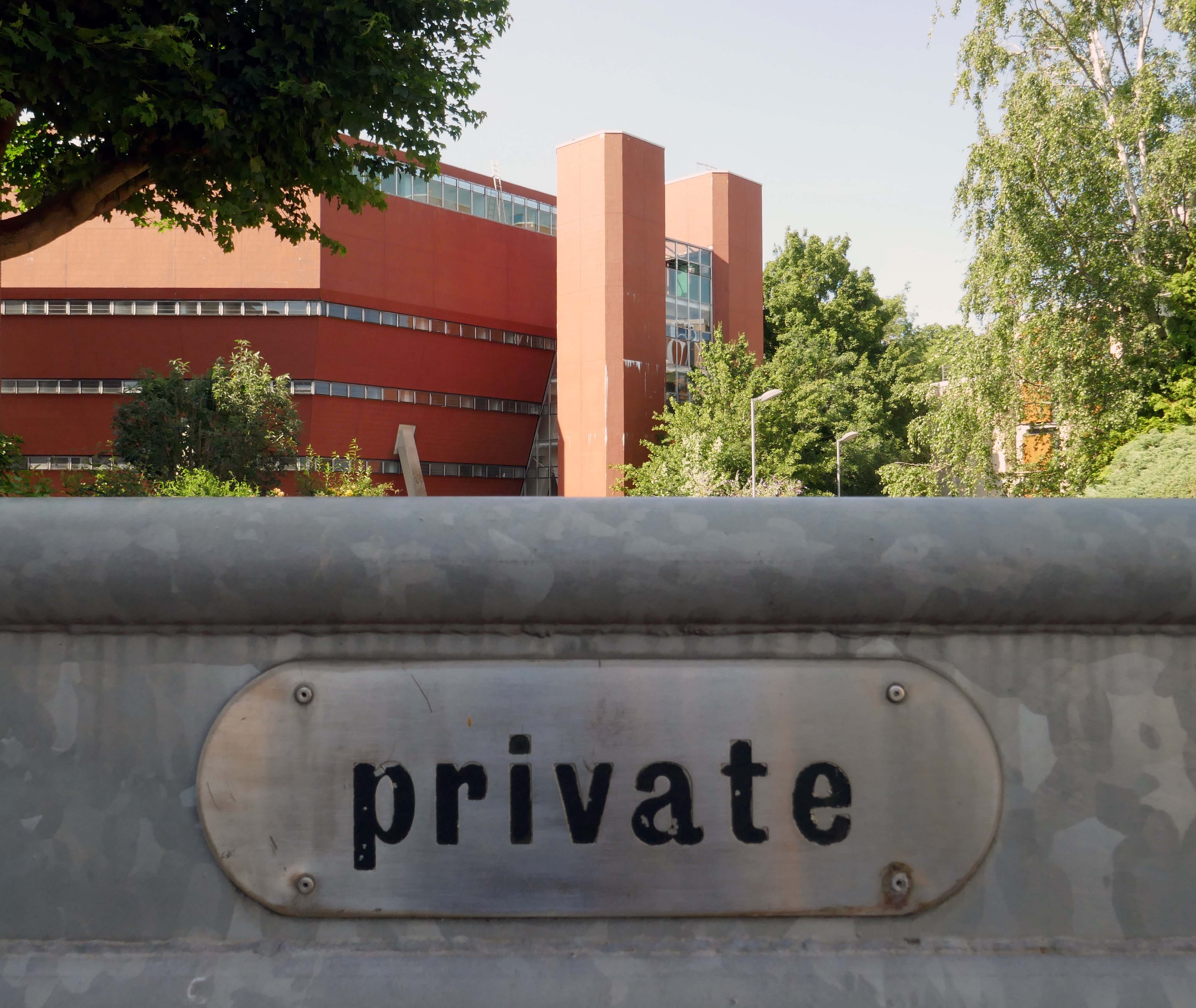
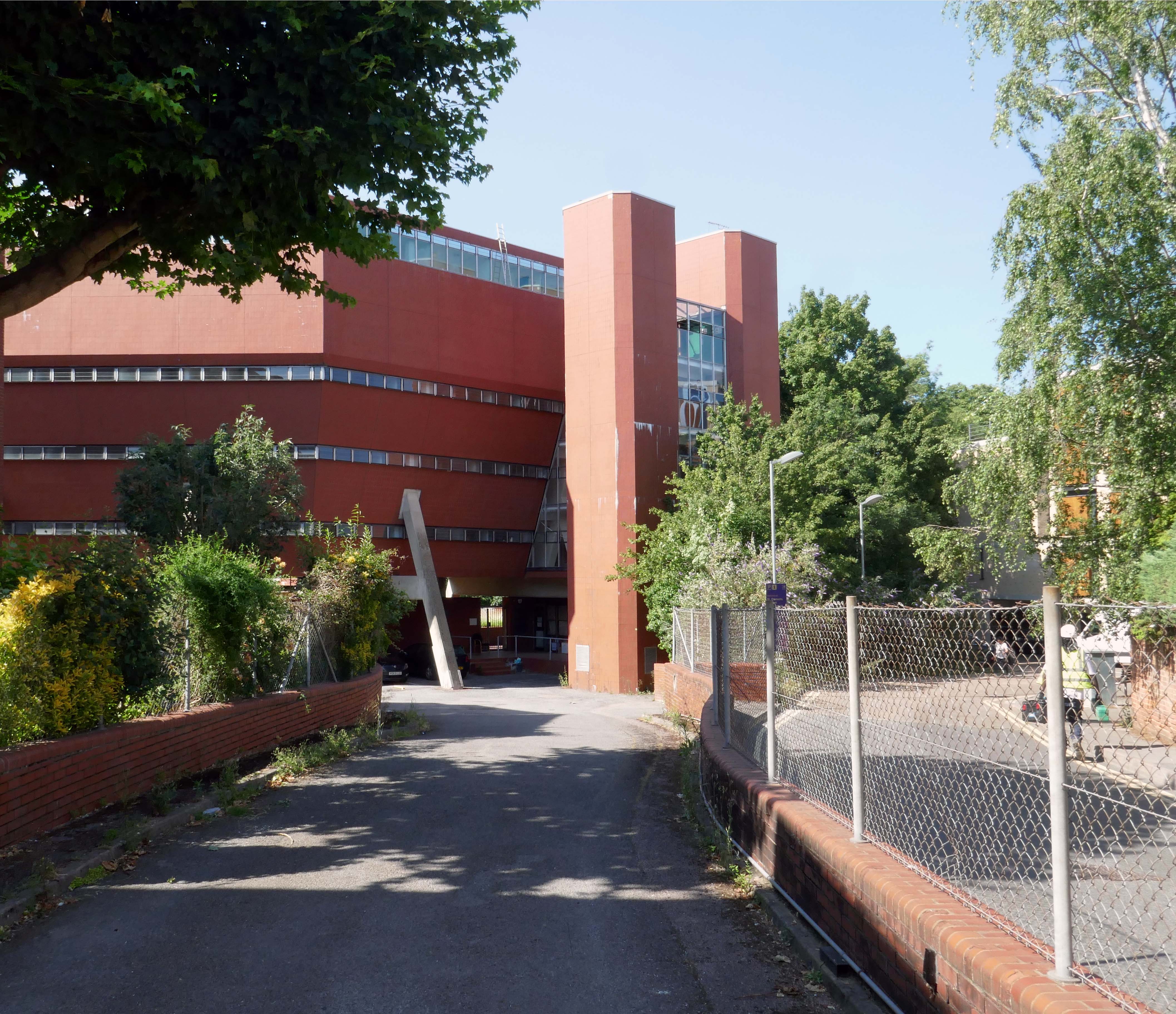
On the day of my visit the building was secured and in a state of semi-dereliction, mothballed by the owners TheQueens College Oxford.
There have been plans and a competition for refurbishment:
Perhaps the most charismatic of James Stirling’s surviving buildings; the Florey Building is hugely admired worldwide for its boldness and heroism.
Despite some practical and infamous failings, the Florey has a cult presence in Oxford: a modernist’s riposte to a city defined by traditional architectural masterworks.
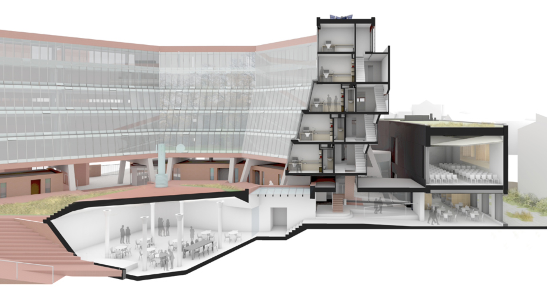
The Queen’s College Fellows seek a dedicated team who are inspired by Stirling’s exhilarating vision. The challenge: to use advances in technology to update the building, provide modern facilities and achieve exemplary energy design.
The competition has now concluded — 27th February 2014
The Queen’s College, Oxford is delighted to announce that the team led by Avanti Architects has won the design competition to update the Grade II listed Florey building, widely regarded as an emblem of modernism. Avanti will now work to develop their scheme for the project and determine construction priorities.
The plans however were poorly received:
Alas the proposal for Florey lets down the practice, the college and most importantly Jim Stirling and the Modernist corpus, with a design that all but wrecks the essence of this unique building.
Alan Berman – founding partner at Berman Guedes Stretton
These proposals must be thrown out and consigned with distaste to the dustbin as a gross violation of Stirling’s intentions.
If permitted, they would constitute the comprehensive betrayal, by alteration, of one of the internationally most important buildings of the 20th century.
Thomas Muirhead – Stirling’s friend and former colleague.
Furthermore there has been a history of criticism of the building:
At the official opening in 1971, the Queen Mother was rumoured to have said it was the ugliest building she had ever seen.
College bursar AA Williams described it as – a structure revolting and inhuman in its hideousness and defective in practically every aspect of its functioning.
Just a year later, students were complaining that it leaked, was noisy, too hot in summer, too cold in winter, they couldn’t stand up straight in the showers, and there were no baths.
Lord Florey, the pioneer of penicillin after whom the building is named put up the money, and was almost the architect’s sole supporter in the college.
This culminated in a legal battle, an intense dislike of the building throughout the college, a reluctance to spend anything but the minimum on maintenance, and decades later, to the possibility of demolition.
Oxford Mail.
So with little institutional love and a soupçon of general loathing, we are left with a Listed building in limbo.
Happily Leicester University are taking care to care for their Stirling building.
The current railway station is a modern version from the 1980s that was built on top of the original station – it is entirely functional, but more than somewhat undistinguished.
Whether it’s fashion, gifts, everyday essentials or an entertaining day out that you’re after, Market Walk has it all. With over thirty shops along an outdoor parade, plus entertainment and hospitality venues, there’s something for everyone.
AEW Architects were appointed by Chorley Council in 2015 as Architects for the Market Walk Scheme.
The Council’s aspiration was to breathe life back into the town centre by enhancing Chorley’s retail and leisure offer and refocusing Chorley’s centre as a destination for local residents and surrounding towns. The development needed to entice new, and retain existing, businesses in the town. Aesthetically, the development also needed to be a landmark for, and create a modern gateway into, the town – driving footfall towards Chorley’s commercial centre.
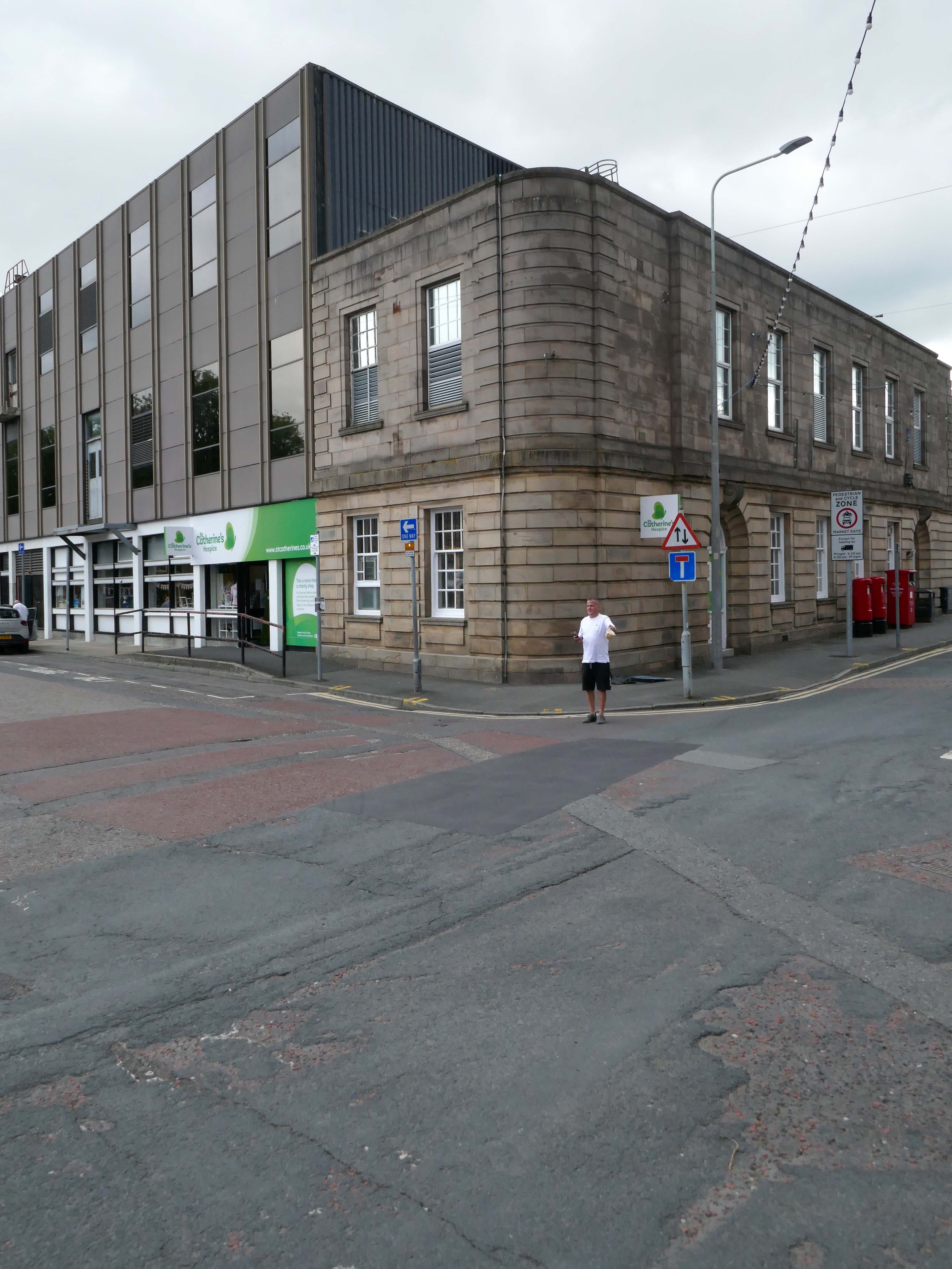
Next door is the Bus Station, opened in February 2003 replacing the previous structure.
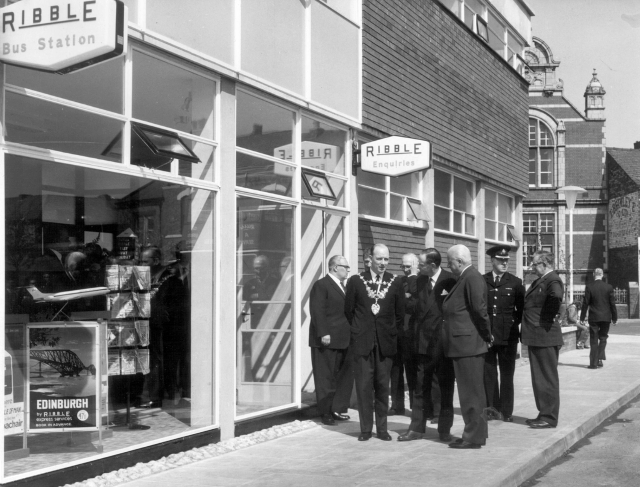
Opening of the previous Bus Station – Ribble the area’s operators, before the Stagecoach arrived.
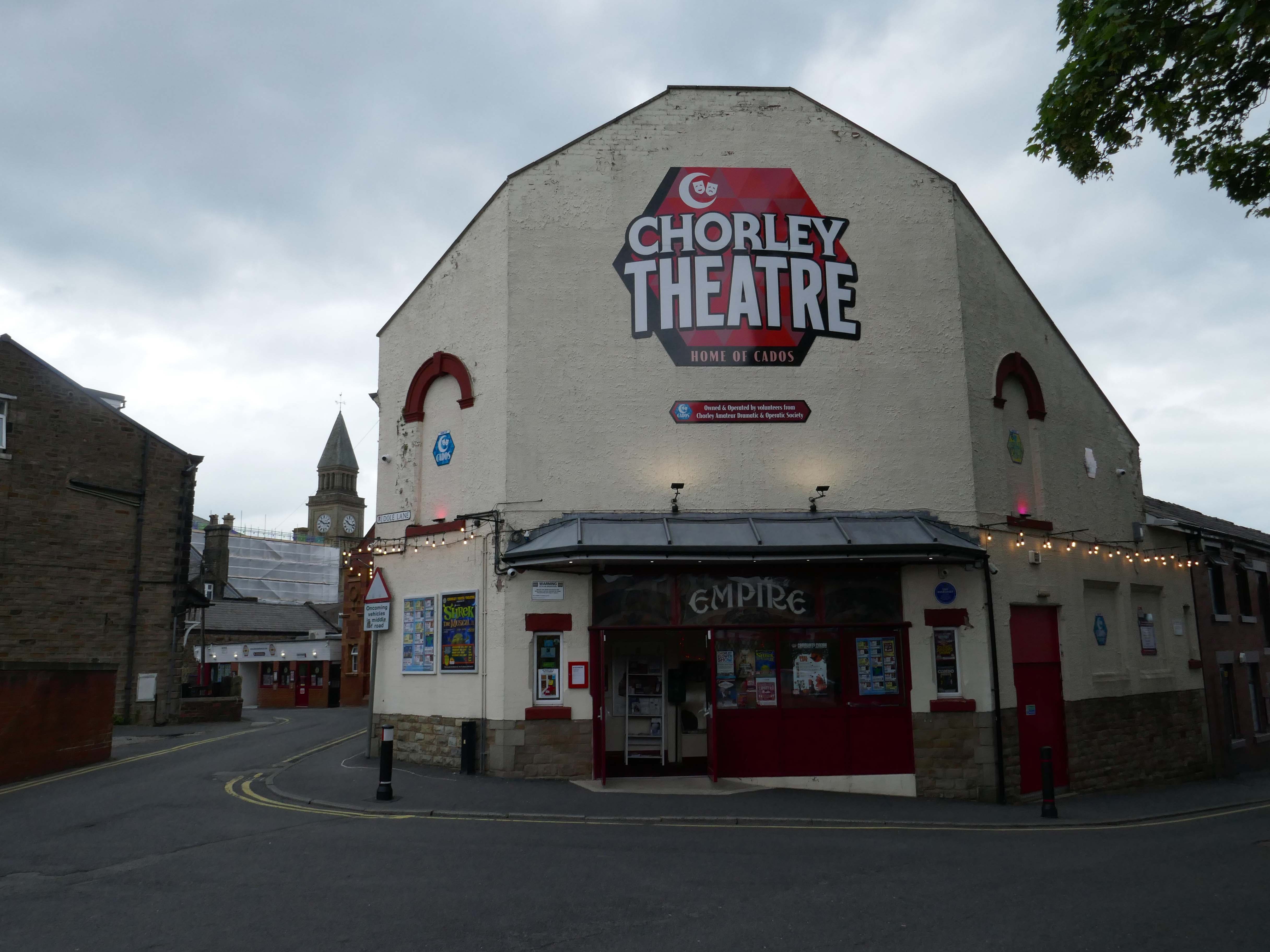
Opened on on 3rd September 1910, one of the nation’s longest continuously running cinemas.
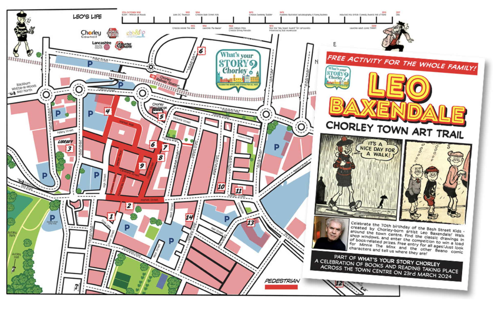
I spent some time chatting to the chatty guardian of the booking office, I learnt that the recently installed blue plaque commemorates the areas links to esteemed Beano artist Leo Baxendale.
Leo attended St Mary’s School which was sited opposite the theatre, he had a miserable time there, an experience which formed the basis for the famed Bash Street Kids.
He may well now chuckle to himself in comic book heaven, knowing that the school was demolished in 1982.
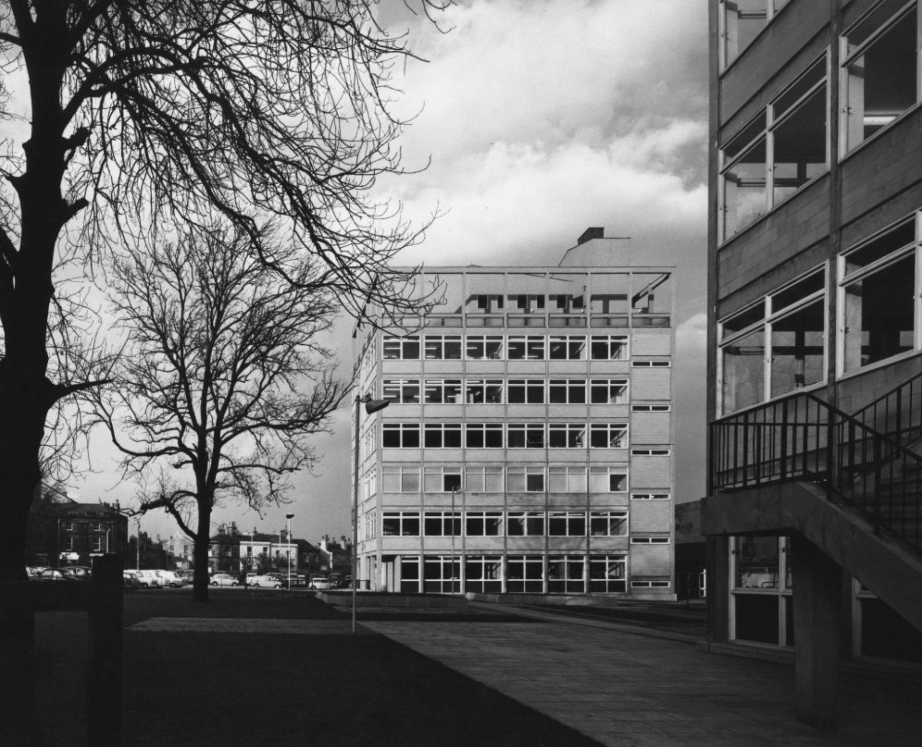
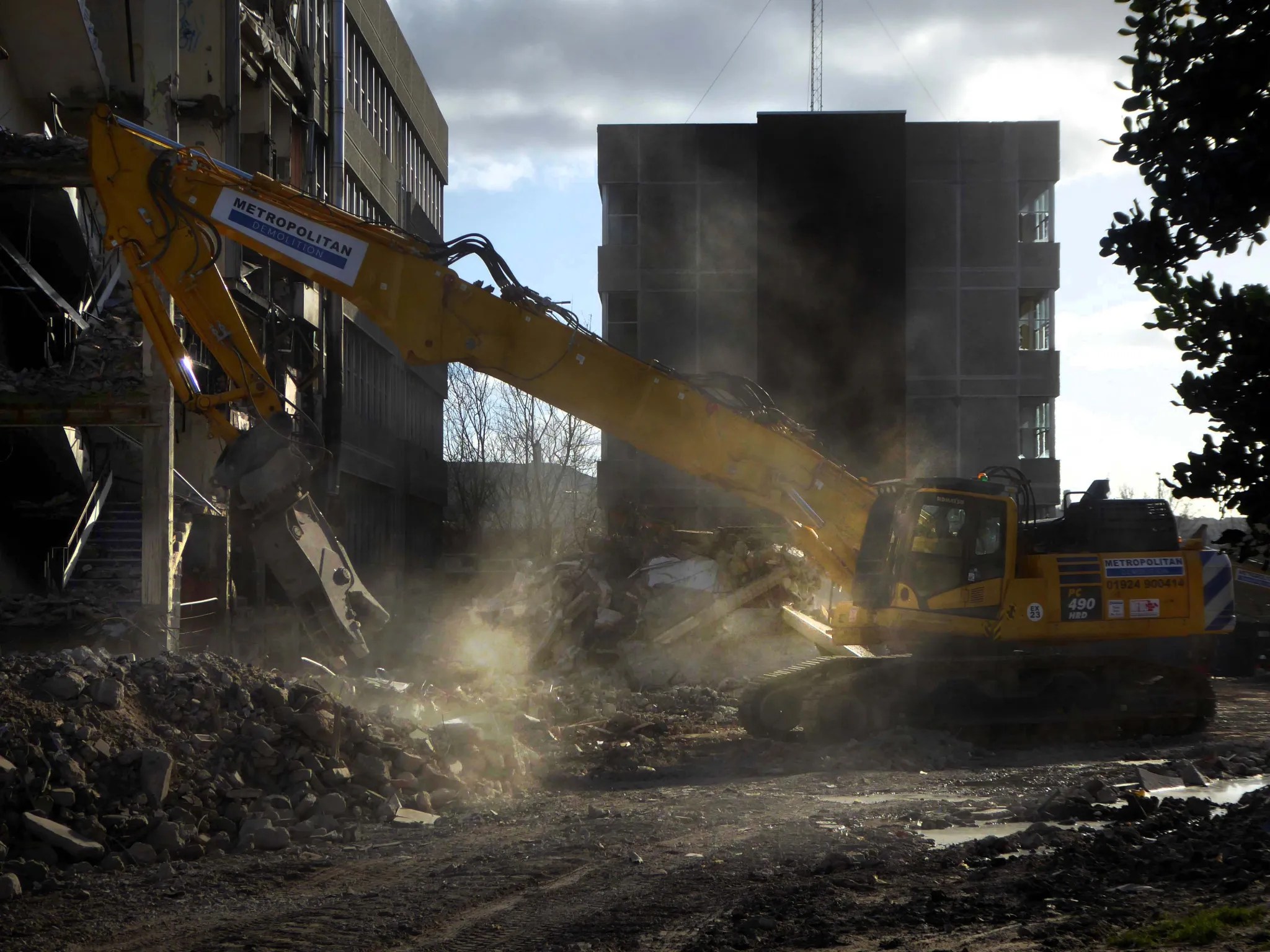
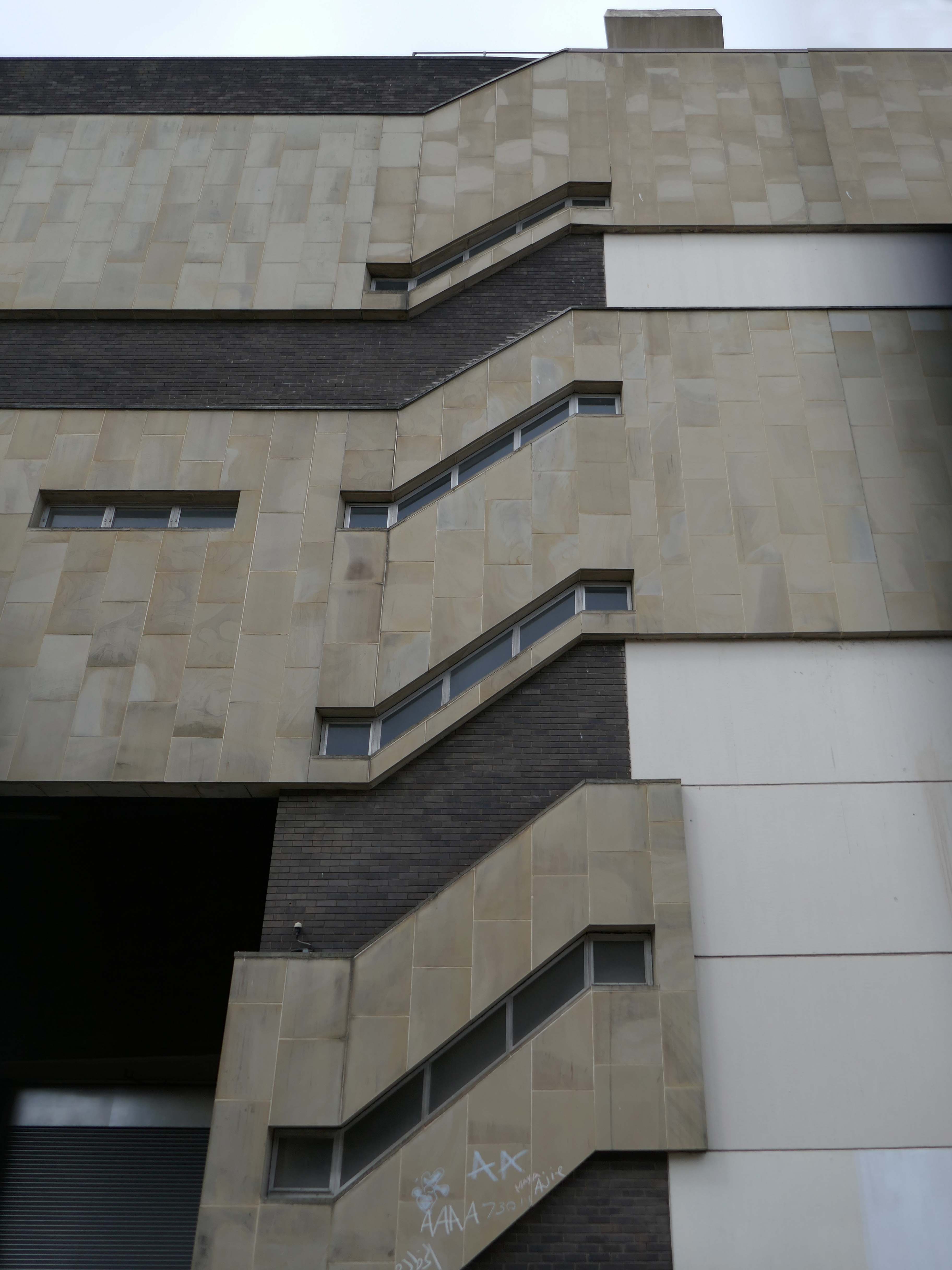
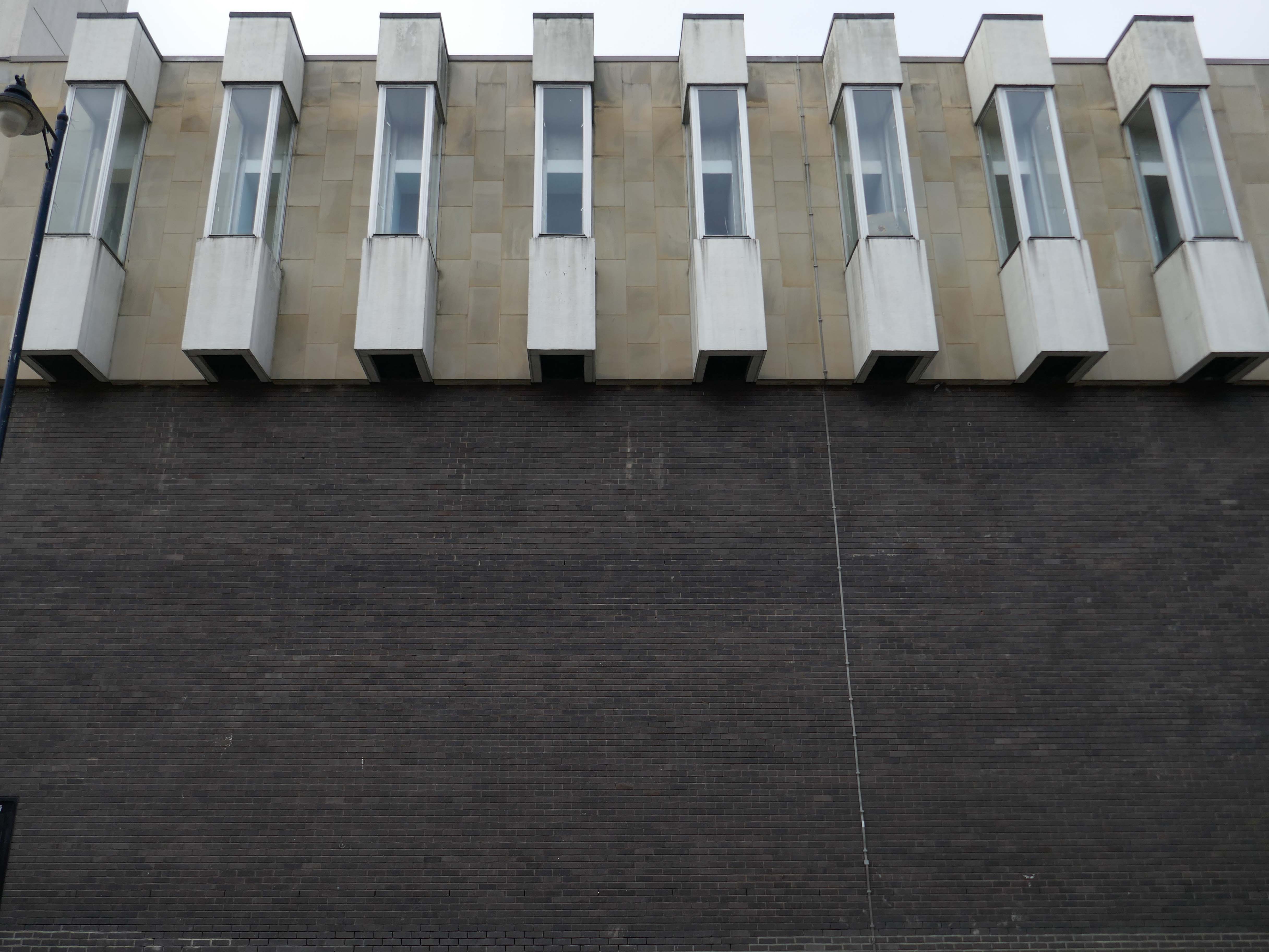
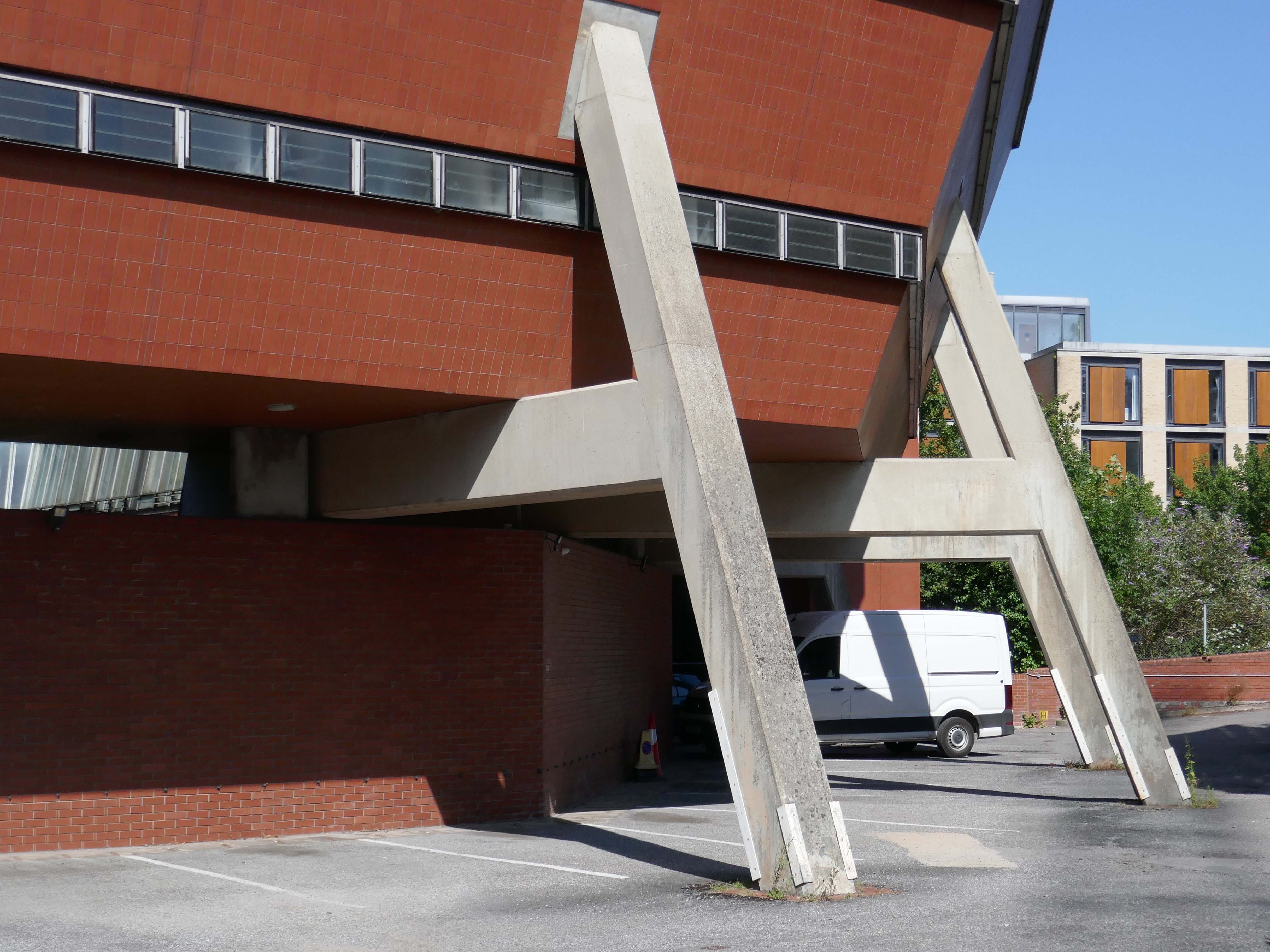
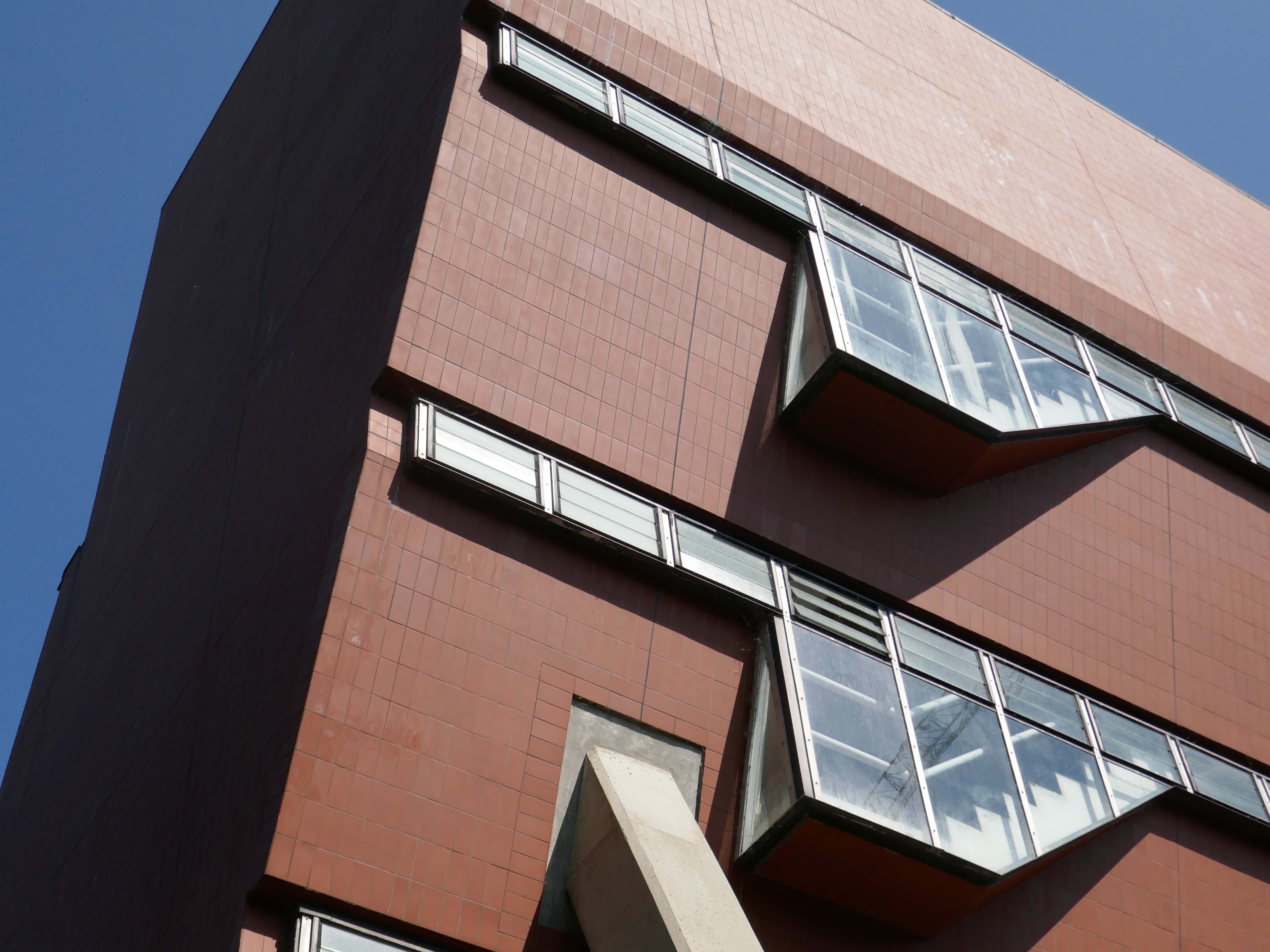
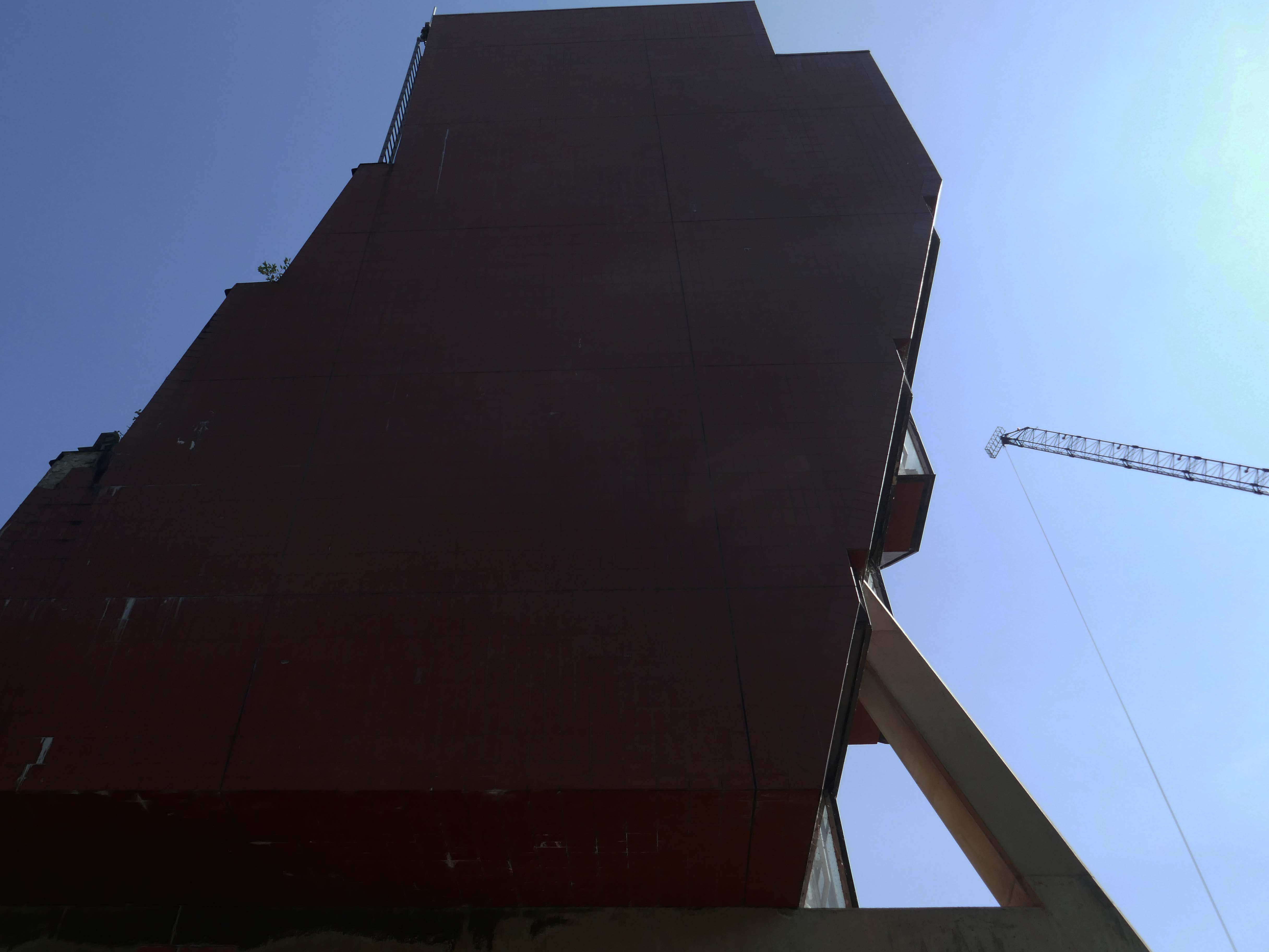
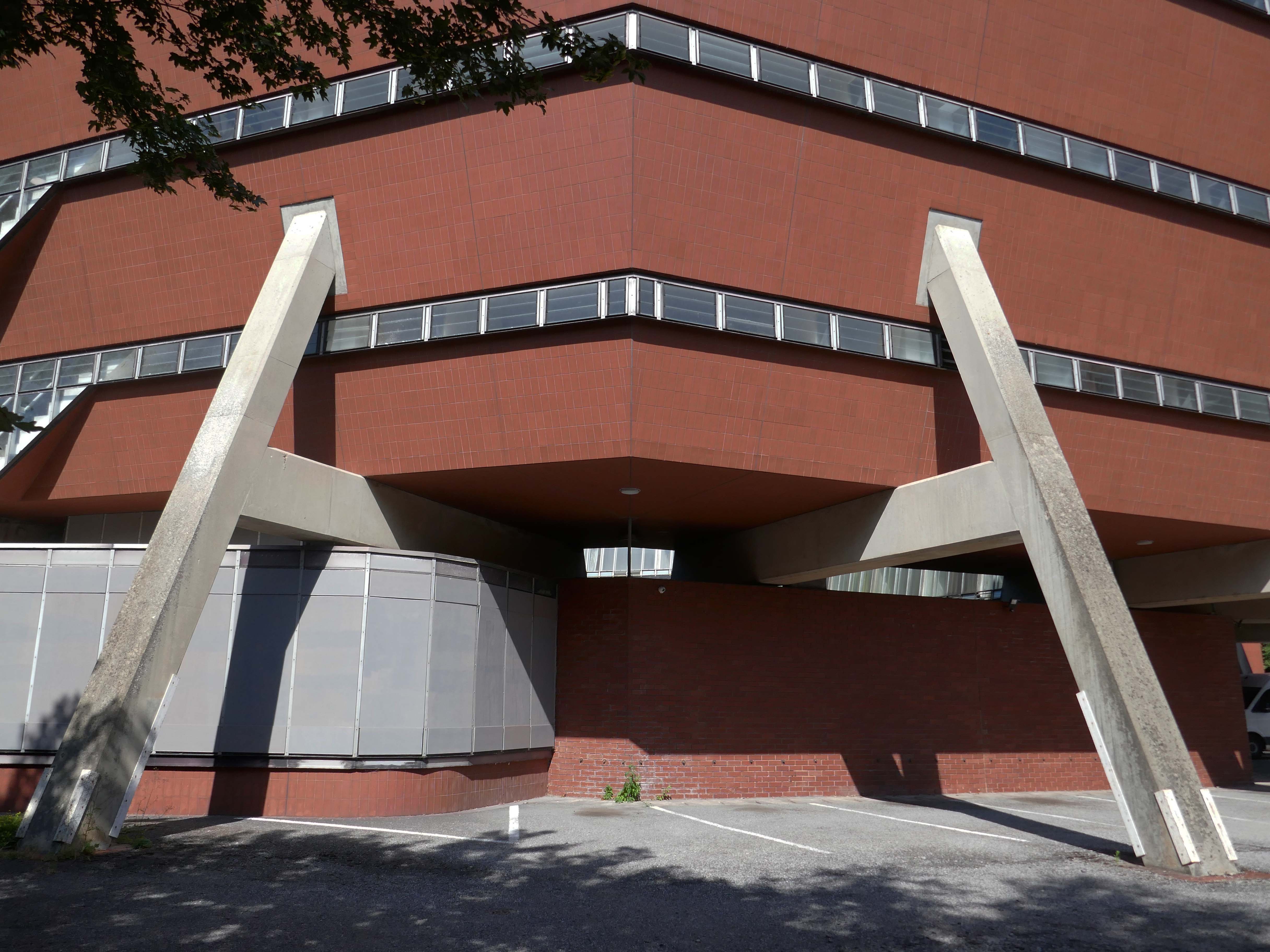
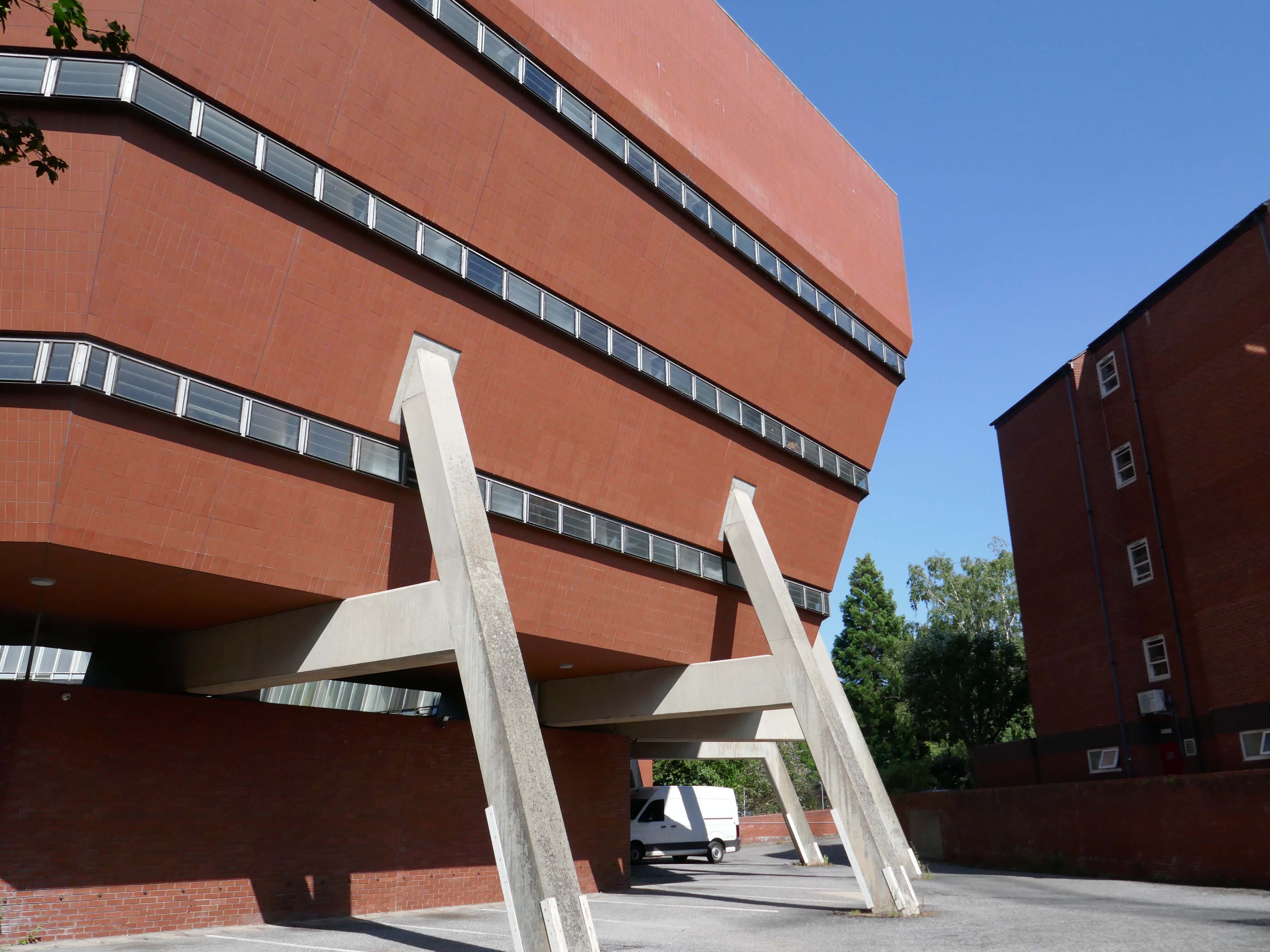
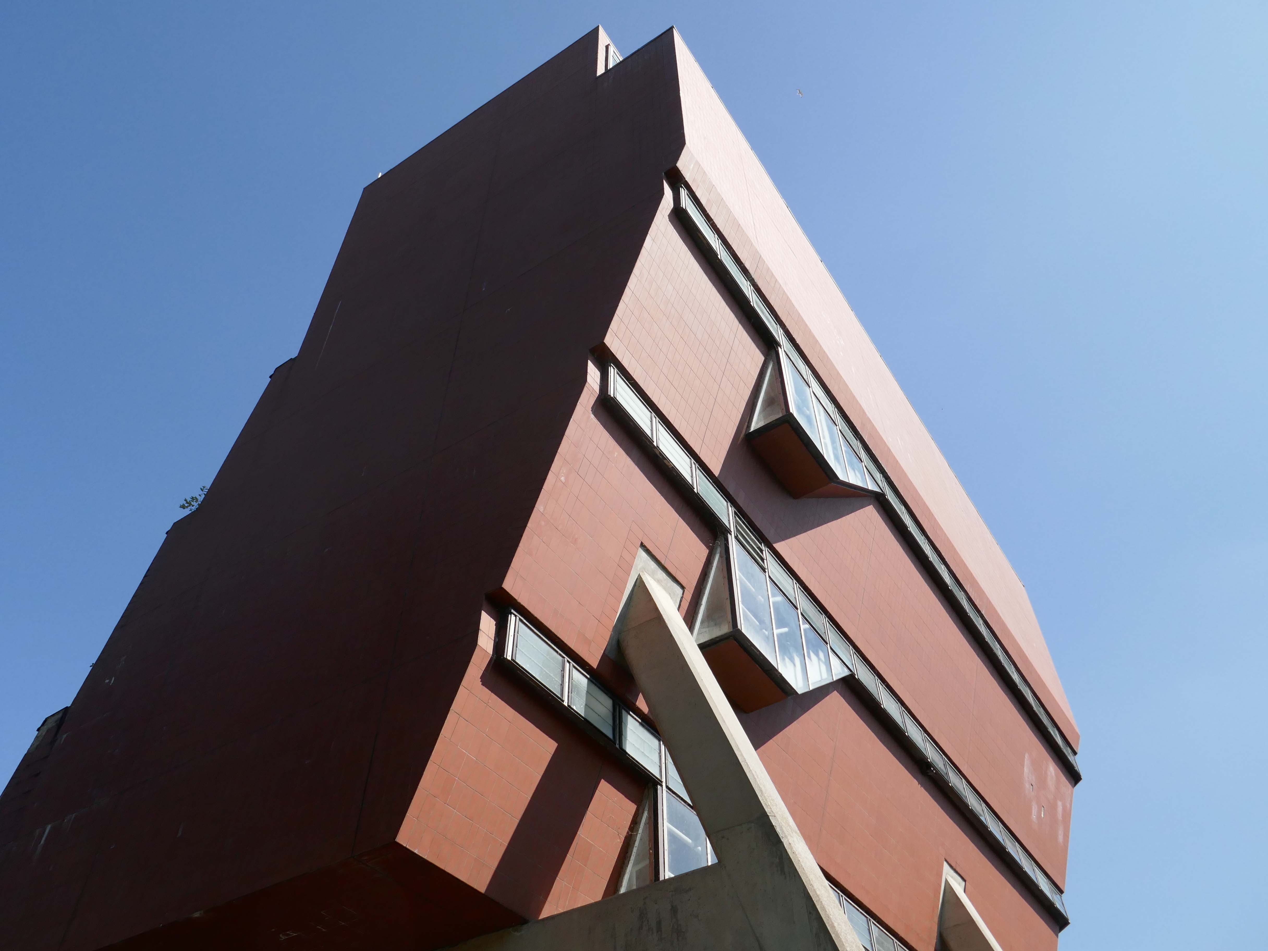
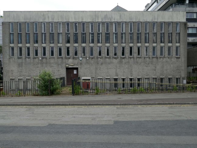
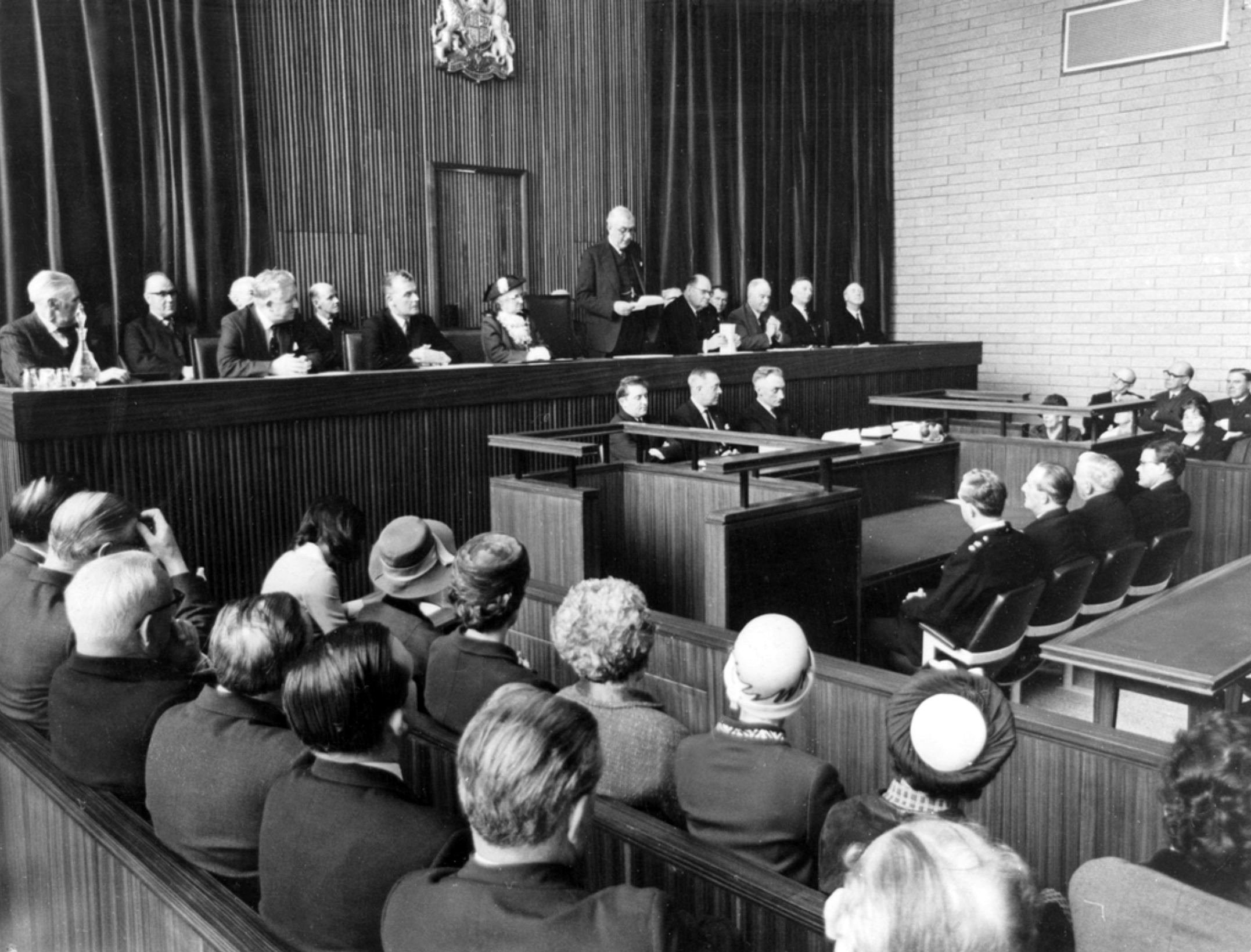
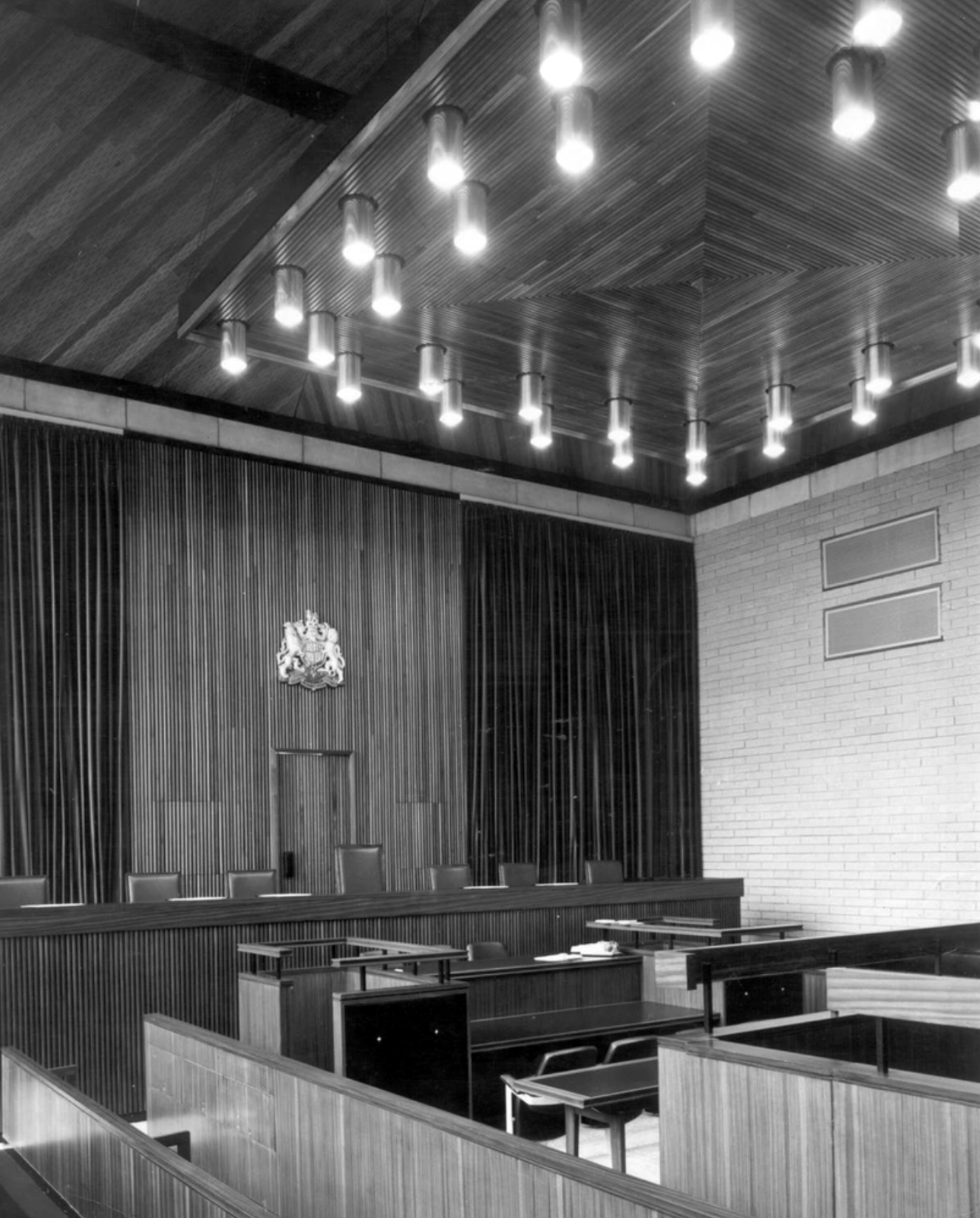
The design team was Roger Booth, Lancashire County Architect; CA Spivey, Assistant County Architect; DB Stephenson, Design Architect; and DG Edwards, AG Gass, responsible for the detailed design and construction. The seven-storey in-situ concrete framed main block was the last bespoke police station to be built in Lancashire, following this the department developed a systemised concrete construction method which was deployed across the county. The dramatic cantilevers gave the new building a stature and presence that signalled authority. The lower levels were accessed by ramps and provided space for police vehicles. To enter the police station one ascended a set of external stairs across a pool that once contained koi carp – fittingly, one boy described the new building as a ‘fishtank’ upon its completion. The magistrates’ court was finished externally in a grey brick and carried the signature pyramid rooflights that were synonymous with the Department.
Next door its partner in crime the Magistrates Courts.
Opened in 1968.
The courts are up for sale – offers in the region of £800,000 – the property has planning permission for an eleven storey apartment building with fifty two flats, three ground floor retail units and roof terrace.
The disused court building was last sold in 2022 for £300,000, according to the Land Registry.
Designs for the scheme were drawn up by FWP Group.
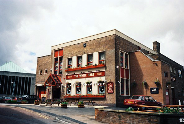
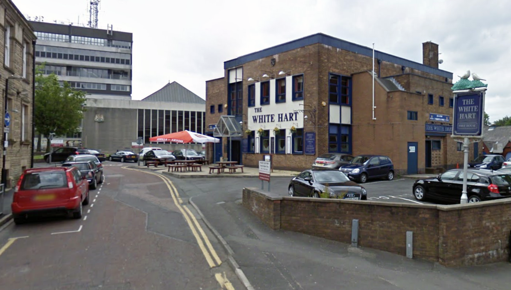
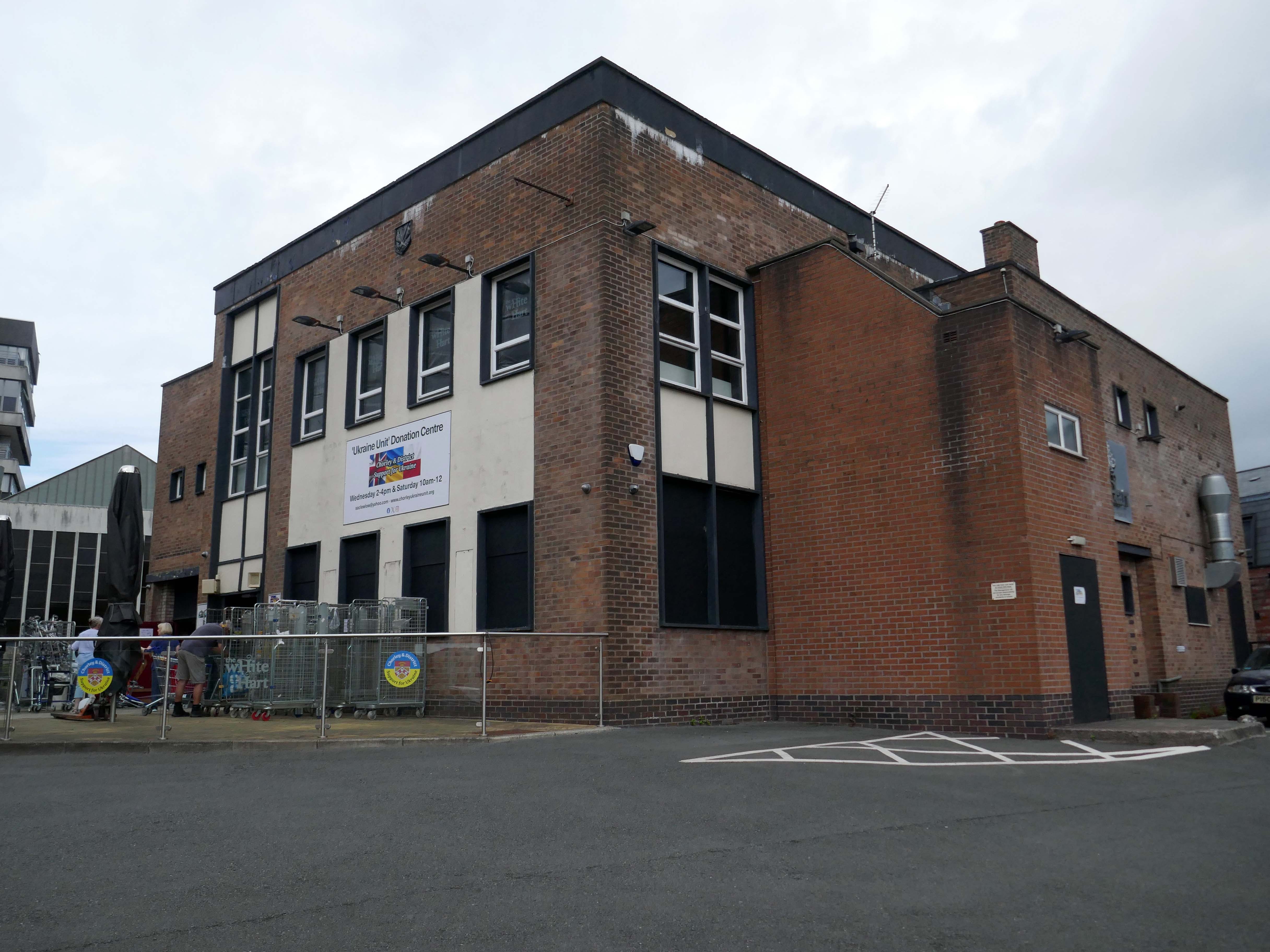
Next door is a pub no longer a pub.
Once upon a time a Vaux Brewery house the White Hart – implausibly renamed the Snooty Fox for a brief period.
The pub was decent enough inside with a large room which was empty on our Friday dinner visit, the pub was a Vaux tied house so we were well pleased as we had not done many of them.
We had a drink of Vaux bitter which went down well.
Our group was created in February 2022 to try and help raise awareness of the crisis in Ukraine and to help organise and coordinate local efforts to send support from across the Borough of Chorley in Lancashire. We have since grown into a major hub for donations.
Across Chorley & District multiple educational facilities, community groups and organisations reacted and began to spread awareness and collect donations. In order to sift and sort a lot of local donations, a unit has been loaned by Chorley Council. A large percentage of the region’s aid has come into this unit and we are regularly packaging aid and supplies in preparation for the next leg of the journey to Ukraine, whether it’s transported there by us or other charitable organisations.
Our philosophy is that if we can all do a little bit, together we can make a big difference.
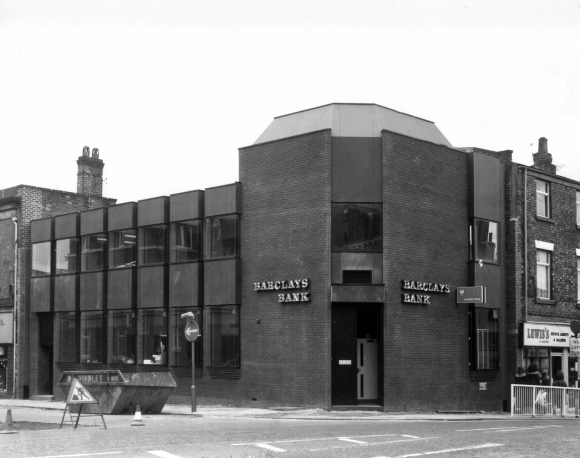
Bouncing back to what was and never shall be no more Barclays Bank.
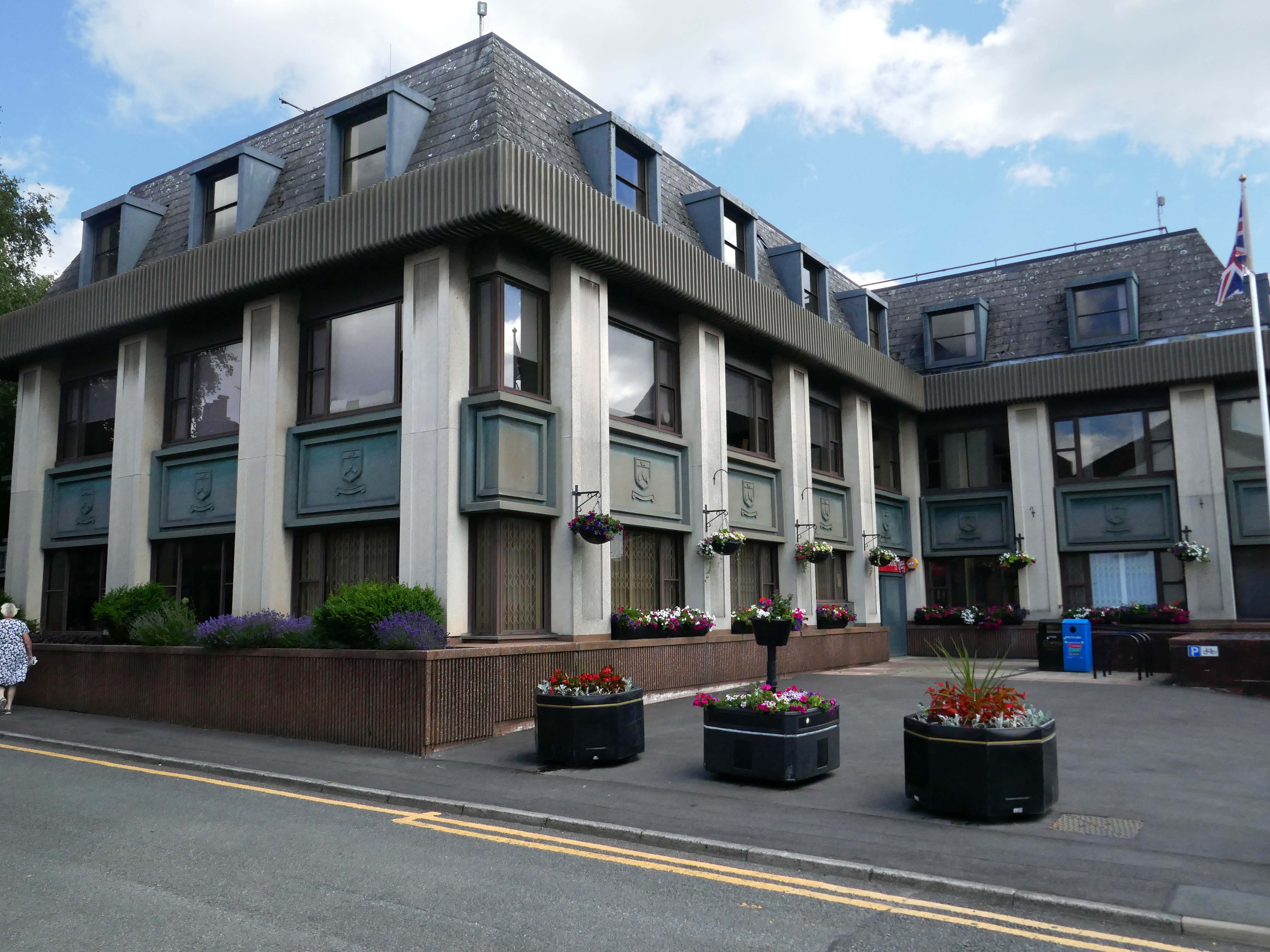
Almost finally we find ourselves at the Council Offices 1982.
You will be delighted to hear that Chorley Council has a Masterplan
Self Architects generated a high level Masterplan for this prominent site. The scheme proposes a boutique hotel, offices, restaurants/bars, along with apartments, aiming to transform the town centre by intervention to enhance the overall vision by:
Establish a series of formal/informal public spaces
Diagonally link public spaces
Greening pedestrian streets
Reducing dominance of cars
Improving evening economy
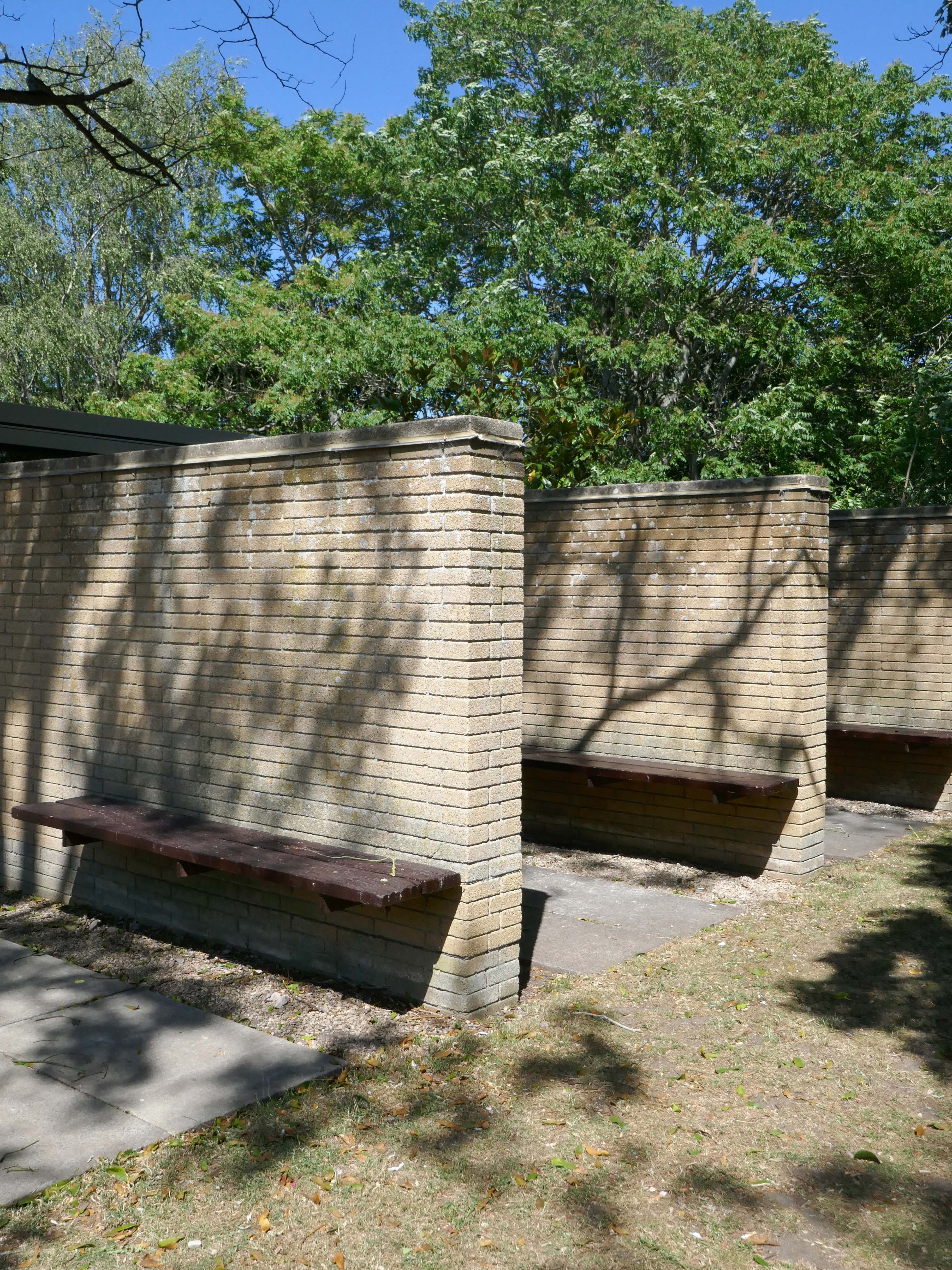
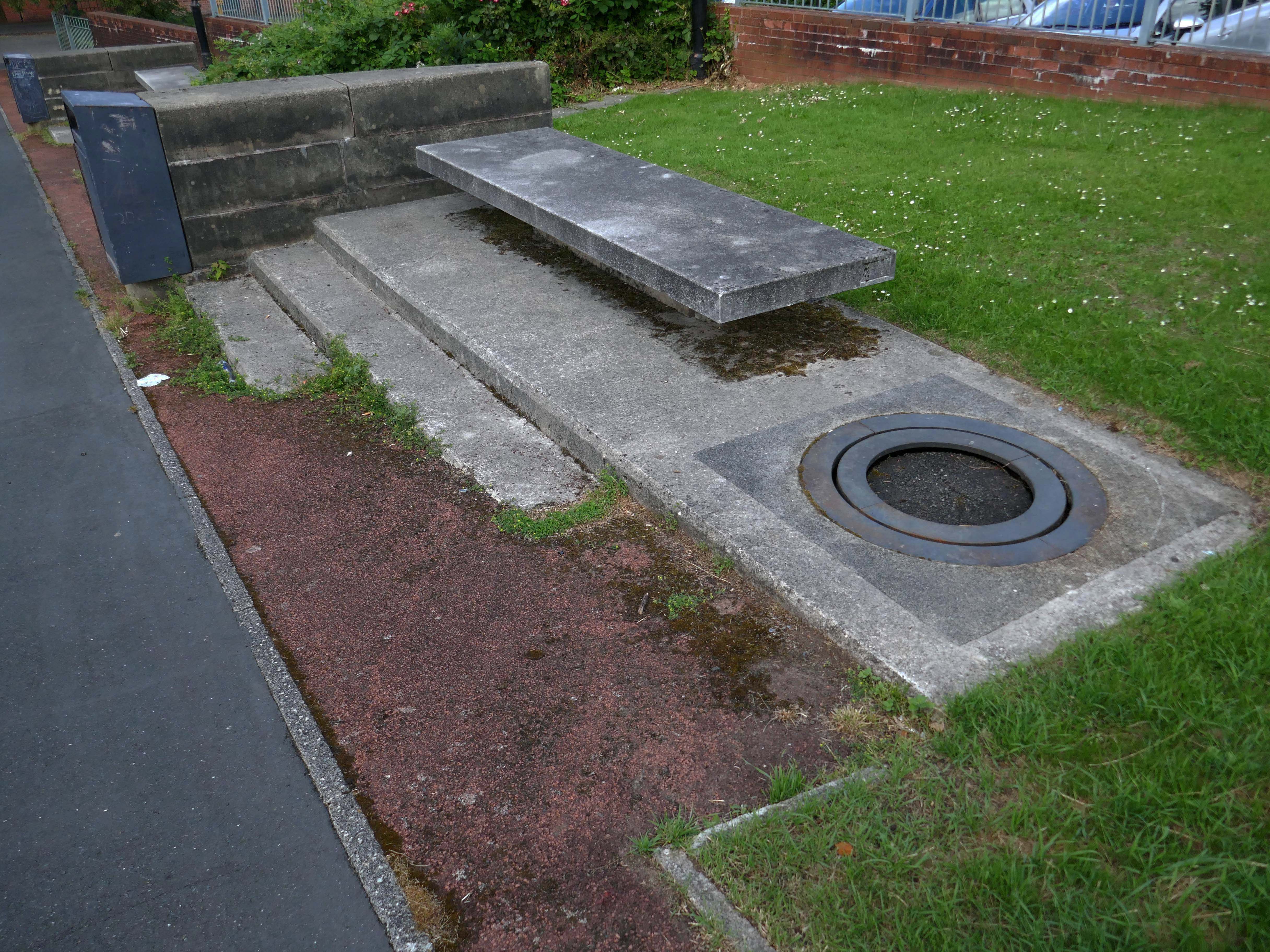
Having a moment or two on my hands I ventured to the land beyond beyond – the land of the concrete bench, bin and planter combo.
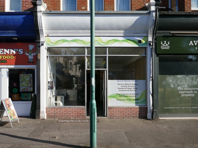
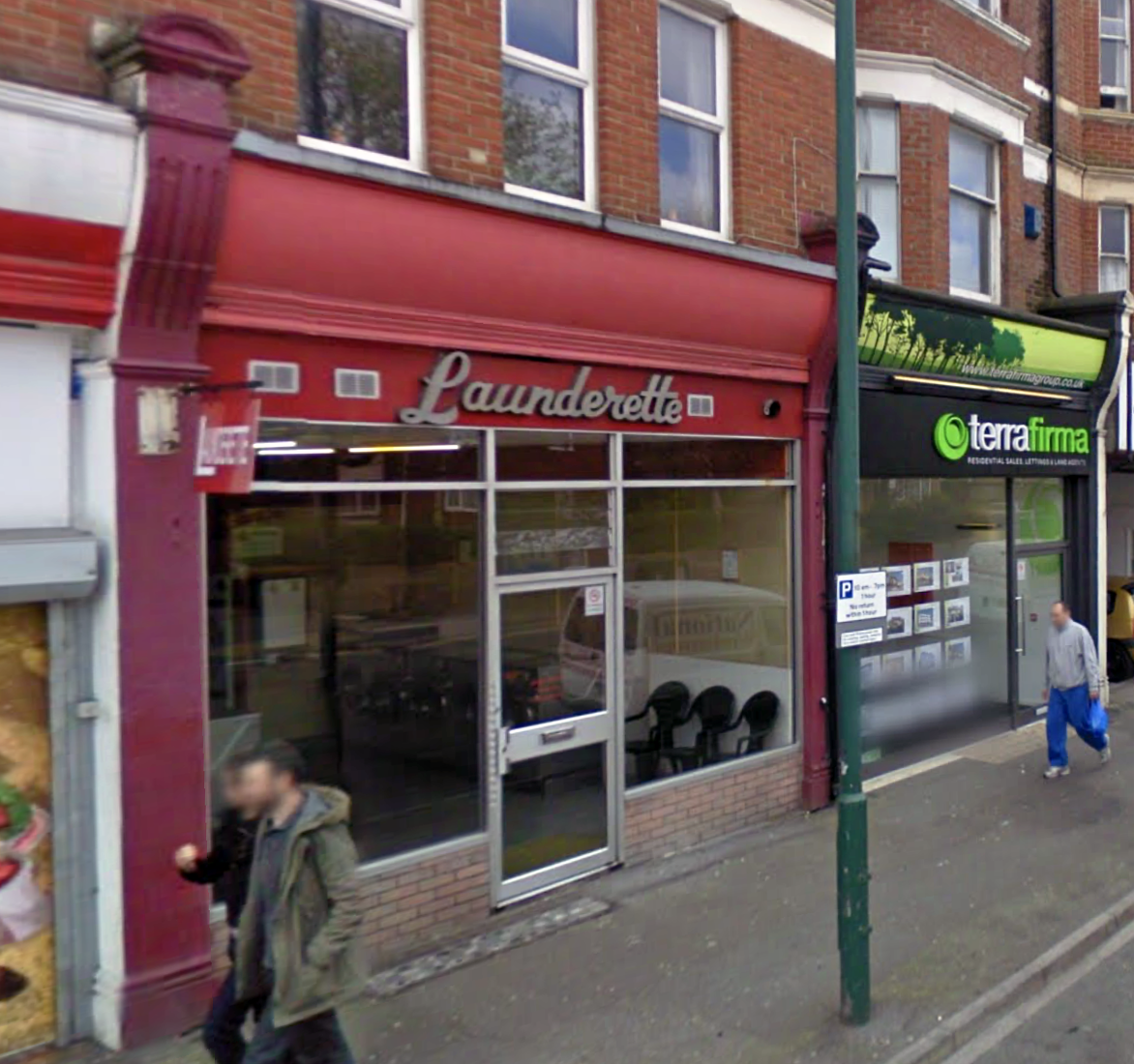
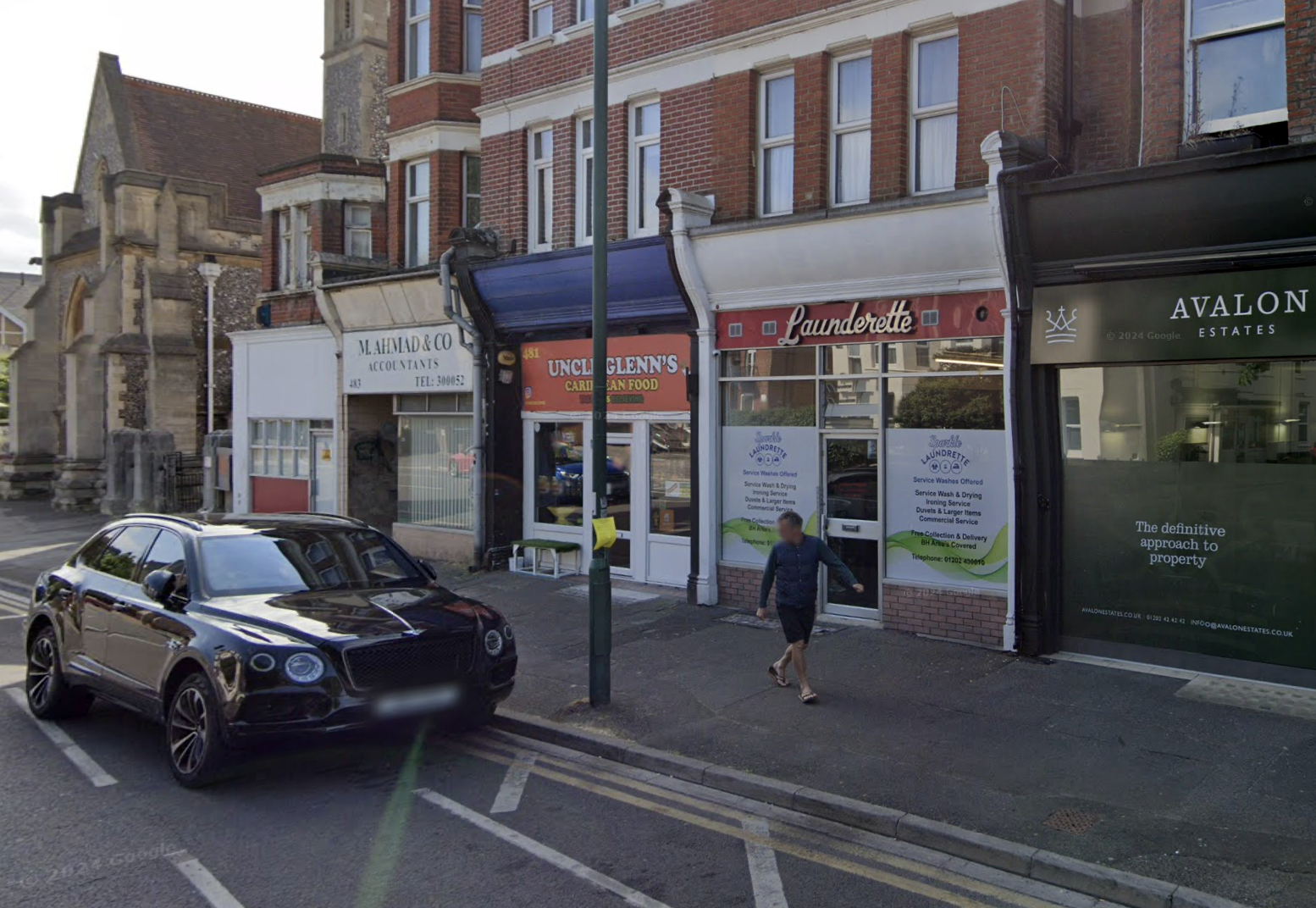
Seen here in 2011 via Google – with clear windows and delightful signage.
2024 with vinyl covered windows and sign intact.
By the time of my visit in May 2026 – the sign and the Bentley were no more.
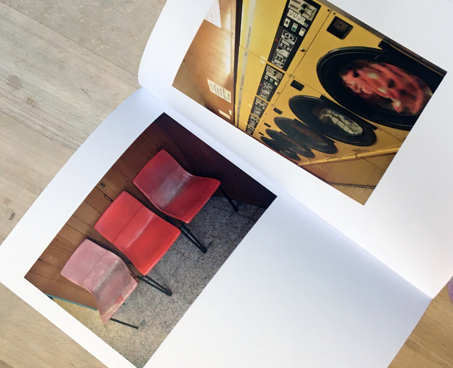
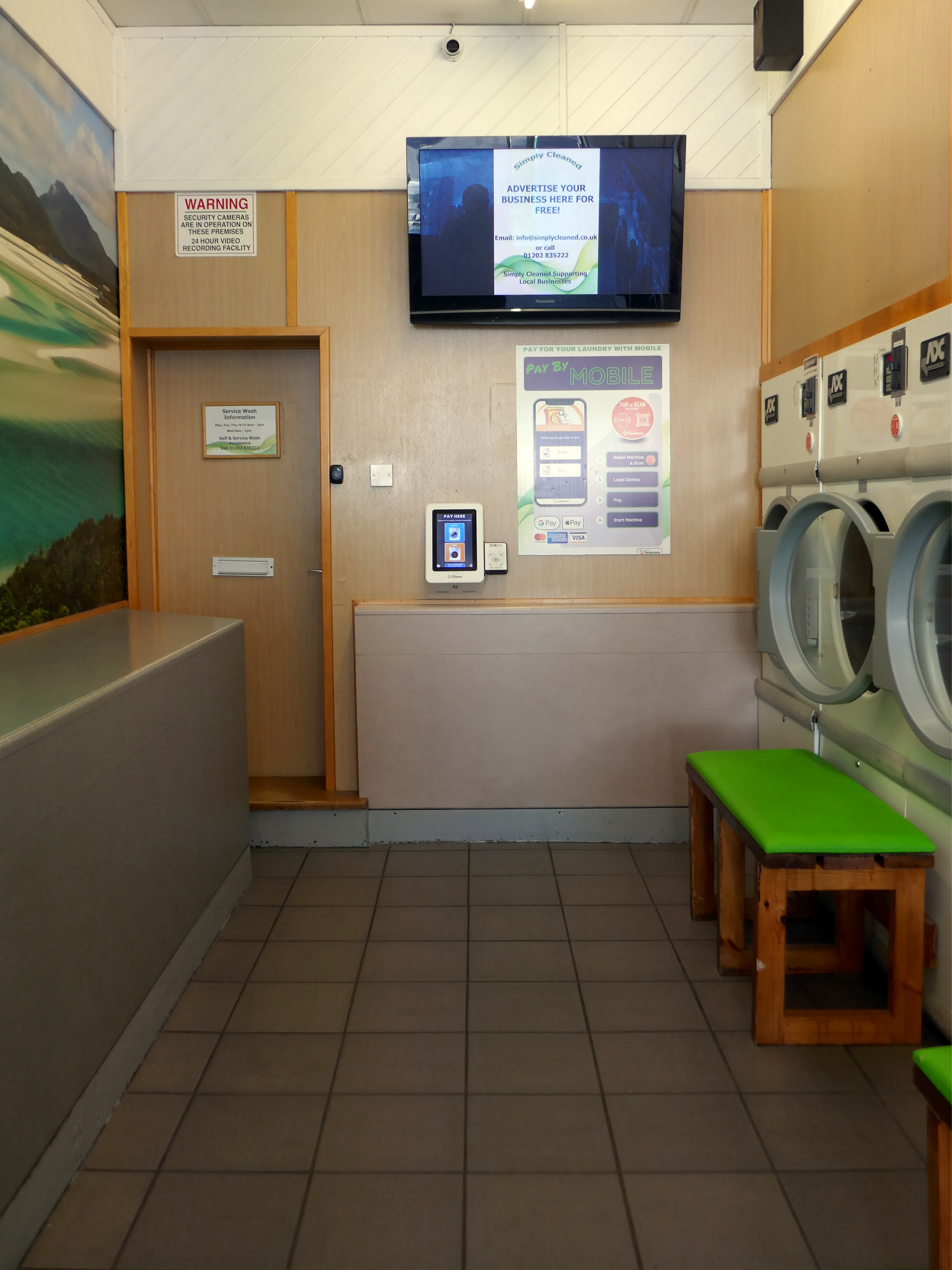
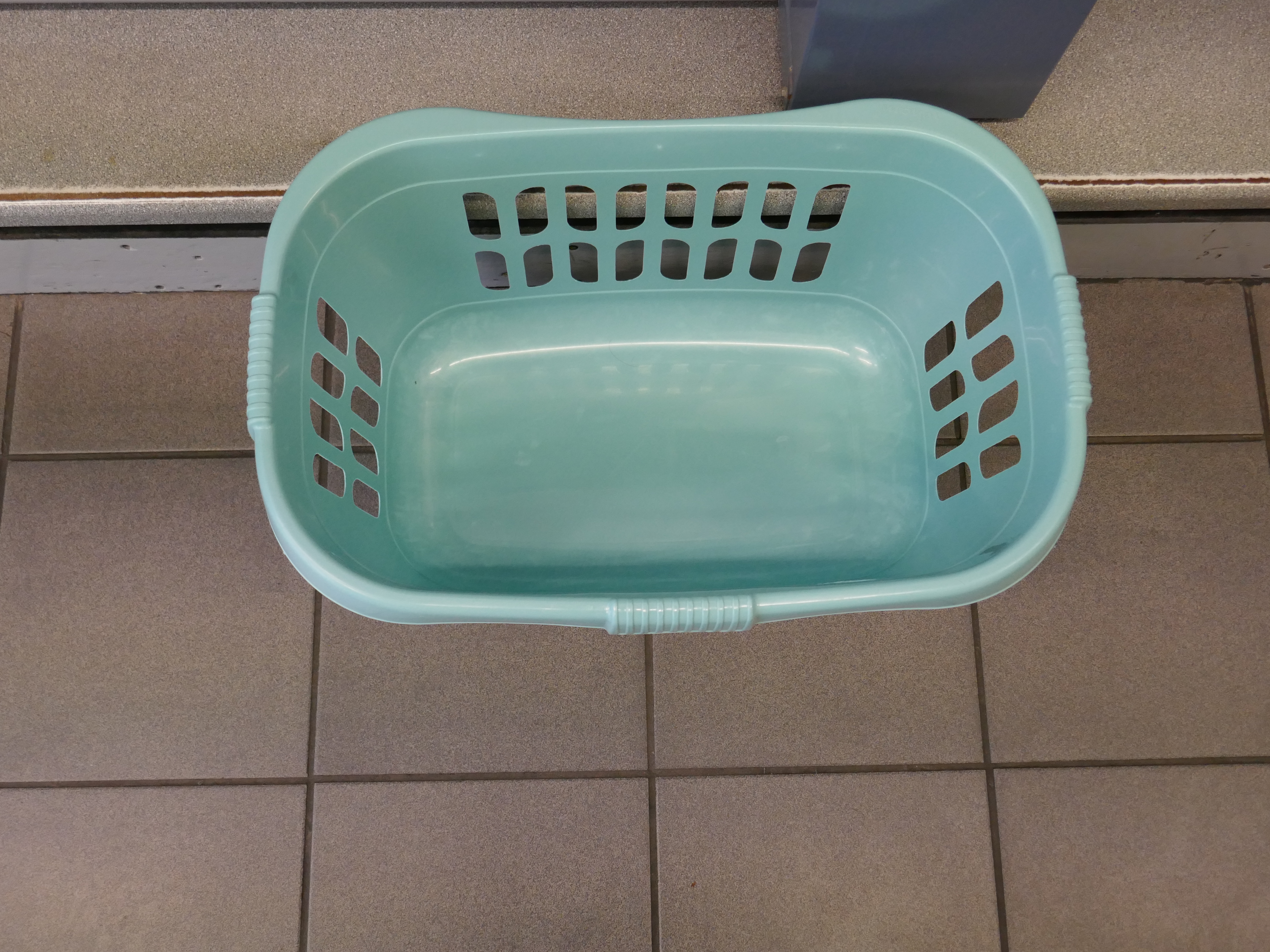
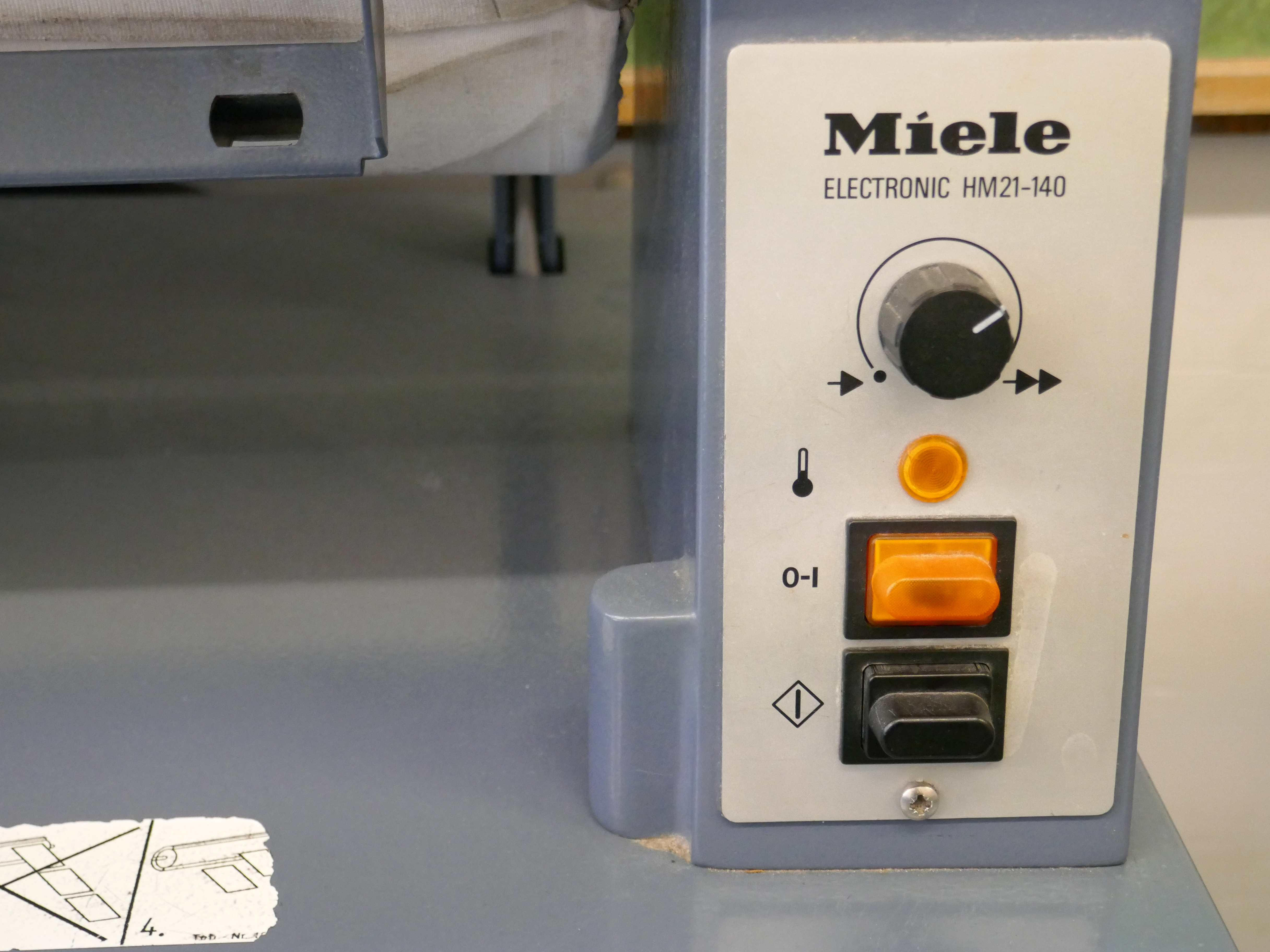
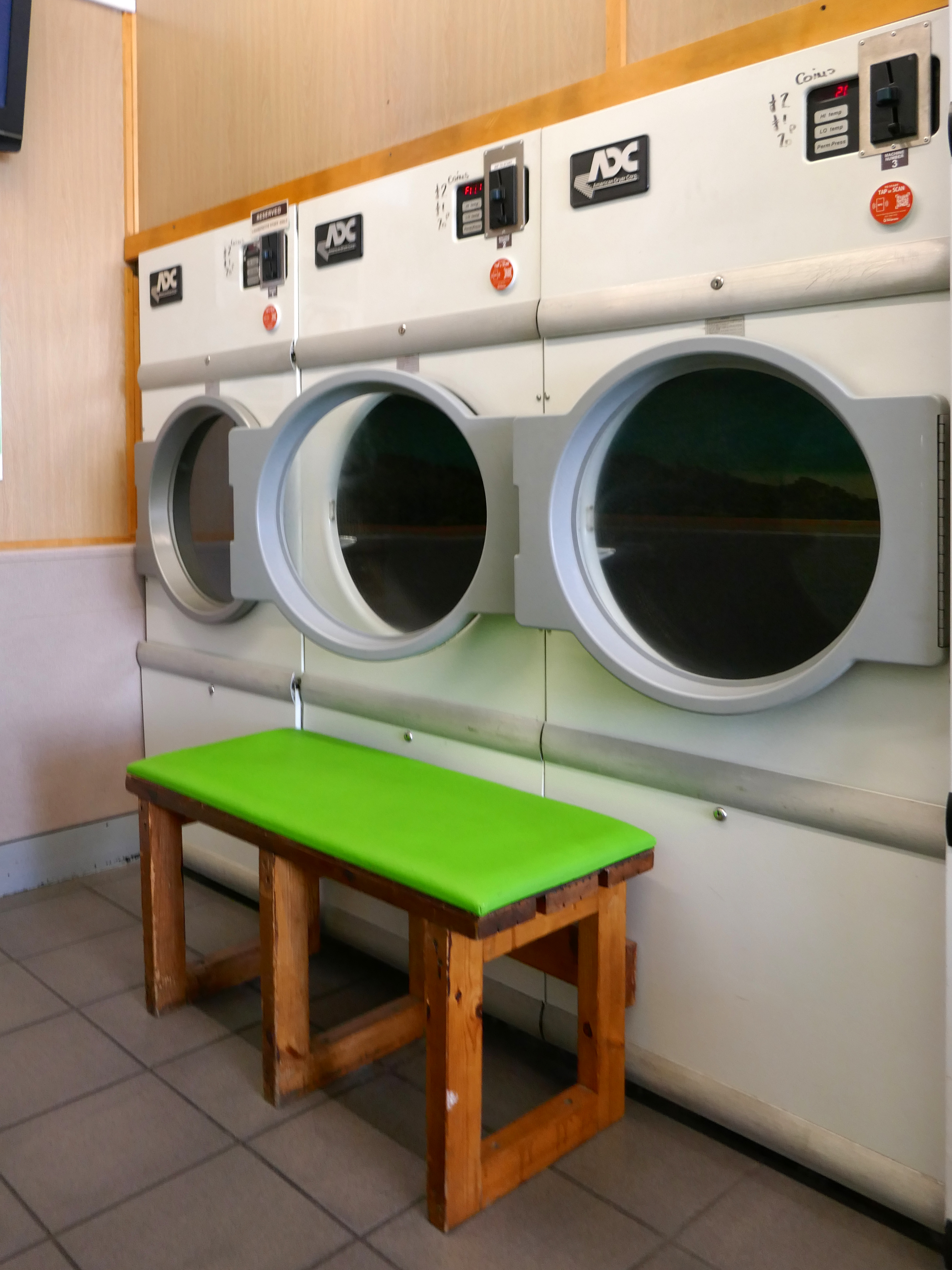
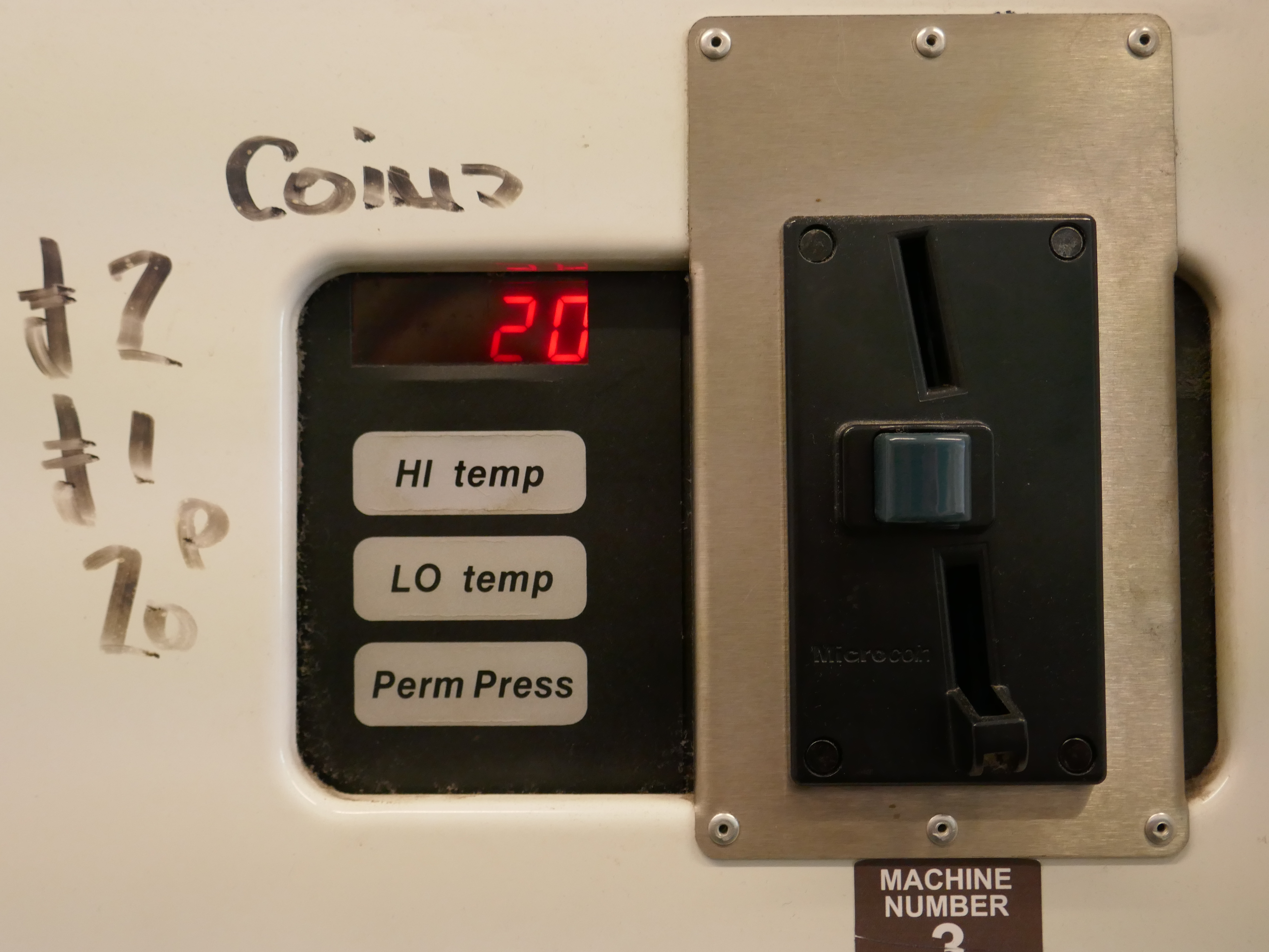
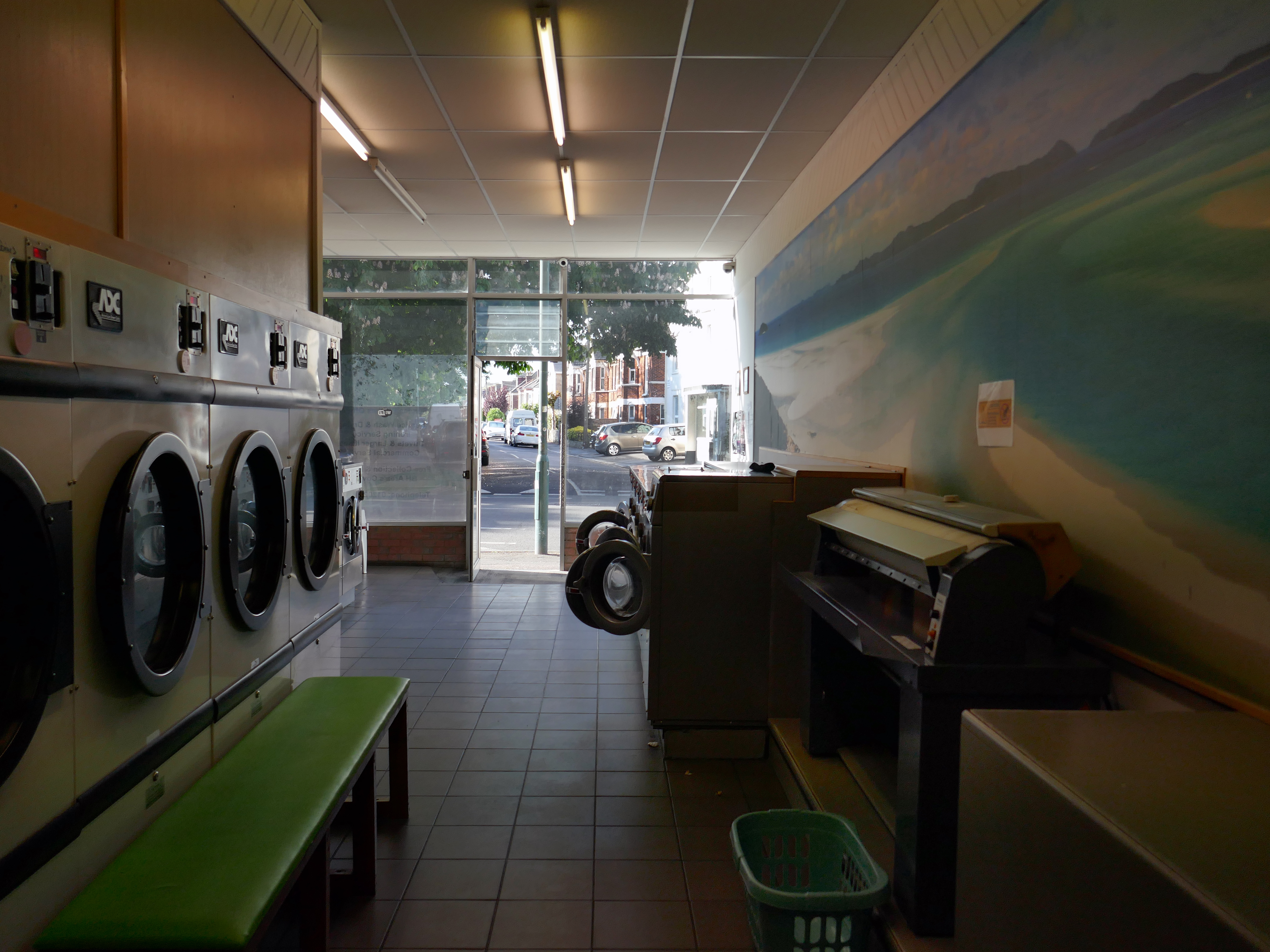
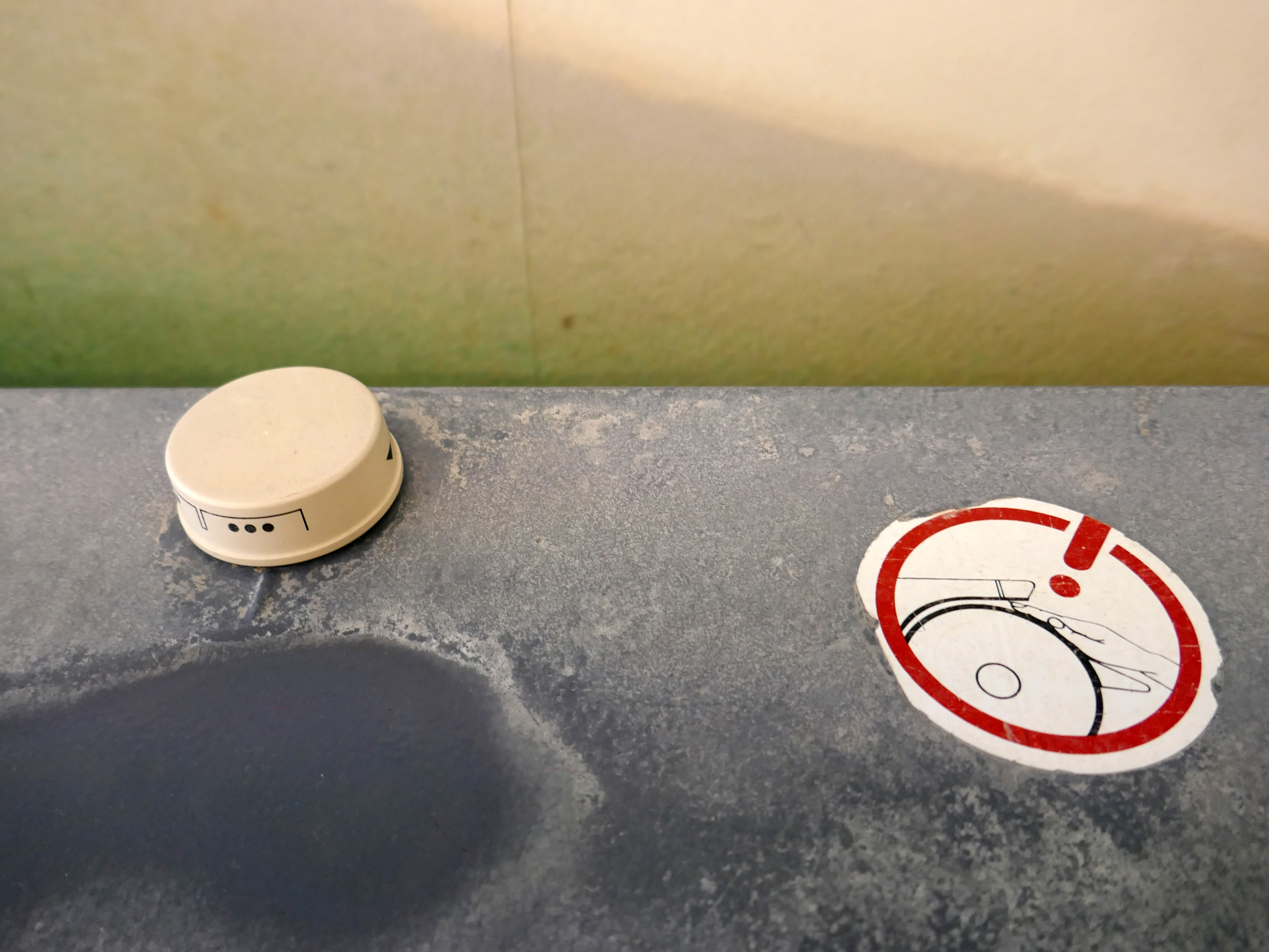
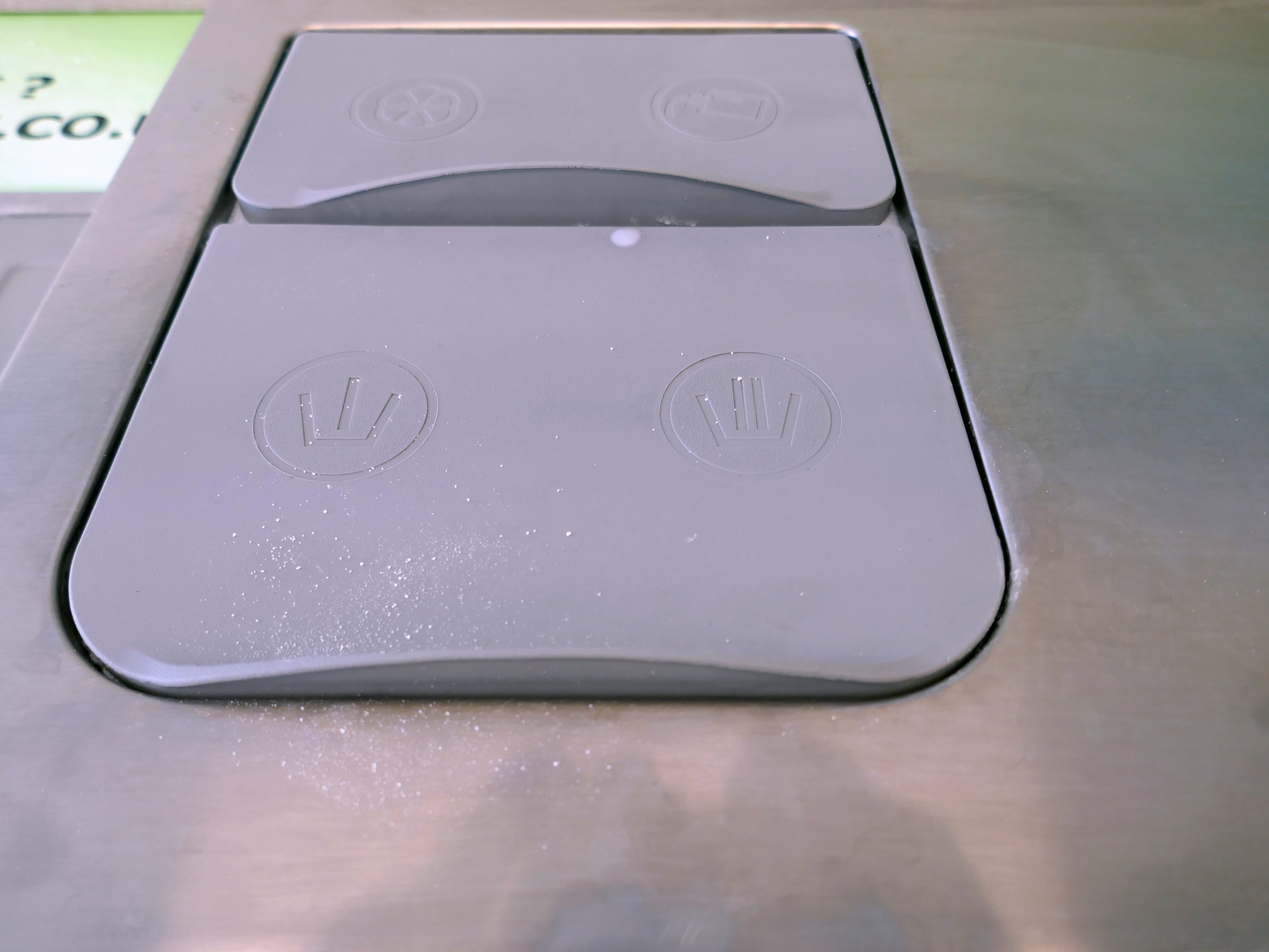
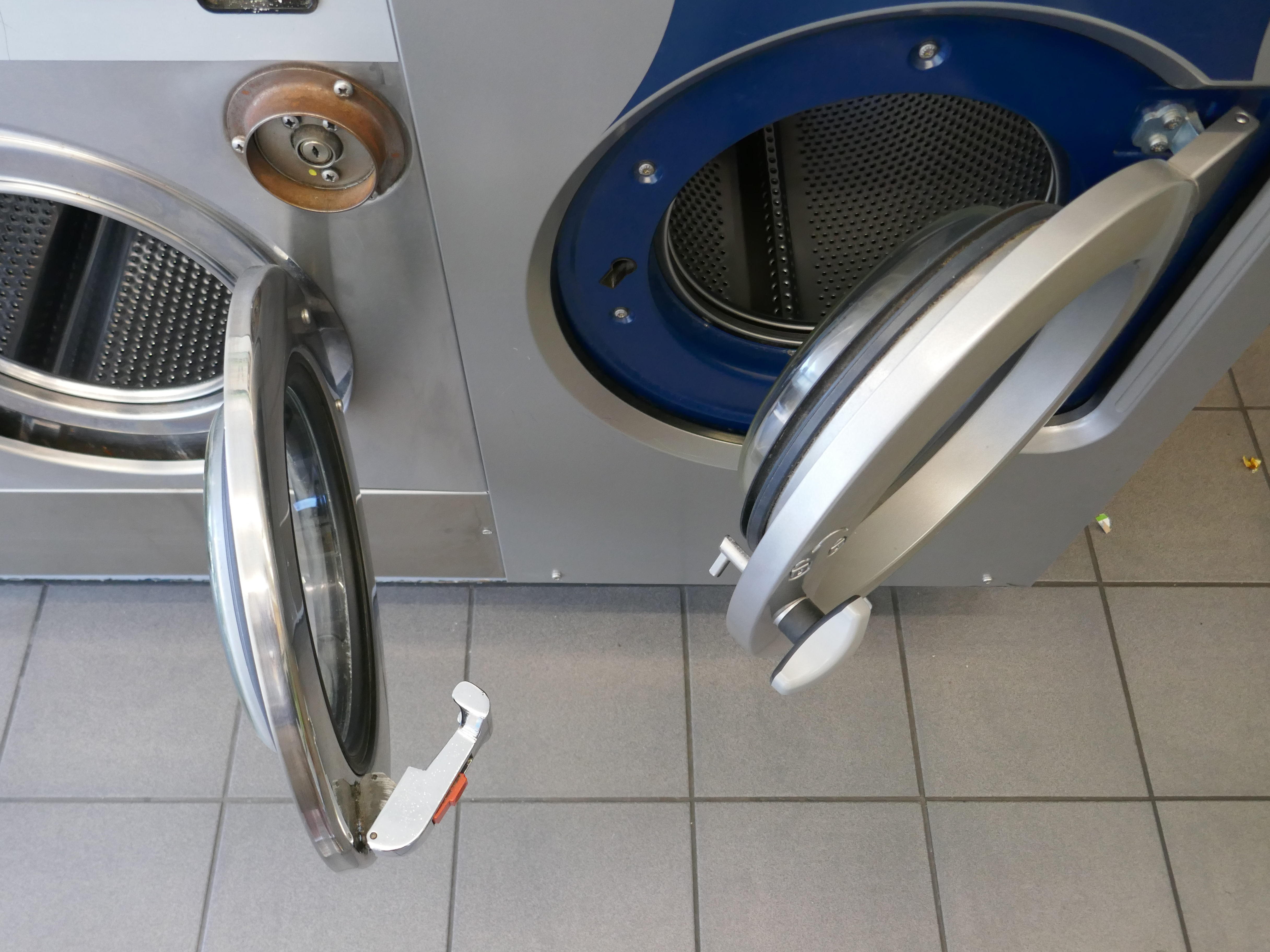
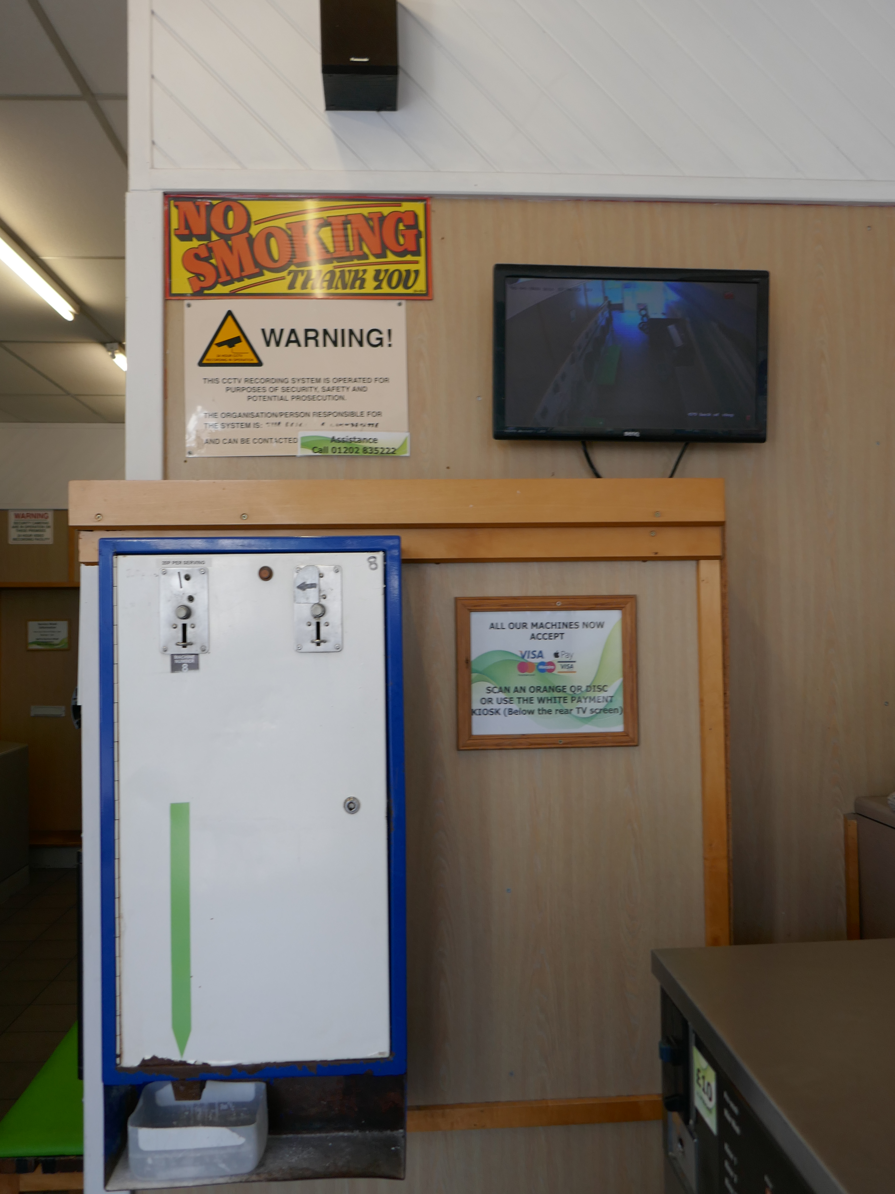
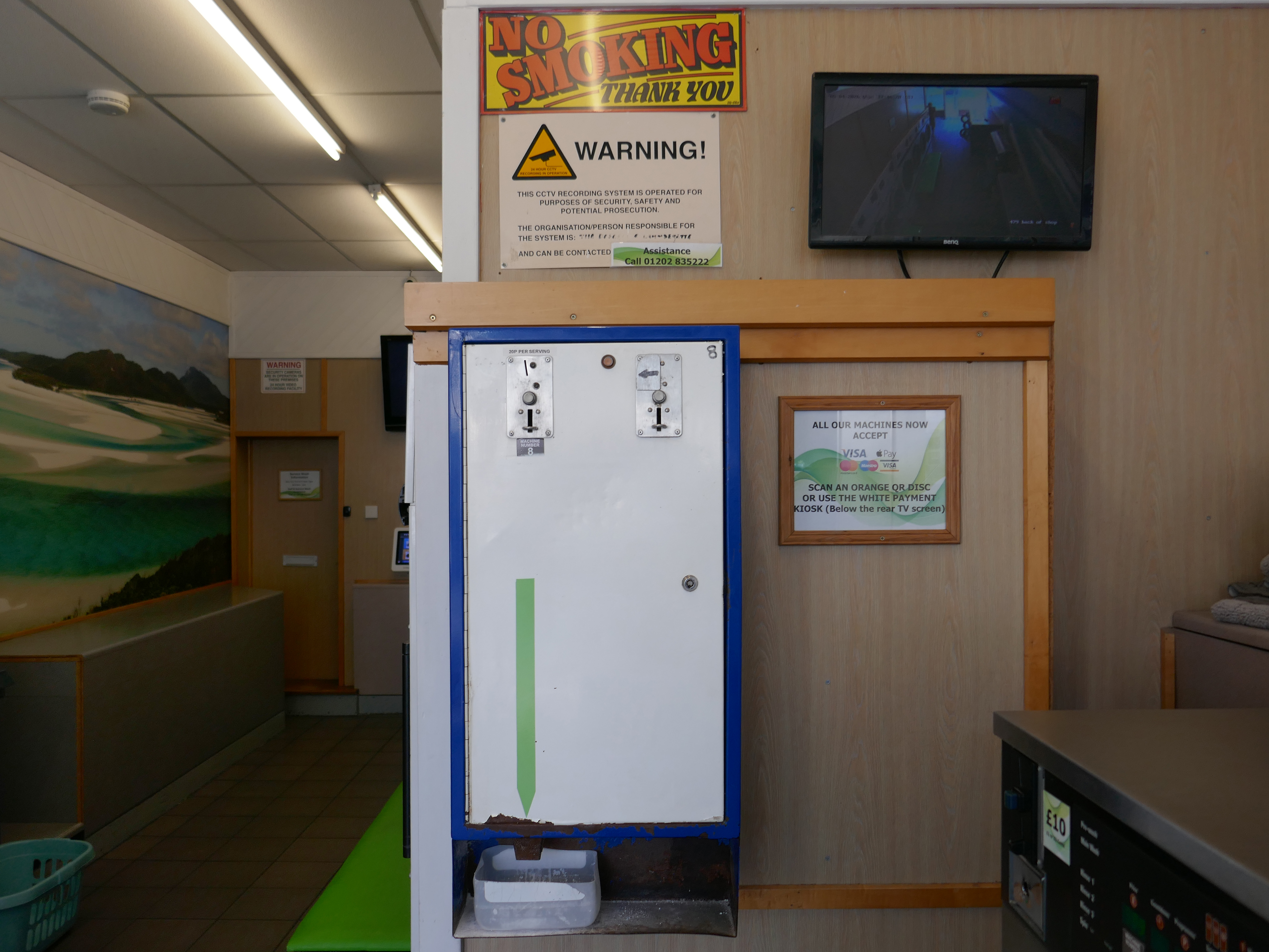
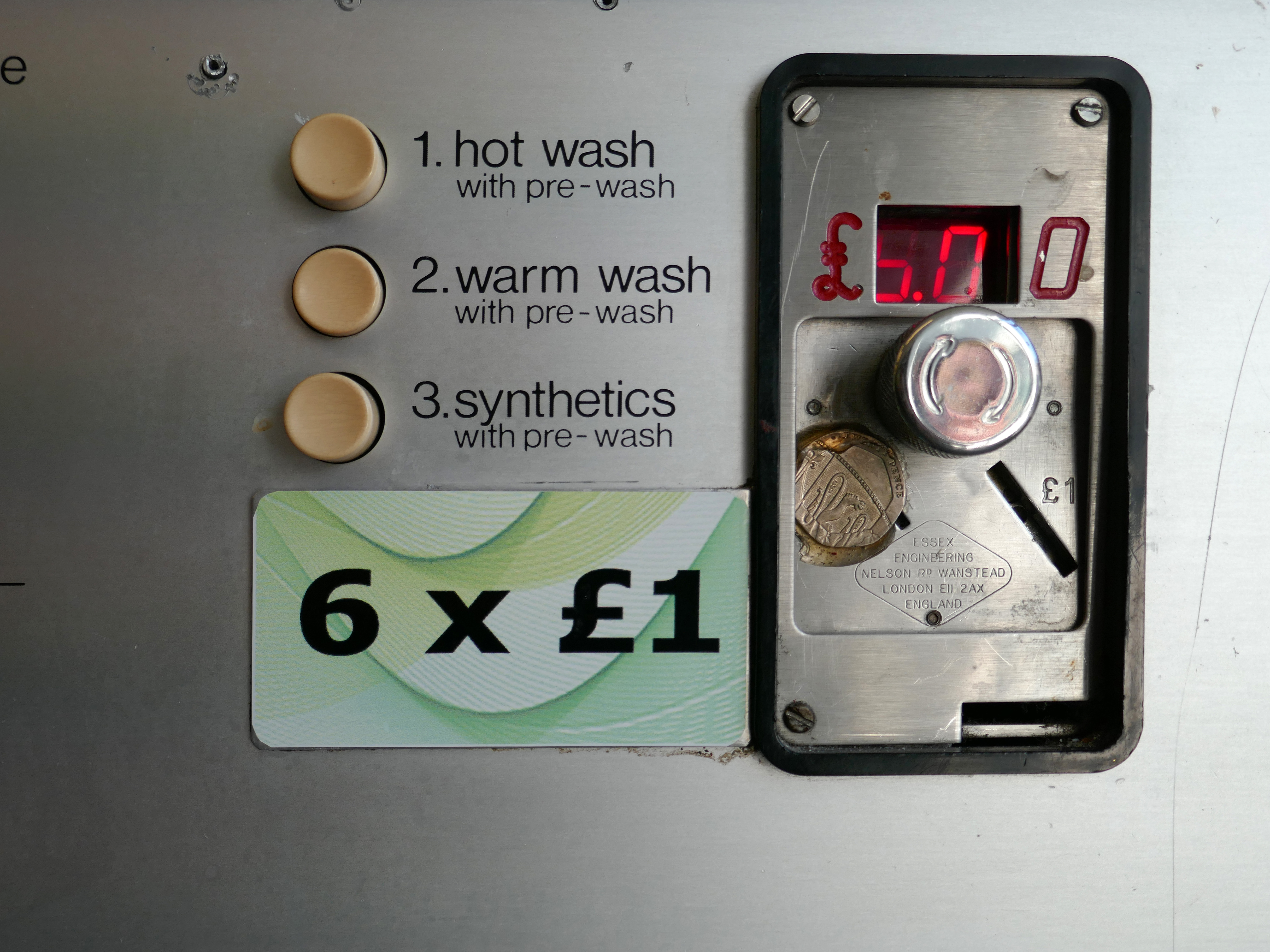
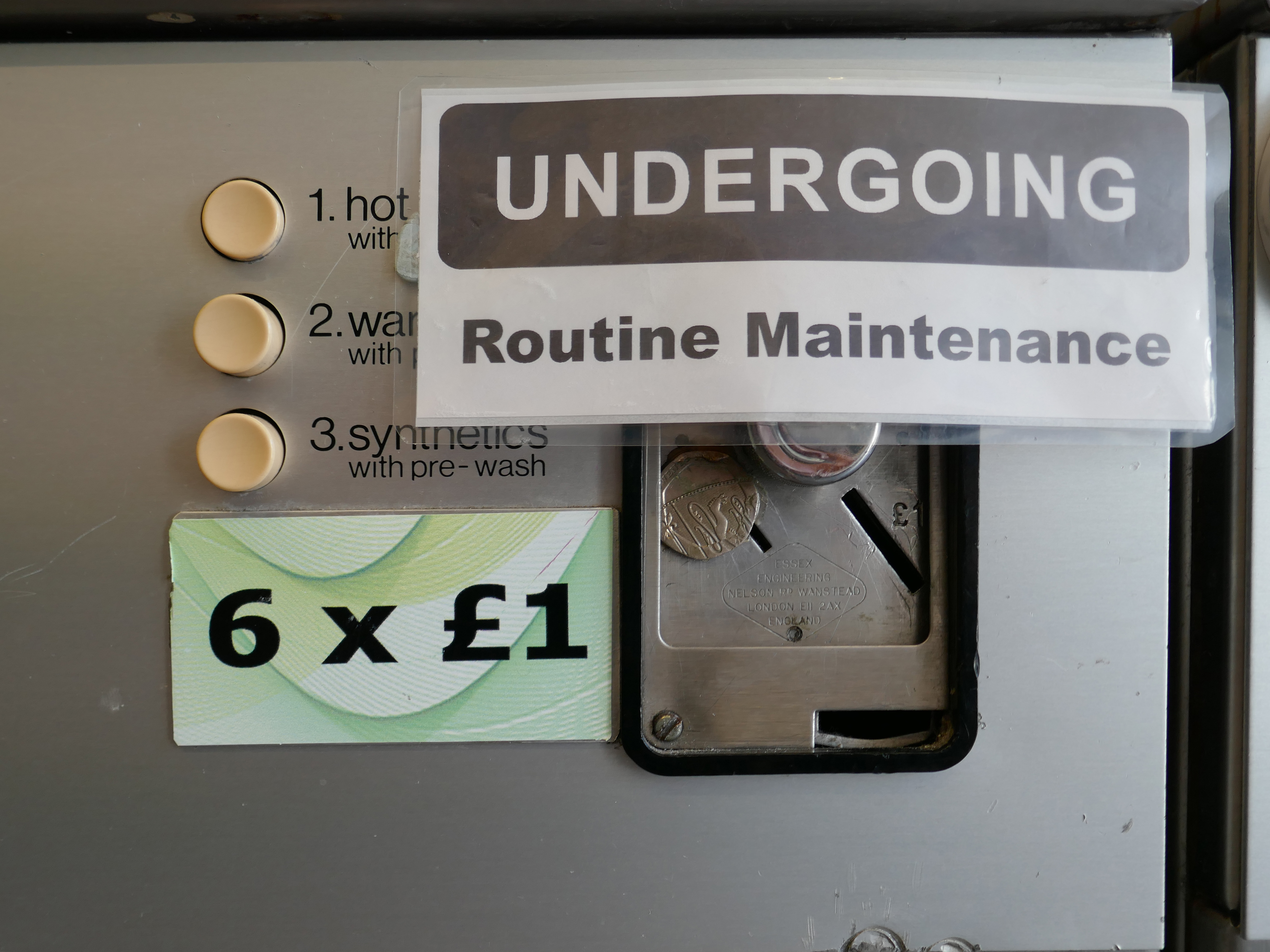
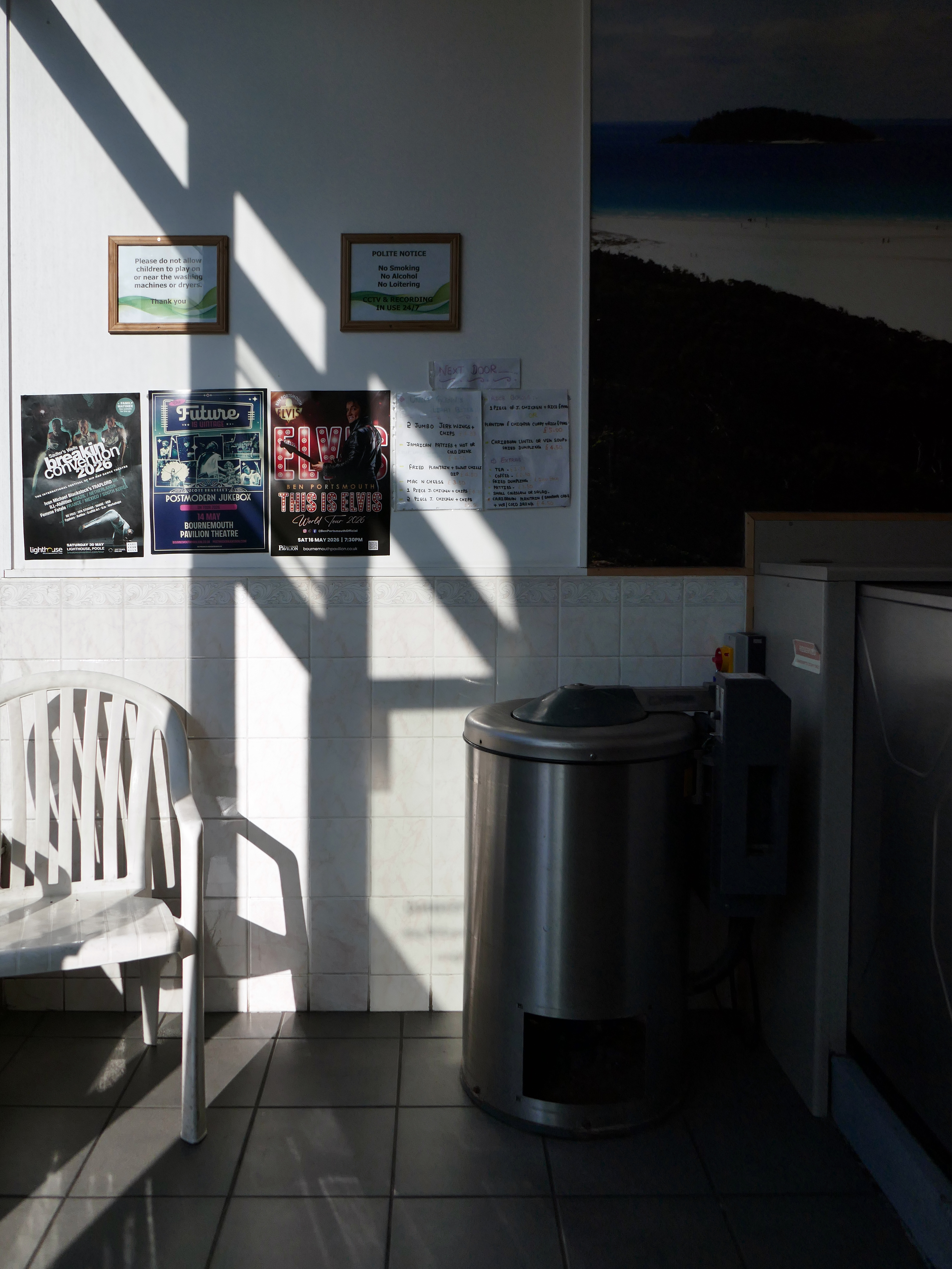
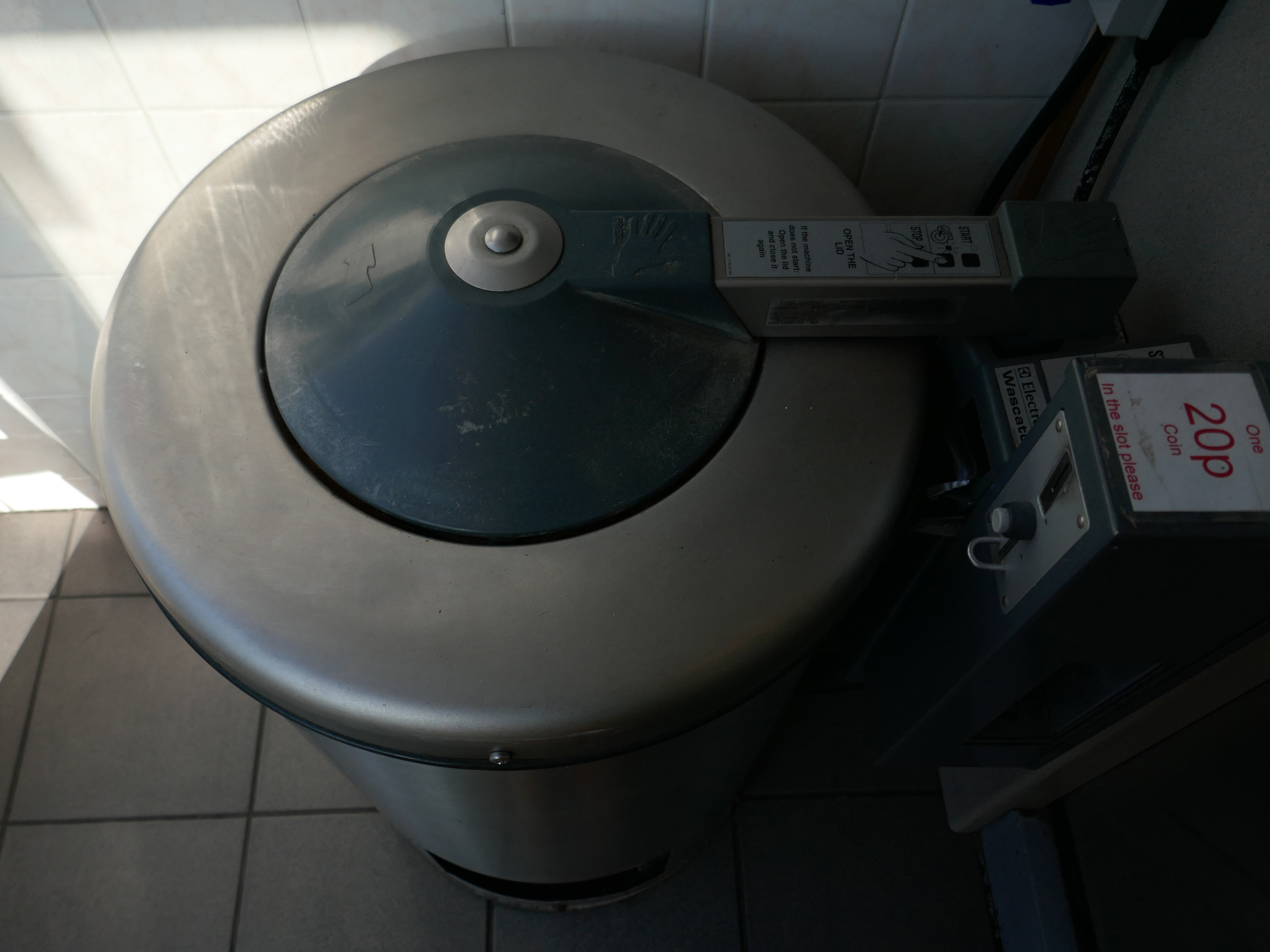
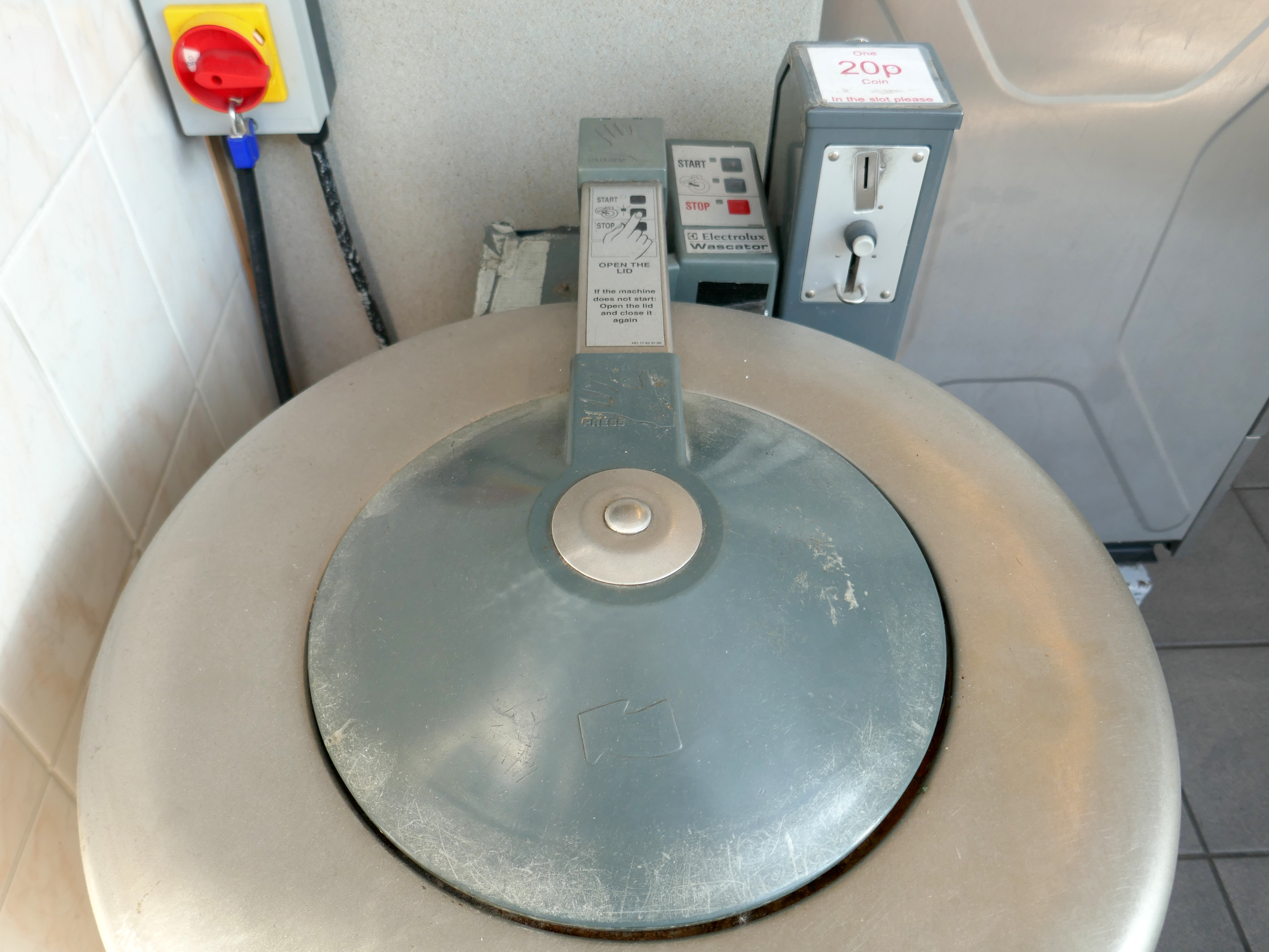
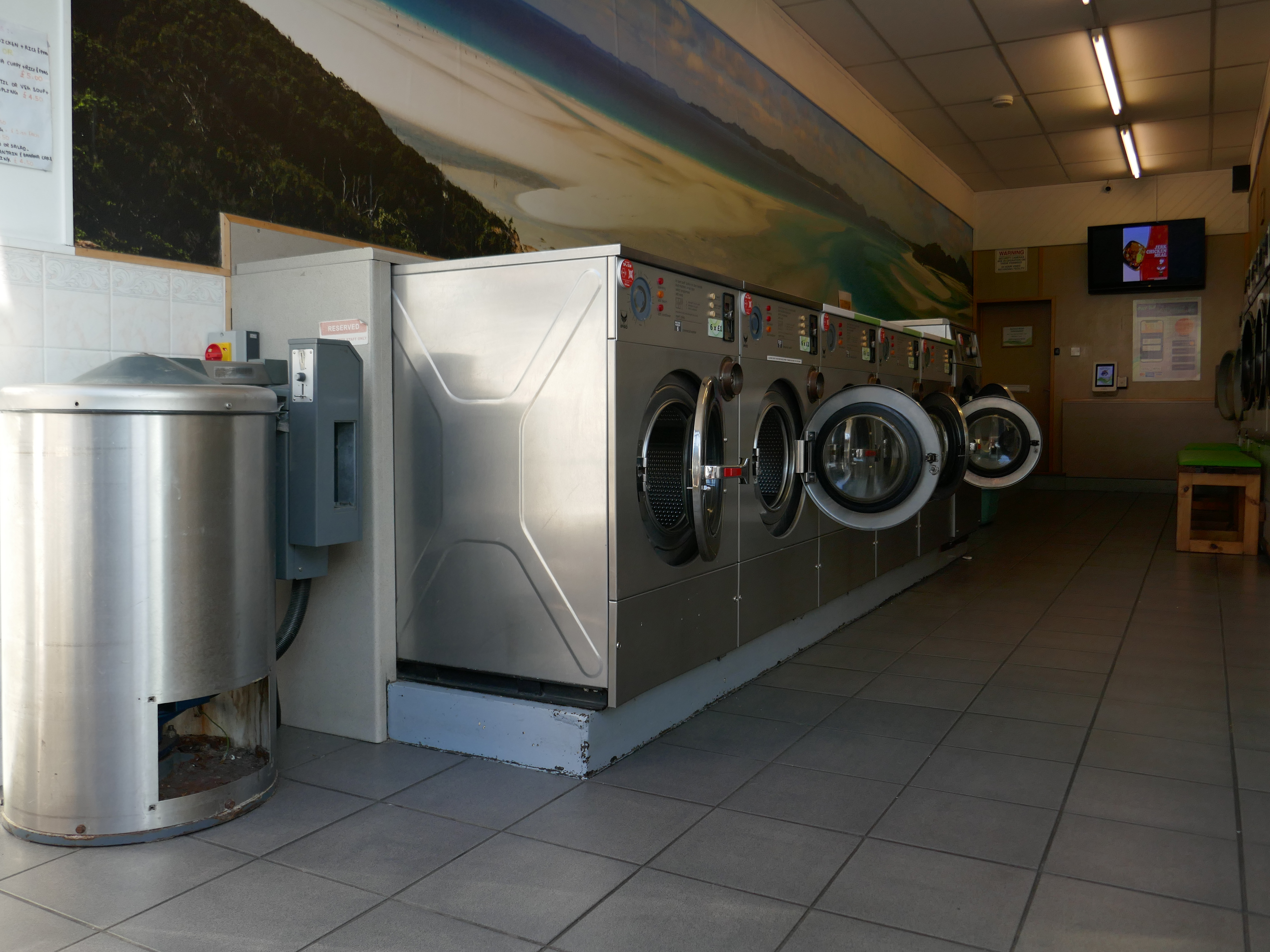
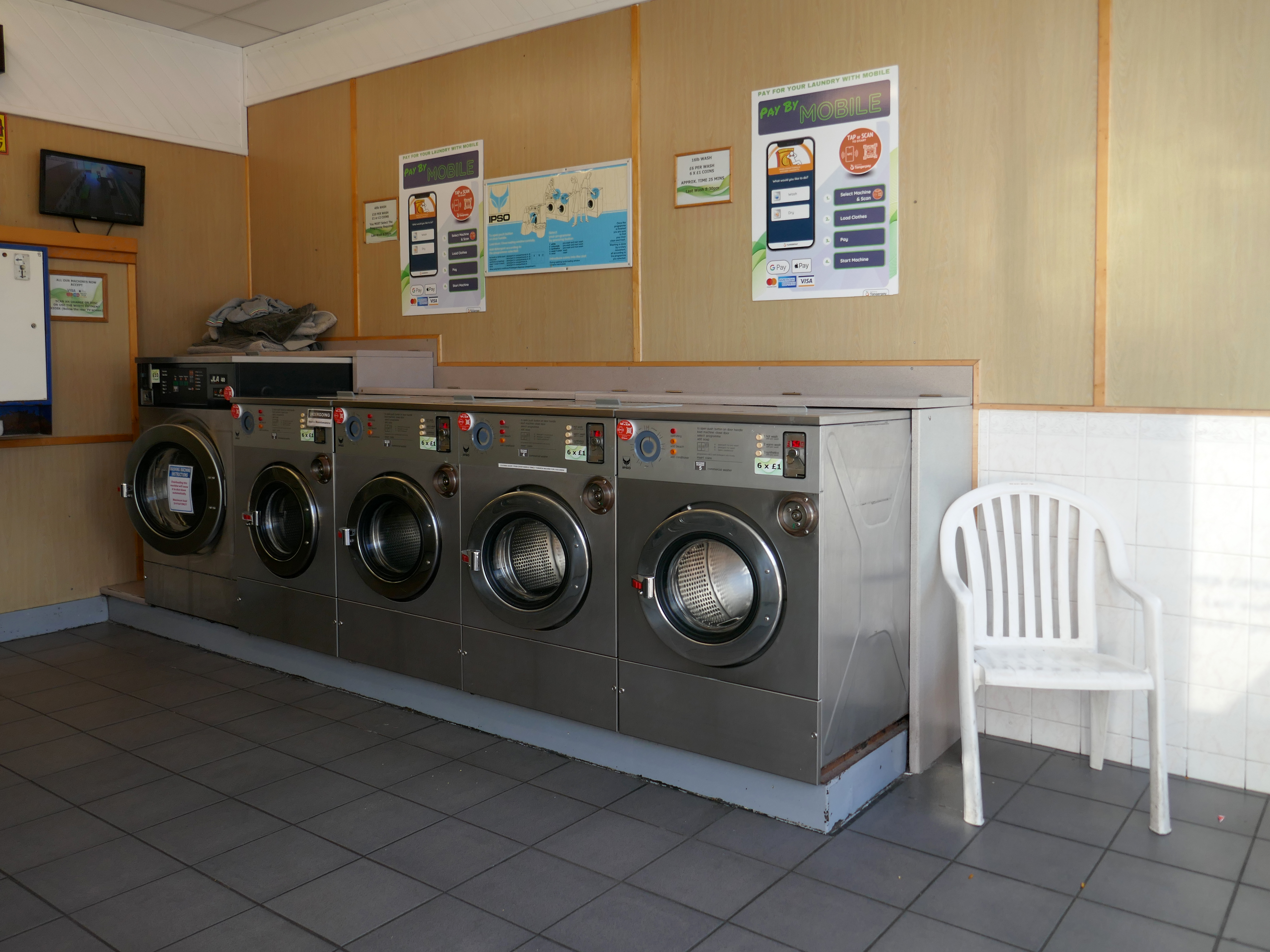
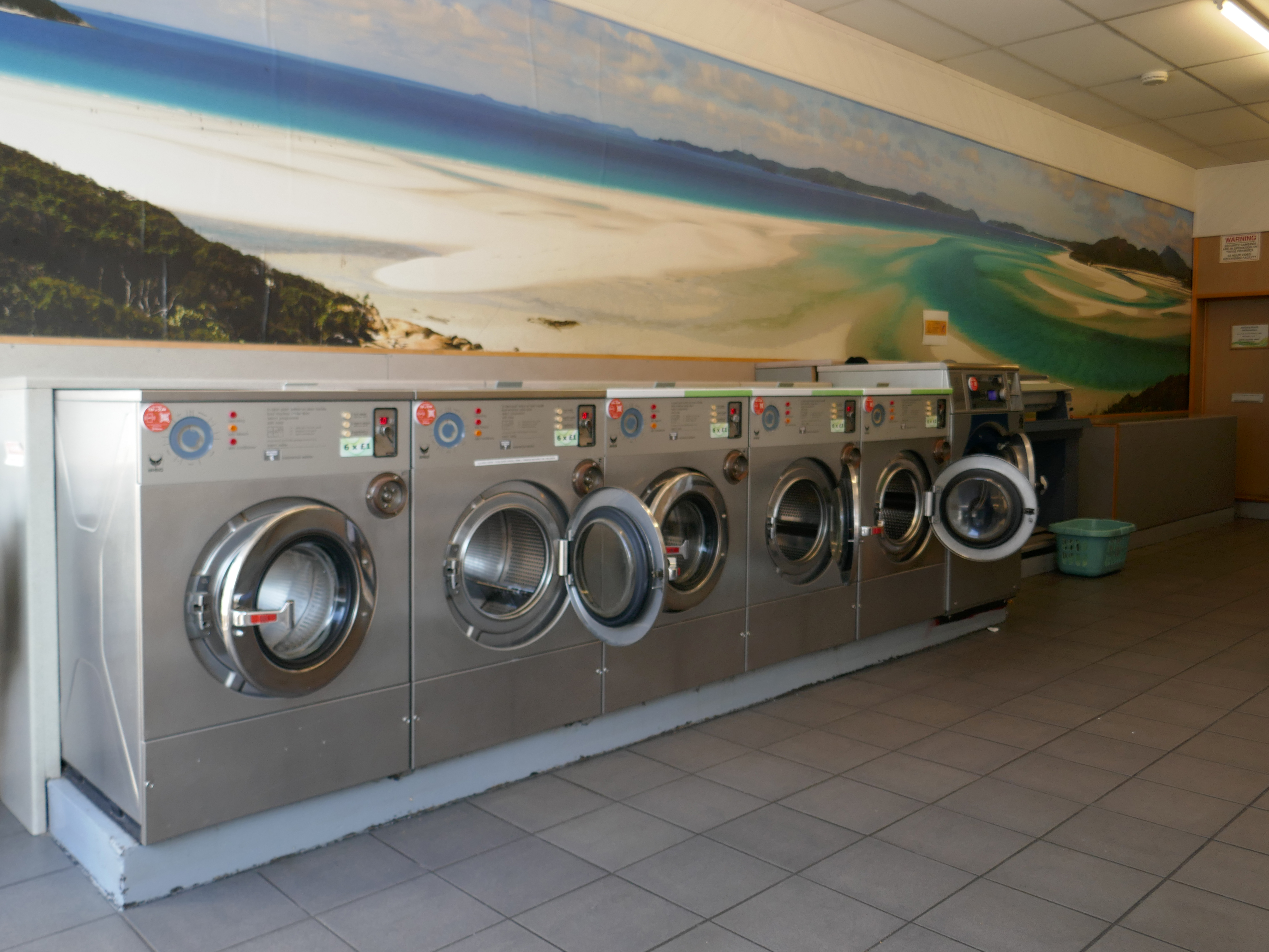
This is my most recent wander into a washateria following something of a lay off. Having previously published a launderette book and calendar way back when.
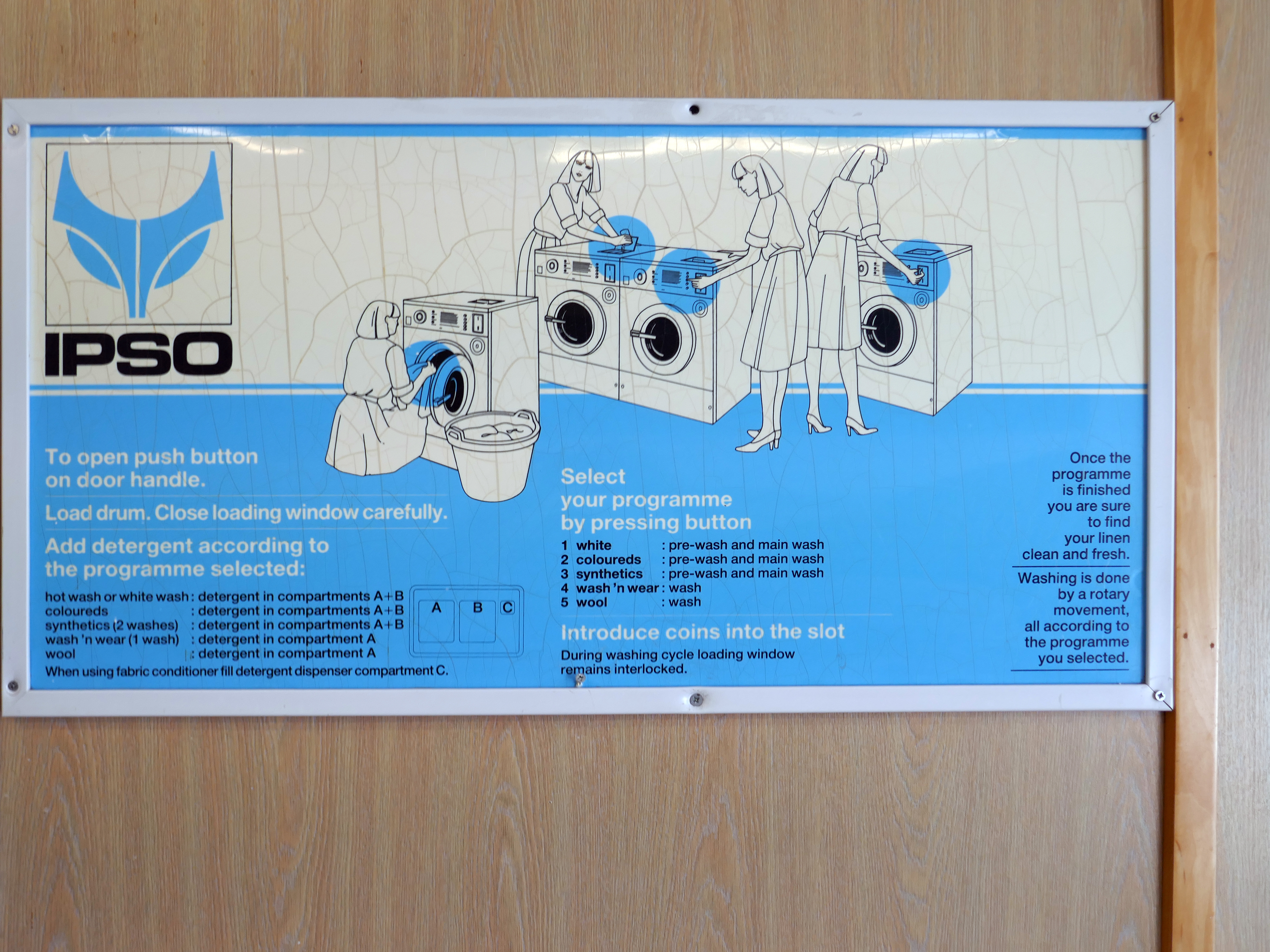
So once again we enter that familiar bubble of bubbles, whirrs and washing.
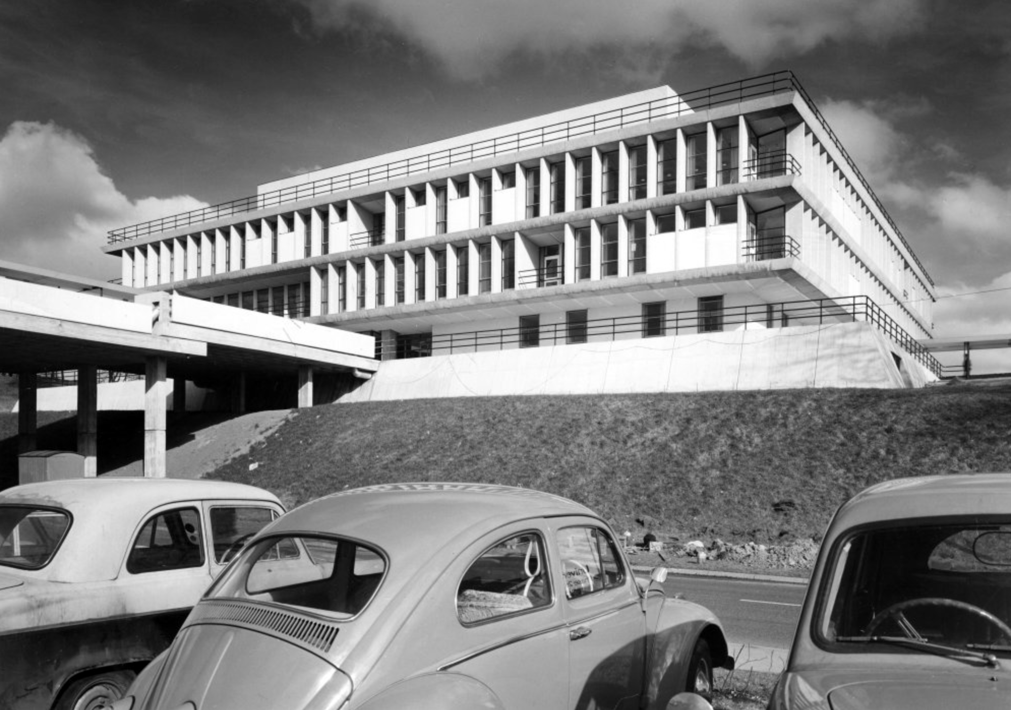
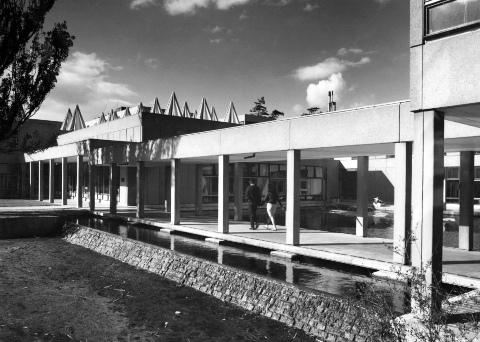
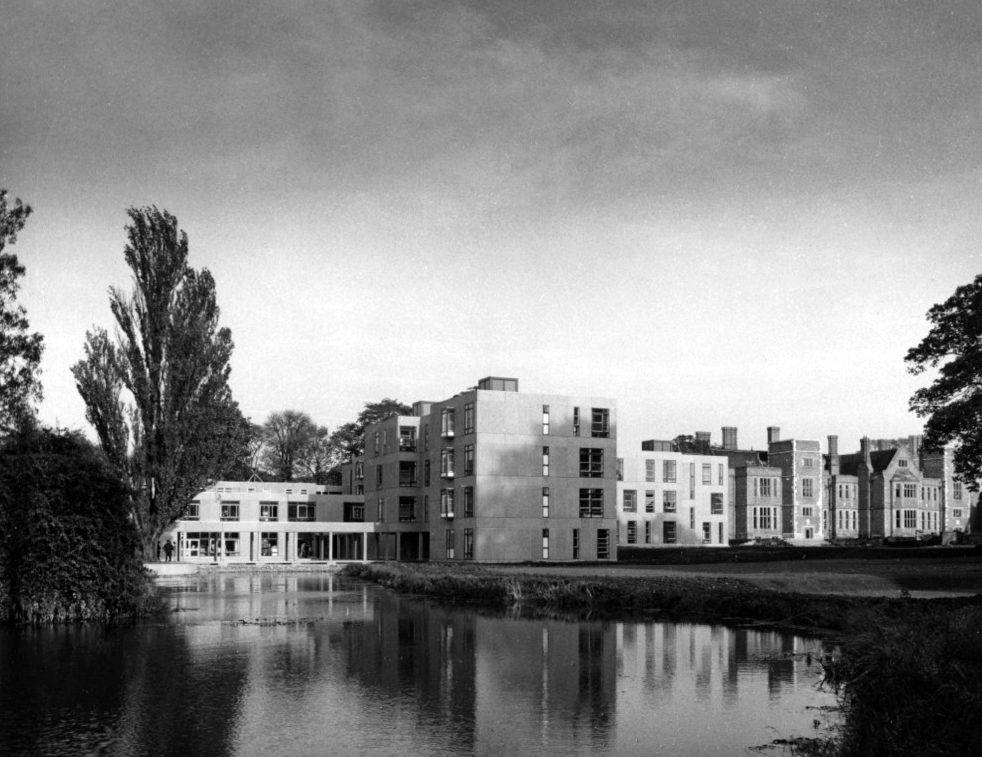
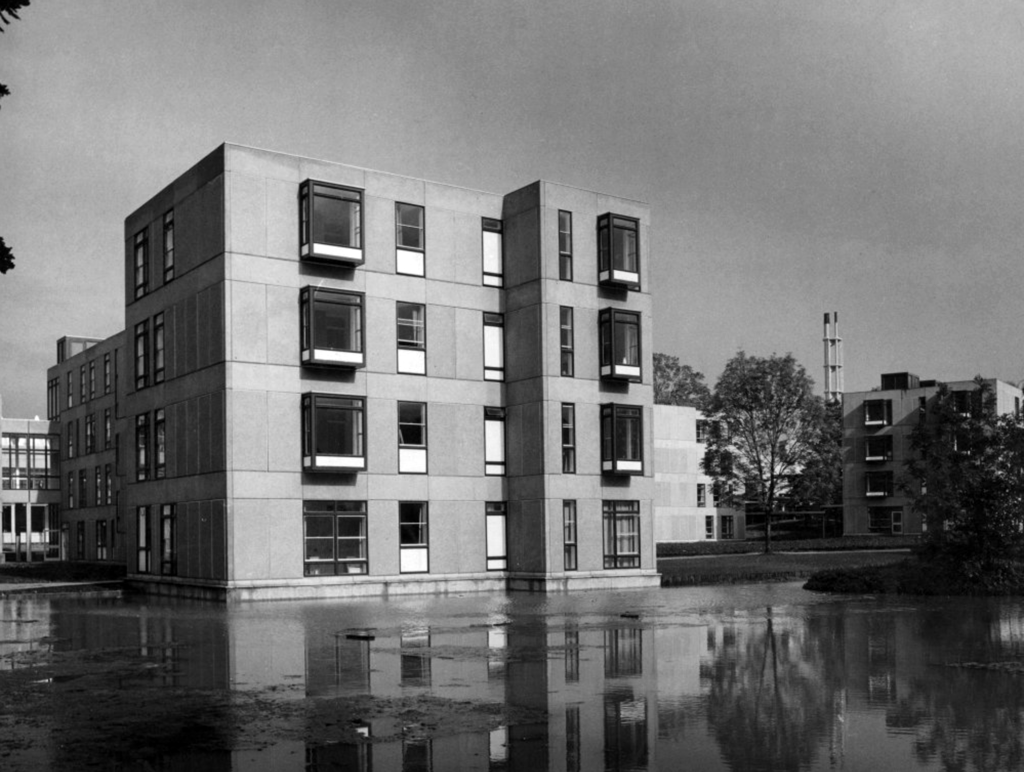
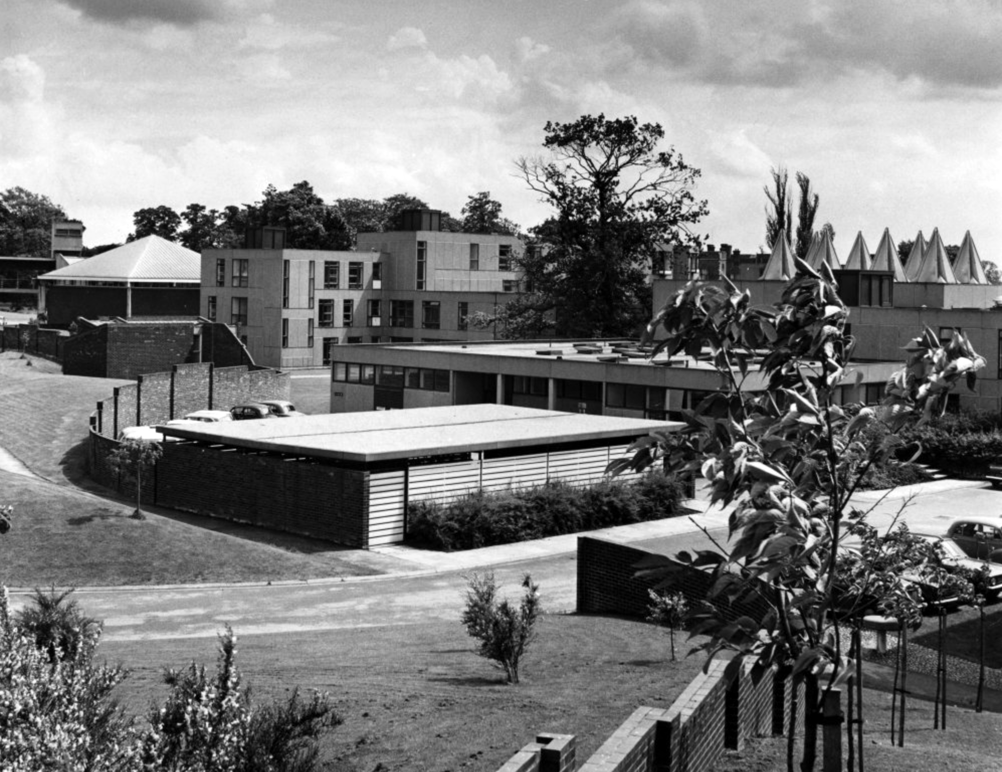
Following my previous visits to the University of York, recording the history and the Fred Millett Reliefs, I have searched the RIBA pix archives to find further images.
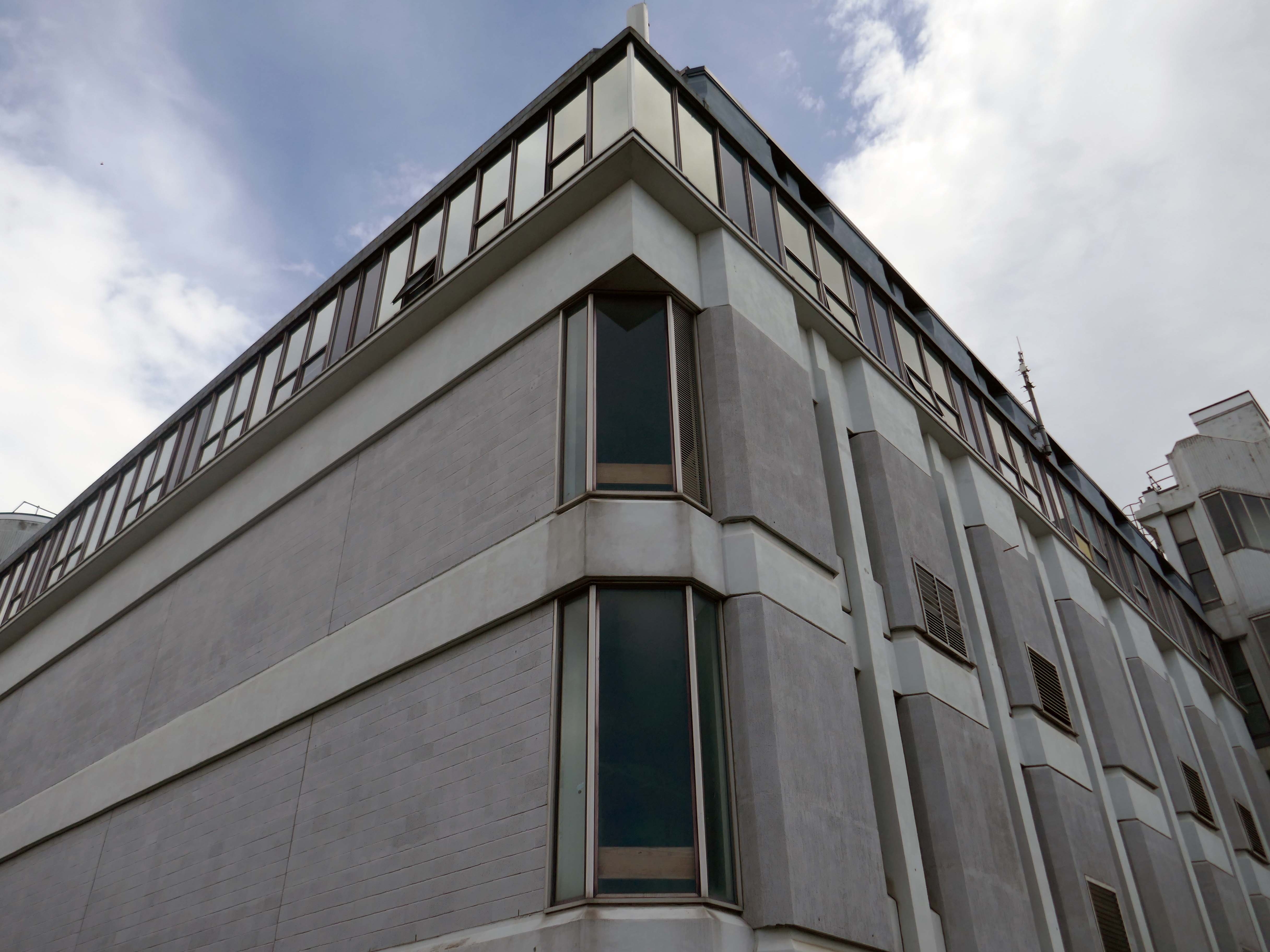
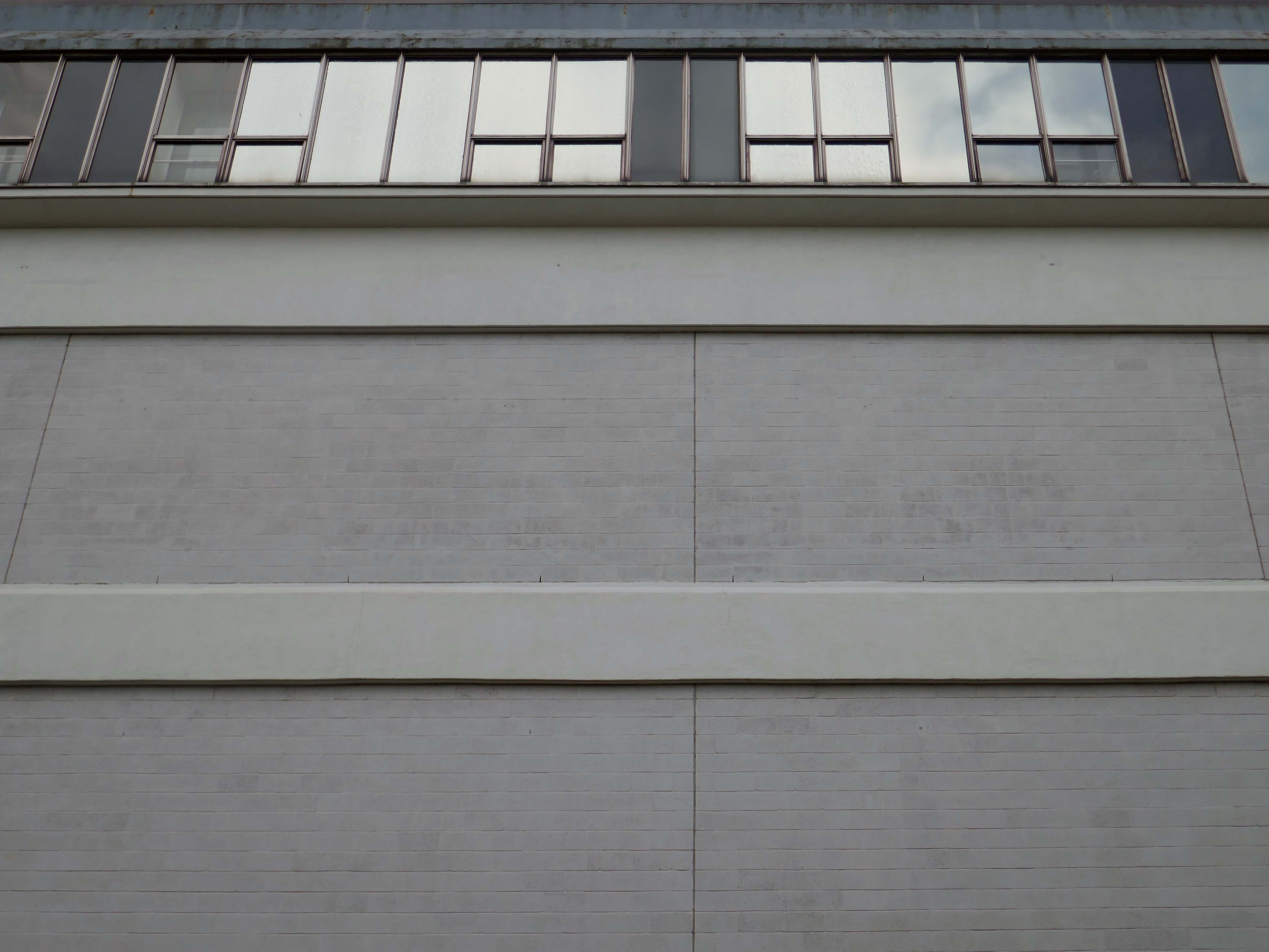
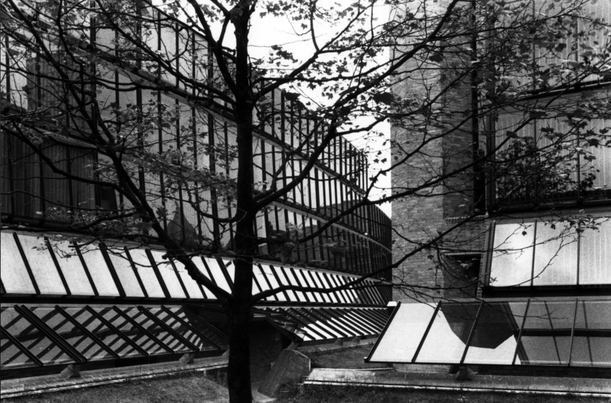
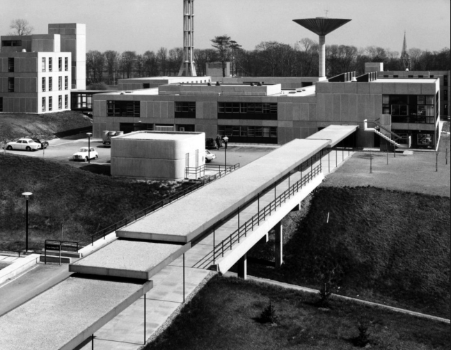
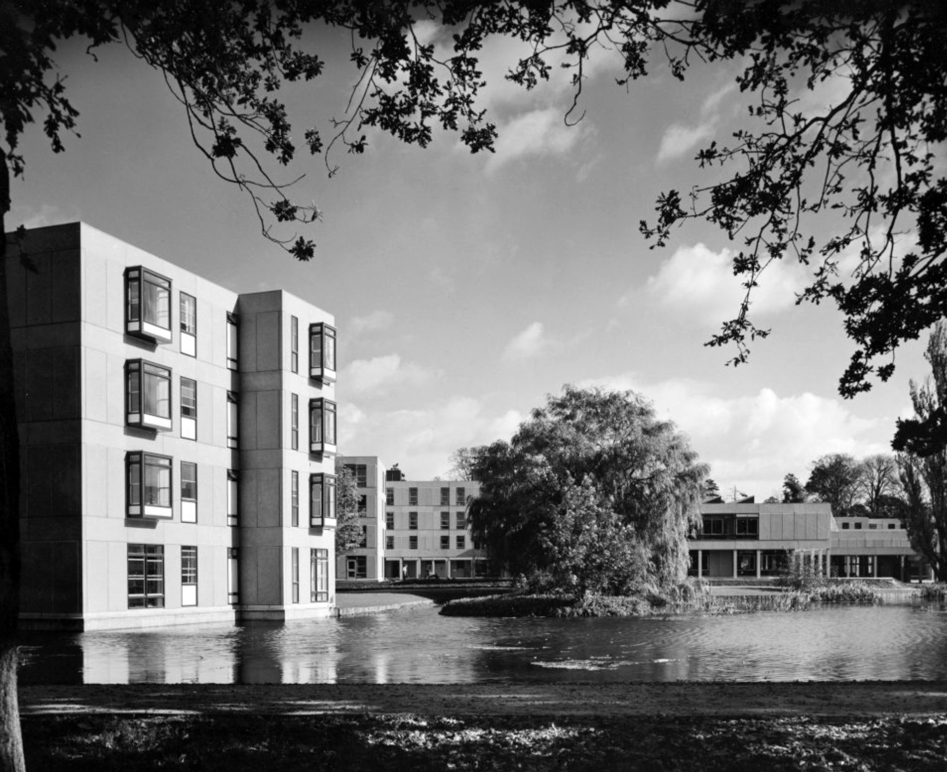
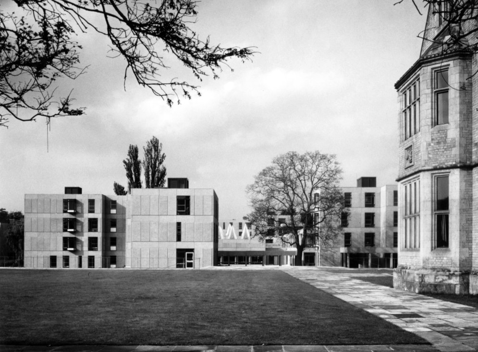
They mainly illustrate the Derwent and Langwith Colleges – both built using the CLASP system of construction.
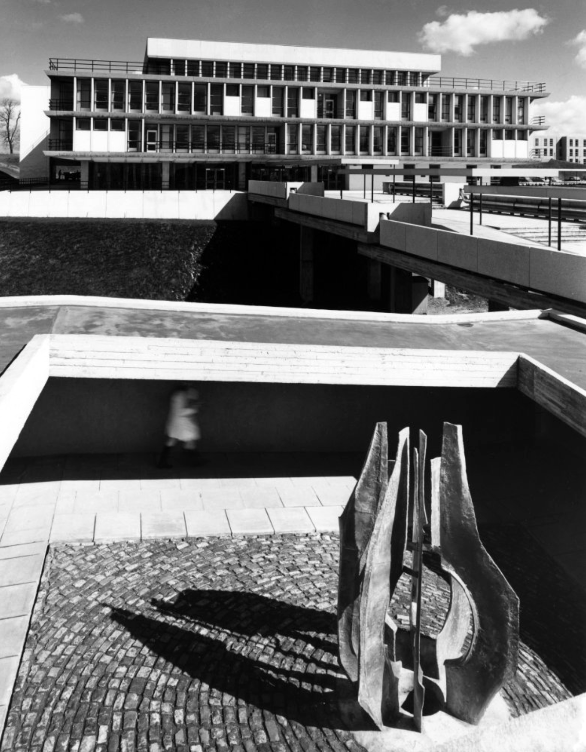
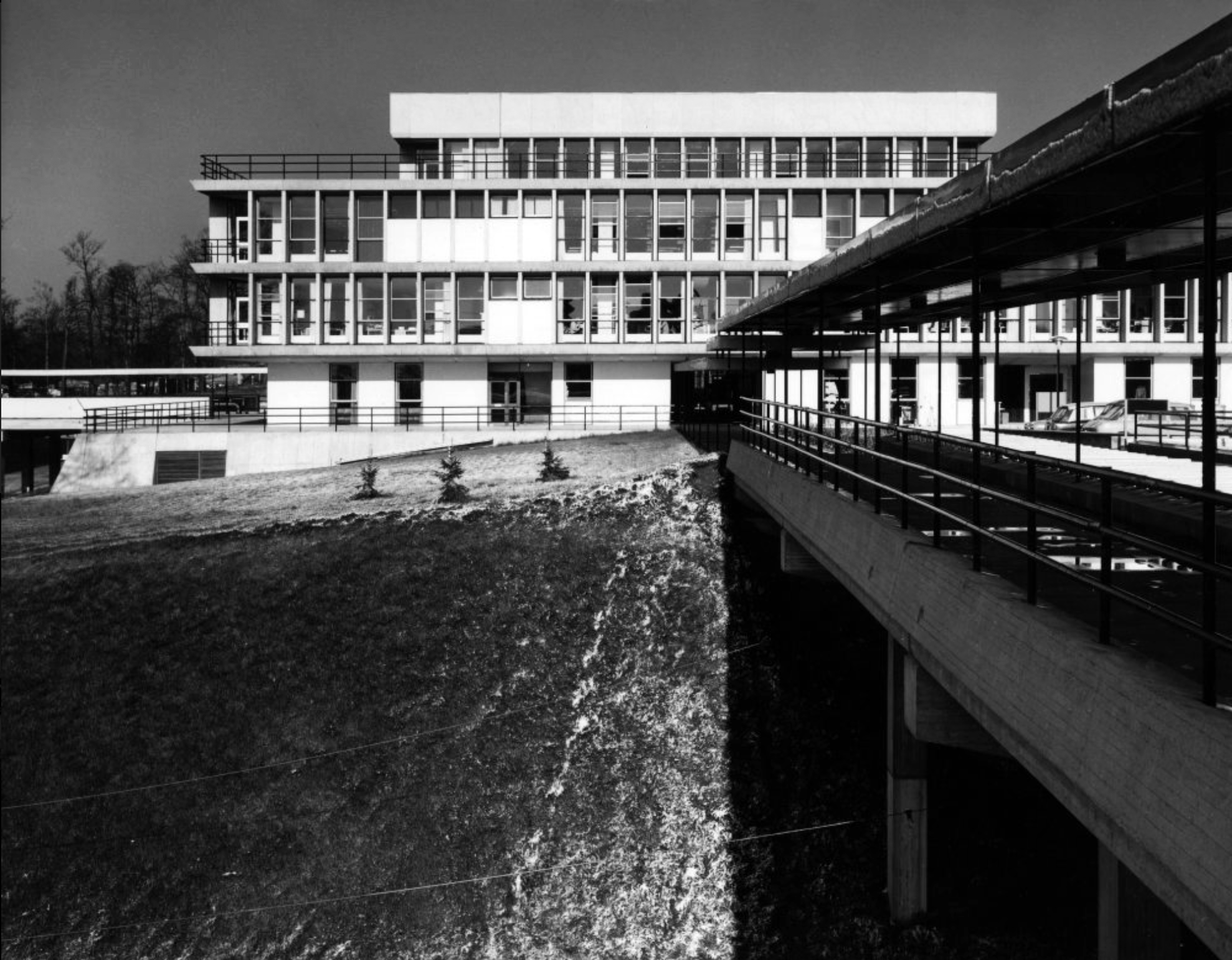
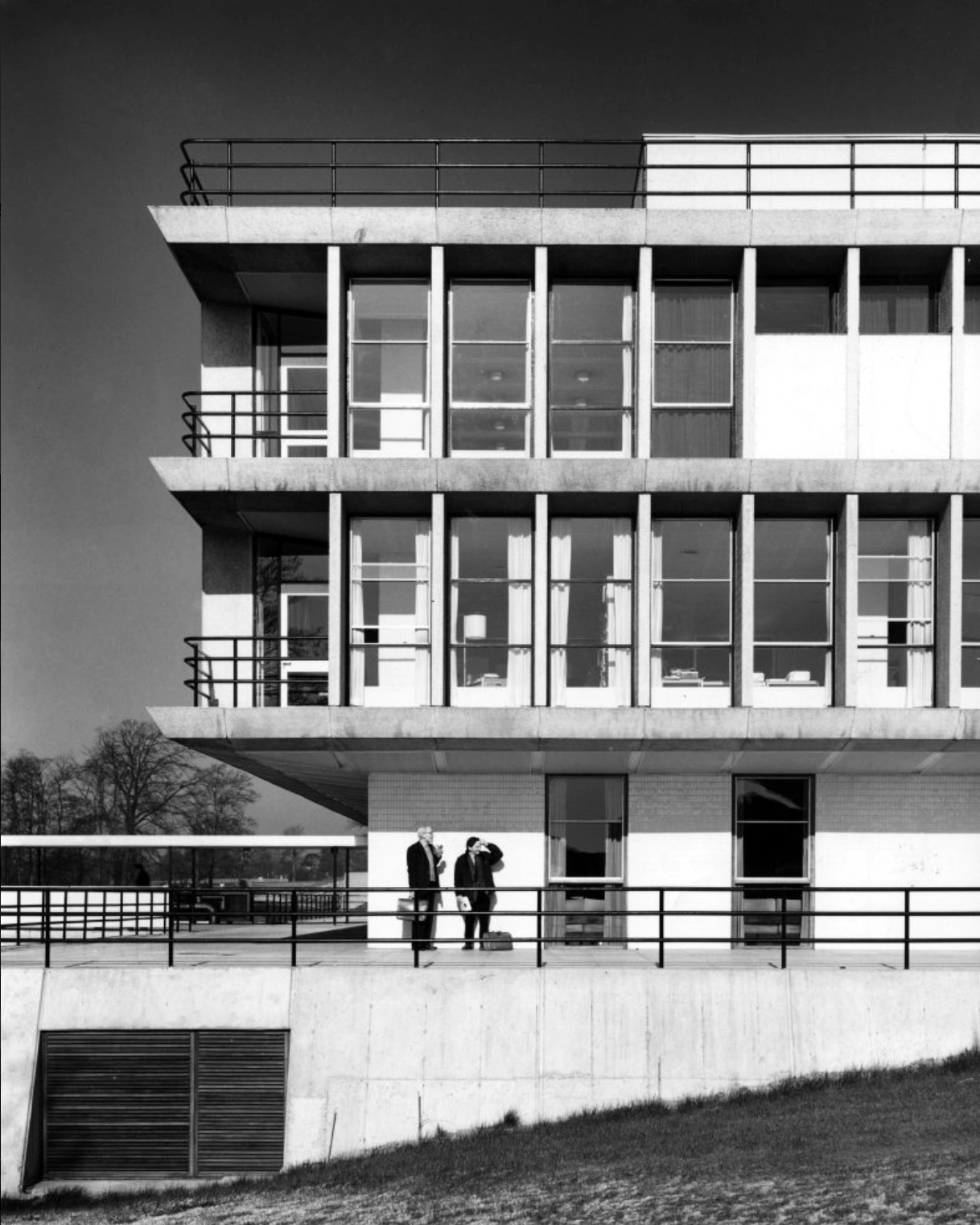
The University of York was founded in 1963 and work on its campus facilities in the grounds of Heslington Hall was begun in 1964. The first two colleges, Langwith and Derwent, accepted residential students for the autumn term of 1965. The original buildings were designed by Sir Andrew Derbyshire of Robert Matthew Johnson-Marshall & Partners, and assembled using the CLASP system of prefabricated construction.
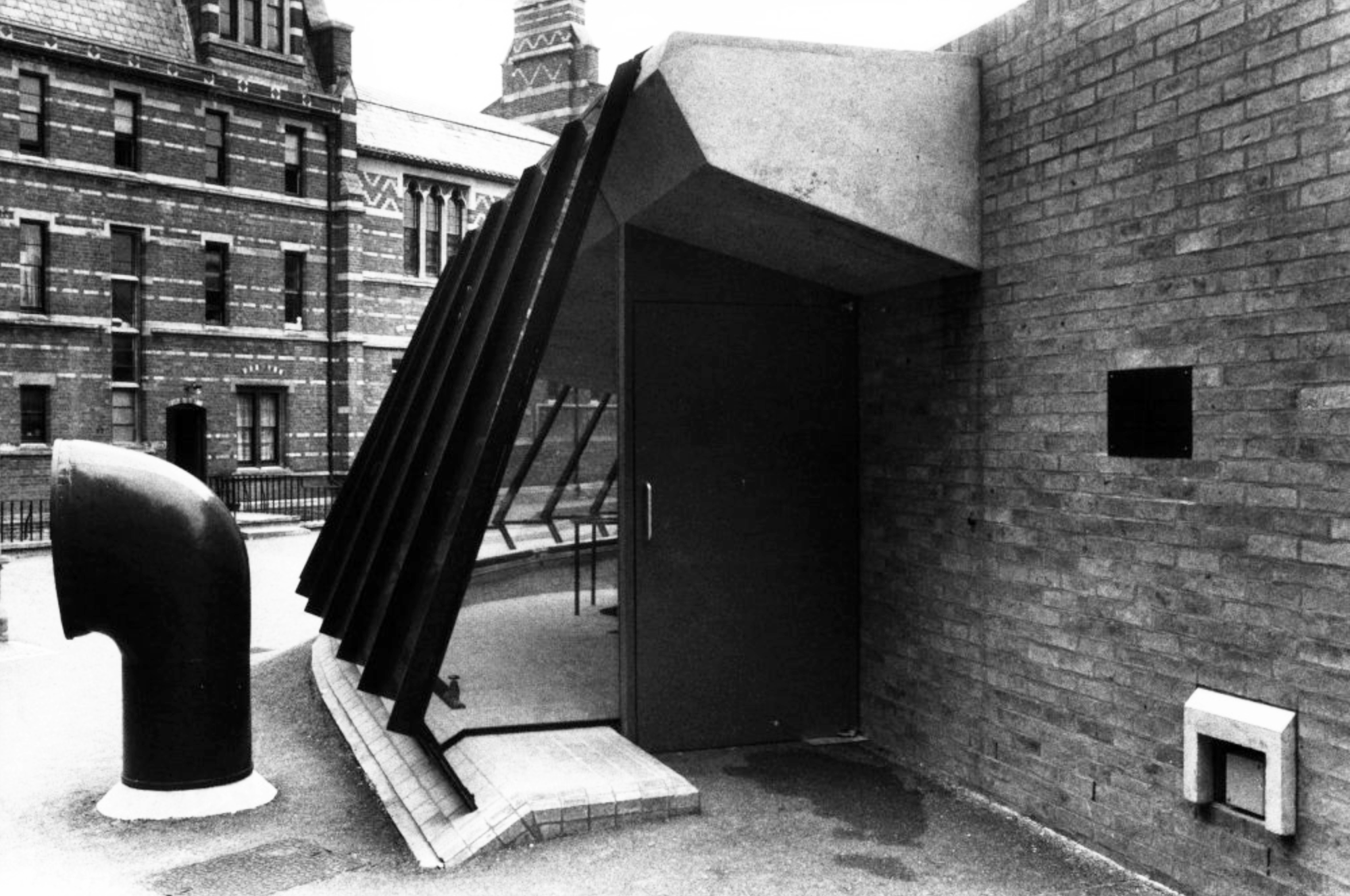
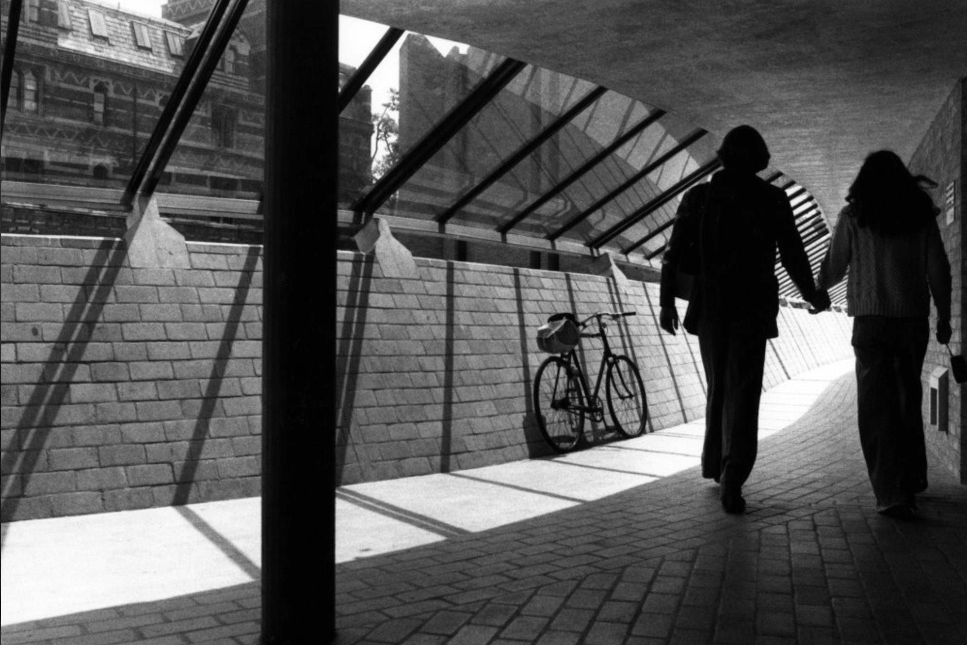
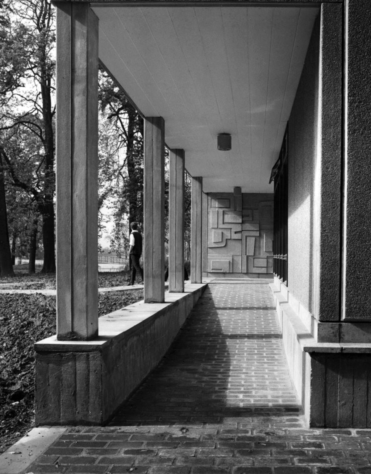
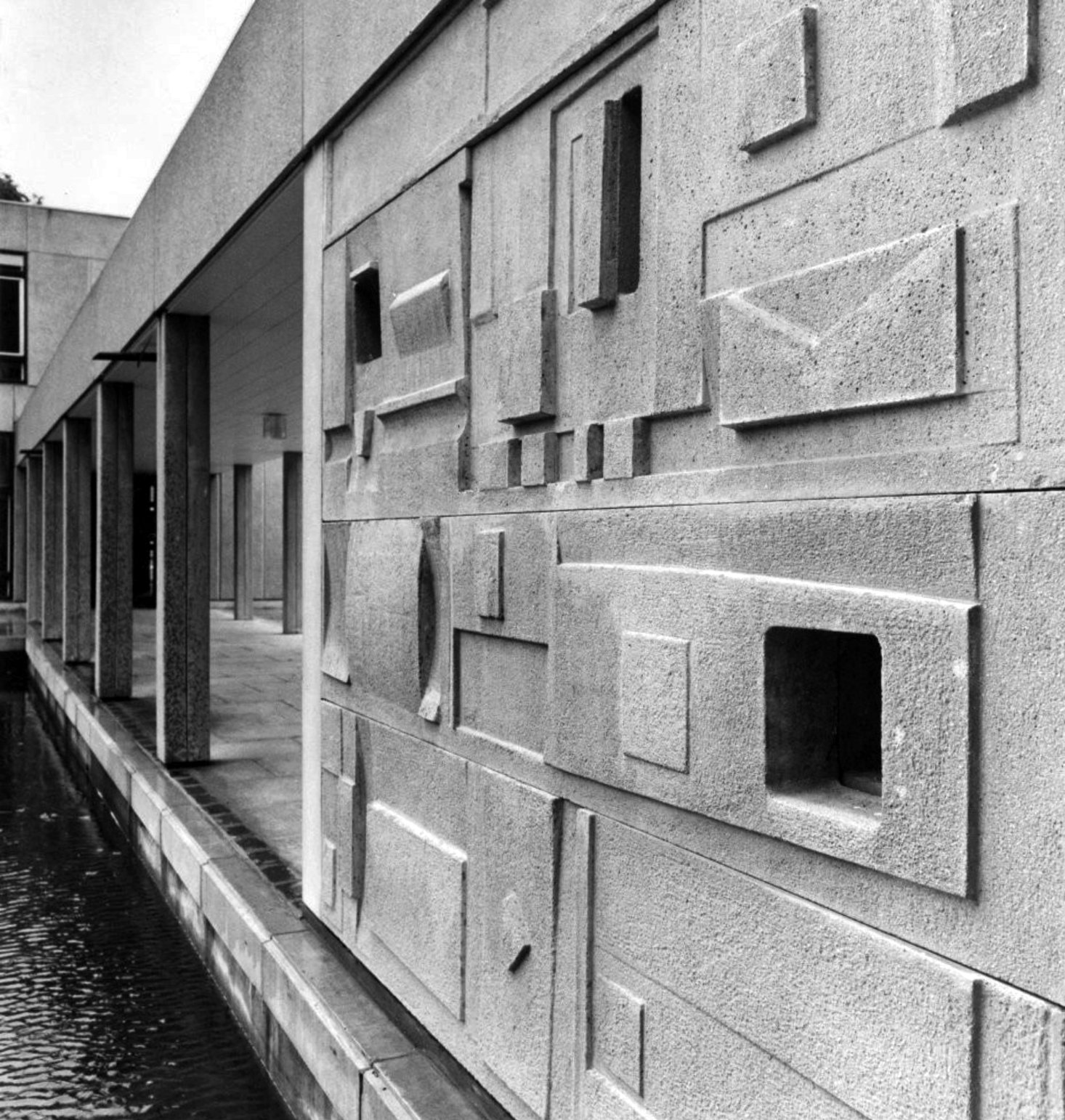
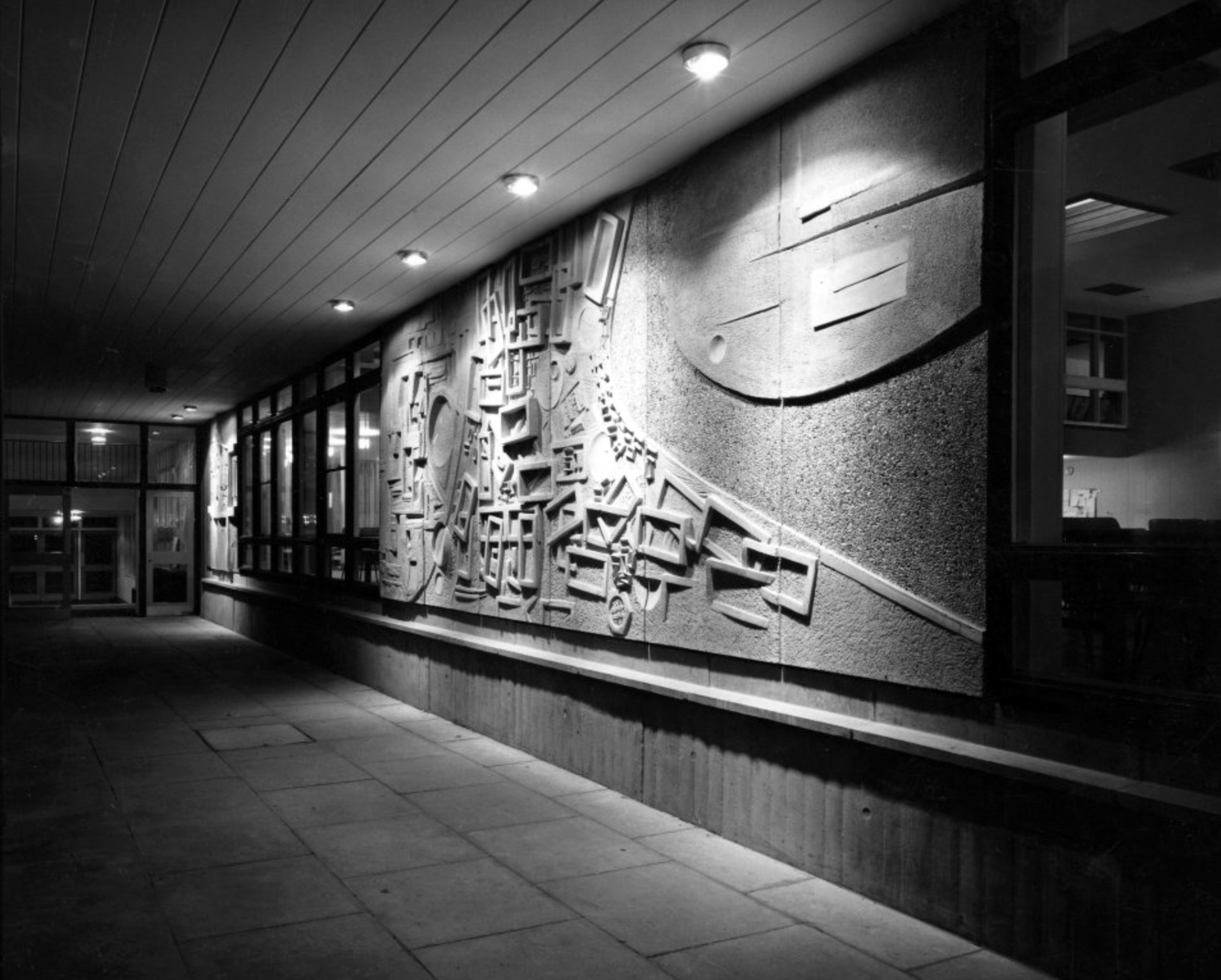
Derwent College: one of the two covered walkways linking the college buildings with sculptural relief by Fred Millett at the far end.
Photographs 1965 – Reginald Hugo de Burgh Galwey.
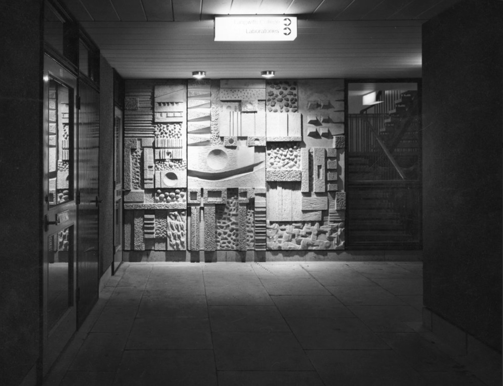
Derwent College: a concrete panel sculptured by Fred Millett.
Derwent College.
Photographs 1965 Keith Gibson.
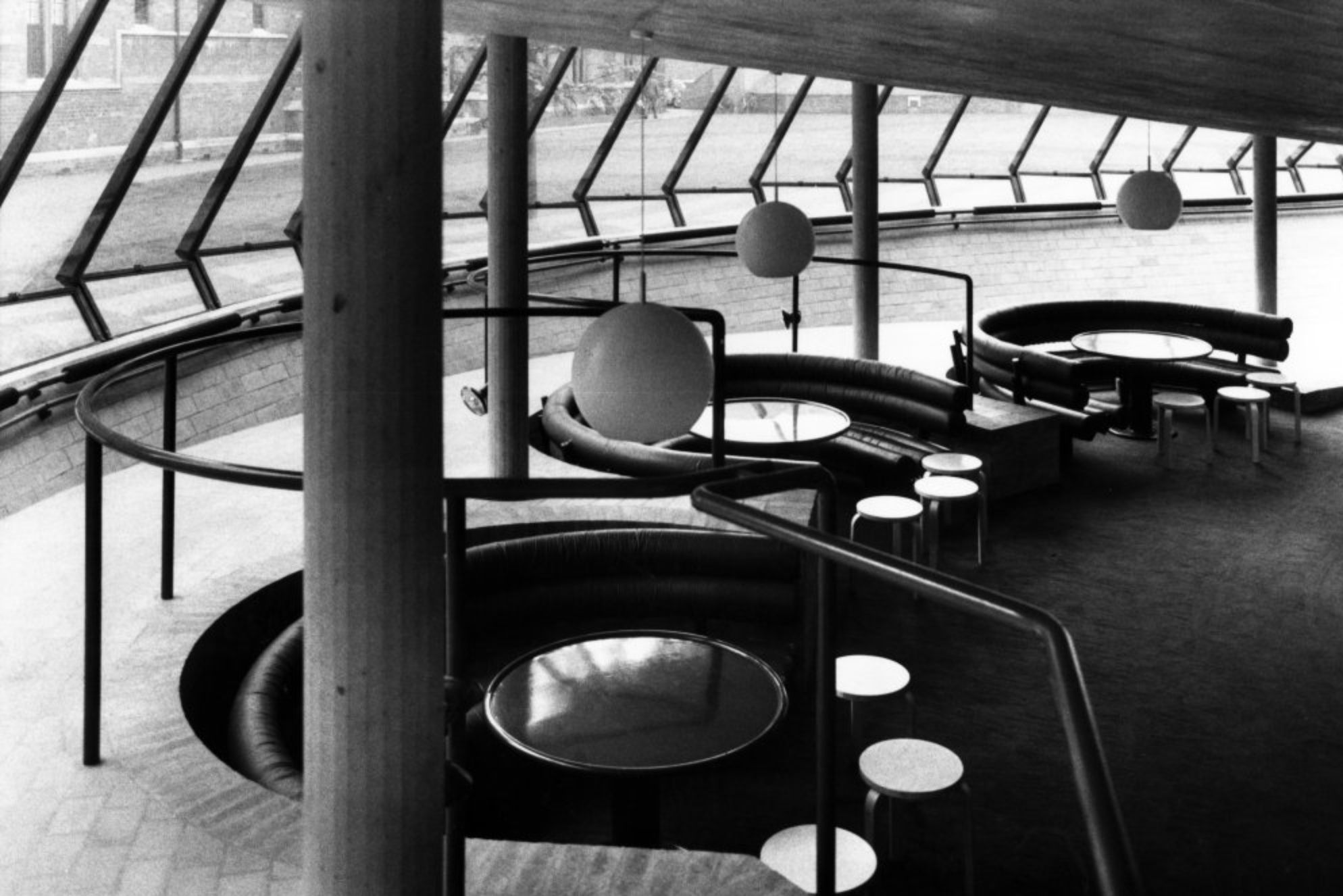
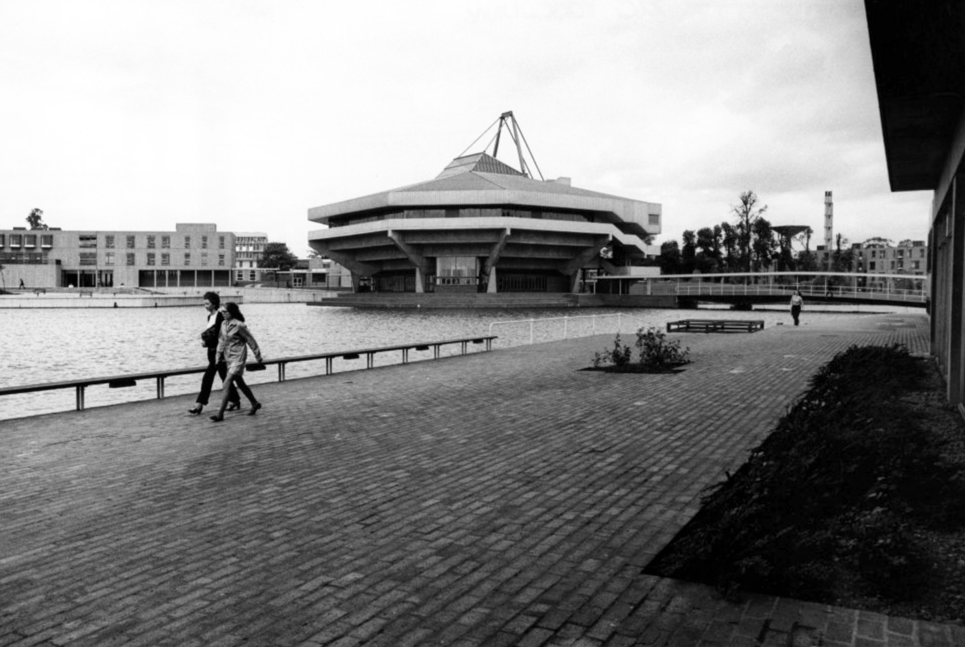
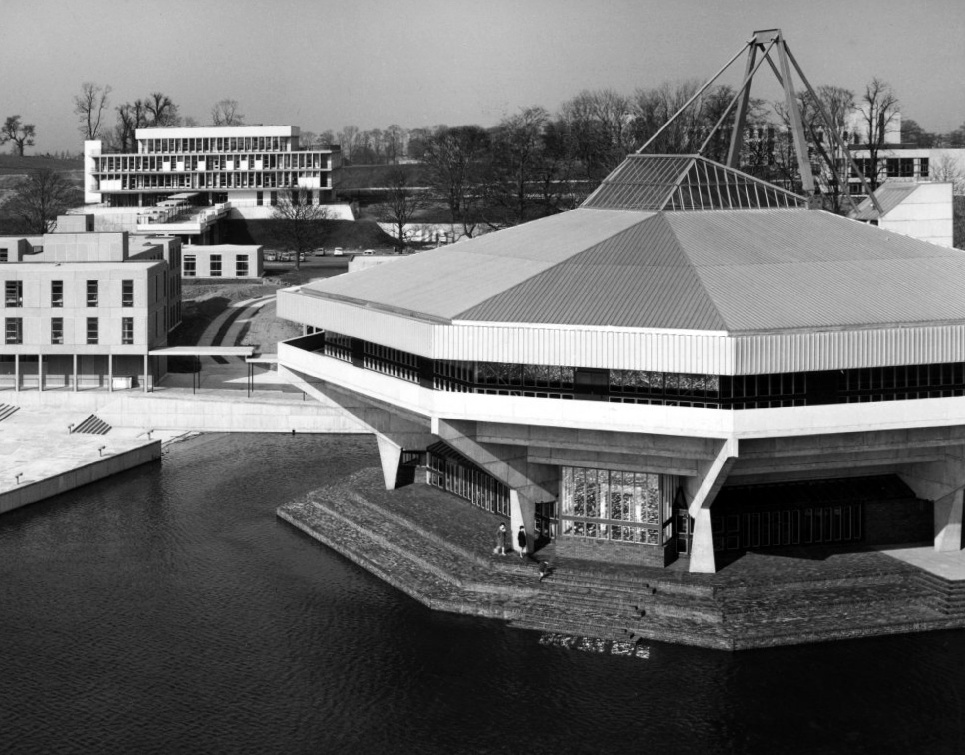
JB Morrell Library.
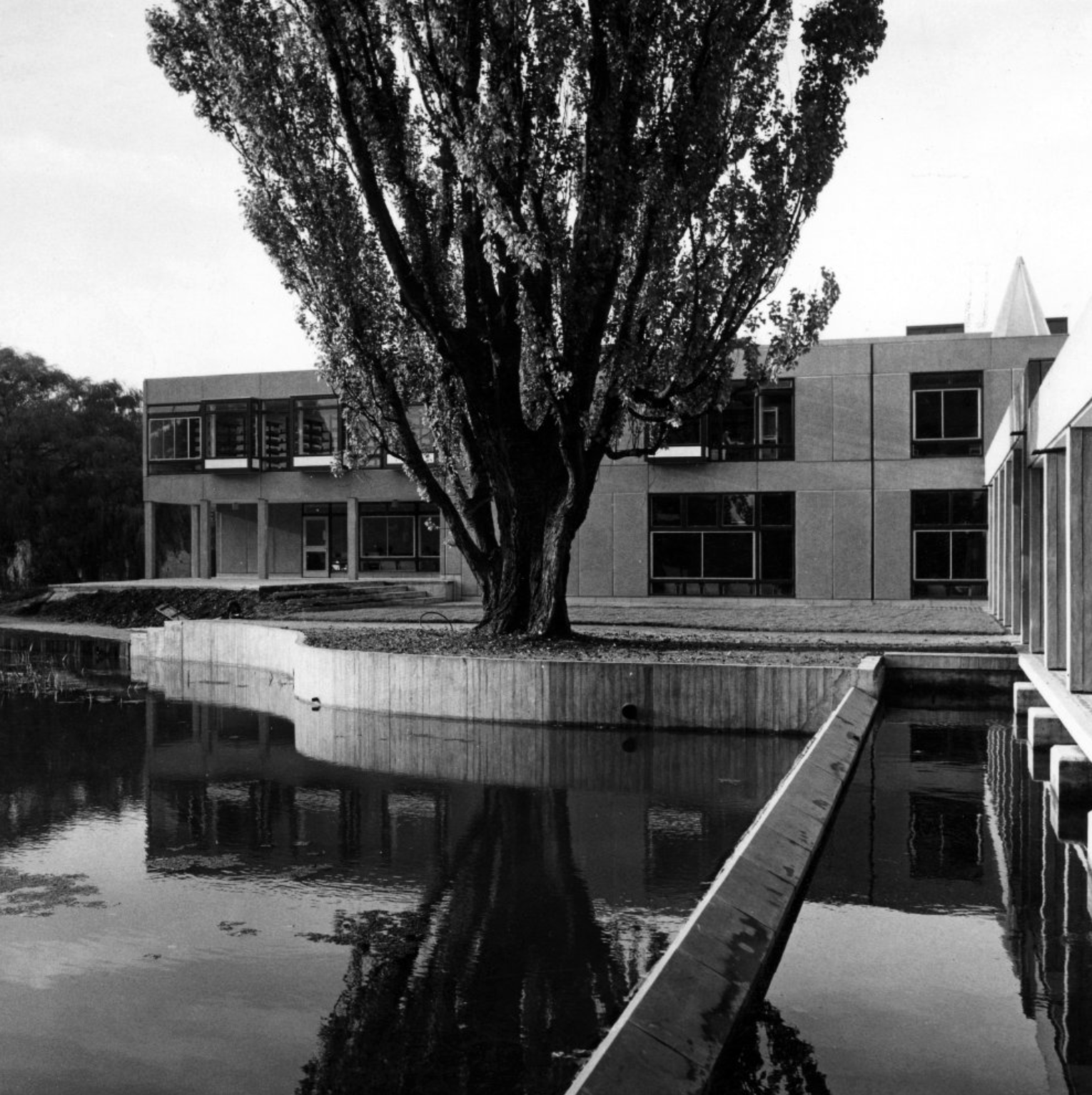
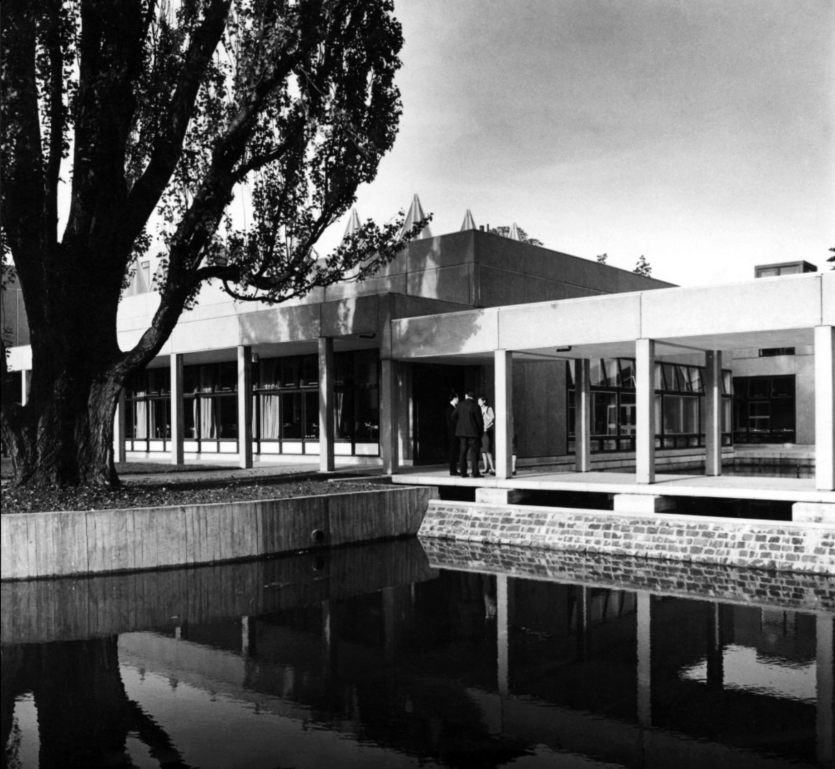
Derwent College: a covered walkway over the lake.
Central Hall.
Photograph 1972 Bill Toomey.
Vanbrugh College: stepped roof to the covered way leading down to the lake.
Photograph 1972 Peter Bairstow.
Derwent College and Heslington Hall.
Photographs 1965 – Reginald Hugo de Burgh Galwey.
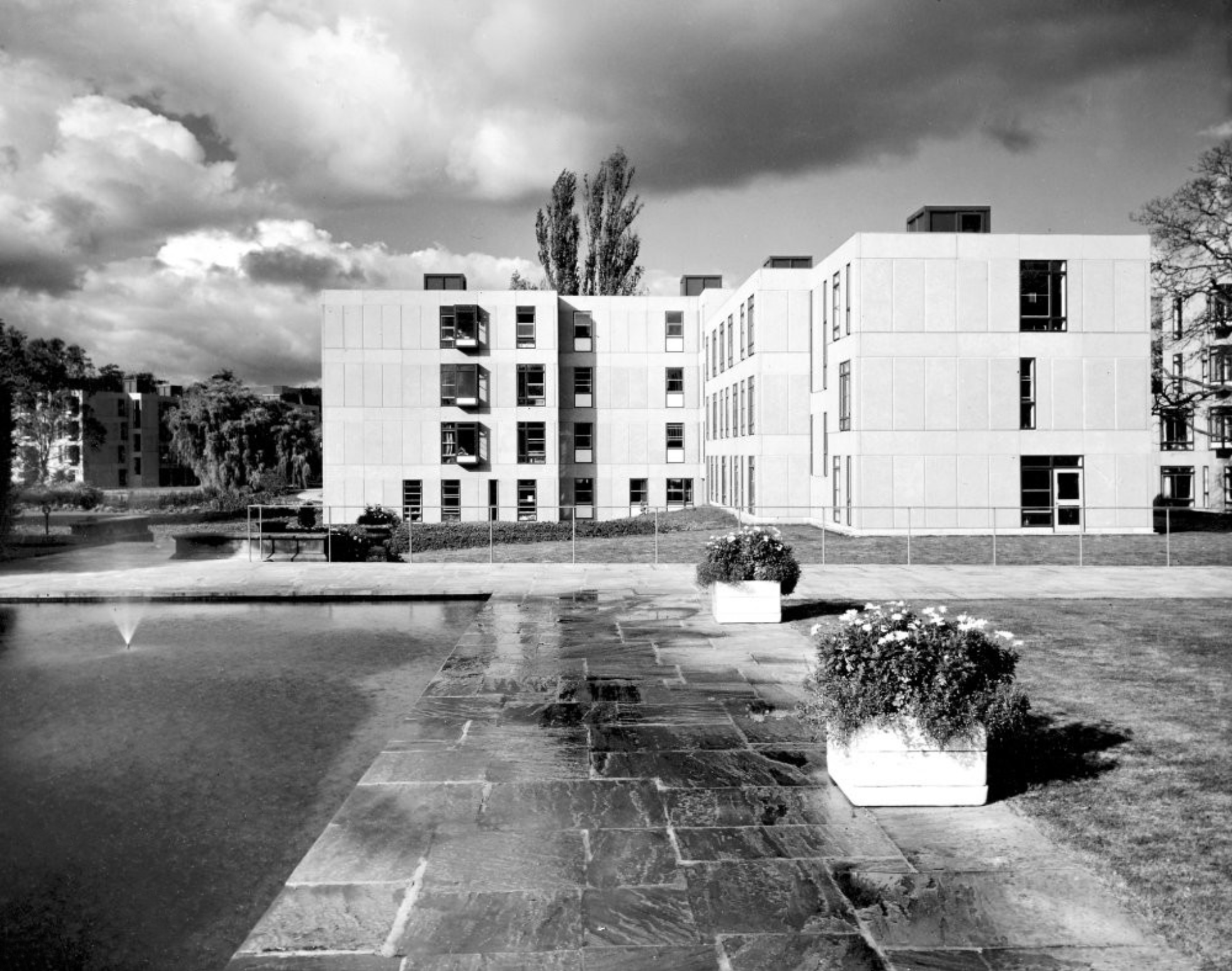
Langwith College, seen from the lake.
Langwith College.
Photographs 1965 Bill Toomey.
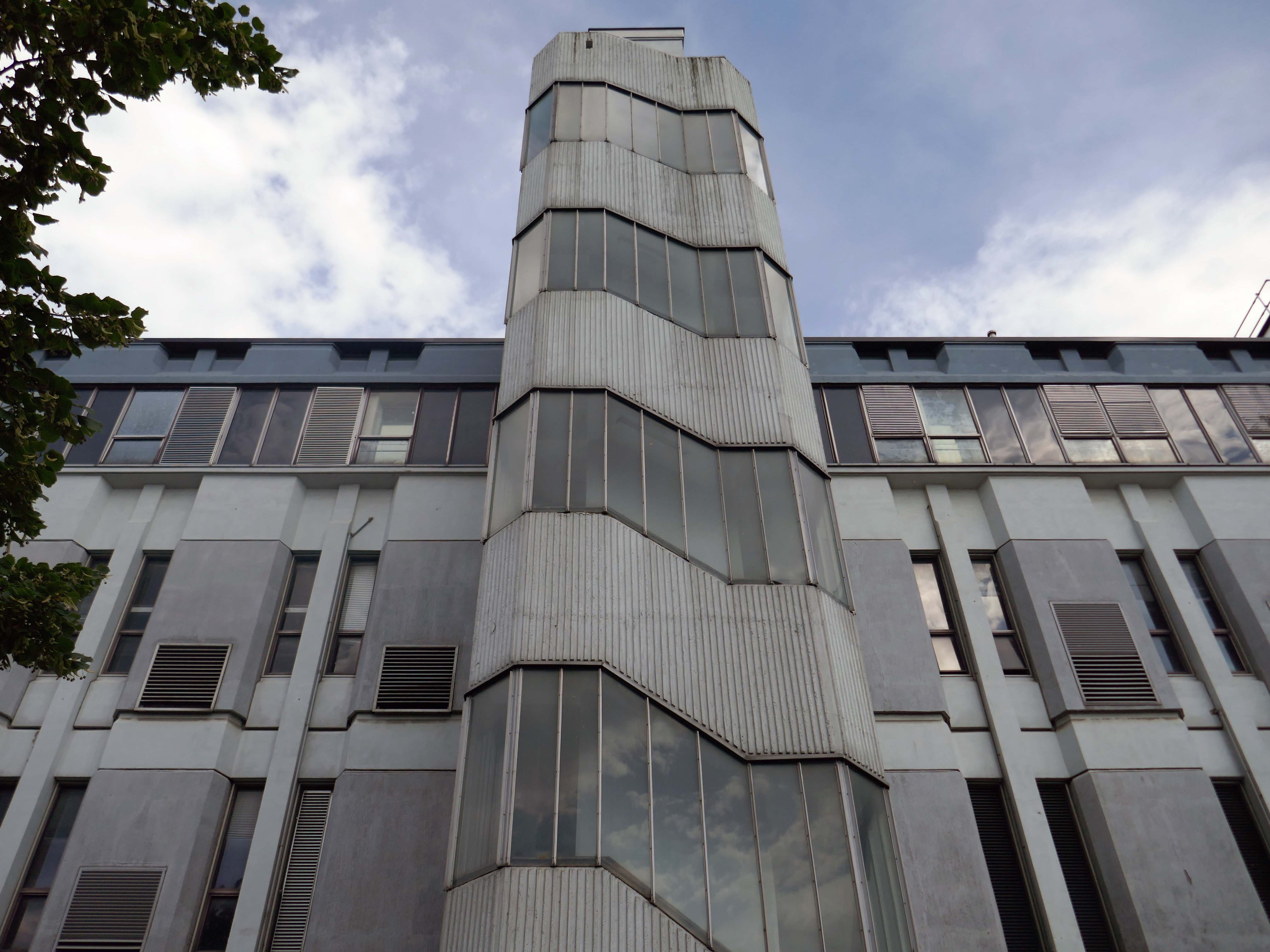
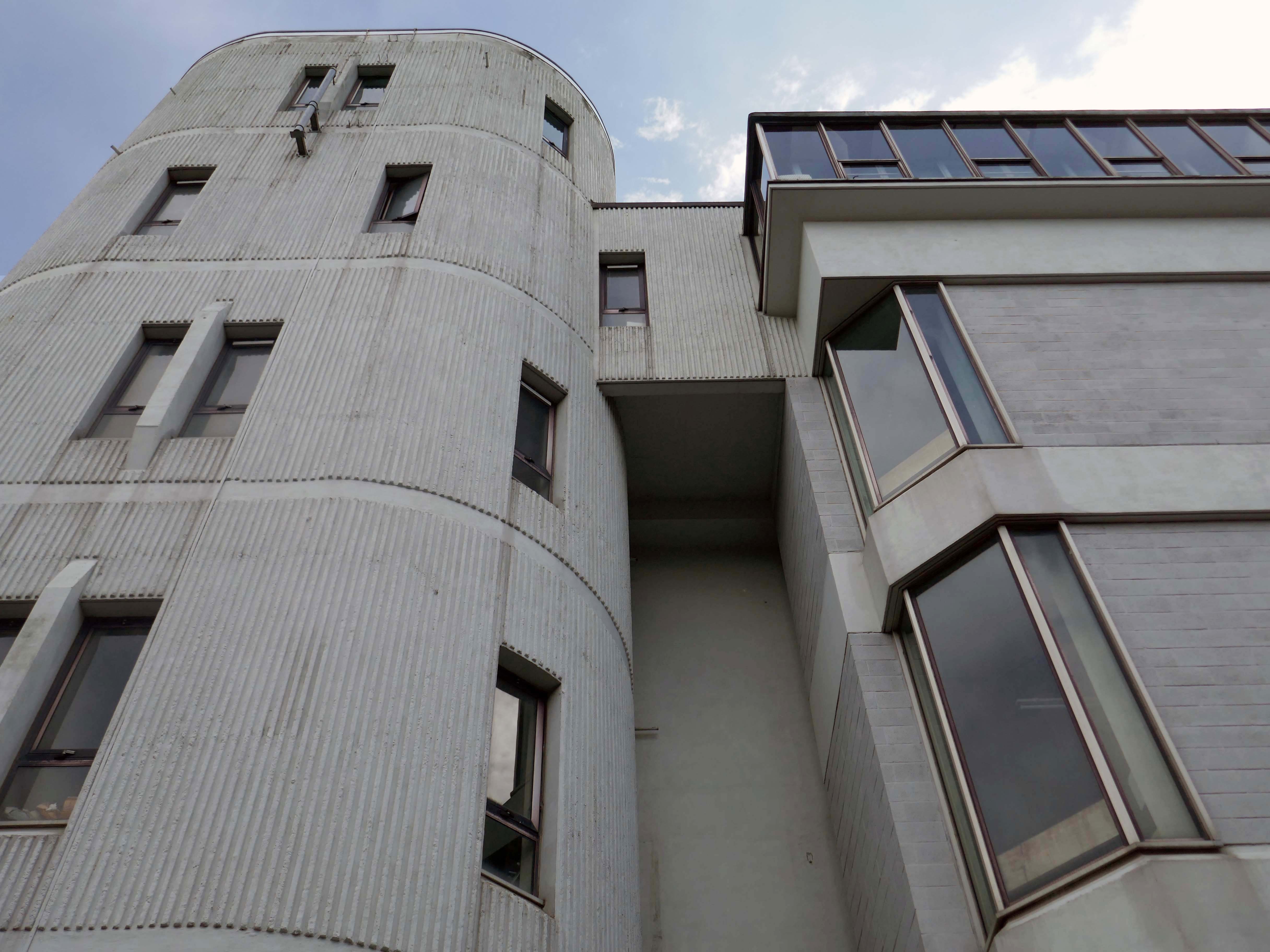
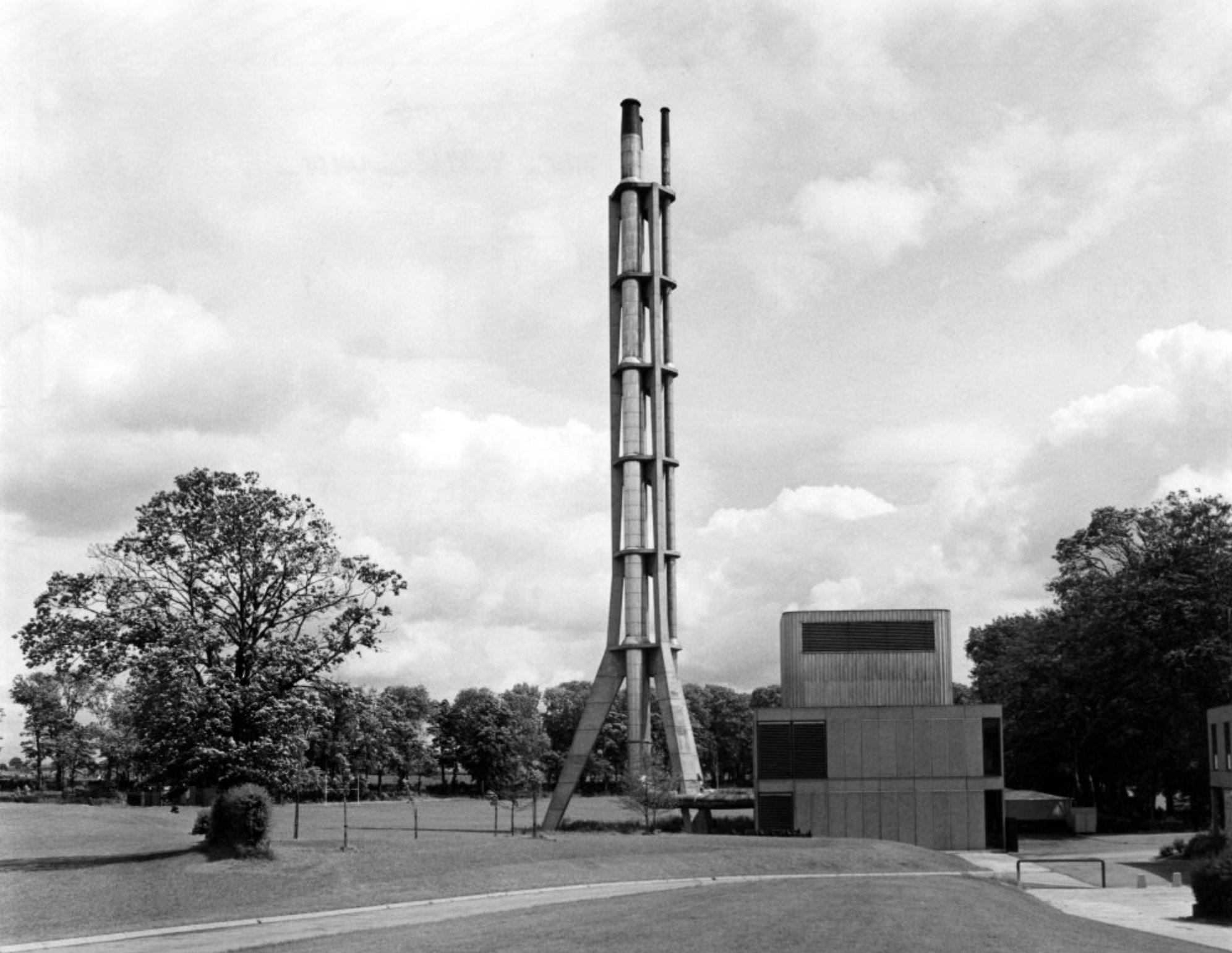
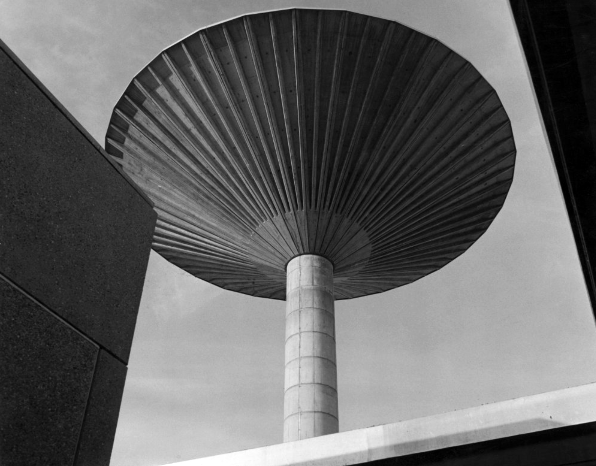
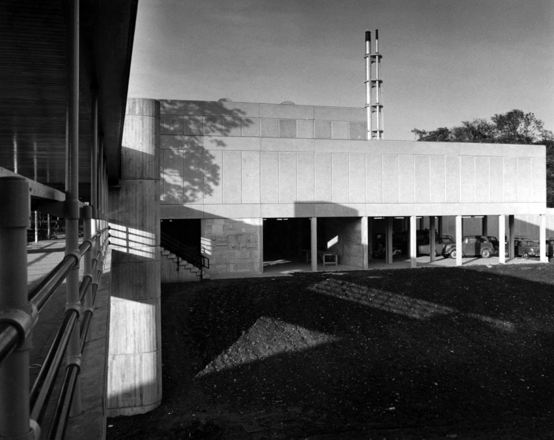
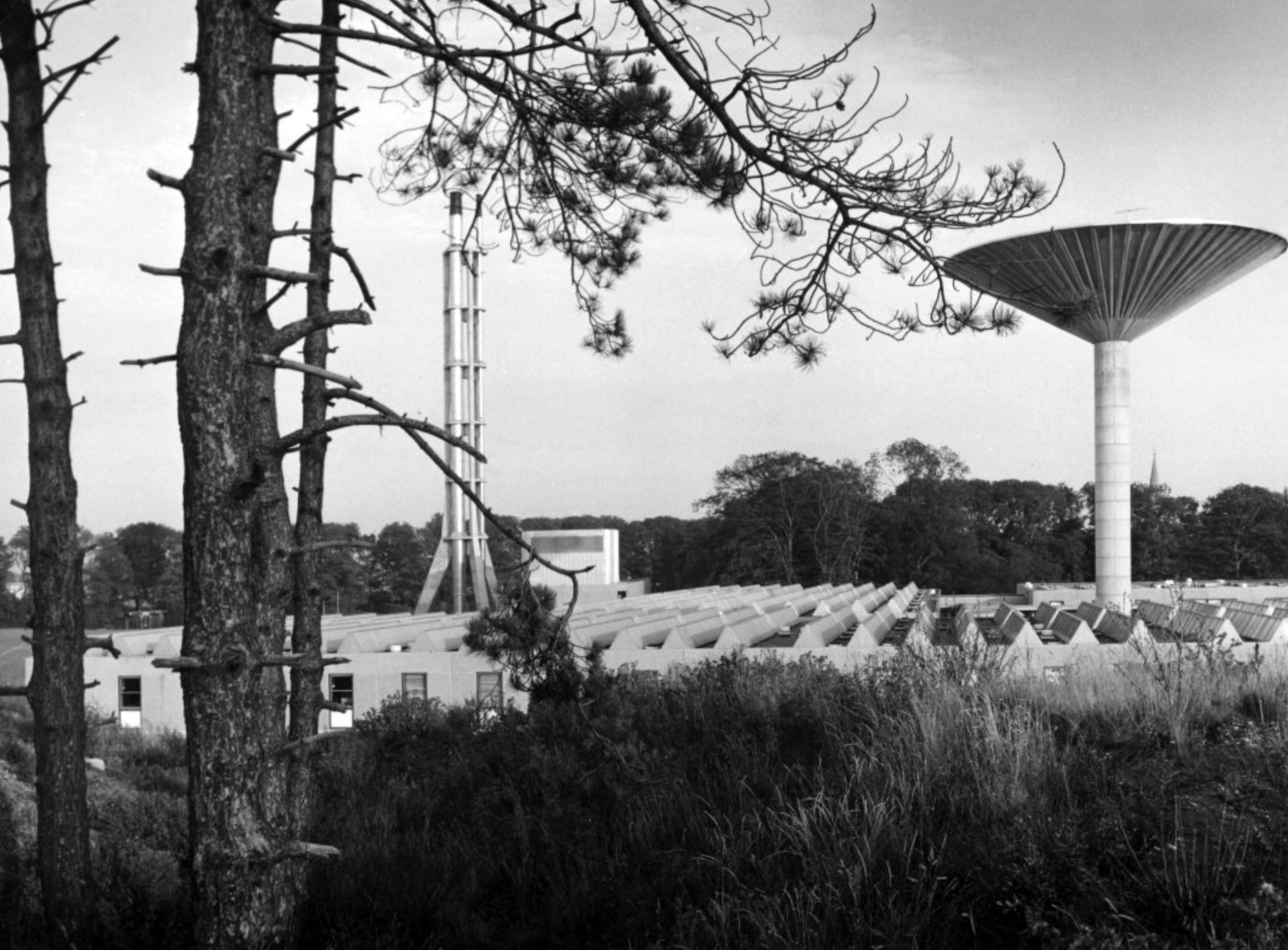
David Brown Laboratories: the flue stack.
David Brown laboratories: the water tower.
Photographs 1965 – Reginald Hugo de Burgh Galwey.
Derwent College.
Derwent College.
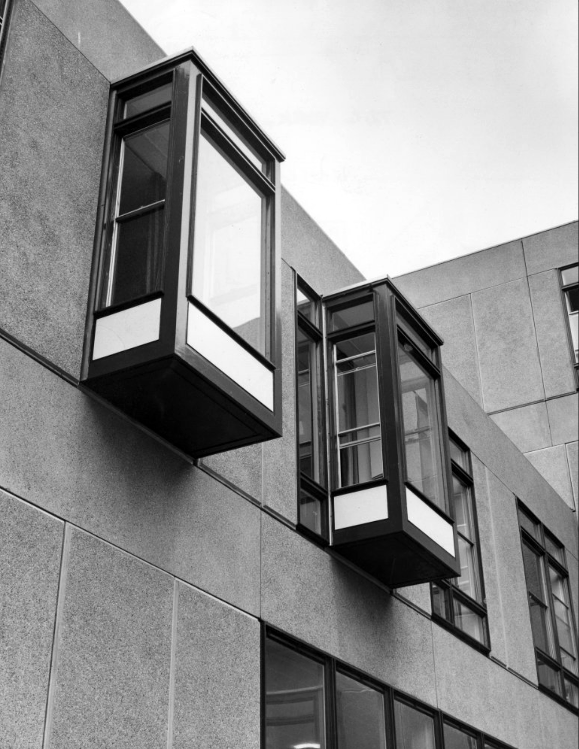
Langwith College: close-up of the oriel windows.
Photographs 1965 Bill Toomey.
Derwent College: a concrete sculptured screen flanking a covered way.
Derwent College: a concrete sculptured screen flanking a covered way.
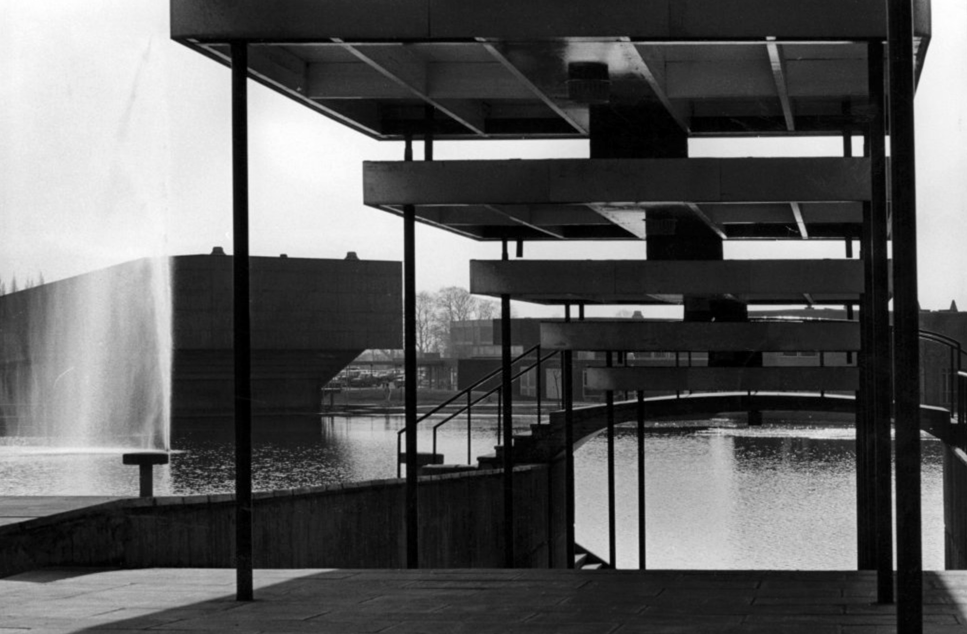
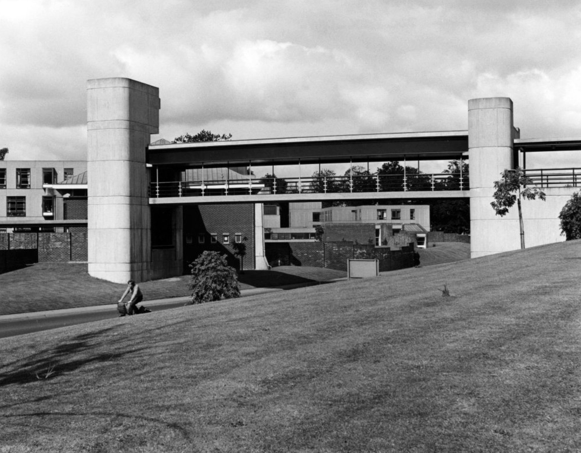
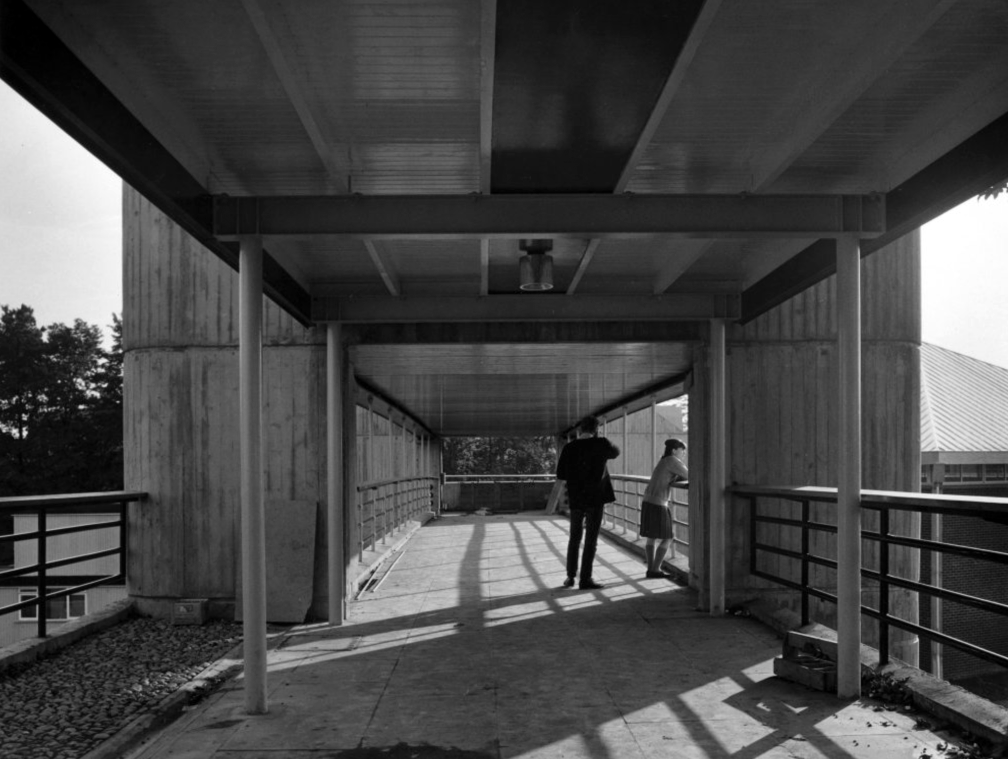
One of several concrete link bridges.
Another of the several concrete link bridges.
Photographs 1965 – Reginald Hugo de Burgh Galwey.
David Brown laboratories: seen from one of the link bridges.
David Brown Laboratories: the flue stack and water tower rising above the laboratory blocks.
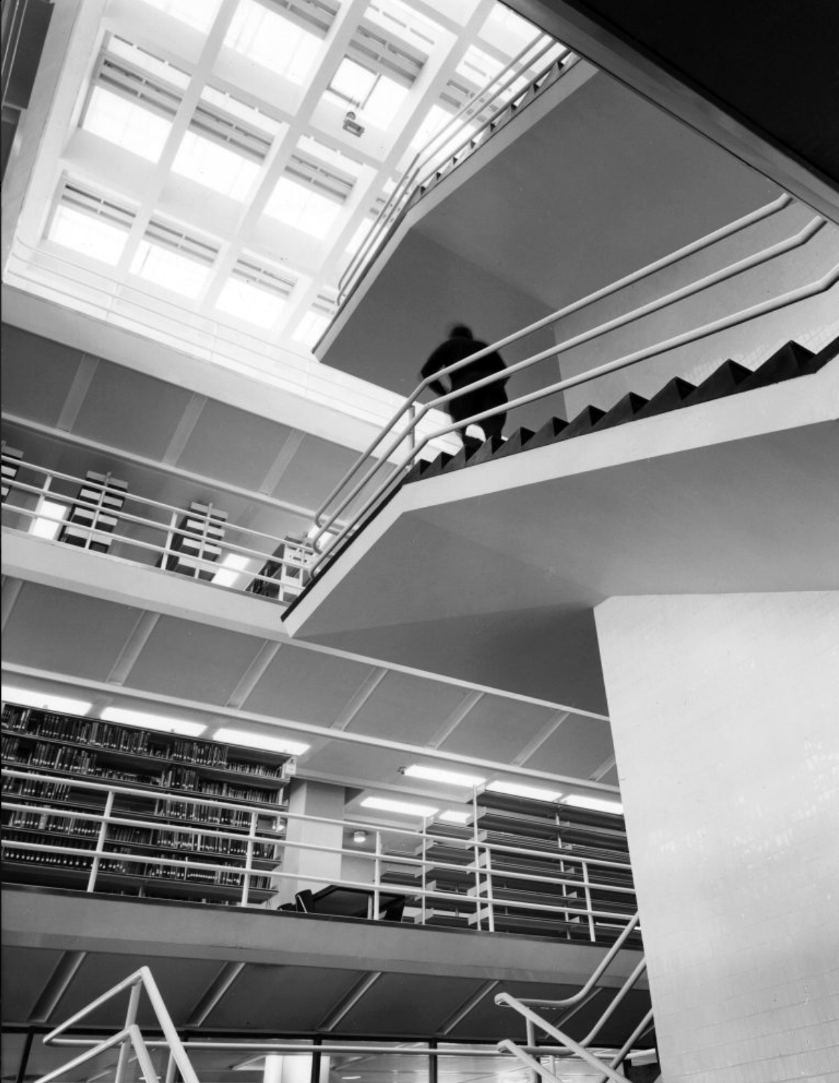
J. B. Morrell Library: the central staircase and lift tower.
Photographs 1965 Keith Gibson.
Central Hall.
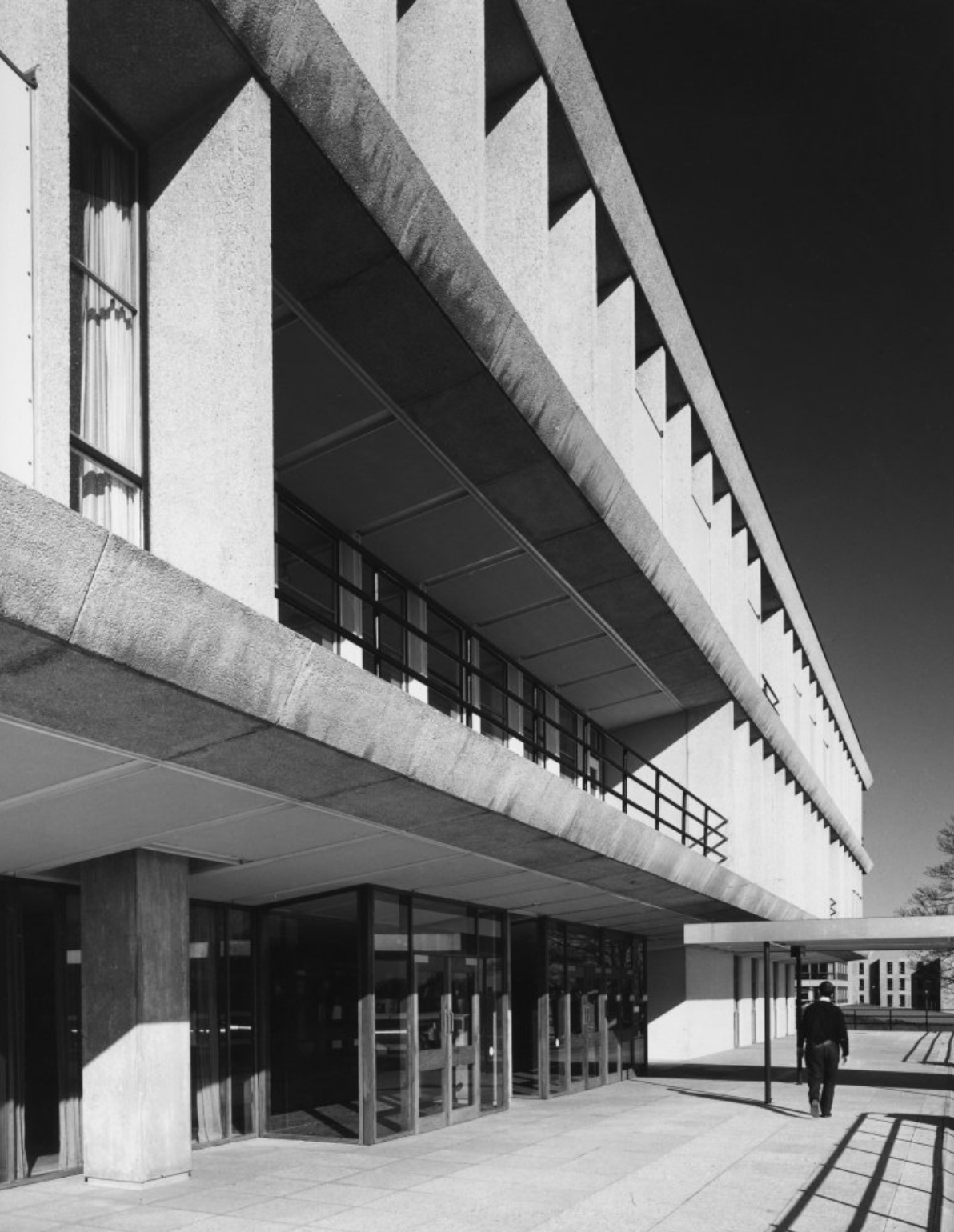
JB Morrell Library, University of York, seen from the south side of Heslington Road with linking pedestrian bridge and ramp in foreground and cast aluminium sculpture by Austin Wright
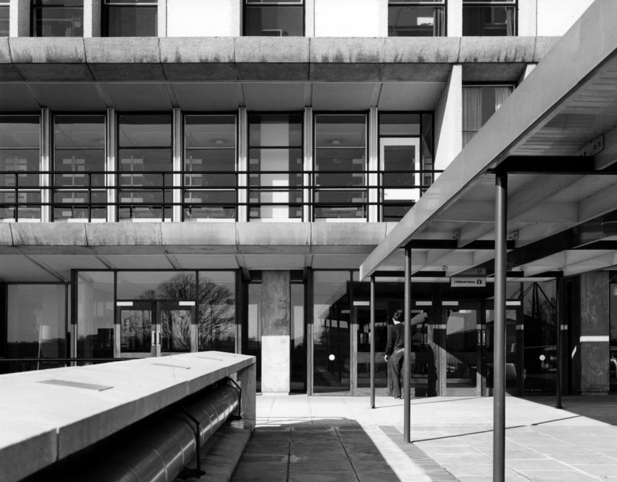
JB Morrell Library: the covered pedestrian bridge linking the library to the southern side of the campus.
JB Morrell Library.
JB Morrell Library: the main entrance and terrace.
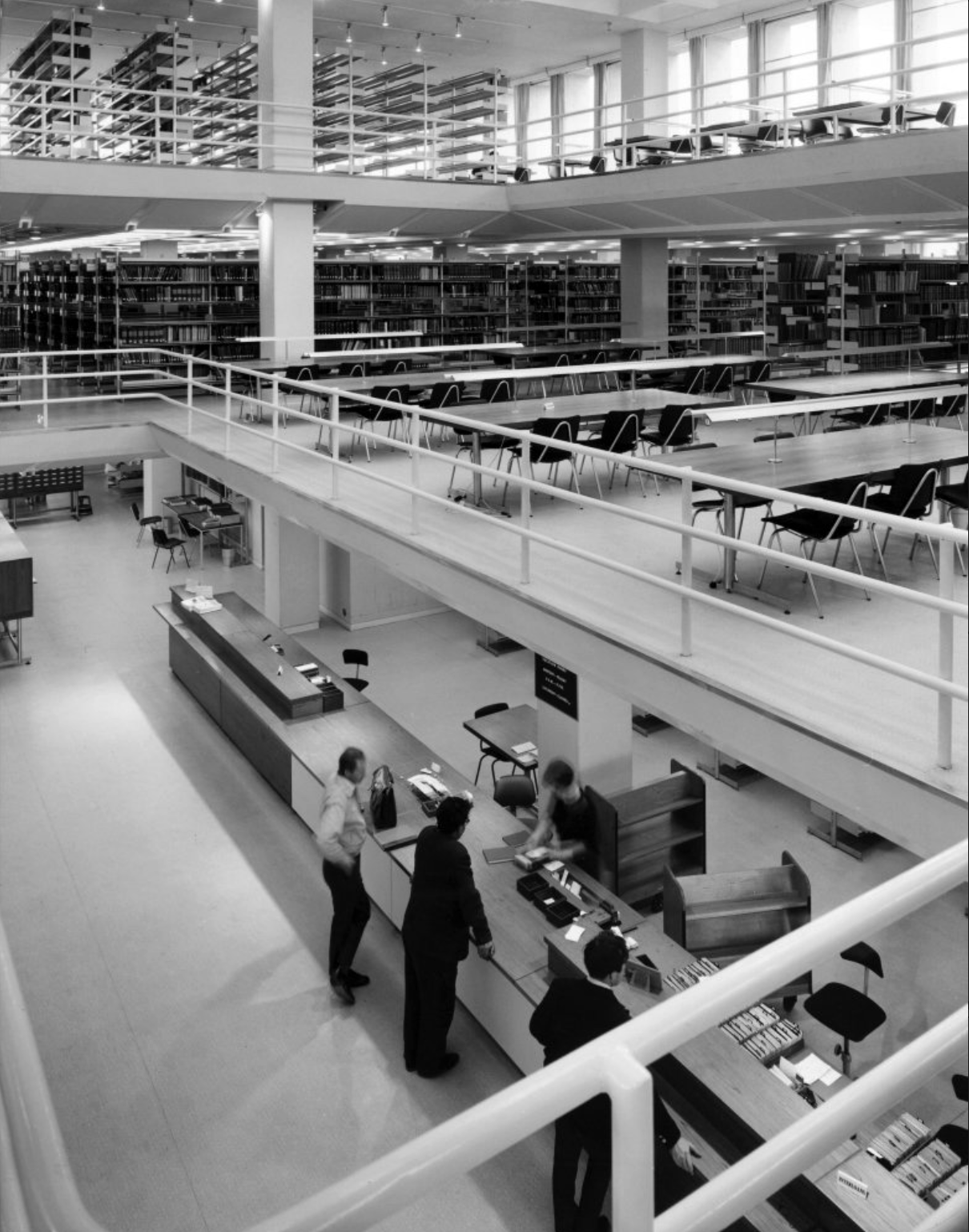
JB Morrell Library: the issue counter seen from the second floor.
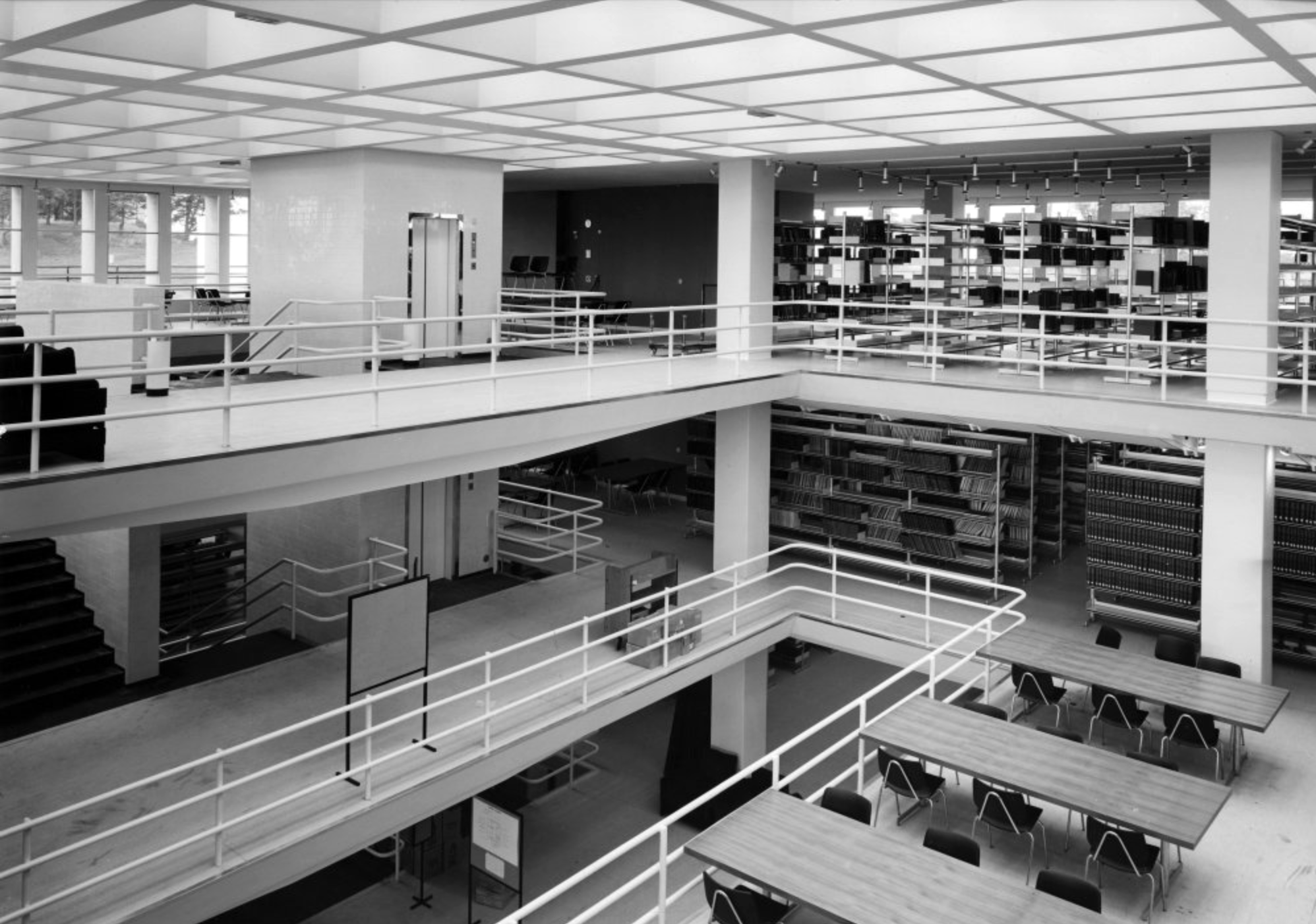
JB Morrell Library: viewpoint from the fourth floor.
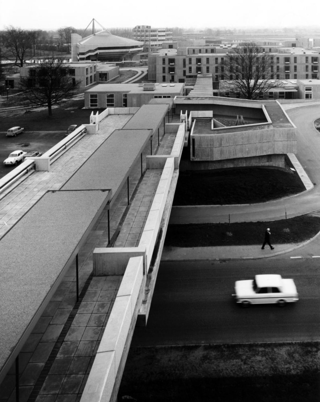
The covered pedestrian bridge linking the southern side of the campus to the JB Morrell Library on the north side.
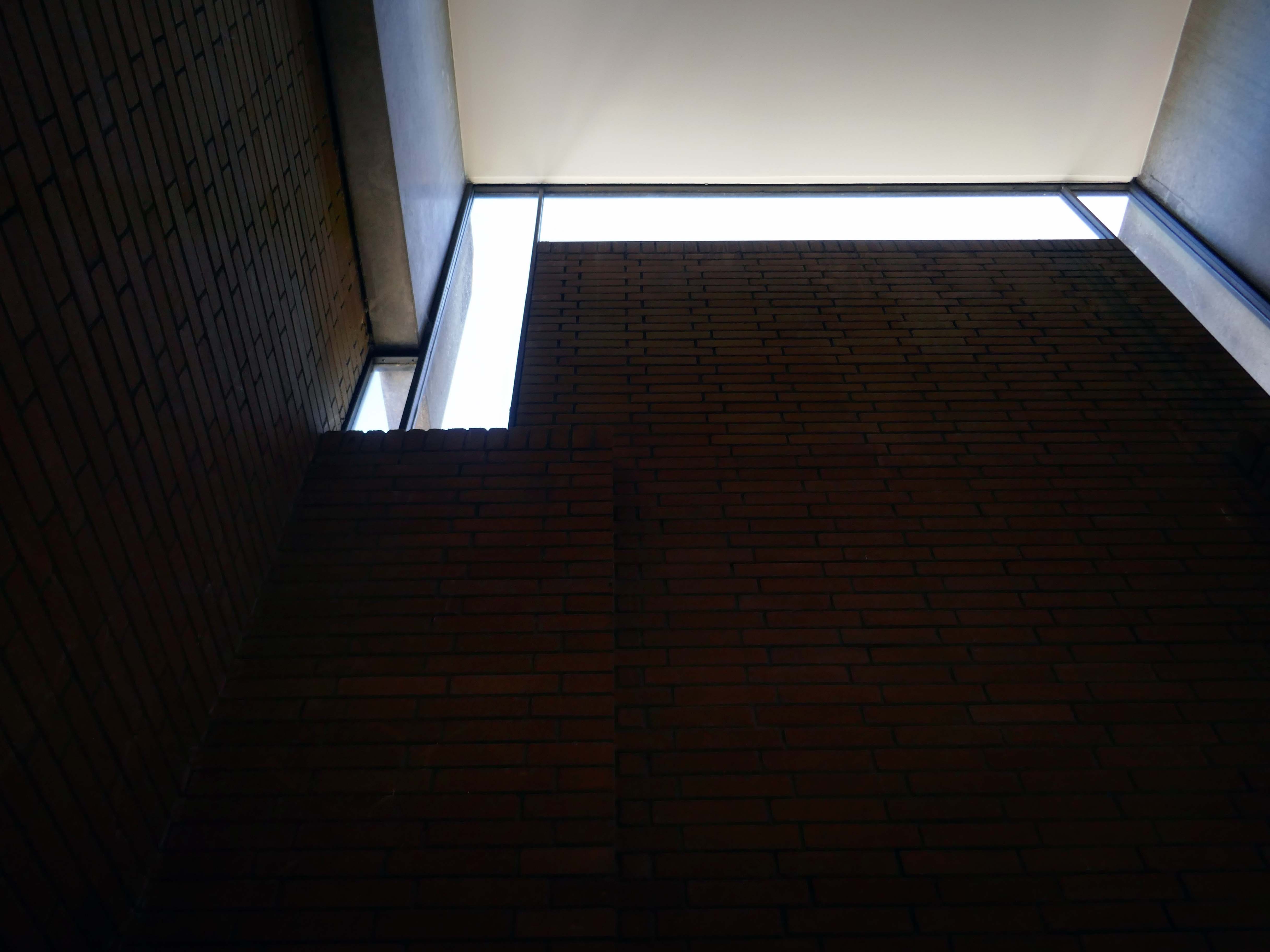
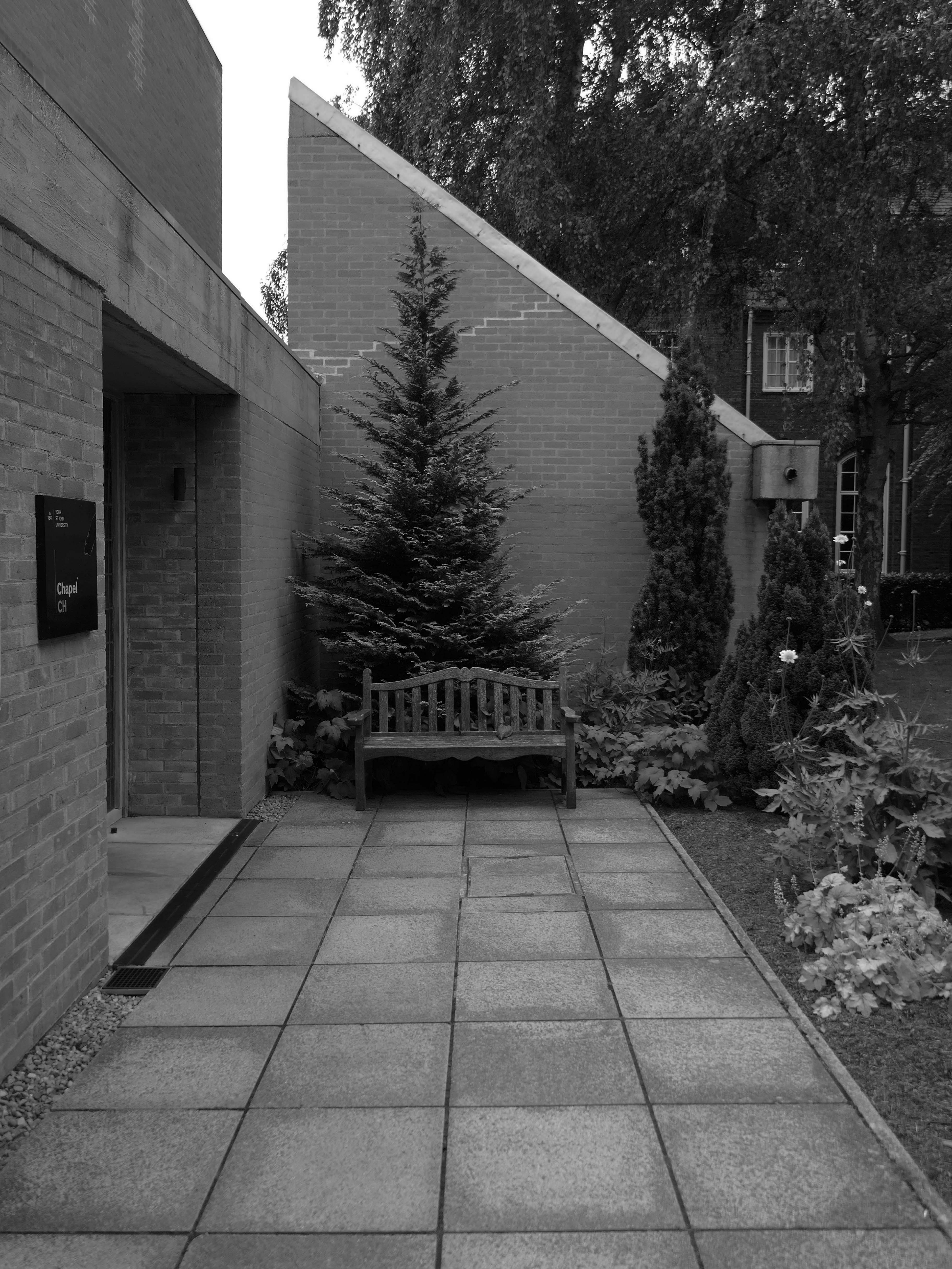
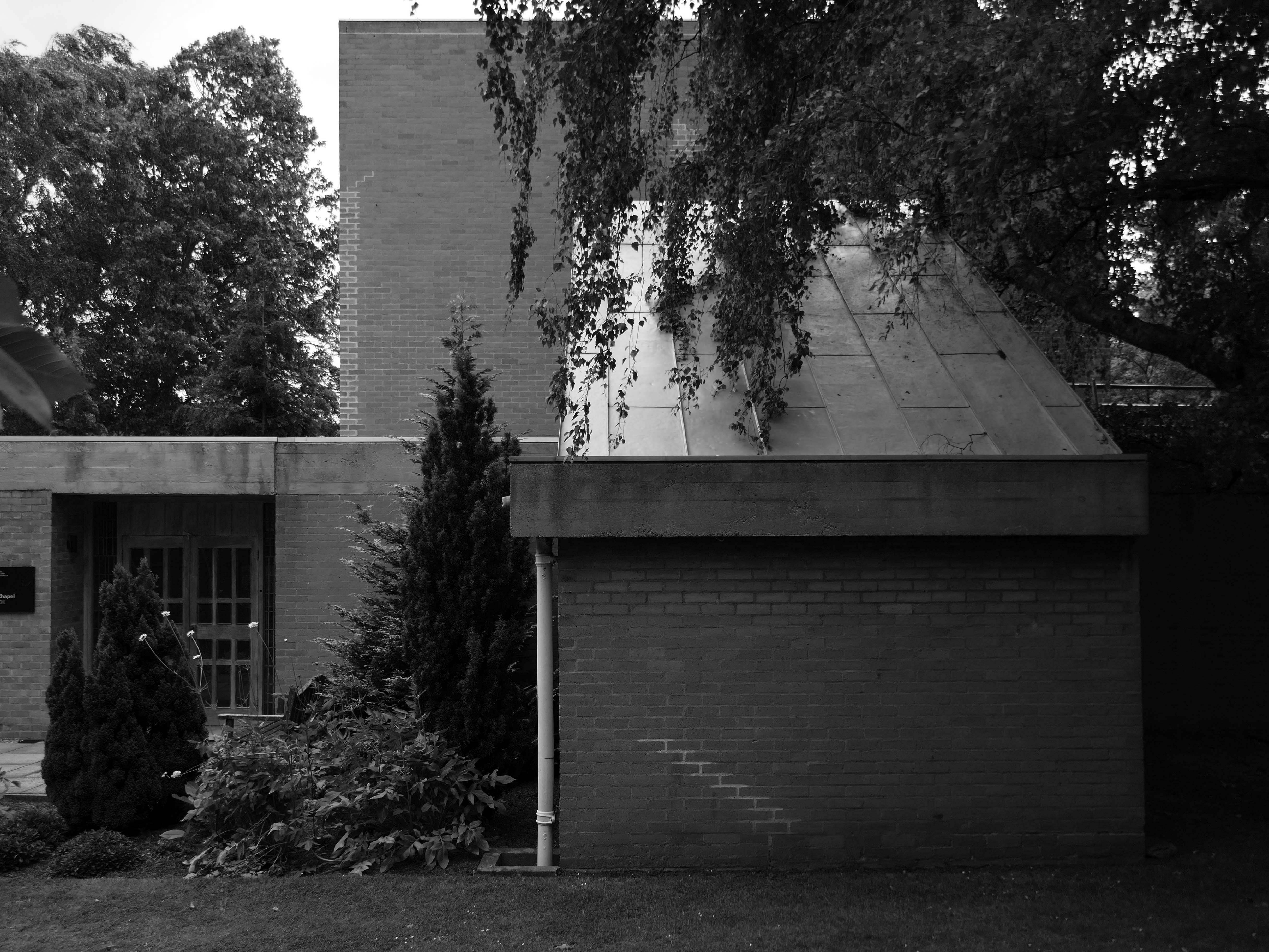
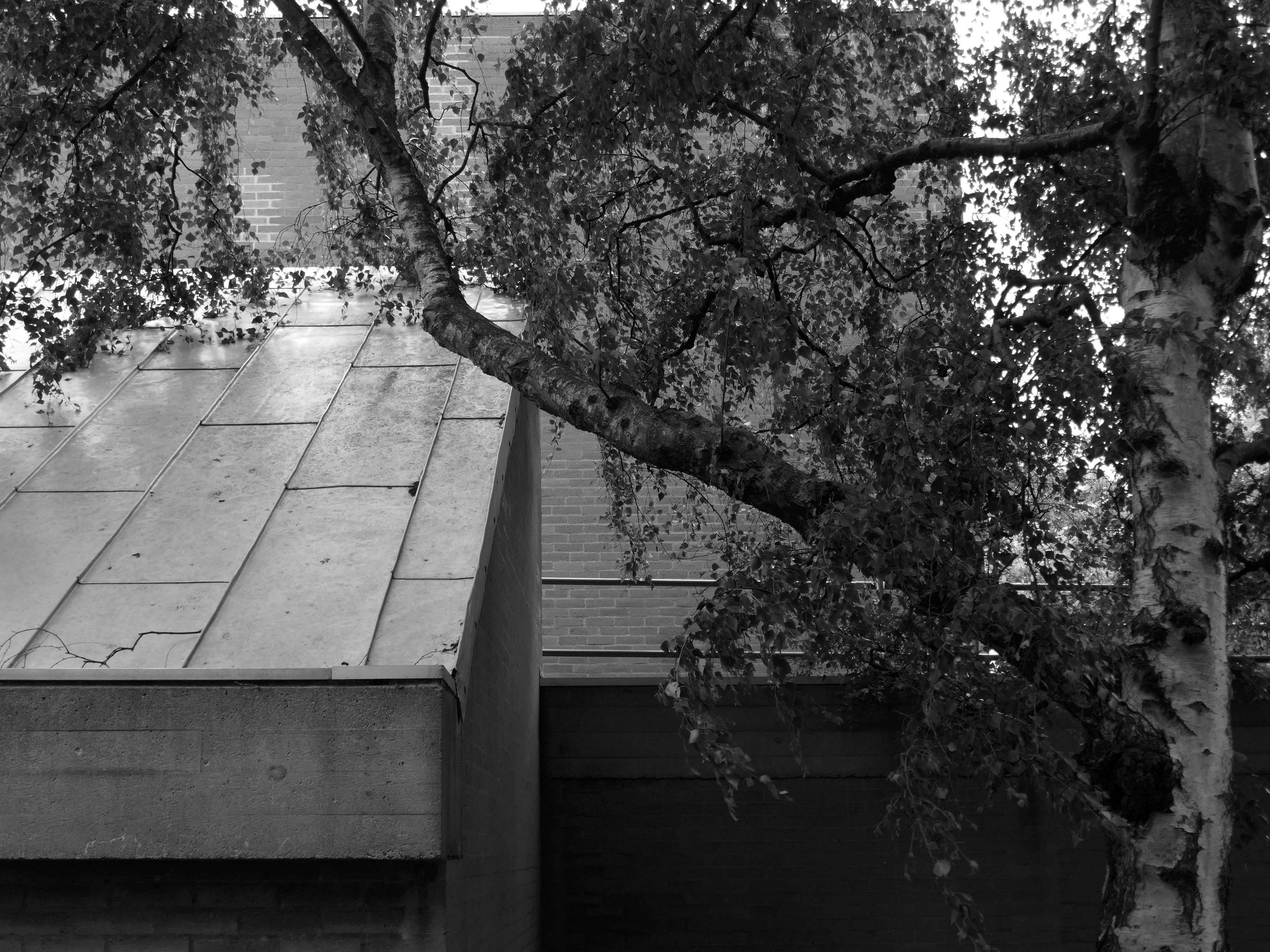
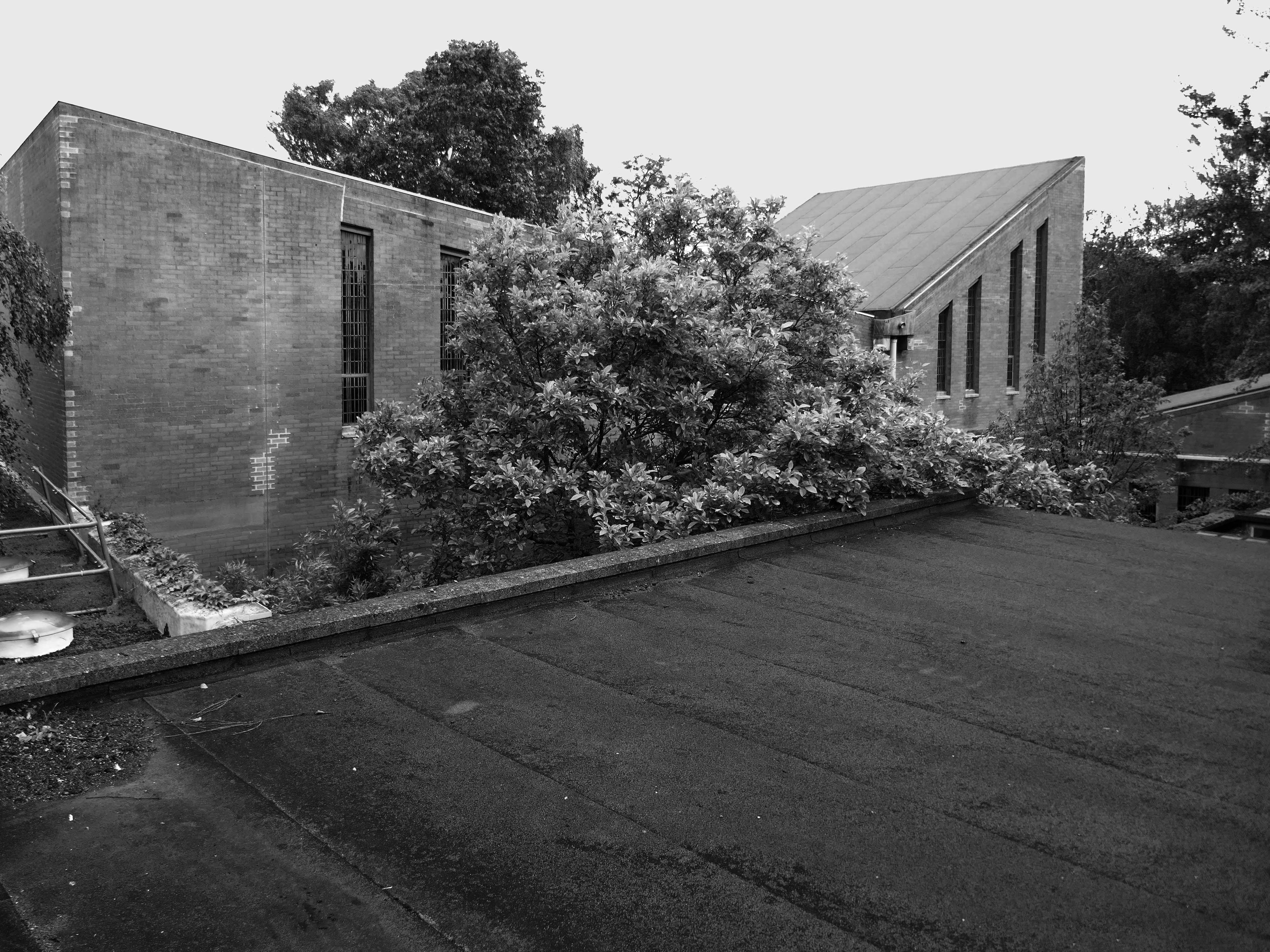
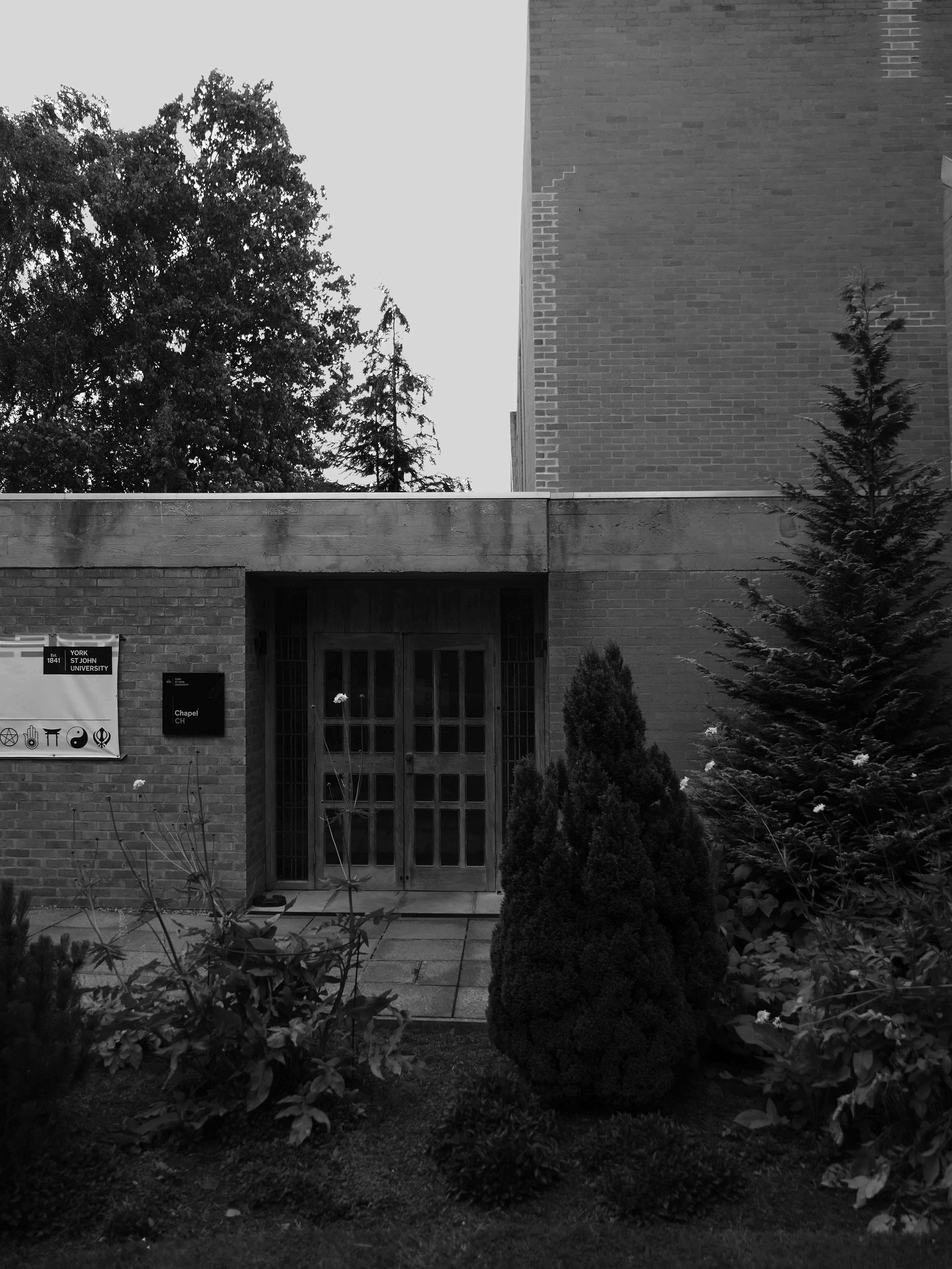
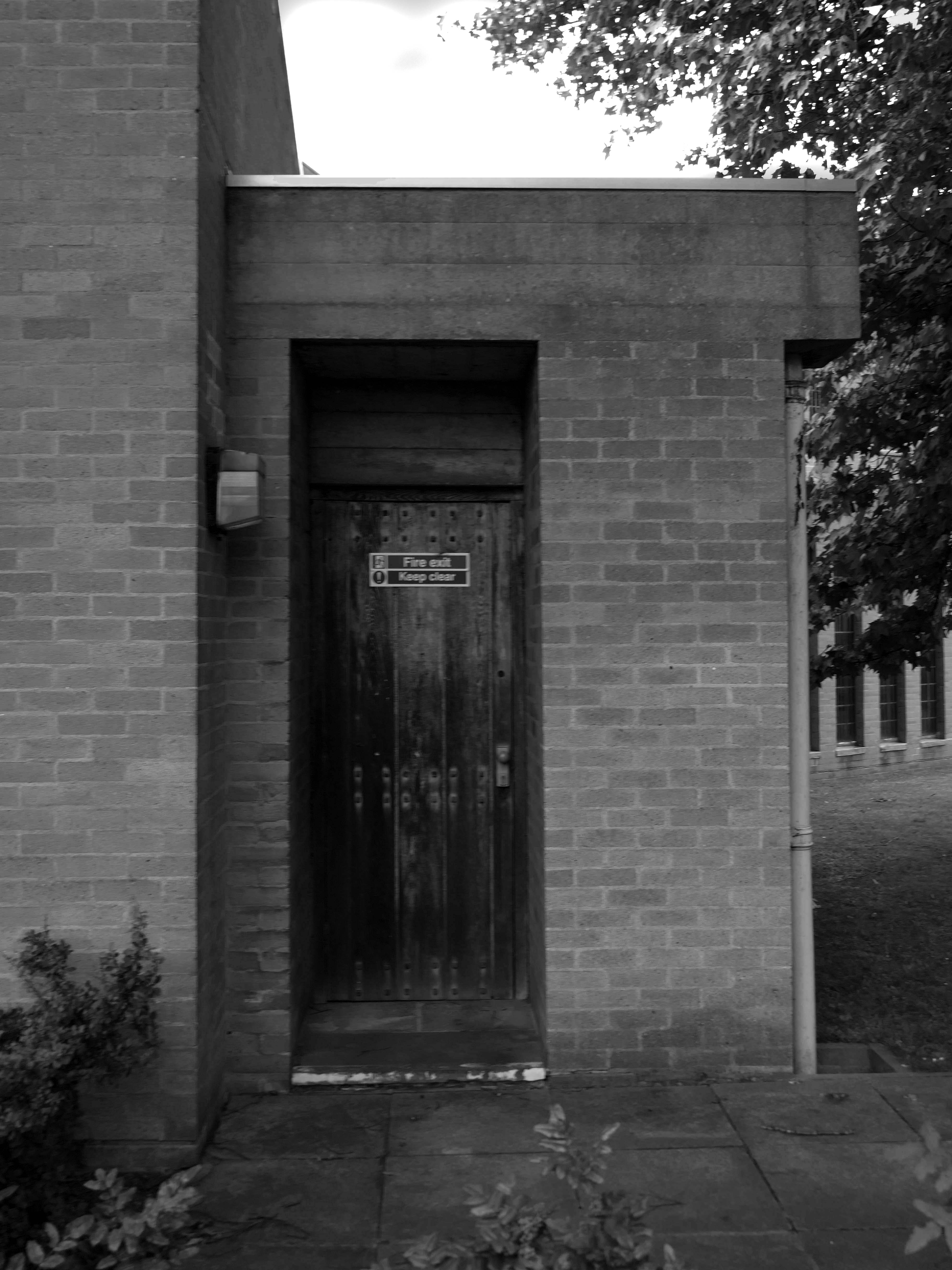
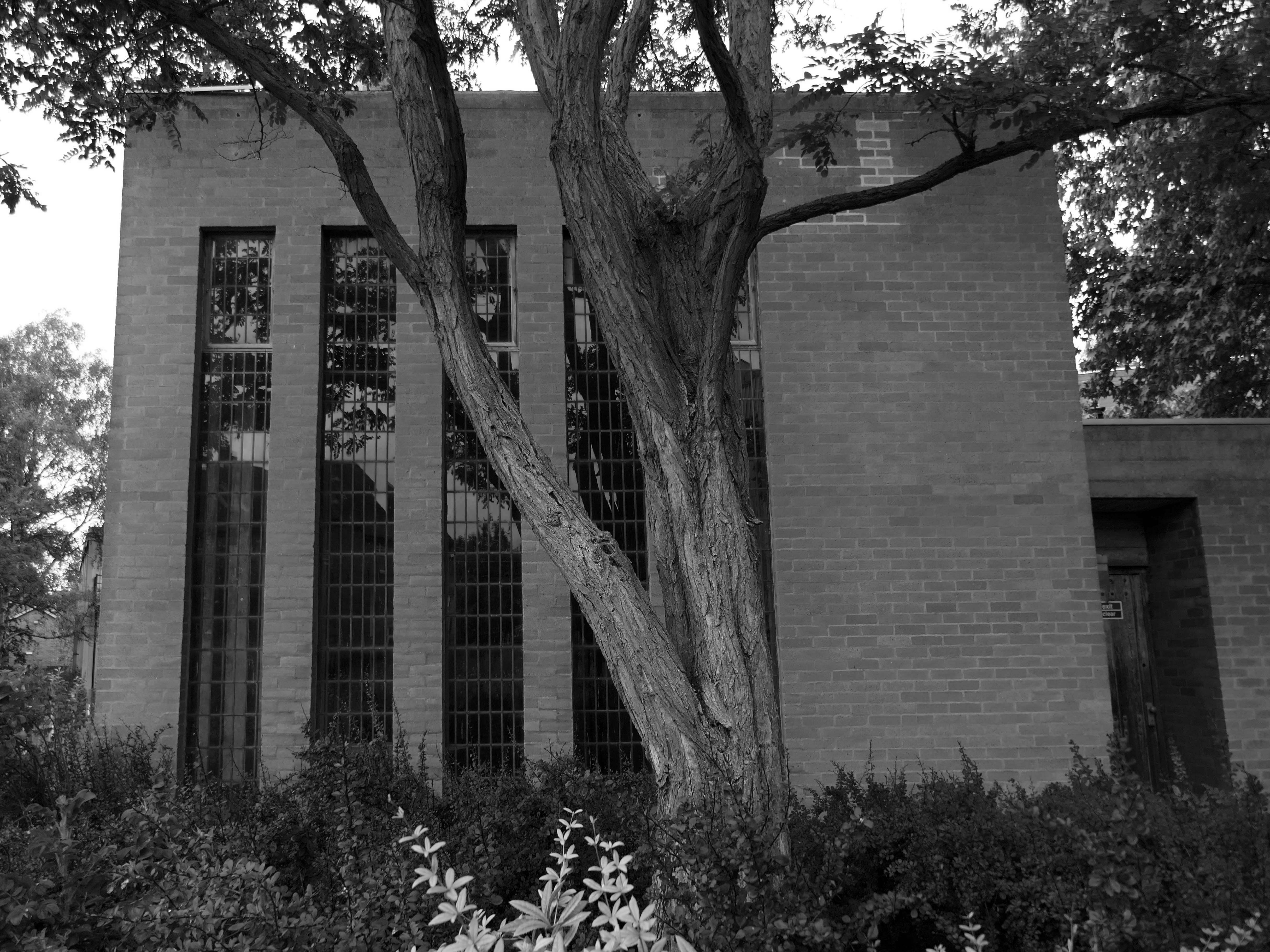
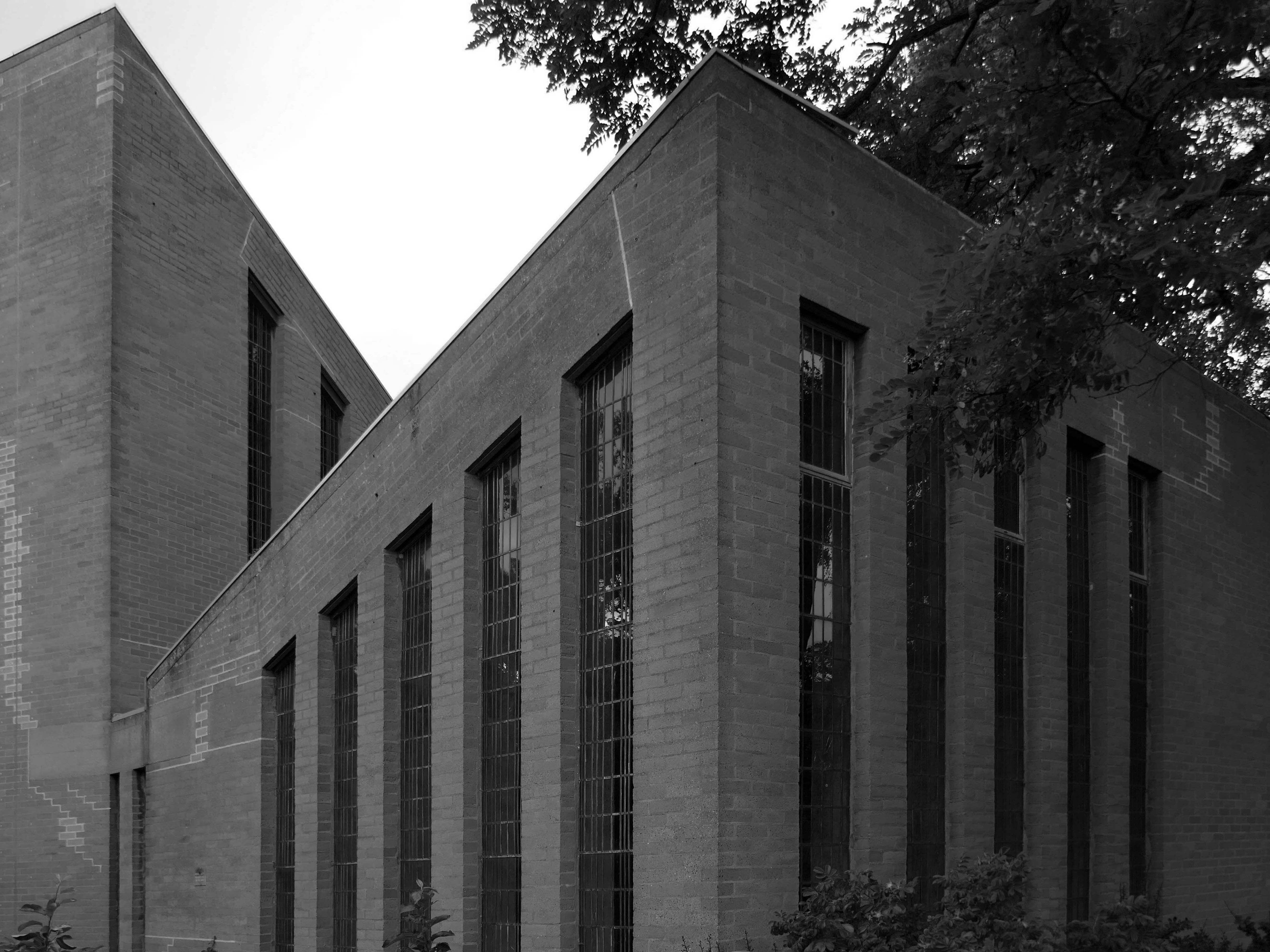
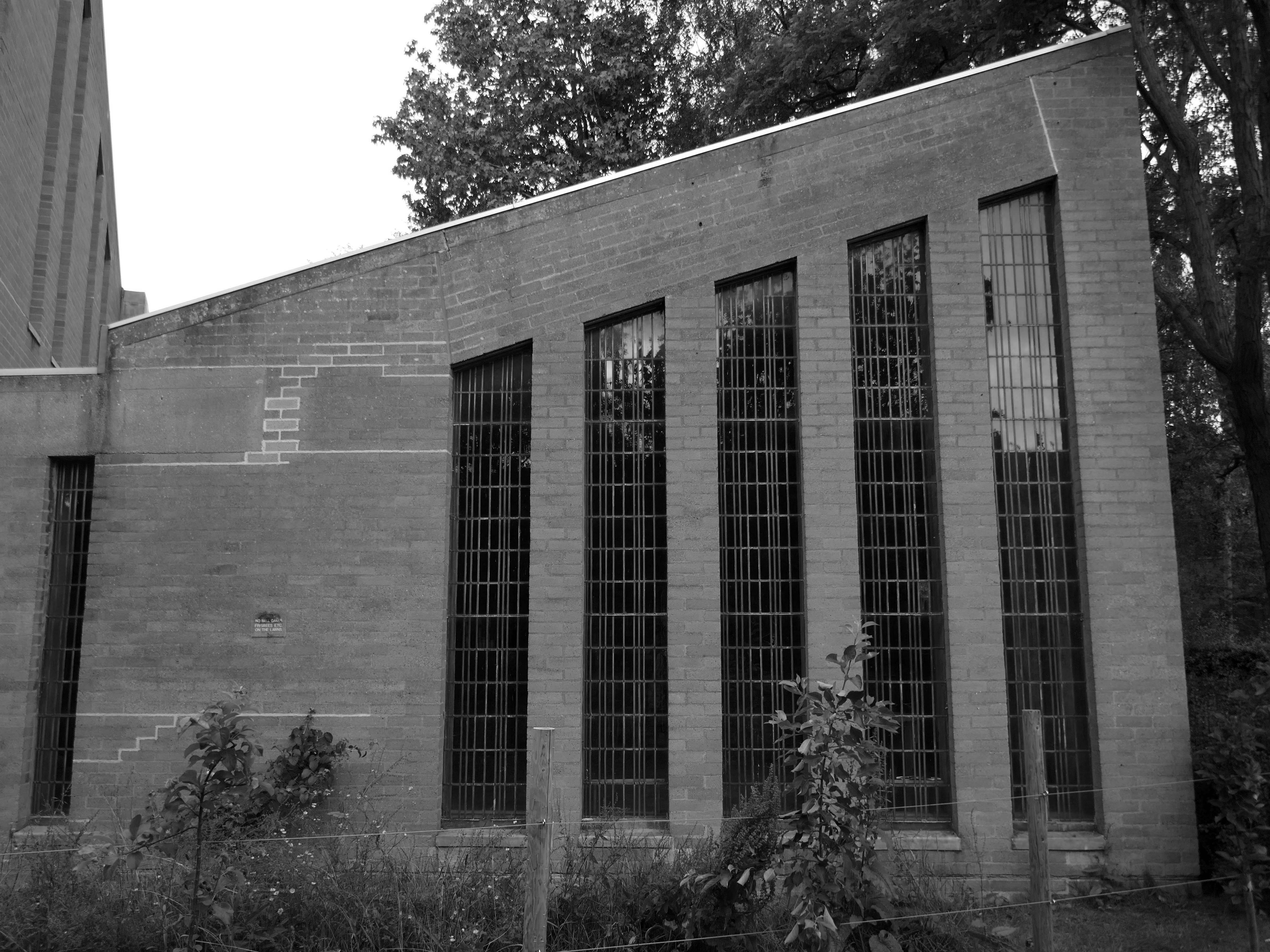
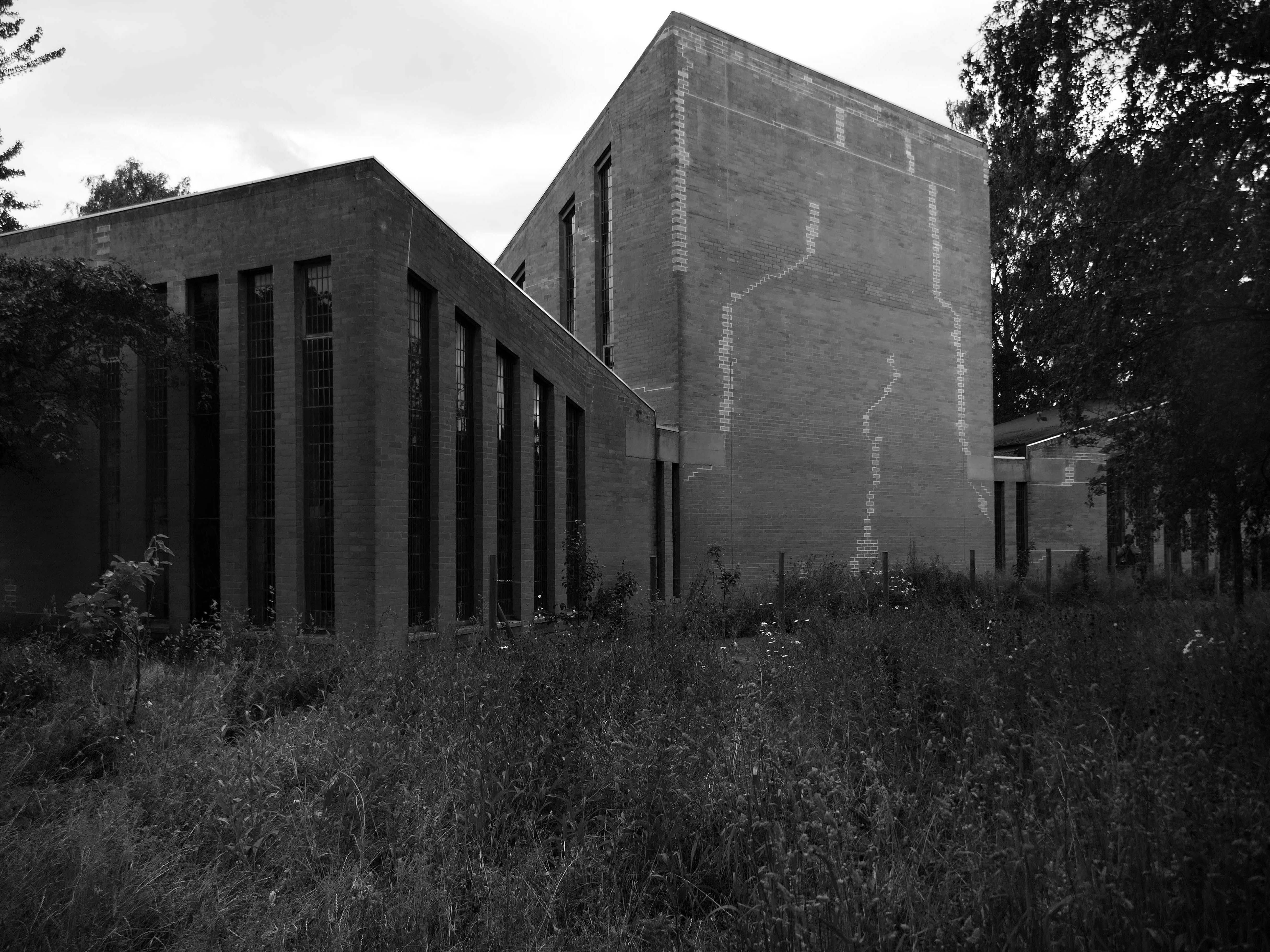
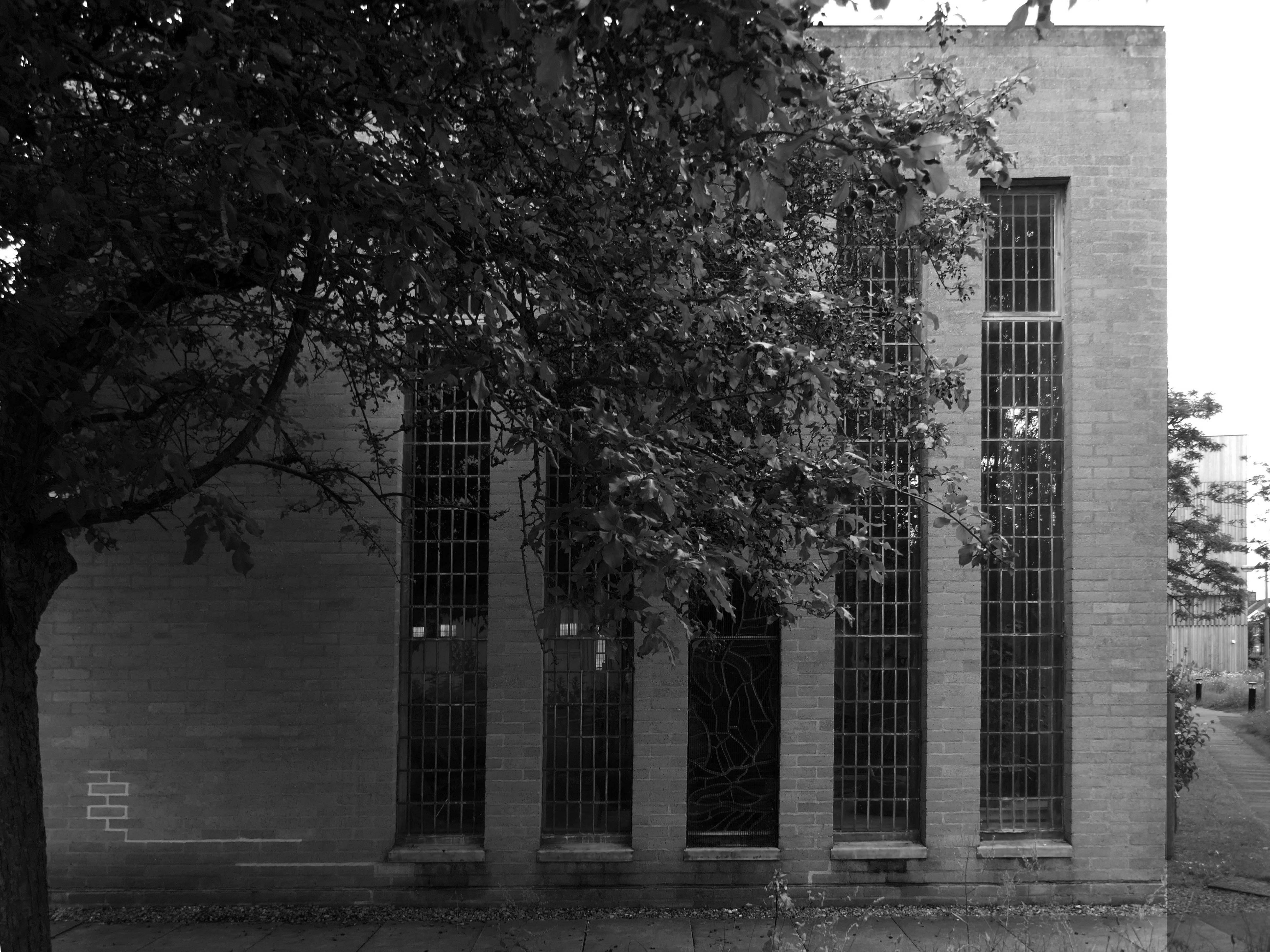
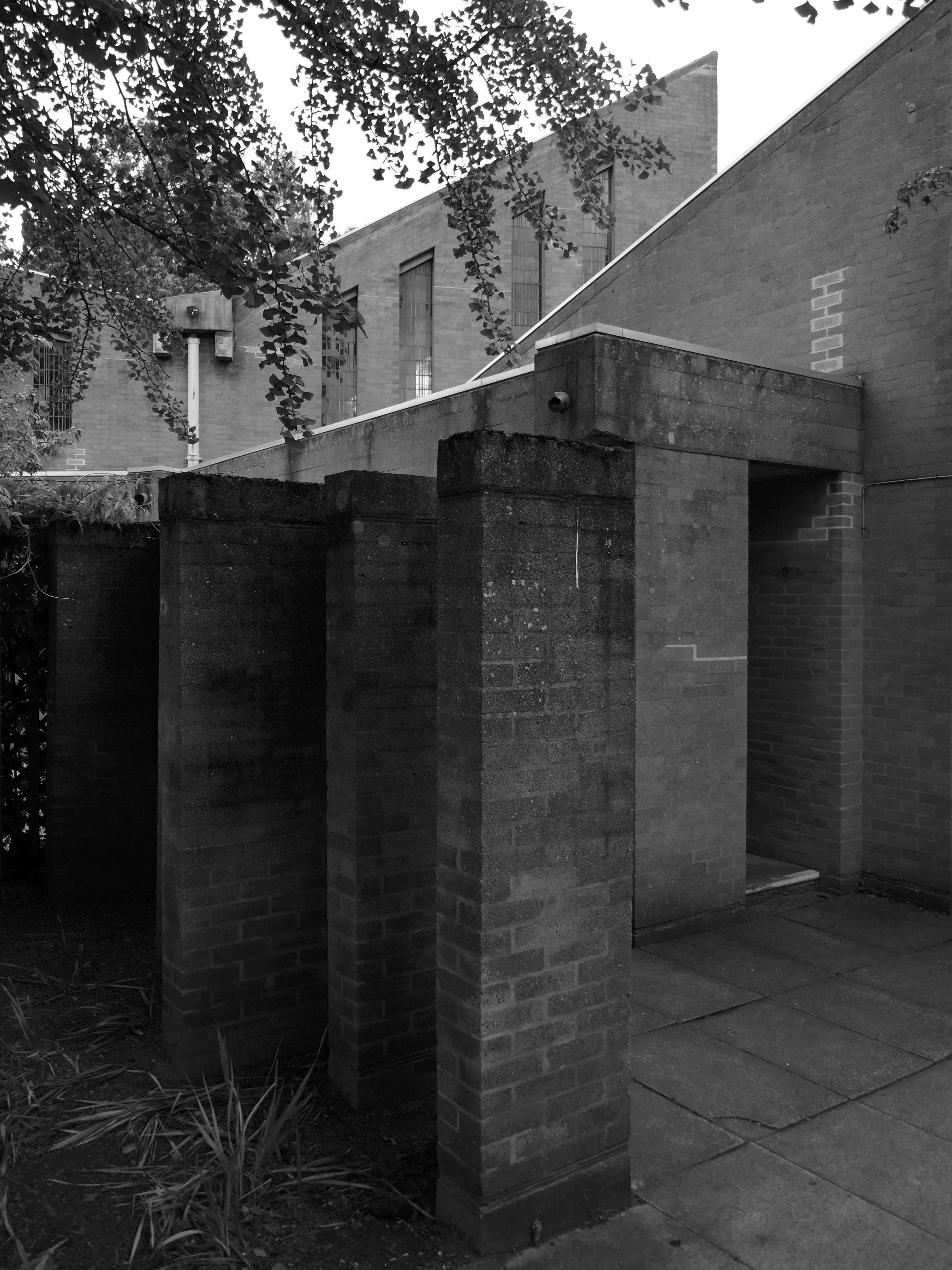
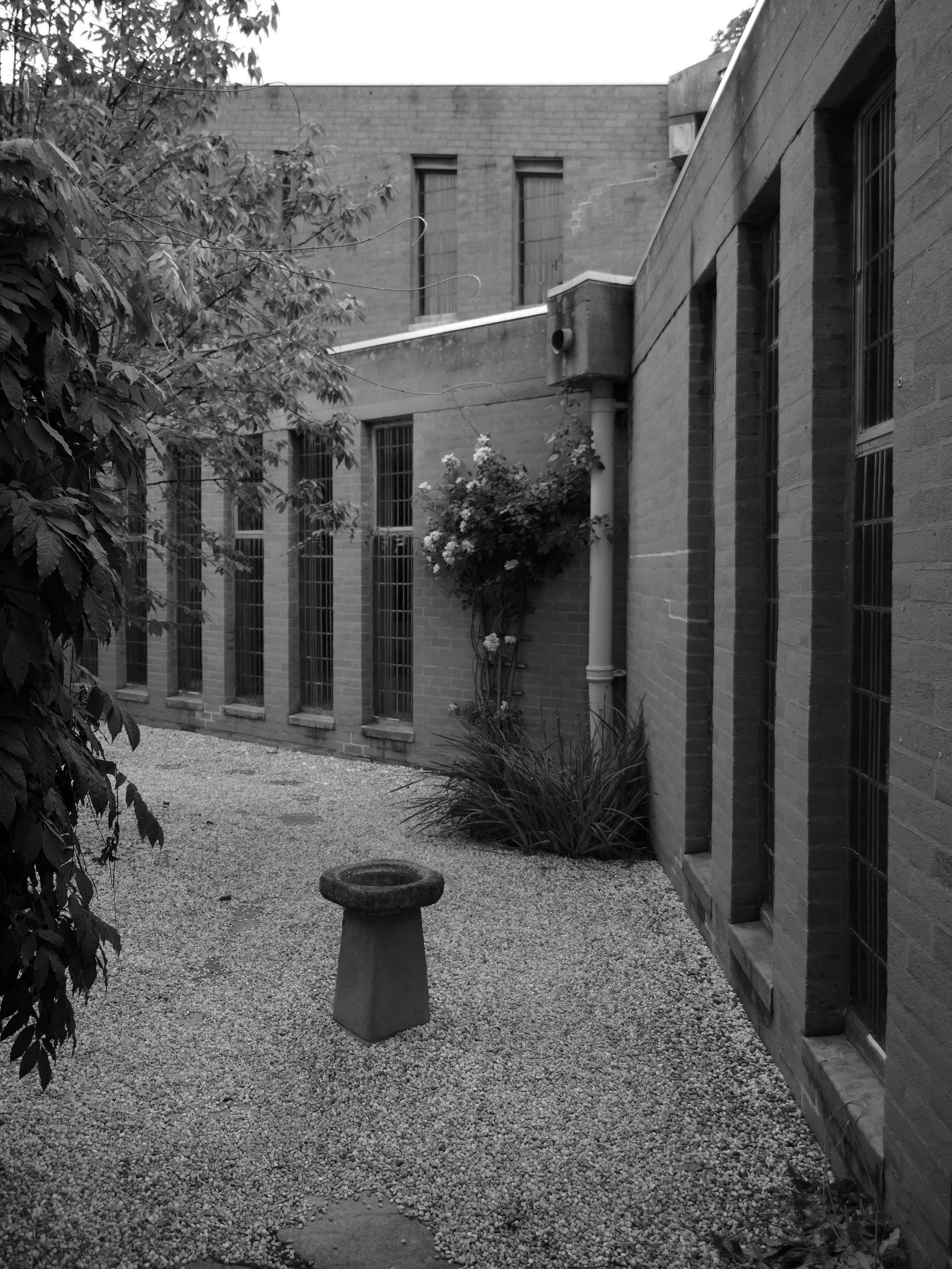
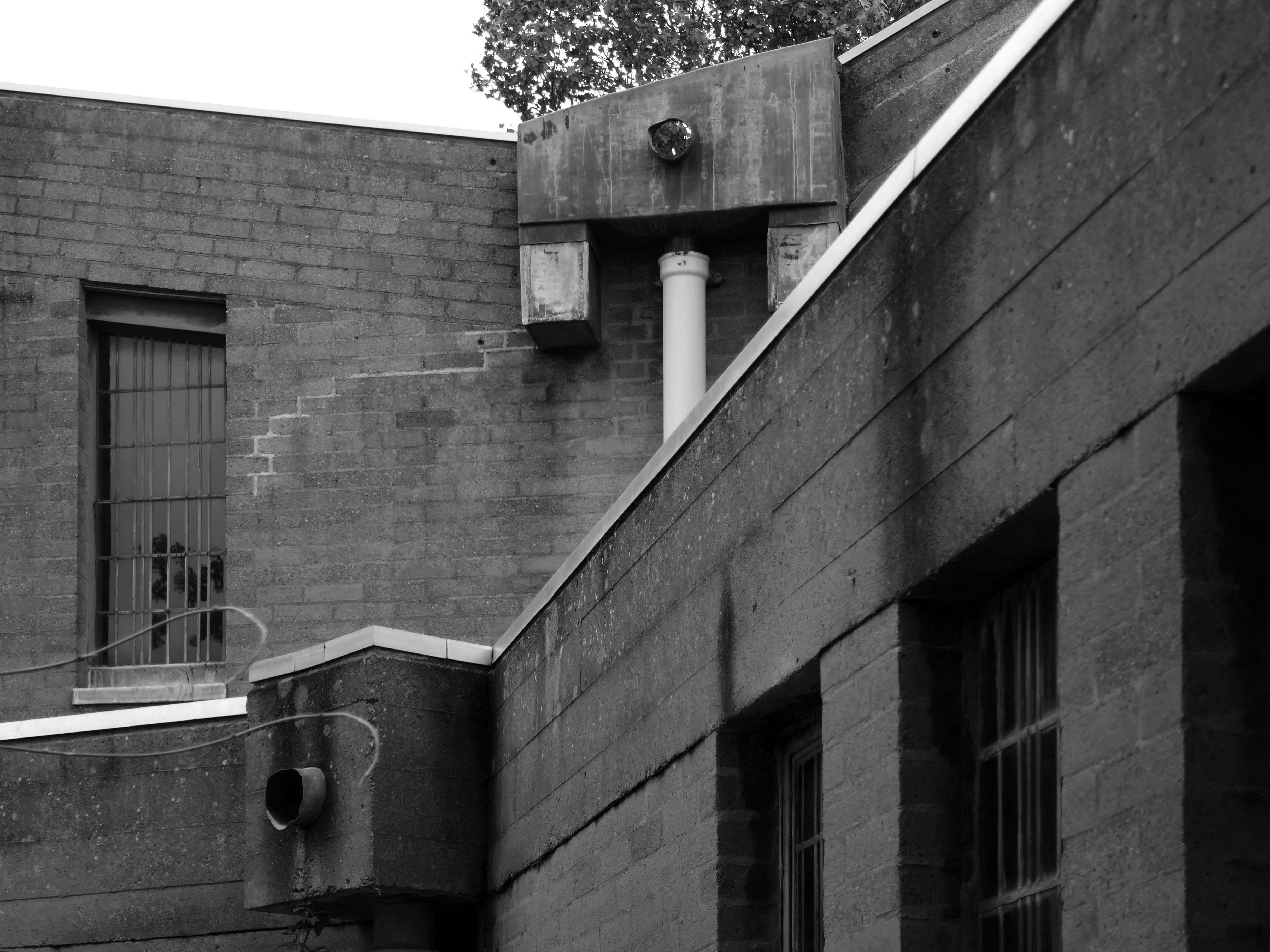
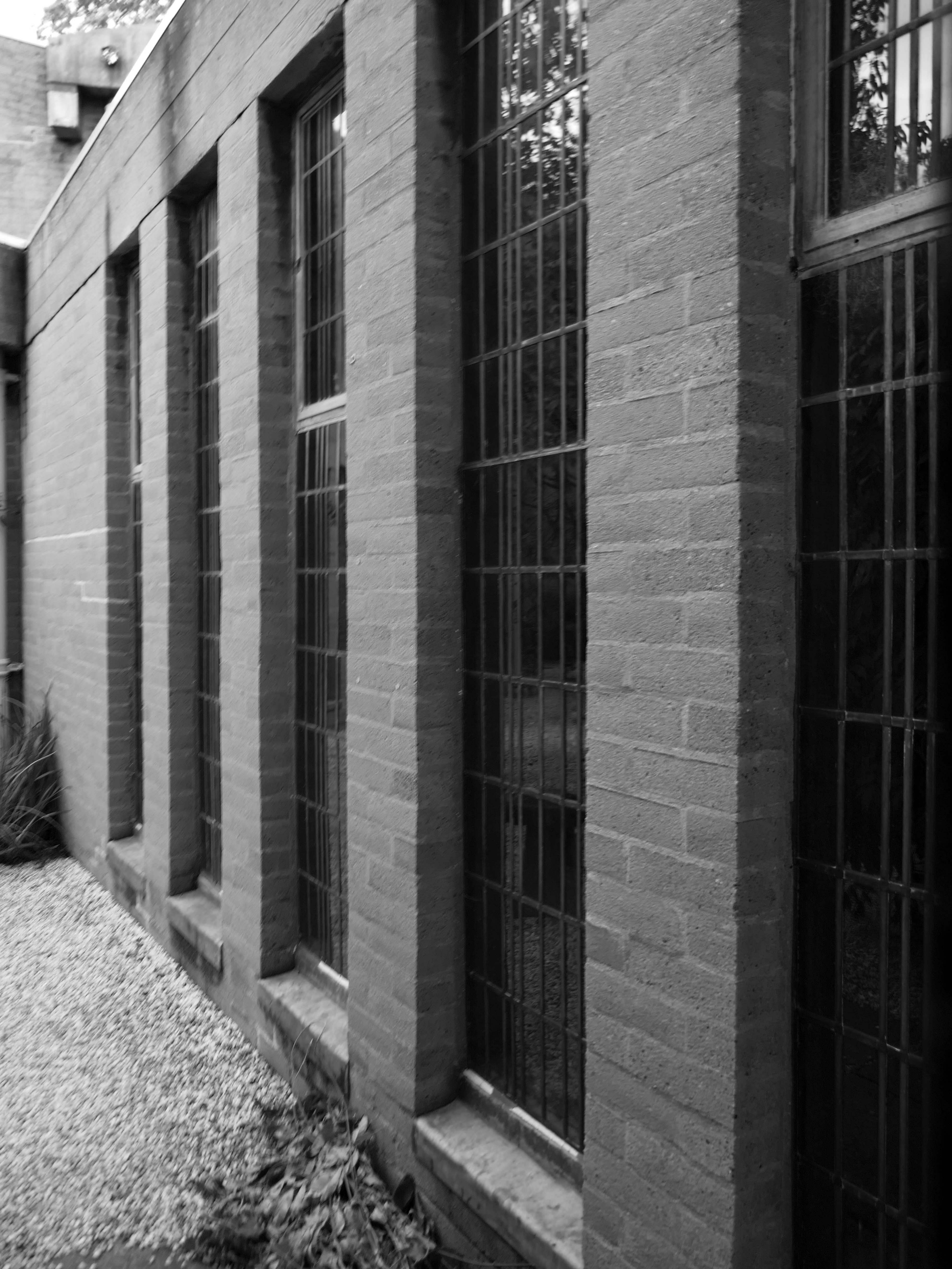
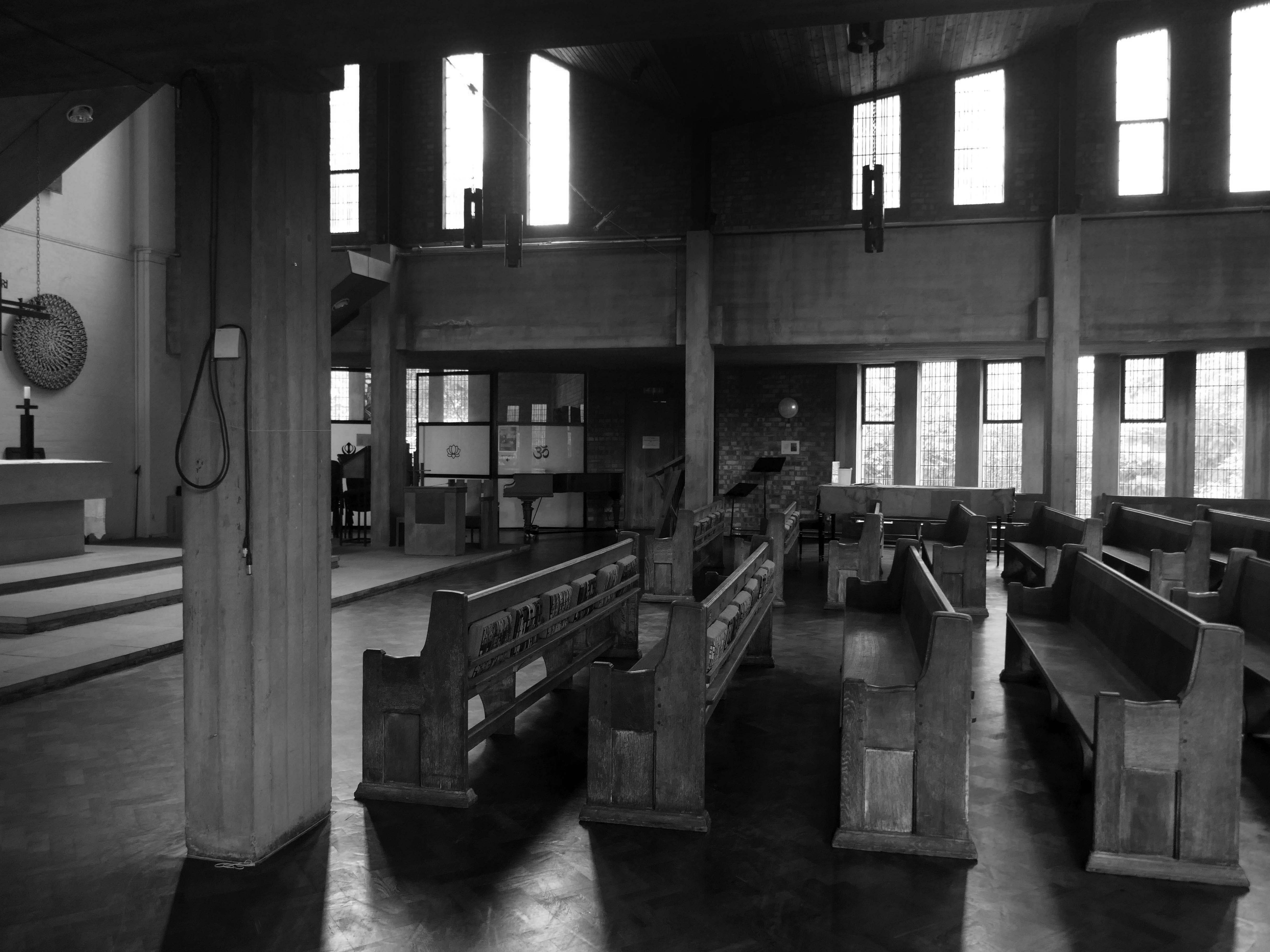
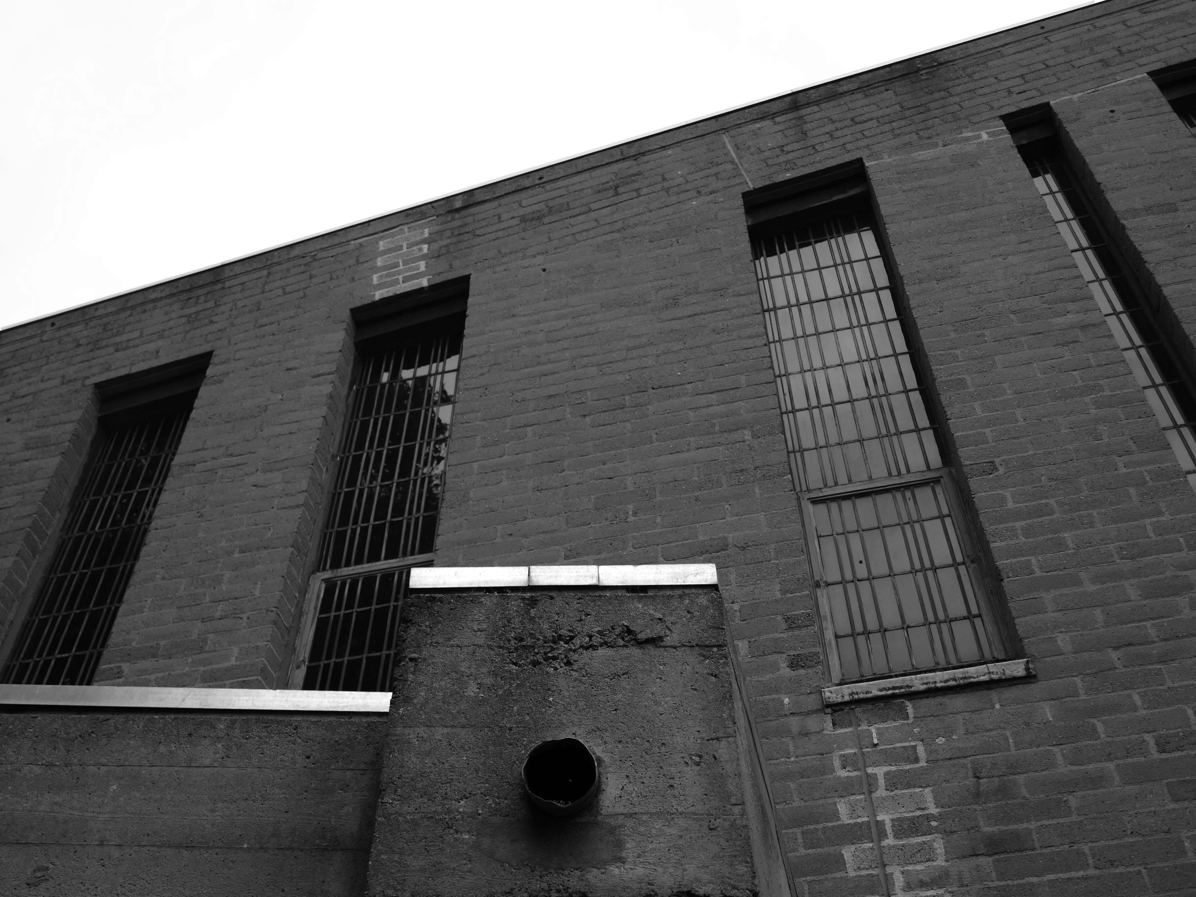
The chapel was closed on a Saturday so we wandered around outside, peering curiously through the windows. Surrounded by mature planting, the bare brick and glazing is more than somewhat softened, the planting however does inhibit the intrepid photographer.
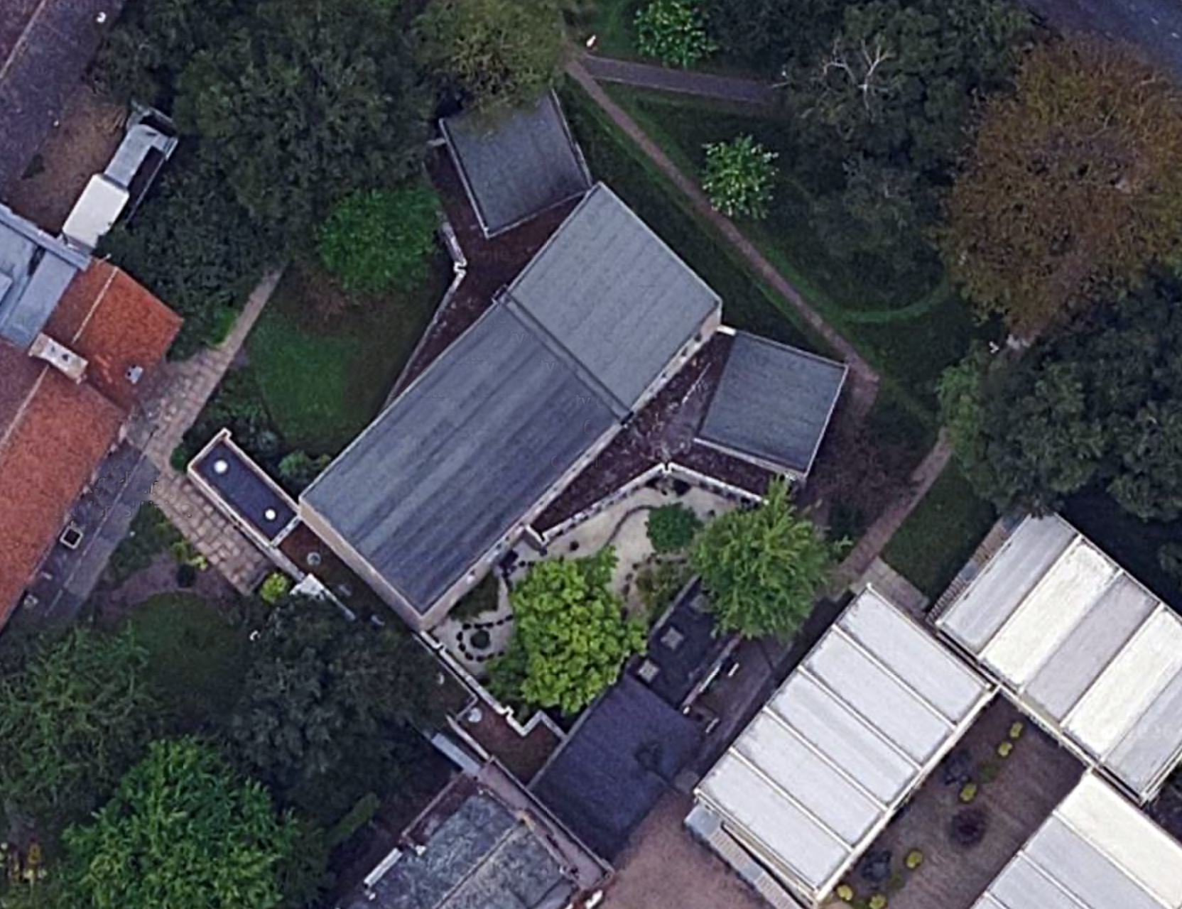
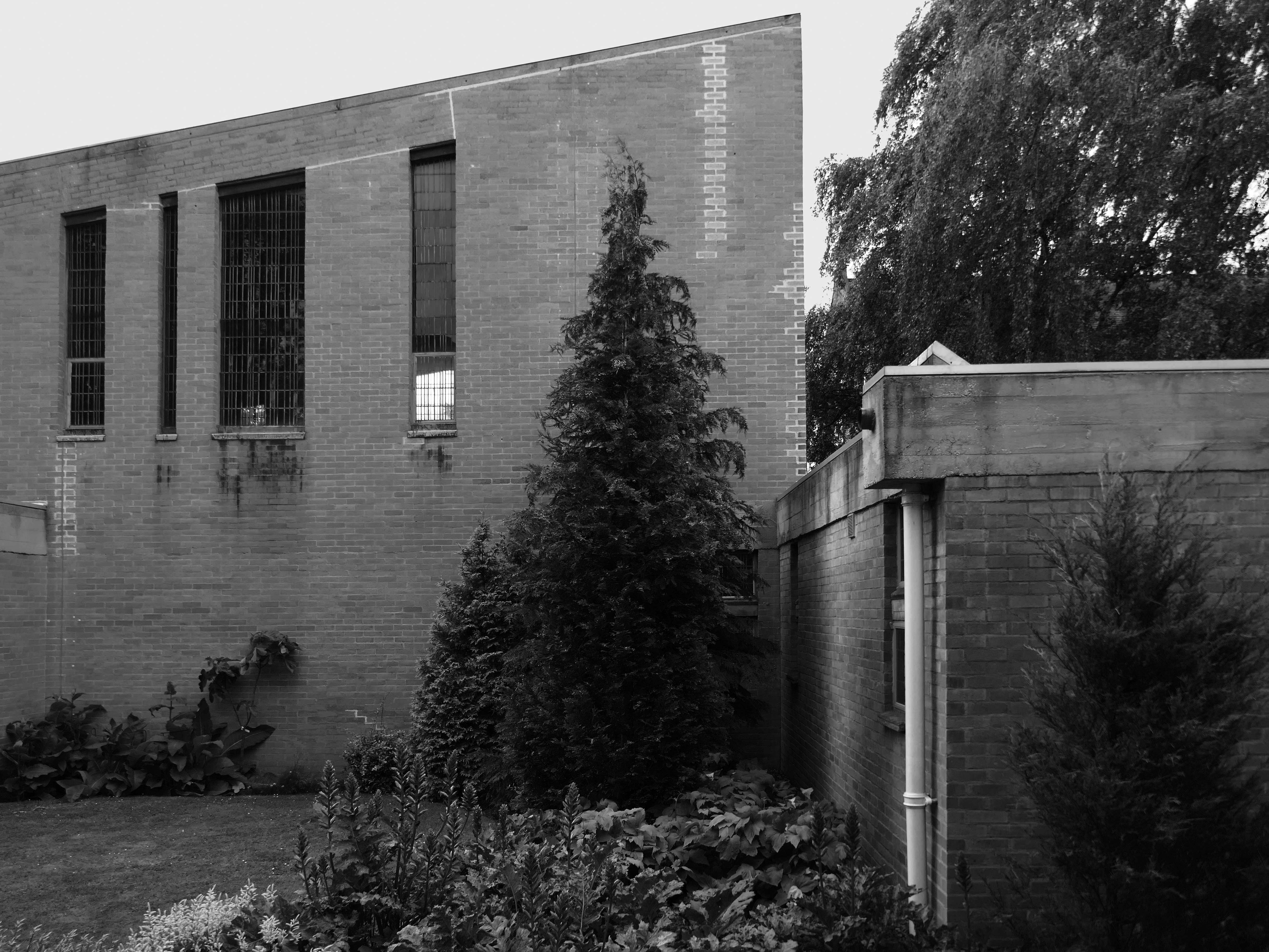
Designed 1965, built 1966-7; architect George Gaze Pace, executant assistant Ronald Sims.
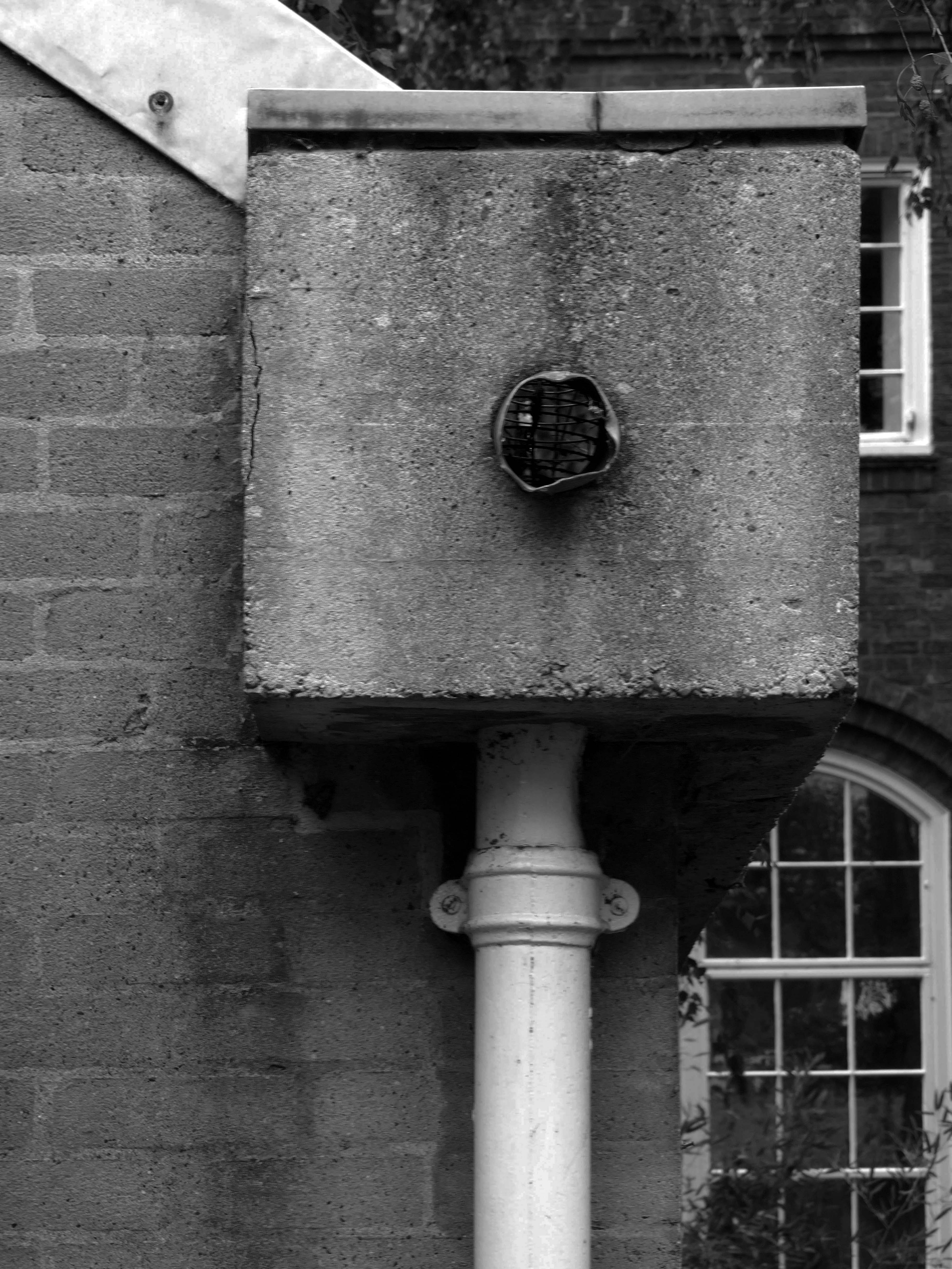
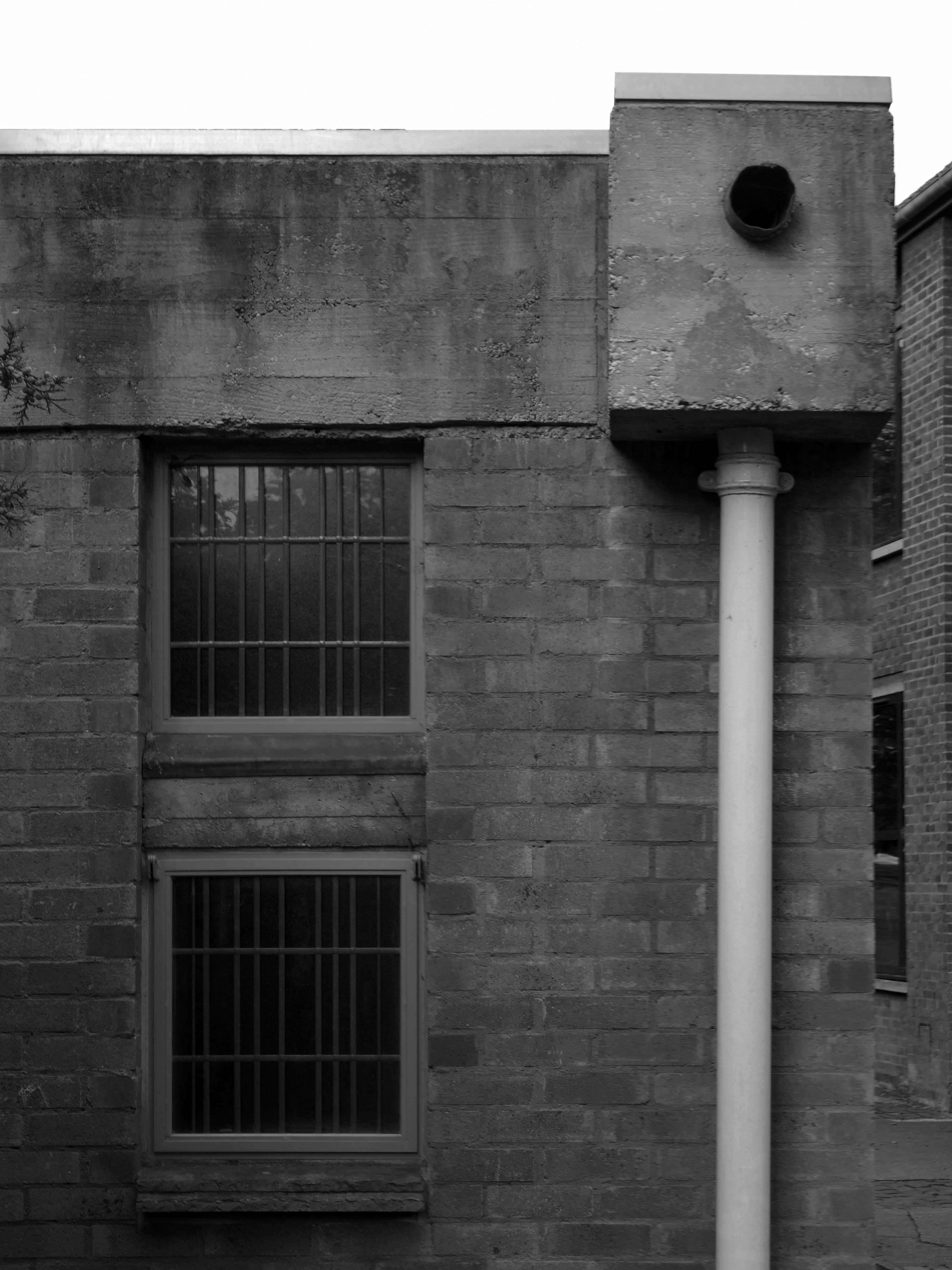
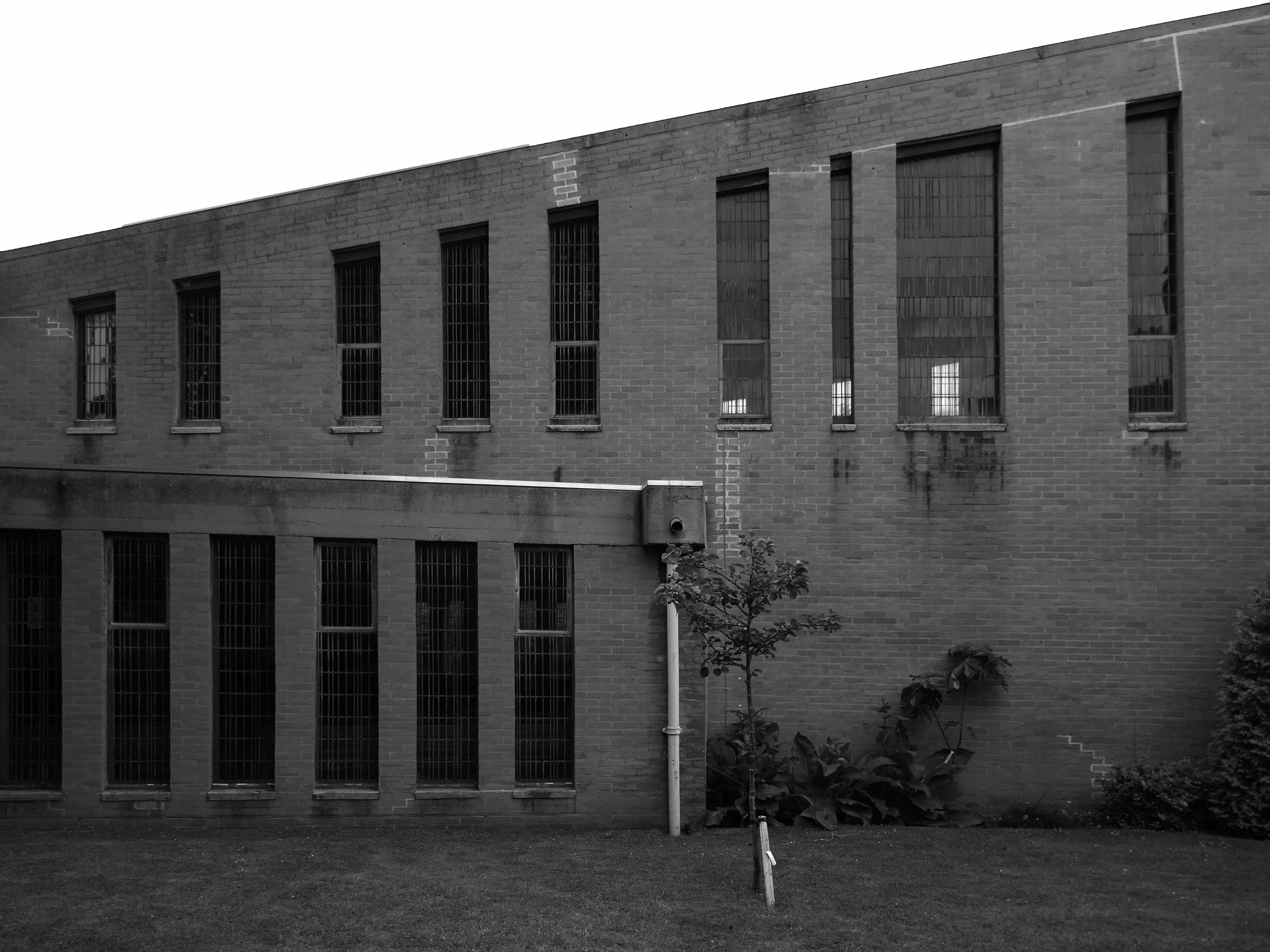
Reinforced concrete frame, partly left exposed, clad in pale brick. Monopitched roofs. Low flat roofs to entrances and between the three main elements with thick board-marked eaves. Central space flanked by angled transepts, with organ loft to (liturgical) west end and wing of offices behind. Long narrow flat-headed windows between brick mullions, timber doors. Attached walls and steel gate lead to inner garden, intended for contemplation.
Interior with exposed concrete frame, including piers and thick ring beam at gallery level, with brick infill. Boarded timber ceiling to main space; board-marked ceilings to low side aisles. Choir gallery with organ, designed by Pace, set behind timber lattice screen also to his designs, and reached via narrow spiral stair. Ceramic piece to balcony front 1999 by Helen Batty. Some pews, brought from the college’s former chapel of 1858 remodelled by Pace in the 1950s.
Hanging pendant light-fittings to Pace’s designs. Altar, lectern and altar seating all by Pace; pulpit designed 1998. Windows – internally the concrete of the mullions is exposed, all originally clear leaded lights, but now stained glass is being incorporated, most notably ‘The Water of Life’ by Cathy Nutkins, a 1990 graduate, in right-hand transept.
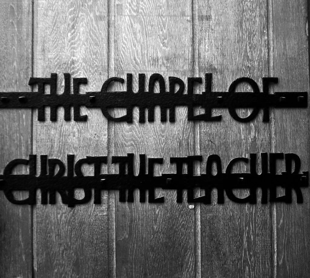
Chapel of Christ the Teacher to rear, by foyer, refurbished 1994 by Helen Turner, textile artist. The building is well-suited to the incorporation of student works of art, some temporary, some permanent, and additions are continually being made to the collection.