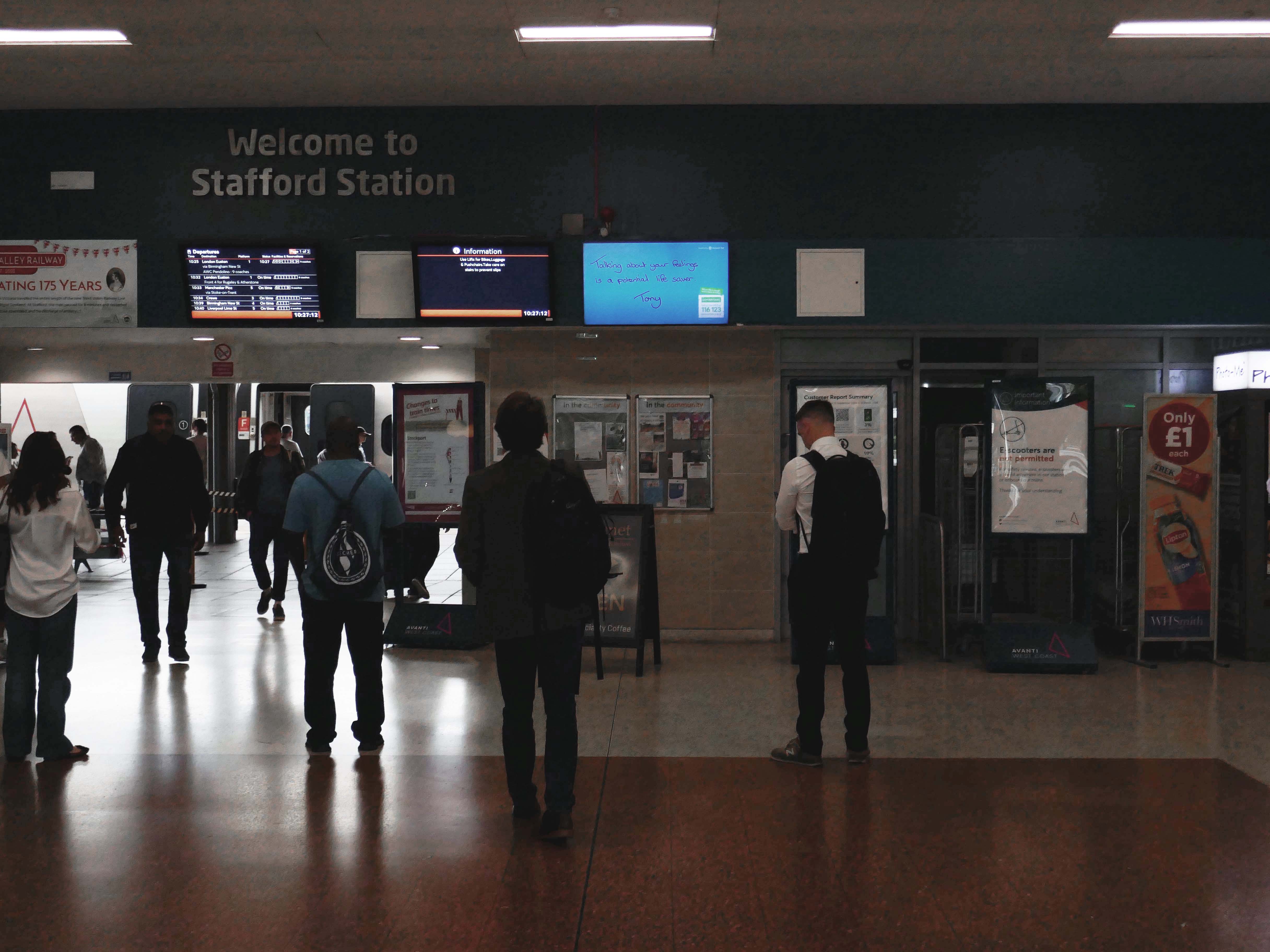
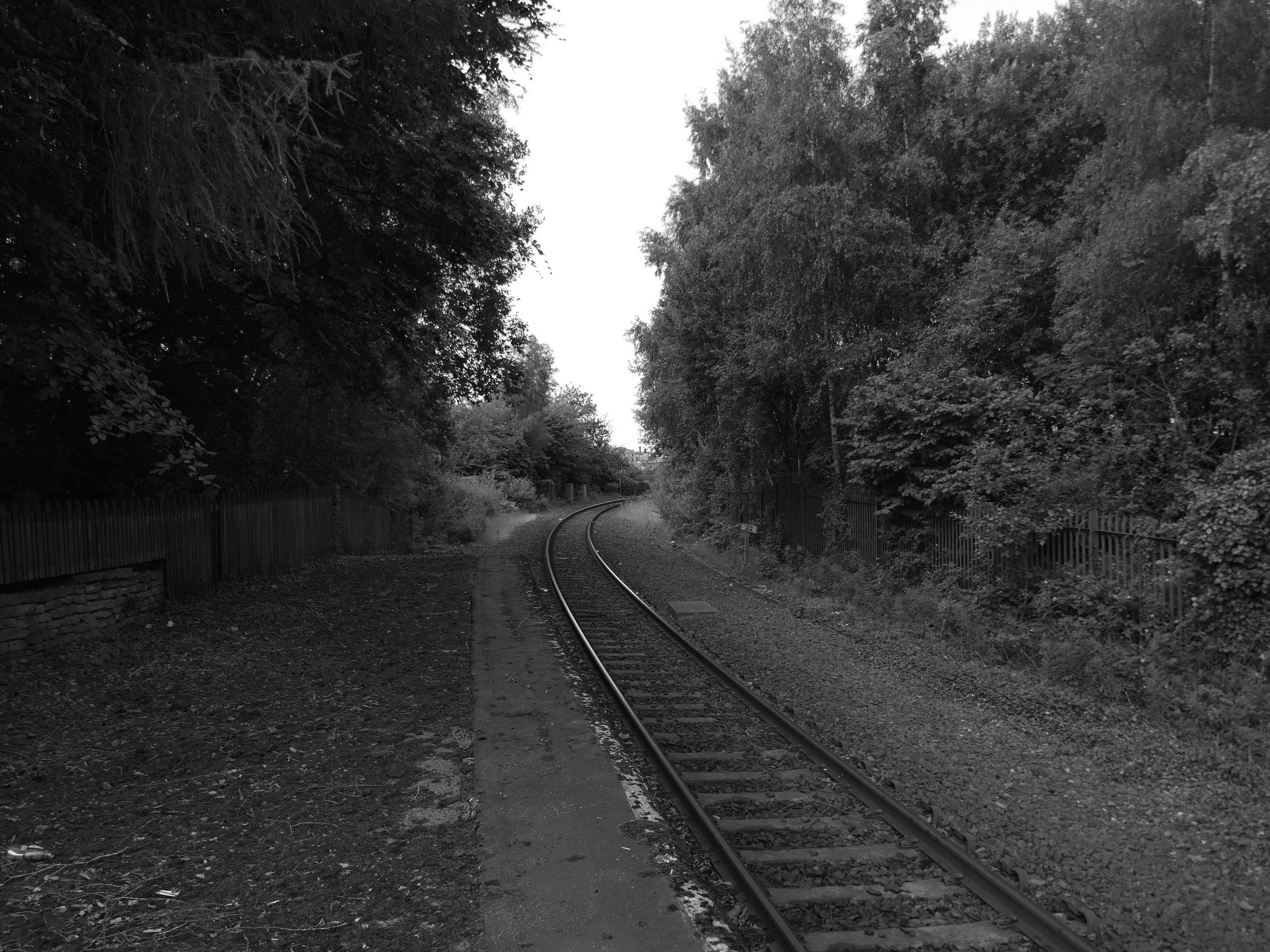
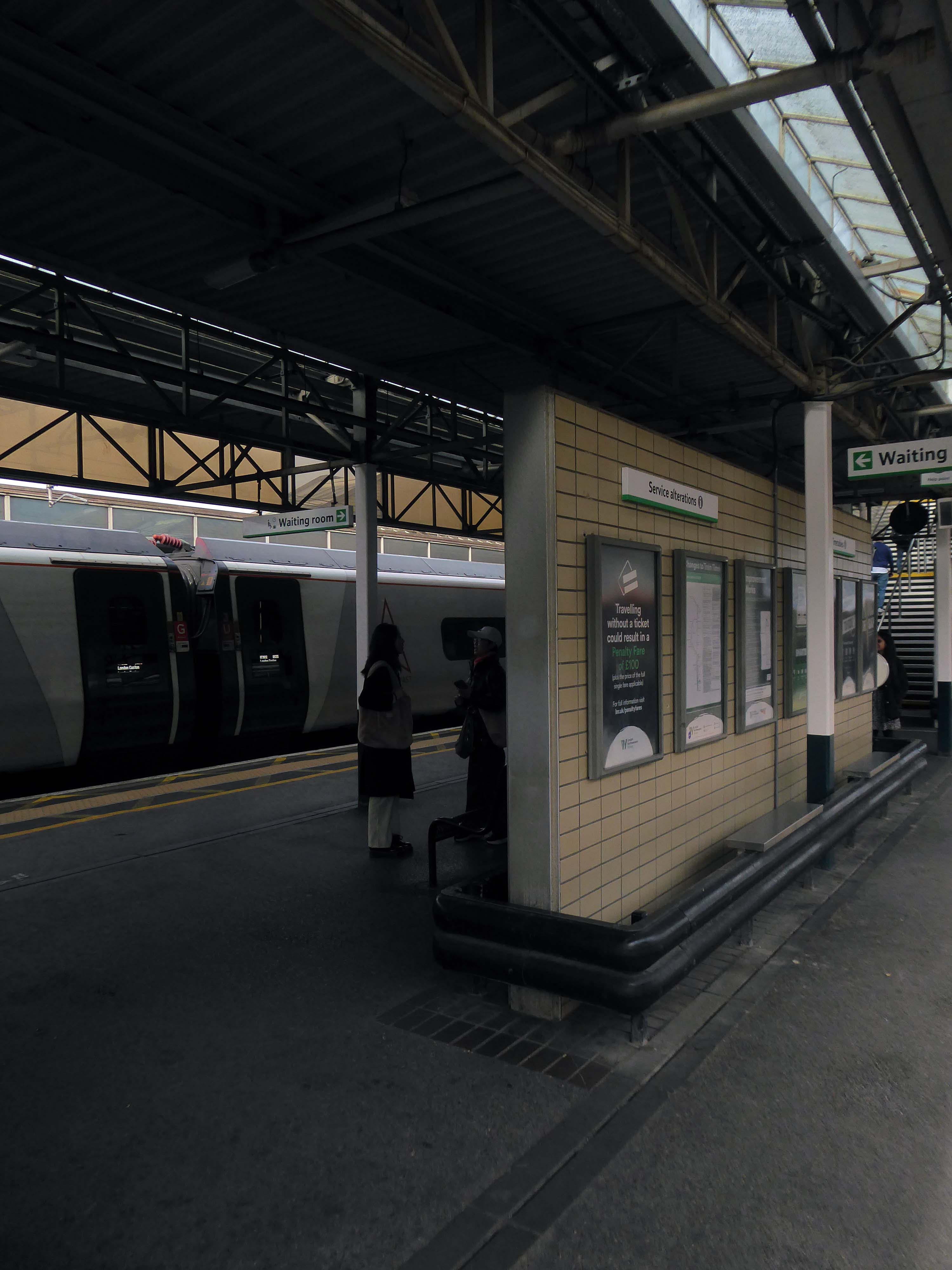
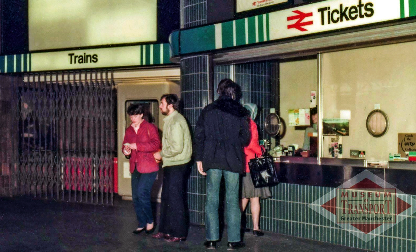
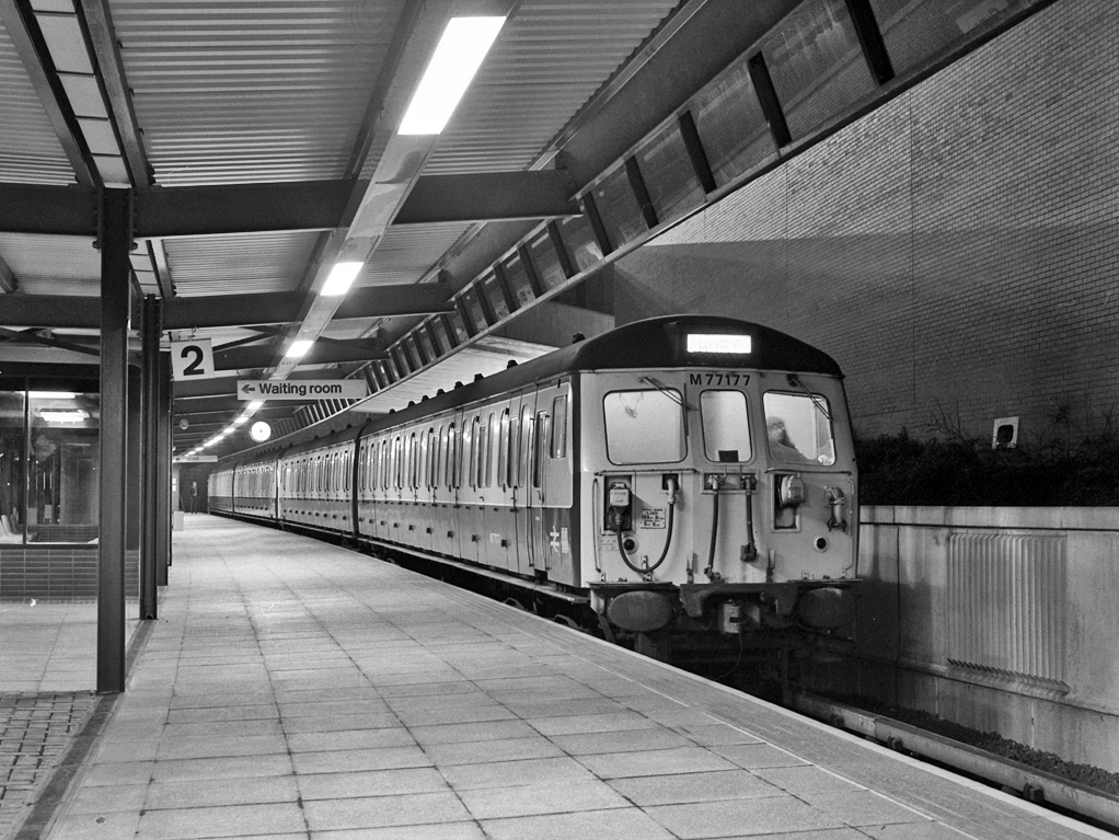
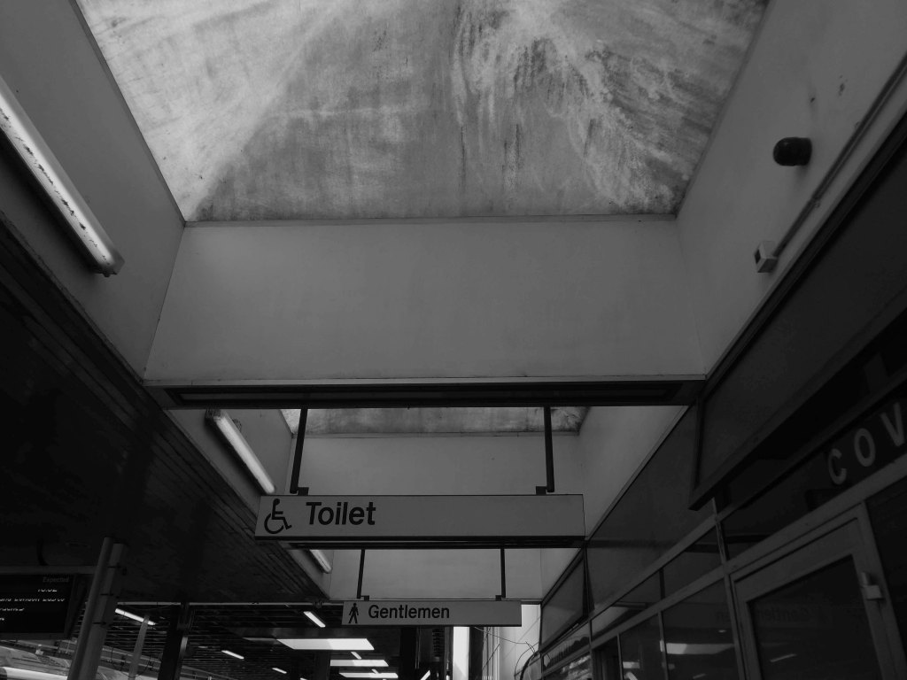
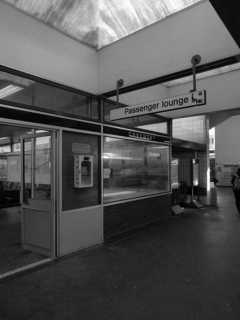
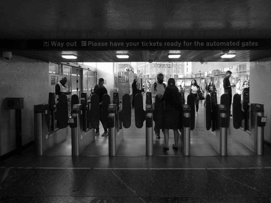
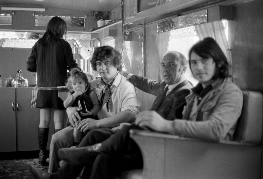
Having passed through here on more than one occasion, it only seemed polite to stop and take a look around.
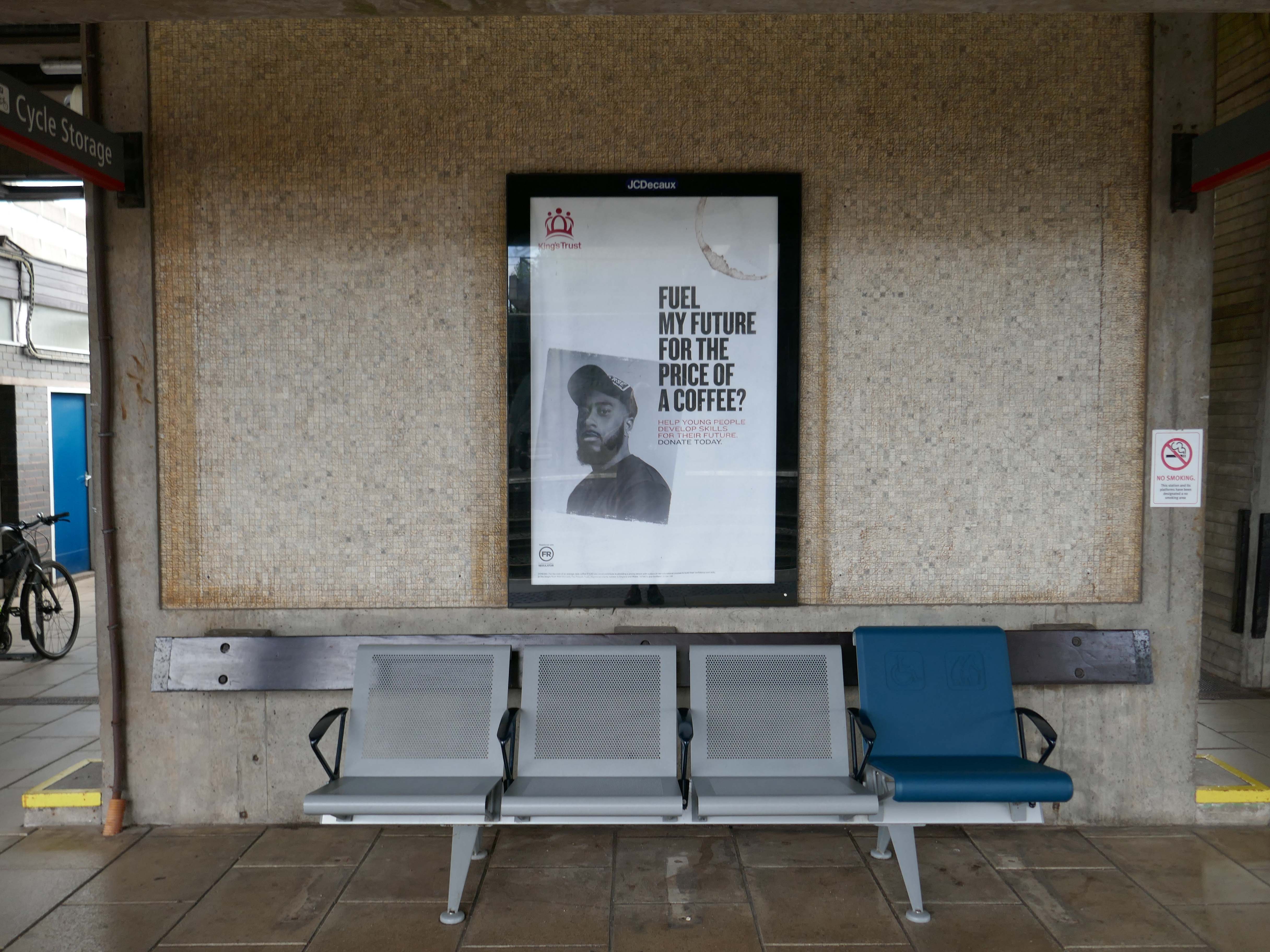
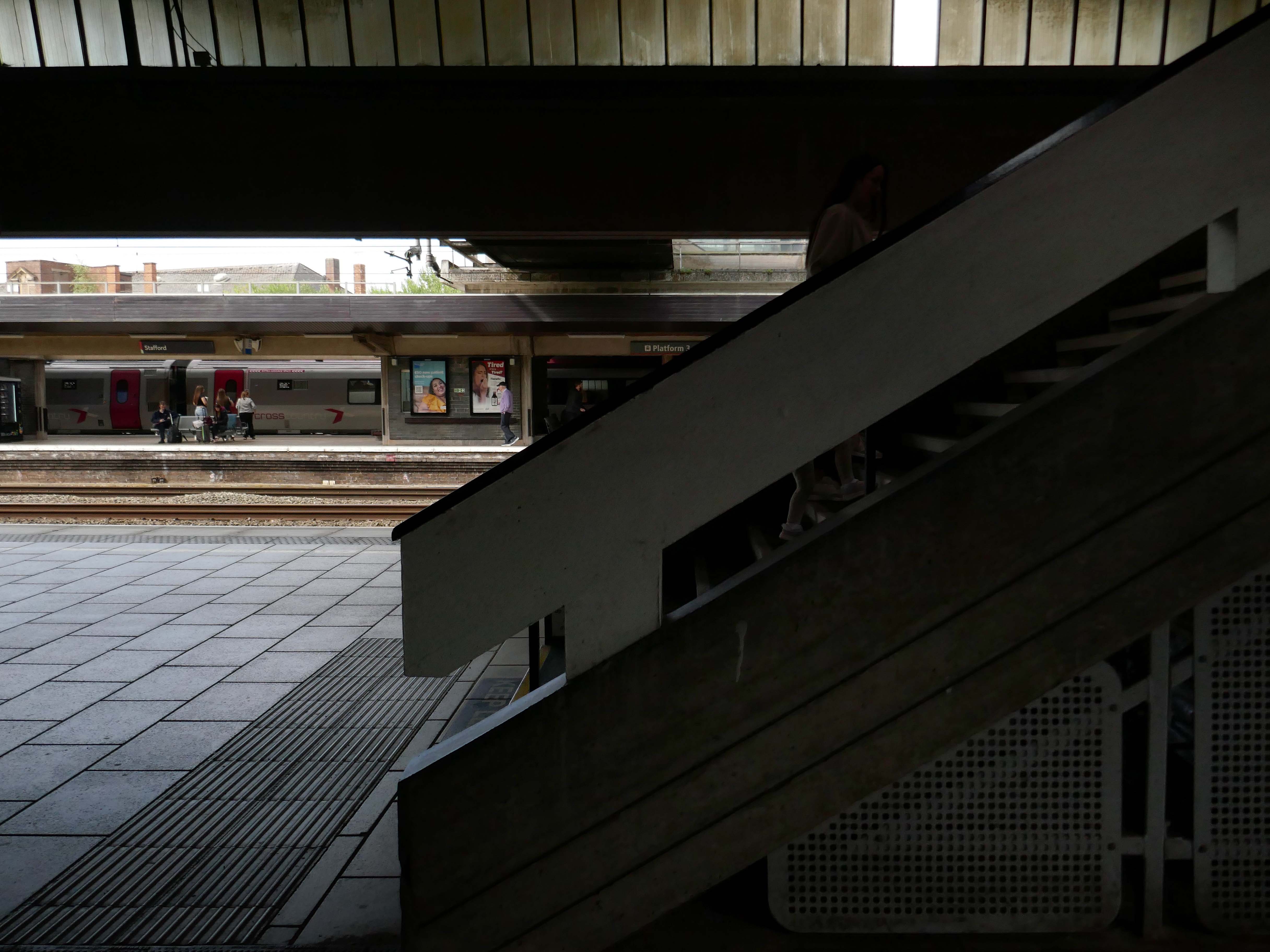
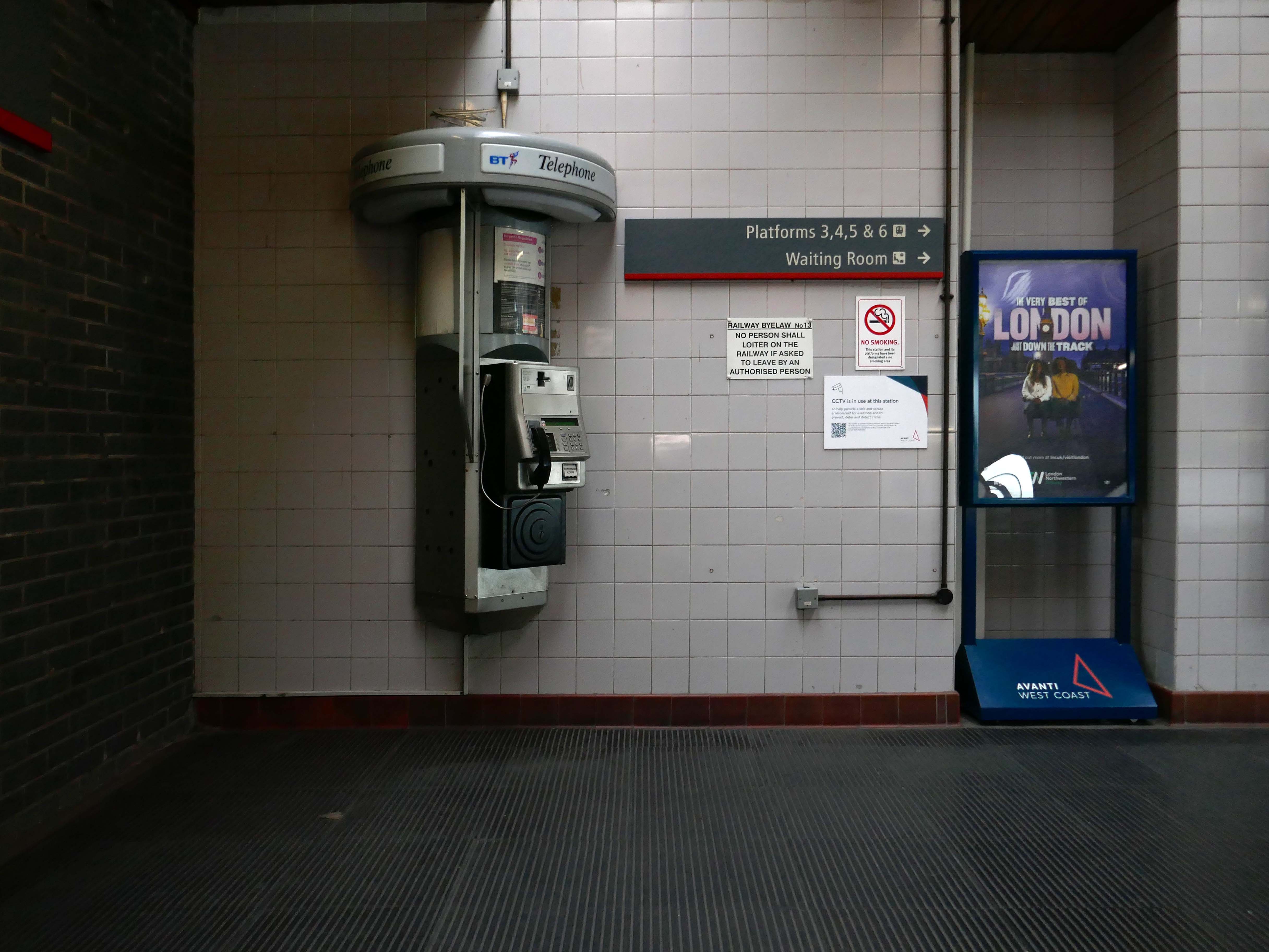
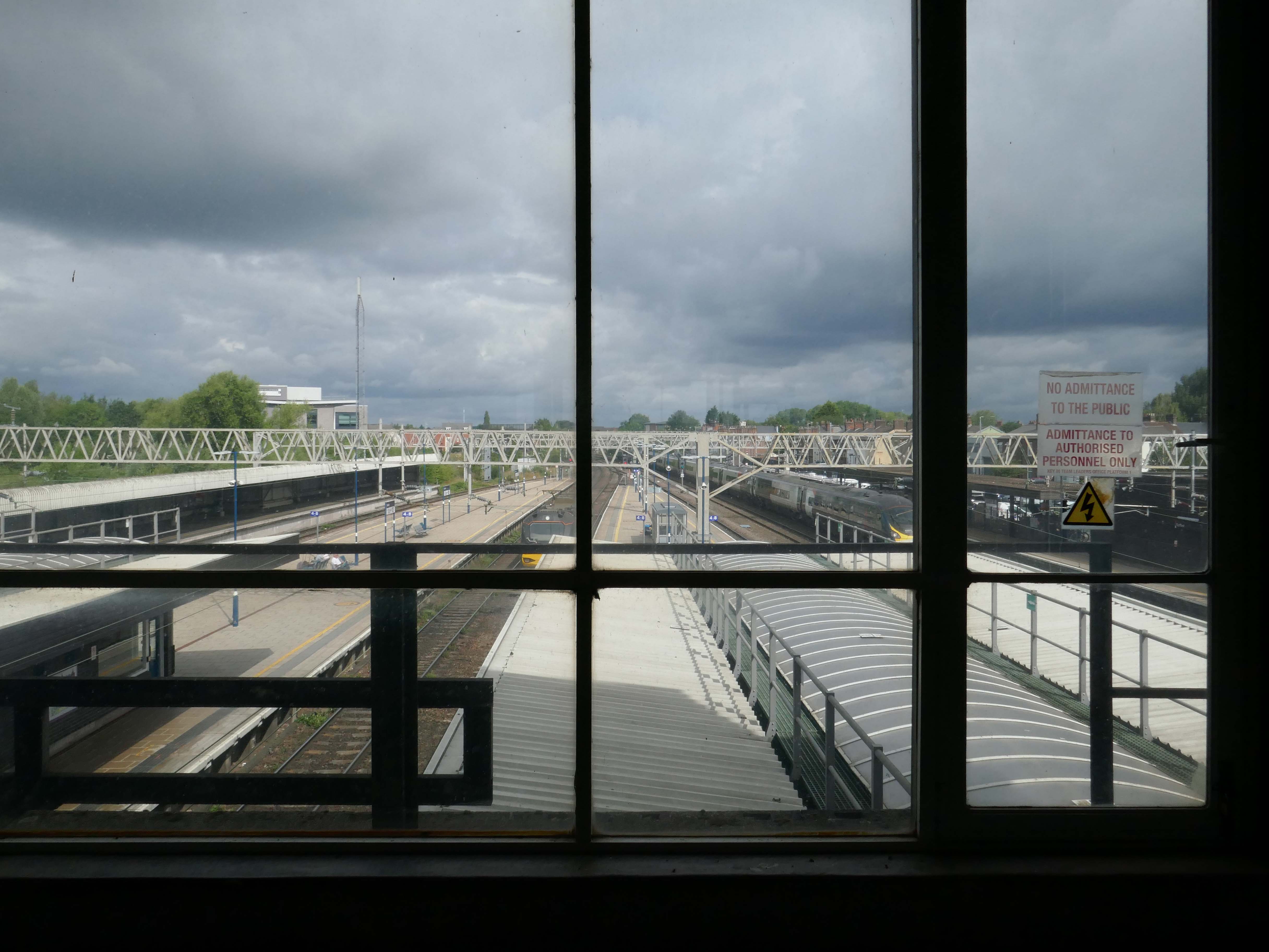
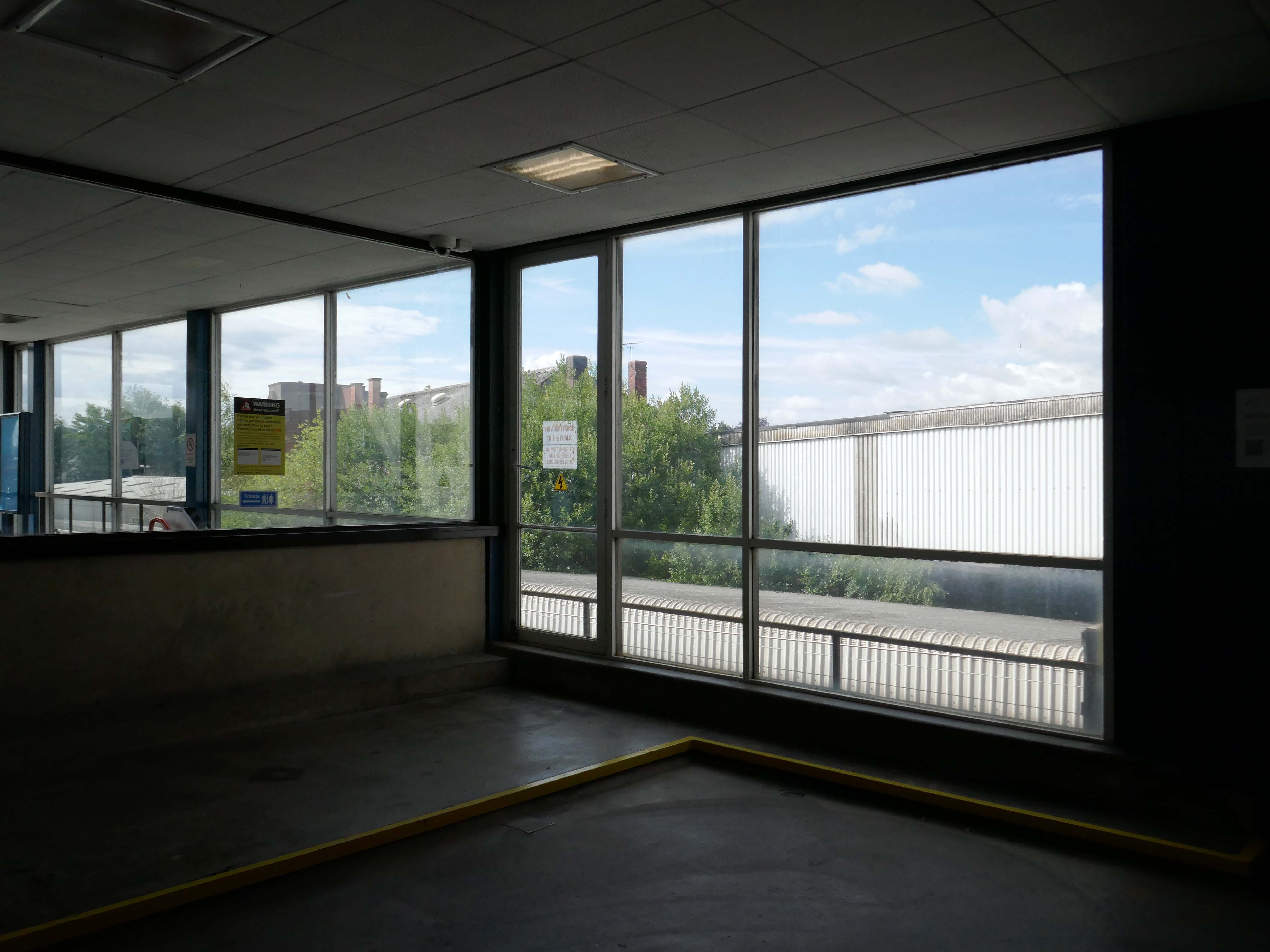
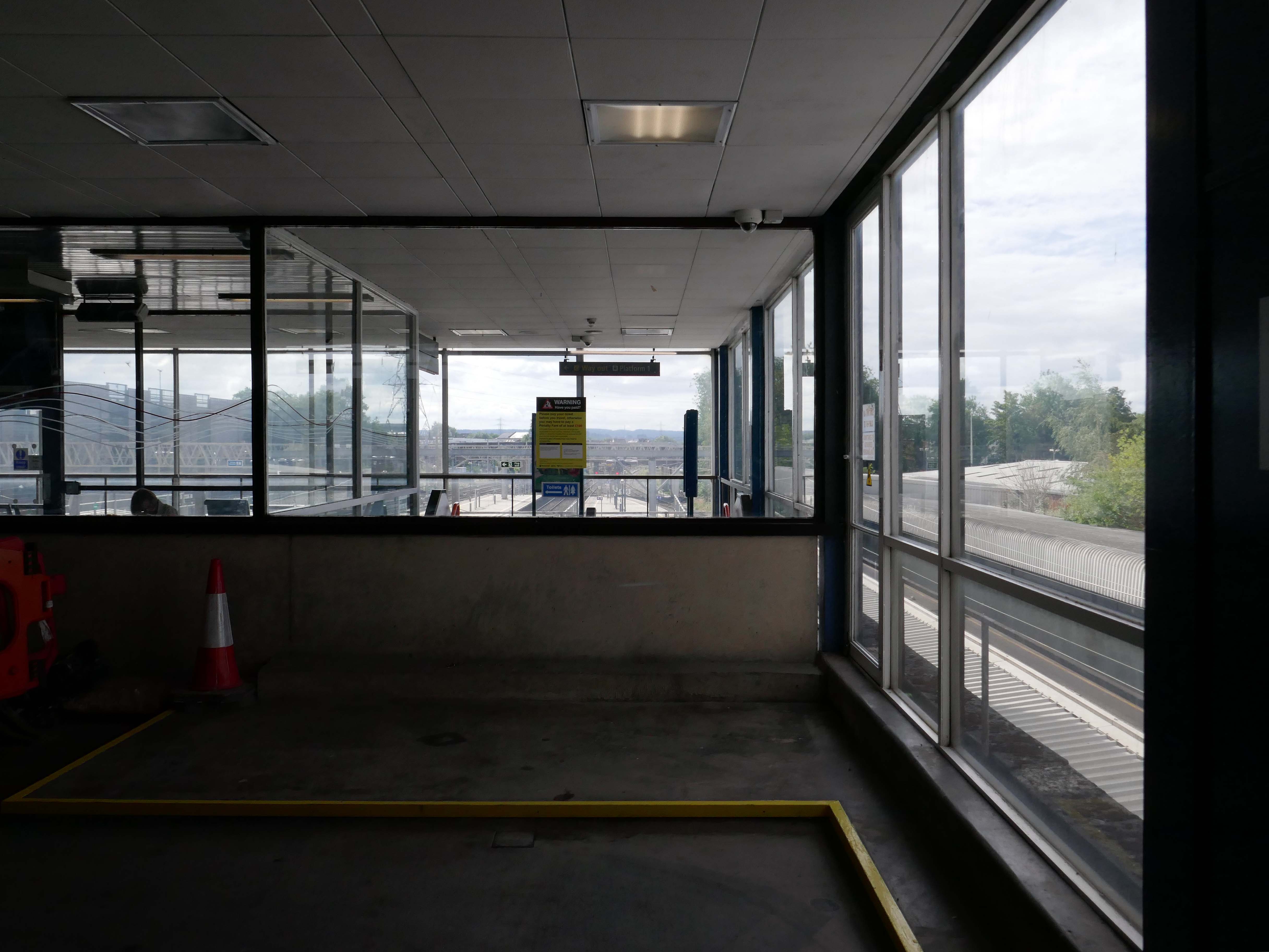
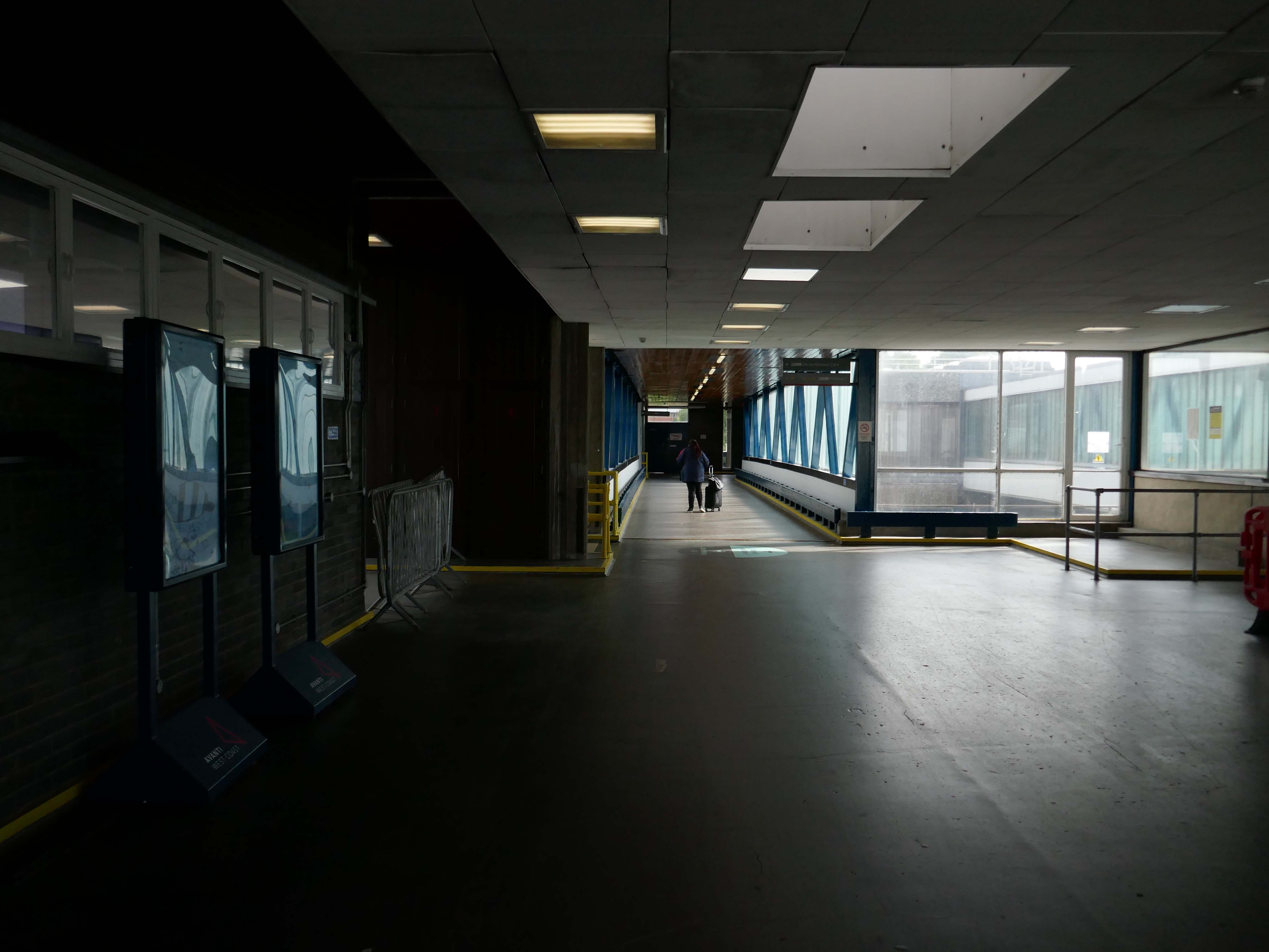
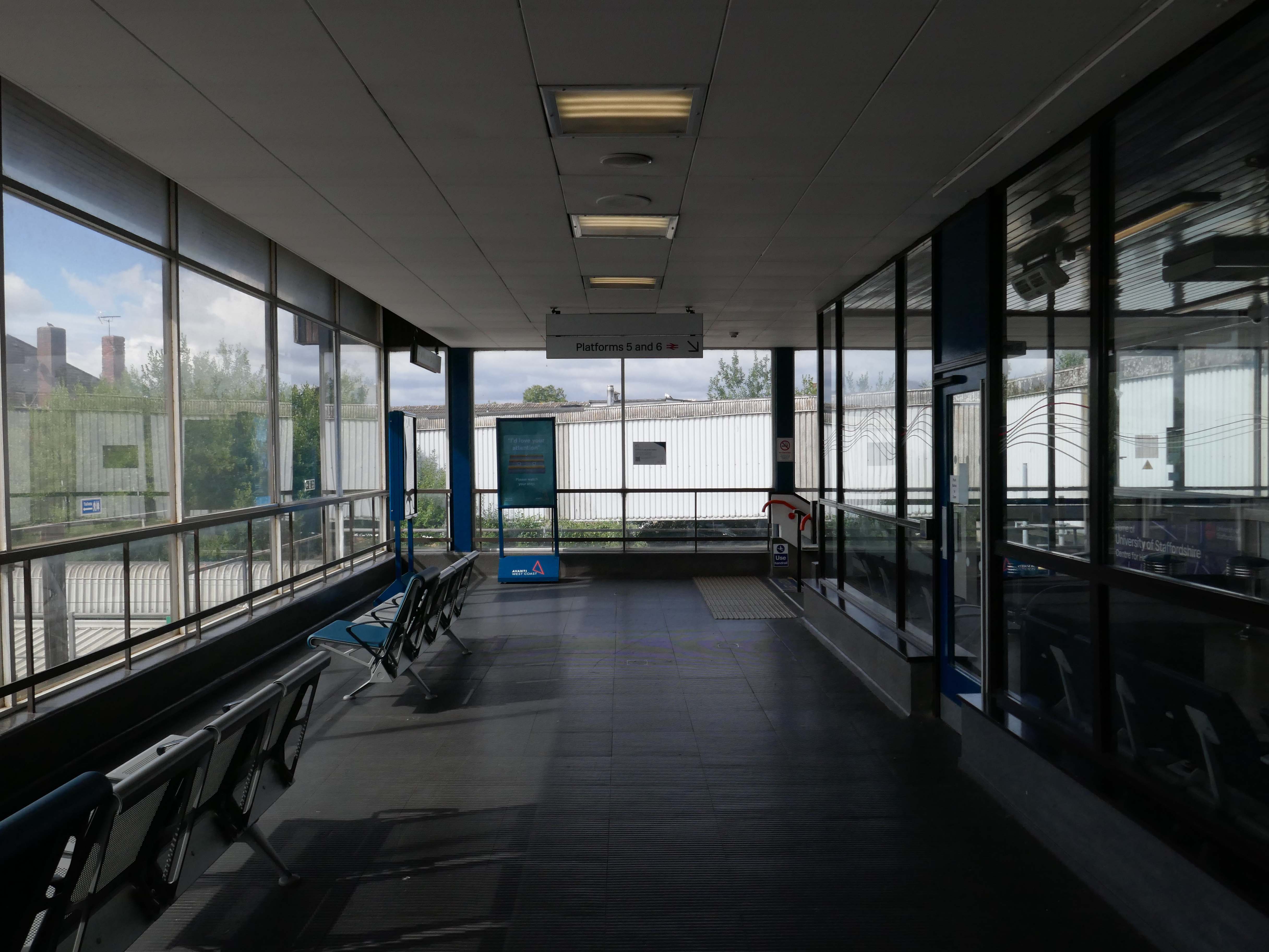
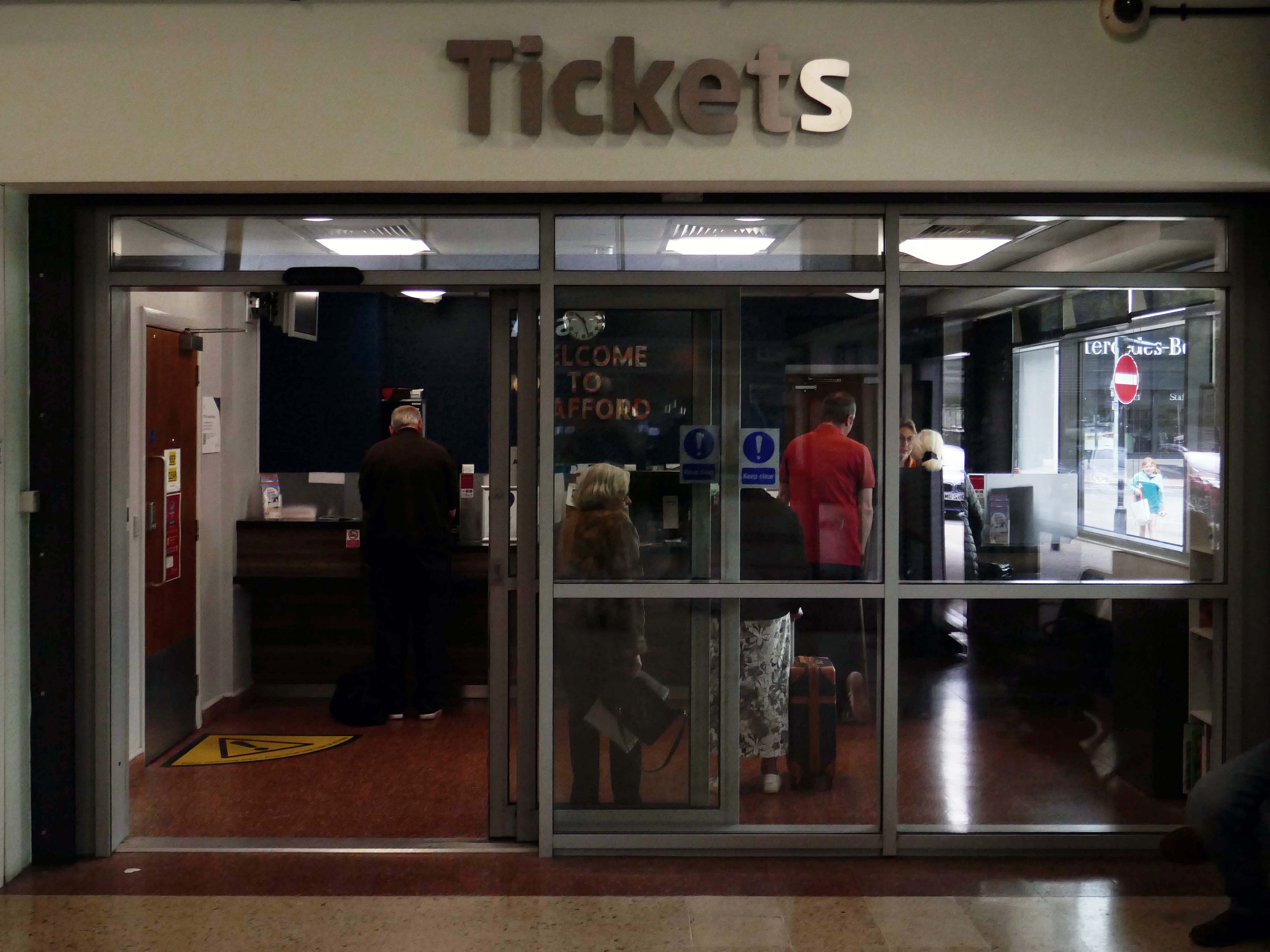
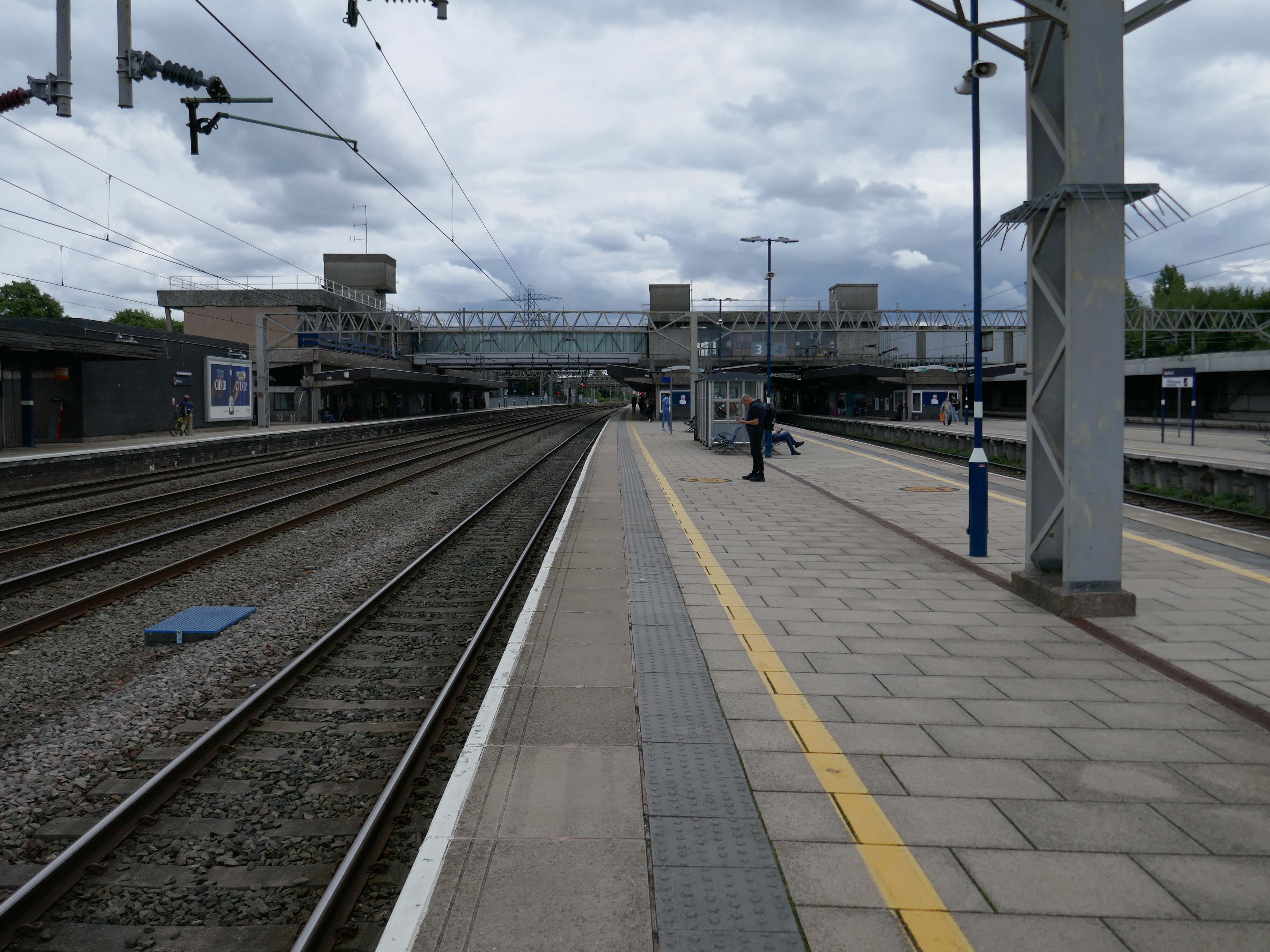
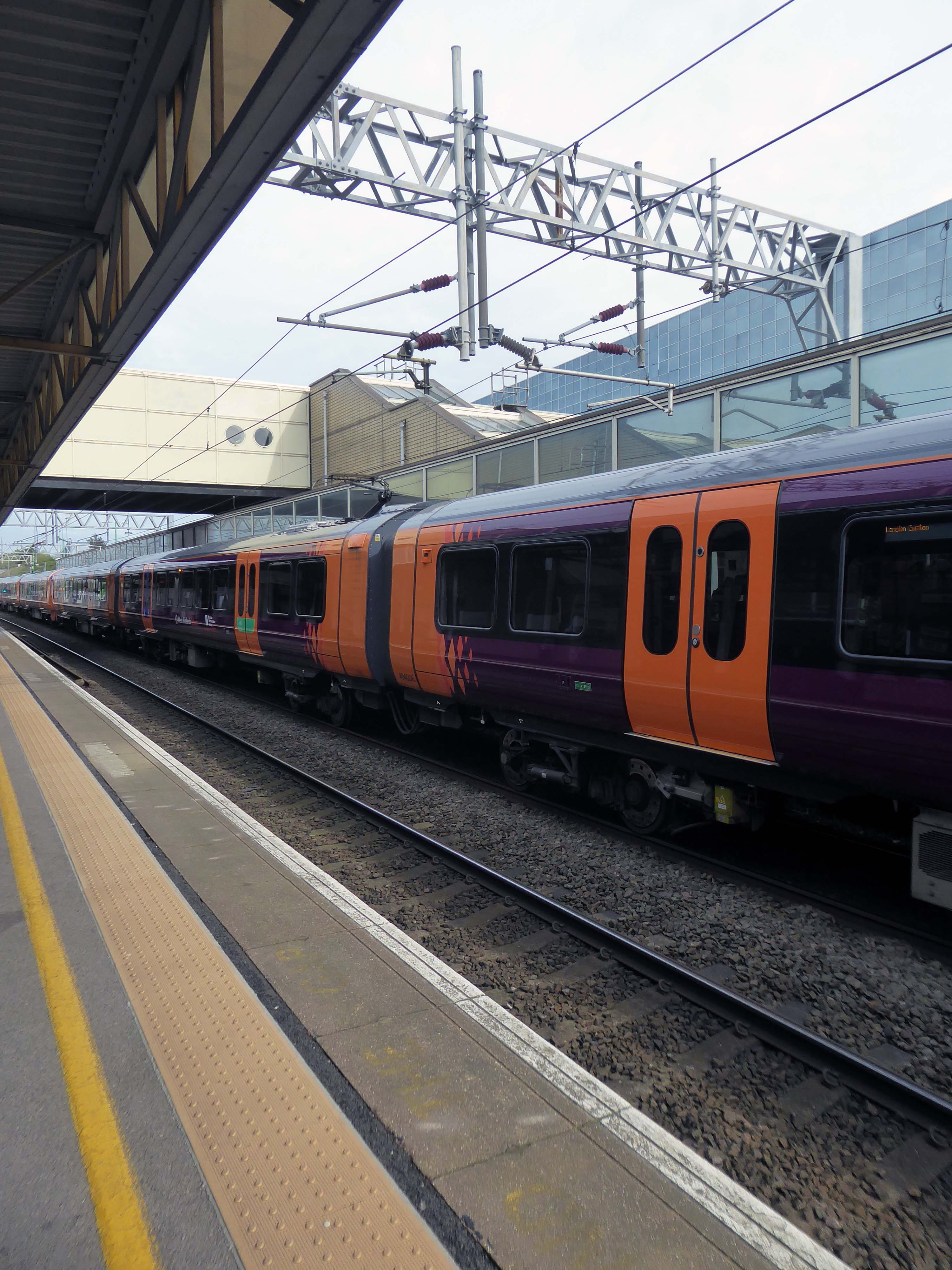
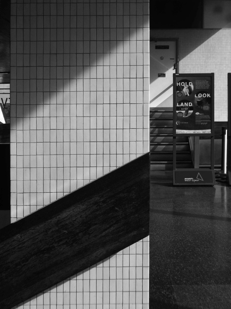
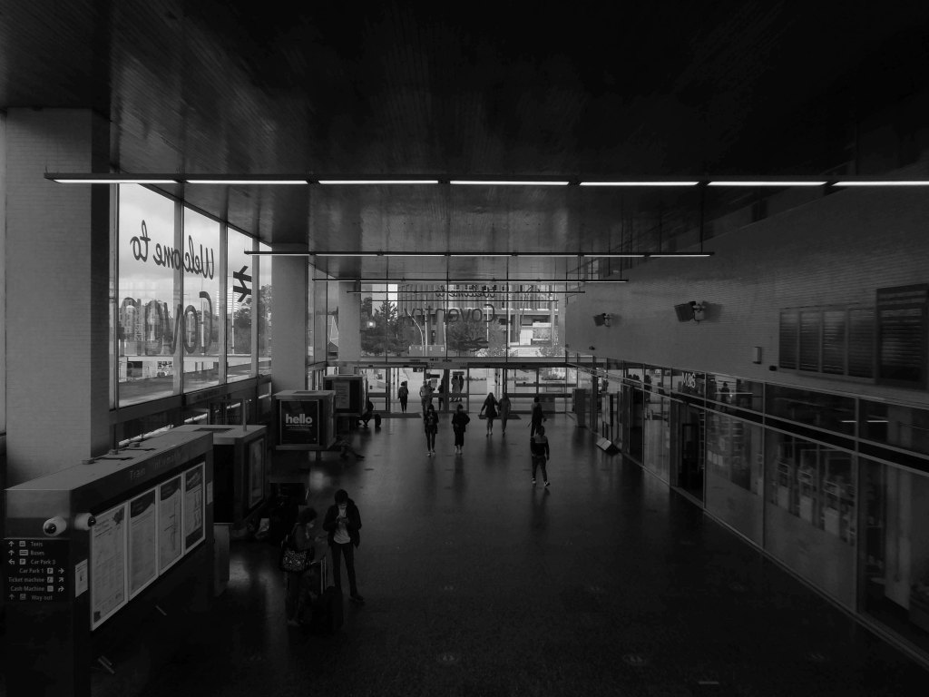
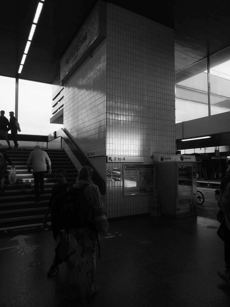
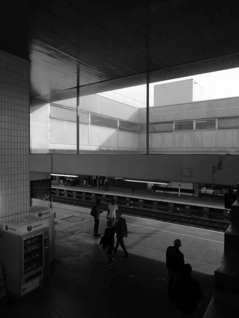
It is the second busiest interchange in the county, after Stoke-on-Trent. It serves the market and county town, as well as surrounding villages. The station lies on the junction of the Trent Valley line, the Rugby–Birmingham–Stafford line and the West Coast Main Line; it was also the terminus for the former Stafford–Uttoxeter and Stafford–Shrewsbury lines.
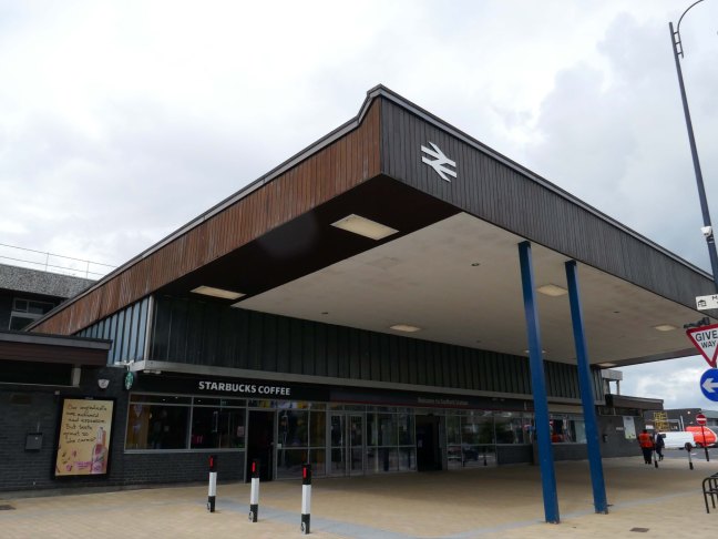
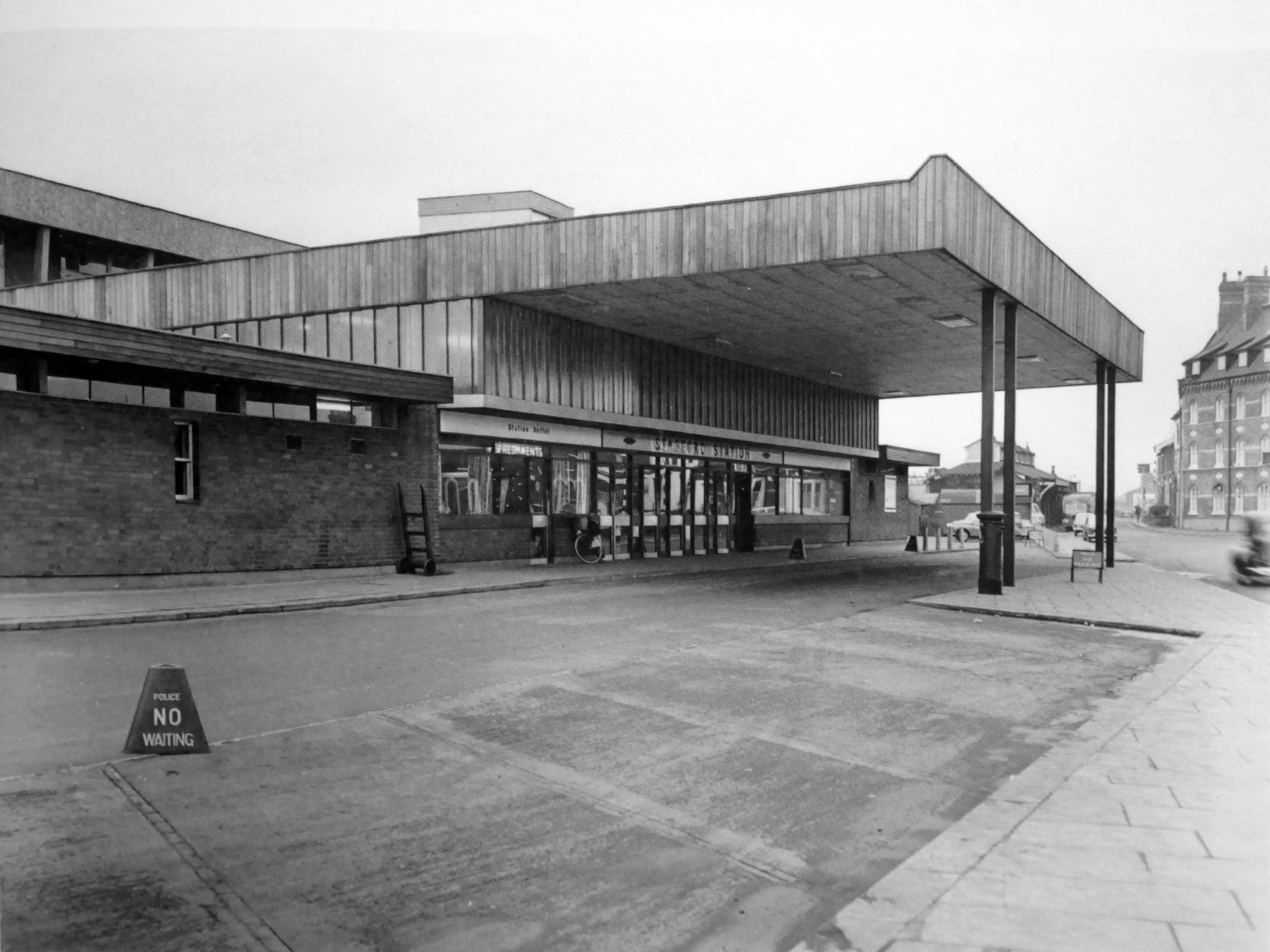
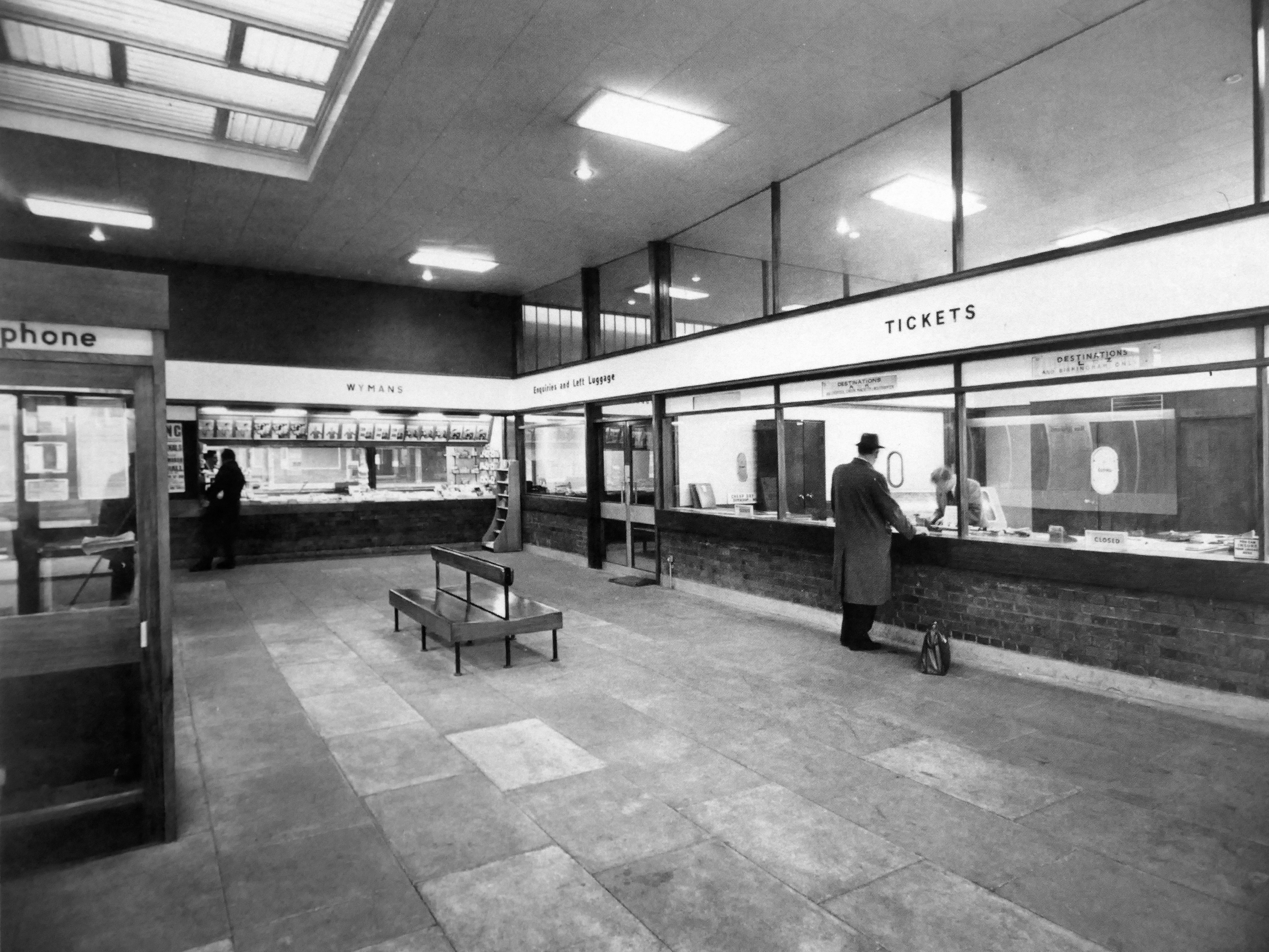
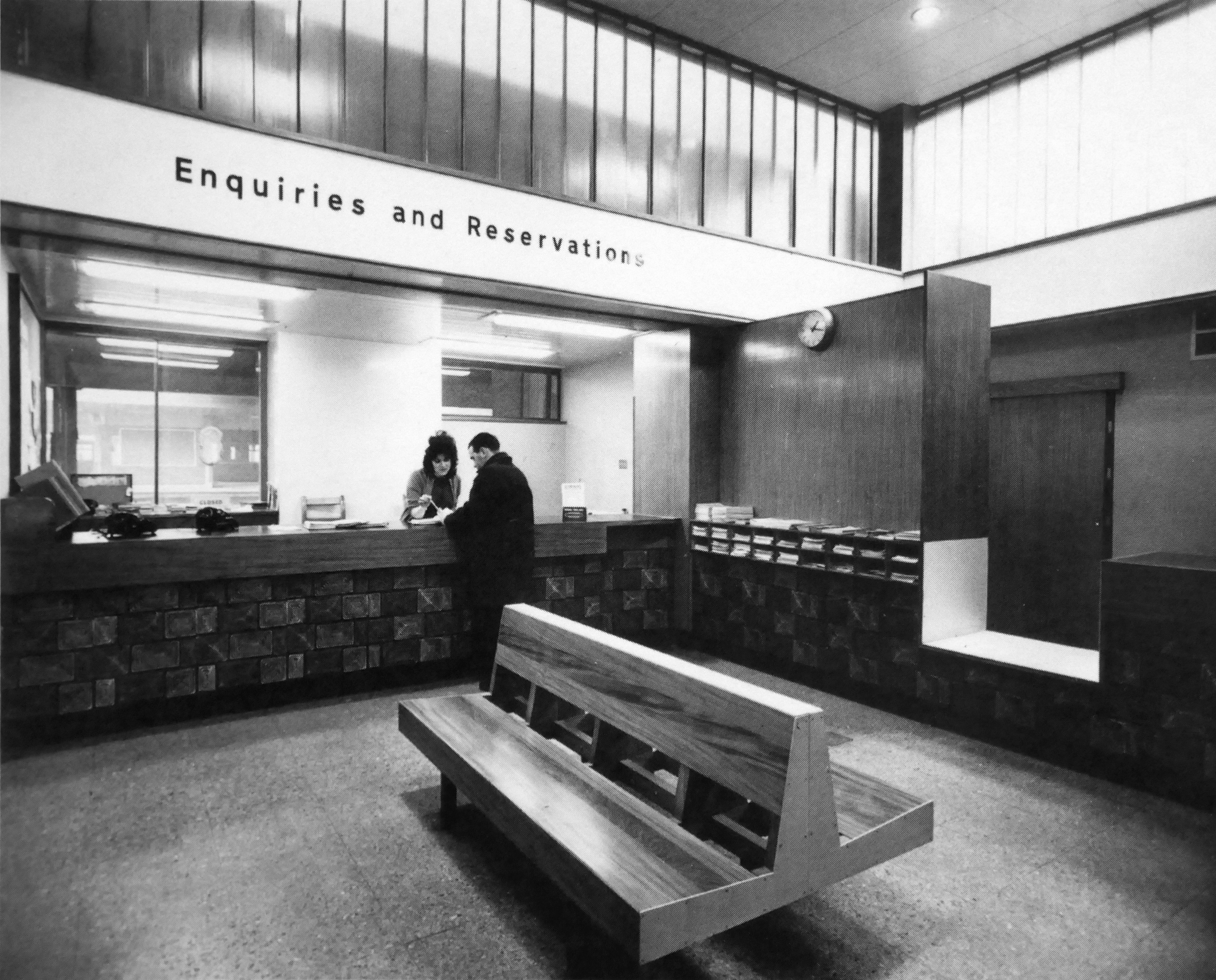
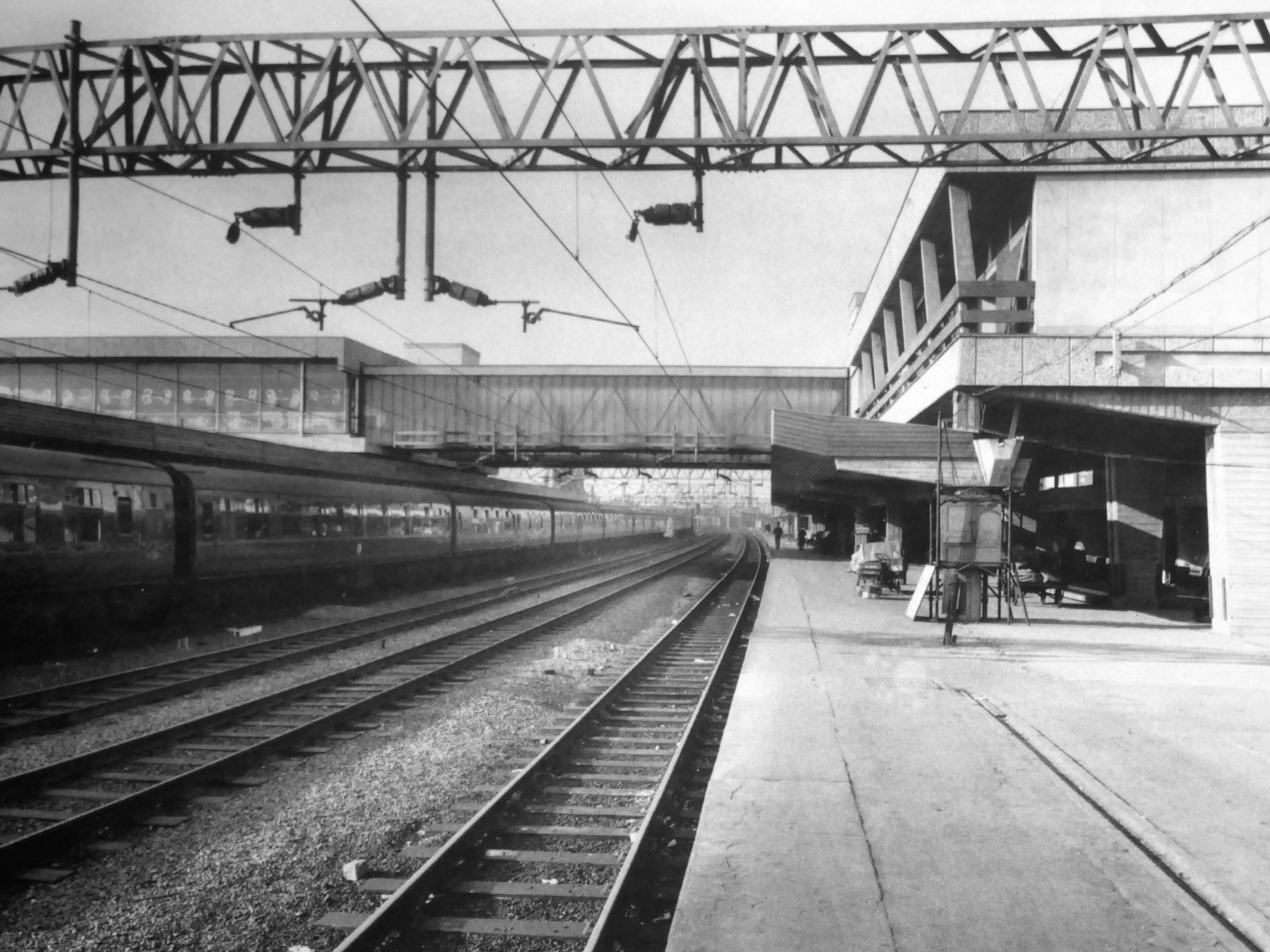
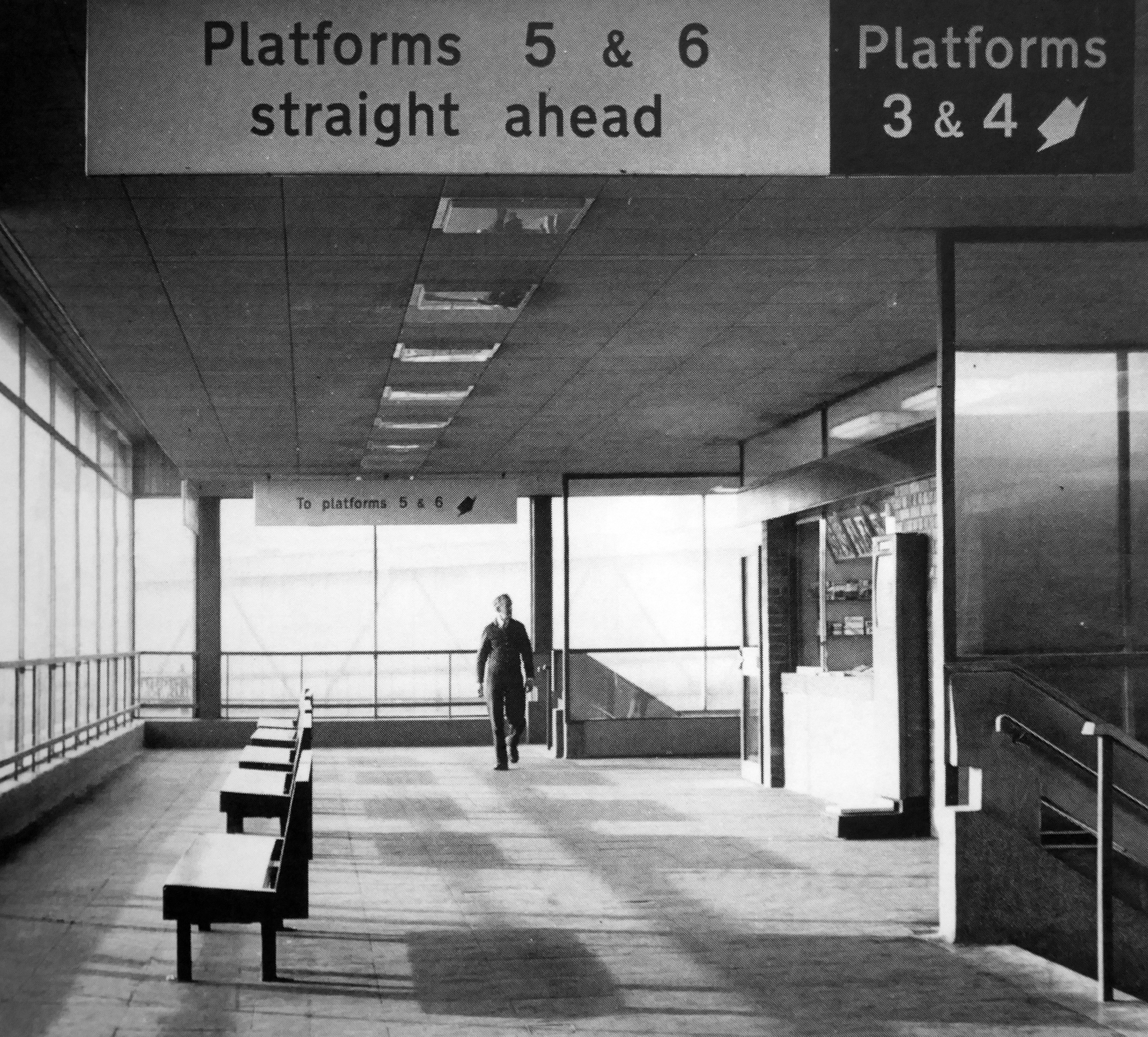
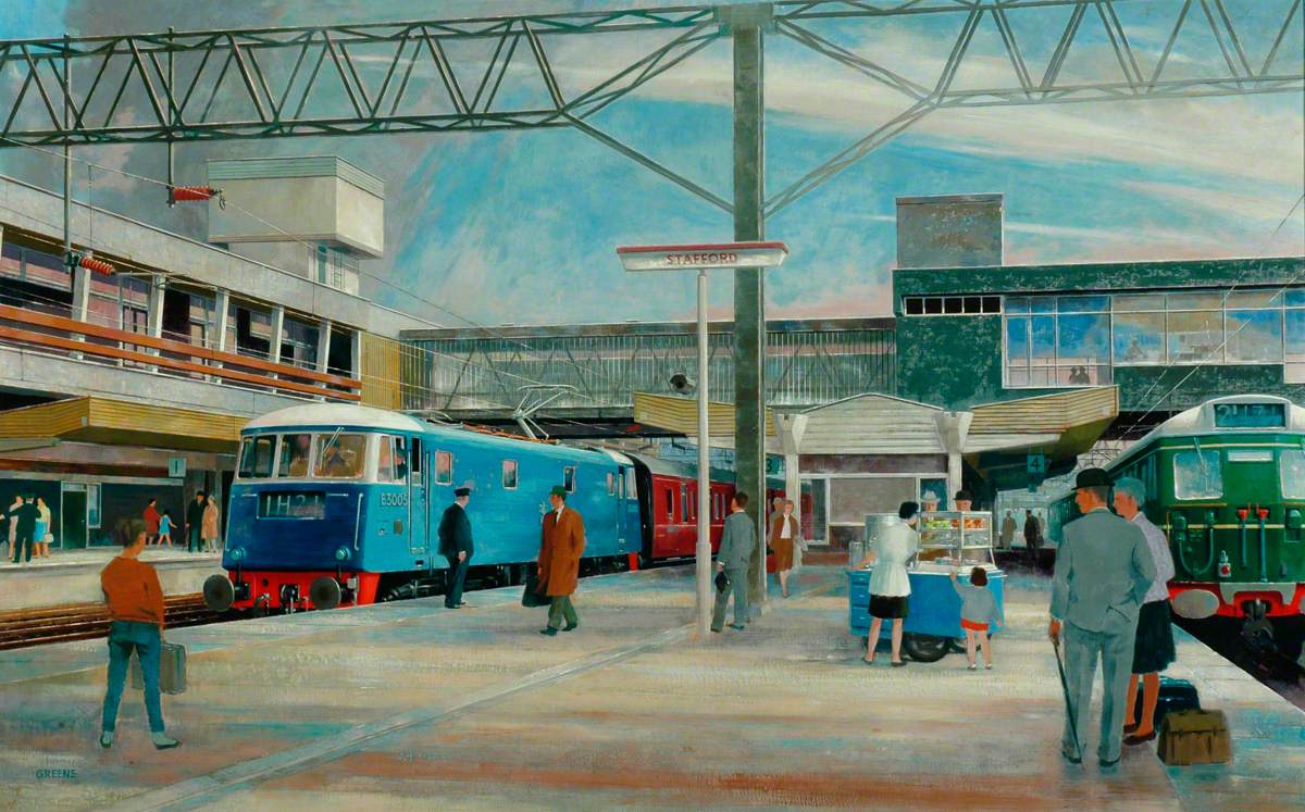
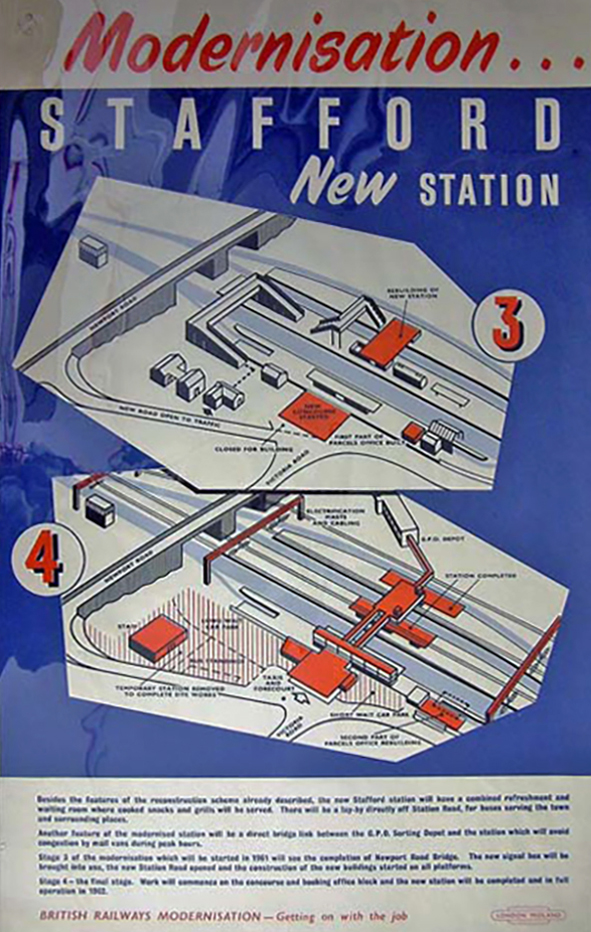
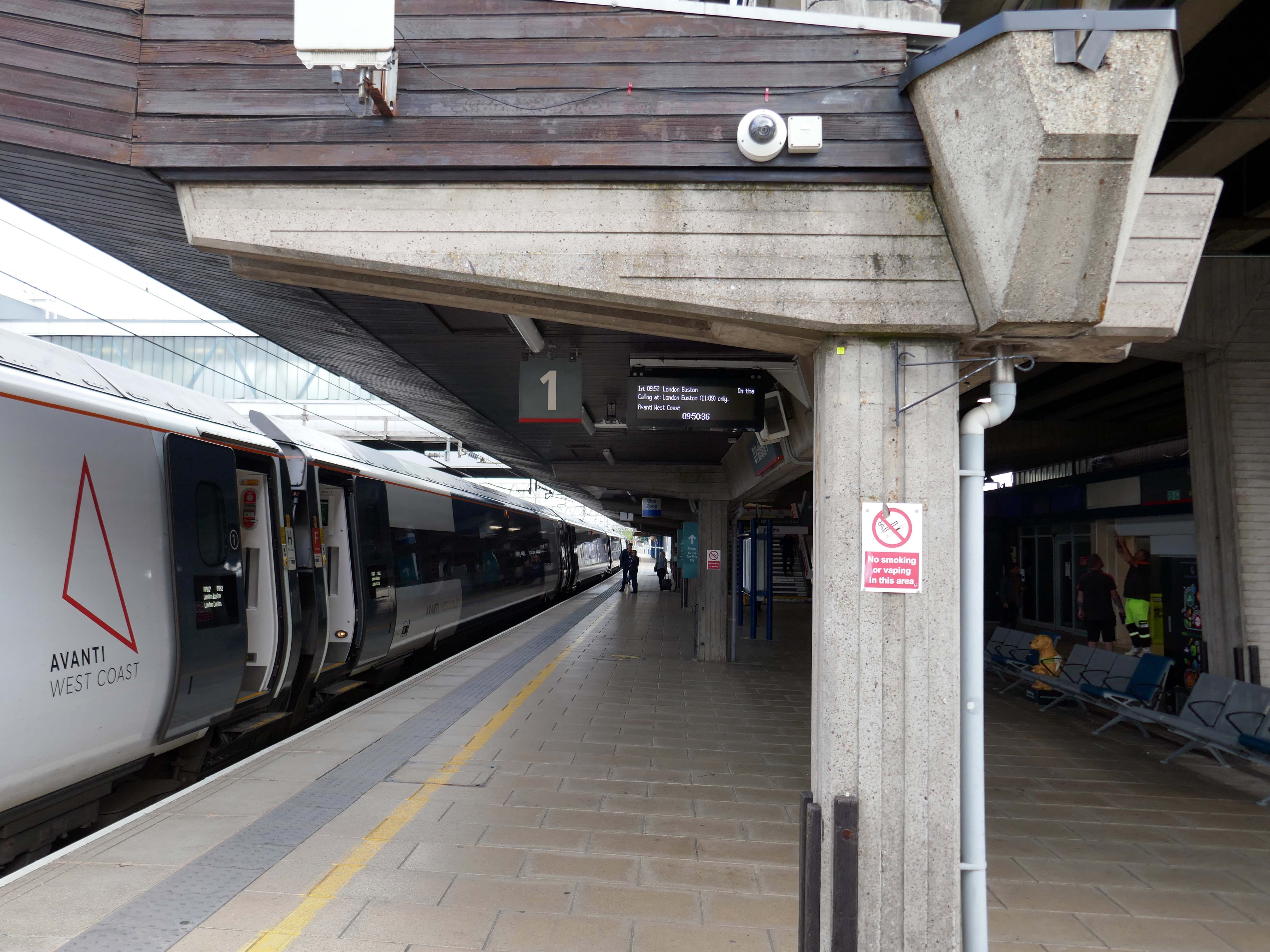
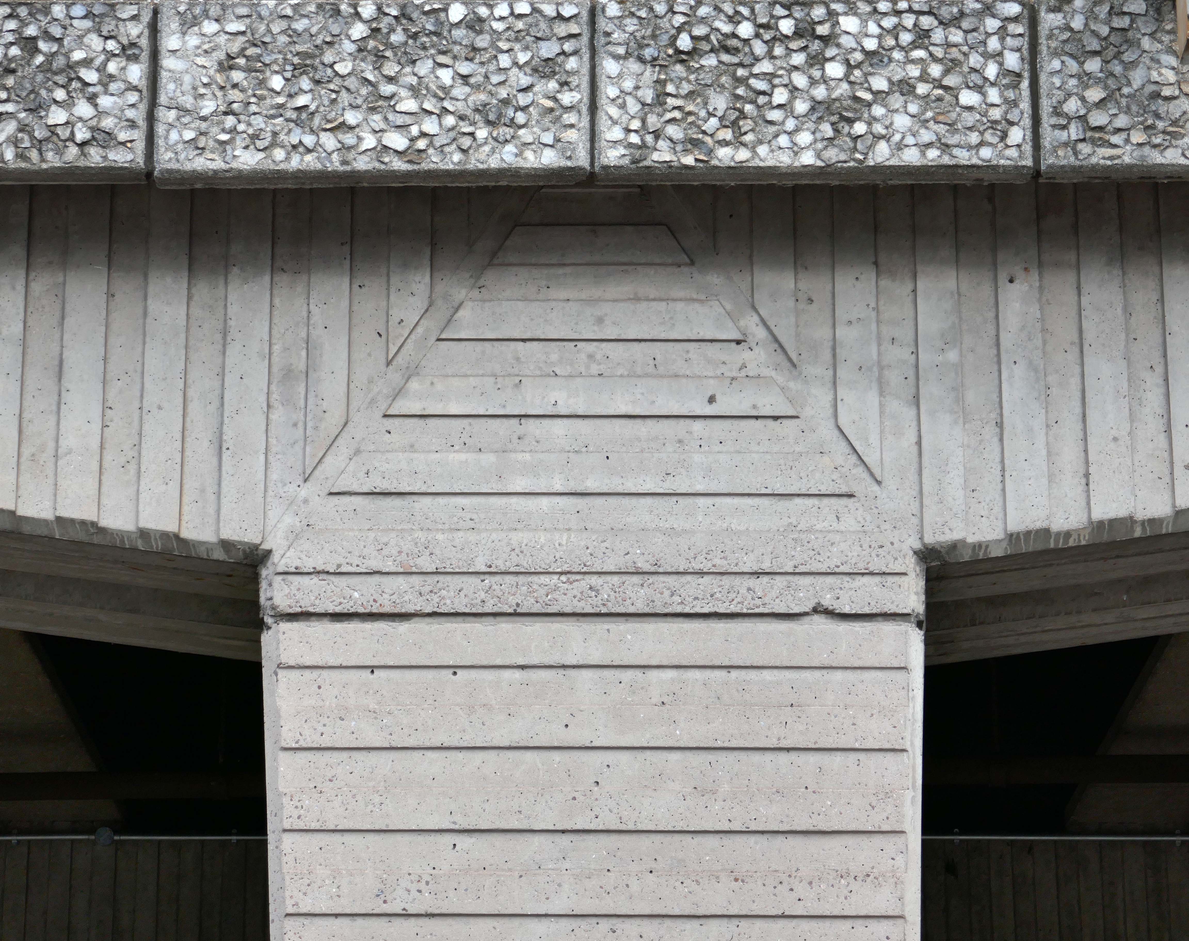
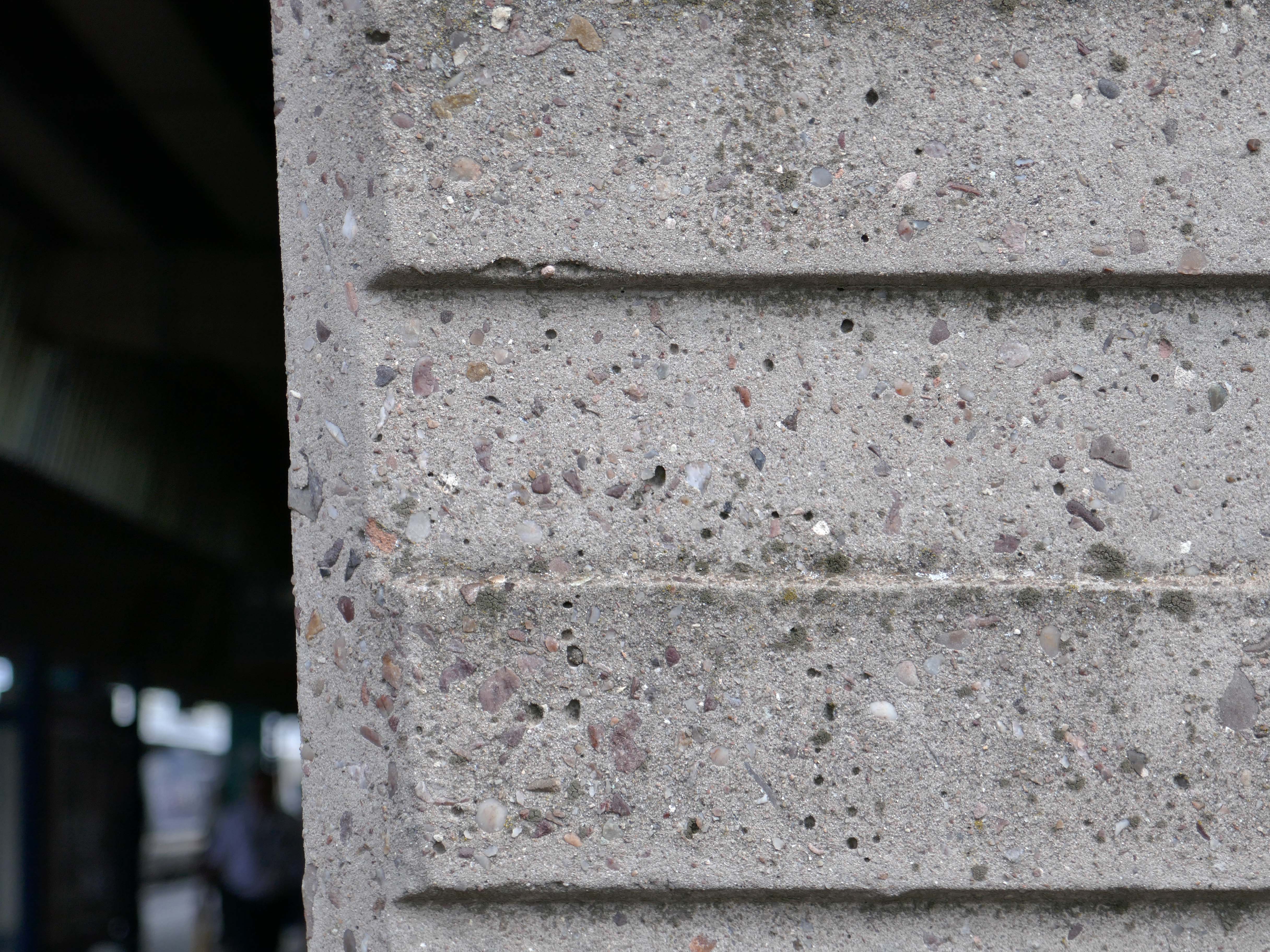
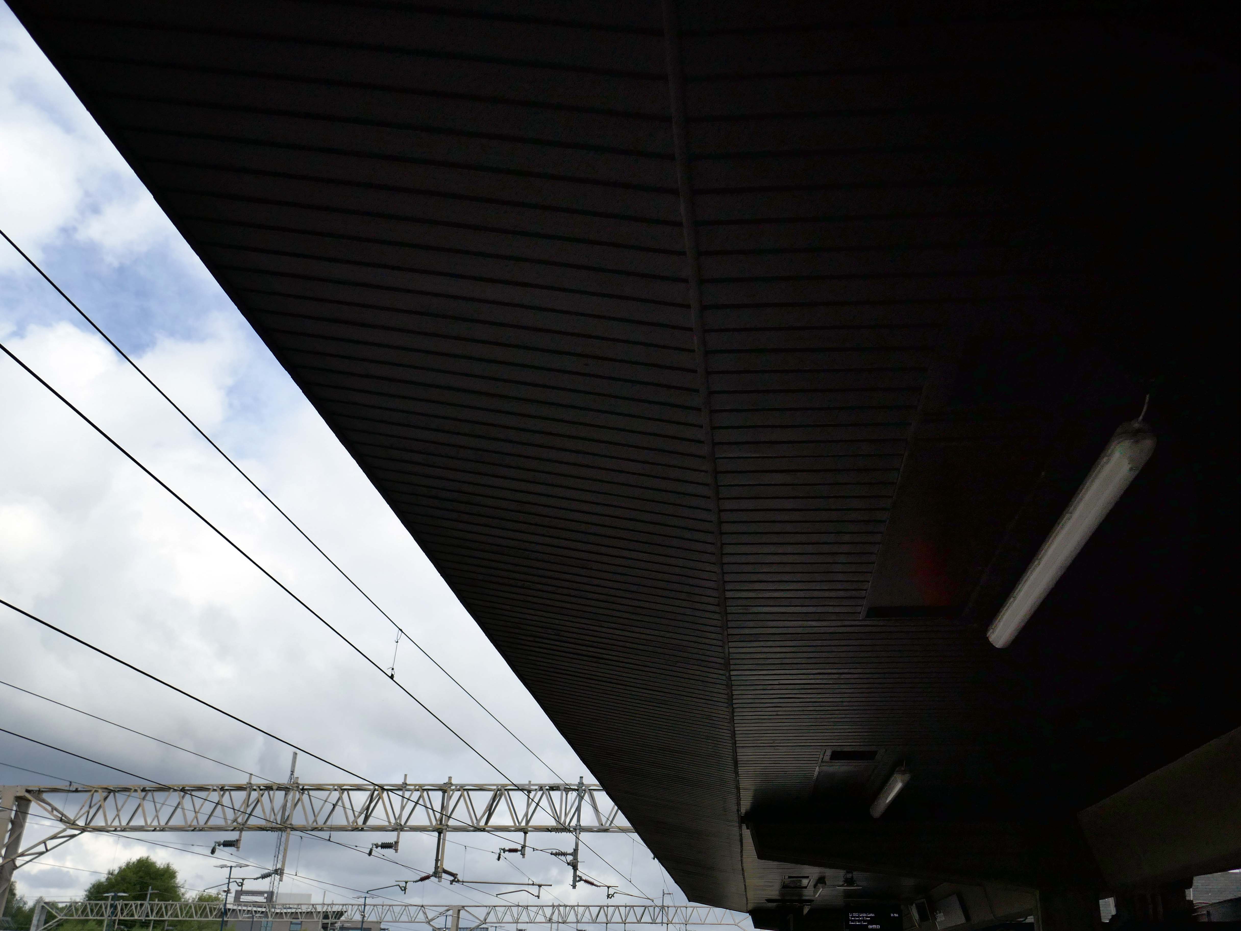
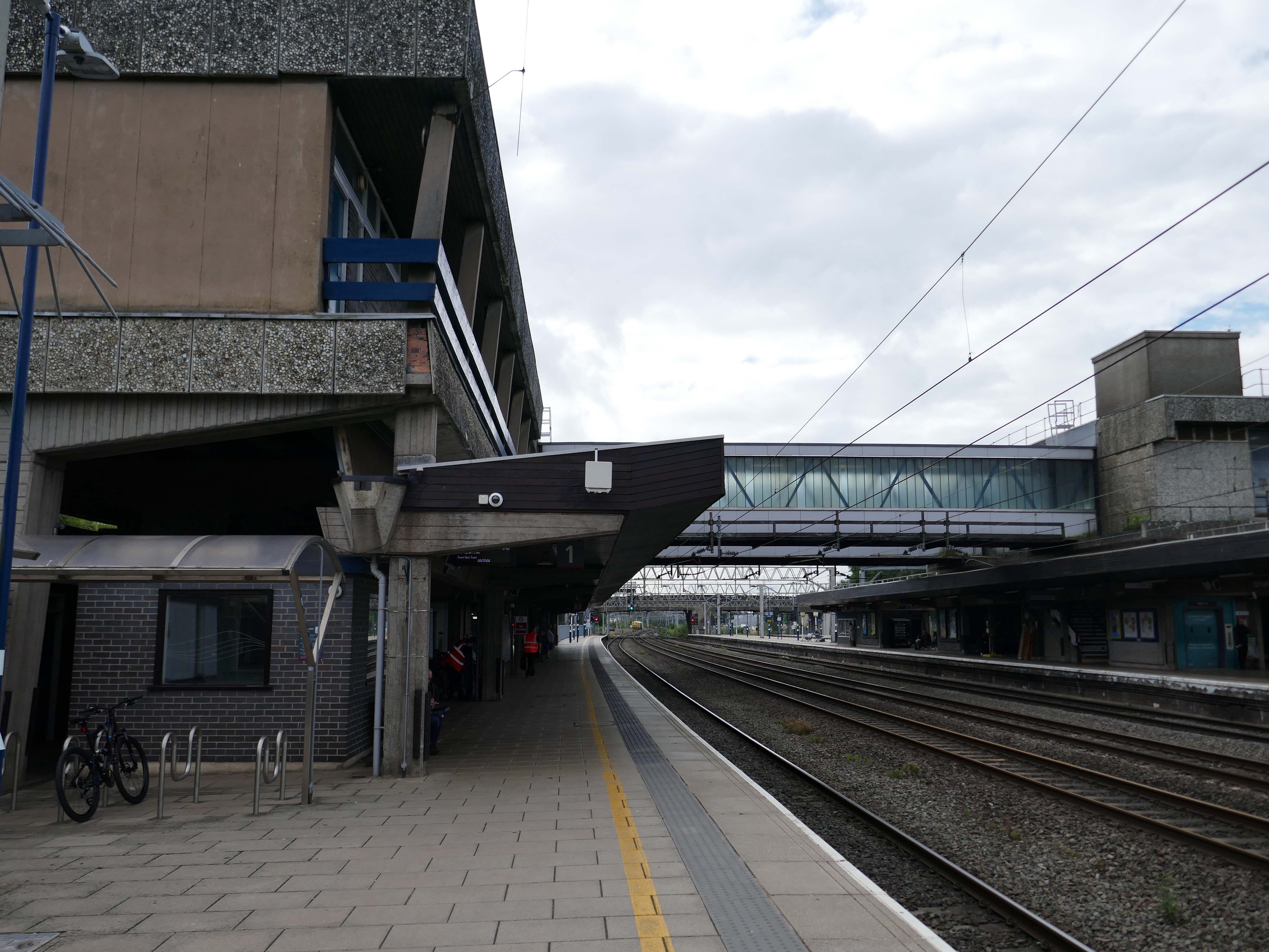
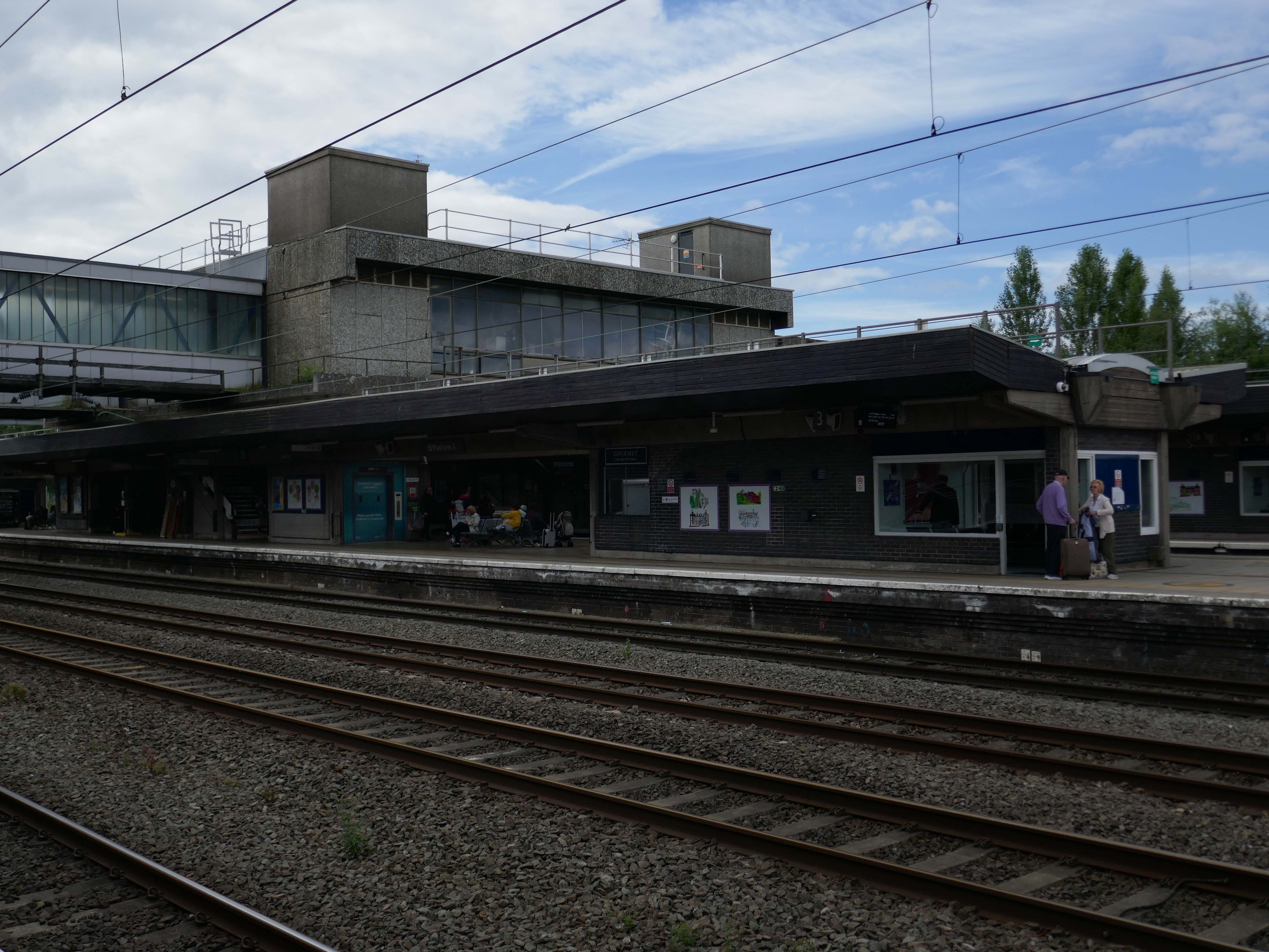
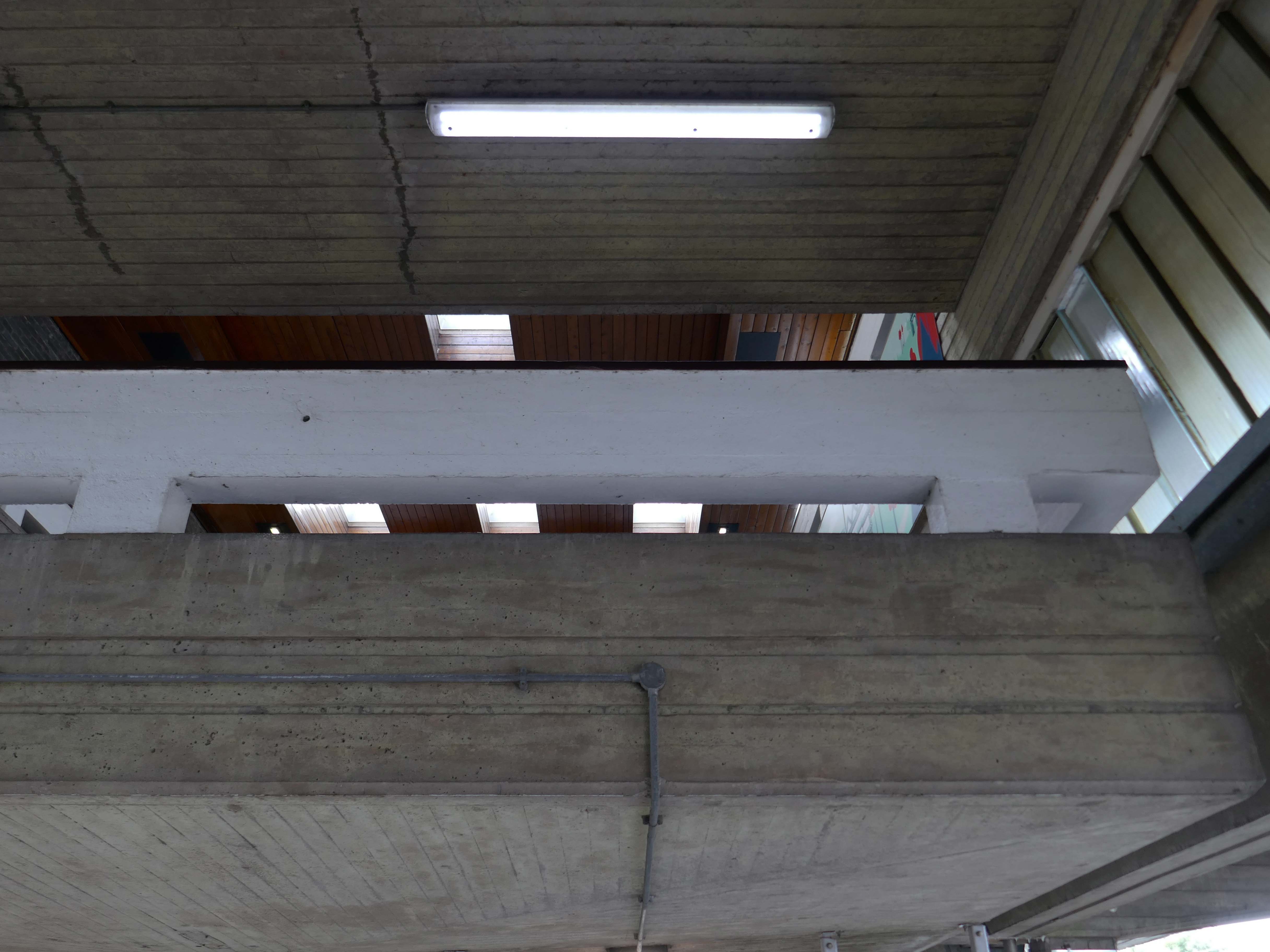
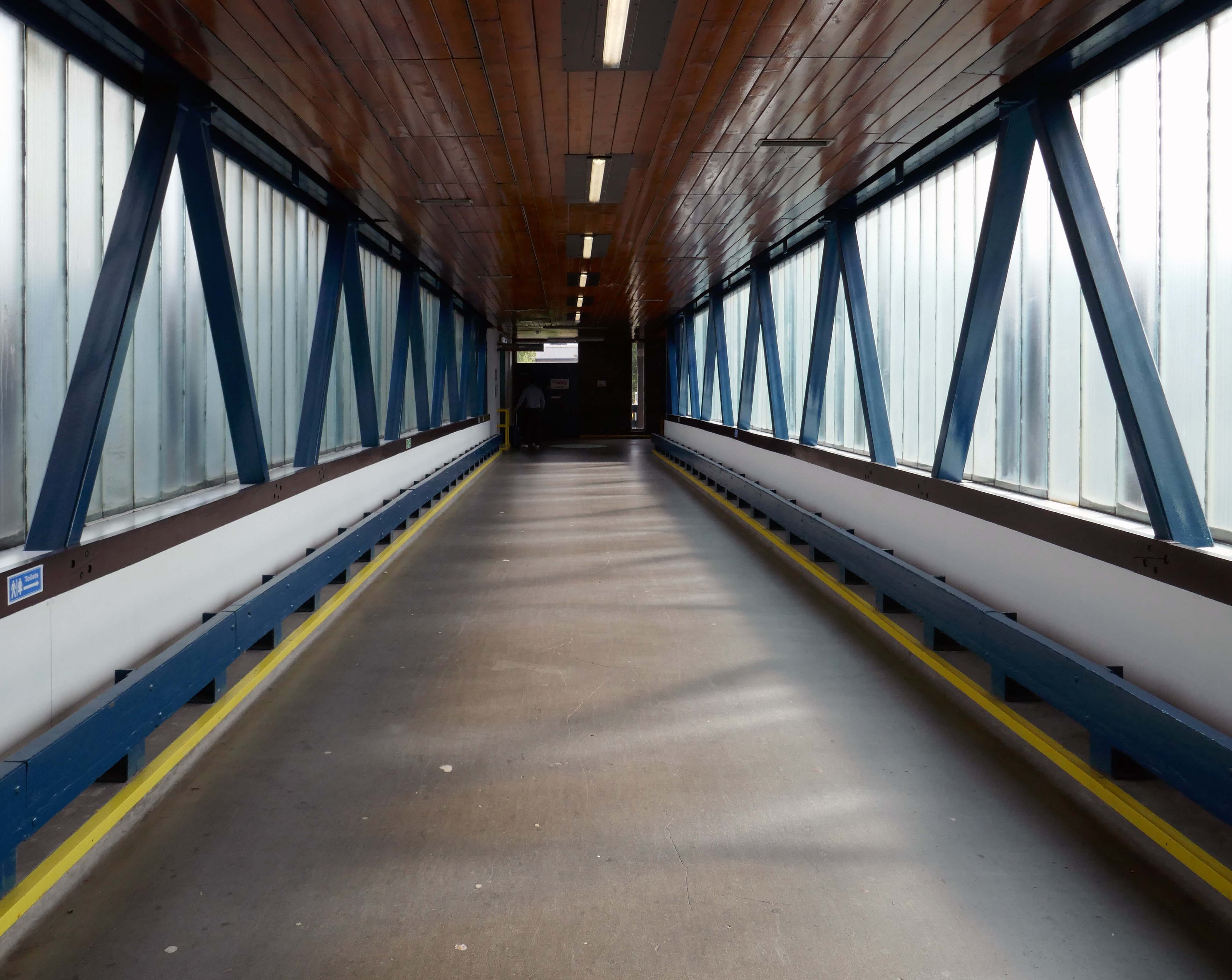
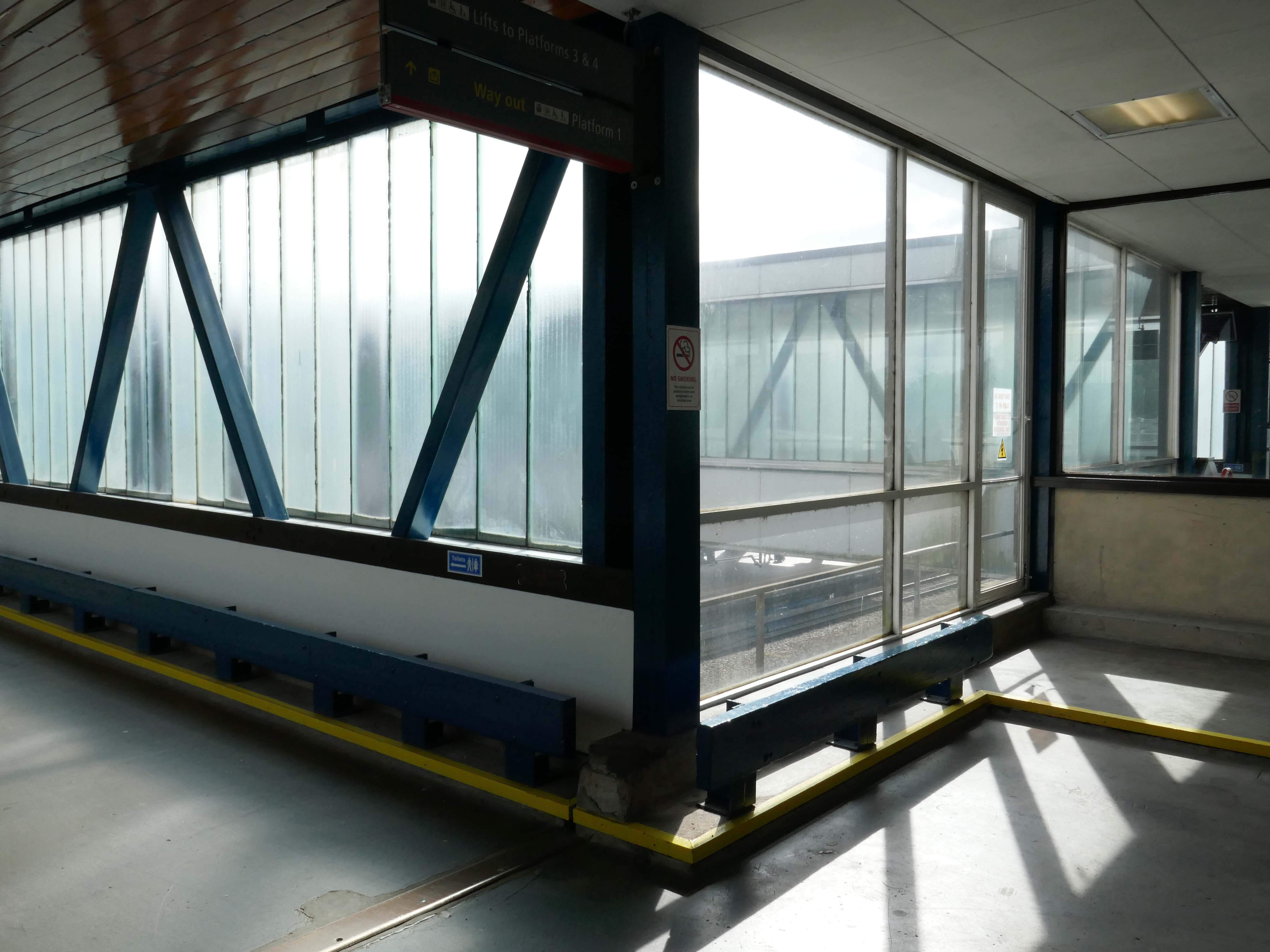
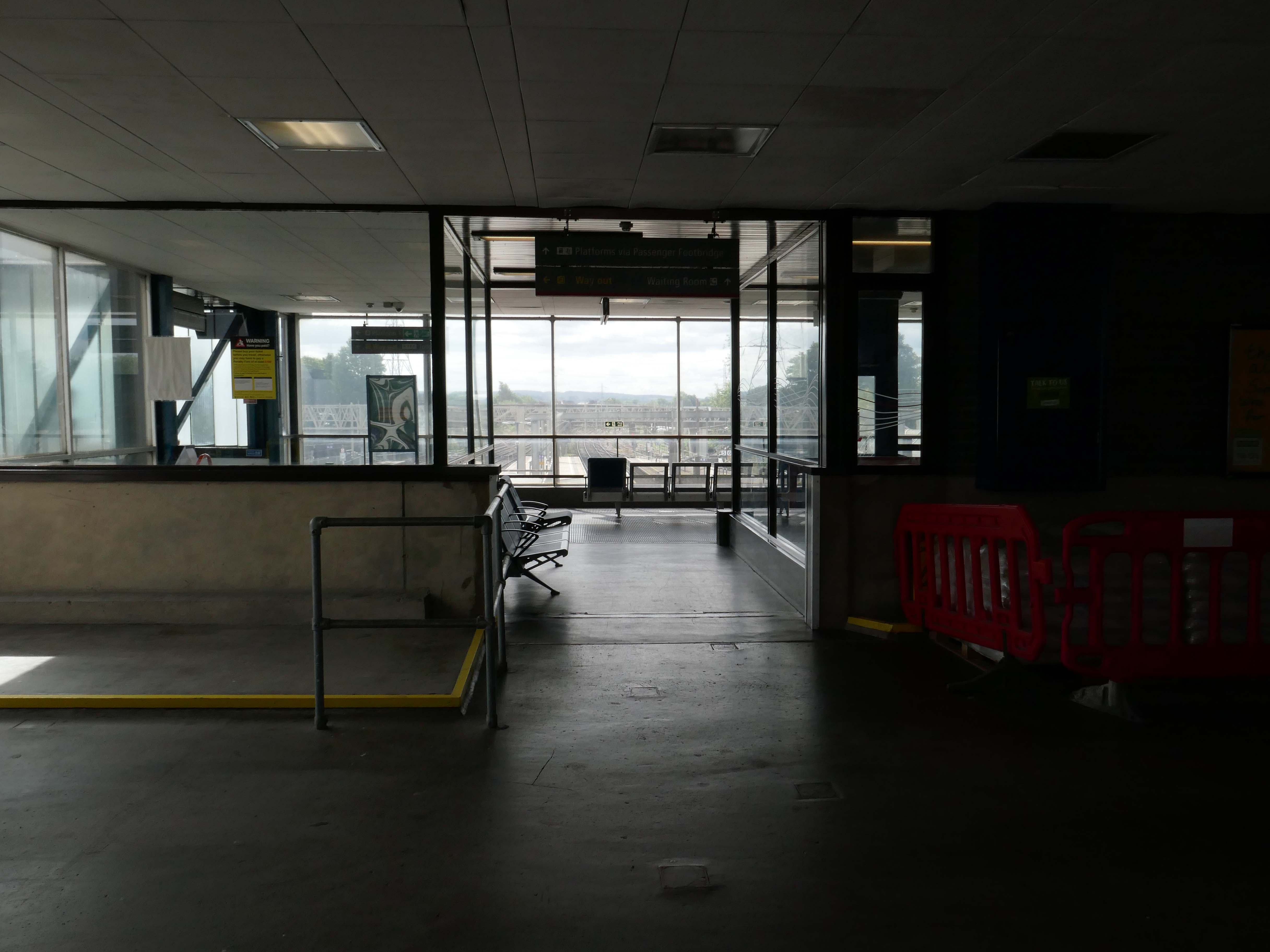
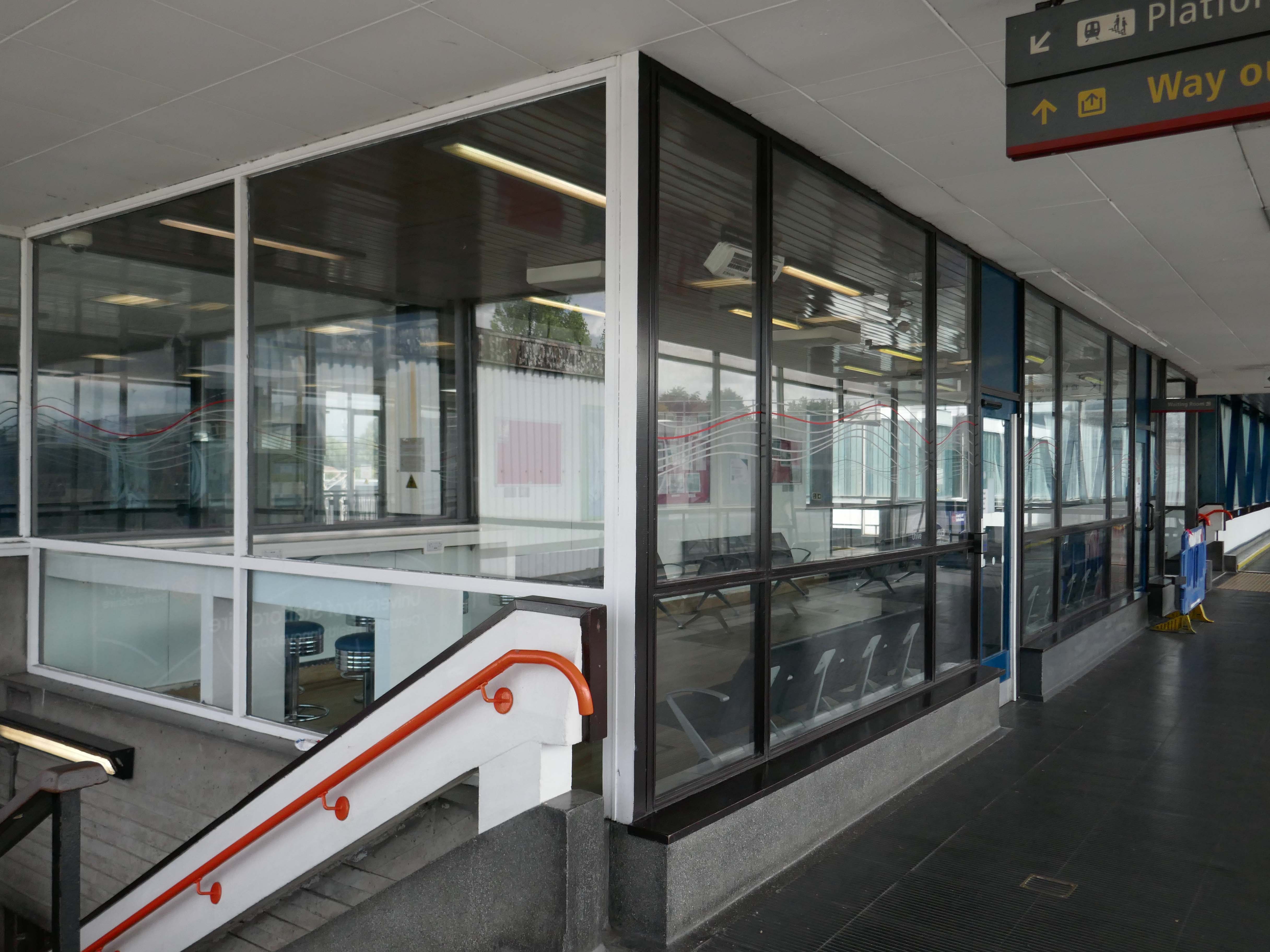
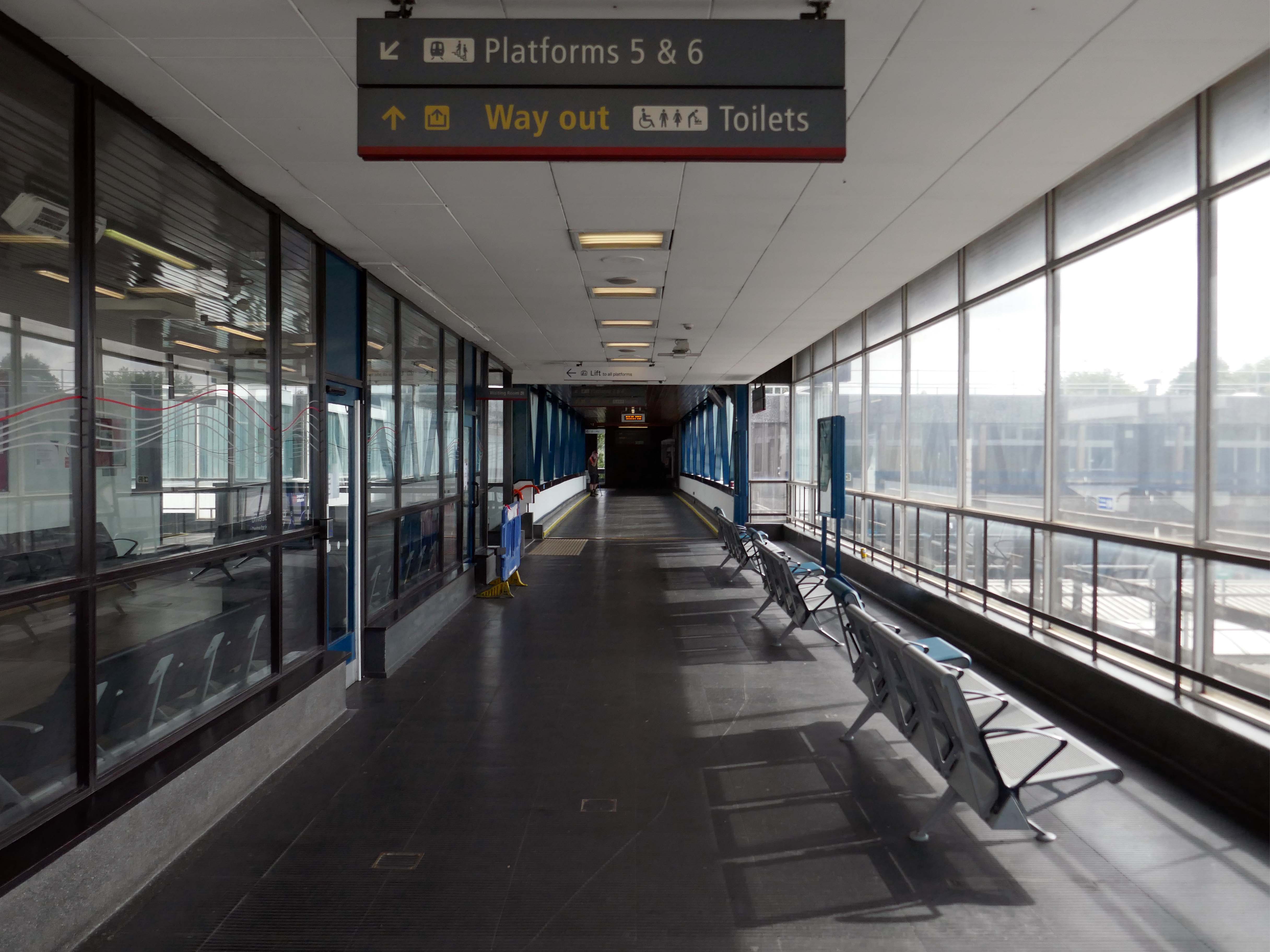
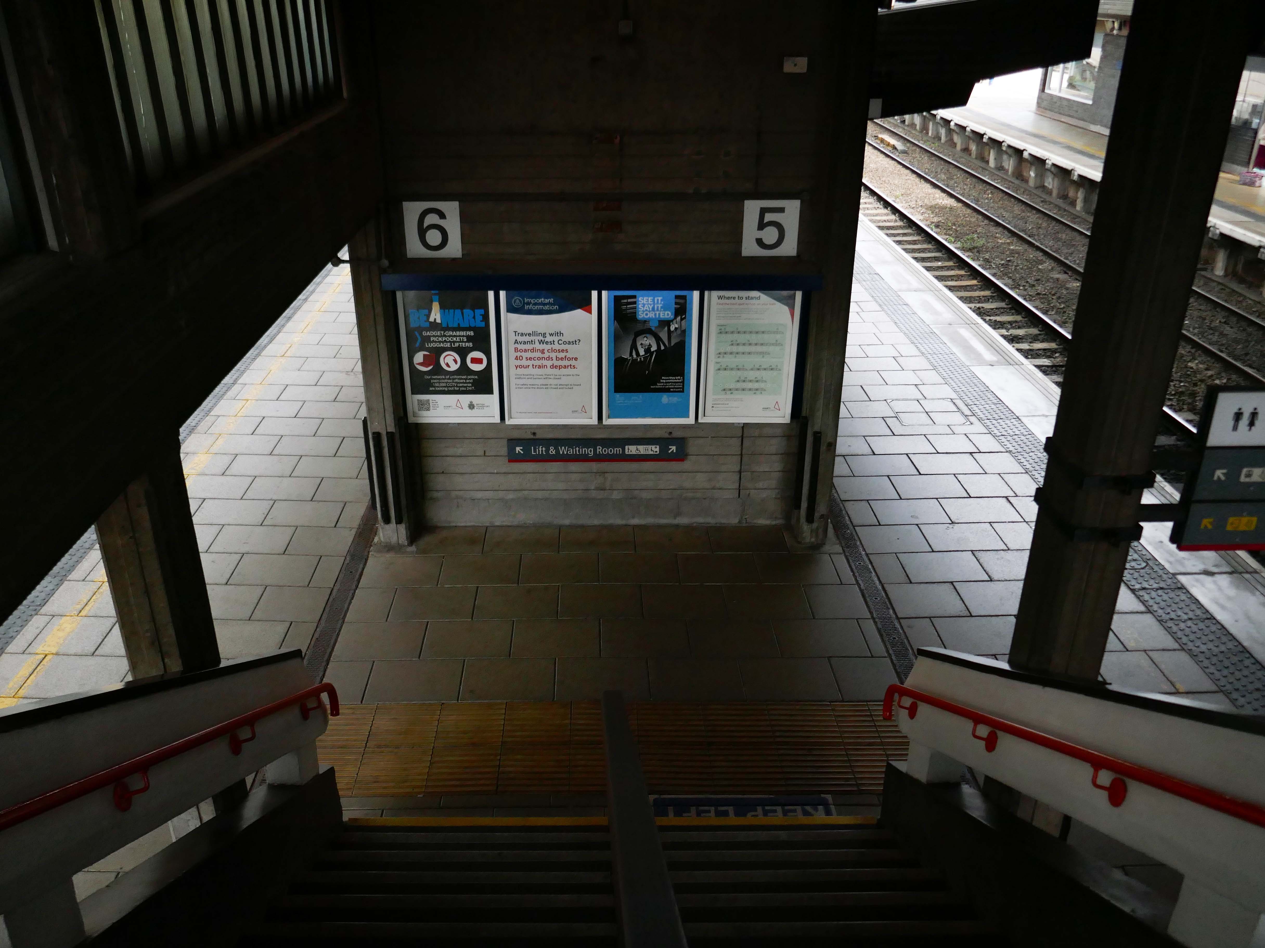
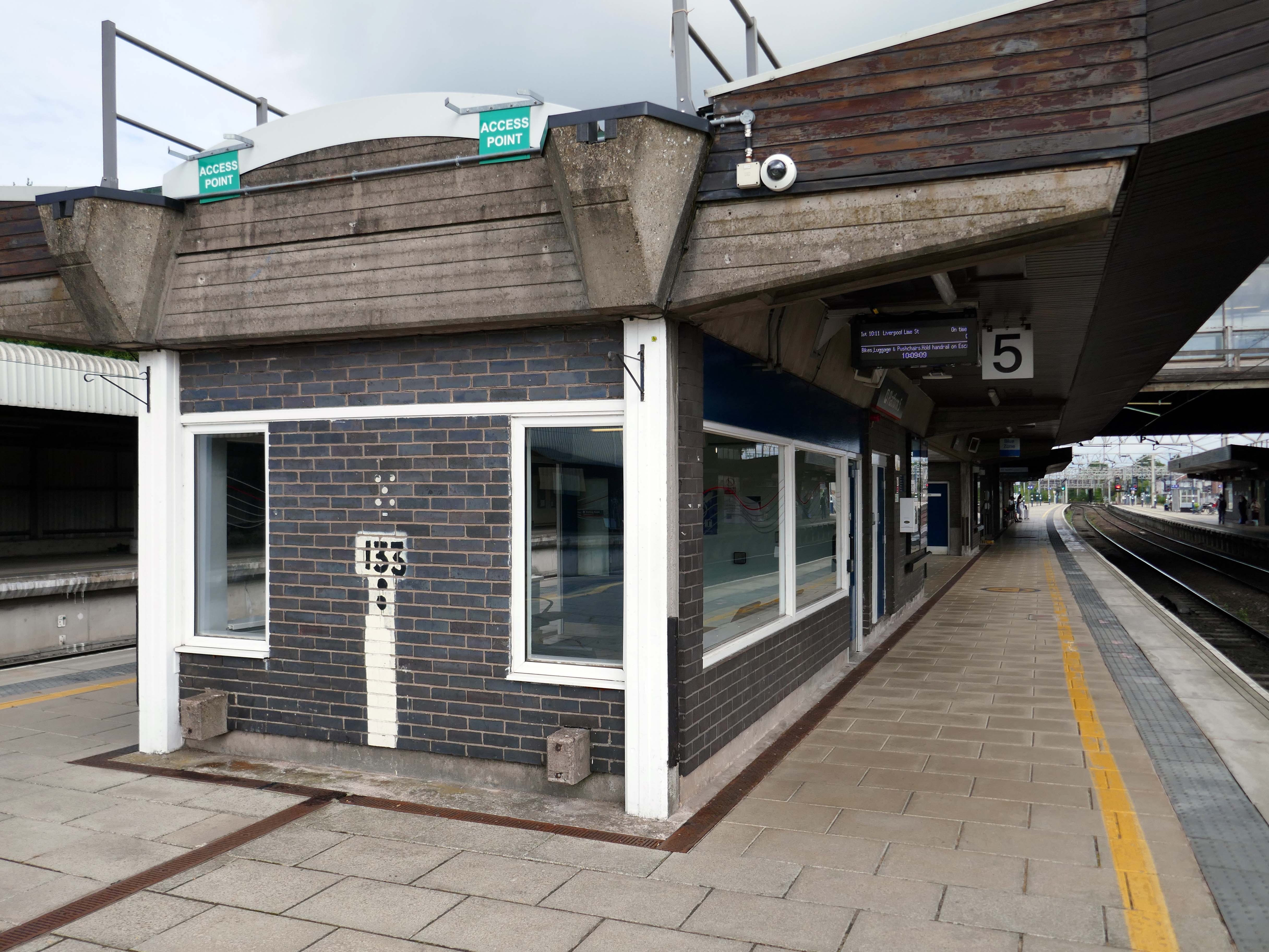
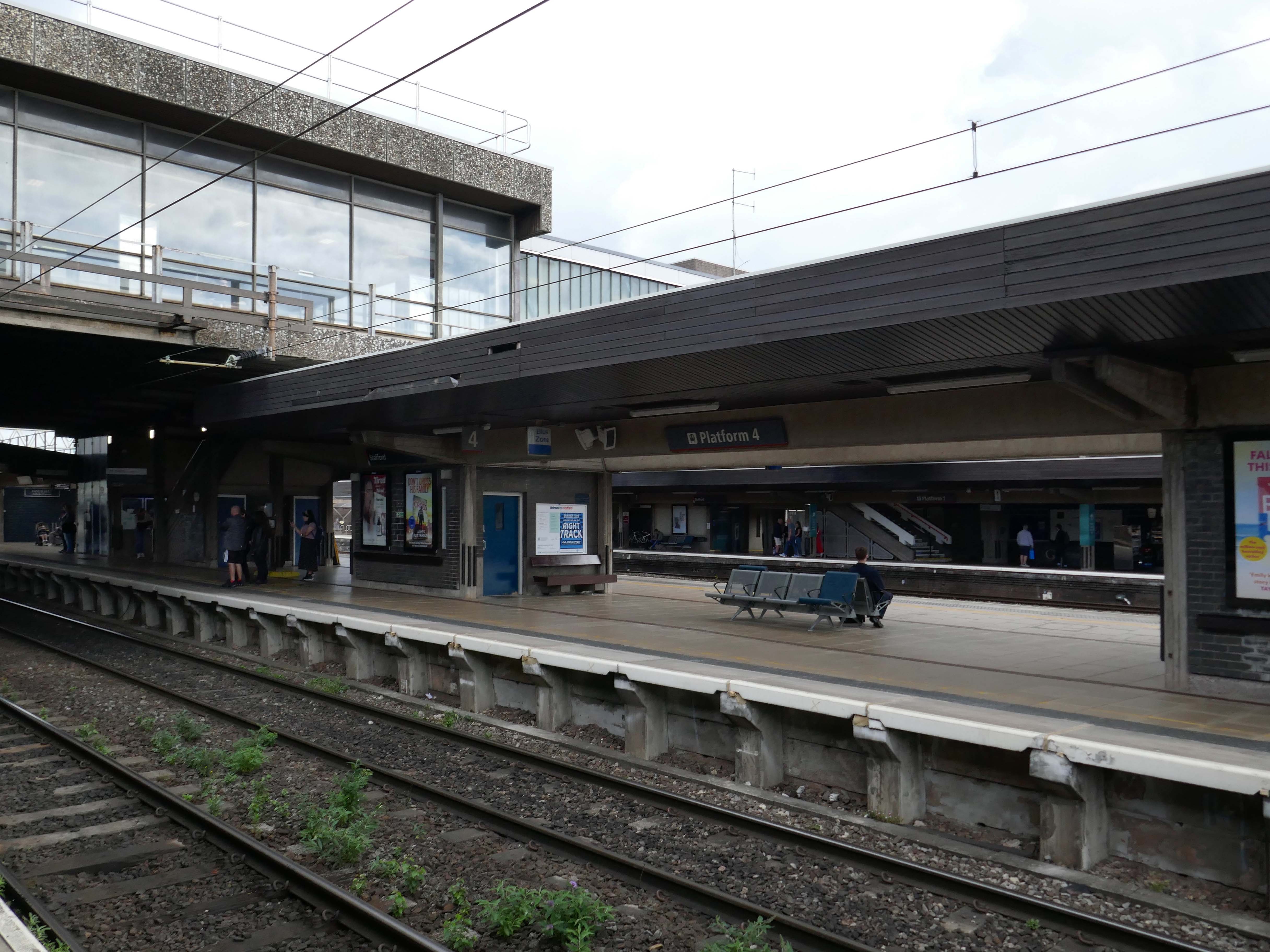
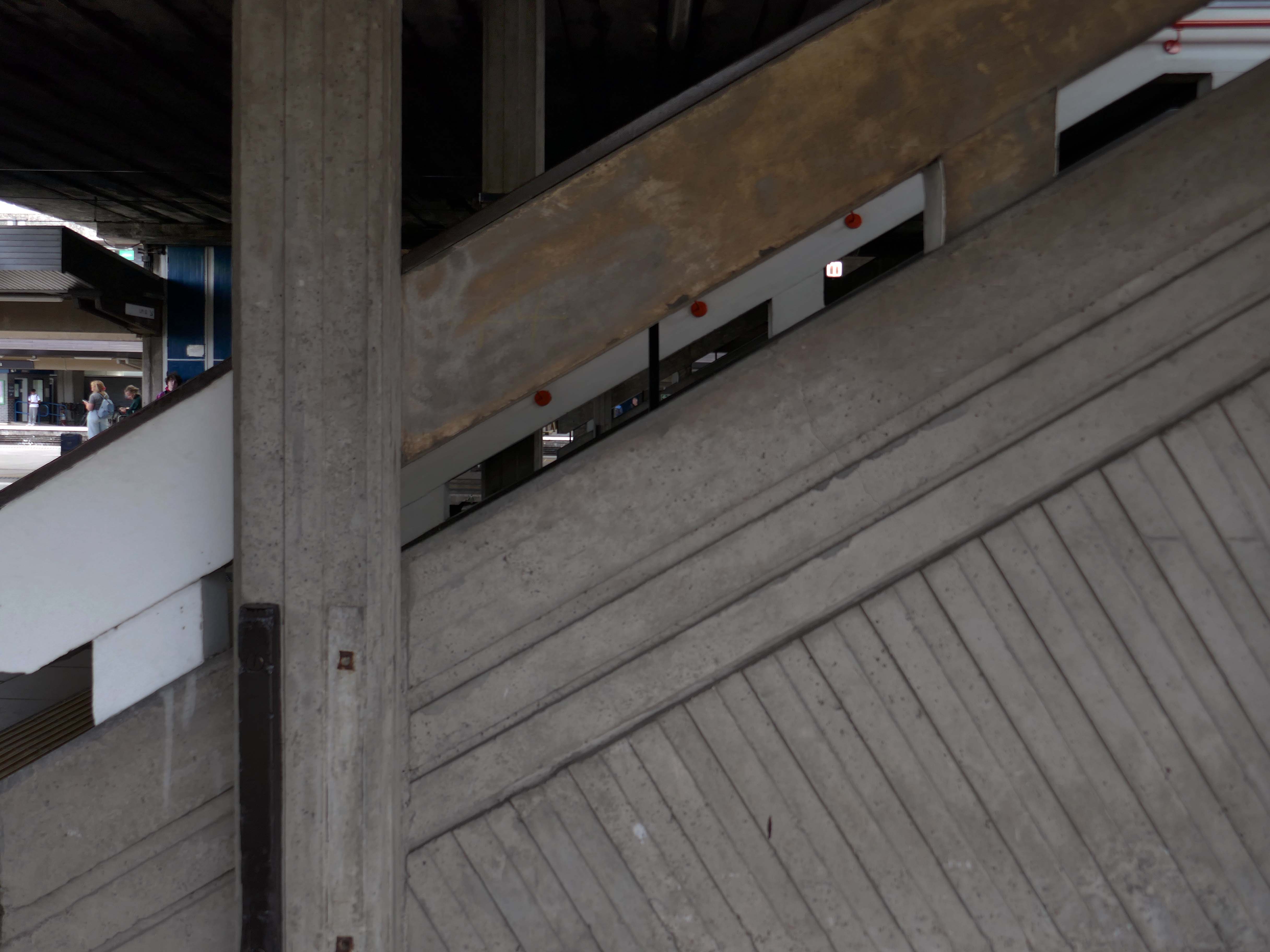
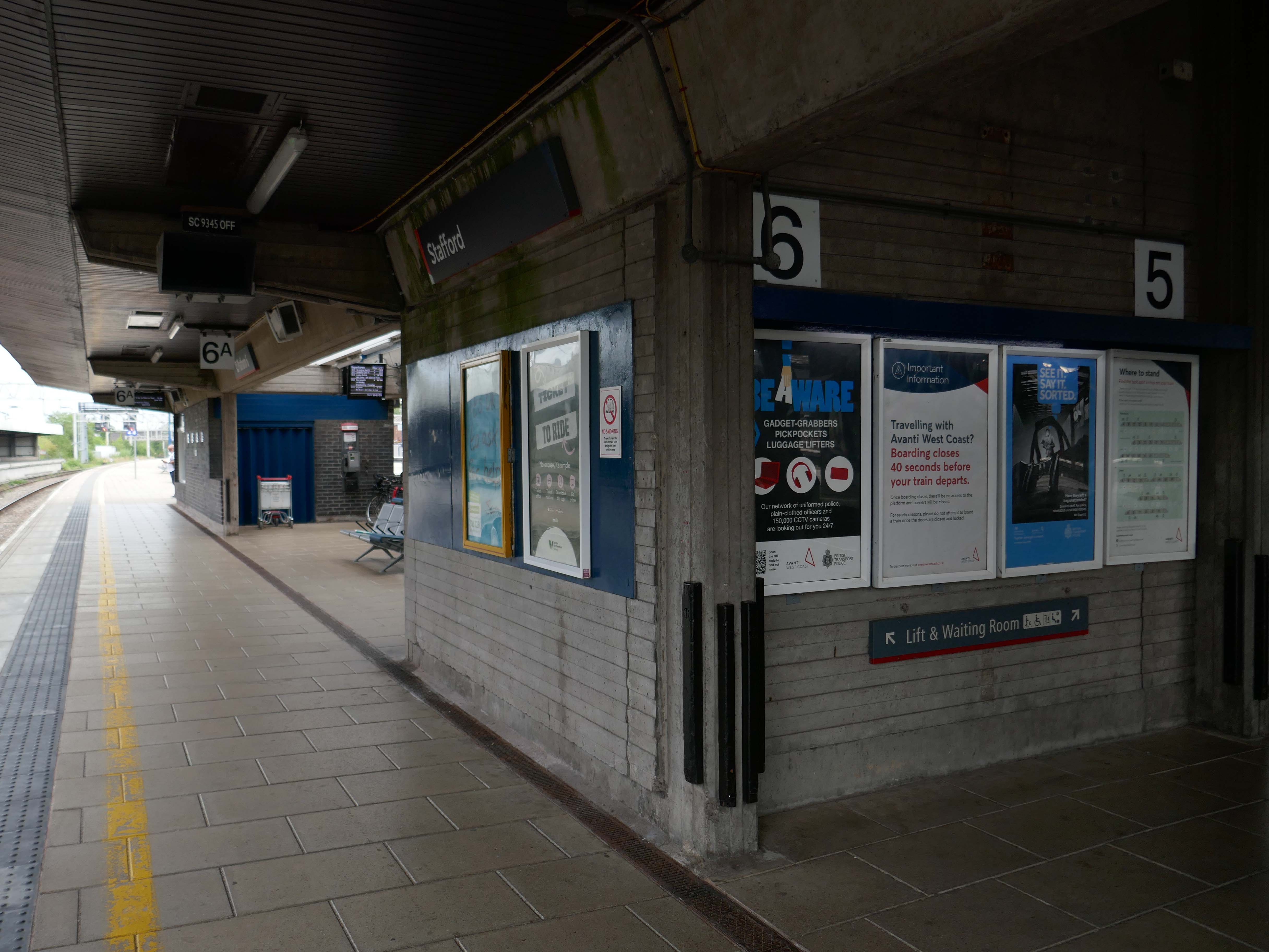
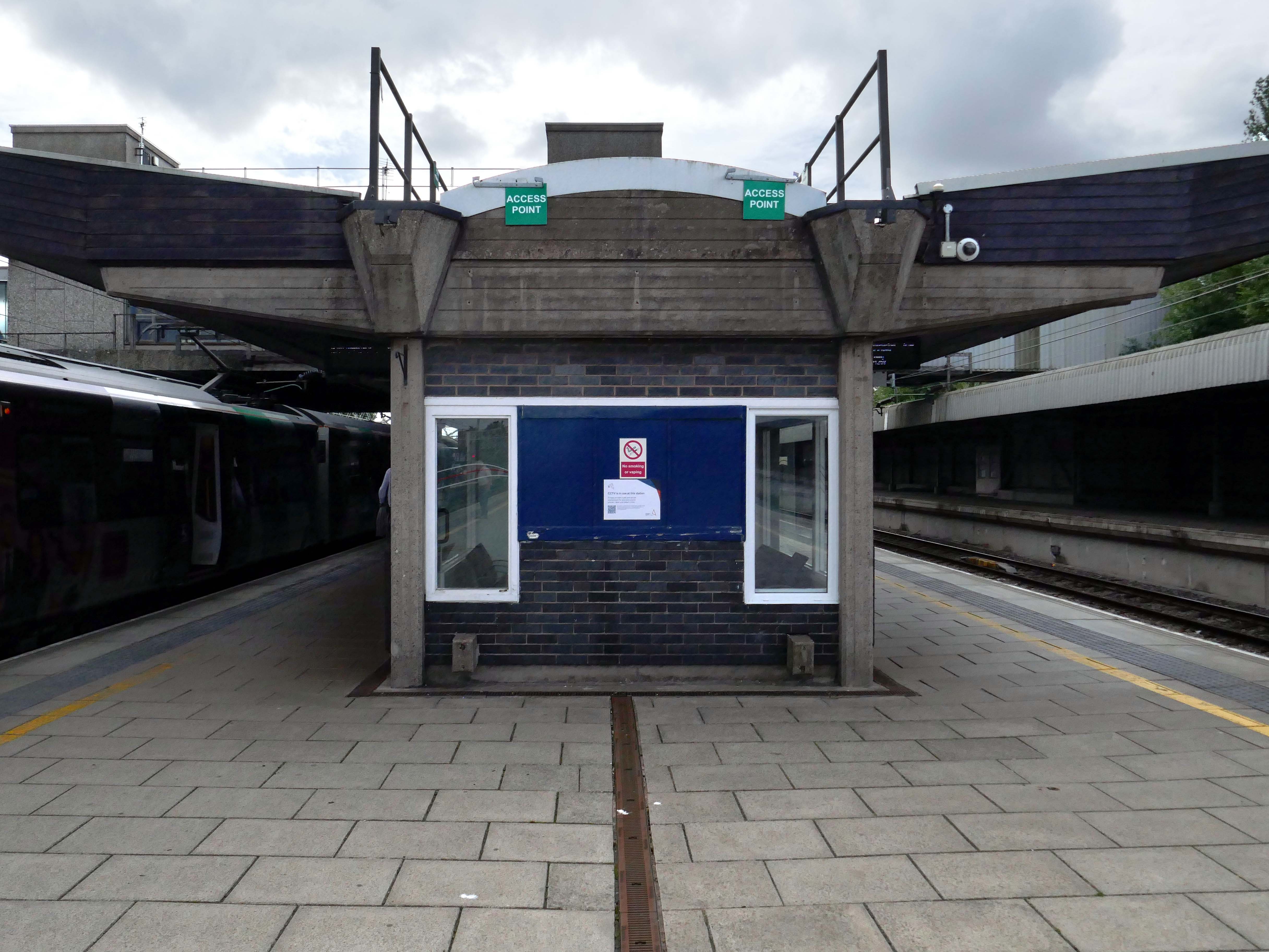
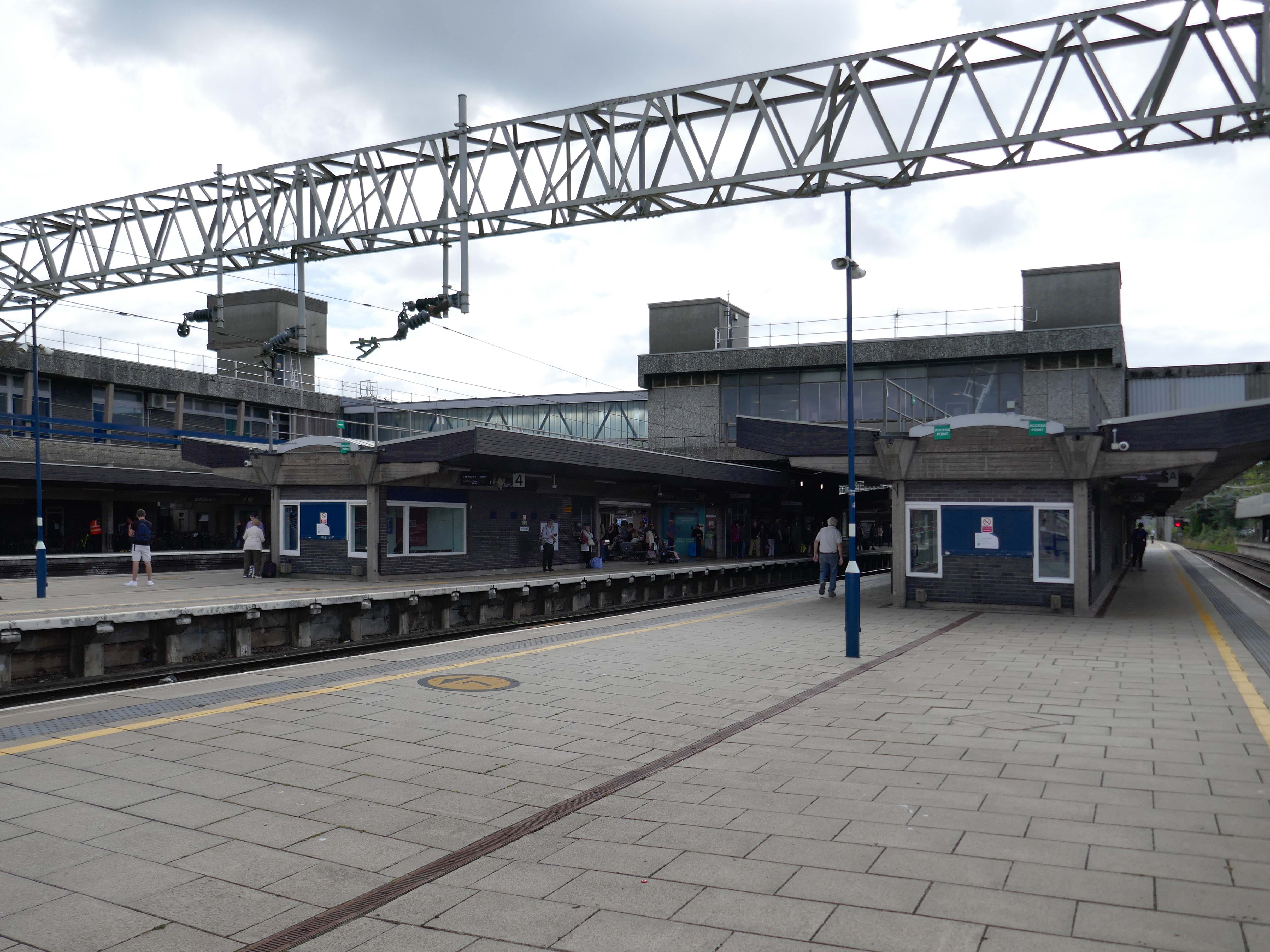
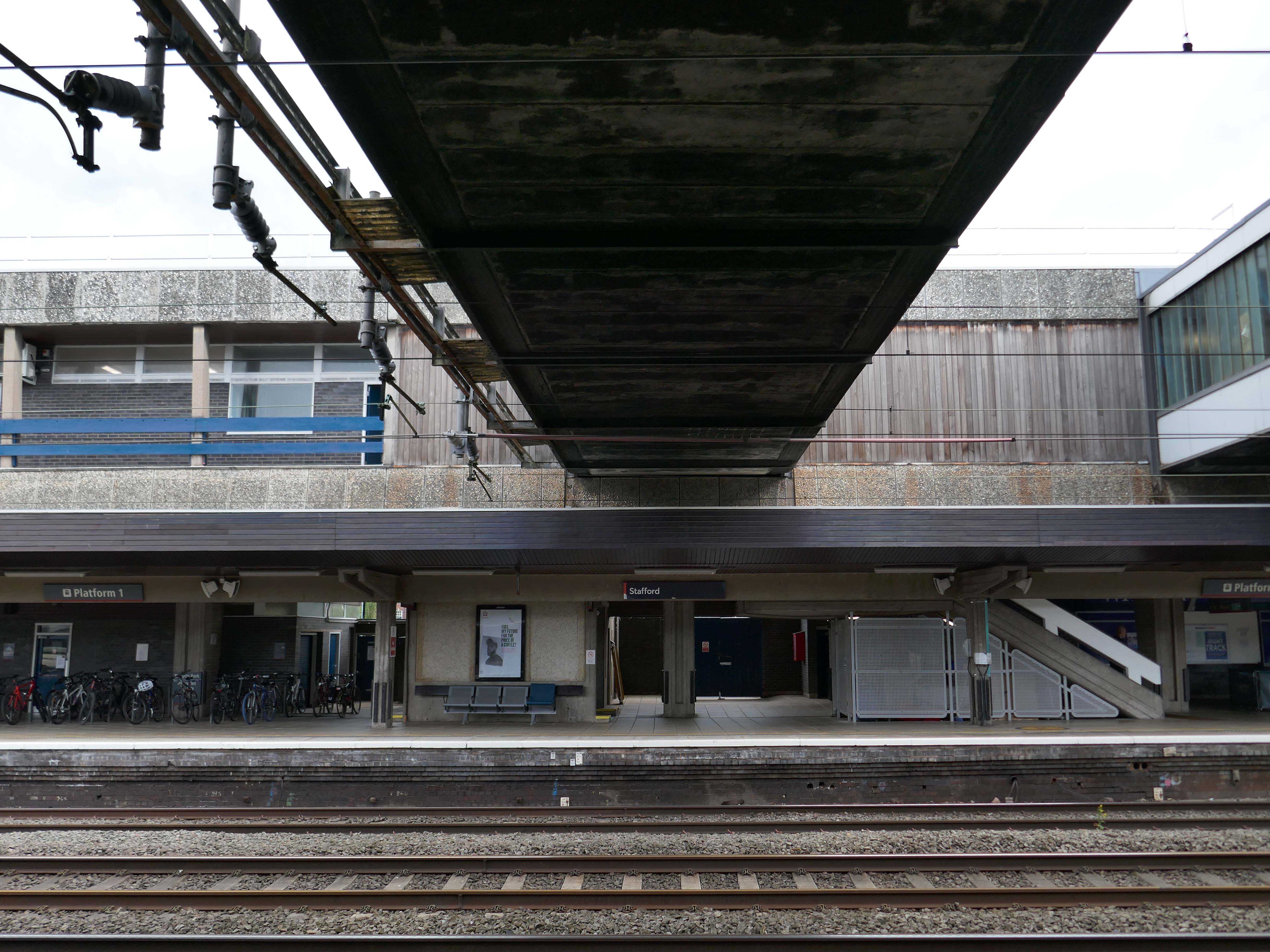
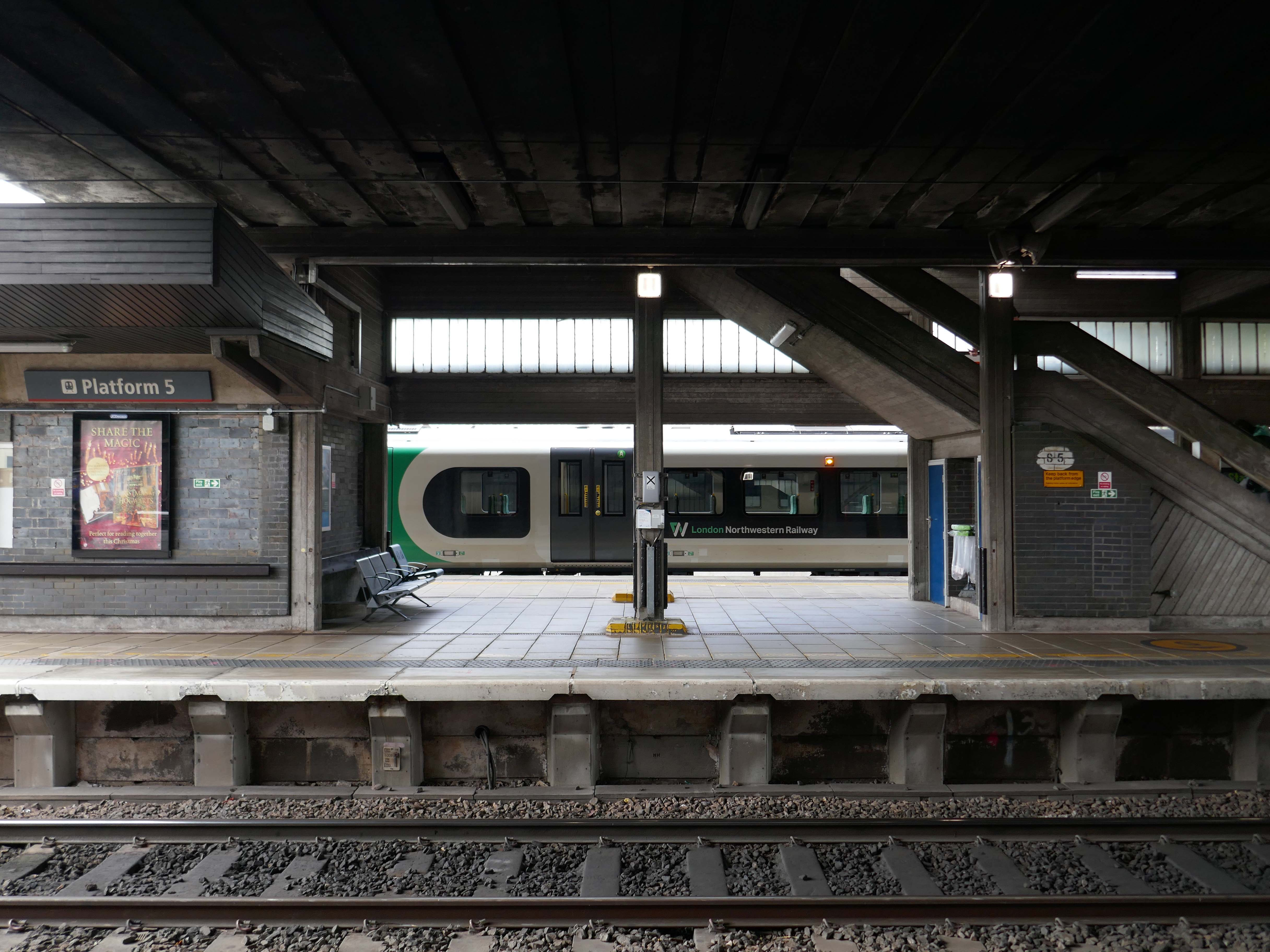
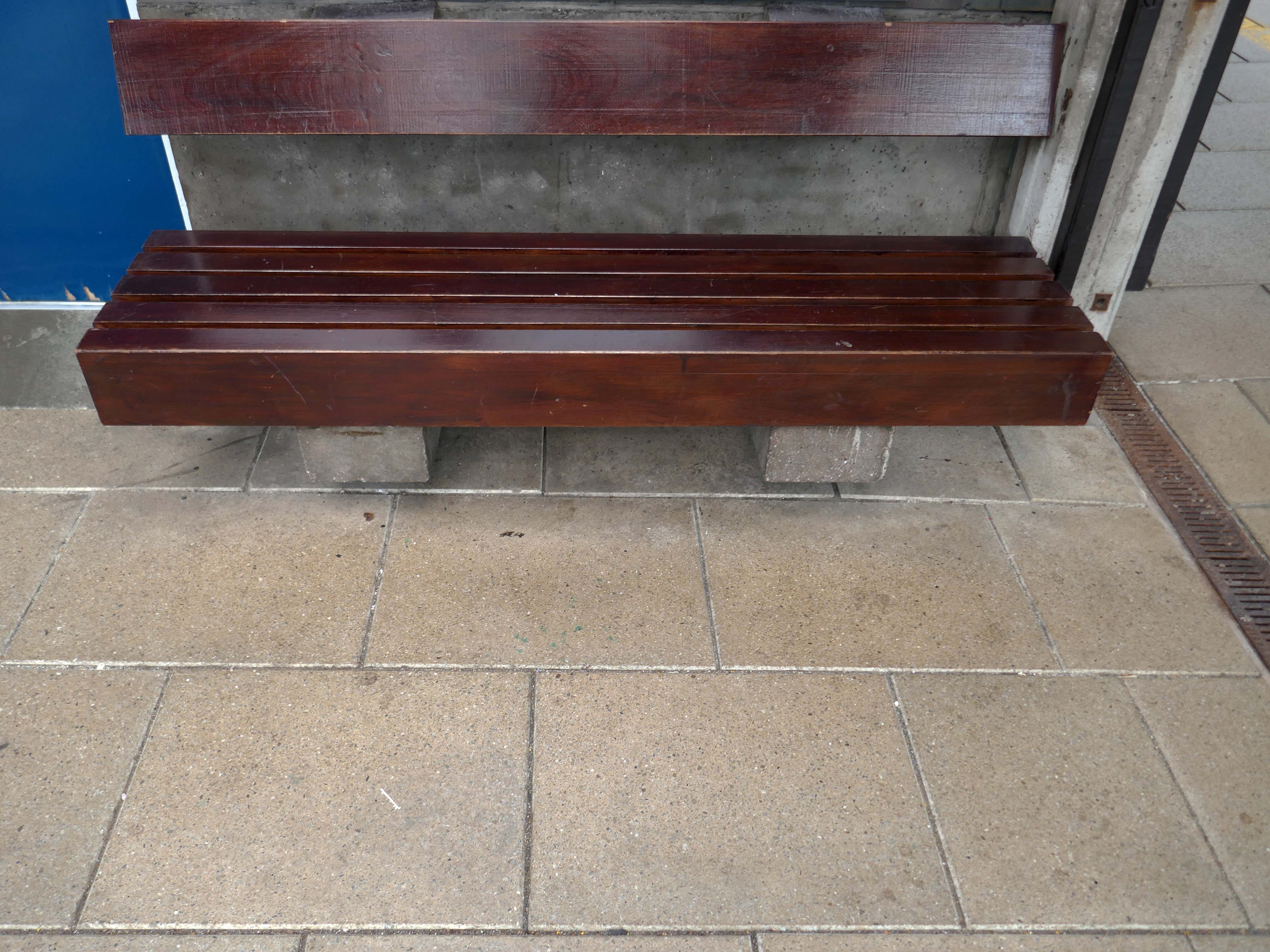
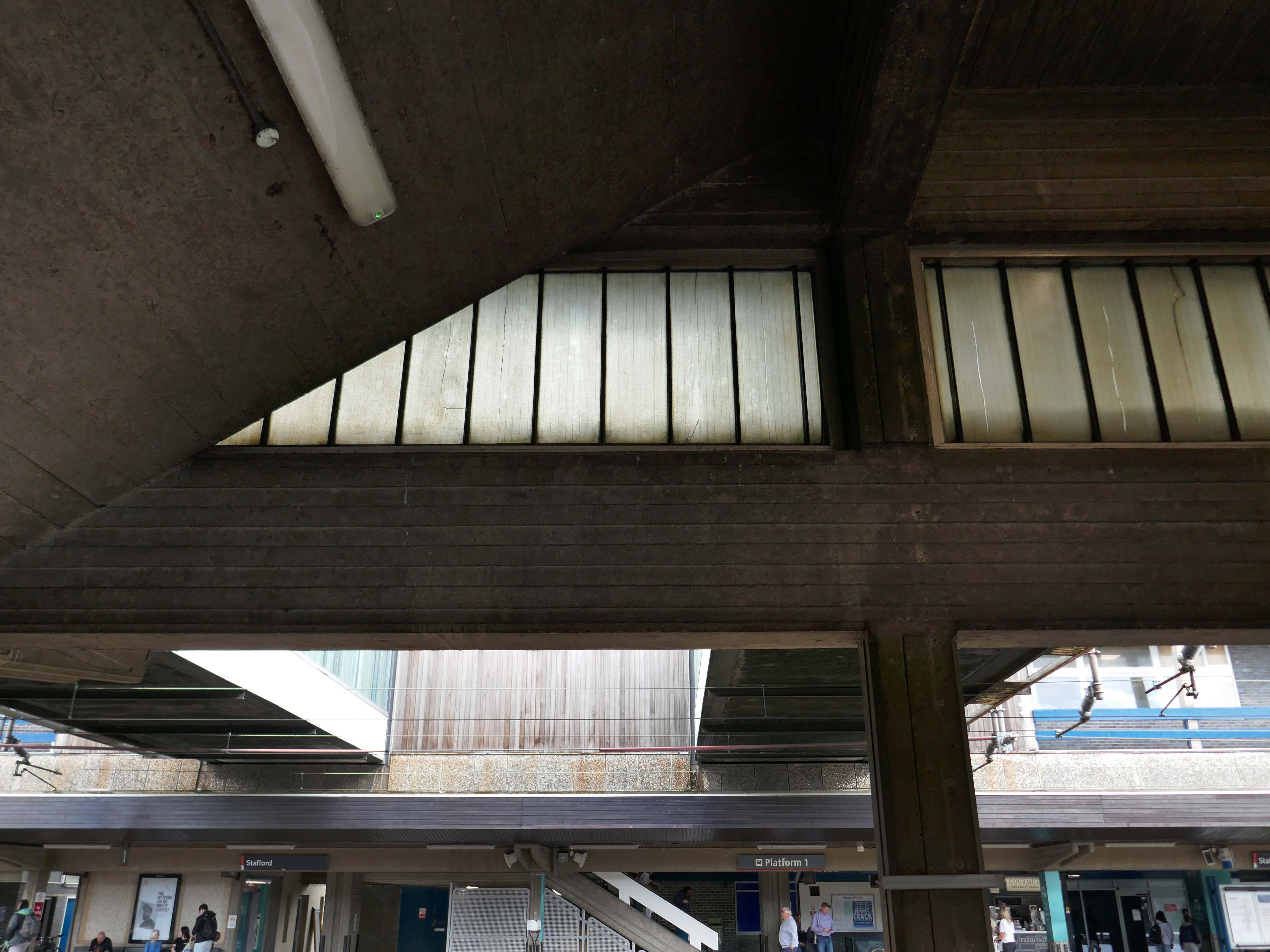
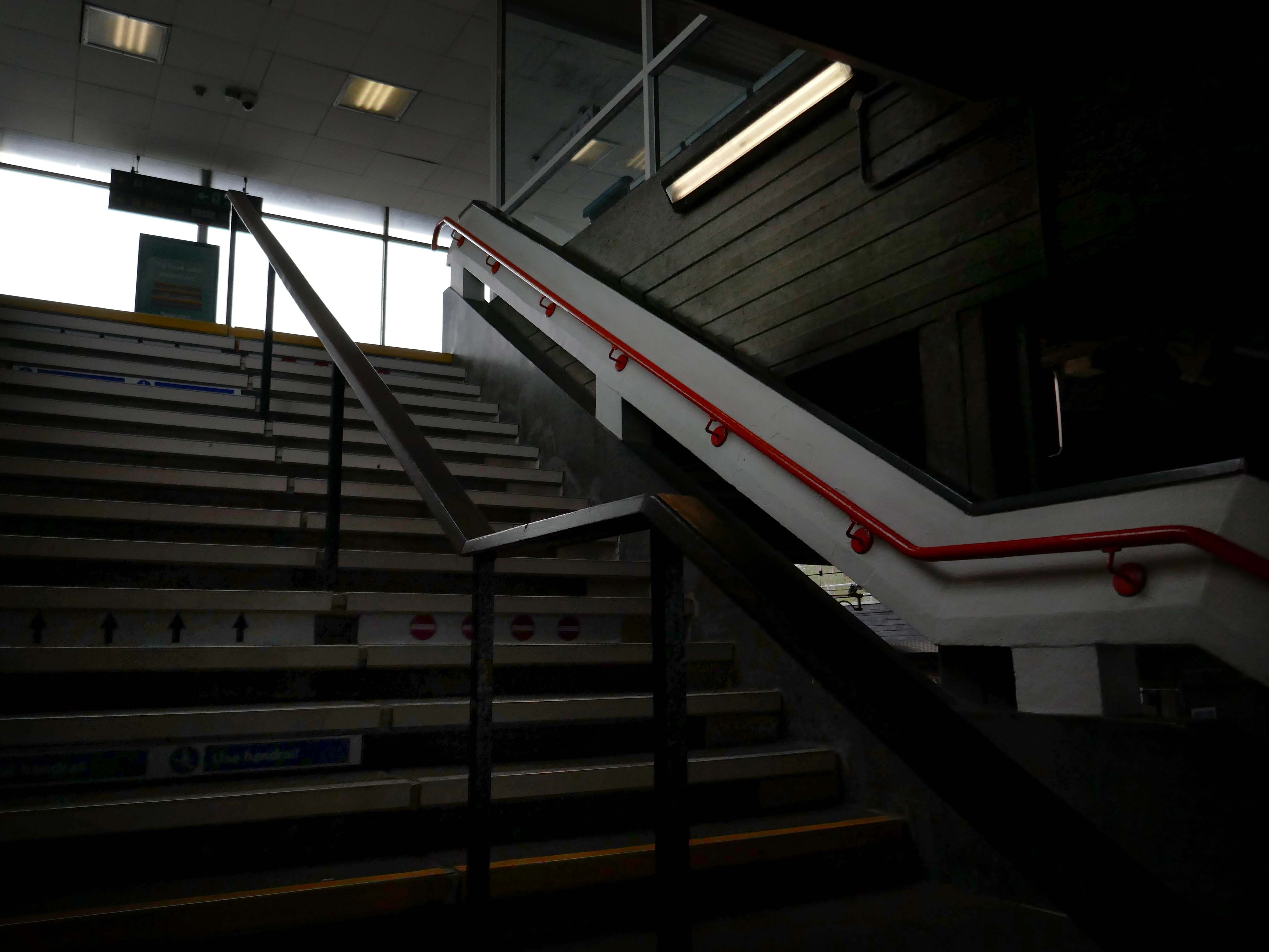
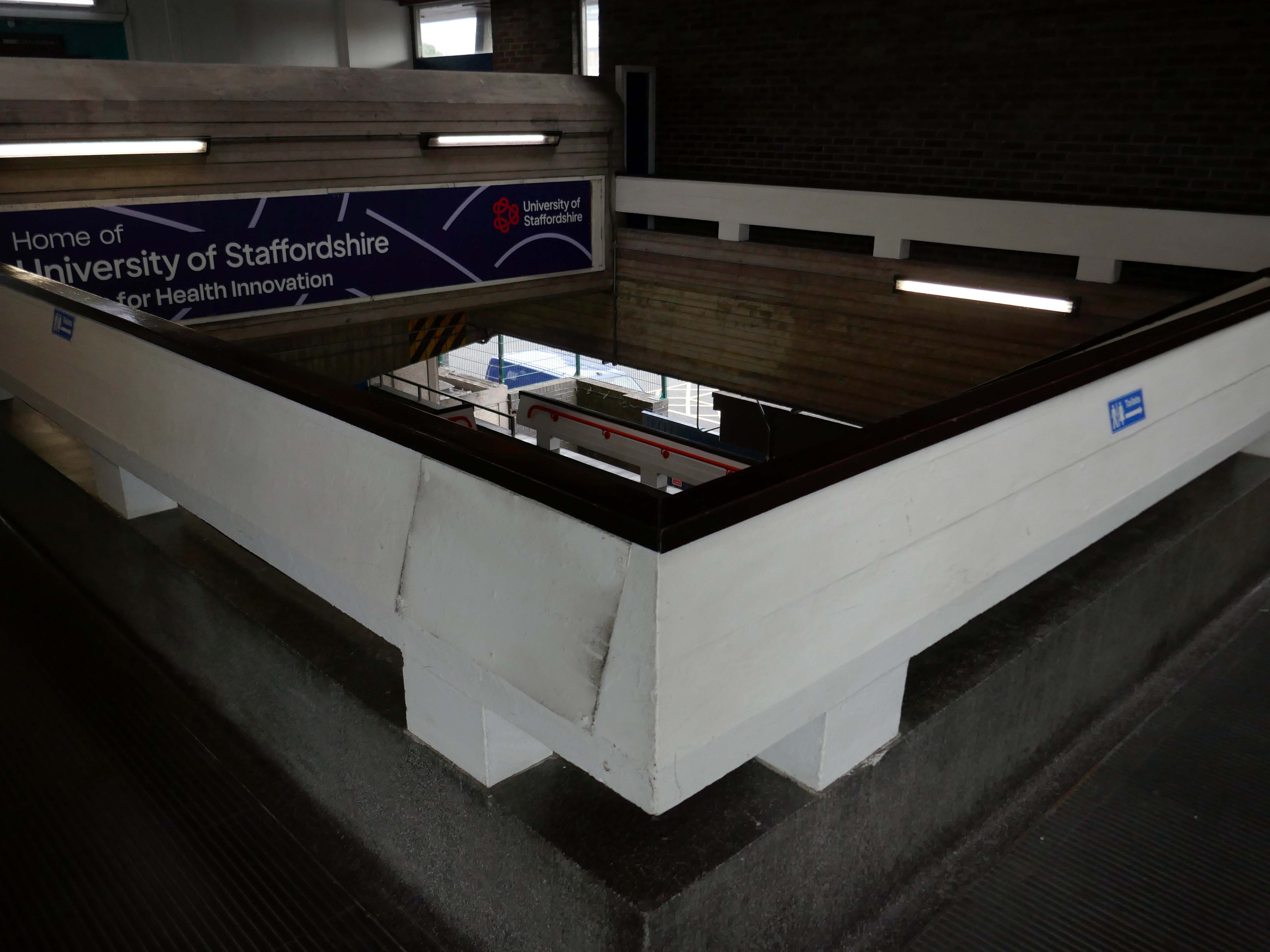
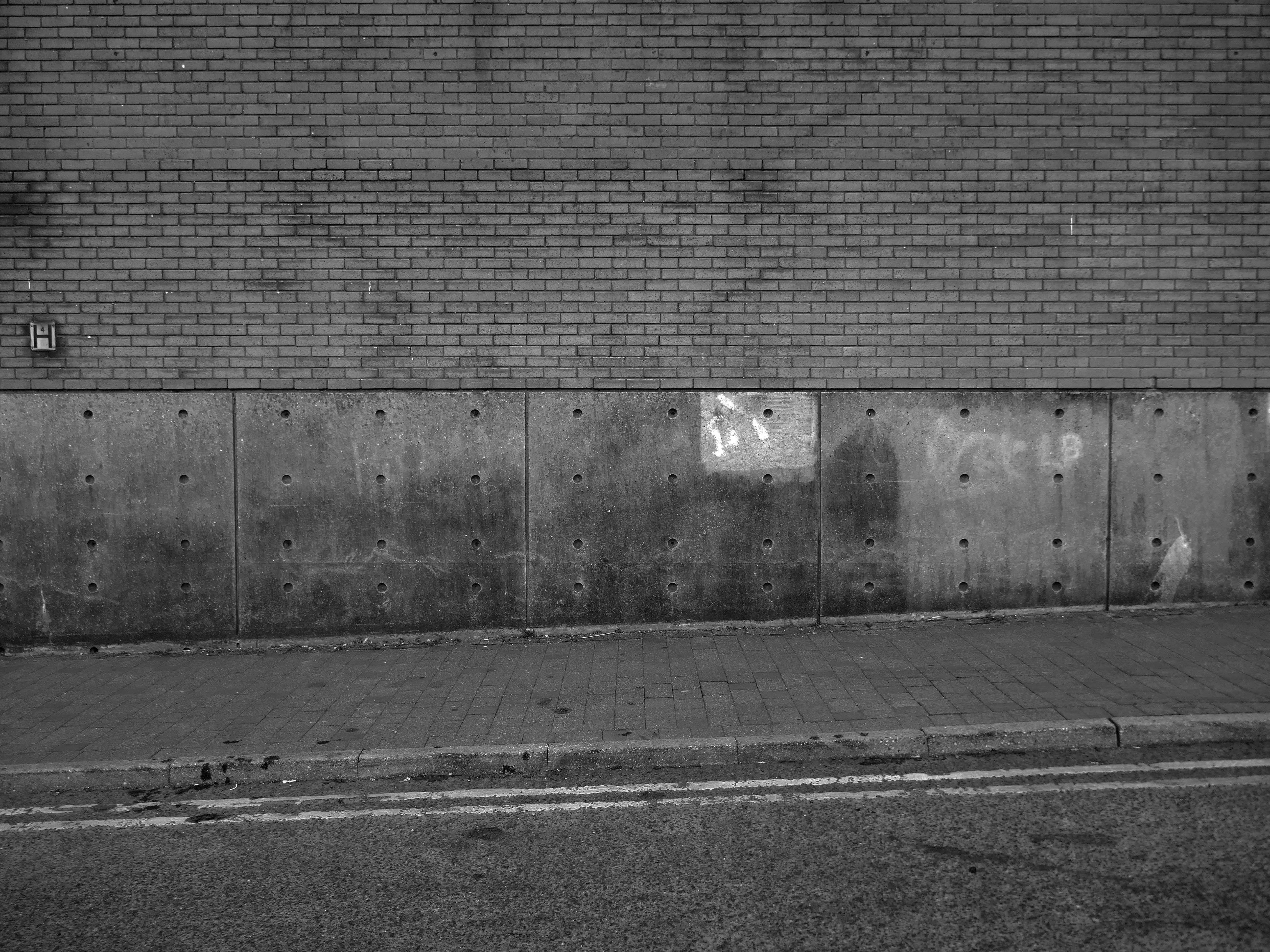
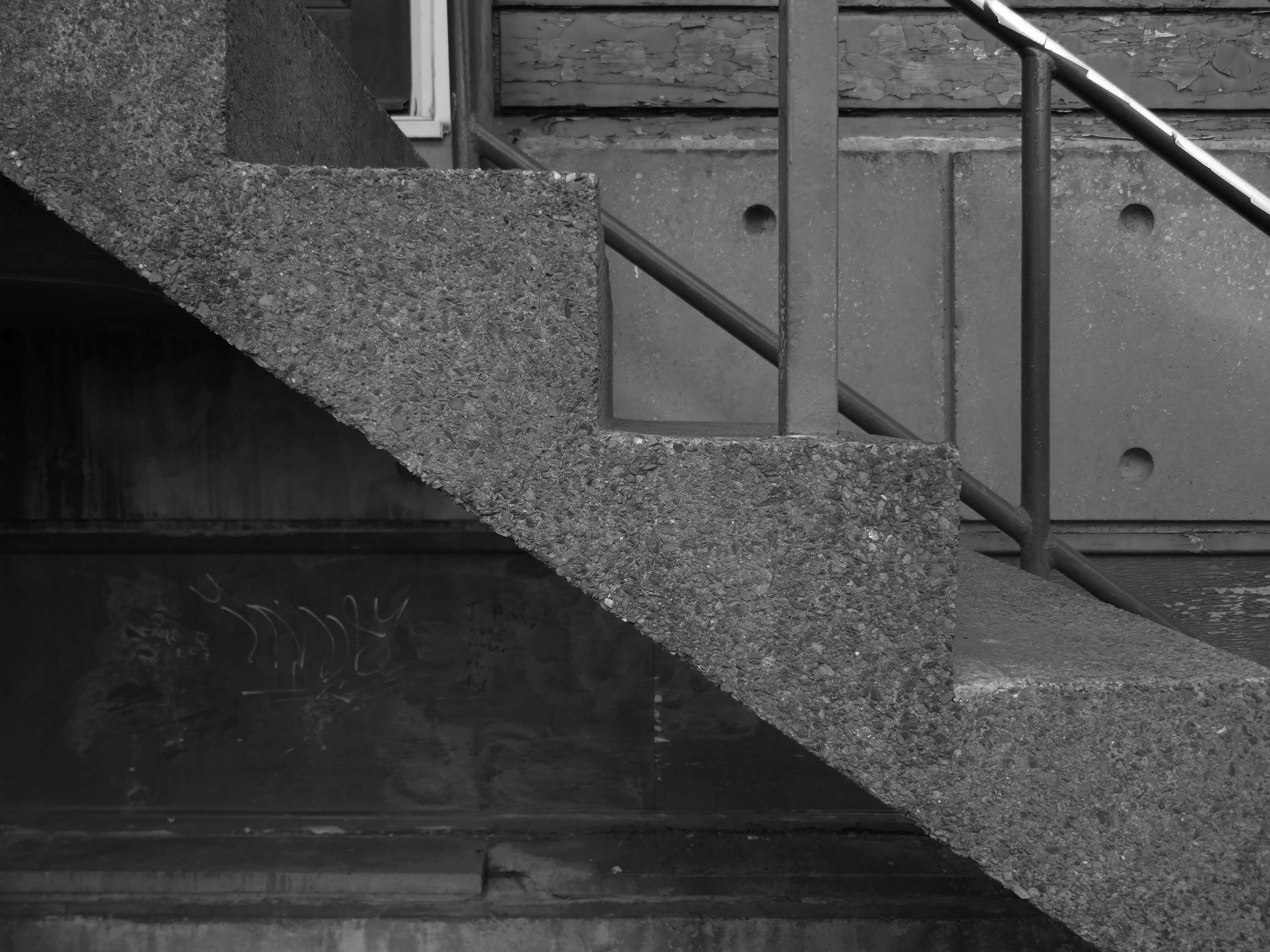
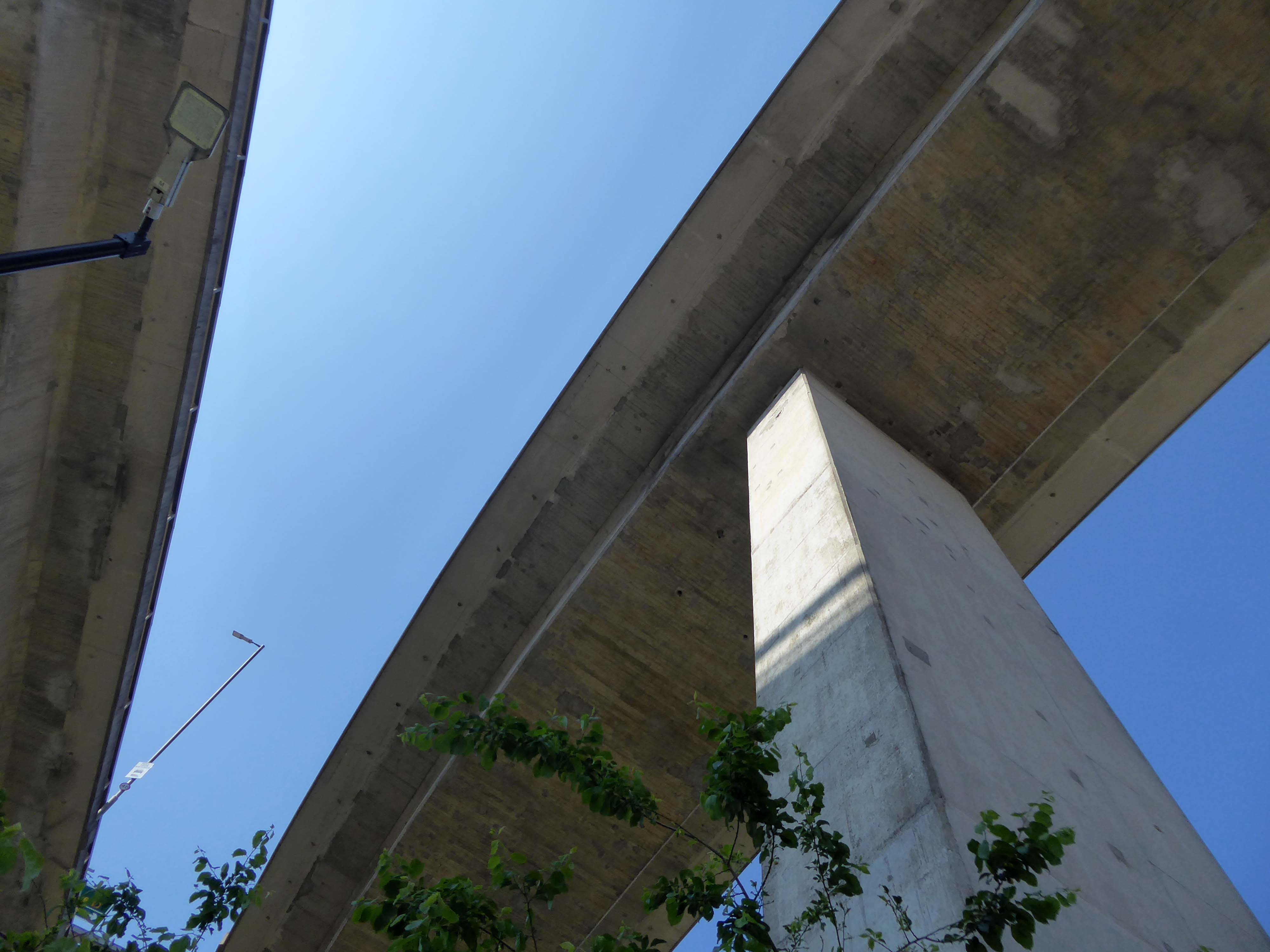
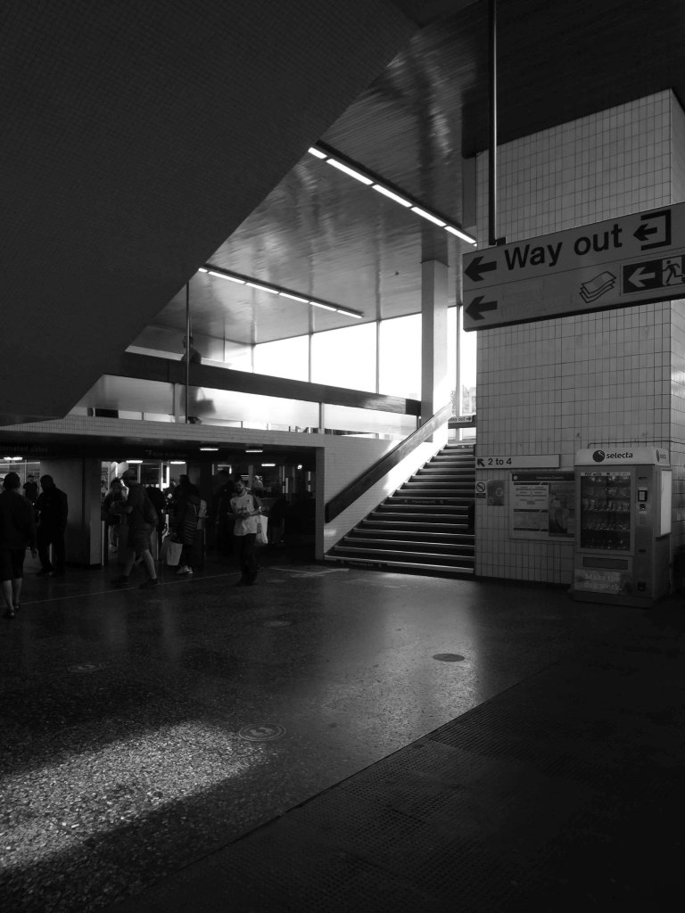
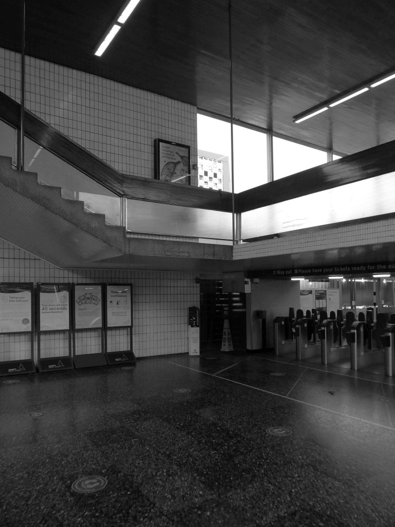
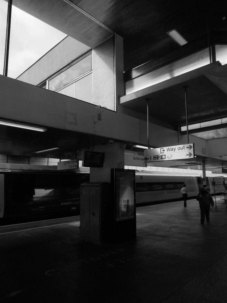
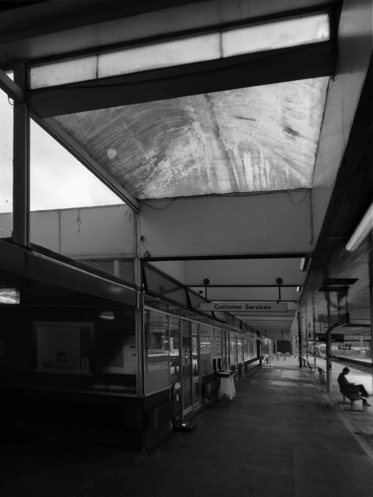
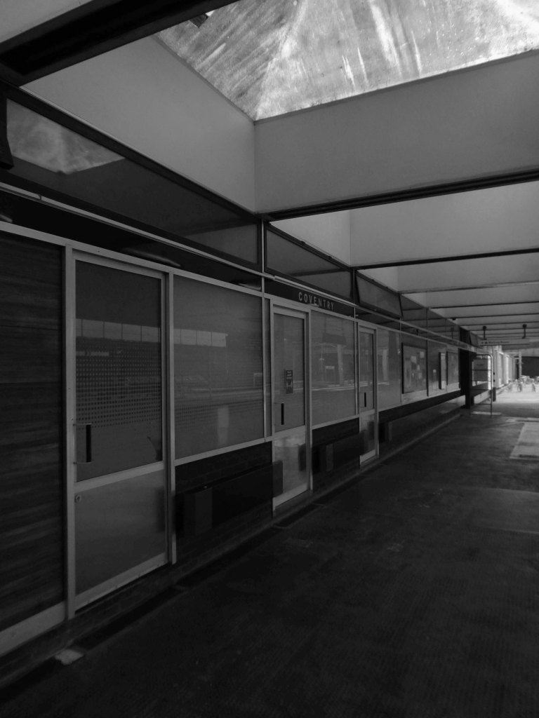
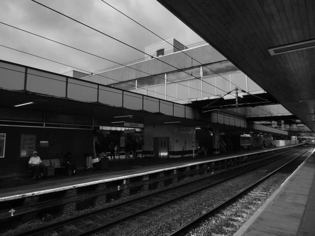
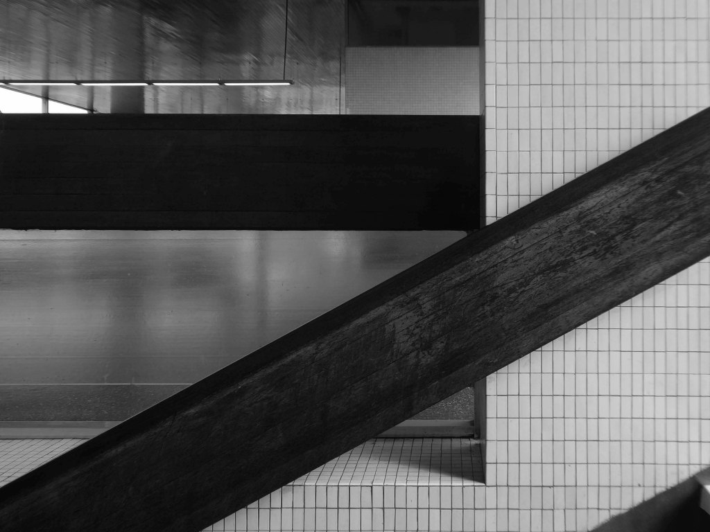
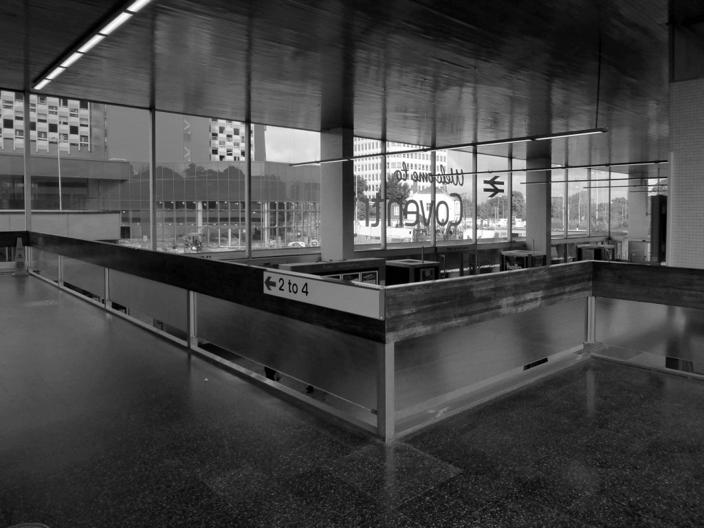
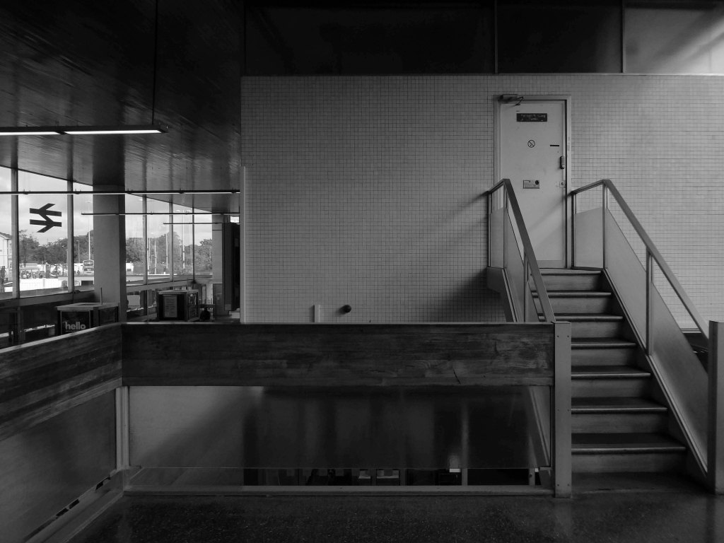
The current station was built in 1962, by the architect William Robert Headley, as part of the modernisation programme which saw the electrification of the West Coast Main Line.
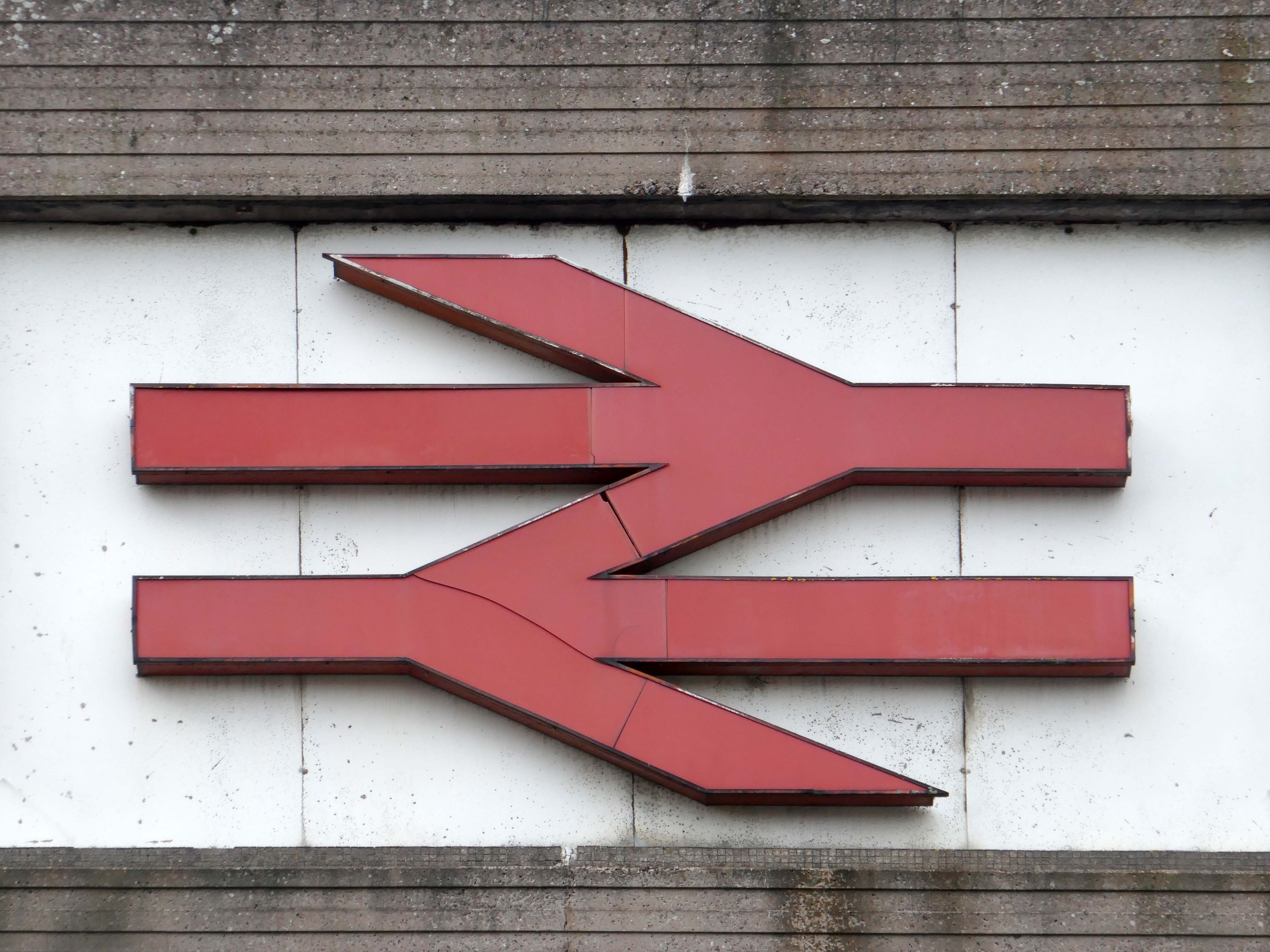
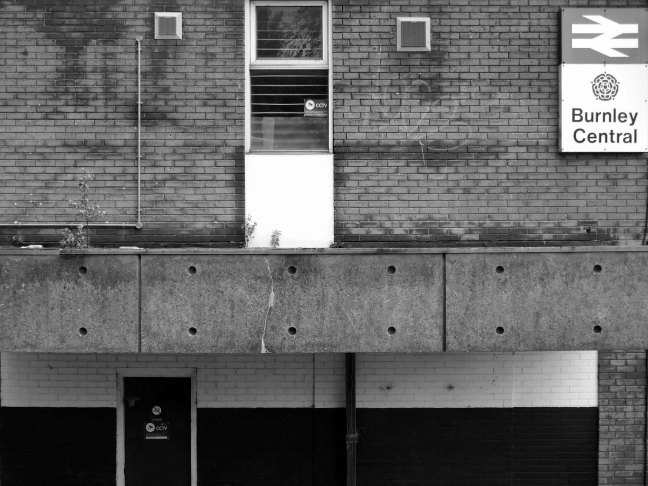
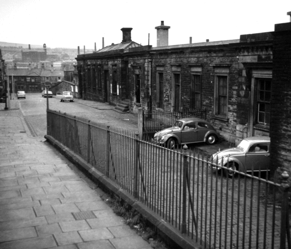
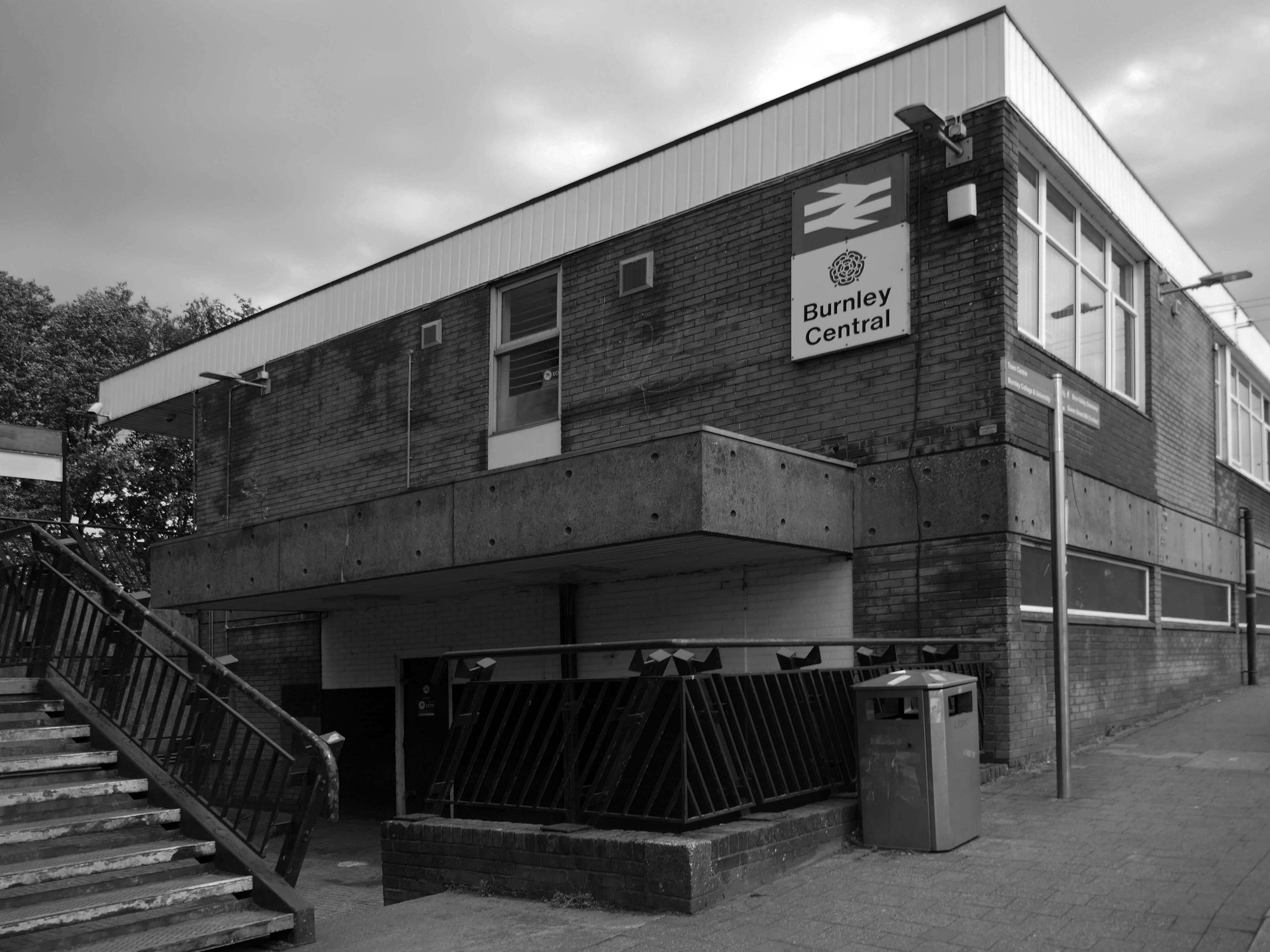
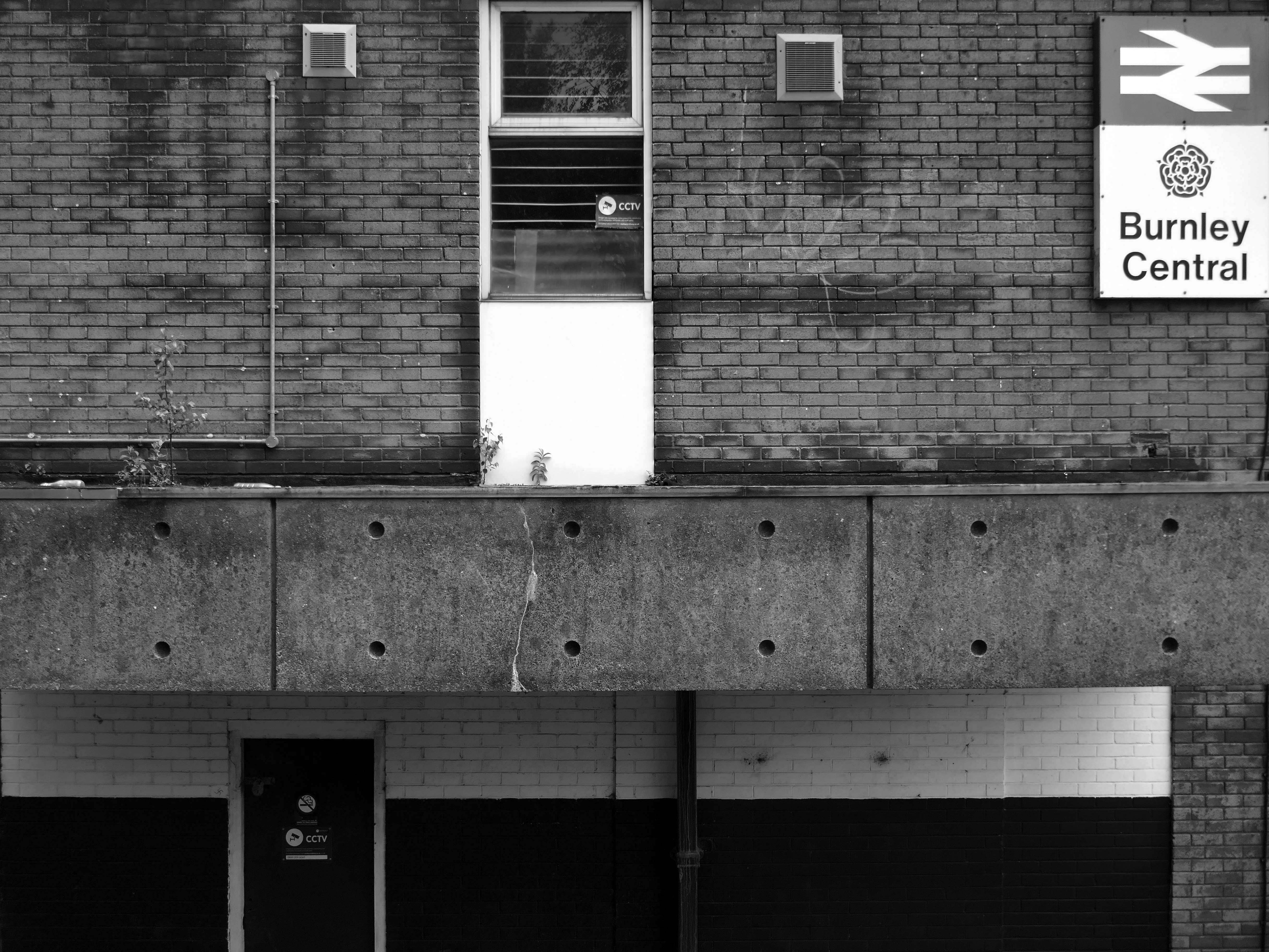
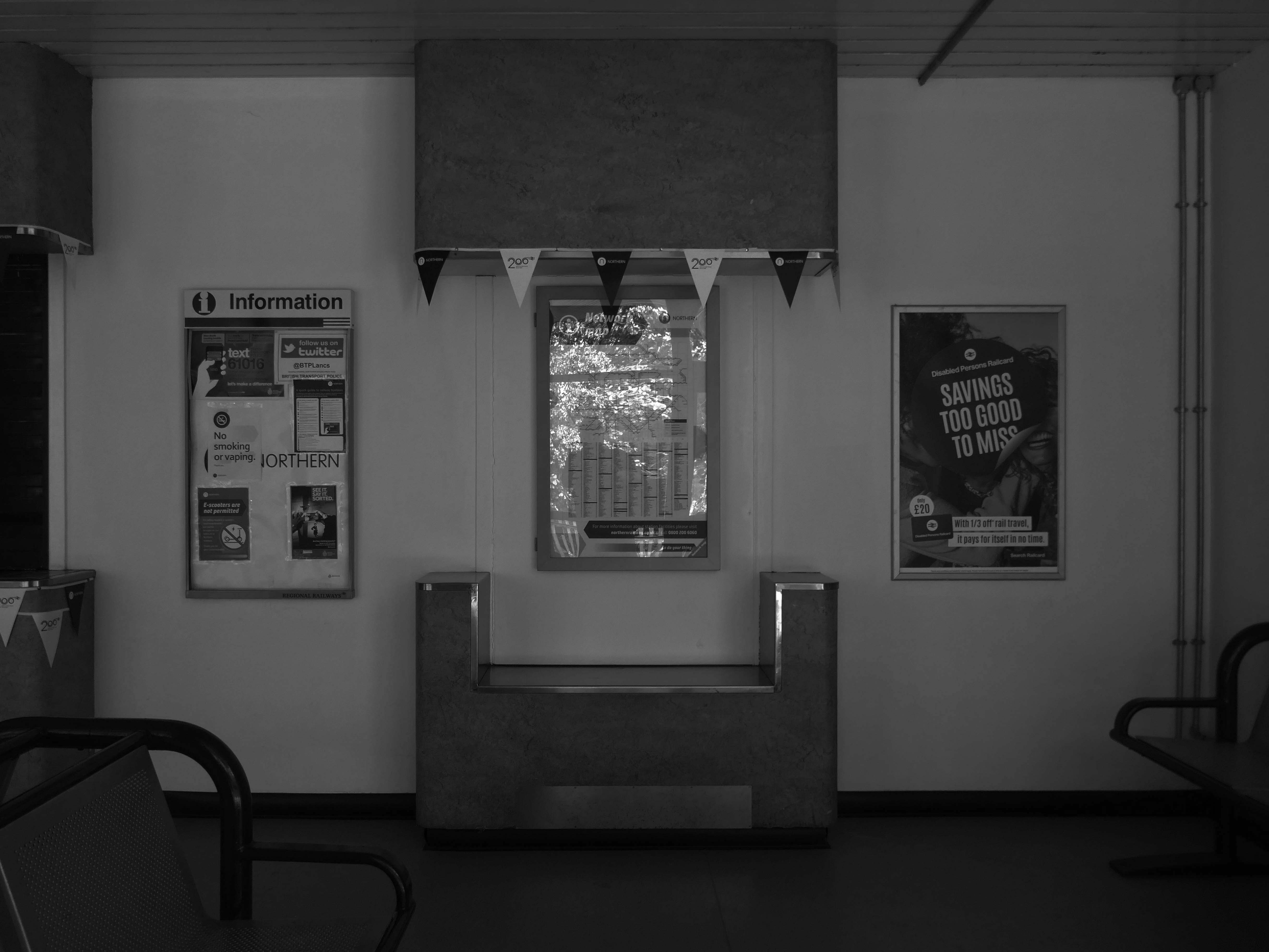
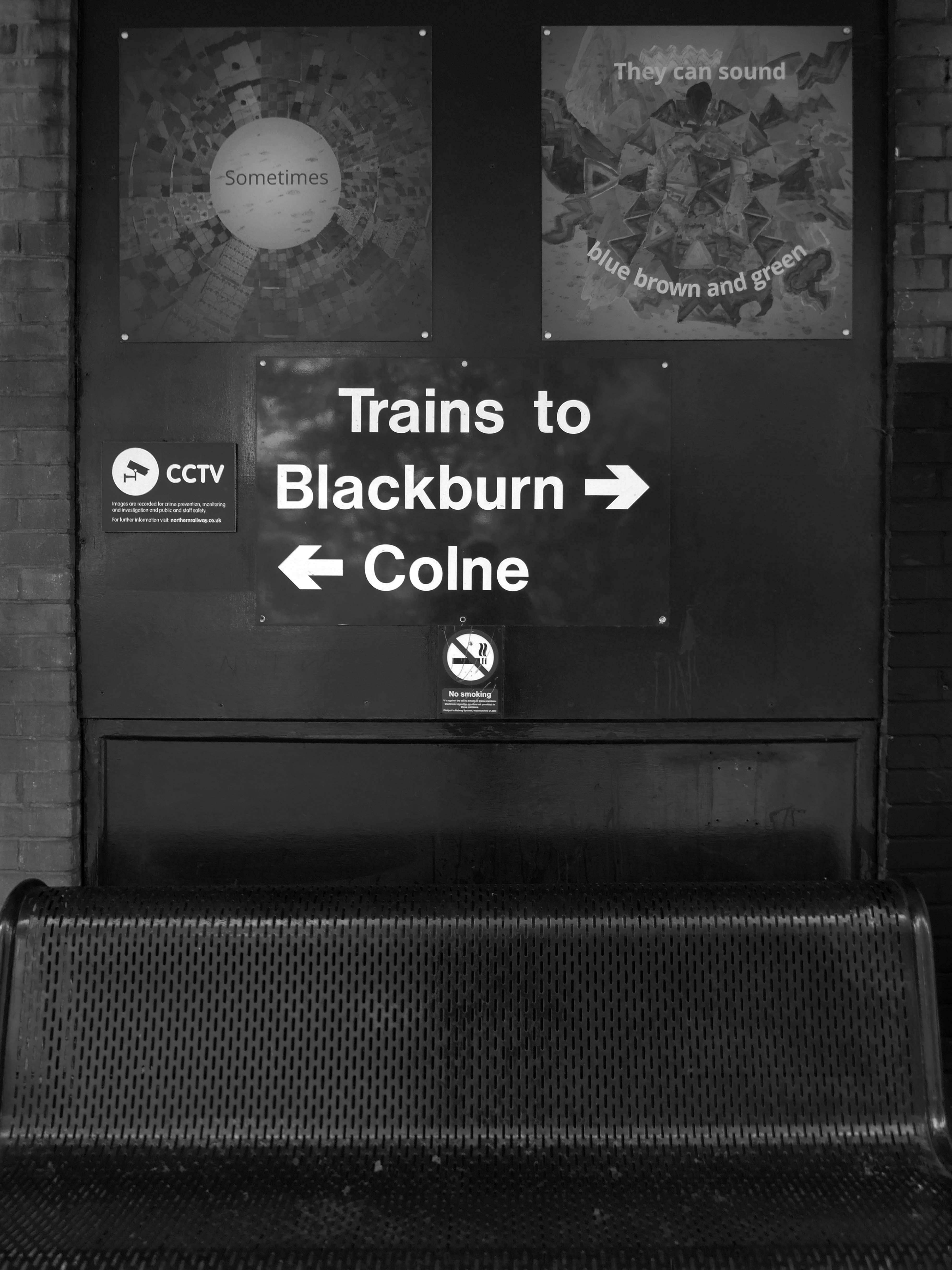
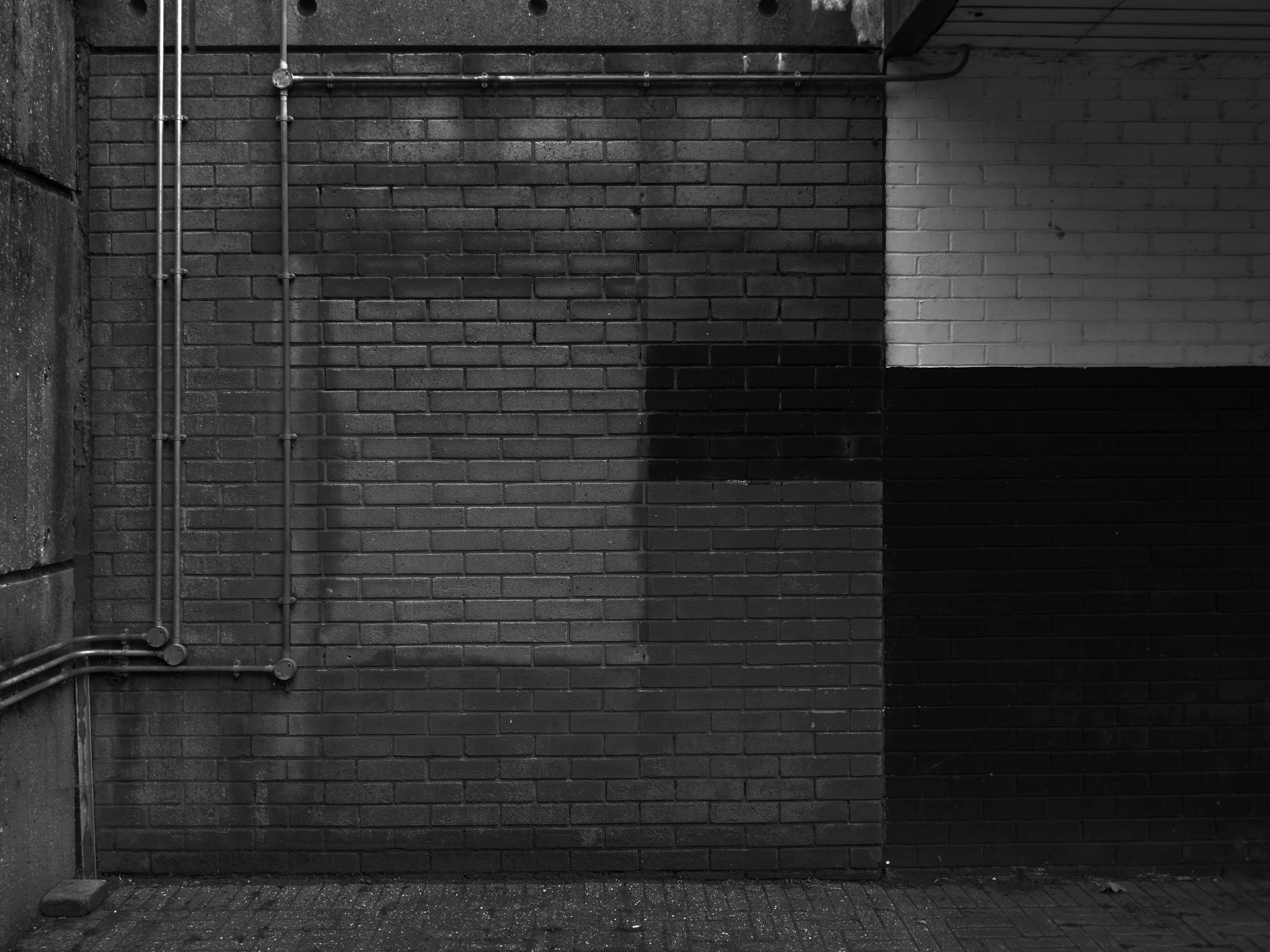
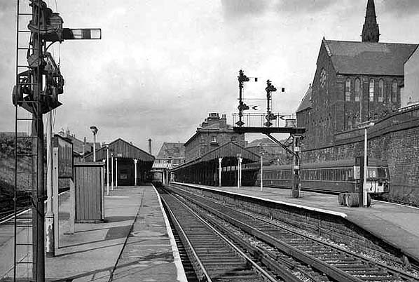
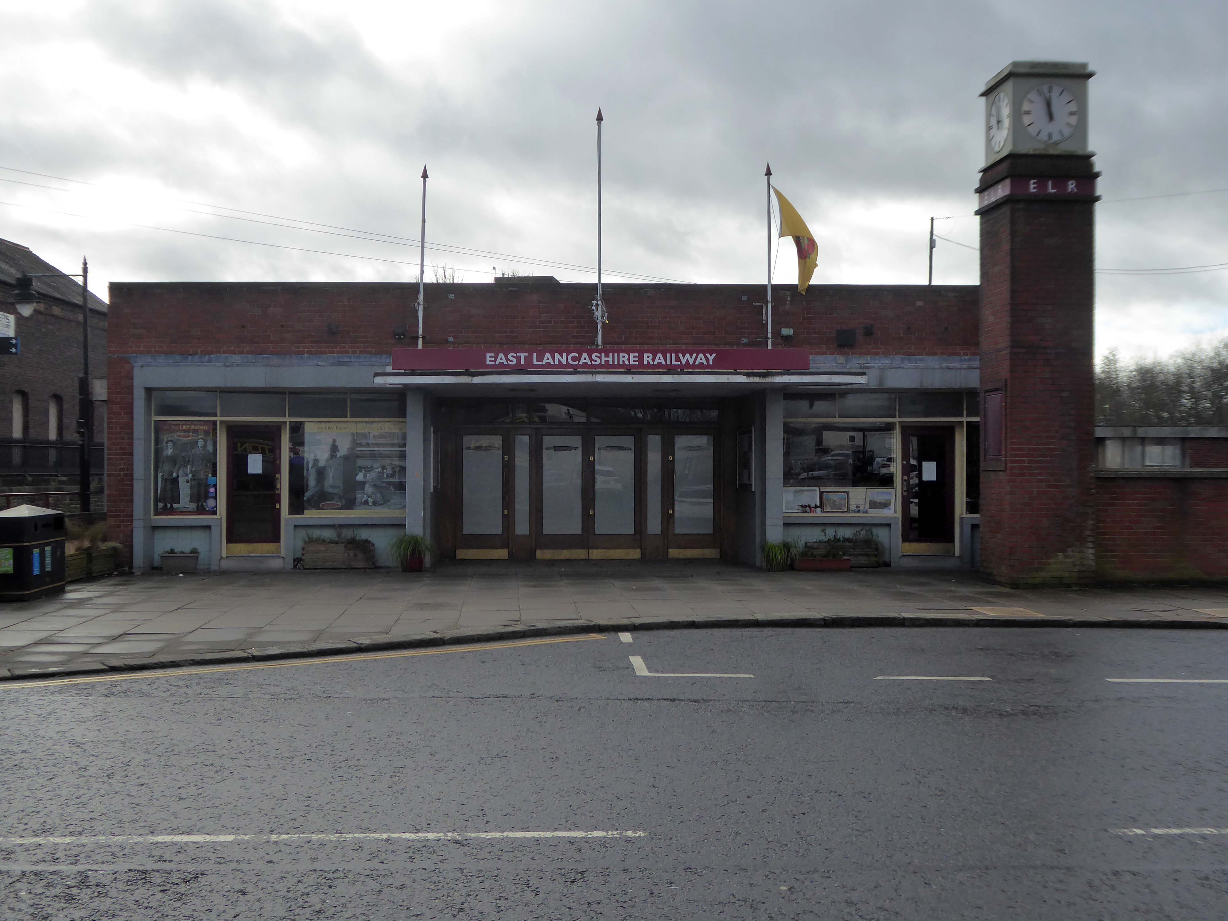
Burnley Central railway station is a stop on the East Lancashire Line, it is managed by Northern Trains, which also provides its passenger service.
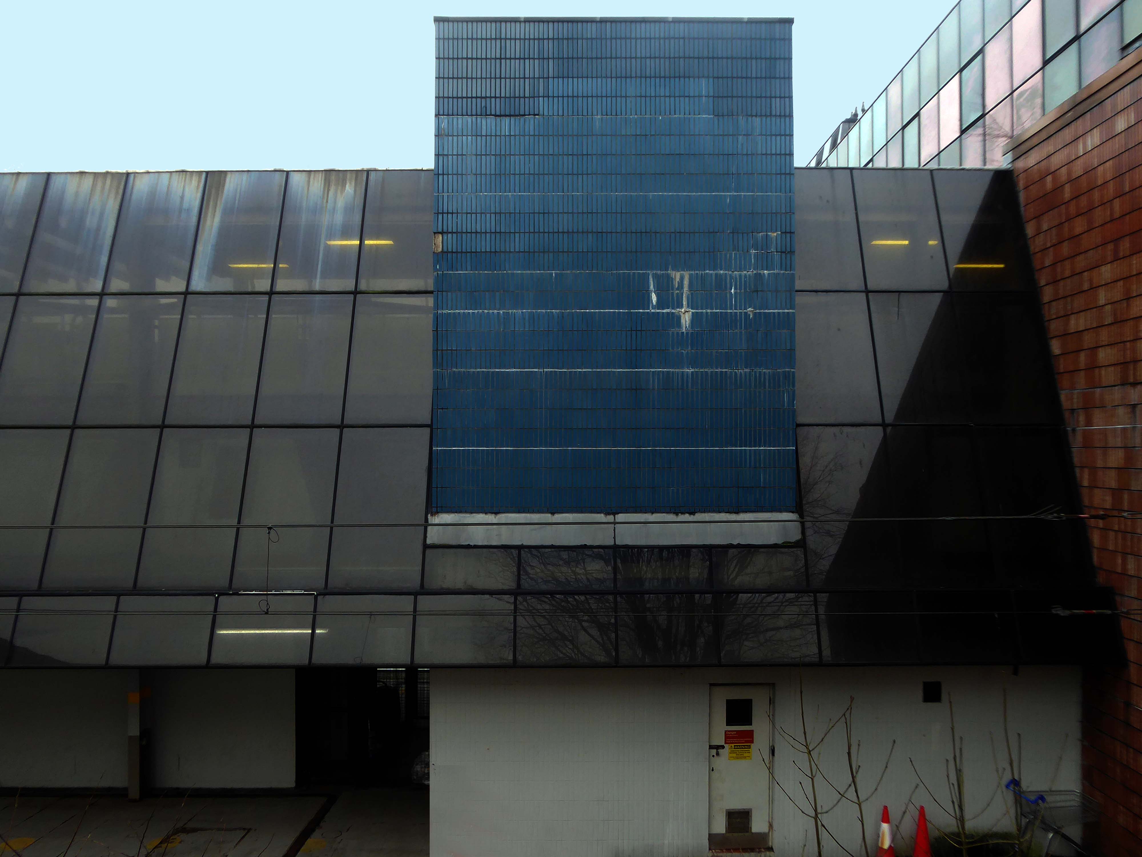
Architect: RL Moorcroft of British Rail 1964-1966
Described by Claire Hartwell in the Buildings of England Lancashire: North as – of blue brick, bleak.
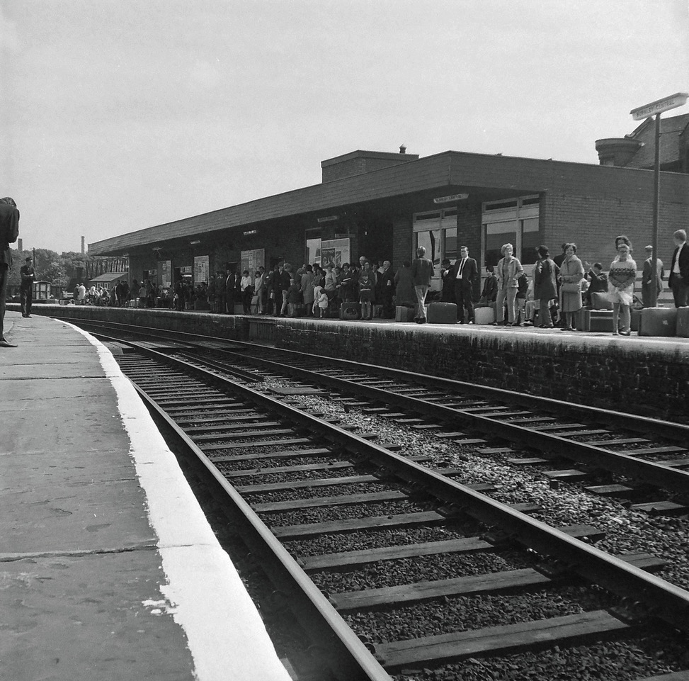
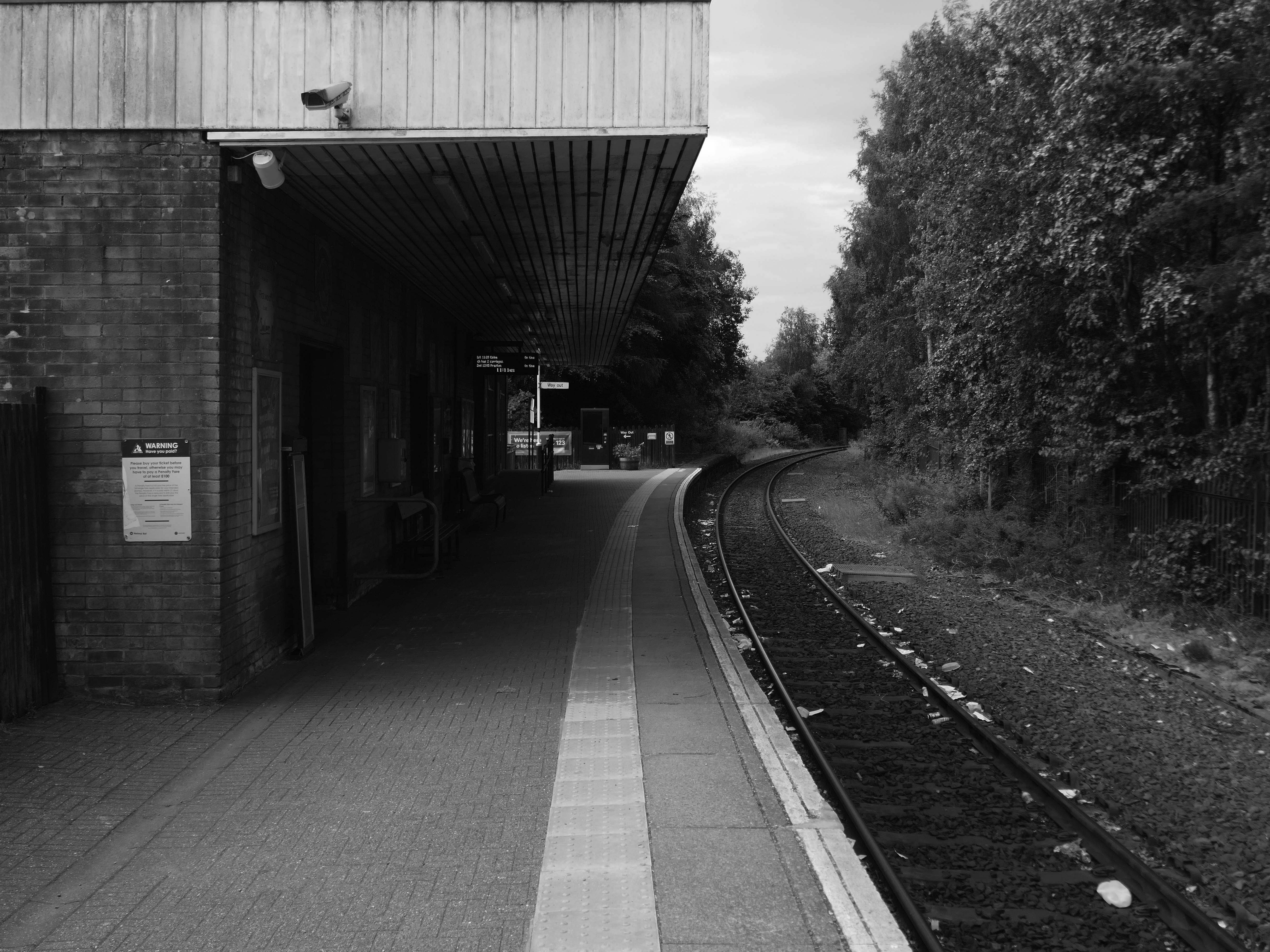
The station was opened by the East Lancashire Railway in 1848, as part of its route from Bury and Blackburn to Colne; here, an end-on junction was made with the Leeds and Bradford Extension Railway line from Skipton that had been completed several months earlier. The service from Colne through the station to Manchester Victoria, via Accrington and Bury, was well used from the outset by the owners of the local cotton mills, who travelled from their homes in the area to make their purchases of raw cotton at the Royal Exchange several times each week. It was also possible to travel from the station by direct train to Blackpool, Liverpool and Skipton and even through to London Euston, via Blackburn, Manchester Victoria and Stockport.
1964 Red Rose Collections.
However, the cutbacks of the 1960s affected the station badly, with through trains to Manchester via Bury ending in 1964 (two years before the withdrawal of the Accrington to Bury service) and those to Liverpool in 1969 whilst the line to Skipton was closed to all traffic in 1970. This left the station on a 10.5 km long dead-end branch line from Rose Grove to Colne.
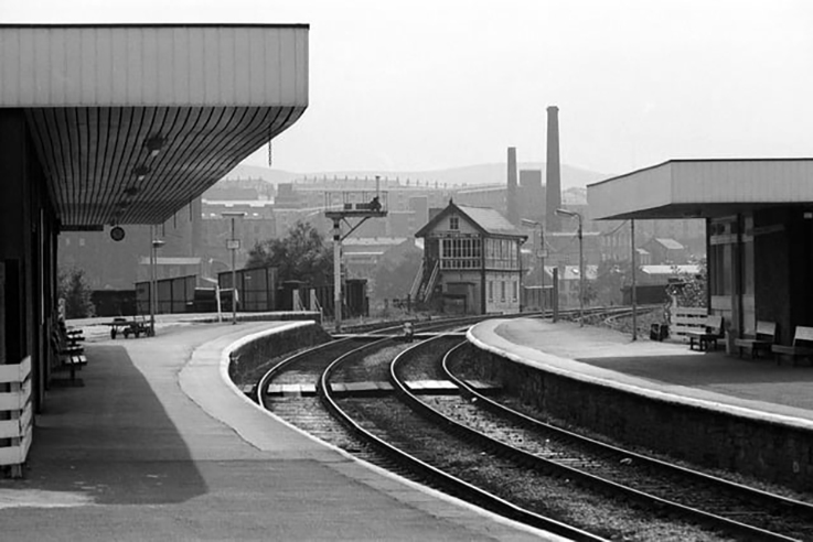
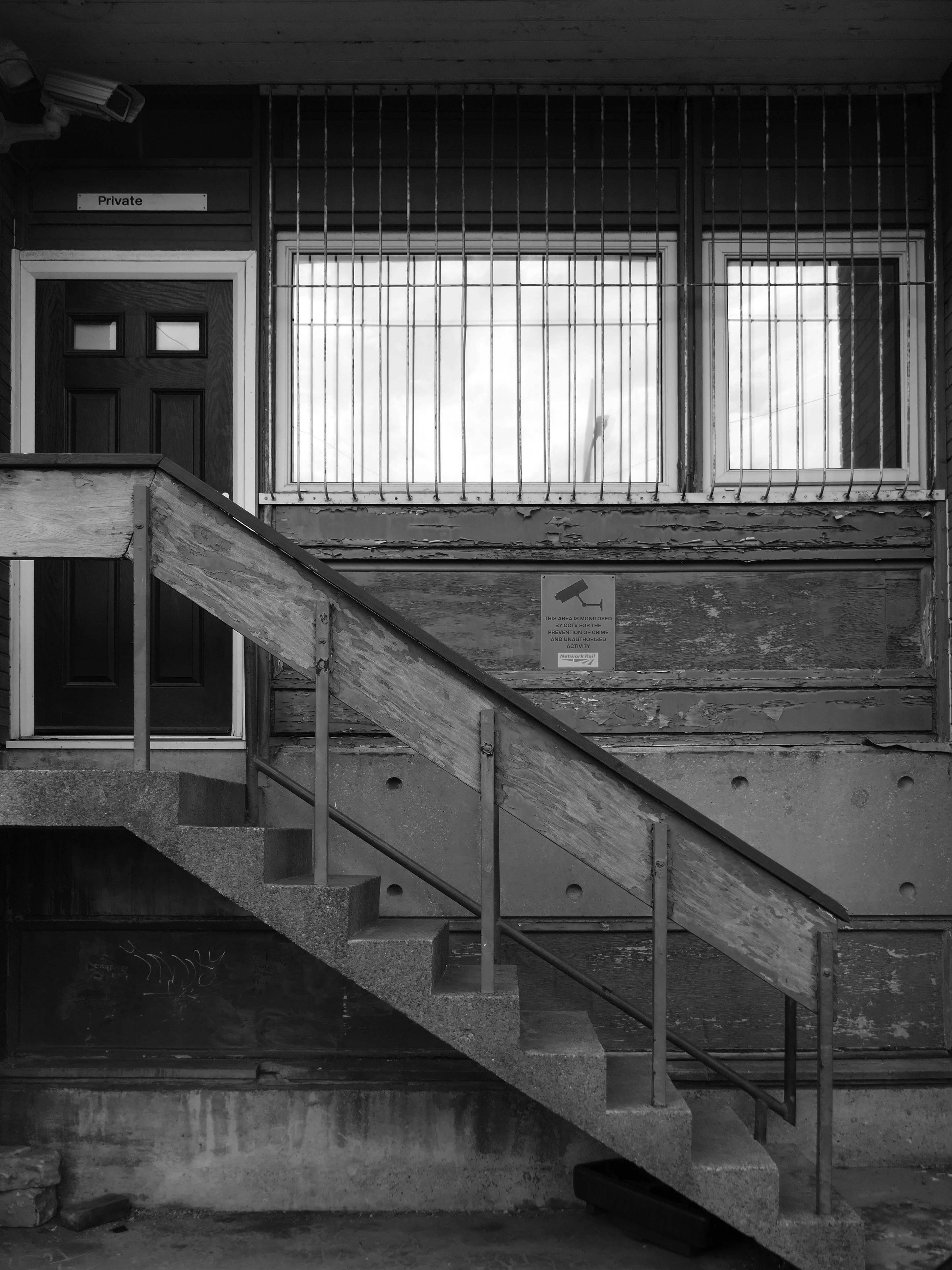
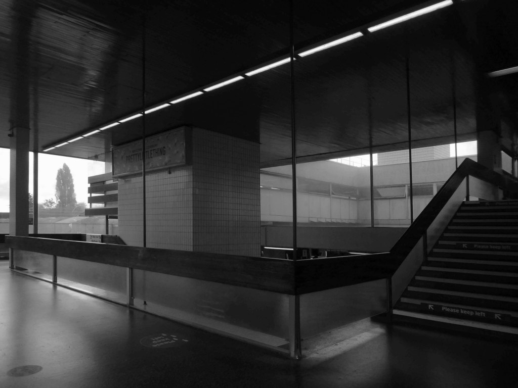
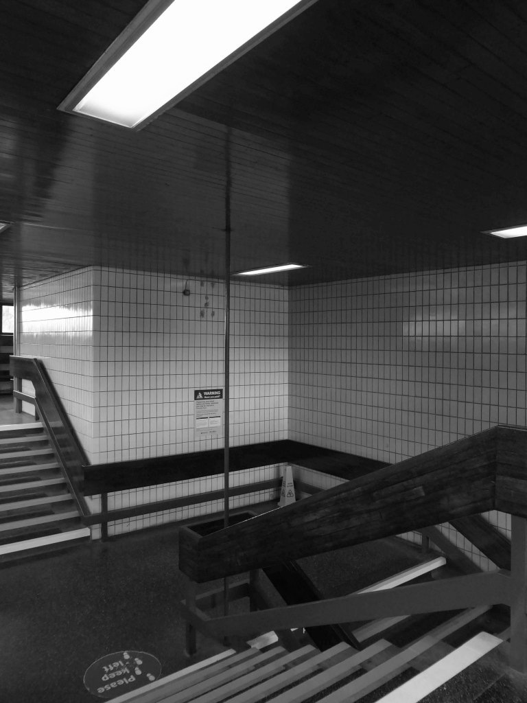
The station was rebuilt in 1965, its ground floor is at street level and the first floor at platform level.
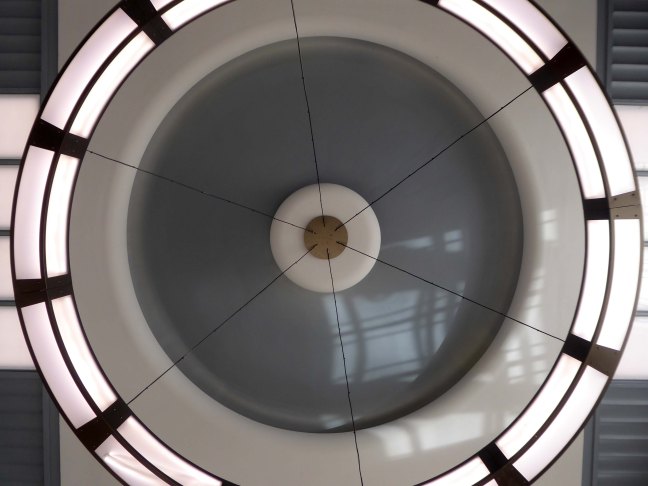
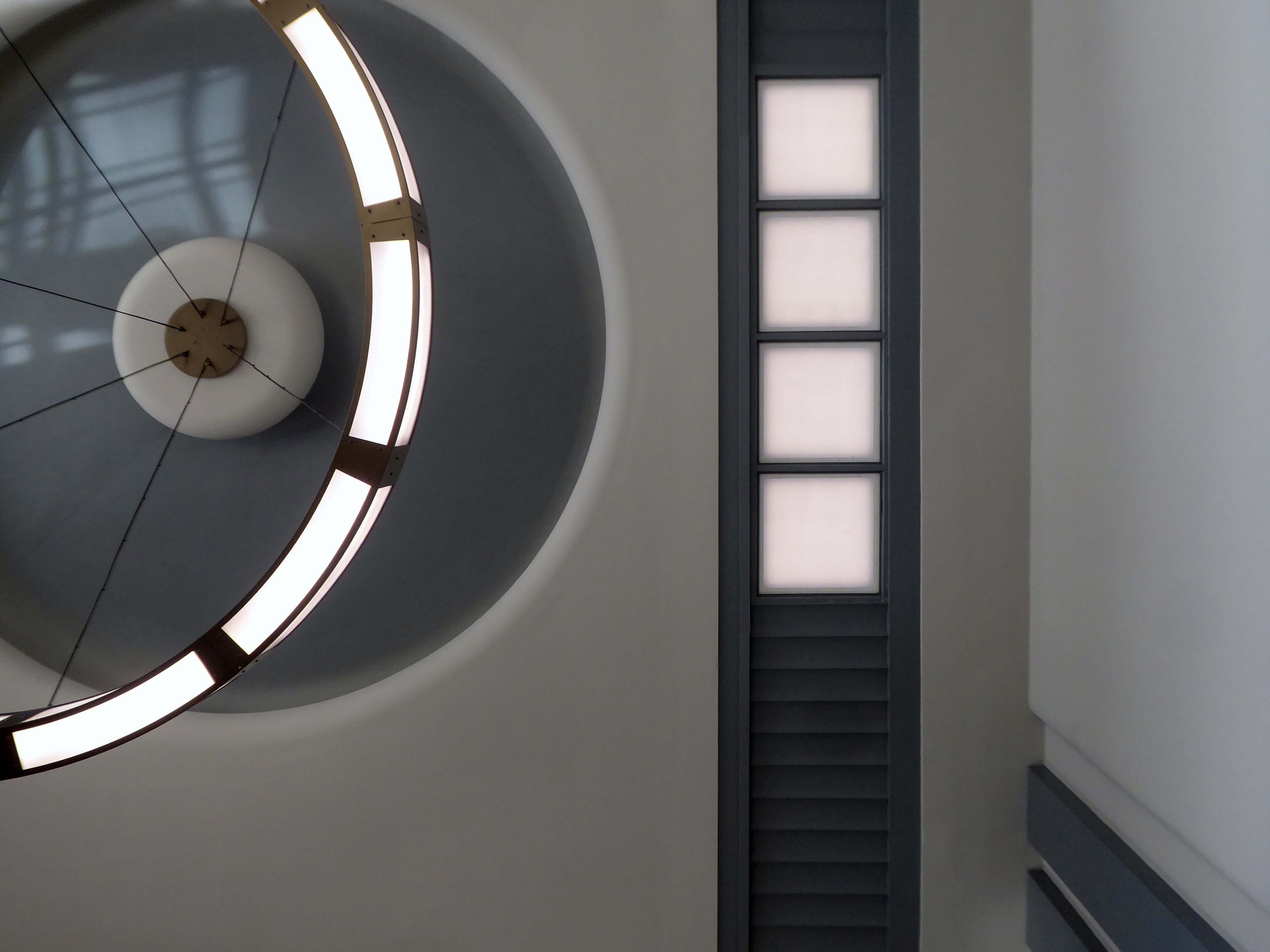
Arriving by train and ascending into the light – here’s the station lights.
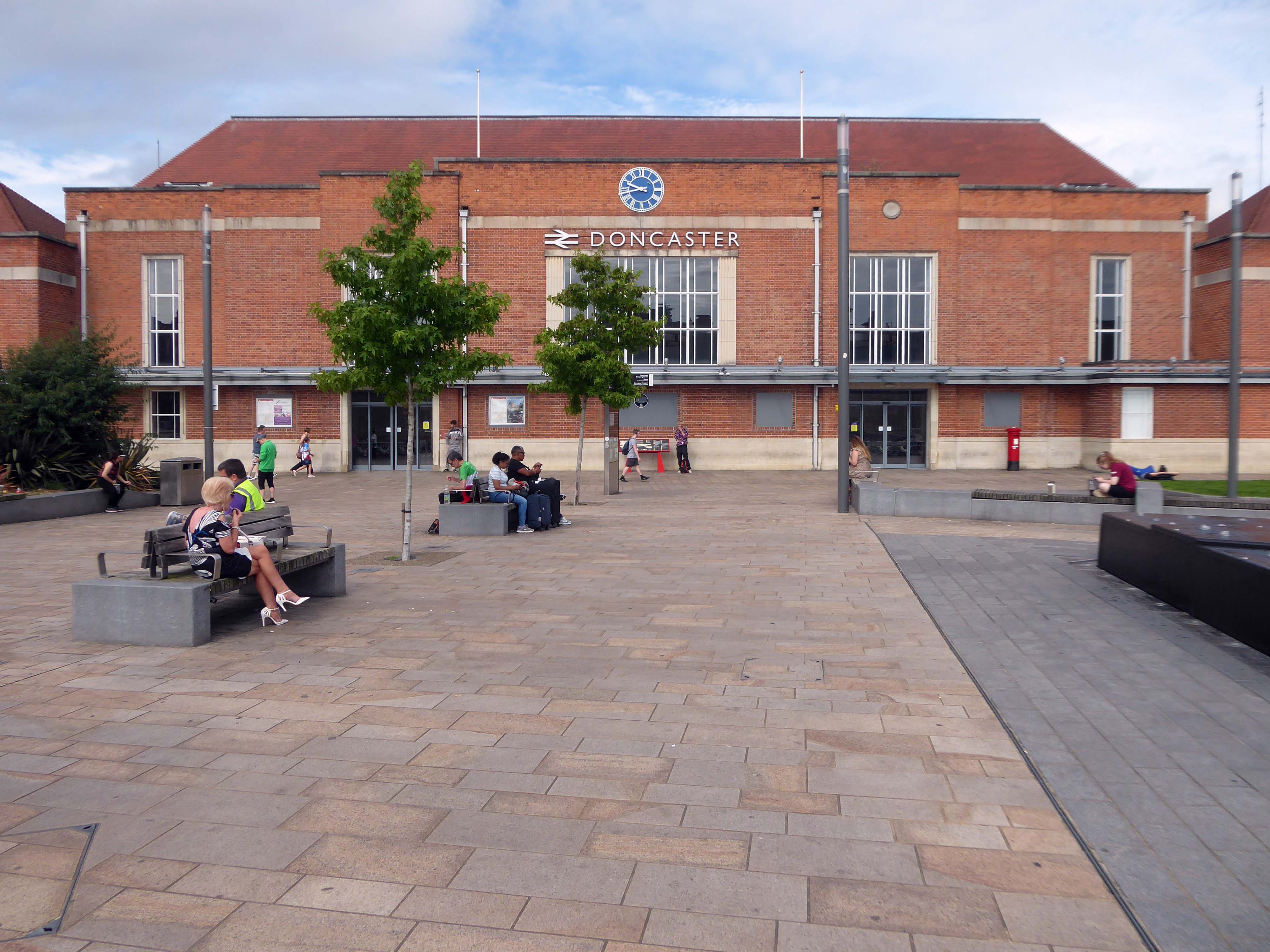
The railway station has sharpened up its apron and facade.
We have transformed the station forecourt. It has become a quality gateway which delivers a great first impression for visitors arriving in Doncaster by train. This will help stimulate interest from investors and developers, helping to attract new investment and create jobs for the borough and wider region.
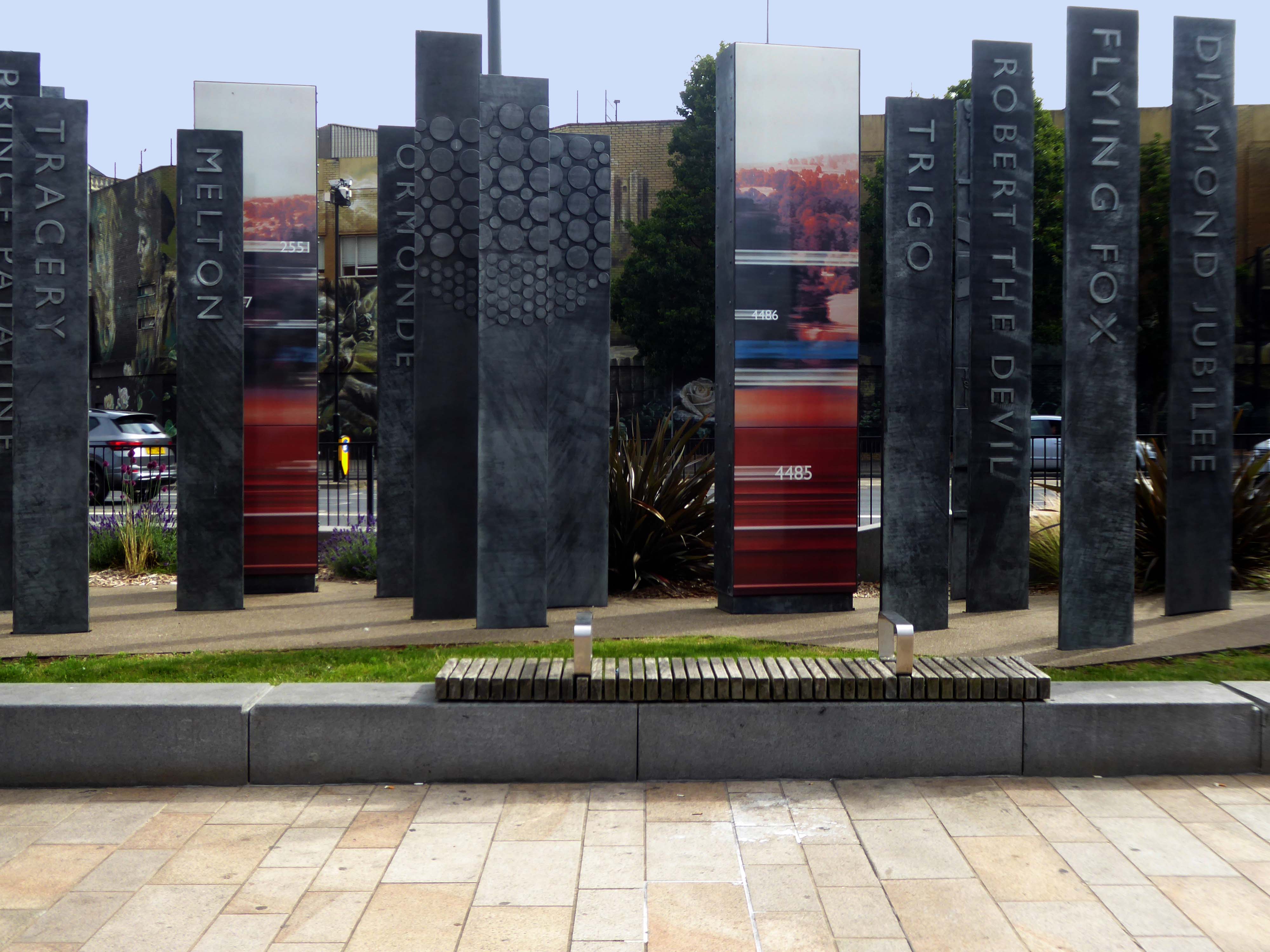
Celebrating engineering, speed and connectivity and stretching forty metres in length the public art at Doncaster Station consists of forty seven monoliths which are a nod to Doncaster’s past, present and future. With a fountain and three impressive water walls, the art takes centre stage in the new public space as you step out of the train station and head into the town centre.
The concept was devised by Doncaster Council and further developed by Chris Brammall.
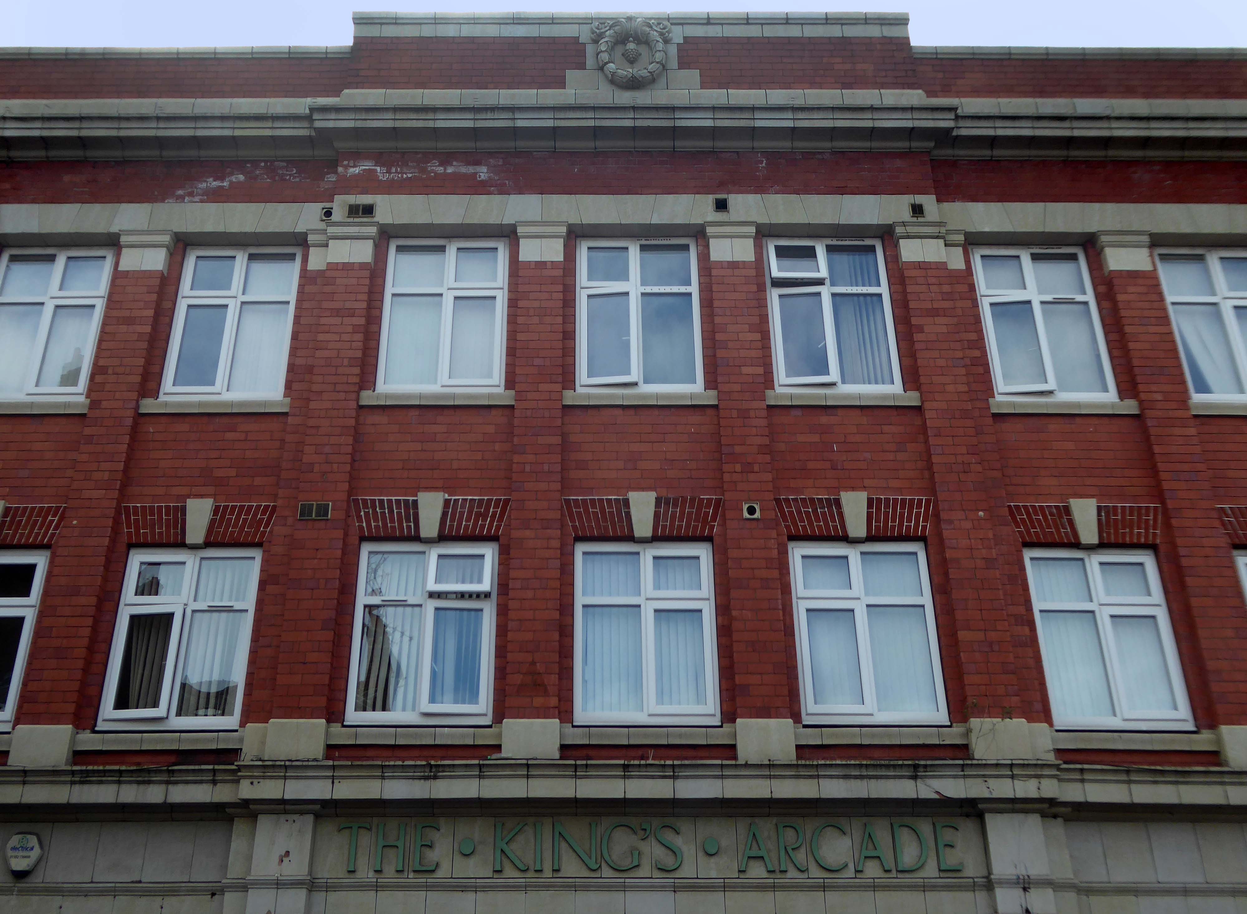
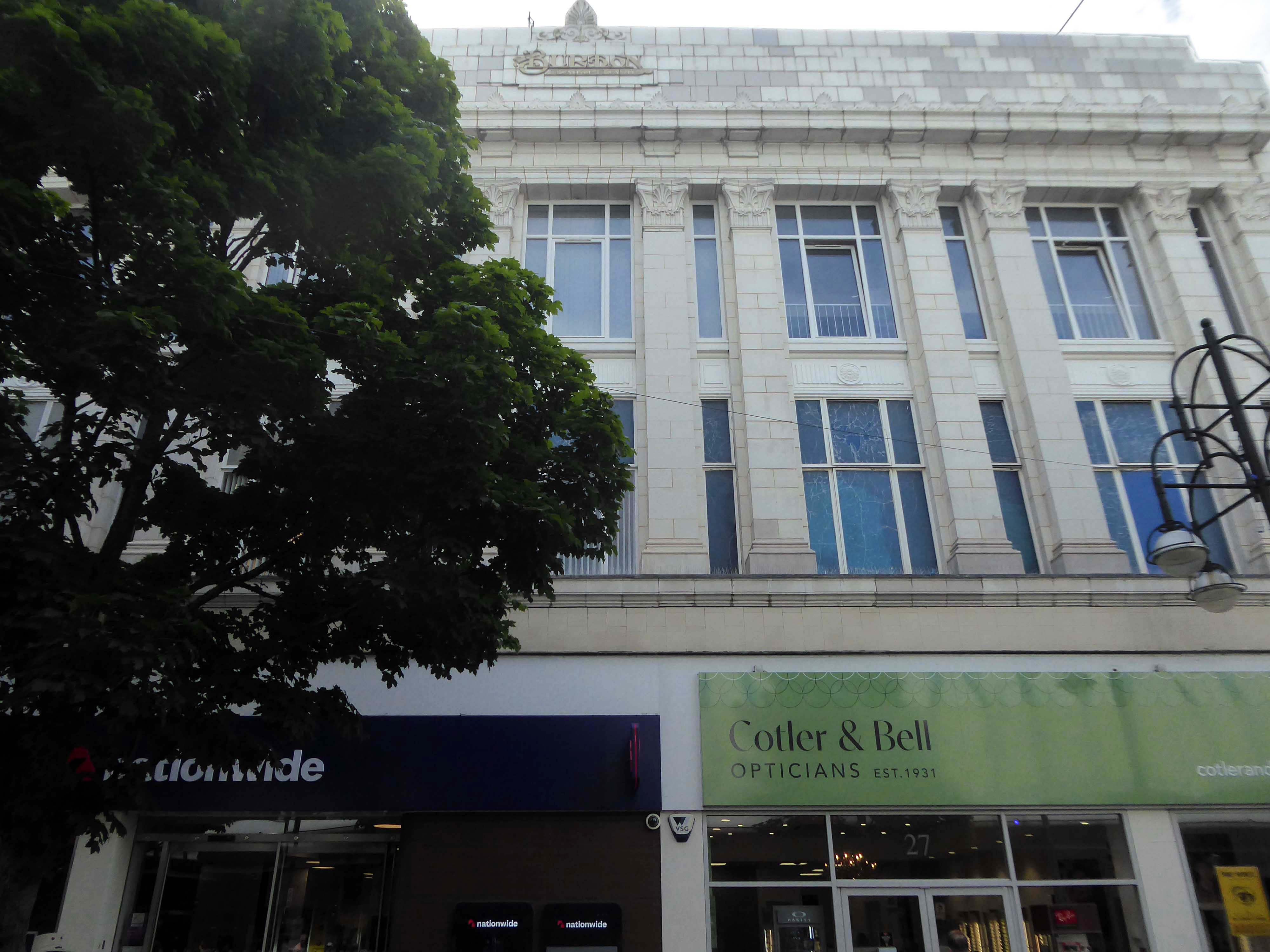
Typically the high and low streets of Britain’s industrial towns and cities, are an amalgam of architectural style and fashion, spanning at least two or three centuries.
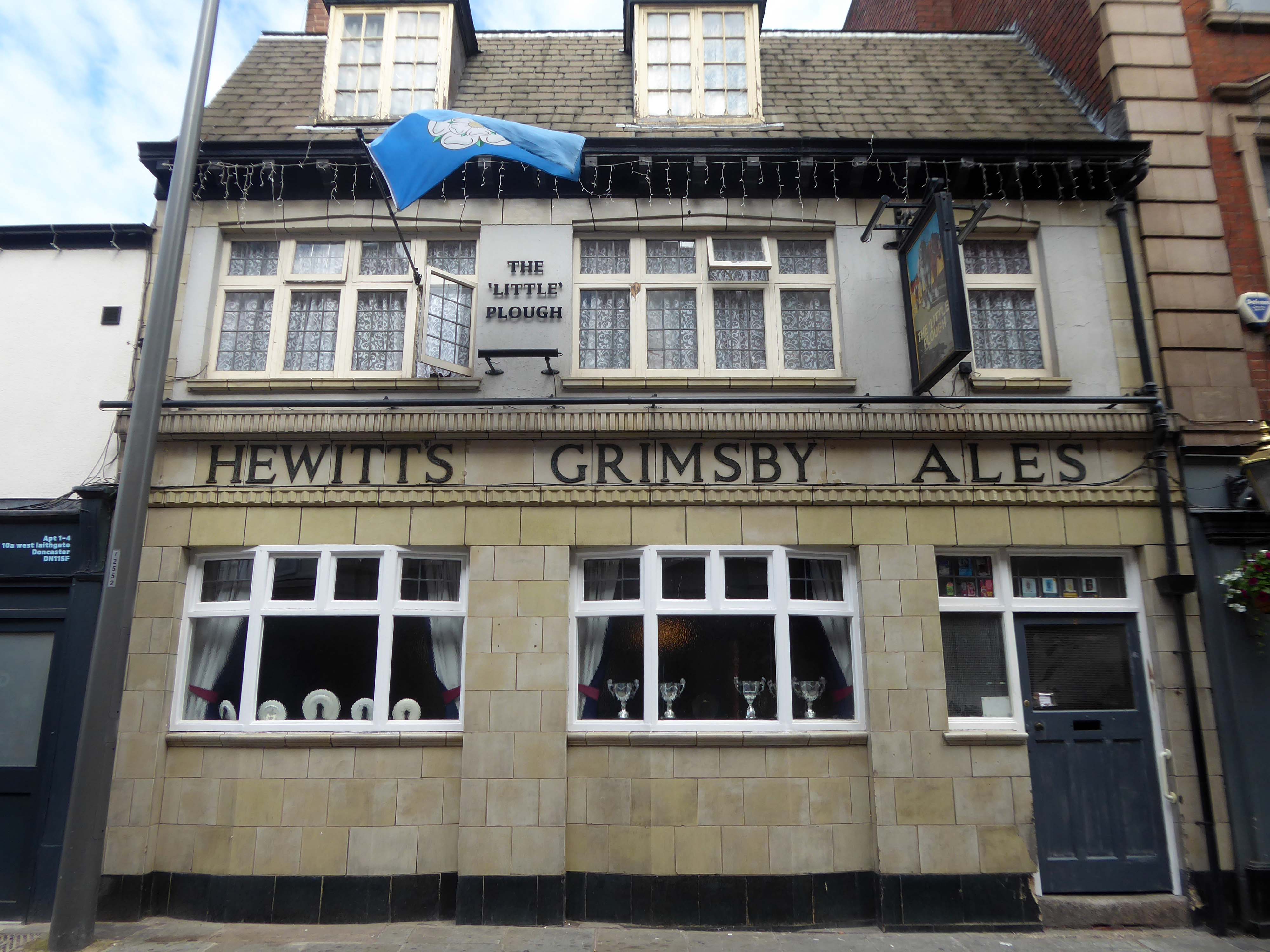
Behind the buff faience frontage is a lovely, small two-room pub with a well preserved interior created under plans of 1934. It was remodelled by the Grimsby brewers Hewitt Brothers Ltd who were Doncaster’s biggest pub owners for many years.
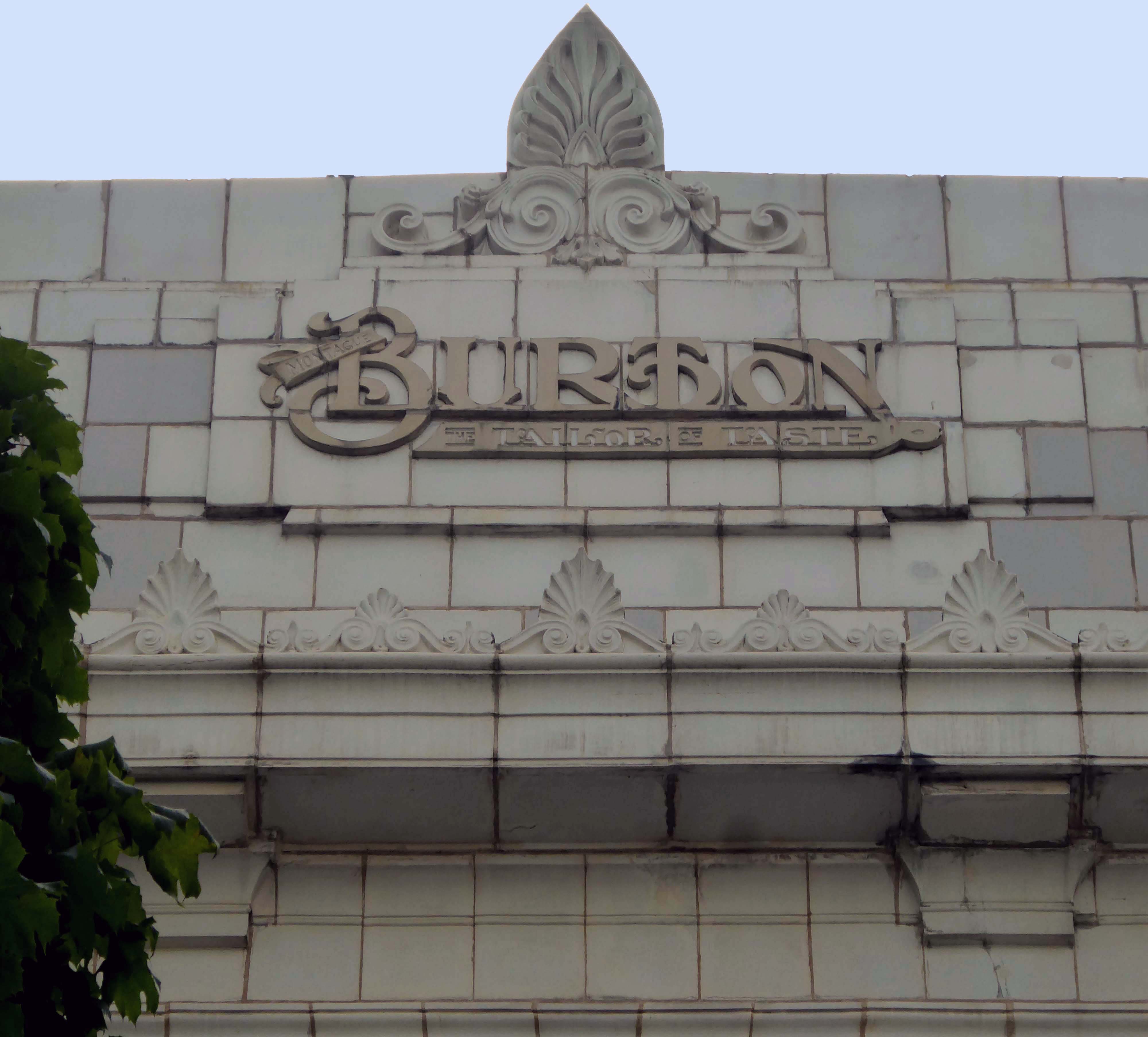
Of course, every town had a Burton’s – the tailor of taste.
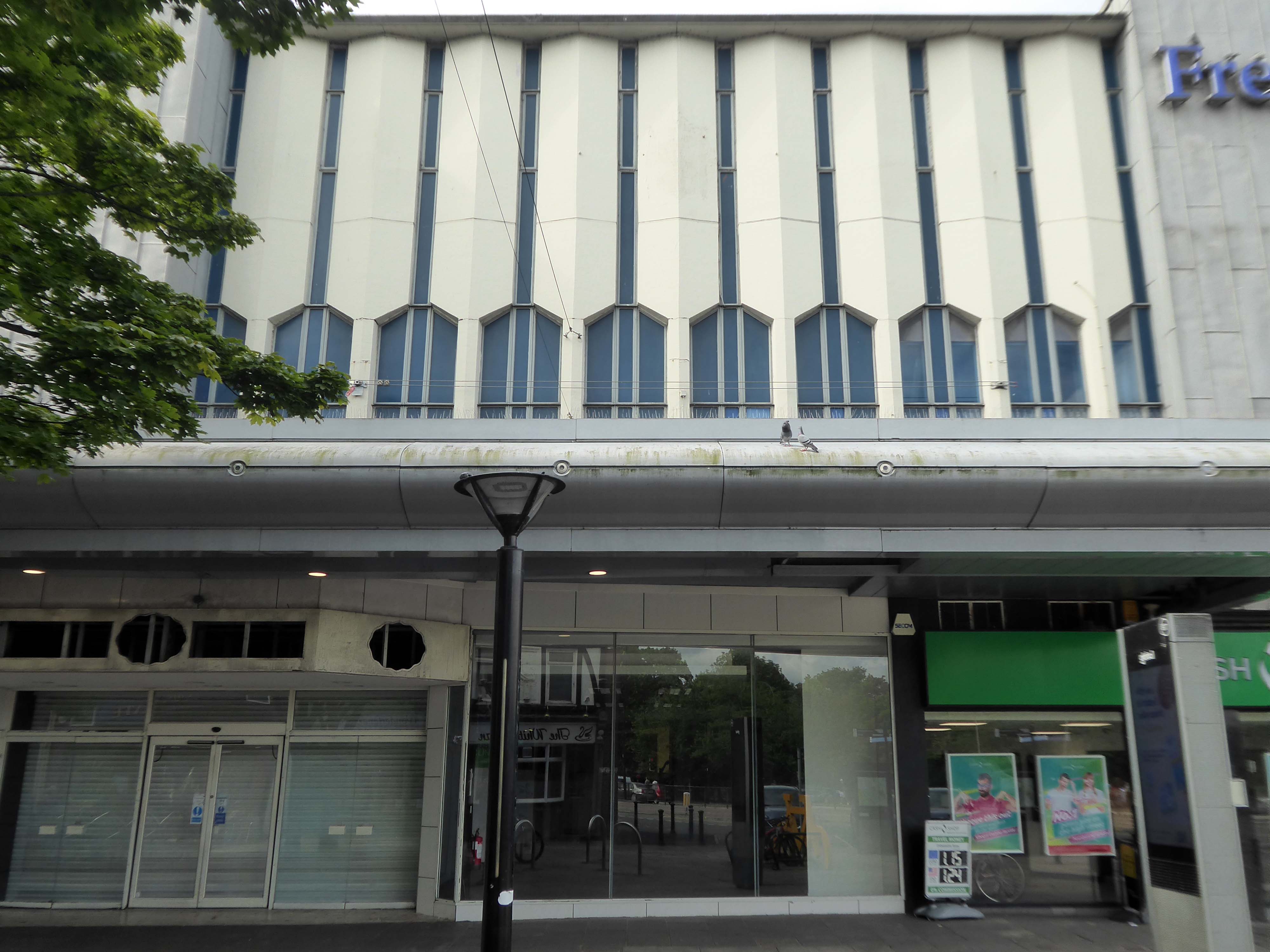
This post war infill has that distinctive Festival of Britain feel, original metal window frames, Portland stone and blueish slate like panels.
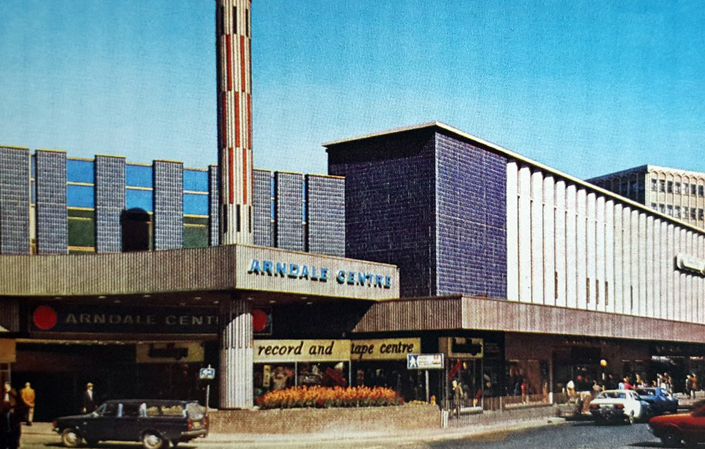
The revamped Frenchgate Shopping Centre, officially opened on October 4th 1968, has in places an upper tier, resistant to zinc over cladding.
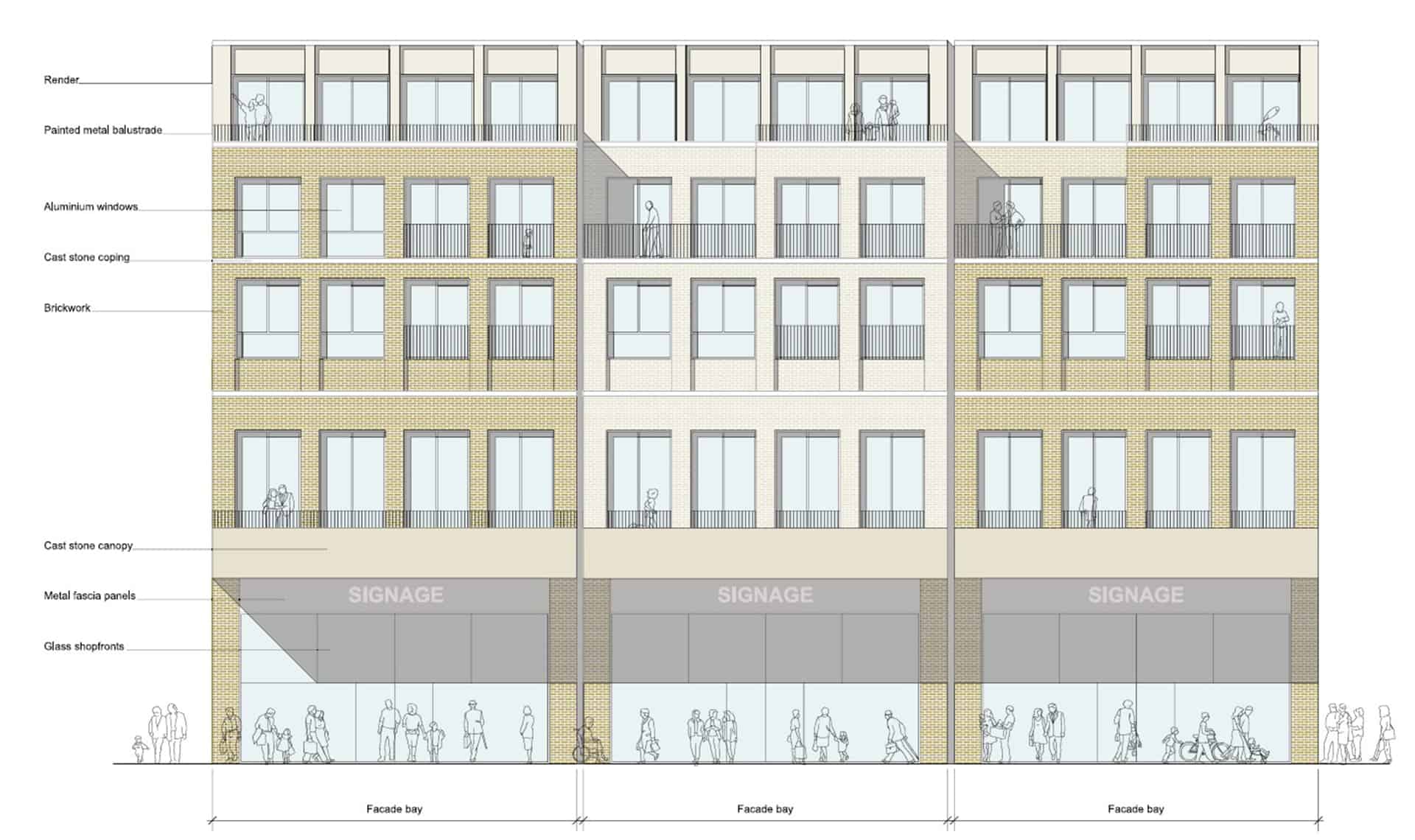
The centre has been the heart of the city for over 40 years and was originally called the Arndale Centre because it was built, owned and managed by the Arndale Group. It was renamed in 1988 after a change of ownership, with the new name reflecting the name of the street which passes to the east of the centre and which is one of Doncaster’s main shopping streets.
The sale of the centre came just a year after Frenchgate had undergone a £200 million facelift to transform it into the country’s first shopping centre with integrated public transport and retail interchange.
We propose this is fundamentally transformed though the addition of apartments that wrap along the back of the first-floor retail with a further 2.5 new storeys placed on top. We also feel additional height -up to seven or eight storeys, is justifiable to the corner of Frenchgate and Trafford Way.
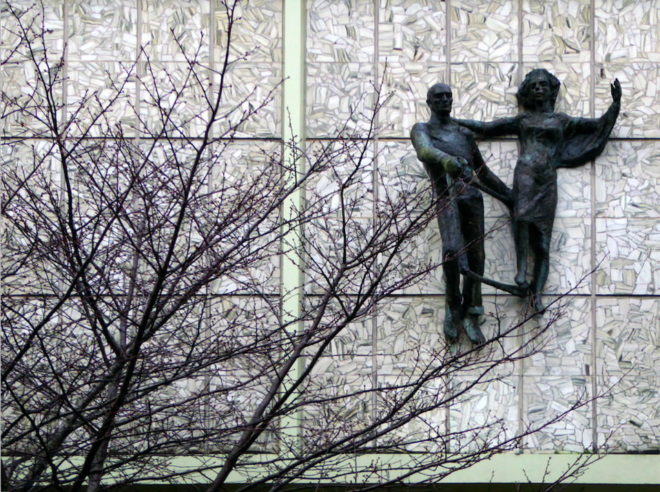
The Lovers were once located in the Arndale, removed to a local garden, unloved – then later reinstated in the Waterdale Centre, where we will embrace them a little later.
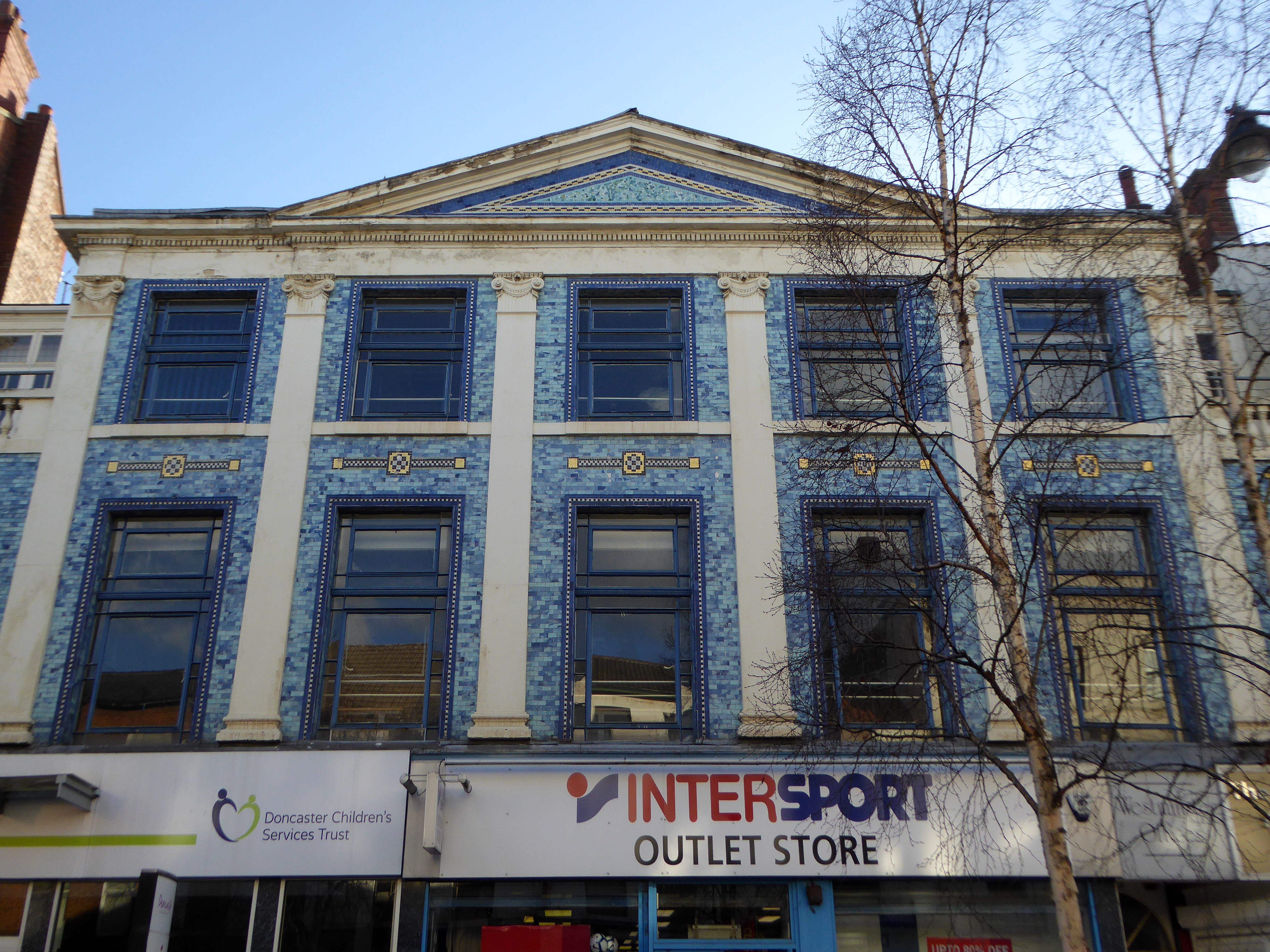
Turn right to take in the 1920s mosaic remake remodel of the Grade II listed Blue Building.
The Blue Building which used to be the Doncaster Design Centre and Tourist Information Centre was originally the home of John Whitaker, a wine merchant, and son of James Whitaker who was Mayor of Doncaster in 1758.
In 1925 the complete building was demolished apart from the facade which was retained and given a facing of decorative blue tiles. The intention was to build a shopping arcade from High Street to Printing Office Street. Only part of the arcade, known as the Westminster Arcade was built. It had a number of shops, the largest being that of Woodhouse & Co Furnishers.
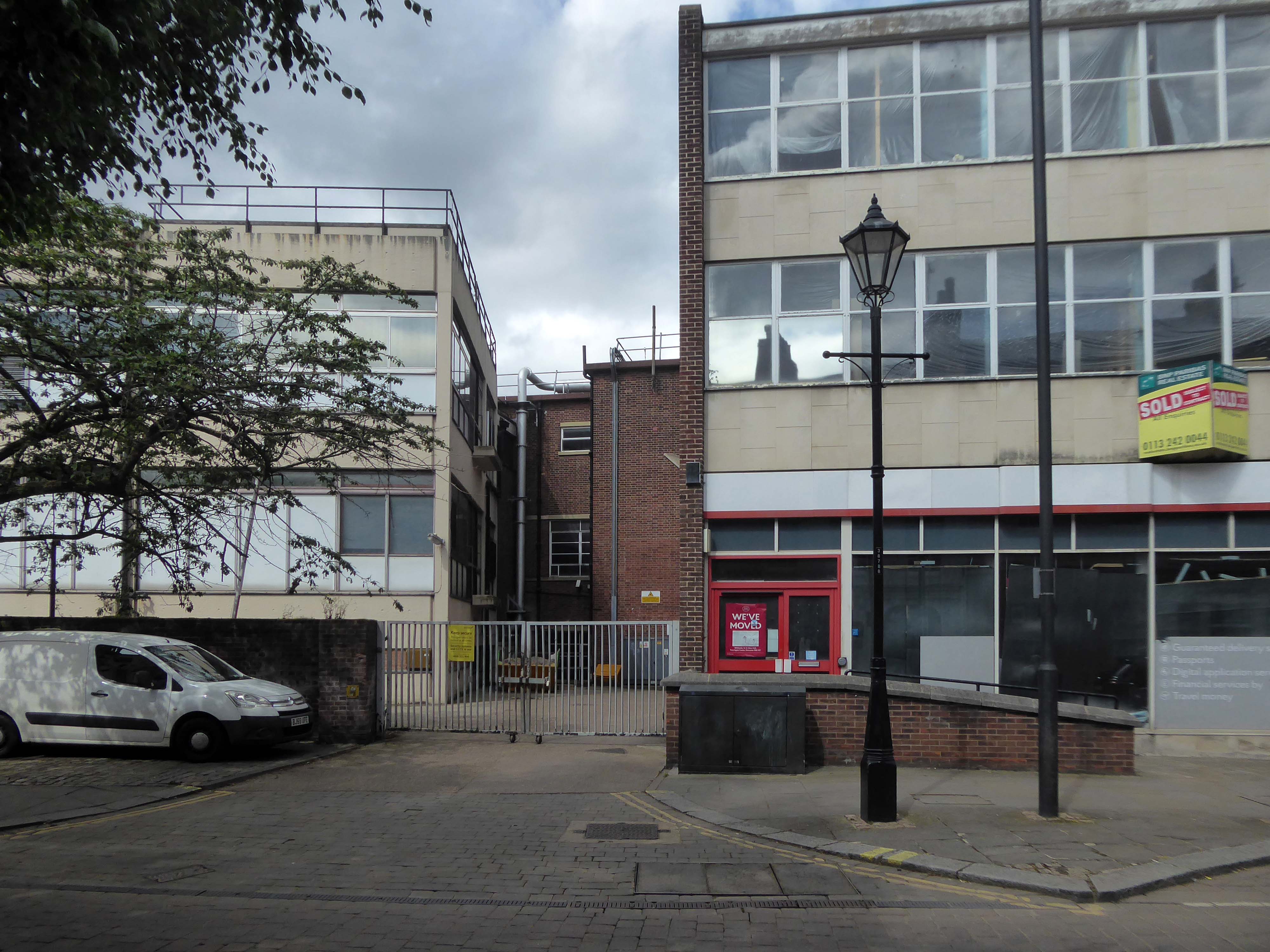
Two adjacent 60s extensions – to the right a redundant post office to the left an almost redundant telephone exchange, with the earlier brick built exchange in smack dab the middle.
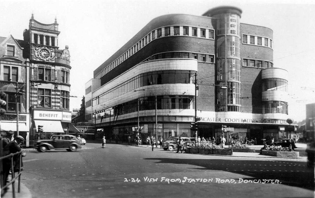
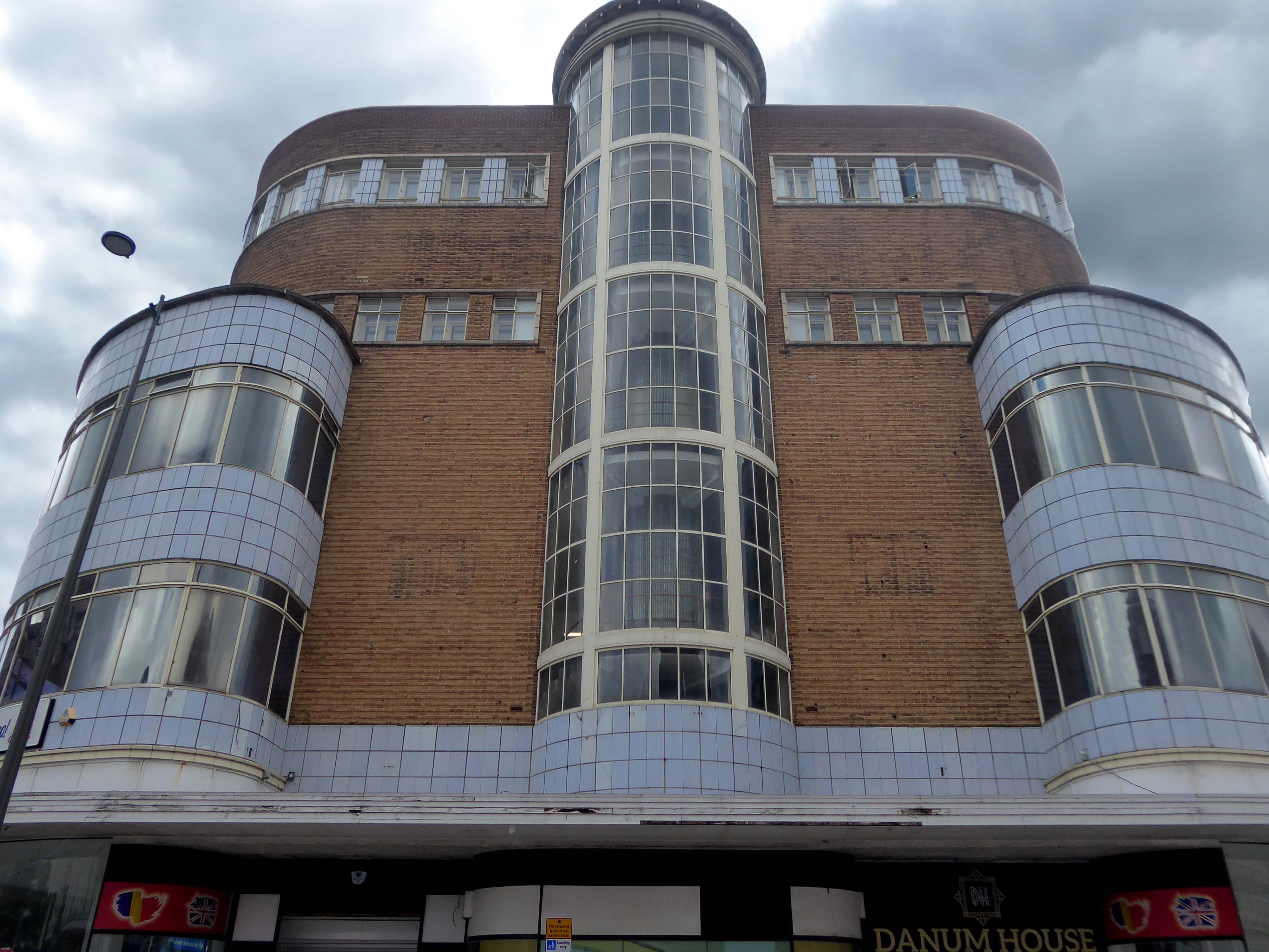
Turn another corner and it’s all at the Co-op now – the Grade II listed Danum Co-operativeBuilding, department store and offices: 1938-40 designed by T H Johnson & Son for the Doncaster Co-operative Society Ltd.
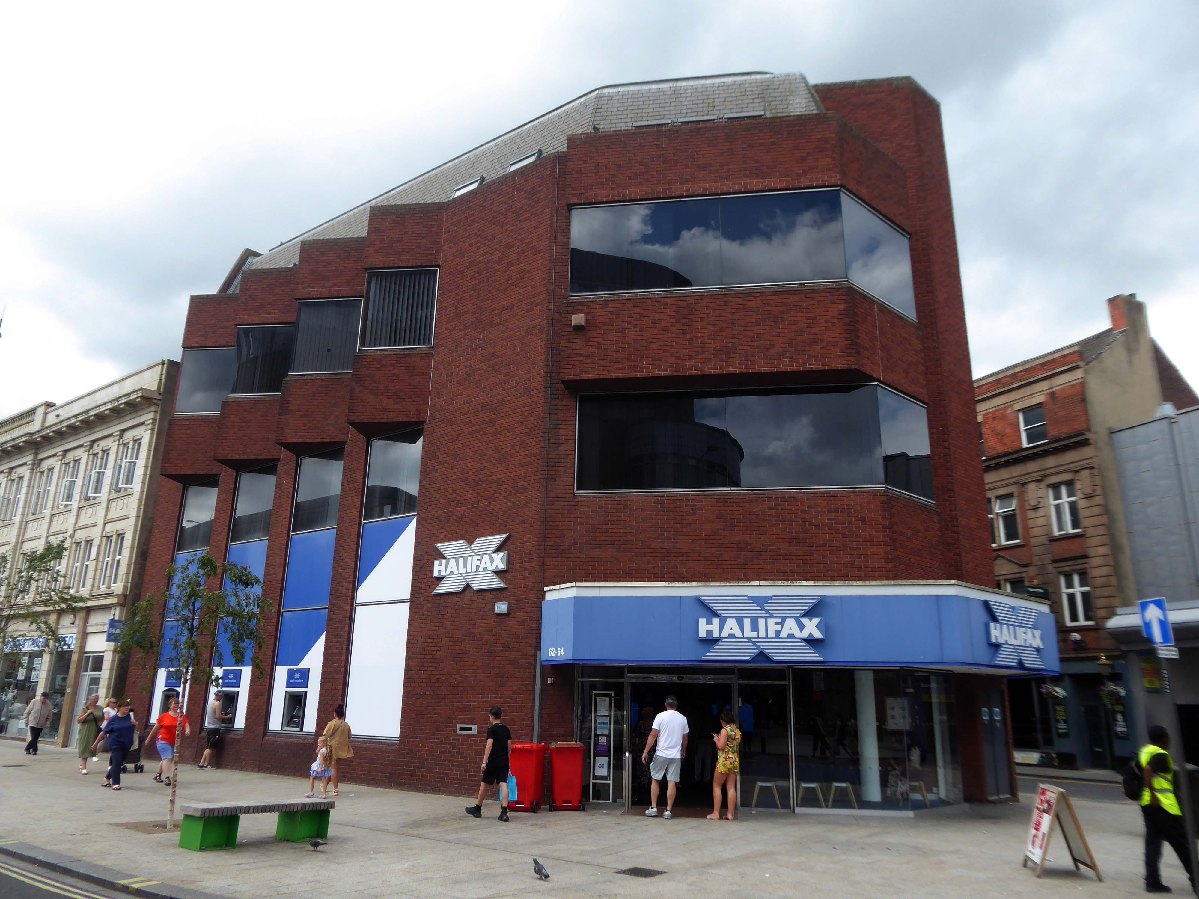
Over the road a zig-zag Halifax Building Society branch, tightly contorted by its corner footprint.
To the right of the Danum, this former Boyes store, having relocated to the Wilko site, the building is ripe for residential conversion.
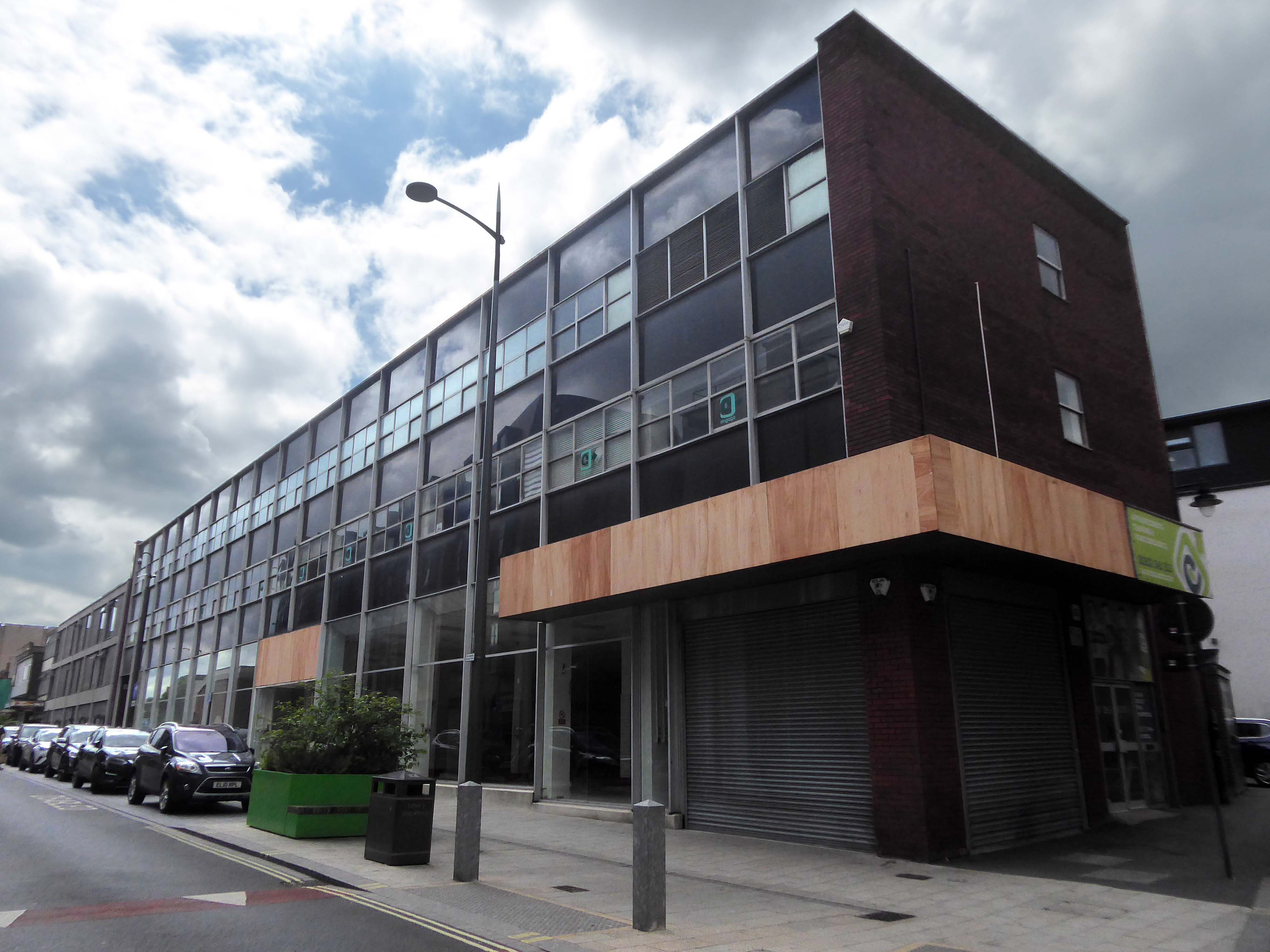
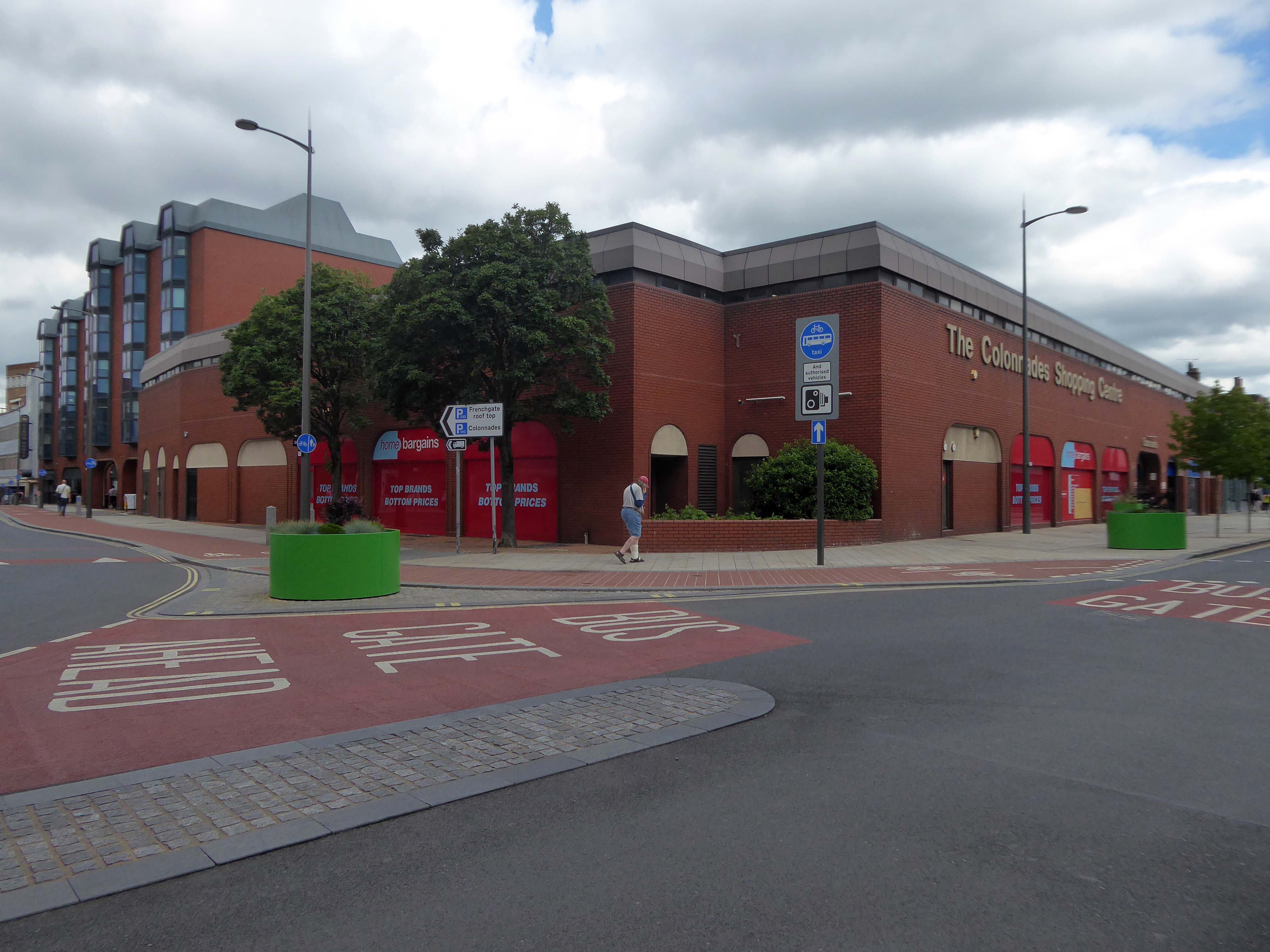
To the left the Colonnades Shopping Centre a fierce angular glass and brick bunker of mixed office and retail space – the sole occupant seeming to be Home Bargains.
A £3.3m makeover of the Colonnades shopping mall in Doncaster town centre was completed in 2019.
The scheme of works was co-ordinated by Doncaster Council and funded by the Sheffield City Region Local Growth Fund.
Built in the 1980s, the brick built building received a major overhaul. The investment saw the visual appearance enhanced inside and out. The five floors were transformed into the prime office space needed in the town centre and the enhancements to the retail area were also finished.
The shift in the town’s axis to the Frenchgate and Market areas, seems to have taken the wind out of its sails.
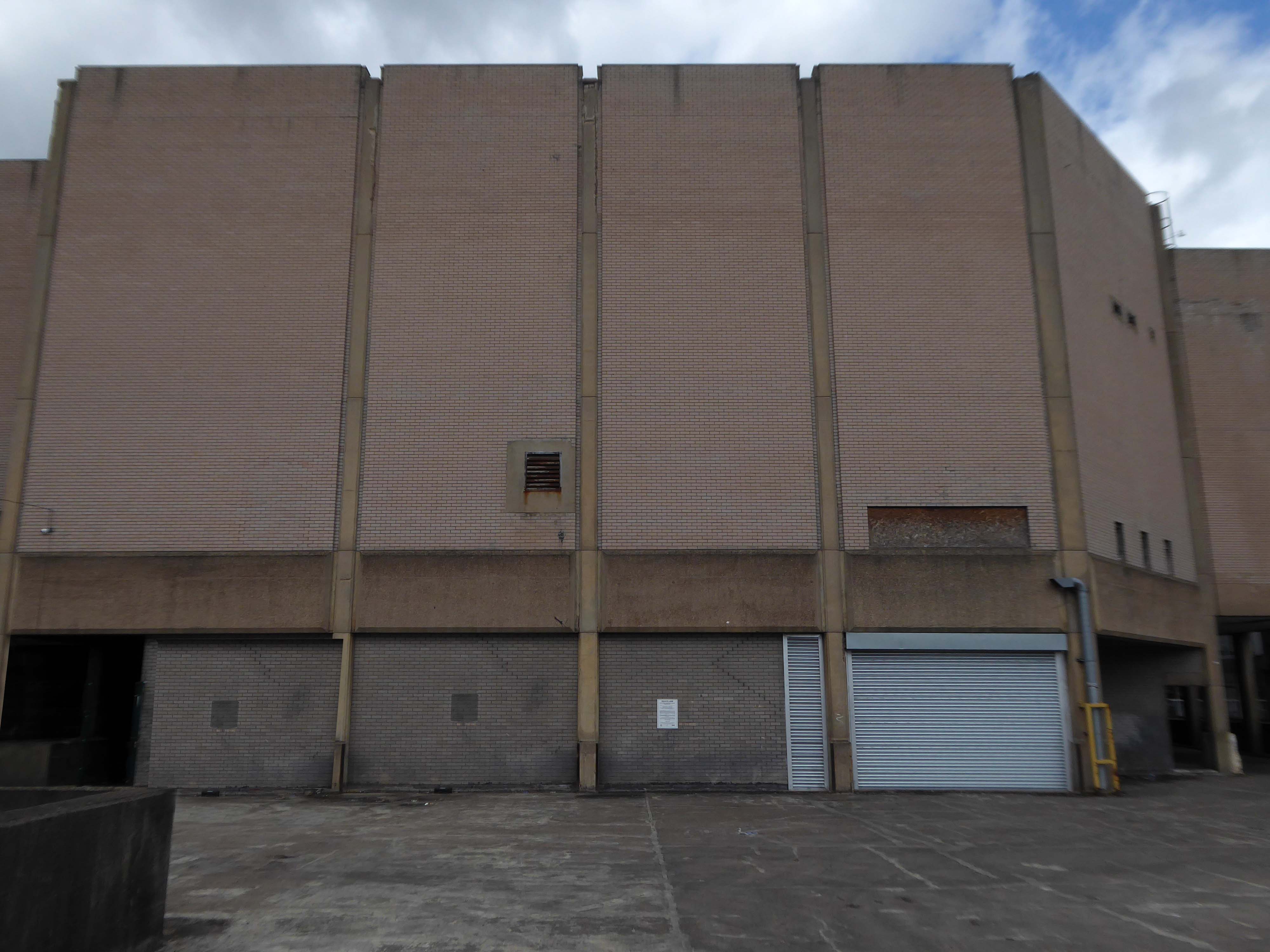
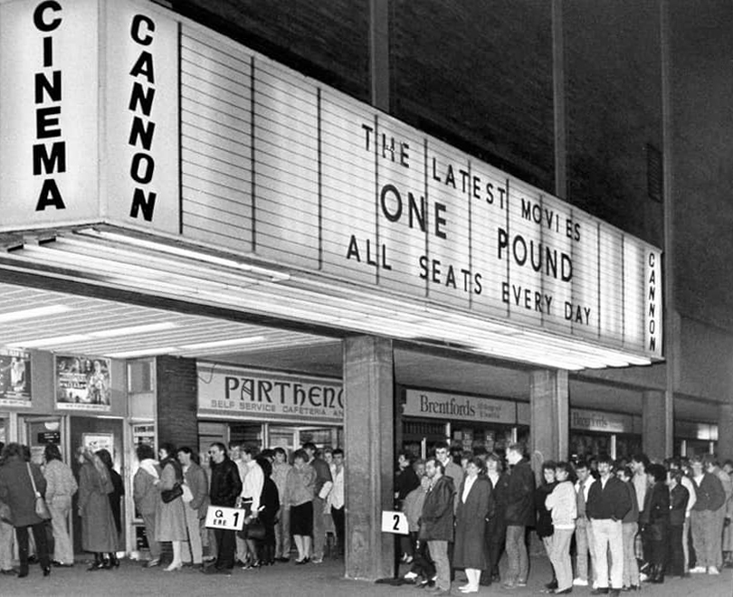
The former flicks now a redundant pale brick behemoth – no more and ABC.
Doncaster’s new £250,000 ABC cinema, part of the Golden Acres development near the town centre, was opened on May 18th 1967.
Closed in January 1981 for conversion into a triple screen it re-opened on 9th April 1981 with seating in the three screens for 477, 201 and 135.
The Cannon Group took control in the mid-1980’s and it was re-named Cannon and it closed on 18th June 1992, screening its opening film Doctor Zhivago.
Cinema Treasures
The Golden Acres development seemed to have morphed into the Waterdale Centre.
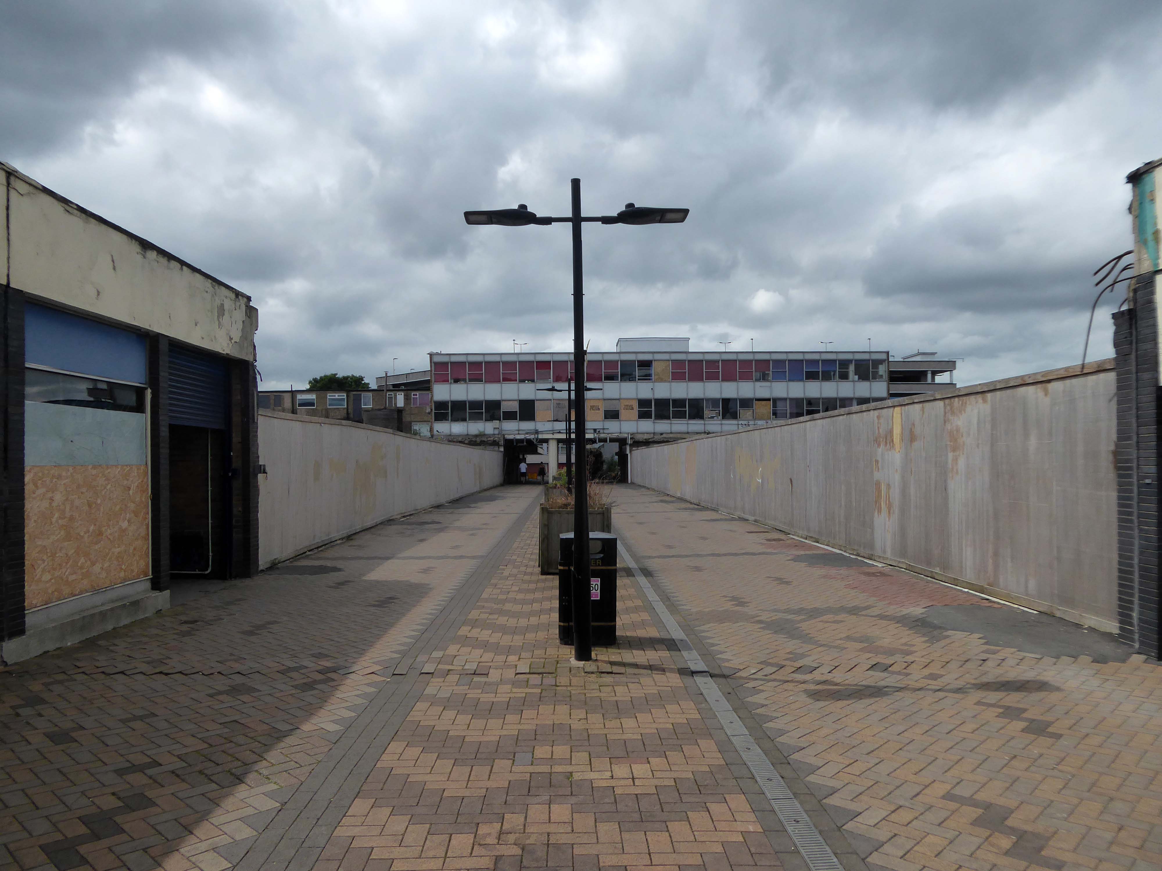
It is currently being reshaped to provide a line of desire twixt the Civic and Cultural areas, from the town centre. There are still the remnants of homes, shops and a pub amongst the demolition – almost inevitably there is new paving.
Waterdale is a well-known part of Doncaster’s town centre. During its heyday it was a bustling area with people flocking to shops and the like – it was a place you had to visit while you were in town. However, it had suffered a steady decline which continued when the southern bus station closed – Frenchgate Interchange opening, and Doncaster College moved to the Hub at the Waterfront. With limited public transport entering the area and no student population on its doorstep, less people had reason to pass through.
Demolition of the College.
The Civic and Cultural Quarter is transforming Waterdale reconnecting it to the town centre. The quality and content of the plans is raising the profile of this part of town to new levels. The carefully thought out layout and consistent building design is giving the area a clear identity. It is already becoming a big attraction that draws people in and encourages redevelopment in the neighbouring areas.
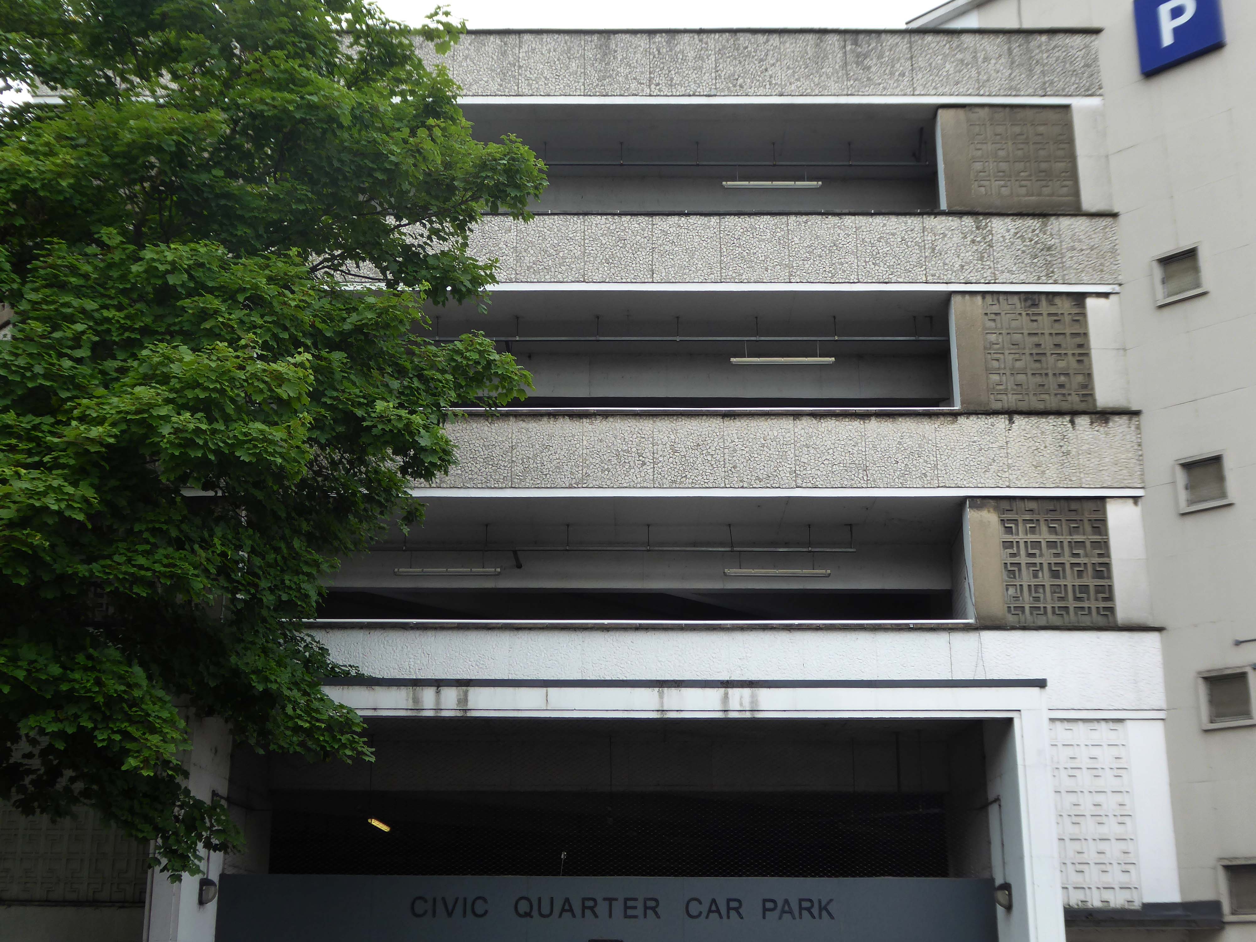
The weary walker is diverted toward the Civic Quarter Car Park.
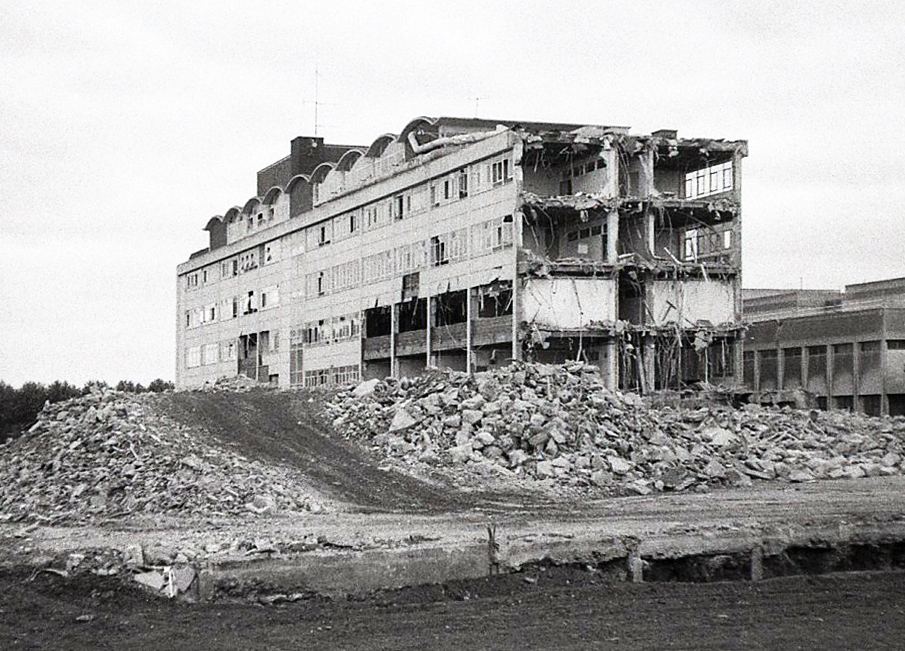
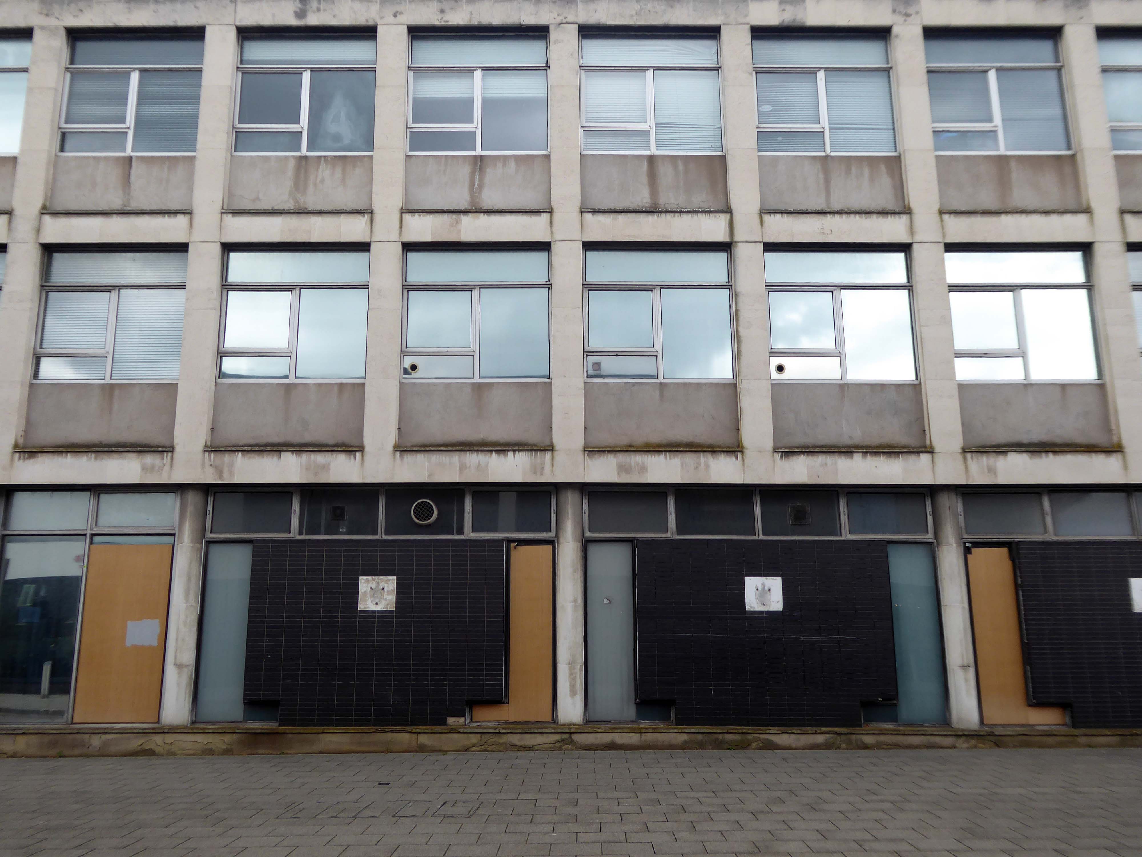
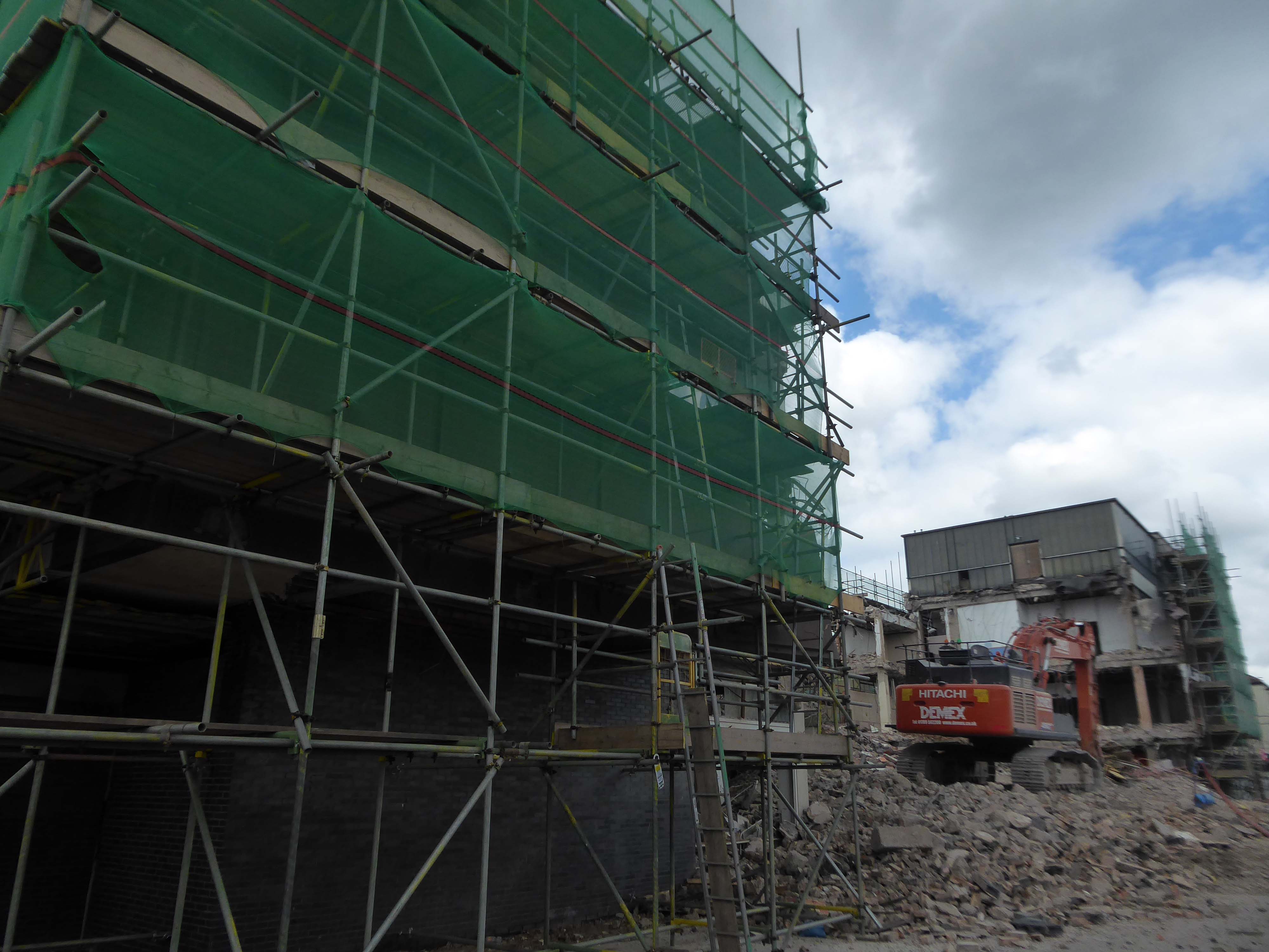
The former Civic Offices are to be demolished.
Demolition of the Central Library is well under way.
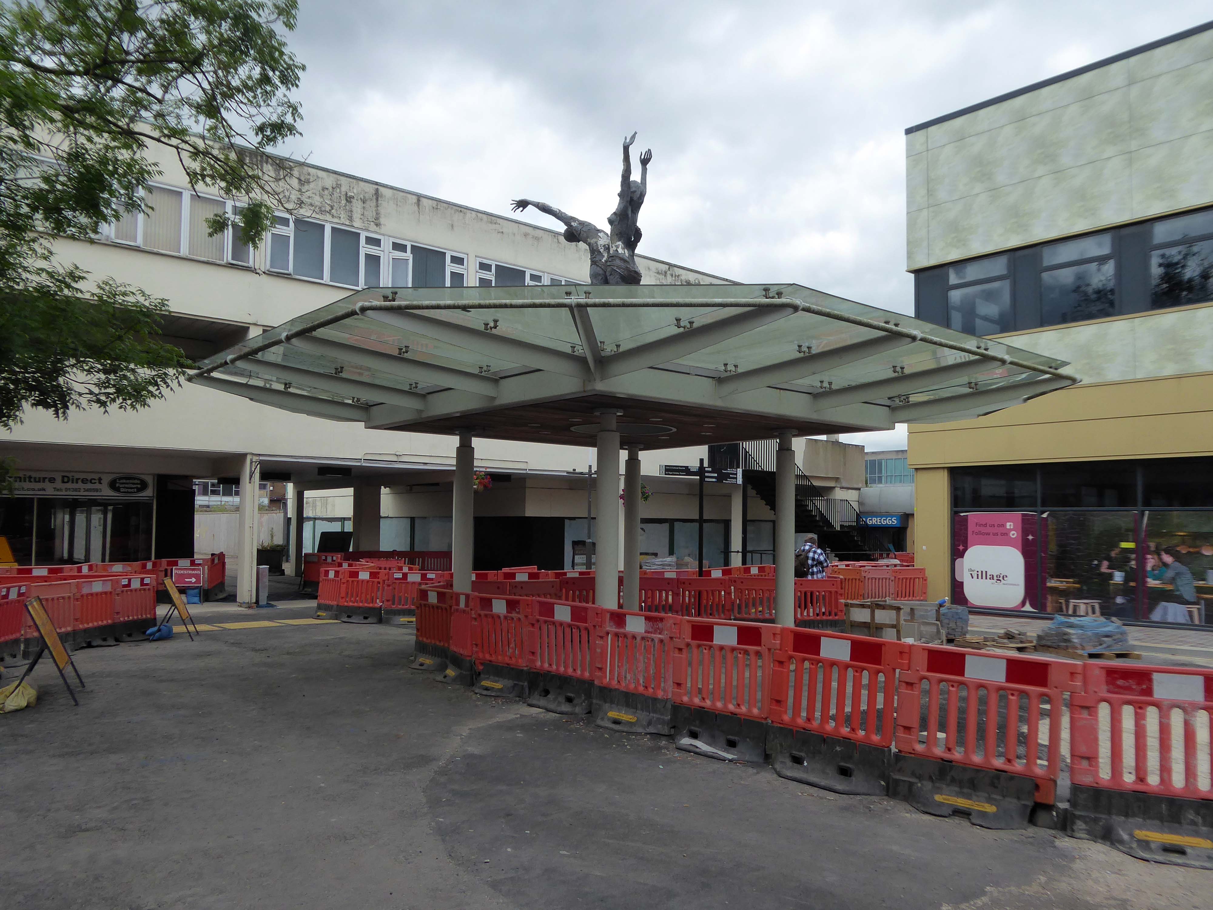
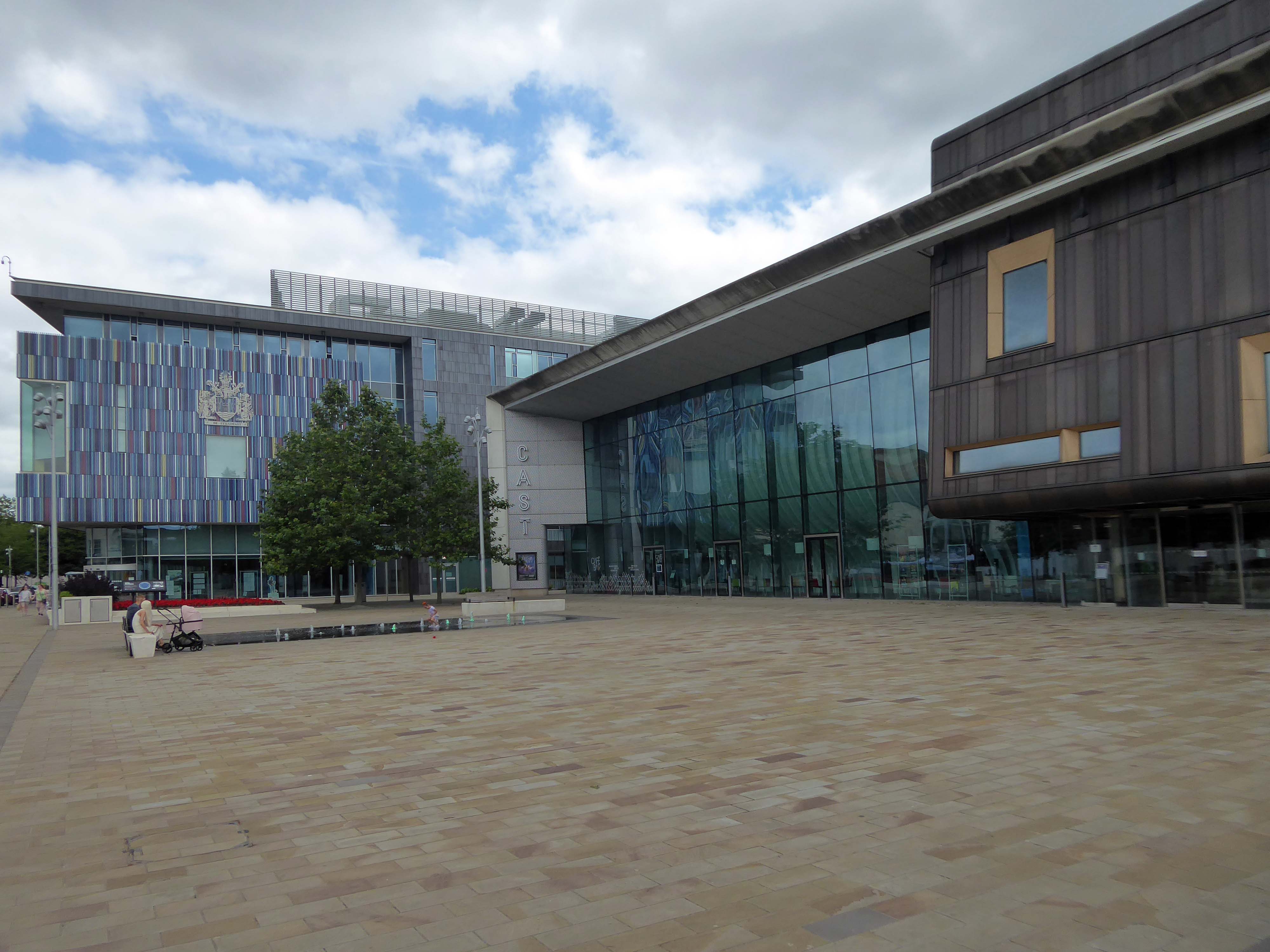
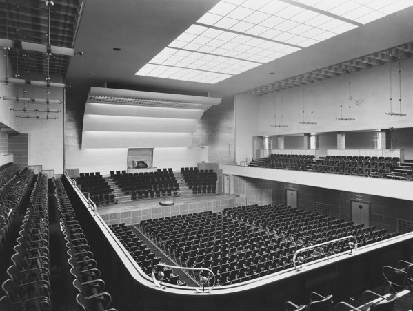
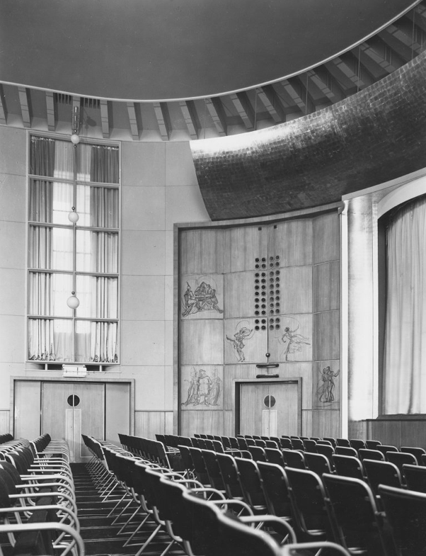
Facing the former library we find the CAST Theatre, Civic Buildings and Savoy Cinema, grouped around Sir Nigel Gresley Square.
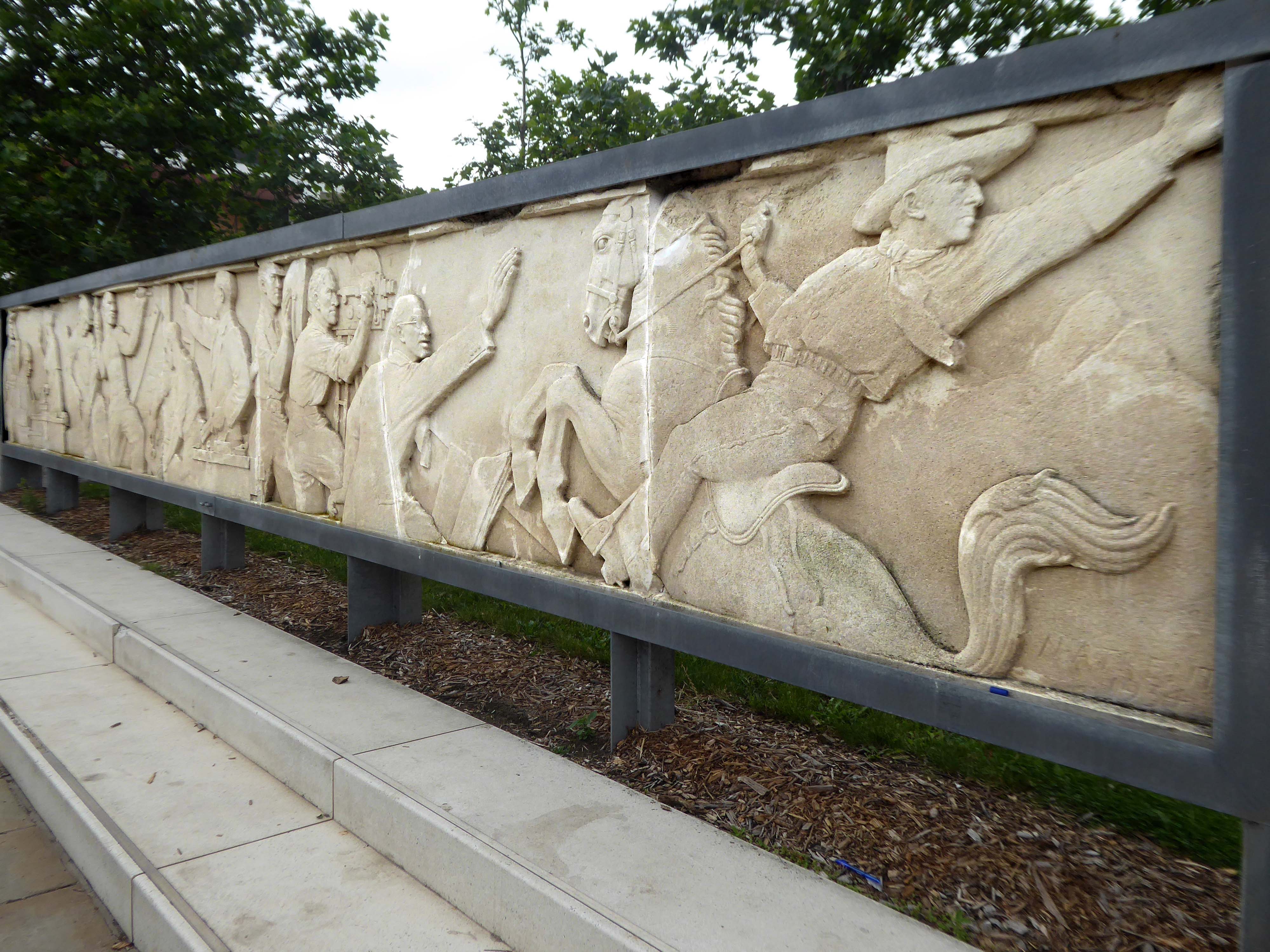
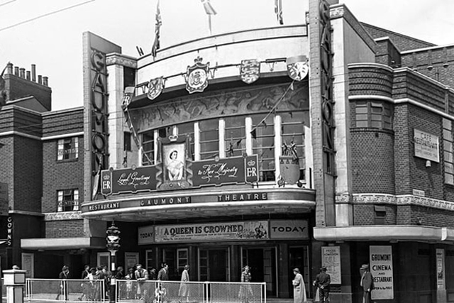
Within the square is a frieze, salvaged from the former Gaumont Cinema, the work of sculptor Newbury Abbot Trent.
The Gaumont Palace Theatre in Hall Gate at the corner of Thorne Road, Doncaster opened on 3rd September 1934 with Jesse Matthews in Evergreen.
It was designed by architects WE Trent and W Sydney Trent.
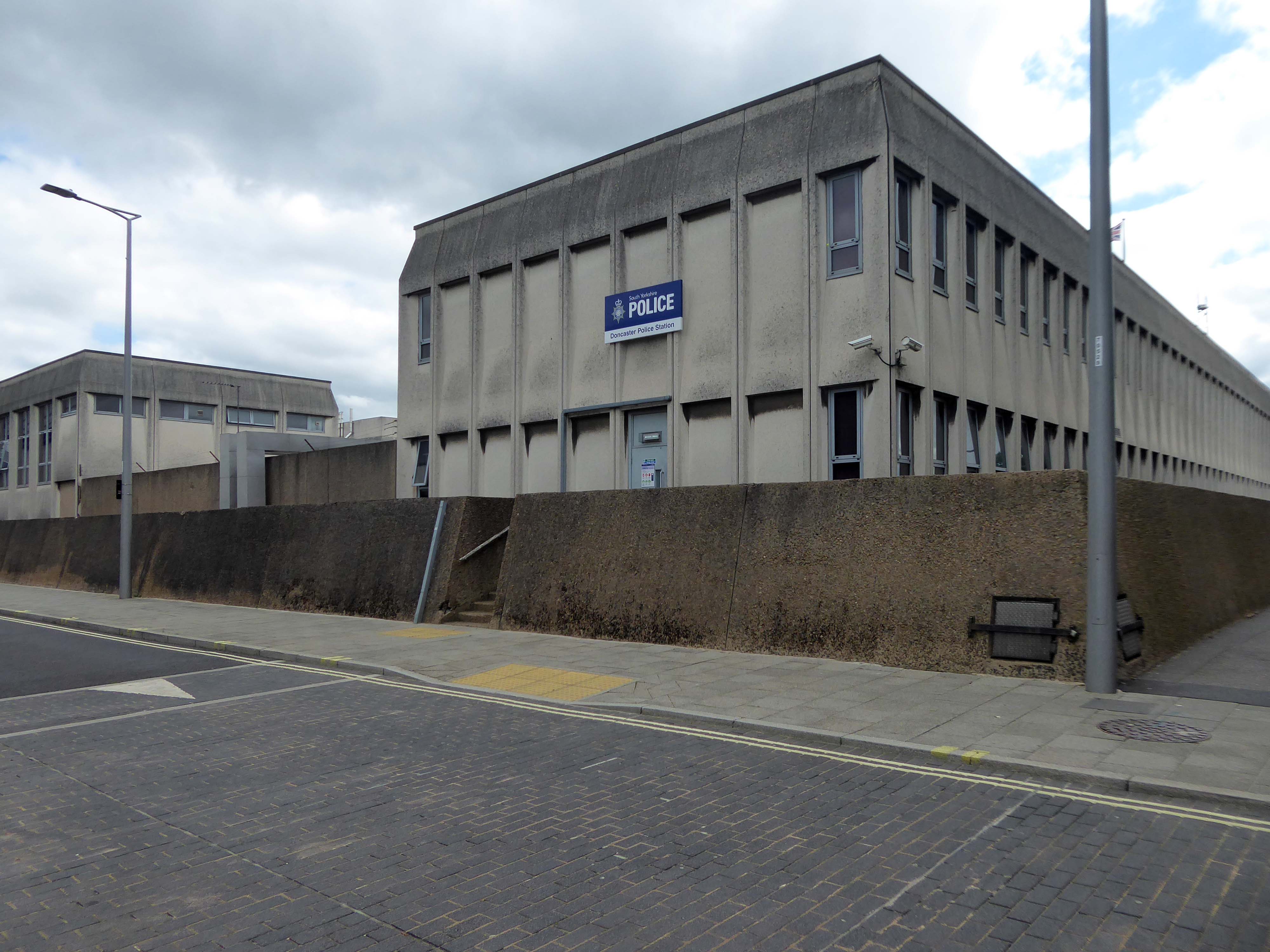
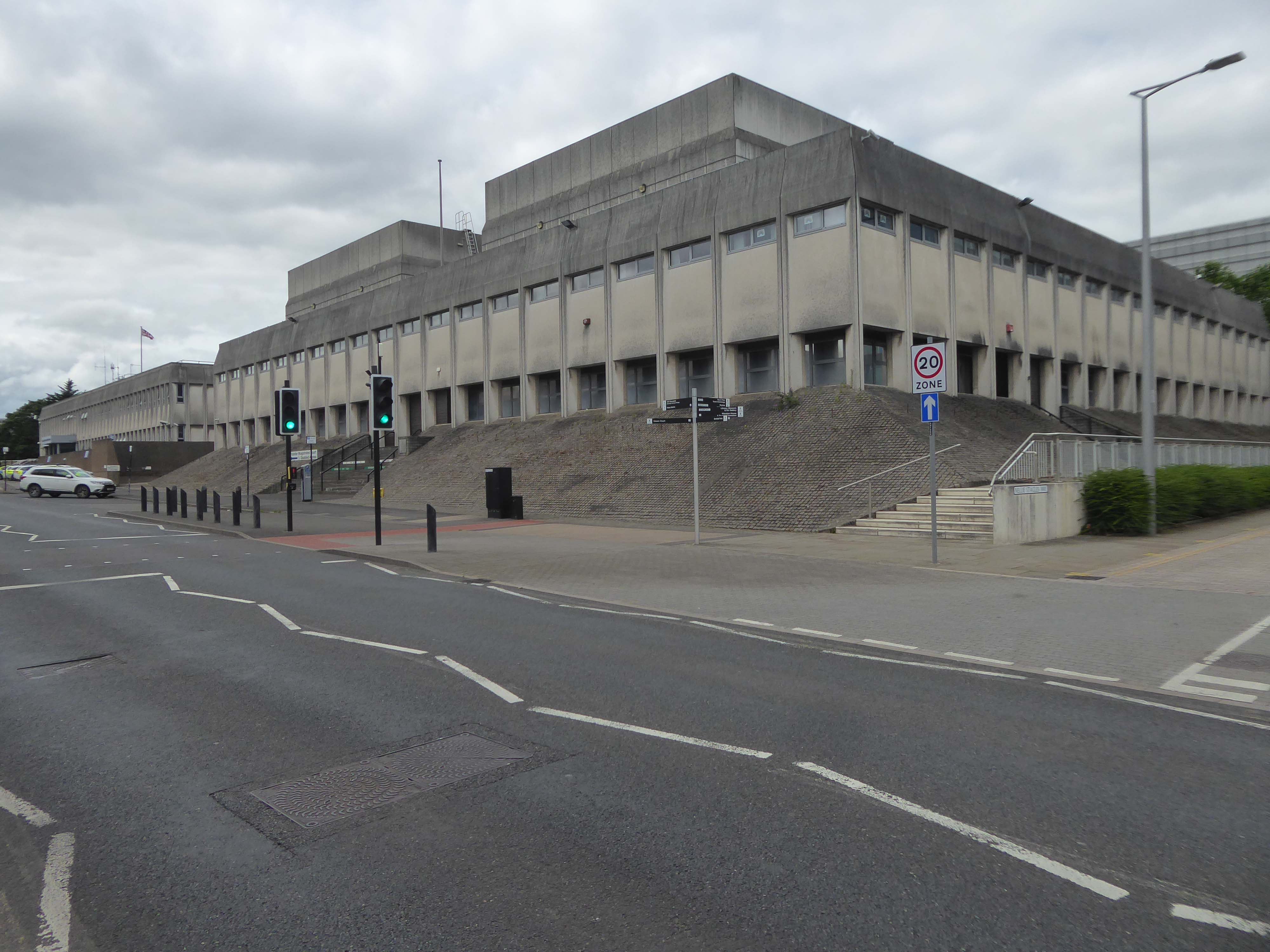
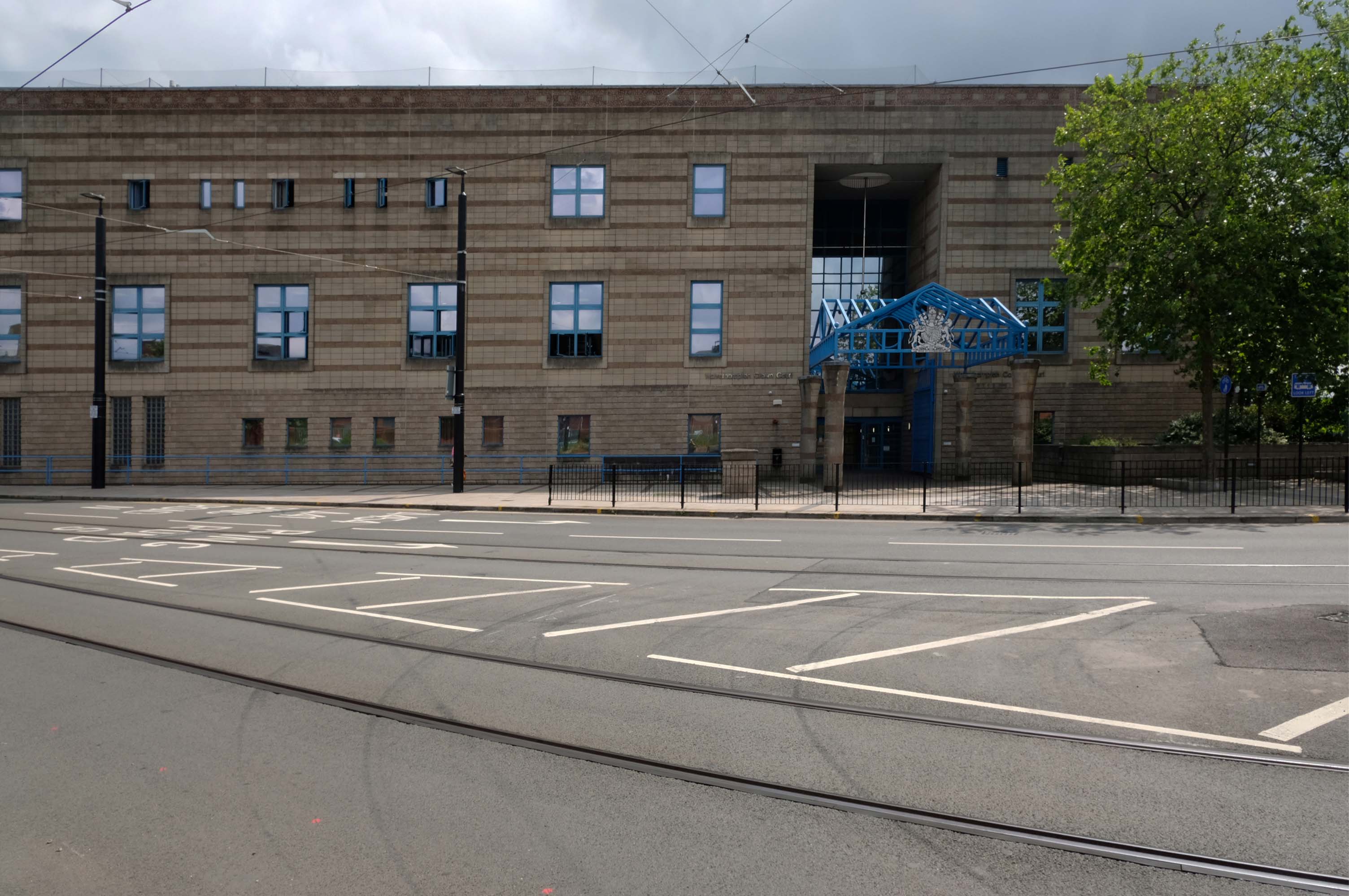
In 1949 WH Price the Borough Surveyor produced an outline plan for the area, with a green space at its heart, it was never realised. In 1955 Frederick Gibberd produced his plan to include a ten storey Town Hall, Art School, Technical College and Civic Theatre, revised and reduced in 1963 – eventually his Police Station and Law Courts were completed in 1969.
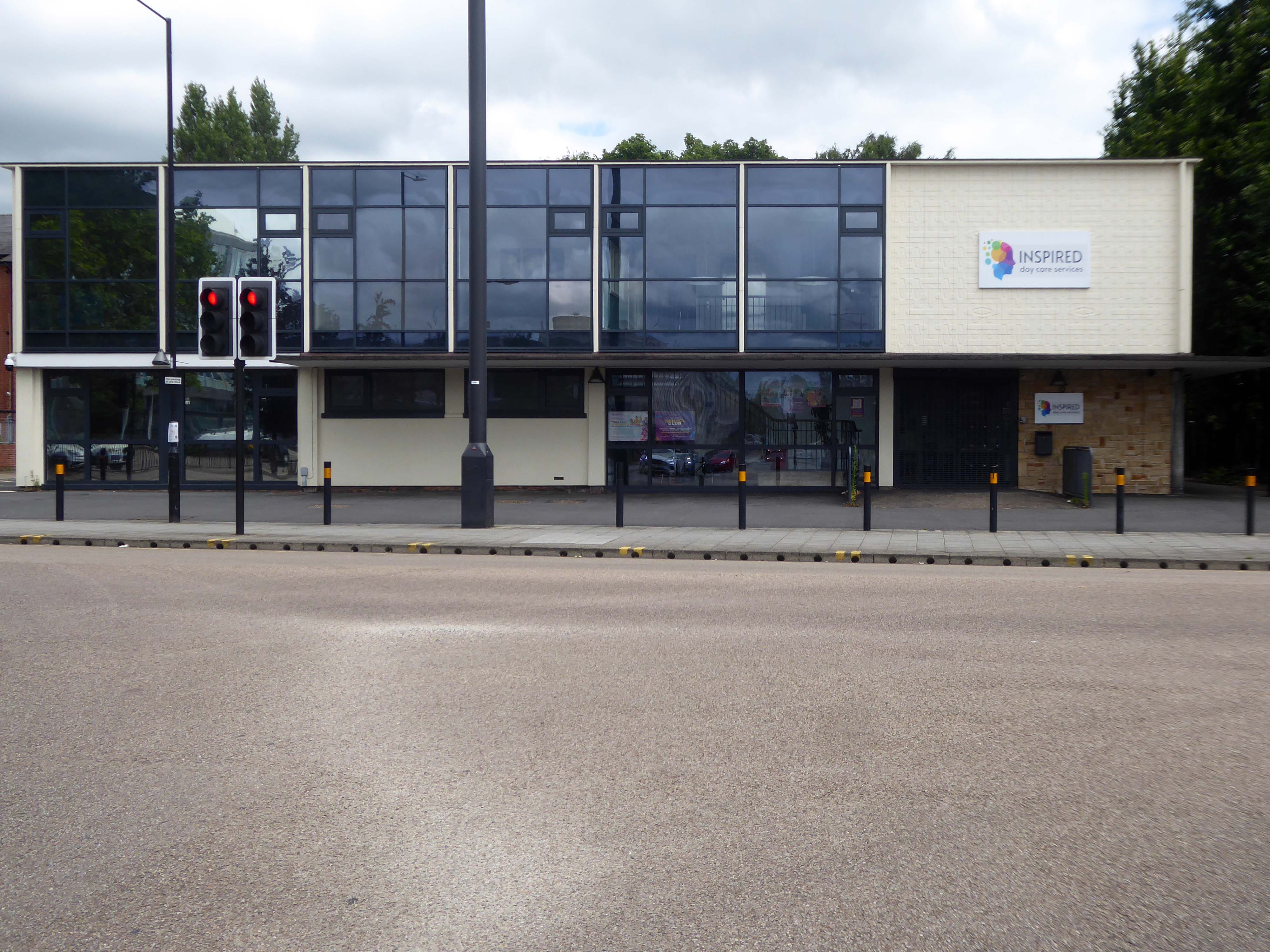
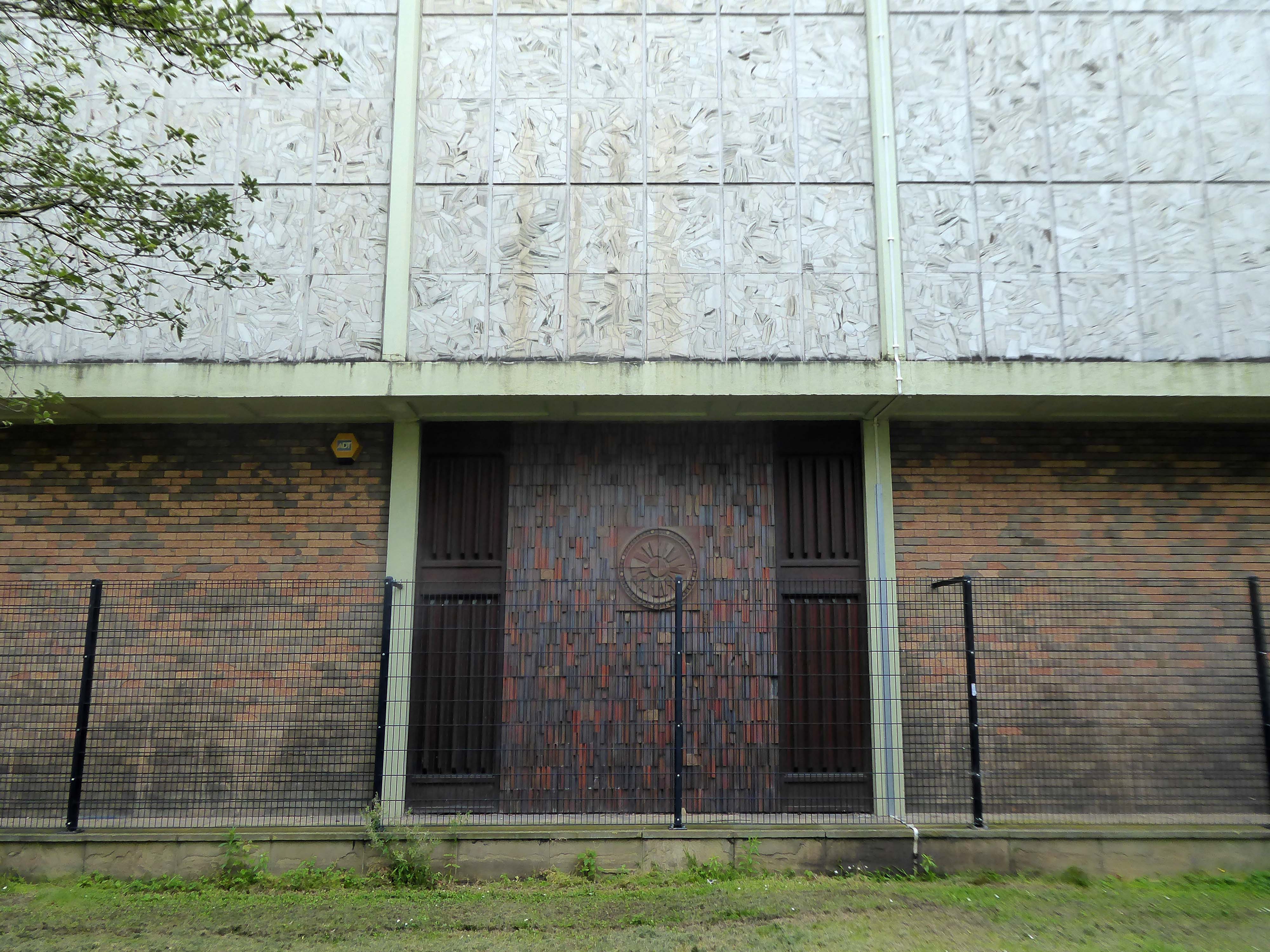
The former NHS Clinic at the ‘T Junction’ is transformed into a day care service.
The building was designed in the office of the Doncaster Borough Architect’s Department in a team led by borough architect Mr LJ Tucker.
The ceramic designs were a later addition when it was discovered that the large open areas of glass overheated almost everything inside, the work was undertaken by LJ Tucker and family.
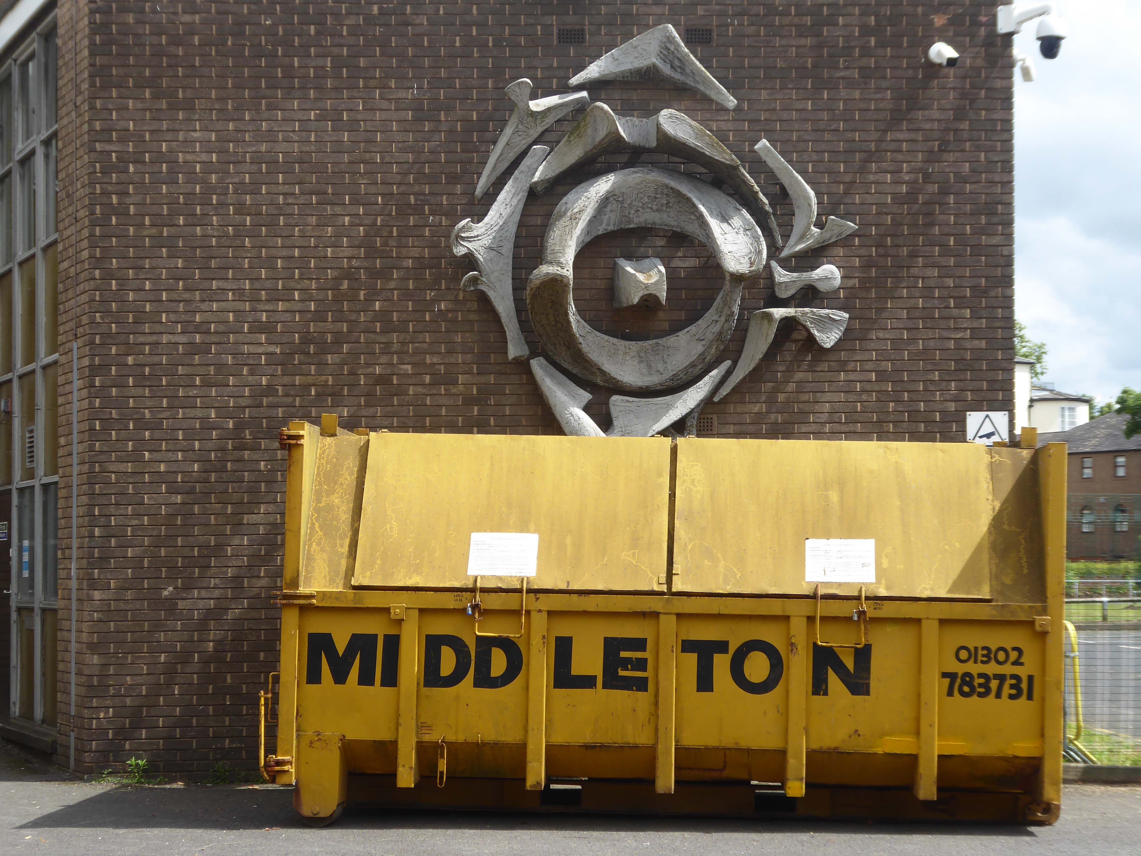
The sculptural work by Franta Belsky, now has a skip for company.
As a footnote the work by Fabio Barraclough reveals a murky past.
Barraclough was born in Madrid in 1923, to a Spanish mother and Yorkshire father who founded Madrid’s Chamber of Commerce. He moved to London with his family in the 1930s as a refugee from Francoist Spain. He taught fine art and sculpture at Rugby School, where colleagues considered him “highly entertaining, a most unorthodox and highly gifted” teacher. He established himself during the 1960s and early 1970s as an authority on sculpture, publishing in academic journals and becoming a member of the Royal British Society of Sculptors.
In 2000, it was revealed that Barraclough, while outwardly living the life of anti-apartheid activist since the 1970s, had been a paid informant of the South African state security police. The media was used to promote his image as a “brilliant, liberal artist with apparently impeccable credentials” in order to gain public trust, while he was funnelling money from anti-apartheid groups to the police. He died on 6th January 2019.
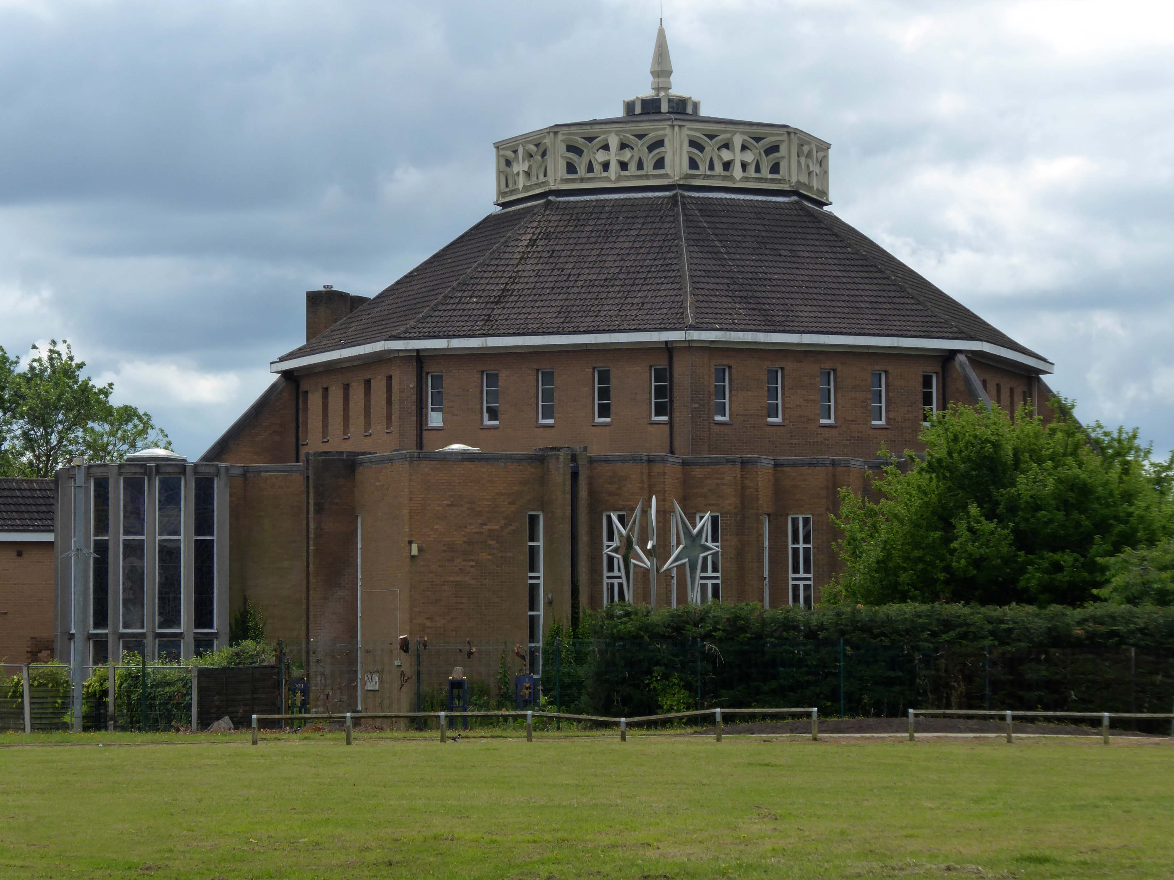
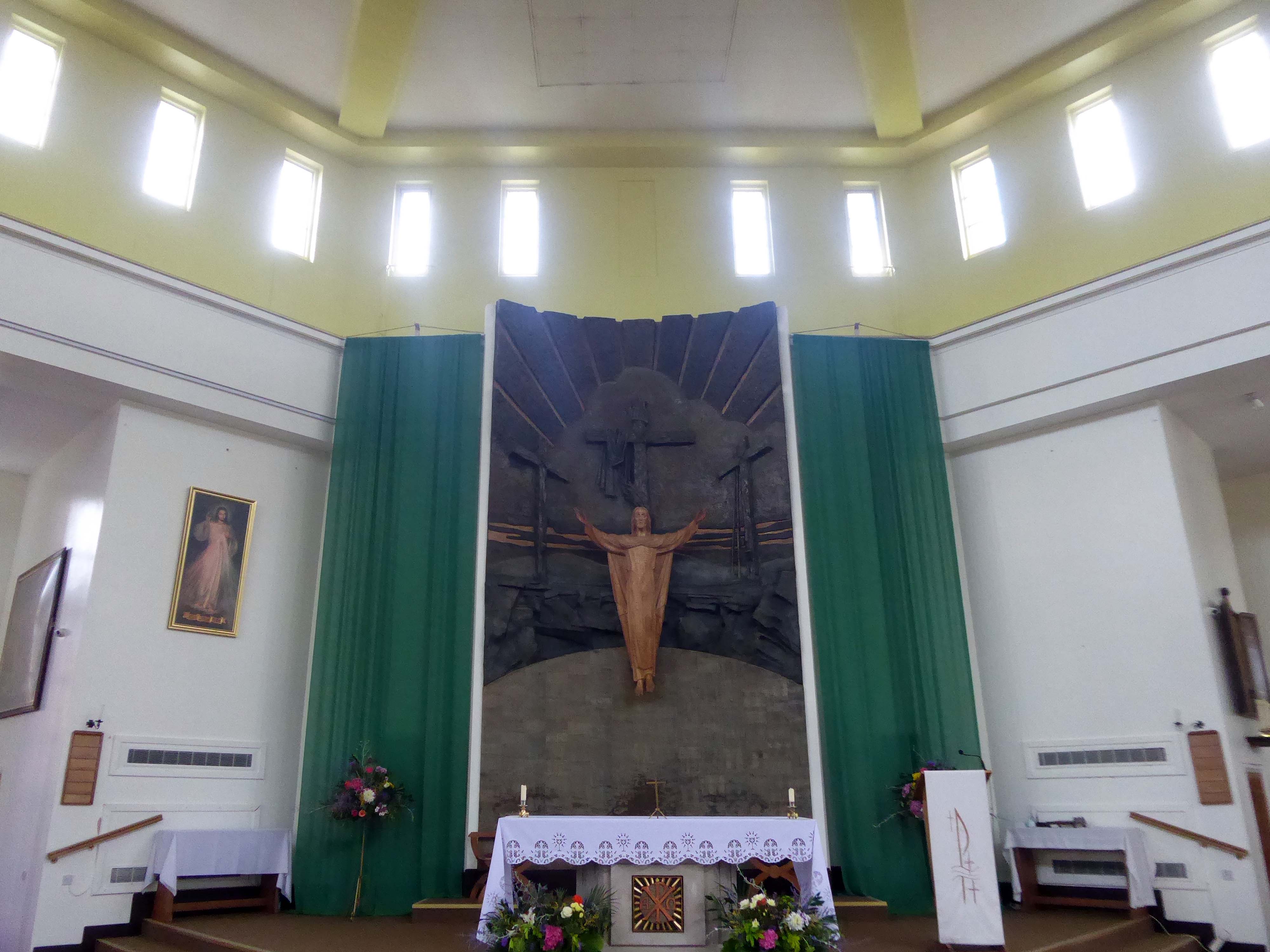
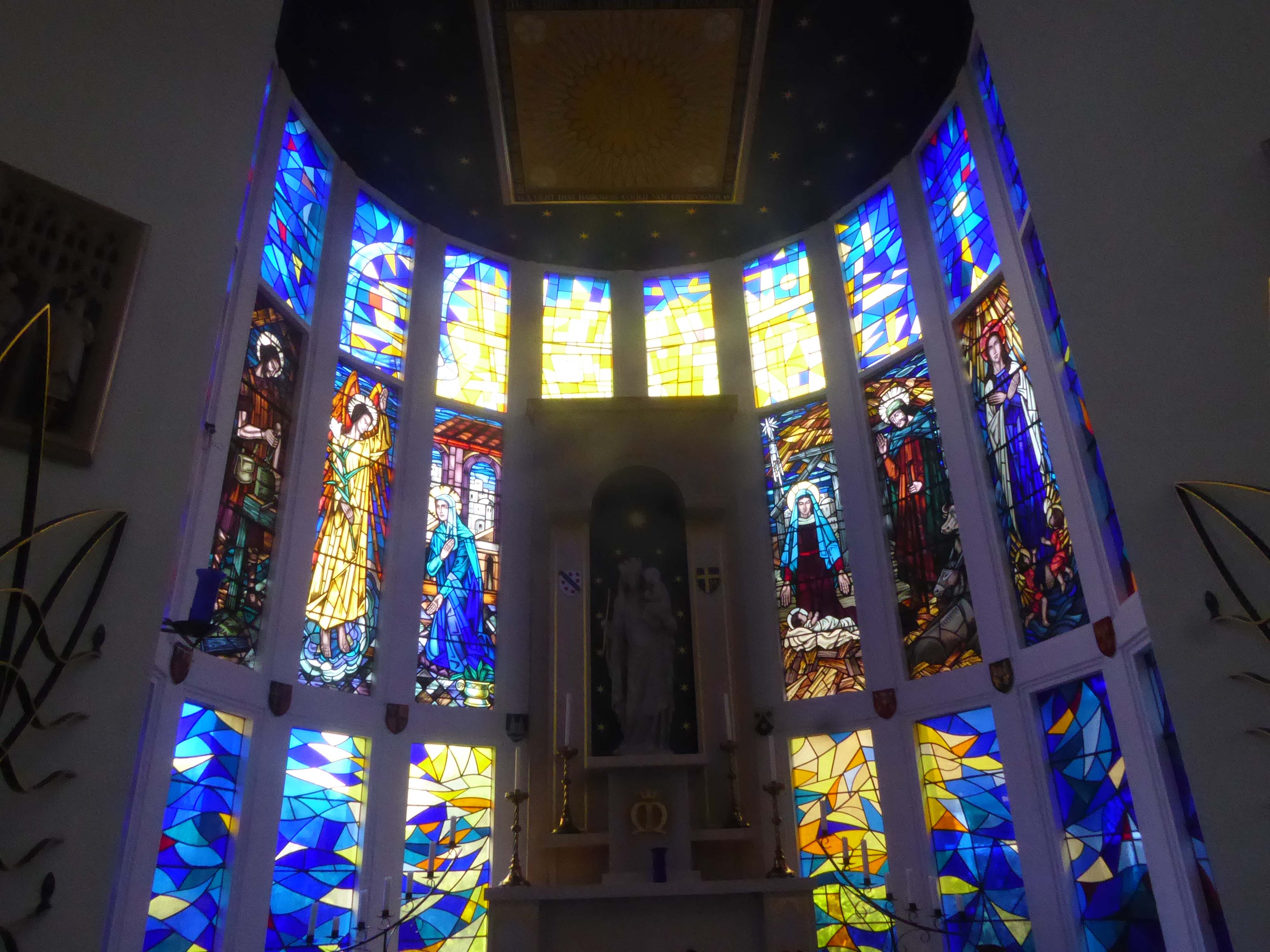
Over the way faros the green sward is St Peter in Chains RC – A large and striking design by JH Langtry-Langton, incorporating important furnishings by J F Bentley from the predecessor church, along with good furnishings of the 1970s. The churches houses the modern successor to the medieval shrine of Our Lady of Doncaster.
Figurative stained glass by Patrick Feeny for Hardman in 1973 and abstract glass fitted in 2000 as part of reordering and revival of the shrine.
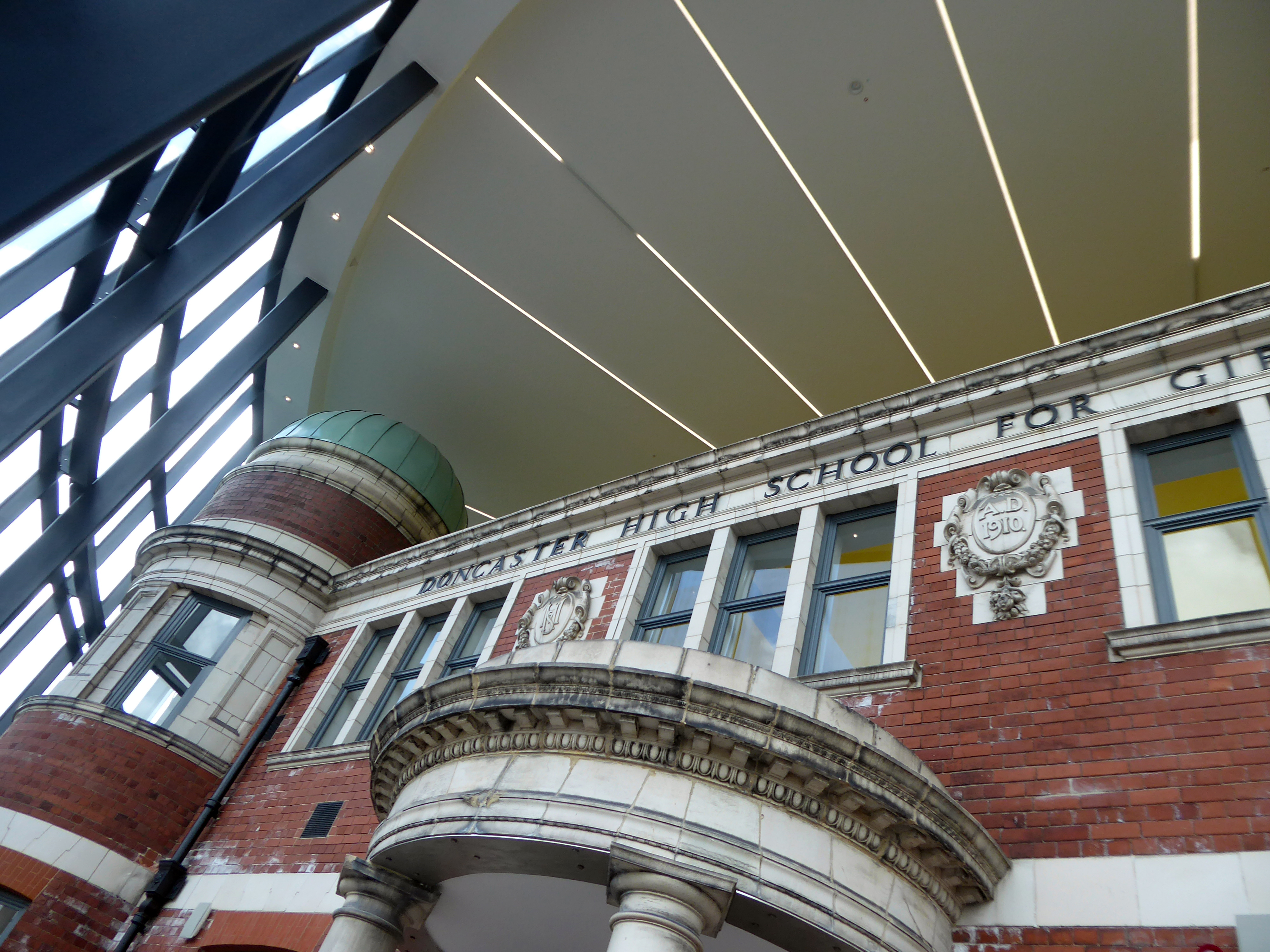
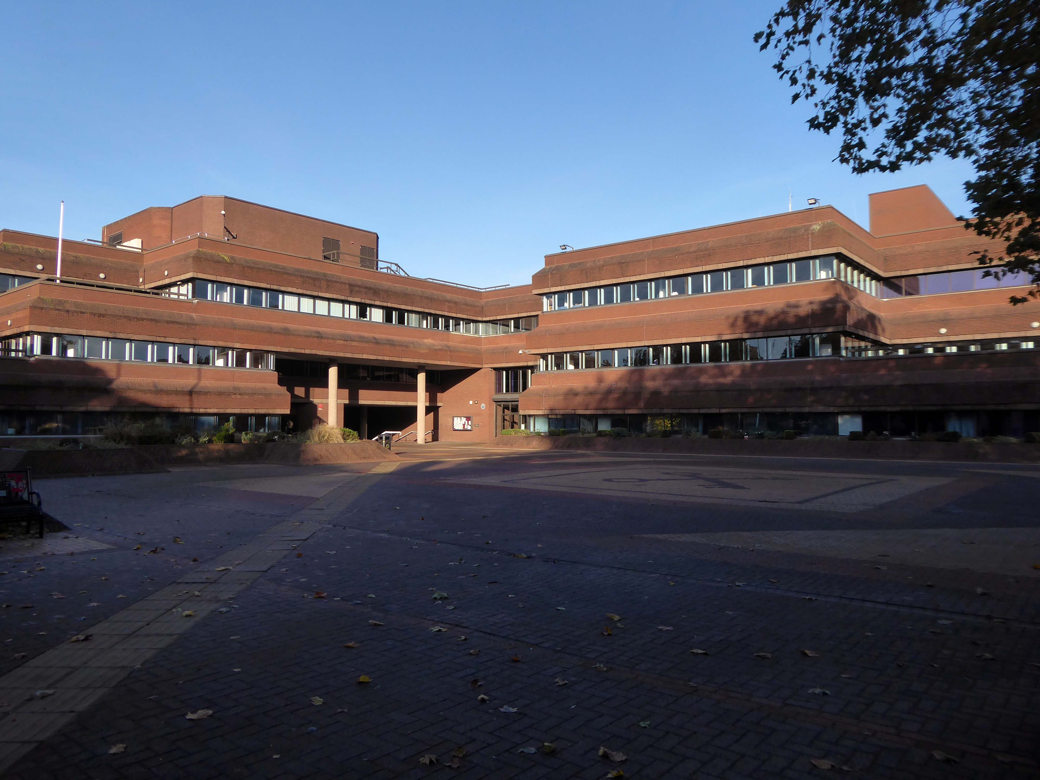
Designed by architects Bond Bryan and built by main contractor Willmott Dixon, the new cultural and learning hub has been created following the restoration of four existing buildings.
A key focal point of the scheme is the restored frontage of the Edwardian former Doncaster High School for Girls, which has been framed by Senior’s slimline SF52 aluminium curtain wall and showcased within a new steel-frame building. The glazed facade, which was fabricated and installed by Senior’s supply chain partner Chemplas, also features Senior’s aluminium commercial doors.
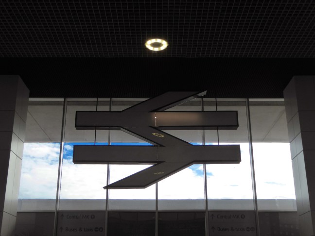
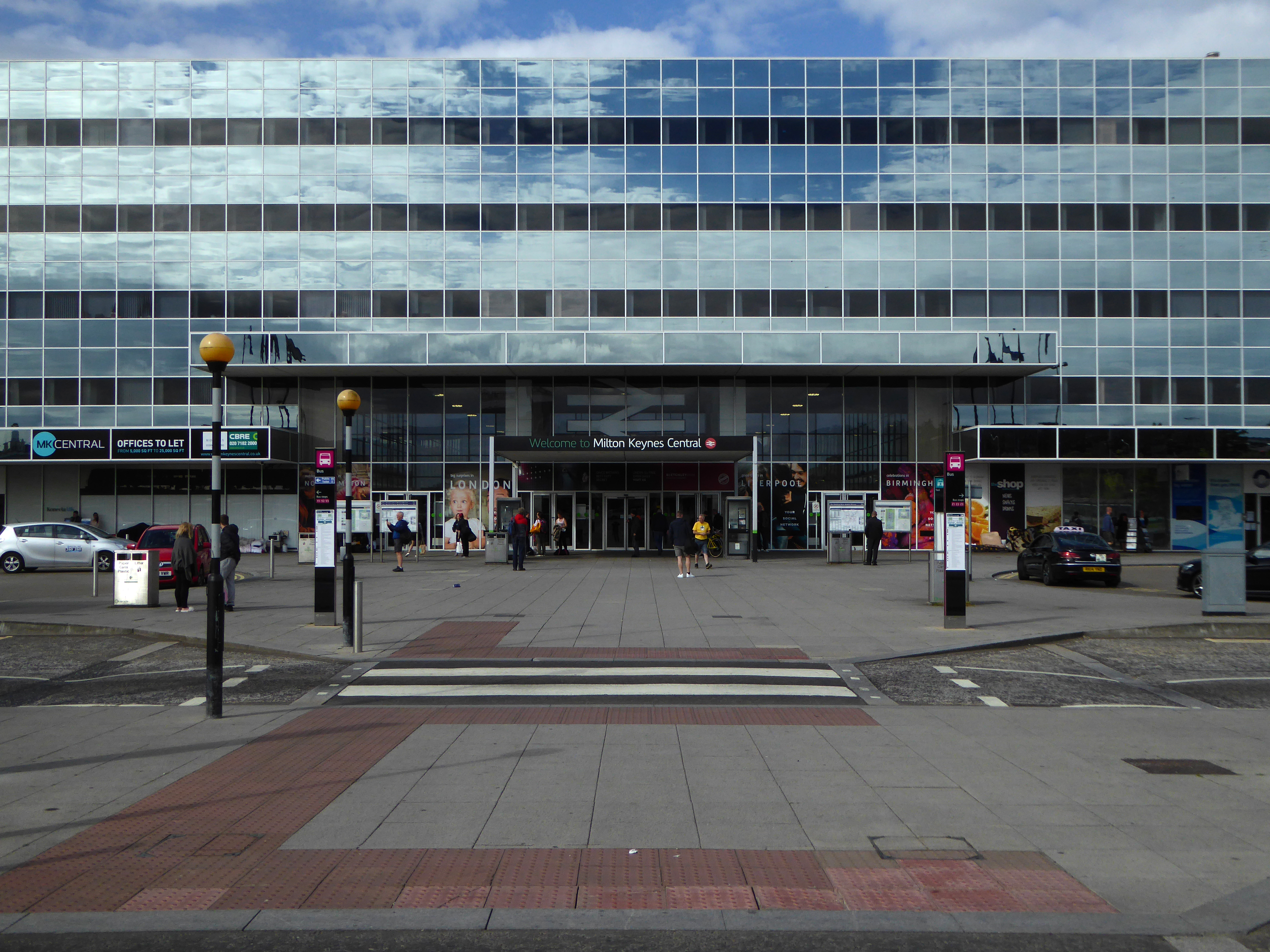
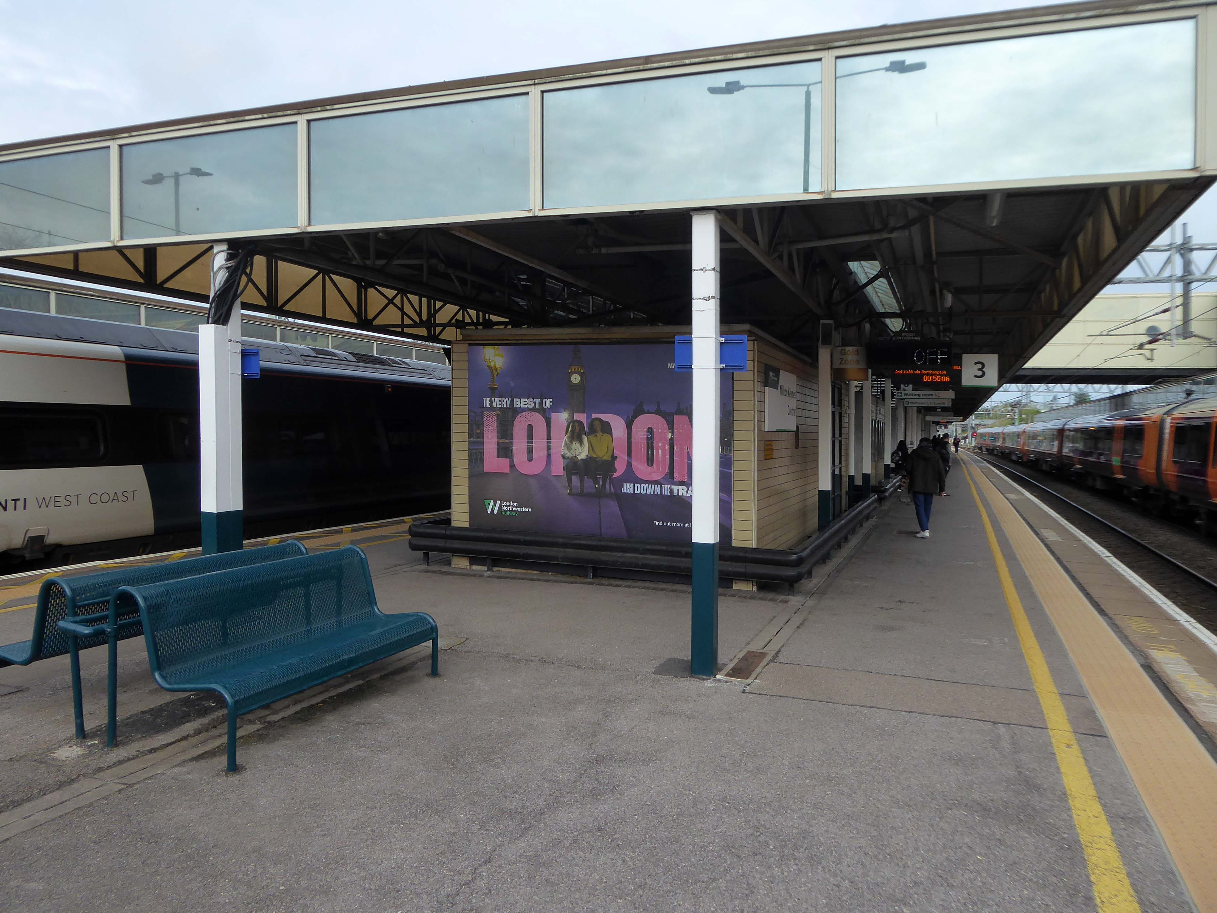
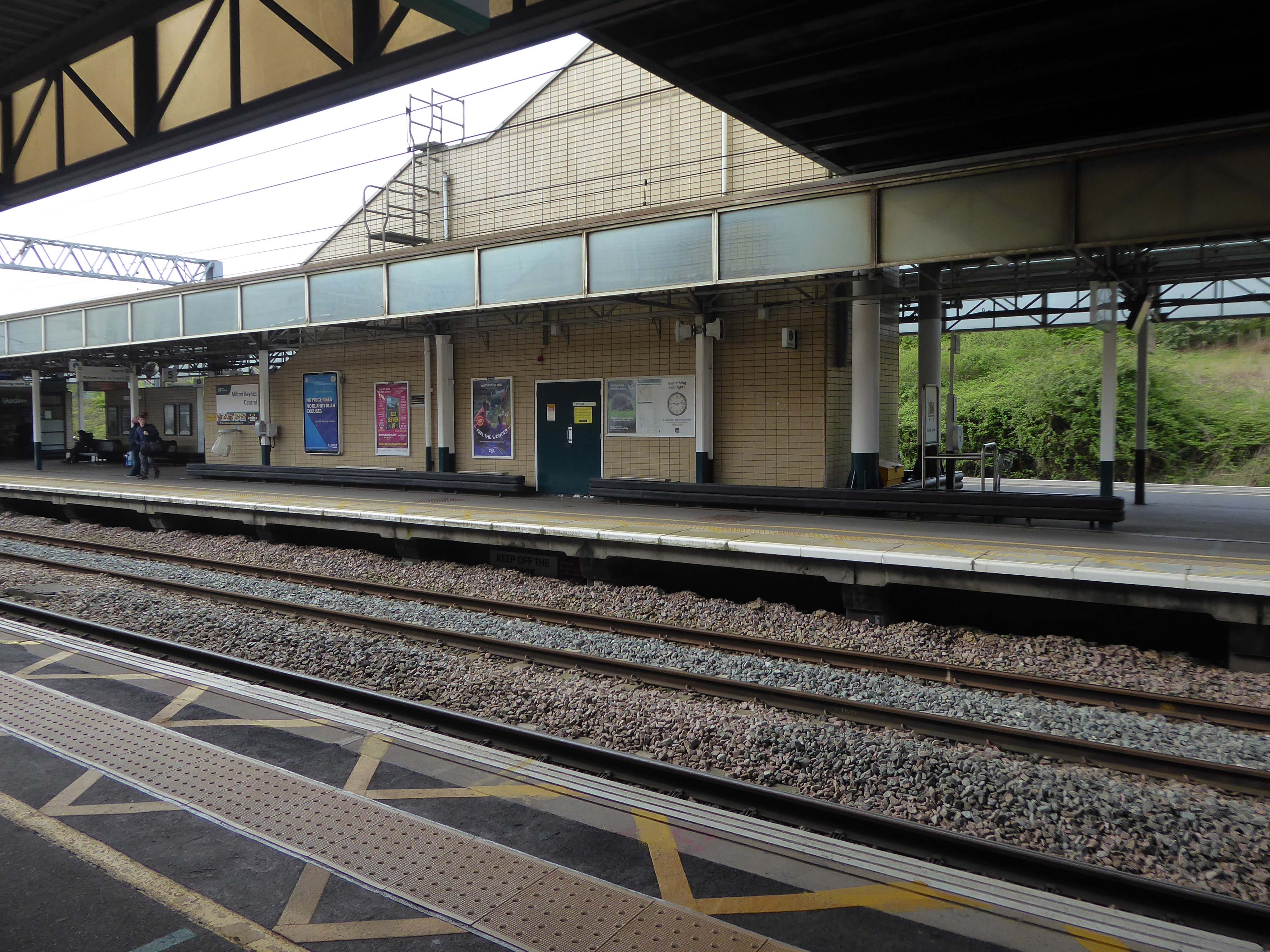
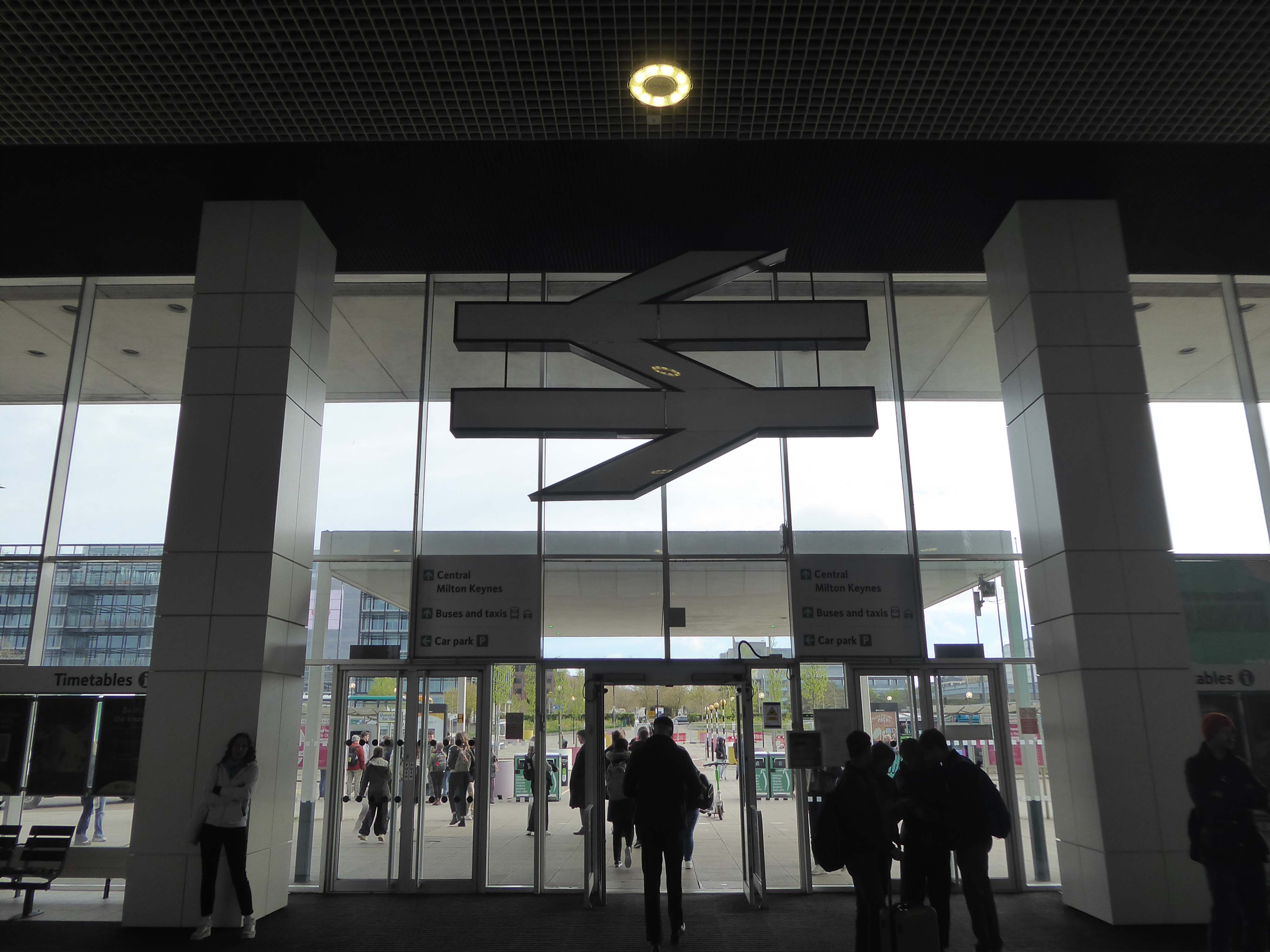
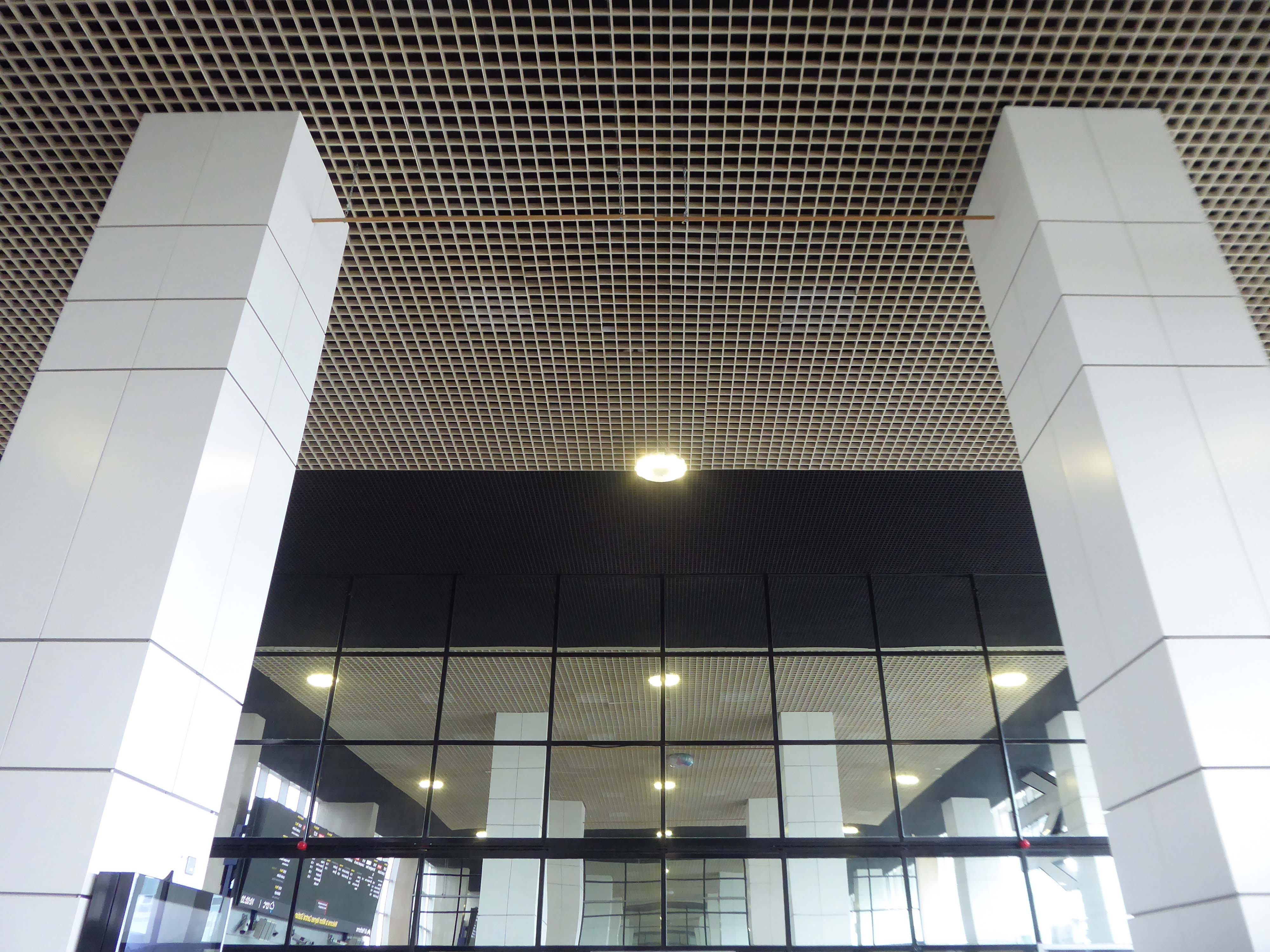
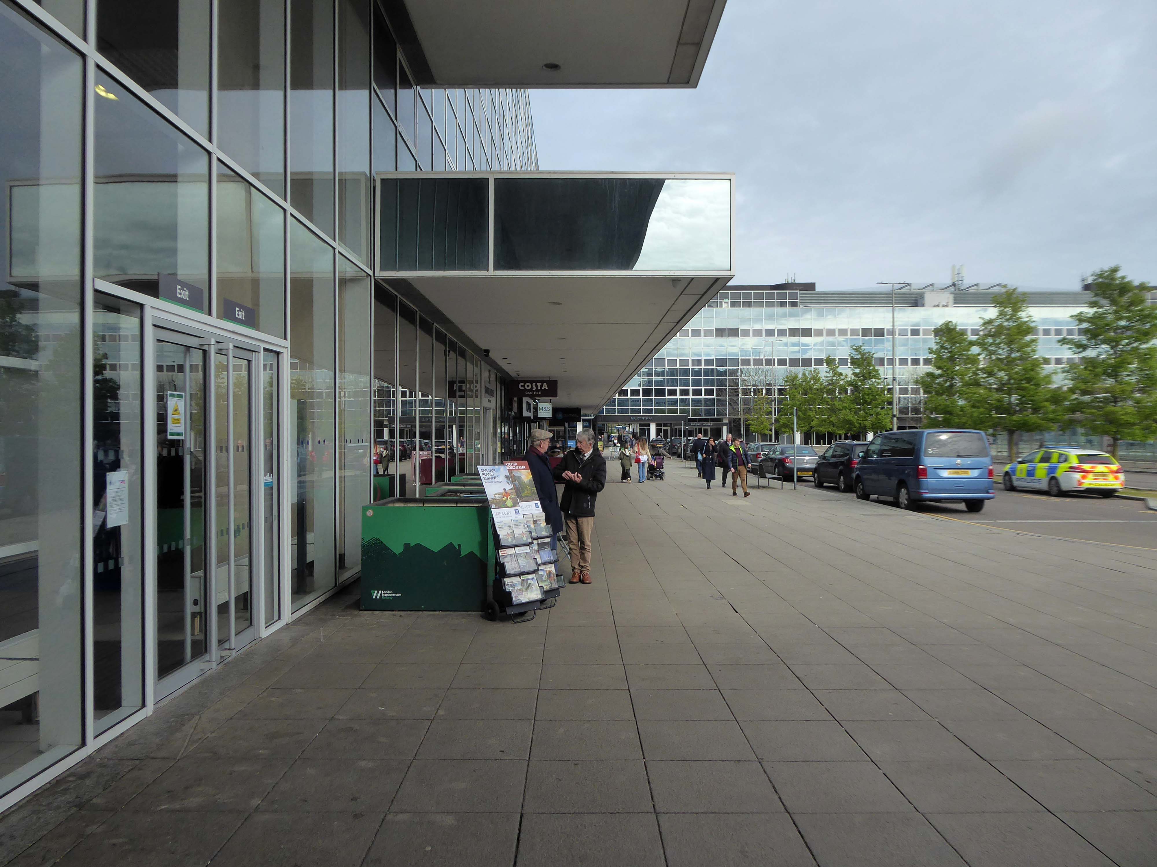
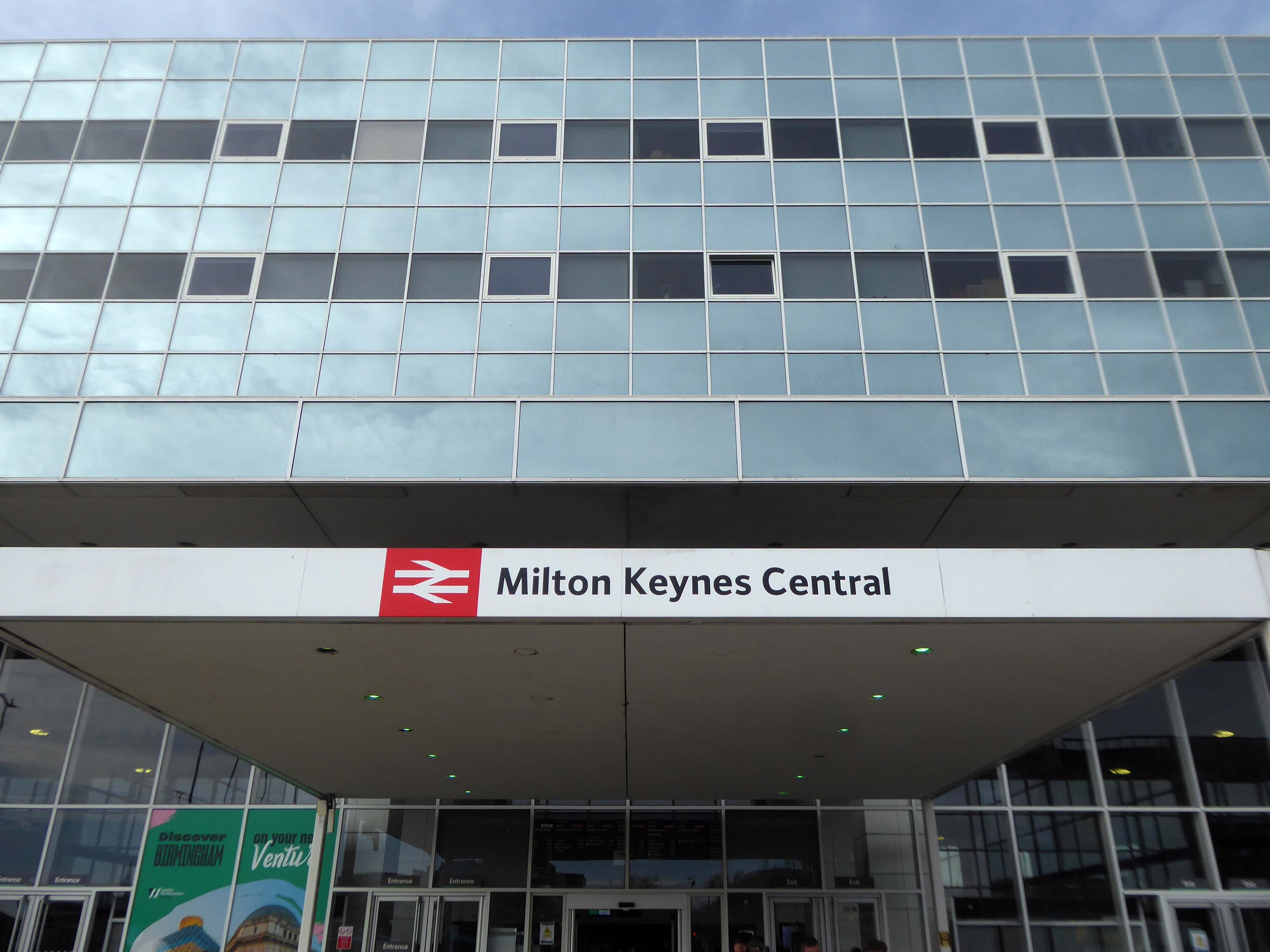
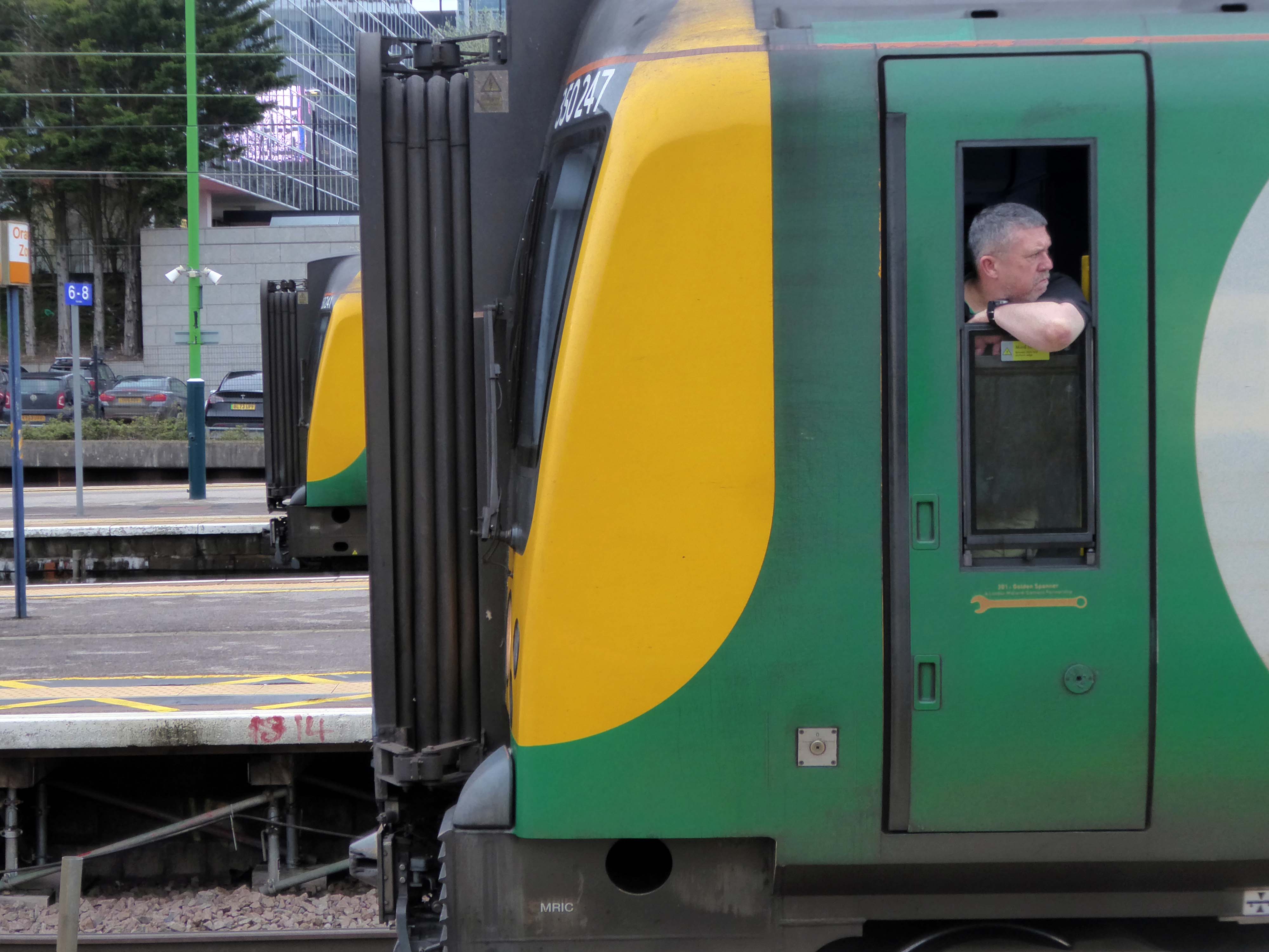
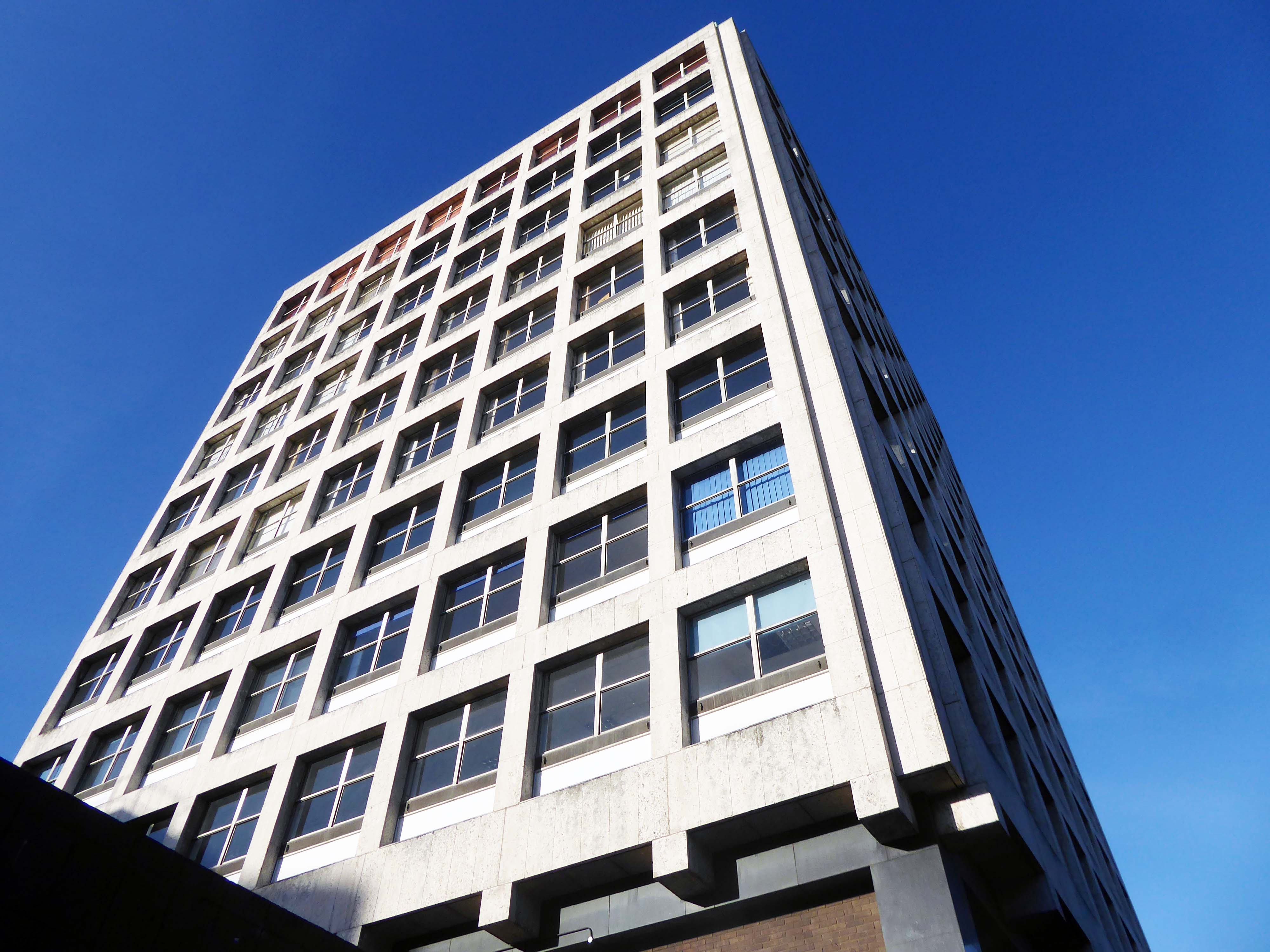
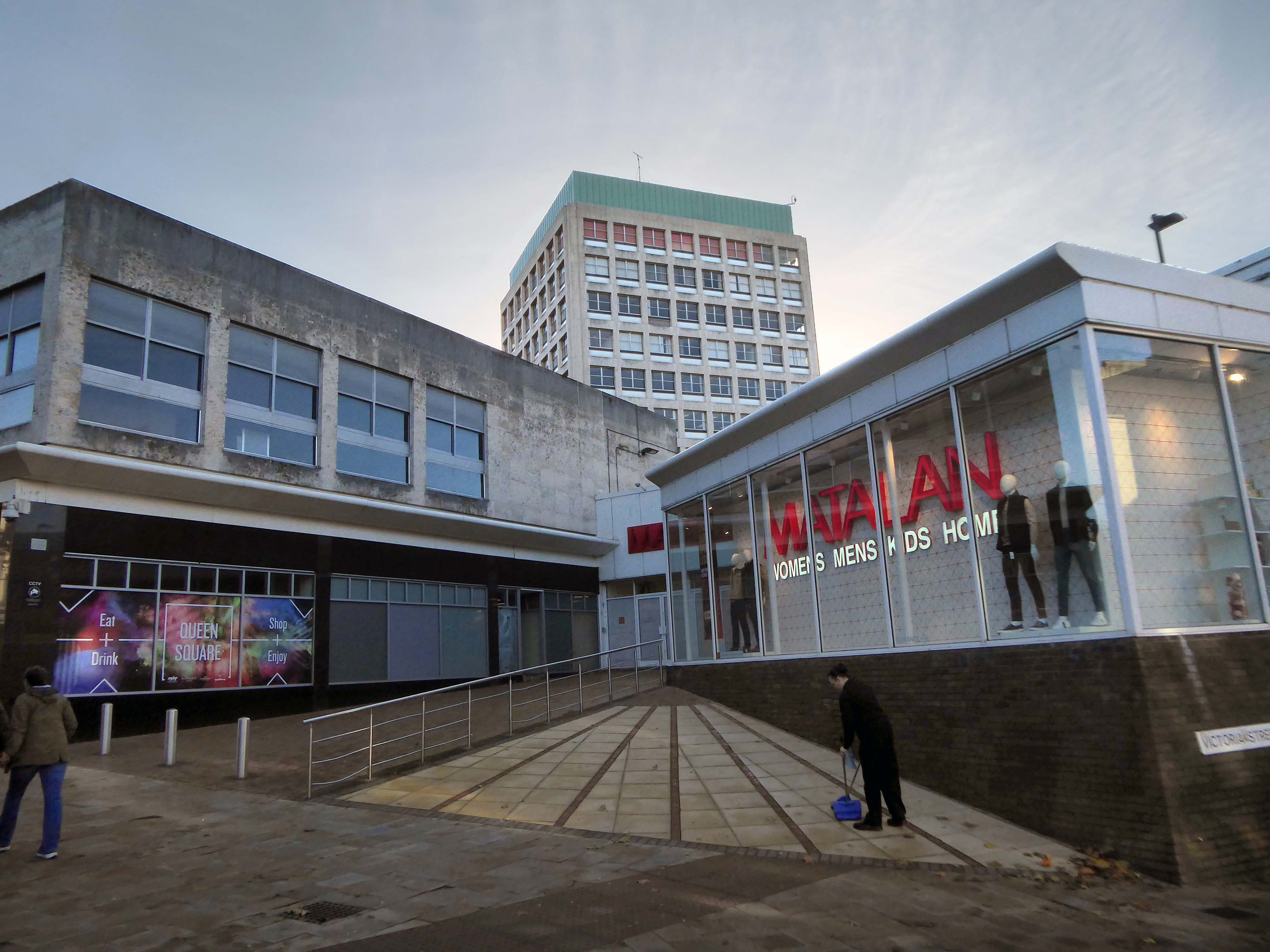
Milton Keynes Central railway station serves Milton Keynes and surrounding parts of Bedfordshire, Buckinghamshire and Northamptonshire. The station is located on the West Coast Main Line about 50 miles northwest of London. The station is served by Avanti West Coast intercity services, and by West Midlands Trains regional services.
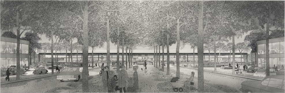
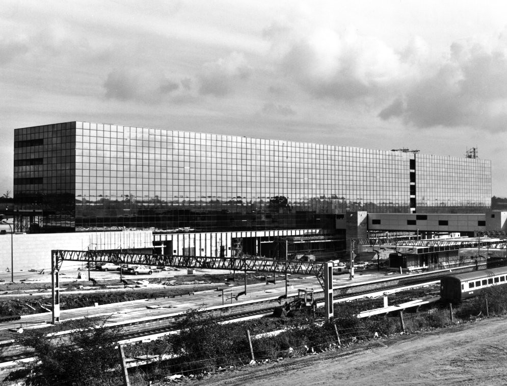
A new station to delimit the western end of the new central business district of Milton Keynes was a key objective for Milton Keynes Development Corporation. In the cash-strapped circumstances of the 1960s and 1970s, British Rail was unenthusiastic but eventually came round after a deal was done in 1978 on cost sharing. In 1979, MKDC architect Stuart Mosscrop designed the station building and office blocks to either side, framing a new Station Square and the vista uphill along Midsummer Boulevard – and the midsummer sunrise.
The Station Square and Station Building were designed by MKDC, the Station fitting out including the platforms, was designed by British Rail Architects, one third of the costs met by BR and two thirds by MKDC. For MKDC, the scheme was designed by MKDC architects Stuart Mosscrop, Derek Walker and Christopher Woodward; project architect David Hartley, assisted by Barry Steadman and Christopher Moxham; structural engineers Felix J Samuely. British Rail was responsible for the station concourse, footbridge and platform structures, the team comprising Jim S Wyatt, BR regional architect, and project architect John H Kitcher, assisted by Colin Eades.
The station opened on 14 May 1982, with an official opening by Charles, then Prince of Wales, conducted three days later.
Mother of two Jo Francis leans in for a kiss.
Older people are remembering when he previously came to Milton Keynes:
Crowds stood around the forecourt of the Tickford Street factory to watch, cheer and wave flags. Then suddenly, a five year old boy called Matthew Turvey reached into his mum’s shopping basket, took out a tin of baked beans and held them out to the young Prince.
Proposed designs for architecture and town planning of Milton Keynes: boulevard and railway station – 1970 Derek Walker Associates
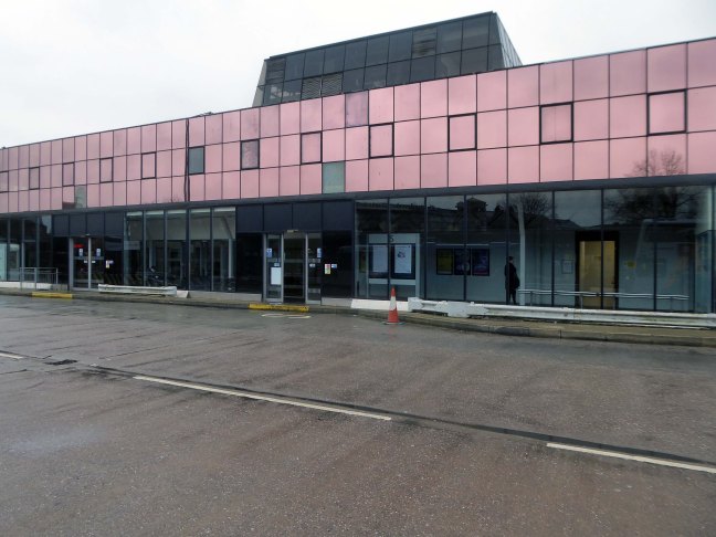
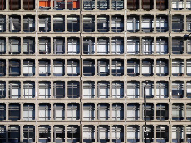
1981 – Built using a high performance reflective solar control glass called Vari-Tran, creating a complete curtain wall to cover the whole construction.
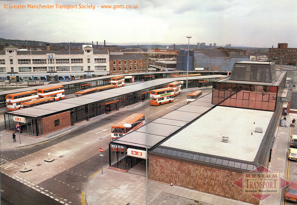
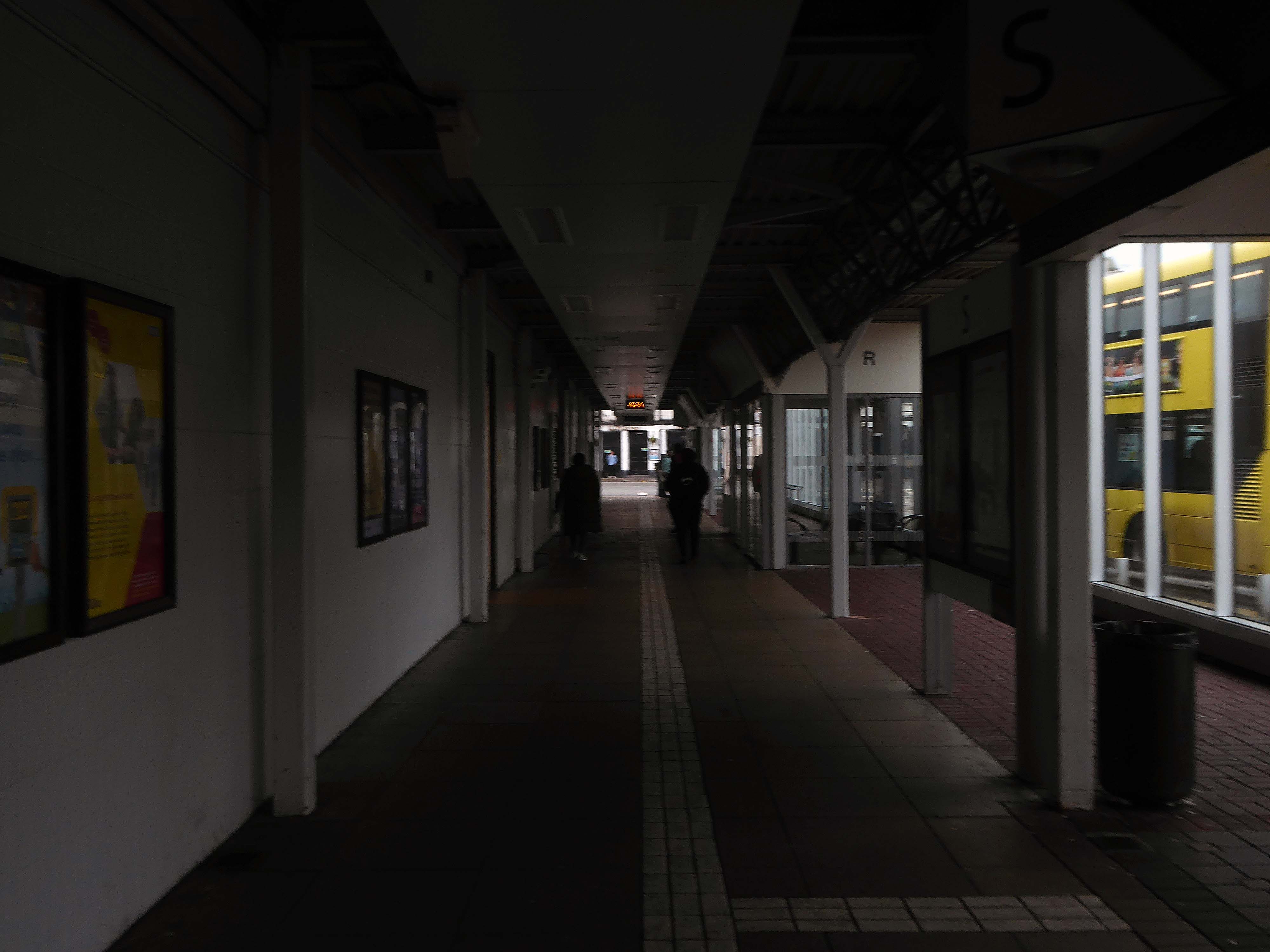
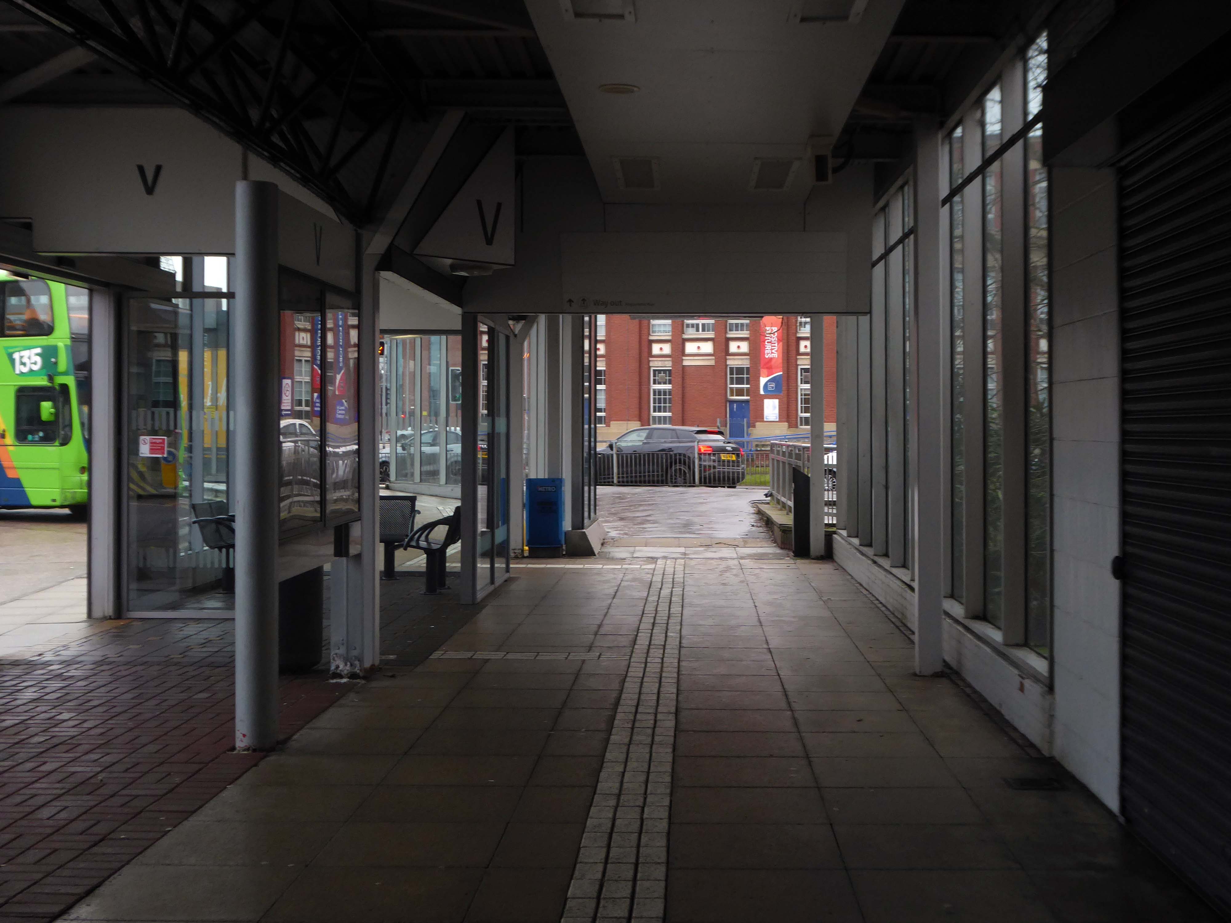
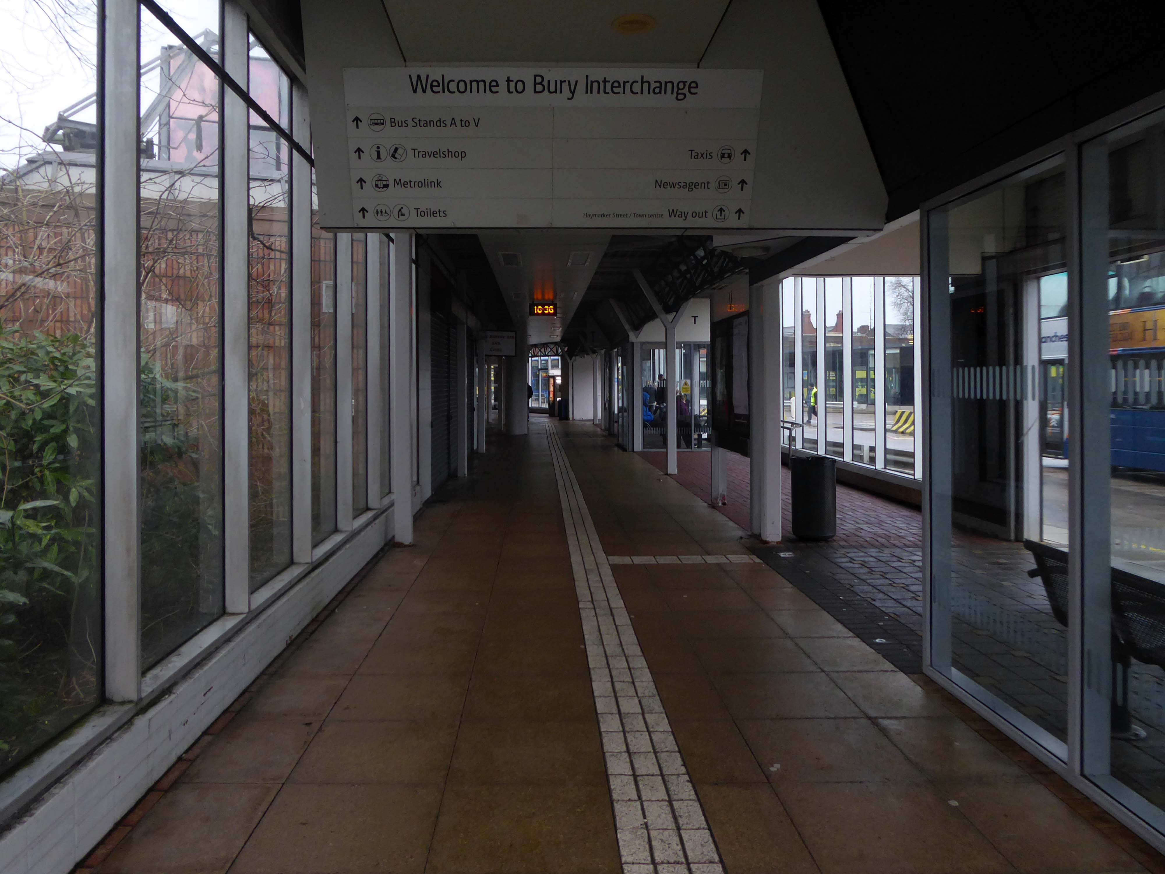
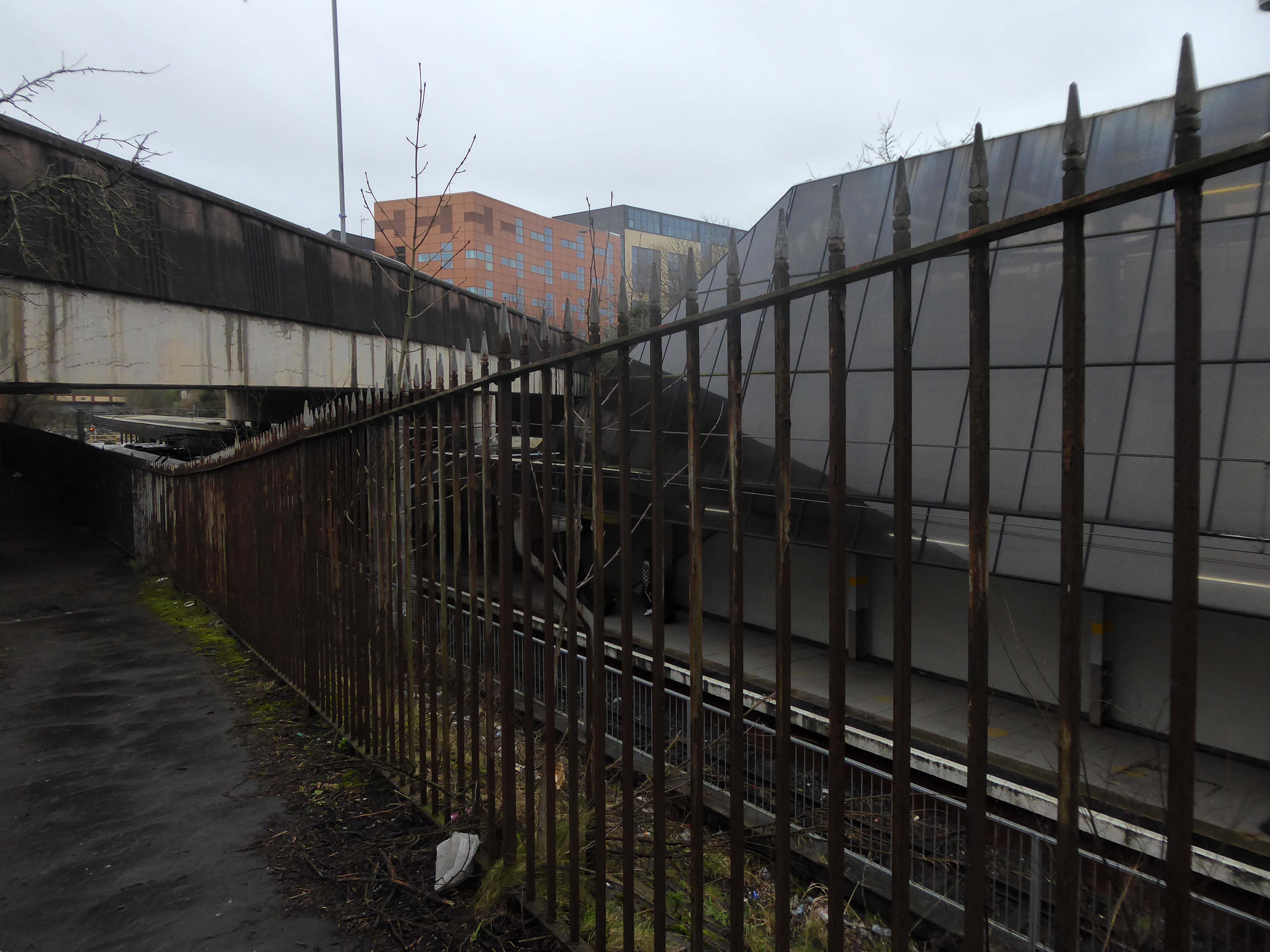
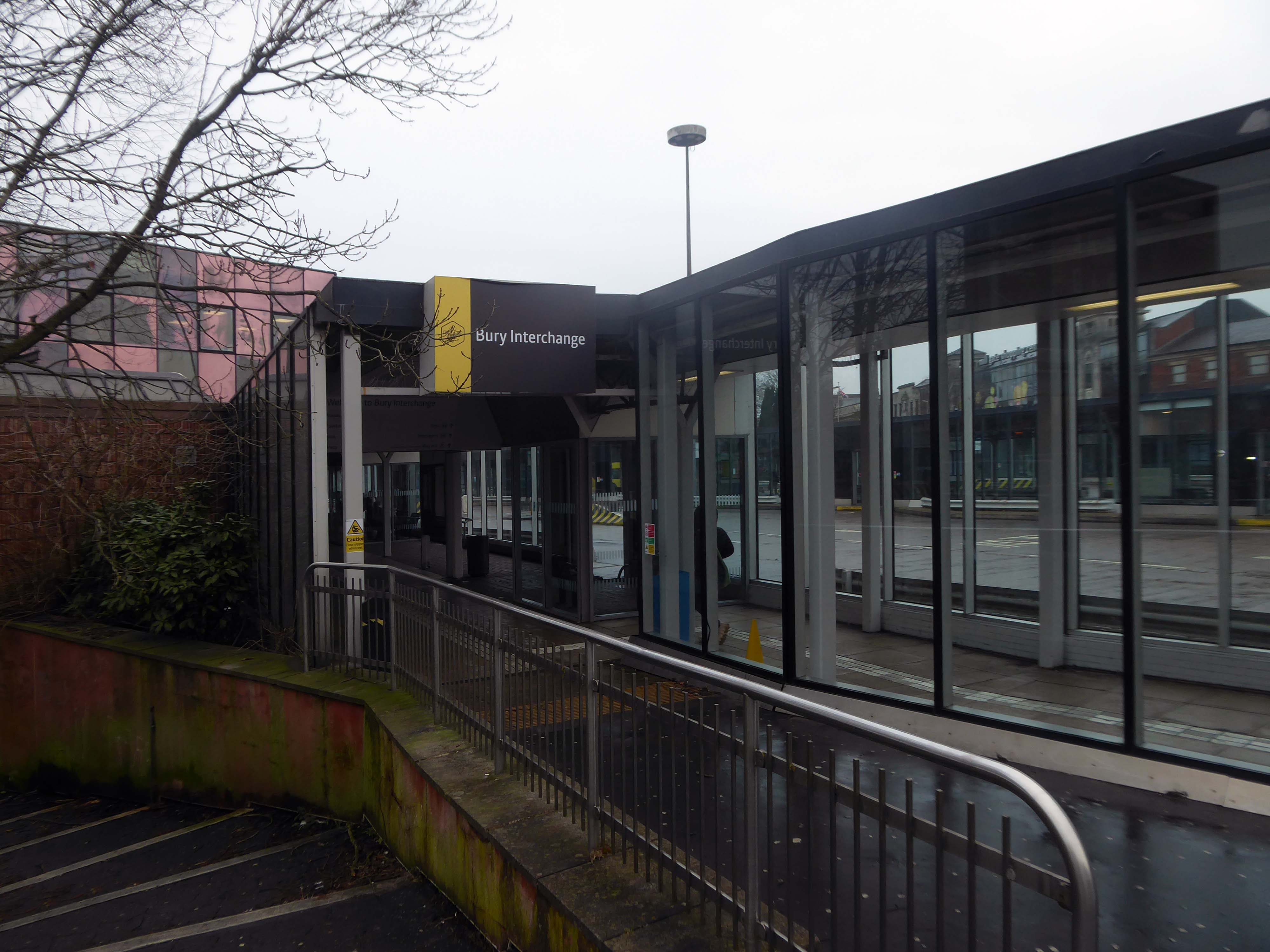
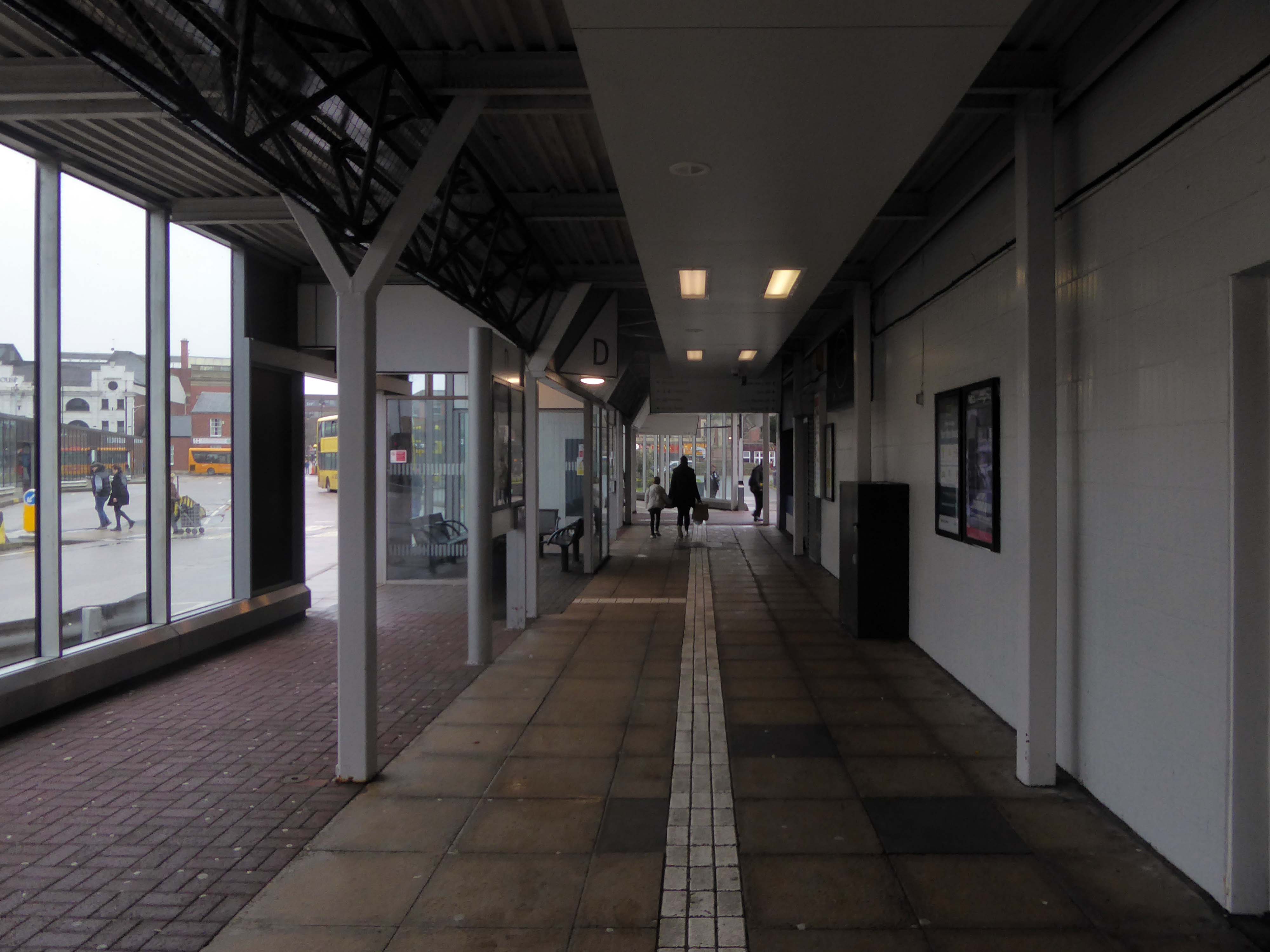
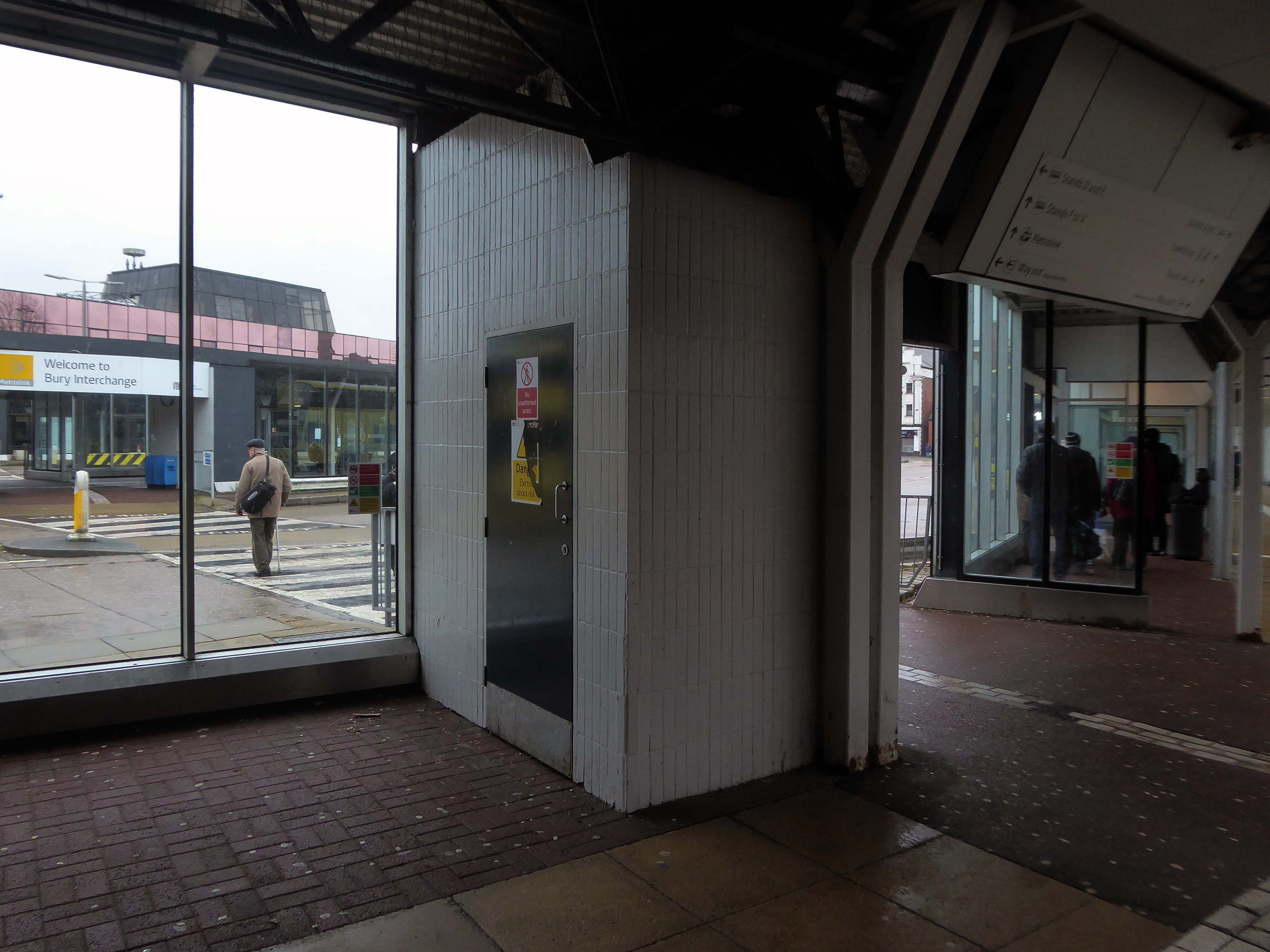
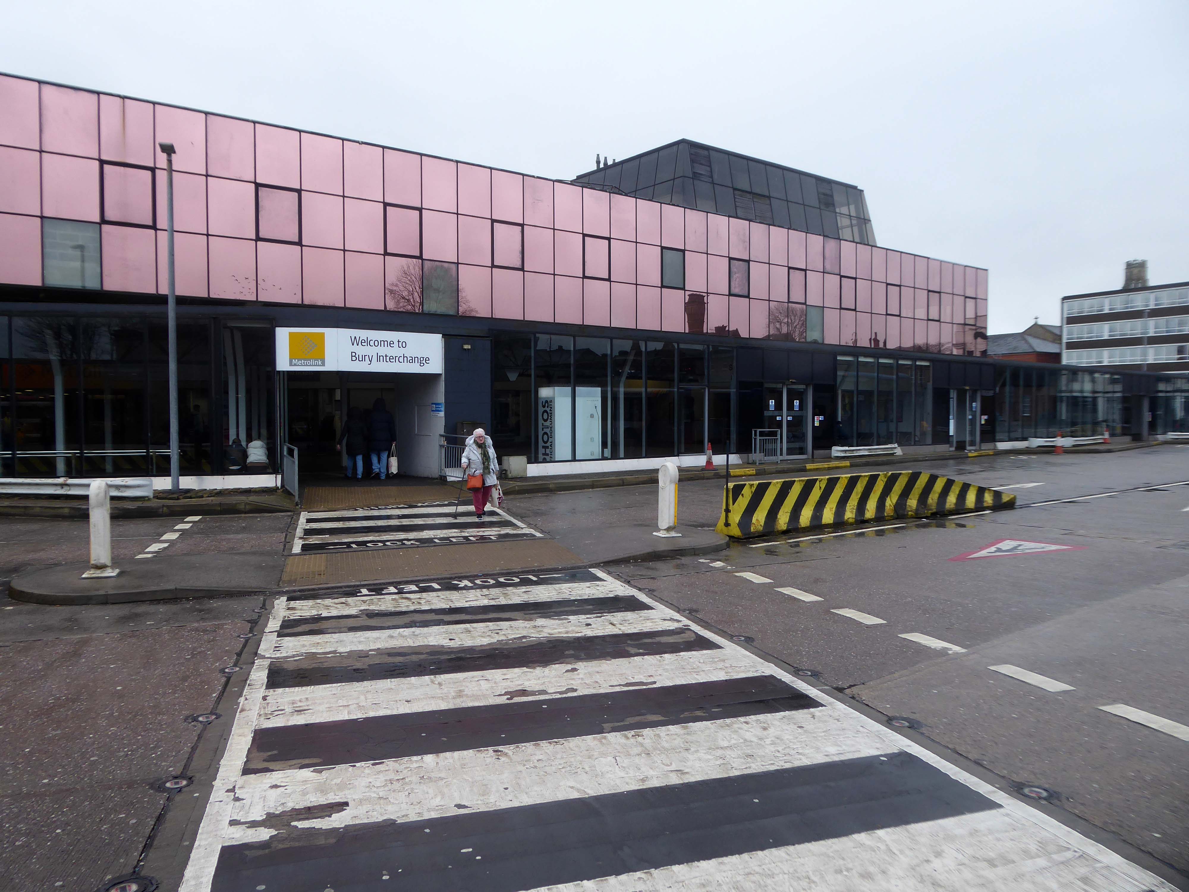
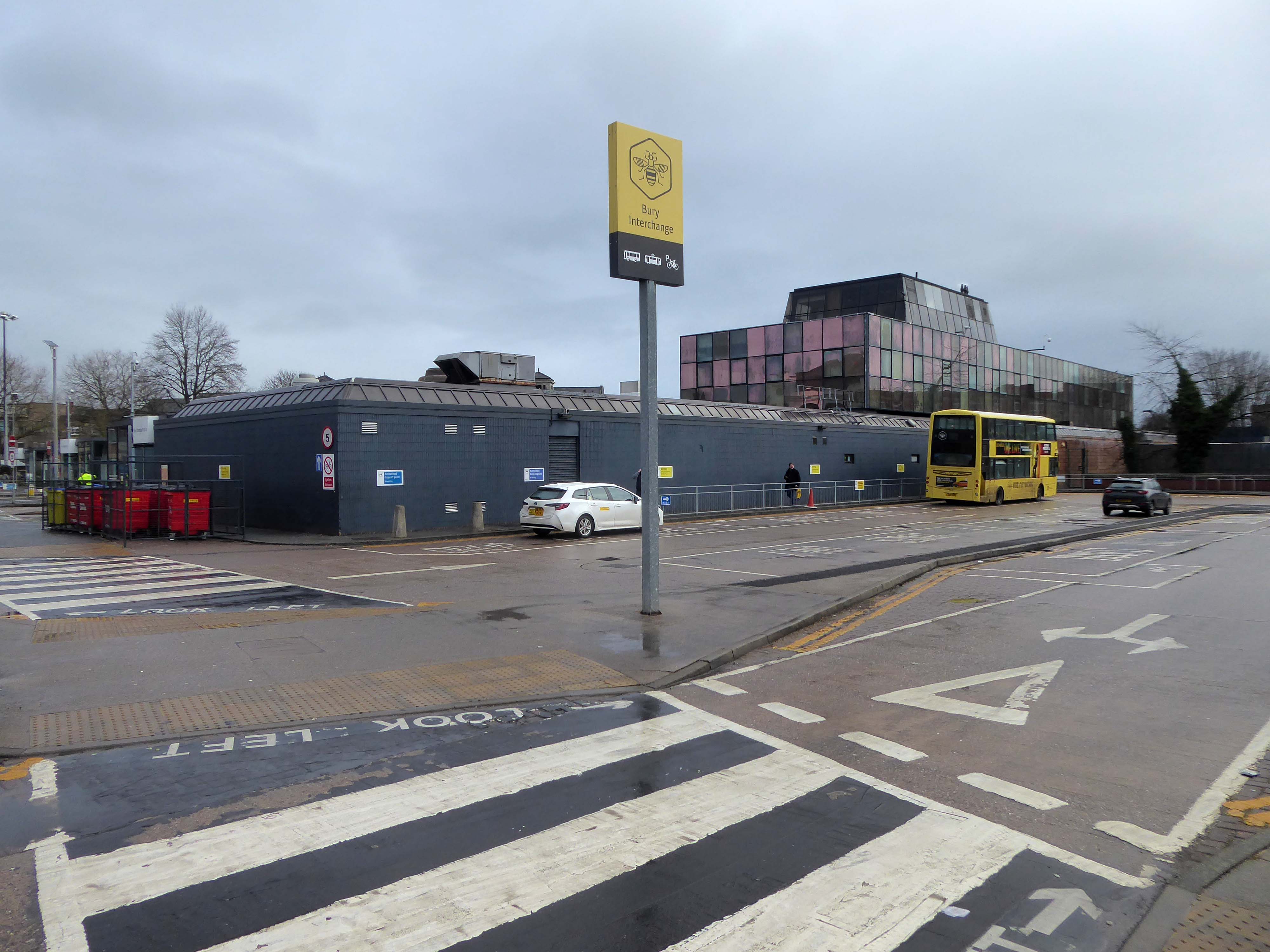
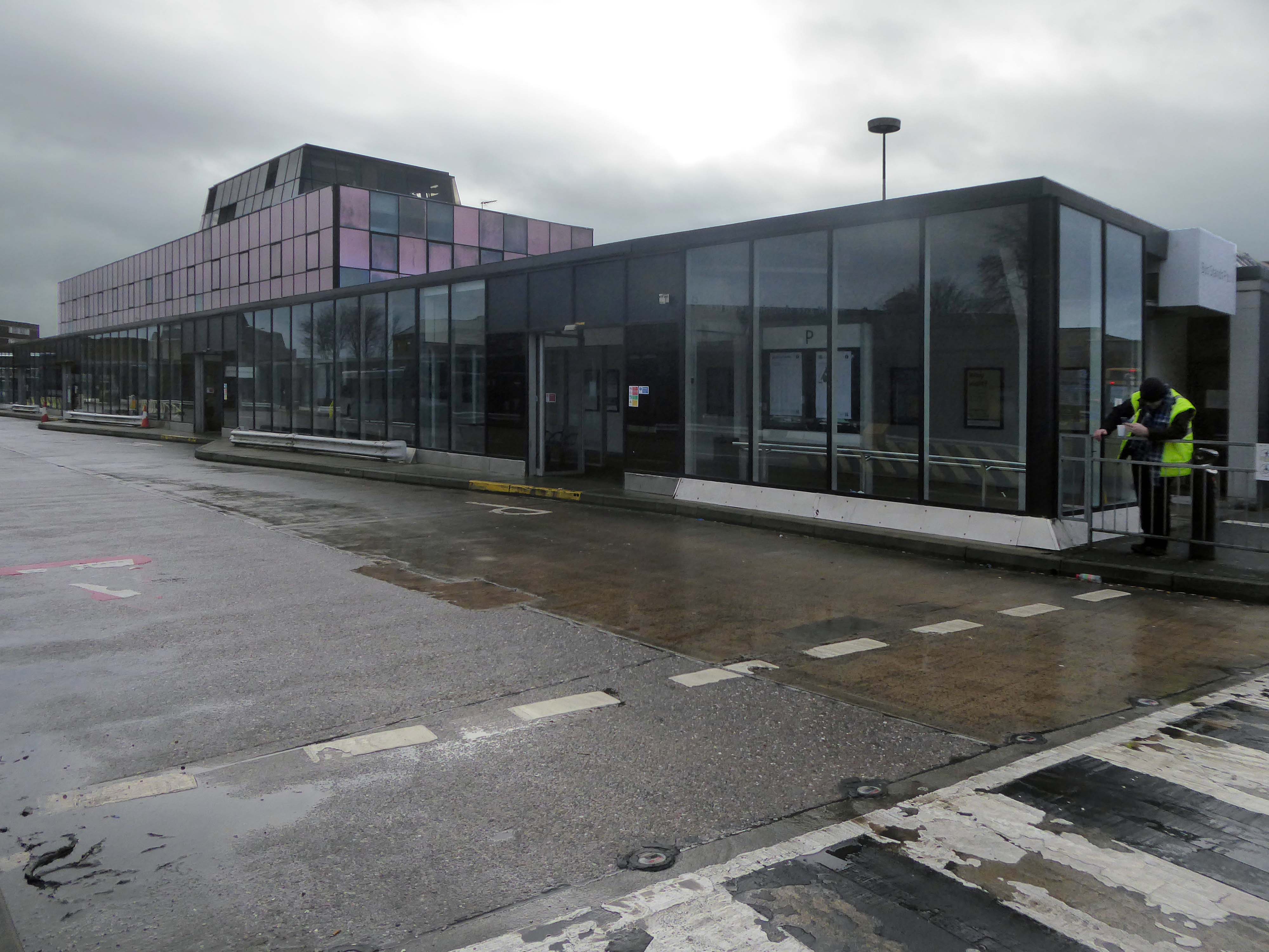
Bury Interchange is a transport hub opened in 1980, it is the northern terminus of the Manchester Metrolink’s Bury Line, which prior to 1992 was a heavy-rail line.
It also incorporates a bus station.
Bury Interchange replaced the bus termini scattered around Bury town centre, notably around Kay Gardens.
Bury Interchange was opened by British Rail in March 1980, integrating a new bus station with the northern terminus of the Bury-to-Manchester heavy railway line, a new short spur line was constructed to connect the new station.
The railway had originally run into Bury Bolton Street which was further away from the town centre, and was closed by British Rail on the same day that Bury Interchange opened.
An £80m transformation is coming to the Bury Interchange, which will see step-free access at the Metrolink, a “vertical circulation core” to better connect the Metrolink with the bus facility, and an integrated travel hub with spaces for cycle storage.
The work is much-needed, explained Transport for Greater Manchester’s Alan Lowe, he said that the interchange was built in the 1980s and very much is of its time.
It’s not what we need for our customers need.
The new Bury Interchange project is expected to complete at the end of the decade.
The line and station were closed on 5 October 1970 as part of continuing cutbacks in British Rail services and the line west to Bolton subsequently dismantled.
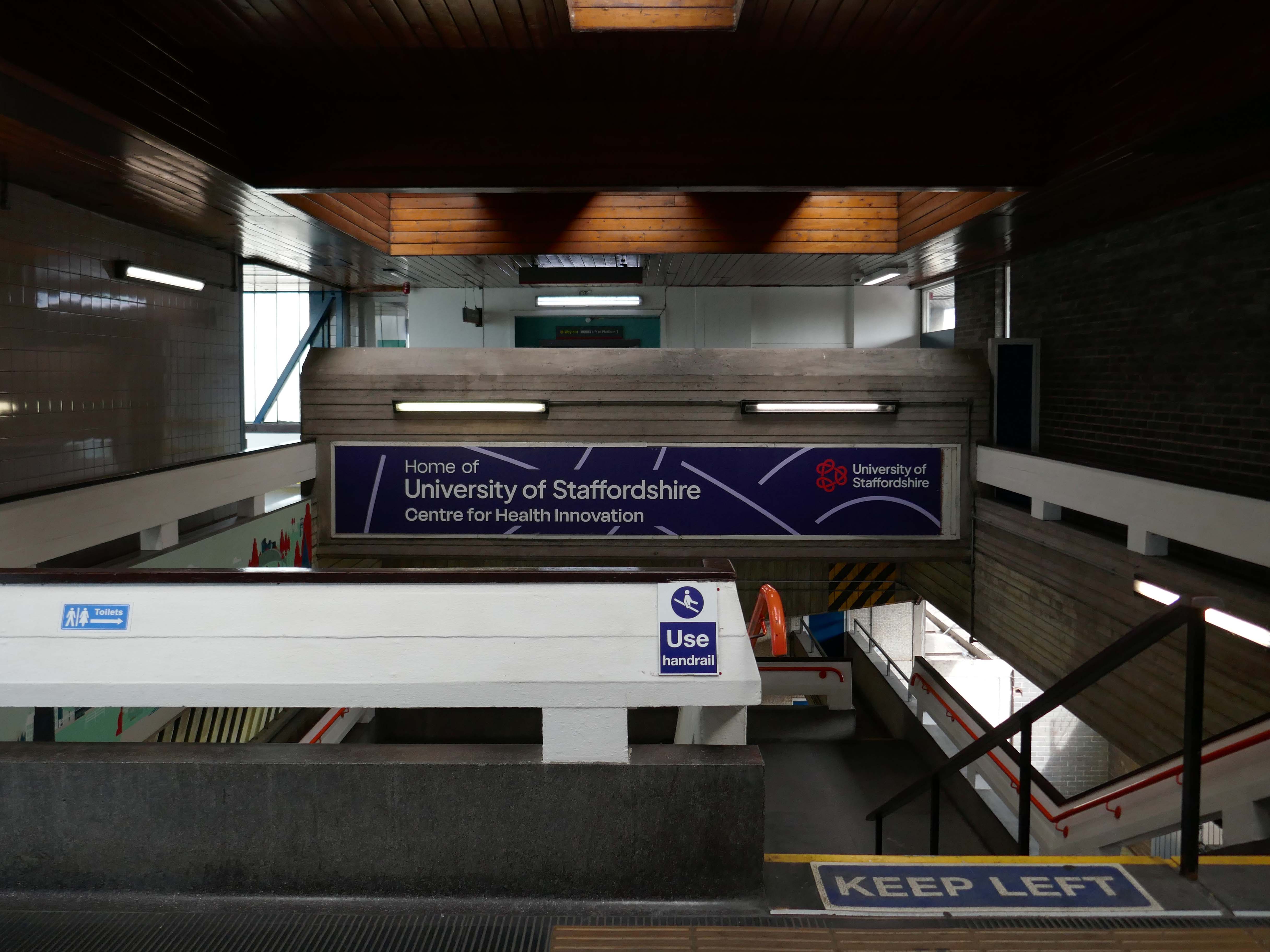
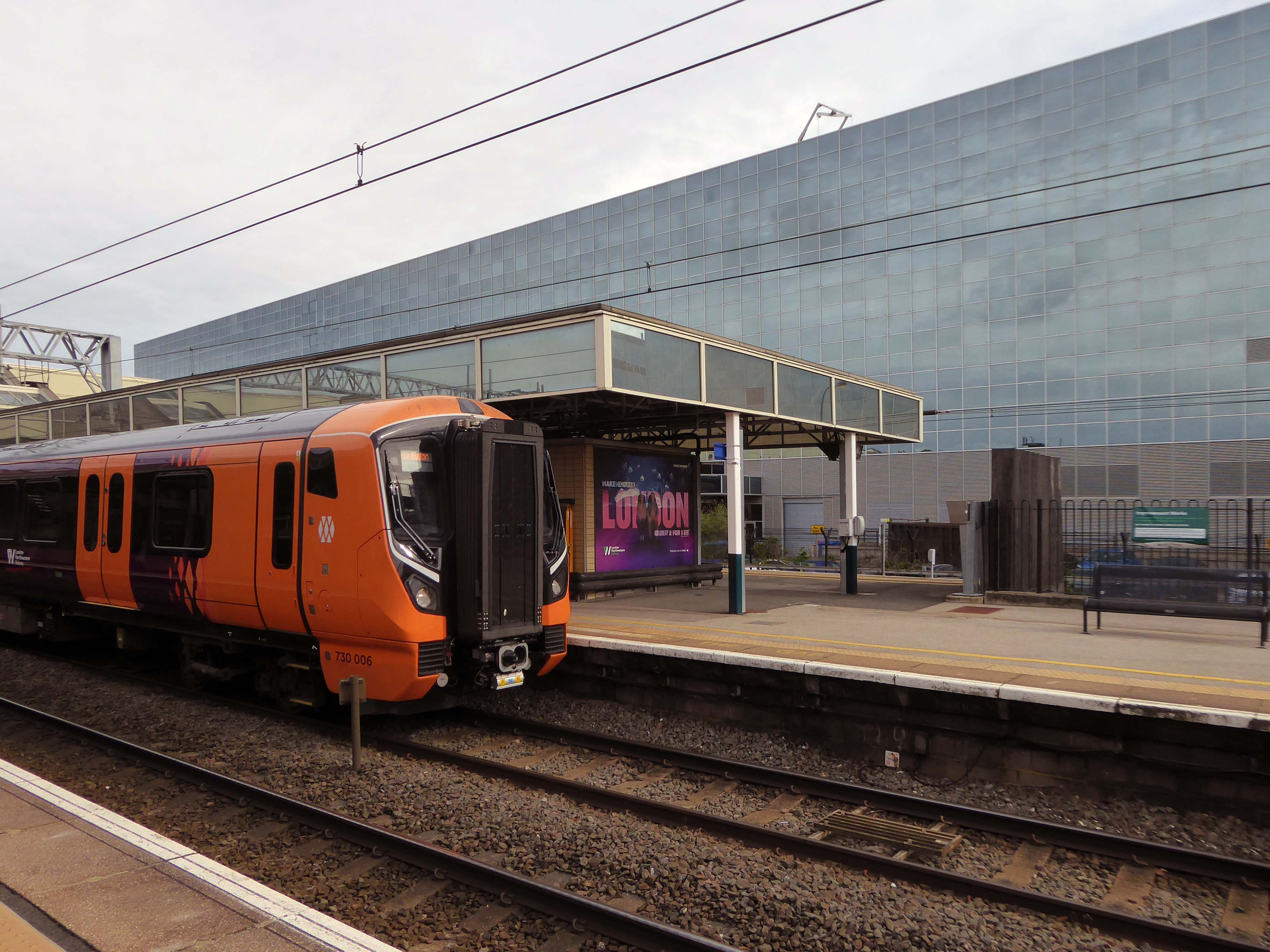
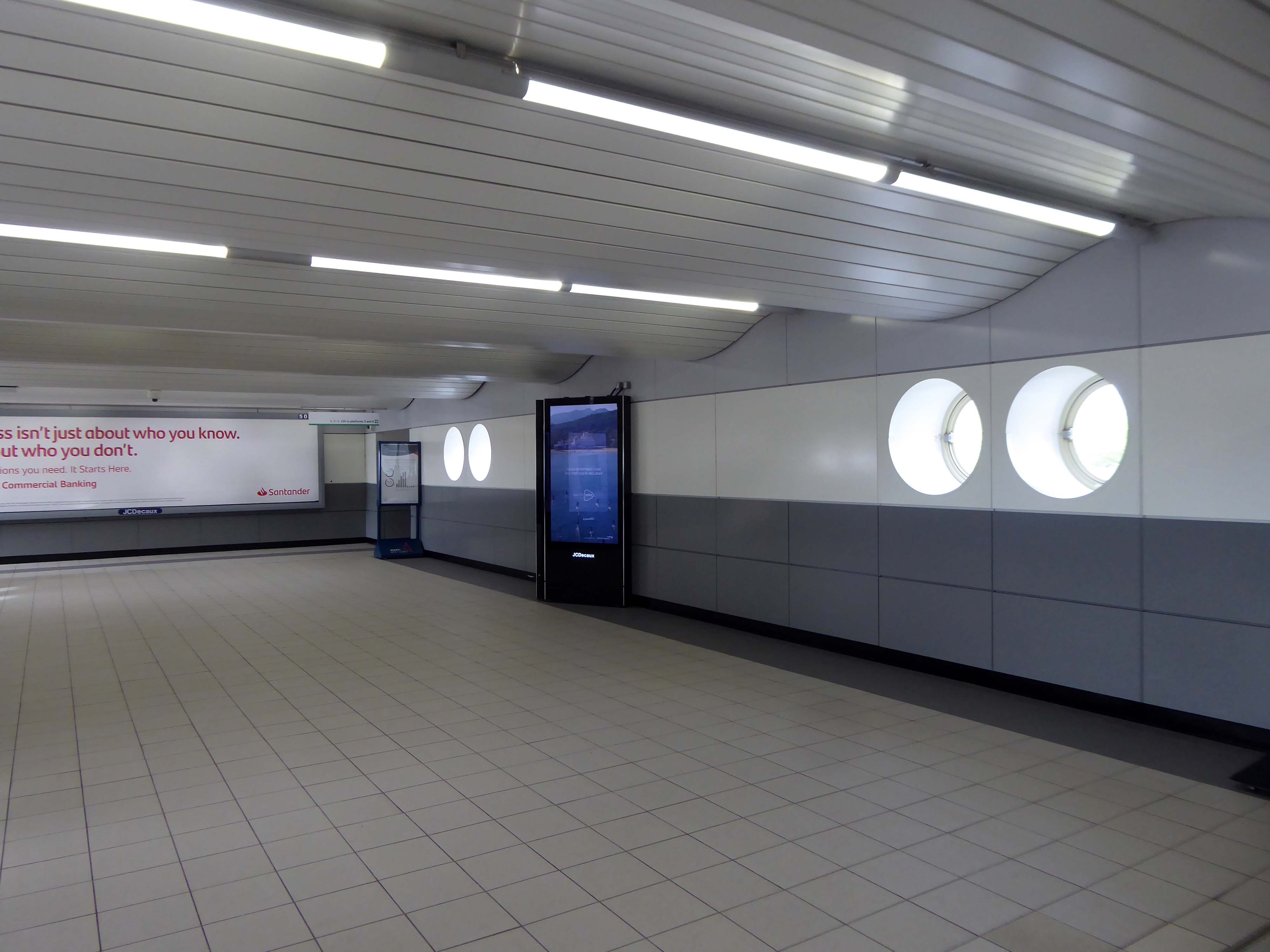
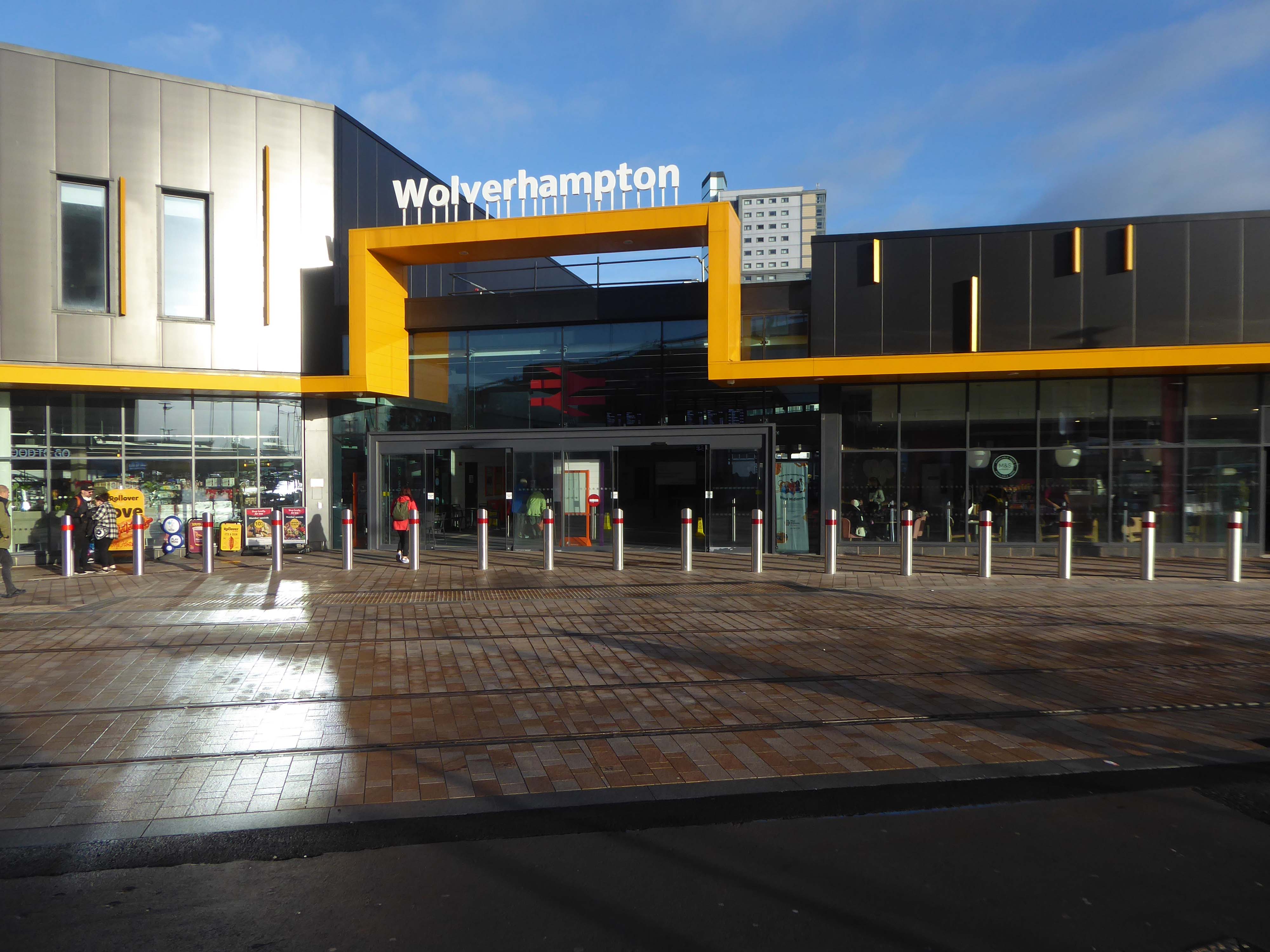
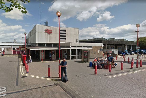
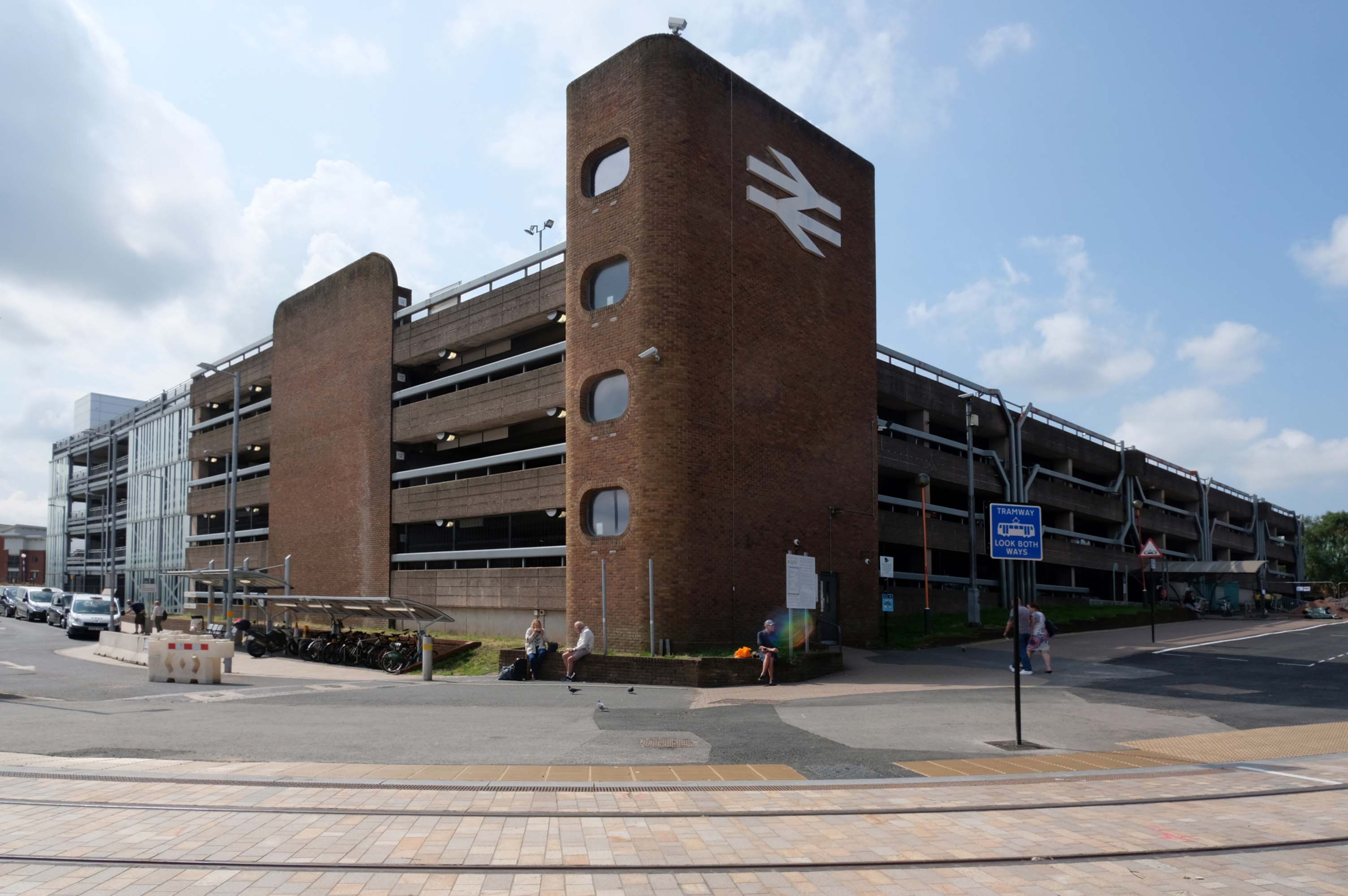
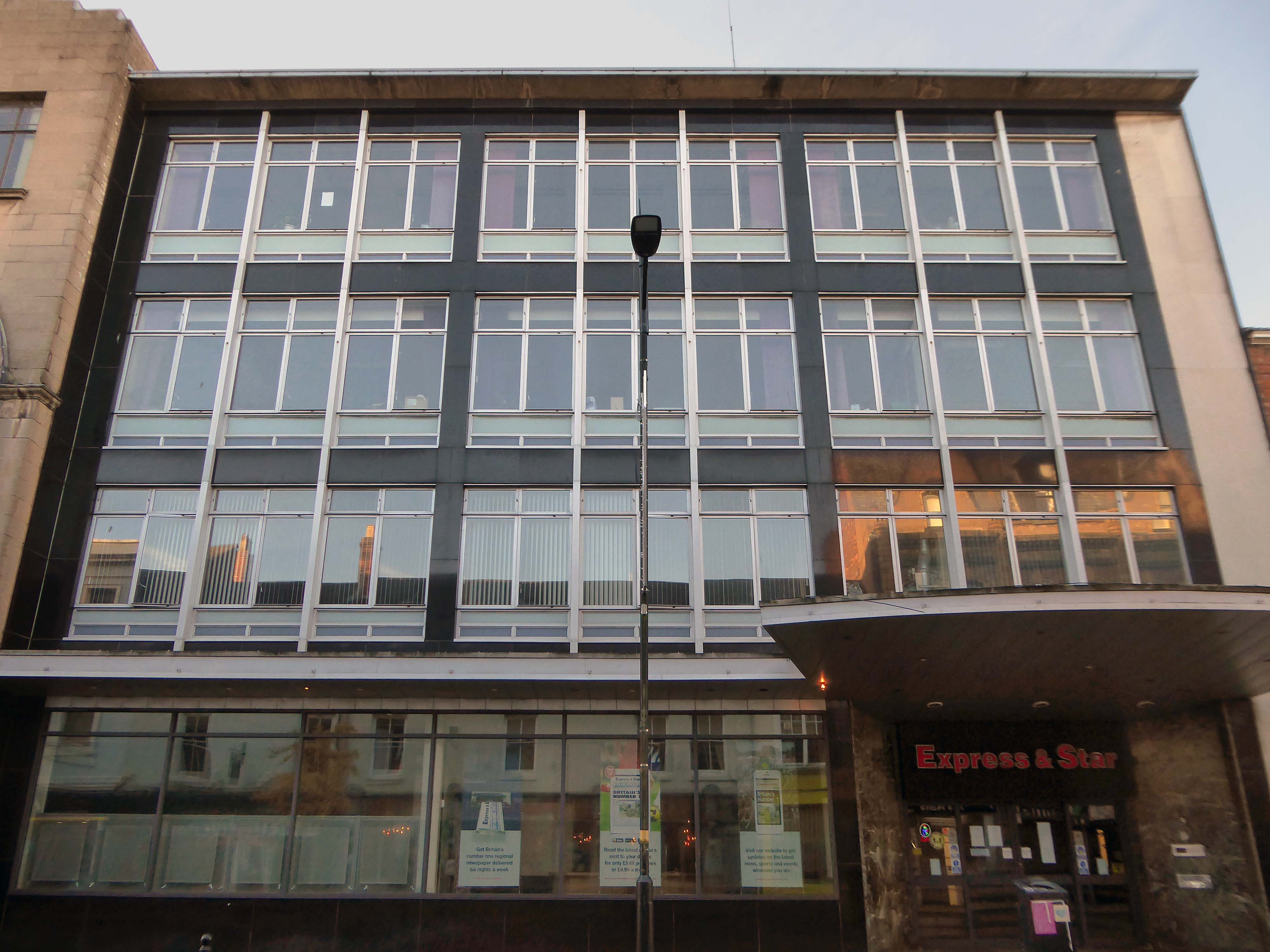
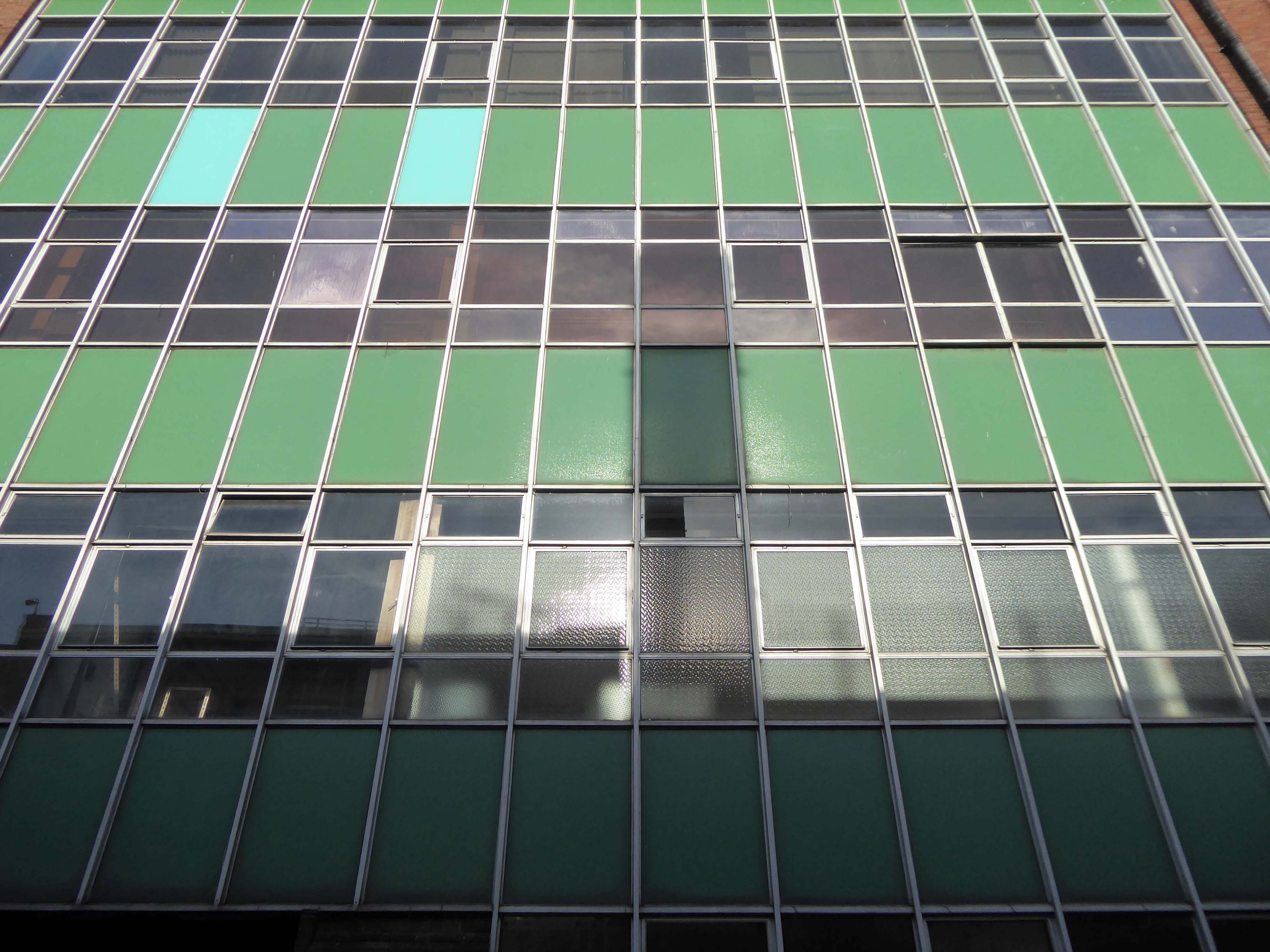
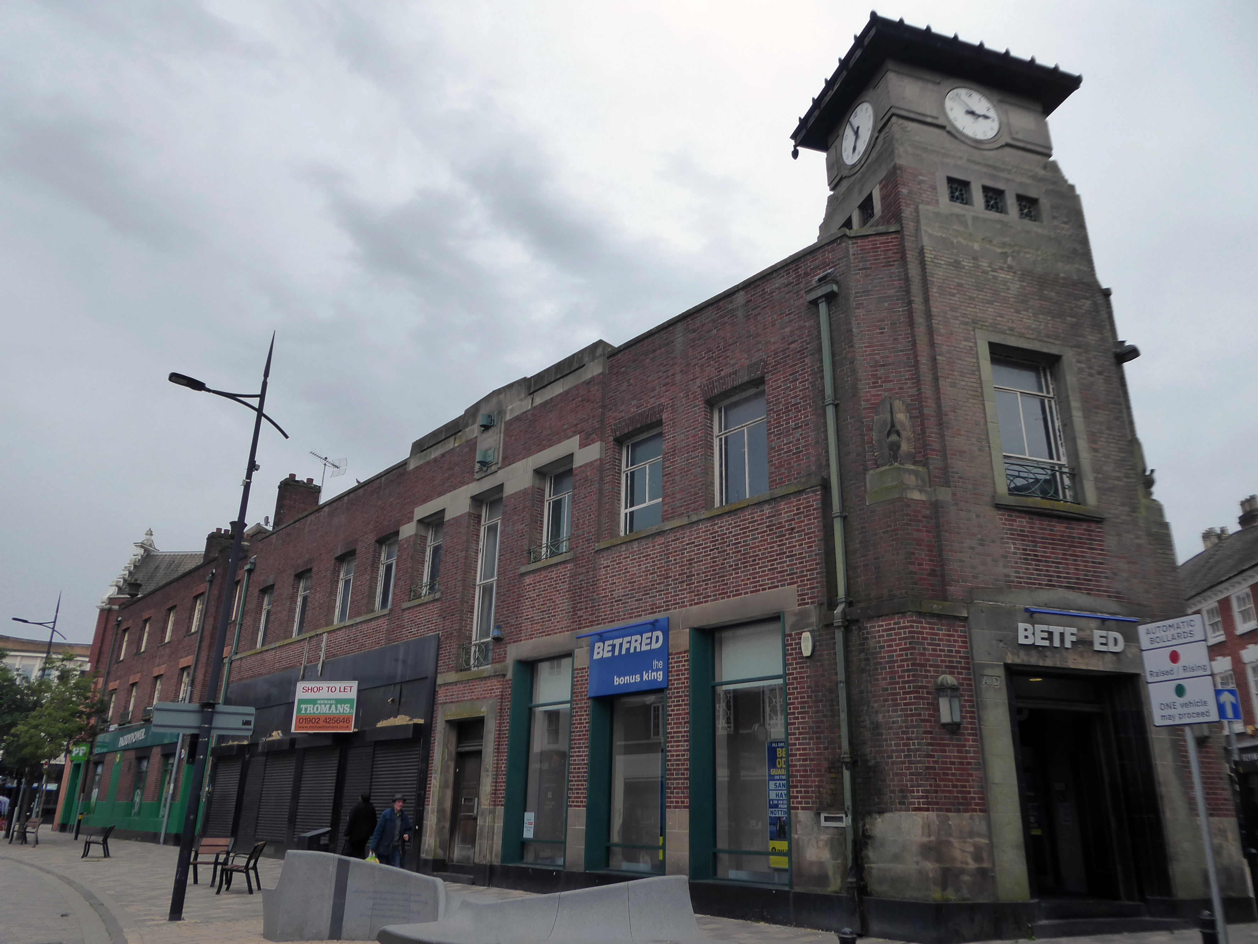
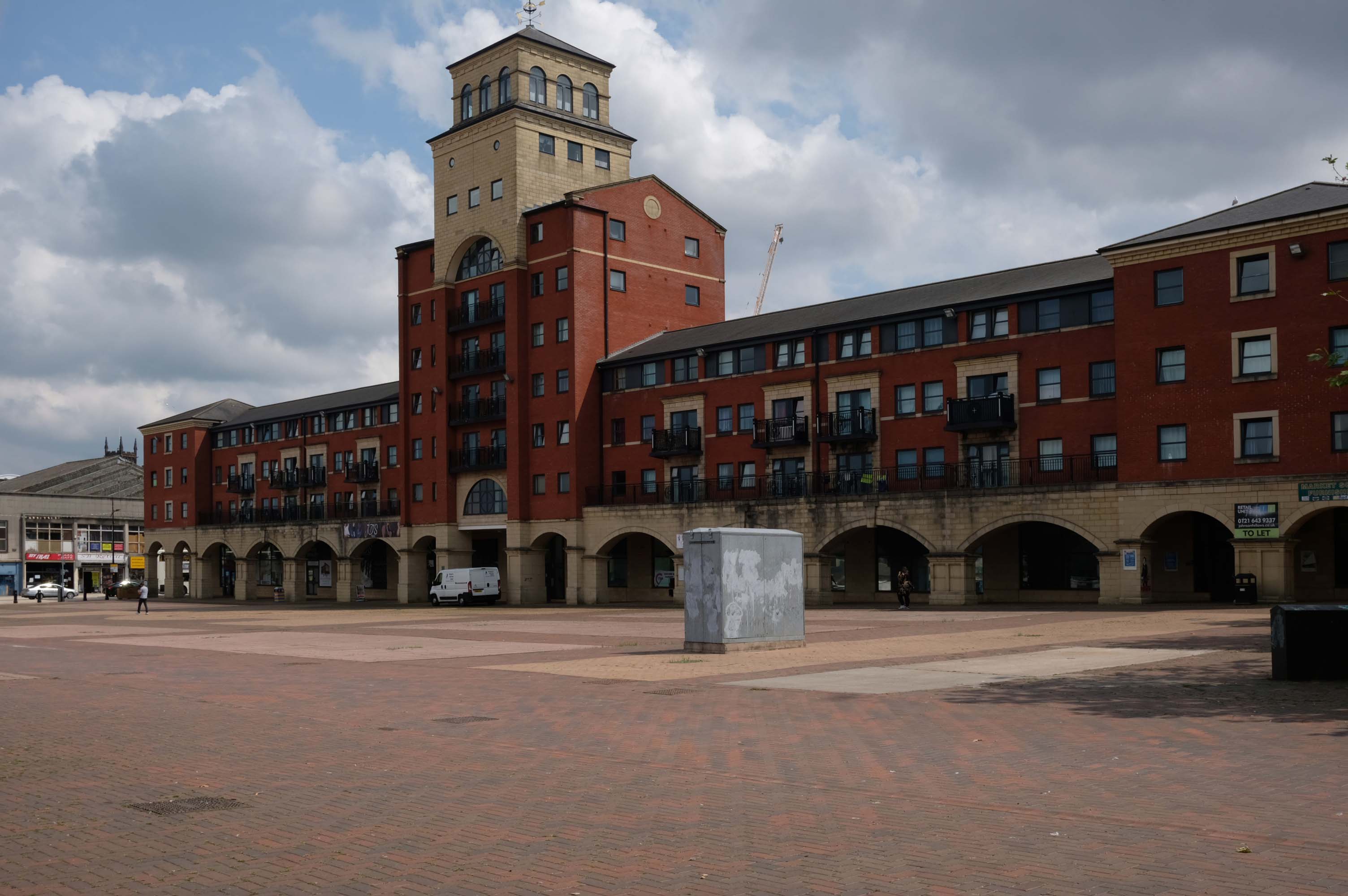
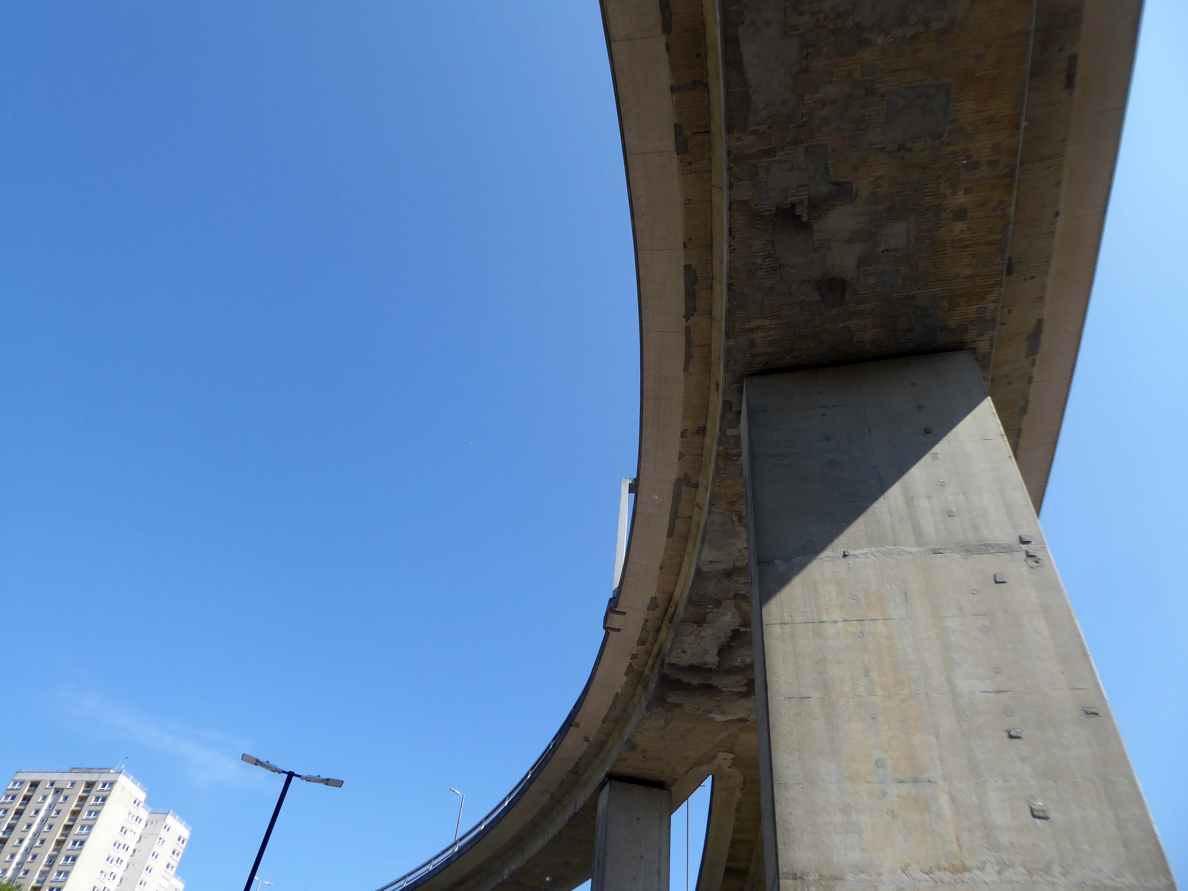
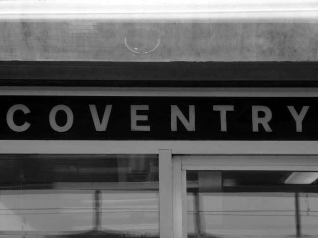
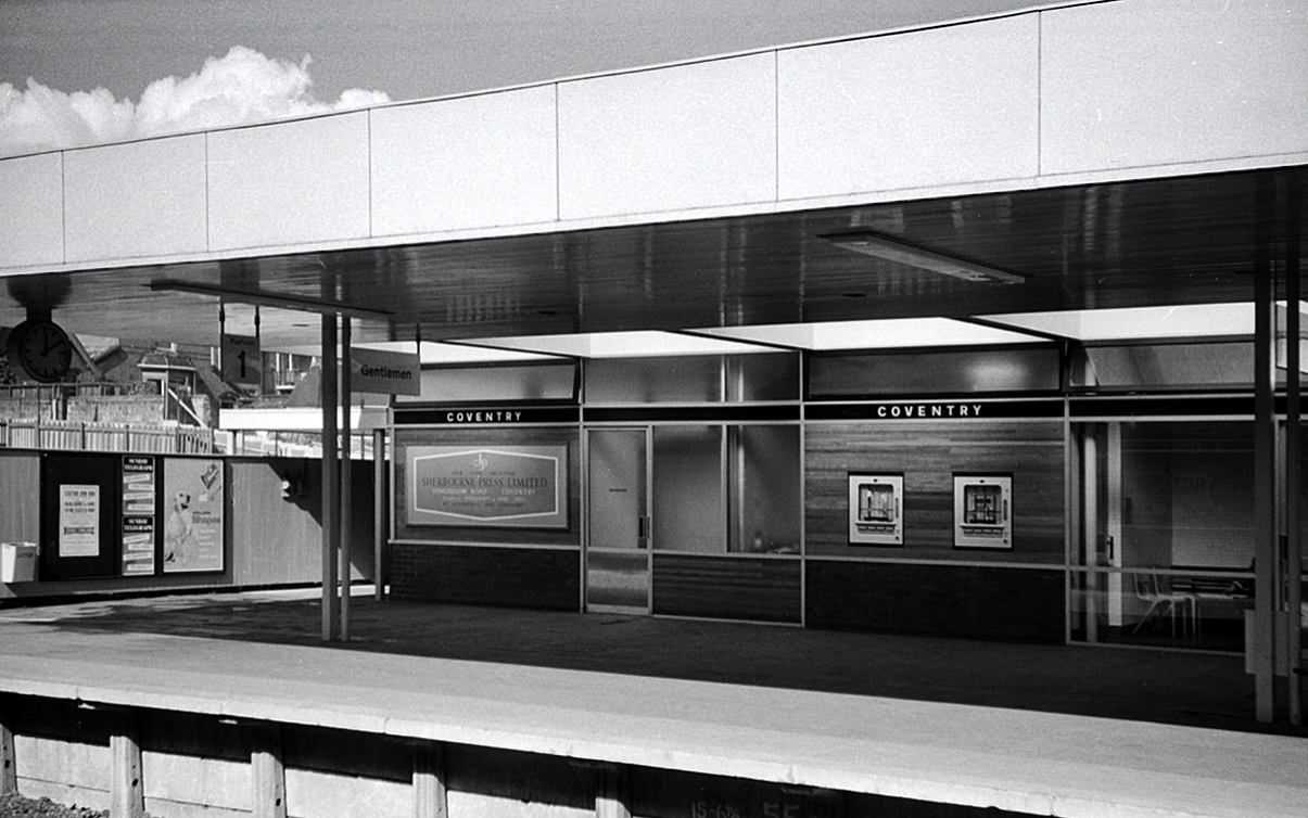
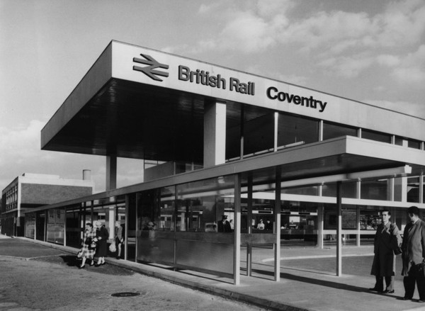
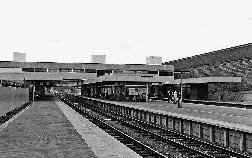
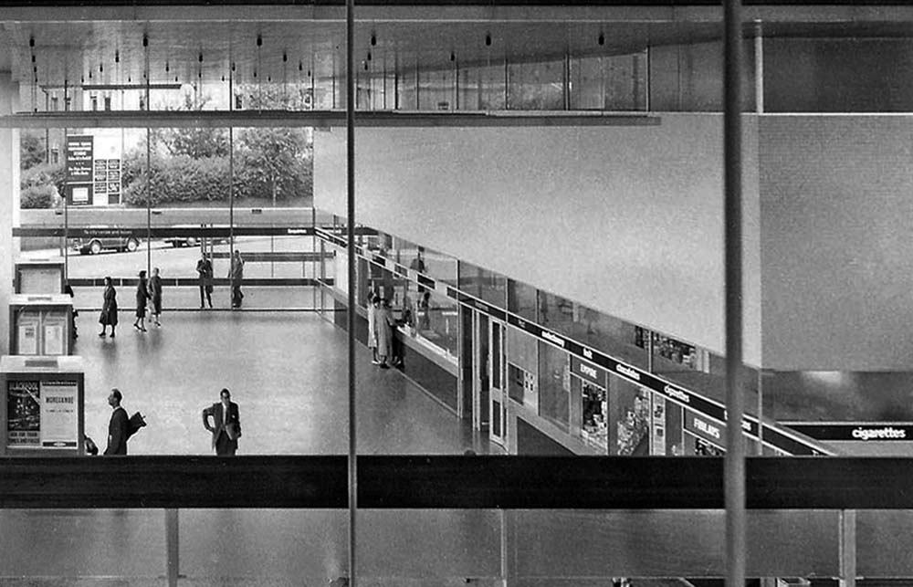
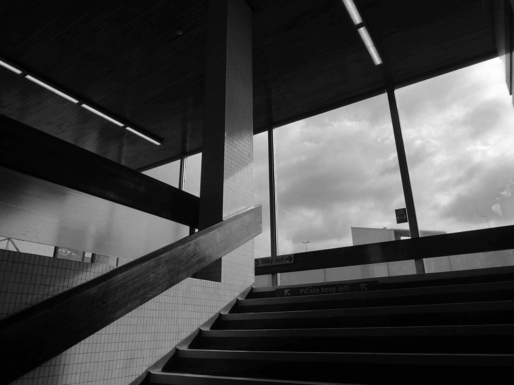
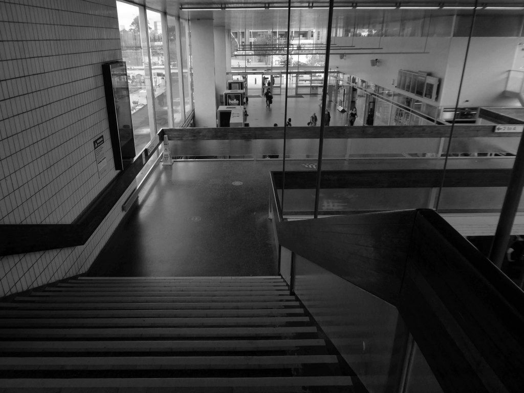
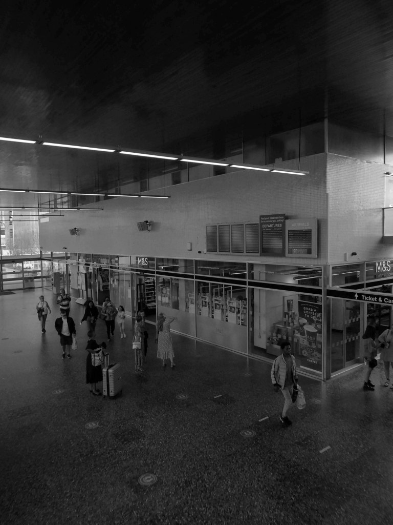
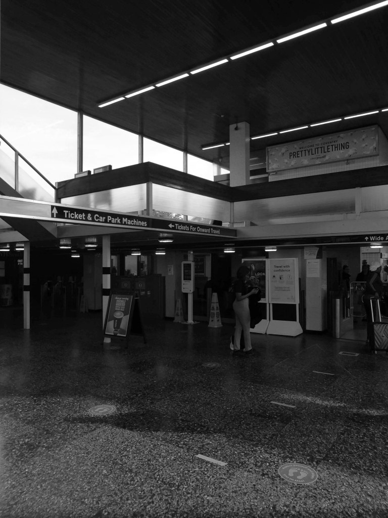
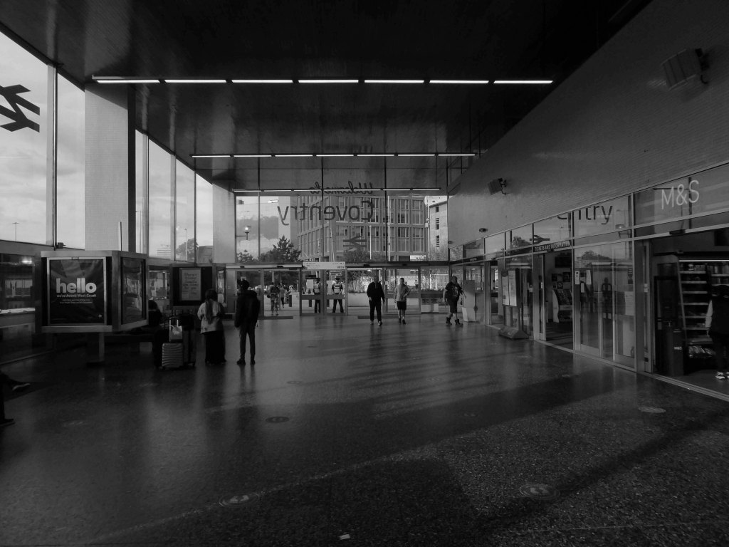
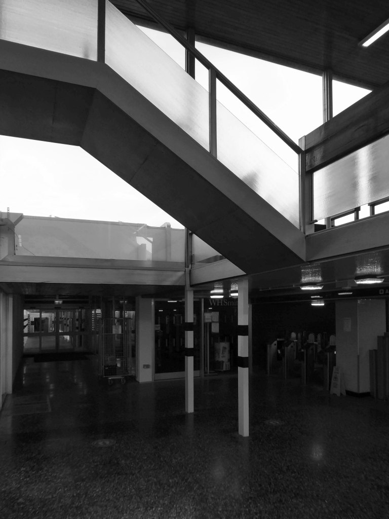
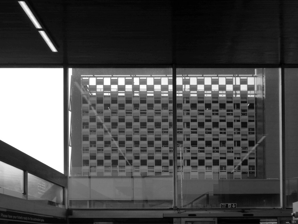
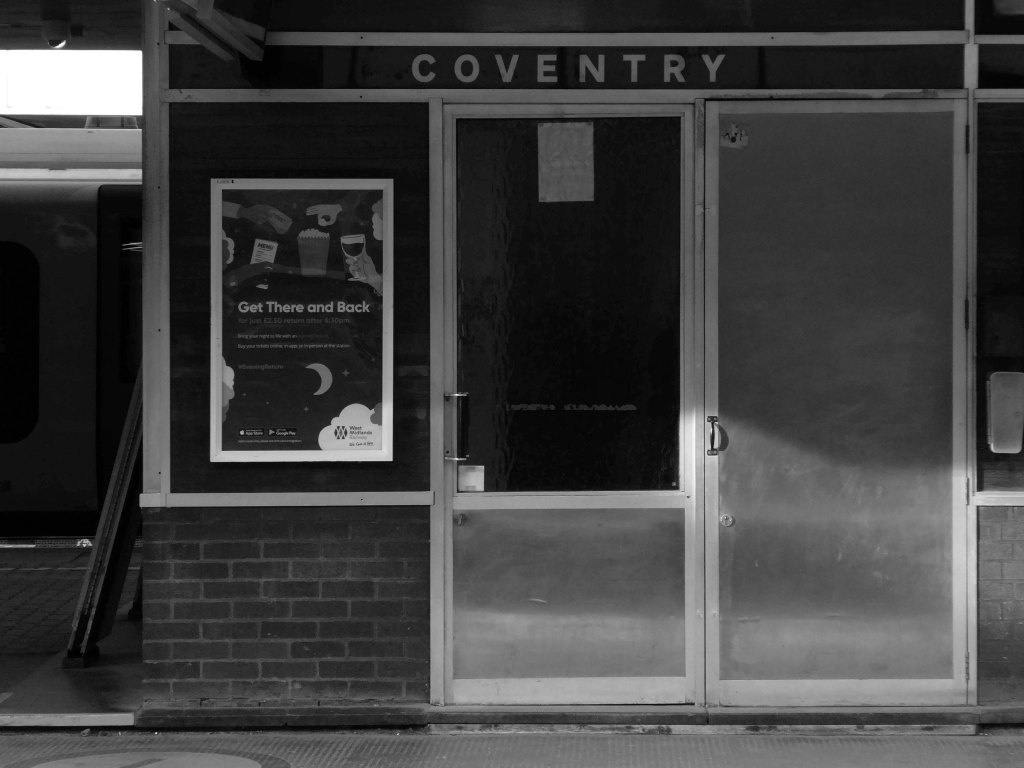
We begin at the Railway Station – recently refurbished, overwriting its 60s iteration – completely rebuilt by the architect Ray Moorcroft as part of the modernisation programme which saw the West Coast Main Line electrified.
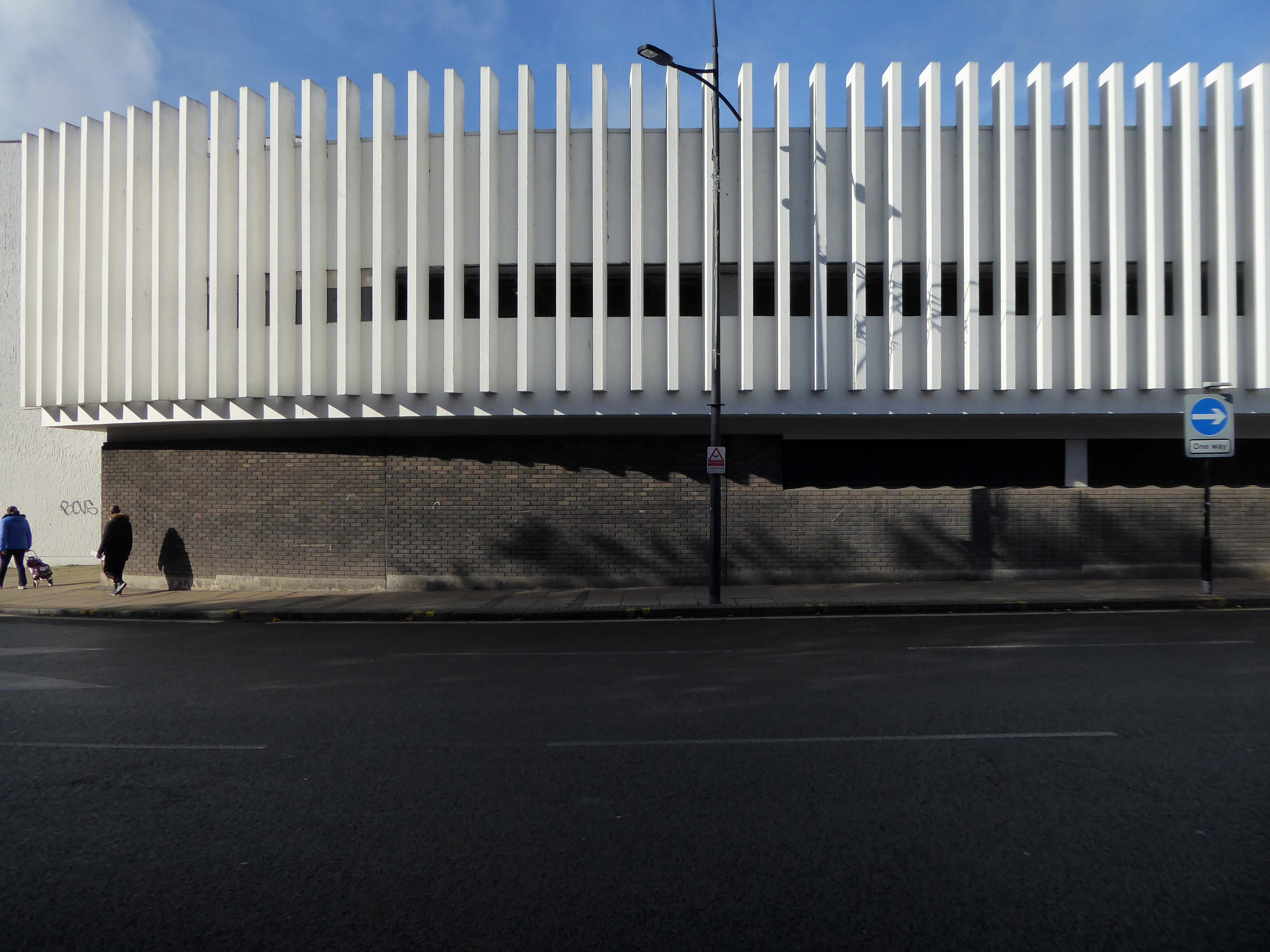
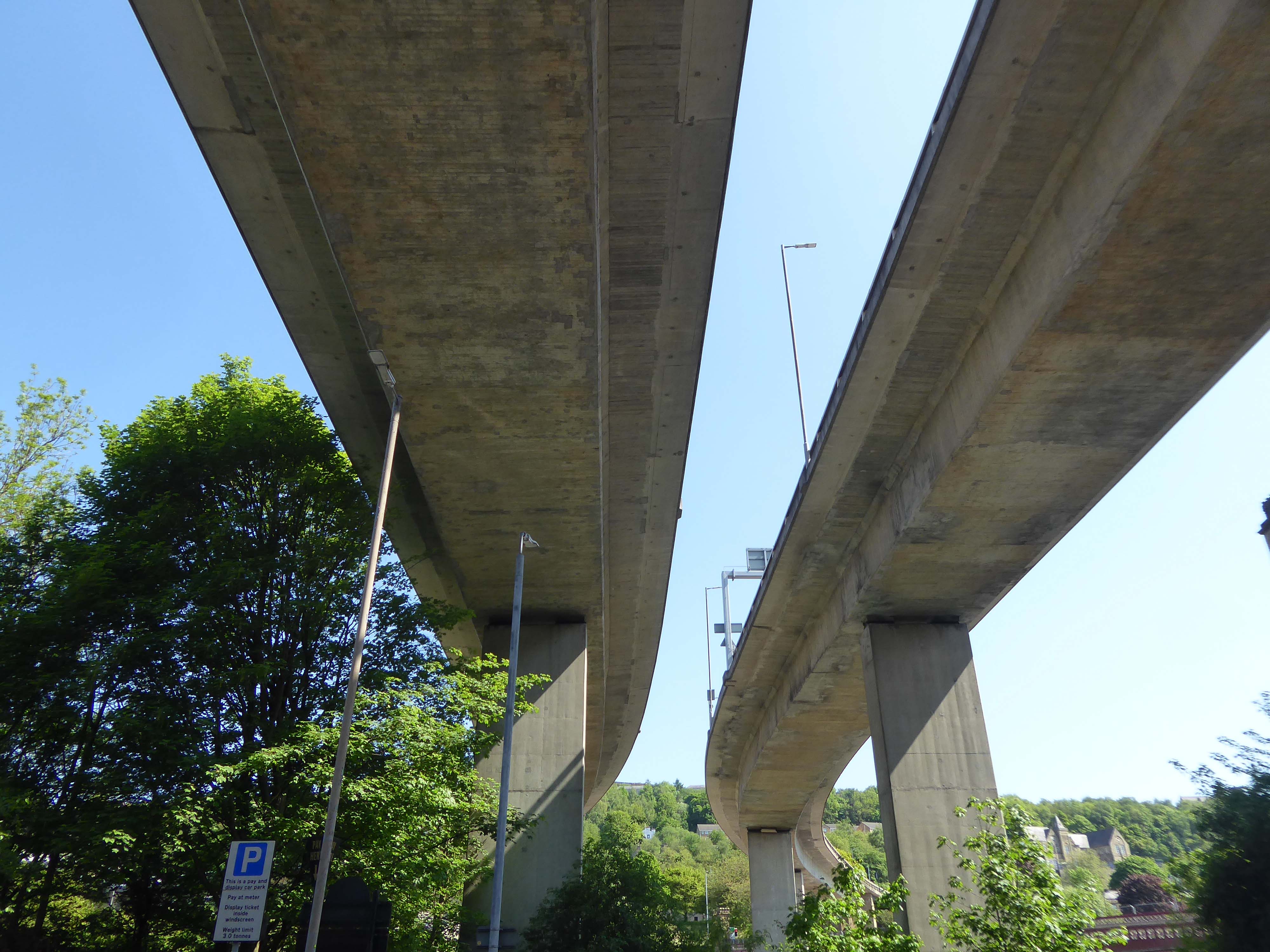
Across the way an enormous brick clad multi-storey car park – skirted by the lines for the tram, which travels to and from Birmingham.
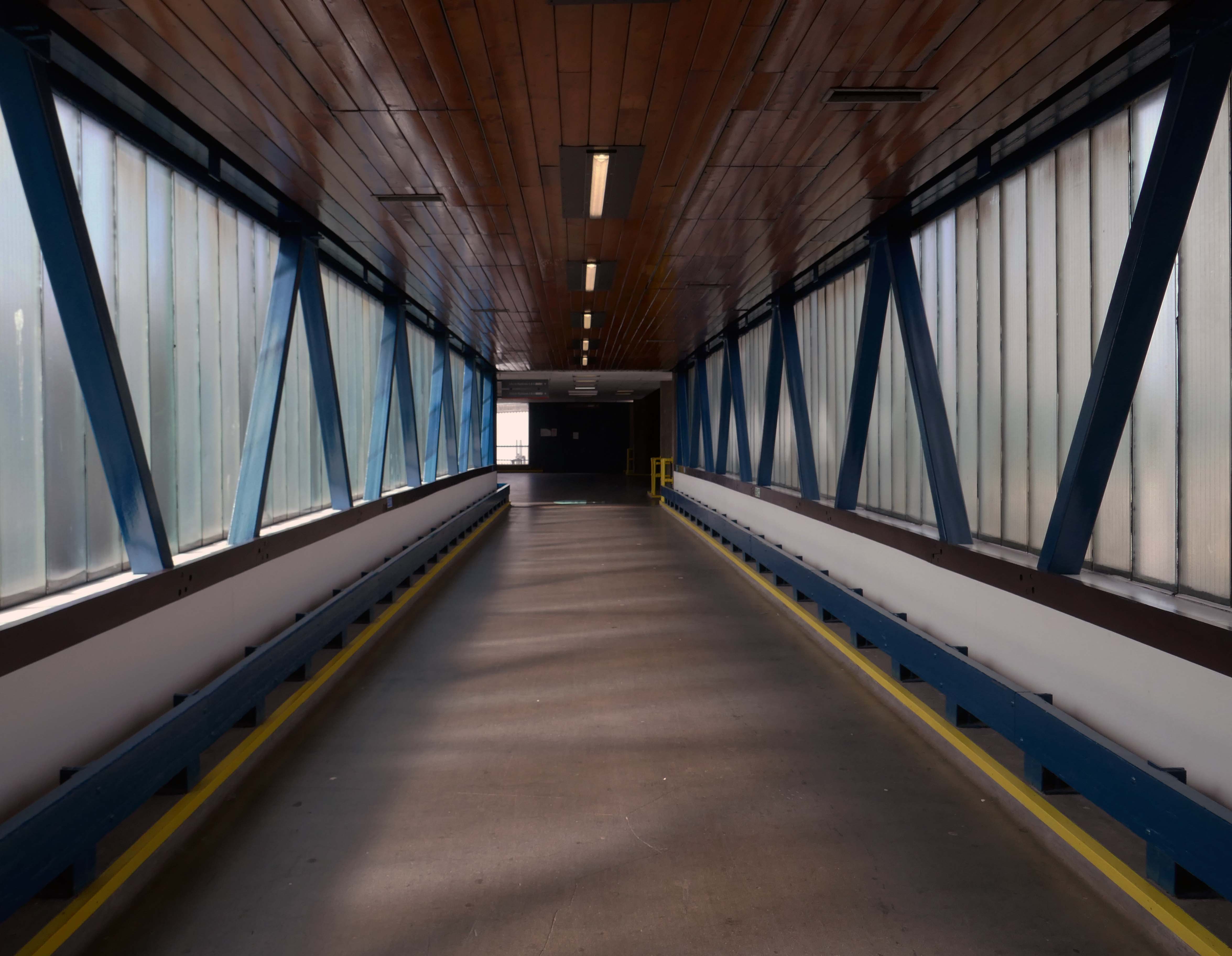
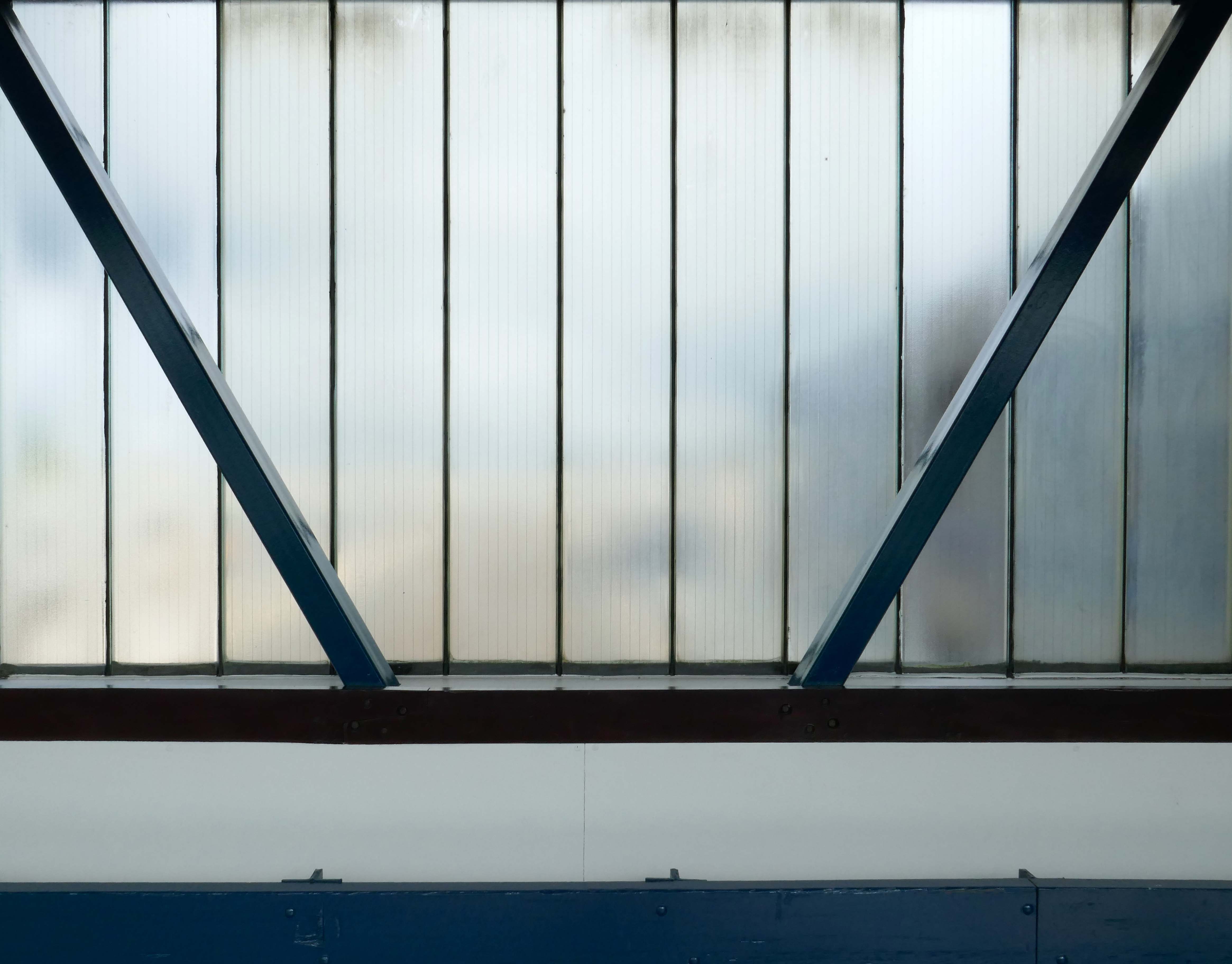
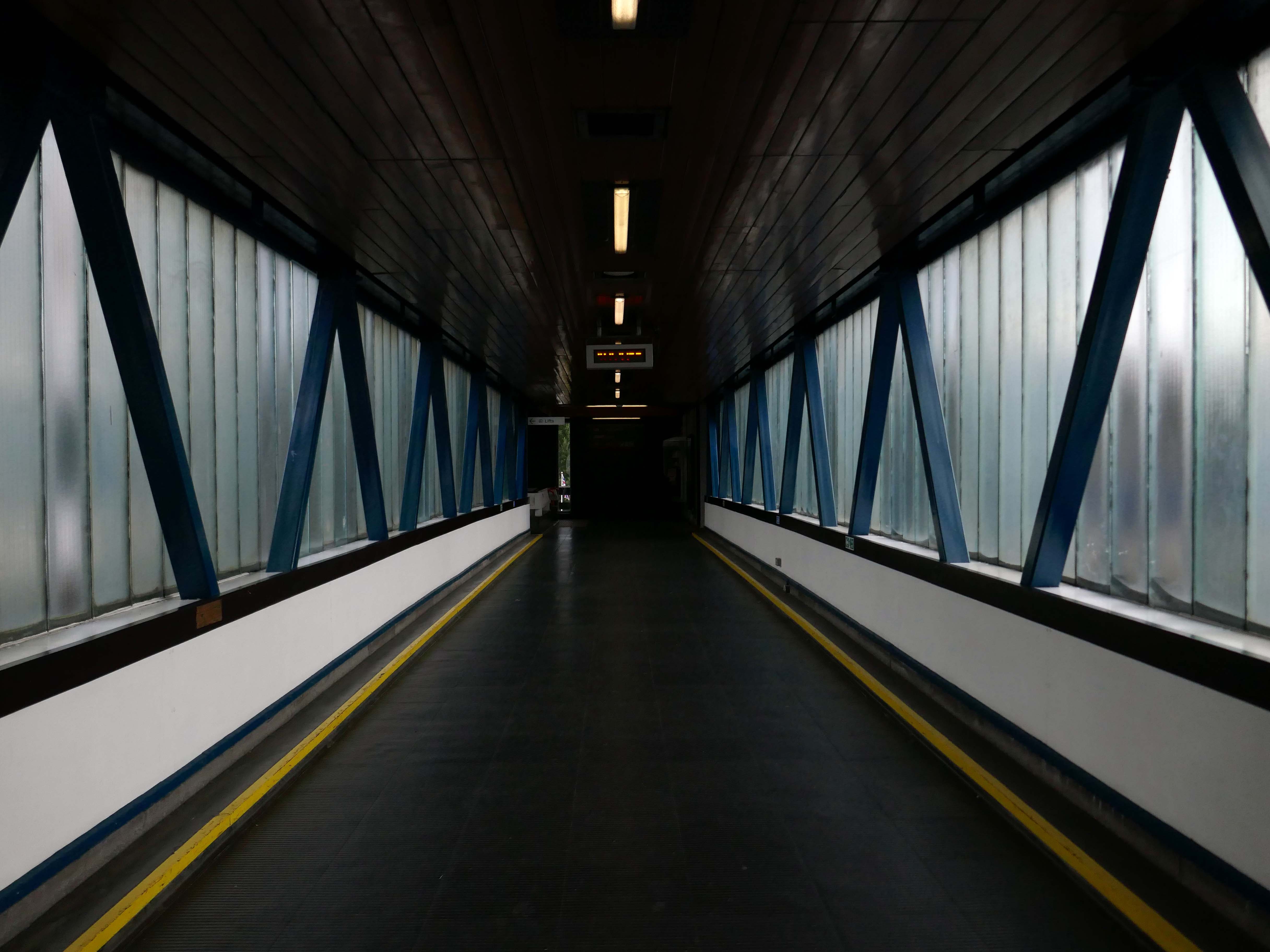
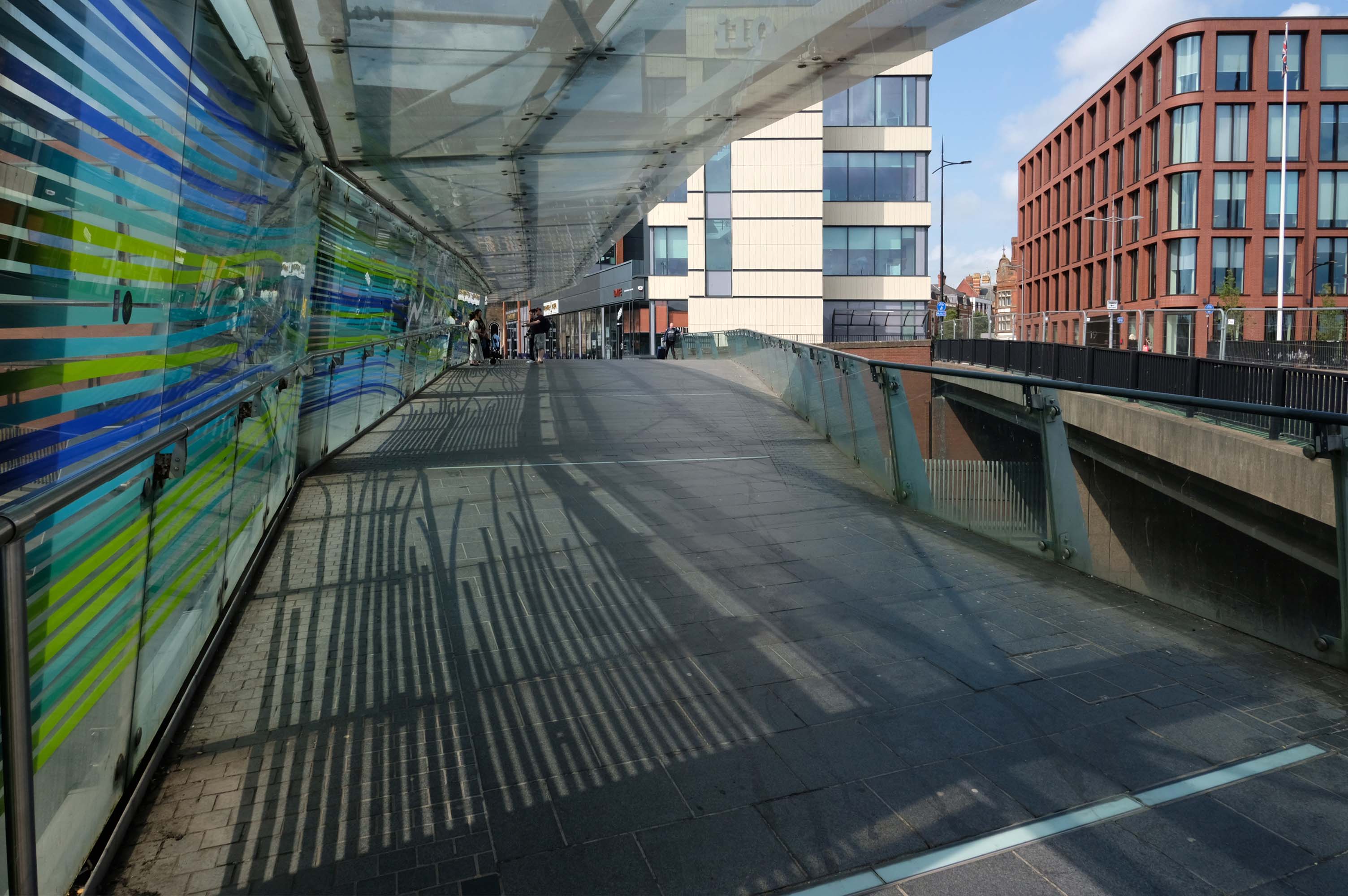
Walk across the brand new pedestrian footbridge over the ring road.
Architectural glass artist Kate Maestri was commissioned to produce the artwork design which features glass with blue and green strips of colour running through it.
Linking the Rail Station with the brand new Bus Station.
The normal practice of the Wolverhampton Bus Service is to have dirty, smelly buses, that are cramped and extremely hot in the summer and freezing cold in winter. They offer no announcements apologizing for delays they know about and don’t appear to care how long passengers wait with no idea of how or when they’ll be getting a bus.
The best thing you can do is learn to drive as quickly as possible and get your own vehicle or car pool.
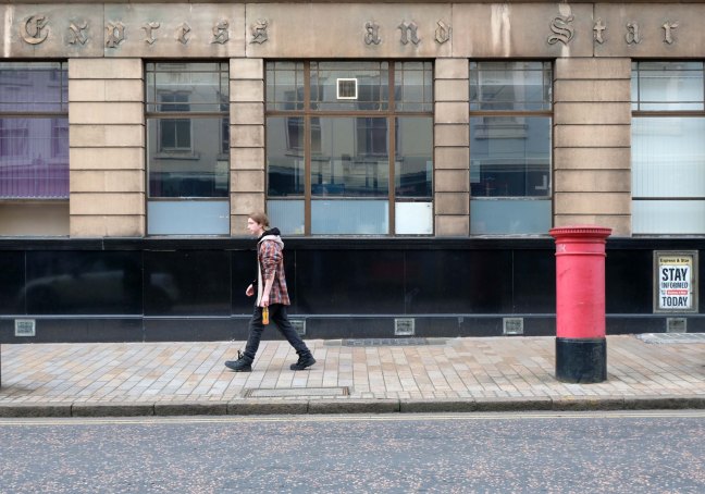
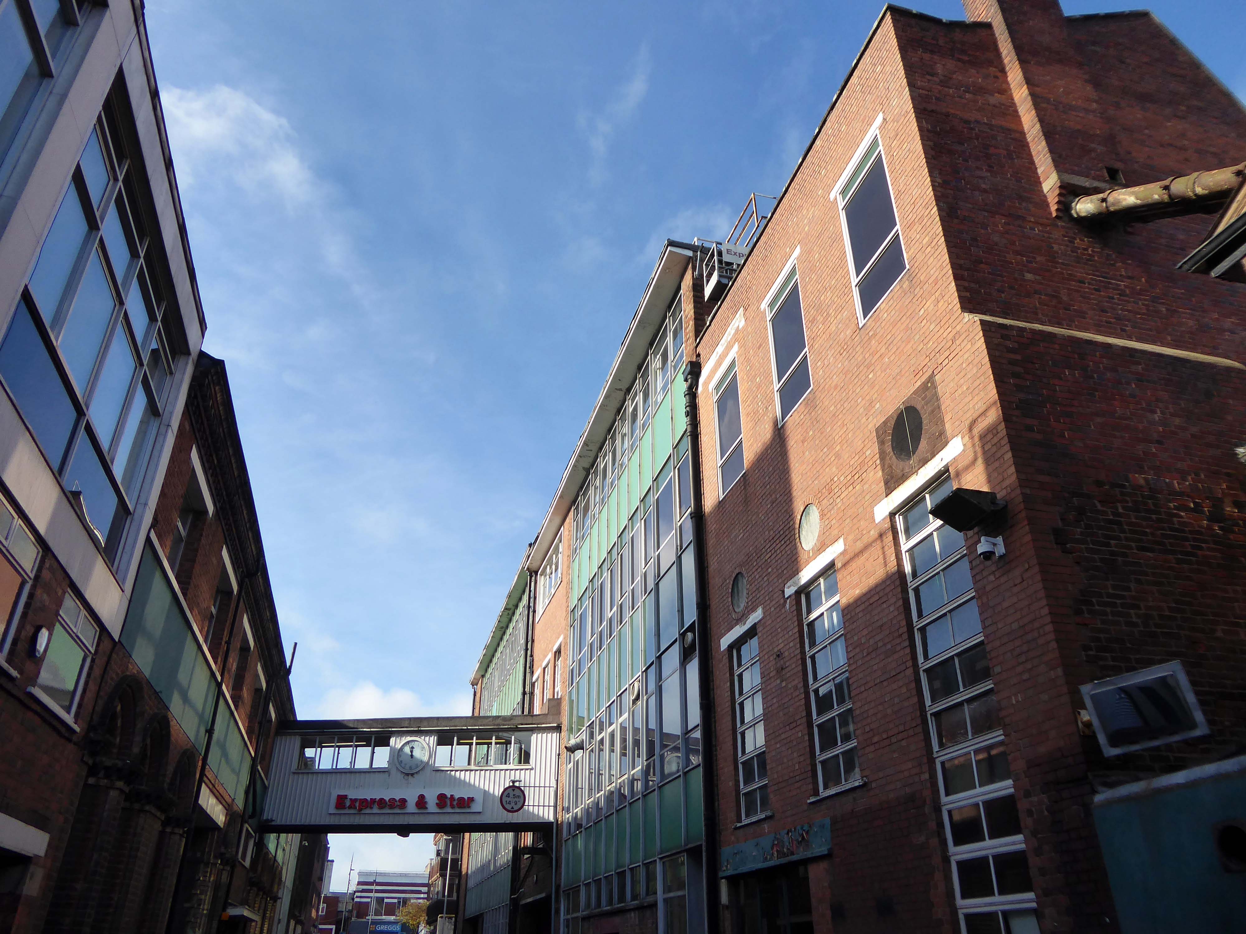
Midland News Association managing director Matt Ross confirmed the company is now looking at the building’s future.
For a number of years we have been exploring opportunities surrounding our historic Express & Star offices in the heart of Wolverhampton.
After removing the printing presses from the site and restructuring our departments we now have significant spare capacity available and so are looking at the various options available to us, be that redeveloping the current site or exiting the building altogether.
Extension is by architects: H Marcus Brown & Lewis 1965
With further work at the rear.
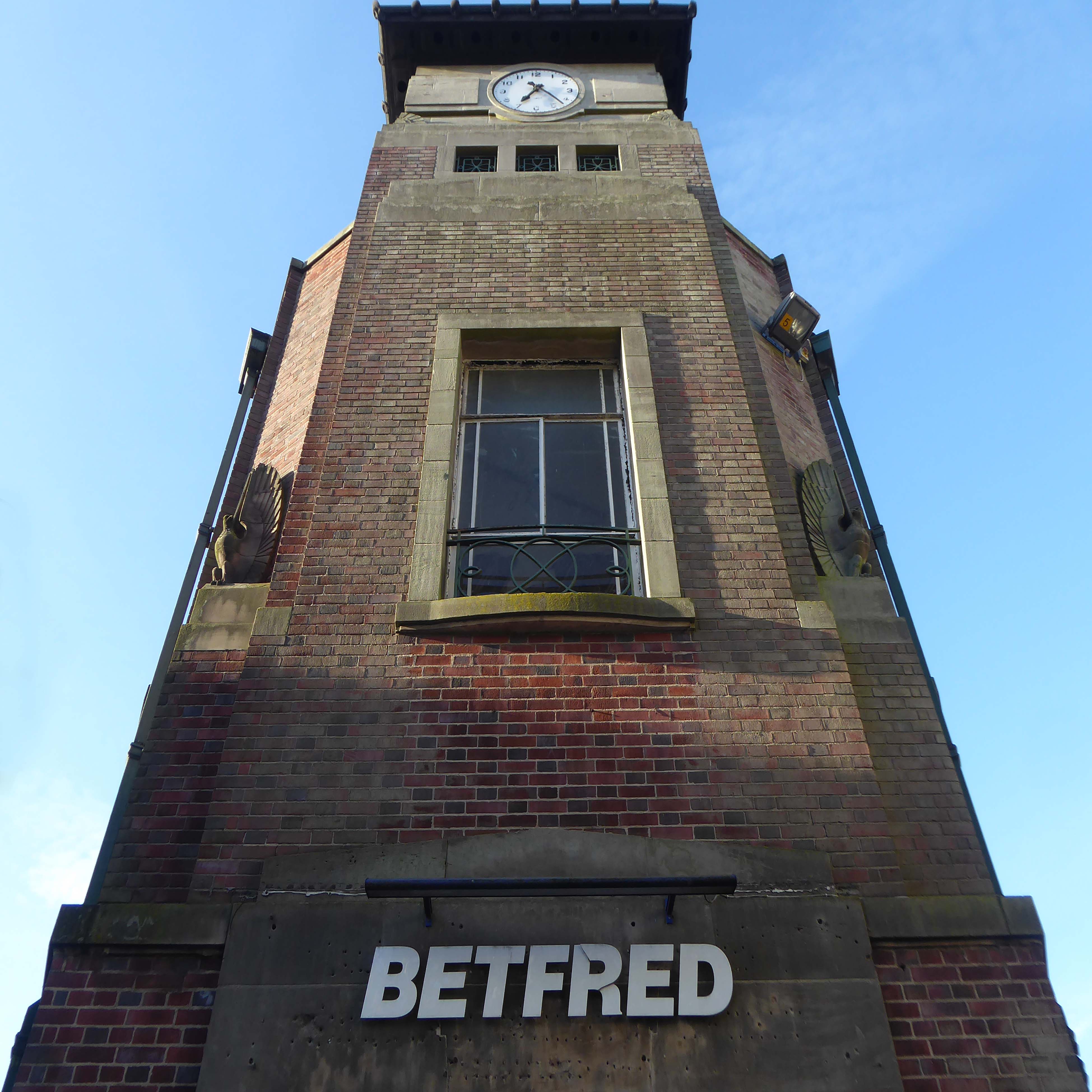
Along Princess Street this corner group, with an impressive clock tower – originally HQ for the South Staffordshire Building Society
Architects: George A Boswell of Glasgow 1932.
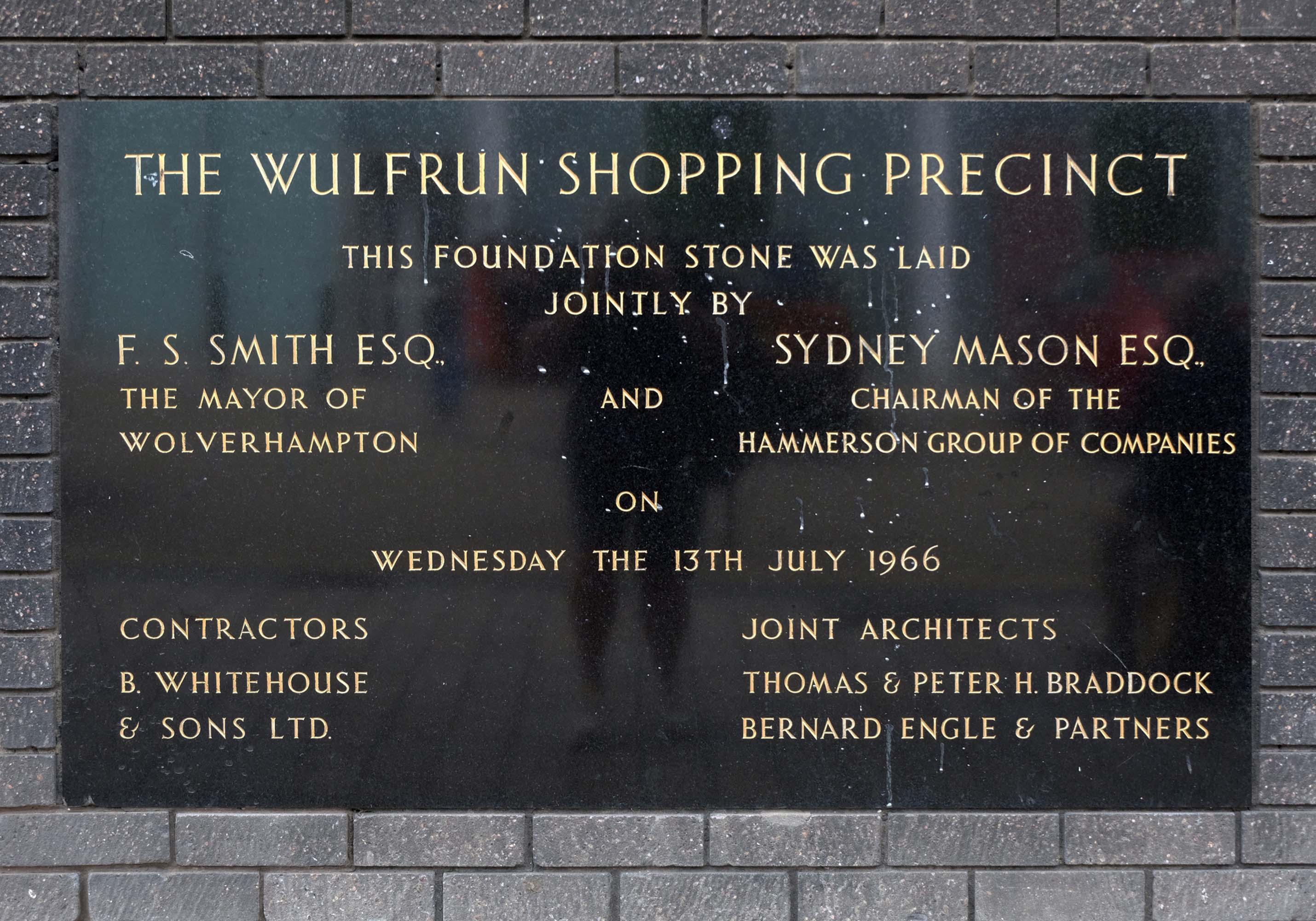
On to the Mander Centre – opened on 6th March 1968, refurbished 1987, 2003 and 2016-17.
The Mander Shopping Centre in the heart Wolverhampton is your one-stop shopping destination for all things fashion, home, beauty, food and technology.
Architects: James A Roberts principal architect Stanley Sellers.
Developed by Manders Holdings Plc, the paint, inks and property conglomerate, between 1968 and 1974. The site occupies four and a half acres comprising the old Georgian works and offices of the Mander family firm, founded in 1773, as well as the site of the former Queens Arcade.
Architects: T & PH Braddock and also Bernard Engle & Partners.
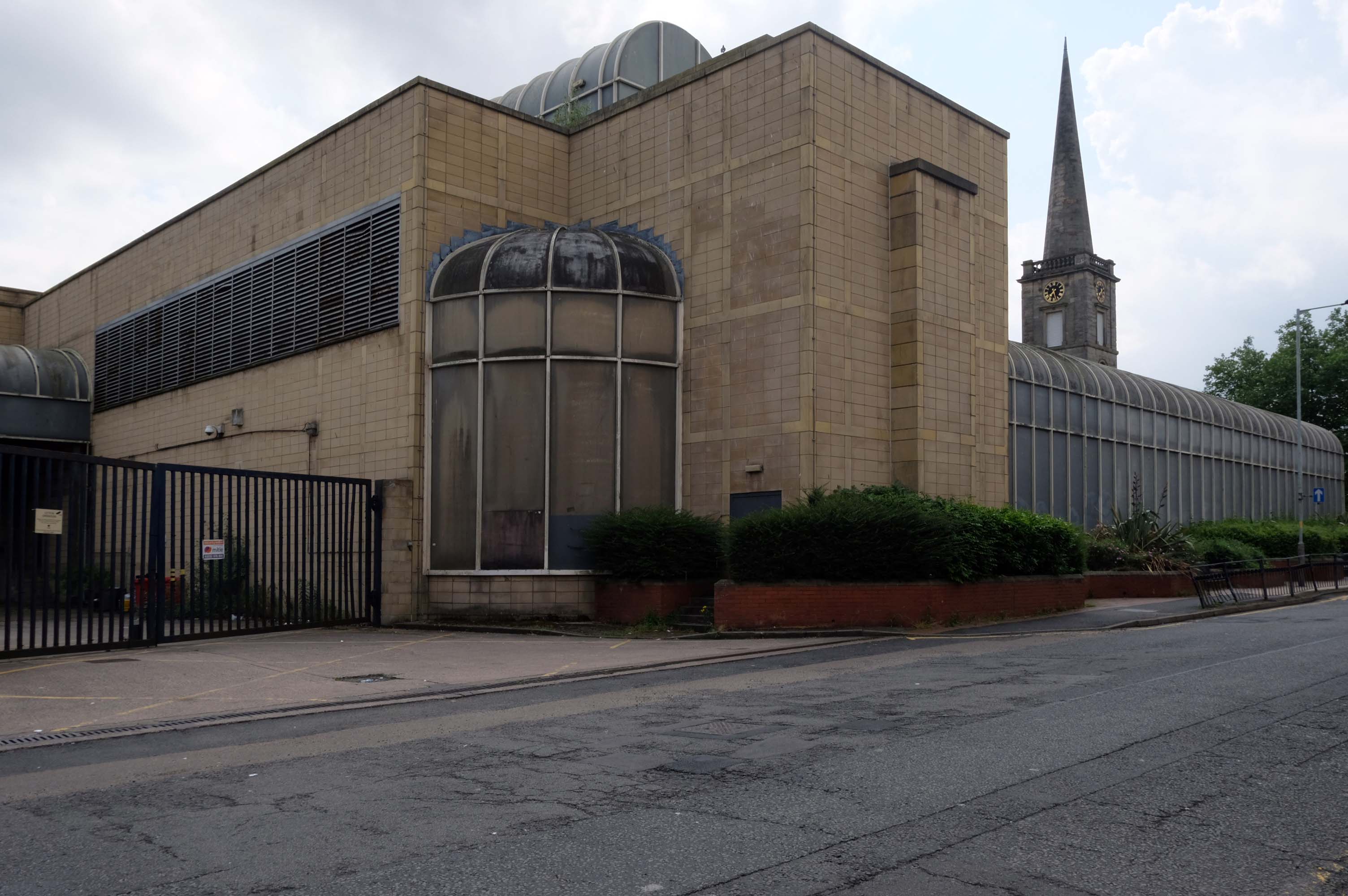
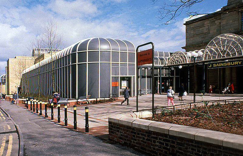
Along St Georges Parade, an abandoned Sainsbury’s church combo – store designed by J Sainsbury’s Architects Department opened 1988.
The church was built between 1828 and 1830 – architect: James Morgan, at a cost of £10,268. It was consecrated on Thursday 2 September 1830 by the Bishop of Lichfield, it was made redundant in 1978.
The site is currently under lease to Sainsbury’s for a further three years and will come forward on a phased basis subject to their lease concluding. The council is in active dialogue with prospective development partners on the redevelopment of this site and in wider consultation with Homes England.
Notable cases included trial and conviction of four members of The Stone Roses, in October 1990, for criminal damage to the offices of their former record company.
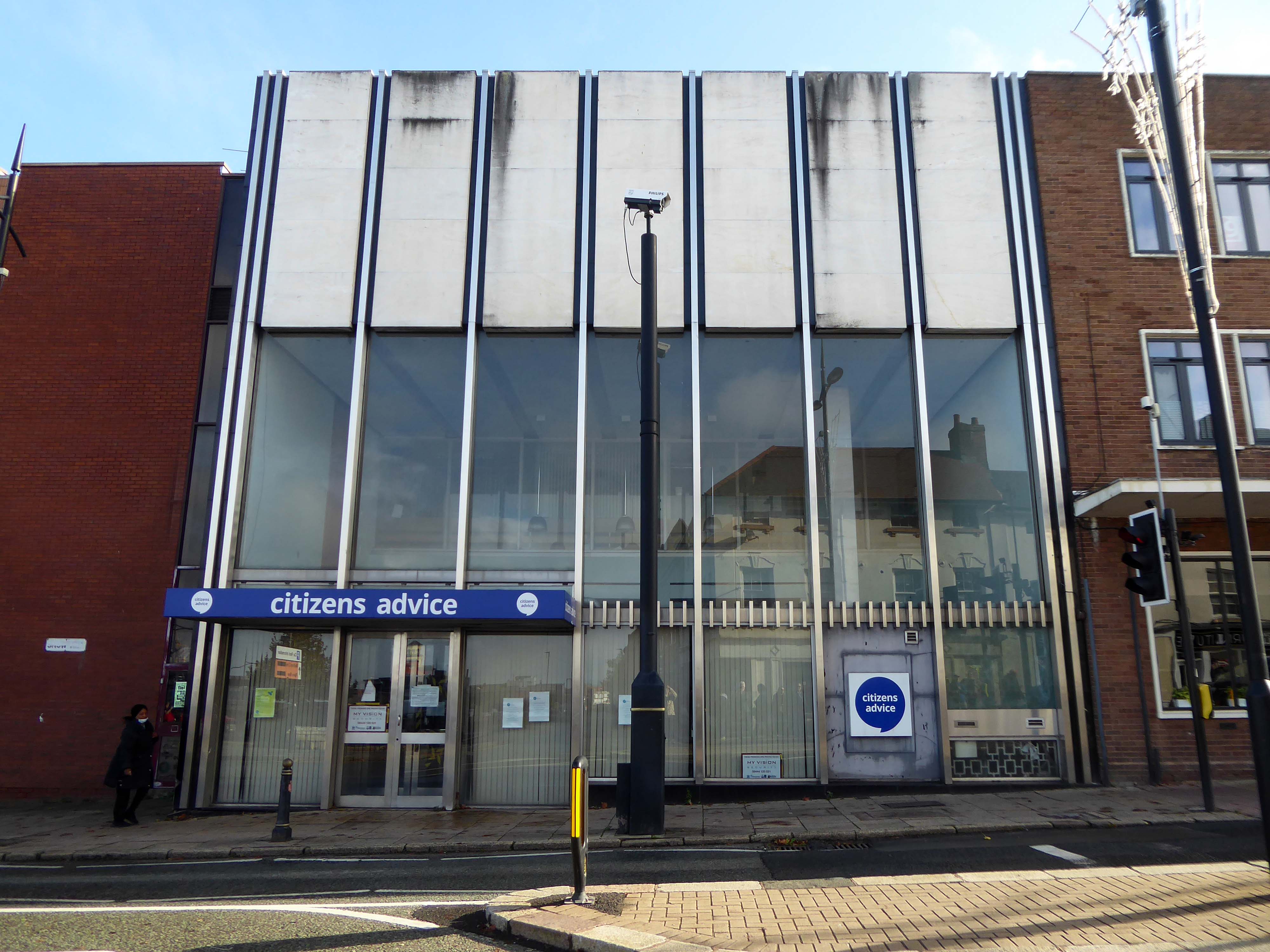
Thence up Snow Hill to the former Citizens Advice former Barclays Bank currently empty.
Architects: John HD Madin & Partners 1969
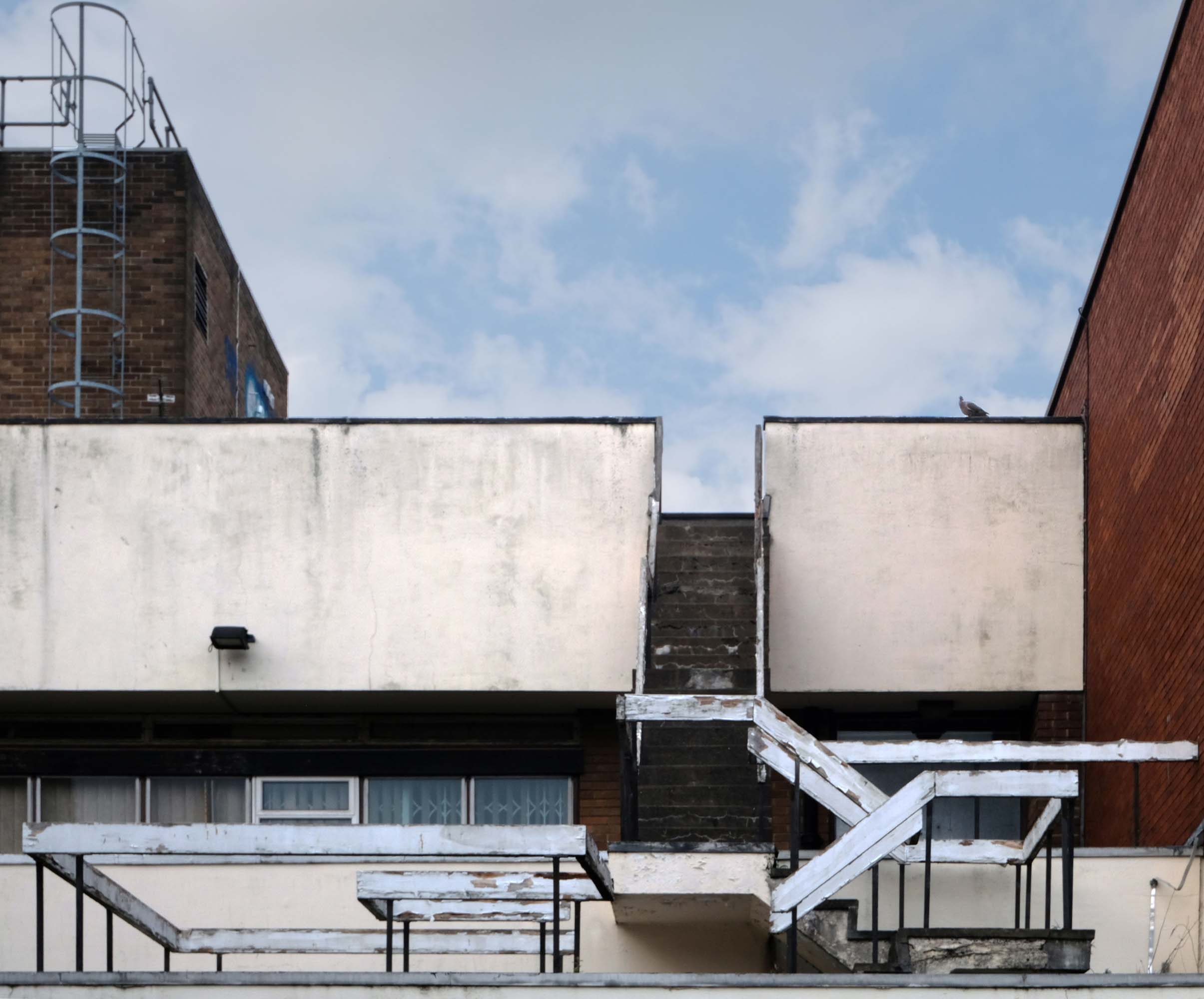
Take time to have a look around the back.
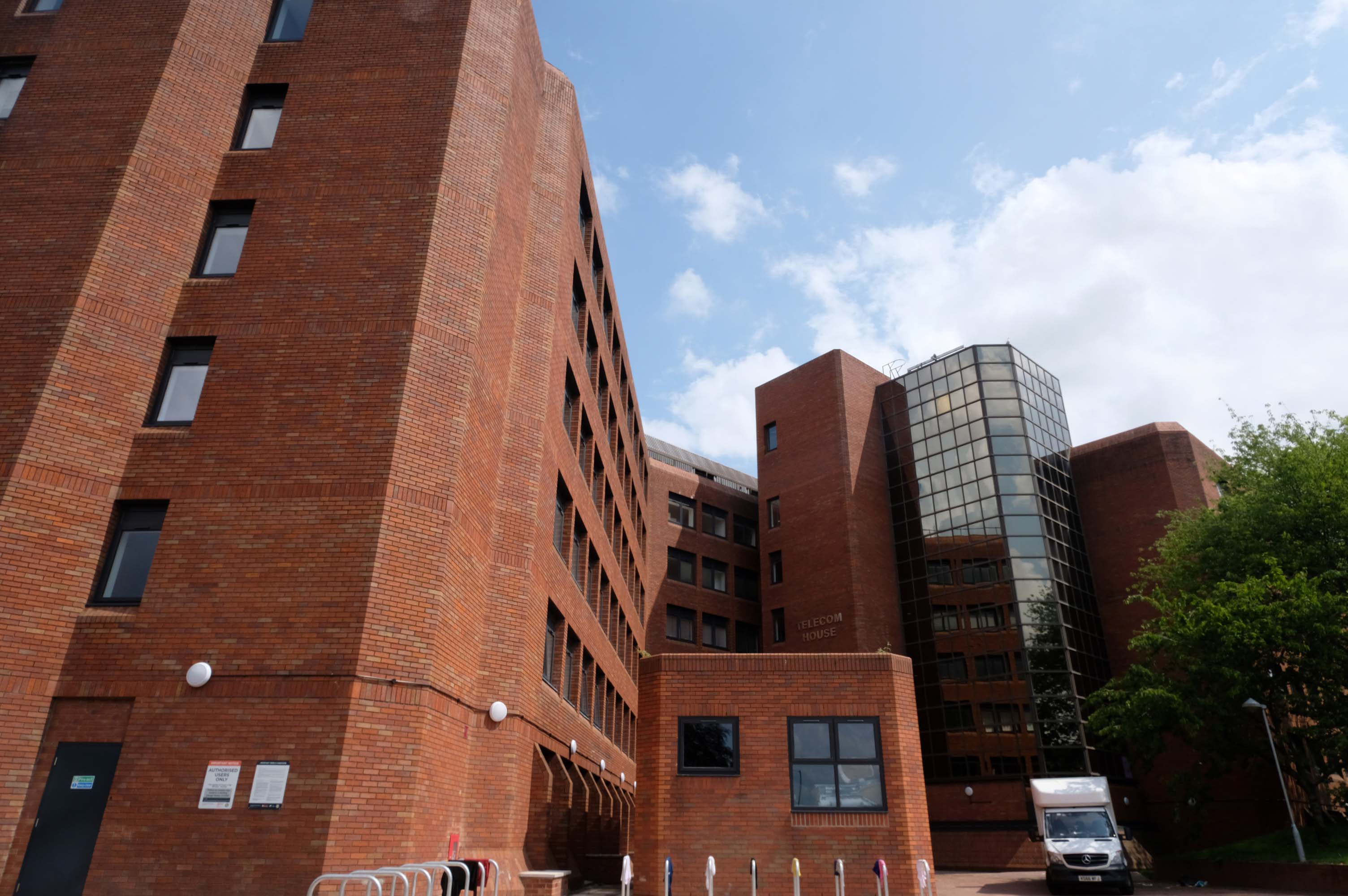
Off to Church Street and Telecom House
Sold for £4.25 million to Empire Property in 2022.
It had previously been sold for more than £3m in July 2018, also for use for apartments, to Inspired Asset Management which later went into receivership.
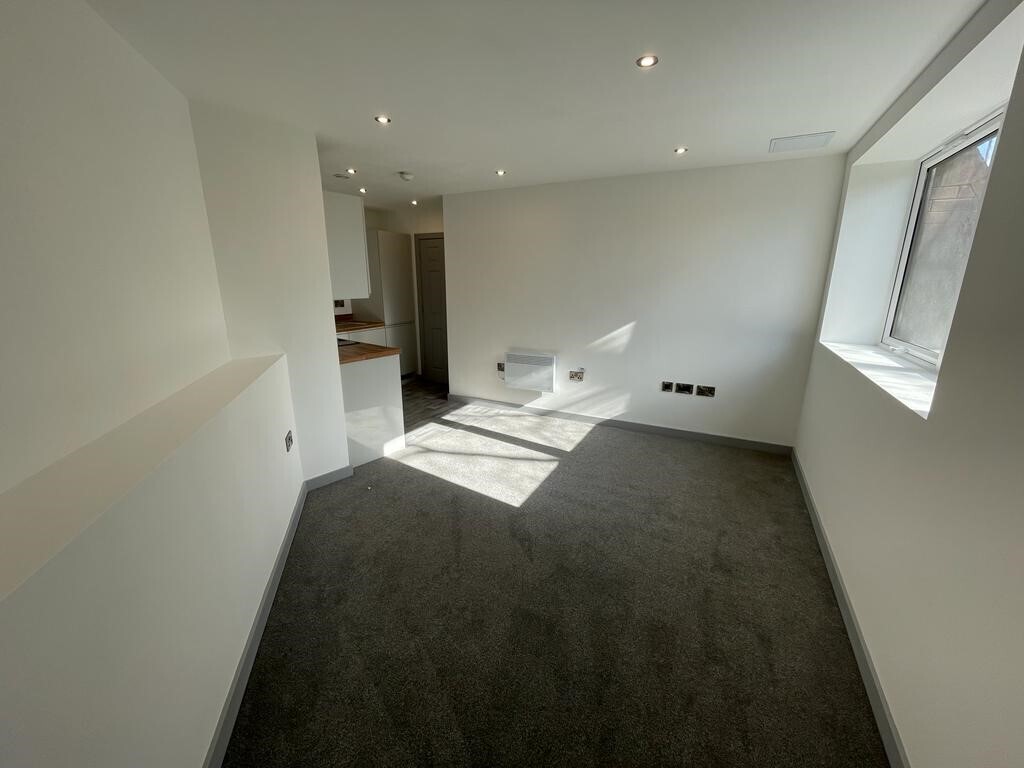
Located on a popular apartment block on Church street in the Wolverhampton centre, this 1 bedroom property has been newly renovated throughout and compromises an entrance hallway, open plan lounge/kitchen with in built appliances, shower room and double bedroom.
Next to this modern piazza New Market Square – Architects: Nicol Thomas from a concept by head of planning Costas Georghiou.
Formed from the former Market Square, a mix of flats and shops opened in 2004, in an Italianate version of the modish school of streaky bacon.
In 2021 the Coca-Cola Christmas Truck visit to the Midlands was cancelled.
It was meant to arrive at Market Square in Wolverhampton at 11am today but failed to show up.
One fan had waited since 7am this morning to see the Coca-Cola truck.
While schoolchildren were left gutted when the truck didn’t turn up – and one boy had been so excited his mother said he had been talking about the red truck all morning.
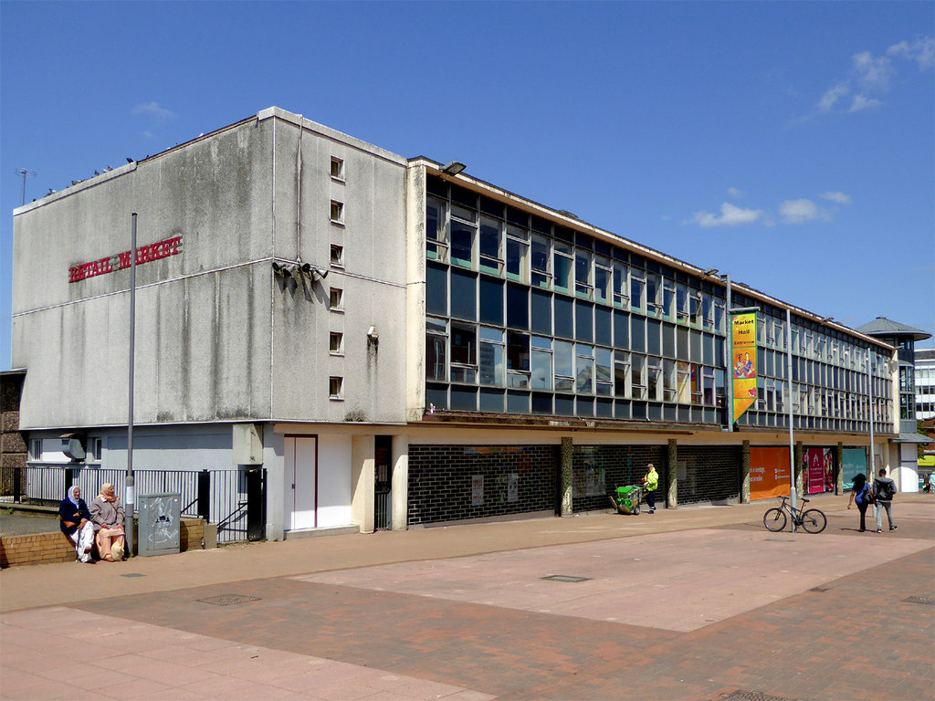
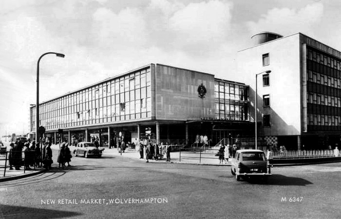
Retail Market – Late 1950s market hall and offices above.
Architects: Borough Surveyor.
Excellent example of the Festival of Britain style of architecture, won Civic Trust Award 1960.
Locally Listed March 2000.
demolished January 2017.
Photo: Roger Kidd
This development that wraps itself around Salop, Skinner and School Streets appears to be of a similar period to the Retail Market – and sports a Lady Wulfrun in relief.
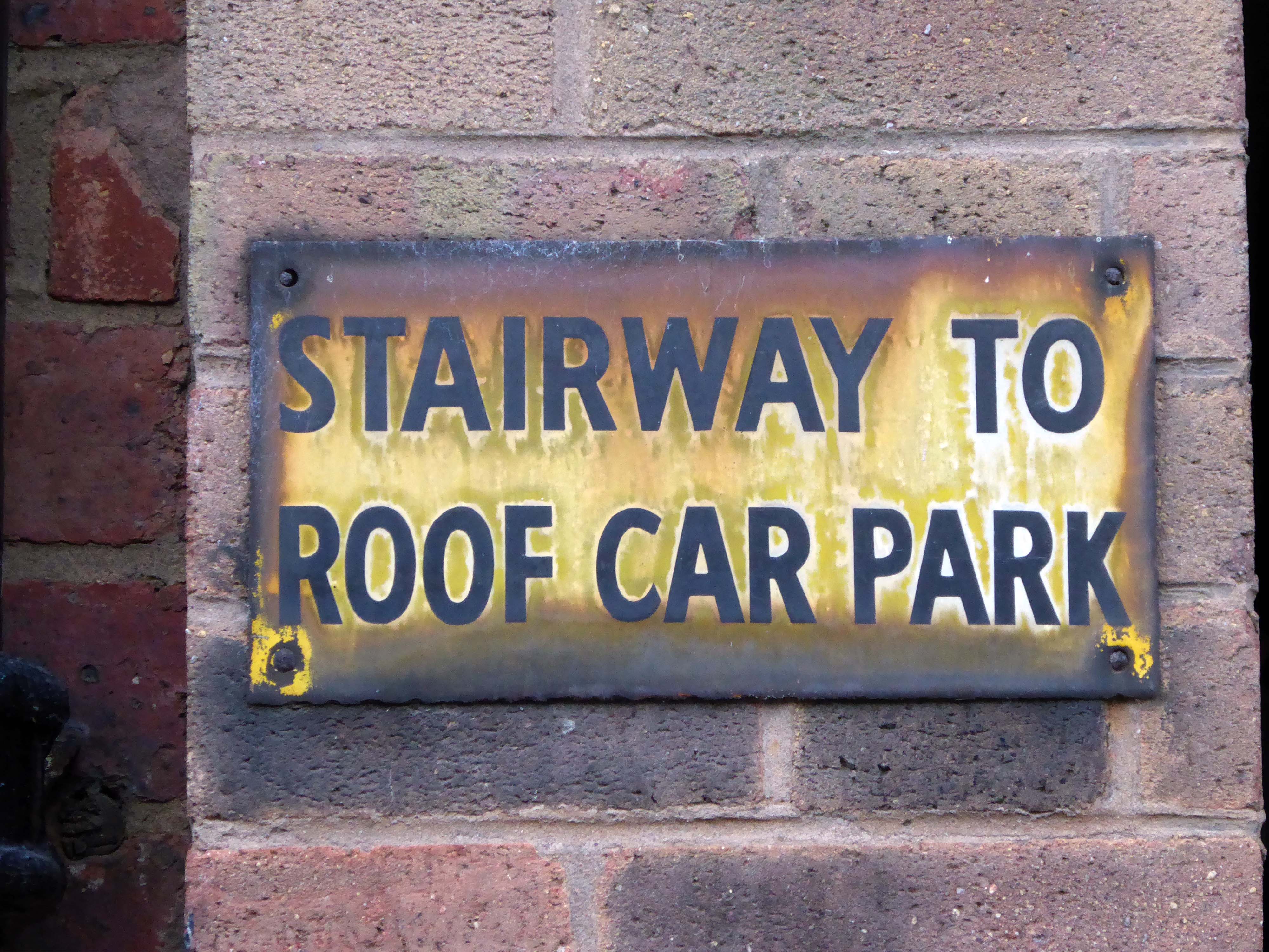
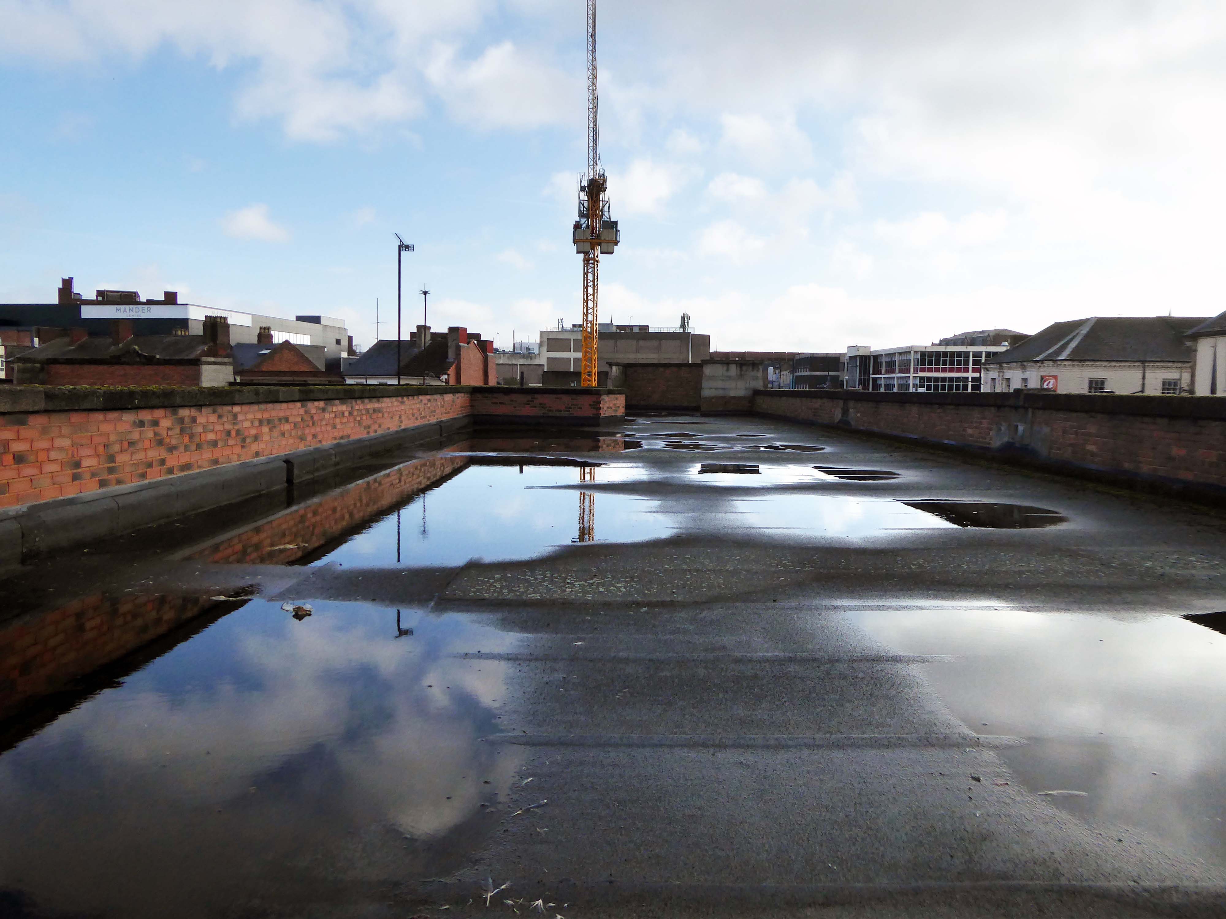
There is access to its roof top car park.
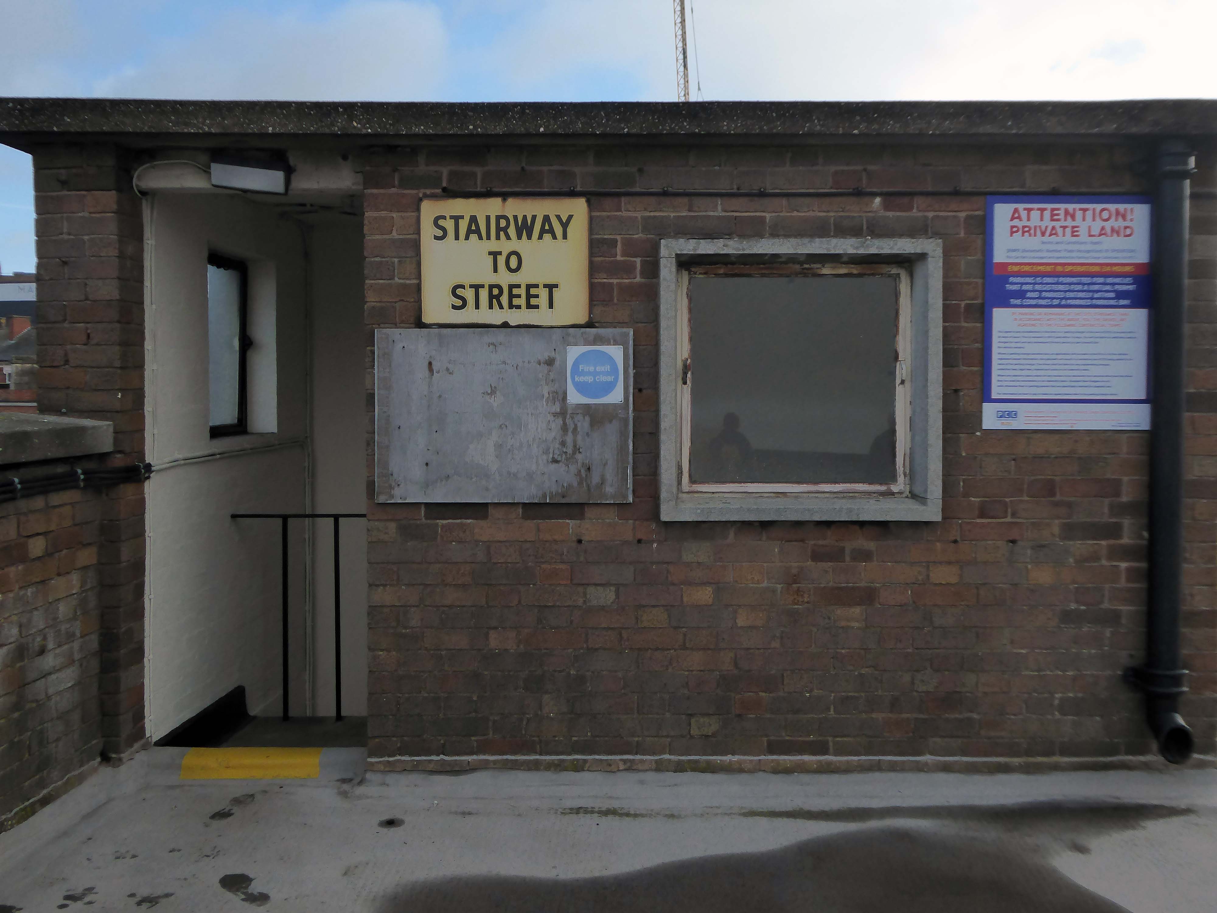
And also an exit back to street level.
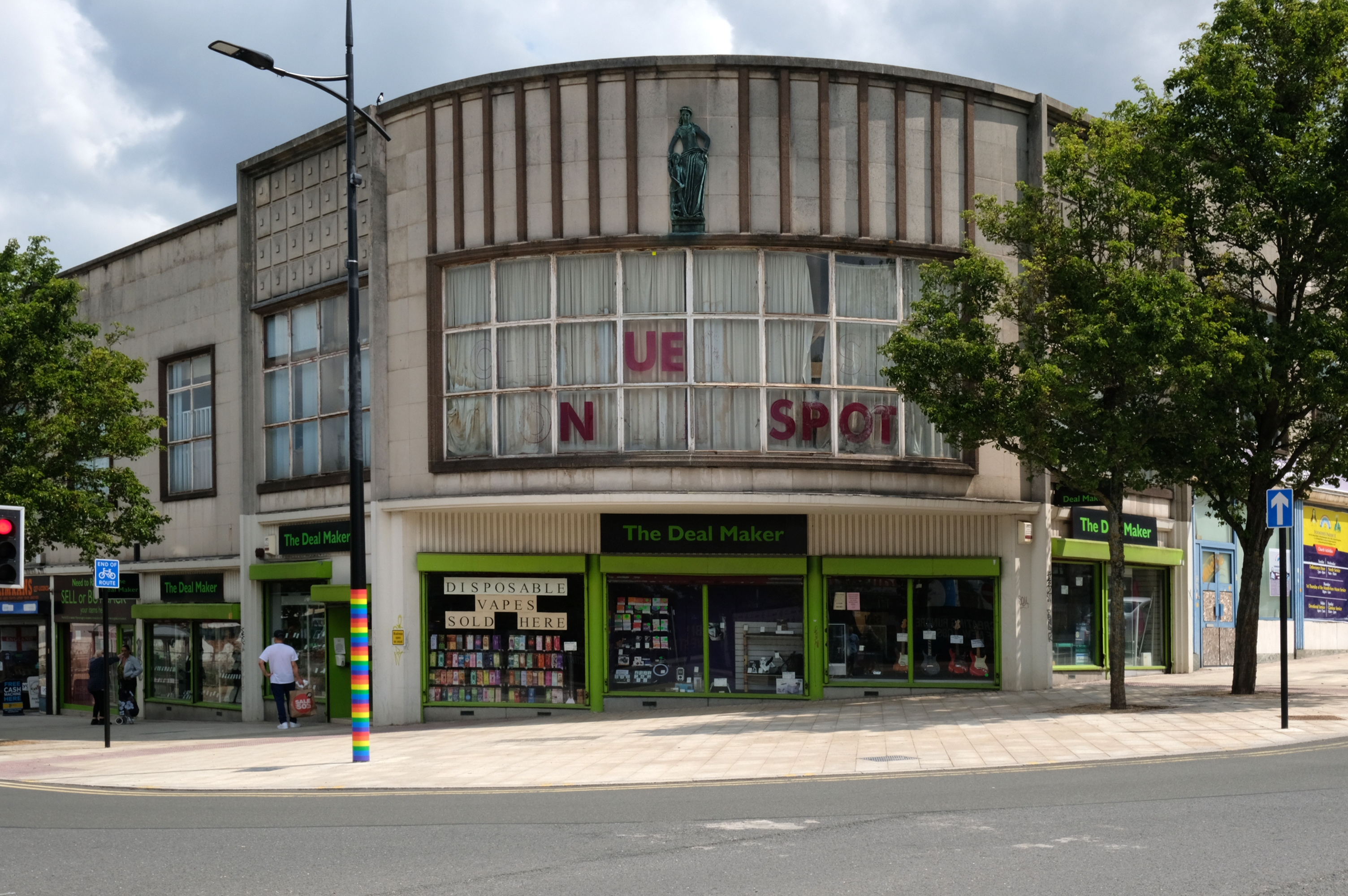
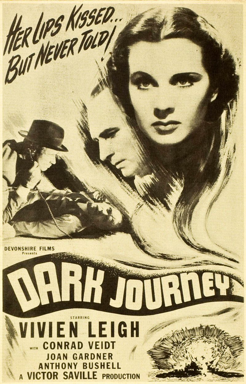
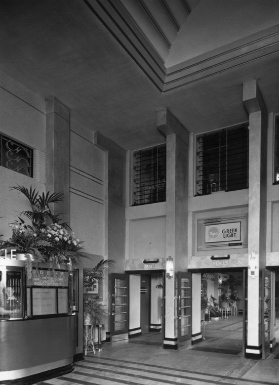
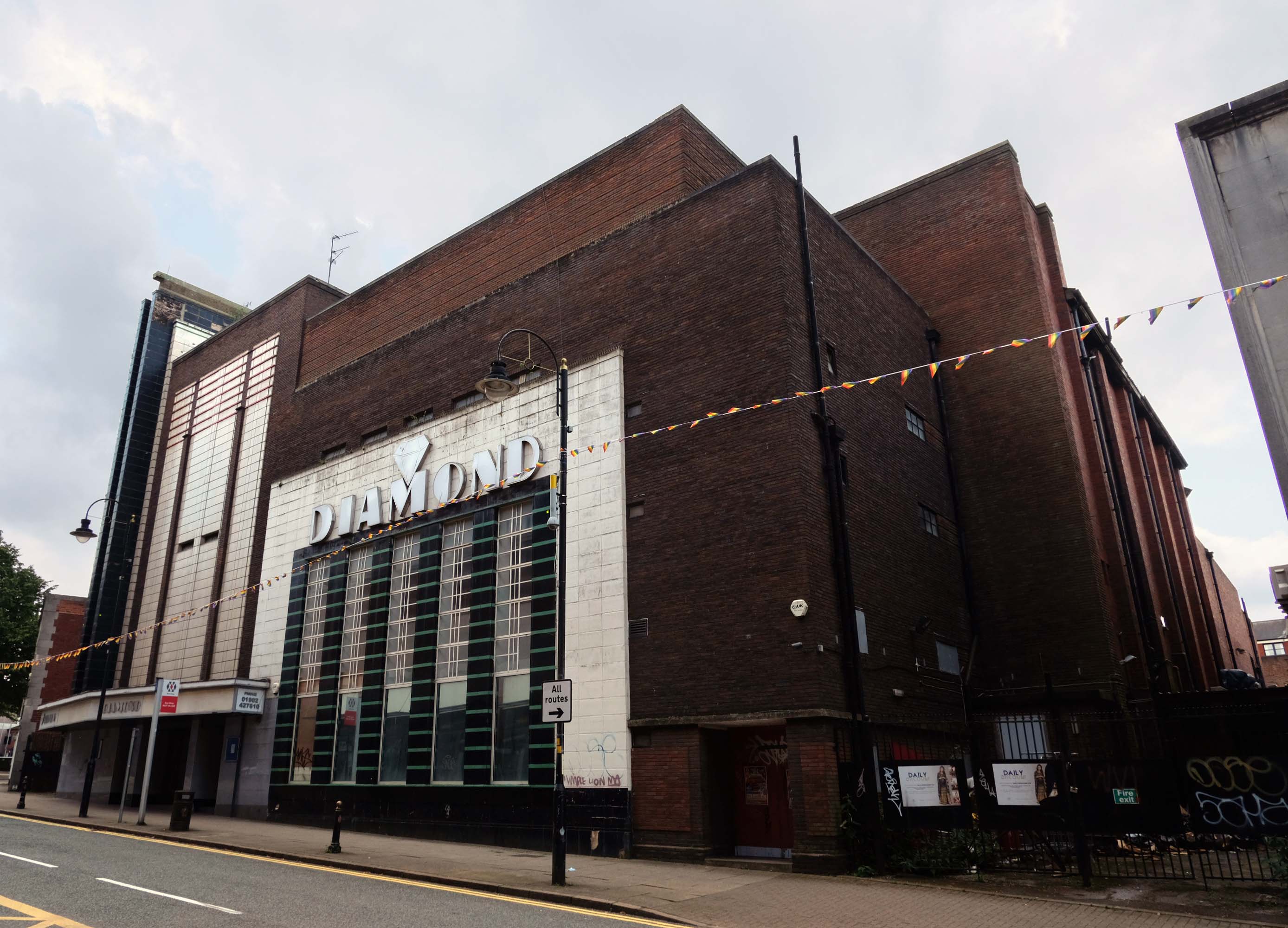
Where we find at street level the former Odeon Cinema, opened on 11th September 1937 with Conrad Veidt in Dark Journey.
In October 2000, the former Odeon was designated a Grade II Listed building by English Heritage.
RIBA pix
In recent years it was a Mecca Bingo Club, but this was closed in March 2007 In October 2009, it had been refurbished and re-opened as the Diamond Banqueting Suite. In April 2021 police raided the vacant building to discover an illegal cannabis farm operating in the building.
Four men were arrested.
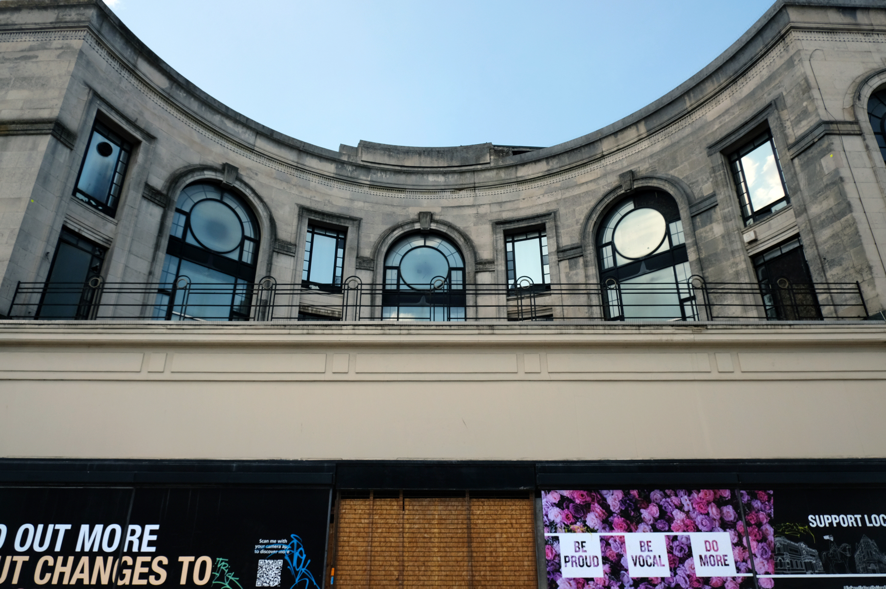
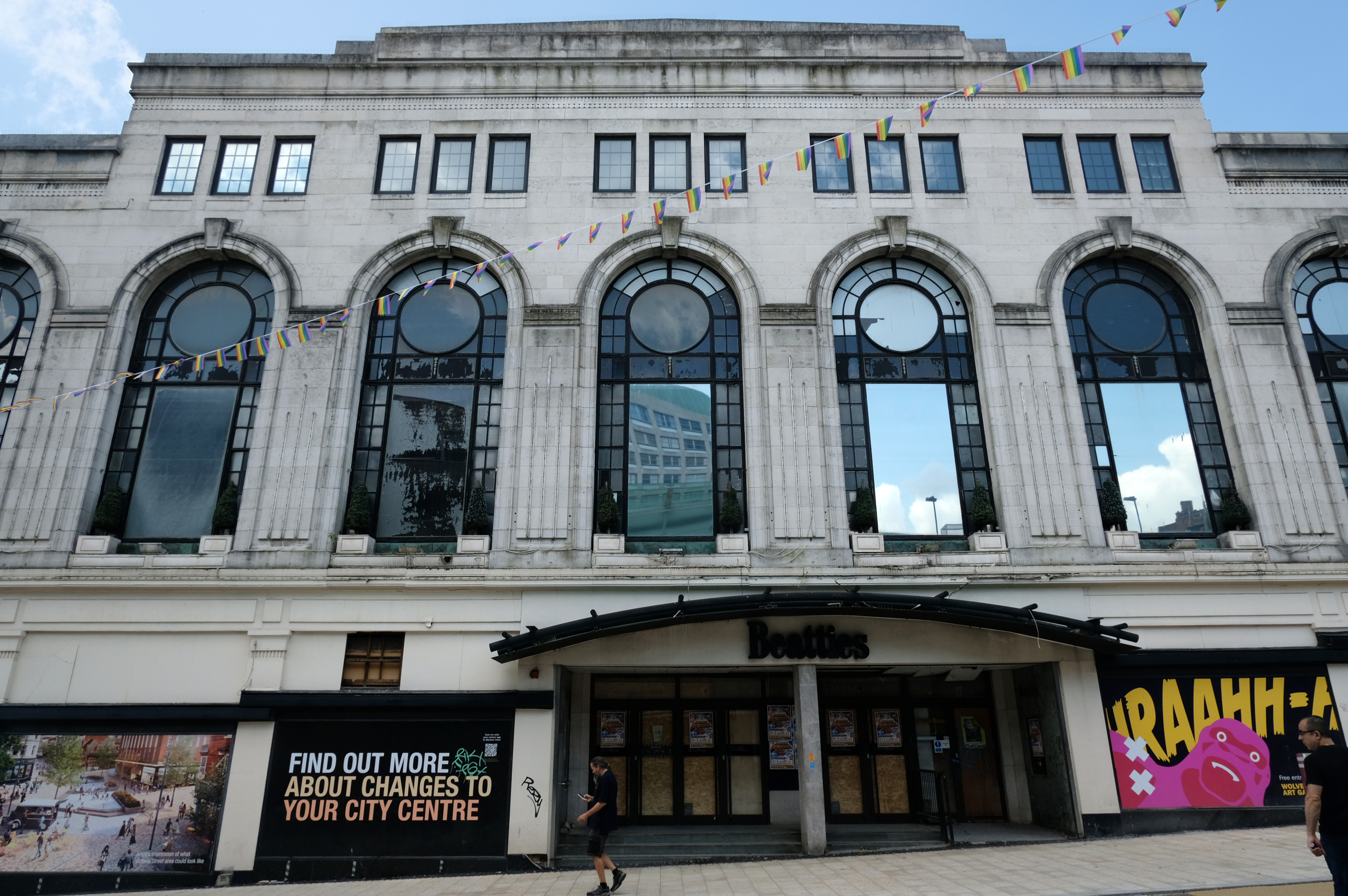
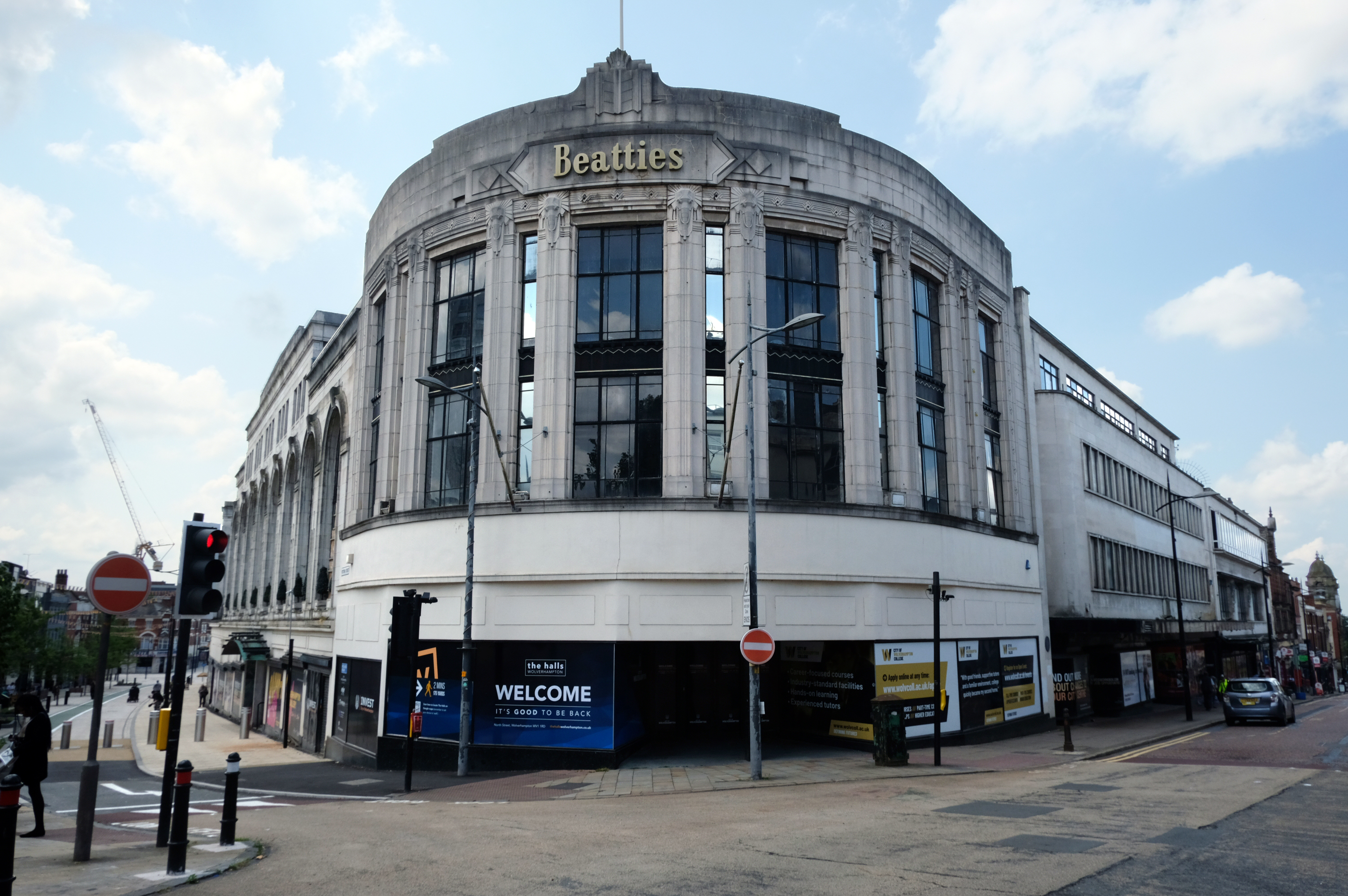
Let’s take a turn around the corner to Victoria Street where we find the complex of Beatties Buildings.
Architects: Lavender, Twentyman and Percy 1920’s – 30’s
The C20 Beatties store is a multi-period site developed first in the 1920s-30s. A Burton’s men’s clothes shop was built on a curved corner site at Victoria St/Darlington St and Beatties themselves replaced their existing Victoria St store in the 1930s with a building by local architects Lavender, Twentyman and Percy. Beatties later acquired and incorporated the Burton’s shop into their store. These two buildings form the locally listed building to which were added a mid-C20 extension along Darlington St and a late-C20 development to the rear at Skinner St.
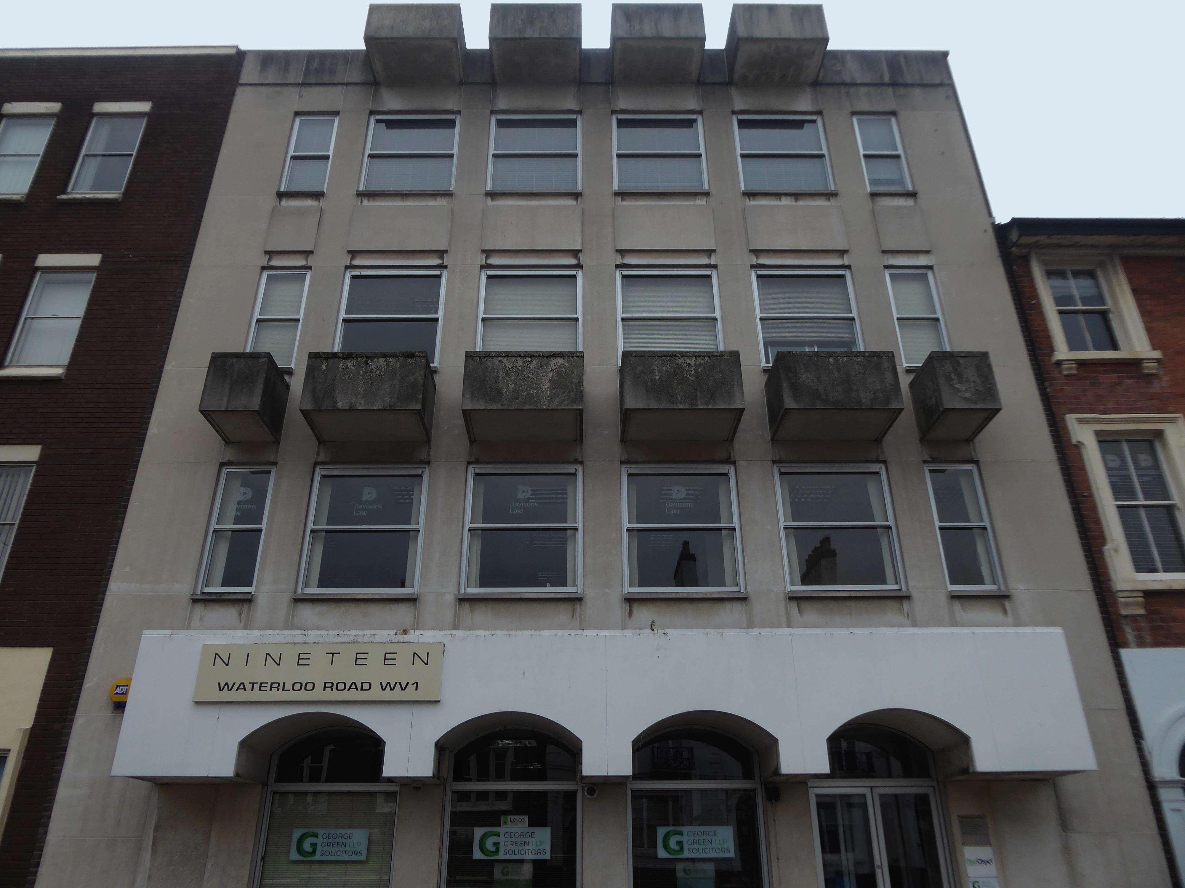
An imperious Portland stone clad mixed us block on Waterloo Road, with a delightful clock.
Formerly the Gas Showrooms then SunAlliance & LondonInsurance offices – aka Clock Chambers
The showroom in Darlington Street was also the centre of a radio network that controlled a fleet of service vans. This enabled customers to receive service within minutes of making a telephone call. Demonstrations of cookery, washing and refrigeration were given by the Gas Board’s Home Service Advisers and a number of the company’s engineers, who specialised in designing gas equipment for industrial processes operated an advisory service for manufacturers.
Architects: Richard Twentyman 1939.
Nineteen Waterloo Road latterly First City House formerly home to Eagle Star Insurance 1970
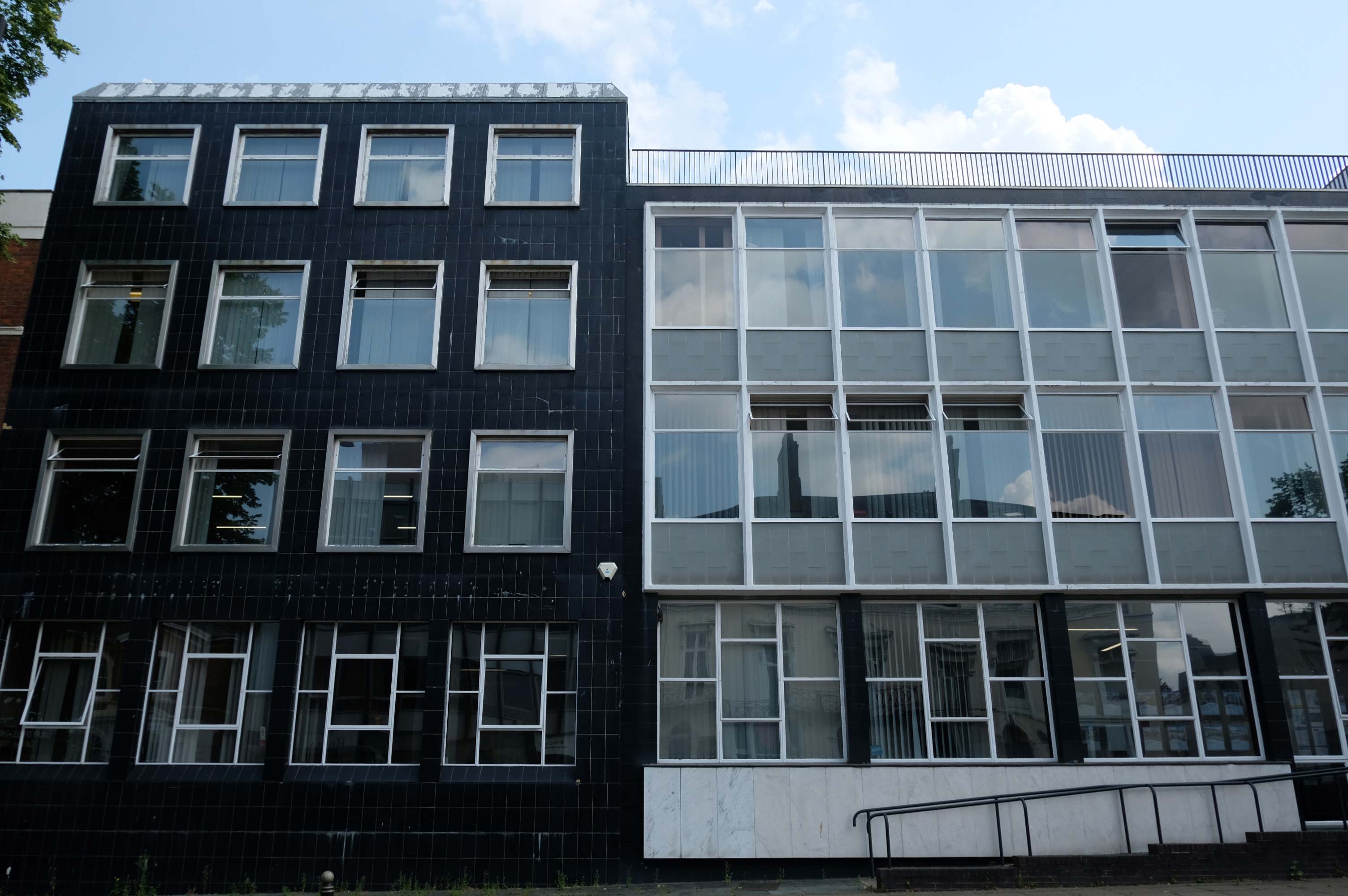
8-10 Waterloo Road architects: Richard Twentyman 1959 extended 1966.
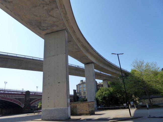
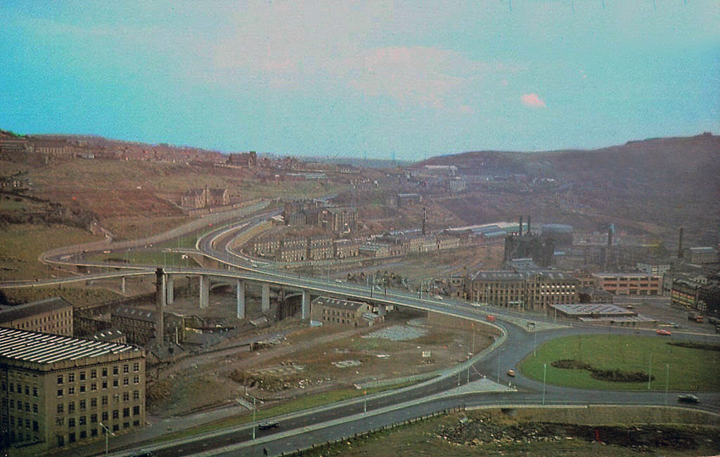
One man who saw the wisdom of building a road infrastructure to deal with high volumes of traffic passing through Halifax and to provide convenient links to the M62.
That man was prominent town councillor John Burdock.
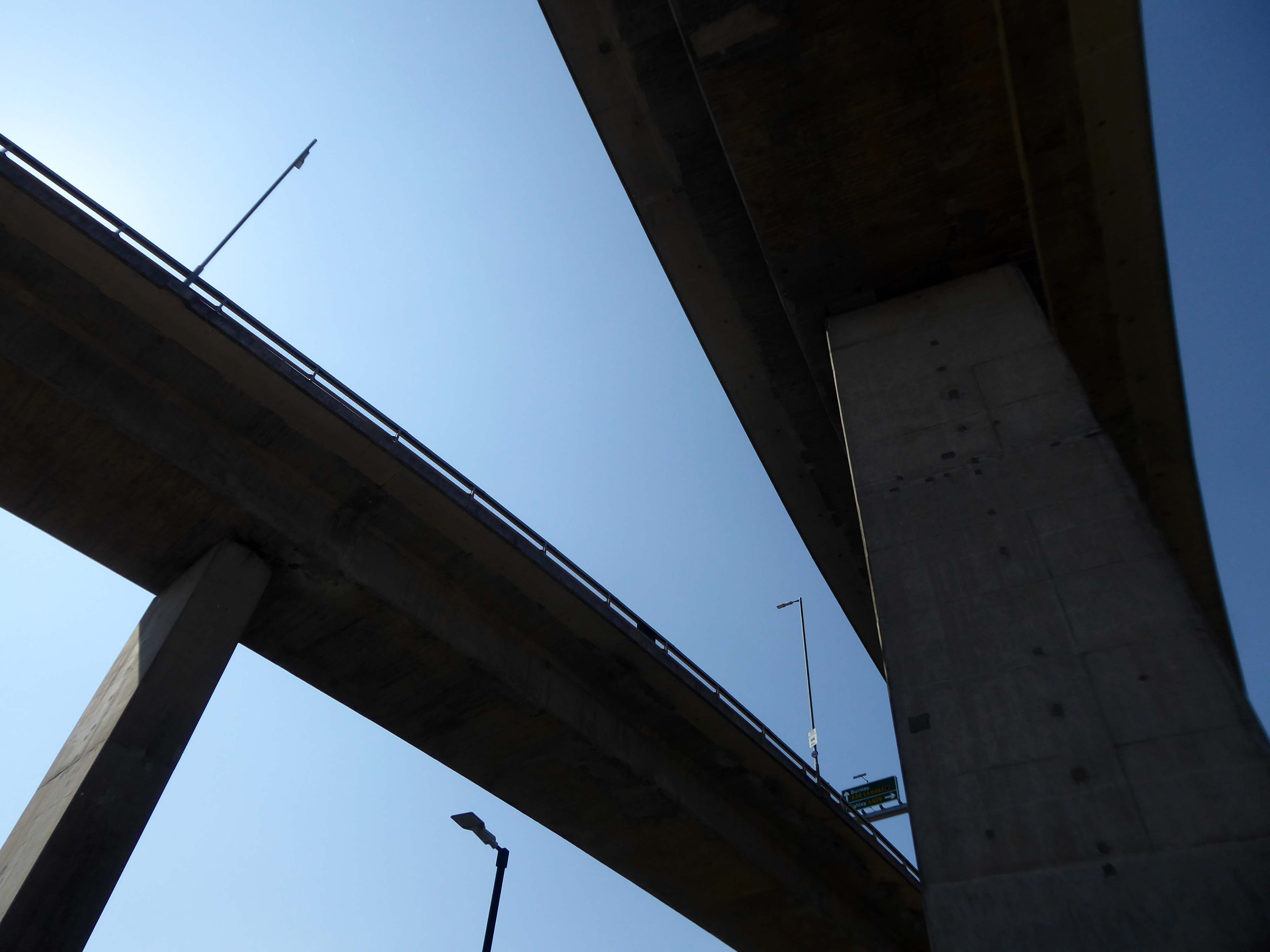
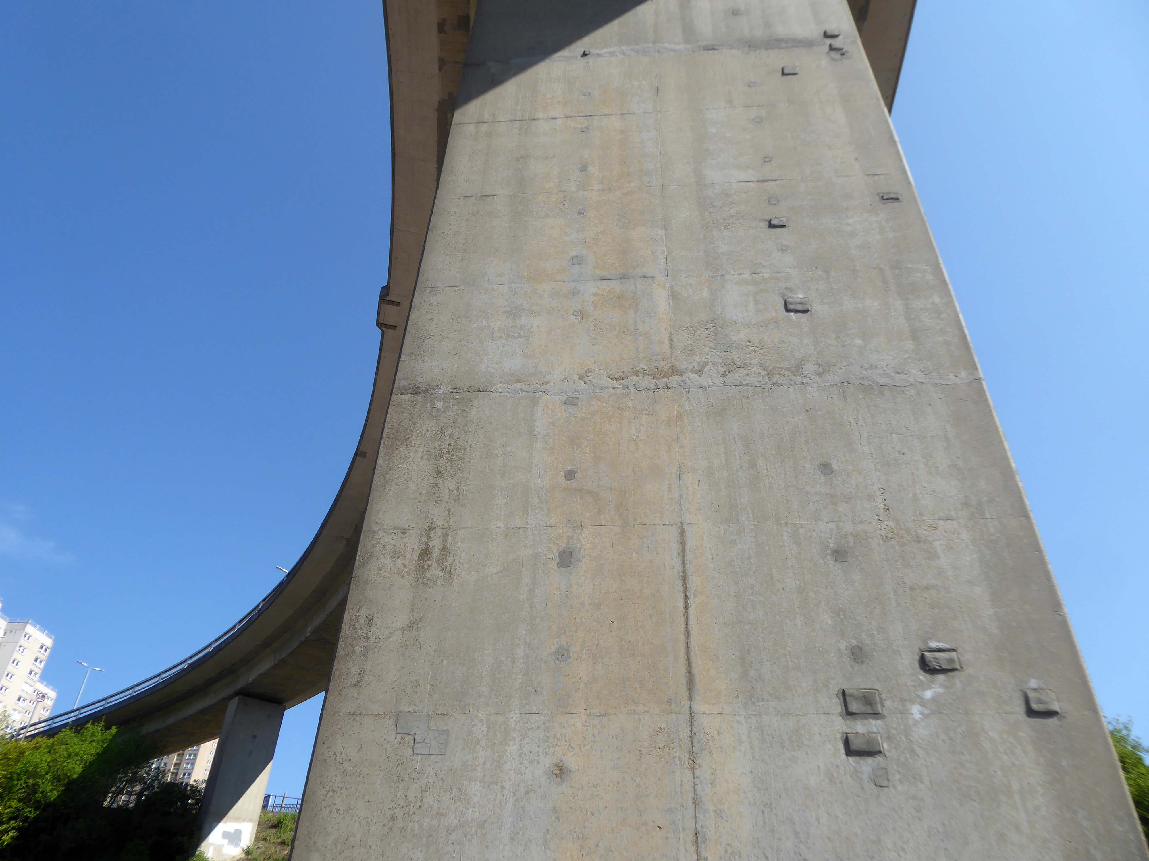
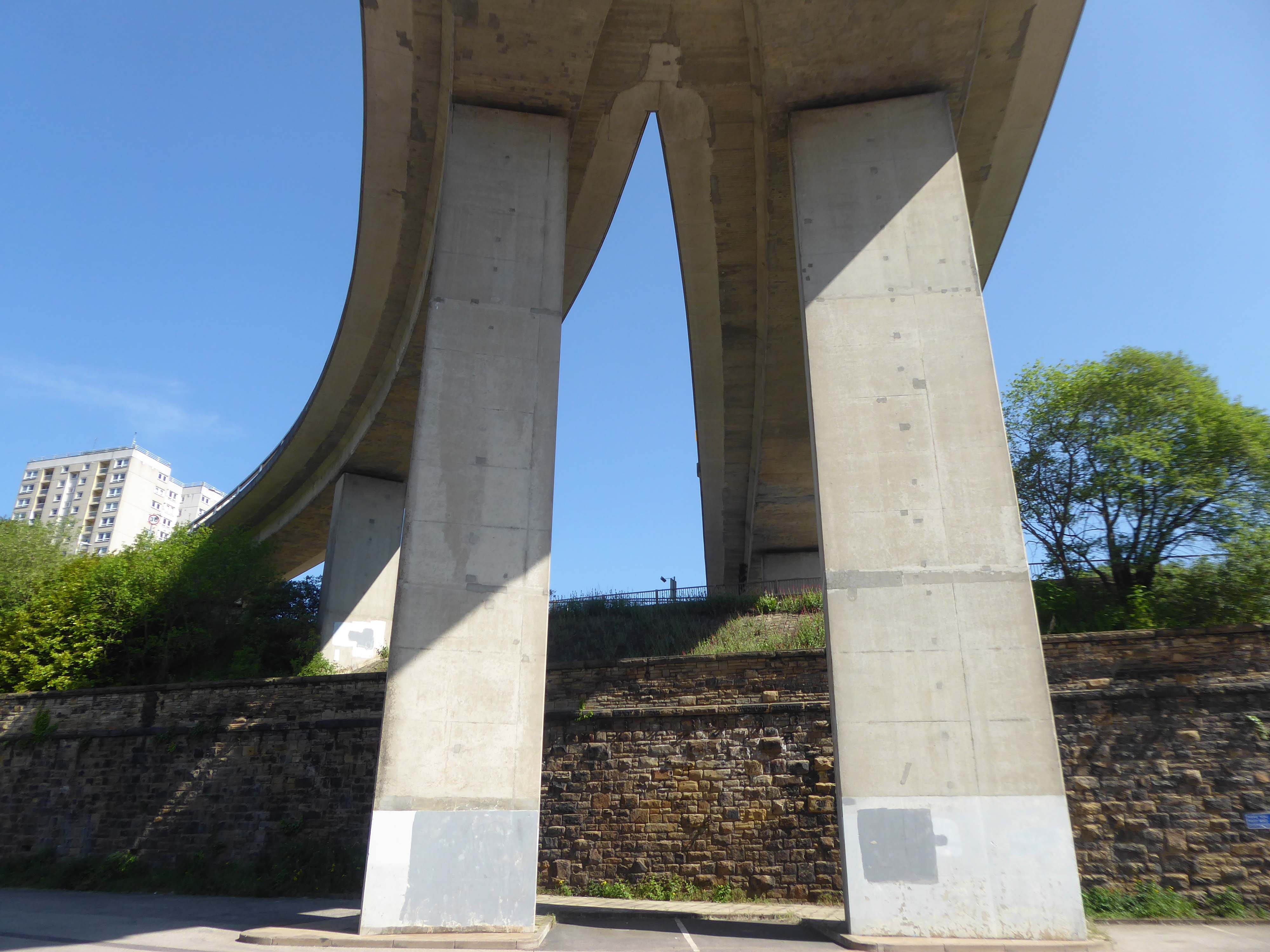
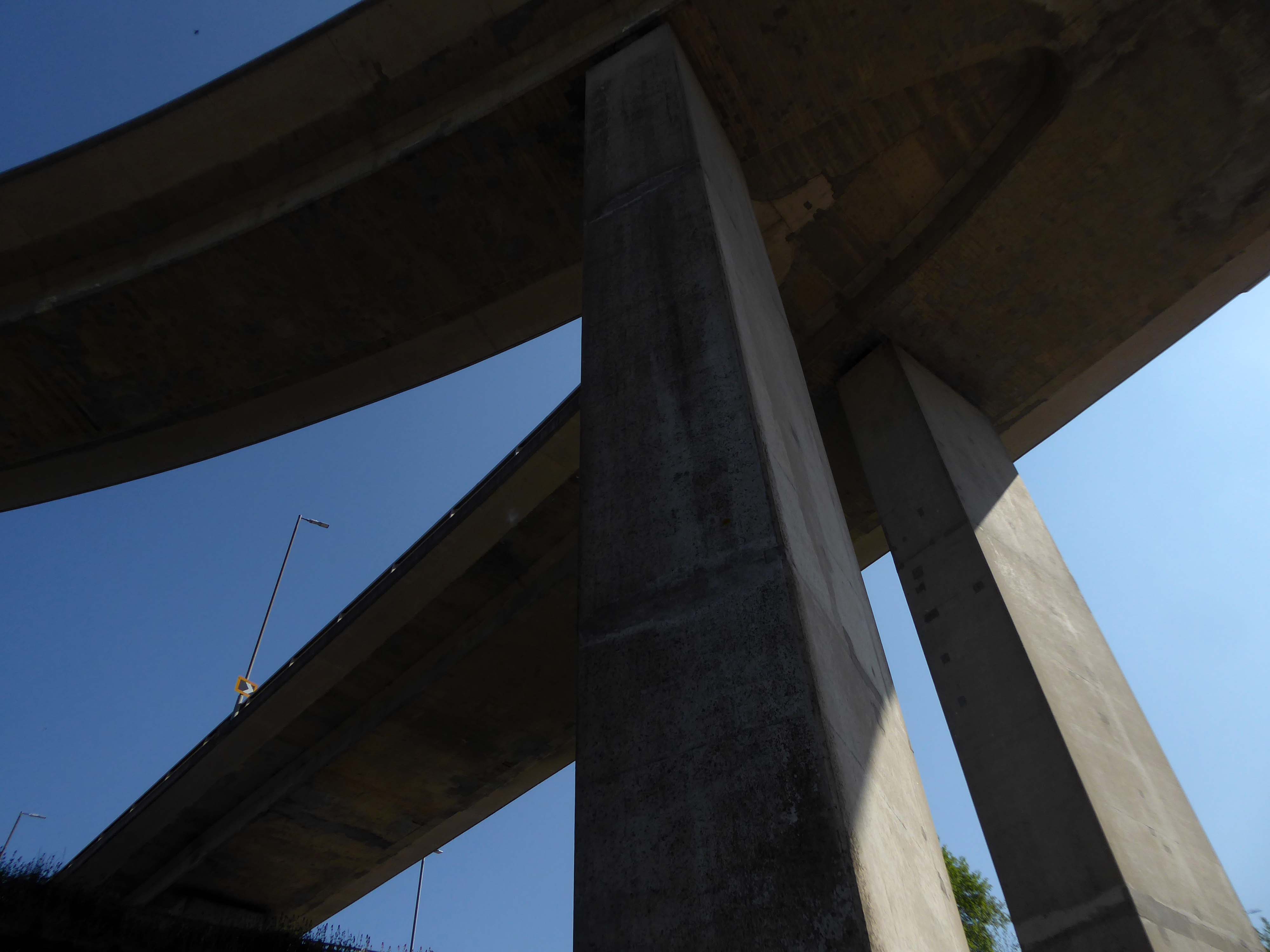
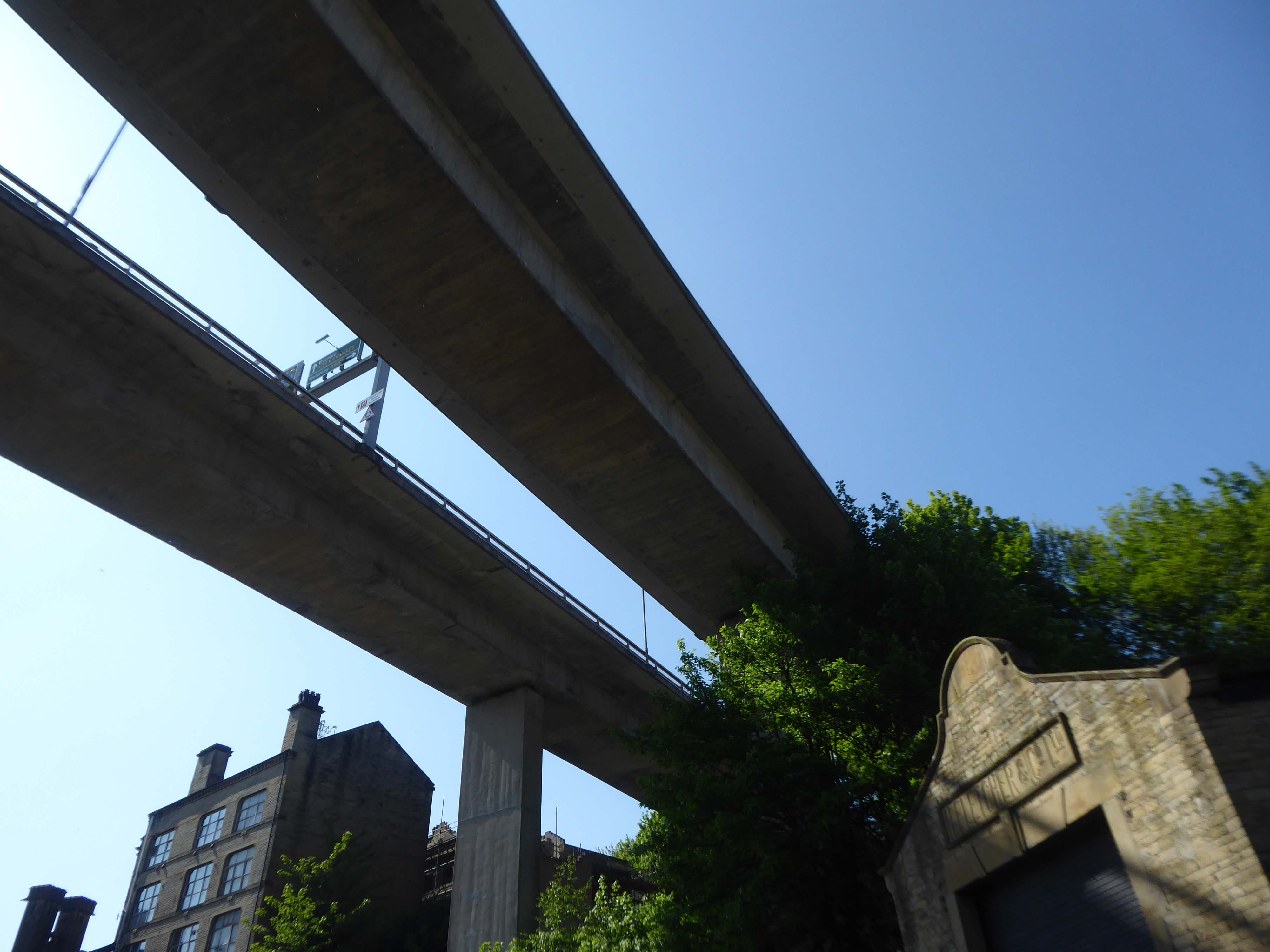
Burdock Way, the modern flyover system, was opened in 1973 to take the A58 and A629 traffic over the River Hebble.
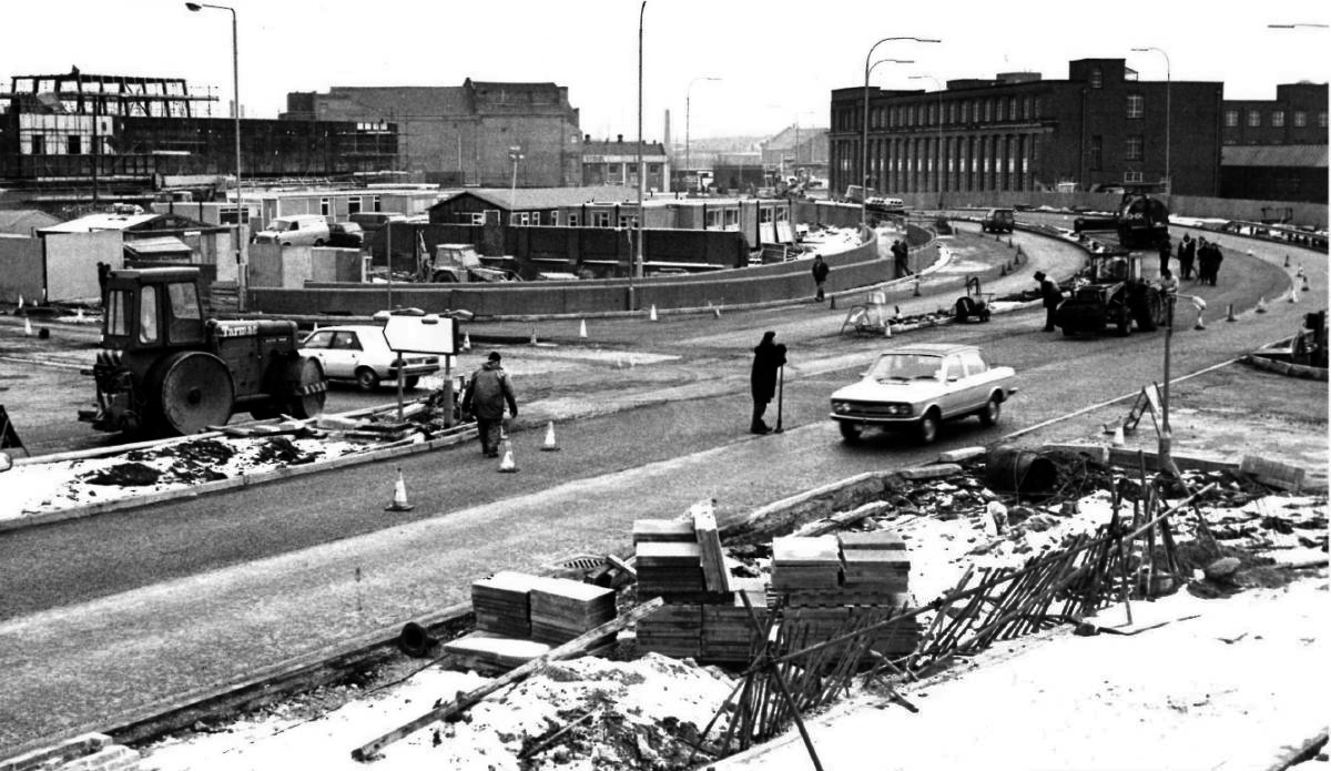
Faced with the problem of very high volumes of through traffic in its town centre, and with the impending construction of the M62 too far to the south to provide relief for the town, Halifax needed a bypass. The steep sided valley that the town centre inhabits prevented a conventional road from being built around the town, and so in the early 1970’s construction began on Burdock Way – one of the most adventurous relief road schemes built in Britain, certainly by a town the size of Halifax.
Only one phase of the futuristic road was ever built, but what exists is a partially grade-separated dual carriageway that runs through deep trenches and over tall viaducts close to the heart of the town. At its eastern end is a truly byzantine piece of traffic engineering that stretches the definition of a roundabout to its limit.
In October 1971 the official celebrations went anything but according to plan. It had been decided to give the people of Halifax a half day holiday so they could attend the opening, but there were not enough police on duty to control the sightseers. It was impossible to get complete silence for the speeches and arrangements to tell the artillery guns at Southowram Road when to fire broke down. They were fired prematurely while an archdeacon was offering prayers. The Mayor, HC McCrae, finally managed to announce that the bridge was officially open and he scurried back to the town hall where he hosted a banquet.
Burdock Way has never been fully completed as it is missing certain sections envisaged in the early 1960s plans. There are a number of reasons for this, but it is mainly owing to West Yorkshire County Council’s cost cutting in the 1970s.
Yorkshire Post
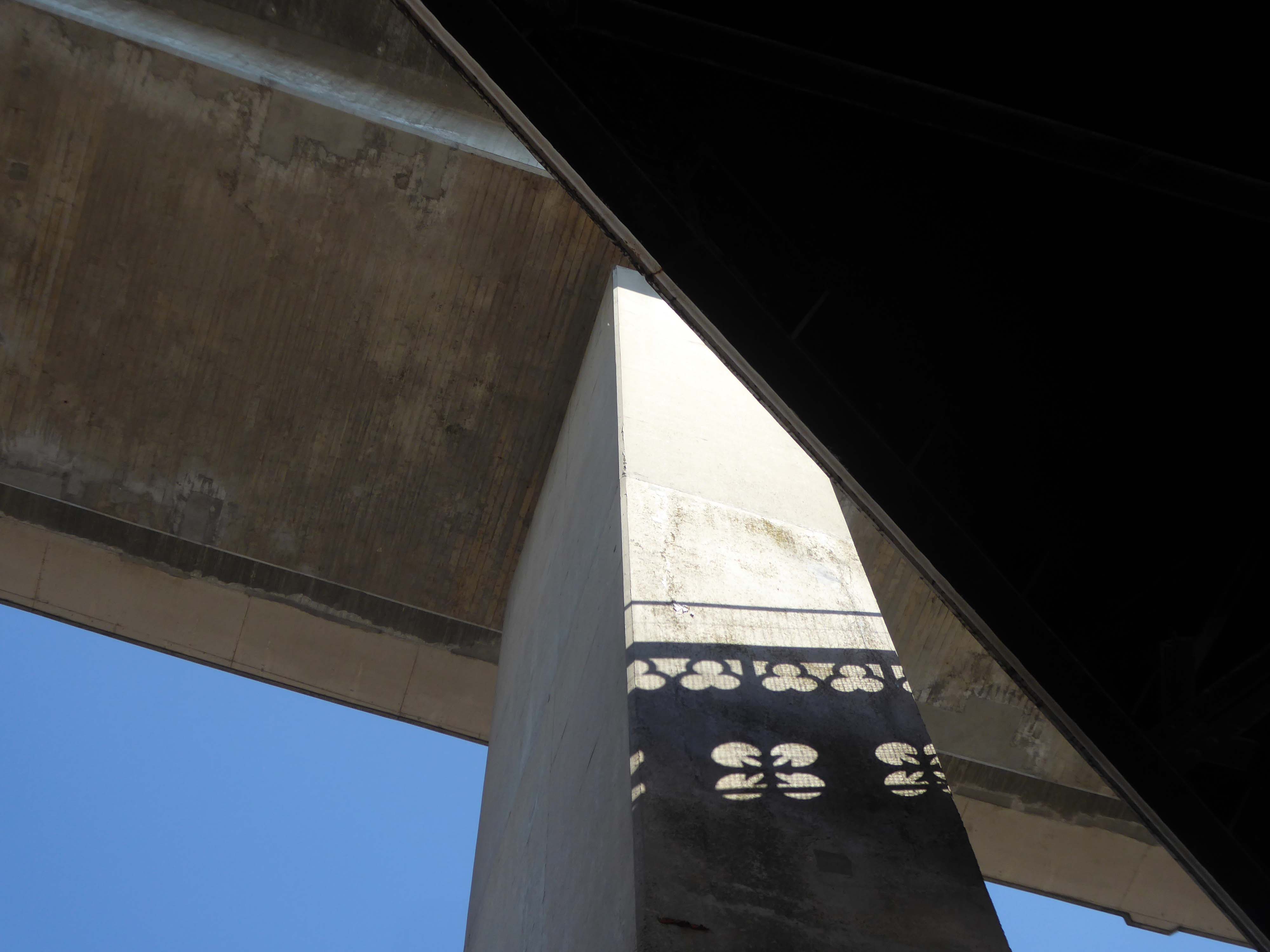
This is the Valley of the Gwangi in the West Riding – minus the dinosaurs.
An urban chasm, the gulf between everything and nothing.
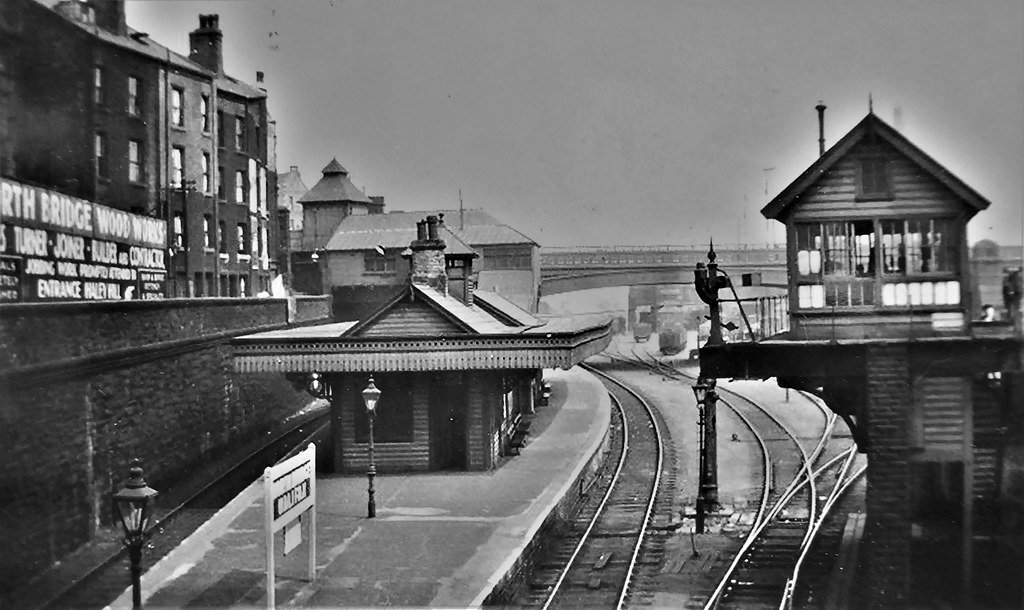
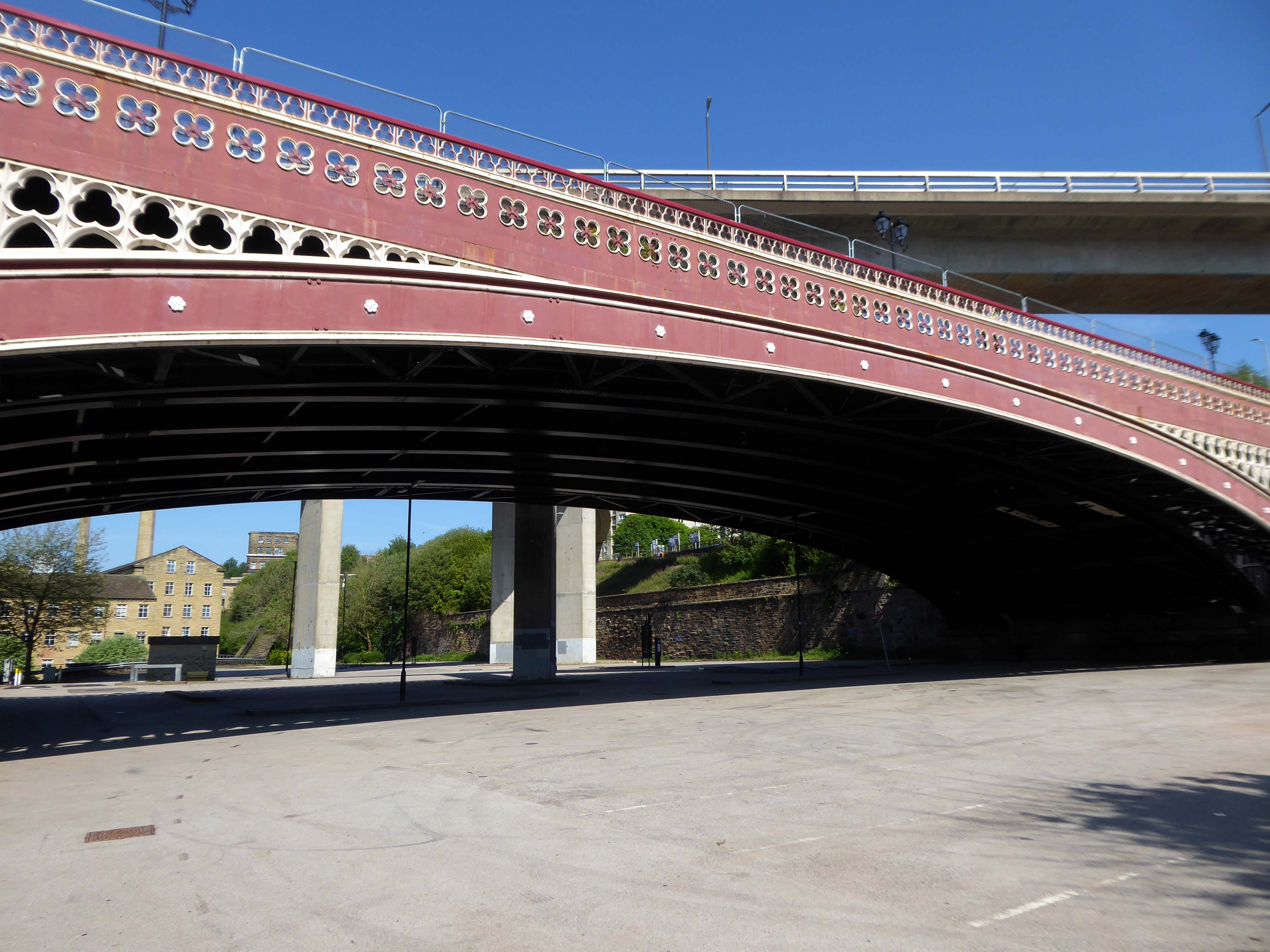
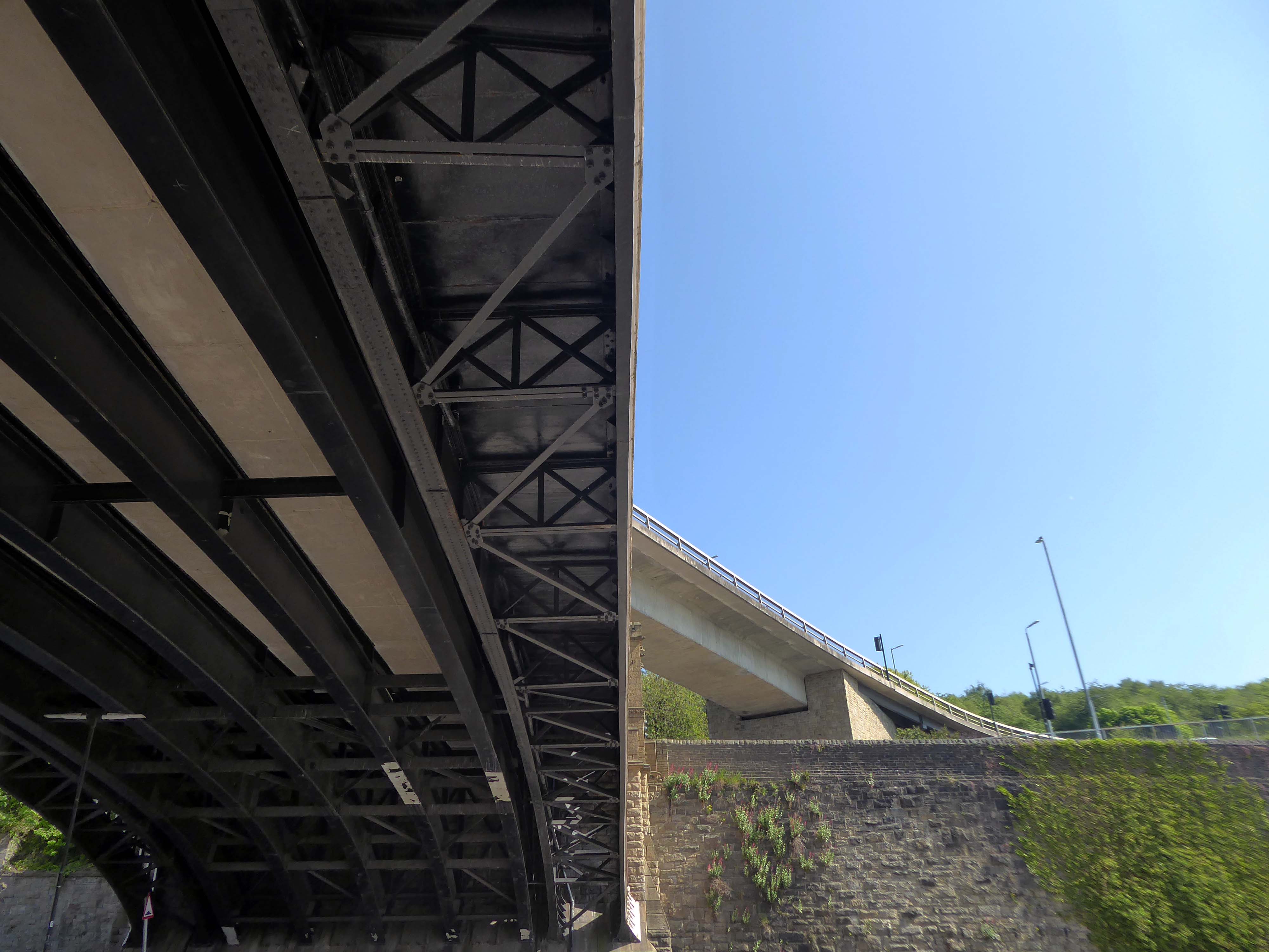
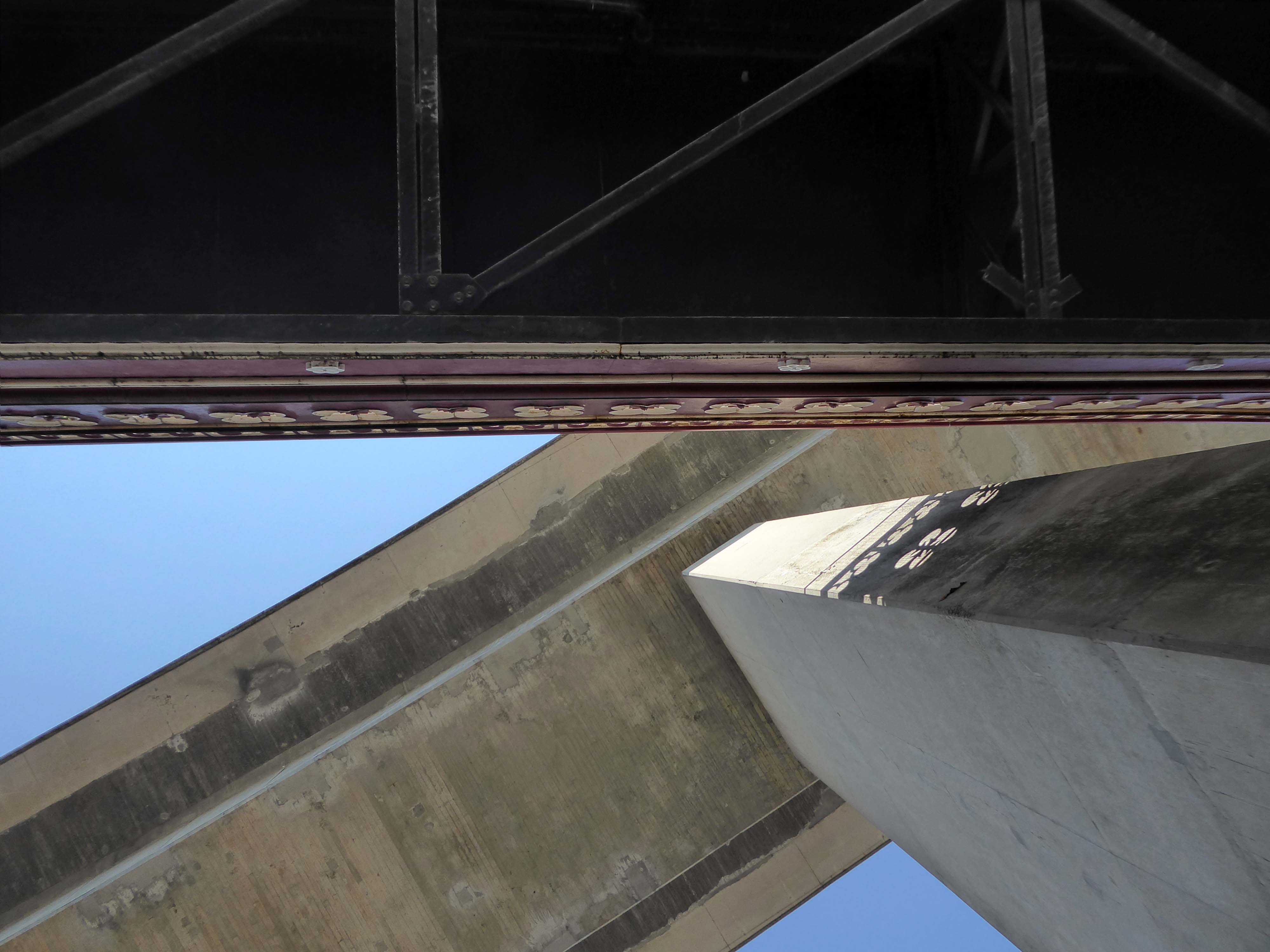
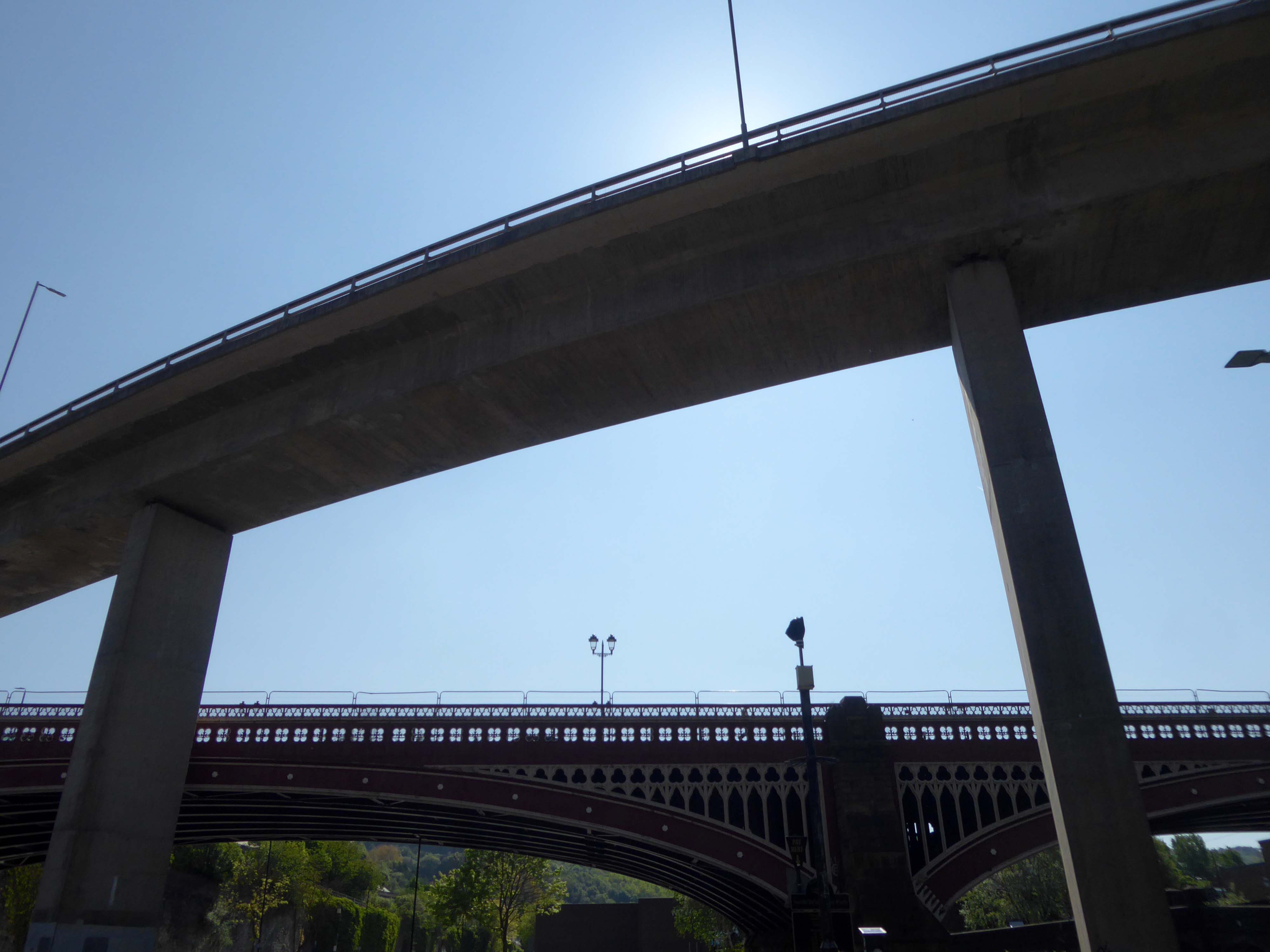
North Bridge is a Victorian iron and stone bridge crossing the valley of the River Hebble, connecting the town to roads to Bradford and Leeds. Replacing an earlier six arch stone bridge it was raised to allow the subsequent construction of the Halifax High Level Railway beneath it, along with an adjoining station.
Opened in 1871 amid chaotic crowd scenes it carried increasingly heavy traffic until it was by-passed by the Burdock Way in 1973.
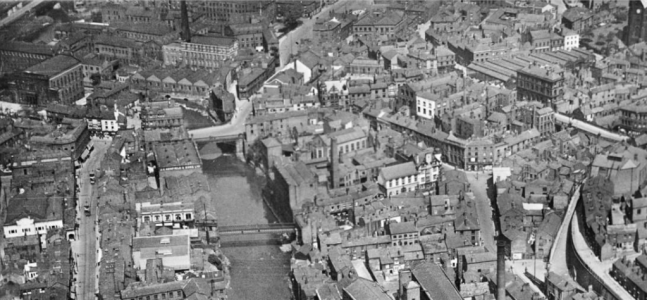
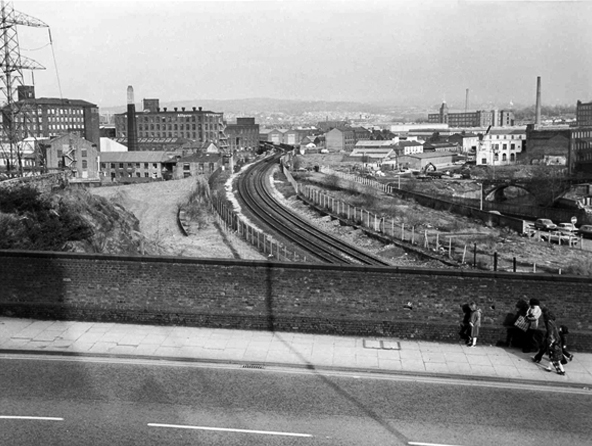
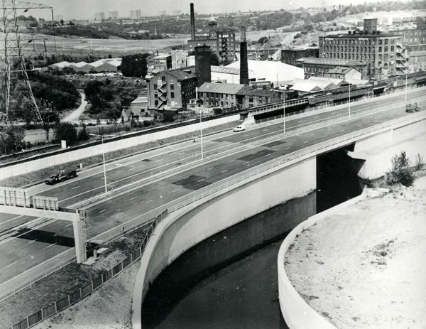
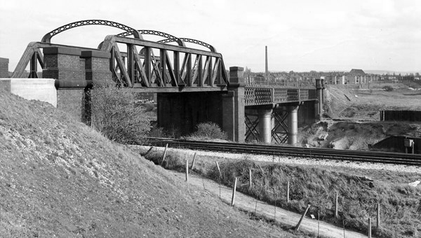
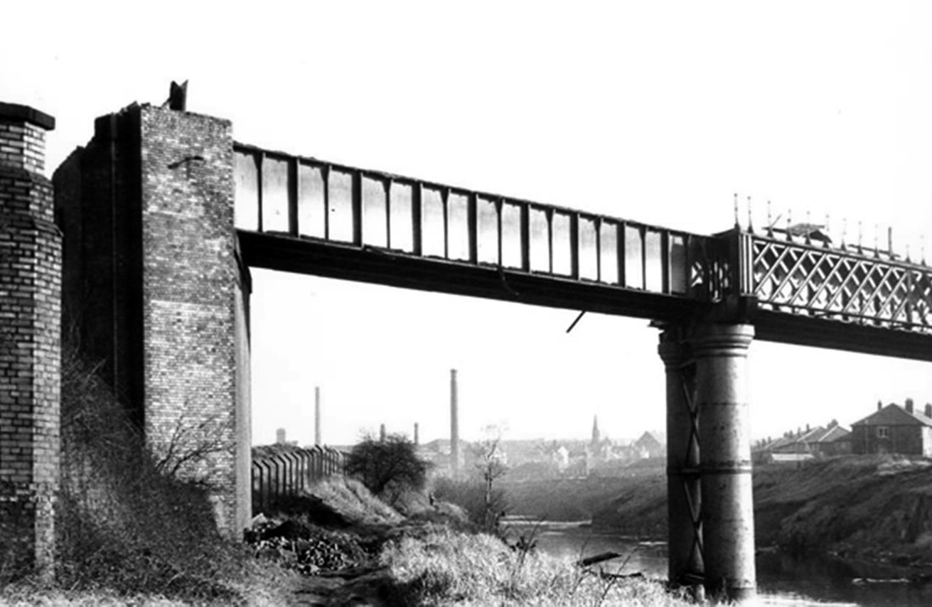
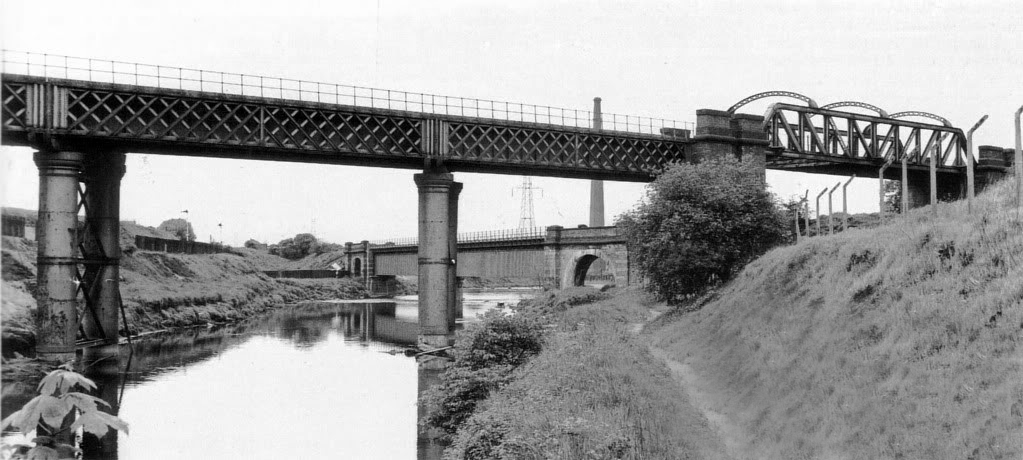
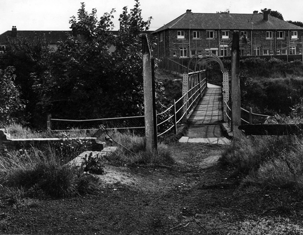
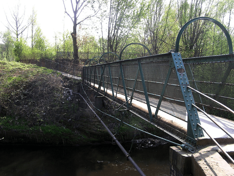
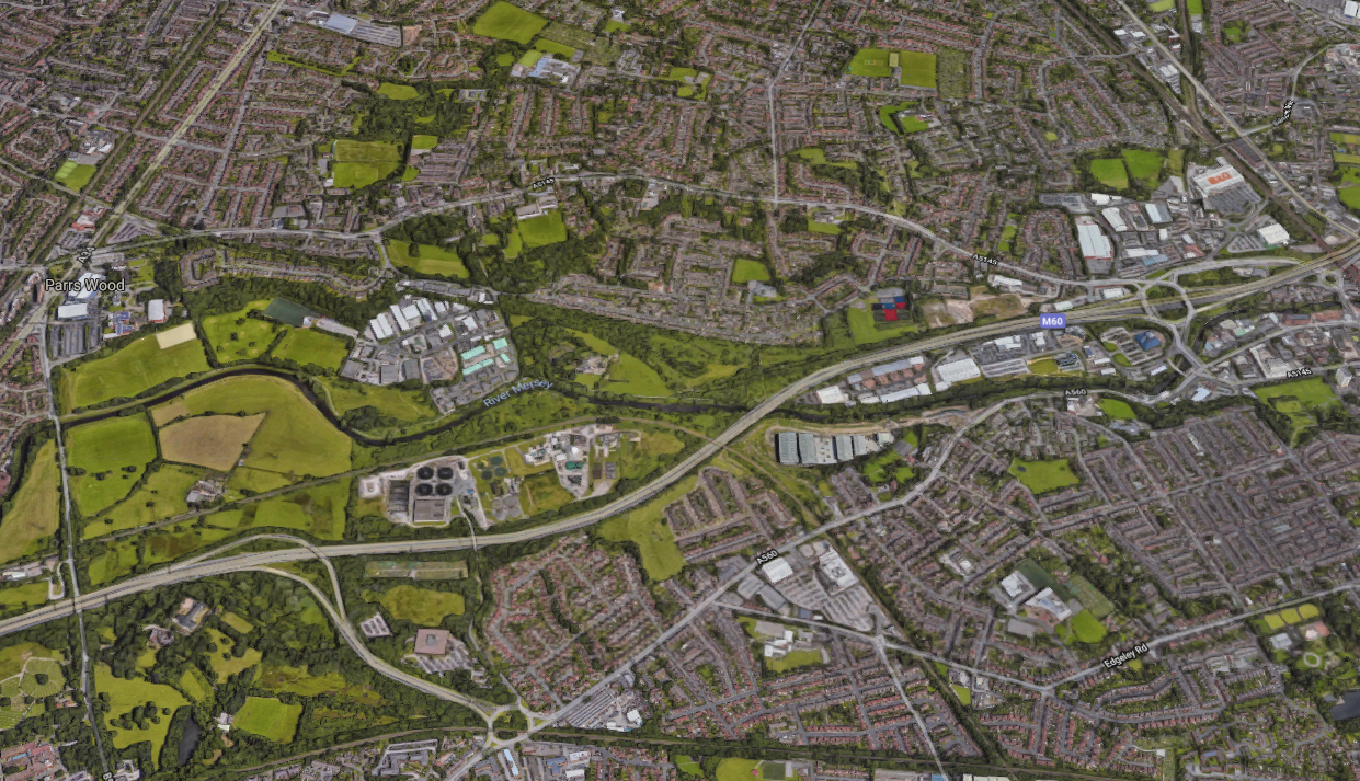
I often walk around here, the space enclosed by the River Tame and the M60, it was a maze of busy streets, home to peoples’ homes, industry, pubs, clubs and railways.
Much of that is now gone, either left to its own devices, untended rough empty ground, or overwritten by the newly built Tesco Extra and Porsche dealership.
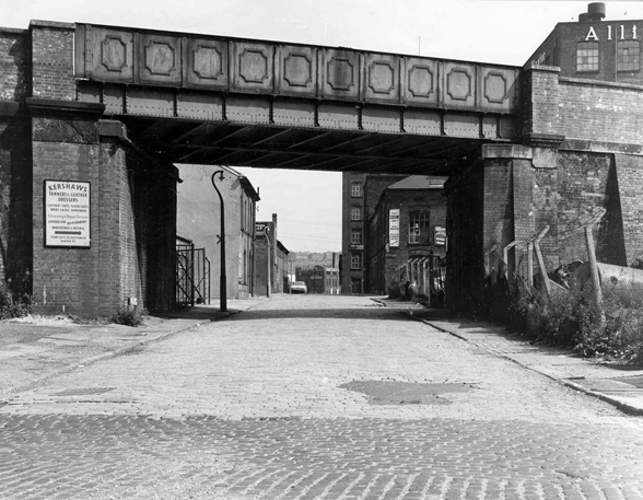
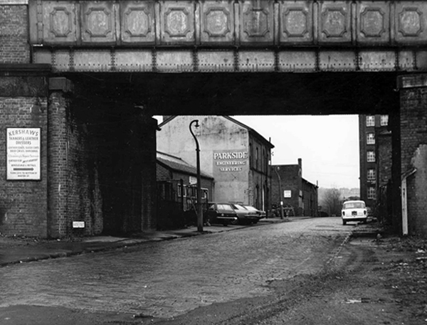
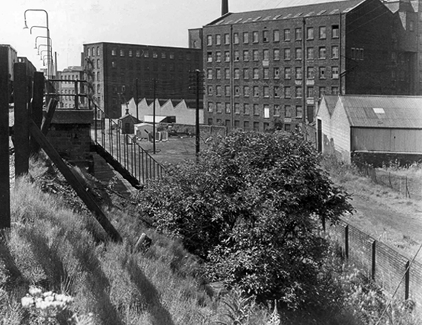
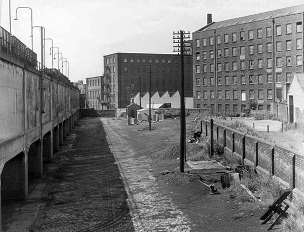
Water Street, Portwood looking north, taken from Avenue Street. Looking underneath the railway bridge, on the left hand side, the first building used to be a public house called ‘The Beehive’, further along was Kent & Swarbrick’s Tripeworks, now a precision engineers, then North West Concrete Works – Easymix. On the right is Coxson’s Brushworks, then the Portwood Mill, Kershaw’s Tannery and the Meadow Mill at the bottom of the street.
The area was also home to the Blood Tub boxing ring.
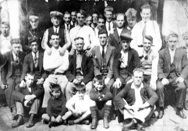
Outside the Blood Tub Back Water Street Portwood.
Centre row left to right Billy PittTaylor Micky PelhamJack HulmeJo Moran owner John MorryBobby RileyLaurie Glen a jockey
2nd row from the back – James Jimmy Rose.
Back row left to right – Charlie Dean An ambulance man Ike Irelands horse dealer – Team from Macclesfield.
Extreme right – Jo Mulrooney.
Front row left to right extreme left – Sidney Smith soft Sidney – a simpleton Jo Hulme.
Copied from a photograph lent by Eddie Pitt
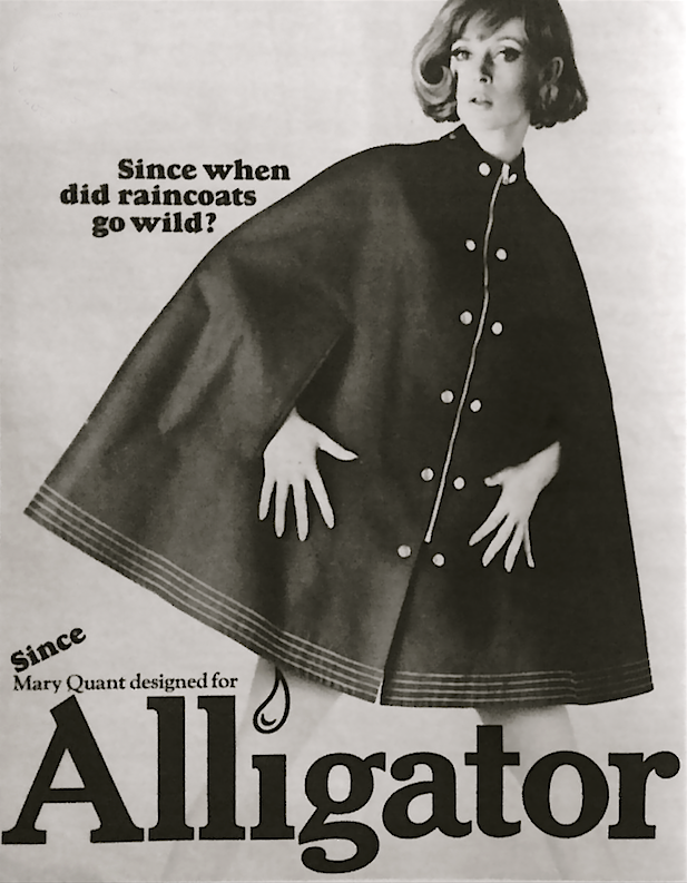
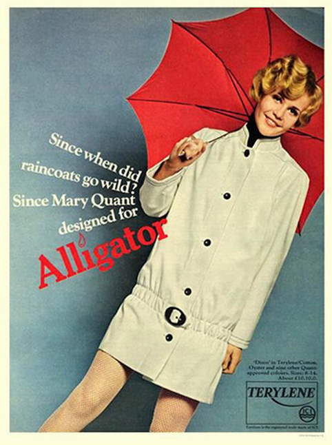
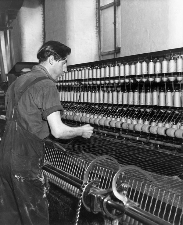
Alligator Rainwear – a British company, whose main factory was based in Beehive Mill. It was best known for its 1960s collaborations with Mary Quant in the design and production of her Wet Look collection of PVC raincoats.
The firm was started after the First World War by Reuben Satinoff, who had previously founded the London Waterproof Company – Silkimac. It was taken over by his sons after the Second World War. For decades, it manufactured traditional weatherproof raincoats in black, brown and beige, but the collaboration with Quant led to new fabrics including PVC and nylon, and a range of bright and vibrant colours.
At its peak in the 1960s and 1970s, Alligator had a turnover of £5 million per year and was exporting its products to Europe and North America. It was later owned by Baker Street Brands who describe it as one of their heritage brands.
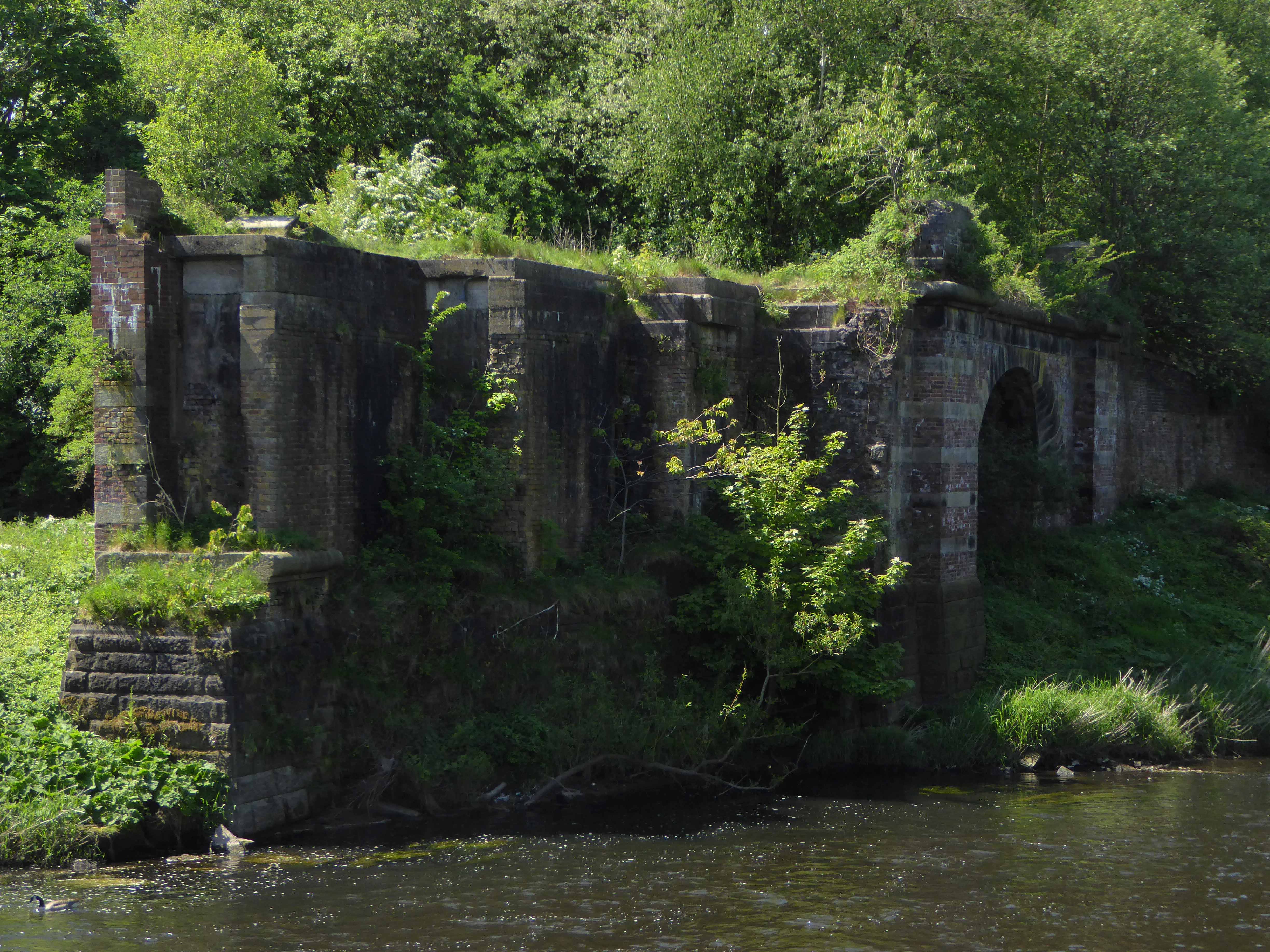
Viewed from Tiviot Dale Viaduct
Tiviot Dale station was located on the Cheshire Lines Committee (CLC) operated Stockport, Timperley and Altrincham Junction Railway line from Portwood to Skelton Junction, a section of what became the Woodley to Glazebrook line. It was situated at the bottom of Lancashire Hill, next to the present motorway bridge. It was opened on 1 December 1865 and was originally known as Stockport Teviot Dale. From 1880, Tiviot Dale was also served by long-distance trains running on the Manchester South District Railway to London St Pancras.
Tiviot Dale remained a part of the CLC, which was jointly owned from 1923 by the London and North Eastern Railway and the London Midland and Scottish Railway, until 1948 when it became part of the British Railways London Midland Region.
The lines through the station remained in heavy use by coal trains heading for Fiddlers Ferry power station near Warrington from the Woodhead Line. These, however, ceased in 1980 when damage was caused to the nearby Tiviot Dale tunnel during construction work on the M63 motorway – now M60 motorway and the line temporarily closed for safety reasons. The closure was made permanent west of Bredbury’s stone terminal in 1982, following the demise of the Woodhead route; the track was subsequently lifted in 1986 and the tunnel partially filled in. The area surrounding the station was further altered at the beginning of the 21st century to allow the construction of a supermarket and office buildings, which now block the old trackbed.
Portwood Railway Station was on the Stockport and Woodley Junction Railway – later becoming part of Cheshire Lines Committee – Glazebrook to Woodley line. According to Bolger it opened to passengers on 12 January 1863, along with the rest of the Stockport and Woodley Junction Railway, although Butt suggests it opened on 1 December 1865 when the Stockport, Timperley and Altrincham Junction Railway opened.
The station opened for goods traffic in 1865, closing to passengers on 1 September 1875, when it became a goods station. It remained in use until 25 April 1966 when it closed except for coal traffic which continued until 27 March 1972 when it closed entirely except for a private siding.
Today no trace of the station remains, the site being buried under a slip road of the M60 motorway.
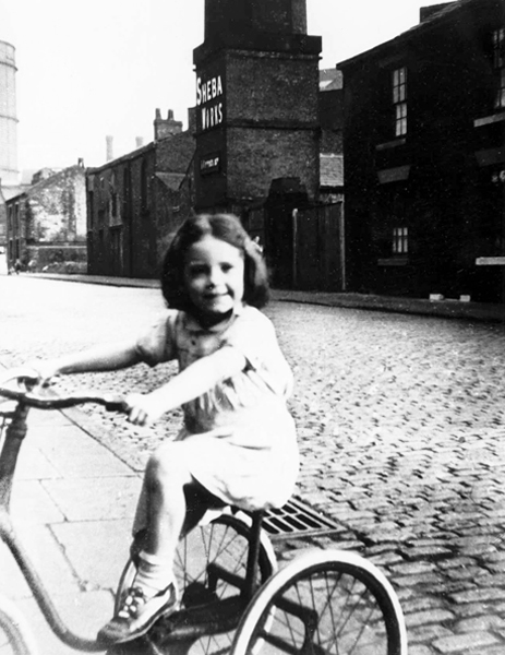
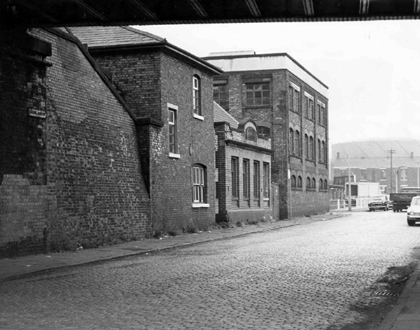
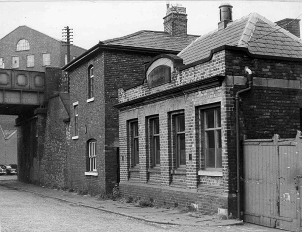
Monica Clarke on her tricycle in Marsland Street, behind her across the cobbled street is the Sheba Works – 1951.
Marsland Street east, showing the Haymarket Chambers – 1967
The front of Haymarket Chambers Marsland Street.
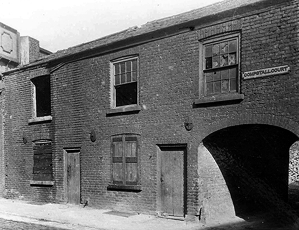
Boarded up dwellings on Compstall Court, off Marsland Street.
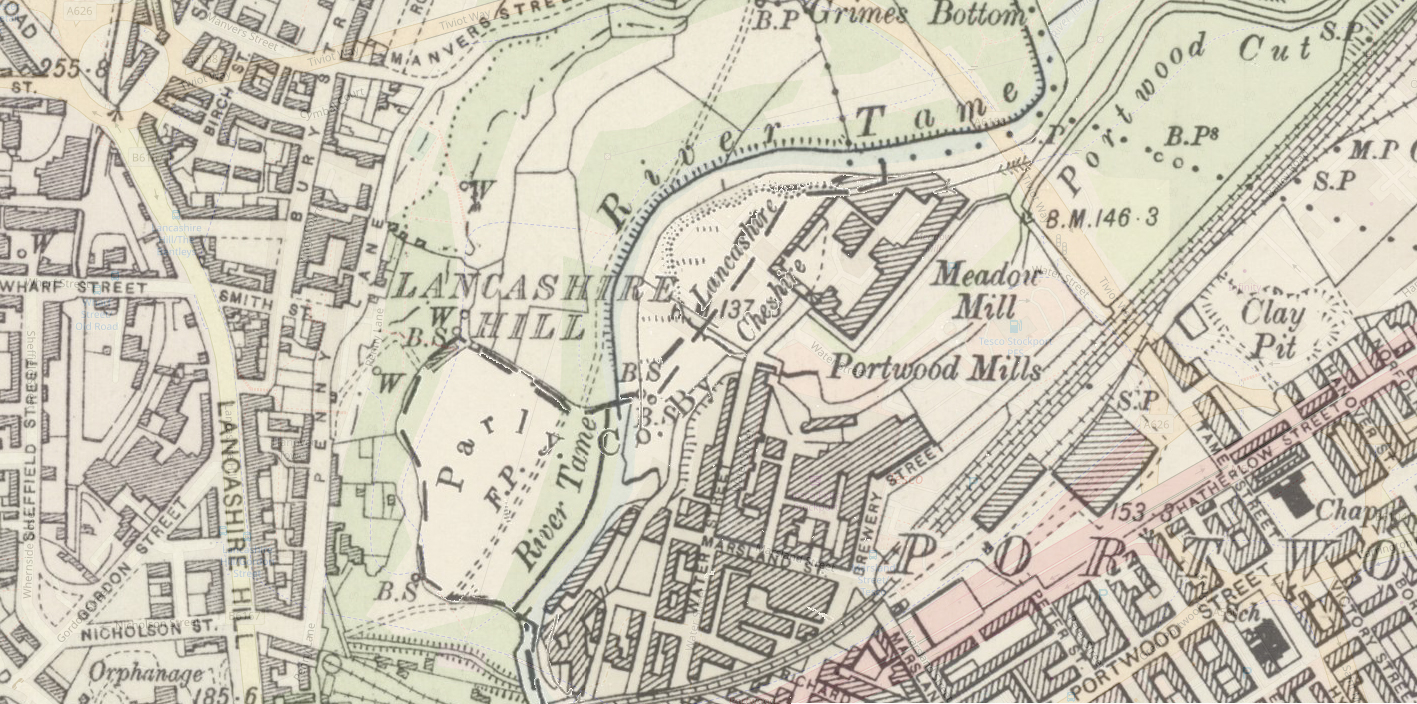
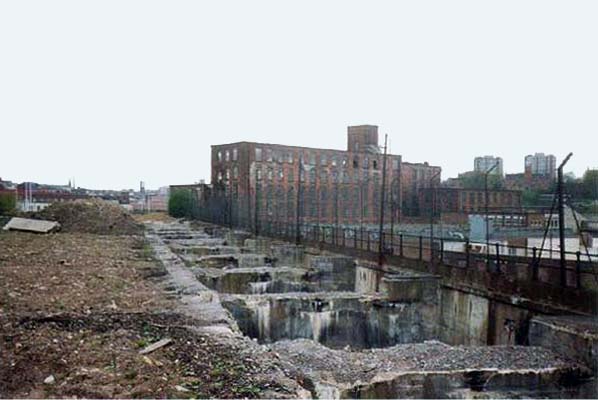
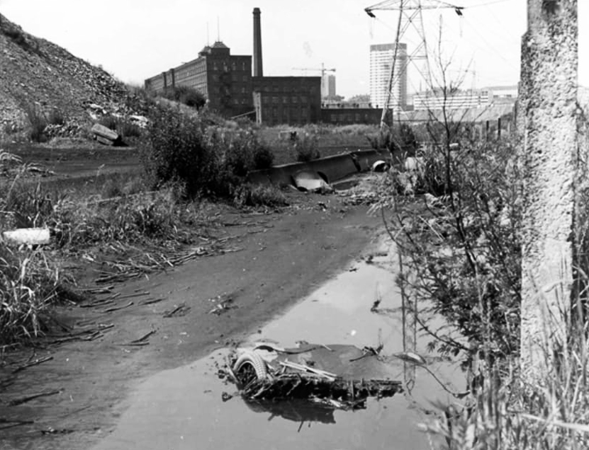
Portwood Cut 1968
James Harrison bought the manor of Brinnington in the early 1780’s – by 1790 Harrison had three factories in Portwood and others were to follow. In 1796, to provide sufficient water-power to this industrial zone he constructed a substancial millrace. Known as the Portwood Cut, it carried water across the Tame, between his Reddish and Brinnington estates. Harrison also planned the construction of factories at Wood Hall but that particular scheme was abandoned after his death in 1806.
Harrison’s Weir still survives on the river. To the south sections of the Portwood Cut also survive within Reddish Vale Country Park, both as a shallow depression and as water-filled, if somewhat silted and overgrown channel.
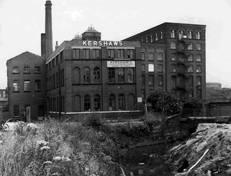
Kershaws is one of the only original businesses which still trades in the area.
Established back in 1855 by Joshua Kershaw, the company has gone from strength to strength.
Way back then, it was just a tannery. Today, seven generations on, Edward Kershaw heads a company that is known and respected for it’s quality leather in Europe, America and the Far East.
Kershaws also provide white leather for masonics and bagpipes.
Brewery Street – a view of the steps leading to the railway footpath to Tame Street – 1967.
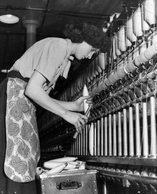
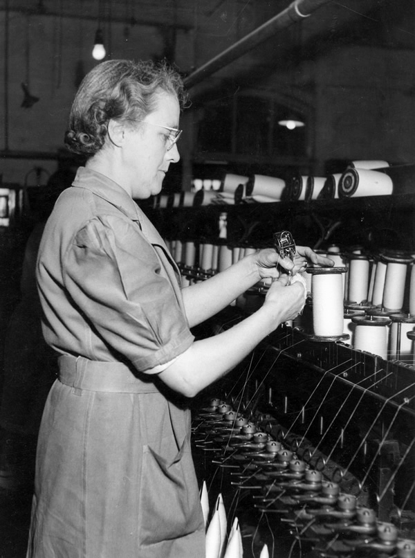
The mill in the foreground is the Portwood Spinning Mill now called Portwood Mill – on the front of the mill it states Sir Richard Arkwright Portwood Mill.
Employees – Portwood Spinning Company
Coal drops and yard at the rear of the Beehive Spinning Mill
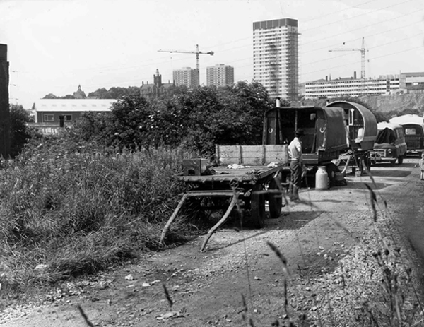
Tame Street gave motorized access to the Cut and here the caravans of travelling folk were parked several times a year, usually until the police ‘moved them on’. The men collected and sold scrap metal, the women sold clothes pegs and told fortunes from door to door. Many of the local people treated them with suspicion and some local pubs would not admit them.
Building work on Lancashire Hill can be seen in the background – 1968
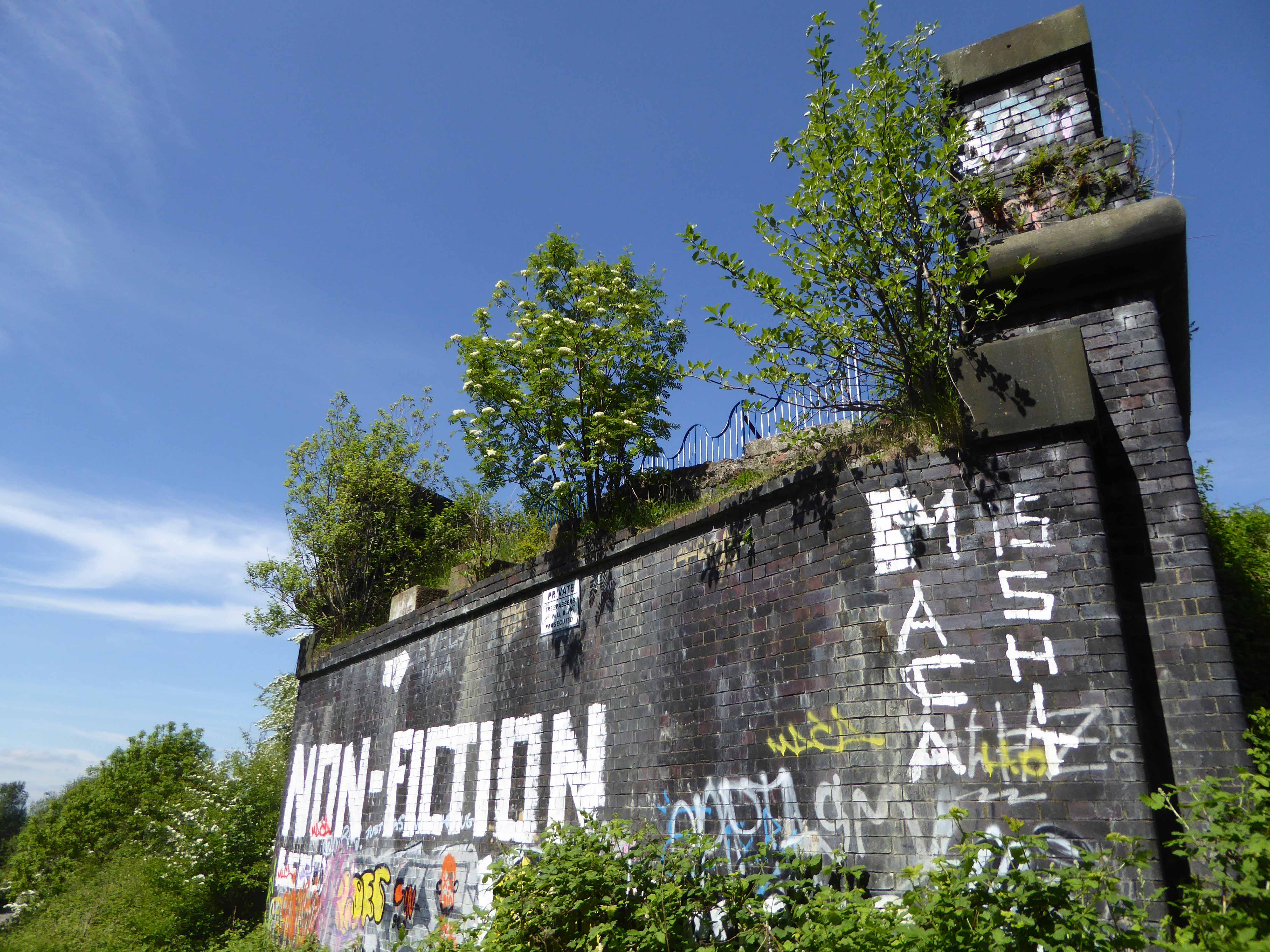
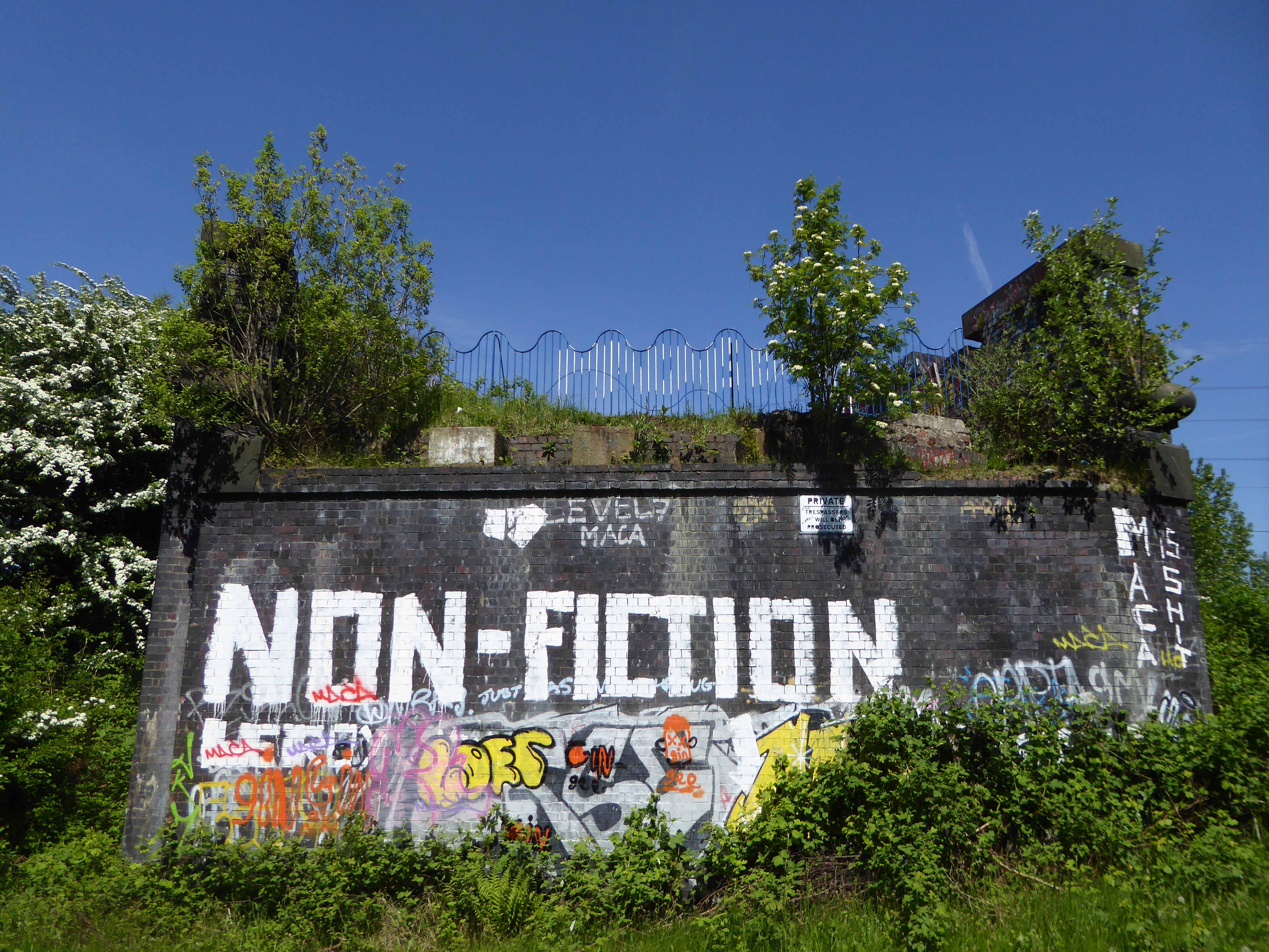
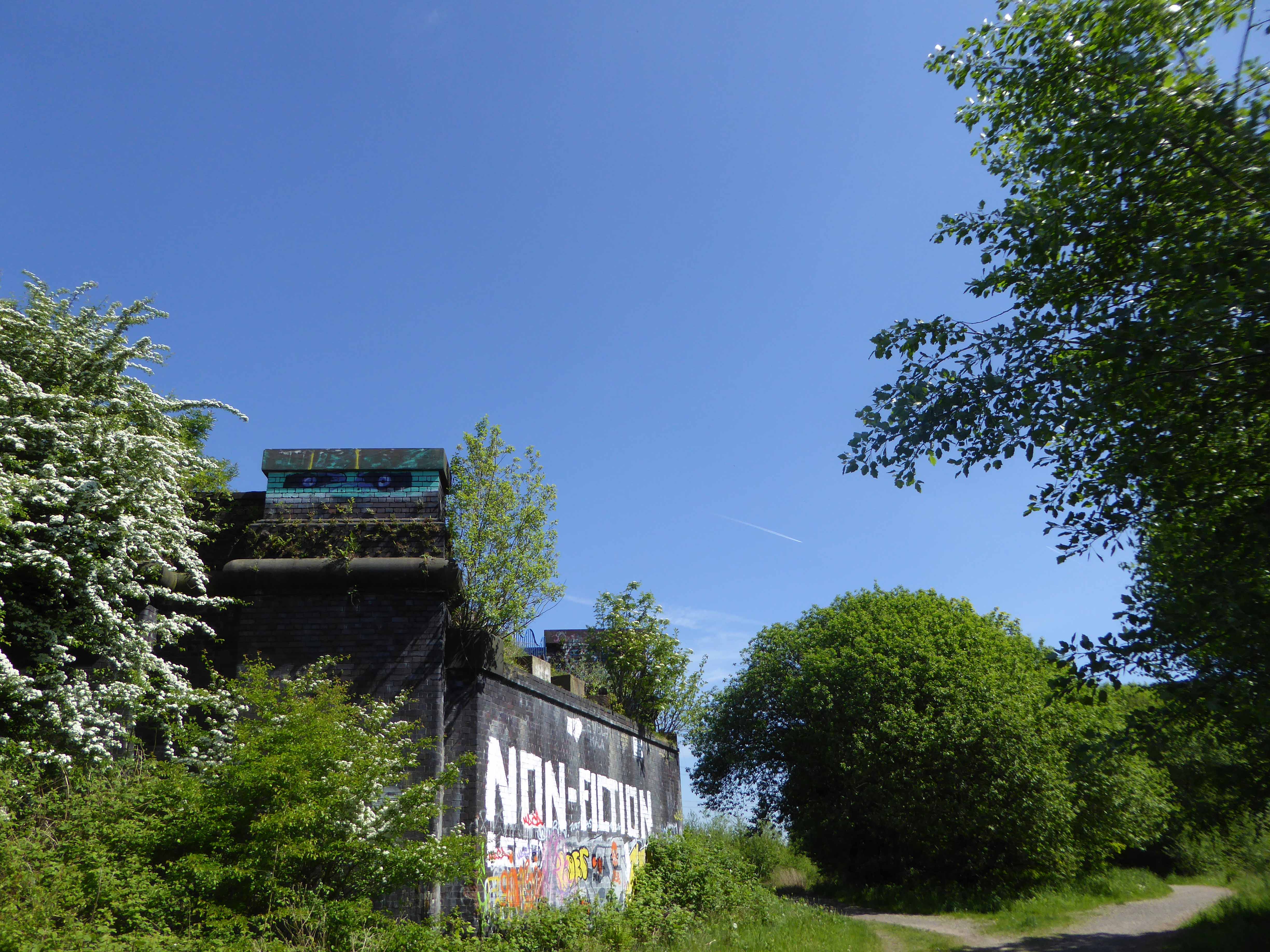
A mighty river valley was formed in the second Ice Age, as the glaciers receded and rushed seaward.
The mighty River Mersey was formed on the eastern edge of Stockport, at the confluence of the Tame and Goyt/Etherow rivers.
Thousands of years in the making, as the water-powered mills of the adjacent Pennine Hills migrate to the lower reaches of the towns, in search of water, workers and steam, the full force of the Industrial Revolution takes shape in the west.
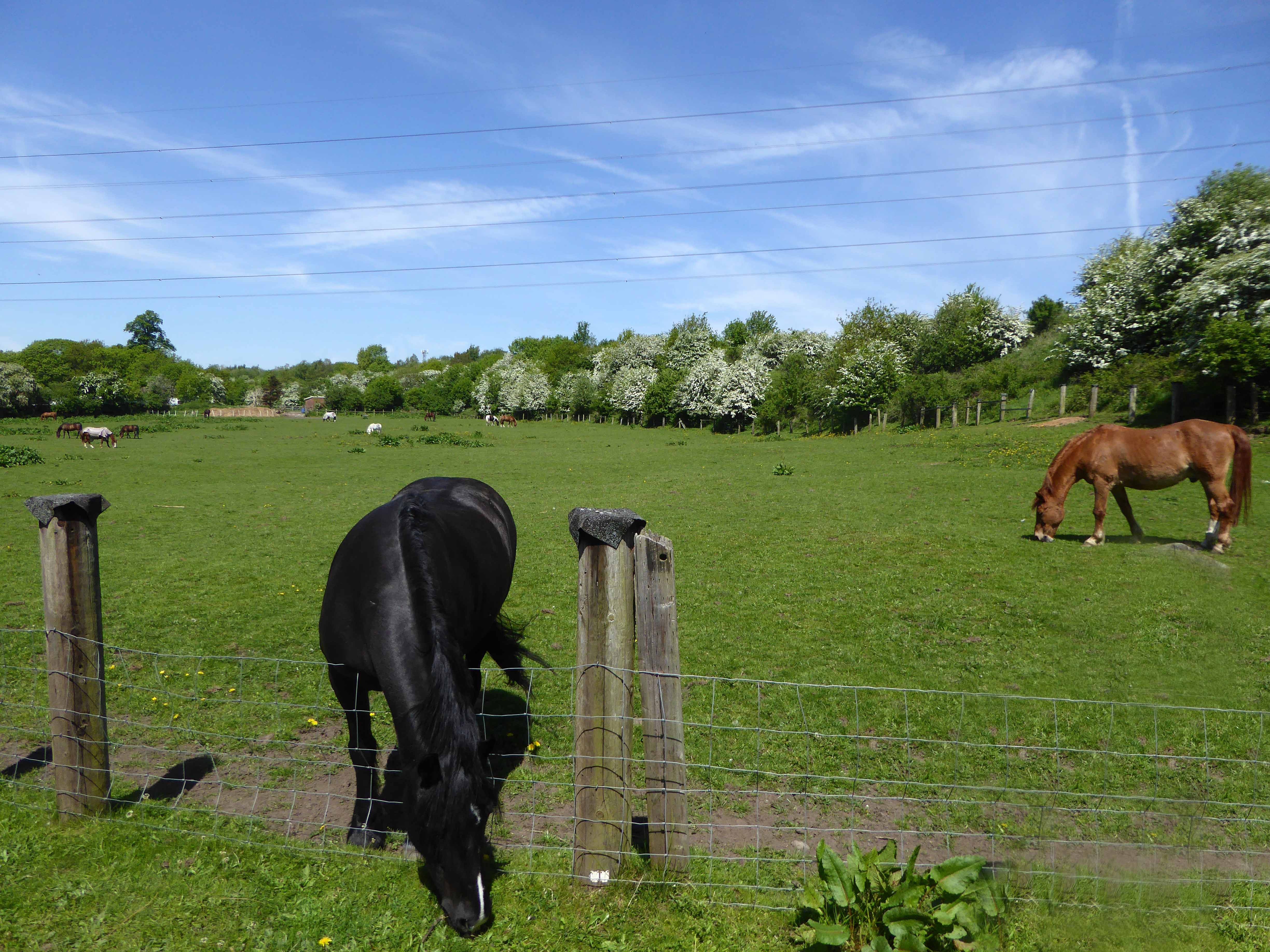
The mixed farming of the alluvial valley, which opens up onto the Lancashire and Cheshire Plains, meets and greets the incursion of dye and brick works, mills and manufacturing.
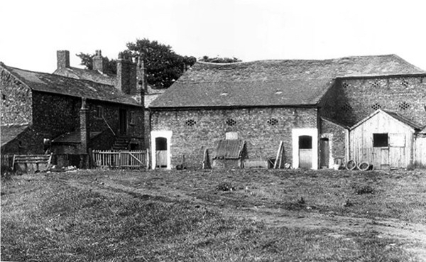
Fred Schofield’s farm 1930
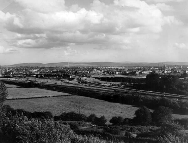
View towards Stockport from Heaton Mersey Park
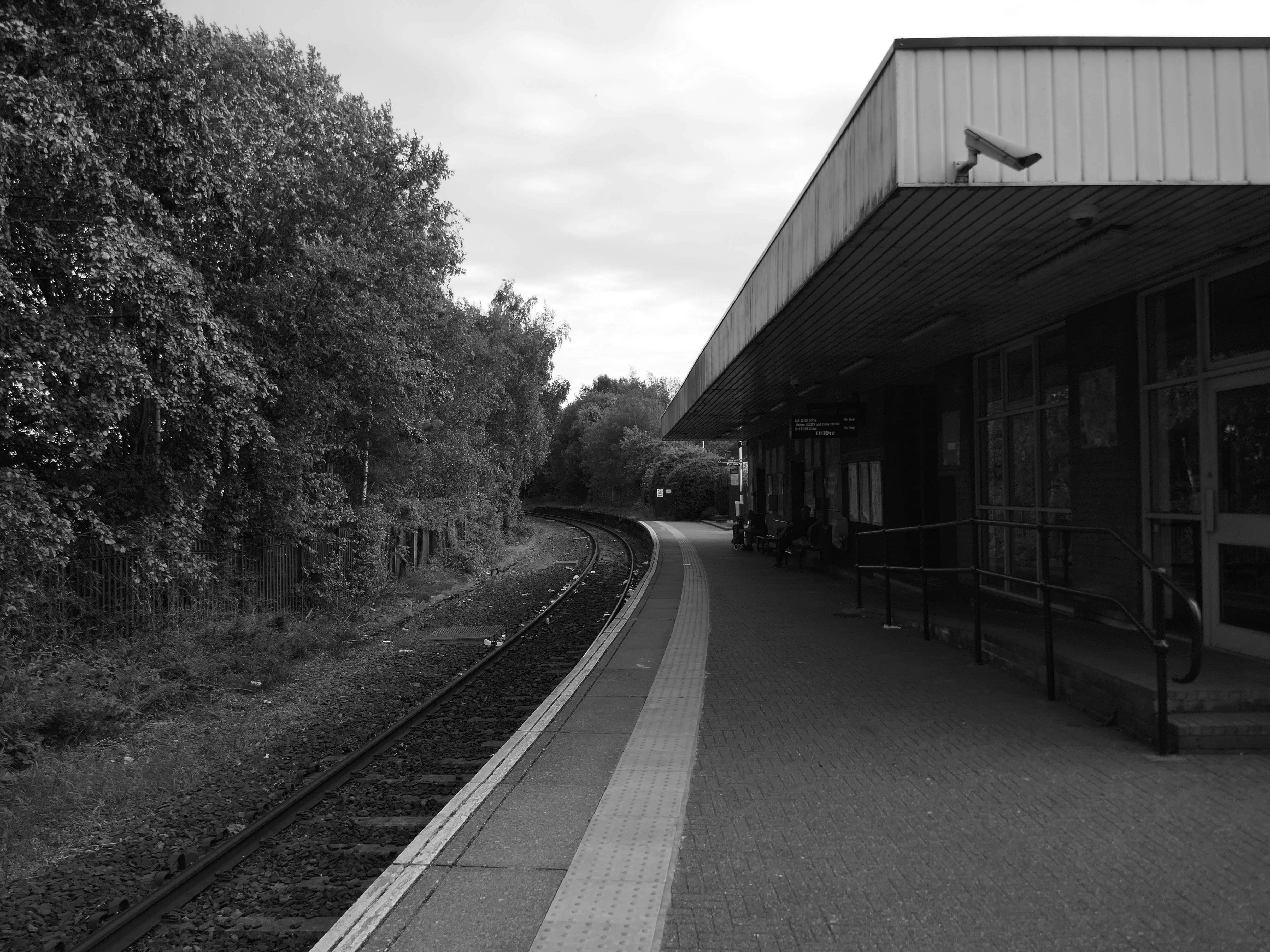
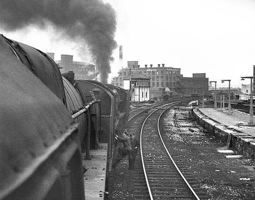
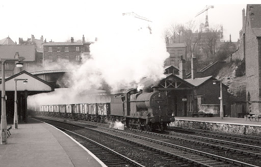
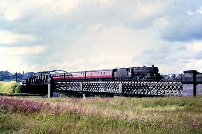
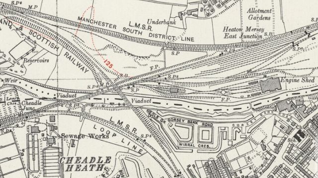
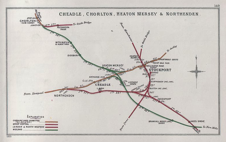
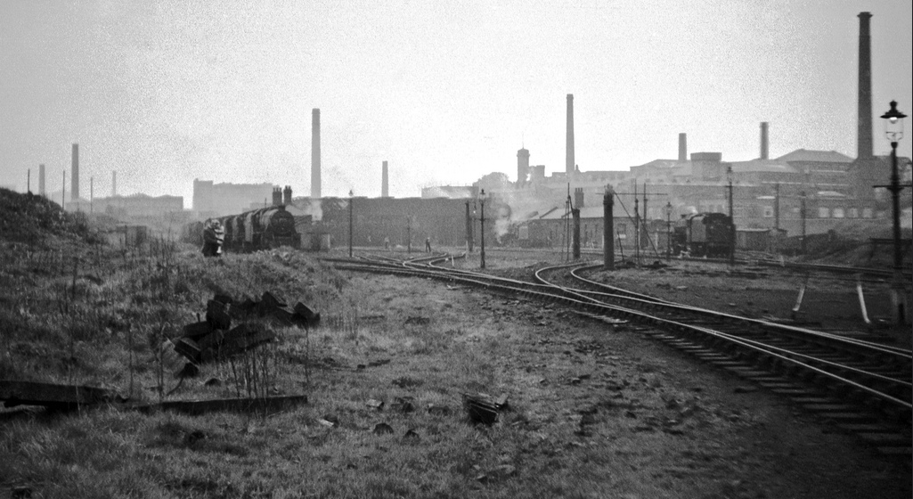
Serviced by a complex and competing rail system based around Heaton Mersey Shed.
Opened in 1889 and served until May 1968 operating steam locomotives to the end -Coded 9F.
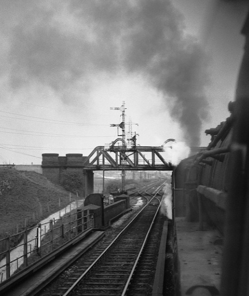
Here we were at the centre of a rail hub spreading out in all directions, to and from the ports, cities and resources of the country and beyond.
Great movements of steel, cotton, coal, people and manufactured goods.
Fireman Eddy “Ned” Kelly
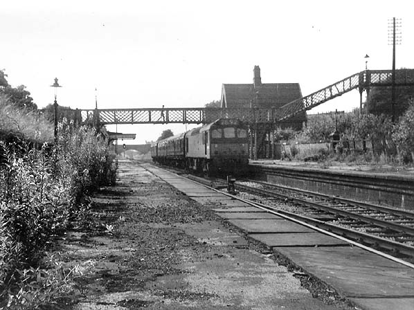
Heaton Mersey railway station was opened on 1 January 1880 by the Midland Railwayand lay on the newly opened line which ran from Heaton Mersey East Junction to Chorlton Junction and on to Manchester Central station.
The station was situated at the southern end of Station Road which still exists. The station was later operated by the London Midland and Scottish Railway and was closed by the London Midland Region of British Railways on 3 July 1961.
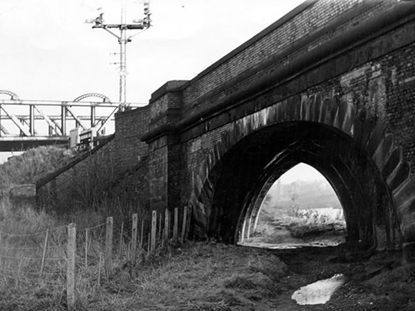
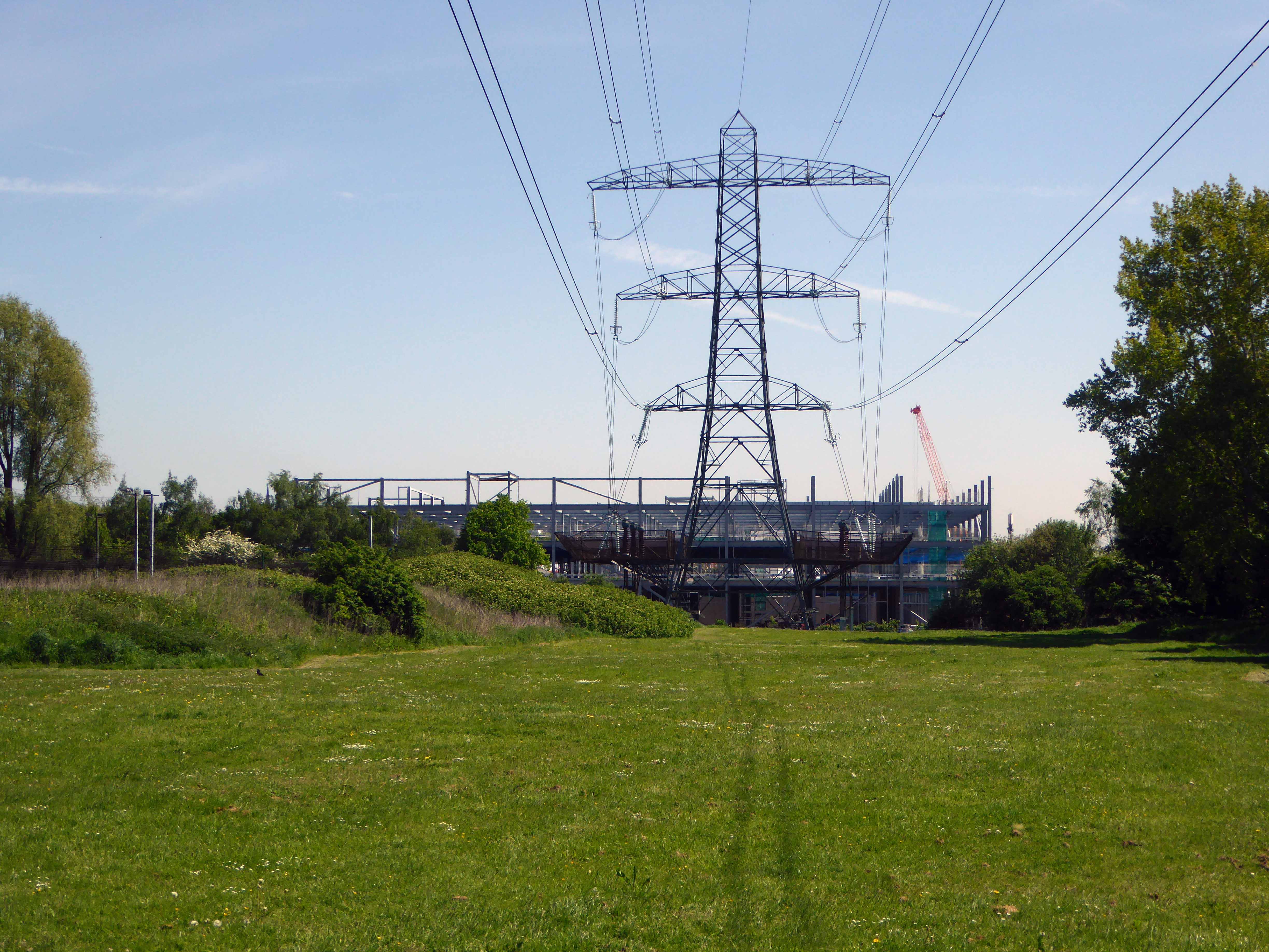
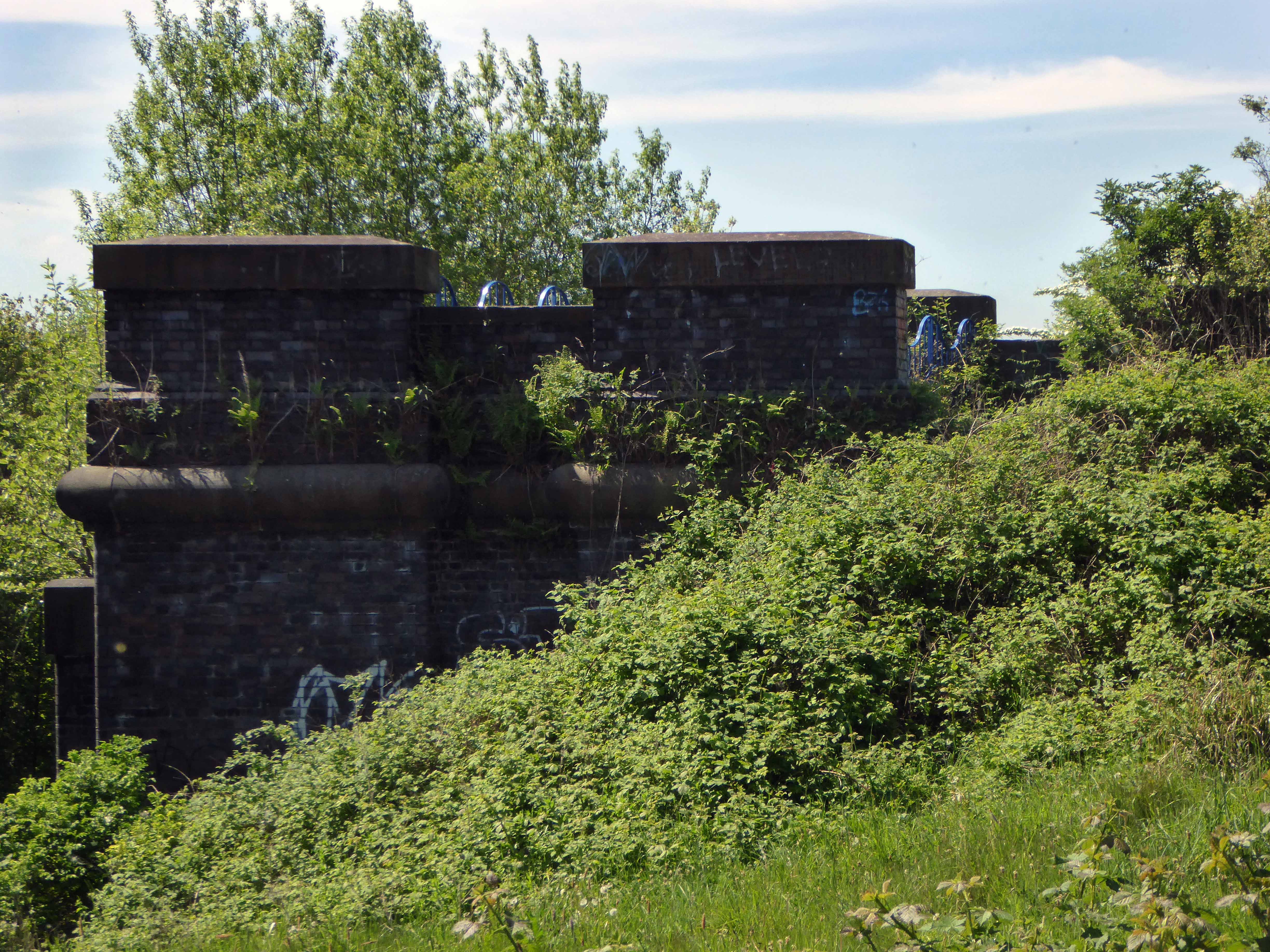
The area was criss-crossed by railways – its bridges traversing the roads, fields and river, dominating the landscape in a wild flurry of steam and smoke.
The end of steam – as drivers, fireman and staff were transferred to Newton Heath, was followed by the slow demise of the rail network, freight moved to road and passengers purchasing their first cars and a passport to illusory freedom.
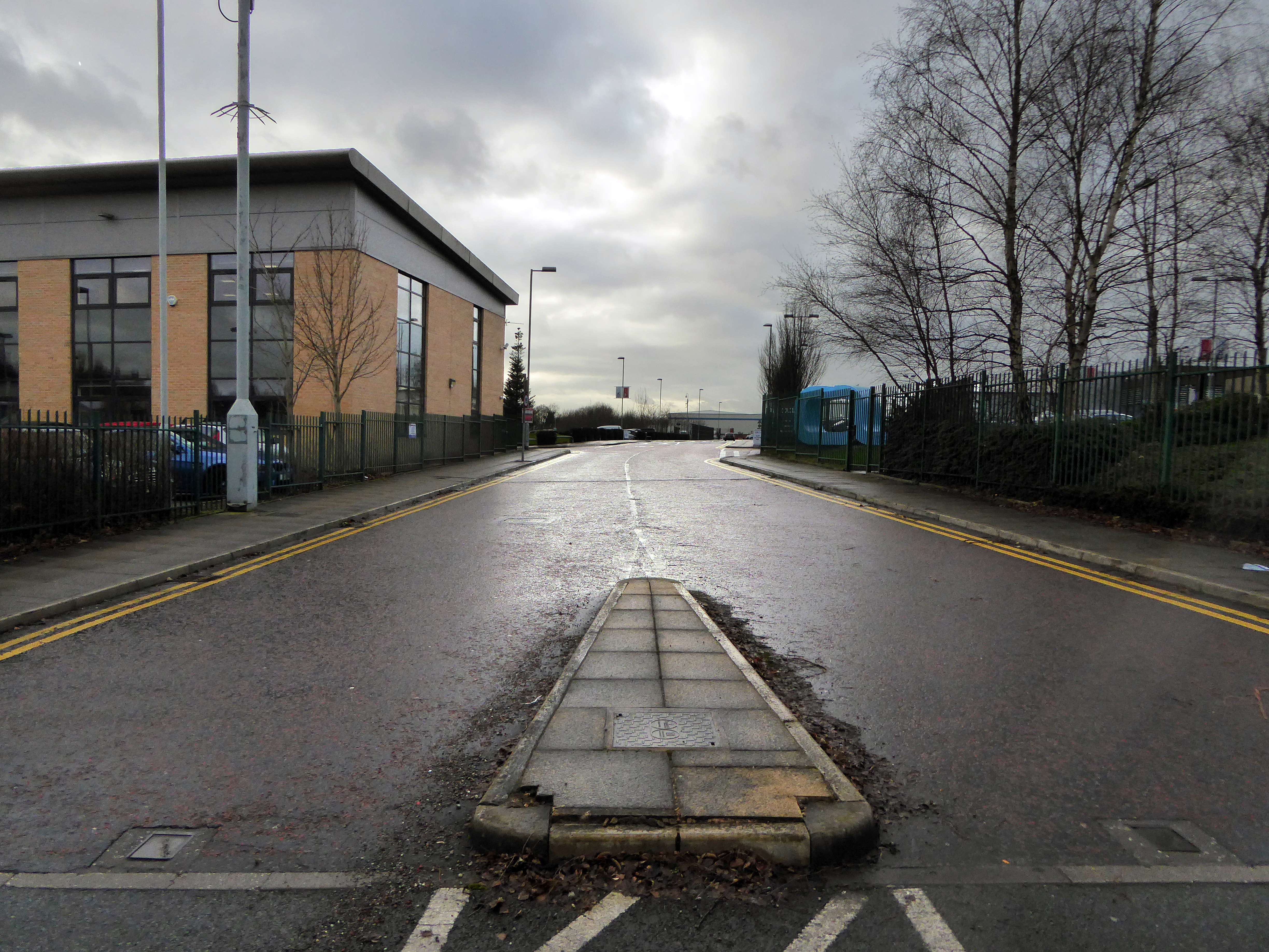
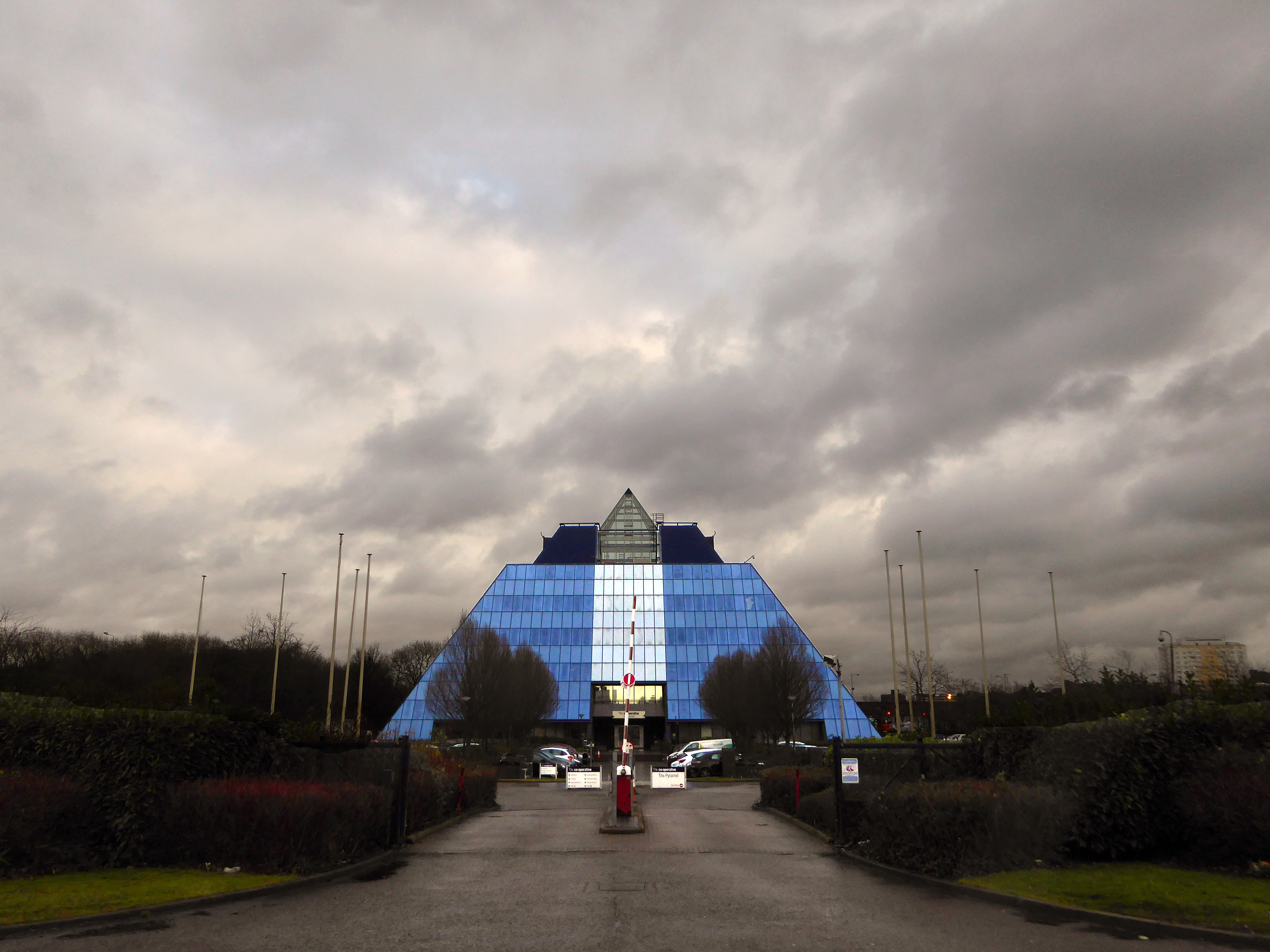
The mighty Mersey is now flanked by newer neighbours, a shiny blue administrativepyramid, business park, car showrooms and nature reserve, the only certainty is change.
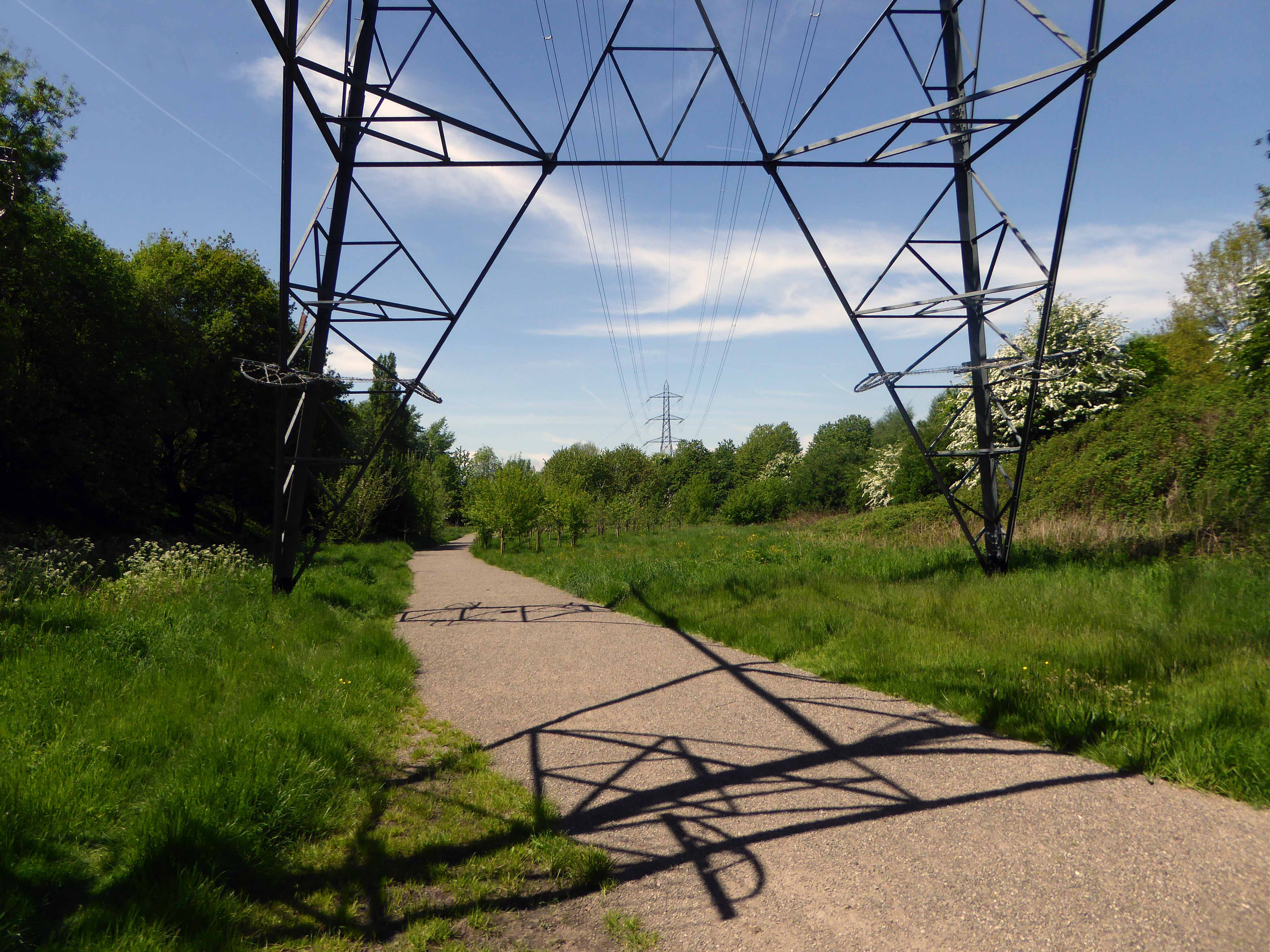
Great volumes of earth are moved to from a new topography a topography of leisure – the gentle stroll, jog and cycle replaces the clank of fire doors and shovel on coal.
But take a look around you and you will see the remnants of the industrial age, shrouded in fresh hawthorn and enshrined in birch and beech.
To walk this landscape is to traverse geological, agrarian, industrial and post-industrial time – they all coexist and coalesce. Have an eye, ear and heart open to their resonance and presence, transcend time and space in the Mersey Valley today, you’re part of the leisured generation.