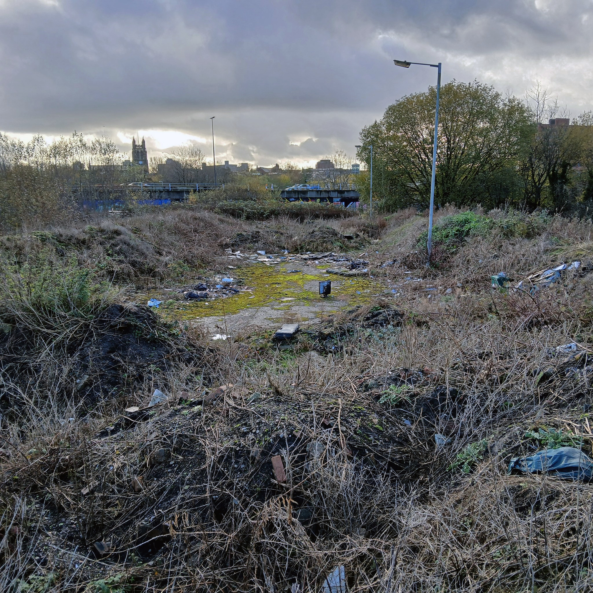
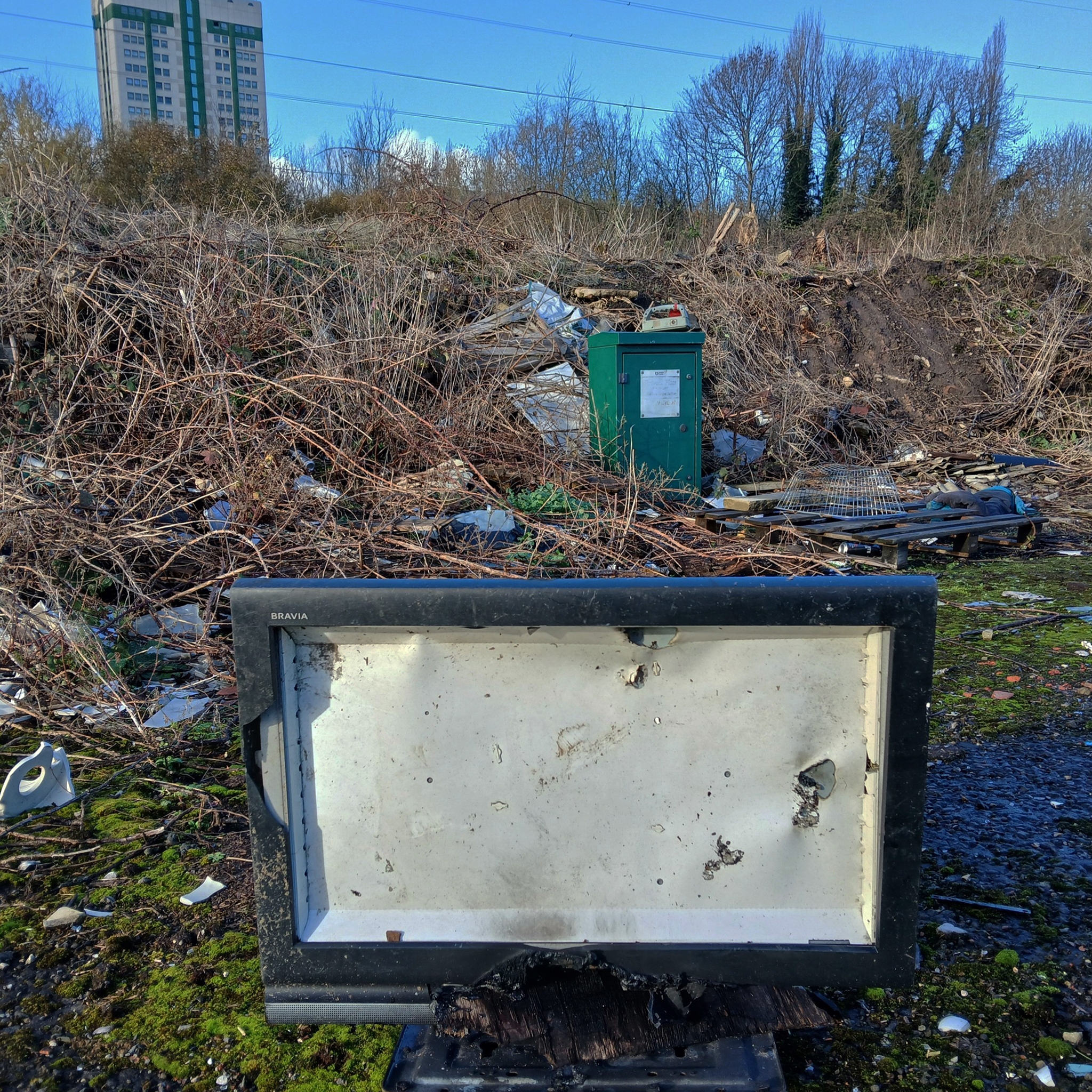
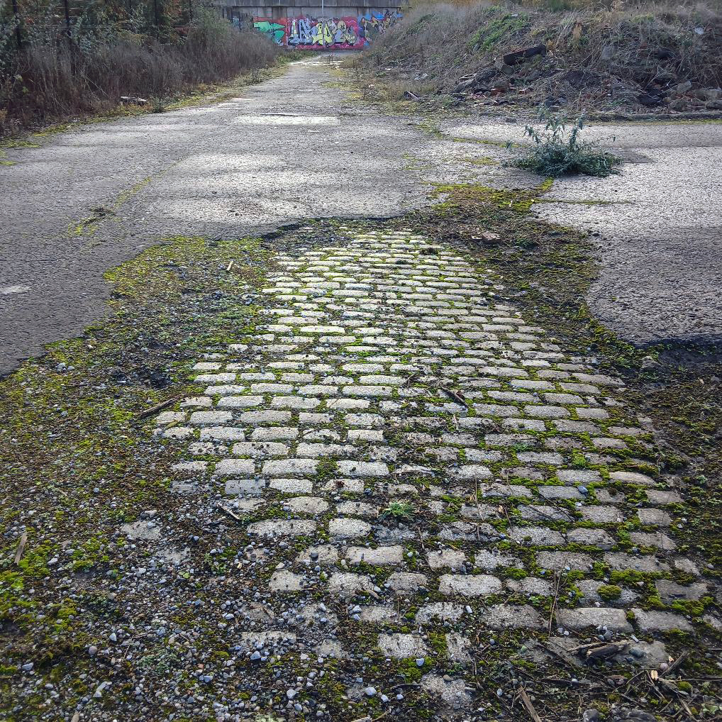
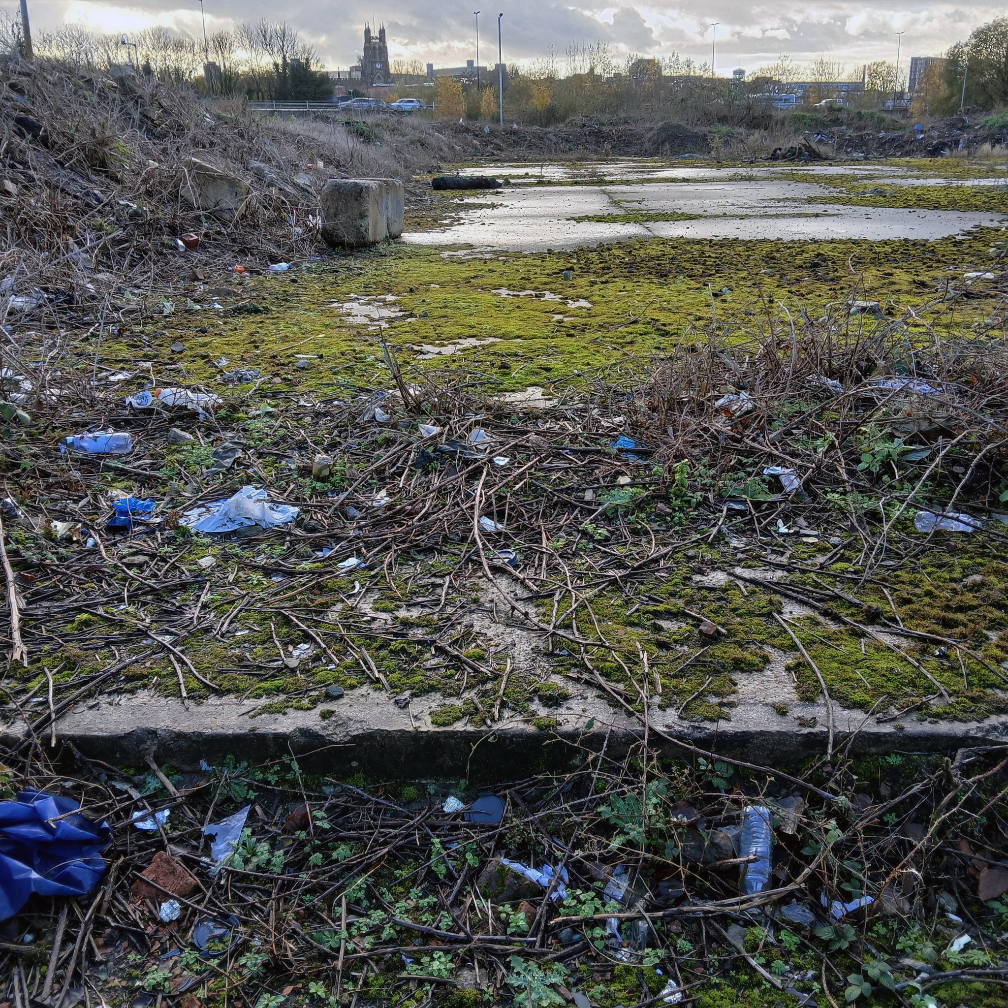
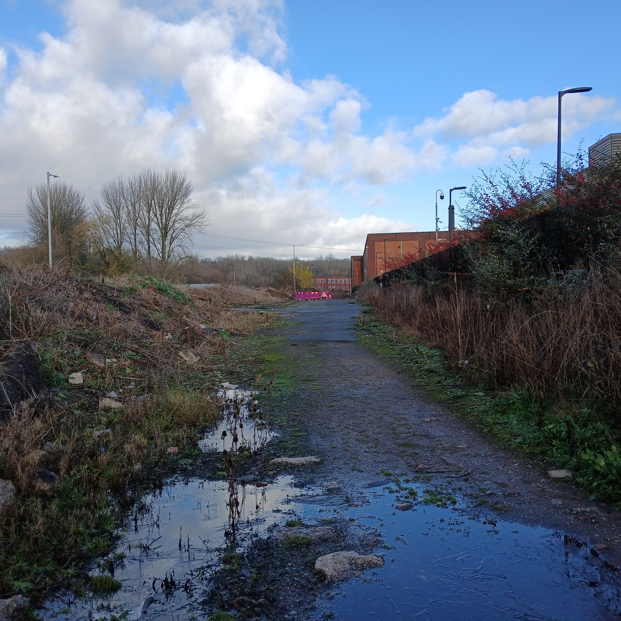
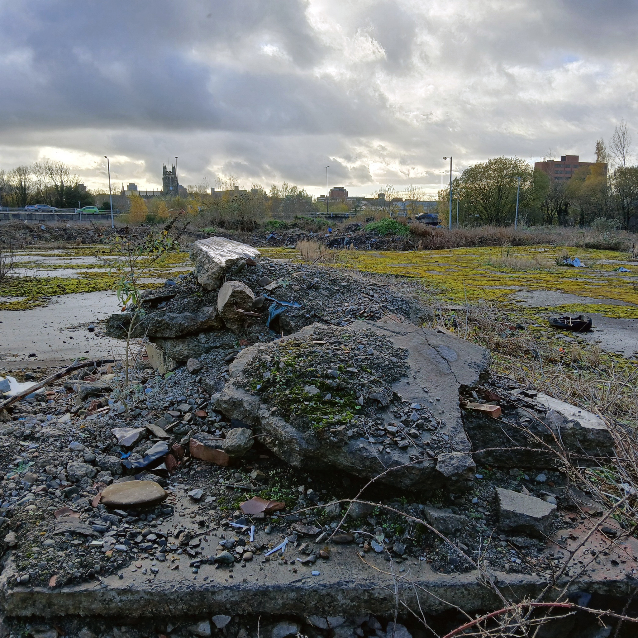
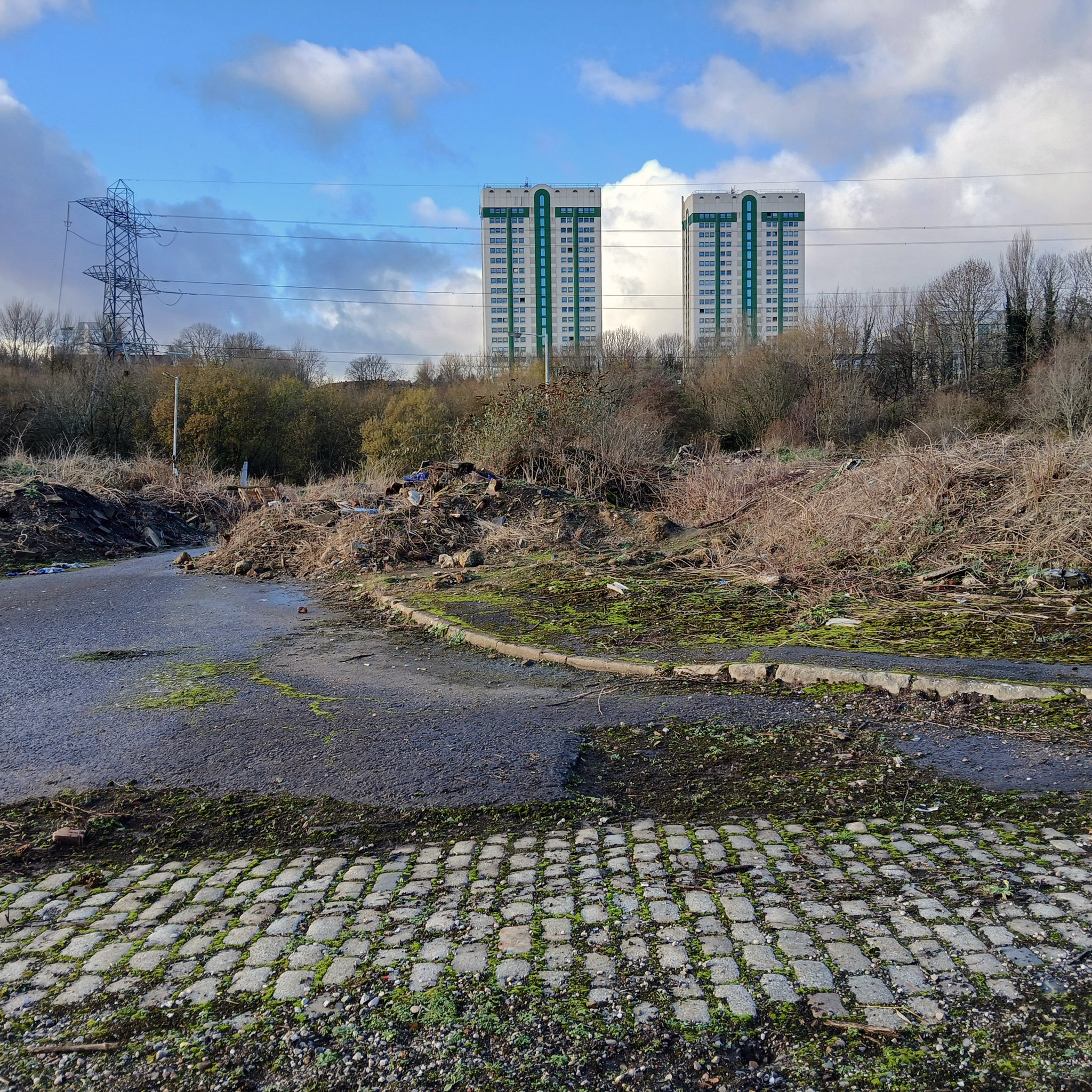
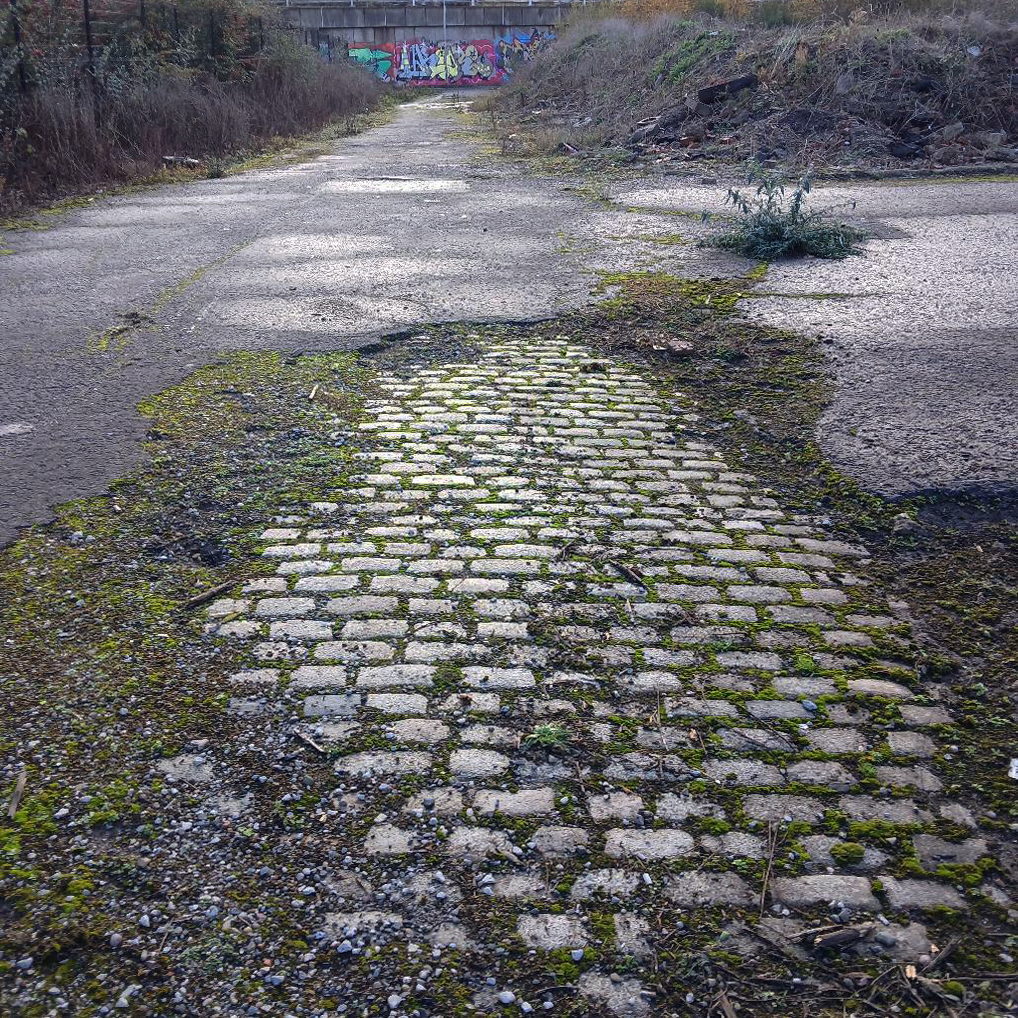
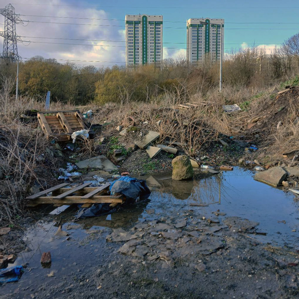
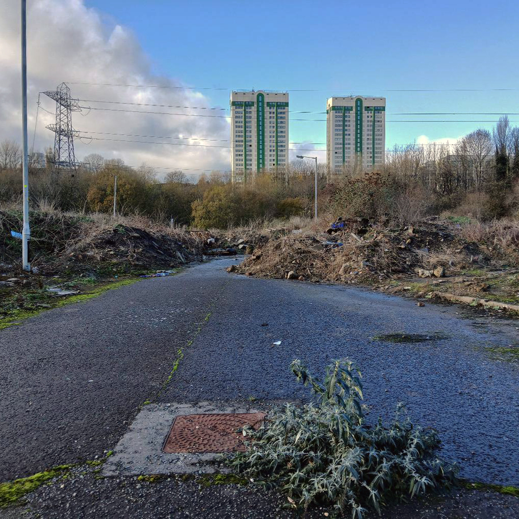
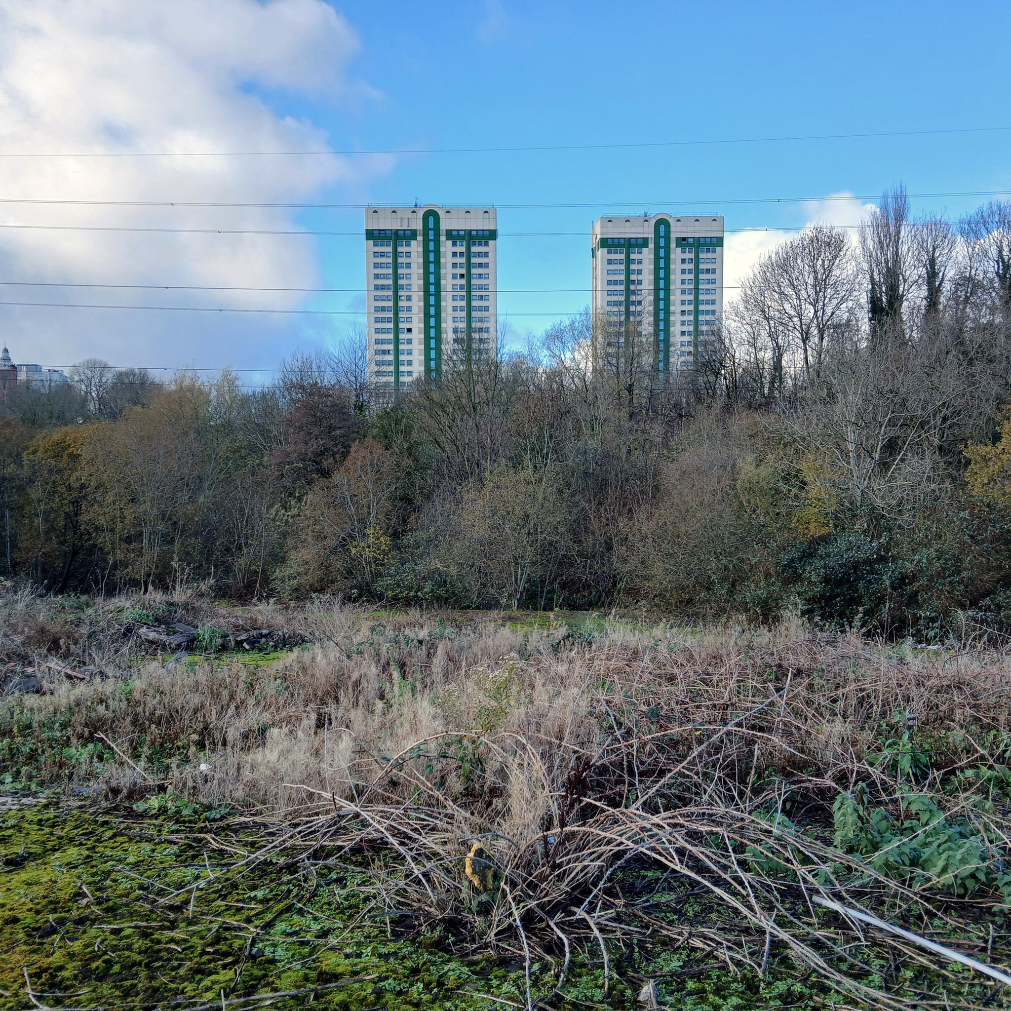
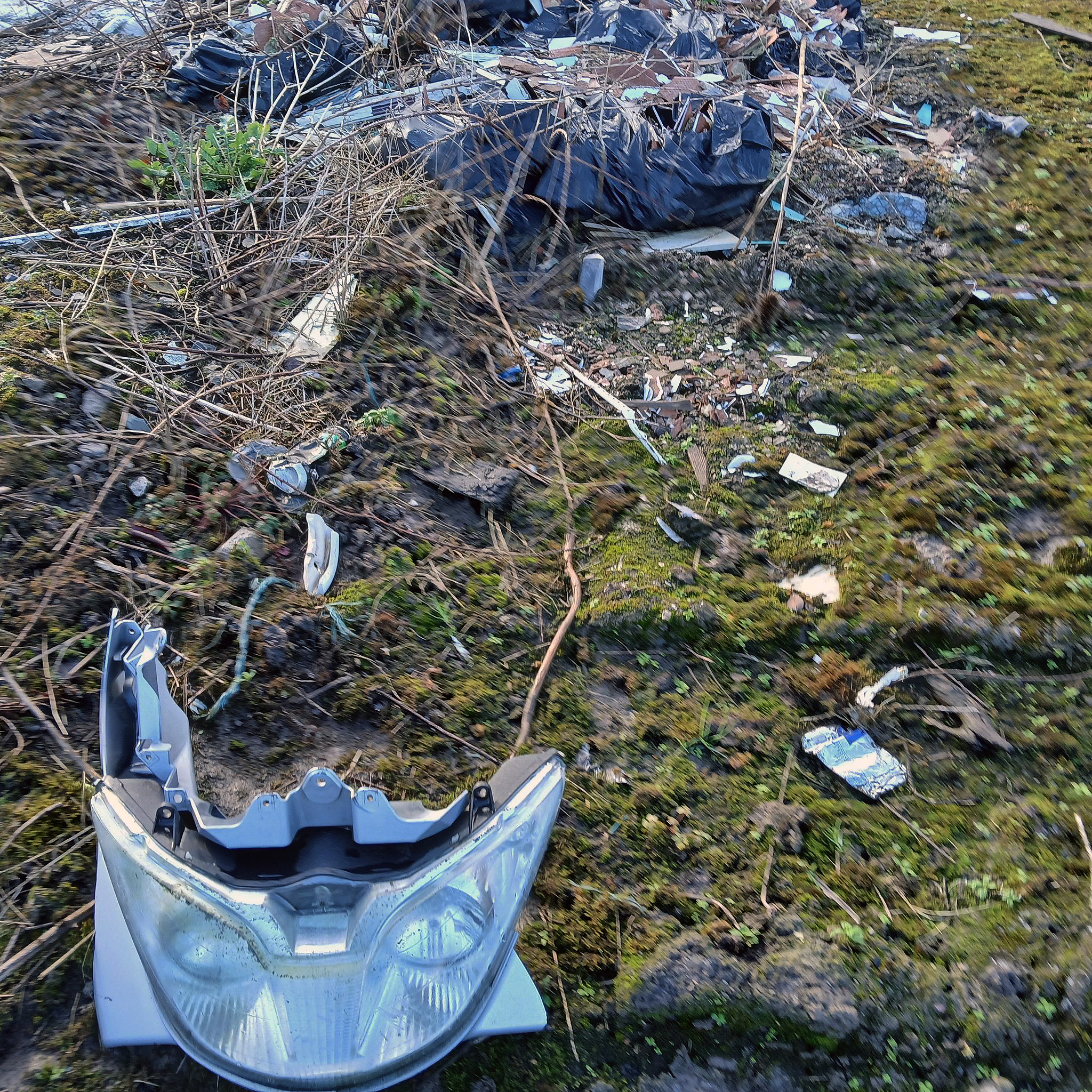
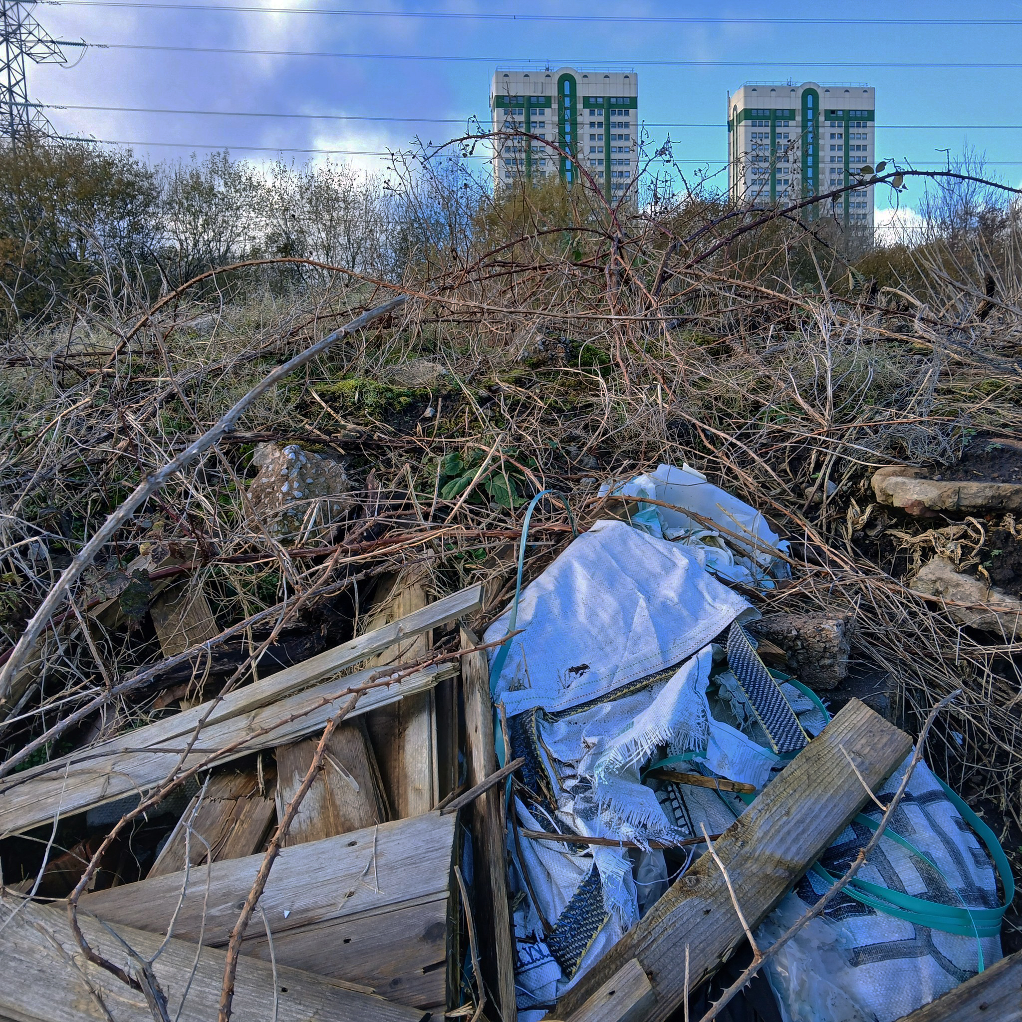
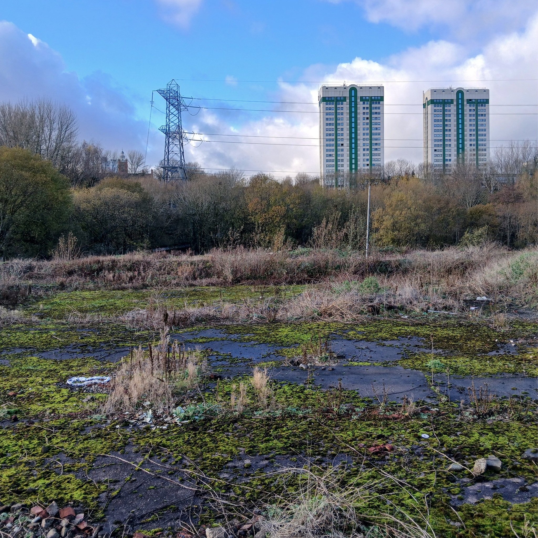
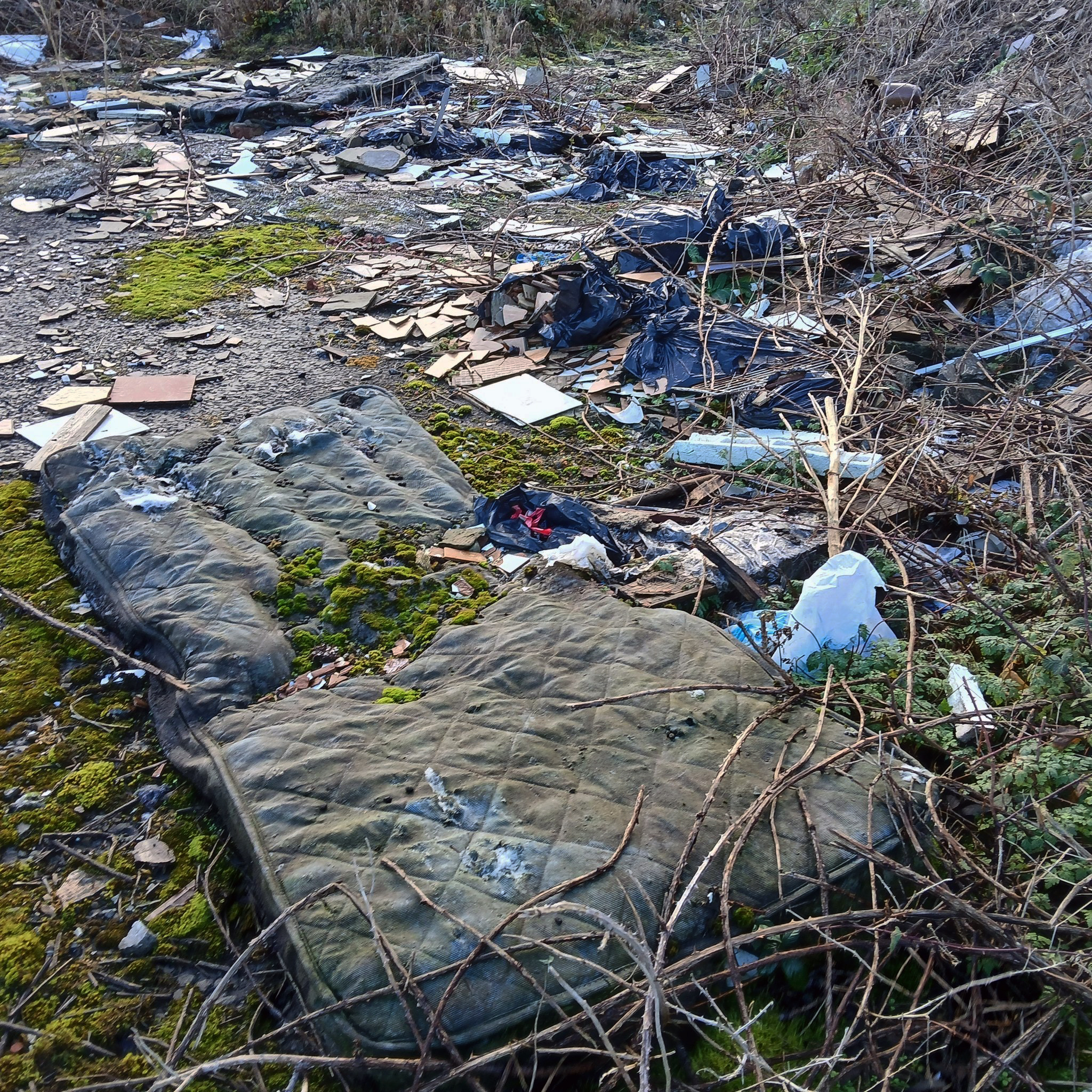
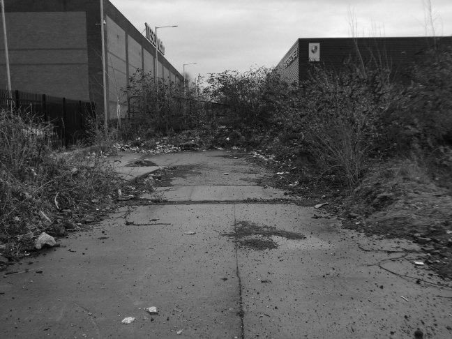
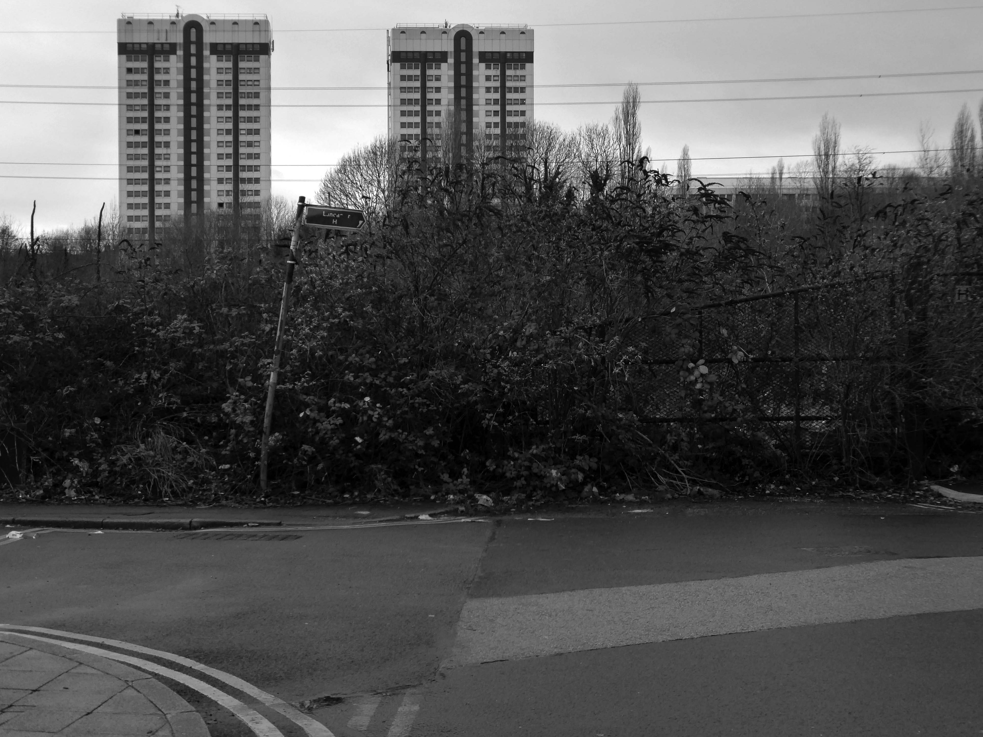
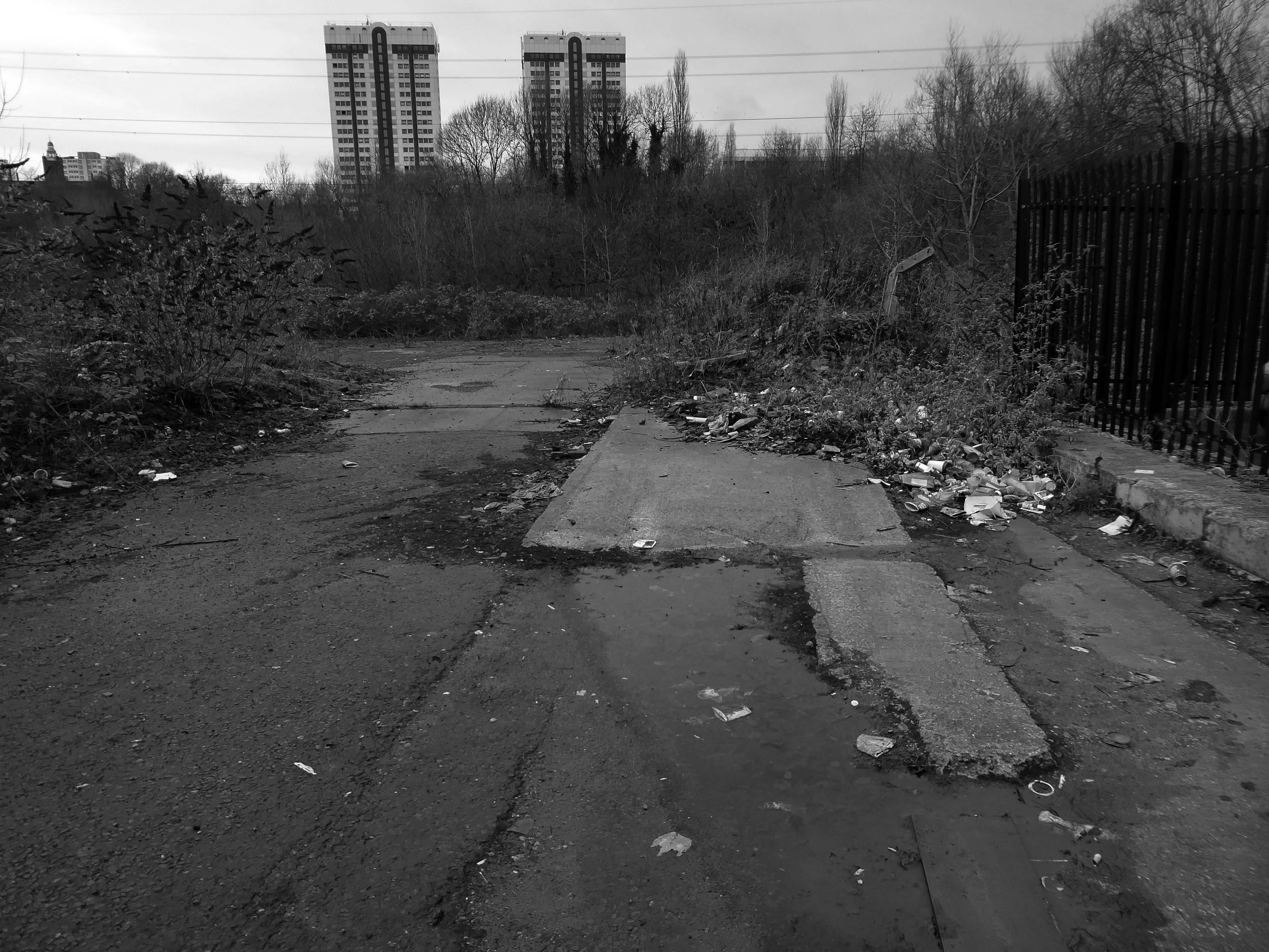
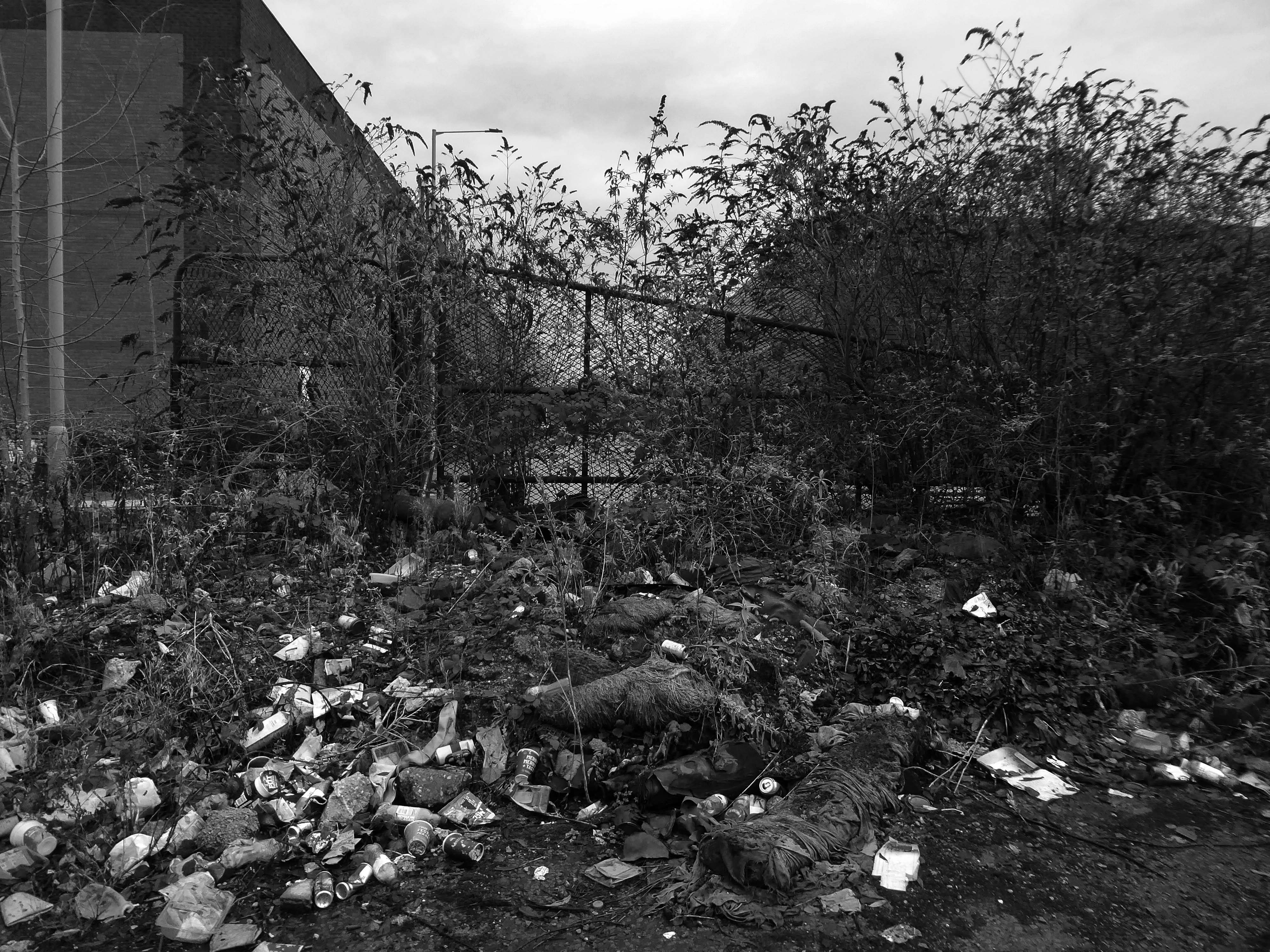
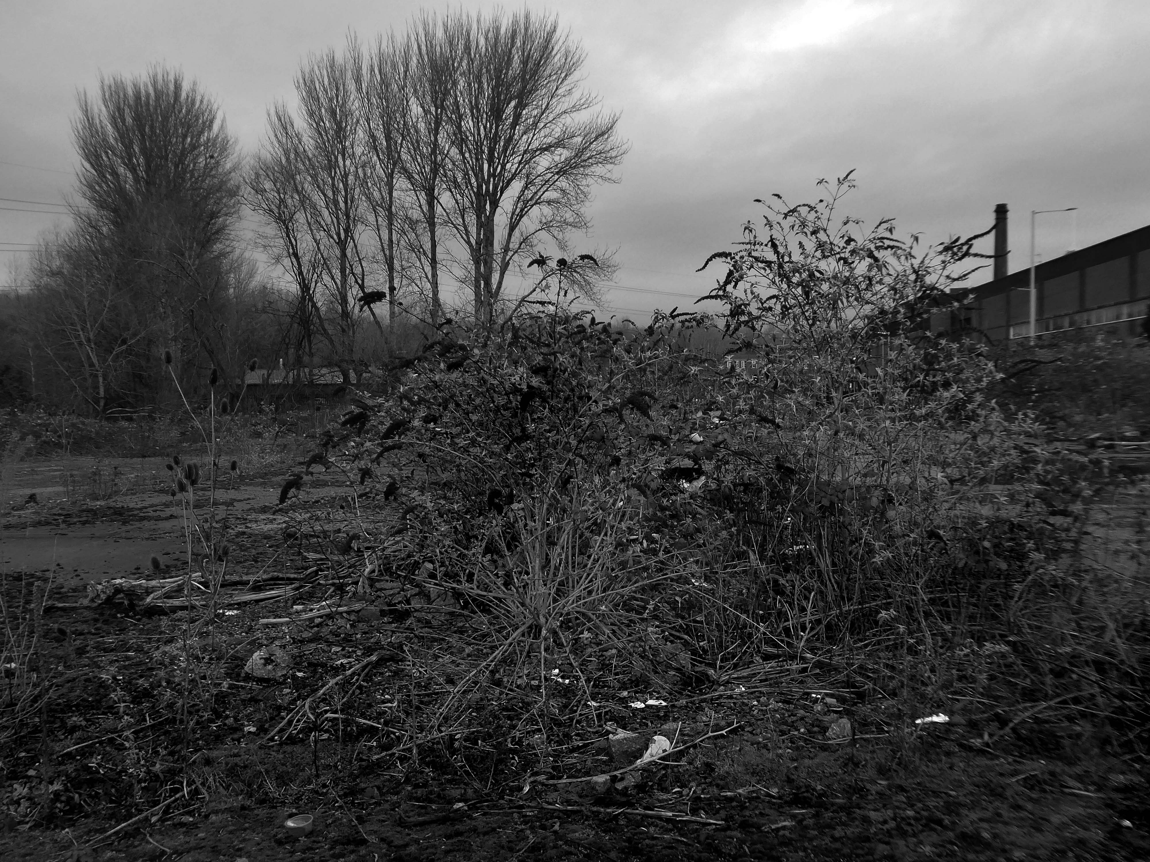
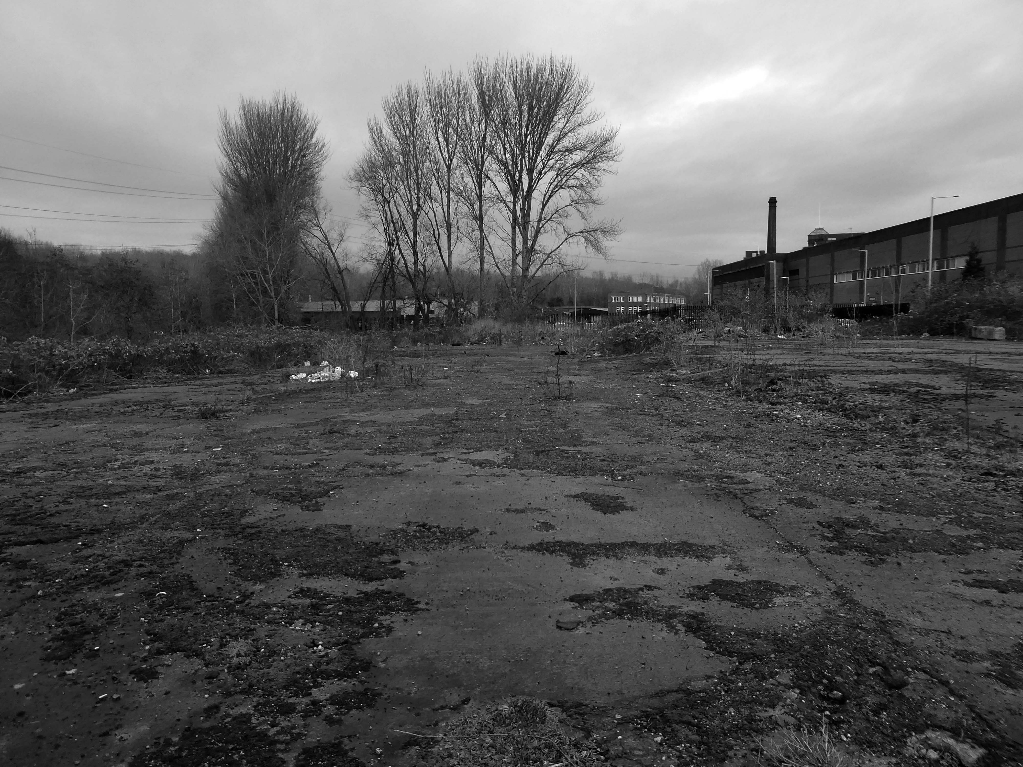
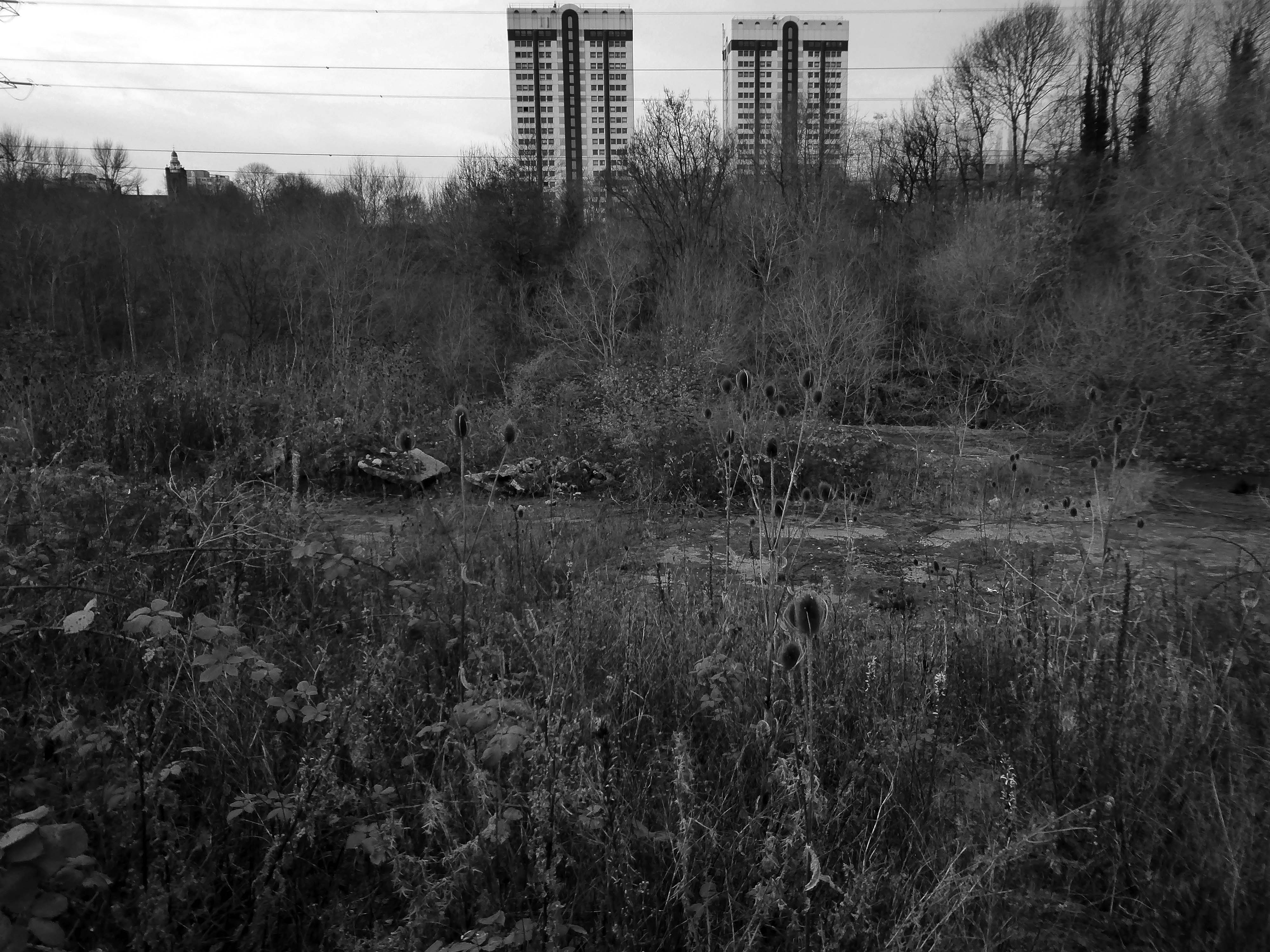
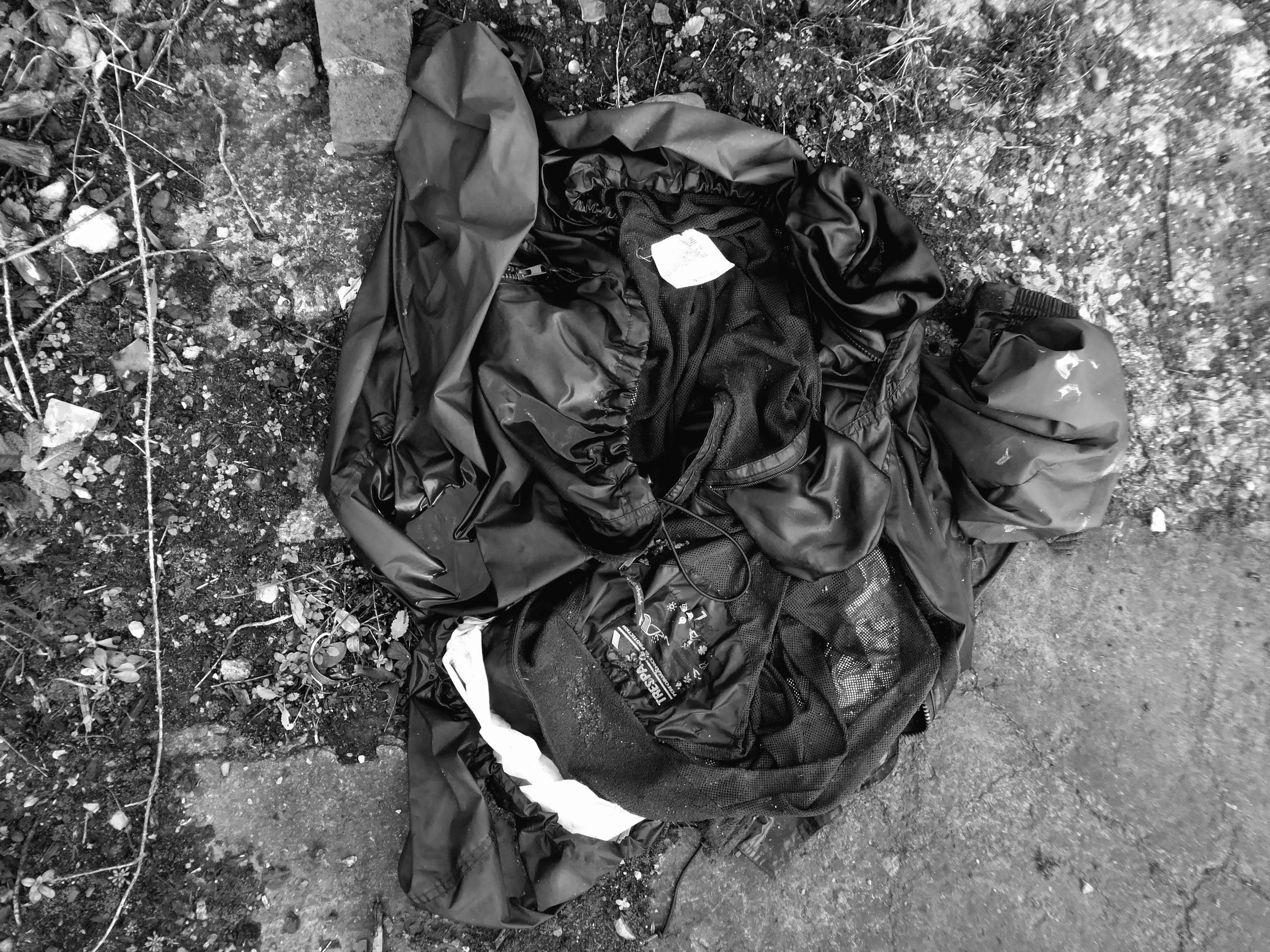
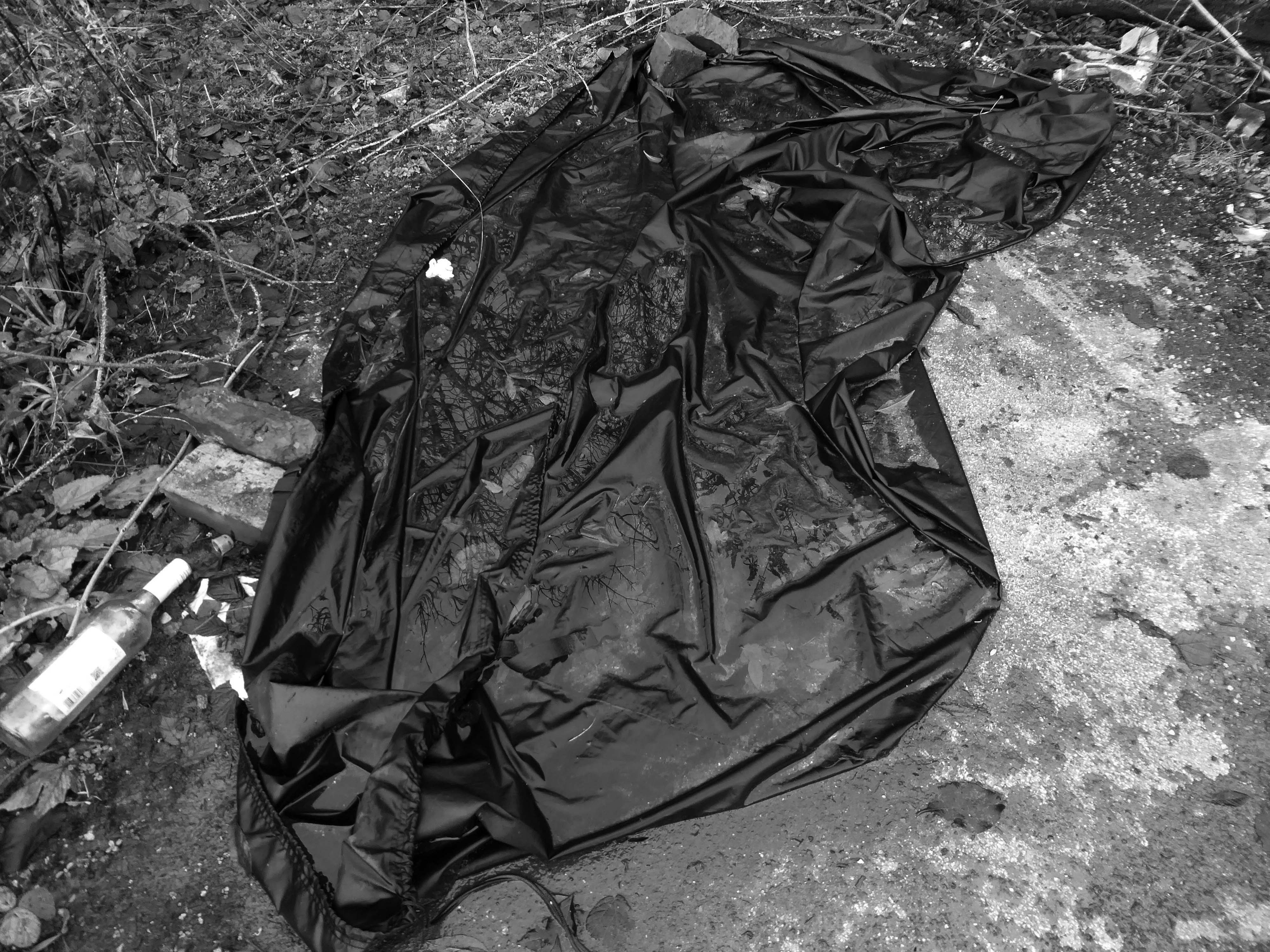
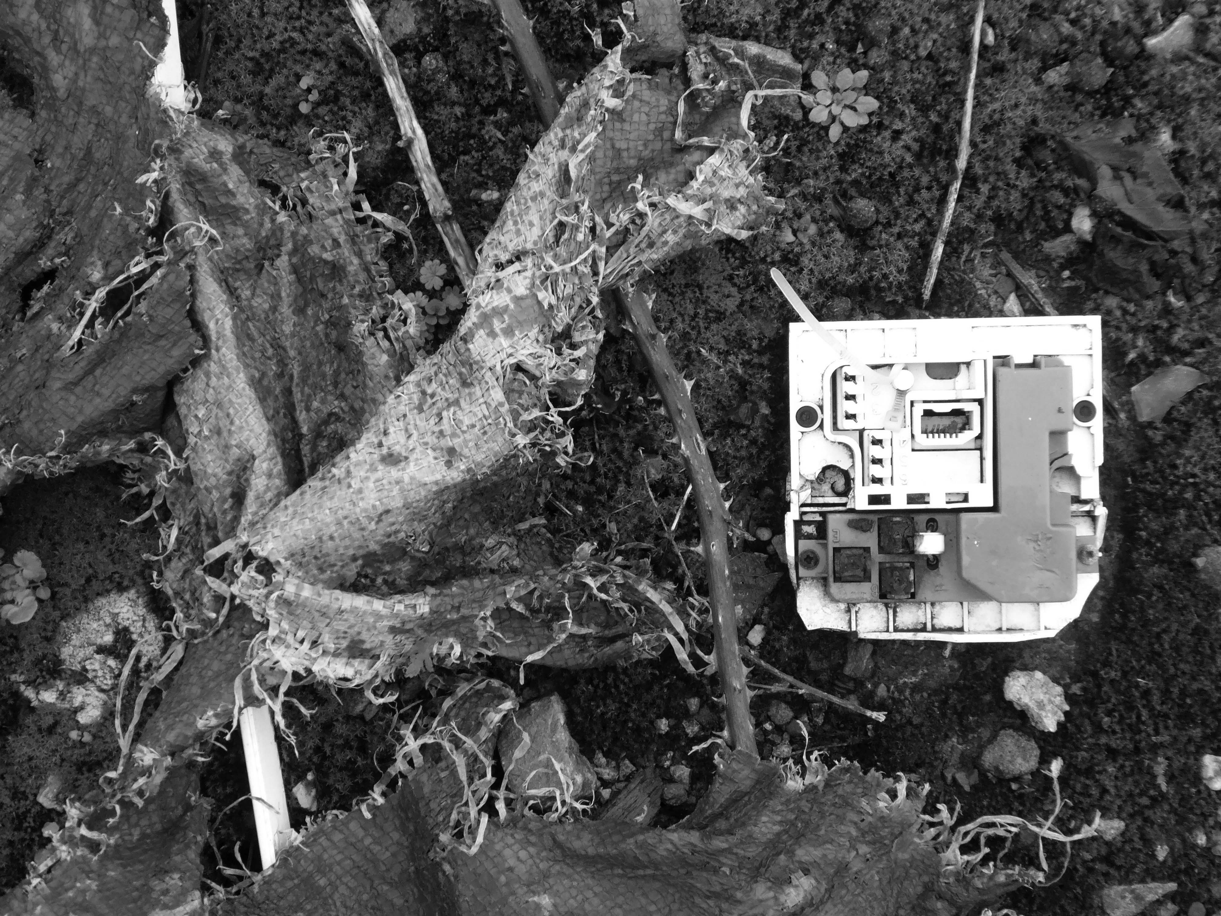
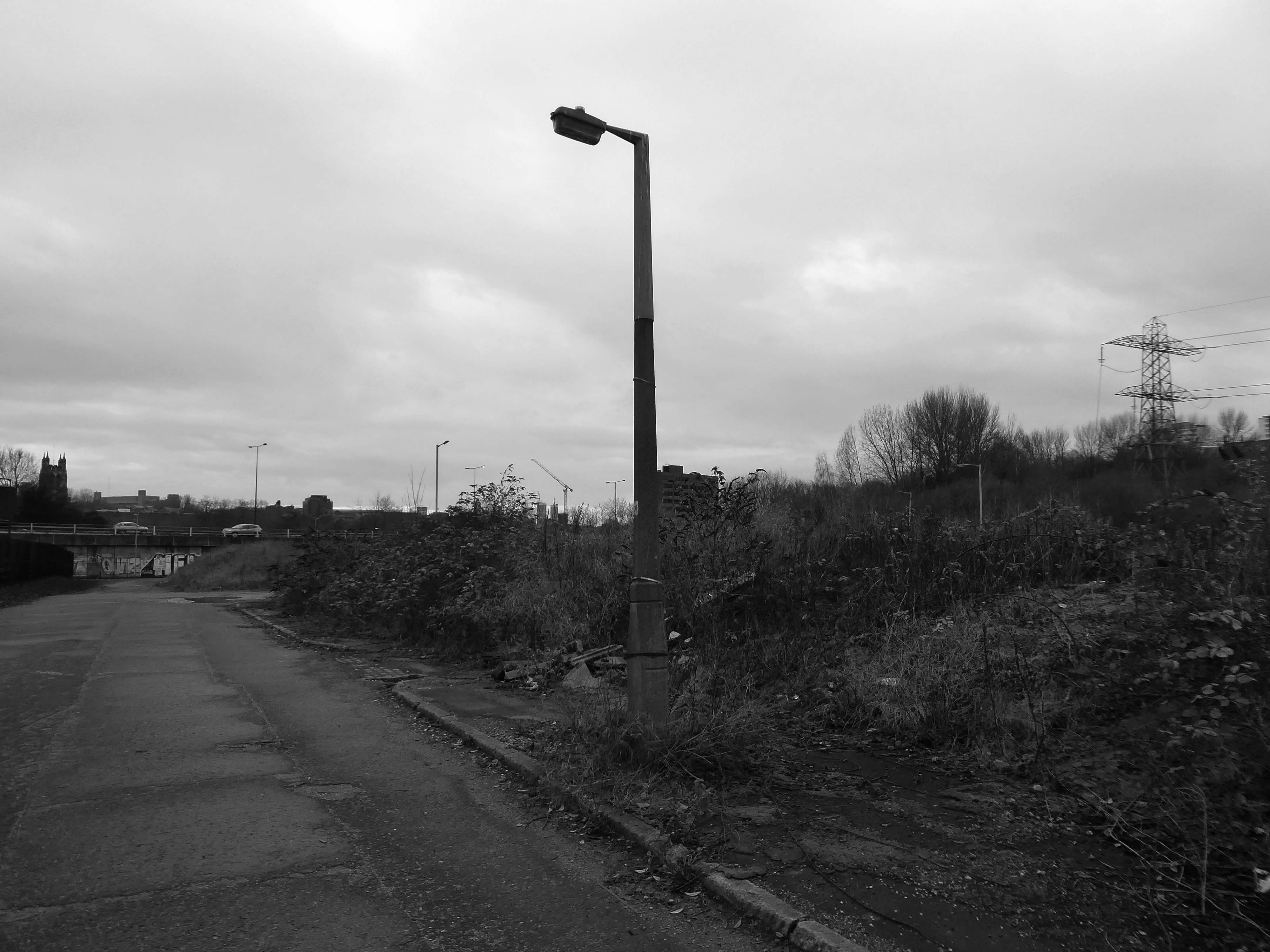
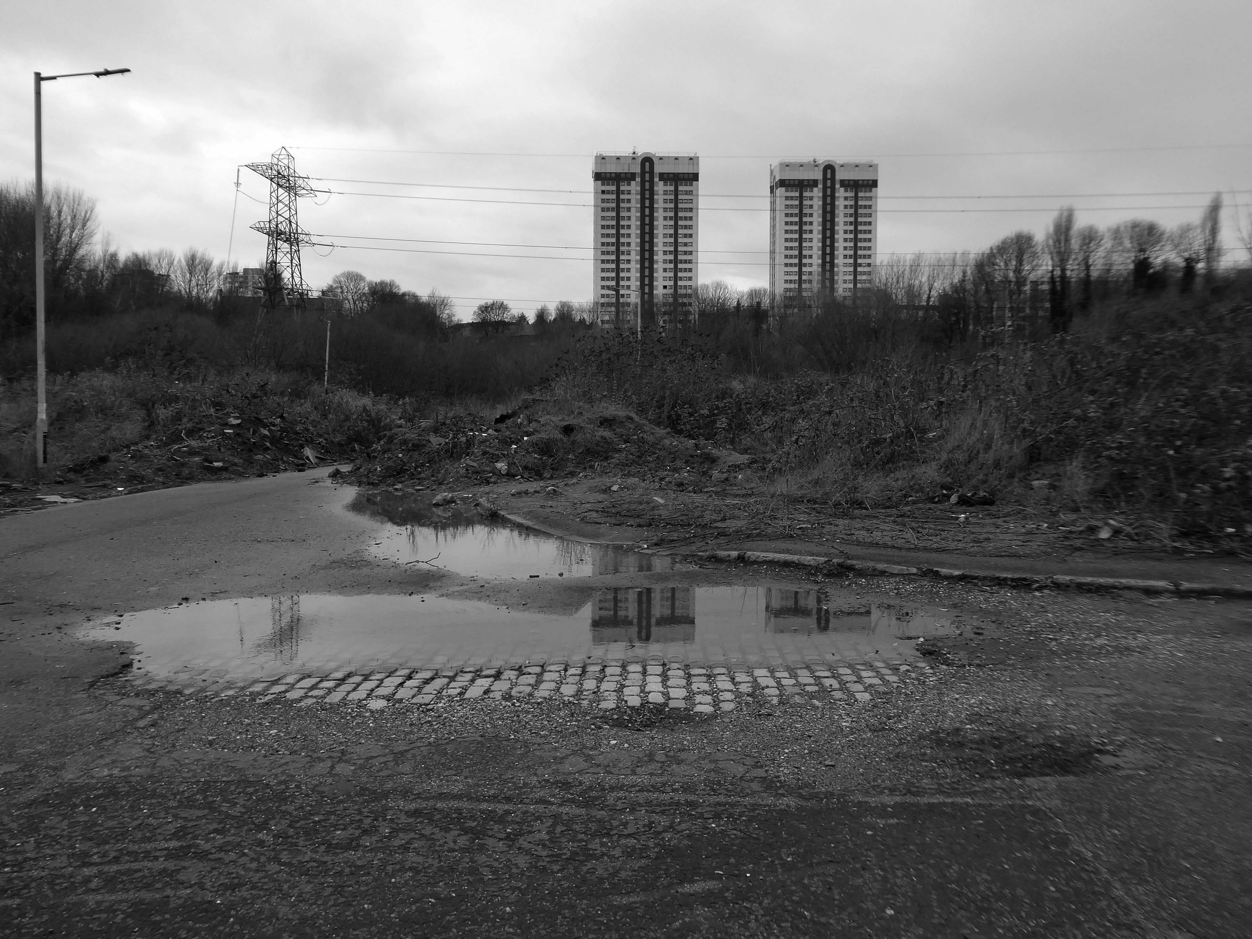
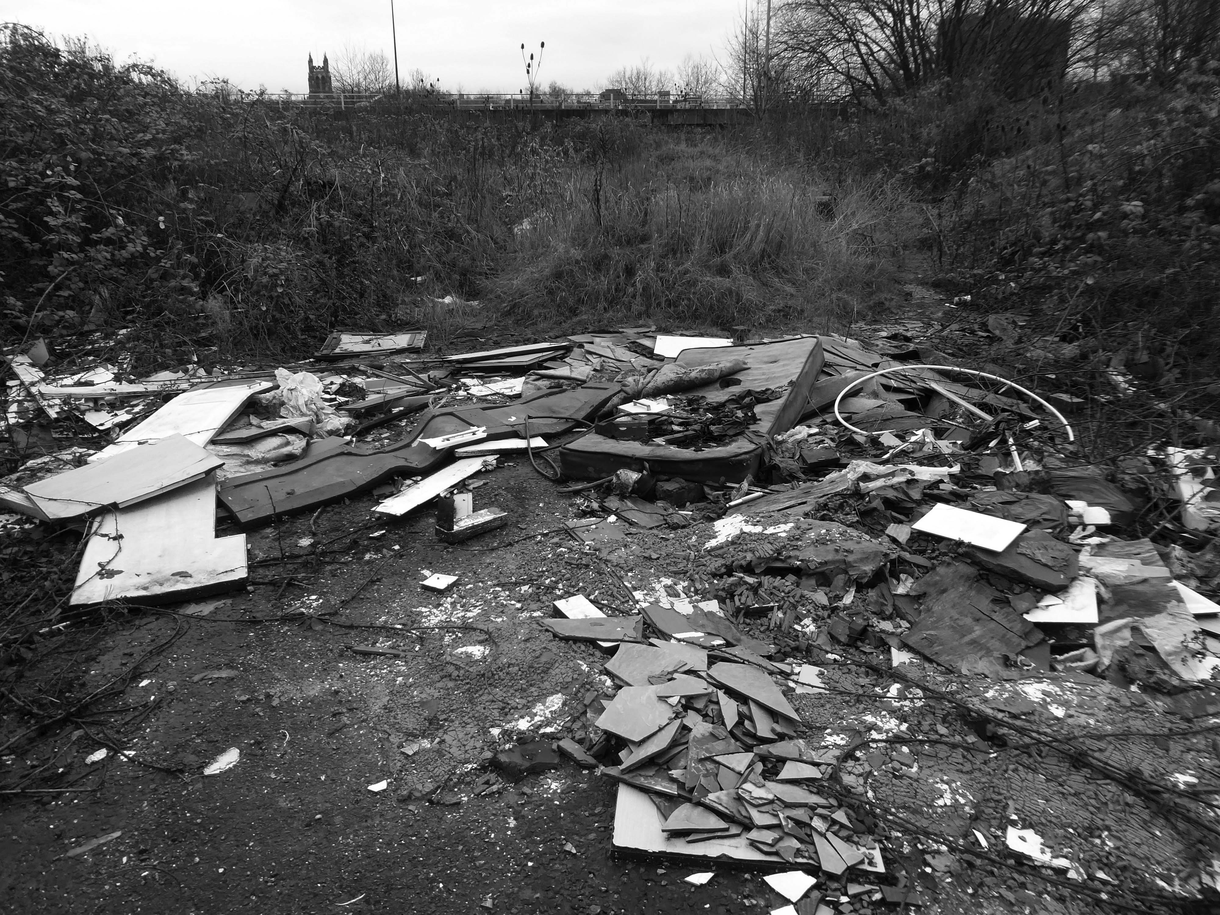
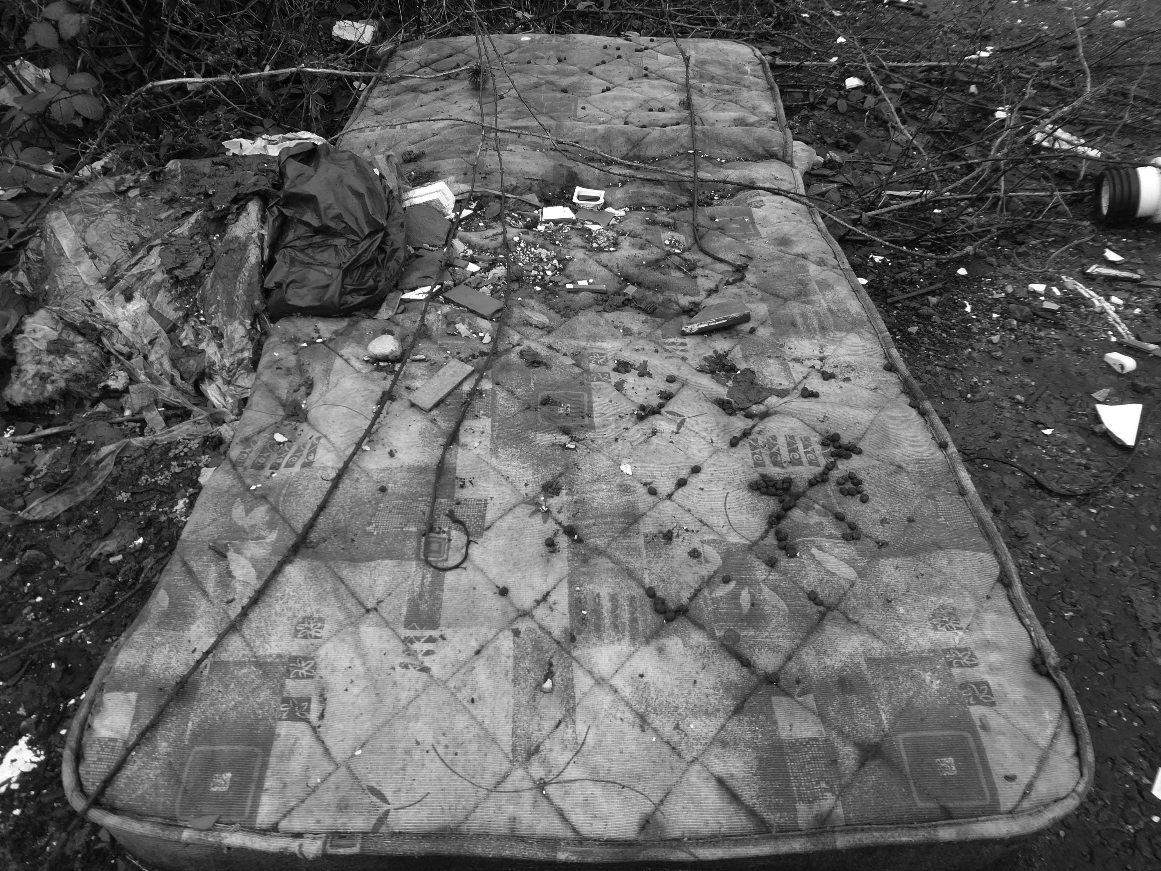
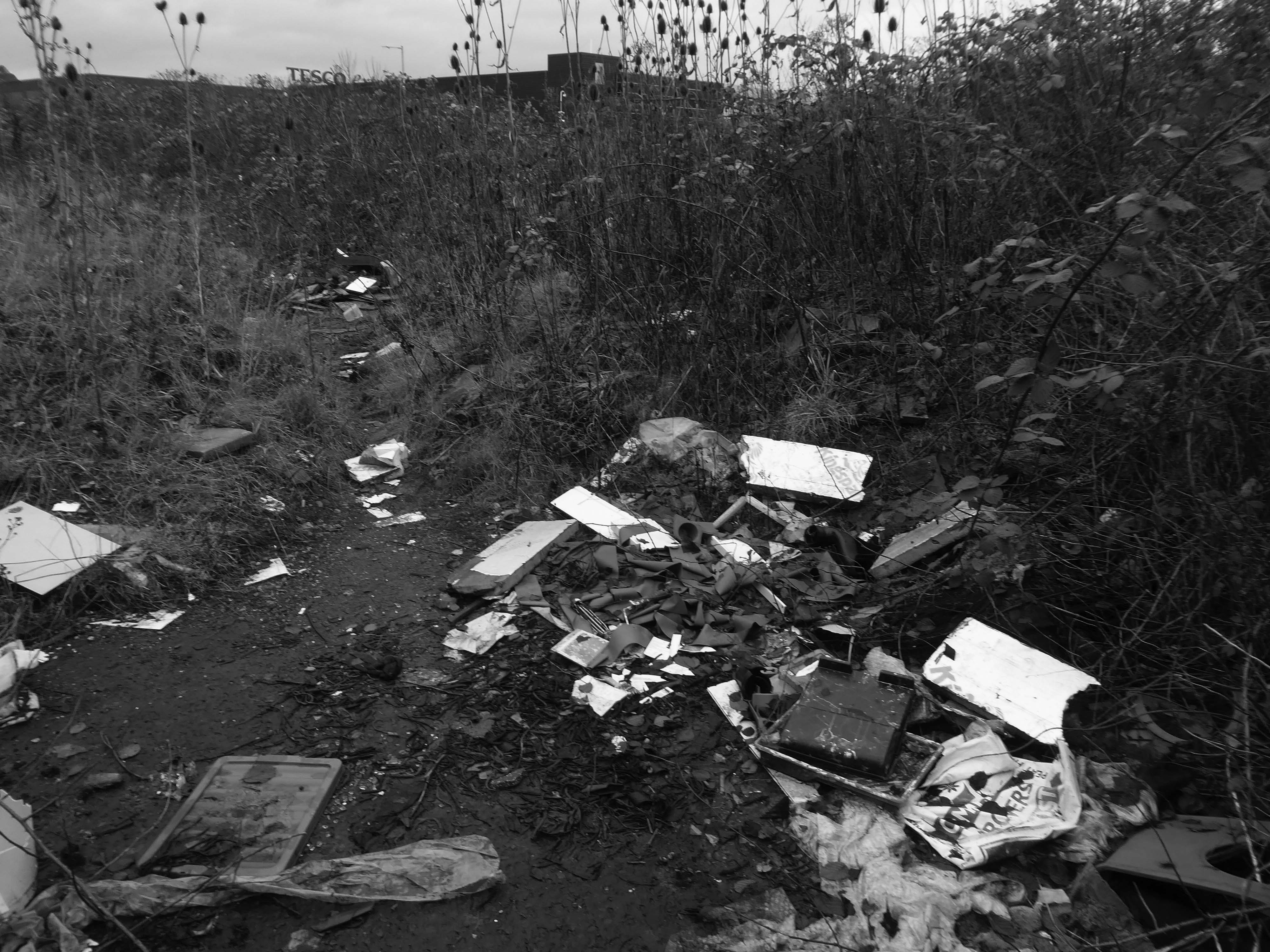
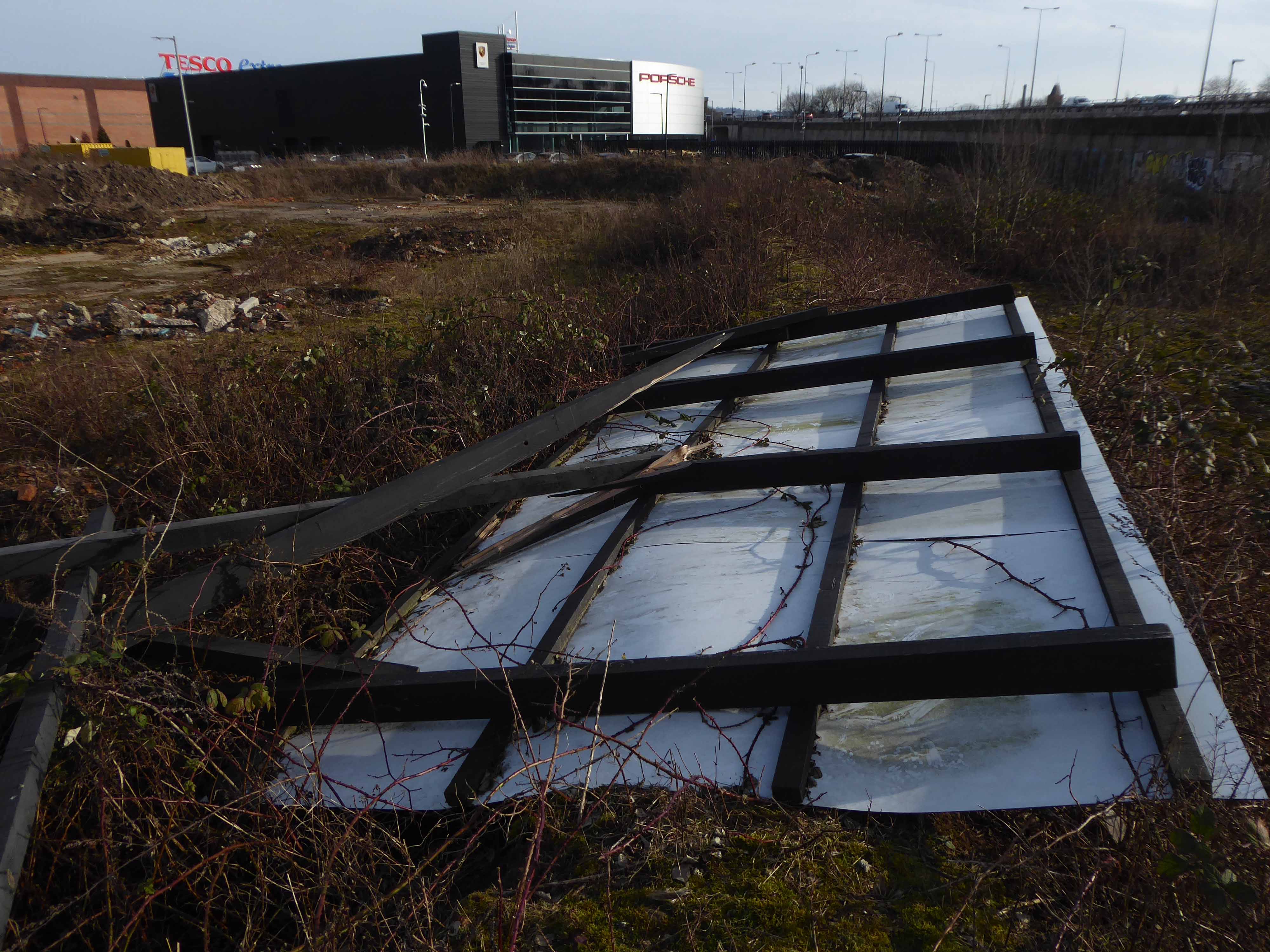
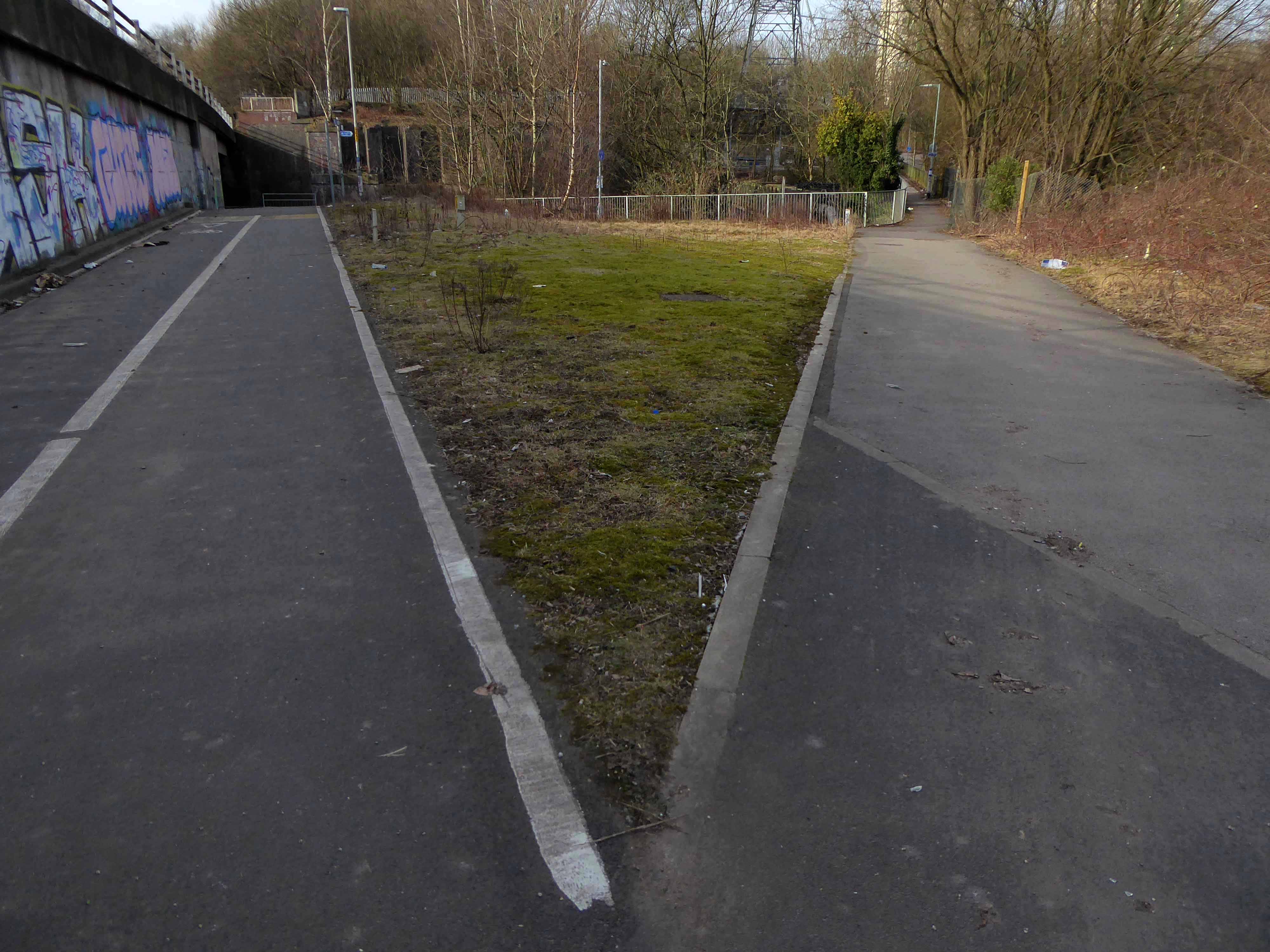
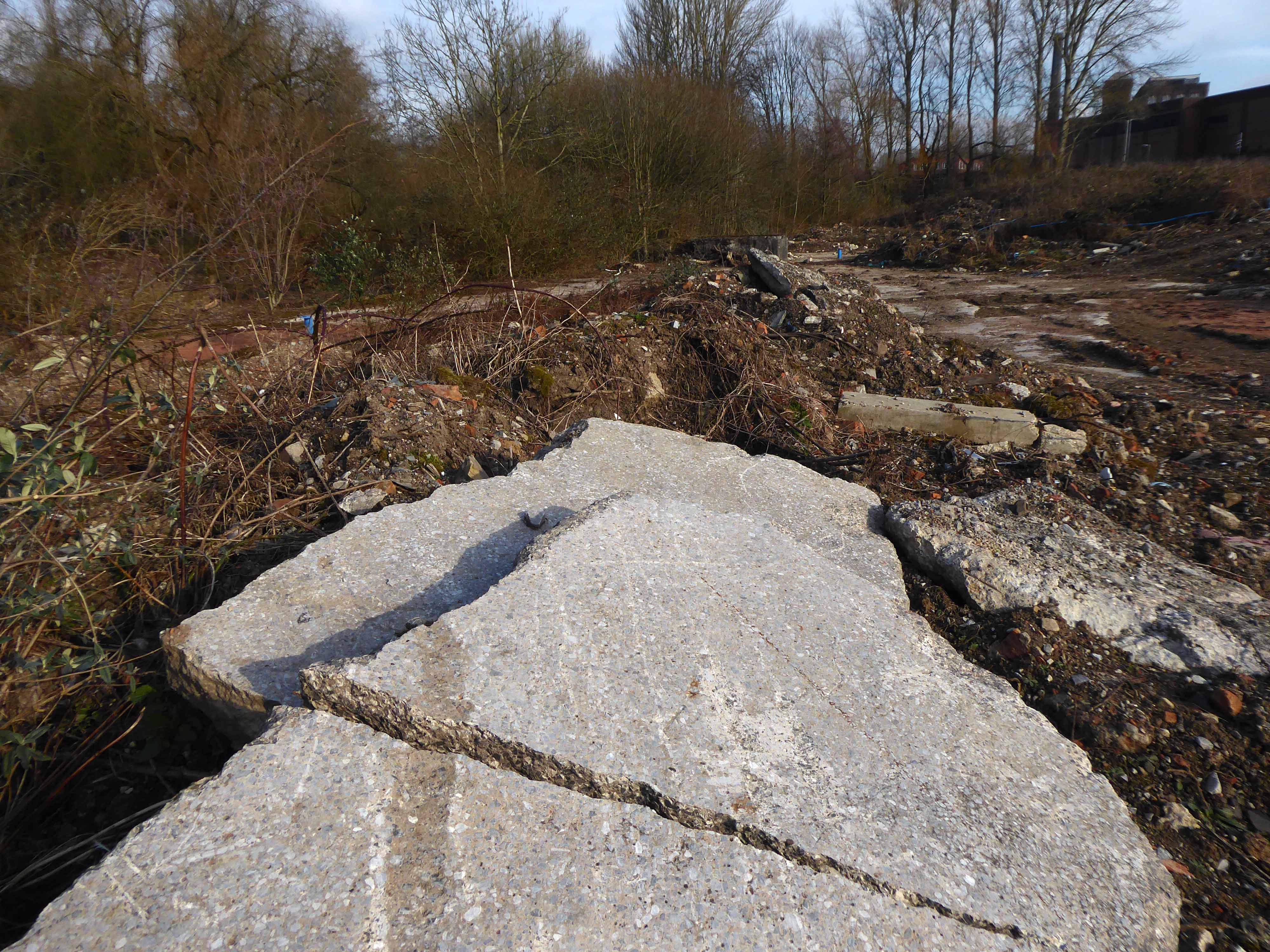
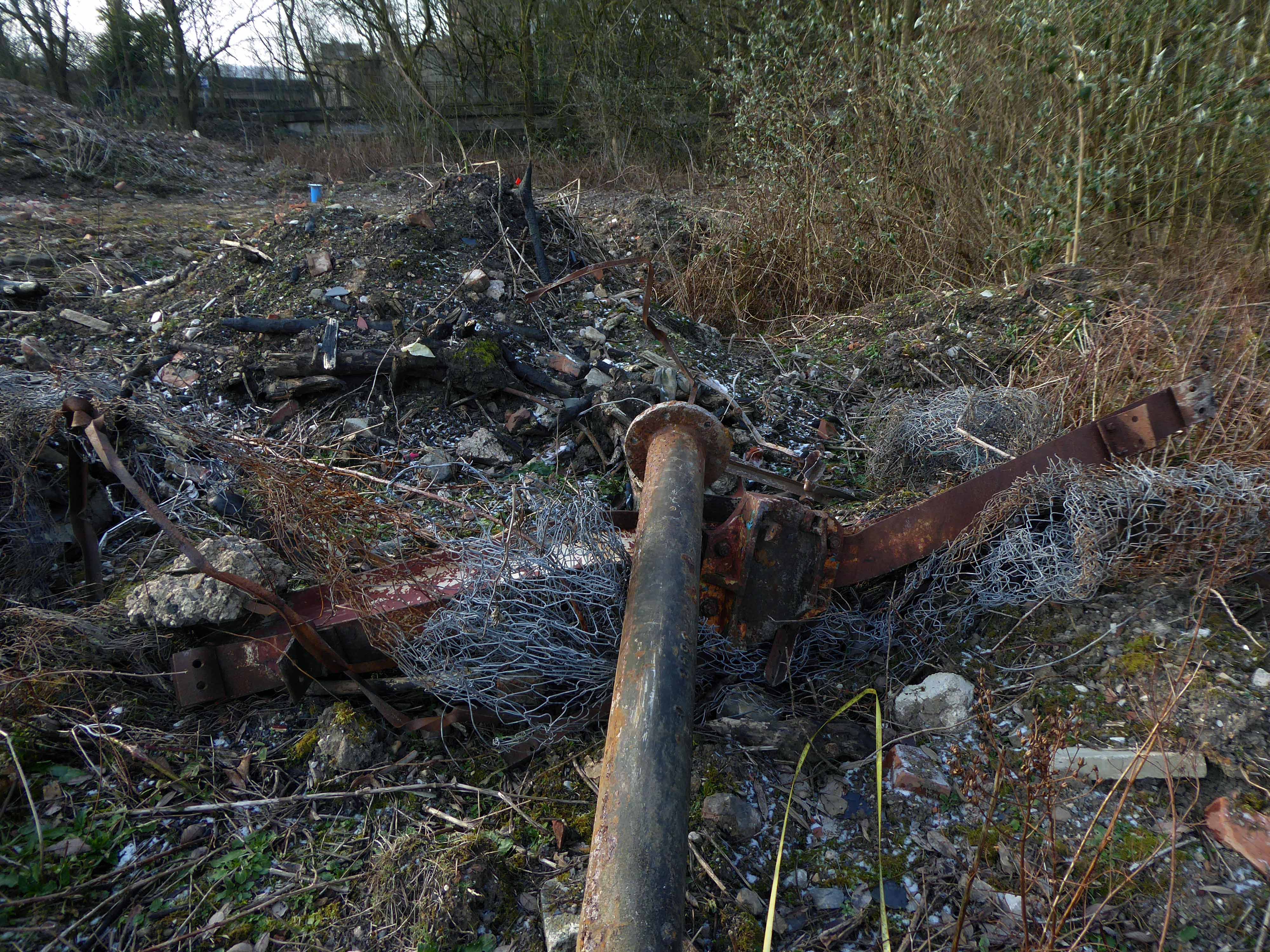
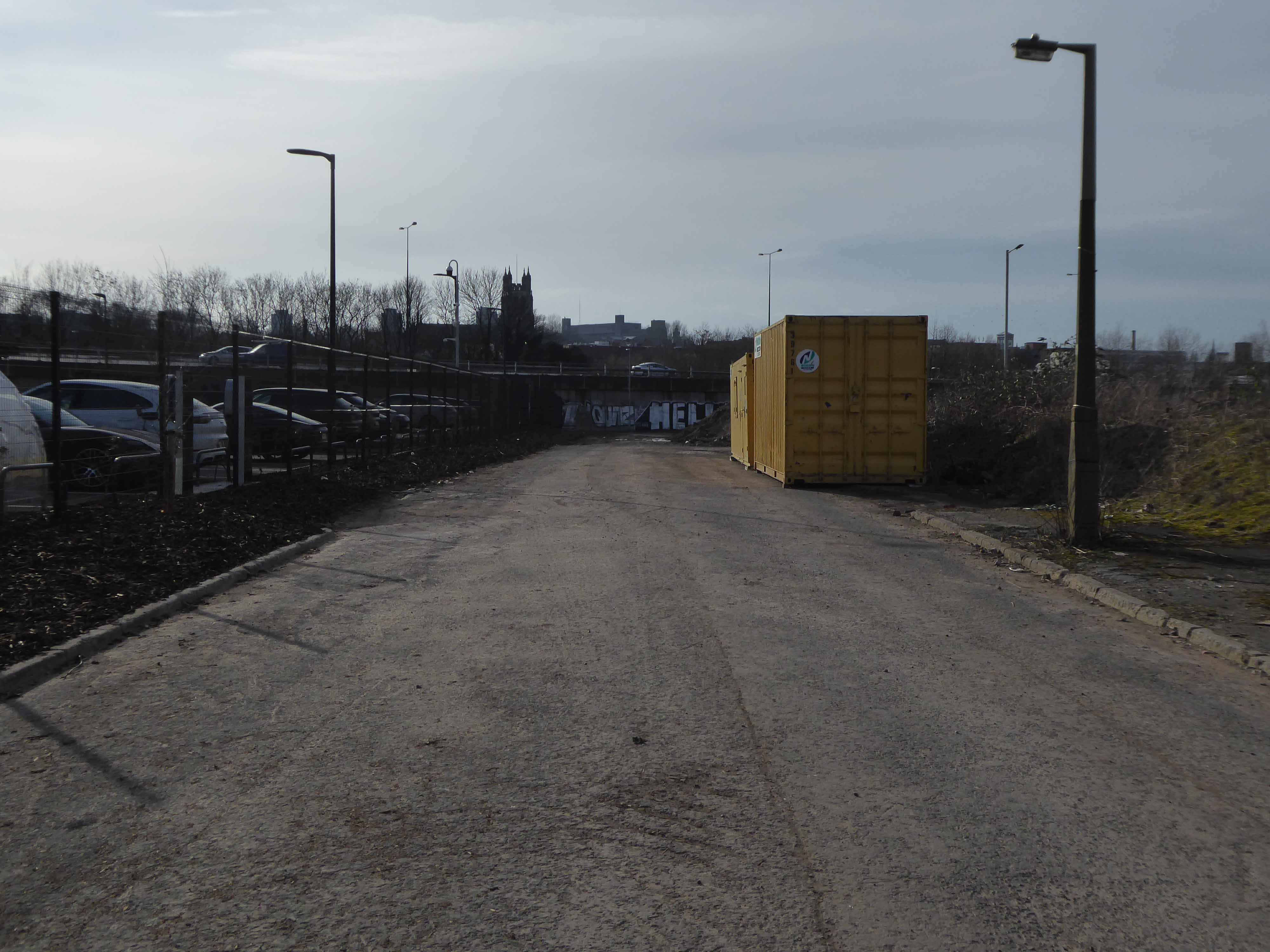
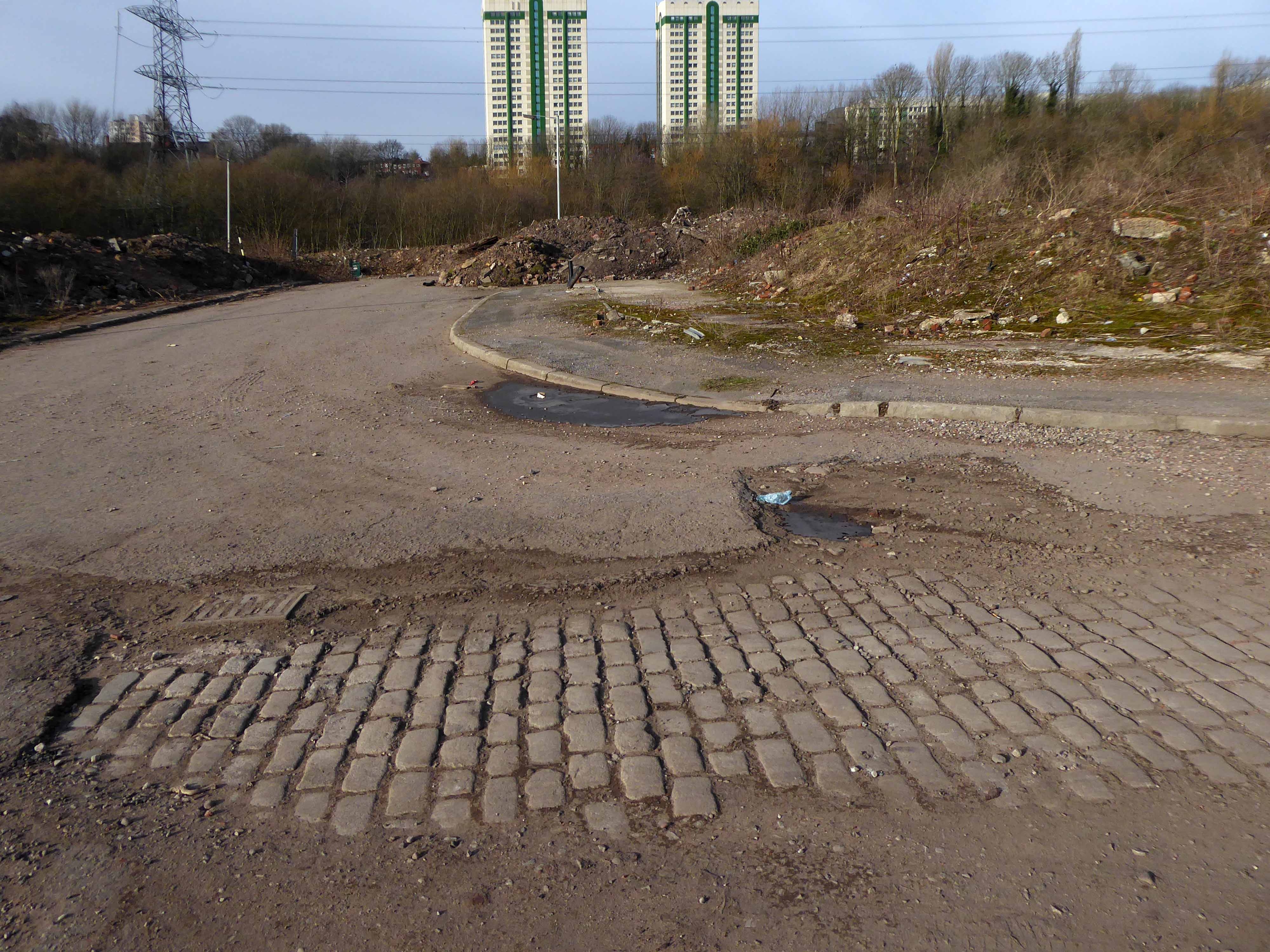
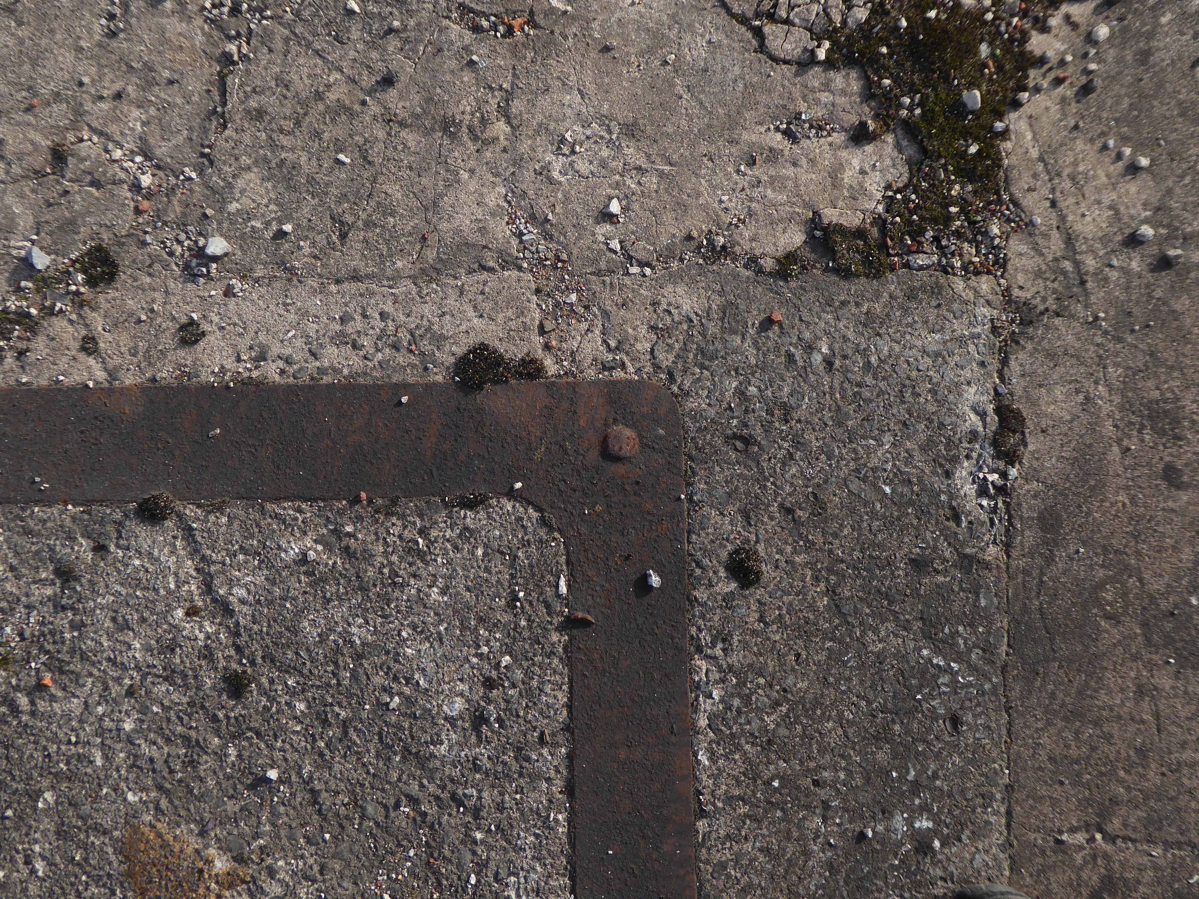
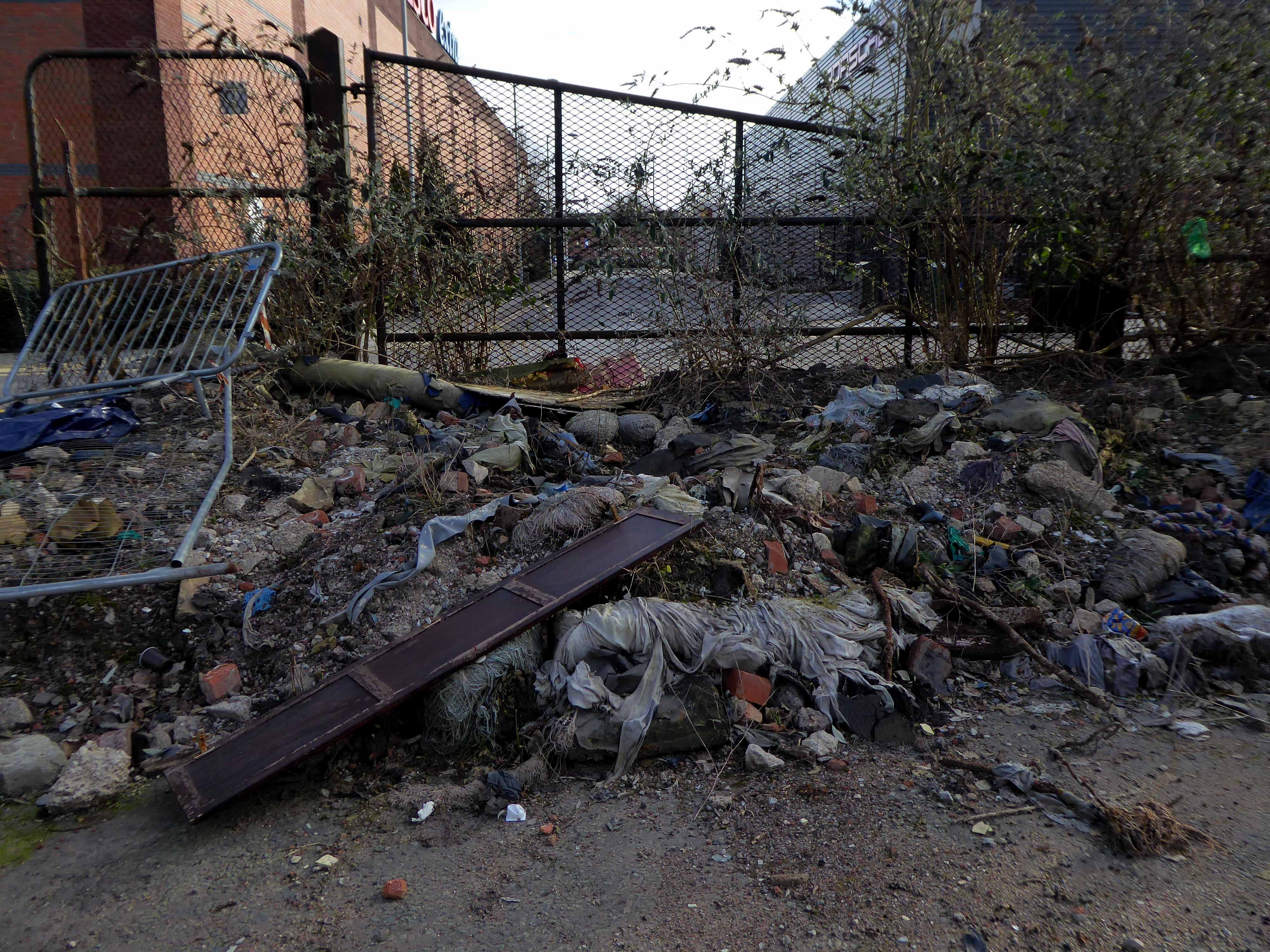
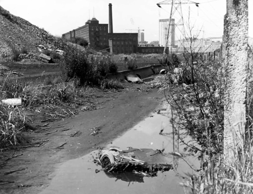
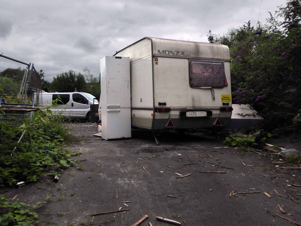
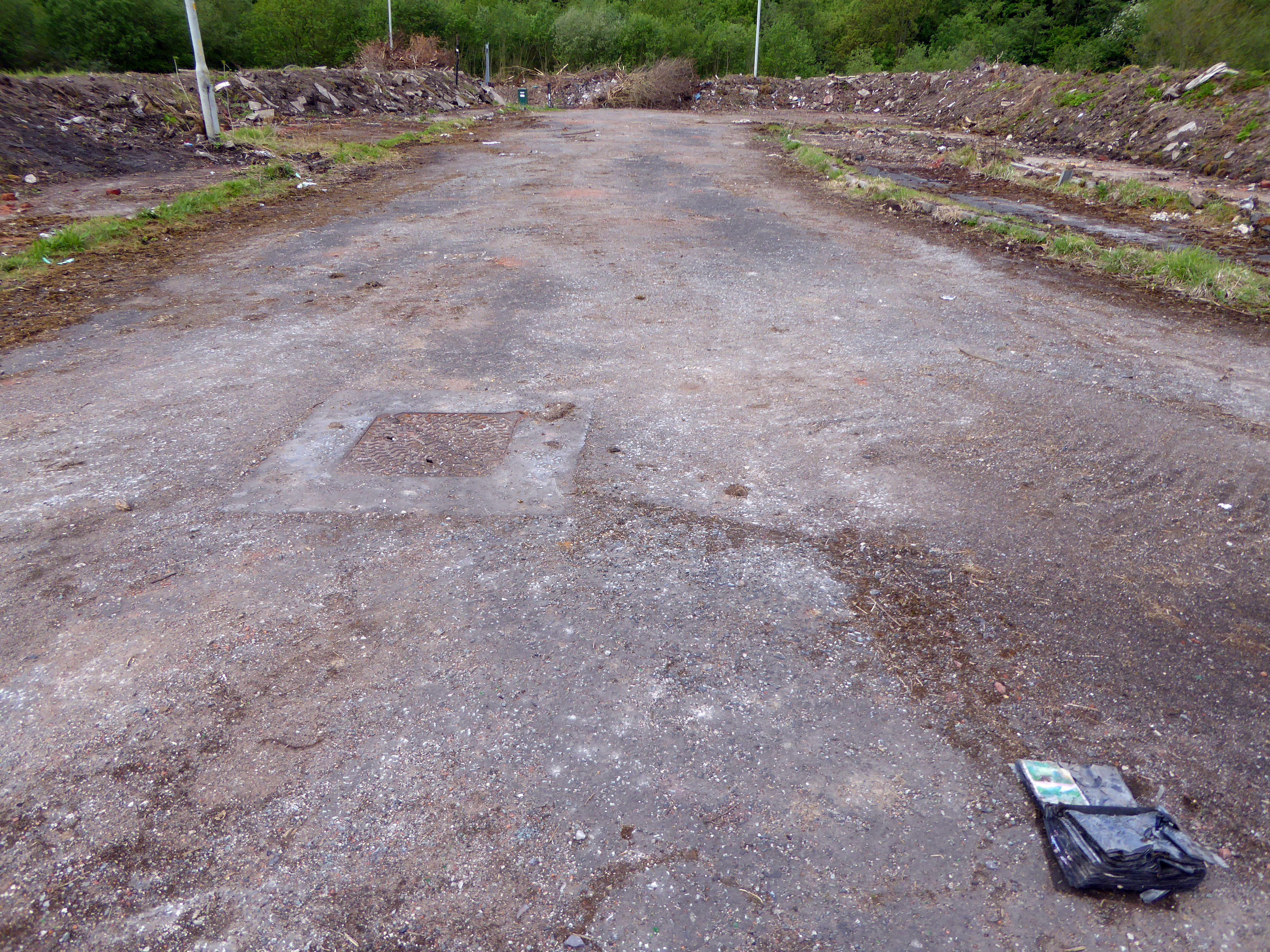
We can see the remains of the road system of this former industrial site, now colonised by brambles and greenery, the imposition of earth mounds and fly tipping.
The 19th-century industrial concentrations in the above-named urban areas resulted in the Tame being a much polluted waterway. As well as industrial pollution from the dyes and bleaches used in textile mills, effluent from specialised paper-making cigarette papers, engineering effluents, including base metal washings from battery manufacture, phenols from the huge coal-gas plant in Denton, rain-wash from roads and abandoned coal spoil heaps there was also the sewage effluent from the surrounding population. Up to two-thirds of the river’s flow at its confluence with the Goyt had passed through a sewage works. The anti-pollution efforts of the last thirty years of the 20th century have resulted in positive fauna distributions.
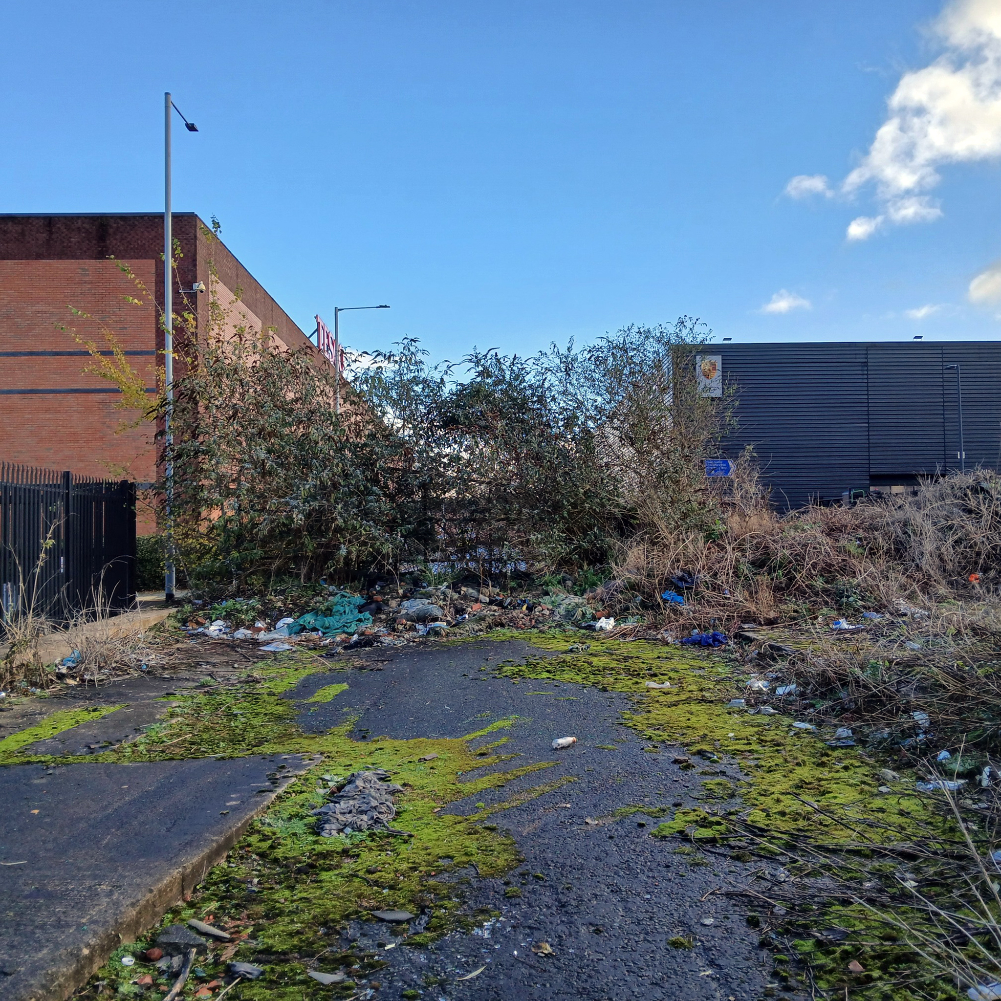
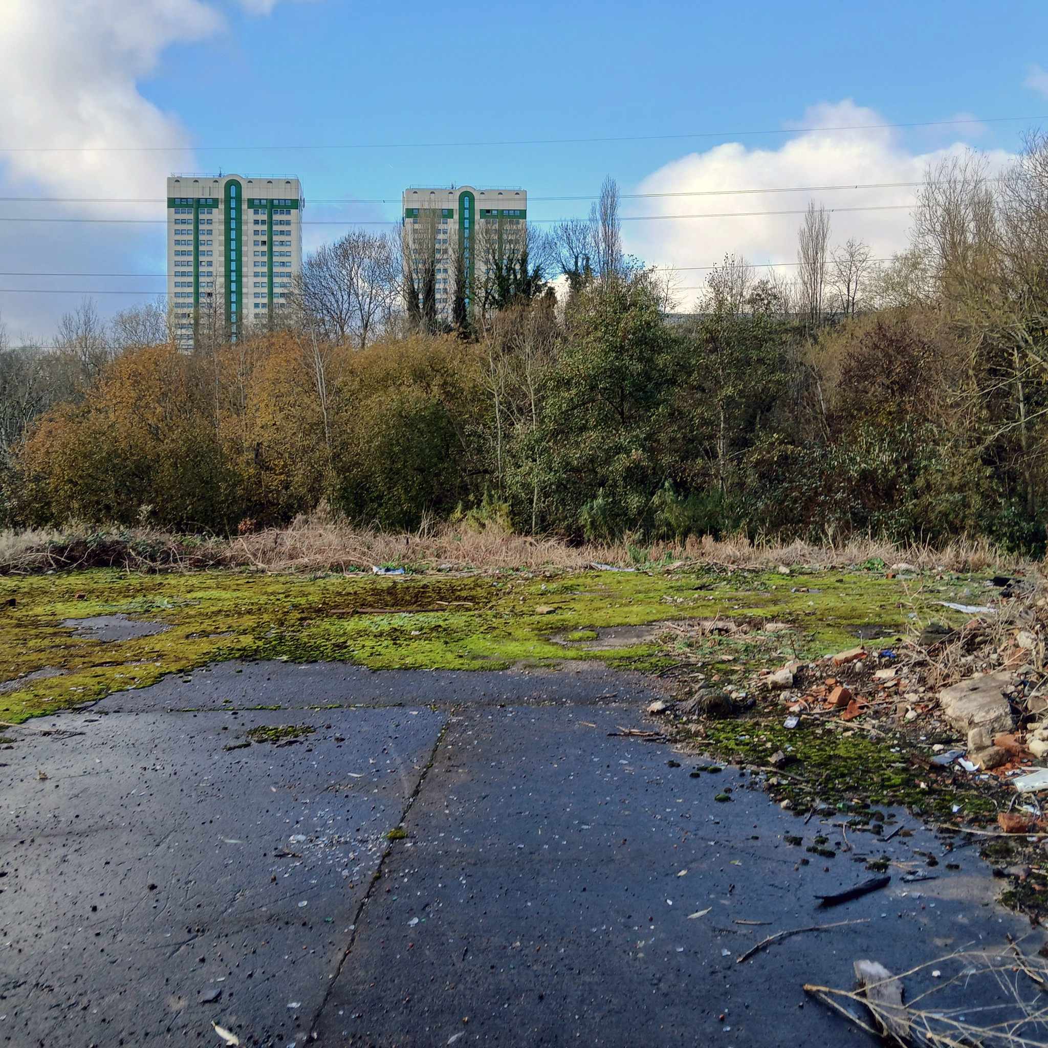
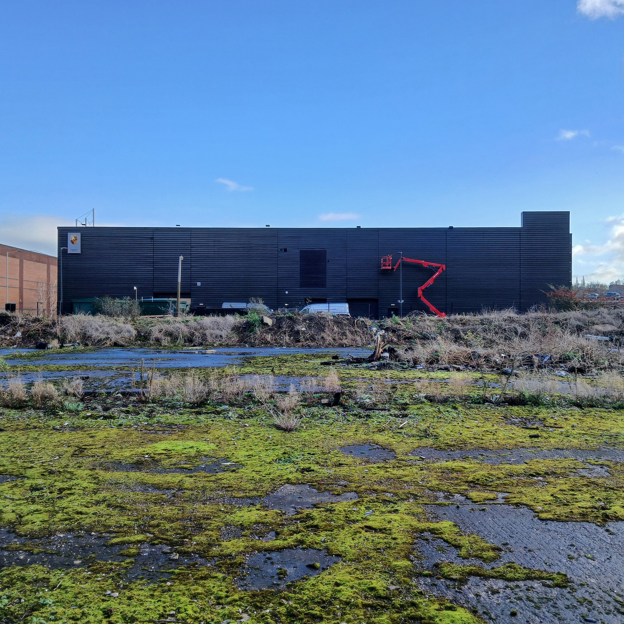
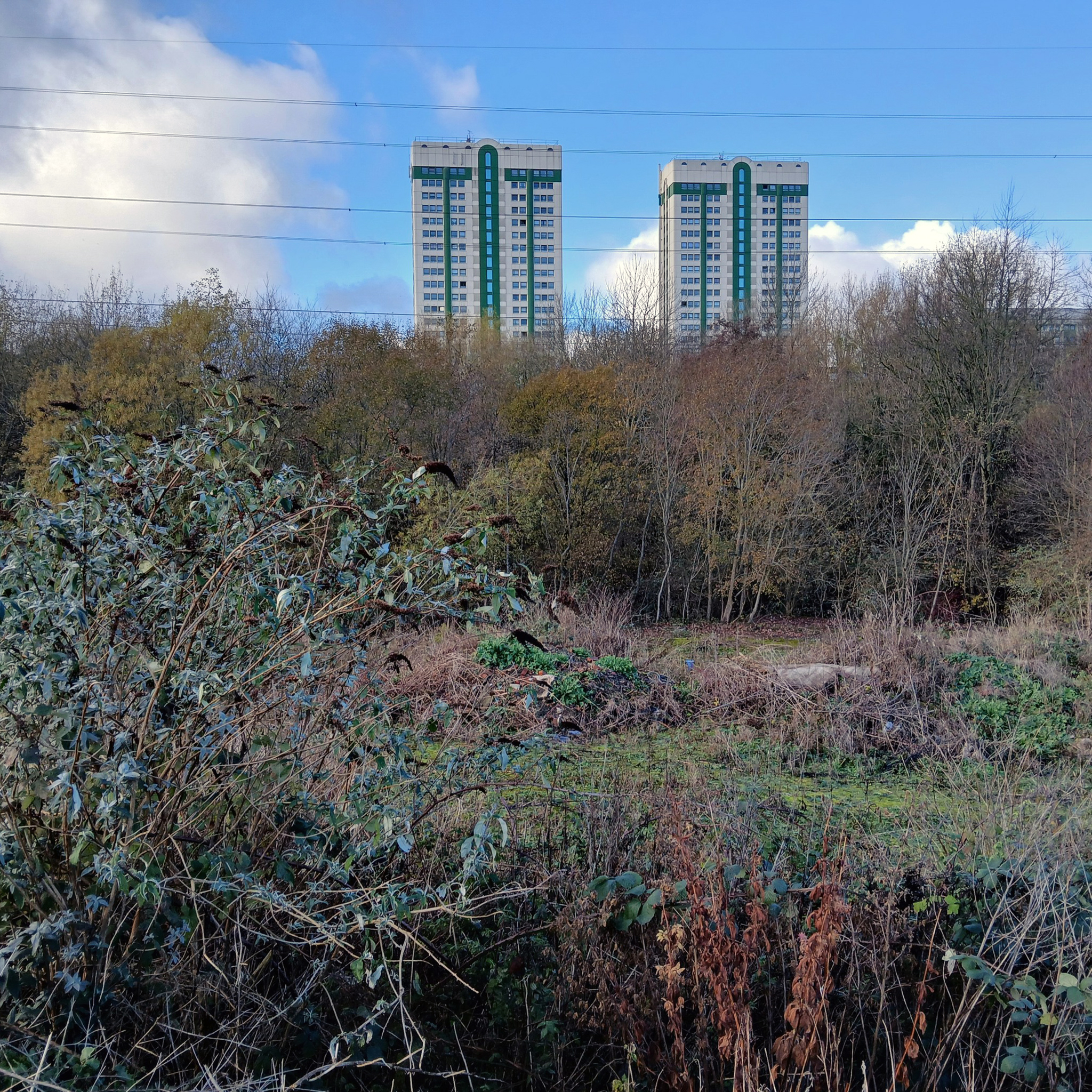
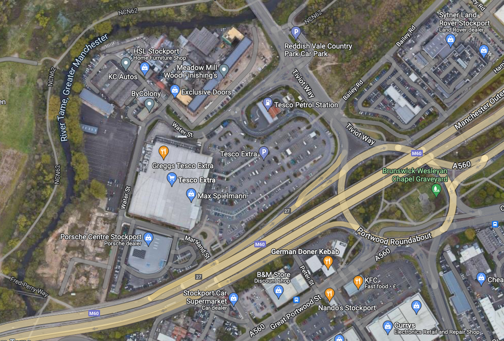
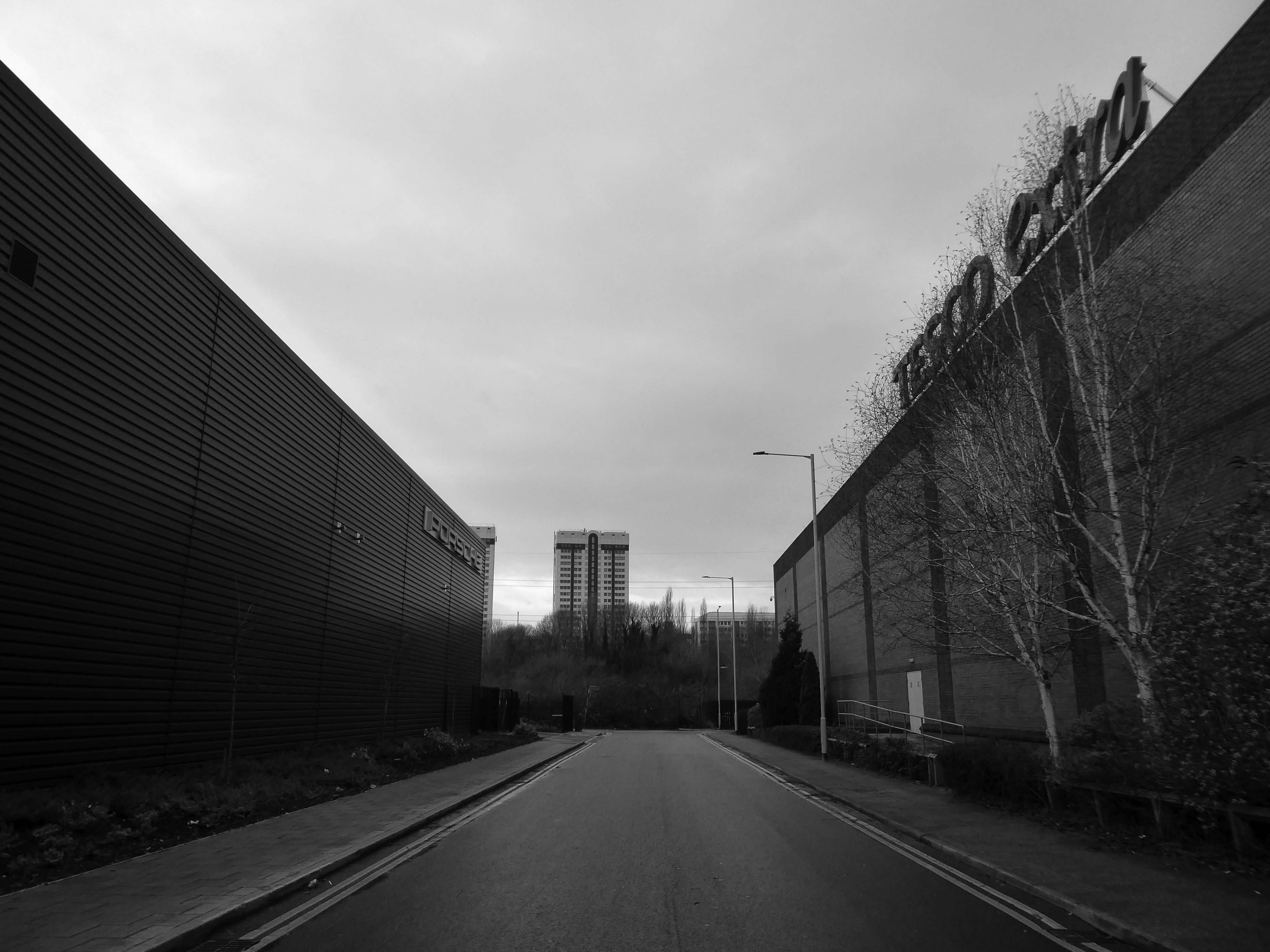
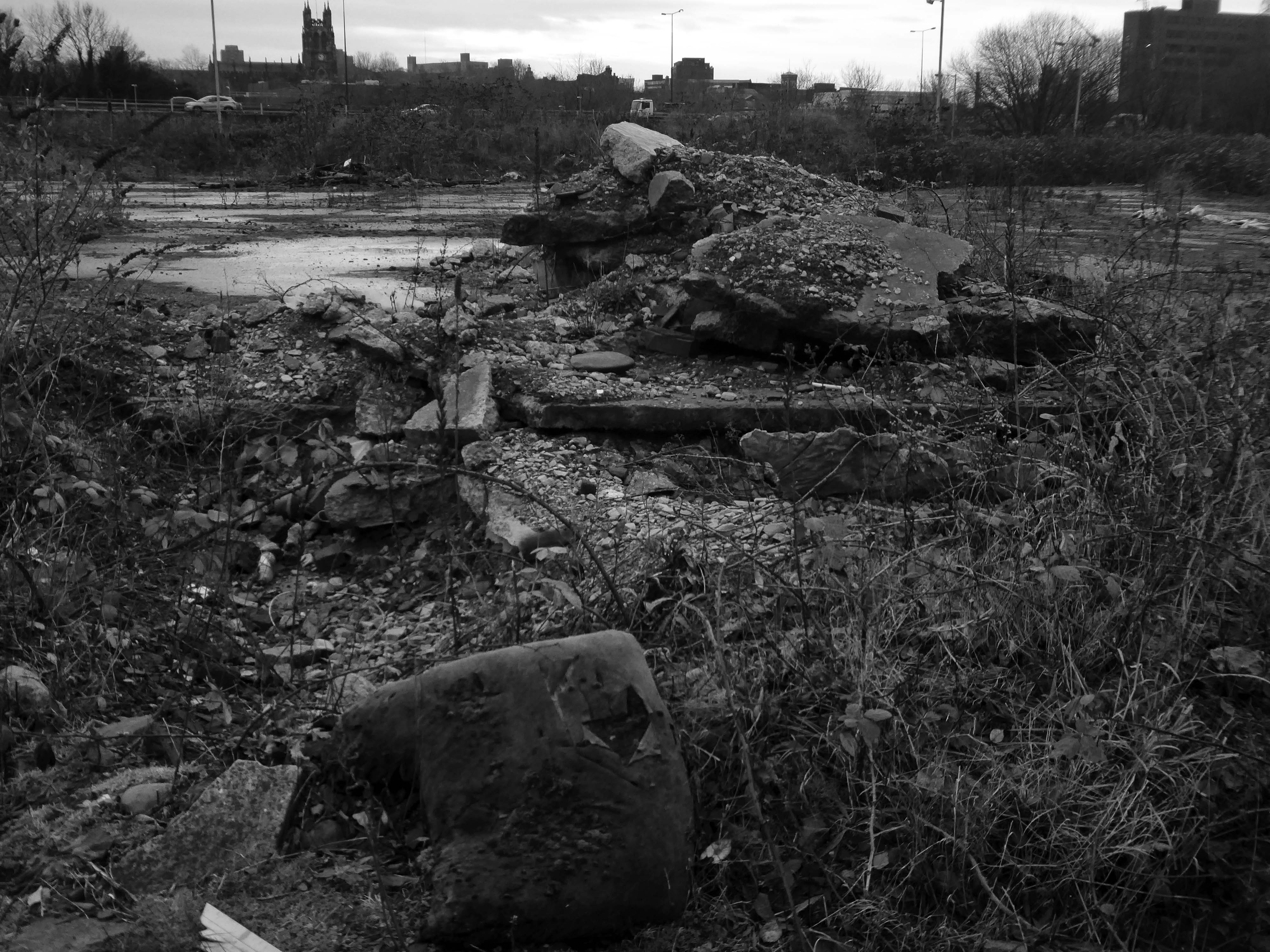
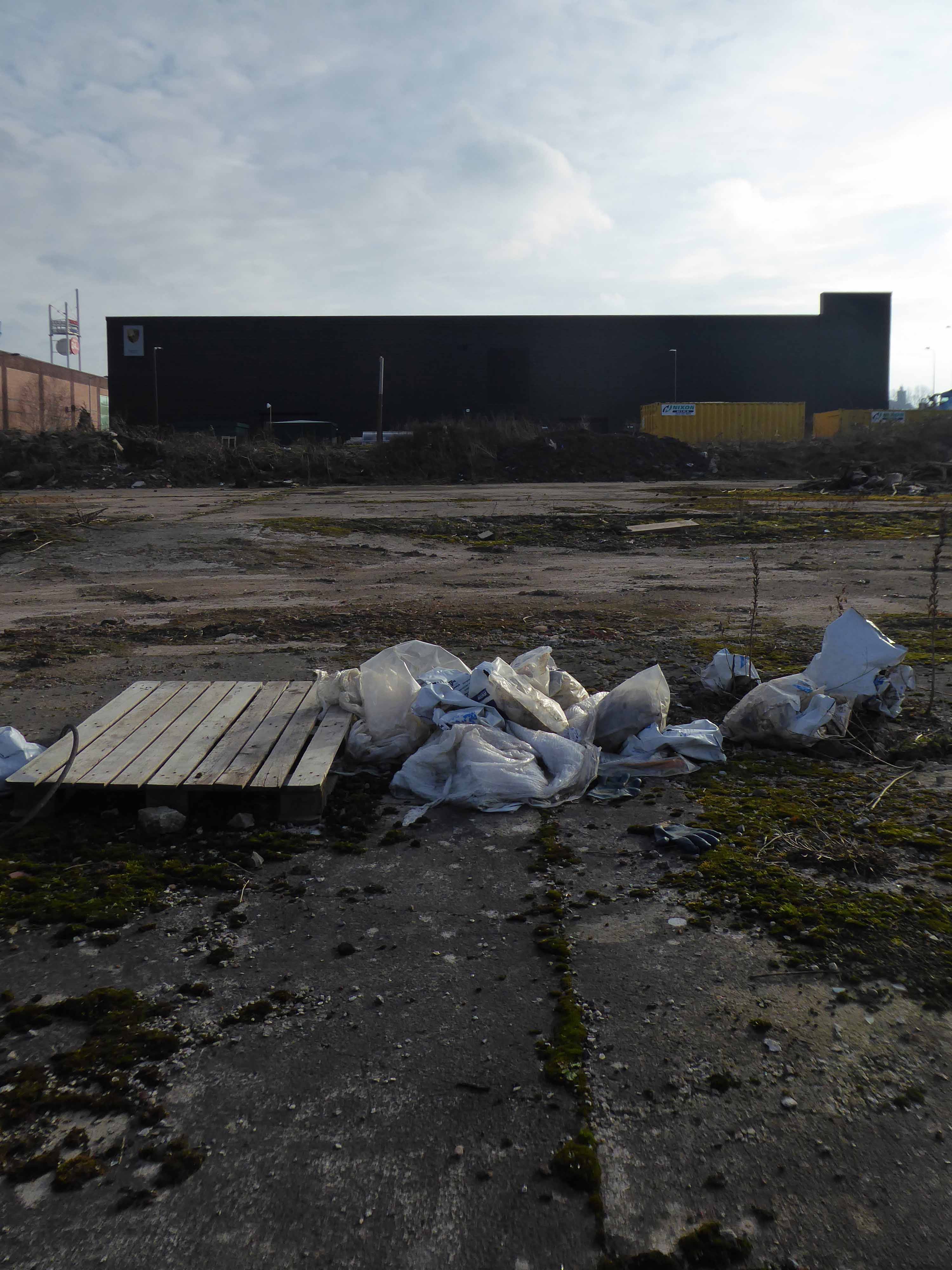
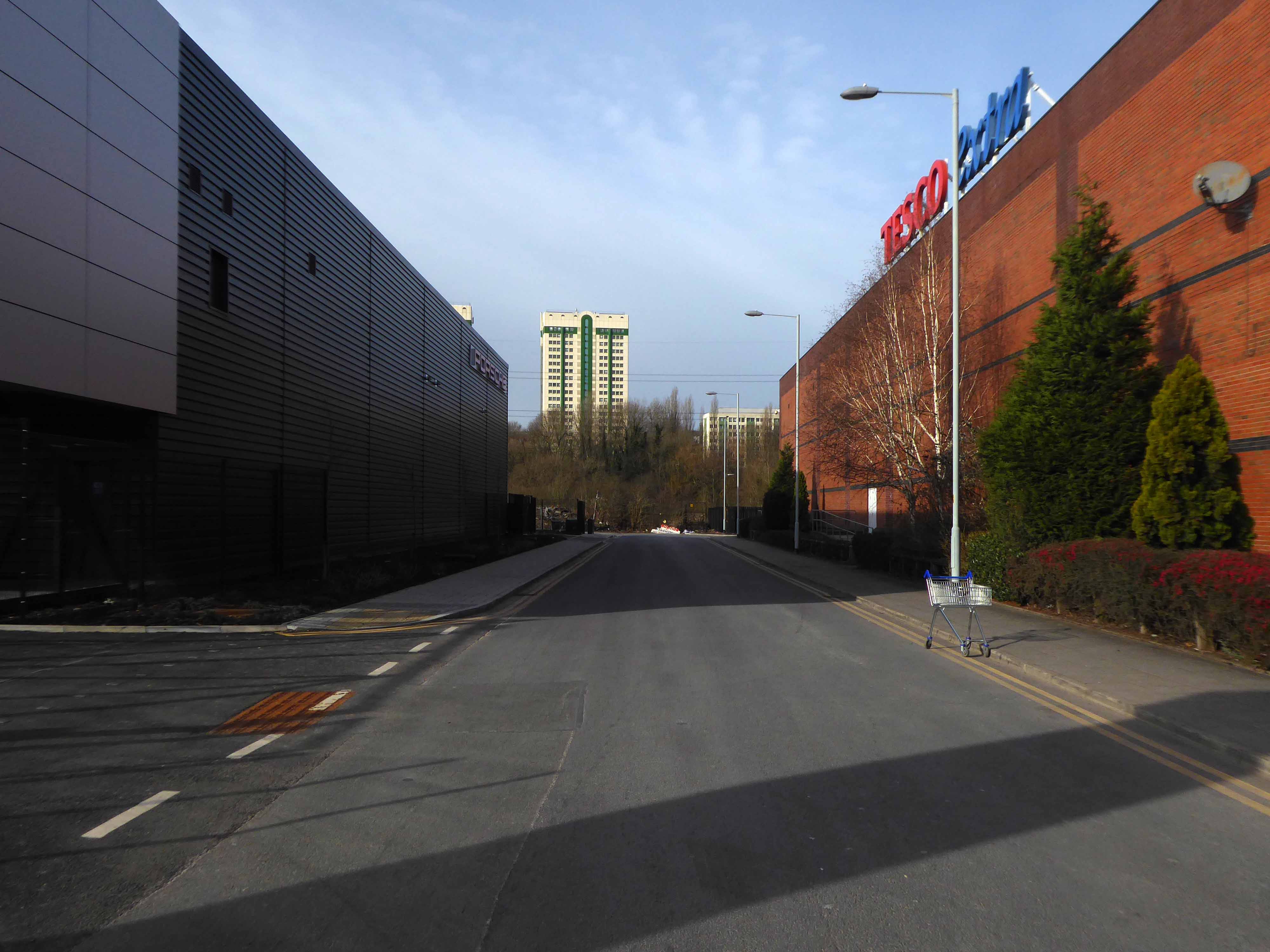
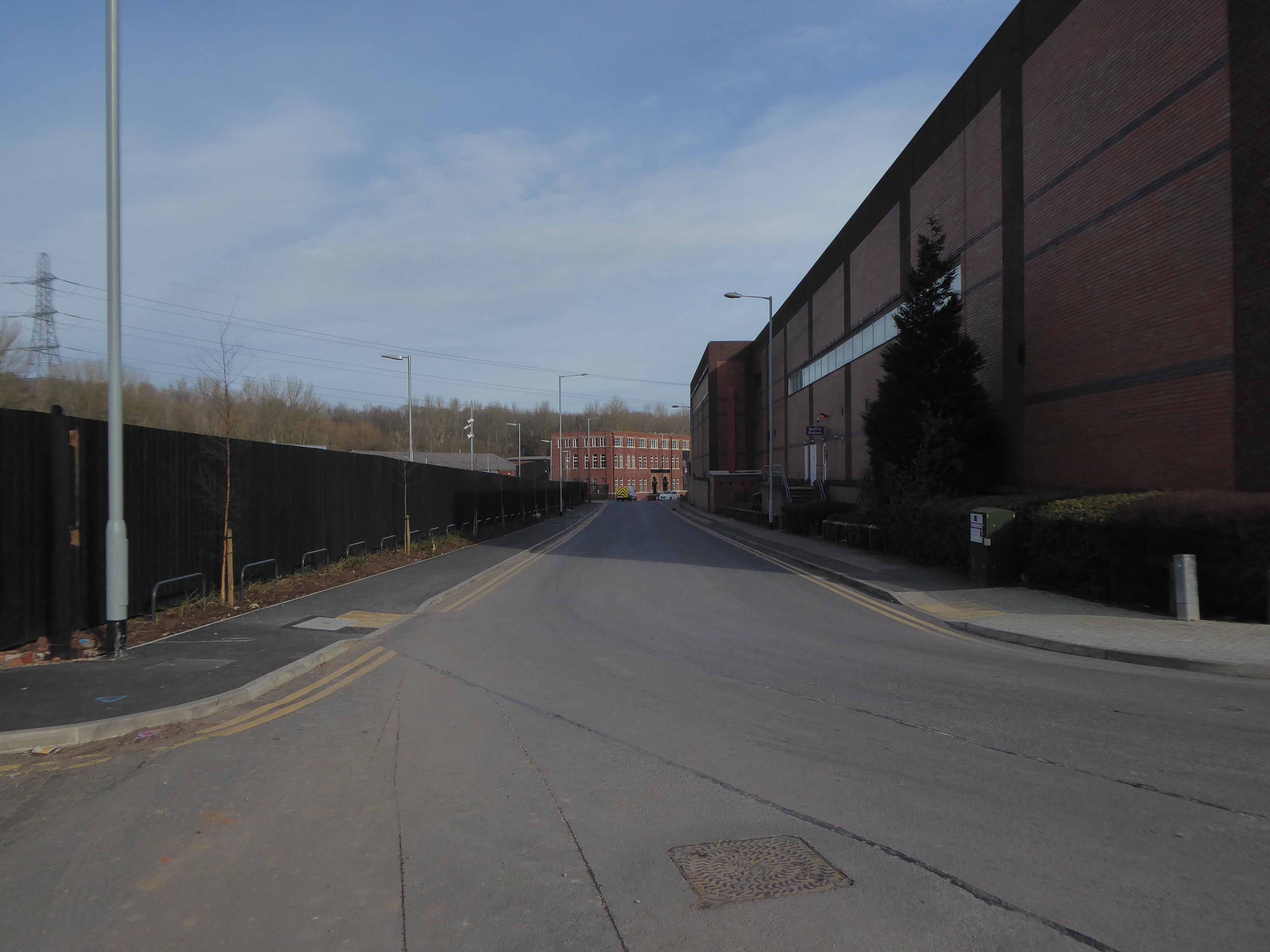
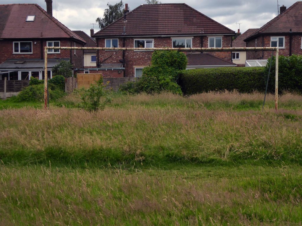
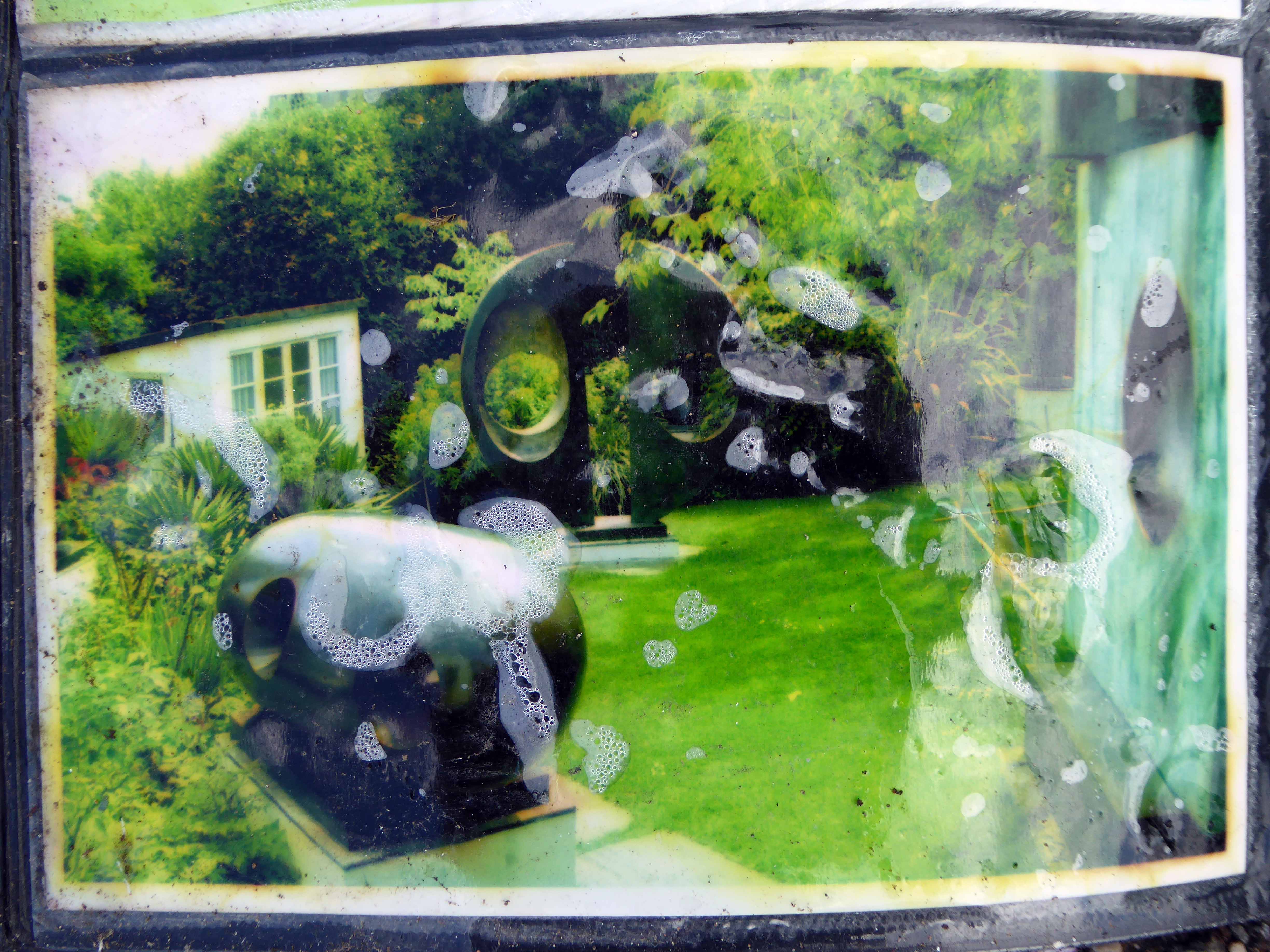
There is a plot of land to the left of Porsche which remains undeveloped, I often walk around this area, what would have once been for myself and others the place of childhood high jinx.
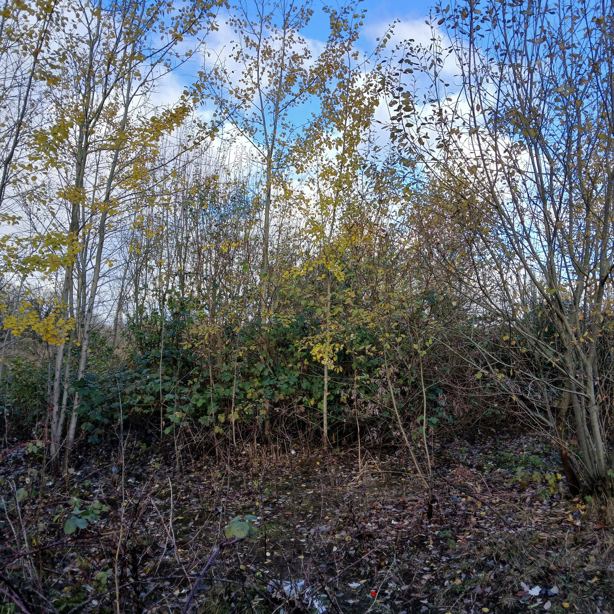
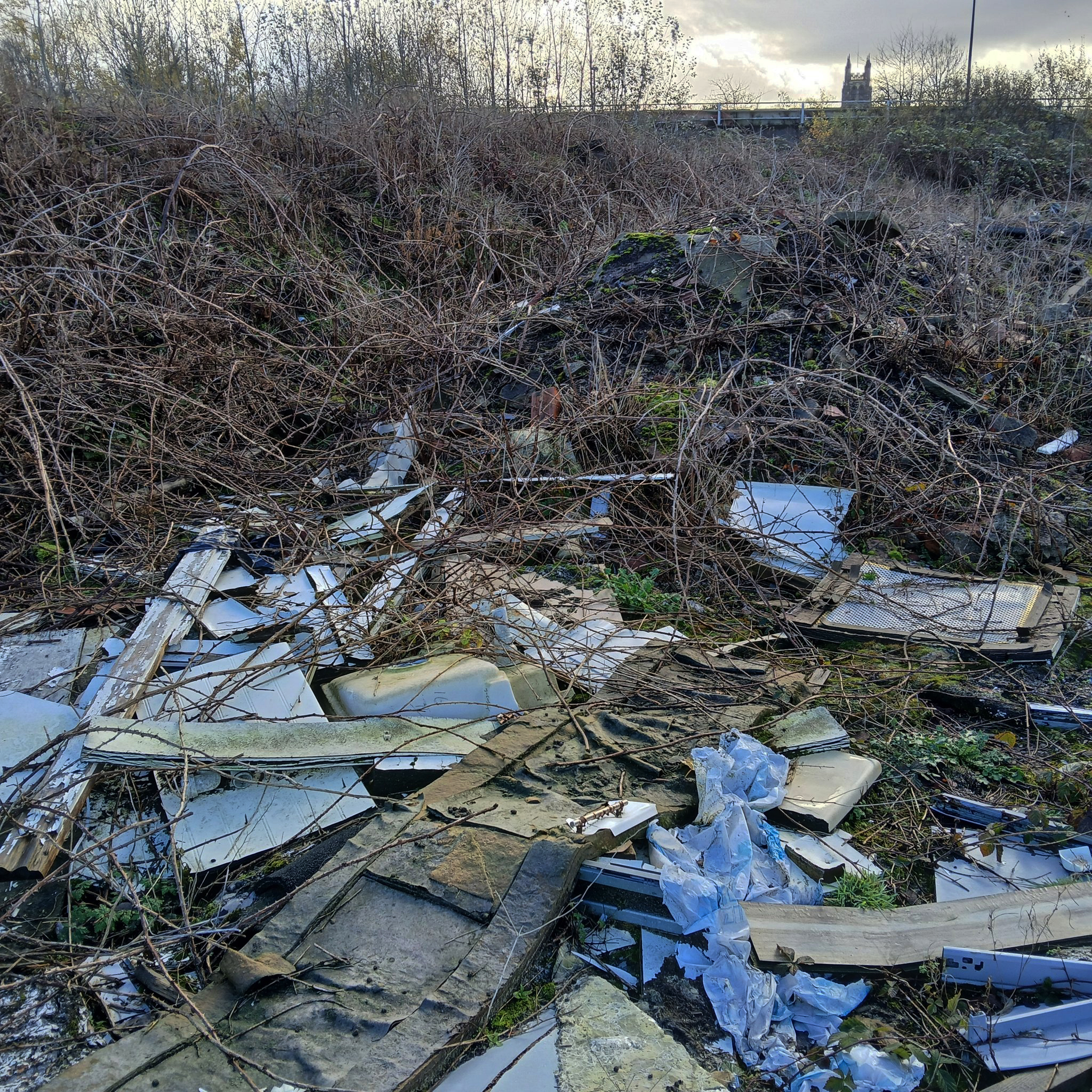
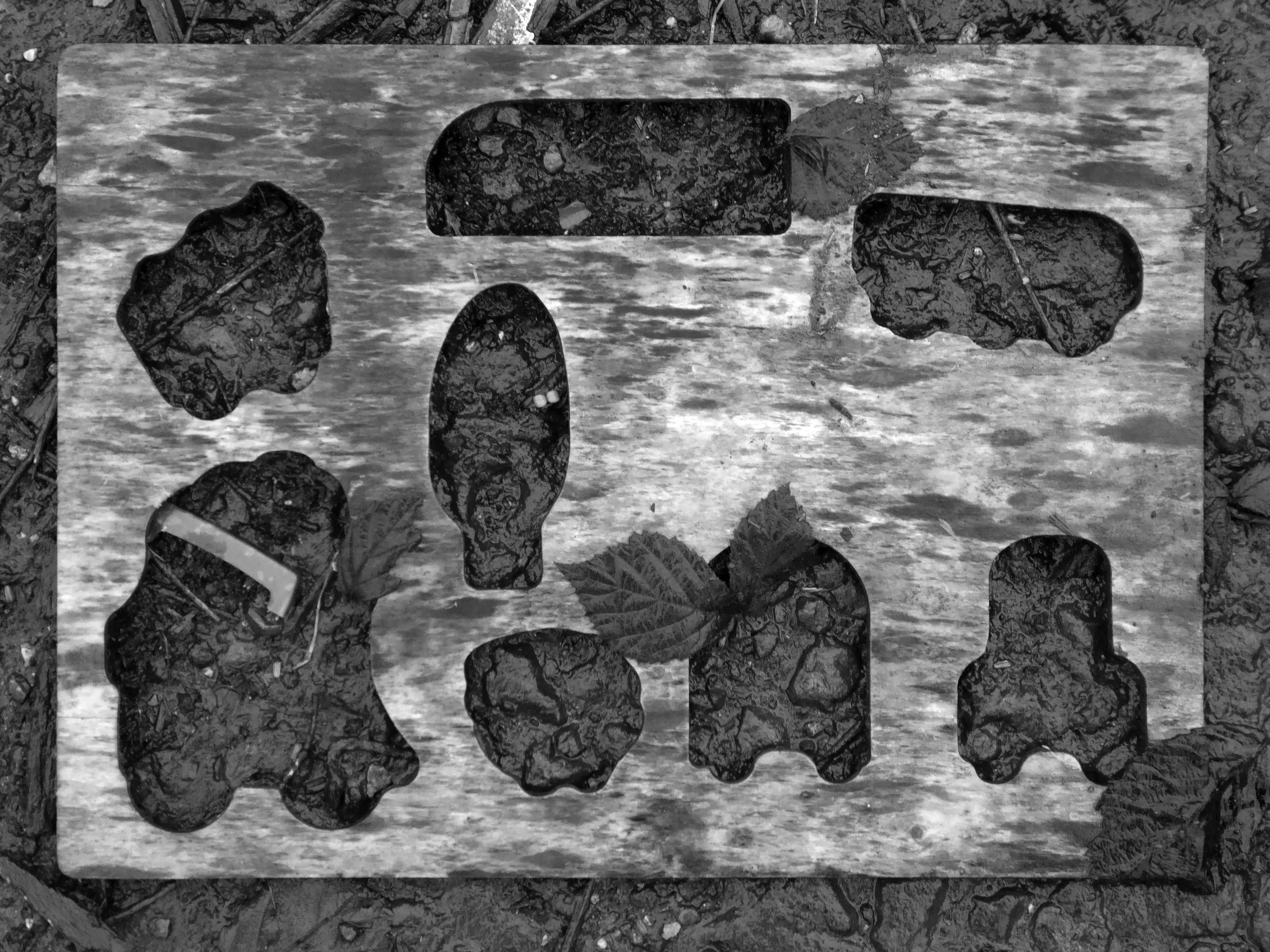
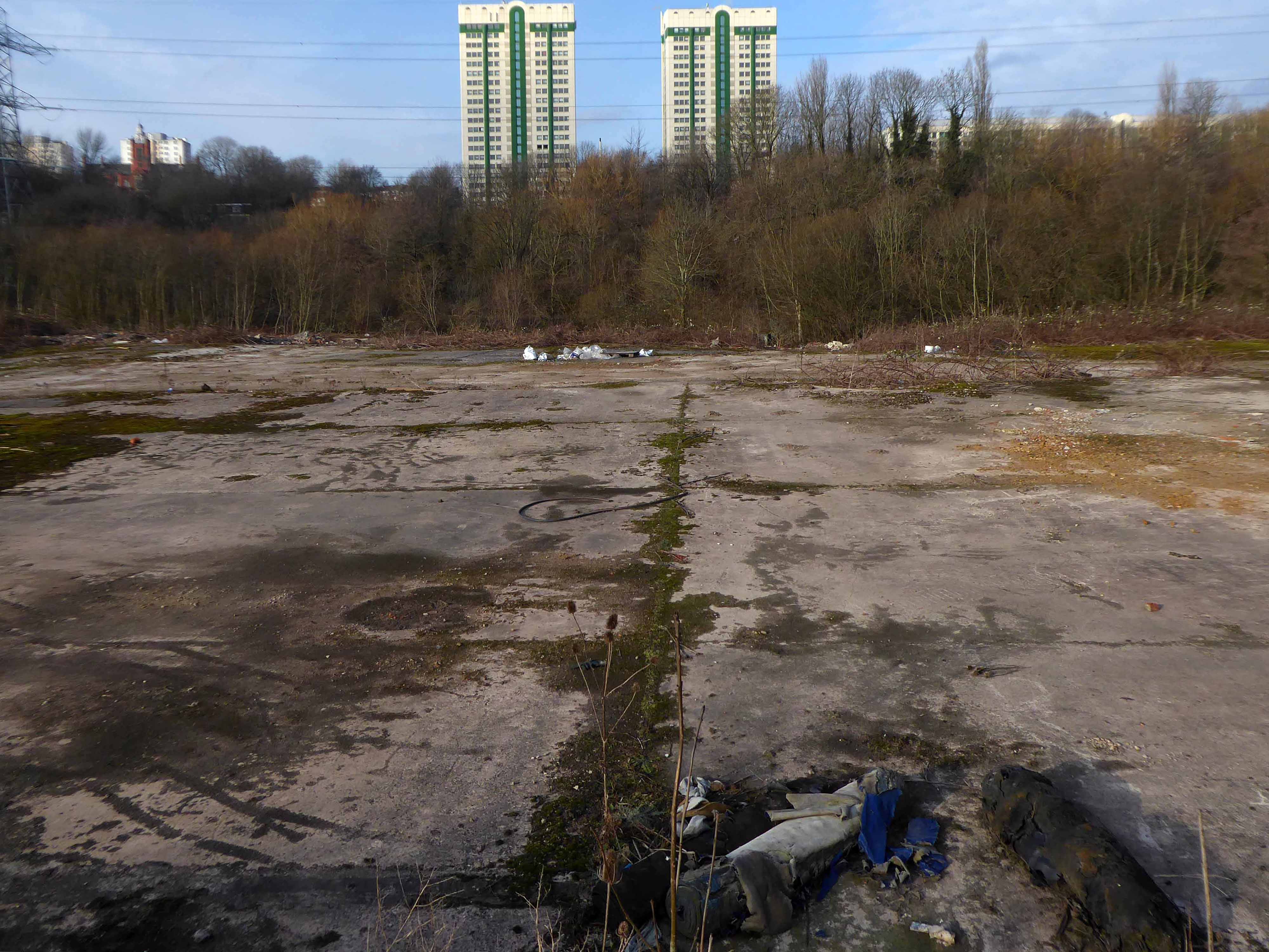
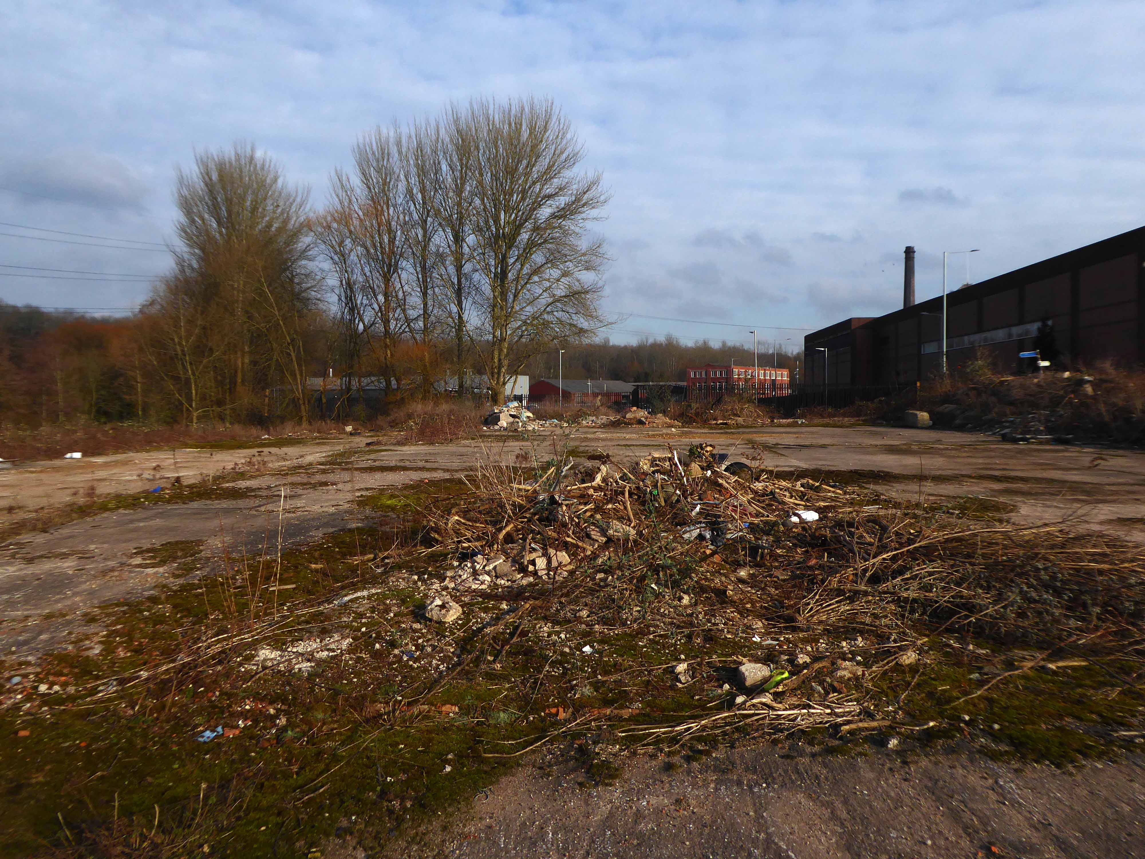
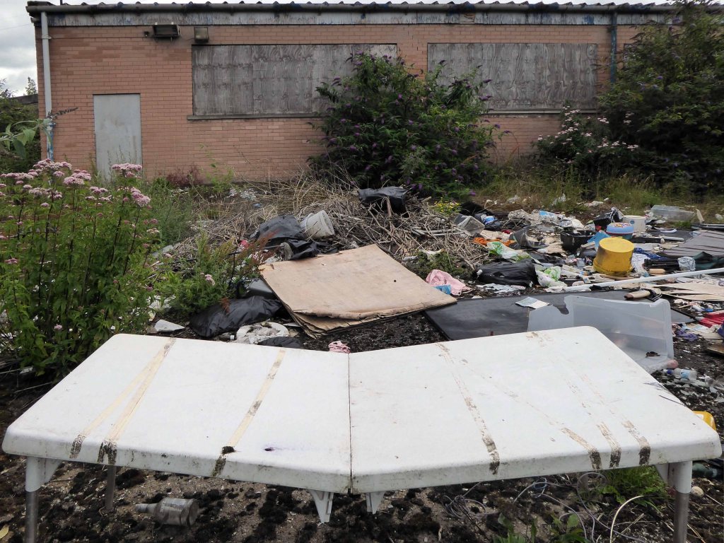
Now it is the domain of the fly-tipper, the home of the homeless, a war zone for a species which has declared war upon itself.
A desert of detritus, interpolated with tangles of brambles, seas of teasels and the ubiquitous buddleia.
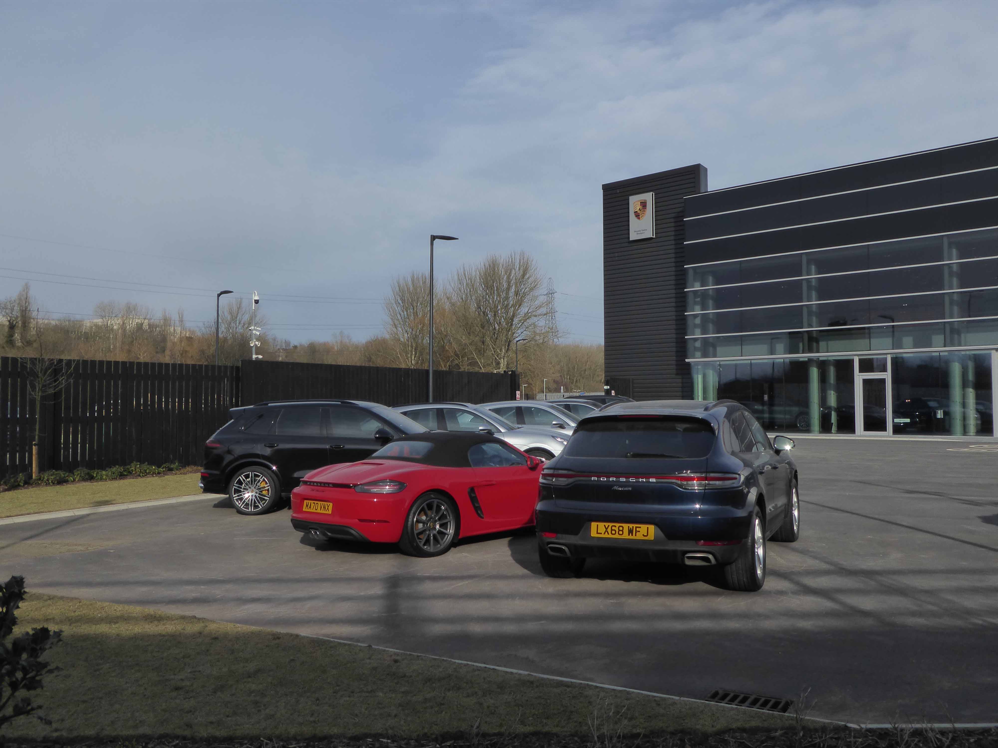
This is the unofficial showroom for the unofficial Anthropocene Epoch – always crashing in a different car, during increasingly unseasonal weather, the superabundance of abundance.
It seems that the sun may set on us, before the sun finally sets.
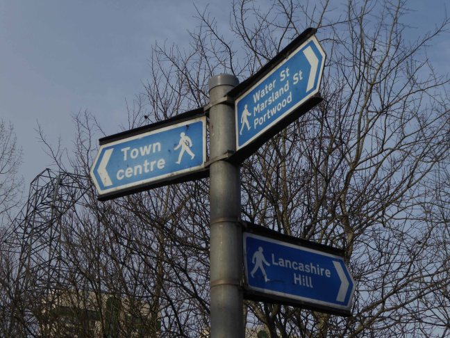
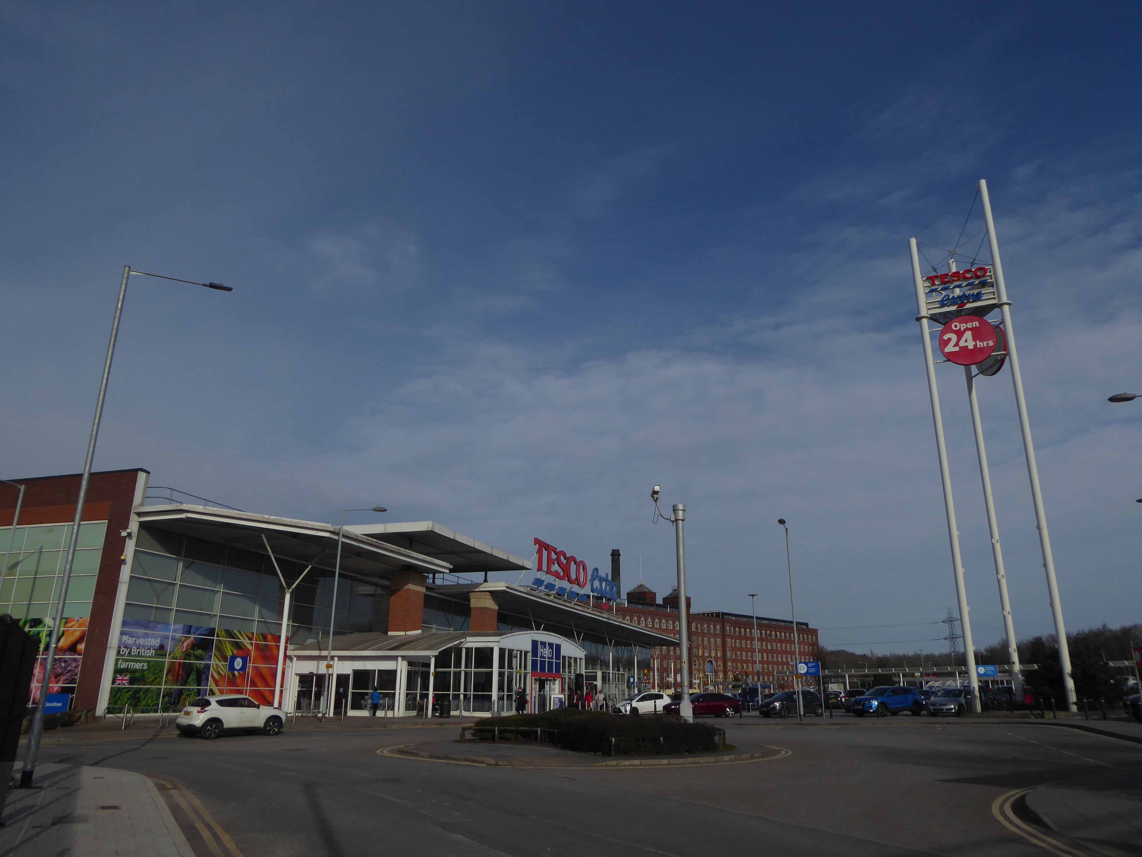
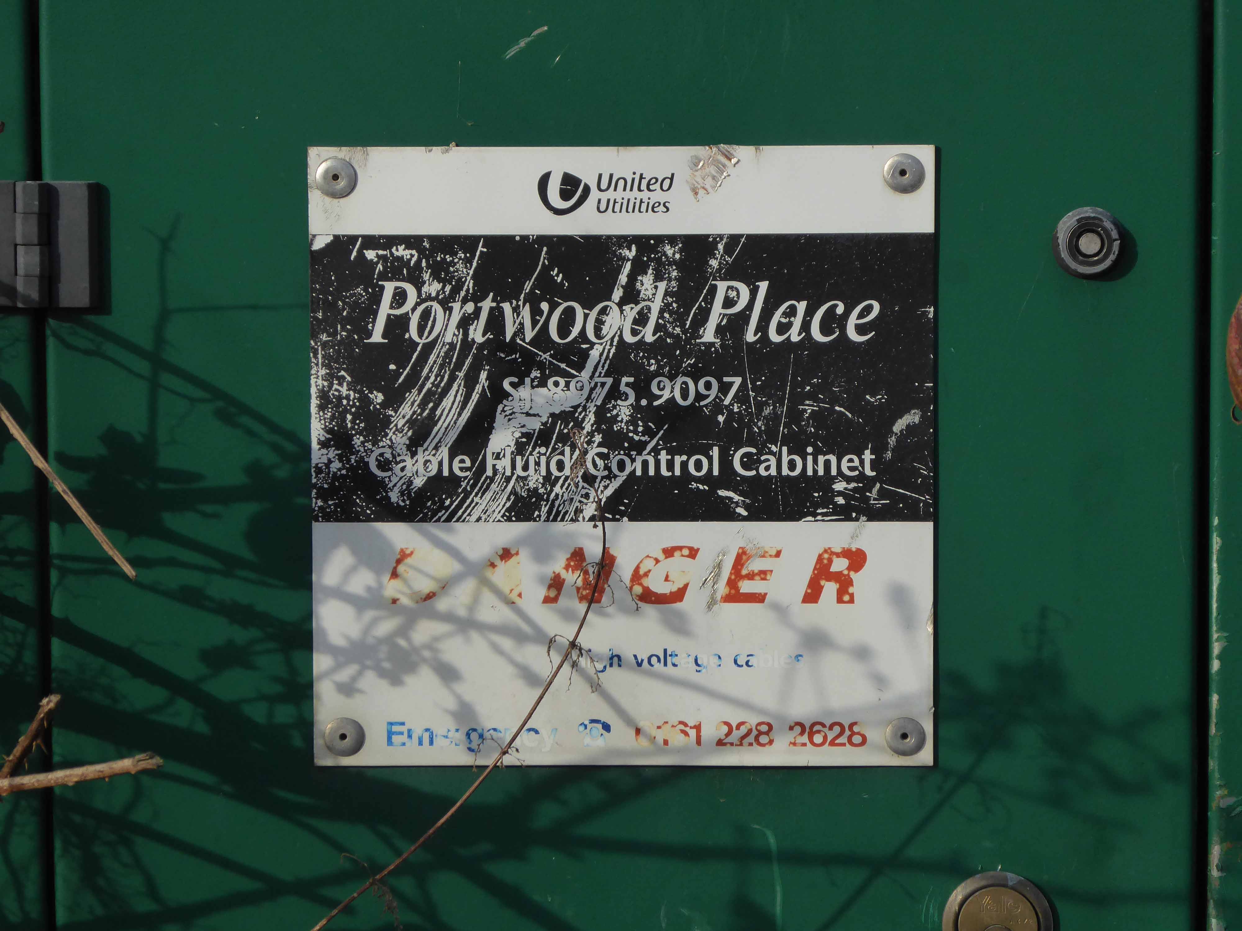
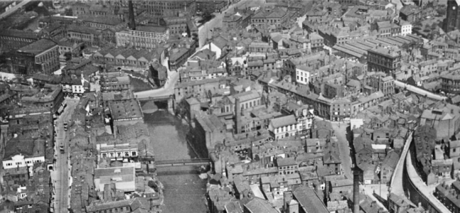
Let’s take a peep at Portwood.
Game over.
Vehicle use affects our whole quality of local life. Traffic can be dangerous and intimidating, dividing communities and making street life unpleasant, whilst air pollution and traffic noise can make urban living uncomfortable.
The impacts of mass consumption are: Misuse of land and resources, exporting pollution and waste from rich countries to poor countries, obesity due to excessive consumption, a cycle of waste, disparities and poverty.
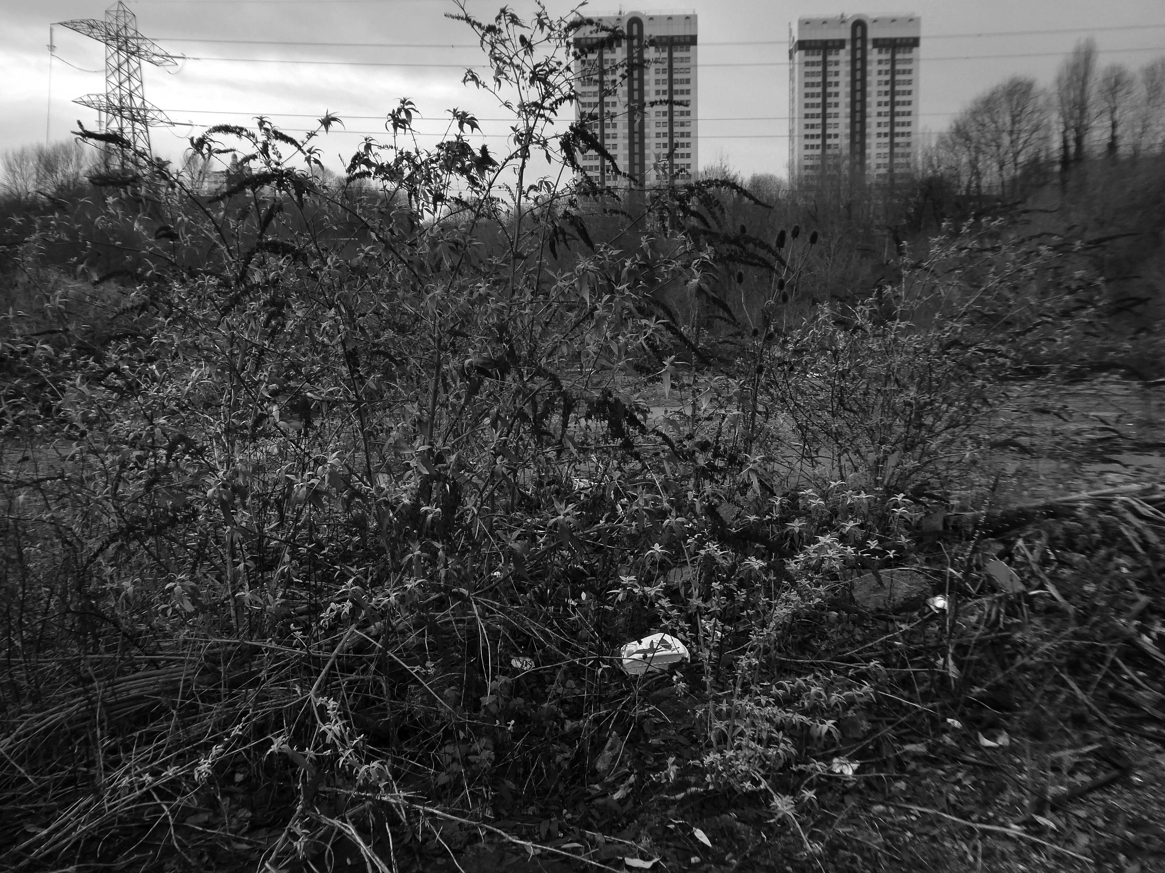
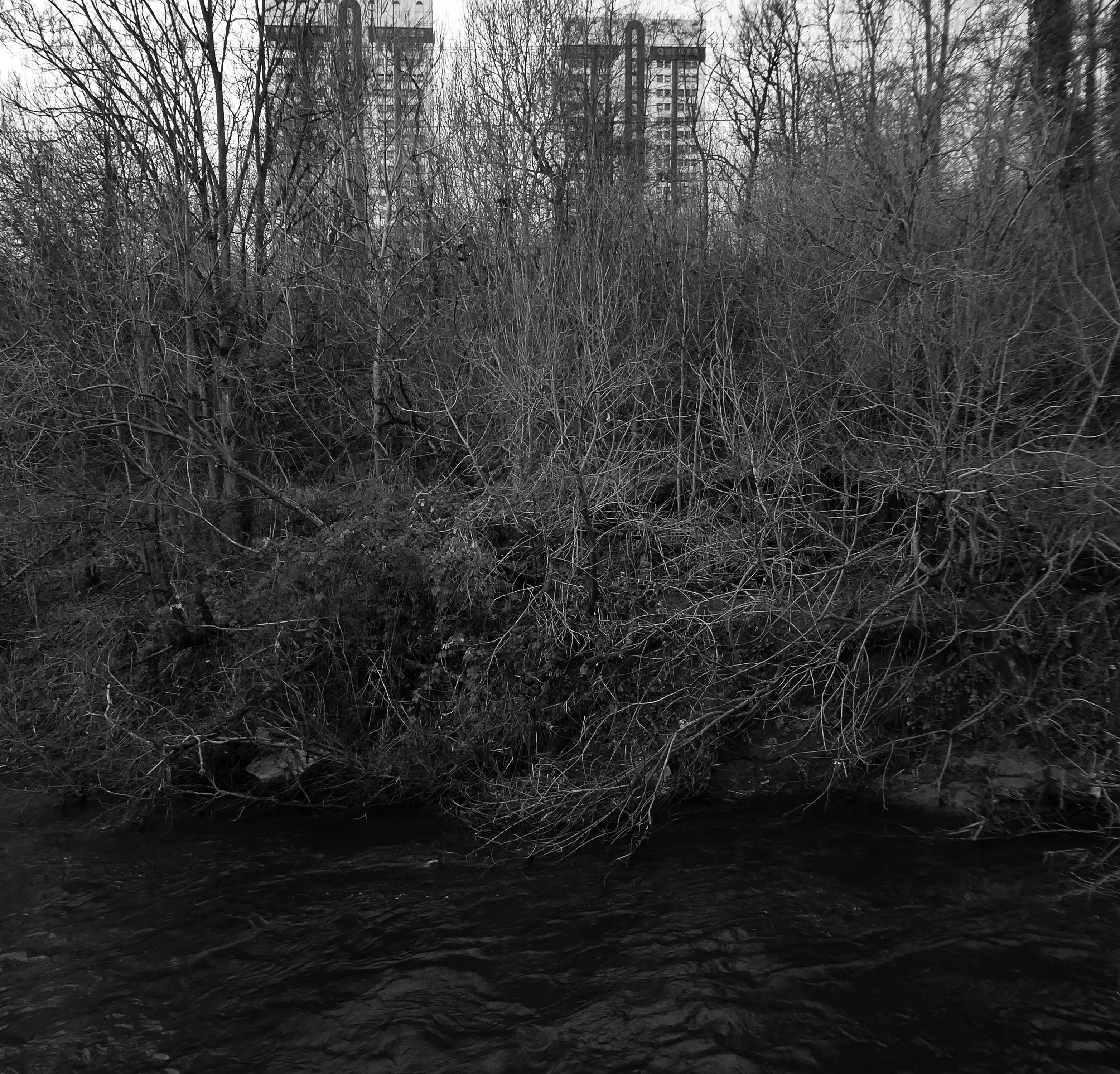
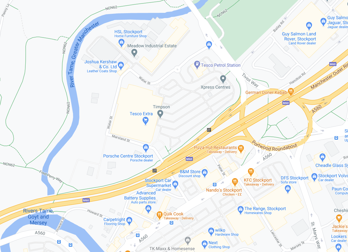
I often walk around here, the space enclosed by the River Tame and the M60, it was a maze of busy streets, home to peoples’ homes, industry, pubs, clubs and railways.
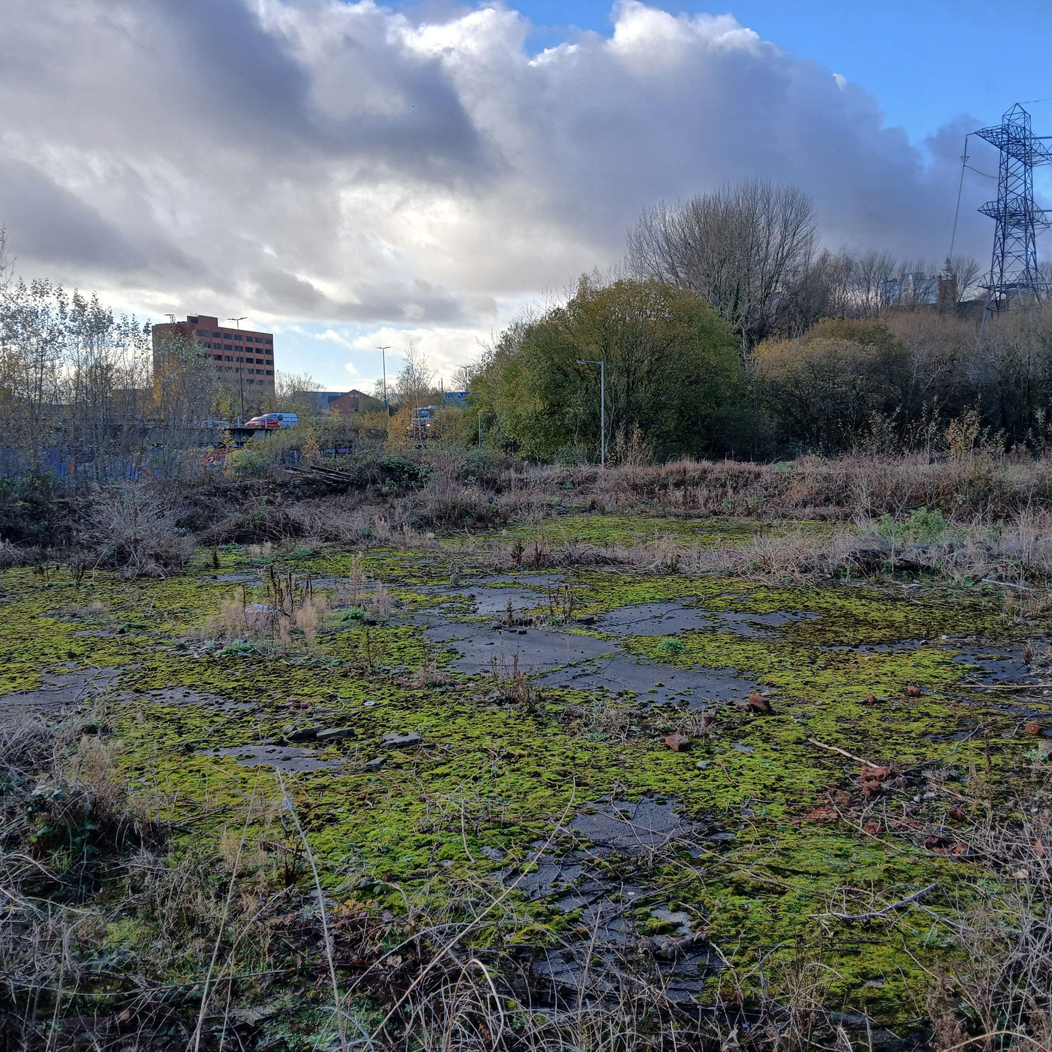
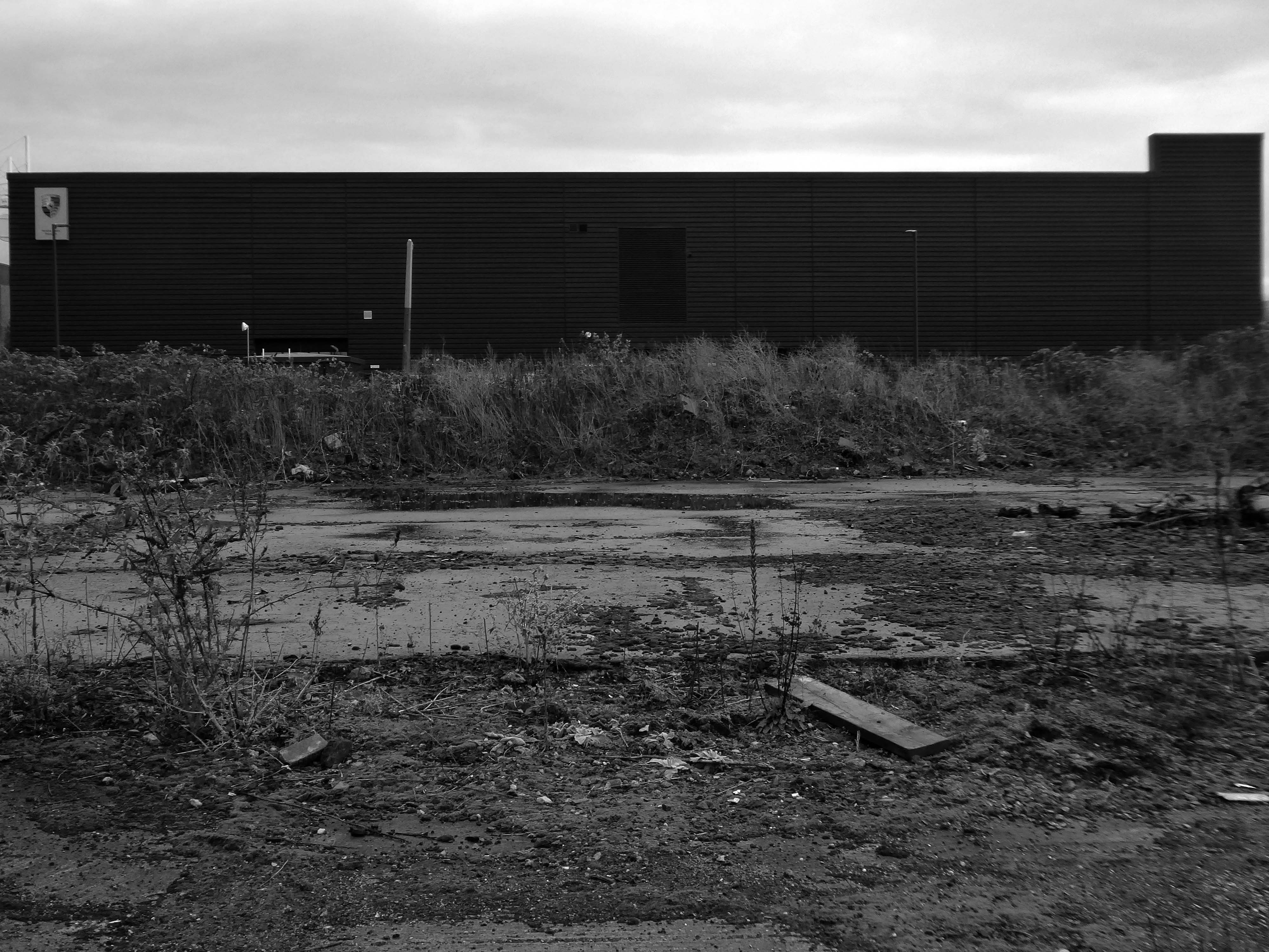
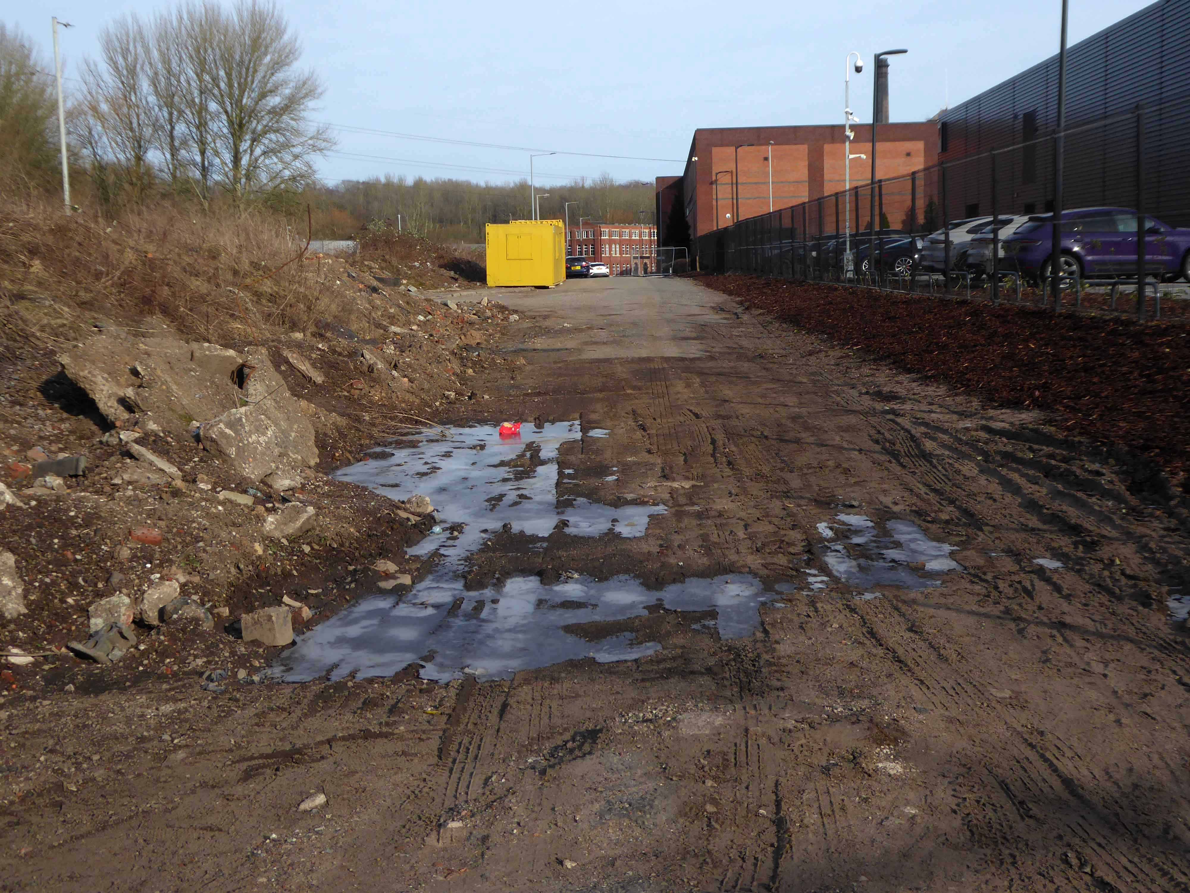
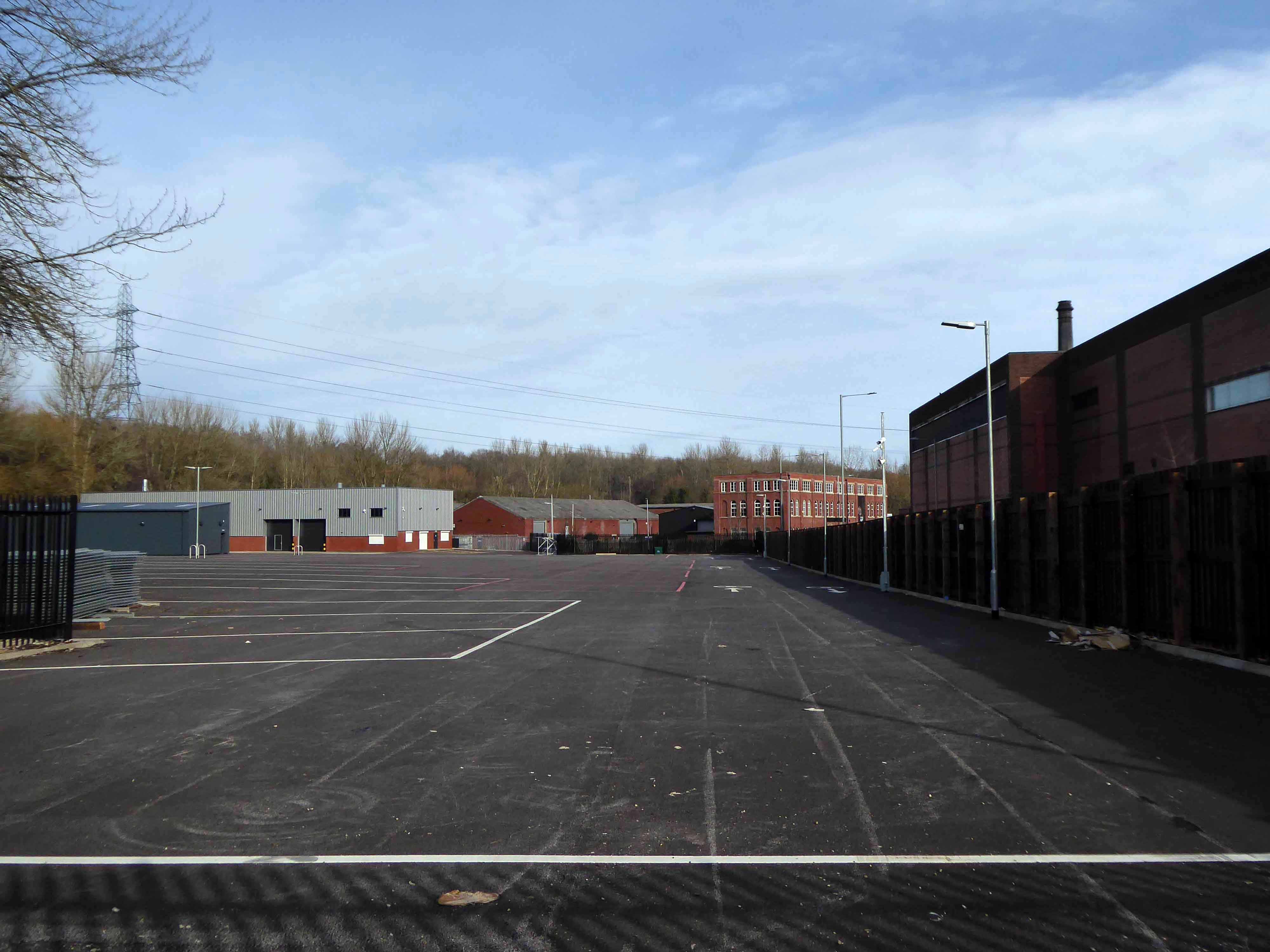
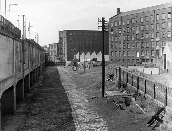
Much of that is now gone, either left to its own devices, untended rough empty ground, or overwritten by the newly built Tesco Extra and Porsche dealership.
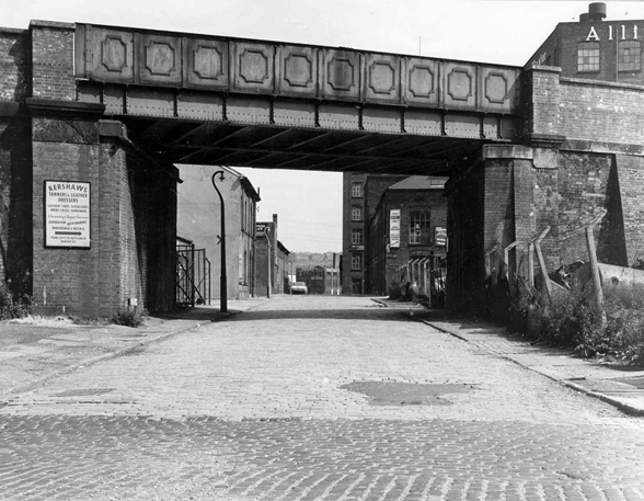
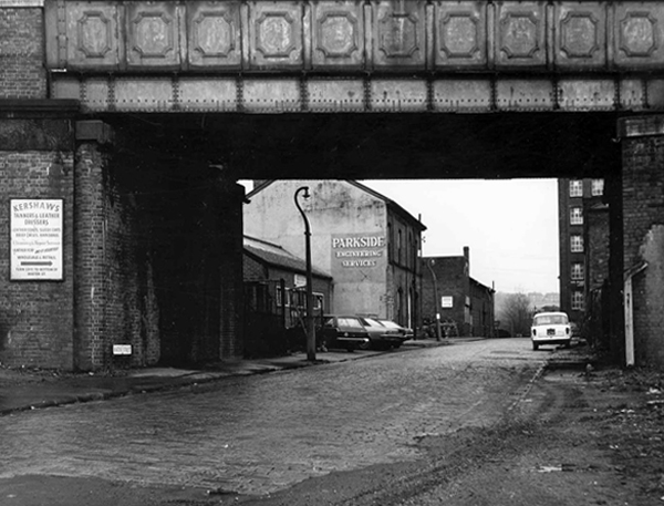
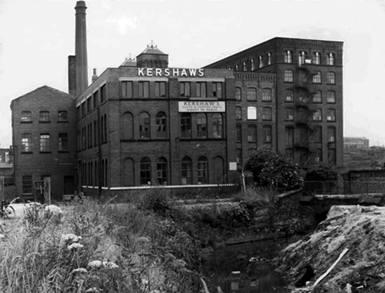
Water Street, Portwood looking north, taken from Avenue Street. Looking underneath the railway bridge, on the left hand side, the first building used to be a public house called ‘The Beehive’, further along was Kent & Swarbrick’s Tripeworks, now a precision engineers, then North West Concrete Works – Easymix. On the right is Coxson’s Brushworks, then the Portwood Mill, Kershaw’s Tannery and the Meadow Mill at the bottom of the street.
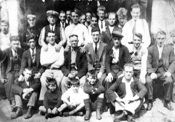
The area was also home to the Blood Tub boxing ring.
Outside the Blood Tub Back Water Street Portwood.
Centre row left to right Billy PittTaylor Micky PelhamJack HulmeJo Moran owner John MorryBobby RileyLaurie Glen a jockey
2nd row from the back – James Jimmy Rose.
Back row left to right – Charlie Dean An ambulance man Ike Irelands horse dealer – Team from Macclesfield.
Extreme right – Jo Mulrooney.
Front row left to right extreme left – Sidney Smith soft Sidney – a simpleton Jo Hulme.
Copied from a photograph lent by Eddie Pitt
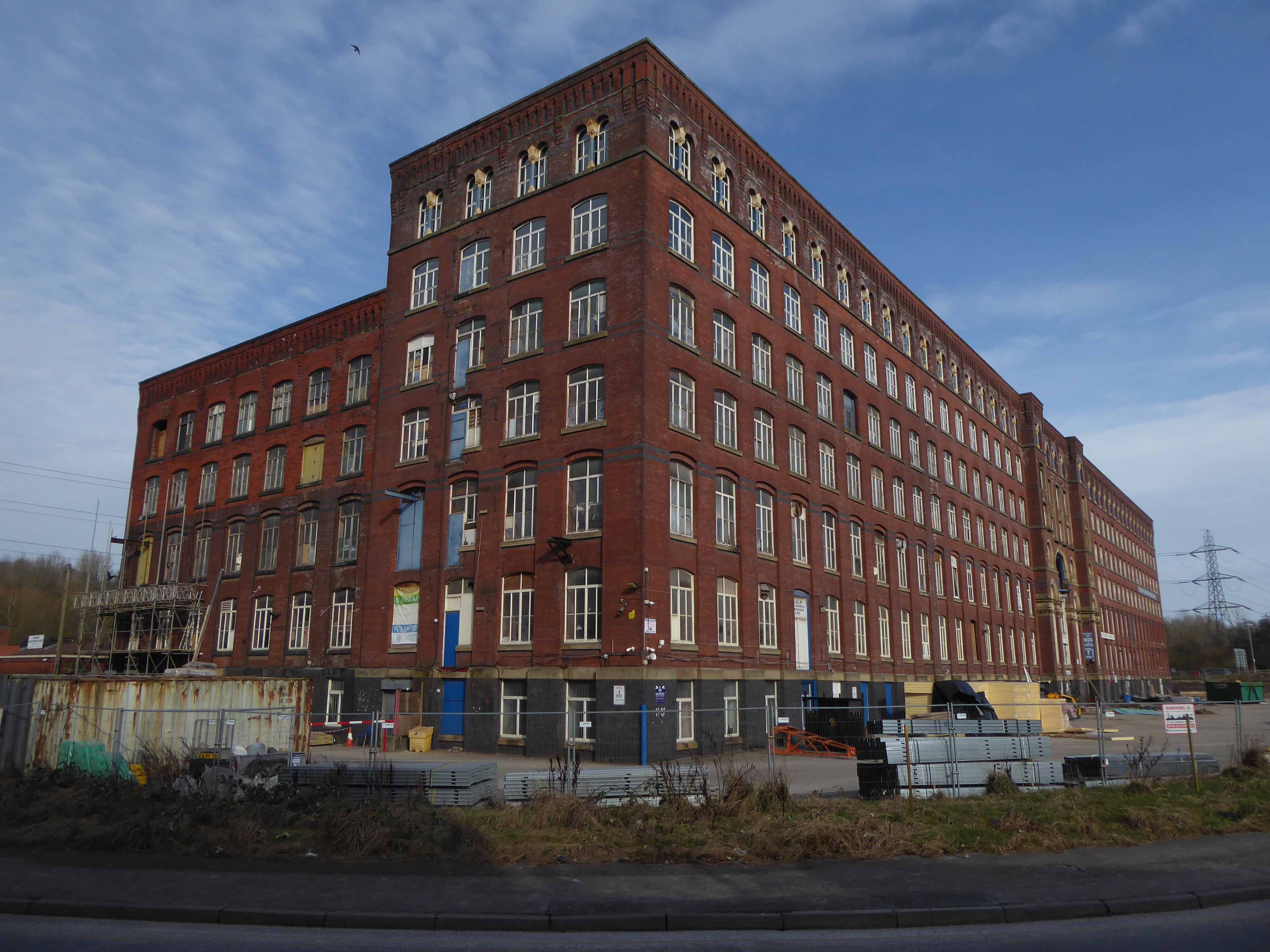
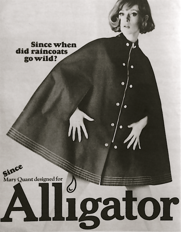
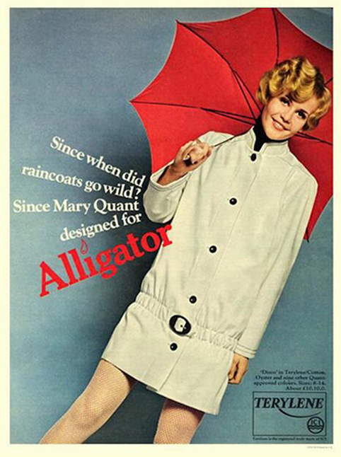
Alligator Rainwear – a British company, whose main factory was based in Beehive Mill. It was best known for its 1960s collaborations with Mary Quant in the design and production of her Wet Look collection of PVC raincoats.
The firm was started after the First World War by Reuben Satinoff, who had previously founded the London Waterproof Company – Silkimac. It was taken over by his sons after the Second World War. For decades, it manufactured traditional weatherproof raincoats in black, brown and beige, but the collaboration with Quant led to new fabrics including PVC and nylon, and a range of bright and vibrant colours.
At its peak in the 1960s and 1970s, Alligator had a turnover of £5 million per year and was exporting its products to Europe and North America. It was later owned by Baker Street Brands who describe it as one of their heritage brands.
Viewed from Tiviot Dale Viaduct
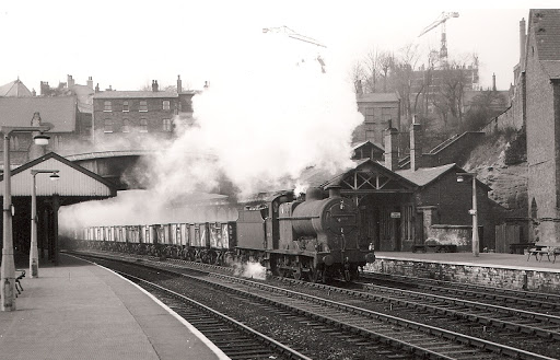
Tiviot Dale station was located on the Cheshire Lines Committee (CLC) operated Stockport, Timperley and Altrincham Junction Railway line from Portwood to Skelton Junction, a section of what became the Woodley to Glazebrook line. It was situated at the bottom of Lancashire Hill, next to the present motorway bridge. It was opened on 1 December 1865 and was originally known as Stockport Teviot Dale. From 1880, Tiviot Dale was also served by long-distance trains running on the Manchester South District Railway to London St Pancras.
Tiviot Dale remained a part of the CLC, which was jointly owned from 1923 by the London and North Eastern Railway and the London Midland and Scottish Railway, until 1948 when it became part of the British Railways London Midland Region.
The lines through the station remained in heavy use by coal trains heading for Fiddlers Ferry power station near Warrington from the Woodhead Line. These, however, ceased in 1980 when damage was caused to the nearby Tiviot Dale tunnel during construction work on the M63 motorway – now M60 motorway and the line temporarily closed for safety reasons. The closure was made permanent west of Bredbury’s stone terminal in 1982, following the demise of the Woodhead route; the track was subsequently lifted in 1986 and the tunnel partially filled in. The area surrounding the station was further altered at the beginning of the 21st century to allow the construction of a supermarket and office buildings, which now block the old trackbed.
Portwood Railway Station was on the Stockport and Woodley Junction Railway – later becoming part of Cheshire Lines Committee – Glazebrook to Woodley line. According to Bolger it opened to passengers on 12 January 1863, along with the rest of the Stockport and Woodley Junction Railway, although Butt suggests it opened on 1 December 1865 when the Stockport, Timperley and Altrincham Junction Railway opened.
The station opened for goods traffic in 1865, closing to passengers on 1 September 1875, when it became a goods station. It remained in use until 25 April 1966 when it closed except for coal traffic which continued until 27 March 1972 when it closed entirely except for a private siding.
Today no trace of the station remains, the site being buried under a slip road of the M60 motorway.
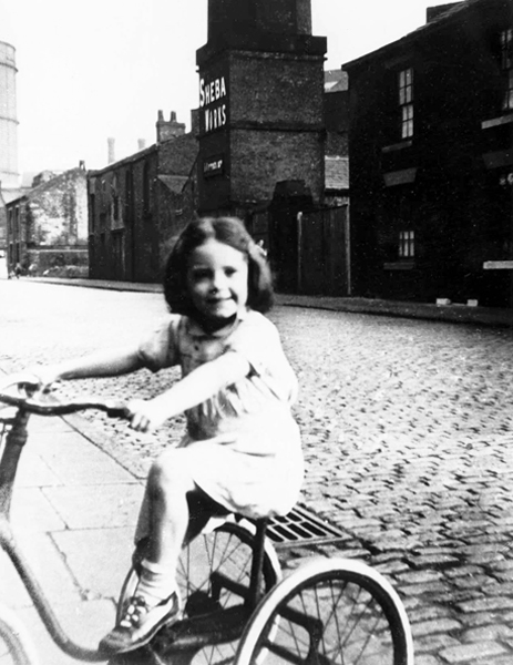
Monica Clarke on her tricycle in Marsland Street, behind her across the cobbled street is the Sheba Works – 1951.
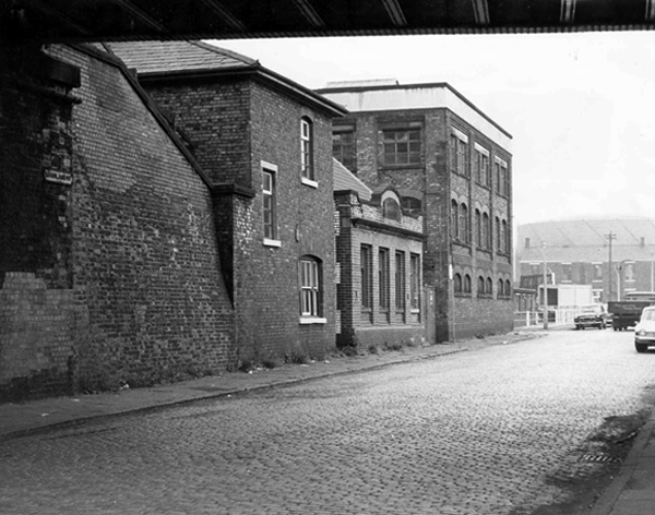
Marsland Street east, showing the Haymarket Chambers – 1967
The front of Haymarket Chambers Marsland Street.
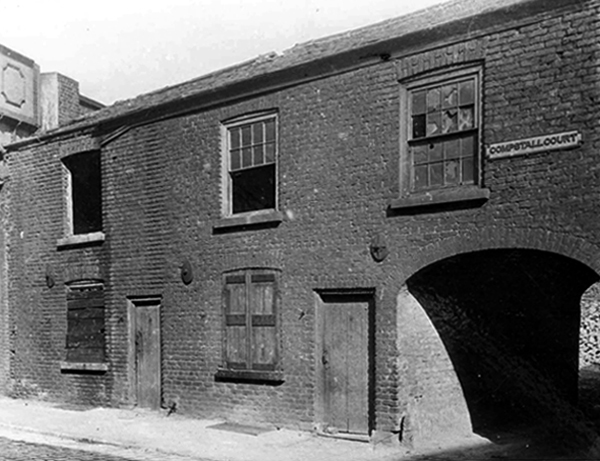
Boarded up dwellings on Compstall Court, off Marsland Street.
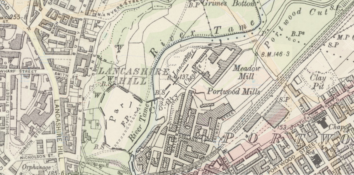
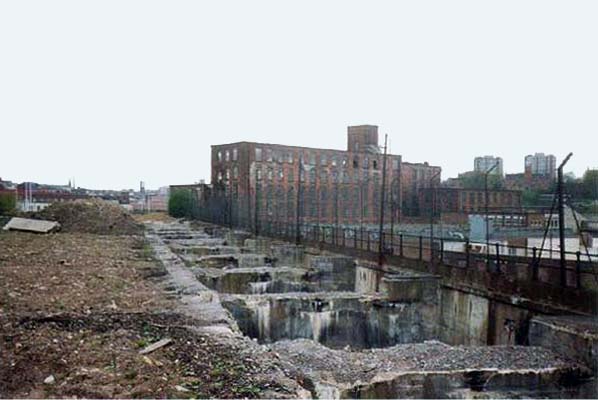
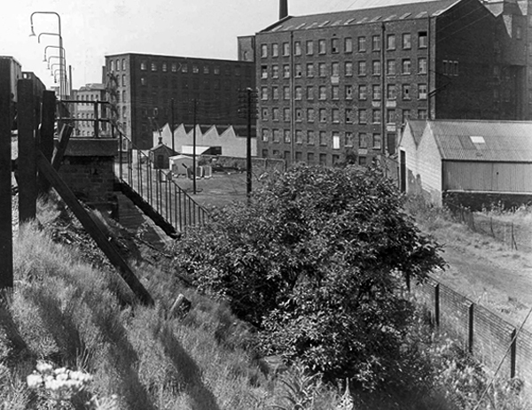
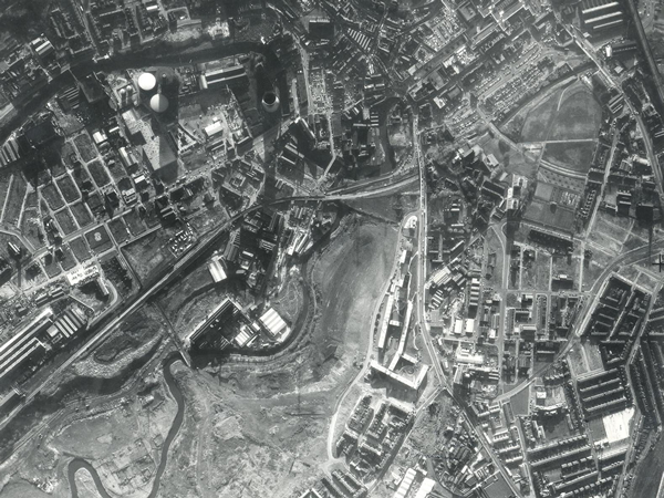
Portwood Cut 1968
James Harrison bought the manor of Brinnington in the early 1780’s – by 1790 Harrison had three factories in Portwood and others were to follow. In 1796, to provide sufficient water-power to this industrial zone he constructed a substancial millrace. Known as the Portwood Cut, it carried water across the Tame, between his Reddish and Brinnington estates. Harrison also planned the construction of factories at Wood Hall but that particular scheme was abandoned after his death in 1806.
Harrison’s Weir still survives on the river. To the south sections of the Portwood Cut also survive within Reddish Vale Country Park, both as a shallow depression and as water-filled, if somewhat silted and overgrown channel.
Kershaws is one of the only original businesses which still trades in the area.
Established back in 1855 by Joshua Kershaw, the company has gone from strength to strength.
Way back then, it was just a tannery. Today, seven generations on, Edward Kershaw heads a company that is known and respected for it’s quality leather in Europe, America and the Far East.
Kershaws also provide white leather for masonics and bagpipes.
Brewery Street – a view of the steps leading to the railway footpath to Tame Street – 1967.
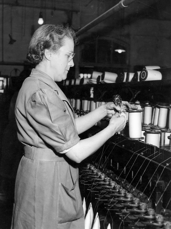
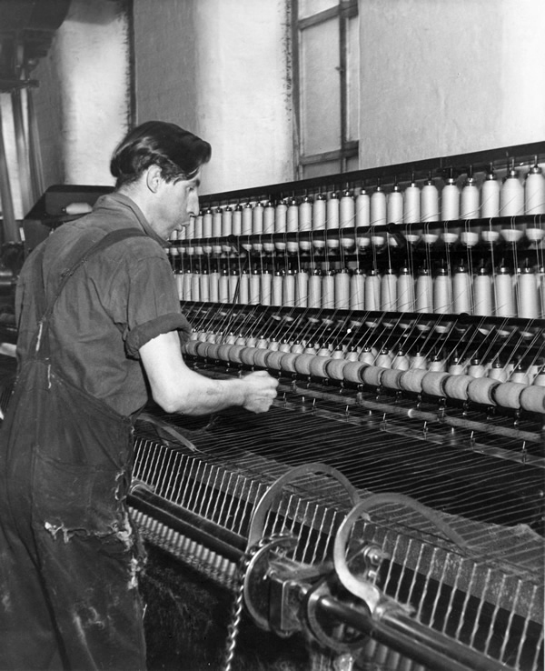
The mill in the foreground is the Portwood Spinning Mill now called Portwood Mill – on the front of the mill it states Sir Richard Arkwright Portwood Mill.
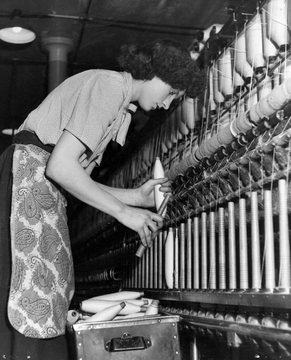
Employees – Portwood Spinning Company
Coal drops and yard at the rear of the Beehive Spinning Mill
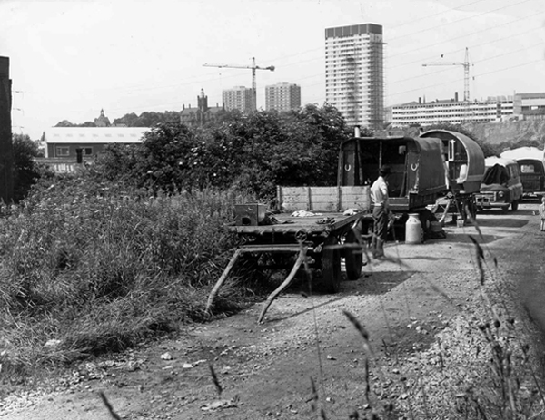
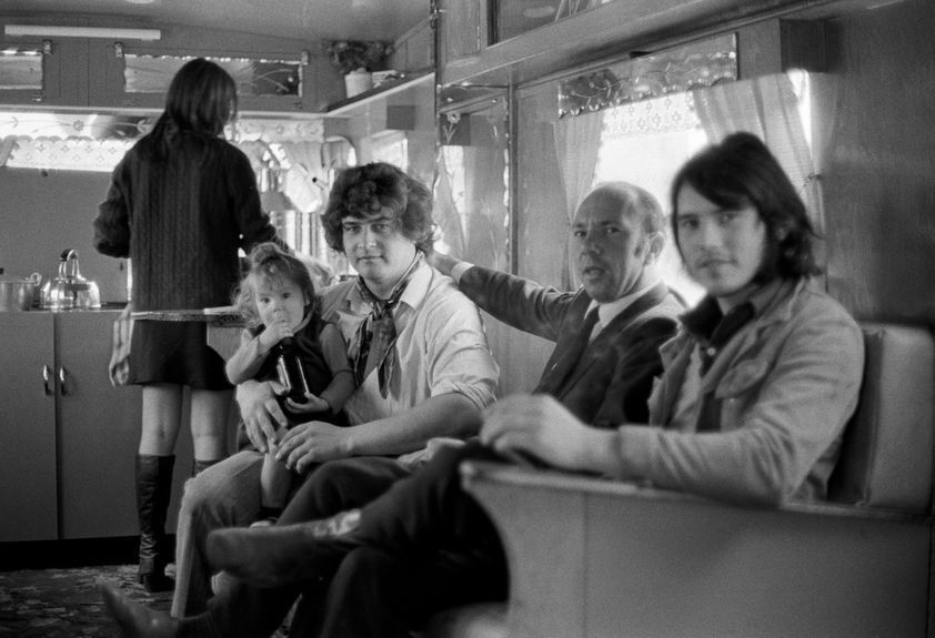
Tame Street gave motorized access to the Cut and here the caravans of travelling folk were parked several times a year, usually until the police ‘moved them on’. The men collected and sold scrap metal, the women sold clothes pegs and told fortunes from door to door. Many of the local people treated them with suspicion and some local pubs would not admit them.
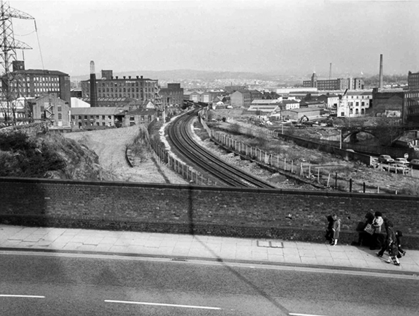
Building work on Lancashire Hill can be seen in the background – 1968
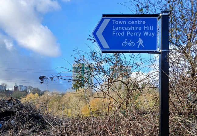
I’ll do anything twice or more – so here we are again, this time on foot.
Let’s start at the very beginning, a very good place to start – in the middle, the section from the town centre to Hazel Grove.
Maps are available here for free – we declined the offer, deciding to follow signs instead, many of which were missing or rotated, the better to misinform and redirect – such is life.
We are mostly lost most of the time, whether we like it or know it or not.
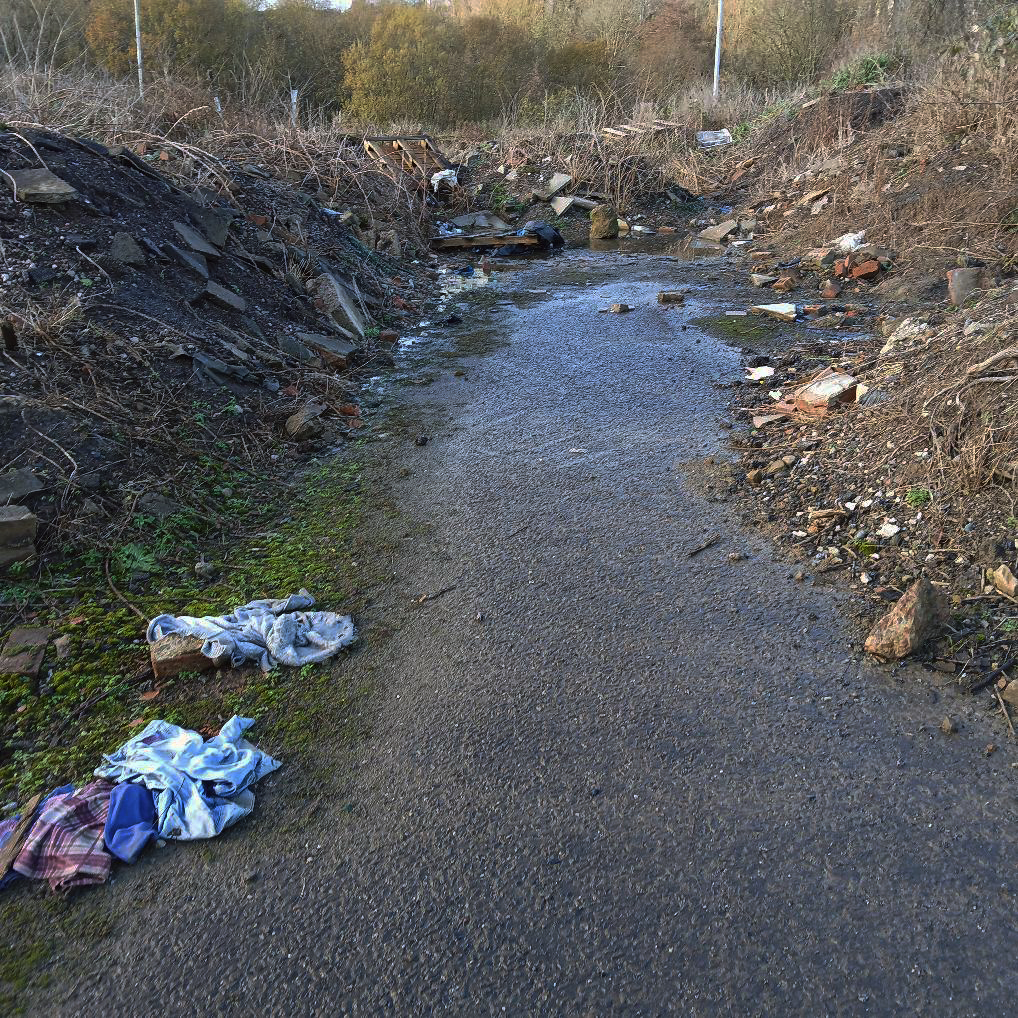
We begin at the confluence of the rivers Mersey and Goyt – which no longer seems to be a Way way, the signs having been removed, and proceed down Howard Street, which seems to have become a tip.
The first and last refuge for refuse.
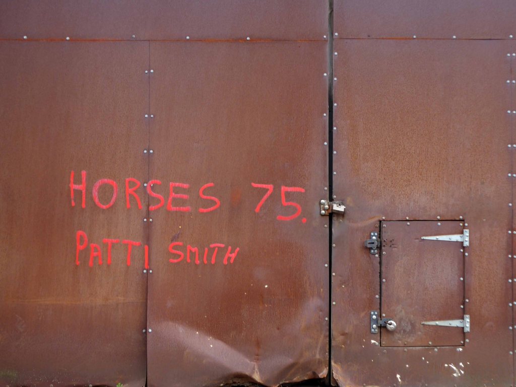
Passing by the kingdom of rust – Patti Smith style.
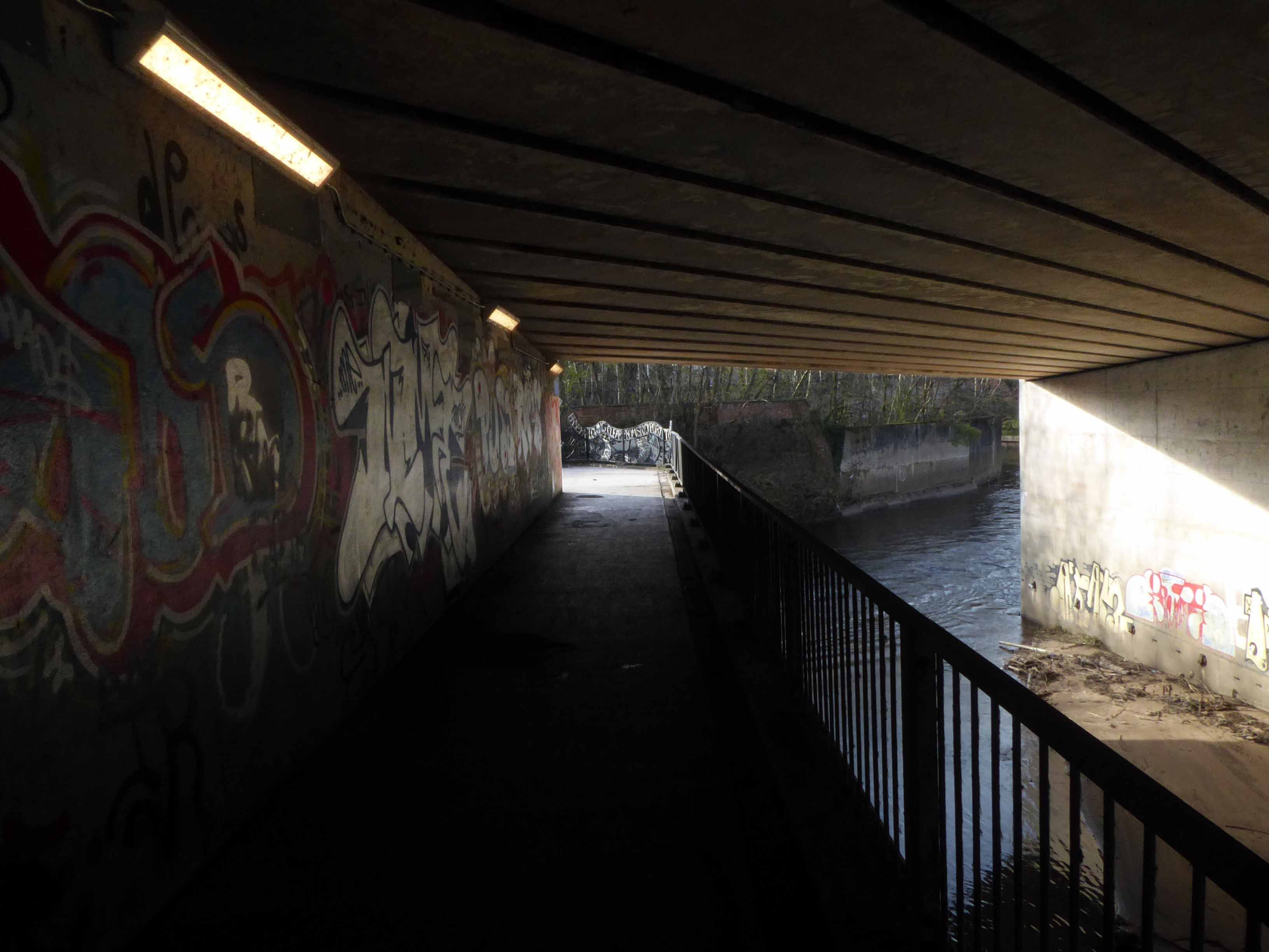
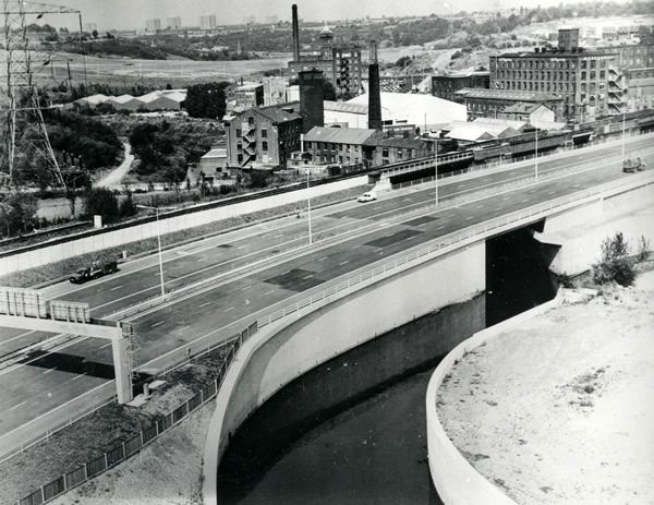
Passing under the town’s complex internal motorway system by underpass.
Almost opposite the entrance to the museum, now set in shrubbery, are the foundations, laid in September 1860, of what was to be a forty metre high Observatory Tower. Despite a series of attempts, funds for the tower could not be raised and the ‘Amalgamated Friendly Societies of Stockport’ eventually had to abandon the idea.
Historic England
Out east and passing alongside the running track.
Lush meadows now occupy the former football field, twixt inter-war semis and the woodland beyond.
Out into the savage streets of Offerton where we find a Buick Skylark, incongruously ensconced in a front garden.
The only too human imperative to laugh in the face of naturalism.
We have crossed over Marple Road and are deep in the suburban jungle of mutually exclusive modified bungalows.
Off now into the wide open spaces of the Offerton Estate – the right to buy refuge of the socially mobile, former social housing owning public.
People living on Offerton Estate have been filmed for a programme entitled ‘Mean Streets’ which aims to highlight anti-social behaviour in local communities.
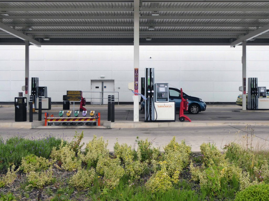
The next thing we know we’re in a field, a mixed up melange of the urban, suburban and rural, on the fringes of a Sainsbury’s supermarket filling station.
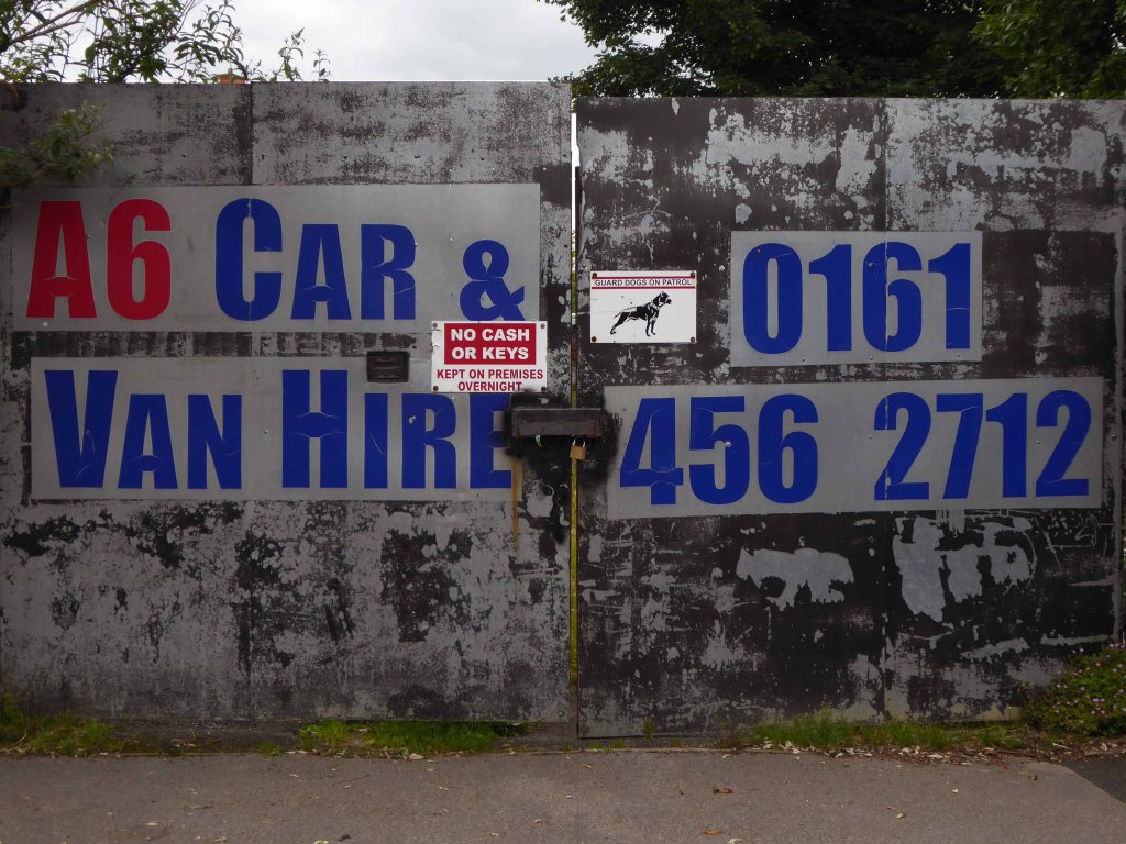
We cross the A6 in Hazel Grove and here for today our journey ends
Ignoring the sign we went in the opposite direction.
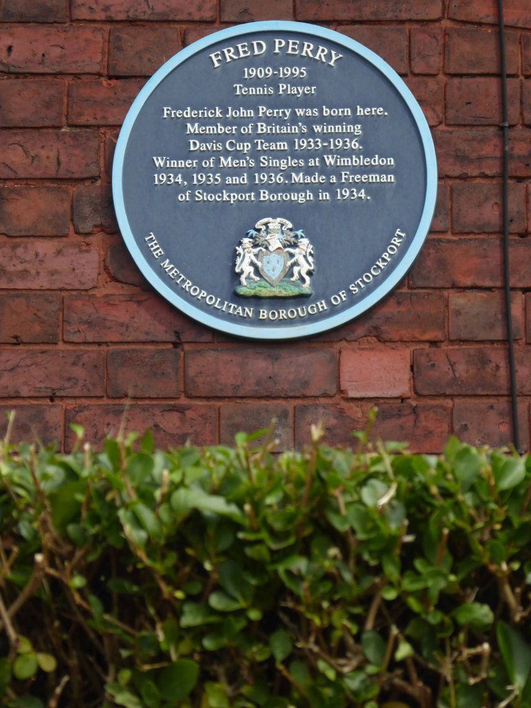
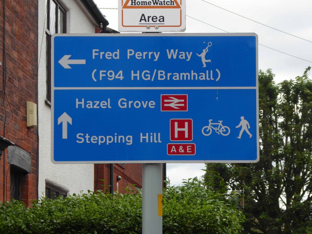
As we reach the edge of Mirrlees Fields – the site of the only Fred Perry laurel leaf logo emblazoned way marker.
The Fields are currently designated as a green space and are not available for residential development. But MAN would like to overturn this designation for over one third of the Fields.
MAN Energy Solutions UK is the original equipment manufacturer of Mirrlees Blackstone diesel engines.
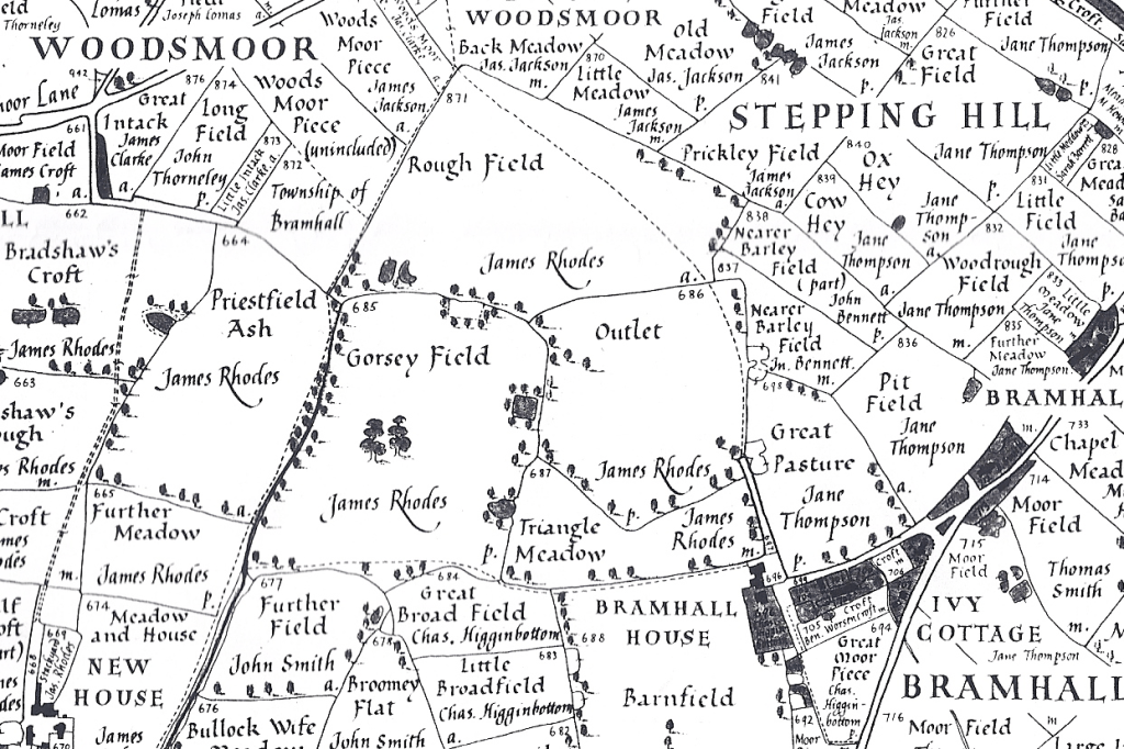
Before the Blackstone MAN came in 1842 – the fields were all fields.
The area was formerly a dense web of housing and industry.
With the gas works at its heart .
High speed gas once the fuel of the future is almost a thing of the past. Coal Gas produced in coke retorts long gone, North Sea Gas hissed off.
Low carbon heating will replace domestic boilers from 2025, the need for gas storage holders is minimal.
Goodnight Mr Therm.
There are currently 53 listed holders on the Historic England site.
Some have been repurposed – WilkinsonEyre has completed work on Gasholders London; a development of 145 apartments within a triplet of listed gasholder guide frames.
Little now remains of the Portwood Gas Works.
These are the rearranged remnants re-sited by Dunelm Mill – it’s curtains for our industrial heritage.
Your business is unique, so we don’t offer a one-size-fits-all.
Instead, we layer six Protective Services for your complete security.
Unlock six Protective Services
One of the UK’s largest retail parks, Stockport Retail Park benefits from a strategic location on the M60 Manchester orbital motorway making it one of the city’s most accessible parks. The park forms a natural extension to the town centre, offering a wide range of uses from value convenience to fashion and home as well as a number of cafés and restaurants.
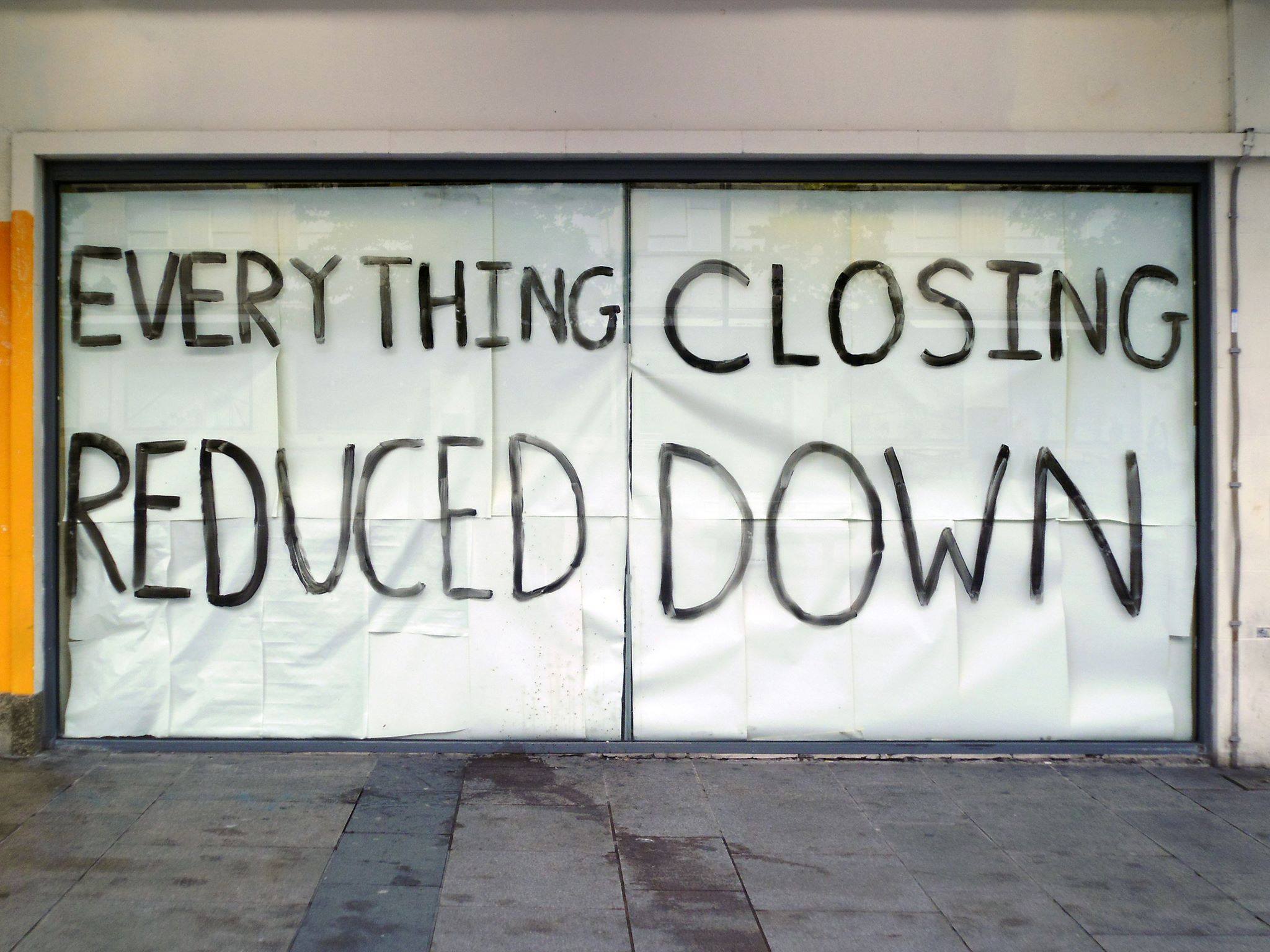
This is the post industrial landscape of consumption and its infrastructure that faces the defunct and mothballed site, whatever next?
I have no wish to take issue, with the finer thoughts and feelings of Deborah A. Ten Brink.
However.
There is a sense that our earthly endeavours, may serve to assist us in avoiding the void, the cold dark inevitability of eternity, that everyday here today, gone tomorrow feeling.
However.
Nothing lasts forever, except forever and nothing.
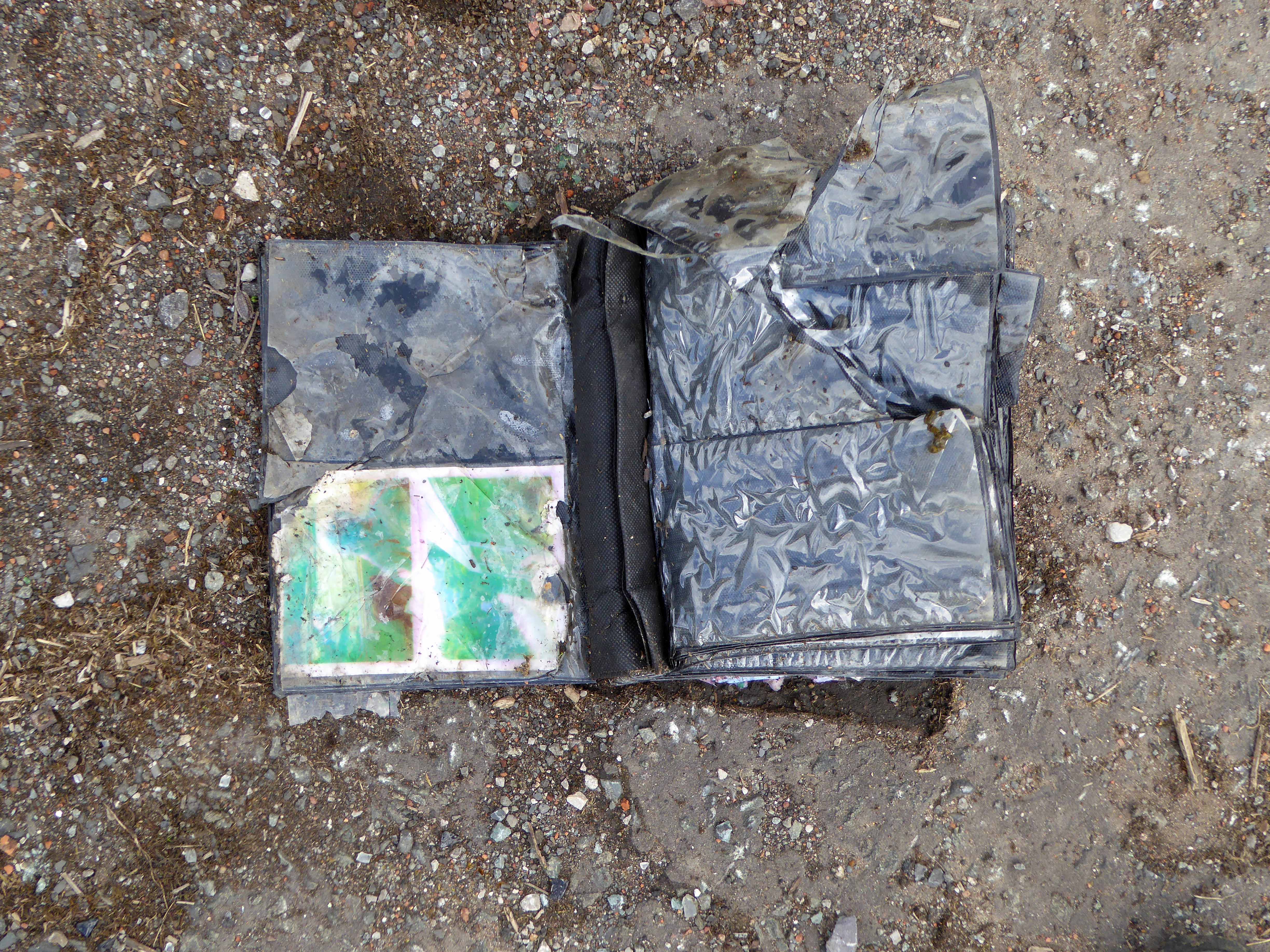
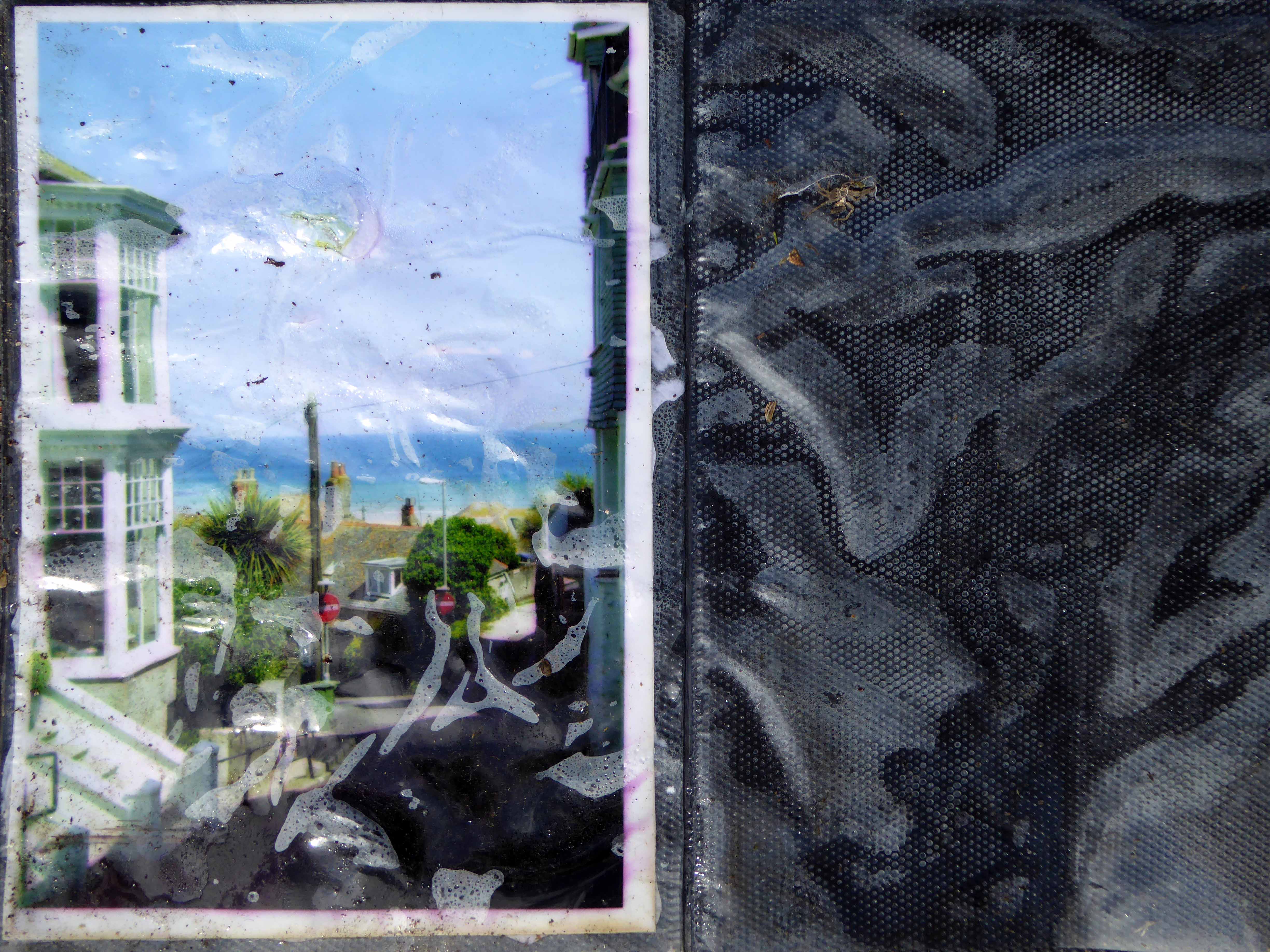
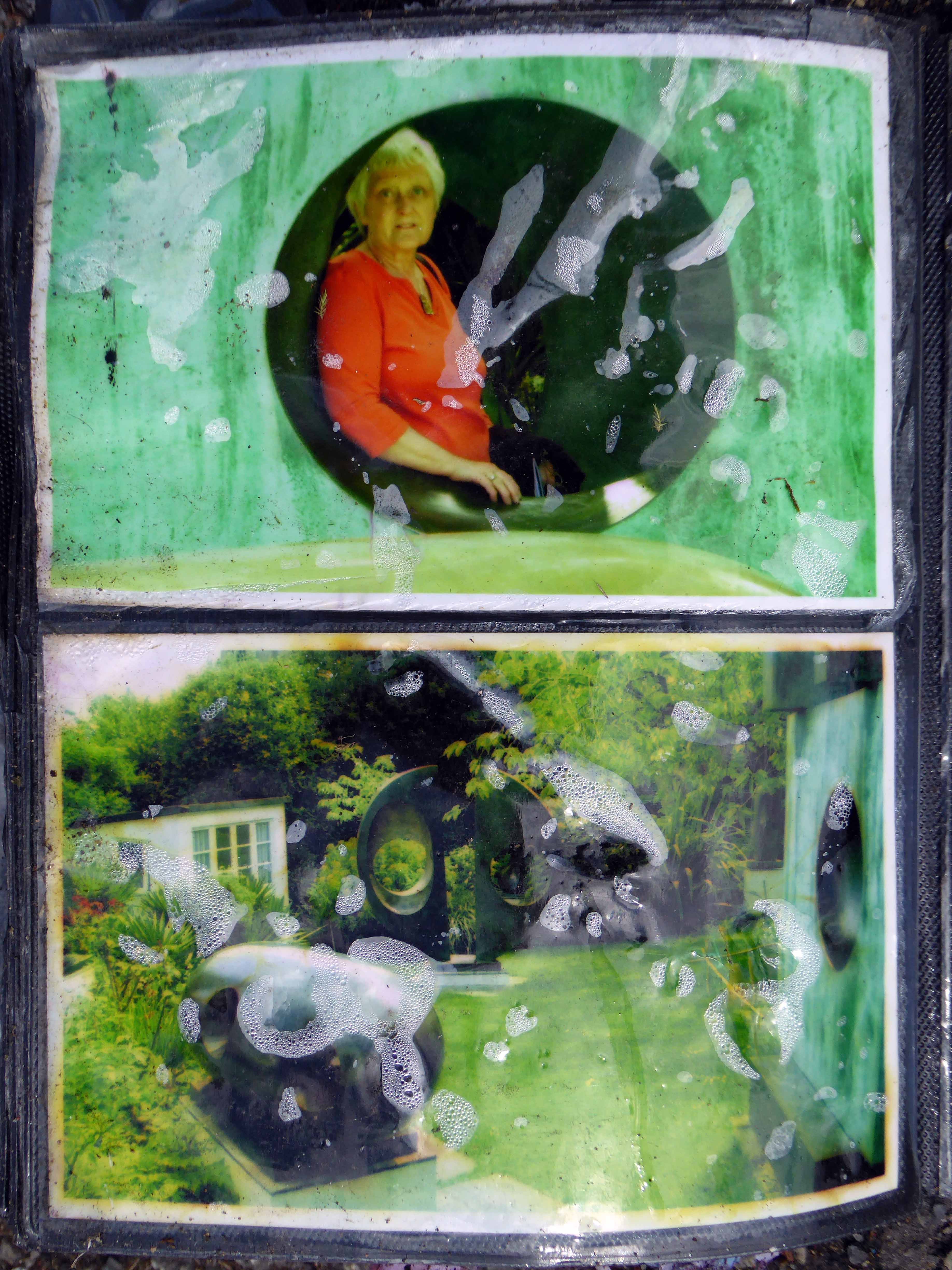
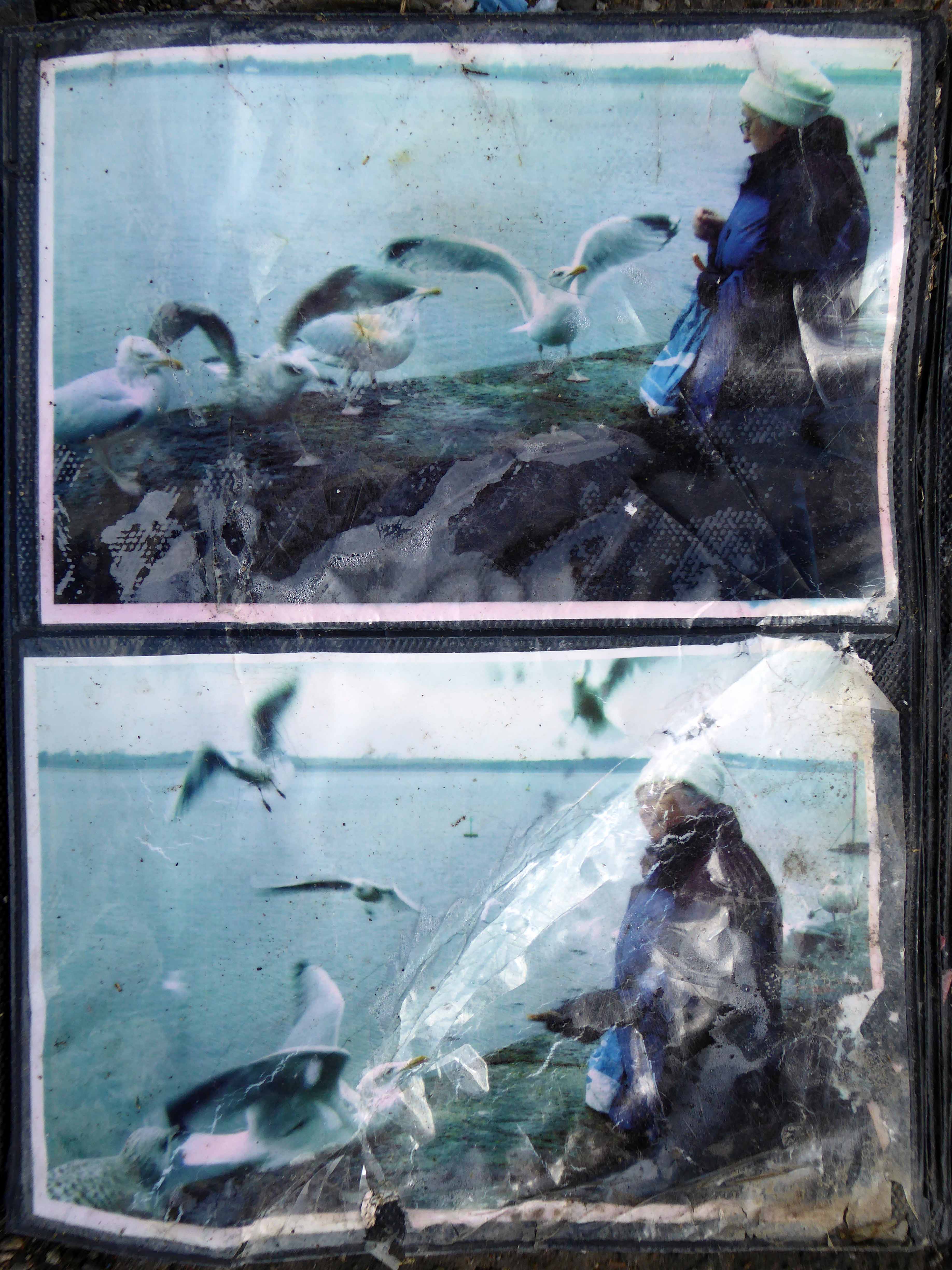
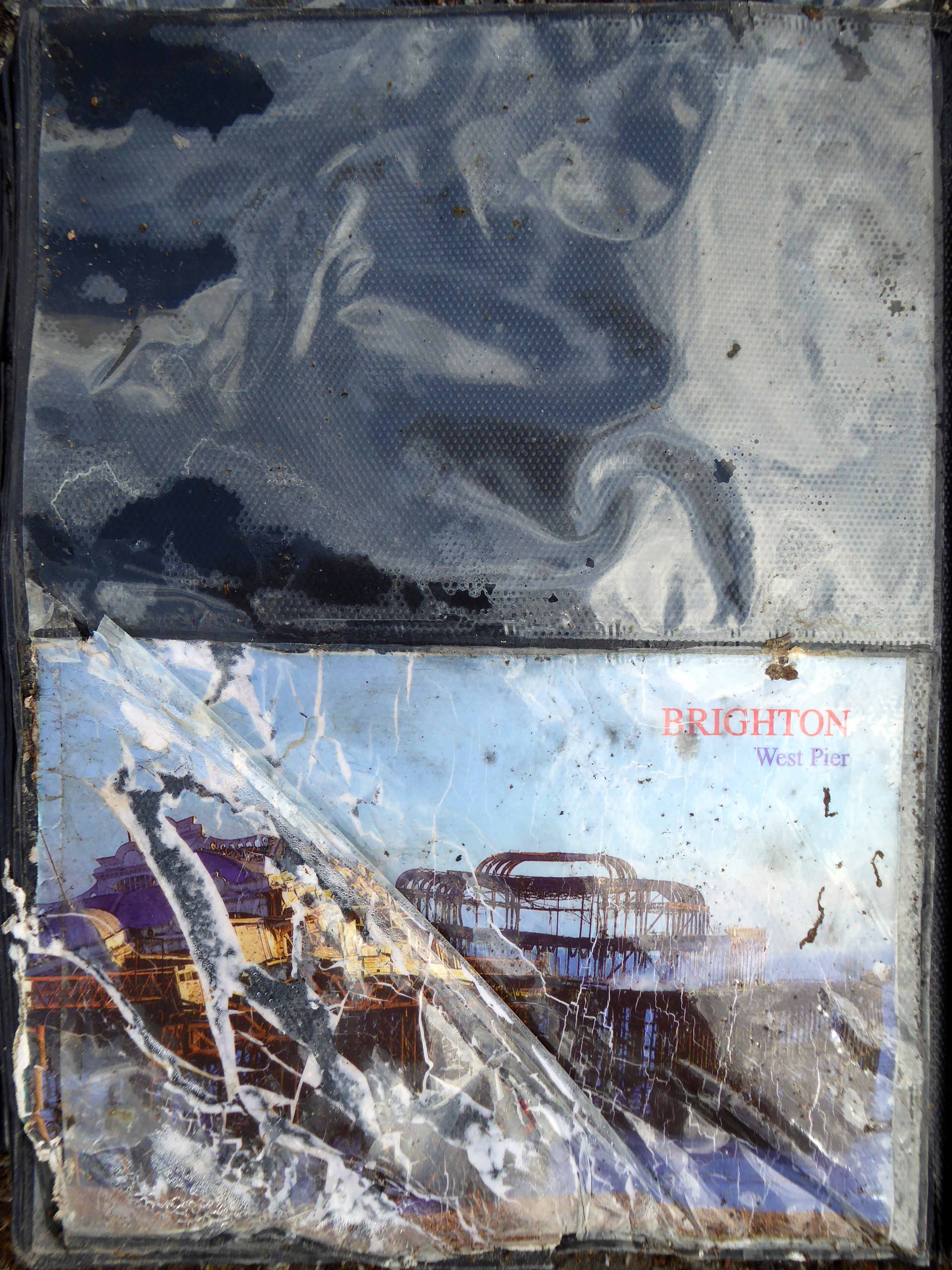
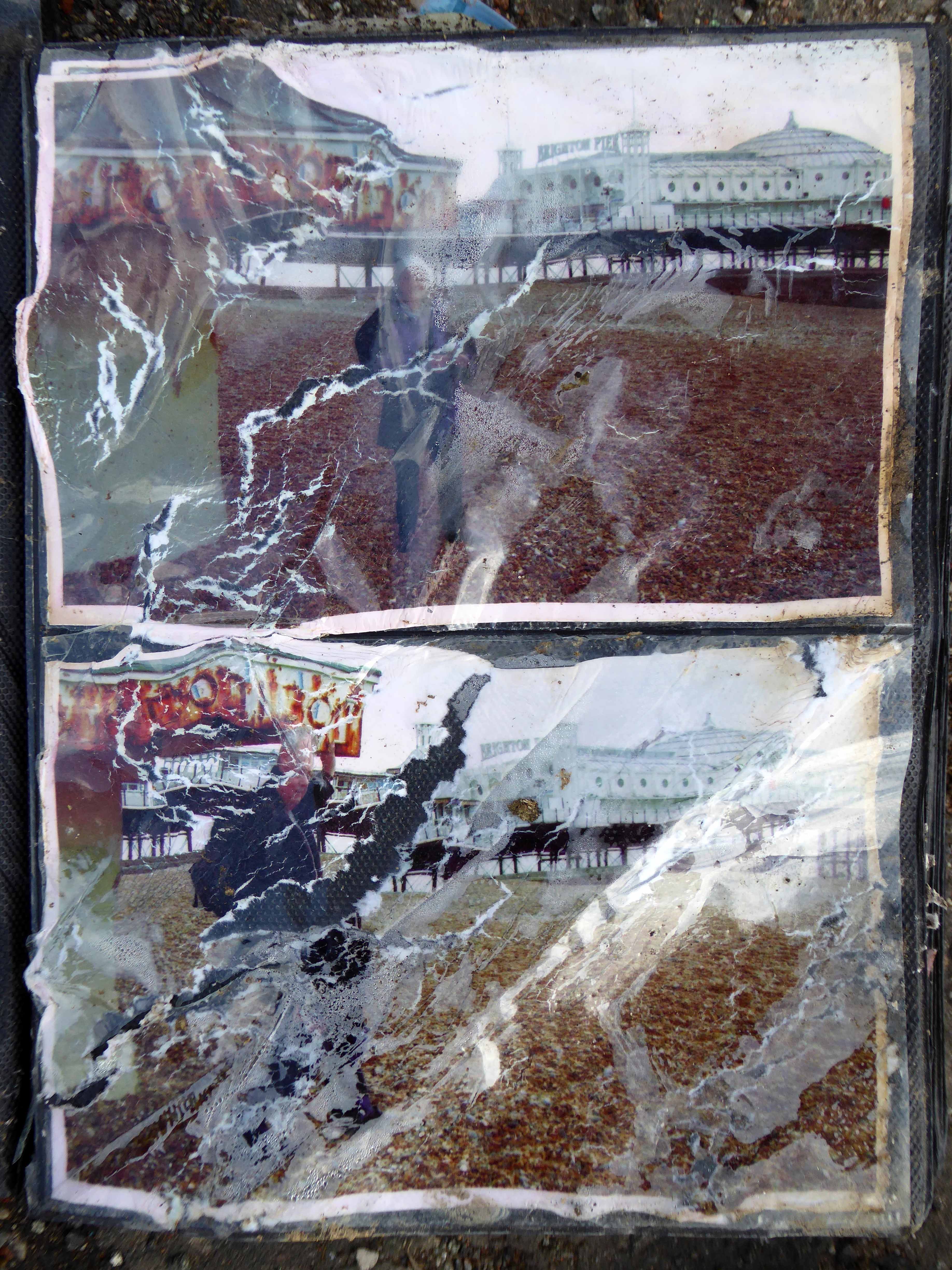
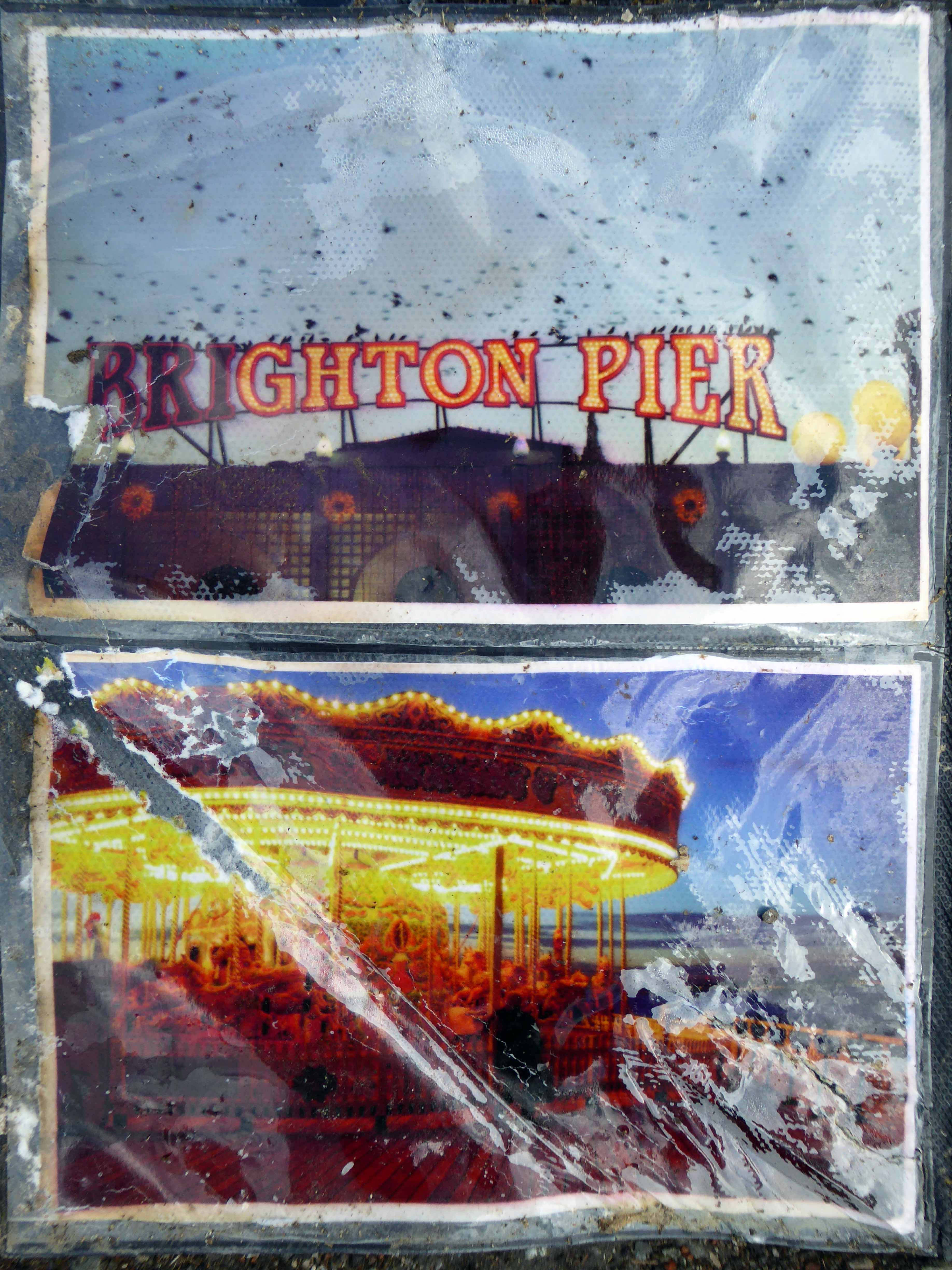
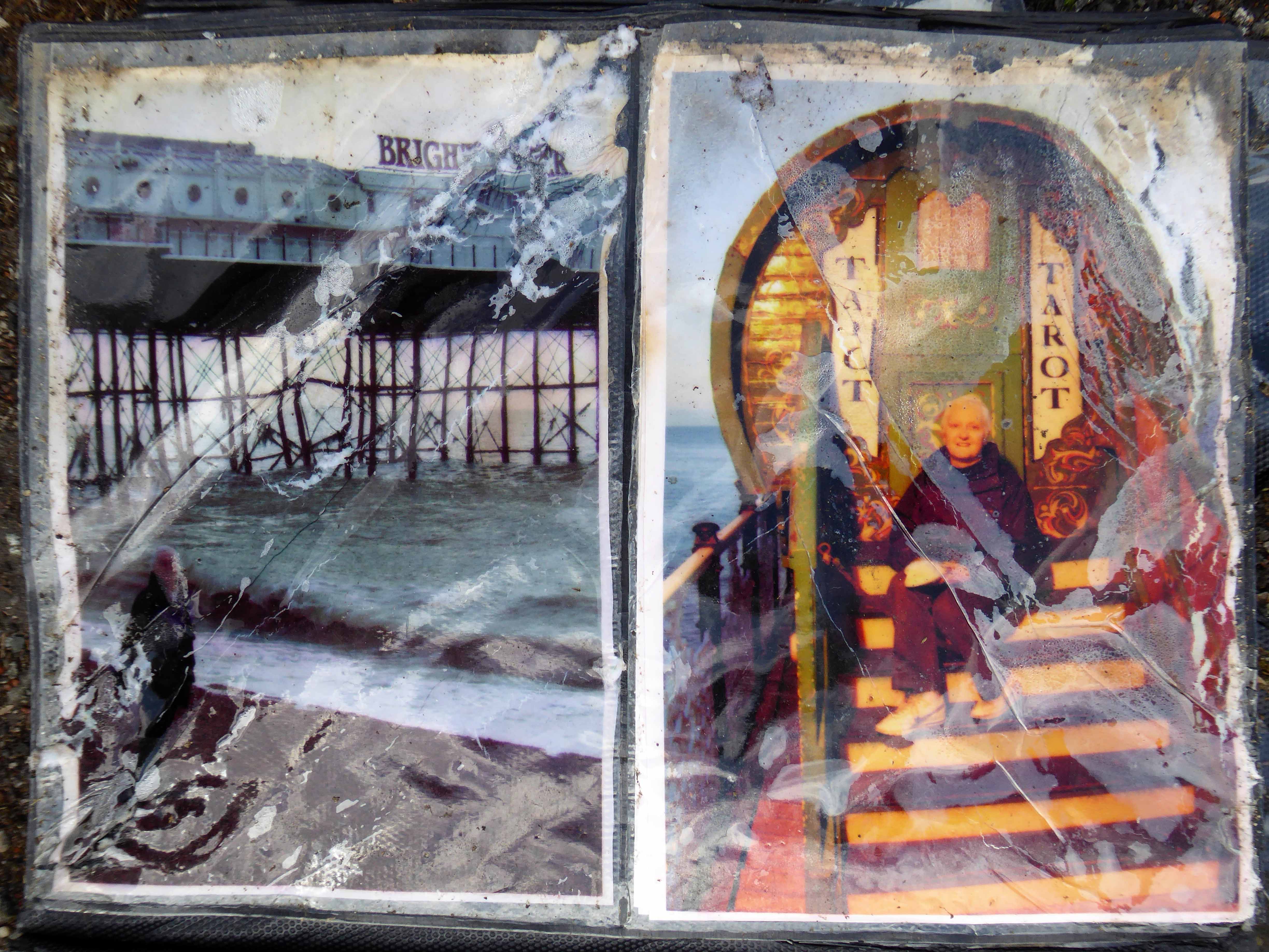
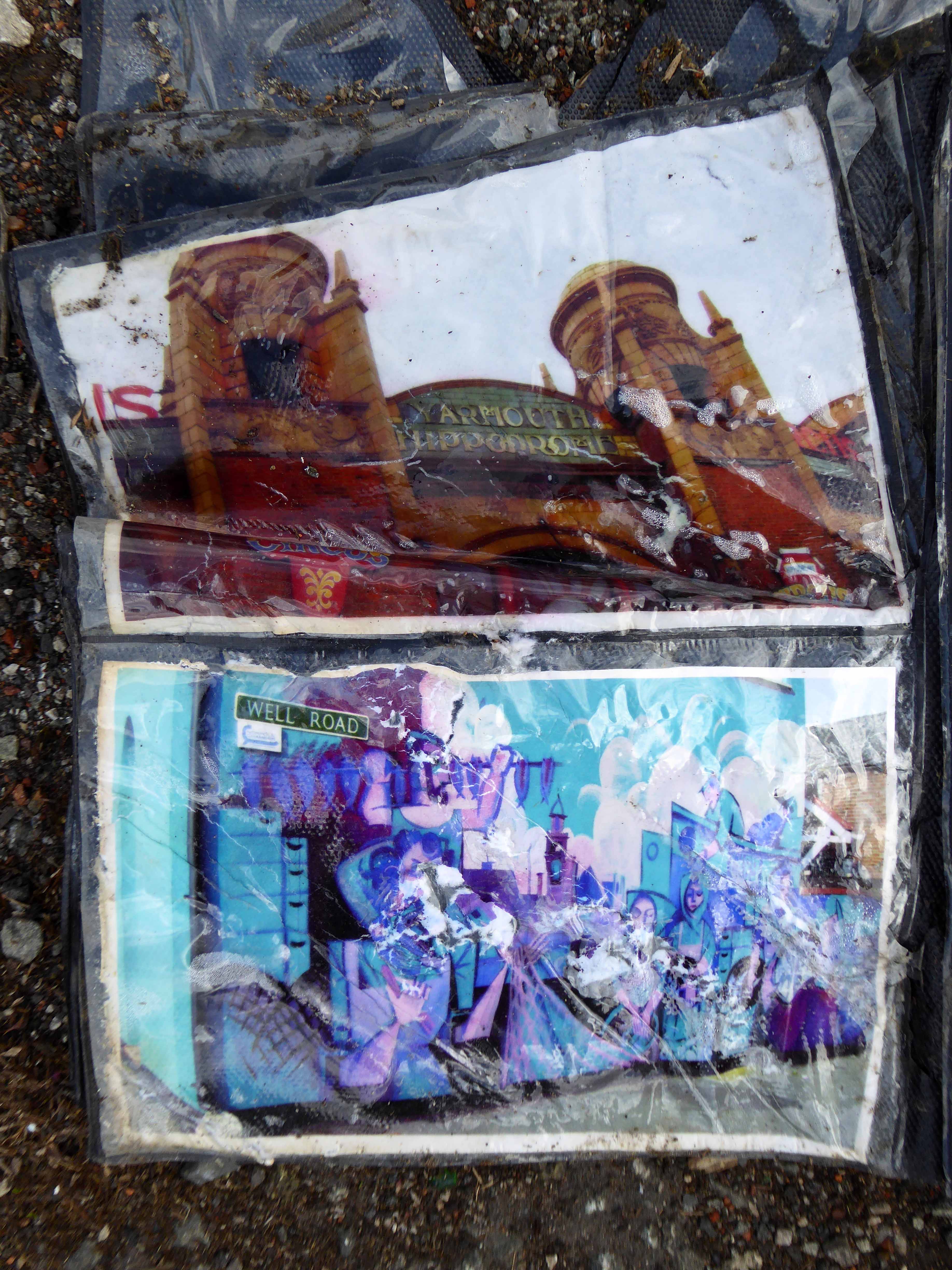
The cherished memories, condensed in a fraction of a second, rendered corporeal in photographic emulsion, carefully stored in family albums.
Are but a trick of light, a slight of hand, heart and mind.