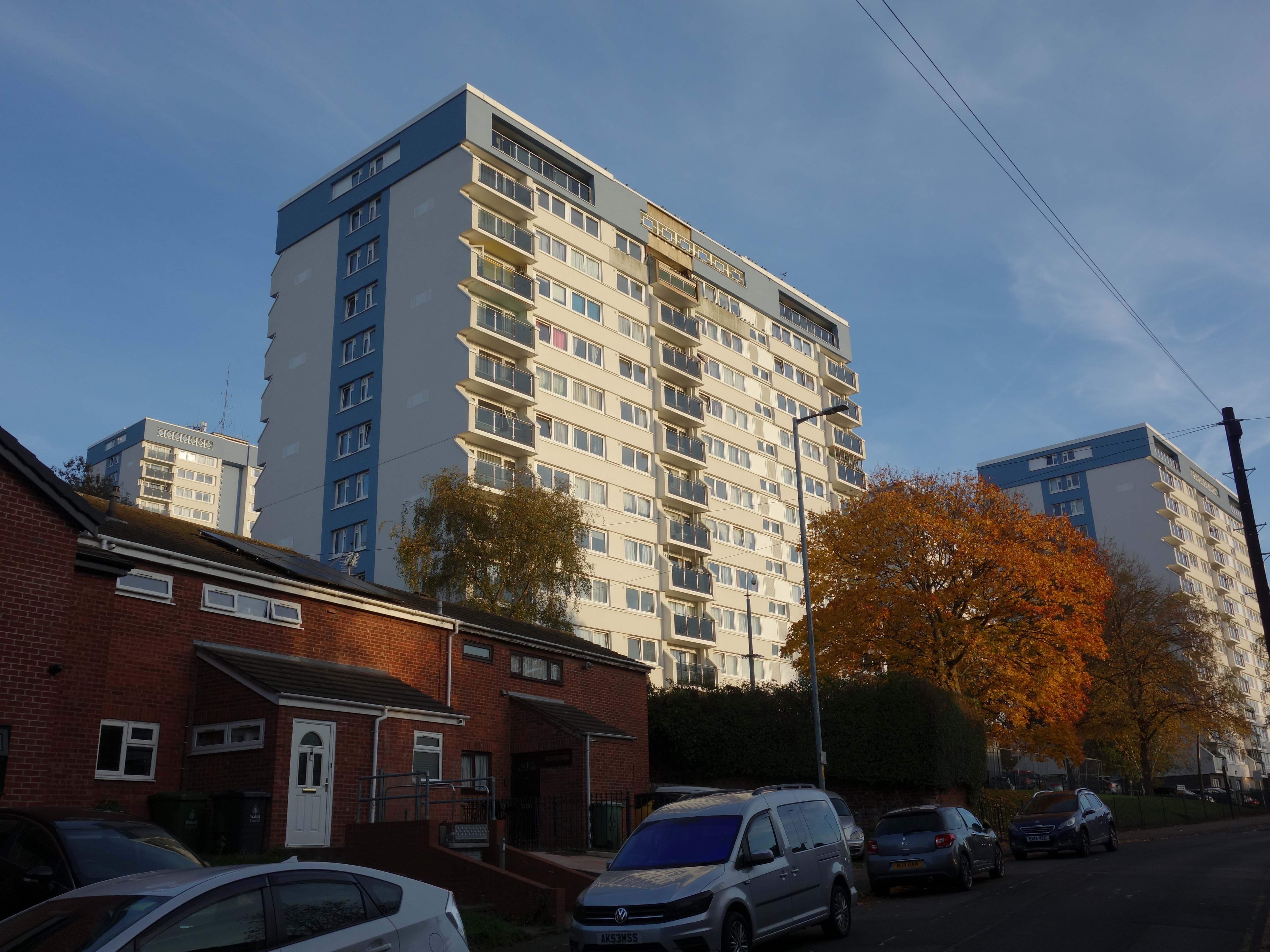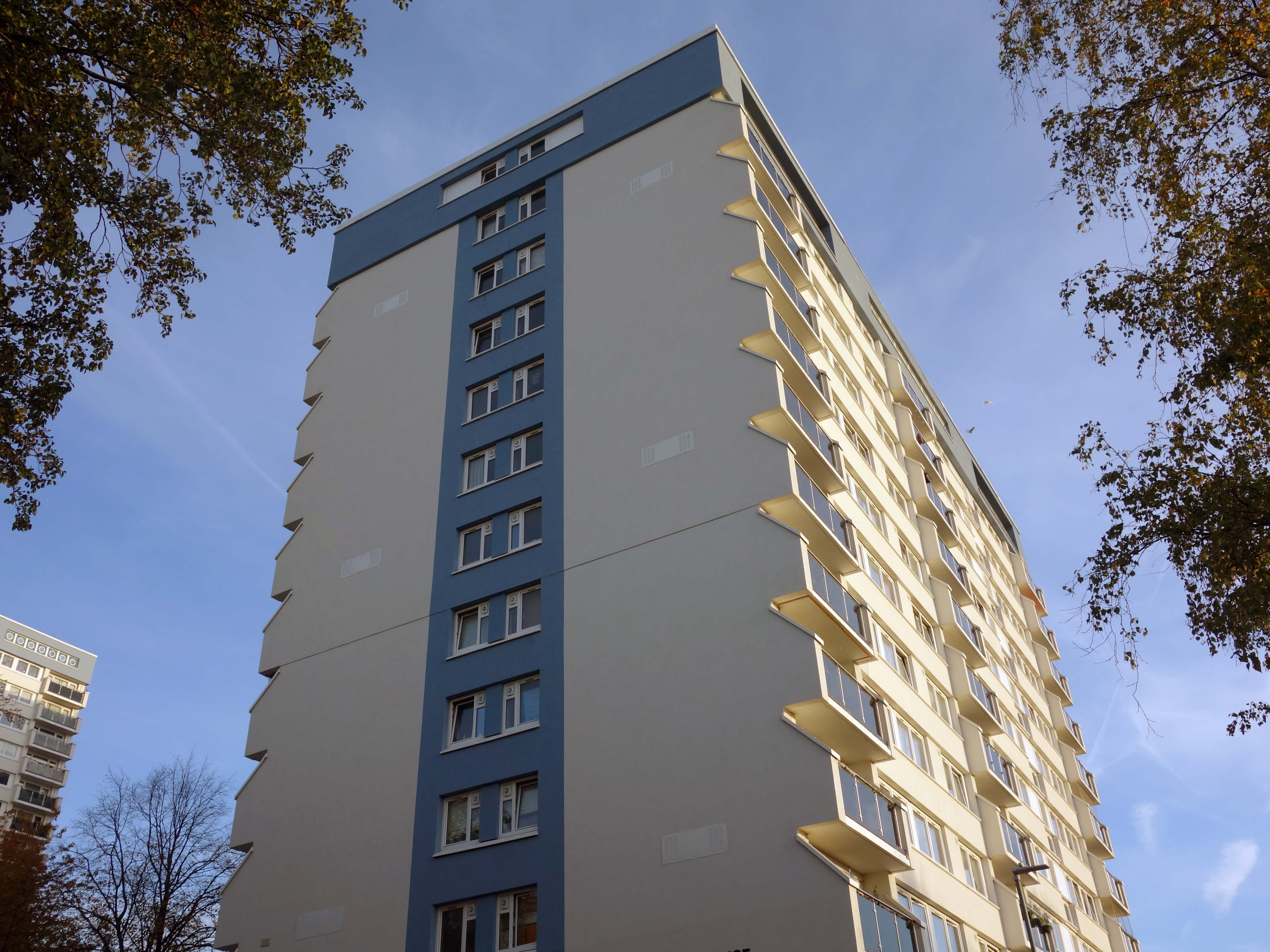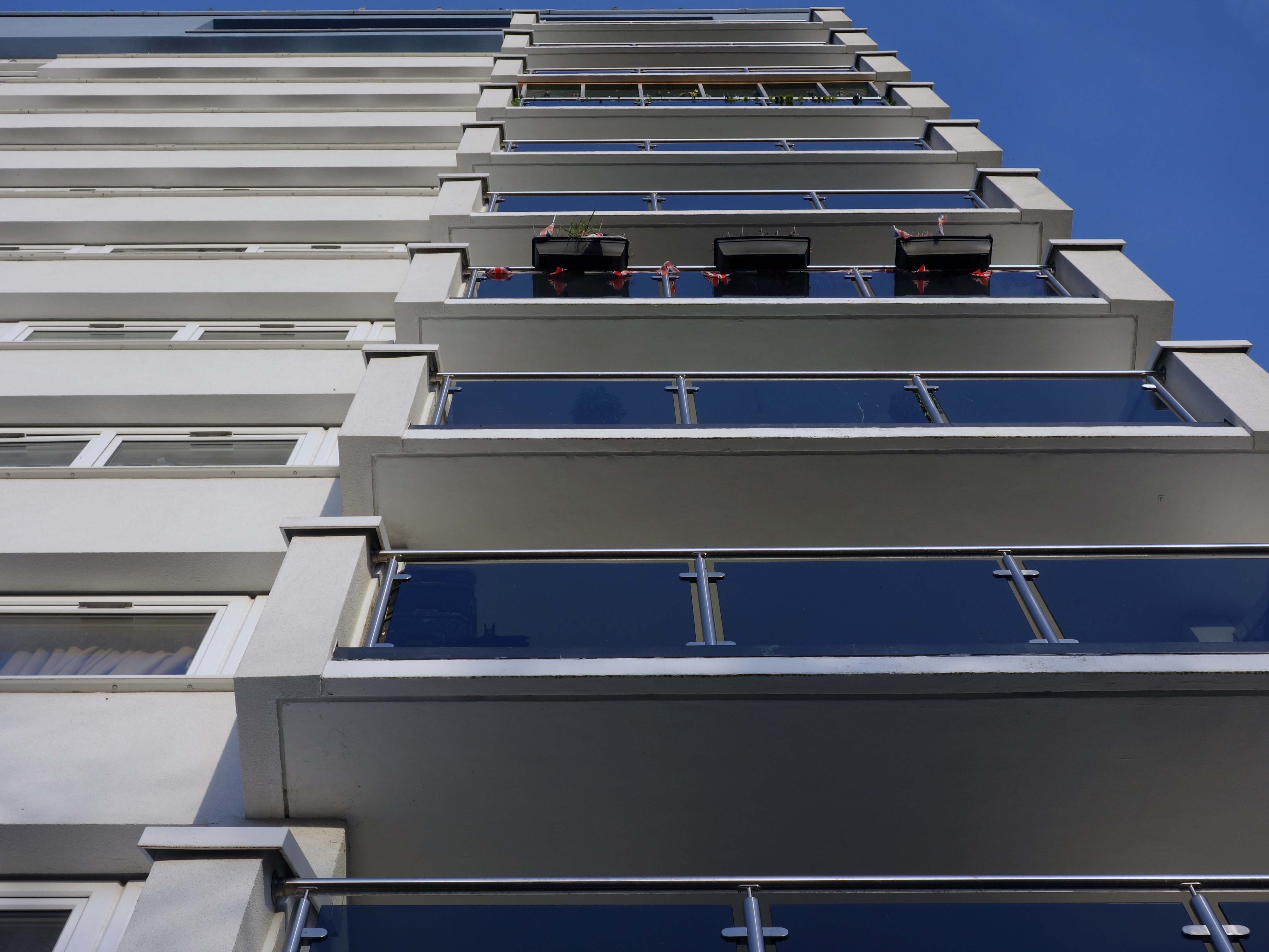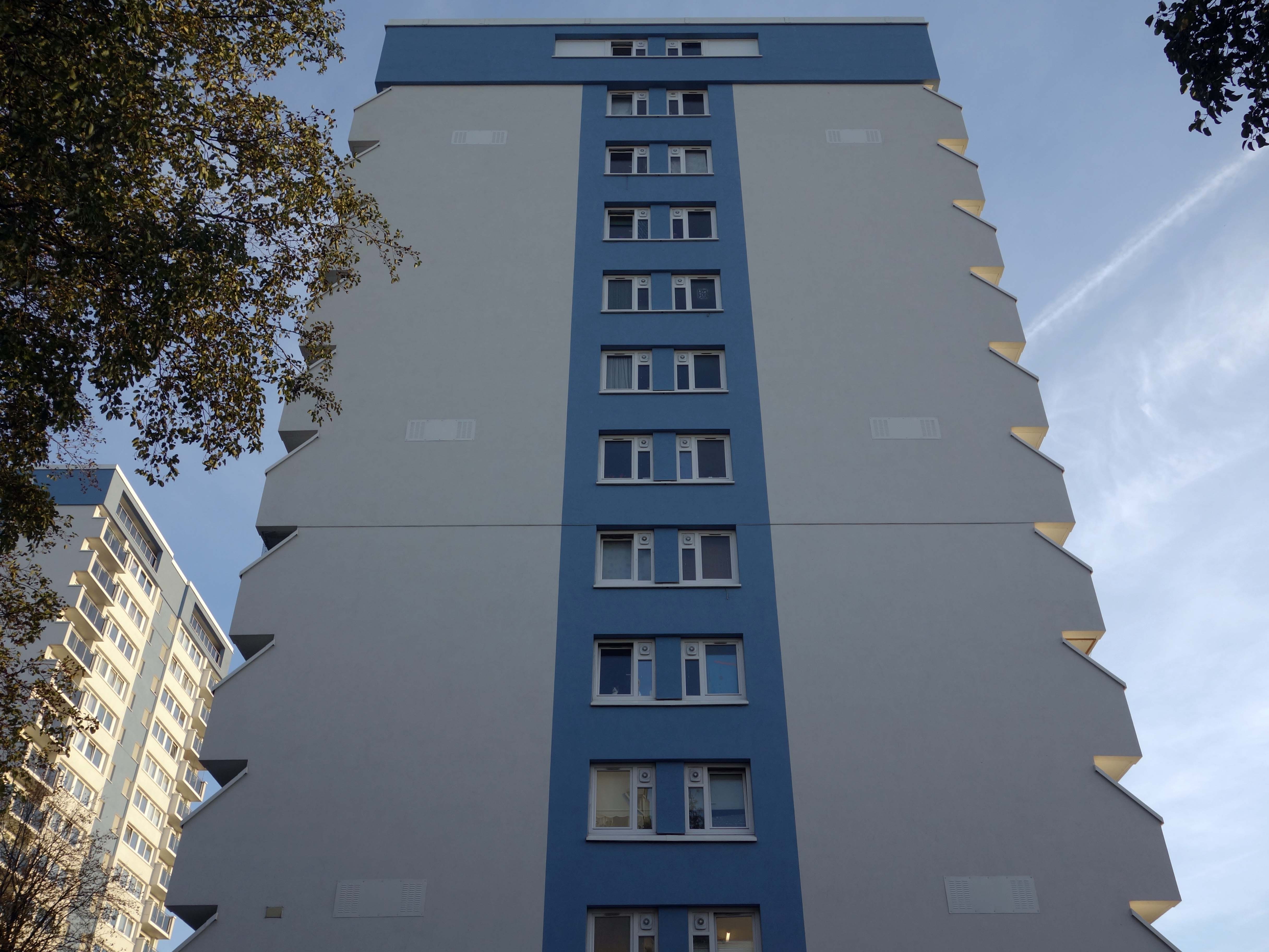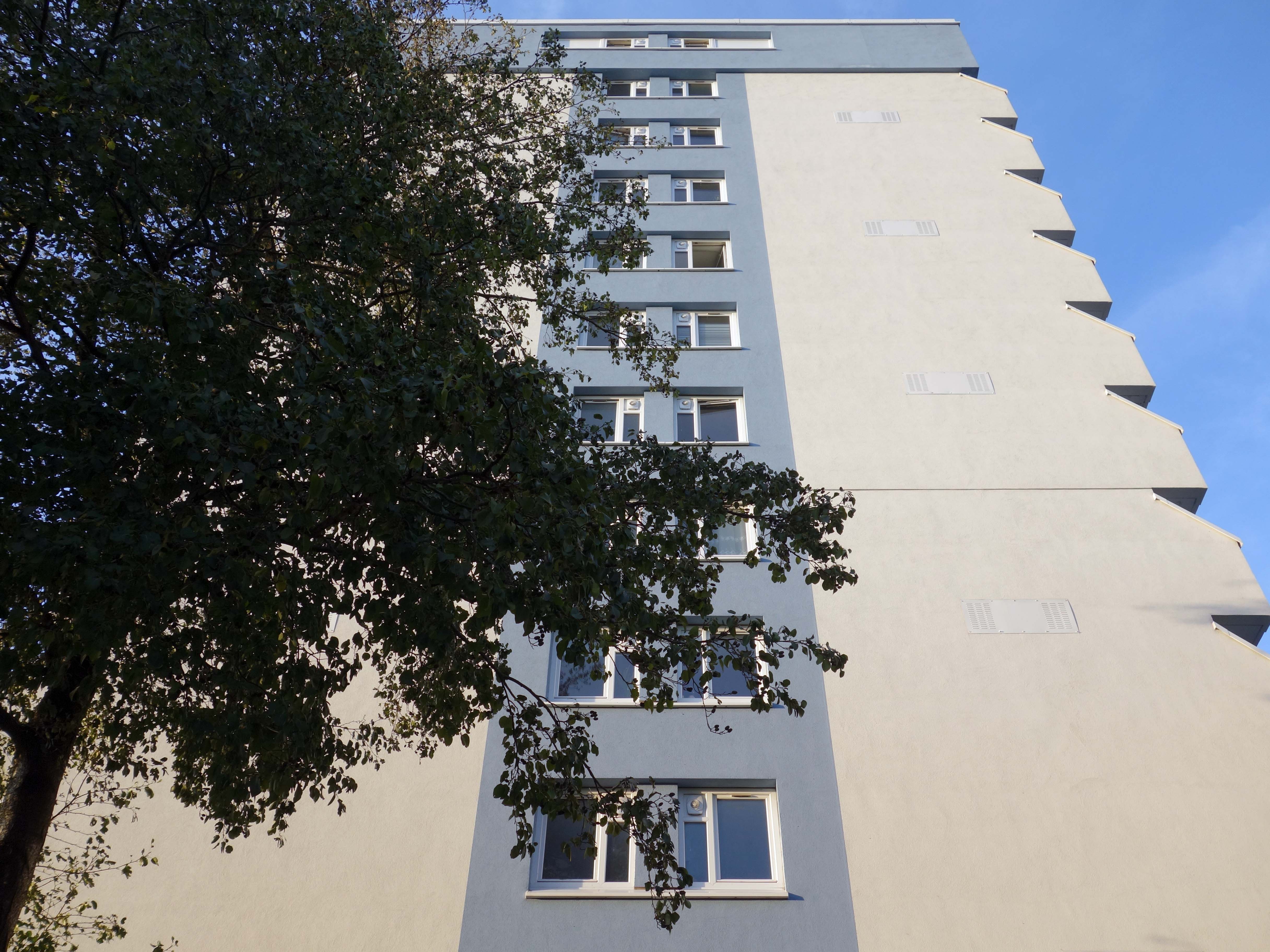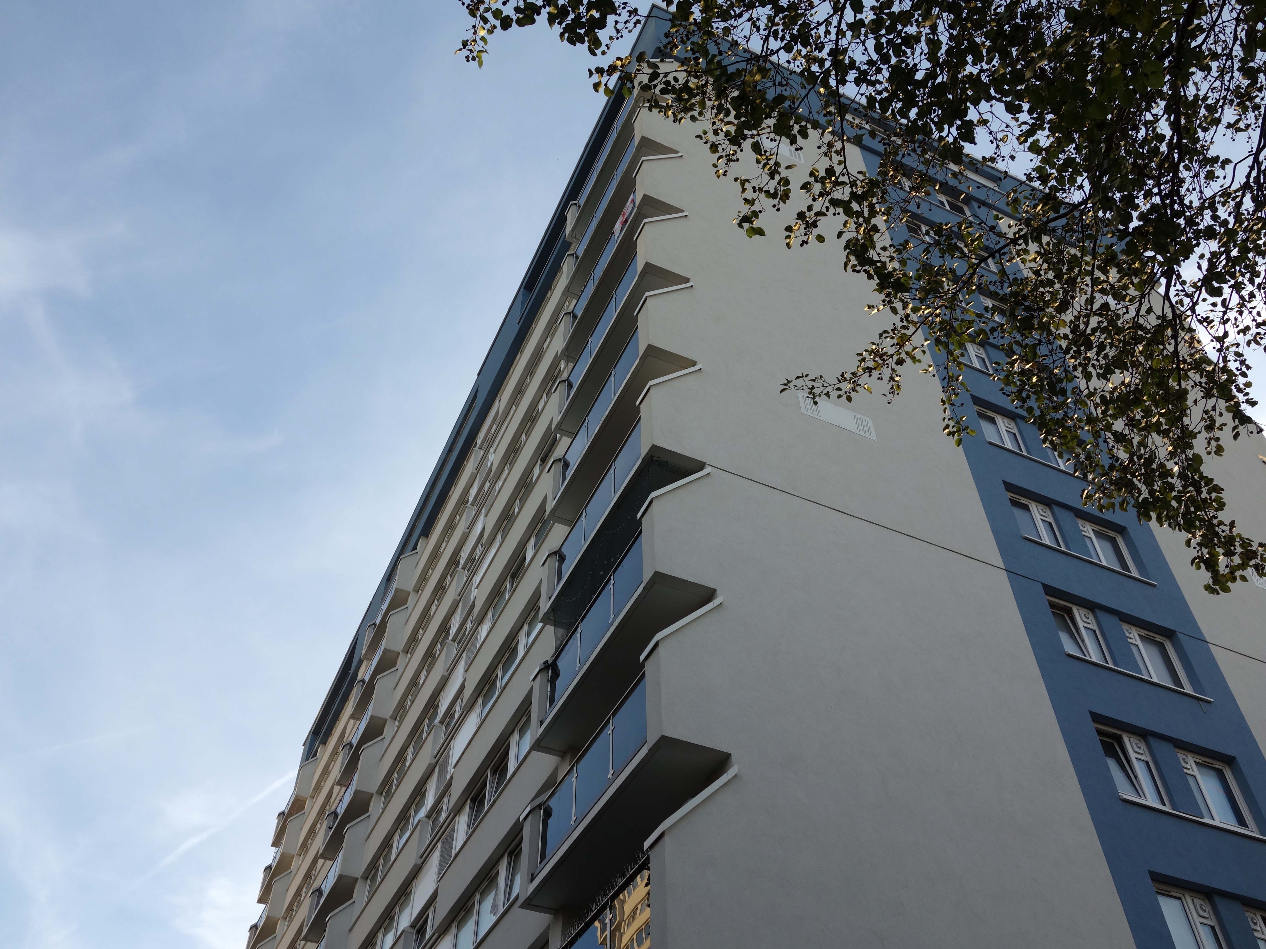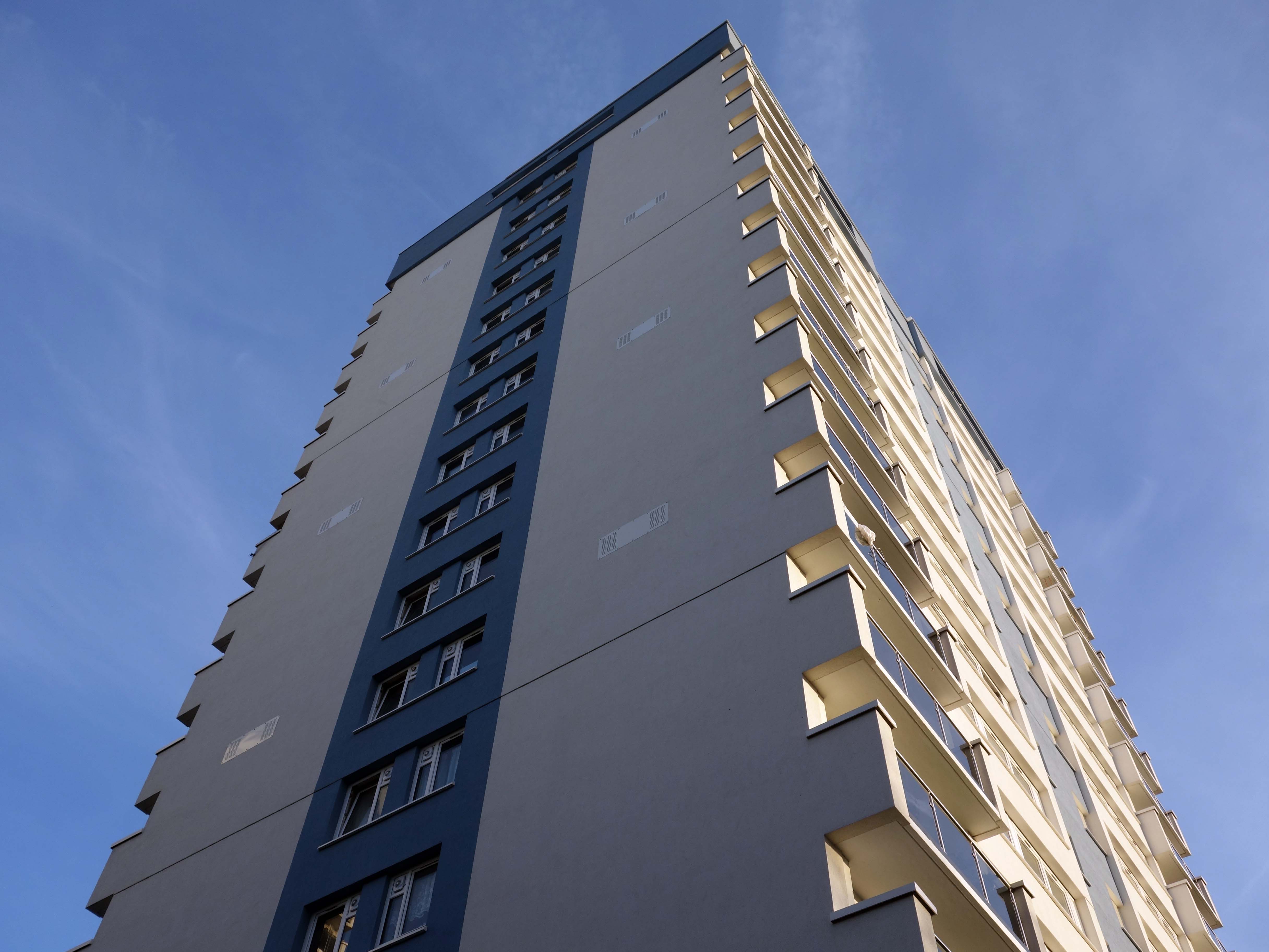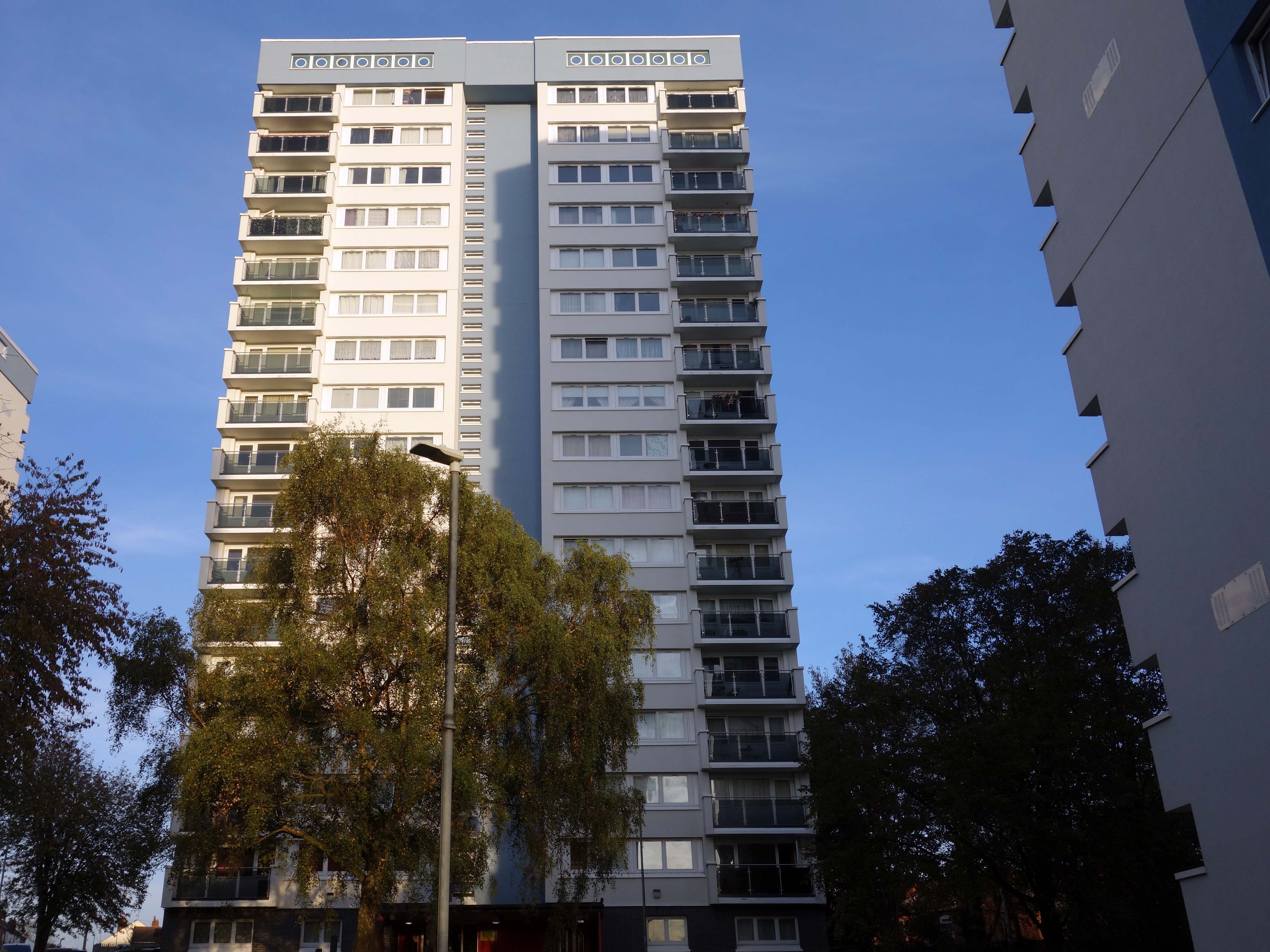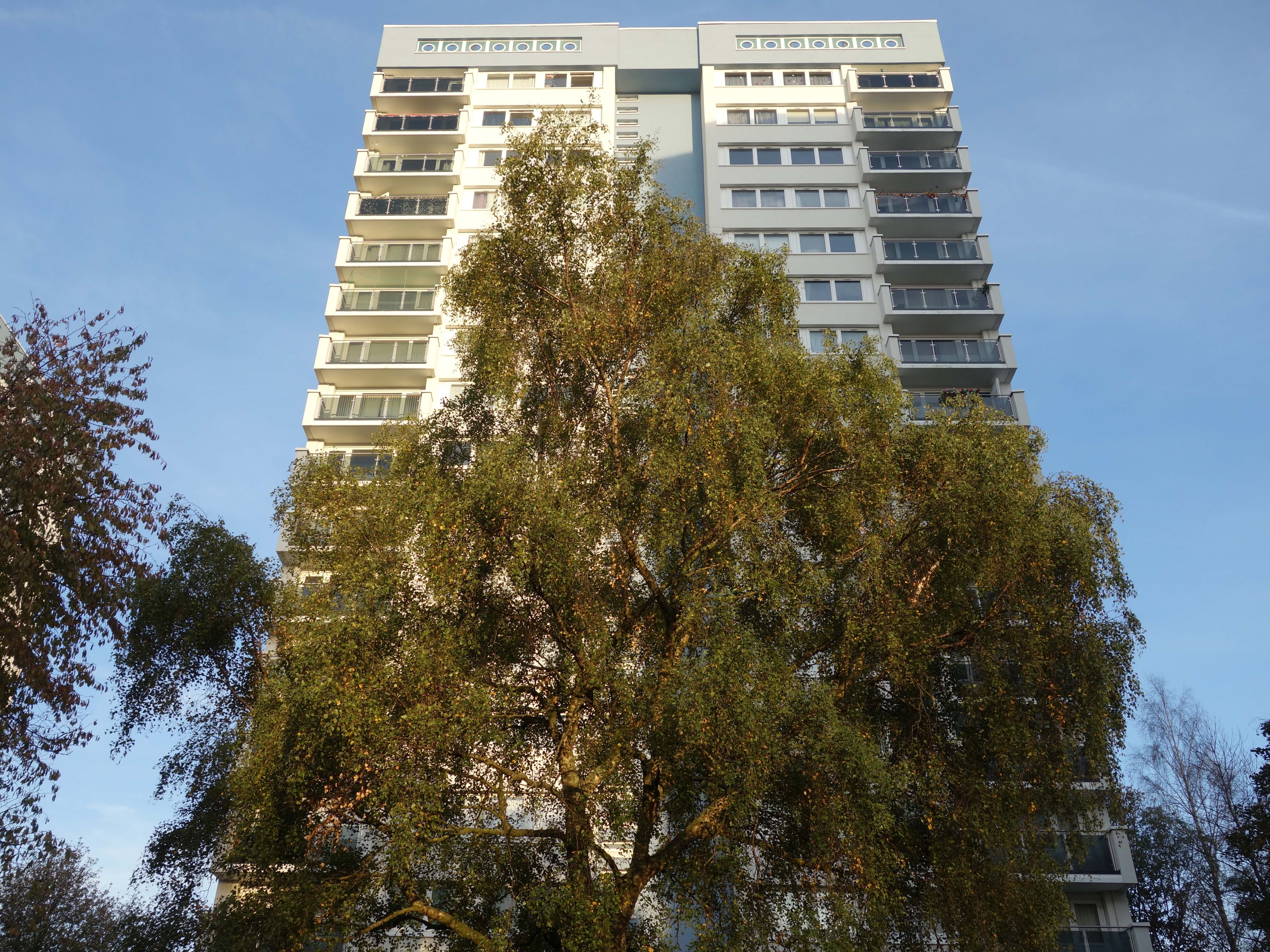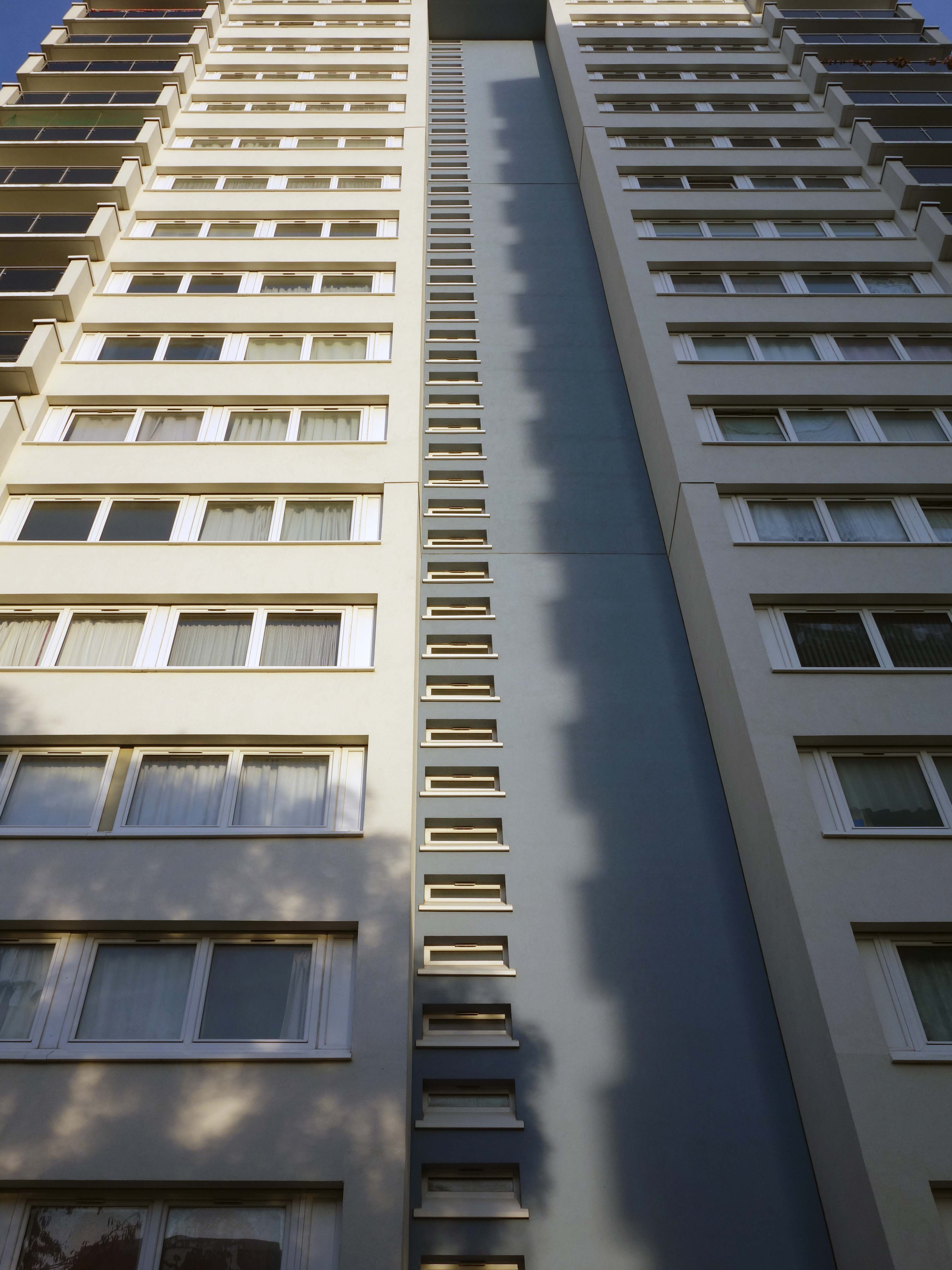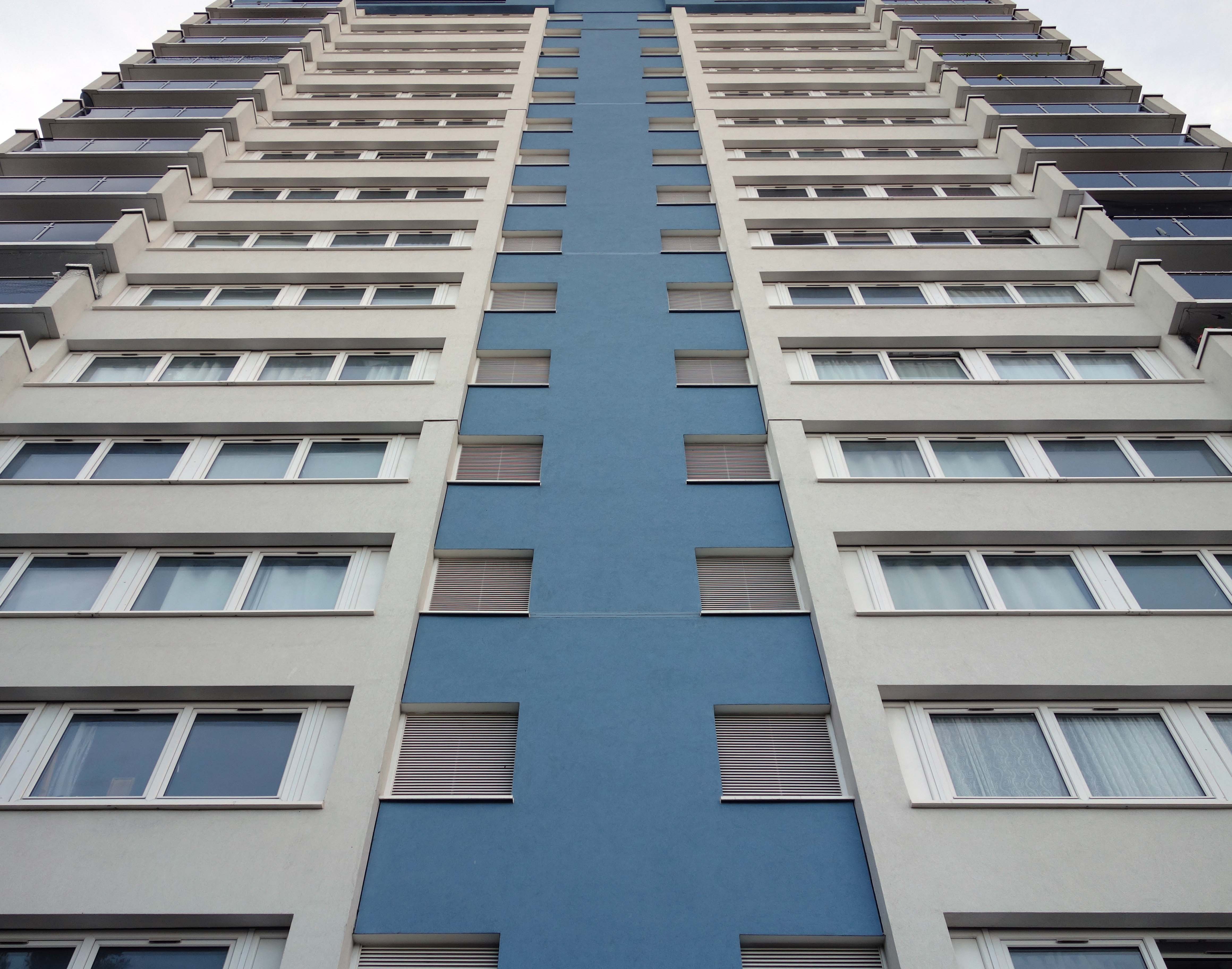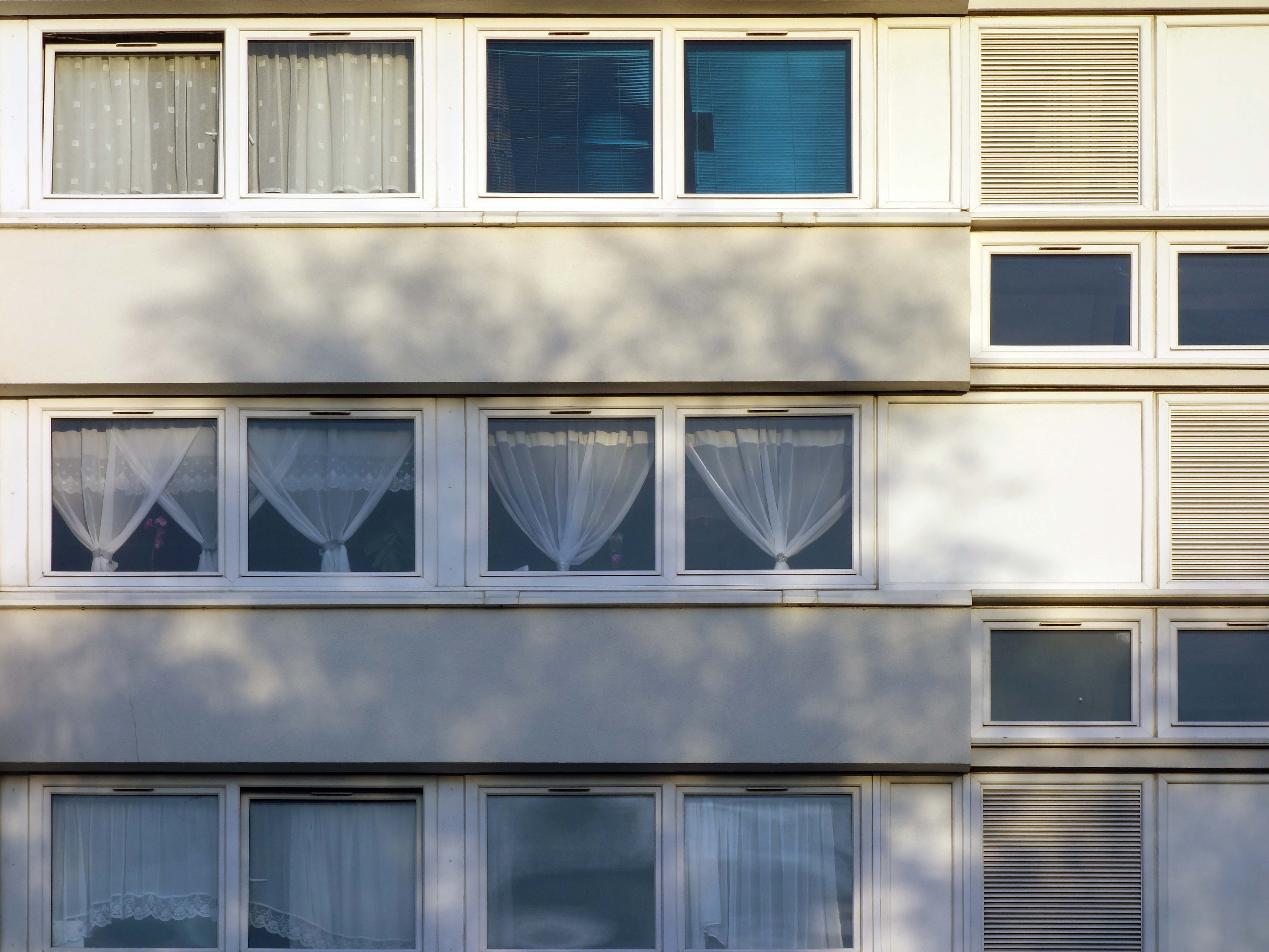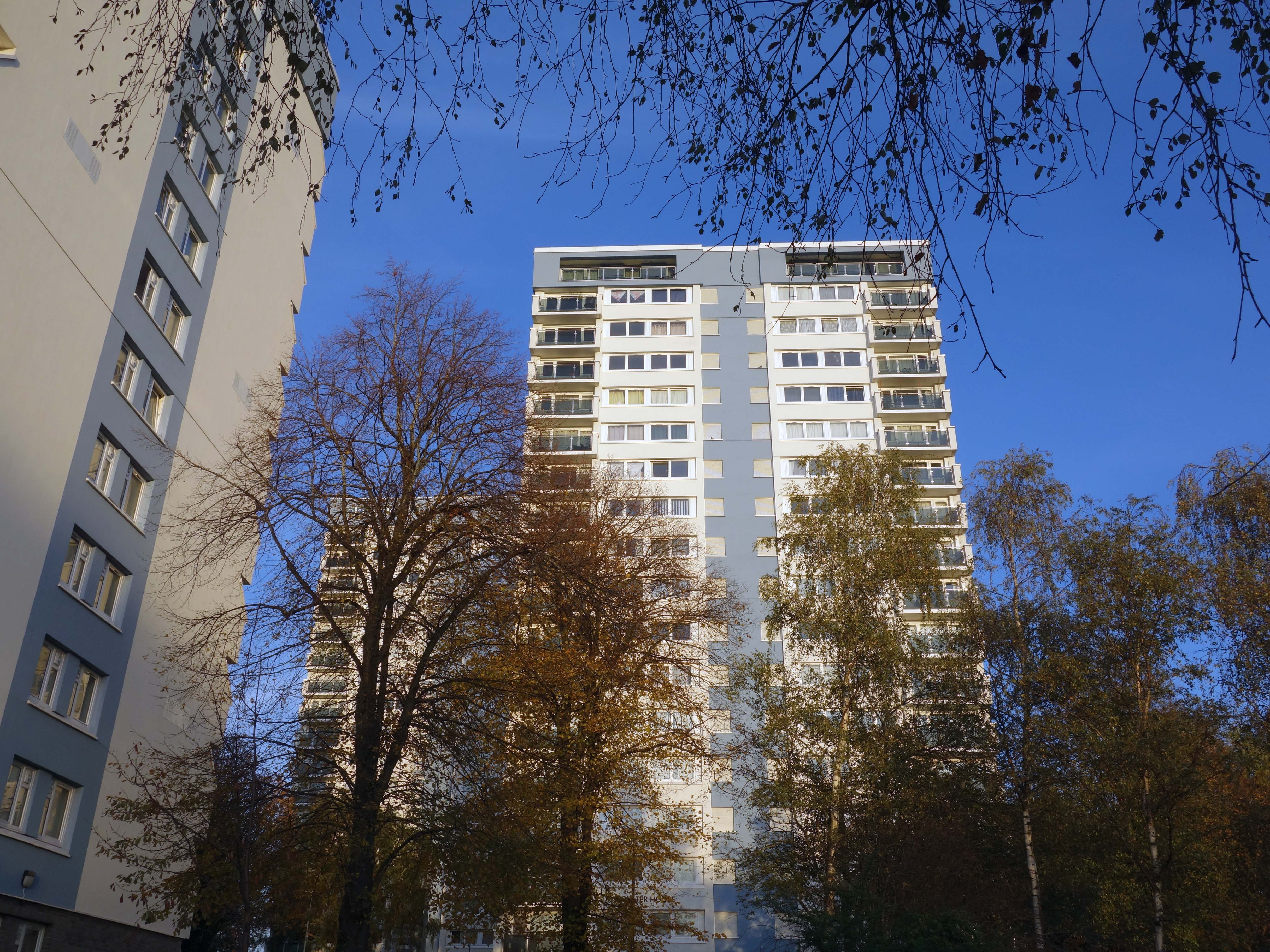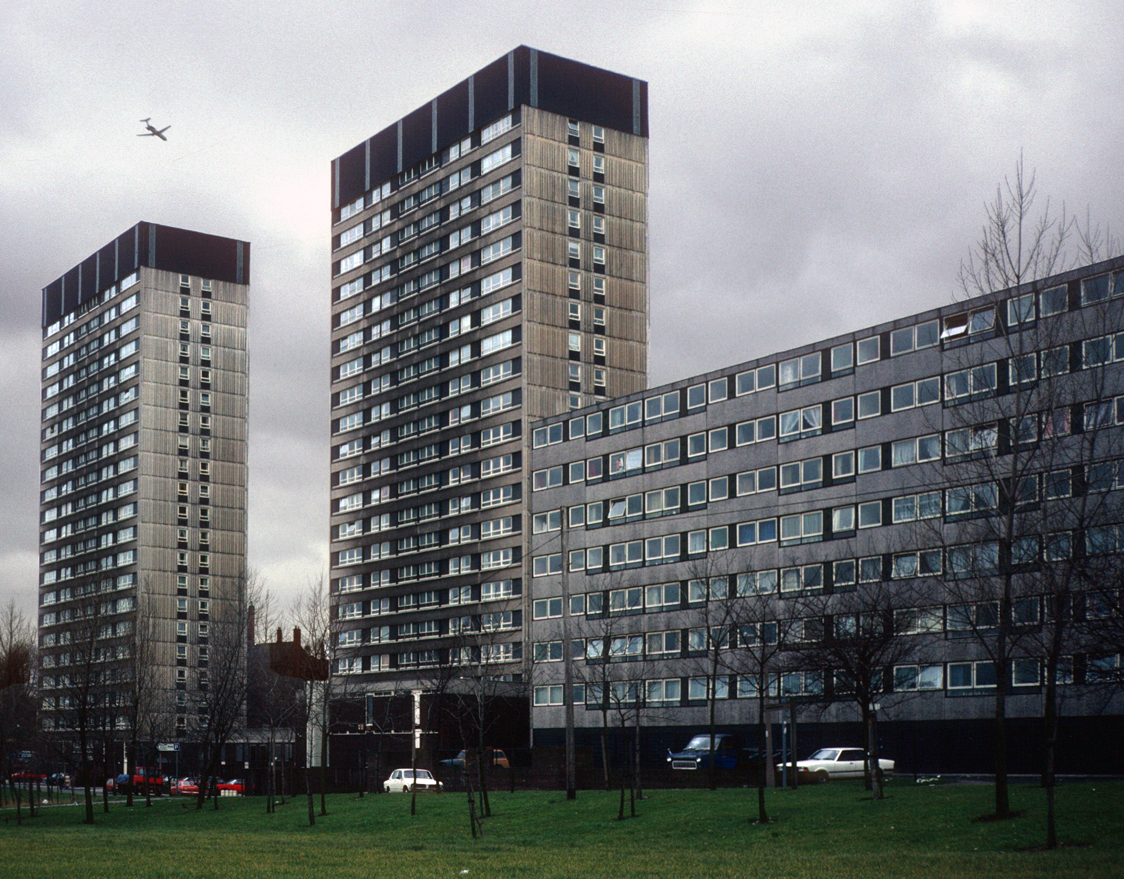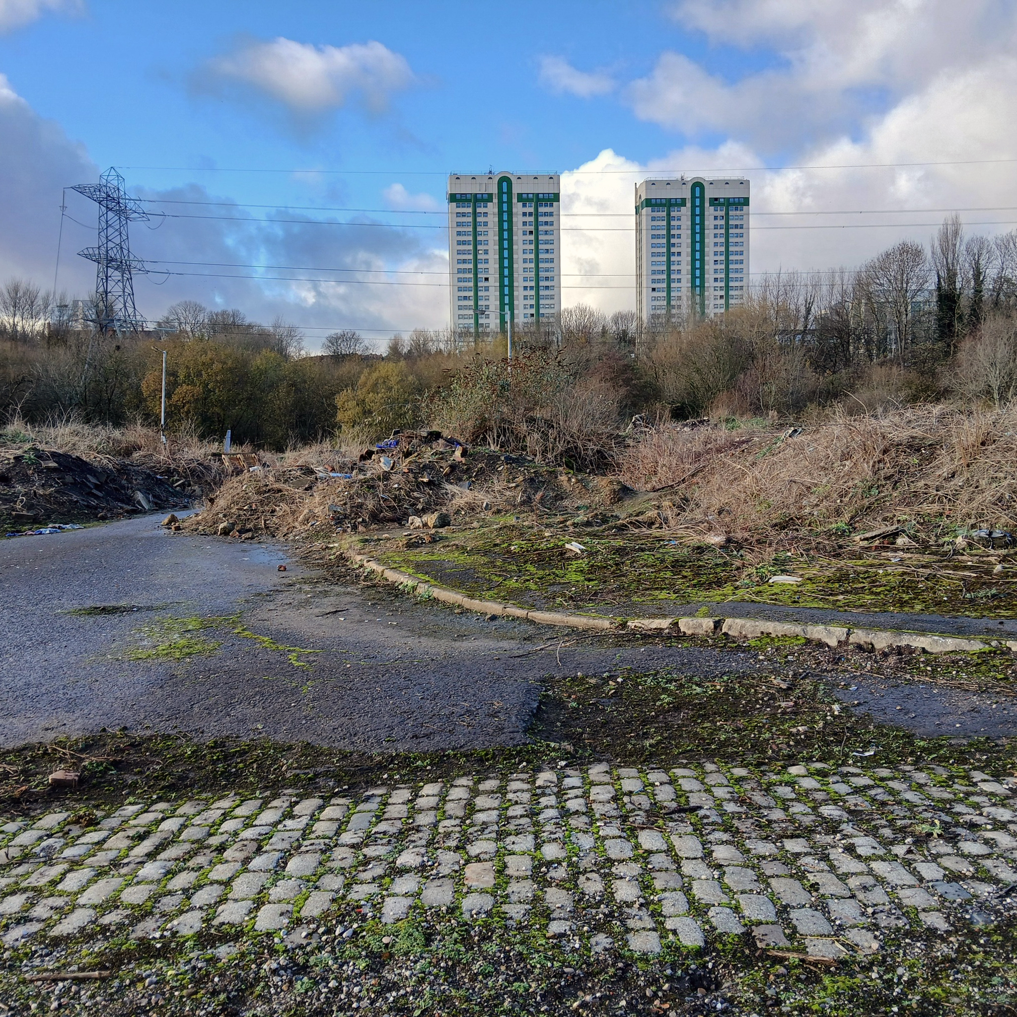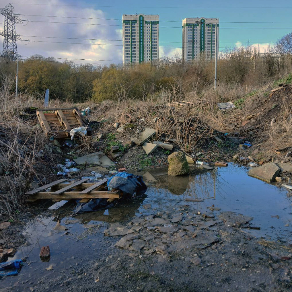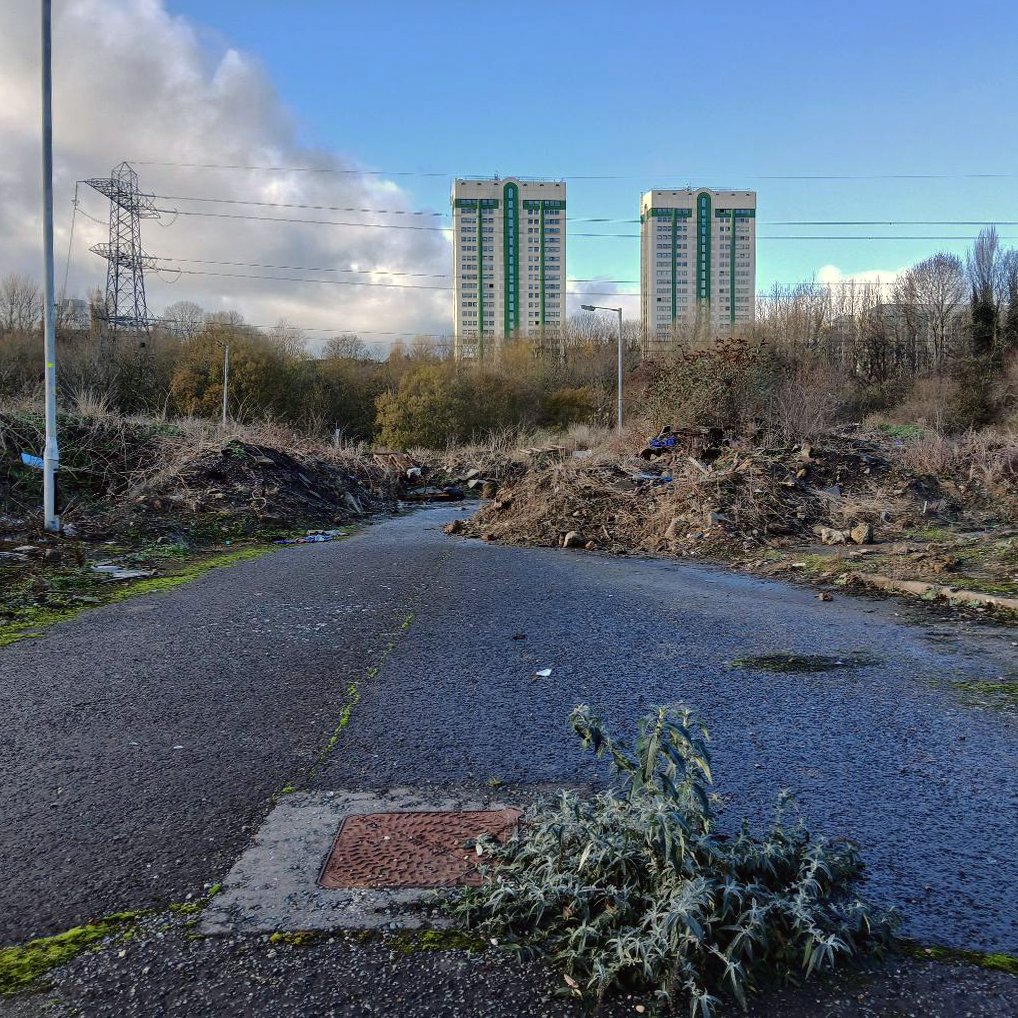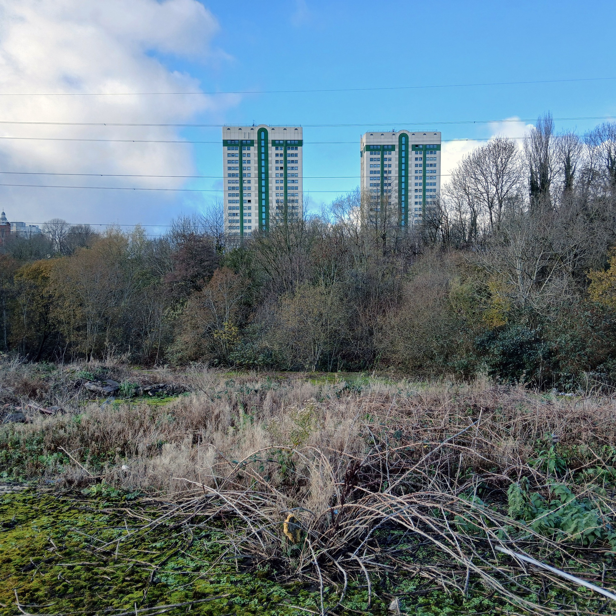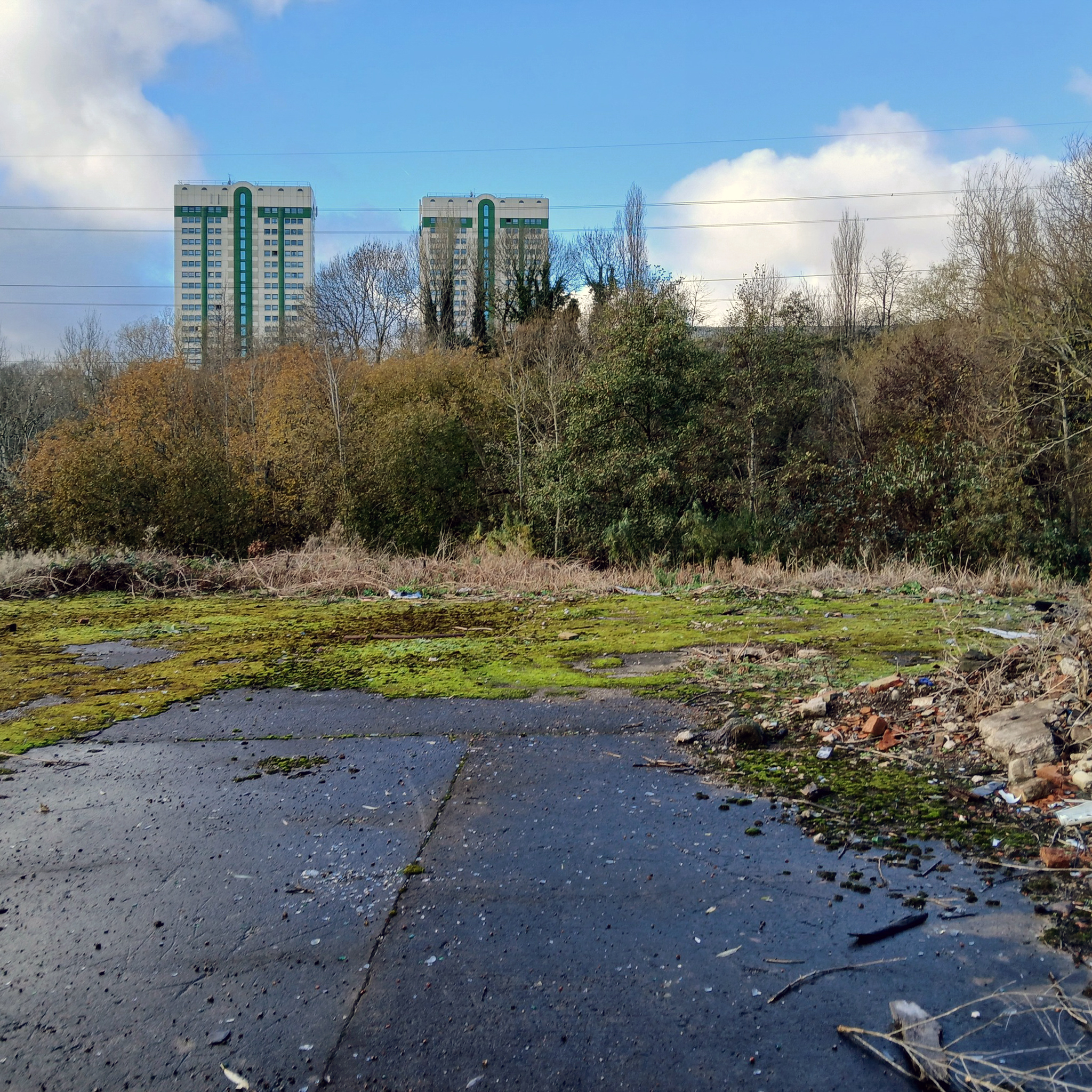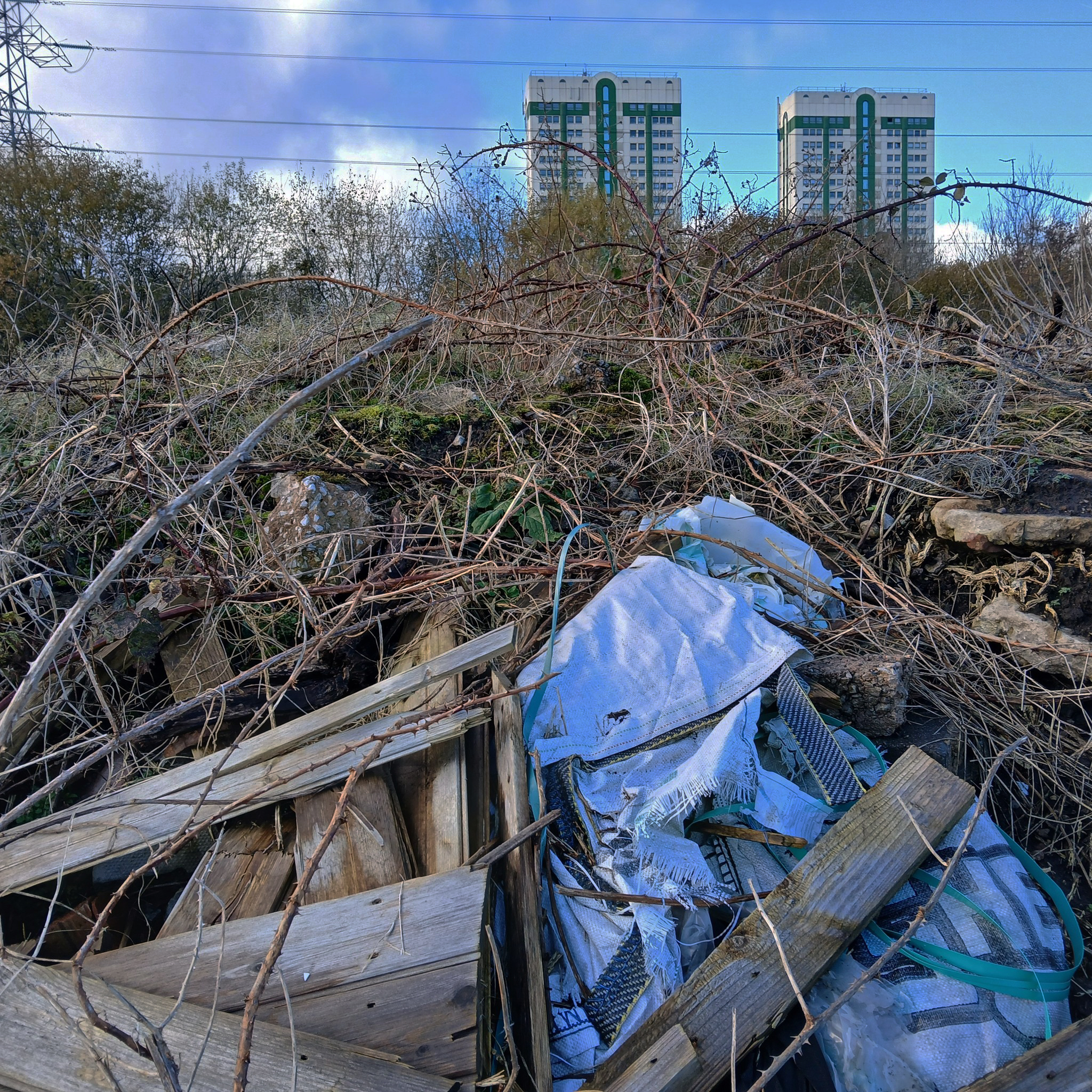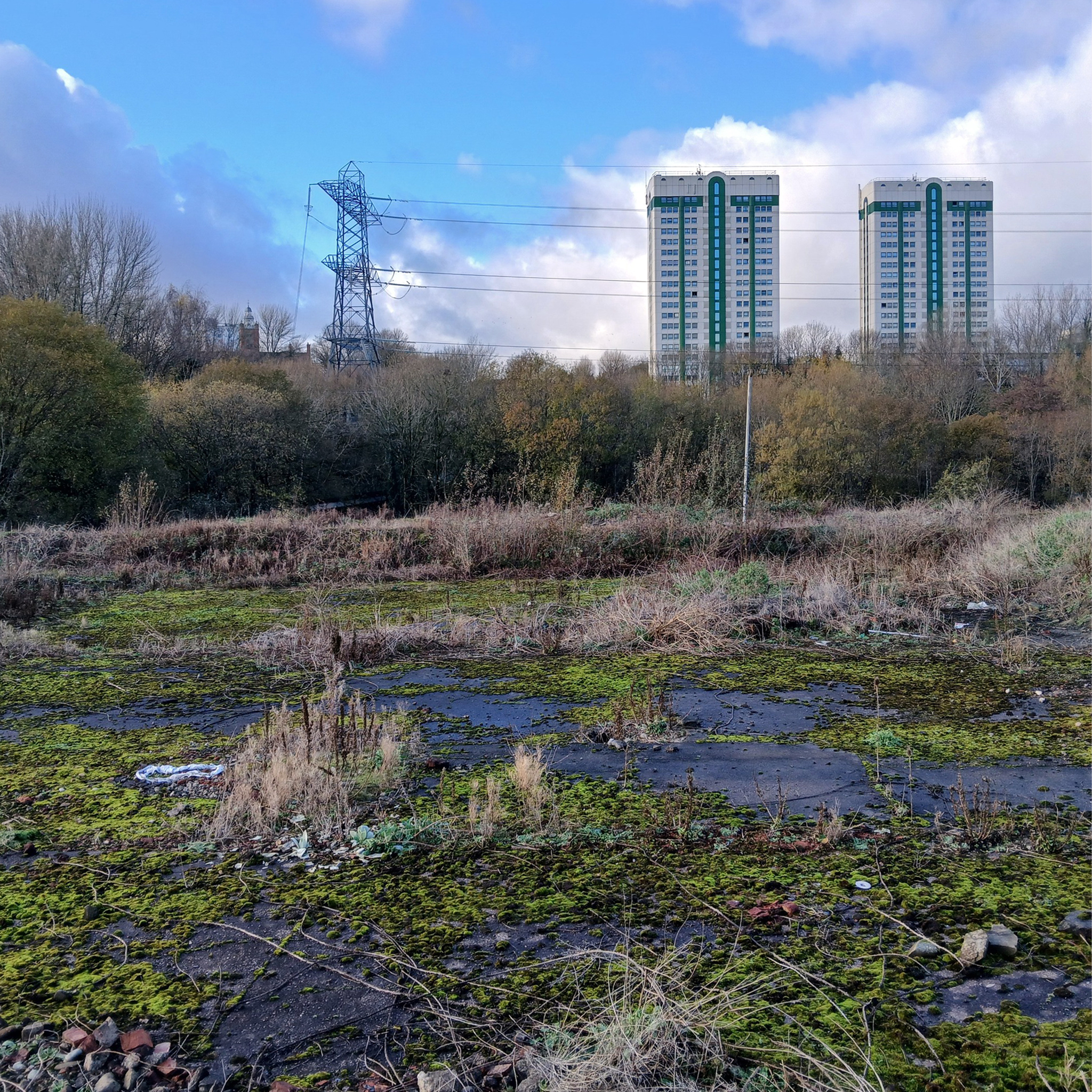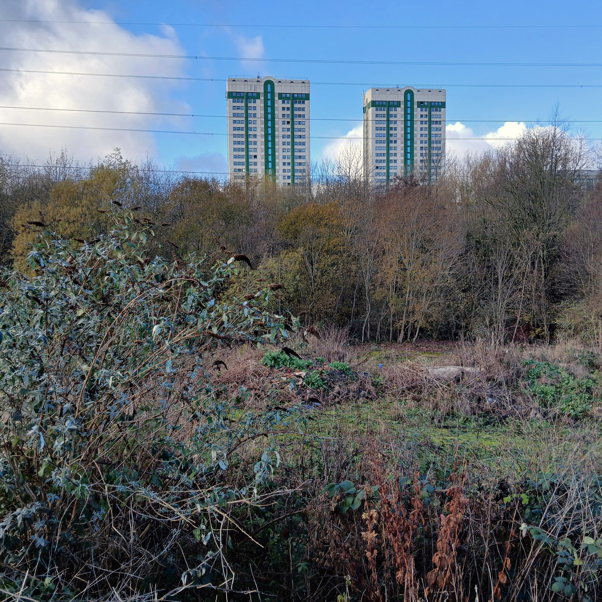

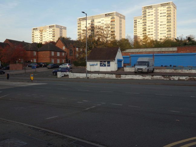
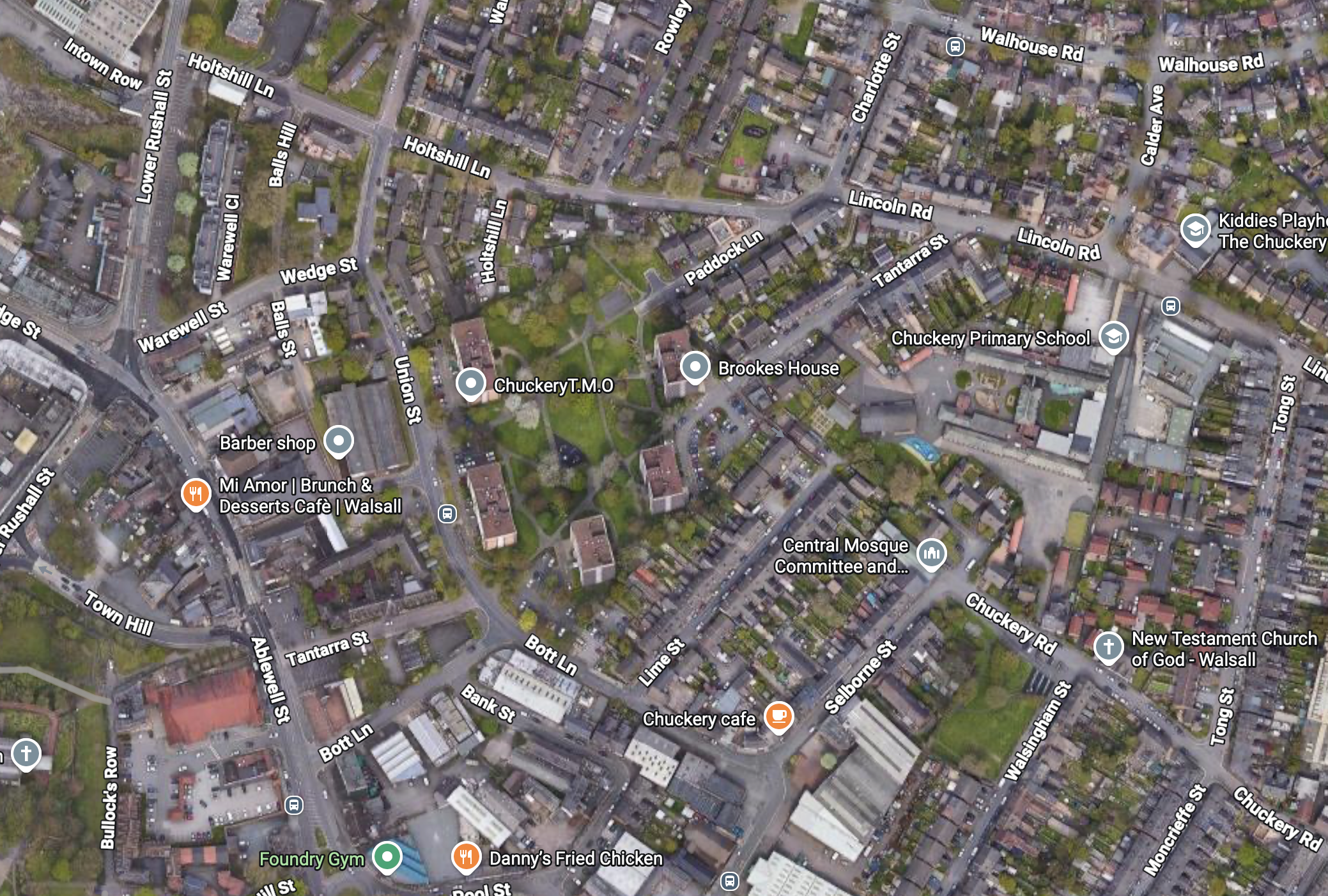
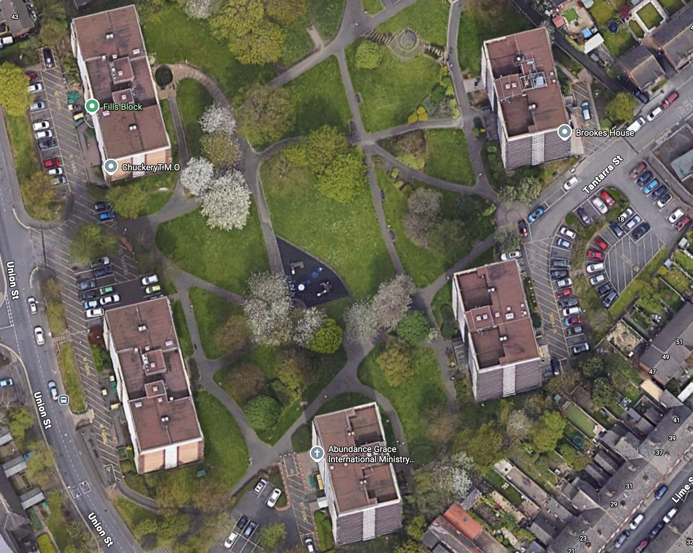
Phase 1 – each of eighteen storeys containing sixty nine dwellings, completed in 1969.
Brookes House
Bywater House
Preston House
Architects: Austin T Parrot and CE Davies
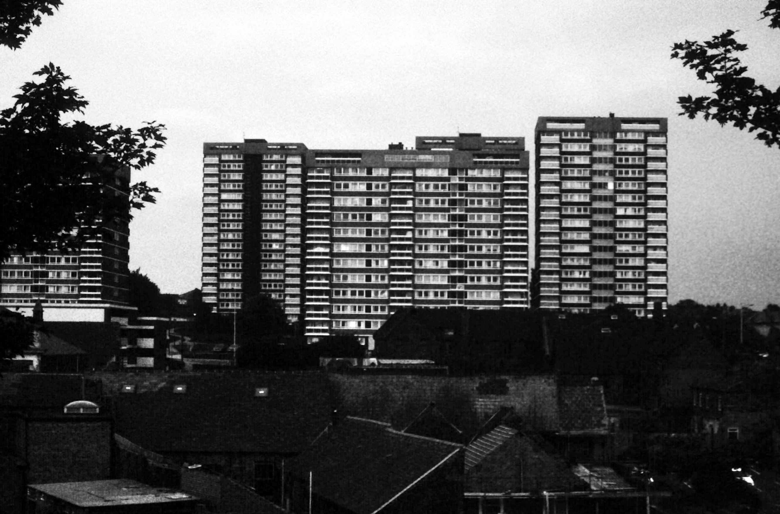
Photo: Professor Miles Glendenning 1987
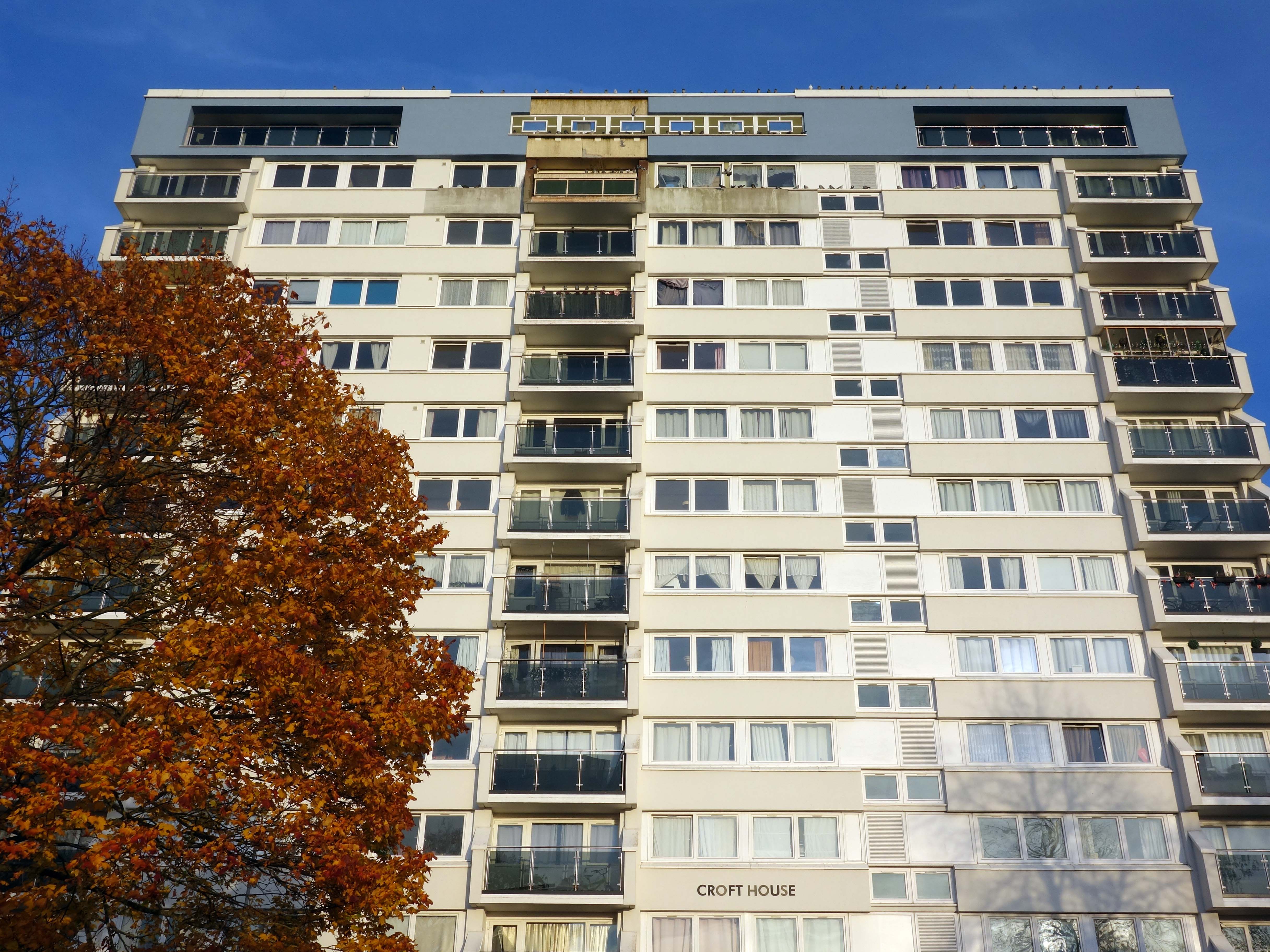
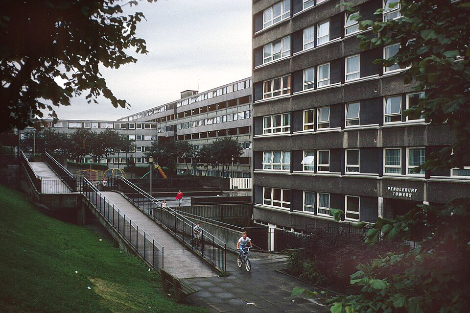
Phase 2 – each block of thirteen storeys containing seventy five dwellings, completed in 1969
Croft House
Millsum House
Architects: Austin T Parrott and CE Davies.
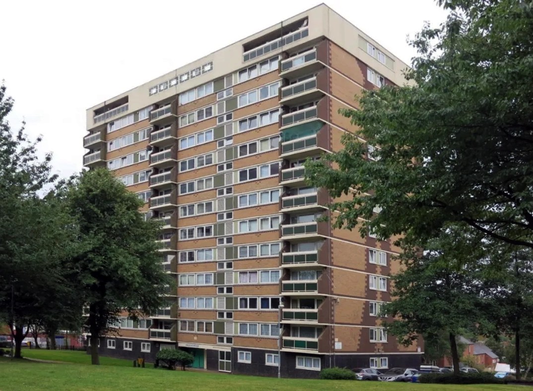
Millsum House – Photo: Municipal Dreams
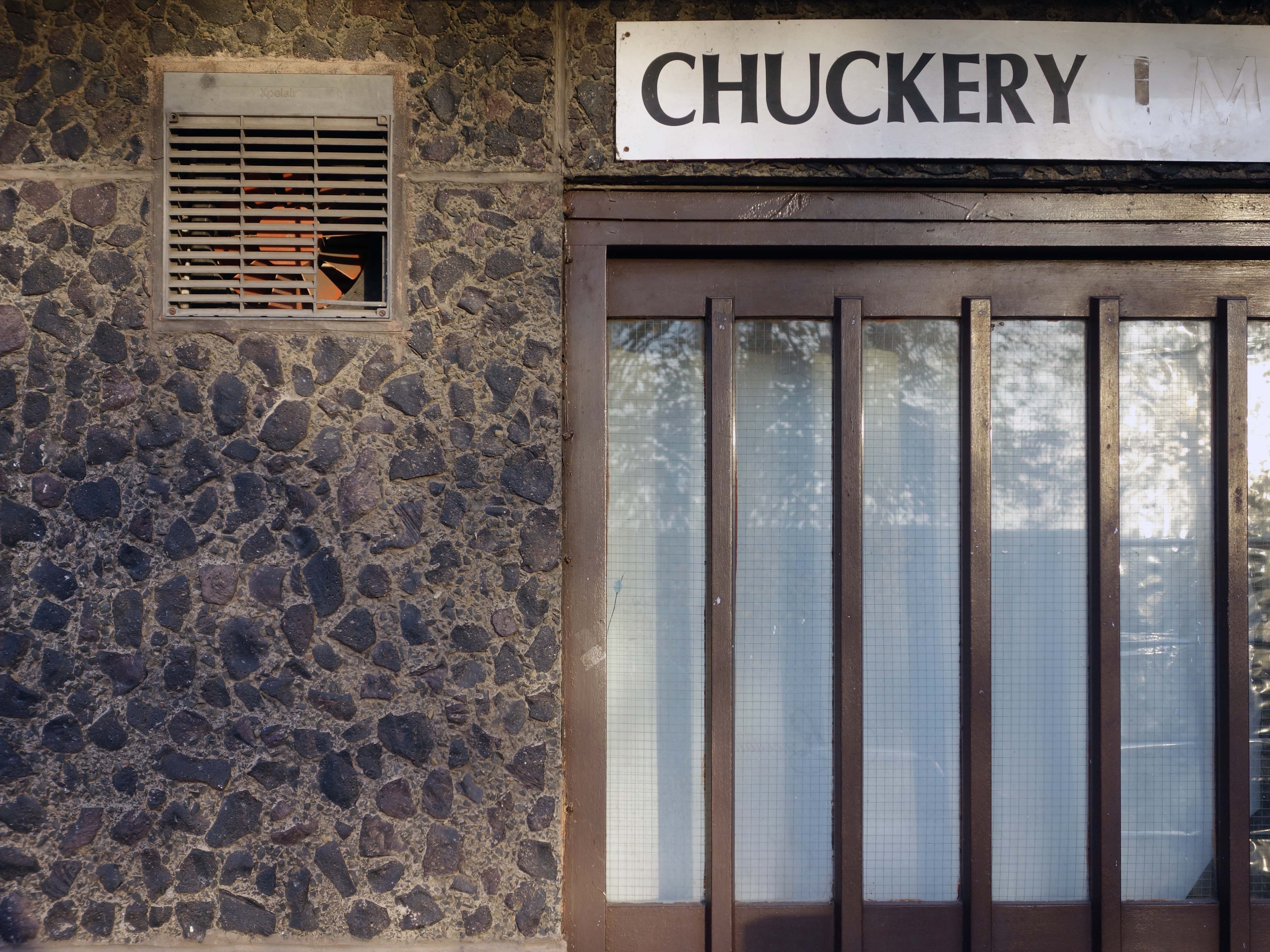
The £1.5m Paddock Redevelopment Scheme in Chuckery, central Walsall was completed in 1969.
It was built by Wates and again designed jointly by Wates and the Borough architect’s department; system-built using steel moulds which allowed the direct application of decorative wall finishes. In full production, the on-site factory produced one floor each day for both the 13- and 17-storey blocks. System building gets, for good reason, a bad press but here it seems to have been efficient and the end-result attractive. A £2.2m refurbishment in the mid-90s– with its added colour and pattern – seems even more reminiscent of the Scandinavian schemes which had provided a model for system building’s British adoption in the sixties.
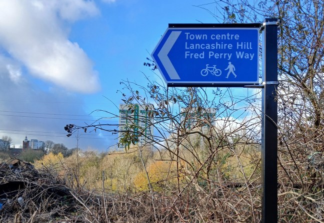
Chuckery area has excellent access to transport networks and wide range of leisure facilities like the Arboretum park, New Art Gallery and Walsall College are all just a short walk away.
Chuckery is a popular estate and it attracts a diverse community who live on the estate.
We build community spirit by running social activities and providing facilities for the children who live in the area, this is provided at the community room which is located in Croft House.
The estate has architectural interest as a well-designed and planned example of a 1960s social housing scheme, and survives largely intact in layout and design.