Sainsbury’s Stockport

Warren Street Stockport, north of Lancashire Bridge beside the Mersey – seen here in the 1920s a mix of retail, dwellings and industry as was most of the town centre.

The river was culverted and covered as it passed through in 1936

The Merseyway Shopping Centre was completed and opened in 1965 – architects Bernard Engle and Partners

A later extension followed along Warren Street.

The Sainsbury’s building can be seen beside the river – opened 29th October 1985

The branch closed in January 2021 – the Asda is still open.

Store Images – Sainsbury’s Archive

Plans to build hundreds of new homes – including a 15-storey tower block – on a vacant Sainsbury’s site in Stockport town centre are set to get the go-ahead.

Proposals that would bring more than 500 flats and 34 townhouses to the three-acre plot, in Warren Street, are set to go before the council’s planning committee next Thursday night. The 573 homes would be spread across a trio of buildings – rising in height  from five to 15 storeys. Two of these would  also have space for a range of potential uses, ranging from shops and cafes to gyms and creches.

Manchester World

Martin Halsey, operations director at Amstone Ventures, added:

We can see that Stockport has untapped demand for quality homes within its town centre, offering a vibrant lifestyle and everything Stockport town centre has to offer, all on the doorstep.”

Took a look around the site before it’s no longer possible to look around the site.

Salford Quays

Manchester Docks were a series of nine docks.

They were situated in Salford, Stretford and Manchester at the east end of the Manchester Ship Canal. They formed part of the Port of Manchester from 1894 until their closure in 1982. The docks marked the upper reaches of the ship canal, and were a destination for both coastal and ocean-bound vessels carrying cargo and a limited number of passengers, often travelling to and from Canada.

Manchester Docks were divided into two sections; the larger Salford docks to the west of the Trafford Road swing bridge and Pomona docks to the east. Each section consisted of four docks in total, the largest being to the west; Dock 5 at Pomona was never fully completed. Of the eight working docks only one, Dock 1 at Pomona, was within Manchester itself. During much of 1948, Manchester Docks were Britain’s third busiest port owing to damage suffered by the Port of Hull during the Hull Blitz.

During the 1970s the docks began a rapid decline, largely due to containerisation. The increasing size of freight-carrying ships meant they could no longer navigate the ship canal and this, combined with increased trading with Europe and the east, saw use of Manchester Docks decrease. In 1982 the remaining docks closed and the area became derelict. Recognising the need to redevelop the area, Salford City Council purchased the docks in 1984 using a derelict land grant. The Salford Quays Development Plan was adopted in May 1985, proposing complete reclamation and development of the area for commercial, residential and leisure use.

Wikipedia

One of the very few school excursions we undertook way back in 1968 was to the docks – in an elegant glass topped barge.

So I thought it was about time I went to take look around – this time I arrived by tram and proceeded on foot.

Carrington Moss

Flat as can be, between rail and river, flat.

Crisscrossed by tramways and drainage ditches.

Carrington Moss is a large area of peat bog near Carrington in Greater Manchester, England. It lies south of the River Mersey, approximately ten miles south-west of Manchester, and occupies an area of about 1,100 acres..Originally an unused area of grouse moorland, the moss was reclaimed in the latter half of the 19th century for farming and the disposal of Manchester’s waste. A system of tramways was built to connect it with the Manchester Ship Canal and a nearby railway line. During the Second World War the land was used as a Starfish site and in the latter half of the 20th century, a large industrial complex was built along its northern edge. More recently, several sporting facilities have been built on Carrington Moss. Today, the land is still used for farming and several nature reserves have been established within its bounds.

Parts of Carrington Moss are accessible to the public over several rights of way.

On Carrington Moss 1851 David Cox

Industrialisation of the moss took place from 1947–1952 when Petro-Carbon ltd began to build what would later become known as the Shell Site. The estate was leased on 1 October 1968 to Shell Chemicals, who in 1957 had purchased a propylene oxide plant along the moss’s northern edge. Shell had built an ethylene oxide plant in 1958 and began to produce polyether polyols the following year. Council housing was built nearby, at Carrington and Partington, for workers and their families. By 1985 the Shell plant had a turnover of about £200M and employed 1,150 people, but a major restructuring of the business reduced the workforce to less than 500 by 1986. By 1994, four distinct plants operated on the 3,500-acre (14 km2) site, producing a range of chemicals, and materials including polystyrene, polyethylene and polypropylene. In 2005 it was reported that Shell would close their polyols and ethoxylates units, a decision which came into effect in 2007. The estate is currently managed by chartered surveyors Bell Ingram. Lyondell Basell operate the last remaining chemical plant on site.

Wikipedia

This is the beleaguered site, still farming, remnants of rail, traces of tipping and vestiges of industry.

Plans are afoot – including of course indicative multi-modal routes.

Trafford Gov UK

Hundreds of campaigners fear endangered wildlife at Carrington Moss will be ‘decimated’ if plans to build a new town on green belt land go ahead.

They also argue the development would be ‘catastrophic’ in terms of how it would impact the environment.

Manchester Evening News

Storm Christoph showed that Manchester is susceptible to the adverse effects of extreme weather events, which are forecast to become more regular occurrences.

Greater Manchester Labour for a Green New Deal argue that we must abandon the idea of developing on greenbelt, and instead embrace bold alternatives which reflects the urgency of the climate crisis﹣starting with sites like Carrington Moss.

The Meteor

This is an area in liminal limbo, the pressures of the modern world leaning on its very being, as ash, alder, badger, field mouse, and kestrel give way to Wainhomes.

Where then will the wanderer wander, in search of solace?

Ending our journey at the long gone Partington Station

The remains of the subway.

The company of J. C. Edwards Ruabon Ltd, was based in Ruabon, Denbighshire, and was active from 1903 to 1956 as a brick, tile and terracotta manufacturer from its works at Tref-y-Nant, Acrefair, Albert Works, Rhosllannerchrugog, and Pen-y-bont, Newbridge, Denbighshire.

James Coster Edwards (1828-1896) founded the company; it was sold in 1956.

Stockport Viaduct

Stockport Viaduct, carries the West Coast Main Line across the valley of the River Mersey in Stockport, Greater Manchester, England. It is one of the largest brick structures in the United Kingdom, as well as a major pioneering structure of the early railway age.

Stockport Viaduct was designed by George Watson Buck for the Manchester and Birmingham Railway. Work began in 1839 and was completed in 1840. Roughly 11 million bricks were used in its construction; at the time of its completion, it was the world’s largest viaduct and a major feat of engineering. The viaduct is 33.85 metres high. Stockport Viaduct is a Grade II* listed structure  and remains one of the world’s biggest brick structures.

In the late 1880s, the viaduct was widened to accommodate four tracks instead of two. In the 1960s, overhead catenary lines were installed by British Rail for the West Coast Main Line electrification scheme. In the second half of the twentieth century, the M60 motorway was built, passing through two arches of the viaduct.

Wikipedia

The structure is central to the visual landscape of the town – it has been the subject of both literature and art, most notably in the work of LS Lowry.

I believe that this composite composition of a northern landscape, is firmly embedded in the psyche of Stopfordians.

A notion that we are able to apprehend the whole of the structure in one panoramic sweep.

Our present perceptions are inextricably linked to past experience, possibly an illusory past.

It even featured in a feature film – A Taste Of Honey

My photograph below, was taken before access was prohibited.

Though has this uncluttered view ever actually existed?

The area has been a constantly evolving jumble of buildings, in, under and around the viaduct.

This raises the question – when did you last see your viaduct?

I live moments away on Didsbury Road – so why not take a look, circumnavigating the site in search of an answer?

From the recently constructed pedestrian and cycleway a view south across multiple roadways.

Approaching the arches from the west.

Looking east from Wellington Road North and the newly constructed A5154 link road.

Looking along the M60.

Looking along Heaton Lane, to the left Regent House.

Looking along the River Mersey

The Lowry Steps.

The view over the soon to be redeveloped Bus Station.

The view along Daw Bank.

One of the most complete perspectives along Swaine Street.

Swaine Street and Astley Street junction.

Crossing the new bridge to Heaton Lane.

Looking back towards the Crown Inn.

The view over Kwik Fit.

Looking east along the River Mersey, beside the rear of Weir Mill.

The view between the Stagecoach Bus Depots.

Looking east along Daw Bank.

Another clear perspective along Viaduct Street.

Beside Weir Mill.

Beneath the M60.

Looking east along Travis Brow.

This is one cold day in Covid February, the traffic a little lighter, few folk on foot.

Another day would produce another series of views, the light shifts, leaves appear on trees, the regeneration of Stockport sees the built environment shift and shimmy with an alarming regularity.

The landscape formed by the second Ice Age, gouging out a glacial valley and subsequently a conjoined river, is all part of a passing parade; it is acted out over millennia, you yourself are party to but one small part, make the most of it, get out and about take a look.

All this life is but a play, be thou the joyful player.

Fred Perry Way – Stockport to Reddish

The third and last leg, starting from the confluence of the Tame and Etherow where the Mersey begins.

Passing the remains of the railway bridge carrying the Cheshire Lines through to Tiviot Dale Station.

Over the river and beneath the terminal pylon.

Along Penny Lane beside Lancashire Hill flats.

Across Sandy Lane into Coronation Street.

Once a rare sight on our roads the ubiquitous SUV reigns supreme on our suburban streets – the level of UK car debt currently stands at £73 Billion.

We weaved in and out of the highways and byways of South Reddish.

Through Unity Park where the goals are lower than low.

The hoops are higher.

And the bowls are rolling.

Past the perfect Platonic bungalow.

Taking the well worn path betwixt and between the houses.

Crossing open country.

Encountering exotic planting worthy of the French Riviera.

Noting the voguish transition of the local semi-detached housing from white to grey and the now familiar sight of the Range Rover in the former front garden.

The reverse of a roadside sign can often be far more interesting and attractive than the obverse face.

Reddish South Station sustained by the once a week parliamentary train, on the Stockport to Stalybridge Line, coincidentally the only time, as a goods guard, I ever worked a passenger train, was along here, one Christmas long ago.

We stopped at Denton, a request stop, the seasonally boozy passenger gave me a fifty pence tip.

George’s – where I bought a bag of chips on the way back, great chips, friendly and safe service with a smile.

Houldsworth Working Mens Club designed by Abraham Henthorn Stott forming part of the model community developed by the late-C19 industrialist Sir William Houldsworth, which included cotton mills, workers’ housing, school, church and a park.

Church of St Elisabeth 1882-3, by Alfred Waterhouse one of the finest Victorian churches in the country – both of the buildings are Grade II Listed.

Over the way the former Victoria Mill, converted into apartments.

With adjoining new build.

We faithfully followed the signs, noting a change from blue to green.

Somewhere or other we went wrong, our luck and the signs ran out, we instinctively headed north, ever onwards!

Traversing the Great Wall.

Mistakenly assuming that the route ended or began at Reddish North Station that’s where we landed.

Back tracking intrepidly along the road we found the source of the Fred Perry Way.

In the North Reddish Park – where tennis can still be played today albeit with a somewhat functionalist net, on an unsympathetic surface.

Journey’s end.

To forget, you little fool, to forget!

D’you understand?

To forget!

You think there’s no limit to what a man can bear?

Russell Gardens – Stockport

I live just around the corner and often walk by, intrigued by this small rectangle of rectangular sheltered homes, I chose to take a closer look.

On adjoining Craig Road there are a group of interwar semi-detached homes, social housing built in 1930, facing on to open ground which leads down to the Mersey.

There is an arc of post war social housing on Hamilton Crescent, which surrounds Russell Gardens.

The homes that constitute Russell Gardens built in 1947 were illustrated in the town’s 1948/49 guide book, considered to be something of value.

Designed as a diminutive Garden Village, smaller in scale to those found in Burnage or Fairfield, but based on the principle of shared green space and community services.

In the 1970s the land to the south, now occupied by the Craig Close development, was yet to be built upon.

And the Cadbury Works still stood close by on the Brighton Road Industrial Estate:

Built in the late 1800s this was originally Silver Spoon (Pan) Fruit Processing Works, then in the 1920s was Faulders’ Cocoa and Chocolate Works. By the 1930s it was Squirrel Chocolate Works and in 1960s became a distribution depot for Cadbury’s. A friend remembers playing among the pallets of the ‘chocolate factory’ in the 1950s. Later it was occupied by small businesses. The works comprises a large rectangular block with sawtooth roof, and central entrance house with tall chimney. The adjacent rail line, built in 1880, branched into the site.

28 Days Later

Recently replaced by a car dealership.

Though many of the surrounding homes were sold off during the Right to Buy era:

After the election of May 1979 a new Conservative government drafted legislation to provide a Right to Buy but, because this would not become law until October 1980, also revised the general consent (May 1979) to enable sales with higher discounts matching those proposed in the new legislation. The numbers of sales completed under this general consent exceeded previous levels. Between 1952 and 1980 over 370,000 public sector dwellings were sold in England and Wales. Almost a third of these were in 1979 and 1980 and it is evident that higher discounts generated and would have continued to generate higher sales without the Right to Buy being in place.

Russell Gardens remains the estate of Stockport Homes managed as sheltered housing for the over 60s.

  • Retirement housing
  • 33 one bedroom flats built in 1947
  • Non-resident part time management staff and Careline alarm service
  • Lounge, Laundry, Garden

The houses are now some fifty years old and in good order, the residents with whom I spoke, seemed more than happy with their homes.

Would that more and more affordable homes for folks of all ages could be built.

The post-war consensus and political will that created this upsurge in construction, has been swept away by market forces.

Let’s take a look at the vestiges of more enlightened times.

Fred Perry Way – Stockport To Hazel Grove

Second time around – having once cycled the whole way in 2009.

I’ll do anything twice or more – so here we are again, this time on foot.

Let’s start at the very beginning, a very good place to start – in the middle, the section from the town centre to Hazel Grove.

Maps are available here for free – we declined the offer, deciding to follow signs instead, many of which were missing or rotated, the better to misinform and redirect – such is life.

We are mostly lost most of the time, whether we like it or know it or not.

We begin at the confluence of the rivers Mersey and Goyt – which no longer seems to be a Way way, the signs having been removed, and proceed down Howard Street, which seems to have become a tip.

The first and last refuge for refuse.

Passing by the kingdom of rust – Patti Smith style.

Passing under the town’s complex internal motorway system by underpass.

Where help is always handily at hand.

Whistling past the graveyard – the site of the former Brunswick Chapel where one and hundred and fifty souls lay lying.

Onward down Carrington Road to Fred’s house.

Through Vernon Park to Woodbank Park – with its heroic erratic.

Almost opposite the entrance to the museum, now set in shrubbery, are the foundations, laid in September 1860, of what was to be a forty metre high Observatory Tower. Despite a series of attempts, funds for the tower could not be raised and the ‘Amalgamated Friendly Societies of Stockport’ eventually had to abandon the idea.

Historic England

Out east and passing alongside the running track.

Lush meadows now occupy the former football field, twixt inter-war semis and the woodland beyond.

Out into the savage streets of Offerton where we find a Buick Skylark, incongruously ensconced in a front garden.

The only too human imperative to laugh in the face of naturalism.

We have crossed over Marple Road and are deep in the suburban jungle of mutually exclusive modified bungalows.

Off now into the wide open spaces of the Offerton Estate – the right to buy refuge of the socially mobile, former social housing owning public.

People living on Offerton Estate have been filmed for a programme entitled ‘Mean Streets’ which aims to highlight anti-social behaviour in local communities.

MEN 2007

The next thing we know we’re in a field, a mixed up melange of the urban, suburban and rural, on the fringes of a Sainsbury’s supermarket filling station.

We cross the A6 in Hazel Grove and here for today our journey ends

Ignoring the sign we went in the opposite direction.

As we reach the edge of Mirrlees Fields – the site of the only Fred Perry laurel leaf logo emblazoned way marker.

The Fields are currently designated as a green space and are not available for residential development. But MAN would like to overturn this designation for over one third of the Fields.

MAN Energy Solutions UK is the original equipment manufacturer of Mirrlees Blackstone diesel engines.

Before the Blackstone MAN came in 1842 – the fields were all fields.

To be continued.

Pomona – Manchester

The River Irwell bisects Salford and Manchester, joining the rivers Irk and Medlock, and then turns west toward Irlam, as part of the Manchester Ship Canal. Its course ends just east of Irlam, where it empties into the Mersey.

Urban development is ever so often dependent upon rivers – for sustenance, commerce and amusement. The Irwell and latterly the developments of the canal system has provided all of these in superabundance.

By 1870 the Pomona Gardens is thriving , boasting a concert hall and banqueting suite – further details here from Skyliner.

In the summer of 1887, a nearby chemicals factory exploded, damaging the palace – the area was under threat and destined to rot away to obscurity: the following year the gardens closed forever.

By 1900 the Ship Canal, docks and railways had arrived – Manchester and Salford are at the centre of an unprecedented growth in manufacture and trade.

1891
1923
1950

During the 1970’s the docks began a rapid decline, largely due to containerisation. The increasing size of freight-carrying ships meant they could no longer navigate the ship canal and this, combined with increased trading with Europe and the east, saw use of Manchester Docks decrease. In 1982 the remaining docks closed and the area became derelict. Recognising the need to redevelop the area, Salford City Council purchased the docks in 1984 using a derelict land grant. The Salford Quays Development Plan was adopted in May 1985, proposing complete reclamation and development of the area for commercial, residential and leisure use.

Wikipedia

Manchester and Salford begin the long haul from post industrial decline to service centred cities – there were even seeds sewn for the development of a luxury marina. When I first visited Pomona the area was seriously overgrown and the underground wiring stripped out.

2010
2010
2020

Remnant of the initial scheme – pedestrian access, balustrade and lighting.

What would poor old Pomona make of all this?

There was a failed attempt to prevent further development and return the area to nature. Peel Holdings prevailed and pressed on relentlessly with their programme of urbanisation.

I have posted concerning Pomona posts previously.

So it’s April 2020 – I’m on my way from somewhere else to somewhere else, I’ll cut across Pomona Island – the building site is in lockdown – ain’t nobody home.

Concrete Island – Stockport

He reached the foot of the embankment, and waved with one arm, shouting at the few cars moving along the westbound carriageway. None of the drivers could see him, let alone hear his dry-throated croak, and Maitland stopped, conserving his strength. He tried to climb the embankment, but within a few steps collapsed in a heap on the muddy slope.

Deliberately, he turned his back to the motorway and for the first time began to inspect the island.

Maitland, poor man, you’re marooned here like Crusoe – If you don’t look out you’ll be beached here for ever. He had spoken no more than the truth. This patch of abandoned ground left over at the junction of three motorway routes was literally a deserted island.

JG Ballard Concrete Island

I’m in a different place – the same but different, whilst out walking I went through an open gate, following a well worn path, for the very first time.

Leading who knows where.

The confluence of three rivers, the meeting of motorway and main road.

I ventured further – where if anywhere are we going?

This tight tree lined and paint daubed triangle offers no answers.

Tamed thirty years or so ago, with concrete and steel.

Further and further.

Into an underground world.

Through the railings and into a void – a void that had become home to the otherwise engaged, seeking solace somewhere, finding shelter from the storm. A storm of Twenty First Century austerity, man made – moving money around until those without are out, out in the open, nowhere else to go but here.

How often have I lain beneath rain on a strange roof, thinking of home. 

William C. Faulkner

Ford Lane – Northenden

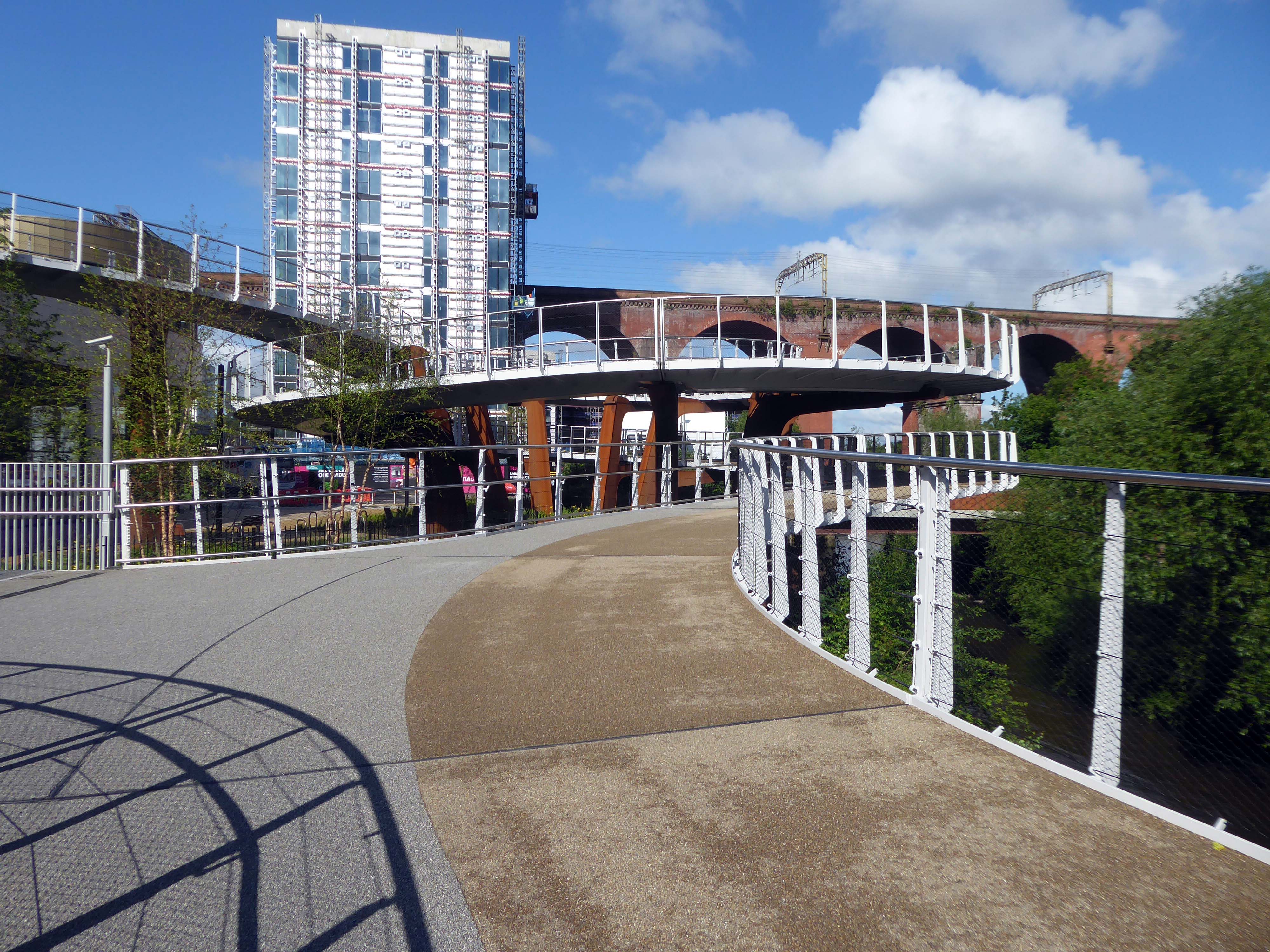
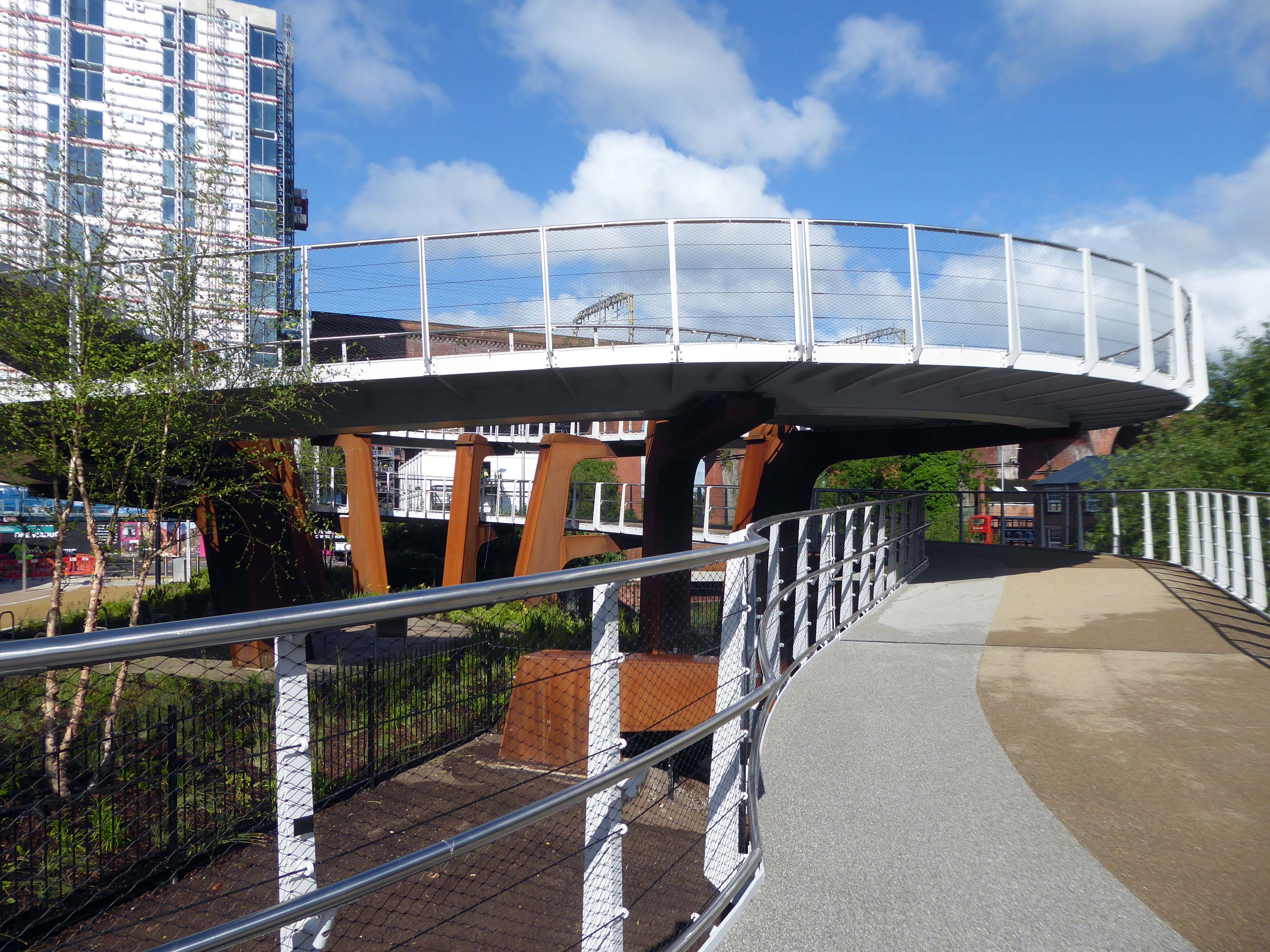
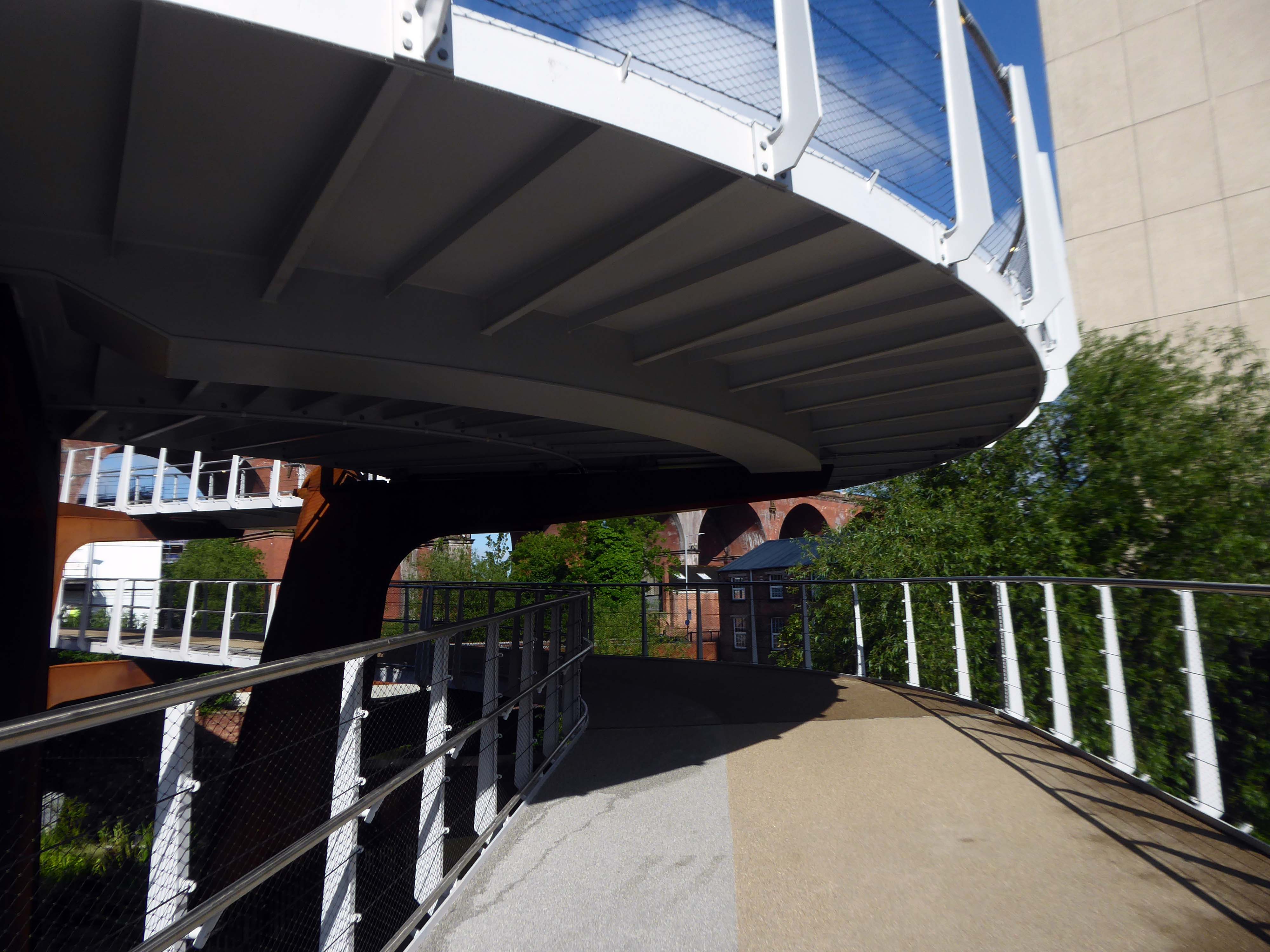
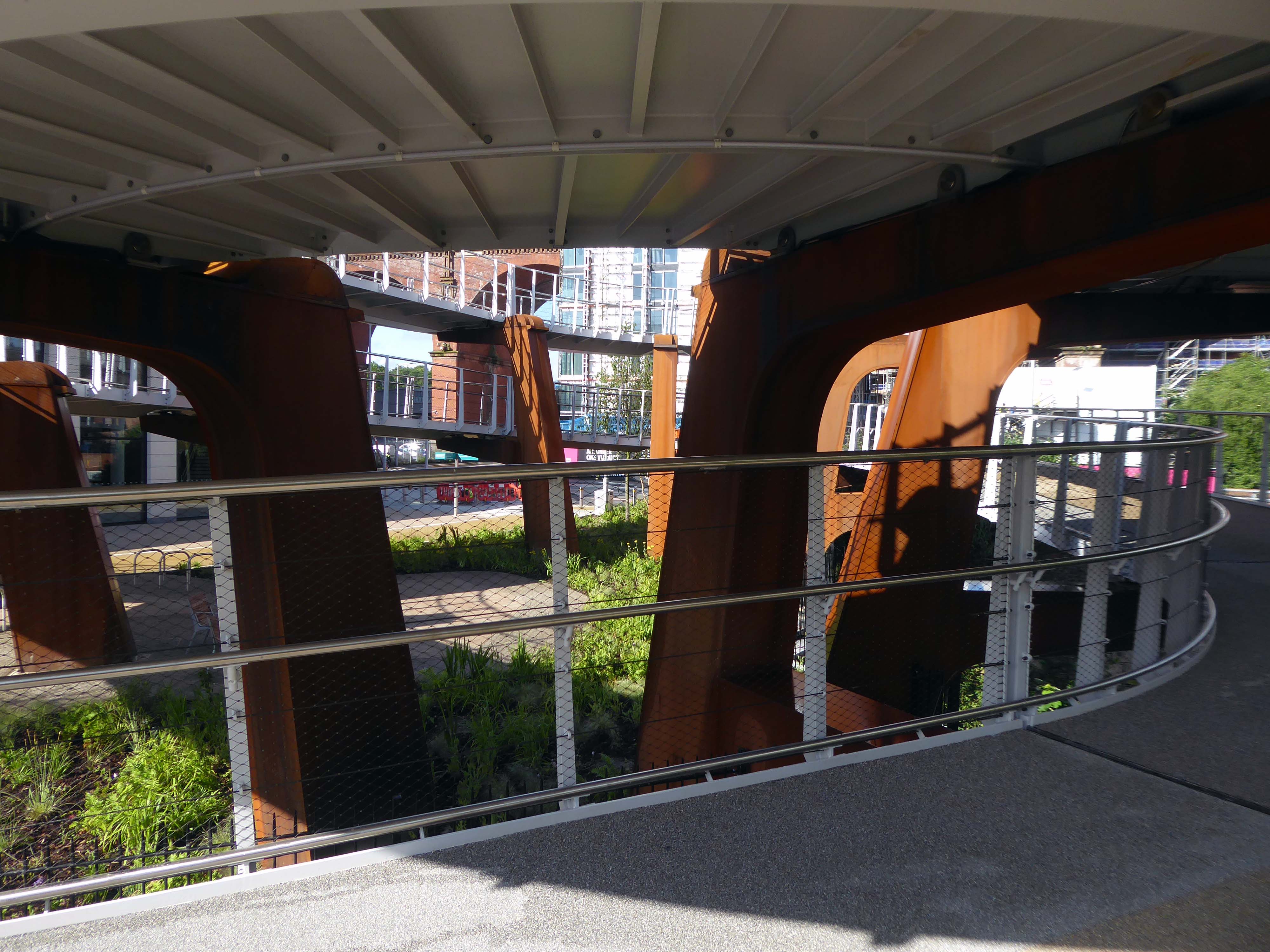
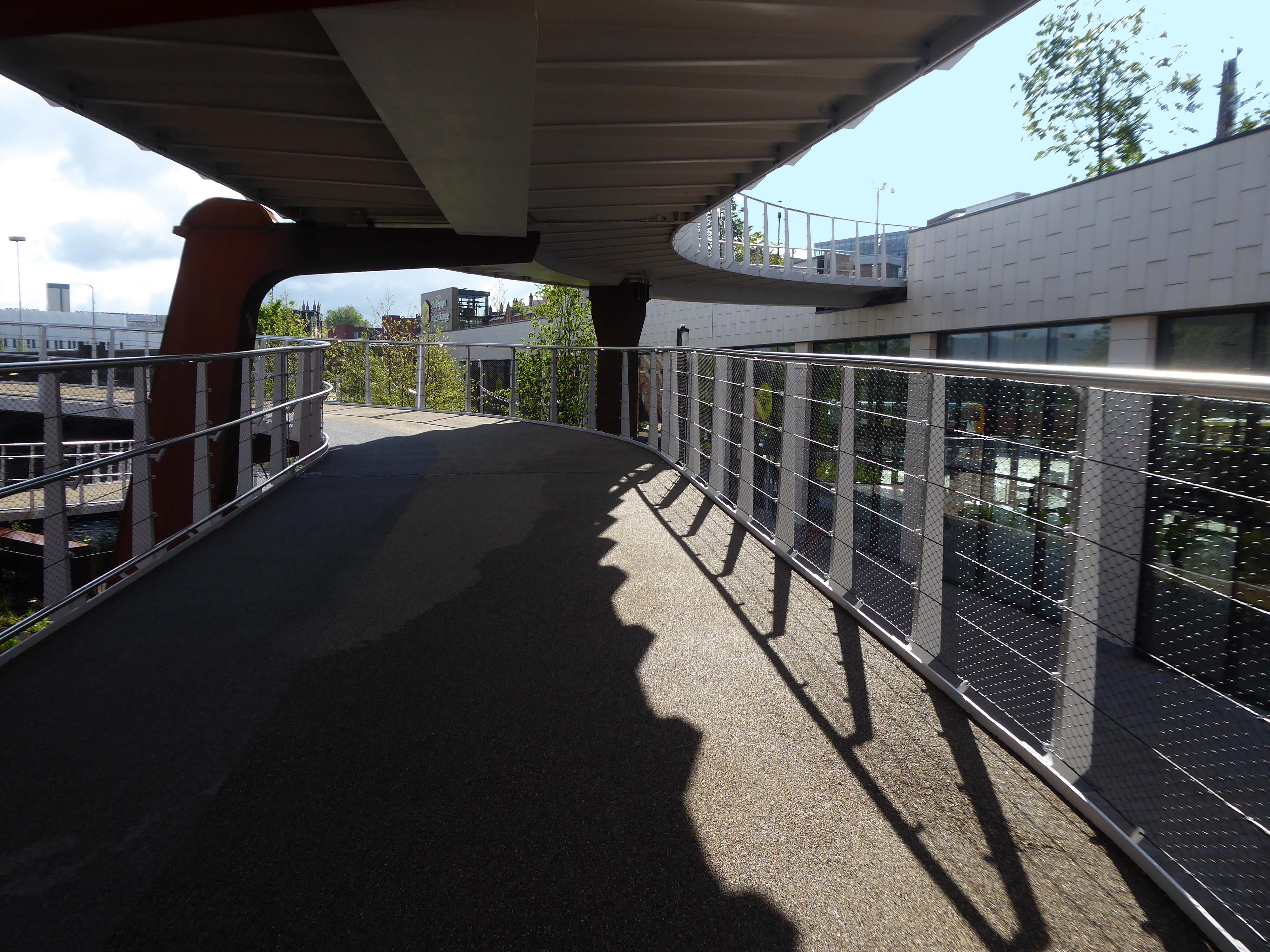
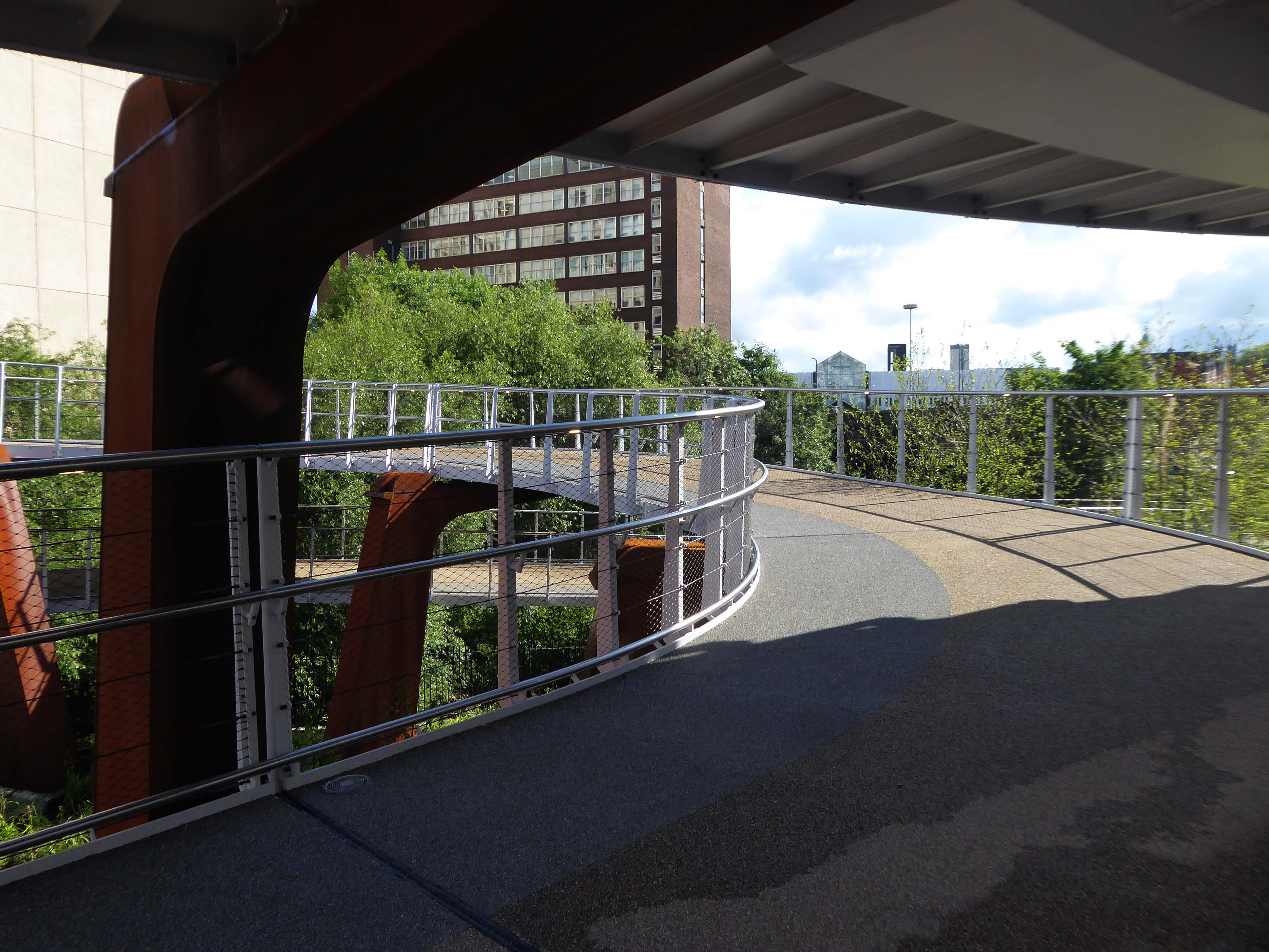
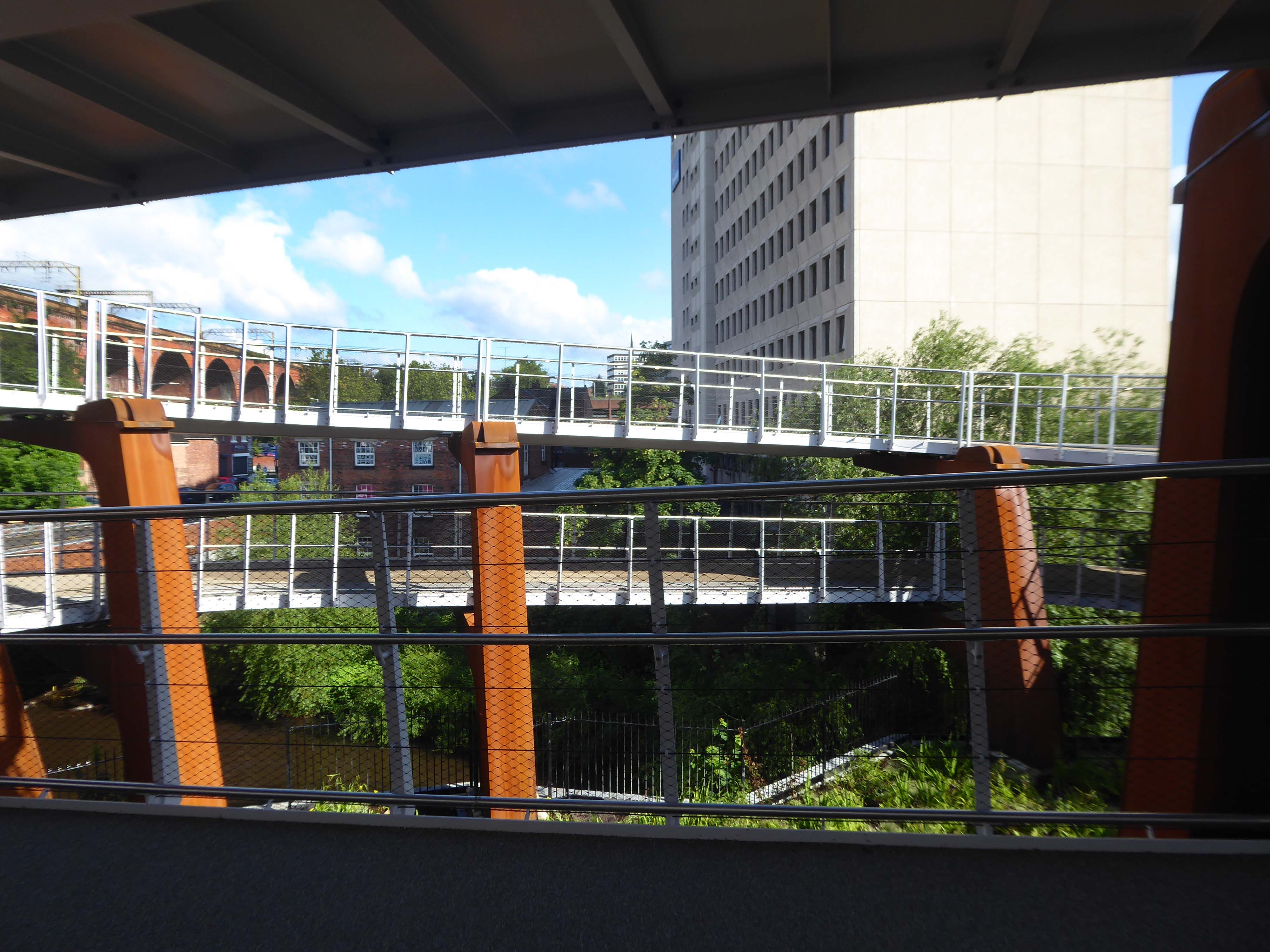
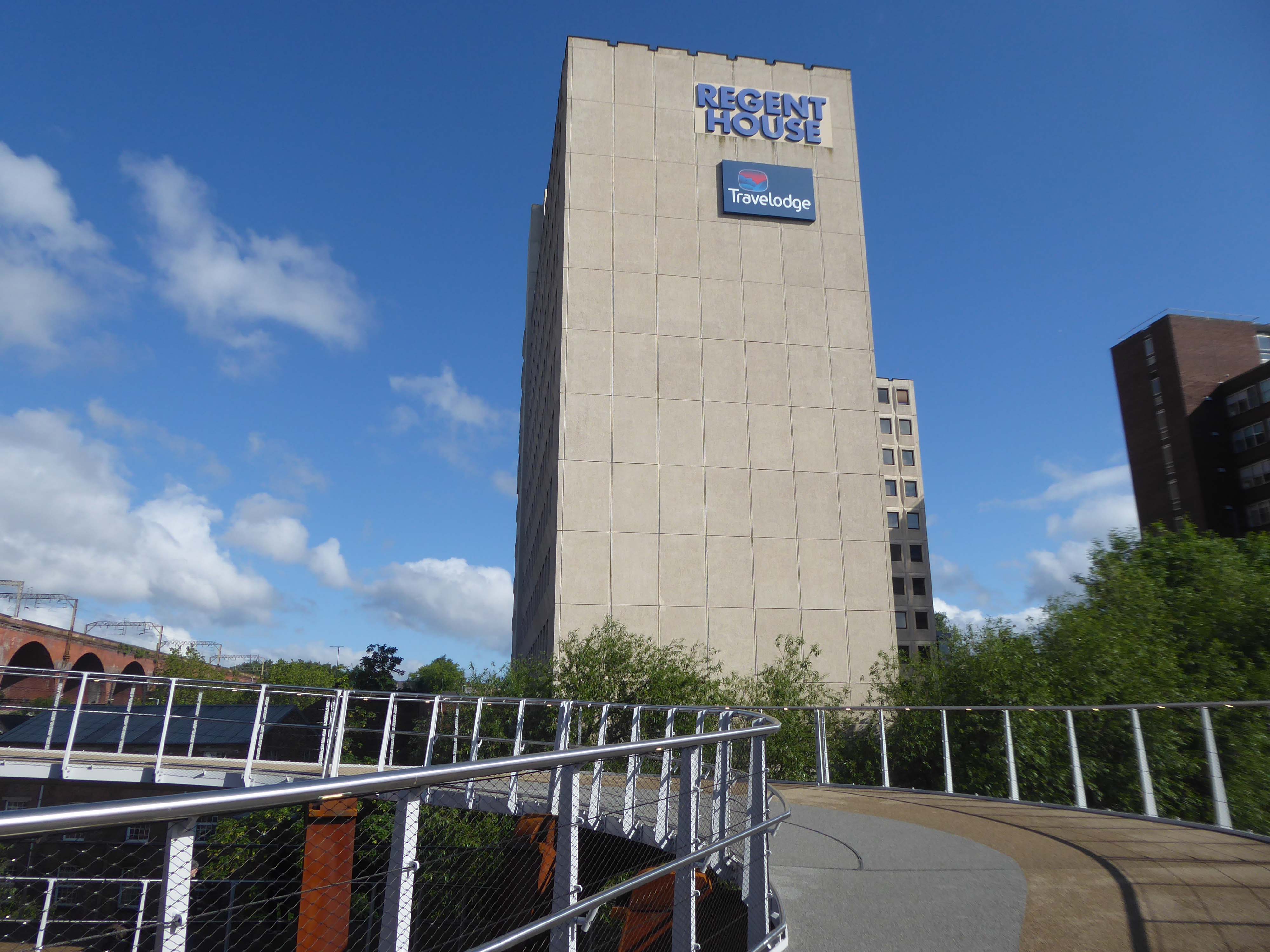
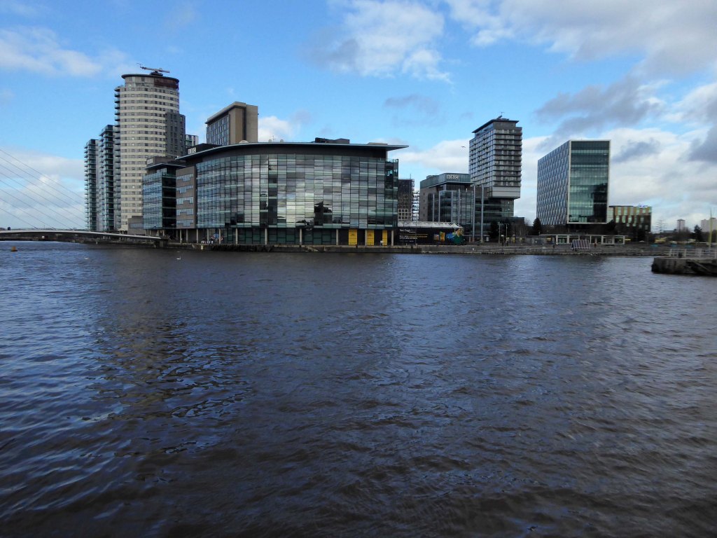
And so our journey continues, leaving behind the semi-detached haven of East Didsbury.

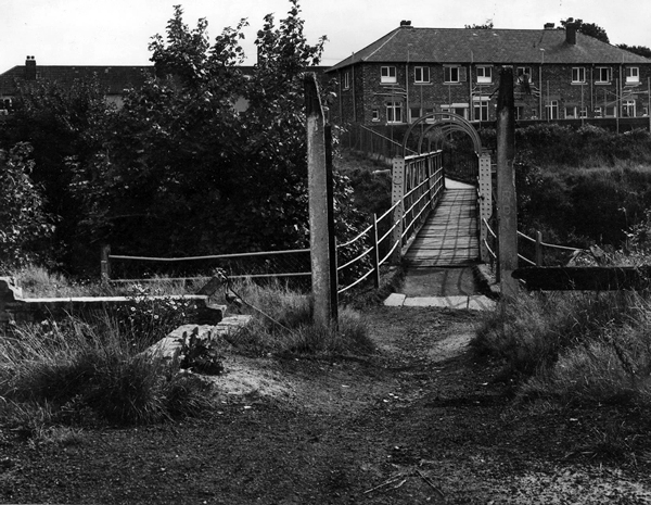
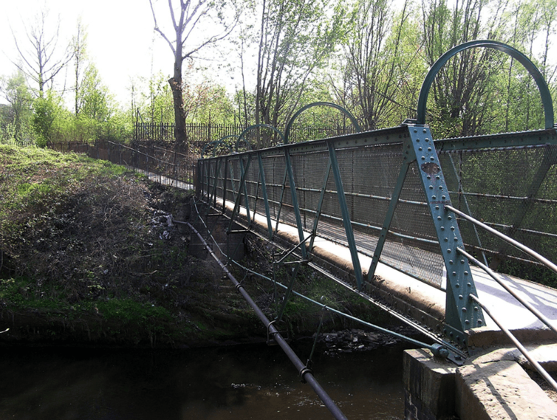
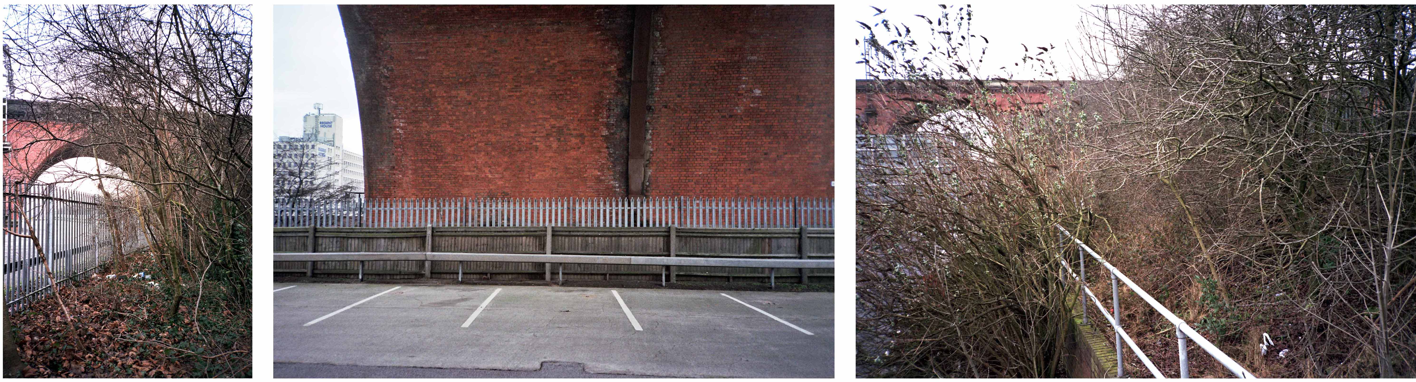
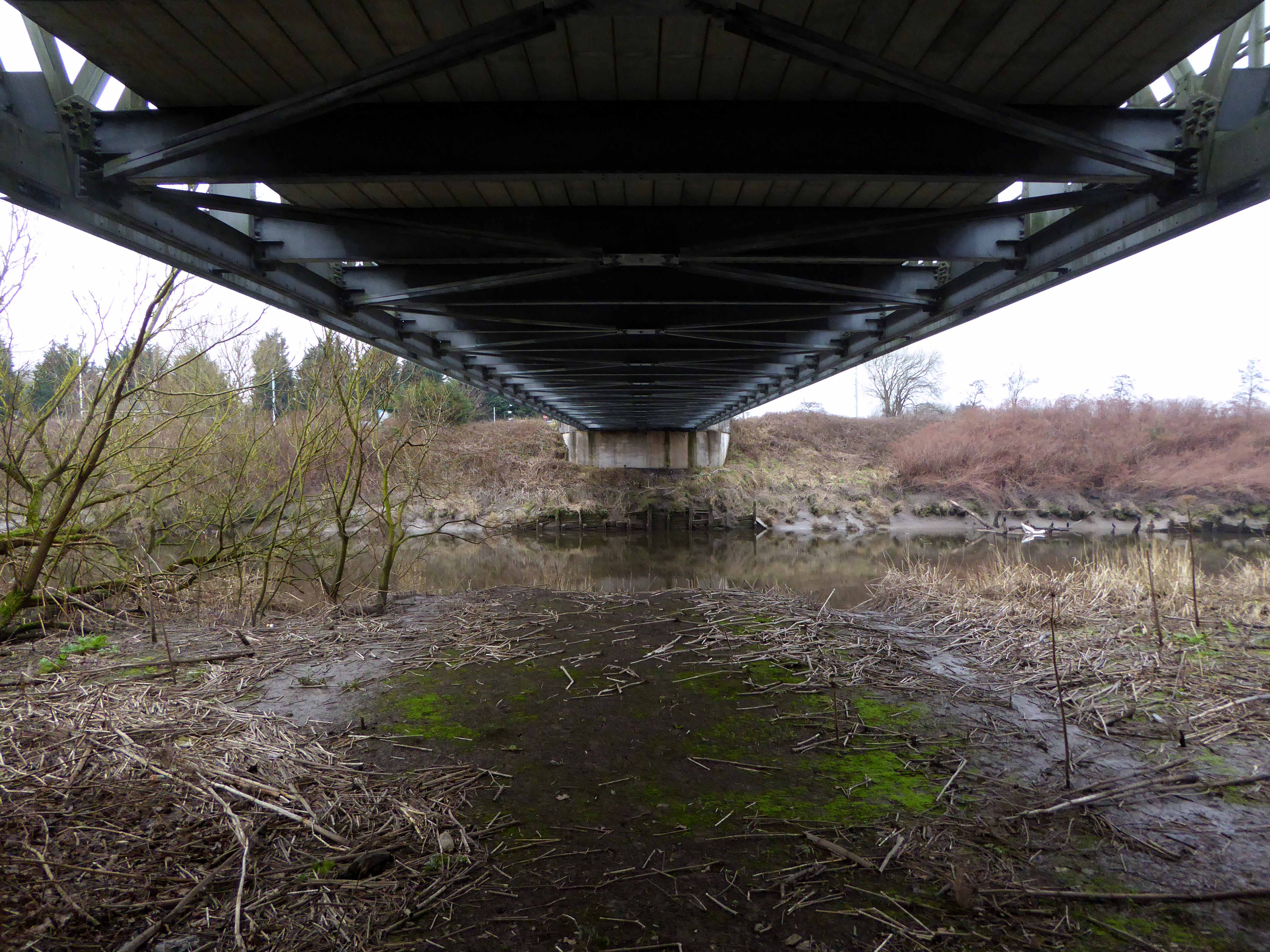
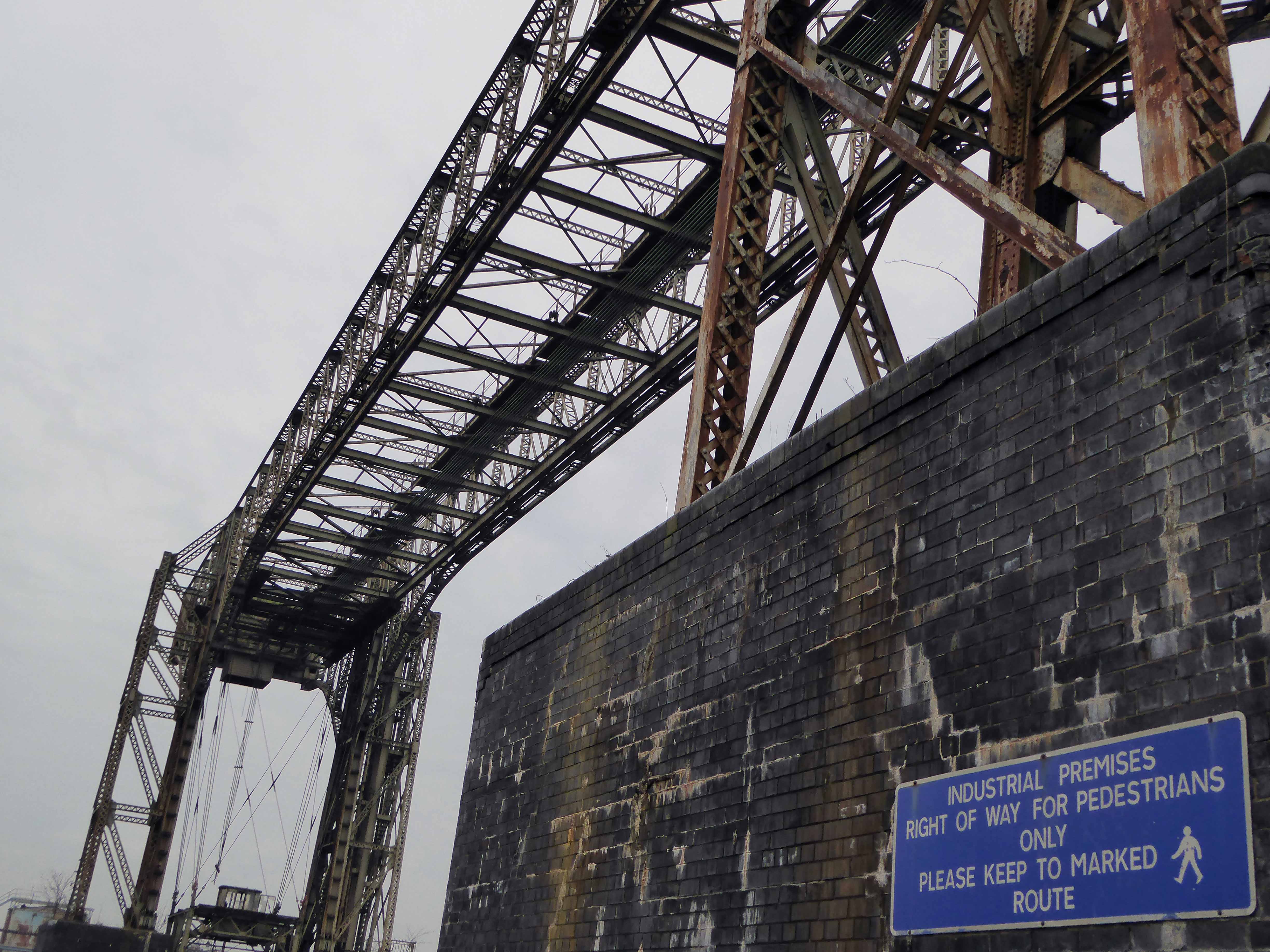
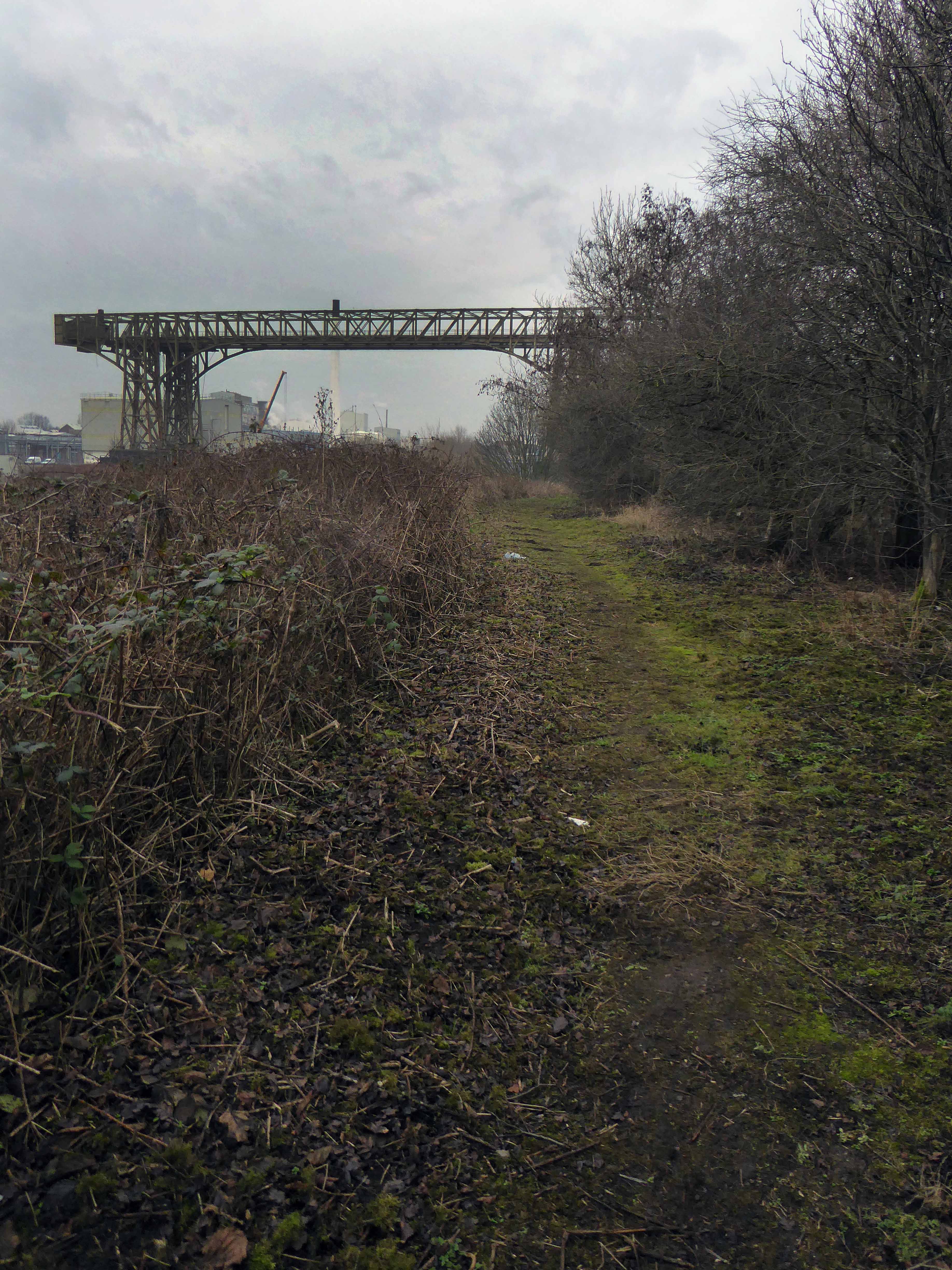
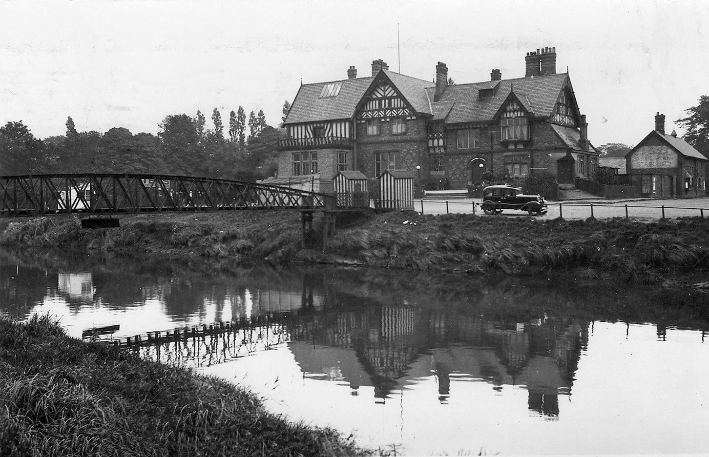
Once again graciously greeting Mr Henry Simon and his wondrous footbridge across the Mersey – the greenest of structures on the greyest of days.

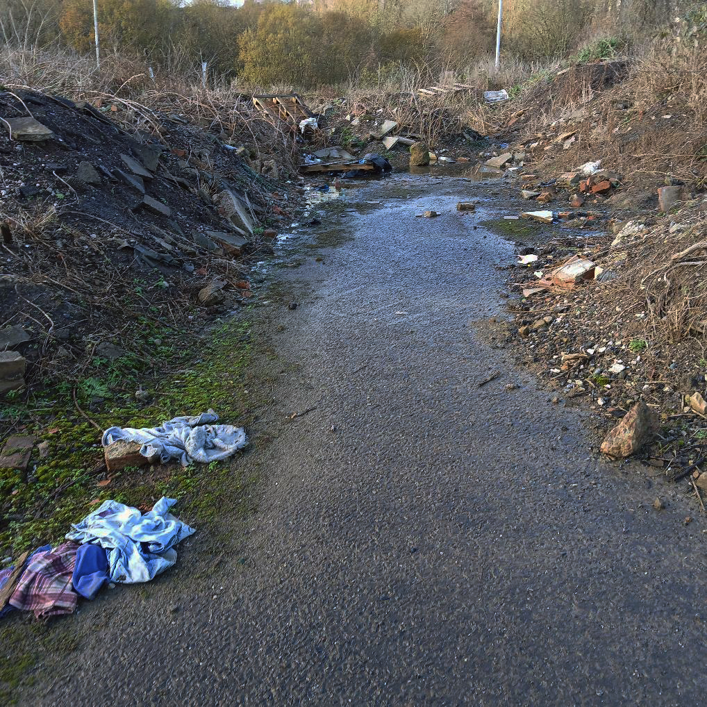
No more fords and/or ferries, say goodbye to wet feet.

webmedia-12.php

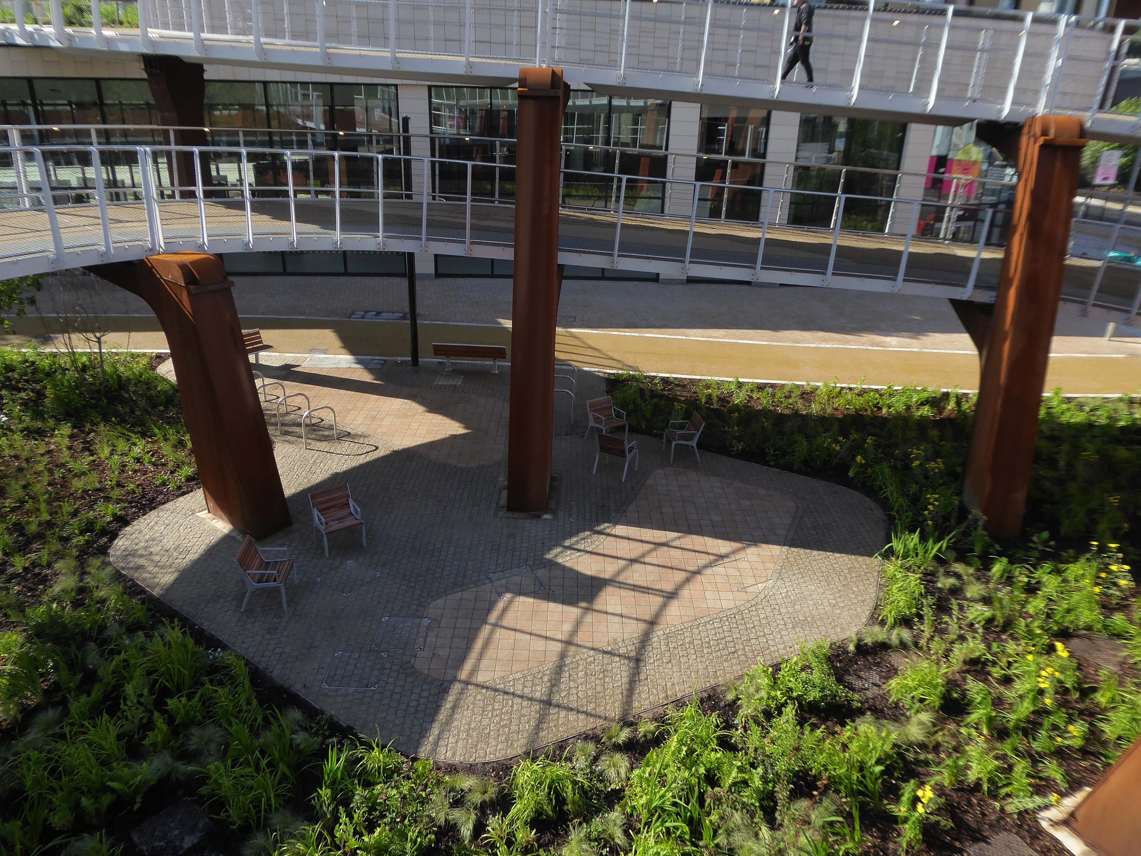
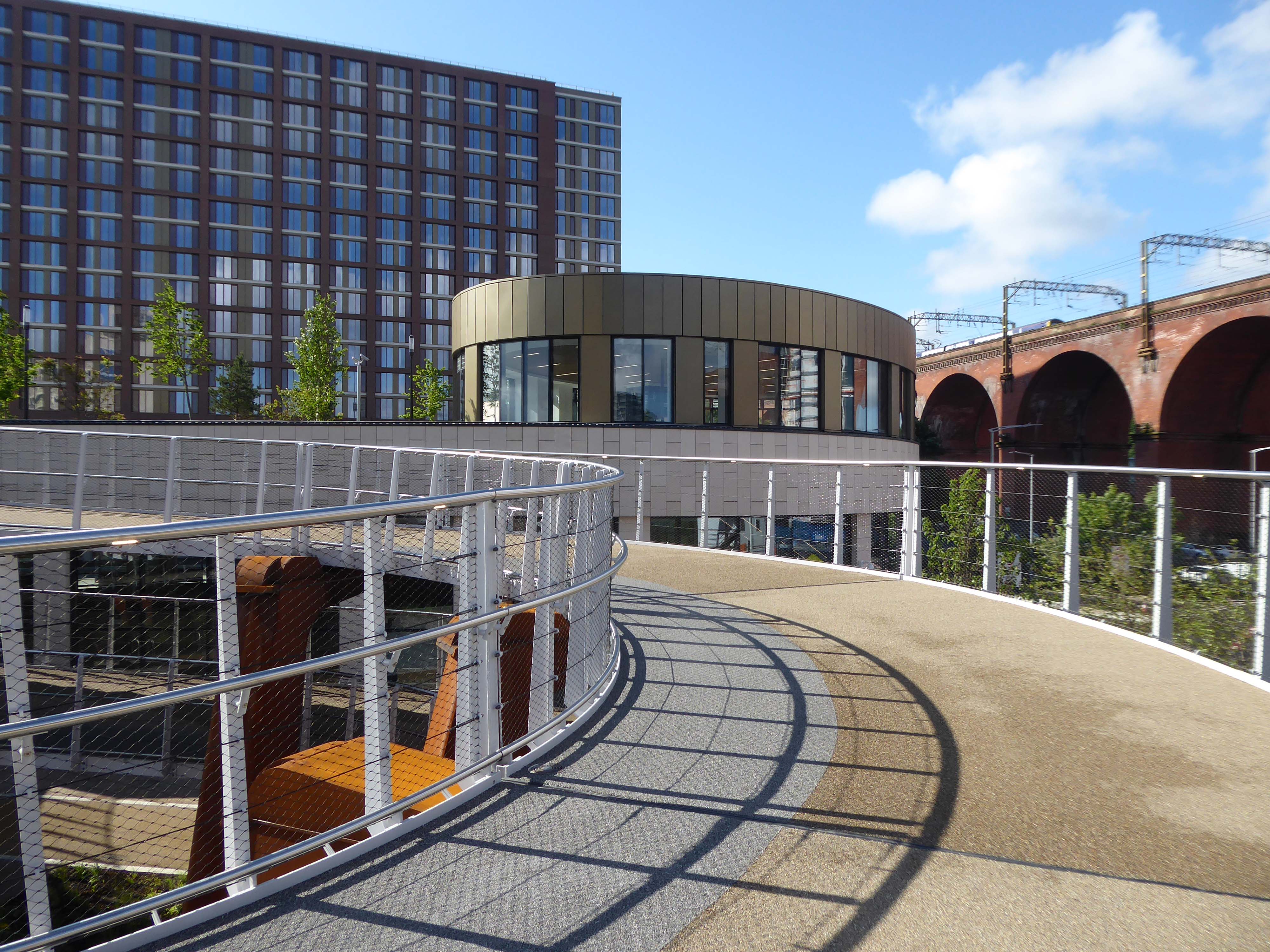
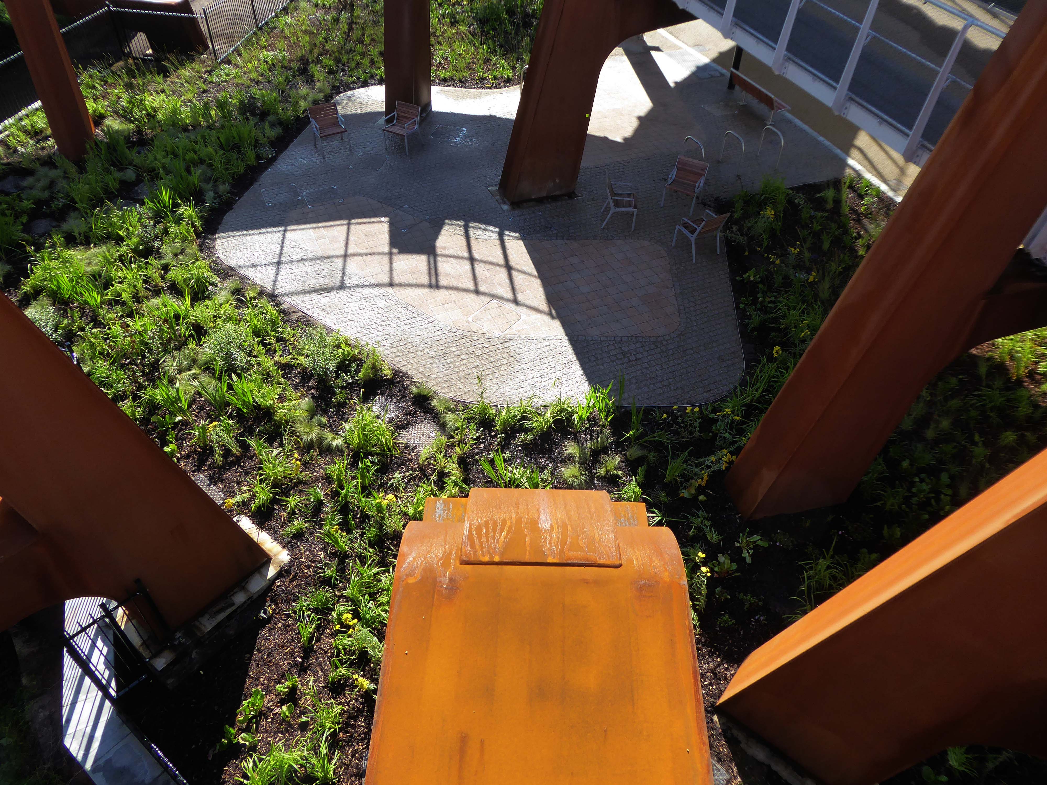
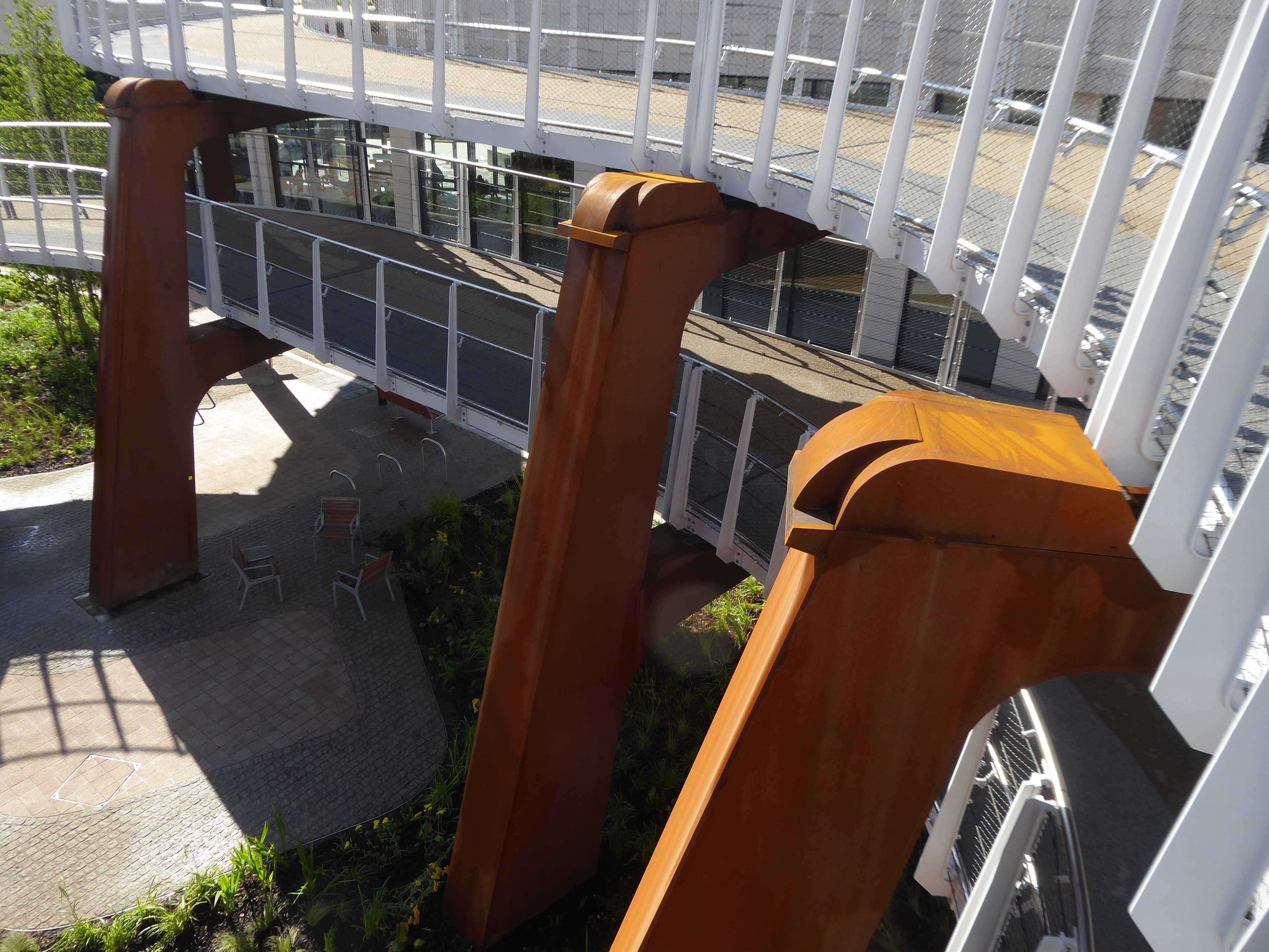
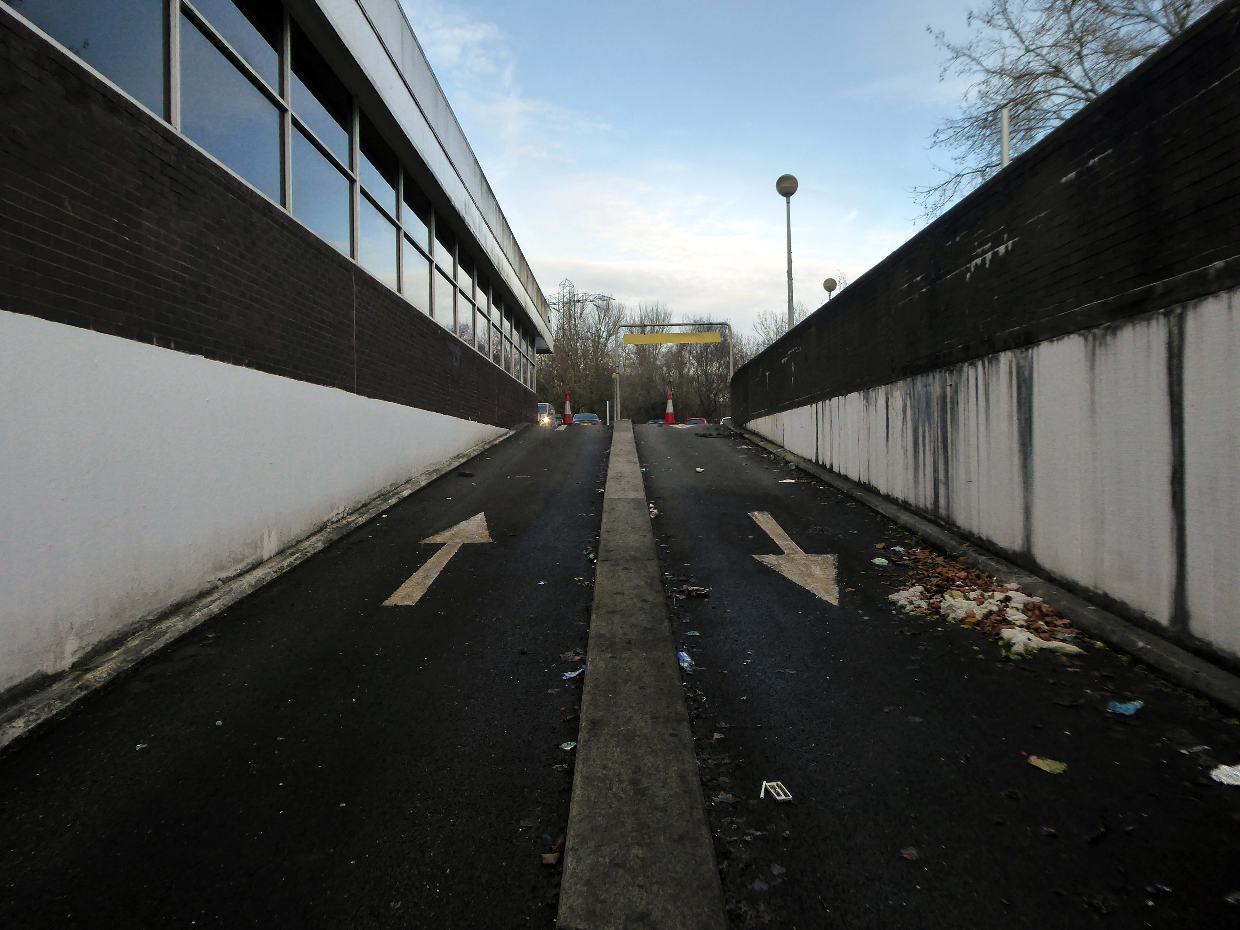
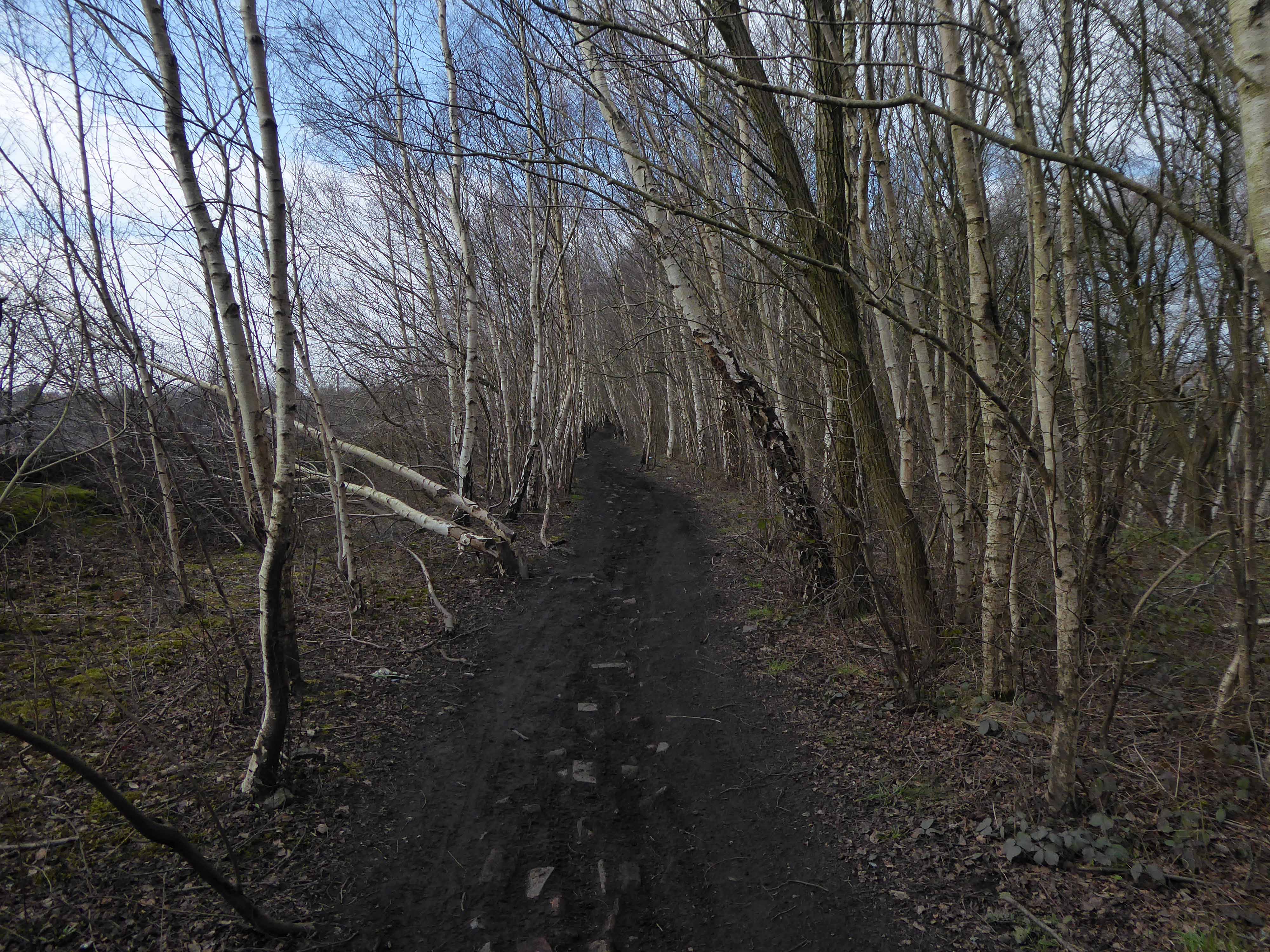
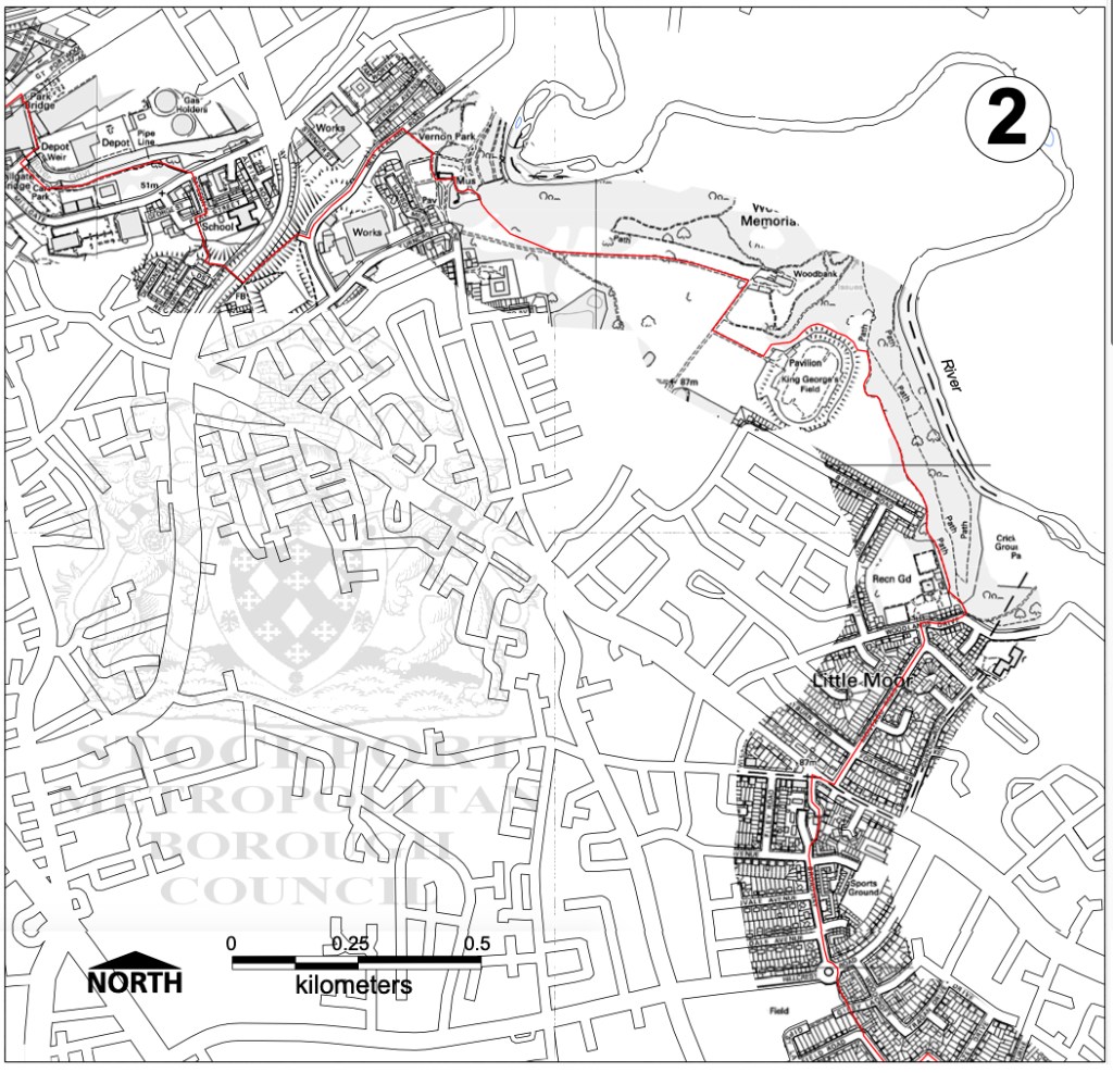
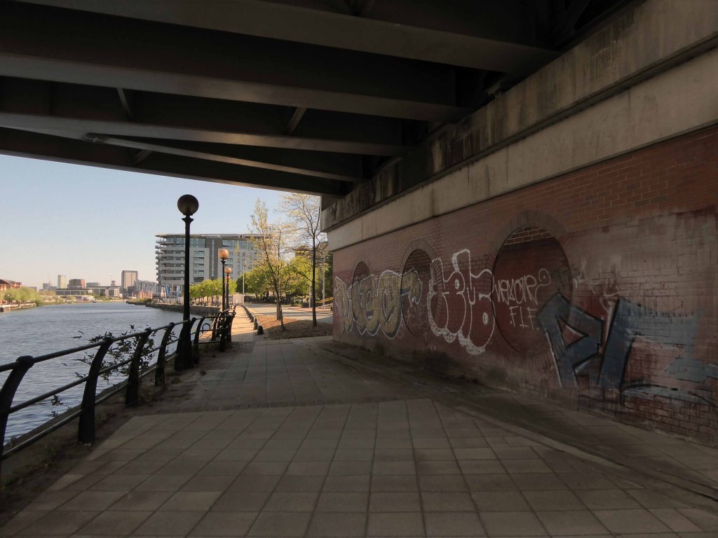
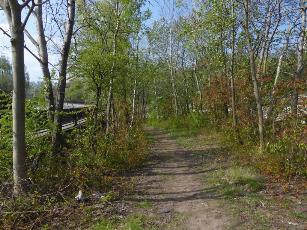
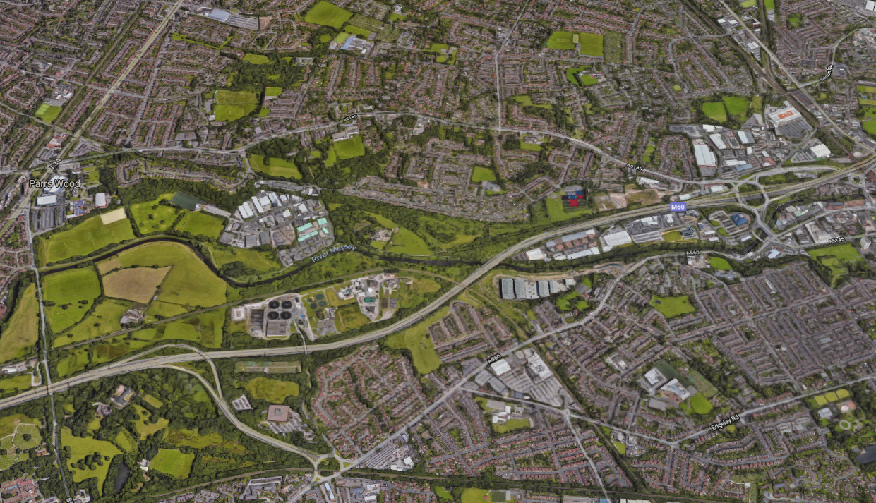
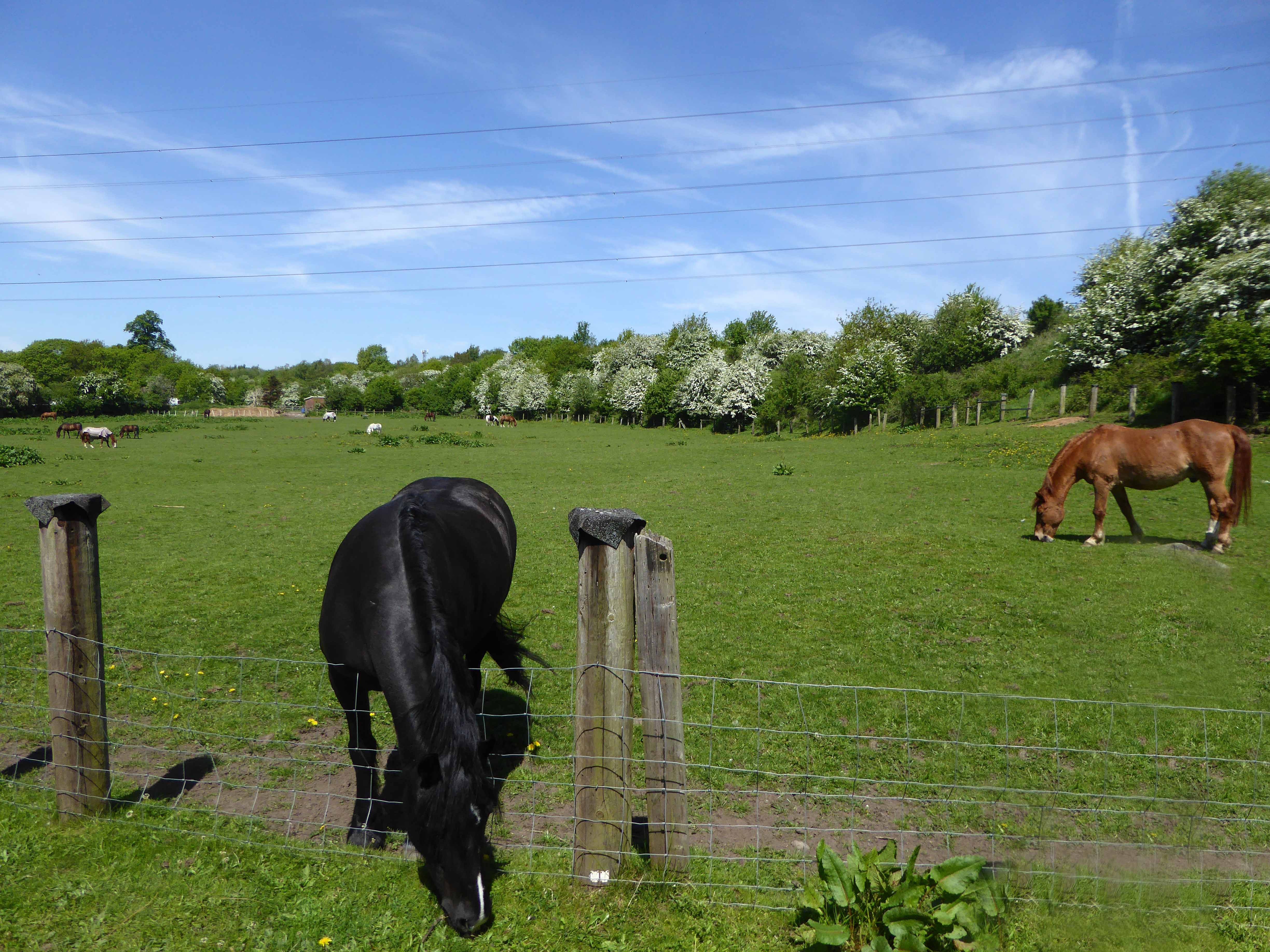
We are down by the river, a place of pleasure and practical workaday goings on – on our way to Northenden.

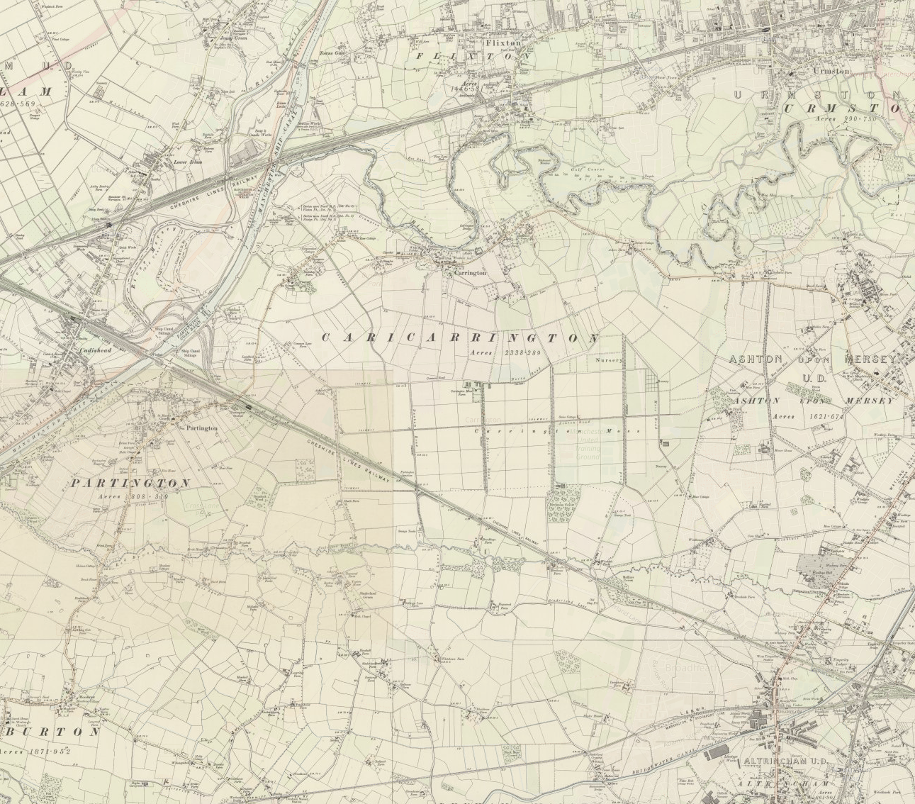
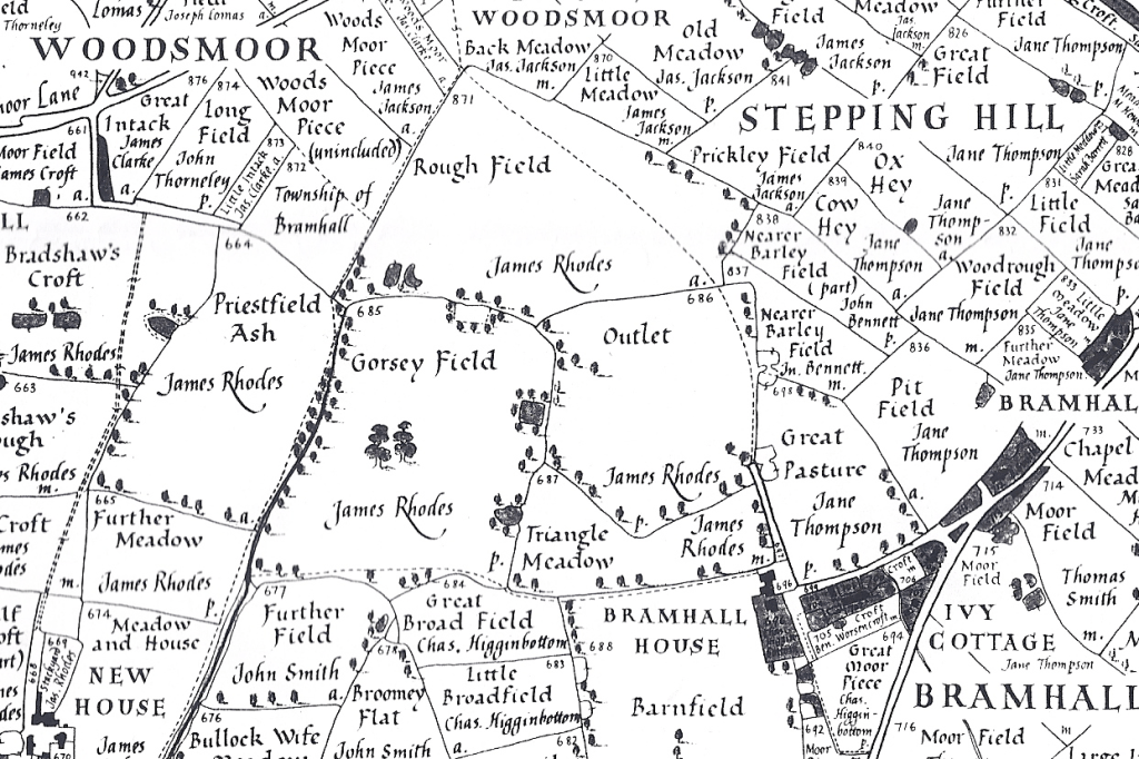
Northenden was mentioned as Norwordine in the Domesday Book of 1086; its name came from Anglo-Saxon Norþ-worþign – north enclosure. It was then a small farming community with a manor house and woodland.

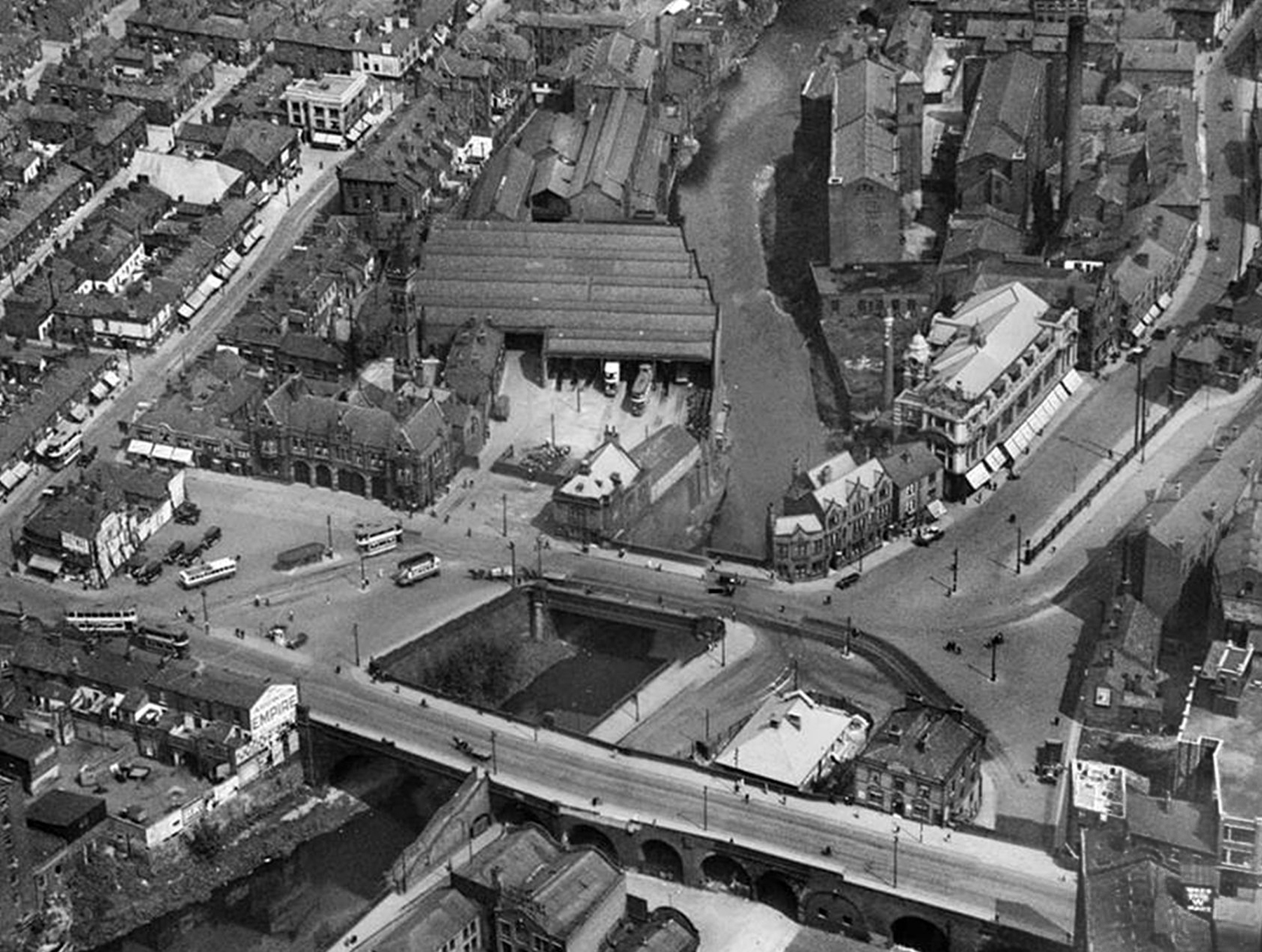
Northenden is on a major crossing place of the Mersey on the salt road from Cheshire to Manchester. The ford was an important way into and out of and into Manchester, in 1745 Bonnie Prince Charlie’s army built a troop-bridge out of big poplar tree trunks where the B5095 now crosses the Mersey, south of Didsbury, in his abortive attempt to seize the crown of England.

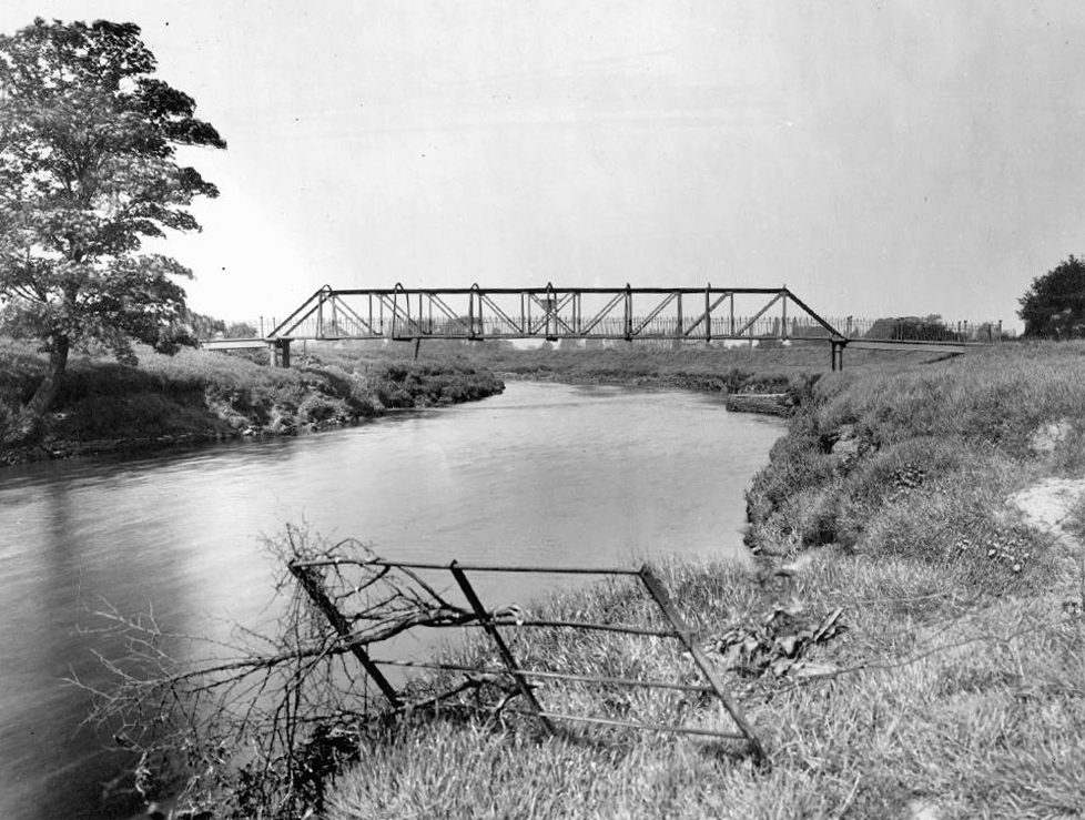
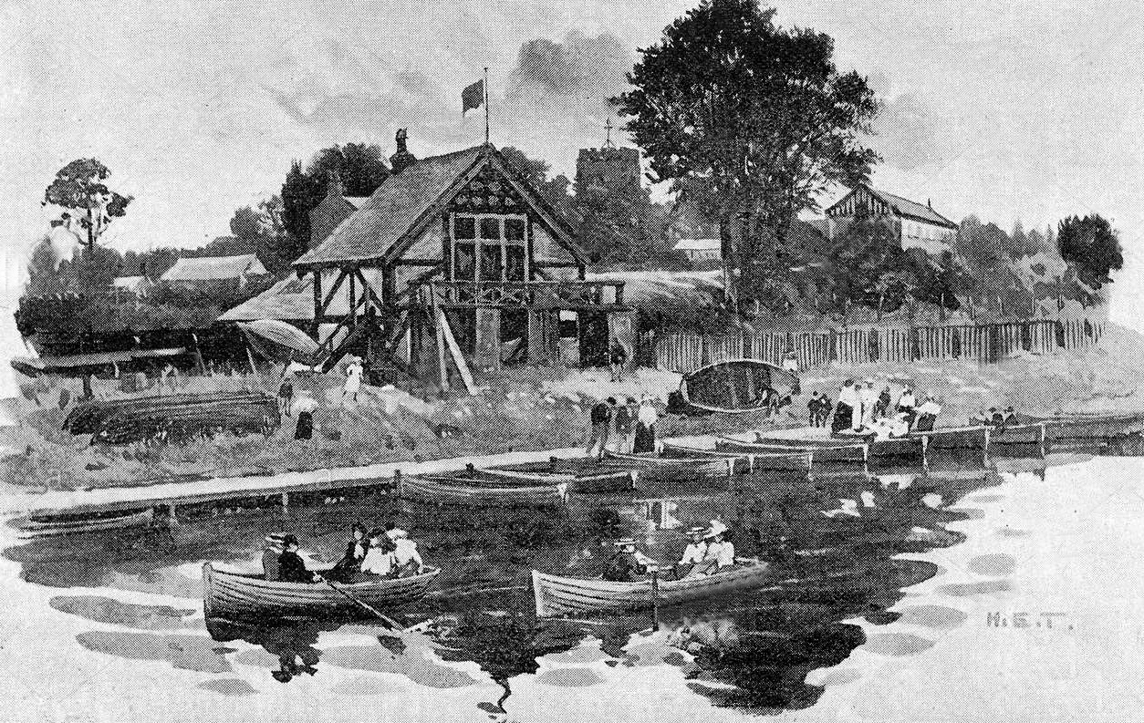
The Northenden ford was unusual because its northern and southern ends were not opposite each other, but people using the ford had to wade about 500 feet along the riverbed. The Simon’s Bridge was built at the ford in 1901 to help access to Poor’s Field, and the rent from this field was used by the church to buy blankets and clothes for the needy.

webmedia-9.php

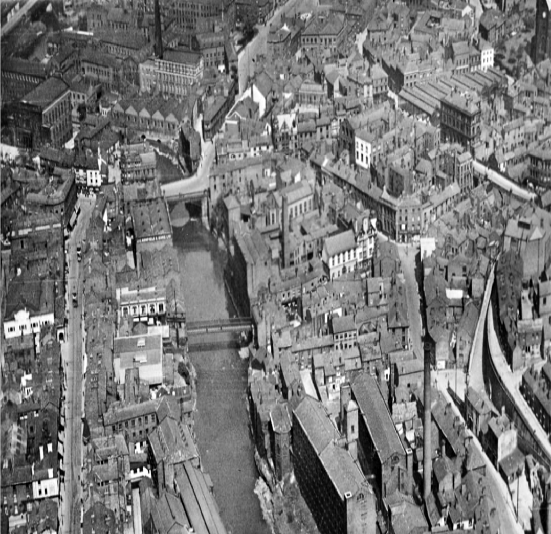
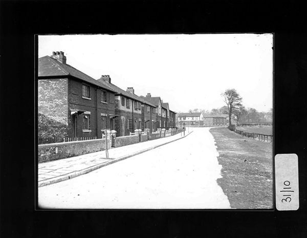
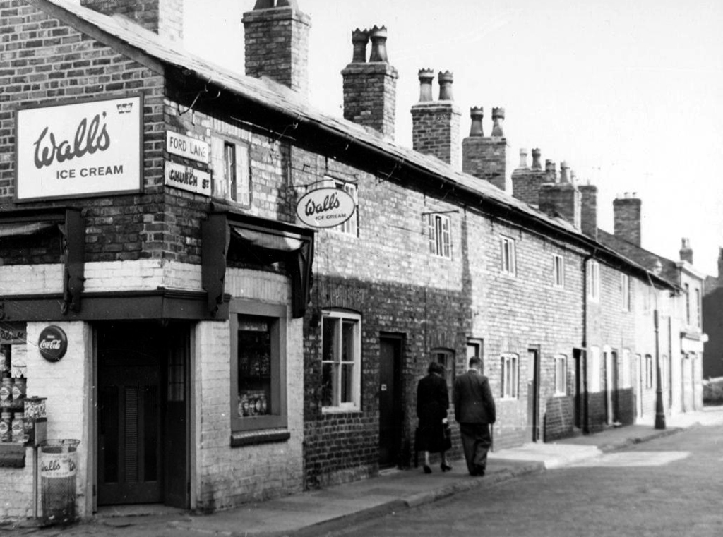
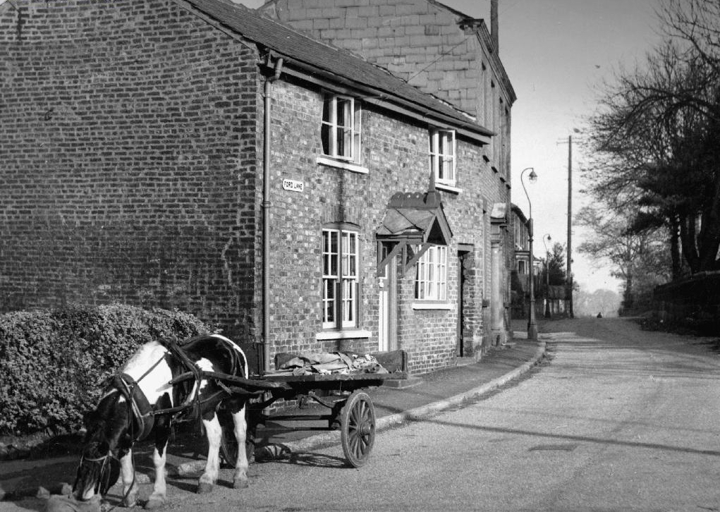
Little is known of Northenden’s Saxon origins other than that it was one of the few disembarkation points on the Mersey flood plain between Stockport and Stretford. A church was recorded here in the Domesday book of 1086. The village has grown in importance since 1641, when a ferry boat for crossing the River Mersey was installed. In 1642 a ford was also constructed, hence the names Boat Lane and Ford Lane. There was a water mill and, it is rumoured, a public house. The plan form of the village was established with properties being built along the two lanes, which intersected near the church.

webmedia-8.php

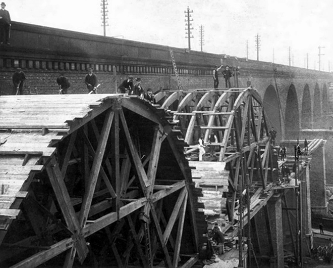
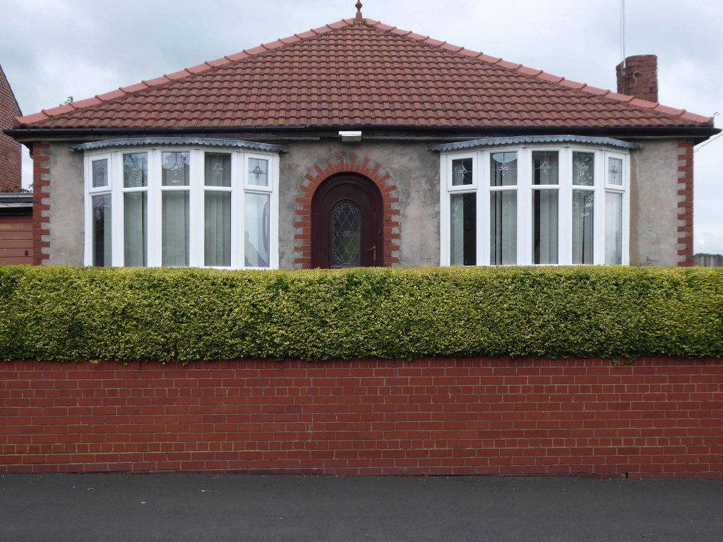
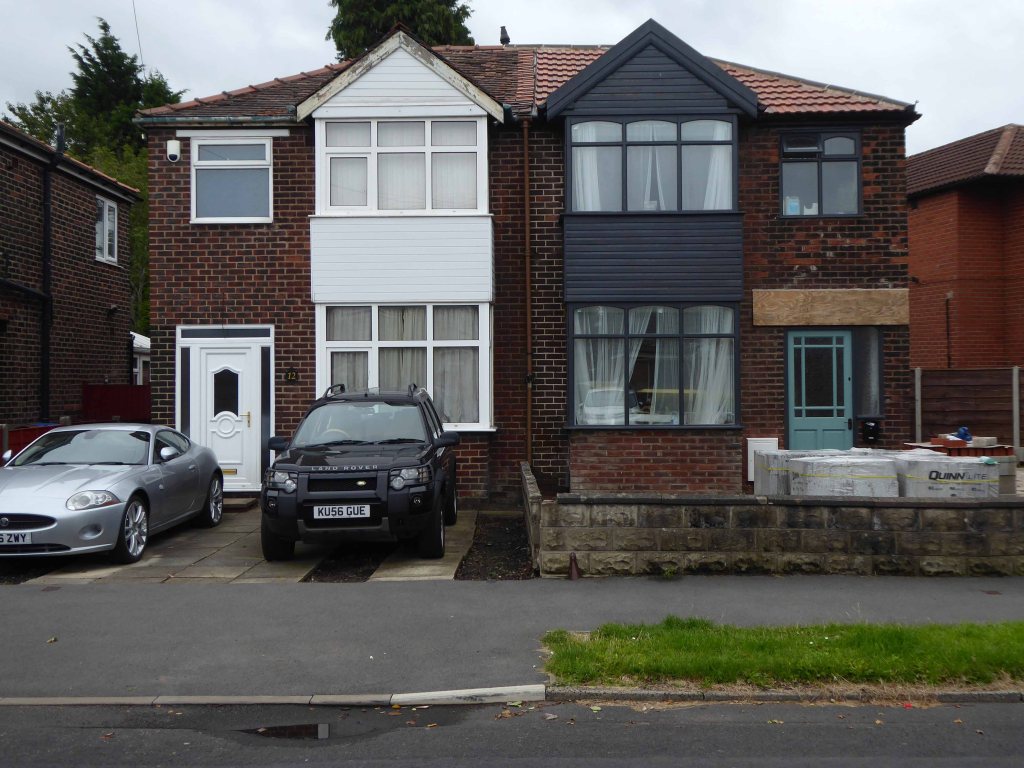
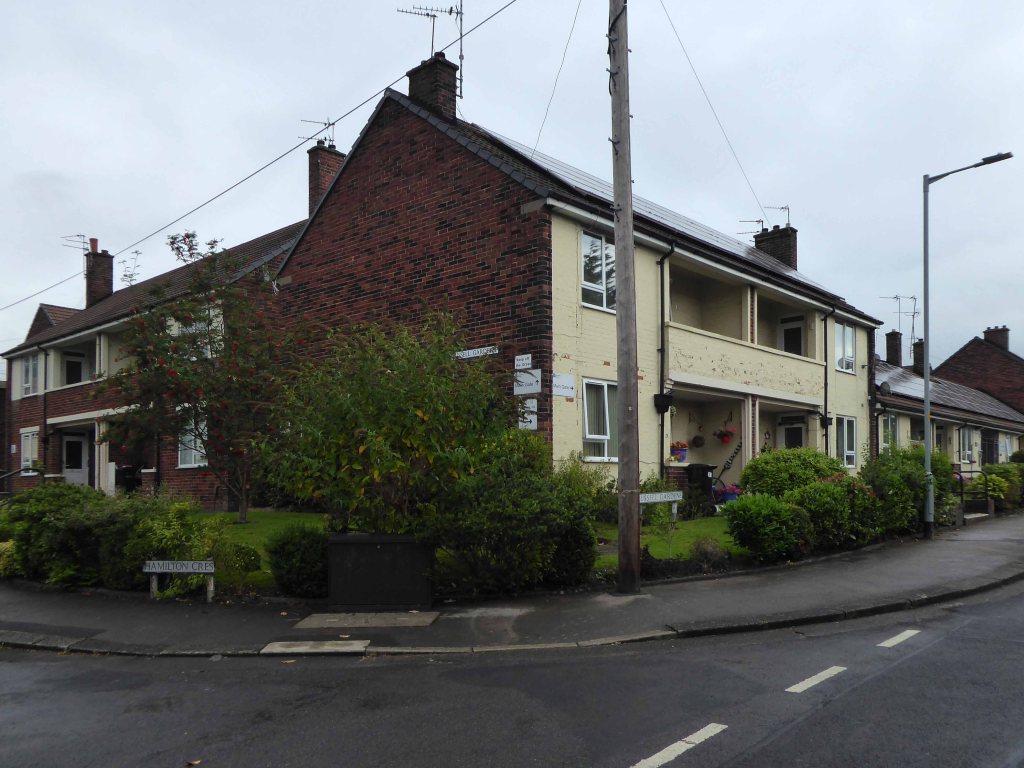
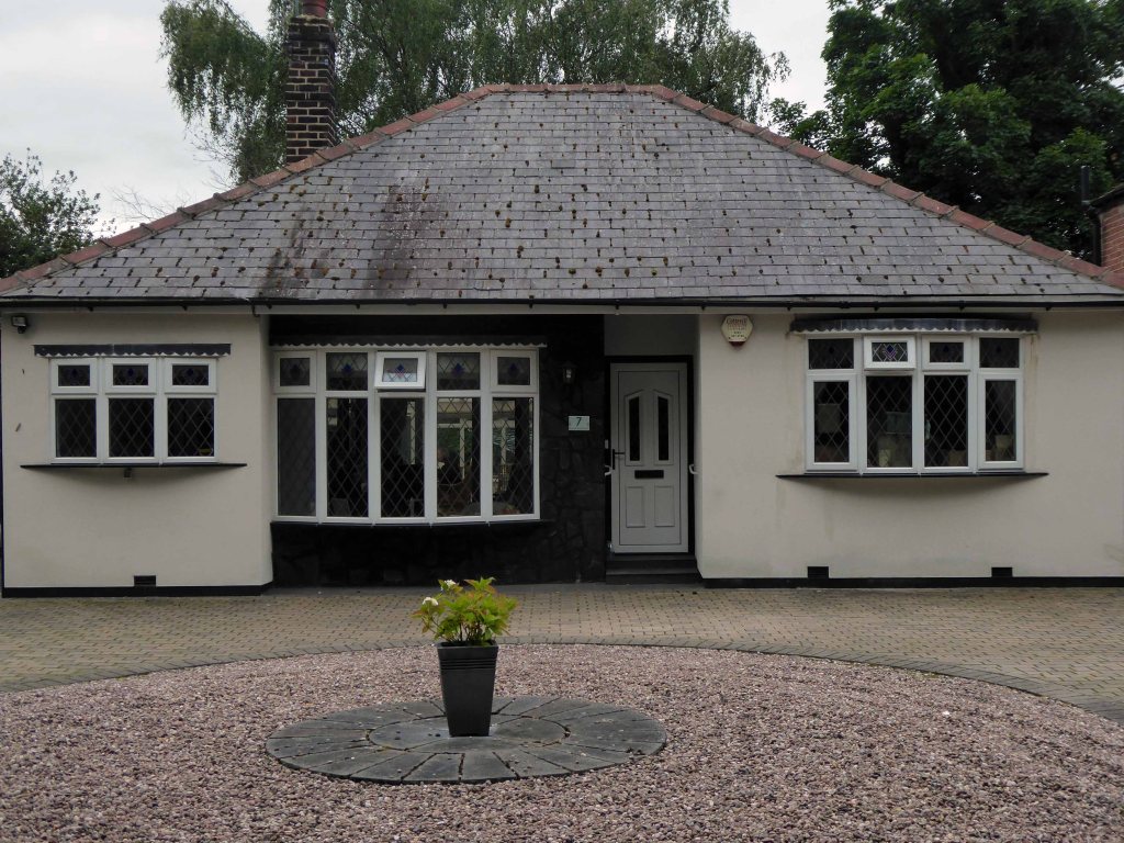
Little change occurred for the next two centuries until, by the mid 19th century, market gardens in and around the village supplied food for the rapidly expanding population of Manchester. The only routes to the City were via the ferry boat or the ford until, in 1862, Palatine Road was opened and provided a bridge crossing. Northenden was still a rural village and, towards the turn of the century, good quality semi-detached houses were built for clerks and managers who were able to commute to Manchester on the horse-drawn bus and the tram.

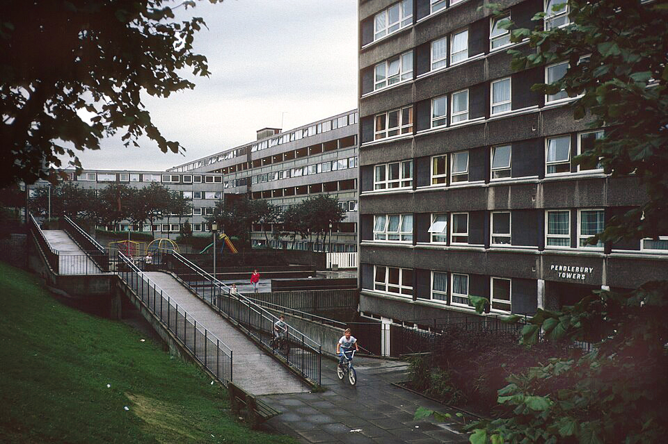
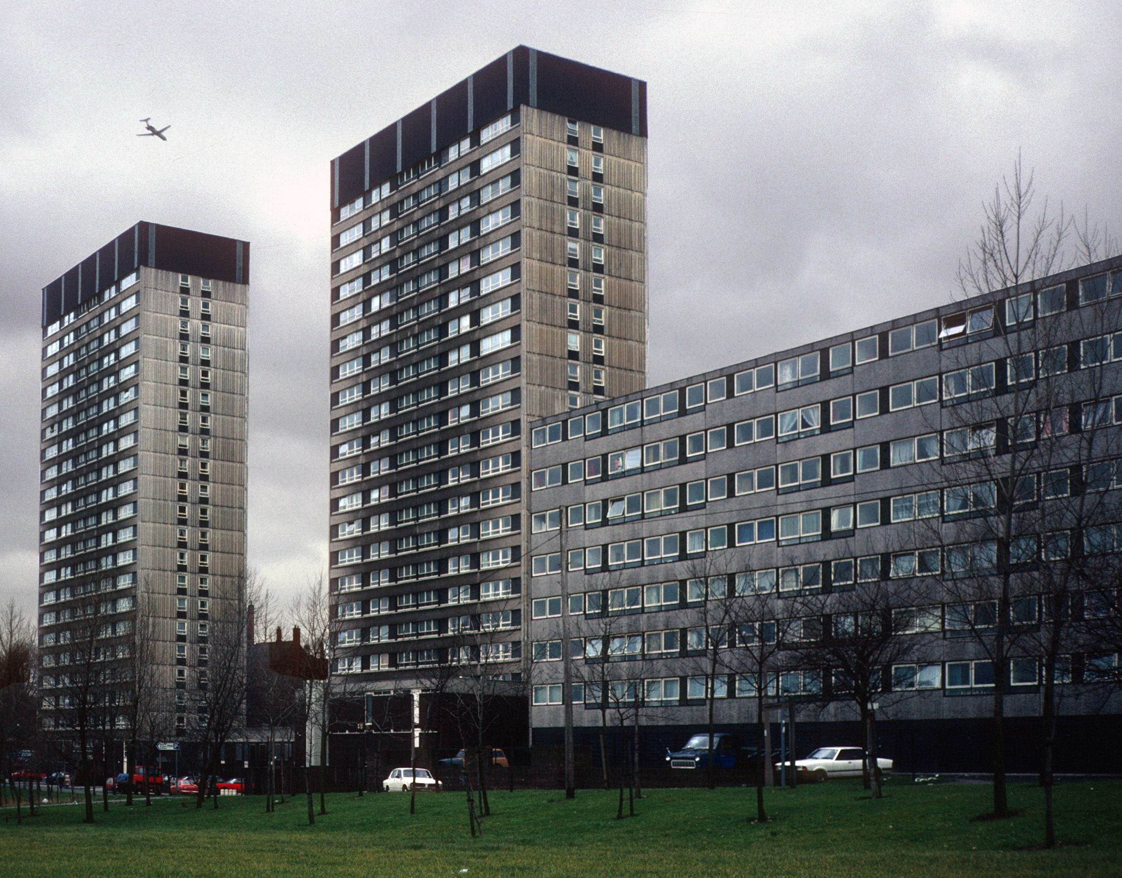
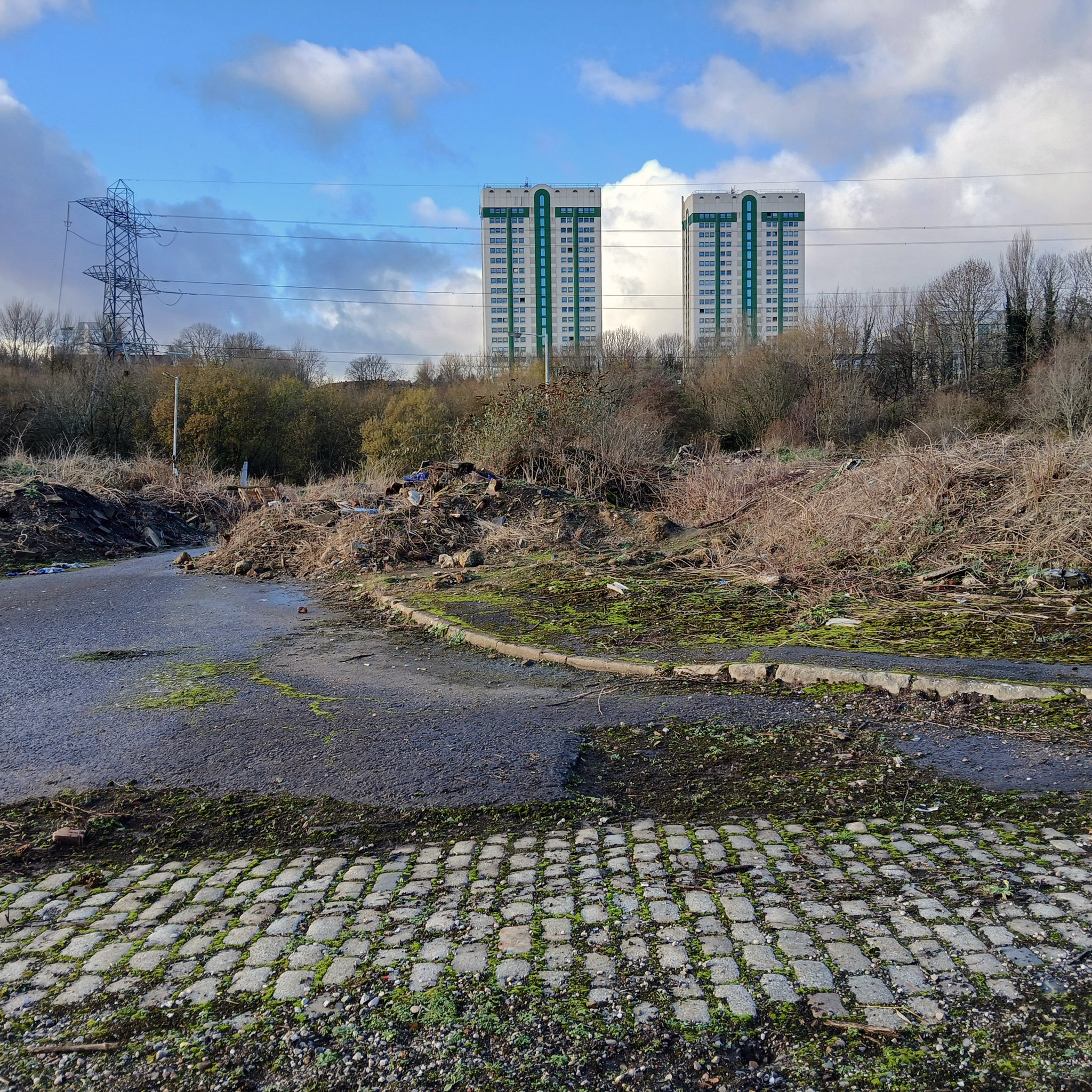
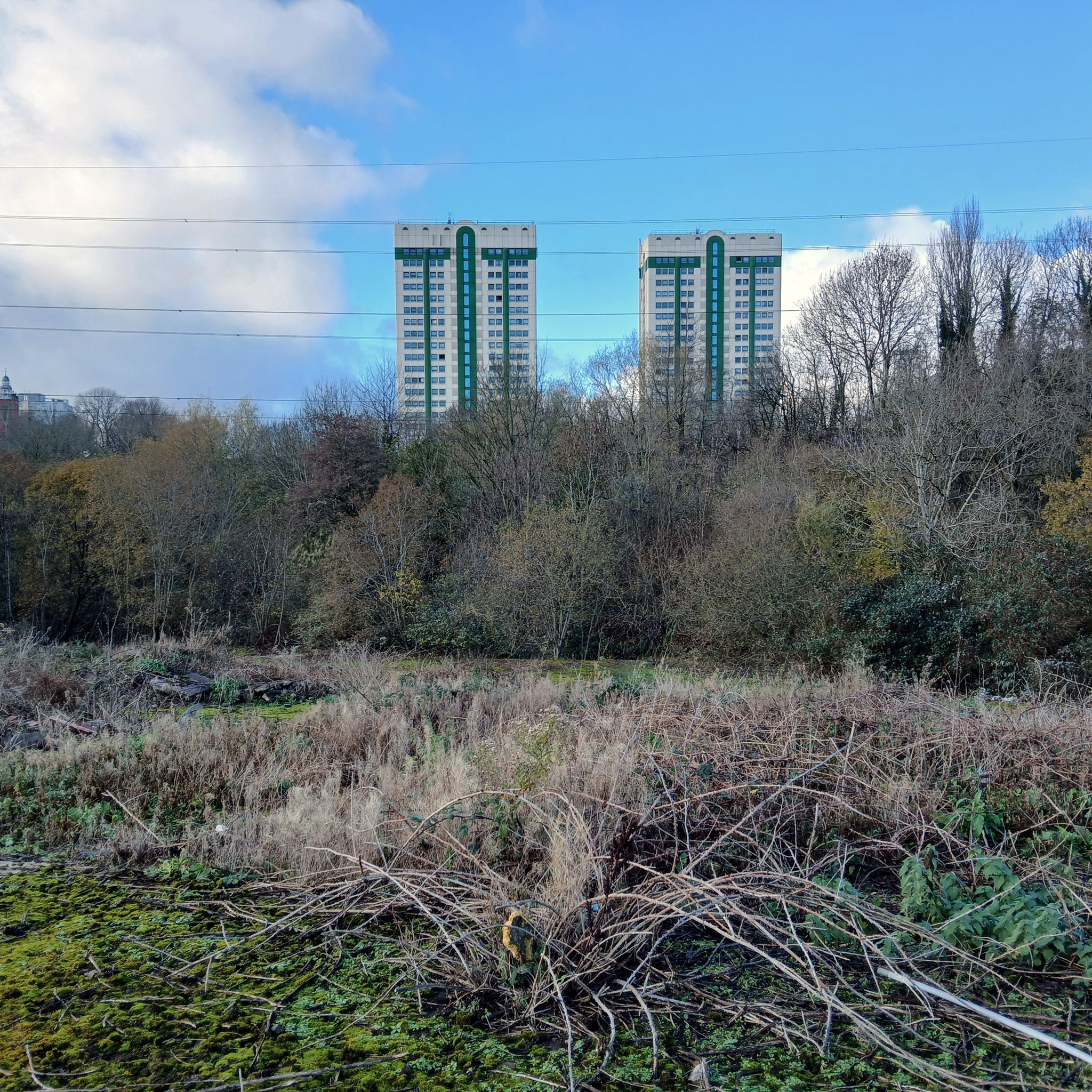
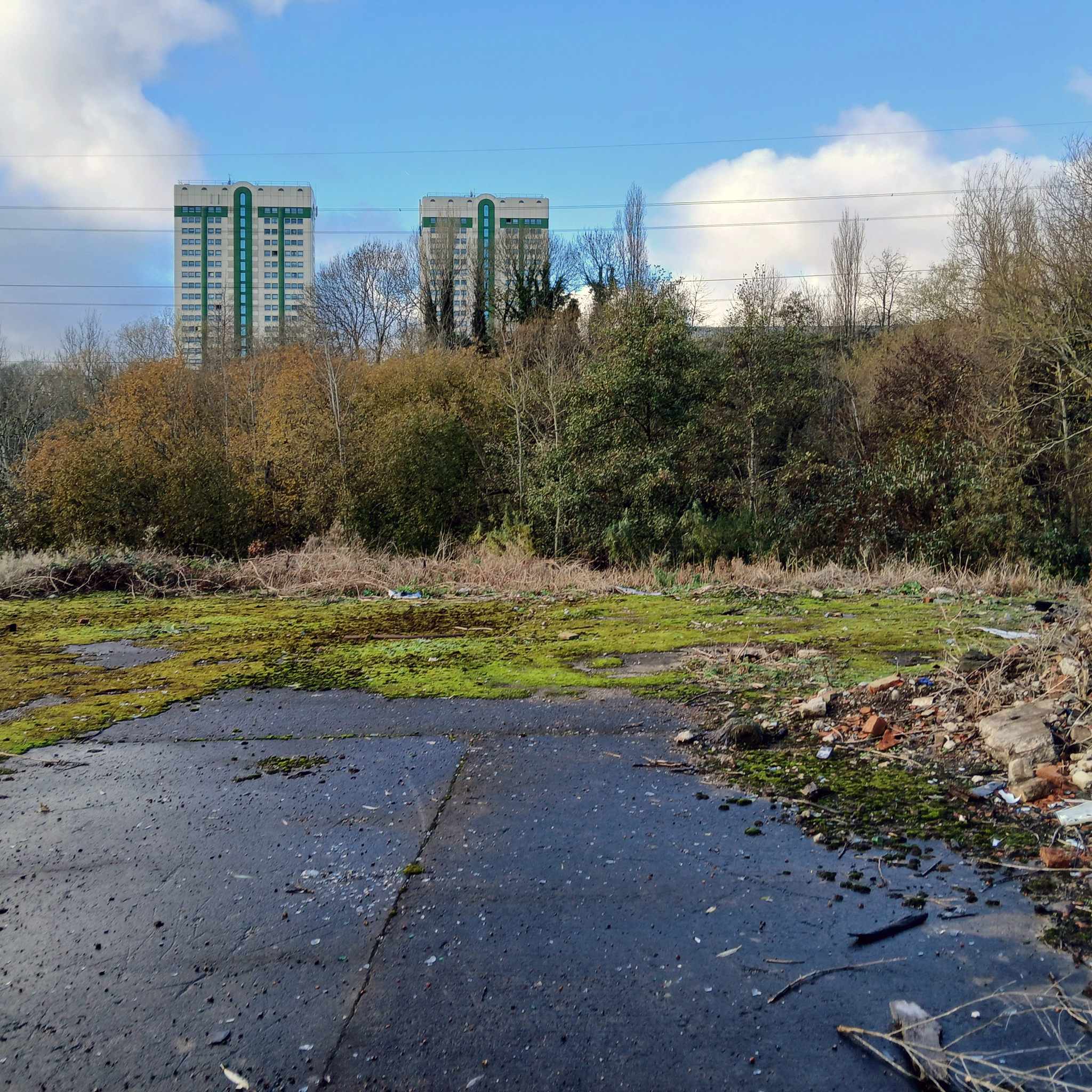
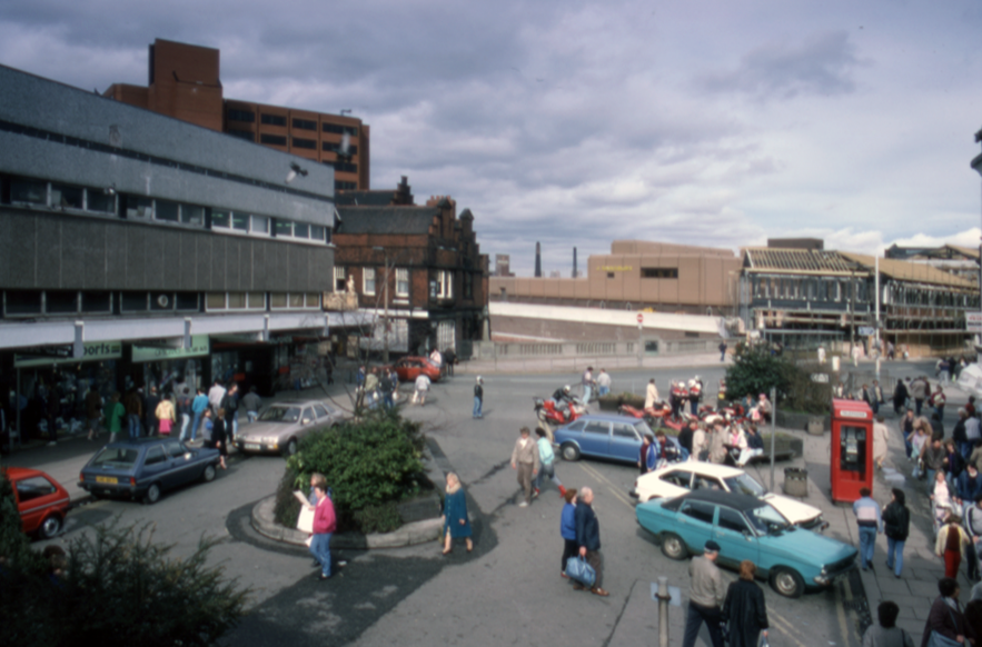
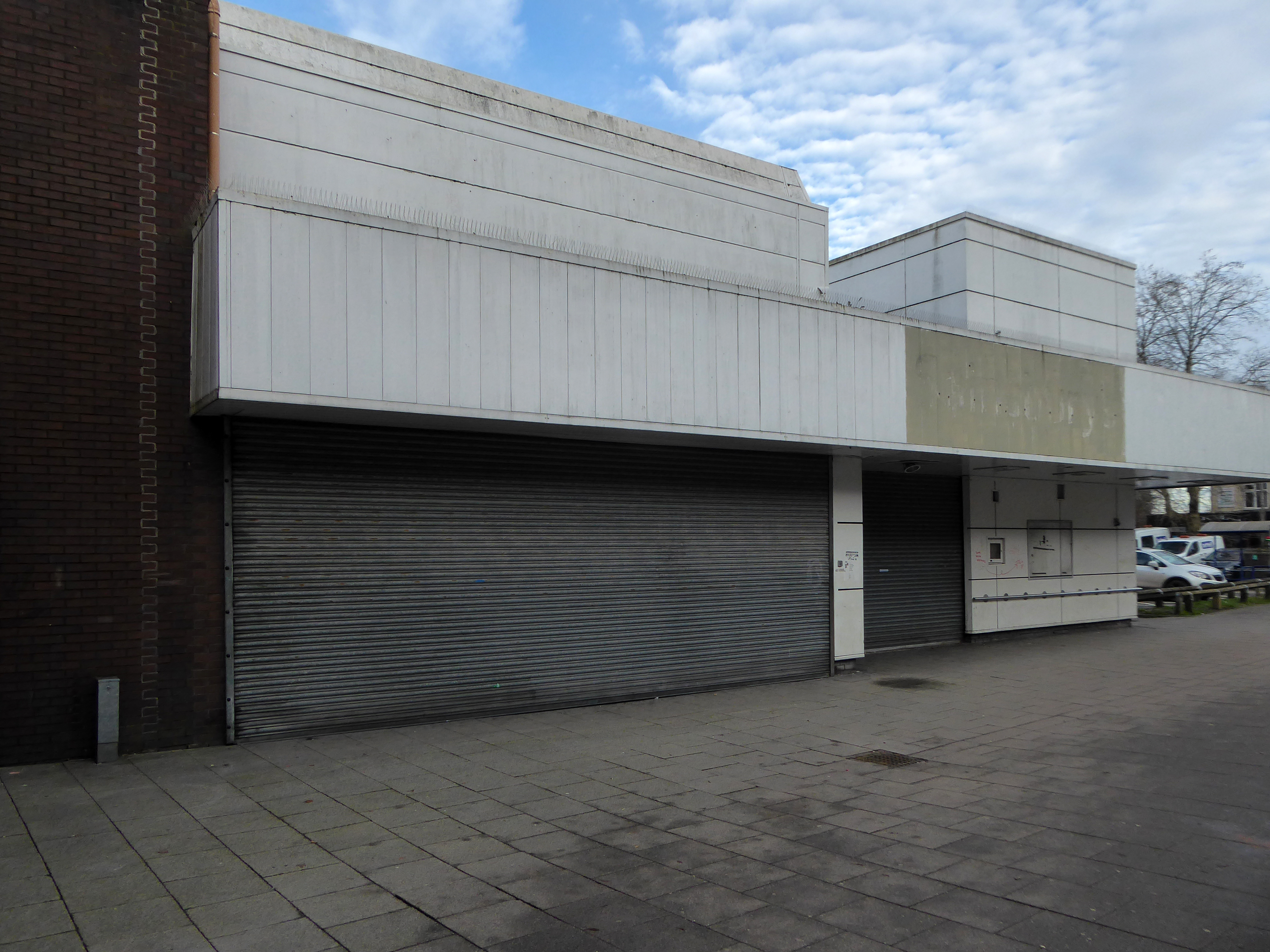
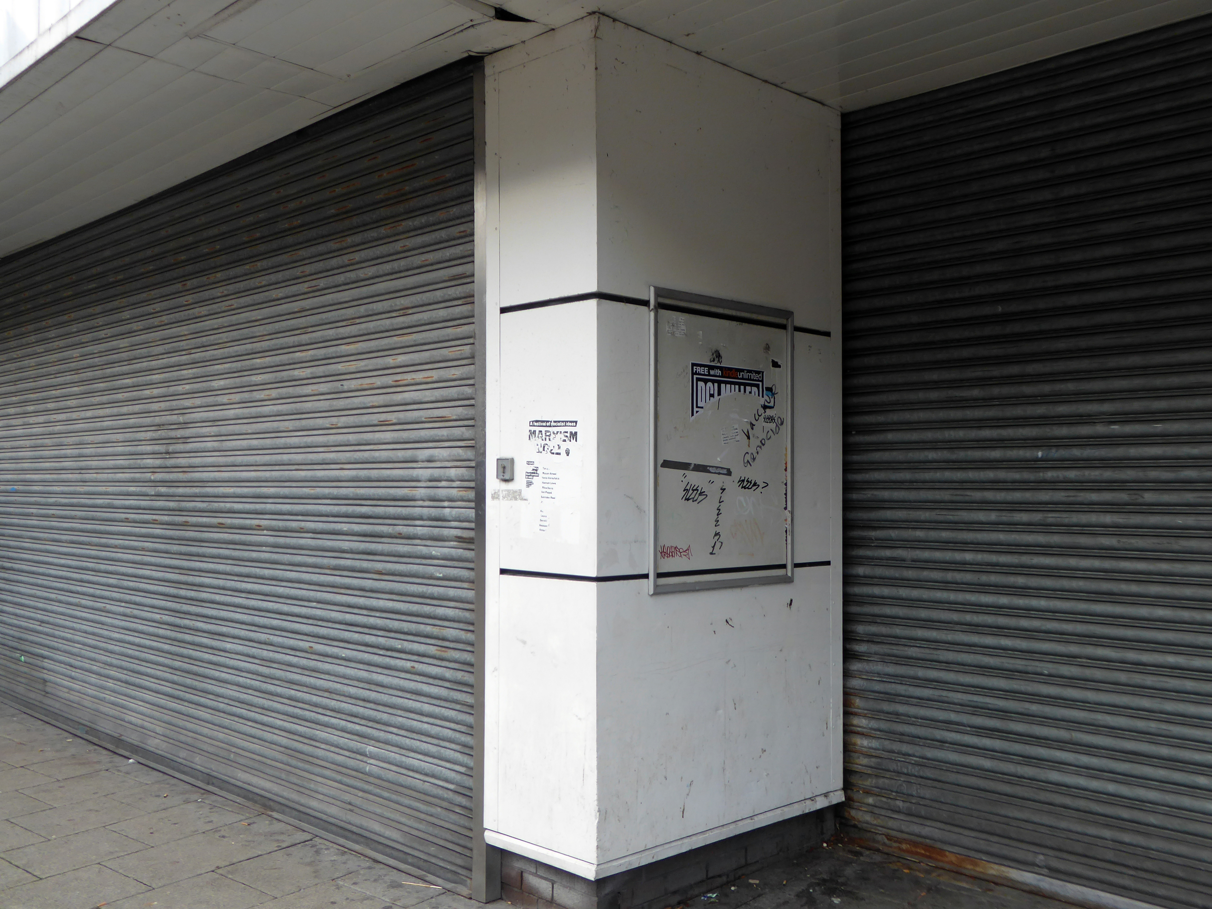
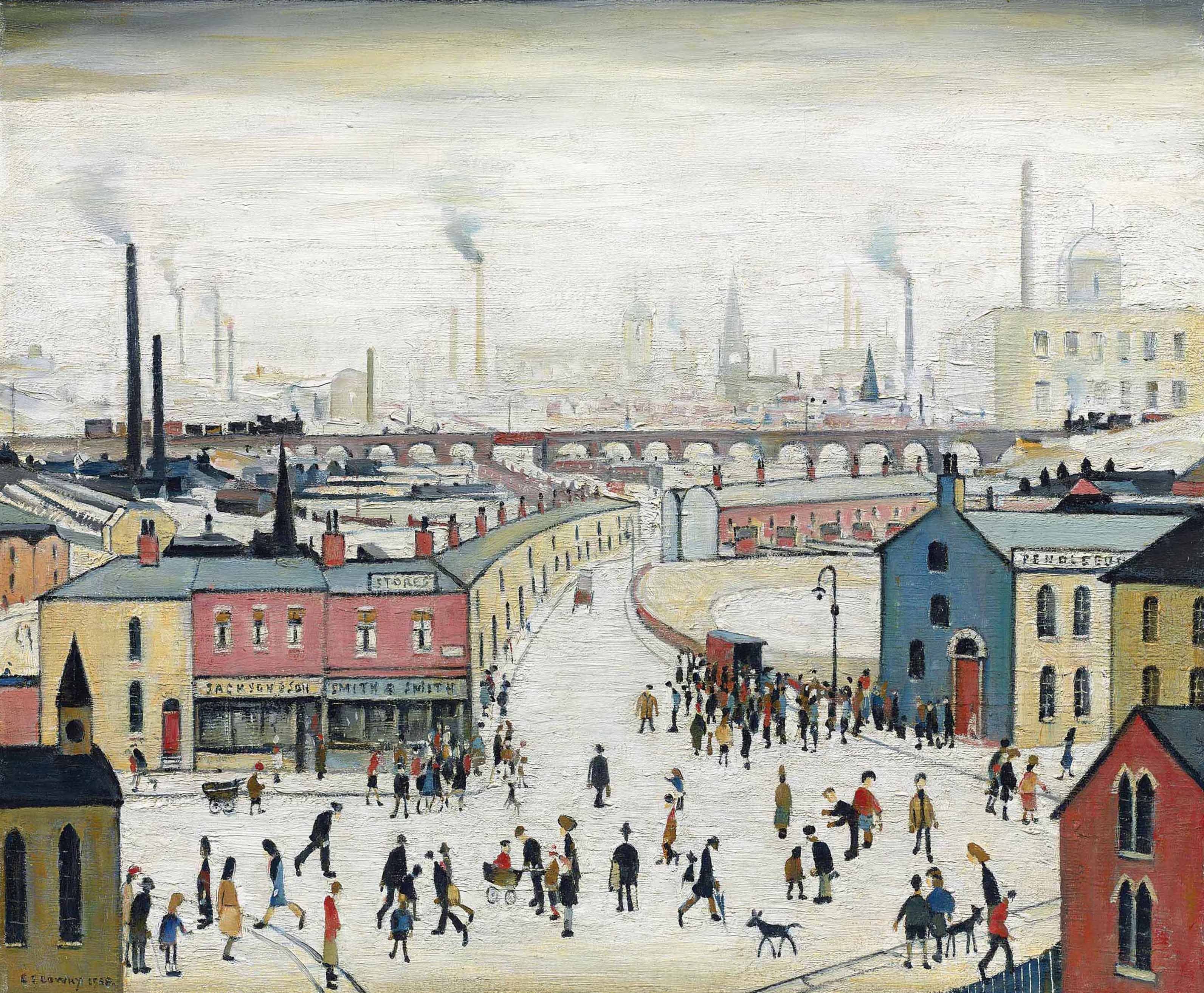
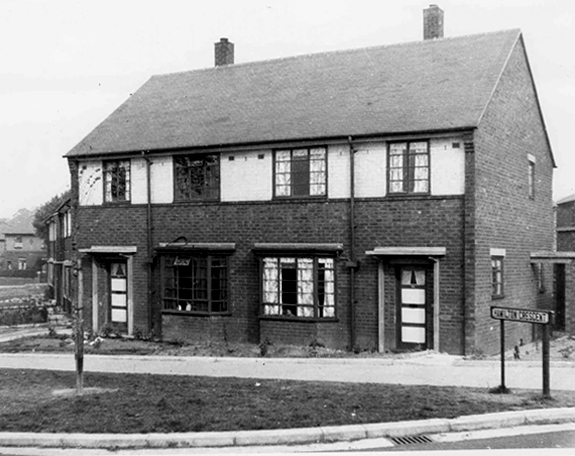
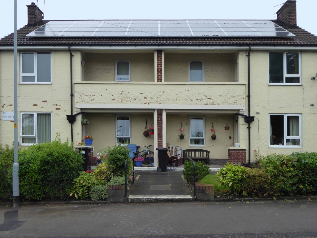
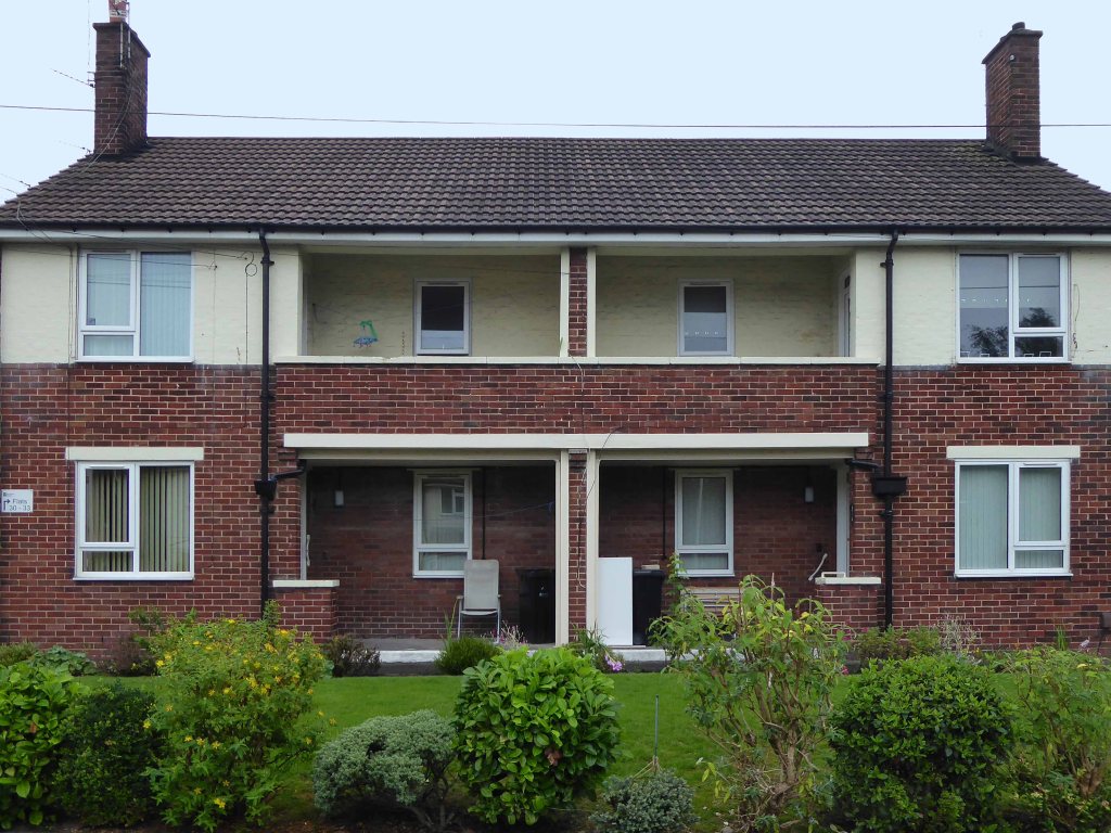
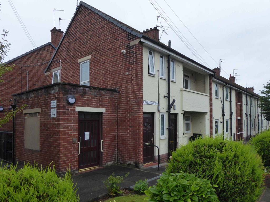
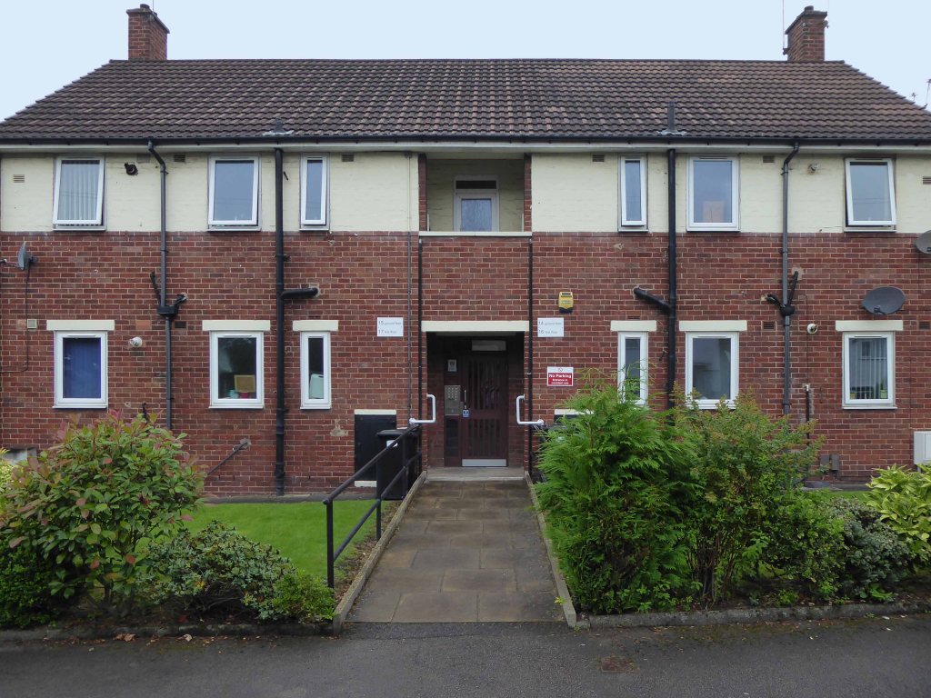
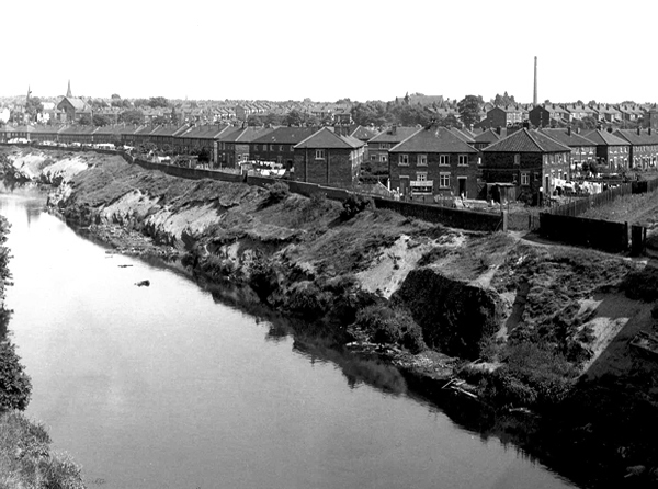
In the 1940s the new suburb of Wythenshawe was largely completed, and by then Northenden’s rural character had gone. Palatine Road was developed for shopping and other commercial uses, and slum clearance removed many of the village’s early cottages around the church.

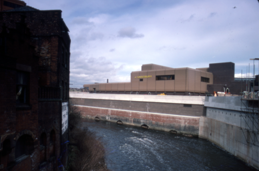
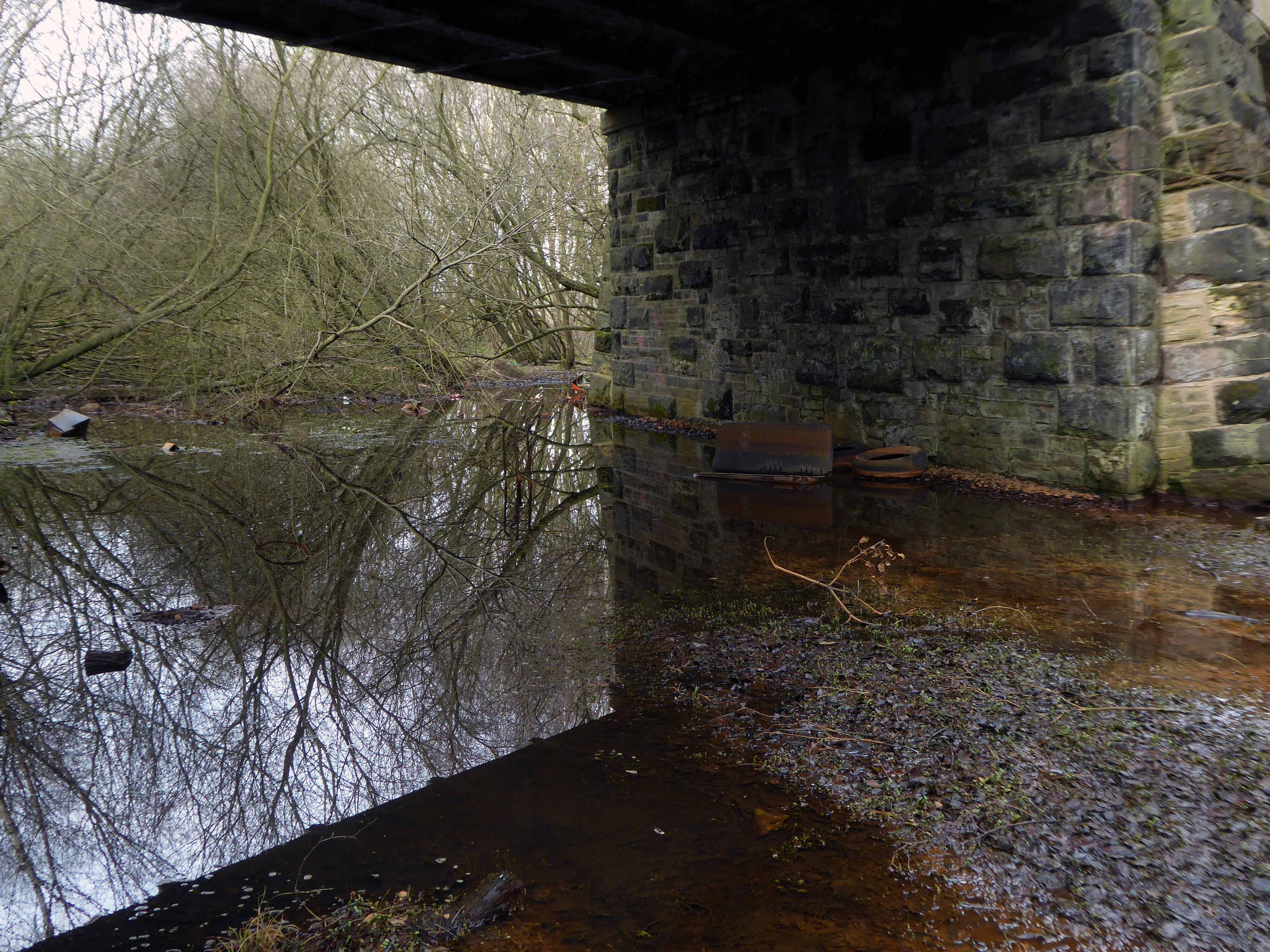
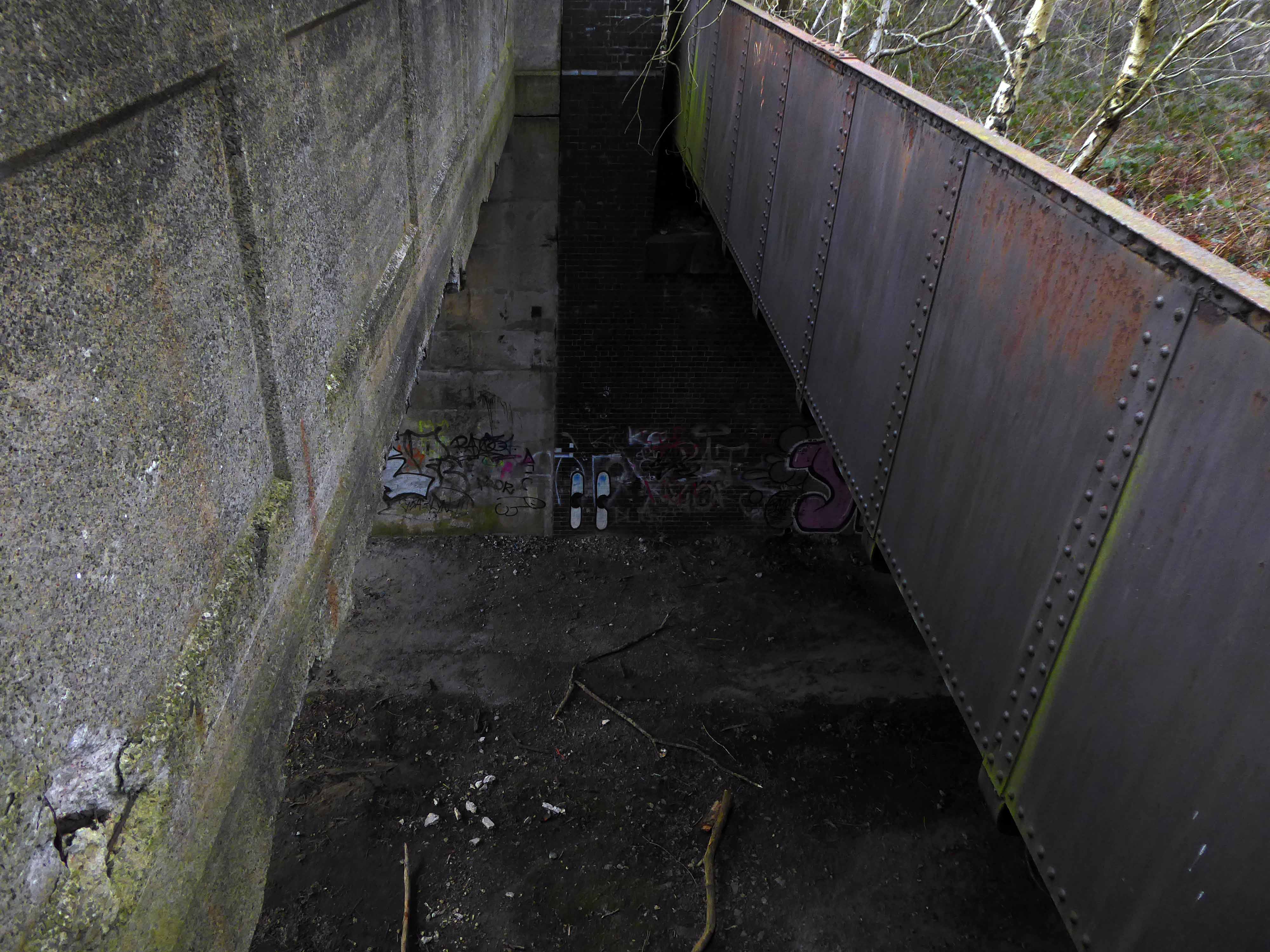
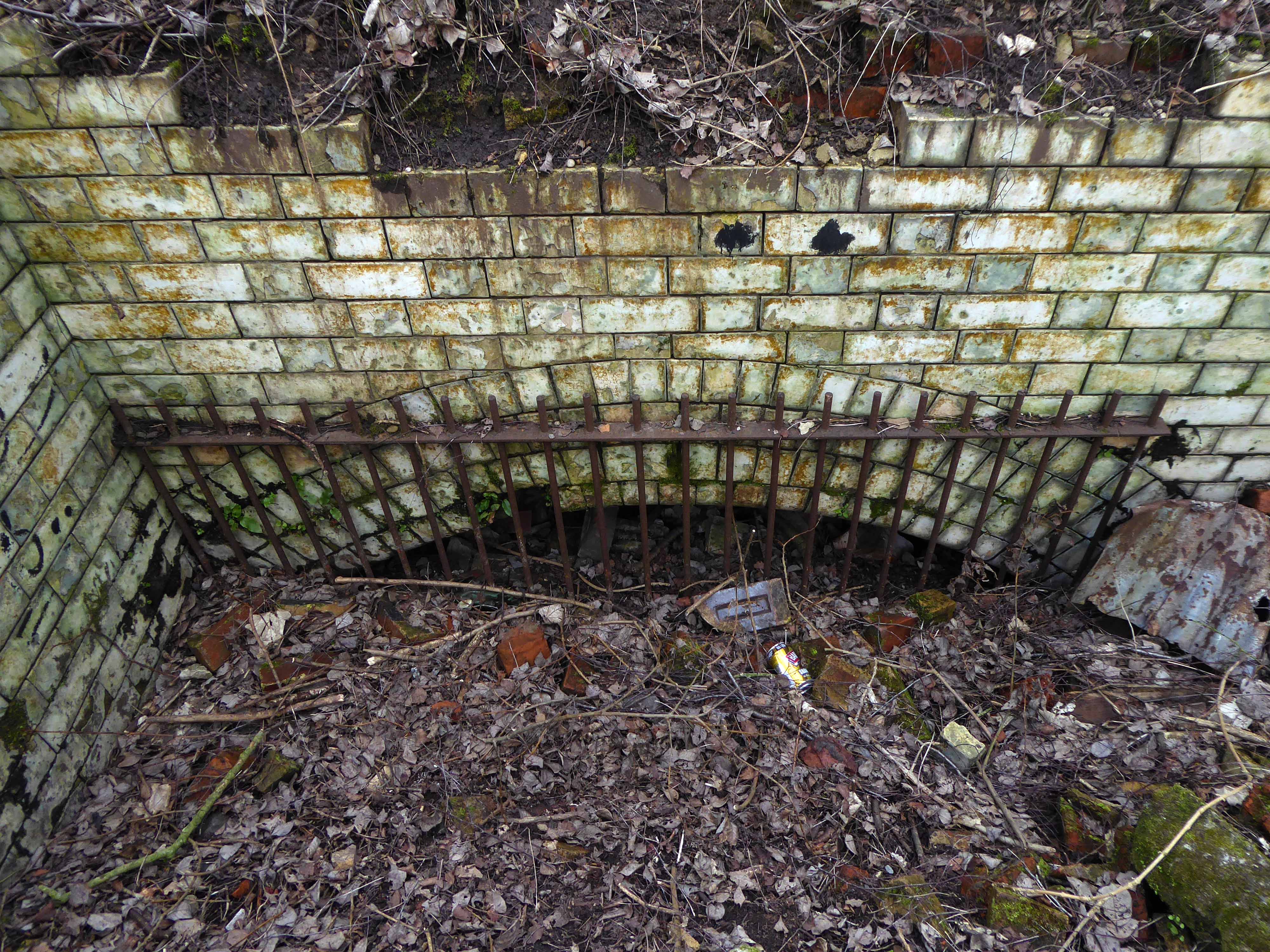
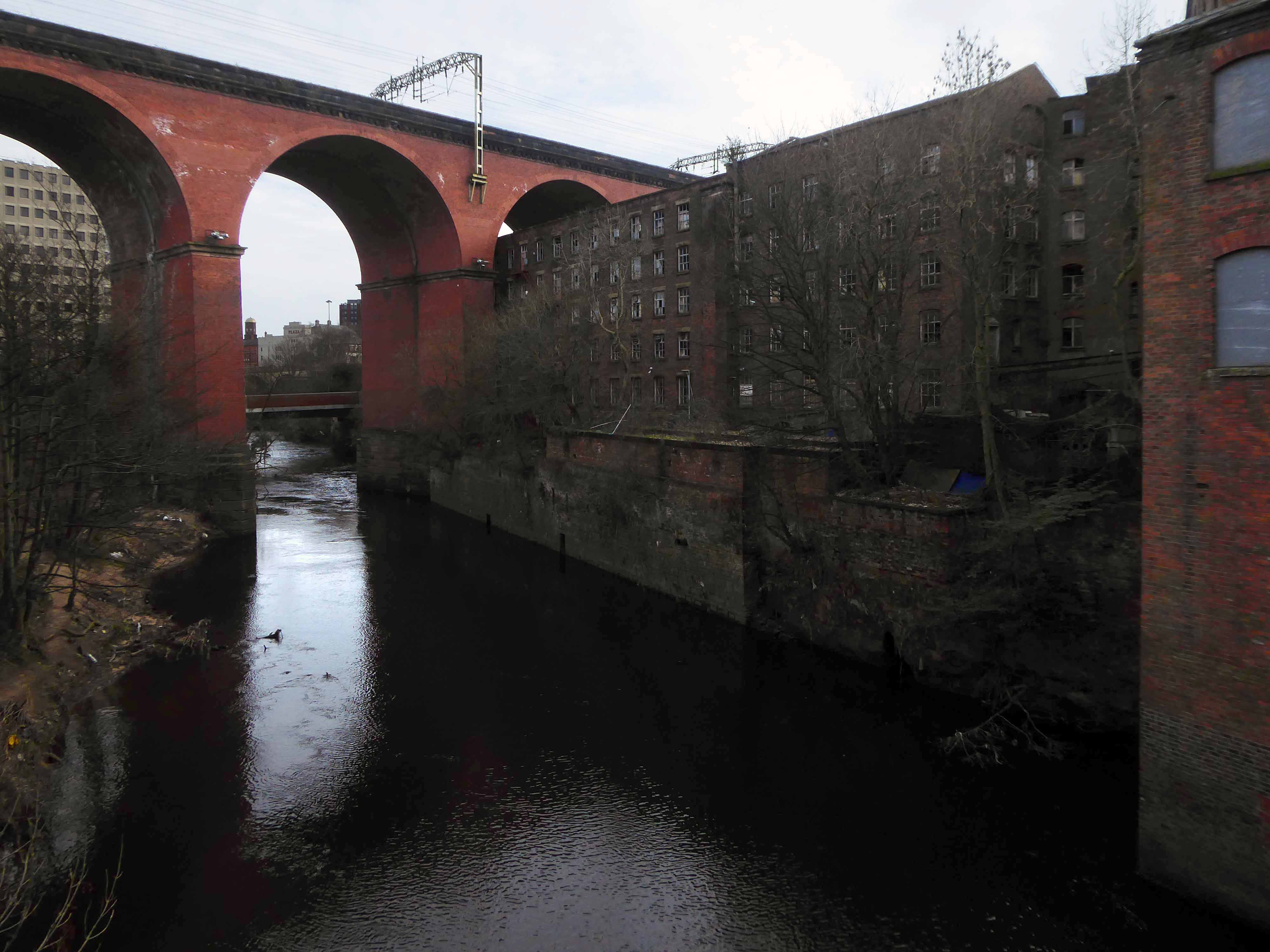
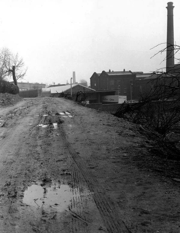
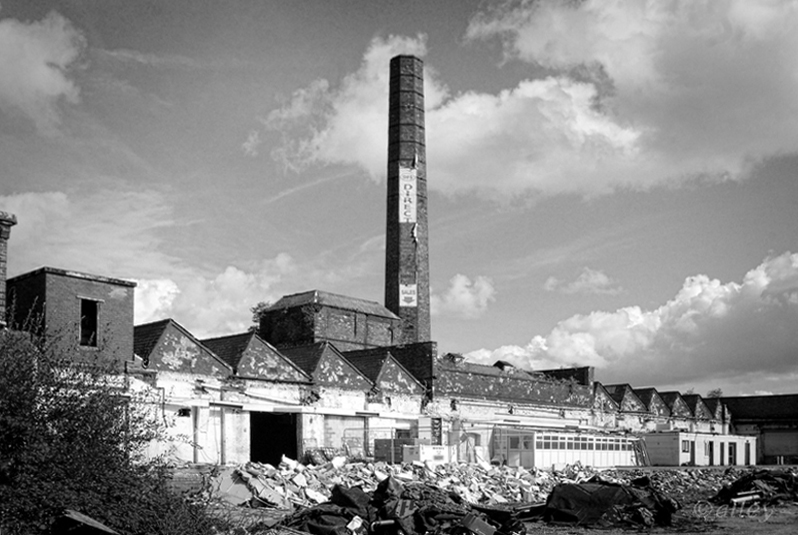
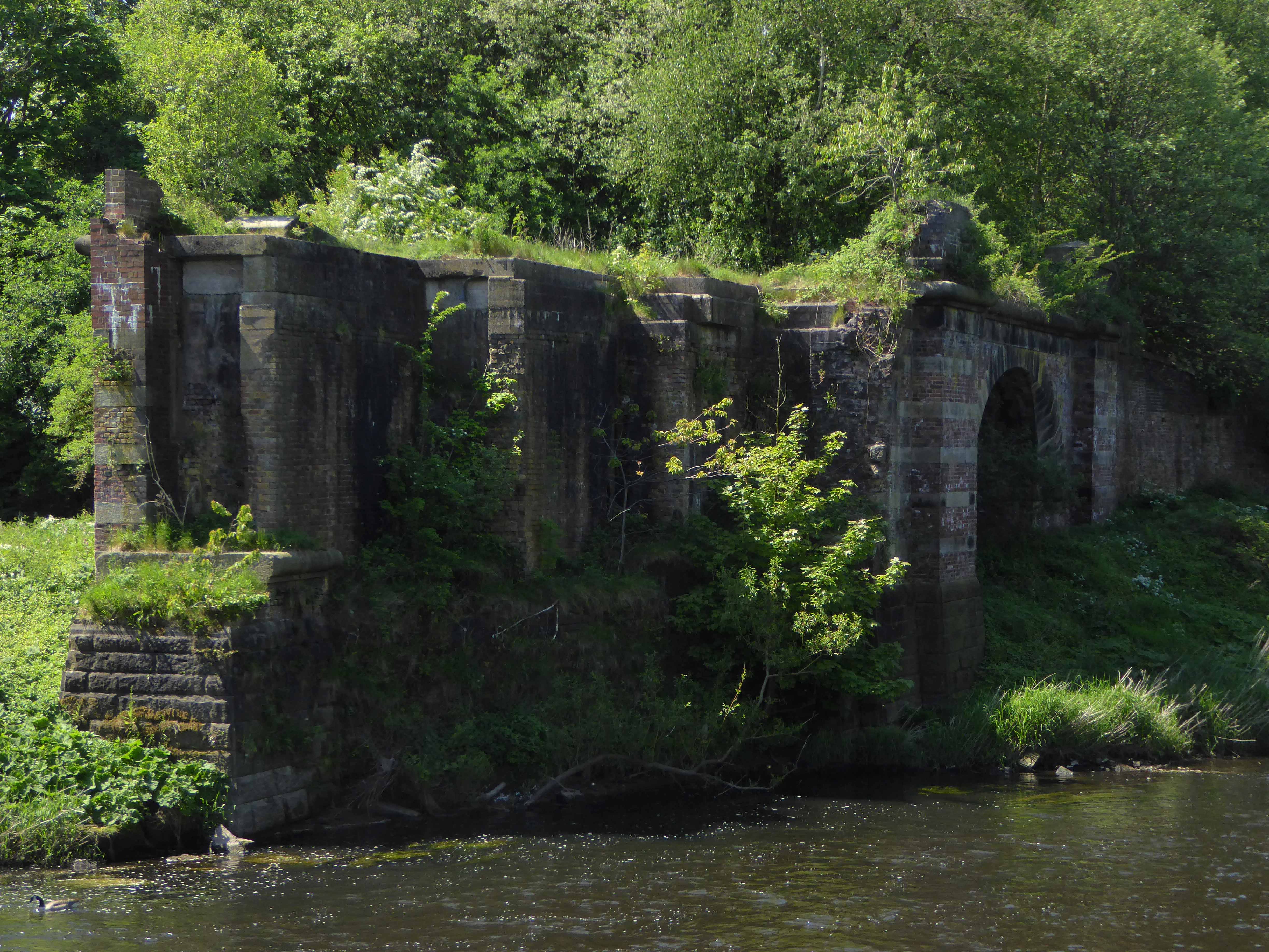
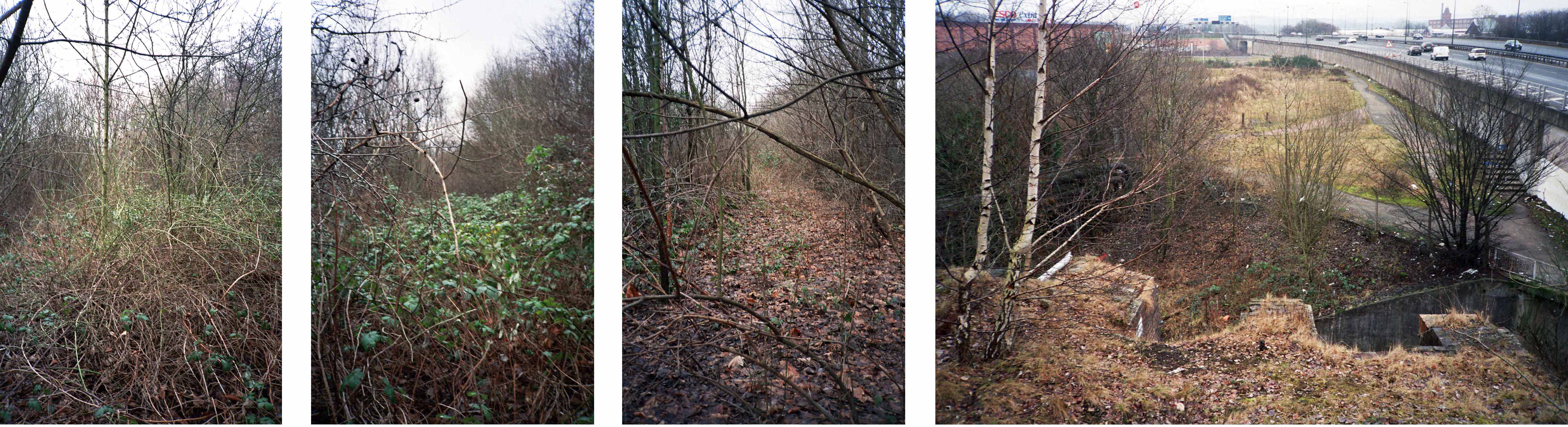
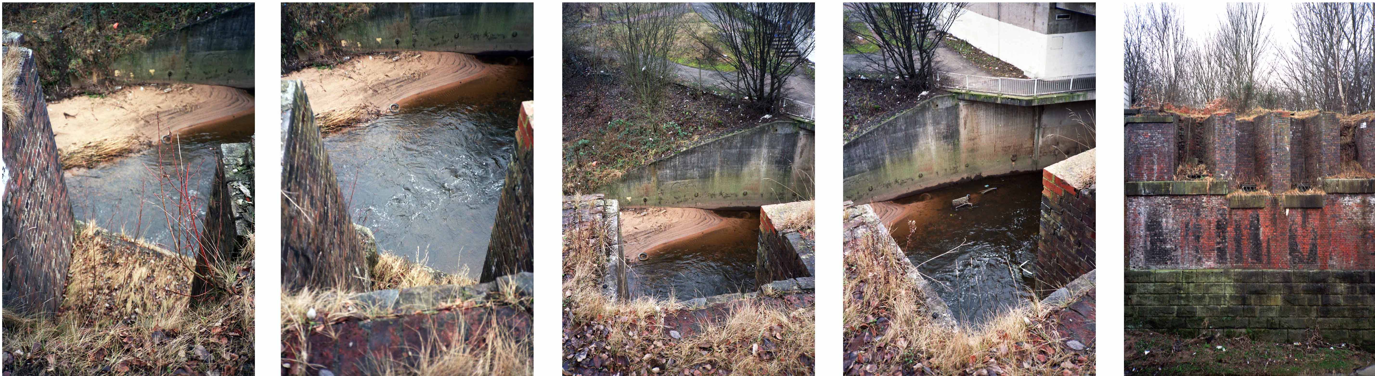
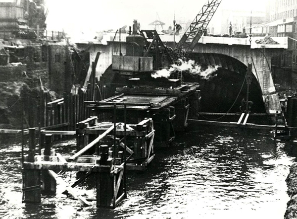
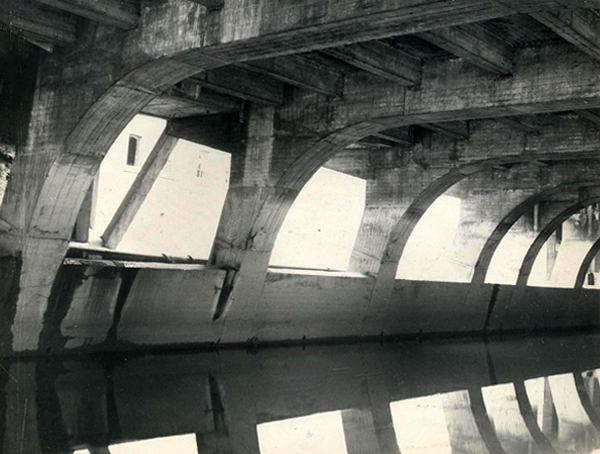
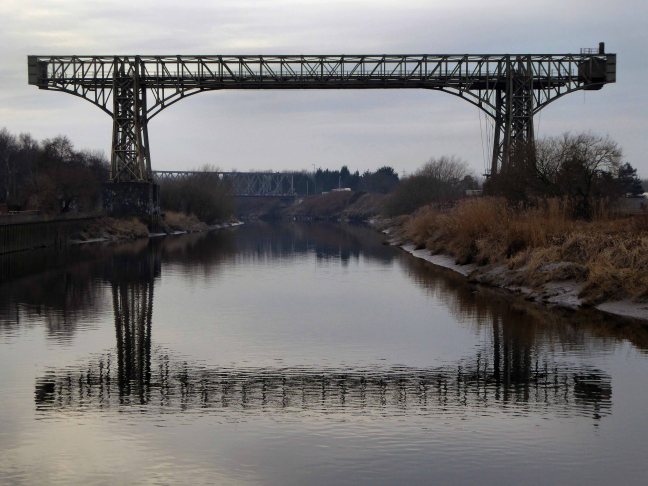
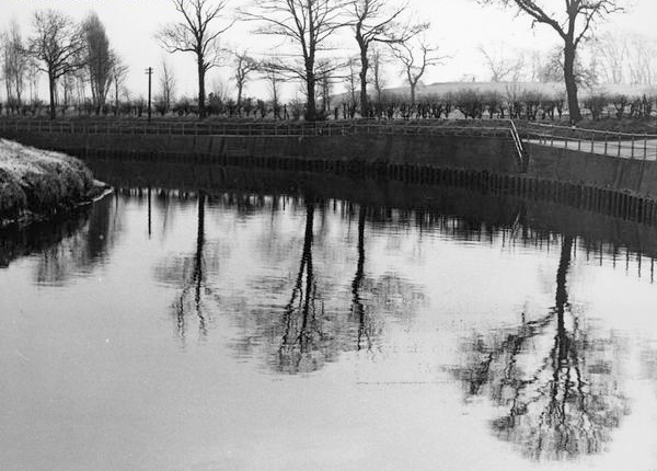
The water mill, which had provided a flour-milling service for a wide area, survived until the 1950s. It was situated on the banks of the Mersey where the weir, to create the change in water level and power the machinery, is still in existence.

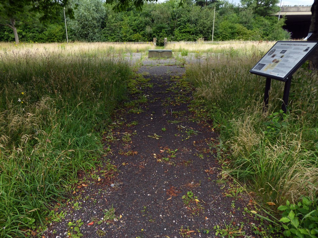
Northenden Conservation Area

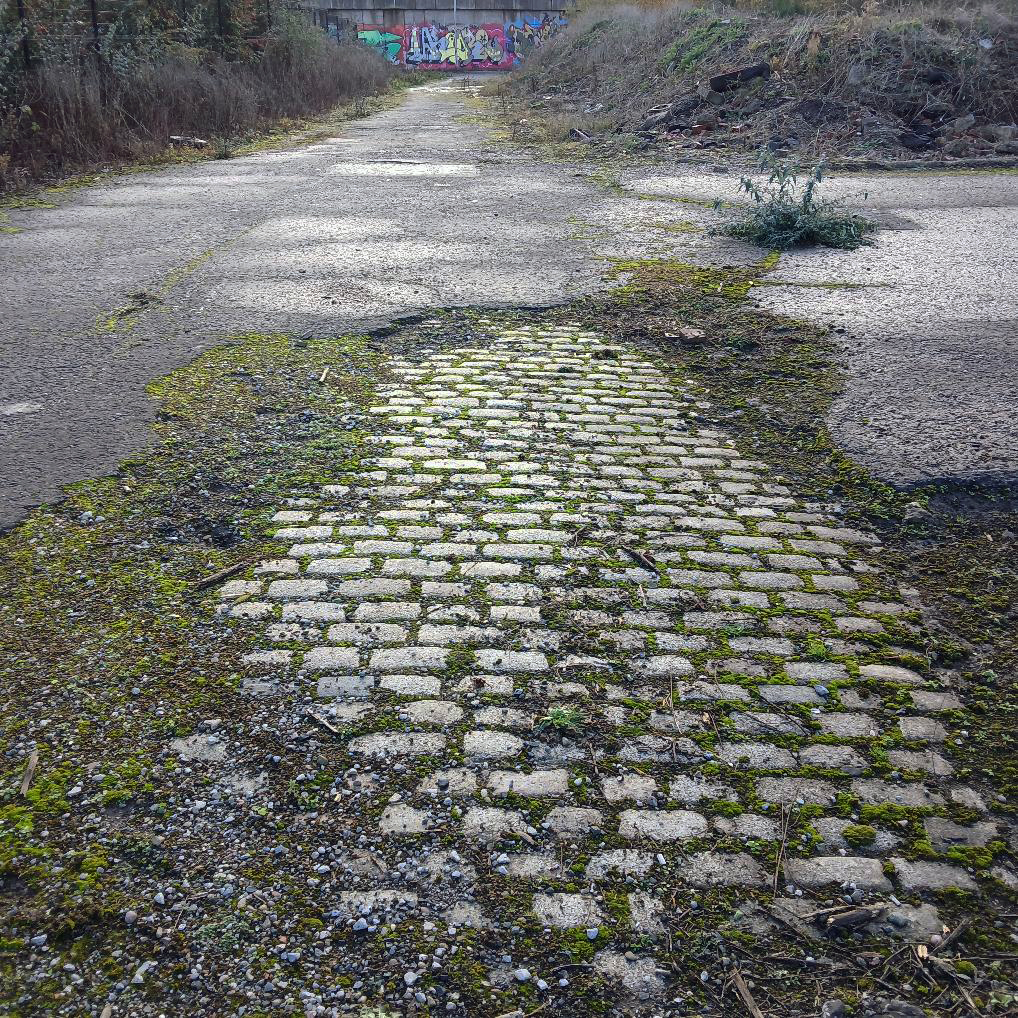
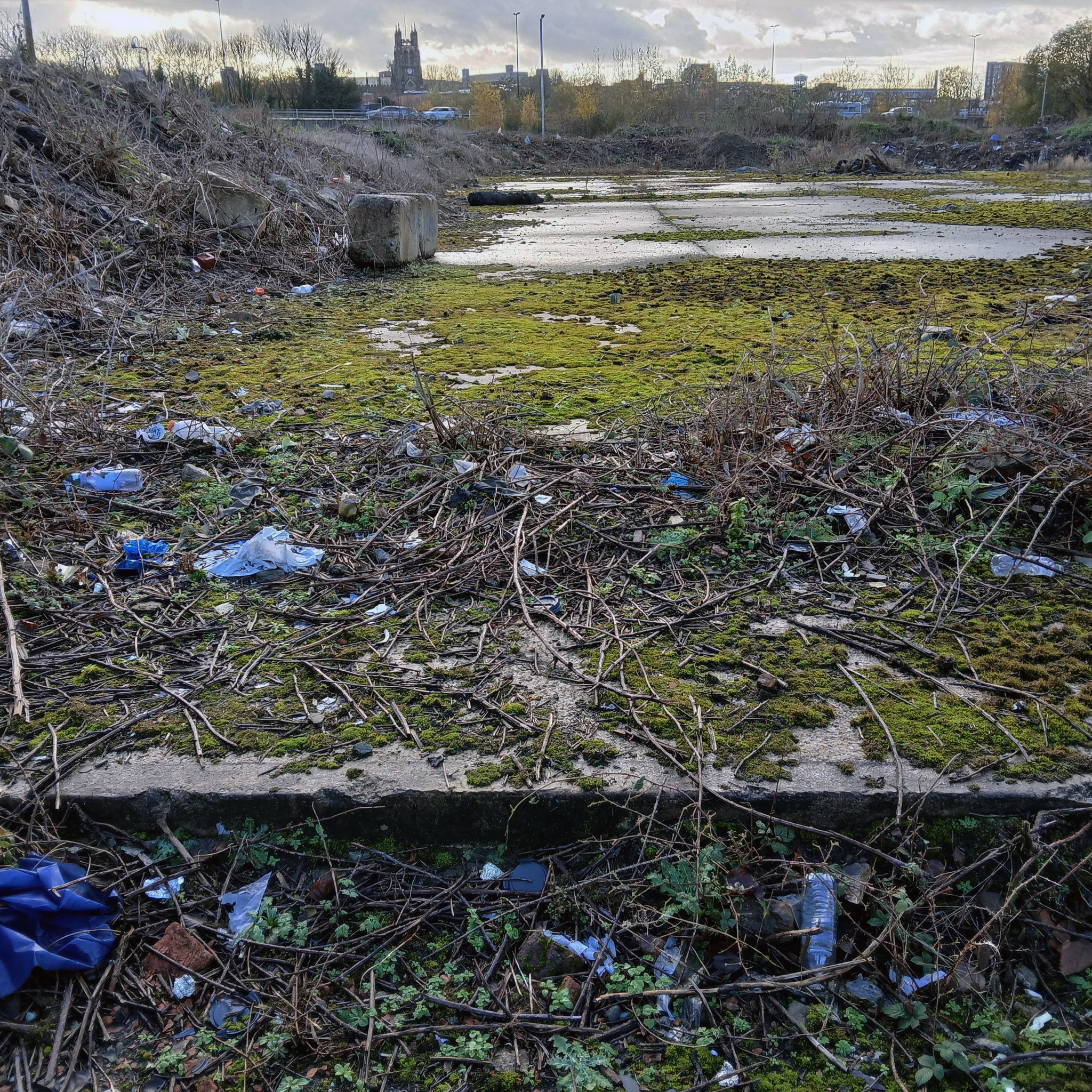
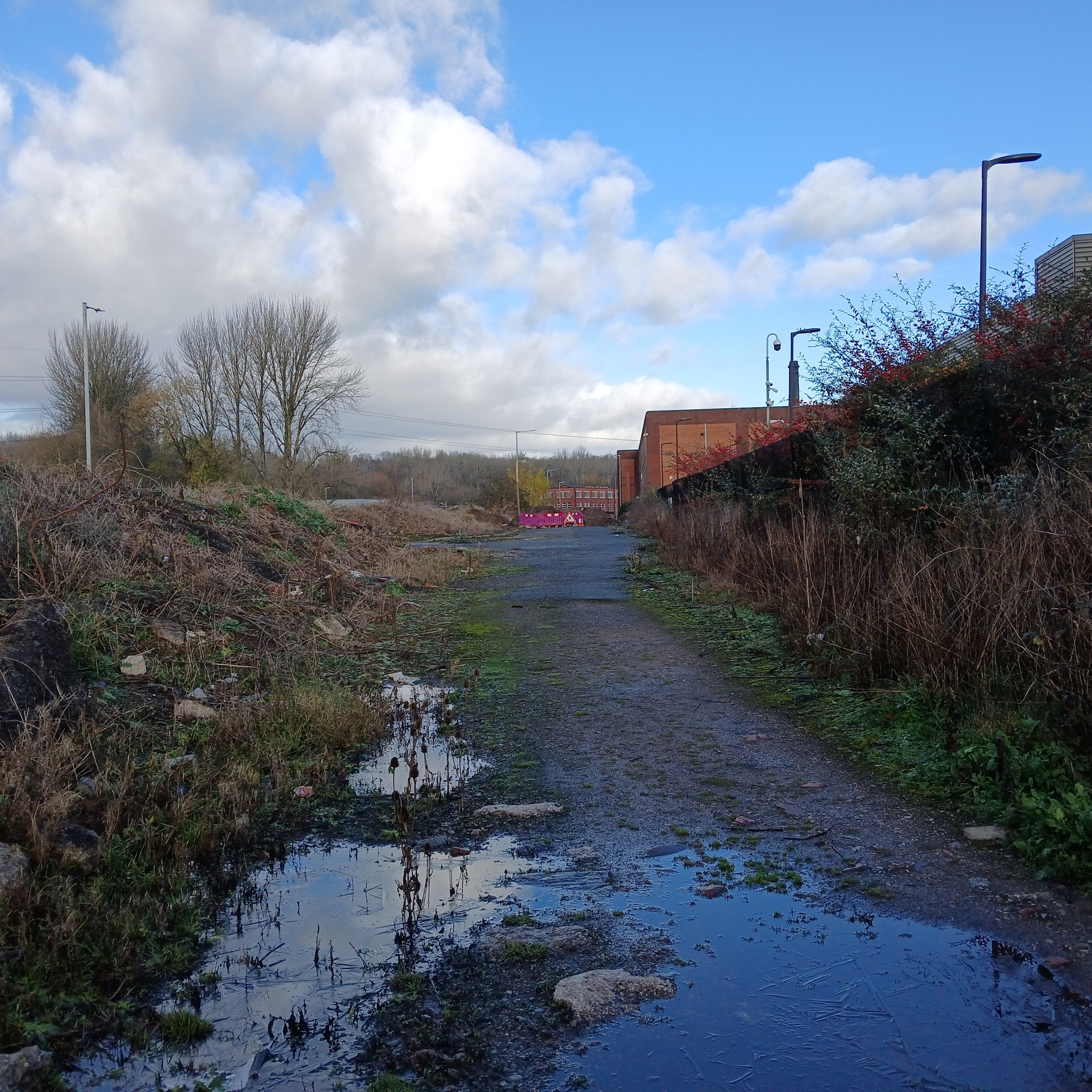
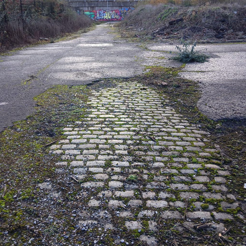
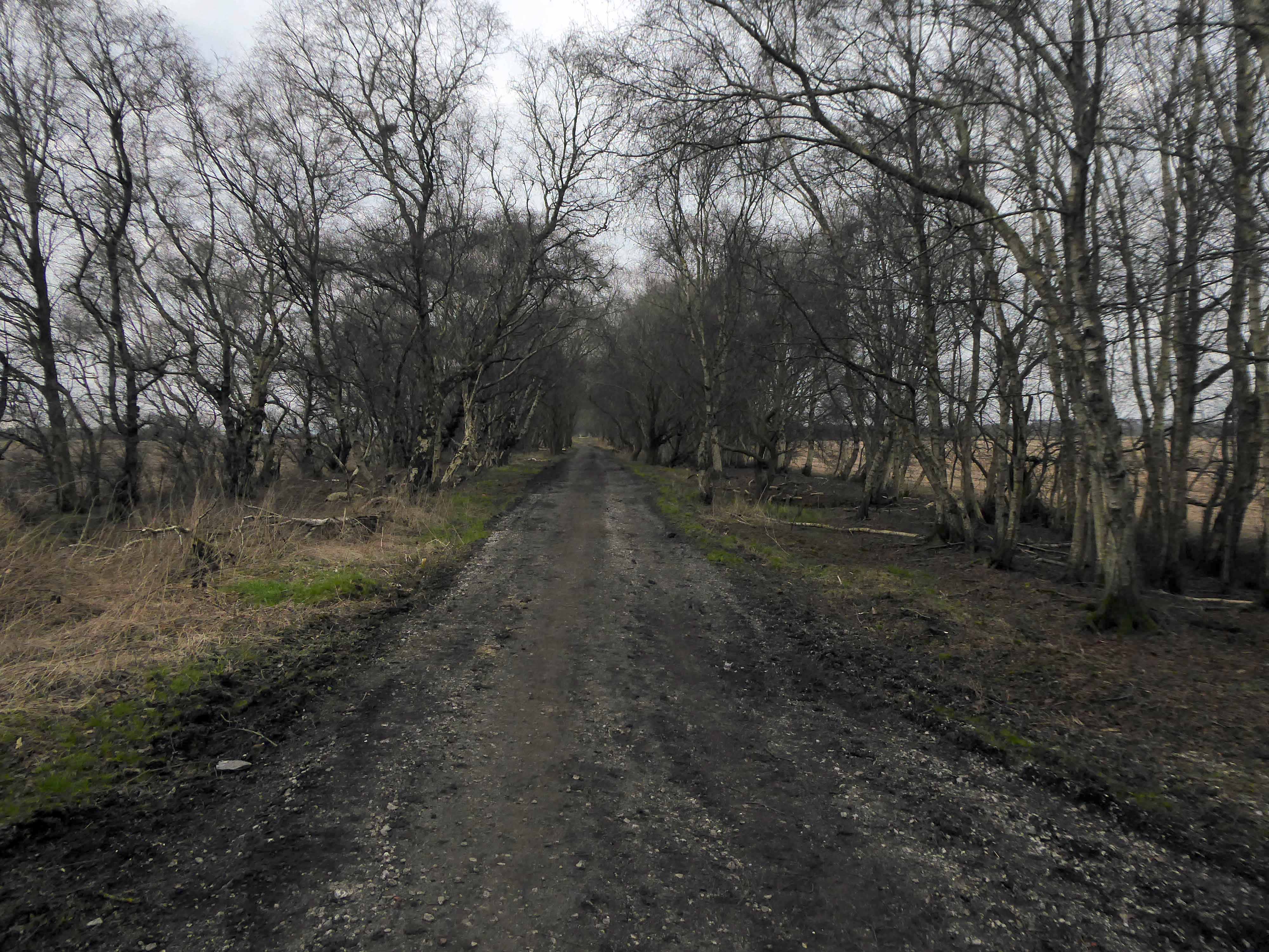
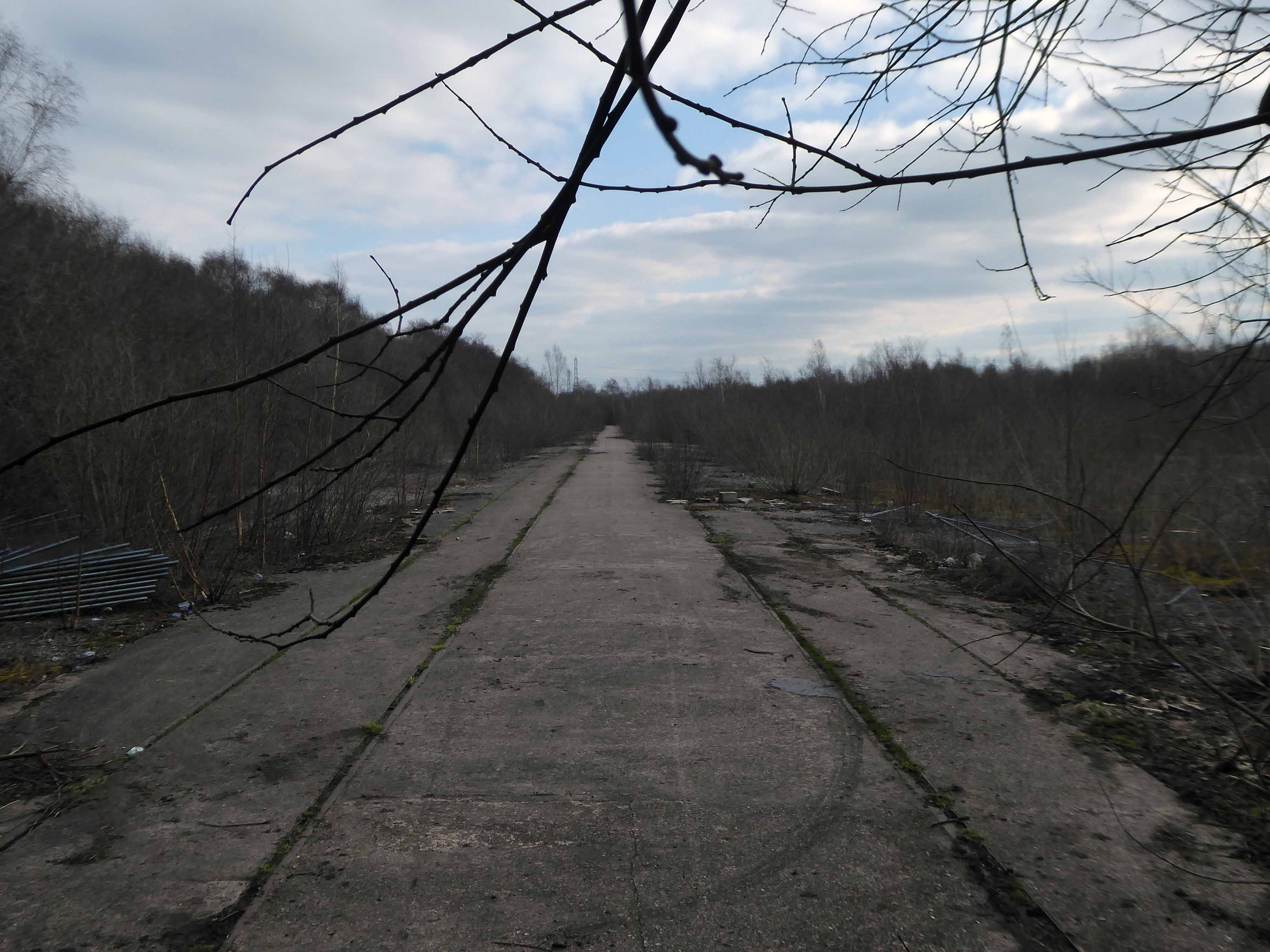
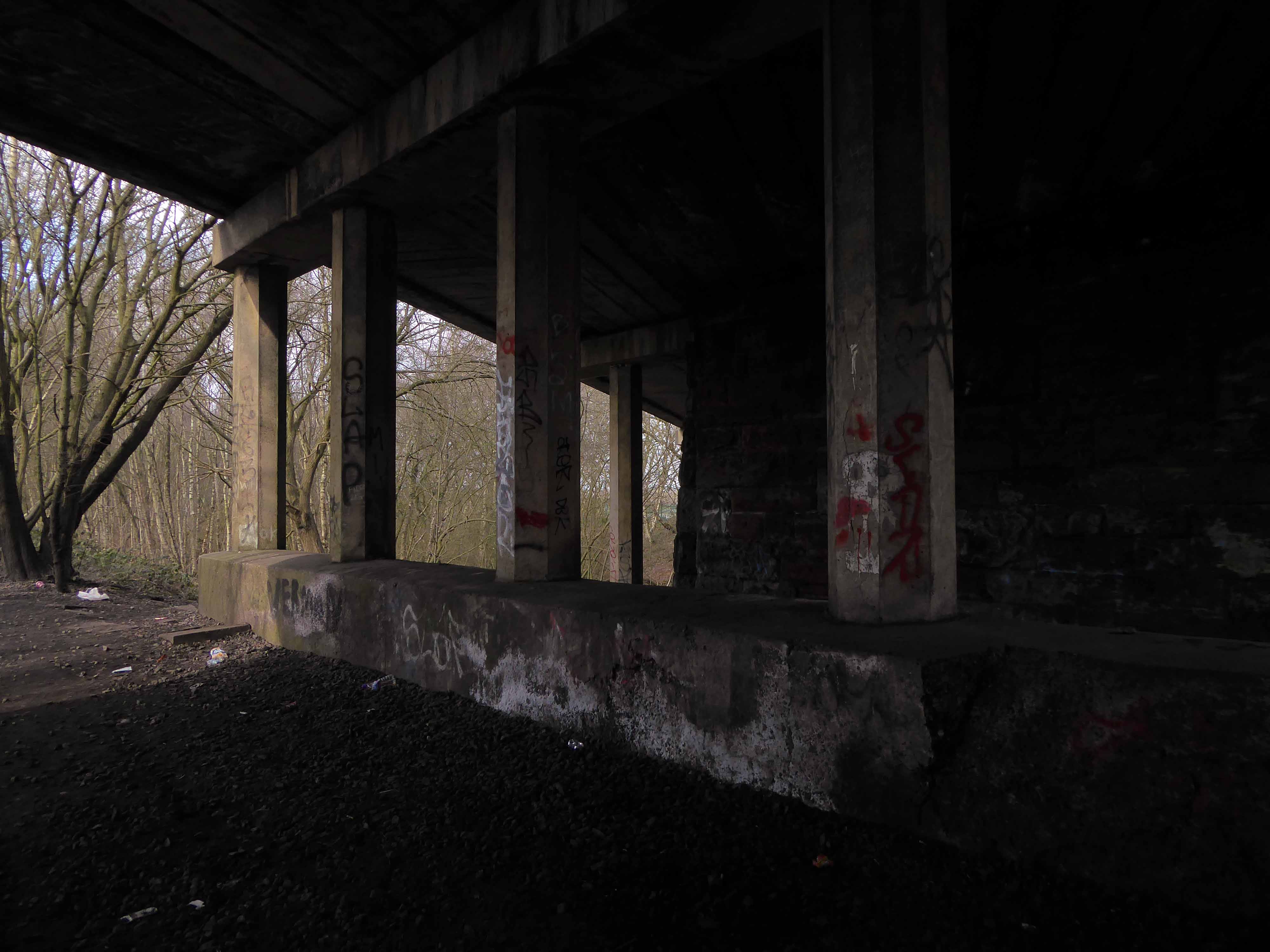
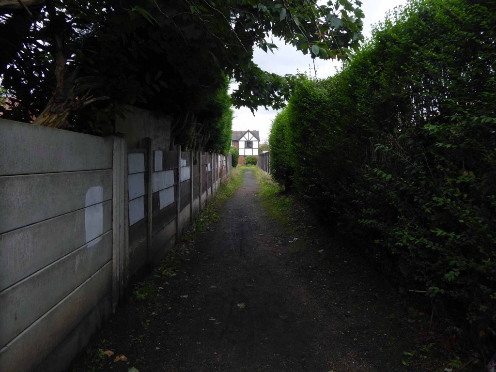
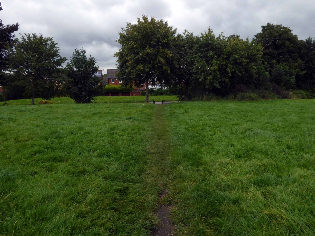
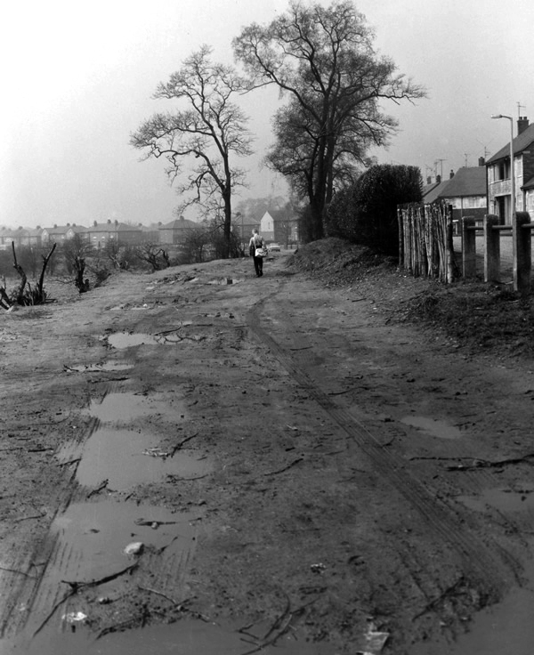
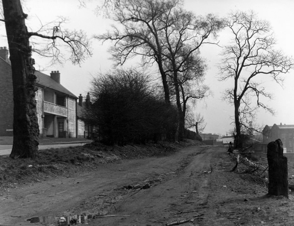
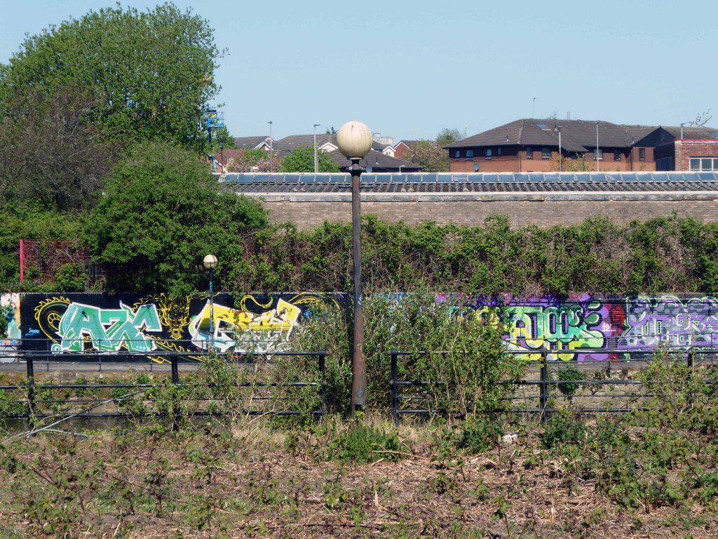
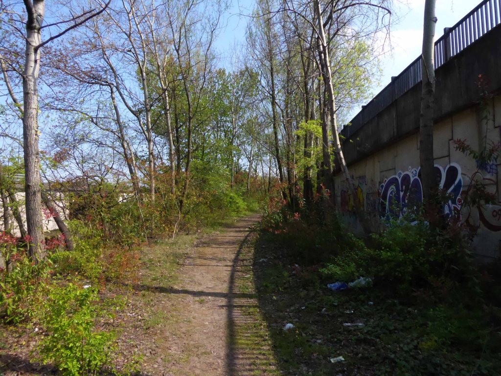
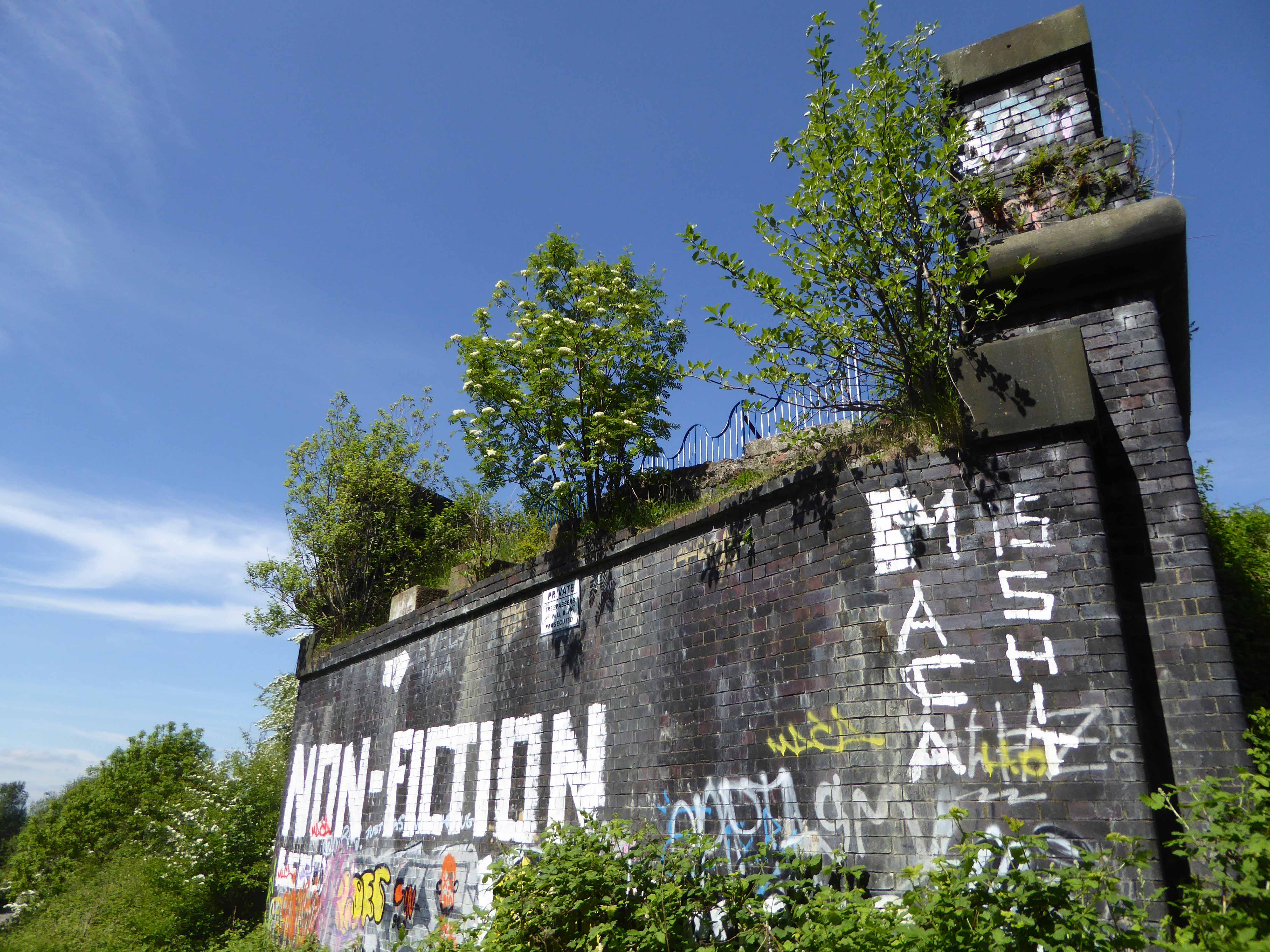
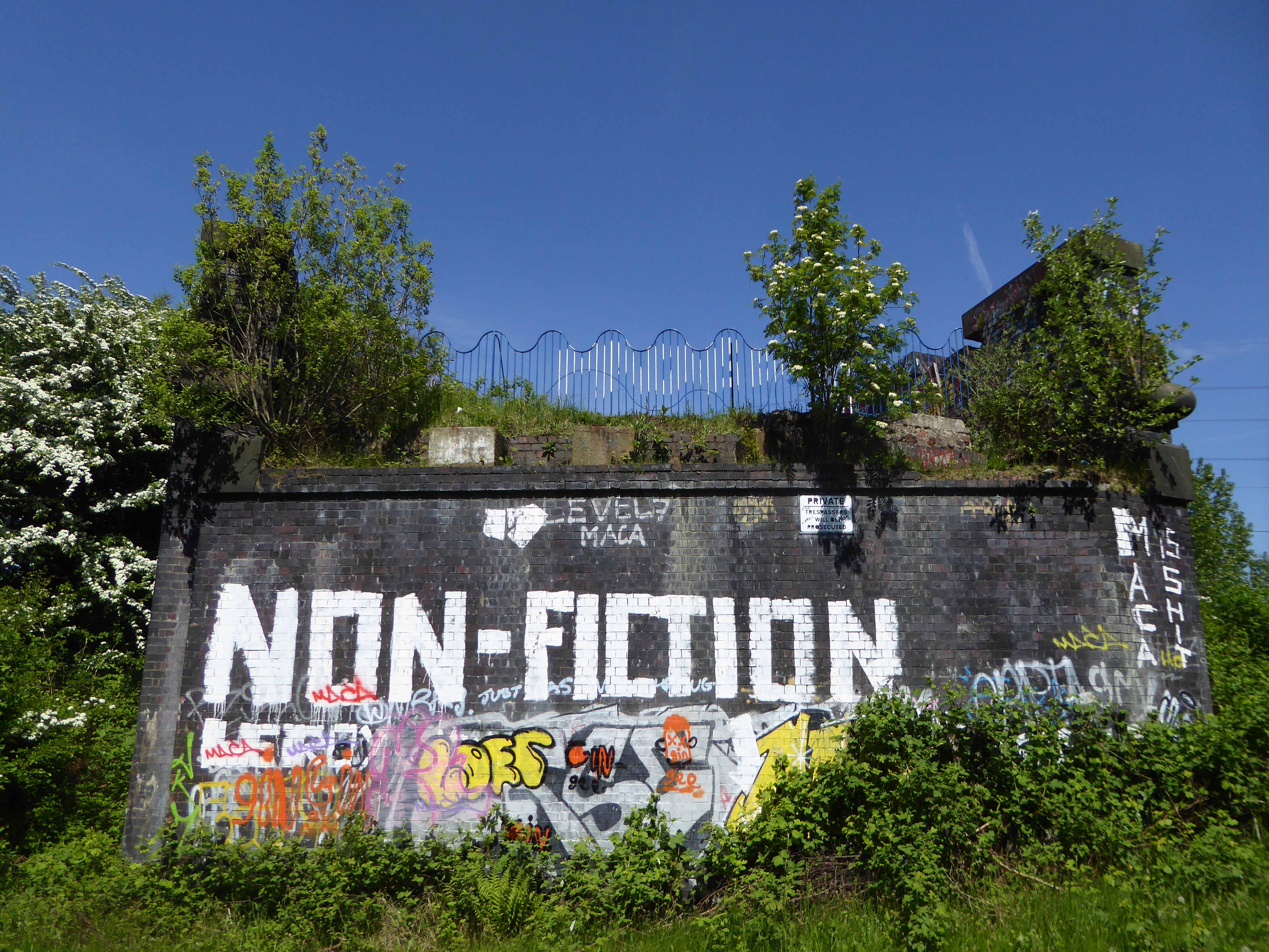
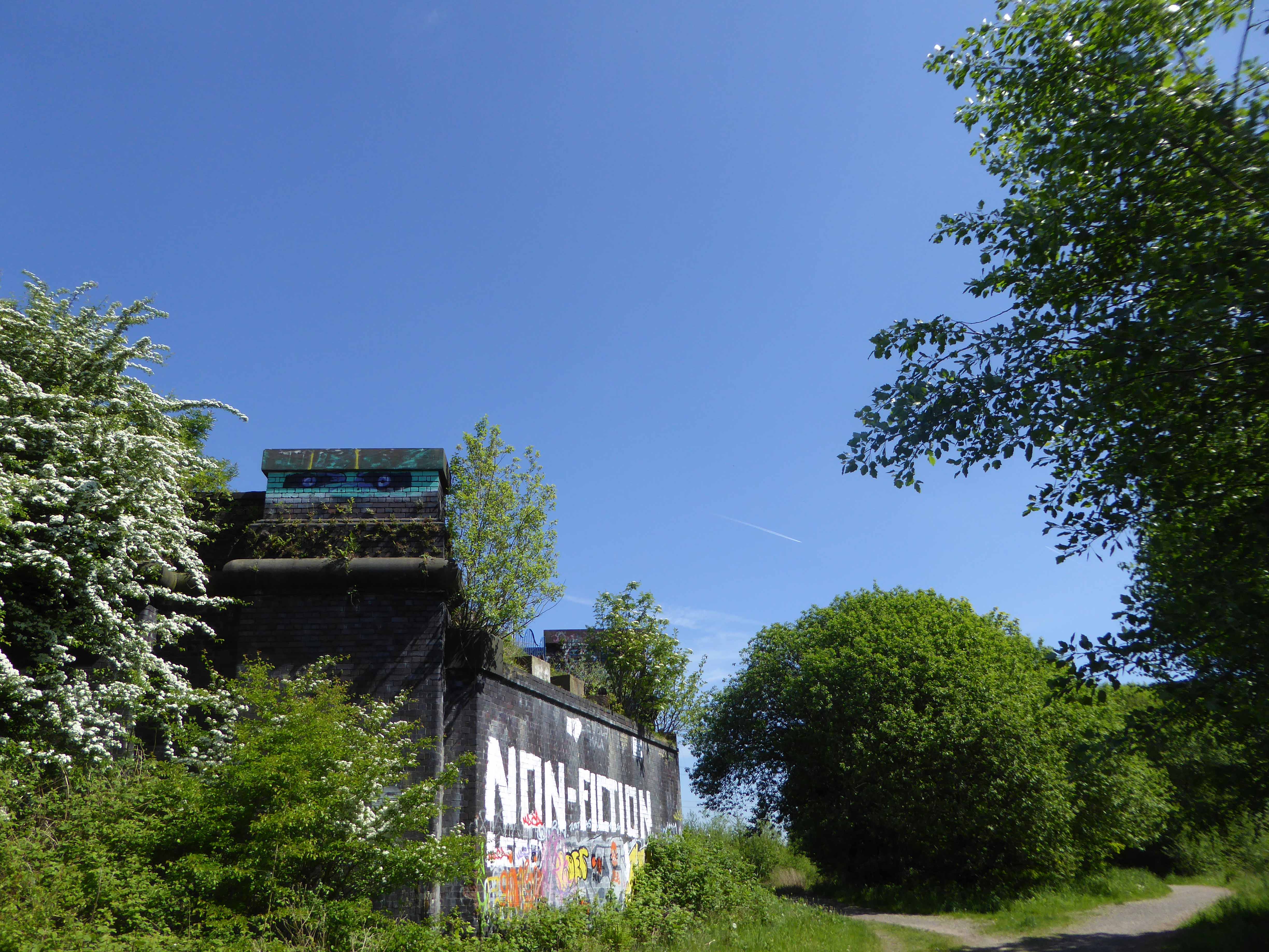
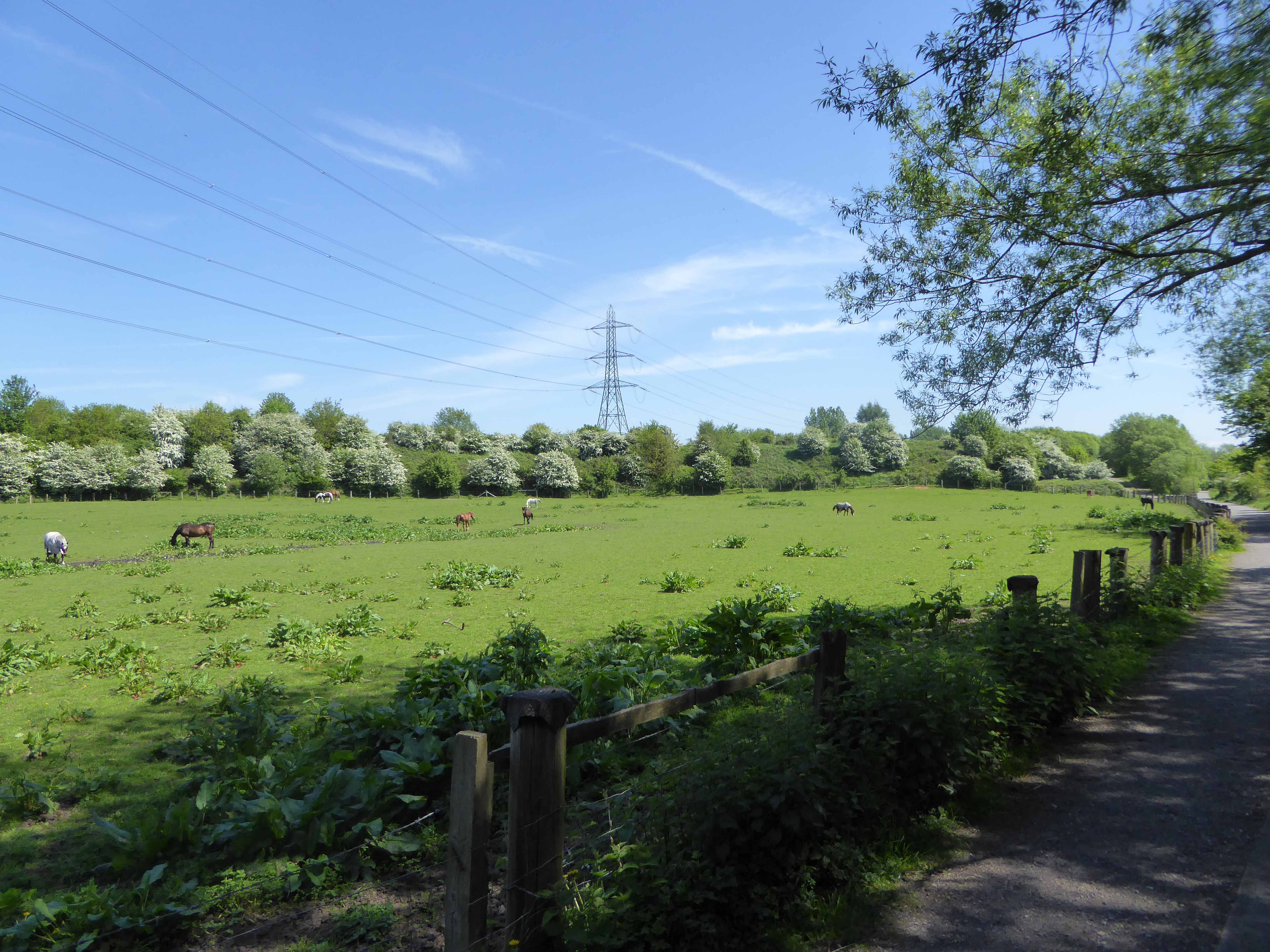
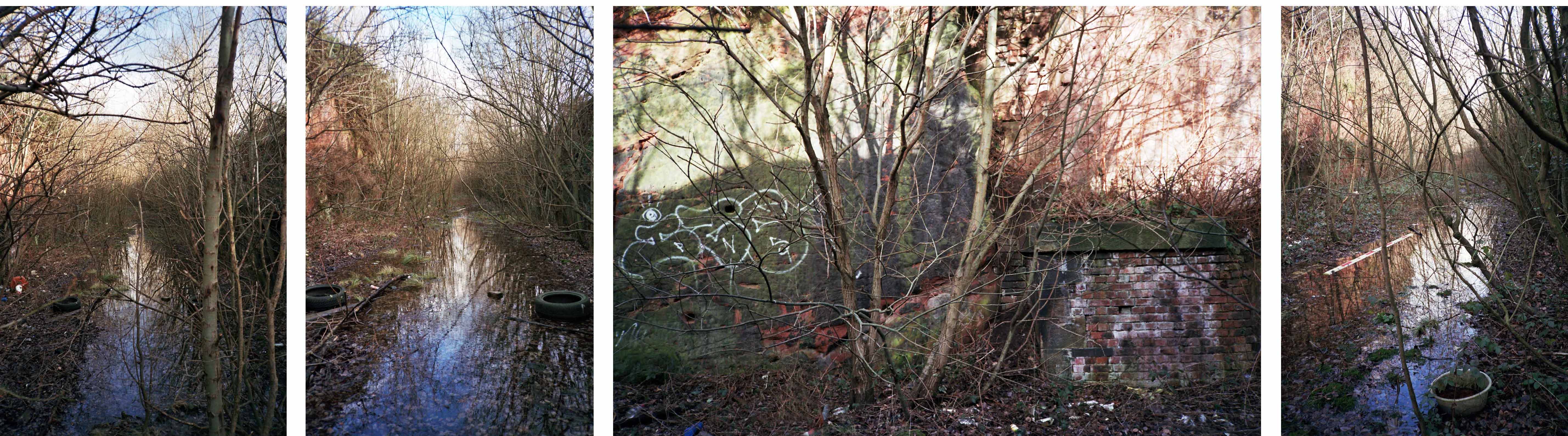
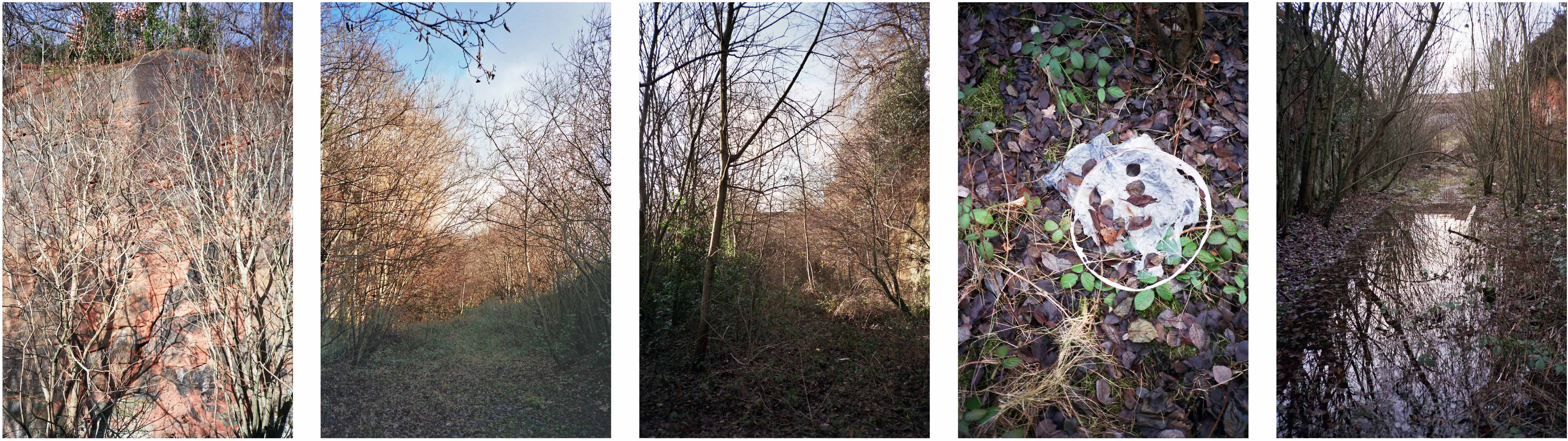
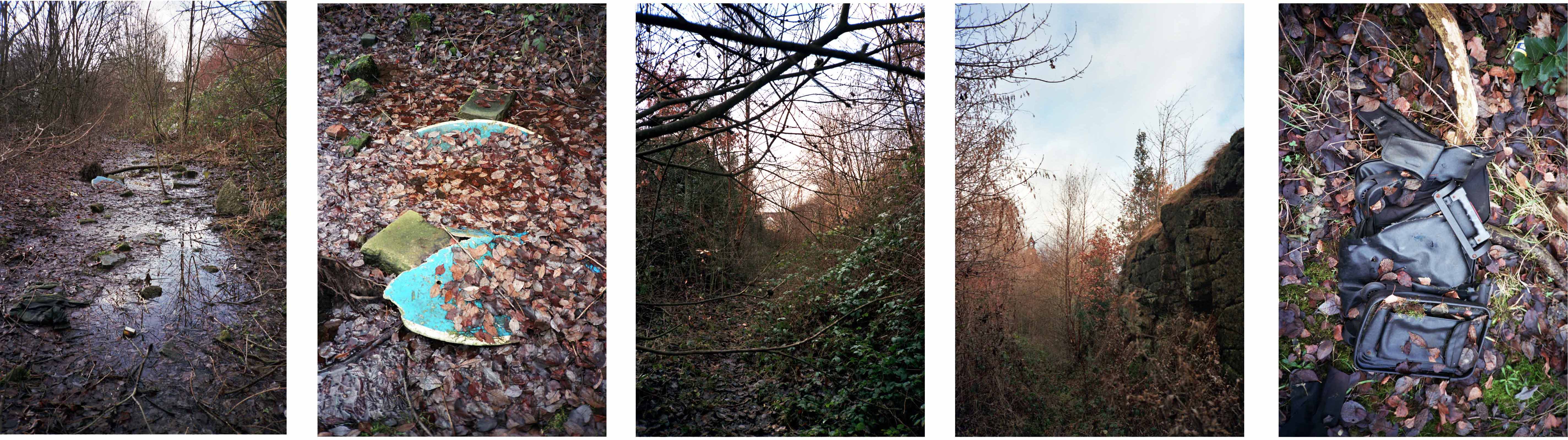
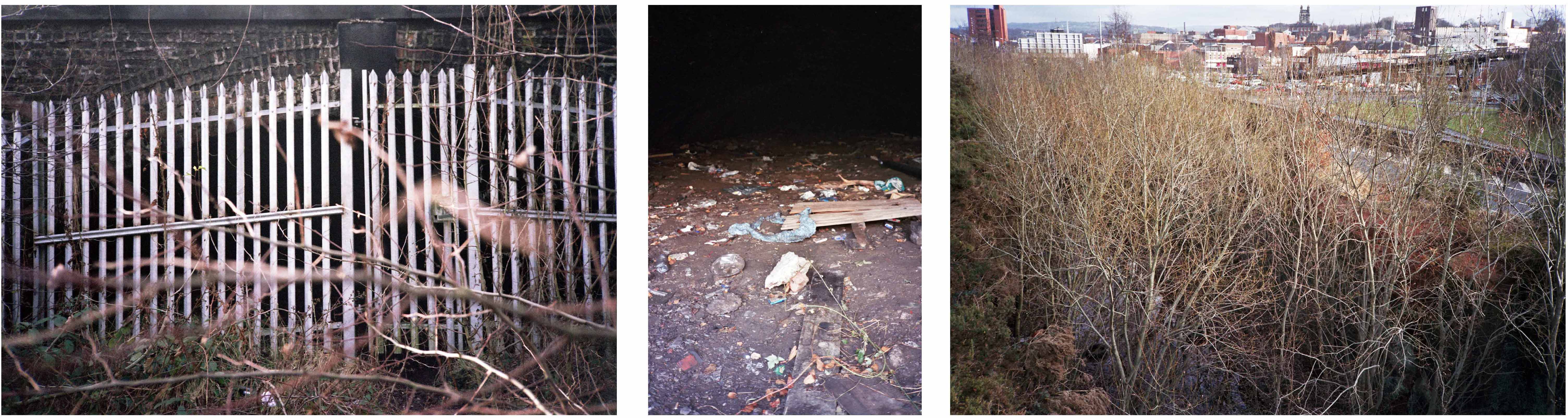
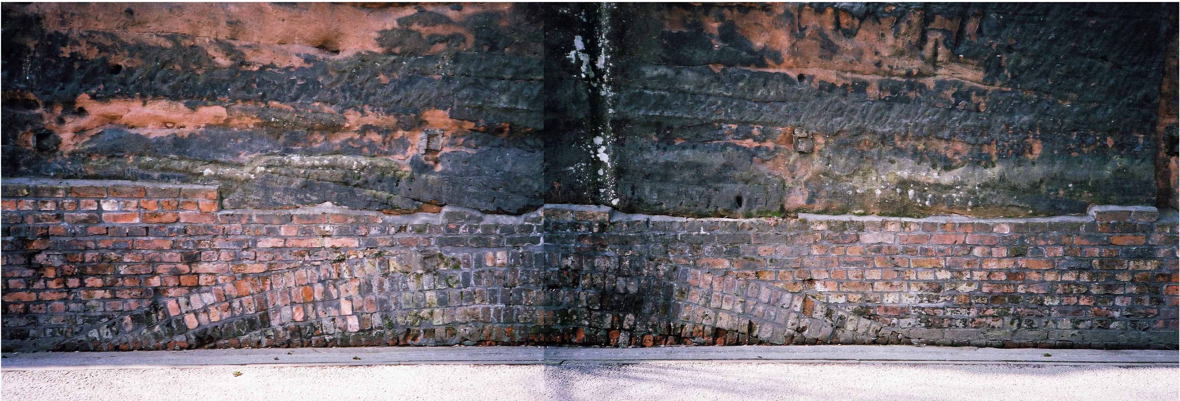
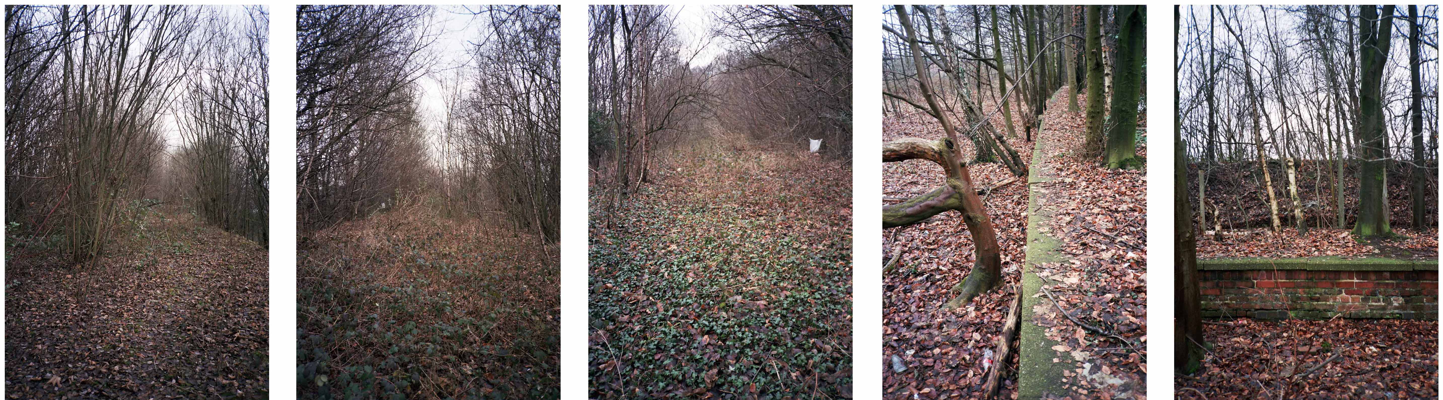
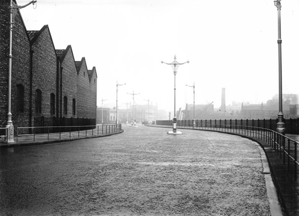
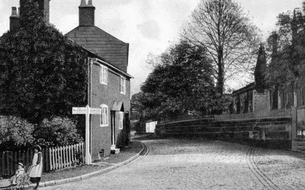
Ford Lane affords a rural route twixt suburban settlements, tree lined and river-run.

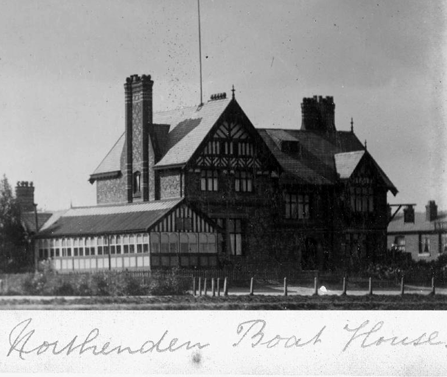
Once the province of pleasure gardens, cruisers, boaters.

And wrestlers.

webmedia-10.php

webmedia-7.php

manchester-northenden-1901-old-antique-vintage-print-picture-MHNWCF

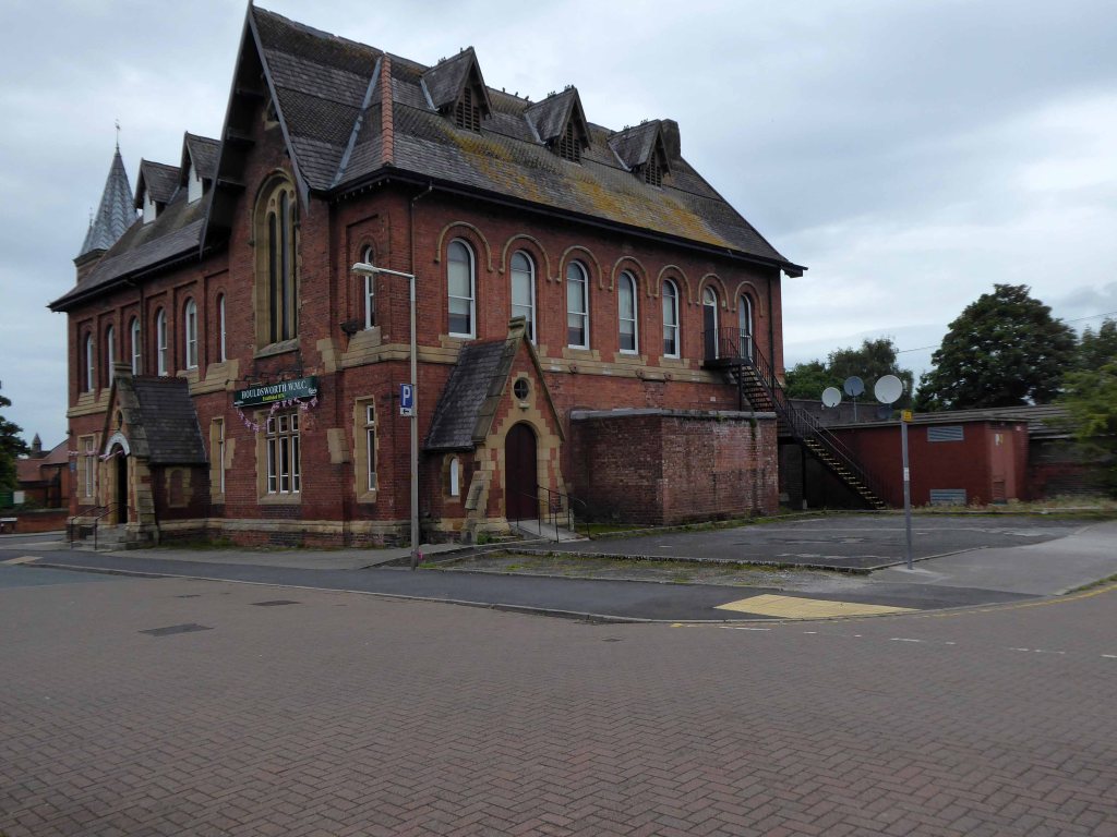
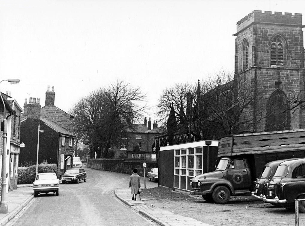
The lane is home to several listed buildings – the most prominent being St Wilfrids – the oldest part of the church is the tower, the rest having been rebuilt in 1873–76 by J. S. Crowther. The new part of the church is built in sandstone from Alderley Edge, with slate roofs, and is in Perpendicular style.

church

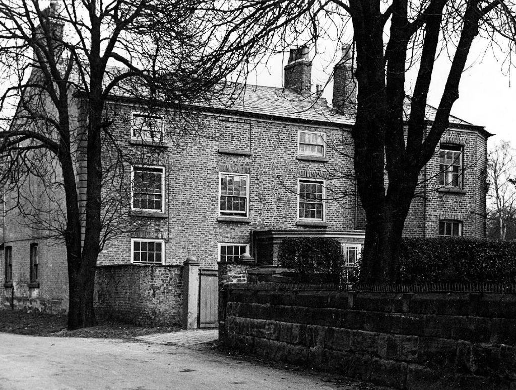
The Old Rectory and Northern House both mid to late 18th century, form a group of notable homes clustered around St Wilfrids.

webmedia-5.php

webmedia-6.php

webmedia-2.php

webmedia-13-php.jpeg

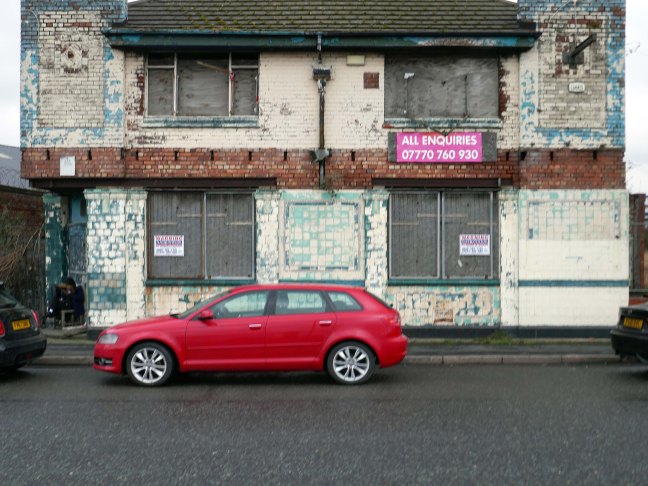
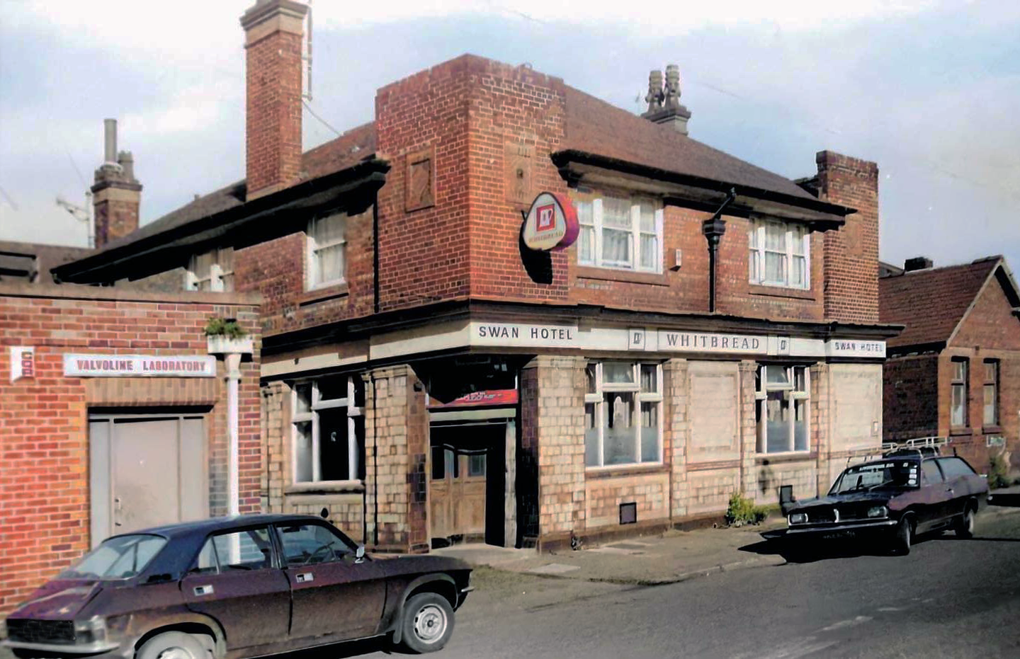
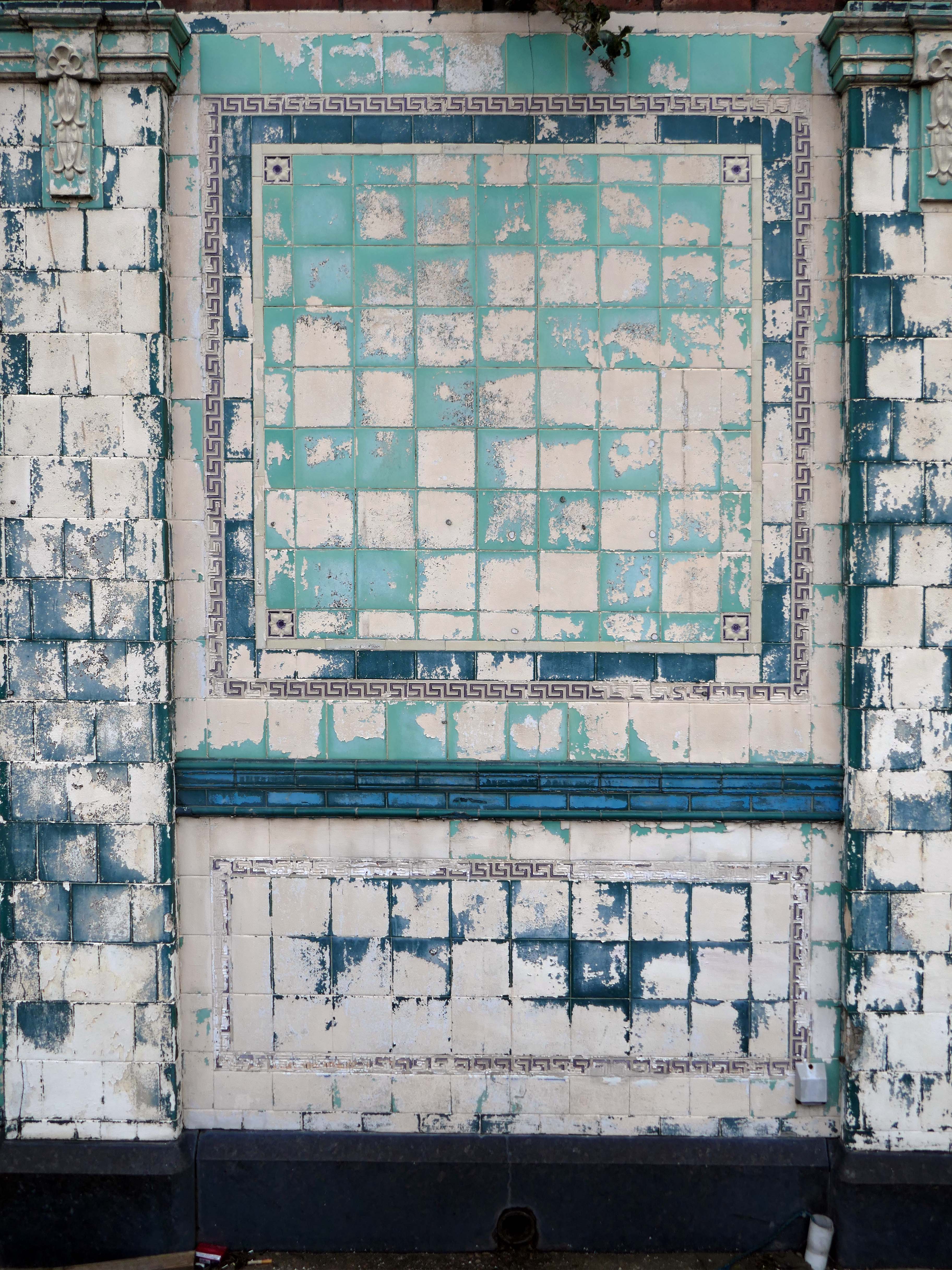
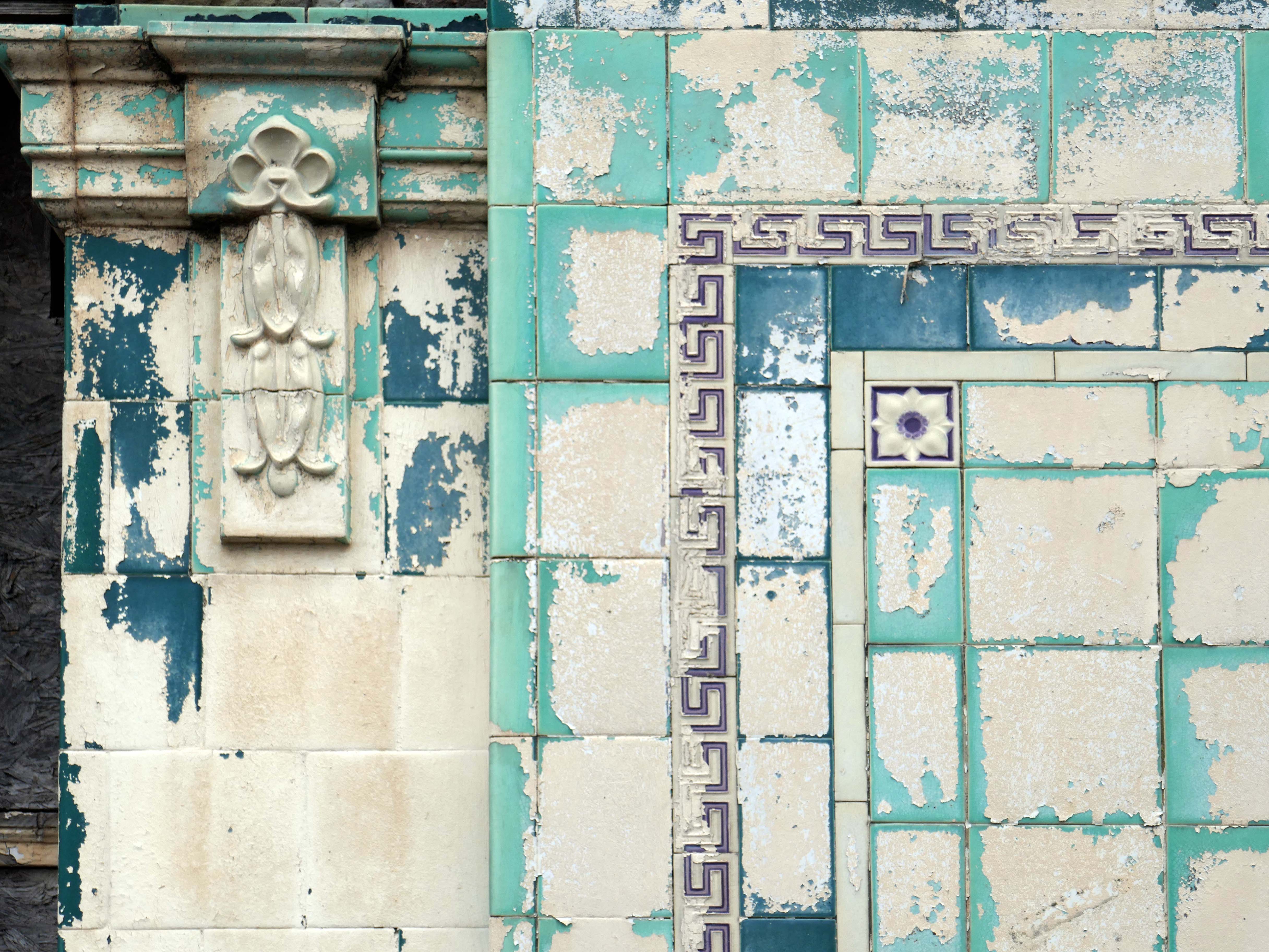
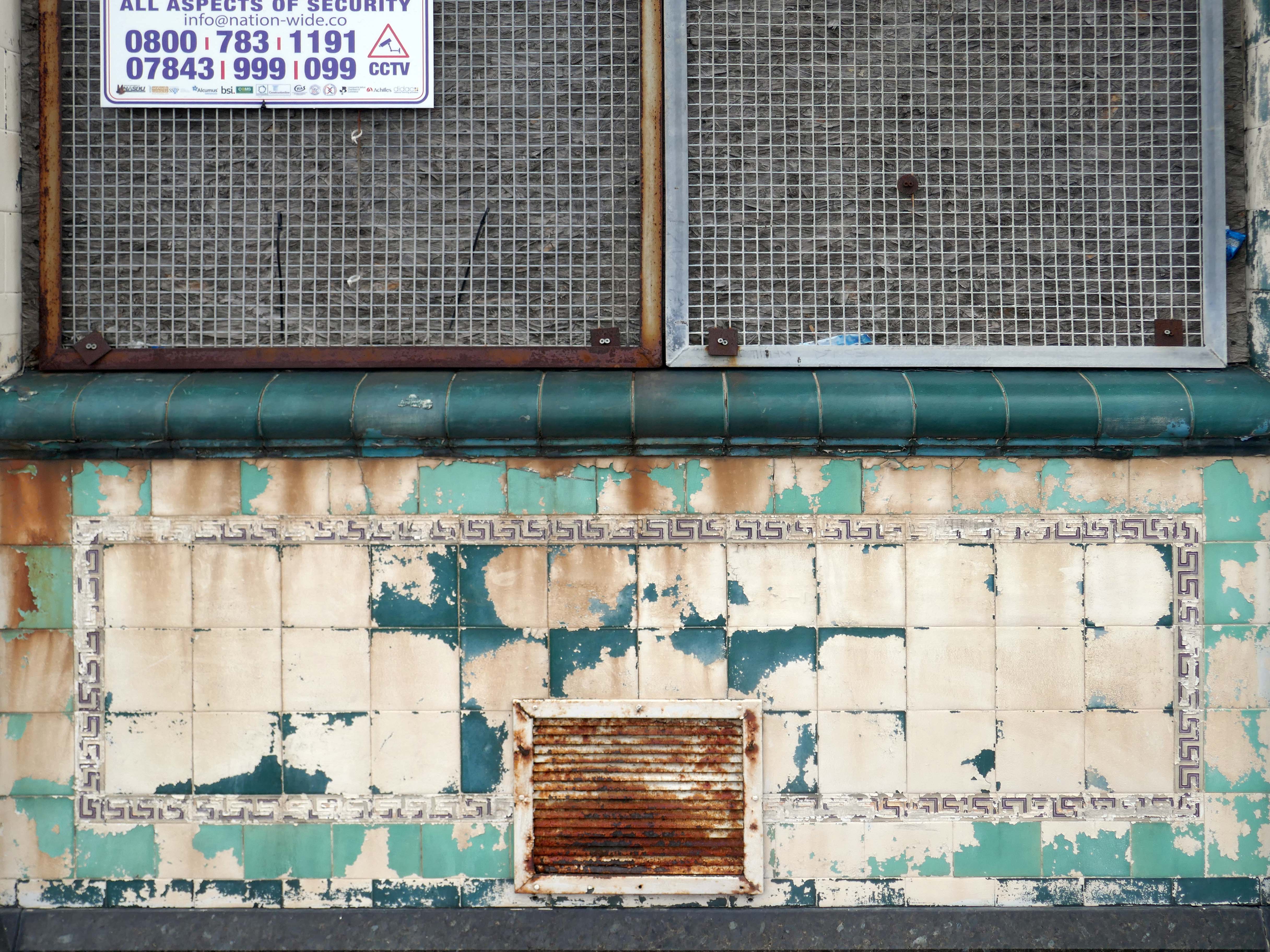
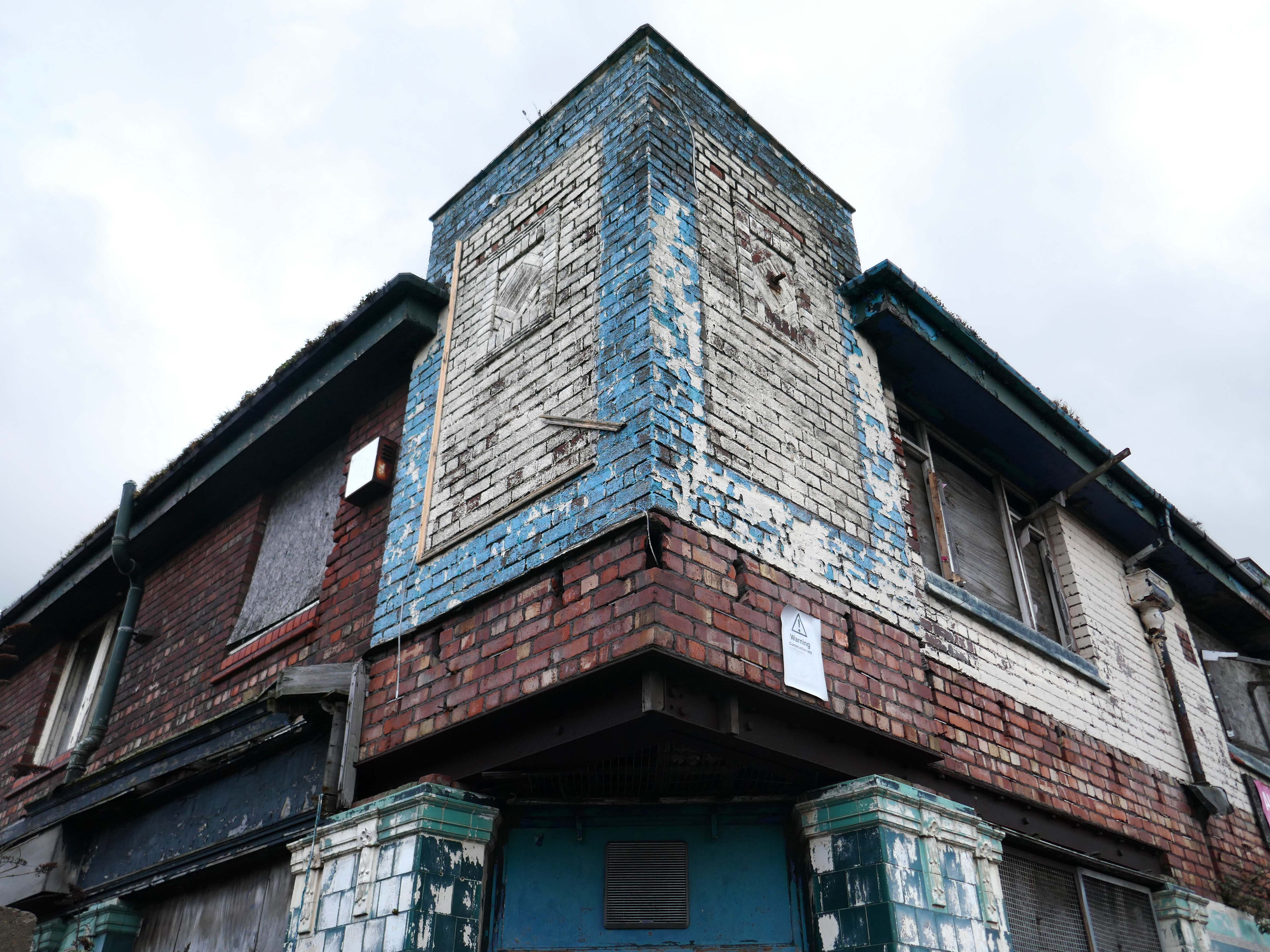
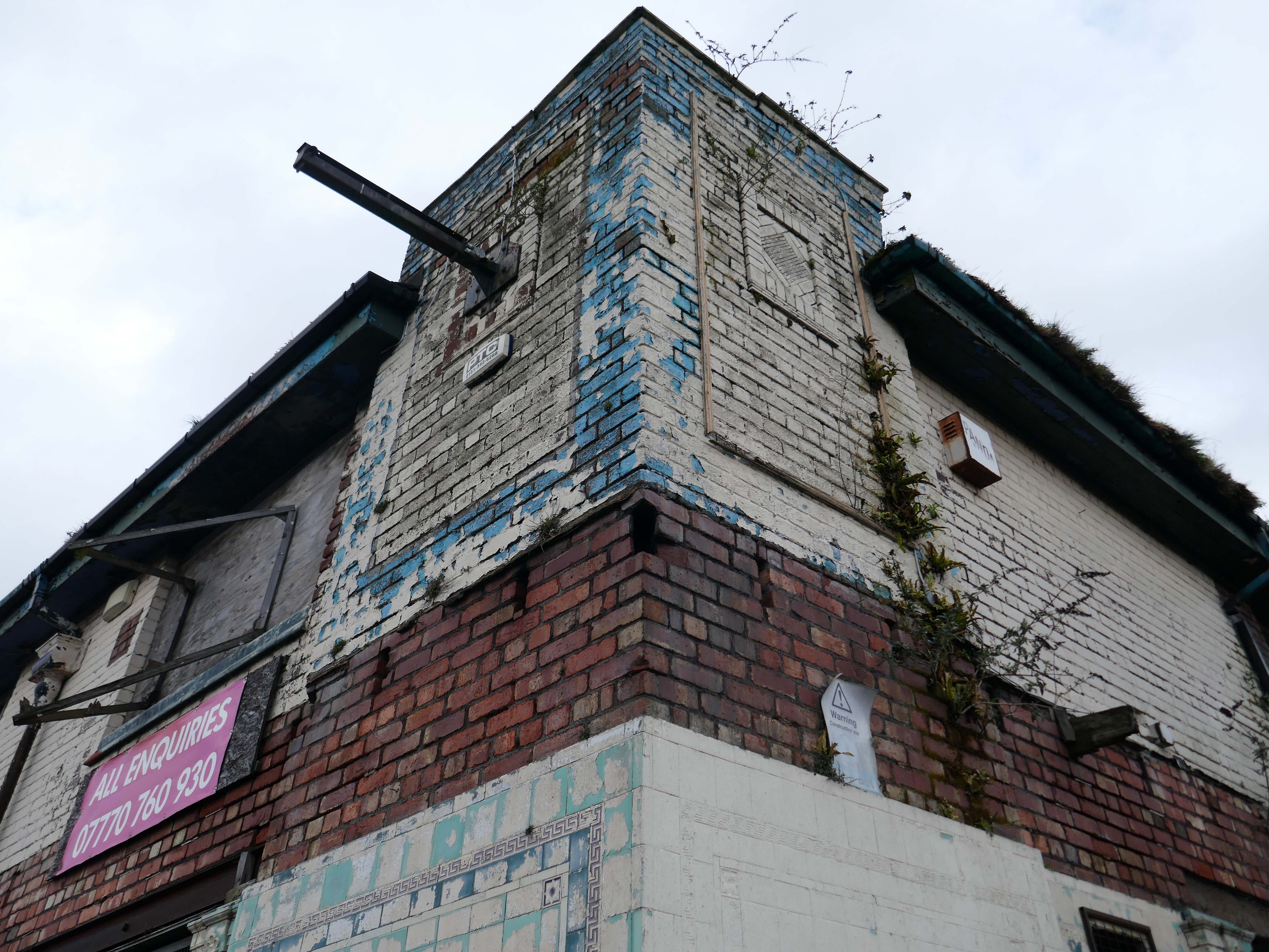
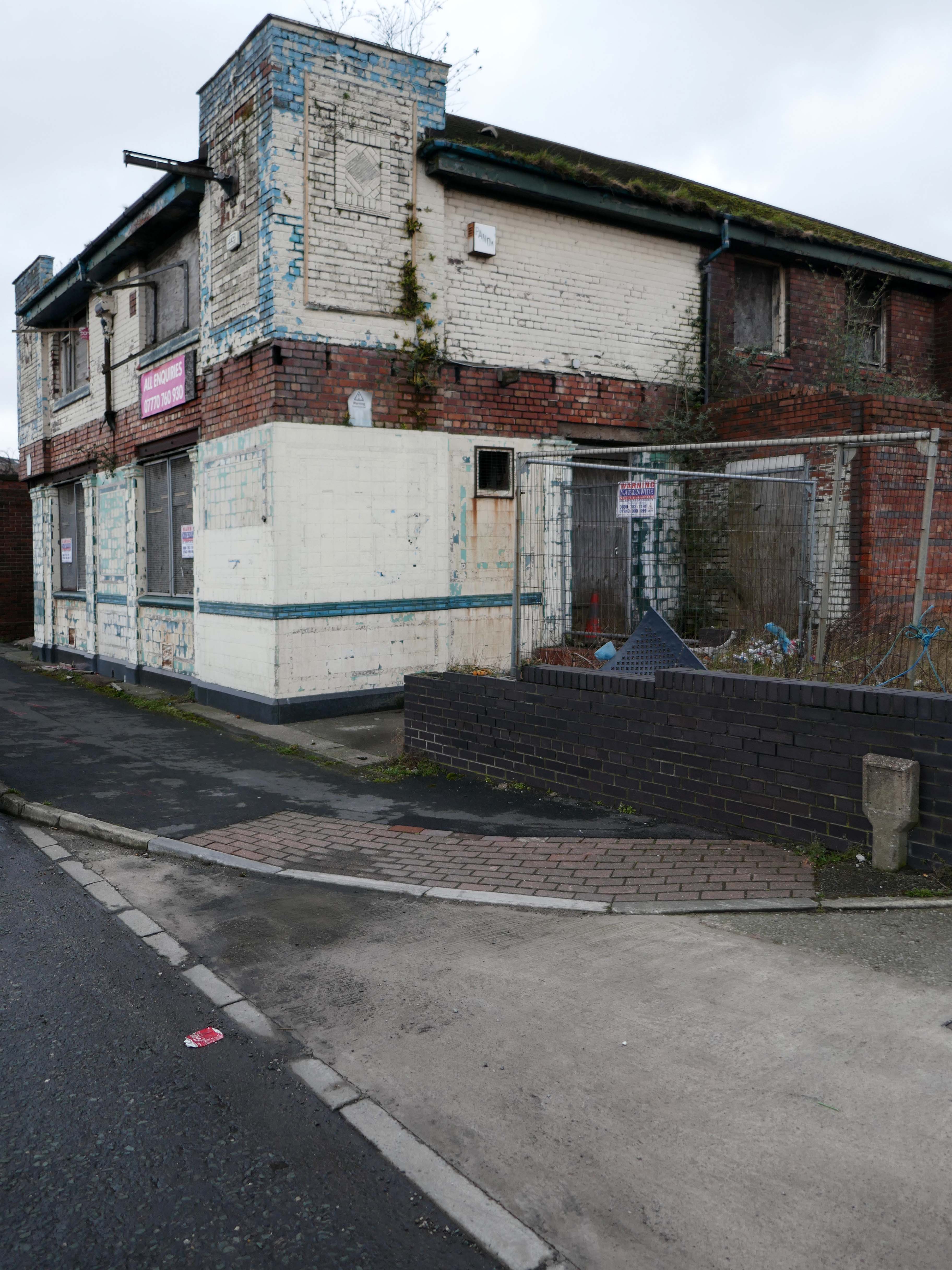
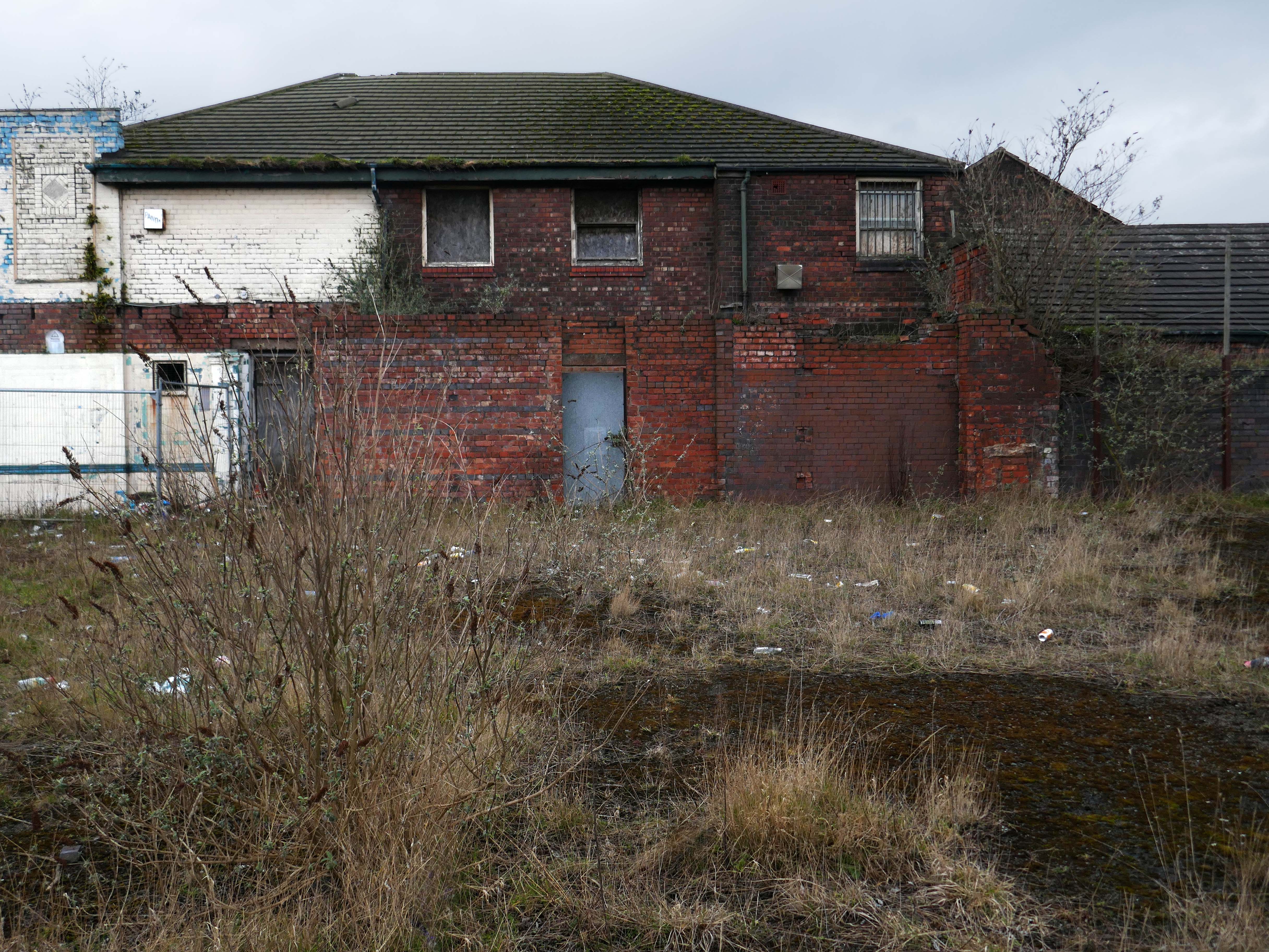
Also in close proximity were a number of public houses – most notably The Tatton Arms.

Built in 1873 by the Tatton family and originally known as The Boat House.

webmedia.php copy

webmedia-2.php copy

s-l1600

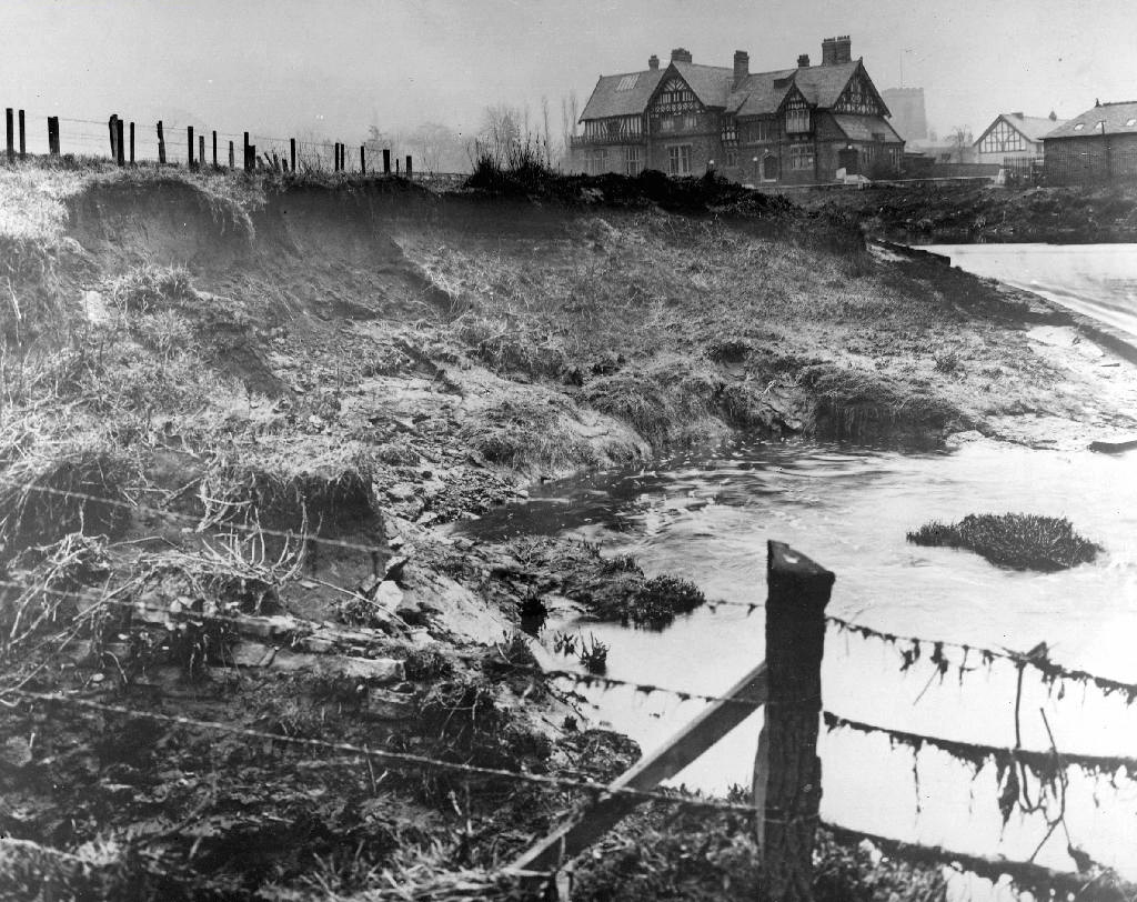
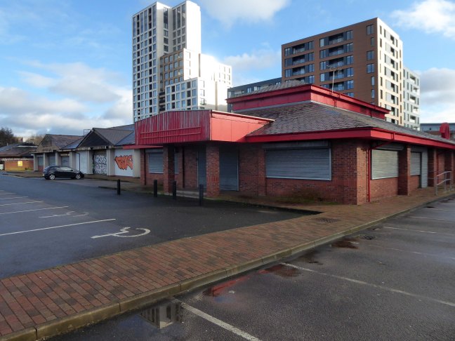
Closed in 2007 and still standing, still awaiting proposed redevelopment into an apartment complex.

1908

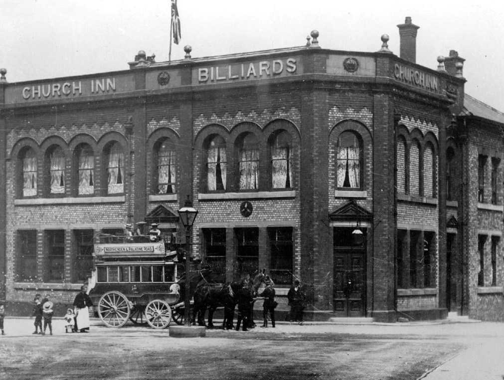
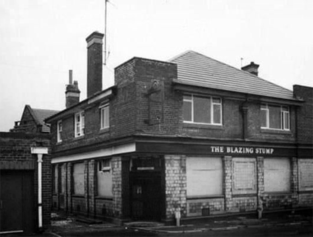
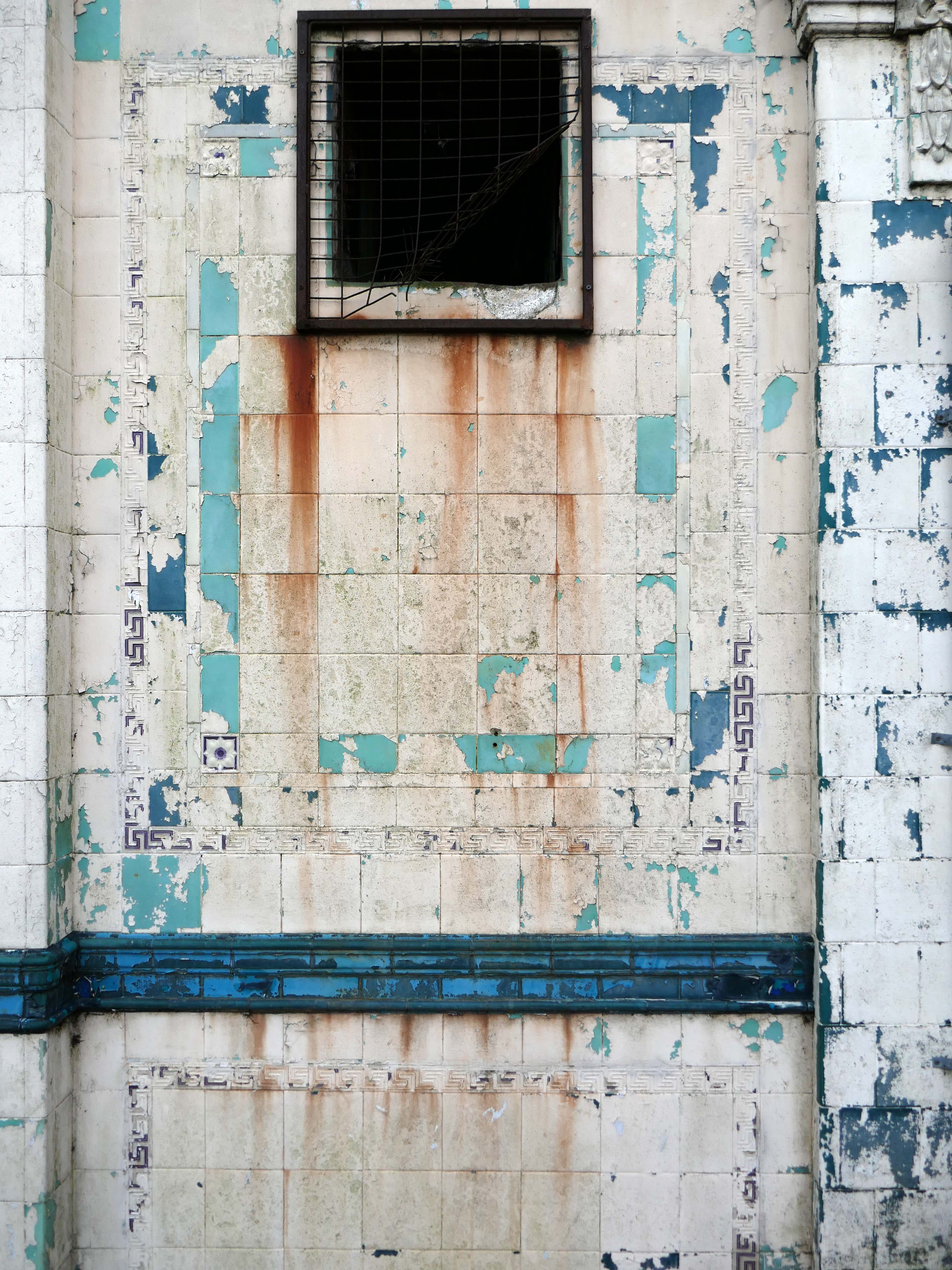
The Church Inn built in 1897 closed in 2006 – burnt out left for dead eventually refurbished into flats.

Spread Eagle Royle

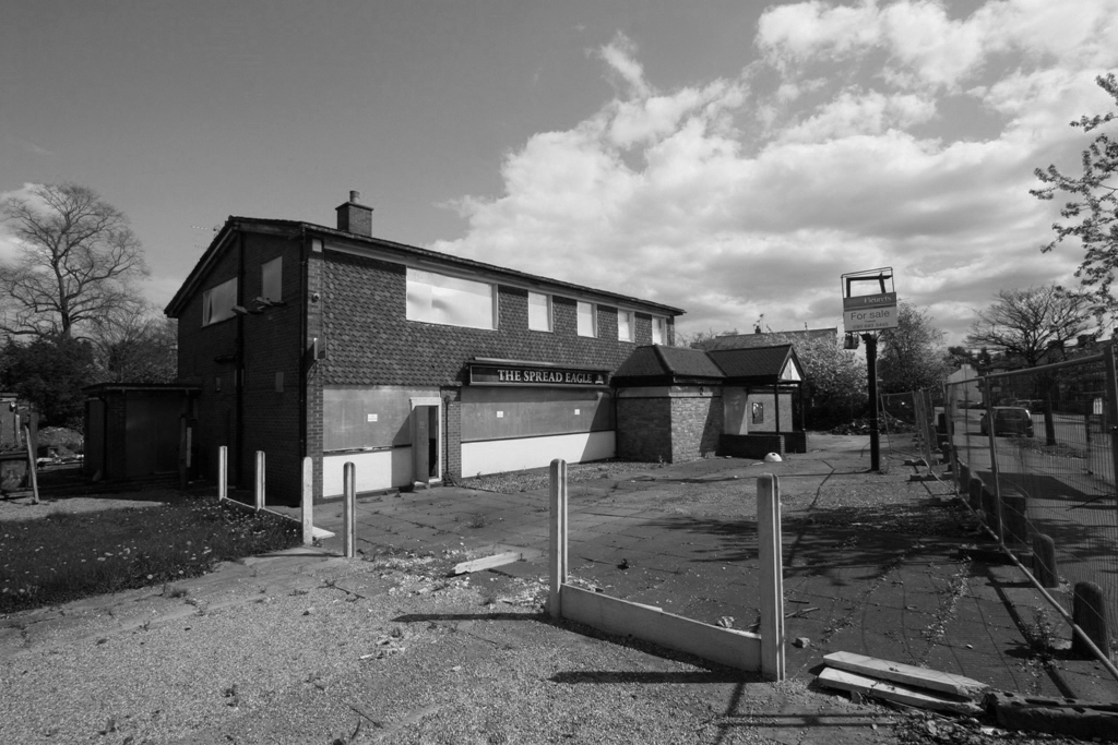
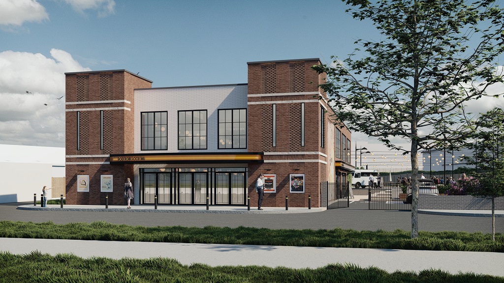
The Spread Eagle built to replace an old pub of the same name, the Spread Eagle was the second estate-style boozer on Royle Green Road, and it outlasted the Jolly Carter by almost a decade – long gone, following a shooting in 2008, the site now developed as housing.

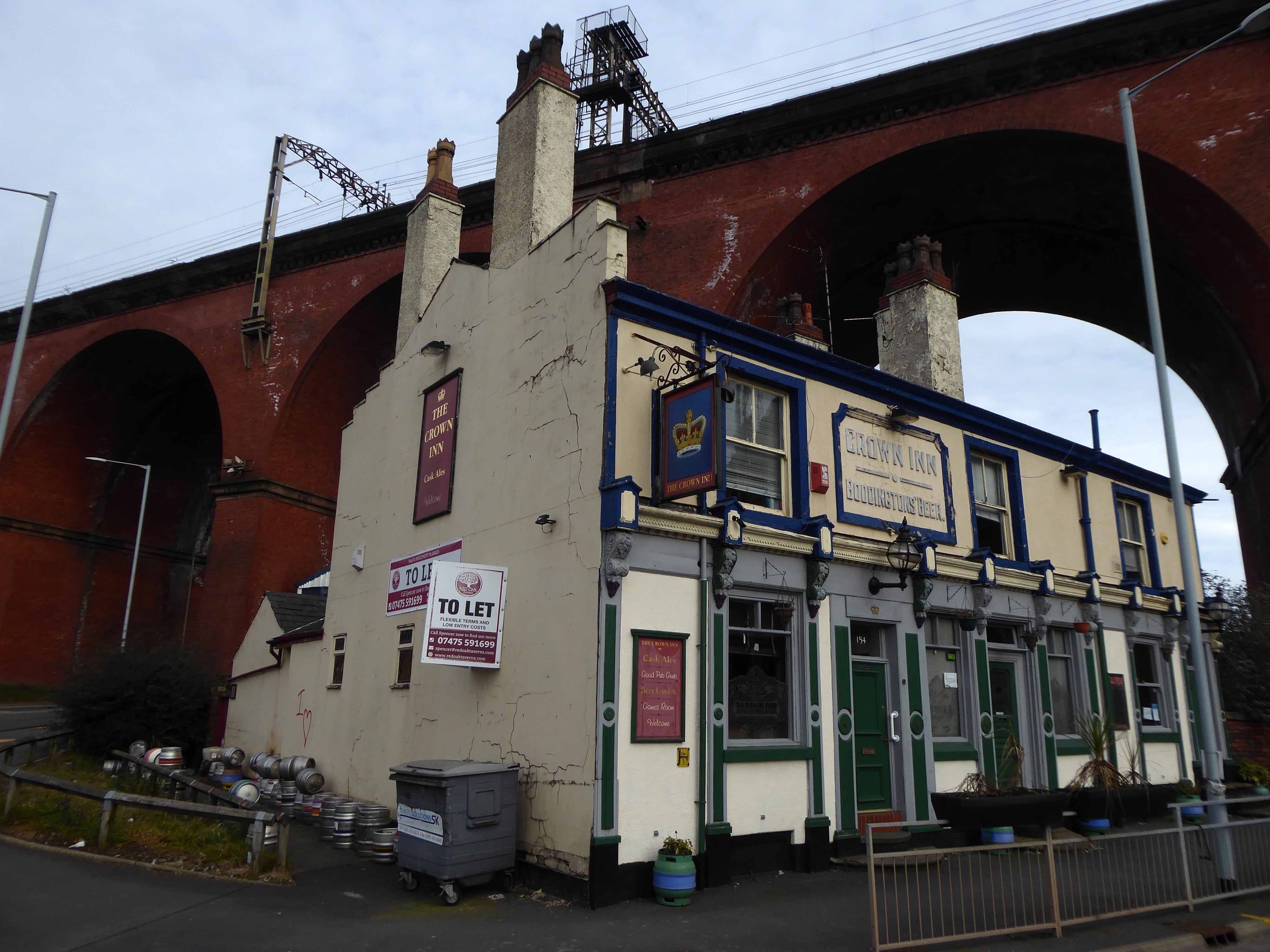
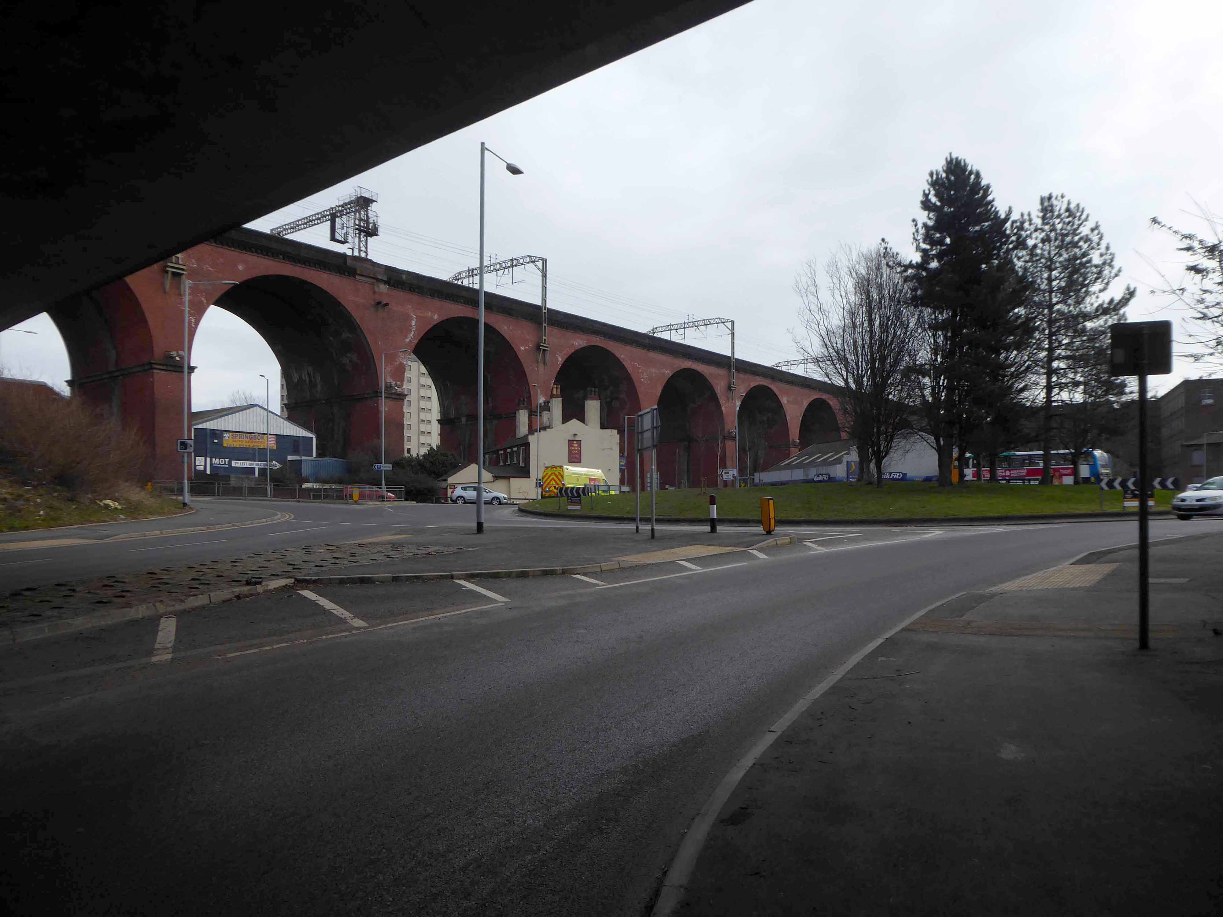
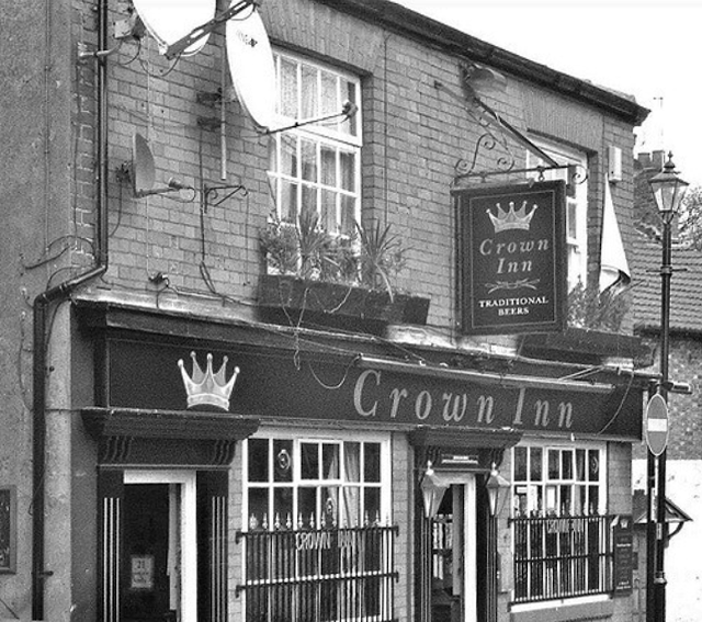
Happily The Crown is still standing and still serving – cyclists and walkers welcome!

Screen Shot 2018-05-29 at 08.12.25

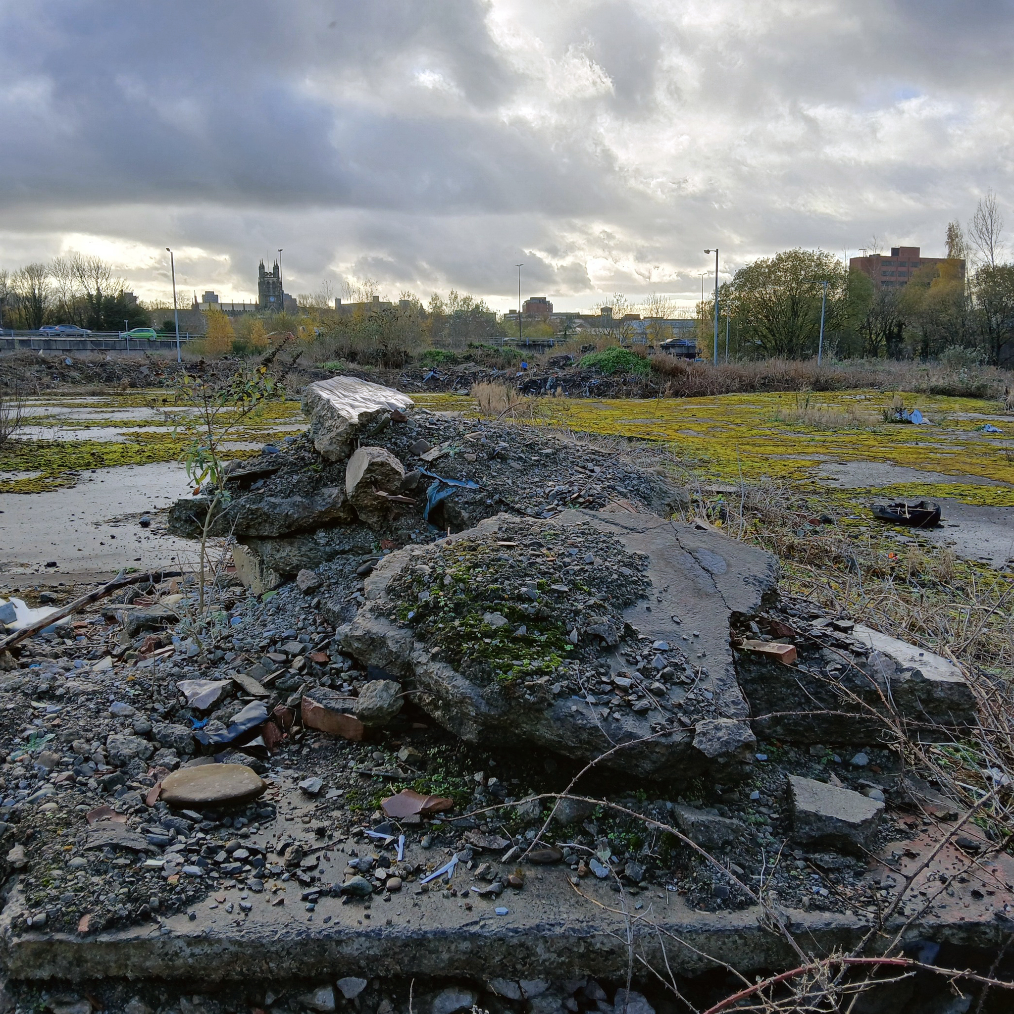
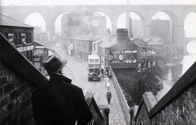
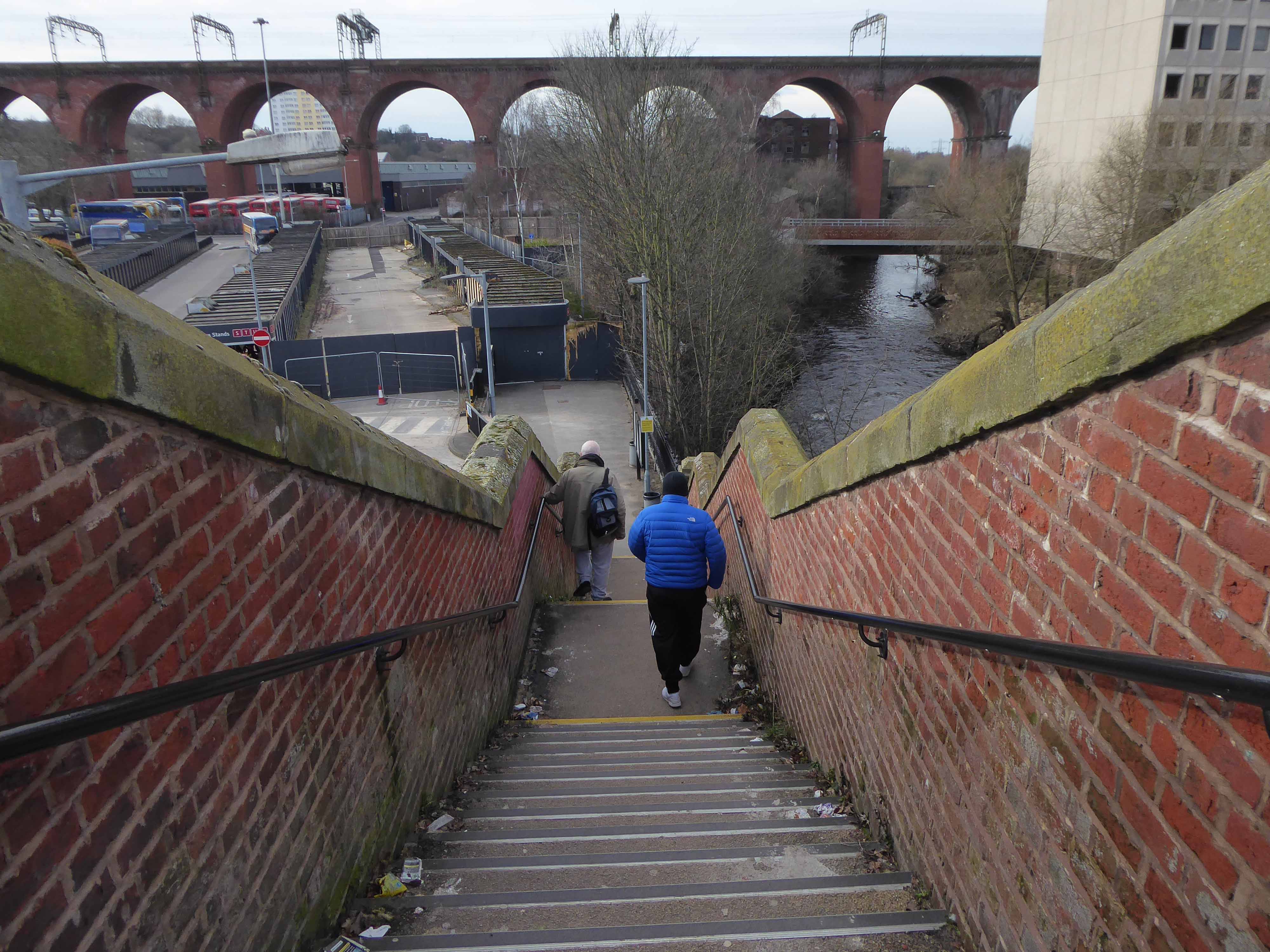
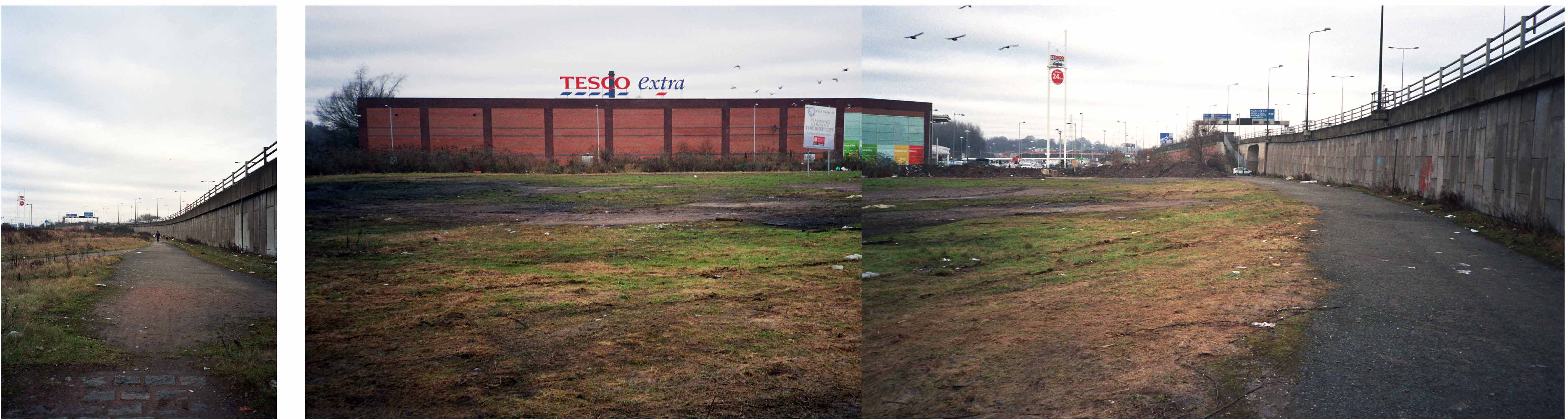
This was once my way to work, Stockport to Northenden each and every day, the river on occasion liable to flood  – foolishly I cycled the Mersey in Spate, against the current clinging to the handrail, up to my axles in the raging torrent.

ManMerseyFlood0Y06

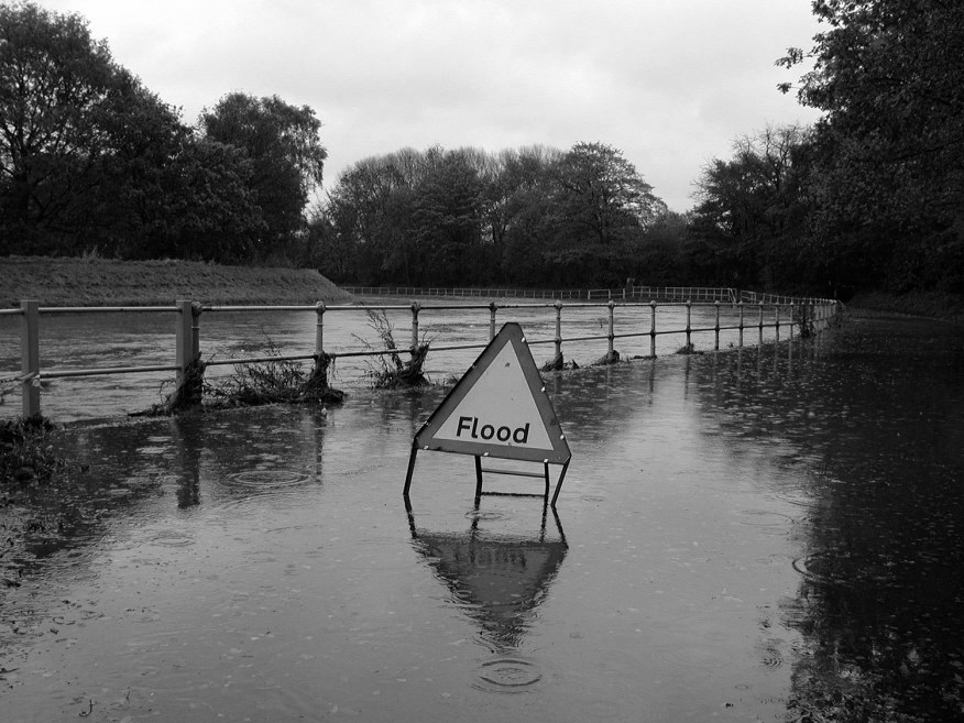
I lived to tell the tale.

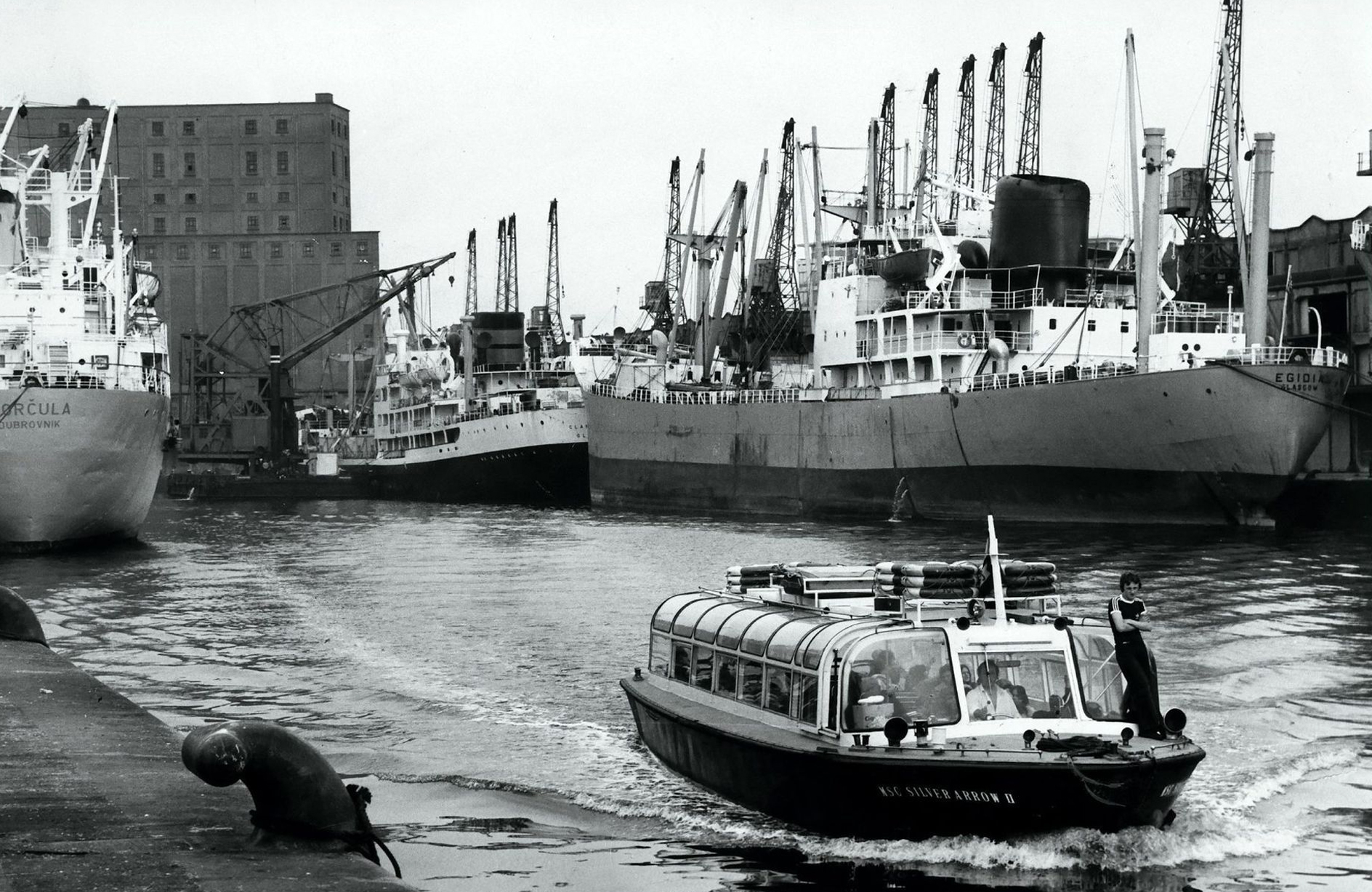
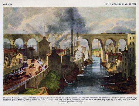
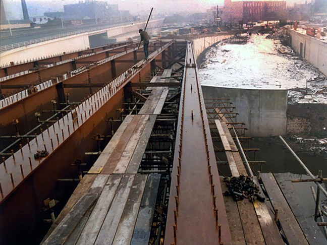
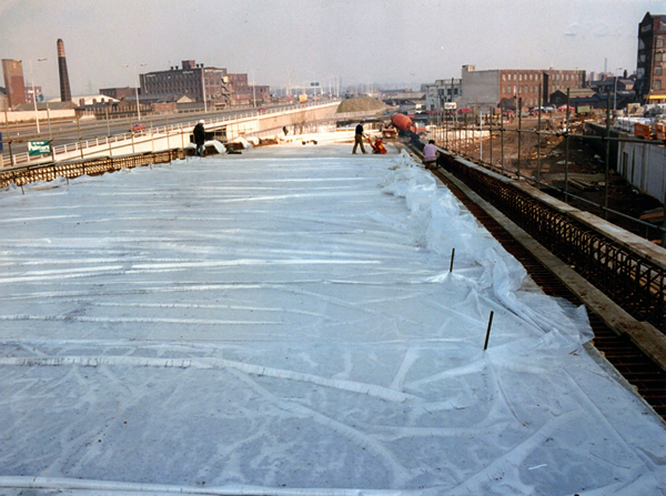
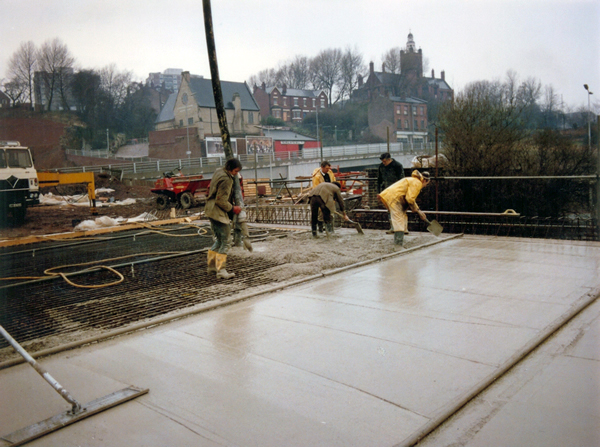
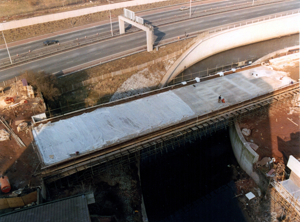
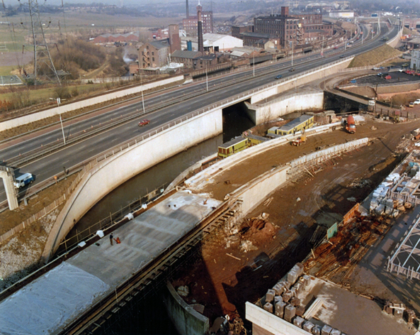
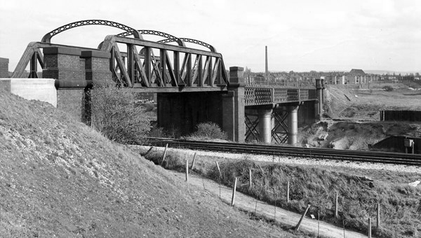
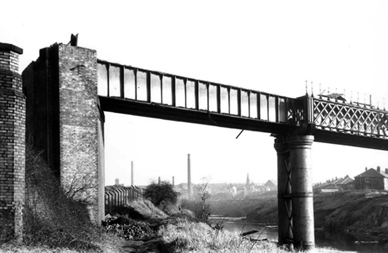
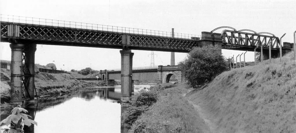
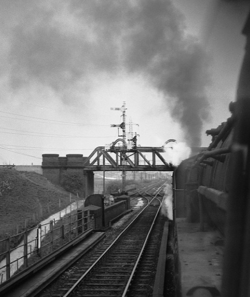
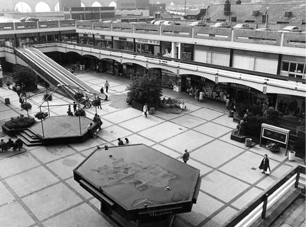
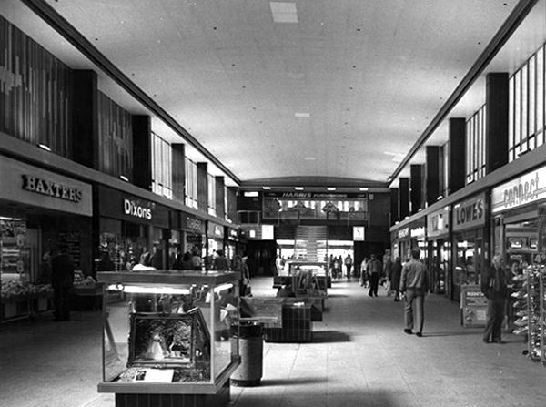
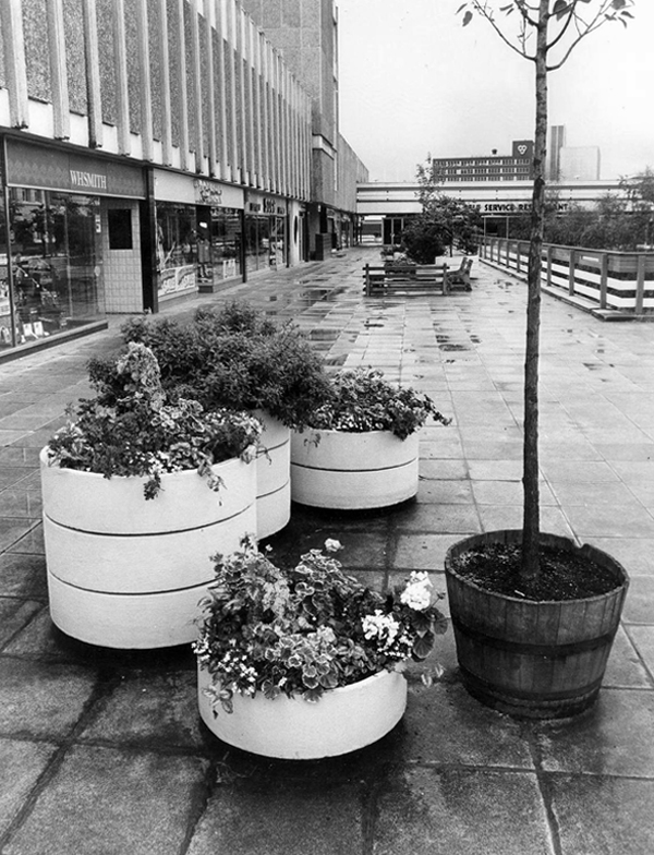
Photographs from the Manchester Local Image Collection


Heaton Mersey Vale – Stockport

A mighty river valley was formed in the second Ice Age, as the glaciers receded and rushed seaward.

The mighty River Mersey was formed on the eastern edge of Stockport, at the confluence of the Tame and Goyt/Etherow rivers.

Thousands of years in the making, as the water-powered mills of the adjacent Pennine Hills migrate to the lower reaches of the towns, in search of water, workers and steam, the full force of the Industrial Revolution takes shape in the west.

The mixed farming of the alluvial valley, which opens up onto the Lancashire and Cheshire Plains, meets and greets the incursion of dye and brick works, mills and manufacturing.

31891

Fred Schofield’s farm 1930

1963

View towards Stockport from Heaton Mersey Park

Serviced by a complex and competing rail system based around Heaton Mersey Shed.

edgeley2016-11

Opened in 1889 and served until May 1968 operating steam locomotives to the end -Coded 9F.

Heaton_Mersey rail map

Here we were at the centre of a rail hub spreading out in all directions, to and from the ports, cities and resources of the country and beyond.

Great movements of steel, cotton, coal, people and manufactured goods.

Screen Shot 2018-05-16 at 19.27.37

38106

Fireman Eddy “Ned” Kelly

heaton(nigel_bruce7.1965)mersey_old7

Heaton Mersey railway station was opened on 1 January 1880 by the Midland Railway and lay on the newly opened line which ran from Heaton Mersey East Junction to Chorlton Junction and on to Manchester Central station.

The station was situated at the southern end of Station Road which still exists. The station was later operated by the London Midland and Scottish Railway and was closed by the London Midland Region of British Railways on 3 July 1961.

The area was criss-crossed by railways – its bridges traversing the roads, fields and river, dominating the landscape in a wild flurry of steam and smoke.

2633

32822

32625936_2079214925657568_2140863625928114176_o

HeatonMerseyHLBridge3

Screen Shot 2018-05-16 at 10.04.03

Further photographs from Grip 99

Crossing the Mersey – the link between Gorsey Bank and the Shed

10220

Surviving until 2007

screen-shot-2018-05-16-at-10-17-14.png

B&W photographs Stockport Image Archive

The end of steam – as drivers, fireman and staff were transferred to Newton Heath, was followed by the slow demise of the rail network, freight moved to road and passengers purchasing their first cars and a passport to illusory freedom.

The mighty Mersey is now flanked by newer neighbours, a shiny blue administrative pyramid, business park, car showrooms and nature reserve, the only certainty is change.

Screen Shot 2018-05-16 at 10.19.19

P1220916 copy

P1220917 copy

Great volumes of earth are moved to from a new topography a topography of leisure – the gentle stroll, jog and cycle replaces the clank of fire doors and shovel on coal.

NEW-GWEB

But take a look around you and you will see the remnants of the industrial age, shrouded in fresh hawthorn and enshrined in birch and beech.

P1250163

P1250164

P1250169

P1250178

P1250179

P1250180

P1250182

P1250185

P1250186

P1250187

To walk this landscape is to traverse geological, agrarian, industrial and post-industrial time – they all coexist and coalesce. Have an eye, ear and heart open to their resonance and presence, transcend time and space in the Mersey Valley today, you’re part of the leisured generation.


Gorsey Bank – Stockport #3

Once there were homes – 200 homes tucked between the M60, River Mersey and A560 Stockport Road.

2253


I’ve been here before, many times, seen those homes demolished and the site returning  to nature, brambled and overgrown, as the long standing lampposts disappeared for scrap, the kerbs covered in thick grass and moss.

DSC_0011 copy

Then the diggers arrived, the trees felled and the site cleared – no longer any trace remained of the lost homes of Gorsey Bank.

P1100079 copy

Building commences, steel erected, fences, roads and paths instated.

P1110236 copy

Welcome to the Aurora Industrial Park – open for business.

Screen Shot 2018-01-22 at 15.38.37

Emerging from the houses, the undergrowth, the Mersey clay and sandstone – a shiny new assemblage of state of the art industrial sheds. I’ll  wander by from time to time, listen to the ghostly chatter of busy neighbours, going about their business.

Wait for the trees and brambles to take over again.

P1220877

P1220878

P1220882

P1220884

P1220885

P1220887

P1220889

P1220892

P1220893

P1220894

P1220899

P1220901

P1220905

P1220906

P1220908

P1220909

P1220911


Tiviot Dale to Norris Bank – Stockport

This is a journey I made as a BR Guide Bridge goods guard in the late 1970s, often with driver Eric Clough, into the George’s Road scrap yard. It was also at one time the Cheshire Lines passenger route out of Stockport Tiviot Dale Station to Liverpool, Southport, St Pancras and beyond.

This is a journey I made on foot through bramble, puddle and scrub on a now disused line, cheek by jowl with a motorway and the passing crowd, blissfully unaware of its existence.

intro

page1

page2

page2a

page4

page5

page6a

page7

page8

page9

page9a

page11

page12

page13

page14

Merseyway – Stockport

Once there was a river there, formed by the thunder of Irish Sea ice gouging a great glacial valley, bowling along boulders and millstone grit through phyllosilicate clays and sedimentary sandstone.

27983074_10215926263608490_3556820789336334741_o

Then there wasn’t.

The Mersey, formed in Stockport as the Tame and Goyt conjoined, inconveniently filled with industrial grime and mire, then conveniently covered over in 1936.

16066

Creating the thoroughly modern thoroughfare Merseyway.

43094

The giant concrete culvert and bridge leaving the river cowering cautiously below.

11889

Of time and a river – little stands still and the town is whisked briskly into the late Twentieth Century with plans for a pedestrianised precinct.

15162

Completed and opened in 1965 the shopping precinct was concrete poetry in motion, incorporating the surrounding topography and extant architecture with grace and aplomb. Combining retail, restaurants and car parking facilities in a manner that critic Ian Nairn considered to be amongst the finest in the land.

4906

We had travelators, integrated paving, street furniture, and lighting across several levels. A carefully considered whole, combining all that was best in modern design with style, élan and panache – along with Freeman, Hardy and Willis.

16347
34942
44282

A clock tower, an Alan Boyson concrete car park screen and public art.

17379
19366

Would that it was still so, a variety of additions and subtractions have left Merseyway in architectural limbo, concrete legs akimbo across the river below, striding towards the future in a more than somewhat bewildered manner.

Yet we still continue cast our eyes upwards towards a clock that isn’t there, ride a non-existent walkway to the sky, try on an imaginary crop-top in C&A’s Clockhouse.

11408
17376
25379
17594

Photographs Stockport Image Archive

Transporter Bridge – Warrington

I set out one morning with a clear intent, to travel.

To travel to see the Warrington Transporter Bridge – of which I had only just become aware. Ignorance in this instance is not bliss, expectation and fulfilment is.

Guided by the detailed instructions on the Transporter Bridge Website I made my way from Bank Quay Station, mildly imperilled yet not impeded by caged walkways, tunnels, bridges, muddy paths and Giant Hogweed!

p1130109

p1130111

p1130164

p1130122

p1130127

Finally catching a glimpse of:

Warrington Transporter Bridge, also known as Bank Quay Transporter Bridge or Crosfield’s Transporter Bridge, across the River Mersey is a structural steel transporter bridge with a span of 200 feet. It is 30 feet wide, and 76 feet above high water level, with an overall length of 339 feet. It was built in 1915 and, although it has been out of use since about 1964, it is still standing. It was designed by William Henry Hunter and built by William Arrol and Co.

bridge_in_use_1951

The bridge in use 1951.

It is till standing today, and was built to despatch finished product from the cement plant that had been built on the peninsula. It was originally used to carry rail vehicles up to 18 tons in weight, and was converted for road vehicles in 1940. In 1953 it was modified to carry loads of up to 30 tons.

The bridge is designated by English Heritage as a Grade II* listed building, and because of its poor condition it is on their Heritage at Risk Register. The bridge is protected as a Scheduled Ancient Monument.

My thanks to the Friends of the Warrington Transporter Bridge for the historical information and archive image.

Here are my photographs expectations more than fully fulfilled an epic structure and a triumph of engineering, go take a look real soon.

p1130129

p1130133

p1130134

p1130135

p1130136

p1130144

p1130145

p1130148

p1130149

p1130158

p1130166