

Stockport Viaduct, carries the West Coast Main Line across the valley of the River Mersey in Stockport, Greater Manchester, England. It is one of the largest brick structures in the United Kingdom, as well as a major pioneering structure of the early railway age.
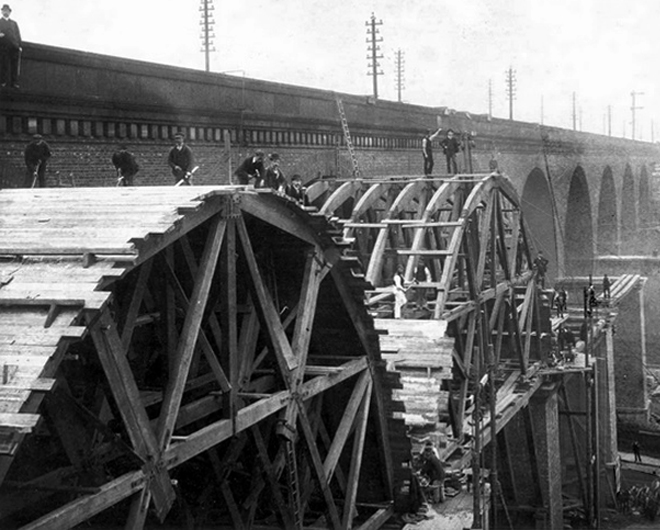
Stockport Viaduct was designed by George Watson Buck for the Manchester and Birmingham Railway. Work began in 1839 and was completed in 1840. Roughly 11 million bricks were used in its construction; at the time of its completion, it was the world’s largest viaduct and a major feat of engineering. The viaduct is 33.85 metres high. Stockport Viaduct is a Grade II* listed structure and remains one of the world’s biggest brick structures.
In the late 1880s, the viaduct was widened to accommodate four tracks instead of two. In the 1960s, overhead catenary lines were installed by British Rail for the West Coast Main Line electrification scheme. In the second half of the twentieth century, the M60 motorway was built, passing through two arches of the viaduct.
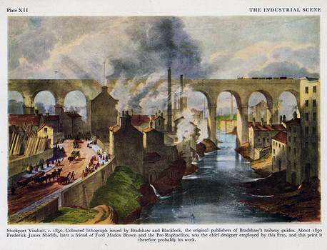
The structure is central to the visual landscape of the town – it has been the subject of both literature and art, most notably in the work of LS Lowry.
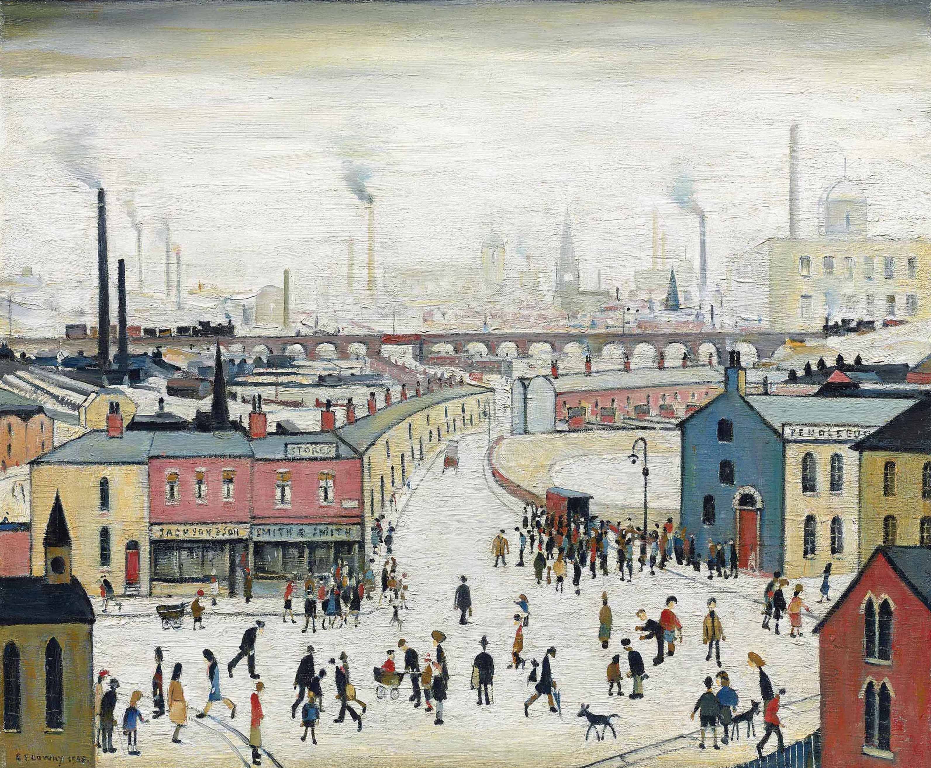
I believe that this composite composition of a northern landscape, is firmly embedded in the psyche of Stopfordians.
A notion that we are able to apprehend the whole of the structure in one panoramic sweep.
Our present perceptions are inextricably linked to past experience, possibly an illusory past.
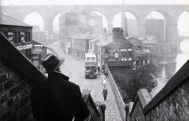
It even featured in a feature film – A Taste Of Honey
My photograph below, was taken before access was prohibited.
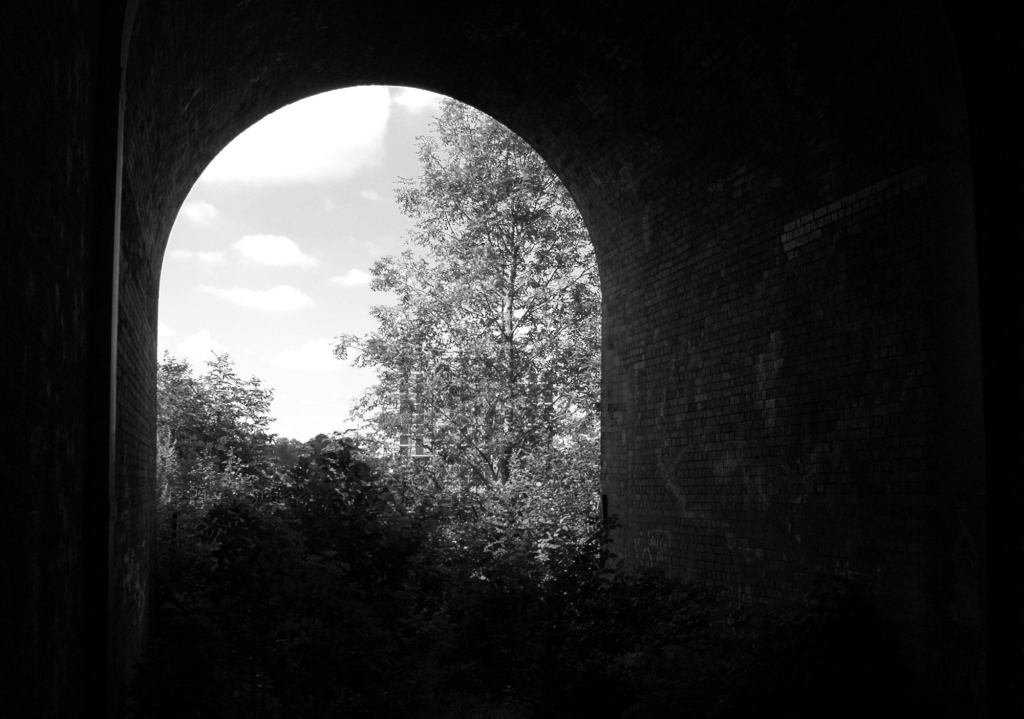

Though has this uncluttered view ever actually existed?
The area has been a constantly evolving jumble of buildings, in, under and around the viaduct.

This raises the question – when did you last see your viaduct?

I live moments away on Didsbury Road – so why not take a look, circumnavigating the site in search of an answer?
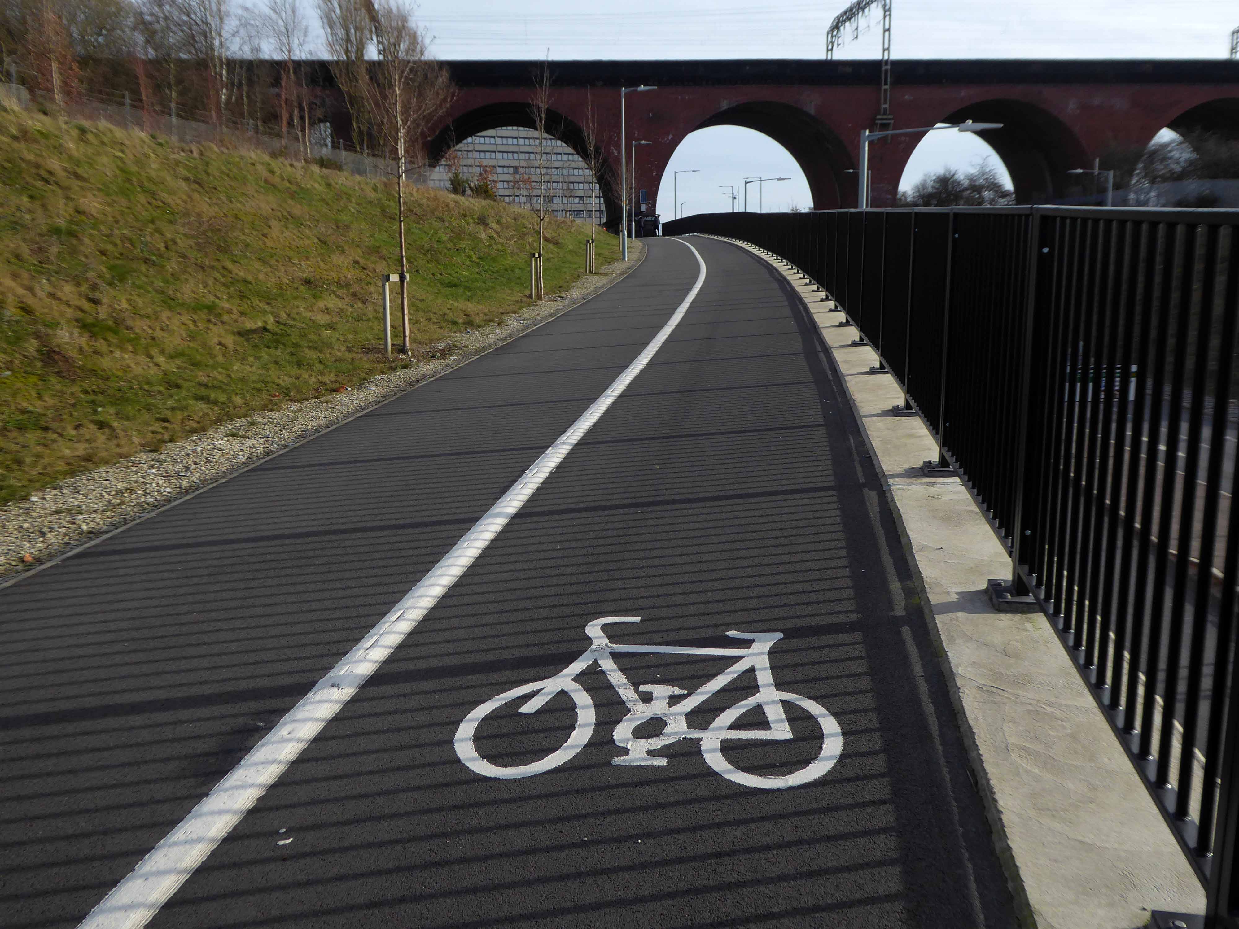
From the recently constructed pedestrian and cycleway a view south across multiple roadways.
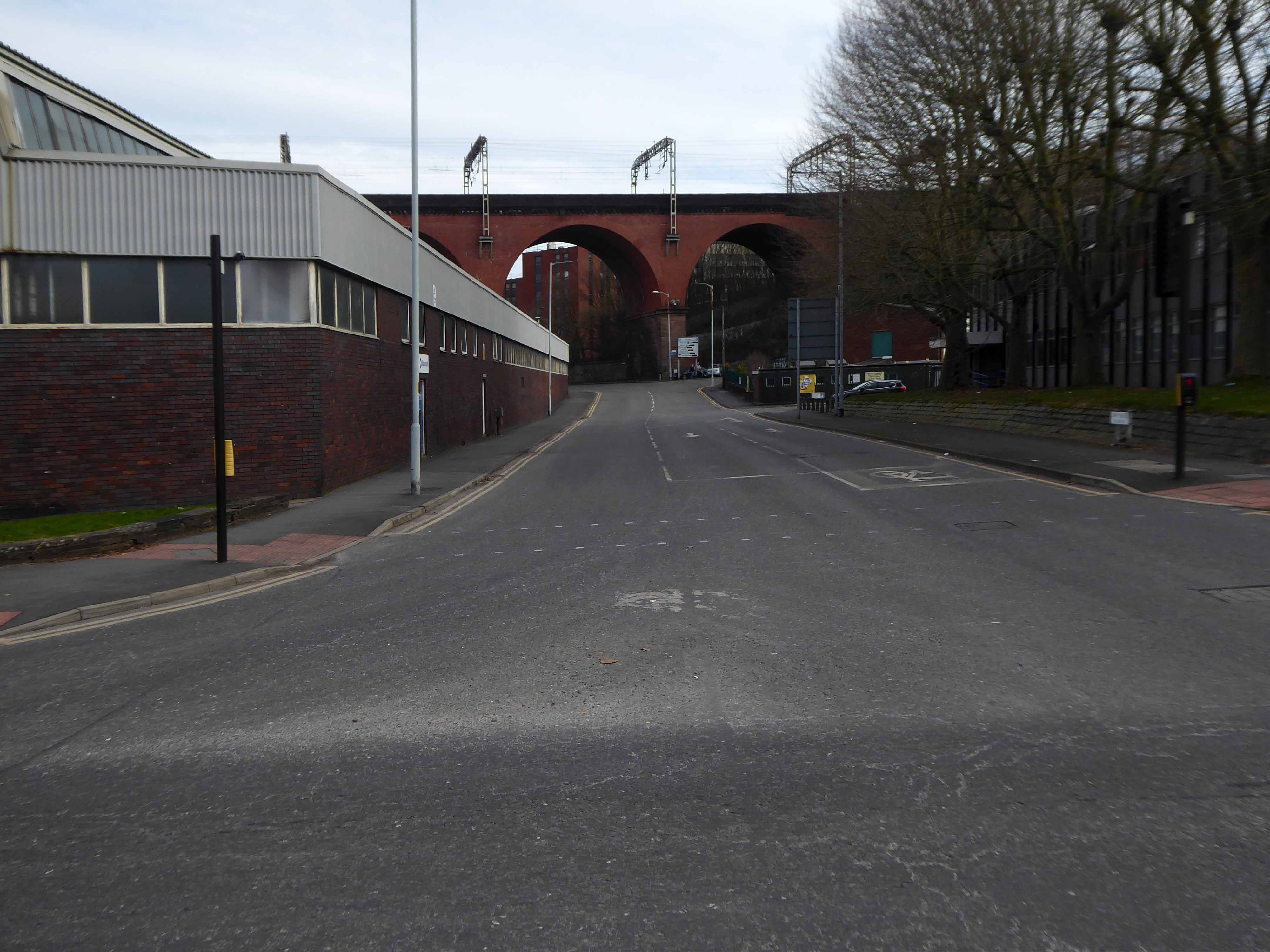
Approaching the arches from the west.
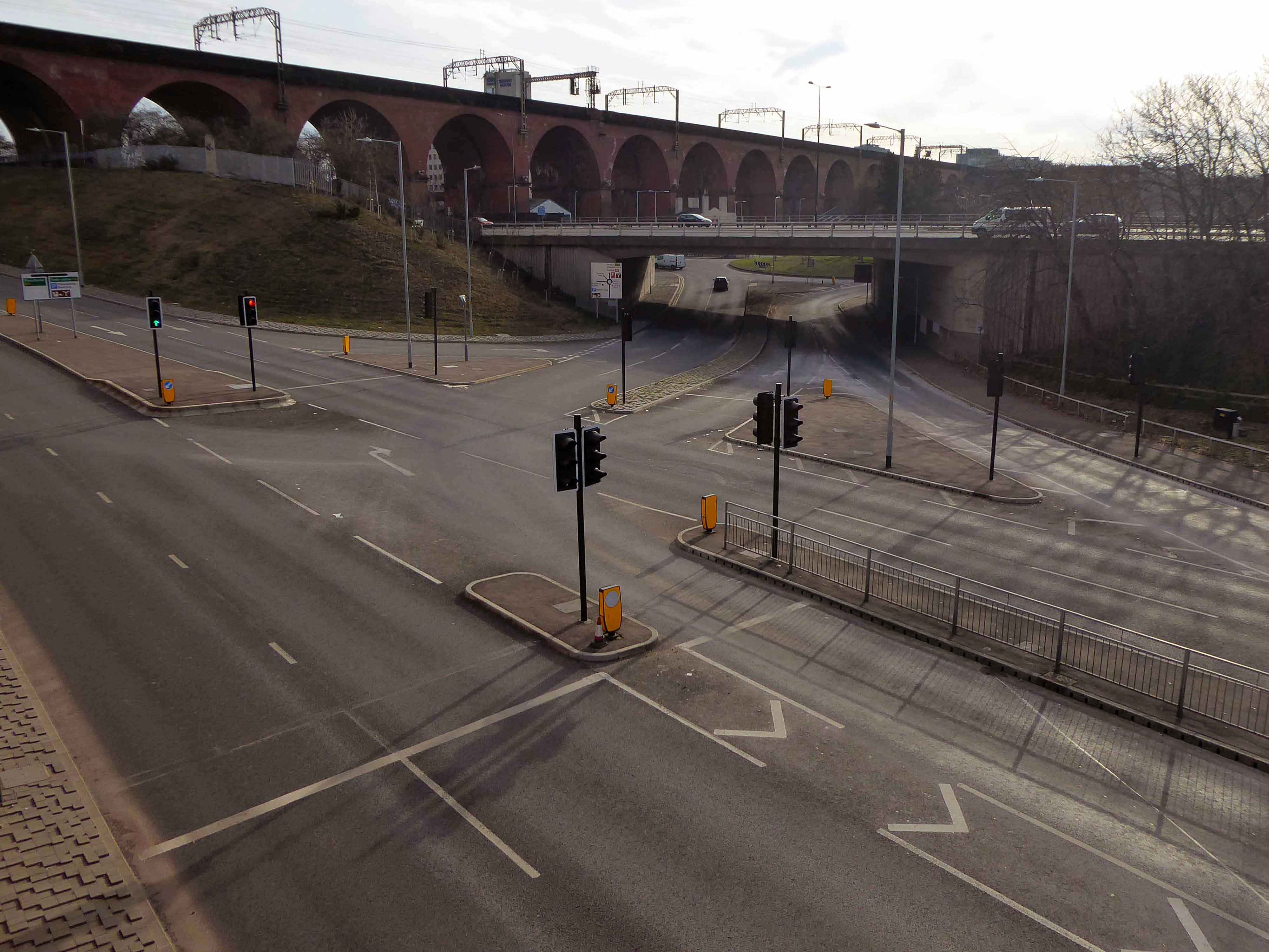
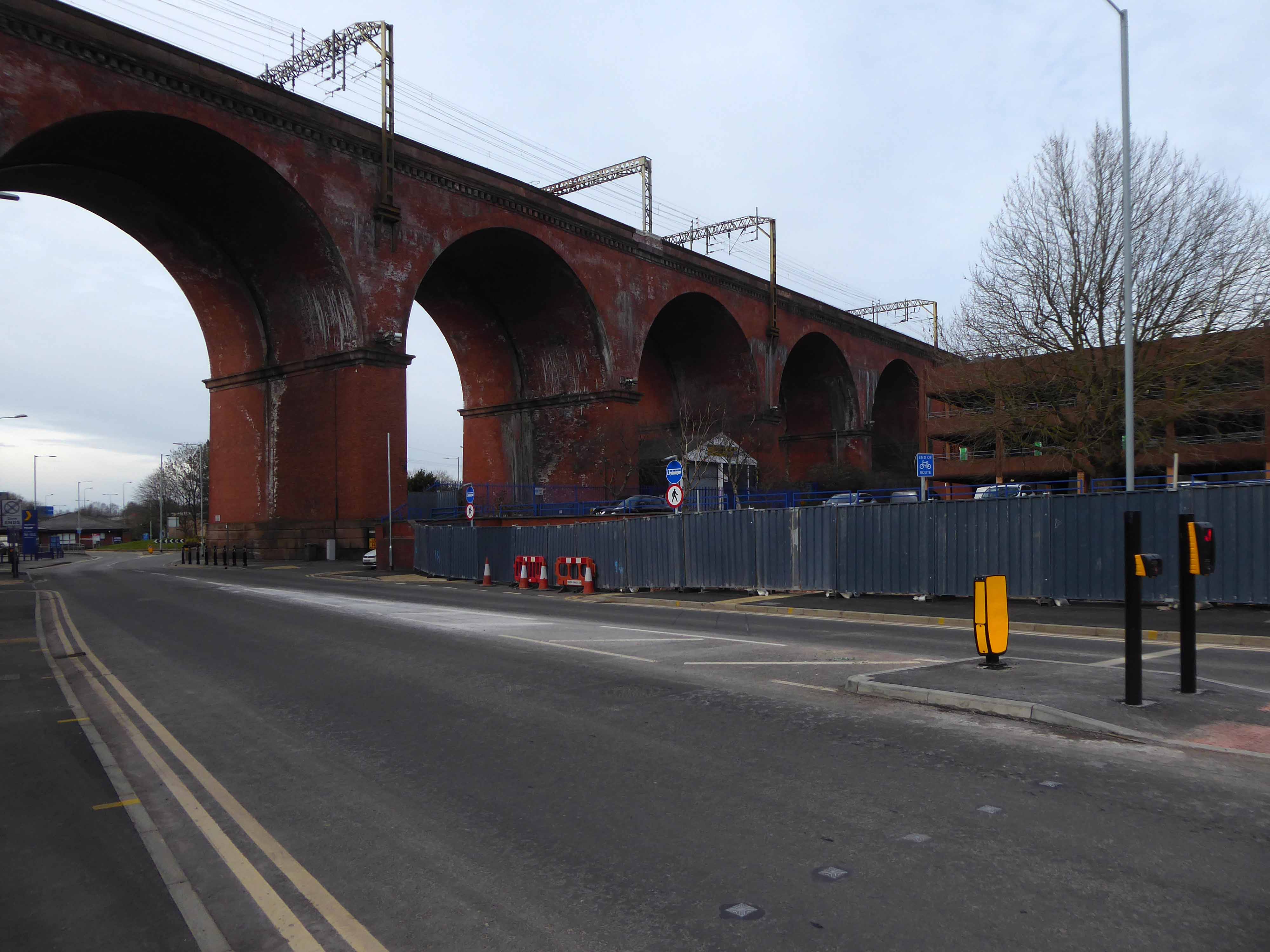
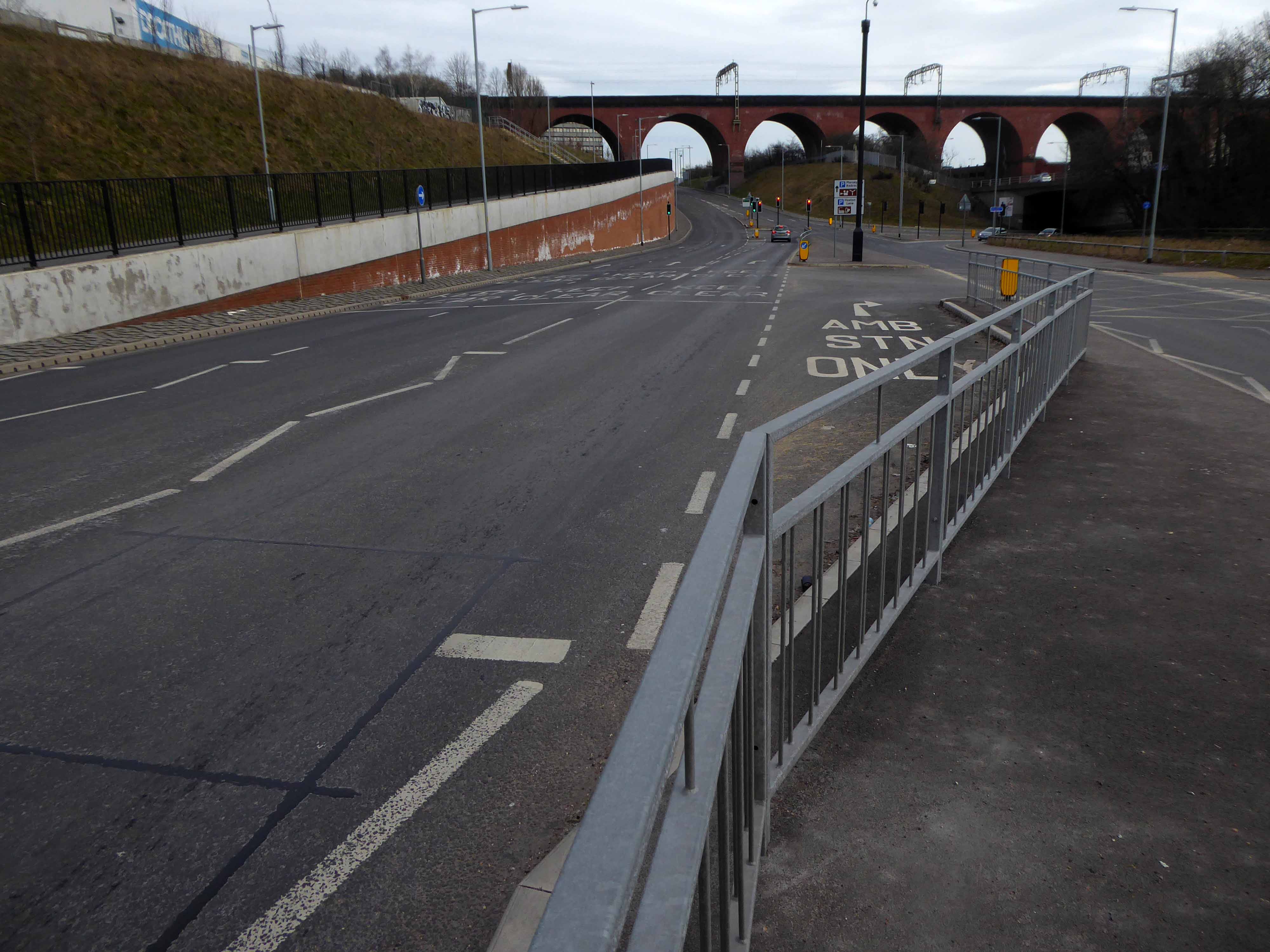
Looking east from Wellington Road North and the newly constructed A5154 link road.
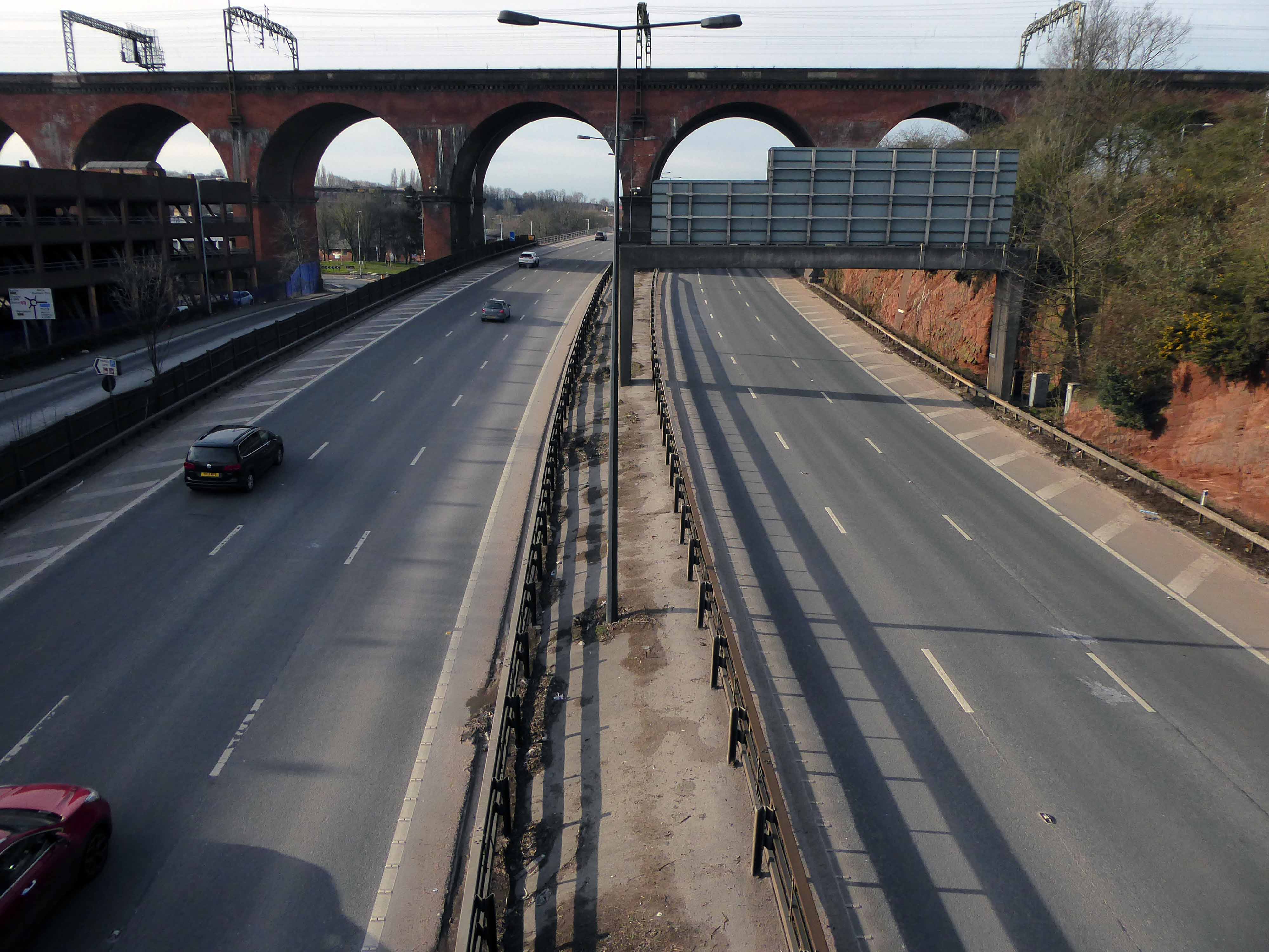
Looking along the M60.
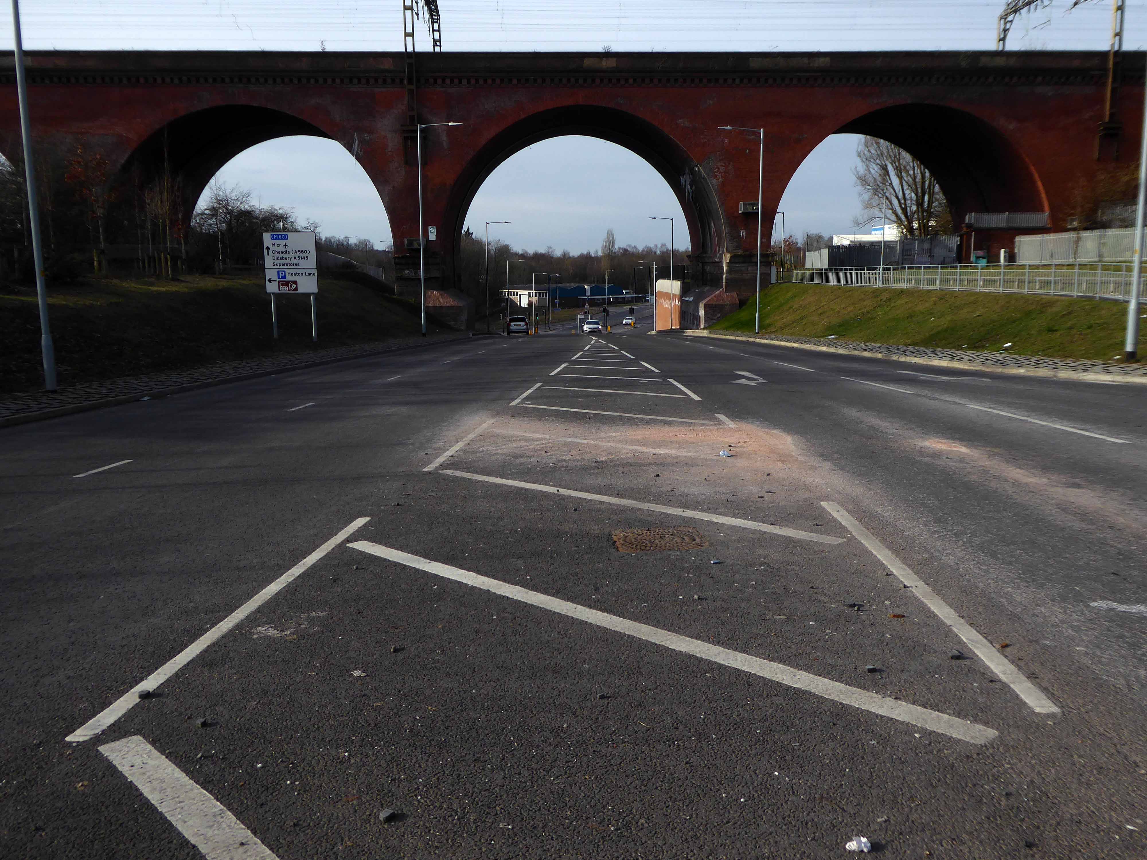
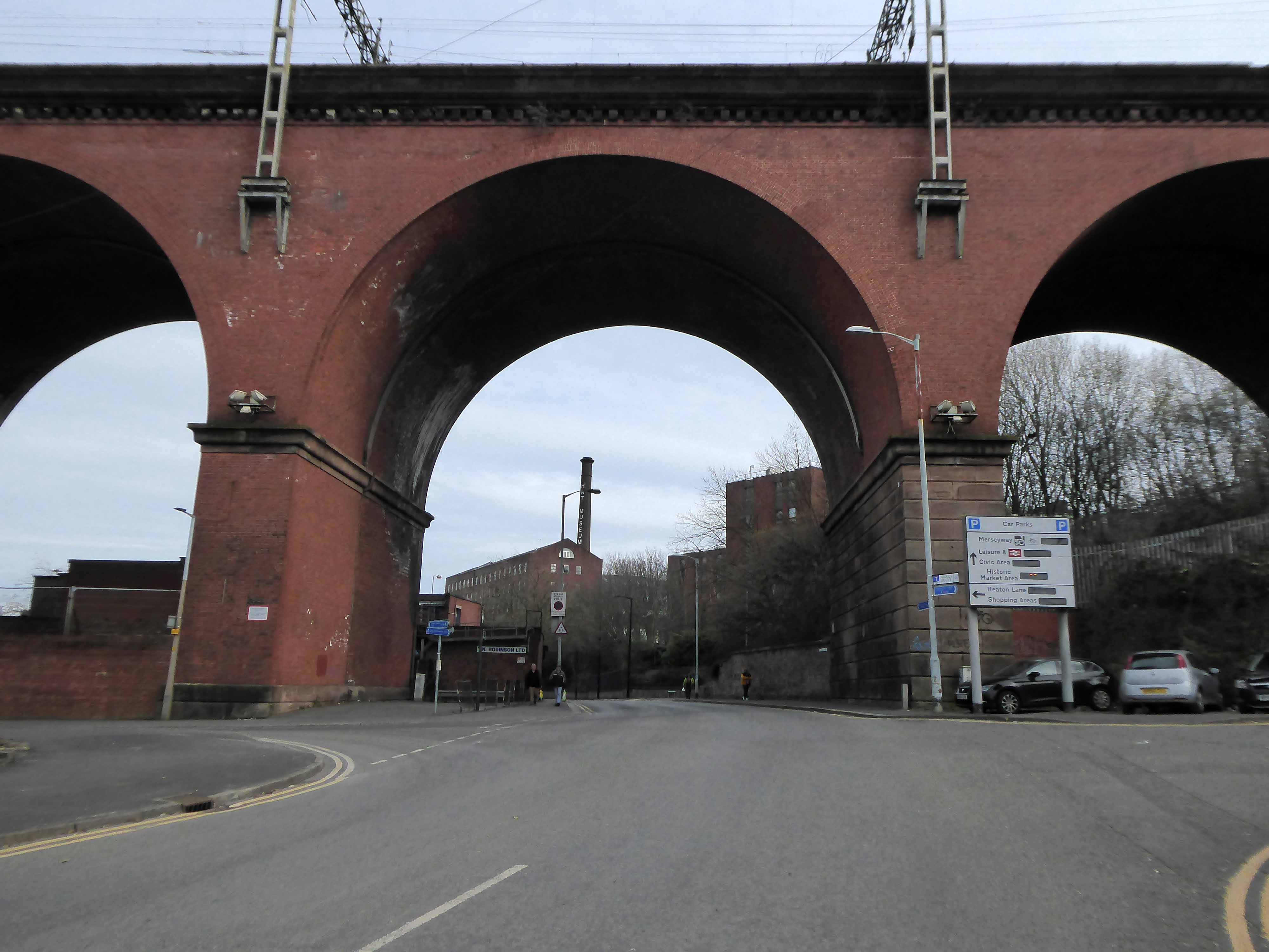
Looking along Heaton Lane, to the left Regent House.
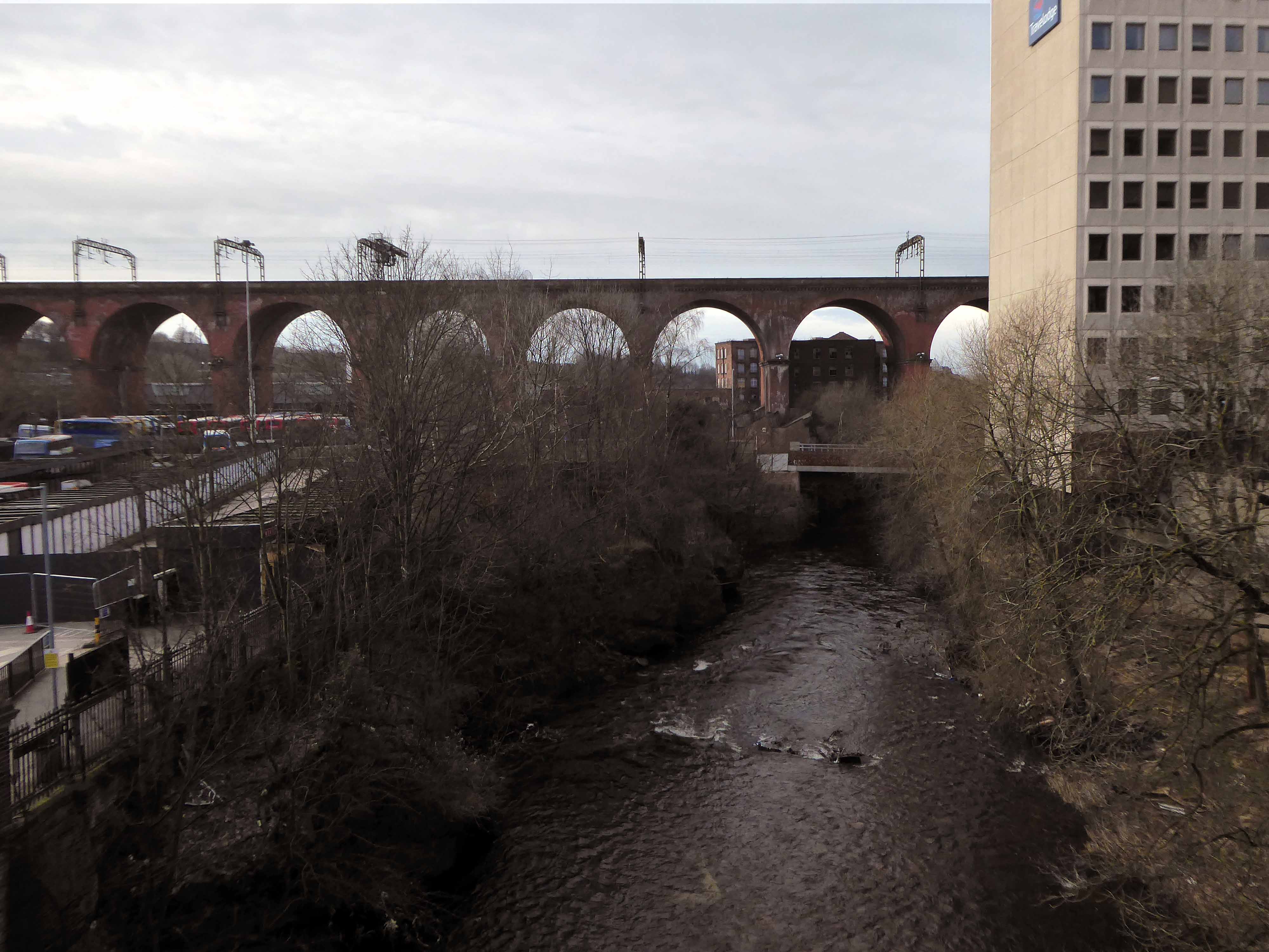
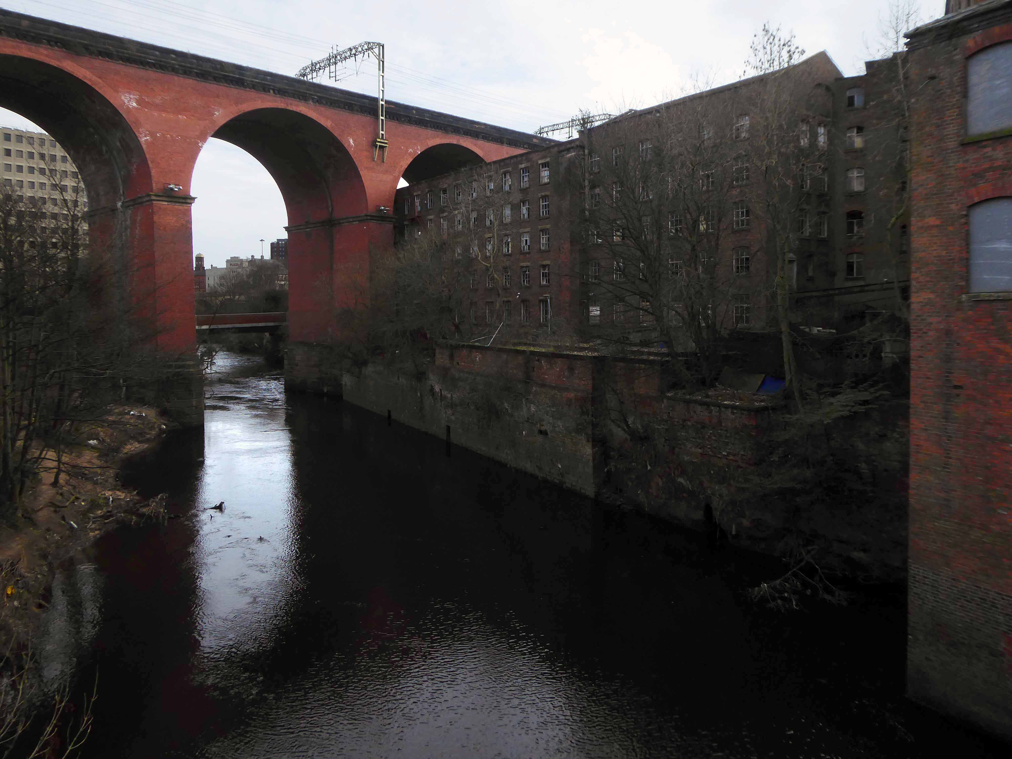
Looking along the River Mersey
The Lowry Steps.
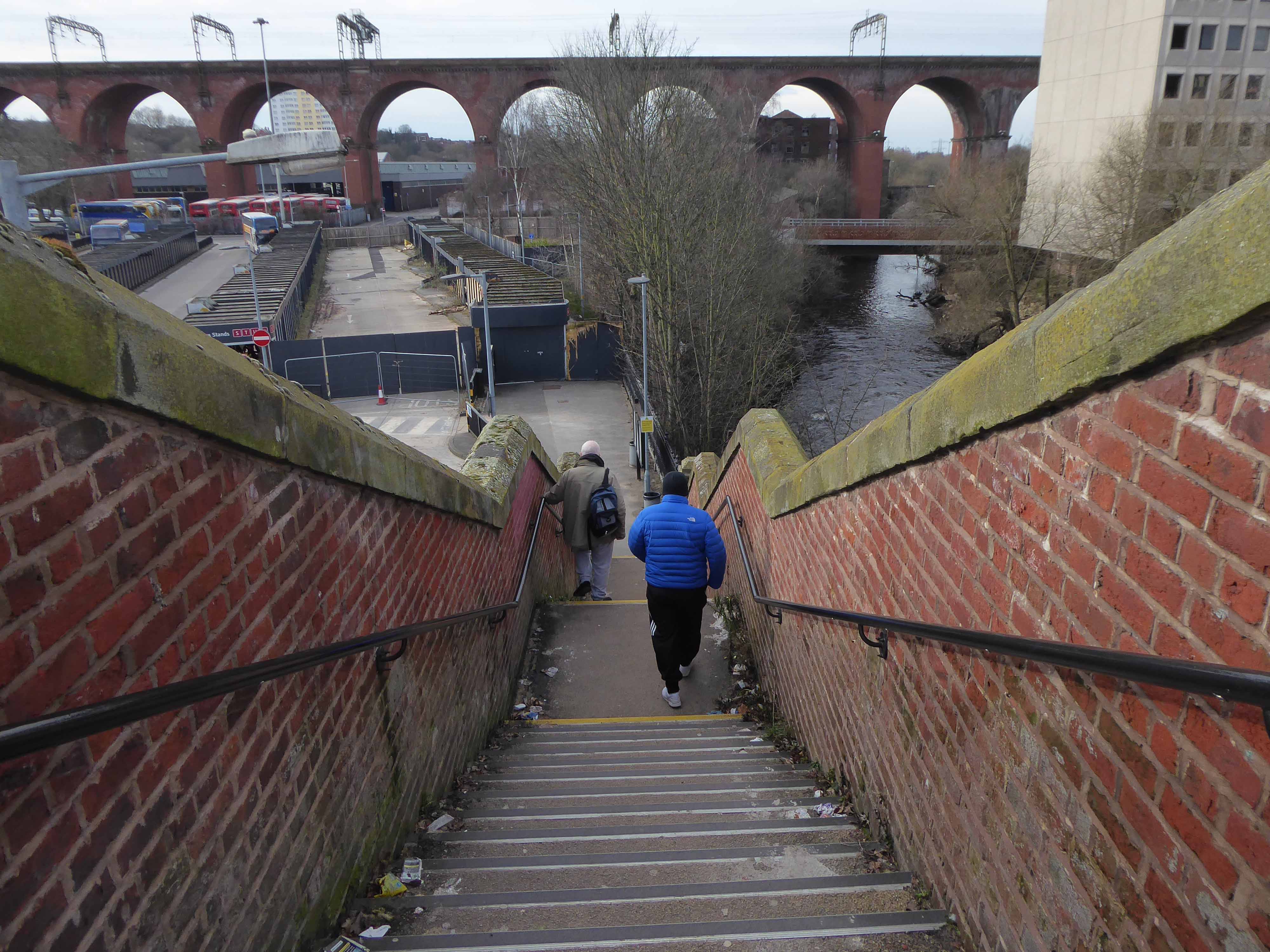
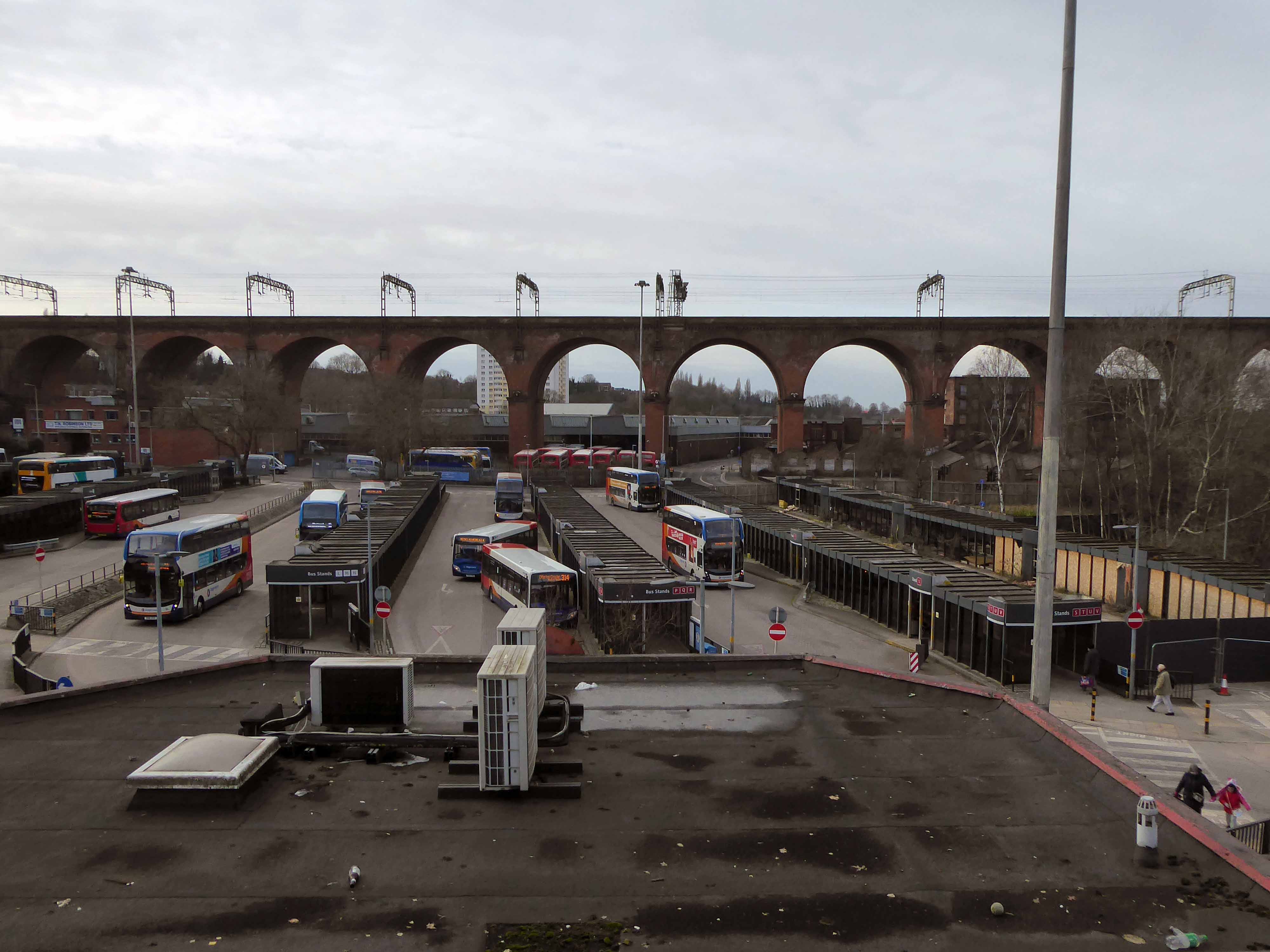
The view over the soon to be redeveloped Bus Station.
The view along Daw Bank.
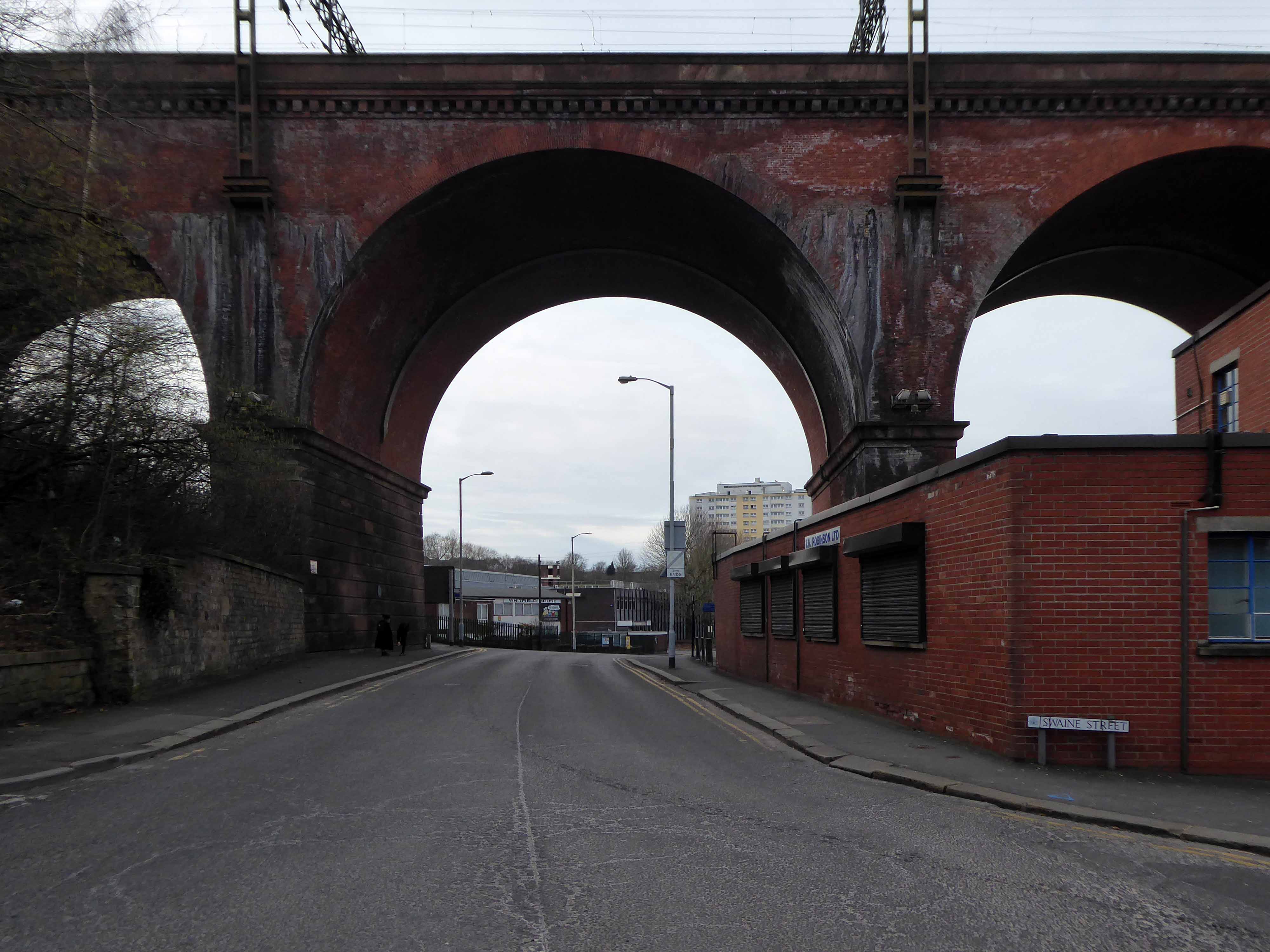
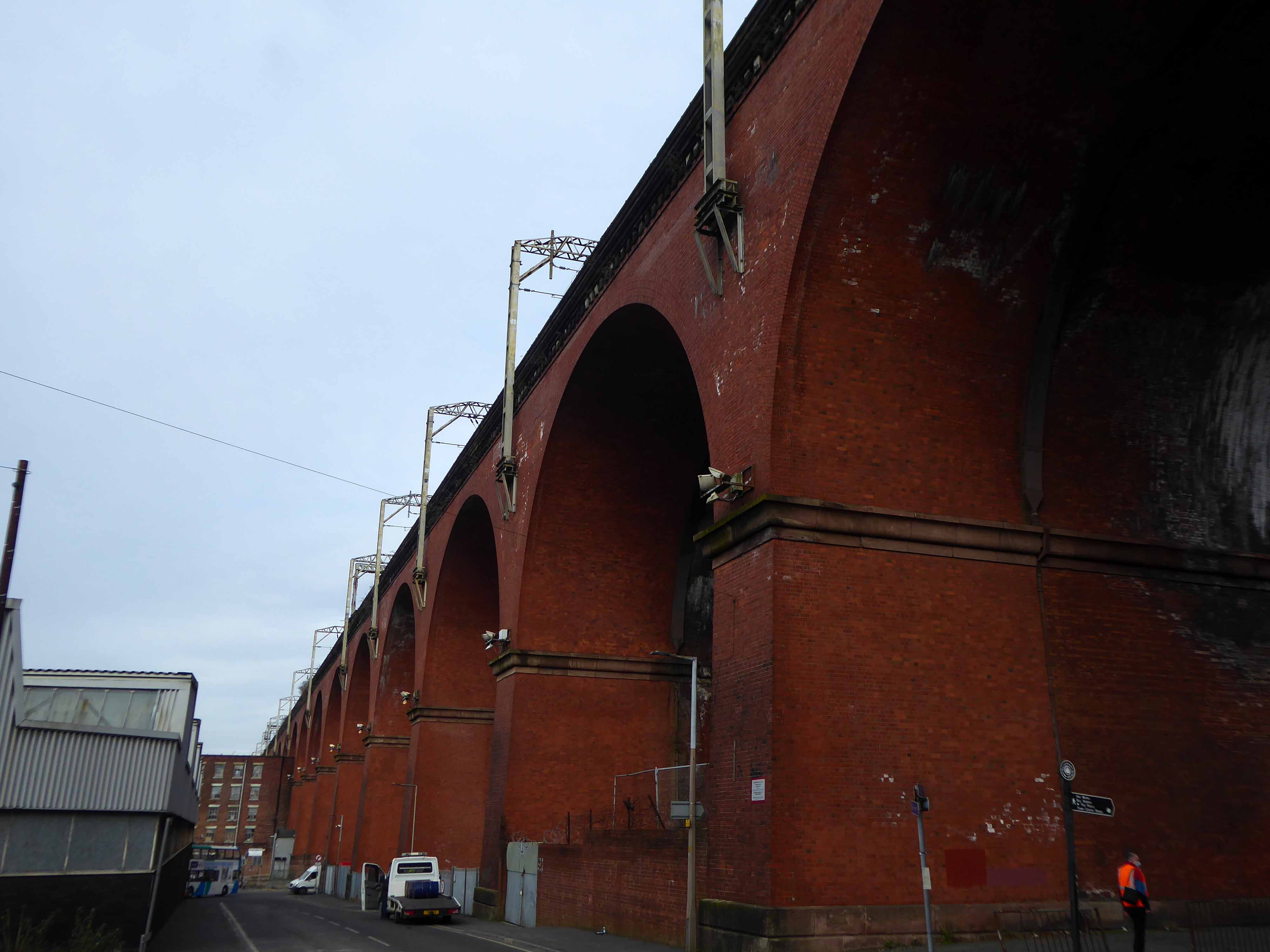
One of the most complete perspectives along Swaine Street.

Swaine Street and Astley Street junction.
Crossing the new bridge to Heaton Lane.
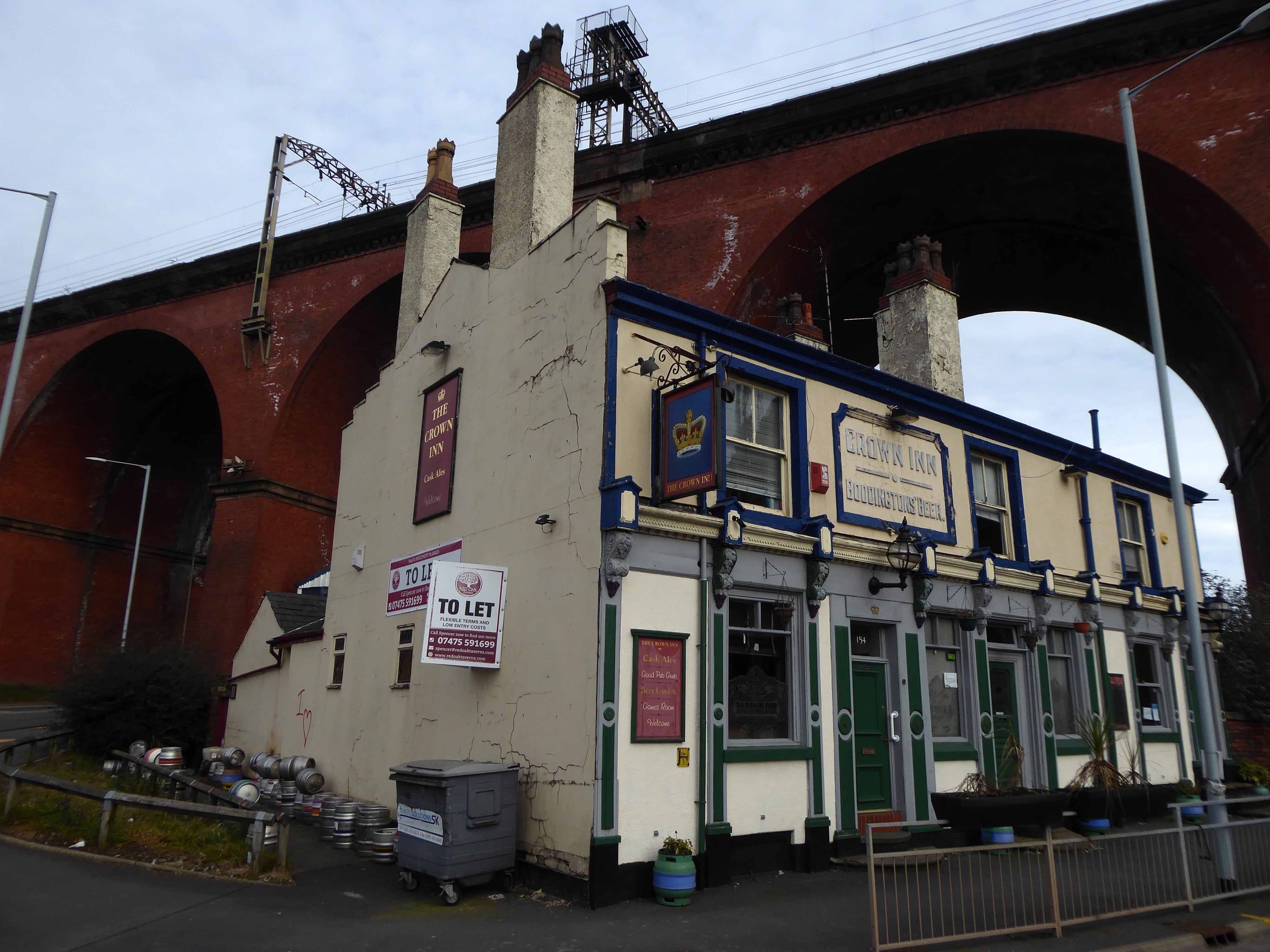
Looking back towards the Crown Inn.
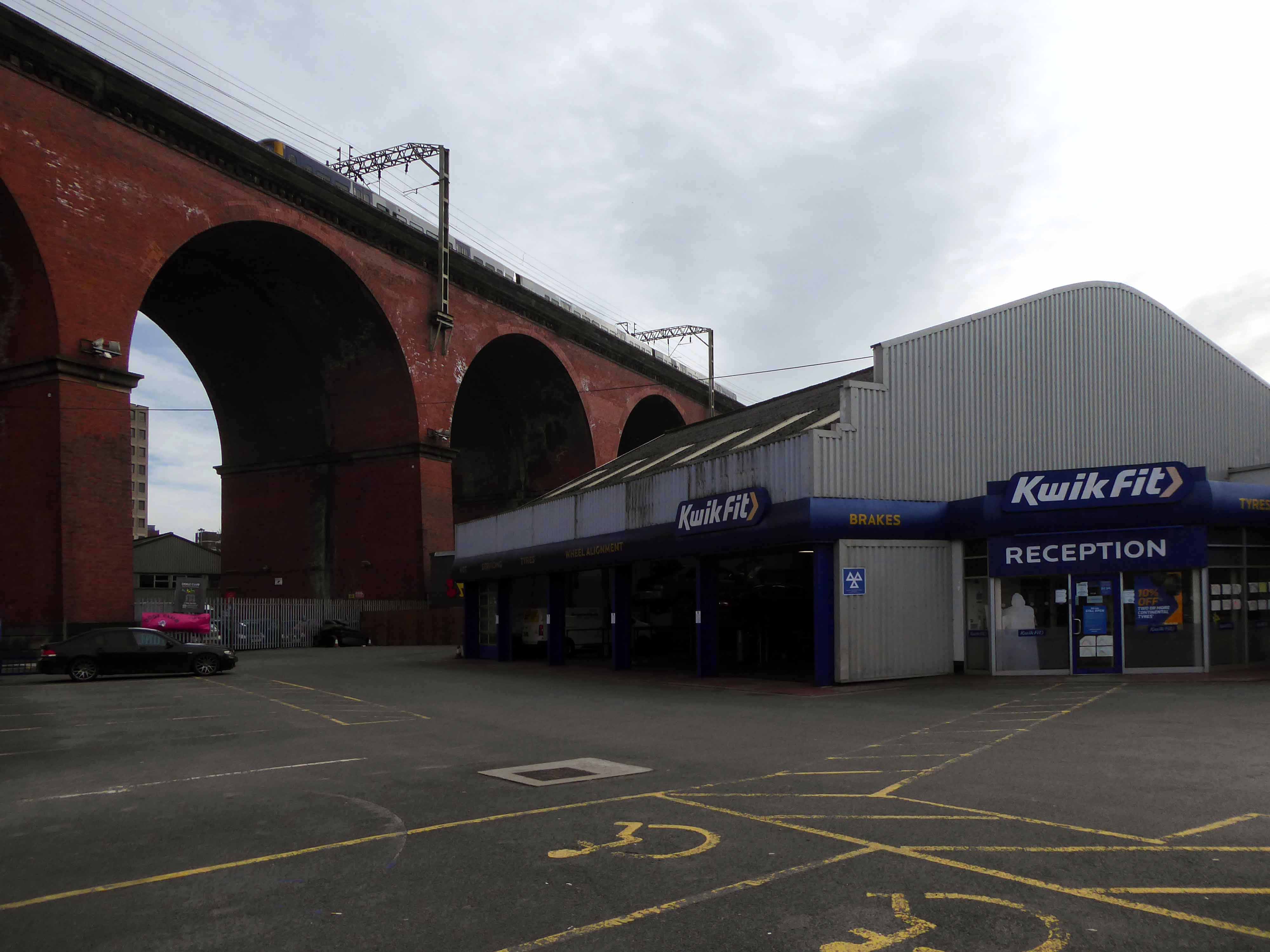
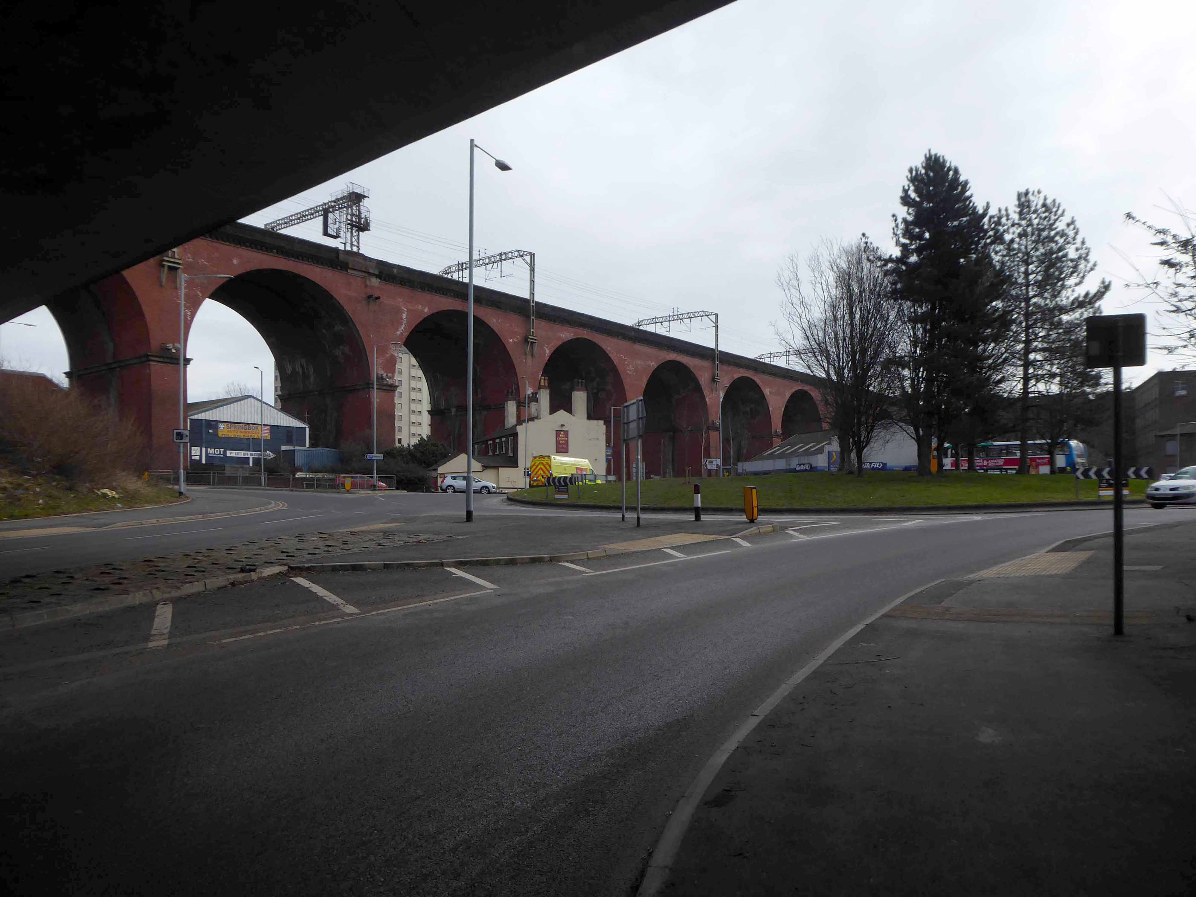
The view over Kwik Fit.
Looking east along the River Mersey, beside the rear of Weir Mill.
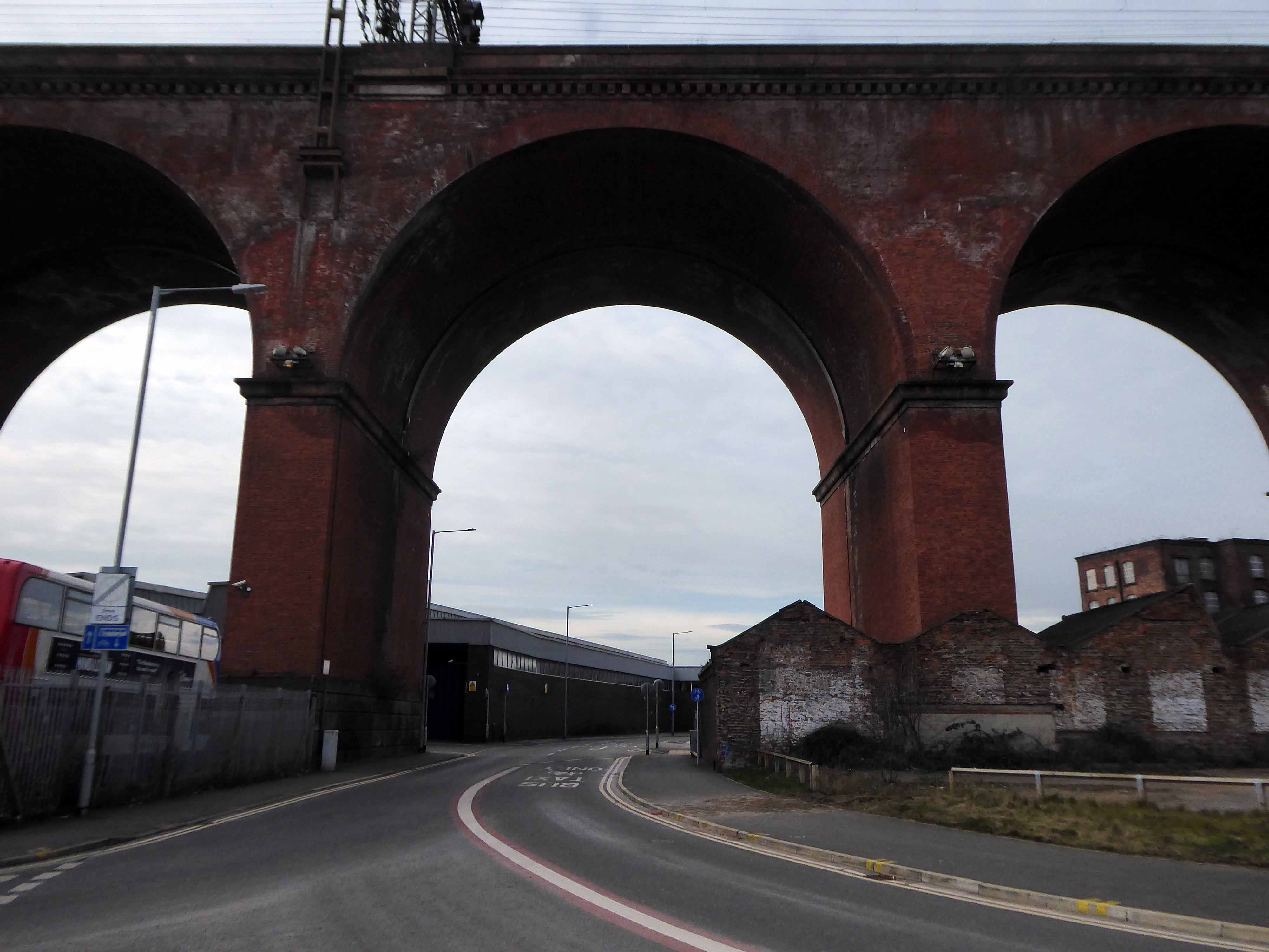
The view between the Stagecoach Bus Depots.
Looking east along Daw Bank.
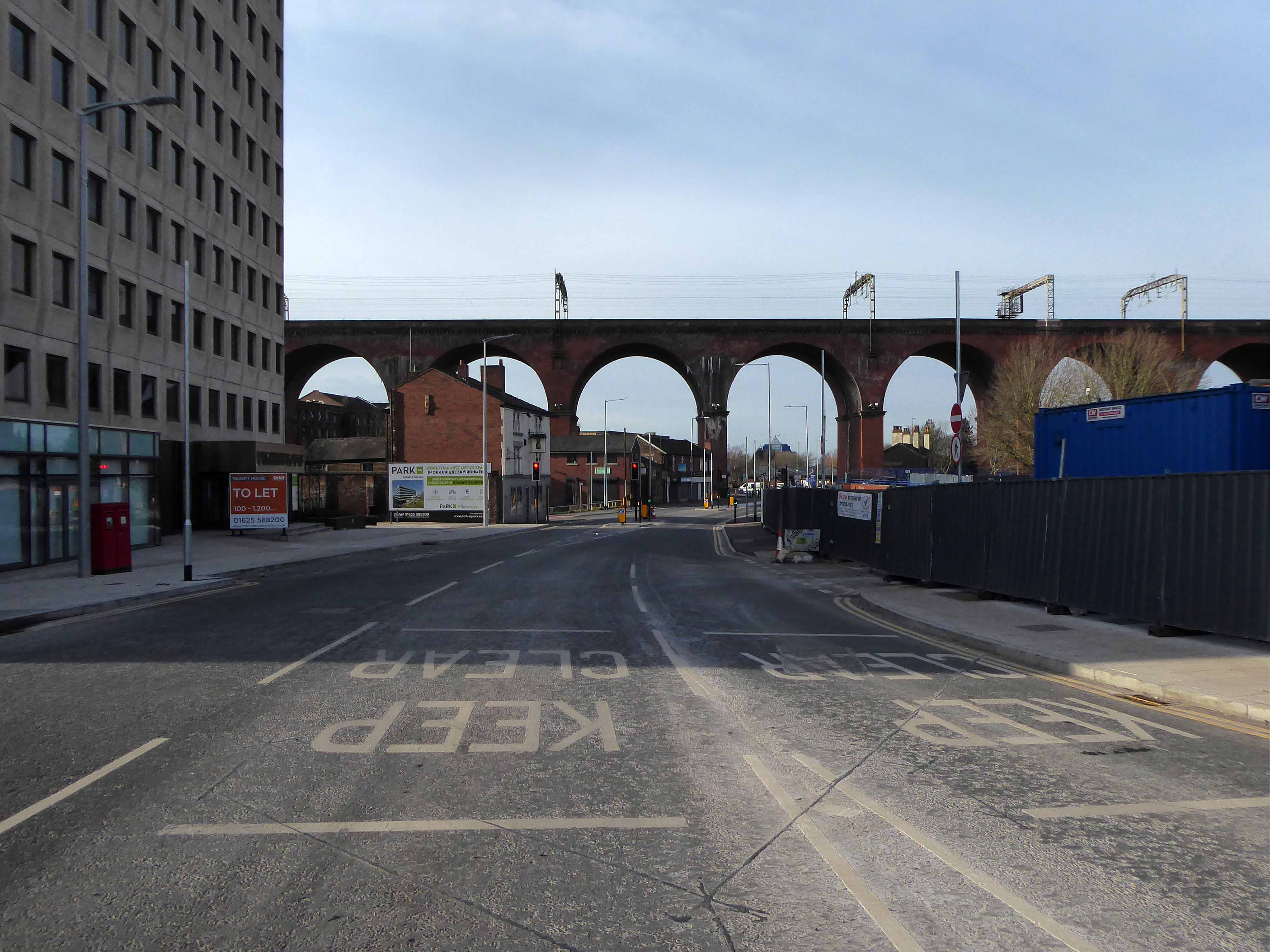
Another clear perspective along Viaduct Street.
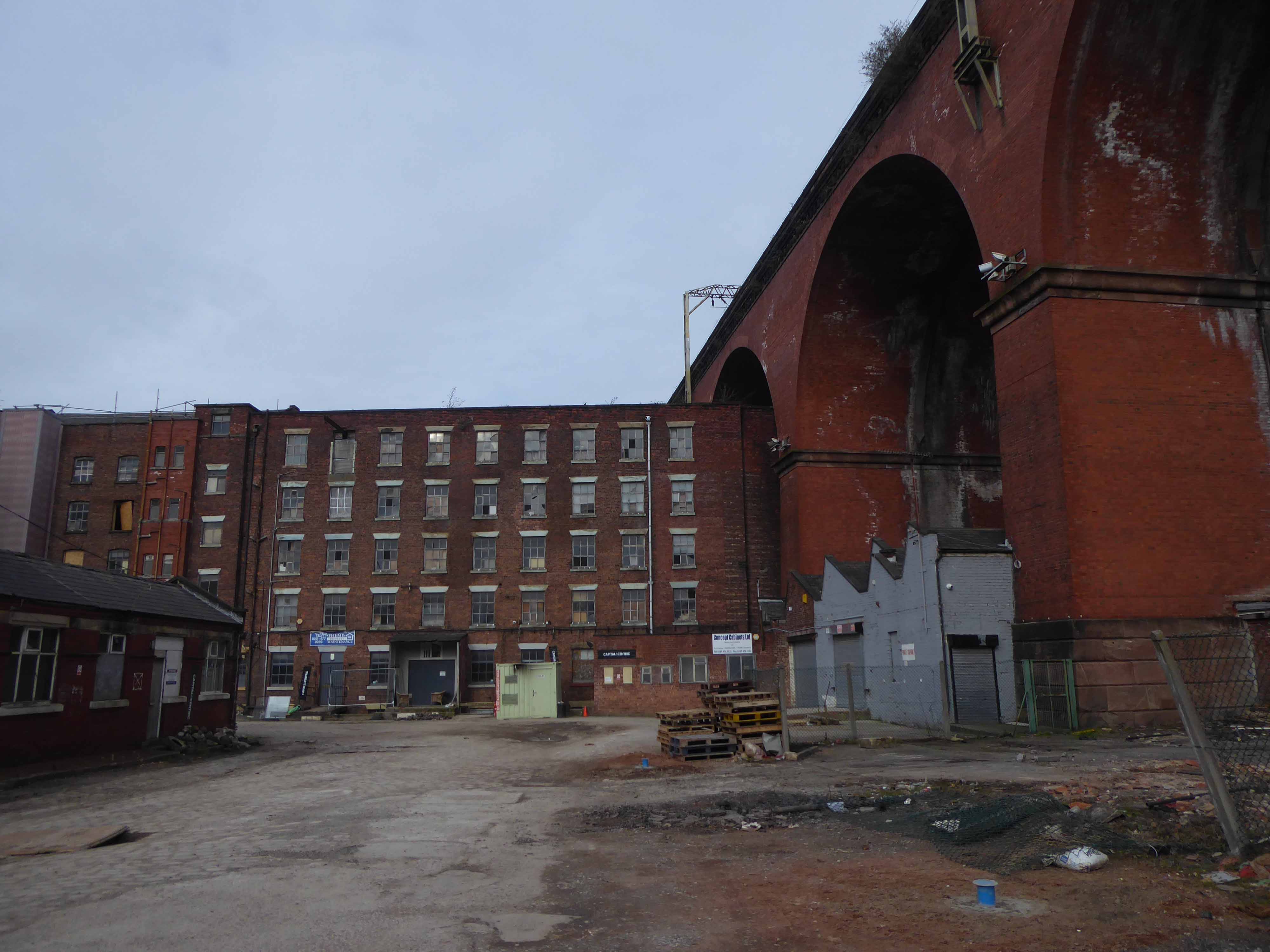
Beside Weir Mill.
Beneath the M60.
Looking east along Travis Brow.
This is one cold day in Covid February, the traffic a little lighter, few folk on foot.
Another day would produce another series of views, the light shifts, leaves appear on trees, the regeneration of Stockport sees the built environment shift and shimmy with an alarming regularity.
The landscape formed by the second Ice Age, gouging out a glacial valley and subsequently a conjoined river, is all part of a passing parade; it is acted out over millennia, you yourself are party to but one small part, make the most of it, get out and about take a look.
All this life is but a play, be thou the joyful player.

Very interesting. Thanks for putting it together.
LikeLike
Brilliant.
LikeLike