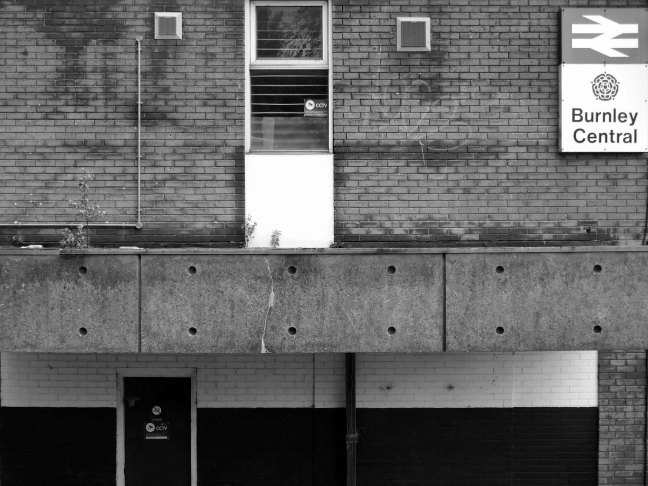
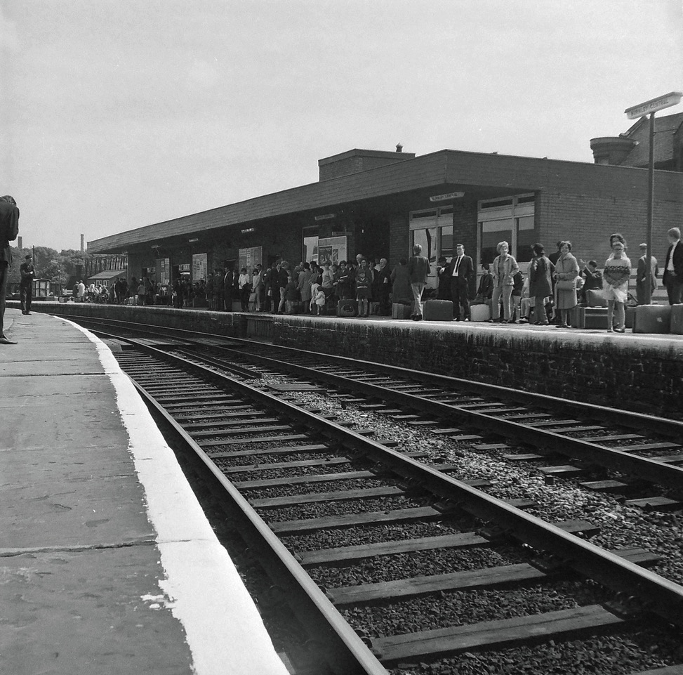
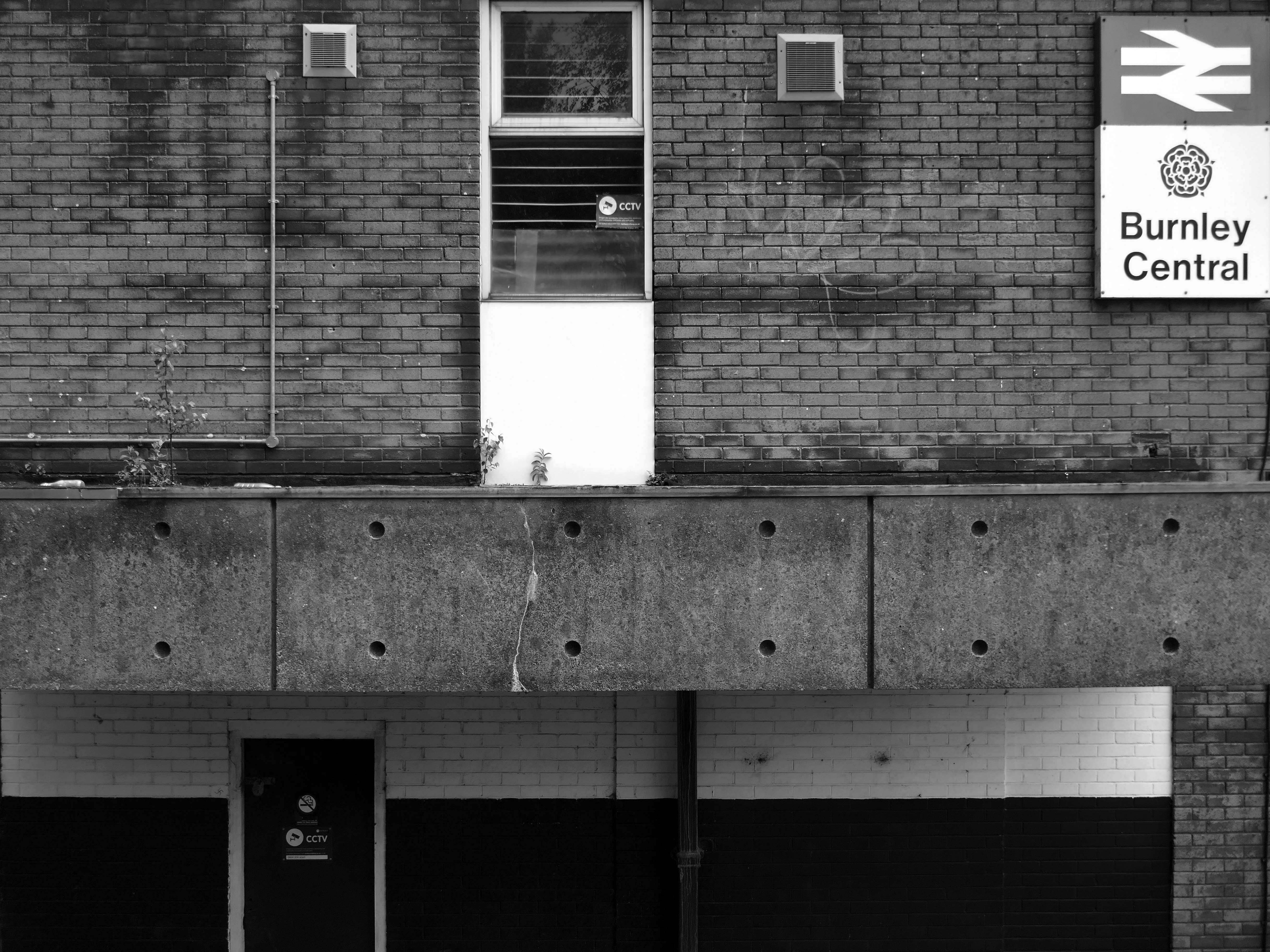
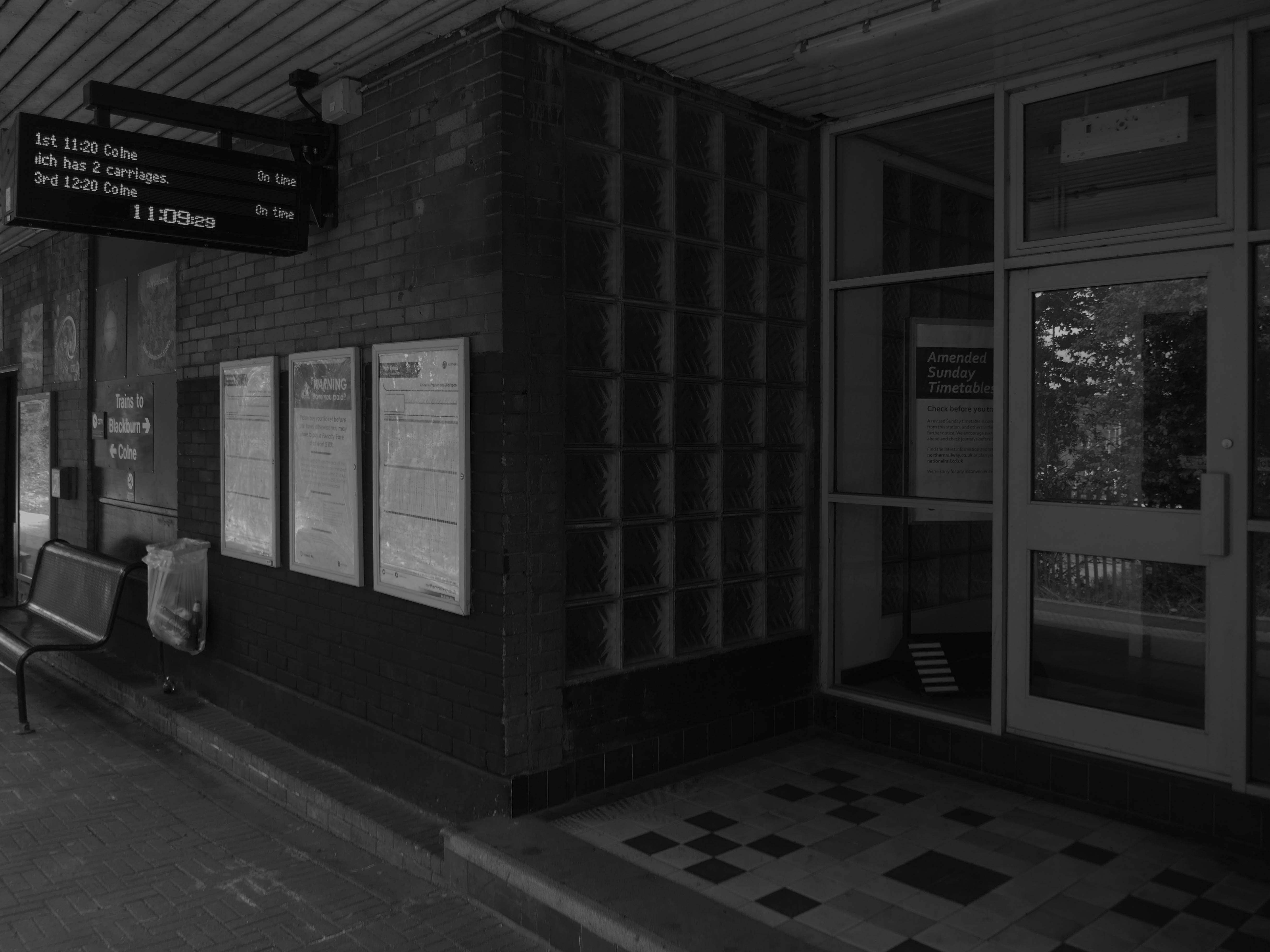
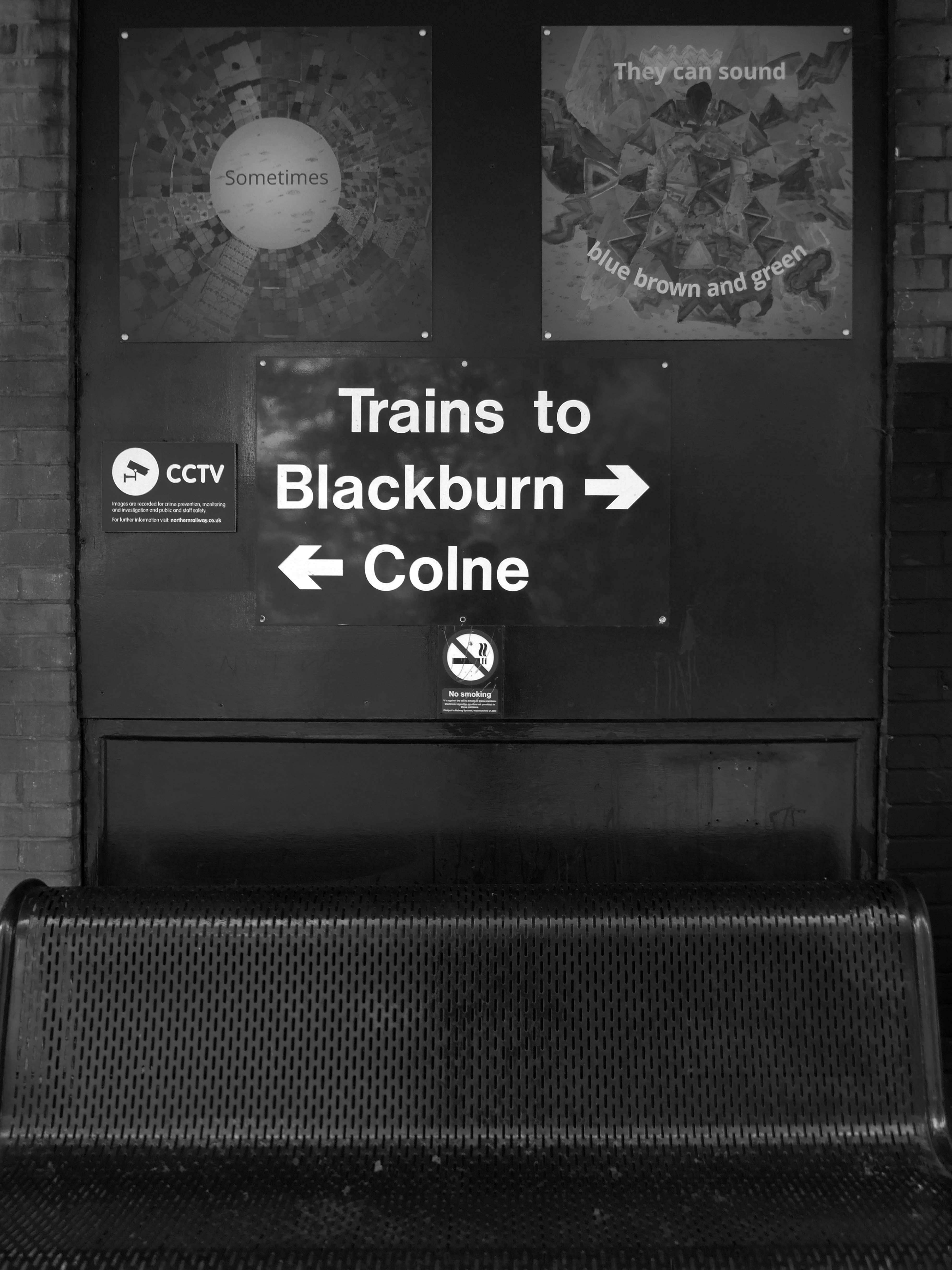
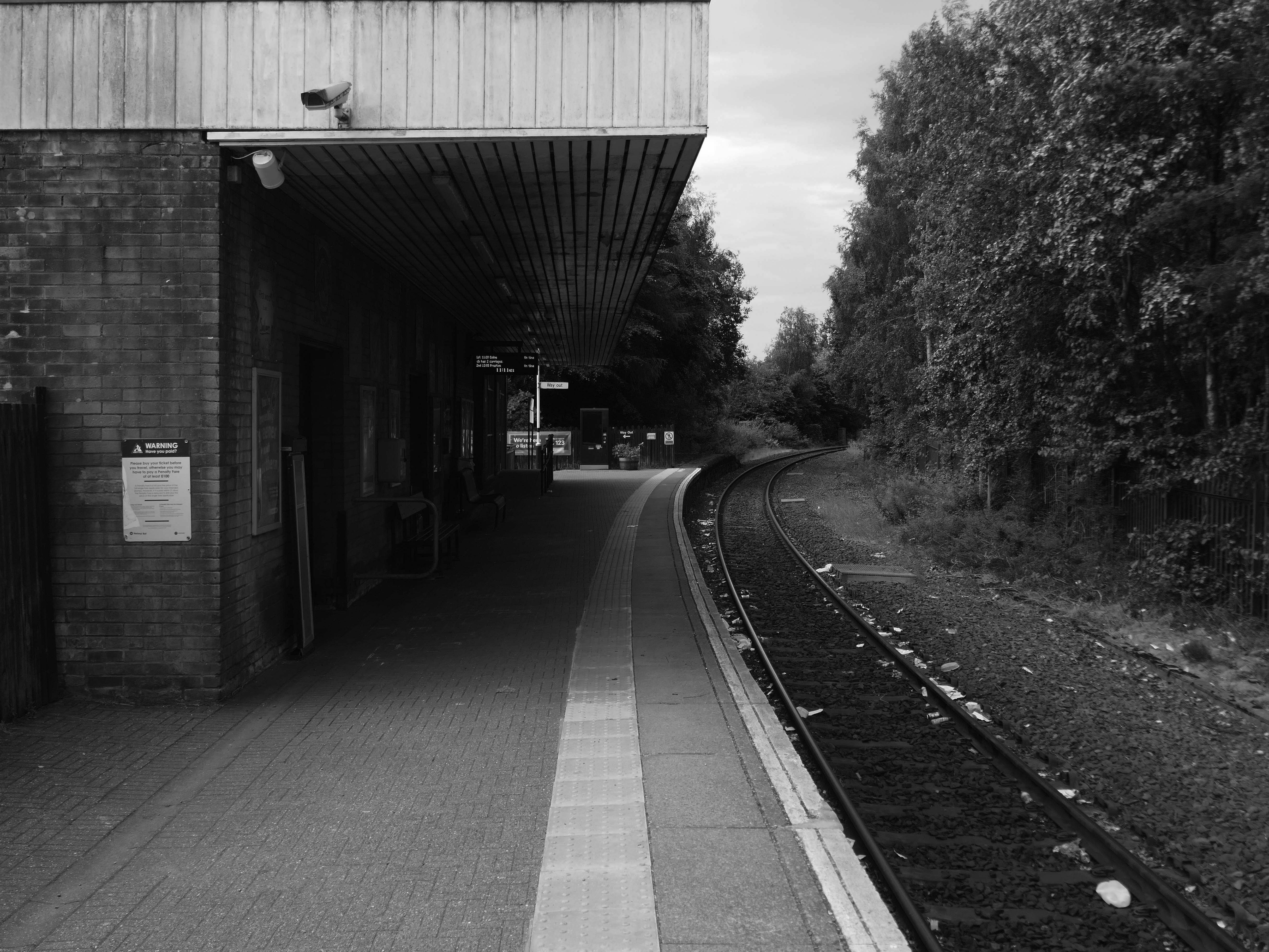
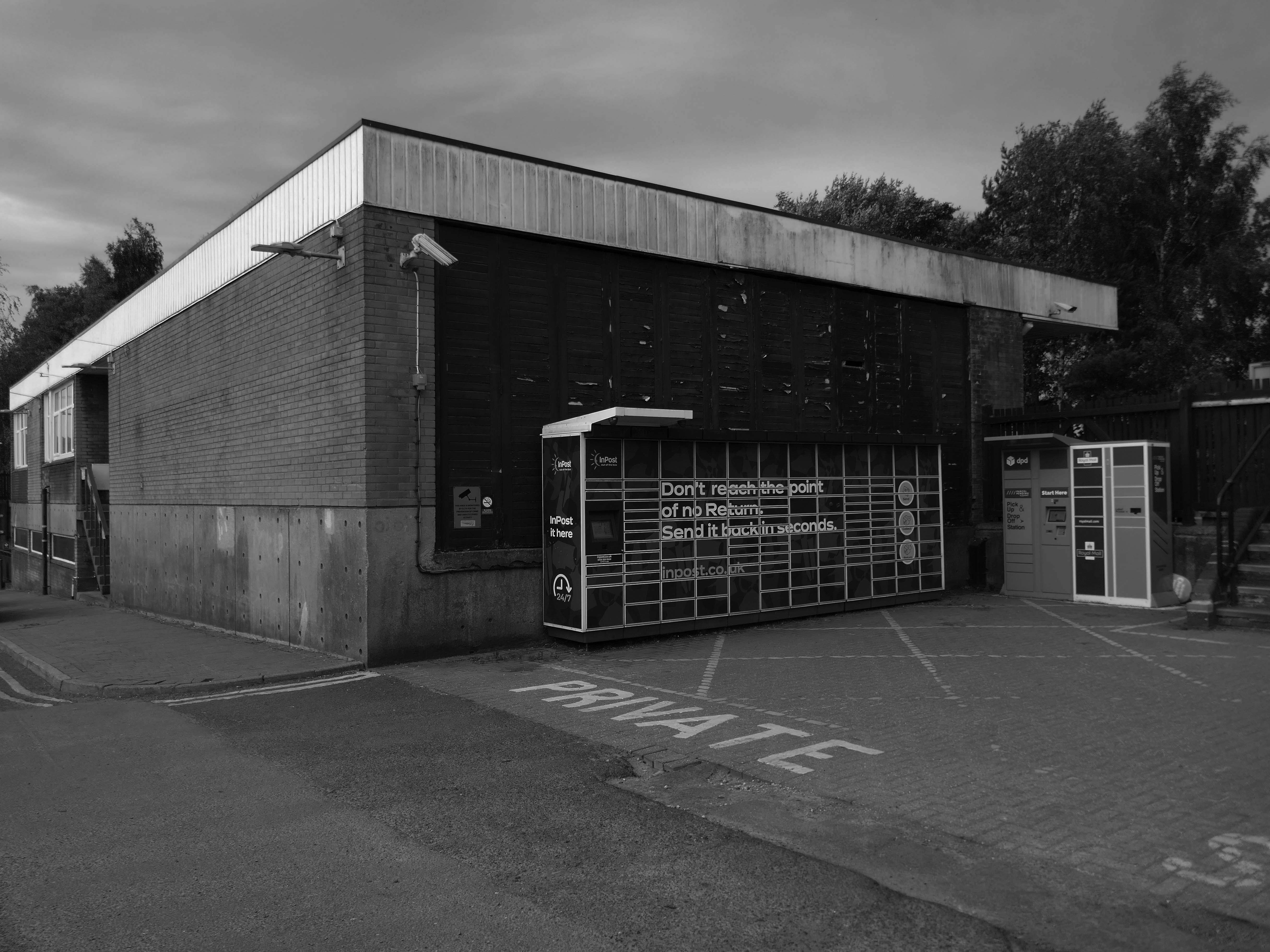
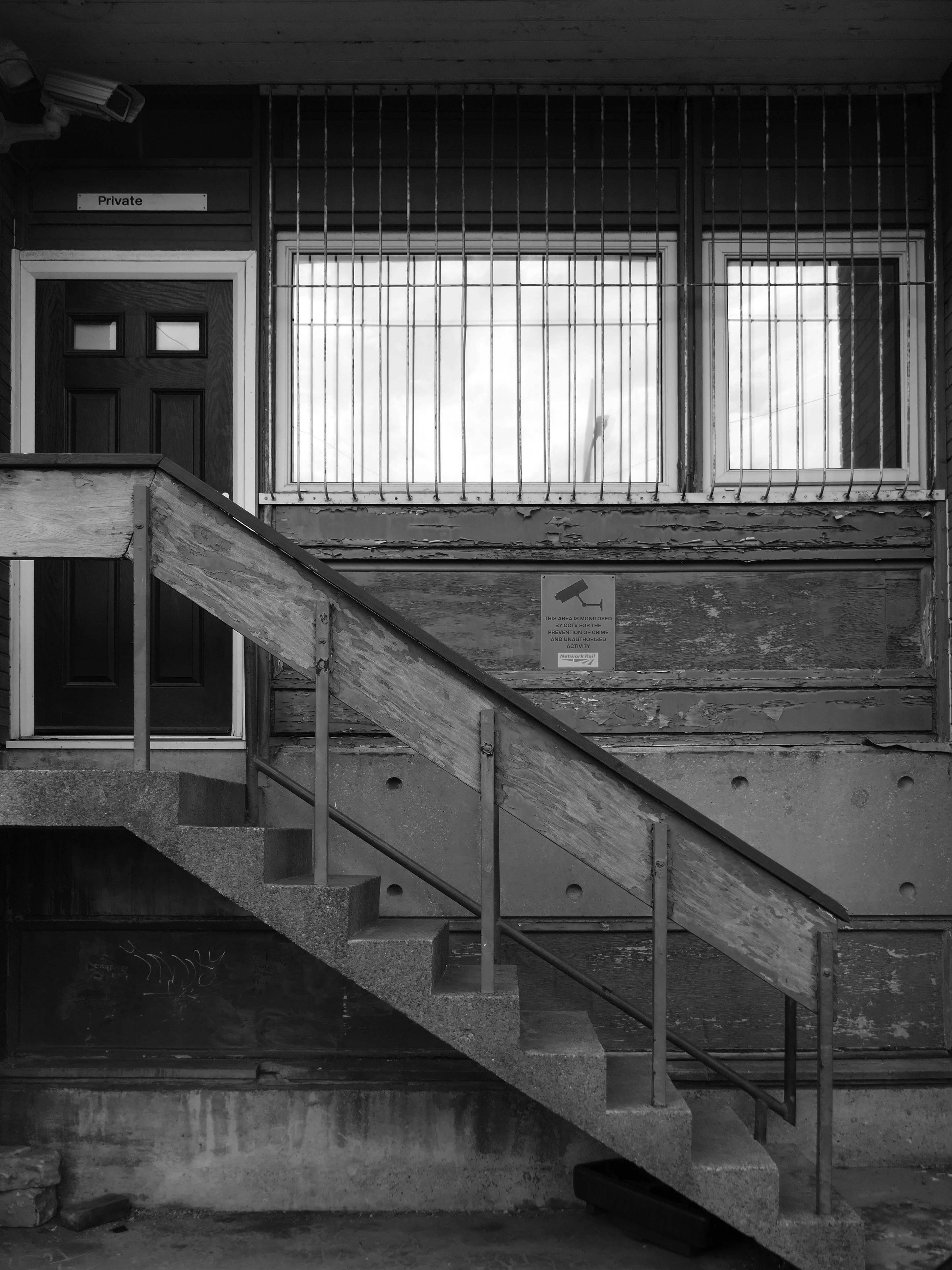
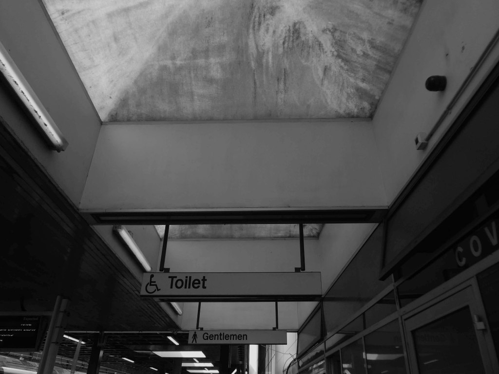
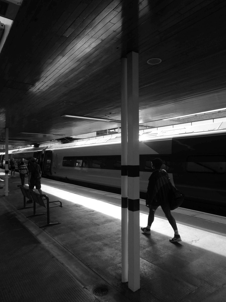
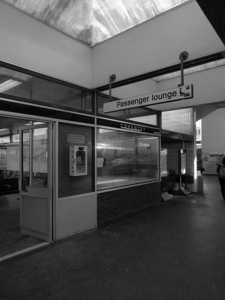
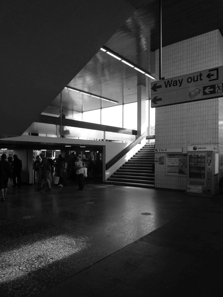
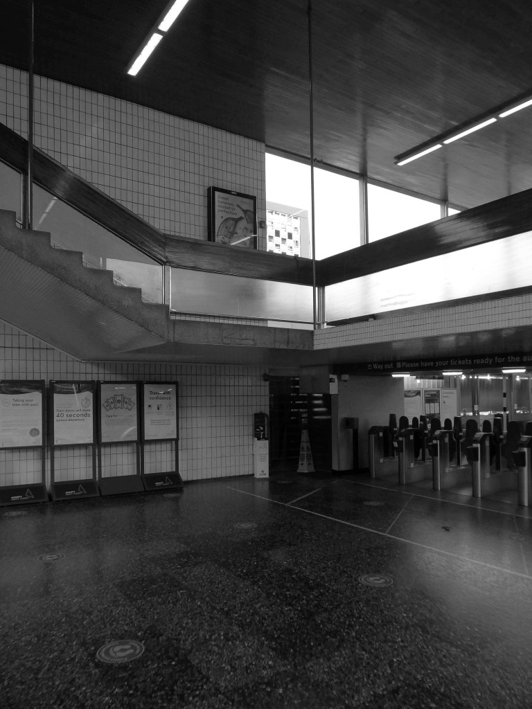
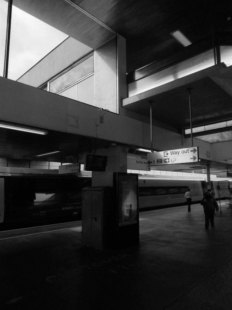
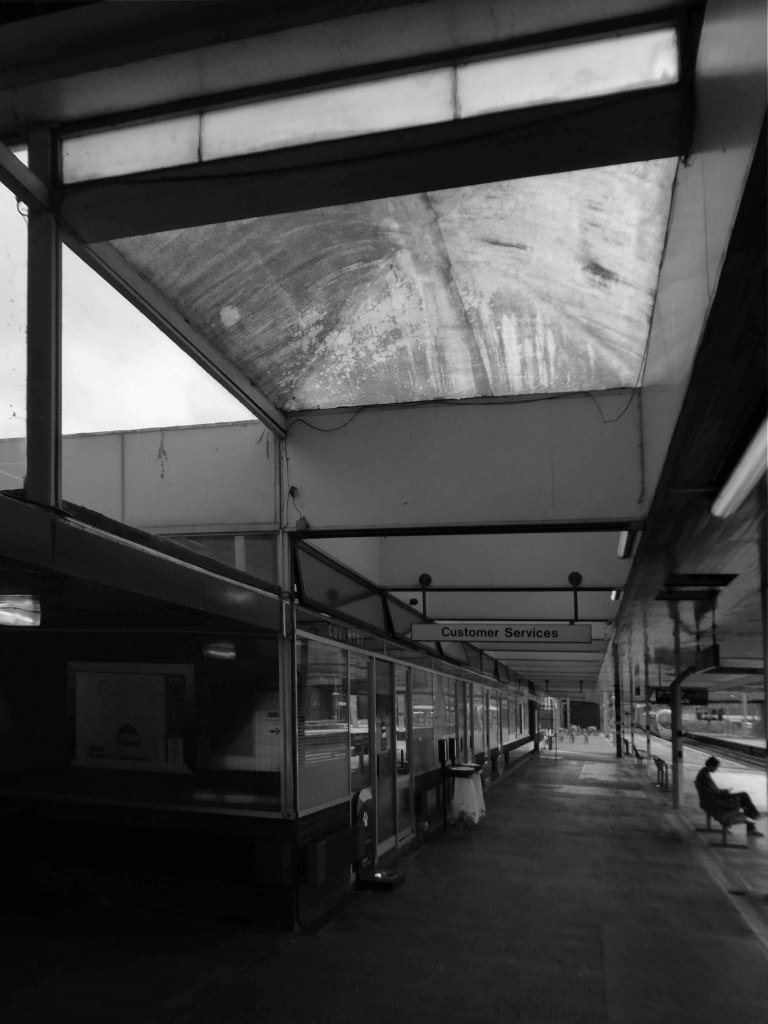
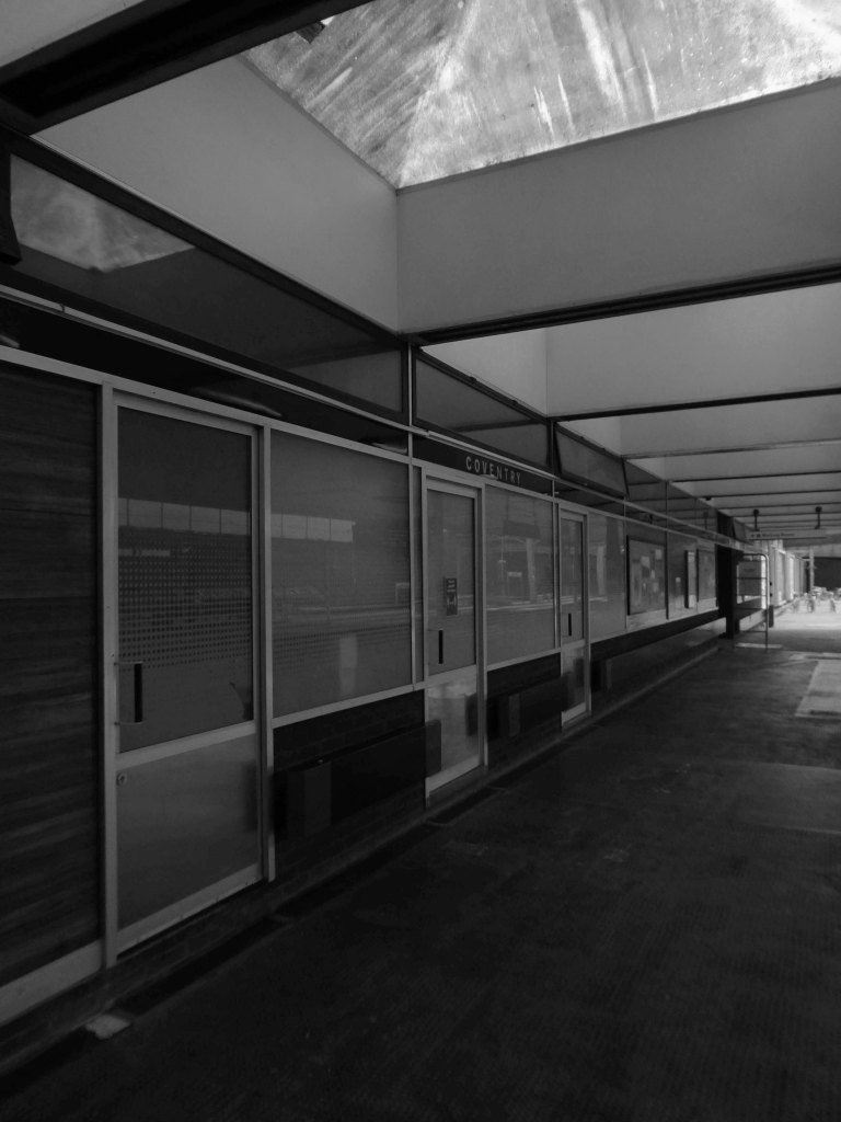
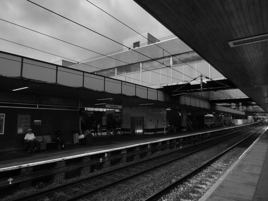
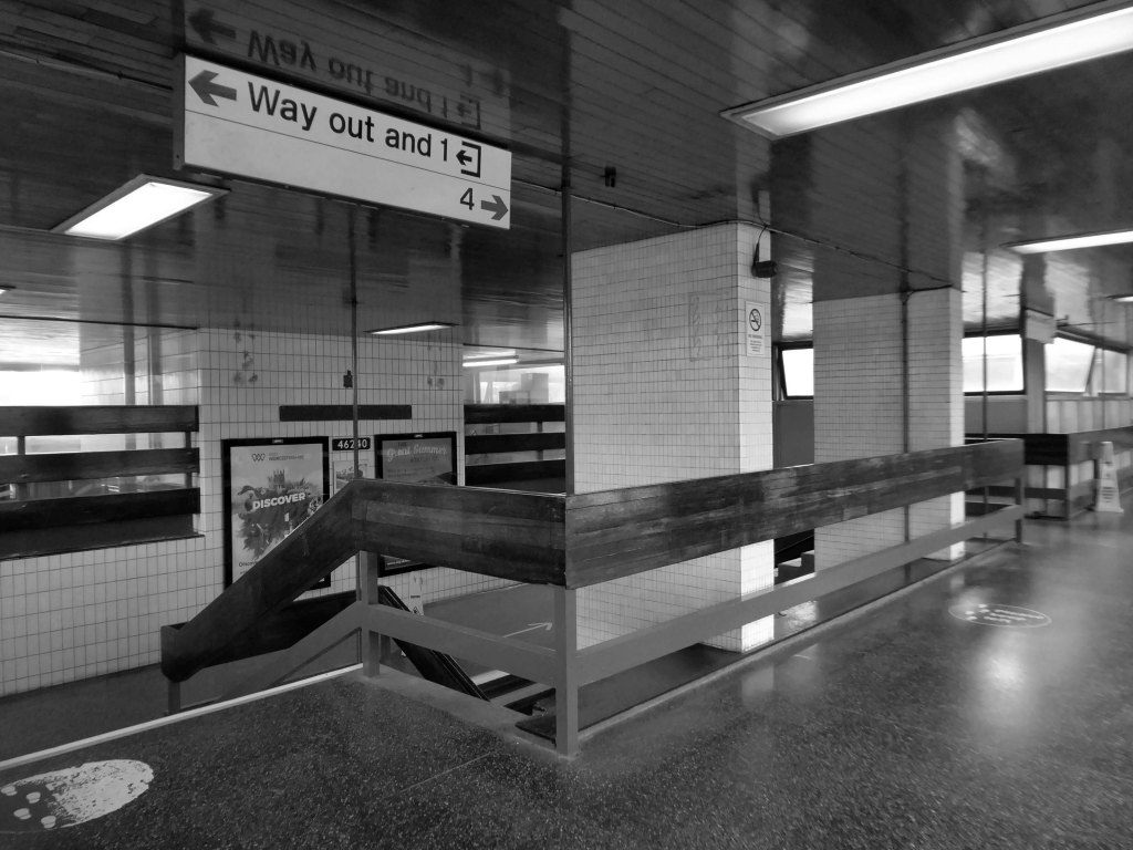
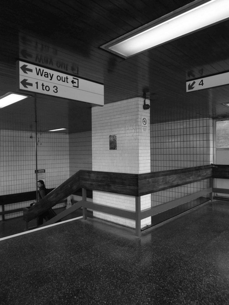
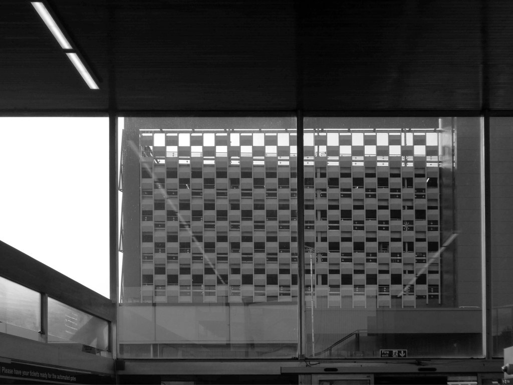
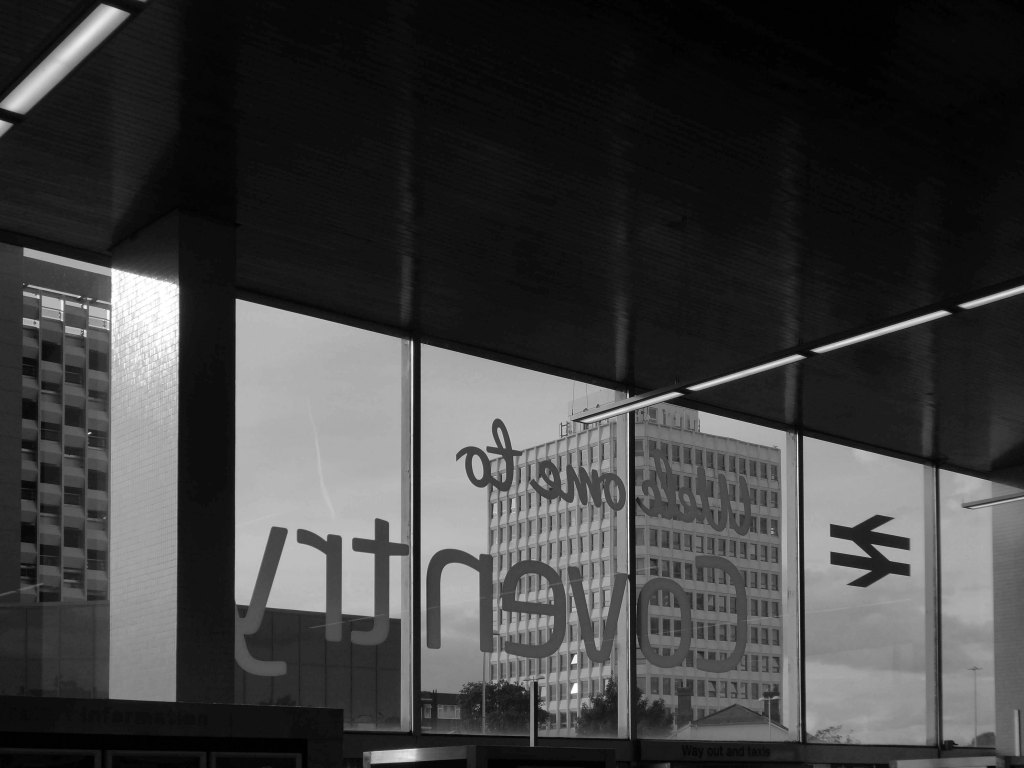
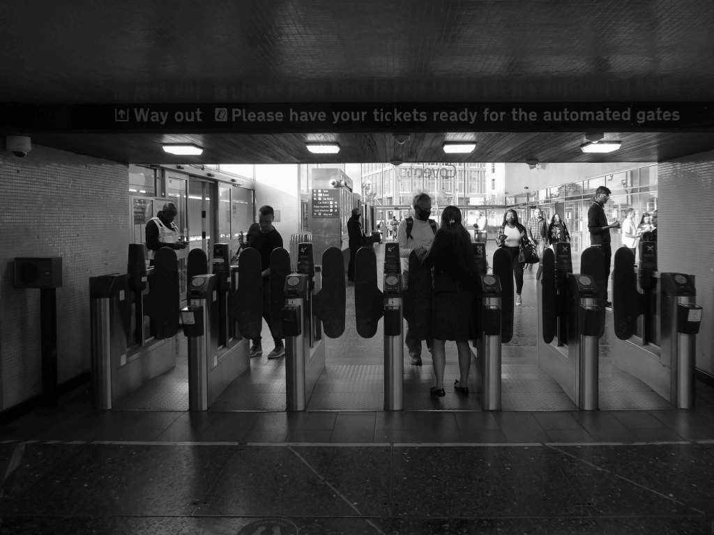
Burnley Central railway station is a stop on the East Lancashire Line, it is managed by Northern Trains, which also provides its passenger service.
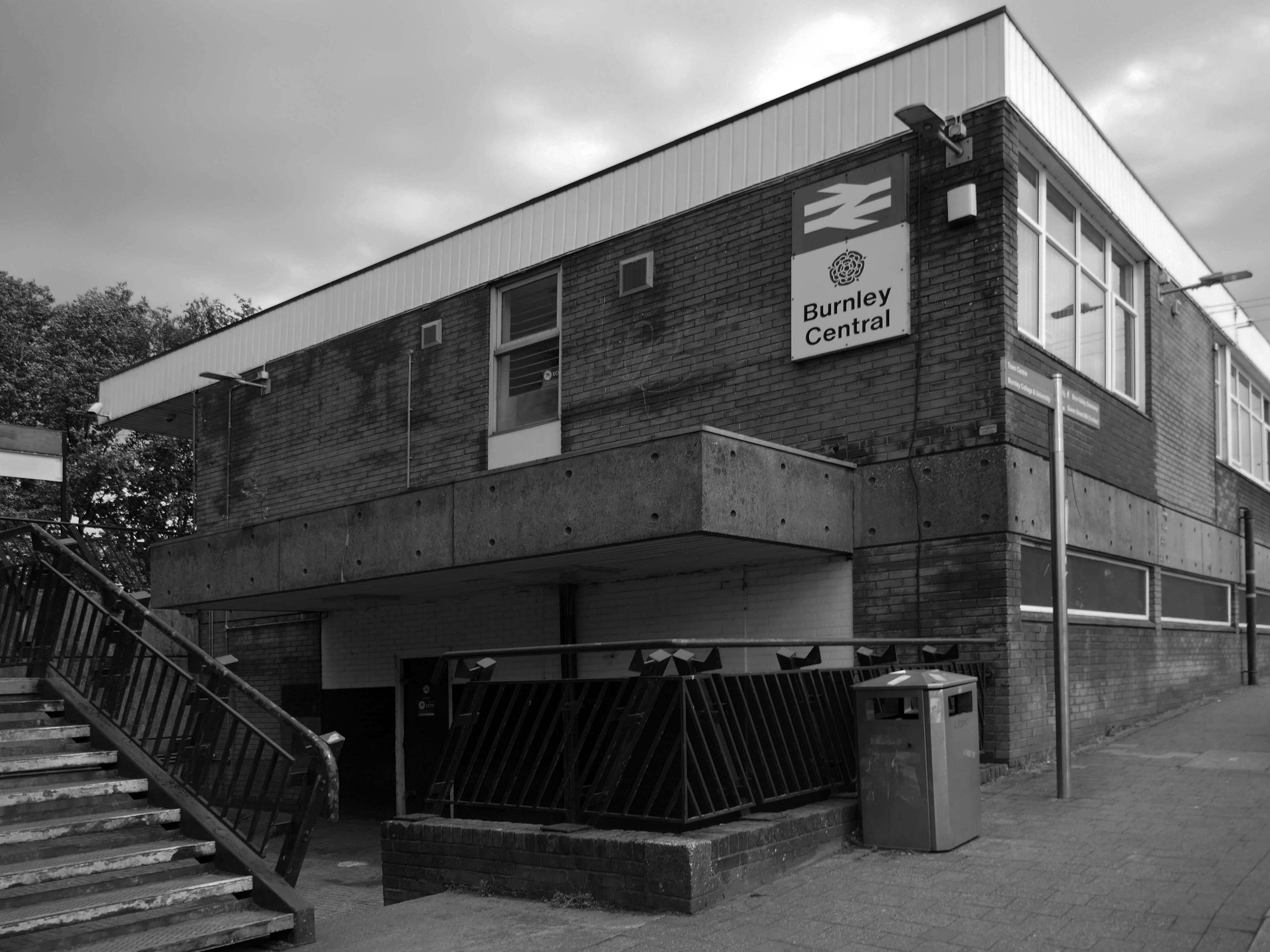
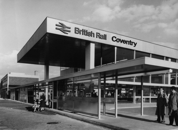
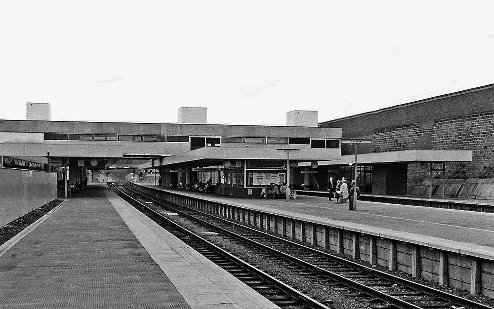
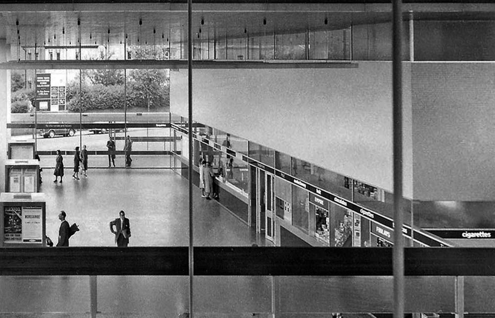
Architect: RL Moorcroft of British Rail 1964-1966
Described by Claire Hartwell in the Buildings of England Lancashire: North as – of blue brick, bleak.
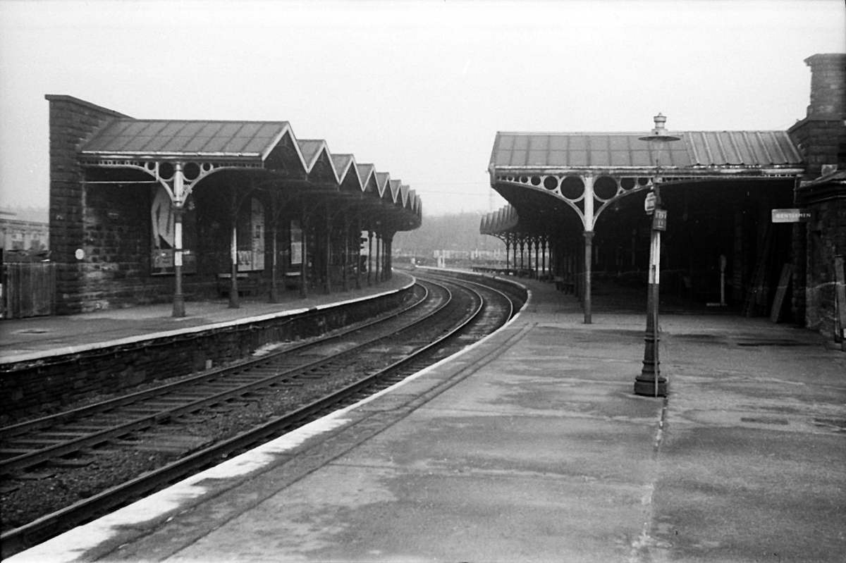
The station was opened by the East Lancashire Railway in 1848, as part of its route from Bury and Blackburn to Colne; here, an end-on junction was made with the Leeds and Bradford Extension Railway line from Skipton that had been completed several months earlier. The service from Colne through the station to Manchester Victoria, via Accrington and Bury, was well used from the outset by the owners of the local cotton mills, who travelled from their homes in the area to make their purchases of raw cotton at the Royal Exchange several times each week. It was also possible to travel from the station by direct train to Blackpool, Liverpool and Skipton and even through to London Euston, via Blackburn, Manchester Victoria and Stockport.
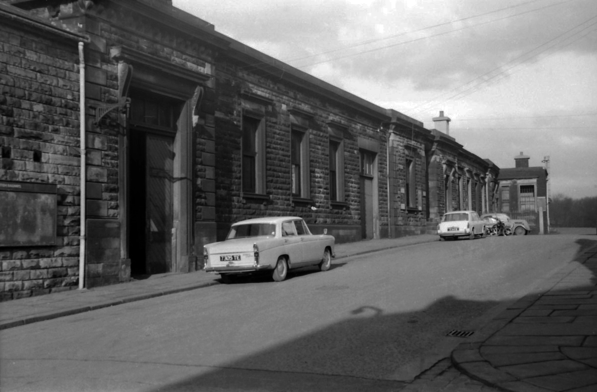
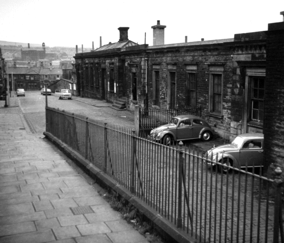
1964 Red Rose Collections.
However, the cutbacks of the 1960s affected the station badly, with through trains to Manchester via Bury ending in 1964 (two years before the withdrawal of the Accrington to Bury service) and those to Liverpool in 1969 whilst the line to Skipton was closed to all traffic in 1970. This left the station on a 10.5 km long dead-end branch line from Rose Grove to Colne.
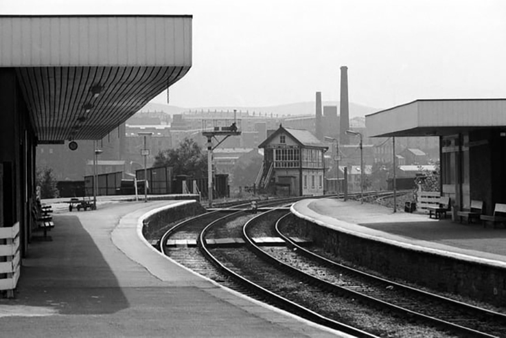
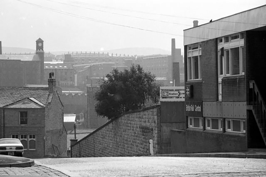
The station was rebuilt in 1965, its ground floor is at street level and the first floor at platform level.
Having taken a particular interest in this particular piece of public art for some time – I need to go and take a little look.
But what will we see along the way, as we hasten along Rochdale Road?
Which once looked like this, way back when in 1904.
Though some things inevitably come and go, as some things are prone to do.
The city is undergoing yet another reinvention as Manchester becomes – an attractive place to invest and do business.
See, I am doing a new thing!
Now it springs up; do you not perceive it?
I am making a way in the wilderness and streams in the wasteland.
Isaiah 43:19
Once there was a gas works here – adjoining Gould Street, seen here in 1958.
The Gould Street Gas Works was a gas manufacturing plant located in Manchester, England. Originally built in 1824, the plant was operated by the Manchester Corporation Gas Department and was in operation from 1833 to 1969. It was named after the street on which it was located, which was named after John Gould, who was a prominent Manchester businessman in the 19th century.
The Gasworks New Town neighbourhood is one of seven envisioned by the £4bn Victoria North masterplan. It will feature nine buildings ranging from 8 to 34 storeys. The 6.6-acre site has most recently been home to a car park but the green development will overwhelmingly prioritise walking and cycling over driving. It will result in tens of millions of pounds being pumped into the city’s economy over the lifetime of the development.
Plans for a trailblazing city centre regeneration scheme that will create more than 1200 homes has been approved by Manchester City Council.
A total of 85 of the 1200, will be affordable homes available through Shared Ownership.
Though as of March 31st 2023 ground is yet to be broken, no signs of the:
New centre of gravity for central Manchester that will create thousands of jobs and inject tens of millions of pounds into the city’s economy.
So you zig-zag wanderers, make the most of these wide open expanses of affordable car parking, while you can.
The future may yet be here today – or the next.
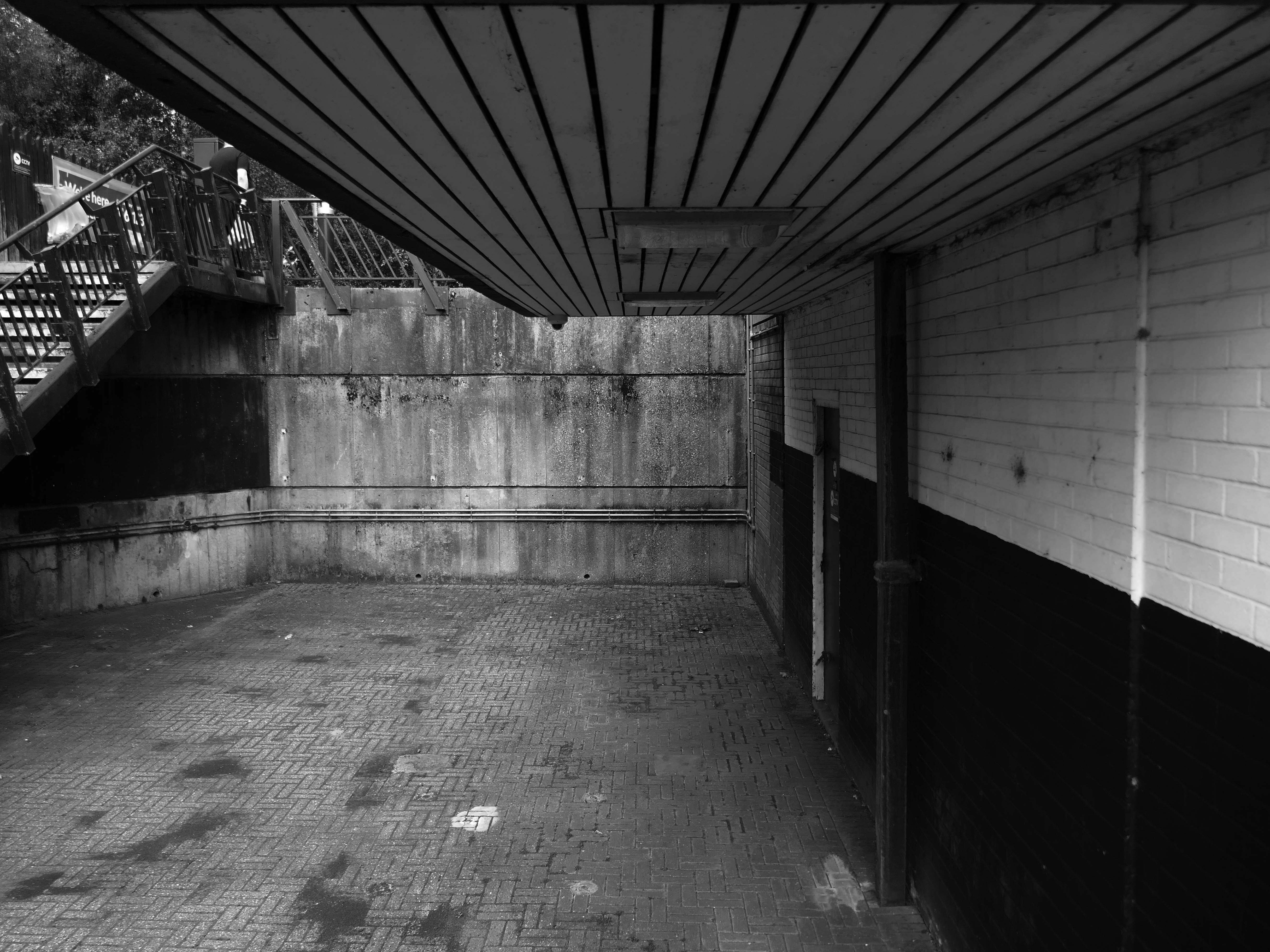
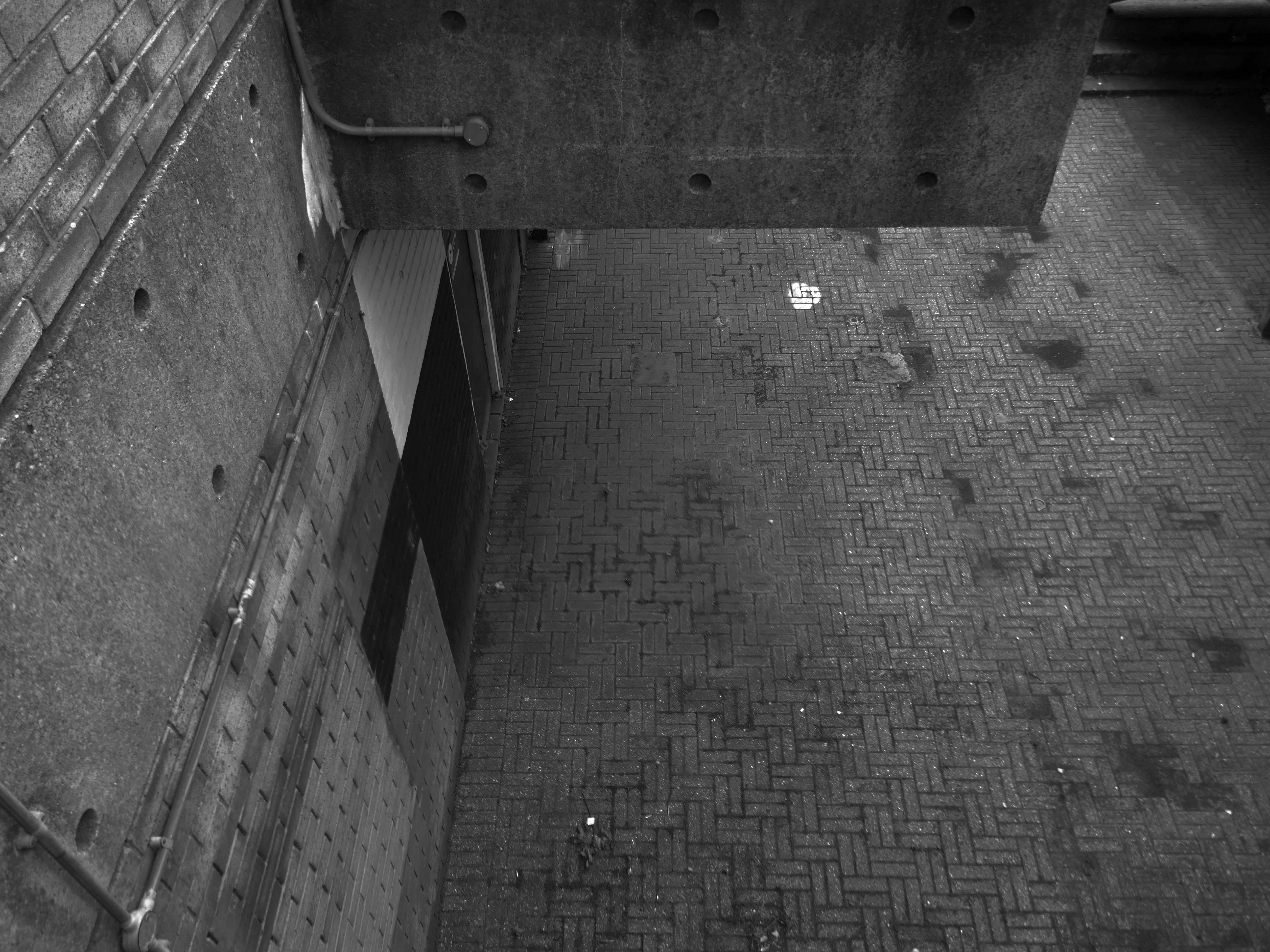
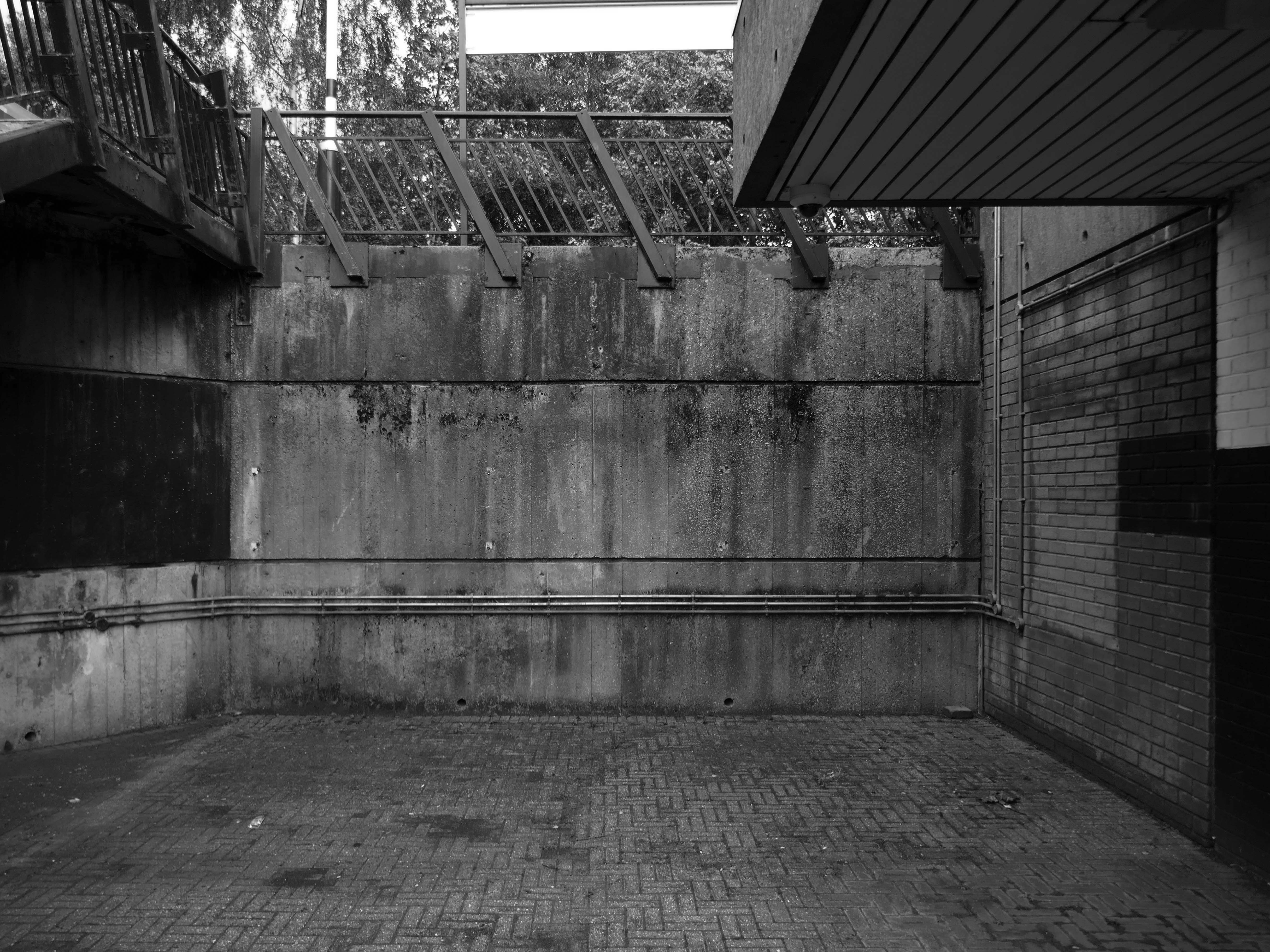
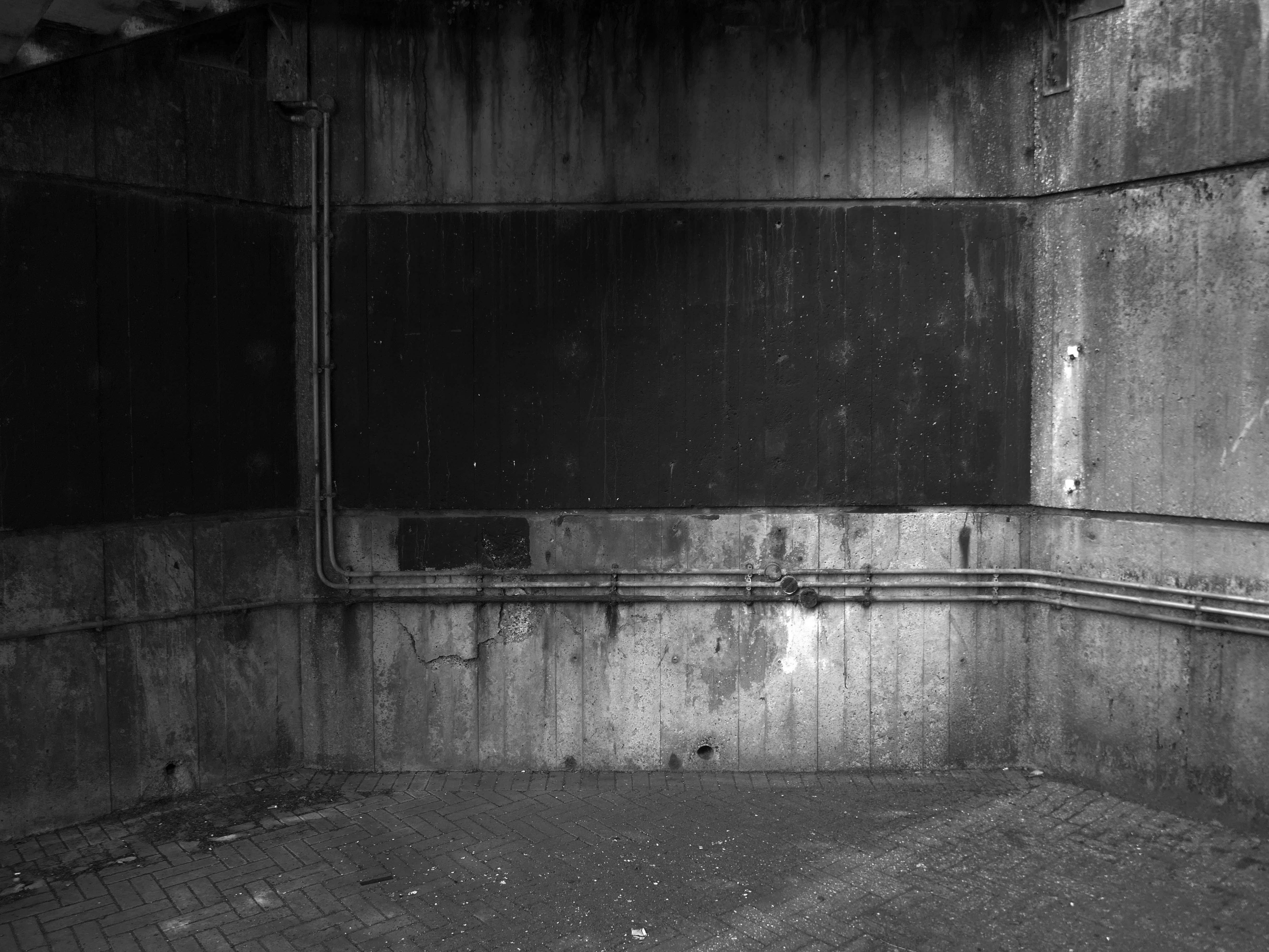
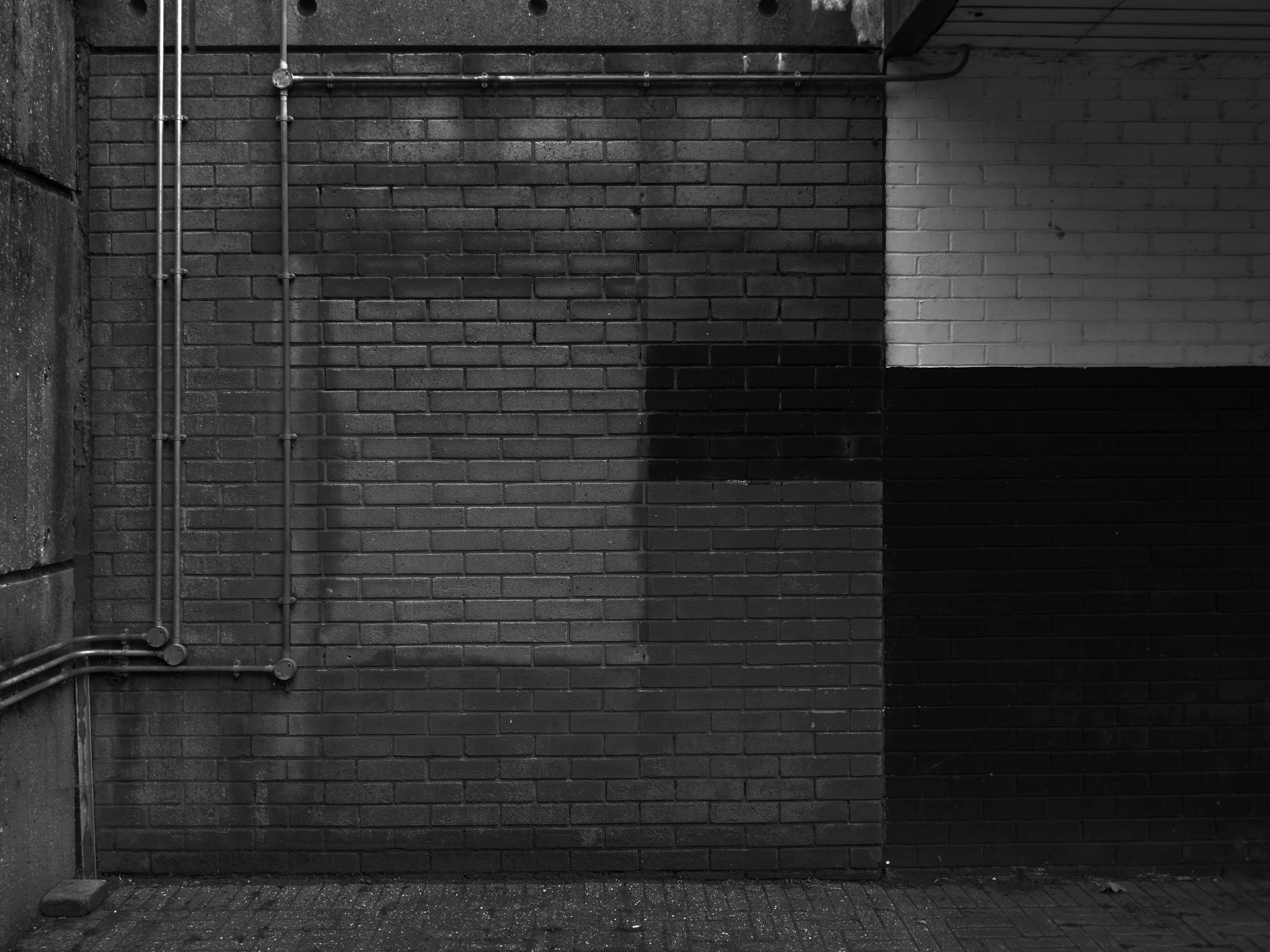
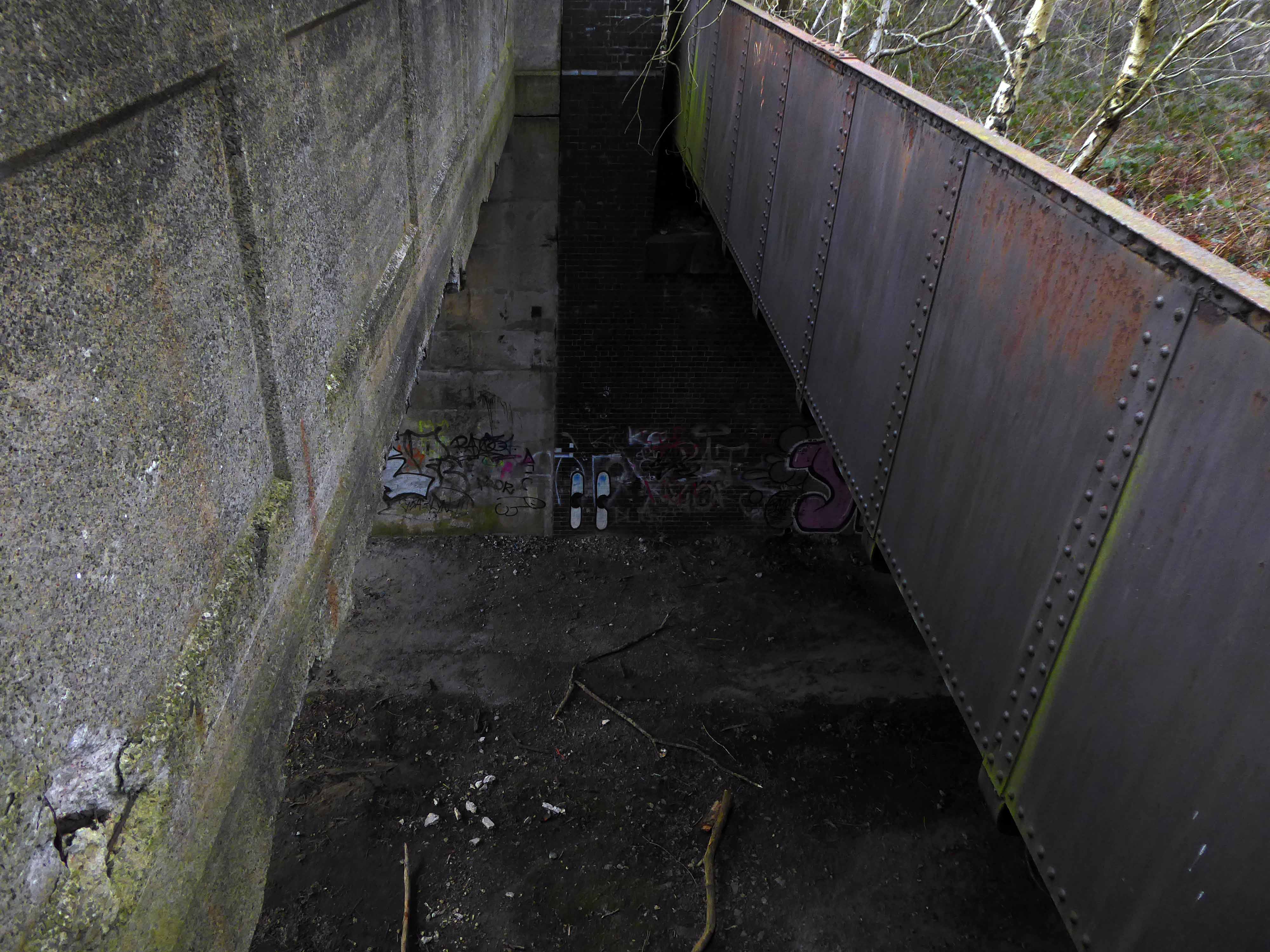
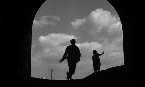
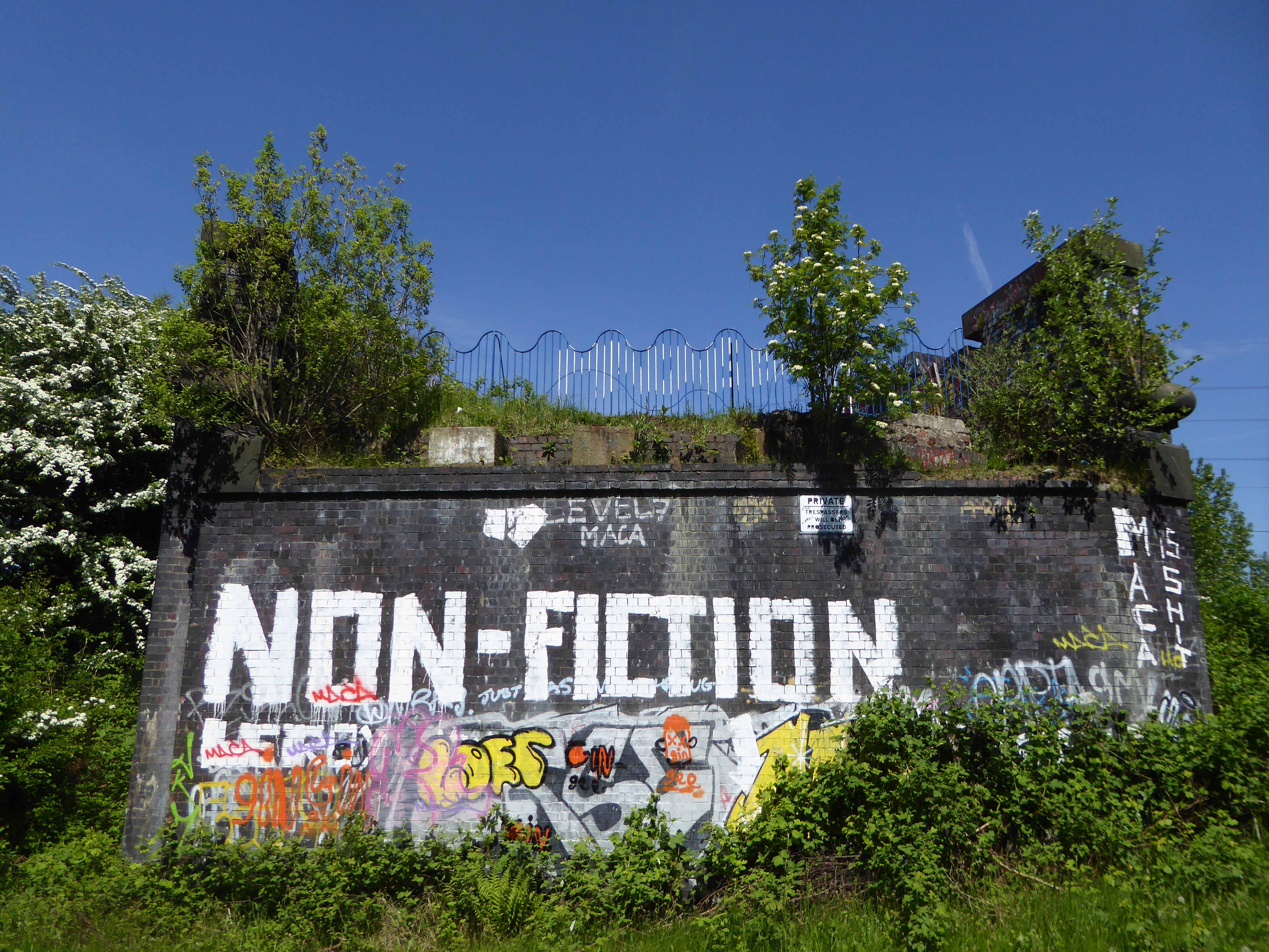
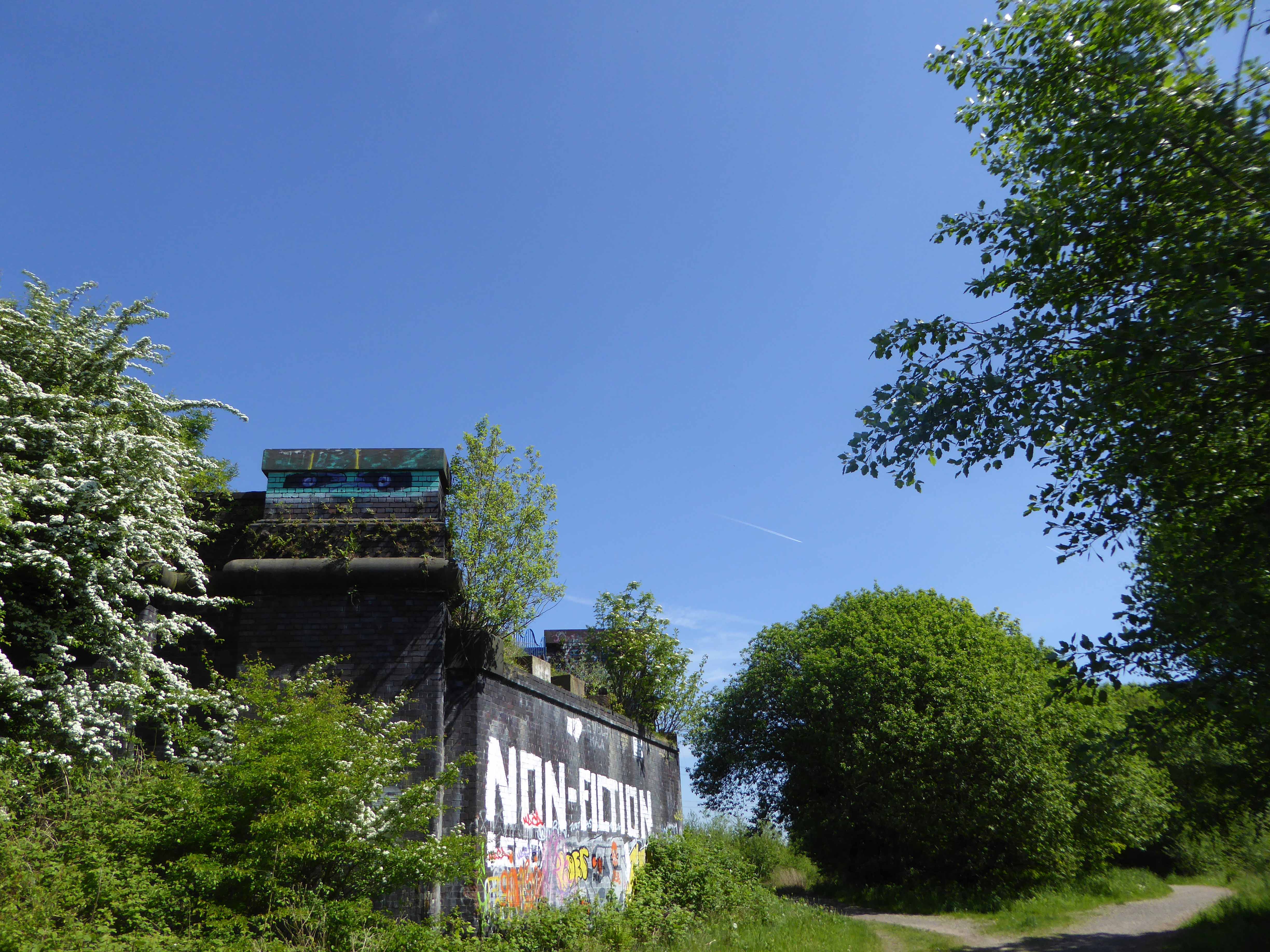
Let’s duck under the railway, through this sad damp pedestrian tunnel – the domain of the cash strapped daytime drinker, transient tagger and disaffected leaflet distributor.
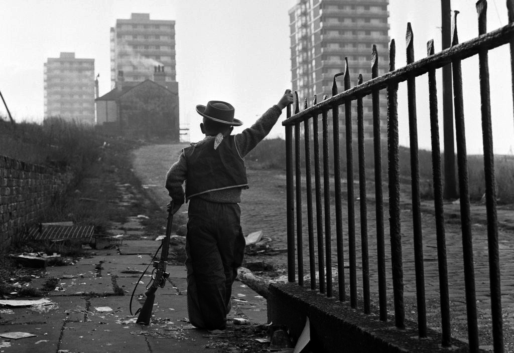
Next thing you know you have emerged into the daylight on Dalton Street – we have been here before seeking the Collyhurst Cowboy.
Photograph: Dennis Hussey
Onwards to Eastford Square.
The shops and maisonettes are due to be demolished any day now – no longer to gaze open-eyed upon the former quarry of Sandhills.
Around the front the diggers have been a digging – digging up around the base of the totem.
The work is to be re-sited by the nearby tower blocks.
The end is nigh.
Heading now for Collyhurst Road and the Irk Valley – seen here in 1960.
Looking back on the Square and the Dalton Street flats – Humphries, Dalton, Roach, Vauxhall and Moss Brook Courts under construction.
Vauxhall Street now but a shadow of its former self – the last traces of industry long gone.
Reclaimed over time by trees and dense underbrush.
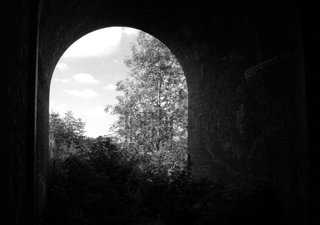
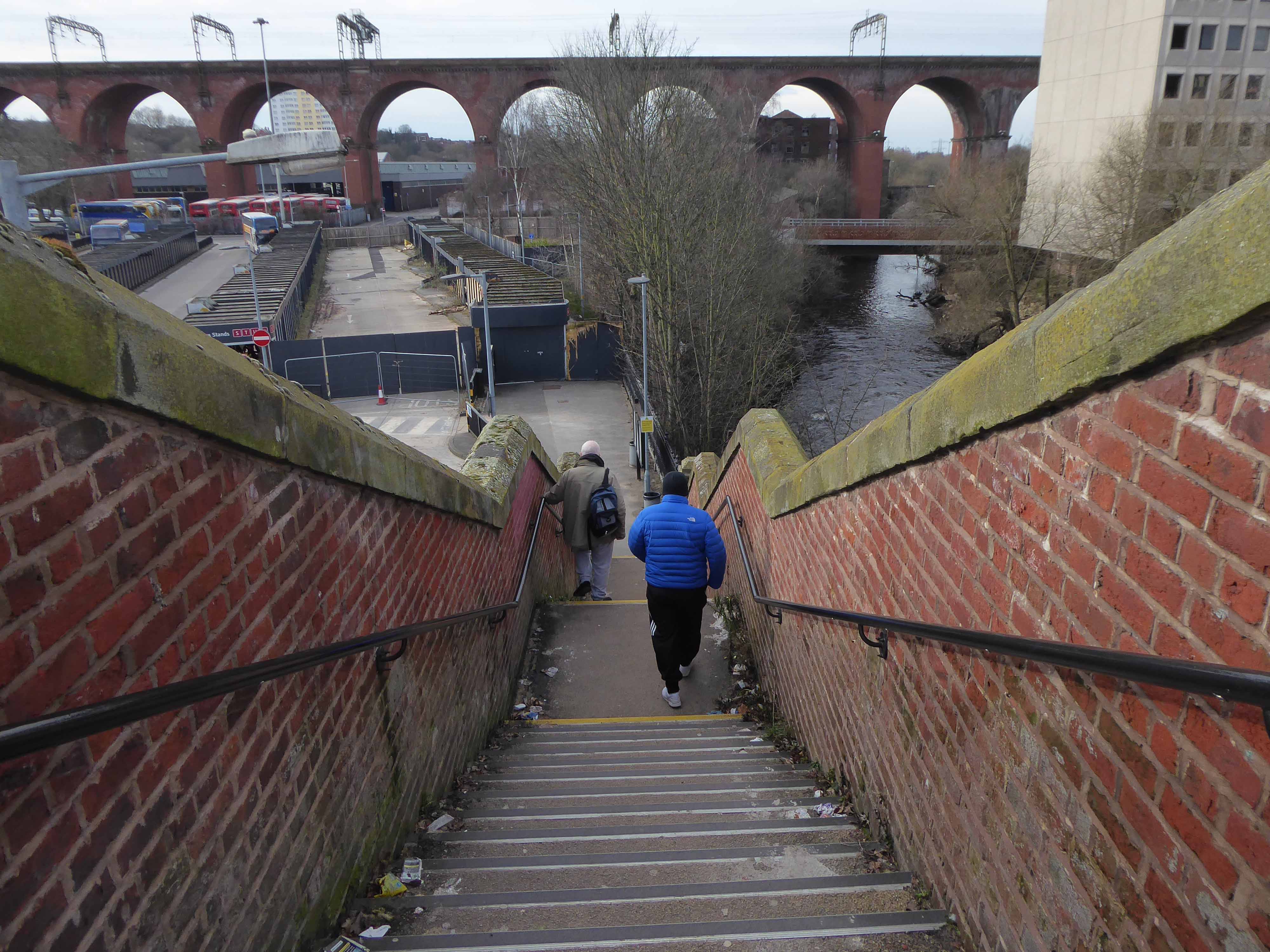
Crossing Collyhurst Road and up and over the railway via Barney’s Steps also known as the Lowry Steps.
LS Lowry
By the late 1950’s the whole of this area which we called Barney’s Tip became a refuse tip for Manchester City Council.
The area is in the process of being reconfigured as a delightful country park.
The investment will also help develop an initial phase of the planned City River Park incorporating St Catherine’s Wood as part of a network of public open space, including improvements along the River Irk and works to improve flood resilience, unlocking the potential of the Irk Valley that will characterise the wider Northern Gateway project.
The first phase of the City River Park will begin work to transform former railway architecture to develop the new Viaduct Linear Park north of Victoria Train Station, new stepped public realm space – Red Bank Terraces, along with new green space by the River Irk and the key improvements to St Catherine’s Wood.
Collingham Street is lined with trucks, trailers, stalls and mobile homes.
But there’s nothing temporary about this Cheetham Hill neighbourhood; most residents have lived here for years and many plan to spend the rest of their lives here.
Founded more than forty years ago, it was created by the Showman’s Guild of Great Britain – and it’s reserved exclusively for fairground workers both retired and current.
Built on Queens Road tip, a former rubbish dump, and rented out by Manchester Council, many of the 52 homes belong to older retired showmen or families for whom an itinerant lifestyle has become more challenging.
It’s a close-knit community with a unique shared history.
Though not without its own particular issues it would seem, according to the MEN.
The licensing out of hours team has received noise complaints relating to the premises which was found to be open beyond permitted hours when visited. Officers also identified breaches of the Health Act during inspections in which people were seen smoking shisha pipes in an enclosed extension at the back.
We will leave the Flamingo be and head back into town – but not without giving a nod to this confusing collision between this self-made scrapyard-man chic gate and the ever changing skyline of overheated urban regeneration.
The new creation has come: The old has gone, the new is here!
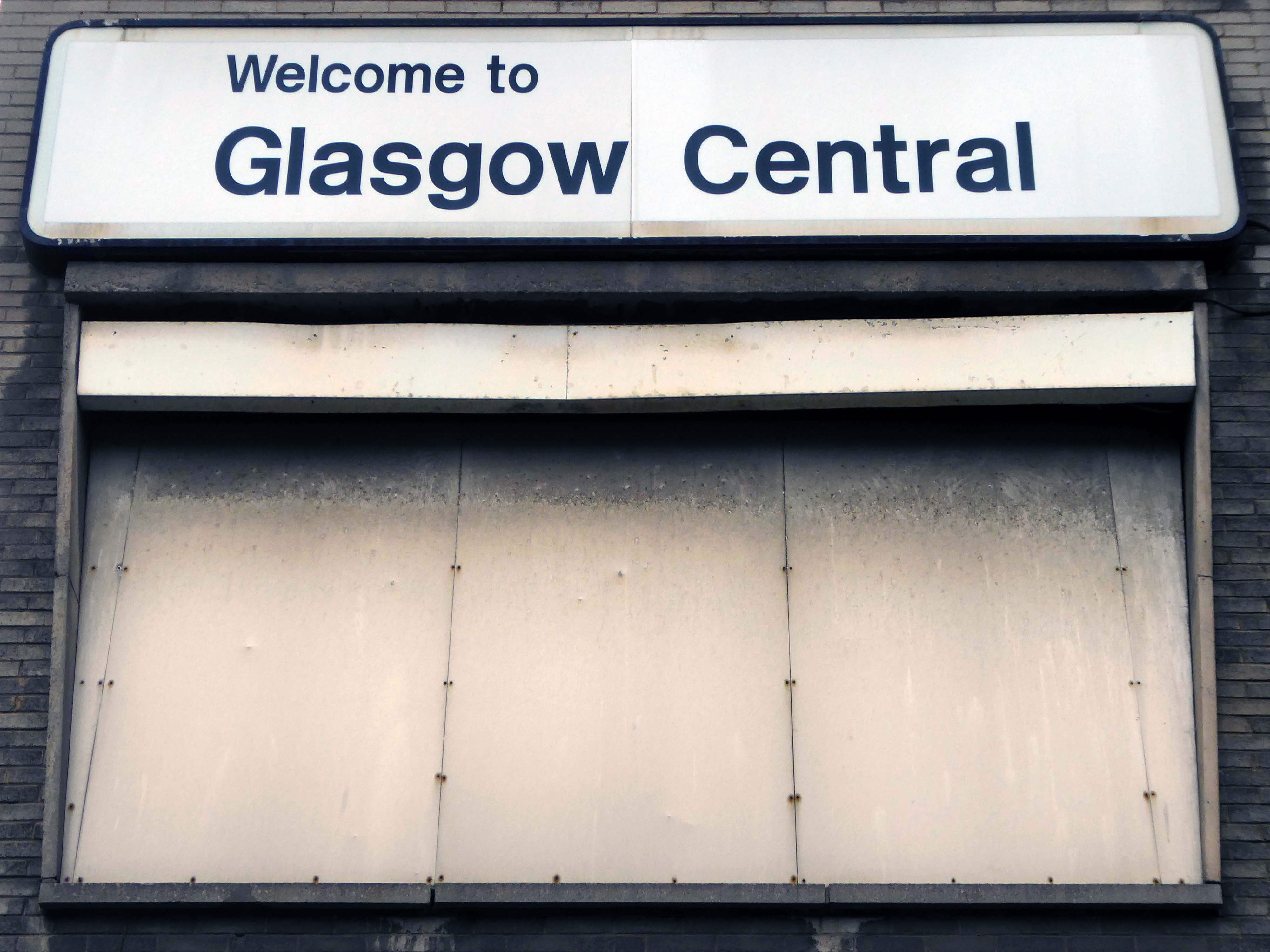
Situated at the junction of Salkeld Street and Cook Street
Glasgow Central Signalling Centre, located in the vee of Bridge Street Junction, opened on 2 January 1961. It replaced signal boxes at Central Station, Bridge Street Junction, Eglinton Street Junction and Eglinton Street Station. When initially opened it was capable of handling 1,000 routes.
Glasgow Central Signalling Centre closed on 27 December 2008, when its area of control was transferred to the new West of Scotland Signalling Centre – WSSC at Cowlairs. The NX panel is to be preserved. The station is currently signalled by two Westinghouse Westlock Interlockings which are controlled via an Alstom MCS control system.
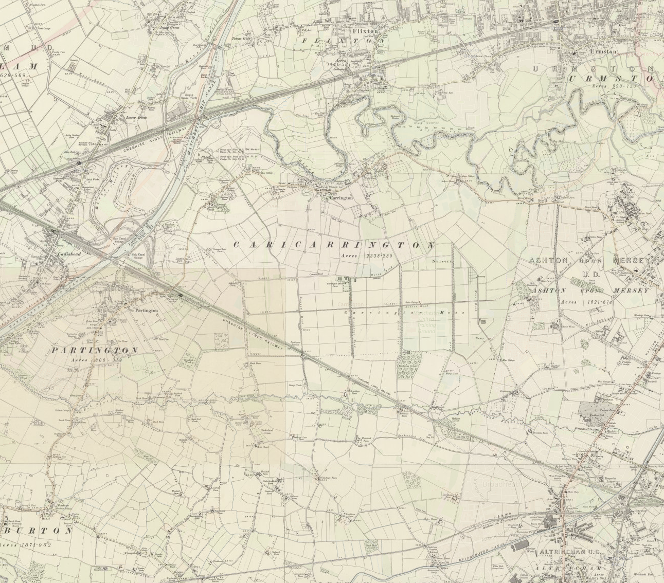
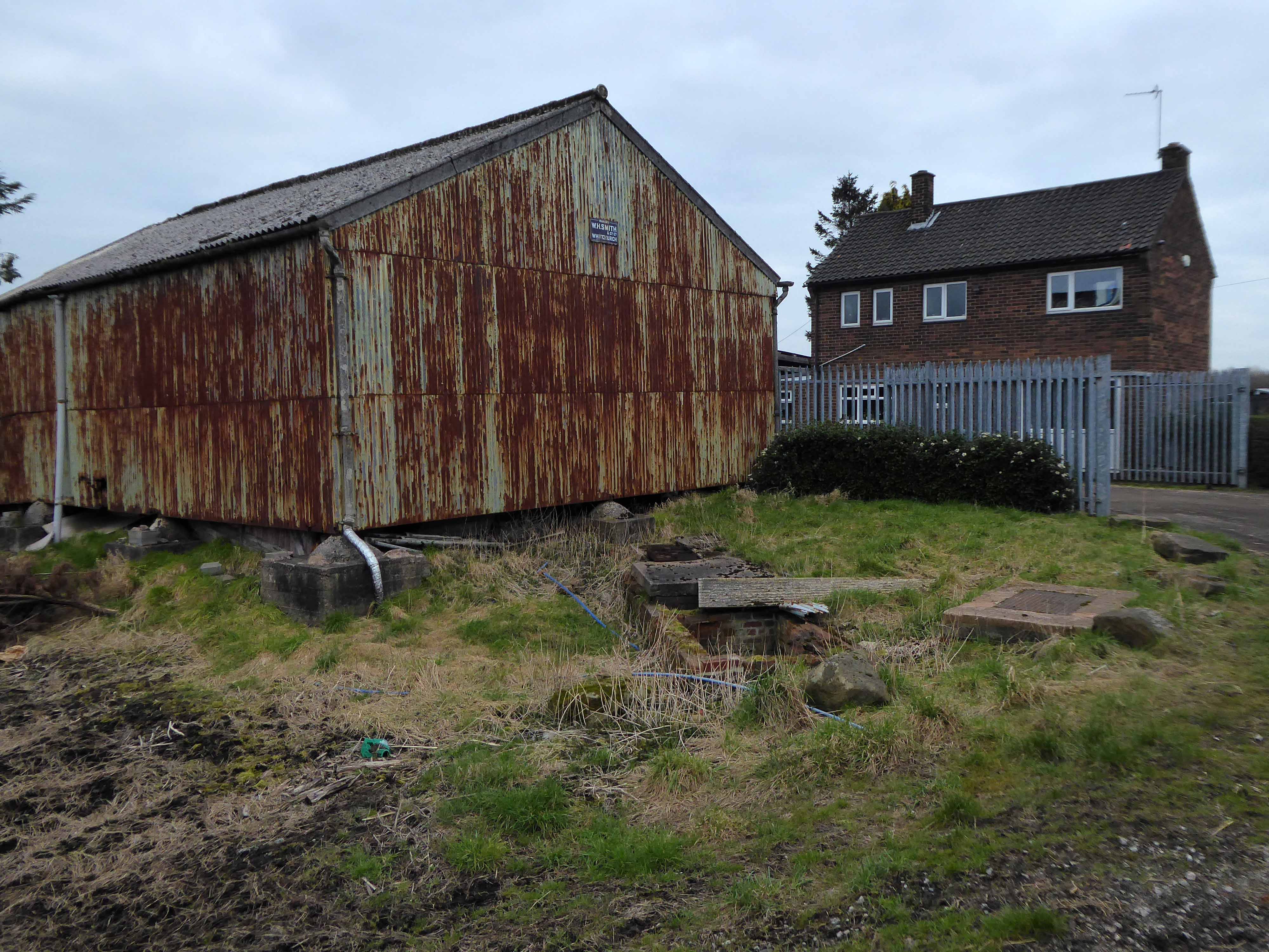
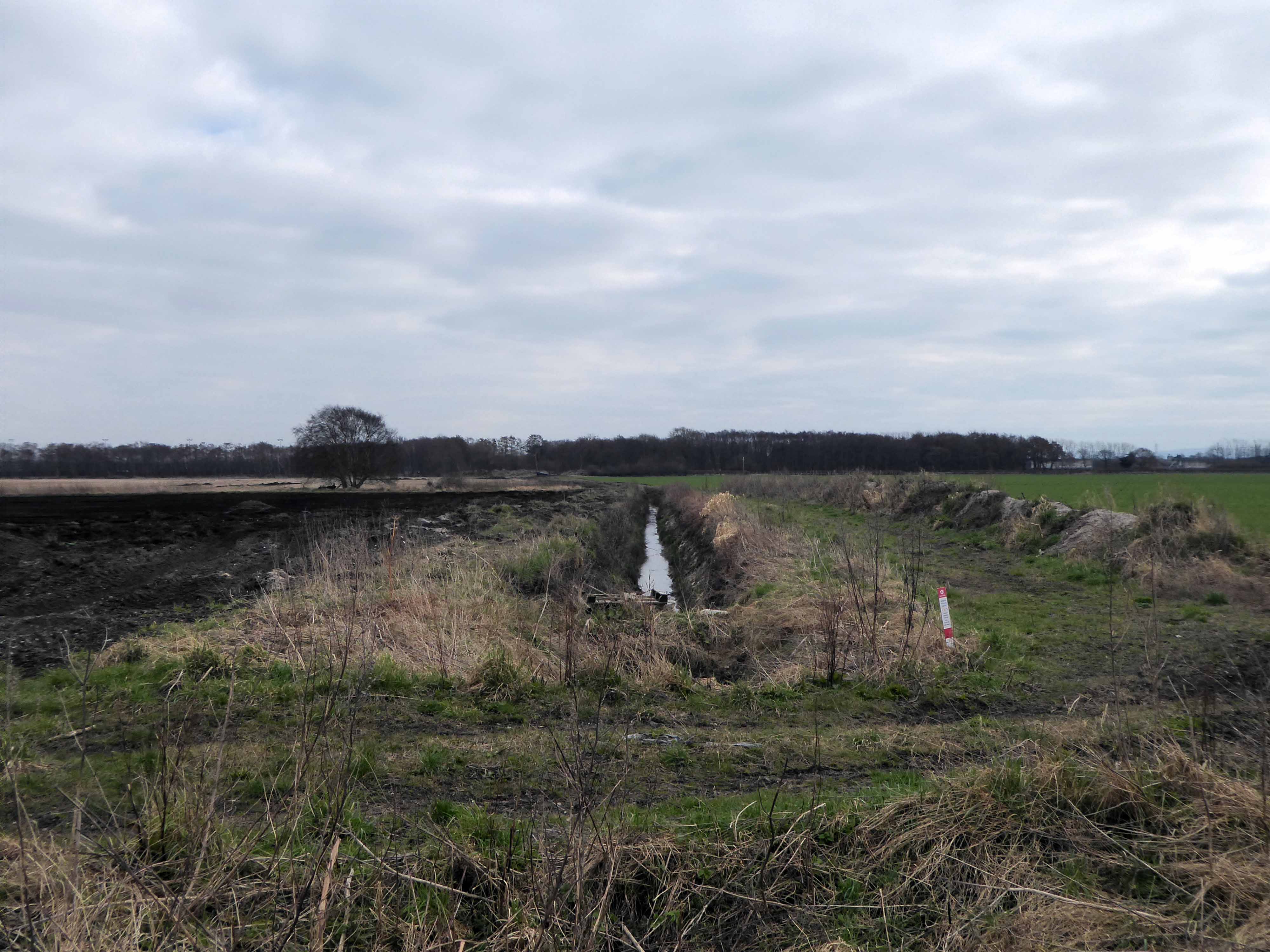
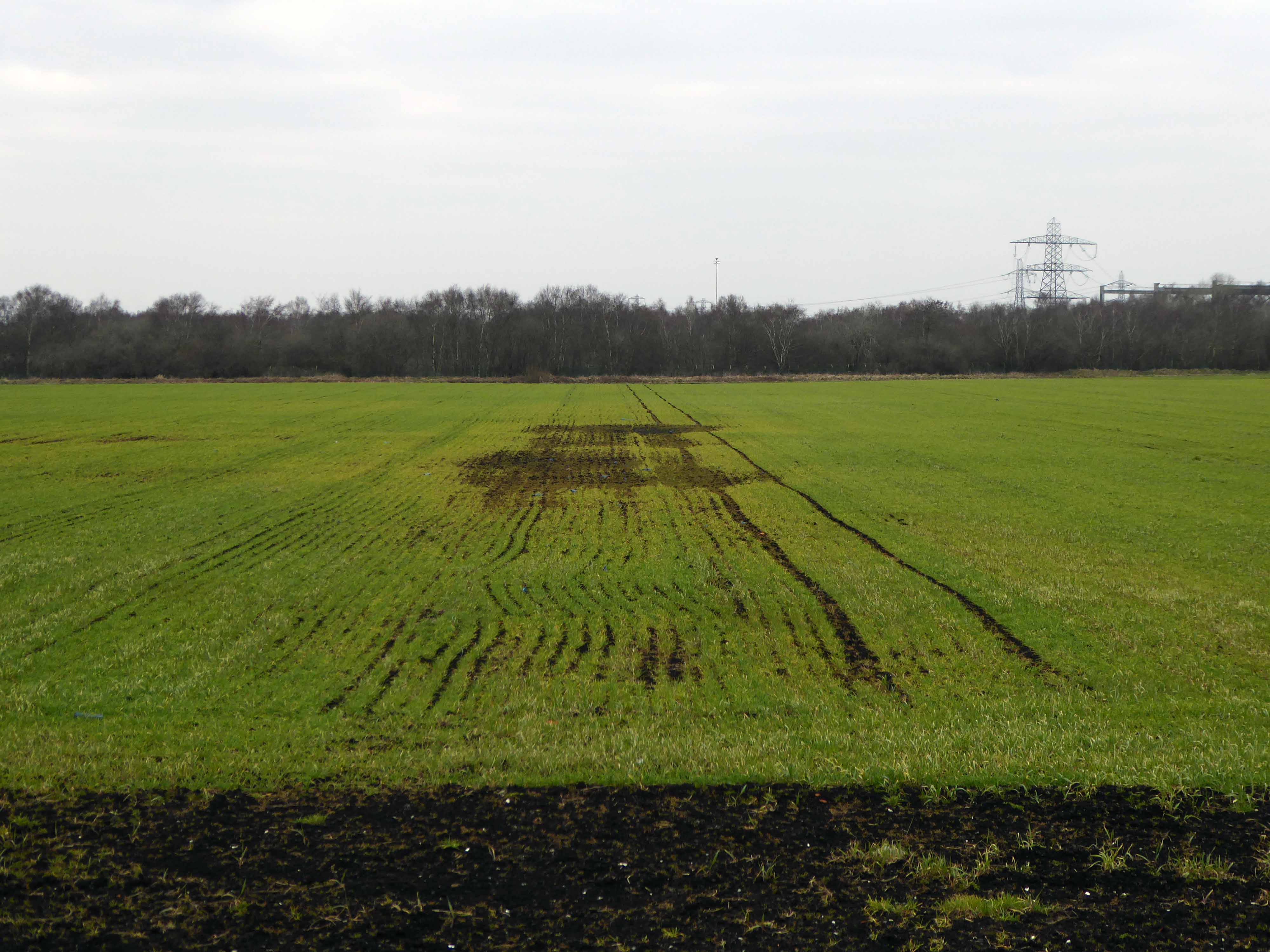
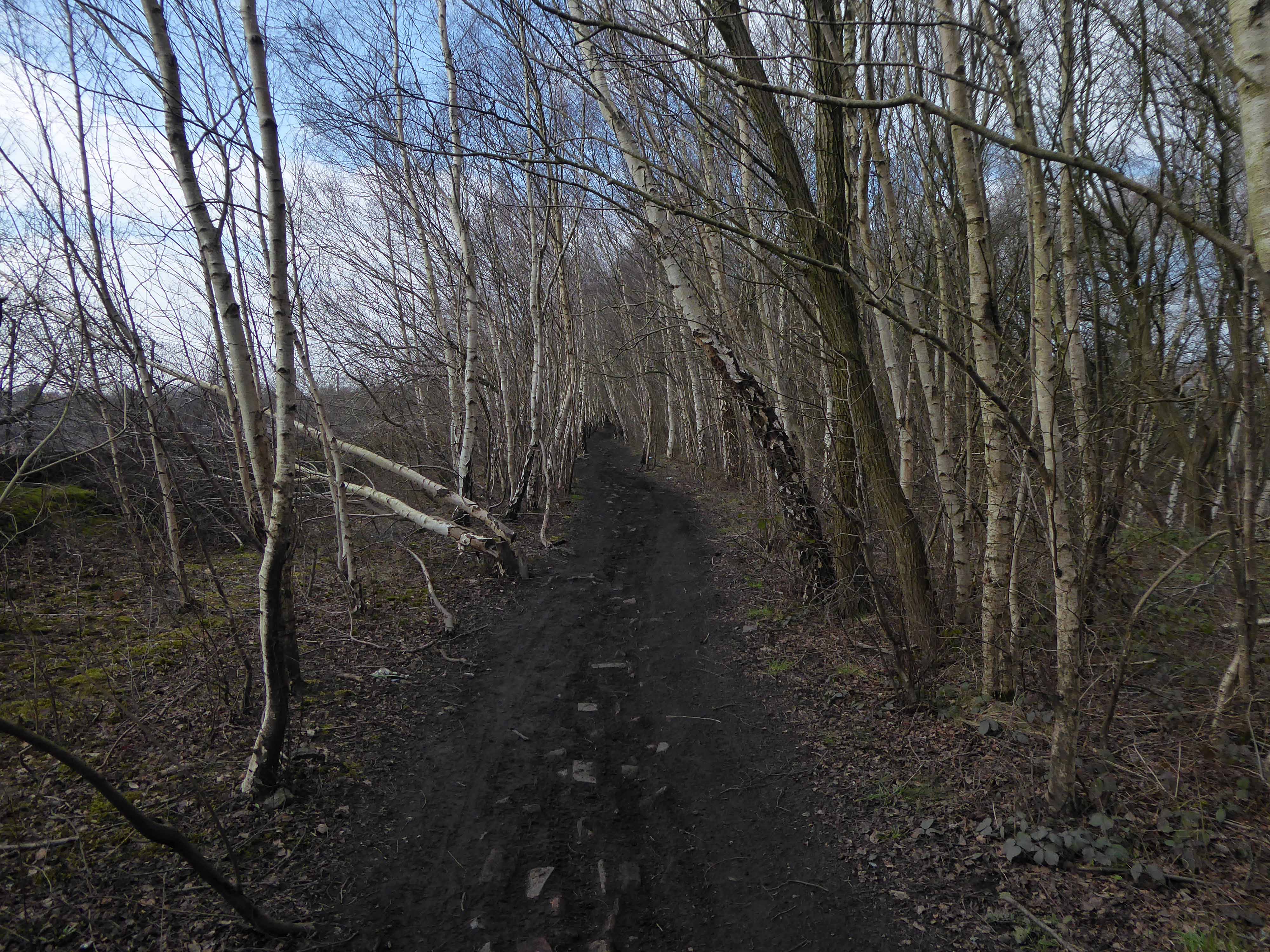
Carrington Moss is a large area of peat bog near Carrington in Greater Manchester, England. It lies south of the River Mersey, approximately ten miles south-west of Manchester, and occupies an area of about 1,100 acres..Originally an unused area of grouse moorland, the moss was reclaimed in the latter half of the 19th century for farming and the disposal of Manchester’s waste. A system of tramways was built to connect it with the Manchester Ship Canal and a nearby railway line. During the Second World War the land was used as a Starfish site and in the latter half of the 20th century, a large industrial complex was built along its northern edge. More recently, several sporting facilities have been built on Carrington Moss. Today, the land is still used for farming and several nature reserves have been established within its bounds.
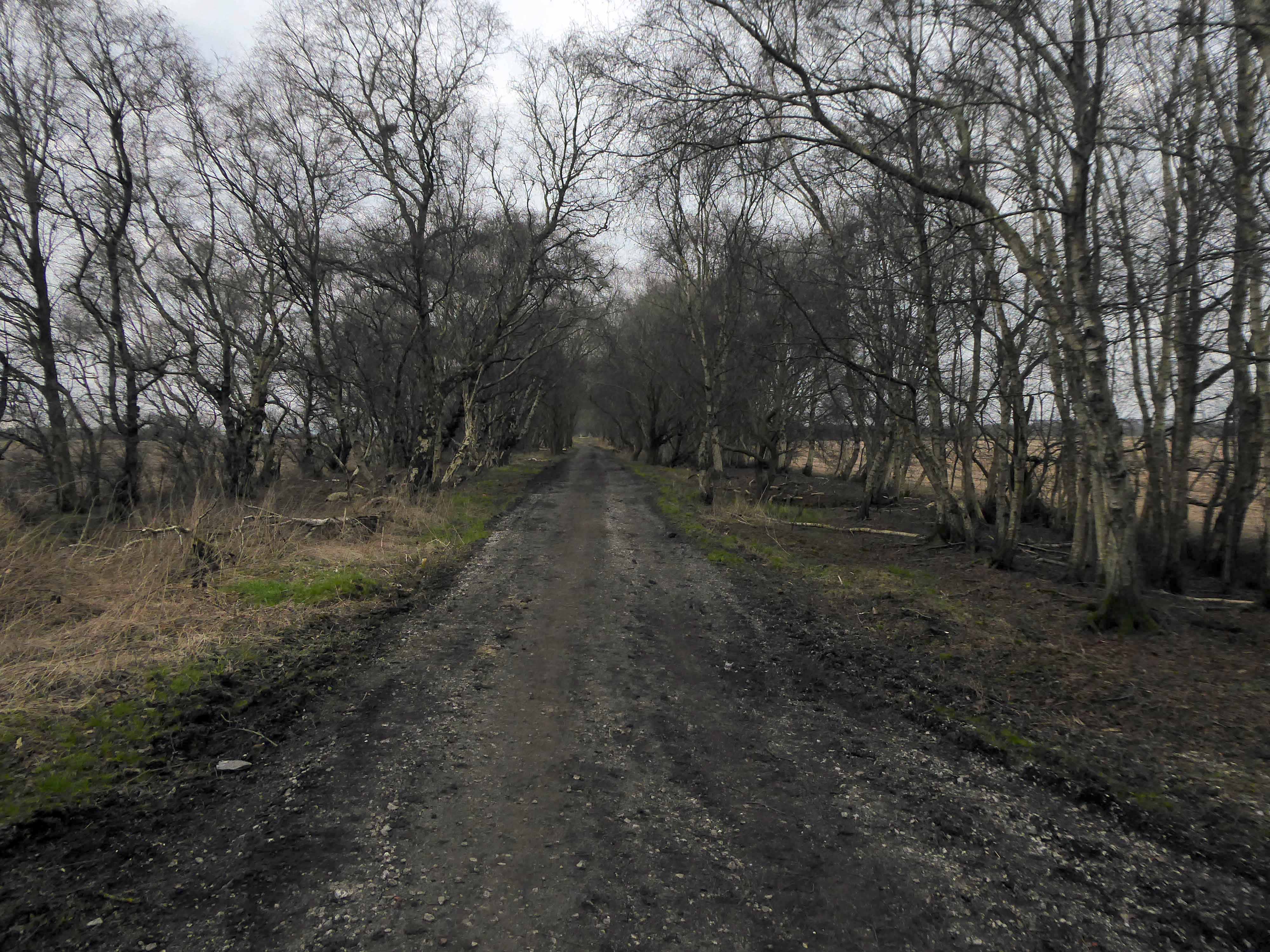
Parts of Carrington Moss are accessible to the public over several rights of way.
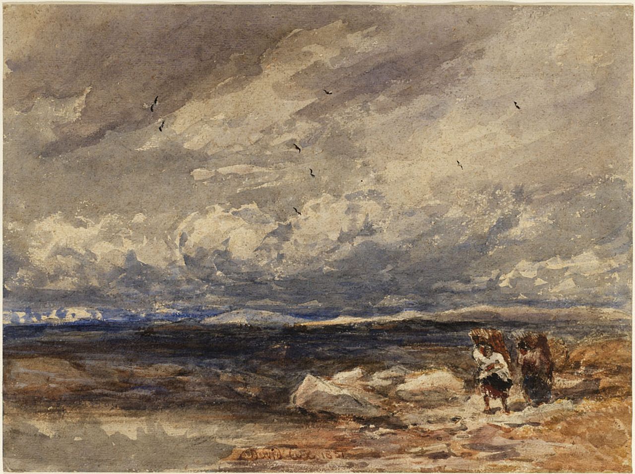
On Carrington Moss 1851 David Cox
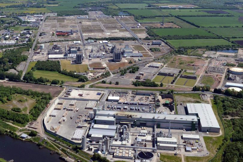
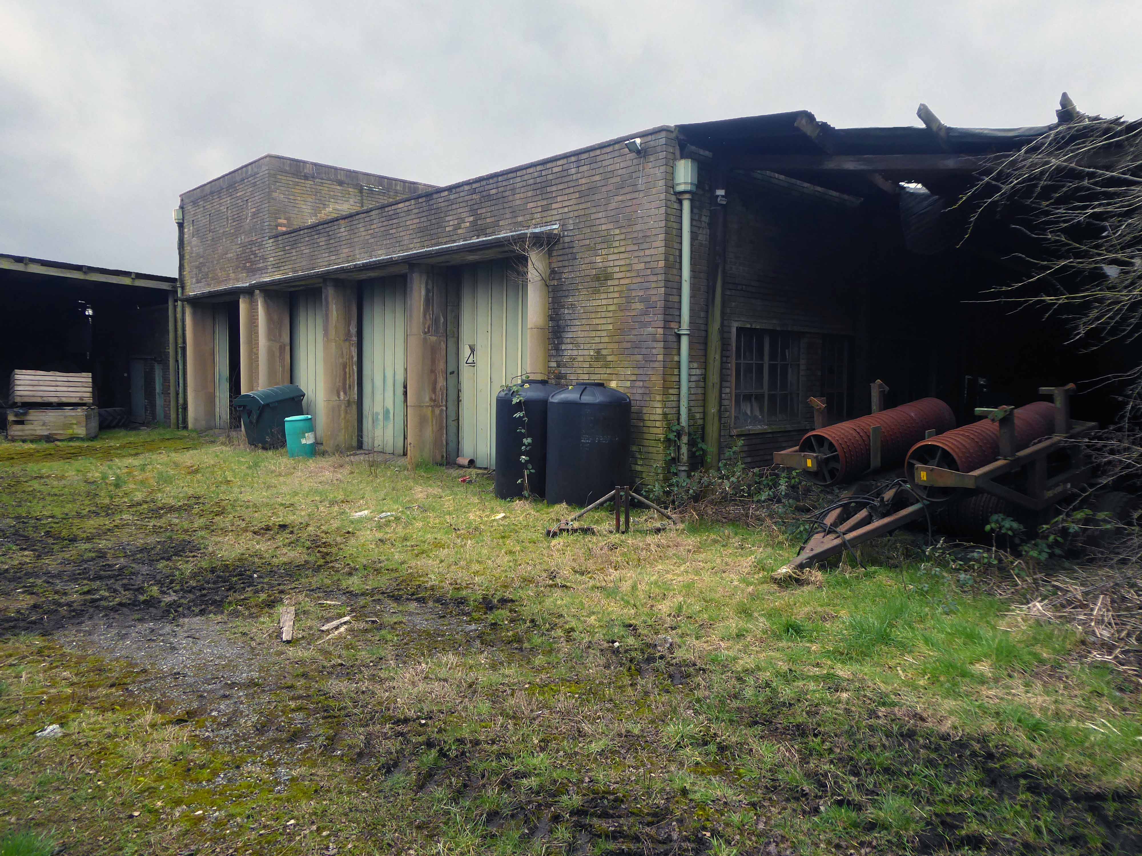
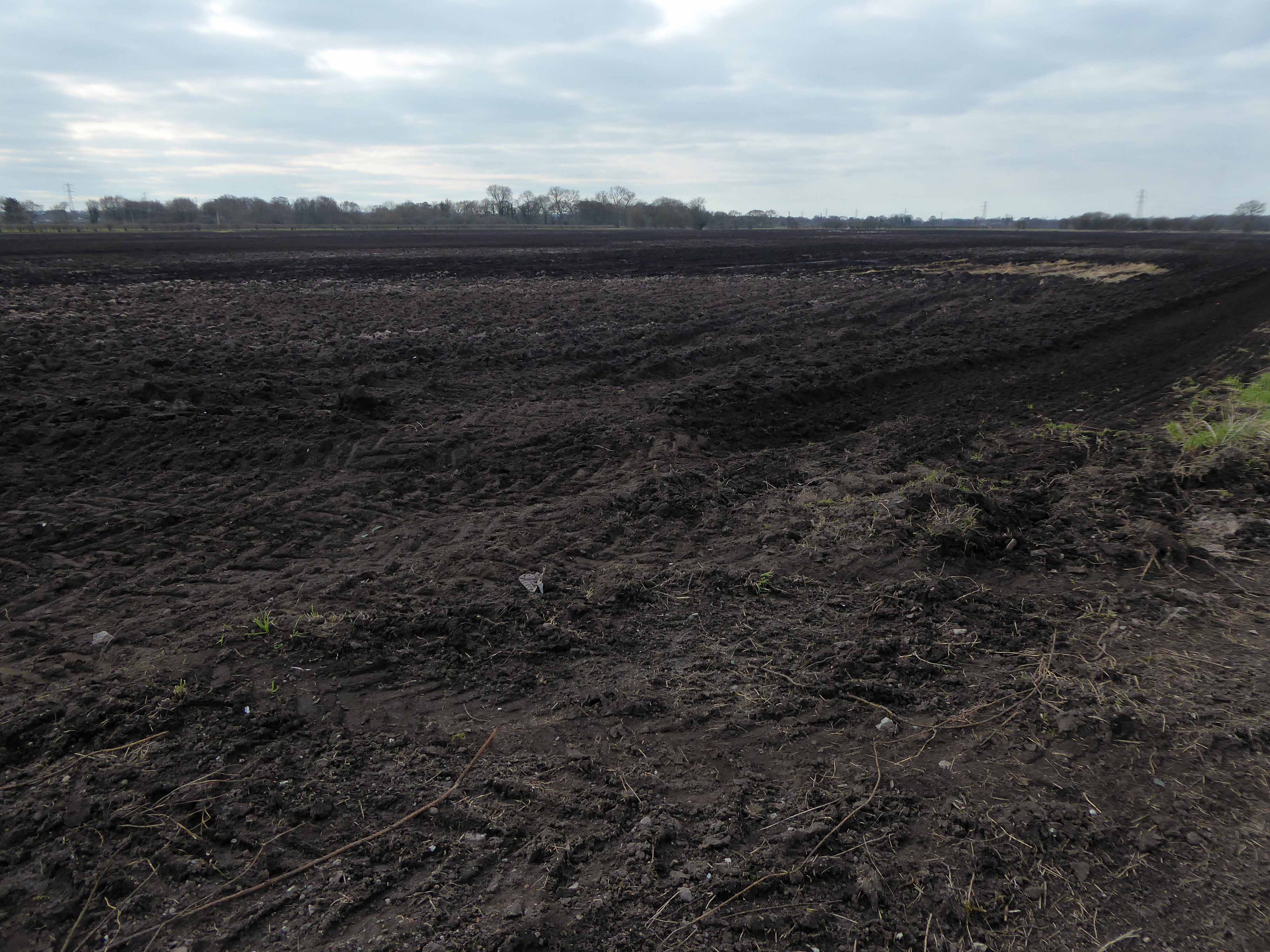
Industrialisation of the moss took place from 1947–1952 when Petro-Carbon ltd began to build what would later become known as the Shell Site. The estate was leased on 1 October 1968 to Shell Chemicals, who in 1957 had purchased a propylene oxide plant along the moss’s northern edge. Shell had built an ethylene oxide plant in 1958 and began to produce polyether polyols the following year. Council housing was built nearby, at Carrington and Partington, for workers and their families. By 1985 the Shell plant had a turnover of about £200M and employed 1,150 people, but a major restructuring of the business reduced the workforce to less than 500 by 1986. By 1994, four distinct plants operated on the 3,500-acre (14 km2) site, producing a range of chemicals, and materials including polystyrene, polyethylene and polypropylene.In 2005 it was reported that Shell would close their polyols and ethoxylates units, a decision which came into effect in 2007. The estate is currently managed by chartered surveyors Bell Ingram. Lyondell Basell operate the last remaining chemical plant on site.
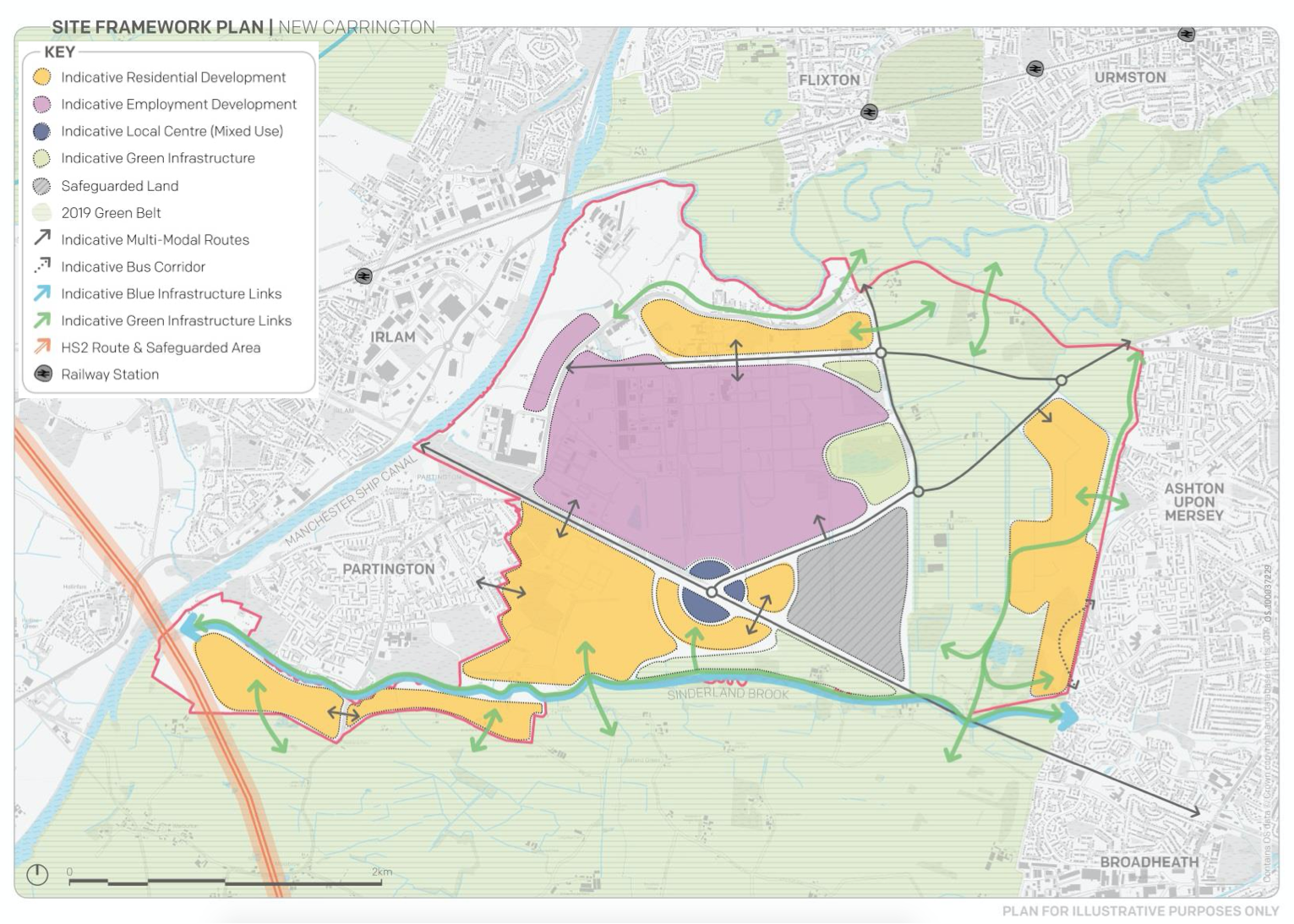
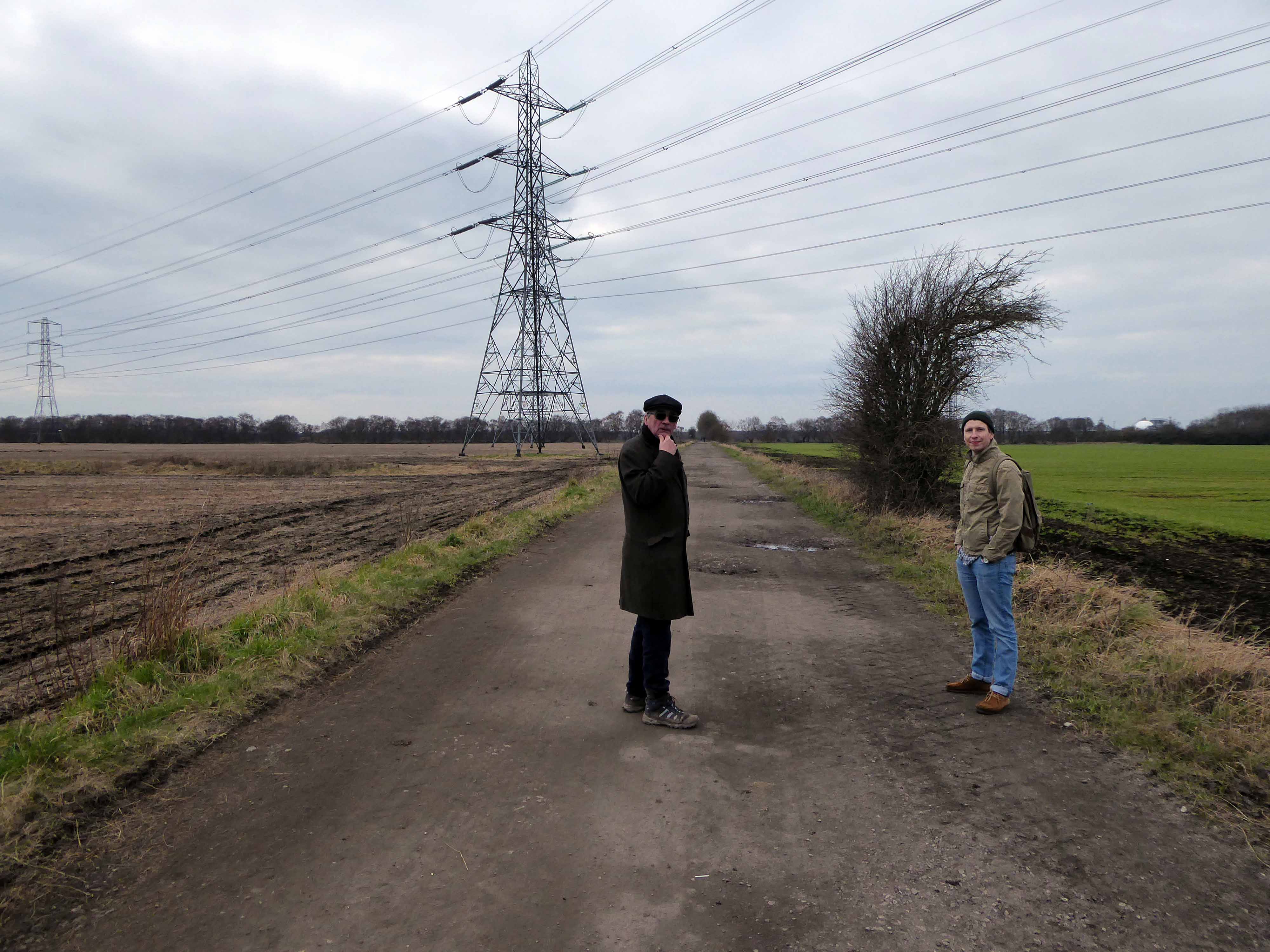
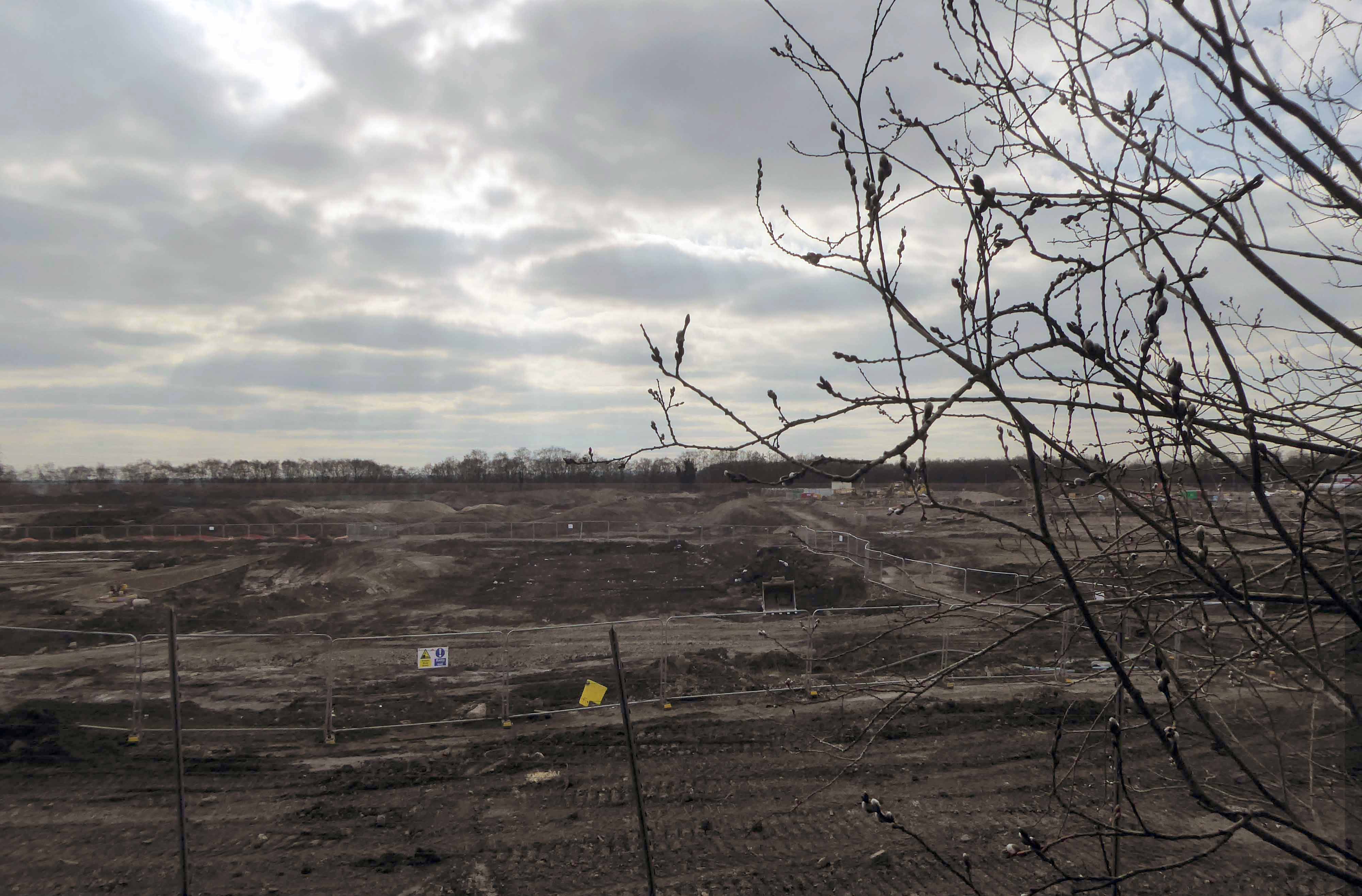
Storm Christoph showed that Manchester is susceptible to the adverse effects of extreme weather events, which are forecast to become more regular occurrences.
Greater Manchester Labour for a Green New Deal argue that we must abandon the idea of developing on greenbelt, and instead embrace bold alternatives which reflects the urgency of the climate crisis﹣starting with sites like Carrington Moss.
This is an area in liminal limbo, the pressures of the modern world leaning on its very being, as ash, alder, badger, field mouse, and kestrel give way to Wainhomes.
Where then will the wanderer wander, in search of solace?
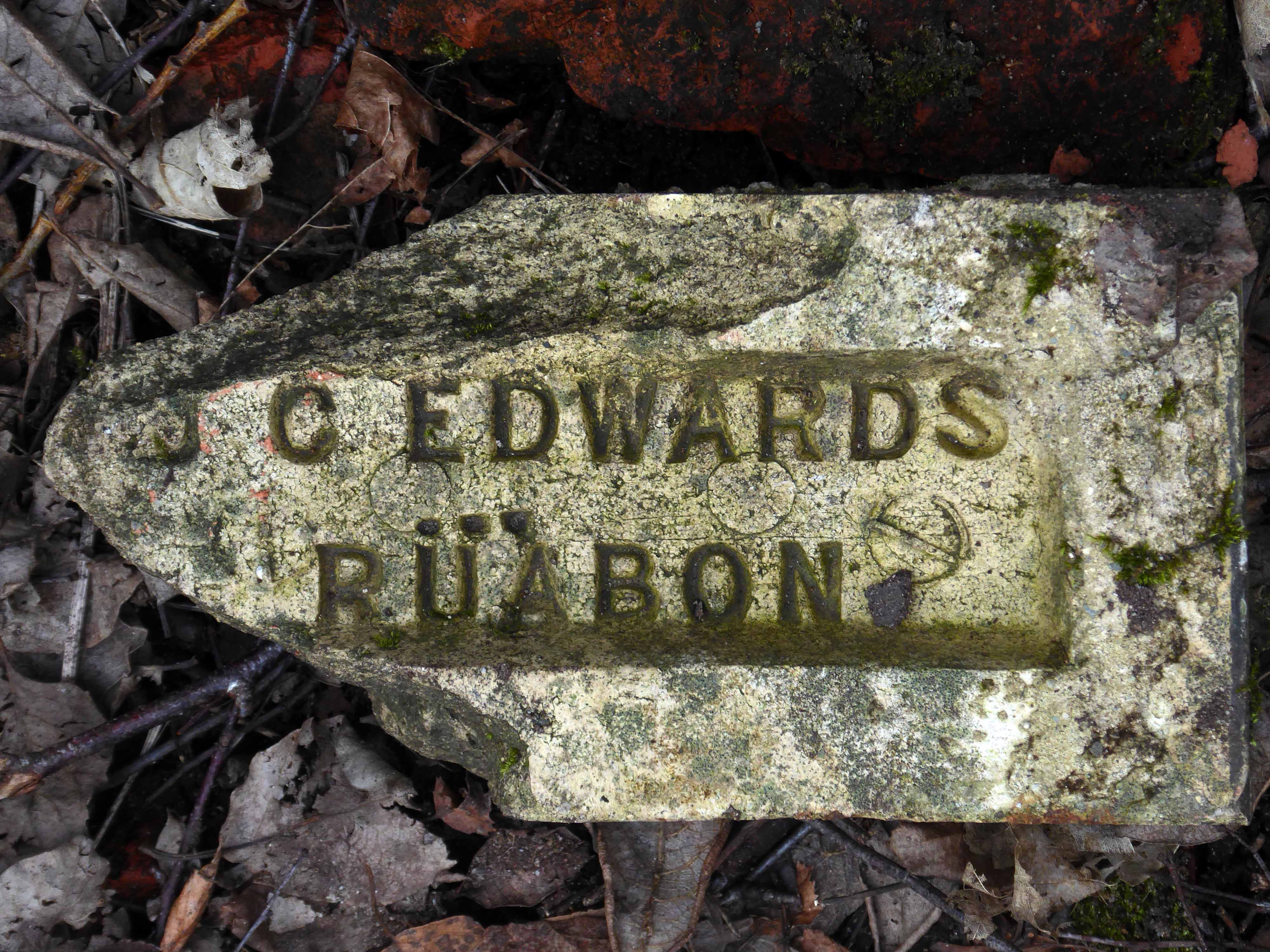
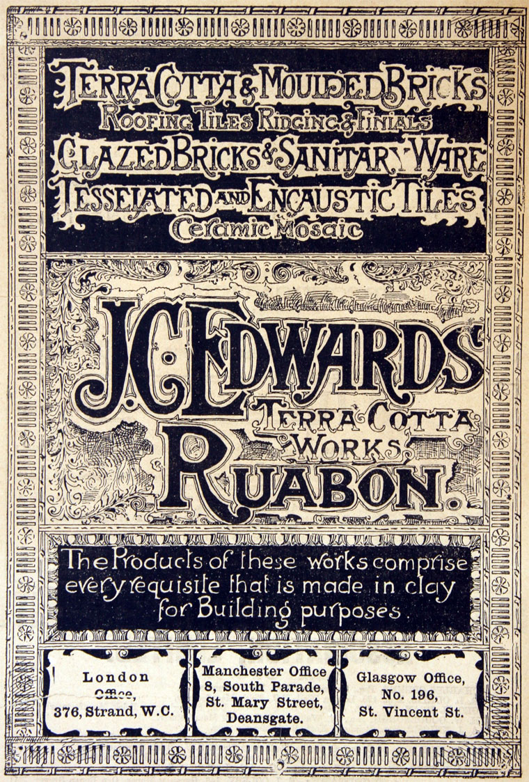
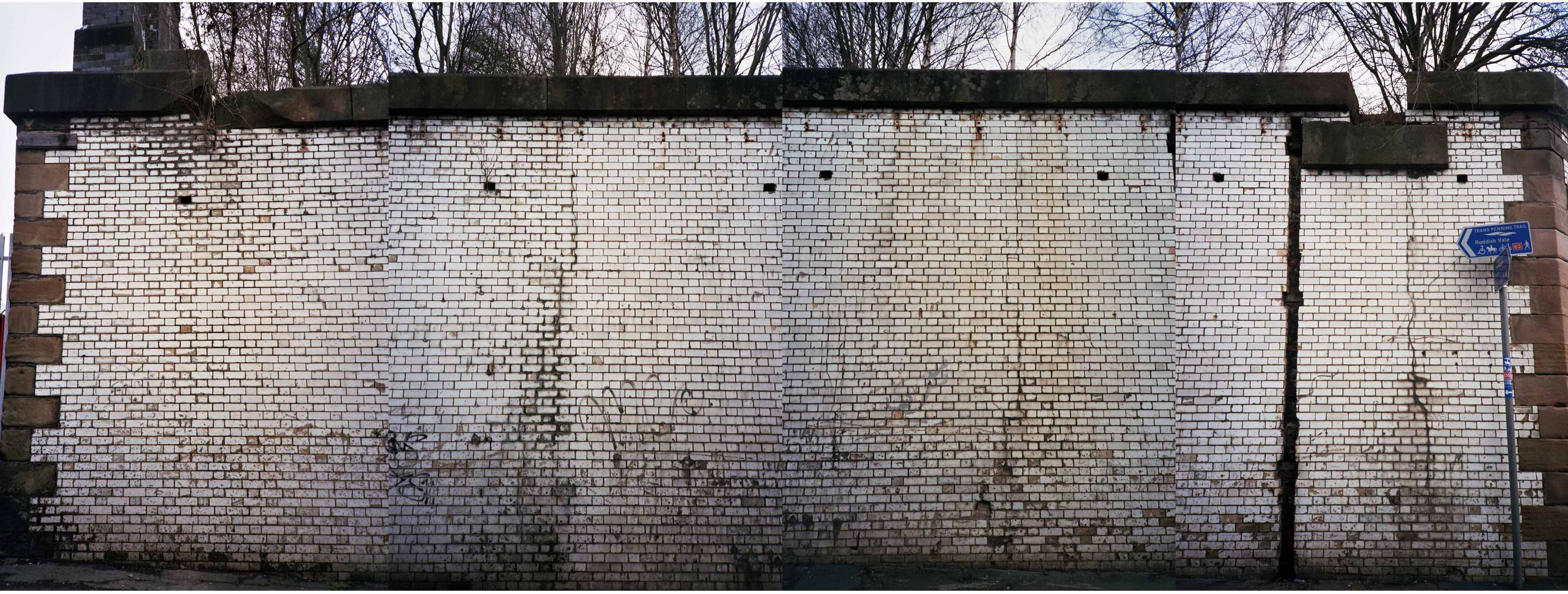
The company of J. C. Edwards Ruabon Ltd, was based in Ruabon, Denbighshire, and was active from 1903 to 1956 as a brick, tile and terracotta manufacturer from its works at Tref-y-Nant, Acrefair, Albert Works, Rhosllannerchrugog, and Pen-y-bont, Newbridge, Denbighshire.
James Coster Edwards (1828-1896) founded the company; it was sold in 1956.
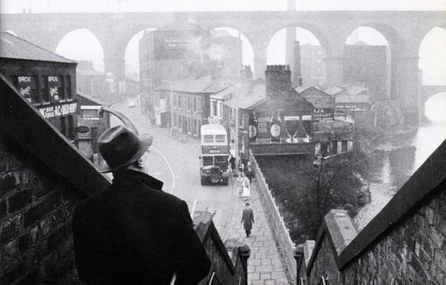
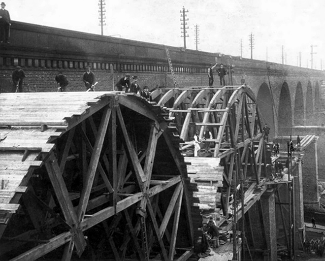
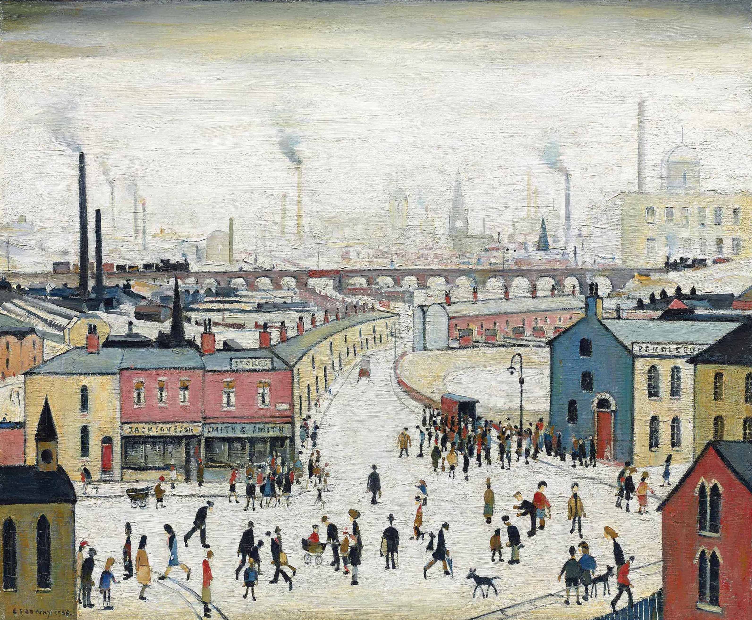
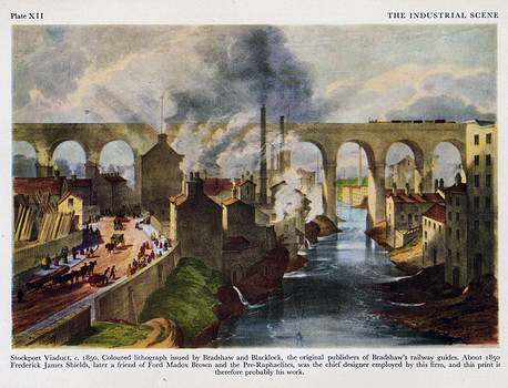
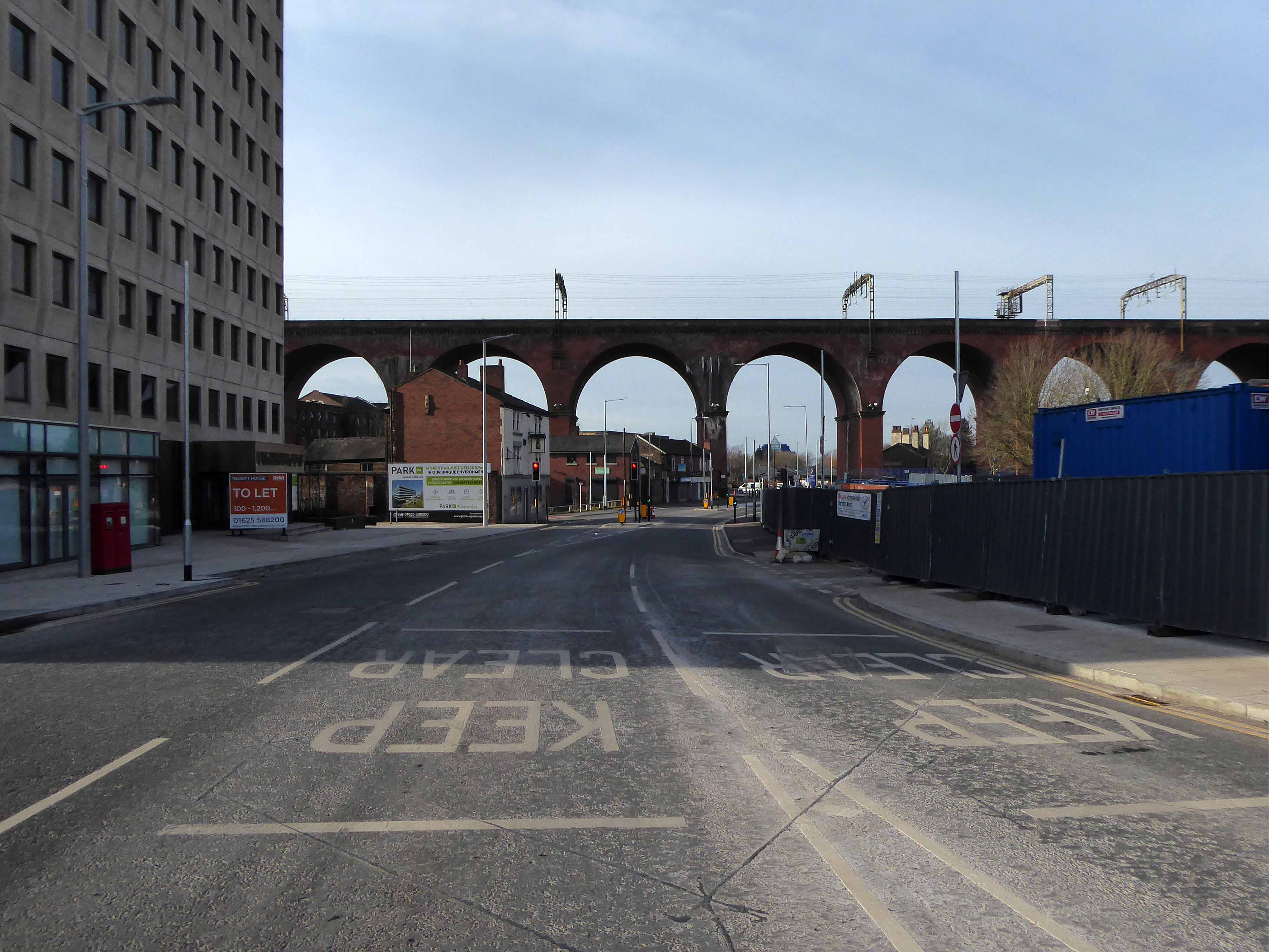
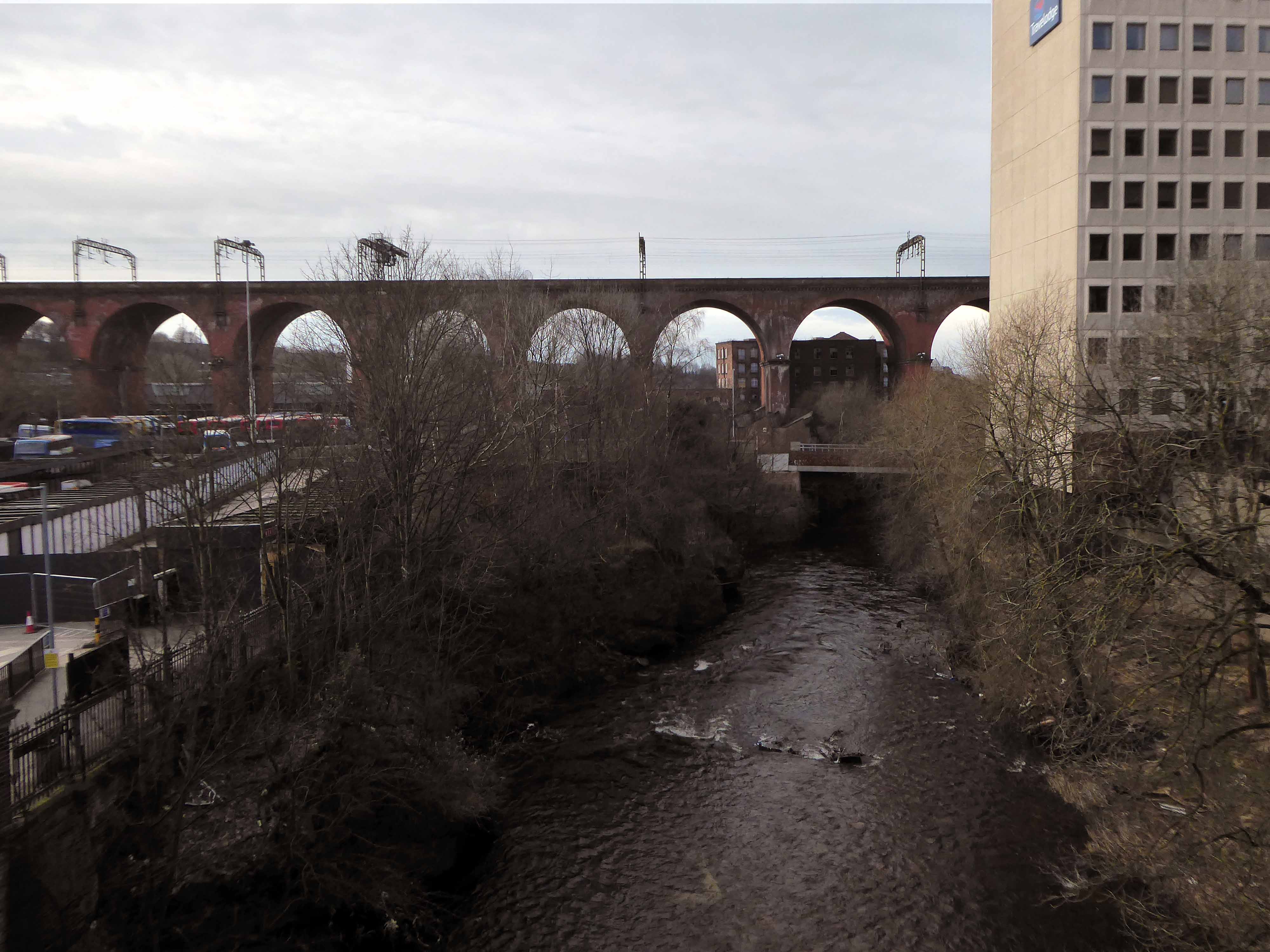
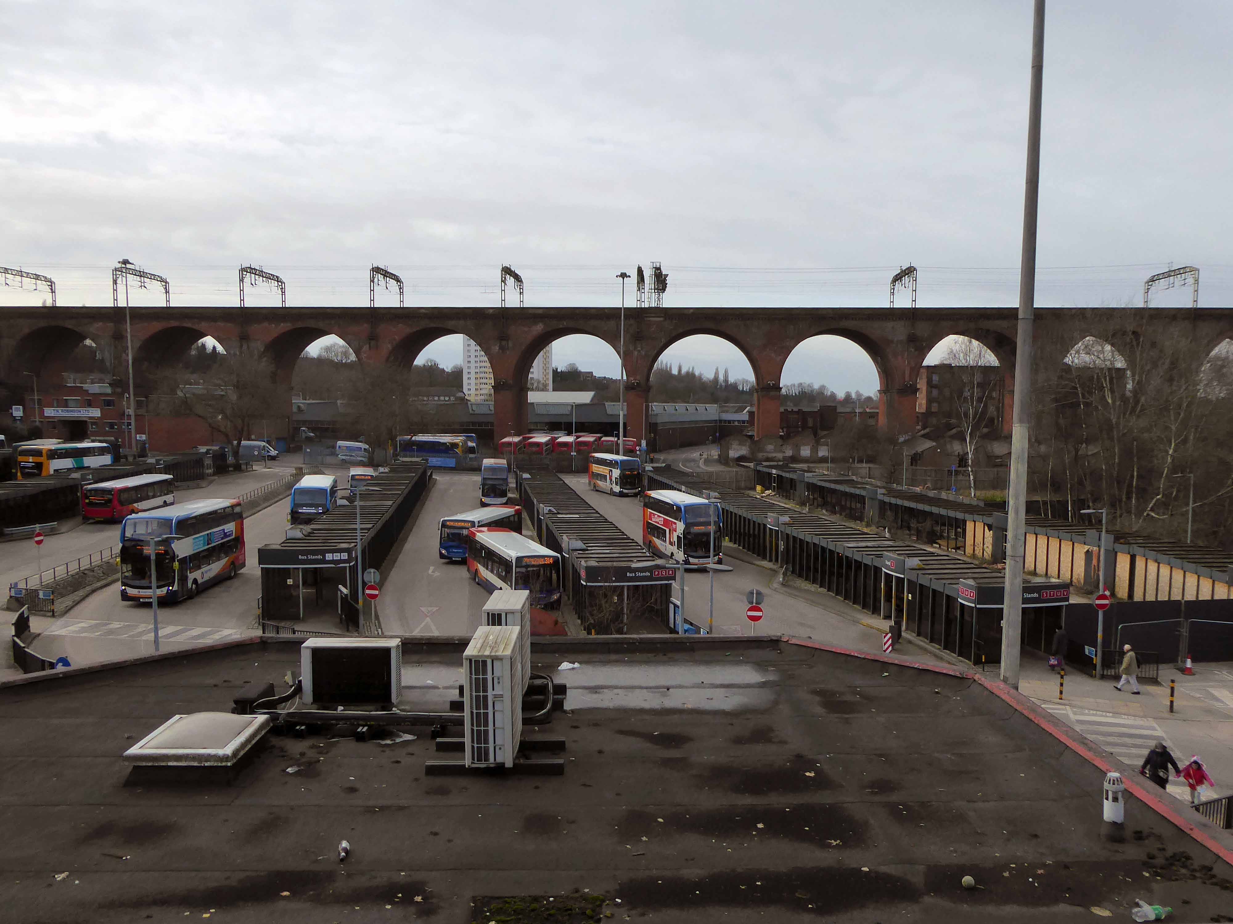
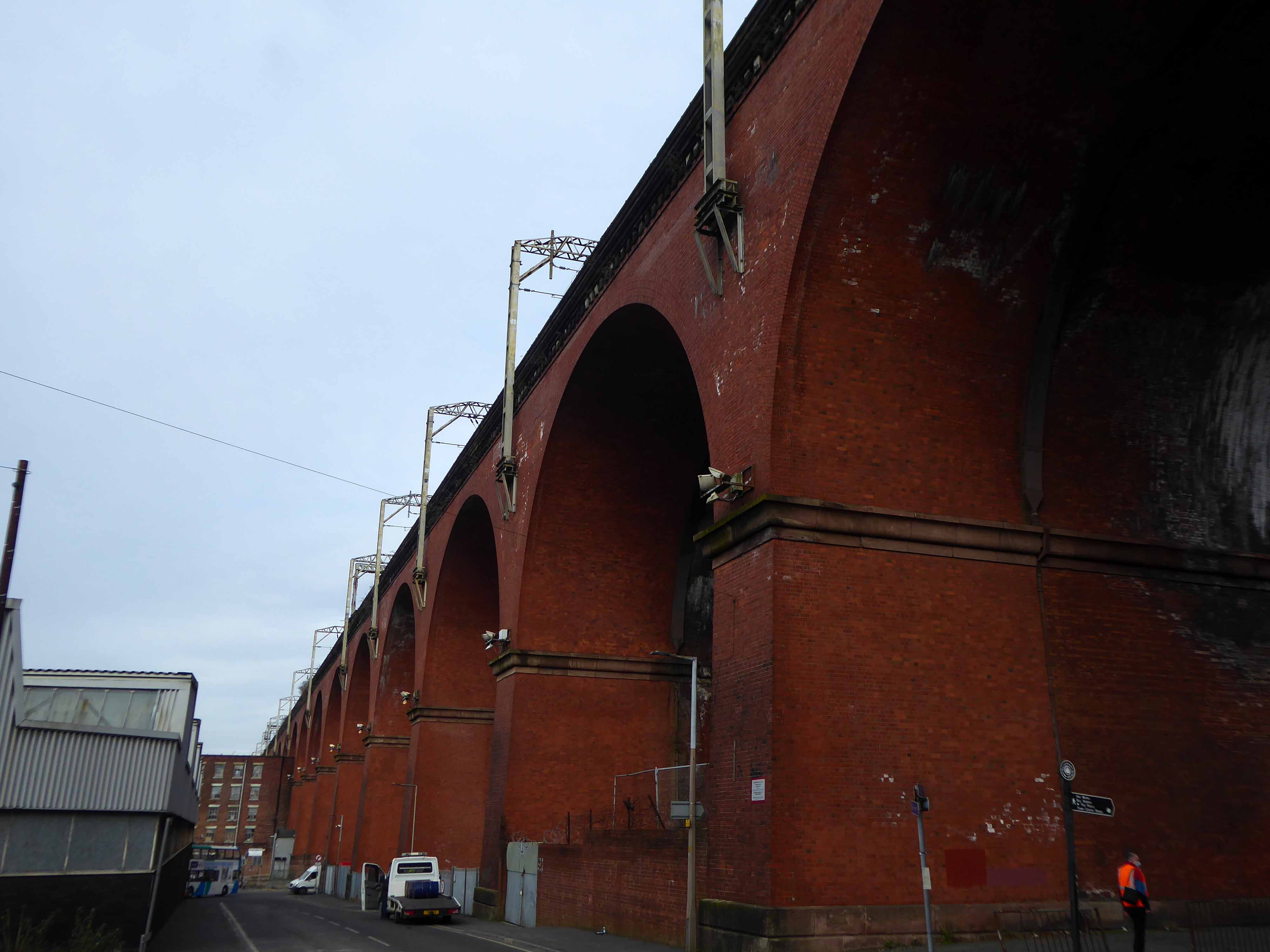
Stockport Viaduct, carries the West Coast Main Line across the valley of the River Mersey in Stockport, Greater Manchester, England. It is one of the largest brick structures in the United Kingdom, as well as a major pioneering structure of the early railway age.
Stockport Viaduct was designed by George Watson Buck for the Manchester and Birmingham Railway. Work began in 1839 and was completed in 1840. Roughly 11 million bricks were used in its construction; at the time of its completion, it was the world’s largest viaduct and a major feat of engineering. The viaduct is 33.85 metres high.Stockport Viaduct is a Grade II* listed structure and remains one of the world’s biggest brick structures.
In the late 1880s, the viaduct was widened to accommodate four tracks instead of two. In the 1960s, overhead catenary lines were installed by British Rail for the West Coast Main Line electrification scheme. In the second half of the twentieth century, the M60 motorway was built, passing through two arches of the viaduct.
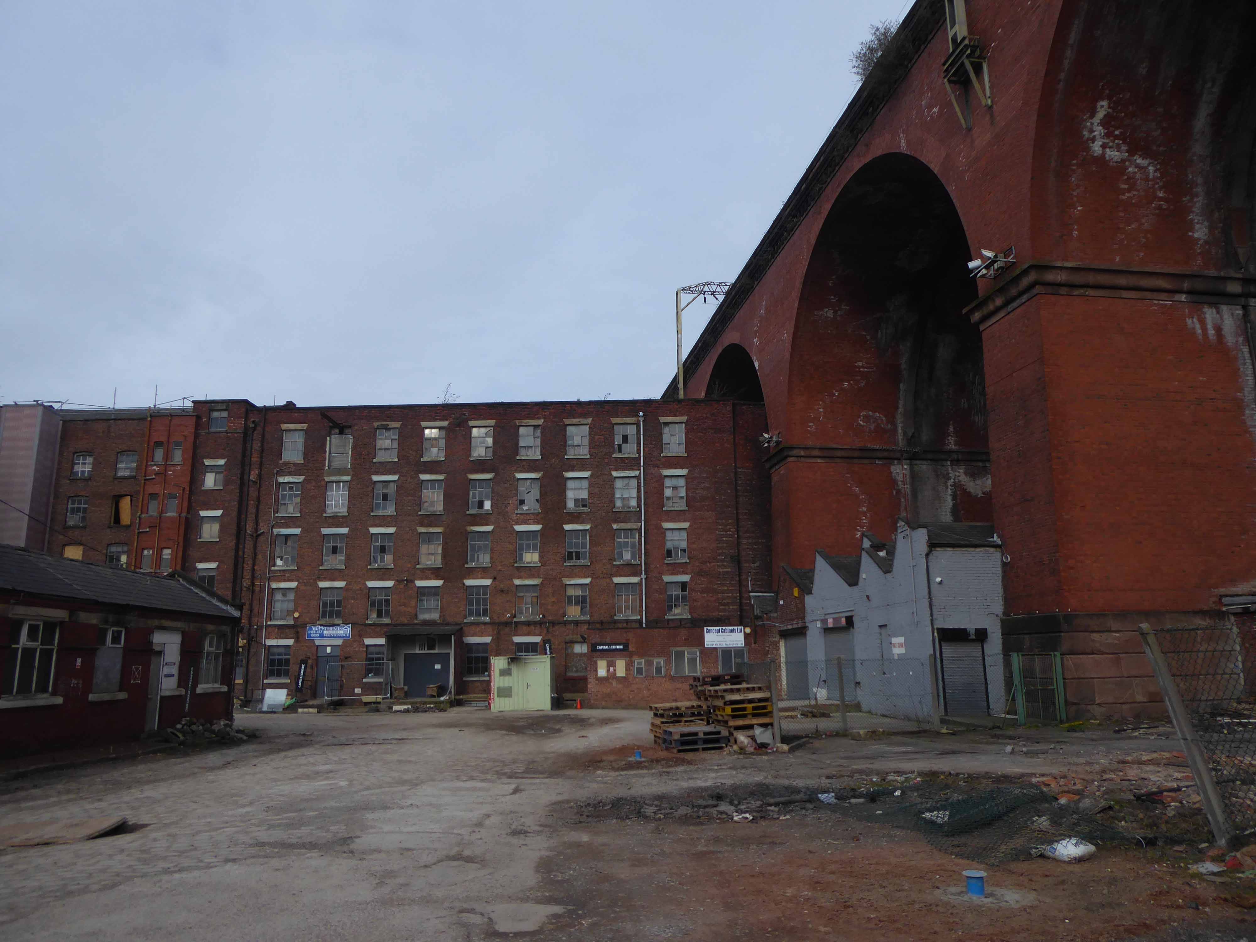
The structure is central to the visual landscape of the town – it has been the subject of both literature and art, most notably in the work of LS Lowry.
I believe that this composite composition of a northern landscape, is firmly embedded in the psyche of Stopfordians.
A notion that we are able to apprehend the whole of the structure in one panoramic sweep.
Our present perceptions are inextricably linked to past experience, possibly an illusory past.
My photograph below, was taken before access was prohibited.
Though has this uncluttered view ever actually existed?
The area has been a constantly evolving jumble of buildings, in, under and around the viaduct.
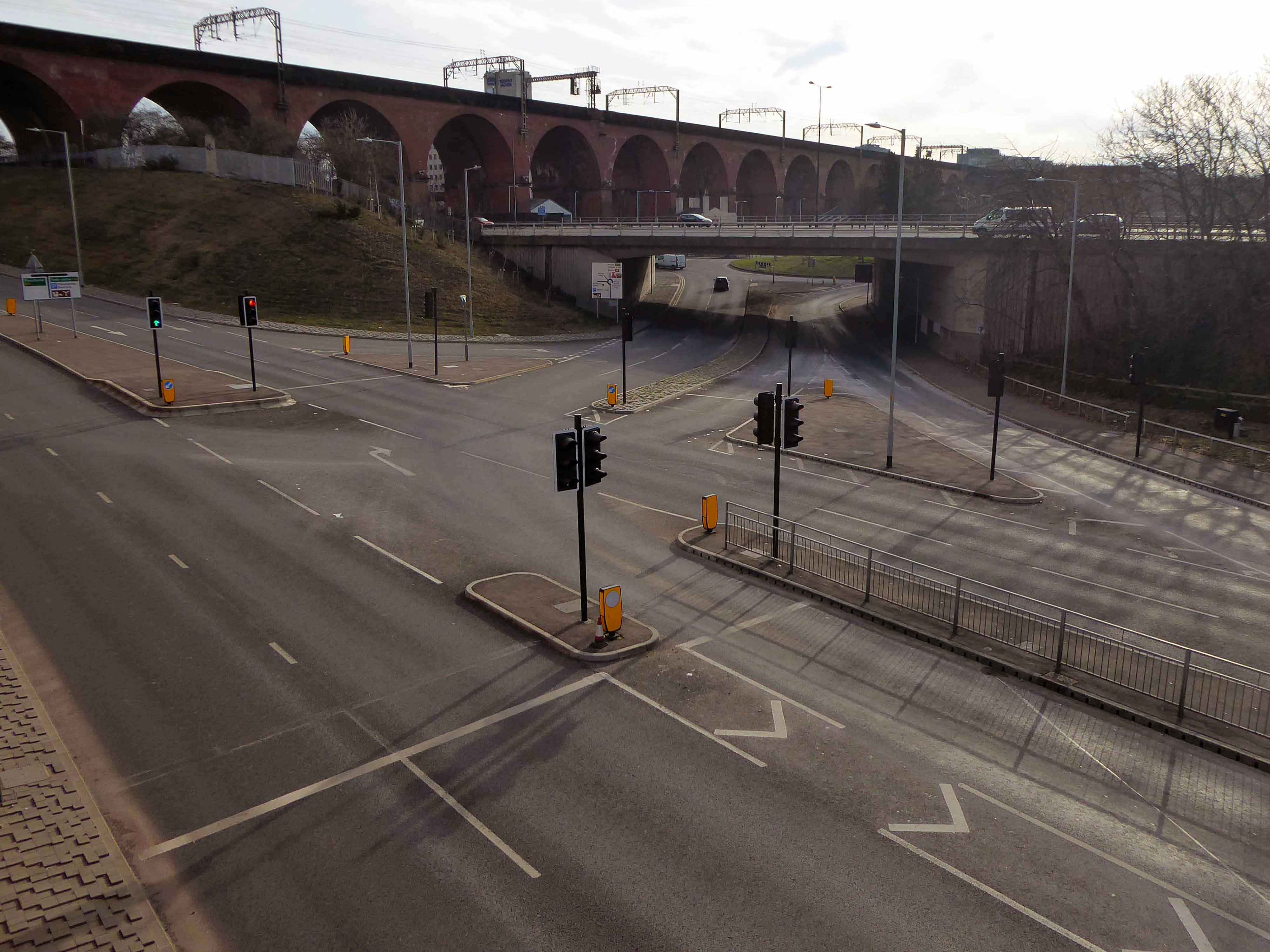
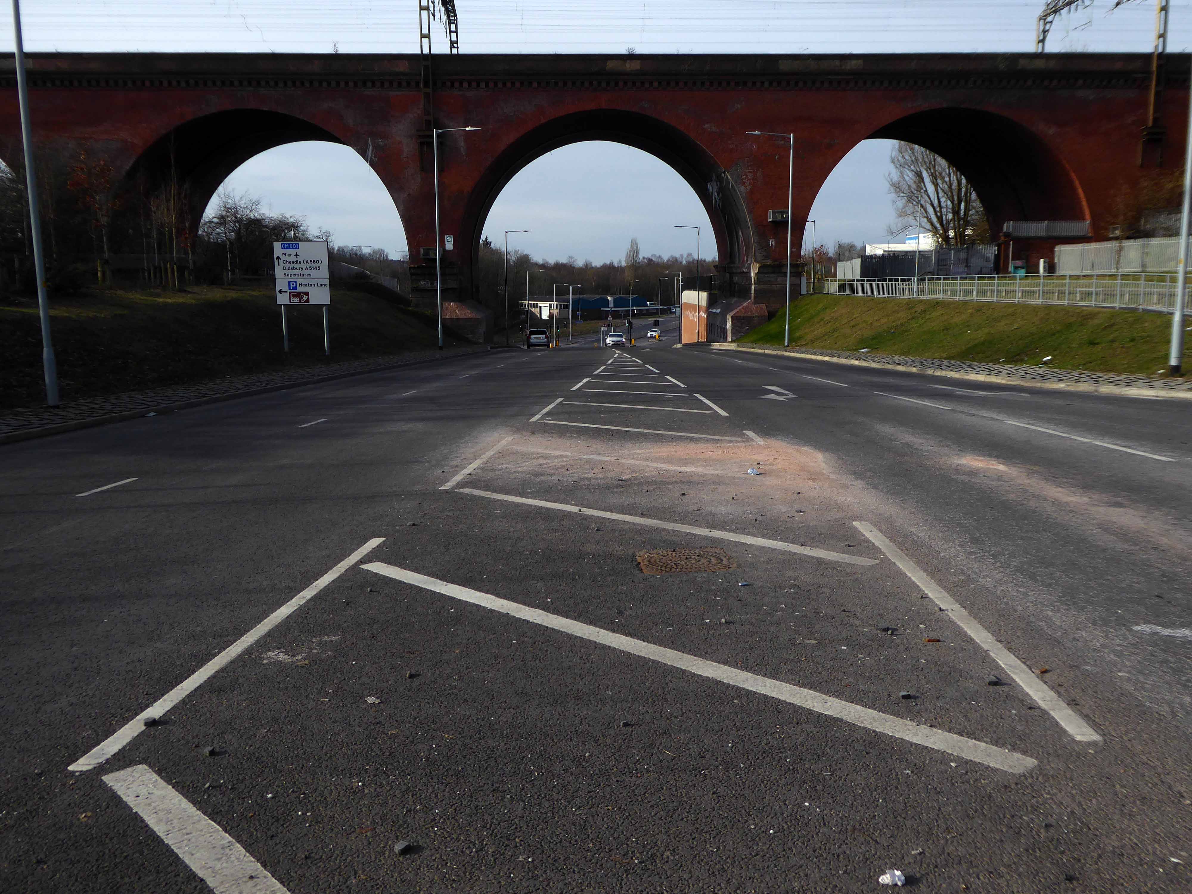
This raises the question – when did you last see your viaduct?
I live moments away on Didsbury Road – so why not take a look, circumnavigating the site in search of an answer?
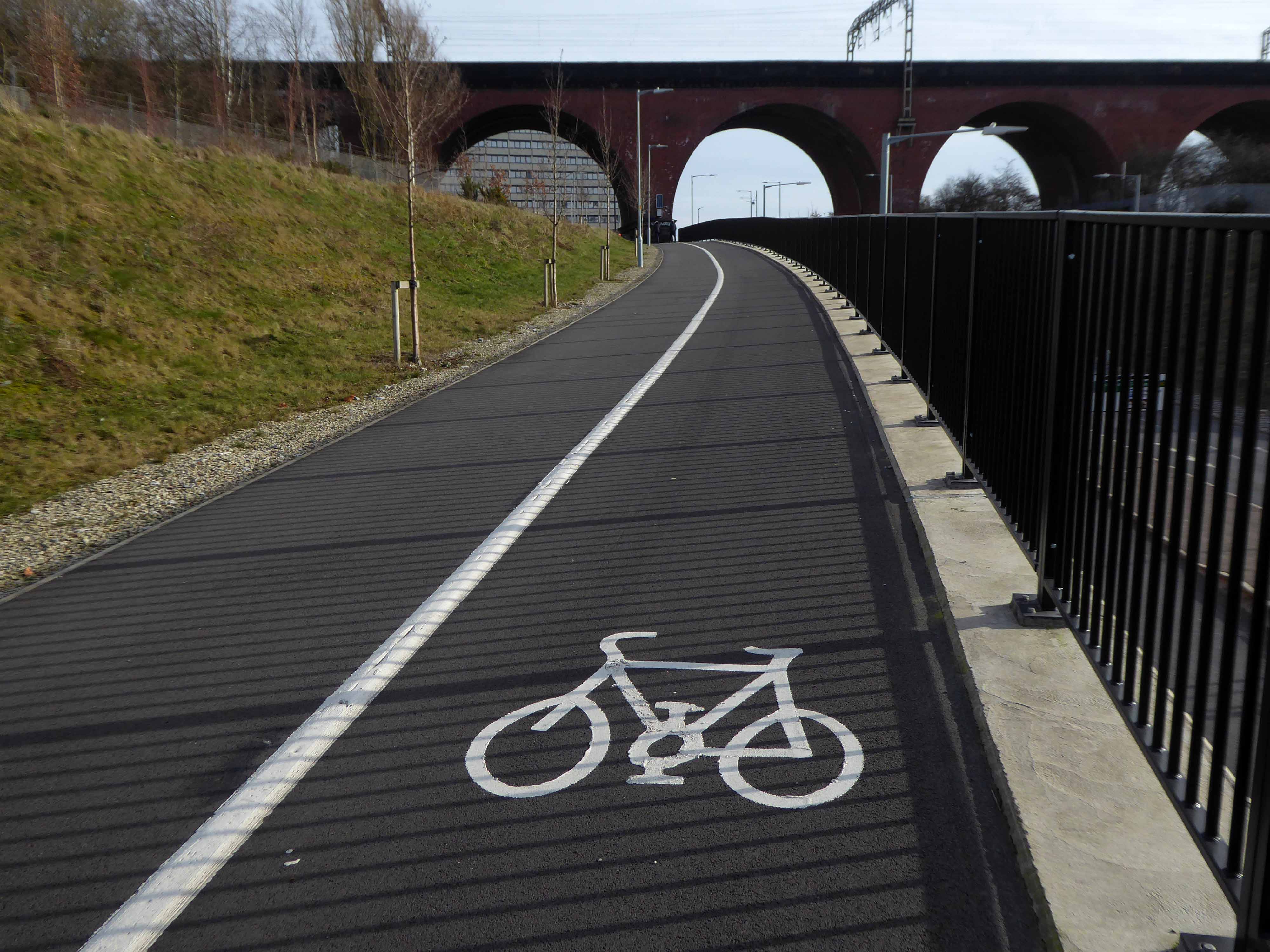
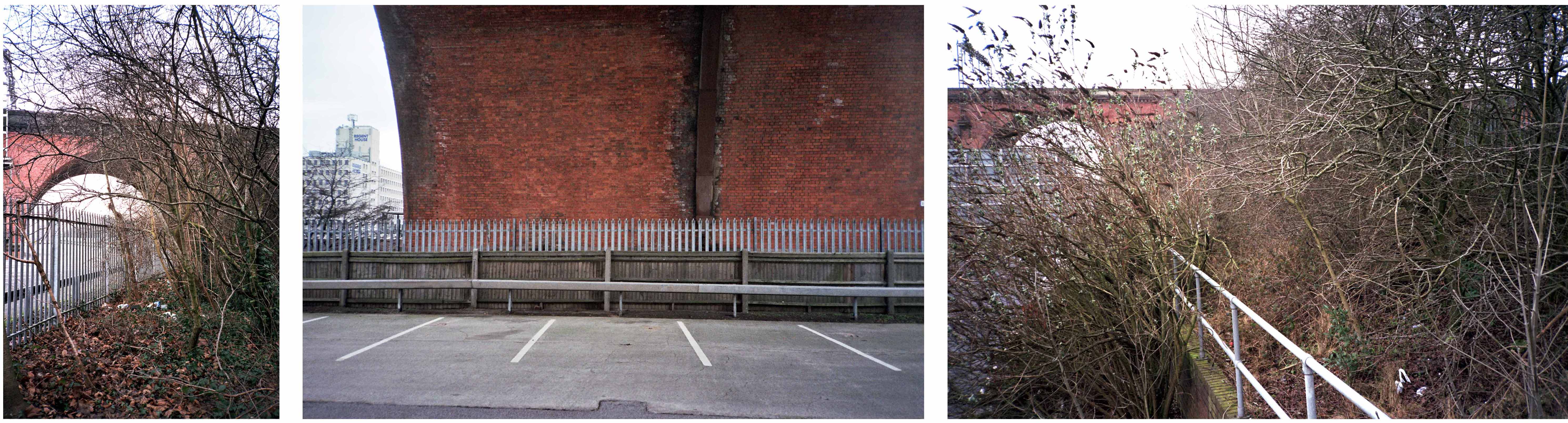
From the recently constructed pedestrian and cycleway a view south across multiple roadways.
Approaching the arches from the west.
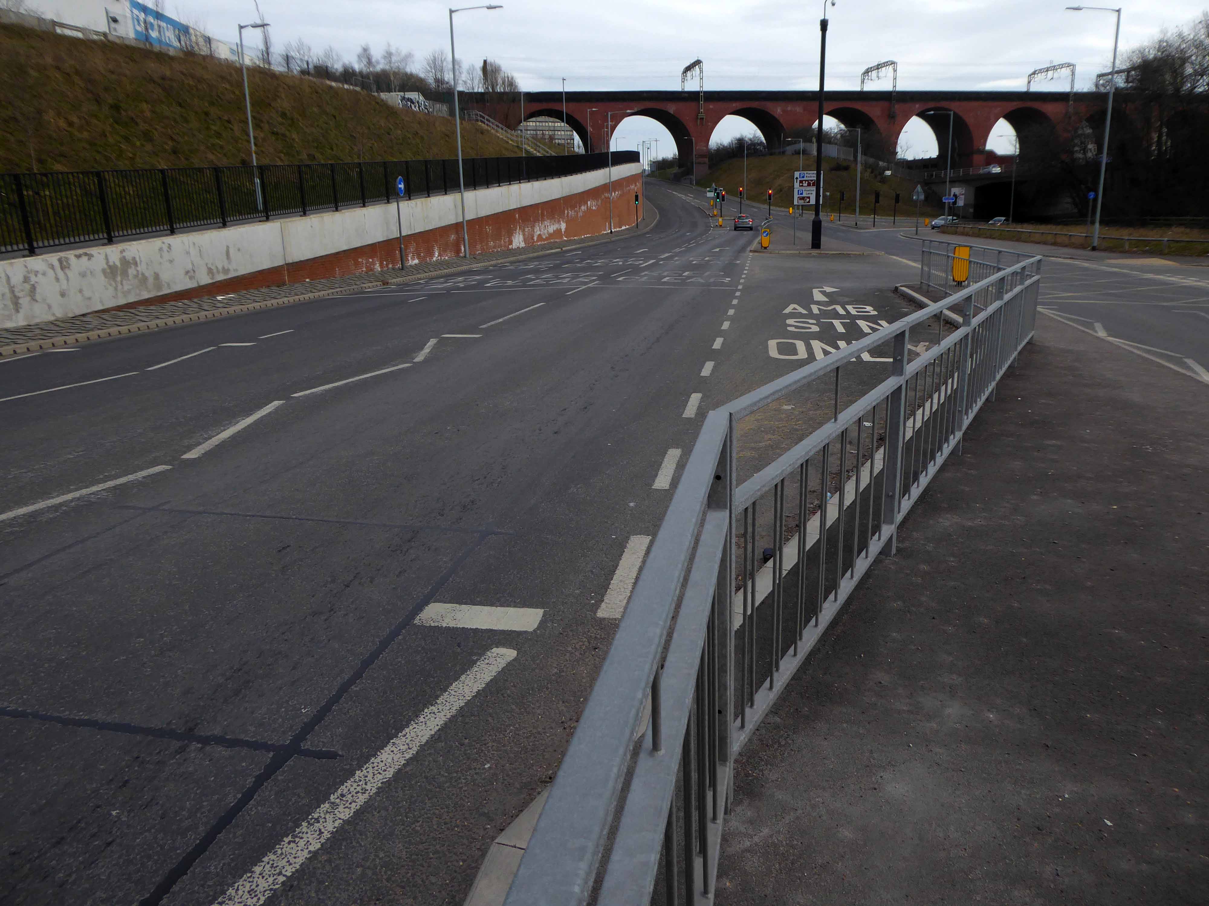
Looking east from Wellington Road North and the newly constructed A5154 link road.
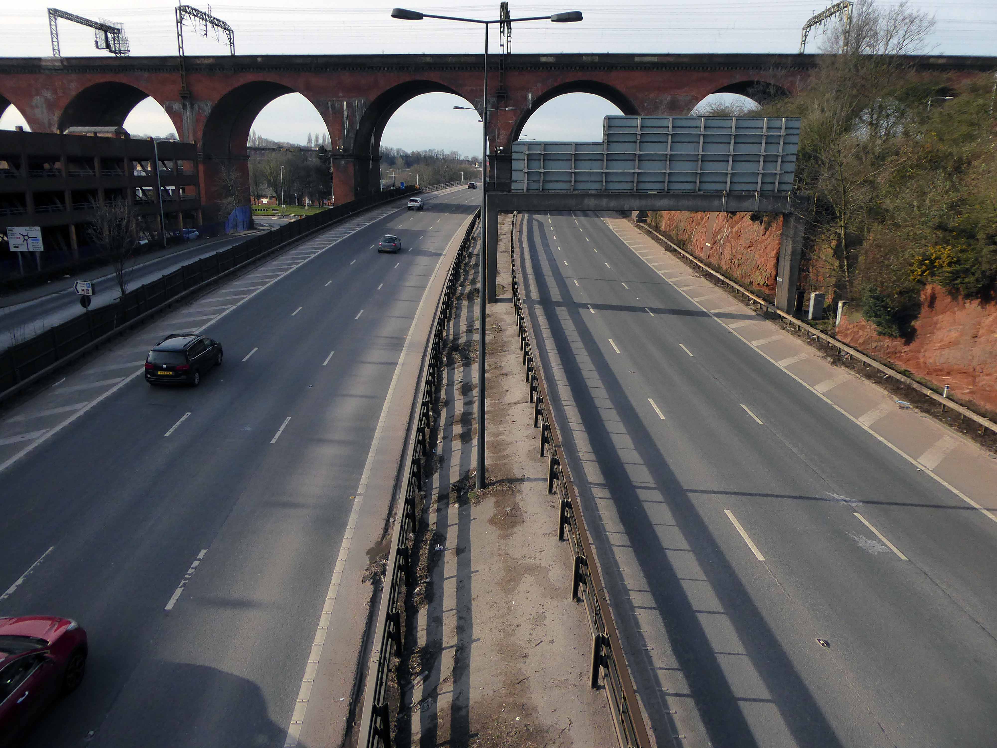
Looking along the M60.
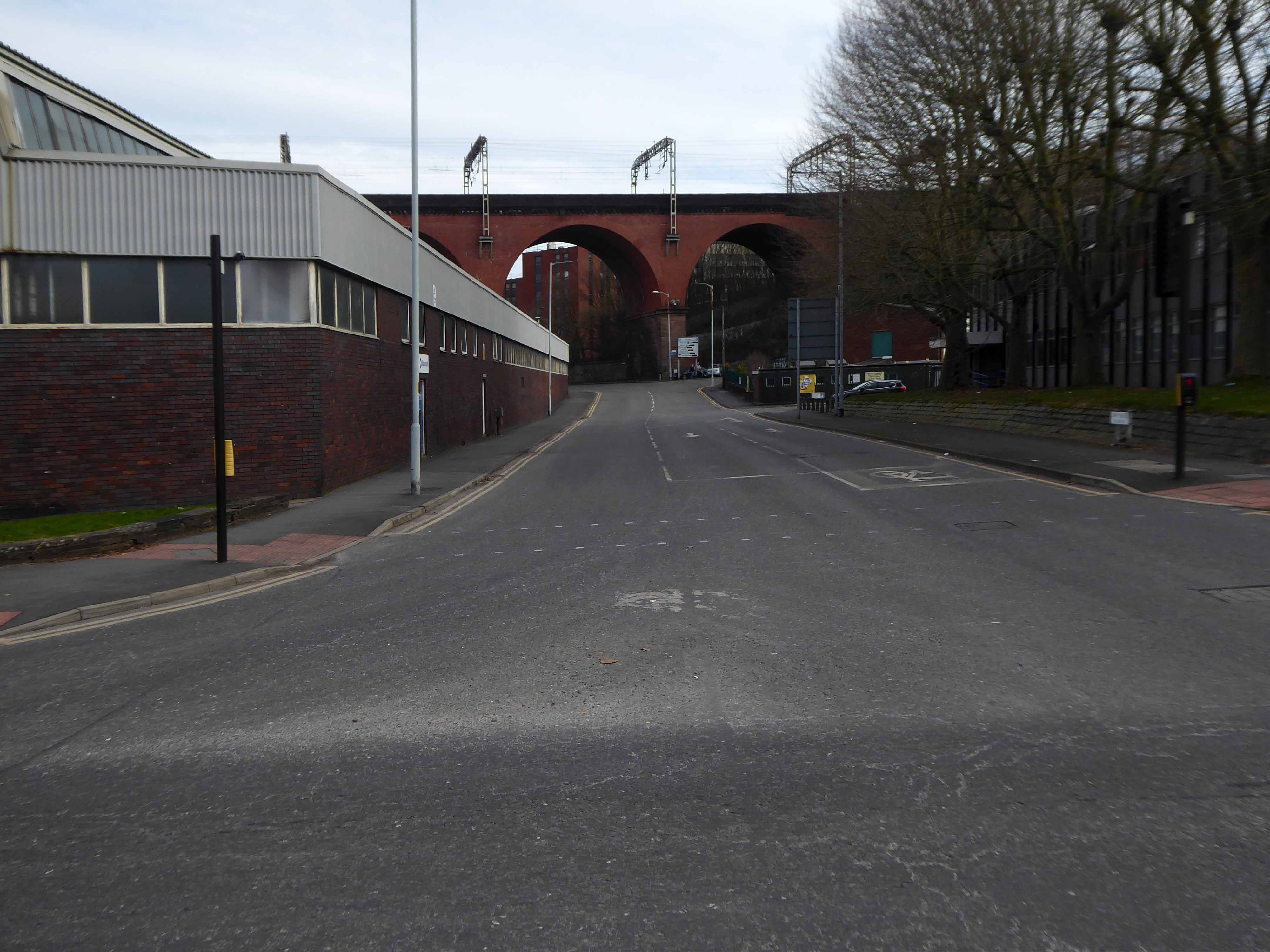
Looking along Heaton Lane, to the left Regent House.
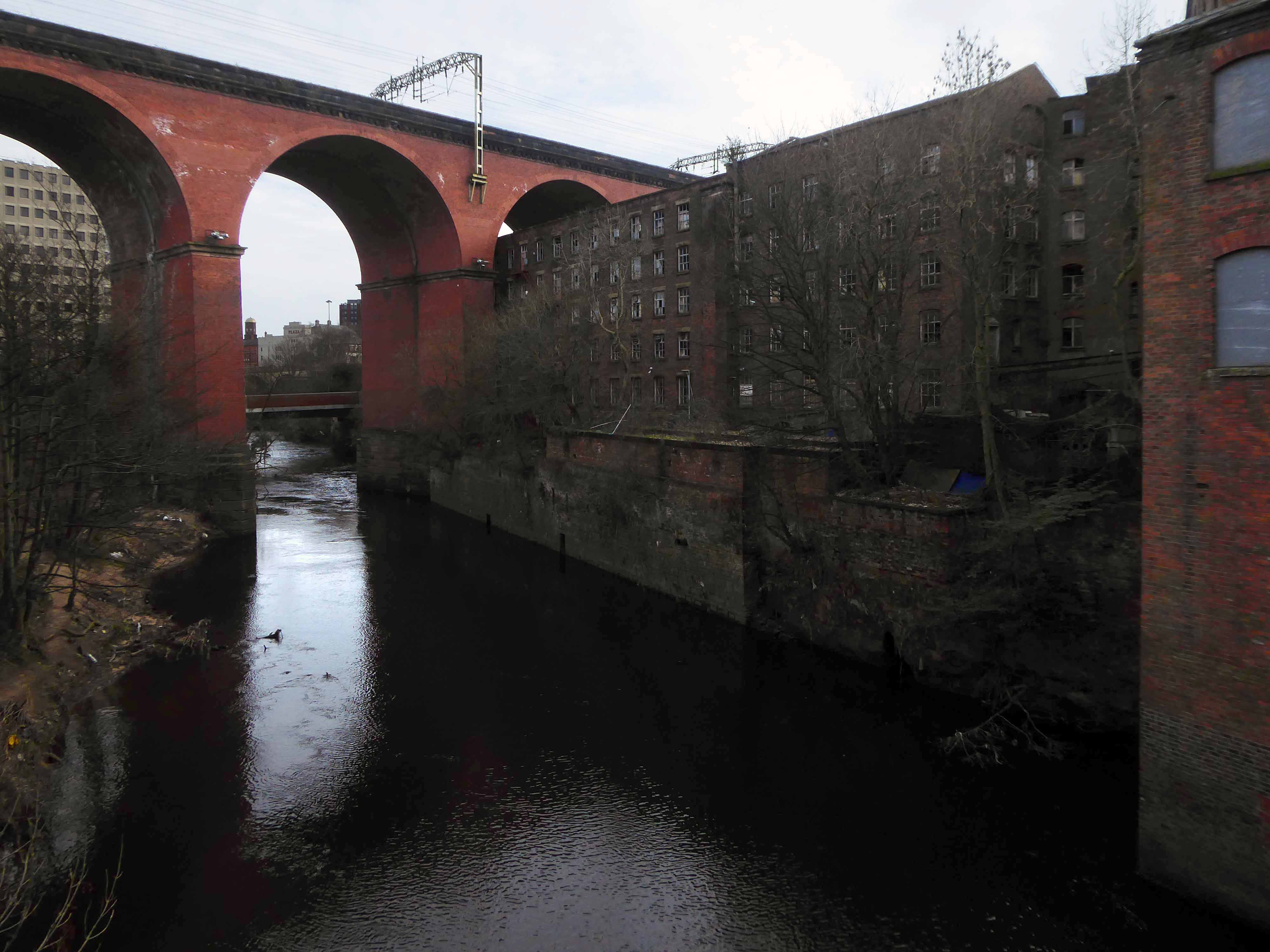
Looking along the River Mersey
The Lowry Steps.
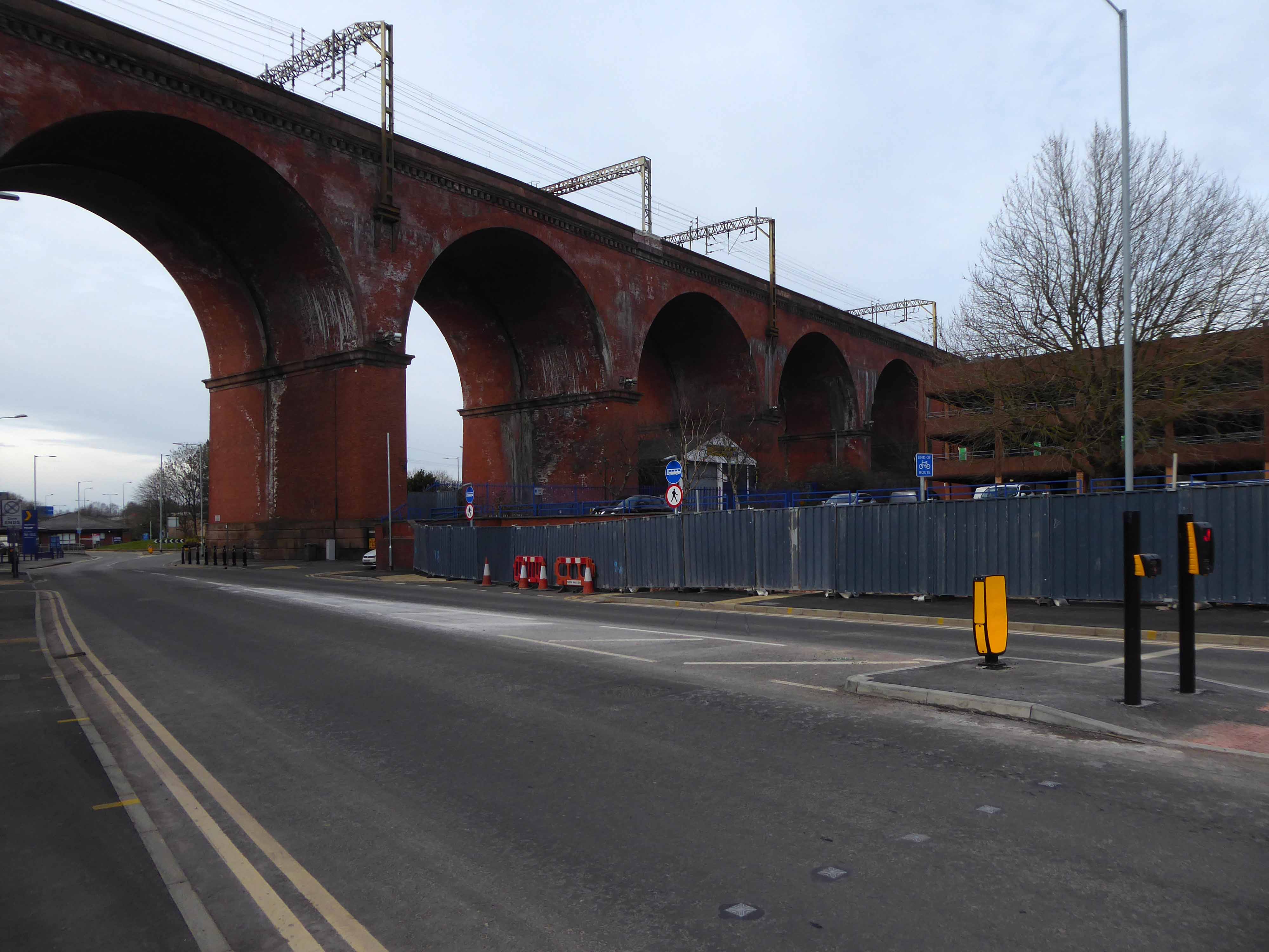
The view over the soon to be redeveloped Bus Station.
The view along Daw Bank.
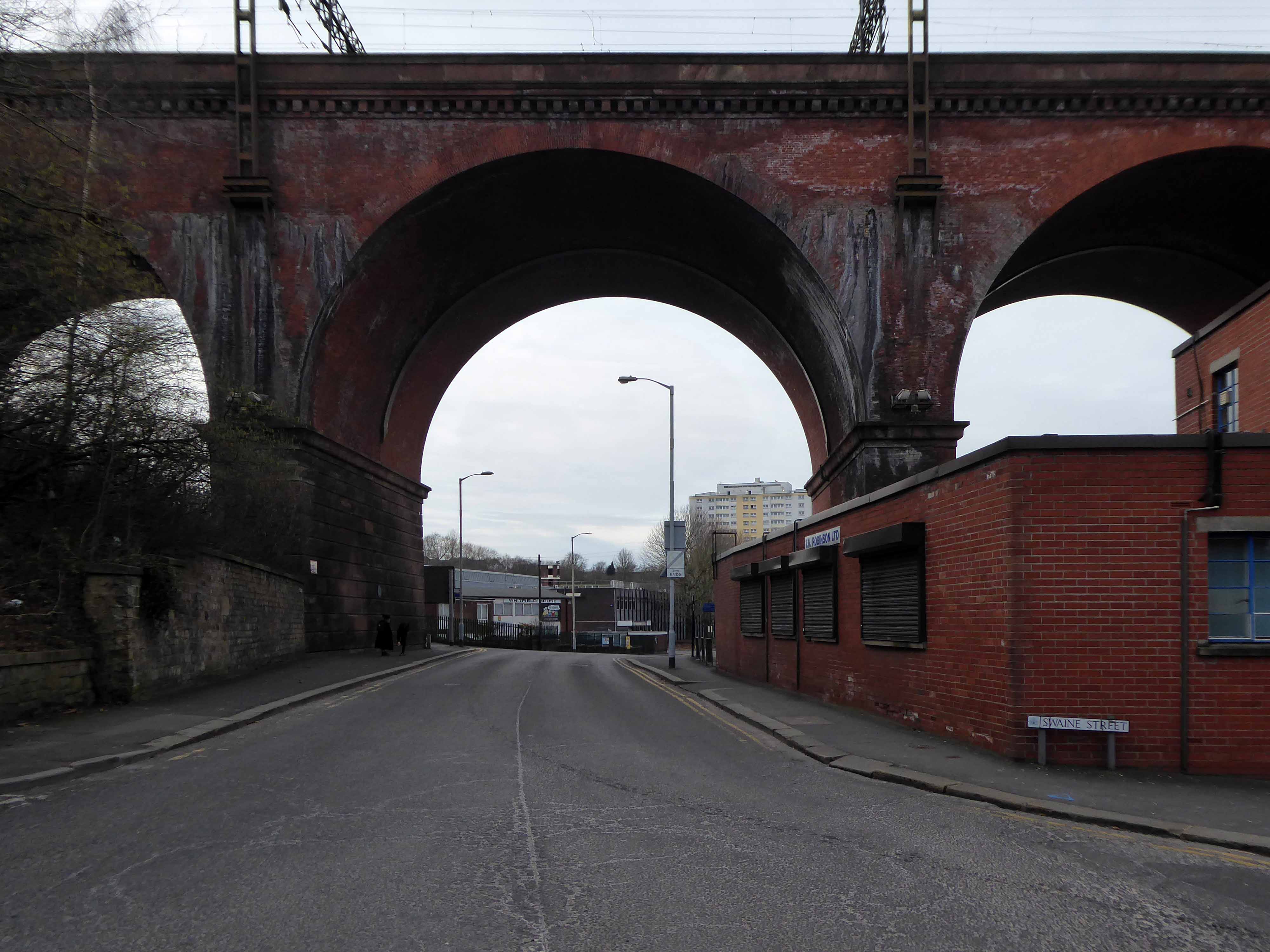
One of the most complete perspectives along Swaine Street.
Swaine Street and Astley Street junction.
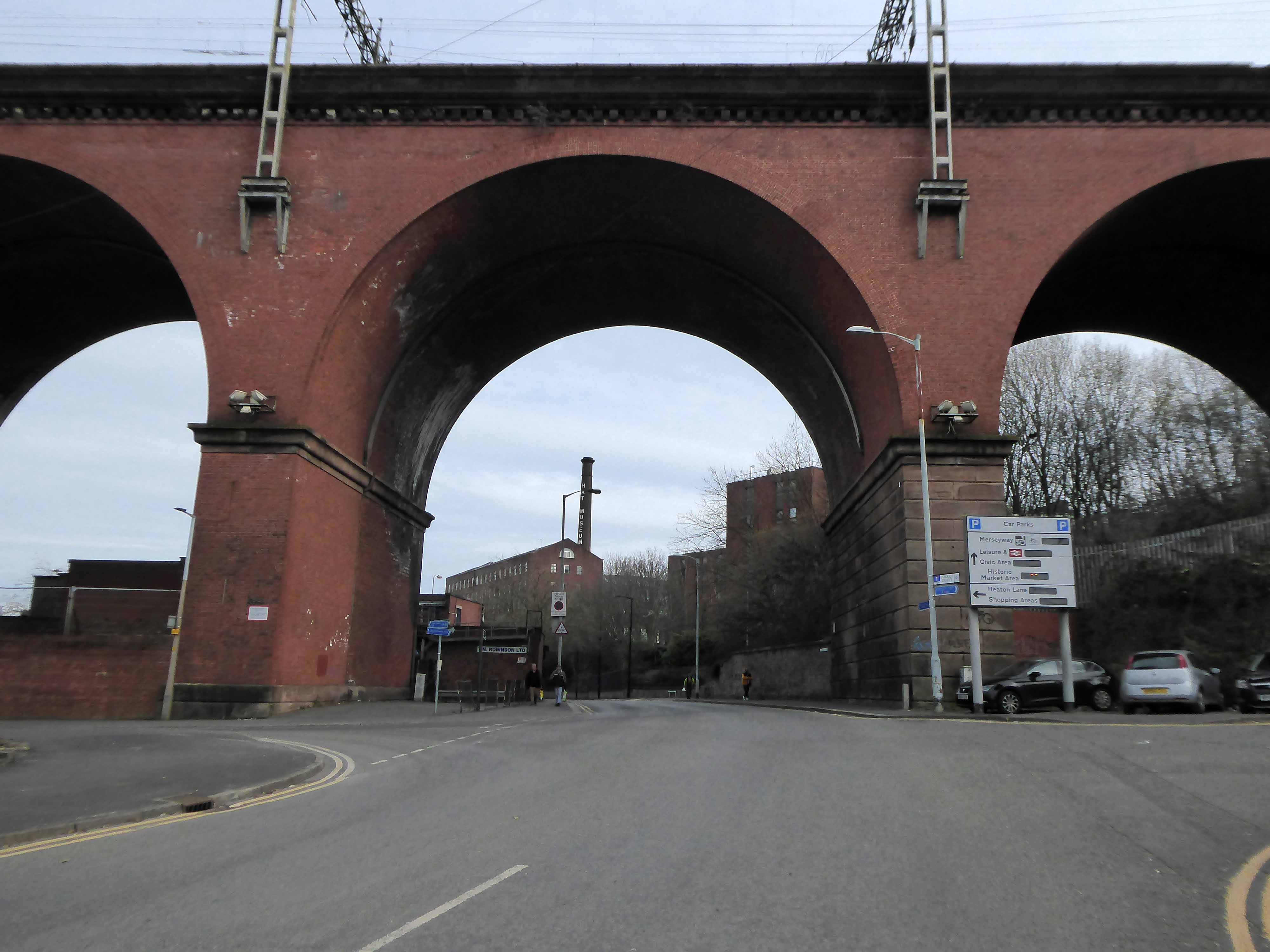
Crossing the new bridge to Heaton Lane.
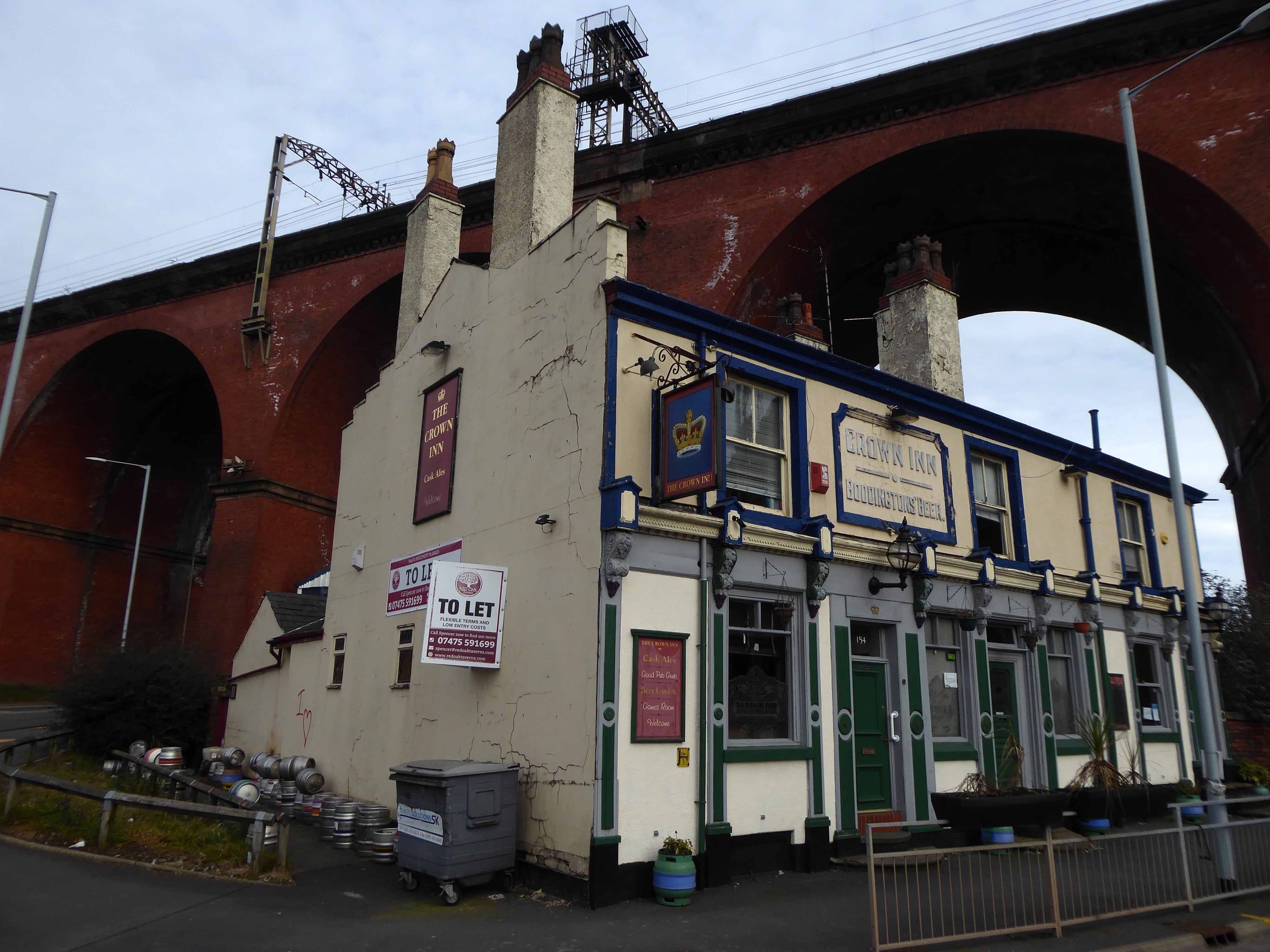
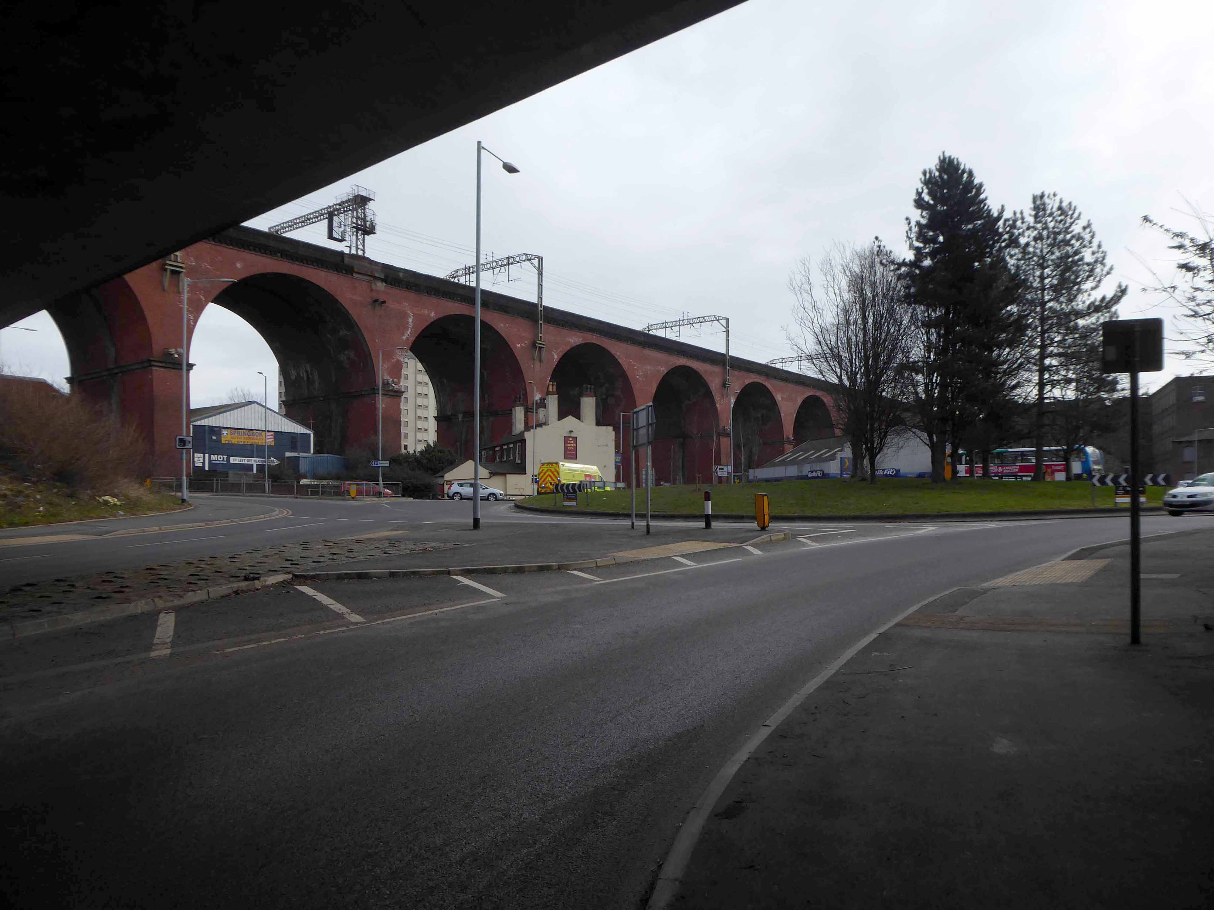
Looking back towards the Crown Inn.
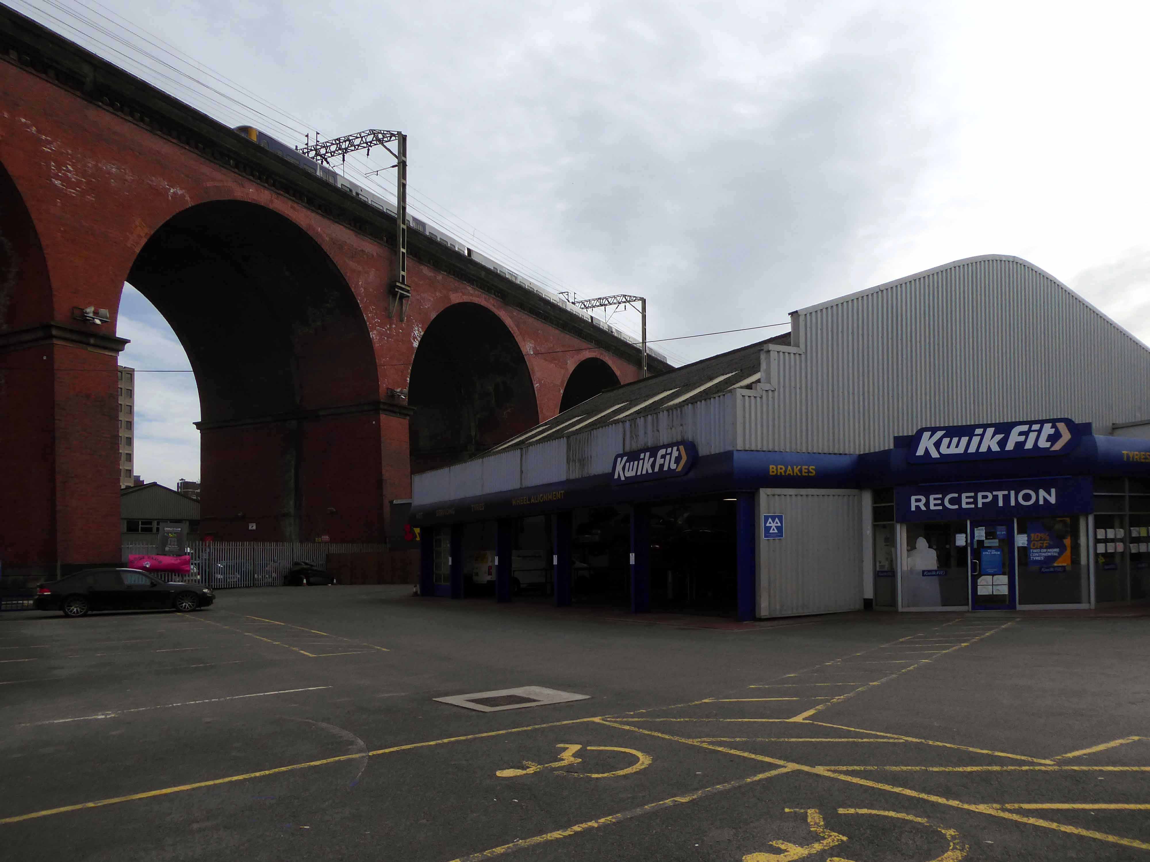
The view over Kwik Fit.
Looking east along the River Mersey, beside the rear of Weir Mill.
The view between the Stagecoach Bus Depots.
Looking east along Daw Bank.
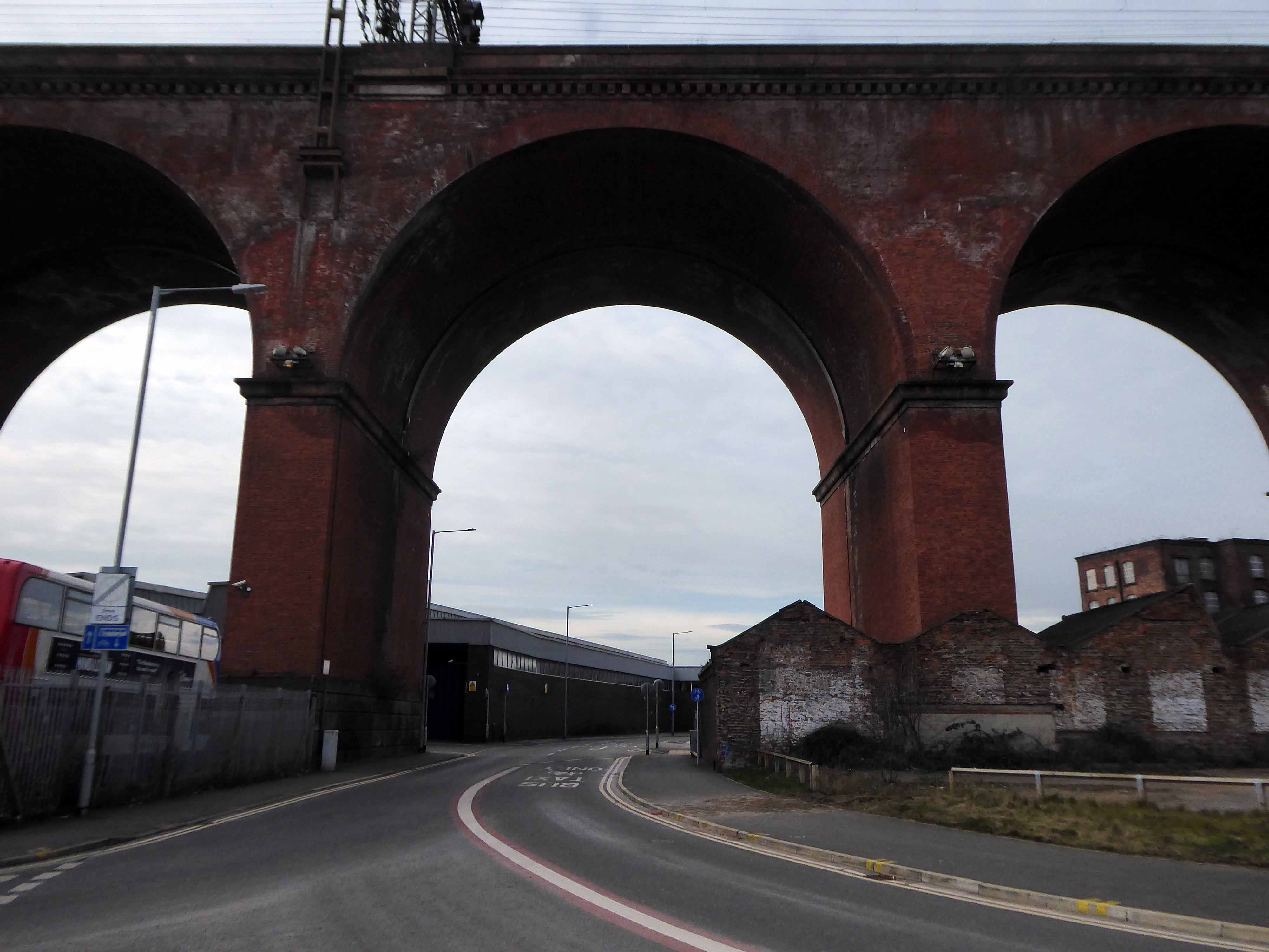
Another clear perspective along Viaduct Street.
Beside Weir Mill.
Beneath the M60.
Looking east along Travis Brow.
This is one cold day in Covid February, the traffic a little lighter, few folk on foot.
Another day would produce another series of views, the light shifts, leaves appear on trees, the regeneration of Stockport sees the built environment shift and shimmy with an alarming regularity.
The landscape formed by the second Ice Age, gouging out a glacial valley and subsequently a conjoined river, is all part of a passing parade; it is acted out over millennia, you yourself are party to but one small part, make the most of it, get out and about take a look.
All this life is but a play, be thou the joyful player.
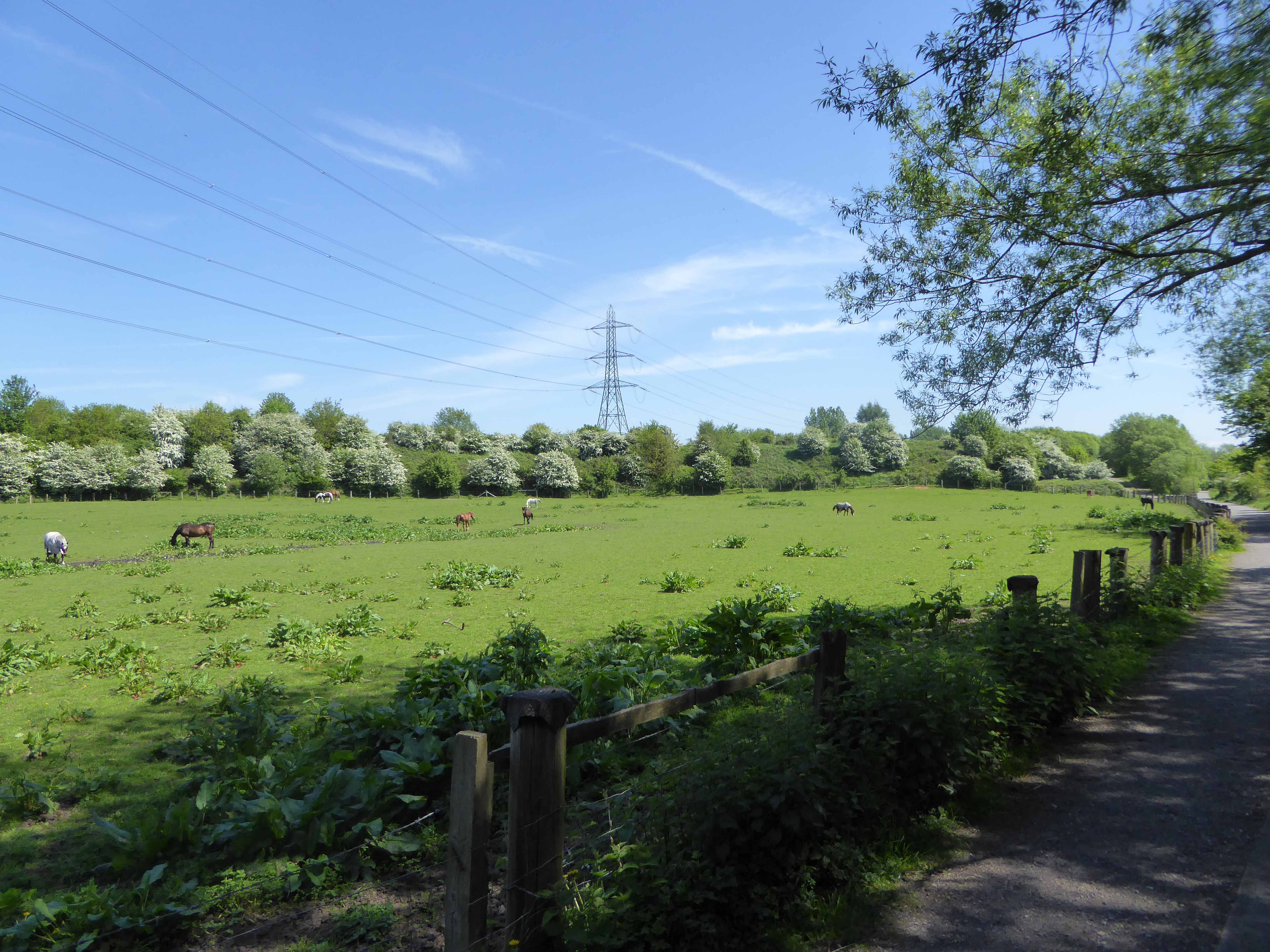
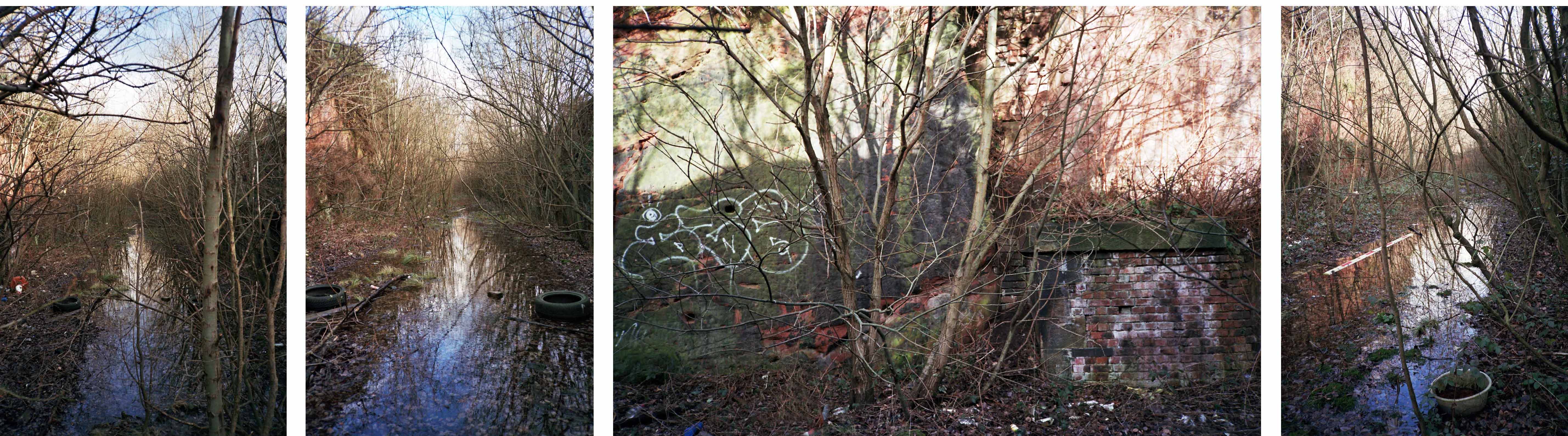
The Cheshire Lines Committee CLC operated Stockport, Timperley and Altrincham Junction Railway line from Portwood to Skelton Junction, a section of what became the Woodley to Glazebrook line.
It remained a part of the CLC, which was jointly owned from 1923 by the London and North Eastern Railway and the London Midland and Scottish Railway , until 1948 when it became part of the British Railways London Midland Region.
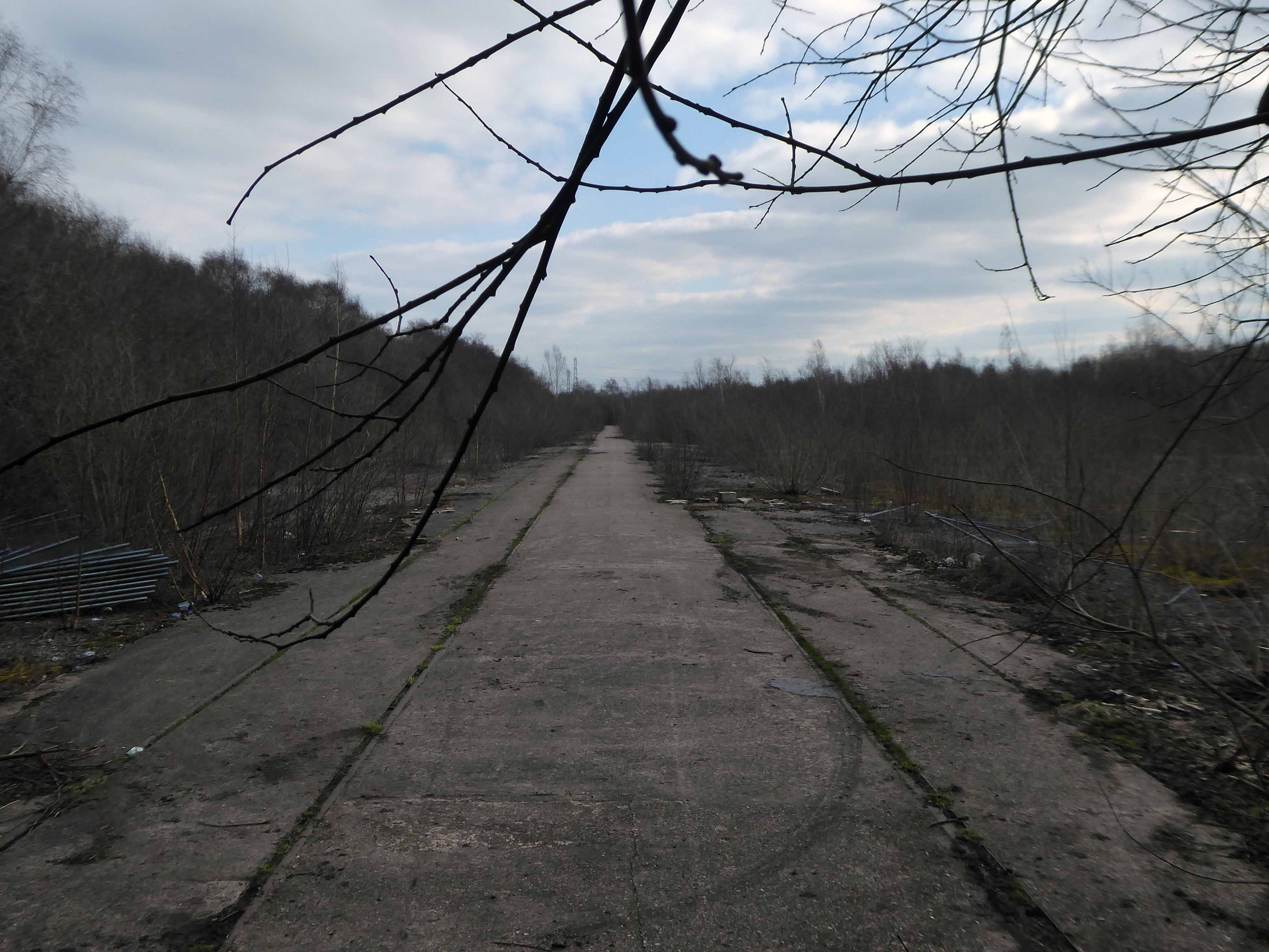
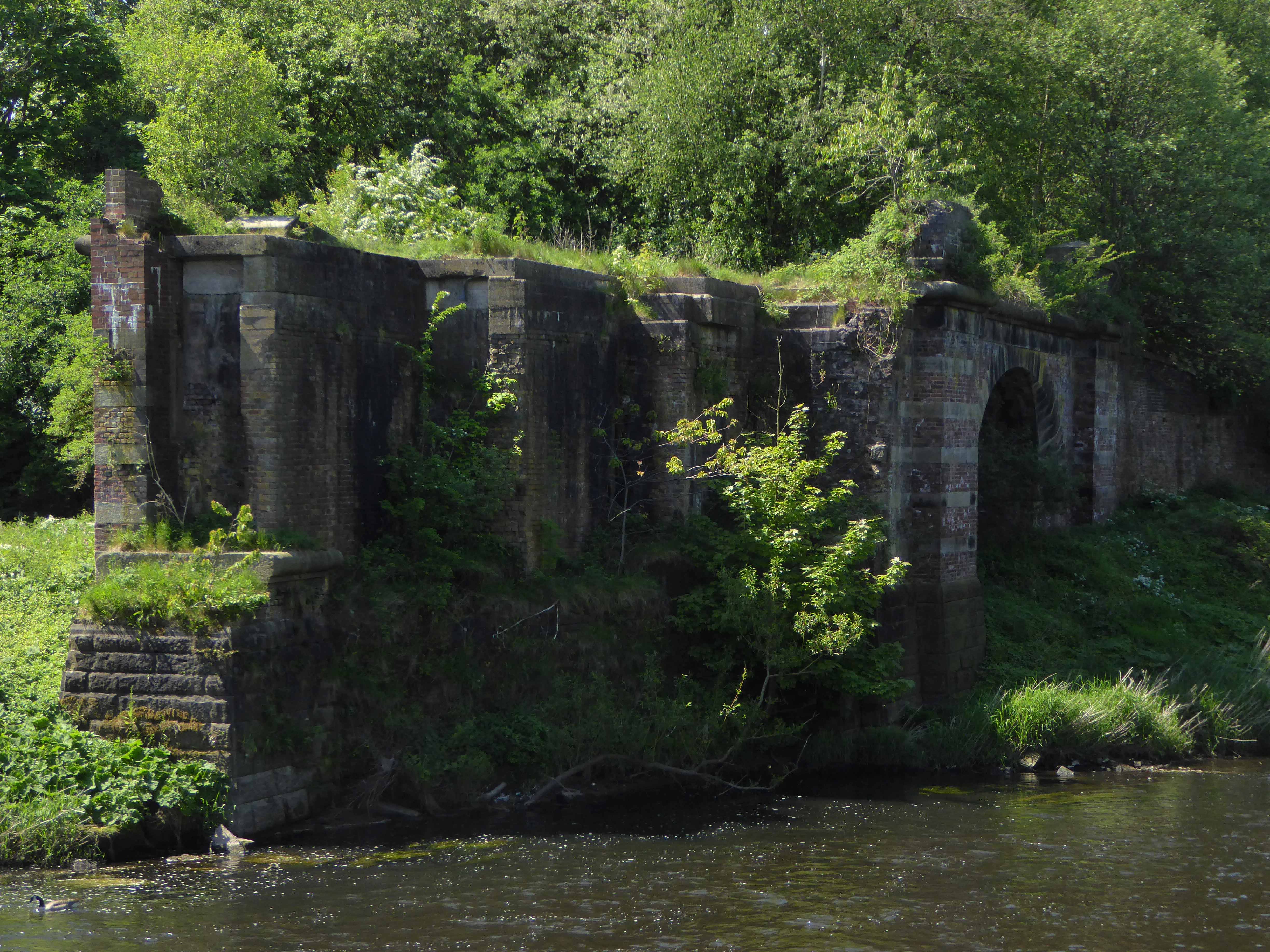
Closed in 1982, following the demise of the Woodhead route; the track was subsequently lifted in 1986.
in the age of steam mainline St Pancras trains and local stoppers flew by.
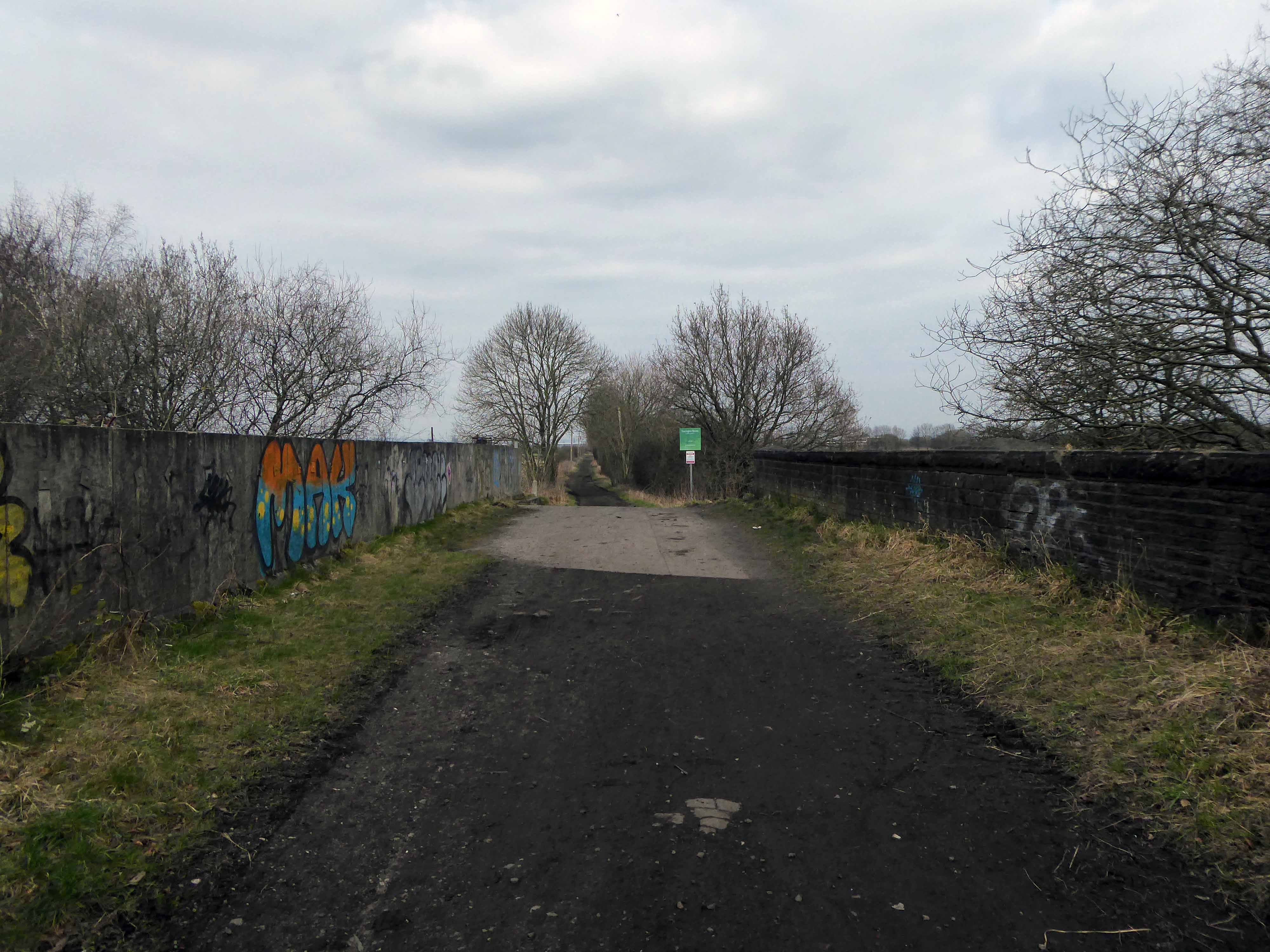
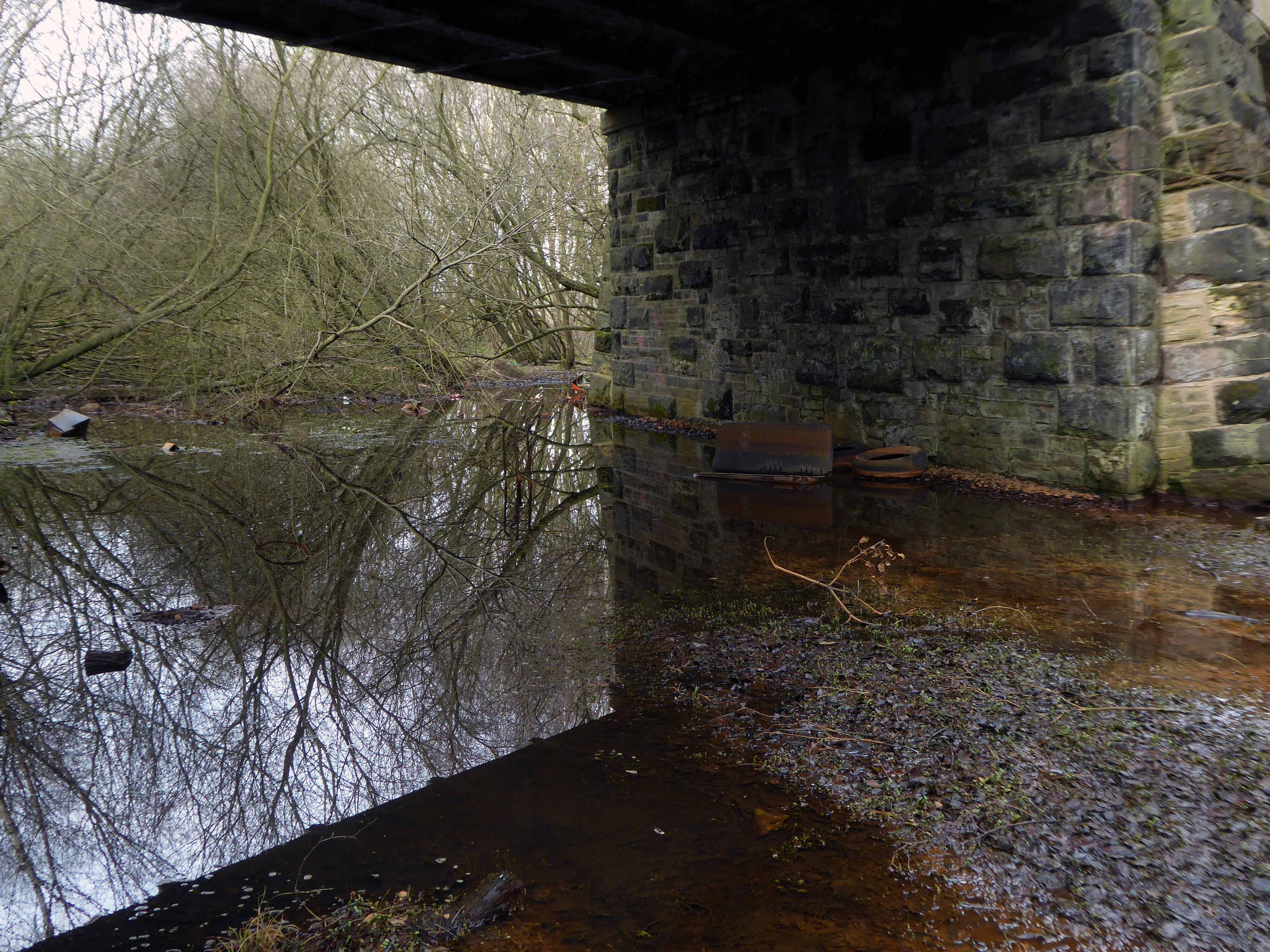
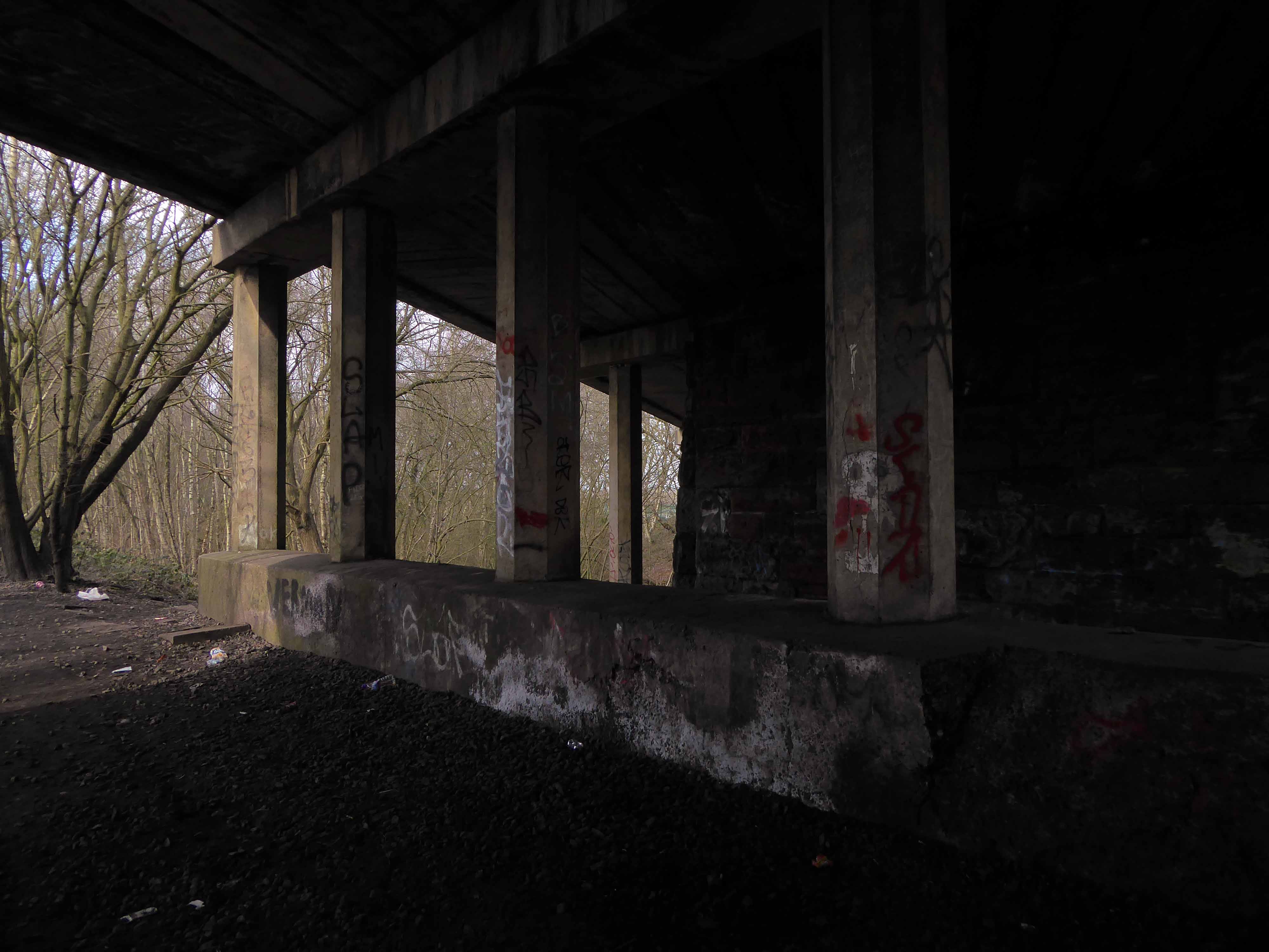
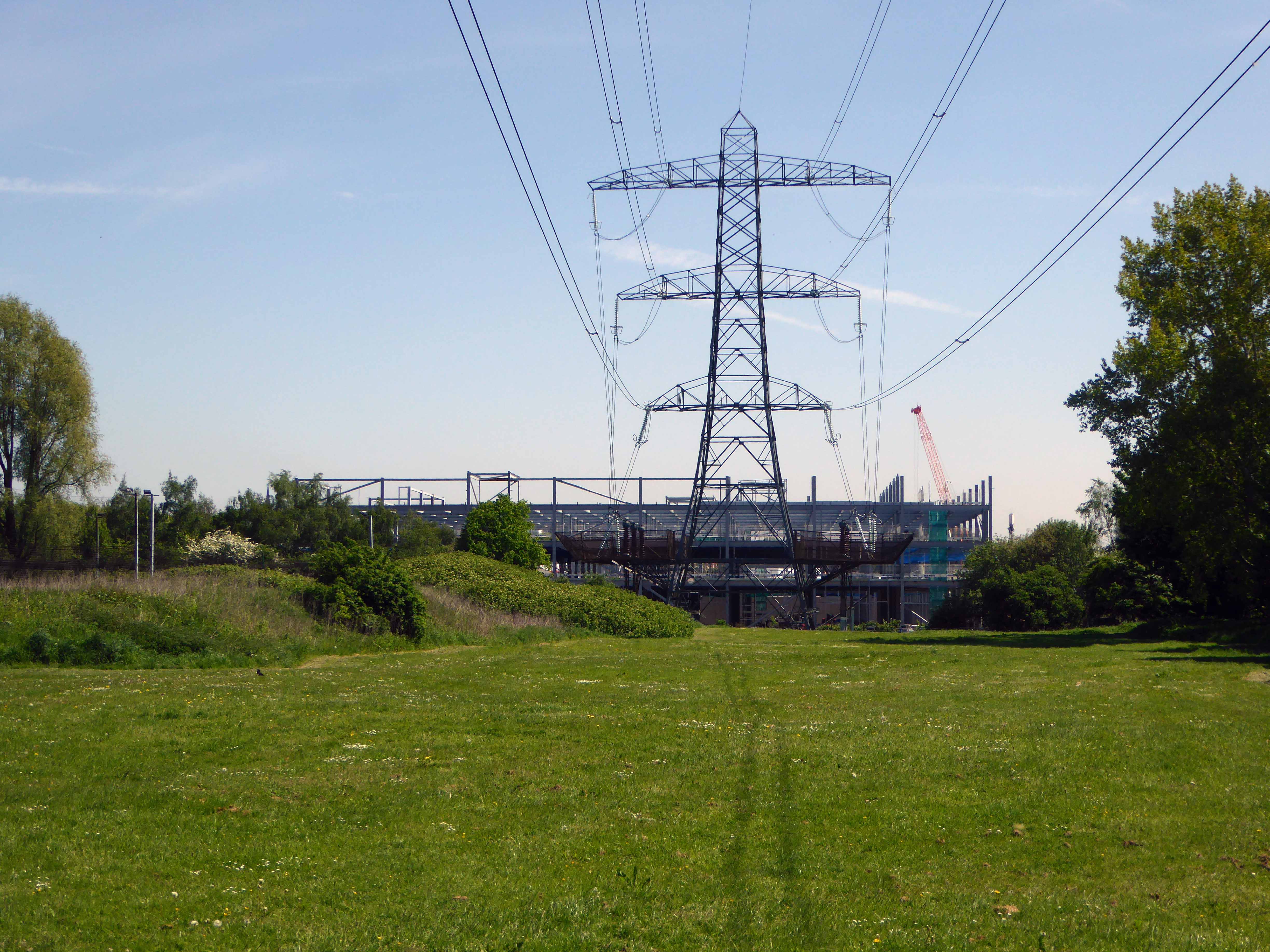
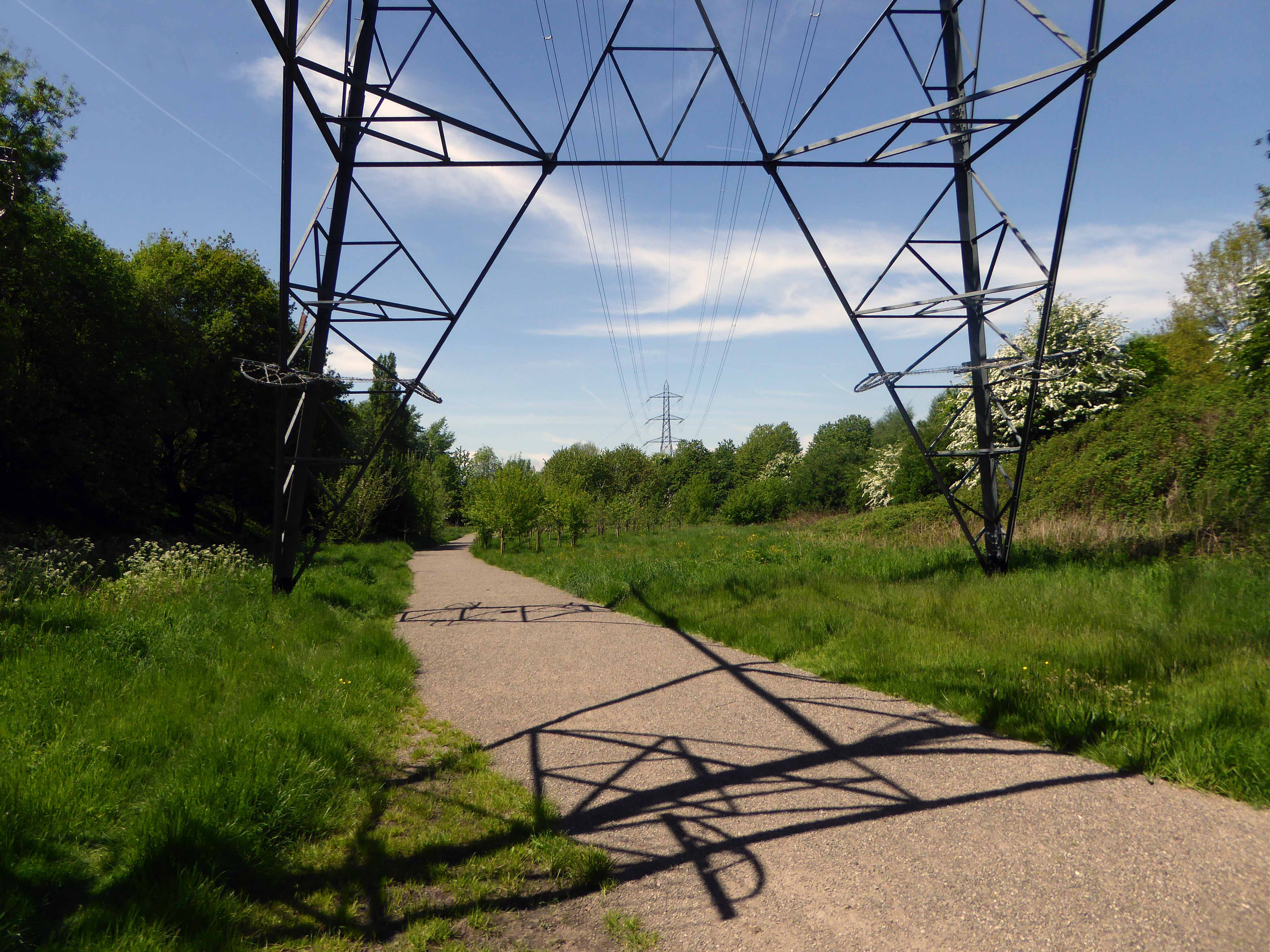
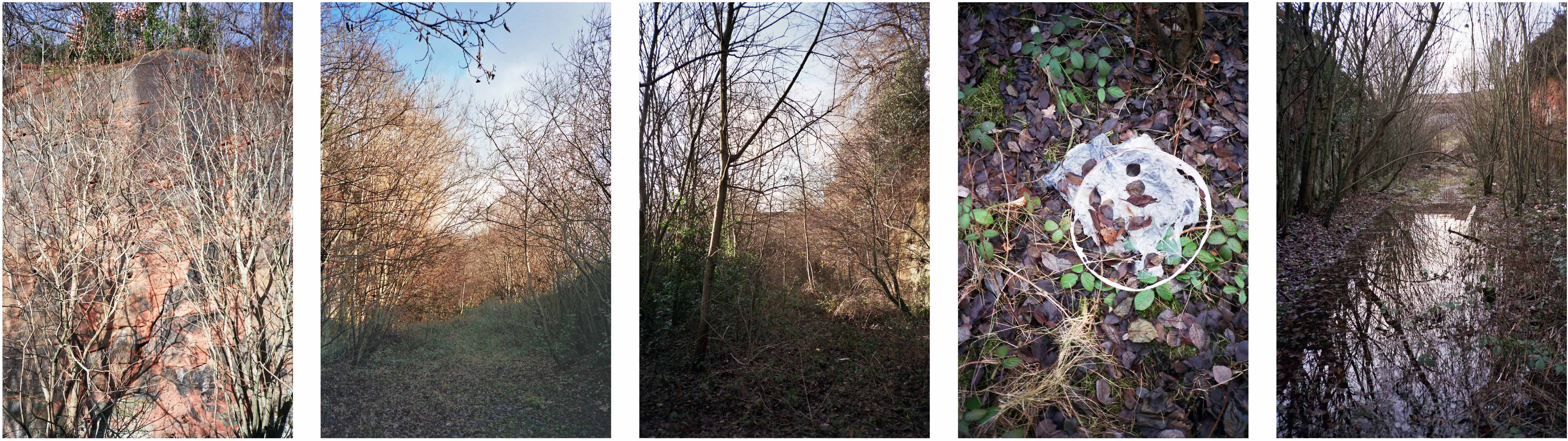
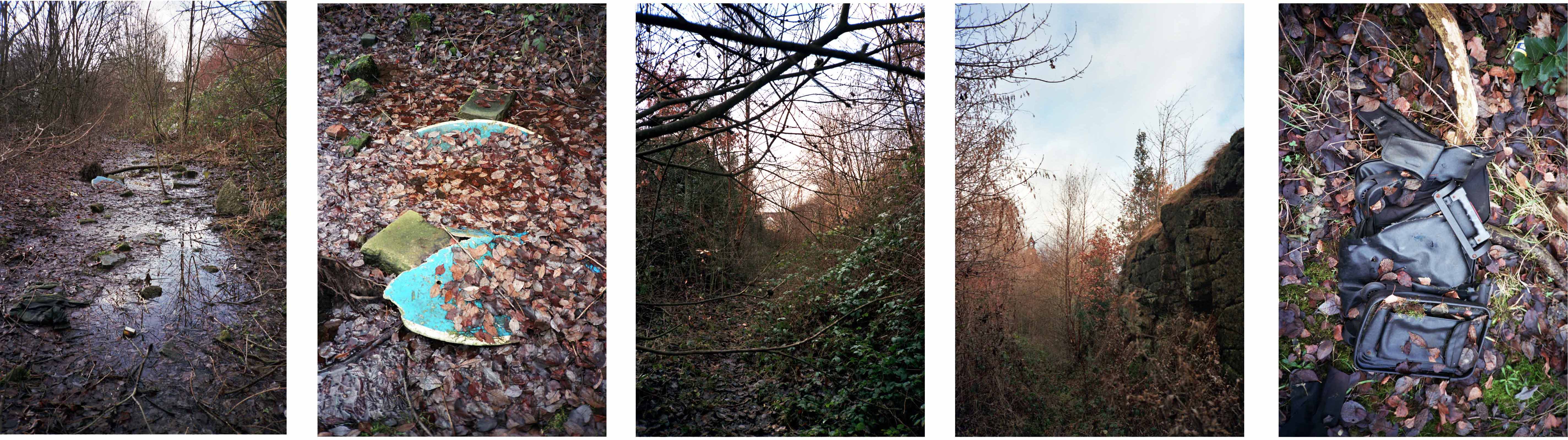
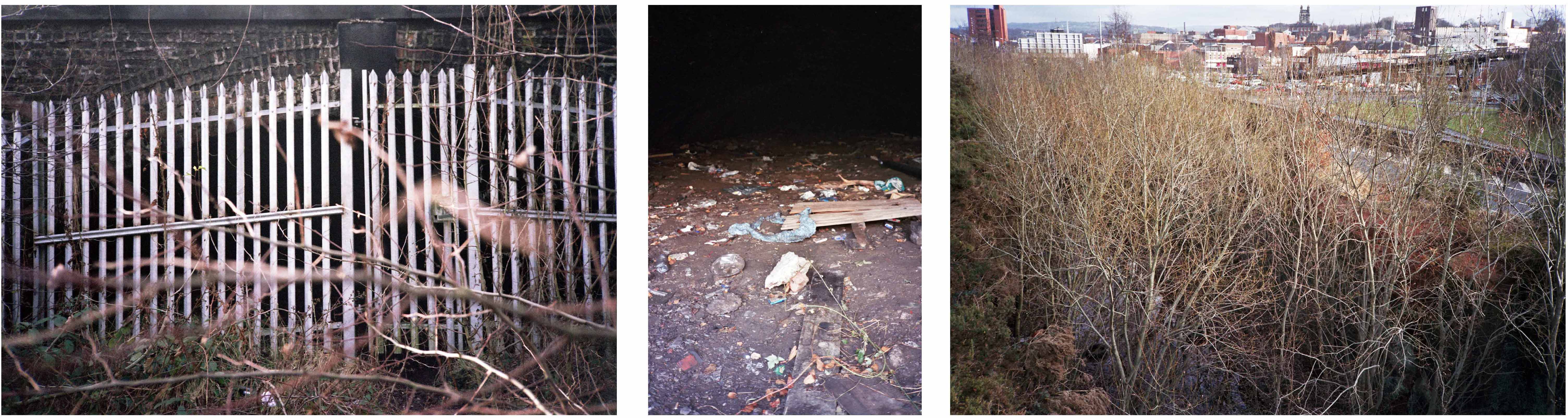
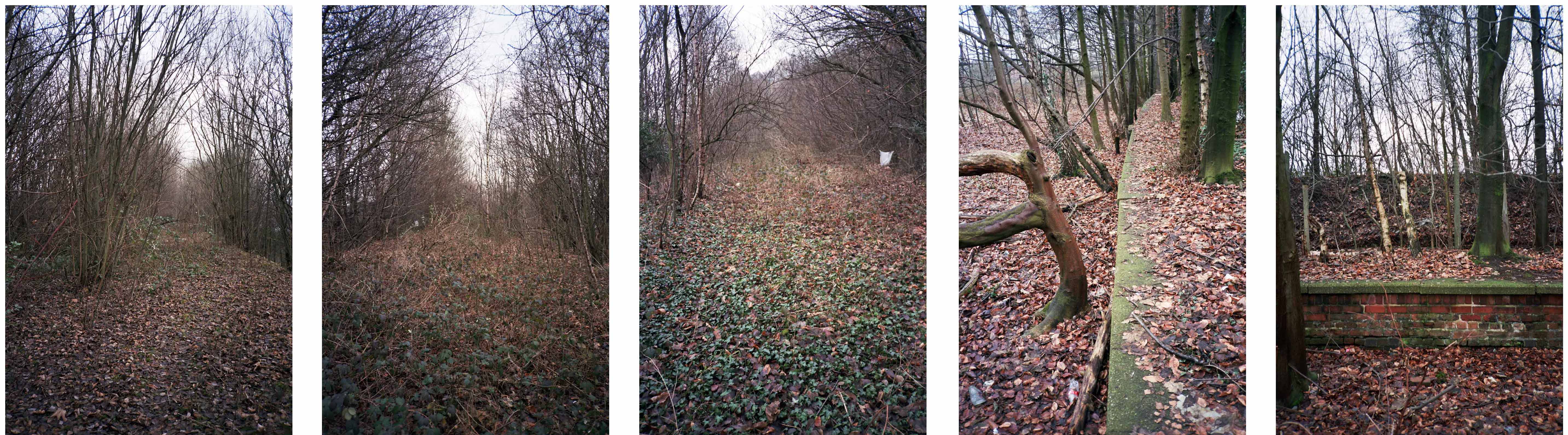
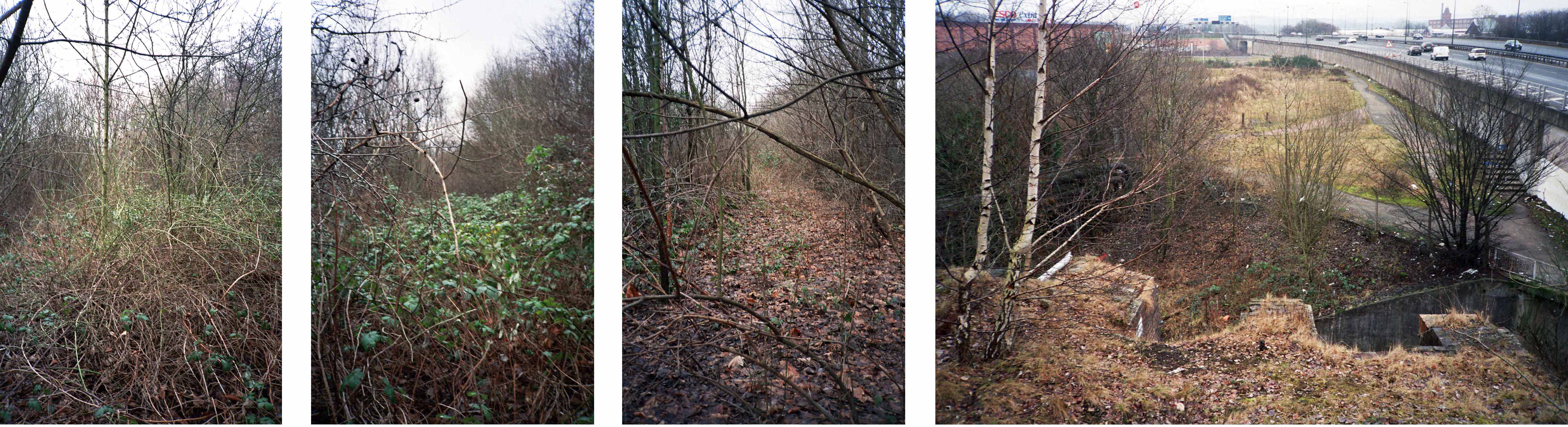
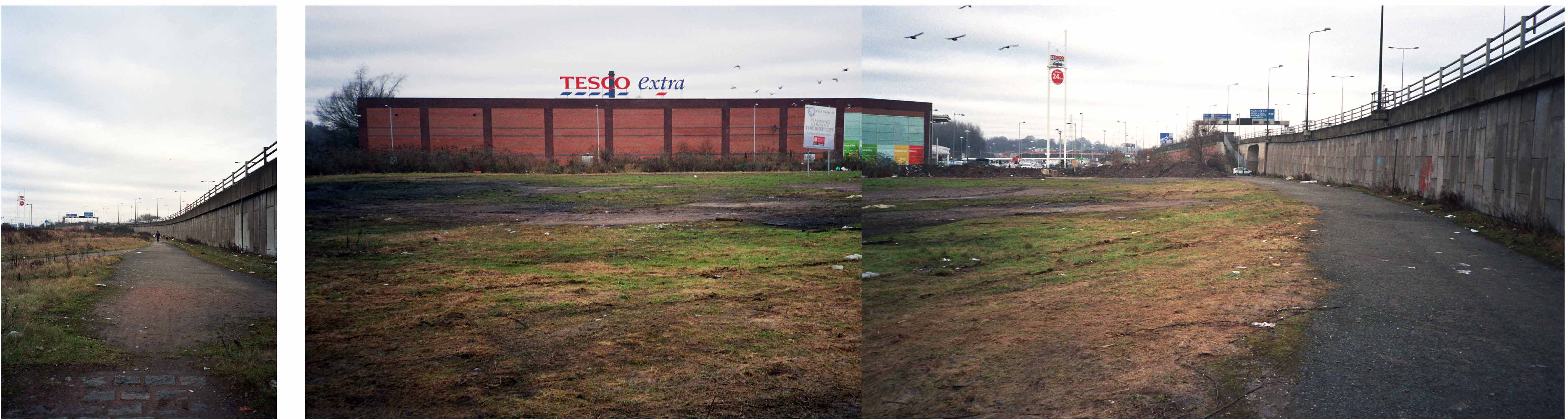
My interest lies in the small portion of track at the end of Georges Road – I worked as a Guide Bridge goods guard in and out of the scrap yard there, in the Seventies.
Now I walk past almost every day and it’s almost all gone.
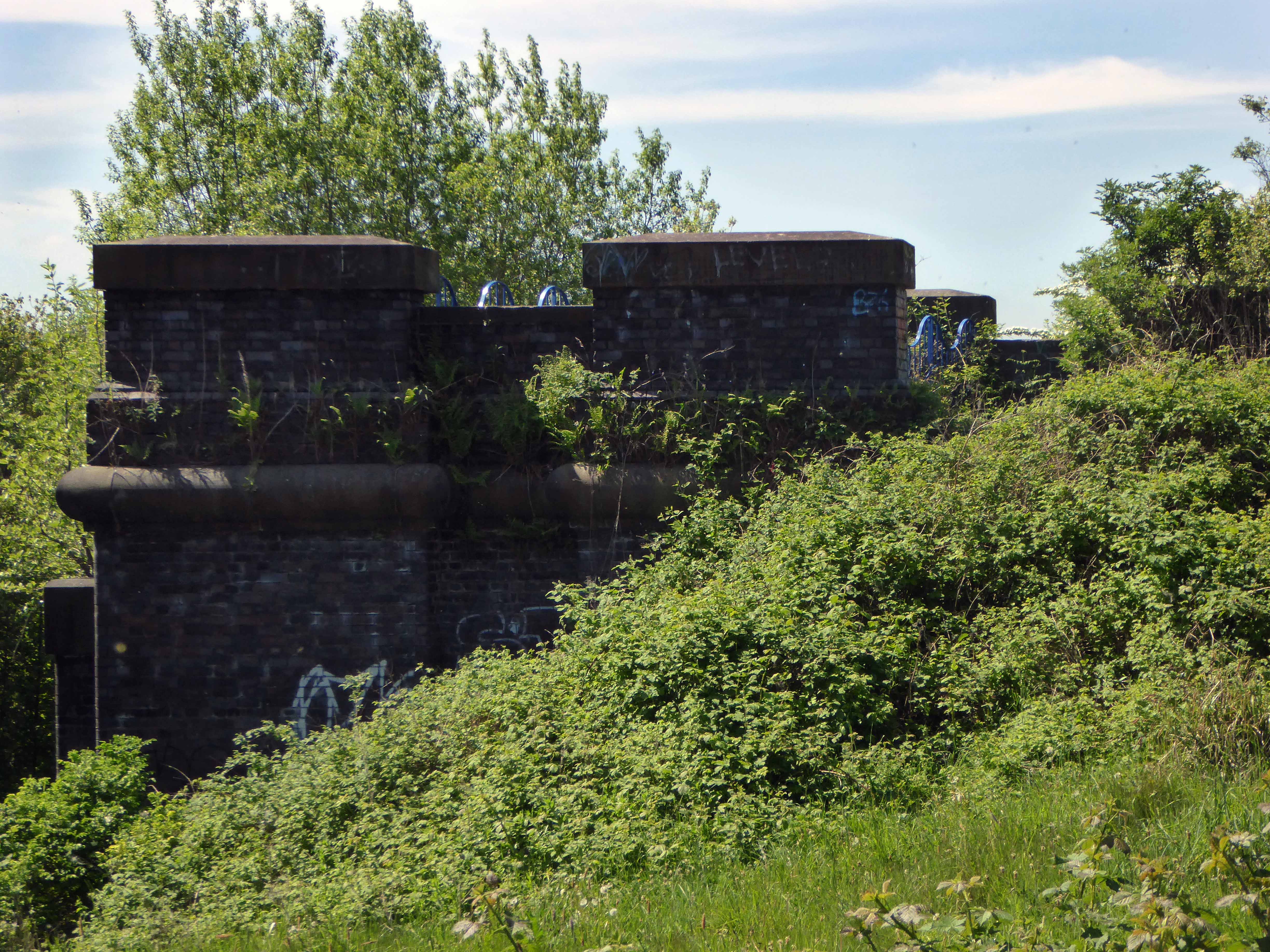
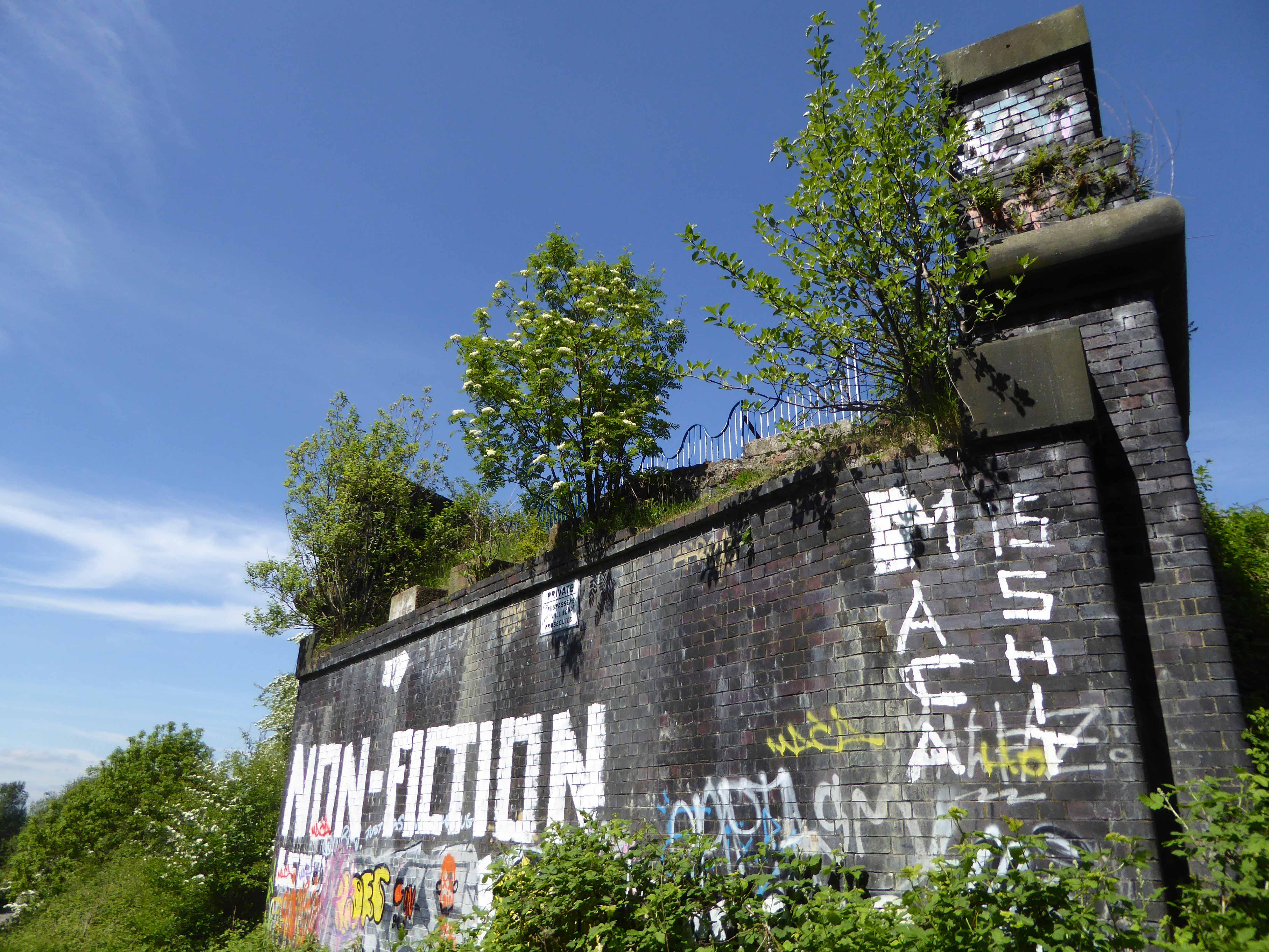
The bridge which it supported now demolished, time called long ago in the long lost Gardeners Arms – originally a Bell’s Brewery pub latterly a Robinsons house.
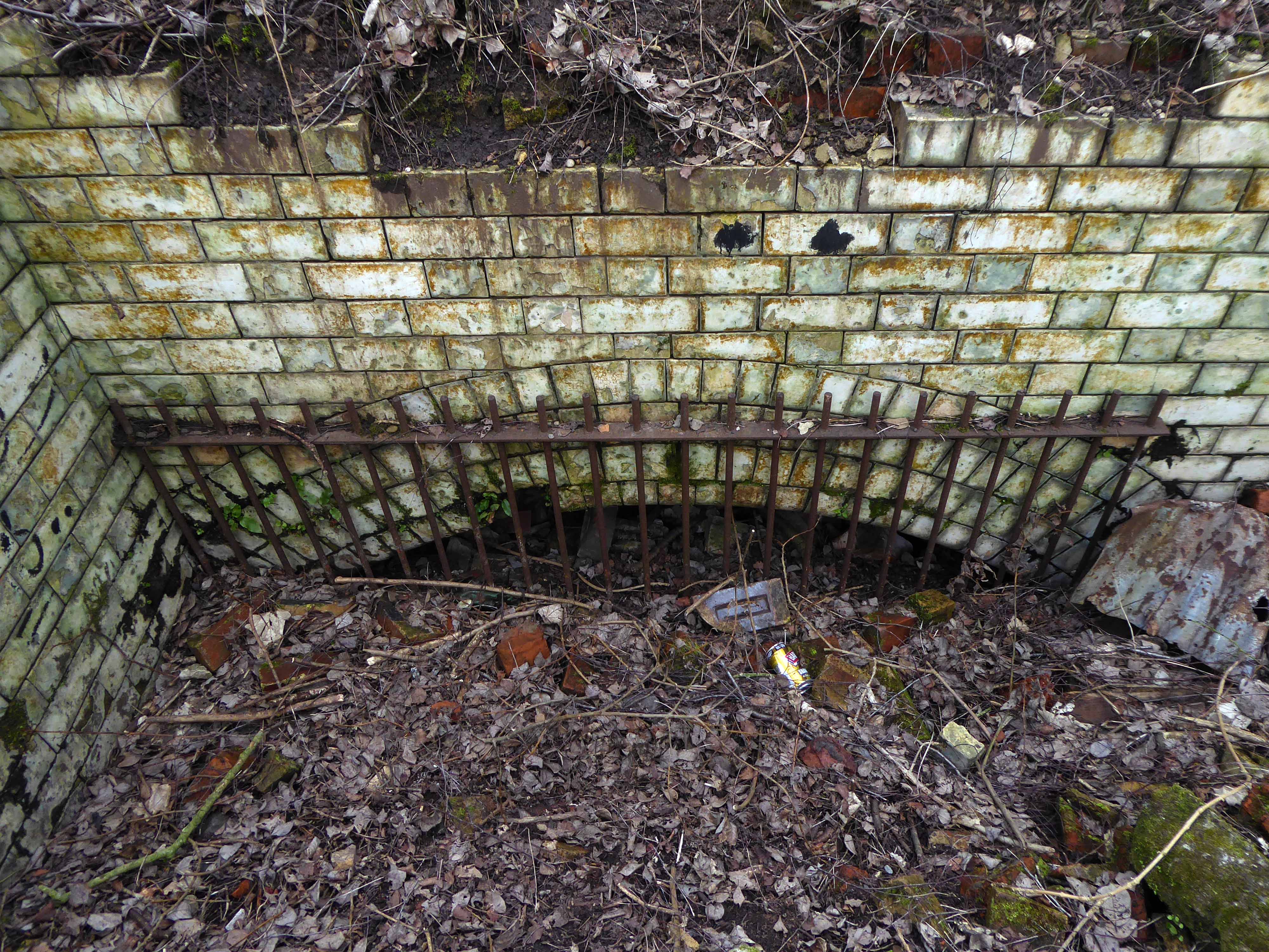
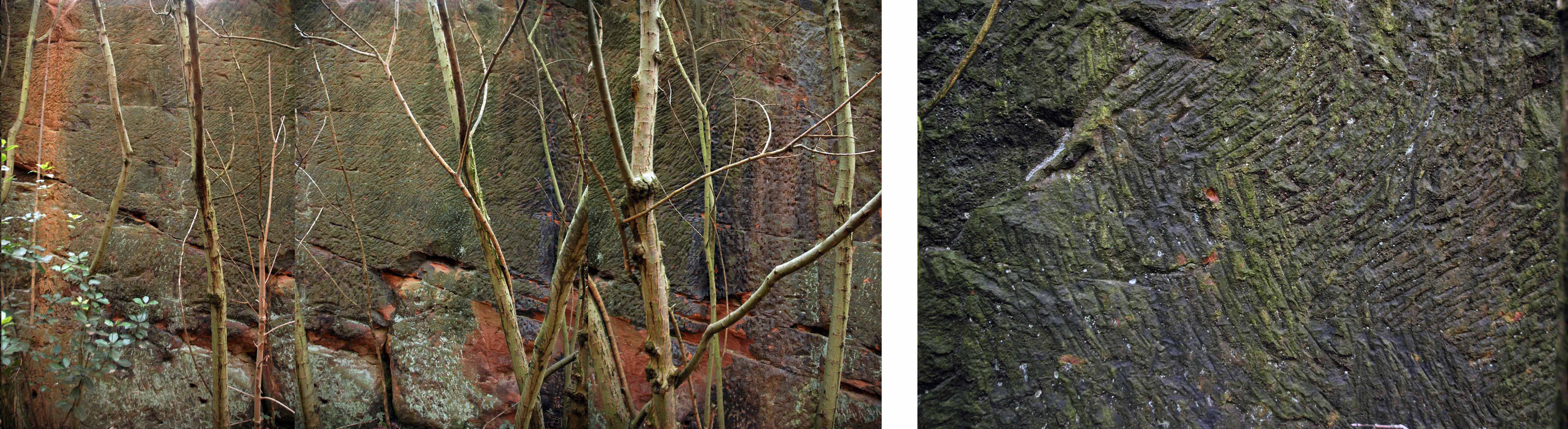
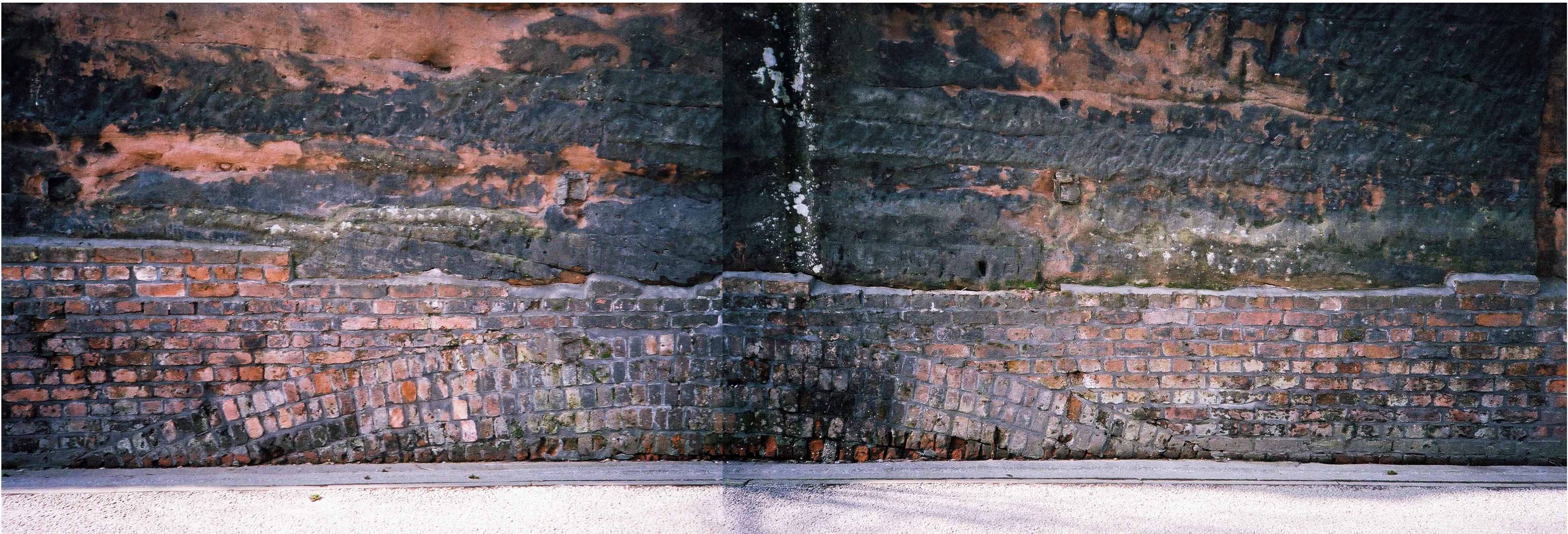
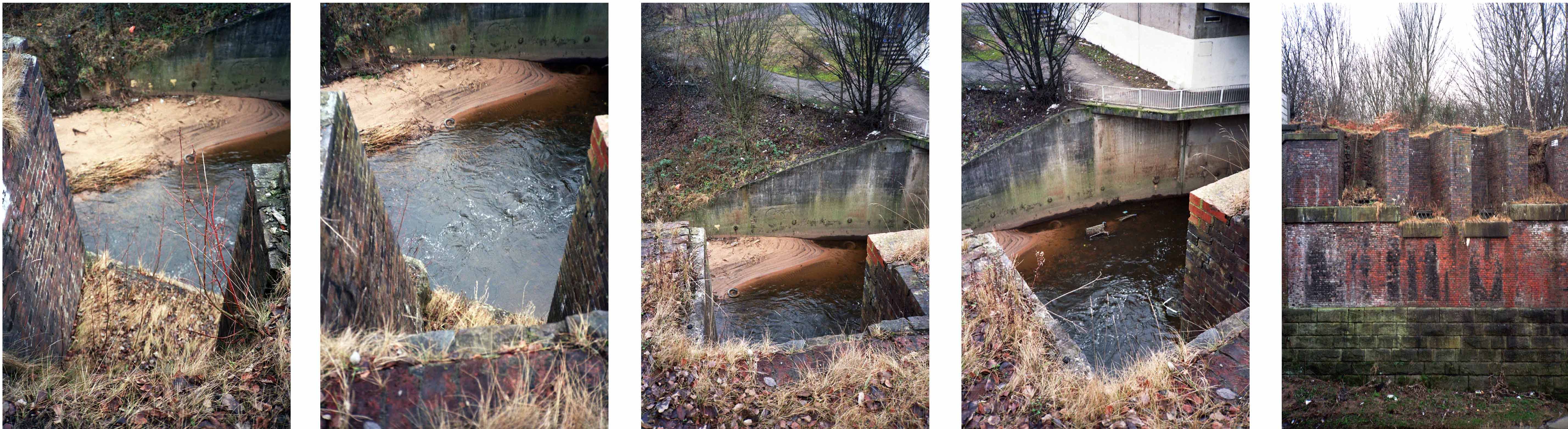
What remains is a triangular island faced in glazed and blue engineer’s brick, topped out with trees.
I have entertained the idea of accessing the area by ladder, exploring and possibly setting up camp – though I think the proximity to an almost constant flow of traffic, would prove less than commodious.
It evokes for me an elevated affinity with Ballard’s Concrete Island.
He reached the foot of the embankment, and waved with one arm, shouting at the few cars moving along the westbound carriageway. None of the drivers could see him, let alone hear his dry-throated croak, and Maitland stopped, conserving his strength. He tried to climb the embankment, but within a few steps collapsed in a heap on the muddy slope.
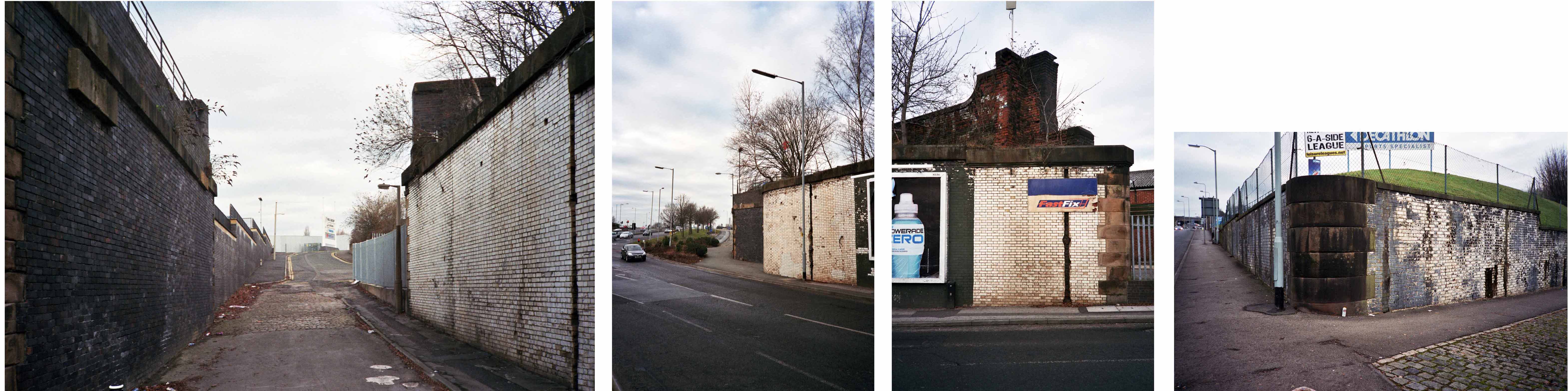
So here it is as is complete with tags, signs, cracks and all.
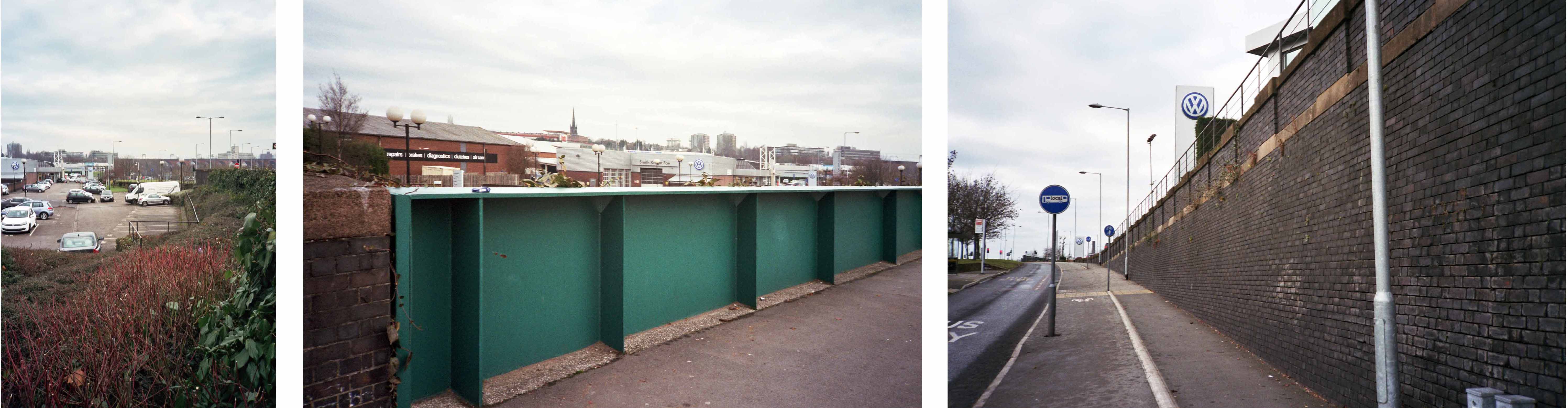
It remains as a monument to those who built and worked on the railway.
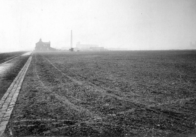
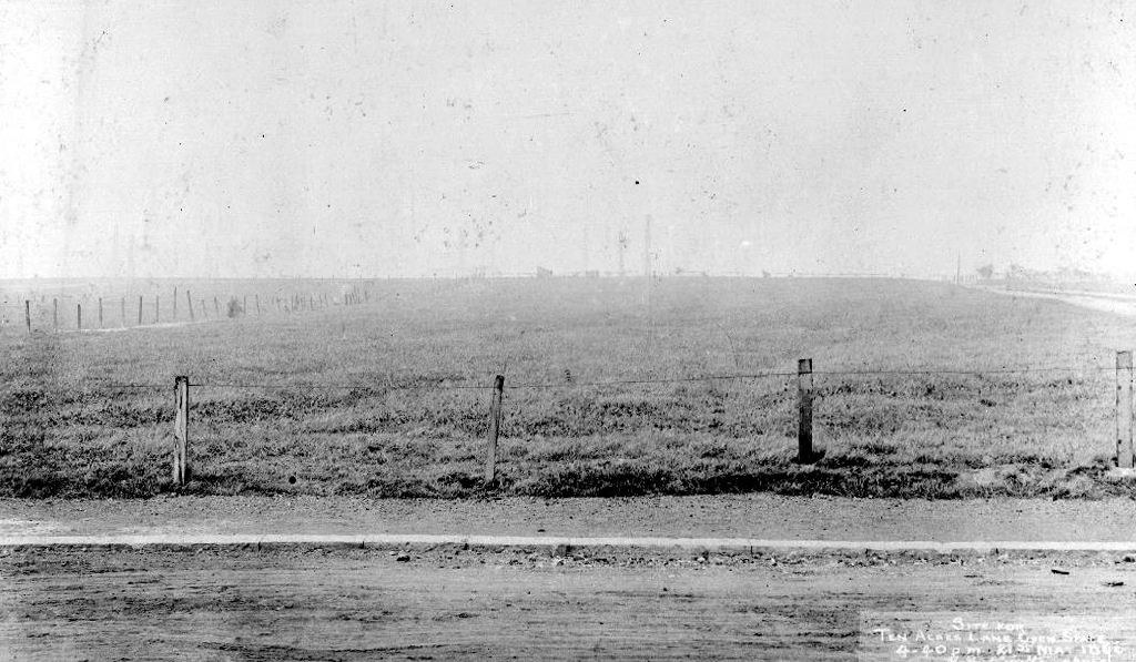
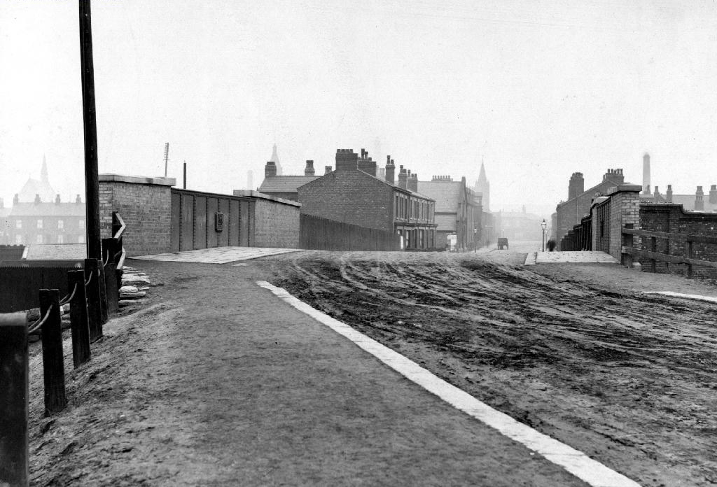
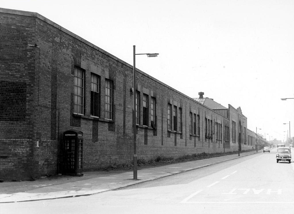
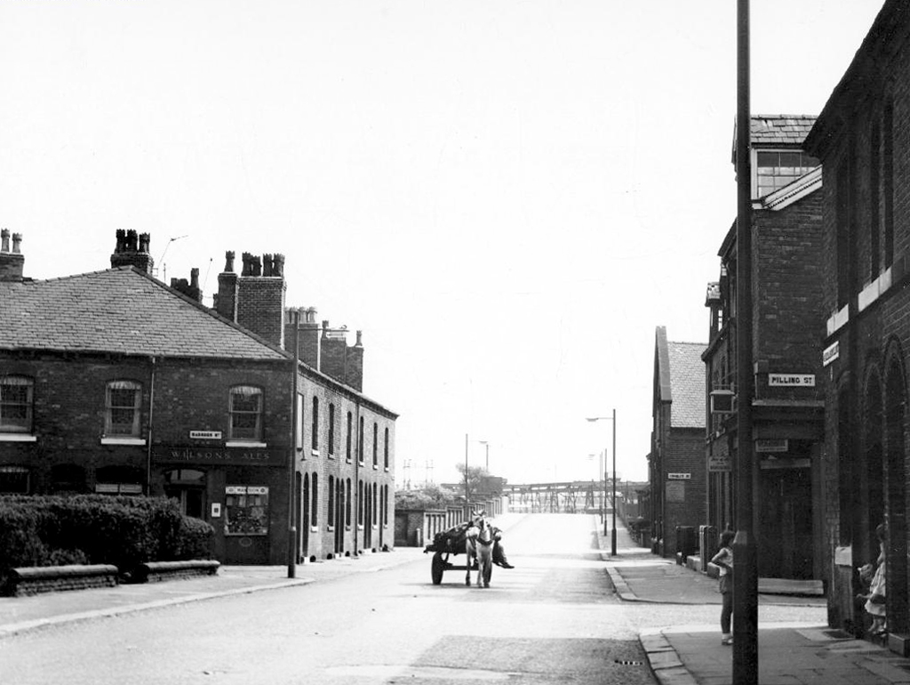
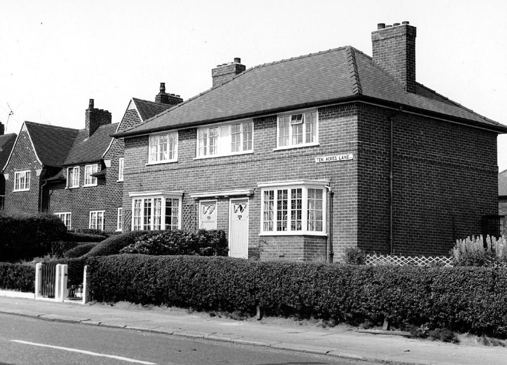
Ten Acres Lane 1904 running south from Oldham Road – not quite crossing under the Ashton and Stalybridge Railway.
I was propelled by the vague memory of an Ashton Lads football match way back in the 1970s – my dad Eddie Marland managed the team in the Moston and Rusholme League.
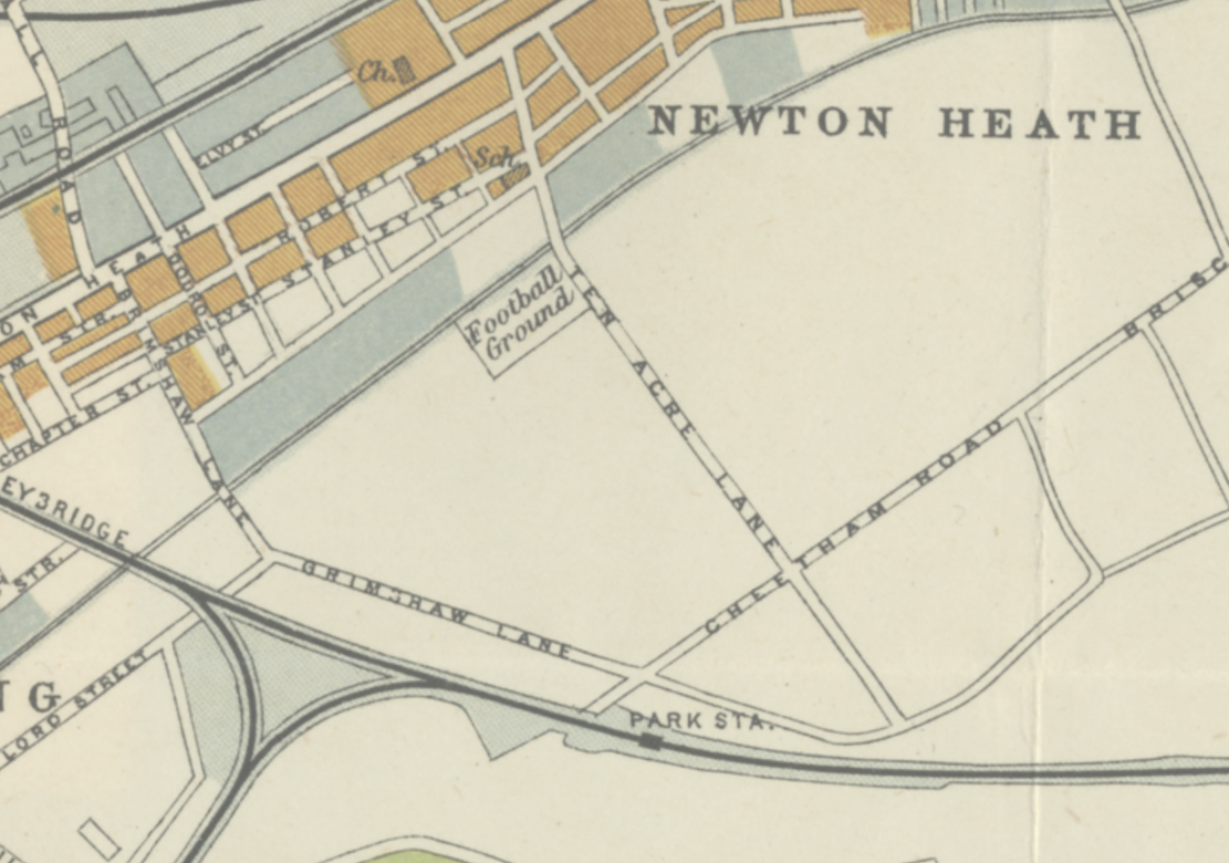
There was land given over to recreation from 1900, the area is famed for its links to the inception of Manchester United and almost but not quite became home to FC United.
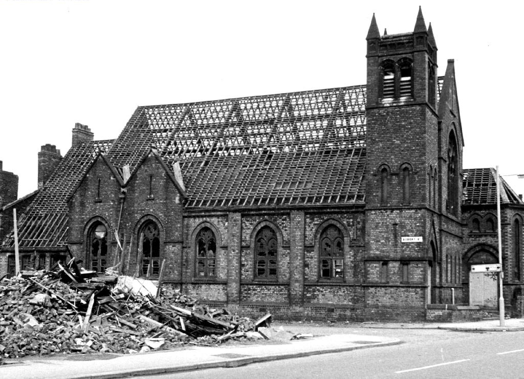
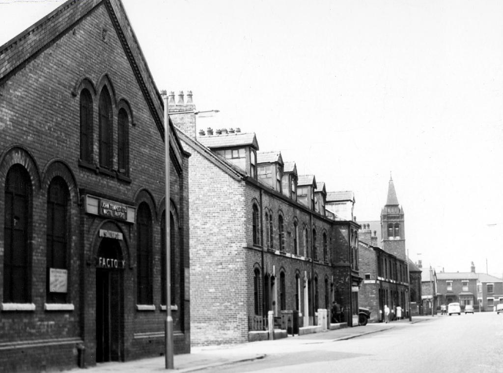
Going going gone St Paul’s Church seen here in 1972.
Victorian terraces and inter-war social housing – homes for a large industrial work force.
Many of the sights and sites above are still extant though their appearance and uses have changed along with the times. Manchester inevitably continues to from and reform for good or ill.
Sadly the old Rec the Moston and Rusholme League and my dad are all long gone – though it’s just as well to remember them all fondly, as we travel through our familiar unfamiliar city.
To begin at the beginning or thereabouts, Taylor Street was at the heart of Gorton to the east of Manchester city centre.
A typical street of tightly packed brick terraces, dotted with shops, pubs, people and industry. I worked there as van lad for Mother’s Pride bread back in the 70s and saw those shops, pubs, people and industry slowly disappear.
Beyer Peacock whose immense shed dominated the northern end of the street, simply ceased to be, as steam gave way to diesel.
As full employment gave way to a date with the dole.
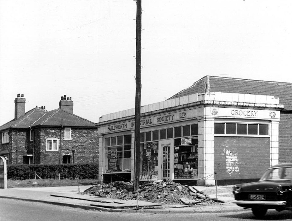
Adsega opening on nearby Cross Street heralded the arrival of the super fast, self-service supermarket, and sounded the death knell of the cosy corner cupboard.
The local pub was The Bessemer – its name forging an unbreakable link with the surrounding steel industry, that eventually broke.
To the left of the pub is the Bishop Greer High School construction site – the first of the new build that would later dominate the area, along with wide open spaces where shops, pubs, people and industry once were.
When the school eventually shut its doors, it became an annex of Openshaw Technical College, and I found myself working there in the 80s at the East Manchester Centre, until its eventual closure.
It’s now sheltered accommodation for the lost and lonely:
Located in a quiet suburb of Manchester with excellent links to the city centre, Gorton Parks has an exceptional range of facilities spread out across five separate houses, each offering a different care option. Melland House offers dementia residential care, Abbey Hey provides nursing dementia care, Debdale is the house for intermediate nursing care and Sunny Brow offers general nursing care.
We sought solace in The Pineapple.
The streets were trimmed and slimmed, much of the past a mere ghostly presence, almost imprinted on the present.
A brave new world of brand new modern housing, with an Estate Pub to match.
A busy bustling boozer – lots of live and local action for the lively locals, latterly seeing out time as a house of House – a real bangin’ Bashment, bass-man bargain basement.
Until time is finally called – no more four to the floor, last one out shut the door.
Nothing lasts forever and a sign of the times is an upended pub sign, lying dormant in the dust.
The Chunky no longer a great big hunk o’funk.
The big screen TV forever failing to deliver all the action, live or otherwise.
Latterly transformed into Dribble Drabble.
And so the beat goes on as successive waves of success and recession, boom and bust free-market economics, wash over the nation and its long suffering folk.
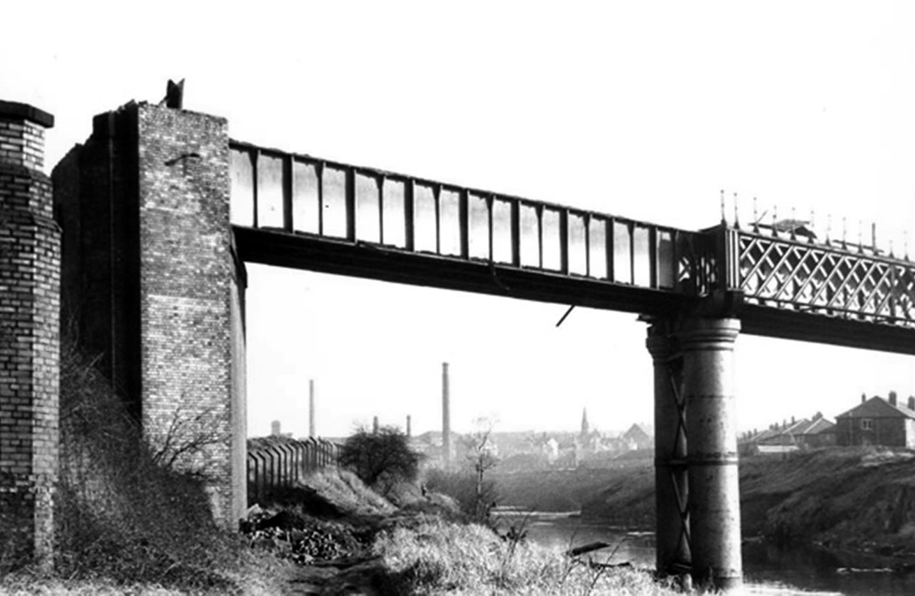
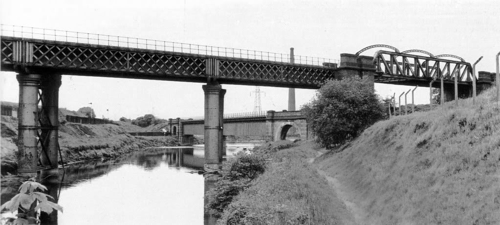
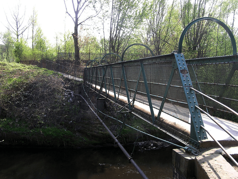
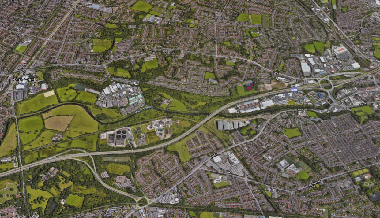
A mighty river valley was formed in the second Ice Age, as the glaciers receded and rushed seaward.
The mighty River Mersey was formed on the eastern edge of Stockport, at the confluence of the Tame and Goyt/Etherow rivers.
Thousands of years in the making, as the water-powered mills of the adjacent Pennine Hills migrate to the lower reaches of the towns, in search of water, workers and steam, the full force of the Industrial Revolution takes shape in the west.
The mixed farming of the alluvial valley, which opens up onto the Lancashire and Cheshire Plains, meets and greets the incursion of dye and brick works, mills and manufacturing.
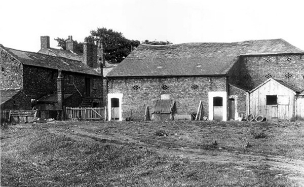
Fred Schofield’s farm 1930
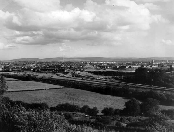
View towards Stockport from Heaton Mersey Park
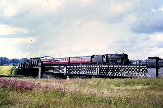
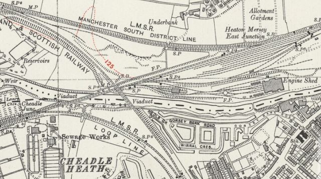
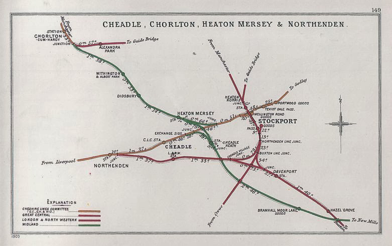
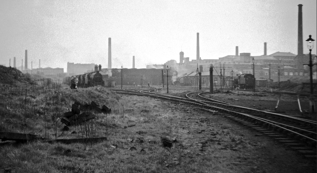
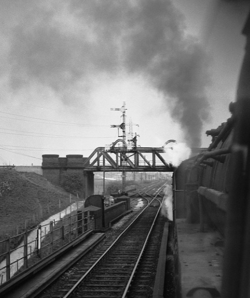
Serviced by a complex and competing rail system based around Heaton Mersey Shed.
Opened in 1889 and served until May 1968 operating steam locomotives to the end -Coded 9F.
Here we were at the centre of a rail hub spreading out in all directions, to and from the ports, cities and resources of the country and beyond.
Great movements of steel, cotton, coal, people and manufactured goods.
Fireman Eddy “Ned” Kelly
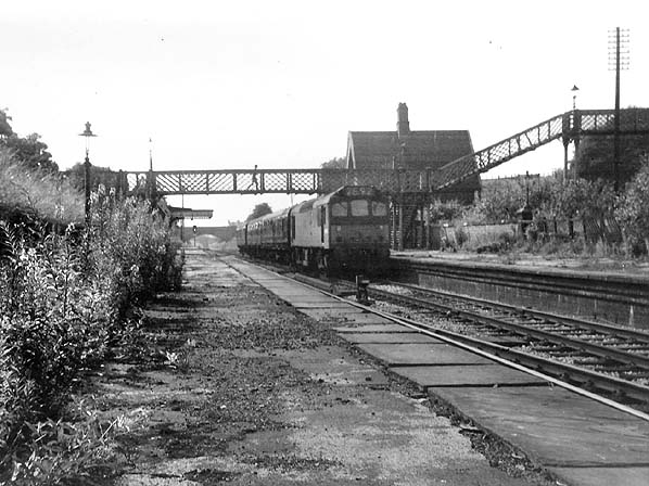
Heaton Mersey railway station was opened on 1 January 1880 by the Midland Railwayand lay on the newly opened line which ran from Heaton Mersey East Junction to Chorlton Junction and on to Manchester Central station.
The station was situated at the southern end of Station Road which still exists. The station was later operated by the London Midland and Scottish Railway and was closed by the London Midland Region of British Railways on 3 July 1961.
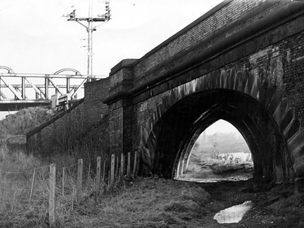
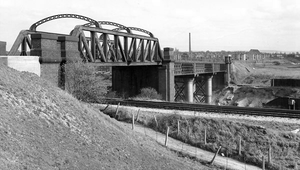
The area was criss-crossed by railways – its bridges traversing the roads, fields and river, dominating the landscape in a wild flurry of steam and smoke.
The end of steam – as drivers, fireman and staff were transferred to Newton Heath, was followed by the slow demise of the rail network, freight moved to road and passengers purchasing their first cars and a passport to illusory freedom.
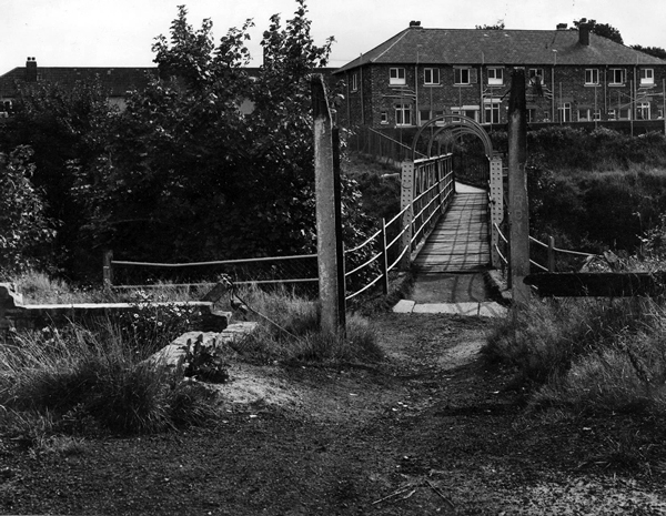
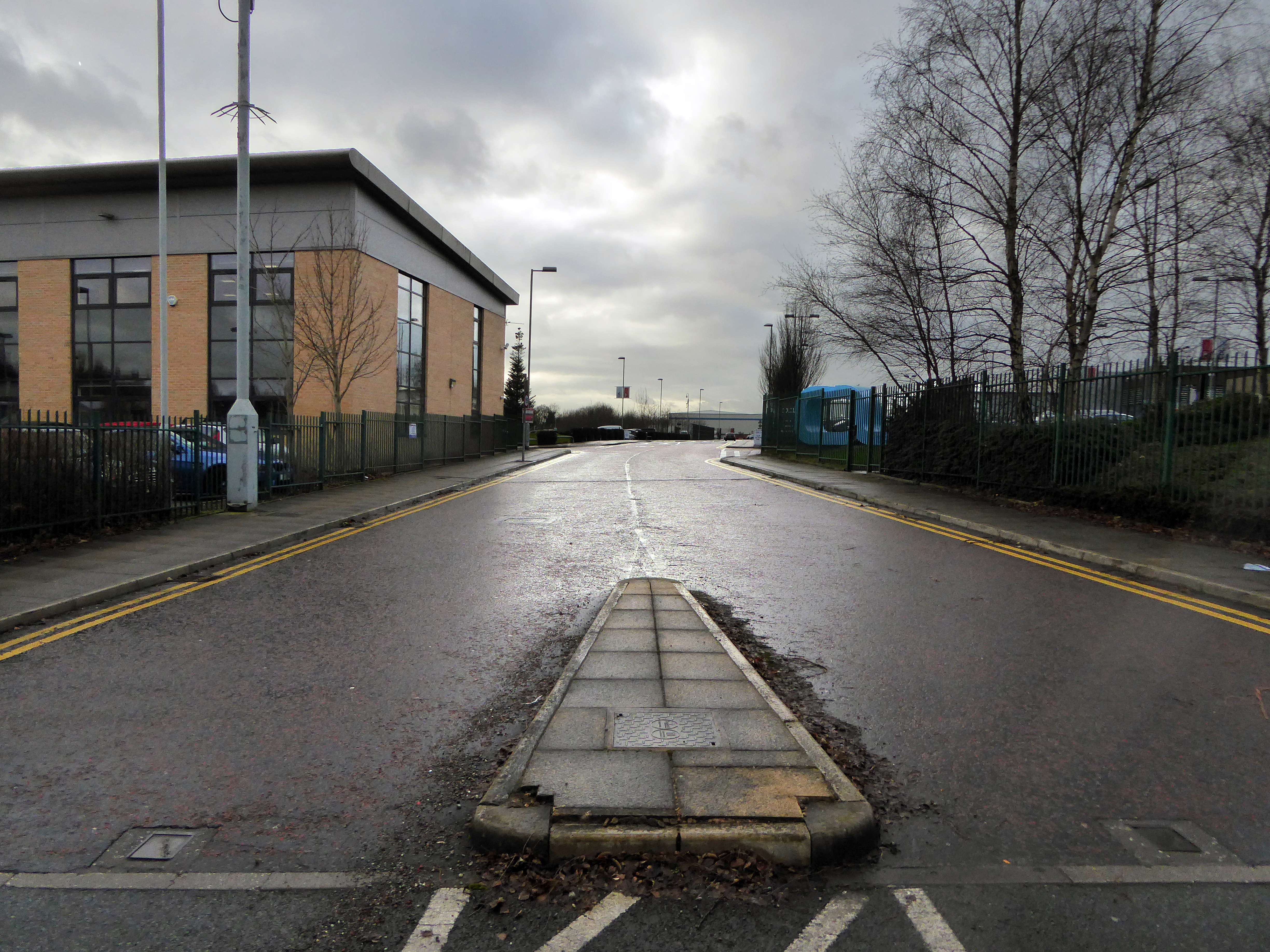
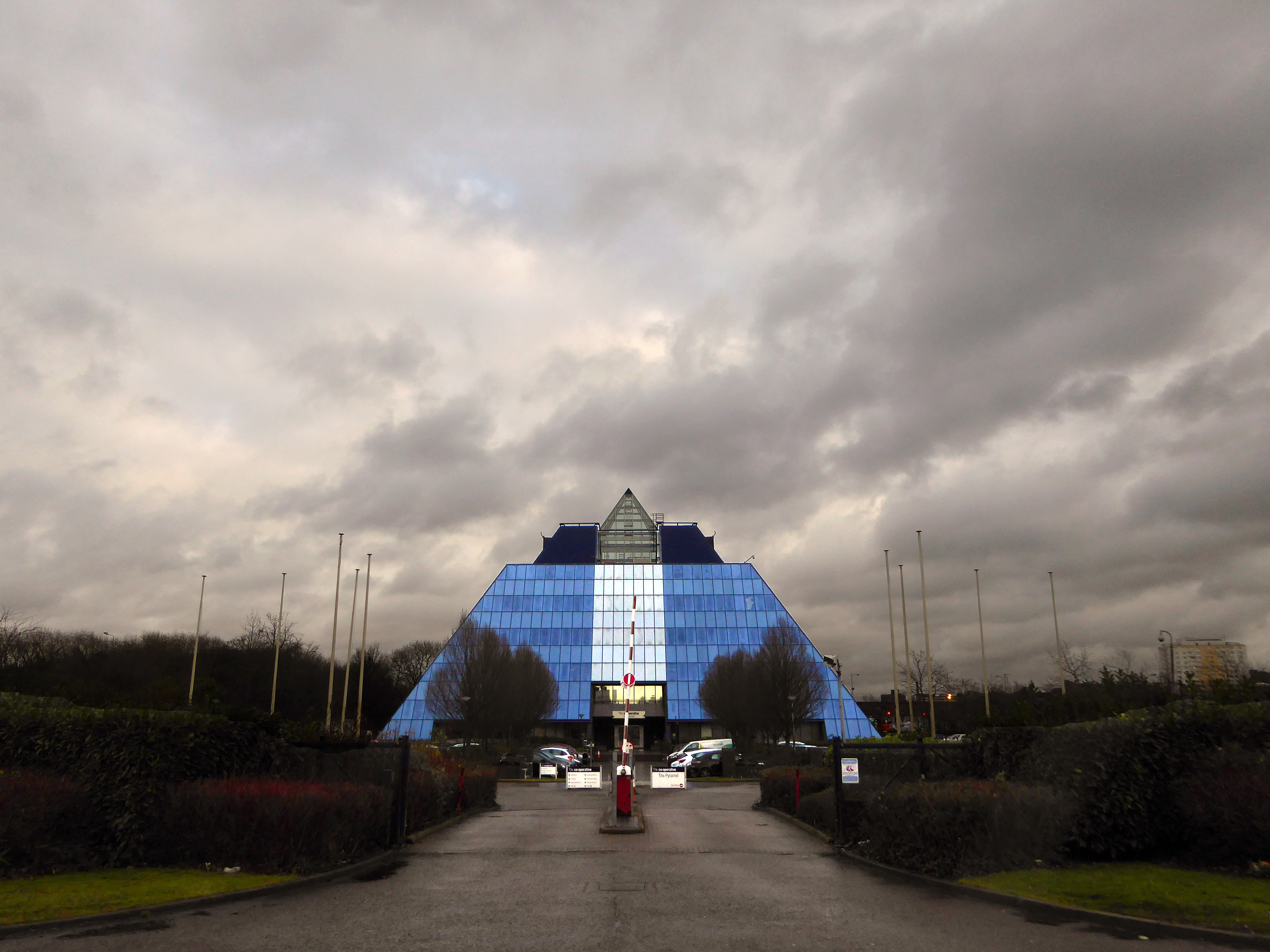
The mighty Mersey is now flanked by newer neighbours, a shiny blue administrativepyramid, business park, car showrooms and nature reserve, the only certainty is change.
Great volumes of earth are moved to from a new topography a topography of leisure – the gentle stroll, jog and cycle replaces the clank of fire doors and shovel on coal.
But take a look around you and you will see the remnants of the industrial age, shrouded in fresh hawthorn and enshrined in birch and beech.
To walk this landscape is to traverse geological, agrarian, industrial and post-industrial time – they all coexist and coalesce. Have an eye, ear and heart open to their resonance and presence, transcend time and space in the Mersey Valley today, you’re part of the leisured generation.
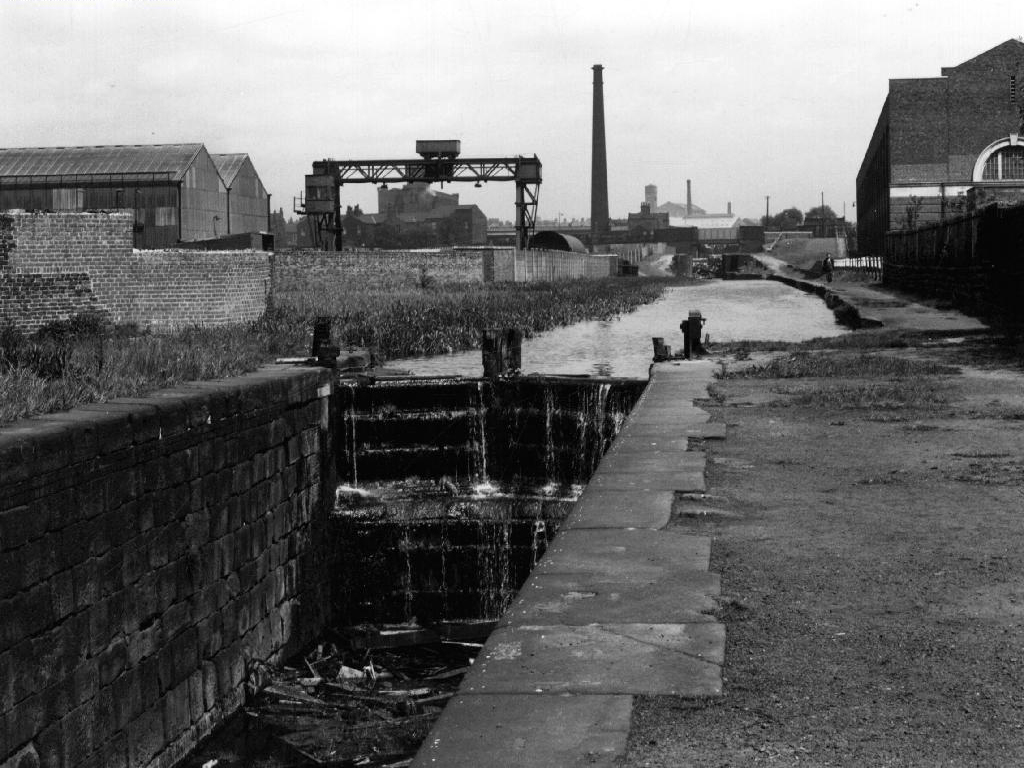
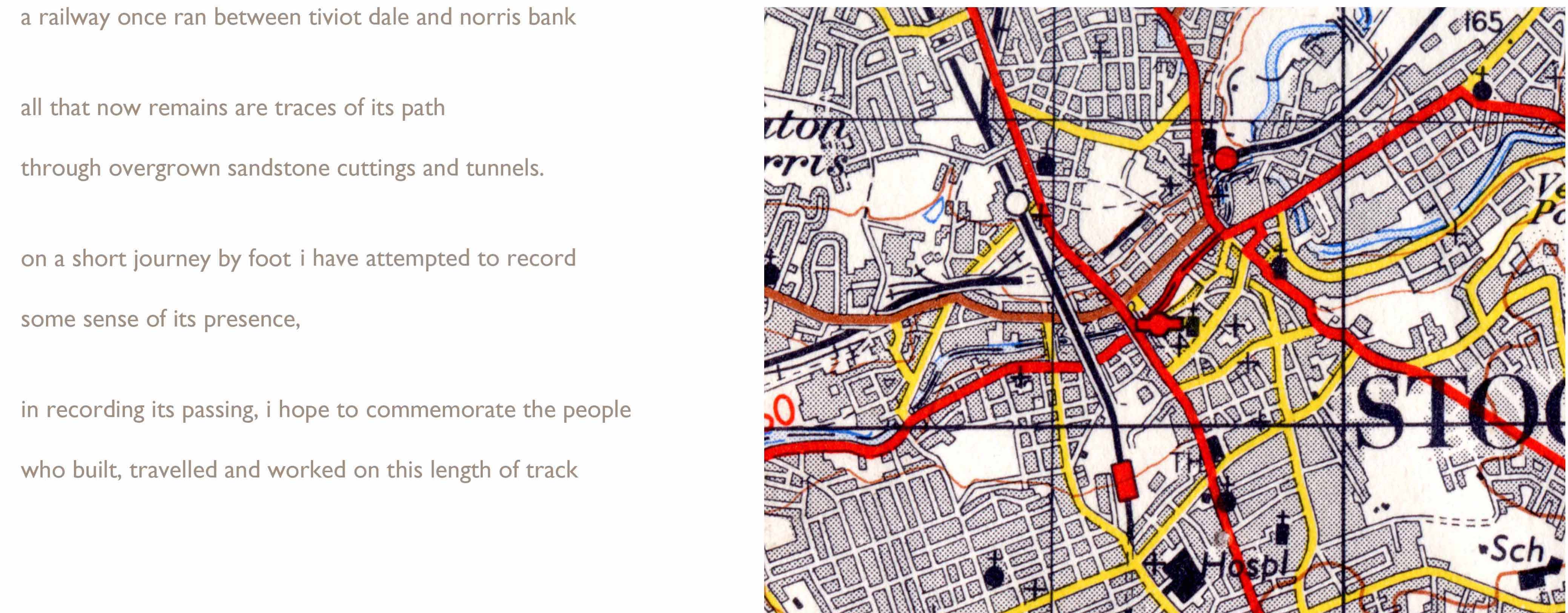
This is a journey I made as a BR Guide Bridge goods guard in the late 1970s, often with driver Eric Clough, into the George’s Road scrap yard. It was also at one time the Cheshire Lines passenger route out of Stockport Tiviot Dale Station to Liverpool, Southport, St Pancras and beyond.
This is a journey I made on foot through bramble, puddle and scrub on a now disused line, cheek by jowl with a motorway and the passing crowd, blissfully unaware of its existence.