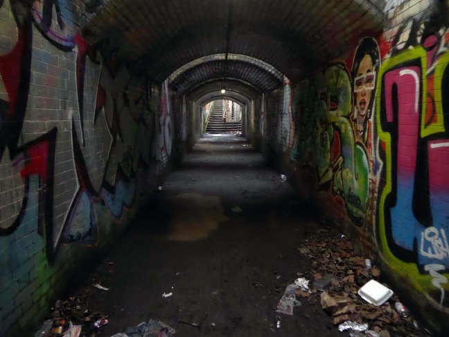
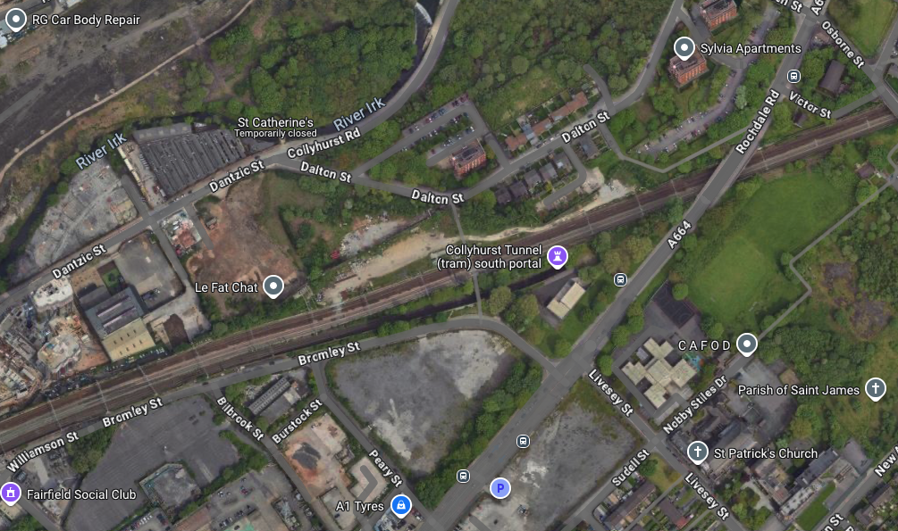
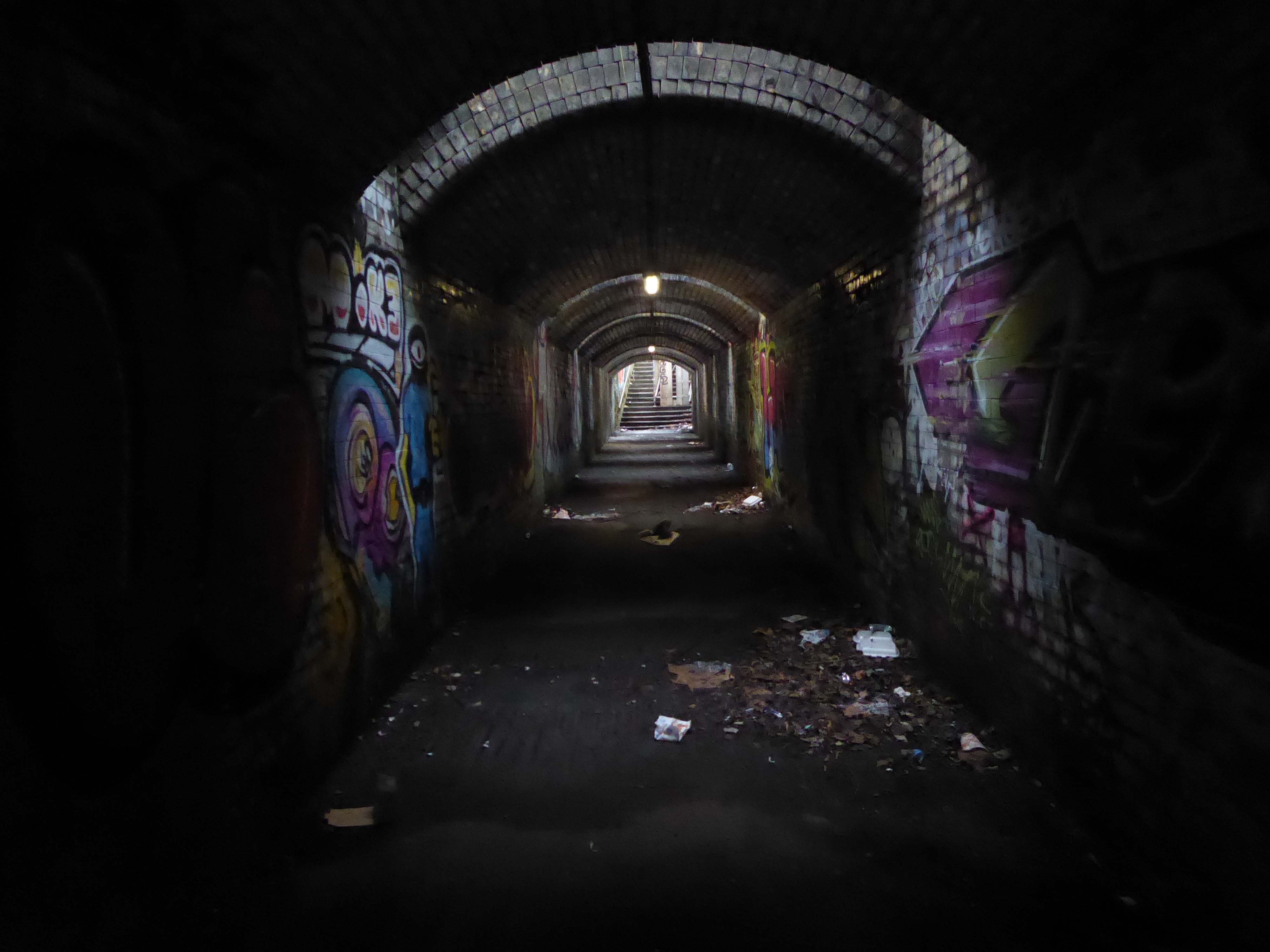
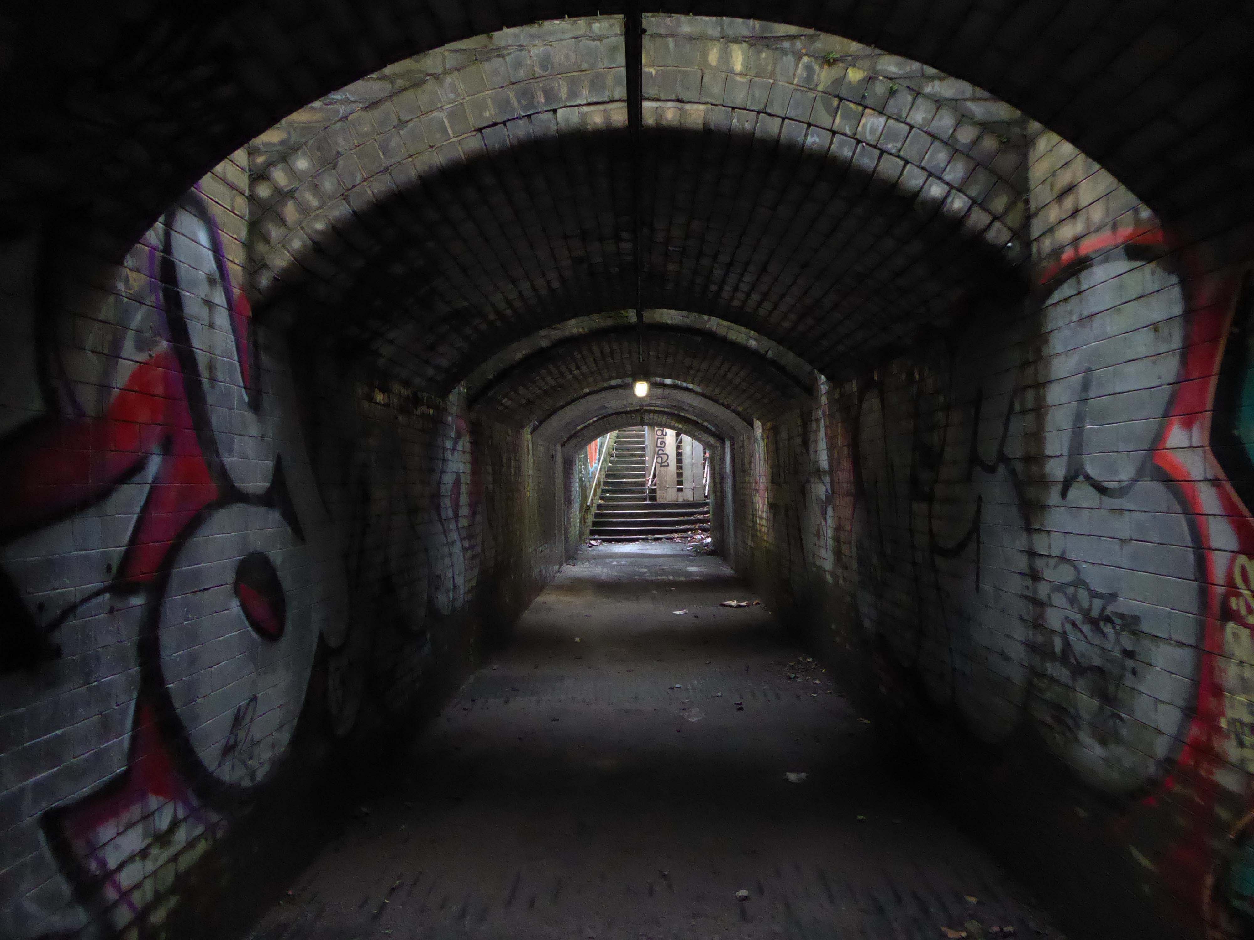
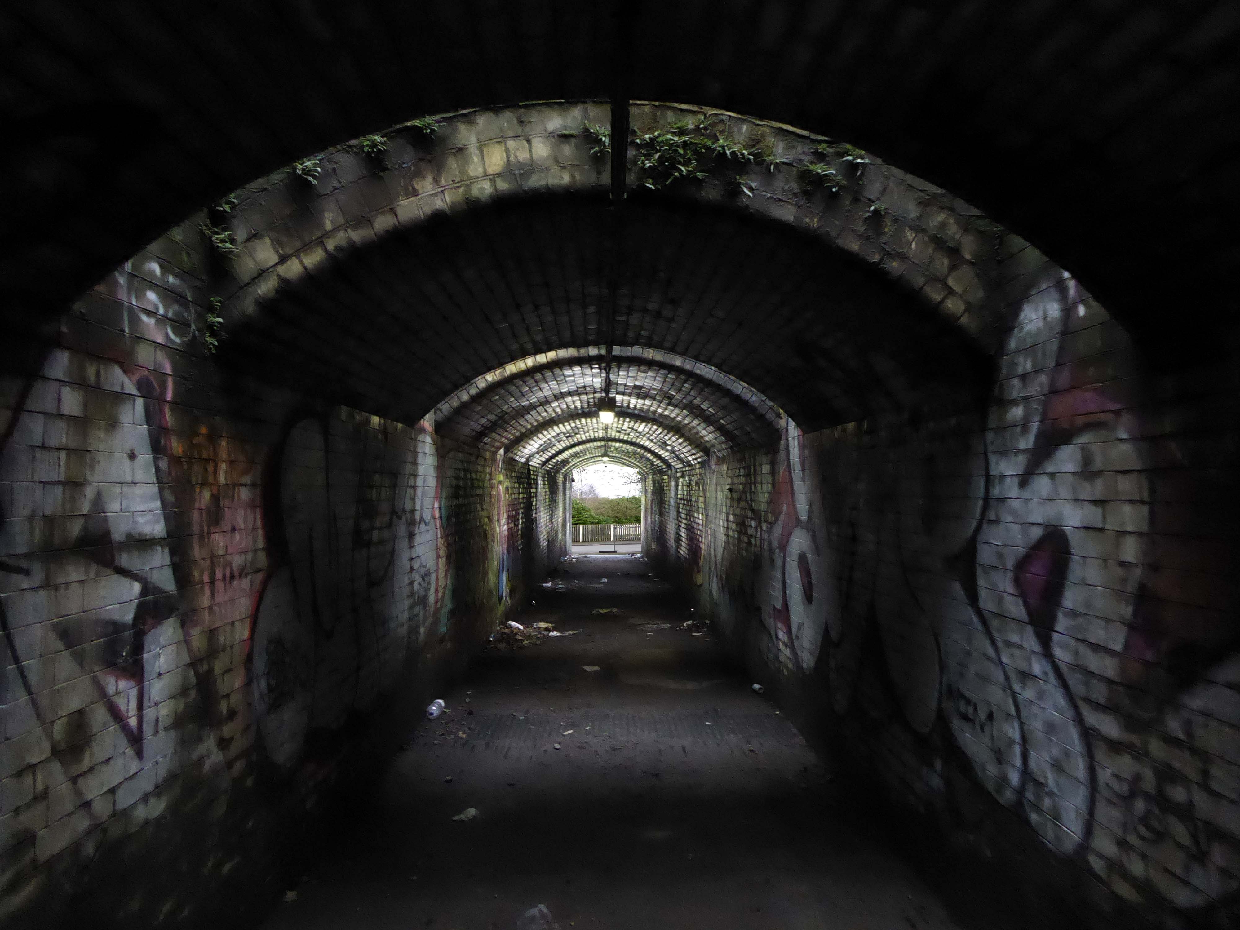
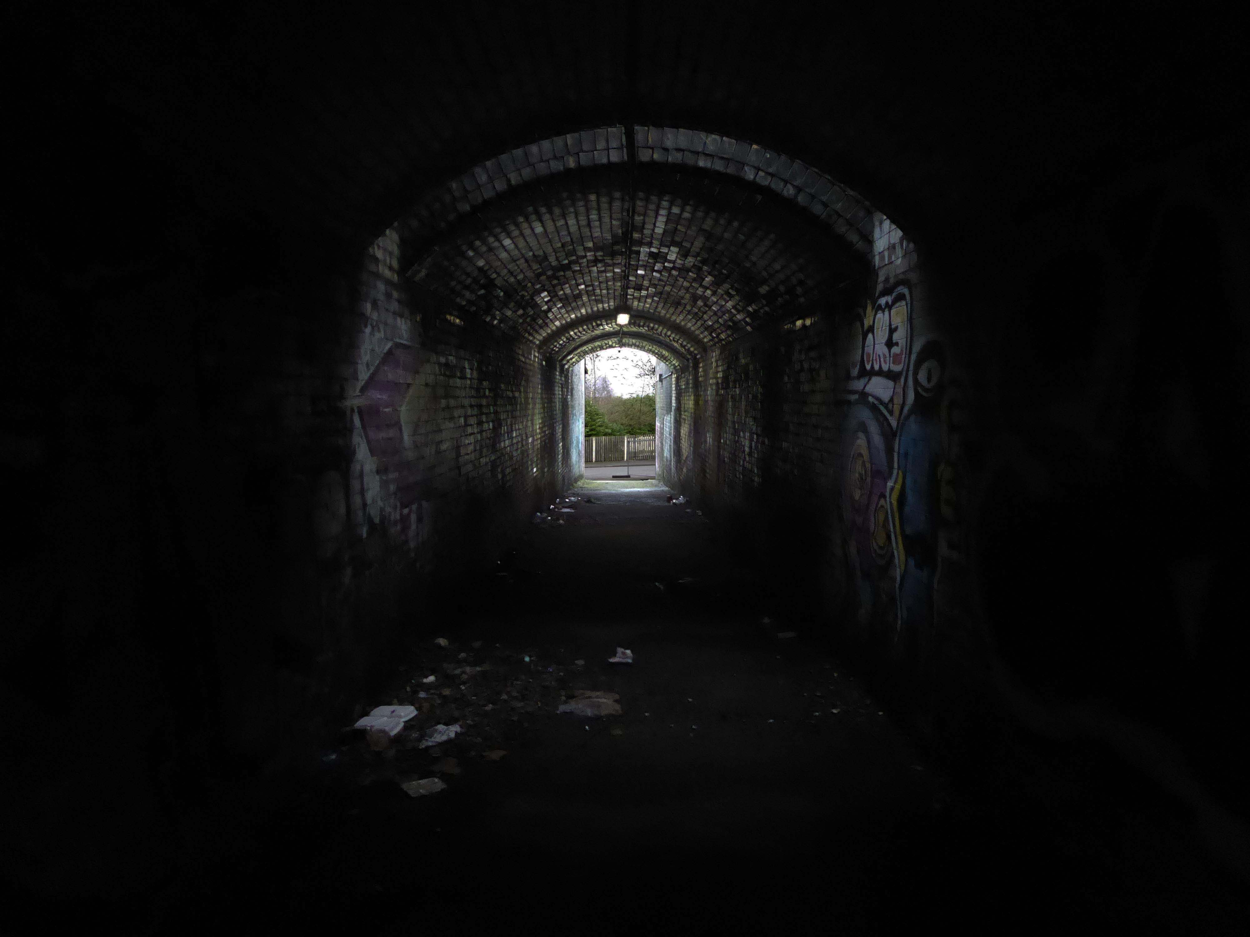
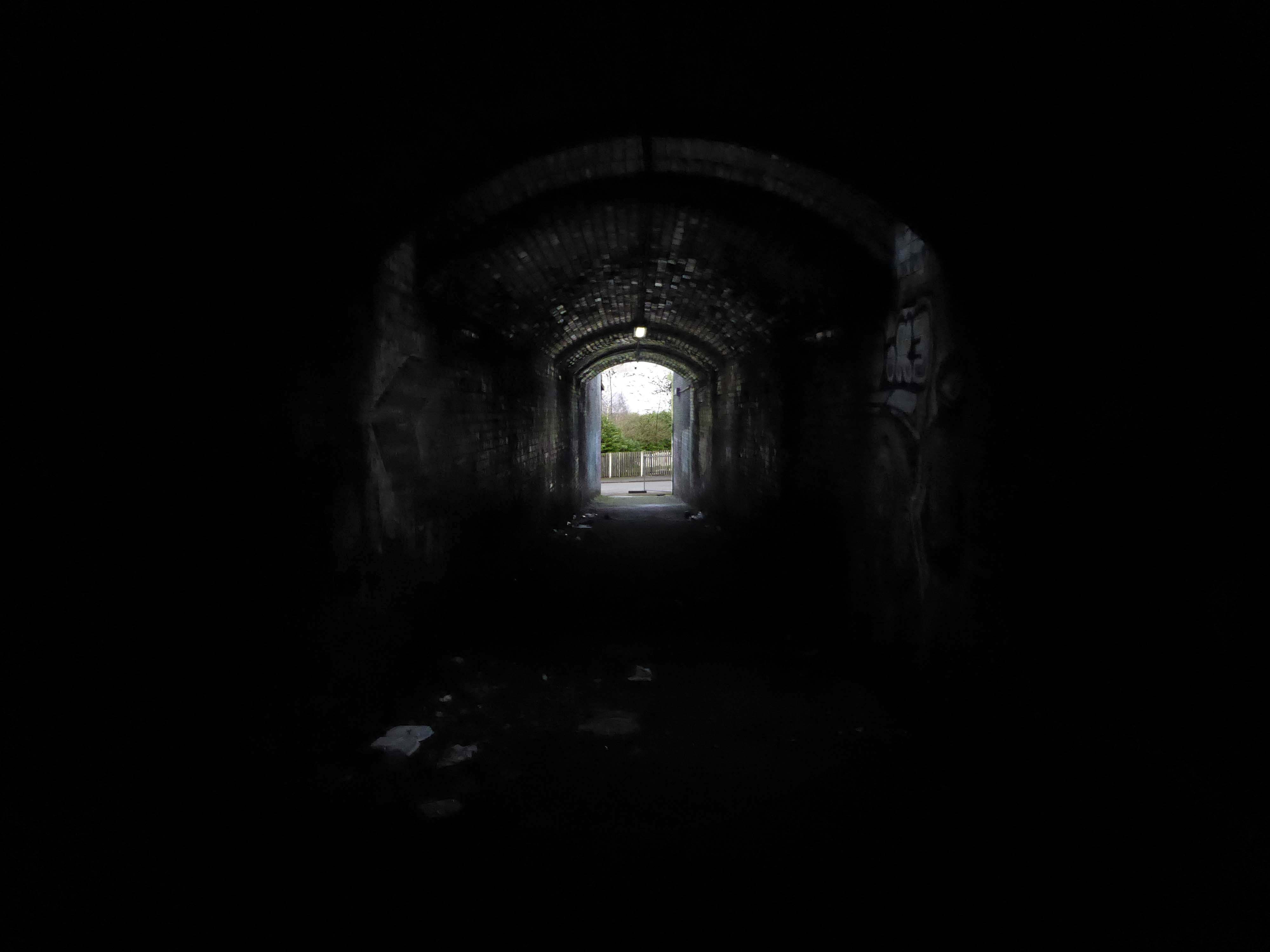
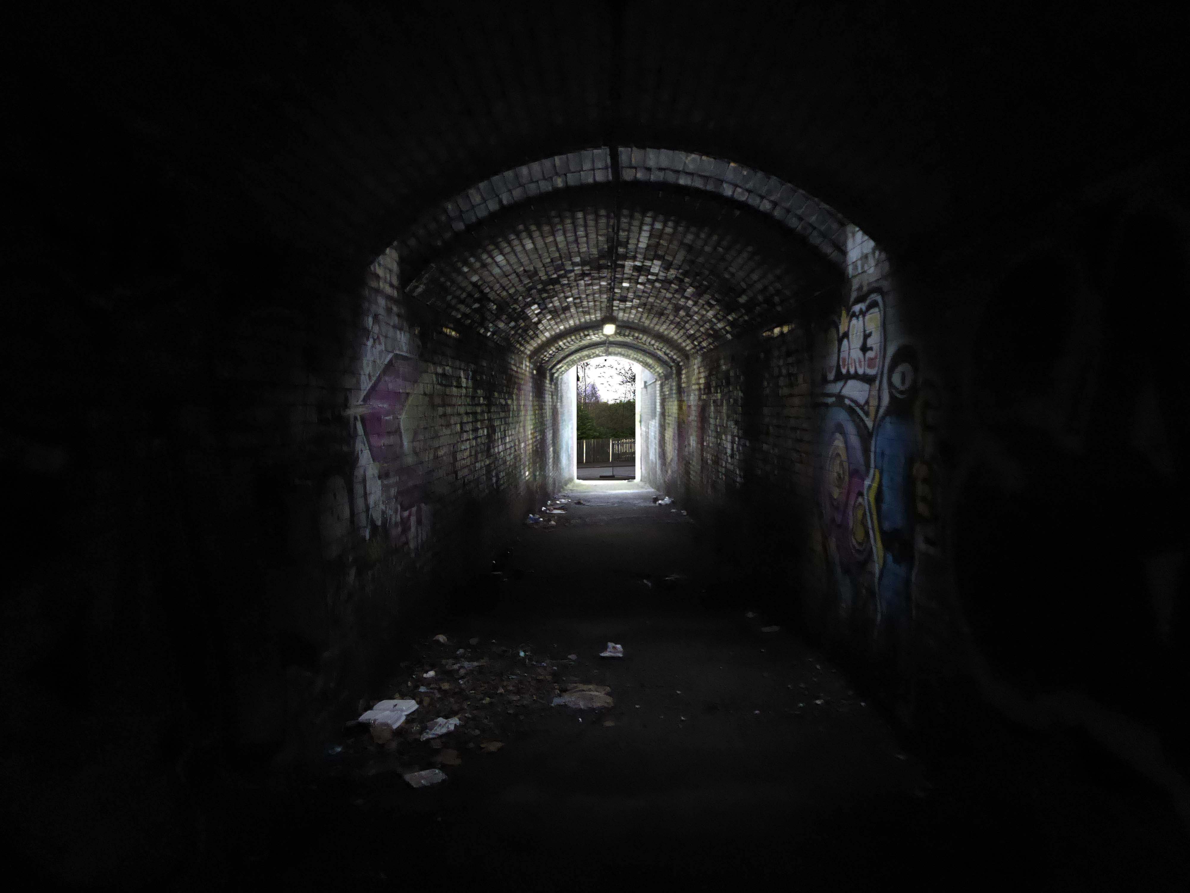
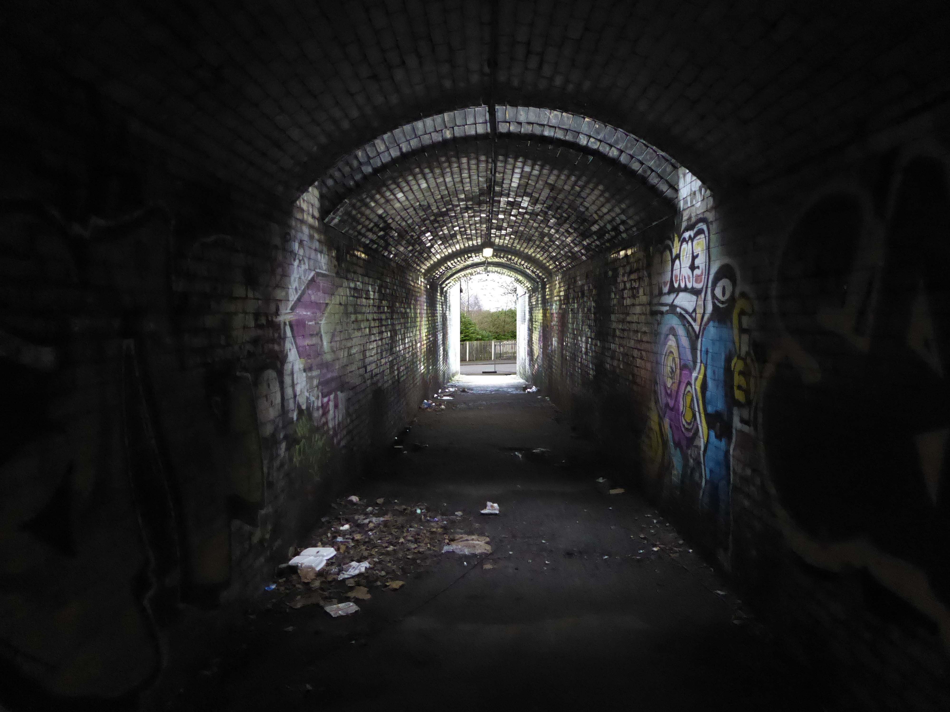
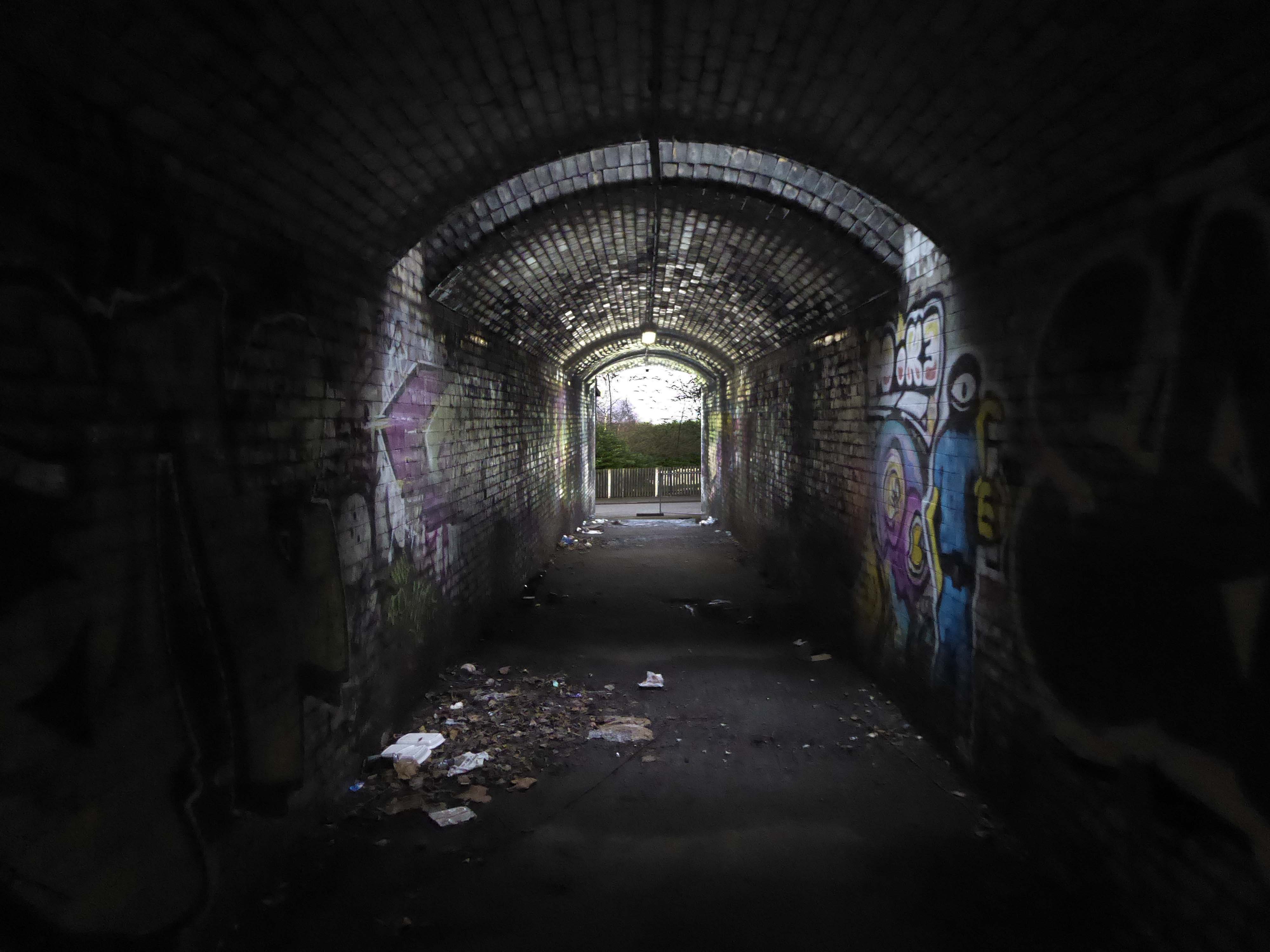
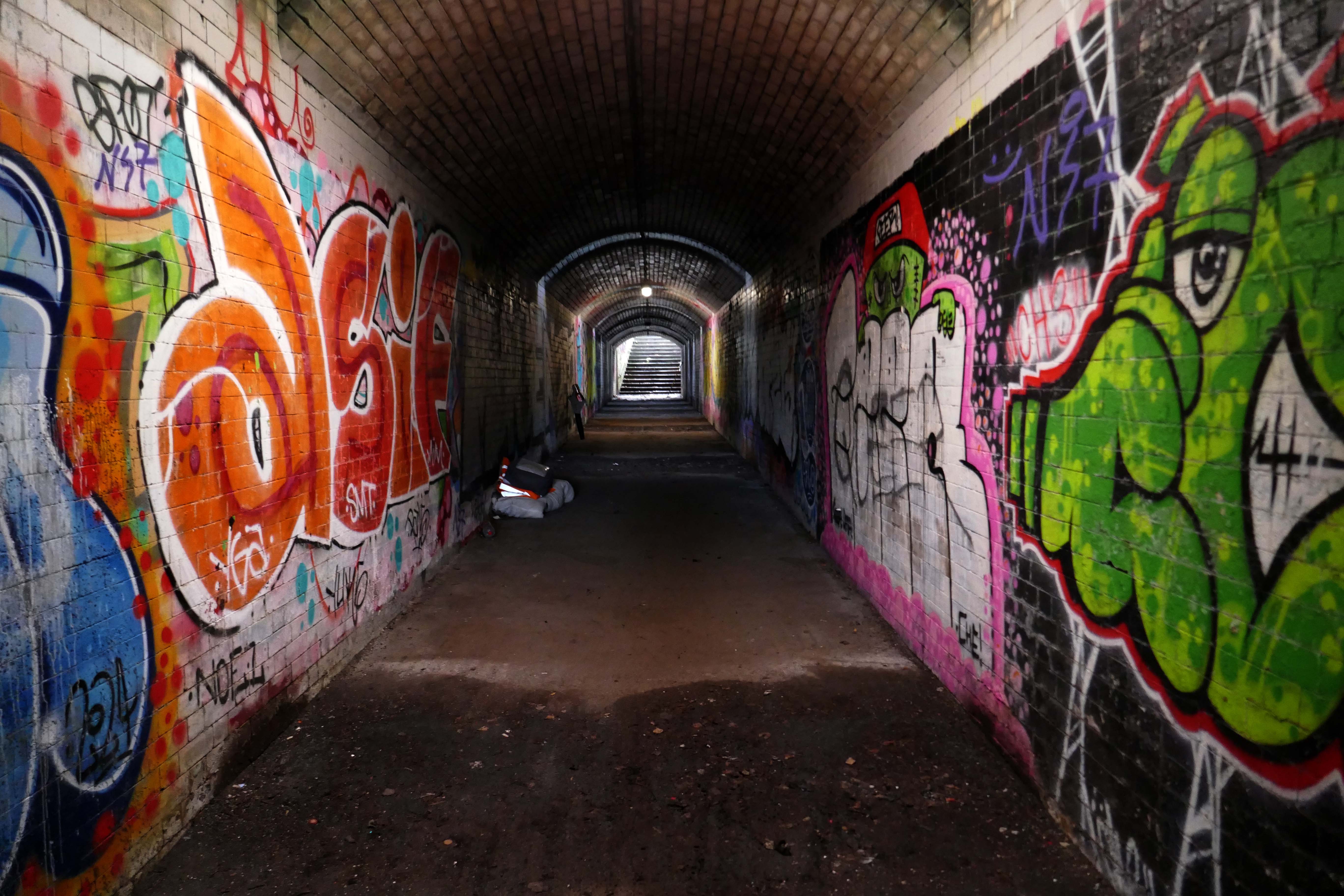
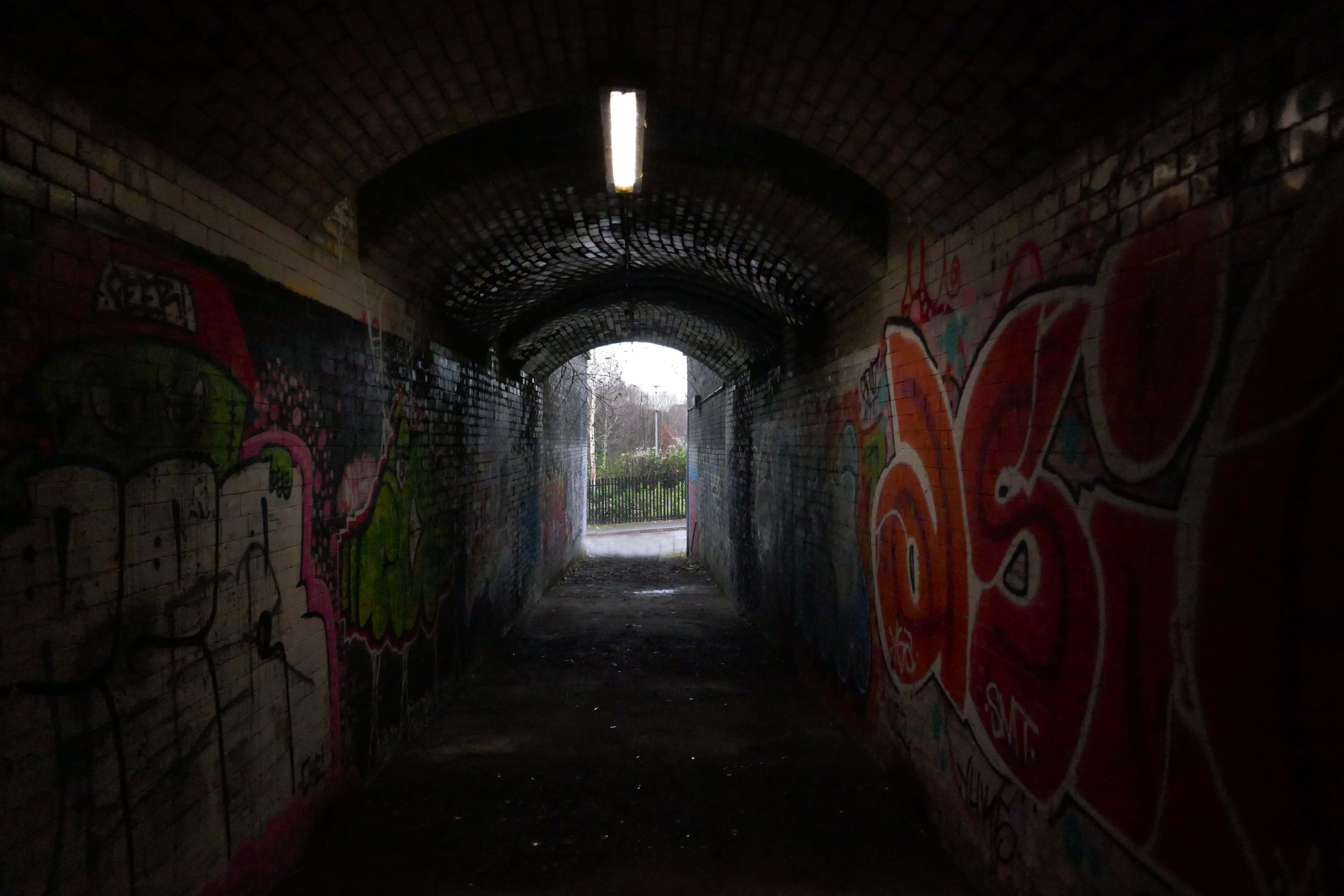
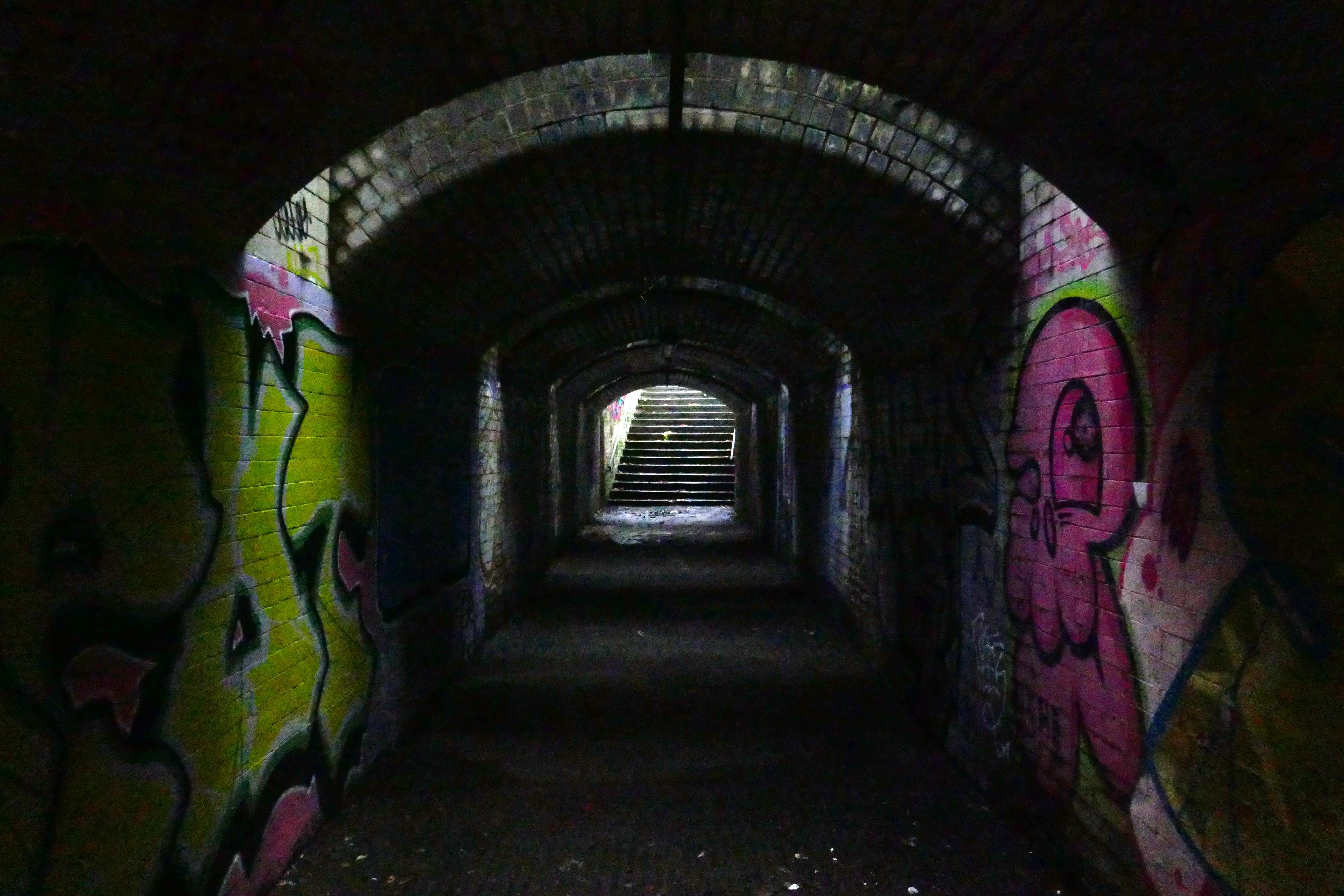
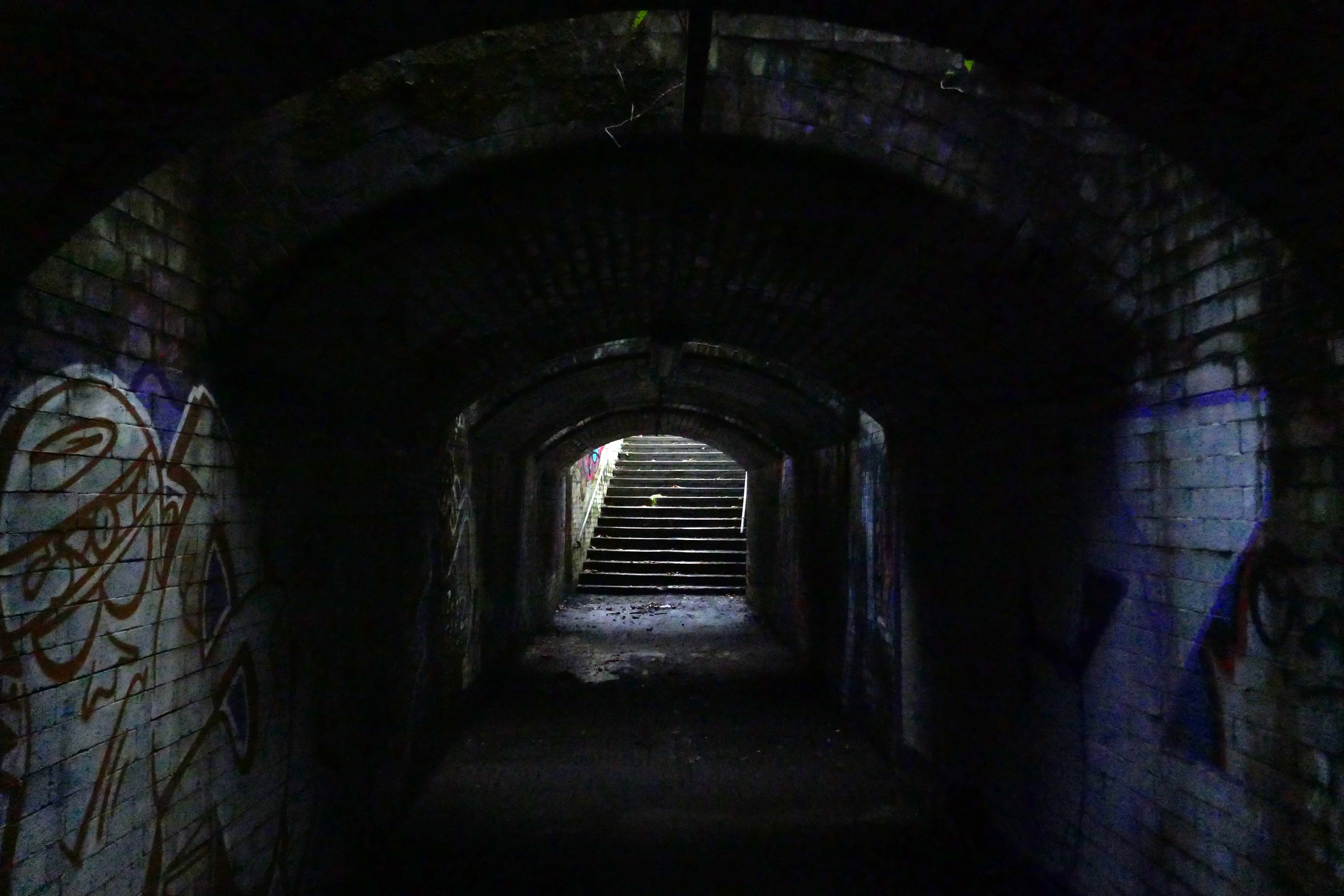
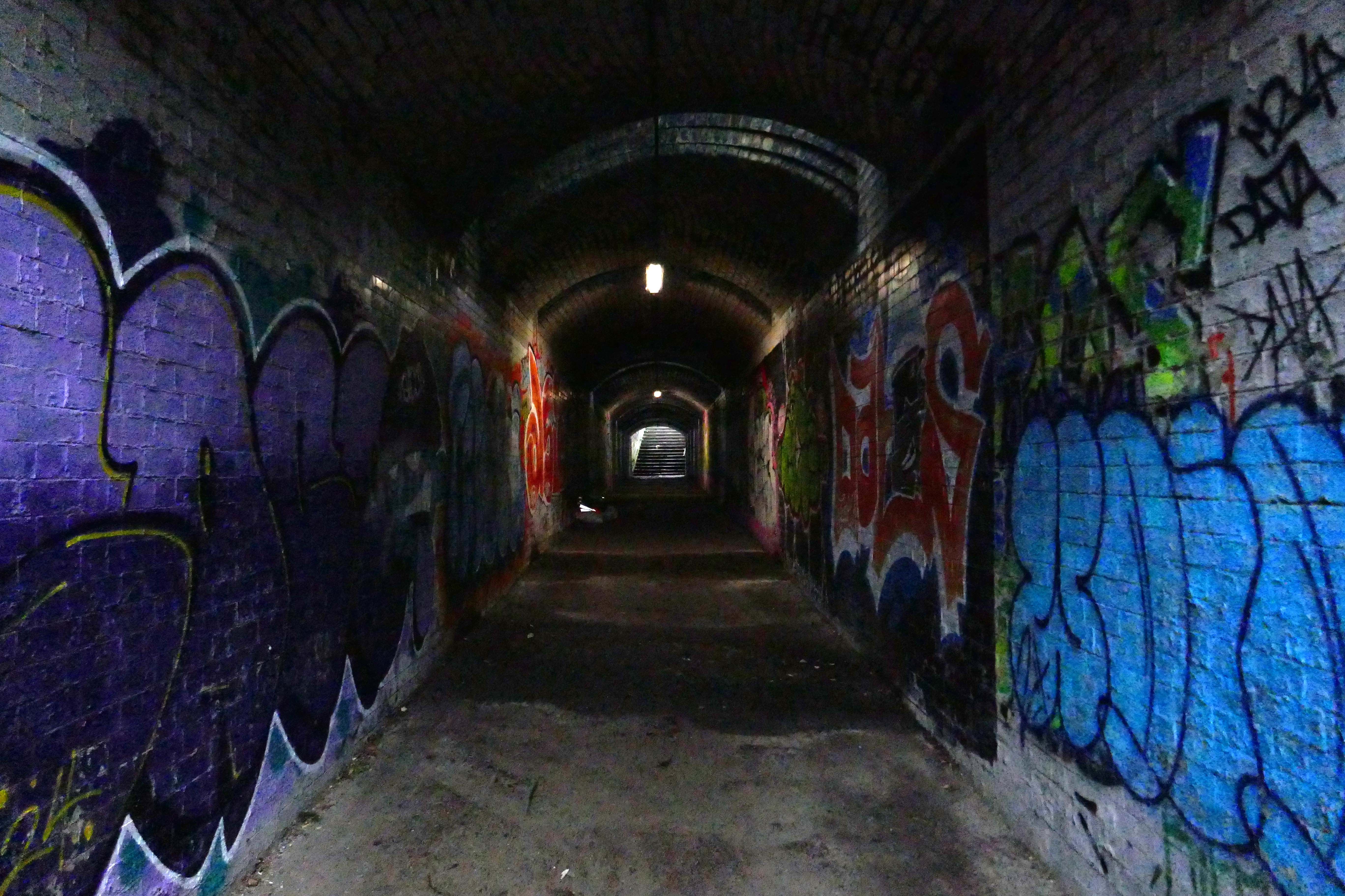
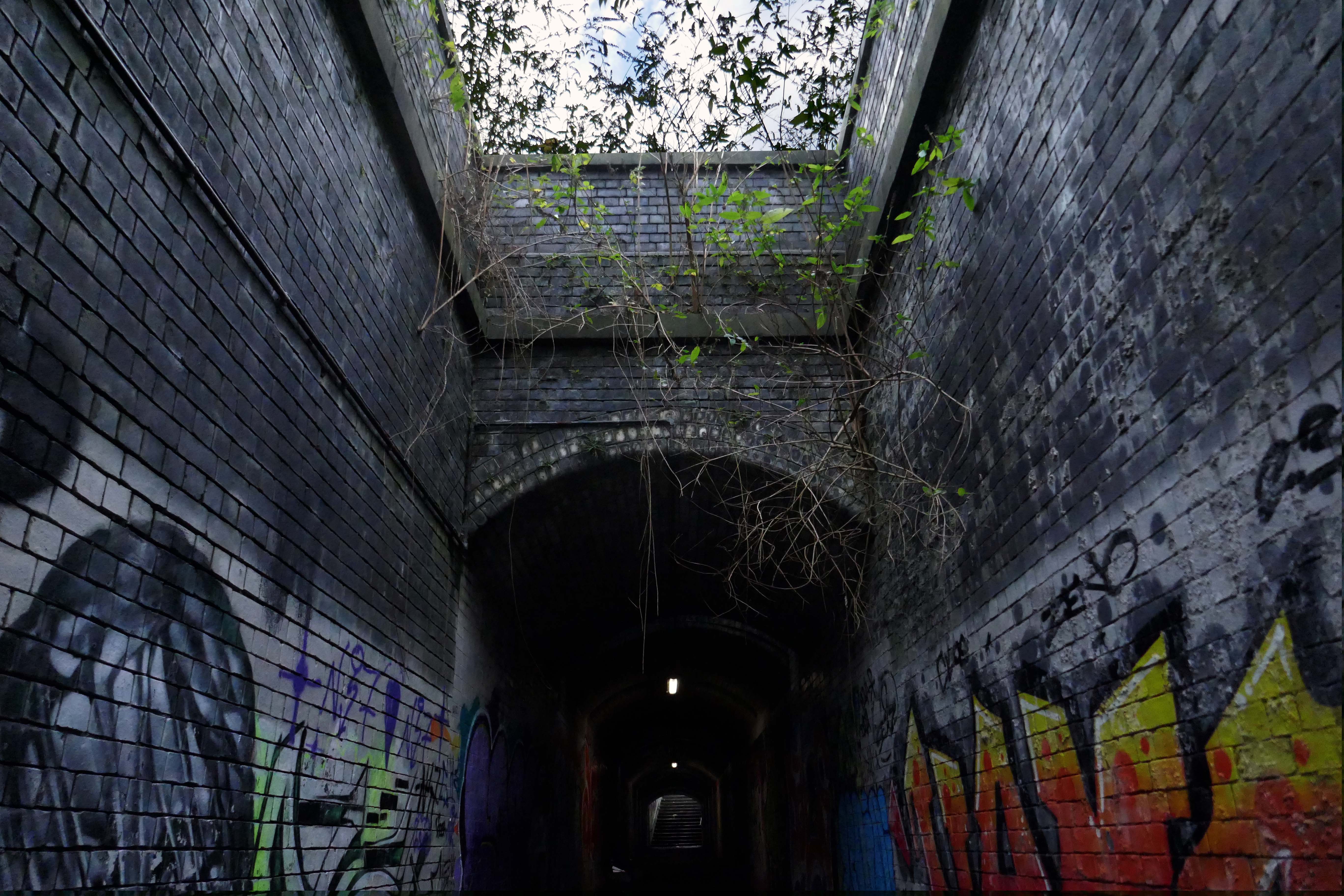
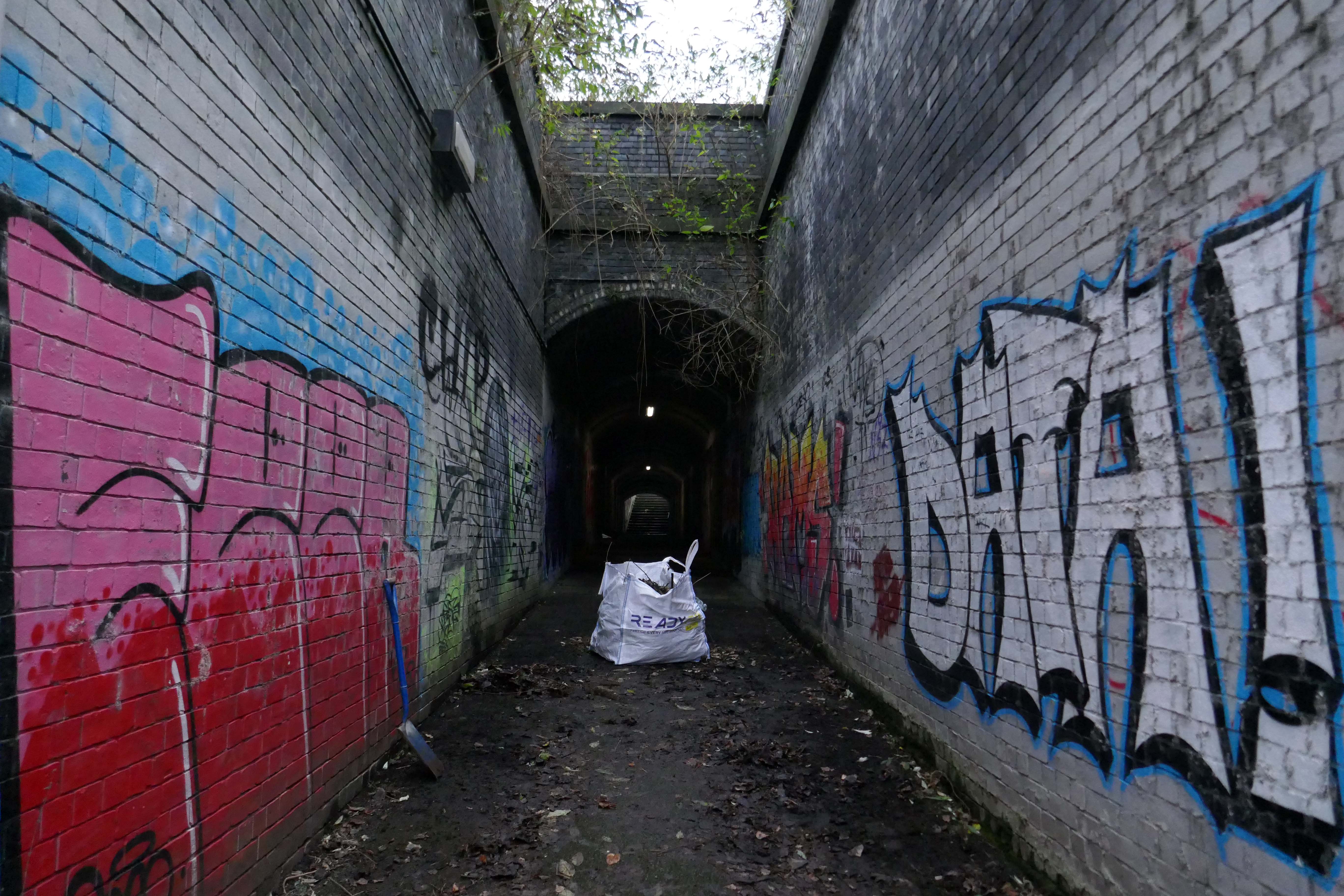
Passing between Dalton Street and Bromley Street is a pedestrian underpass, subway or tunnel.
Beneath both the Bury and Rochdale tram lines.
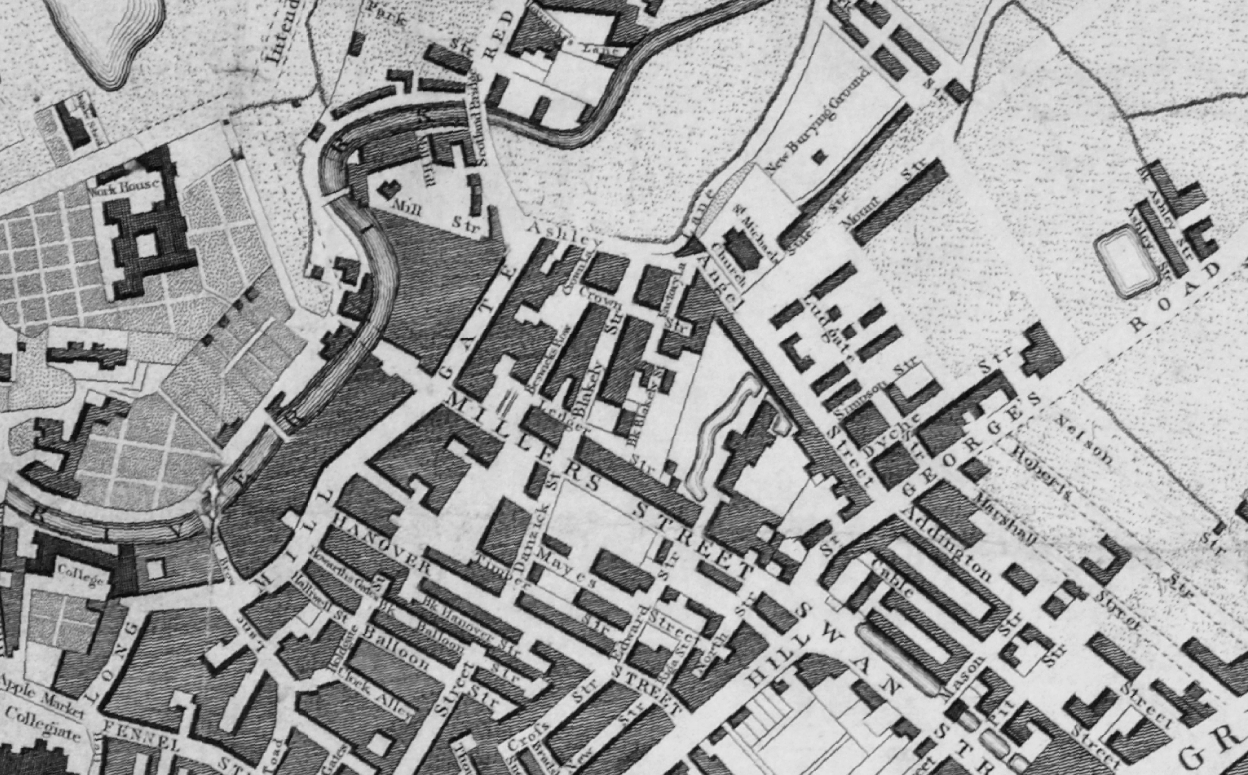
Once upon a time in 1807, it wasn’t there at all.
Then in 1848, it was there, as the L&Y had established a rail route.
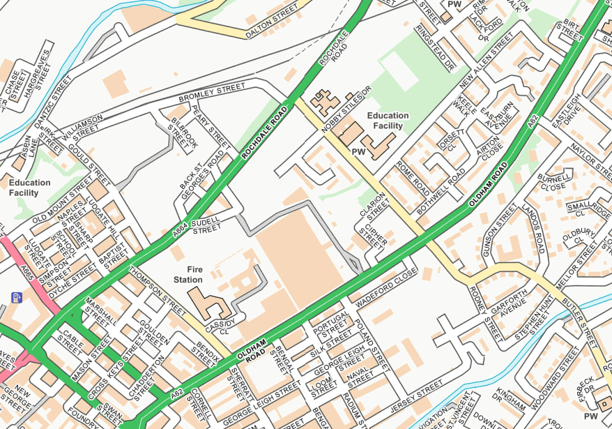
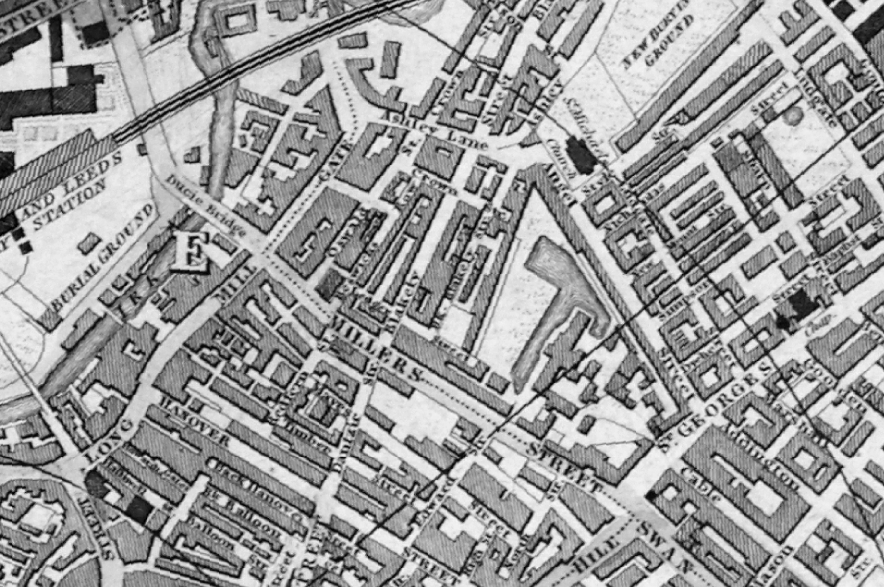
Studying historical maps, we can see the development of dense patches of housing, matching the city’s industrial growth, this is followed by a thinning of housing up to the present day – matching the city’s industrial decline.
There is yet another twist in the tale, as the development of Collyhurst Village and Victoria North, are adding another layer of housing history.
I have walked this area for several years now, recording the relentless but gradual change.
Including the pedestrian underpass, subway or tunnel.
On my most recent visit there were works cleaning the pedestrian underpass, subway or tunnel.
Having taken a particular interest in this particular piece of public art for some time – I need to go and take a little look.
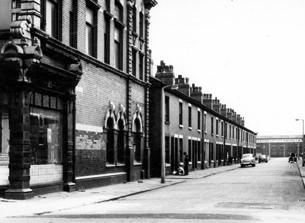
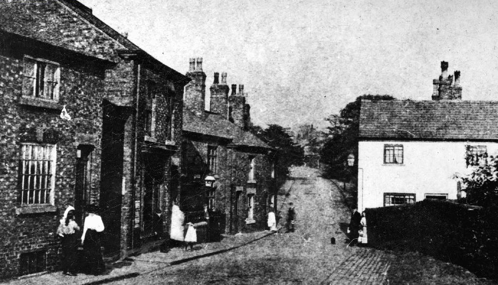
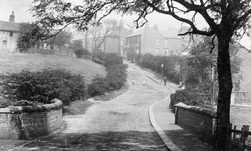
But what will we see along the way, as we hasten along Rochdale Road?
Which once looked like this, way back when in 1904.
Though some things inevitably come and go, as some things are prone to do.
The city is undergoing yet another reinvention as Manchester becomes – an attractive place to invest and do business.
See, I am doing a new thing!
Now it springs up; do you not perceive it?
I am making a way in the wilderness and streams in the wasteland.
Isaiah 43:19
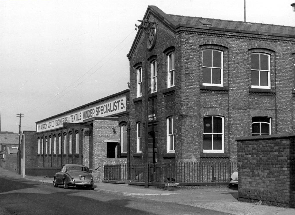
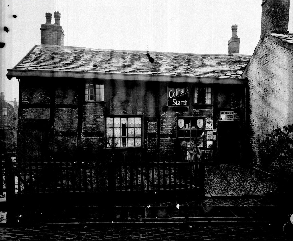
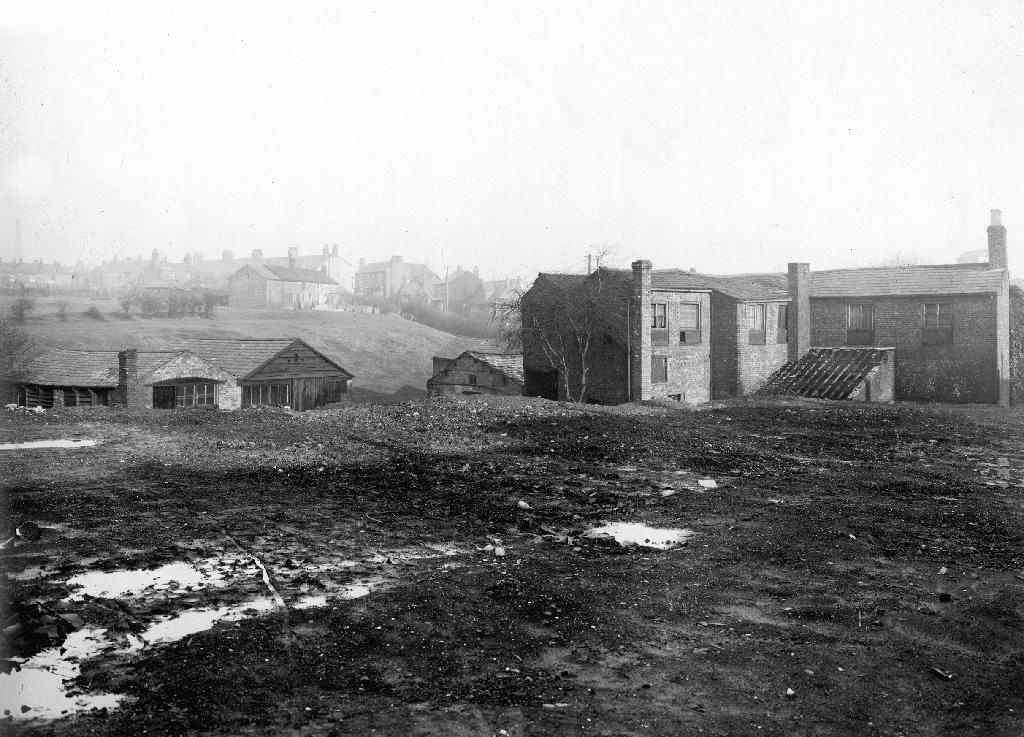
Once there was a gas works here – adjoining Gould Street, seen here in 1958.
The Gould Street Gas Works was a gas manufacturing plant located in Manchester, England. Originally built in 1824, the plant was operated by the Manchester Corporation Gas Department and was in operation from 1833 to 1969. It was named after the street on which it was located, which was named after John Gould, who was a prominent Manchester businessman in the 19th century.
The Gasworks New Town neighbourhood is one of seven envisioned by the £4bn Victoria North masterplan. It will feature nine buildings ranging from 8 to 34 storeys. The 6.6-acre site has most recently been home to a car park but the green development will overwhelmingly prioritise walking and cycling over driving. It will result in tens of millions of pounds being pumped into the city’s economy over the lifetime of the development.
Plans for a trailblazing city centre regeneration scheme that will create more than 1200 homes has been approved by Manchester City Council.
A total of 85 of the 1200, will be affordable homes available through Shared Ownership.
Though as of March 31st 2023 ground is yet to be broken, no signs of the:
New centre of gravity for central Manchester that will create thousands of jobs and inject tens of millions of pounds into the city’s economy.
So you zig-zag wanderers, make the most of these wide open expanses of affordable car parking, while you can.
The future may yet be here today – or the next.
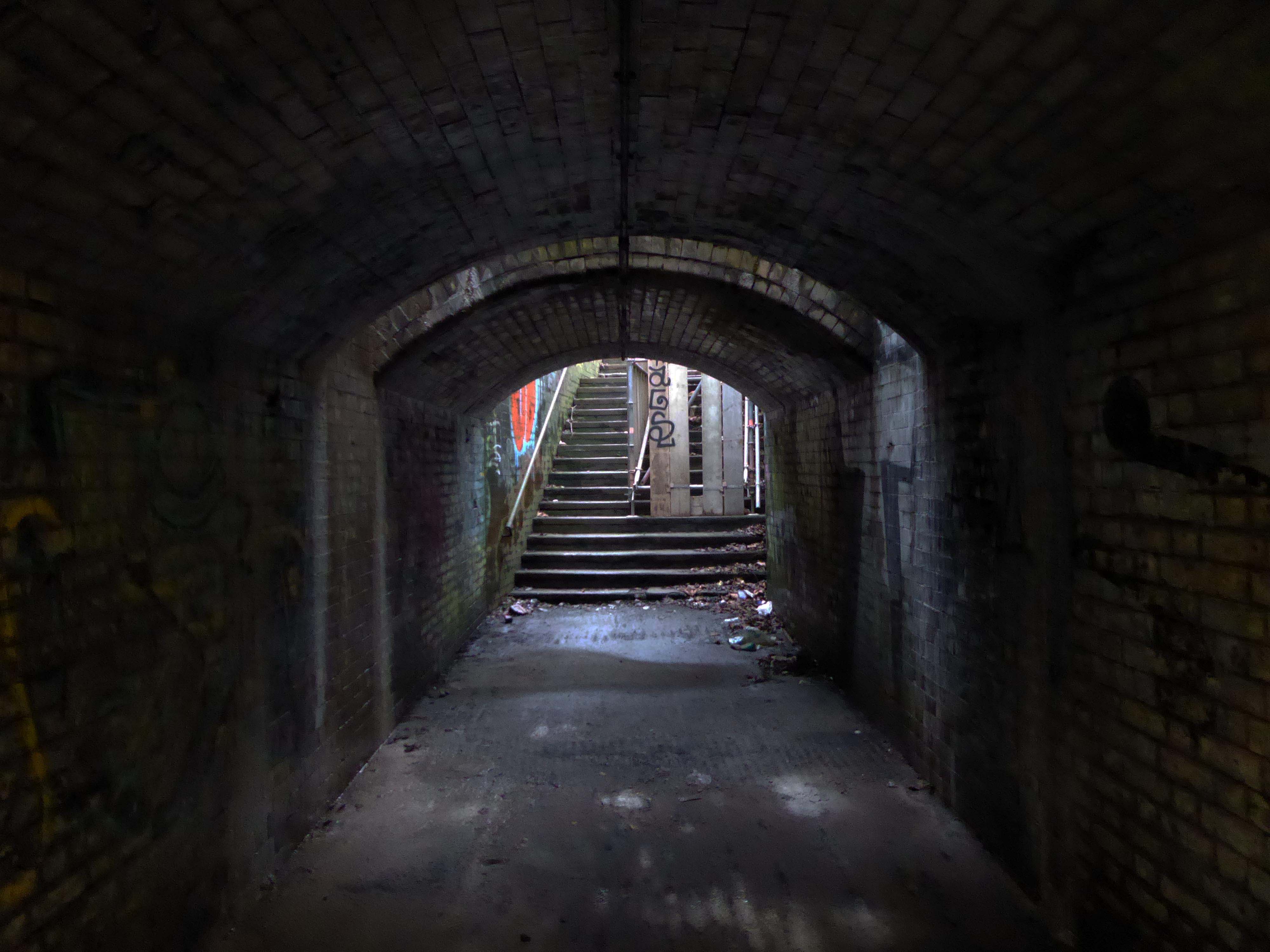
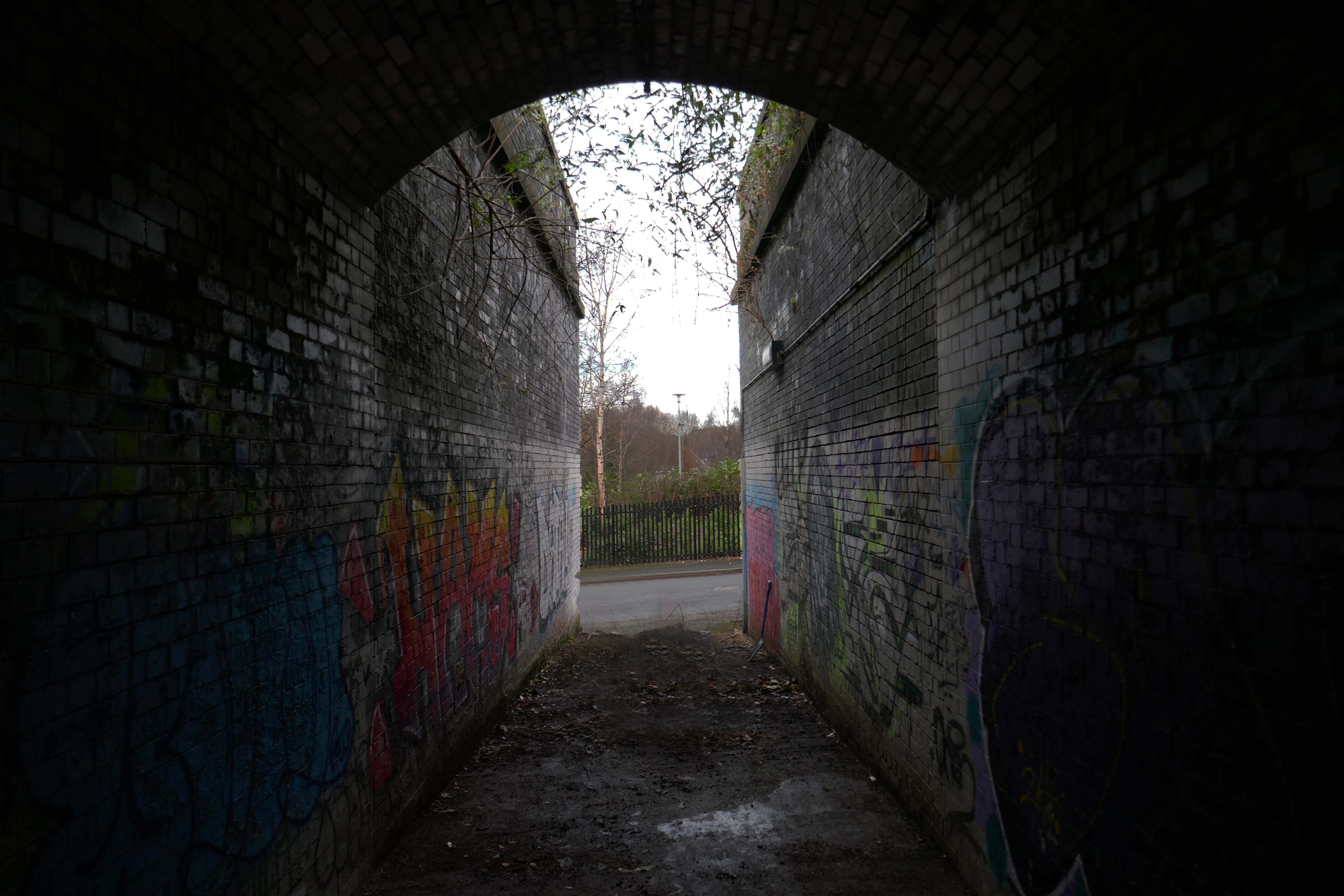
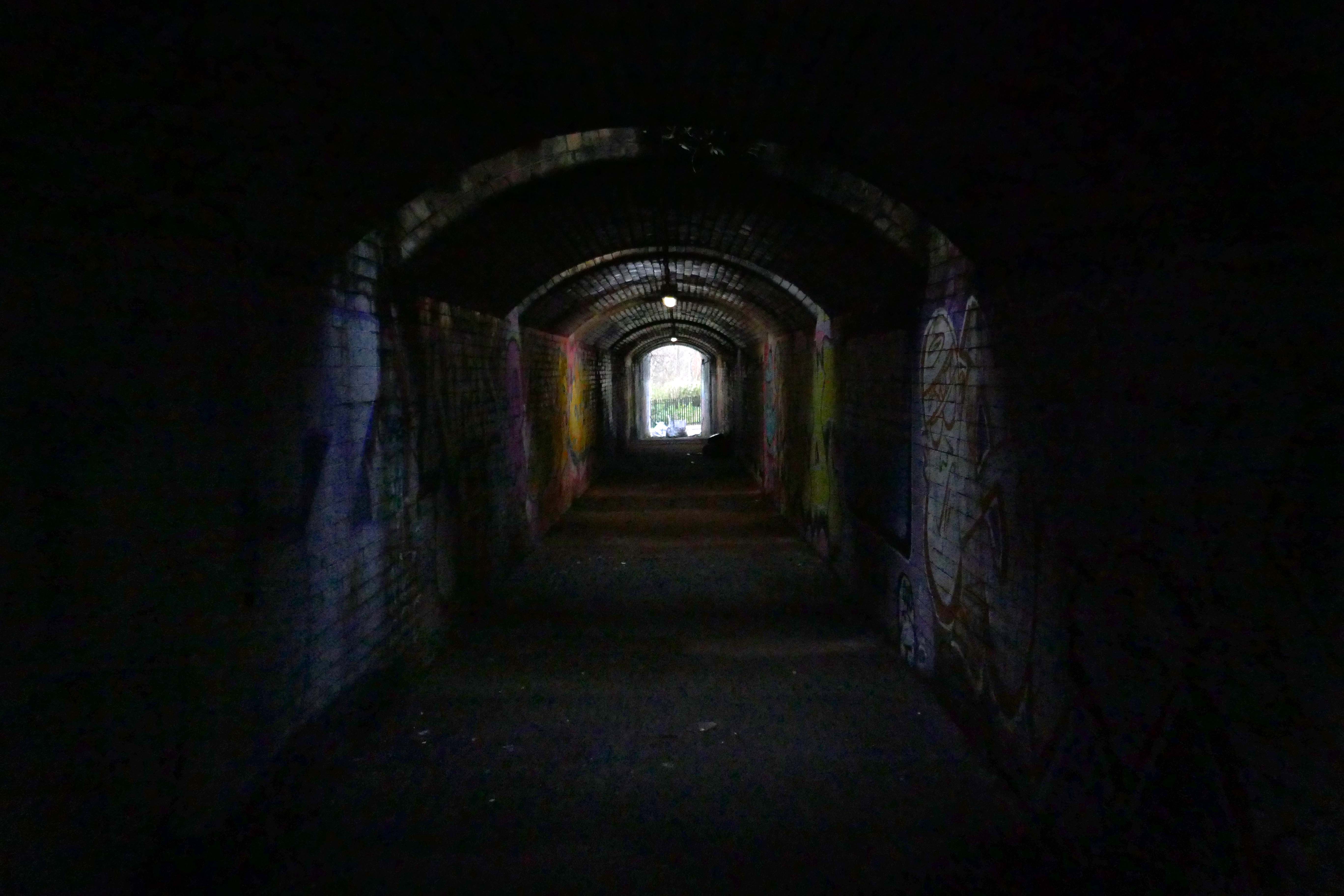
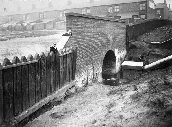
Let’s duck under the railway, through this sad damp pedestrian tunnel – the domain of the cash strapped daytime drinker, transient tagger and disaffected leaflet distributor.
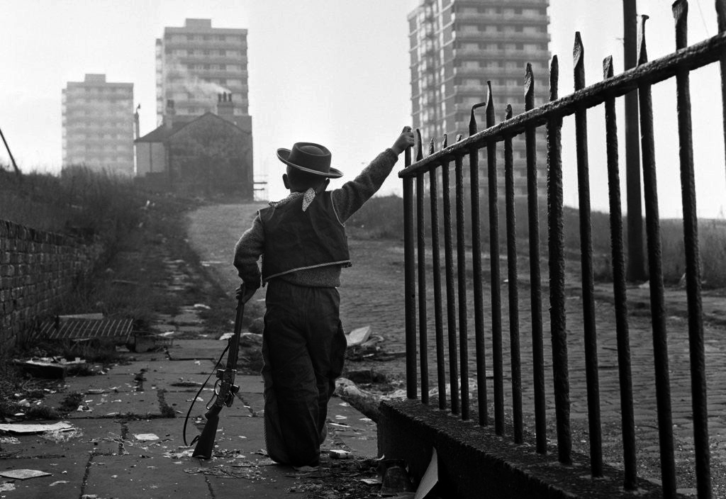
Next thing you know you have emerged into the daylight on Dalton Street – we have been here before seeking the Collyhurst Cowboy.
Photograph: Dennis Hussey
Onwards to Eastford Square.
The shops and maisonettes are due to be demolished any day now – no longer to gaze open-eyed upon the former quarry of Sandhills.
Around the front the diggers have been a digging – digging up around the base of the totem.
The work is to be re-sited by the nearby tower blocks.
The end is nigh.
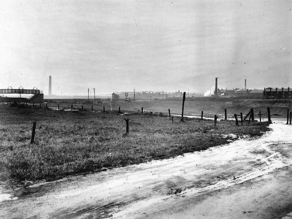
Heading now for Collyhurst Road and the Irk Valley – seen here in 1960.
Looking back on the Square and the Dalton Street flats – Humphries, Dalton, Roach, Vauxhall and Moss Brook Courts under construction.
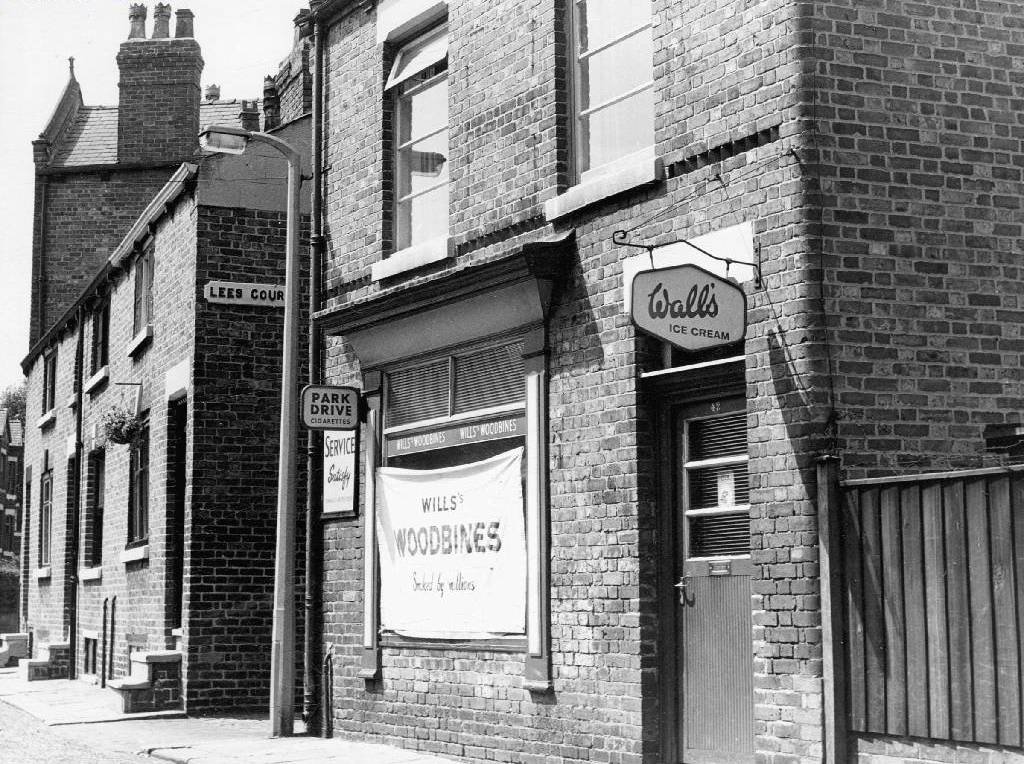
Vauxhall Street now but a shadow of its former self – the last traces of industry long gone.
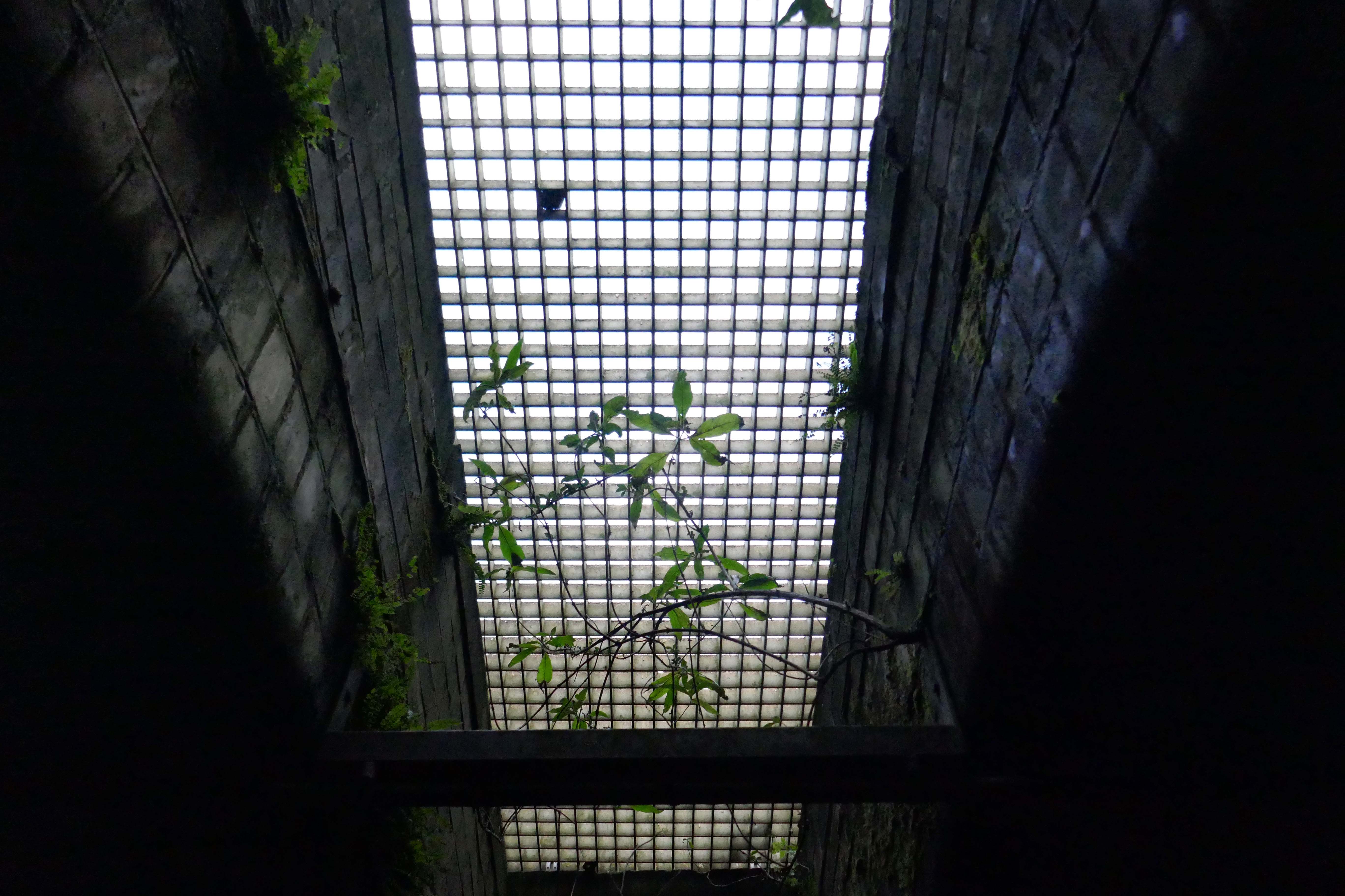
Reclaimed over time by trees and dense underbrush.
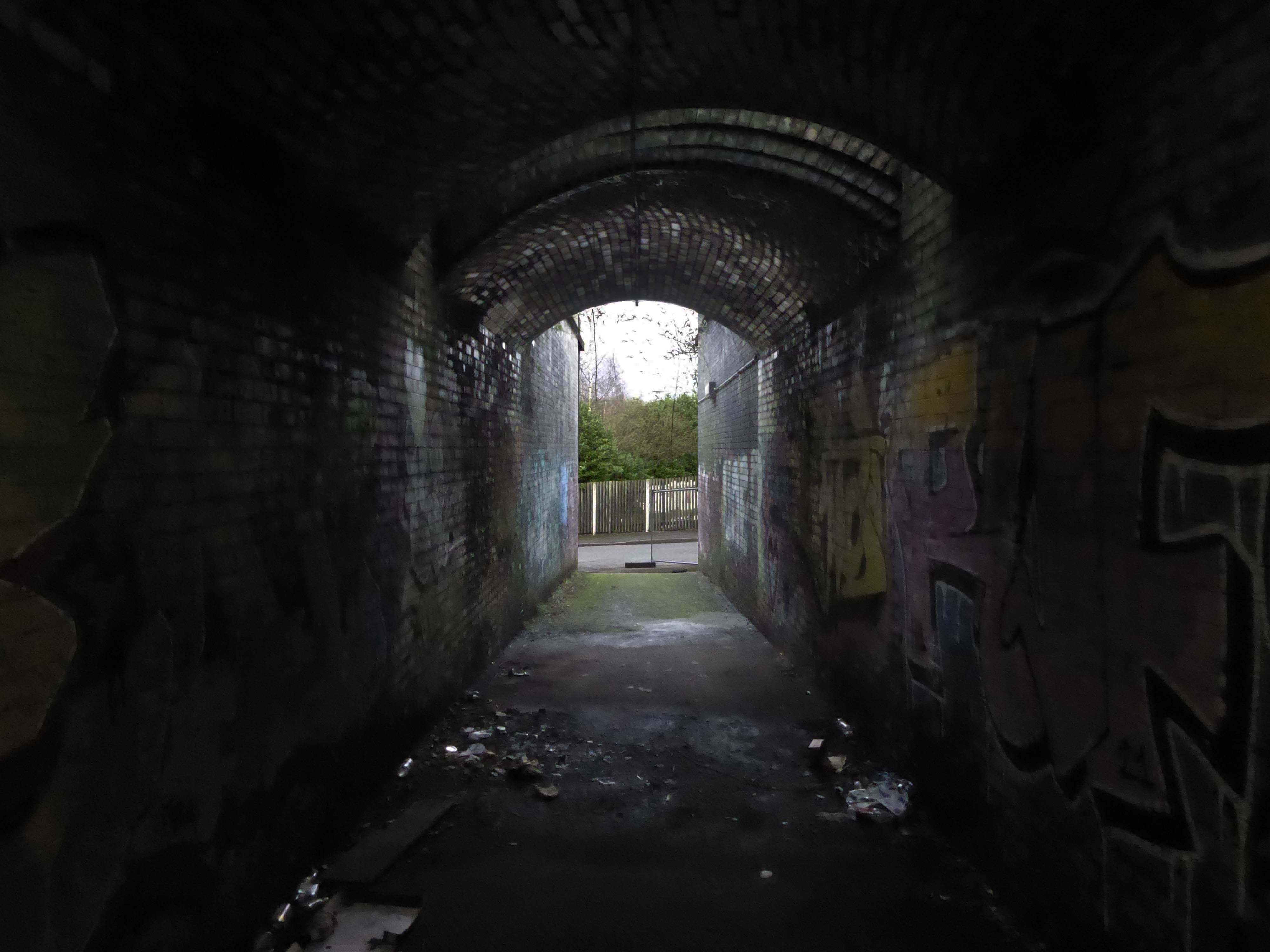
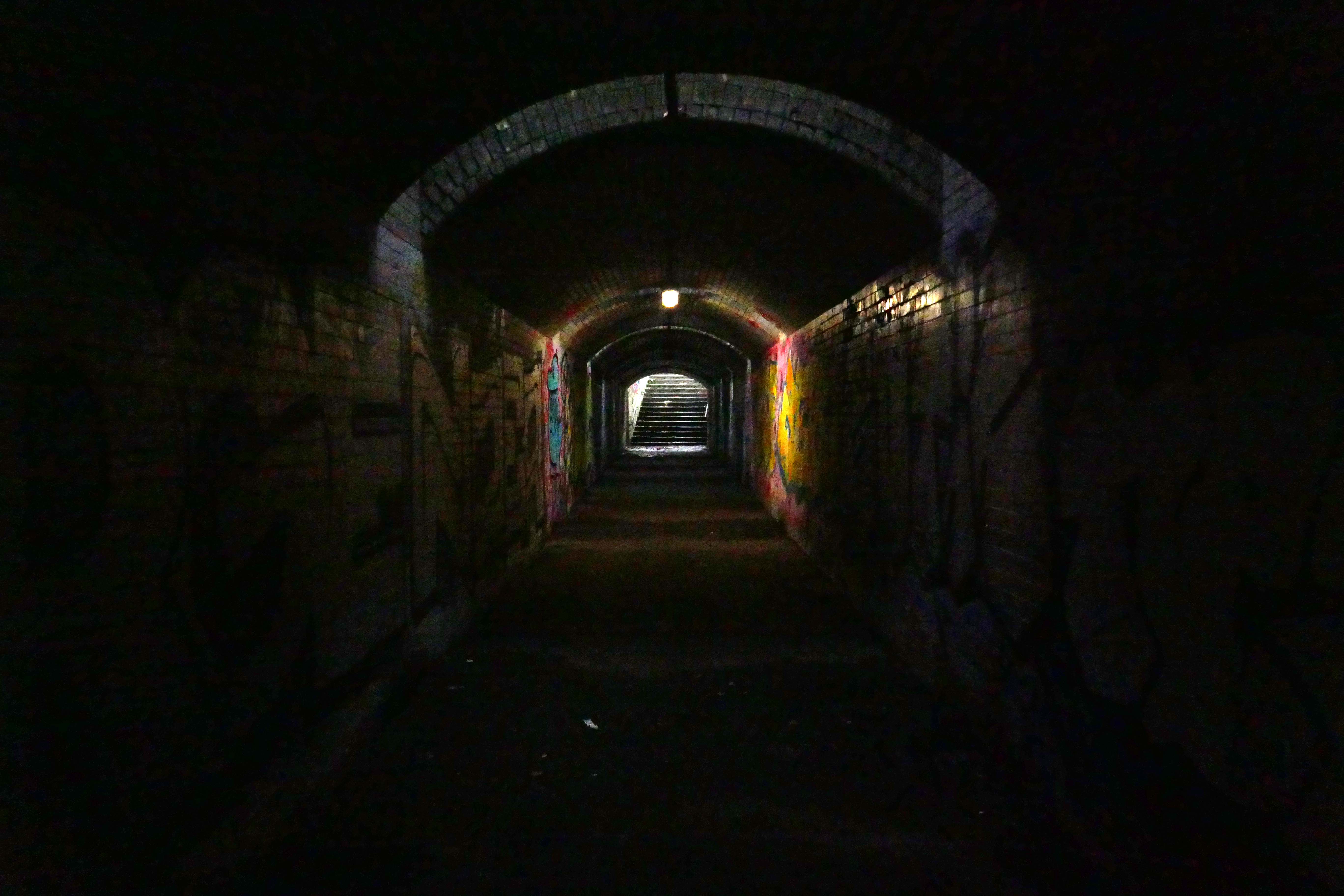
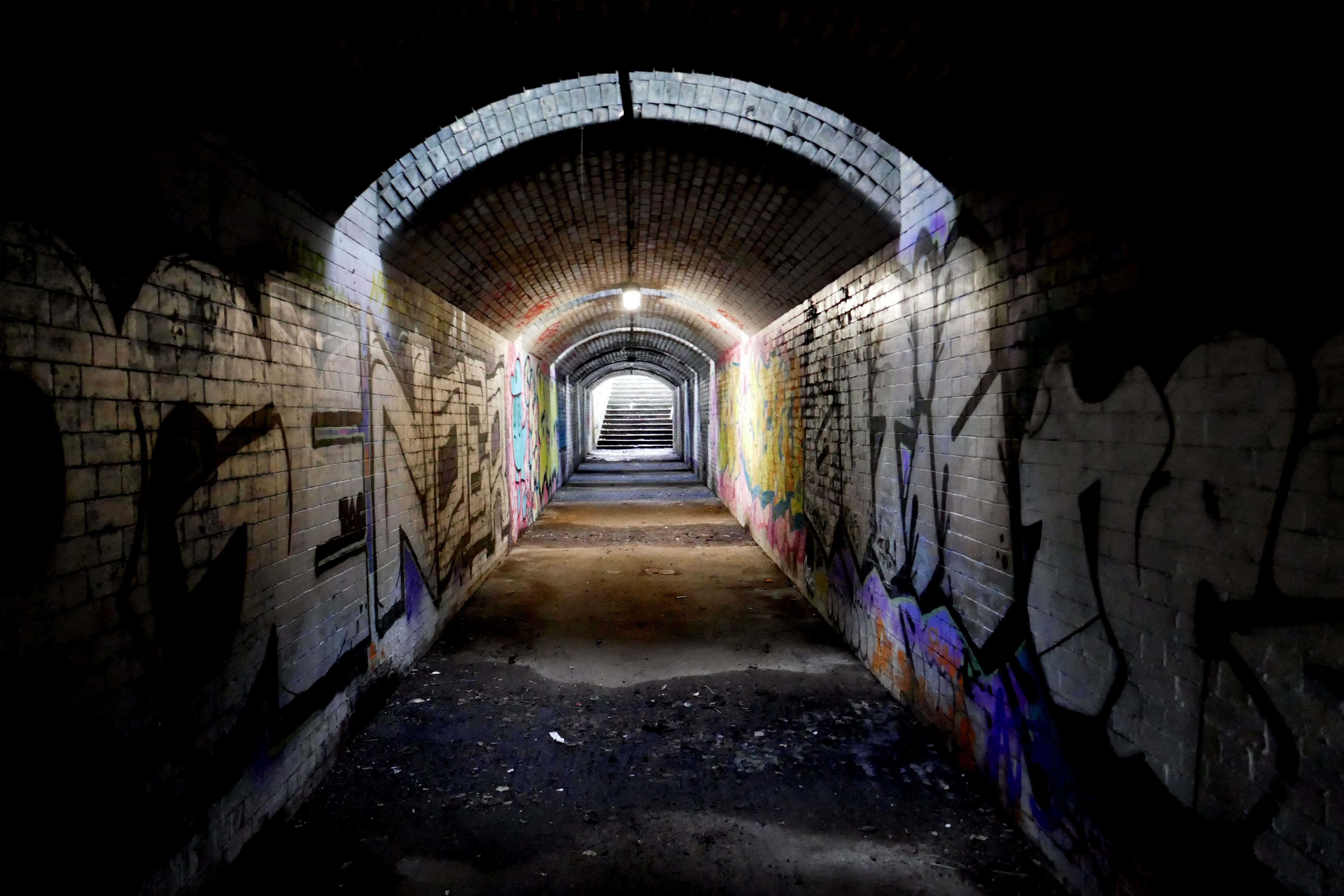
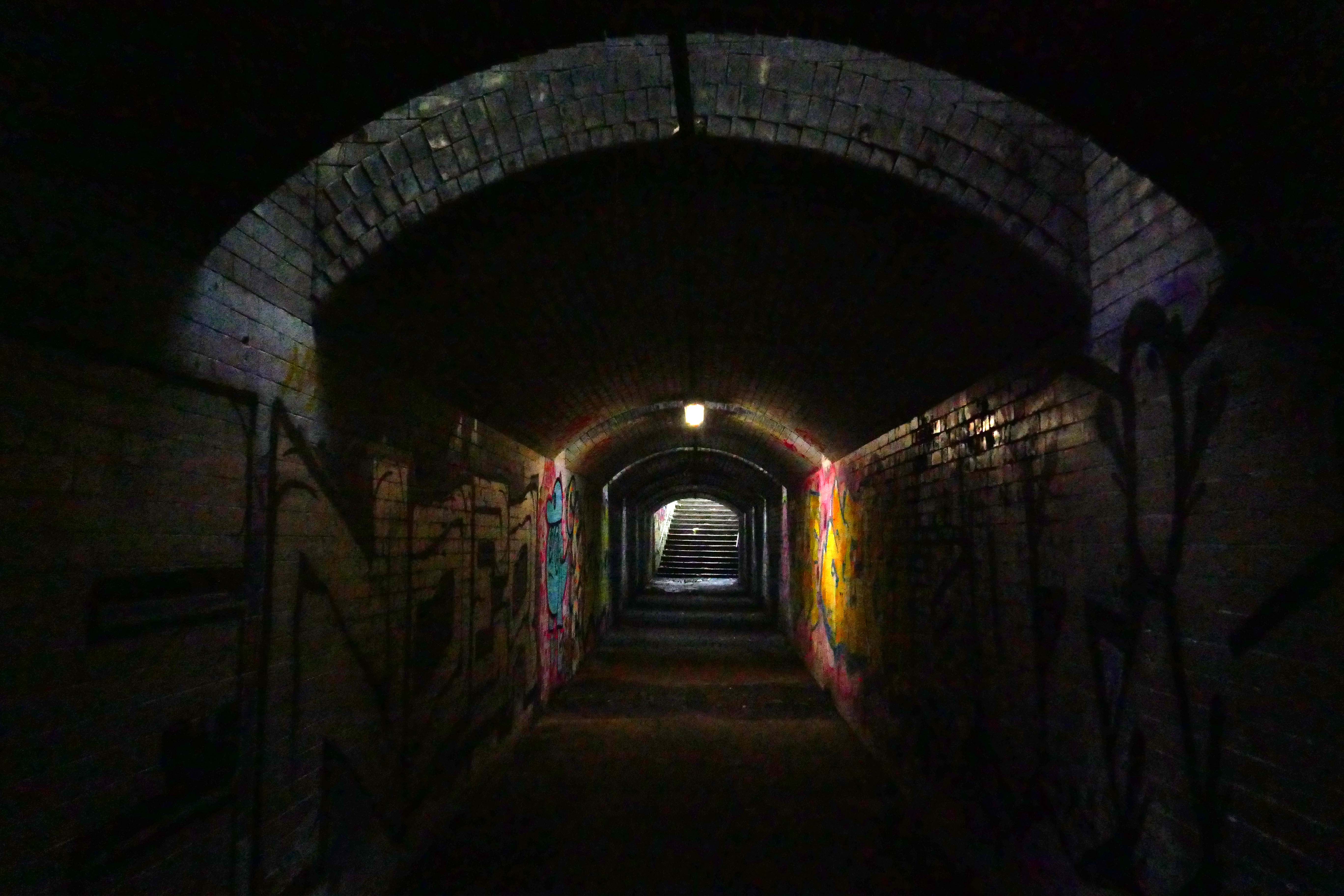
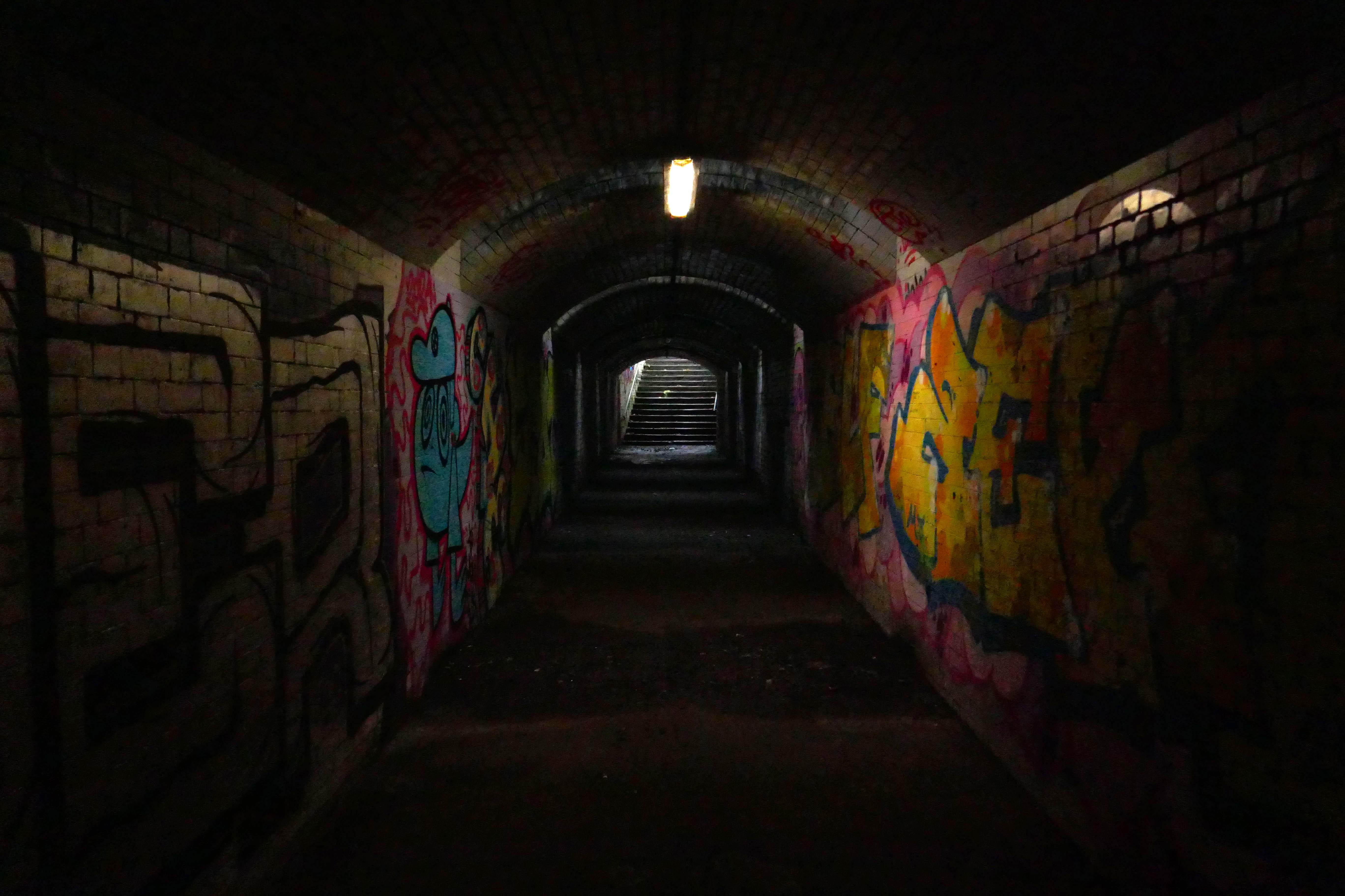
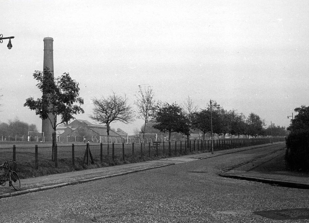
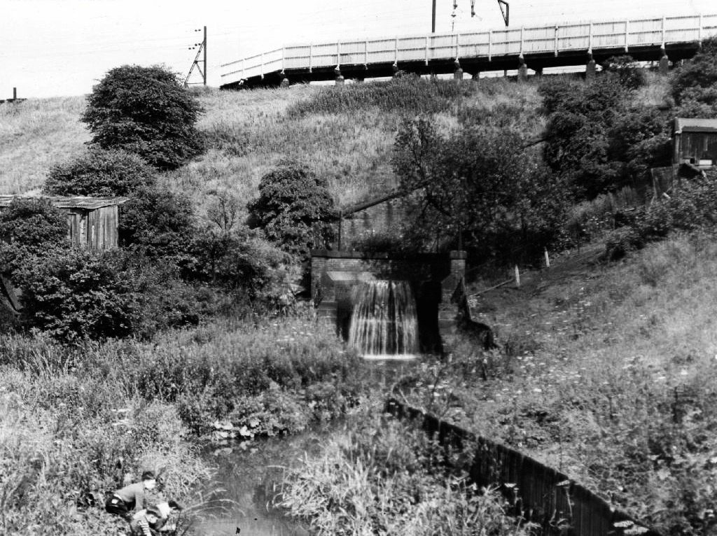
Crossing Collyhurst Road and up and over the railway via Barney’s Steps also known as the Lowry Steps.
LS Lowry
By the late 1950’s the whole of this area which we called Barney’s Tip became a refuse tip for Manchester City Council.
The area is in the process of being reconfigured as a delightful country park.
The investment will also help develop an initial phase of the planned City River Park incorporating St Catherine’s Wood as part of a network of public open space, including improvements along the River Irk and works to improve flood resilience, unlocking the potential of the Irk Valley that will characterise the wider Northern Gateway project.
The first phase of the City River Park will begin work to transform former railway architecture to develop the new Viaduct Linear Park north of Victoria Train Station, new stepped public realm space – Red Bank Terraces, along with new green space by the River Irk and the key improvements to St Catherine’s Wood.
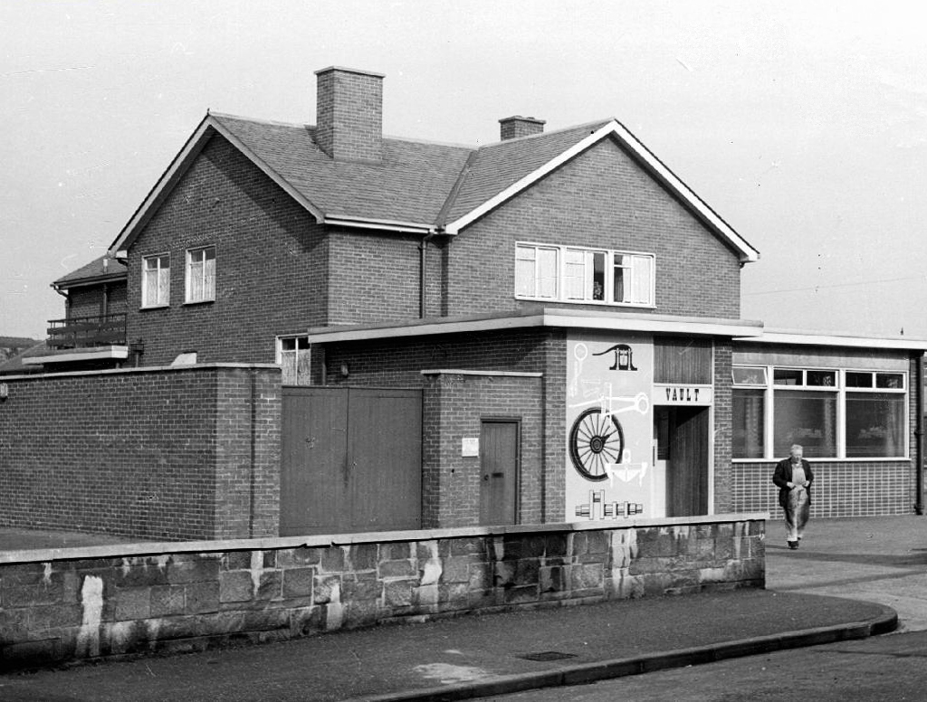
Collingham Street is lined with trucks, trailers, stalls and mobile homes.
But there’s nothing temporary about this Cheetham Hill neighbourhood; most residents have lived here for years and many plan to spend the rest of their lives here.
Founded more than forty years ago, it was created by the Showman’s Guild of Great Britain – and it’s reserved exclusively for fairground workers both retired and current.
Built on Queens Road tip, a former rubbish dump, and rented out by Manchester Council, many of the 52 homes belong to older retired showmen or families for whom an itinerant lifestyle has become more challenging.
It’s a close-knit community with a unique shared history.
Though not without its own particular issues it would seem, according to the MEN.
The licensing out of hours team has received noise complaints relating to the premises which was found to be open beyond permitted hours when visited. Officers also identified breaches of the Health Act during inspections in which people were seen smoking shisha pipes in an enclosed extension at the back.
We will leave the Flamingo be and head back into town – but not without giving a nod to this confusing collision between this self-made scrapyard-man chic gate and the ever changing skyline of overheated urban regeneration.
The new creation has come: The old has gone, the new is here!
To begin at the beginning, well actually to begin in the middle and walk to the current beginning. The Gore Brook flows from the Lower Gorton Reservoir and from there onwards to meet the Chorlton Brook in the west, though I should imagine that prior to the construction of the waterworks, it was fed by more distant moorland waters.
Manchester being on the eastern edge of the Lancashire Plain and the western edge of the Pennines is riddled with rivers, rivers which now wriggle in an under and overground web, across heavily developed urban areas. Following the Industrial Revolution former meadow, common and farmland was overwritten by factories, housing and roads, the rural character of the rivers and brooks soon becoming darkened and polluted by the surrounding industries.
The Red Path is a pedestrian link between Pink Bank Lane and the Gorton boundary at Buckley Road. It roughly follows the course of Gore Brook. The original footpath, running from Buckley Road to the bank of the brook, was made using black cinders. It was probably made in the 1940s to provide access to the allotments located on either side. In the early 1950s , a concrete bridge was laid across Gore Brook and the footpath extended to Pink Bank Lane. This section used red bricks in it’s construction, probably supplied by Jacksons brickworks . Crushed bricks were then used as a topping to make the path smoother and fill in any cracks. The thoroughfare soon became known as the Red Path.
So wide eyed and mapless I bowled up at Brook Terrace, just off Stockport Road Longsight, in search of The Gore and its source.
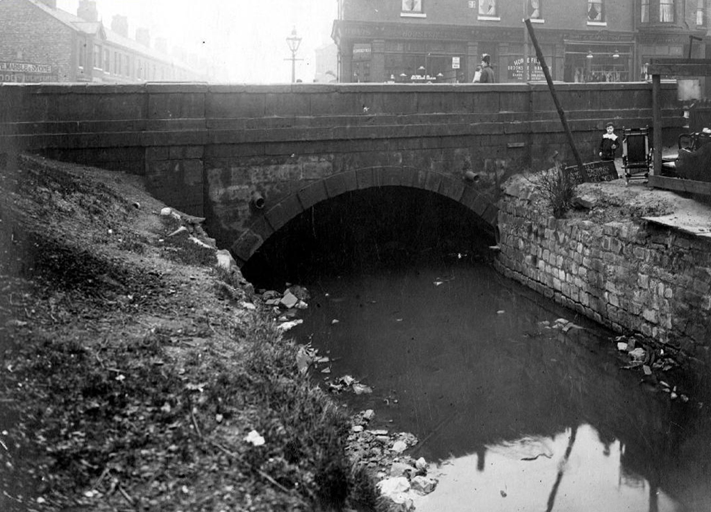
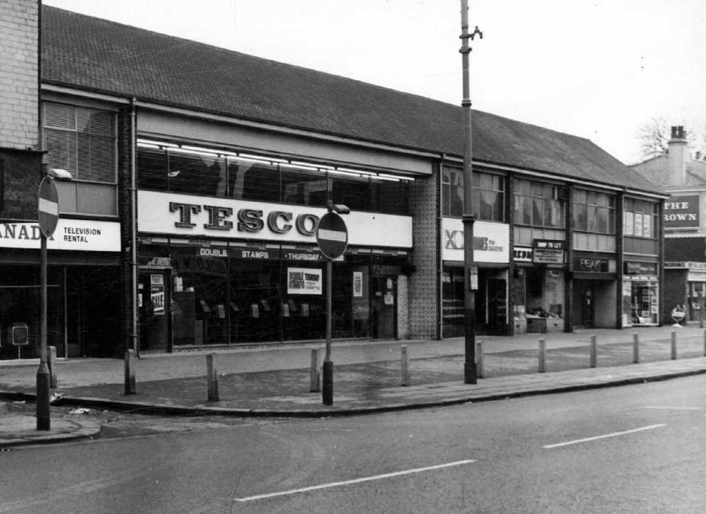
In the early 1900’s the river was still open and bridged, here at Stockport Road, later culverted and covered – anticipating the arrival of Tesco’s and Granada TV Rentals.
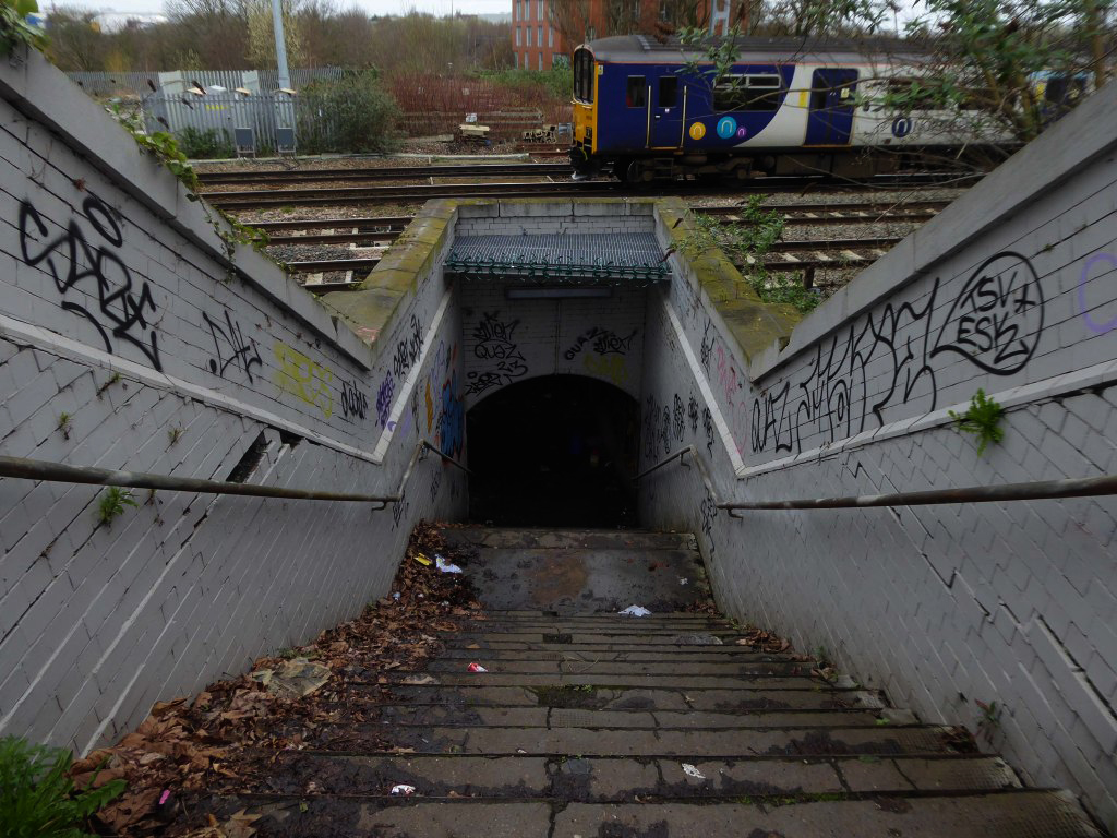
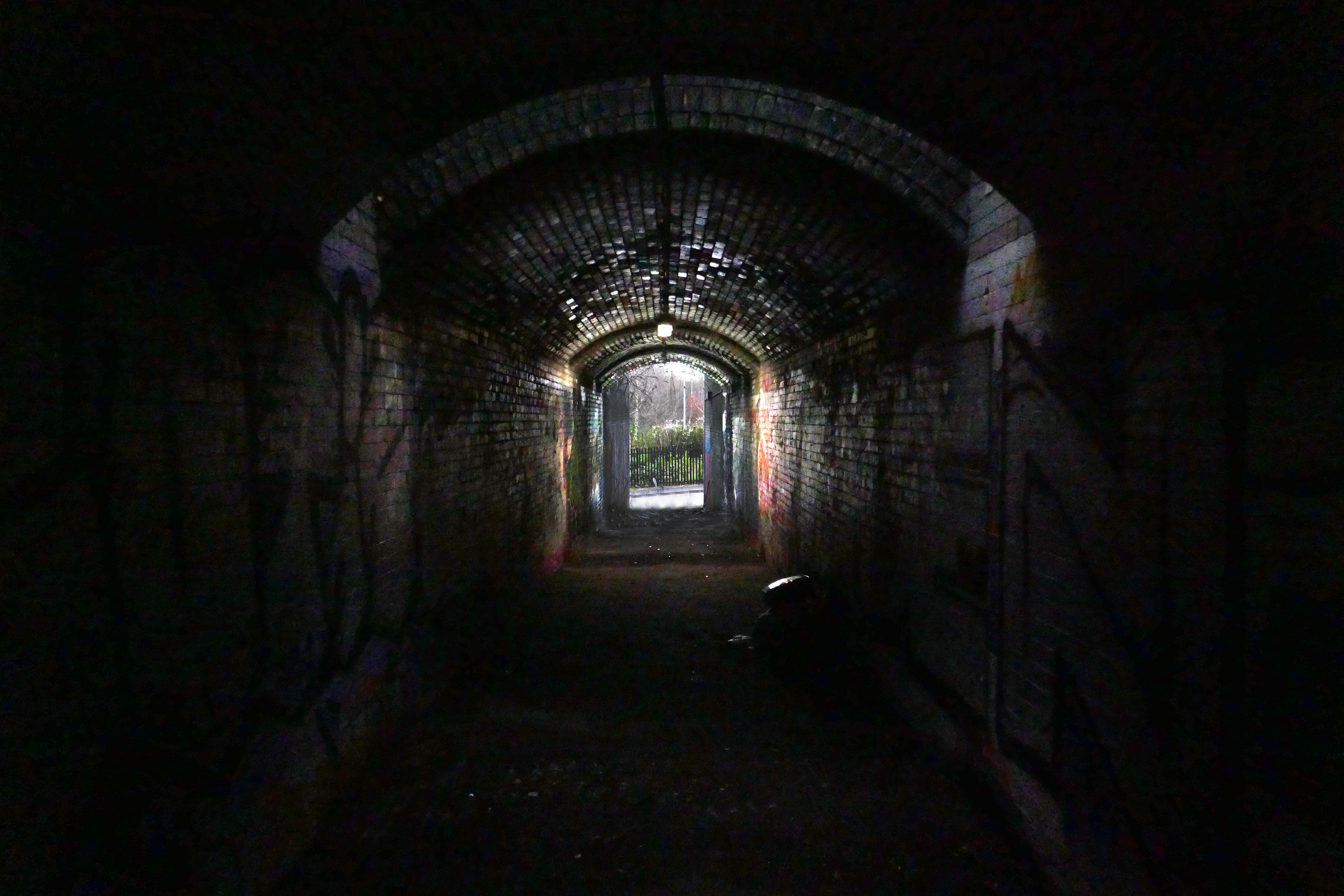
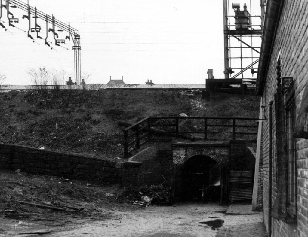
From there we pass under the railway along Brook Terrace and into Parry Road.
The underpass is still there and very much in use, as is Stanley Grove School – the Manchester Central Schools’ Kitchens are long gone, along with the food filled, insulated aluminium cases, that fed the hungry mouths of many, with semolina, pink custard, meat pies and lumpy mash.
Onwards to Elgar Street and still no sign of the river, hidden beneath our feet, the corner of Northmoor Road, can be seen on the corner, no longer distributing dividends, but now providing social housing.
We arrive at Pink Bank Lane, a rich mix of terraced homes, flats and factories – and the long lost Garratt, and the long lost Gore.
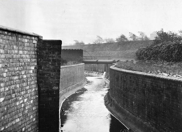
Though the lazy, lazy river has been confined in a brick lined wind, to meet the ever pressing needs of the Gorton Sewage Works.
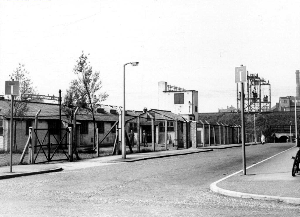
The river then hugs the edge of Annie Lea Playing fields on Buckley Road, until it disappears again as it meets Mount Road, the playing fields are still open ground – the Manchester Cleansing Department, seen on the left – is no more.
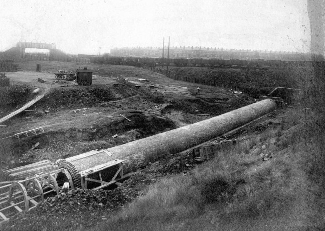
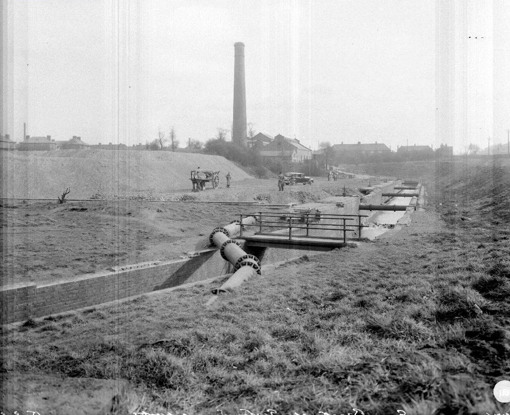
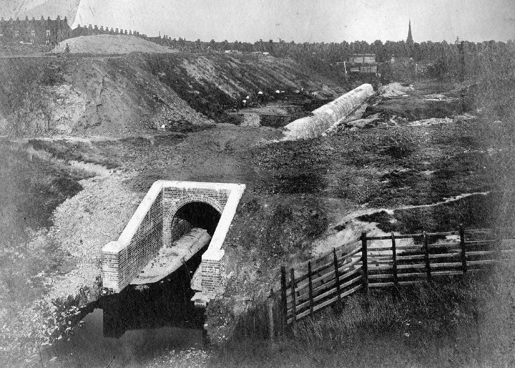
Here on Knutsford Road we see the construction of the tunnels and culverts, the footbridge to the left spanning the railway, is still there.
1907
1911
1914
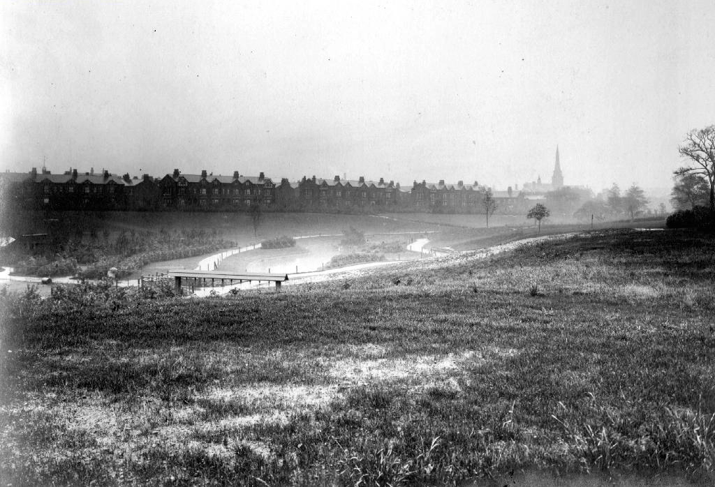
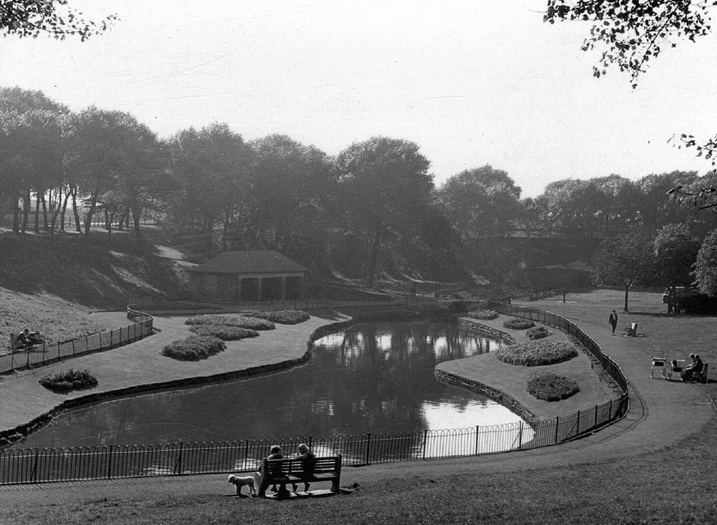
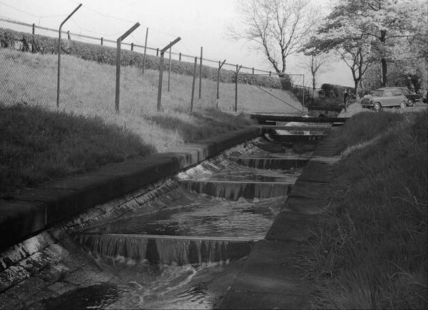
Finally we see The Gore reemerging clear, clean, wide, proud and resplendent in Sunny Brow Park, where it is still maintained as a decorative, duck-filled lake.
1907
1910
1964
Briefly underground again and into the back of Far Lane, skirting the Brookfield Church graveyard.
1920
1937
1964
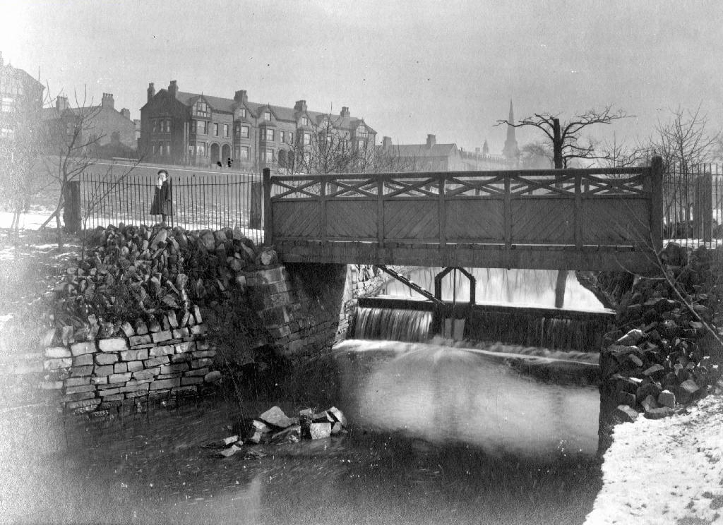
Then tunnelling under Hyde Road at the back of the church lodge, appearing once again alongside Tan Yard Brow.
1904
1922
1964
The manmade waterfall continues to cascade, the Fairfield to Old Trafford railway is now the Fallowfield Loop, Manchester Cycleway, young lads no longer mess about in wellies and torn Tek Sac jeans on the bank, the Tannery no longer tans.
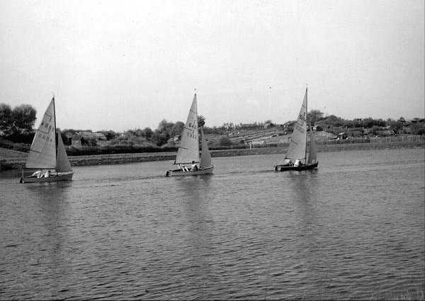
Then we end our journey by the broad expanse of the Lower Gorton Reservoir, implausibly dotted with jolly yachts, and home to a now absent stepped outflow stream. Look up to the east, and there you’ll see the moors, you could go further.