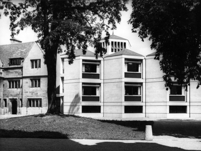
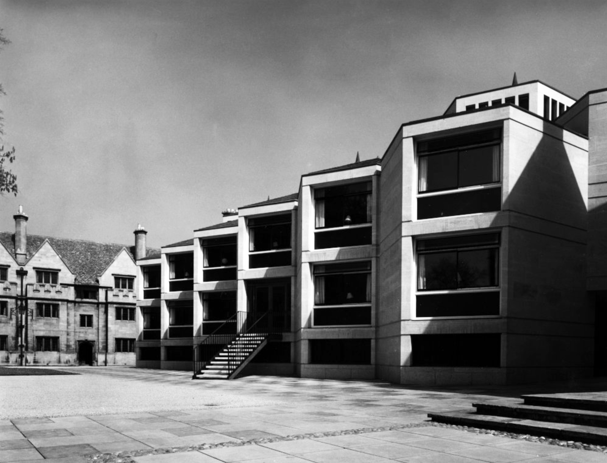
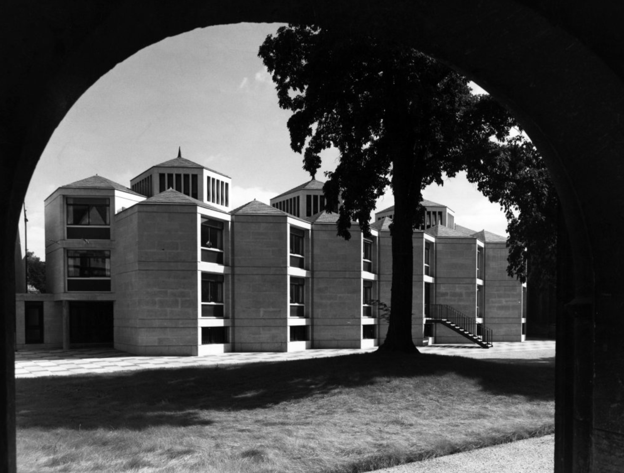
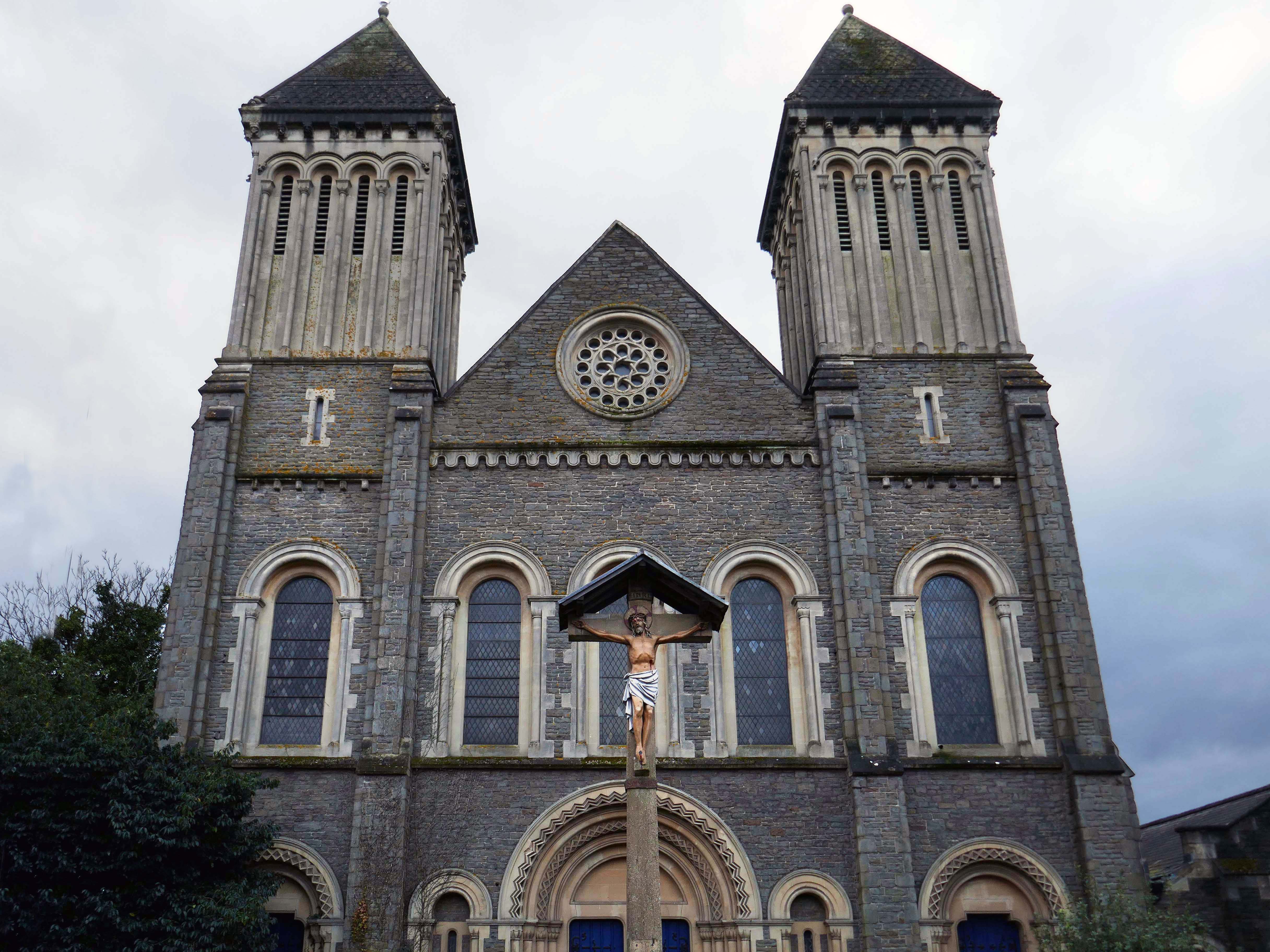
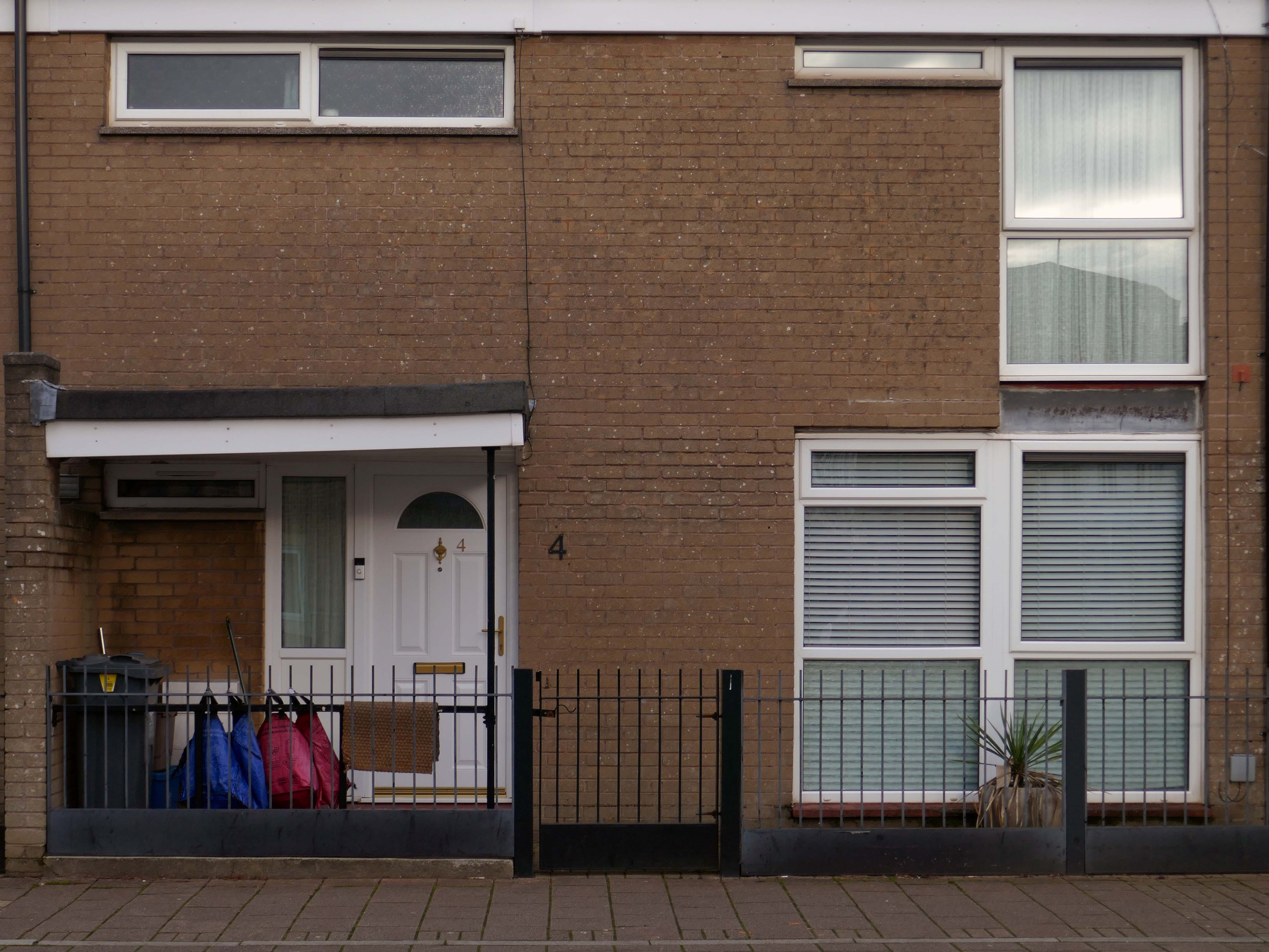
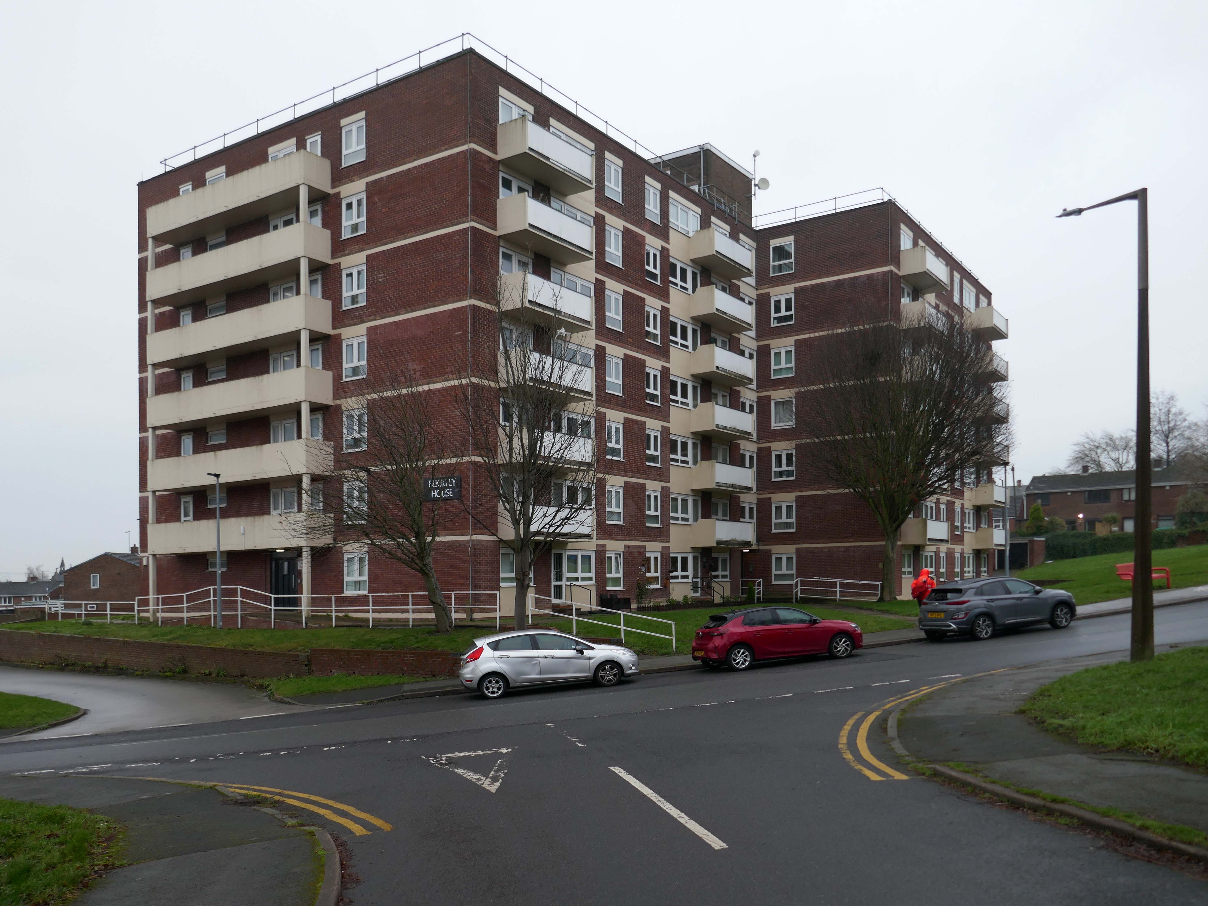
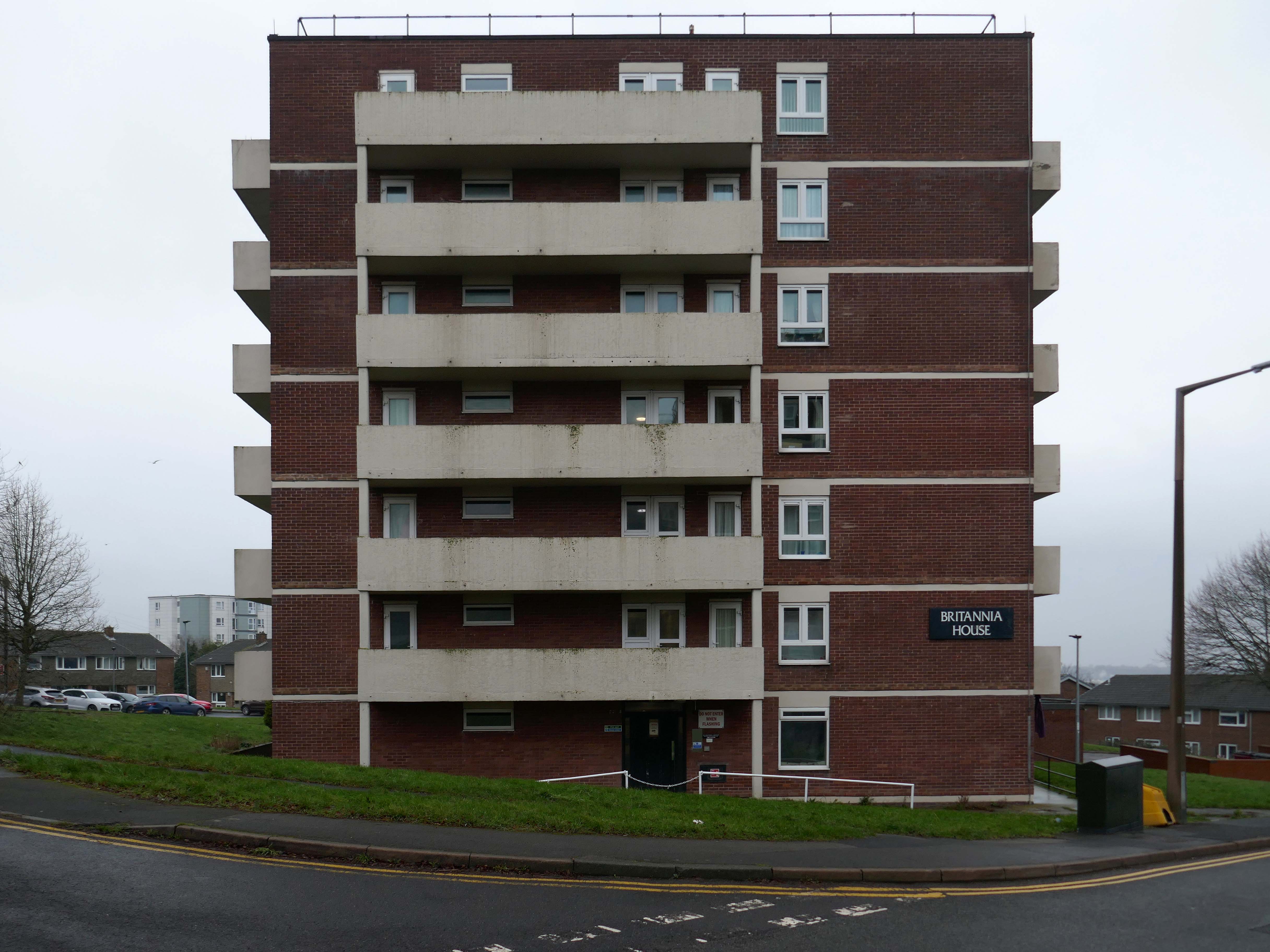
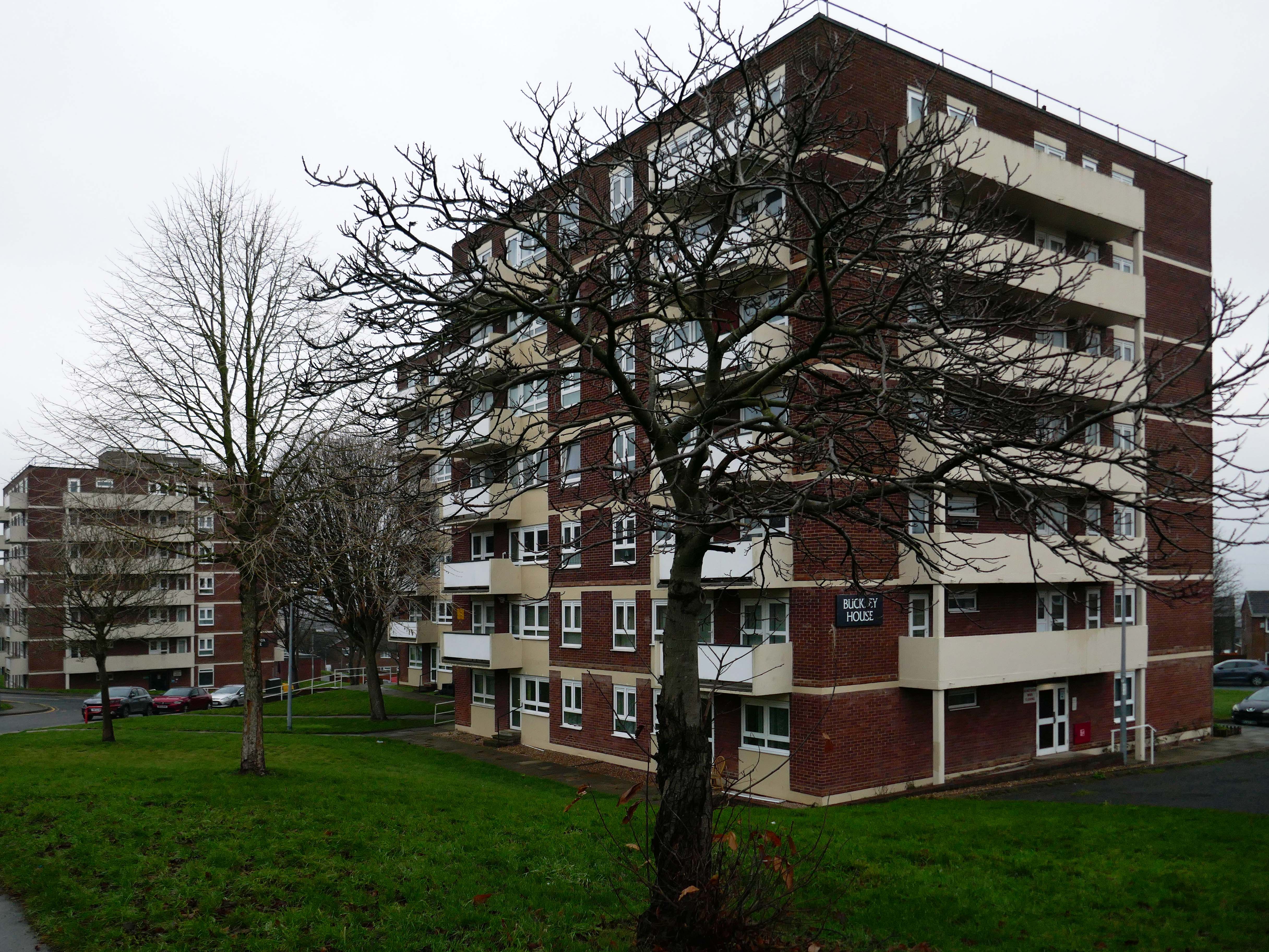
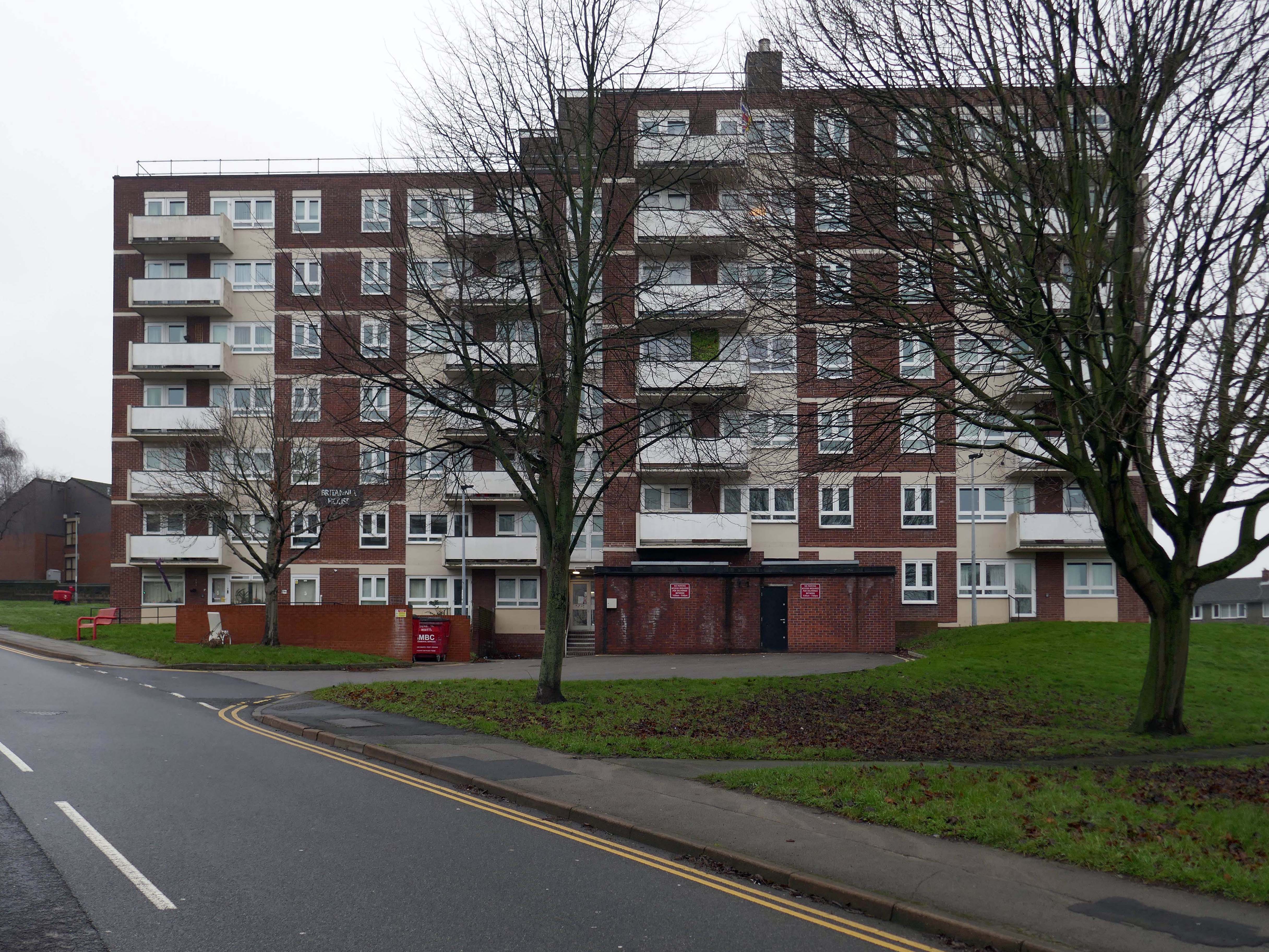
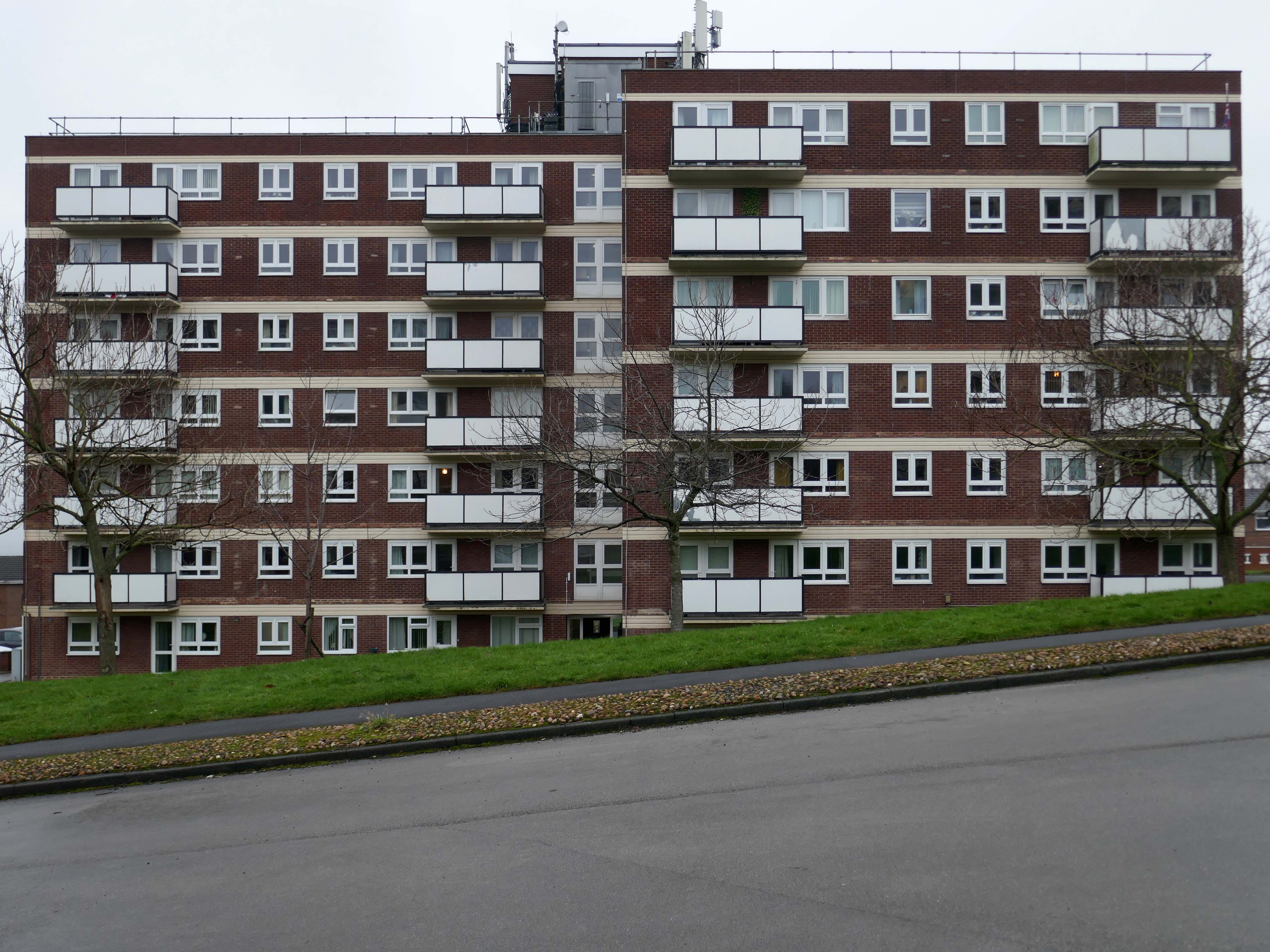
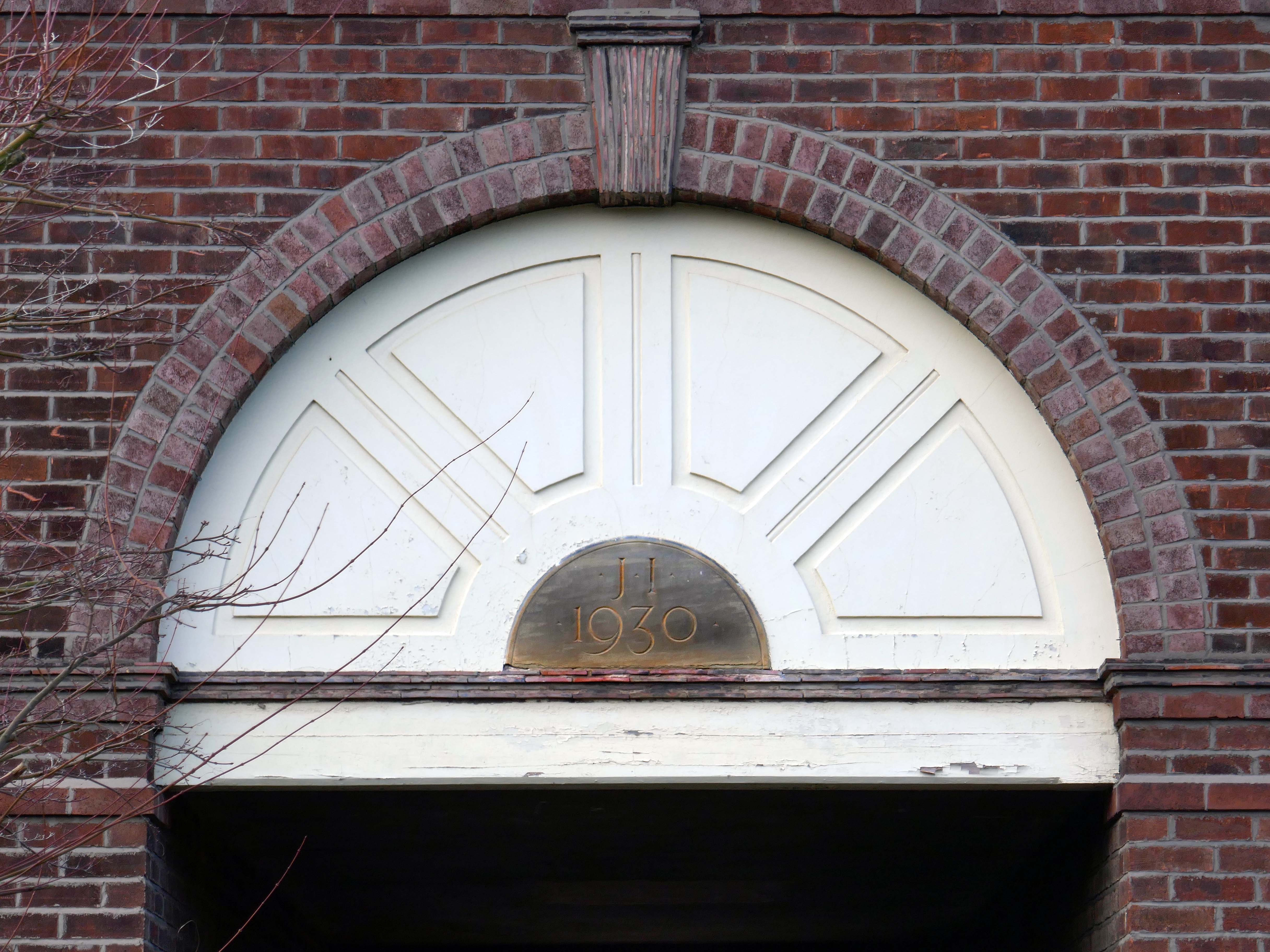
St John’s College was founded as a men’s college in 1555, it has been coeducational since 1979. Its founder, Sir Thomas White, intended to provide a source of educated Roman Catholic clerics to support the Counter-Reformation under Queen Mary.
St John’s is the wealthiest college in Oxford, with assets worth over £790 million as of 2022, largely due to nineteenth-century suburban development of land in the city of Oxford of which it is the ground landlord.
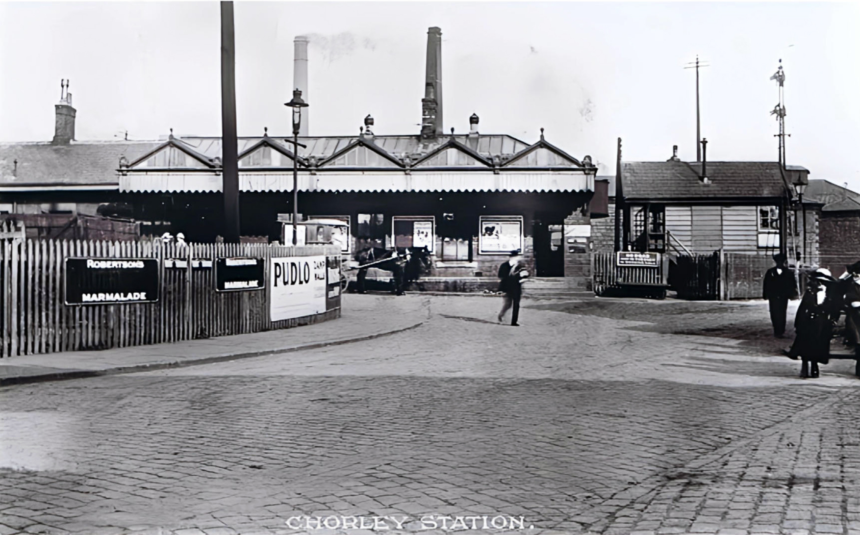
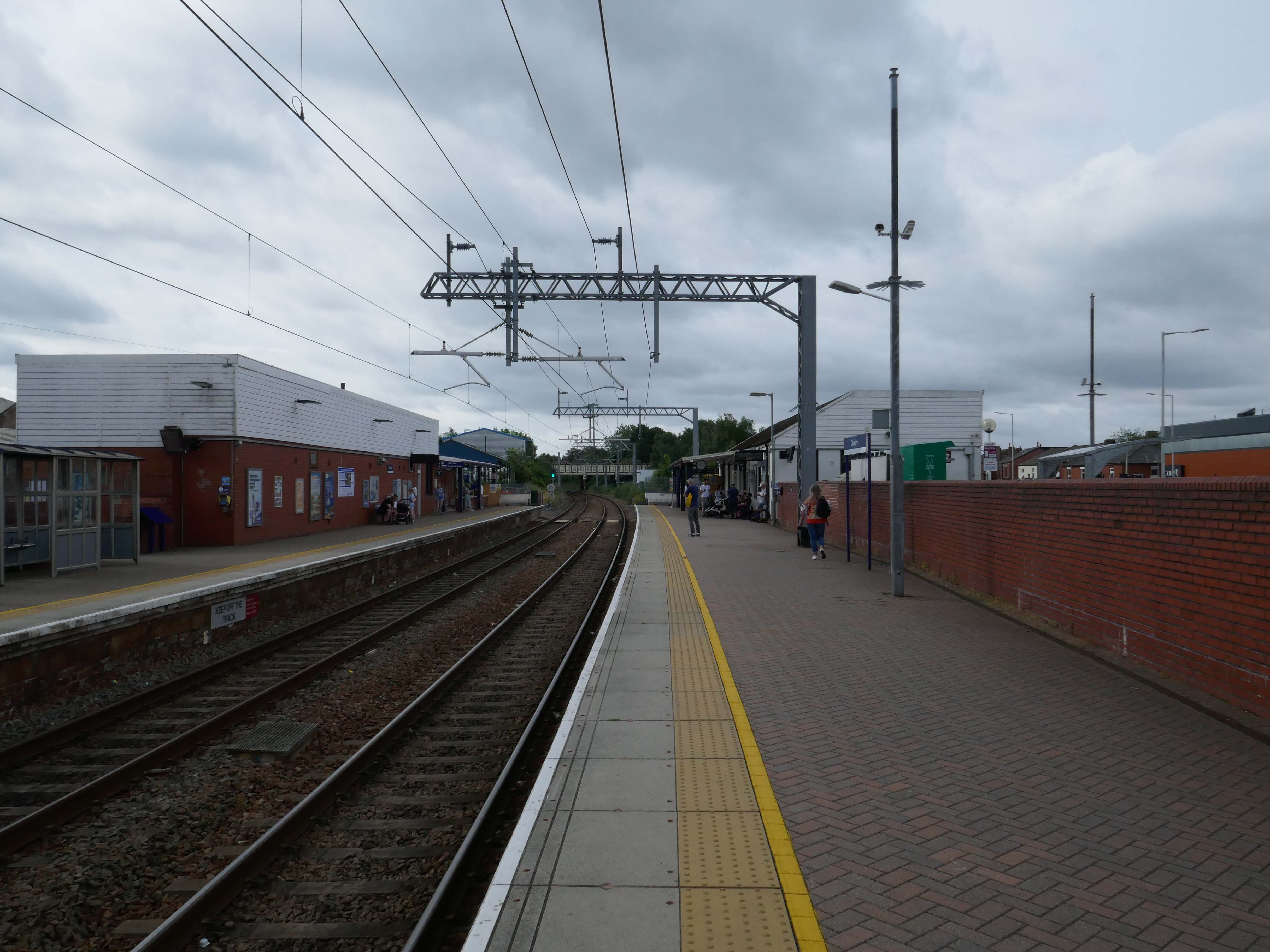
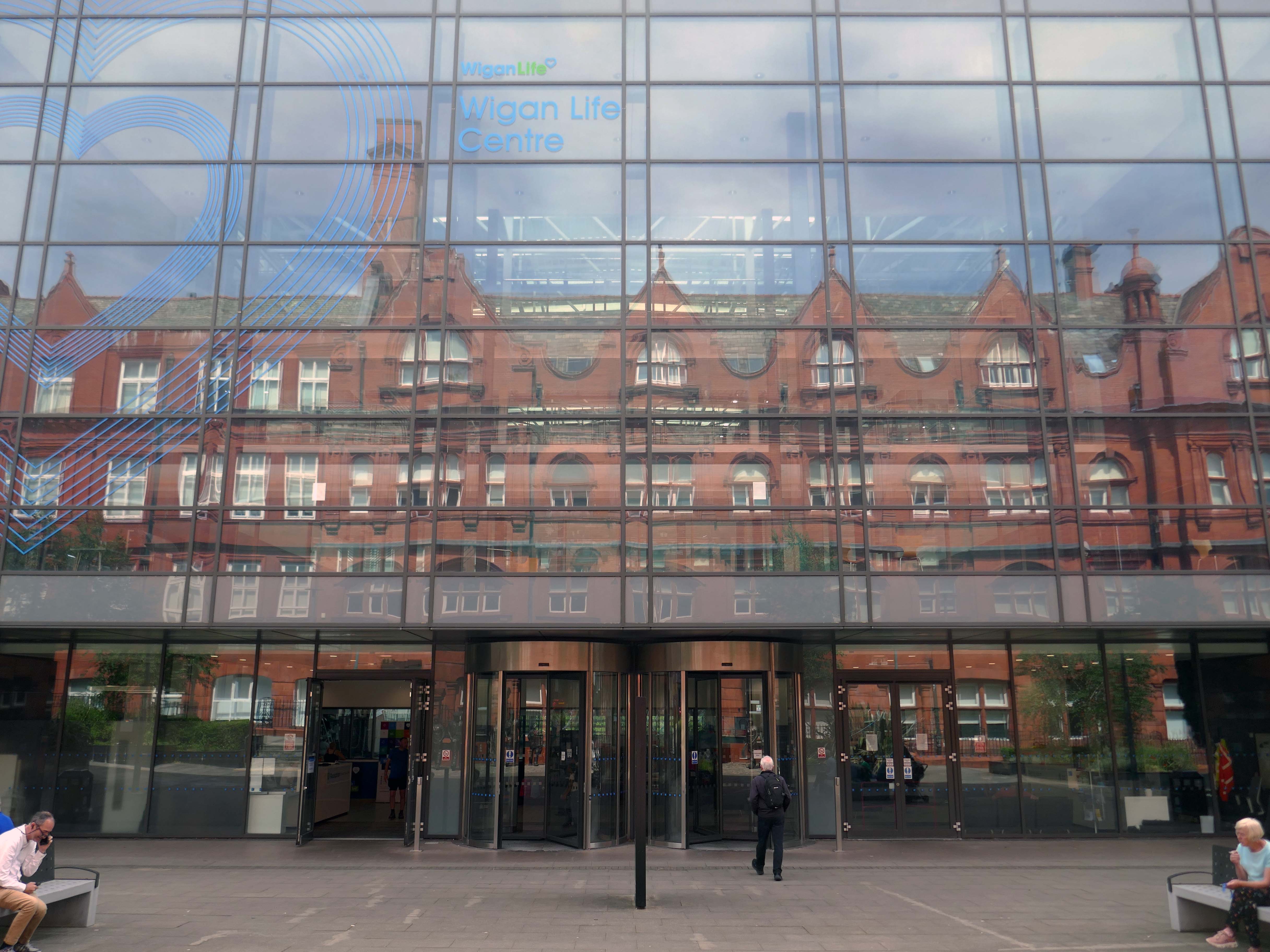
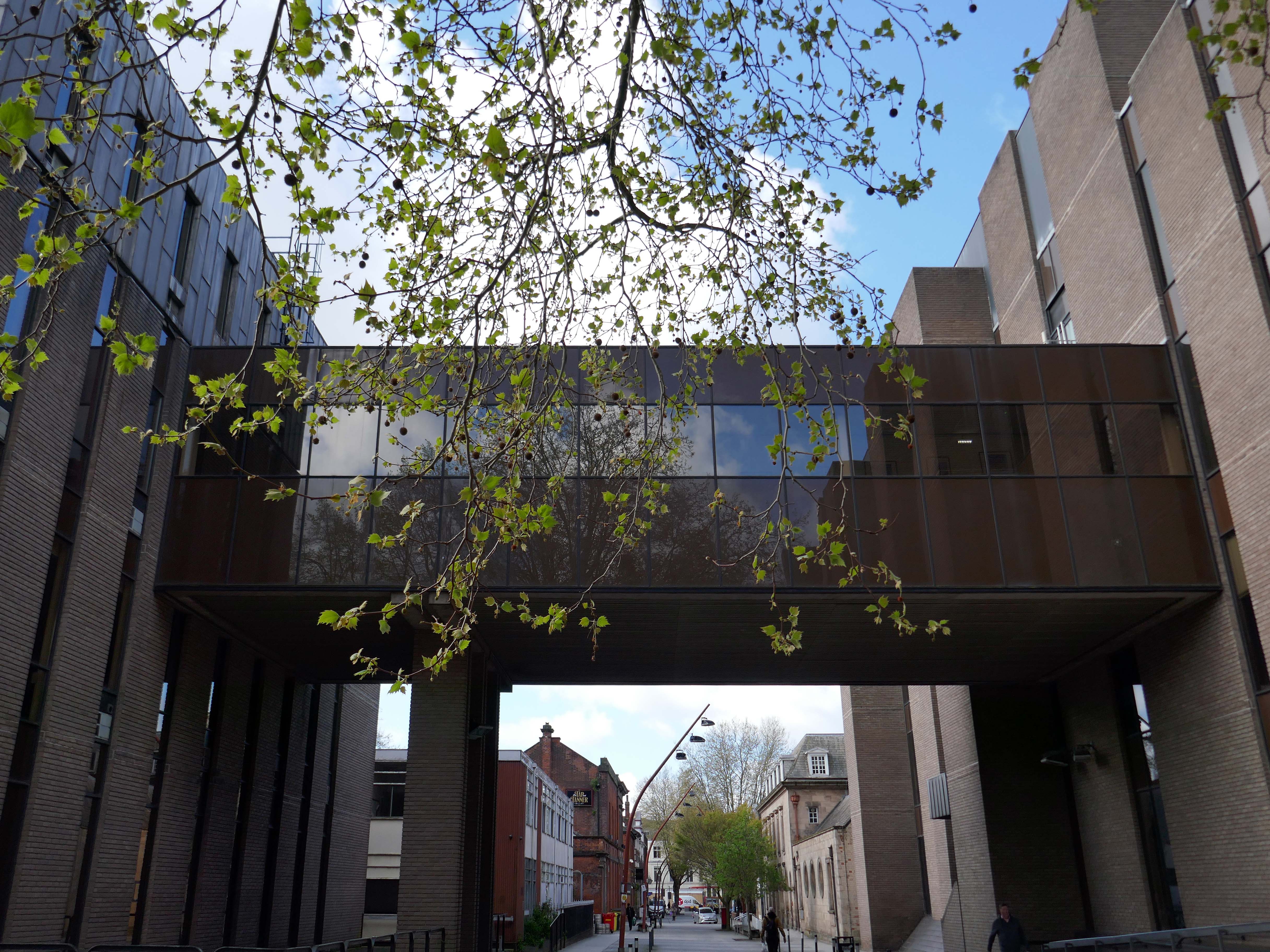
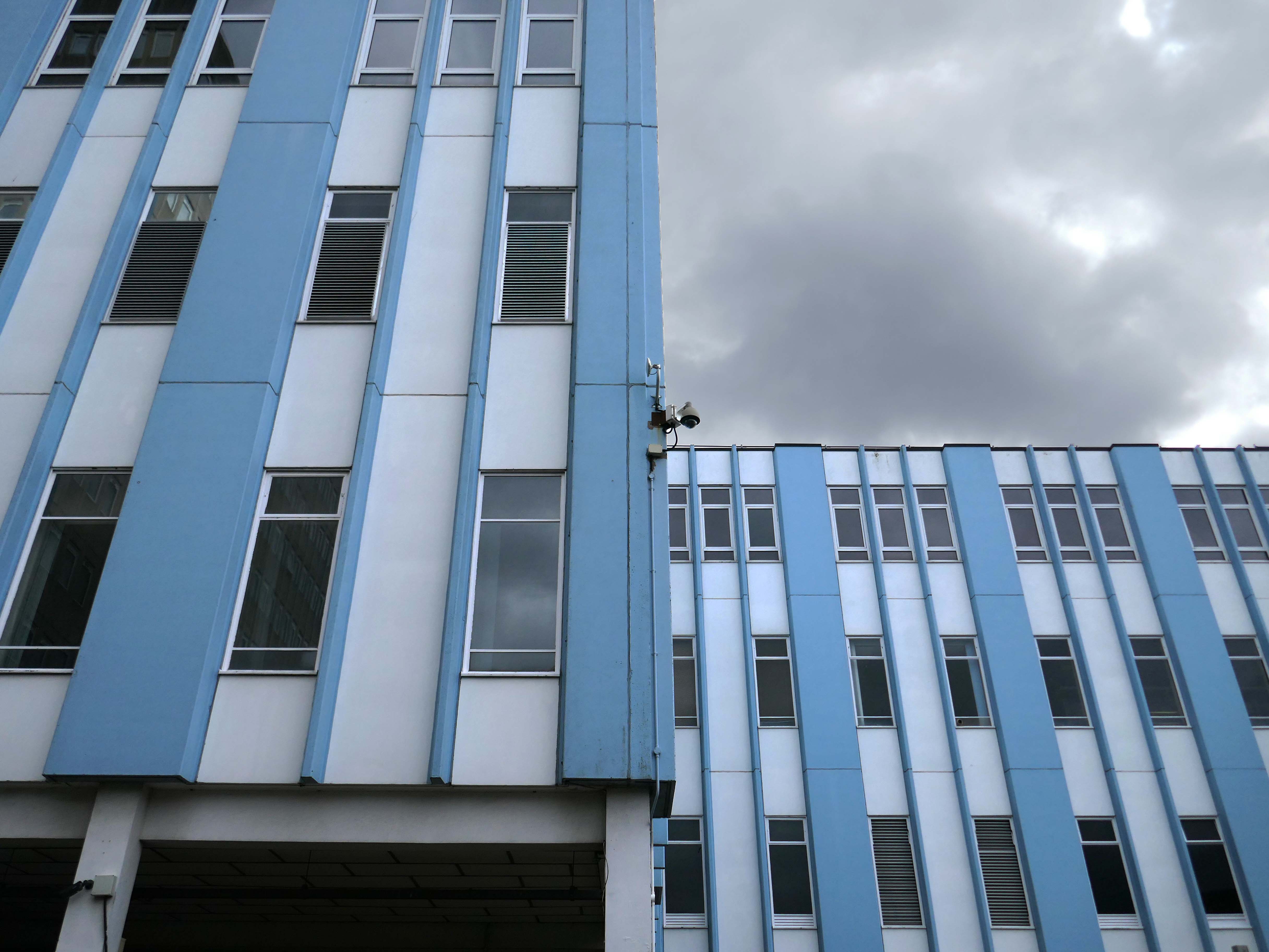
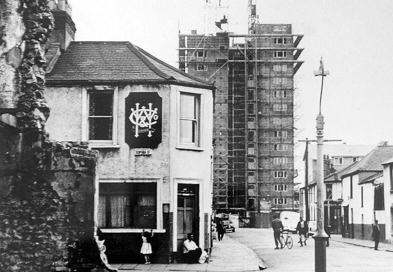
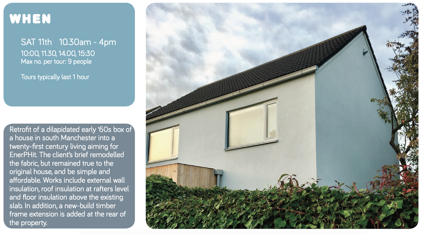
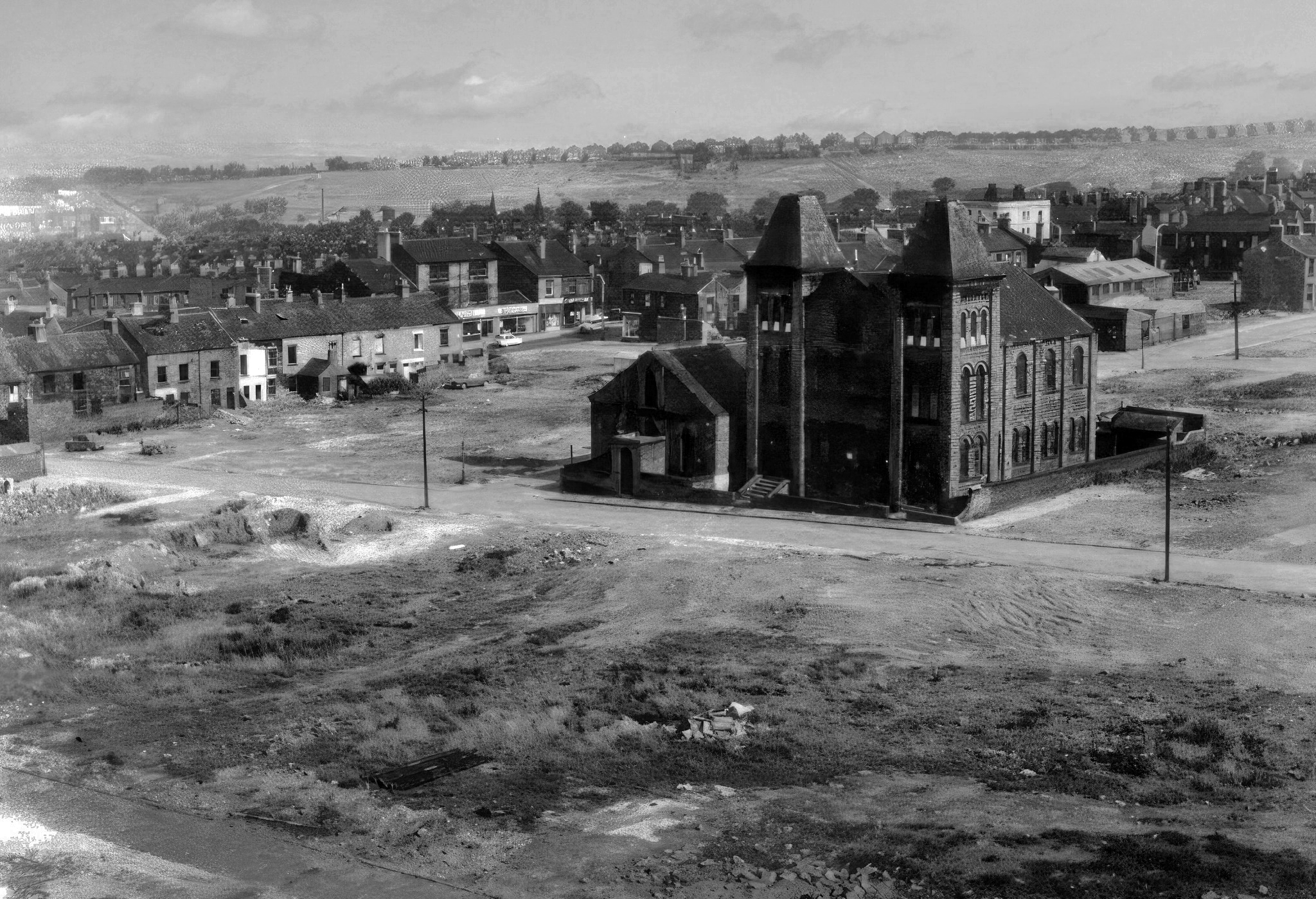
The current railway station is a modern version from the 1980s that was built on top of the original station – it is entirely functional, but more than somewhat undistinguished.
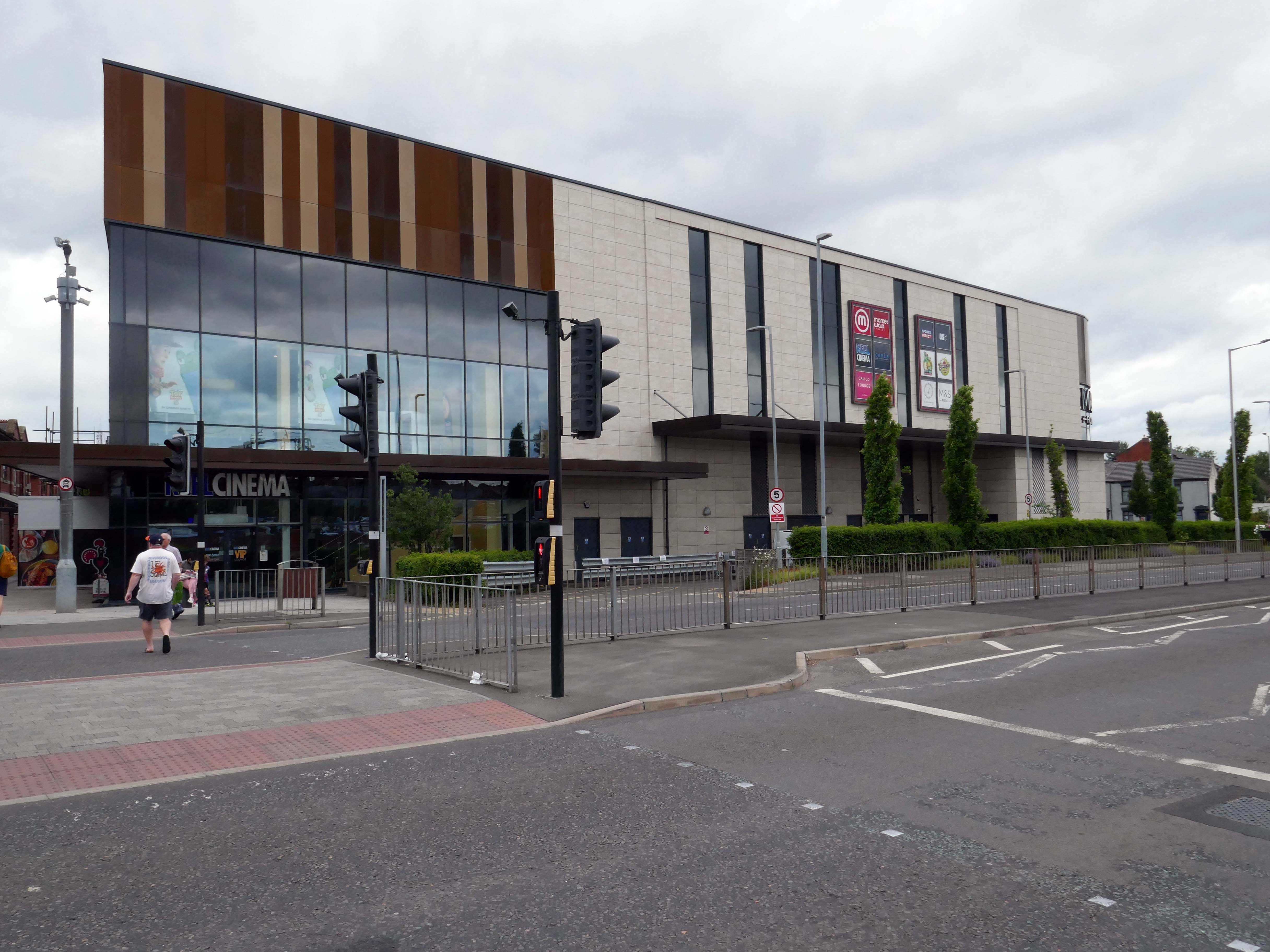
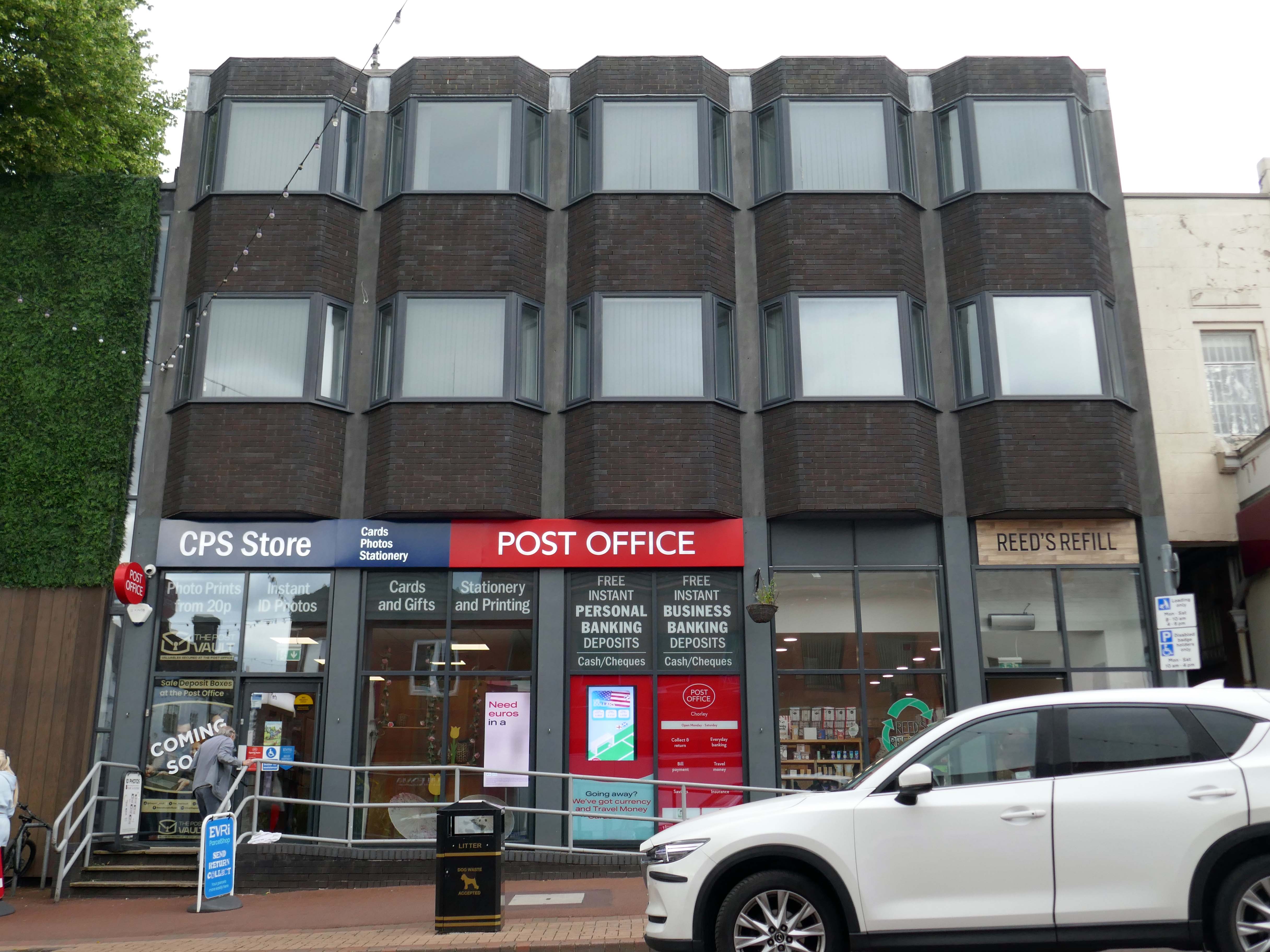
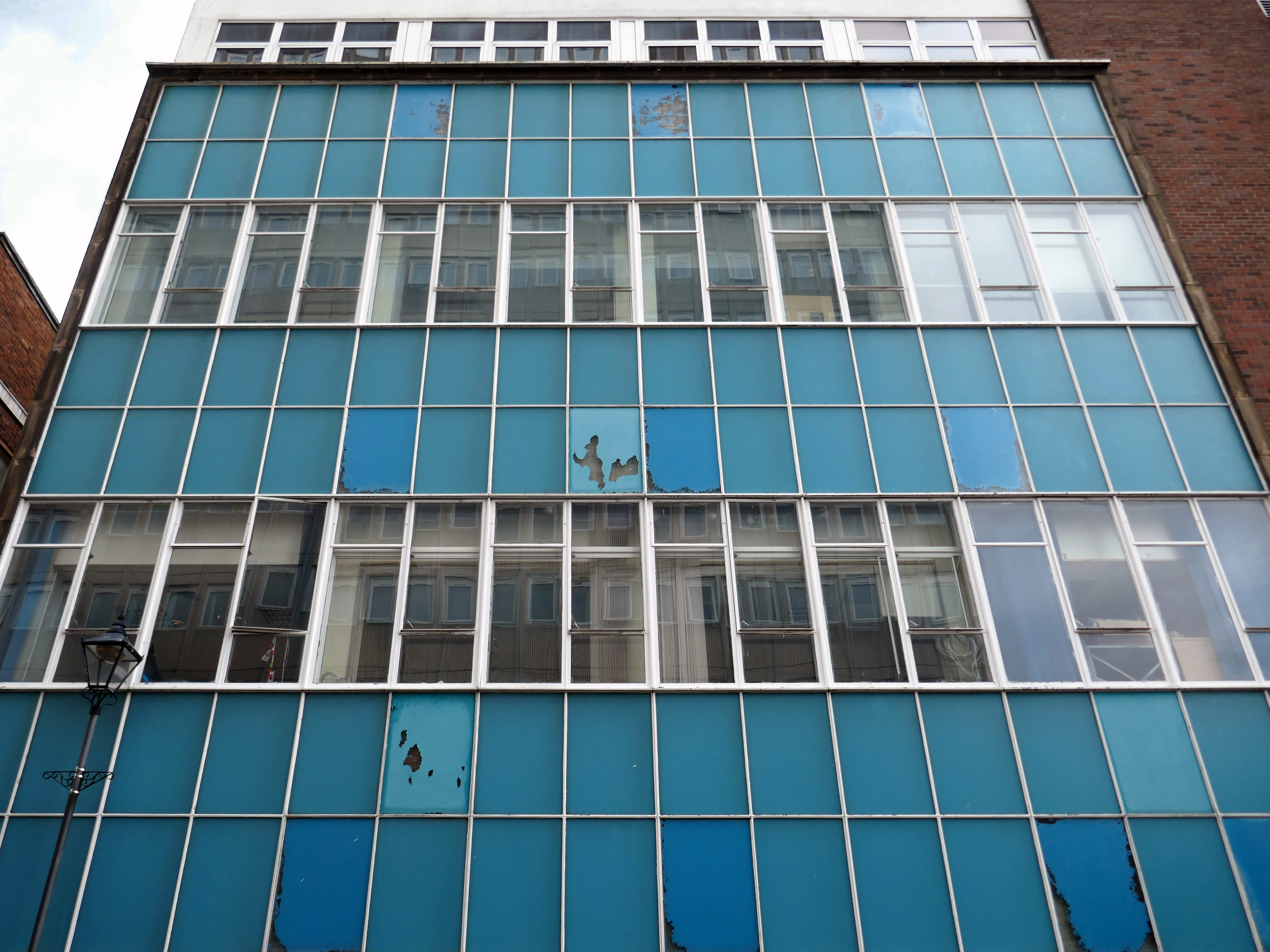
Whether it’s fashion, gifts, everyday essentials or an entertaining day out that you’re after, Market Walk has it all. With over thirty shops along an outdoor parade, plus entertainment and hospitality venues, there’s something for everyone.
AEW Architects were appointed by Chorley Council in 2015 as Architects for the Market Walk Scheme.
The Council’s aspiration was to breathe life back into the town centre by enhancing Chorley’s retail and leisure offer and refocusing Chorley’s centre as a destination for local residents and surrounding towns. The development needed to entice new, and retain existing, businesses in the town. Aesthetically, the development also needed to be a landmark for, and create a modern gateway into, the town – driving footfall towards Chorley’s commercial centre.
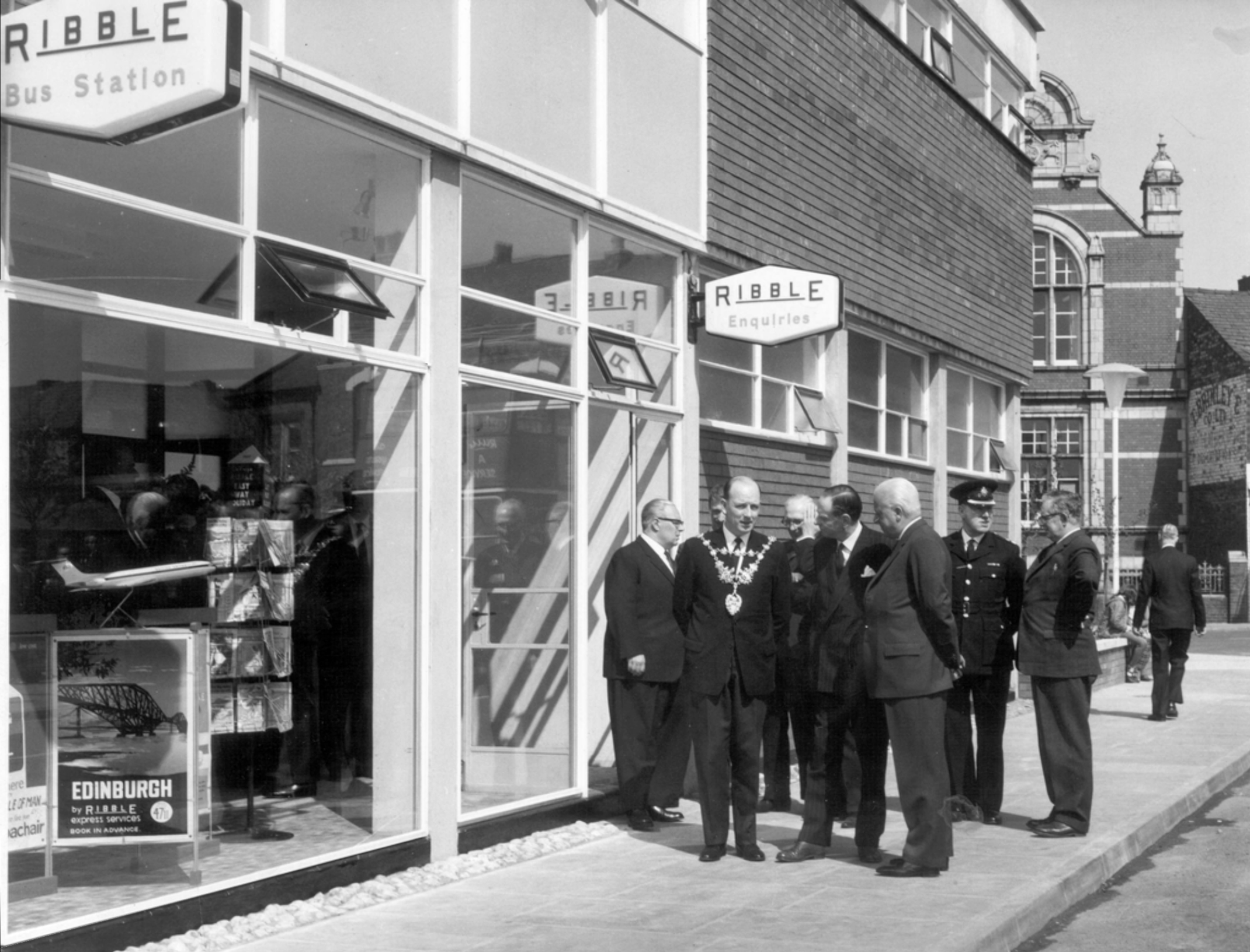
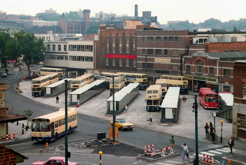
Next door is the Bus Station, opened in February 2003 replacing the previous structure.
Opening of the previous Bus Station – Ribble the area’s operators, before the Stagecoach arrived.
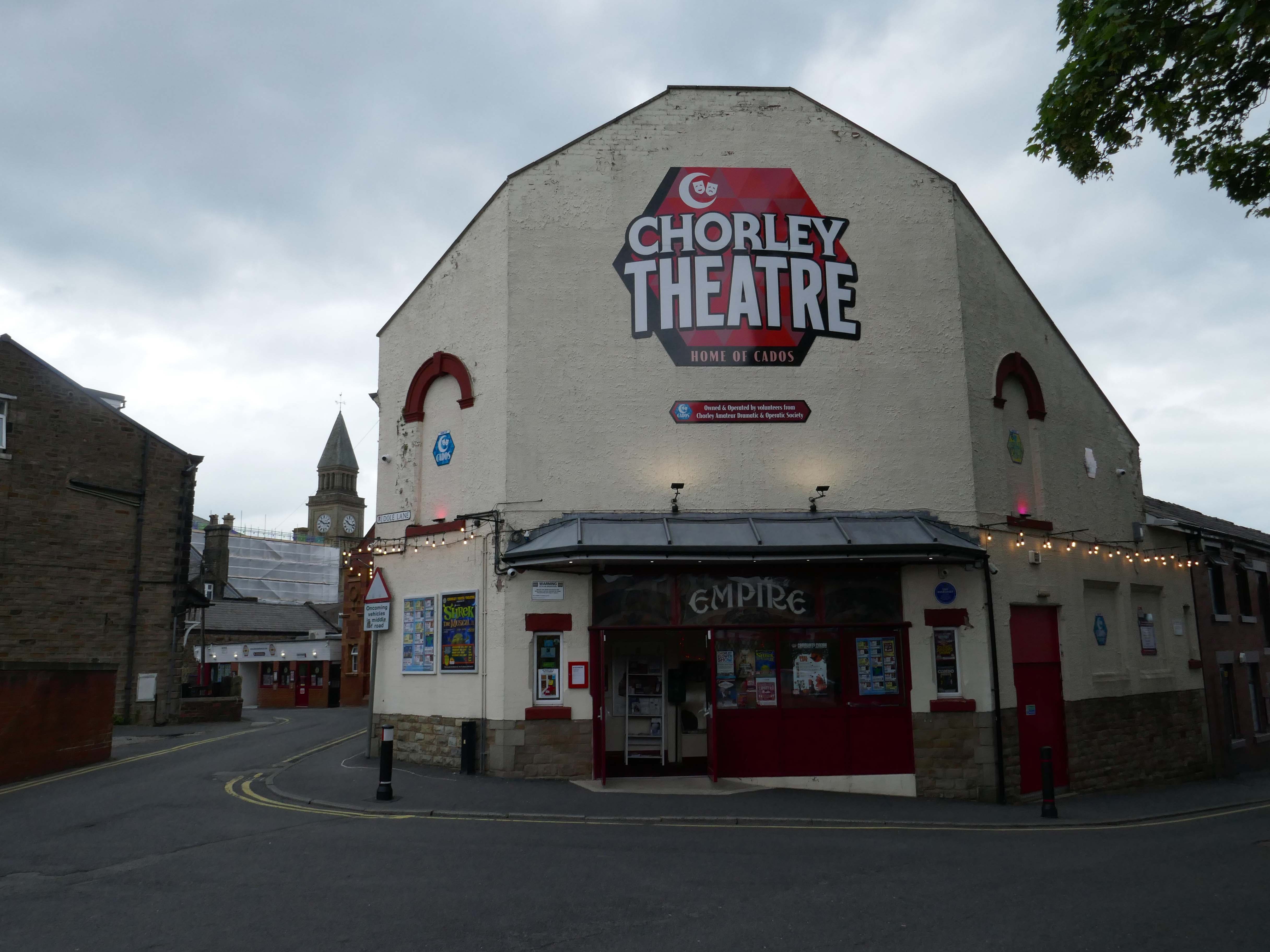
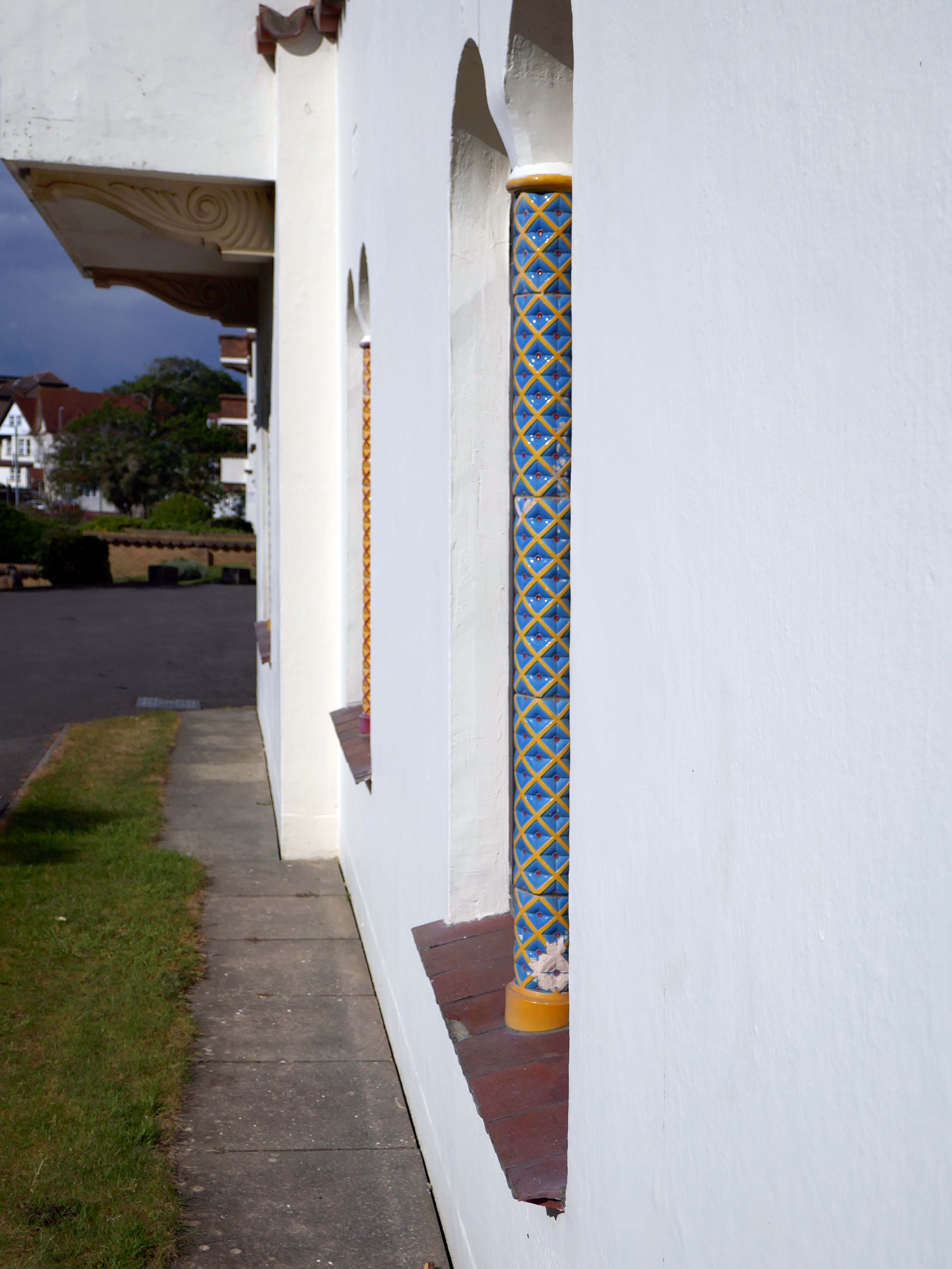
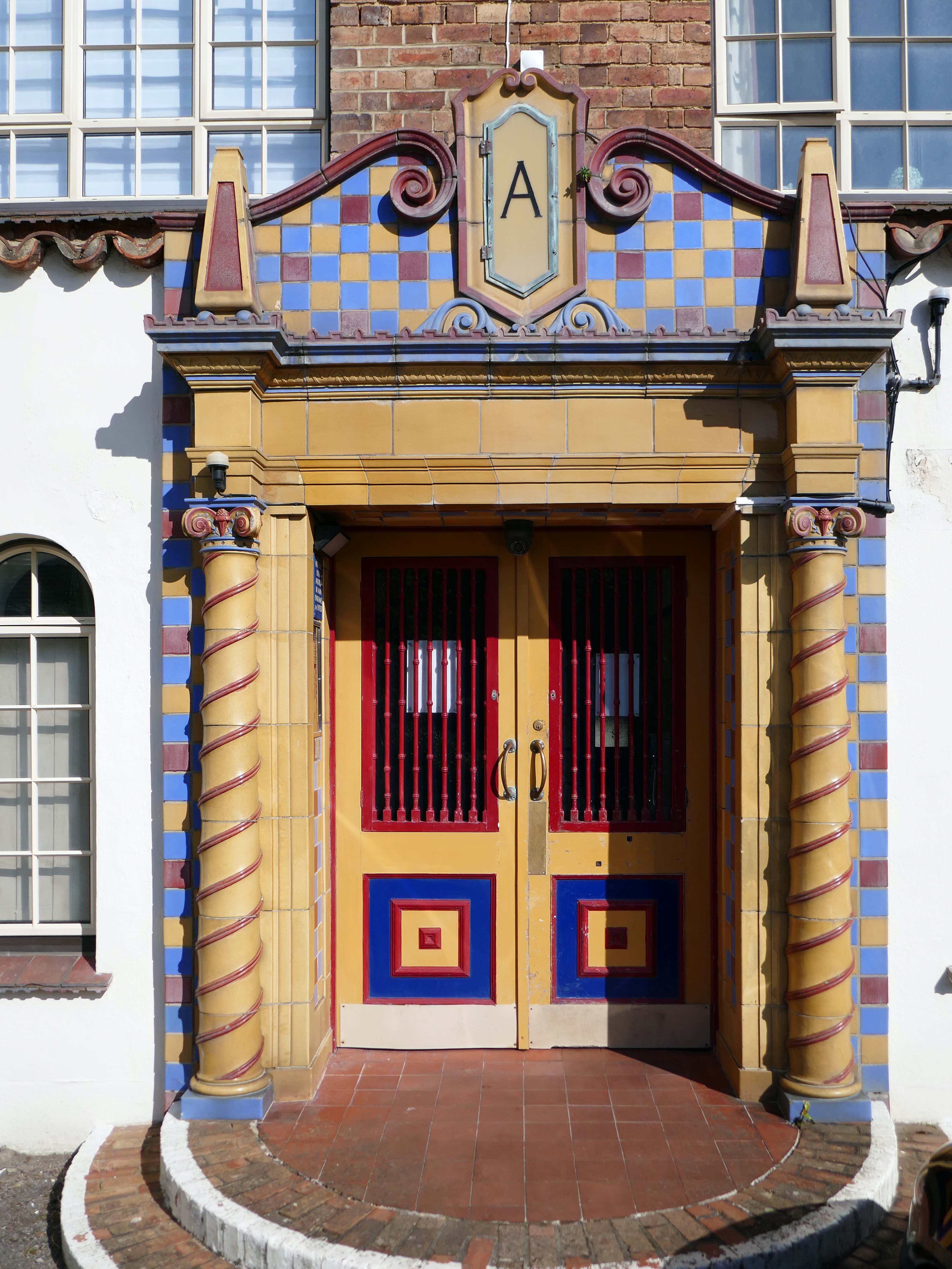
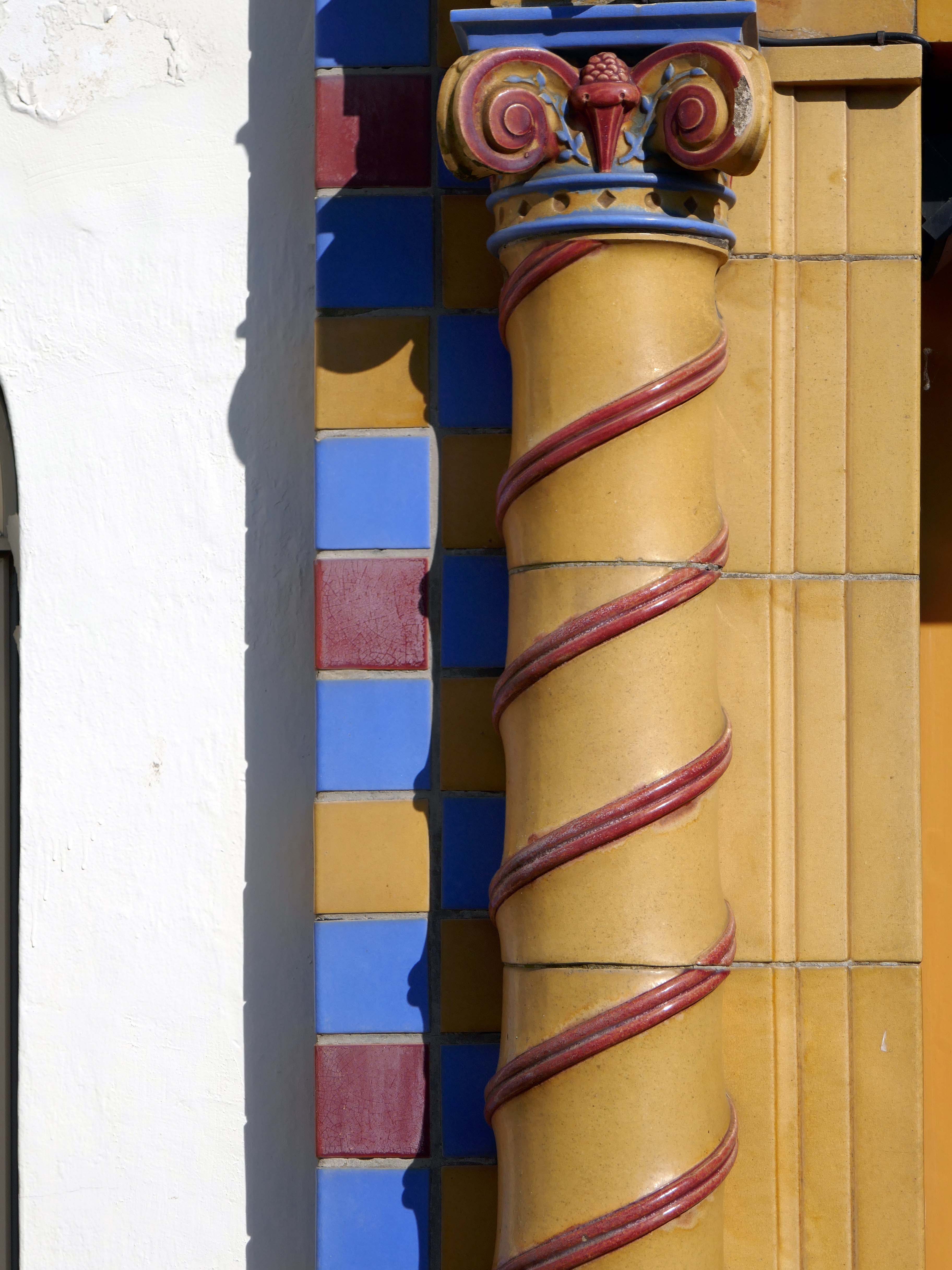
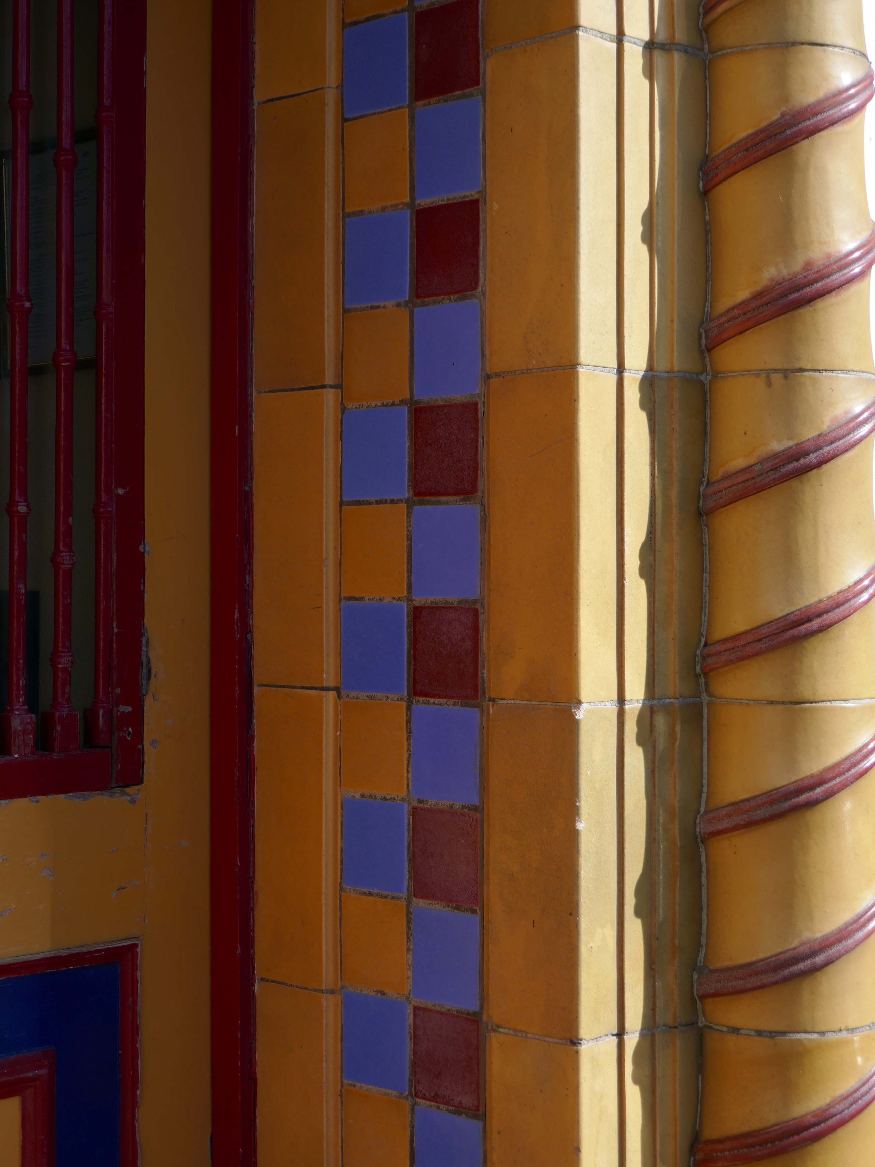
Opened on on 3rd September 1910, one of the nation’s longest continuously running cinemas.
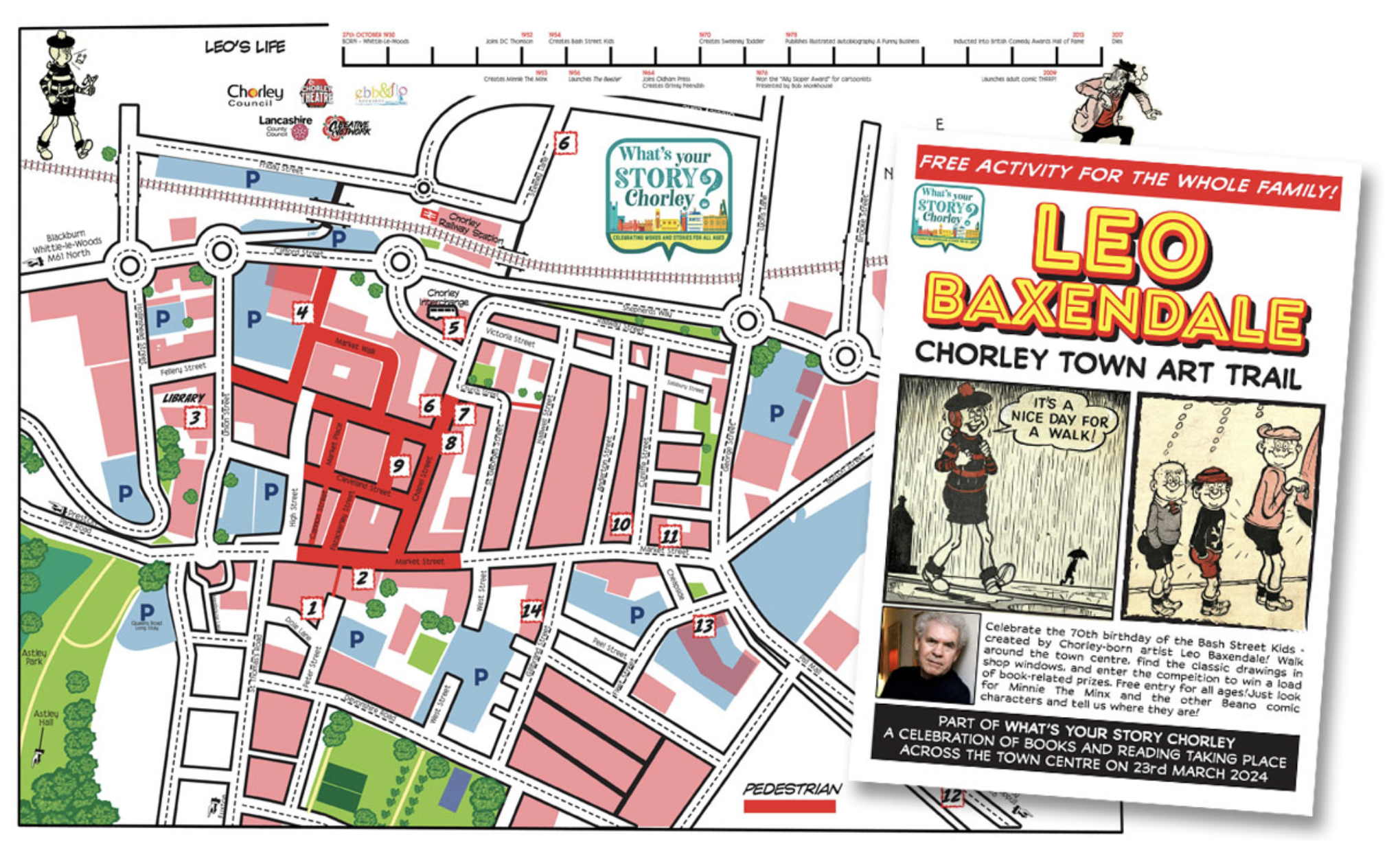
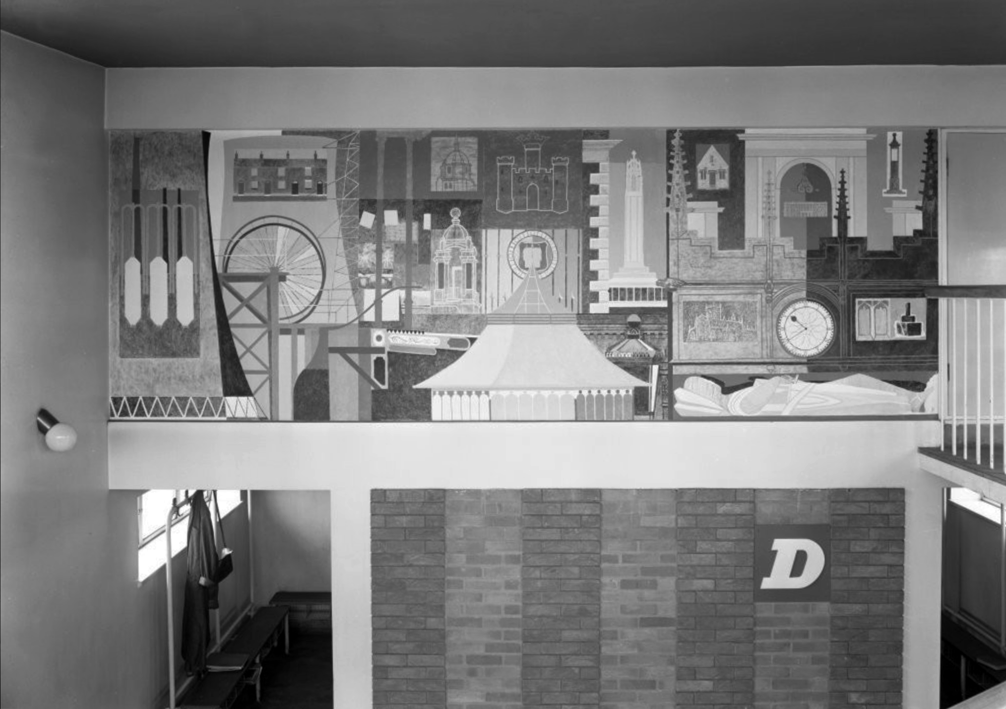
I spent some time chatting to the chatty guardian of the booking office, I learnt that the recently installed blue plaque commemorates the areas links to esteemed Beano artist Leo Baxendale.
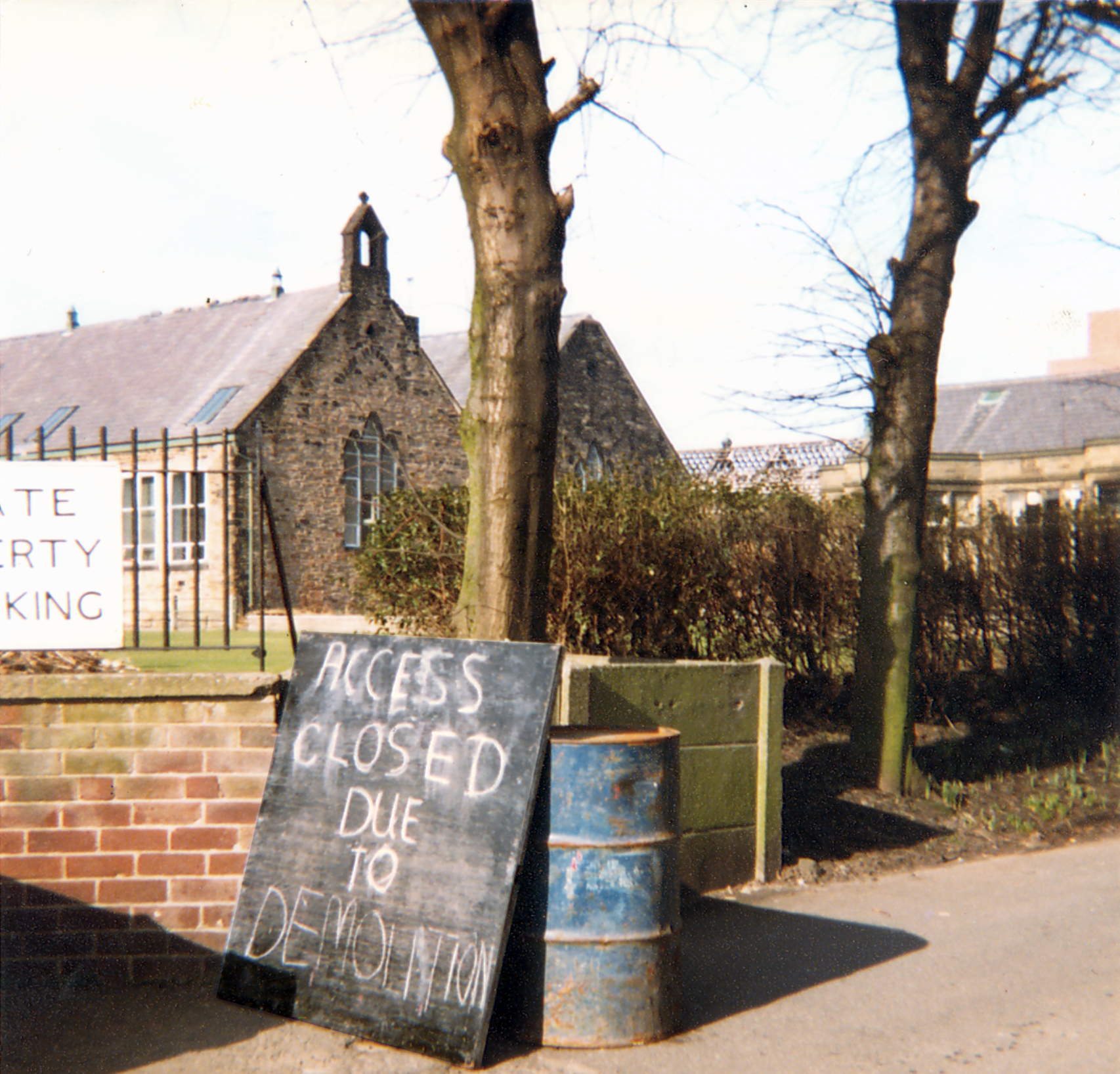
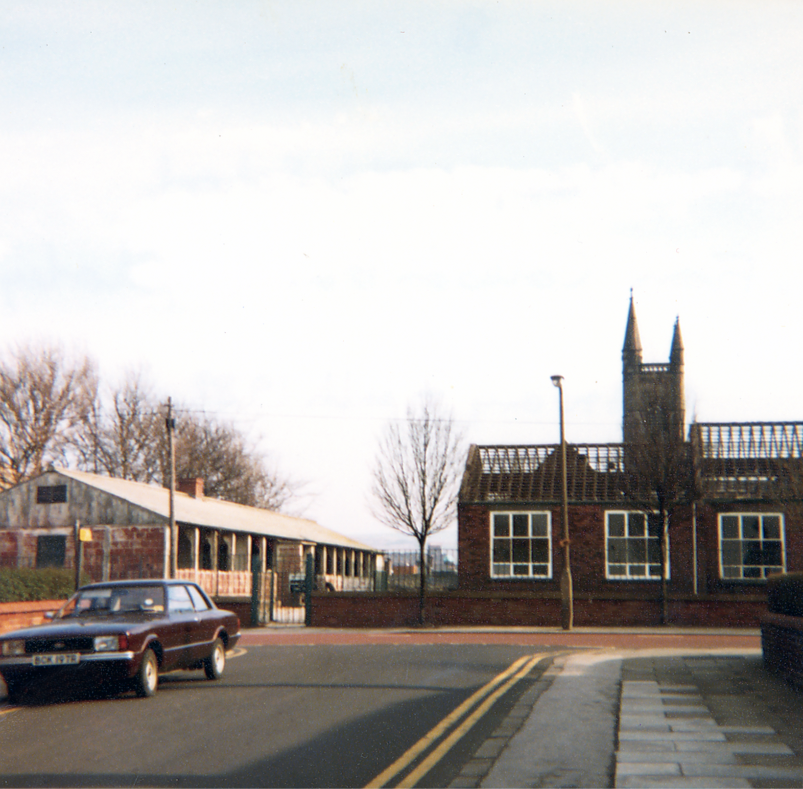
Leo attended St Mary’s School which was sited opposite the theatre, he had a miserable time there, an experience which formed the basis for the famed Bash Street Kids.
He may well now chuckle to himself in comic book heaven, knowing that the school was demolished in 1982.
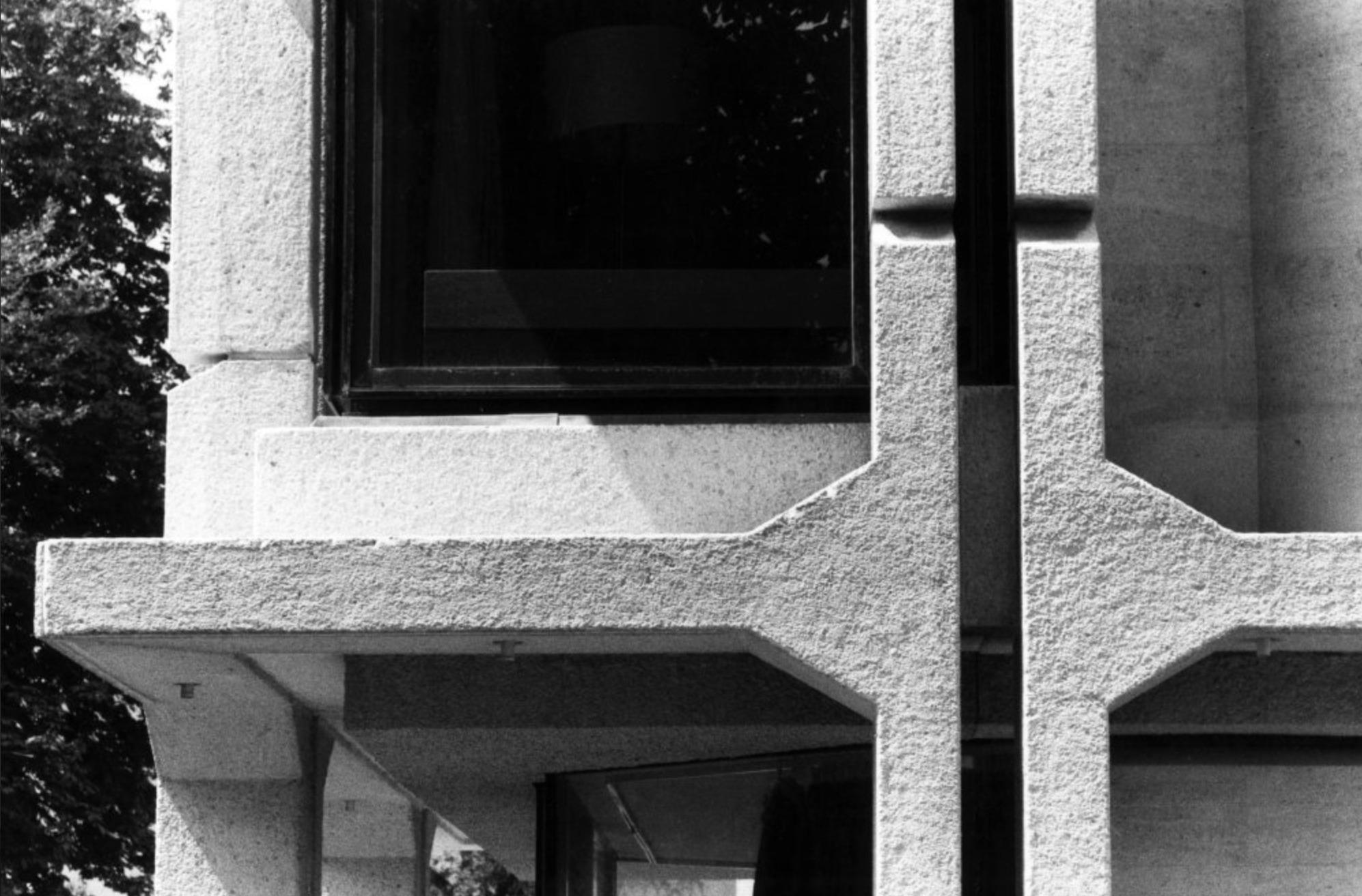
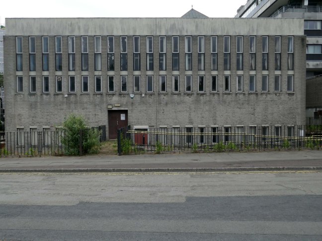
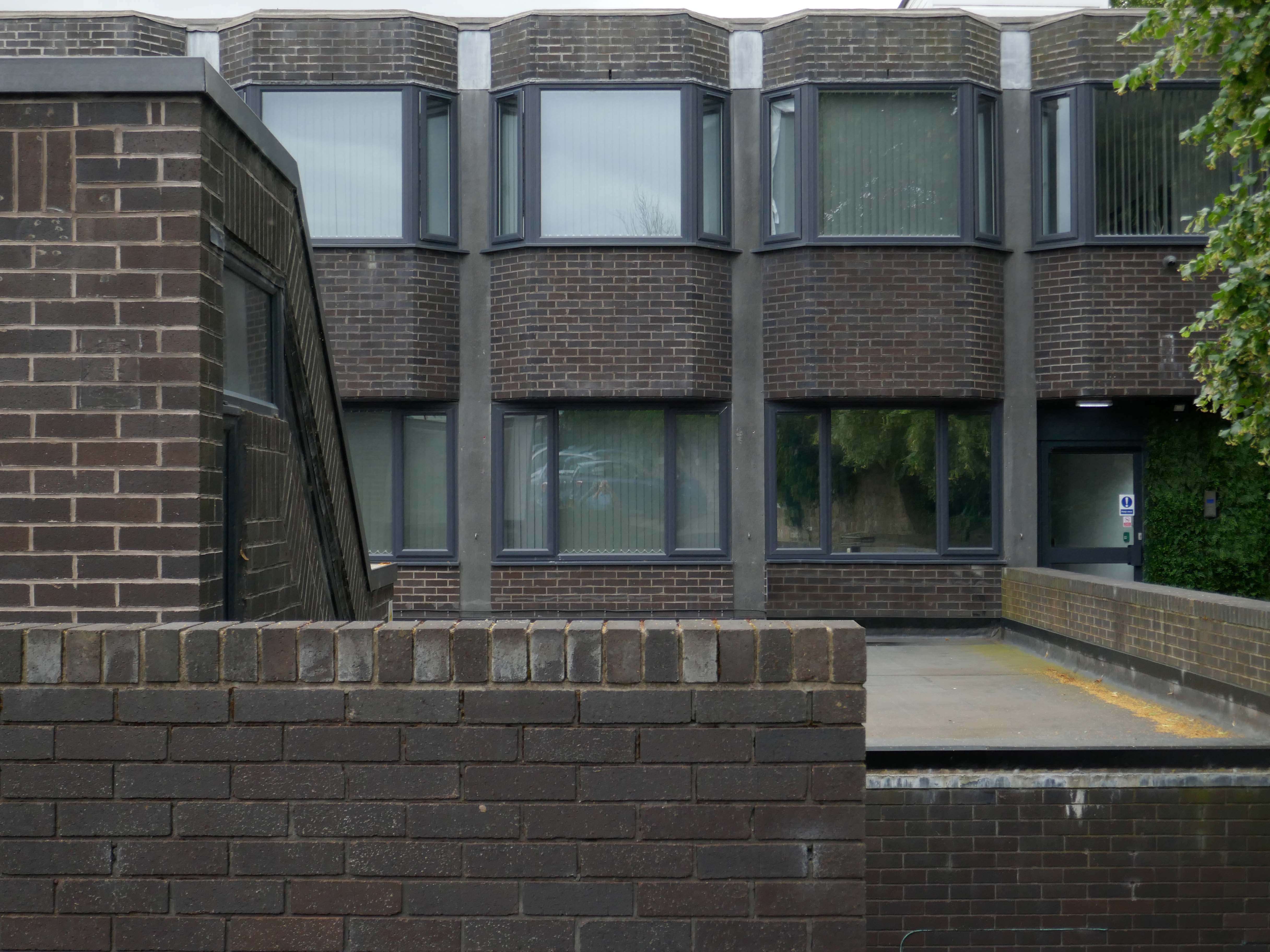
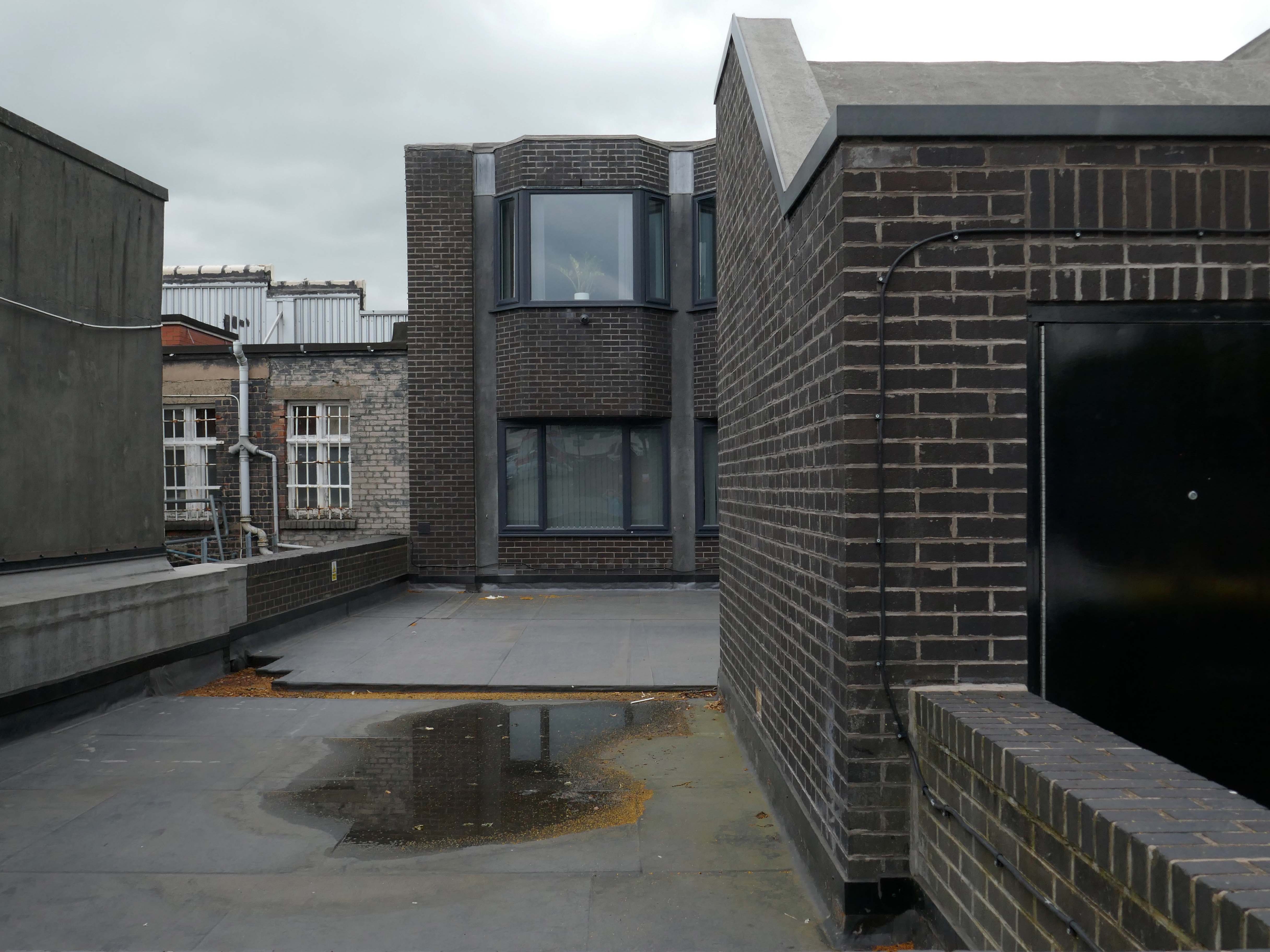
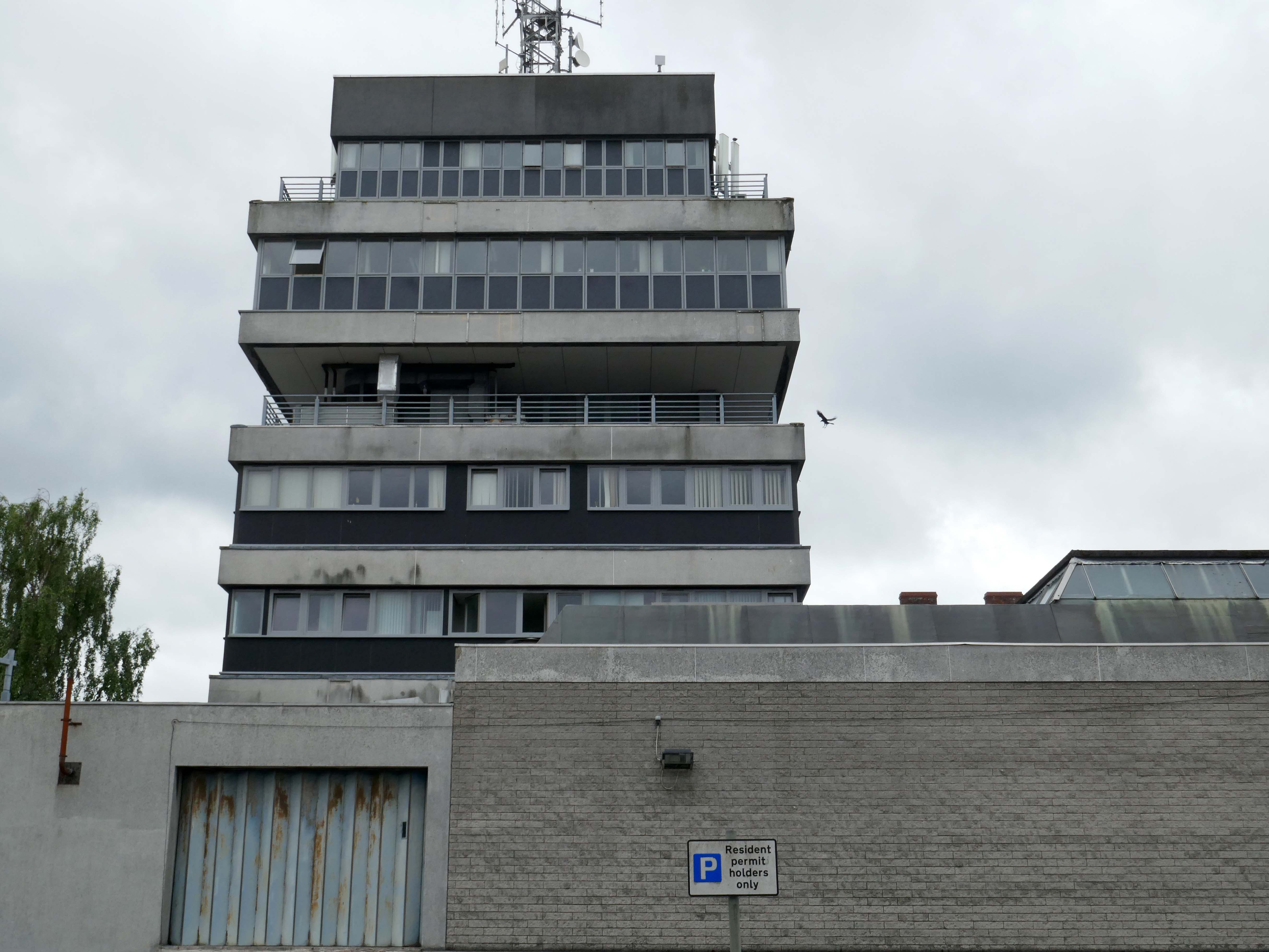
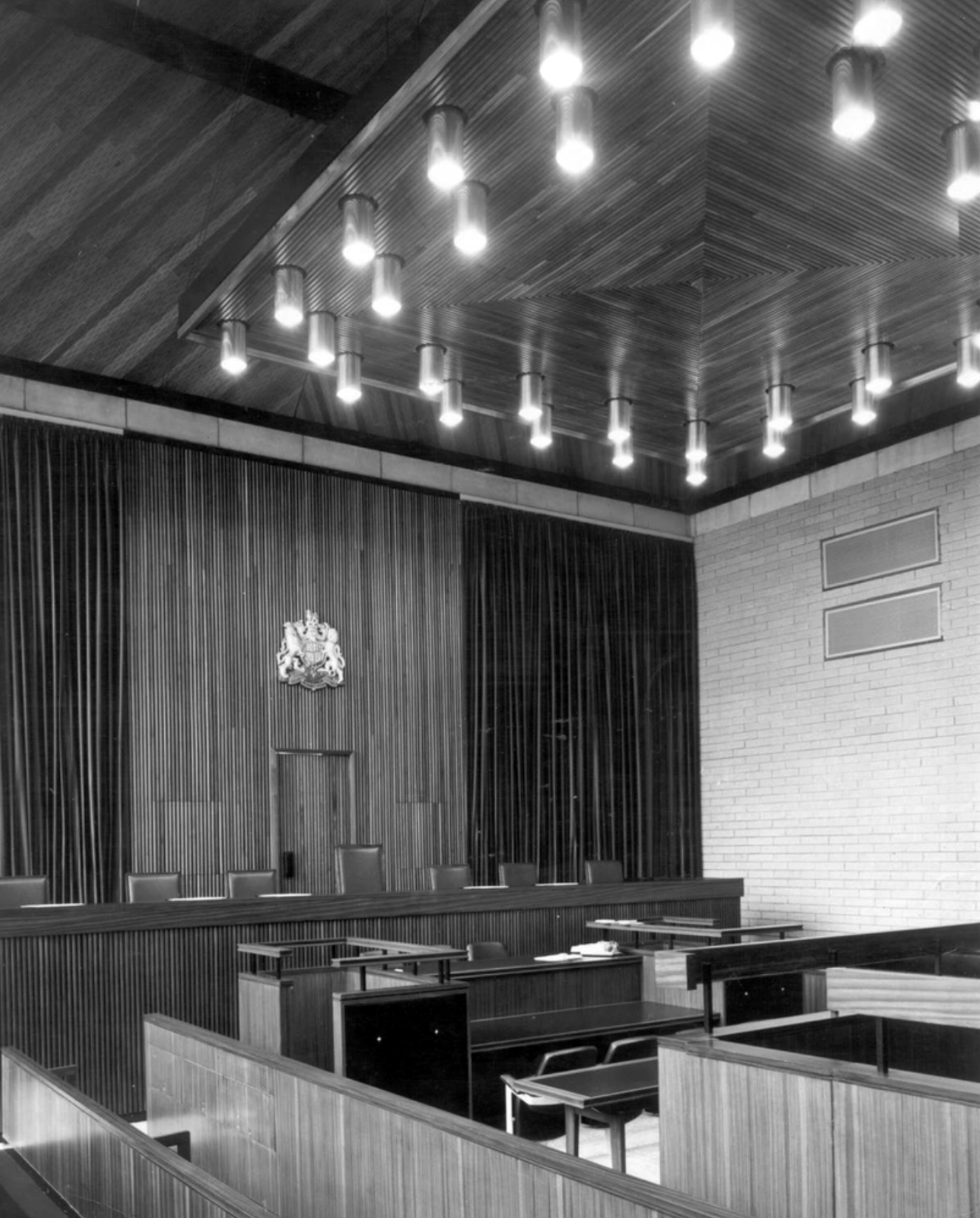
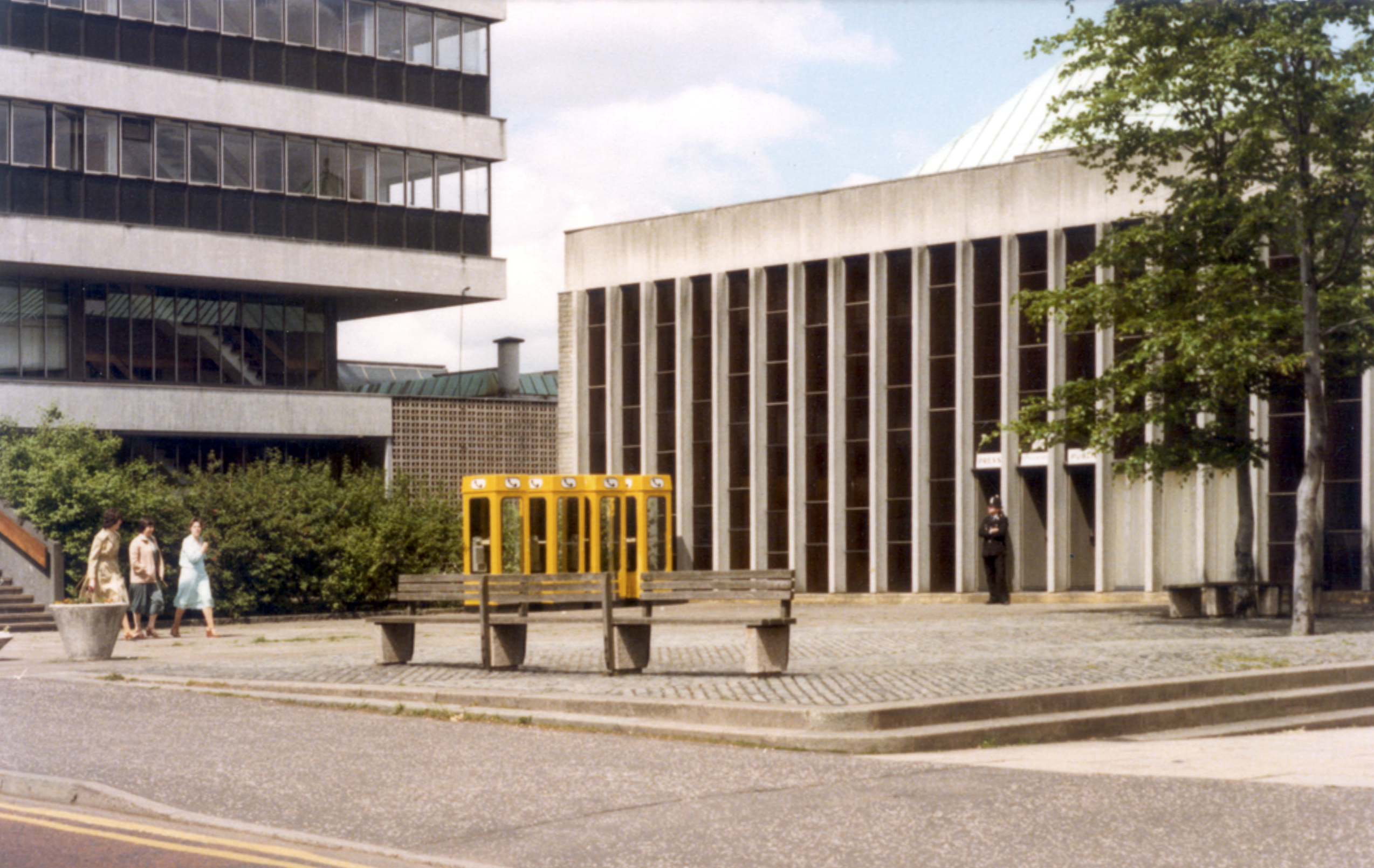
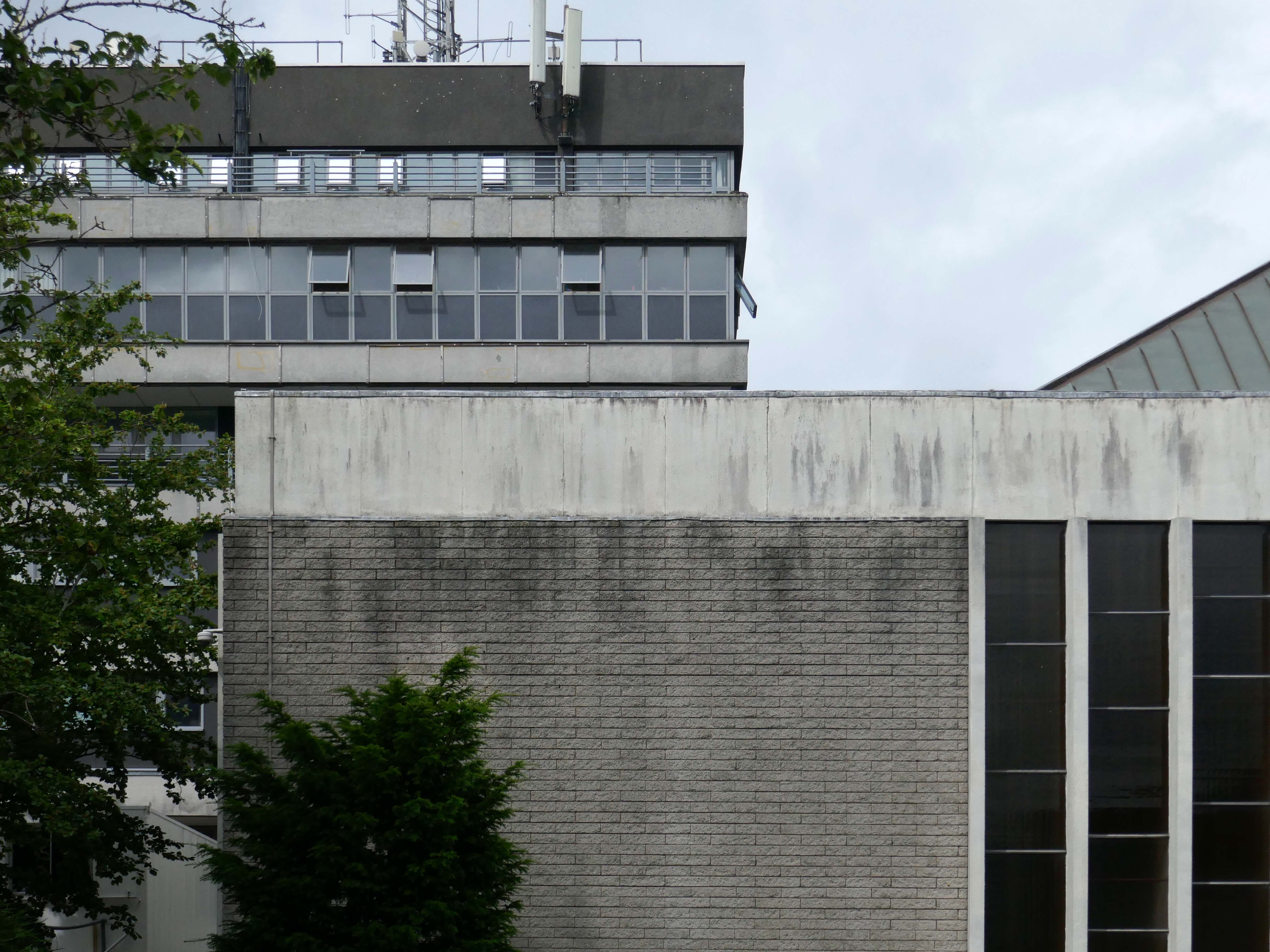
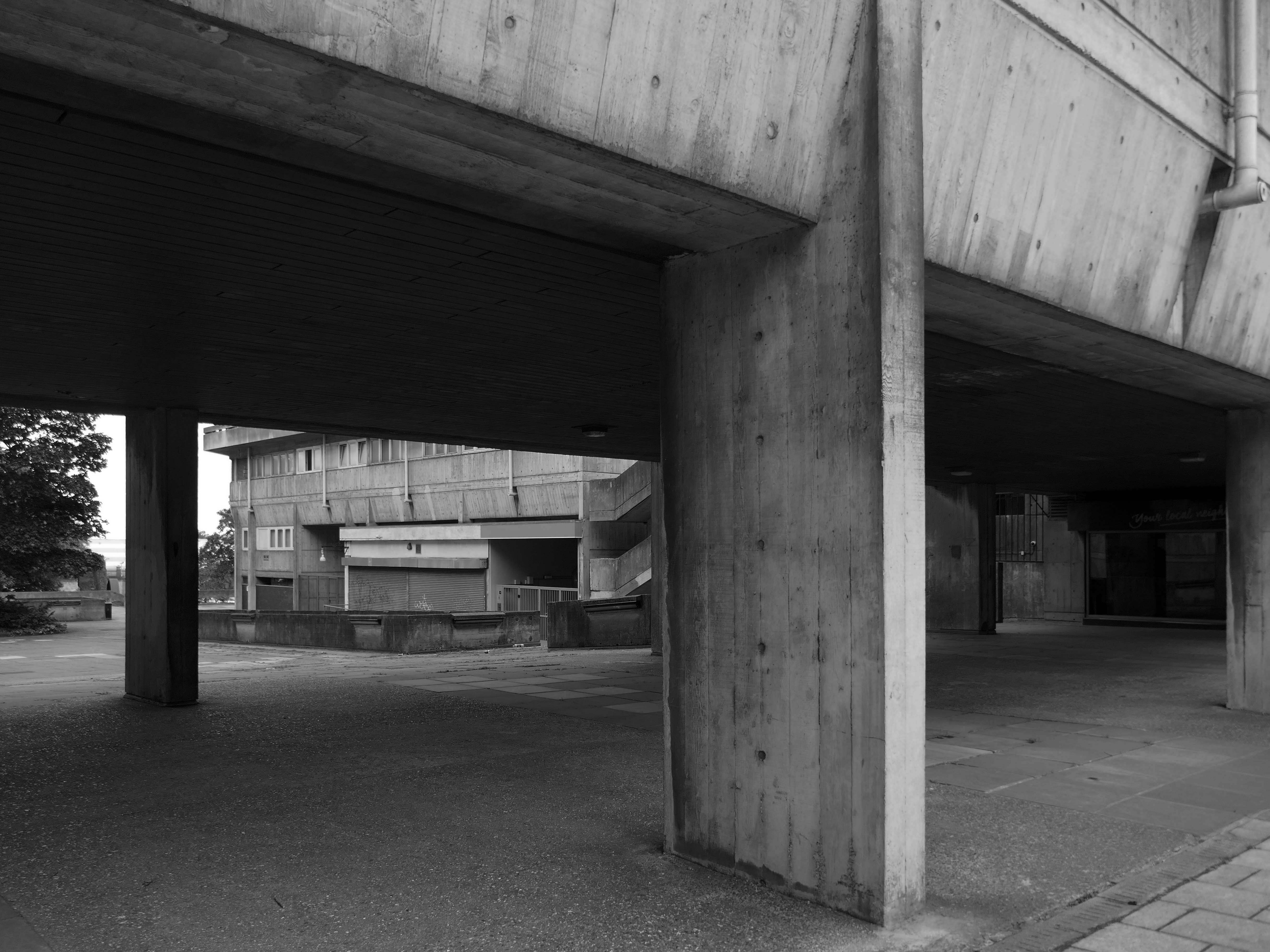
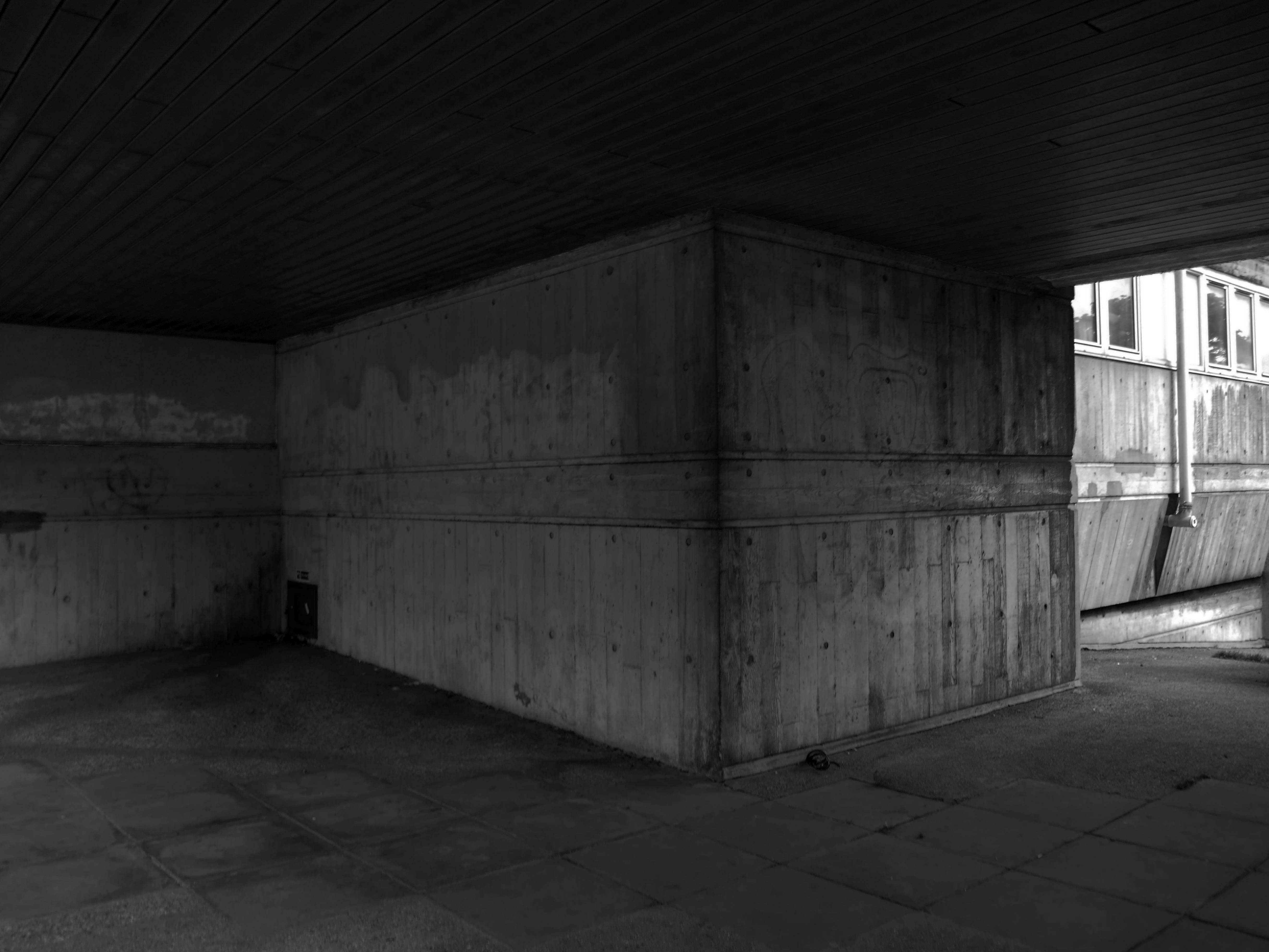
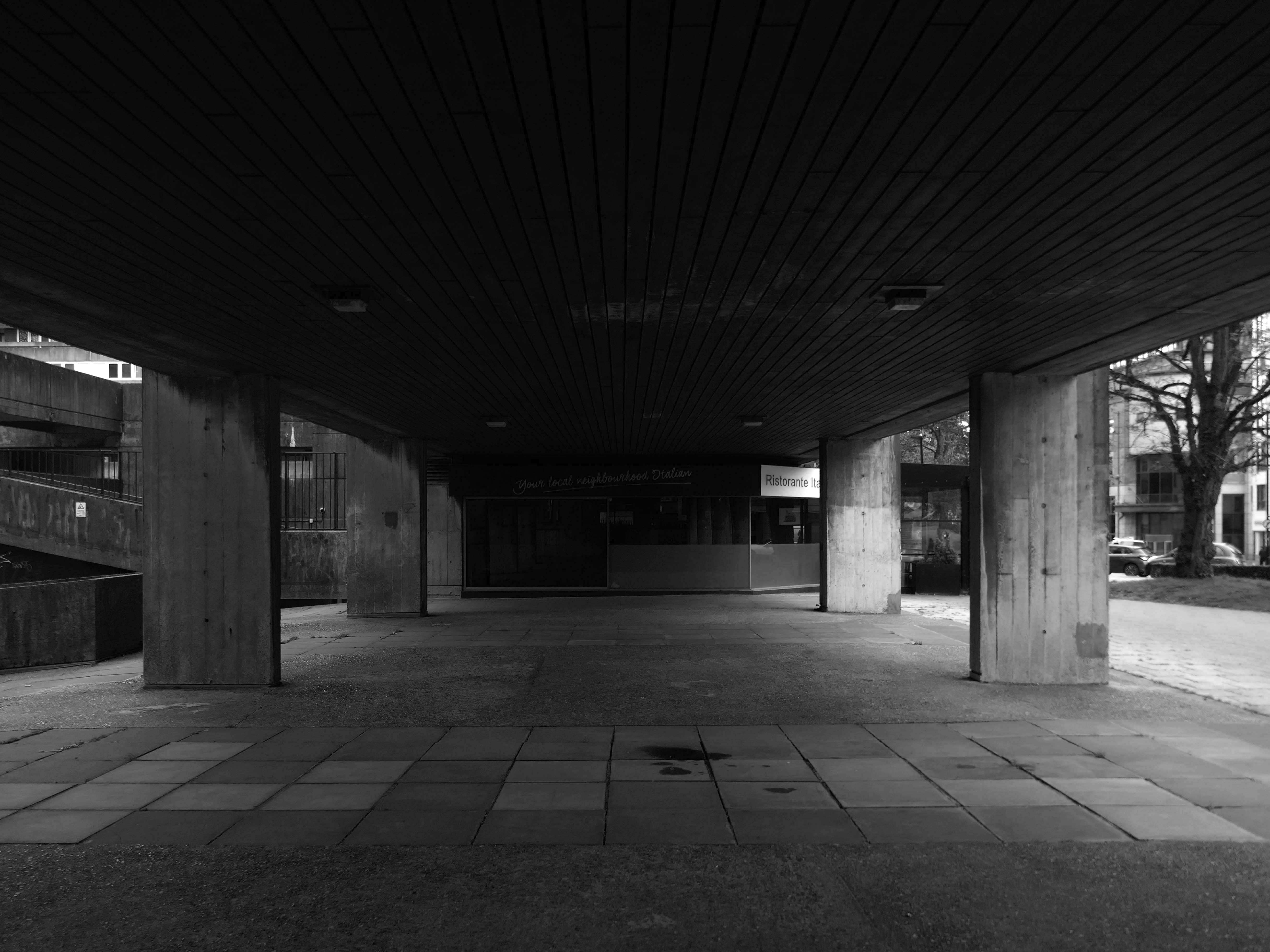
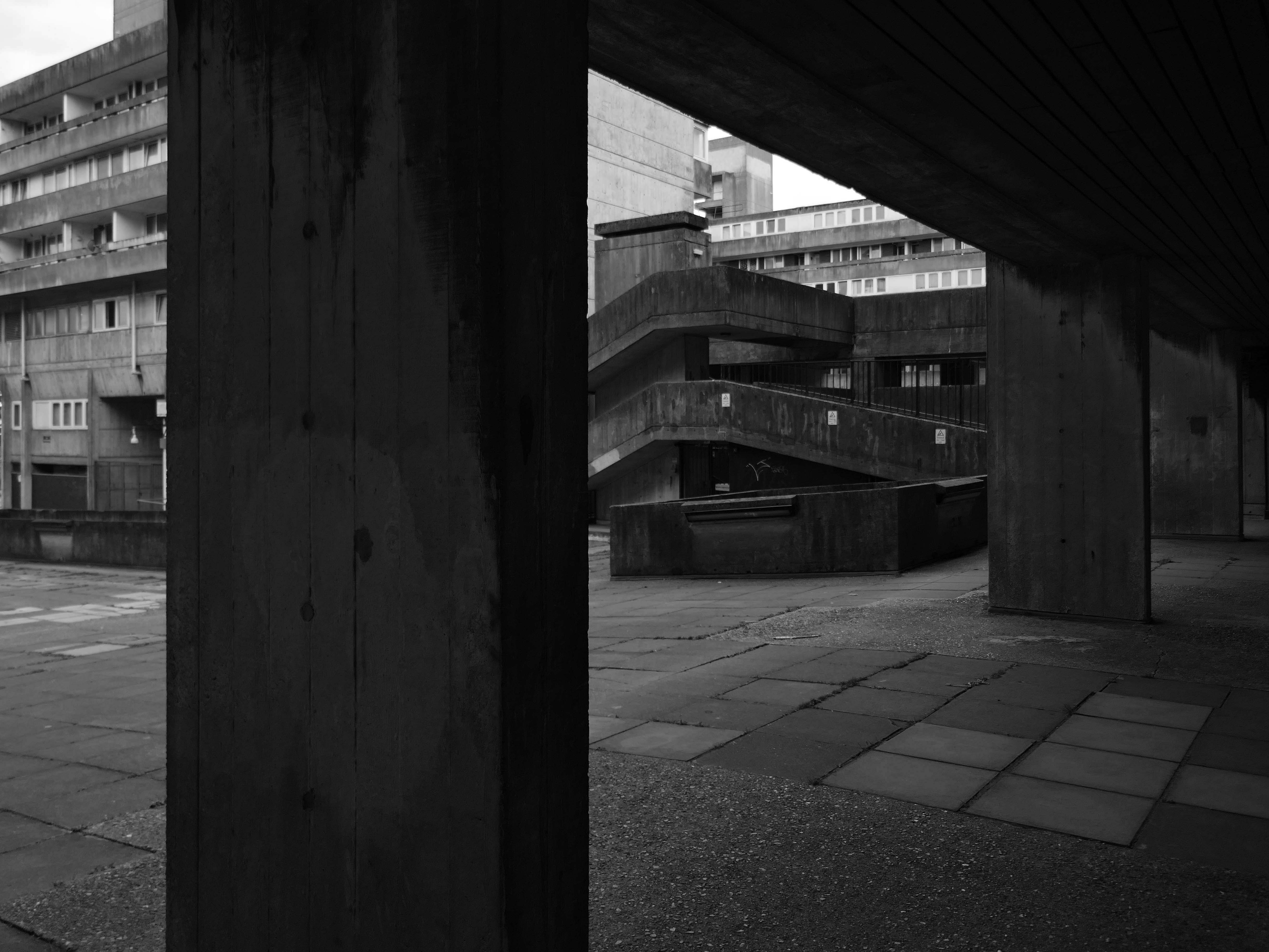
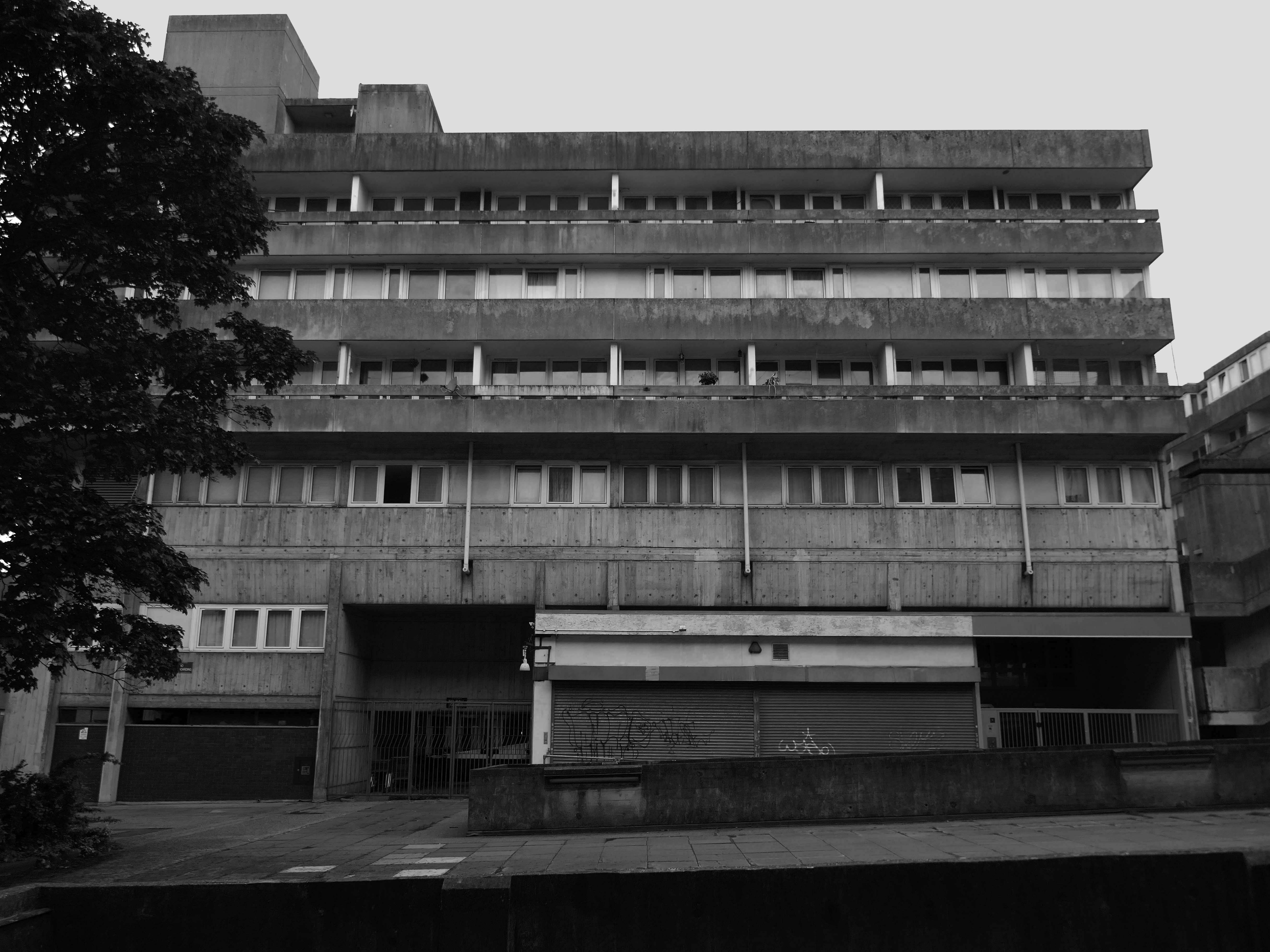
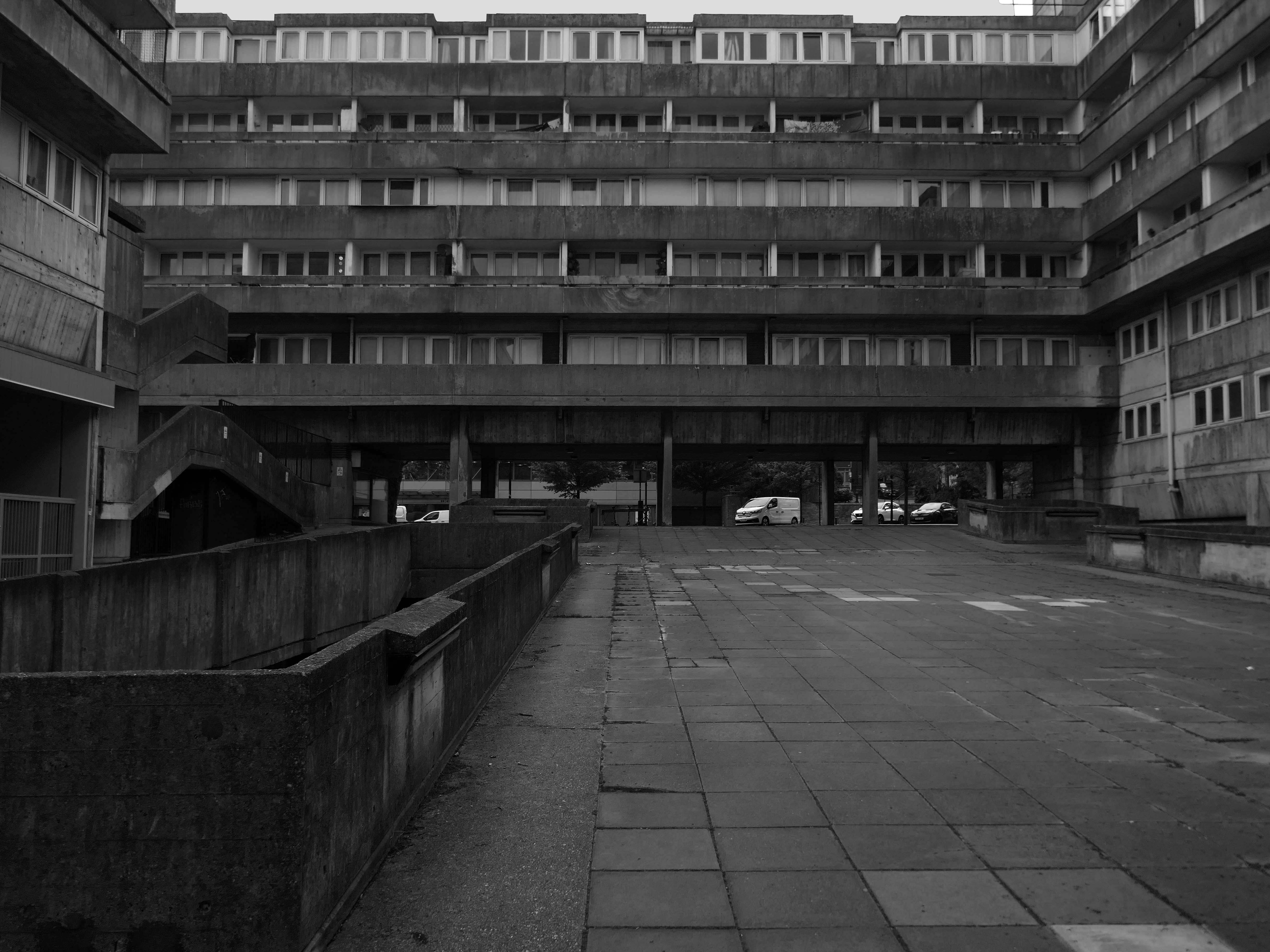
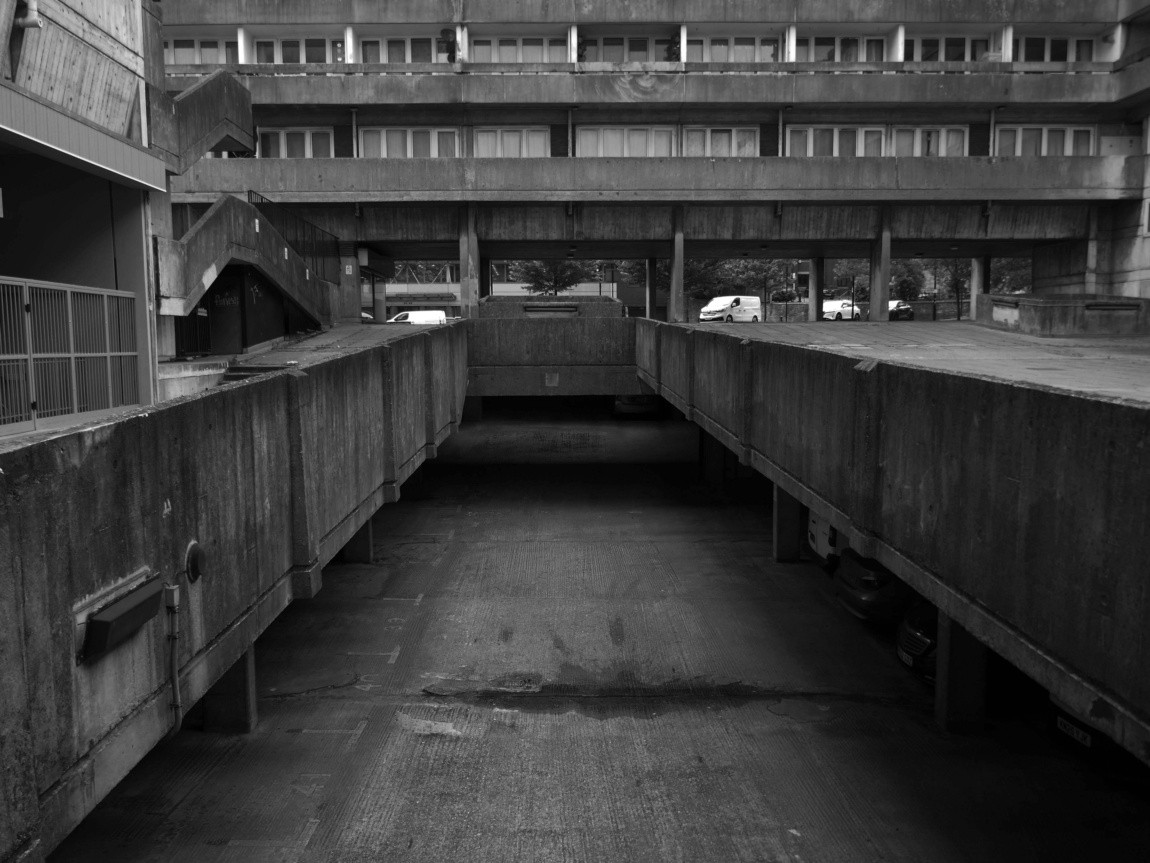
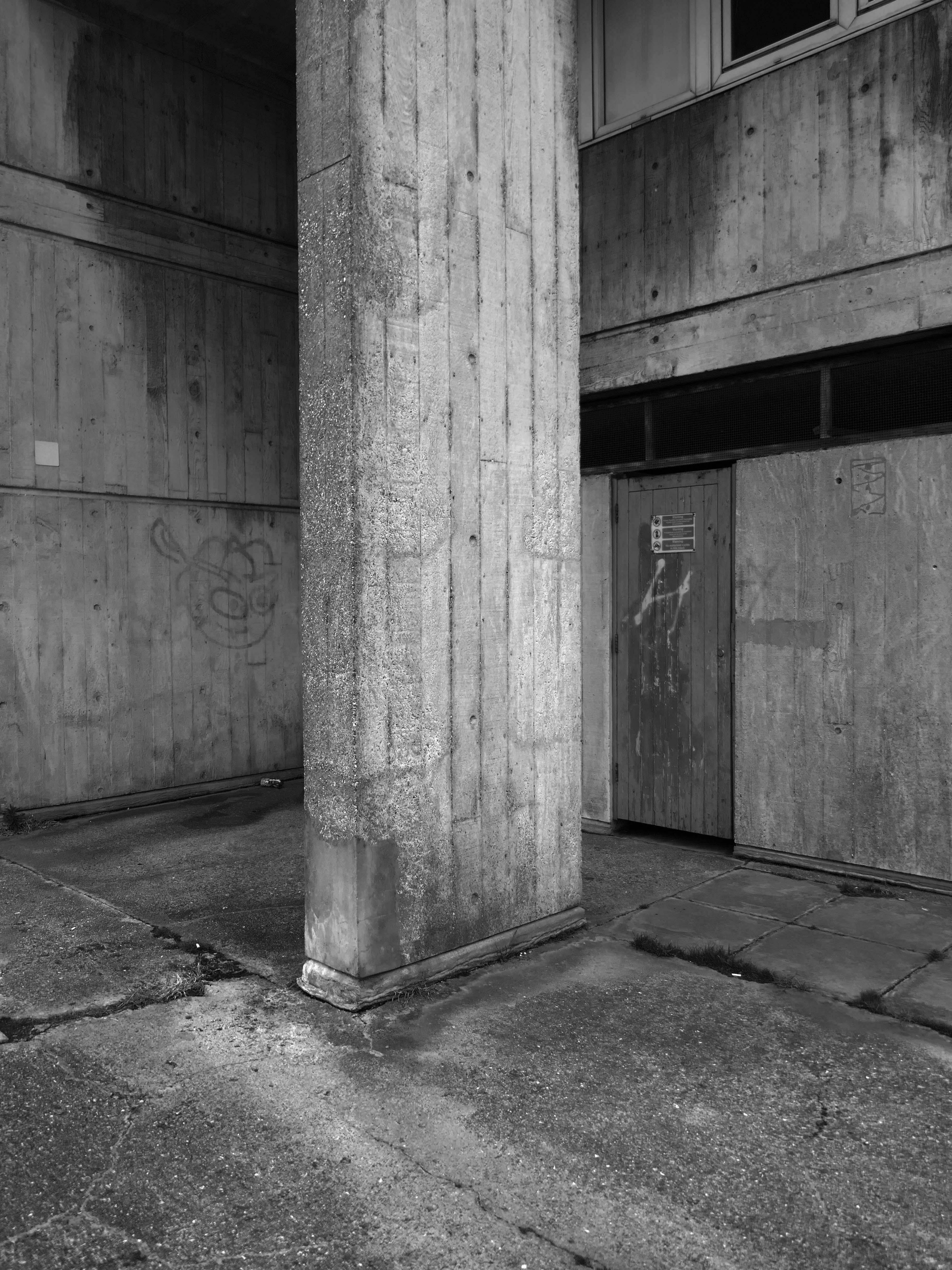
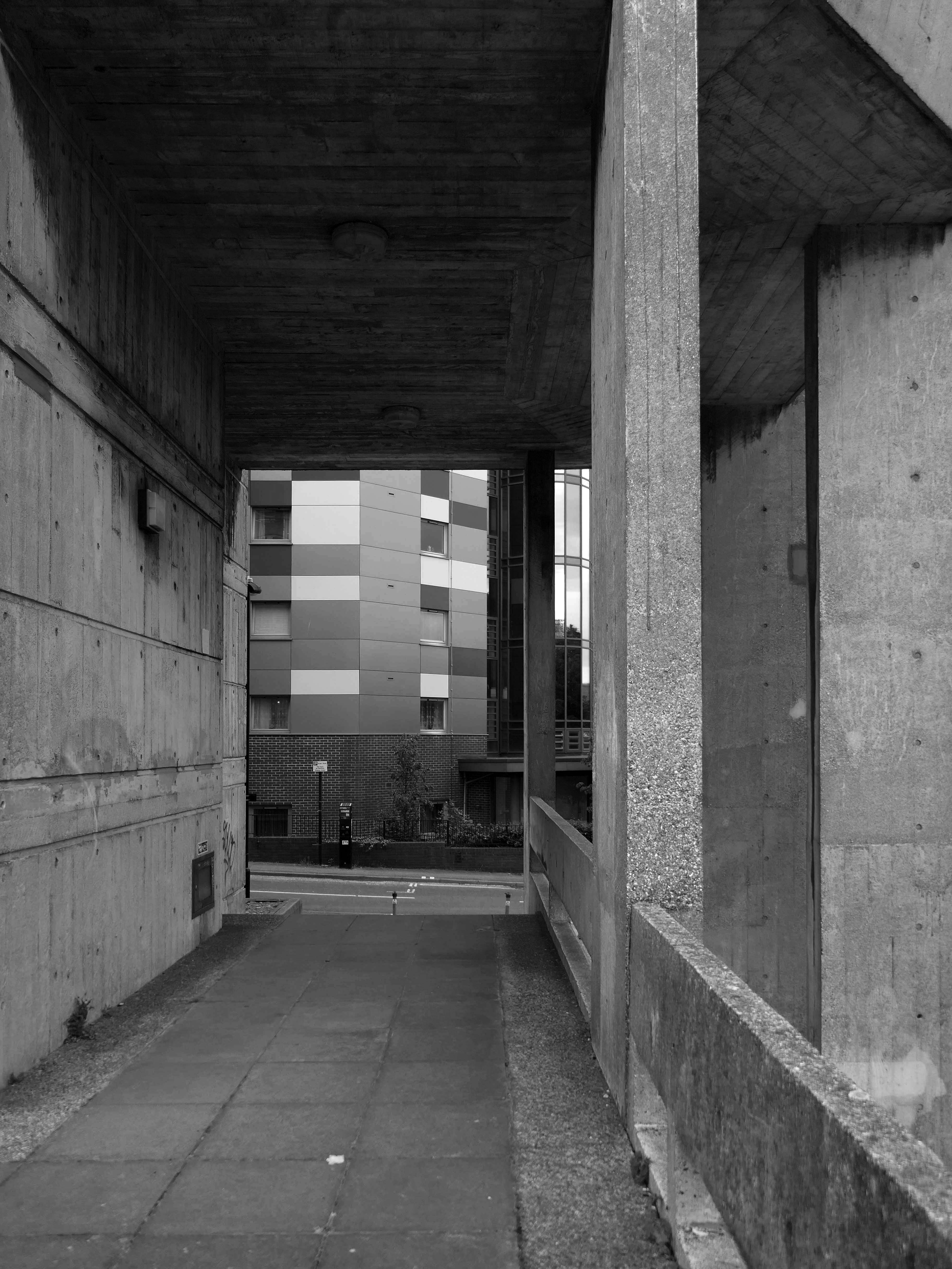
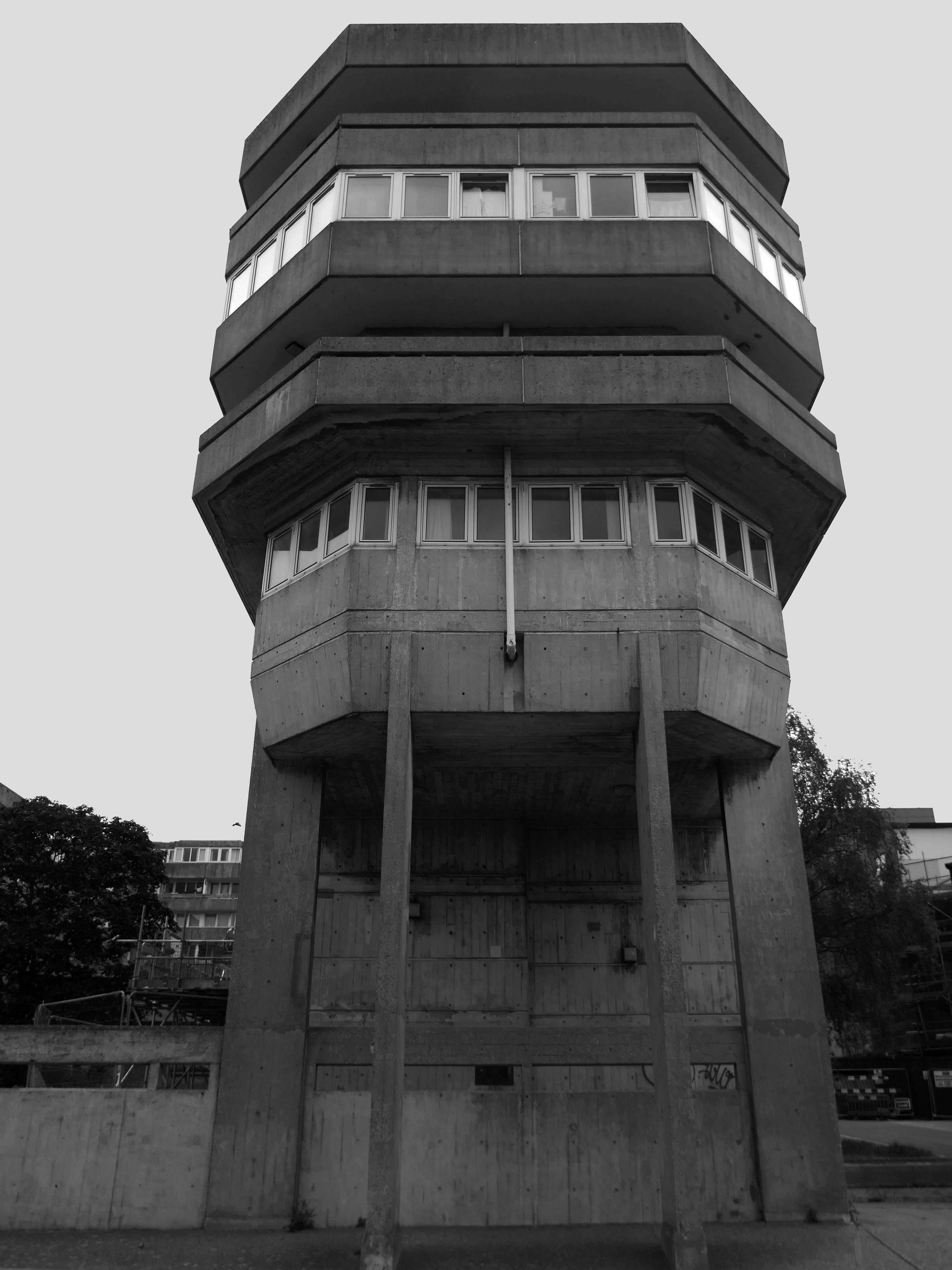
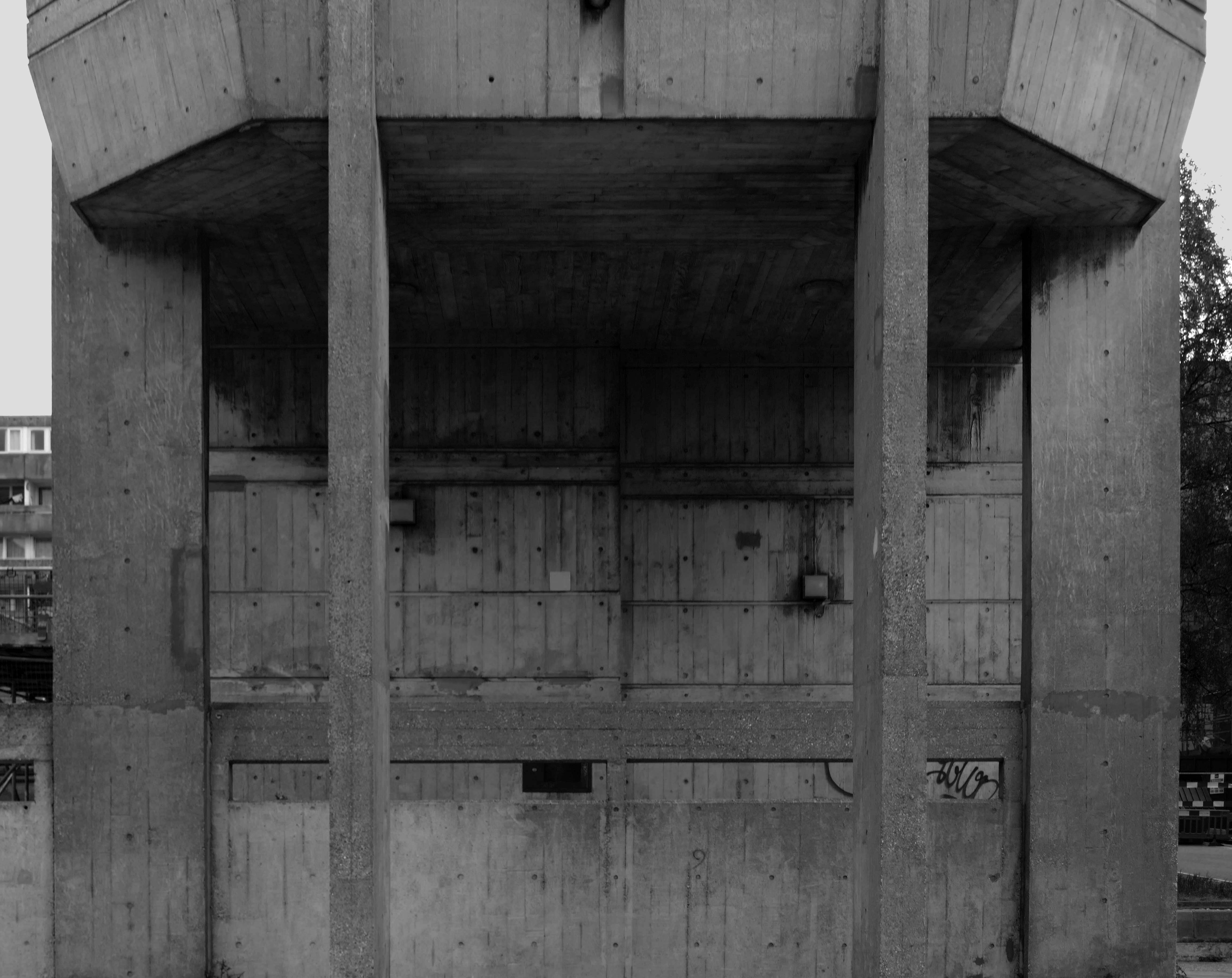
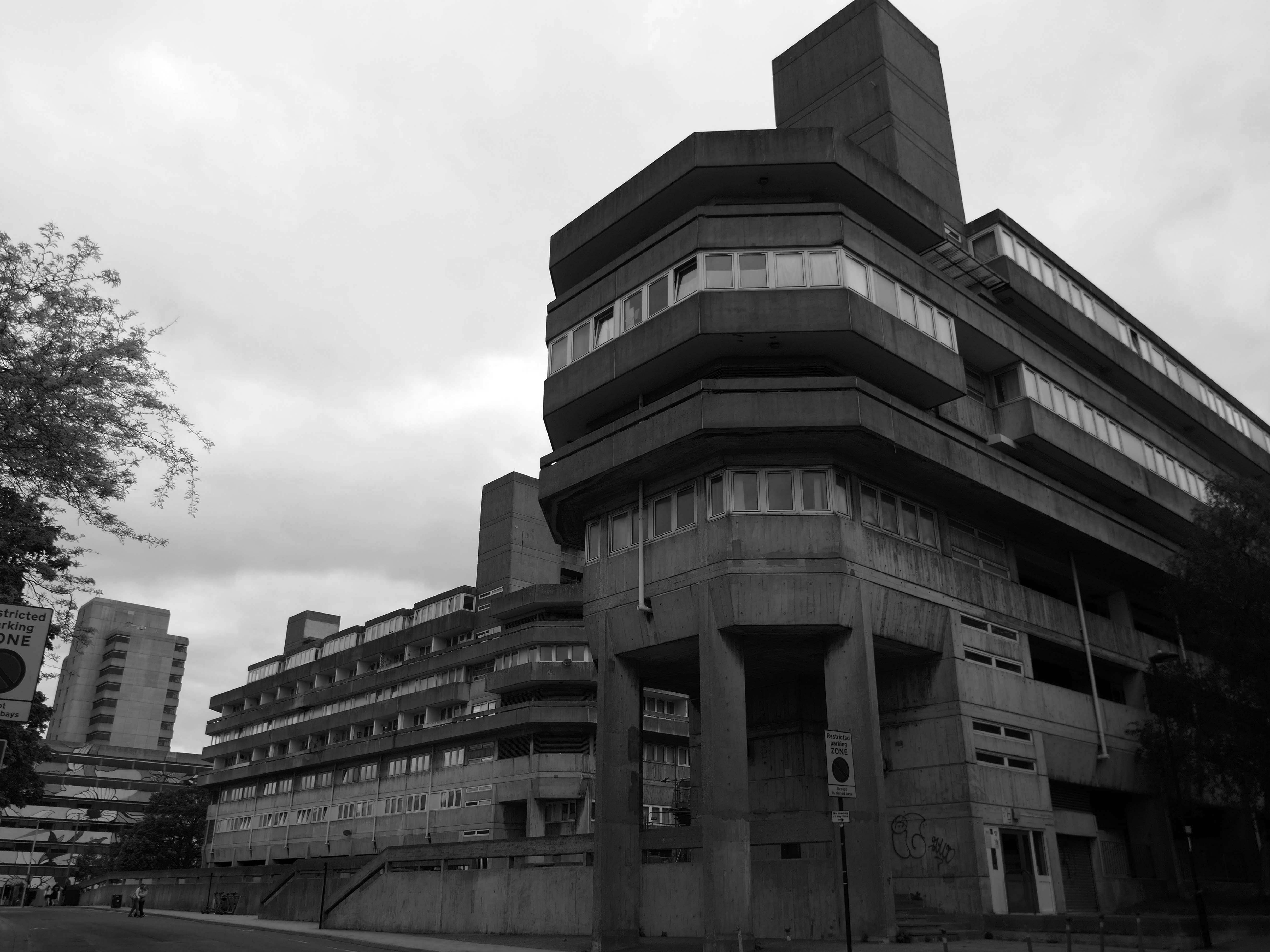
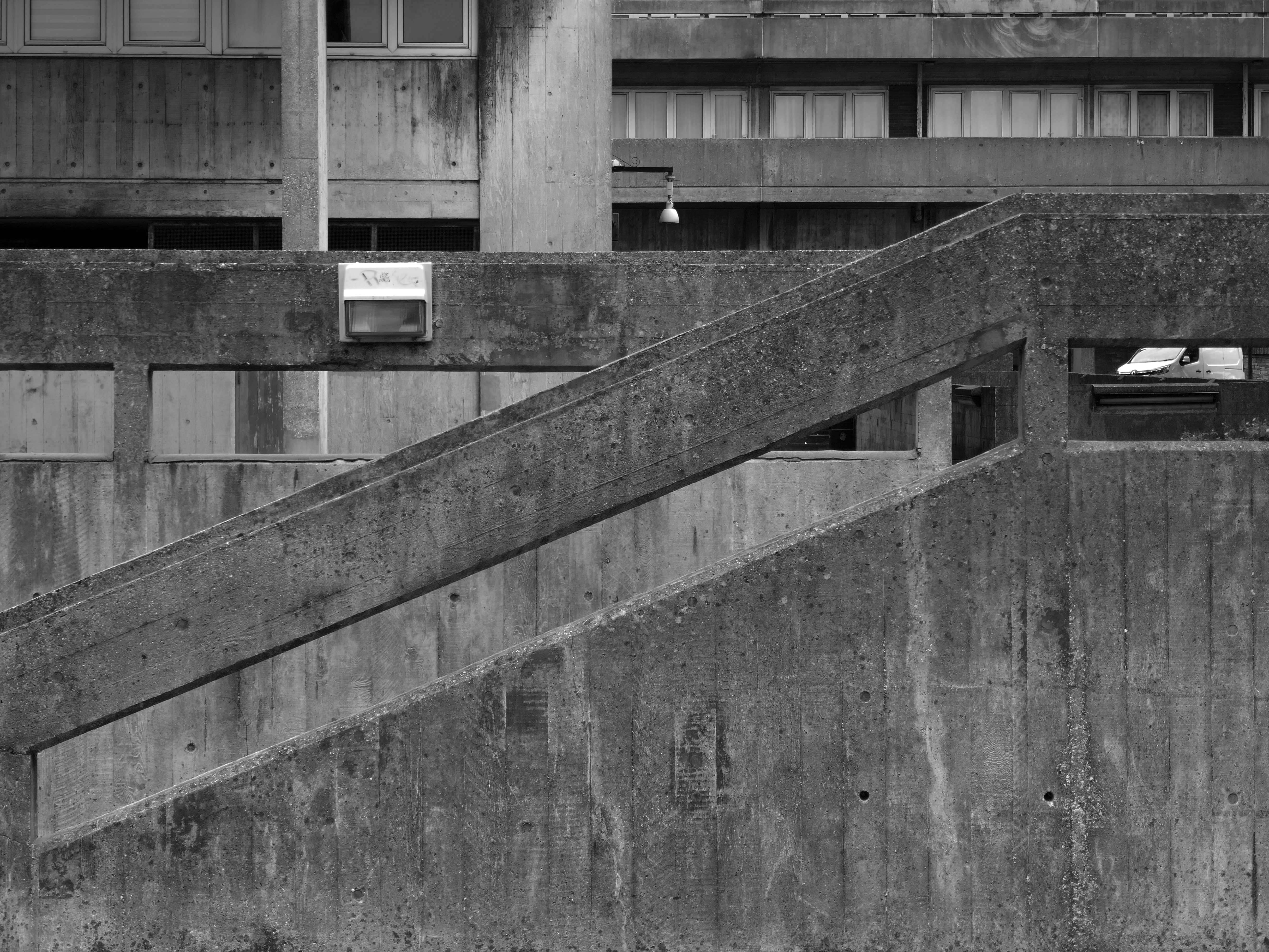
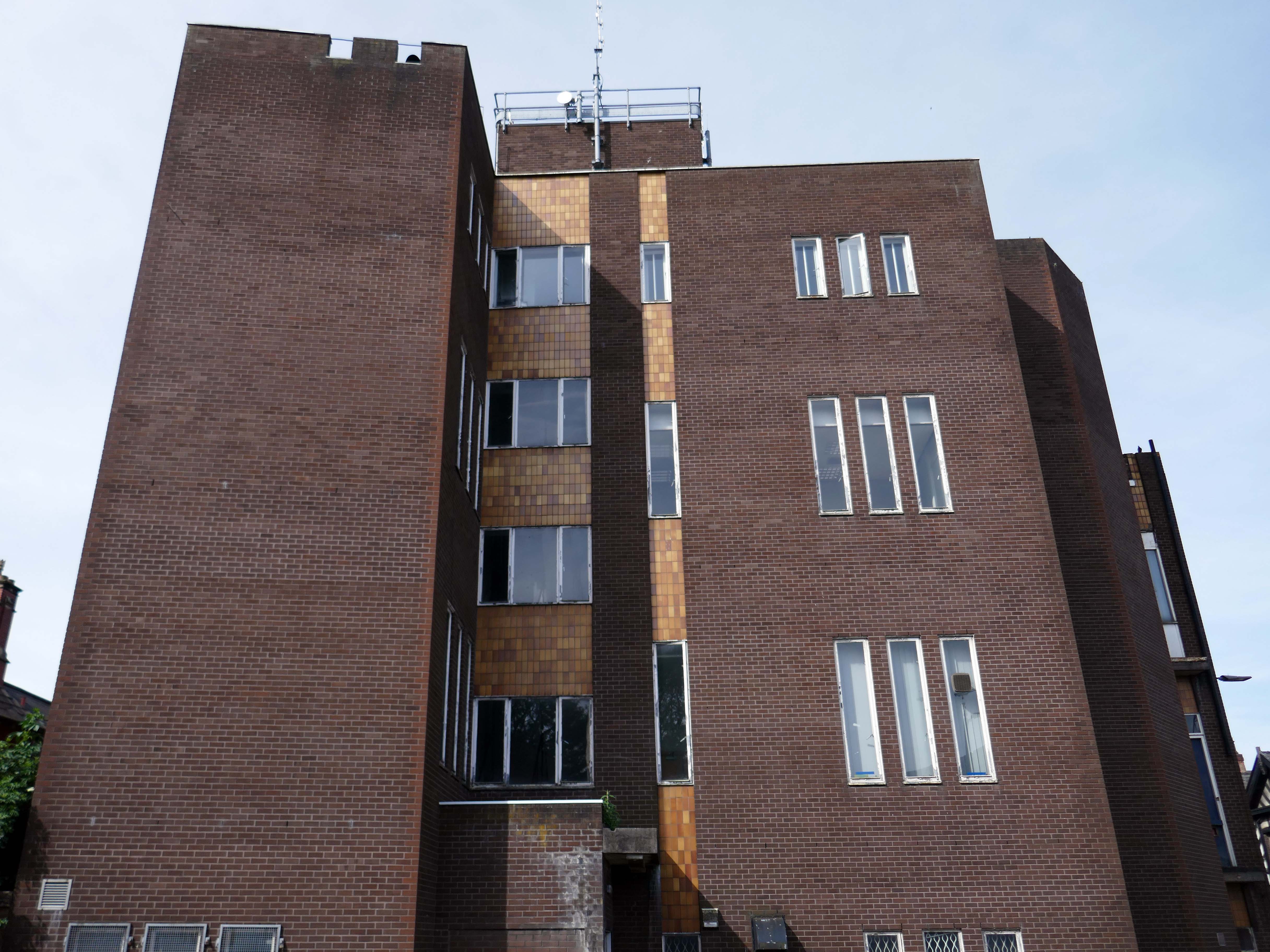
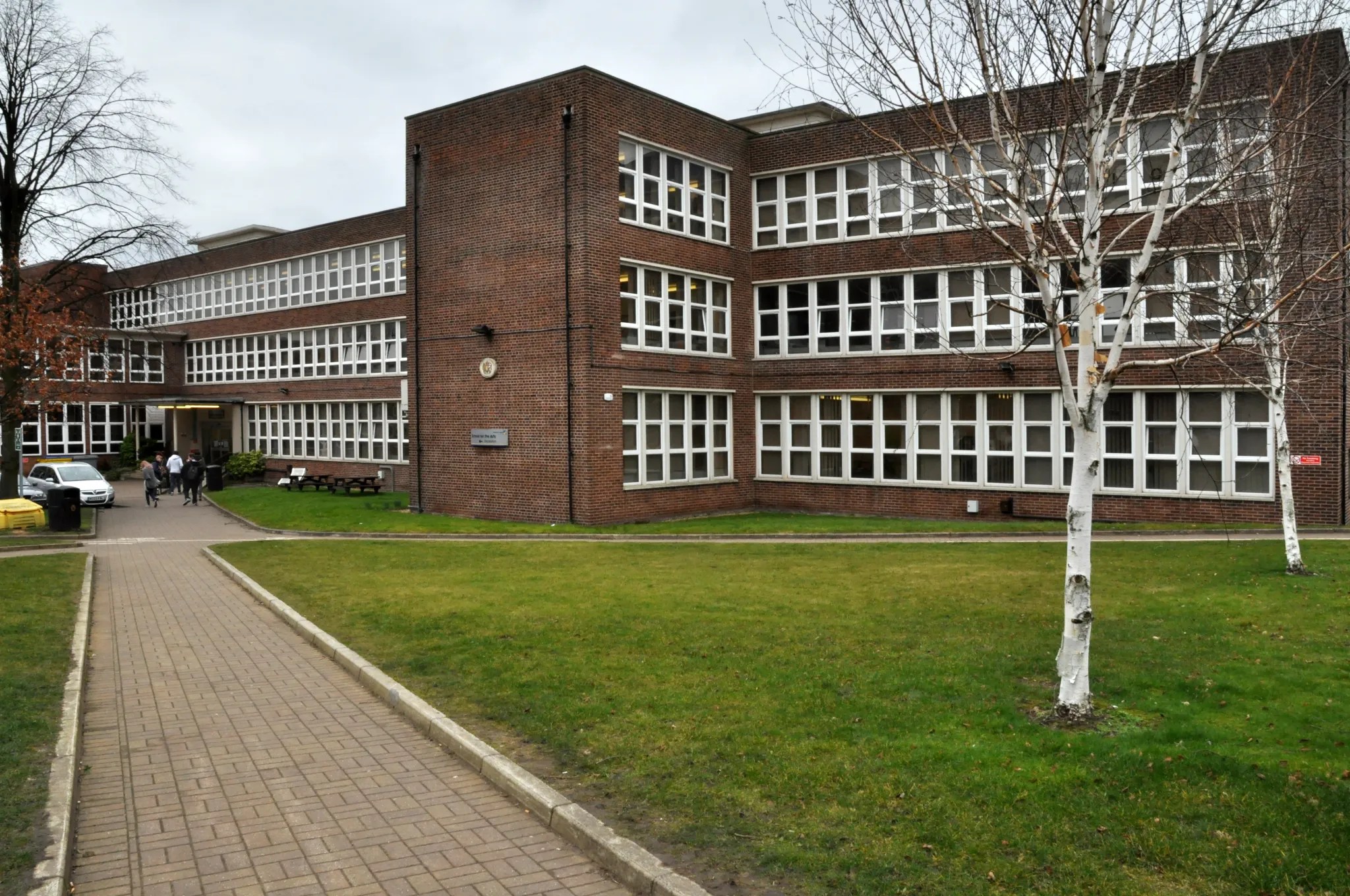
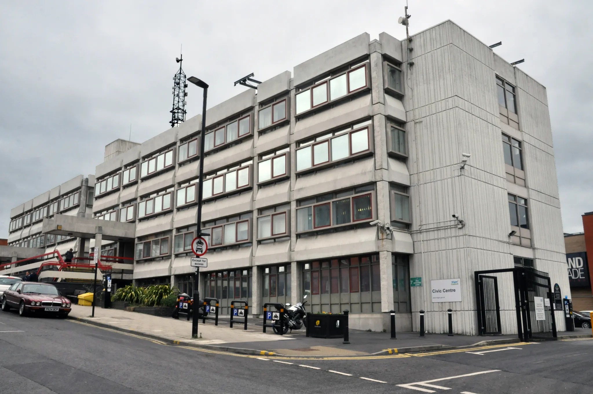
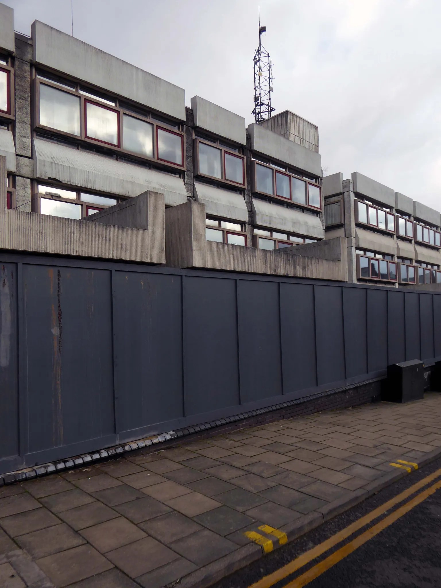
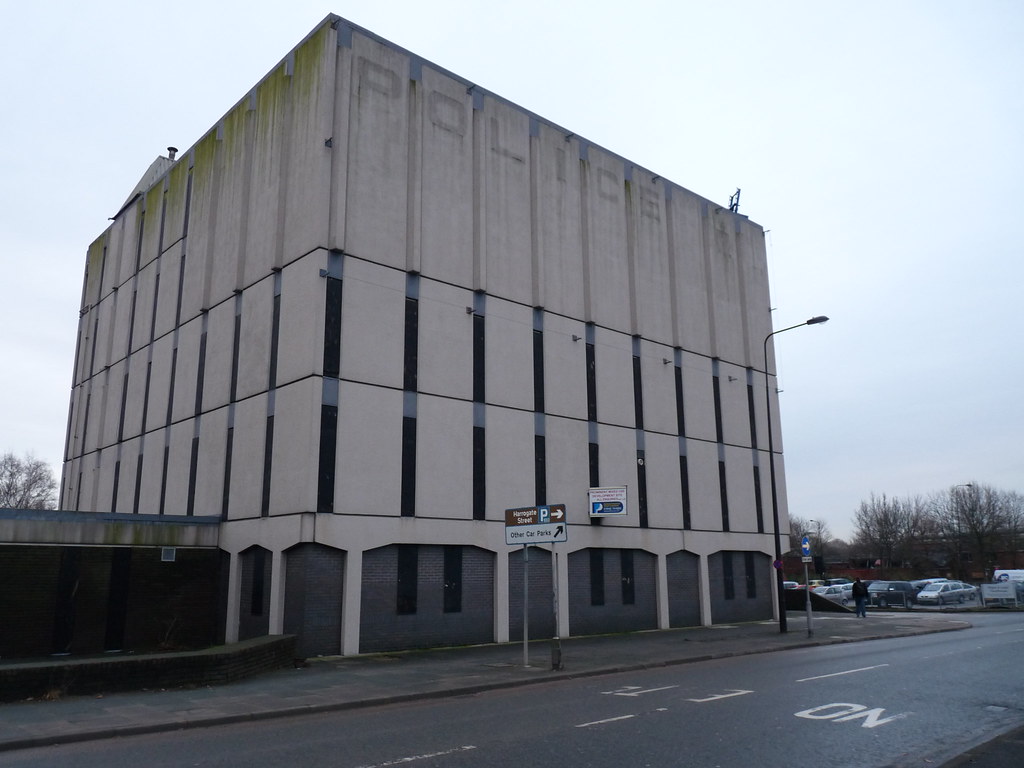
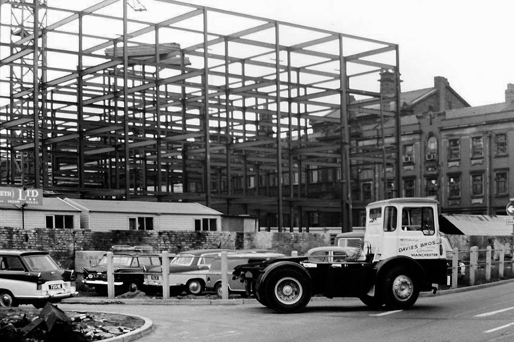
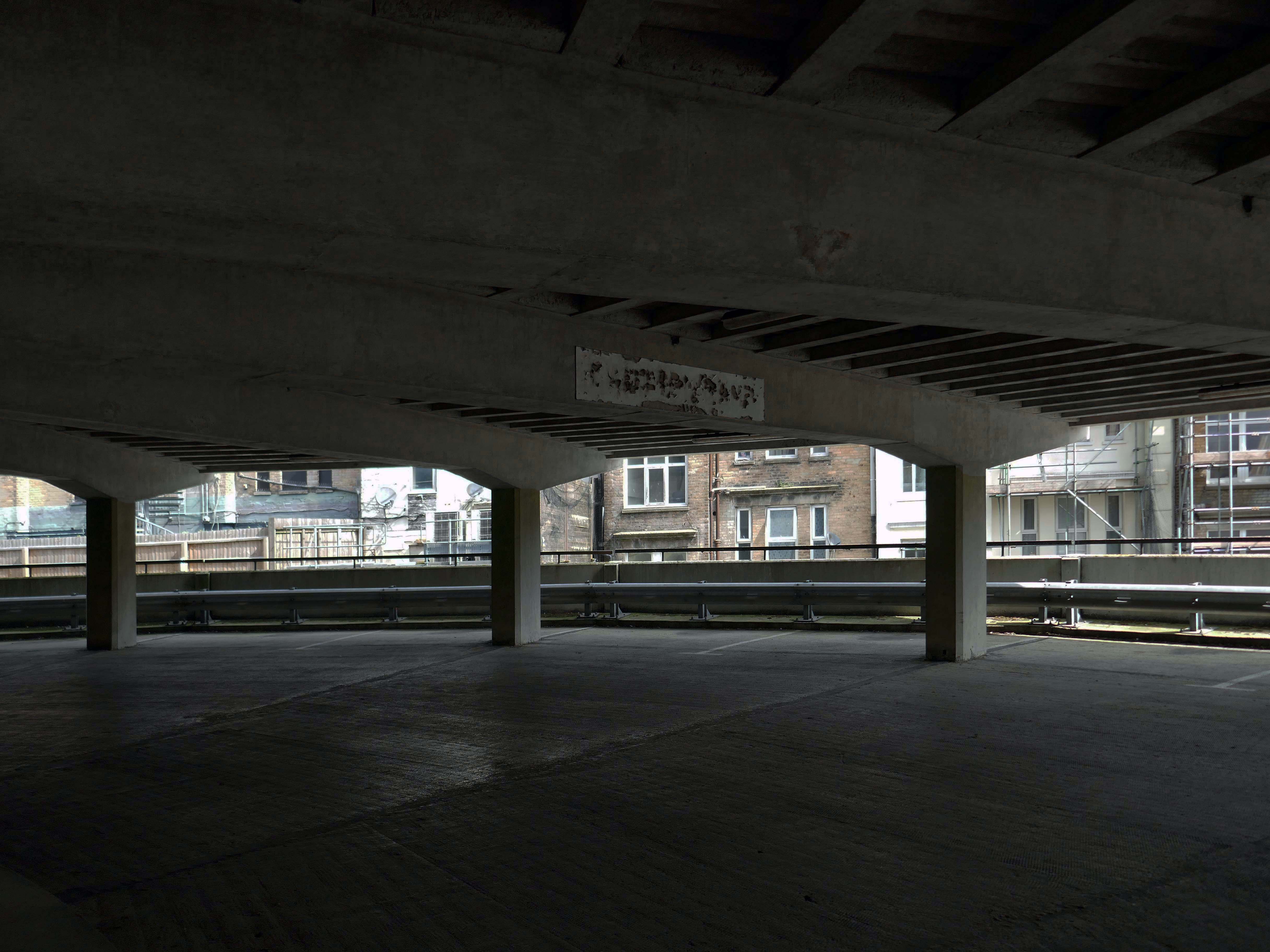
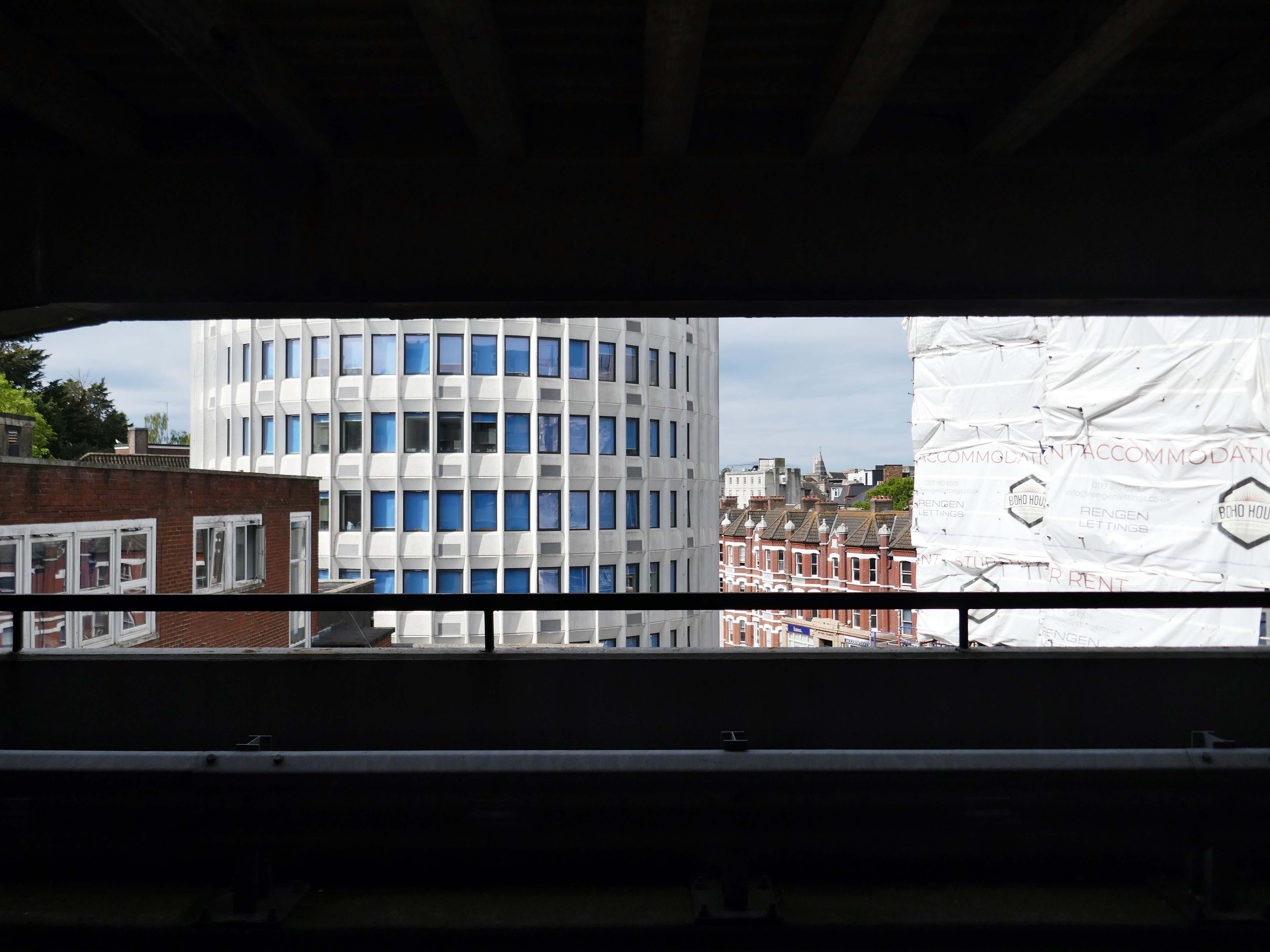
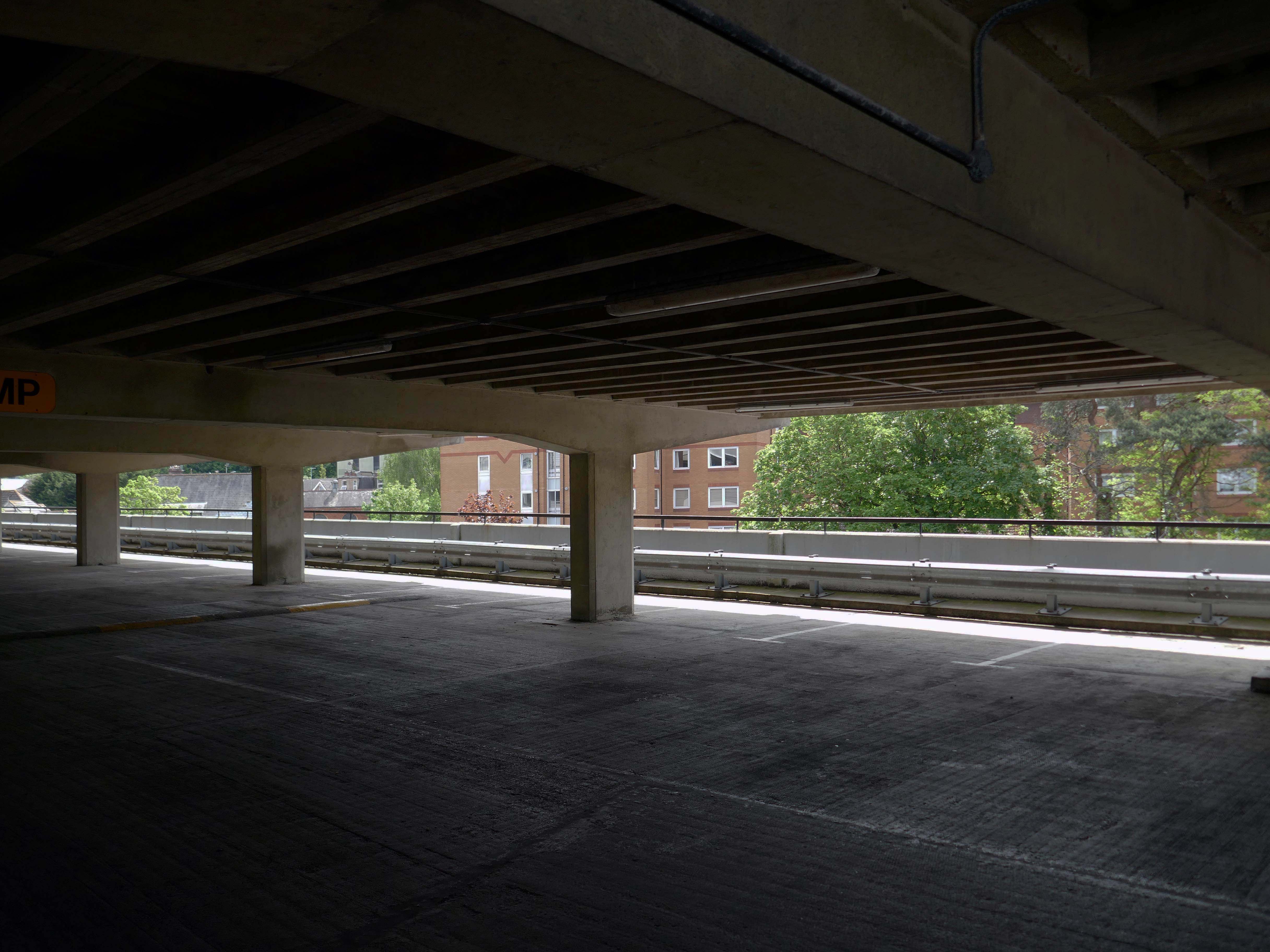
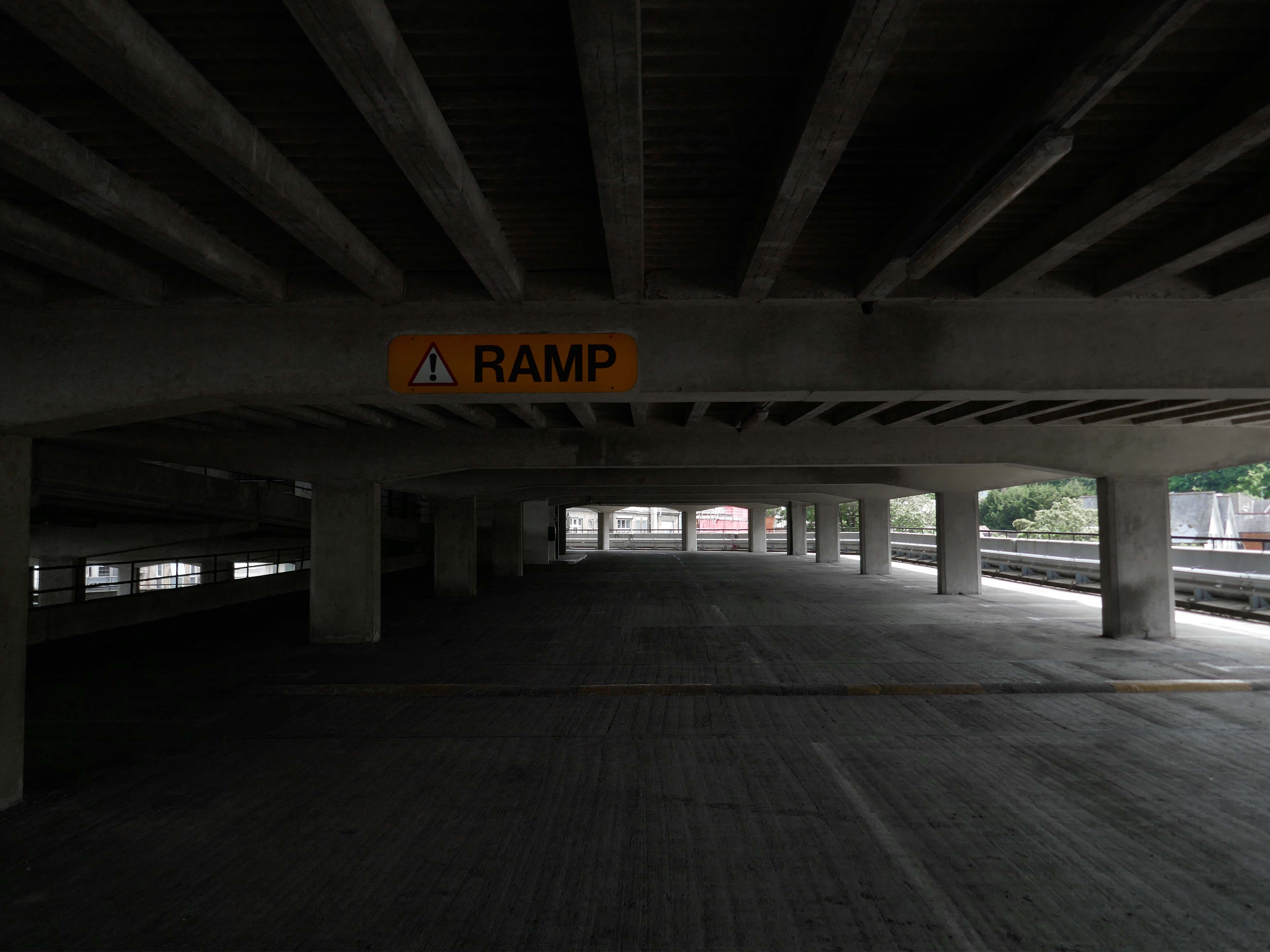
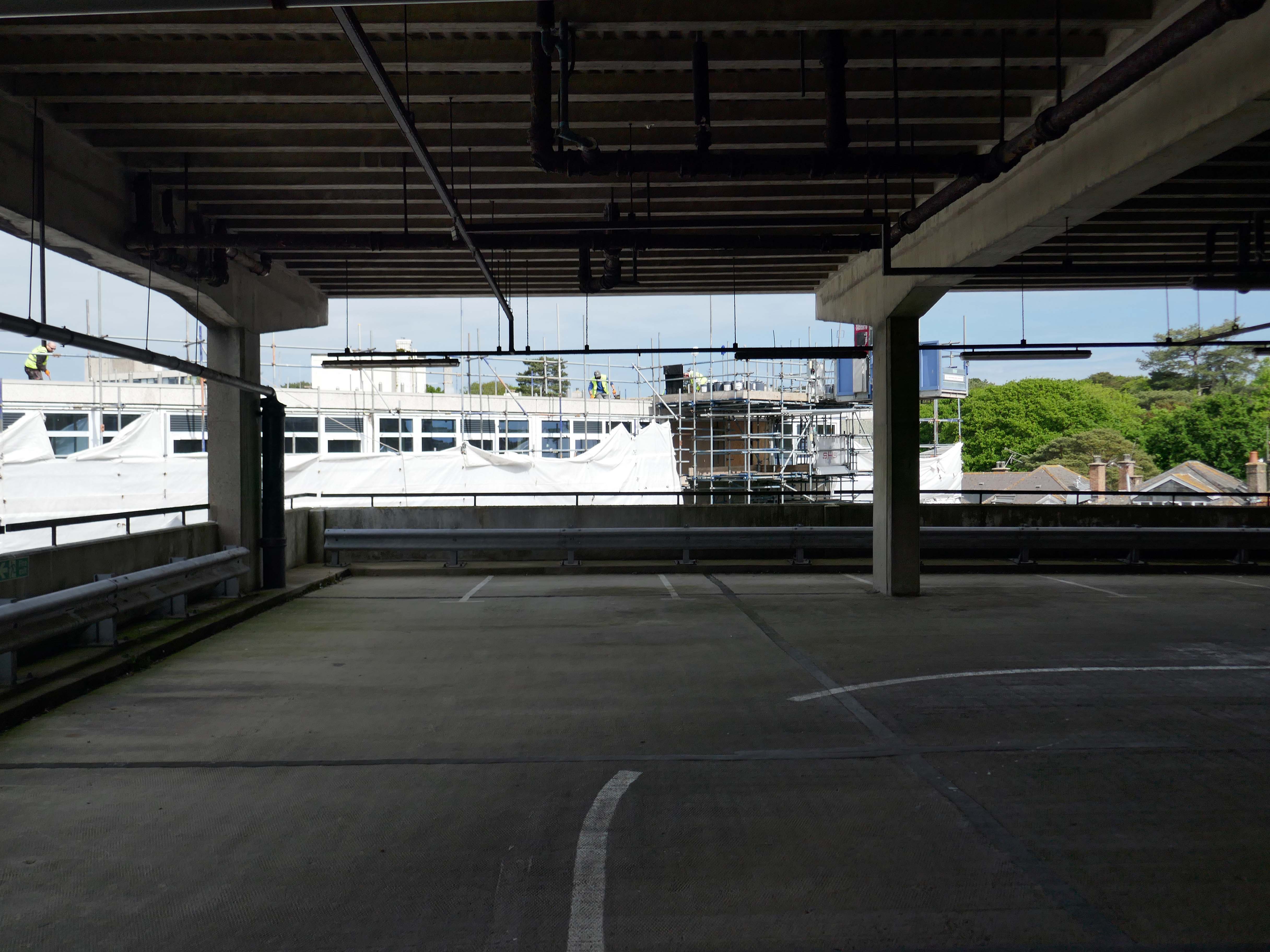
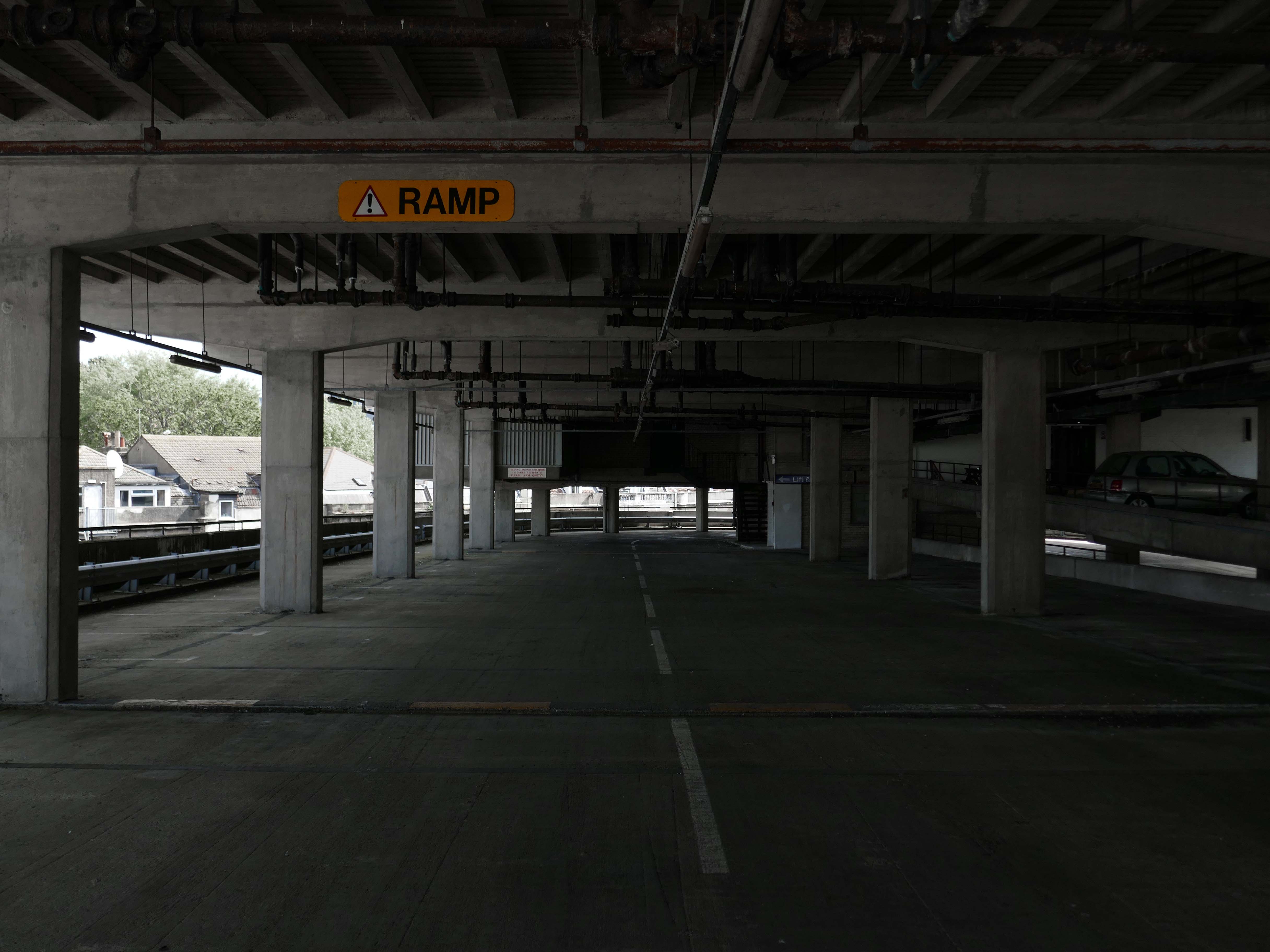
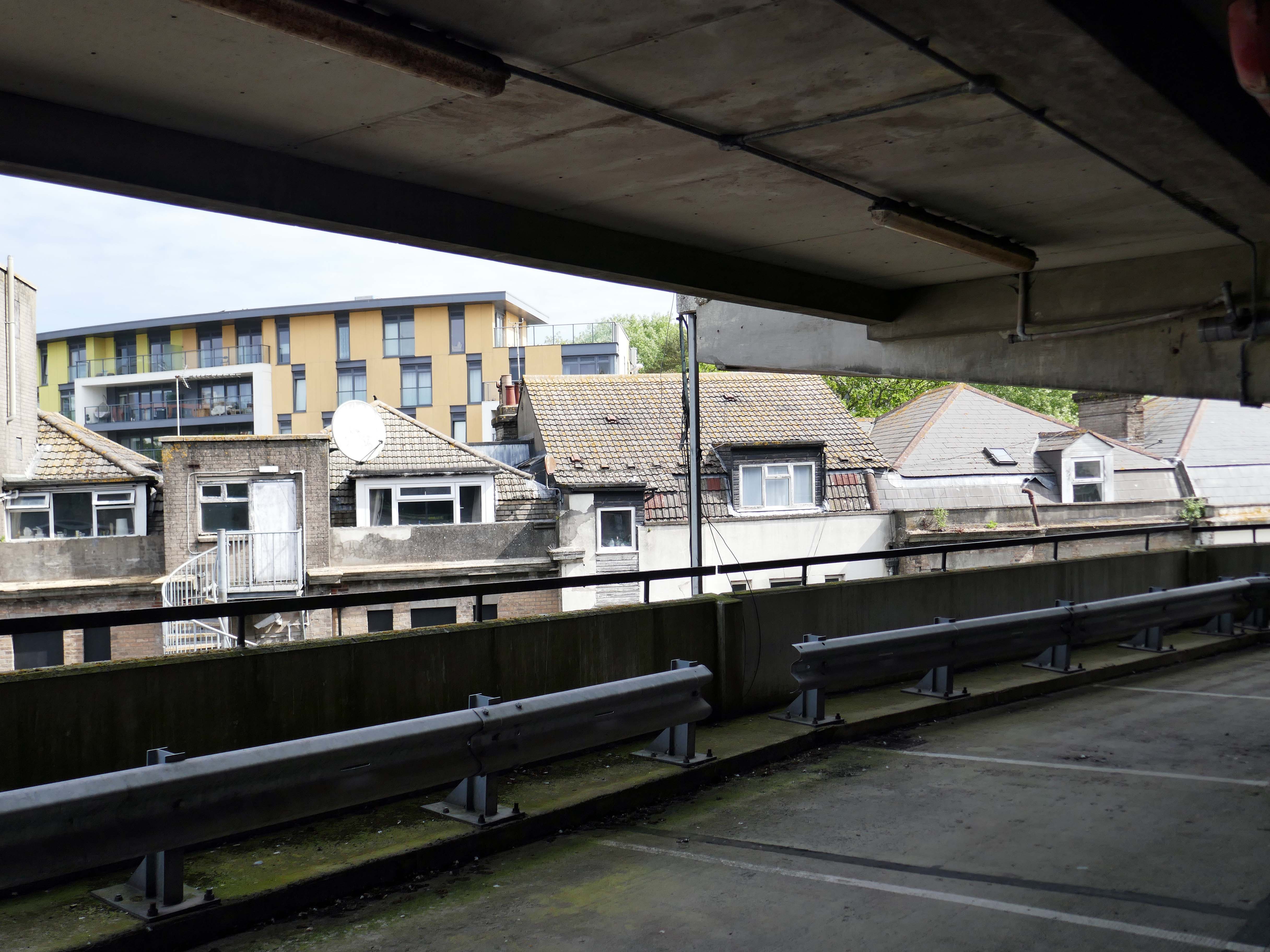
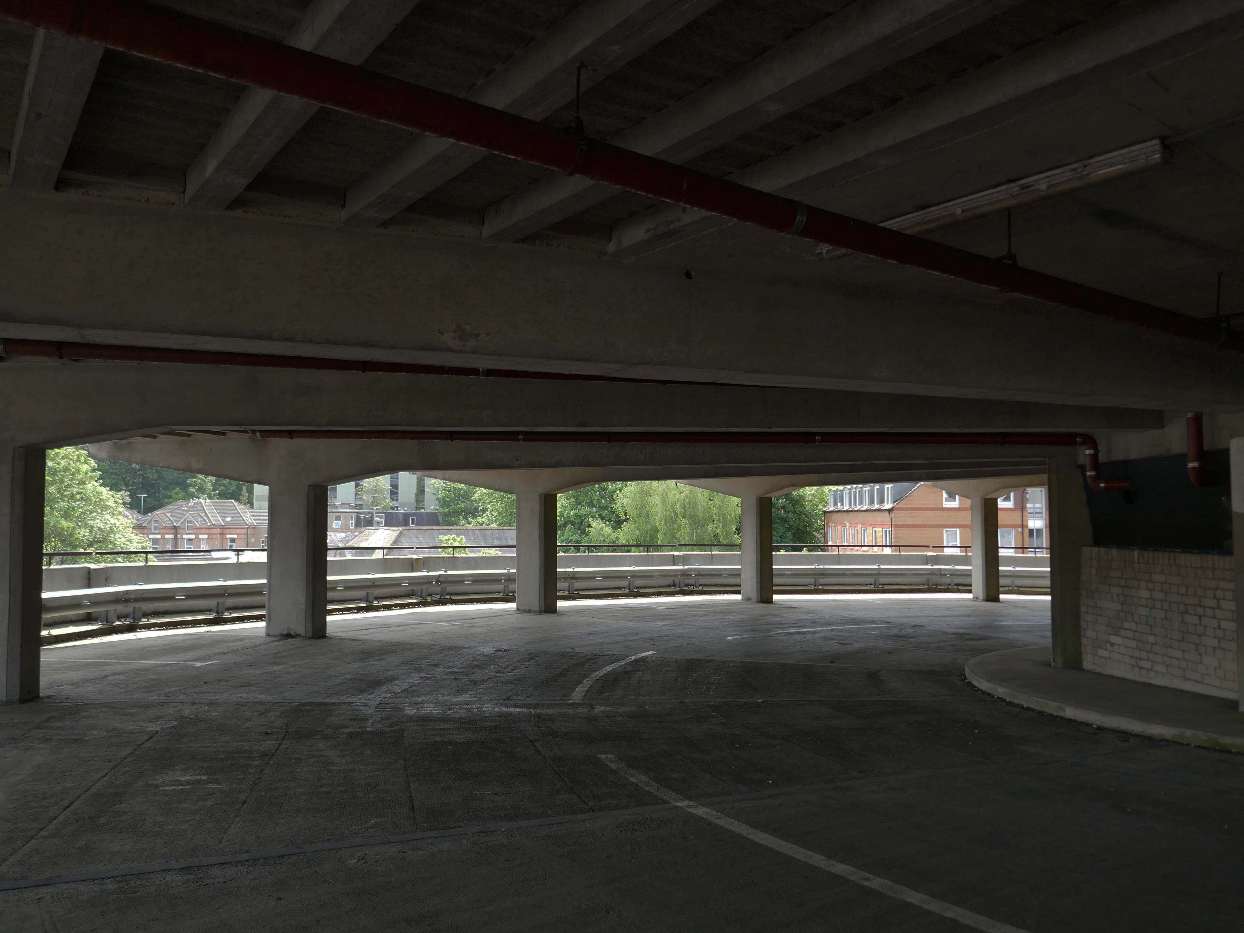
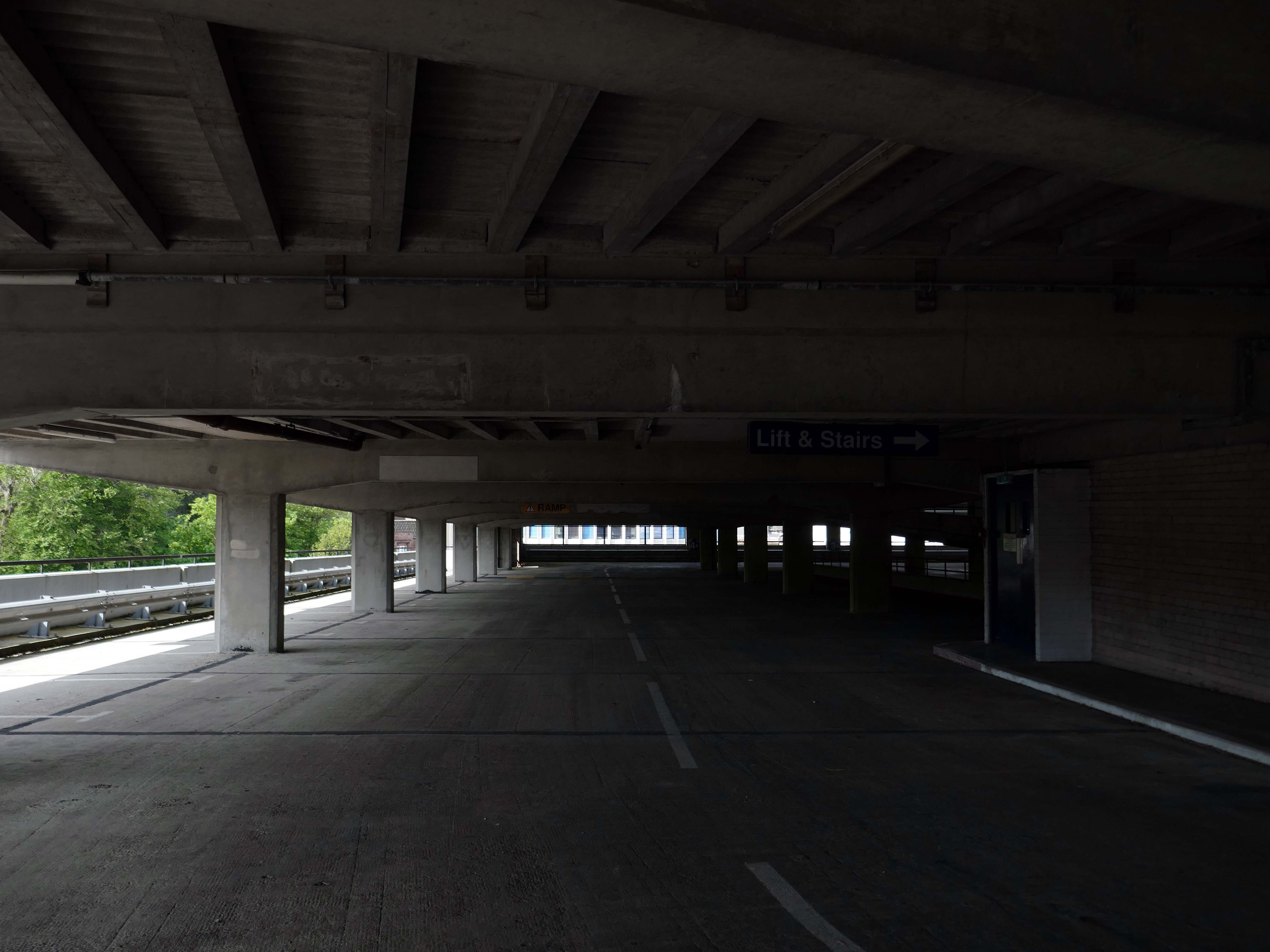
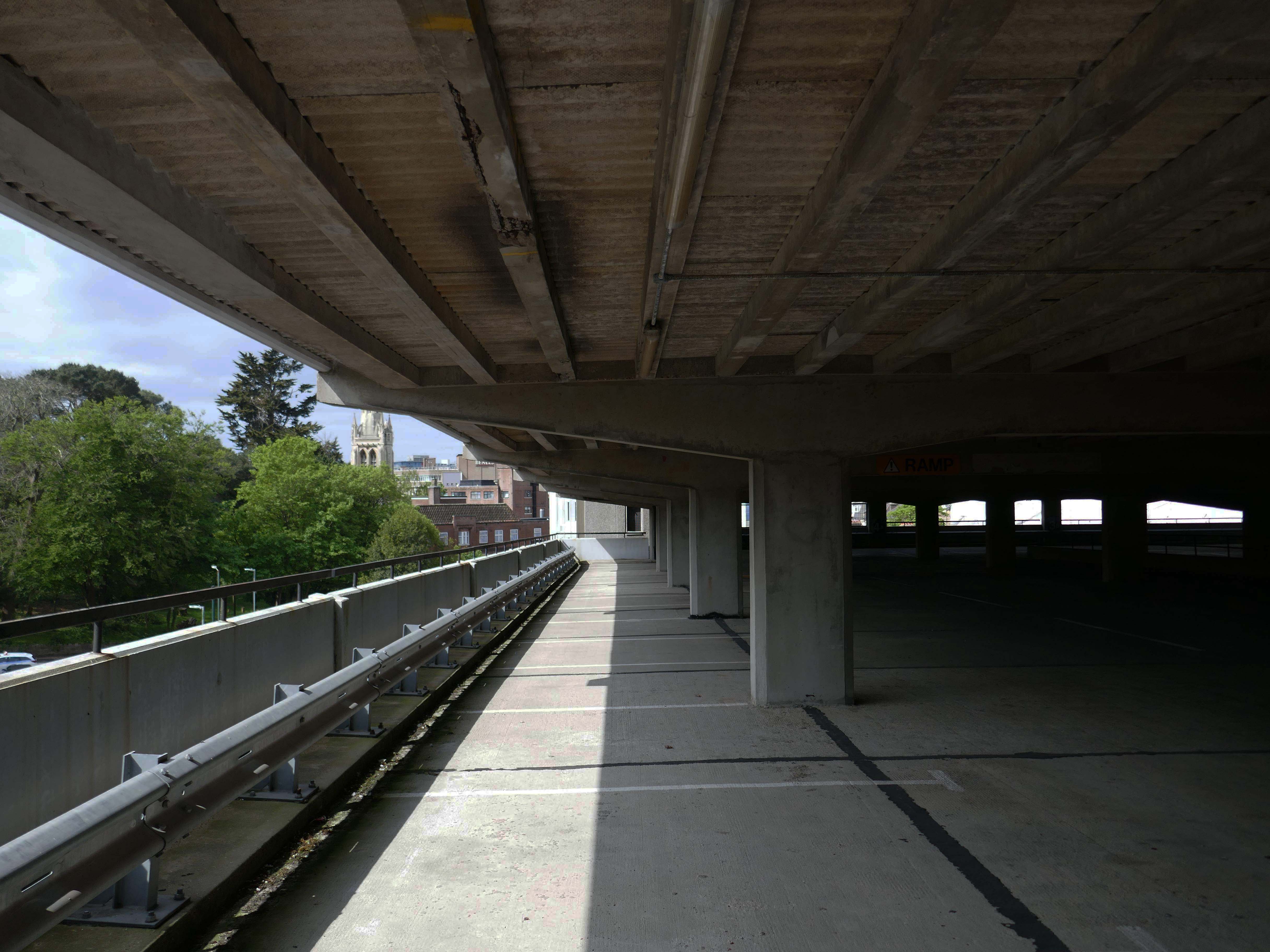
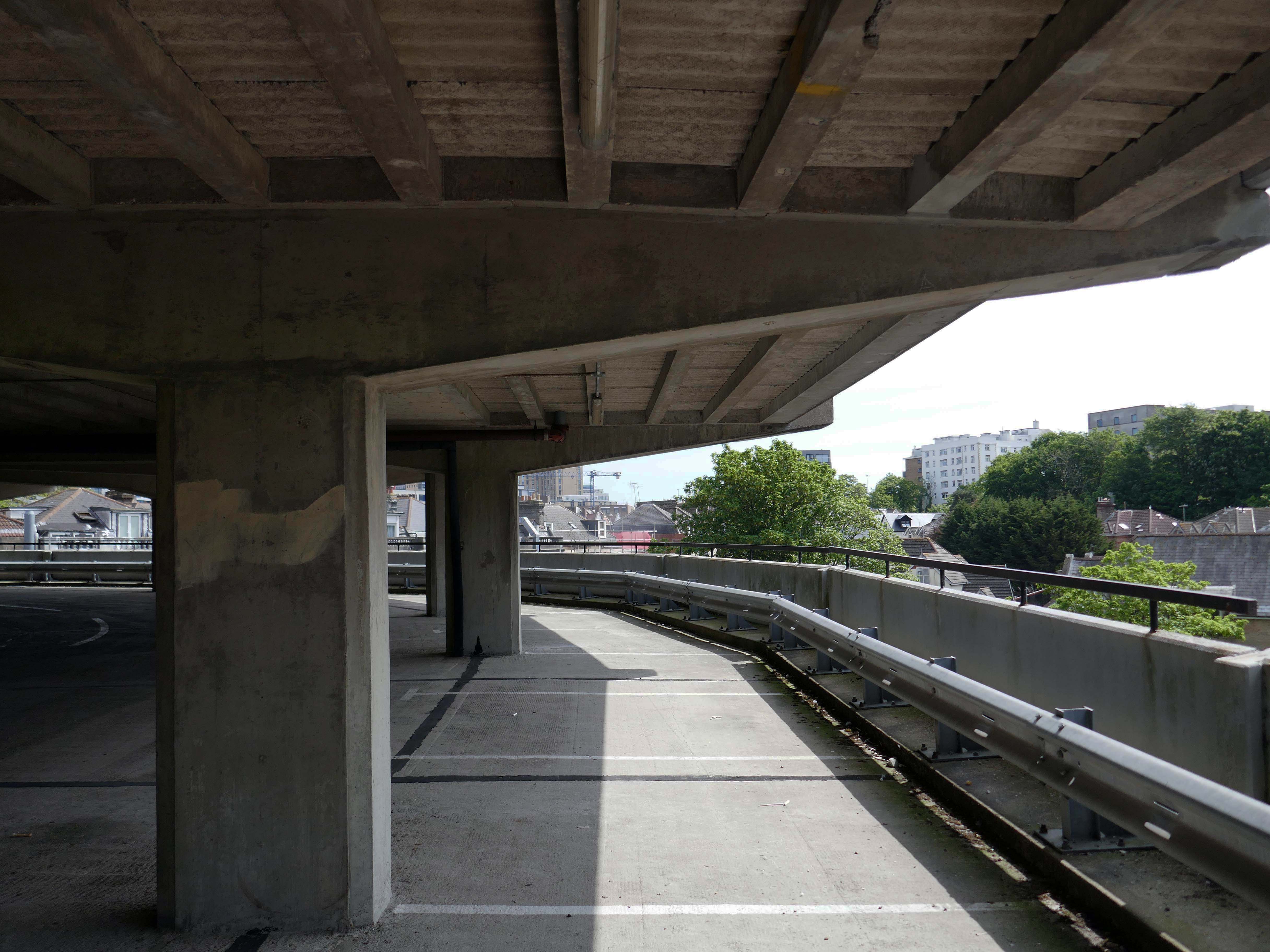
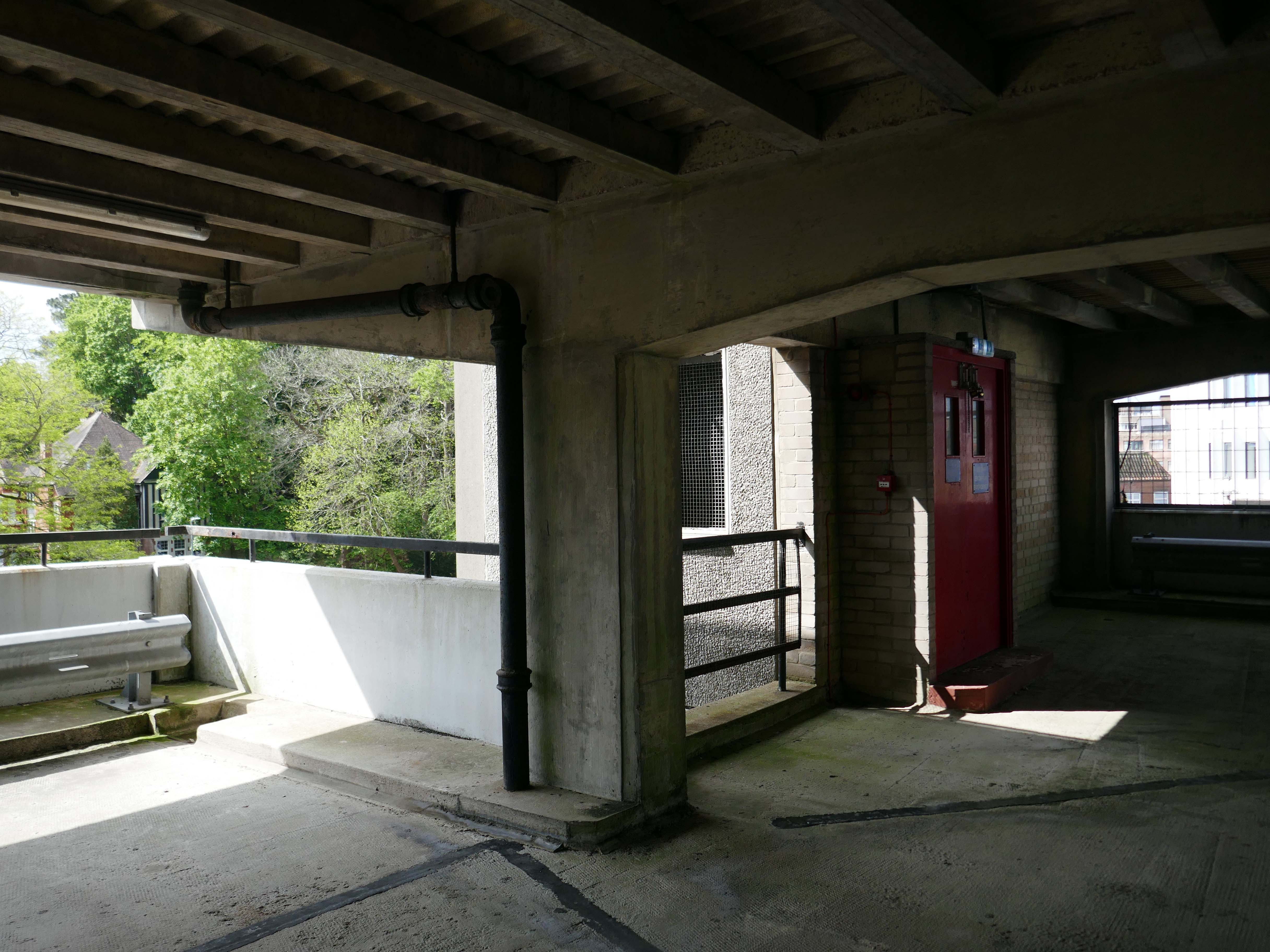
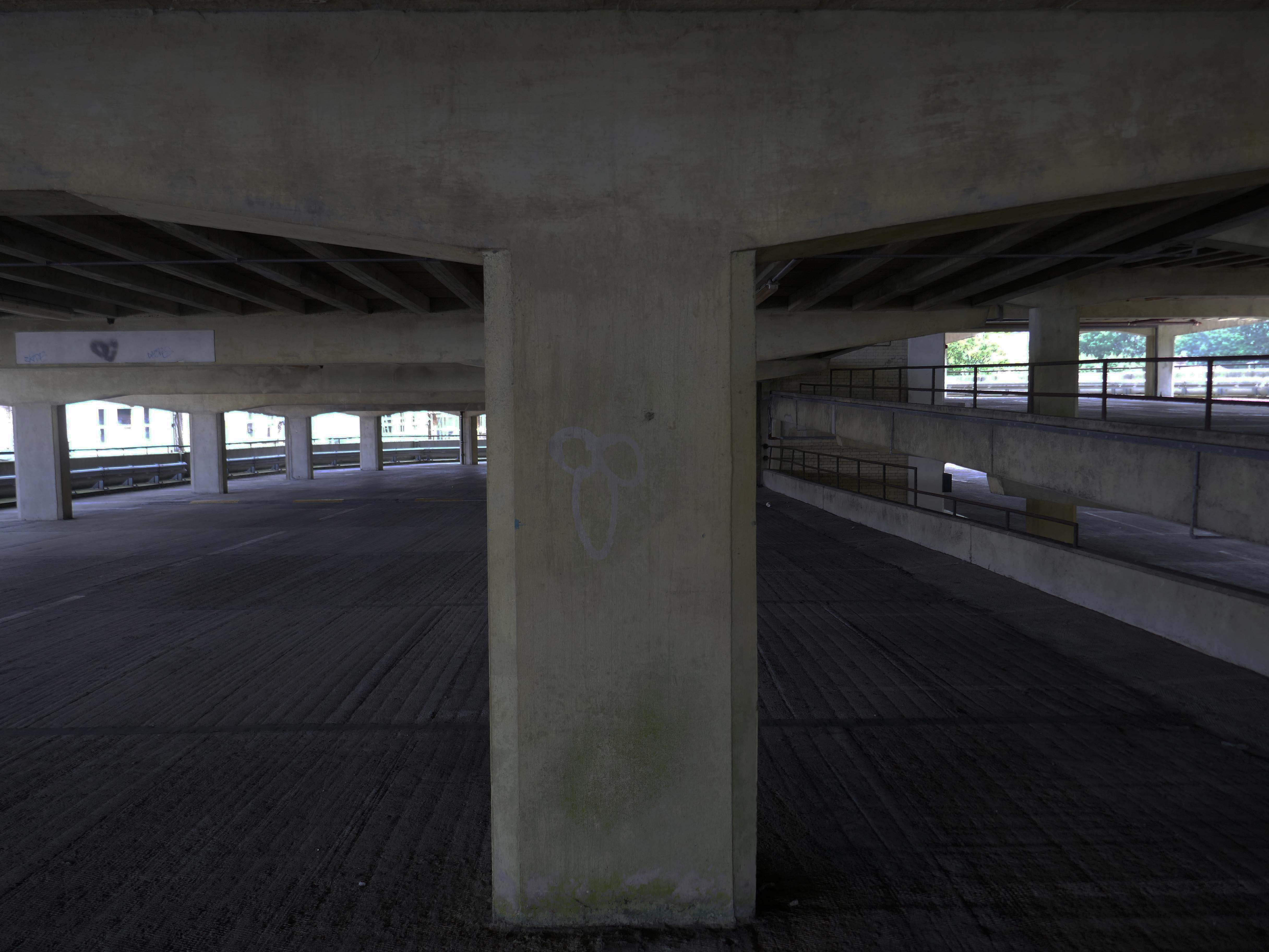
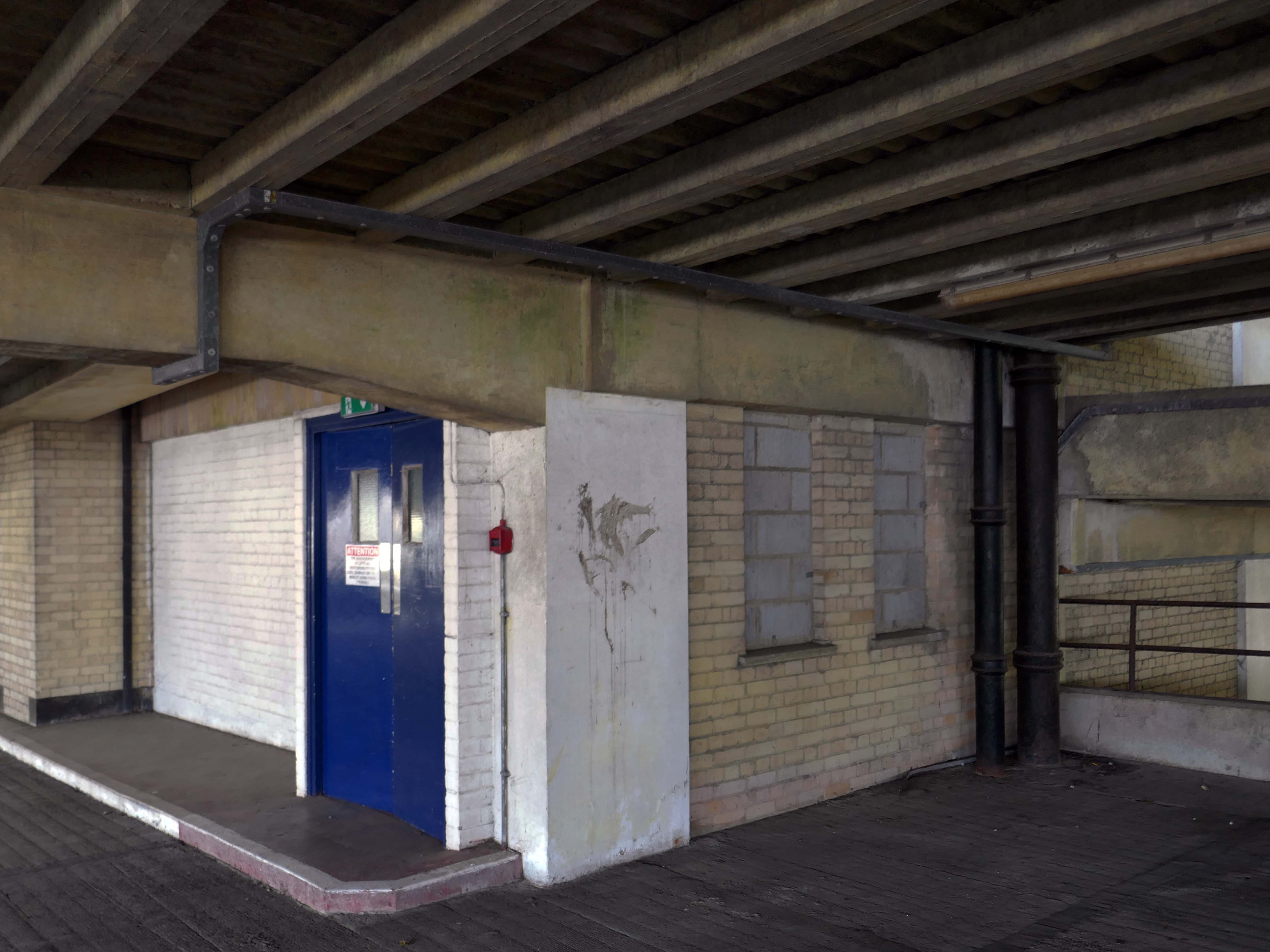
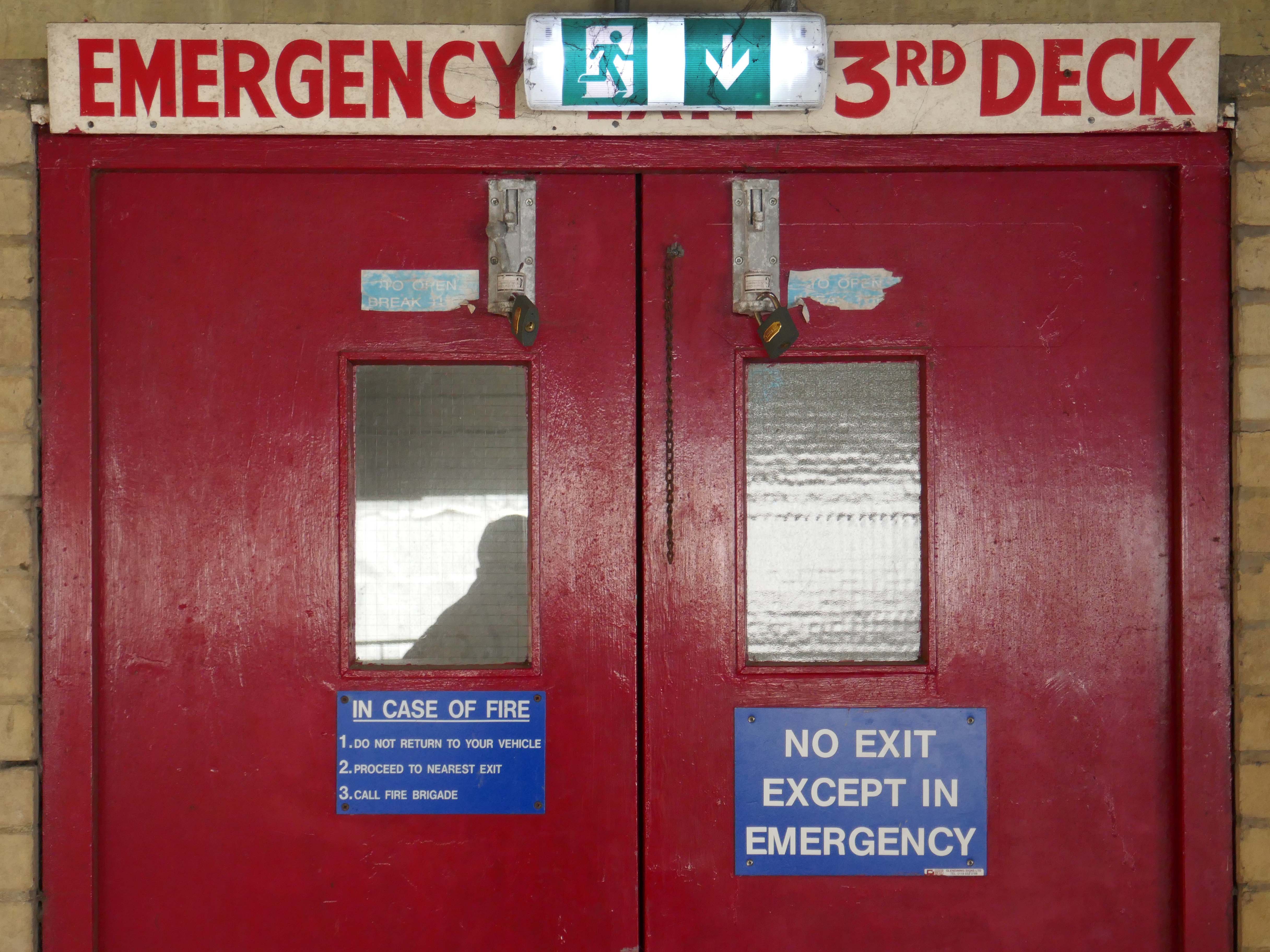
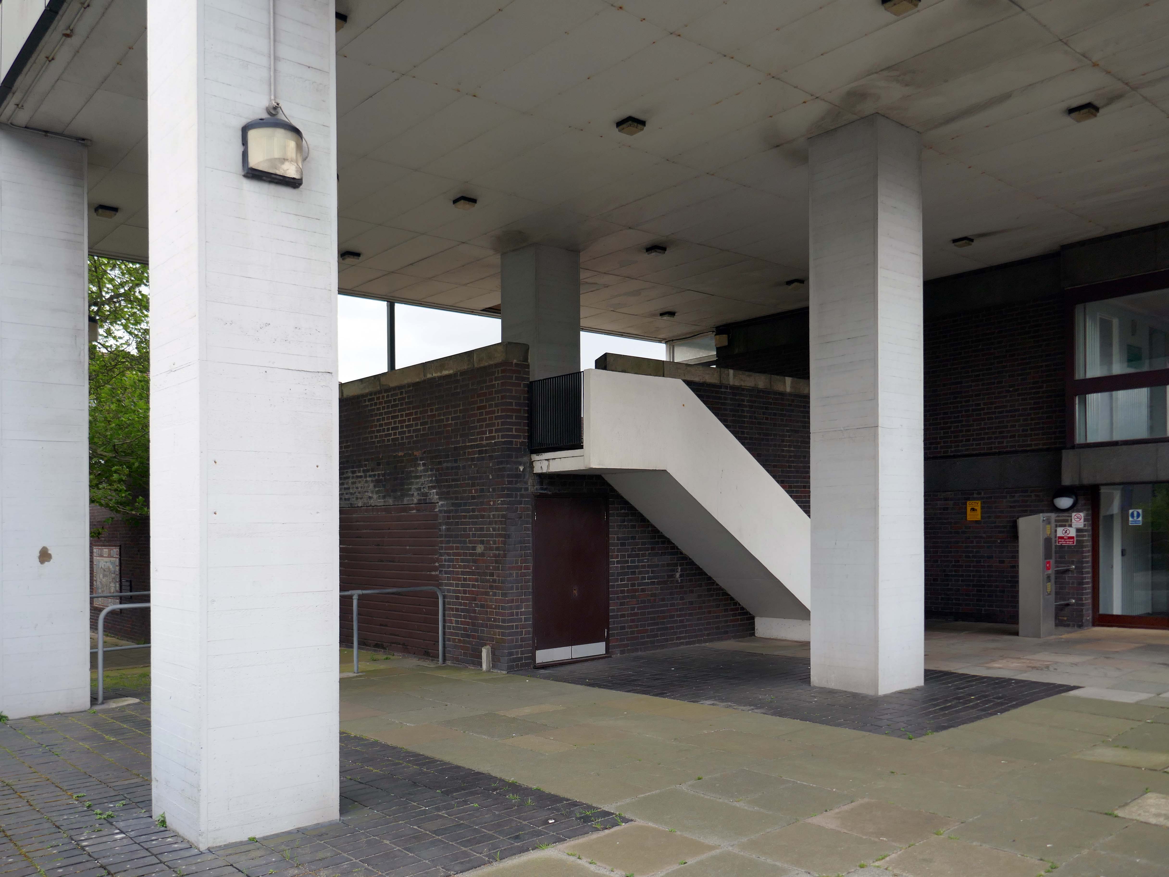
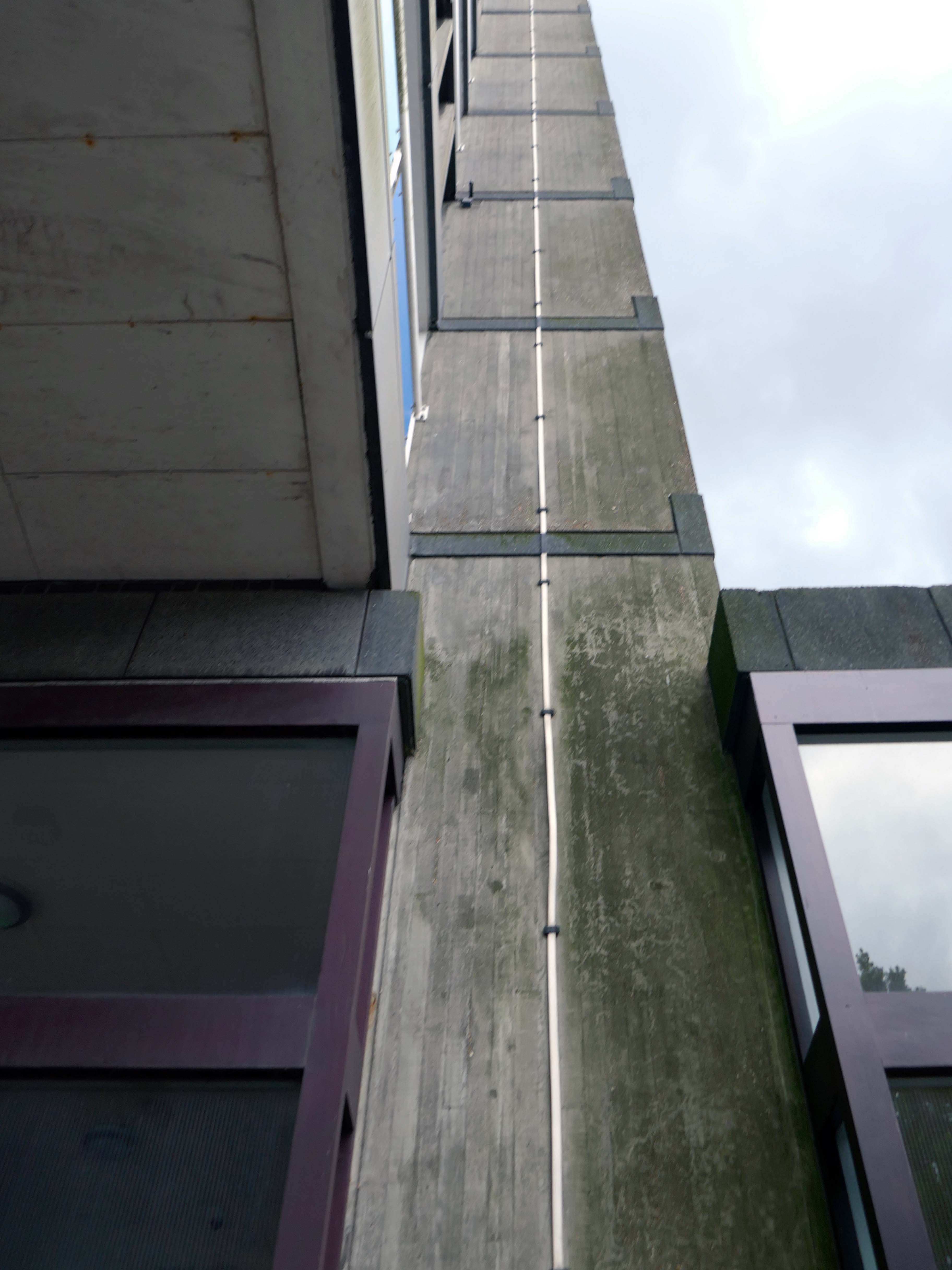
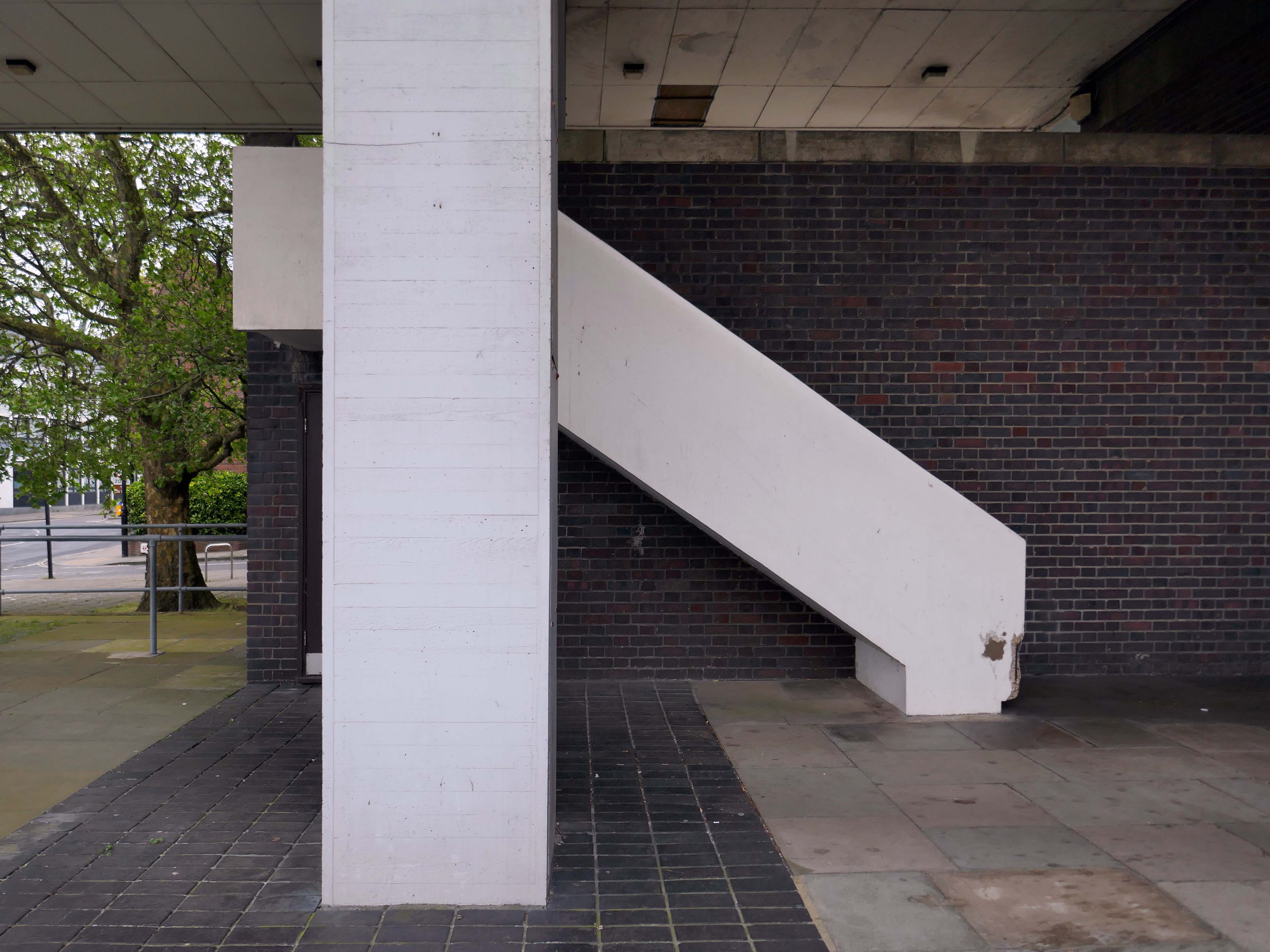
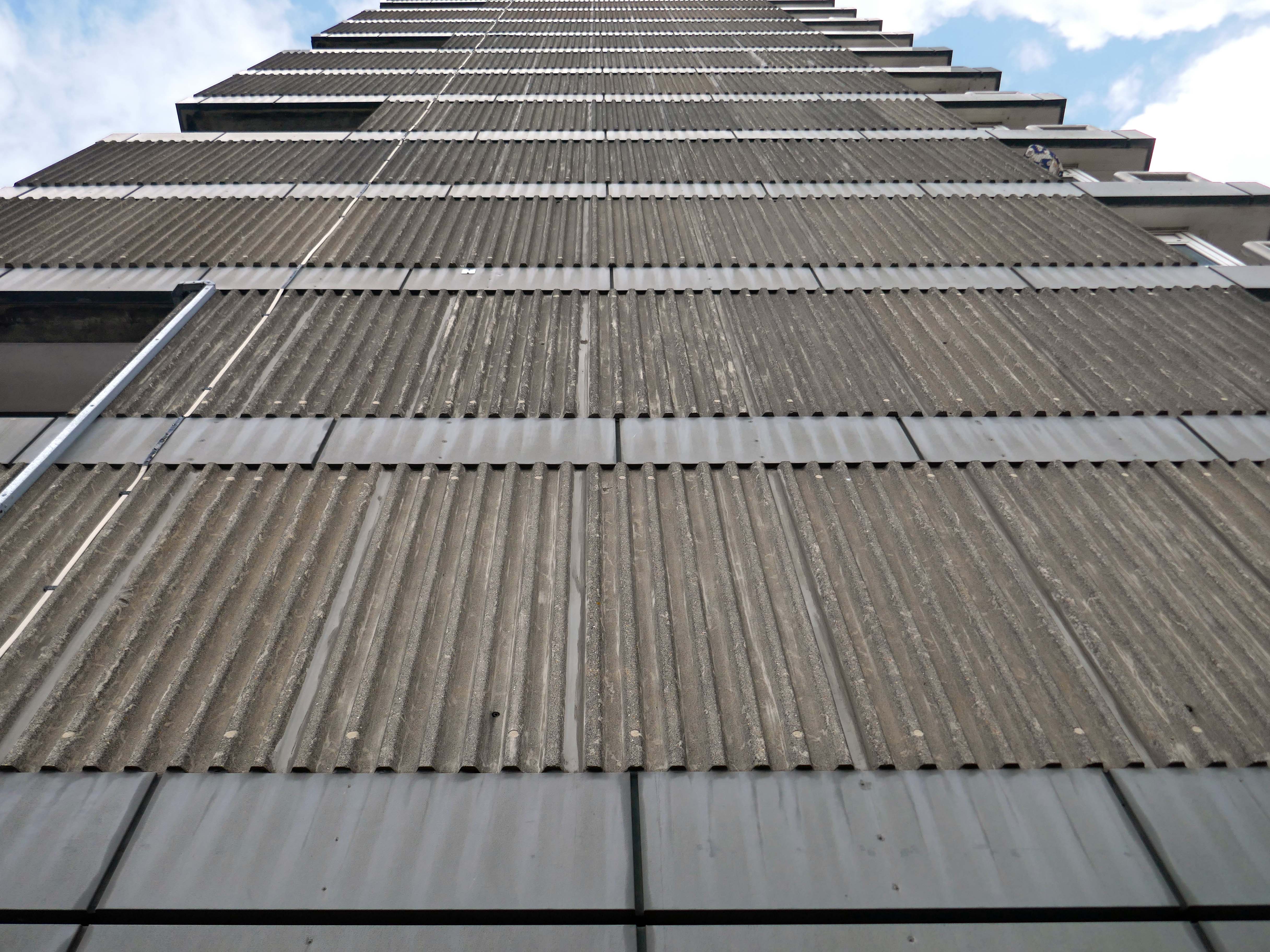
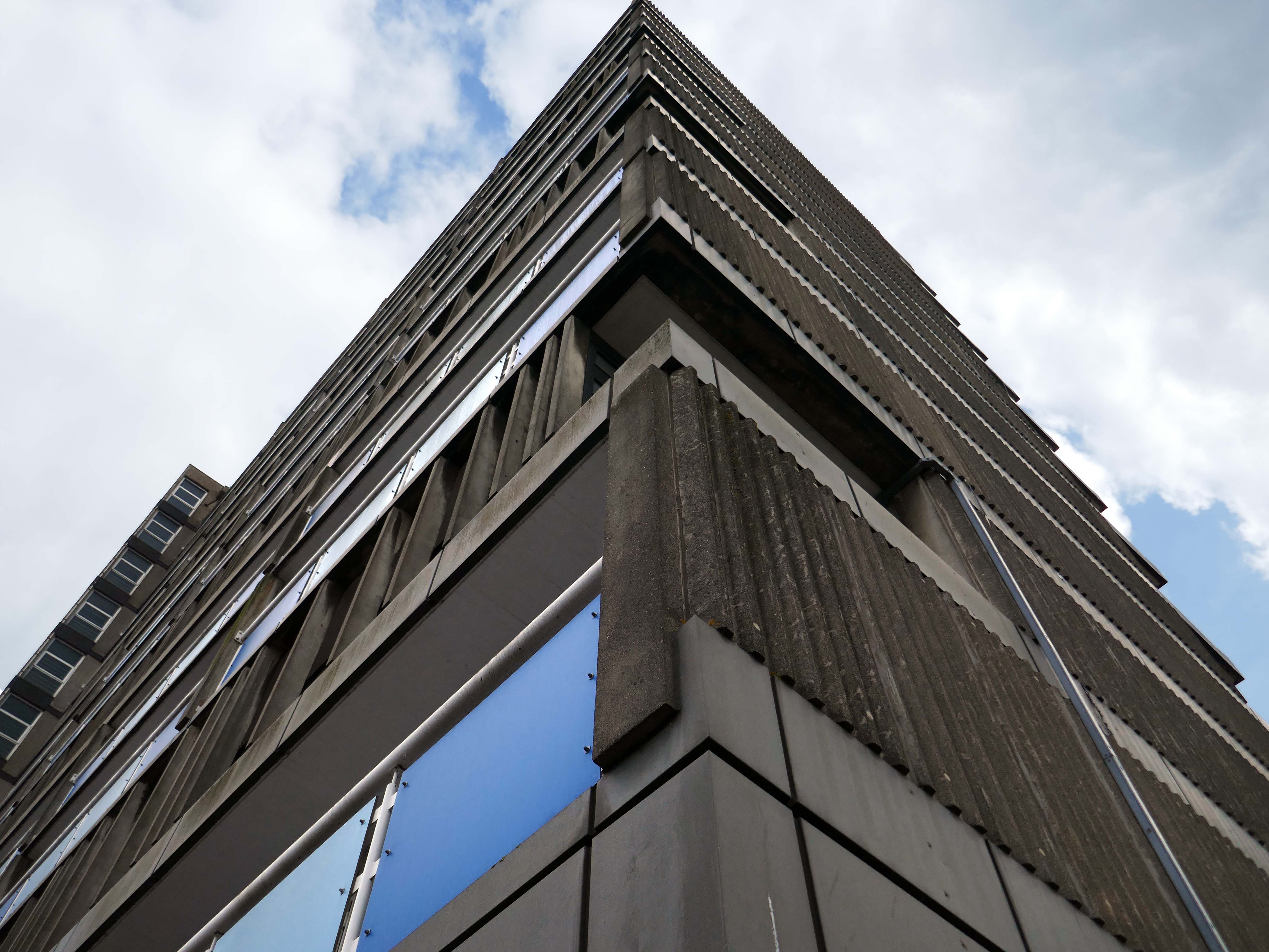
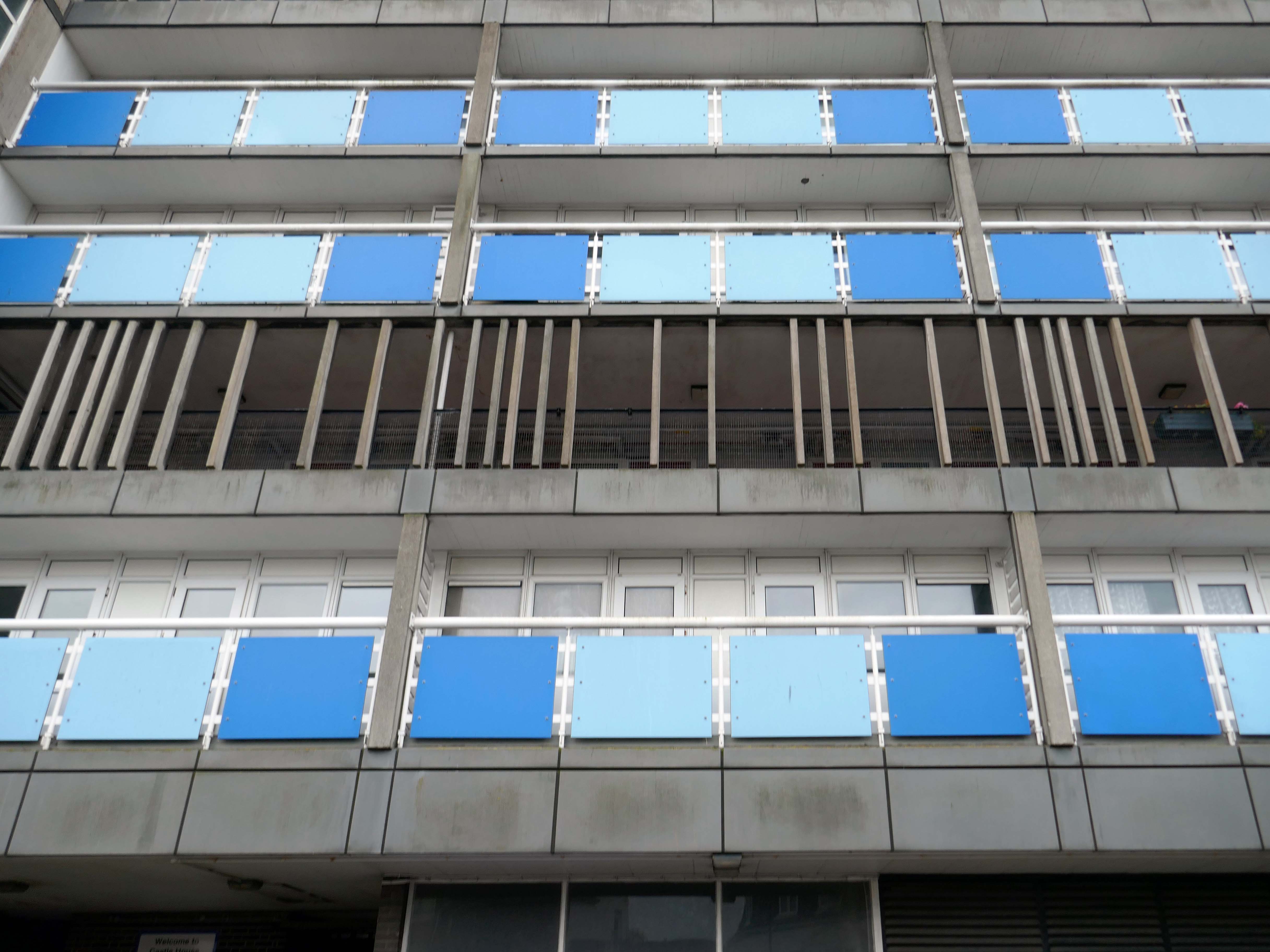
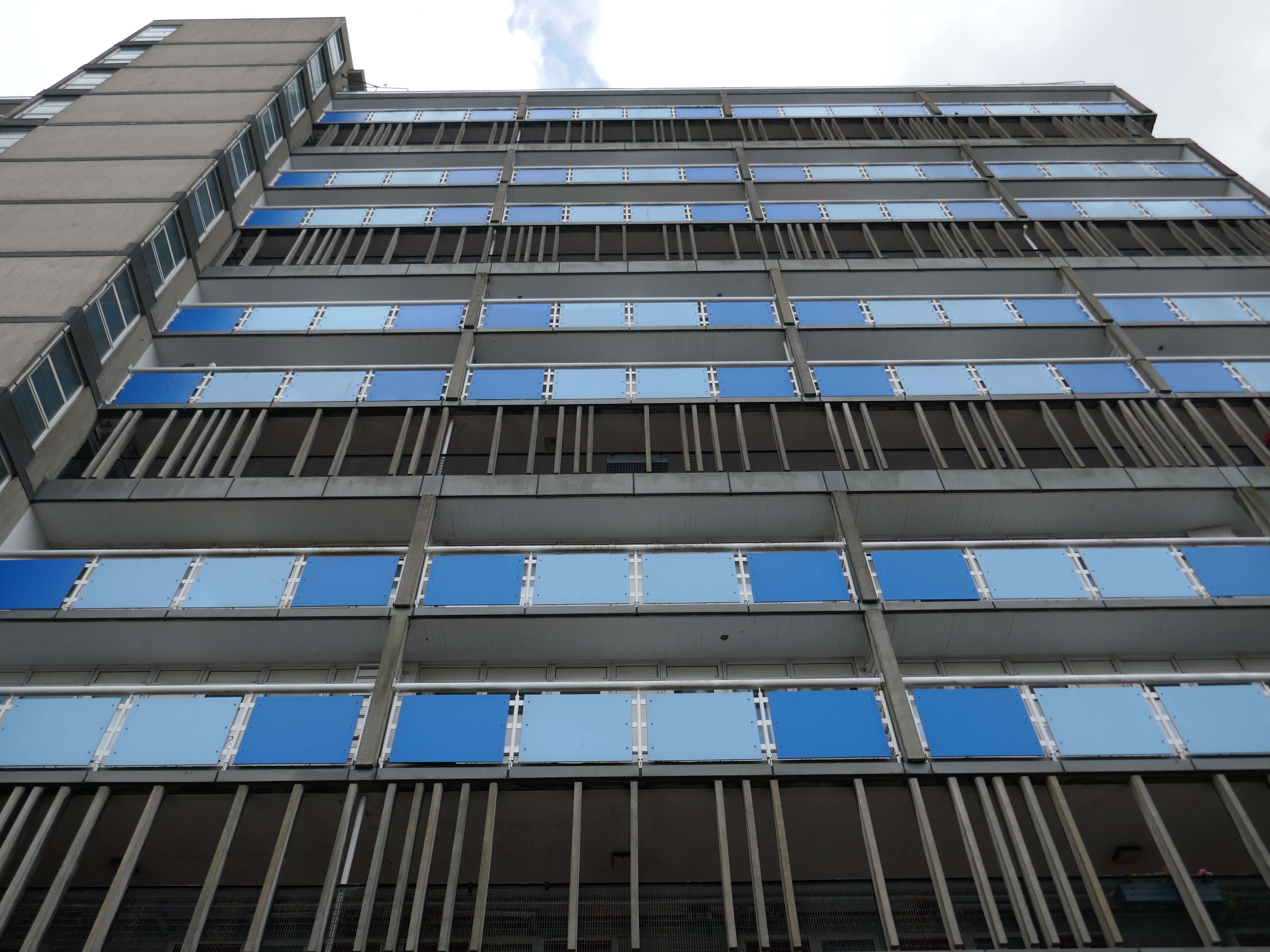
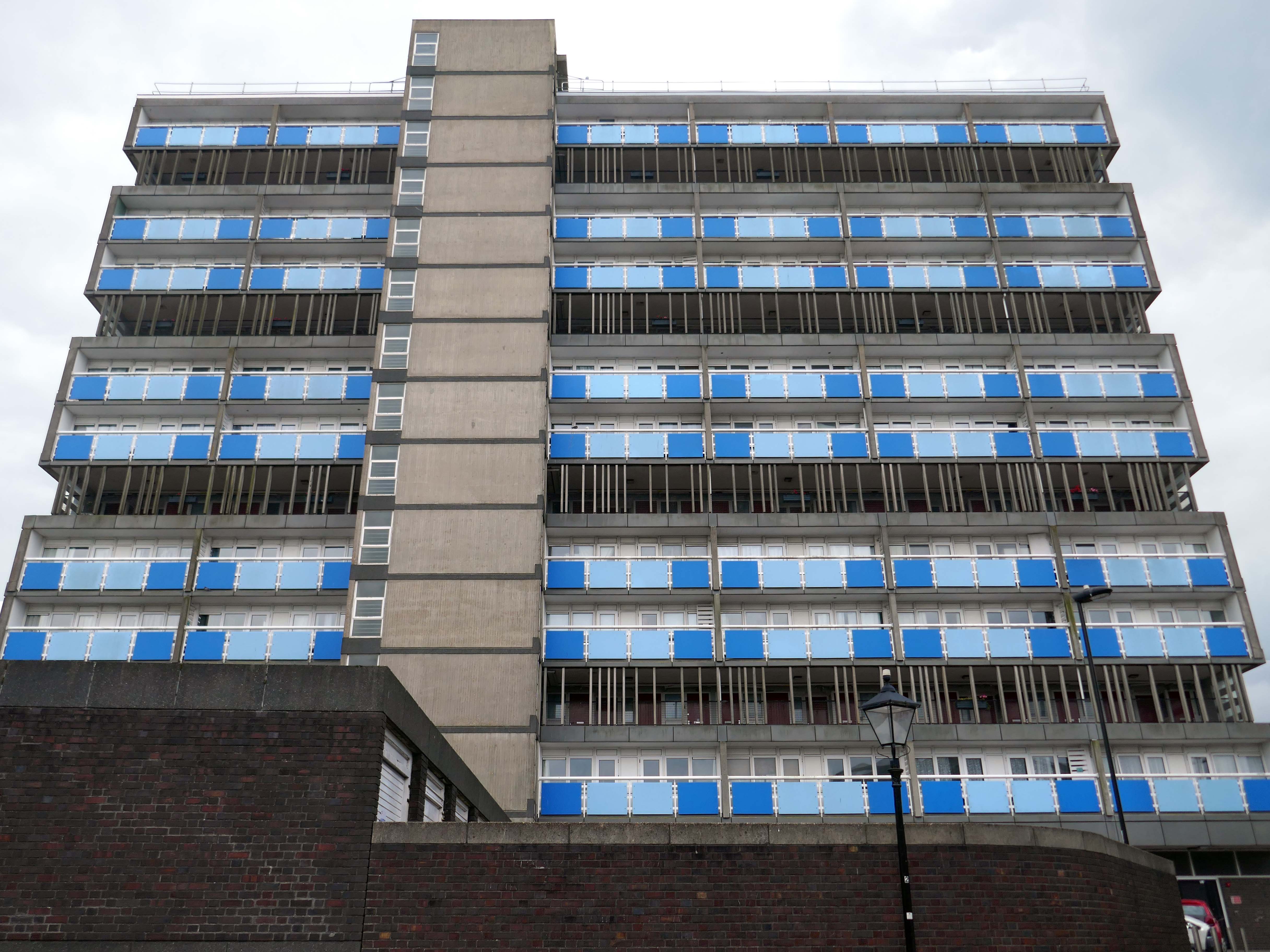
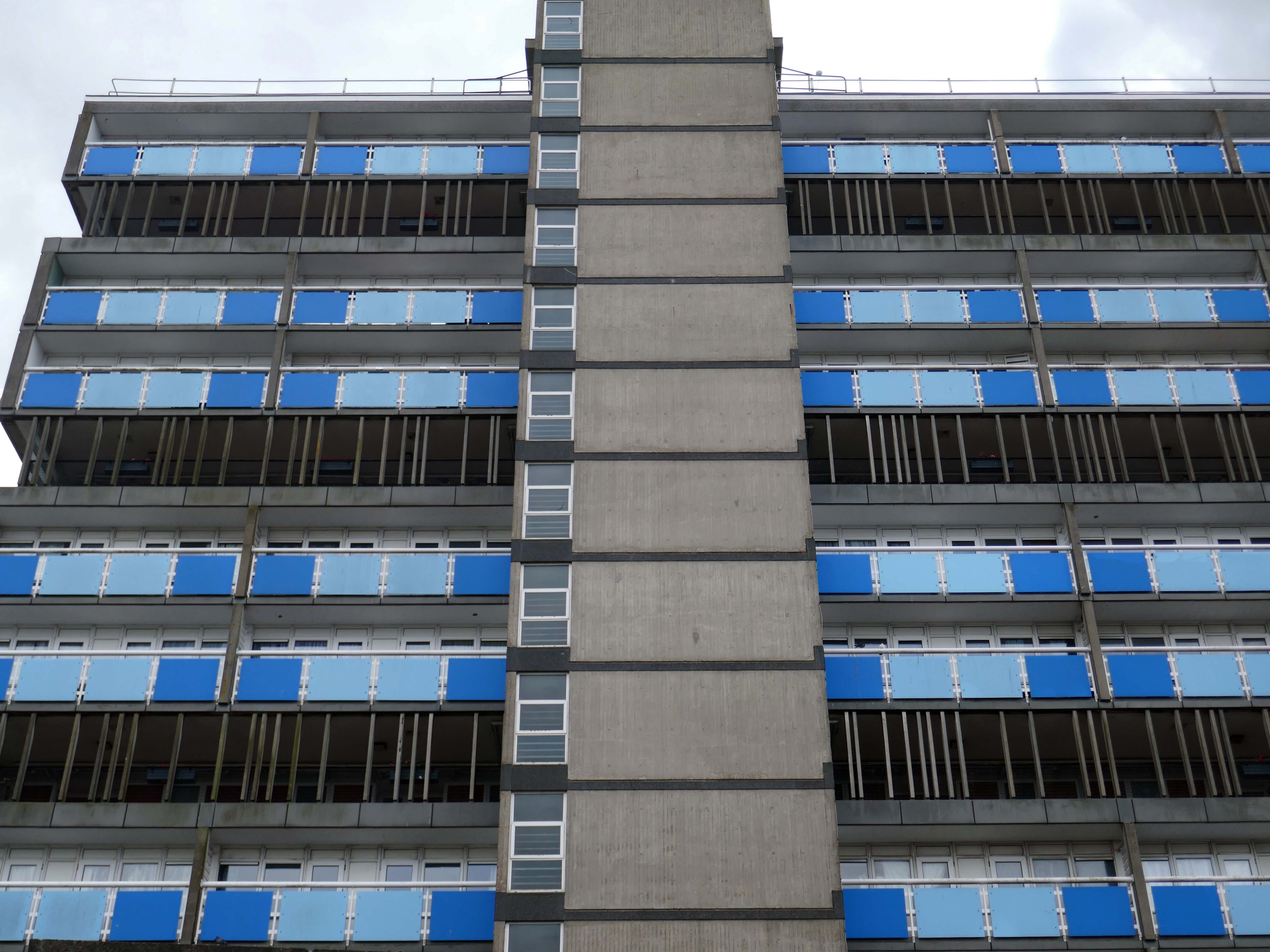
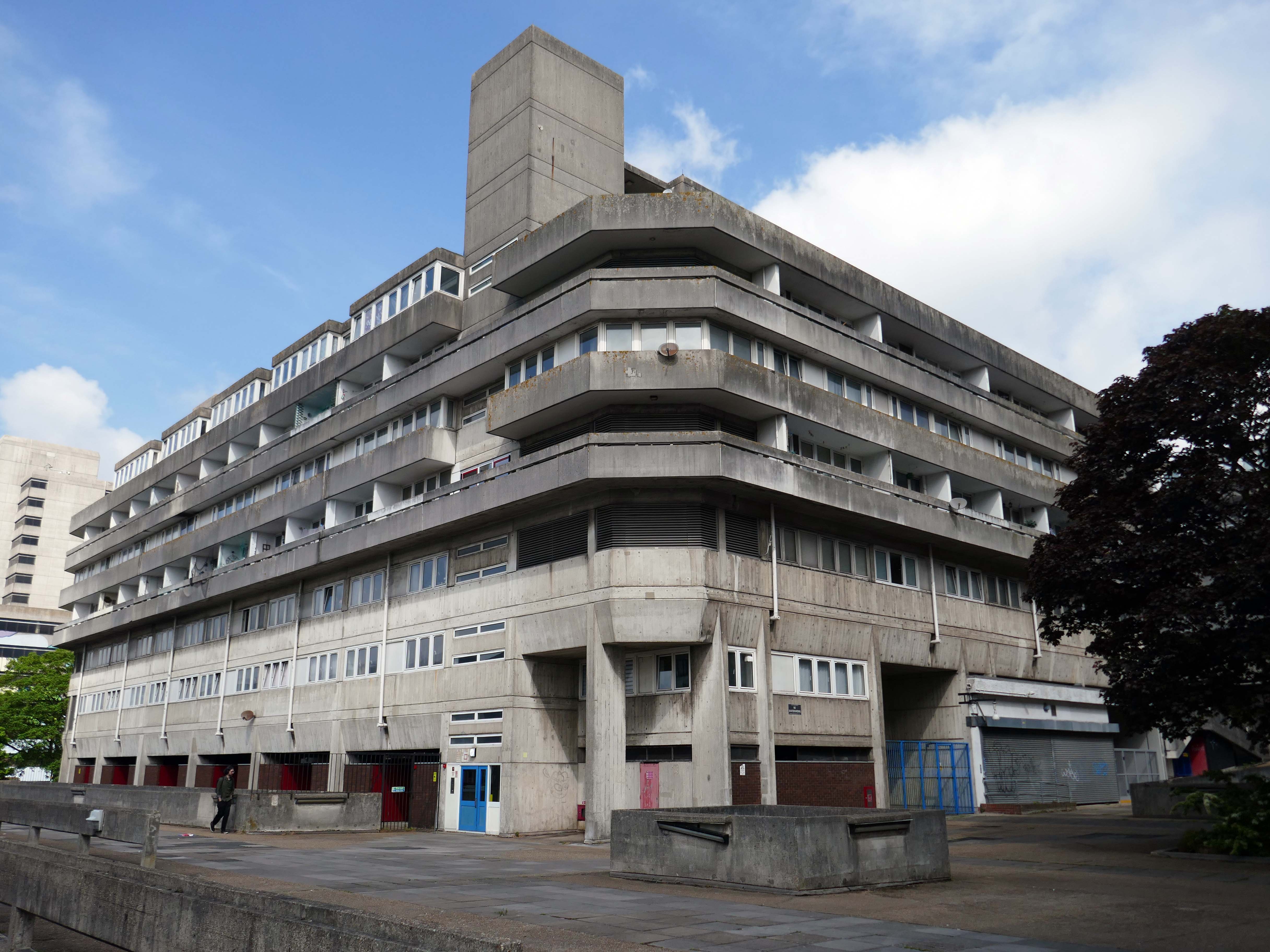
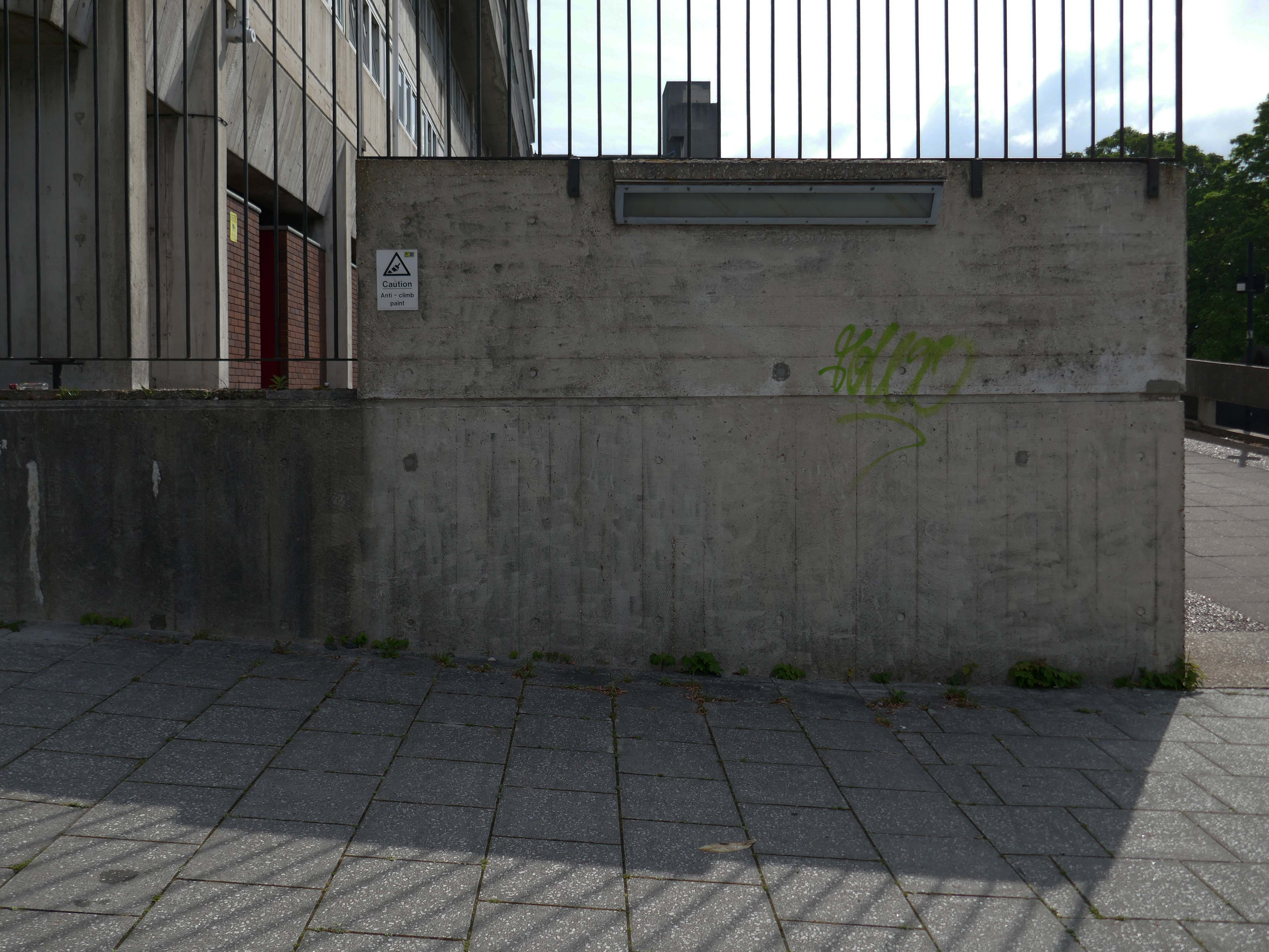
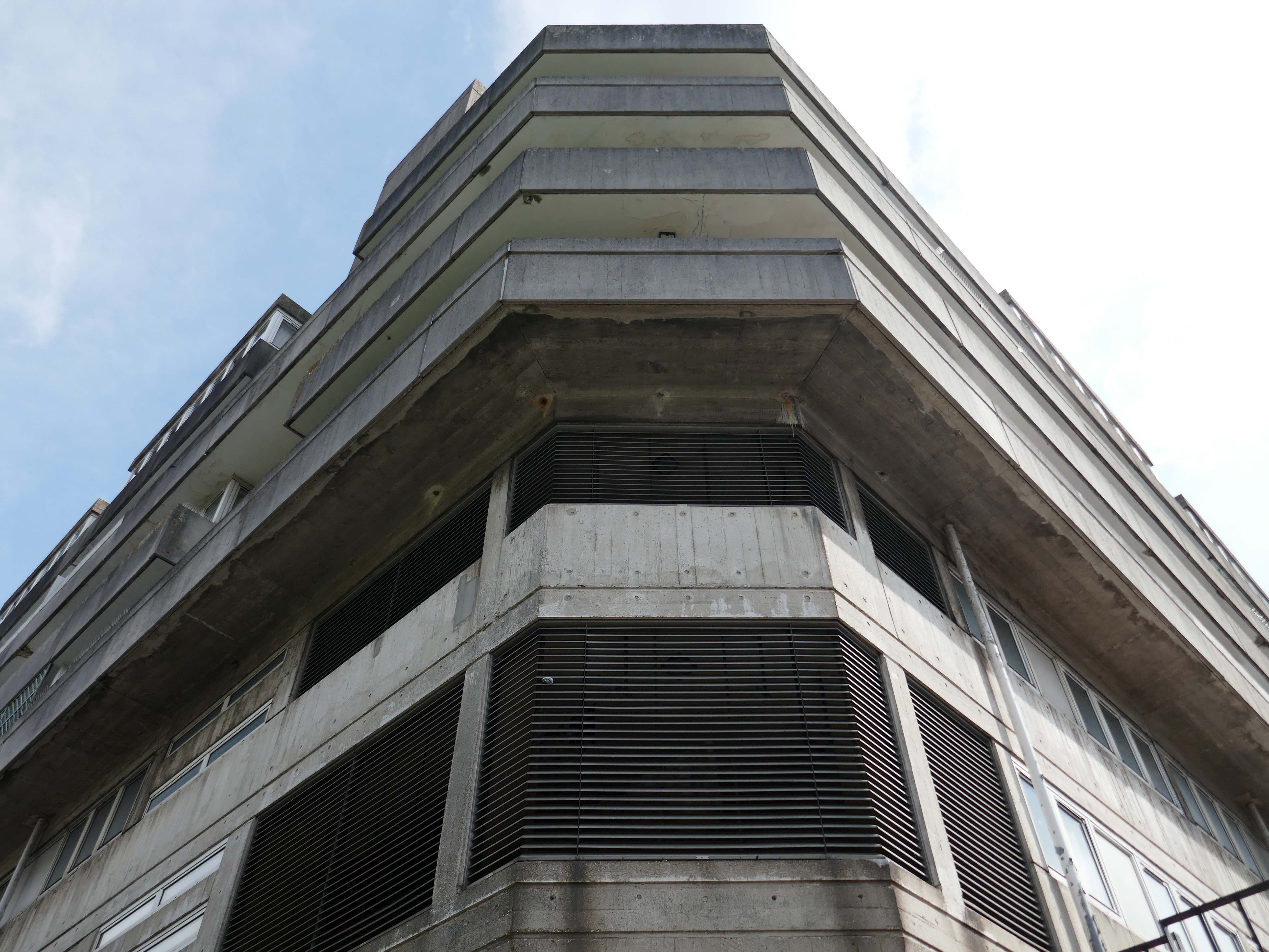
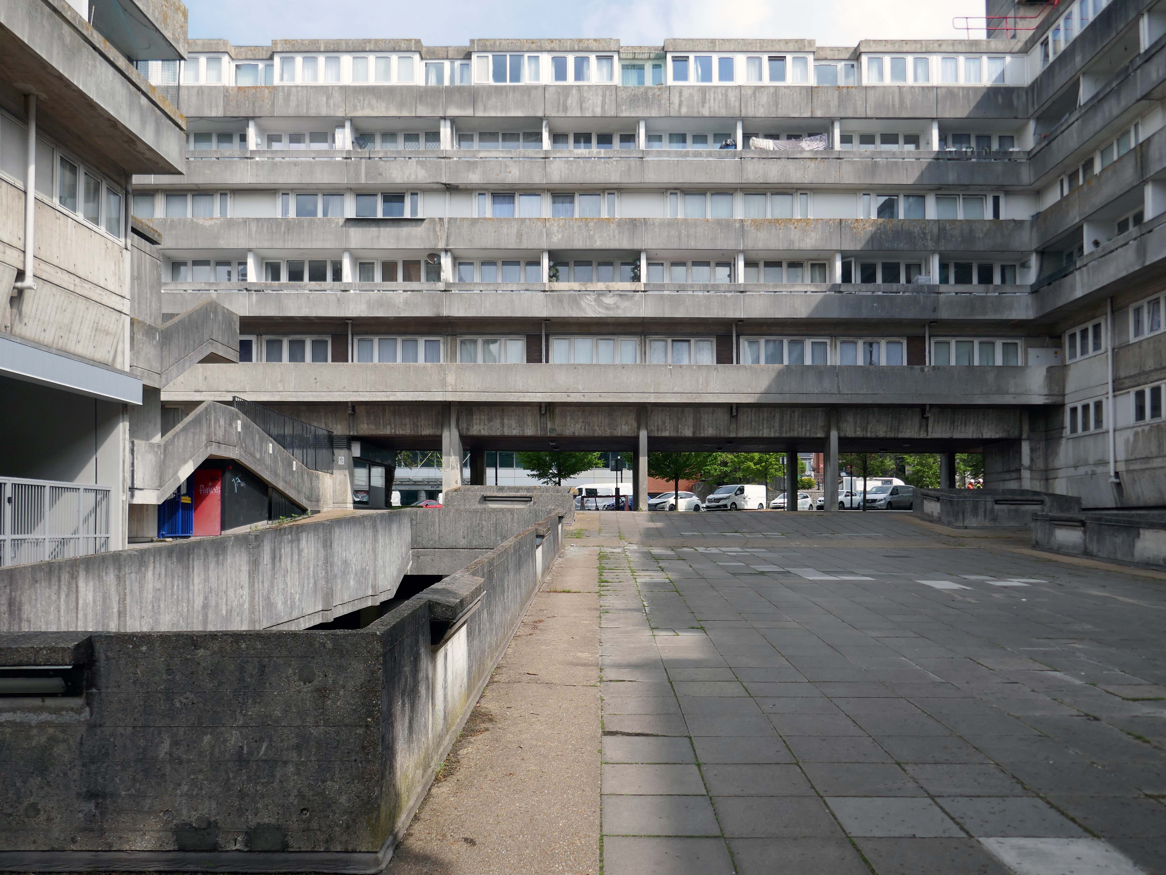
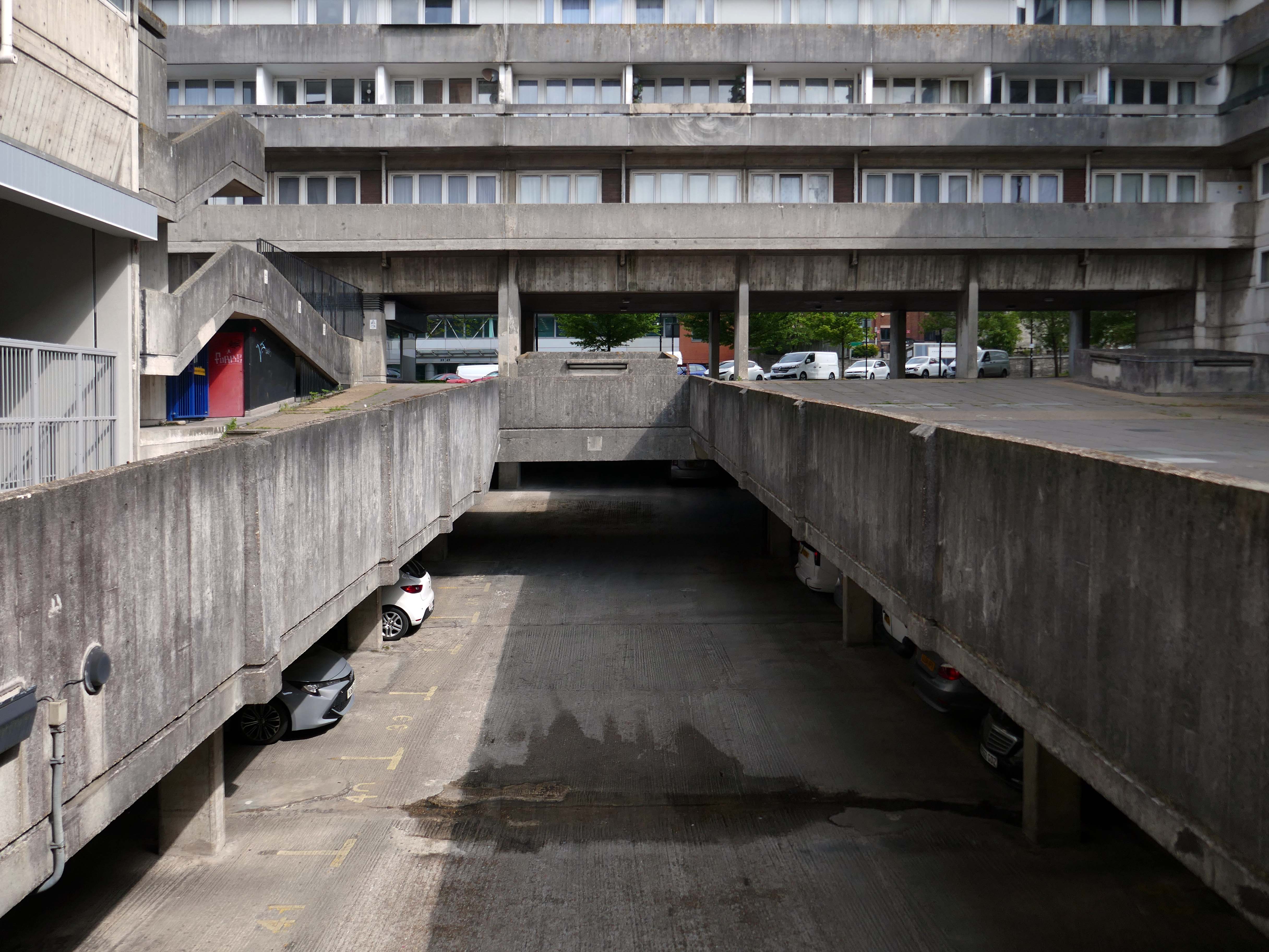
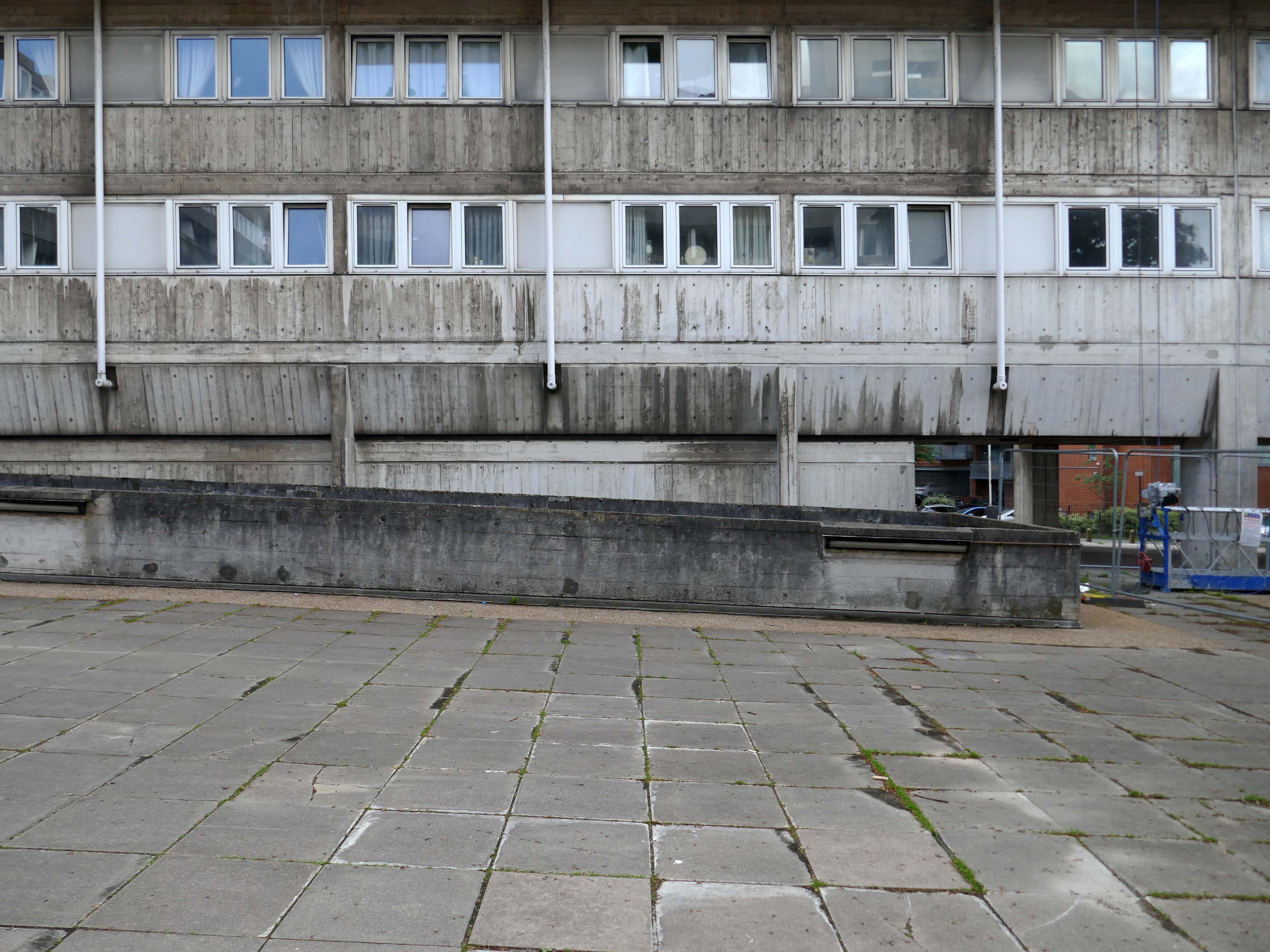
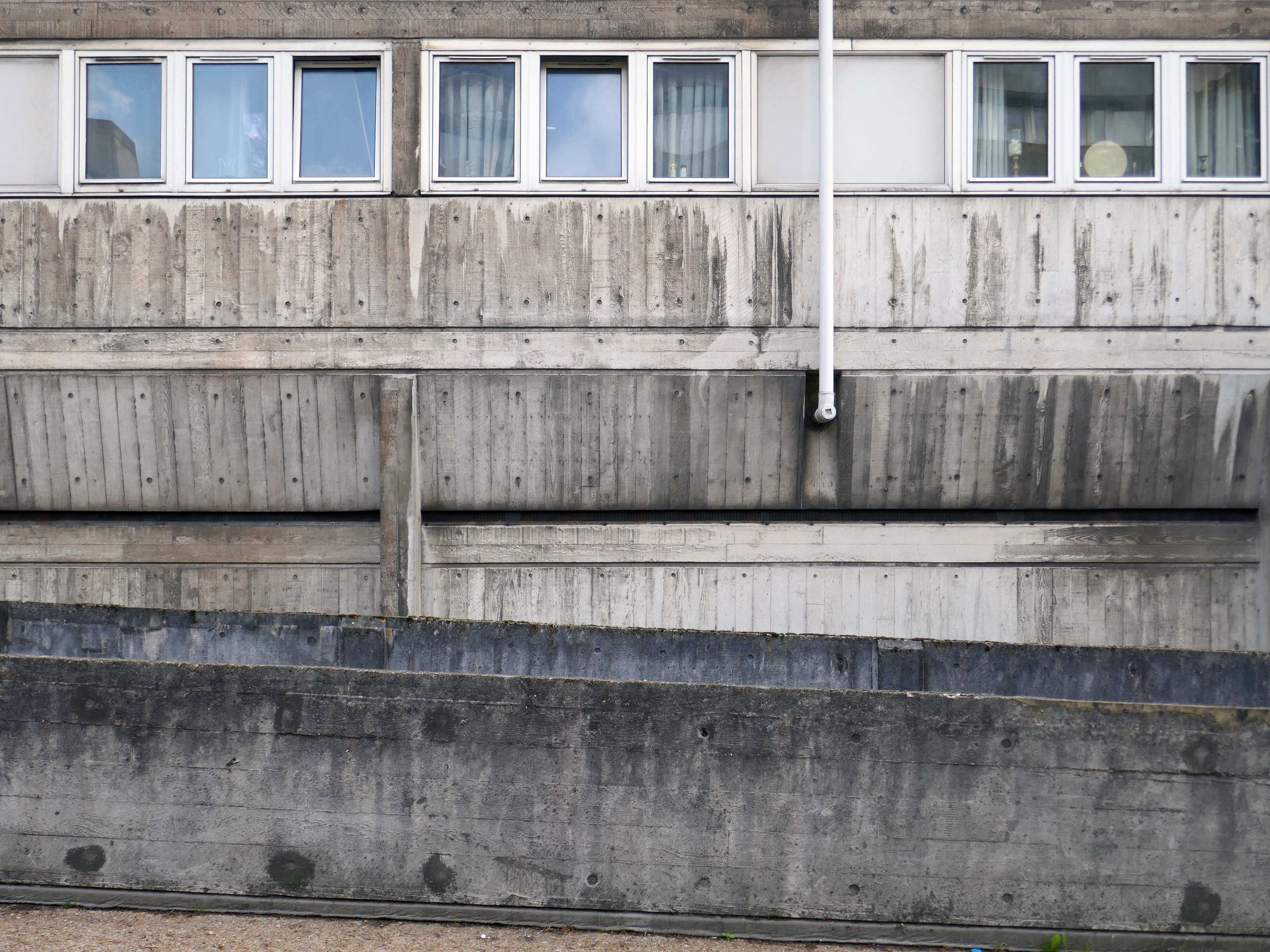
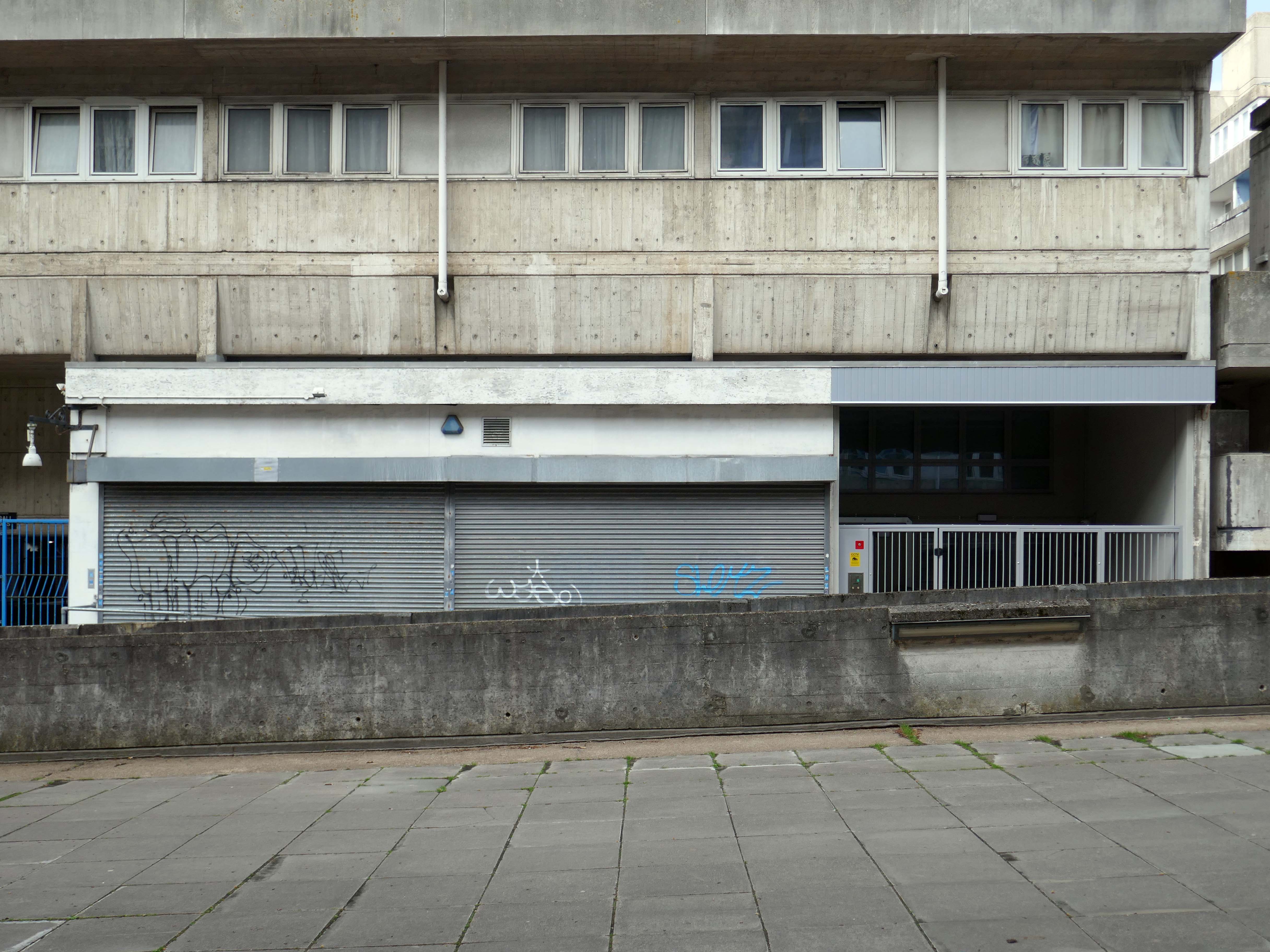
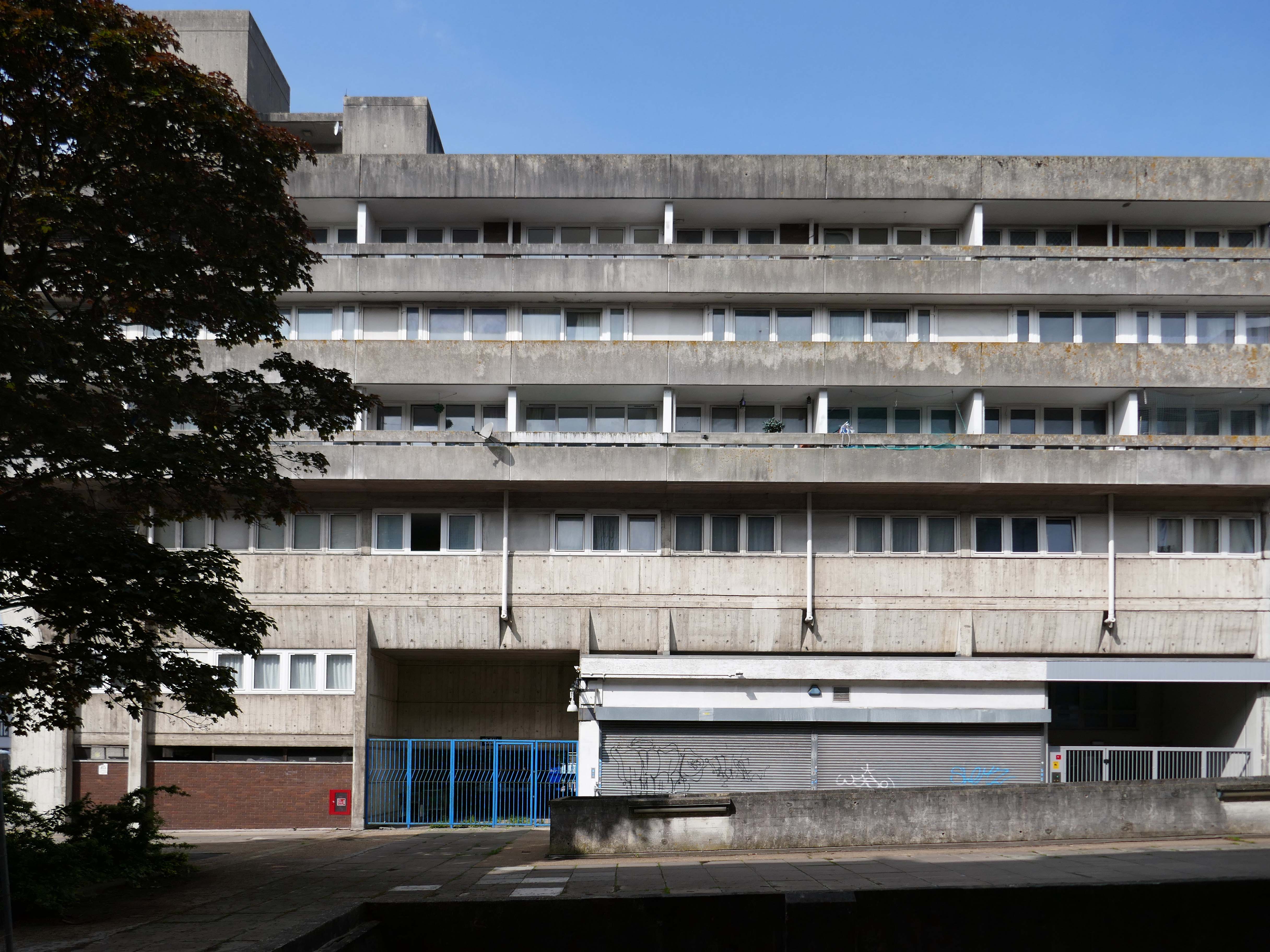
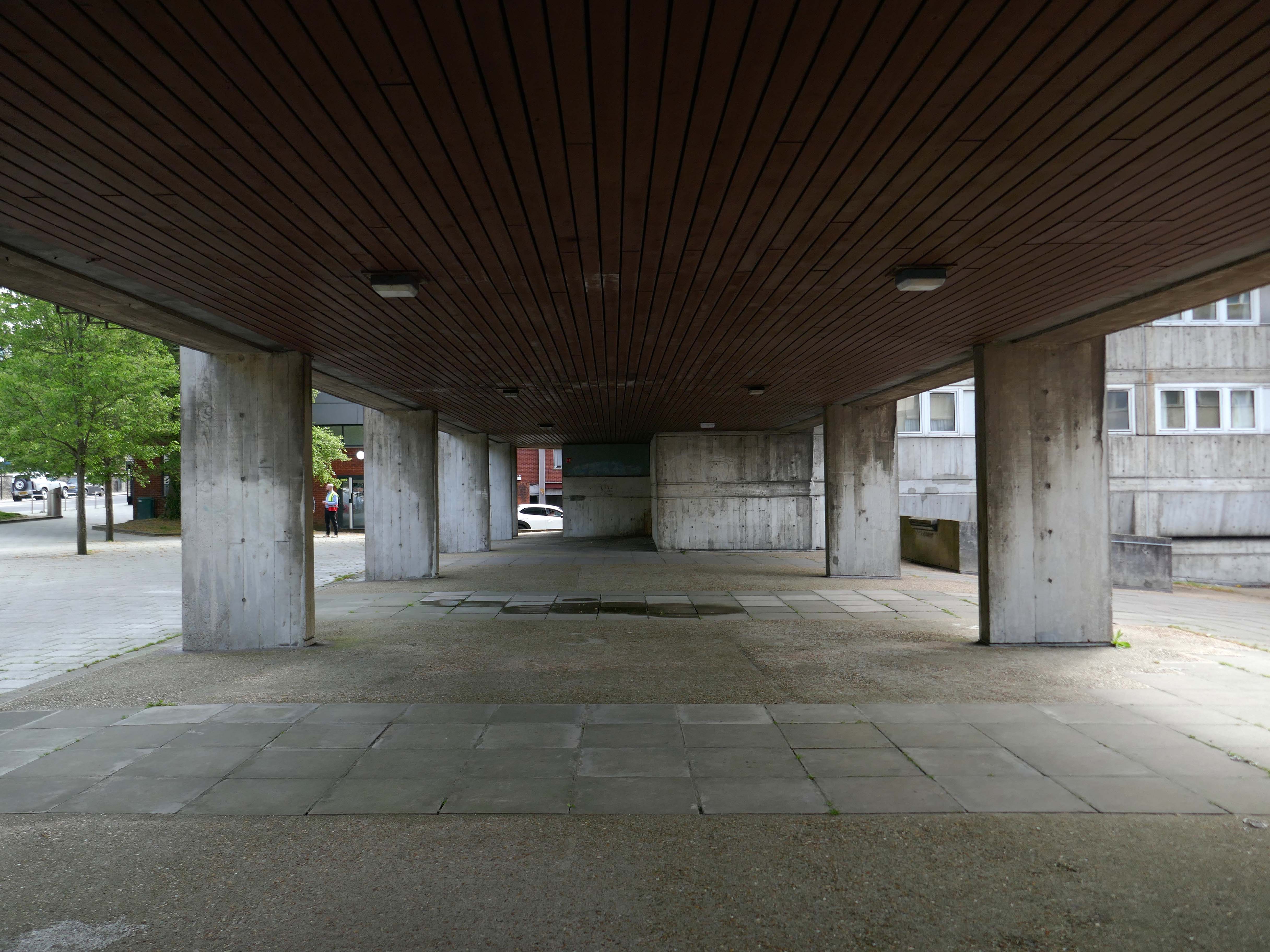
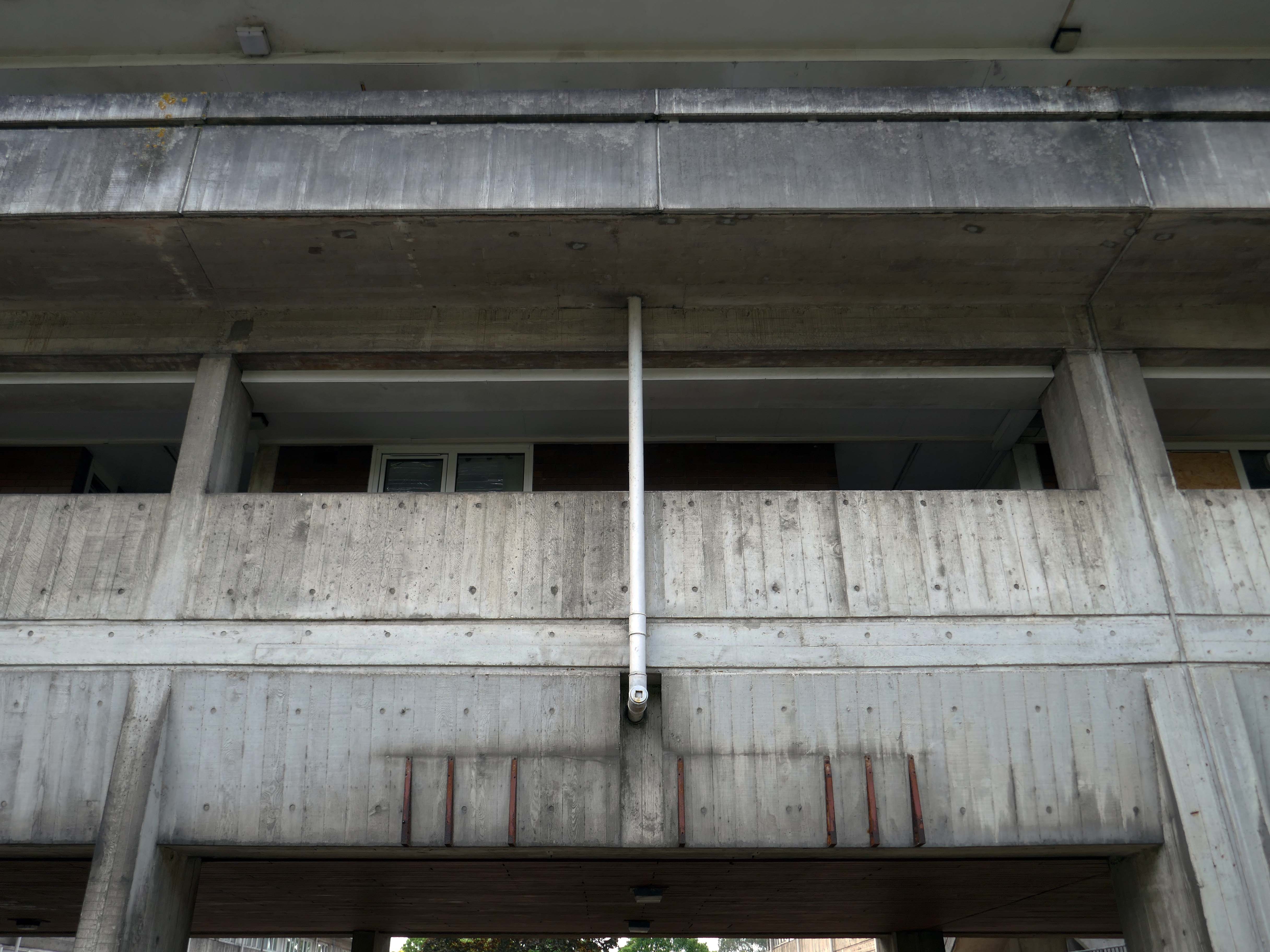
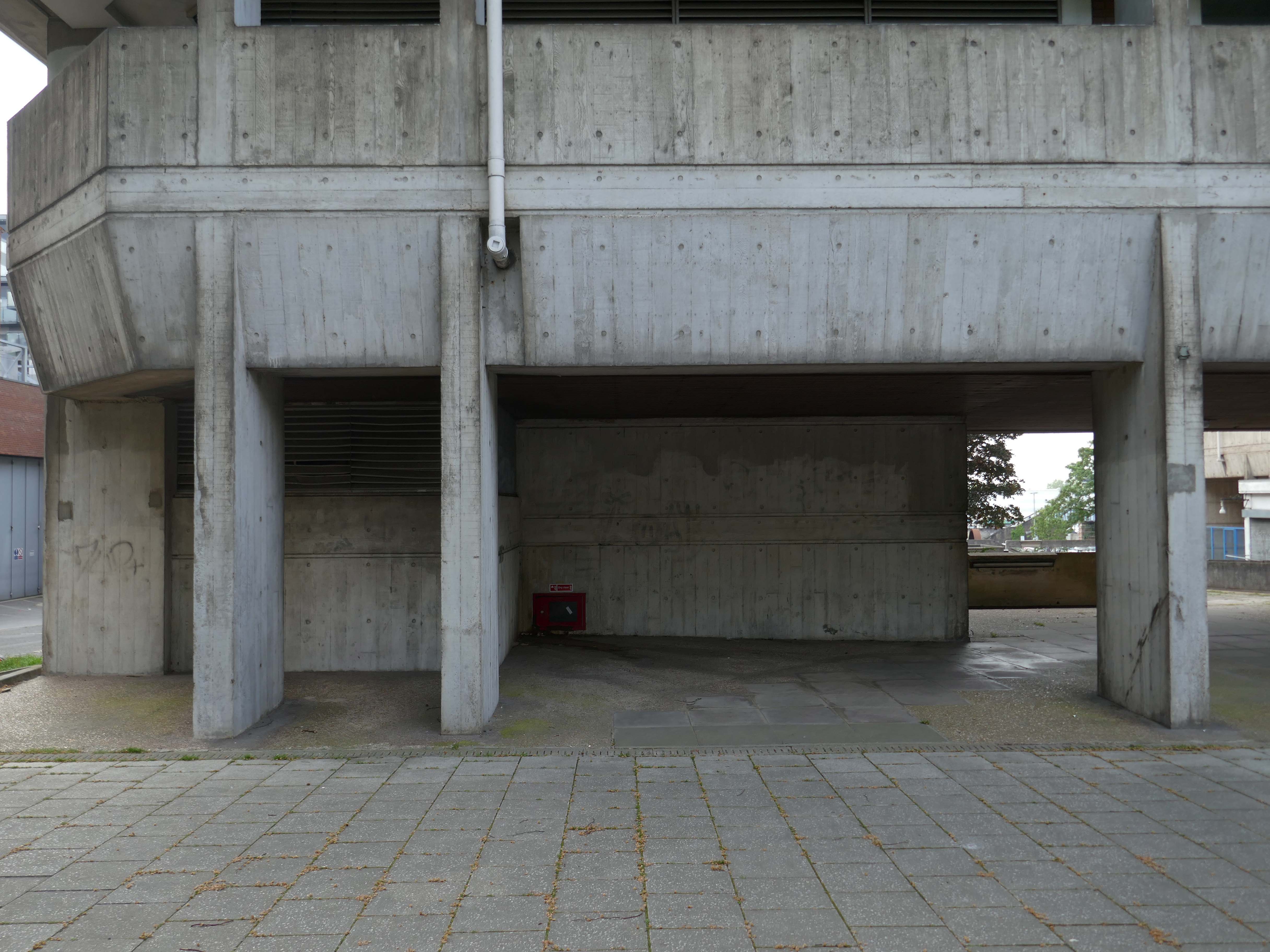
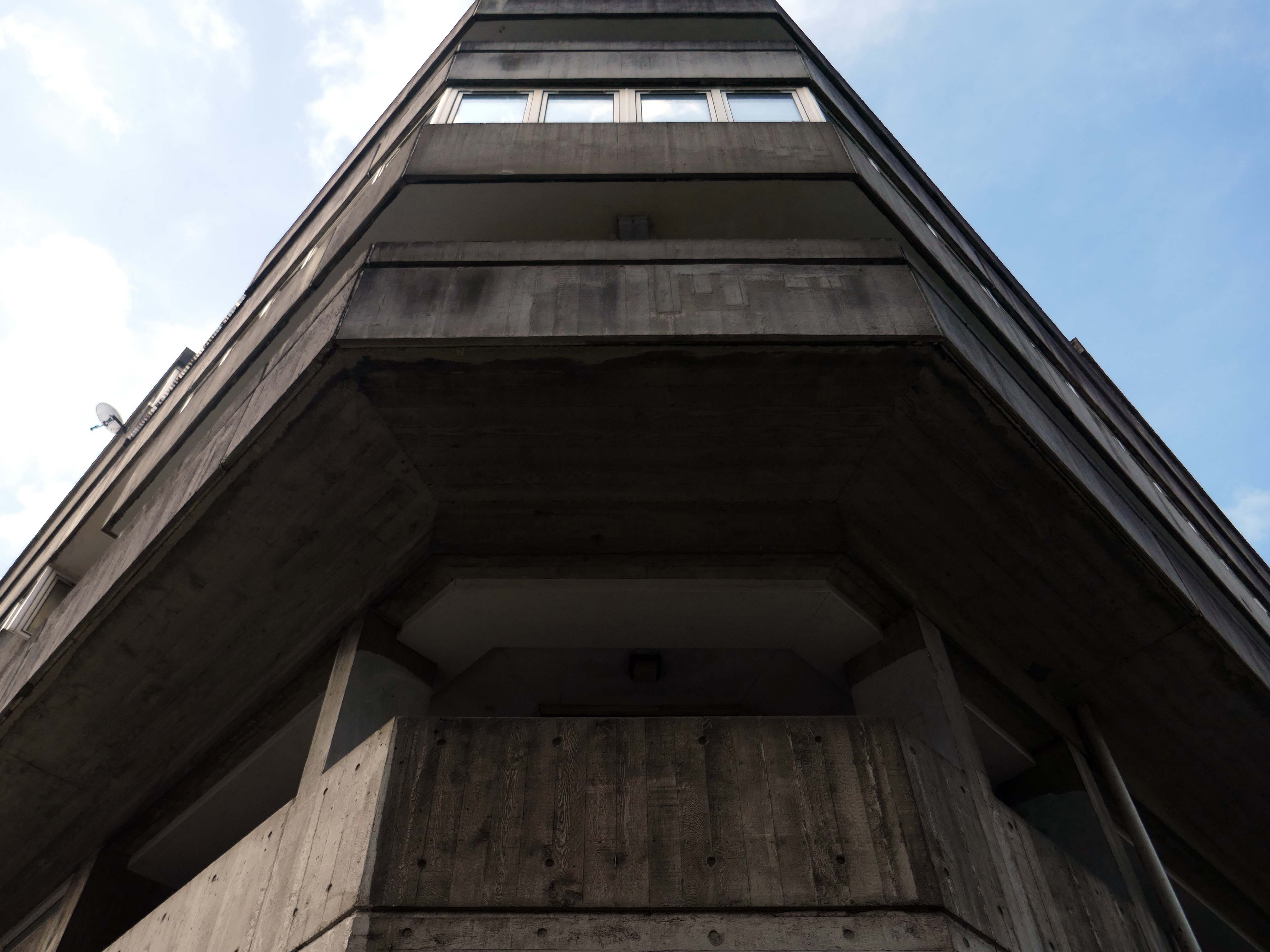
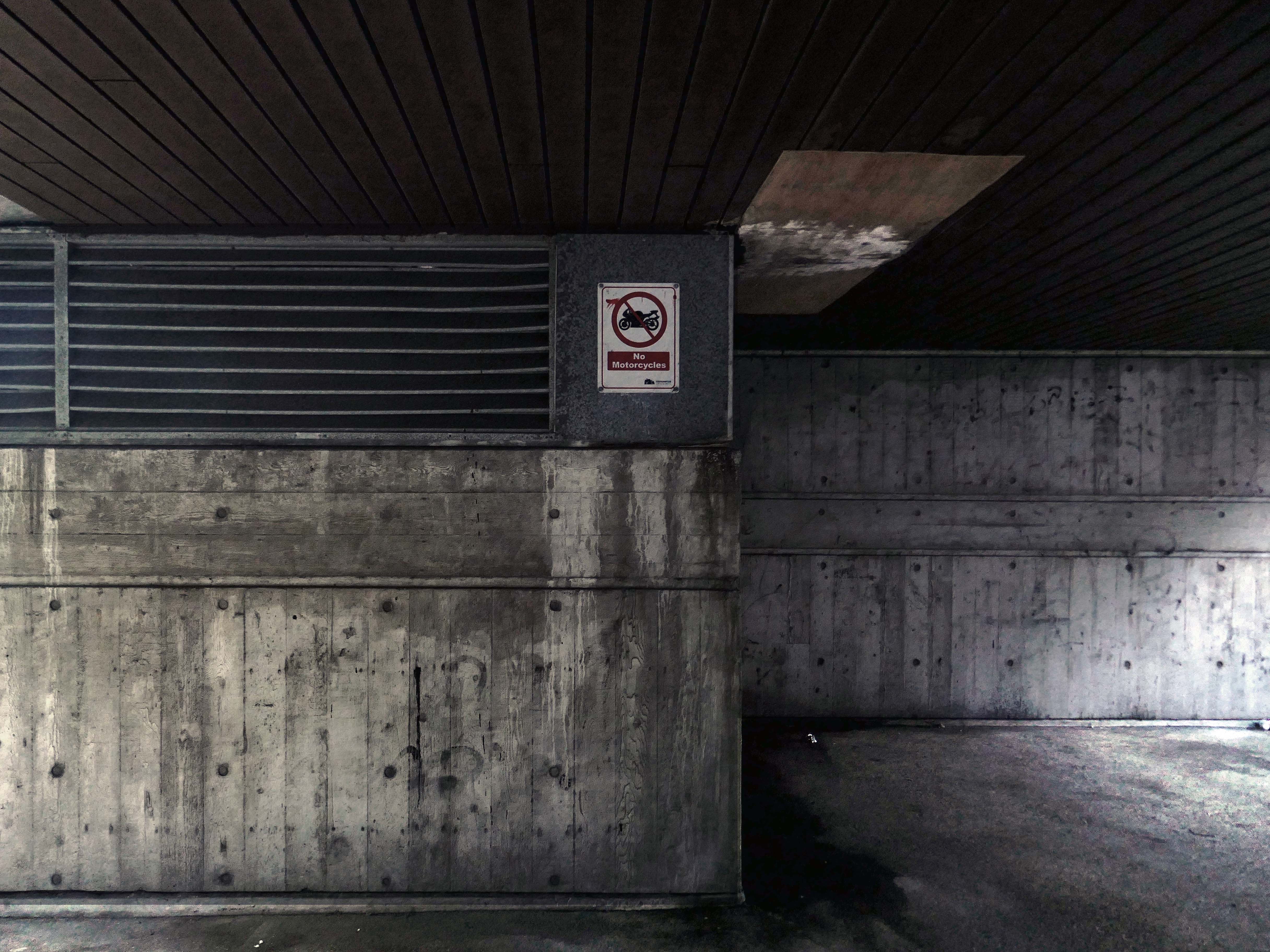
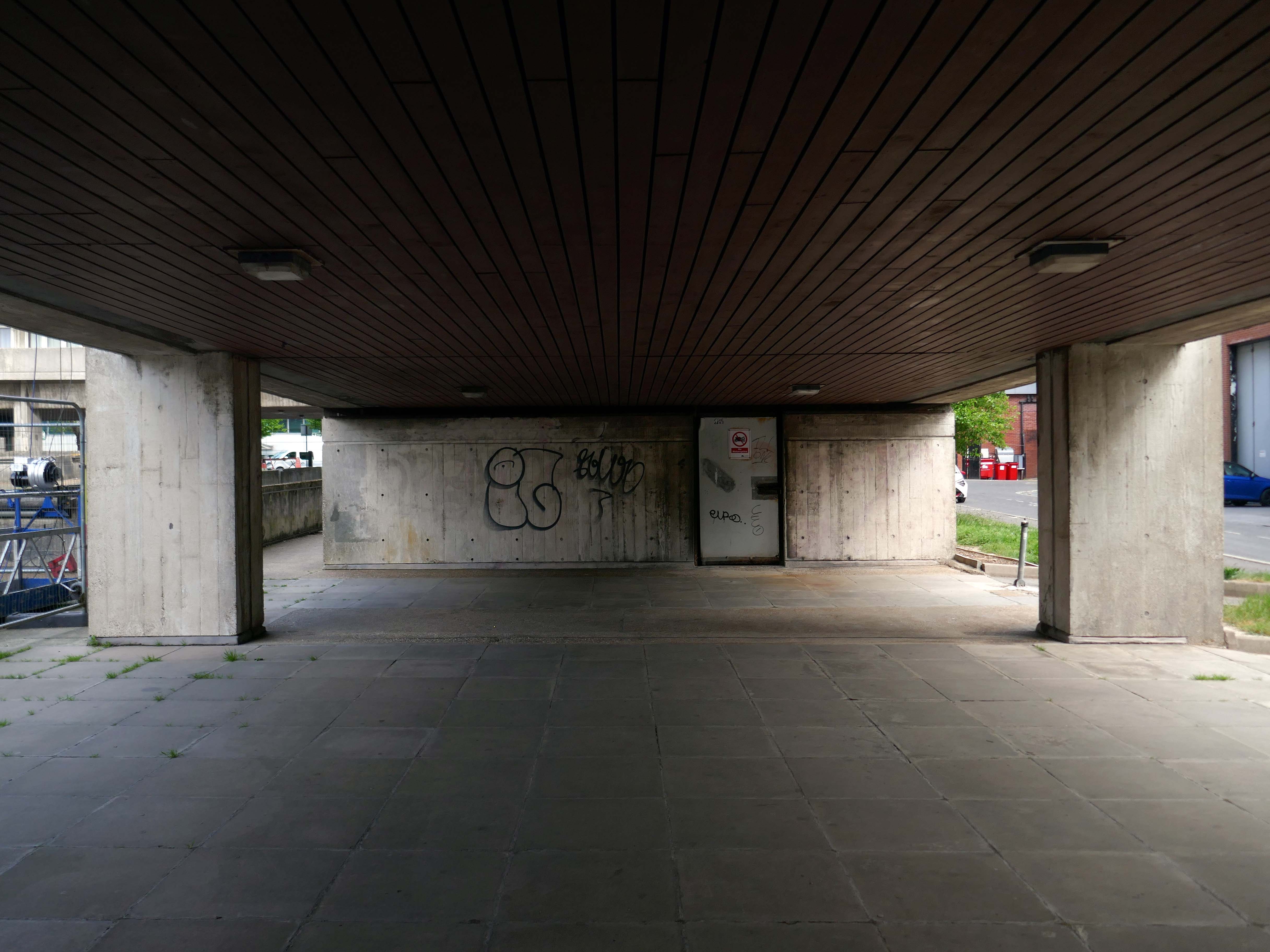
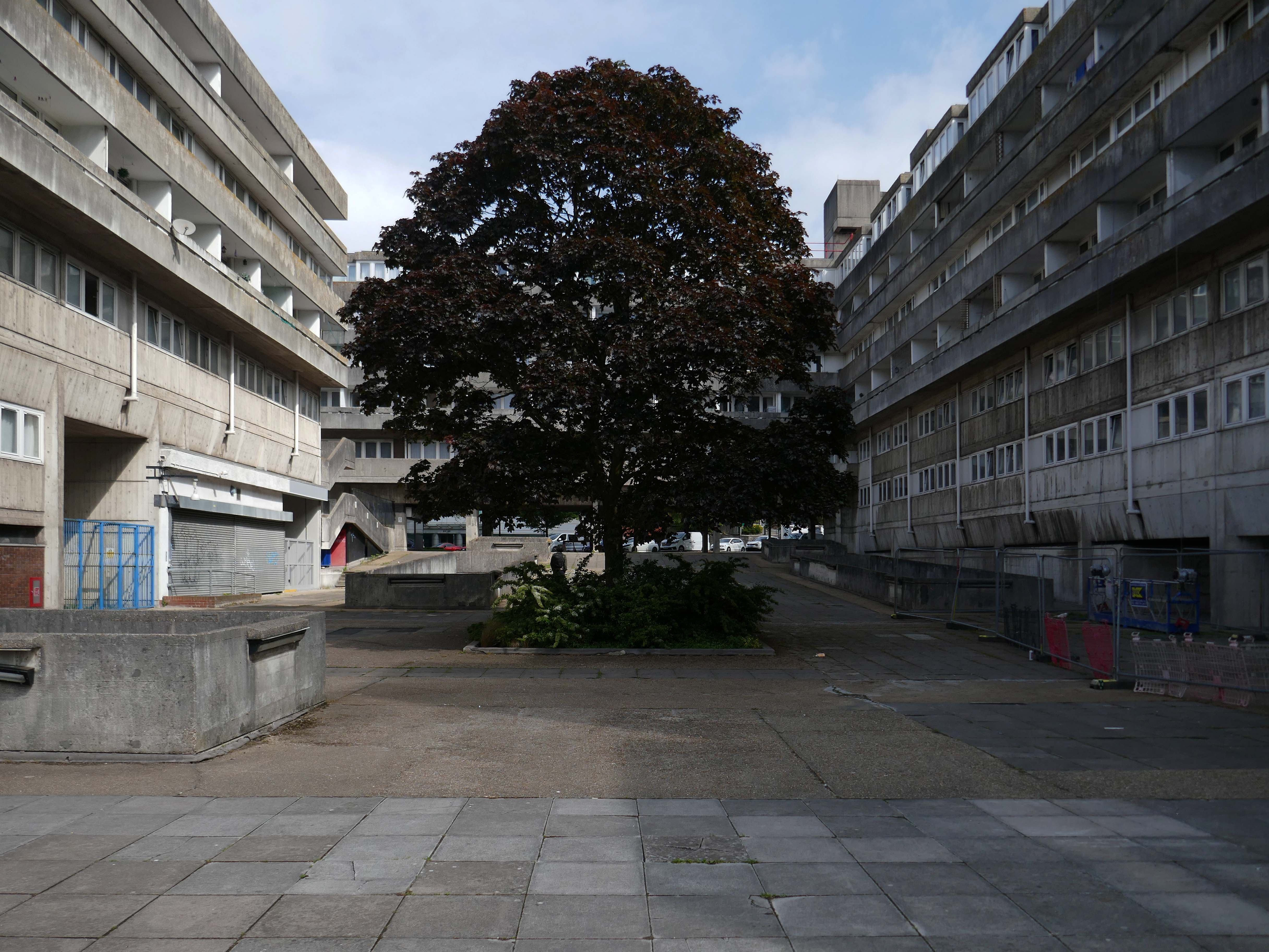
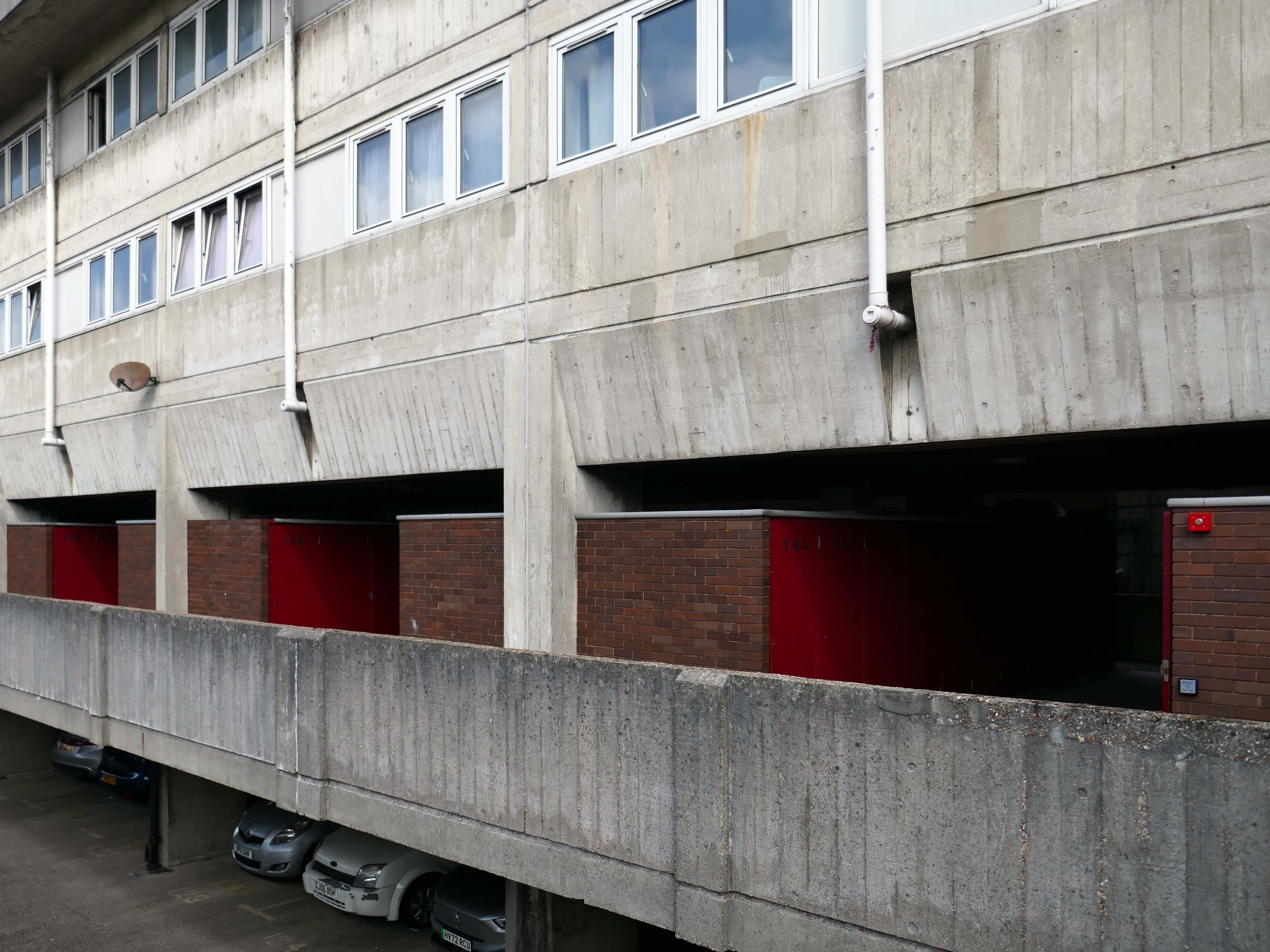
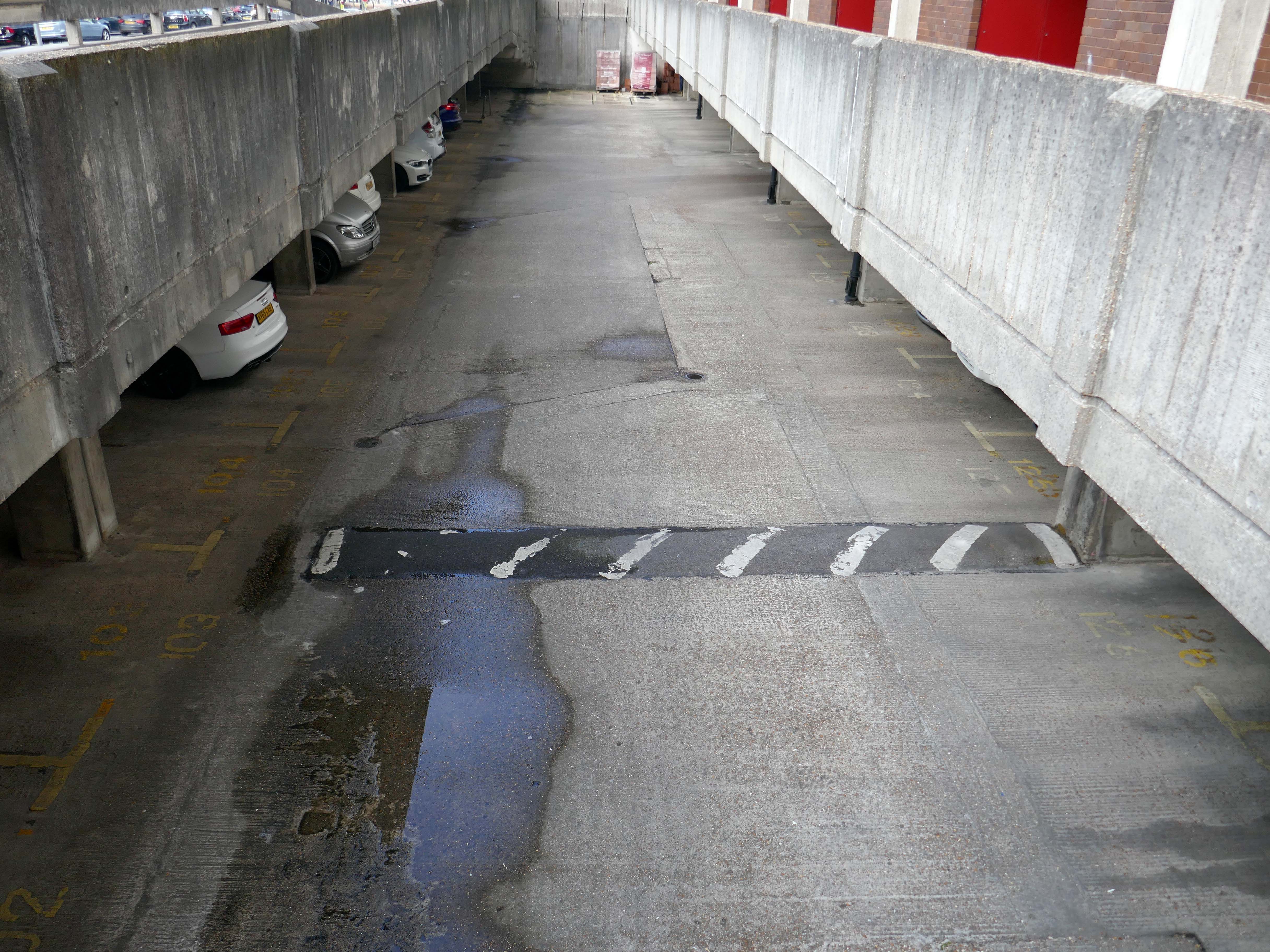
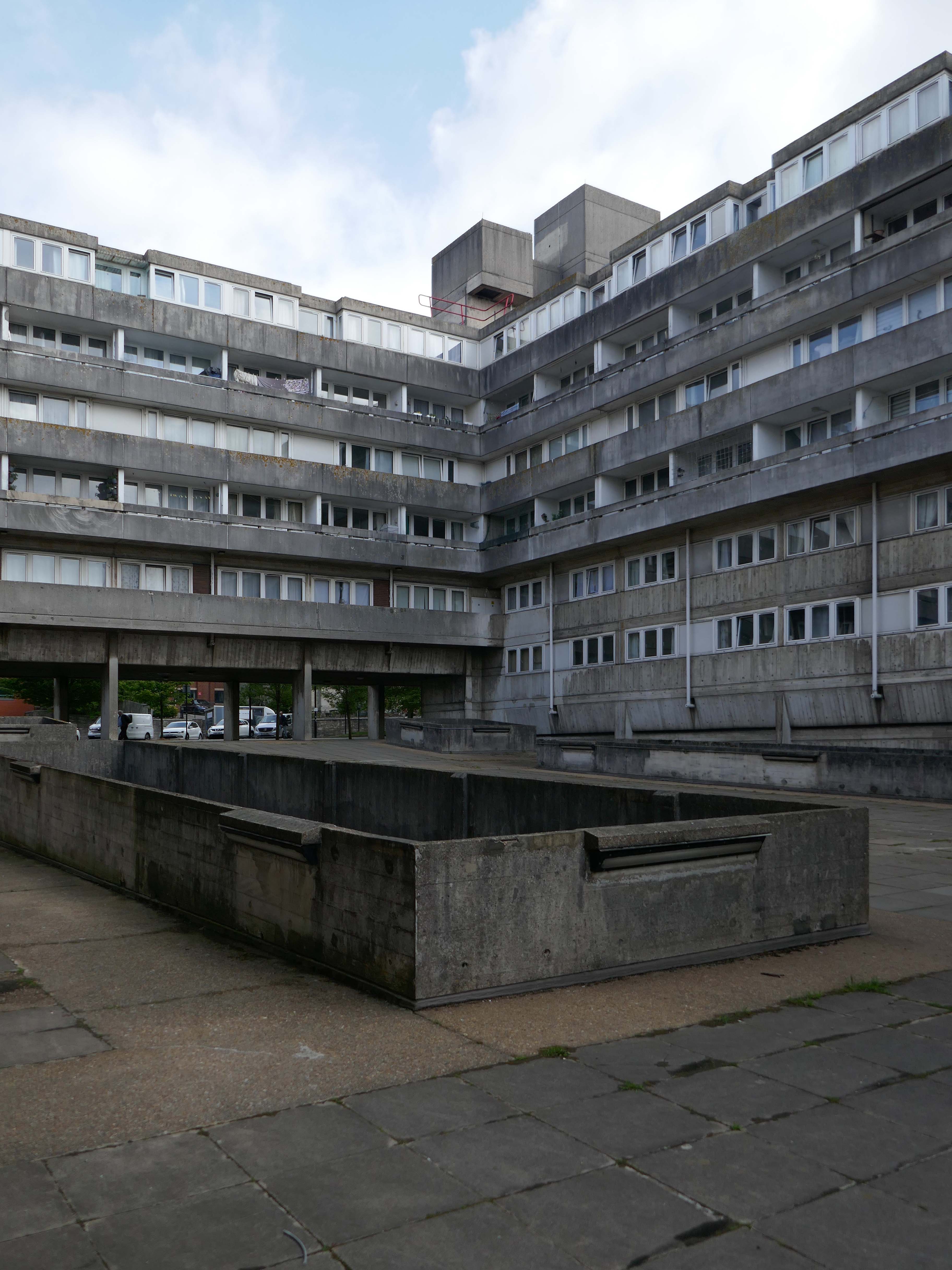
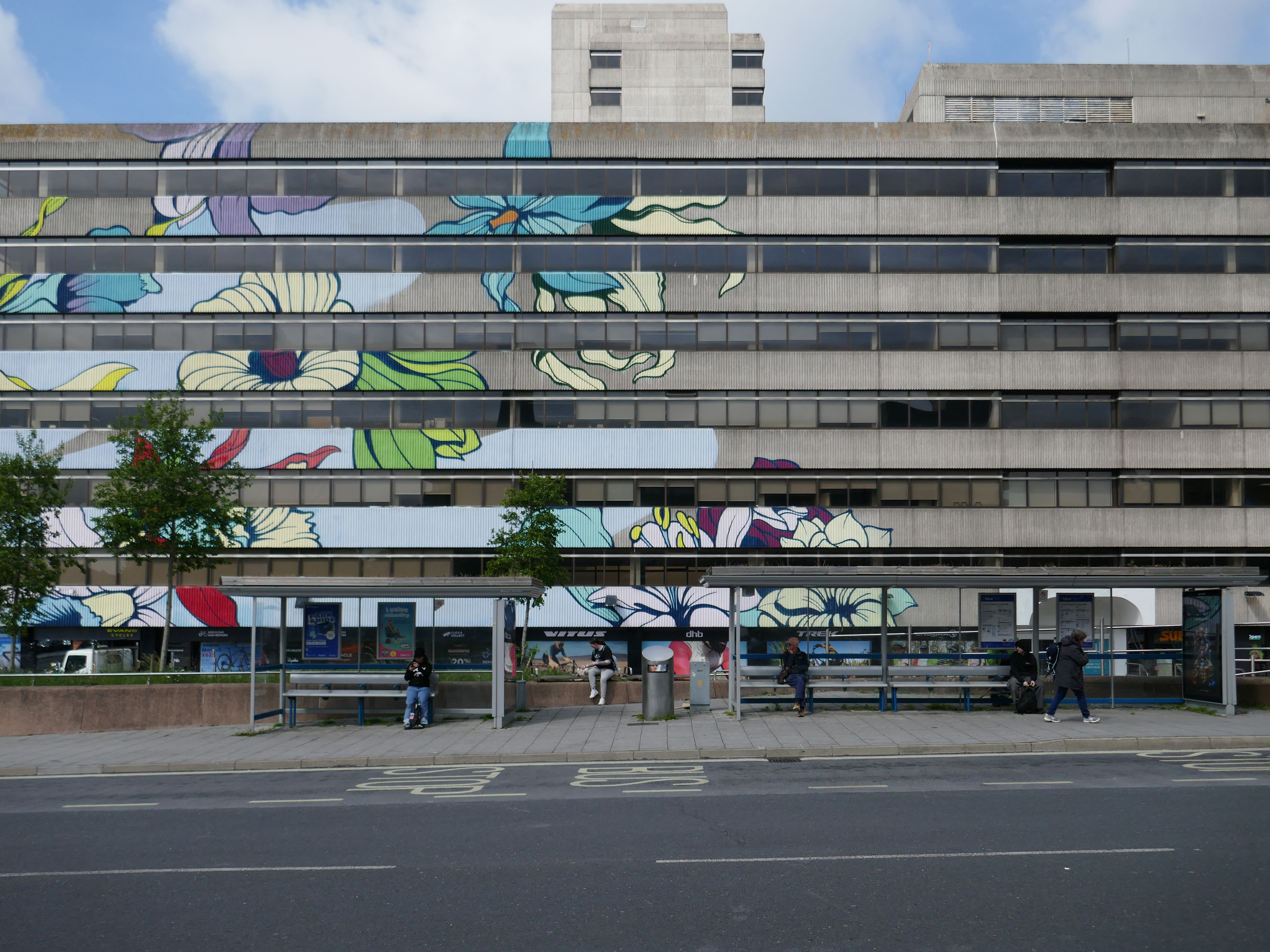
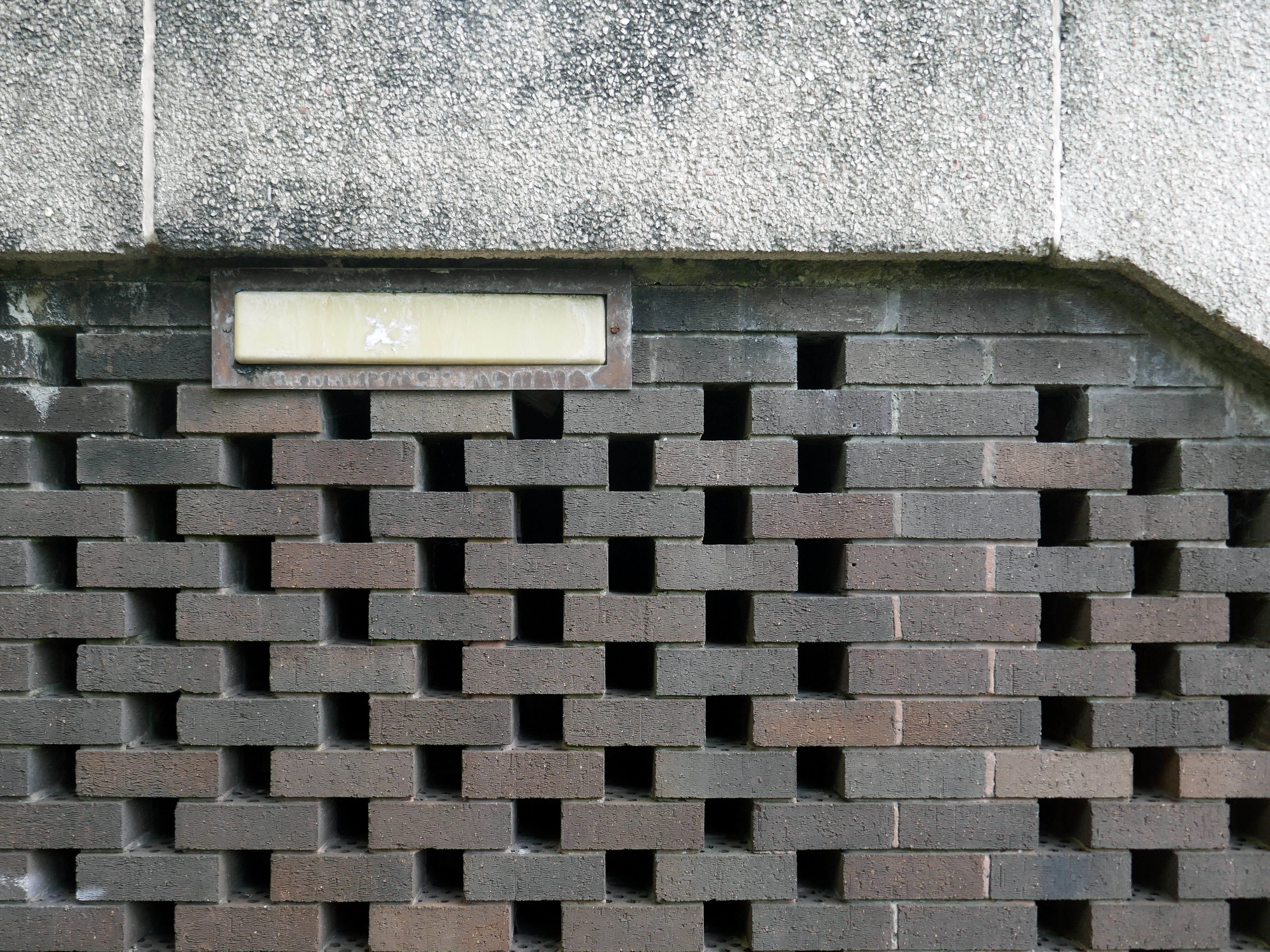
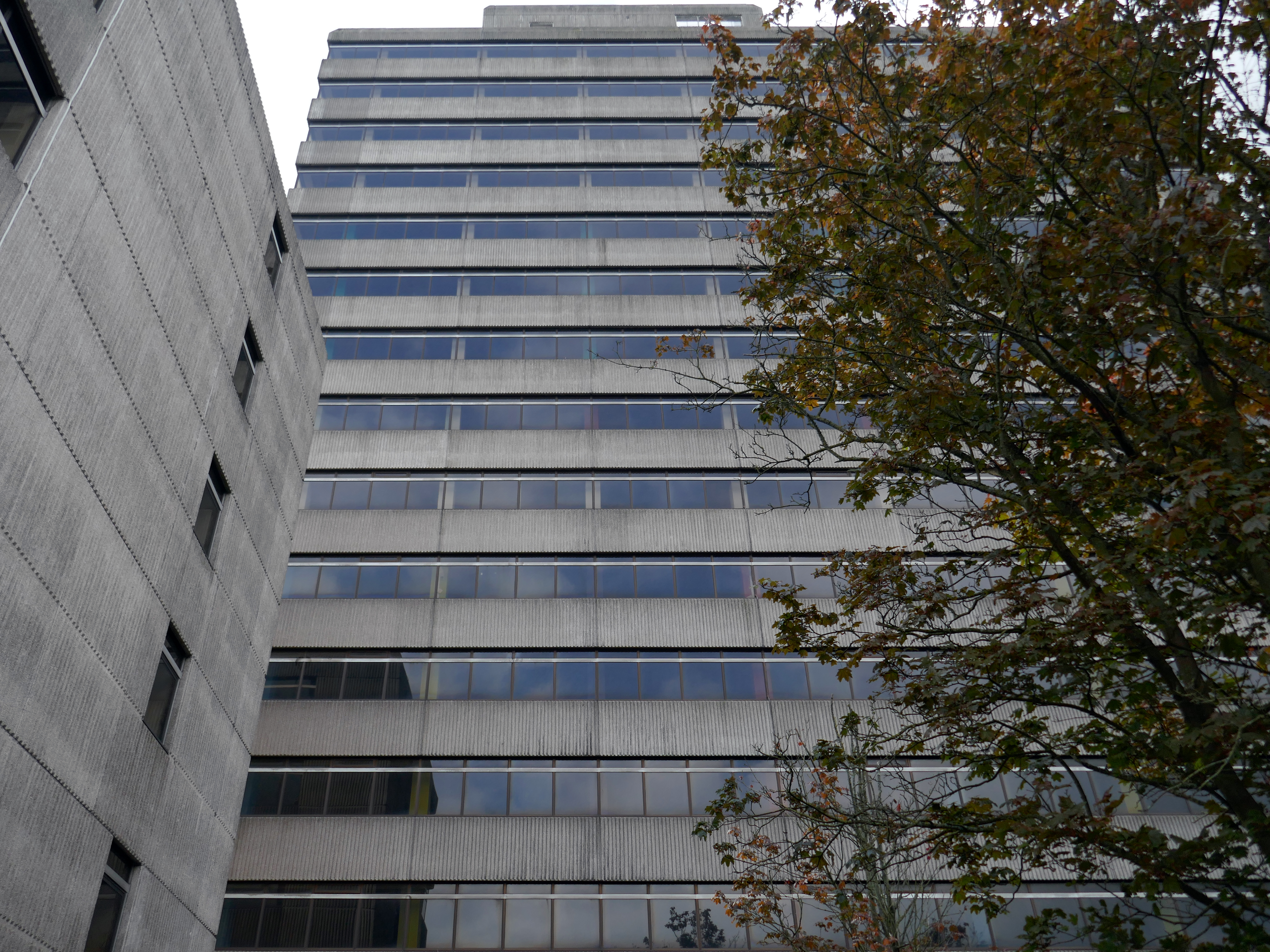
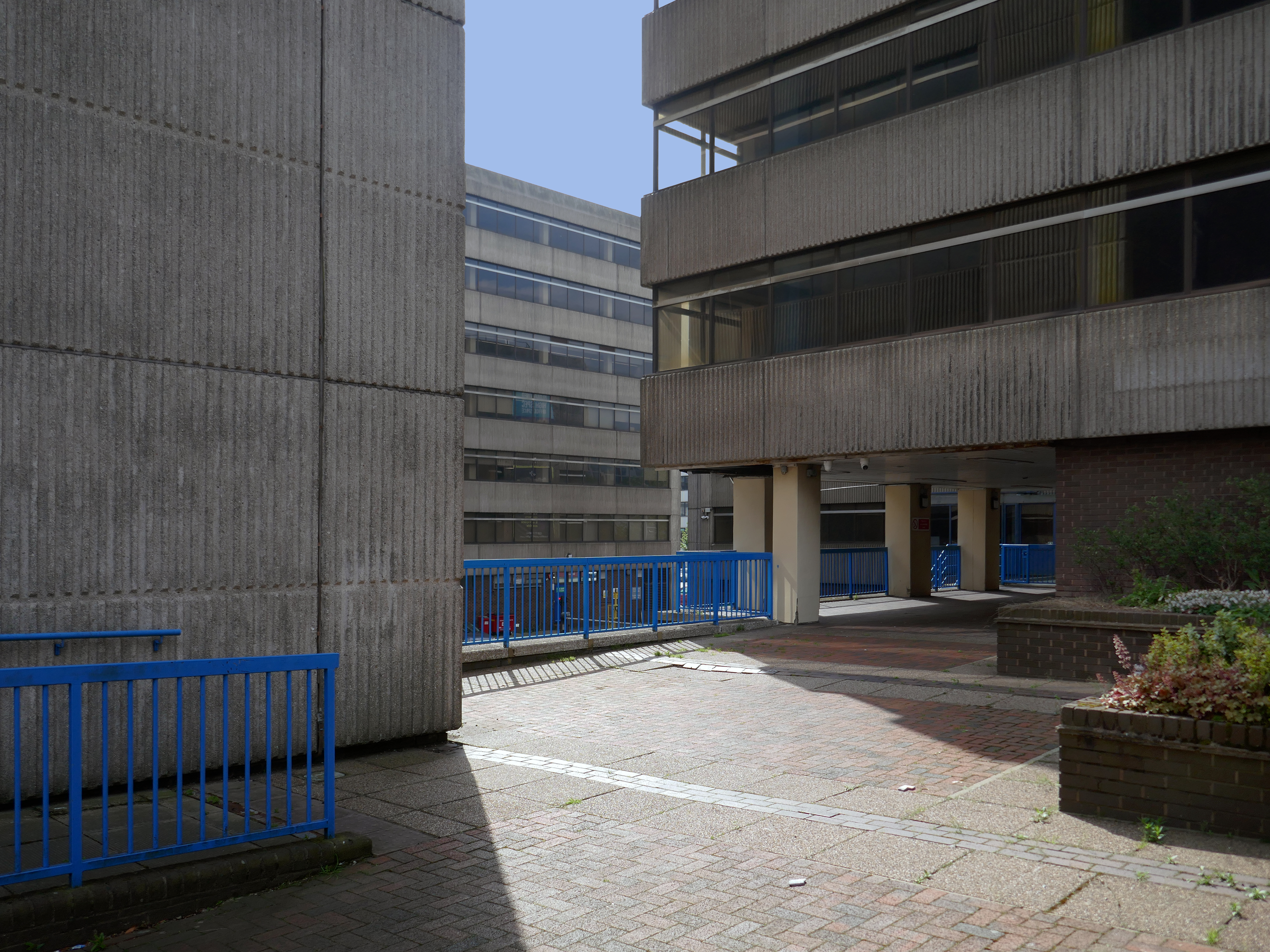
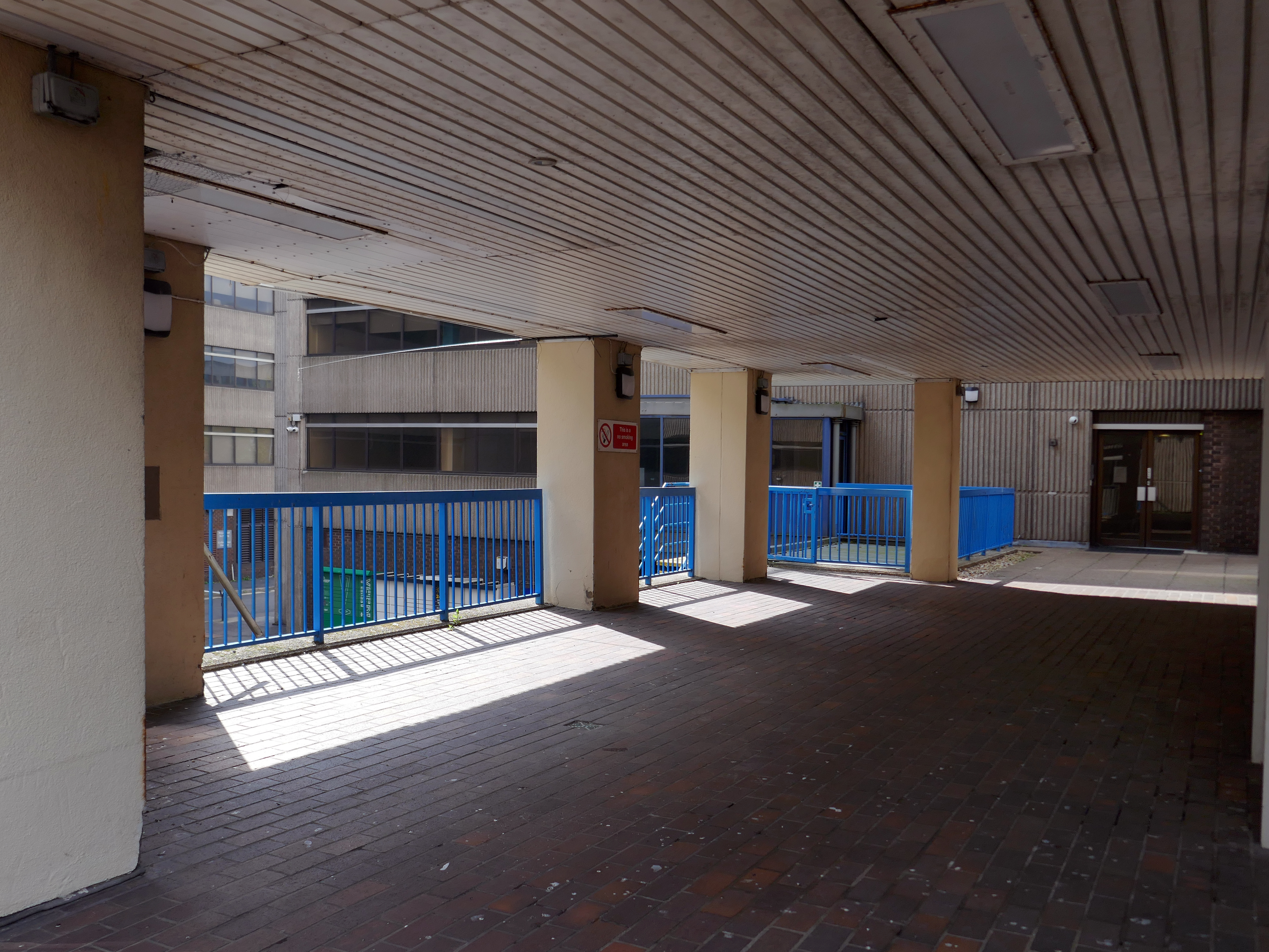
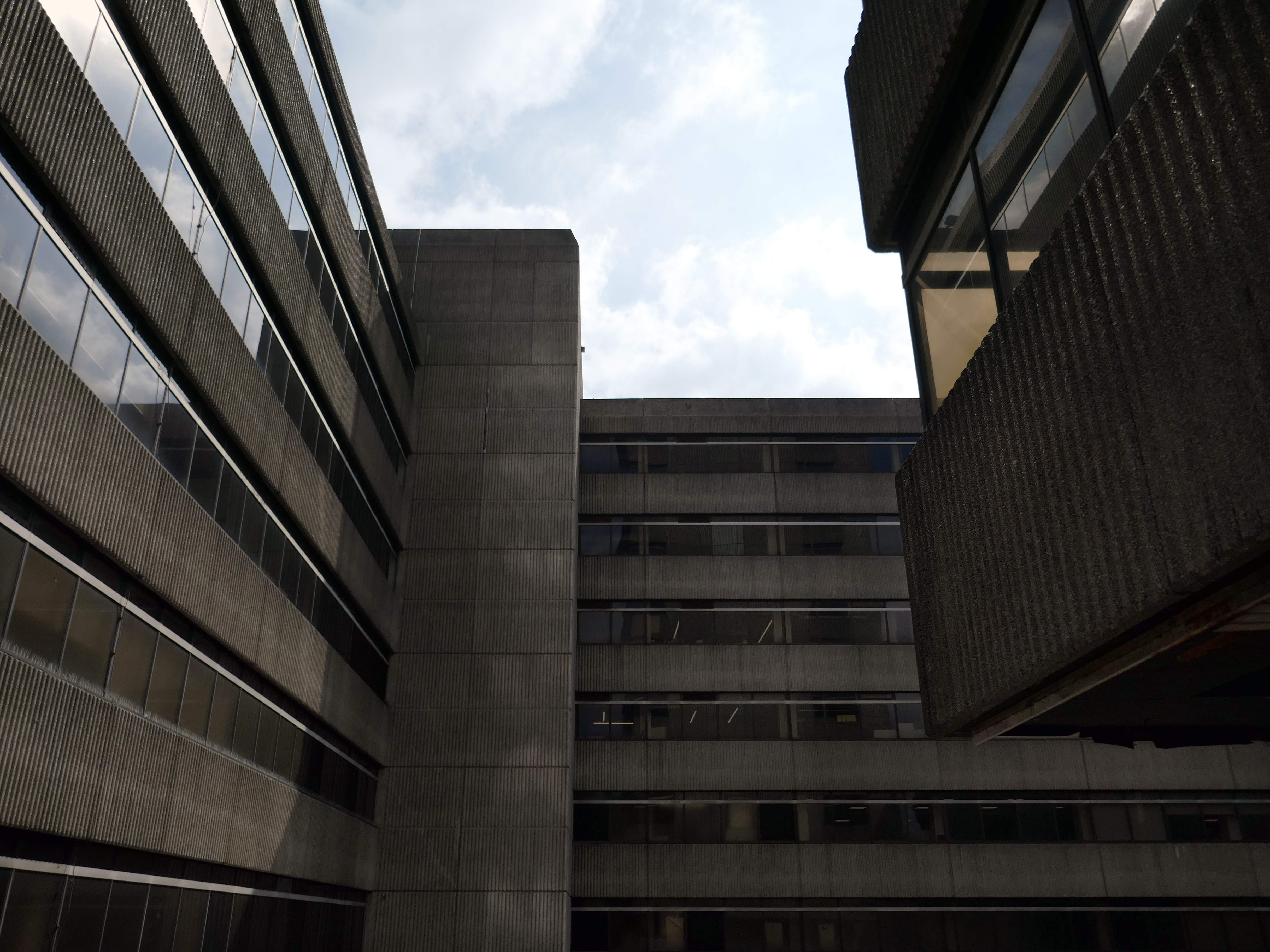
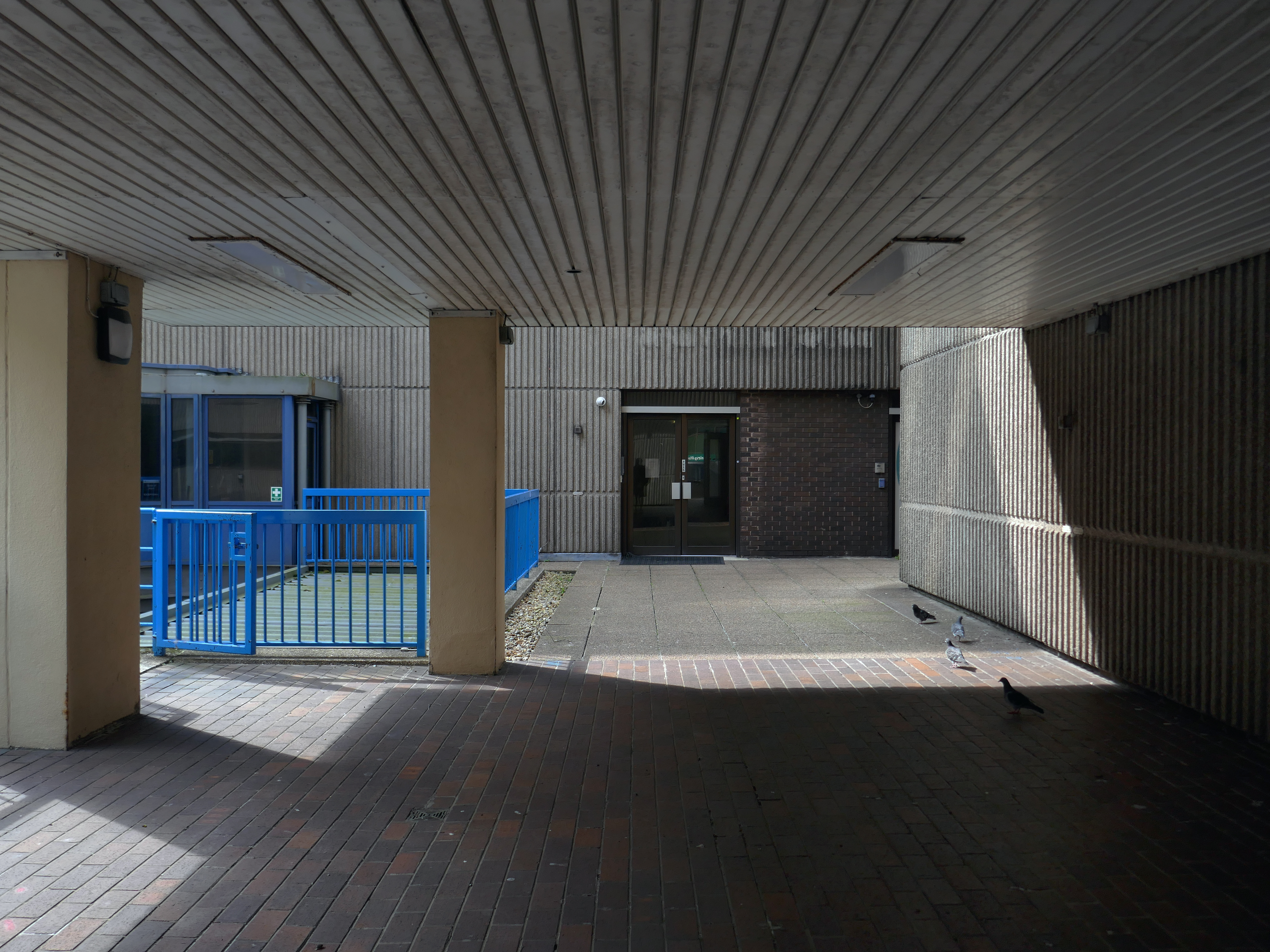
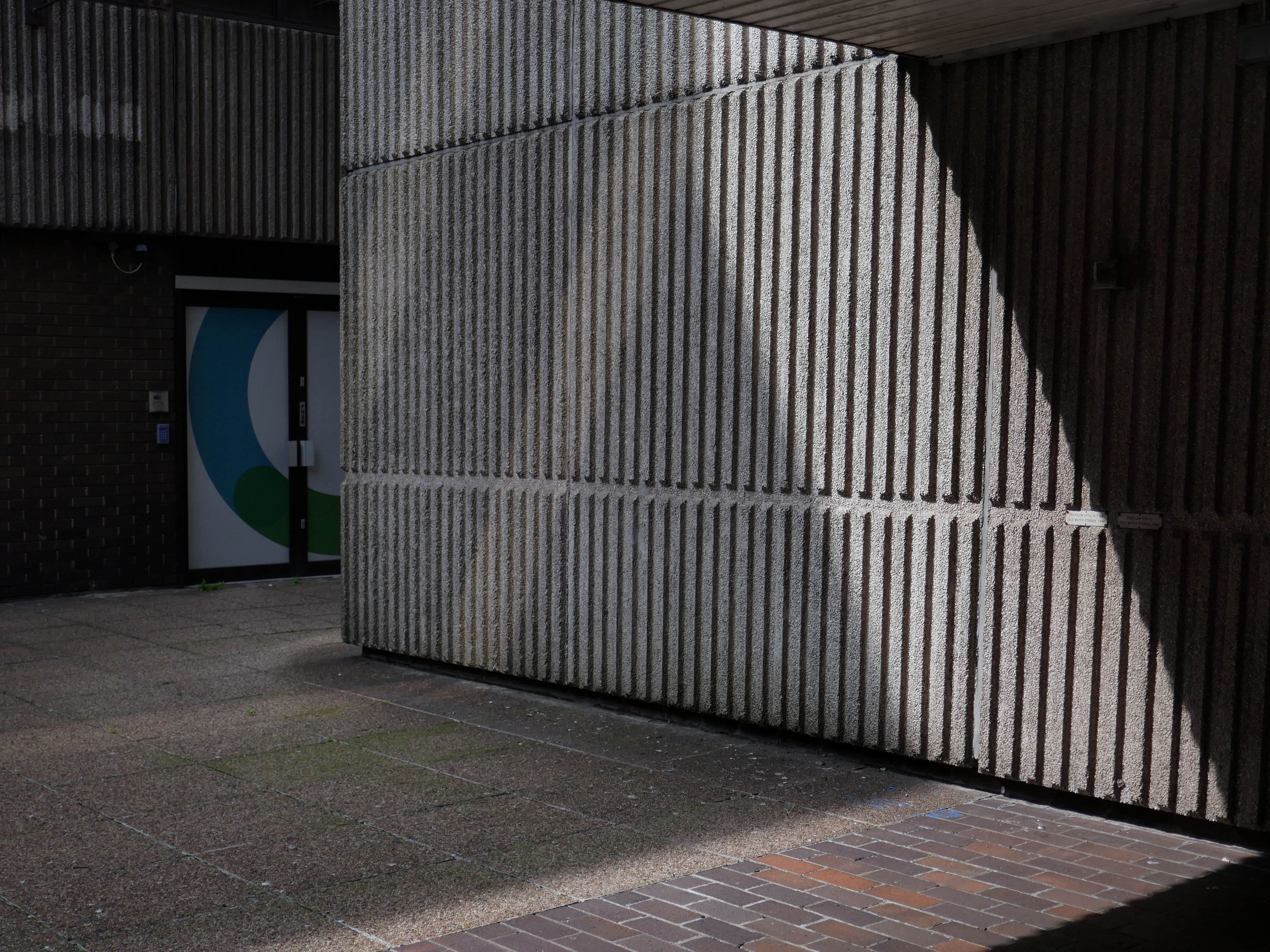
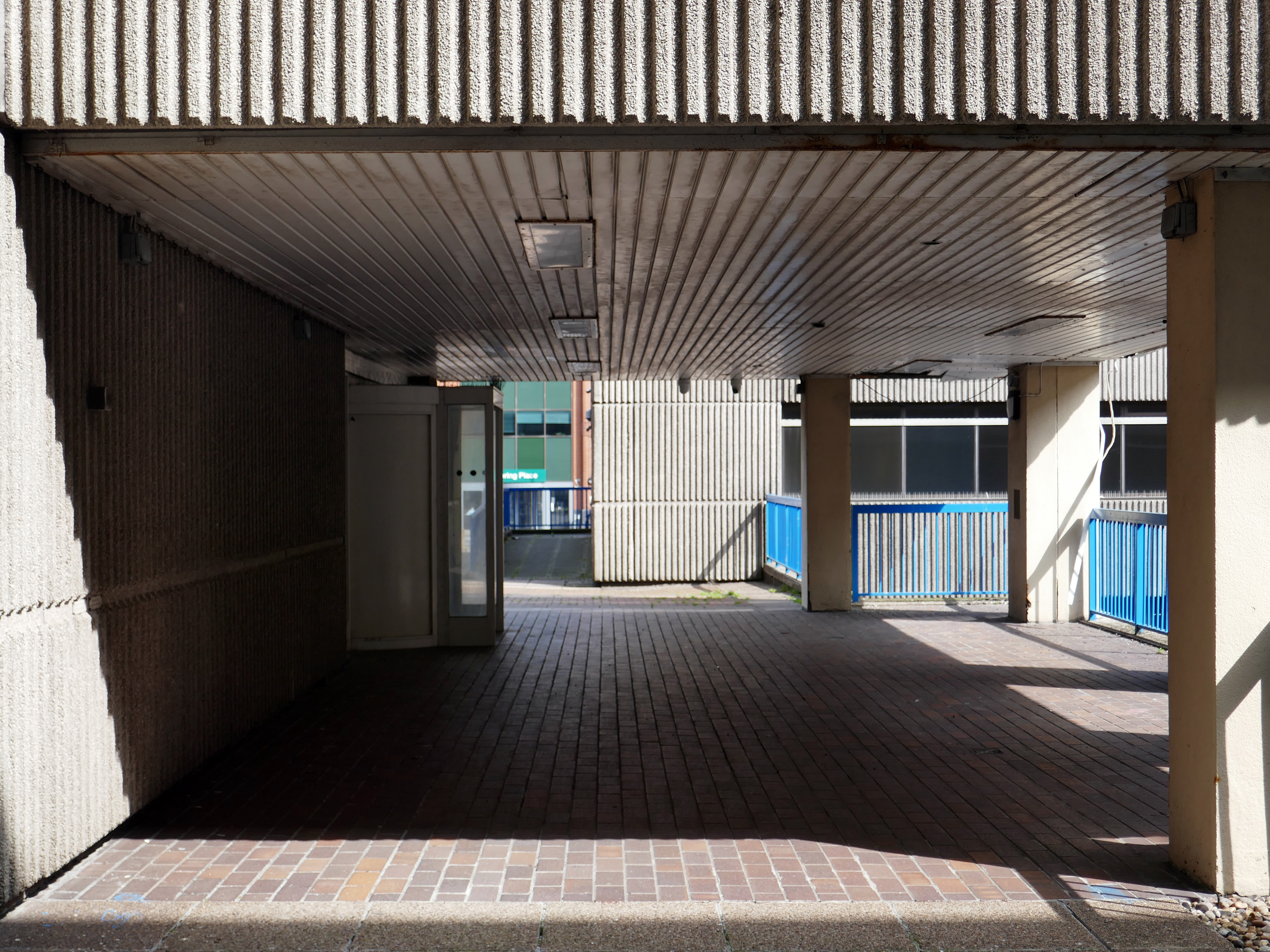
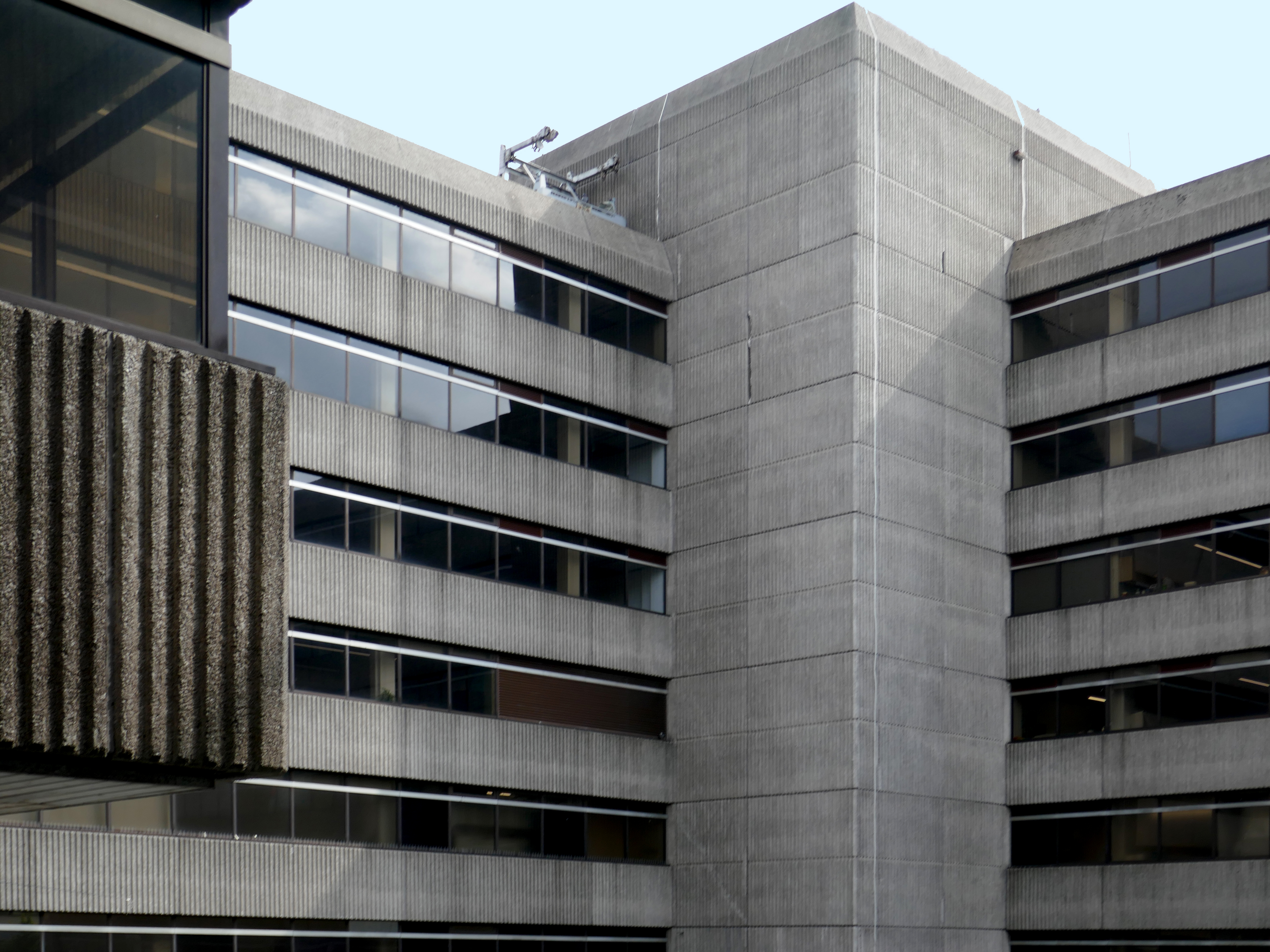
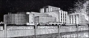
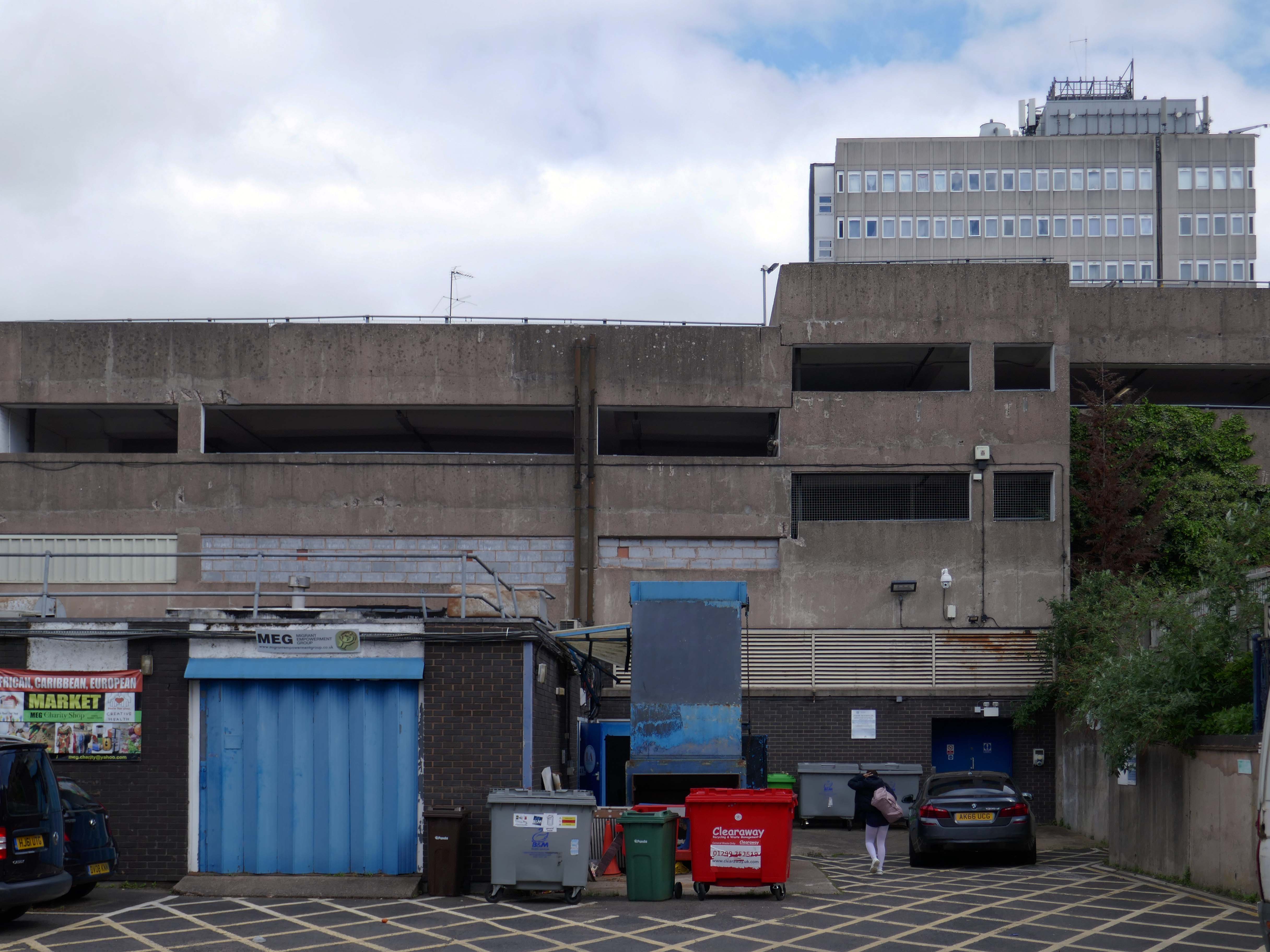
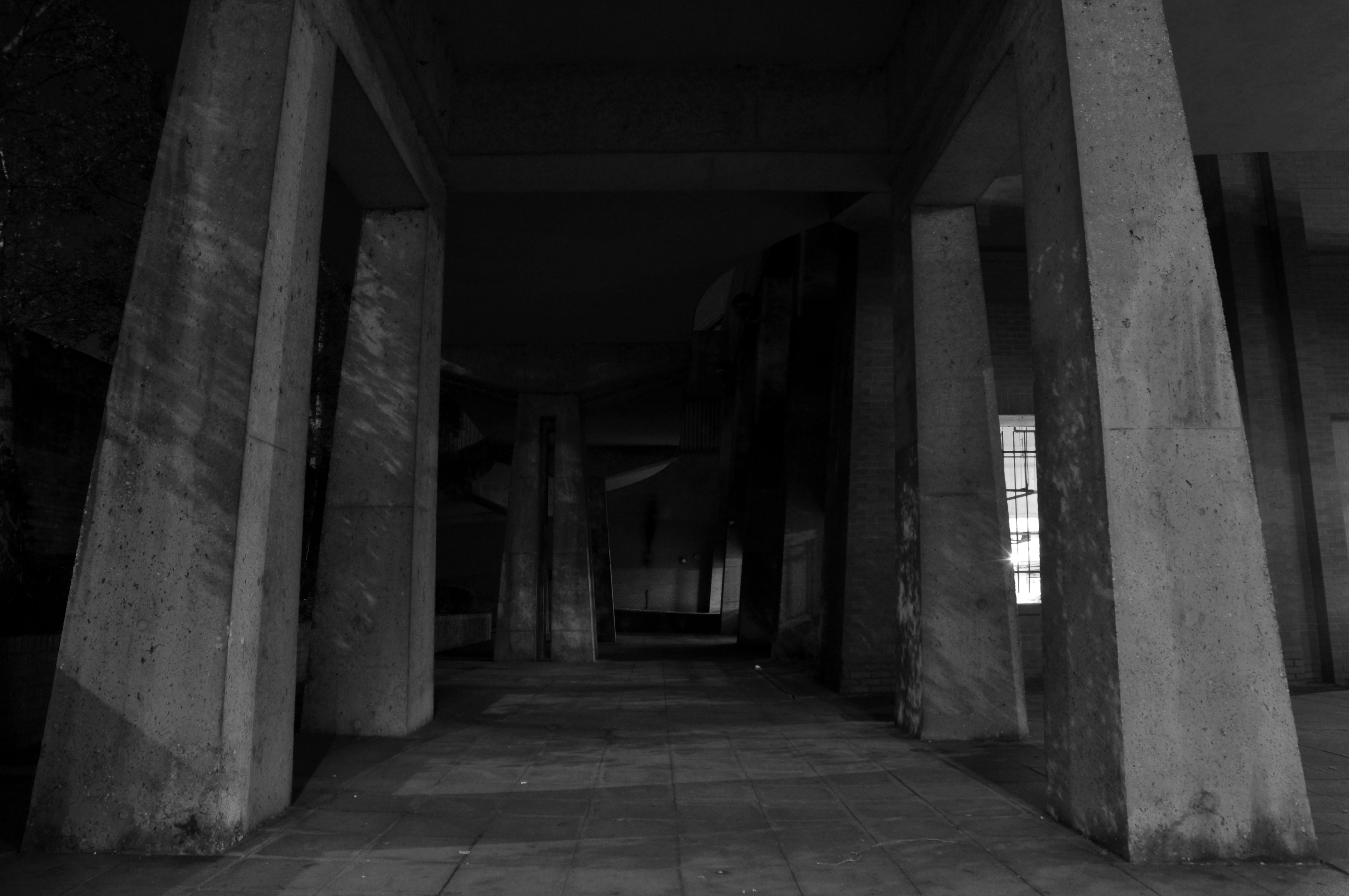
The design team was Roger Booth, Lancashire County Architect; CA Spivey, Assistant County Architect; DB Stephenson, Design Architect; and DG Edwards, AG Gass, responsible for the detailed design and construction. The seven-storey in-situ concrete framed main block was the last bespoke police station to be built in Lancashire, following this the department developed a systemised concrete construction method which was deployed across the county. The dramatic cantilevers gave the new building a stature and presence that signalled authority. The lower levels were accessed by ramps and provided space for police vehicles. To enter the police station one ascended a set of external stairs across a pool that once contained koi carp – fittingly, one boy described the new building as a ‘fishtank’ upon its completion. The magistrates’ court was finished externally in a grey brick and carried the signature pyramid rooflights that were synonymous with the Department.
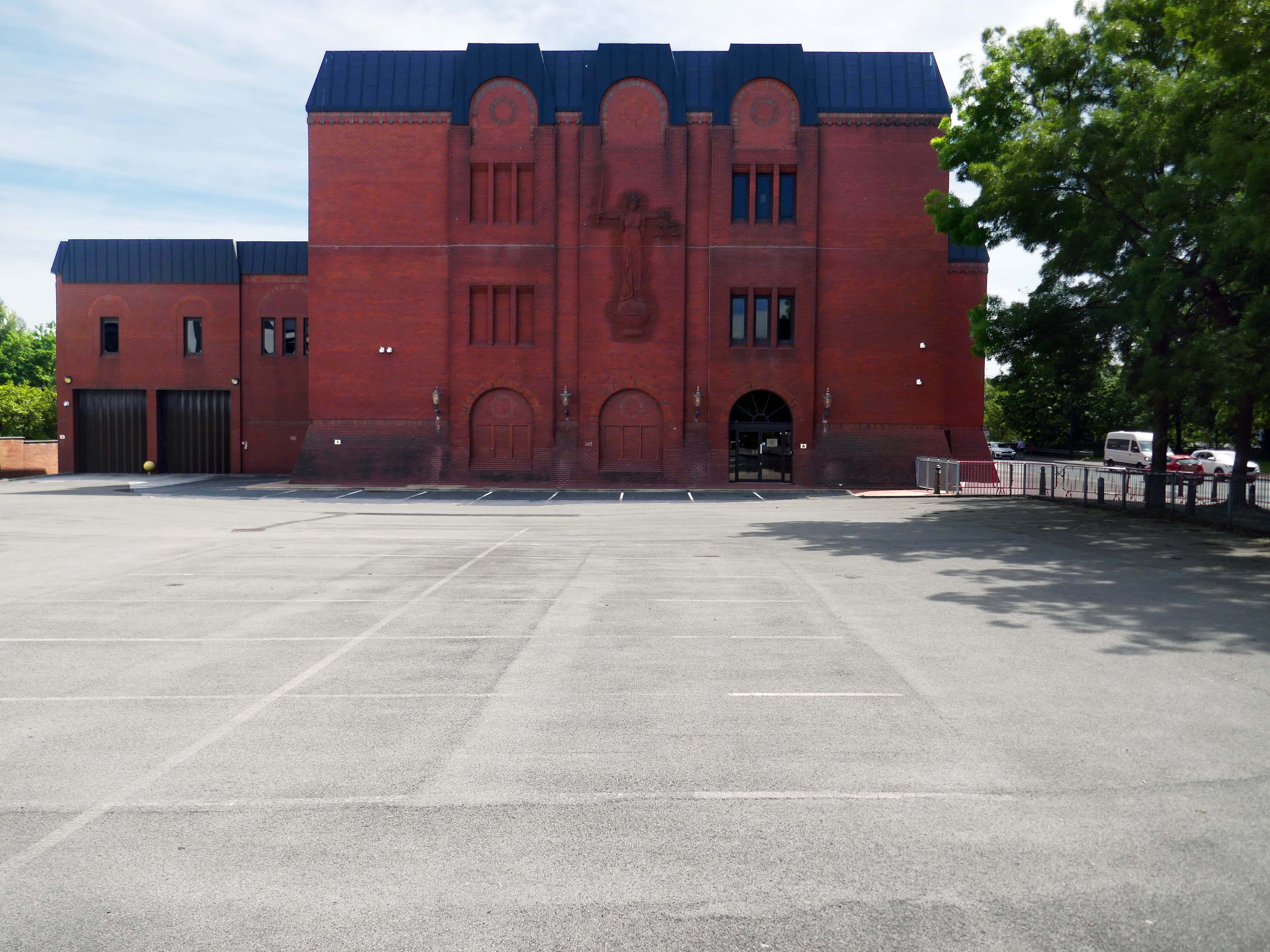
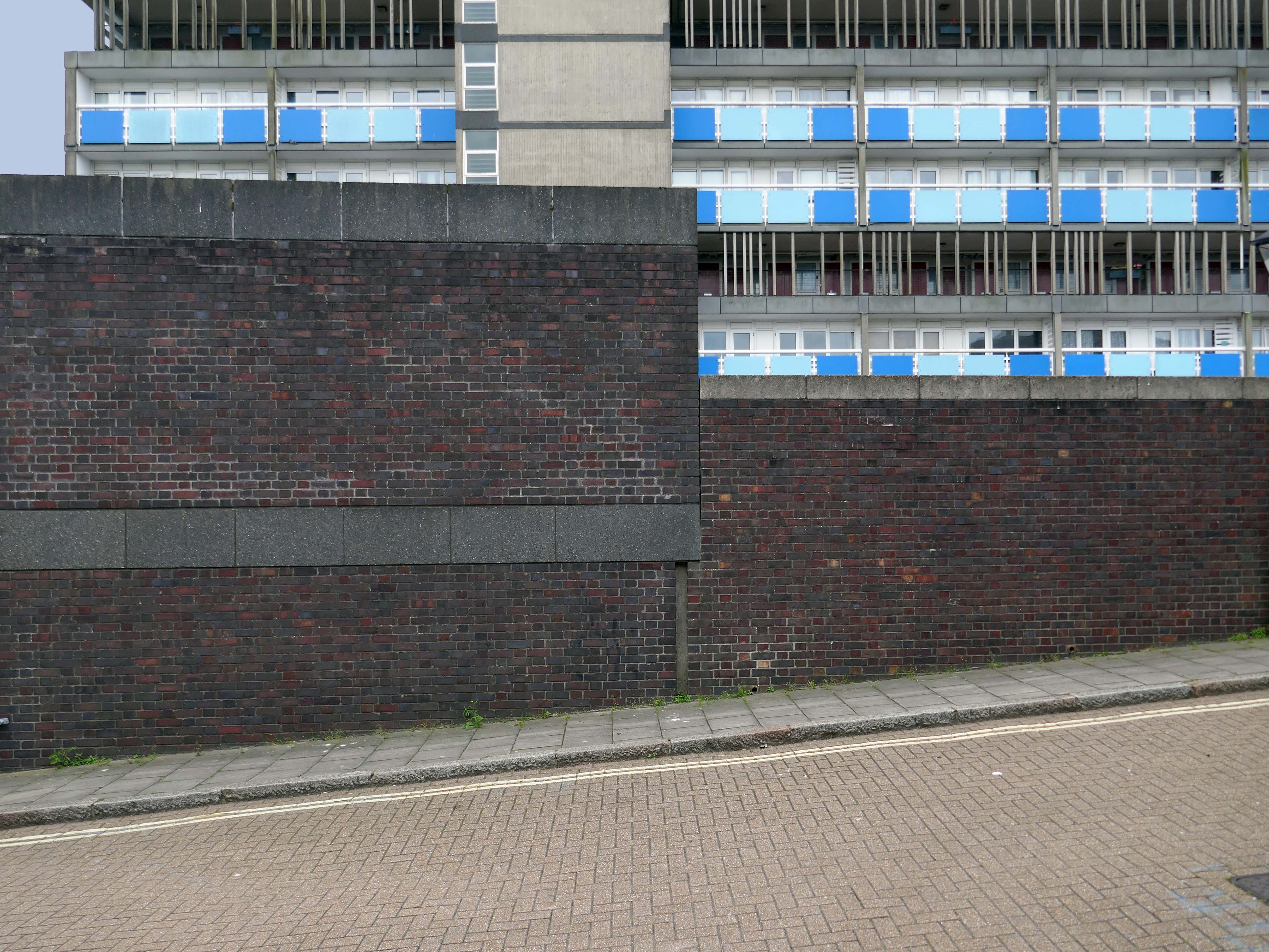
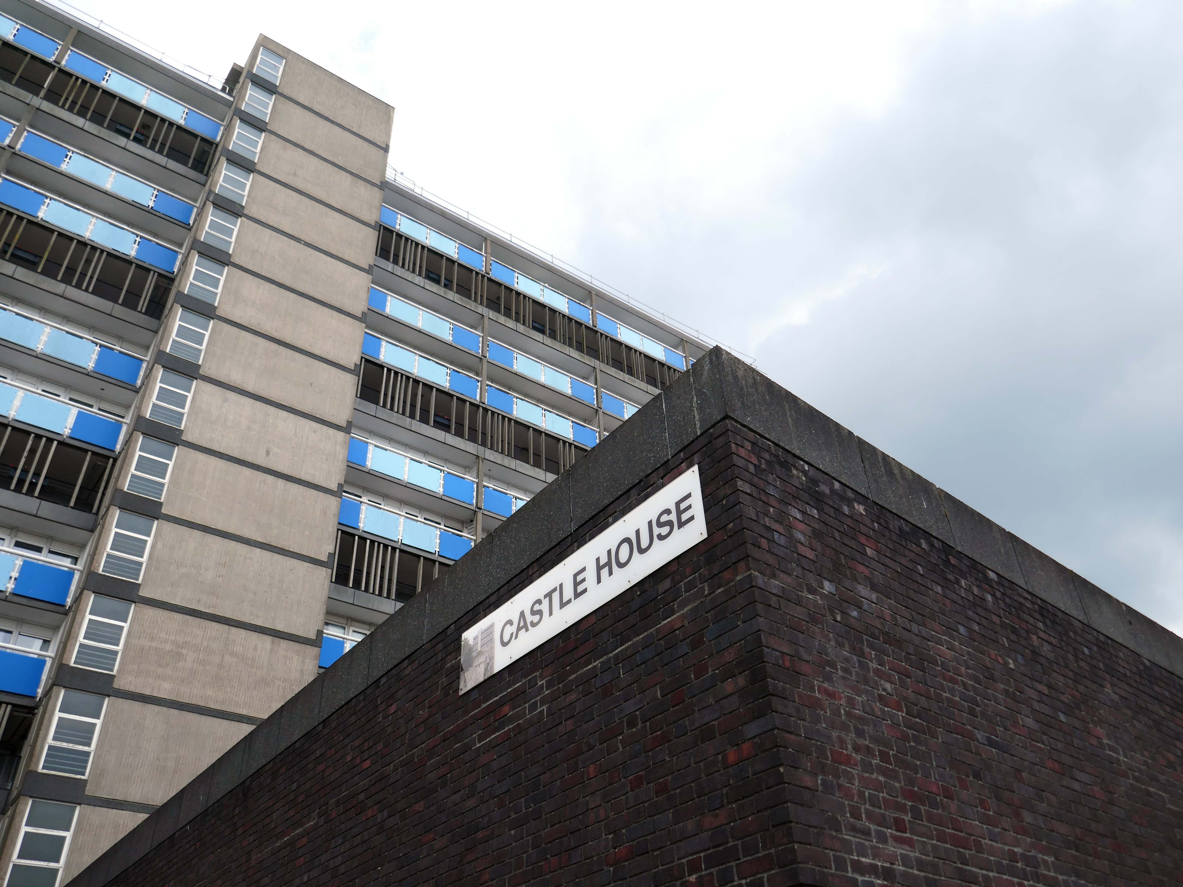
Next door its partner in crime the Magistrates Courts.
Opened in 1968.
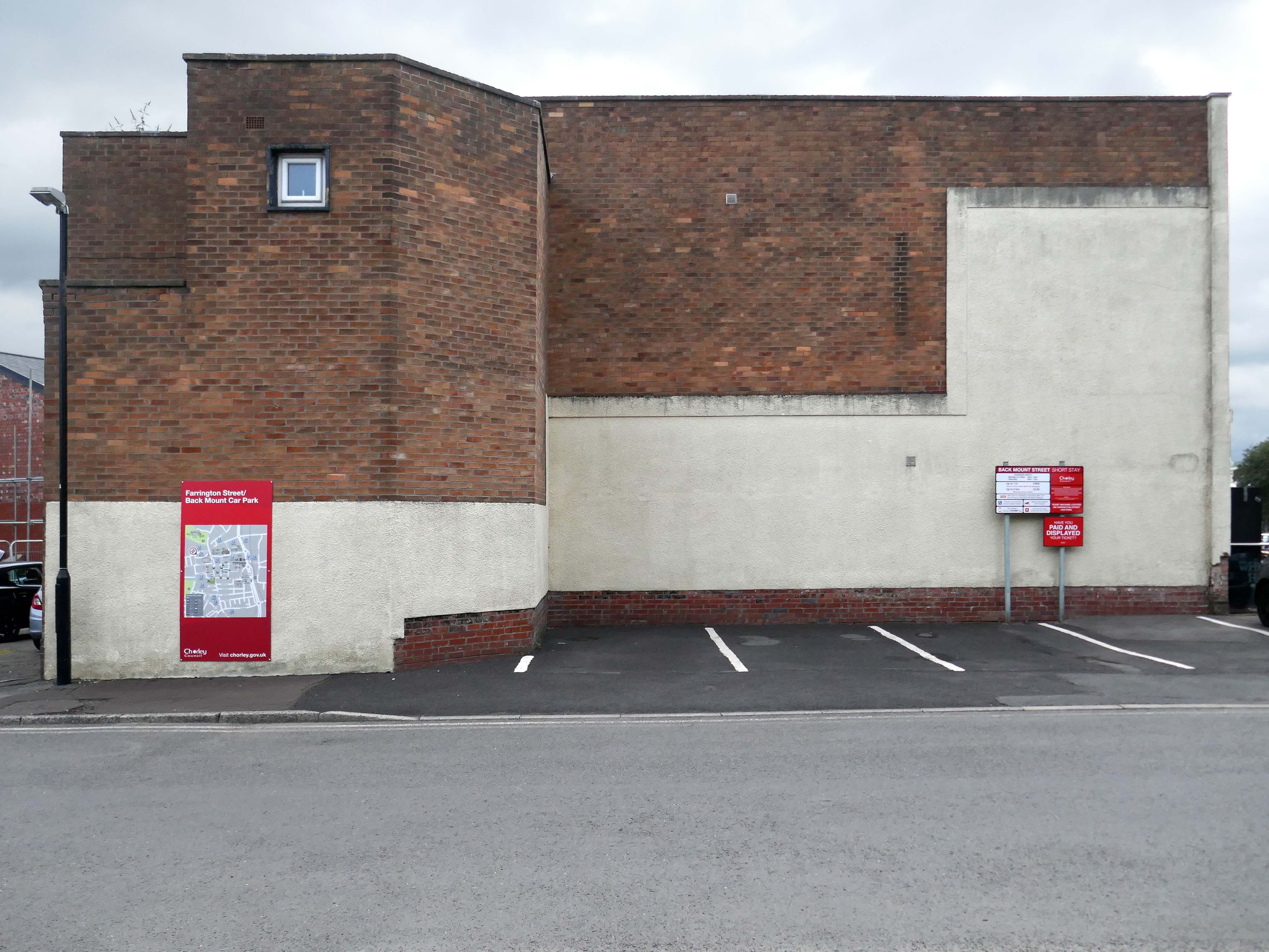
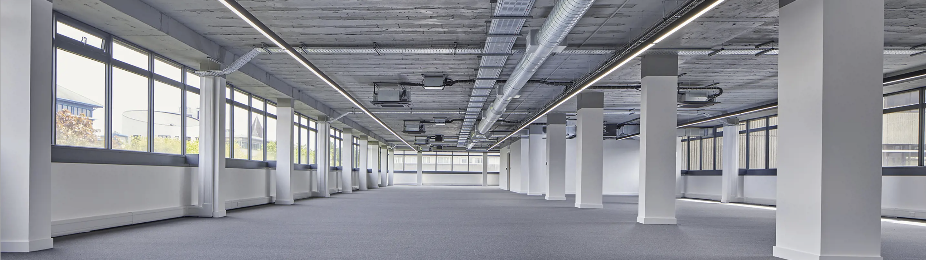
The courts are up for sale – offers in the region of £800,000 – the property has planning permission for an eleven storey apartment building with fifty two flats, three ground floor retail units and roof terrace.
The disused court building was last sold in 2022 for £300,000, according to the Land Registry.
Designs for the scheme were drawn up by FWP Group.
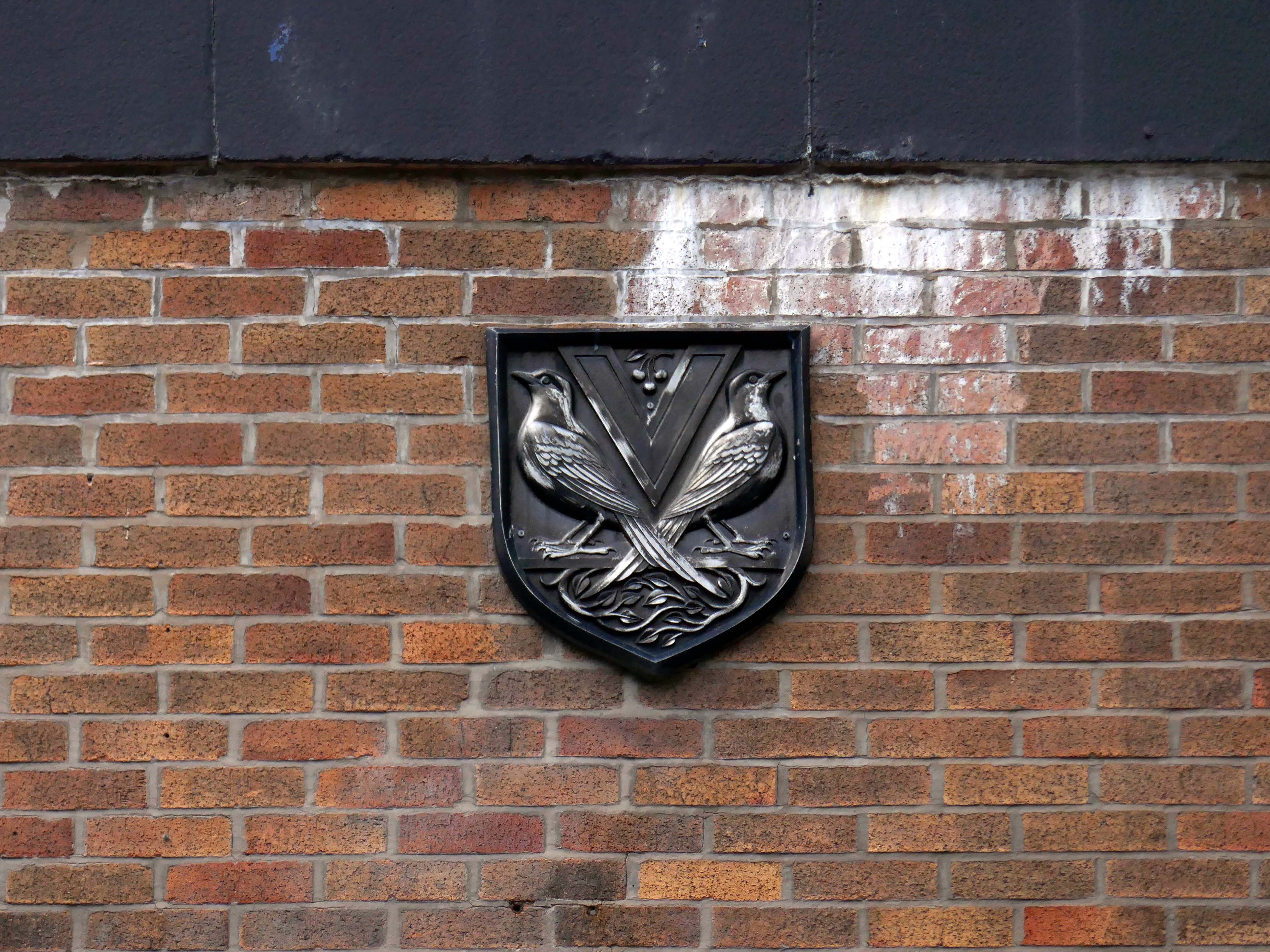
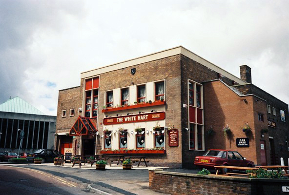
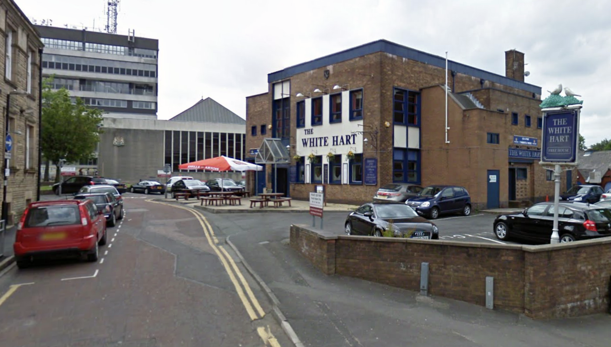
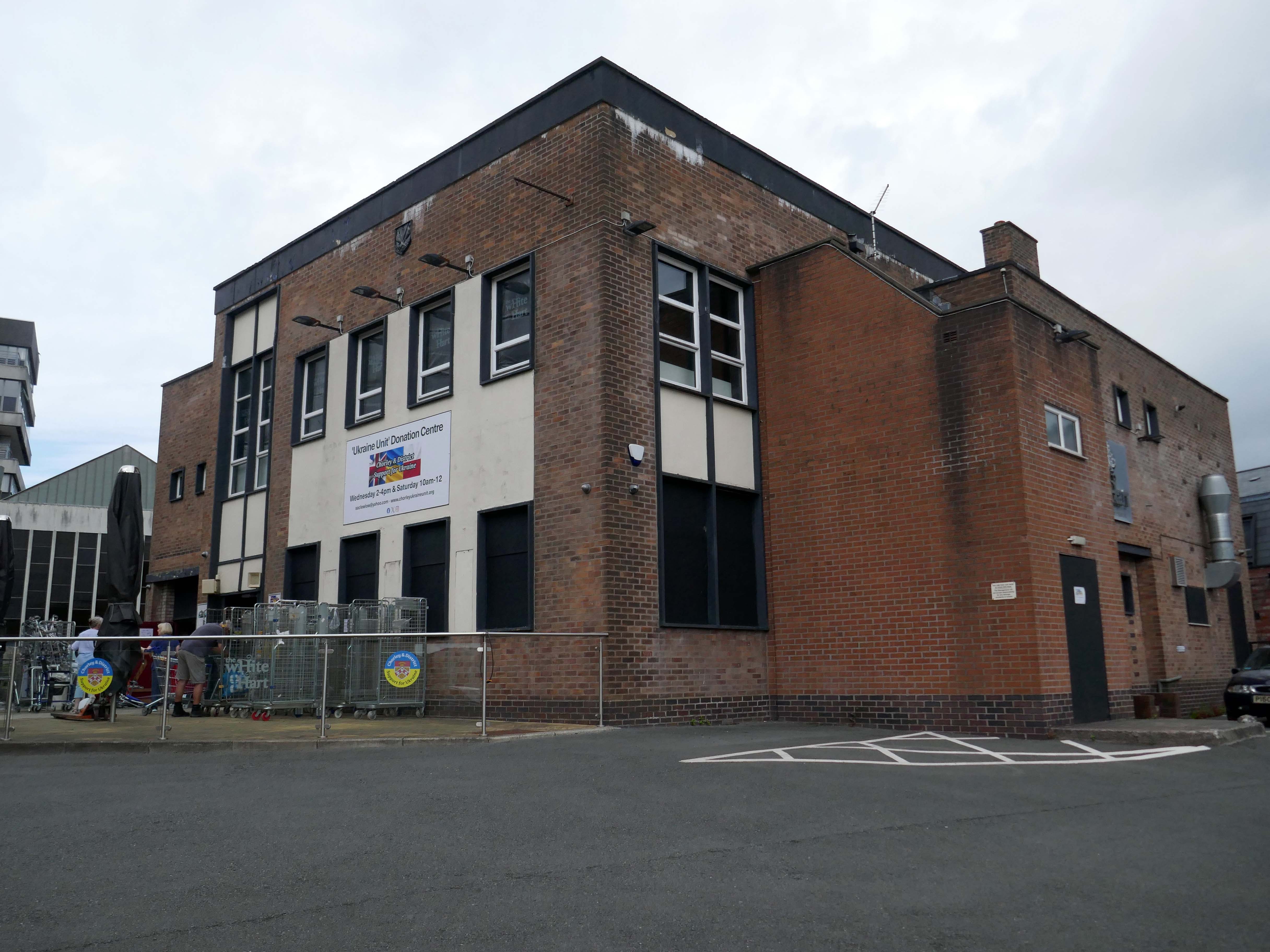
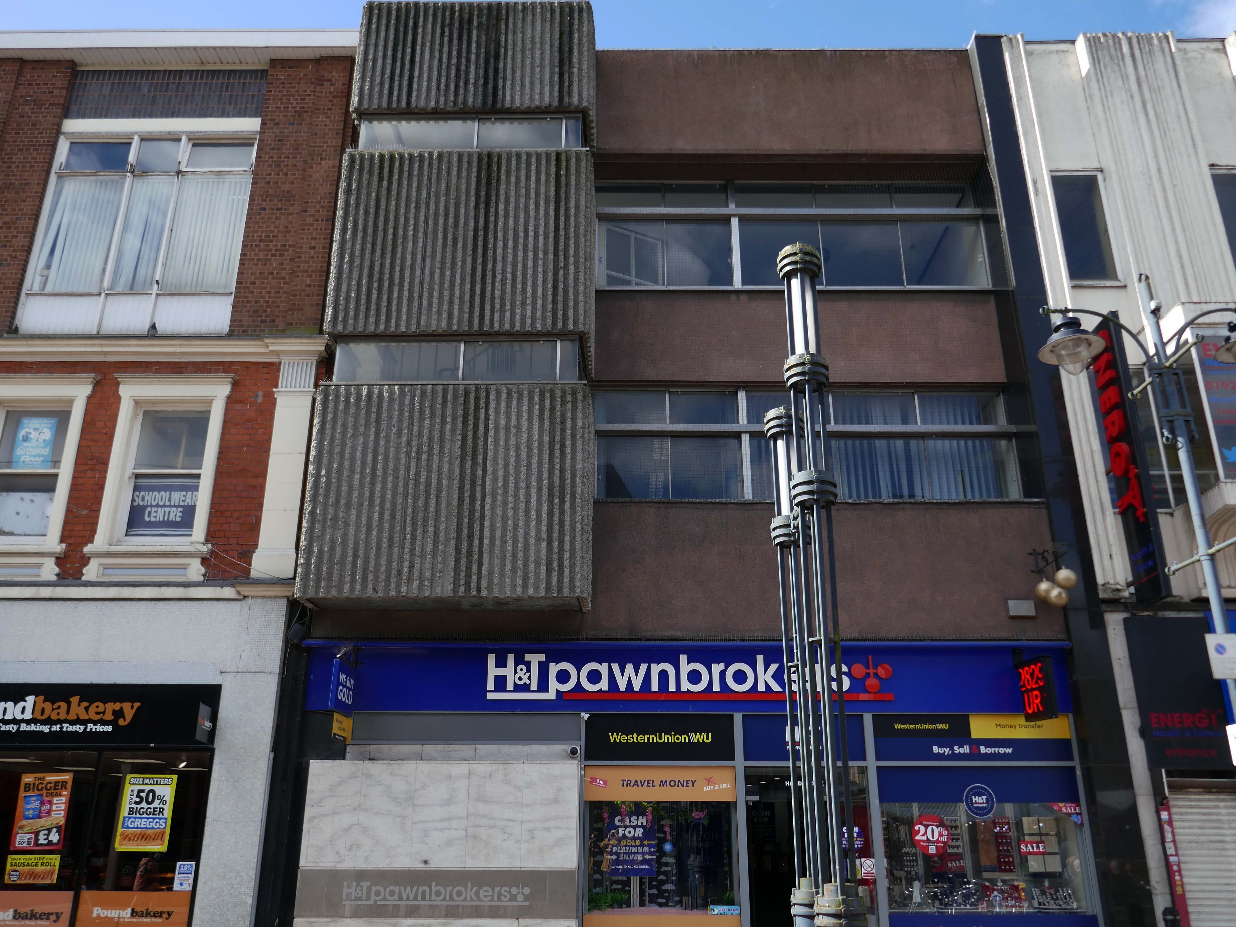
Next door is a pub no longer a pub.
Once upon a time a Vaux Brewery house the White Hart – implausibly renamed the Snooty Fox for a brief period.
The pub was decent enough inside with a large room which was empty on our Friday dinner visit, the pub was a Vaux tied house so we were well pleased as we had not done many of them.
We had a drink of Vaux bitter which went down well.
Our group was created in February 2022 to try and help raise awareness of the crisis in Ukraine and to help organise and coordinate local efforts to send support from across the Borough of Chorley in Lancashire. We have since grown into a major hub for donations.
Across Chorley & District multiple educational facilities, community groups and organisations reacted and began to spread awareness and collect donations. In order to sift and sort a lot of local donations, a unit has been loaned by Chorley Council. A large percentage of the region’s aid has come into this unit and we are regularly packaging aid and supplies in preparation for the next leg of the journey to Ukraine, whether it’s transported there by us or other charitable organisations.
Our philosophy is that if we can all do a little bit, together we can make a big difference.
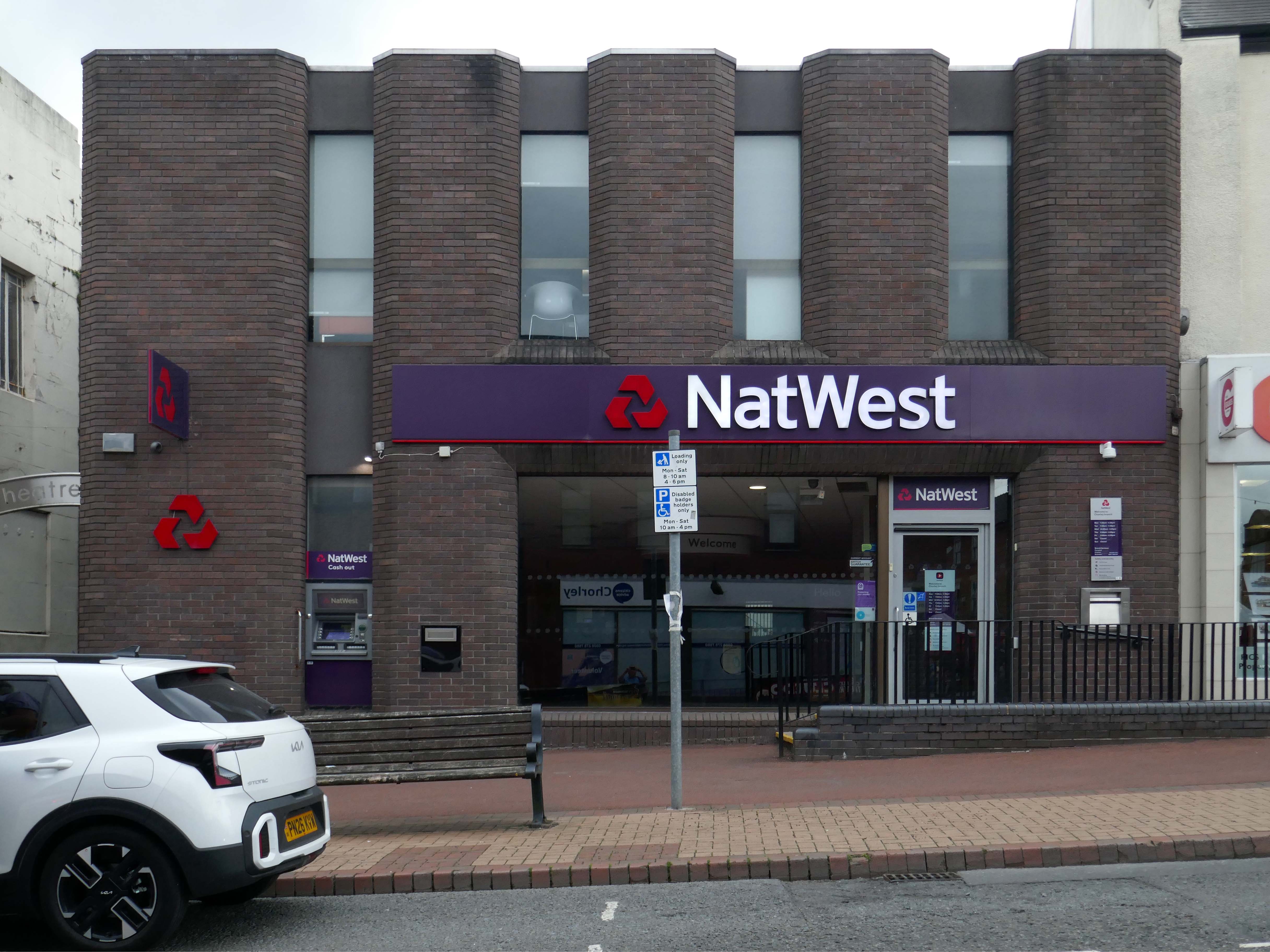
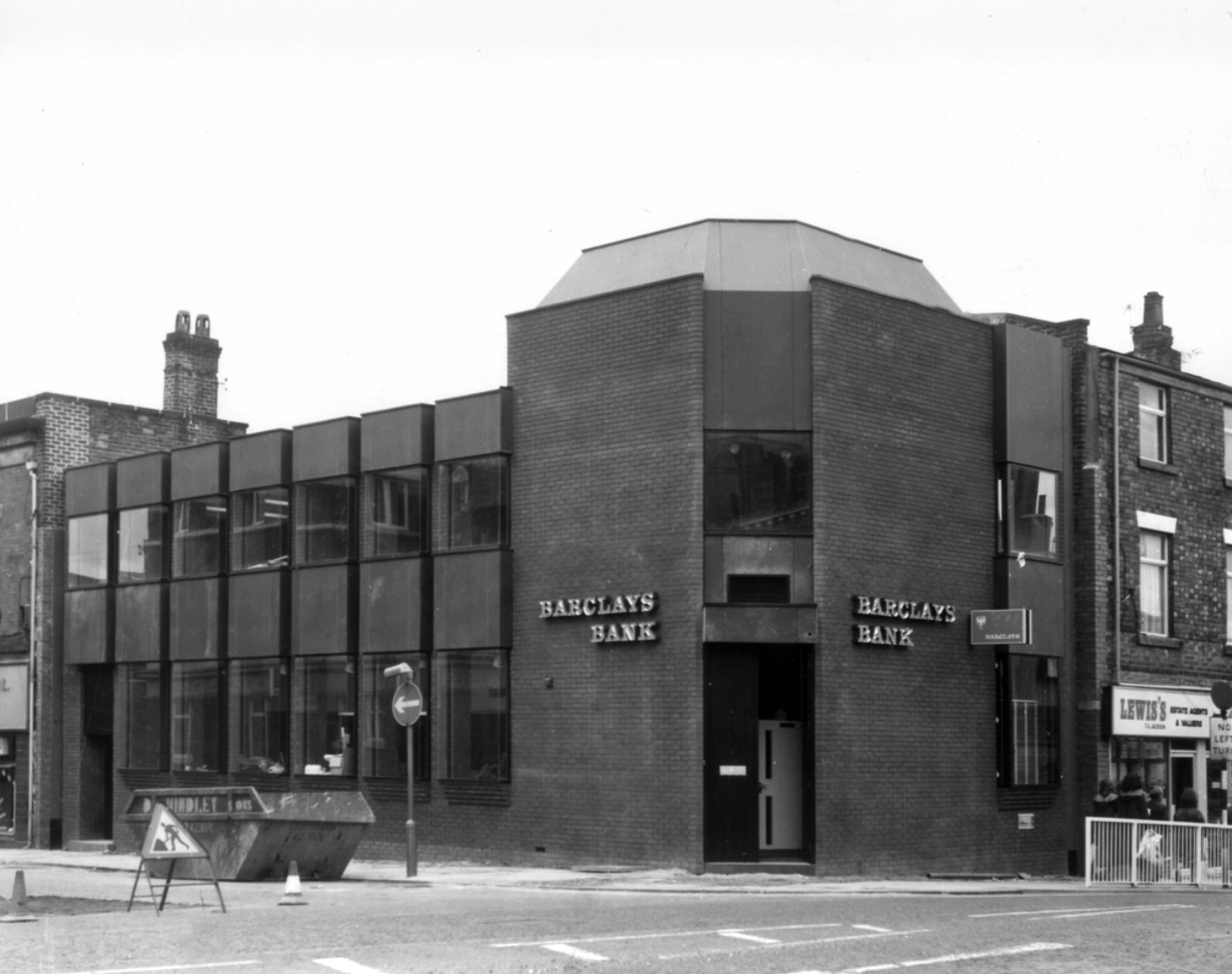
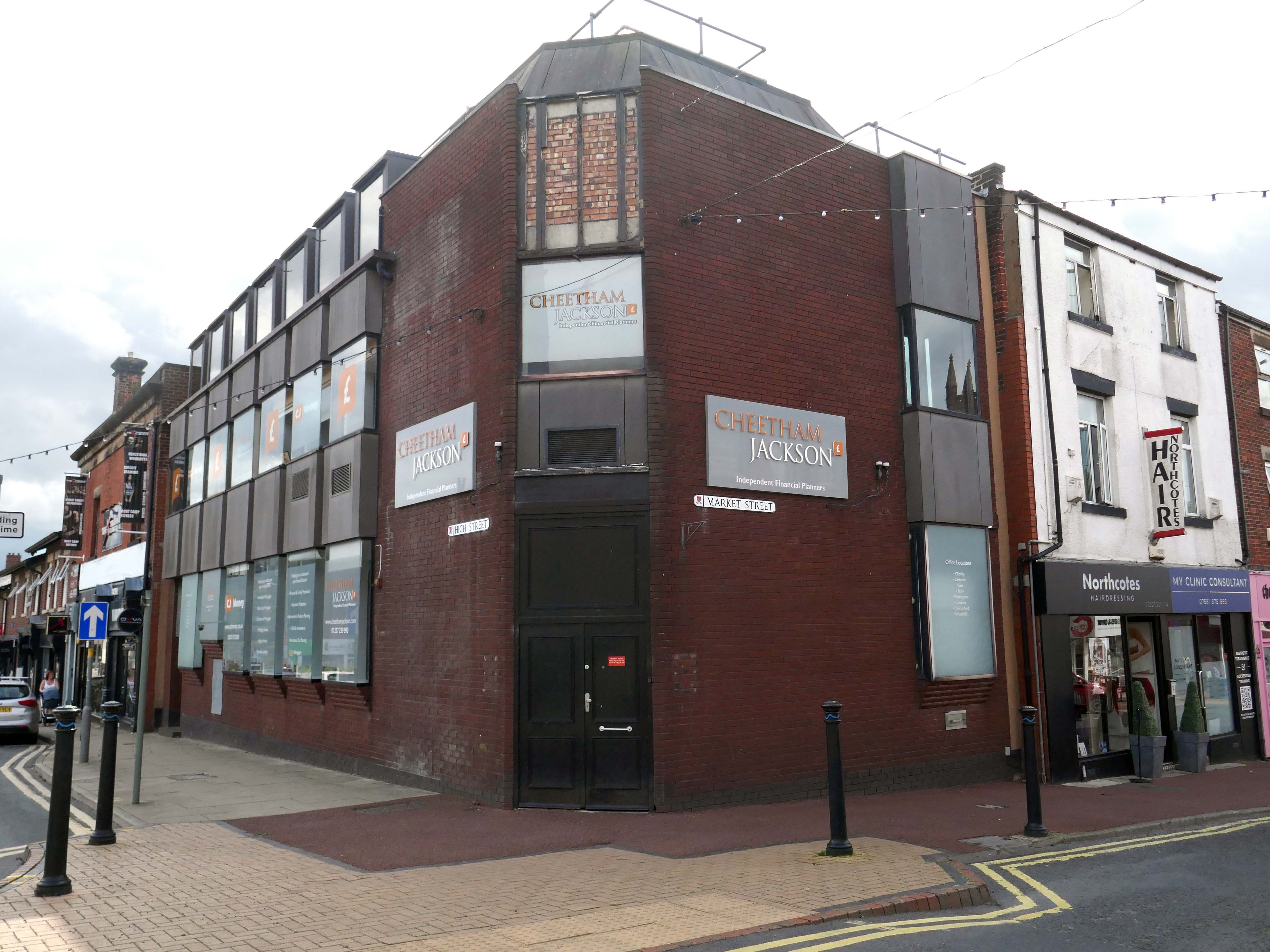
Bouncing back to what was and never shall be no more Barclays Bank.
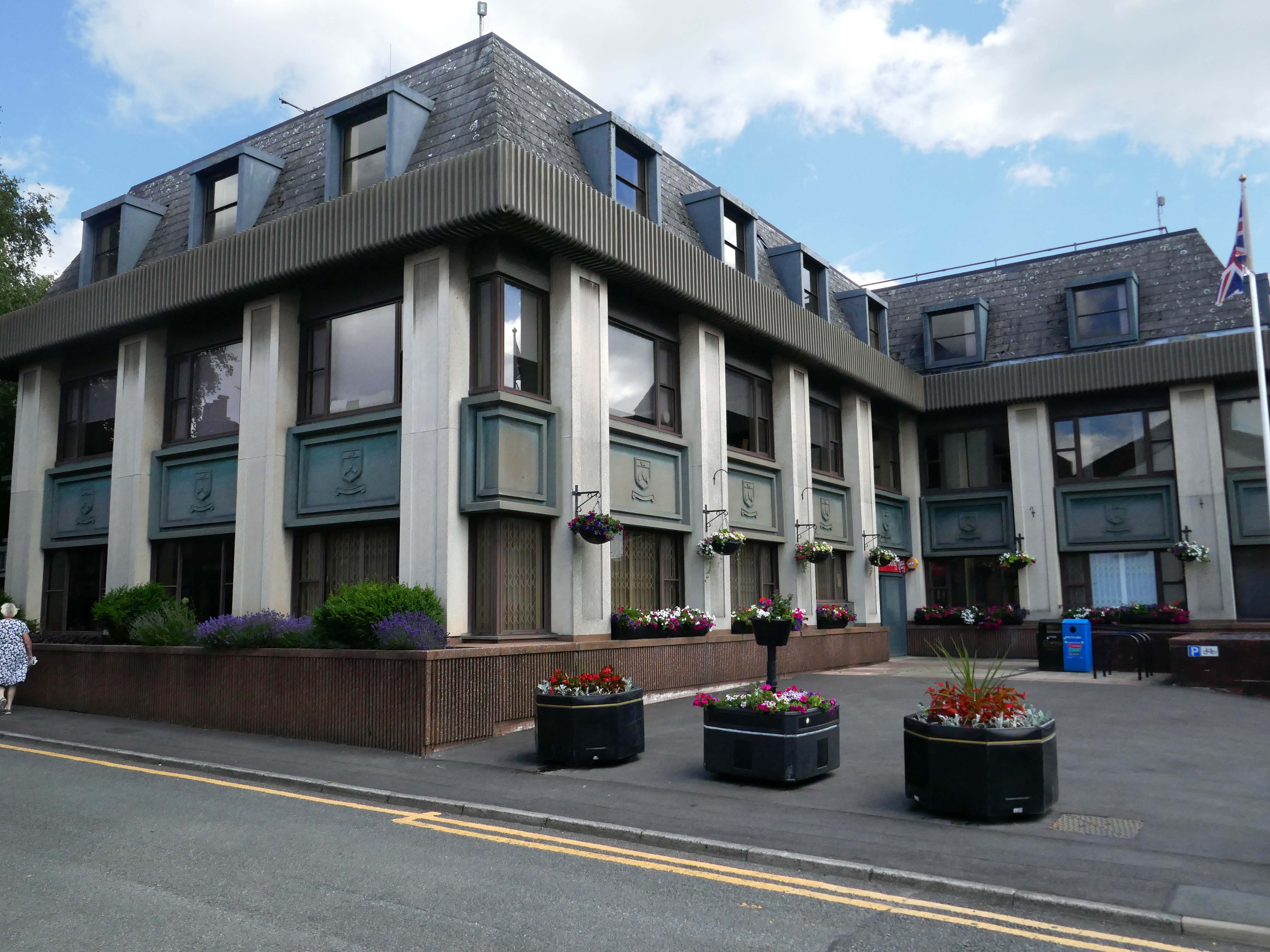
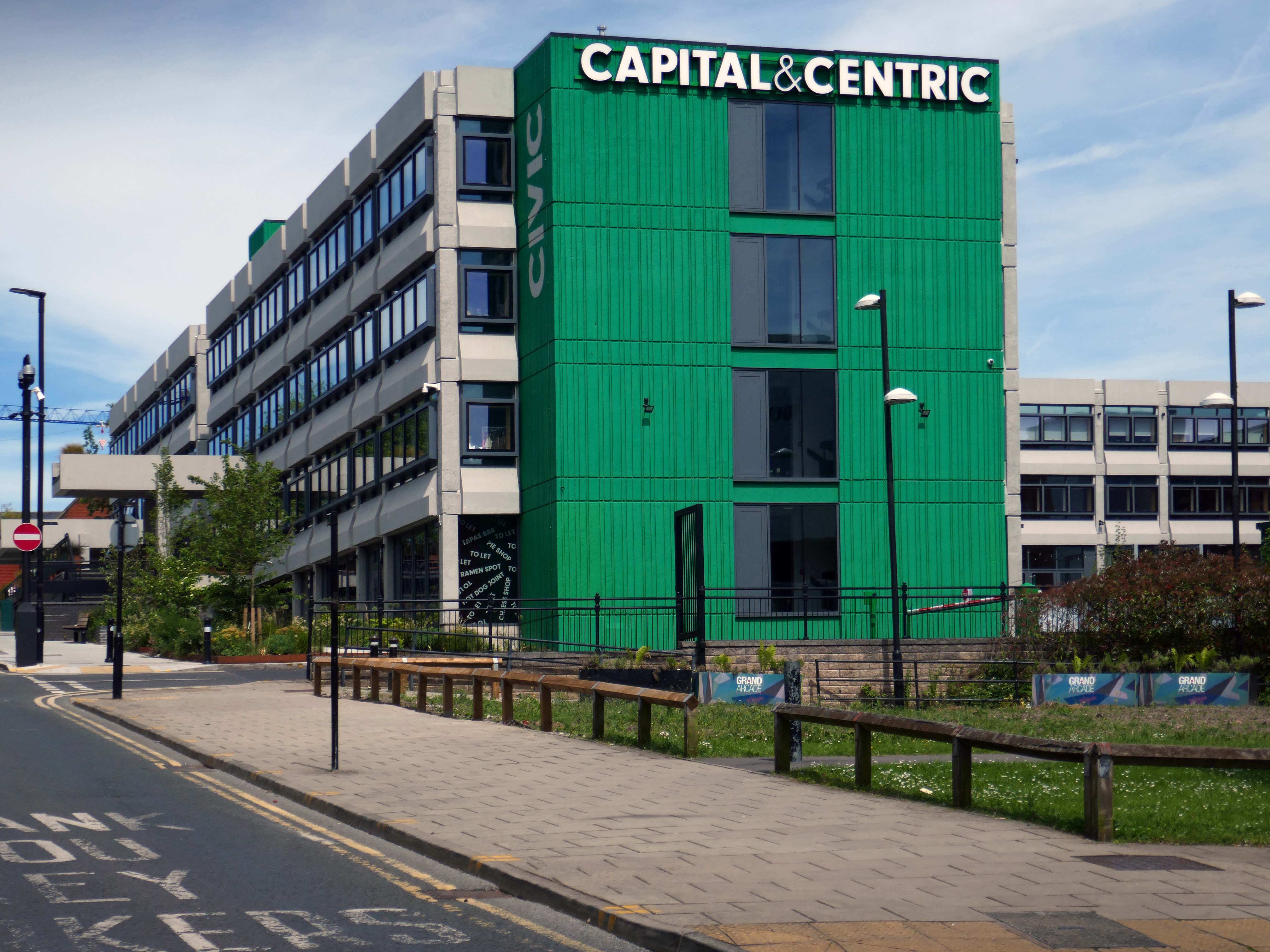
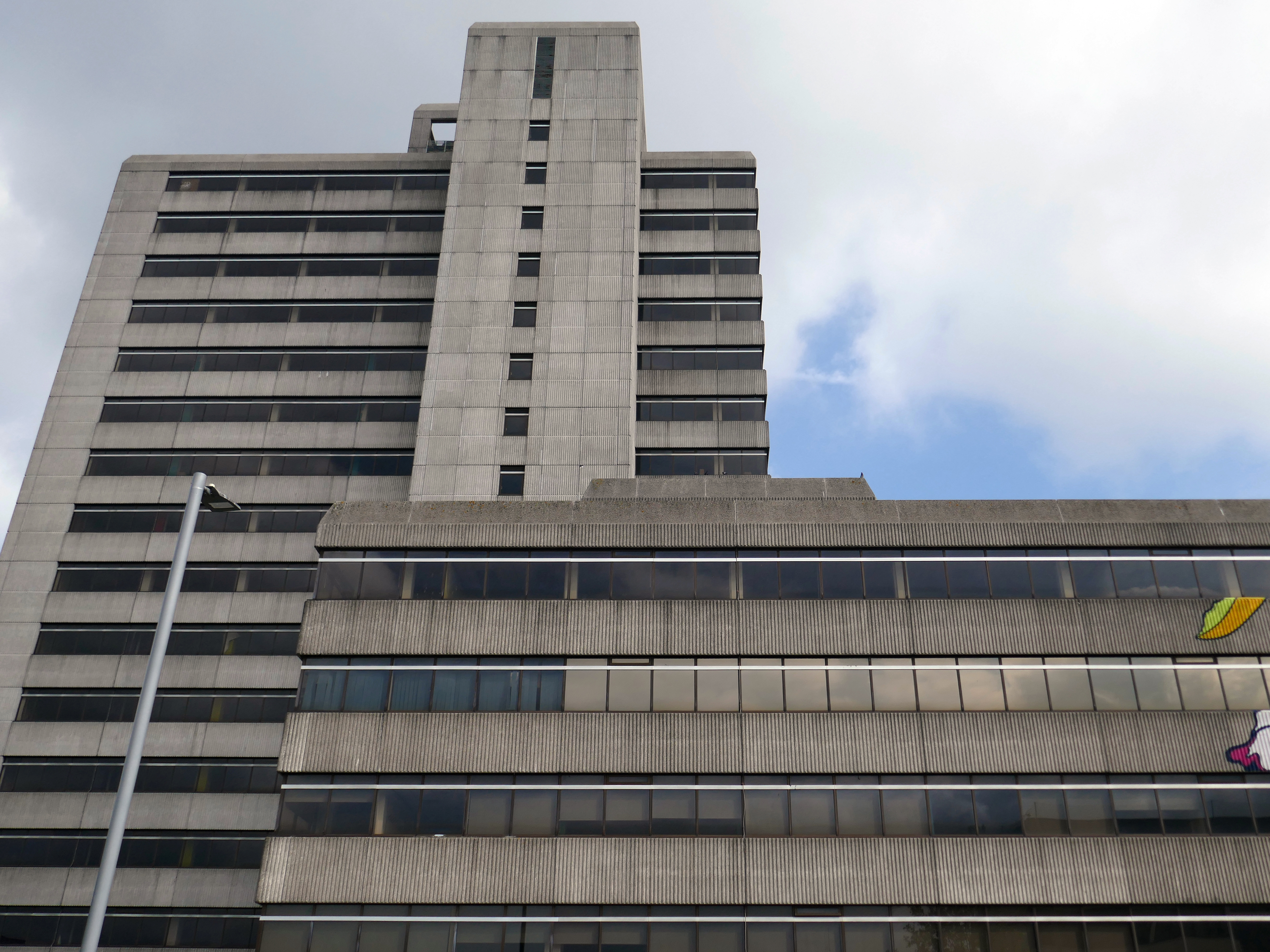
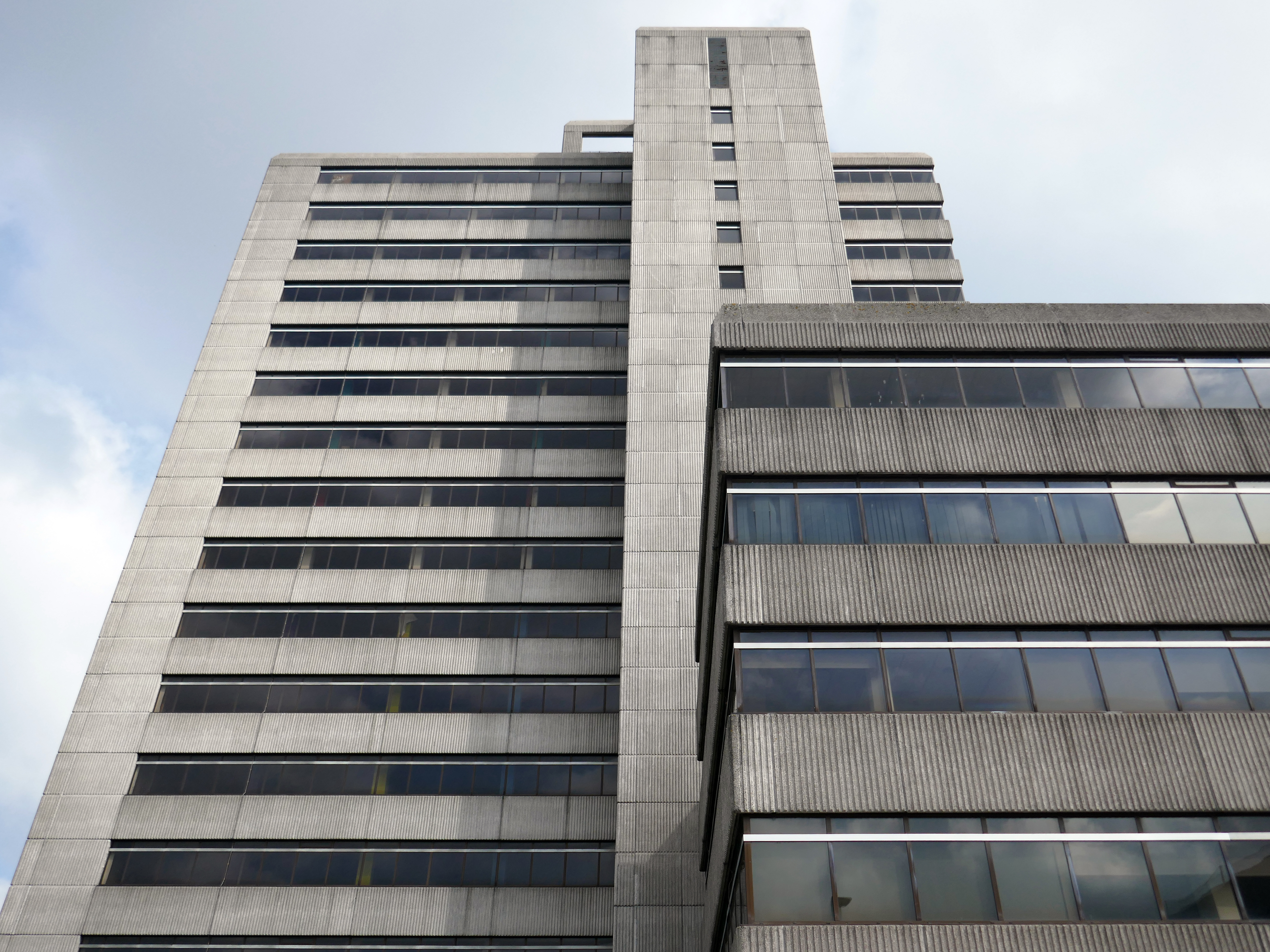
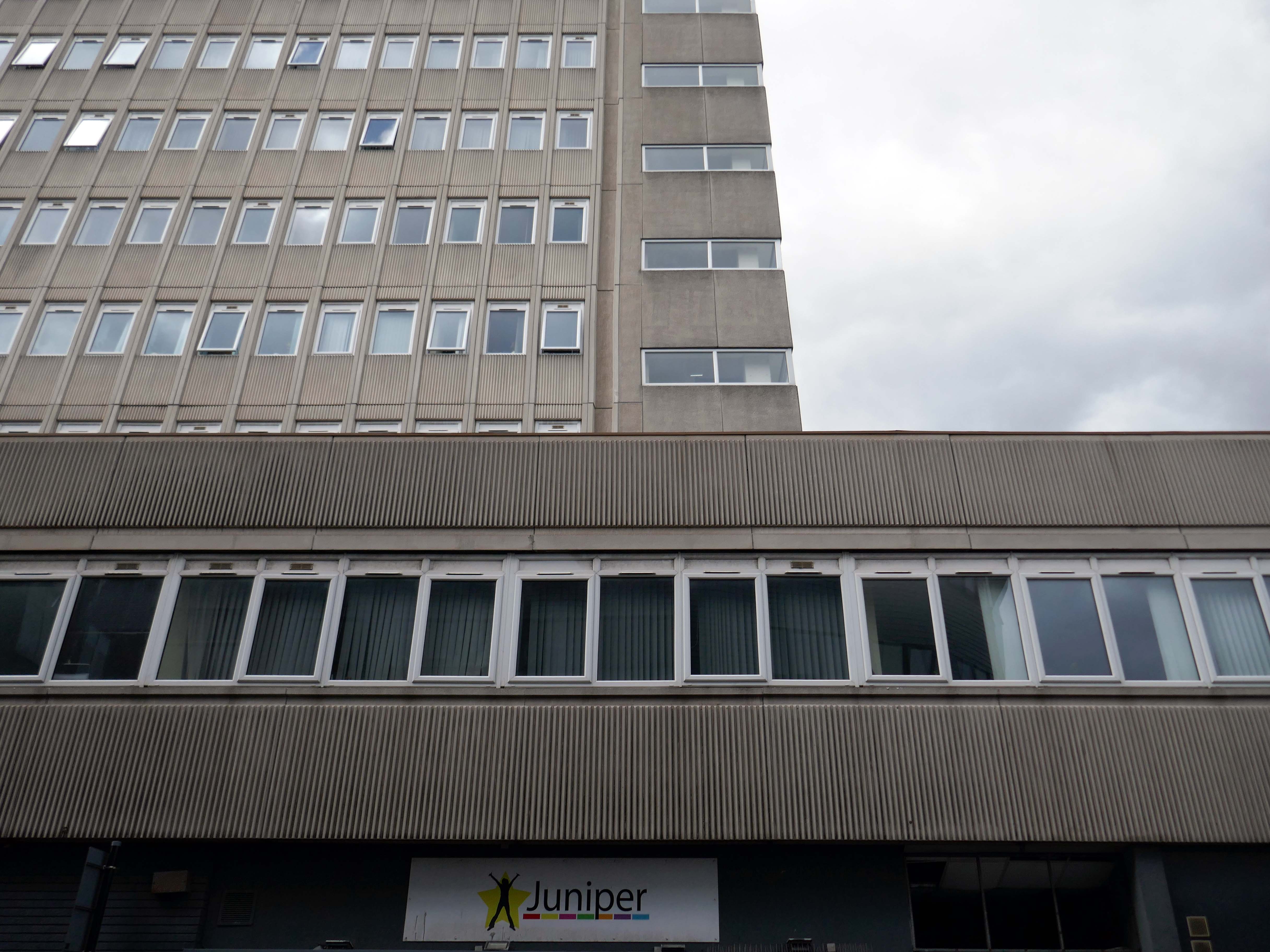
Almost finally we find ourselves at the Council Offices 1982.
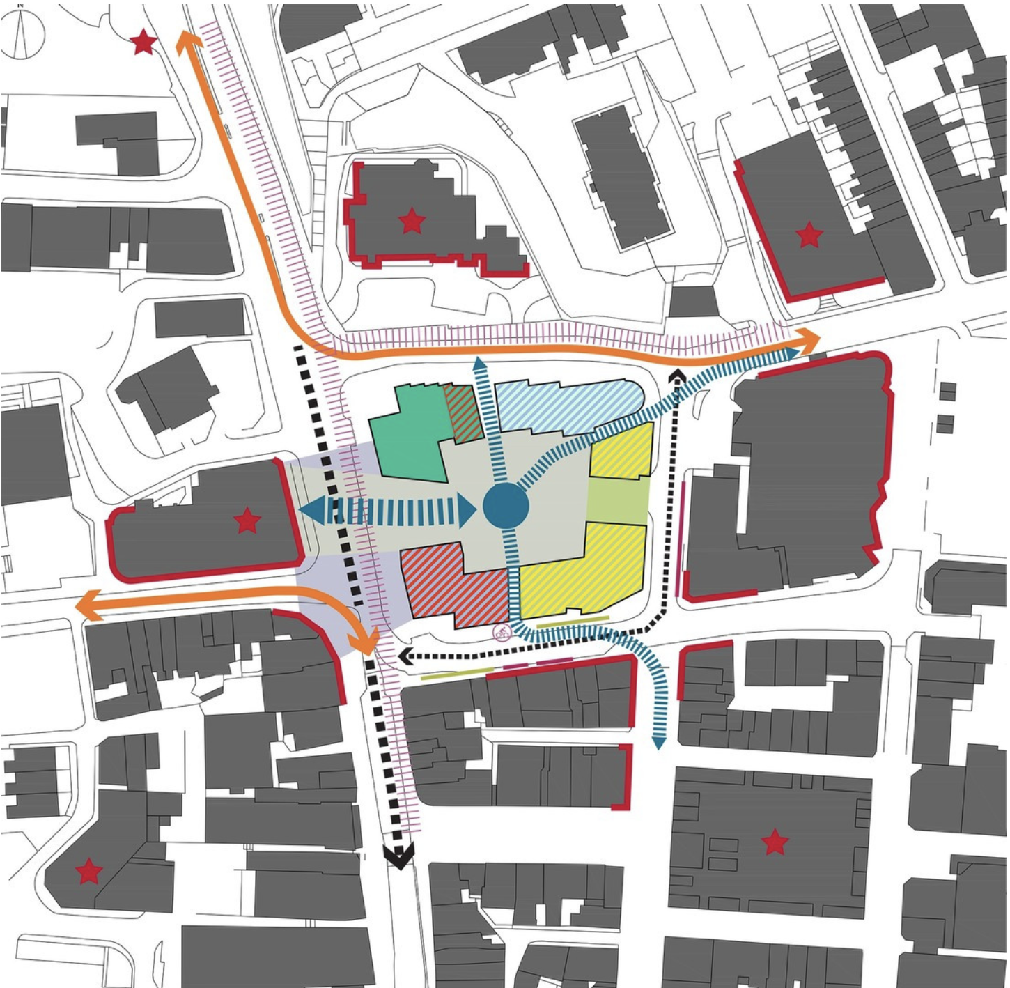
You will be delighted to hear that Chorley Council has a Masterplan
Self Architects generated a high level Masterplan for this prominent site. The scheme proposes a boutique hotel, offices, restaurants/bars, along with apartments, aiming to transform the town centre by intervention to enhance the overall vision by:
Establish a series of formal/informal public spaces
Diagonally link public spaces
Greening pedestrian streets
Reducing dominance of cars
Improving evening economy
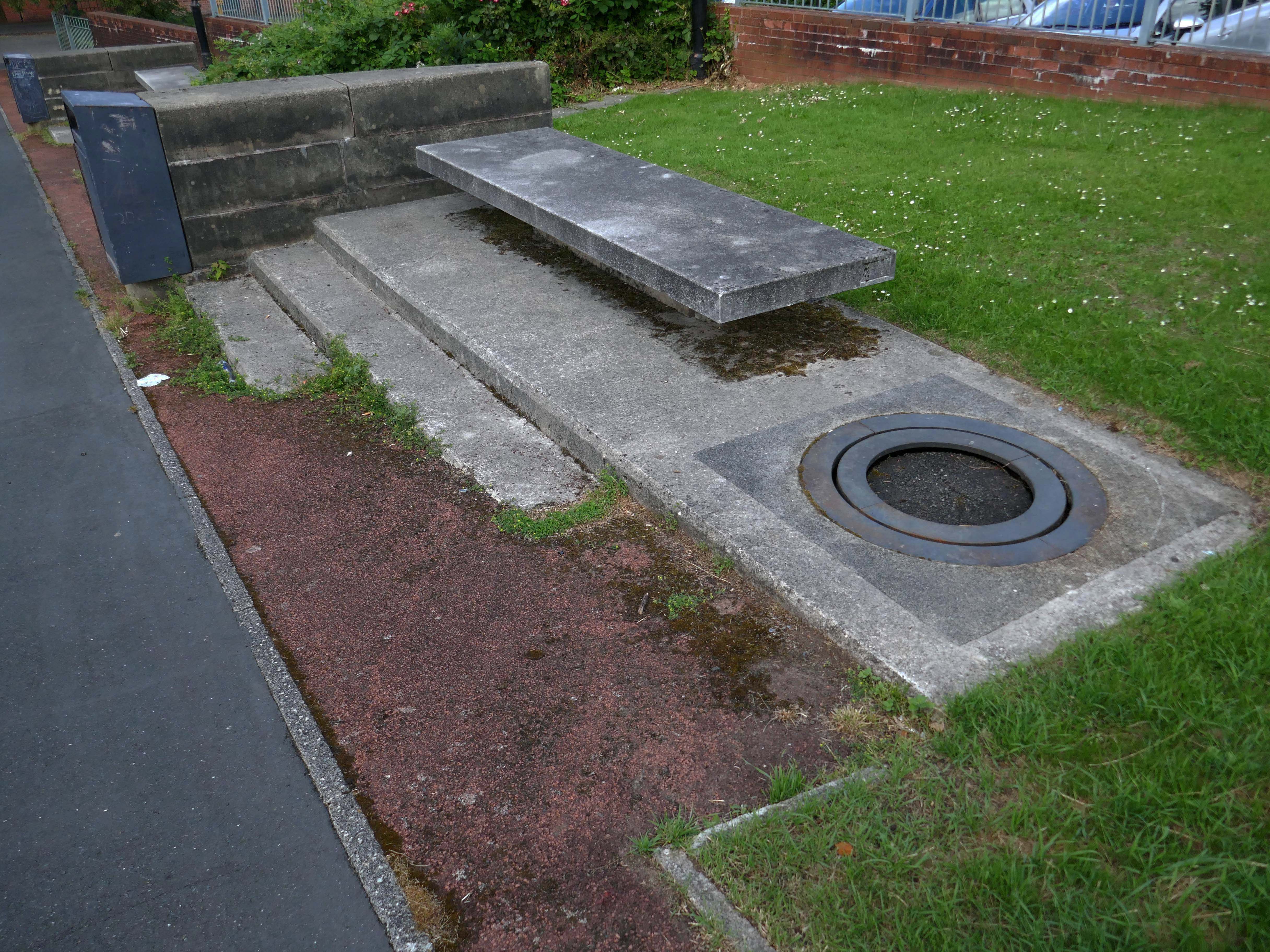
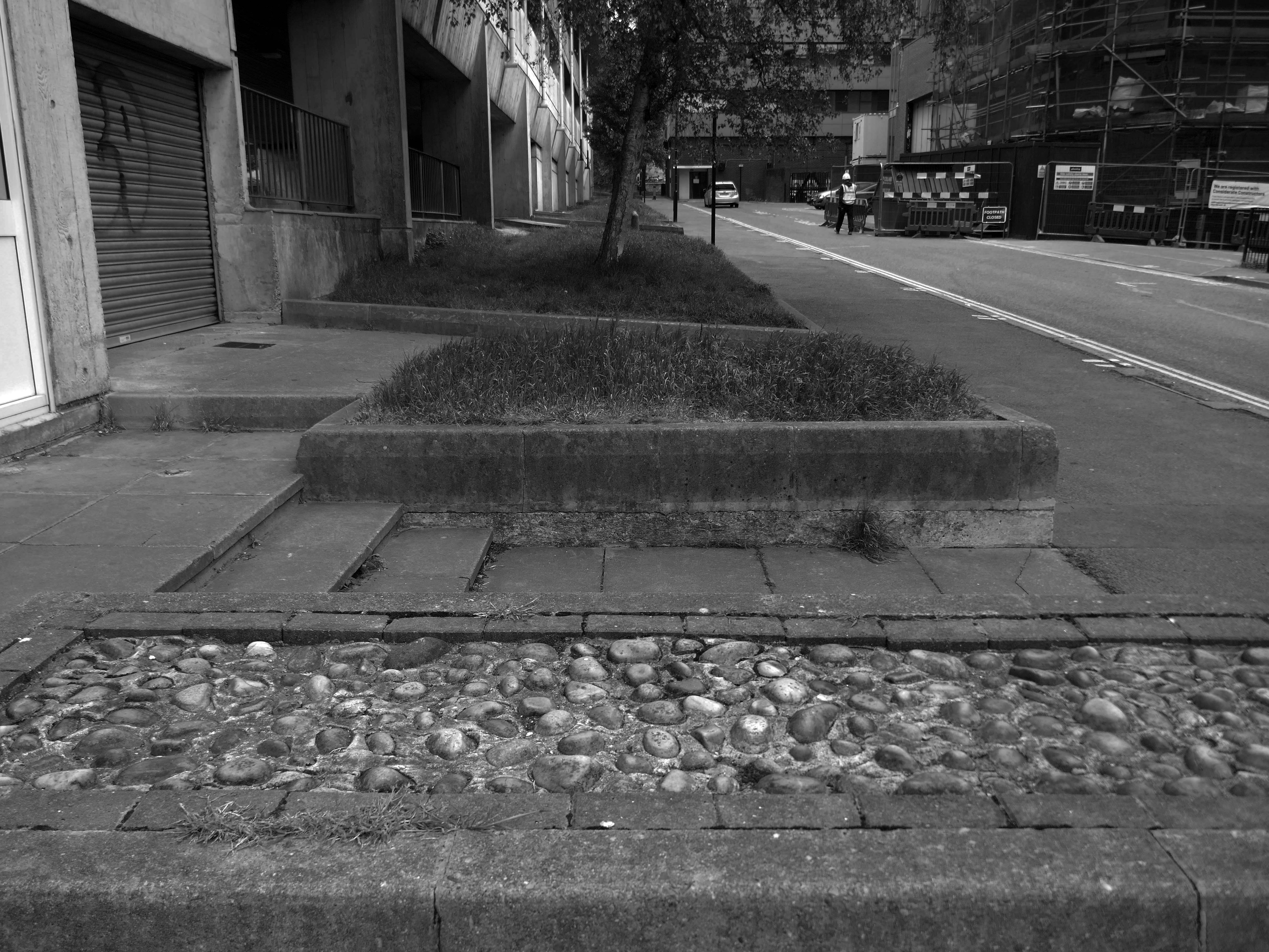
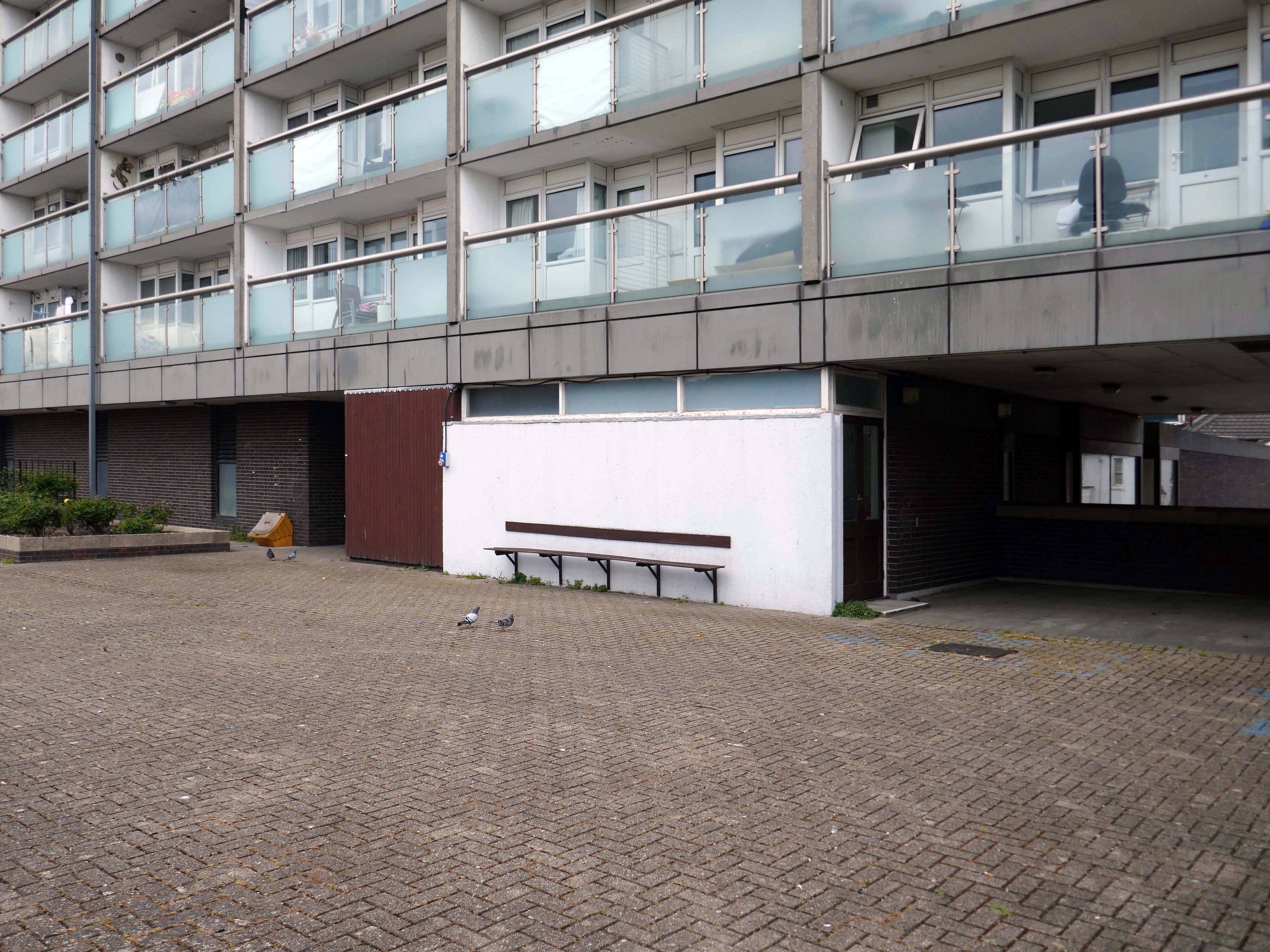
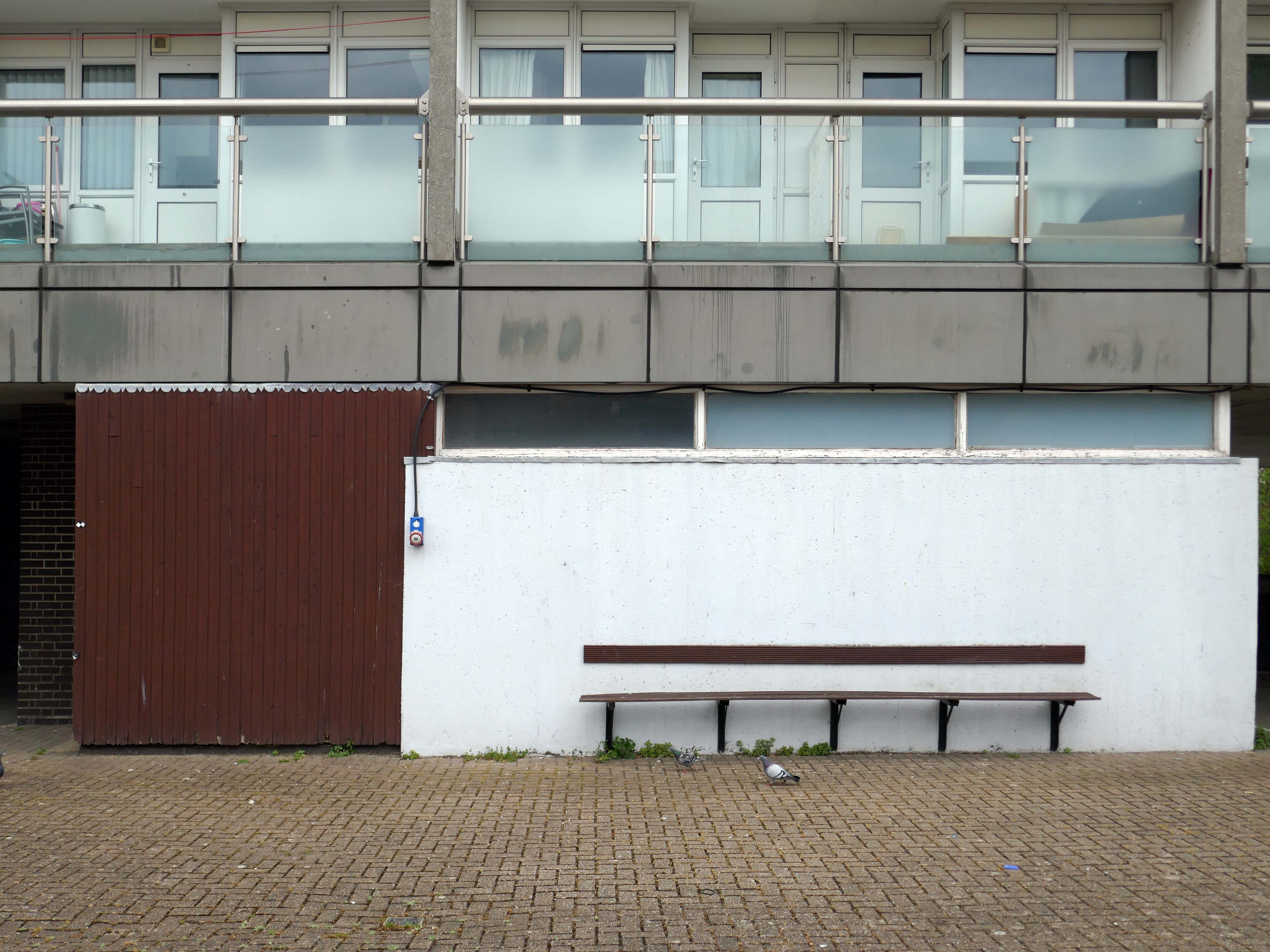
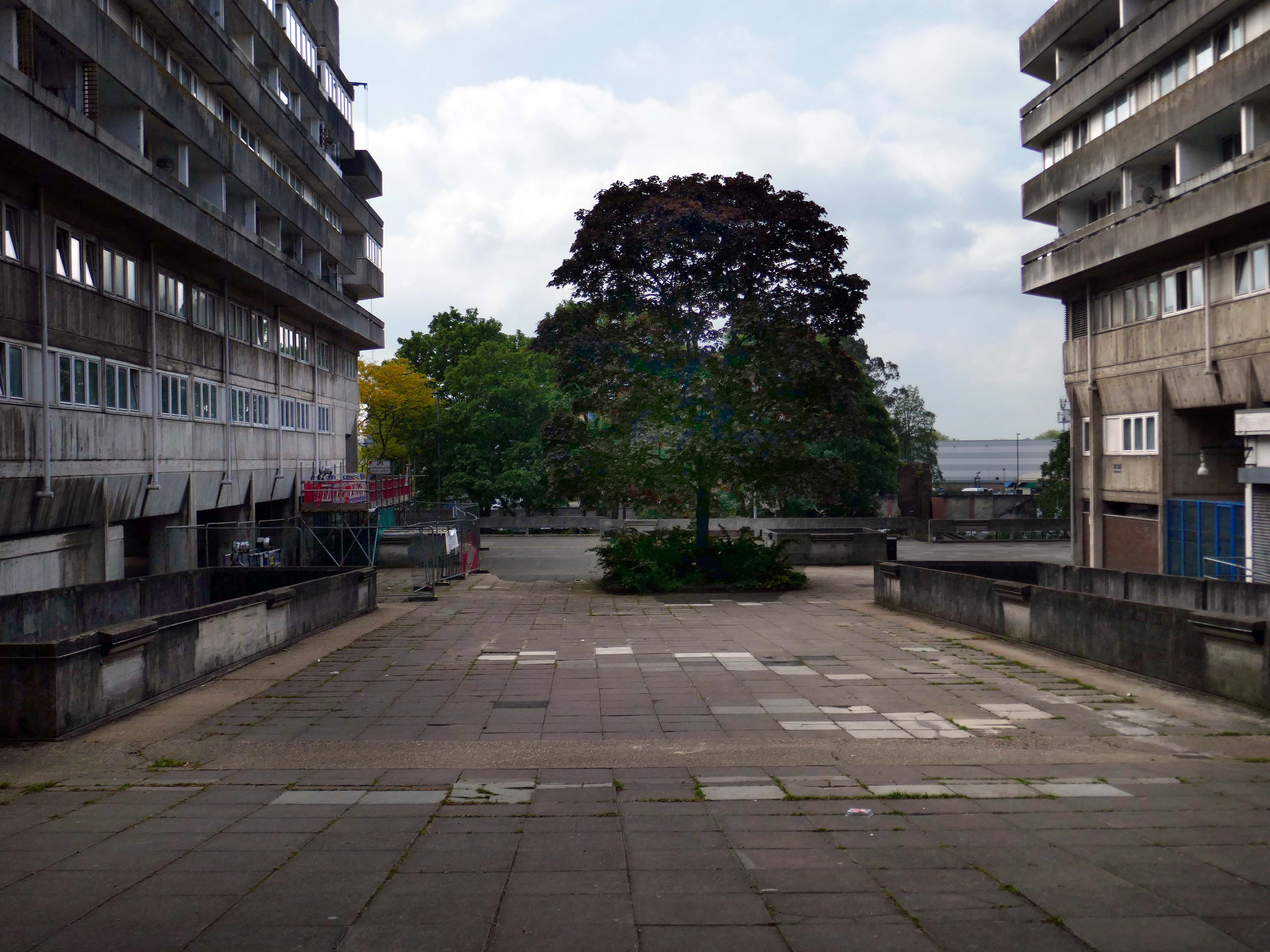
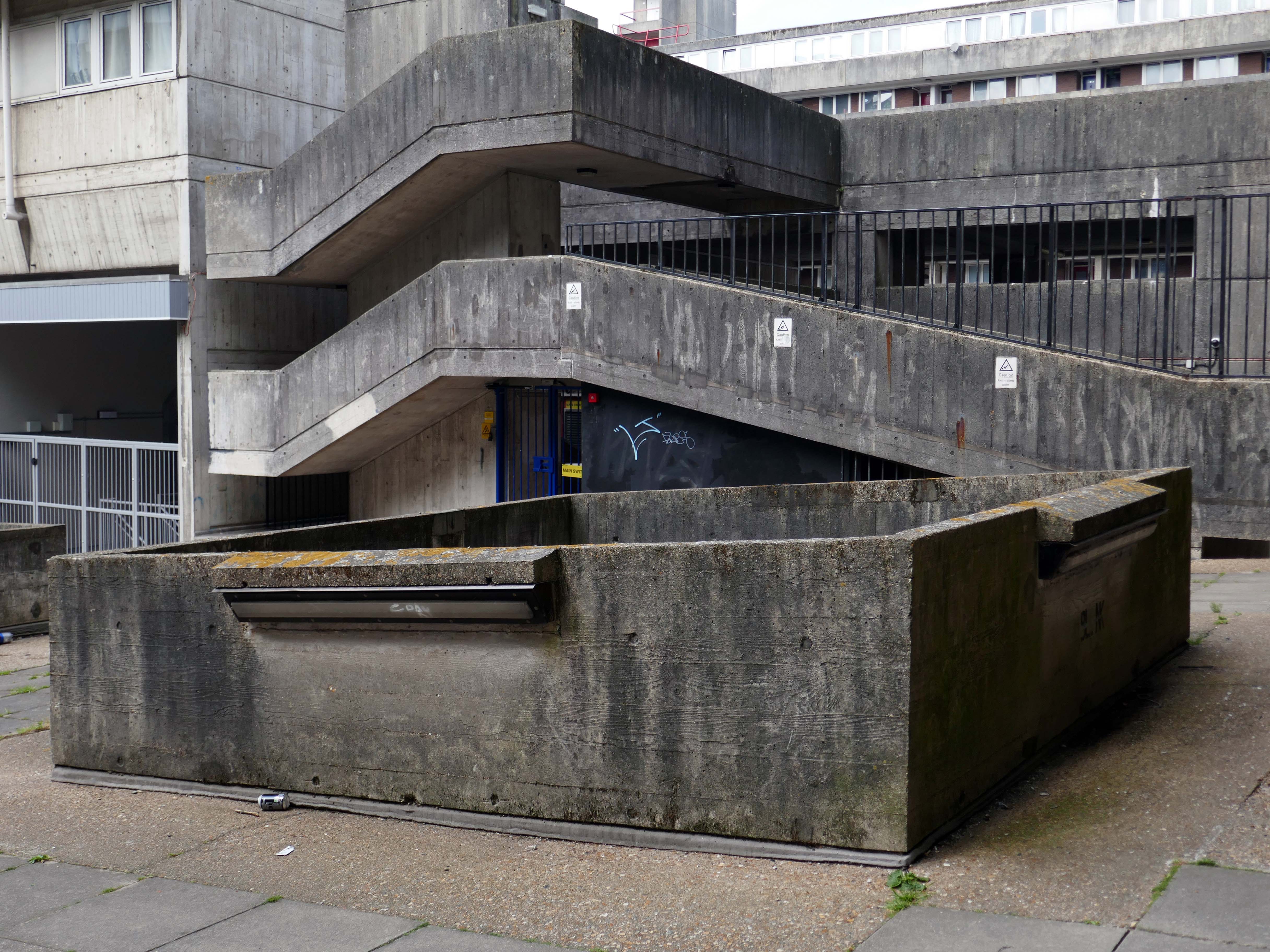
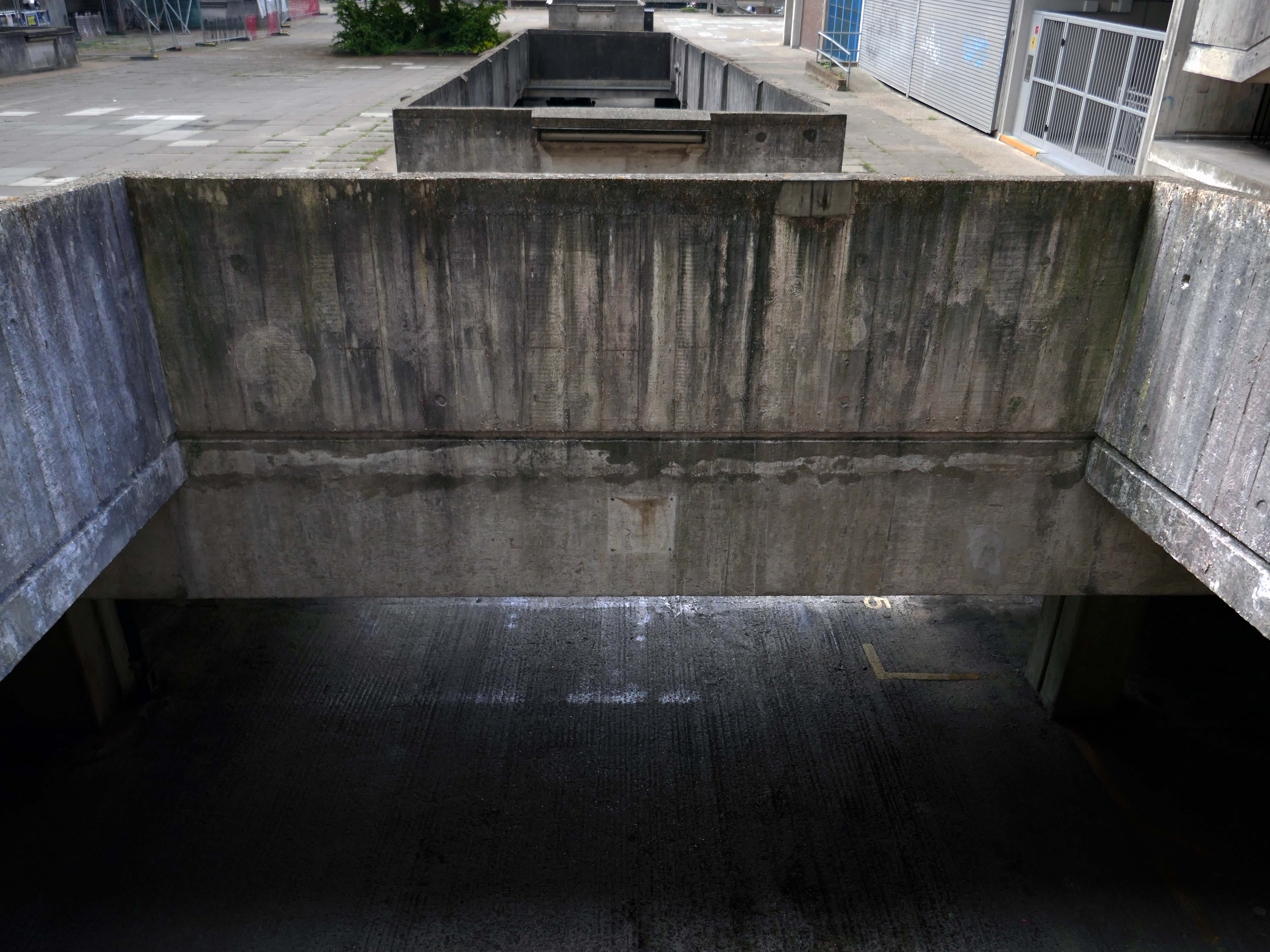
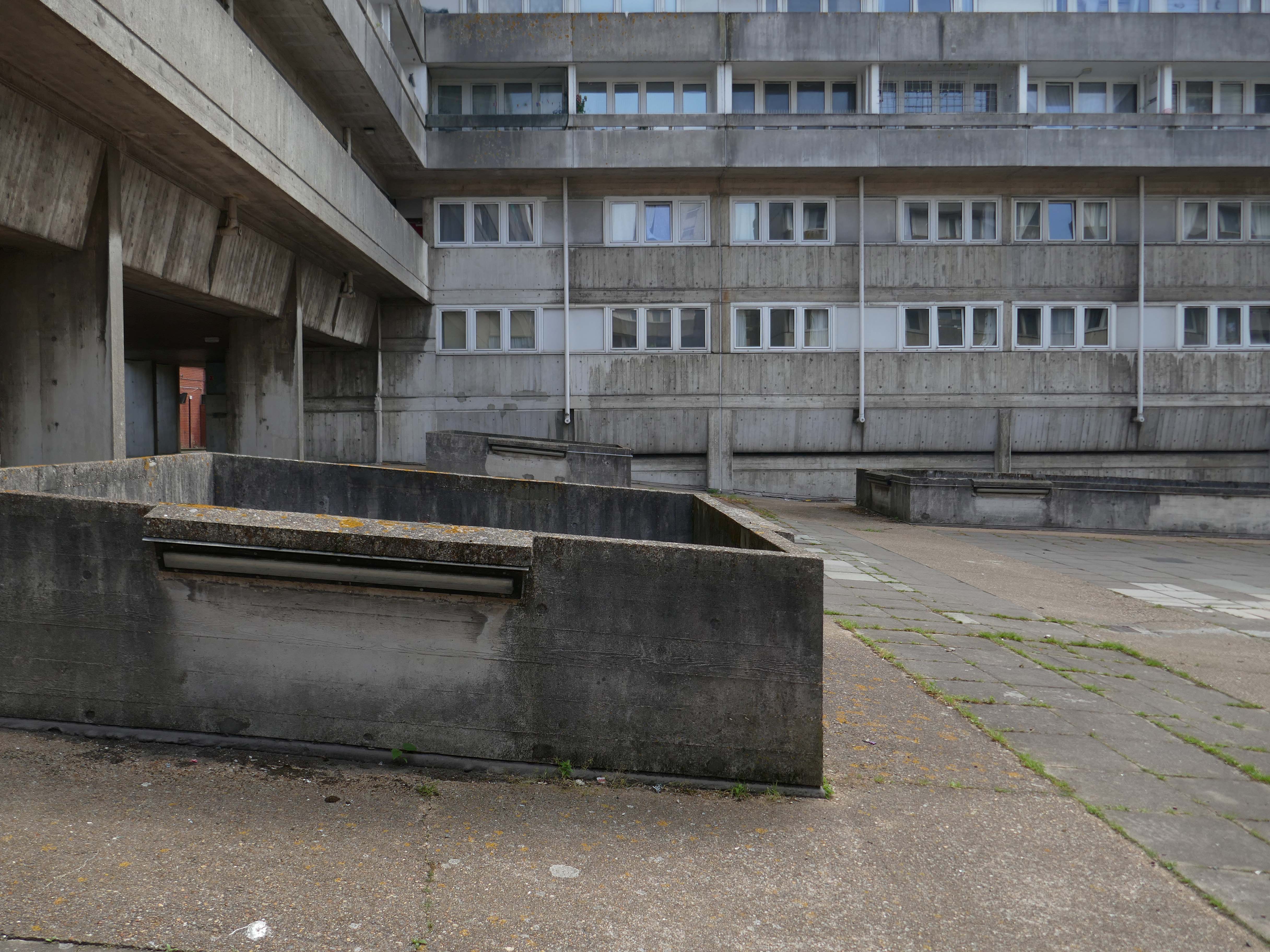
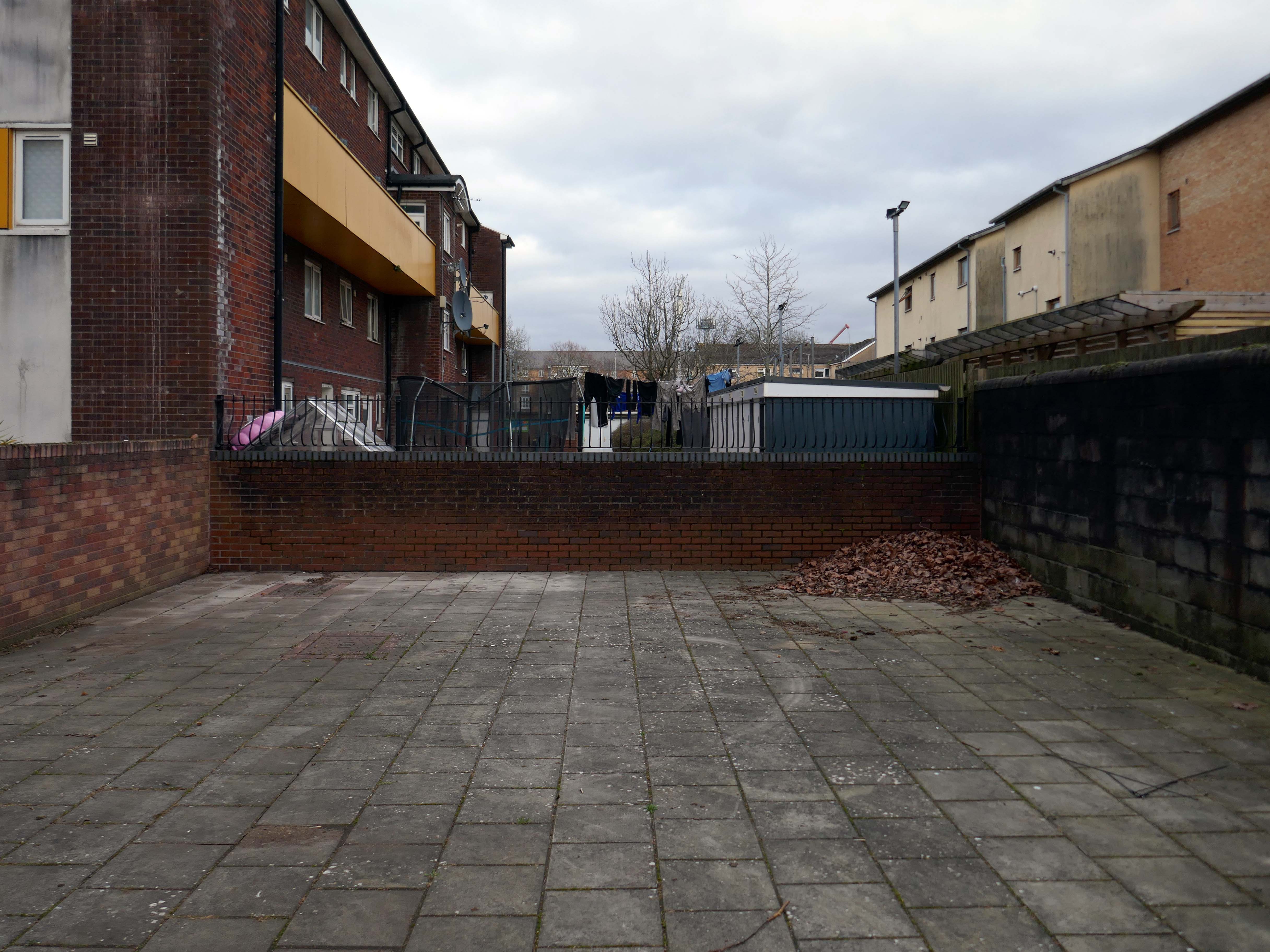
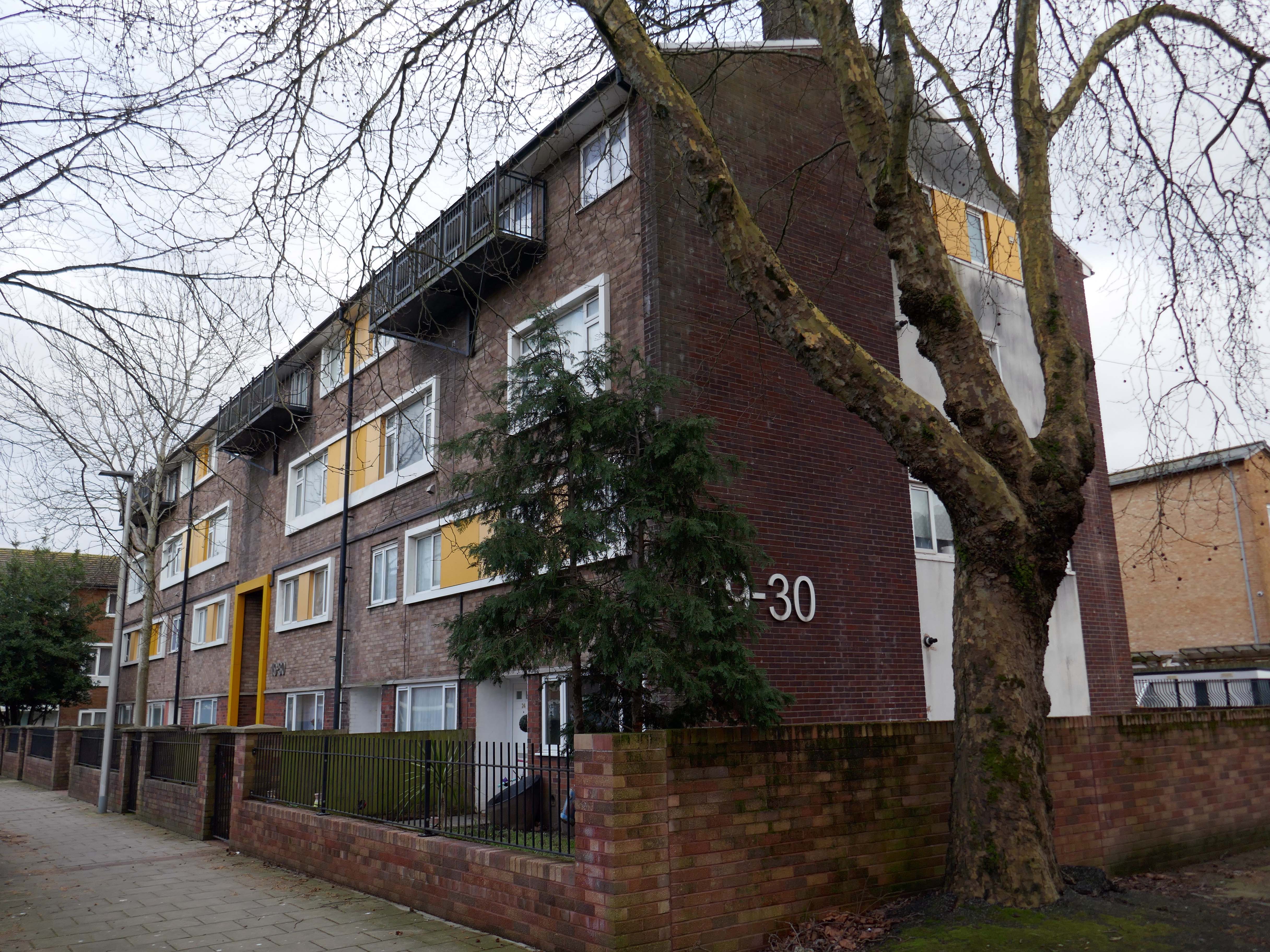
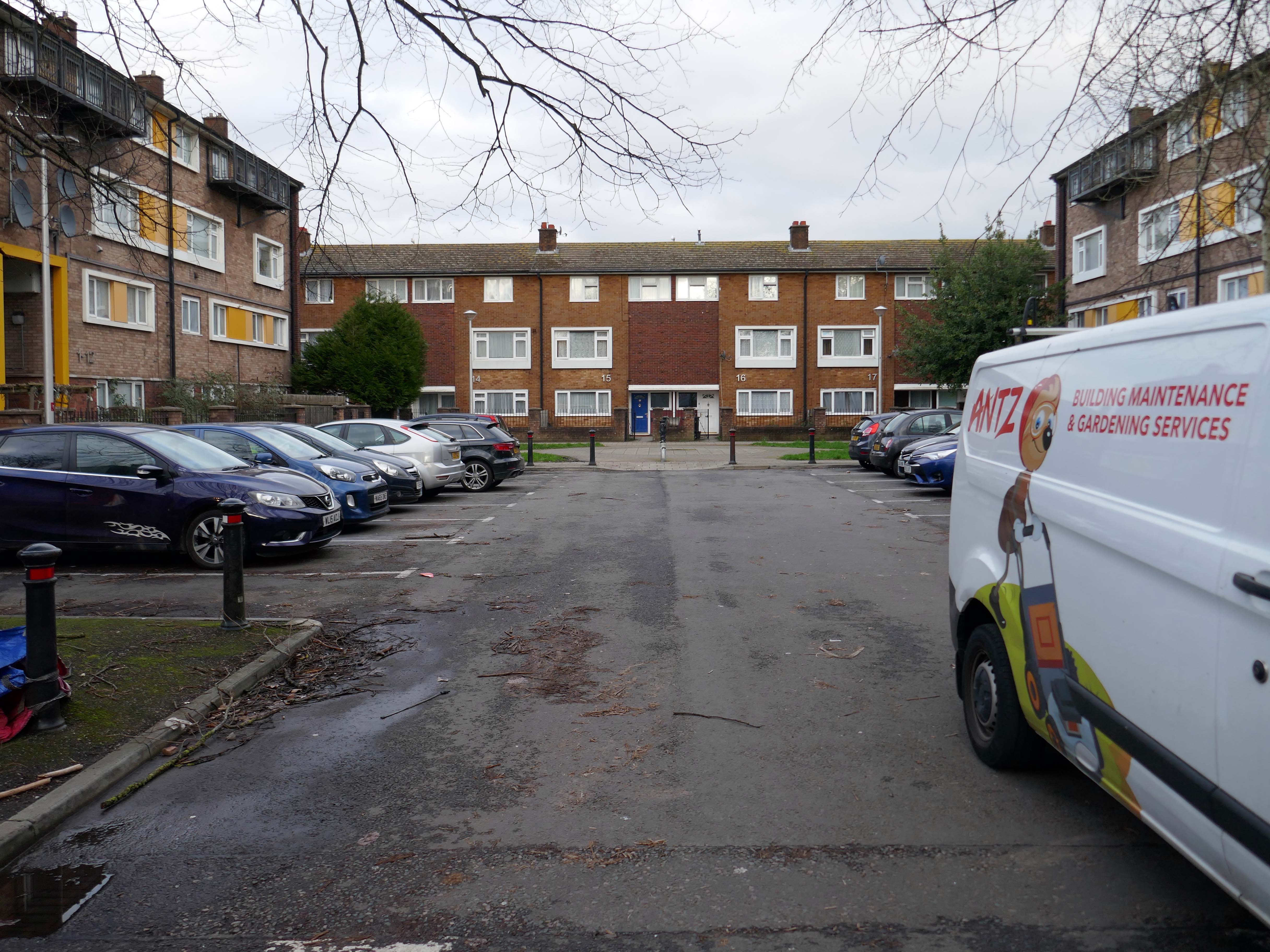
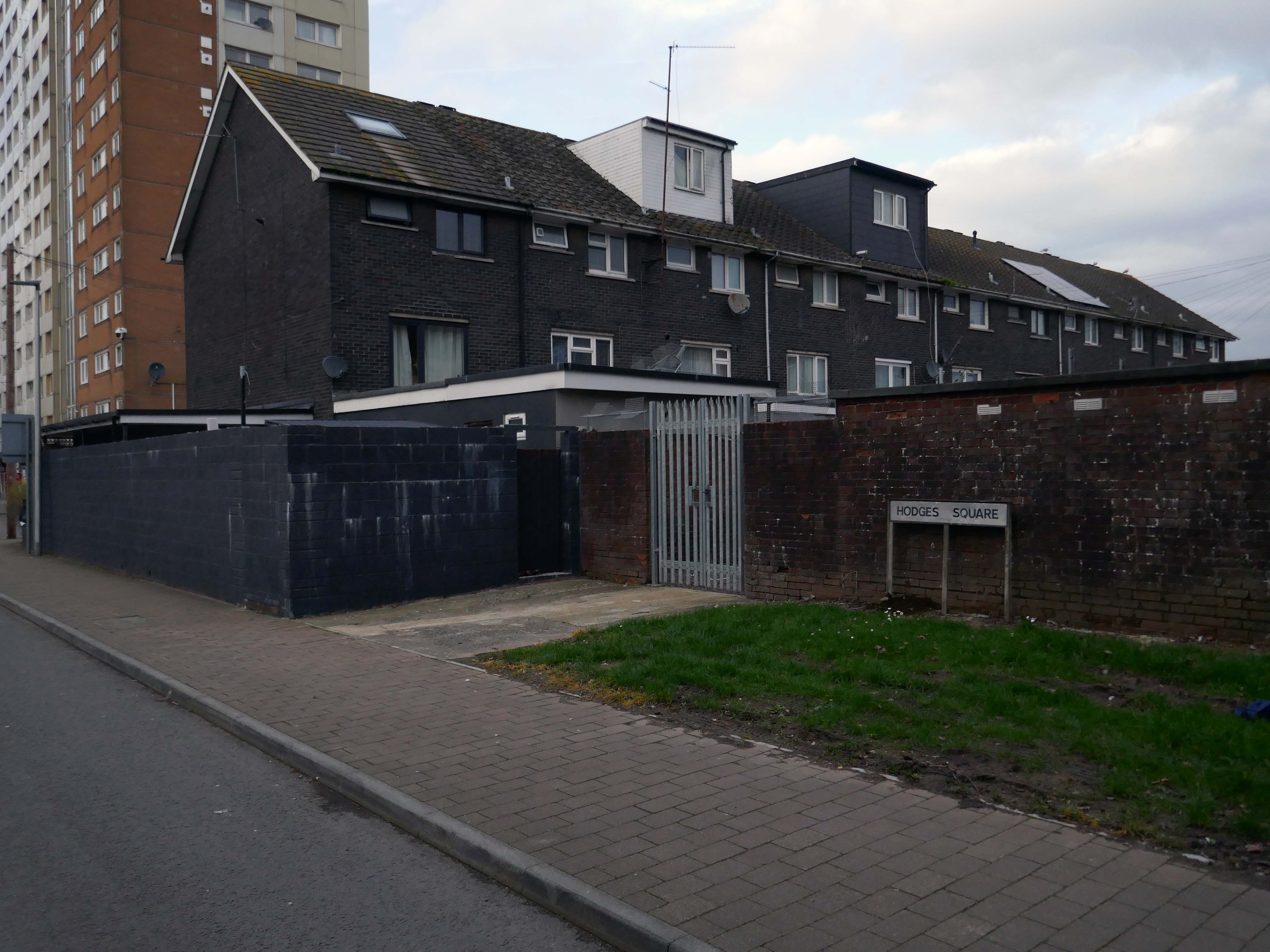
Having a moment or two on my hands I ventured to the land beyond beyond – the land of the concrete bench, bin and planter combo.
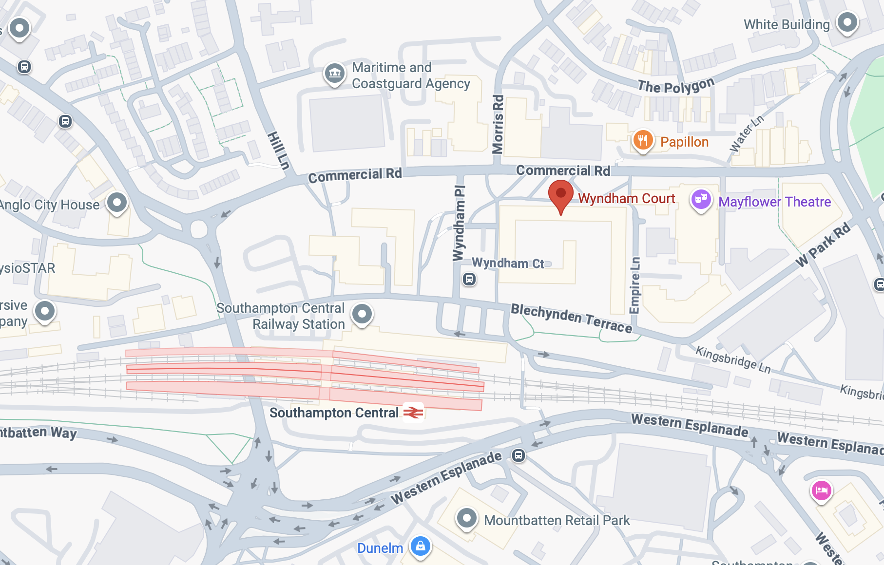
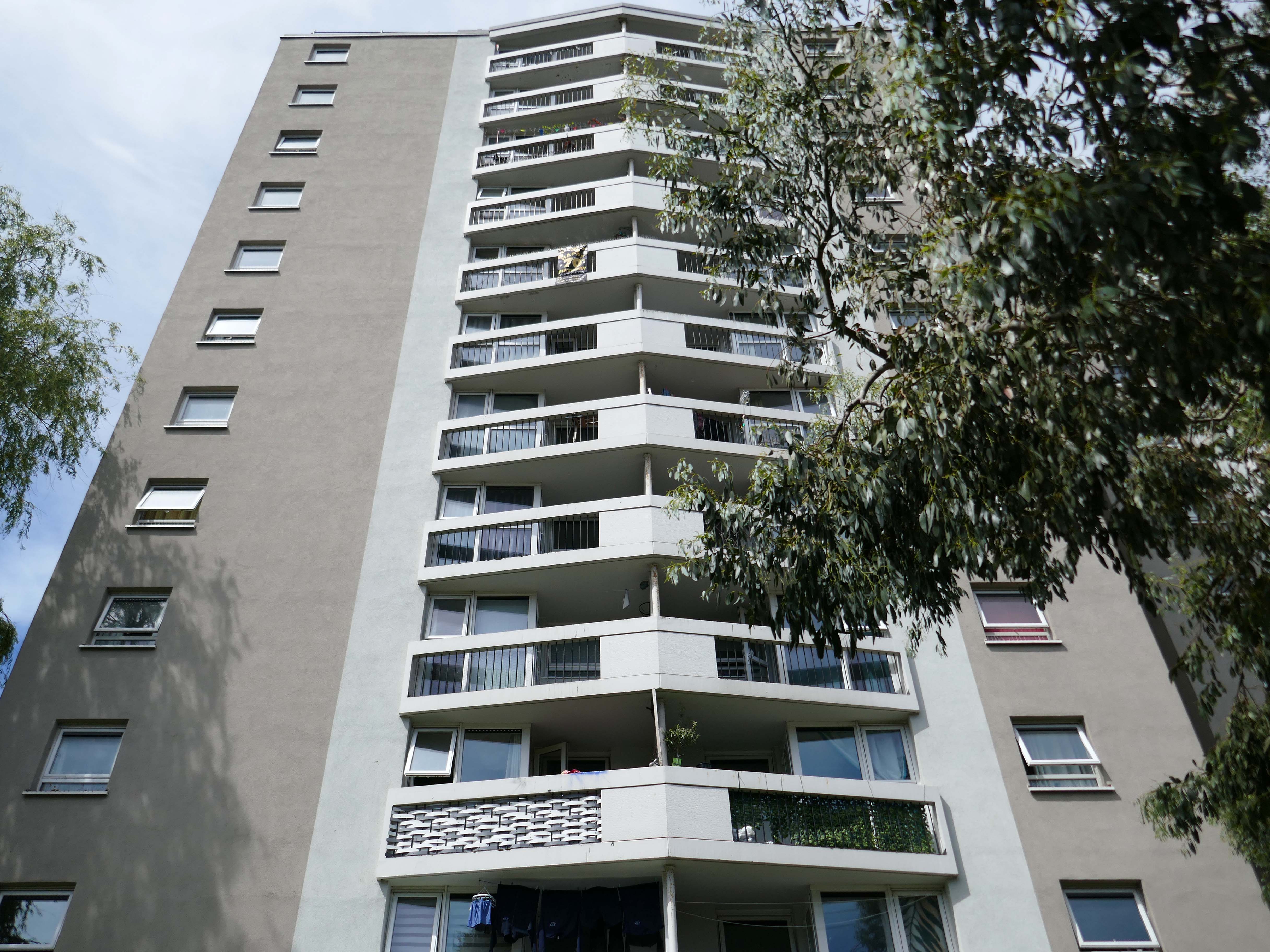
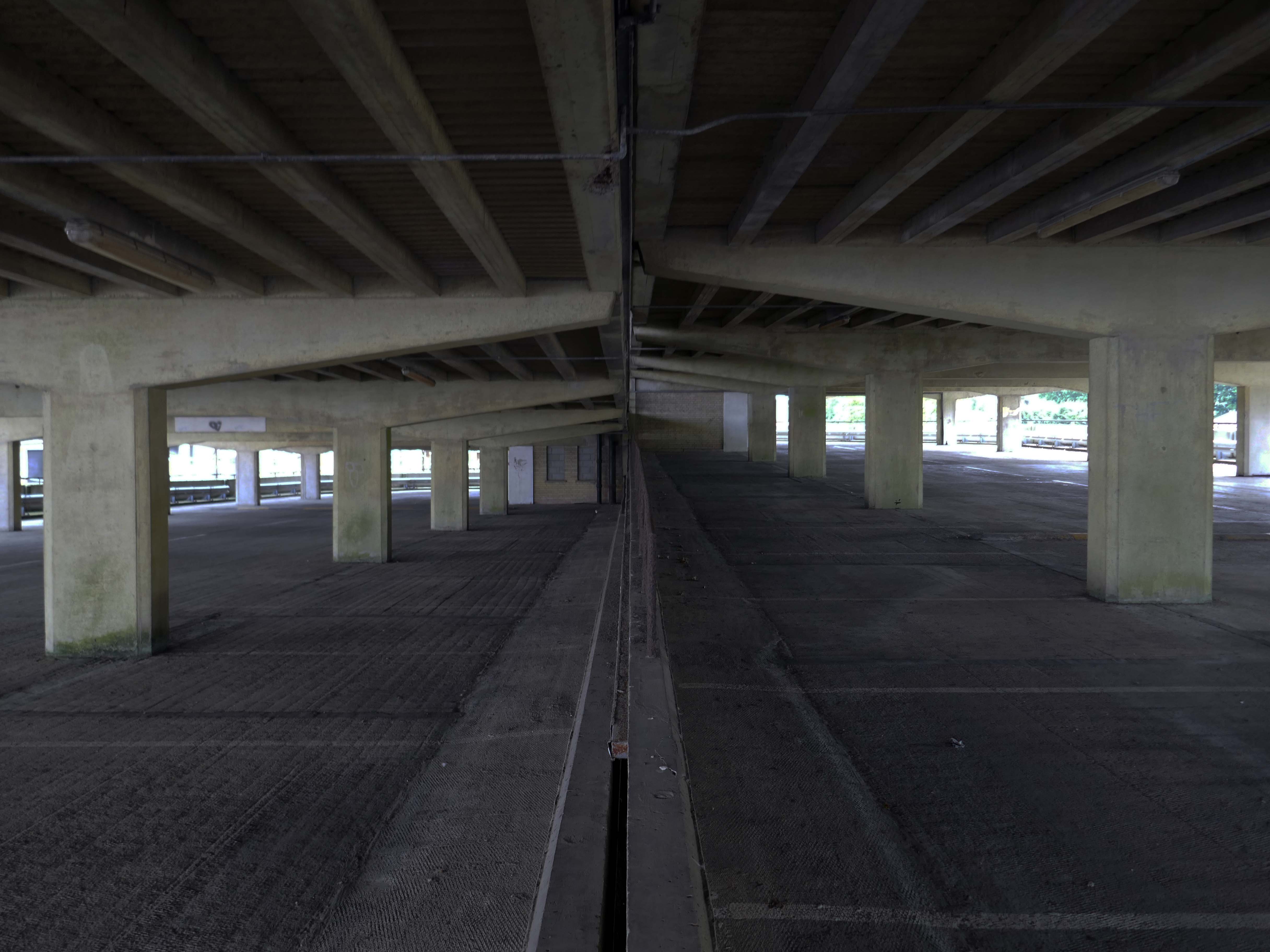
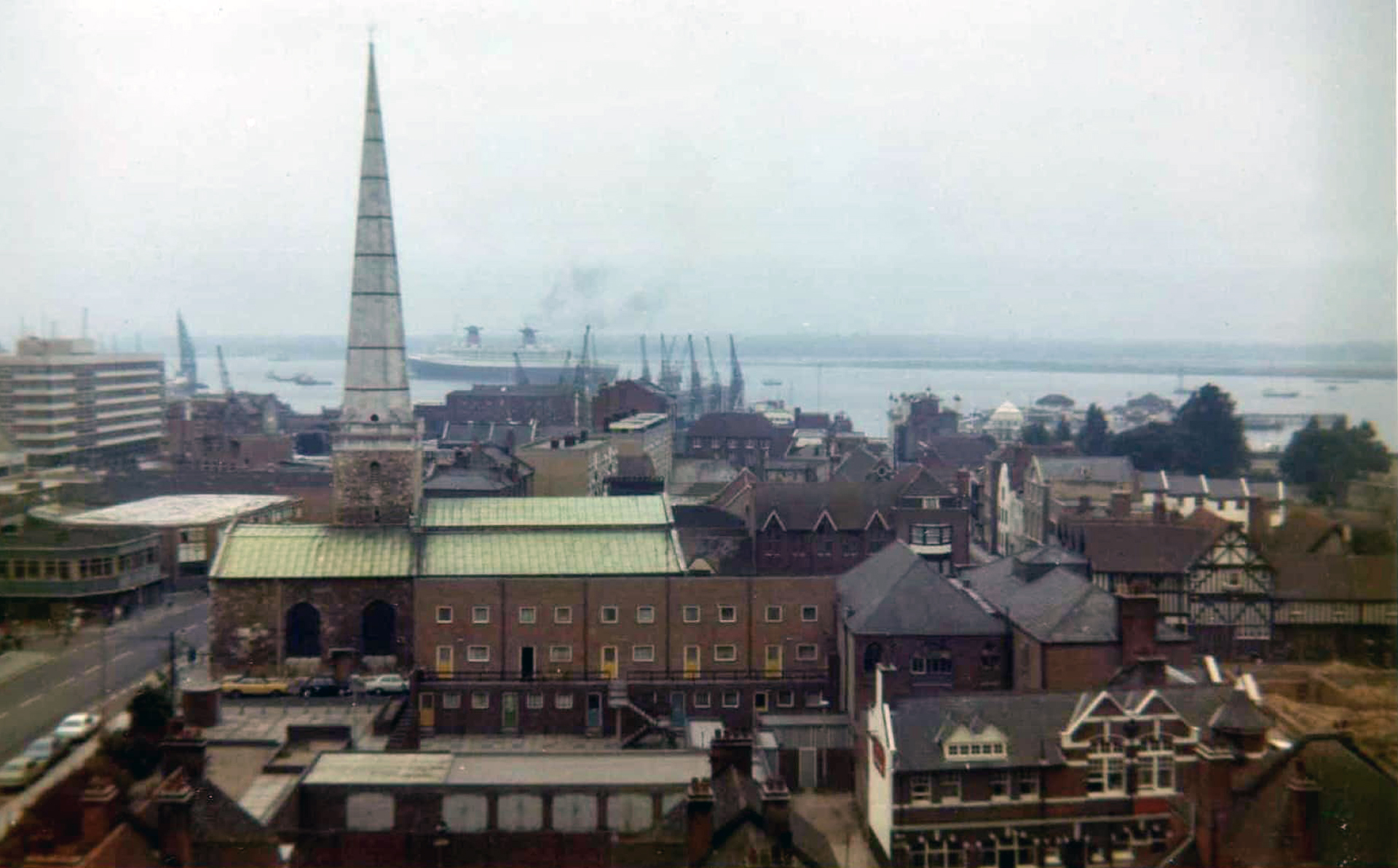
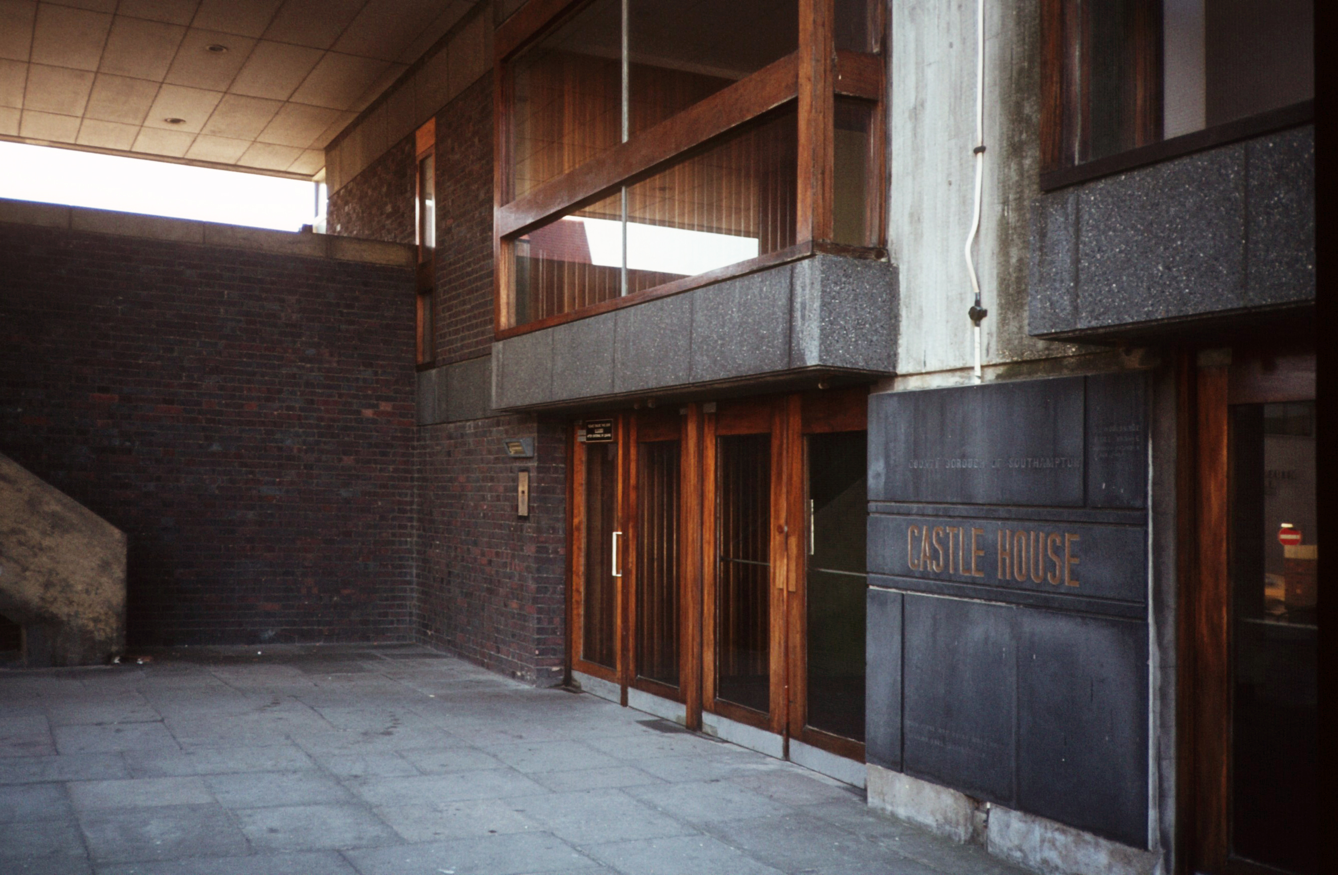
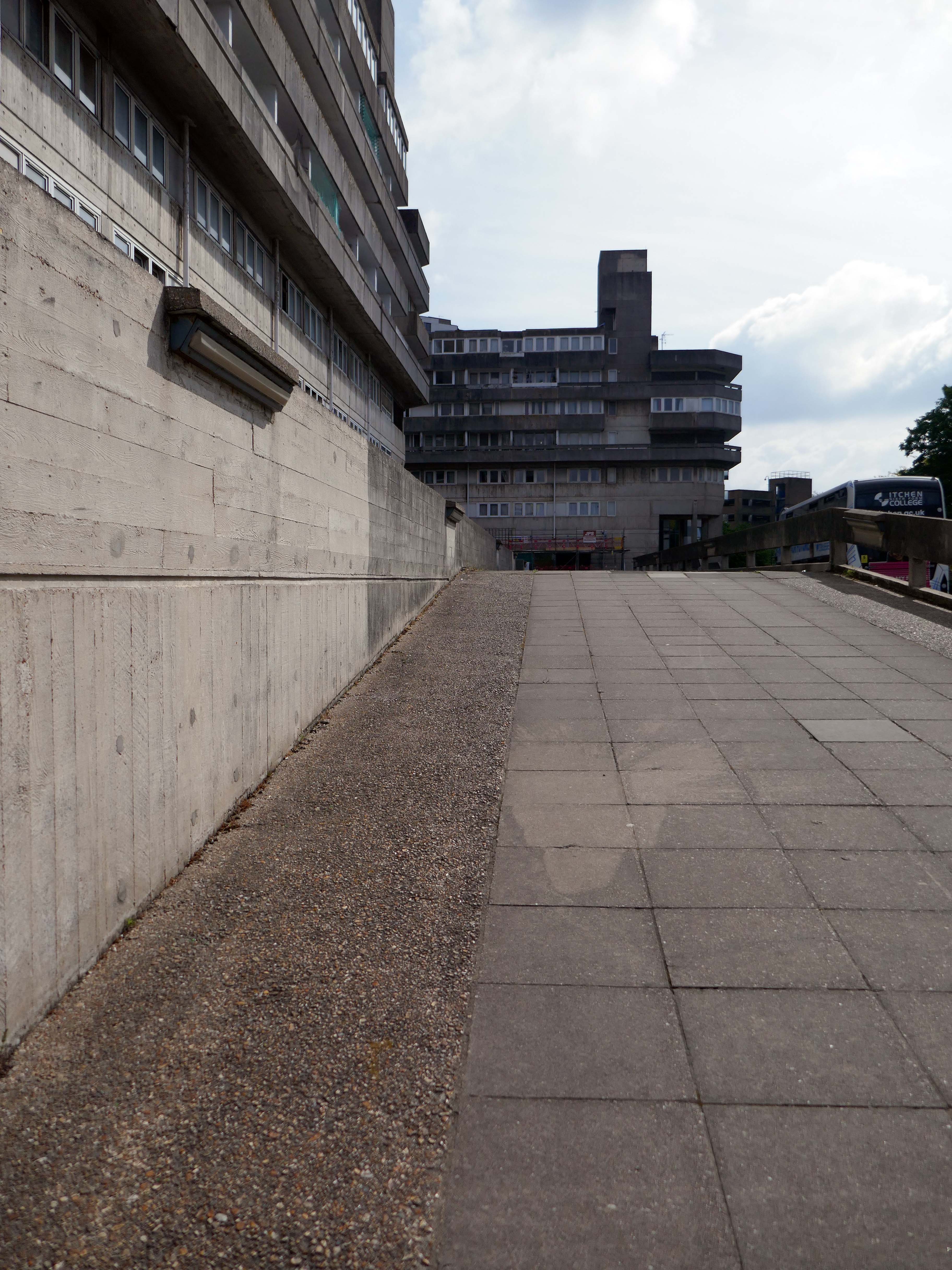
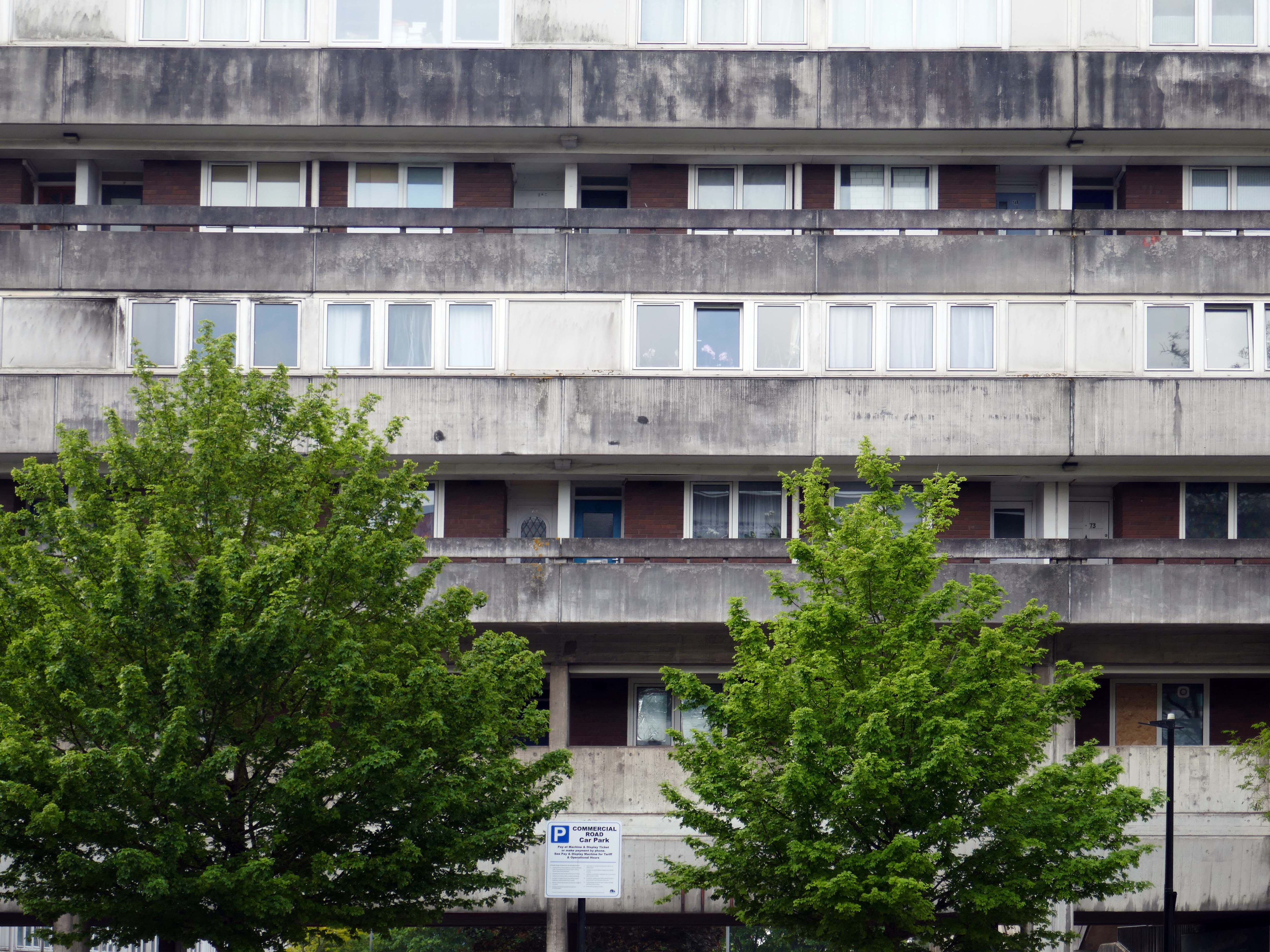
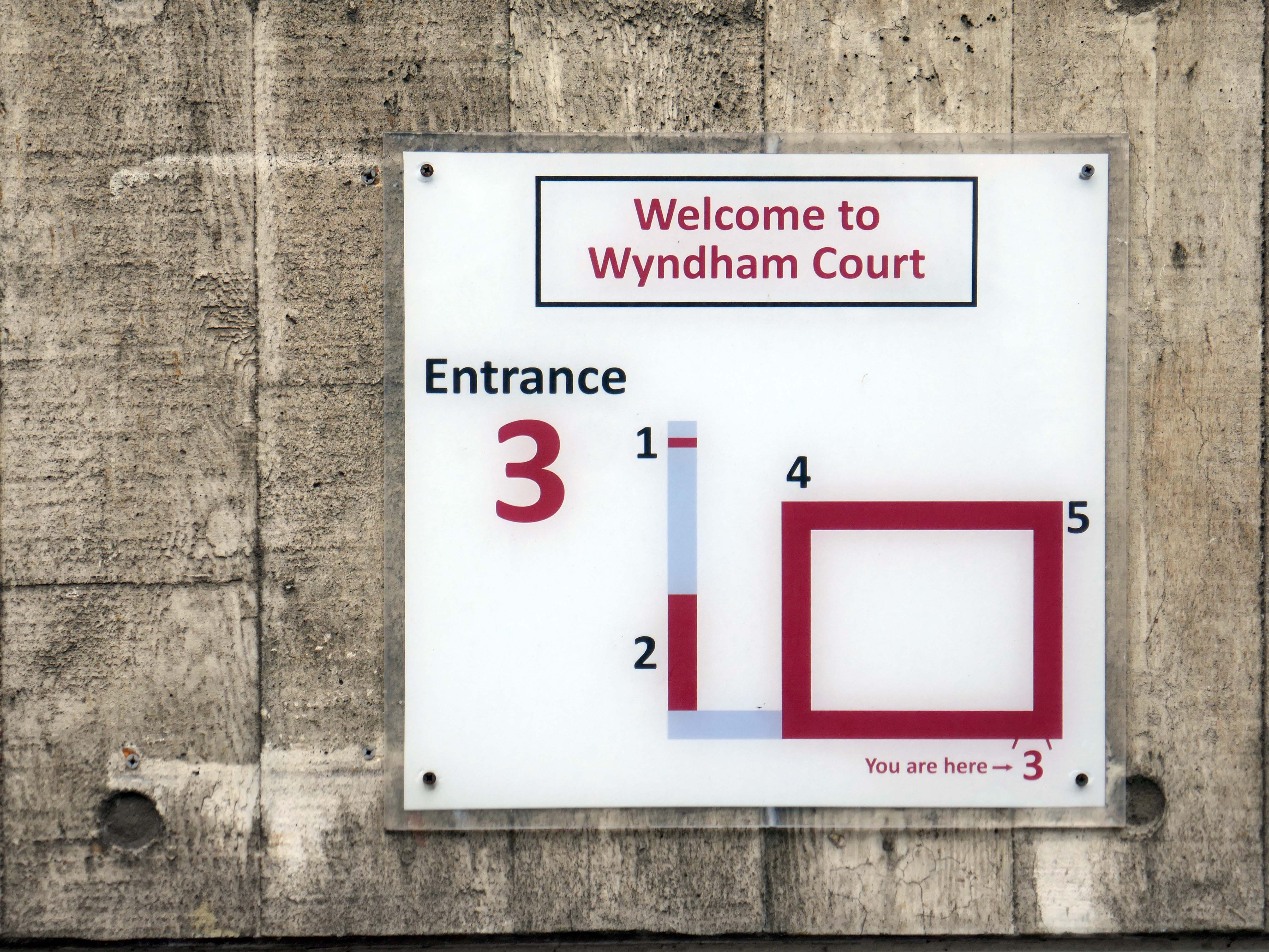
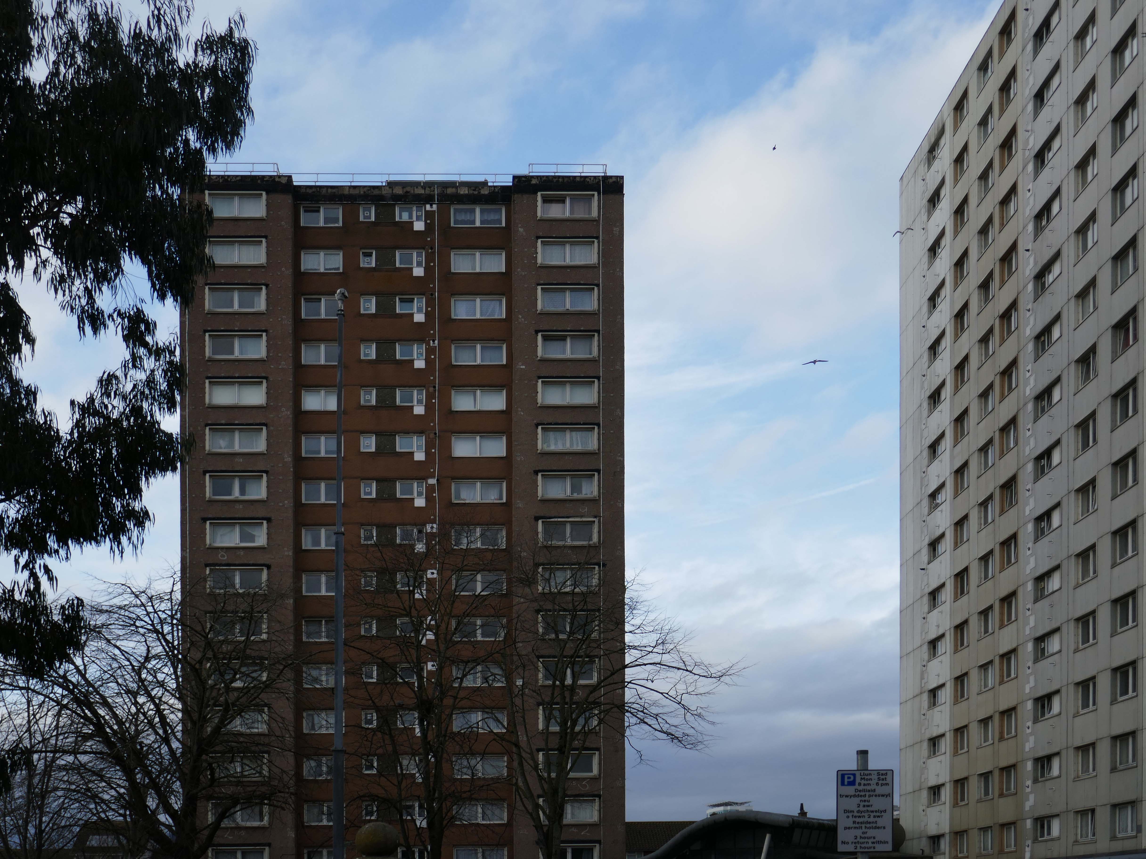
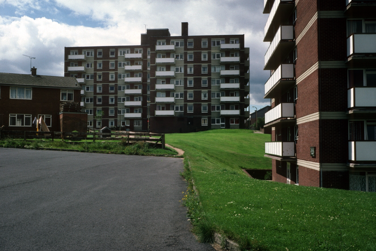
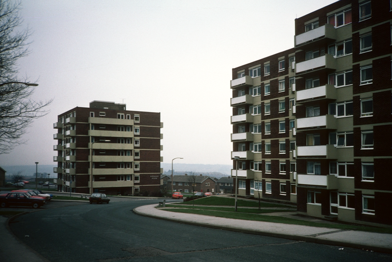
I had spent the day in Southampton in May, the first area I explored was Wyndham Court.
At the end of a long day I found myself there again, with an hour to spare before my train back to Bournemouth.
The sky was no longer blue, the sun was now occluded.
The photographs were almost monotone, so with a small tweak I made them monochrome.
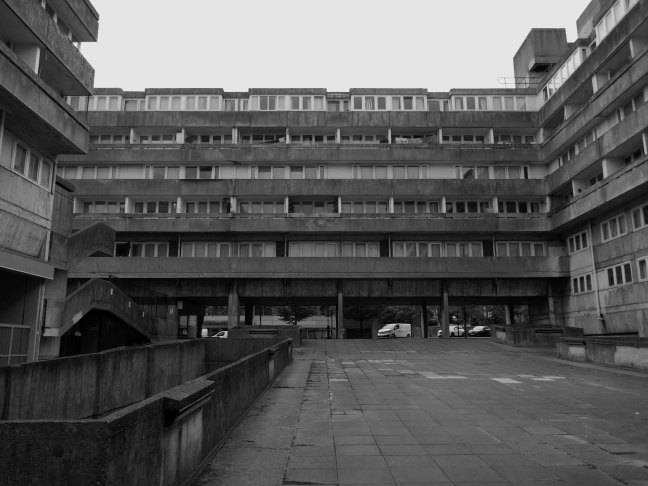
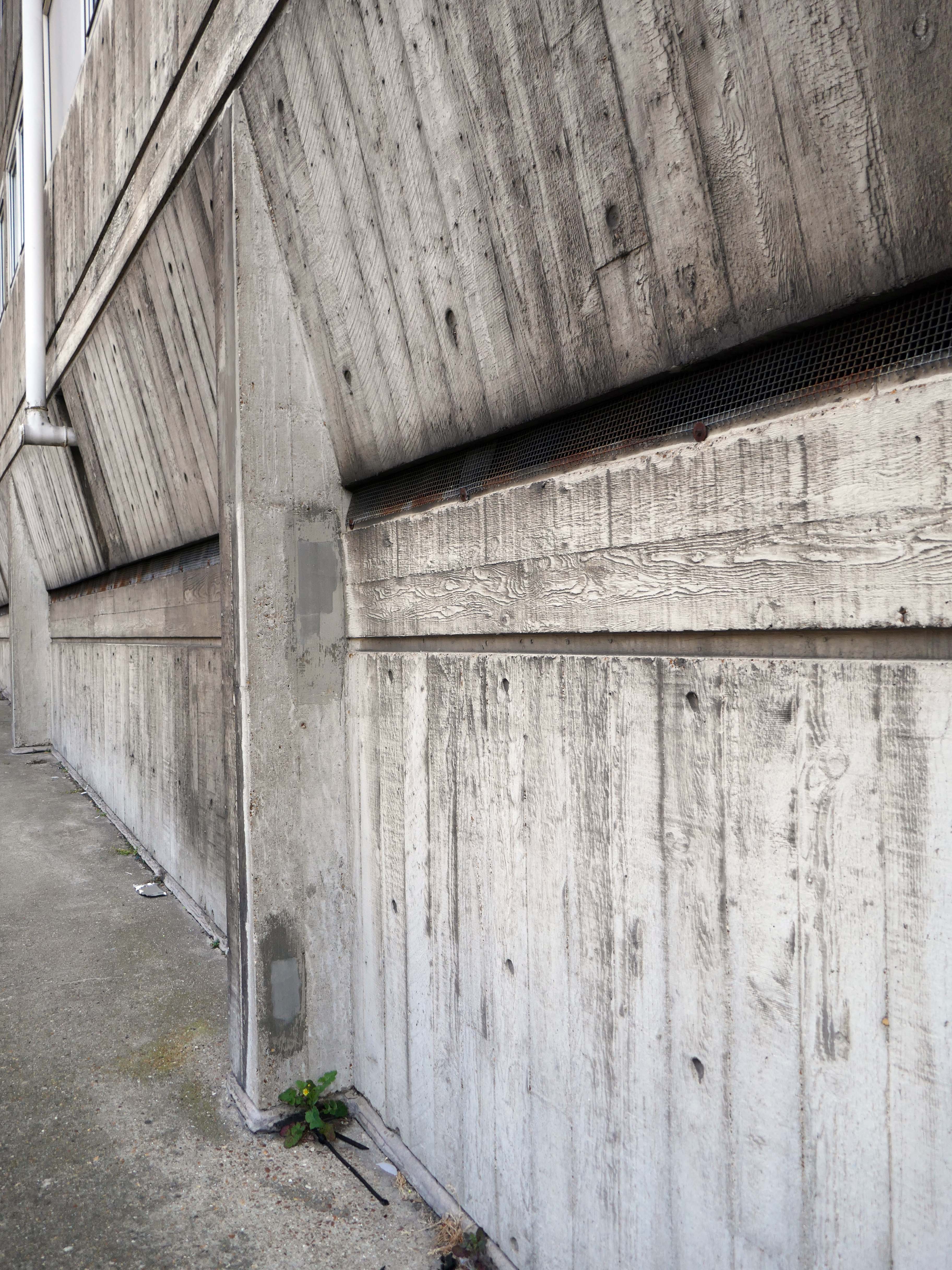
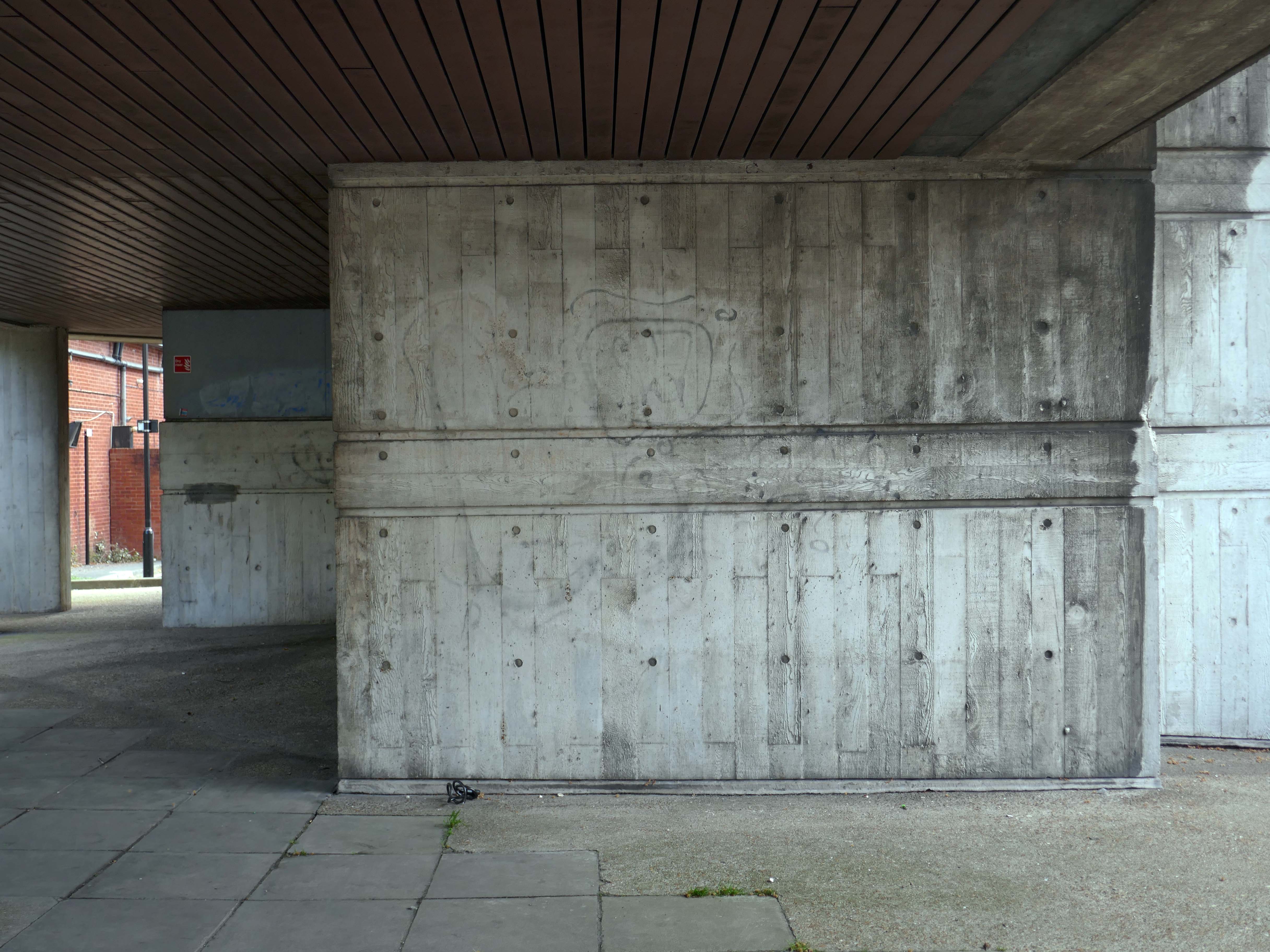
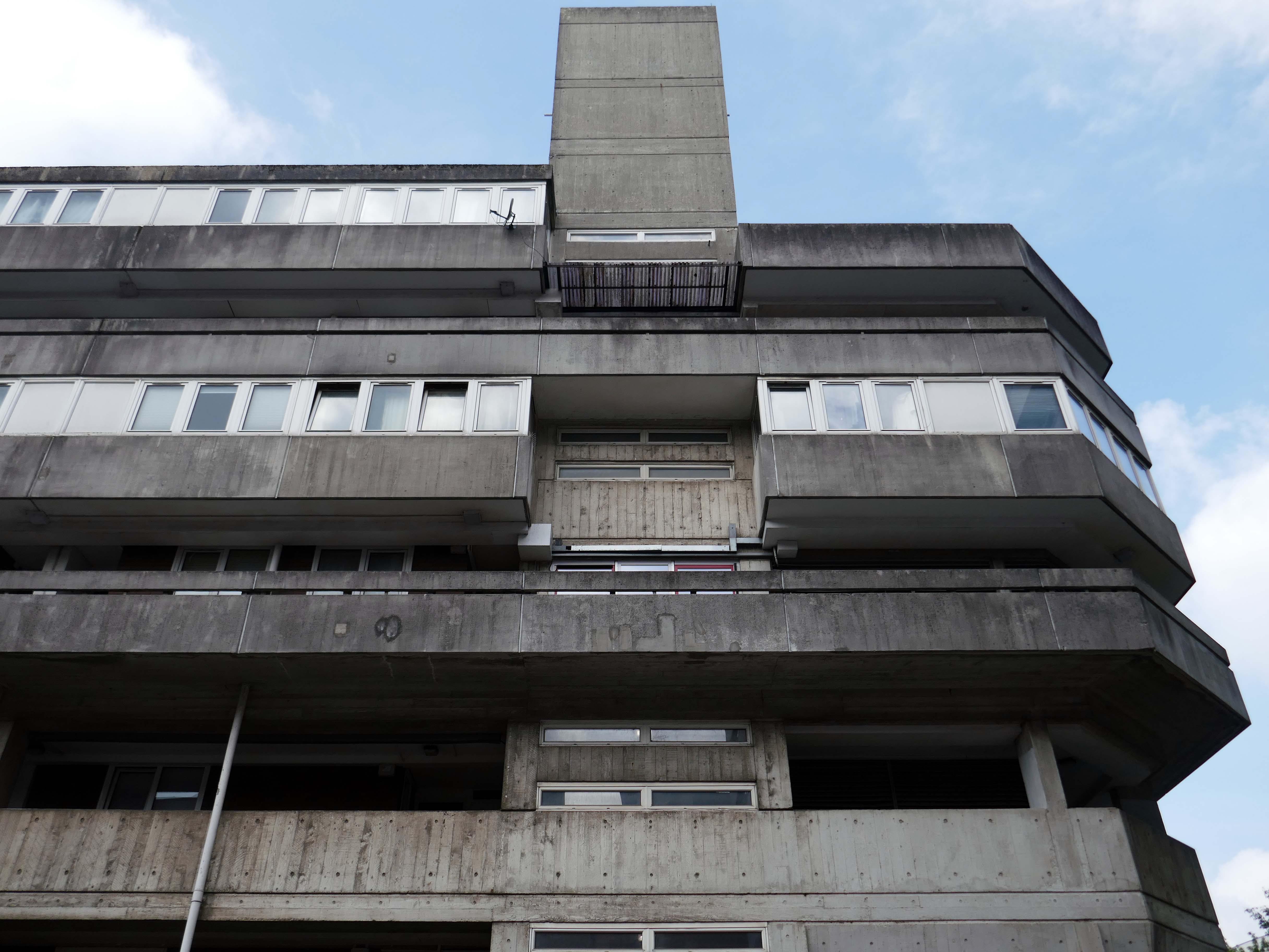
Designed by Lyons Israel Ellis for Southampton City Council in 1966, ED Lyons being the partner in charge and architects Frank Linden and Aubrey Hume also assigned to the job.
The structural engineers were Hajnal-Konyi and Myers and the firm of builders was G Minter.
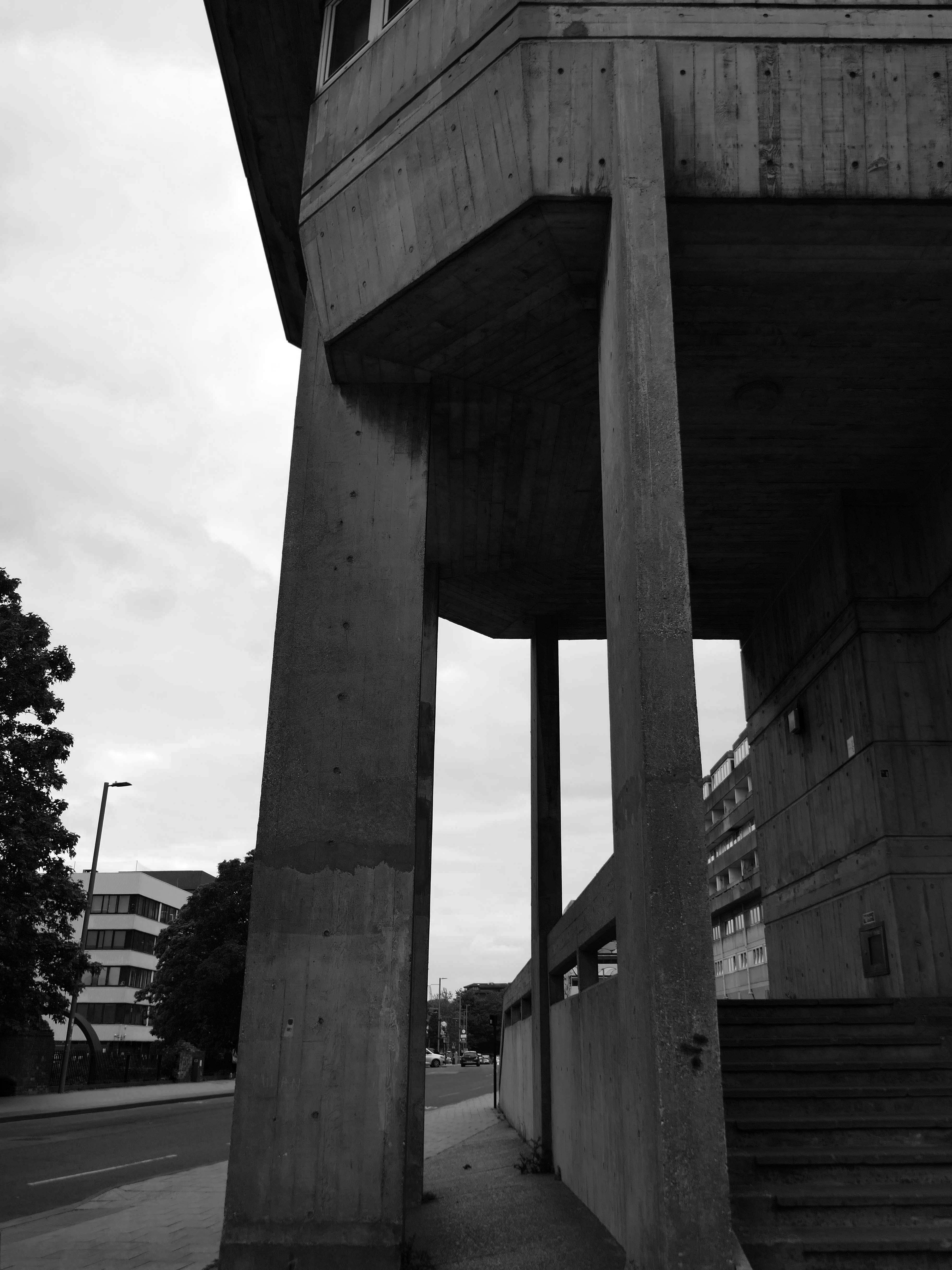
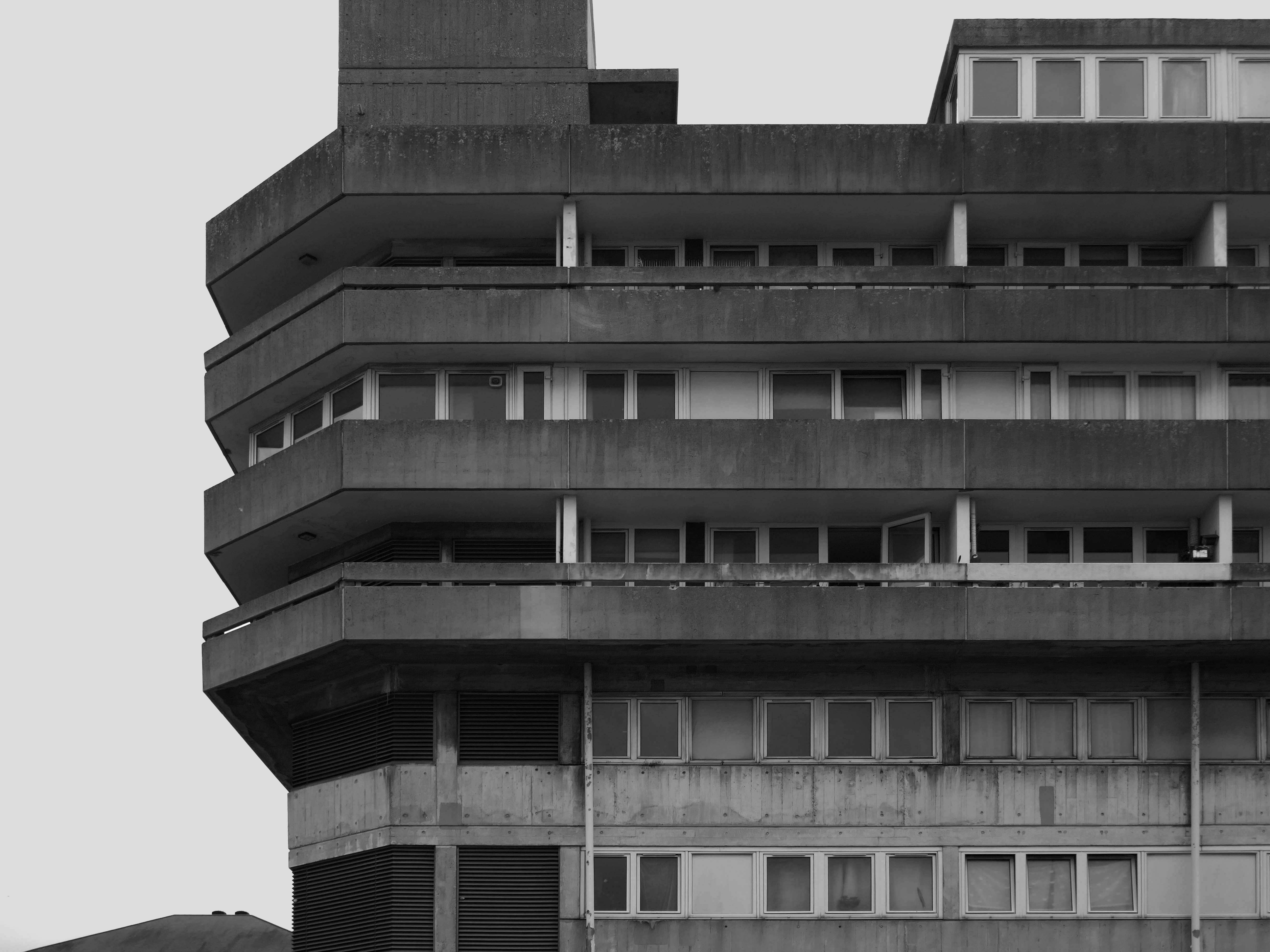
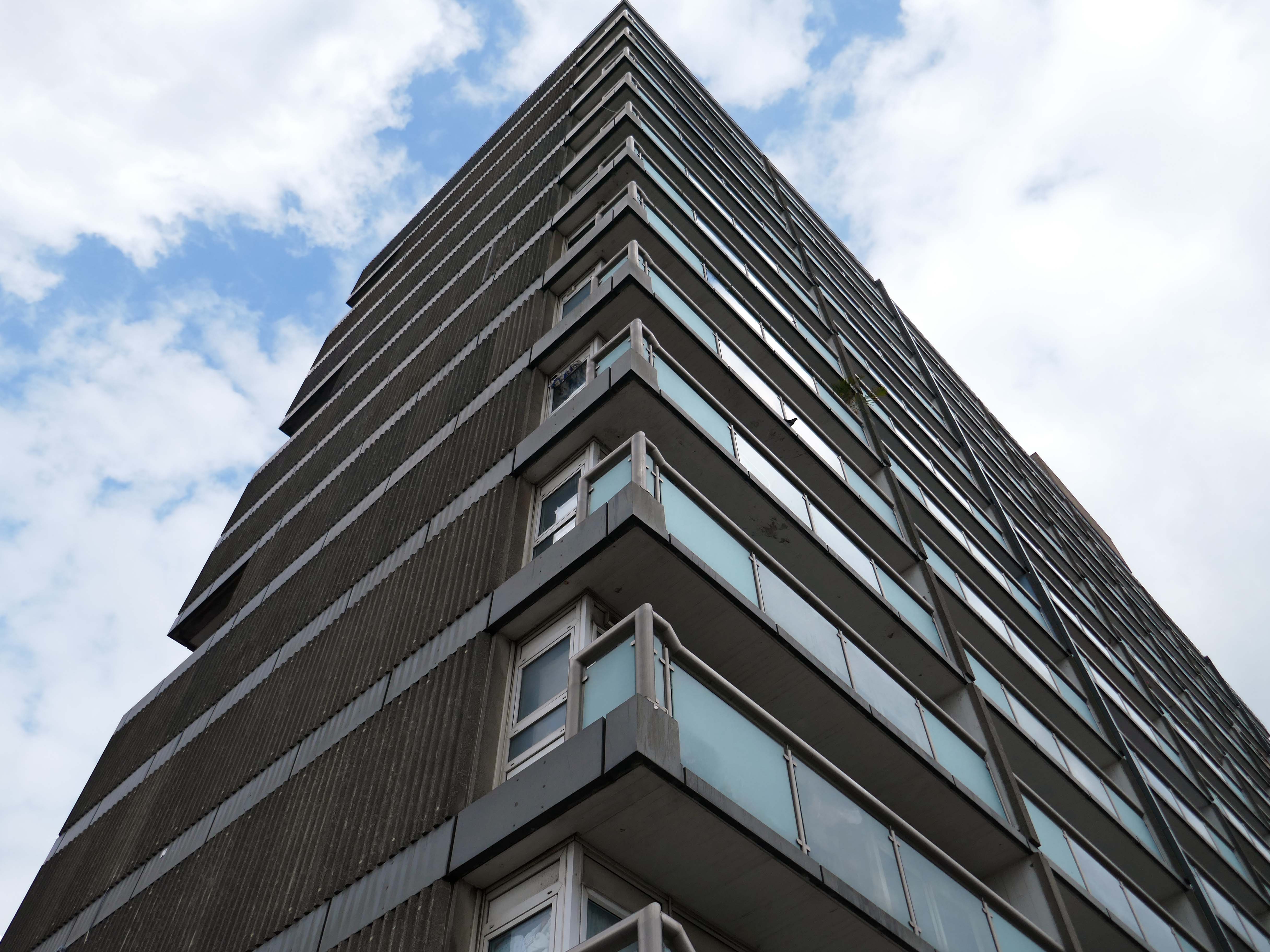
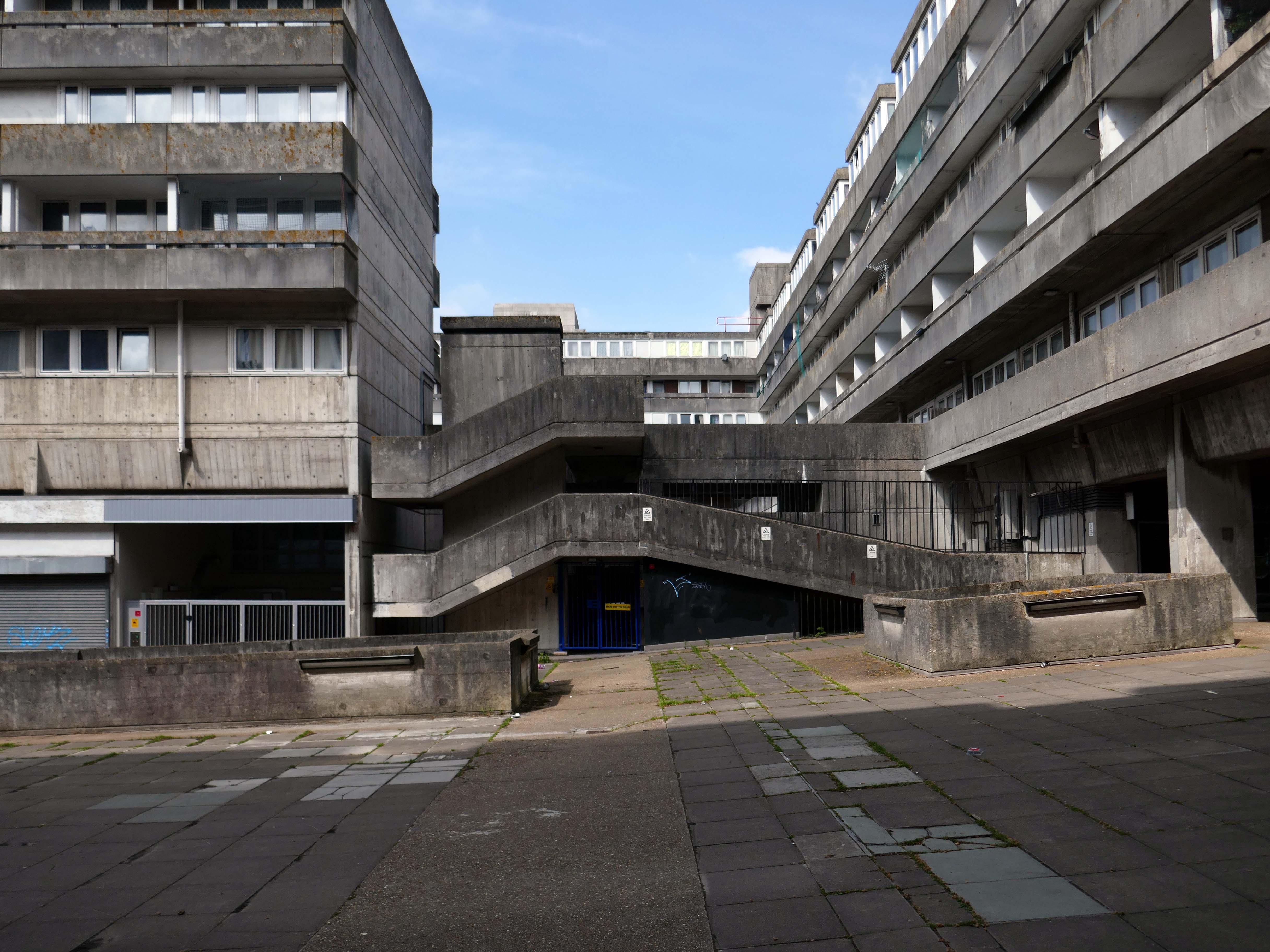
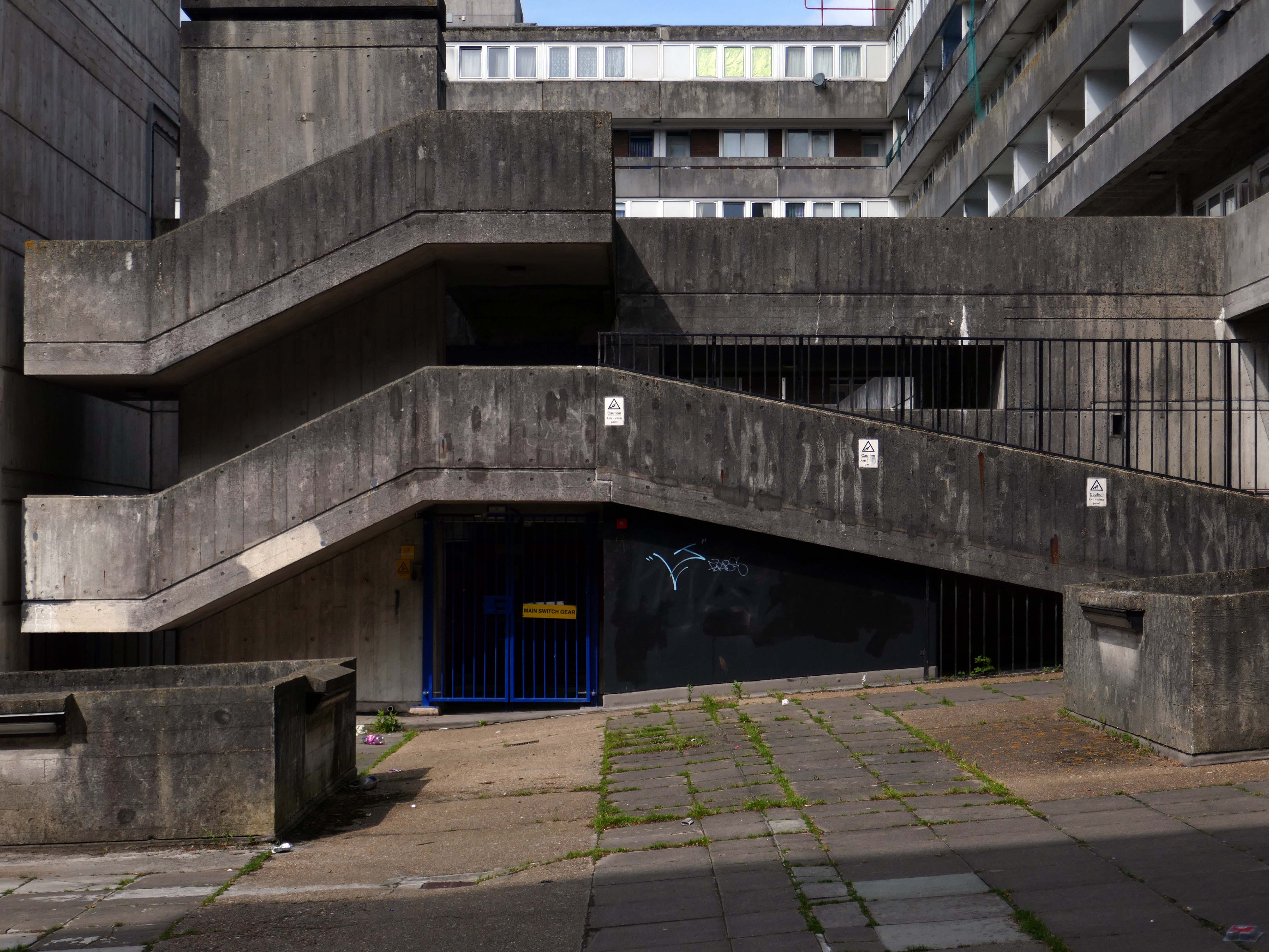
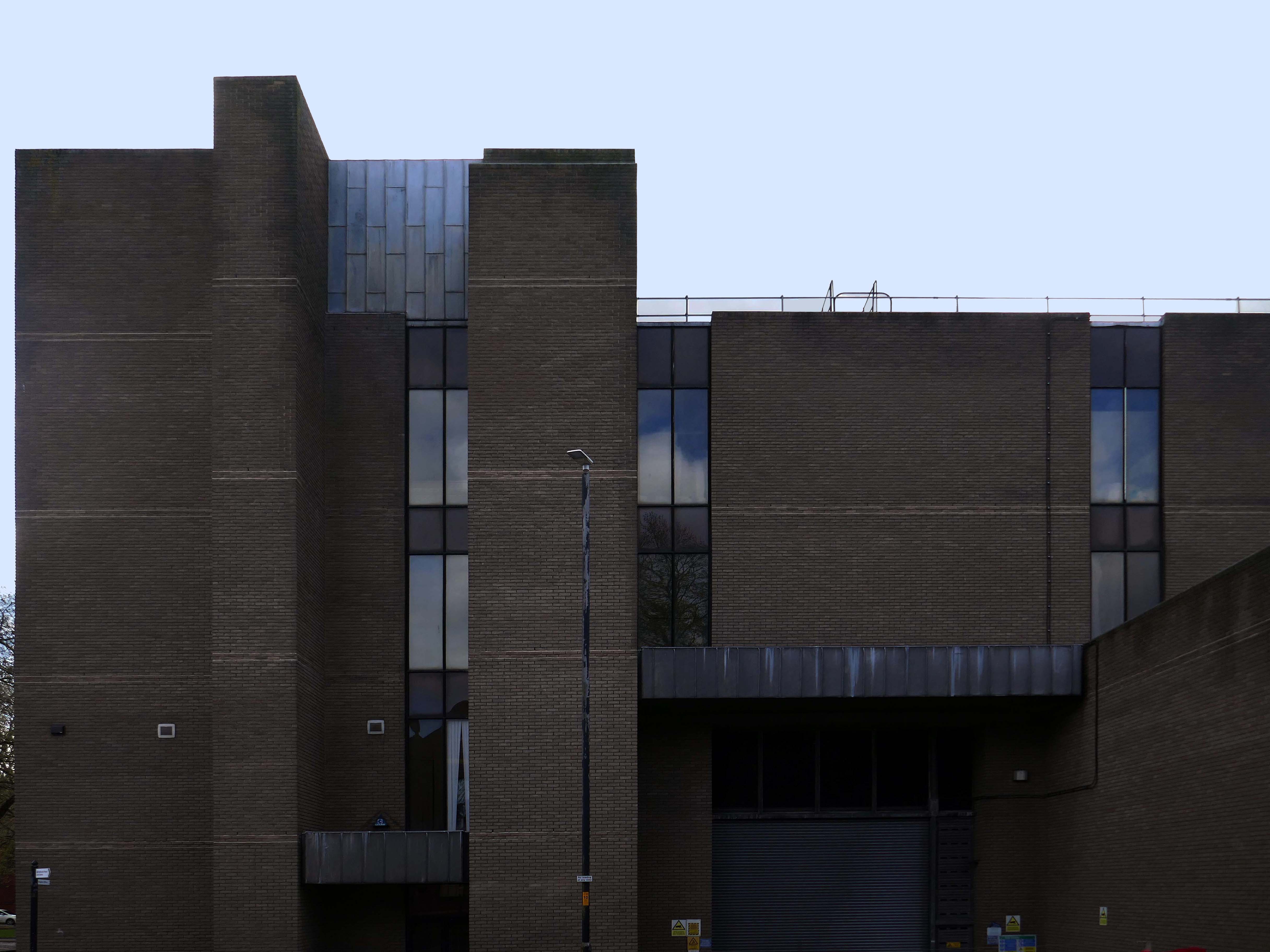
Lyons Israel Ellis, though well known as a finishing school for the famed likes of Stirling, Gowan, Colquhoun et al, were the sort of Brutalists that didn’t get Yale scholarships, shiny monographs or late careers in pomo. They are found more often designing local authority housing, comprehensive schools and other unsexy things – most of them robust enough to be extant and in good nick. From their Old Vic extension through to the London School of Engineering, they were giants of big, chunky, angular neo-constructivist architecture rife with skylines, cantilevers and complex geometries, all in satisfyingly raw, tactile concrete. As Colquhoun later put it, this was architecture for those who had nothing but contempt for ‘the Englishness of English art’ and other consolatory narratives.
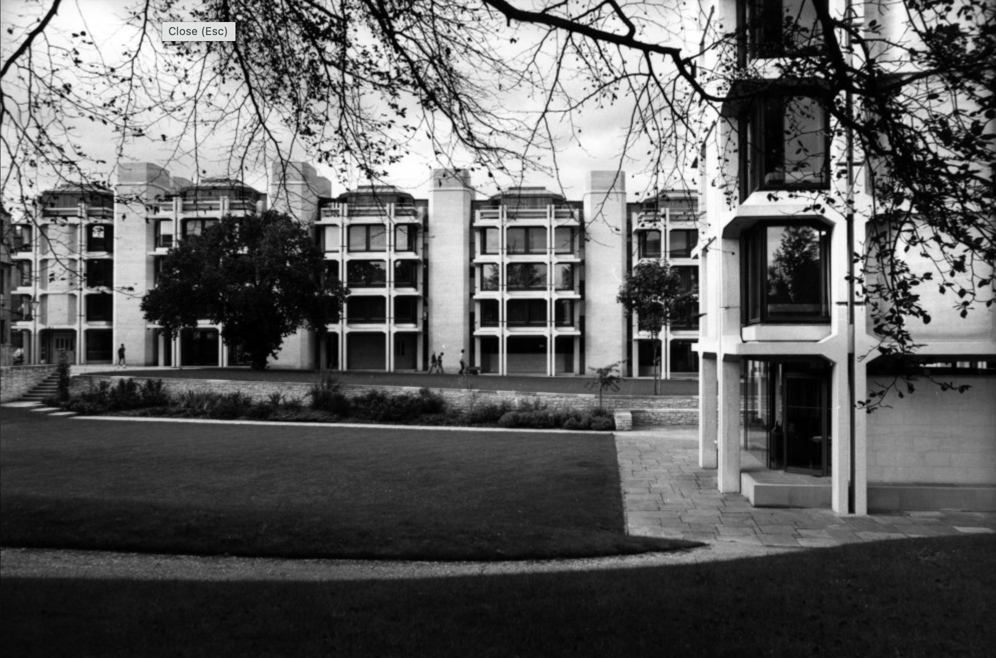
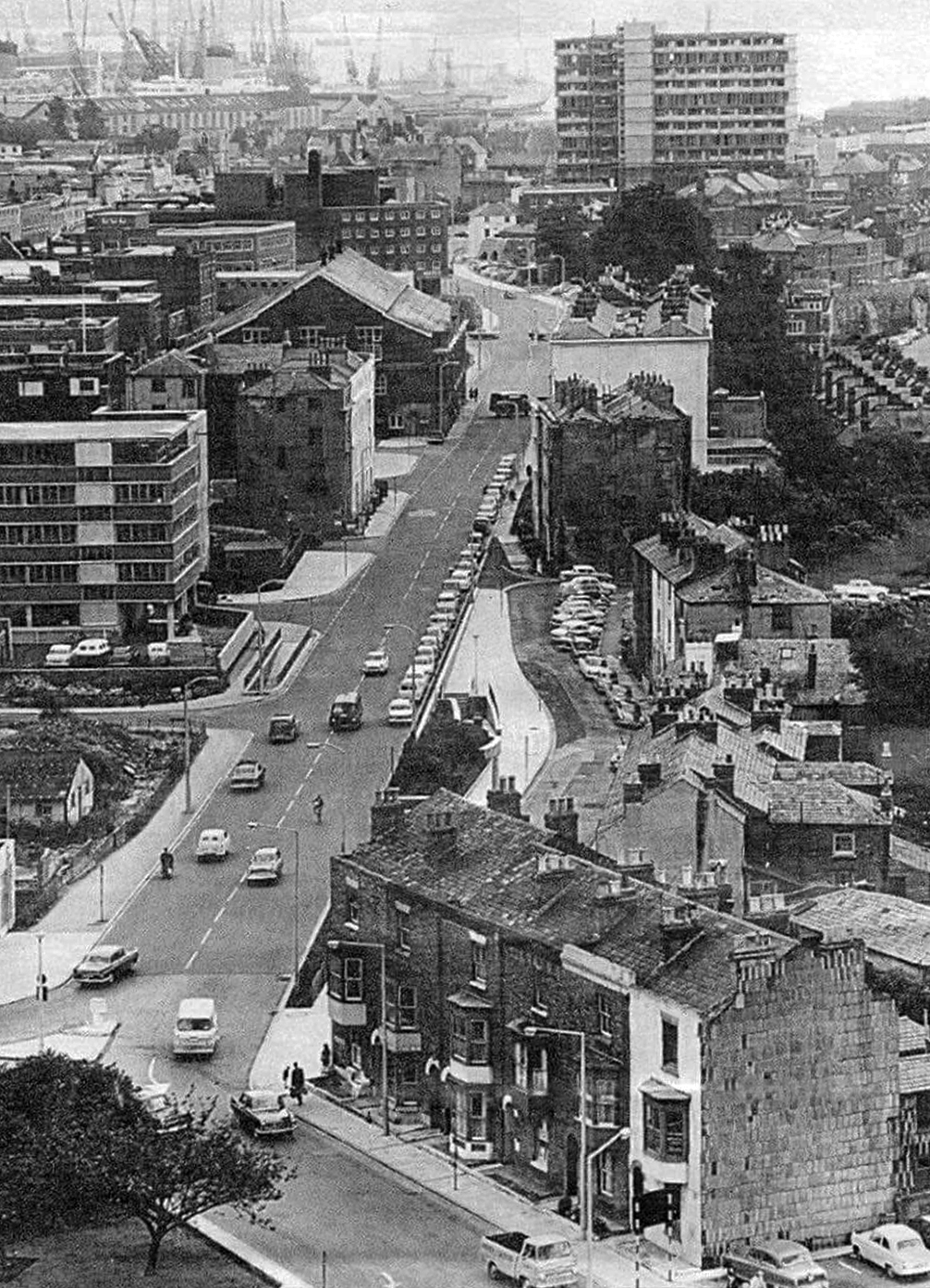
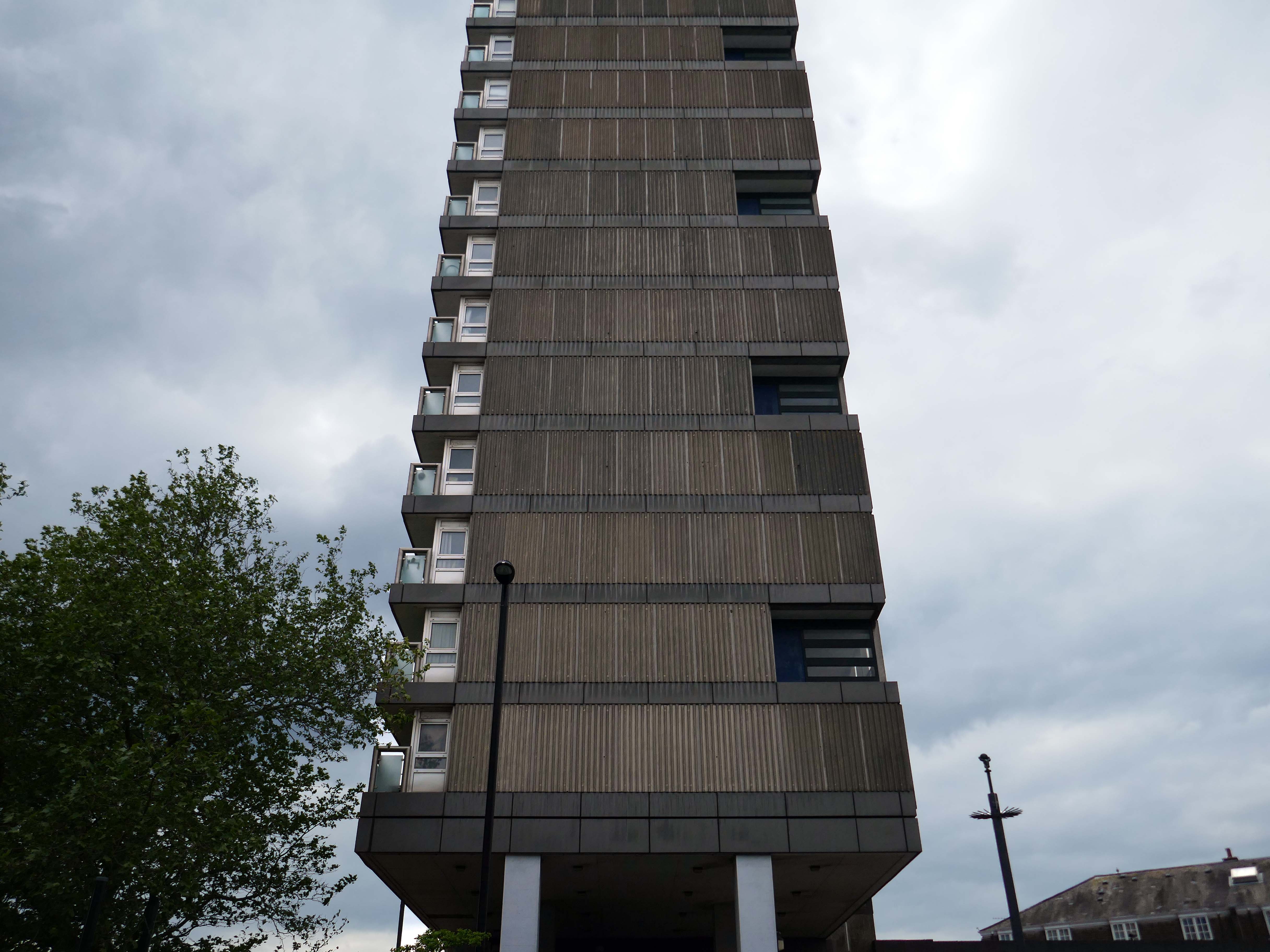
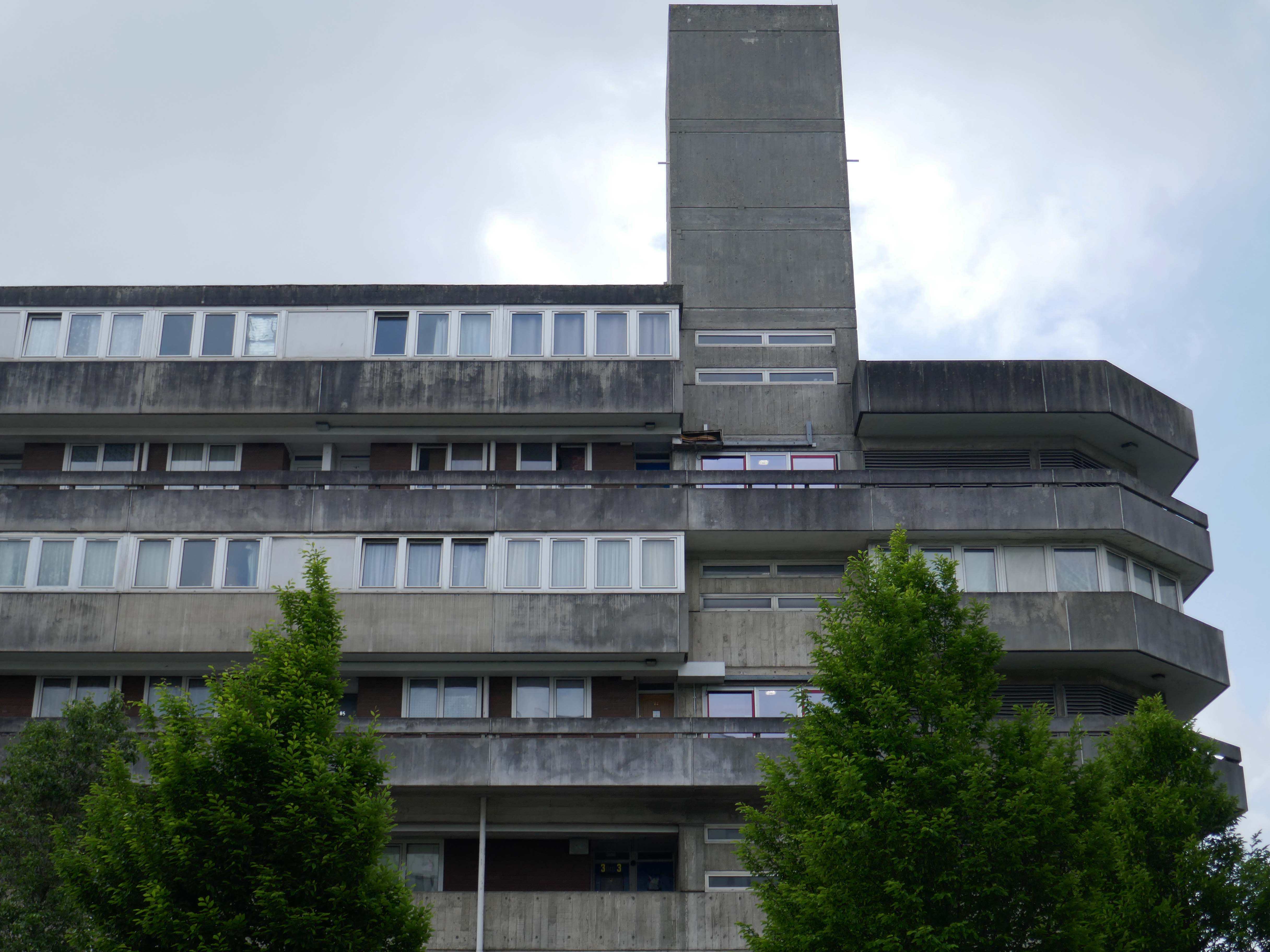
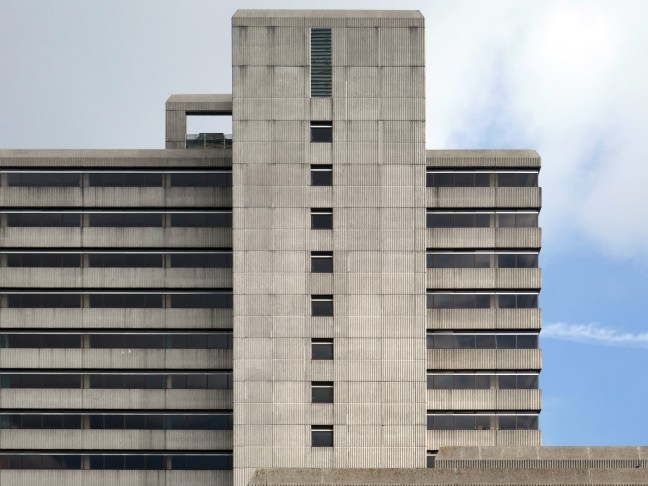
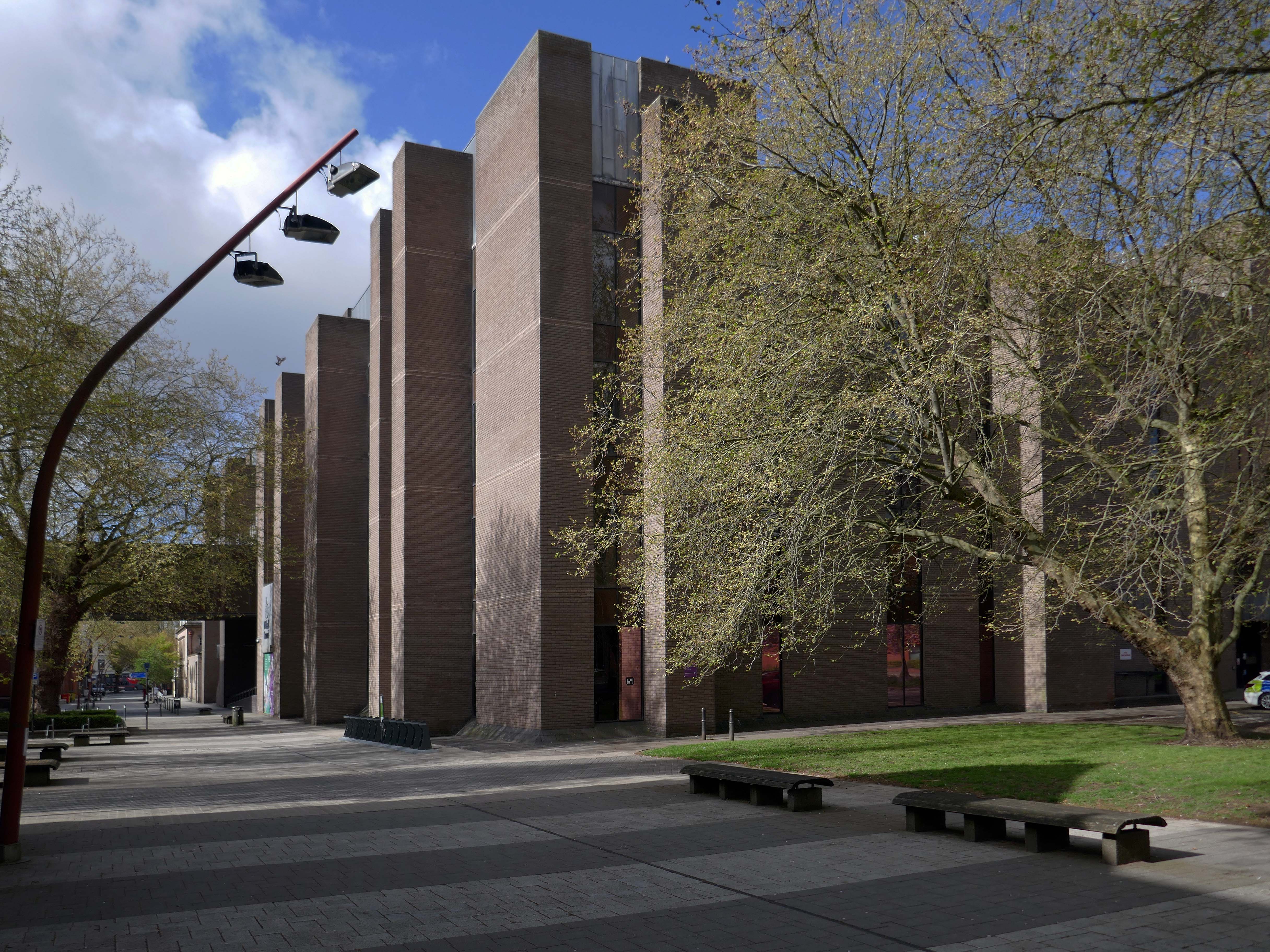
Their masterpiece, Wyndham Court, ought to be as well-known as the Brunswick Centre or the Barbican, and isn’t largely because of where it is. It is a monumental, civic housing project on the grandest scale. As a building, it shows more than a hint of rhetoric creeping into LIE’s usually astringent aesthetic. Placed just outside Southampton Central Station with a fine view of the docks, its service tower skyline and long, streamlined volumes have more than a hint of the ocean liner about them. Here they arc around a square, with shops on the ground floor, high-density-city centre living for council tenants rather than as an aspirational loft-living lifestyle. A magnificent vote of confidence in a city which has built little of note since, it’s also, for me, the building that announces that I’m ‘home’ far less depressingly than BDP’s repugnant West Quay shopping centre on the other side of the railway line – a massive concrete statement that another city was and still is possible.
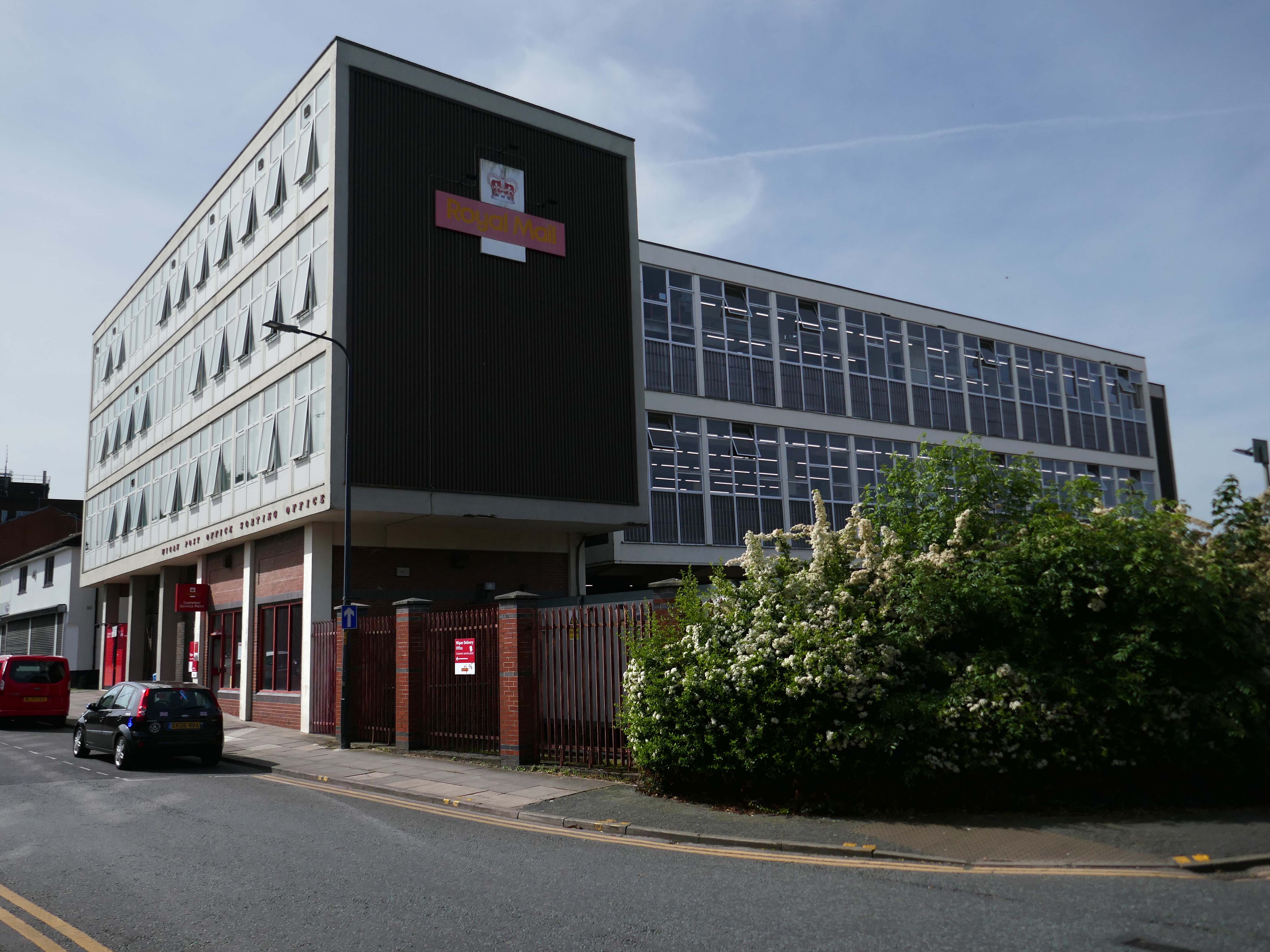
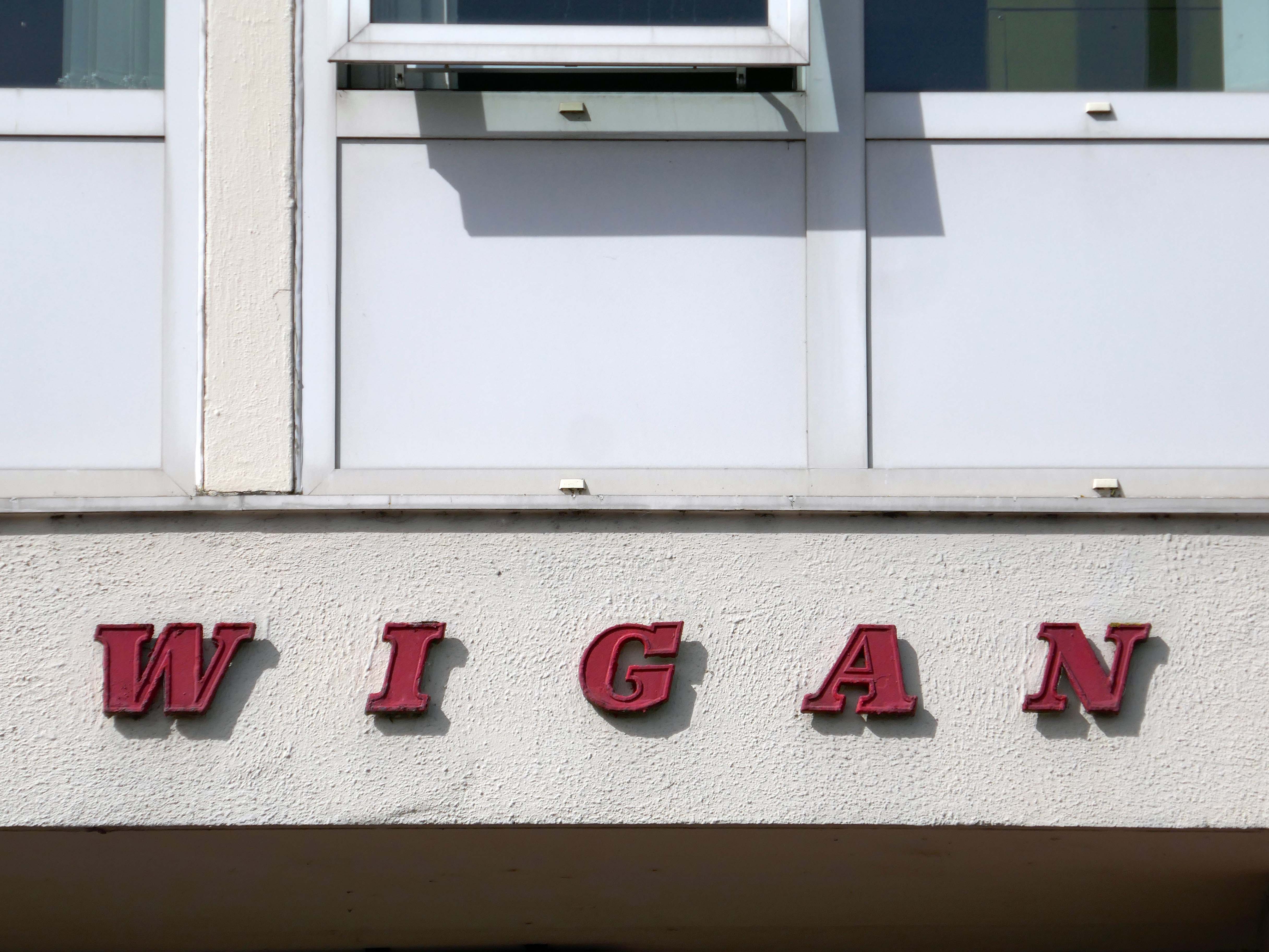
It’s been four years since our 2022 Wigan Walk – so time to see if there has been a refreshing change.
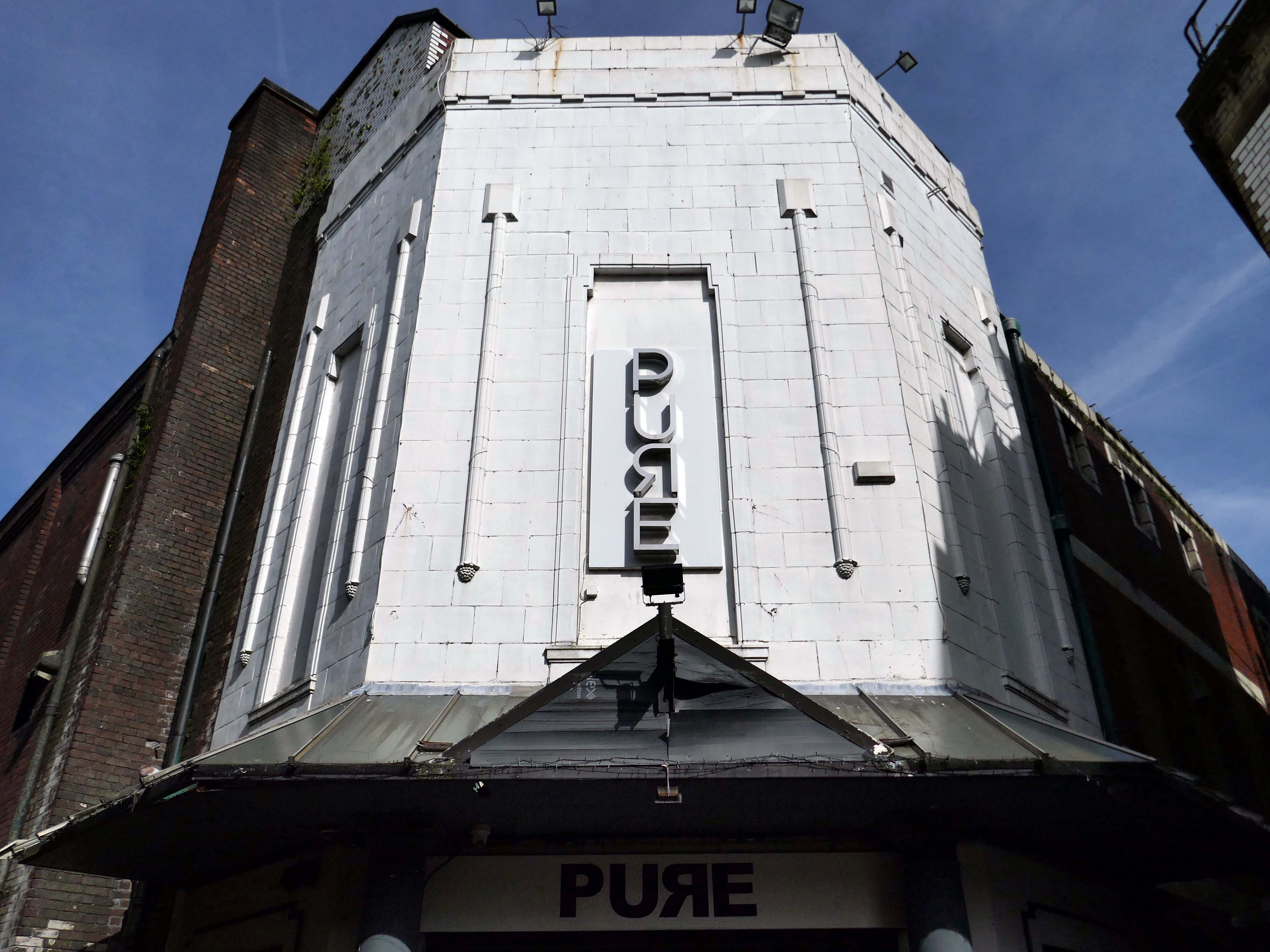
Beginning with a trip to the former flicks, the Princes Cinema now trading as Pure nightclub, sometimes home to Singo Bingo.
Originally the site of New Princes Theatre, opened on the 1st May 1911, the cinema was demolished and replaced, on an adjacent plot, by Princes Cinema in 1933.
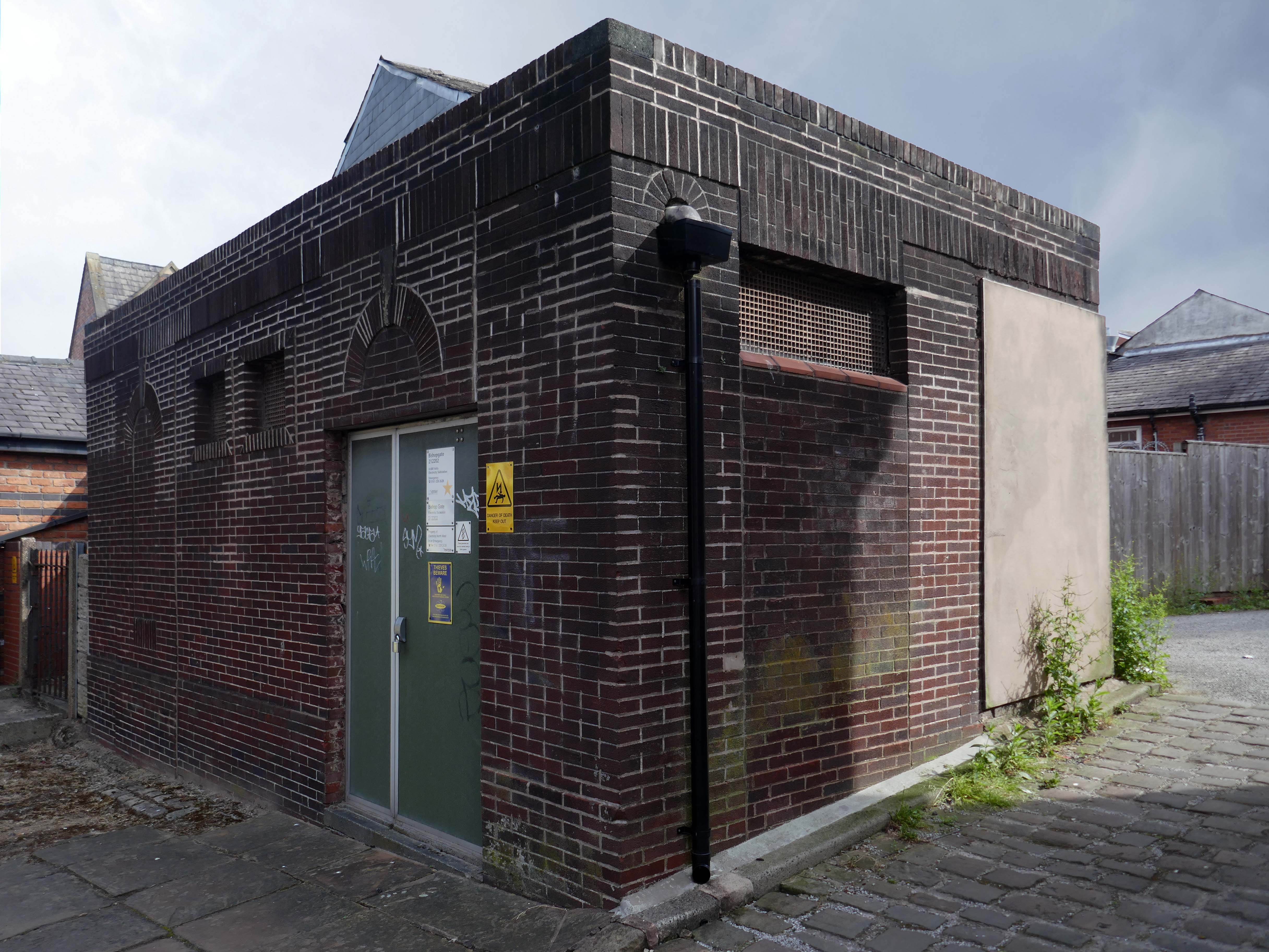
Ofd special note the adjacent Electrical Substation of the day.
Plus extra added military history.
Seventies
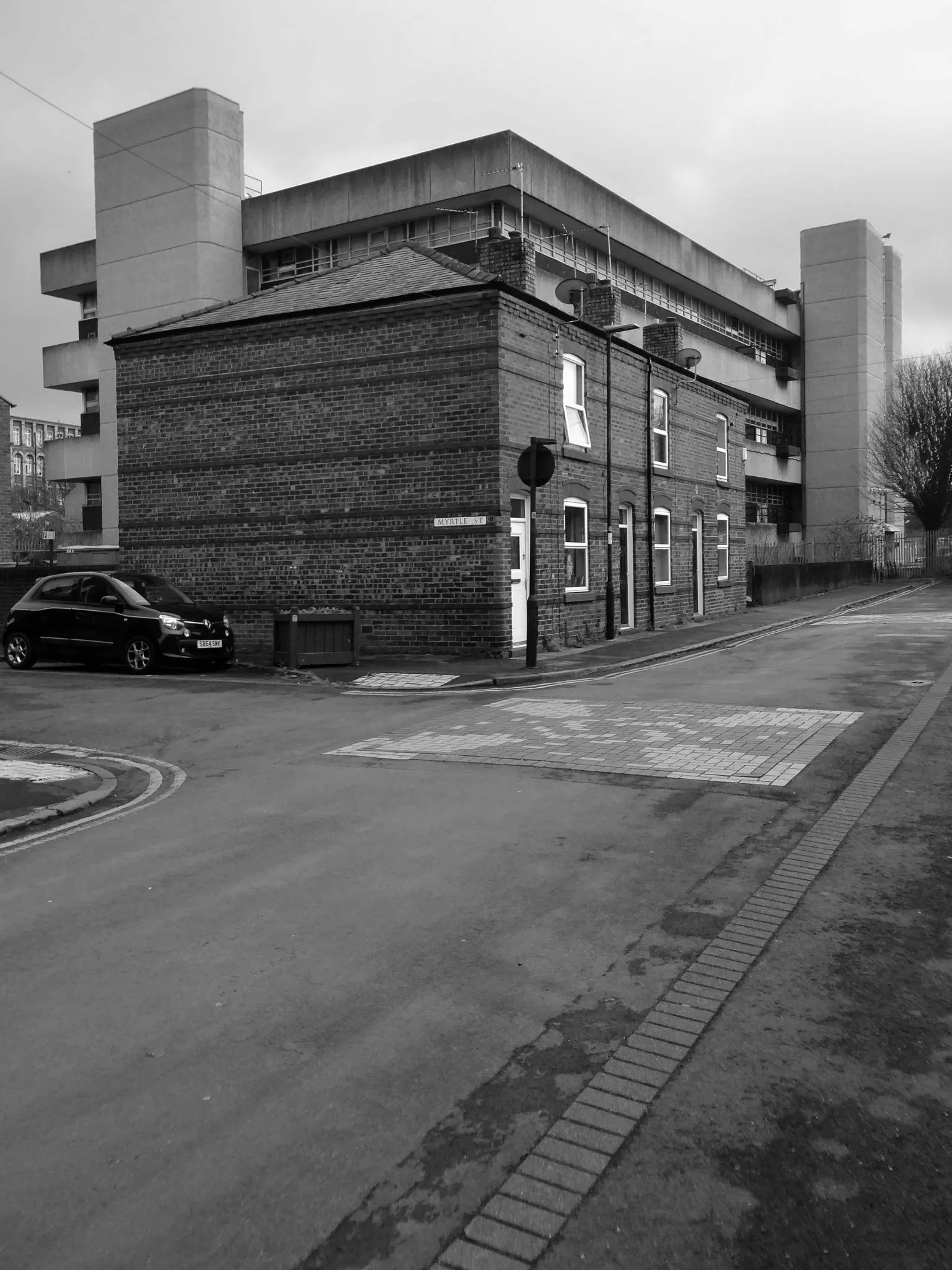
Tucked in behind the Telephone Exchange are several streets of Edwardian social housing – the Spring Gardens Scheme of 1905.
The property is practically paying its way, and all the present generation has to find is a small sum of ninety odd pounds for sinking funds. For this we get fifty-nine families decently housed, the rateable value of the town increased, a slum abolished, an eyesore removed, the health of the inhabitants remarkably improved, their environment made clean, refined, and elevating, whilst our successors in 1959 will inherit an unencumbered estate.
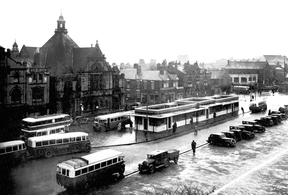
It was demolished in 1985 as part of a wider redevelopment of the town centre to make way for the Galleries Shopping Centre. A new bus station, built at a cost of £2.3 million, began construction in April 1986, and opened in November 1987.
Wikipedia
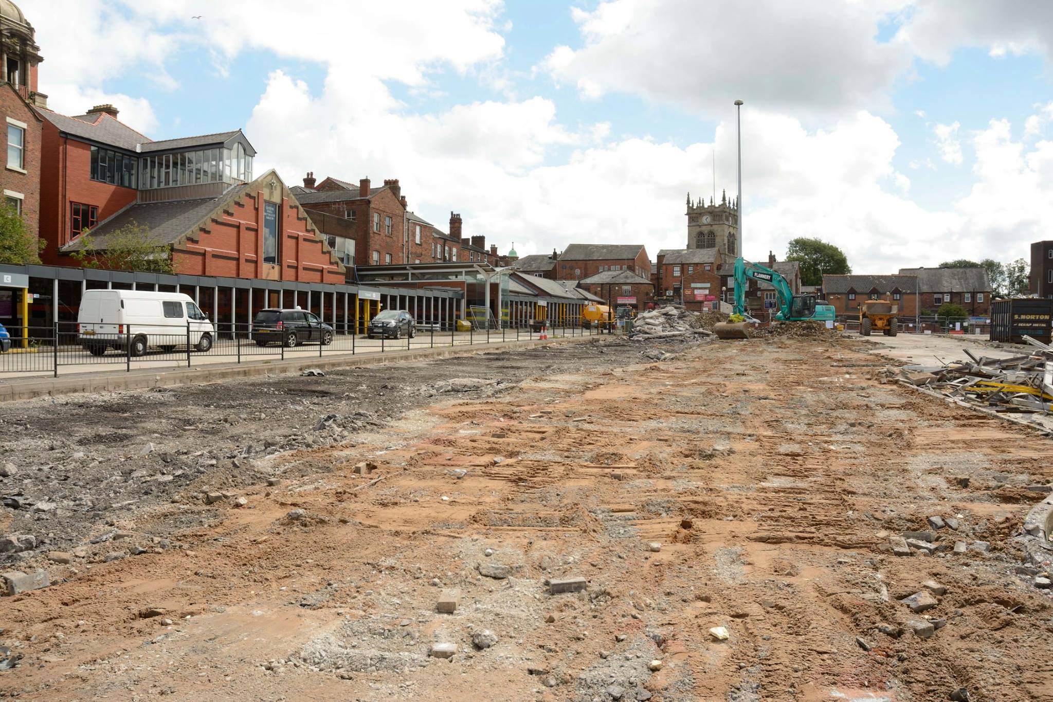
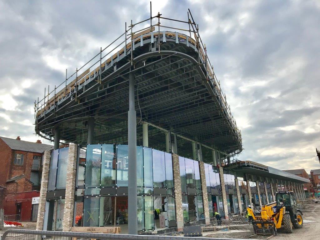
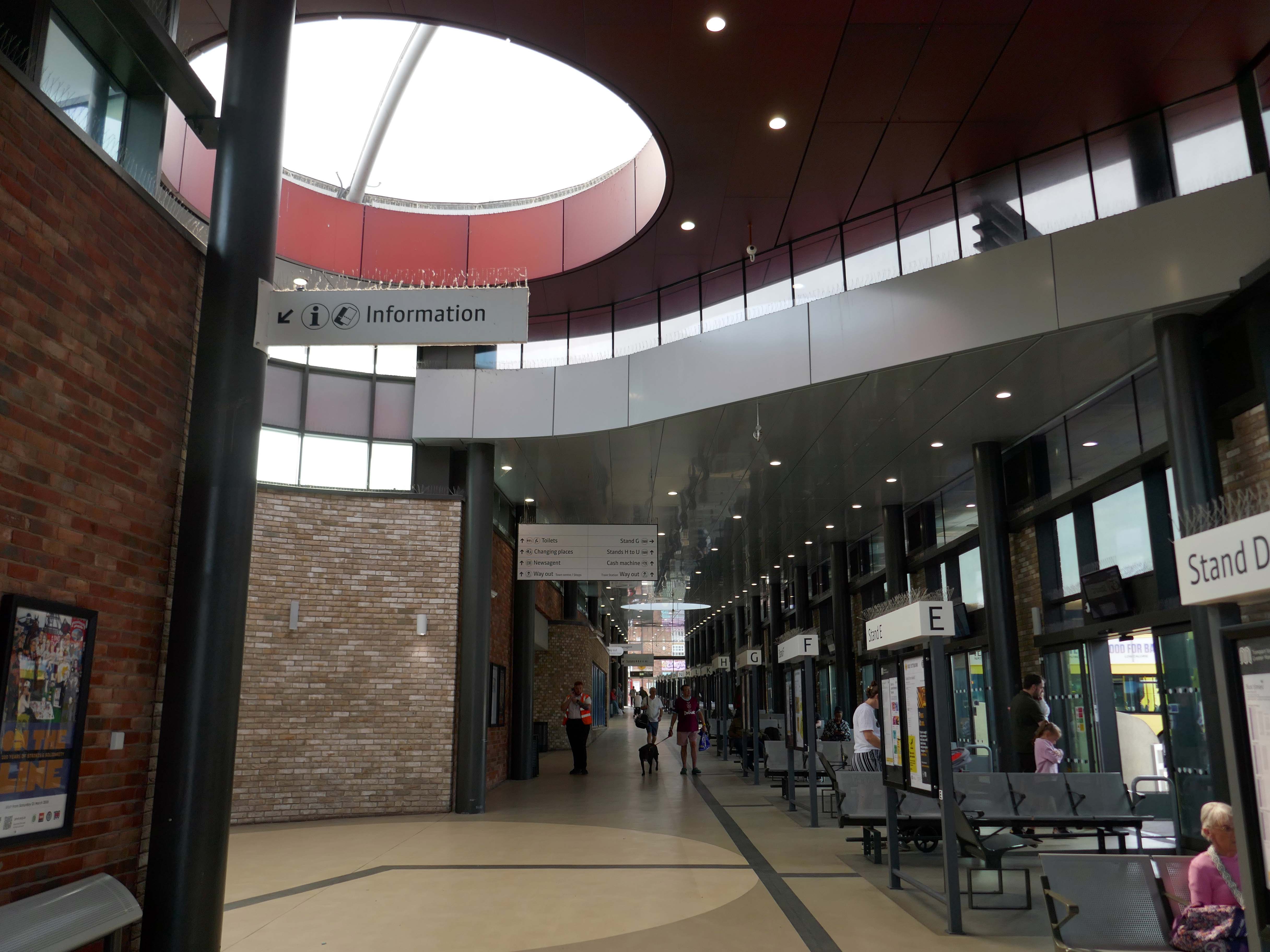
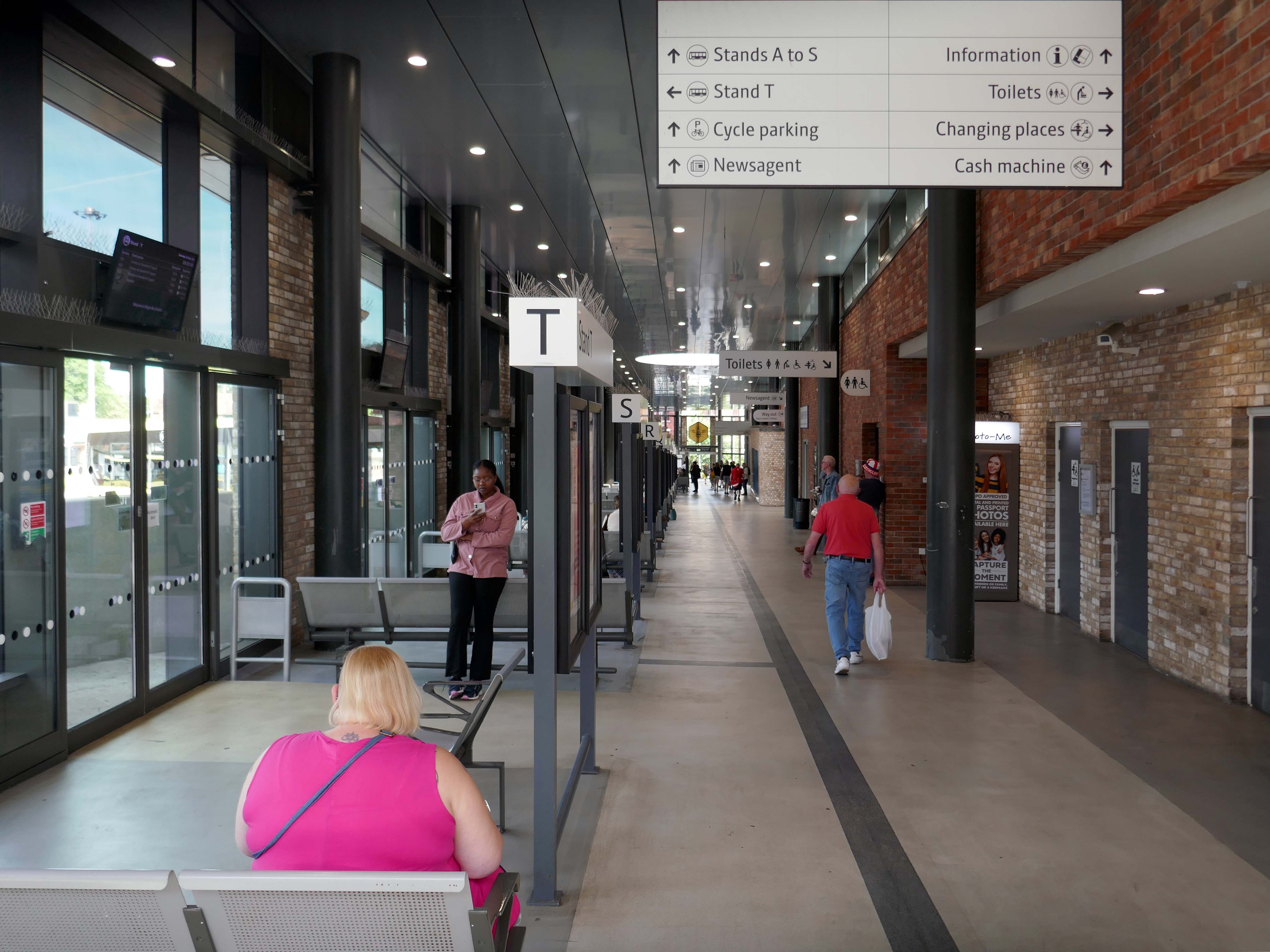
Transport for Greater Manchester commissioned Austin-Smith:Lordto design a replacement nineteen stand £15.7m bus station in Wigan Town Centre, the project was completed in October 2018.
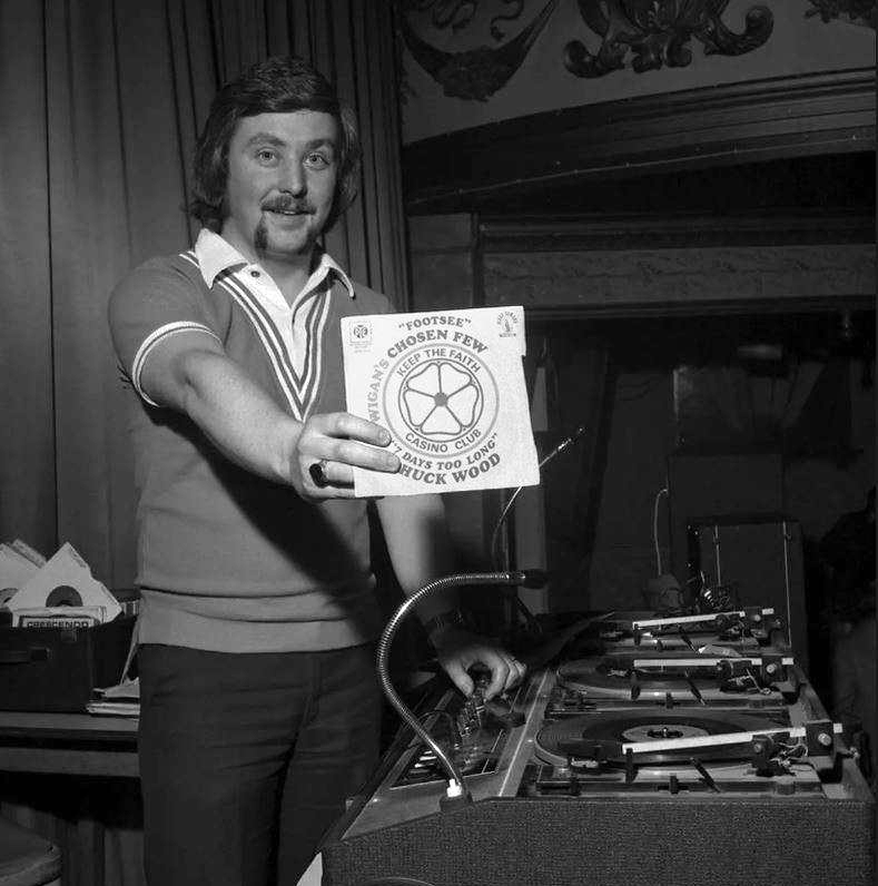
DJ Russ Winstanley was a former pupil, here he is in 1975 at the Wigan Casino holding up a copy of Footsee by Wigan’s Chosen Few b/w Seven Days Too Long by Chuck Wood.
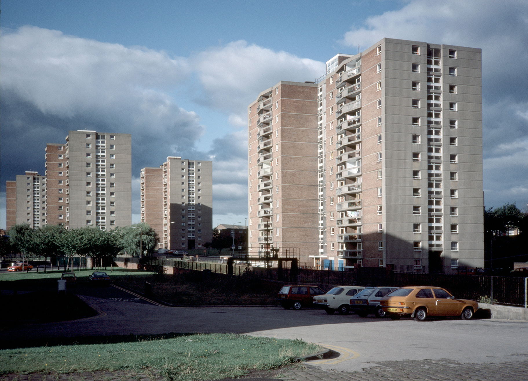
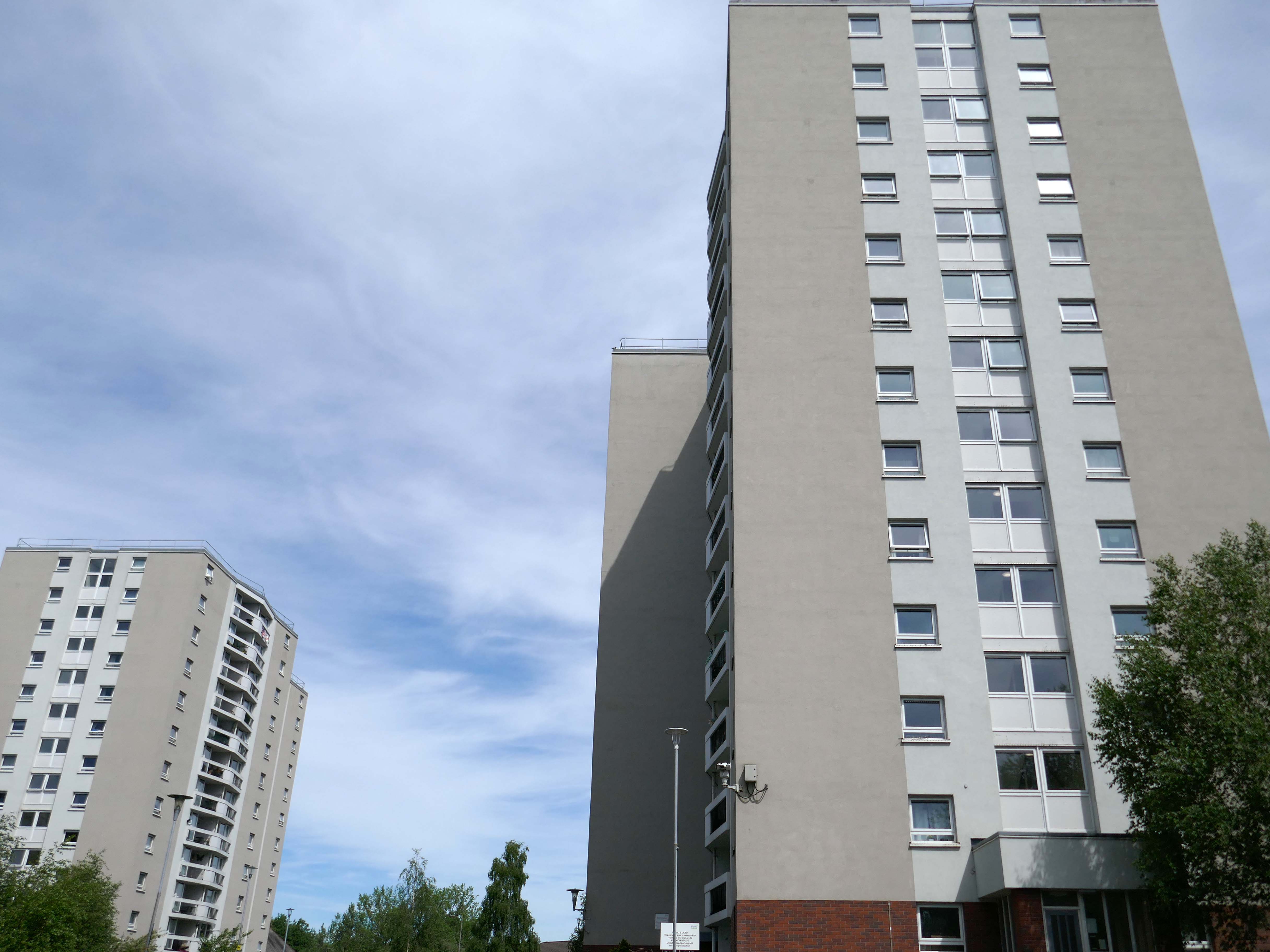
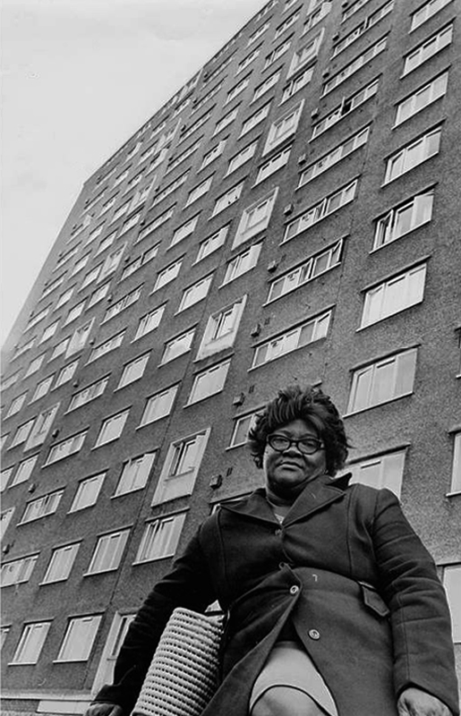
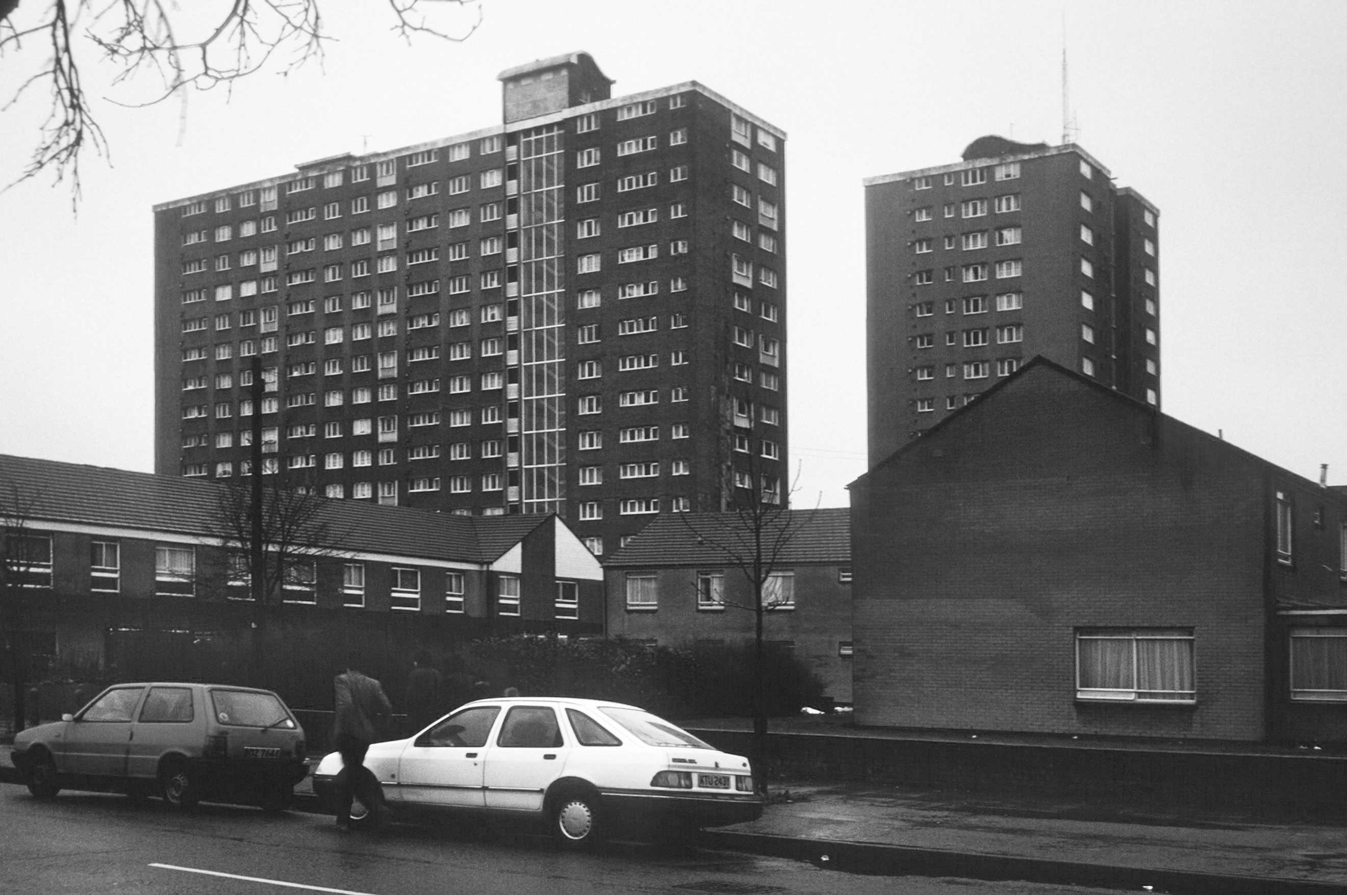
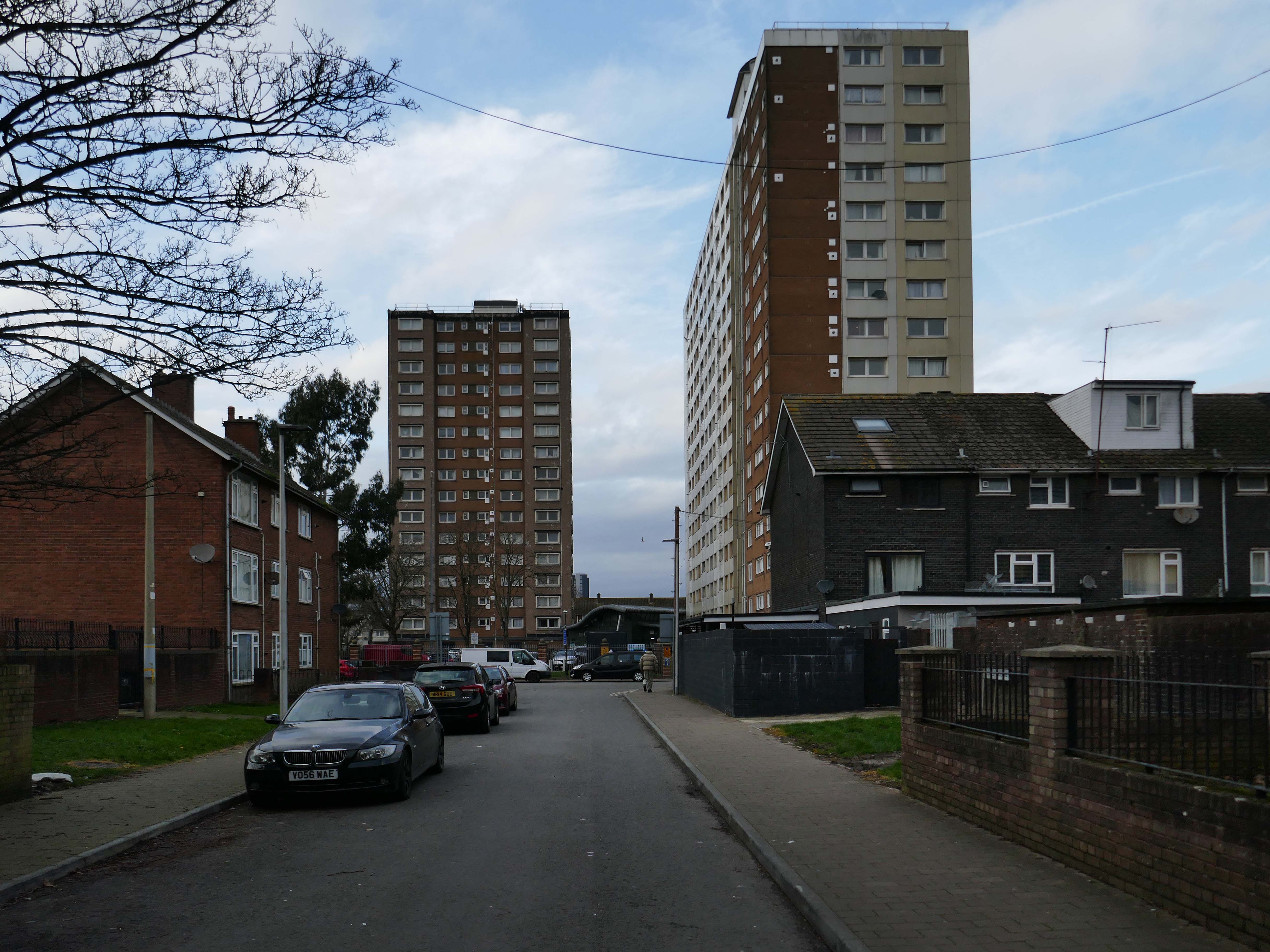
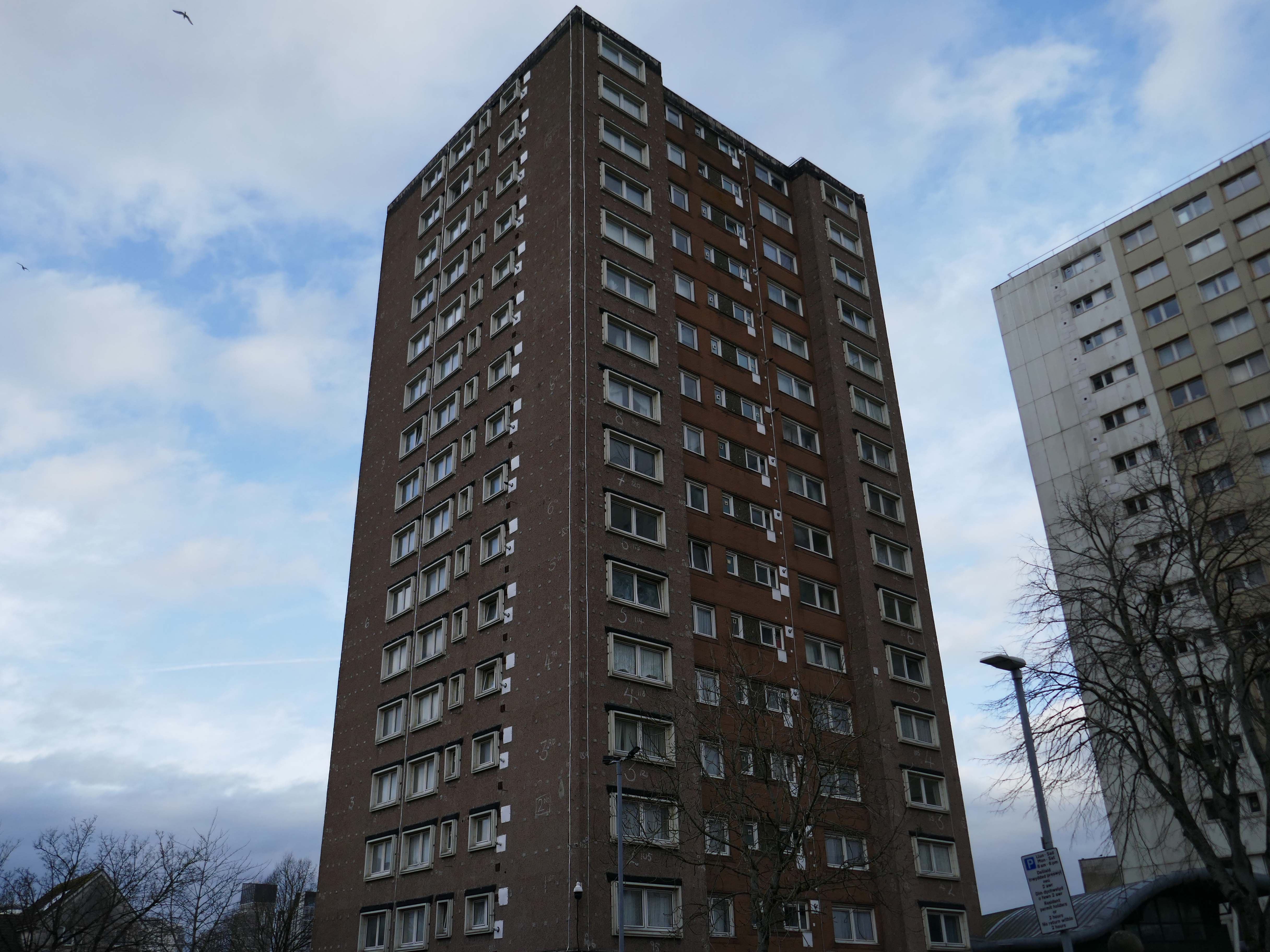
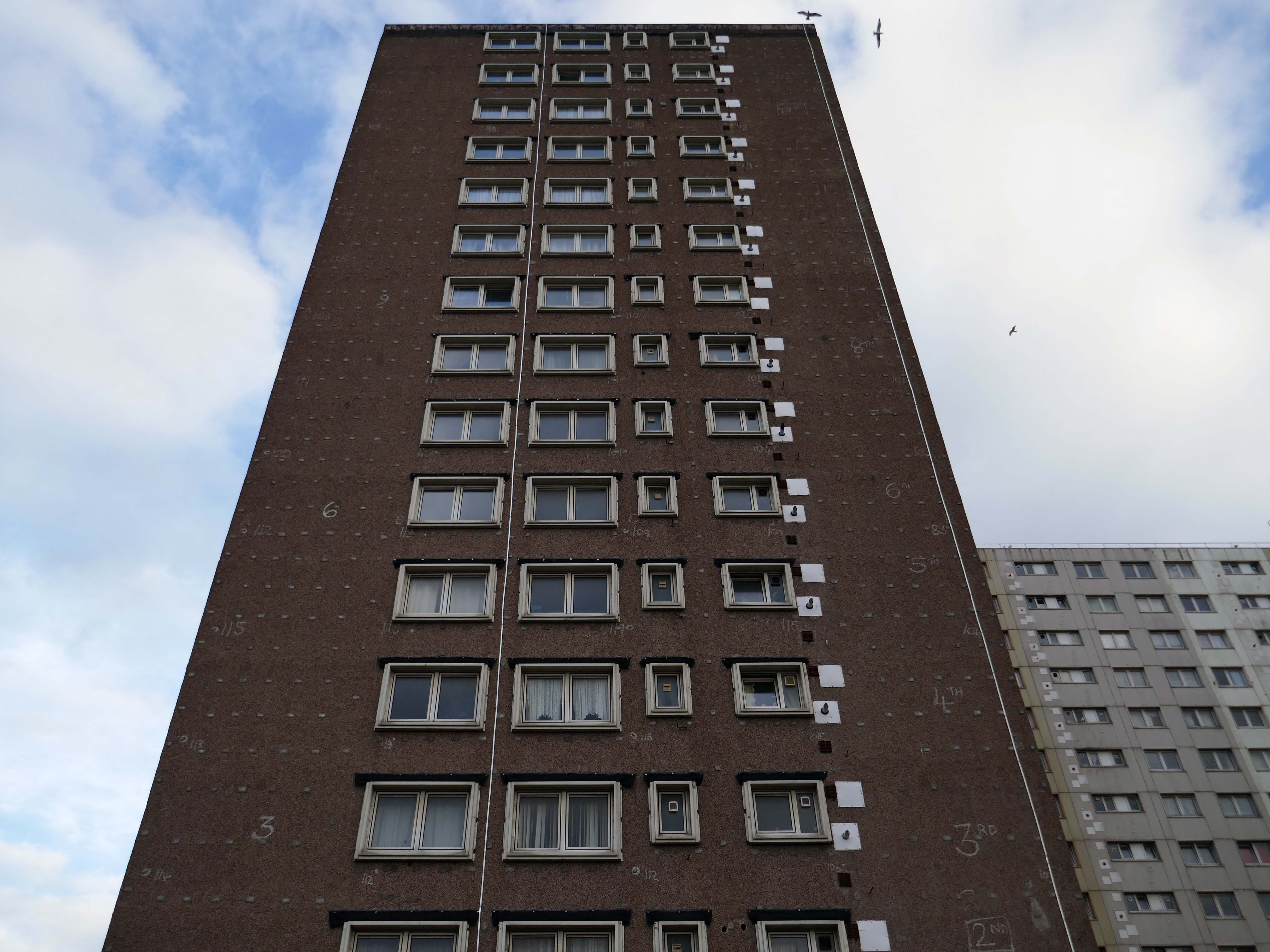
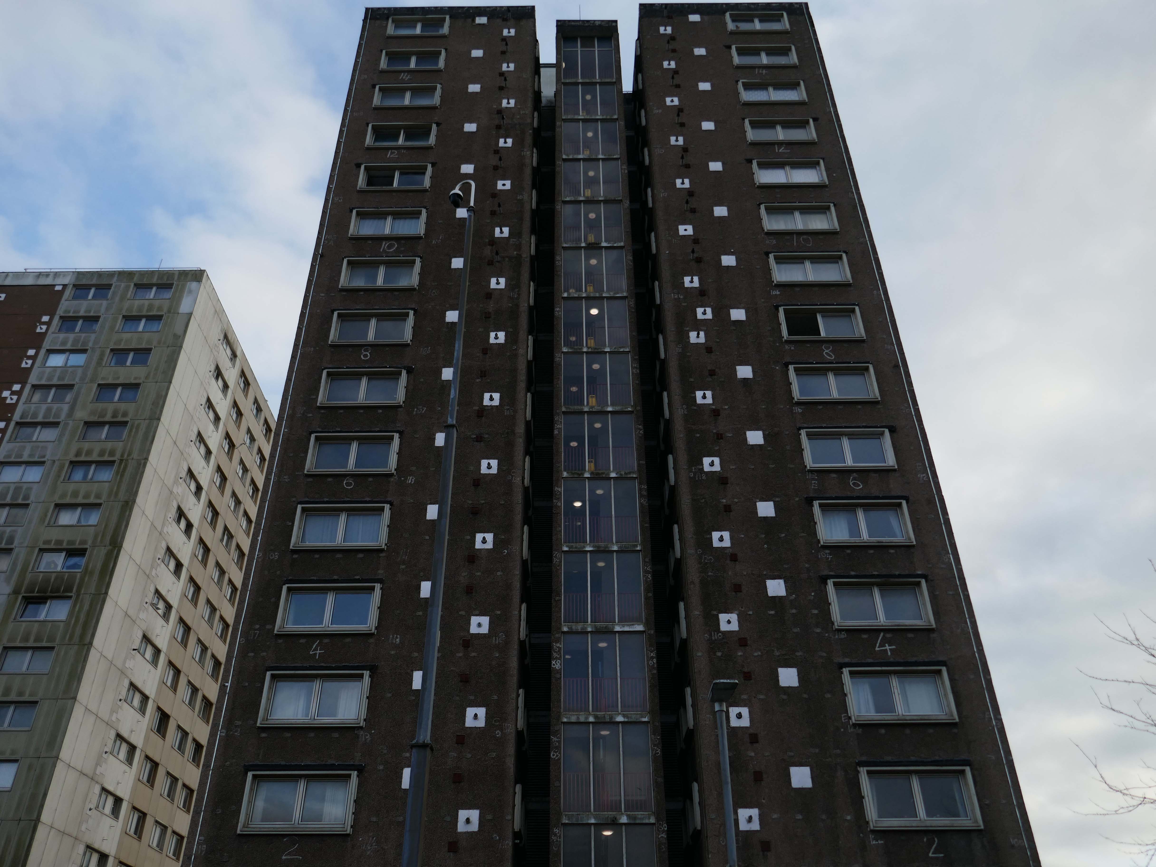
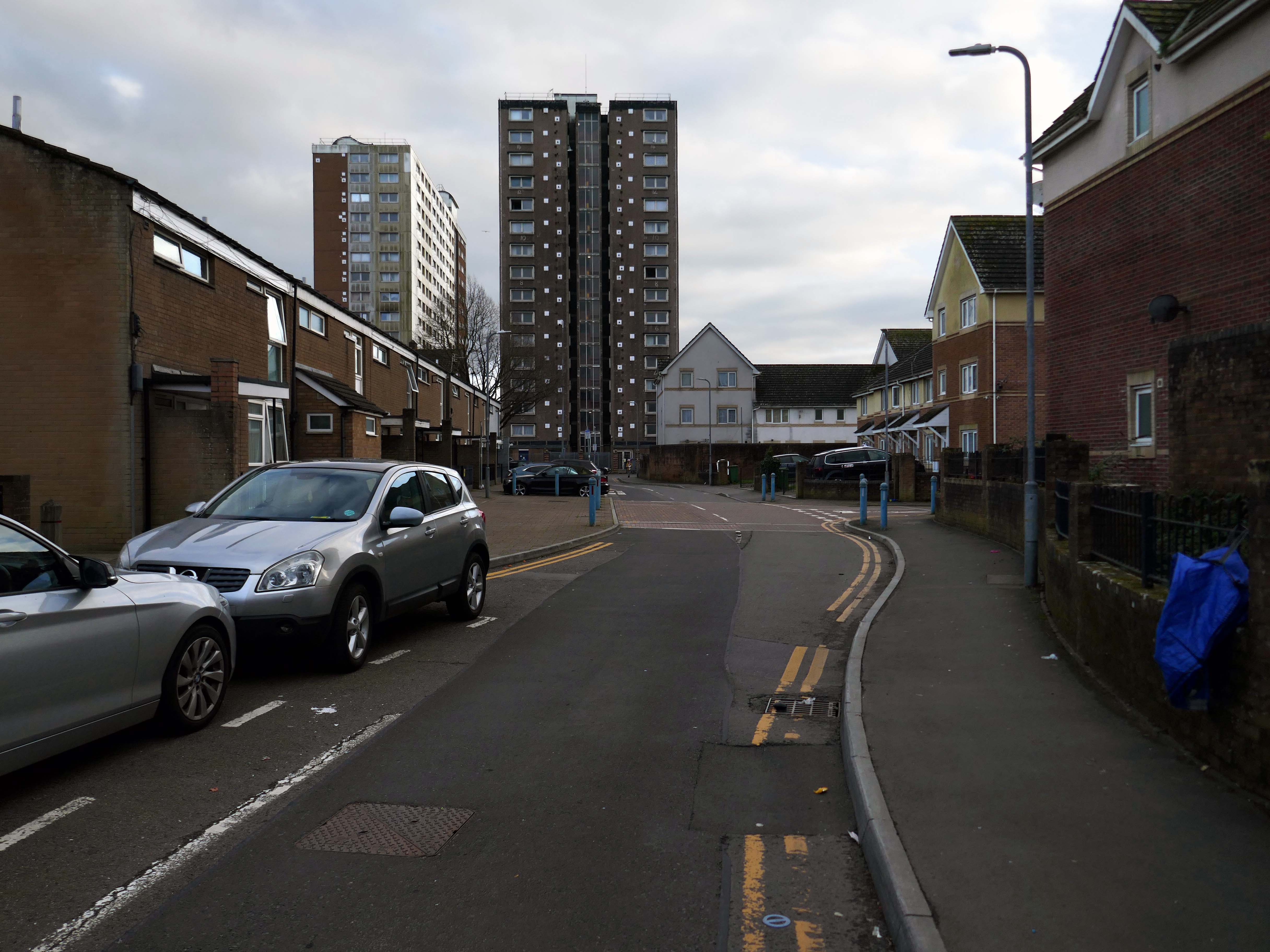
Across the way to Scholes Comprehensive Development 1964
Five thirteen-storey tower blocks adjacent to Douglas House in Scholes were approved in 1964. Lower-rise housing and flats spread to the east. In 1968, a further 13-storey block, Boyswell House, was built at this eastern end of the Scholes Comprehensive Development Area. Almost 500 slum houses, housing 566 families, were demolished that same year and 581 new council homes completed.
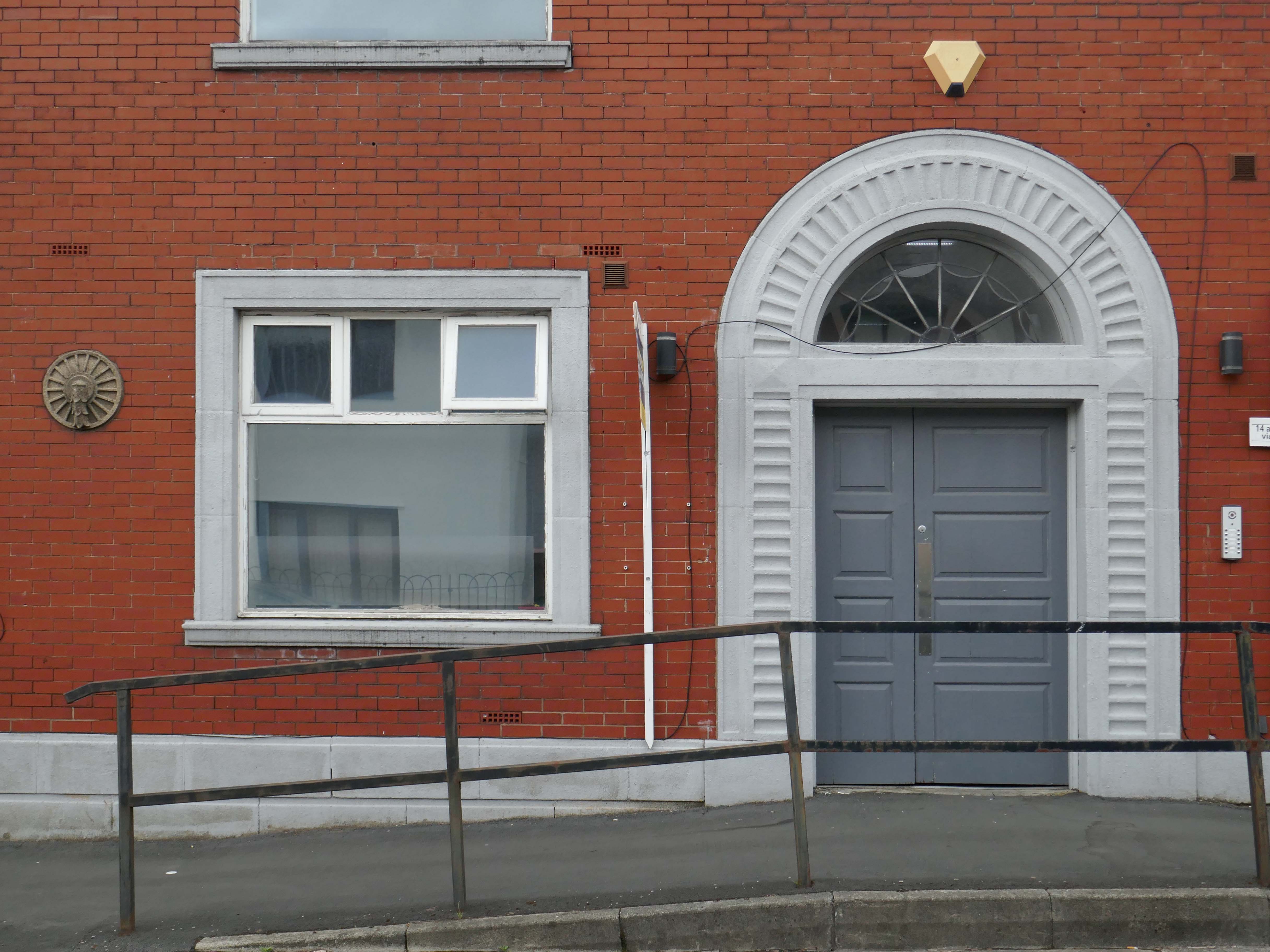
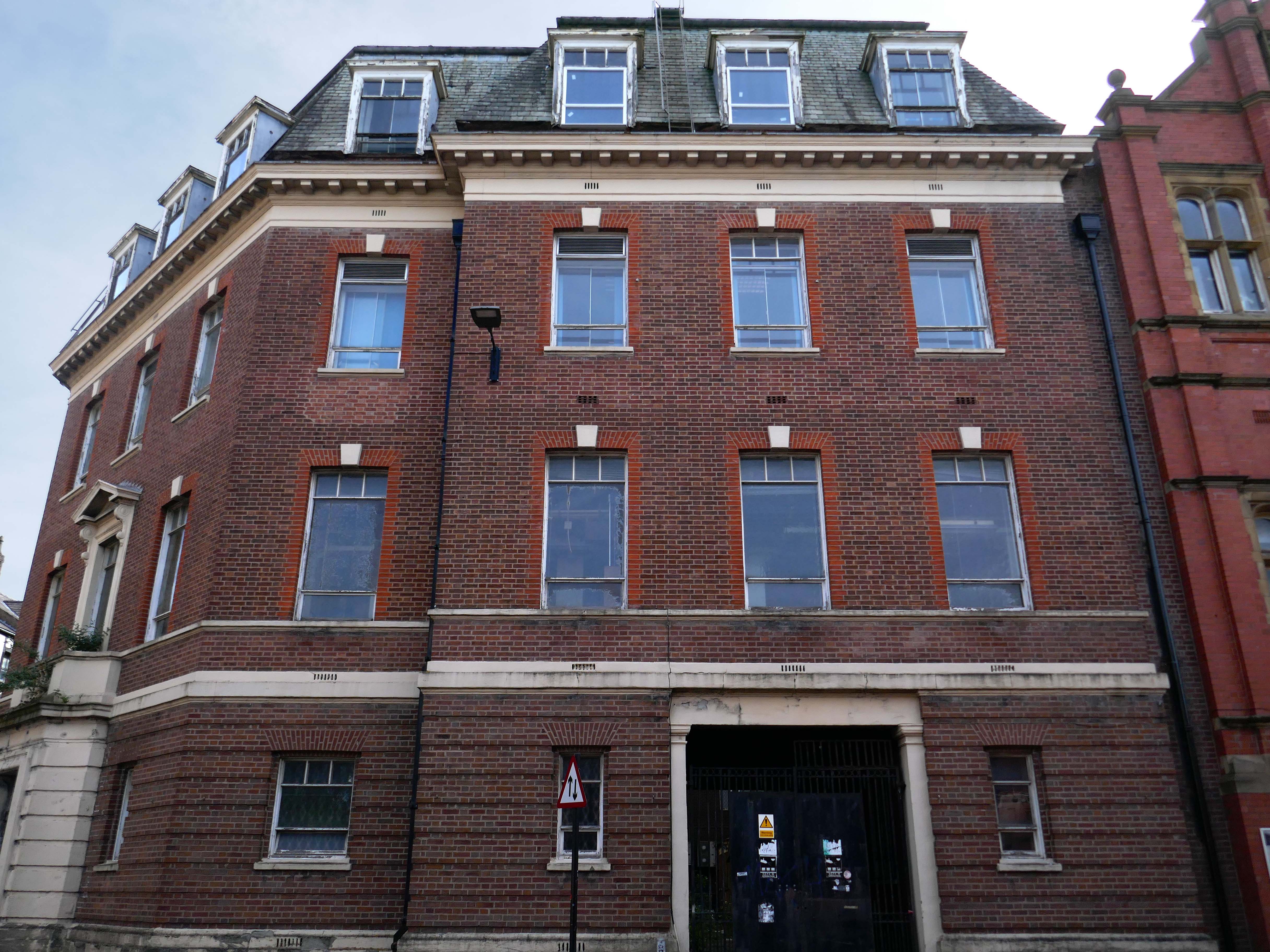
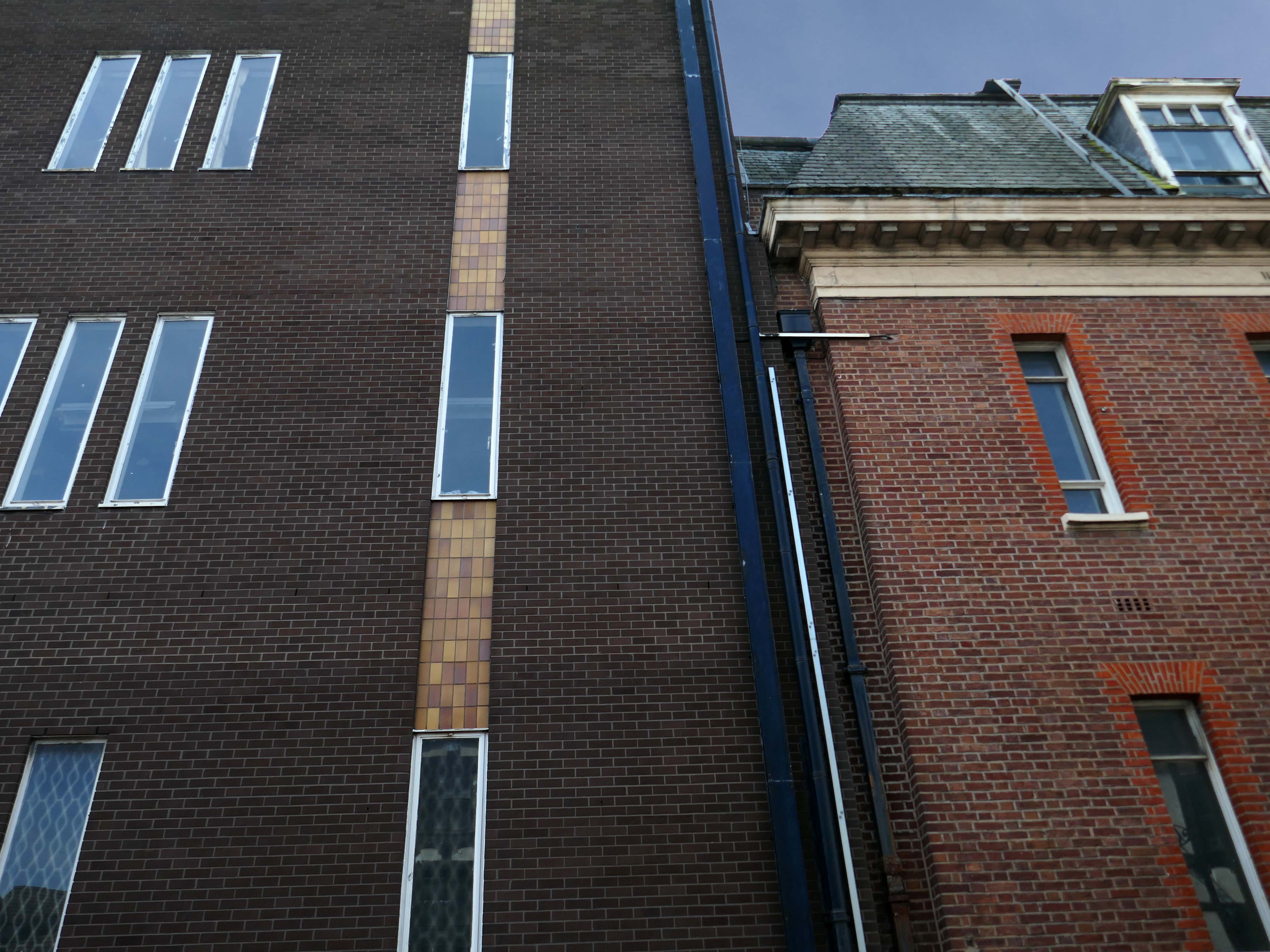
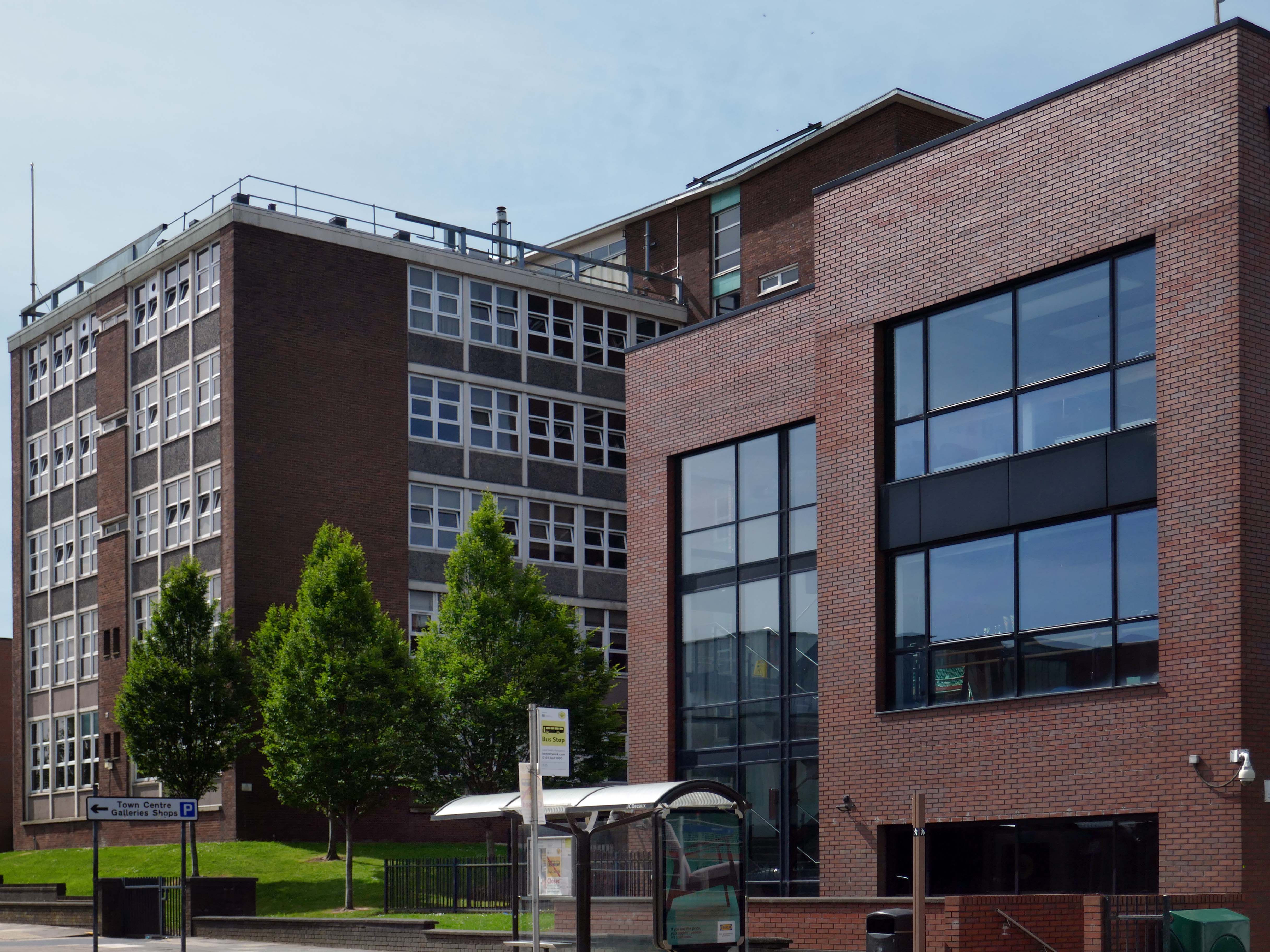
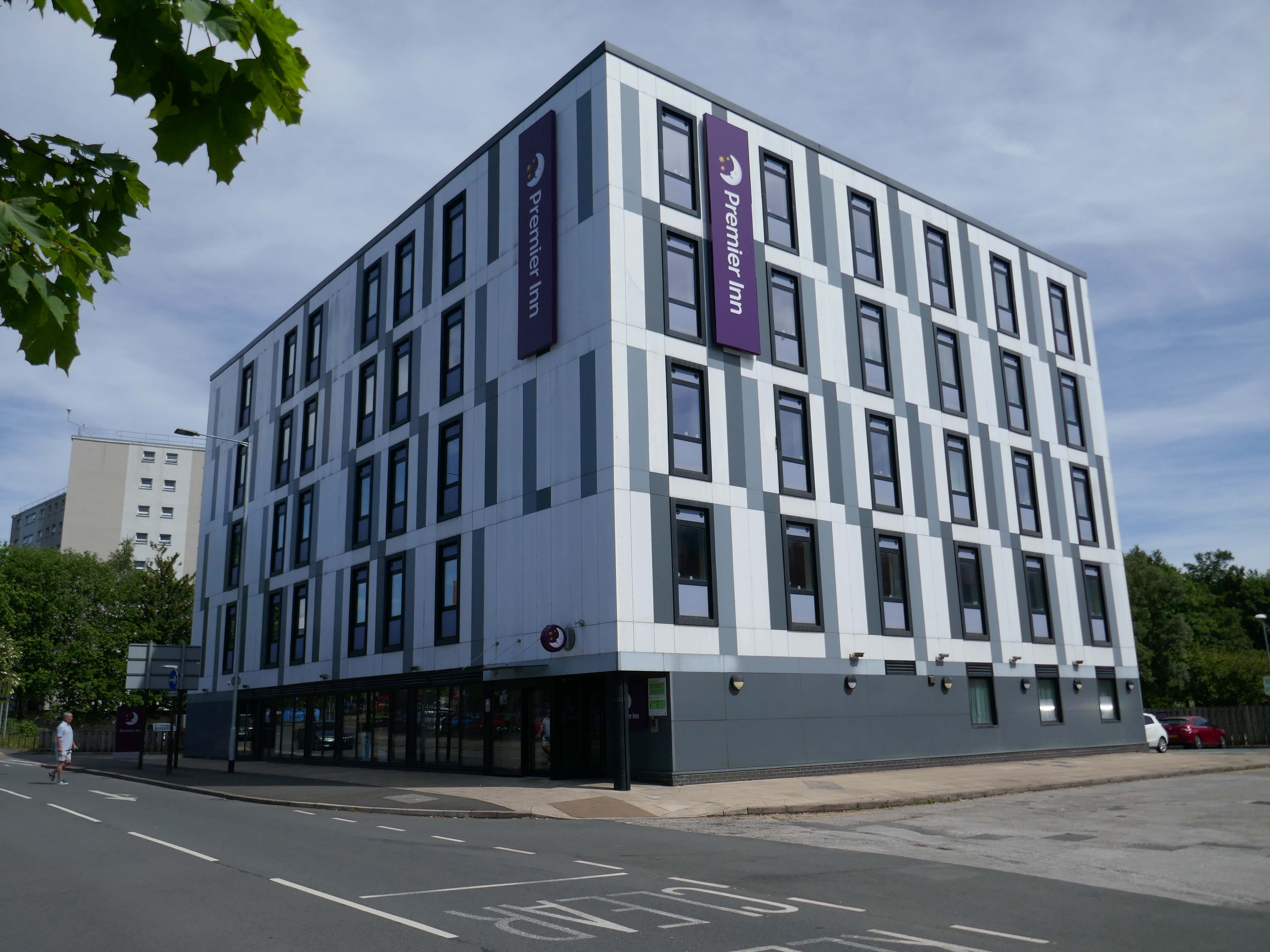
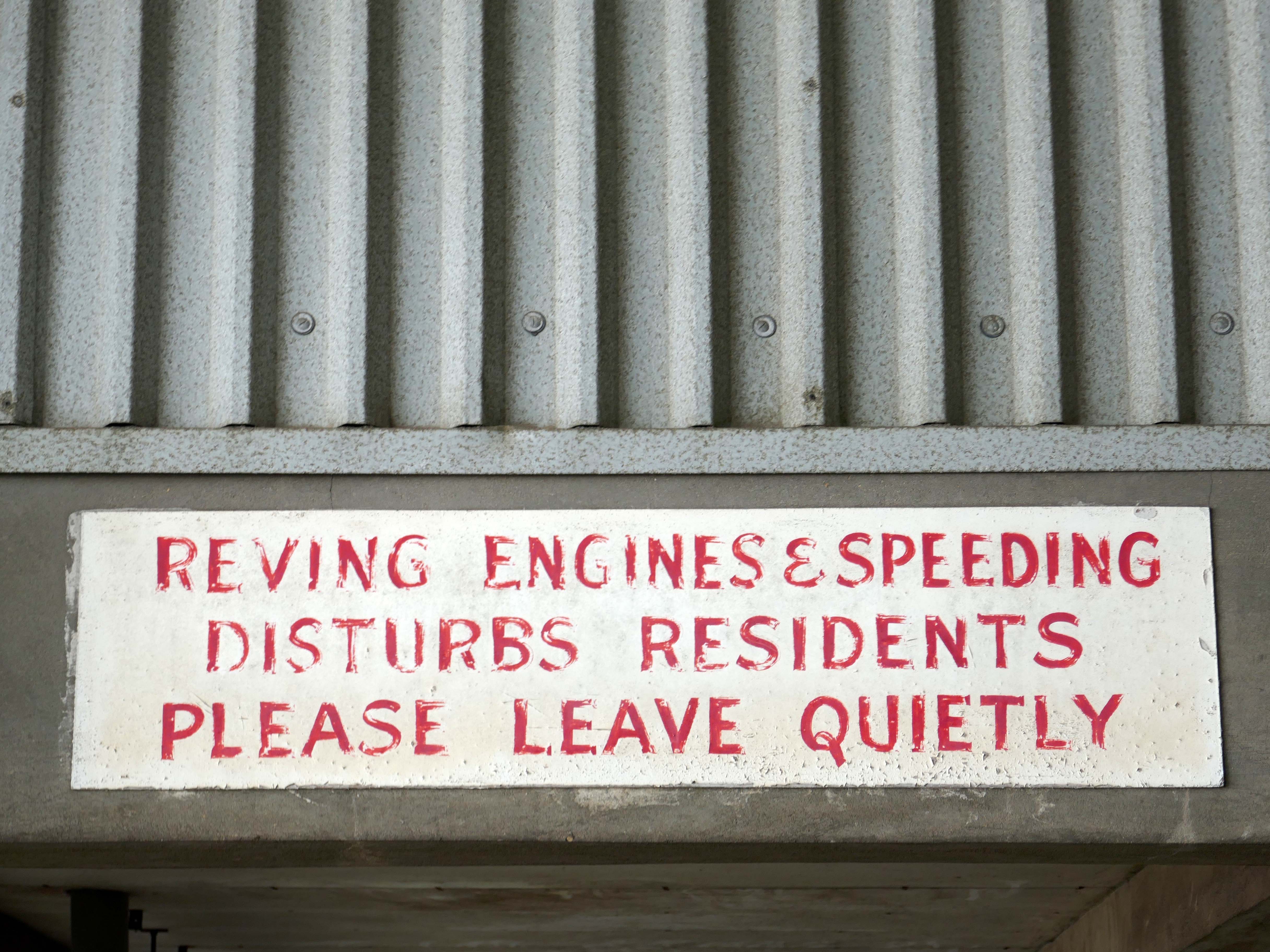
Next to the Roger Booth cop shop that became a Premier Inn.
A super-comfy bed, blackout curtains, a powerful shower and free Wi-Fi – our double rooms have everything you’ll need for a great night’s sleep.
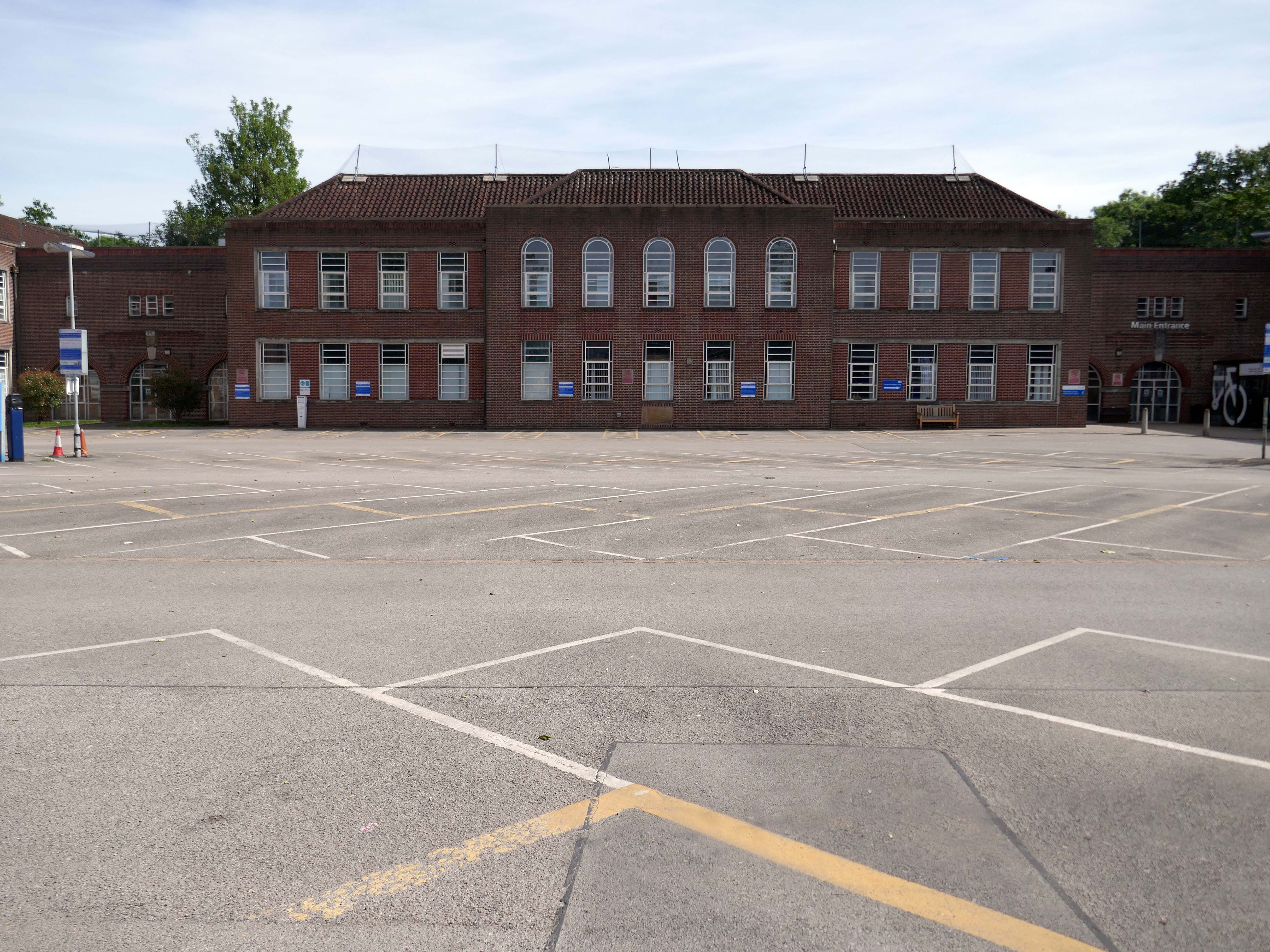
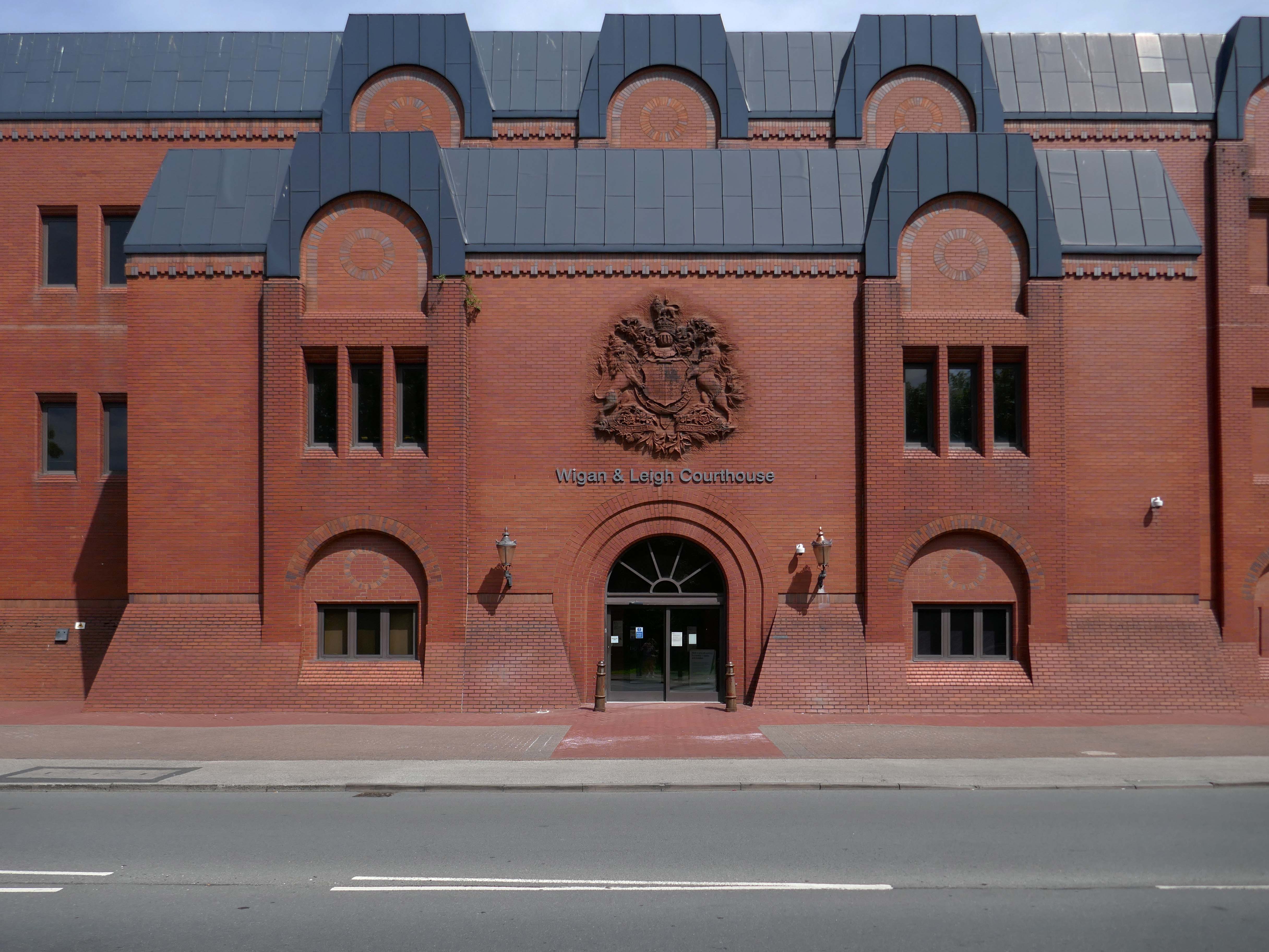
Next door the Wigan & Leigh Courthouse 1992 Wigan MBC Architect.
Relief figure of justice by Christine Ward.
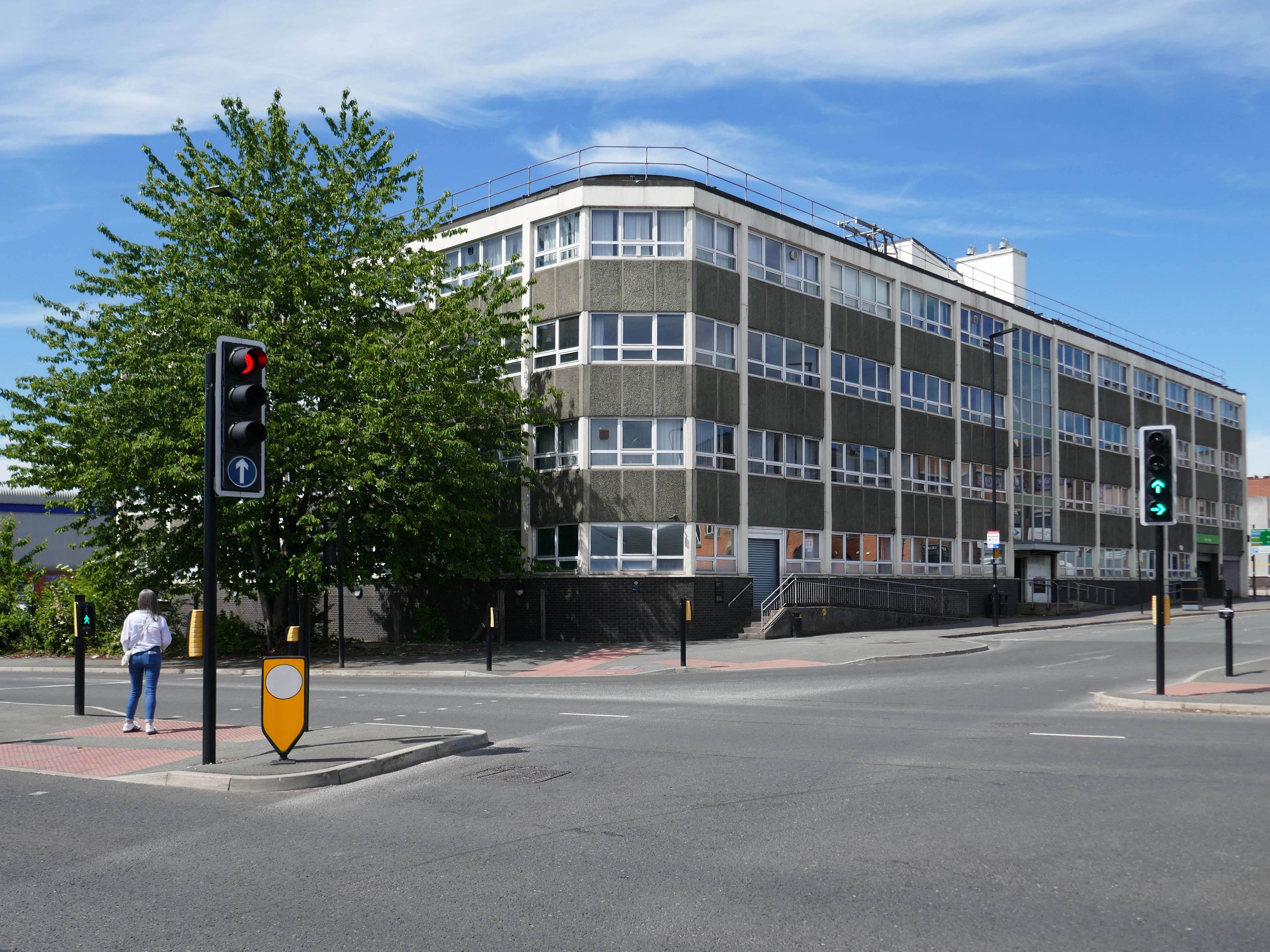
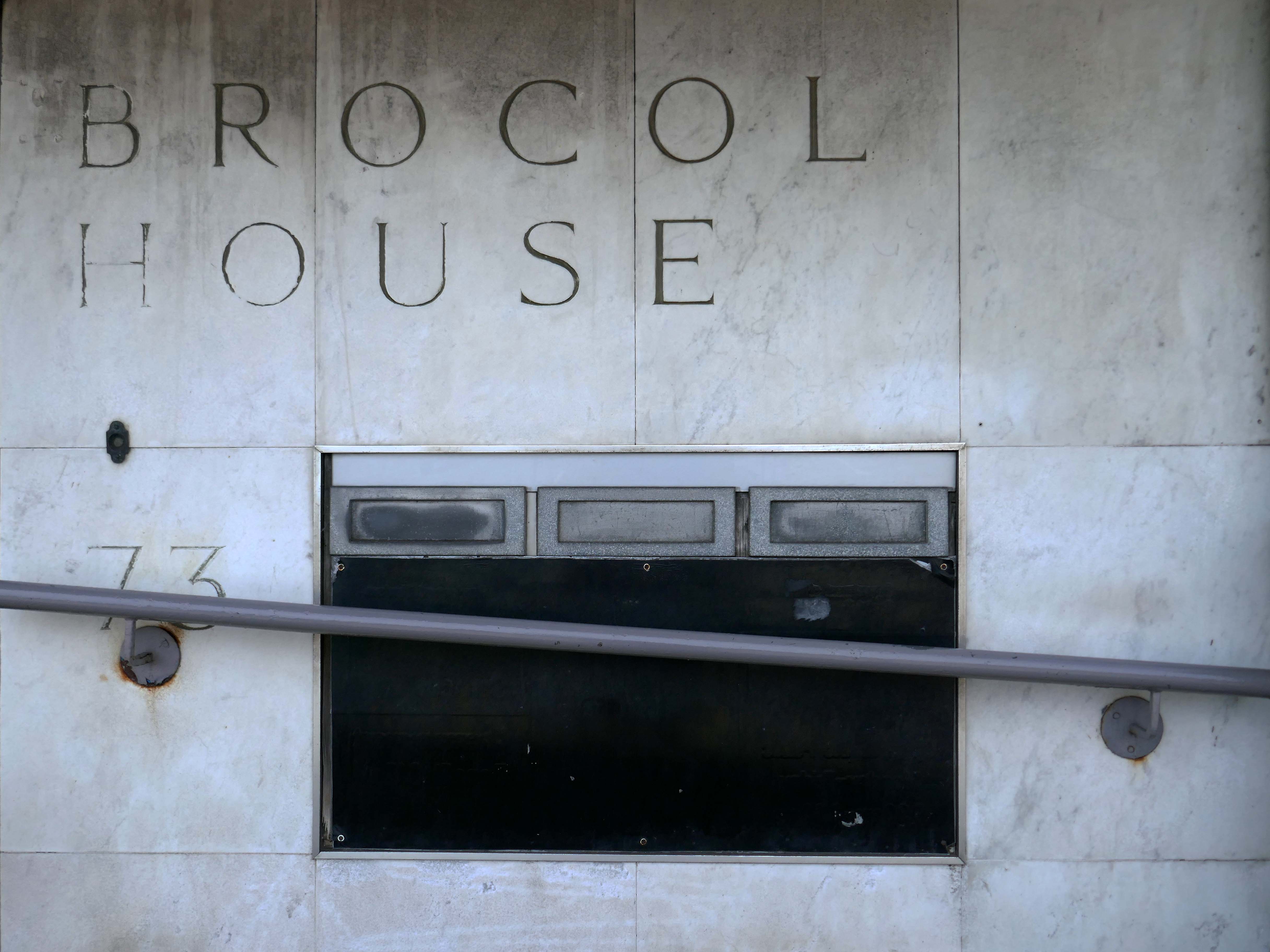
Onward to Brocol House – currently home to the Job Centre
Image – Wigan Peers
Originally built for the Inland Revenue one the site of the Brewers Arms – has the welcoming charm shared by the majority of Ministry of Works buildings of the period.
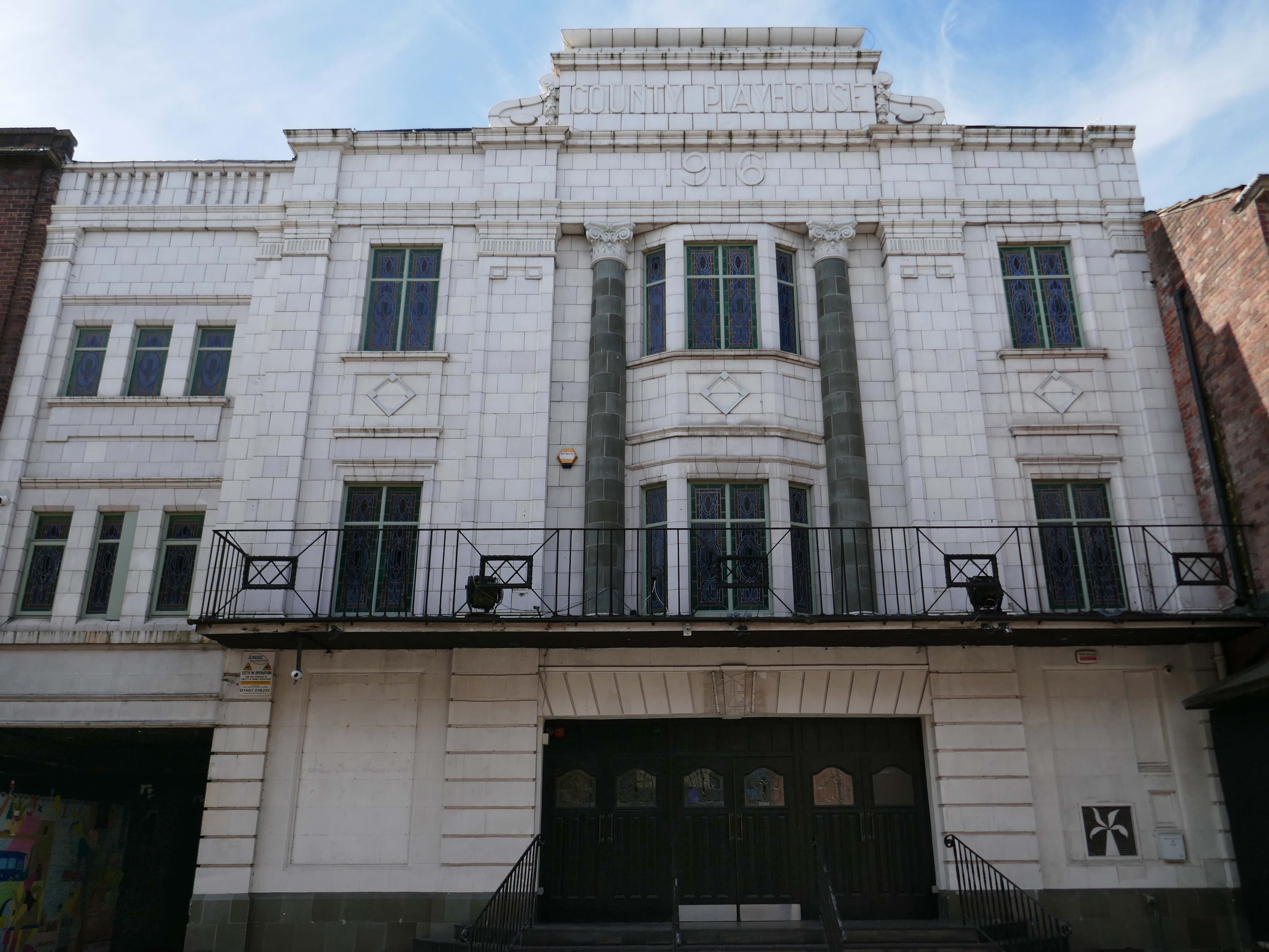
Nearly done – up the road to the County Playhouse.
The club’s atmosphere is defined by thumping musicand a vibrant crowd eager to dance and celebrate. Its modern interior design complements the lively ambience, creating an inviting space for locals and visitors alike.
Construction began on the County Playhouse in 1916. However, due to a shortage of materials and labour during World War I, it was not completed until 1919.
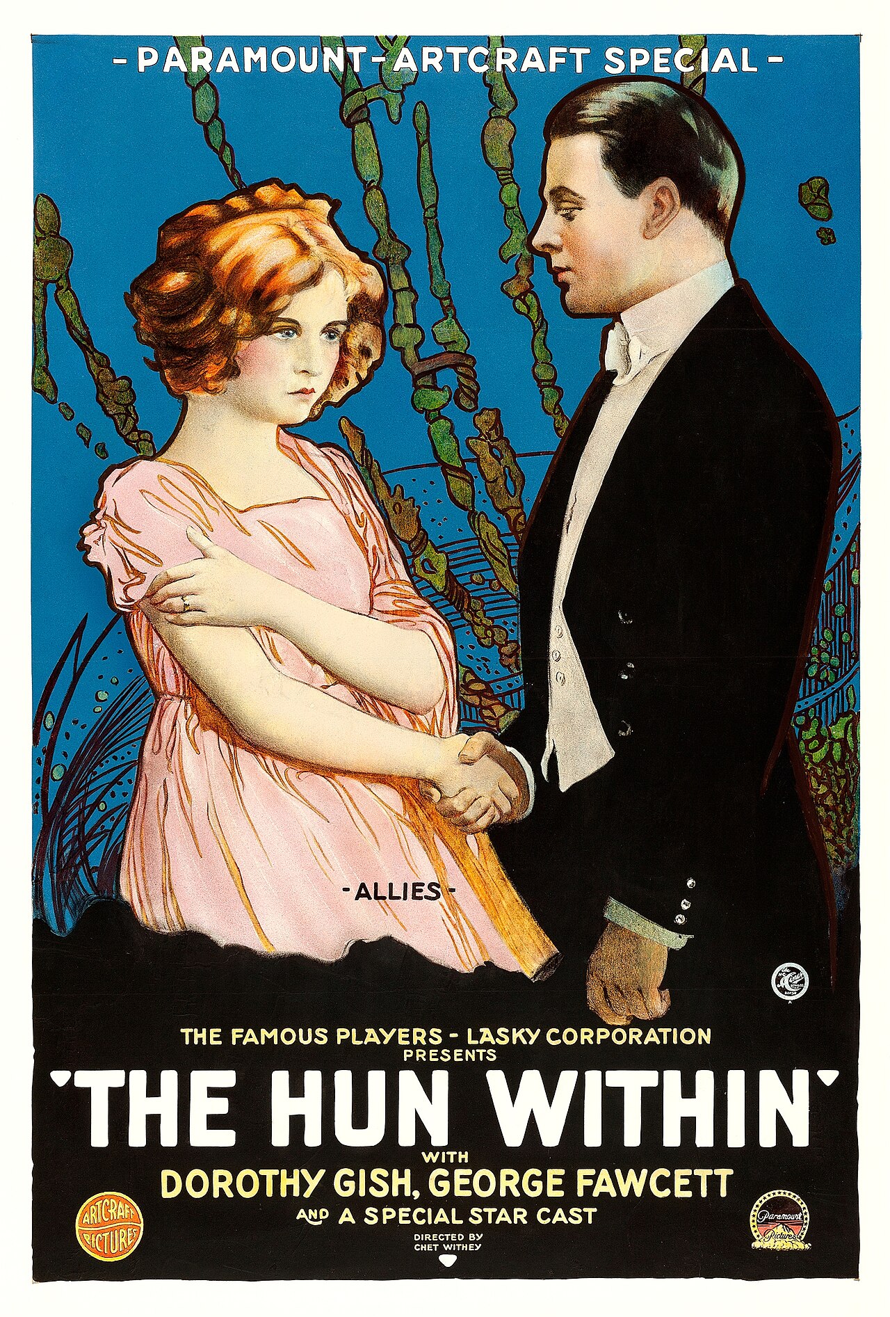
Finally opened on 22nd December 1919 with The Hun Within – starring Dorothy Gish.
The County Playhouse closed on Sunday 13th November 1966 with Disney’s “The Sword and the Stone”. It was taken over by the Leeds Based Star Cinemas chain and they converted it into Star Bingo and Social Club opened on 24th November 1966.
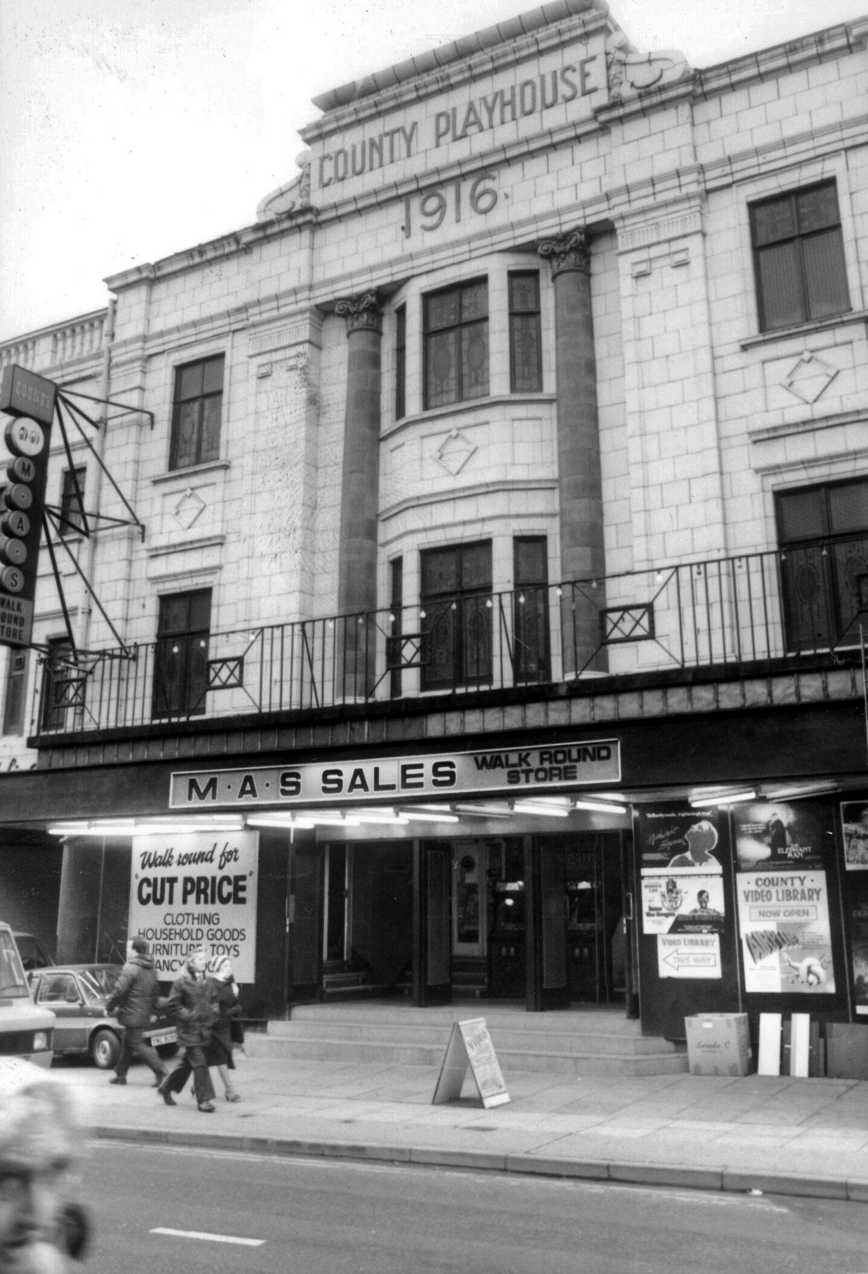
MAS sales store 1982 – Frank Orrell Photography
The building has since been used as a discount store and Playhouse Club Café. It then became home to the 1,200 capacity Pure Nightclub. In the early-2000’s it became the Ibiza nightclub. The Pure nightclub move into the former Princes Cinema
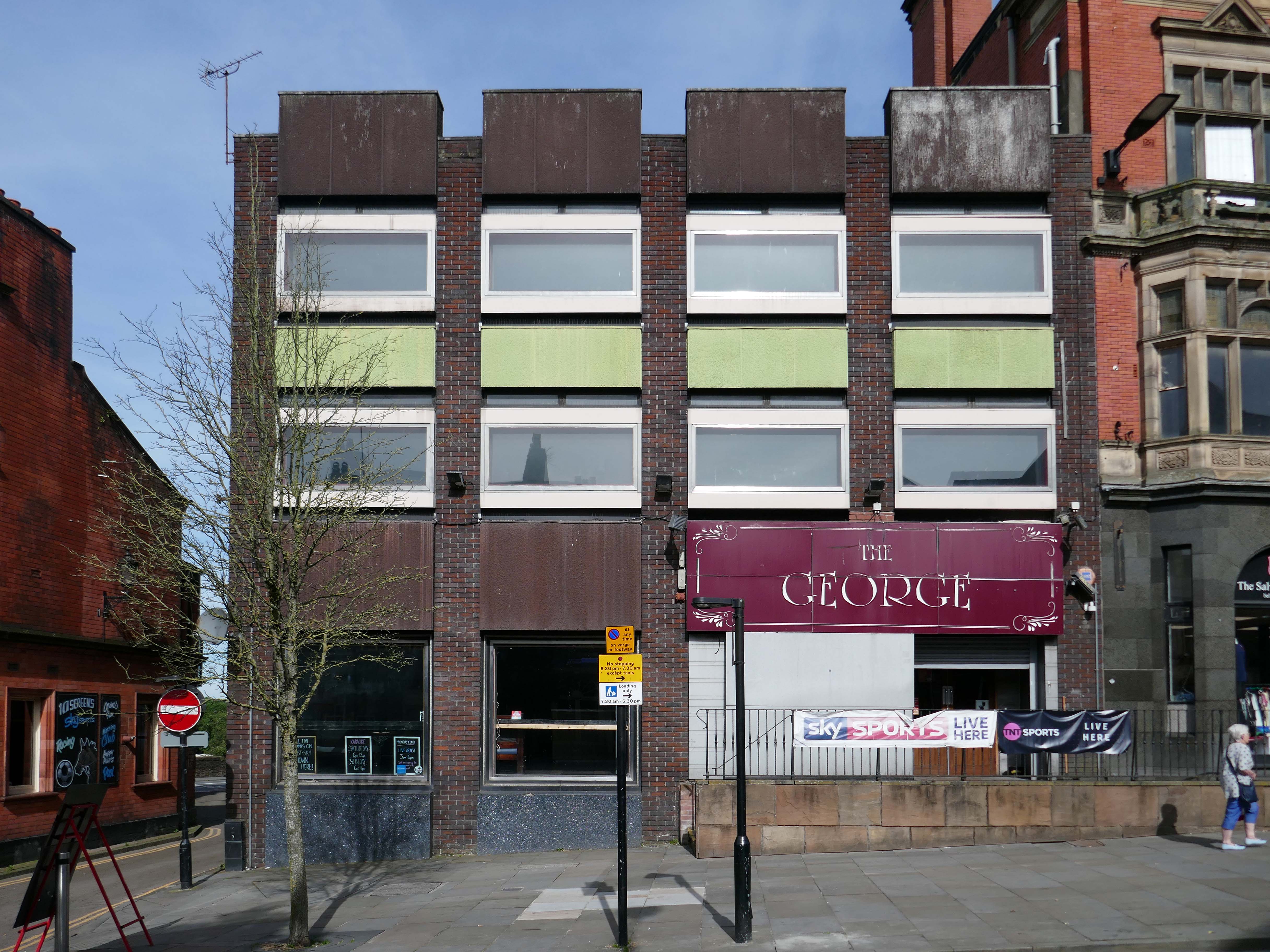
Time for a swift half in The George to end your tour?
Great for a local pint one of the cheapest in Wigan I believe, slightly rough at times but no fights just real local people who are generally friendly. Proper drinking gaff, and karaoke on certain nights.
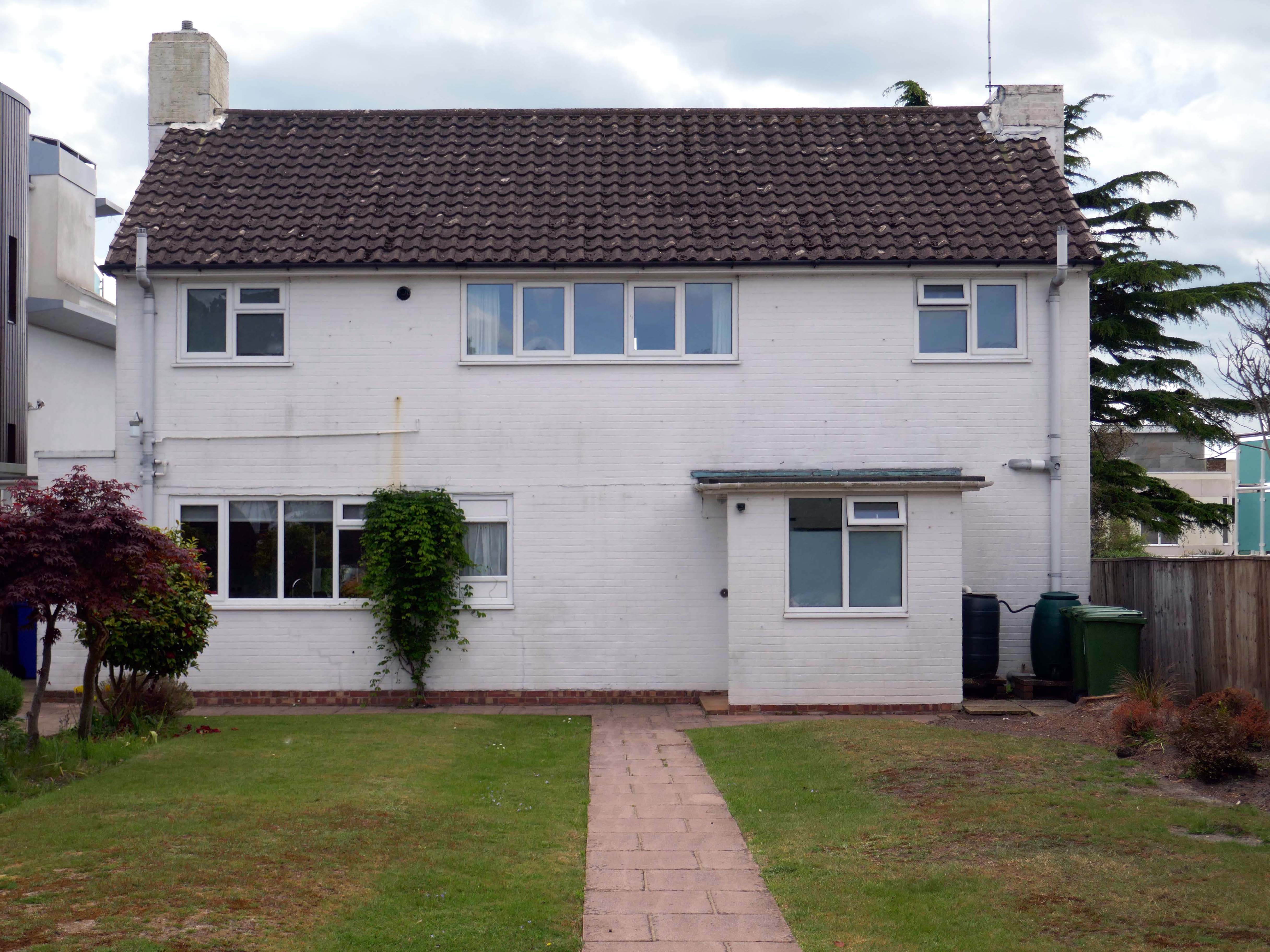
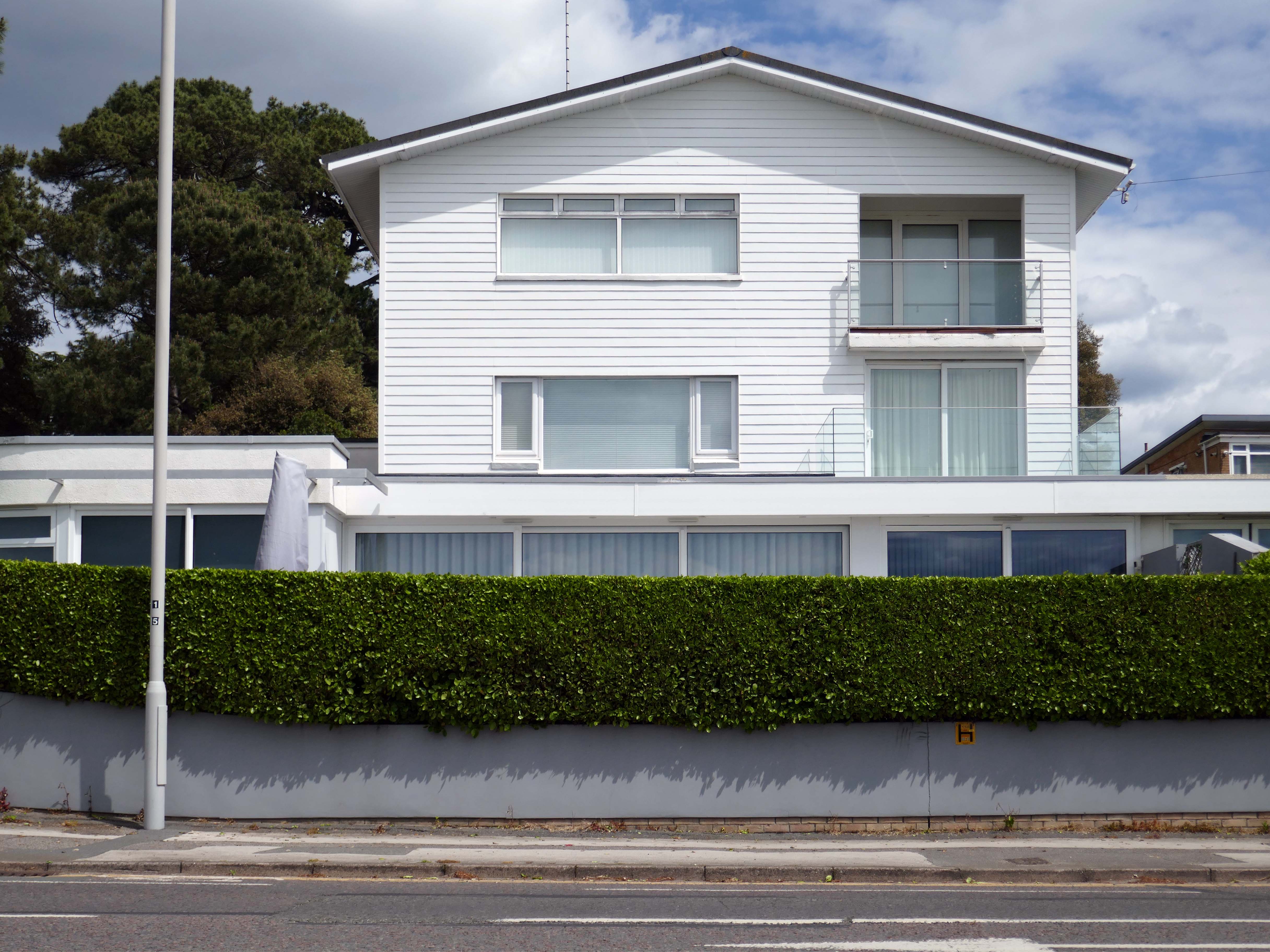
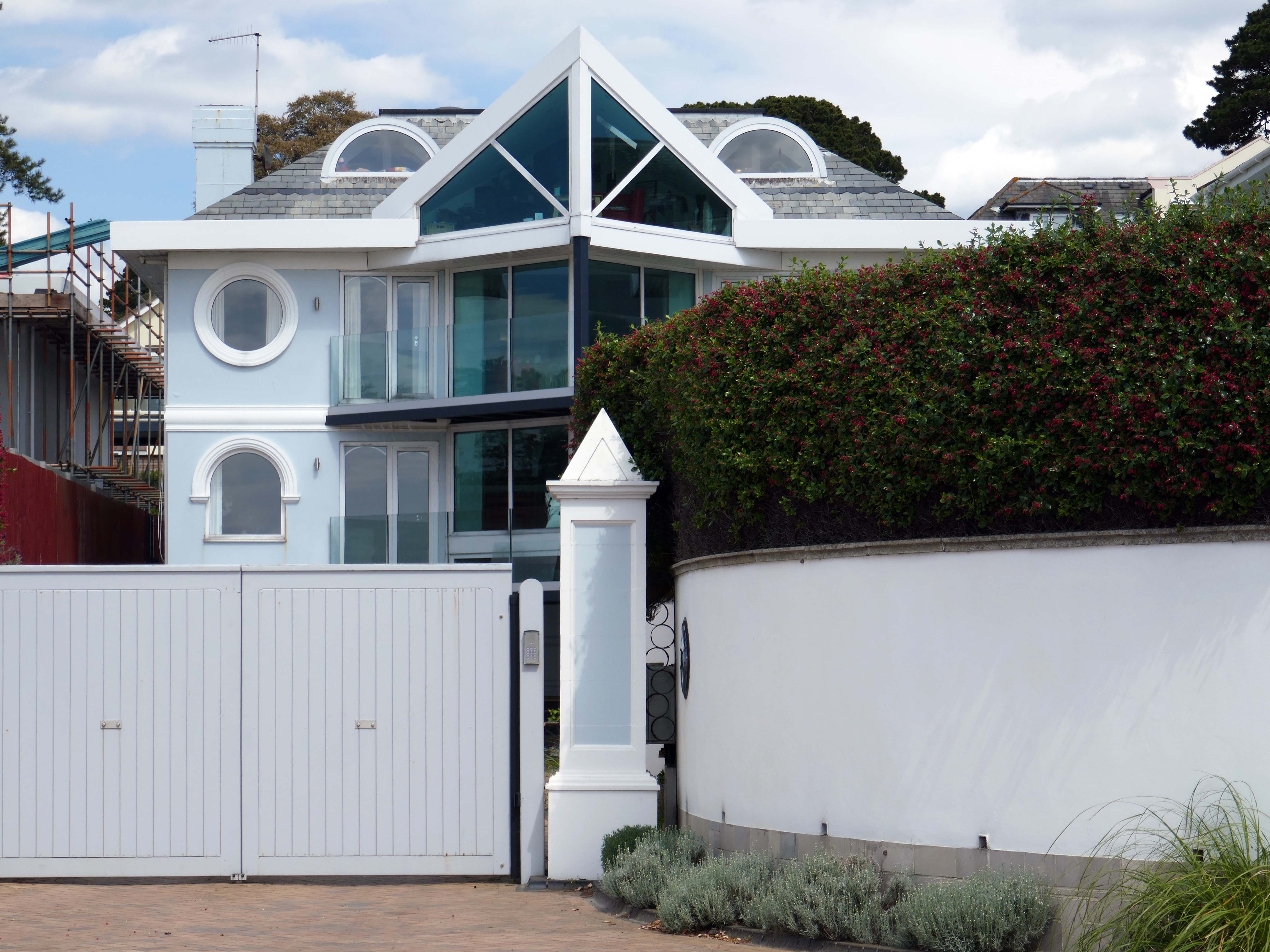
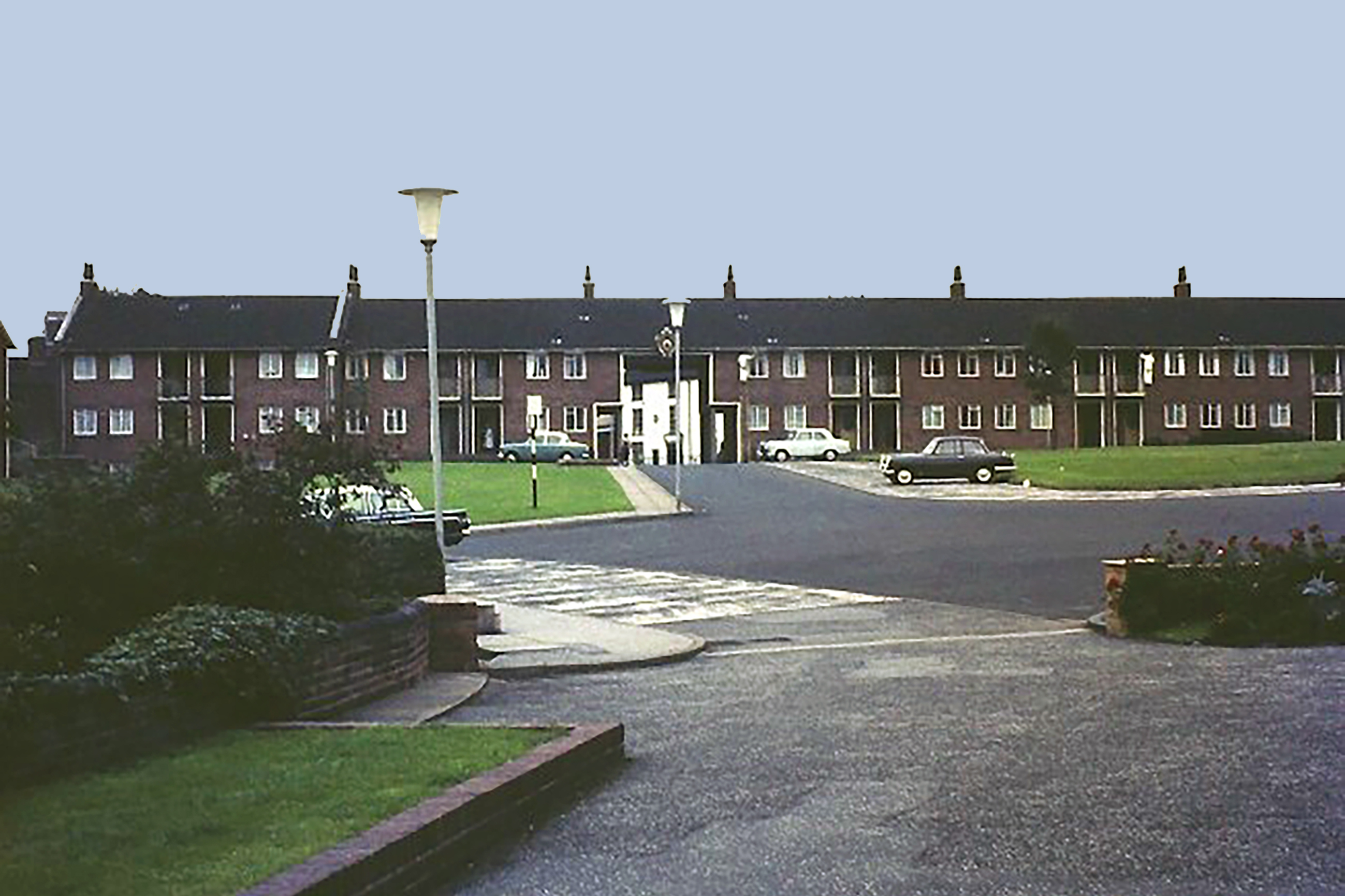
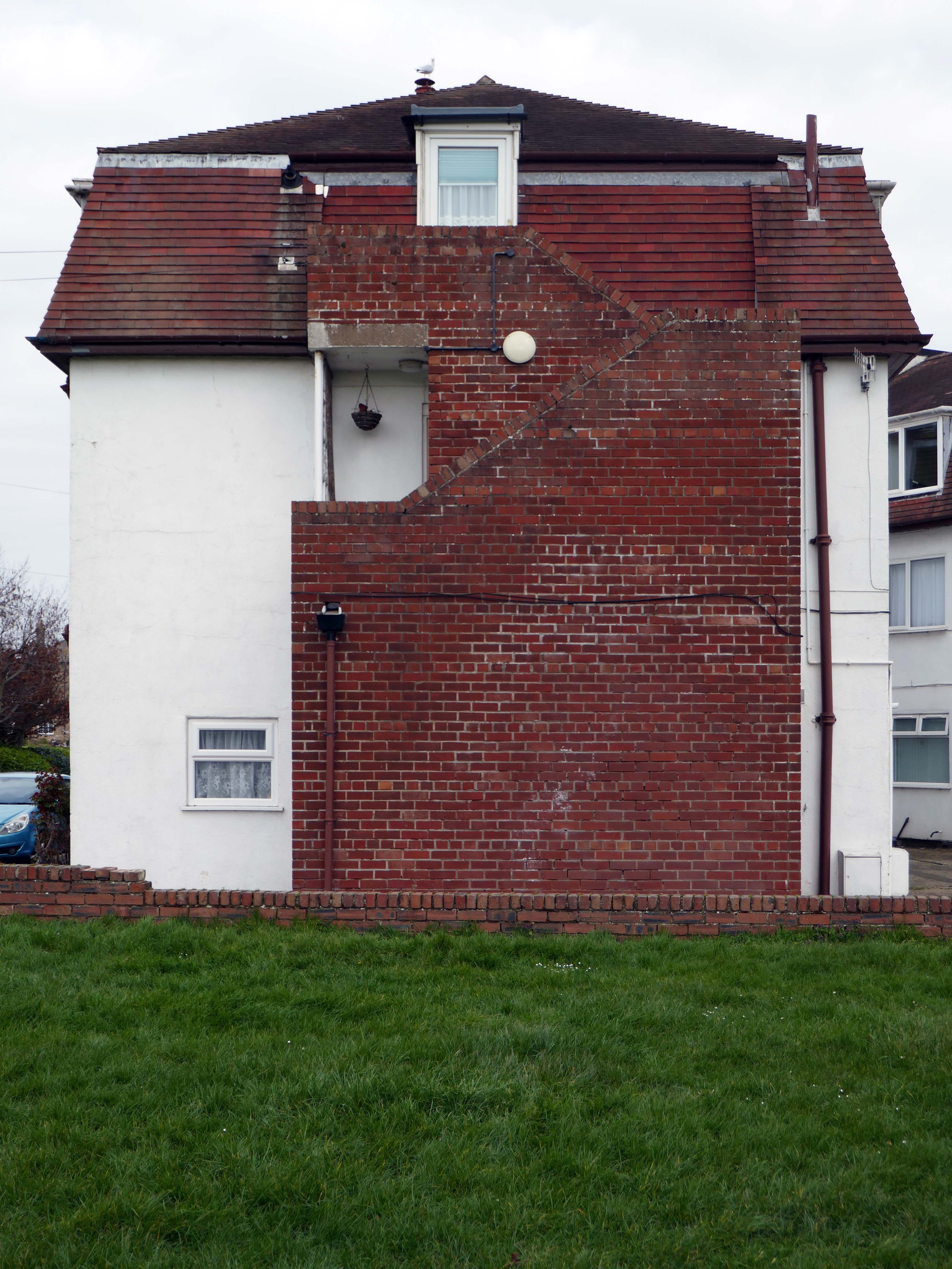
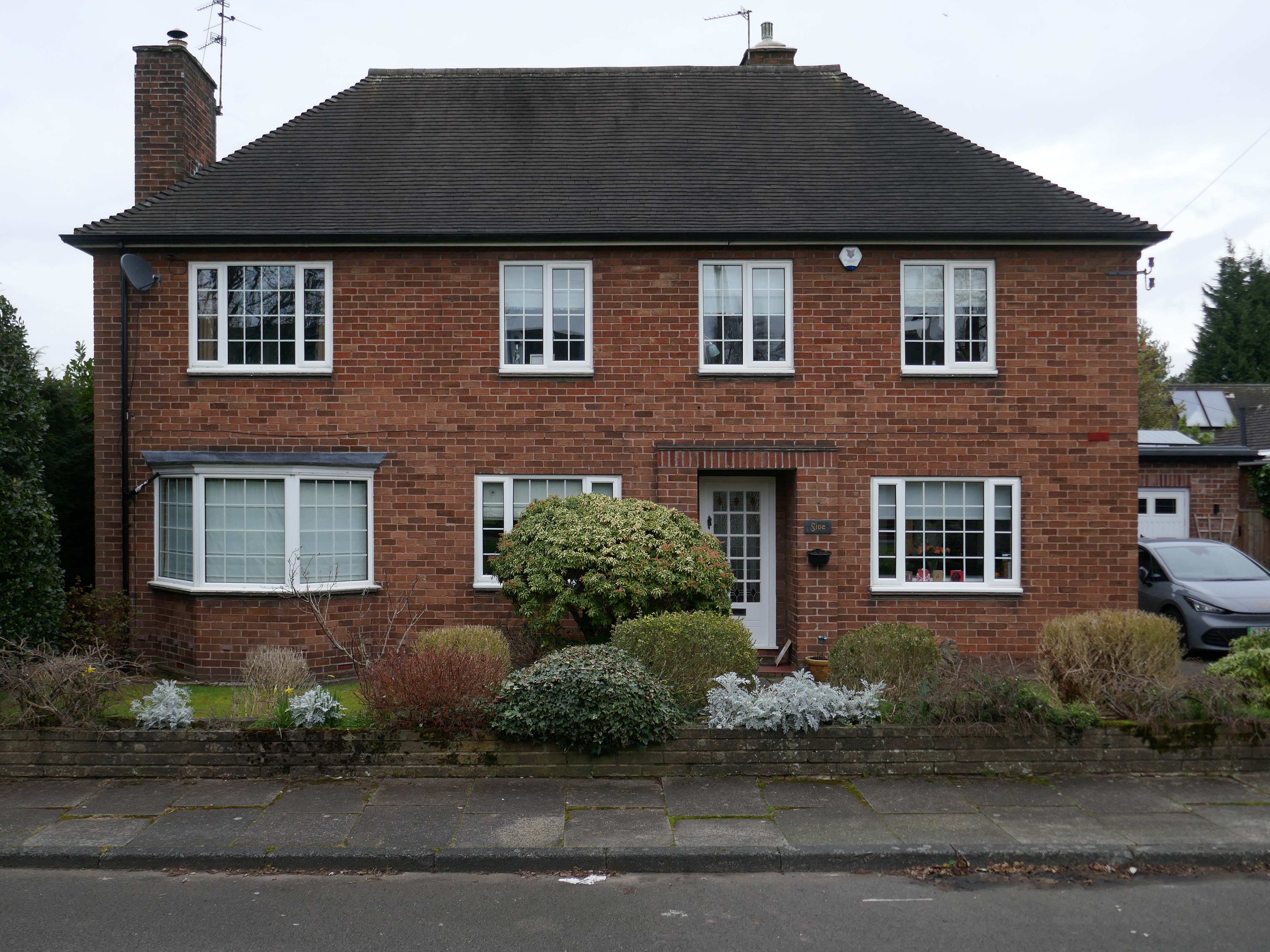
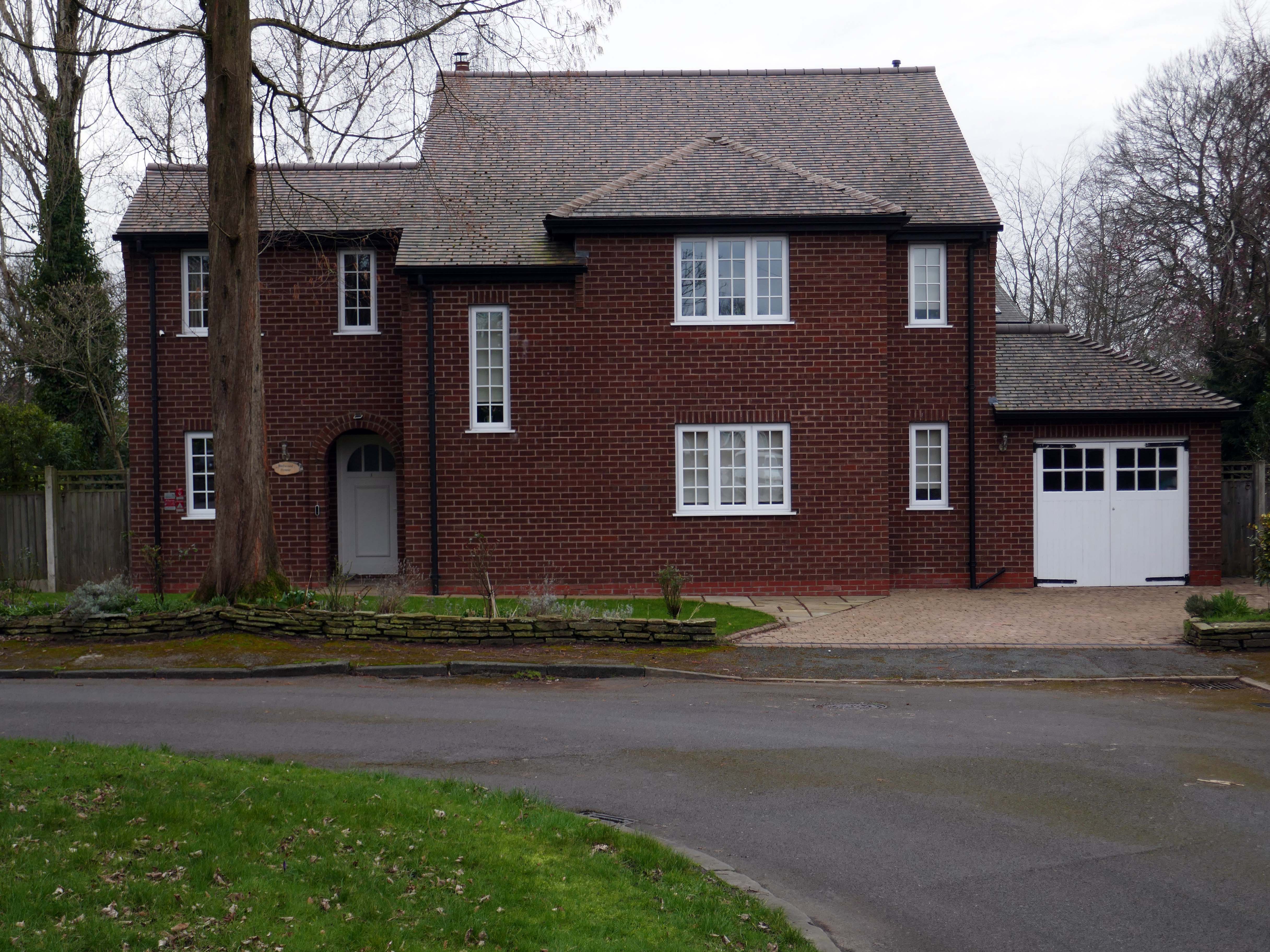
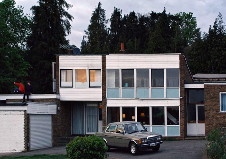
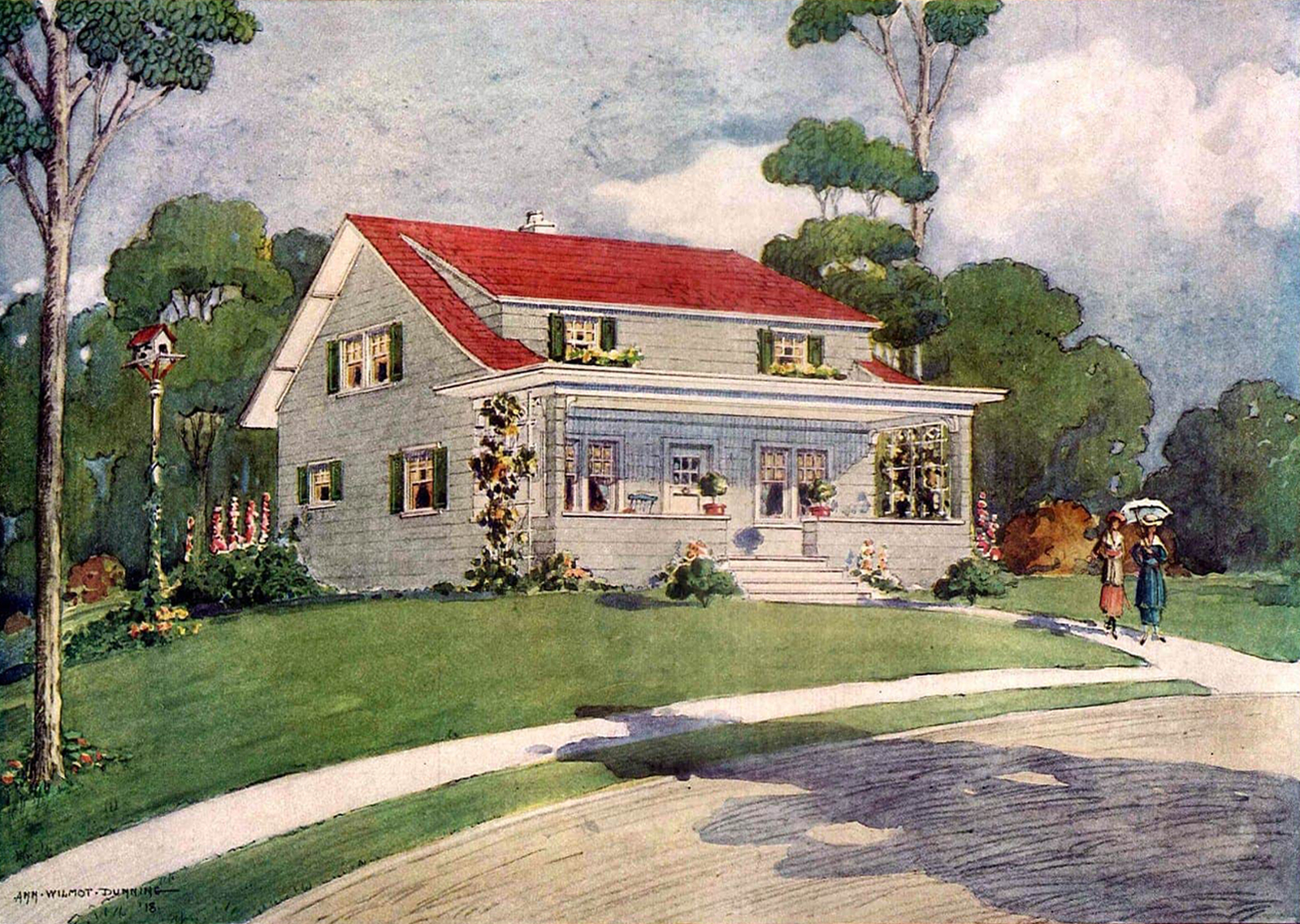
To begin at the middle, the middle of the Twentieth Century, houses may have looked like this:
Or possibly these:
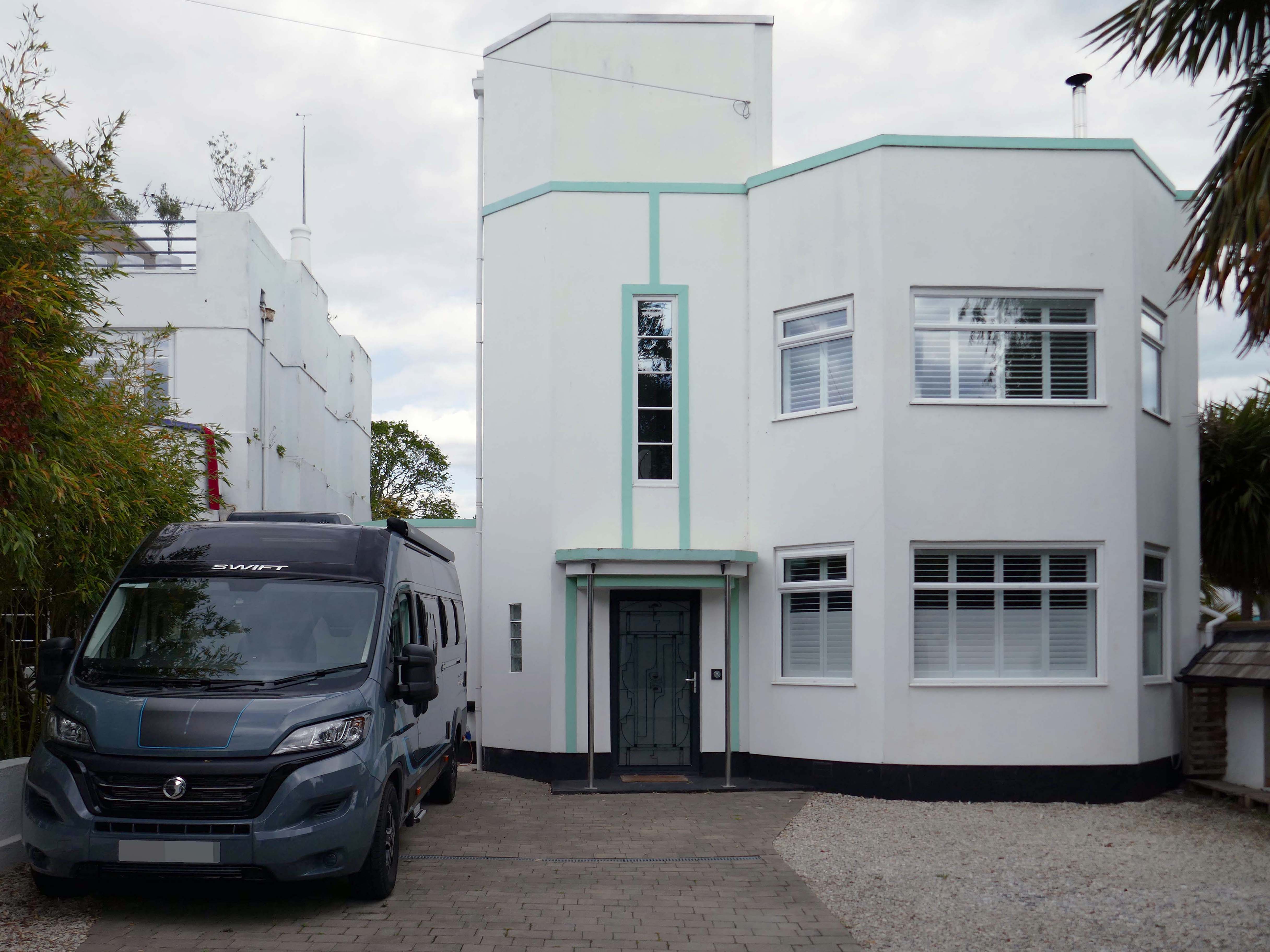
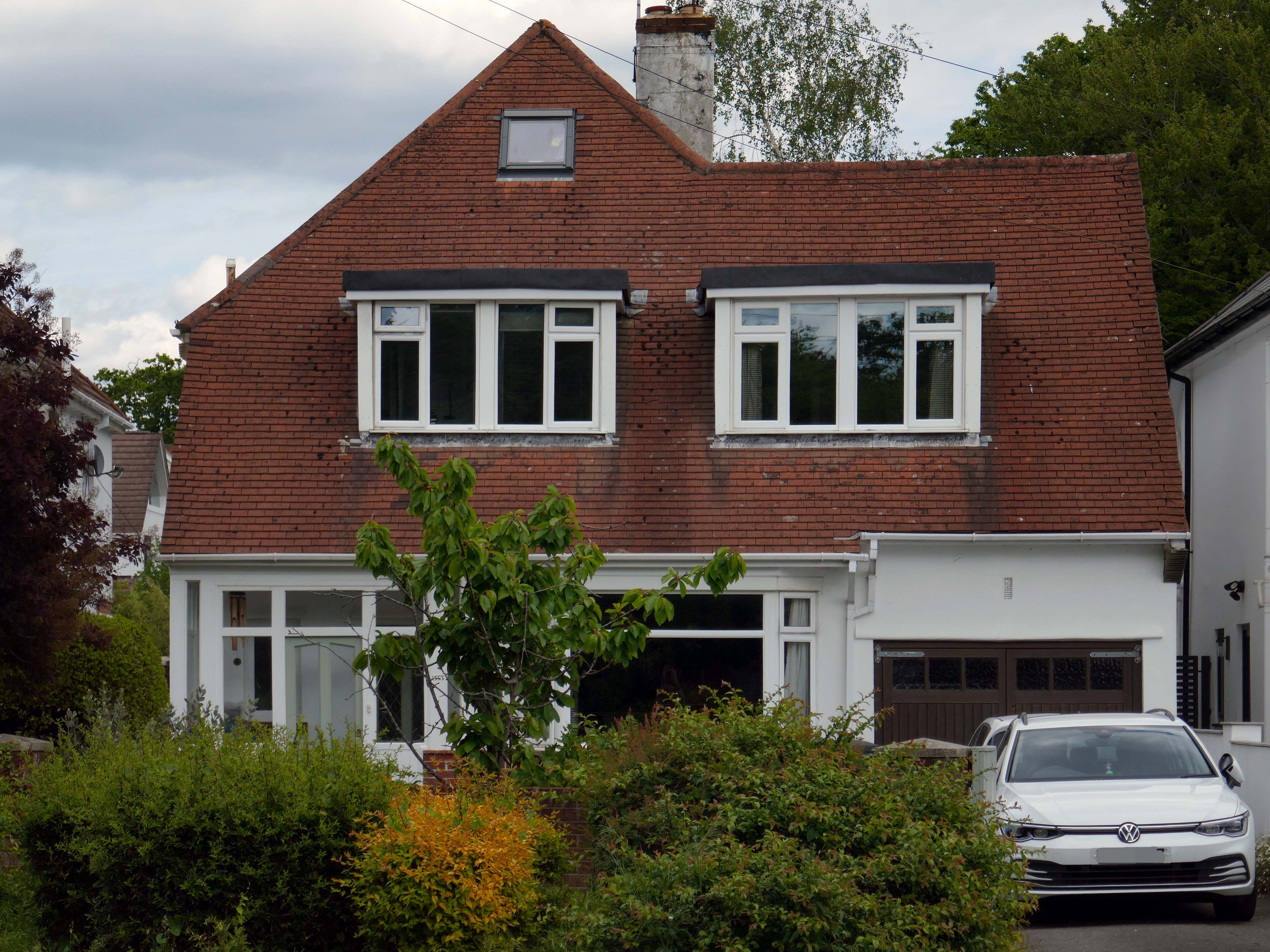
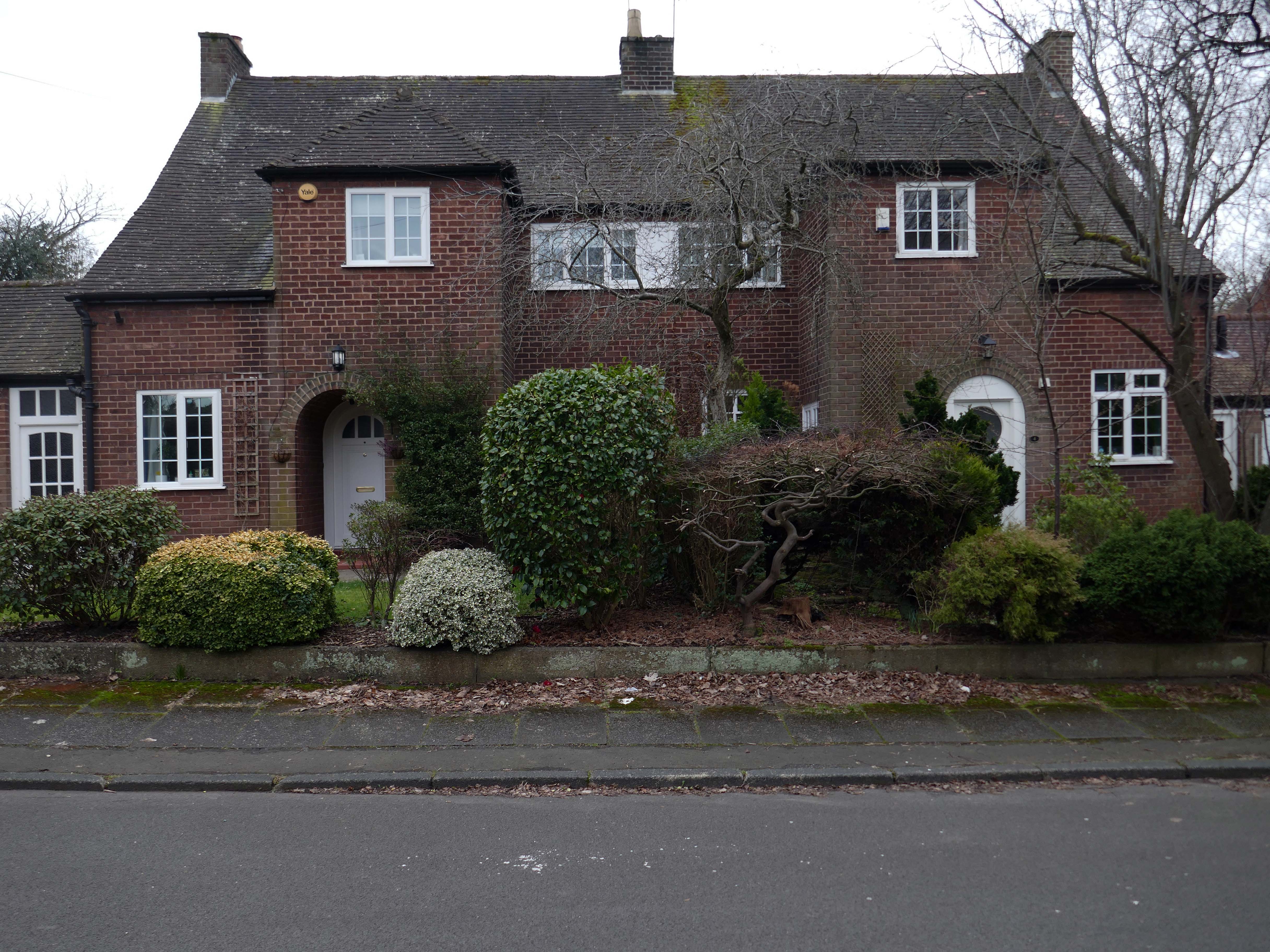
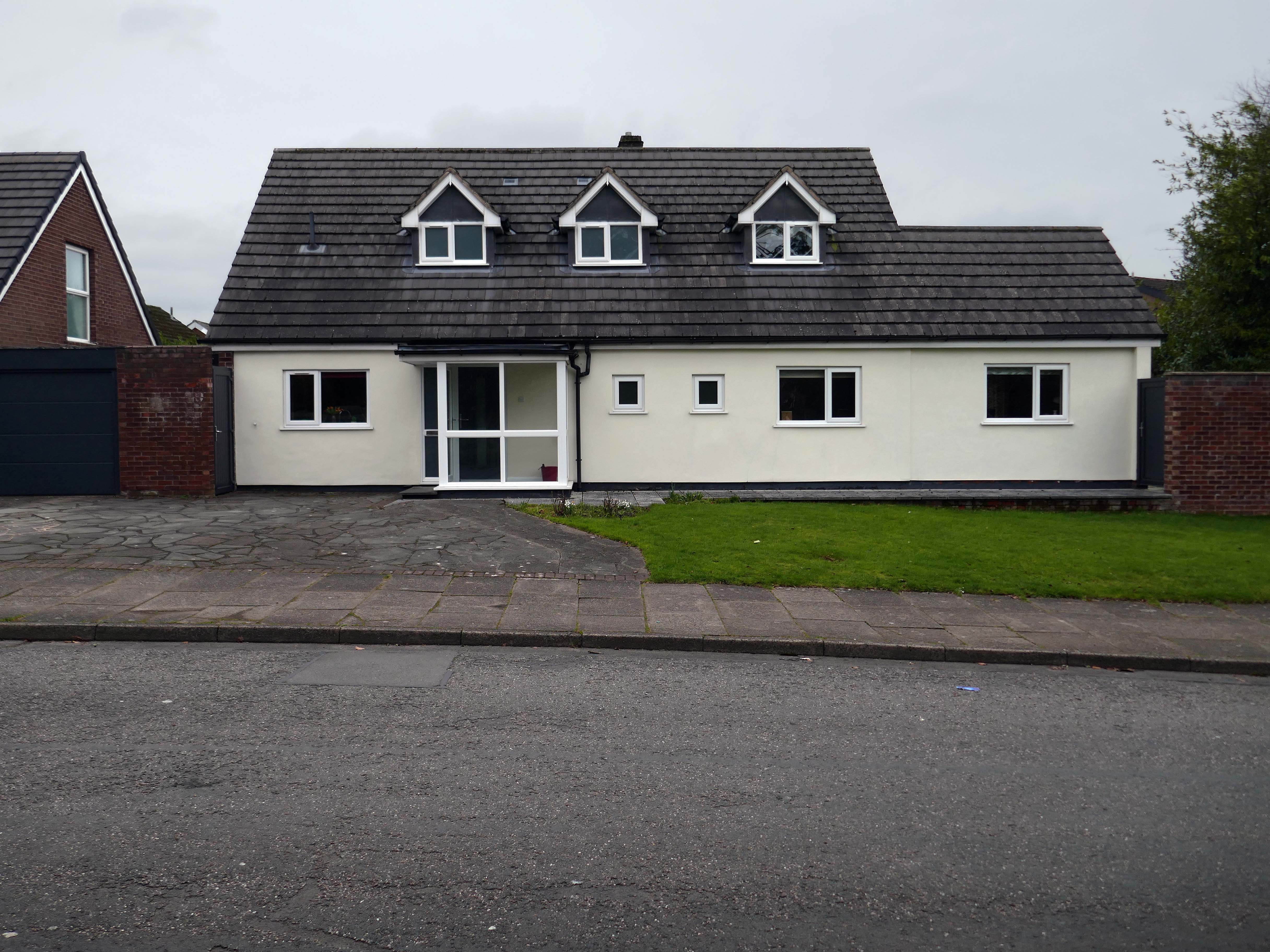
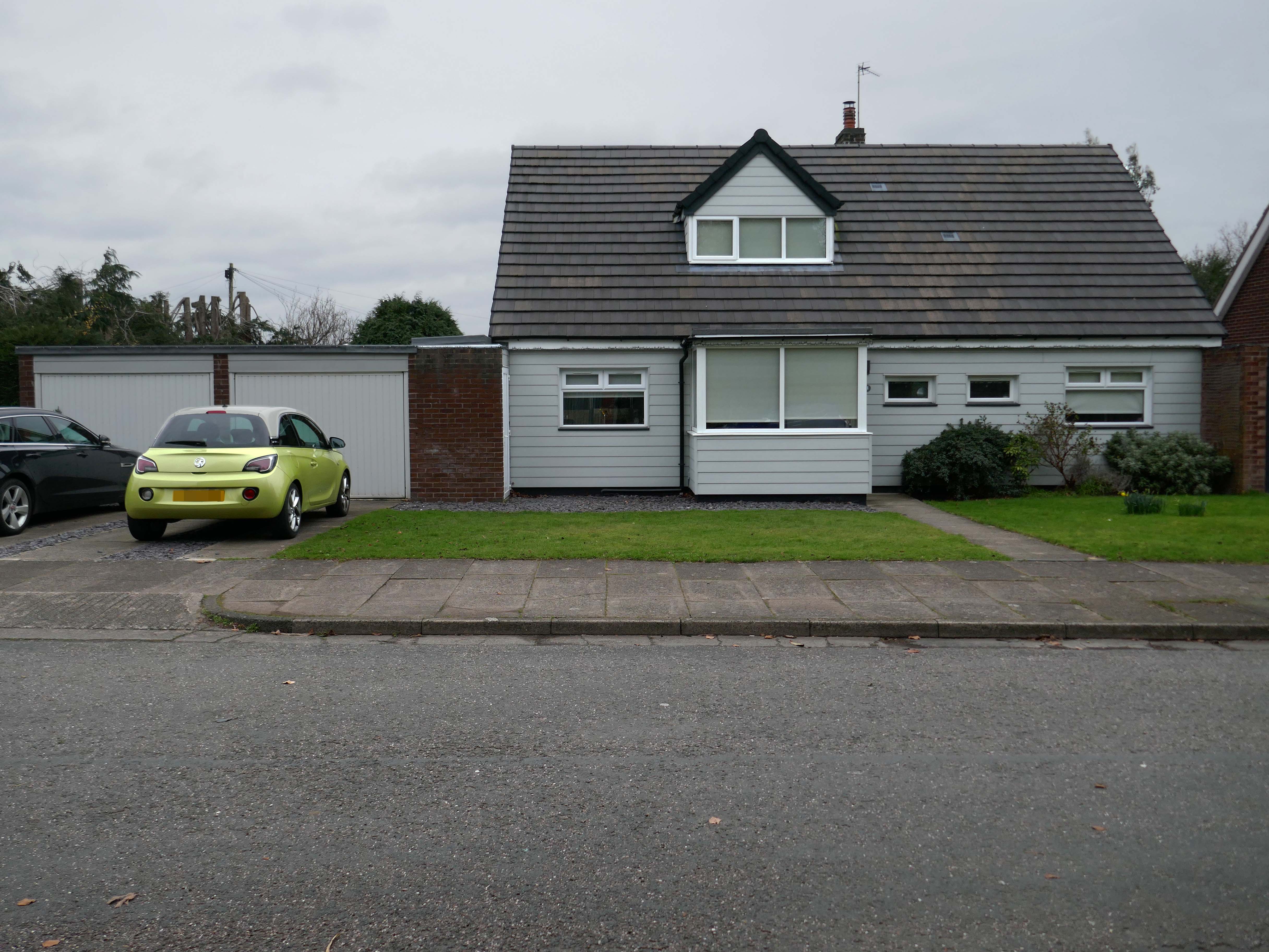
These Shore Road survivors have resisted the charm of redevelopment, the demolition and new build, or the uPVC over cladding, relentless render or reglaze.
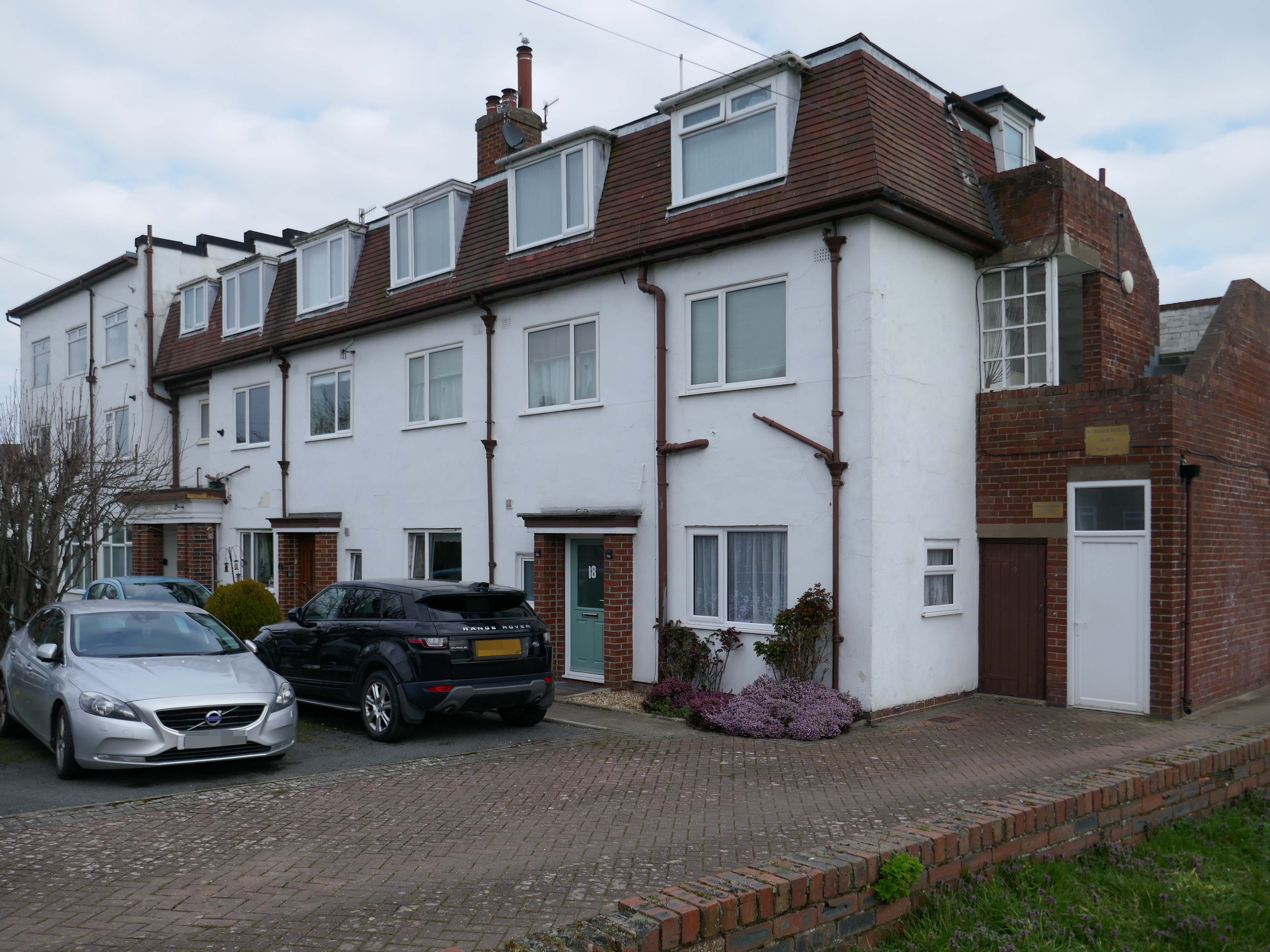
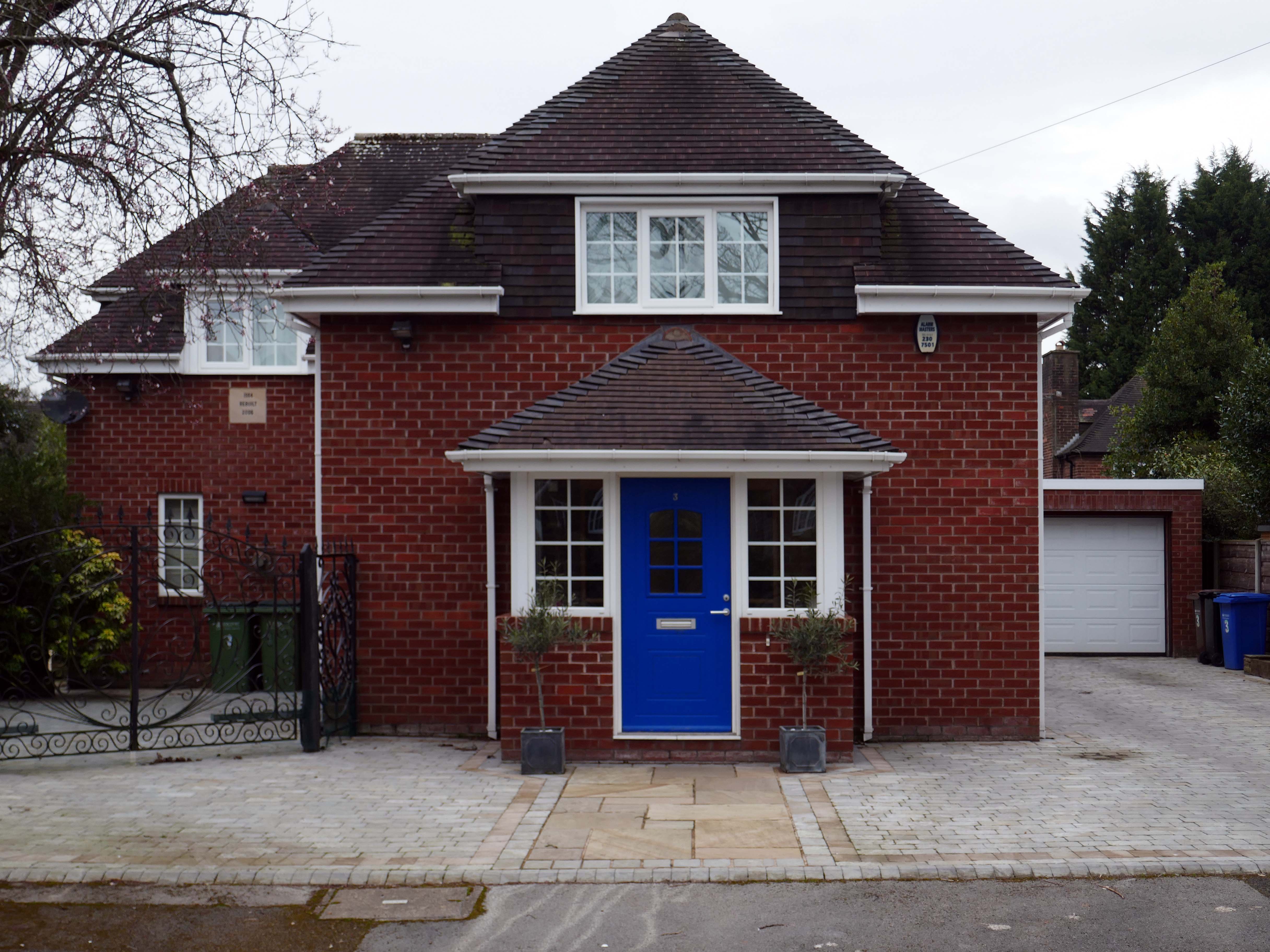
So what happened to houses that look like houses?
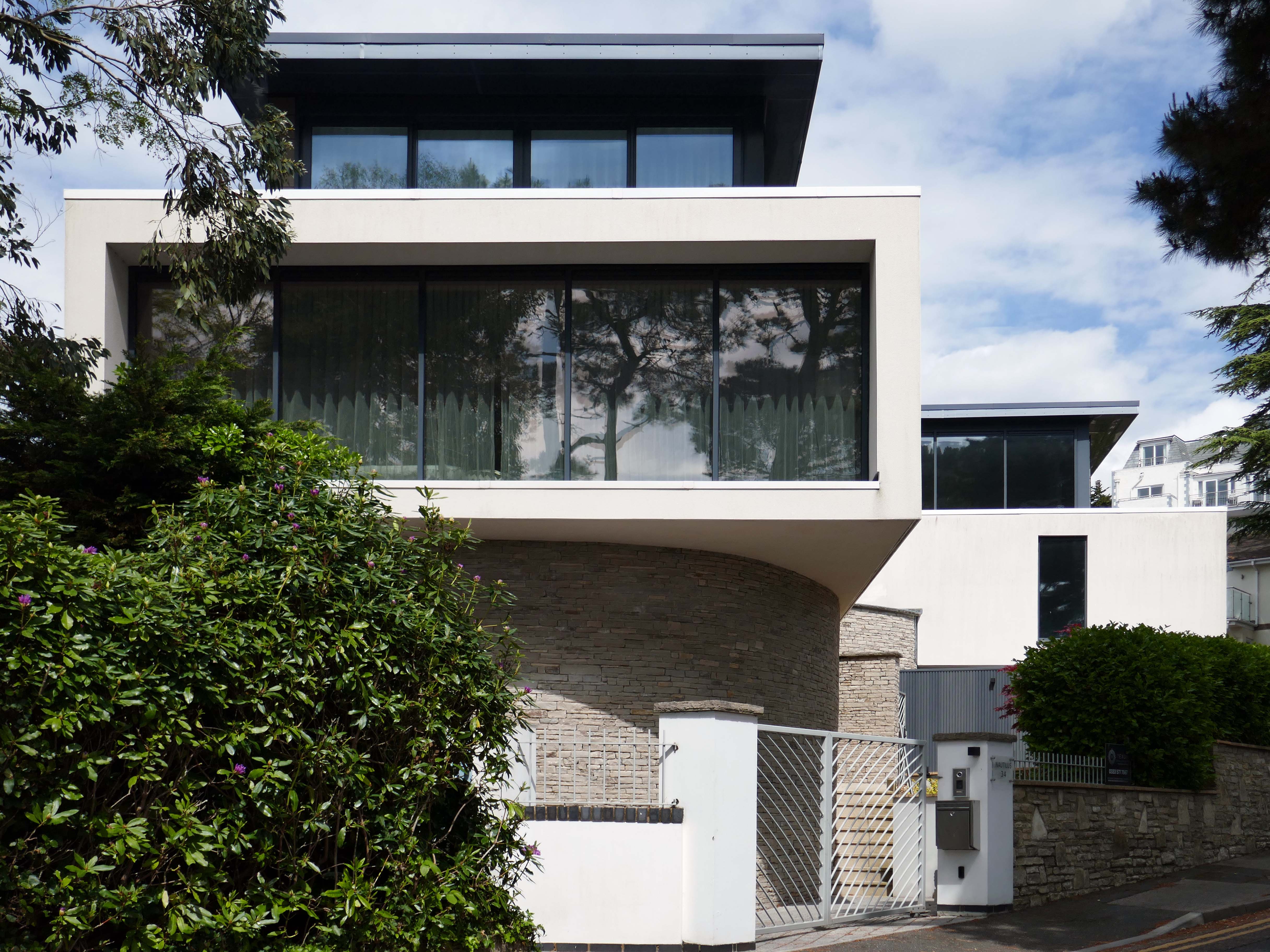
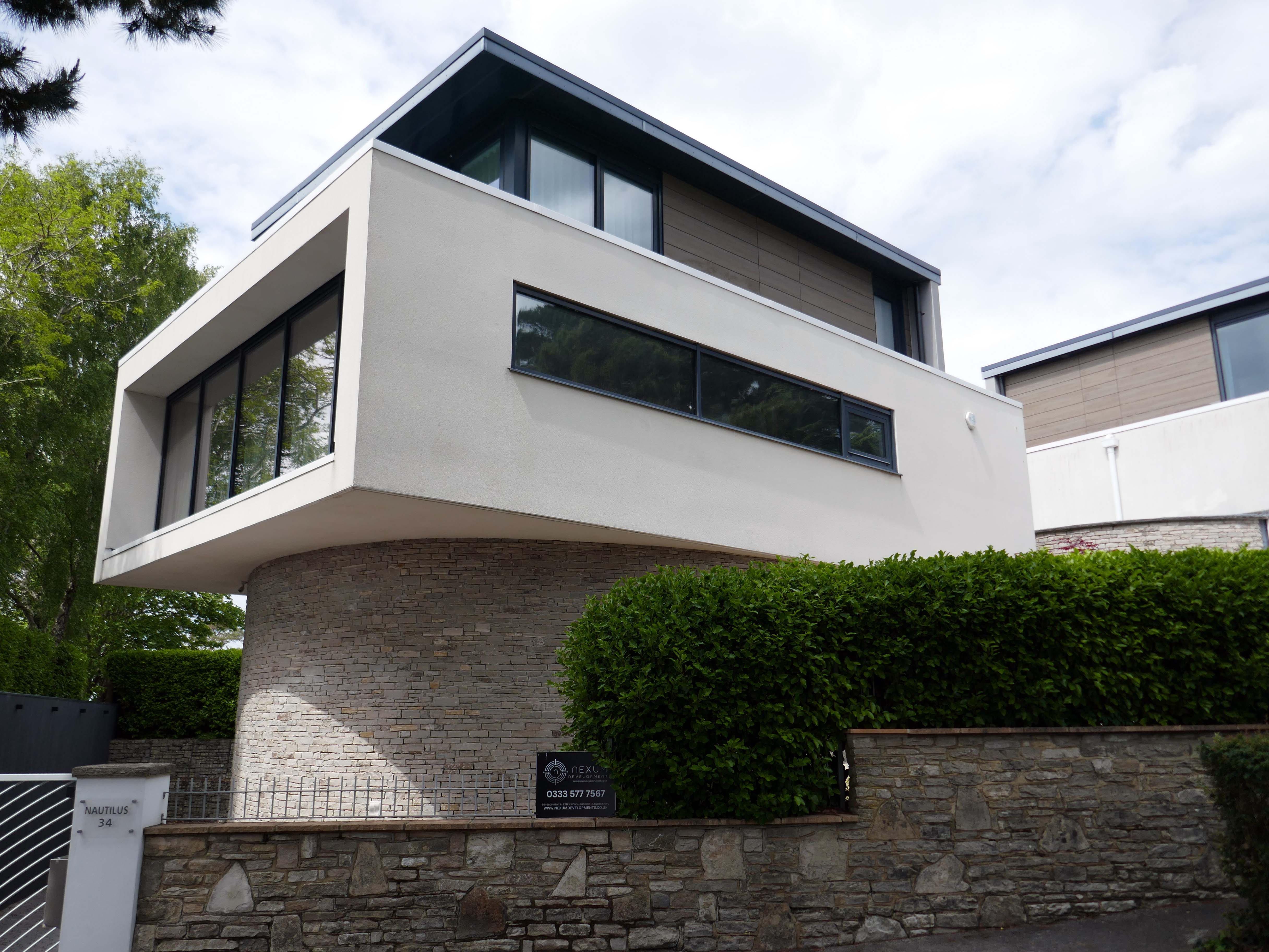
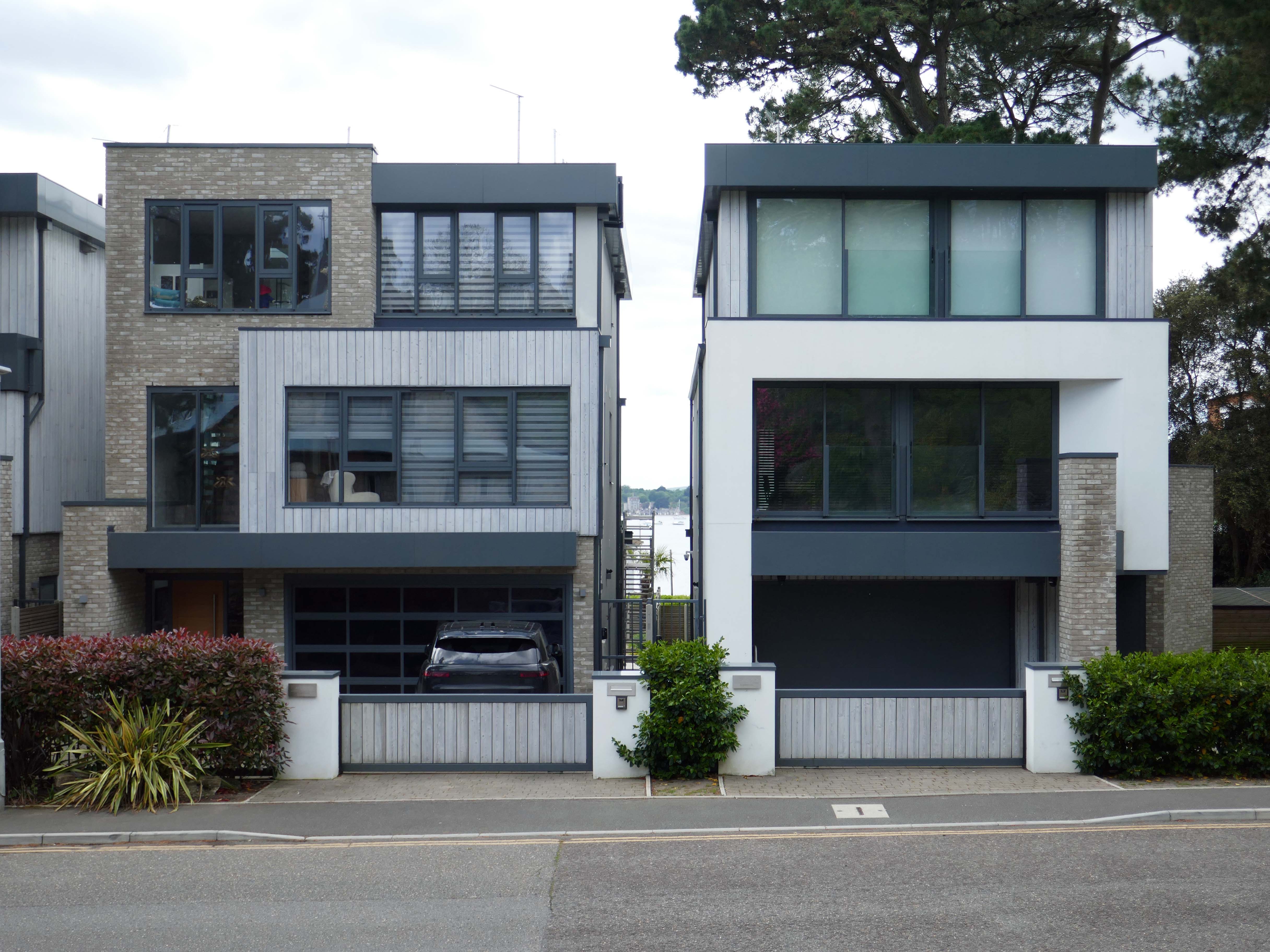
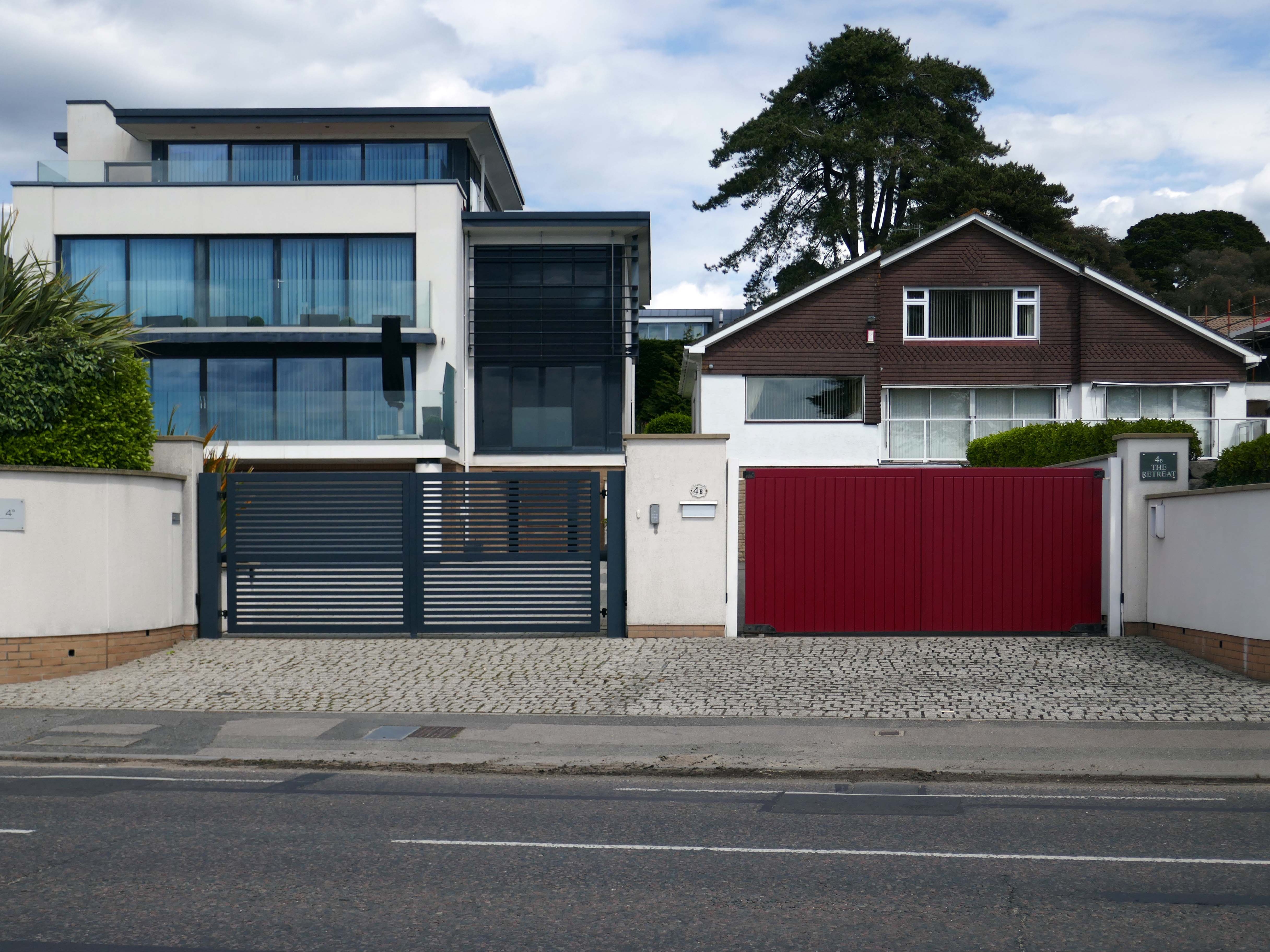
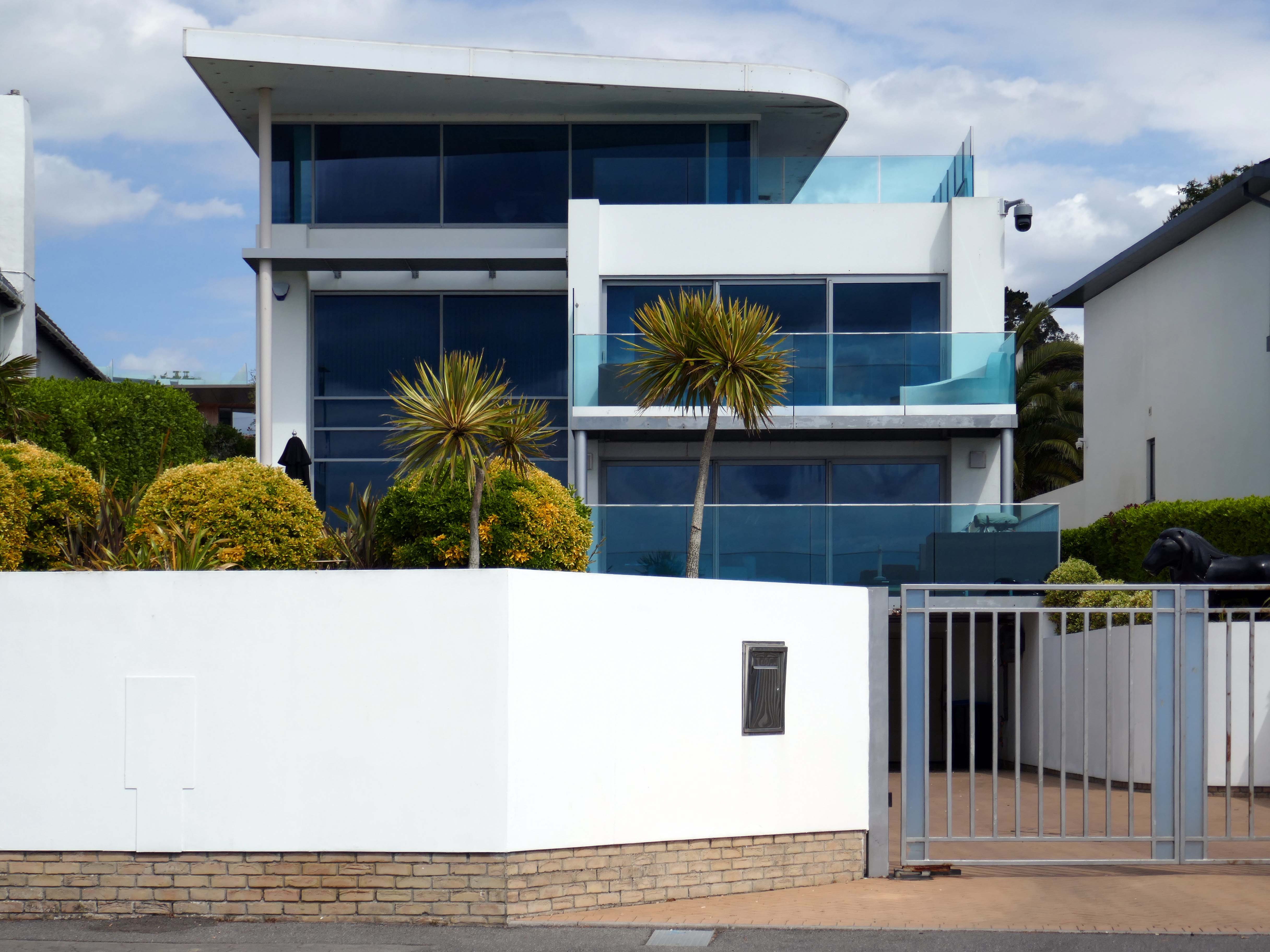
This upwardly mobile trend, fuelled by the rakish progress on the so called property ladder, fanned by 80’s Thatcherite tax cuts, and the ever so irresistible allure of conspicuous consumption.
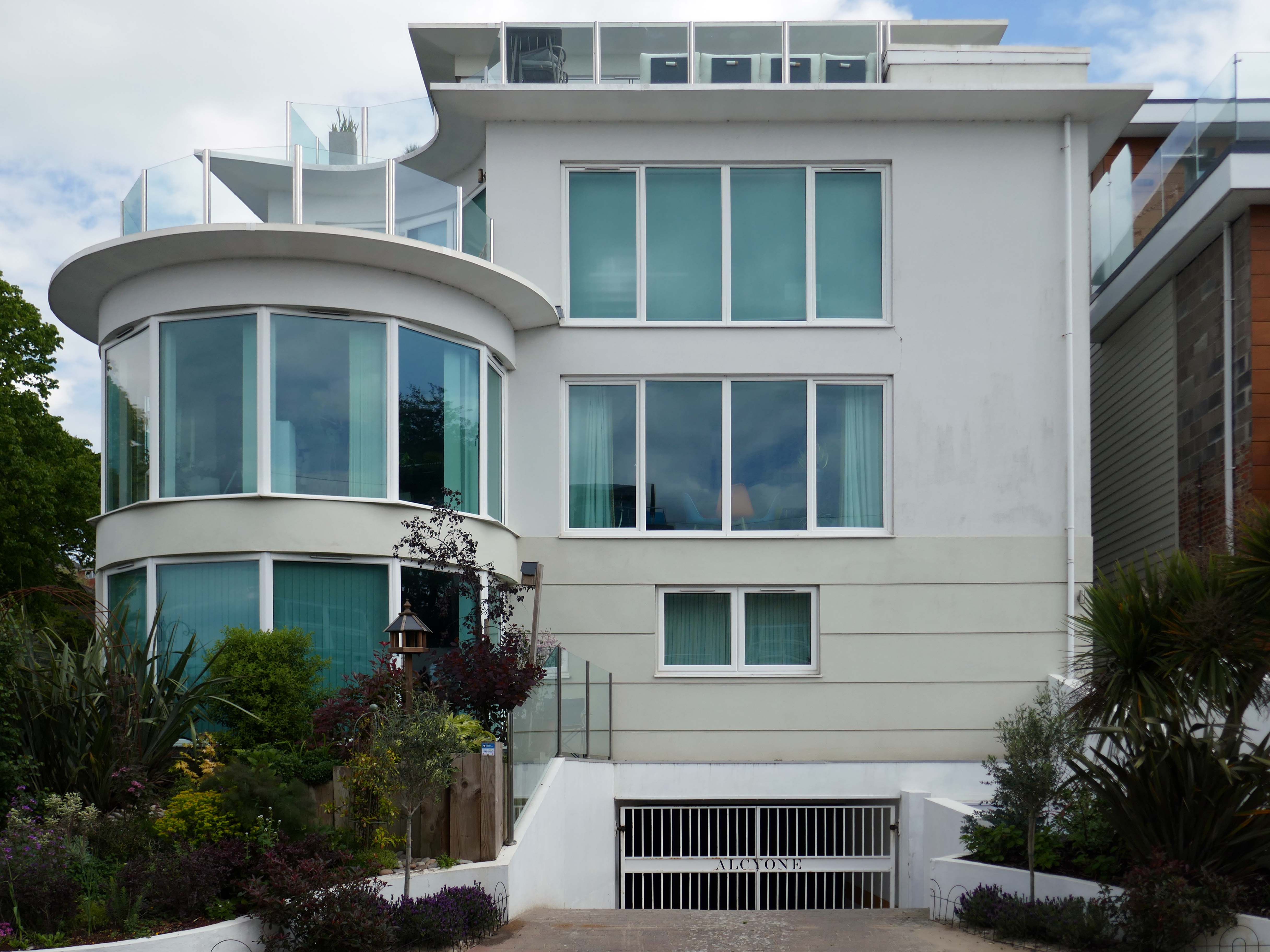
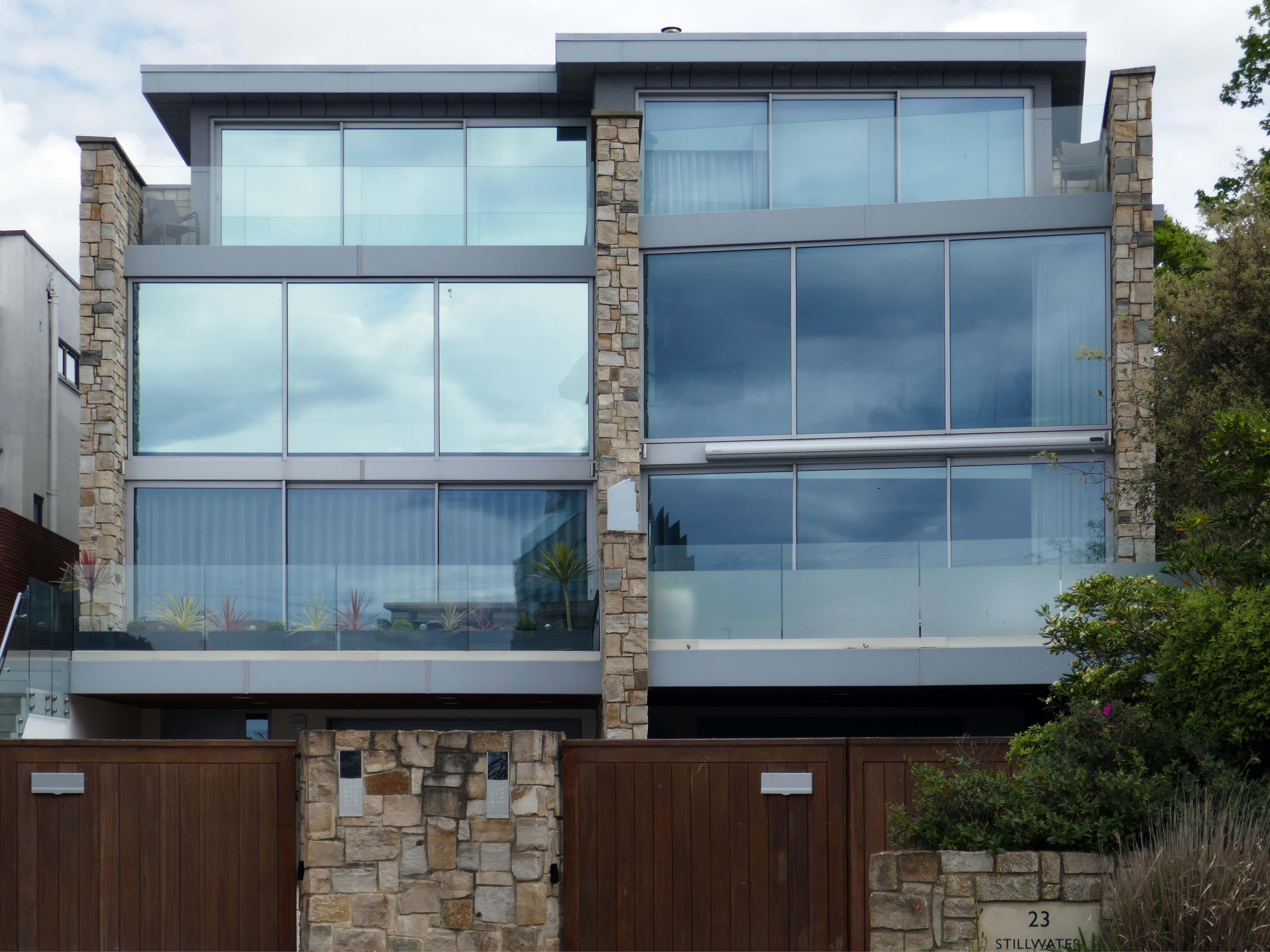
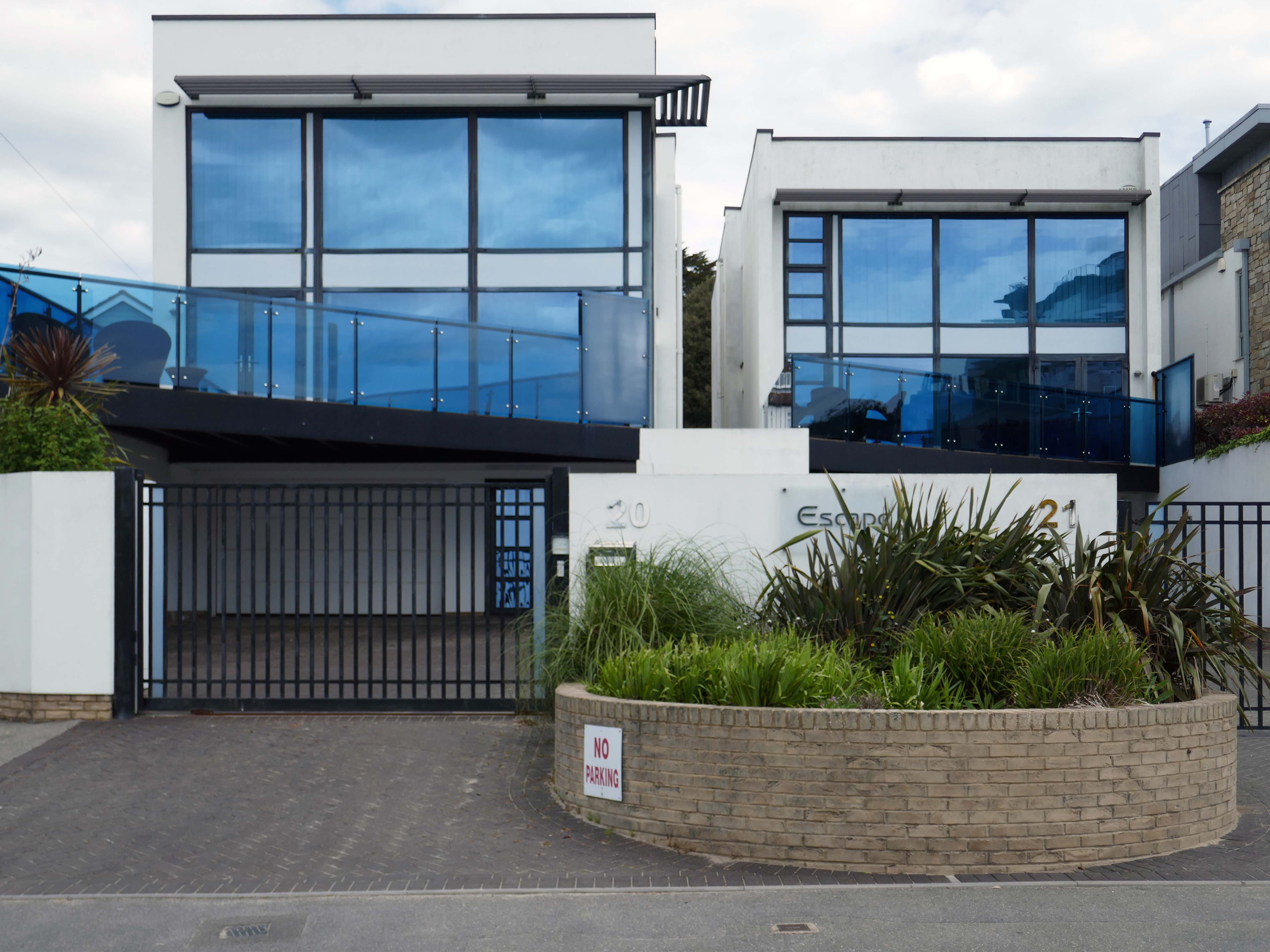
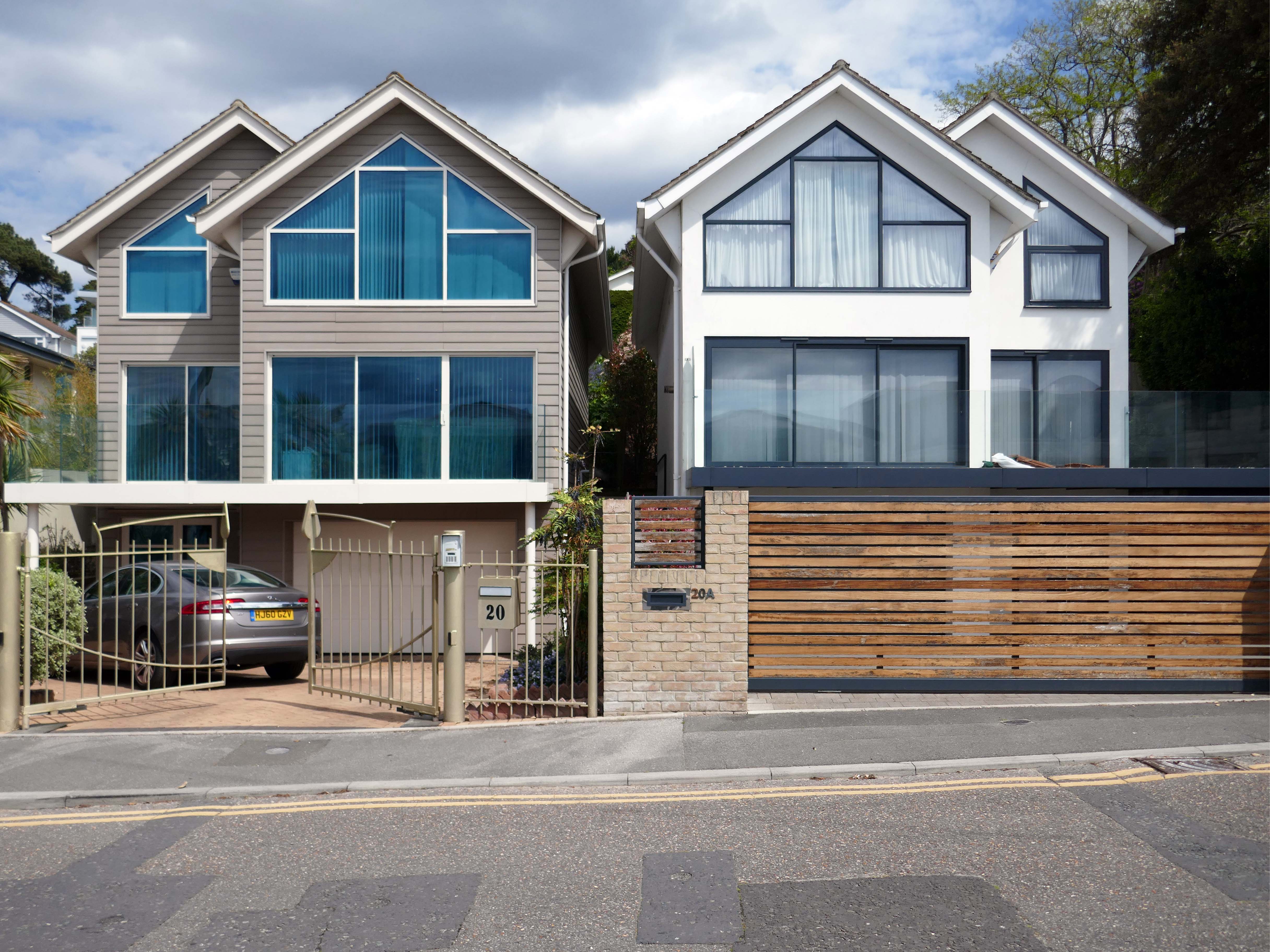
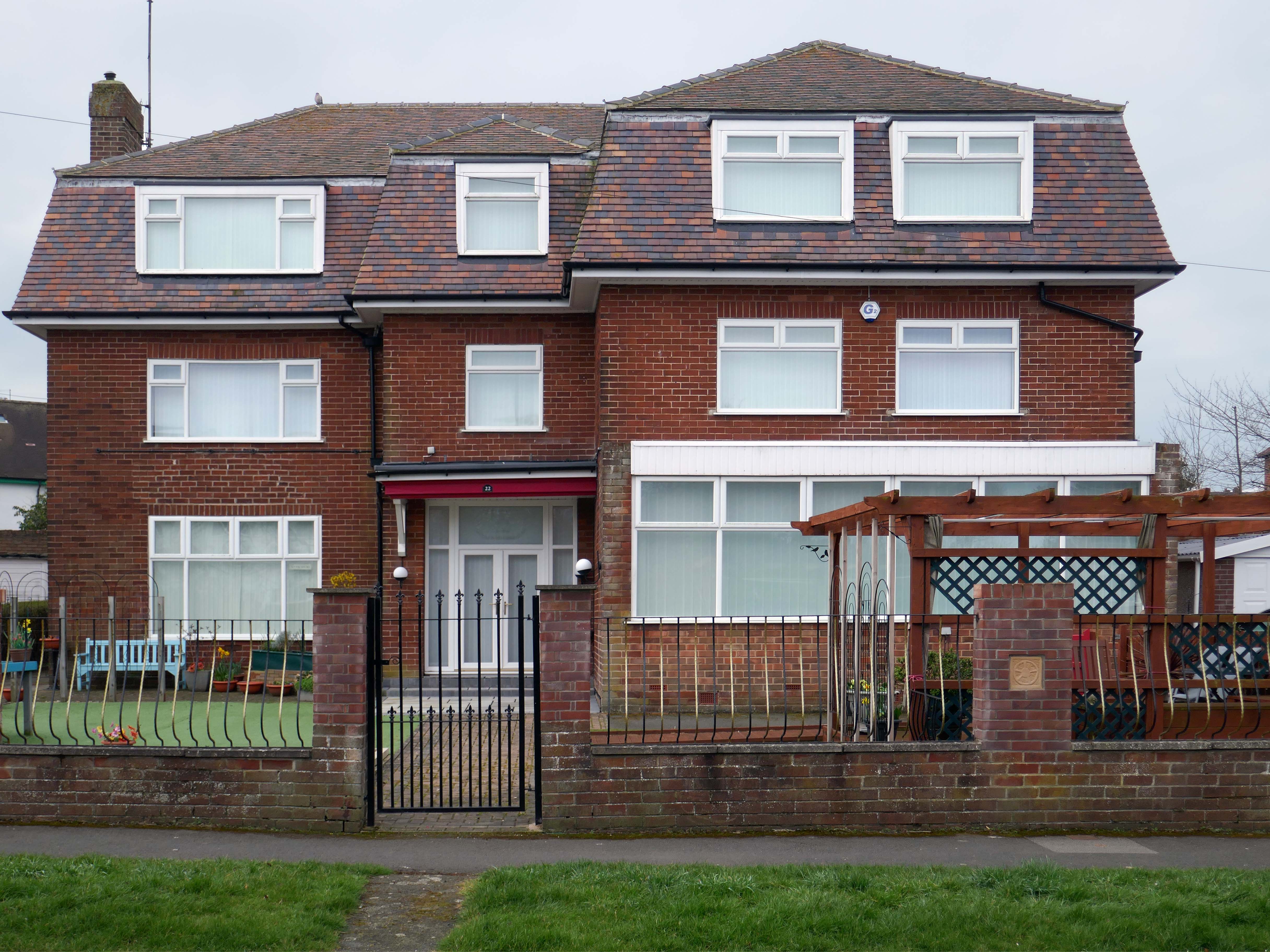
Architectural historian Virginia Savage McAlester, coined the term Millennium Mansion, though these houses are also referred to as a McMansion, Persian Palace, Garage Mahal, Starter Castle, and Hummer House.
Marketing parlance often uses the term tract mansions or executive homes.
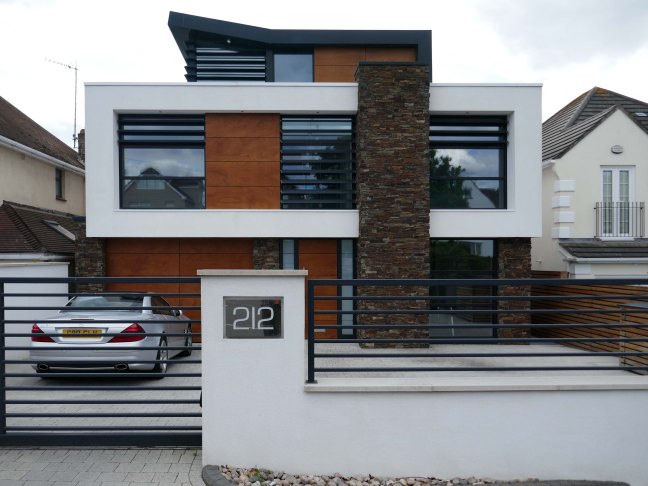
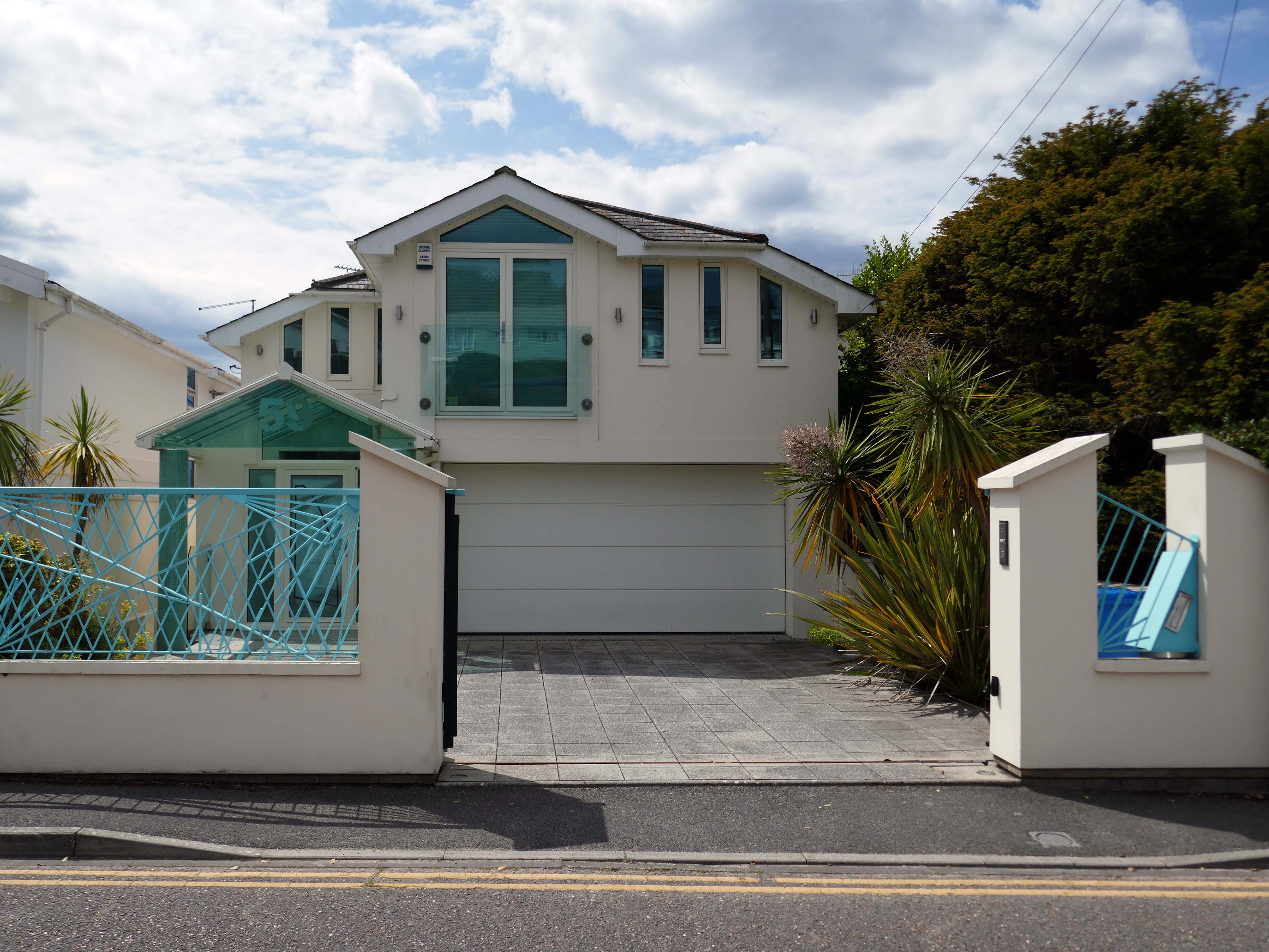
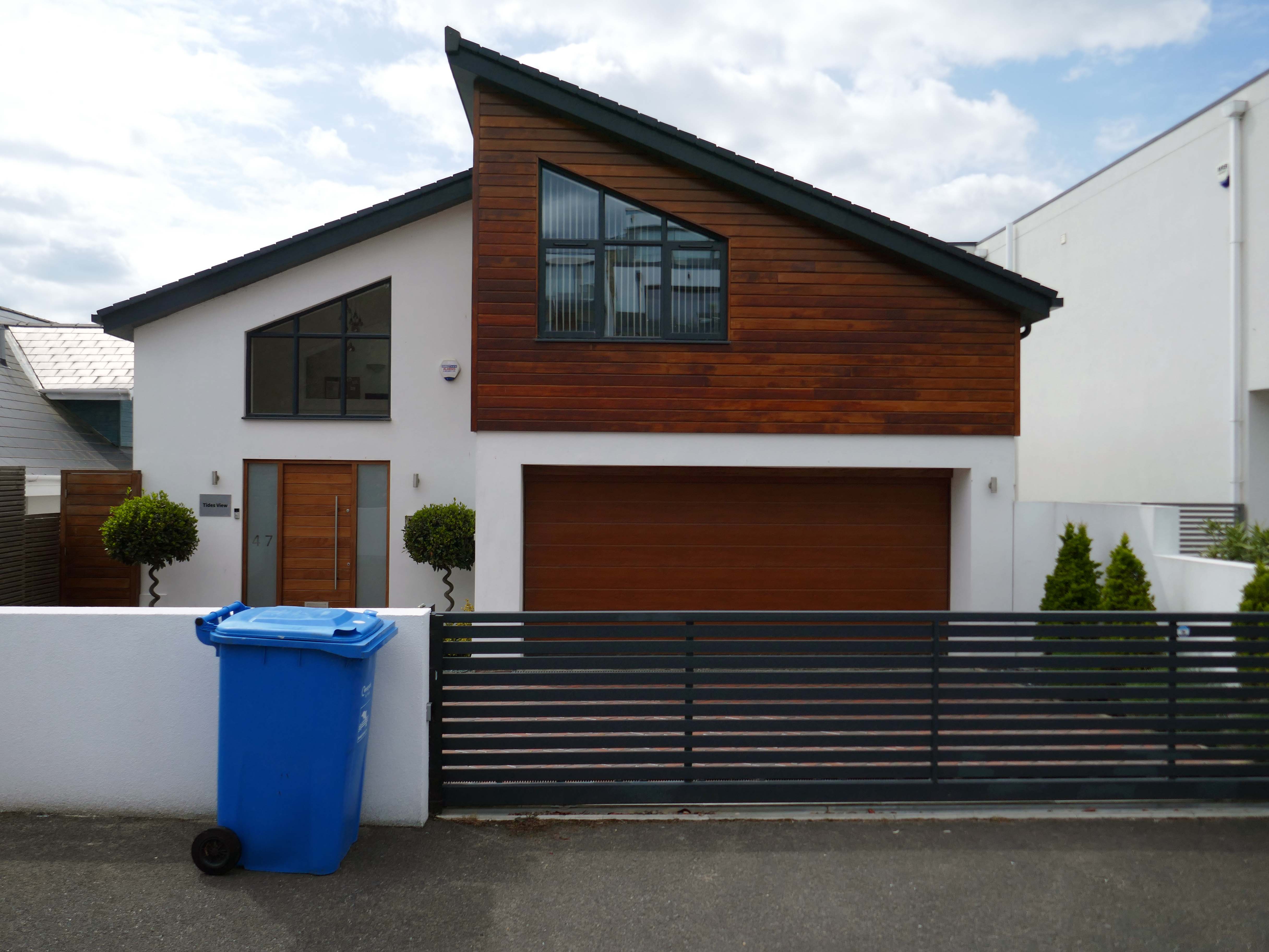
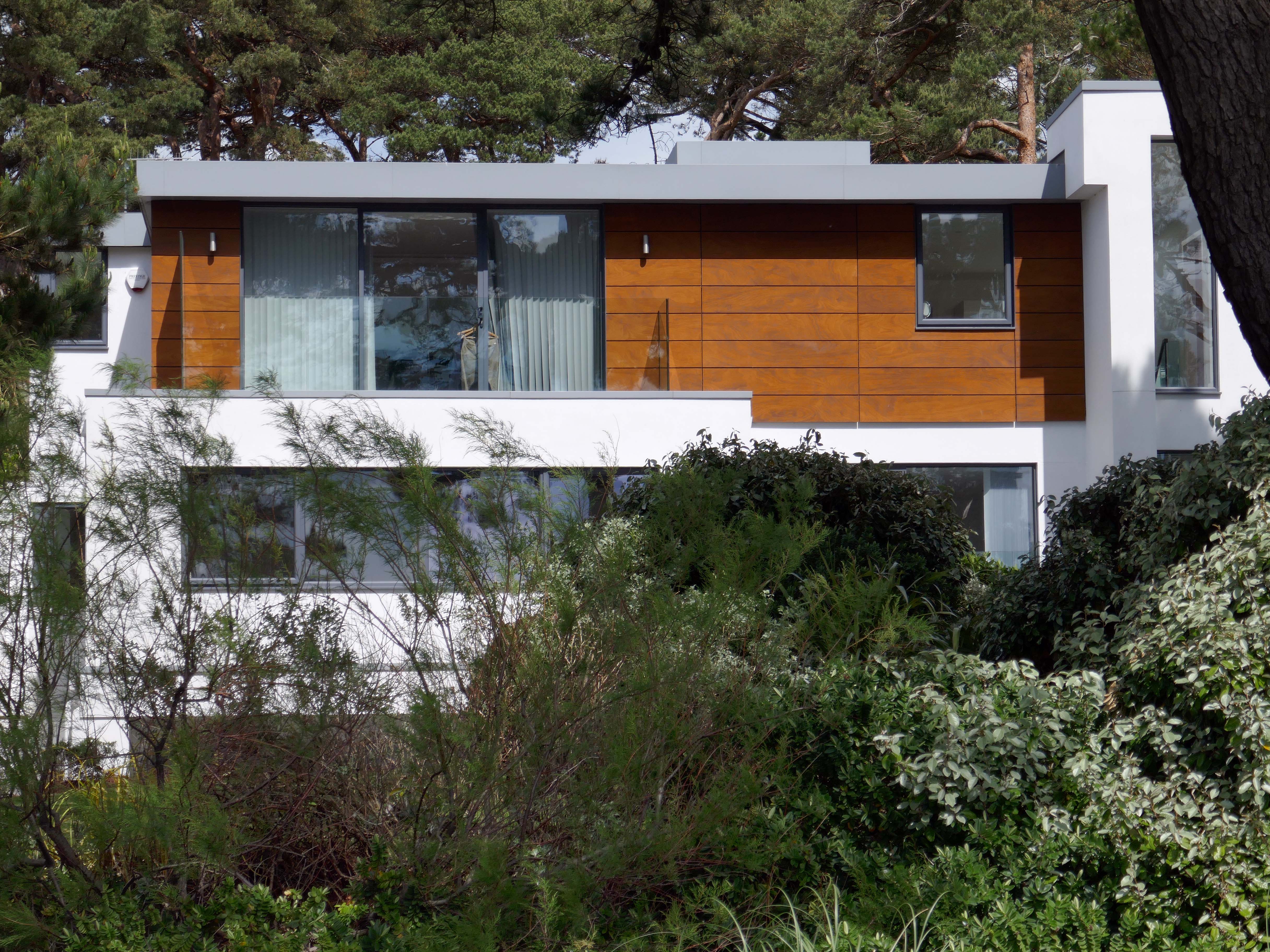
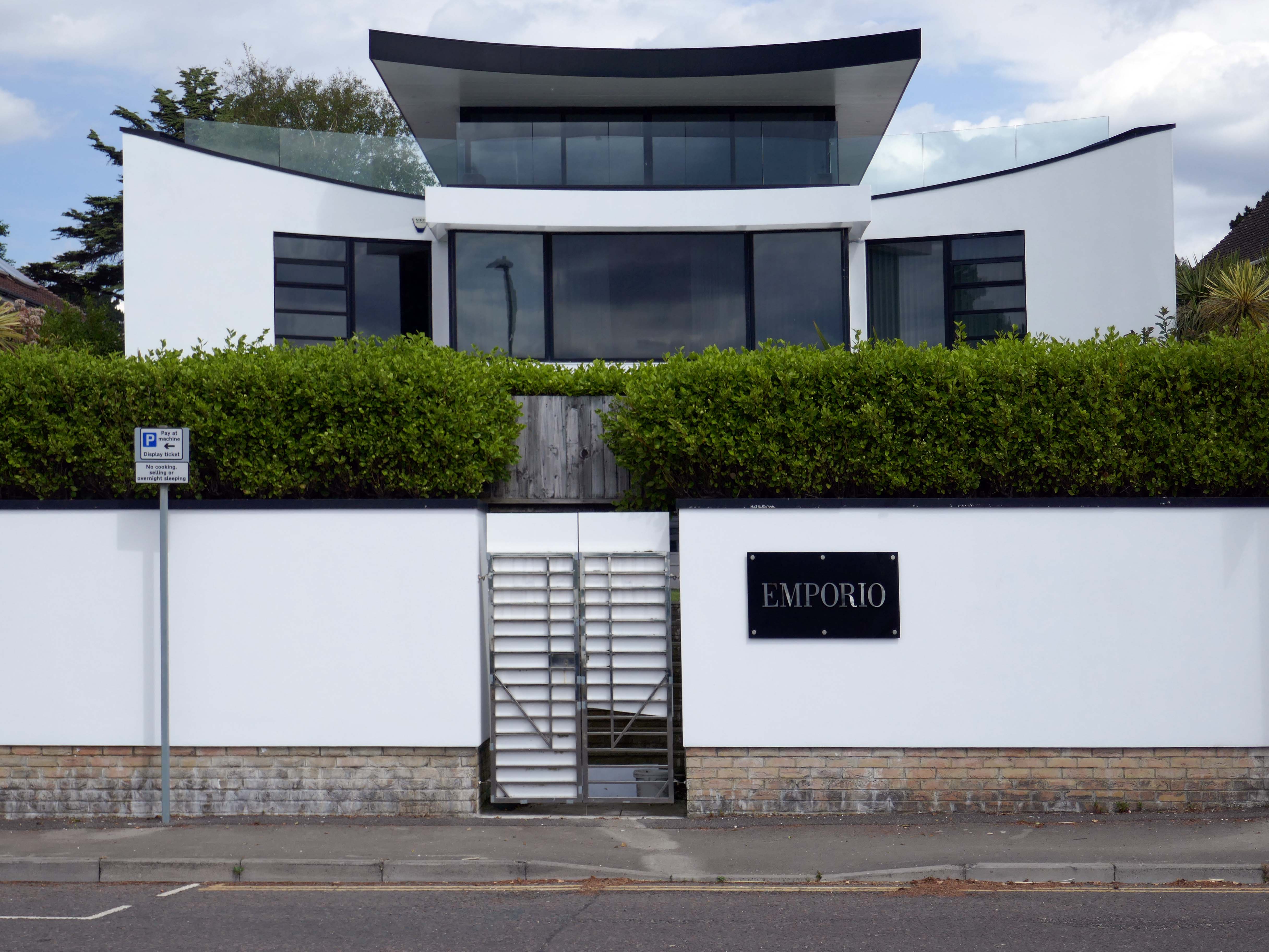
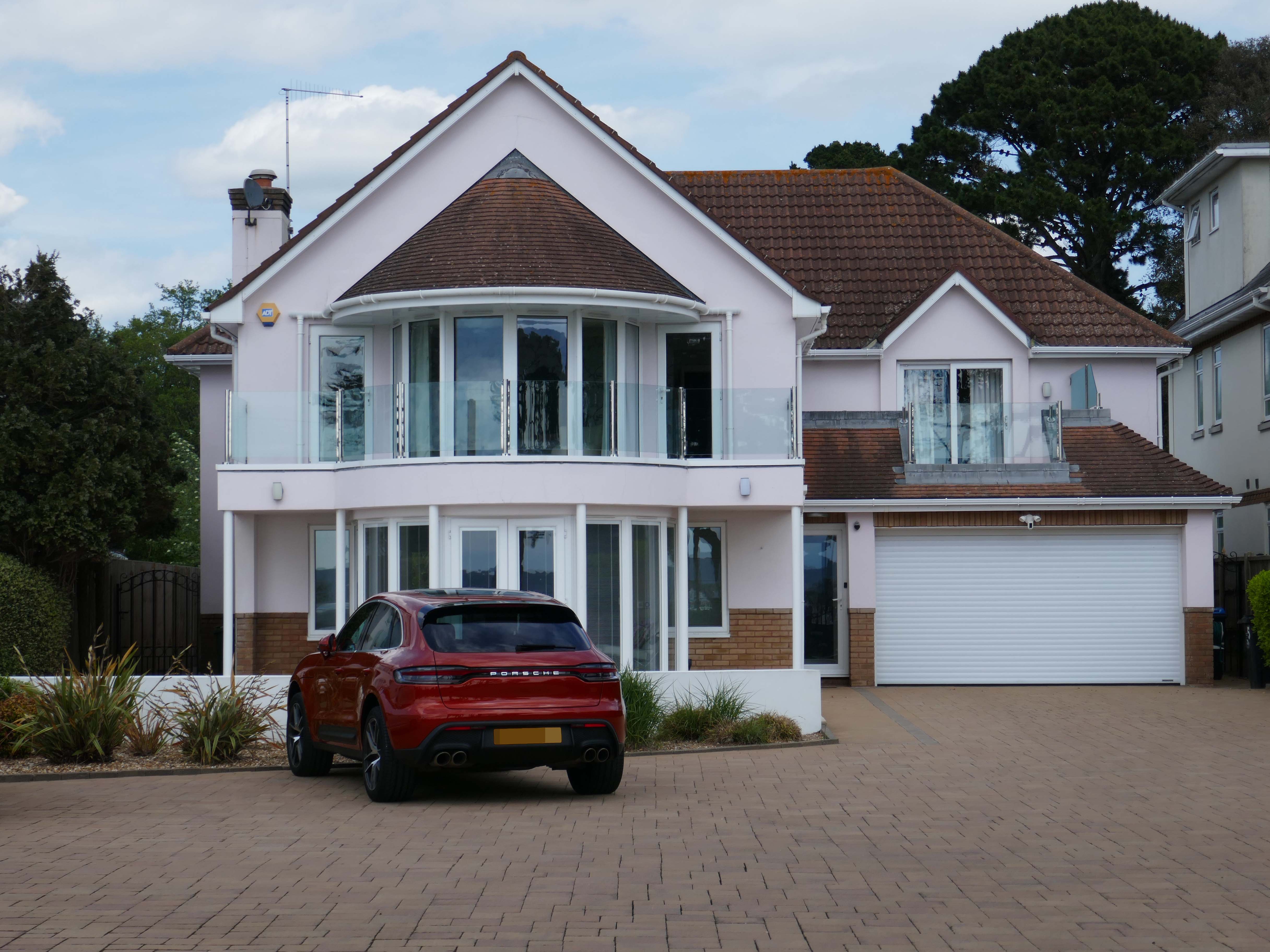
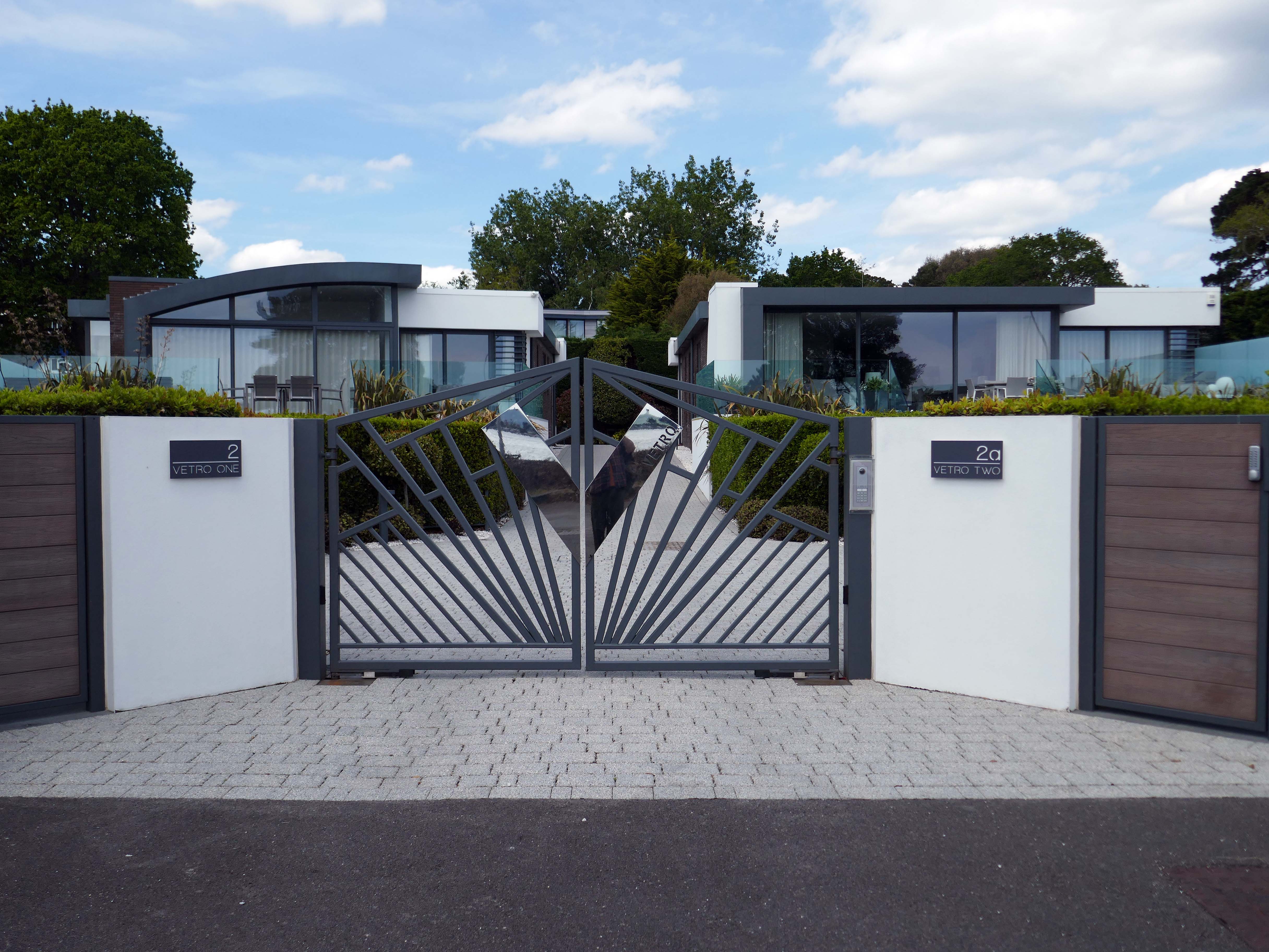
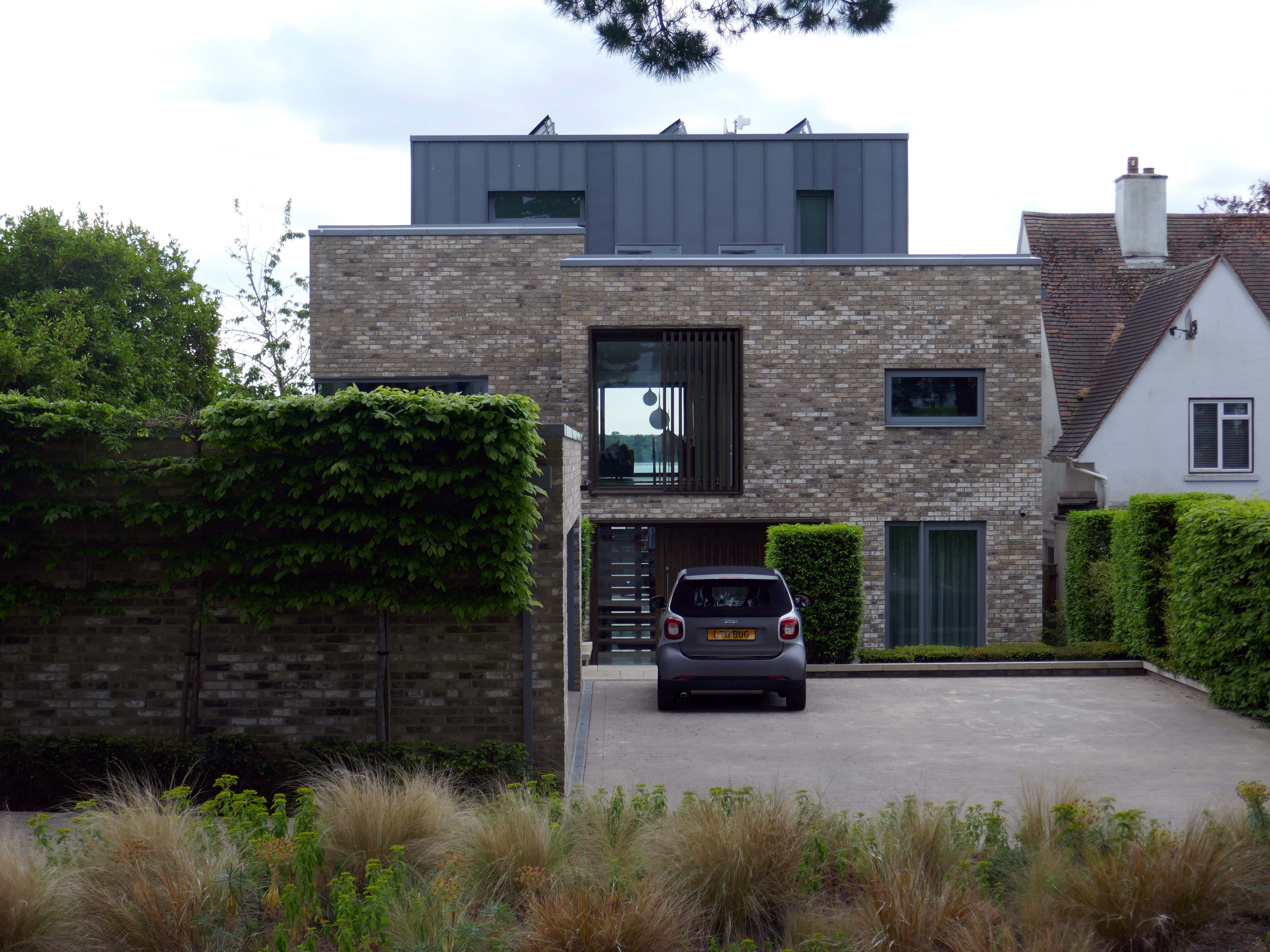
Let’s take a closer look at the look of luxury, is it playful and witty pastiche or Post Modern mumbo jumbo – un repas de chien.
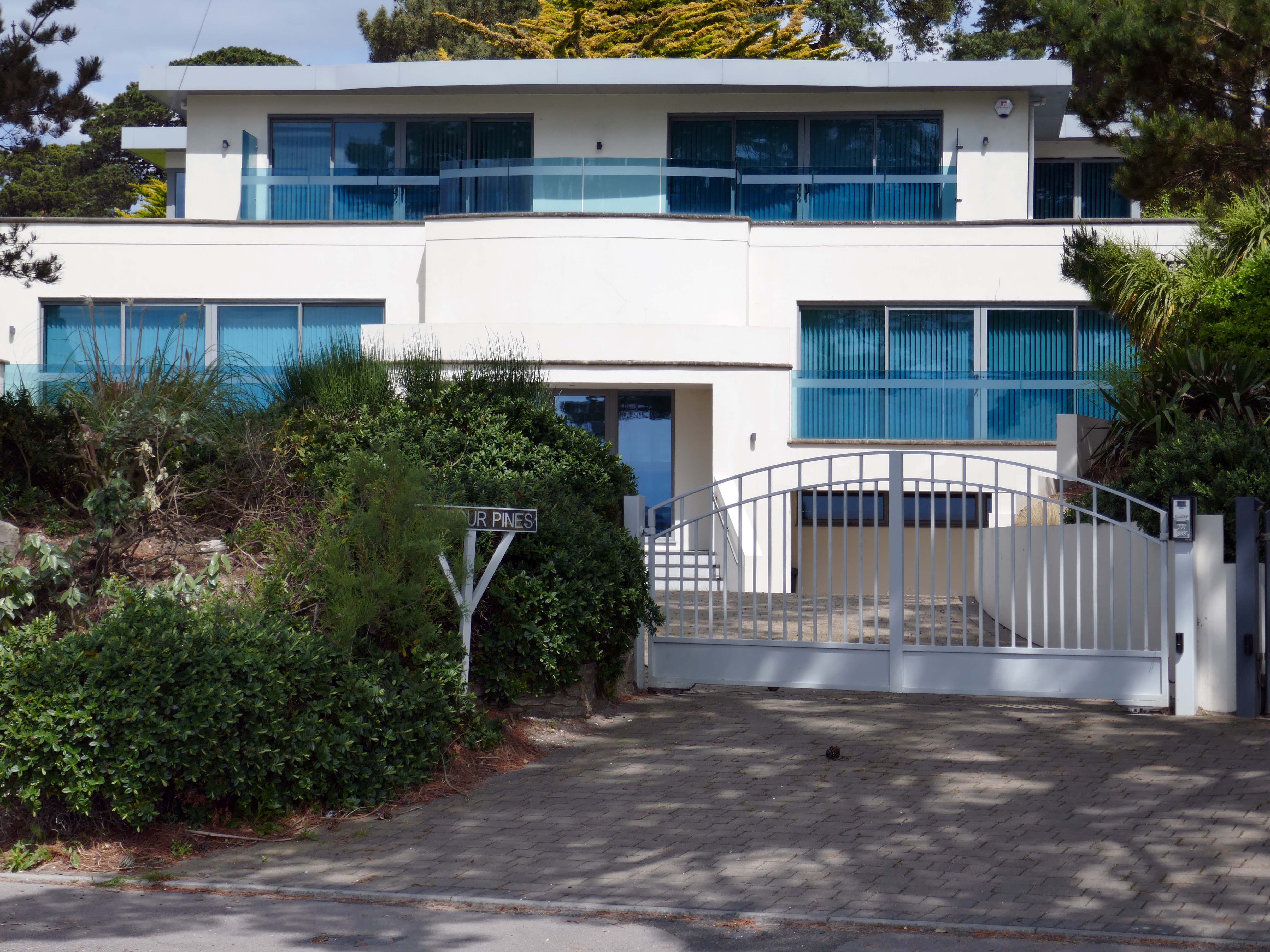
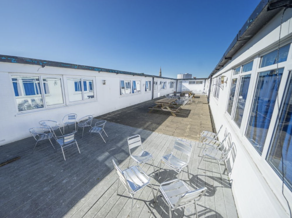
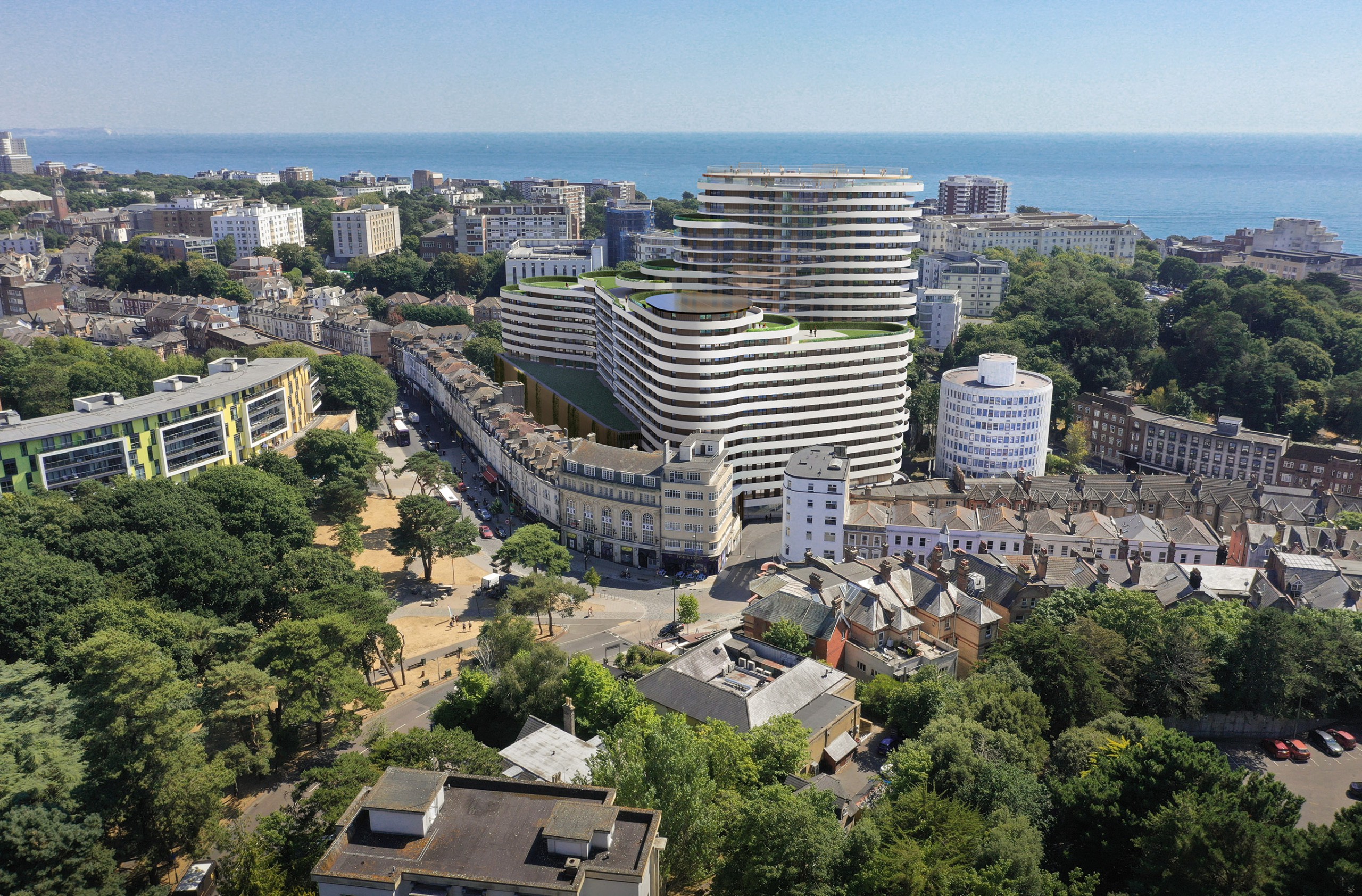
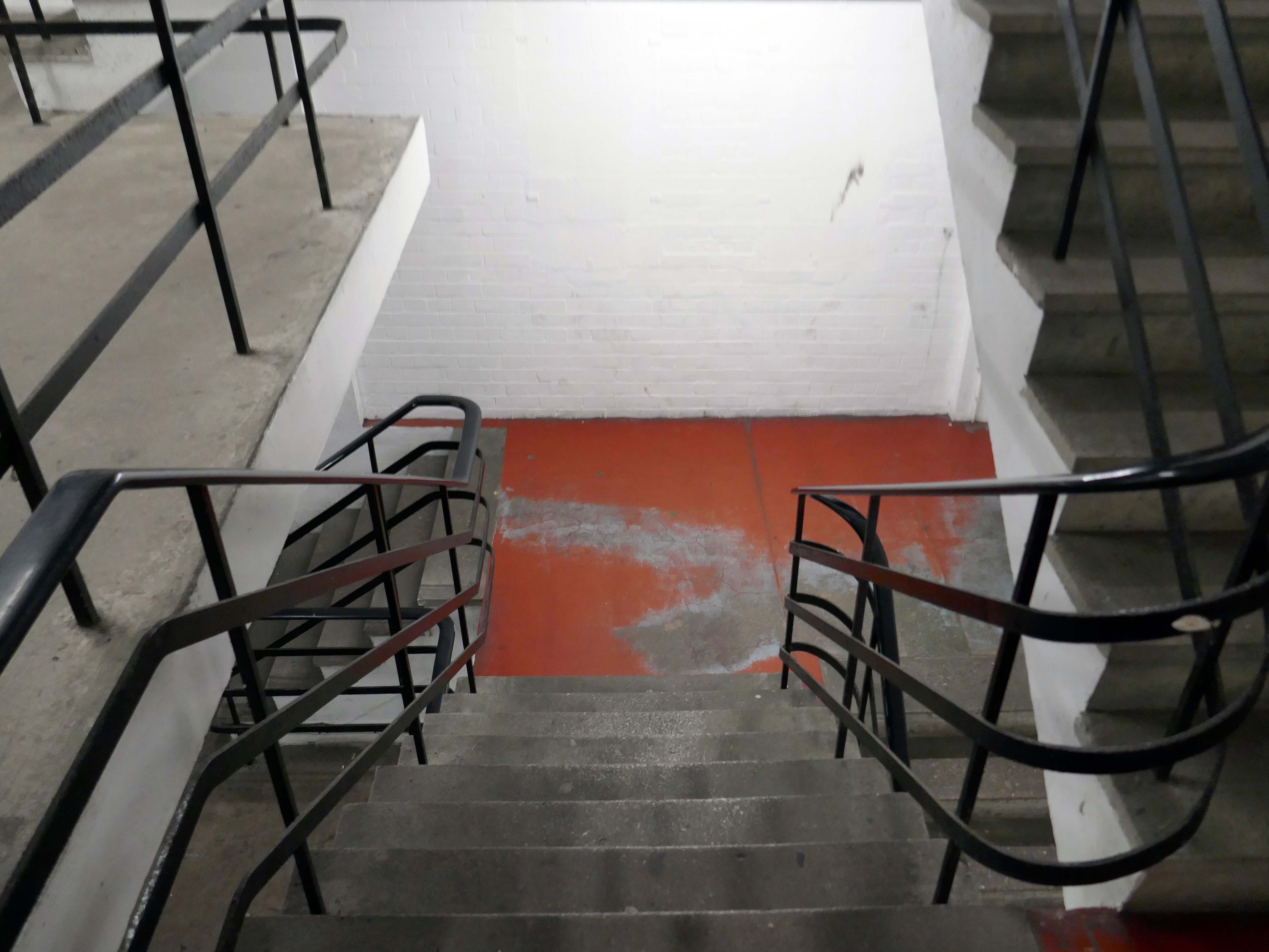
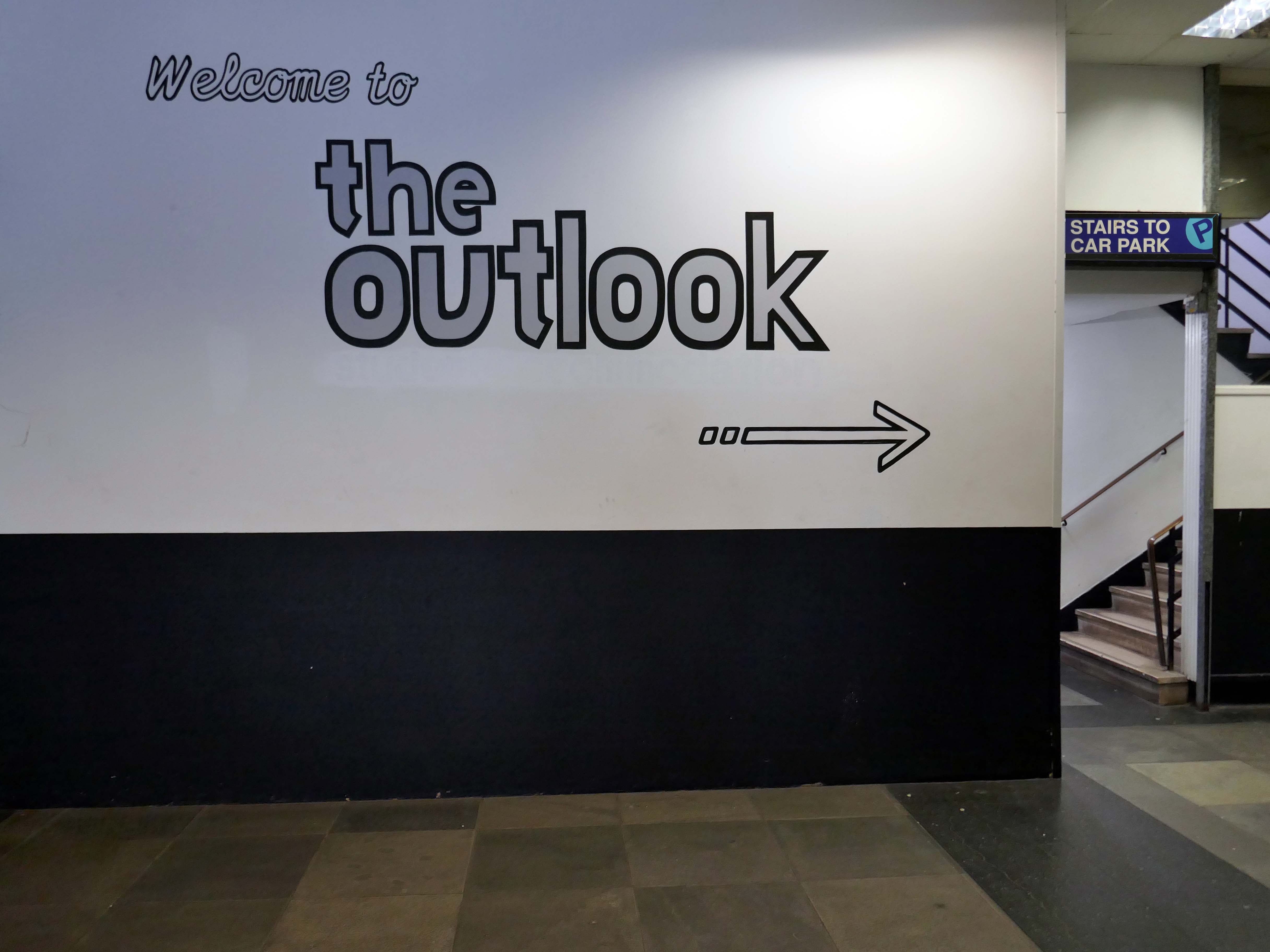
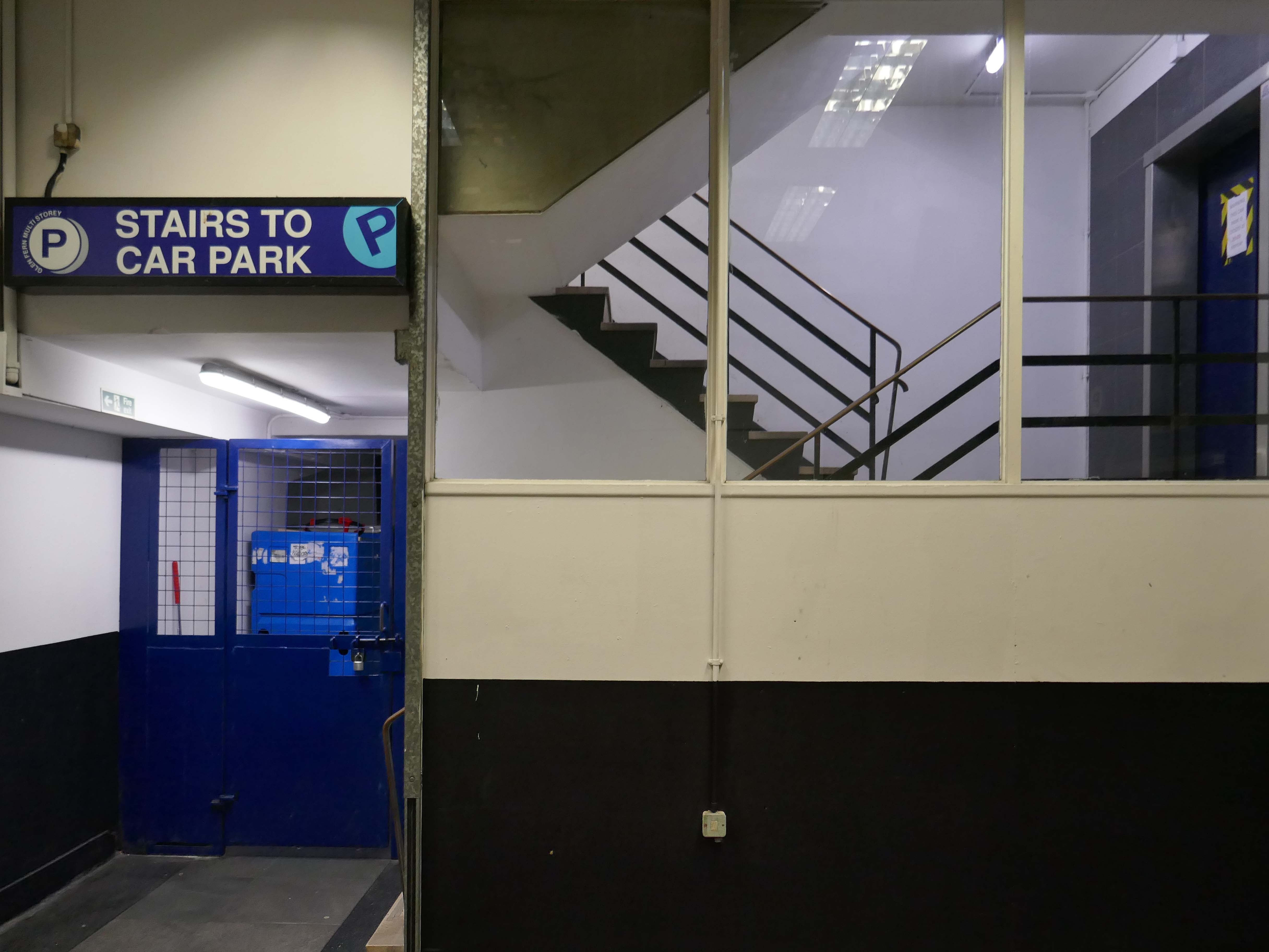
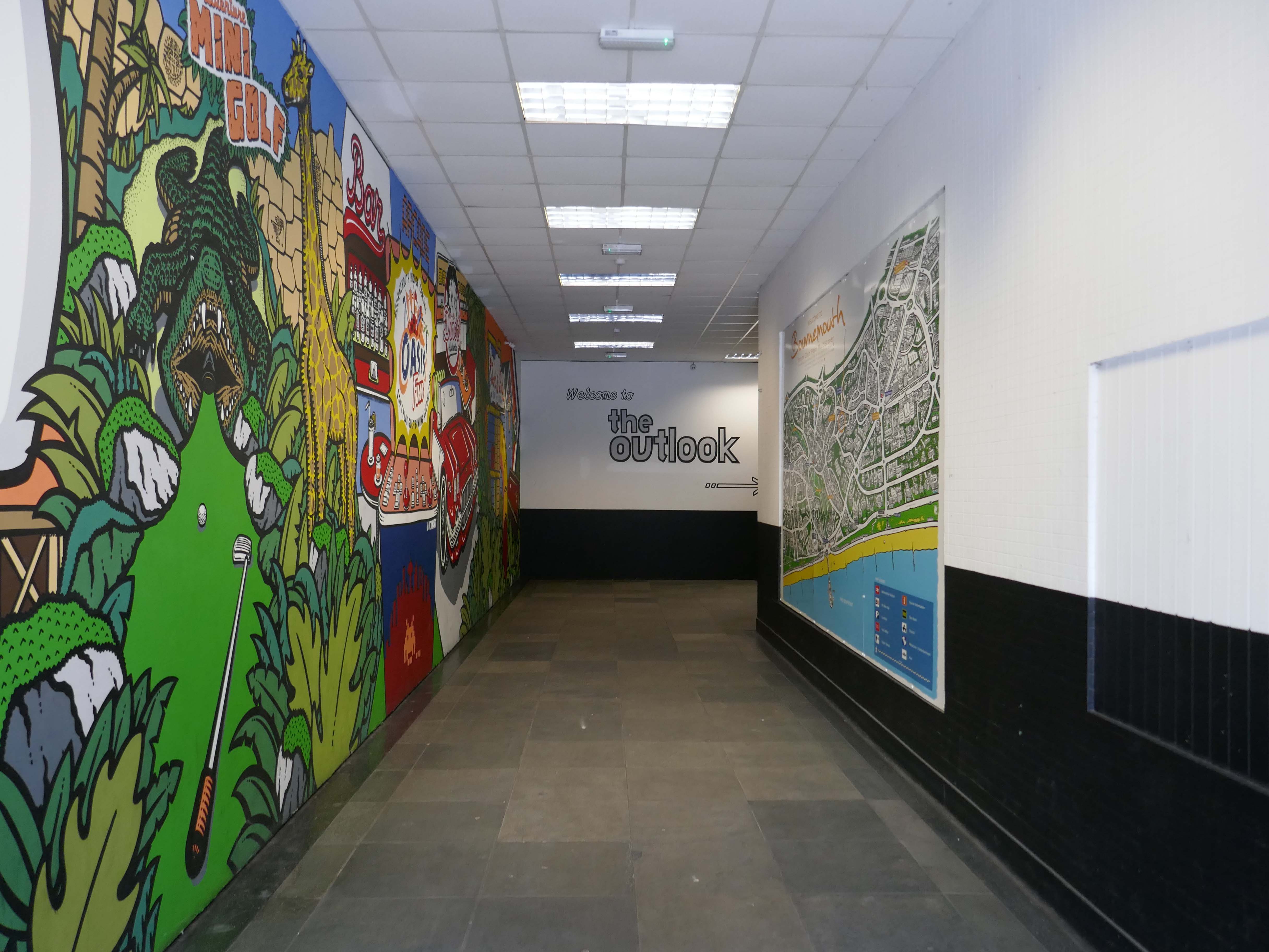
Something of an anomaly, combining accommodation with a leisure facility.
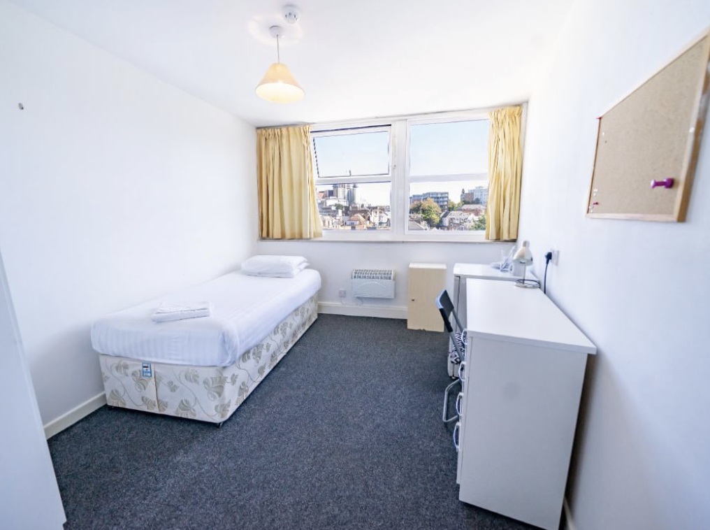
The Outlook is ideally suited to students looking for quality, self catering, en suite accommodation in central Bournemouth, just a minute’s walk from the town’s excellent amenities.
The student accommodation has recently completed a comprehensive refurbishment, the work which included considerable redesign, new furnishings and decoration.
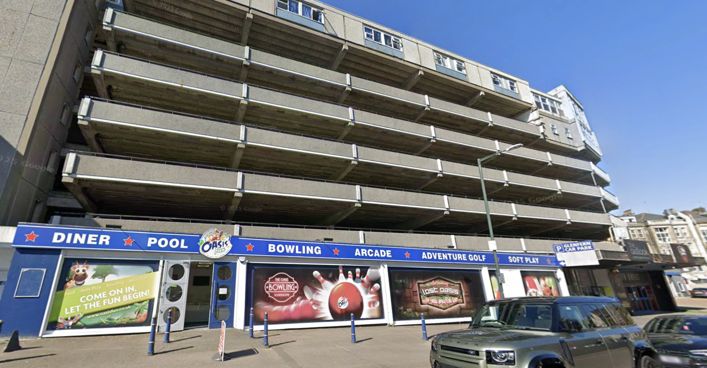
Excitingly close to Oasis Fun Bournemouth’s No.1 indoor fun centre.
Want to keep the kids entertained?
Then why not visit Oasis Fun today for a fun-filled experience for the whole family. We have an amazing bowling alley with six lanes, an indoor soft play centre, large Adventure Golf course, arcades and pool tables. Oh, and we have a café serving snacks and a fully licensed bar.
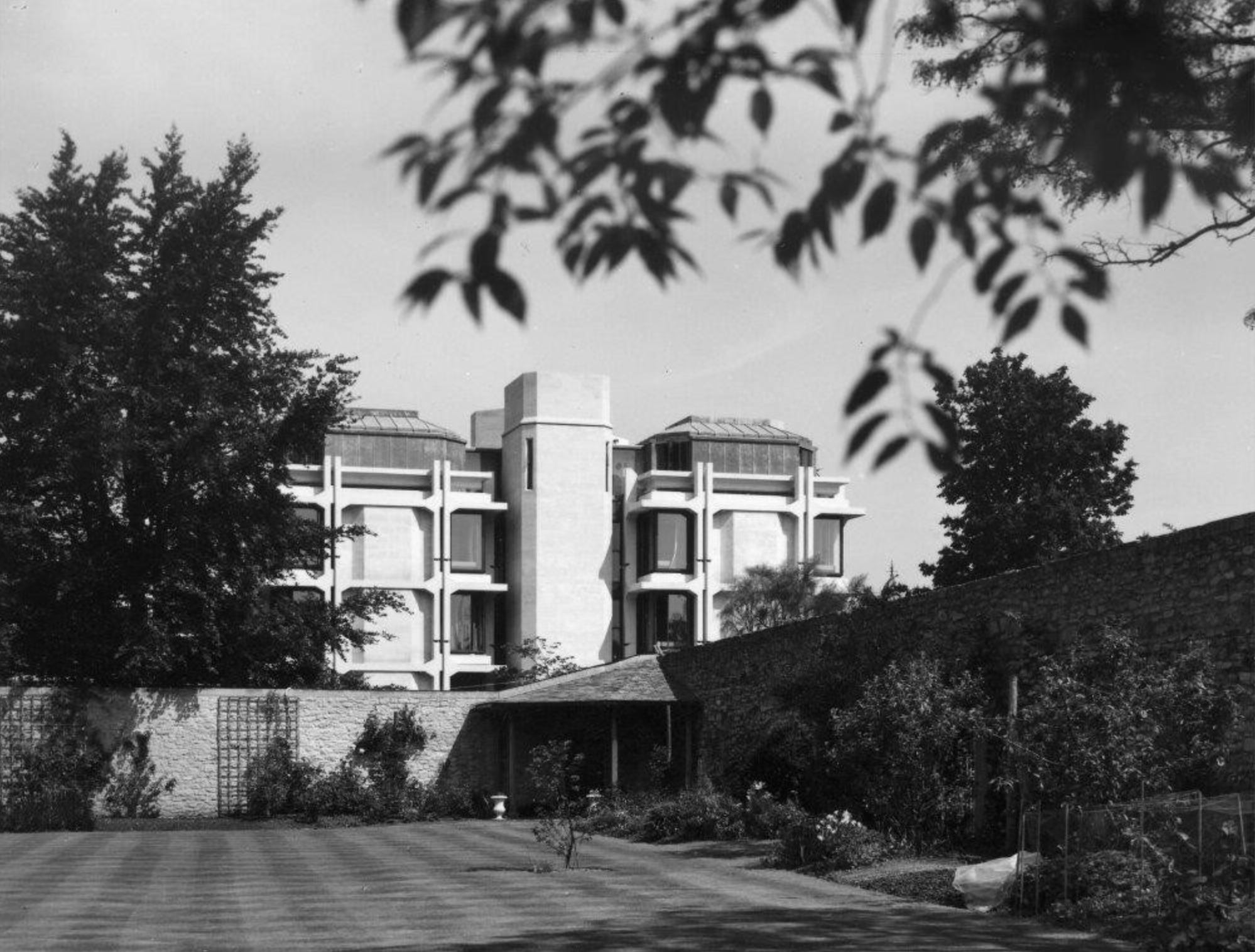
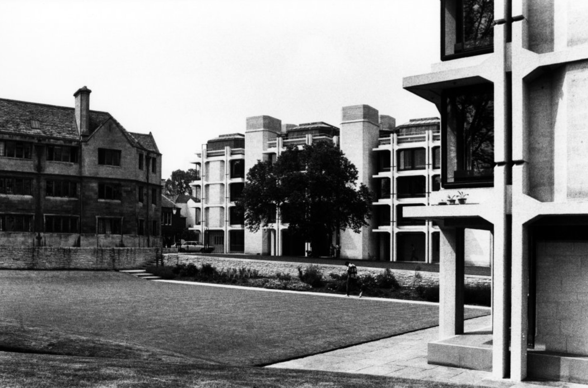
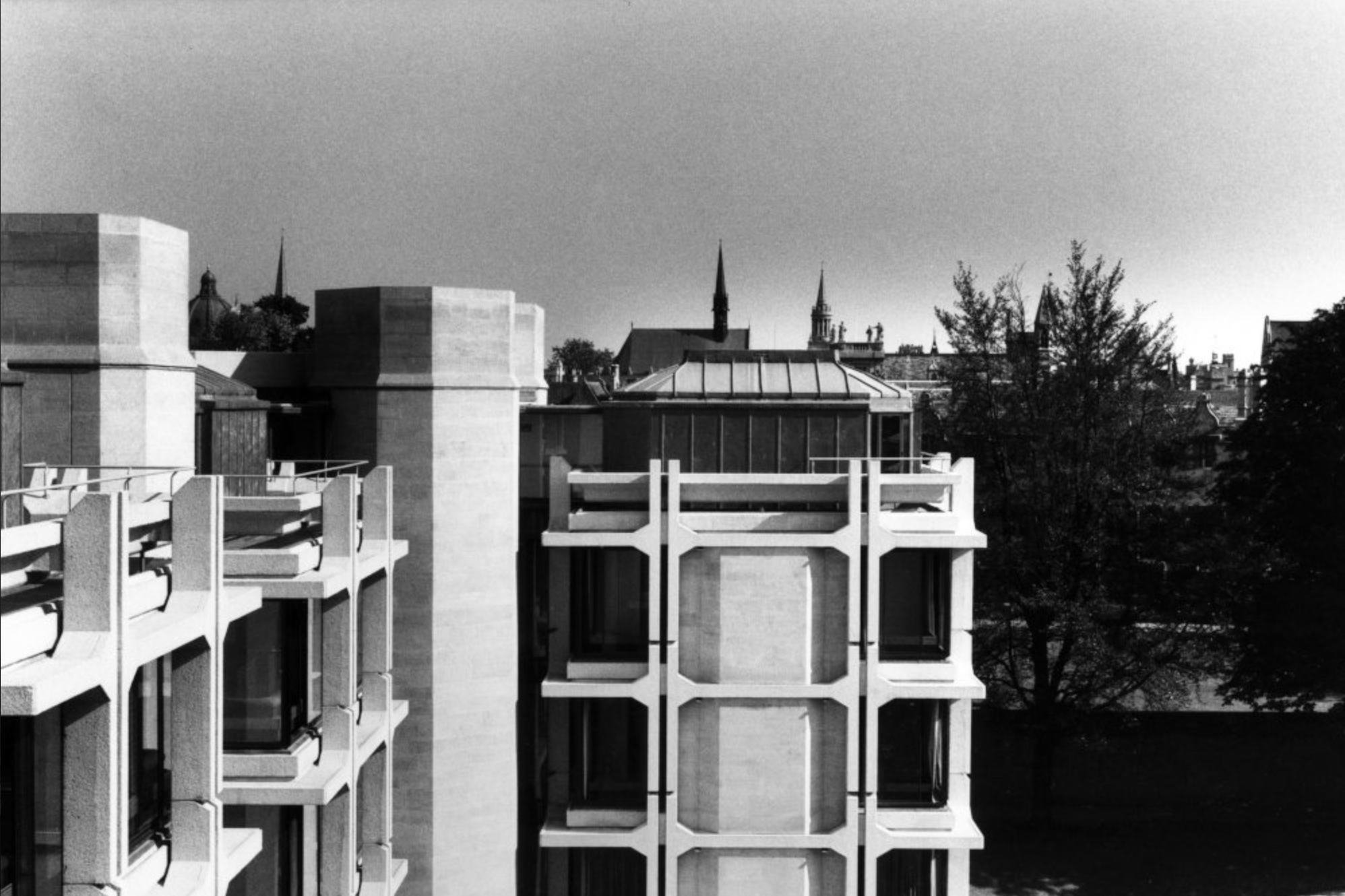
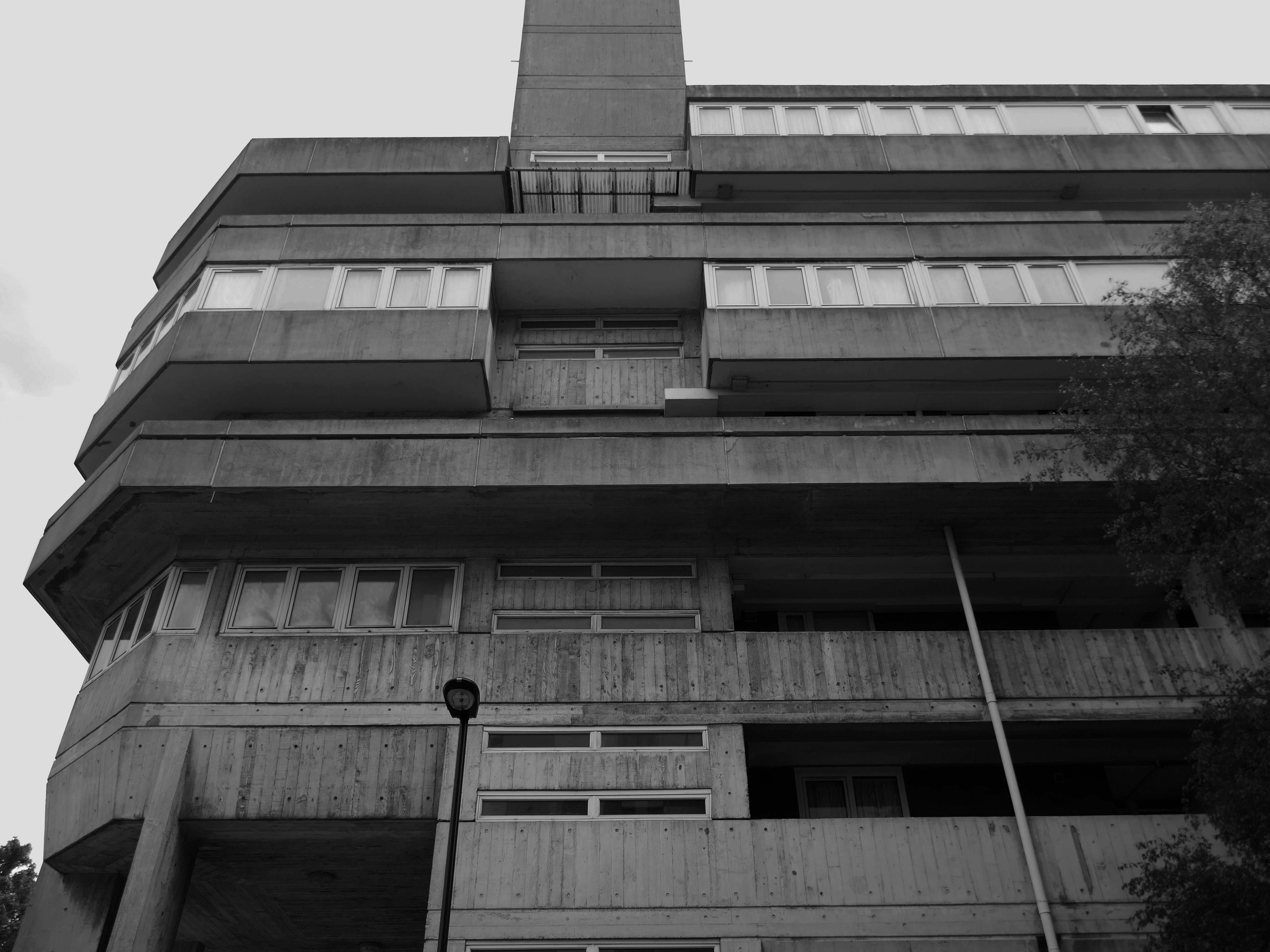
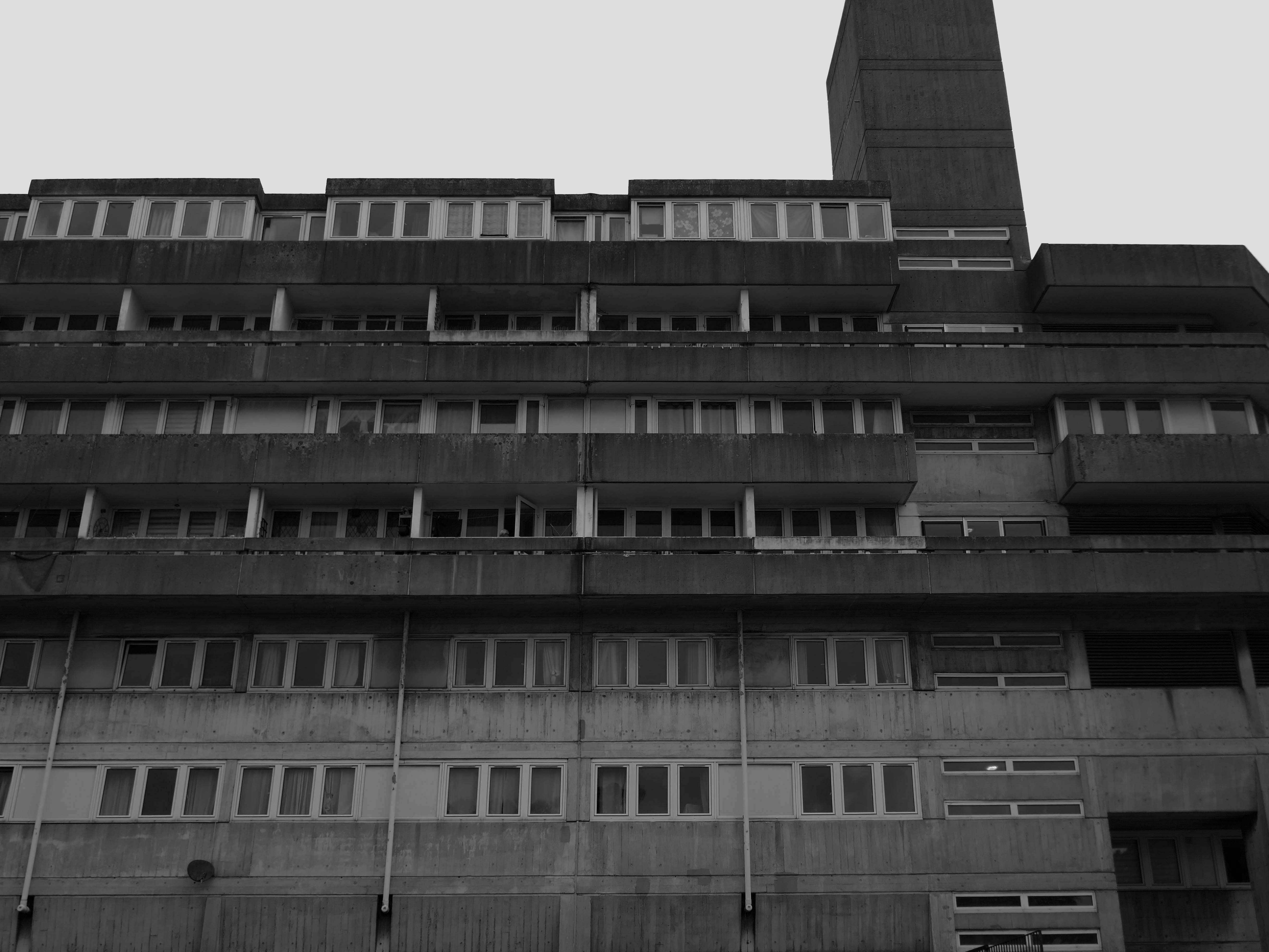
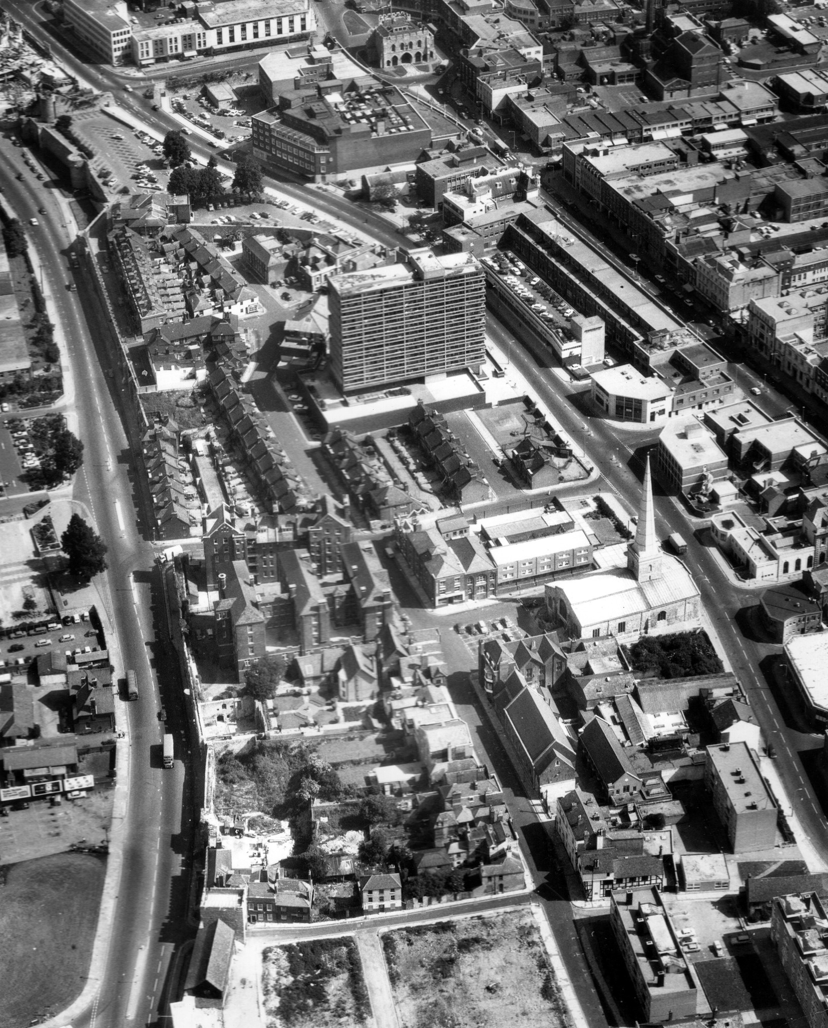
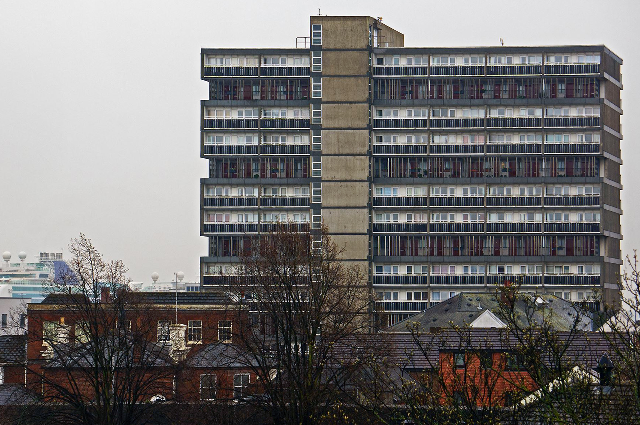
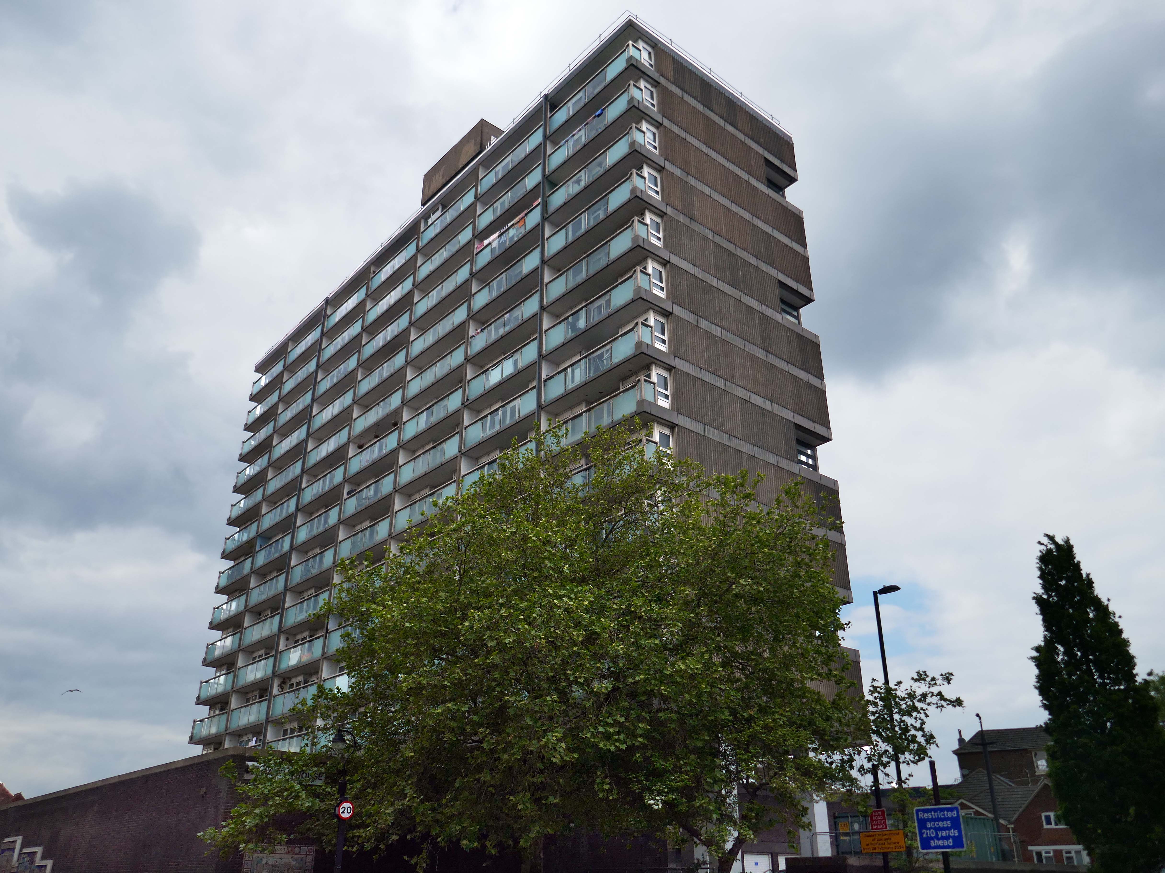
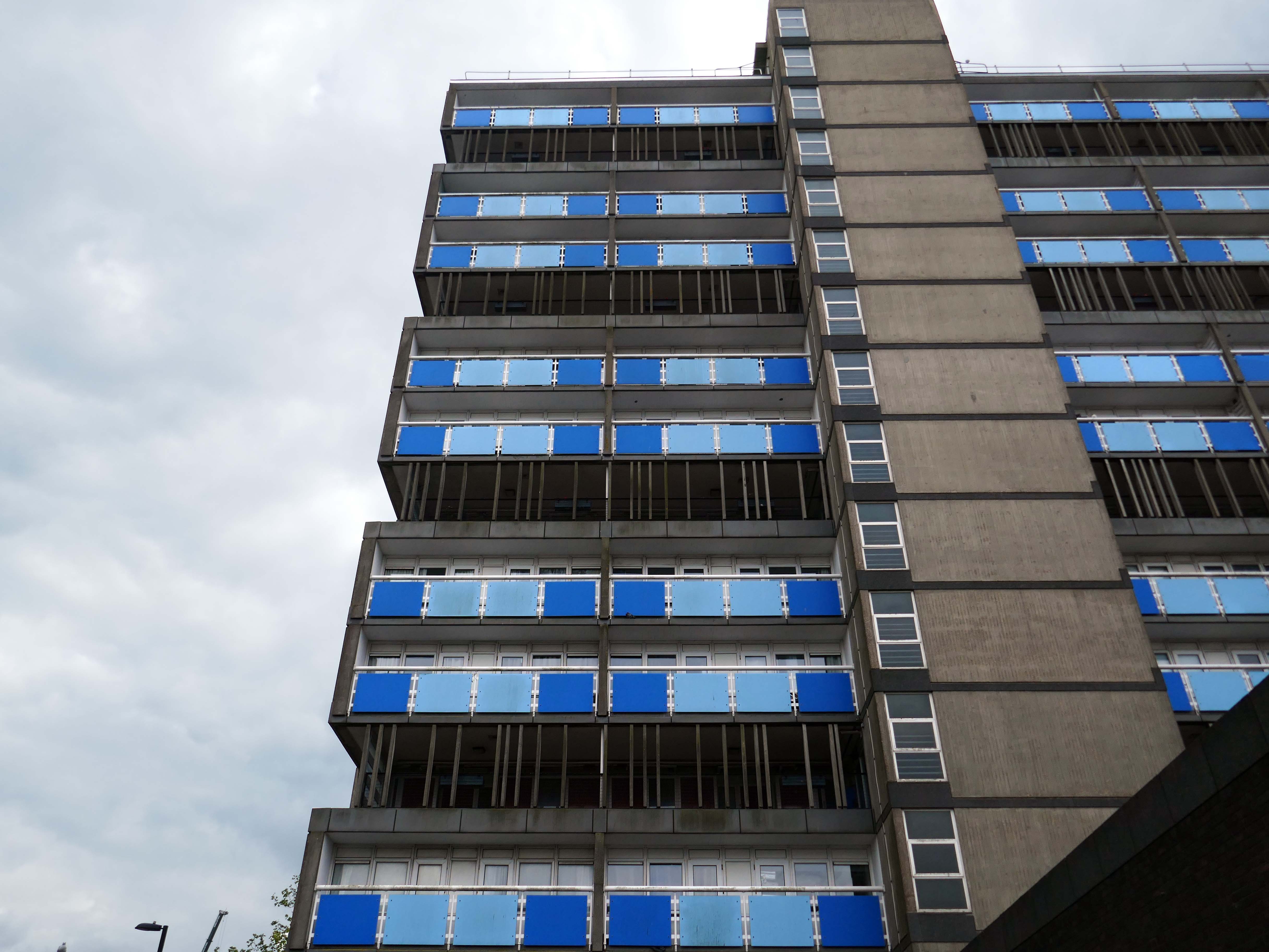
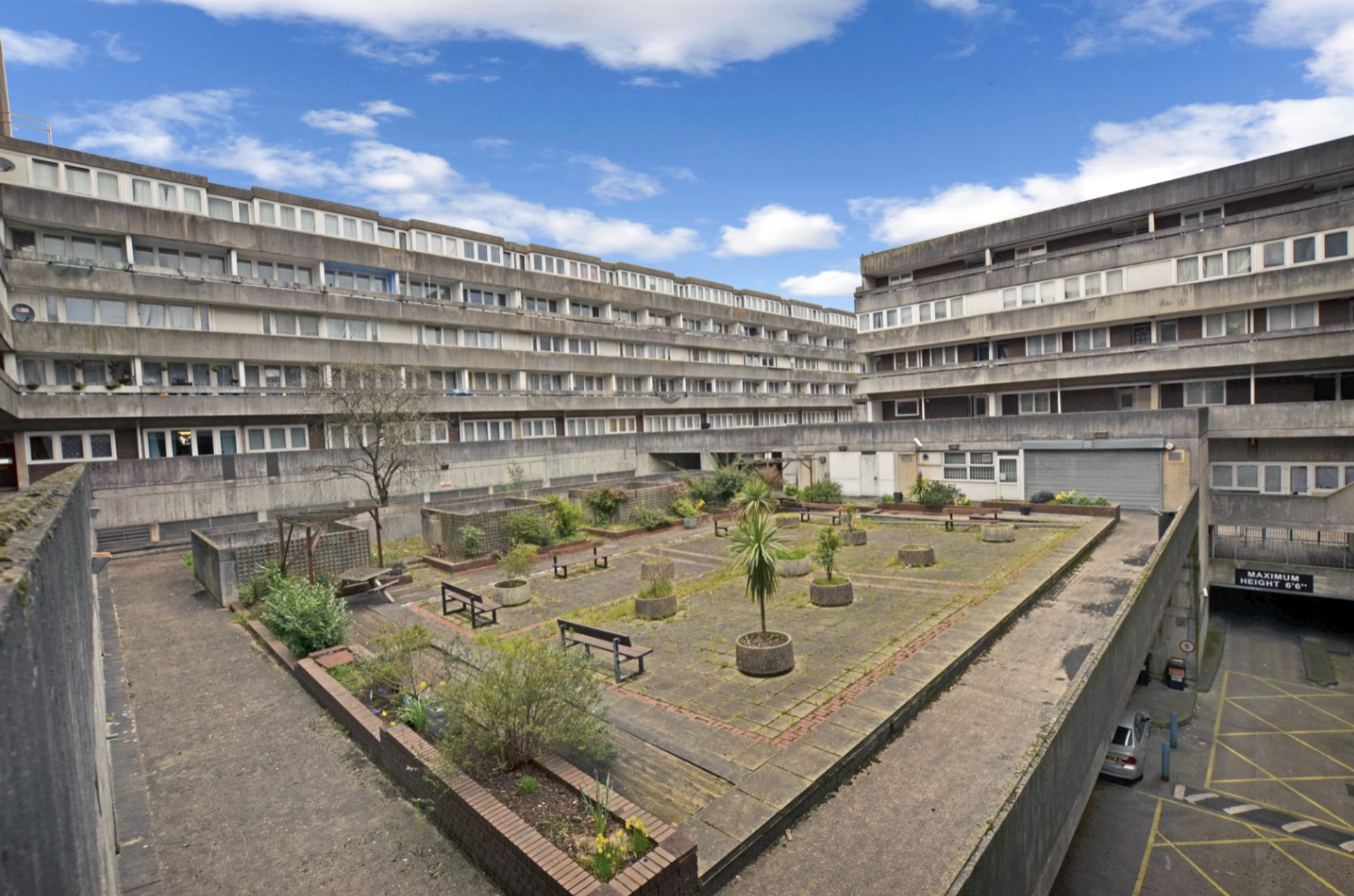
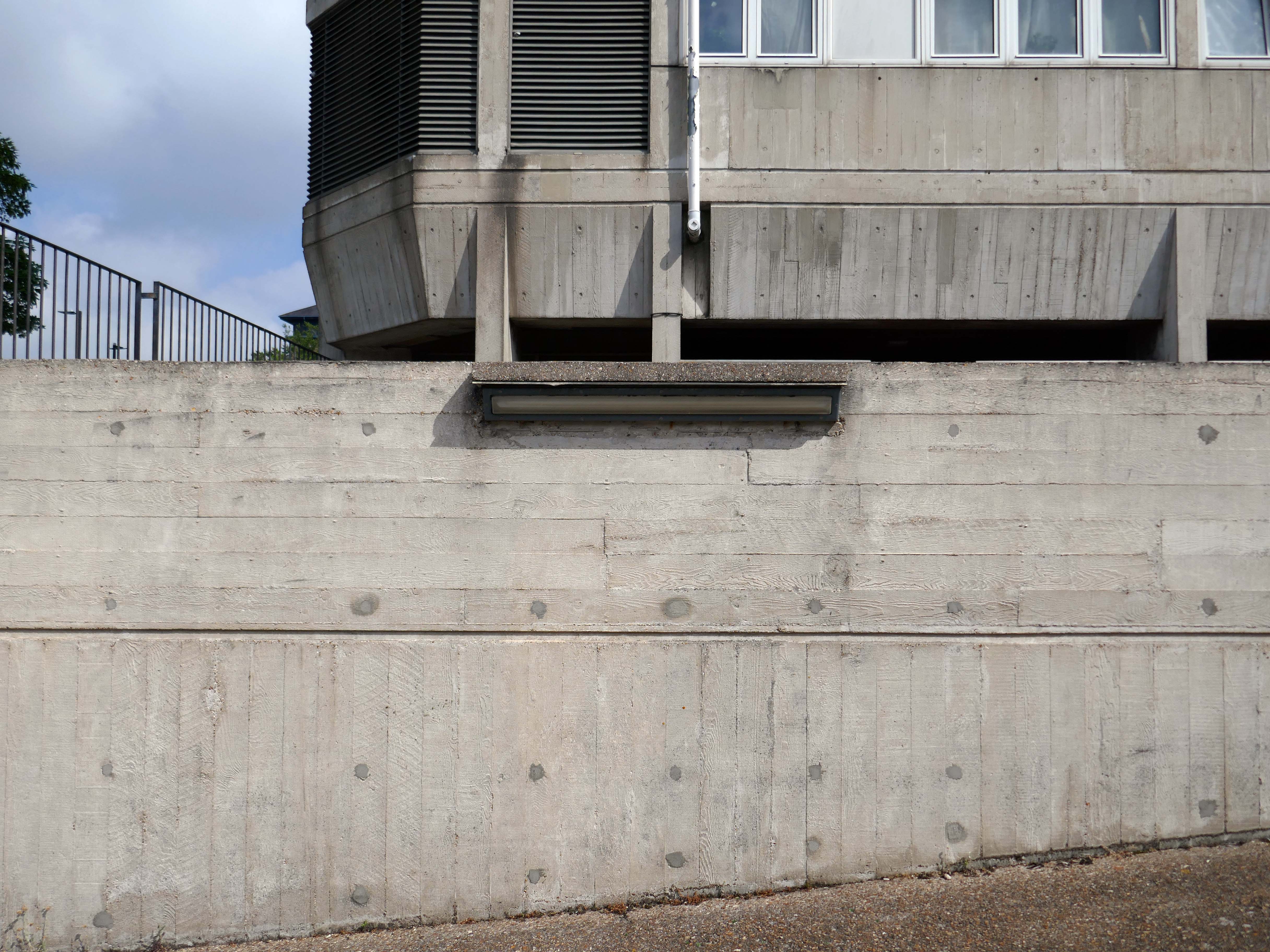
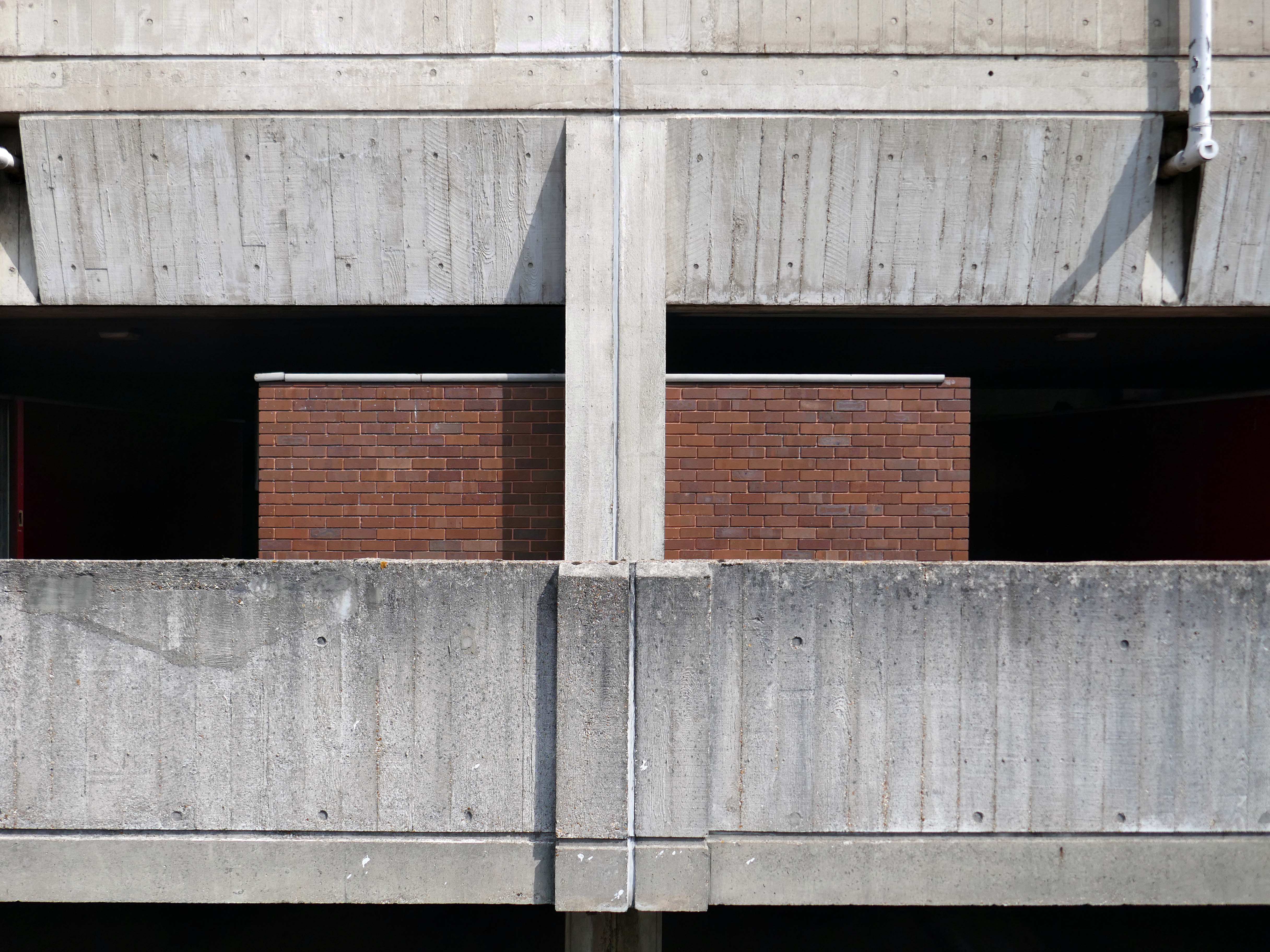
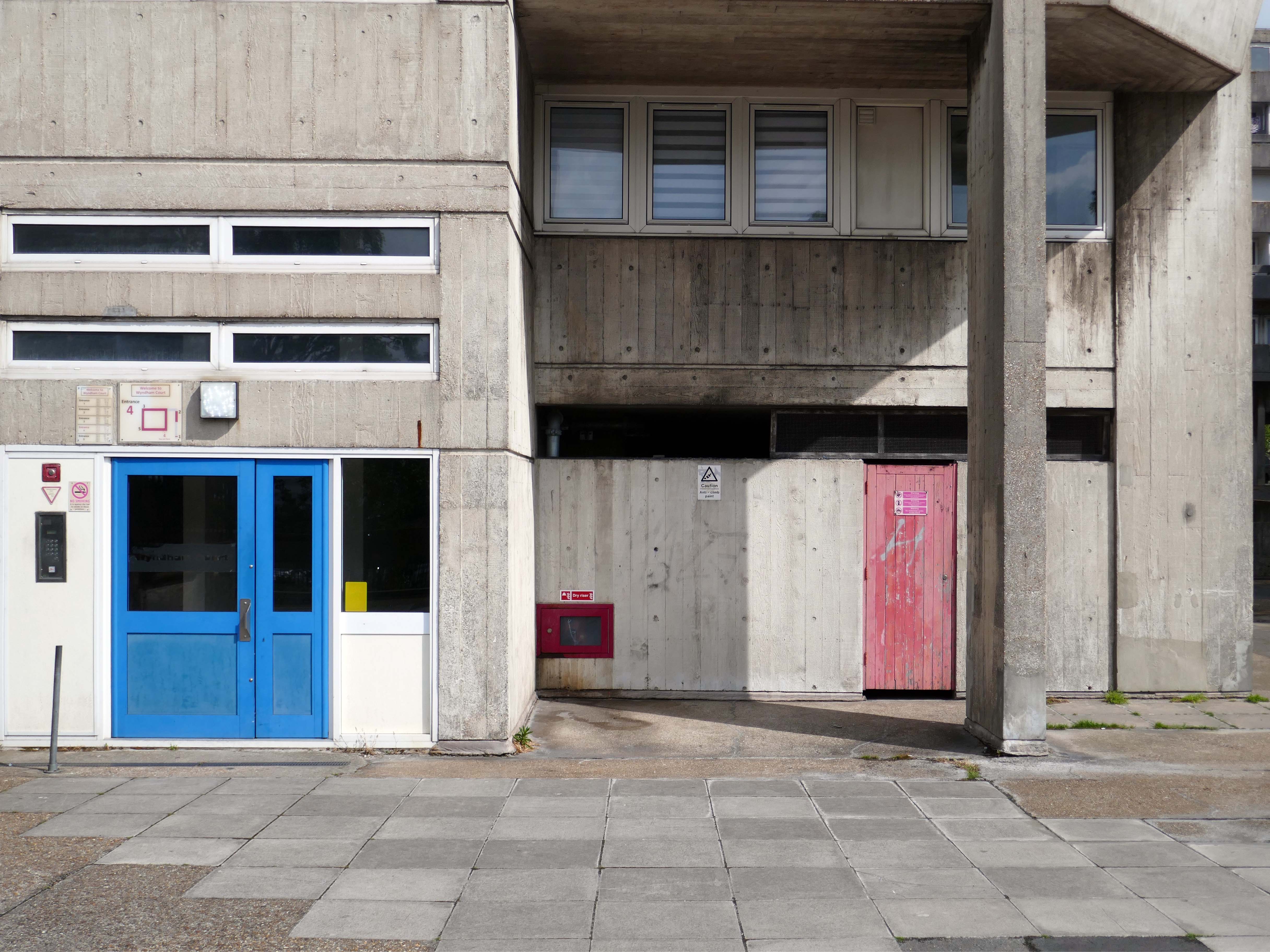
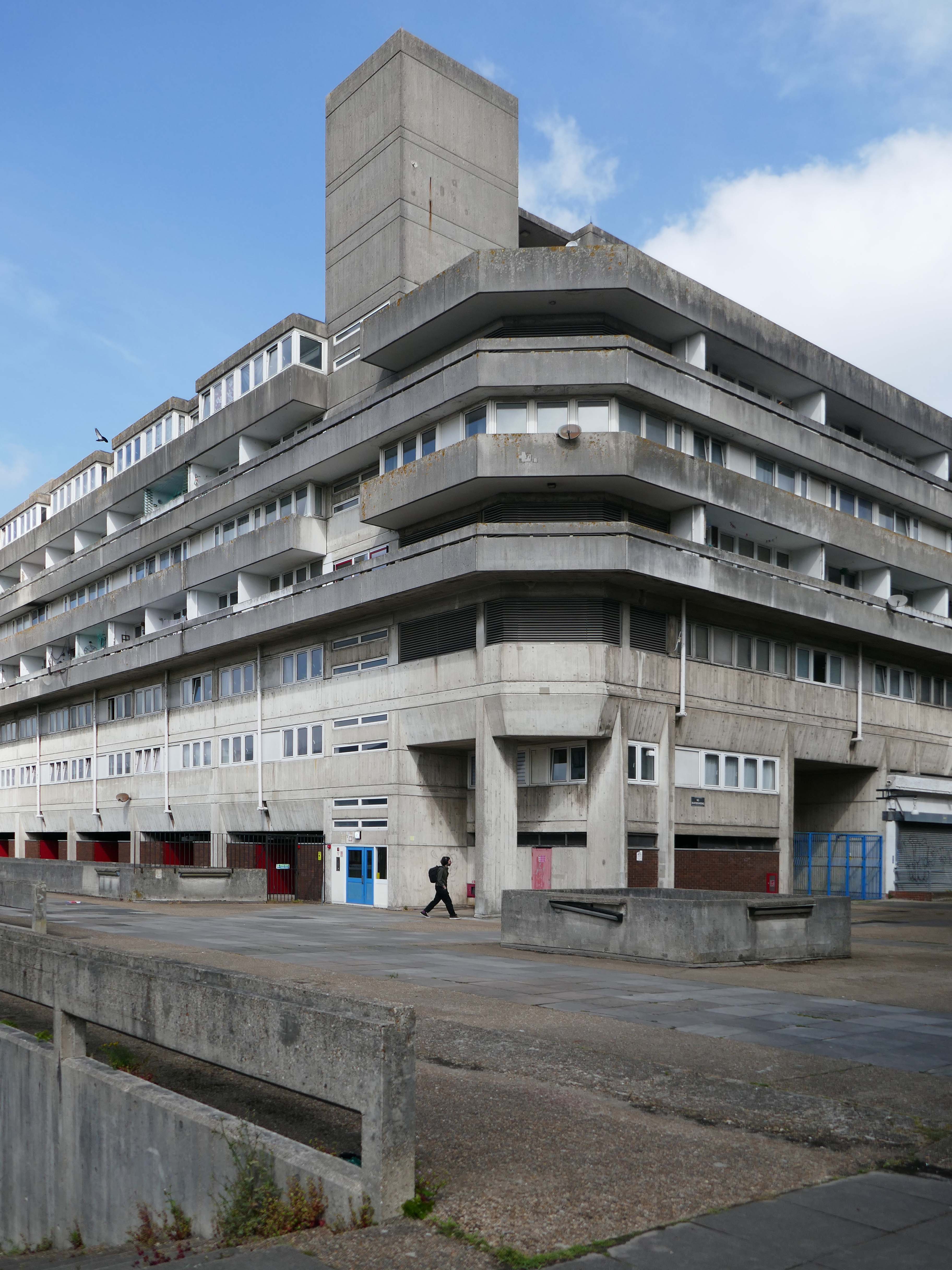
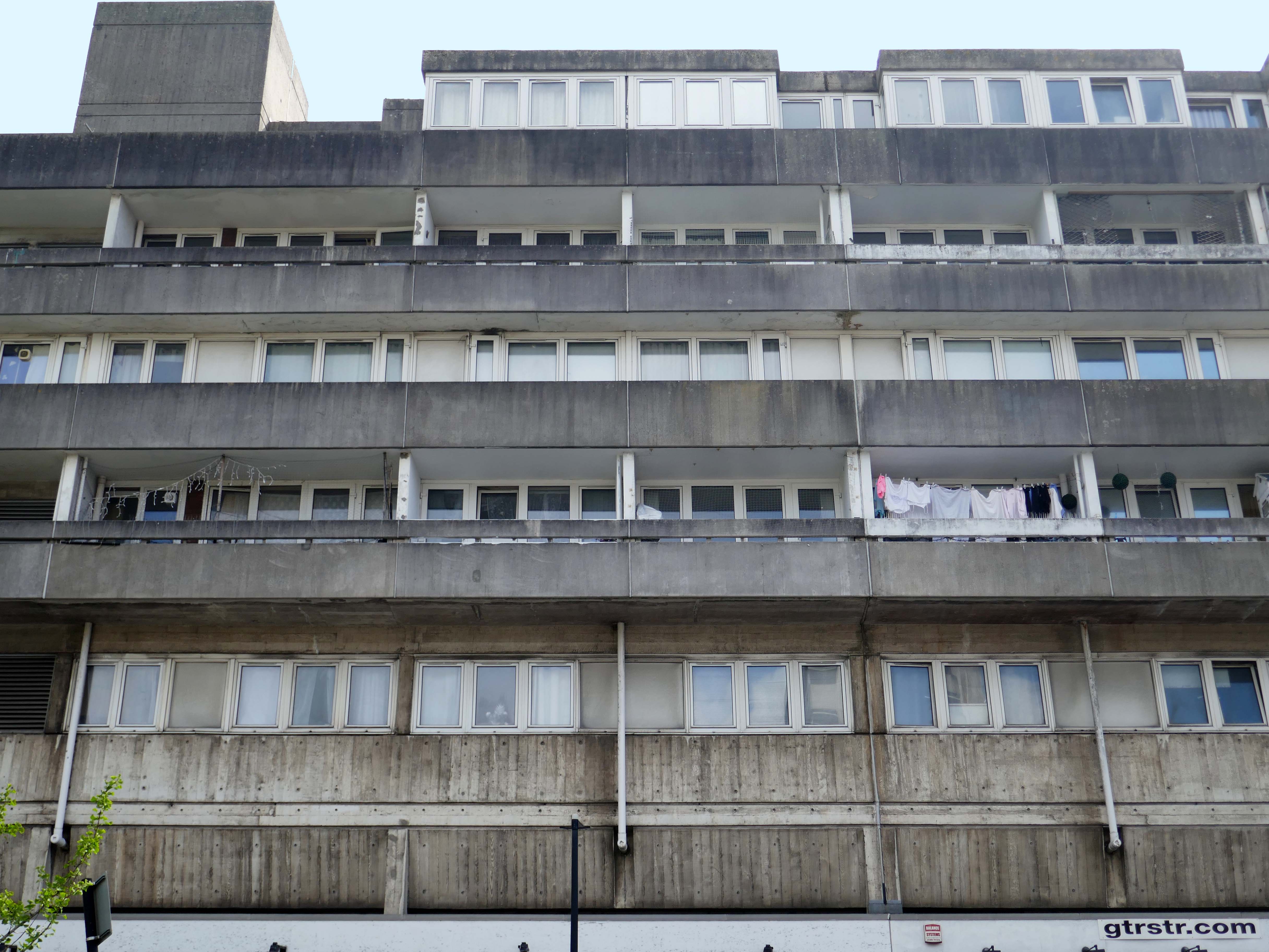
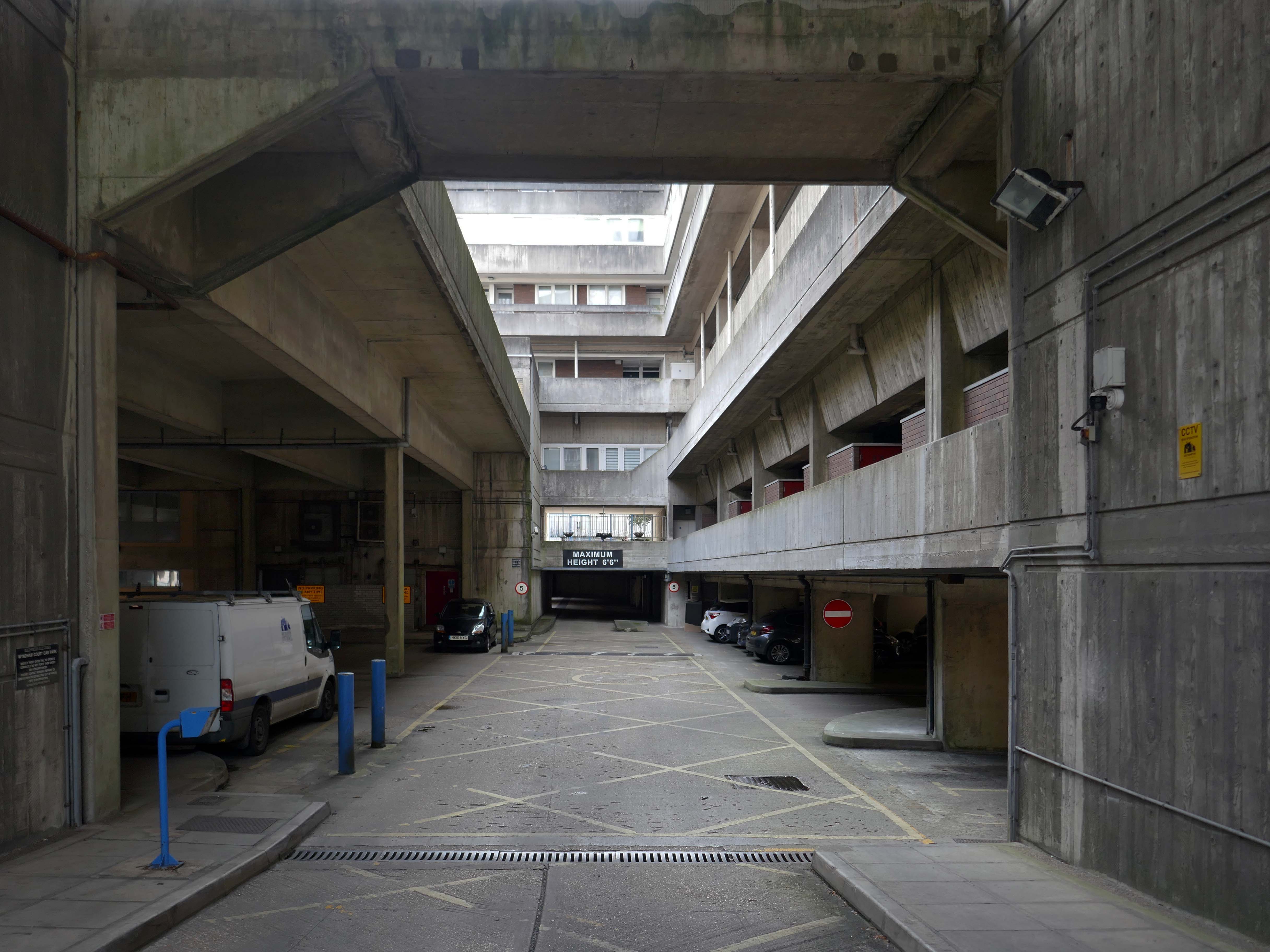
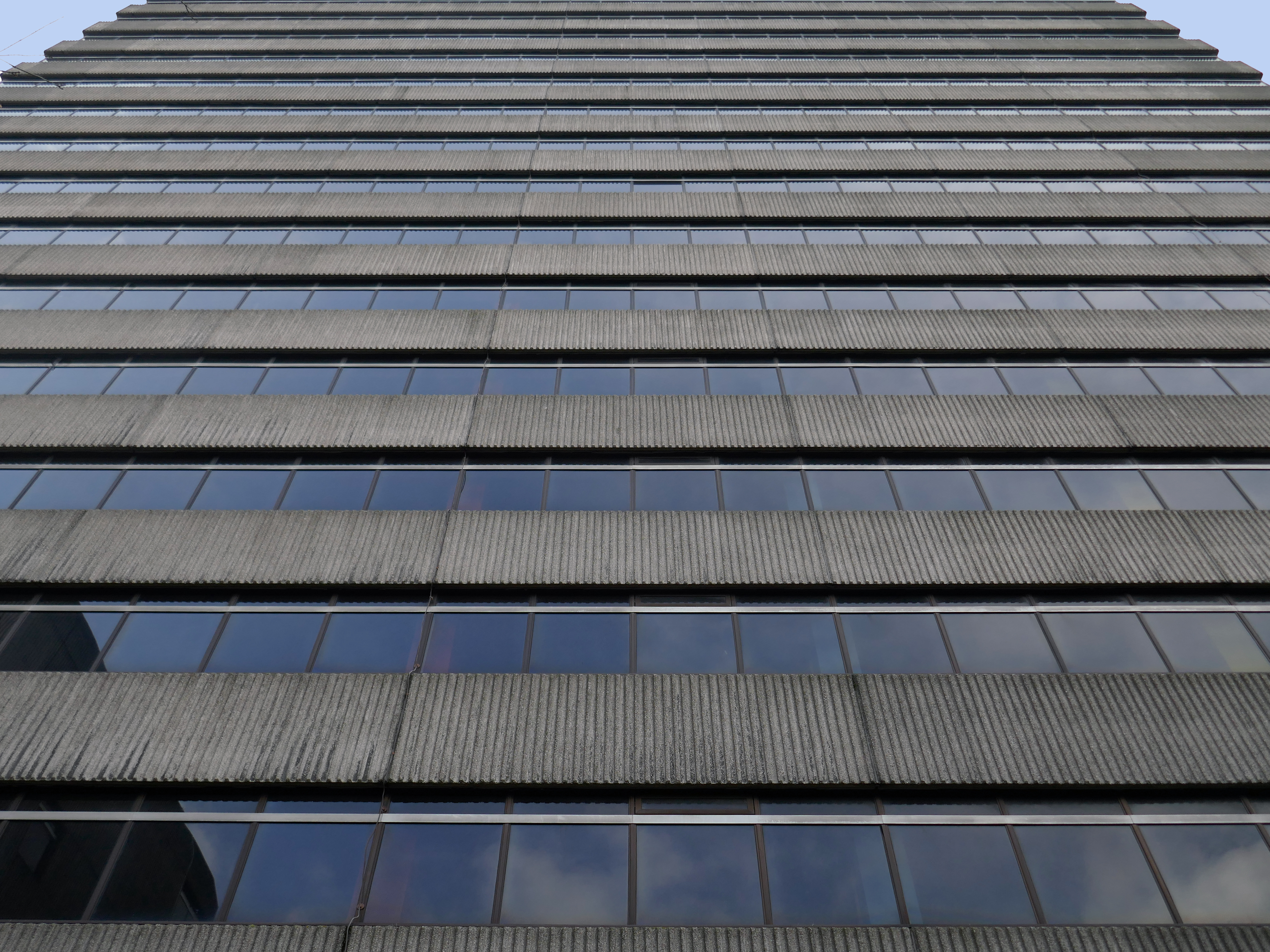
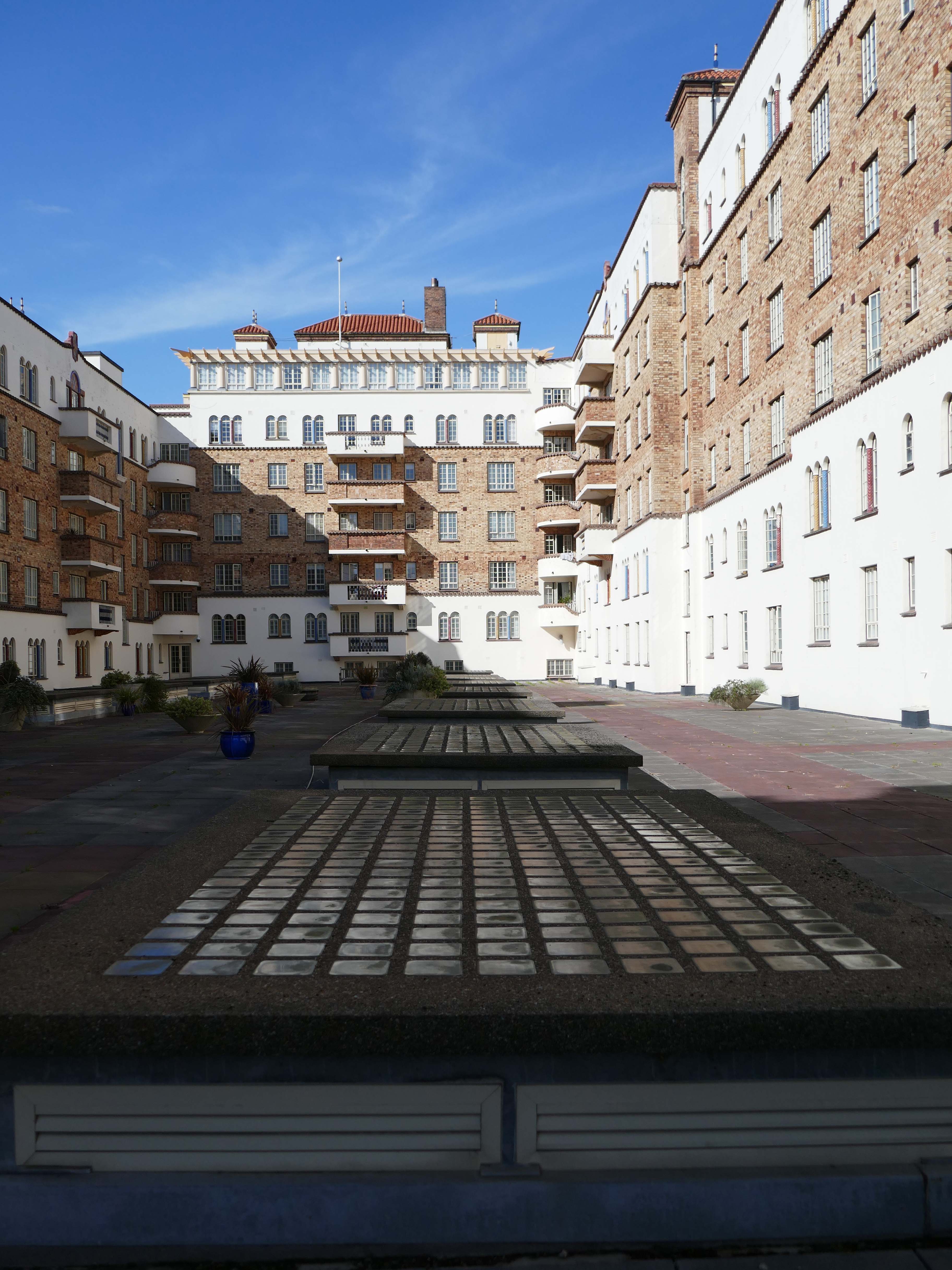
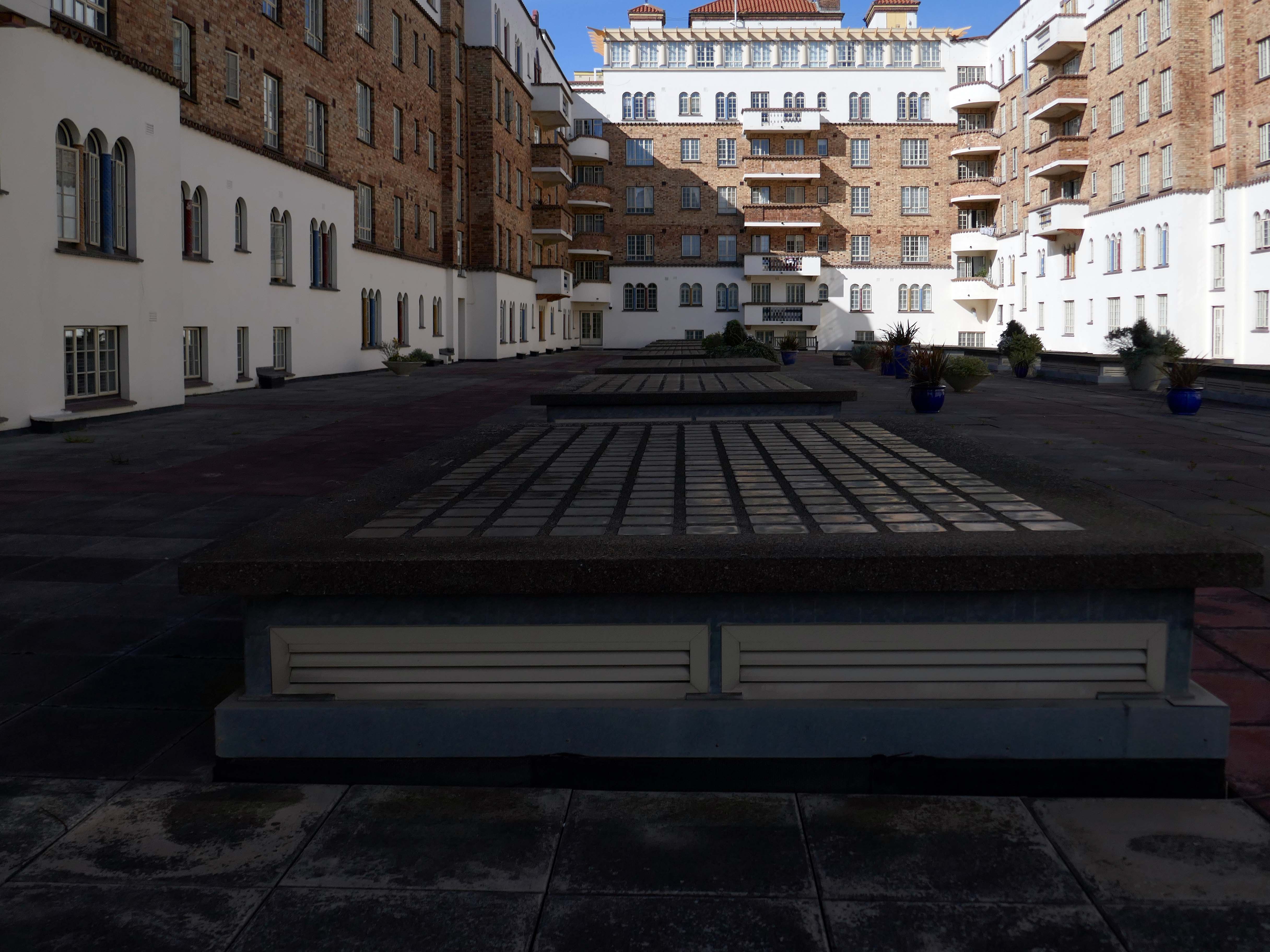
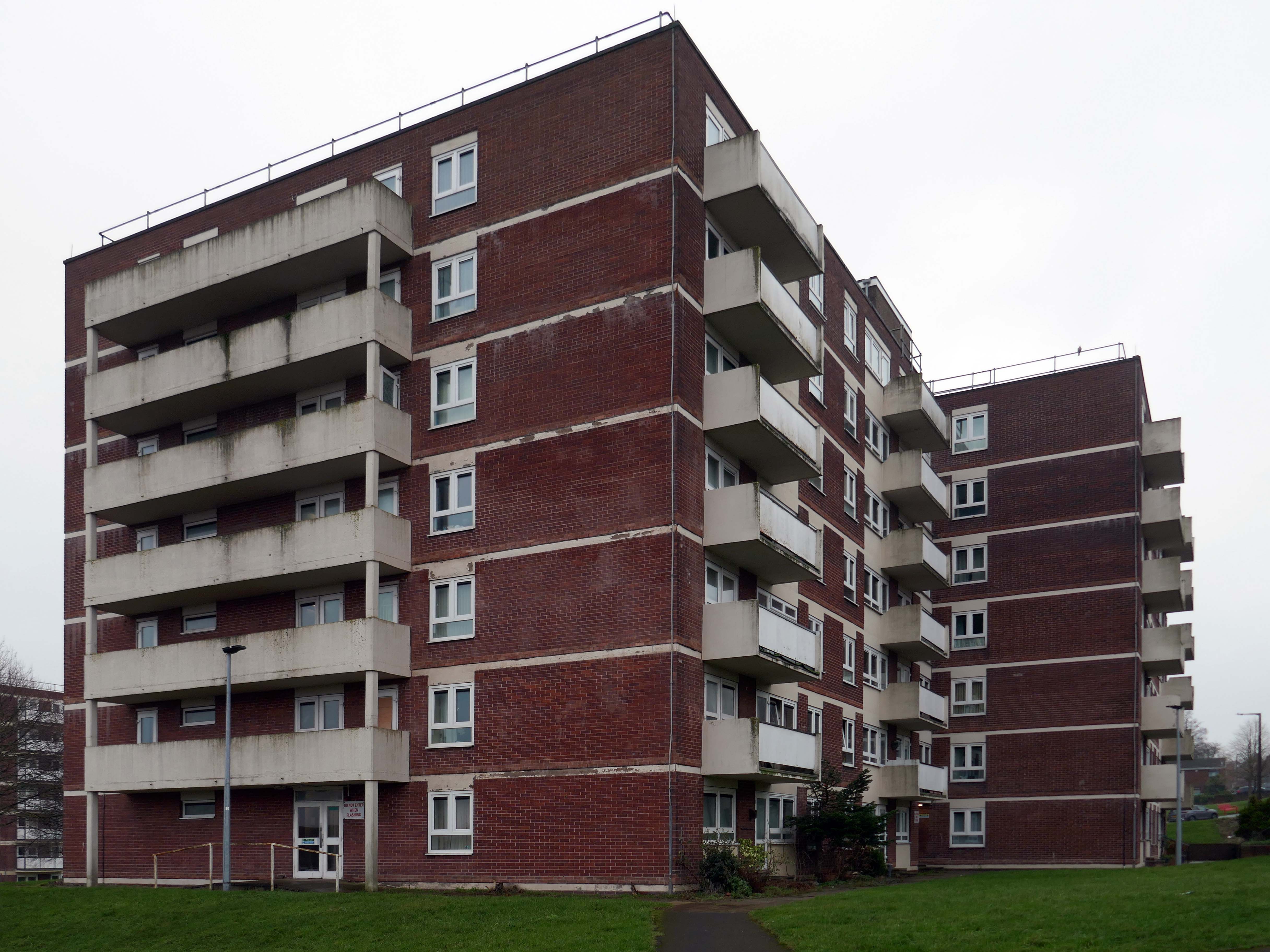
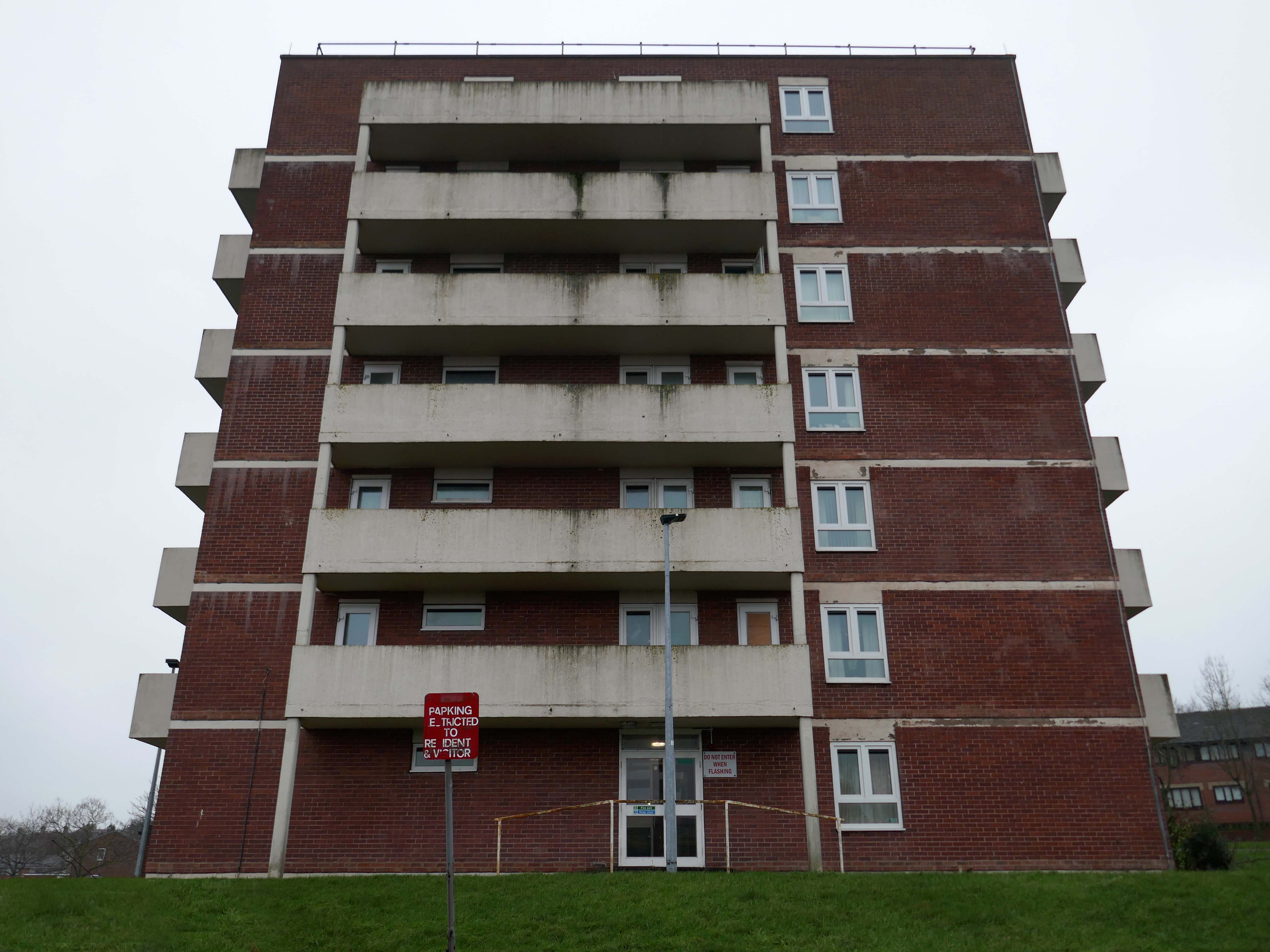
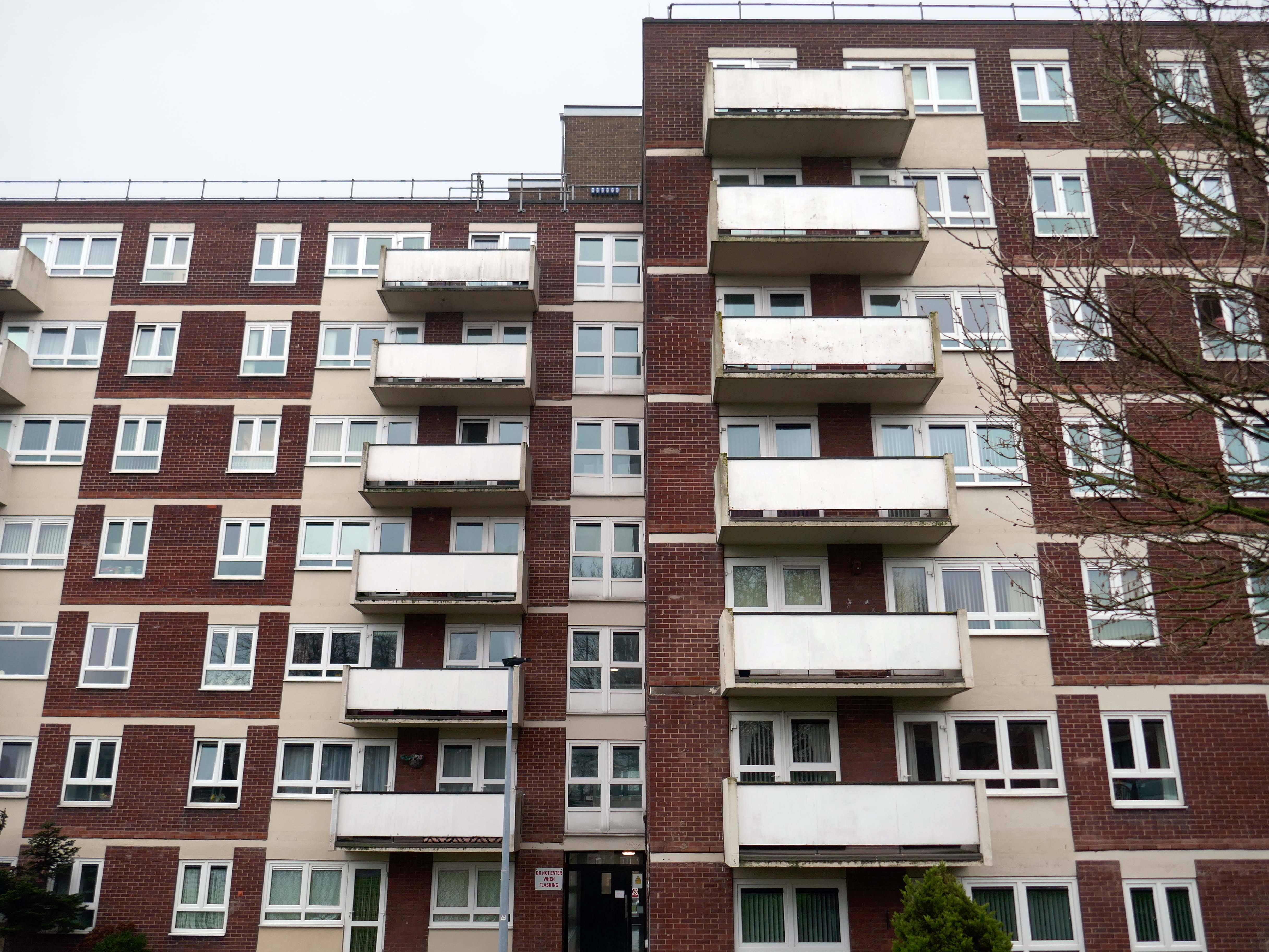
Wyndham Court is a block of social housing in Southampton which opened in 1970.
It was designed by Lyons Israel Ellis for Southampton City Council in 1966, ED Lyons being the partner in charge and architects Frank Linden and Aubrey Hume also assigned to the job. The structural engineers were Hajnal-Konyi and Myers and the firm of builders was G Minter.
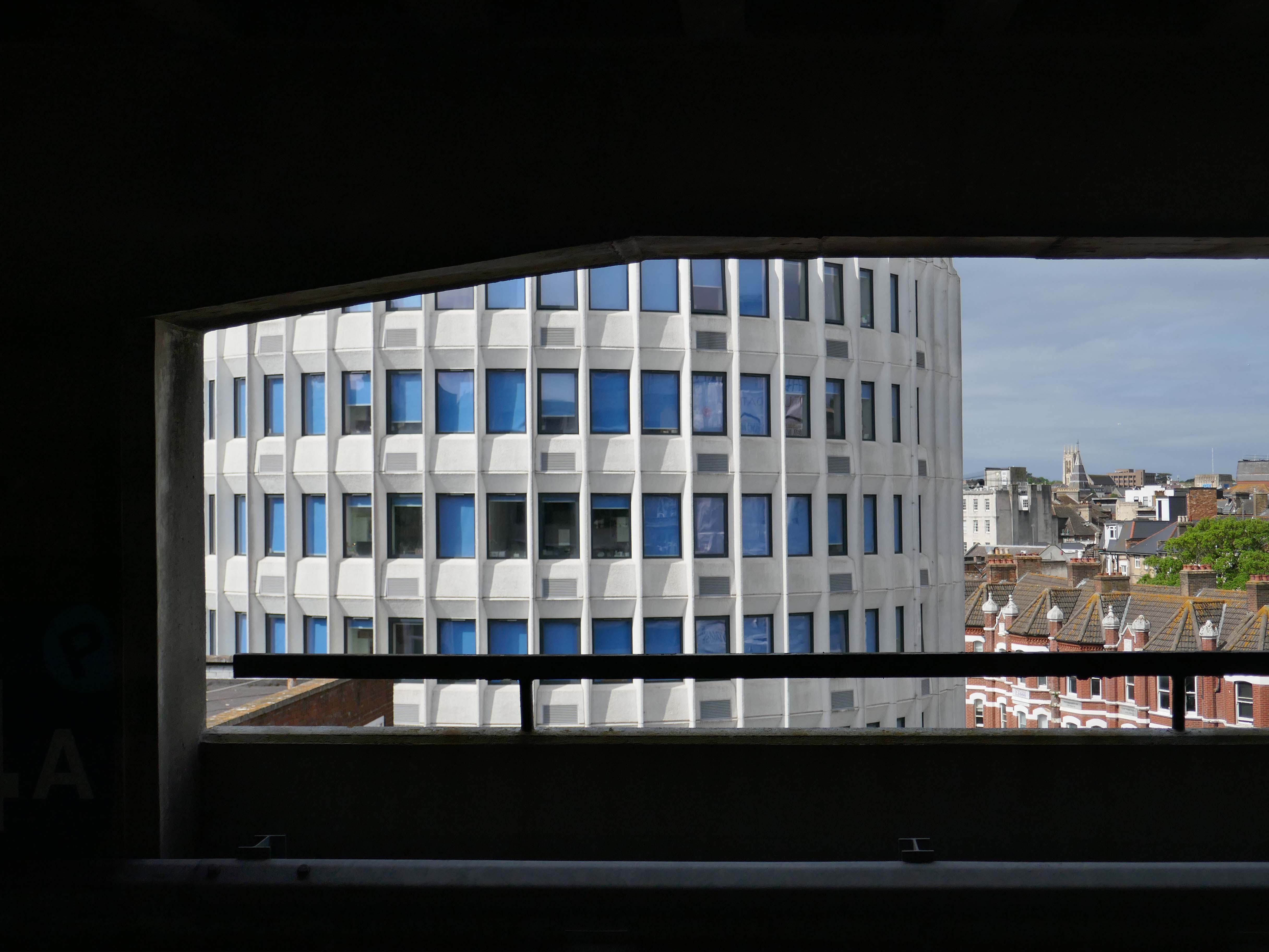
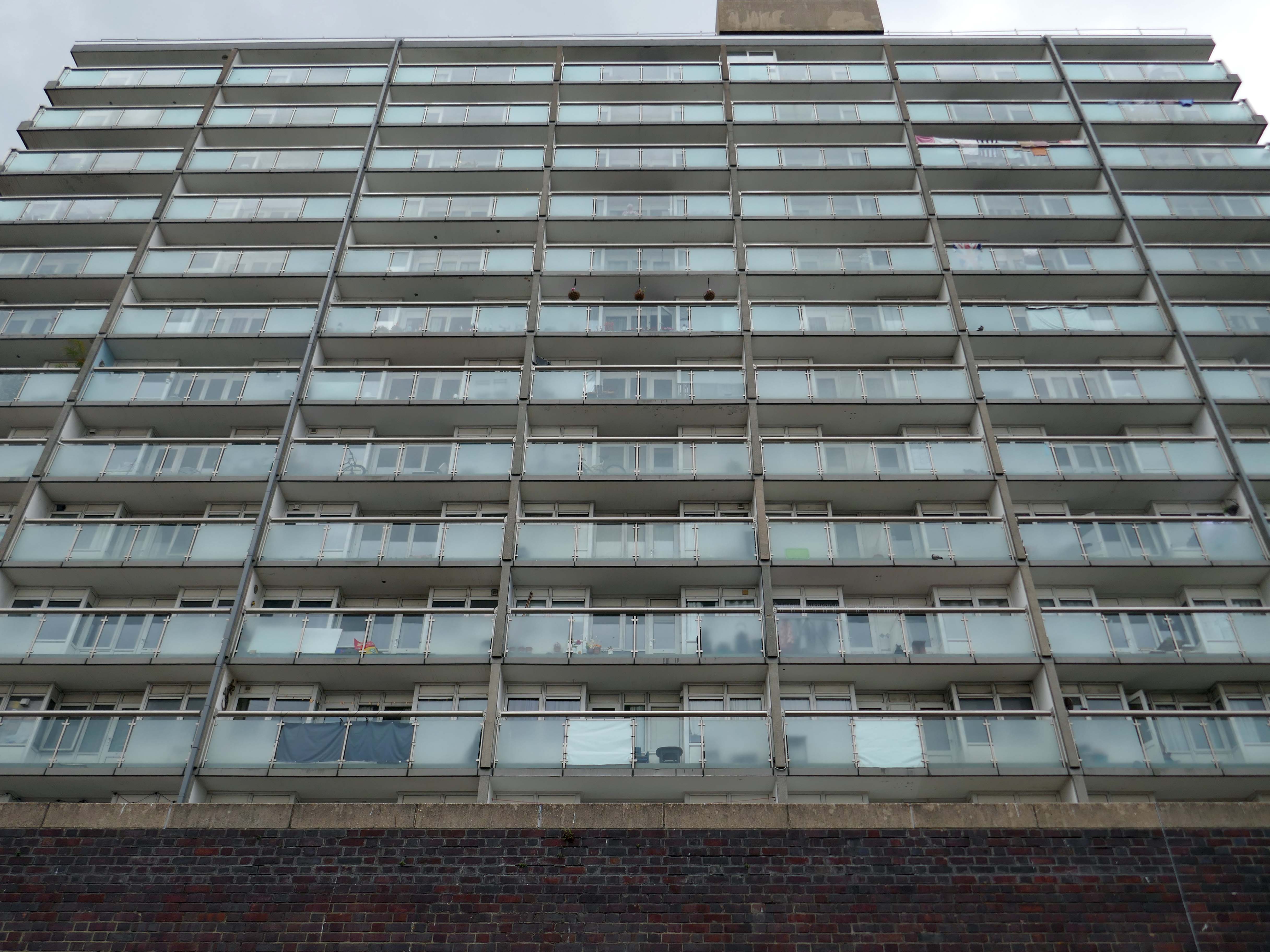
It is located near Southampton Central station and the Mayflower Theatre. Wyndham Court includes 184 flats, three cafes or restaurants and 13 shops, and was completed in 1969.
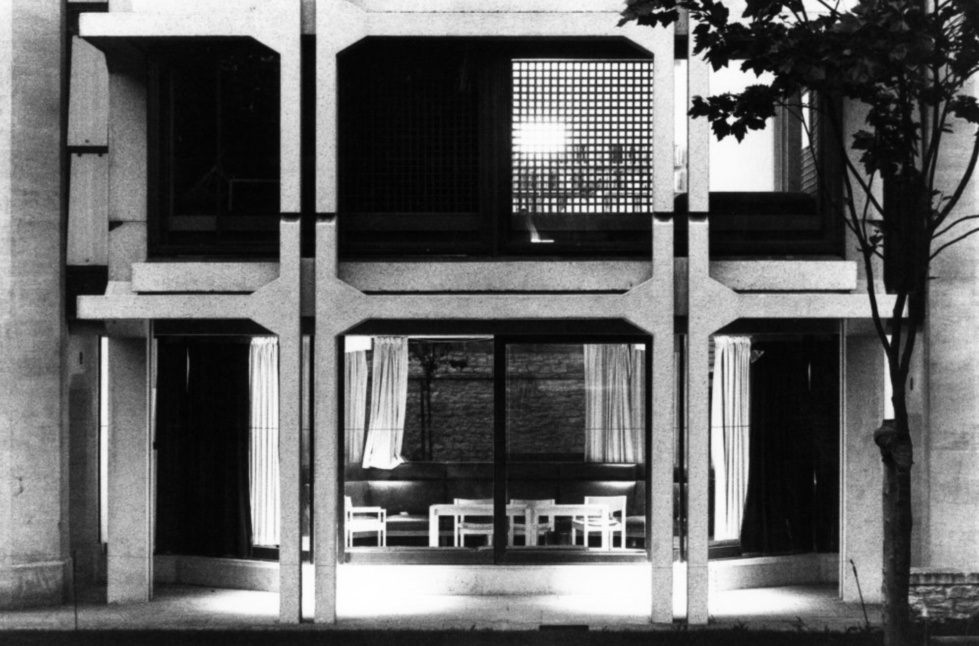
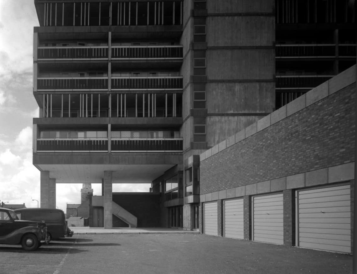
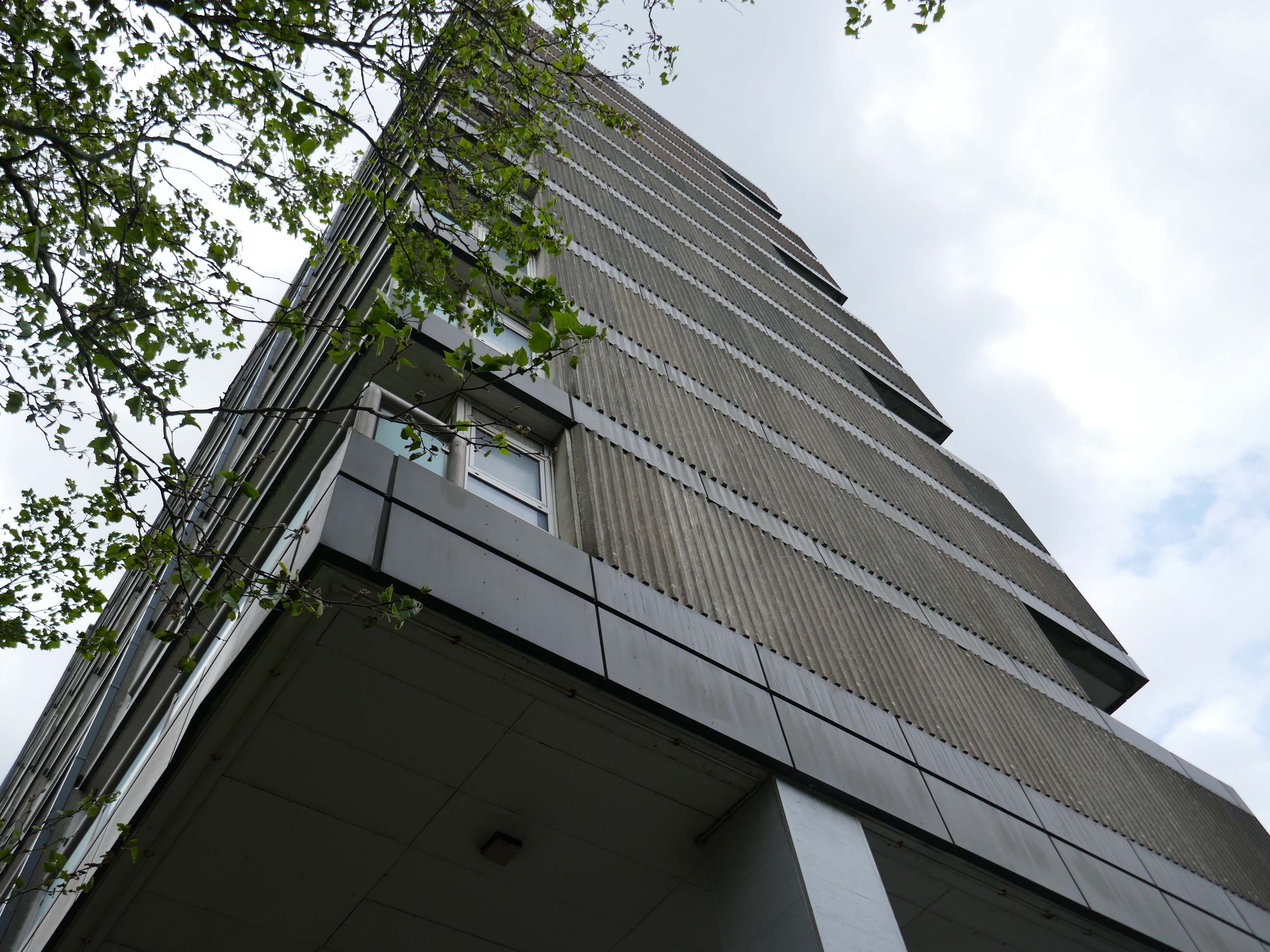
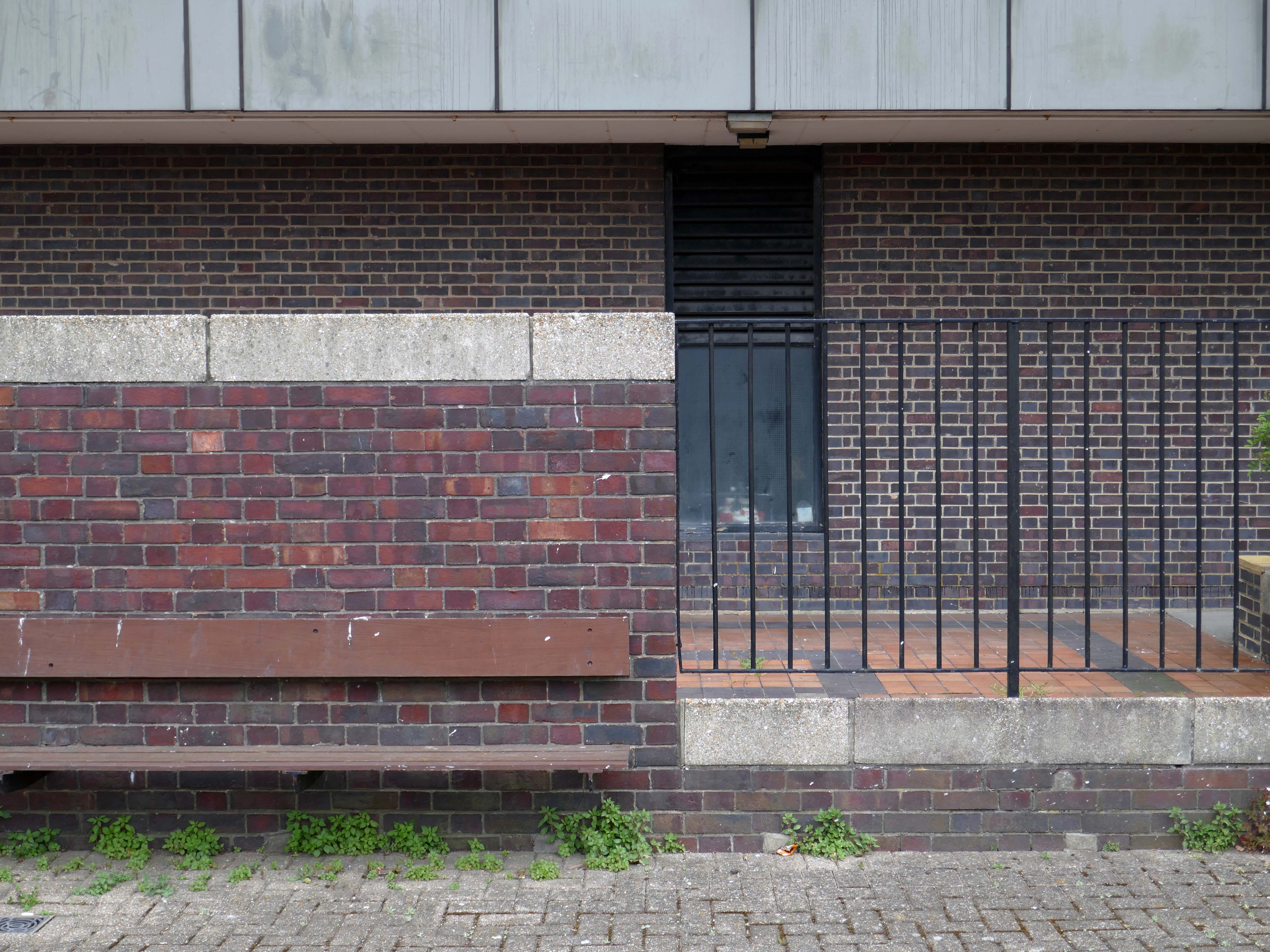
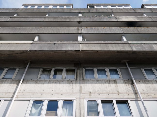
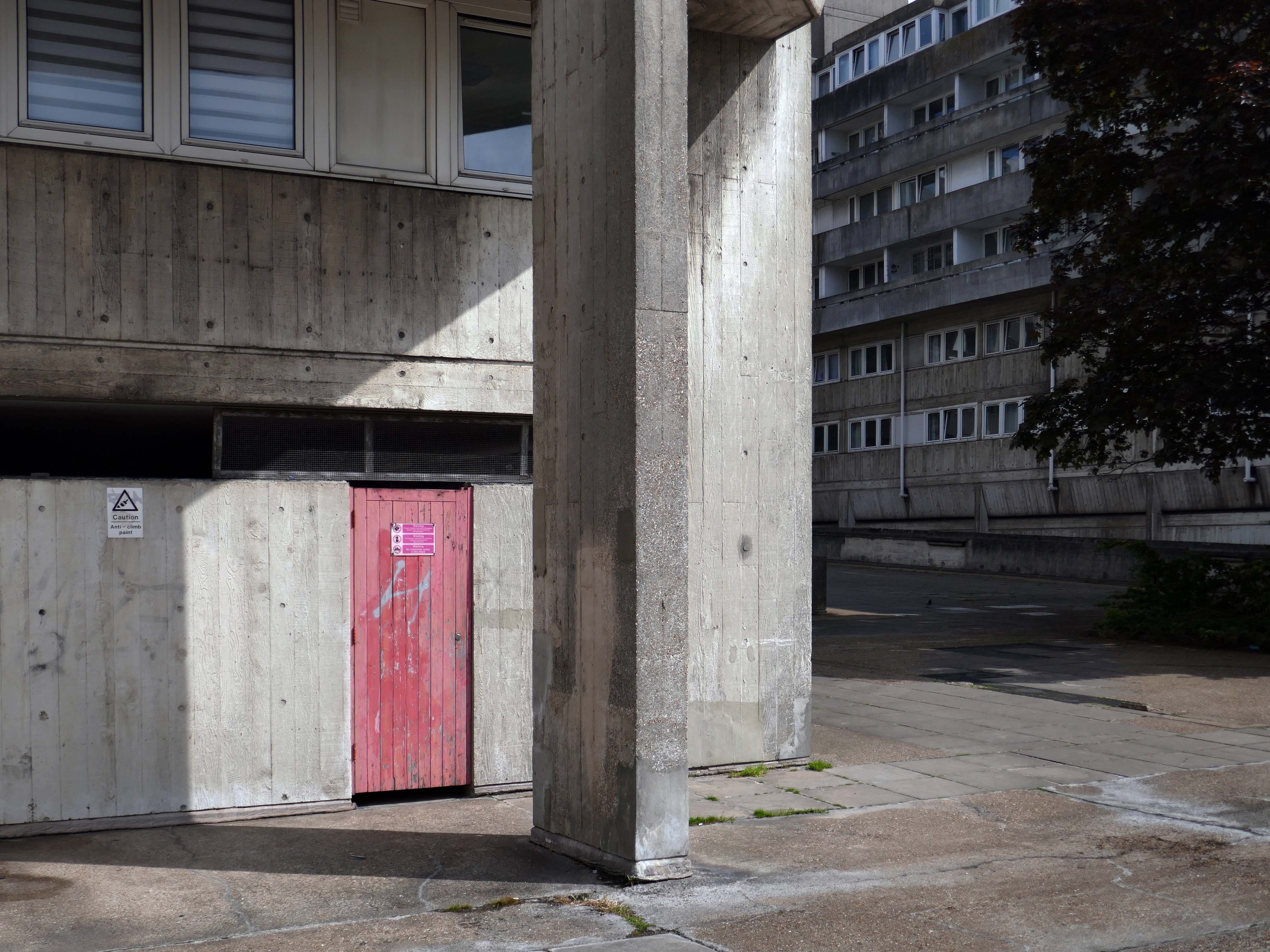
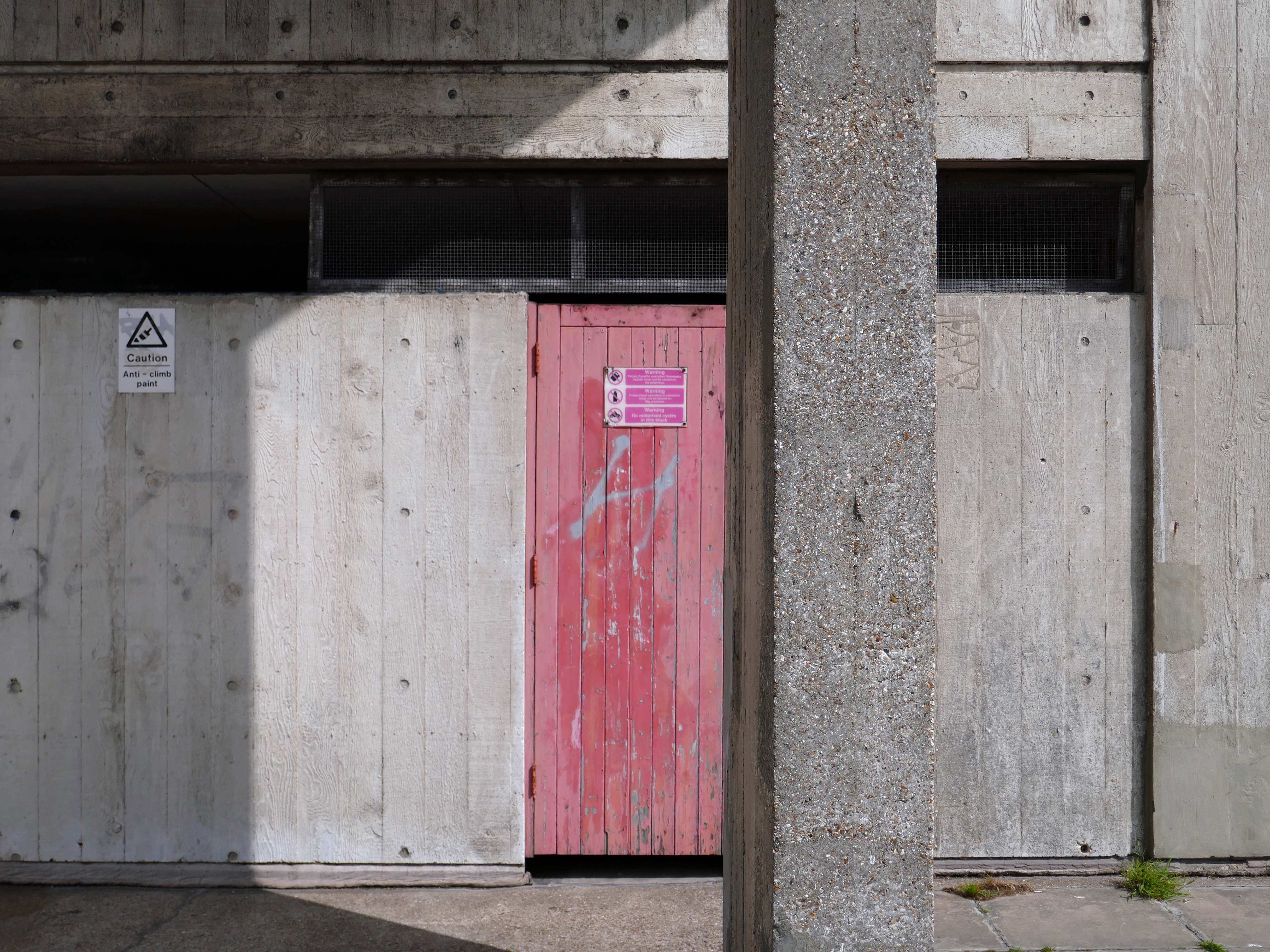
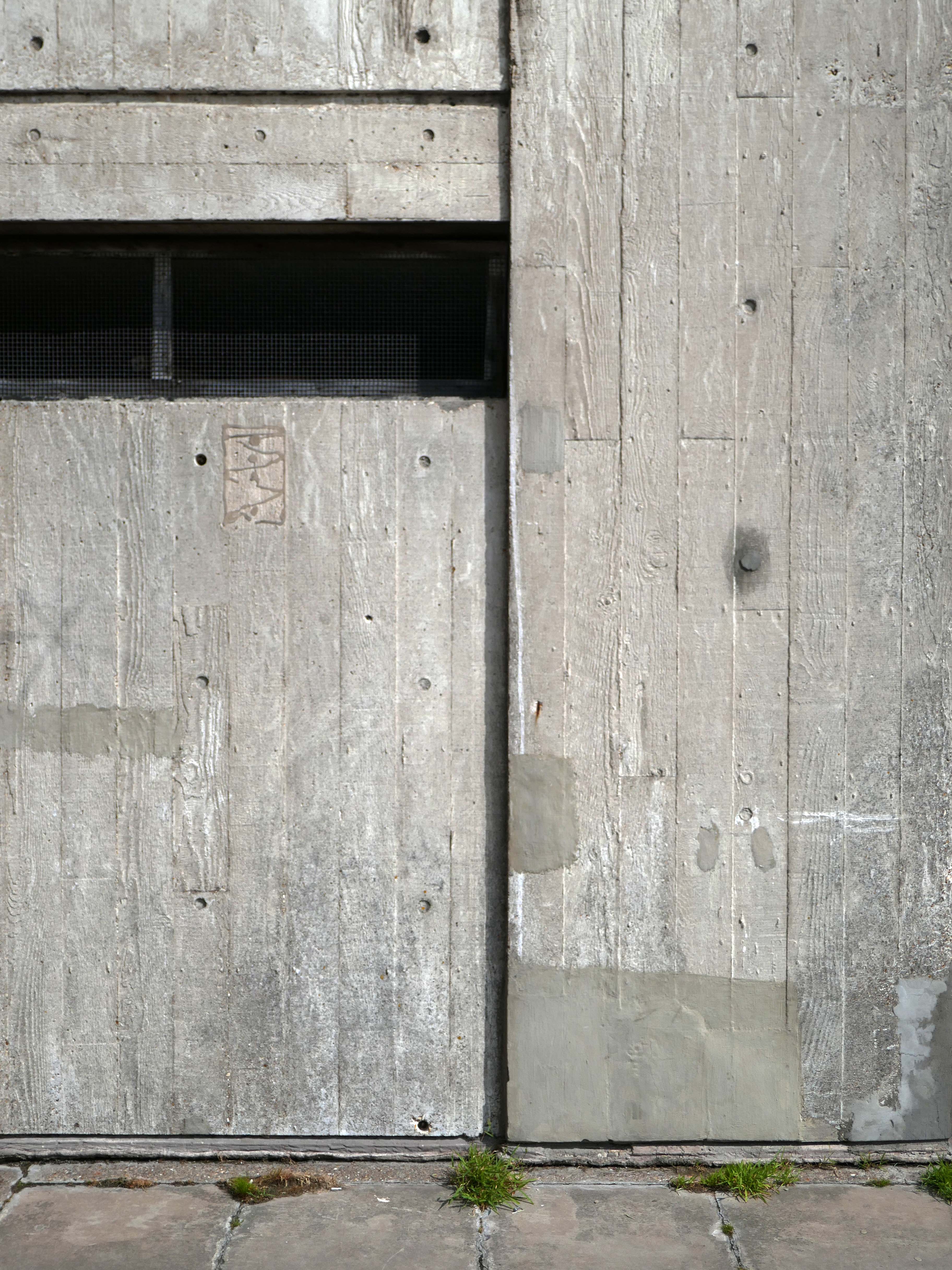
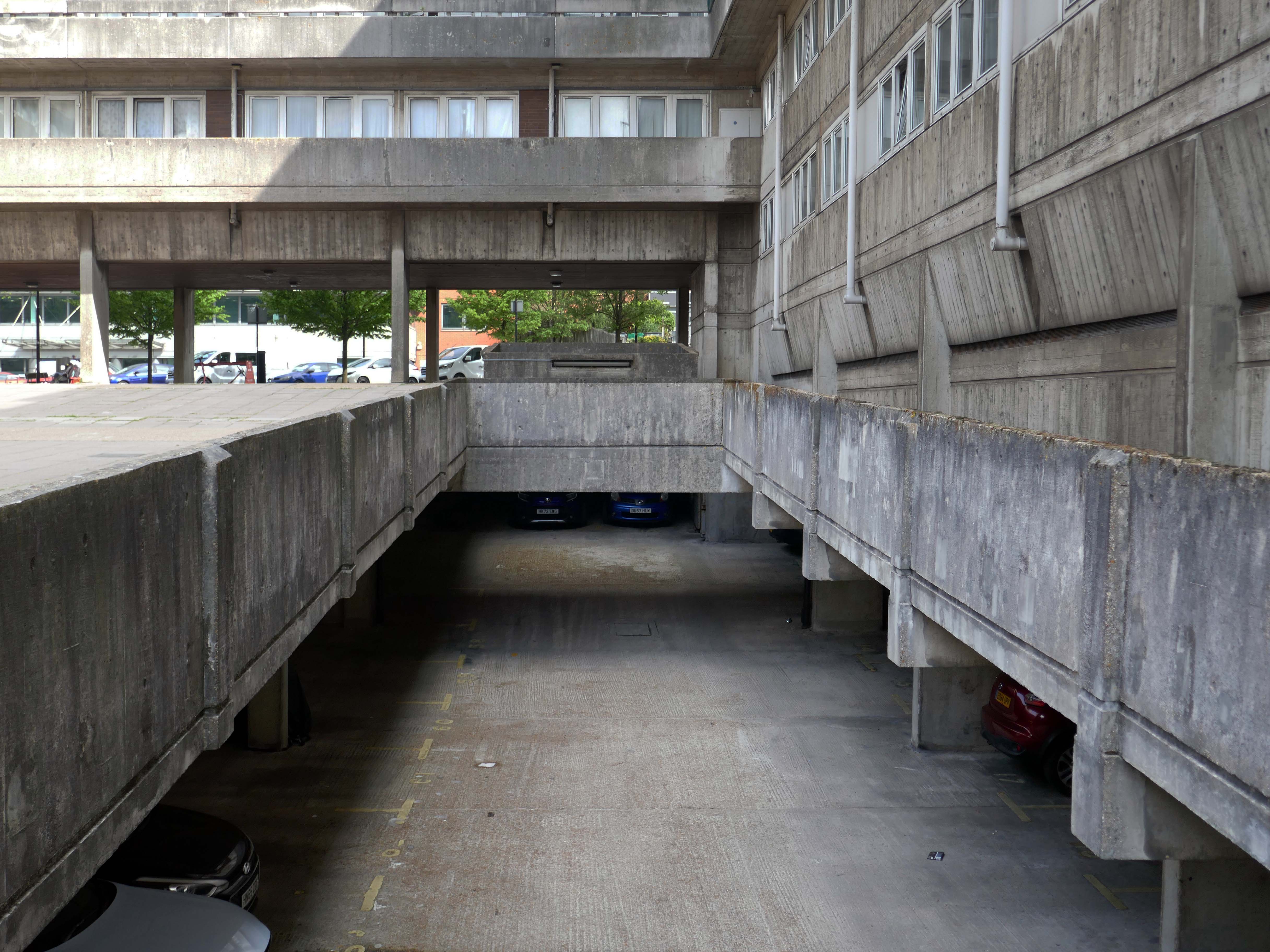
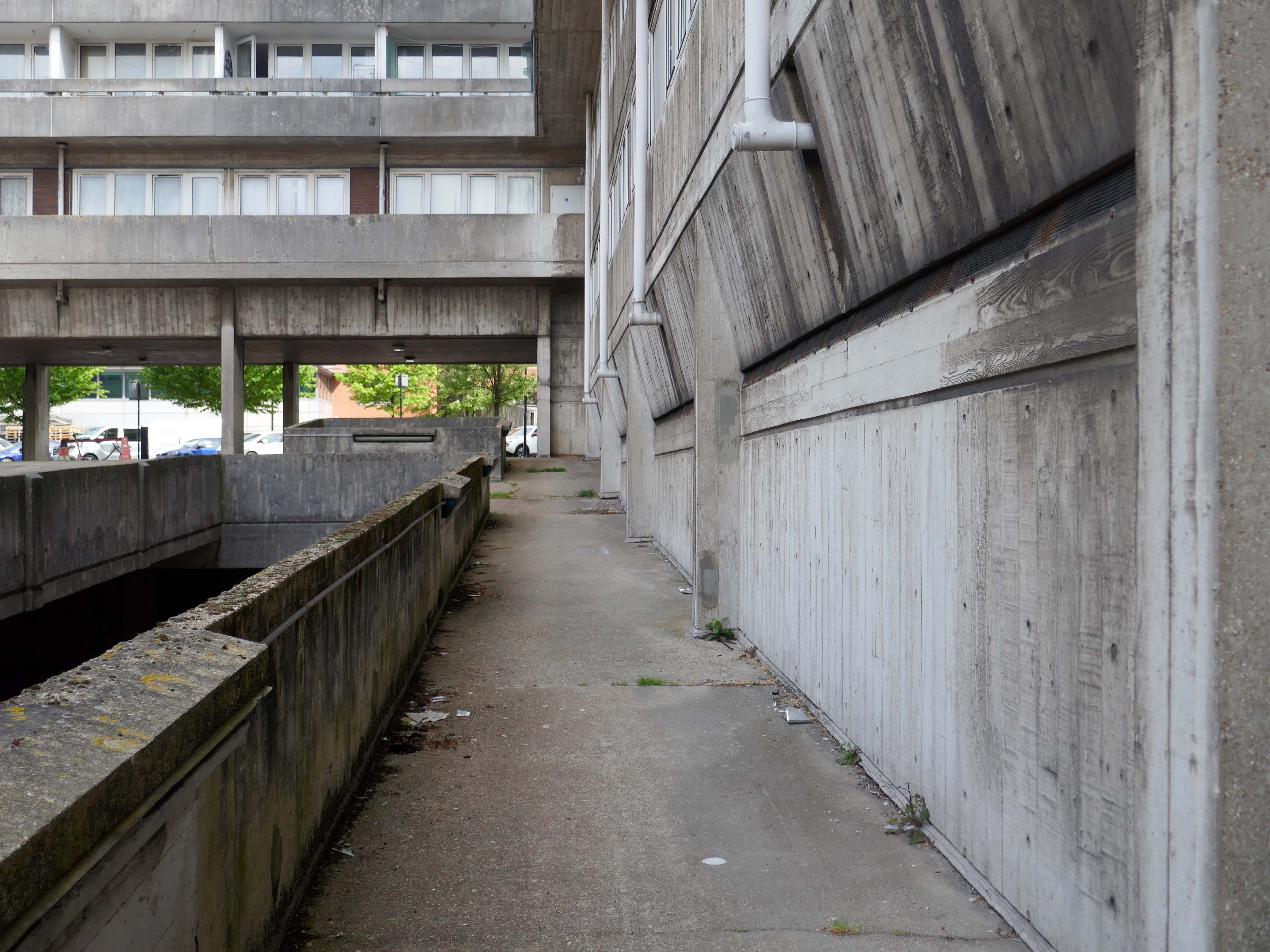
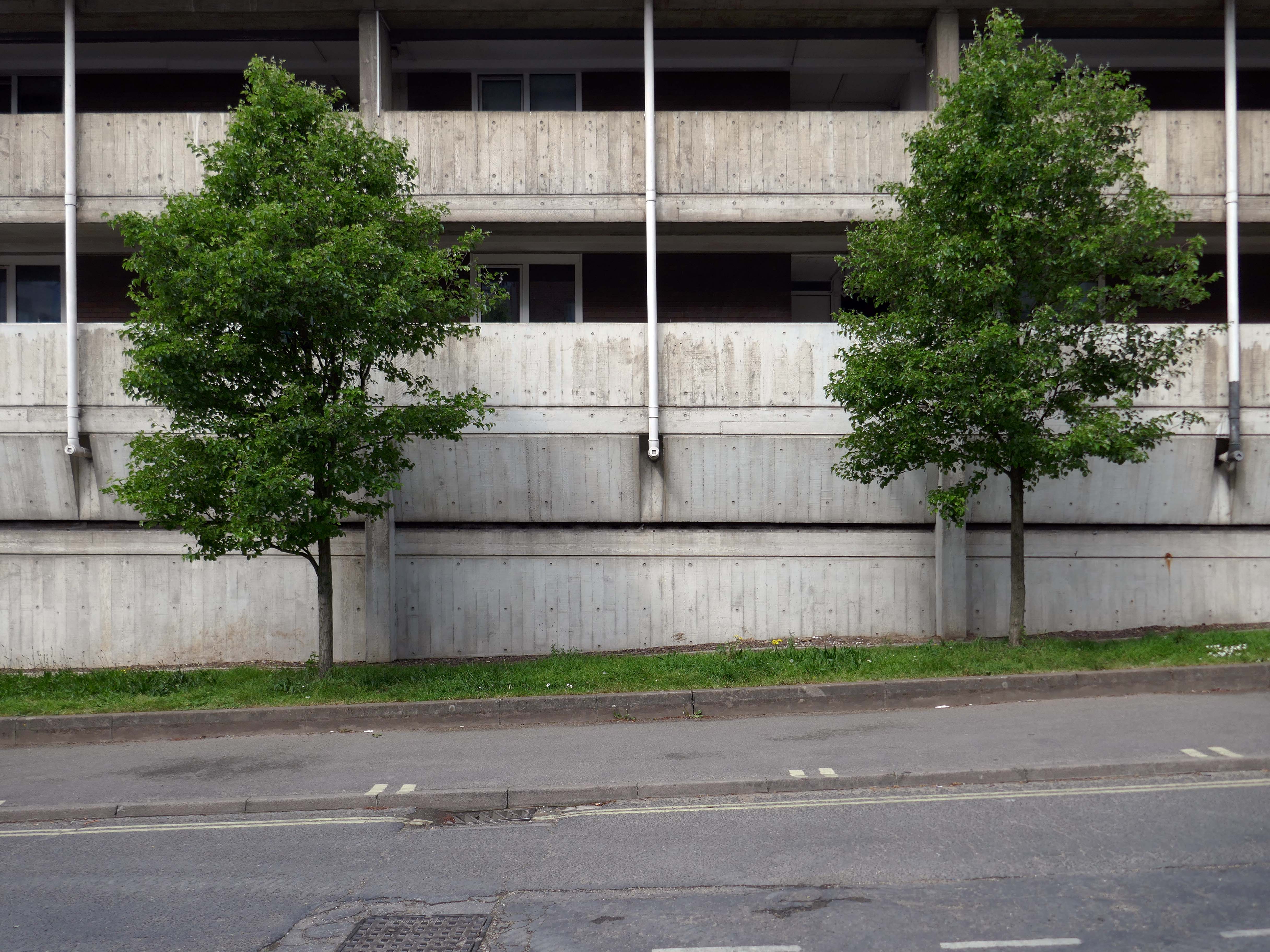
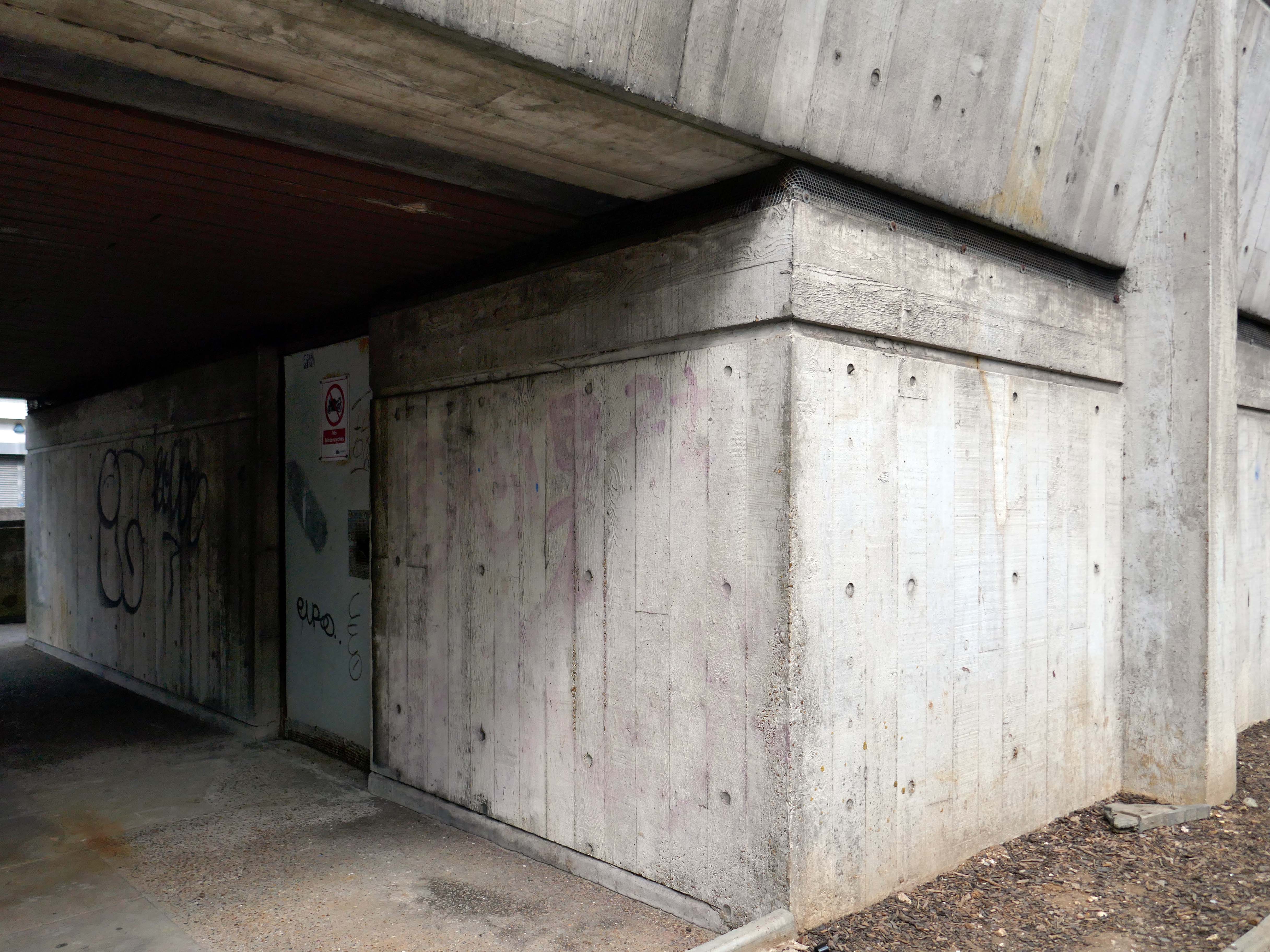
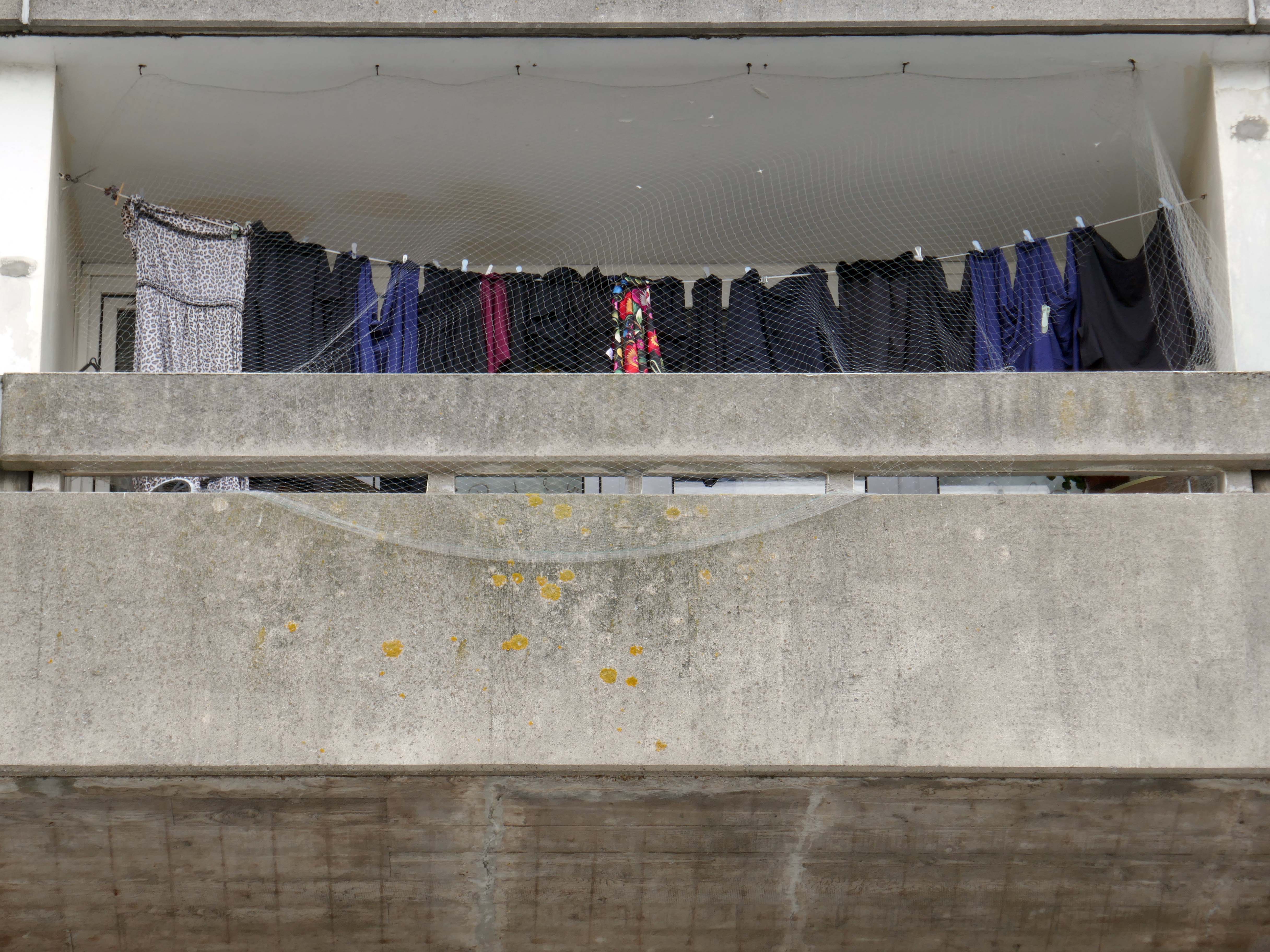
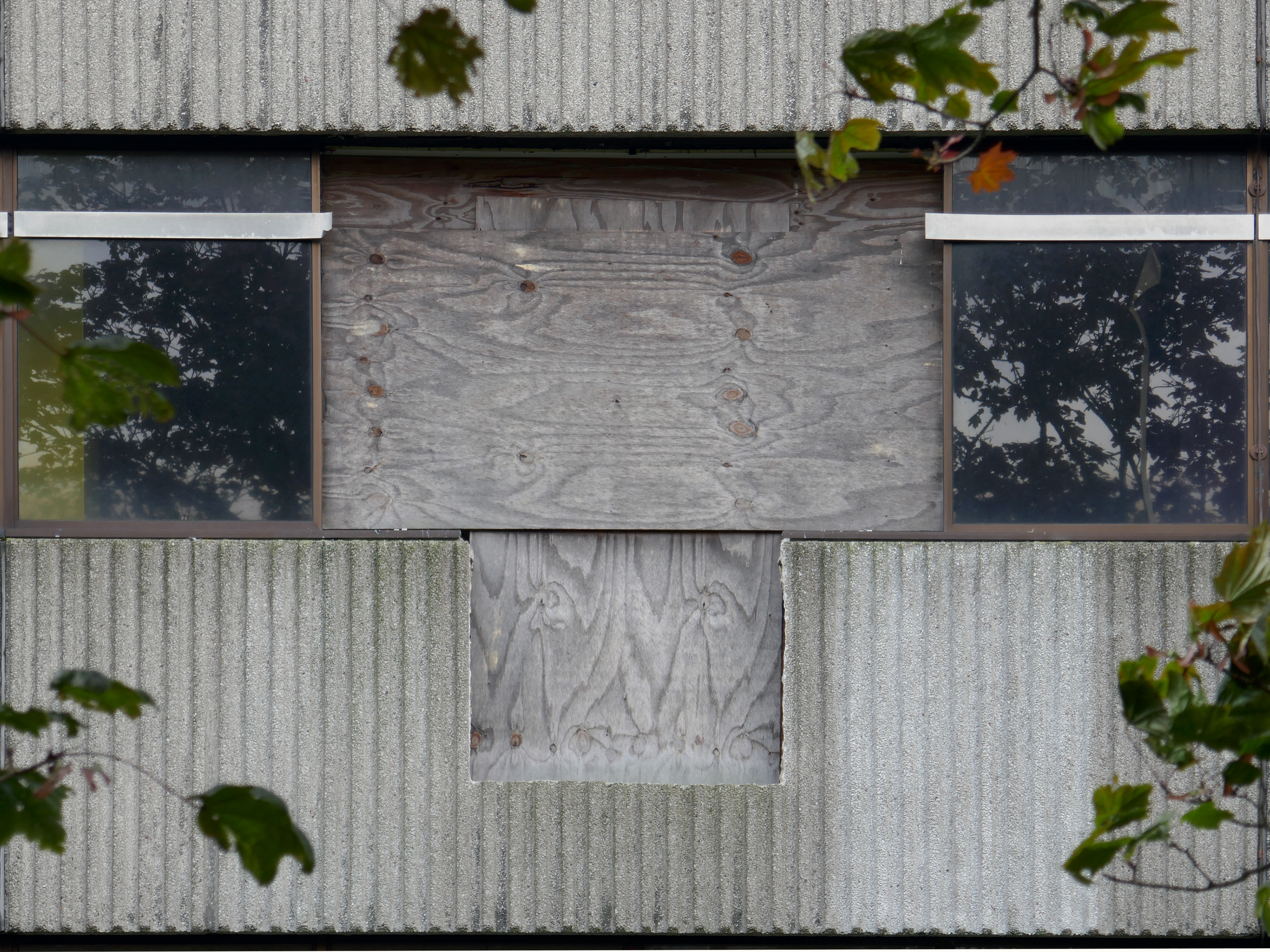
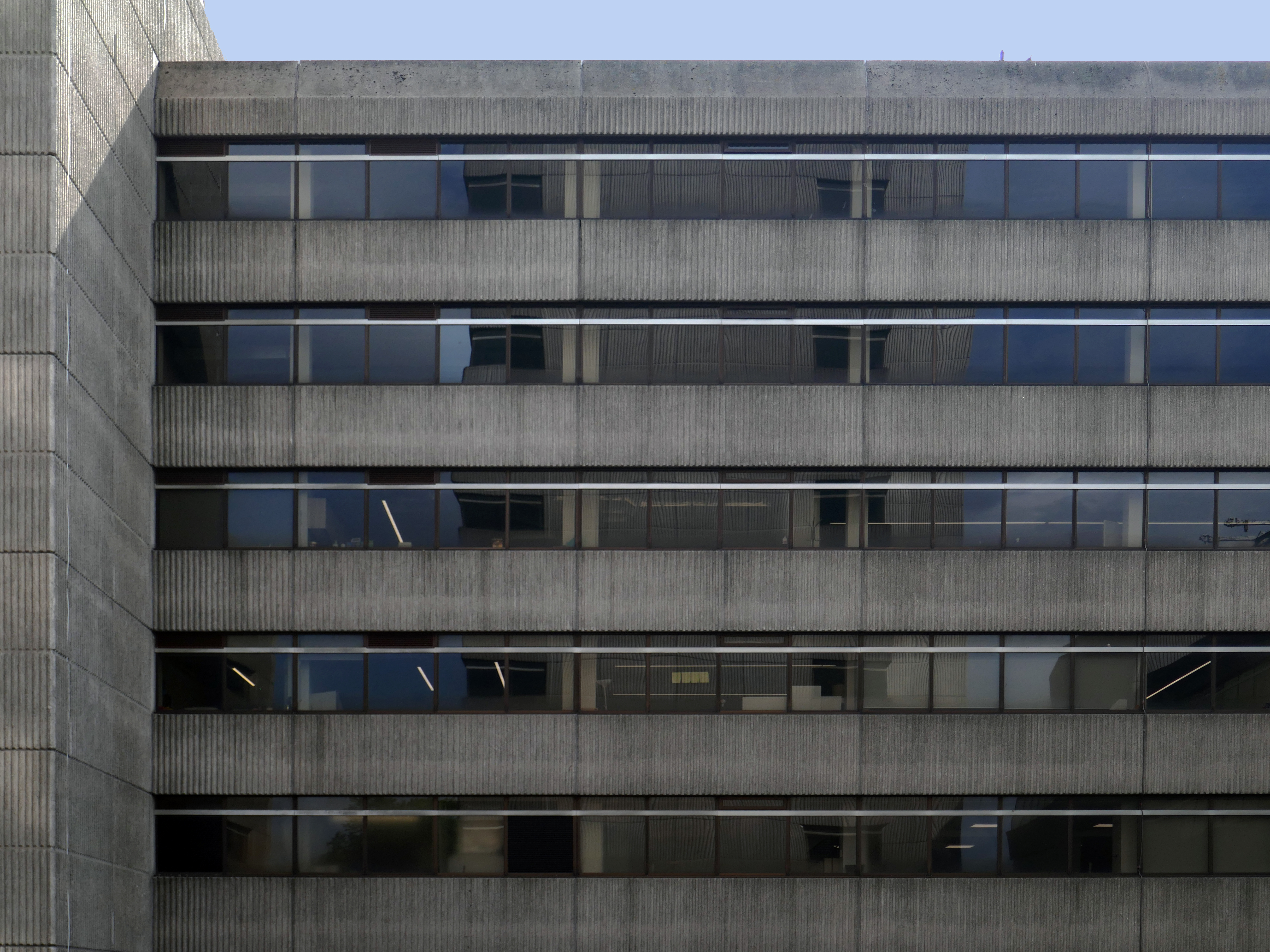
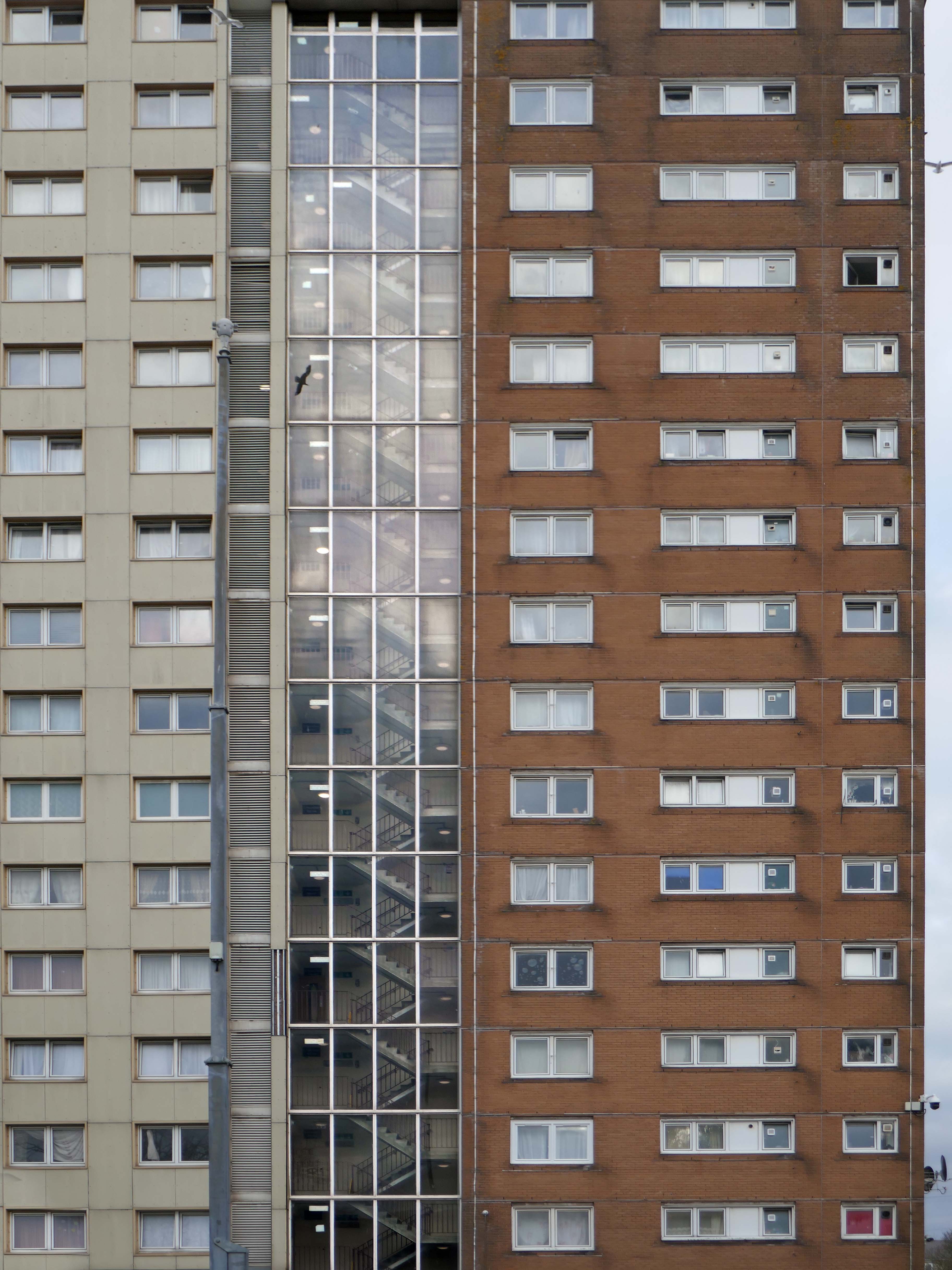
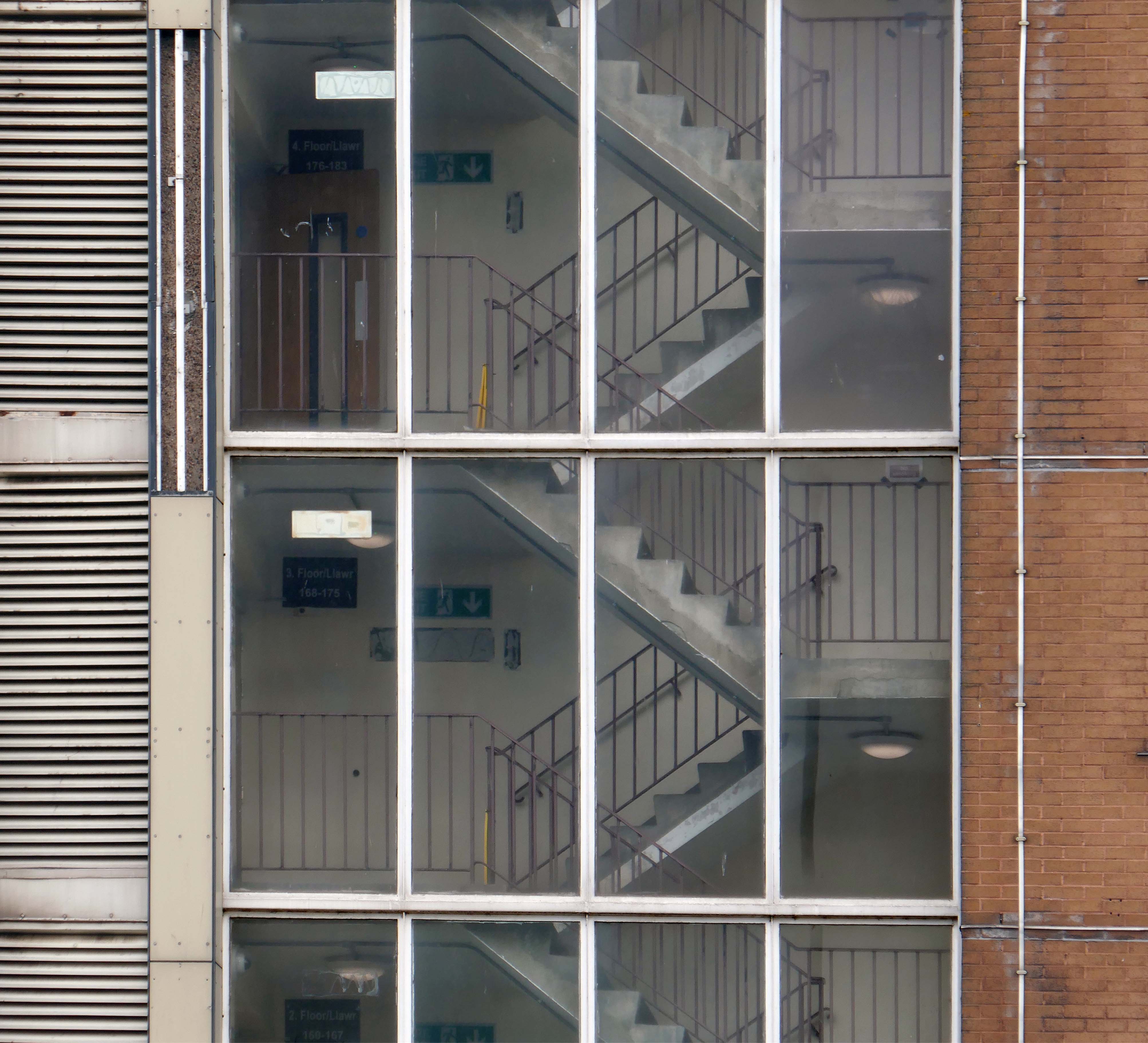
It is built from reinforced concrete and finished with white board-marked concrete, with narrow bands painted horizontally between windows and the partition walls that separate the apartments’ balconies. Because it is built on a hill, the building has six storeys at its northern end and seven at the southern. There is an underground car park which was constructed from the basements of previous buildings on the site
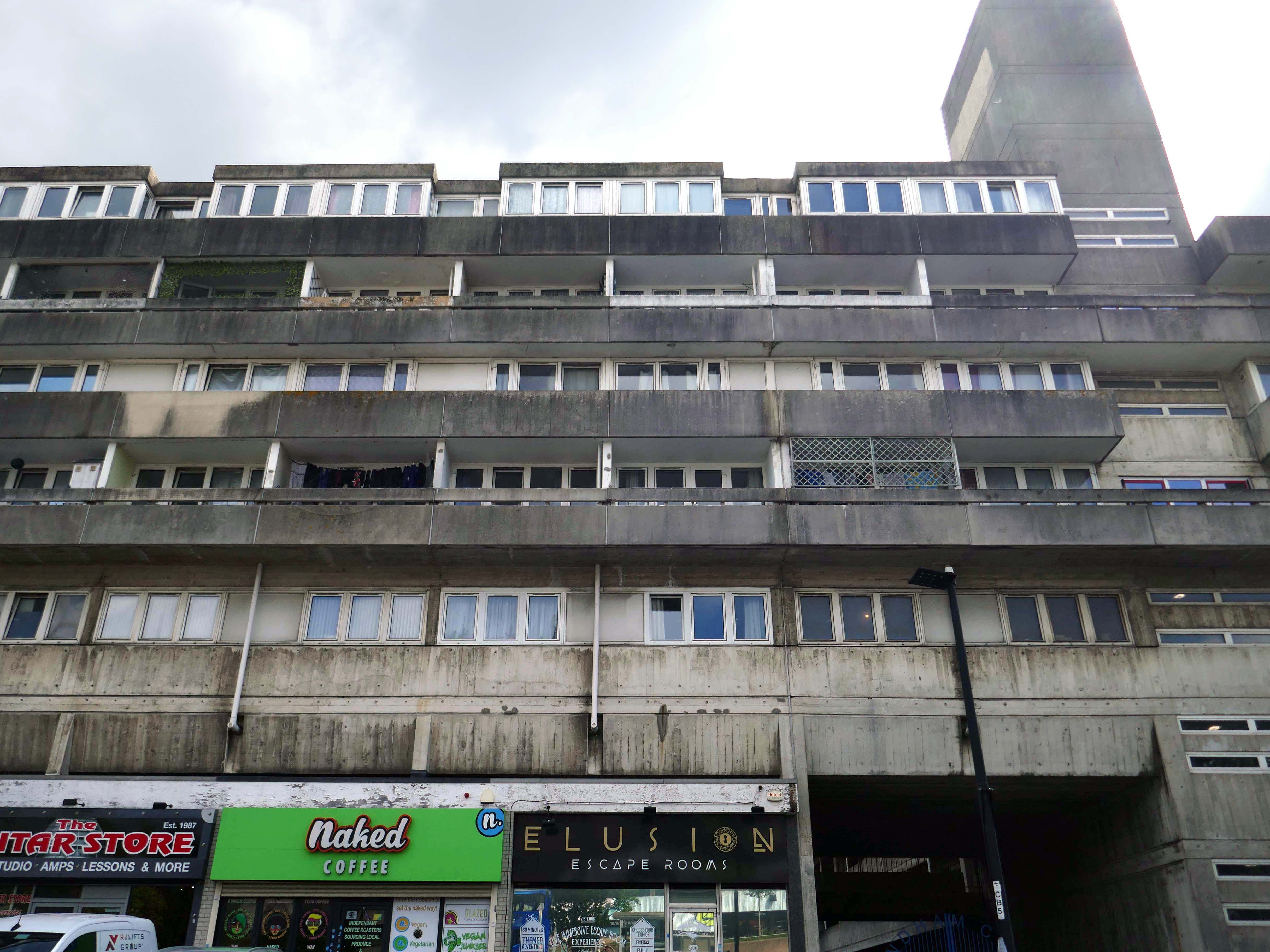
This was my very first visit on my day out in Southampton having also taken a look around Nelsons Gate.
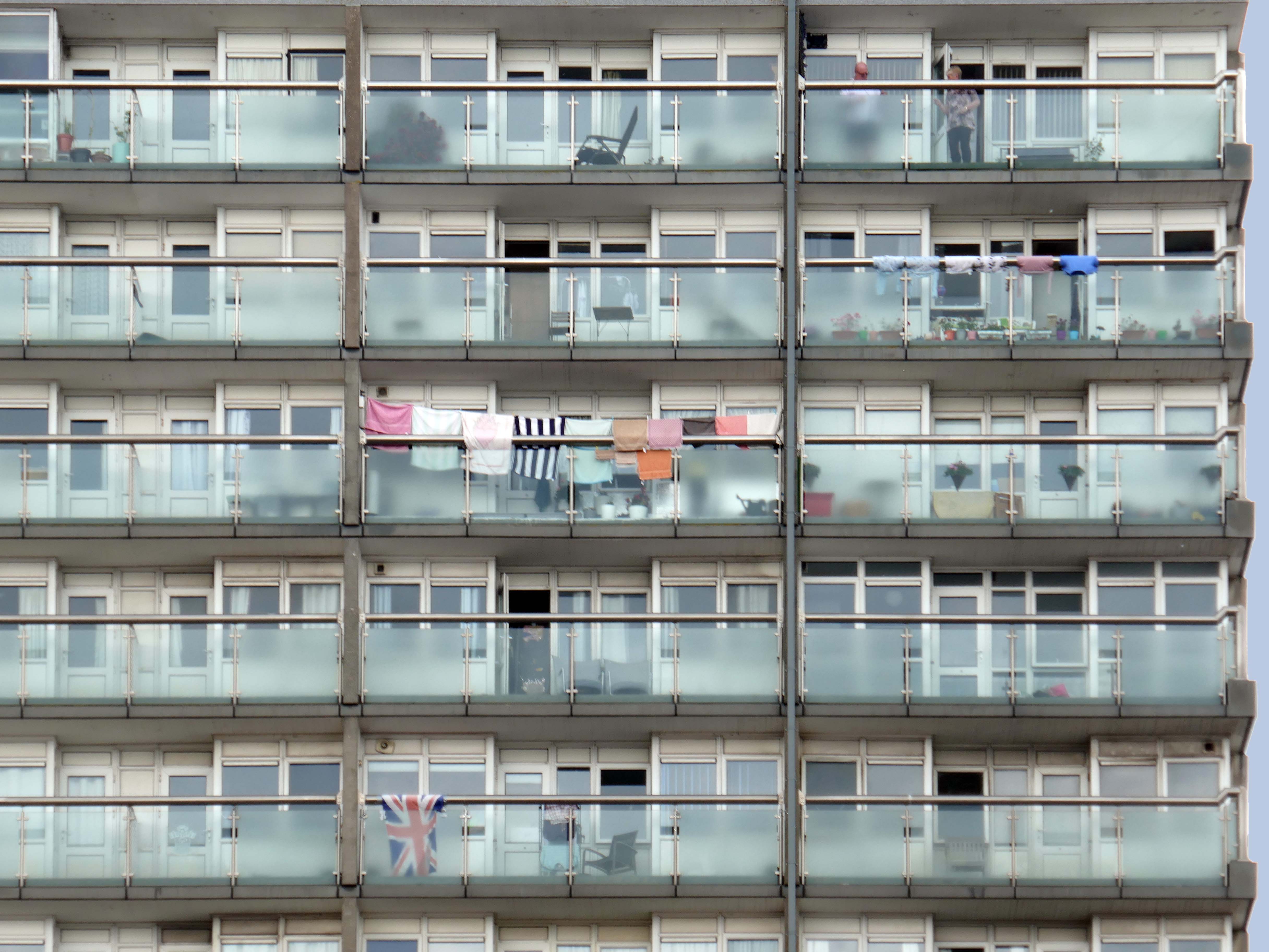
Walking around the building I was quickly engaged by two residents, emerging from their concrete clad home. Assuming that I was from the Council, I was given a lurid account of rodent infestation, faulty locks, open doors and all manner of ills. Having explained my unfortunate lack of municipal affiliation, we parted amicably as we went our respective ways.
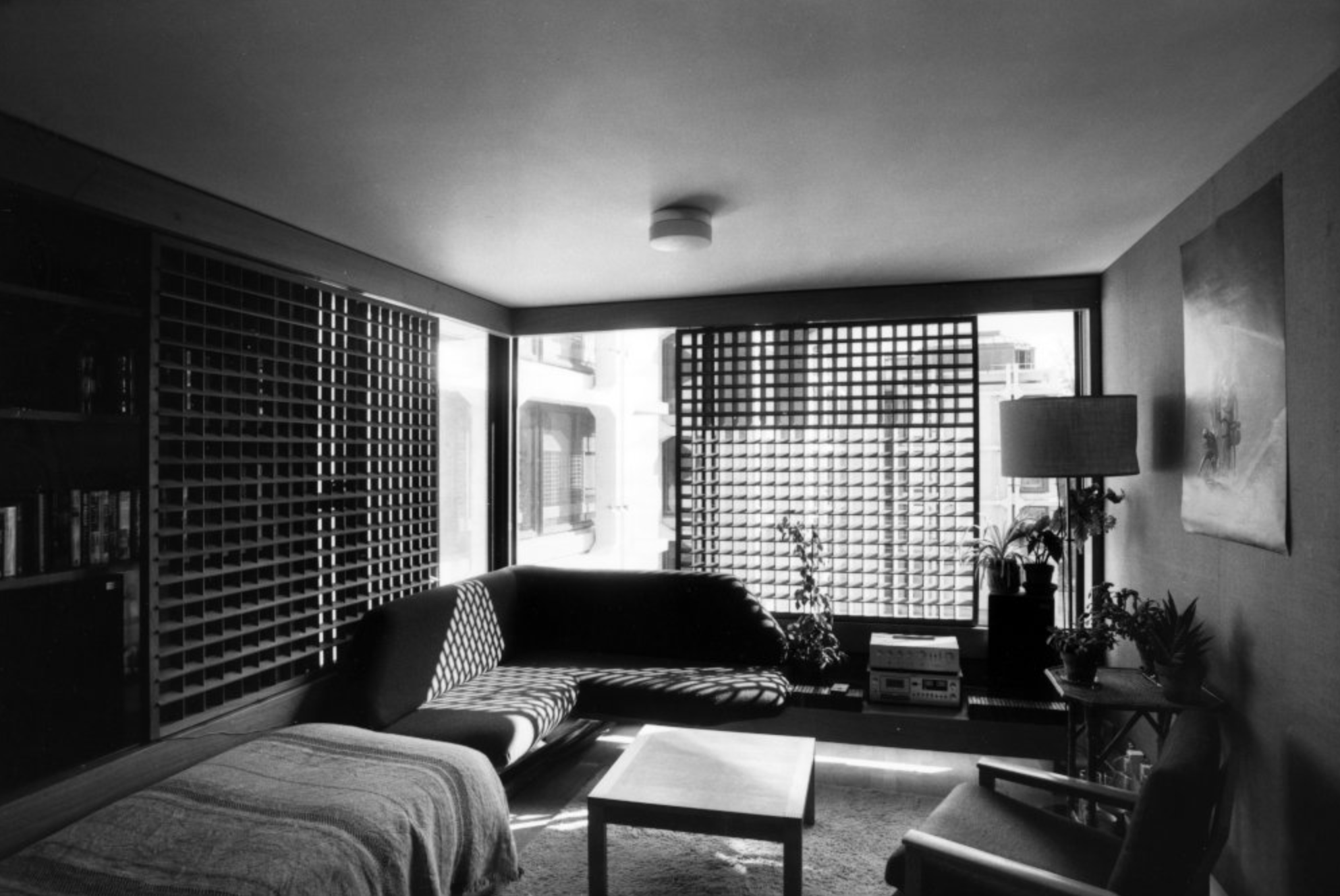
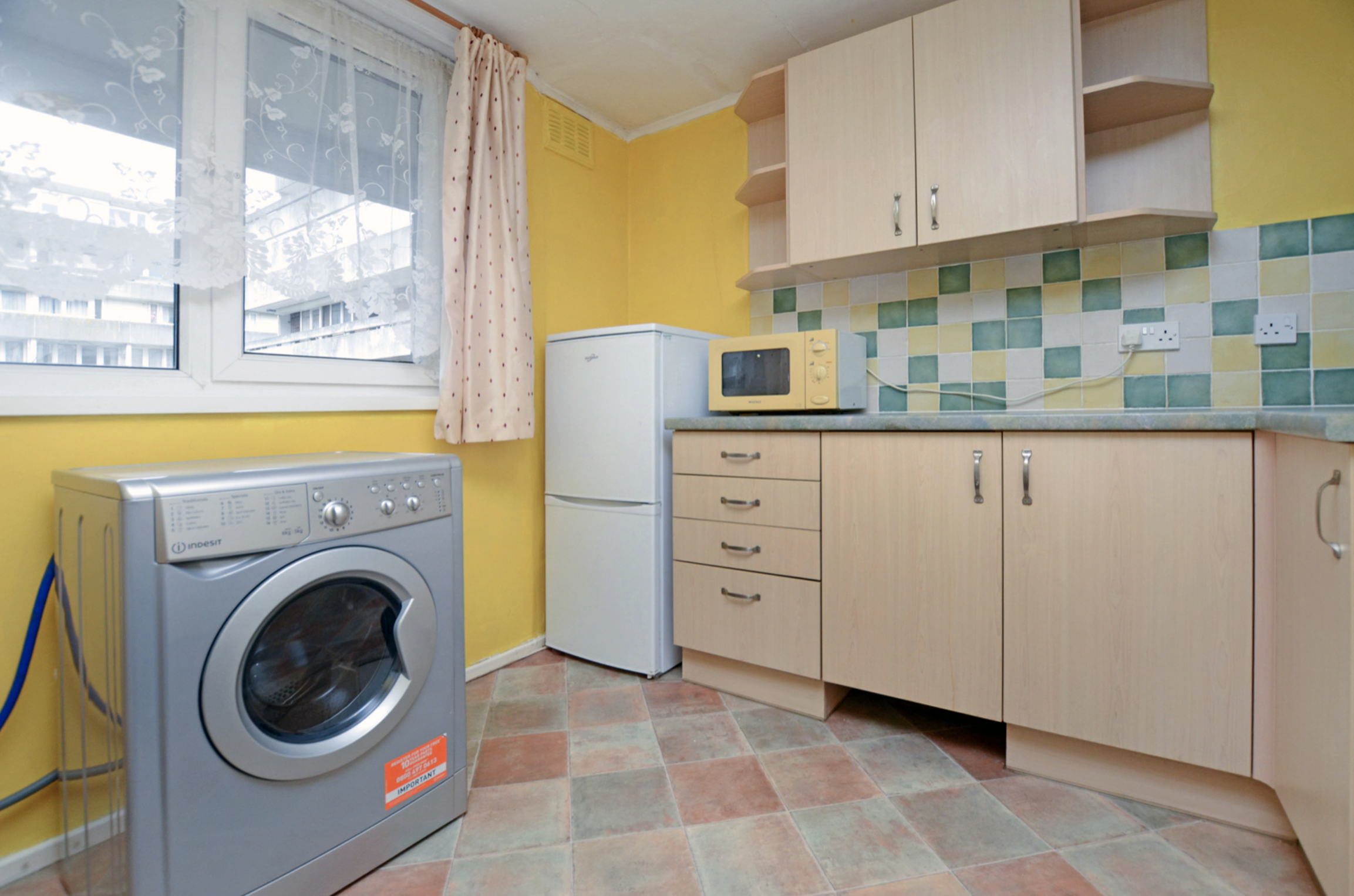
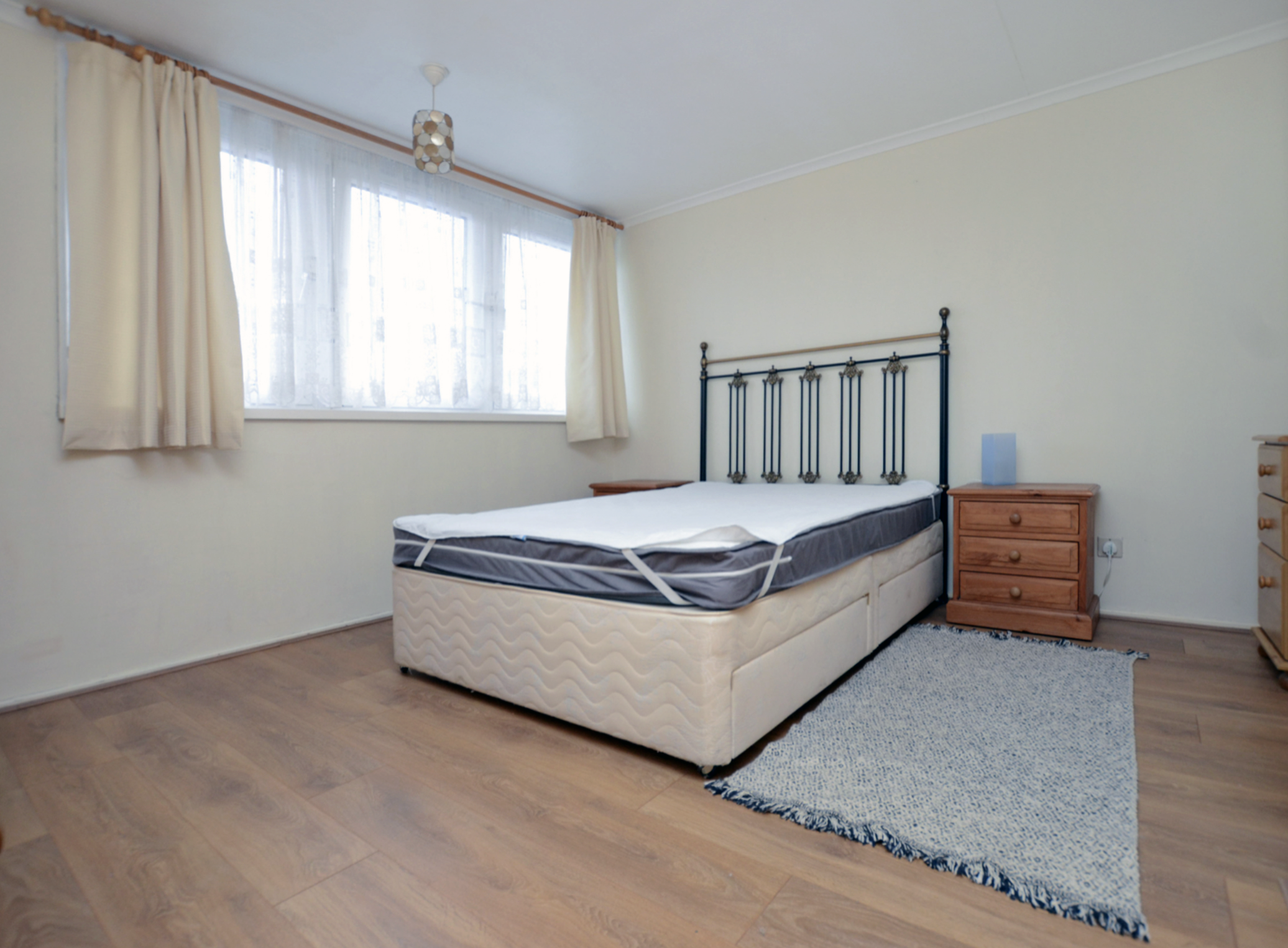
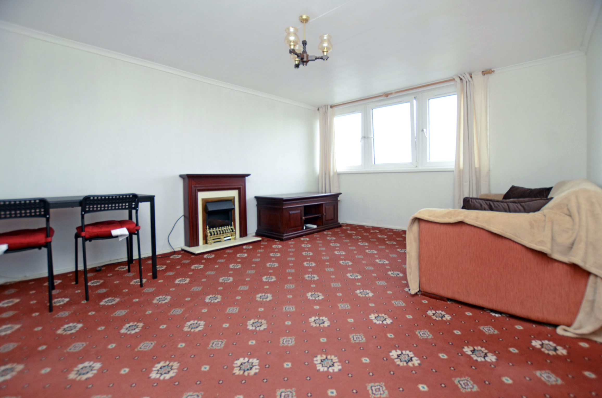
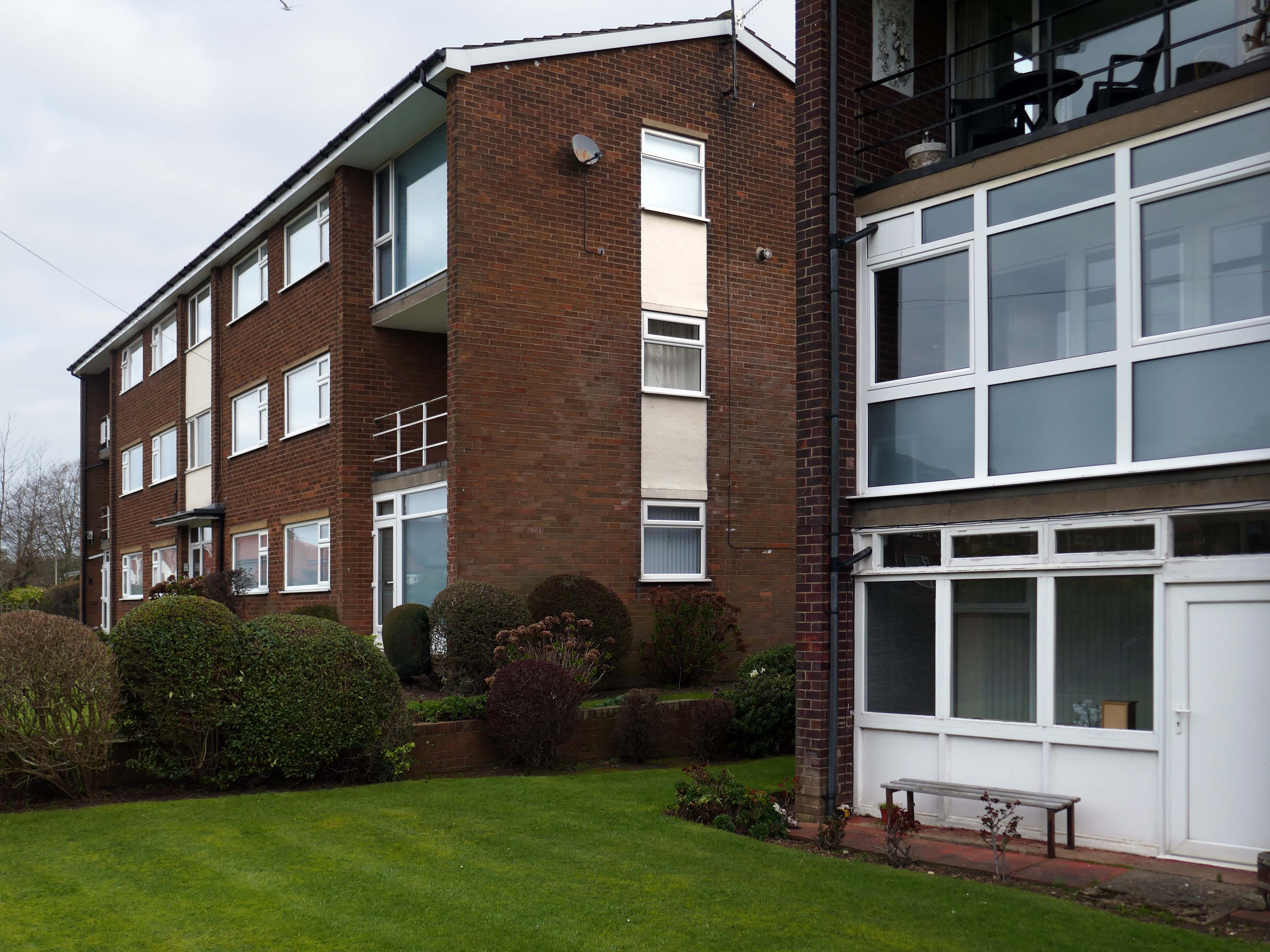
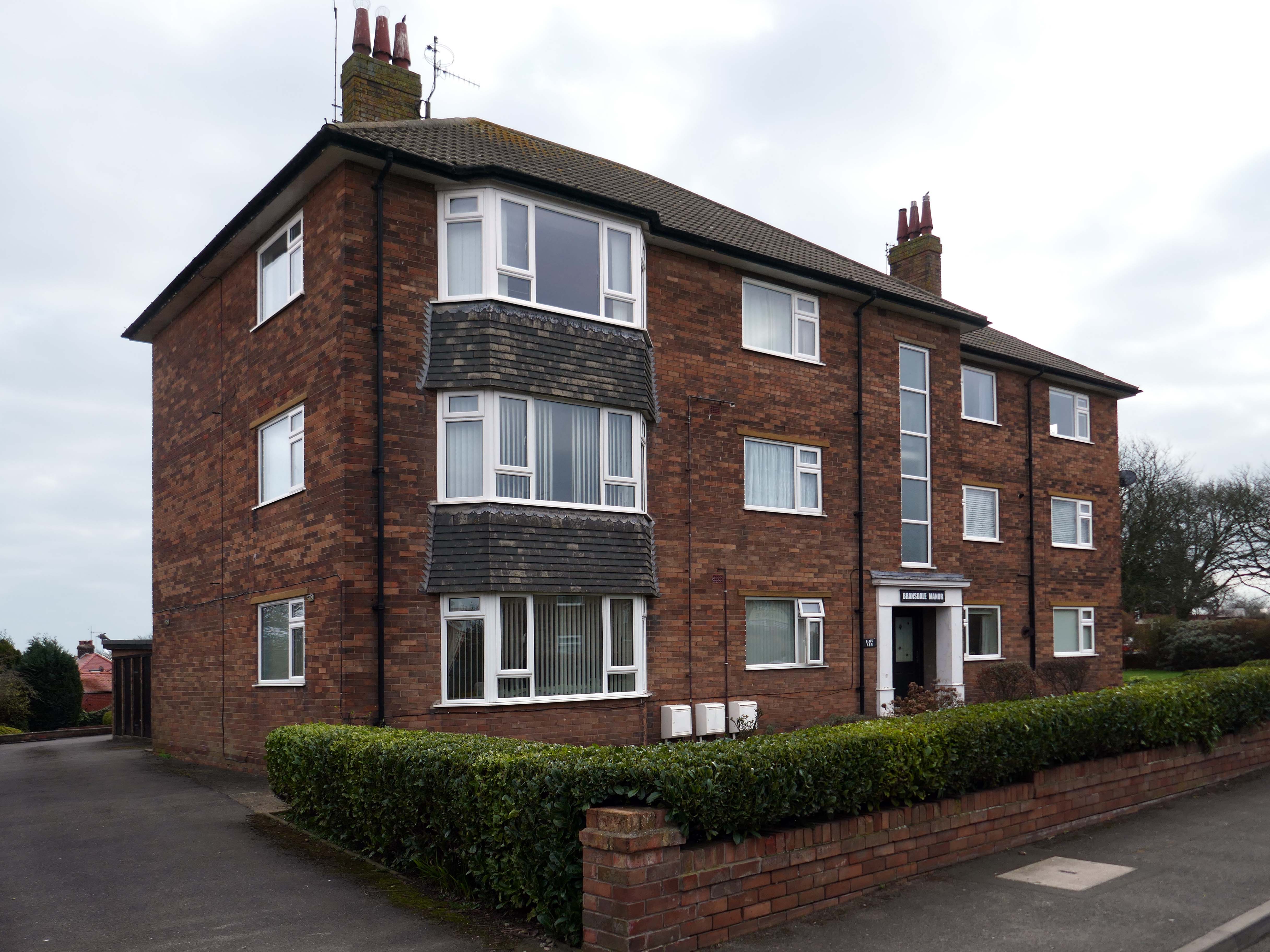
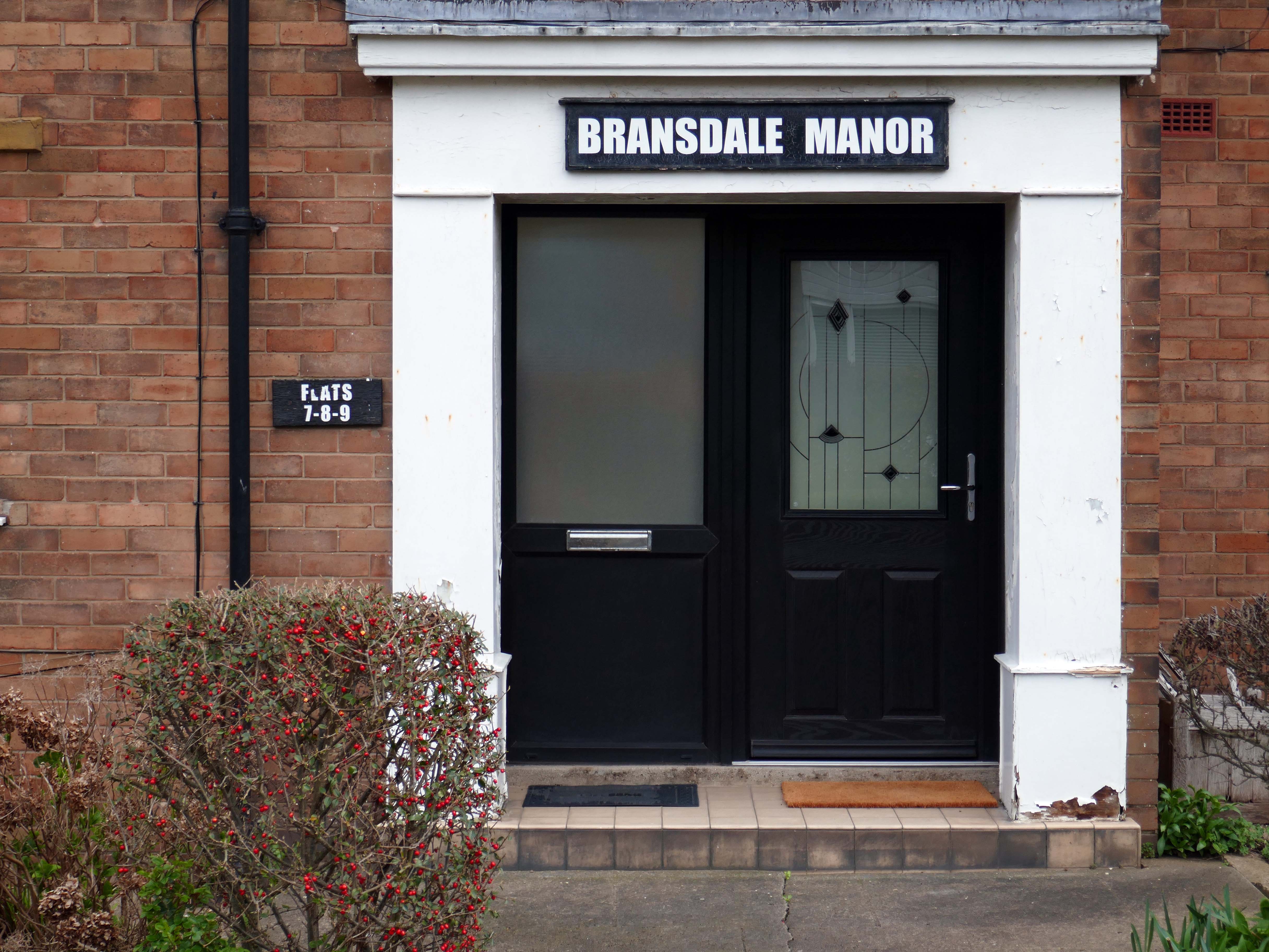
The flat itself is situated within this large purpose built block, benefits with this particular block include secure entrance system and lift access to each floor. This particular flat is found on the 4th floor and offers a private front door, as you enter the hallway leads round to a large living room which has plenty of space for dining as well, the kitchen is separate but has been cleverly designed to include an large opening hatch that creates the feeling of open plan to this area. The kitchen is clean and tidy and is supplied with the white goods including a brand new washing machine.
The main living space has lovely big windows that not only offers lots of natural light but also offers a stunning viewing, where you can see glimpses of the Cruise liners docking. The bedroom is accessible by multiple doors either from the living room or hallway, the bedroom is a great size and also features nice big windows, along with plenty of storage. Back into the hallway there are two useful storage cupboards and last but not least a fully tiled bathroom with shower and bath. Further benefits with the flat include electric heating and external storage cupboard next to the front door, the block also boosts a communal garden which is a nice place to sit and enjoy some fresh air.
Wyndham Court, ought to be as well-known as the Brunswick Centre or the Barbican, and isn’t largely because of where it is. It is a monumental, civic housing project on the grandest scale.
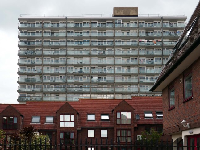
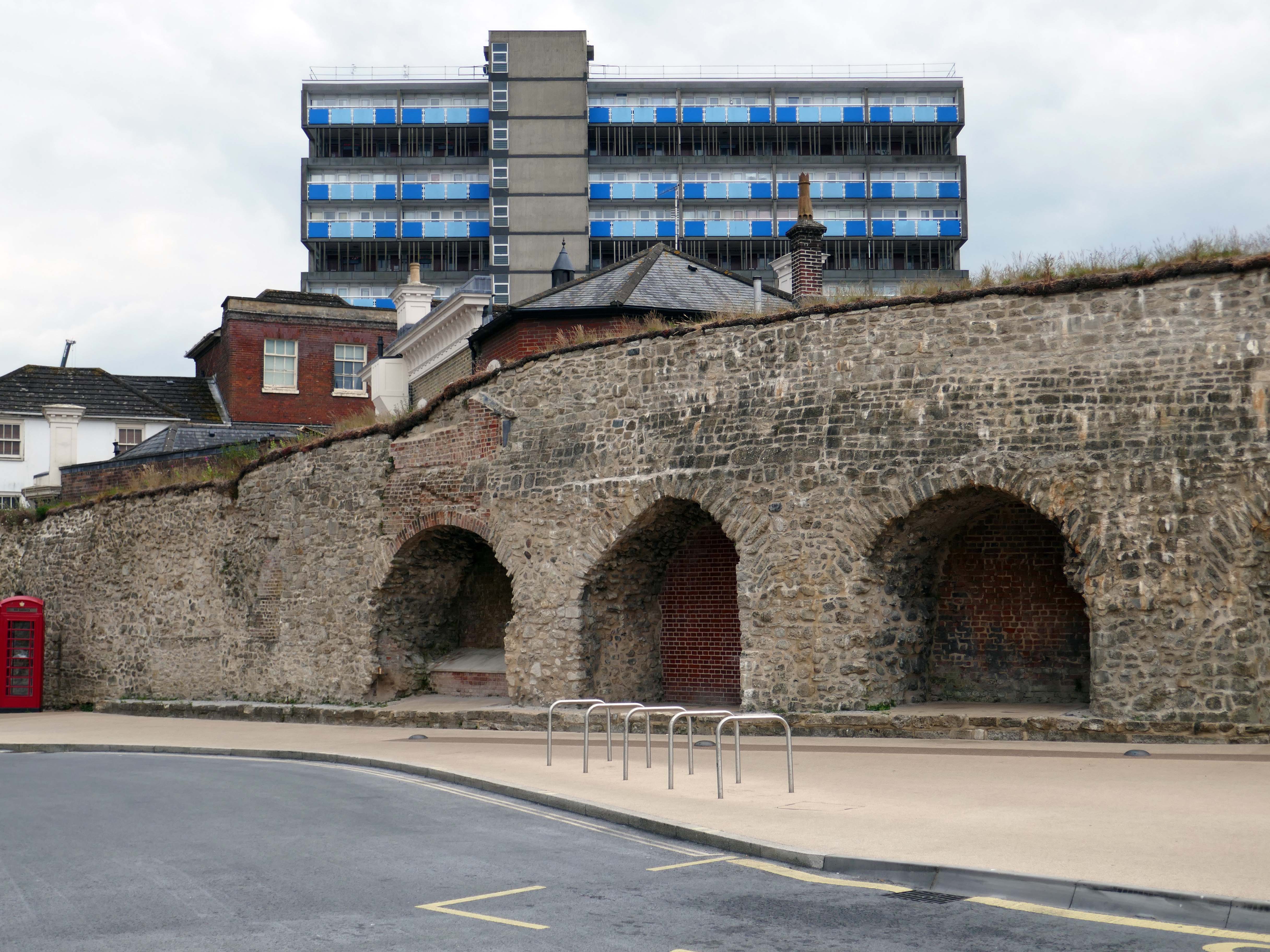
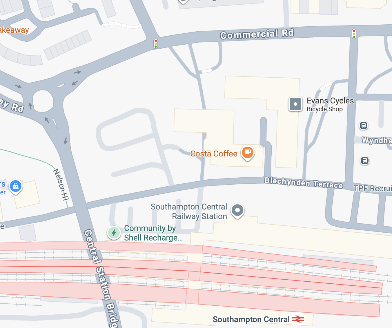
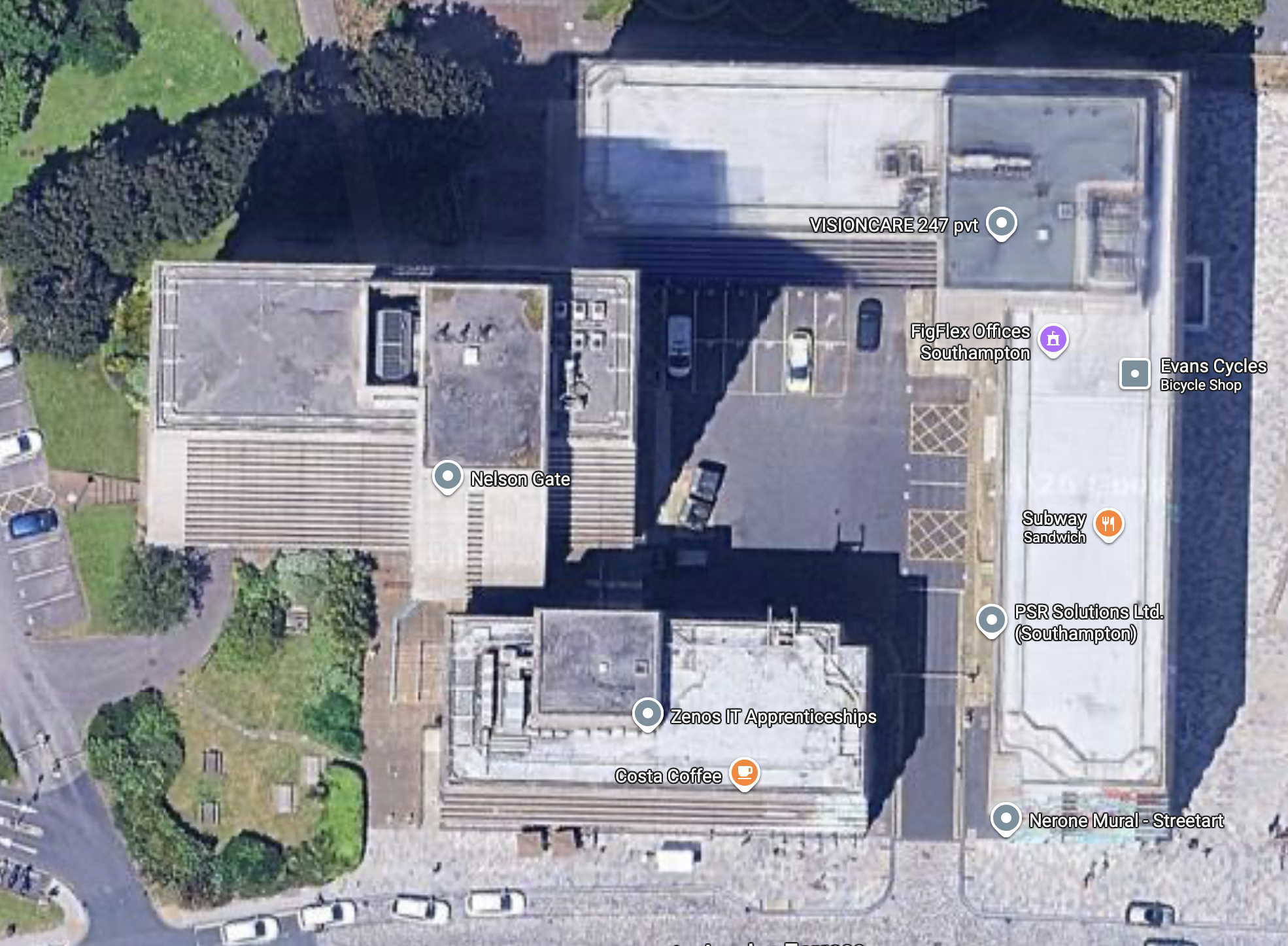
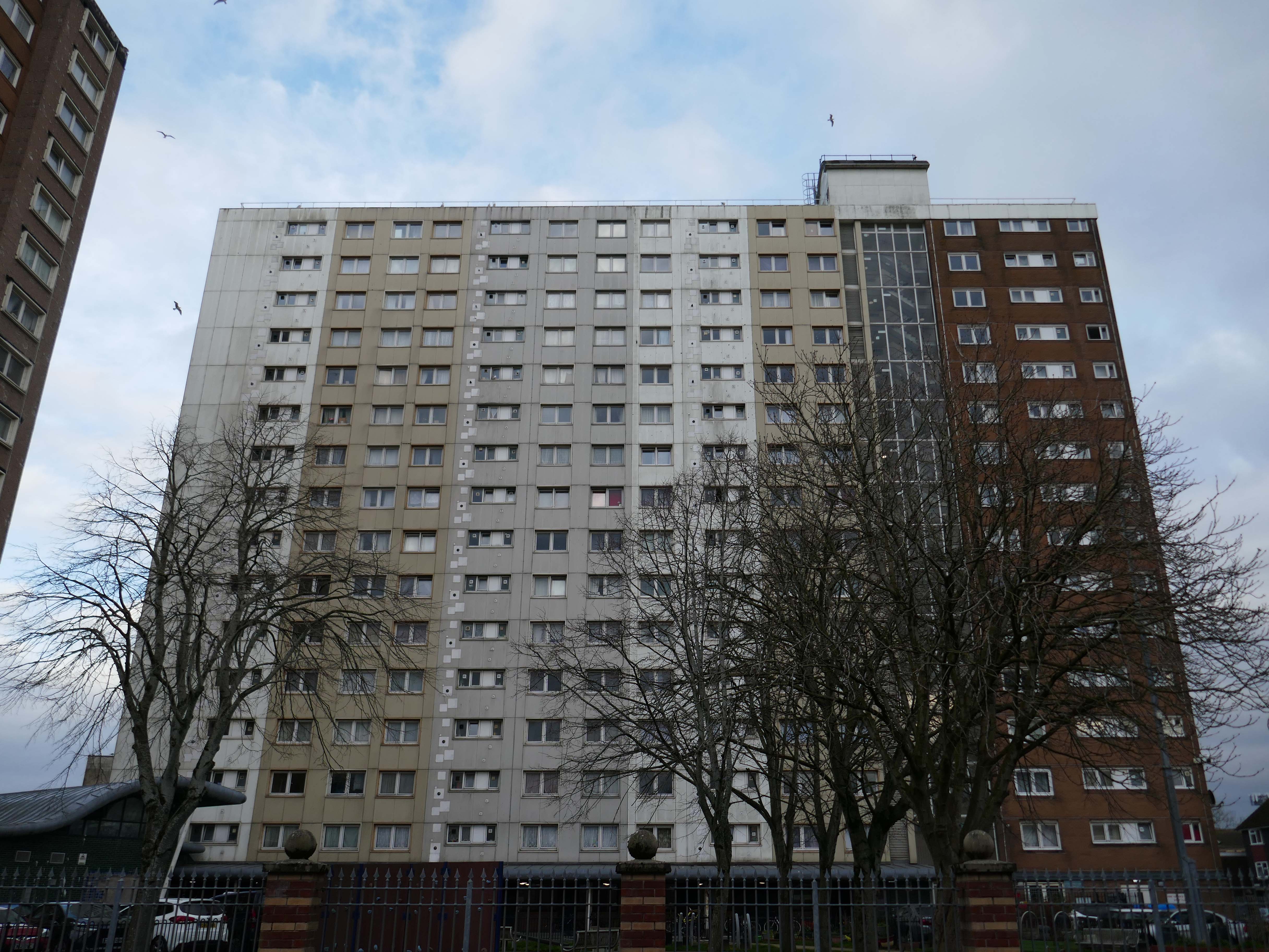
On arriving a Southampton Central there it is looming over Blechynden Terrace.
A big brute of a building Nelson Gate, comprised of sixteen-storey Norwich House, seven-storey Frobisher House and five-storey Grenville House.
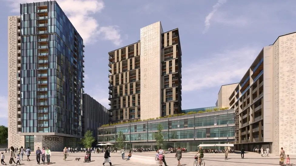
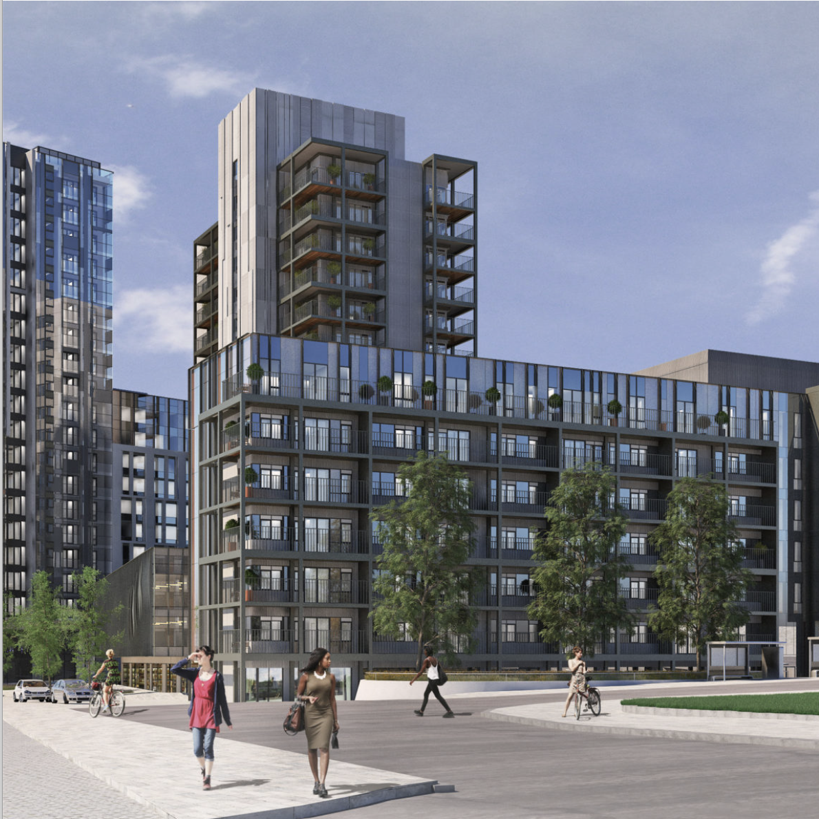
Though it seems that for some time there are those which wish to tame the brute.
Plans for a multimillion-pound development including a hotel, homes, offices and shops in Southampton city centre have been revealed.
The Nelson Gate scheme, proposed by developer FI Real Estate Management, would also see Norwich House and Frobisher House revamped.
A public square would be created by the city’s central railway station, as well as a new pedestrian route.
A full planning application is expected be submitted later in the summer.
Chris Hammond, leader of Southampton City Council, said: “Nelson Gate is one of the gateways into the city from the station, so to see a brand new development is fantastic. It really showcases what the city has to offer for those coming in.”
Ellis Williams was appointed to develop designs and achieve planning permission for the redevelopment of Nelson Gate in Southampton, transforming the existing 1970’s office accommodation into an iconic residential and public space. Through positive and extensive engagement with Southampton Council, the site has been re-imaged as an arrival gateway into the city from the Central Railway Station.
The existing office buildings and car park will be transformed into 247 residential apartments, 42,000 sq ft Grade A office space, a 224 bed hotel with extensive dry leisure and 14,000sf commercial / food and beverage space fronting onto a new public realm and urban park.
Aligned with other significant investment into Southampton, Nelson Gate will create a truly unique place for people to live, work and socialise.
The scheme is expected to be delivered in two phases. The first phase, focusing on the existing buildings and their immediate surroundings, is projected for completion by September 2026. However, it is important to note that this timeline is a challenging target.
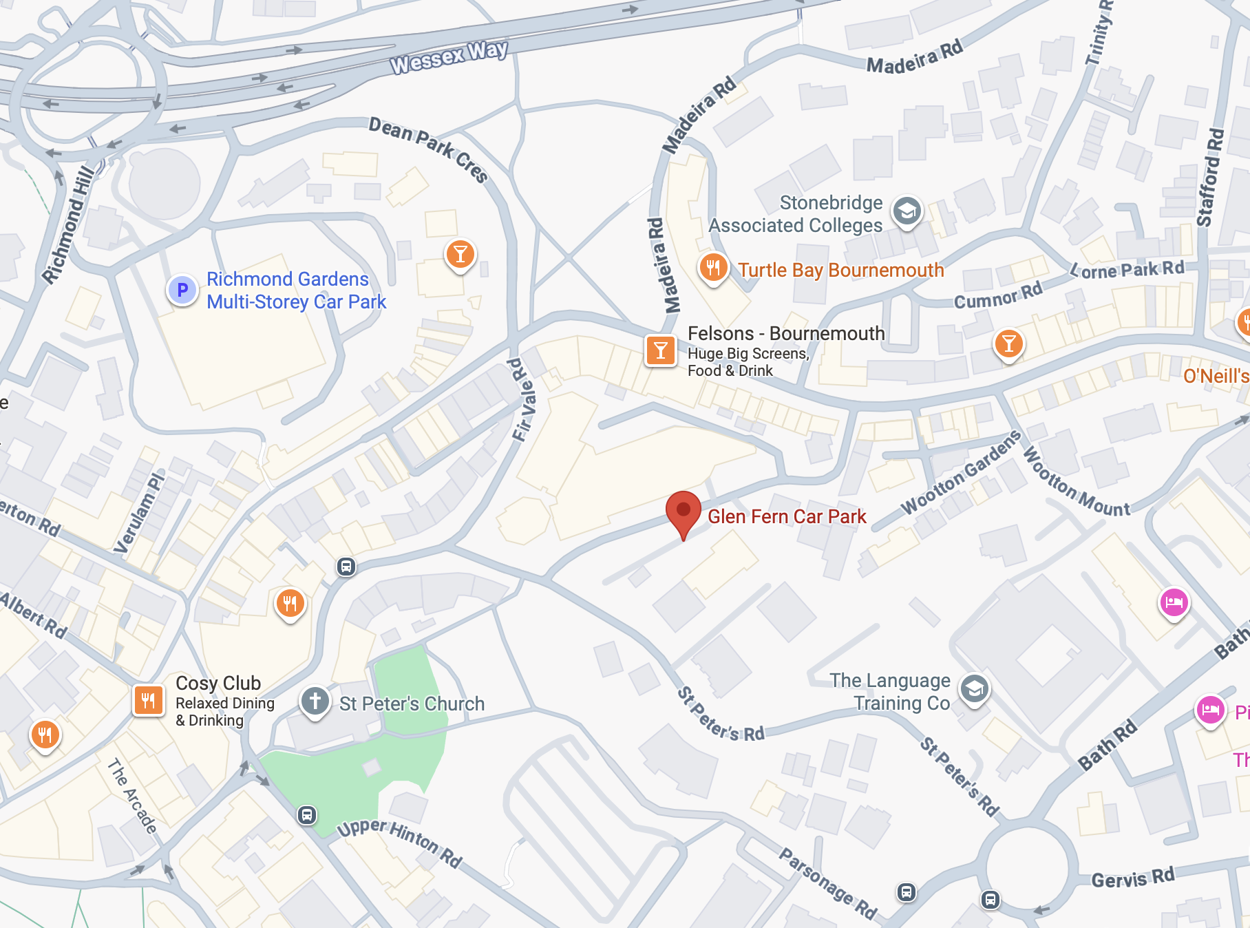
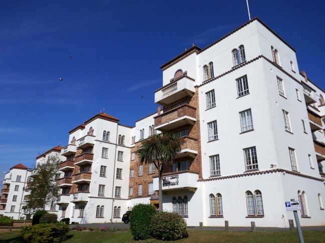
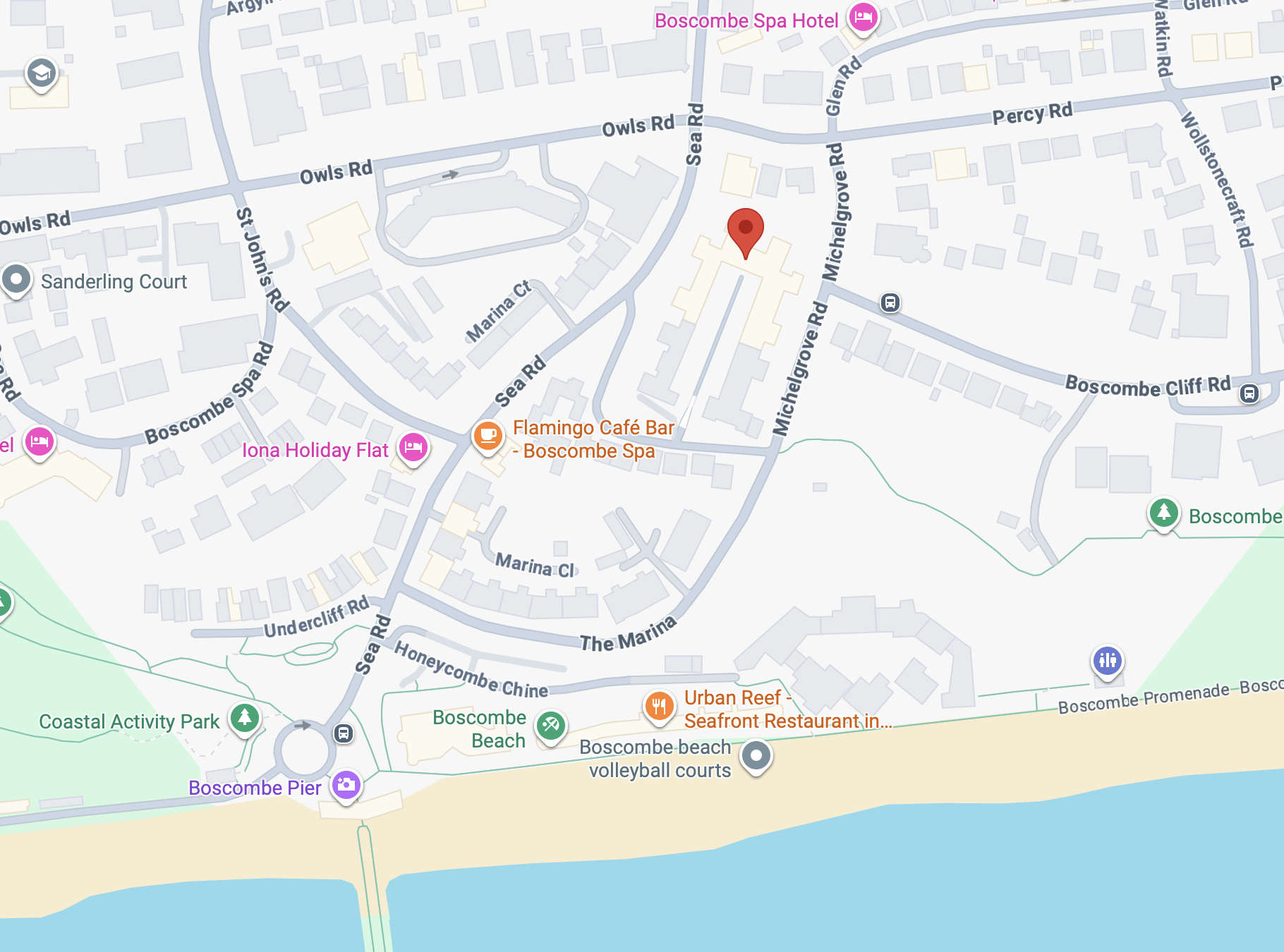
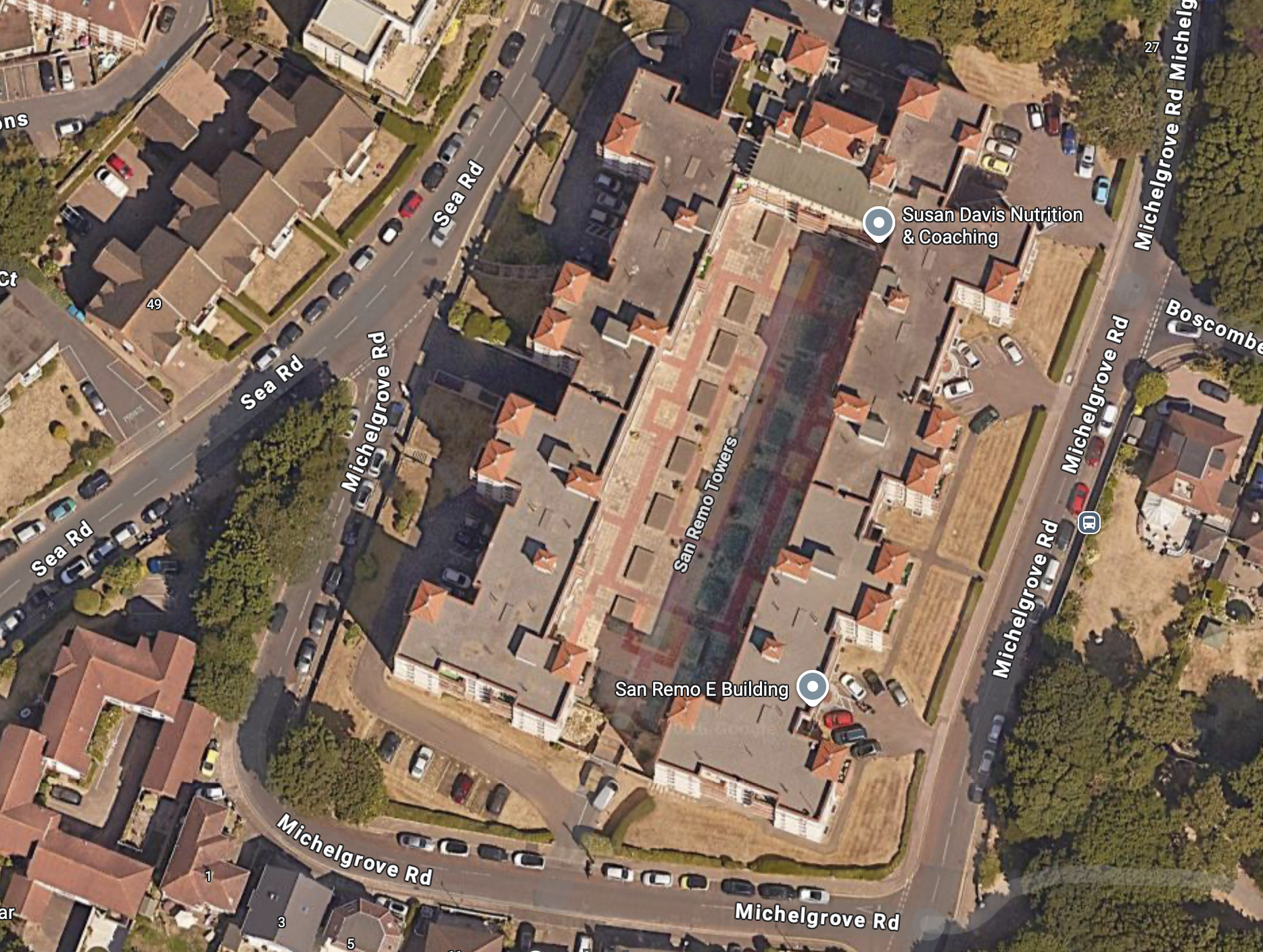
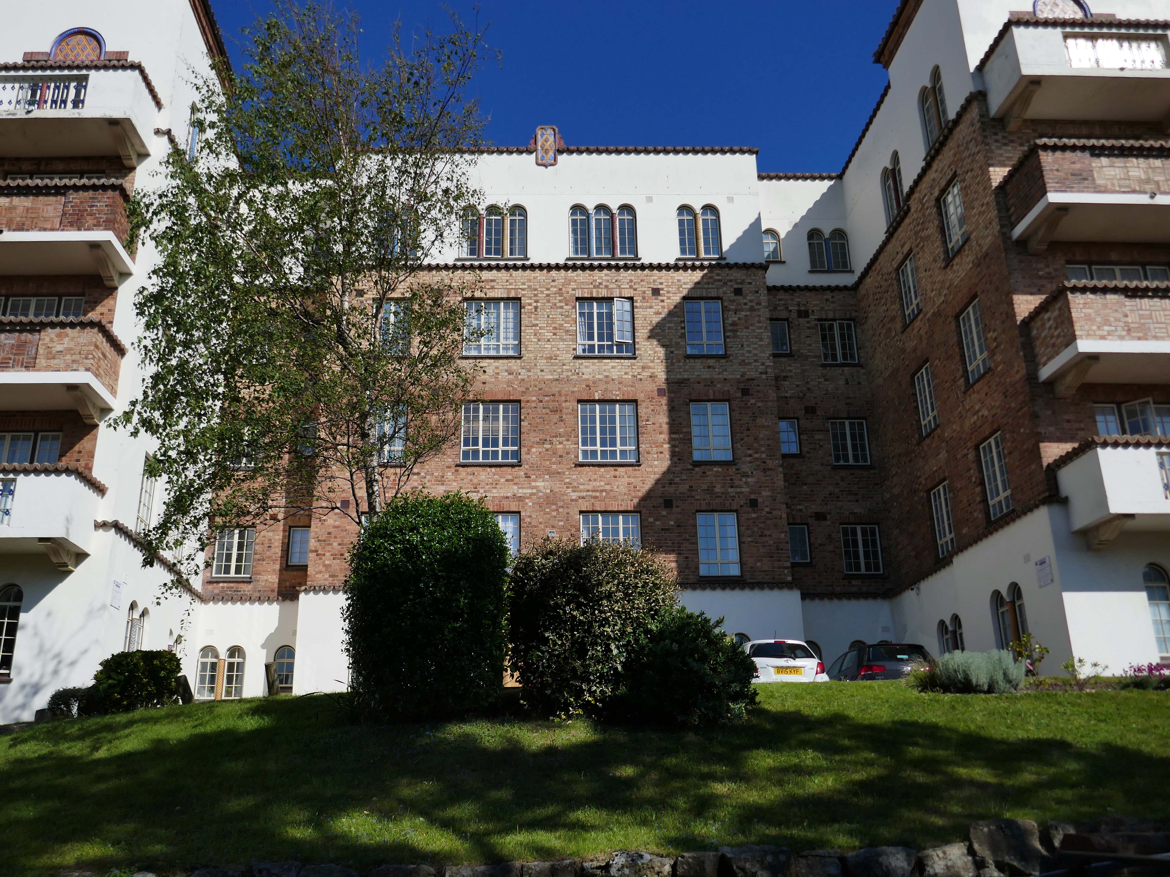
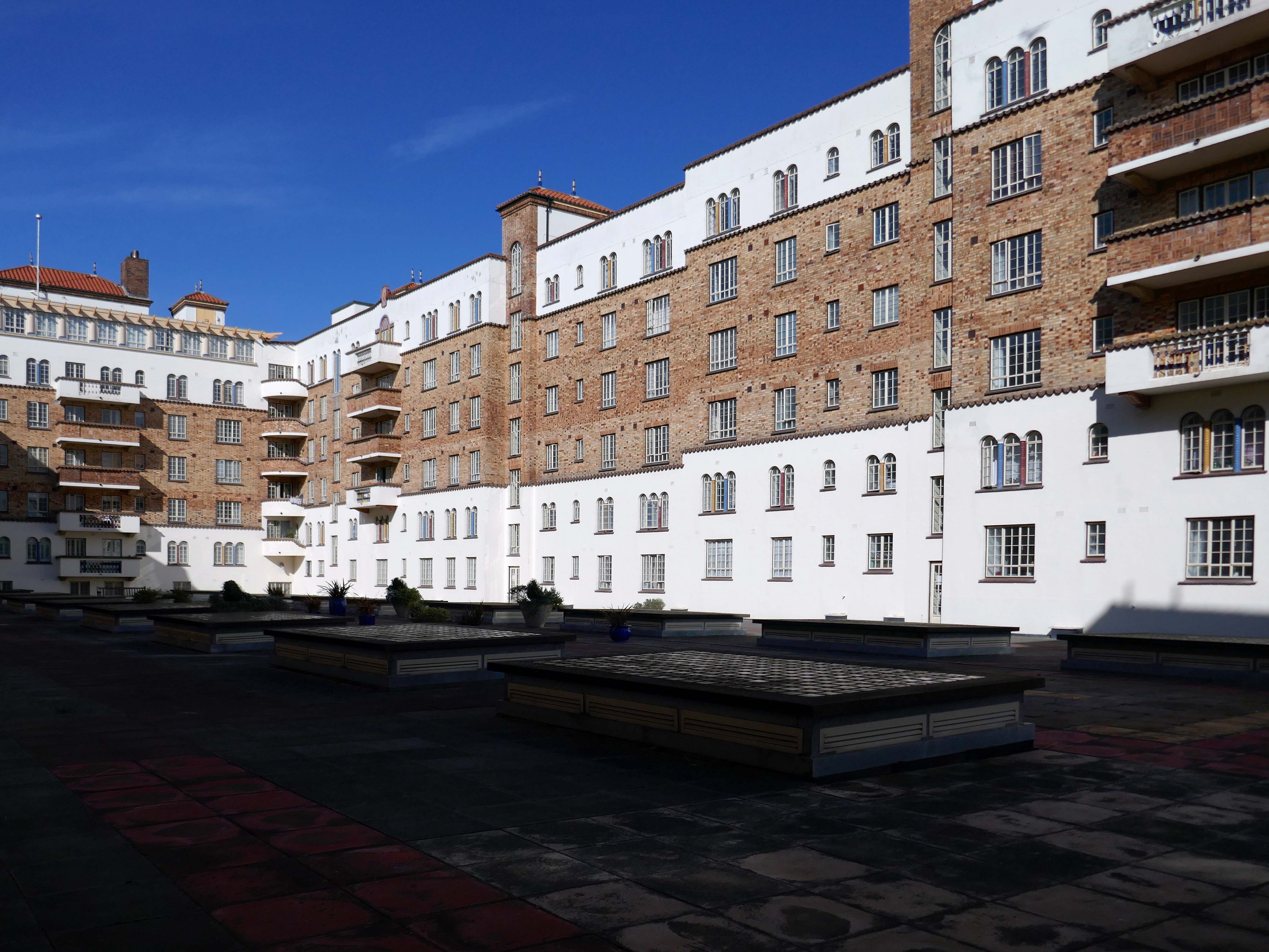
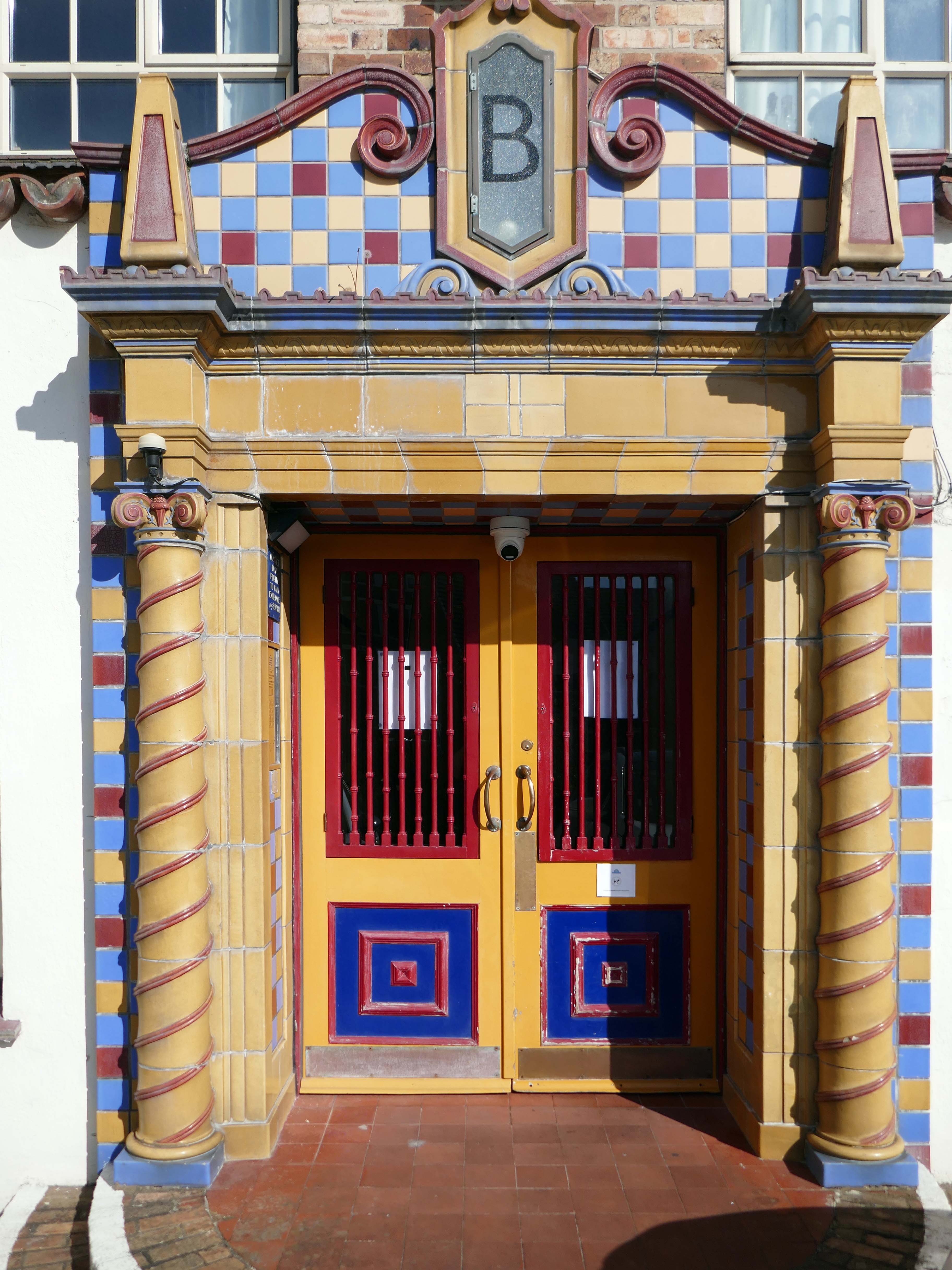
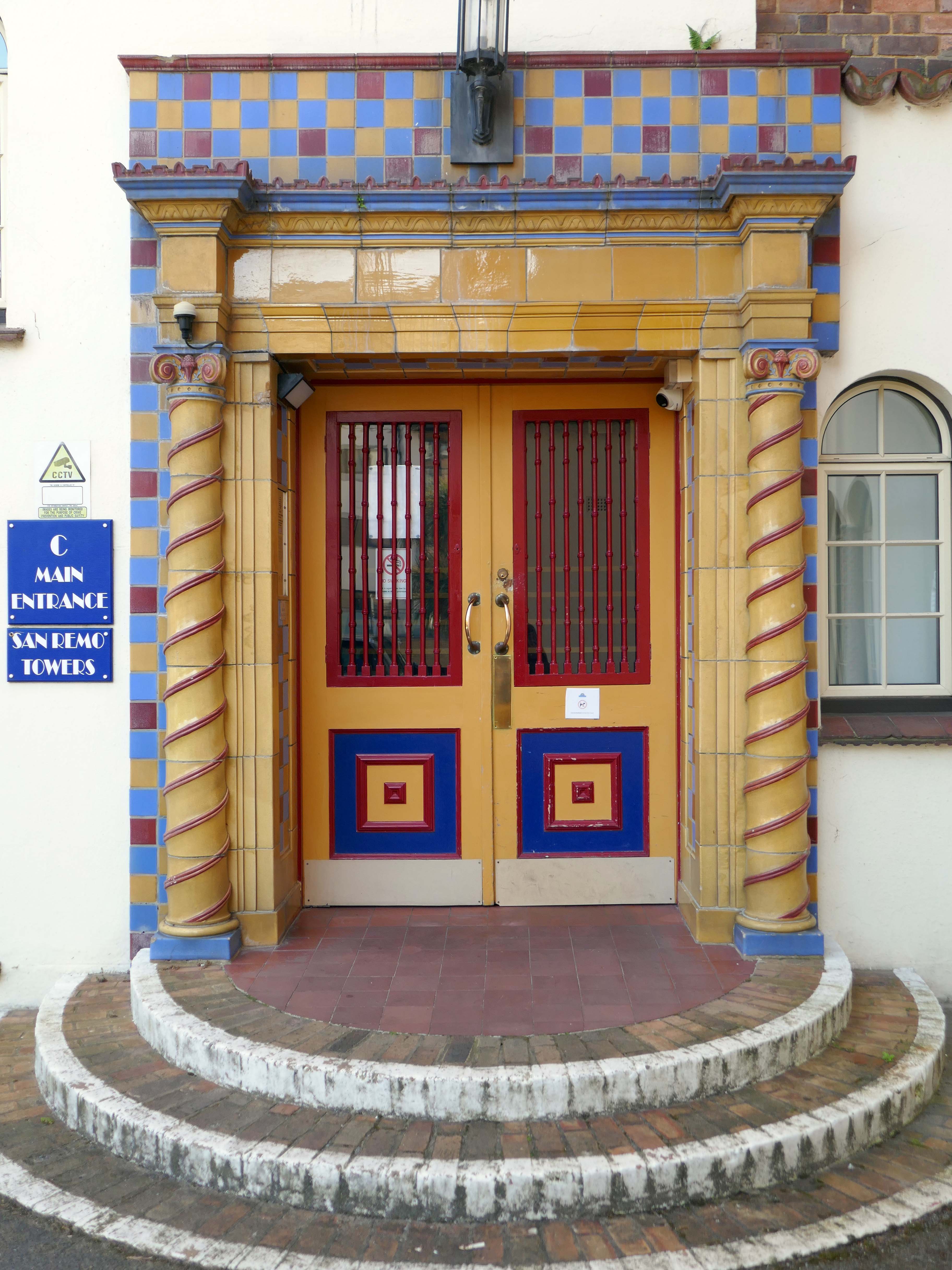
San Remo Towers Sea Rd Boscombe Bournemouth BH5 1JY
Alwyn Ladell
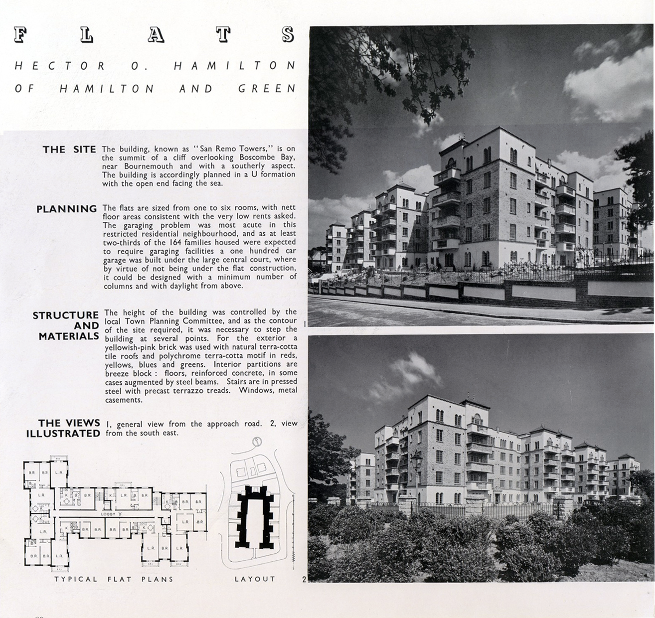
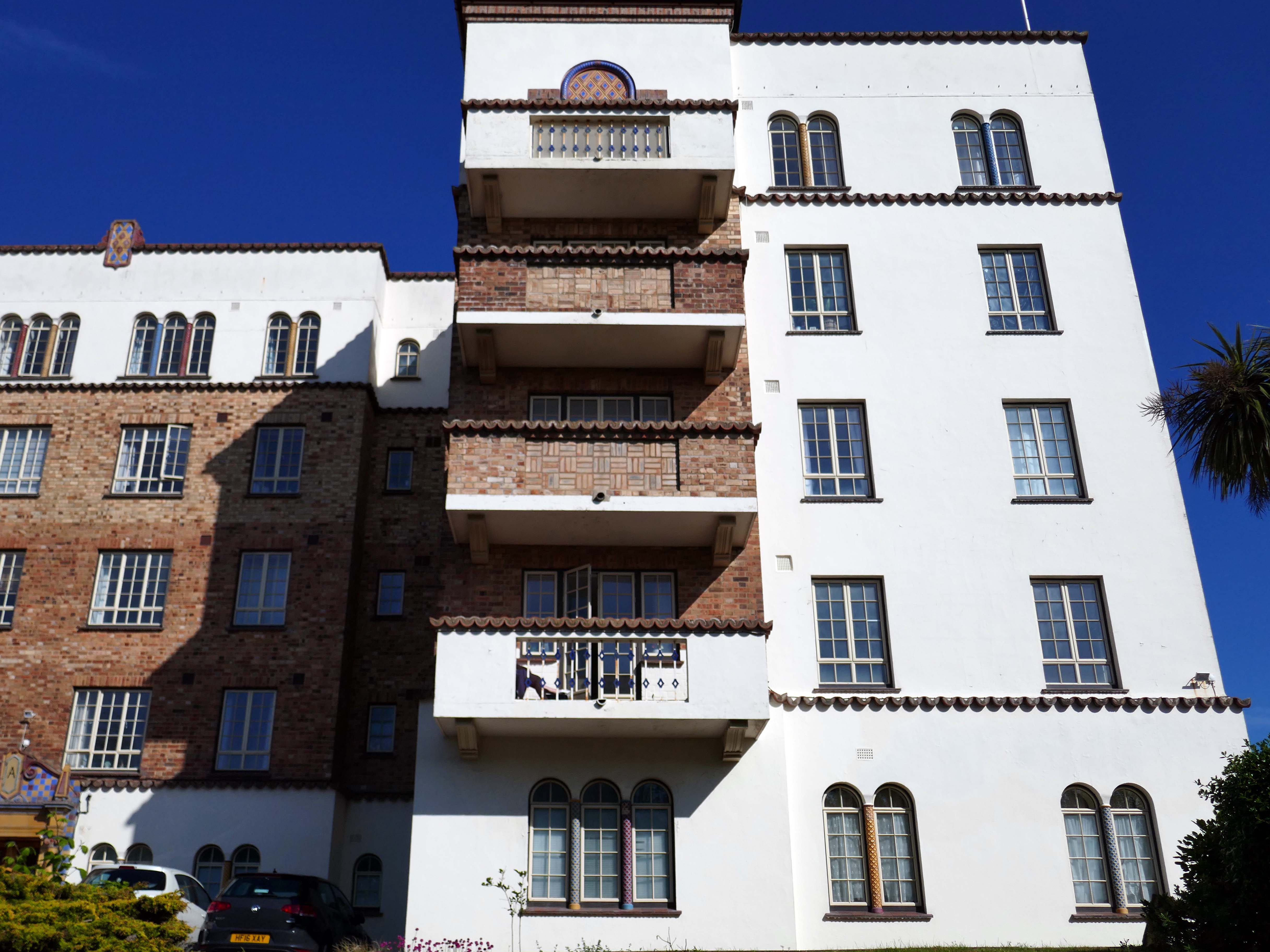
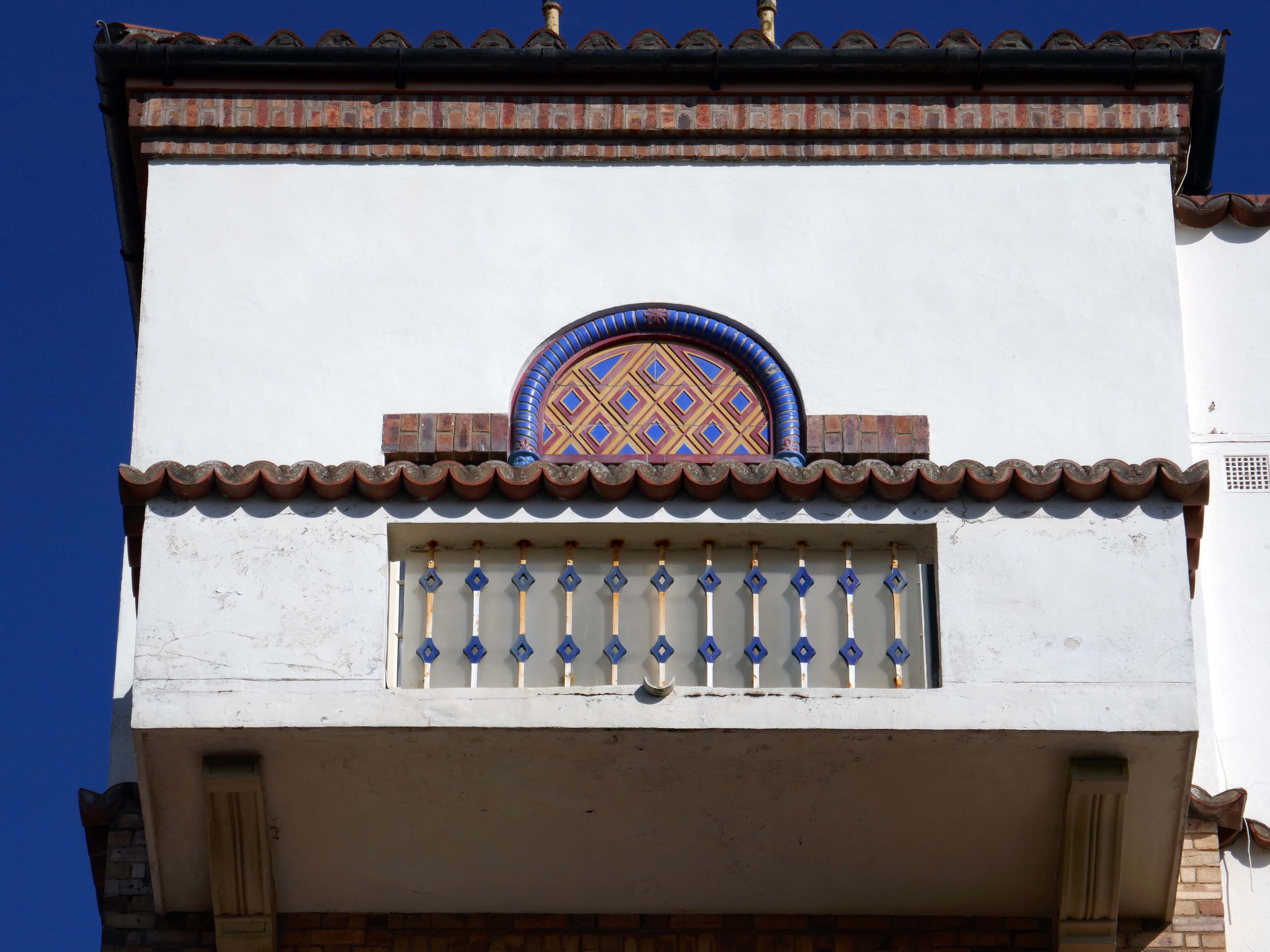
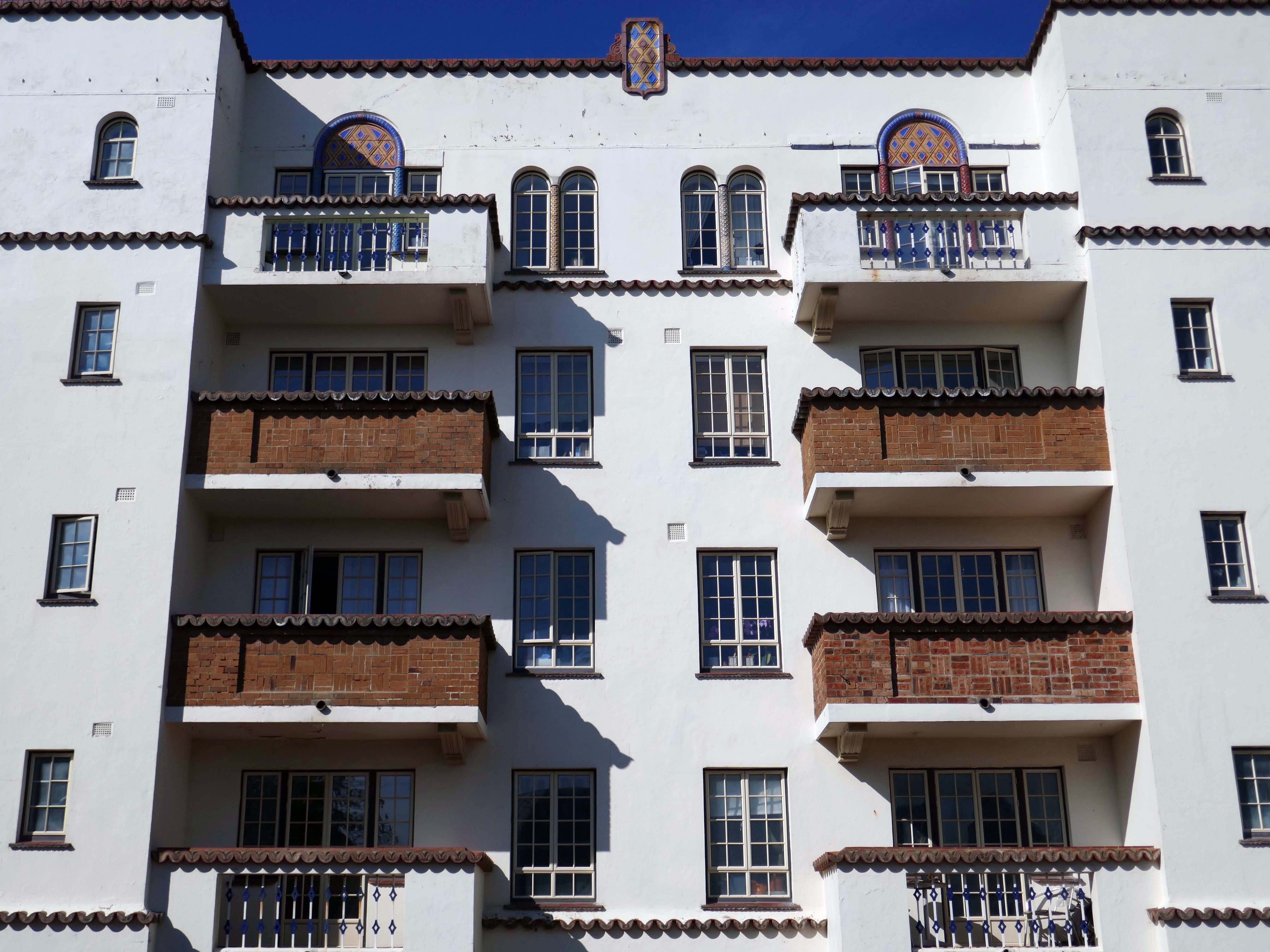
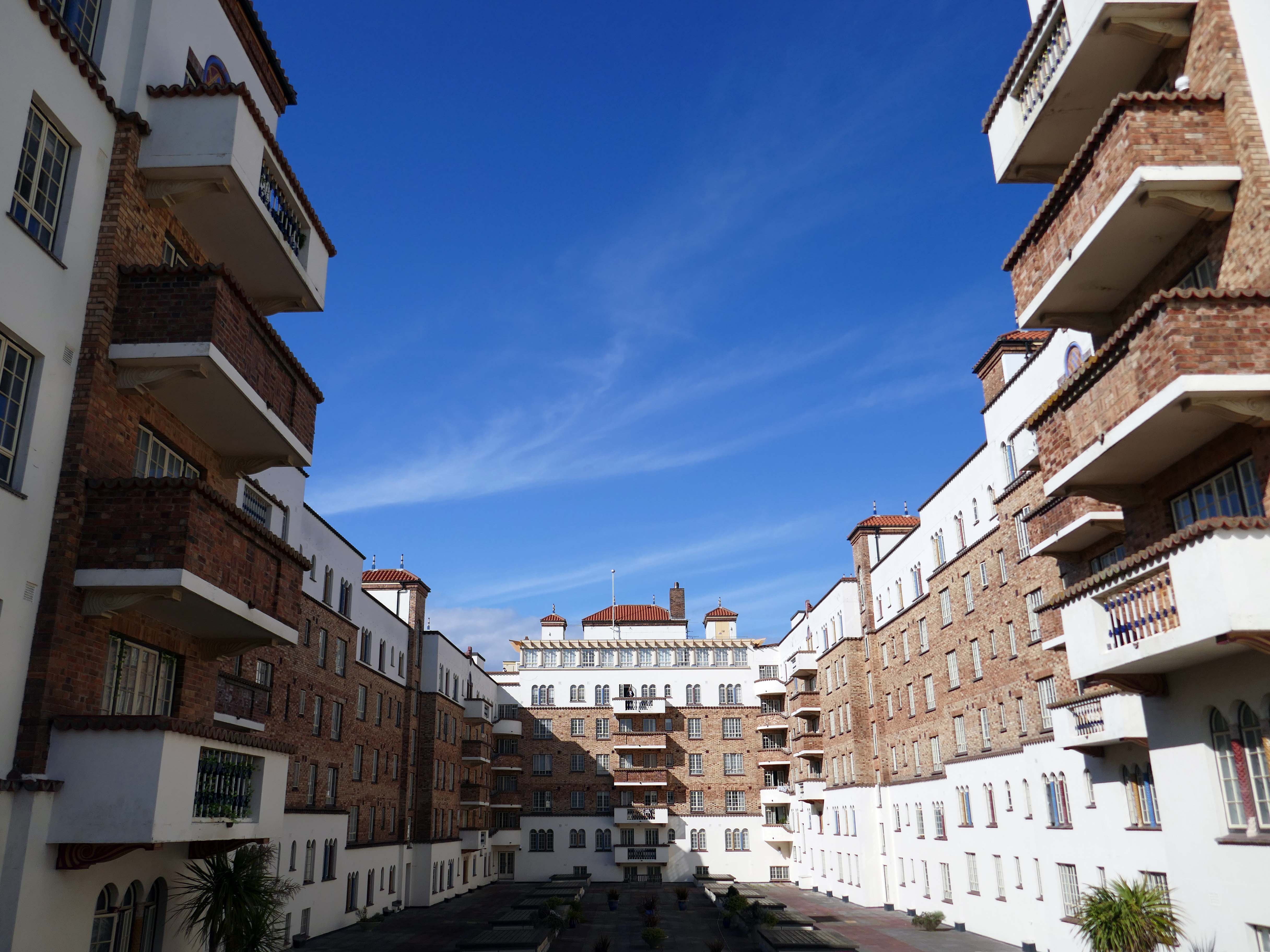
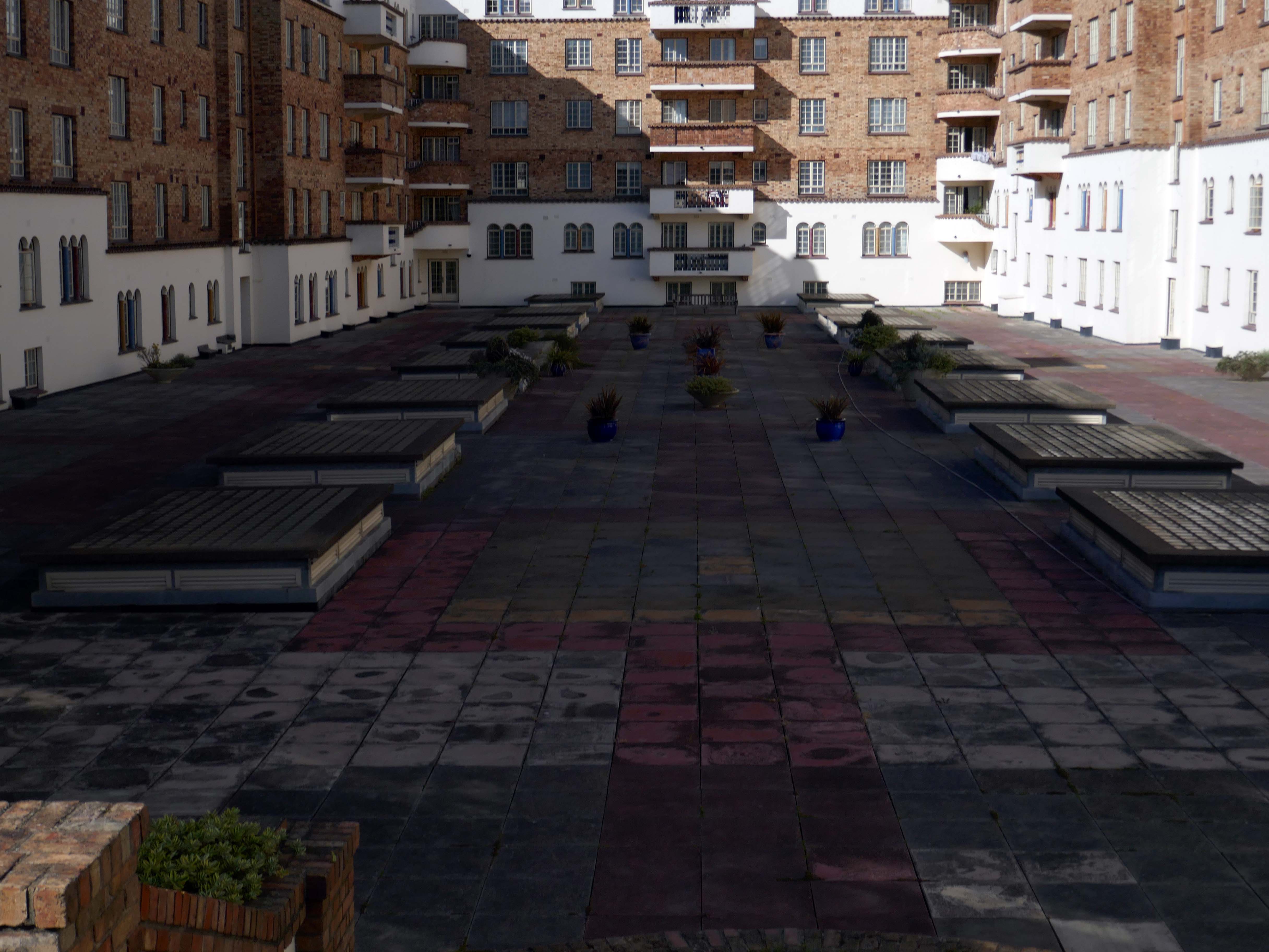
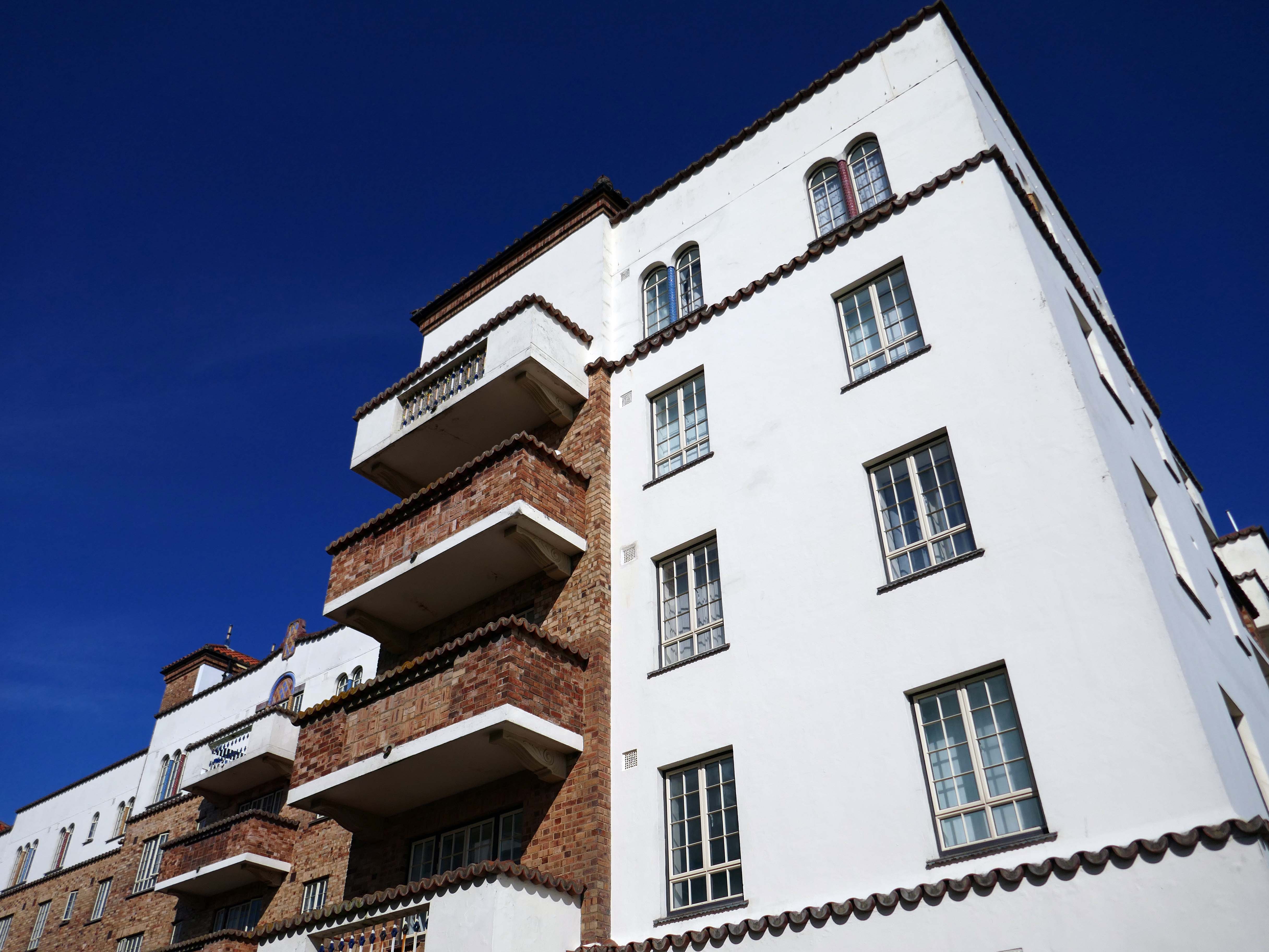
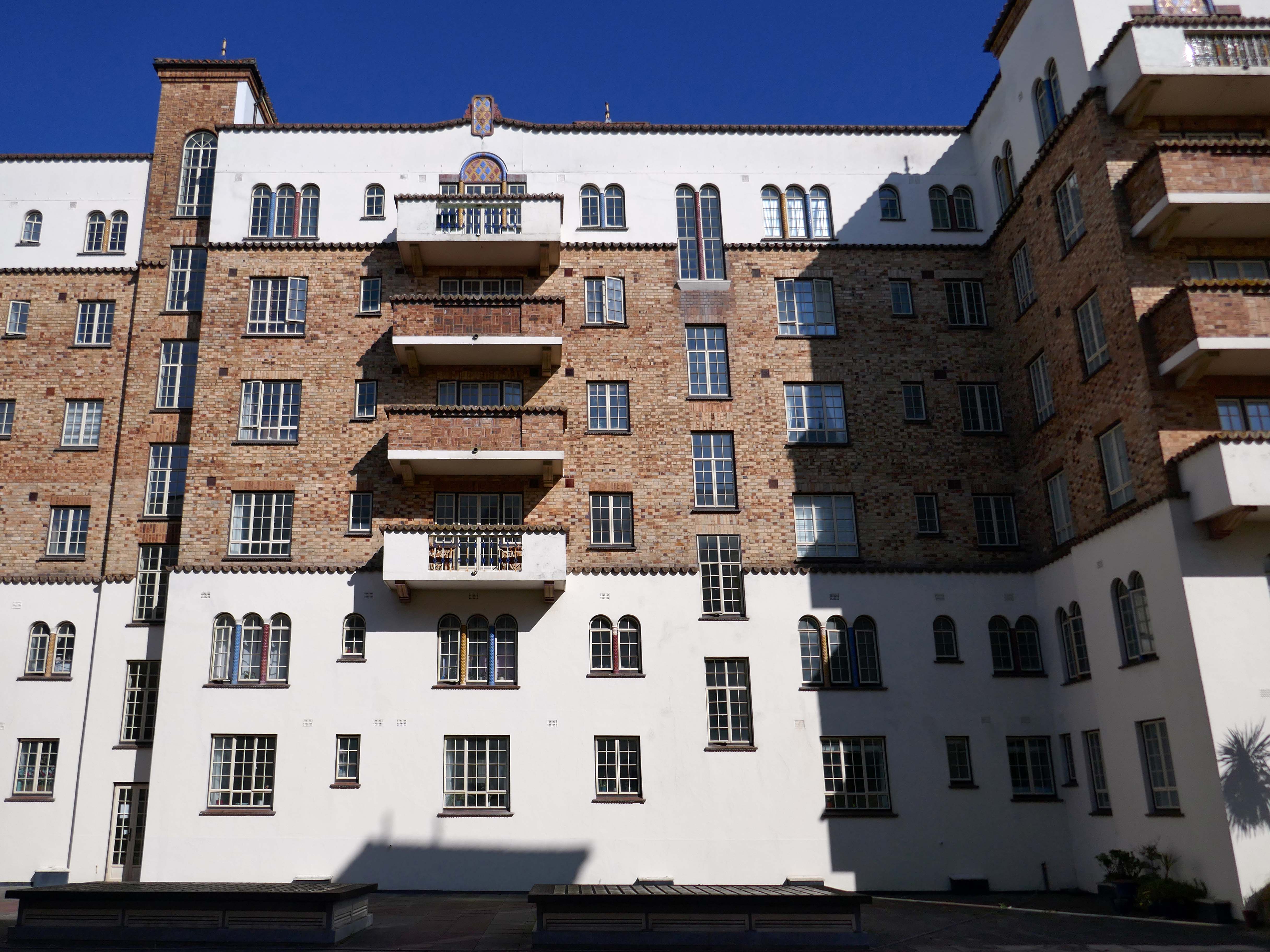
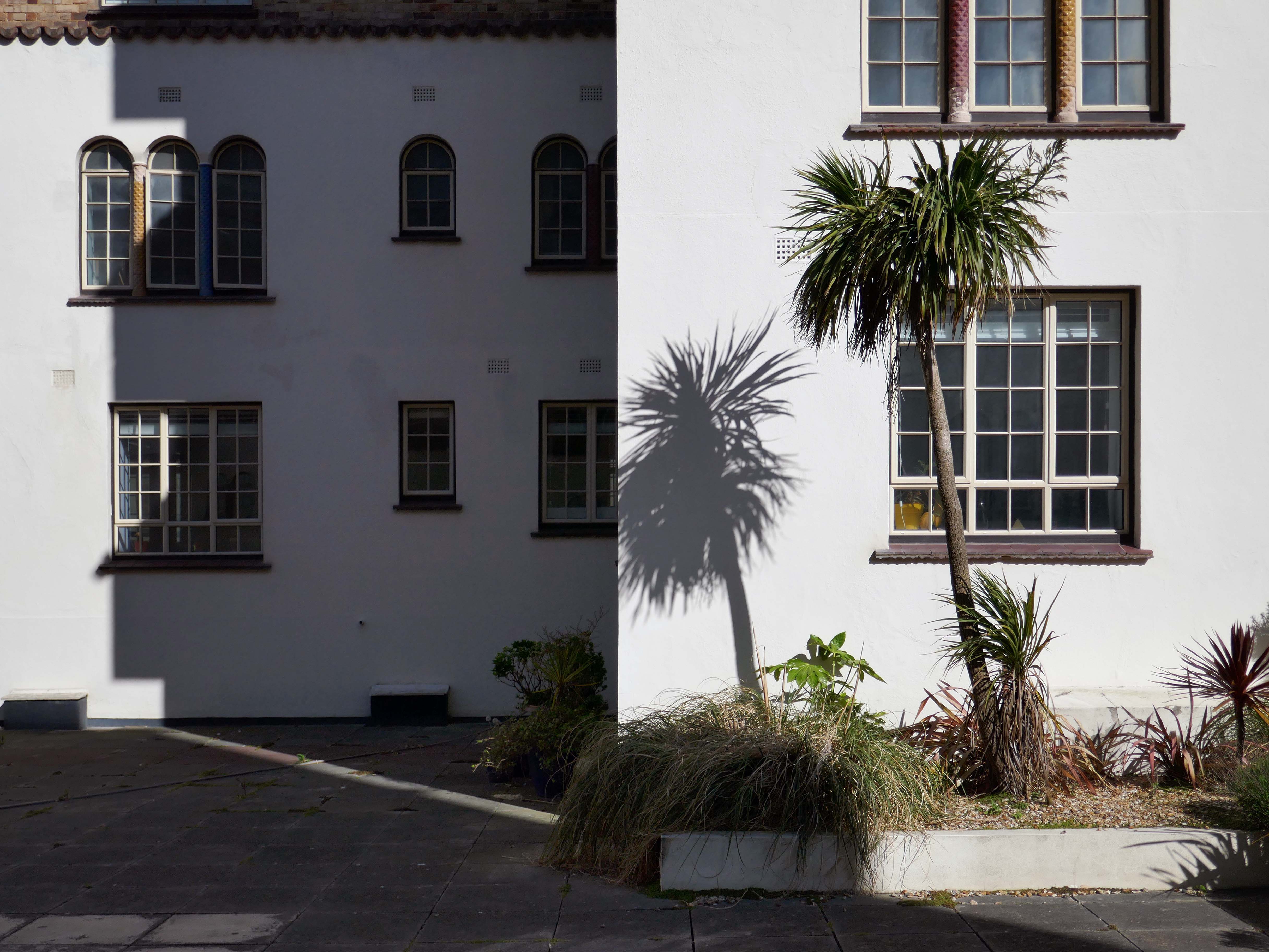
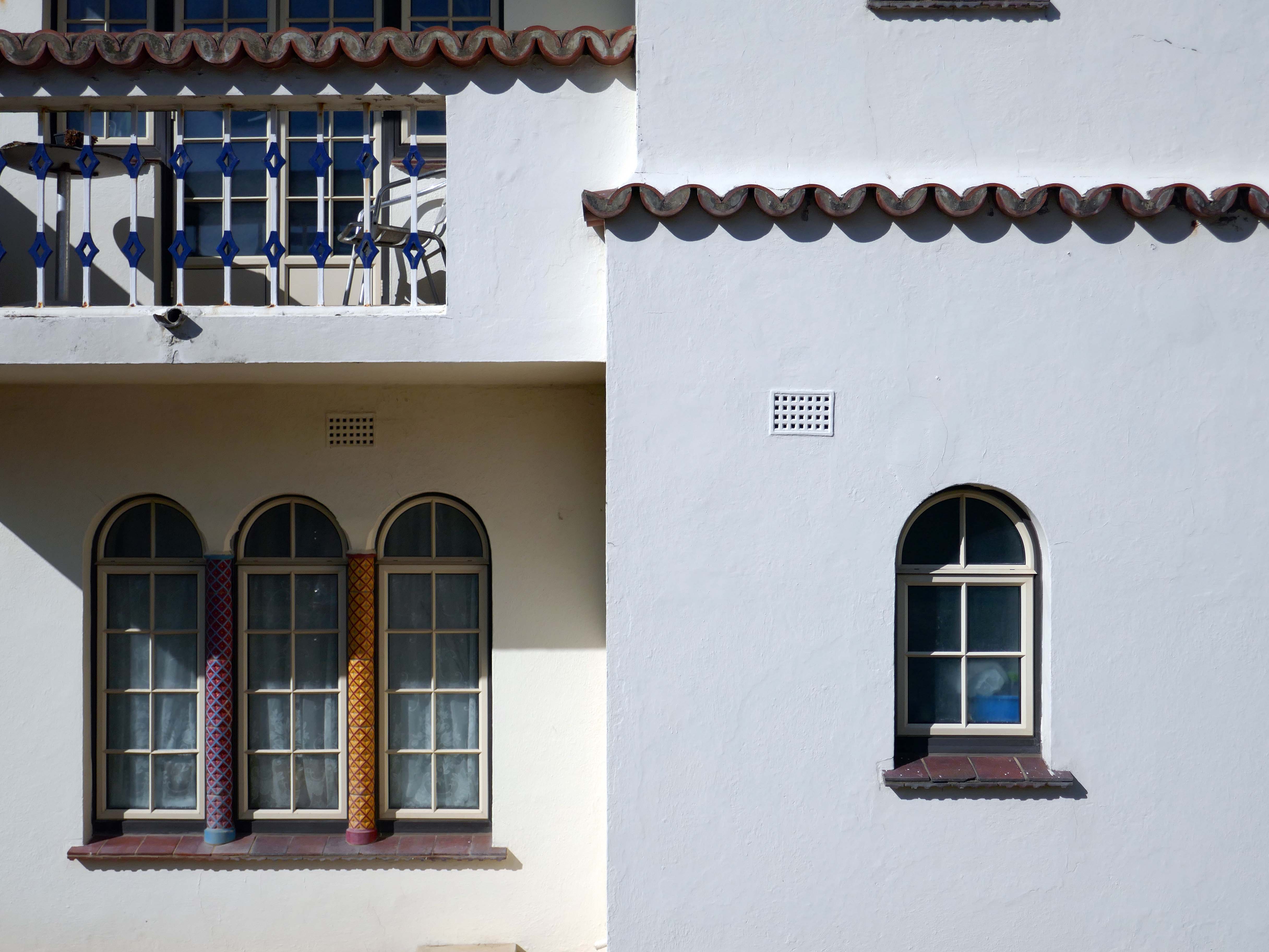
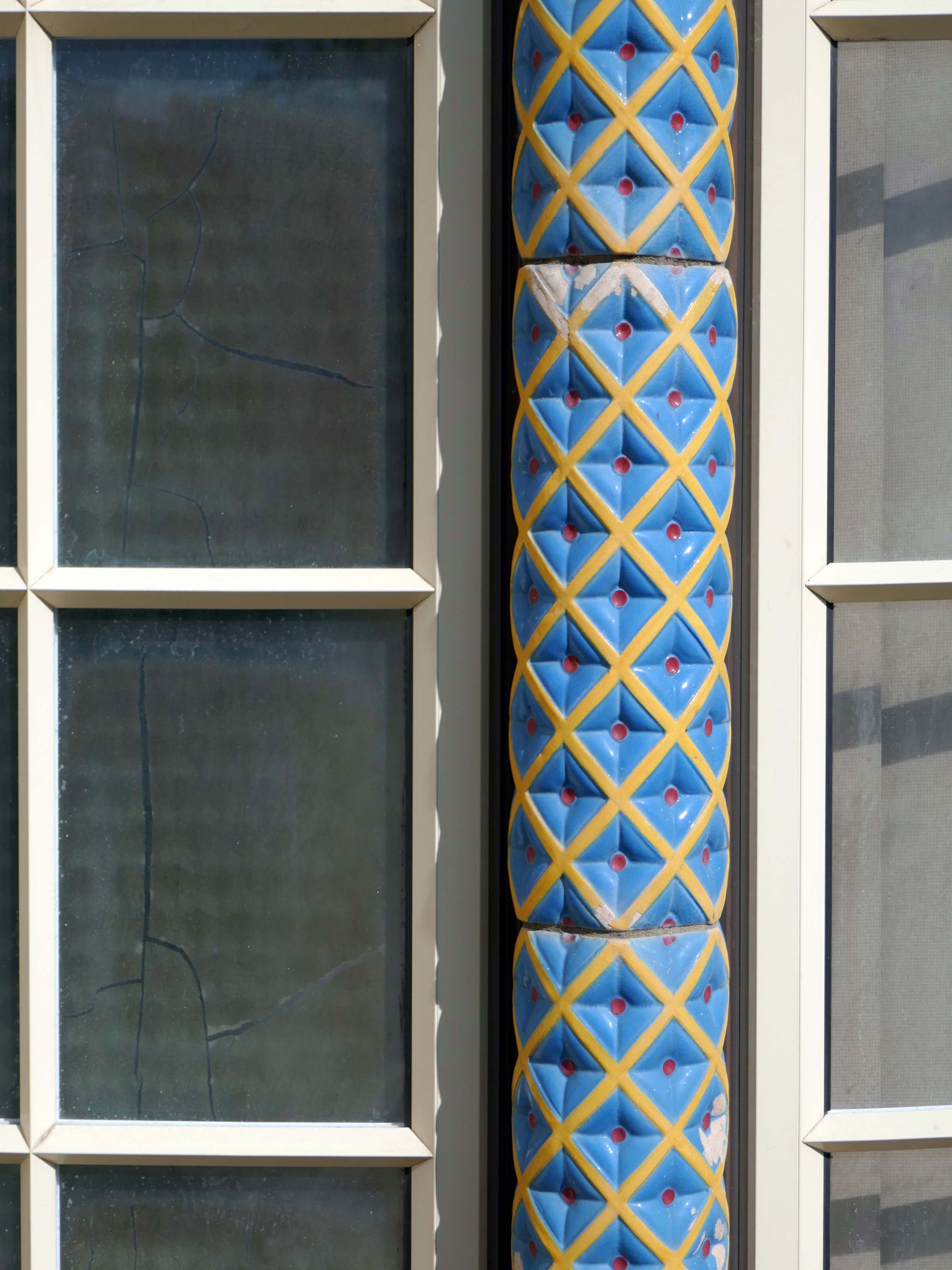
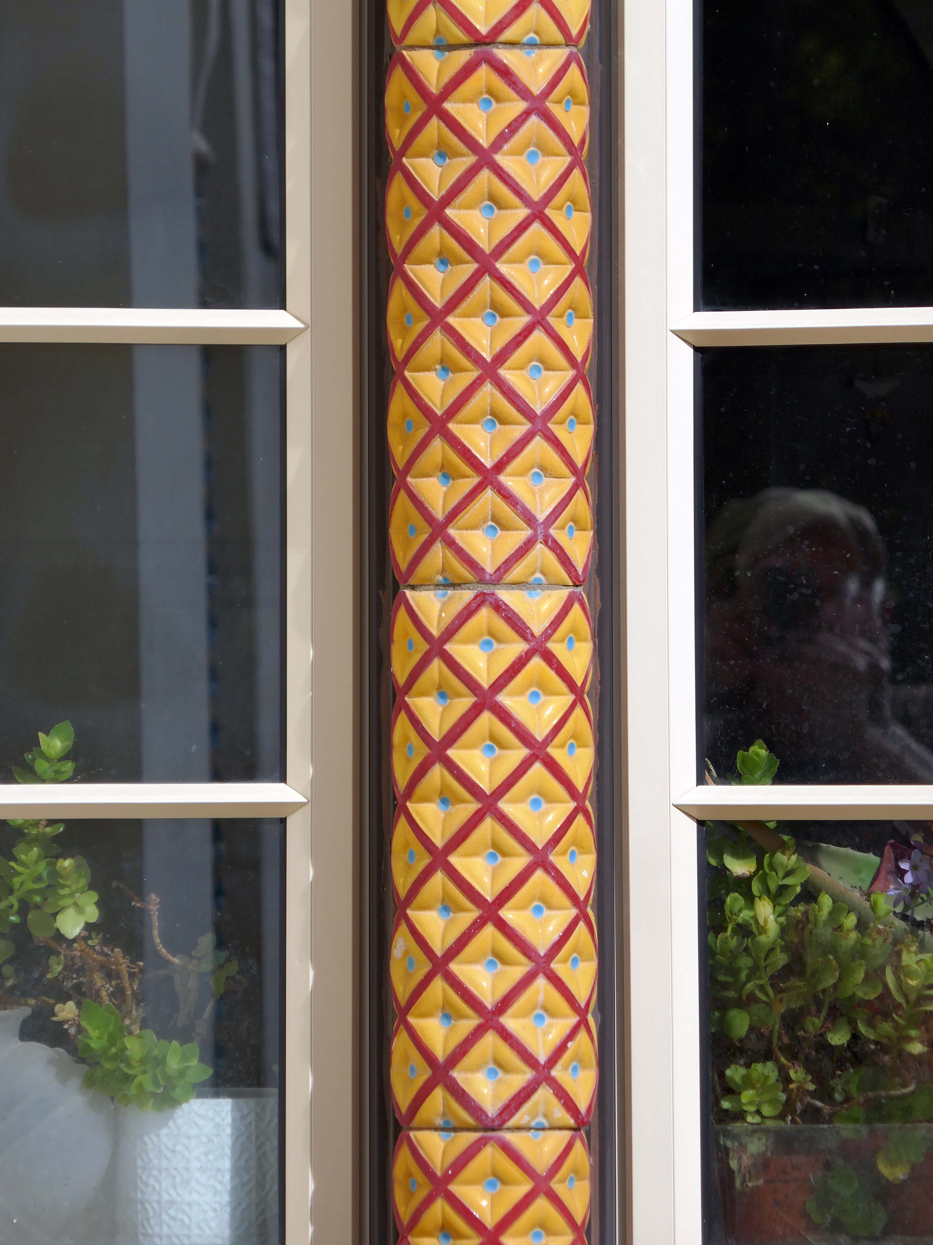
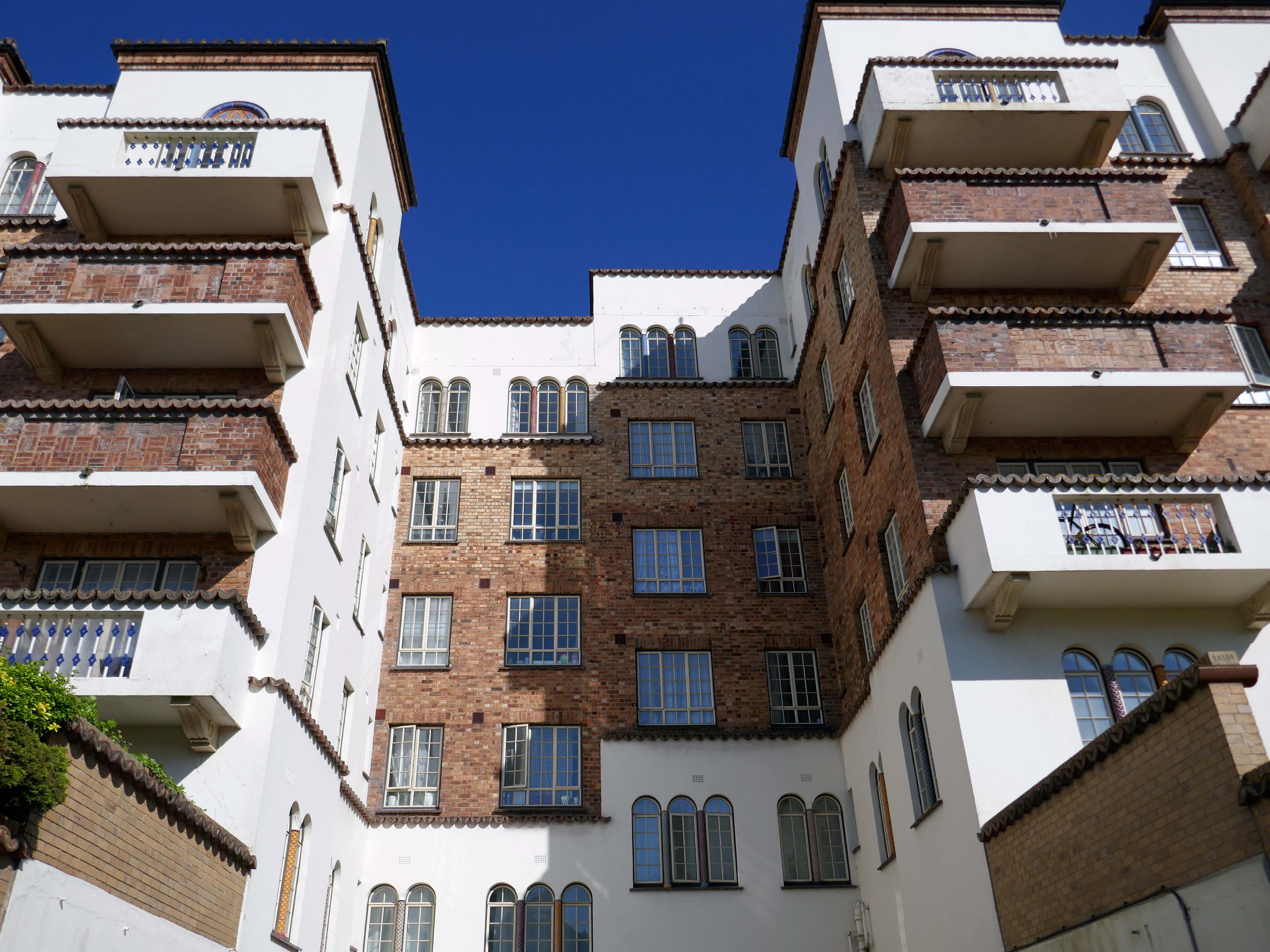
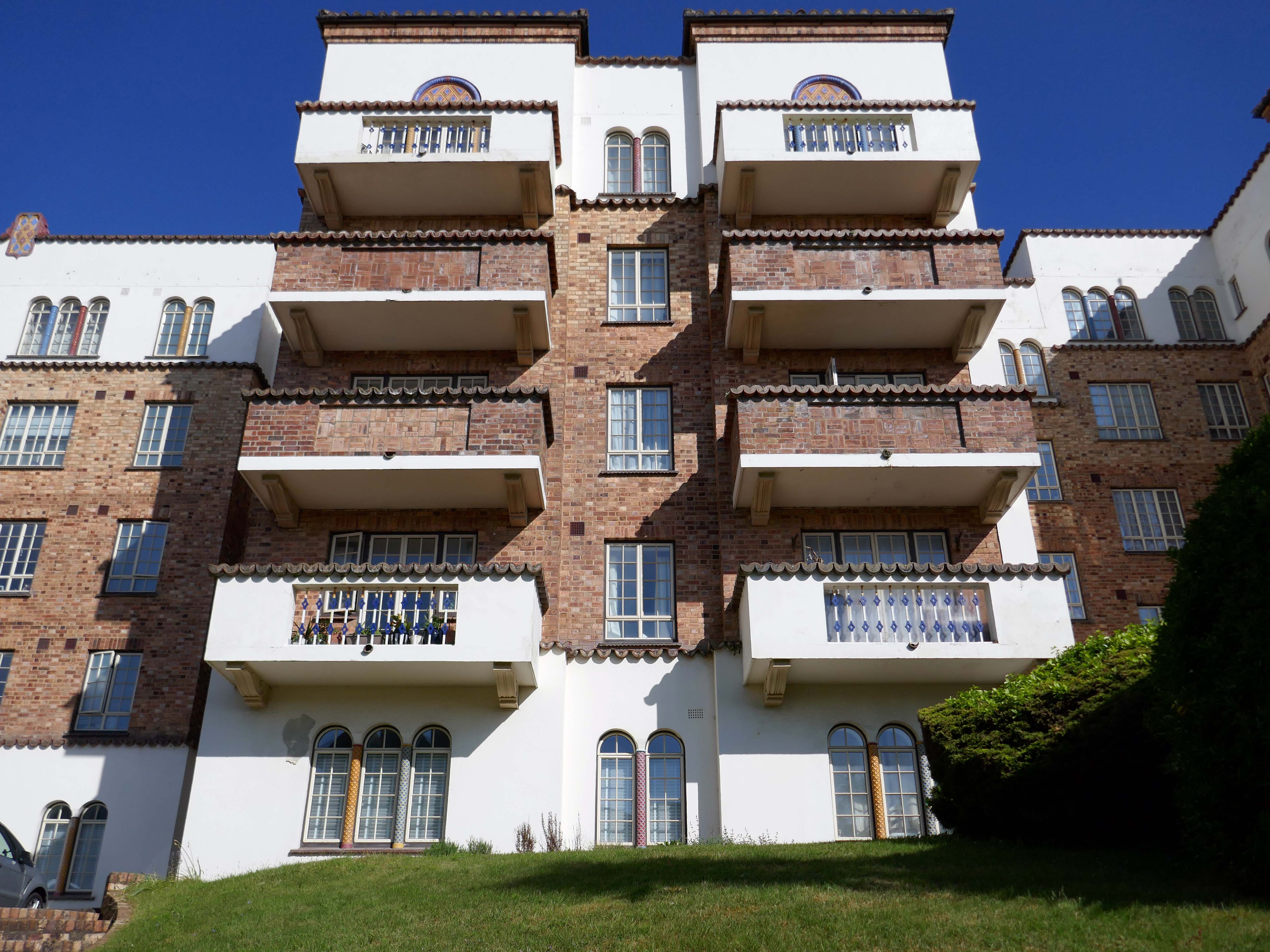
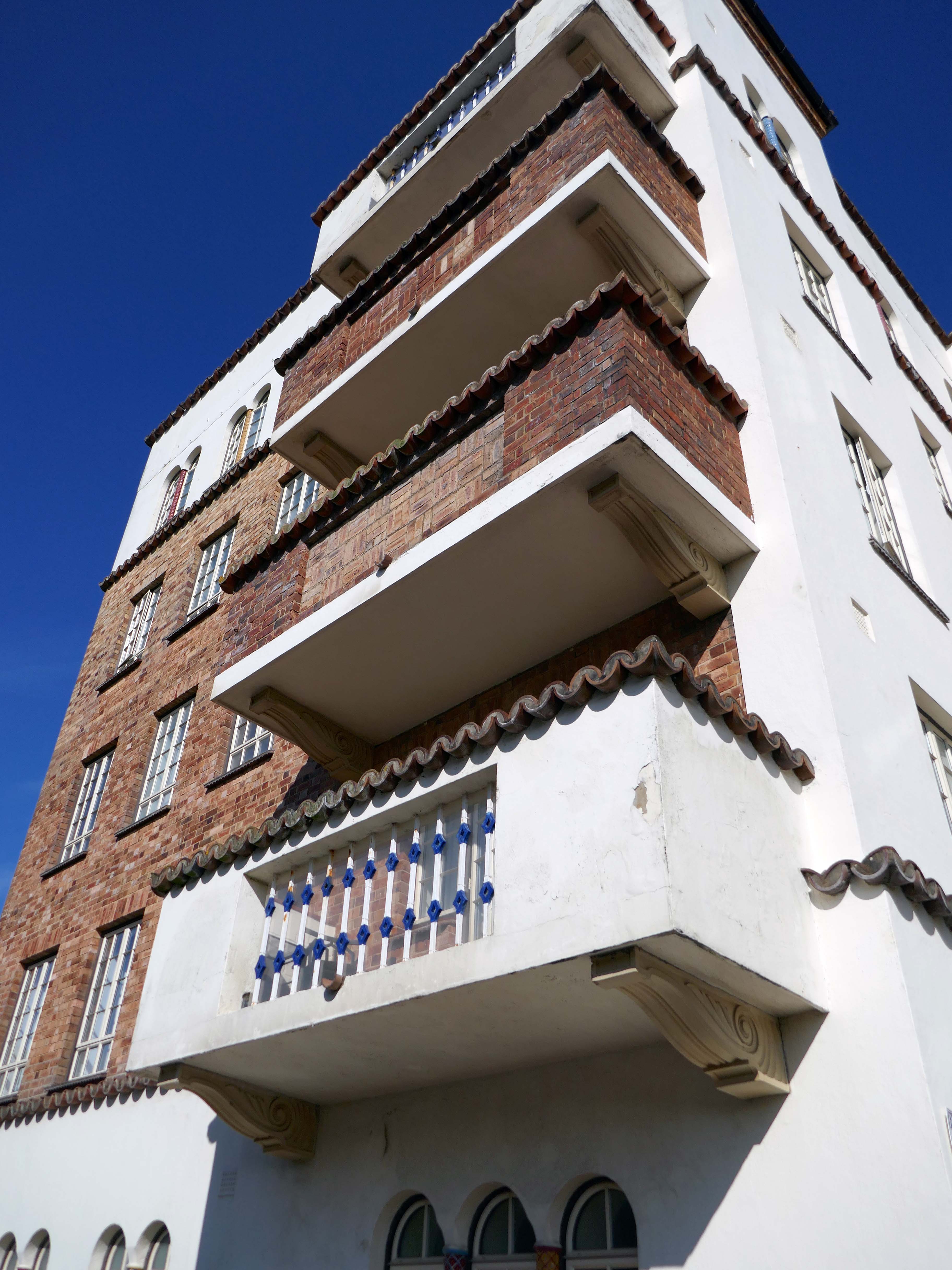
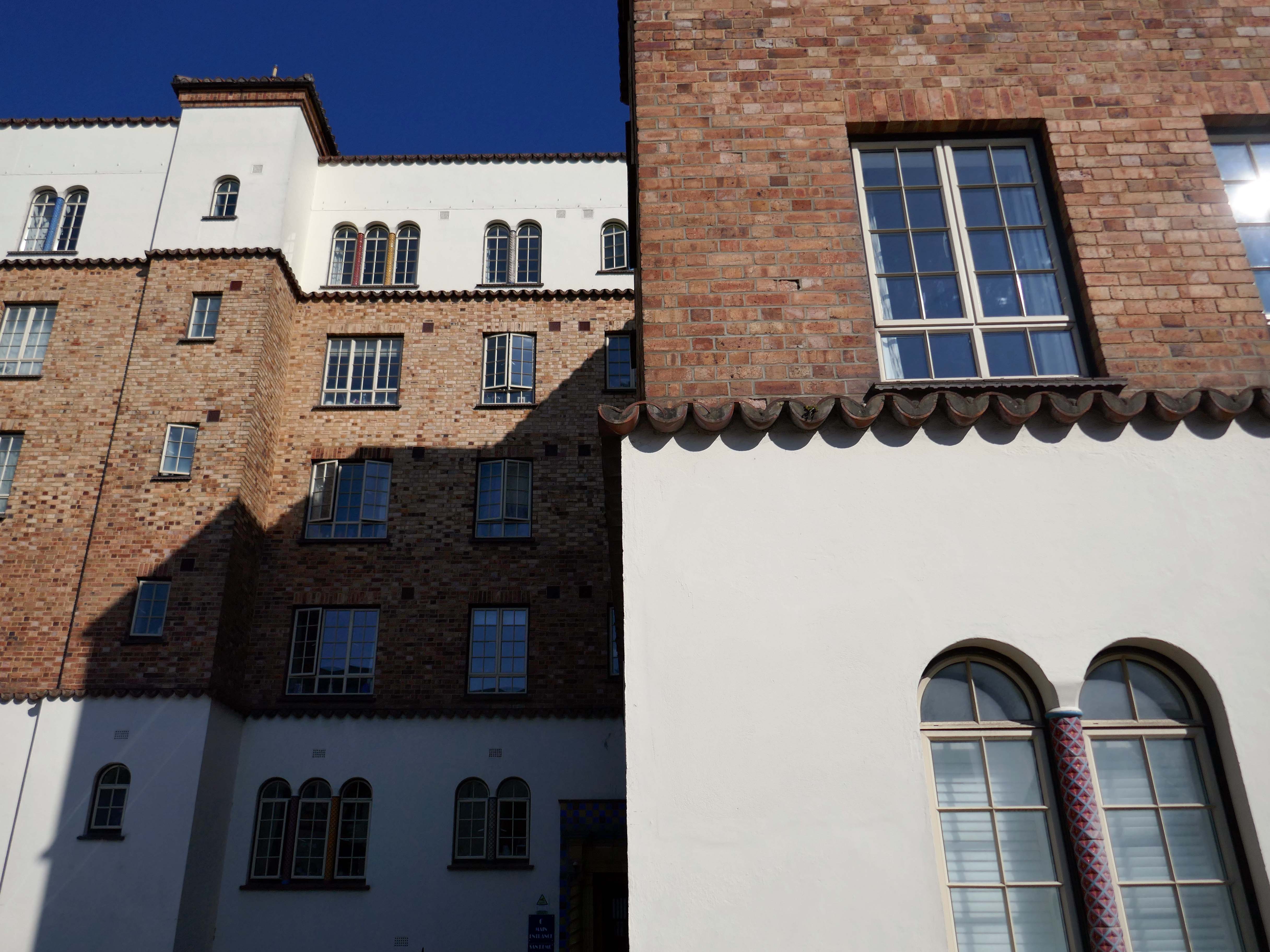
Block of 164 flats, with penthouse and office, over basement garage. 1935-8 by Hector O Hamilton. Pale brick, with areas of render, particularly to ground and upper floors, faience tiling, and concrete floors. Flat roof behind high parapets edged with pantiles, and with pantiled roofs over staircase towers and over penthouse. Single stack serving boiler house. U-shaped plan around central courtyard, set over garage.
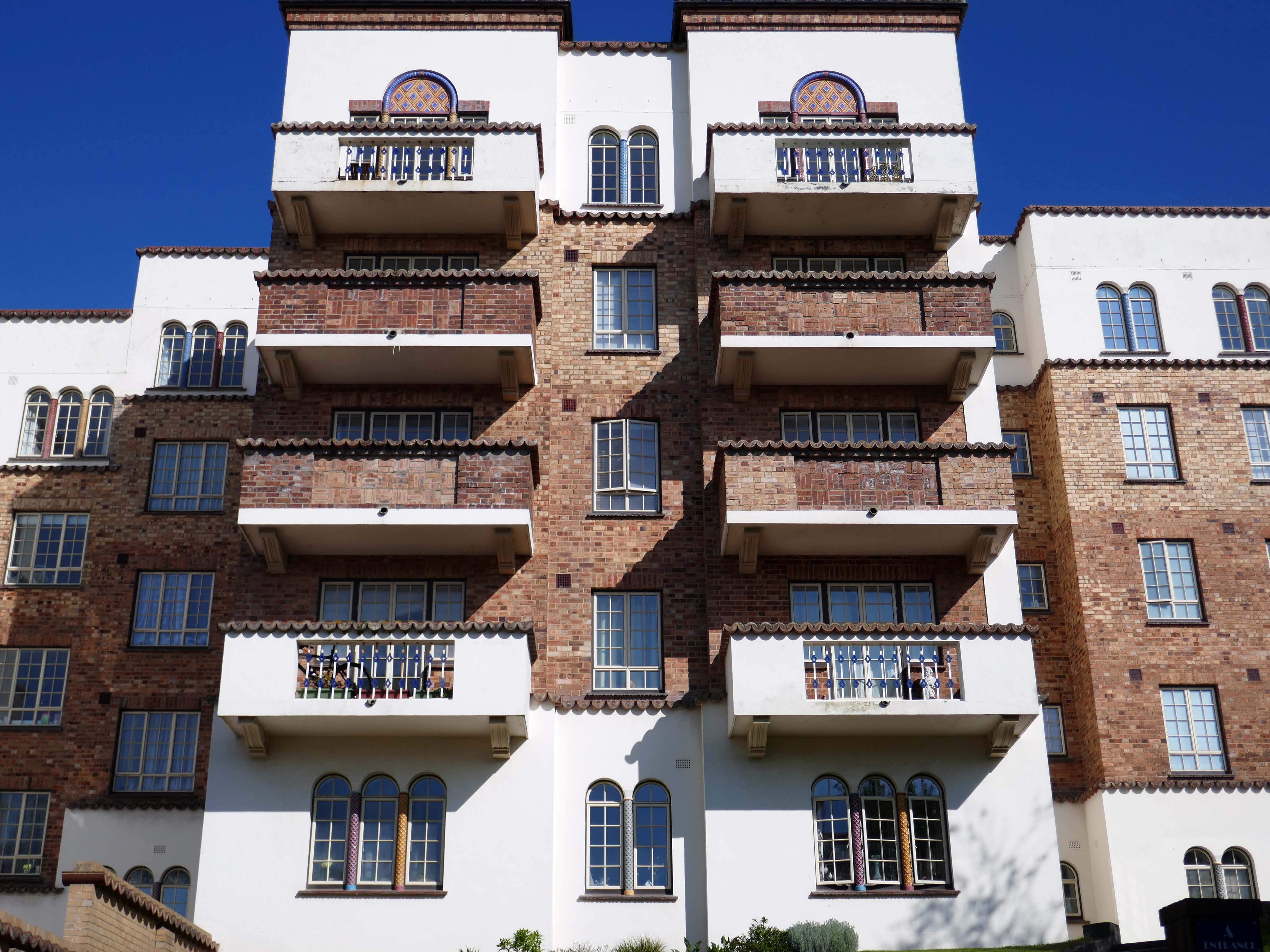
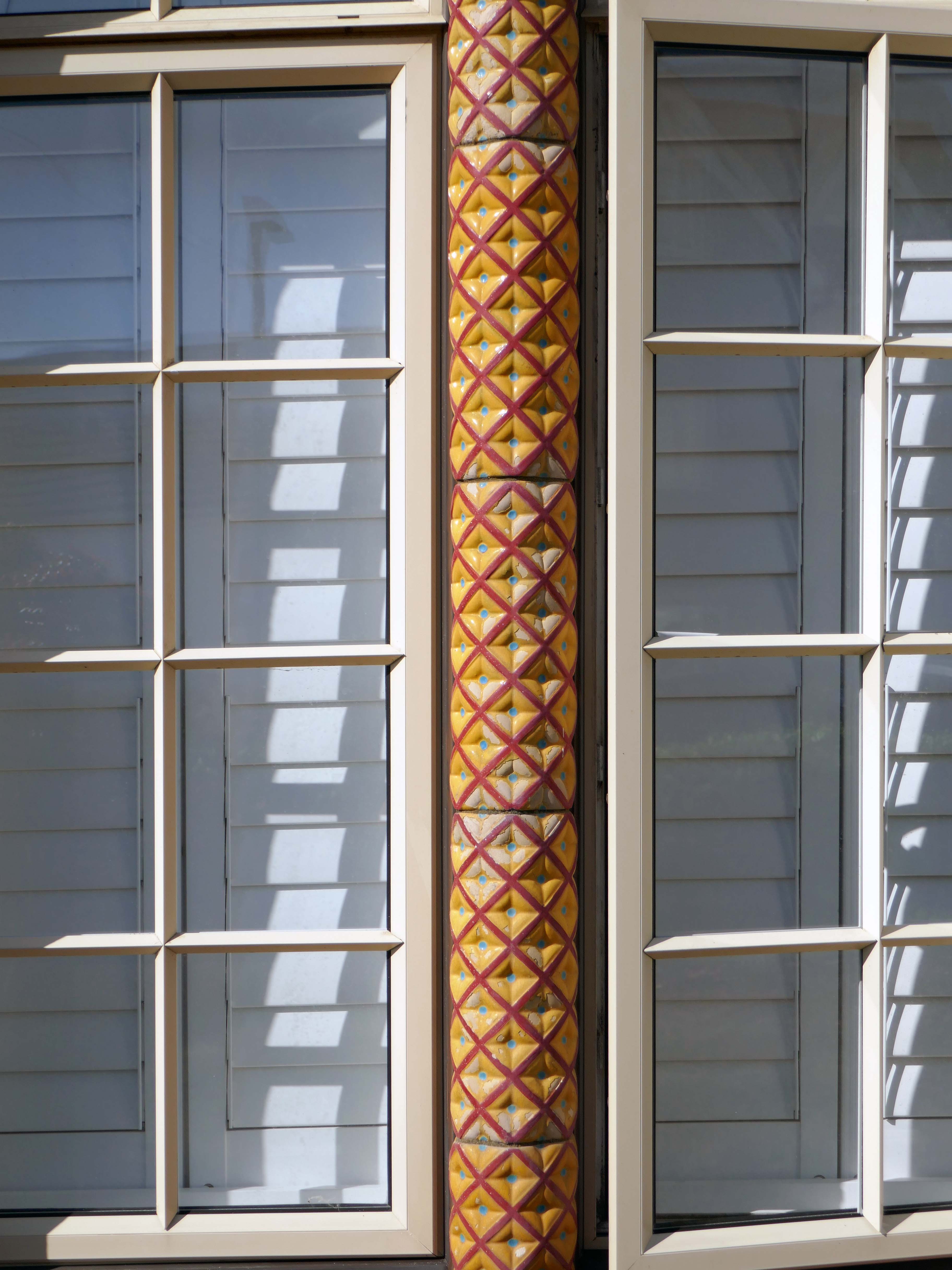
The flats, on five floors, are set in five blocks, with corridor access via separate residents and trade stairs and lift from each of six entrance doors – the central block C is served by the main entrance as well as its own. Through access between blocks on ground floor only. The estate office projects on the ground floor of Block C. The exterior is in a delightful Spanish mission style, with extensive use of coloured faience around doors and in window jambs. Metal casement windows with small panes, round-arched to ground and fifth floor, where coloured jambs predominate. Projecting balconies of brick and render to the larger flats, with coloured balustrades and supported on console brackets. Glass rooflights to the basement car park. The six entrances with double panelled doors, set in lively decorated surrounds of brightly coloured faience, with barley sugar engaged columns under Ionic capitals and block designation – A-E, main entrance, in faience lettering. French doors with small panes to courtyard. Attached brick retaining walls at entrance to courtyard.
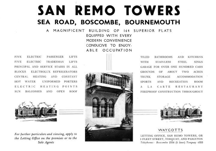
Interiors: The residents’ staircases with jazz modern metal balustrading, those for tradesmen with stick balusters. Interiors of flats not inspected but understood to have been modernised. San Remo Towers is one of the most comprehensive seaside developments of flats to be erected in the 1930s. It was planned as early as 1935-6 by Armstrong Estates Limited of Guildford. It was opened on 1 June 1938 as ‘a magnificent block of 164 superior flats, 296-260 per annum rental, garage for 130 cars’. Facilities offered as inclusive in this price included centralised hot water and central heating, an auto vac’ cleaning system, centralised telephones, a resident manager, a porter, daily maid, boot cleaning and window cleaning services. There was a Residents’ club with a reading room card room, billiard room and library, and a children’s recreation and games room. There were kiosks in the ground-floor lobbies selling tobacco and convenience items, where the staff took orders for the local tradesmen. The fifth-floor restaurant offered a la carte meals, which could be taken at pension rates of 38s per week. A simpler dinner cost 2/6d.
Restaurant Crockery 1940
The use of an American architect, Hector O Hamilton, may be an explanation for the building’s large range of facilities, including the grand underground car park and sophisticated servicing. The residents’ club was converted to a penthouse in the 1950s, but the block retains its select tone. The elevations were described in 1940 as dignified and select and harmonise with the general surroundings. Today they are admired as for the very striking way in which they stand out from their surroundings as a piece of 19305′ exotic fantasy transported to seemly Bournemouth.
San Remo Towers is one of the most impressive seaside developments in England of its period. Source: Waycotts, San Remo Towers, 1940 letting brochure.
First seen in 2015 on my South Coast cycling tour, today I was on foot with time to wander around San Remo Towers.
For me it is the most charming and capricious of seaside apartment blocks – a playful symphony of faience and fancy. An exotic dose of Californian Hispanic on the Dorset coast.
Today, most of the flats have been refurbished and sold to independent buyers. In 2019, the lessees worked together to buy the building and it is now owned by San Remo Towers SRT Freehold Ltd. Not all the flats have share of freehold yet, but the option is available for any lessee who wishes to join.
Hector O. Hamilton, young New York architect, who won a share in the first prize with his design for the projected Palace of the Soviets in Moscow, announced yesterday that he would sail for Russia in a month at the invitation of the Soviet Government to aid in the construction of the building. Although persons familiar with Russia have warned that he would be paid in rubles and probably not be permitted to take the $6,000-his share in the prize money-out of the country, Americans who have worked there point out that it is the policy of the Soviet Government to pay technical men from this country in dollars. They say also that while it is against the law to take rubles out of the country this law does not apply to foreign currency.
The name Walsall is derived from Walh halh, meaning valley of the Welsh, referring to the British who first lived in the area. Later, it is believed that a manor was held here by William FitzAnsculf, who held numerous manors in the Midlands. By the first part of the 13th century, Walsall was a small market town with a manor house; the weekly market was introduced in 1220 and held on Tuesdays. The mayor of Walsall was created as a political position in the 14th century.
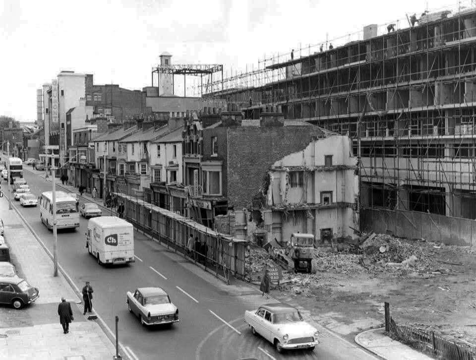
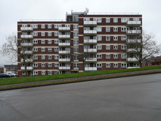
Significant developments also took place nearer to the town centre, particularly during the 1960s when a host of tower blocks were built around the town centre; however, most of these had been demolished by 2010.
The Memorial Gardens opened in 1952, in honour of the town’s fallen combatants of the two world wars. The Old Square Shopping Centre, a modern indoor shopping complex featuring many big retail names, opened in 1969.
Much of the reconstruction of the post-war period was quickly reconsidered as ugly and having blighted the town. In 1959, John Betjeman advised that with sensitive restoration the old buildings of the High Street could become:
There is to be further demolition on the High Street, to open up the vista between the Bus and Railway stations.
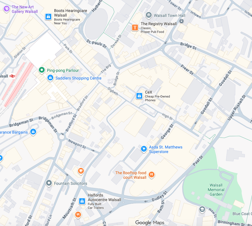
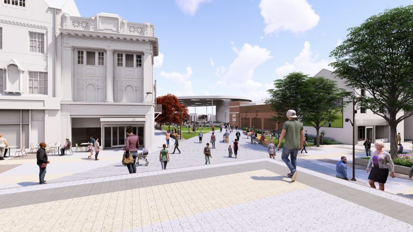
In 2021 Walsall secured funding of £11.4m from the Future High Street Fund. With further investment from Walsall Council we are now delivering the early phases of the Town Centre Masterplan, through the Walsall Connected Gateway Project.
Approval has been granted to remodel the Saddlers Centre to create a more open and attractive arrival experience for train passengers whilst also opening up Park Street. Butler’s Passage, which has in the past been the centre of antisocial behaviour, will disappear as some of the buildings are removed to create a large open walkway, connecting the rail and bus hubs.
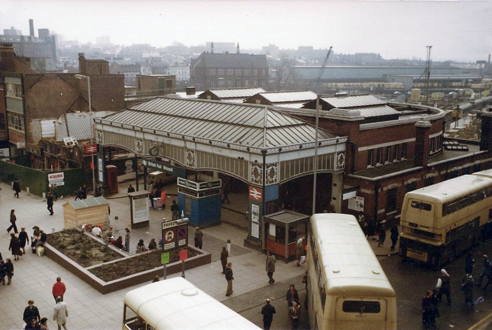
Former Railway station 4th March 1978 – photo by Walsall 1955
The station was about to be closed, demolished and replaced by a new Marks & Spencers and the Saddlers Centre.
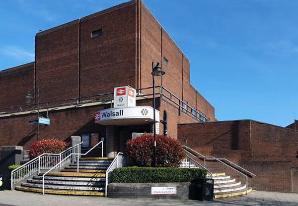
The existing entrance to the railway station on Station Street.
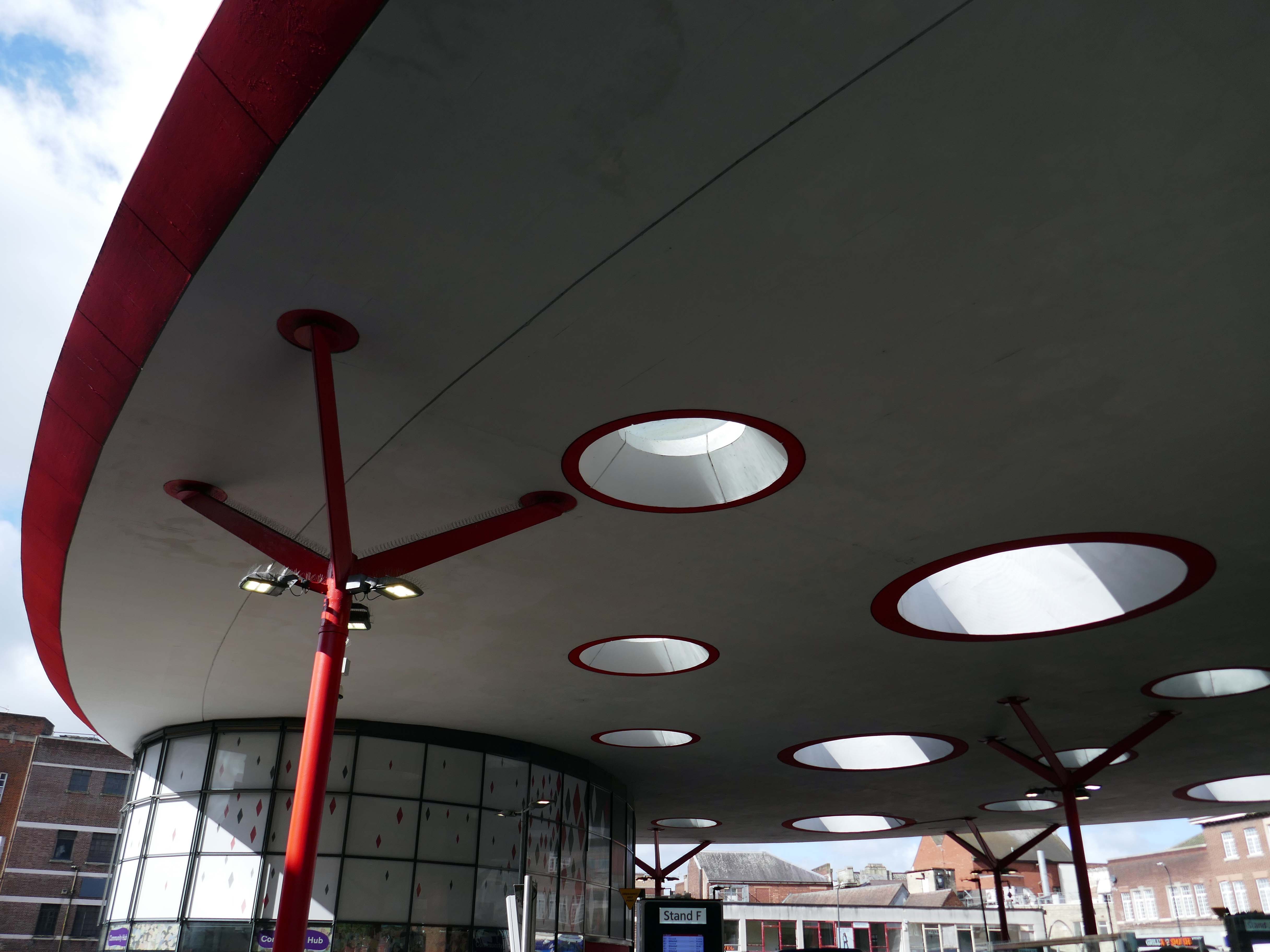
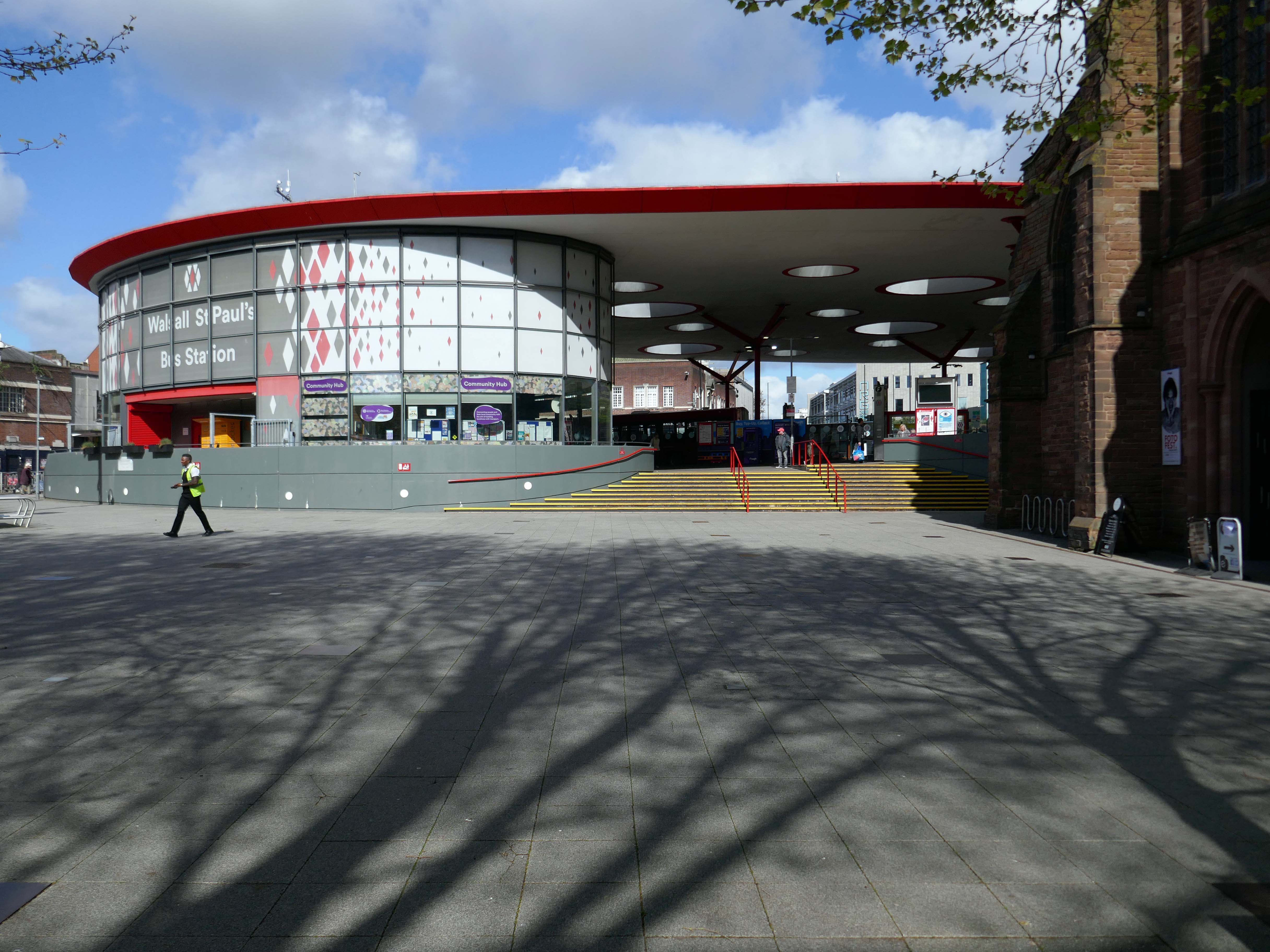
Let’s begin at the St Paul’s bus station or Hub – if you will, complete in September 2000.
The 1936 St Pauls Street bus station closed in February 1975, and was completely demolished, rebuilt and opened in August 1975.
Photo by: Walsall 1955
Allford Hall Monaghan Morris designed the building for Centro. The structural engineers were Atelier One, Shepherd Construction Ltd were the contractors, Watkins Dally were the landscape architects and Clark Smith Partnership were the civil engineers.
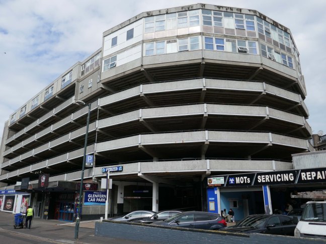
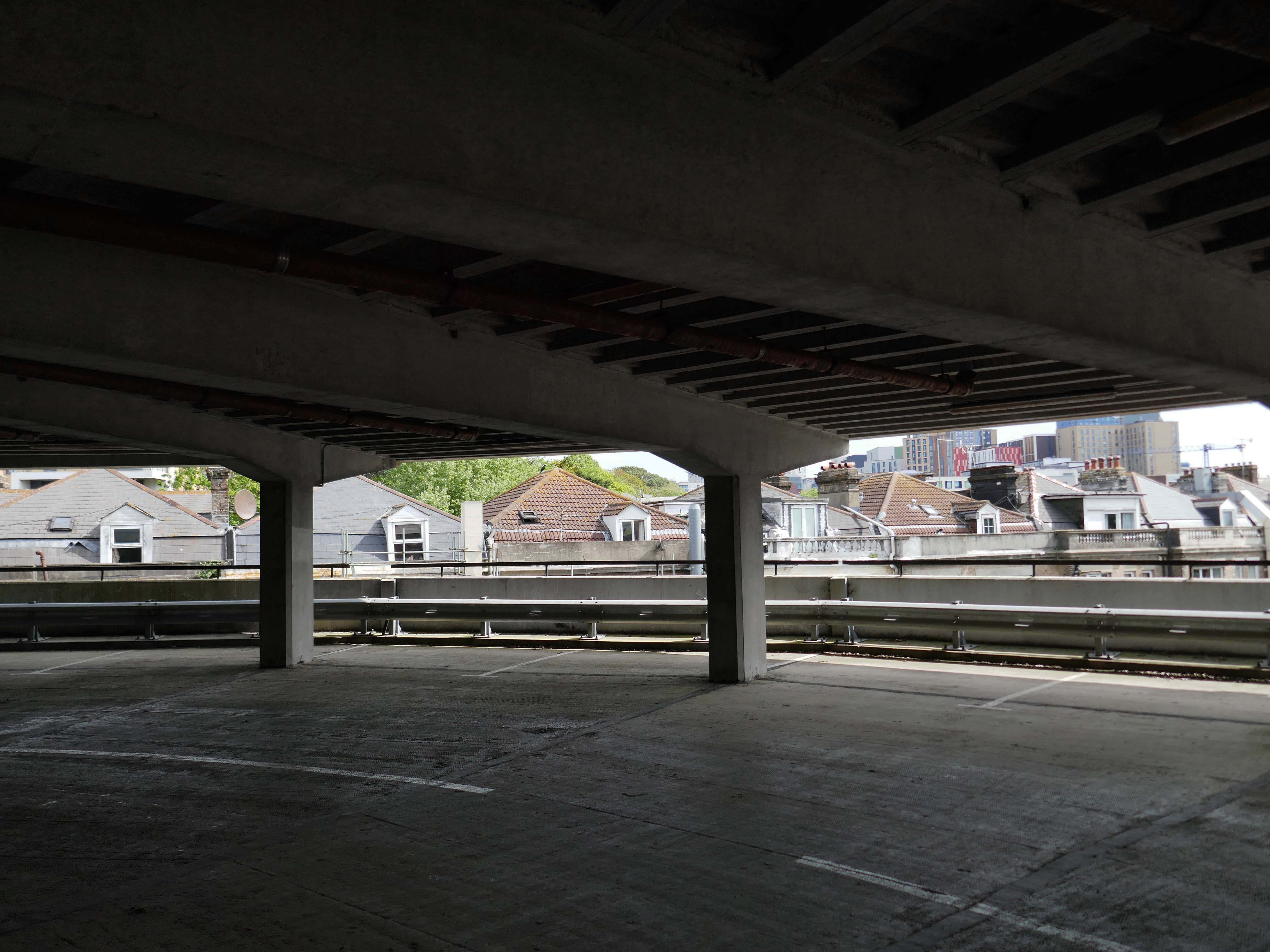
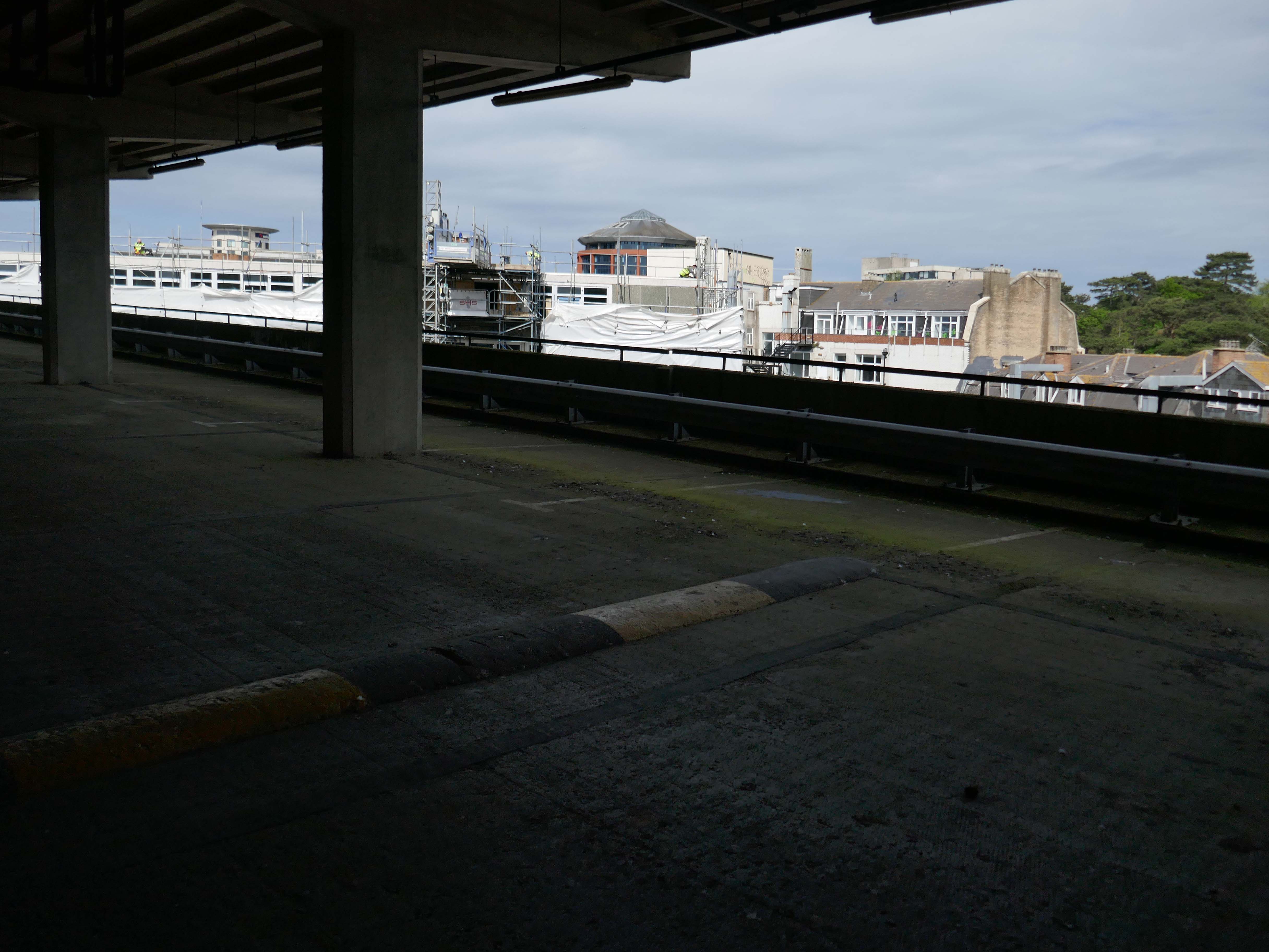
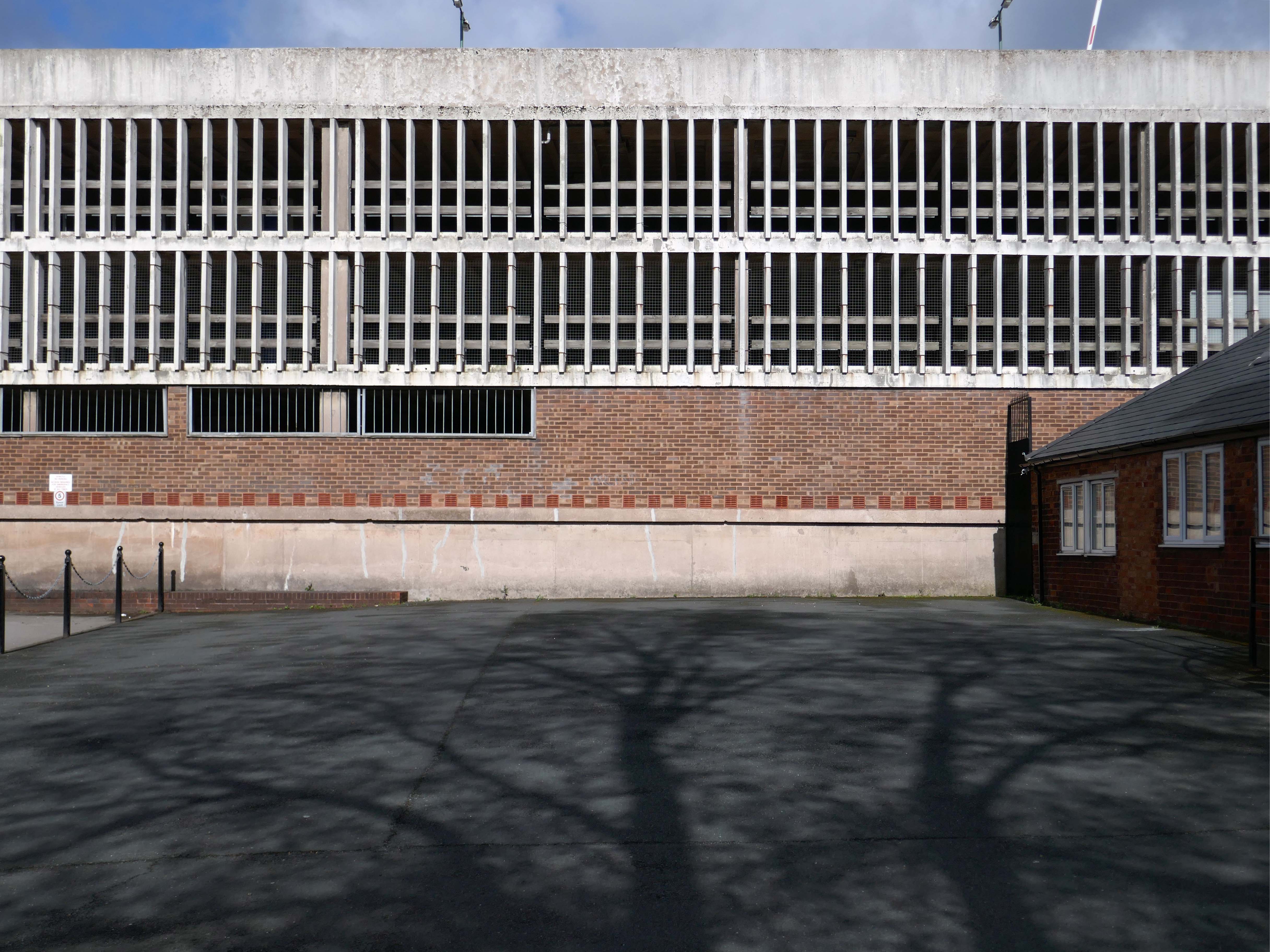
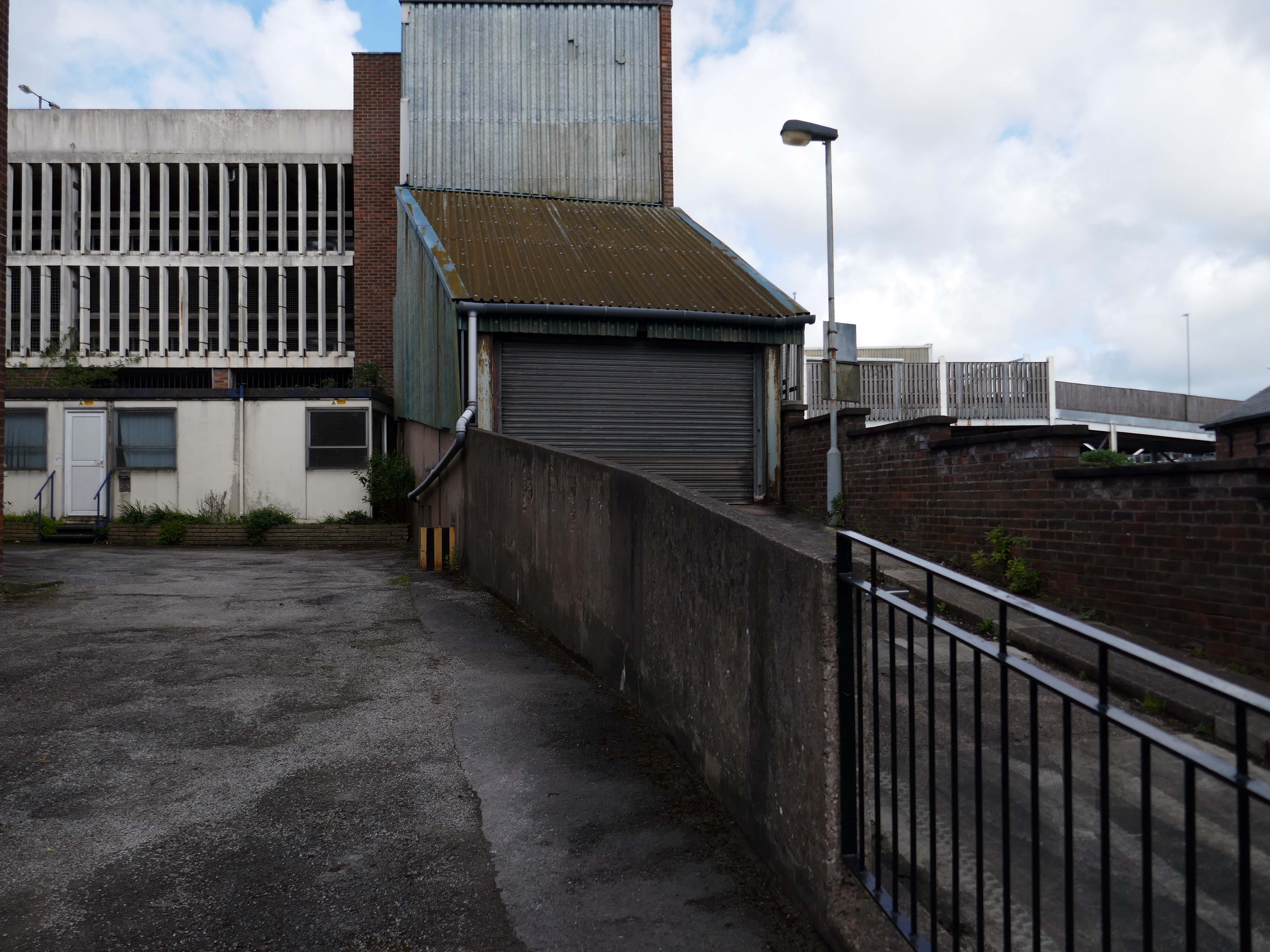
Next, a glimpse of Hatherton Road multi-storey car park.
Though it appears to be closed.
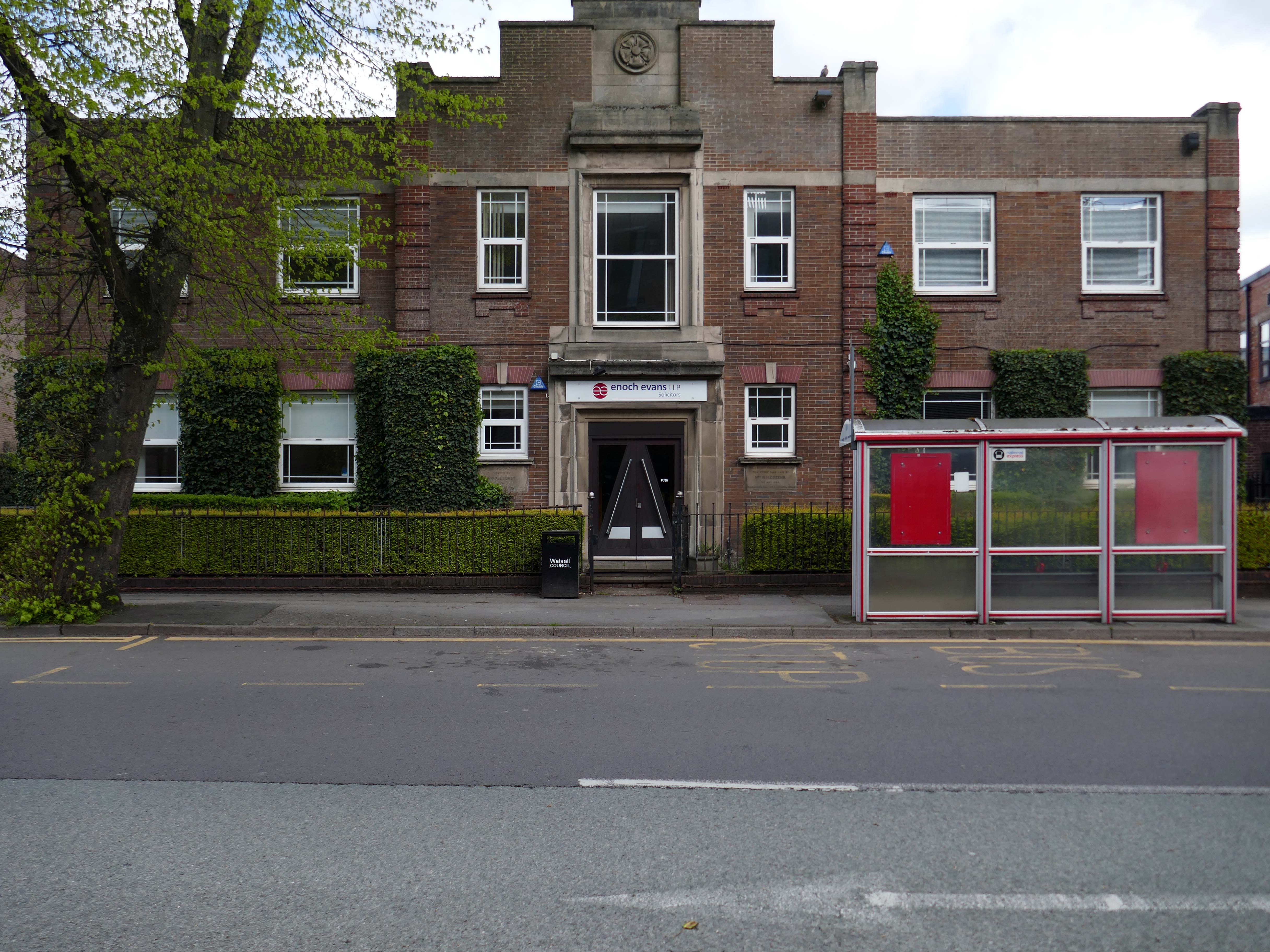
Adjacent to Enoch Evans Solicitors, their offices housed in one of the many imperious inter-war buildings dotted around the town.
Which faces onto the back of the Civic Centre.
Following the formation of the Metropolitan Borough, the new Civic Centre in Darwall Street opened in 1976, architect Stanley W Bradford Walsall MBC Director of Architecture.
Central roof garden.
Leaving the Civic Quarter on the left is the Imperial
The Imperial started life as an agricultural hall, constructed in 1868-69, and designed by the architect GB Nichols of West Bromwich. At that time, it was used for a variety of community activities including shows and dancing, it was also hired out to travelling film showmen. The main feature of the early building was a principal ground floor hall.
In June 1914, the Imperial was closed to allow for conversion to a cinema, designed by West Midlands-based architects Hickton & Farmer.
The Imperial was converted to a bingo club in 1968, and in 1996 it was converted into a pub, which closed in 2016.
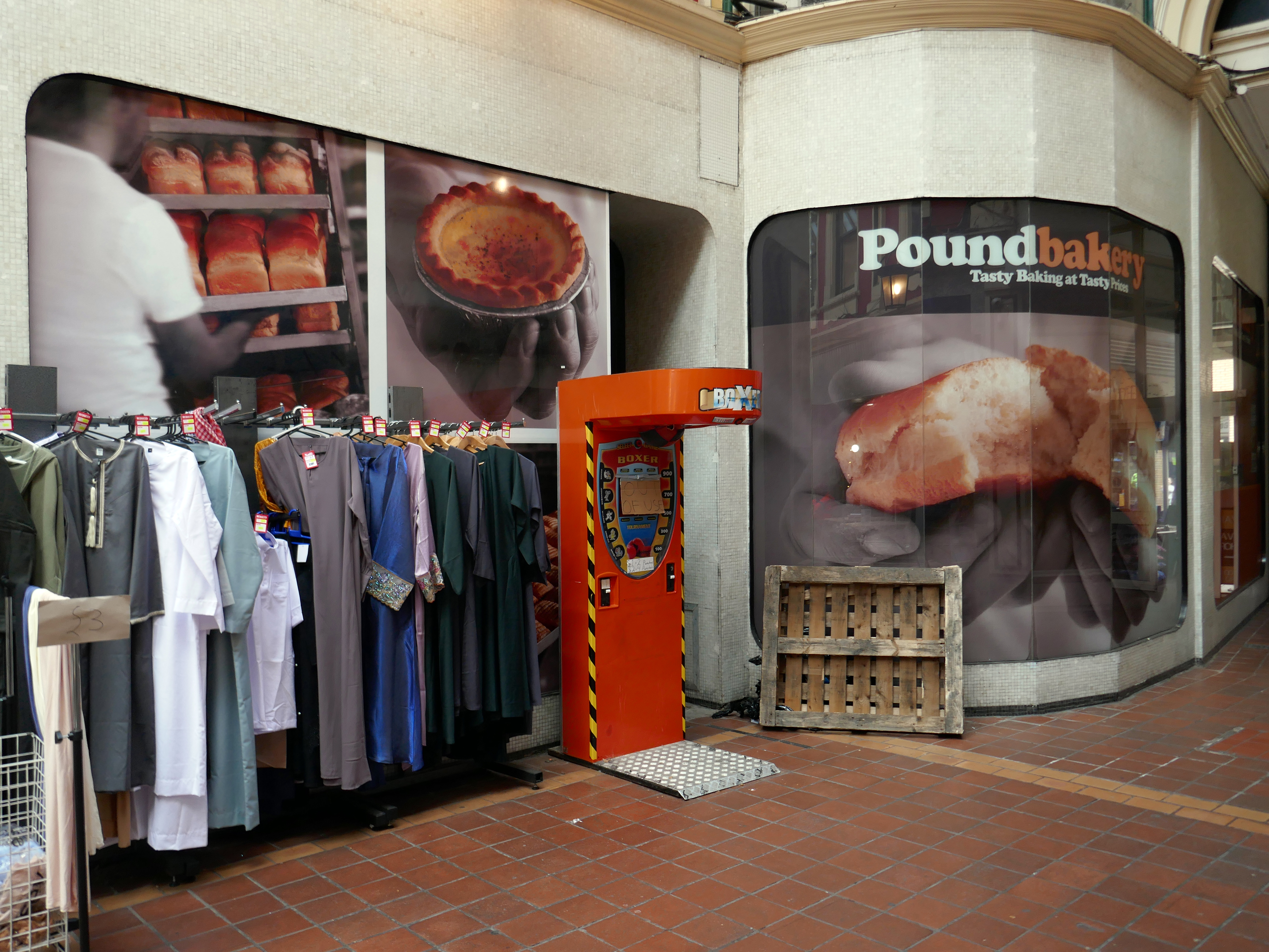
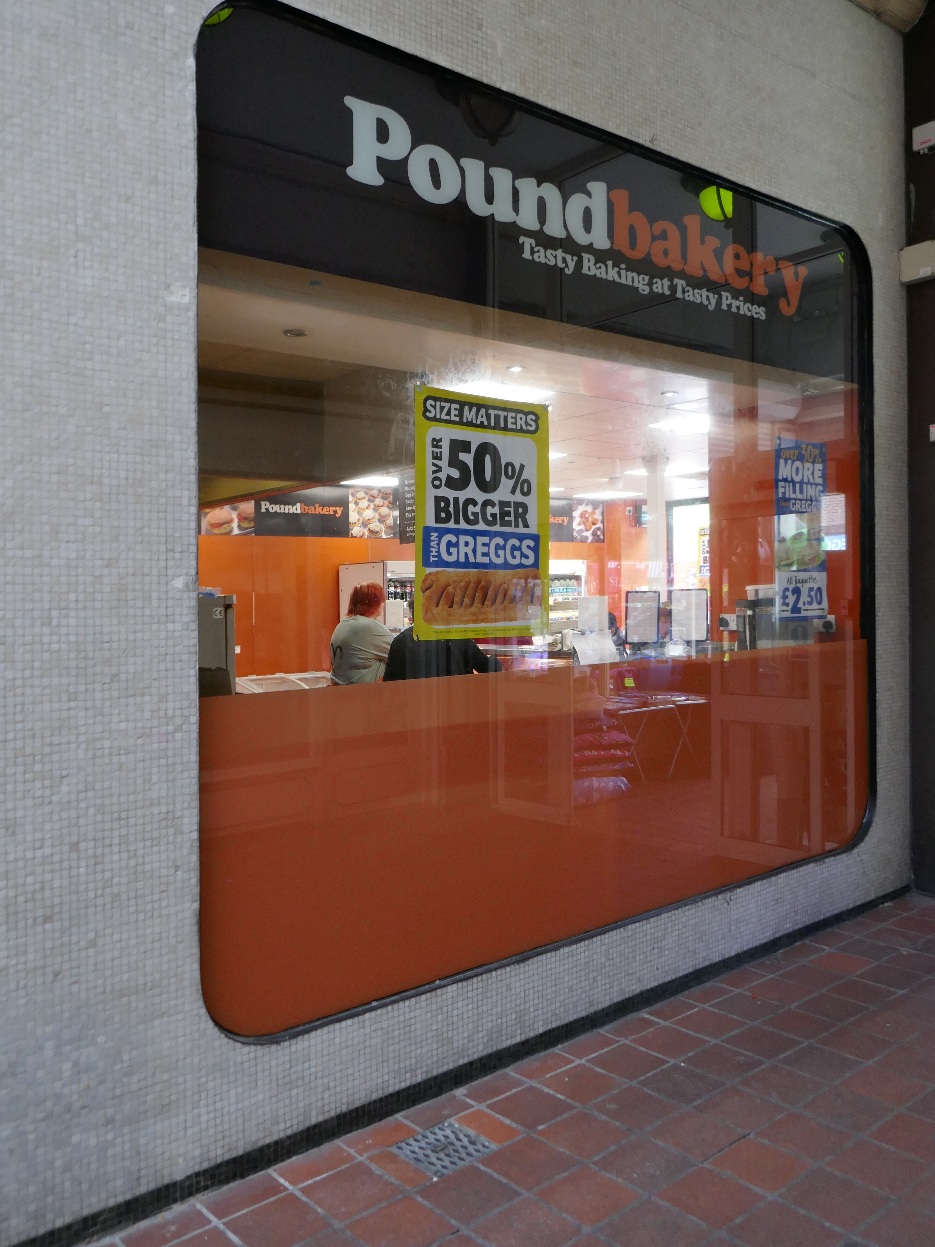
At the end of the otherwise period correct Victorian Arcade is a space age Pound Bakery.
Across the way a former Barclays Bank architects: John HD Madin & Partners.
Next door an anomalous disco themed fascia.
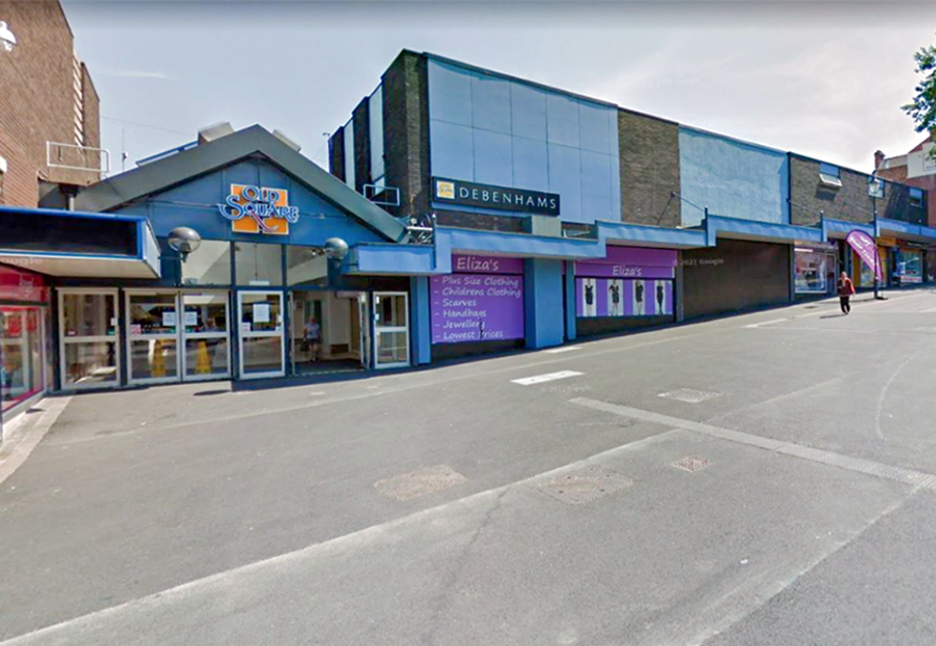
From here up the hill to the Old Square.
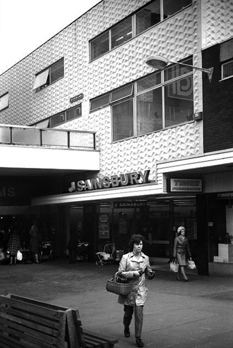
Sainsbury’s Old Square store in the early 1970s photo Will Parker.
The majority of the Shopping Centre was demolished in 2014.
I remember when I was about fifteen in 1990, Coca-Cola were doing these yo-yos and if you went upstairs by the cafe, I think it was you could earn a gold coloured yo-yo. You just had to perform three tricks with it to earn one. I did walk the dog, the sleeper and I think it was around the world! Proud as punch with that I was. I know my uncle was Father Christmas for a few years on the bounce as well, when they used to have a grotto.
Dan Bracknall
These are the remnants.
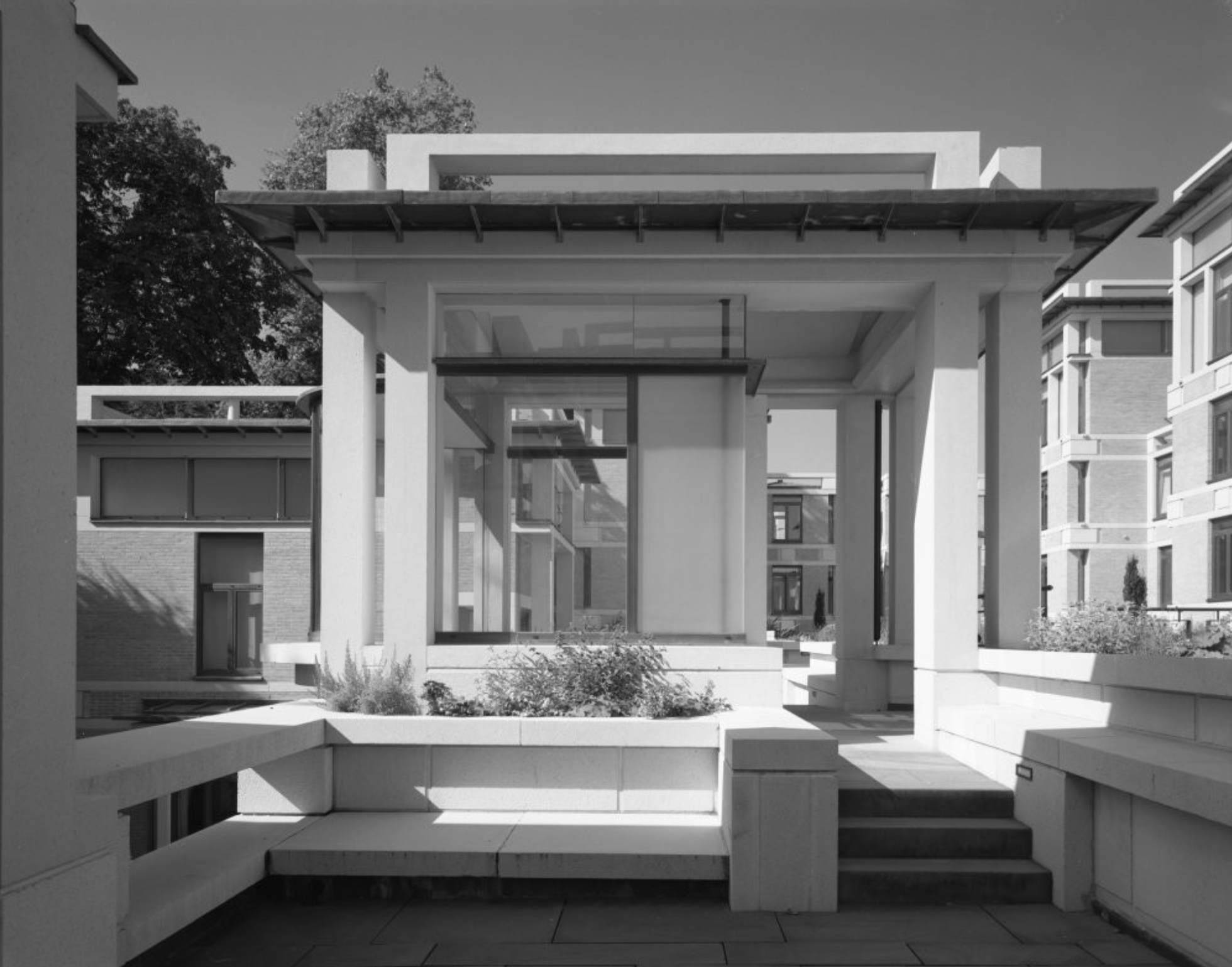
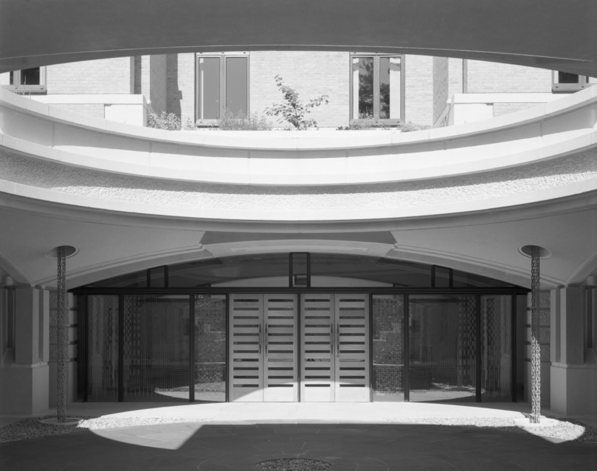
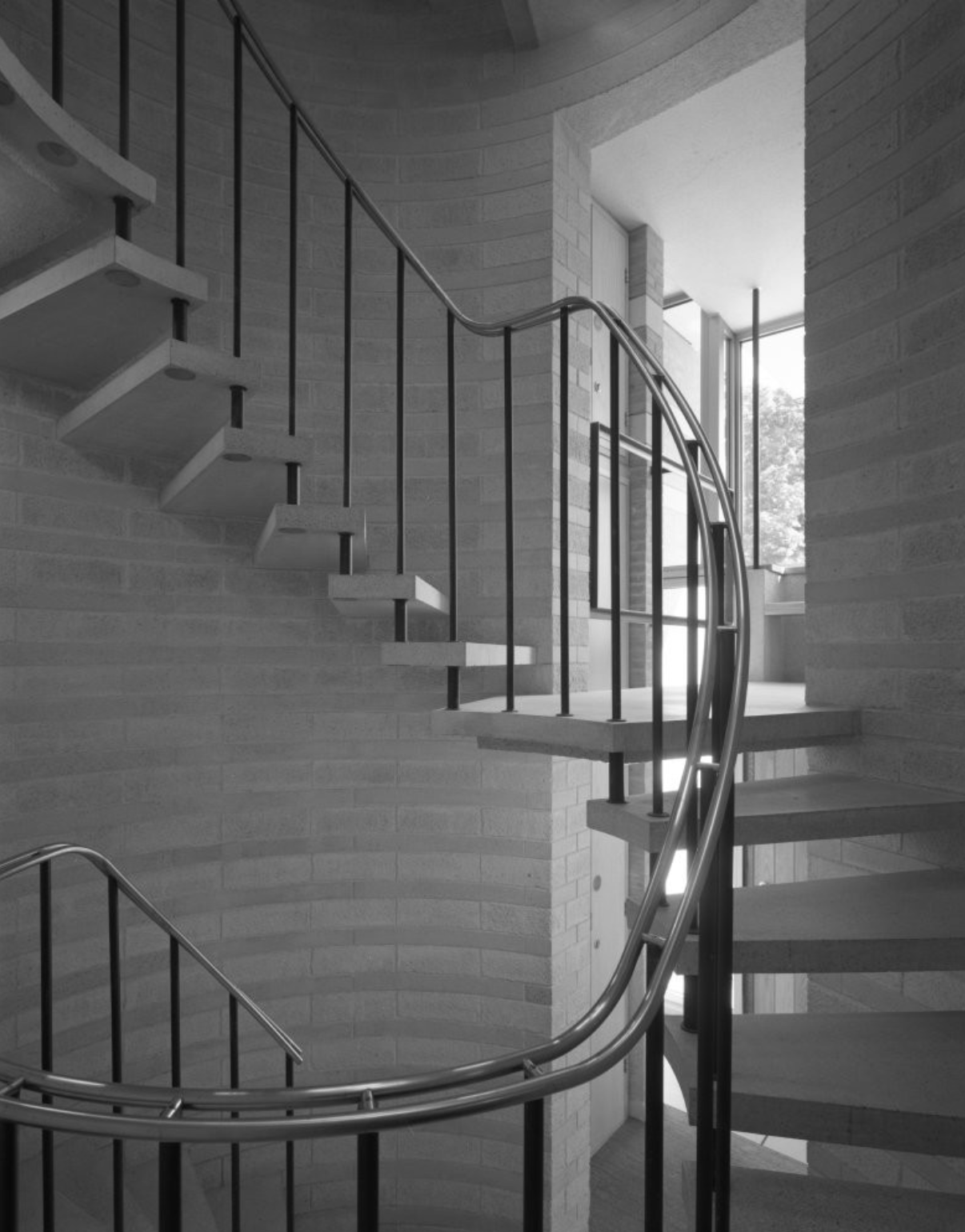
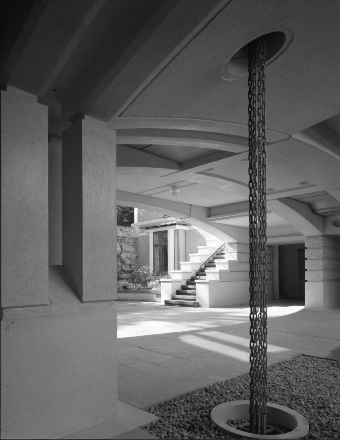
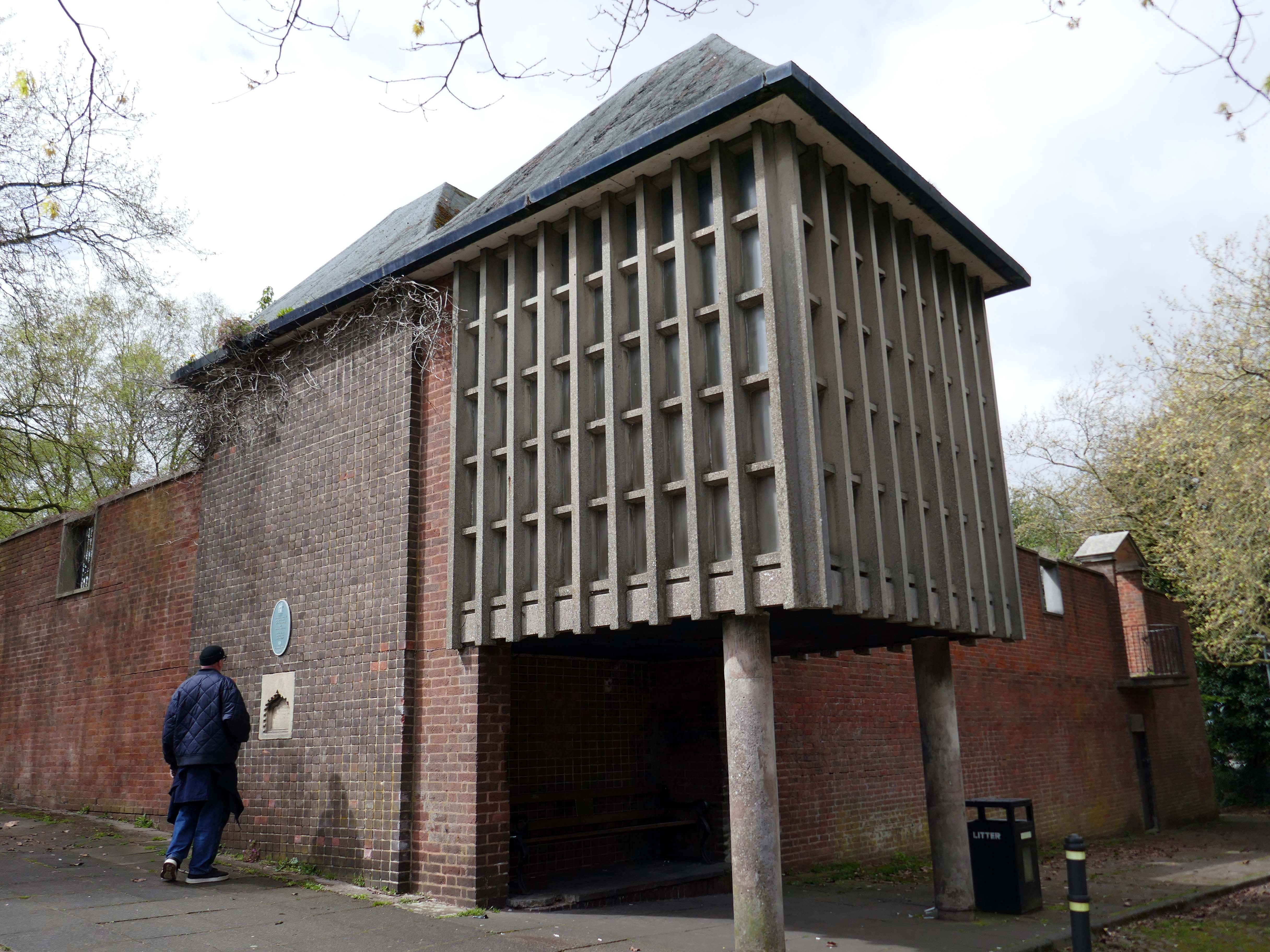
Ascending to the dizzy heights of the Grade II Listed Memorial Gardens 1953 by Geoffrey Jellicoe designed as a memorial to the dead of the two World Wars and said to mark a significant stage in the evolution of his principles of design.
Sir Geoffrey Jellicoe was one of the century’s greatest landscape architects. His contribution to landscape design has been described as equal to the 18th-century gardener Capability Brown. He was educated at Cheltenham College and then trained to be an architect at the Architectural Association. It was while at the AA that his interest in landscape was first kindled.
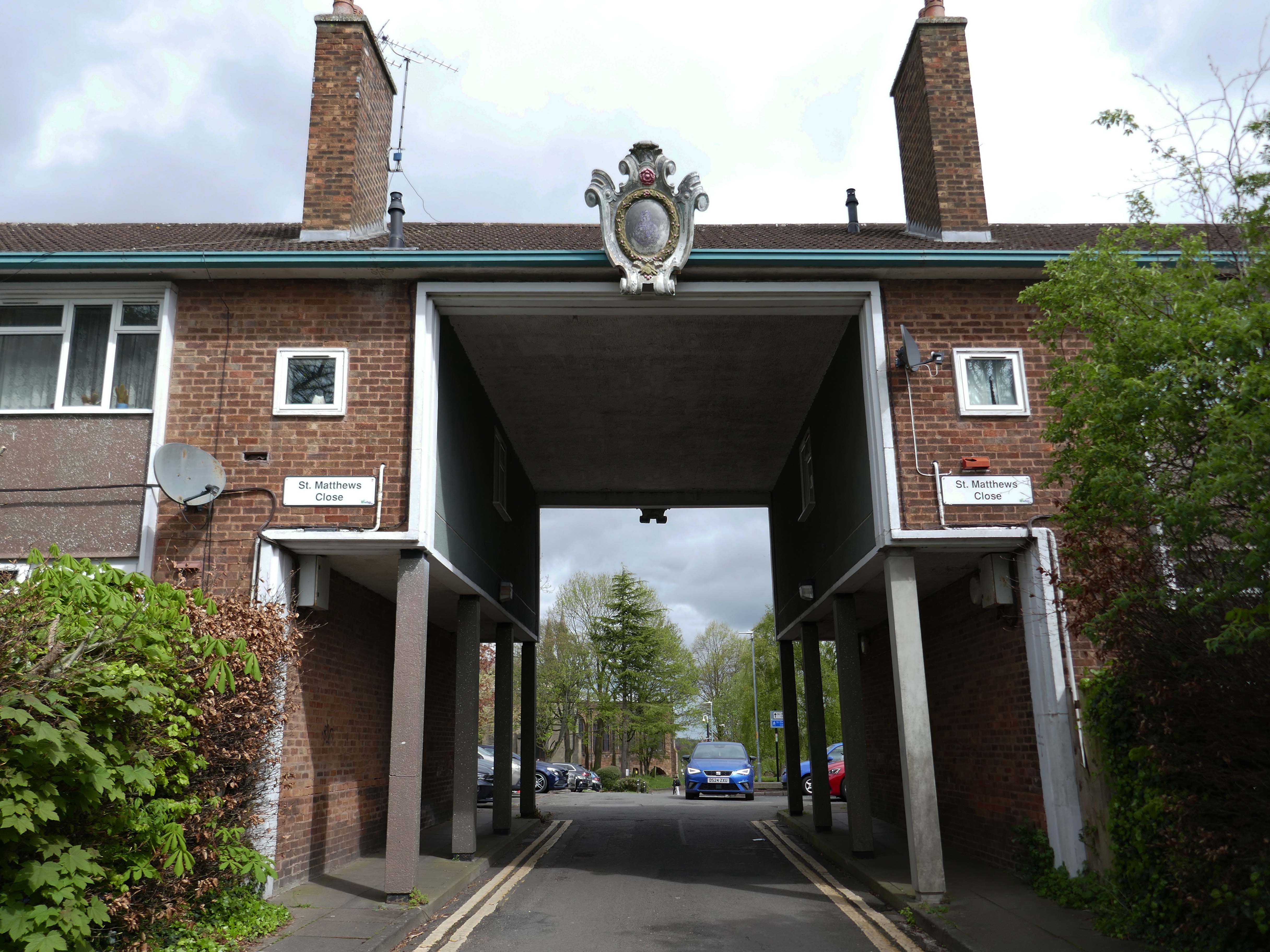
The second phase, comprising the building of the memorial chapel in the Memorial Garden, and the flats and Brotherhood or Church Hall to the south of the open space known as St Matthew’s Close, was completed c 1960
Of back down the hill onward to the Walsall School of Art.
Walsall’s art school’s history is a story of gradual growth and change, evolving from evening classes in a chapel to a modern art college. The Walsall School of Design and Ornamental Art, founded in 1854 as an evening class, operated from 1861 at the Goodall Street Baptist Chapel and eventually became the Walsall College of Art.
To celebrate Queen Victoria’s Golden Jubilee, the Walsall Science and Art Institute was opened in 1888 at Bradford Place. In 1897, it was transferred to the Town Council and renamed the Walsall Municipal Science & Art Institute. In 1926, the institute was renamed Walsall Technical College. Post-war demand led to the establishment of the Walsall and Staffordshire Technical College at Wisemore – now St Paul’s Street, in 1952. The Walsall College of Art officially merged with the College of Technology in 1992 to form Walsall College of Arts and Technology – now simply Walsall College. The college maintains strong historical ties to local industries, such as the leather trade.
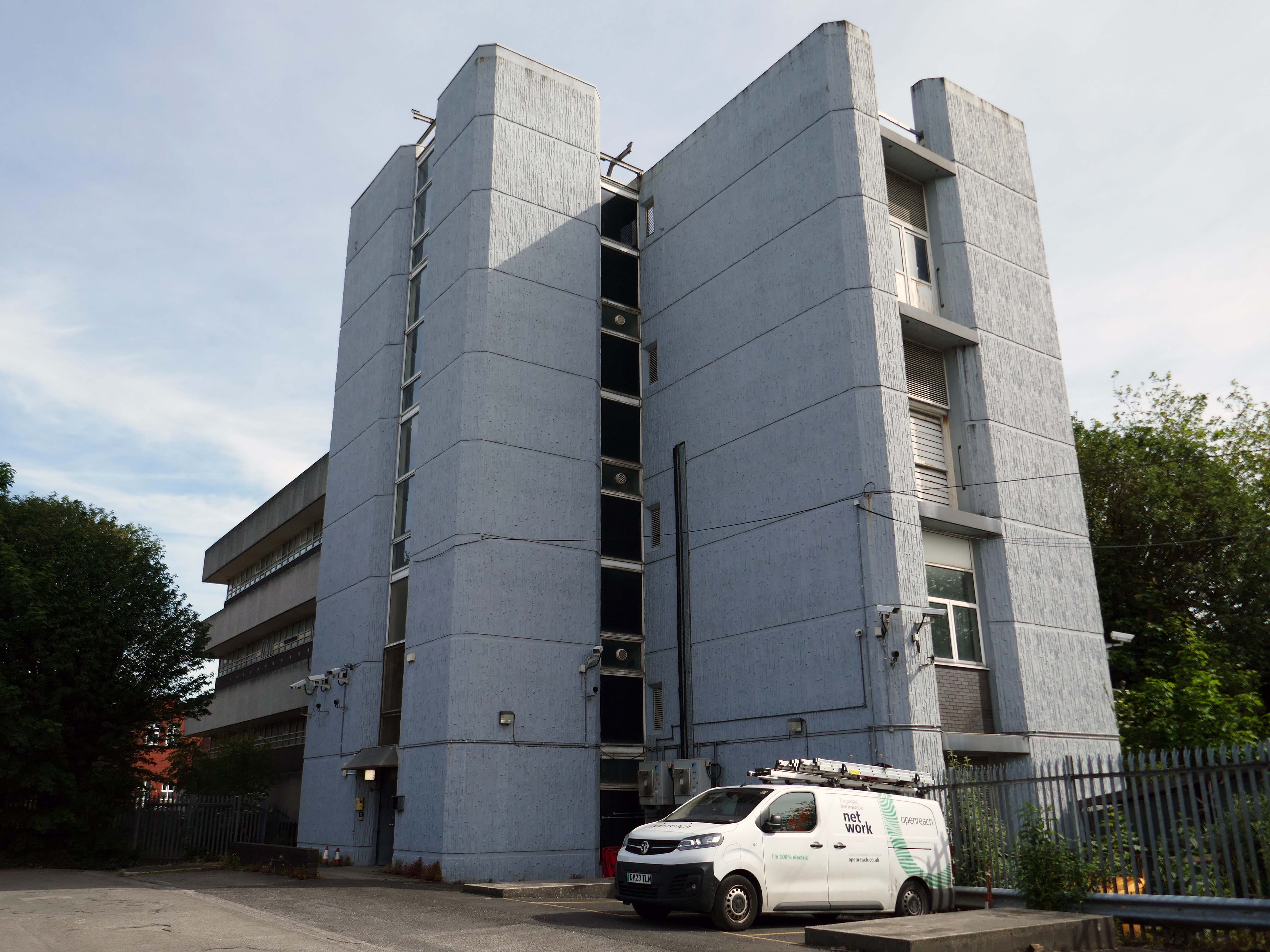
Further on there’s an enormous Telephone Exchange comprising fifties and seventies buildings.
Across the way a large system built block on a podium base.
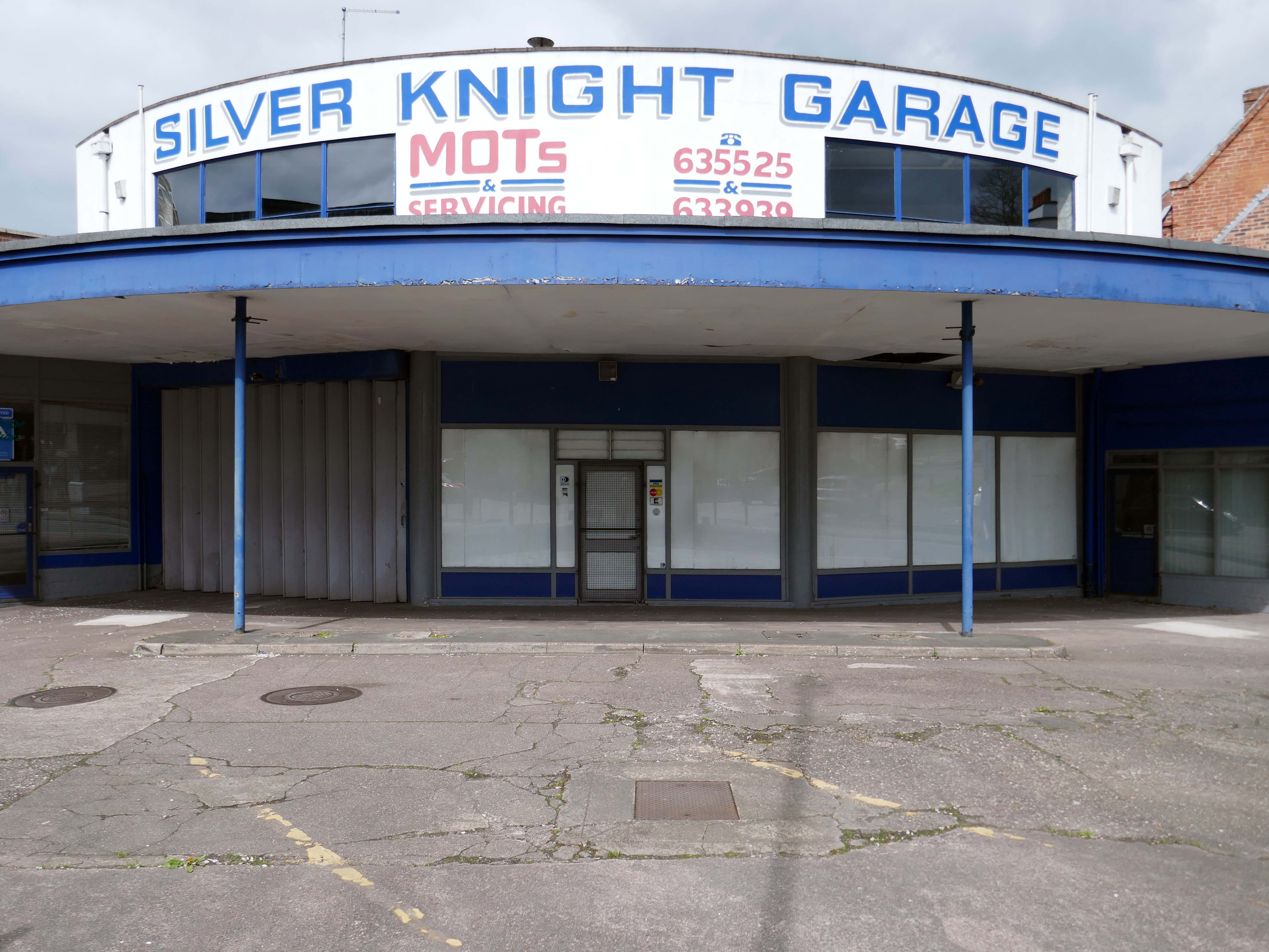
Standing on the corner where it has always stood the Silver Knight Garage.
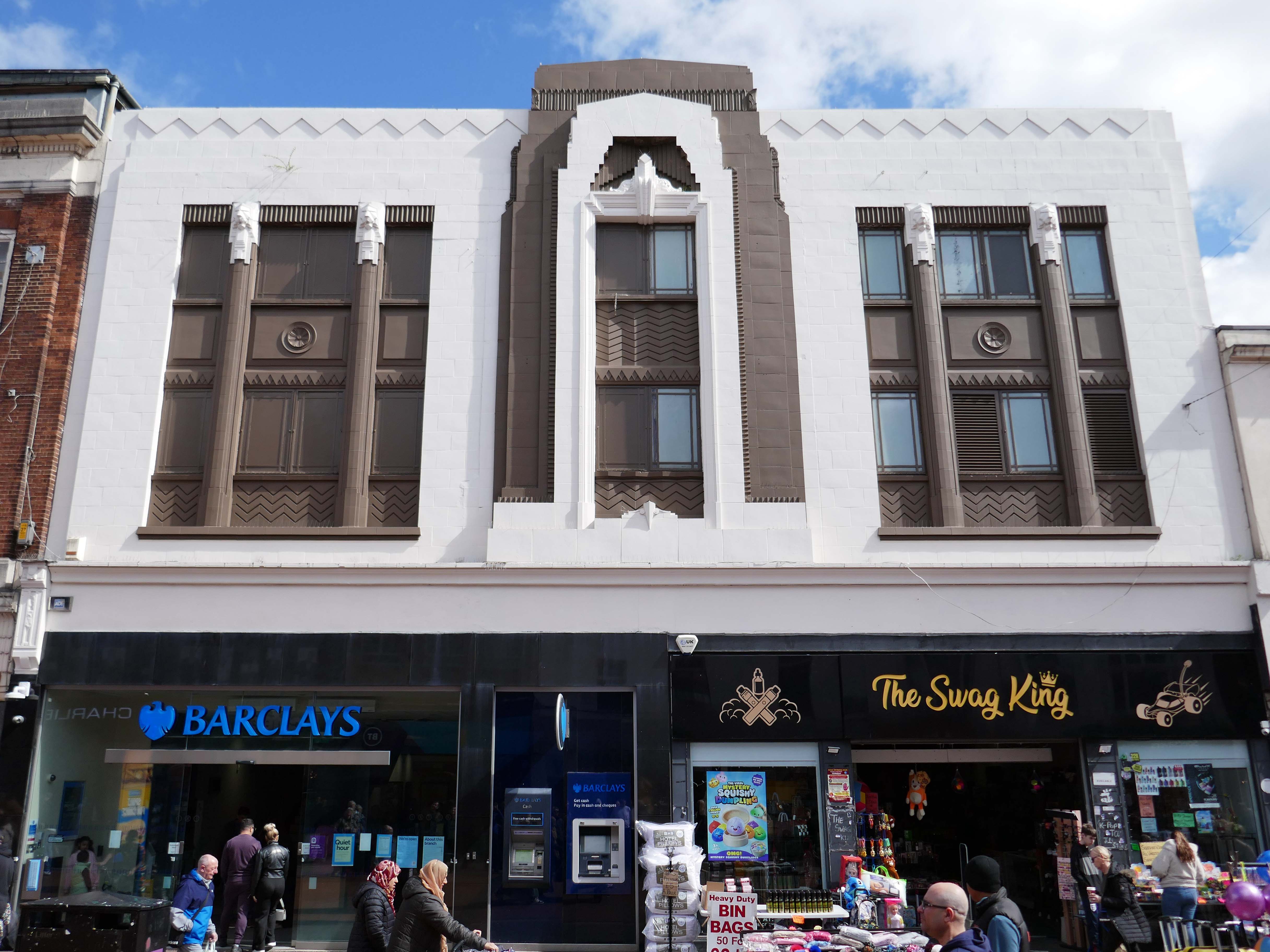
Heading back into the town centre, picking up on there’s a former Woolworths that looks like a Burton’s that thinks it’s a Barclays Bank, and also improbably a Swag King.
1933 by FW Woolworth Construction Dept – H Wimbourne
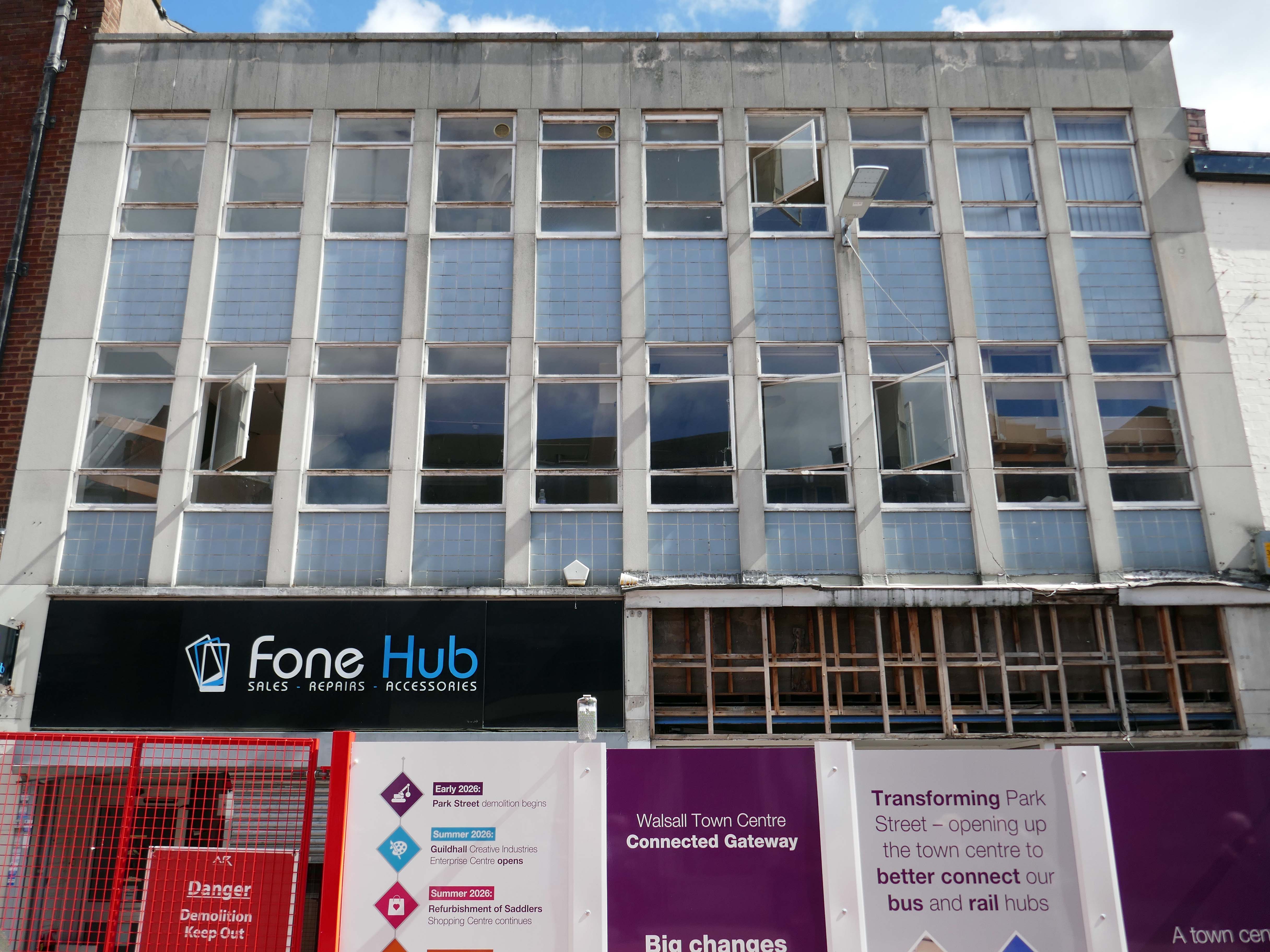
Next an indeterminate infill with pale blue panels and central pivoting metal window frames, soon to be demolished along with its neighbours, as part of the Connected Gateway Project.
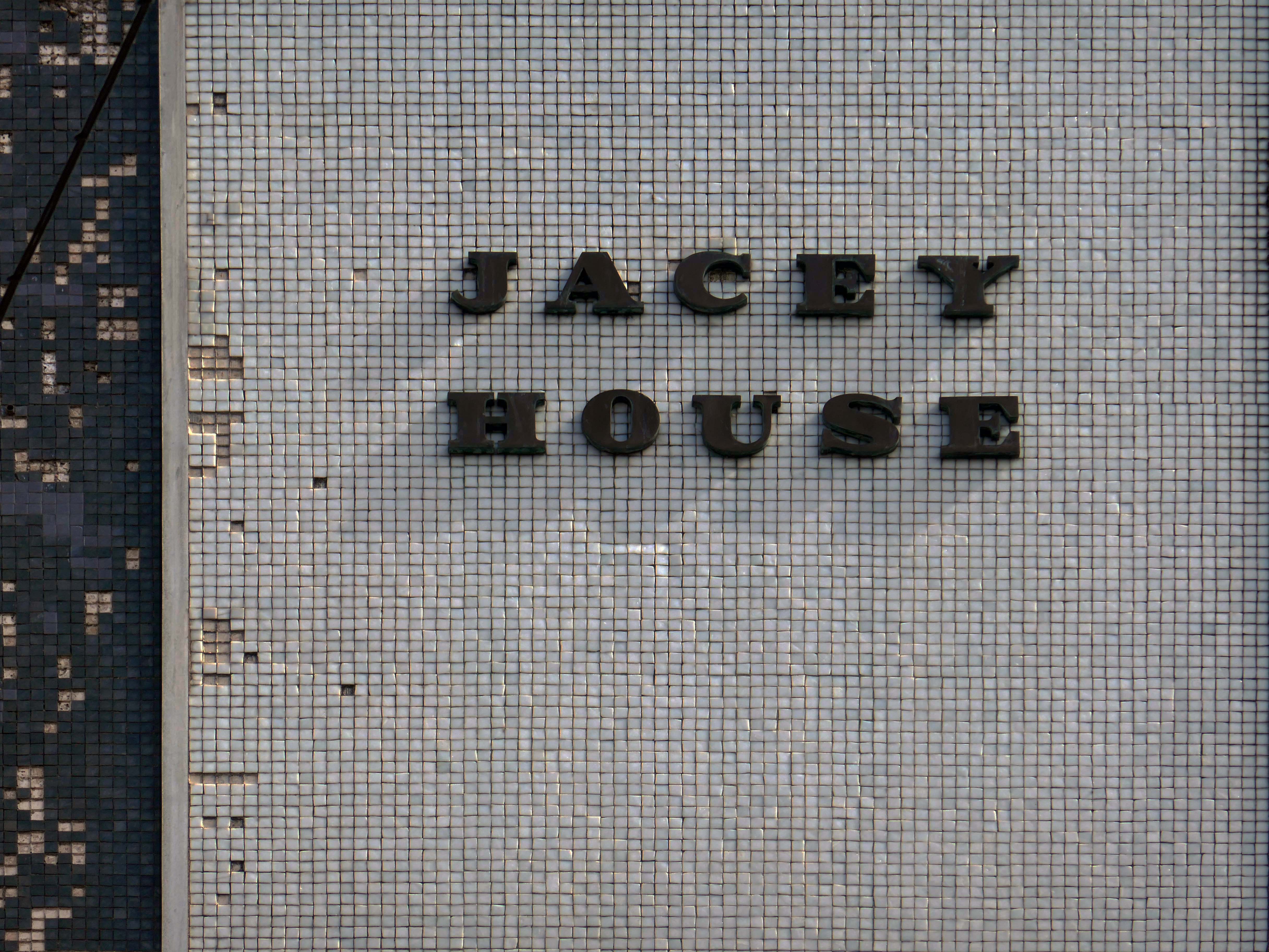
Possibly a former BHS – known as Jacey House.
Next up Park Place.
Ai says – notable features include Park Place Meats – a town centre butcher, and Park Place Shoe Repairs, which offers engraving and key-cutting services.
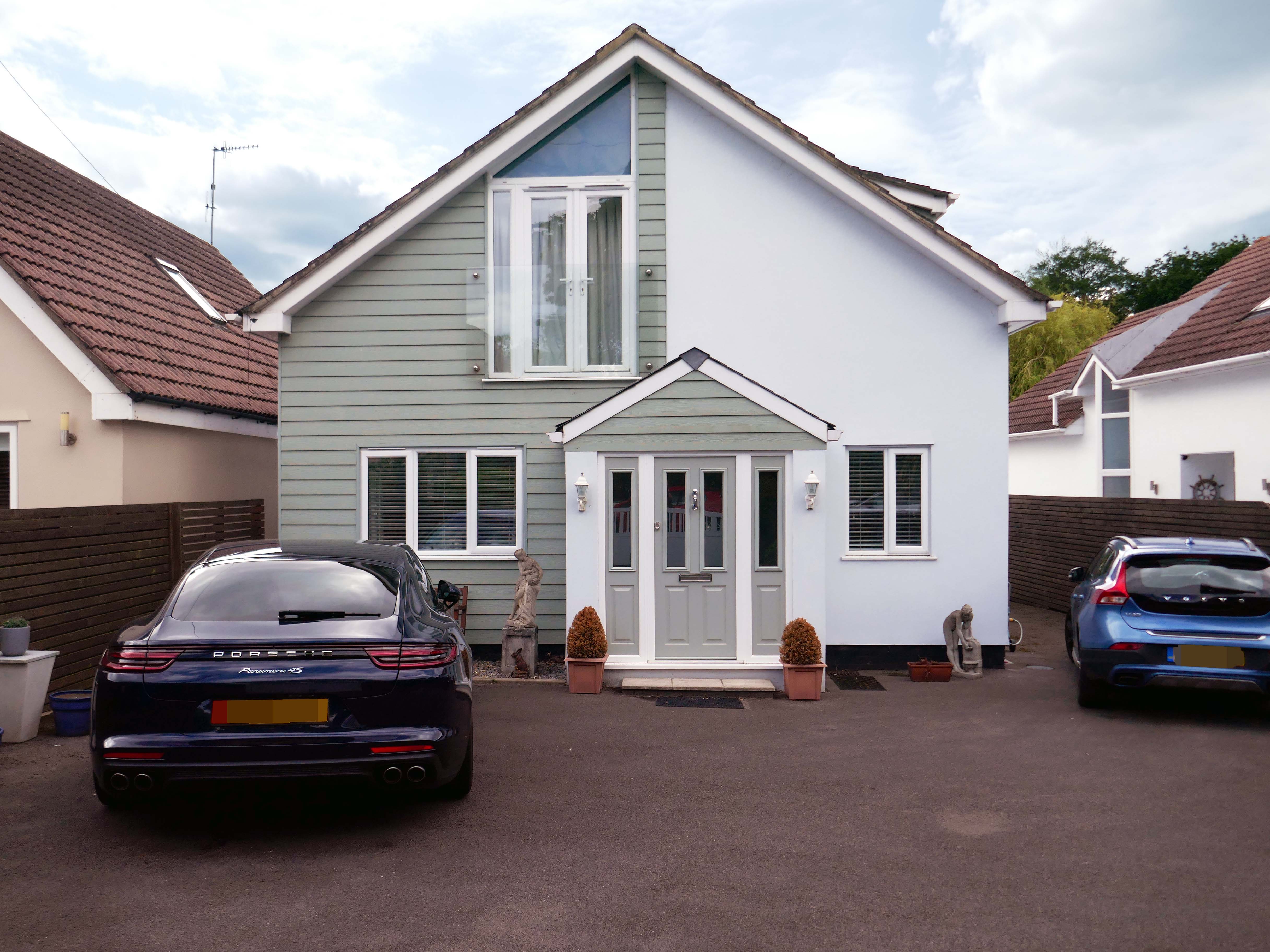
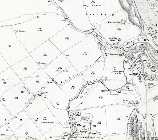
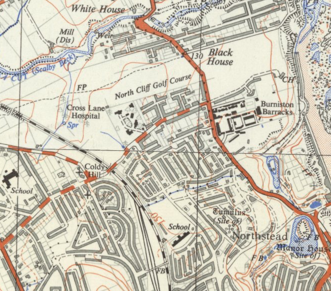
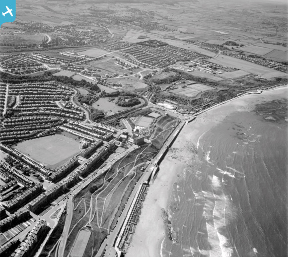
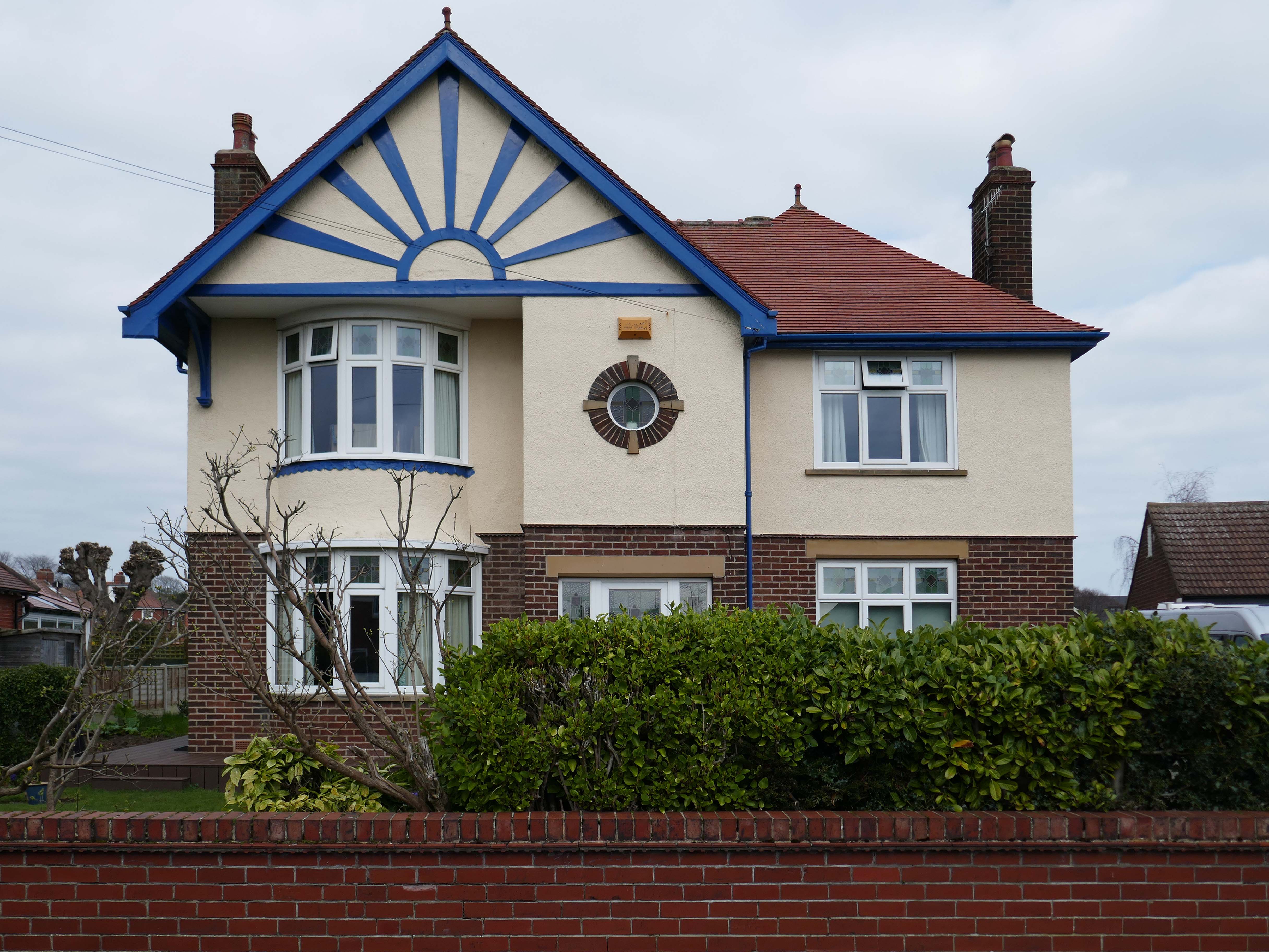
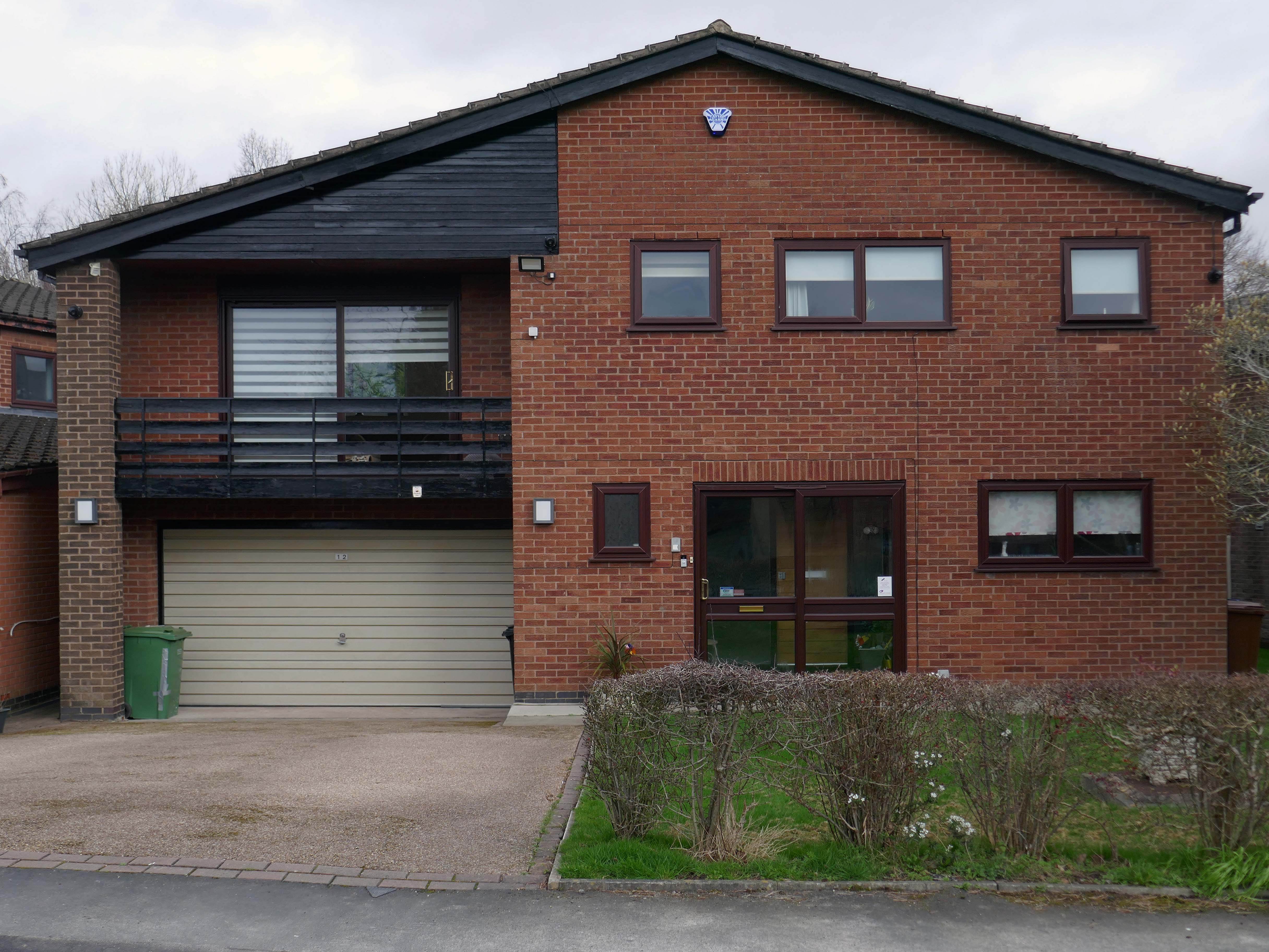
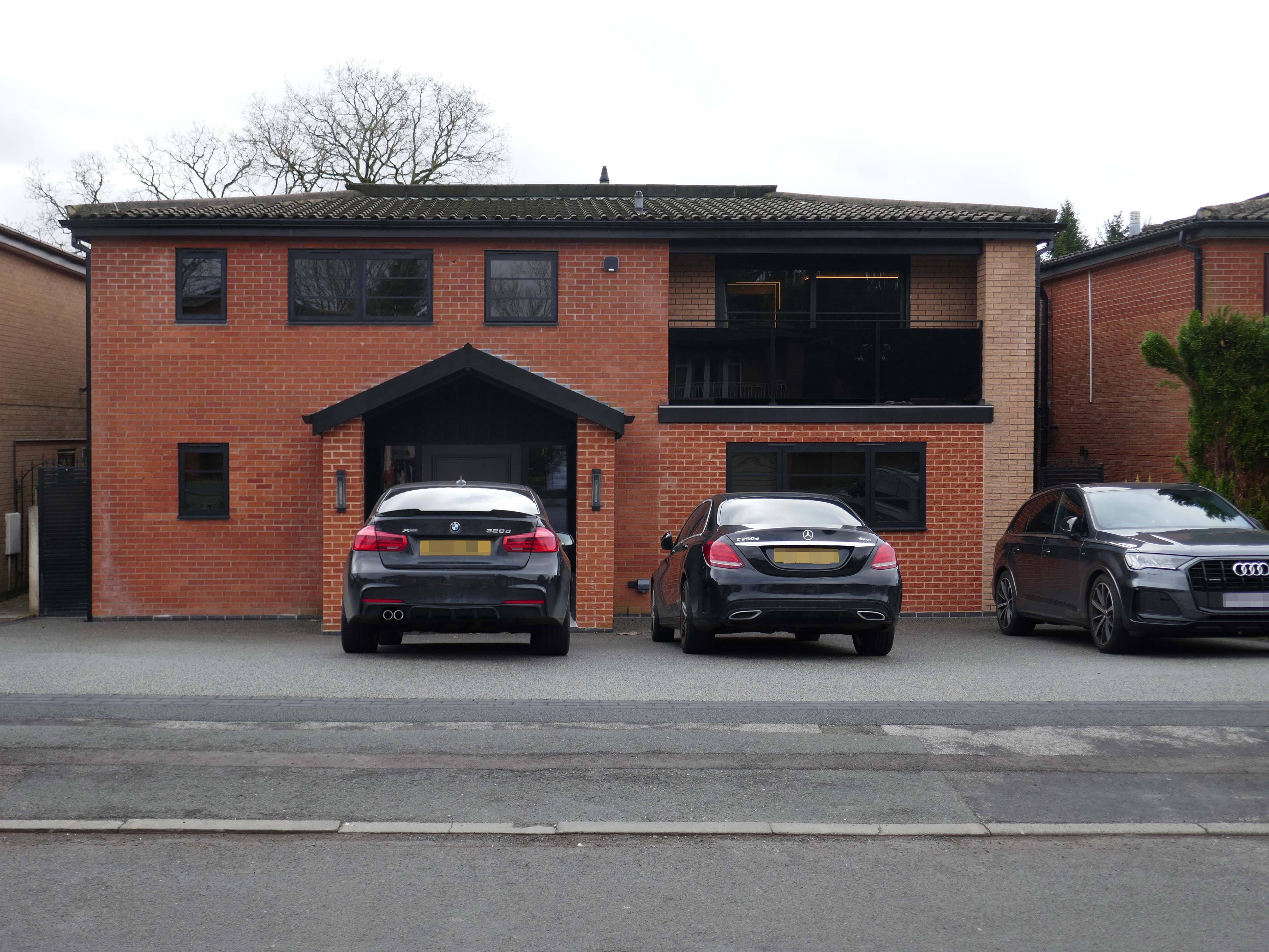
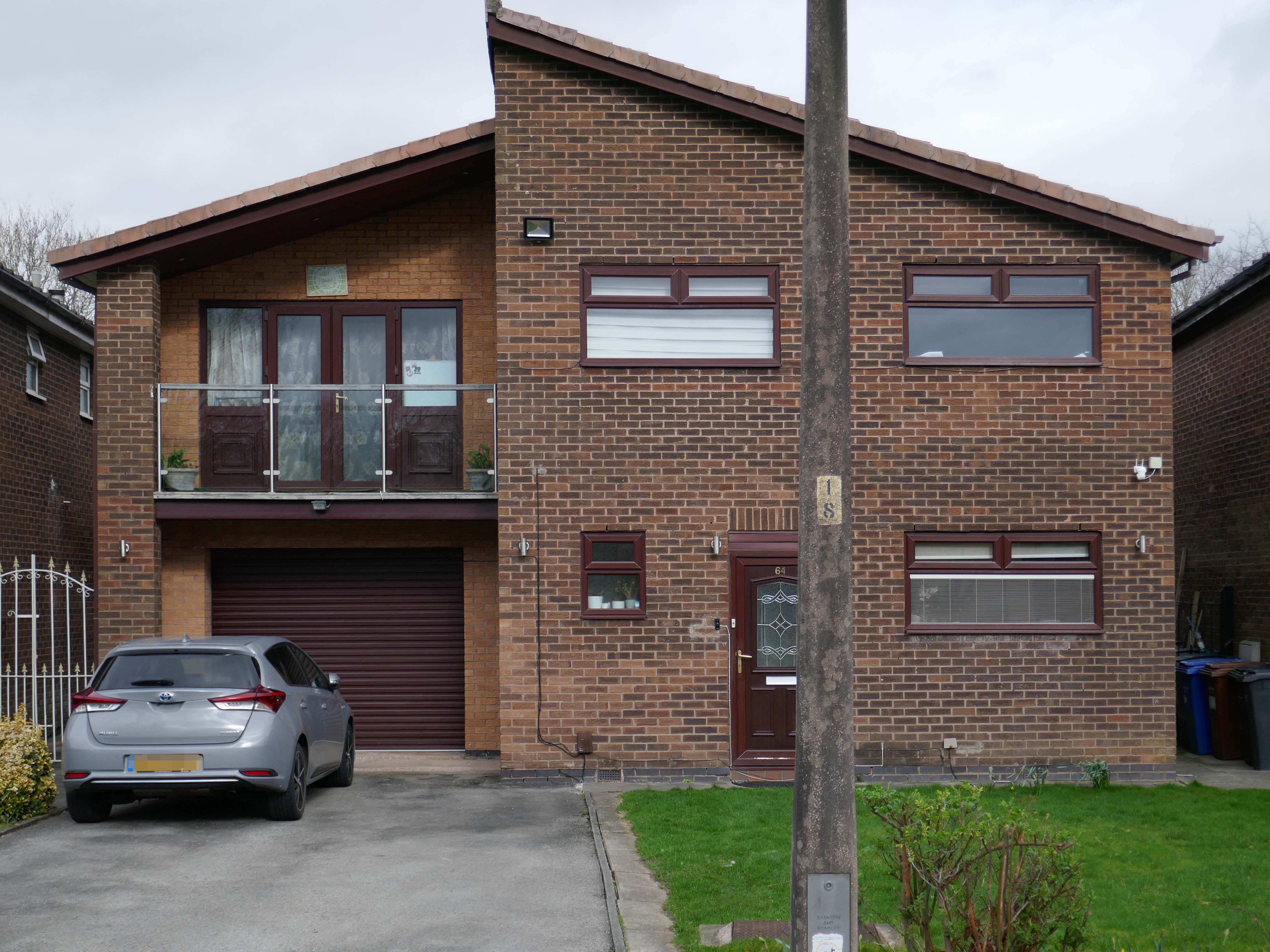
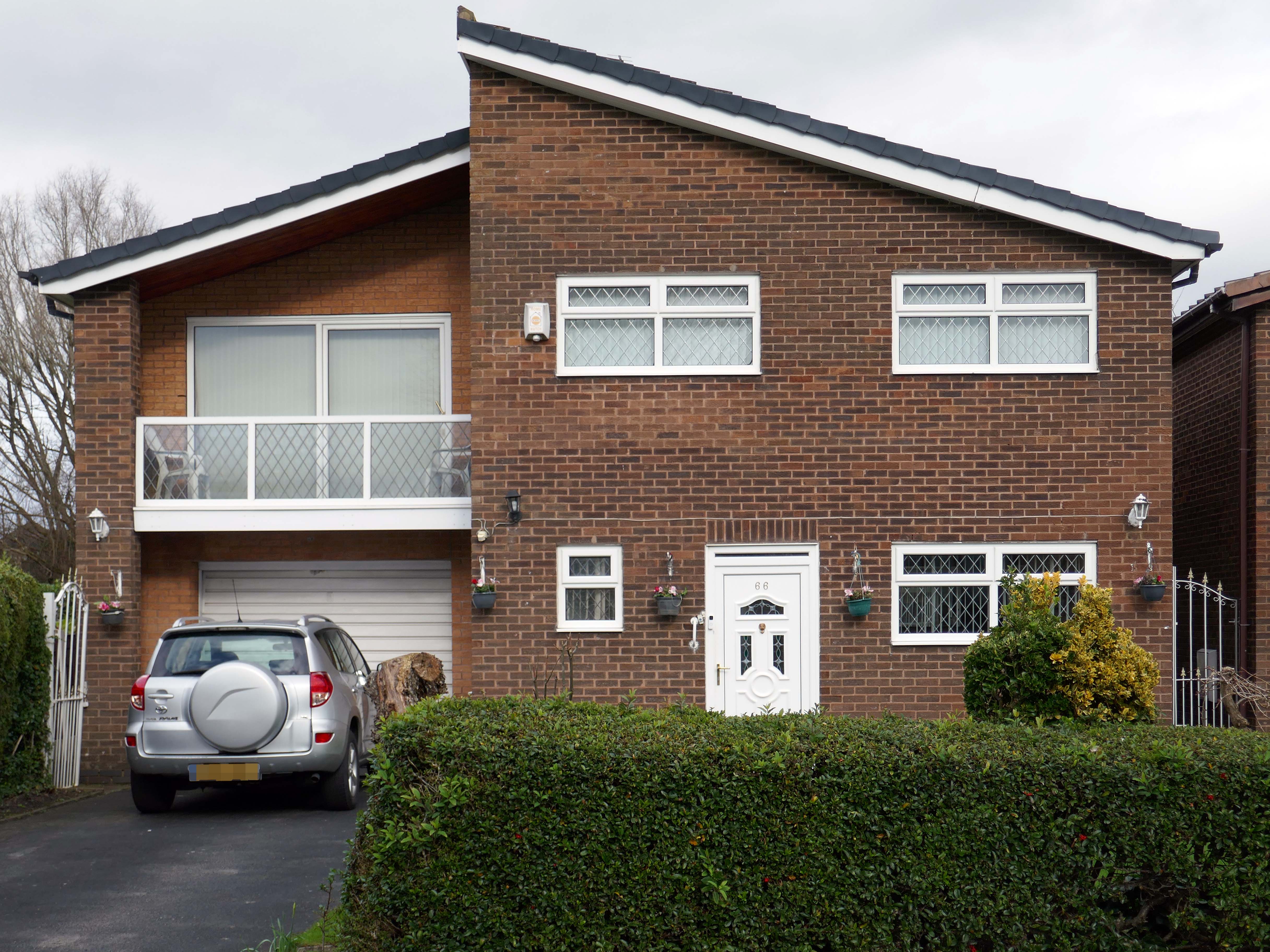
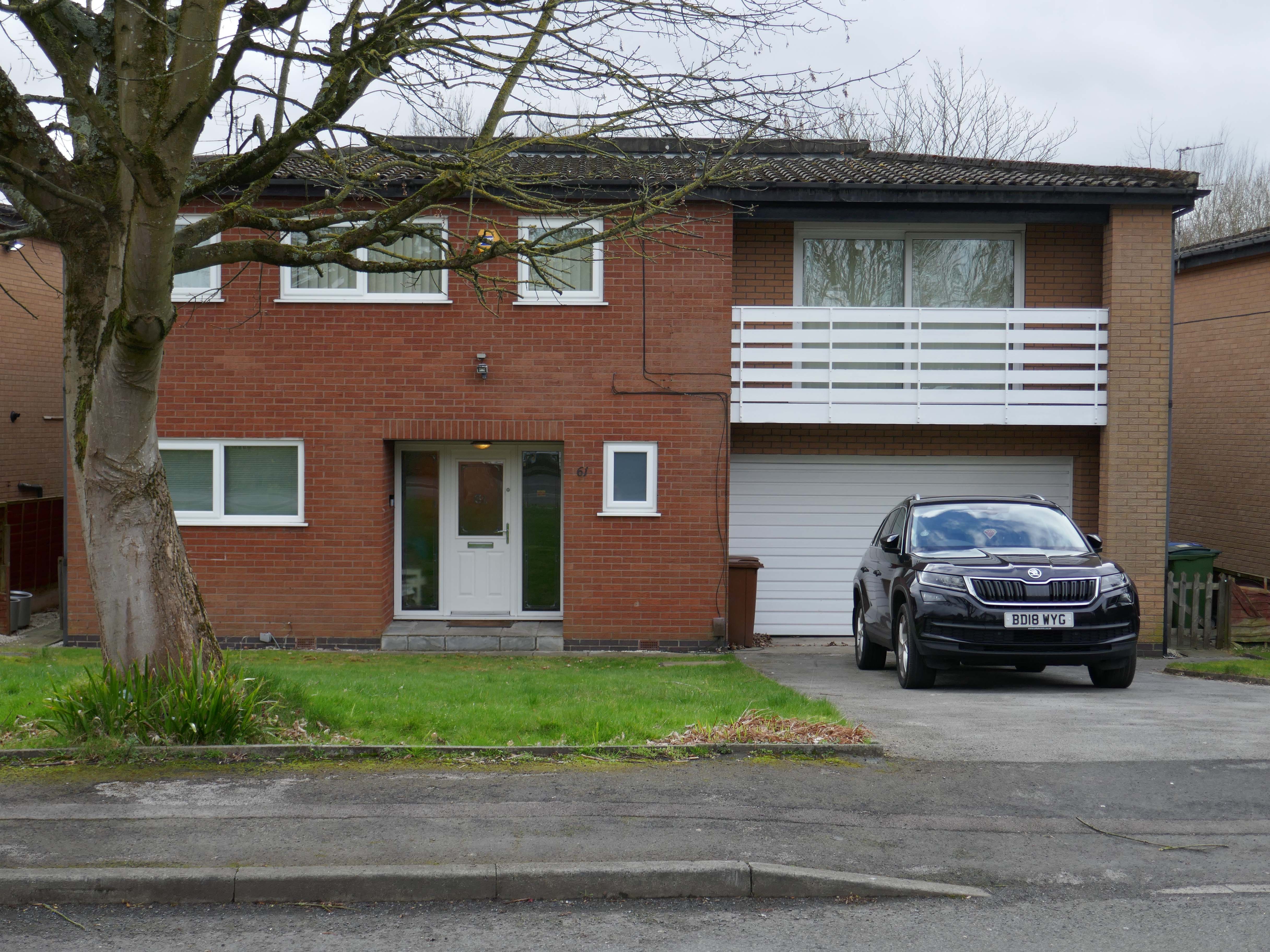
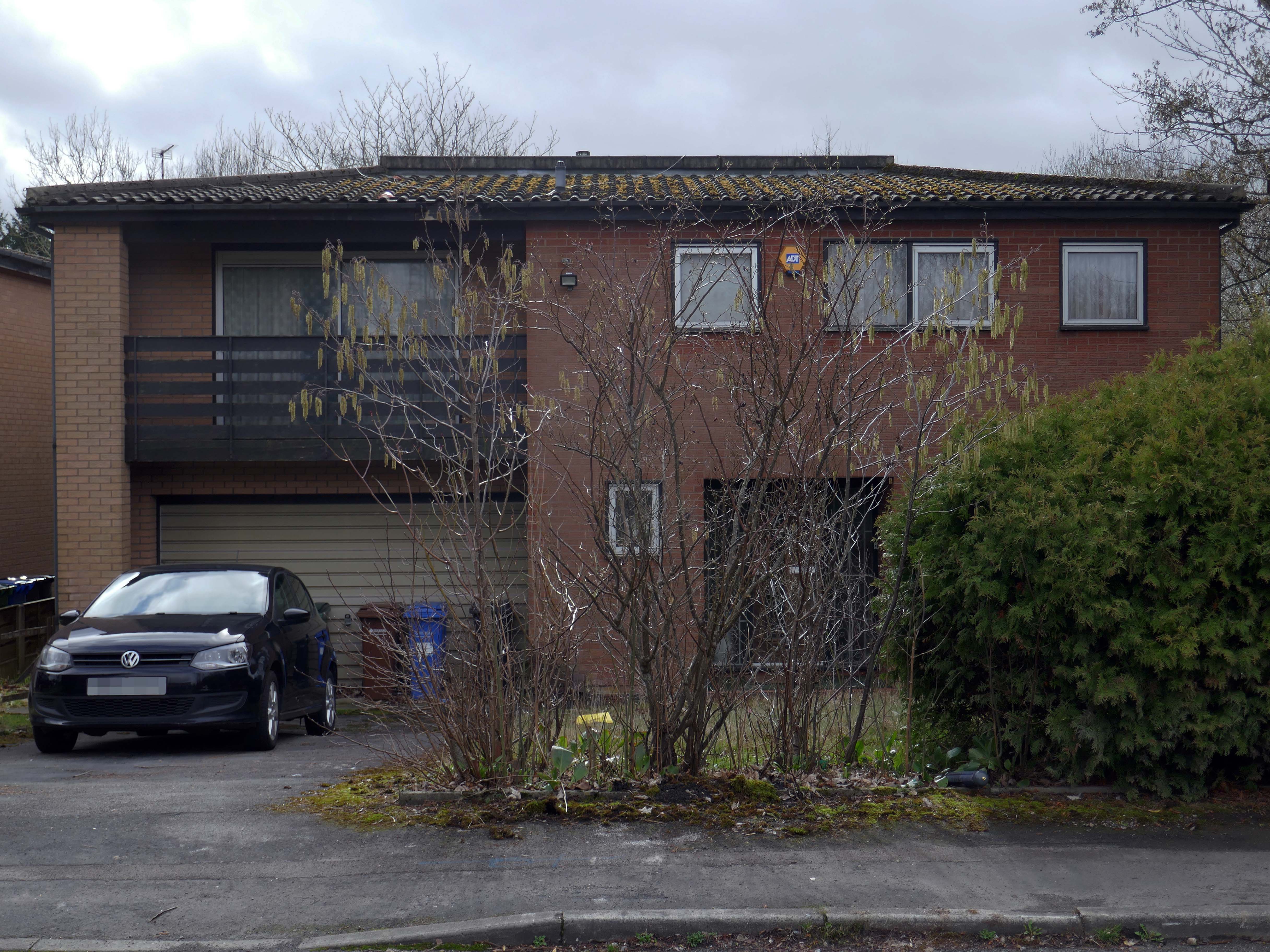
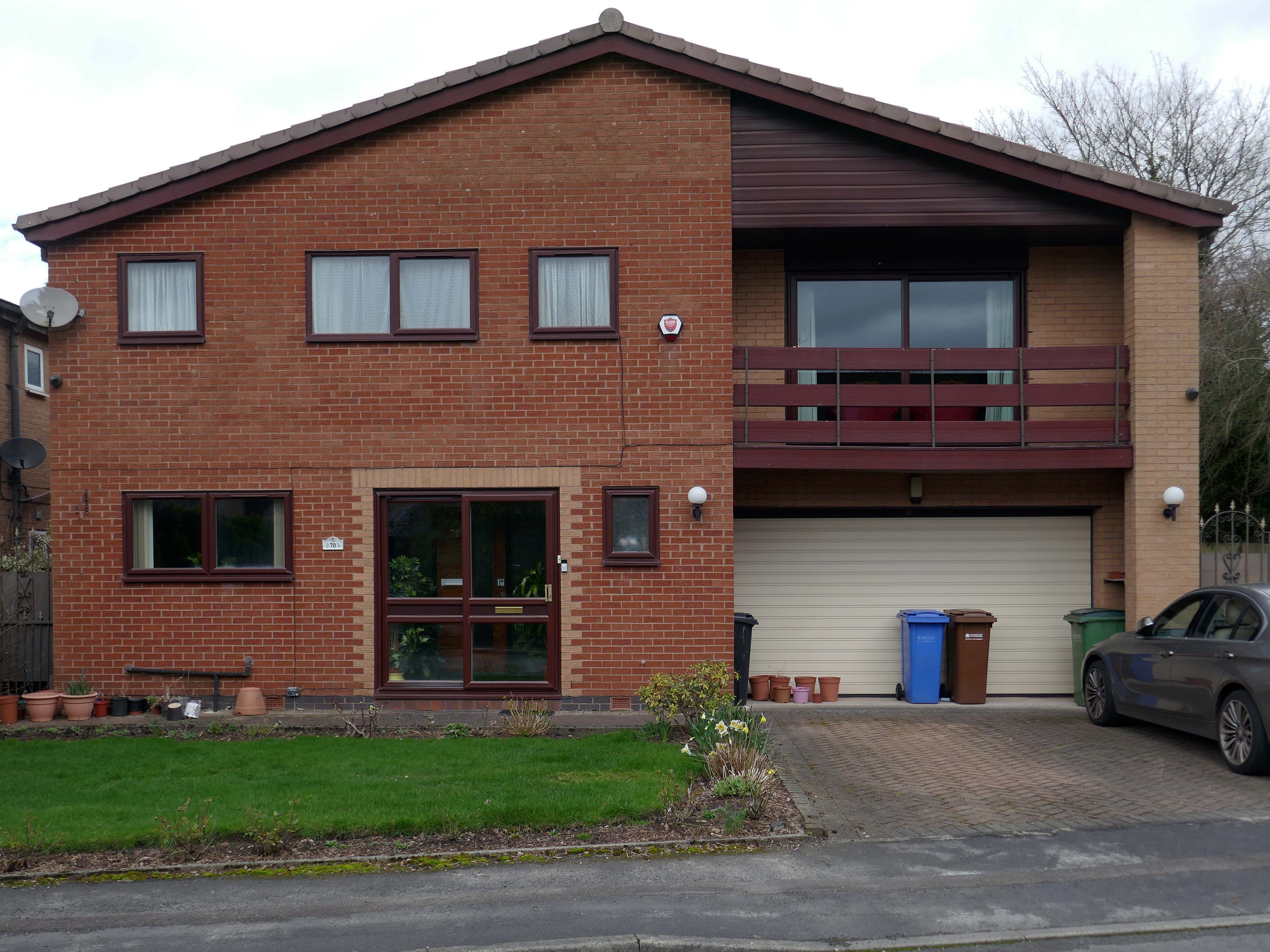
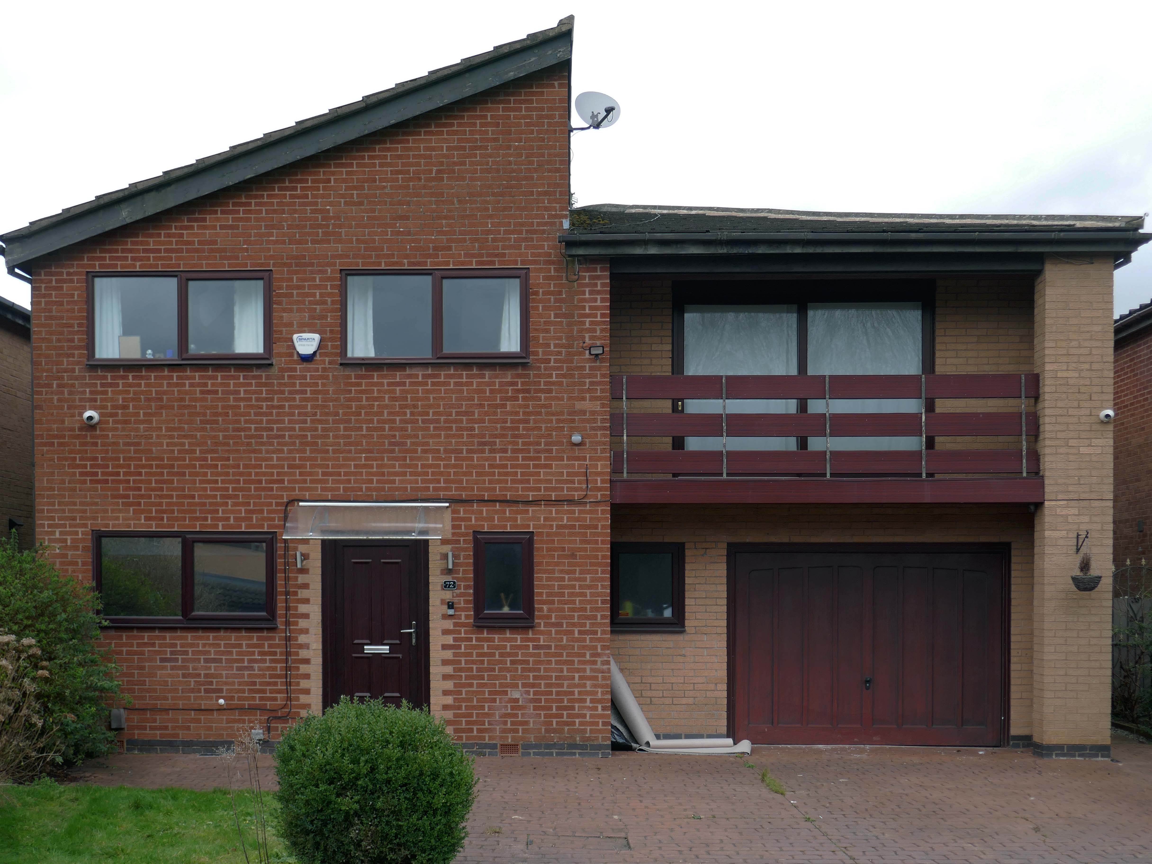
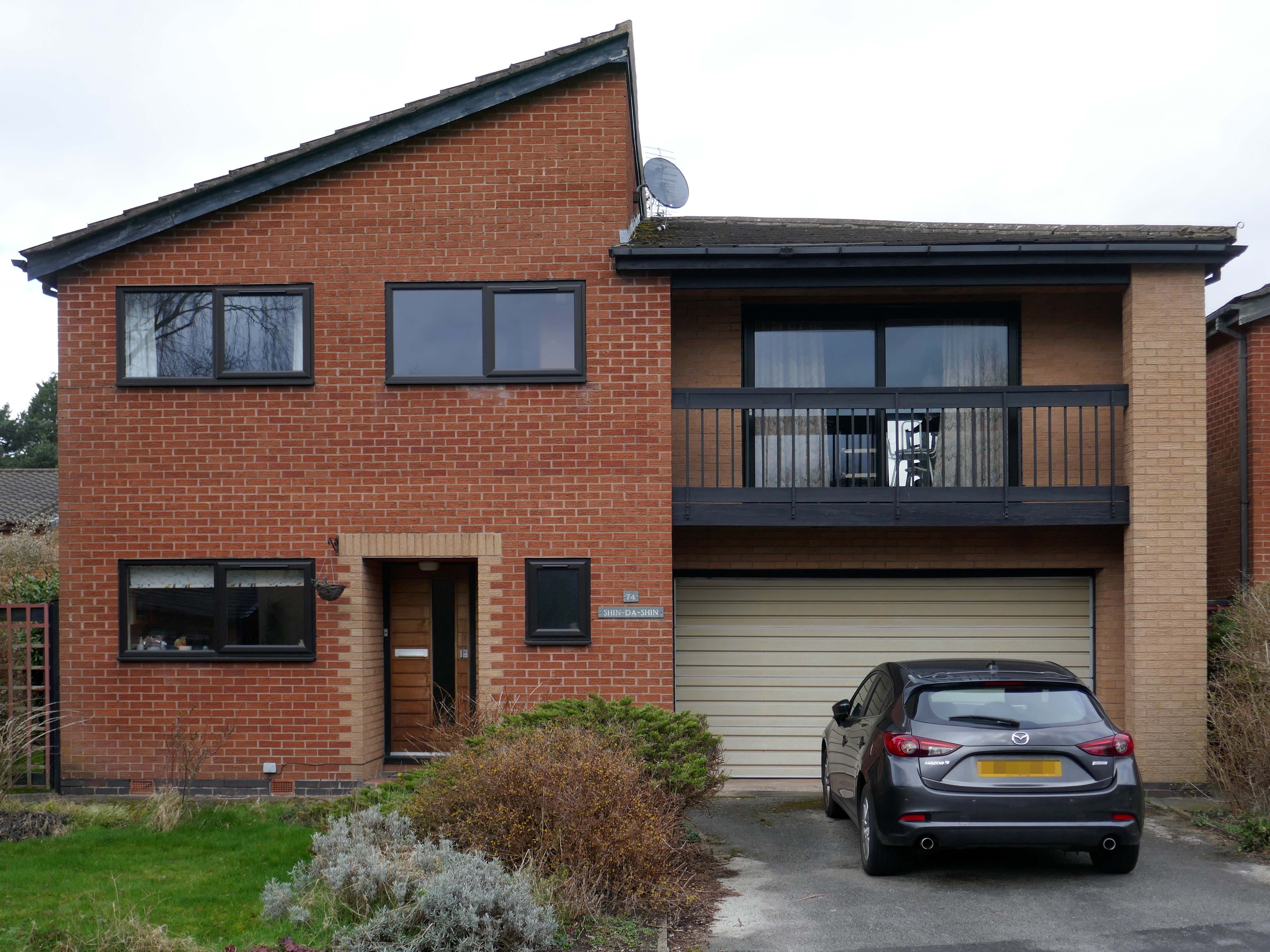
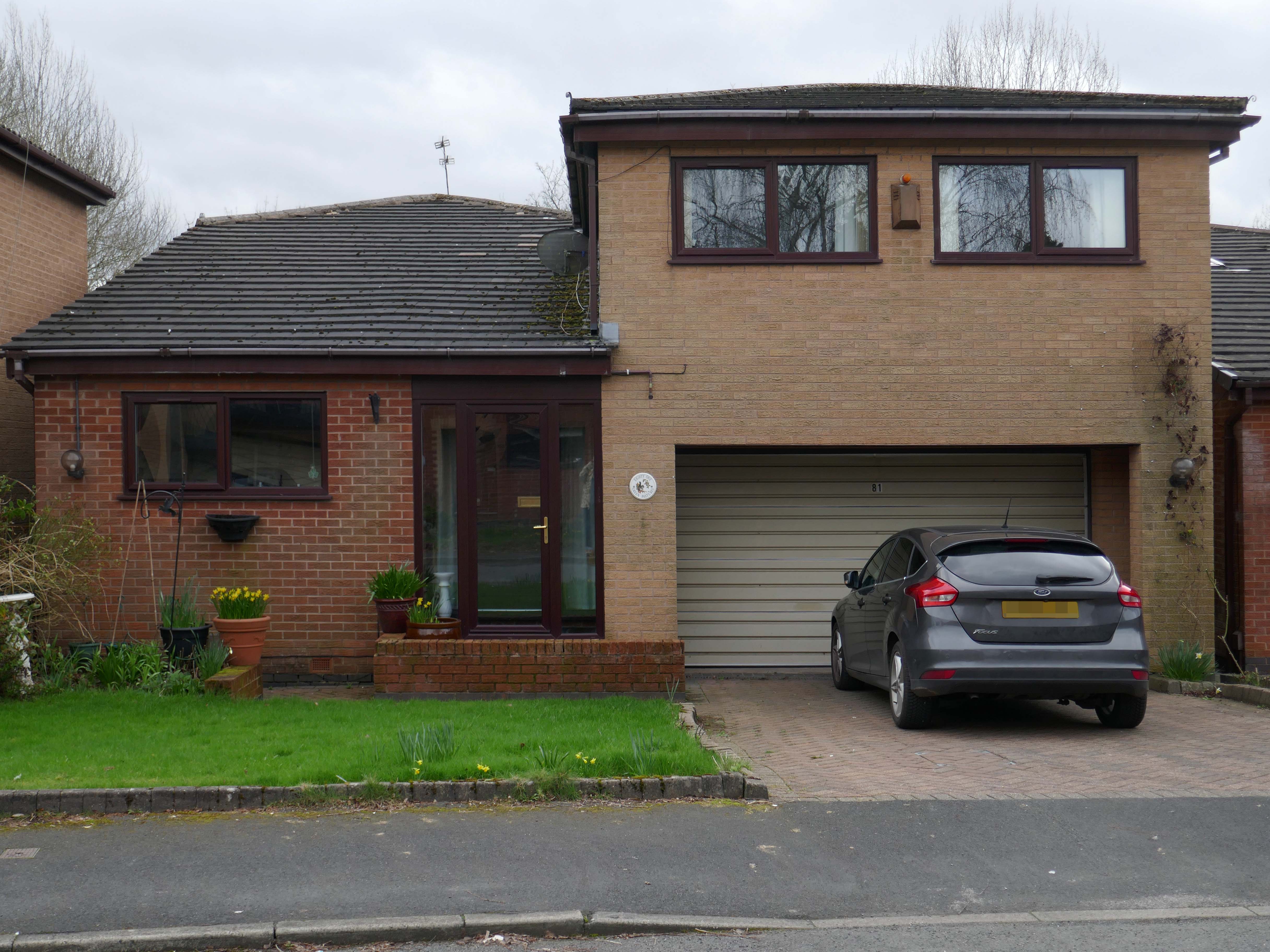
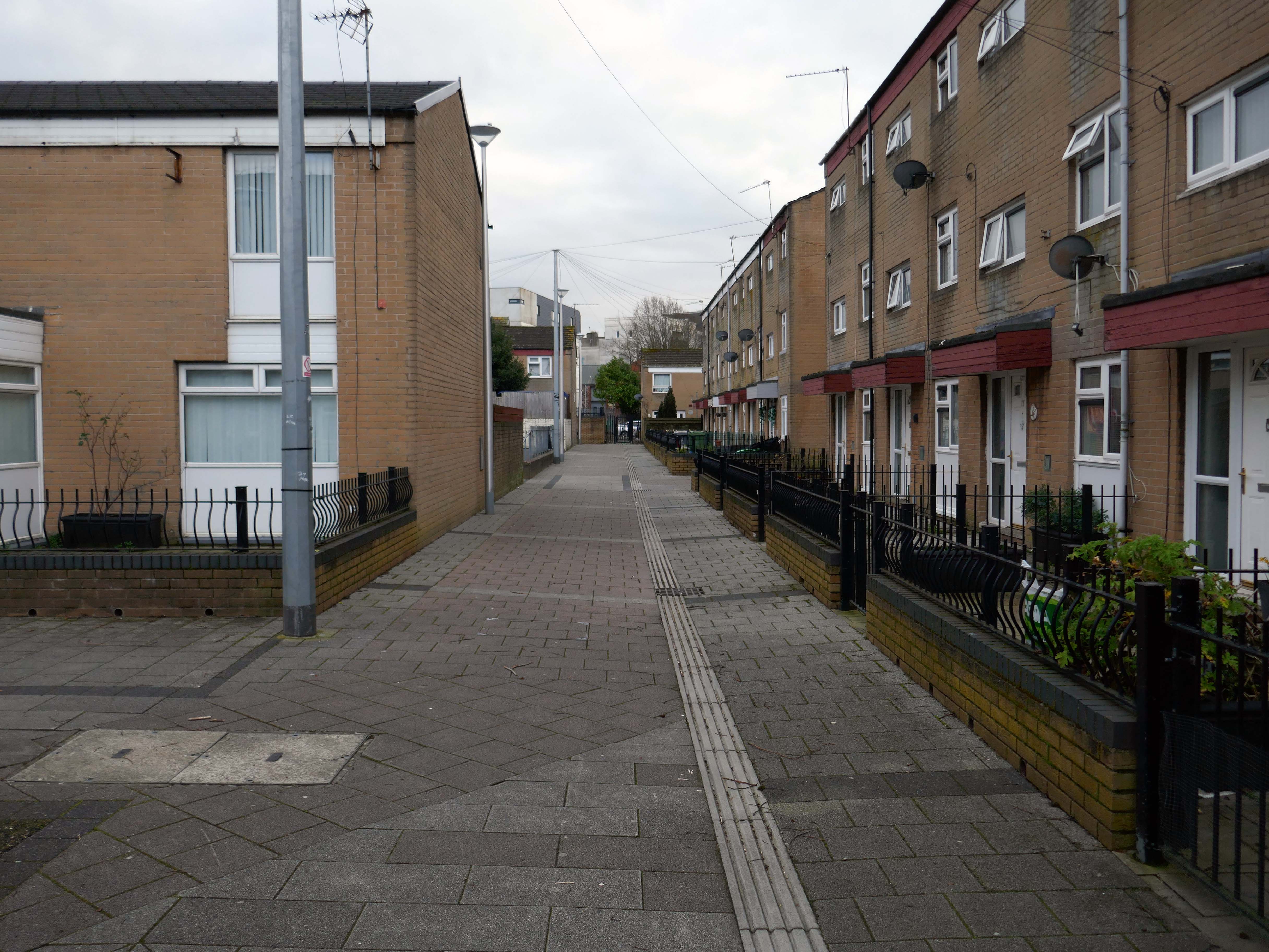
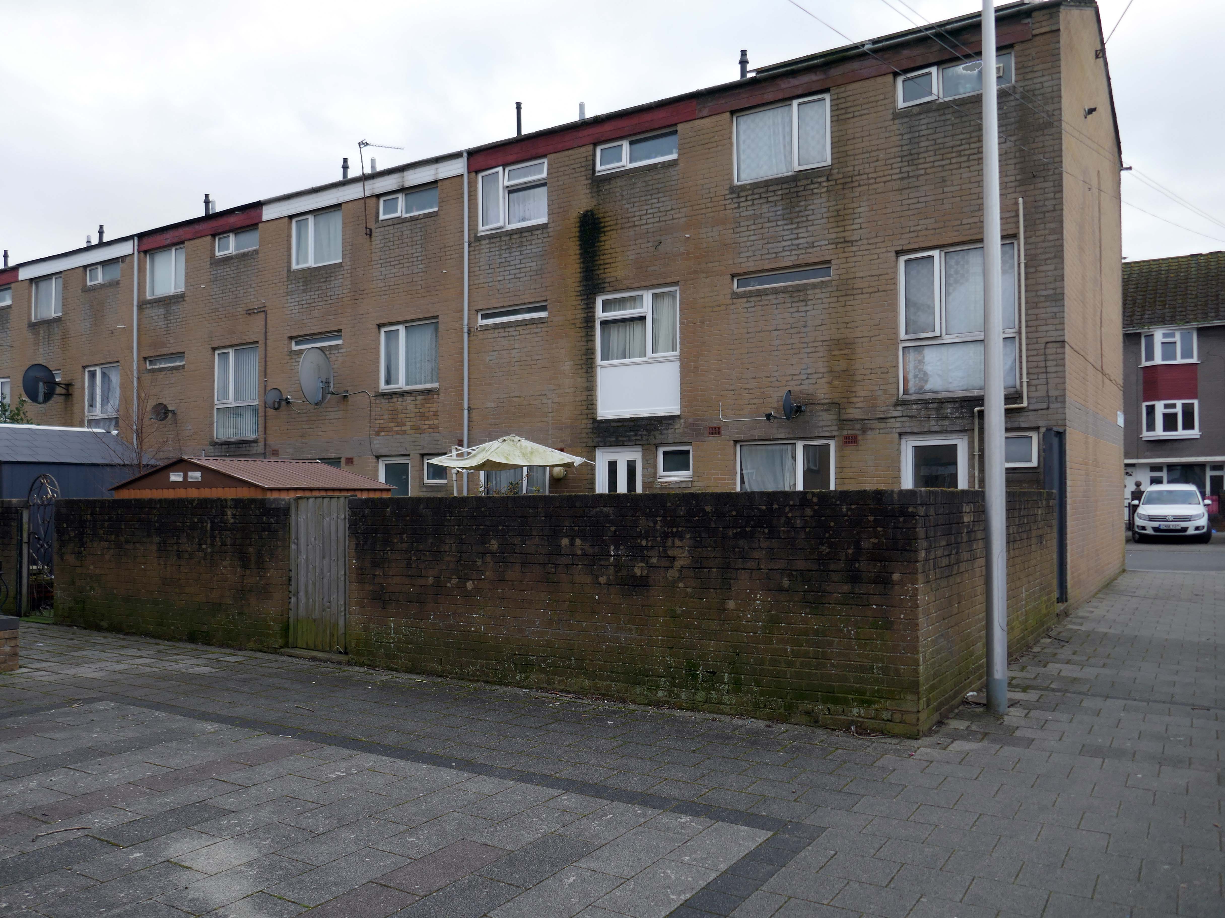
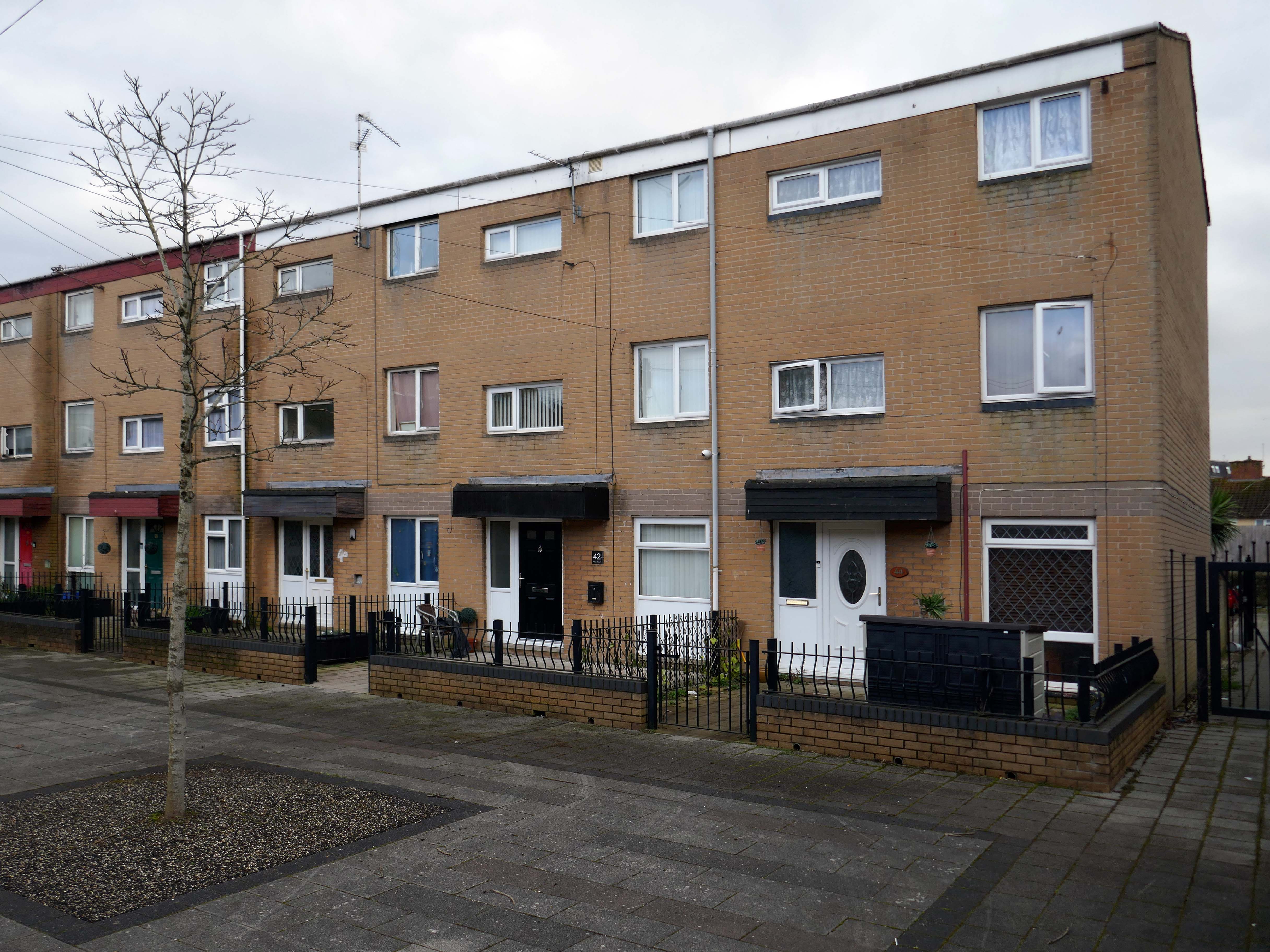
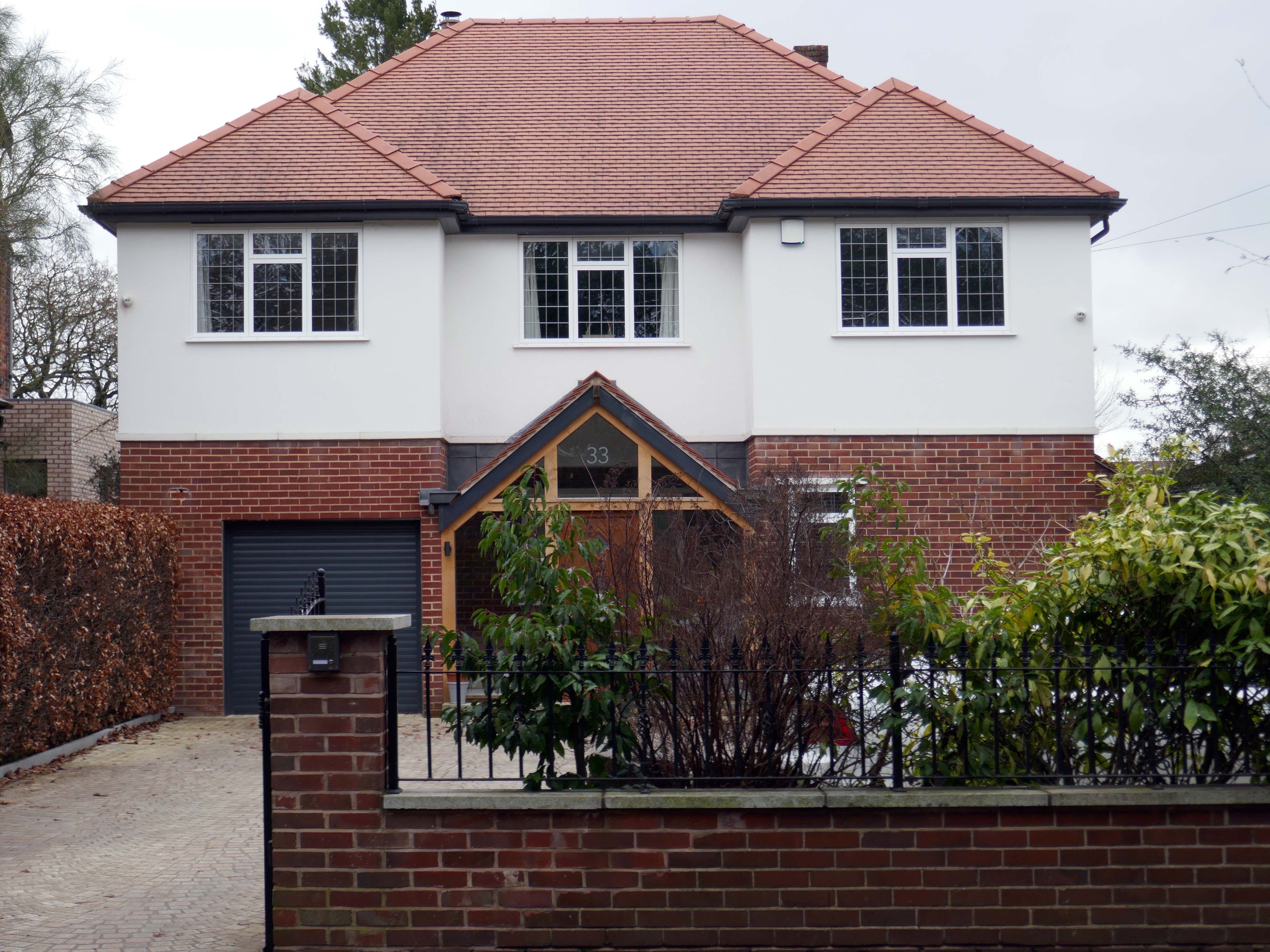
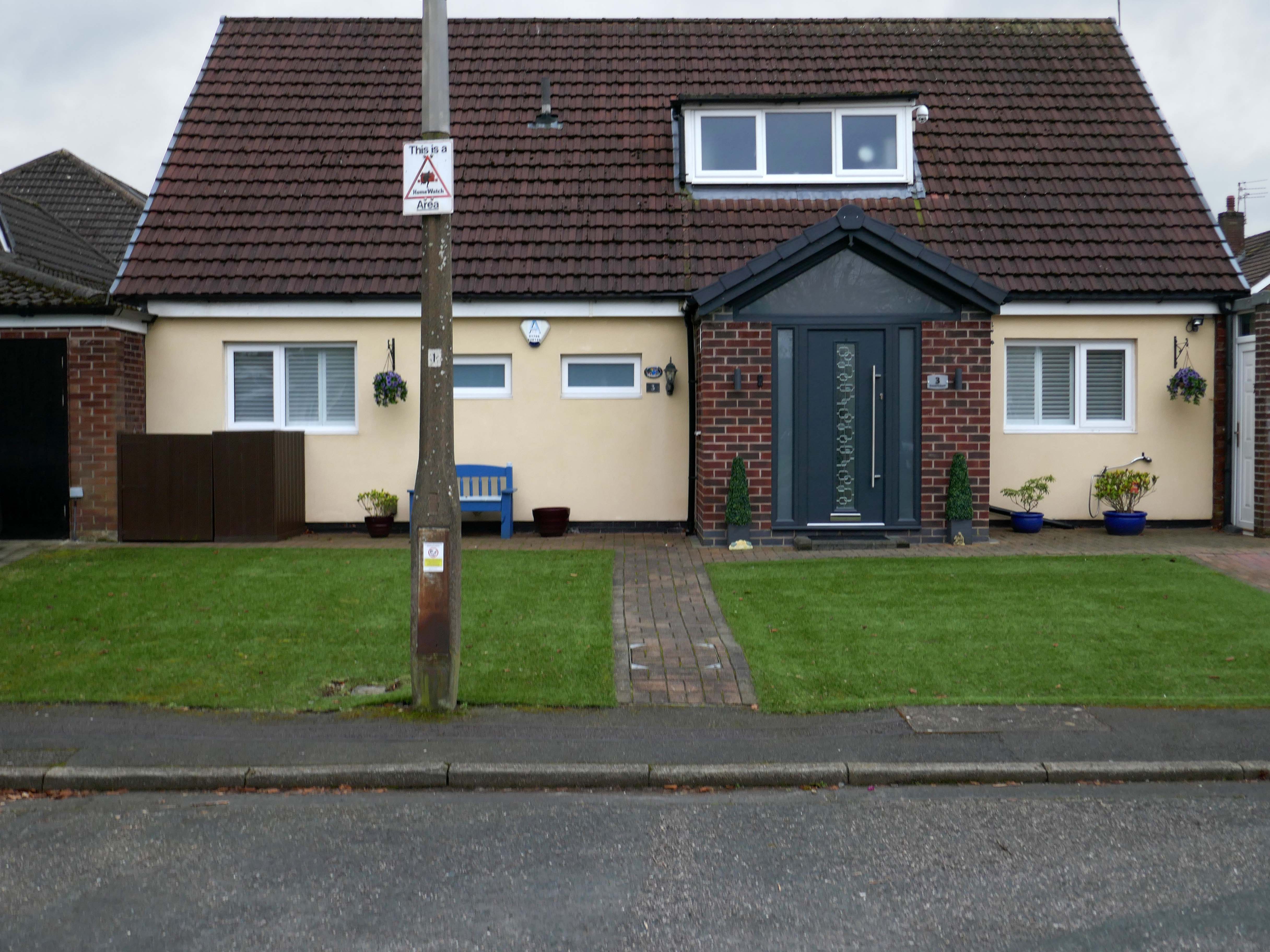
It’s 1892 and the Twentieth Century is about to overwrite the expansive green sward of Northstead and Newlands.
The Manor of Northstead consisted of a medieval manor house surrounded by fields and farms in the parish of Scalby in the North Riding of Yorkshire. The estate originally bordered the northern side of the ancient boundary of the Borough of Scarborough, following the line of Peasholm Beck. The estate passed into the ownership of the Crown during the reign of King Richard III. By 1600, the manor house had fallen into disrepair, being latterly occupied by Sir Richard Cholmeley’s shepherd until it finally collapsed
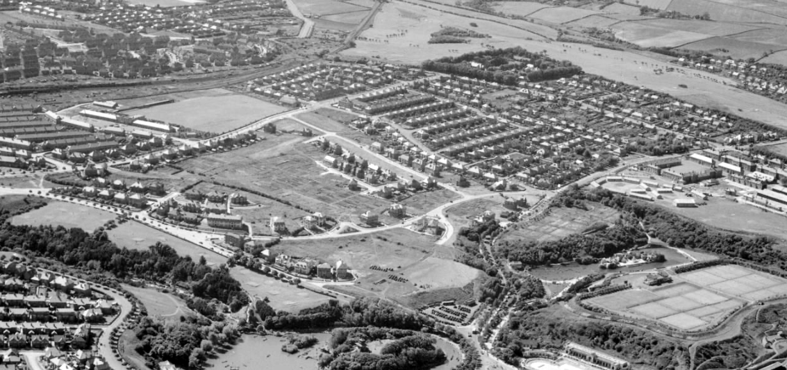
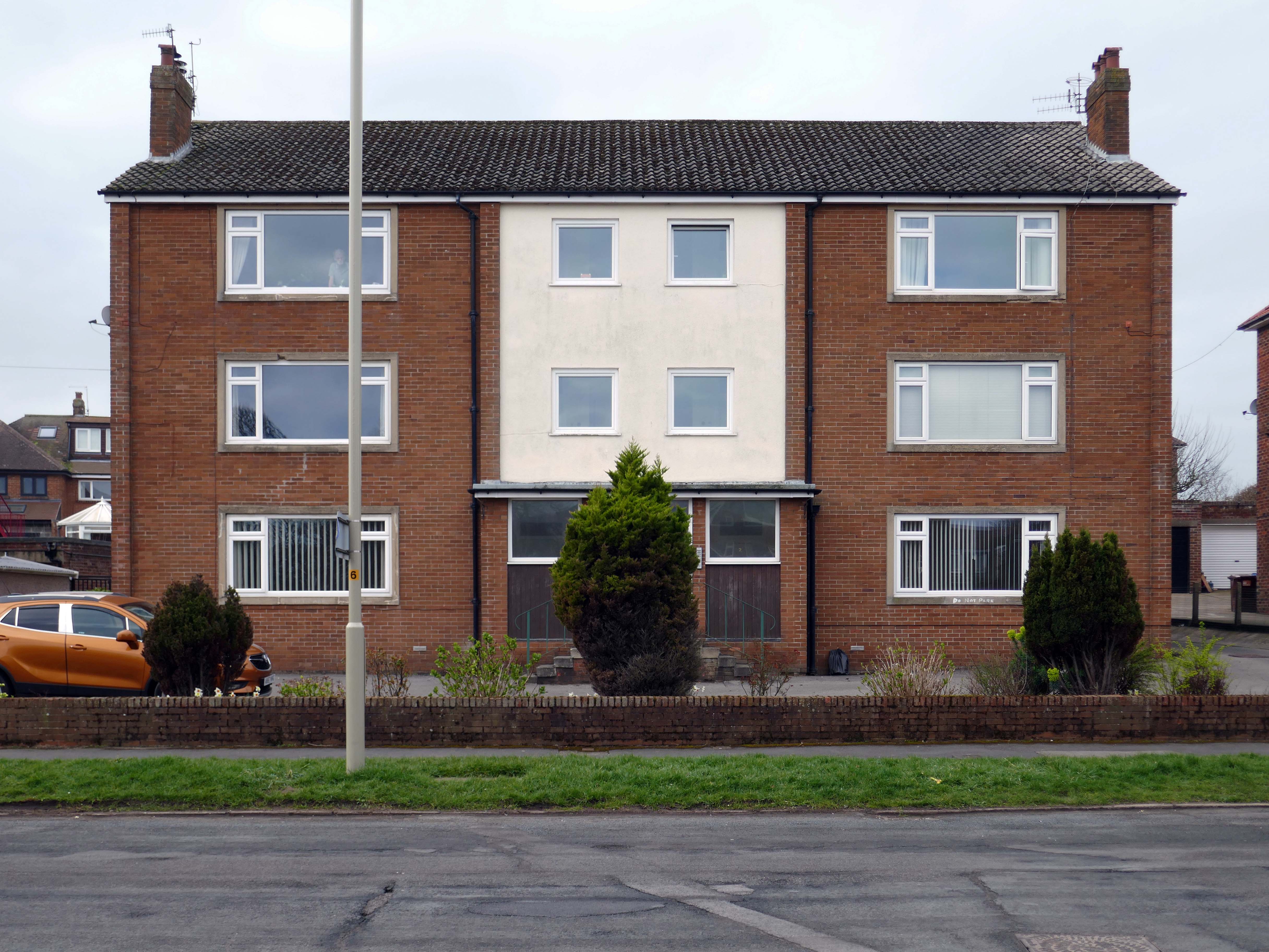
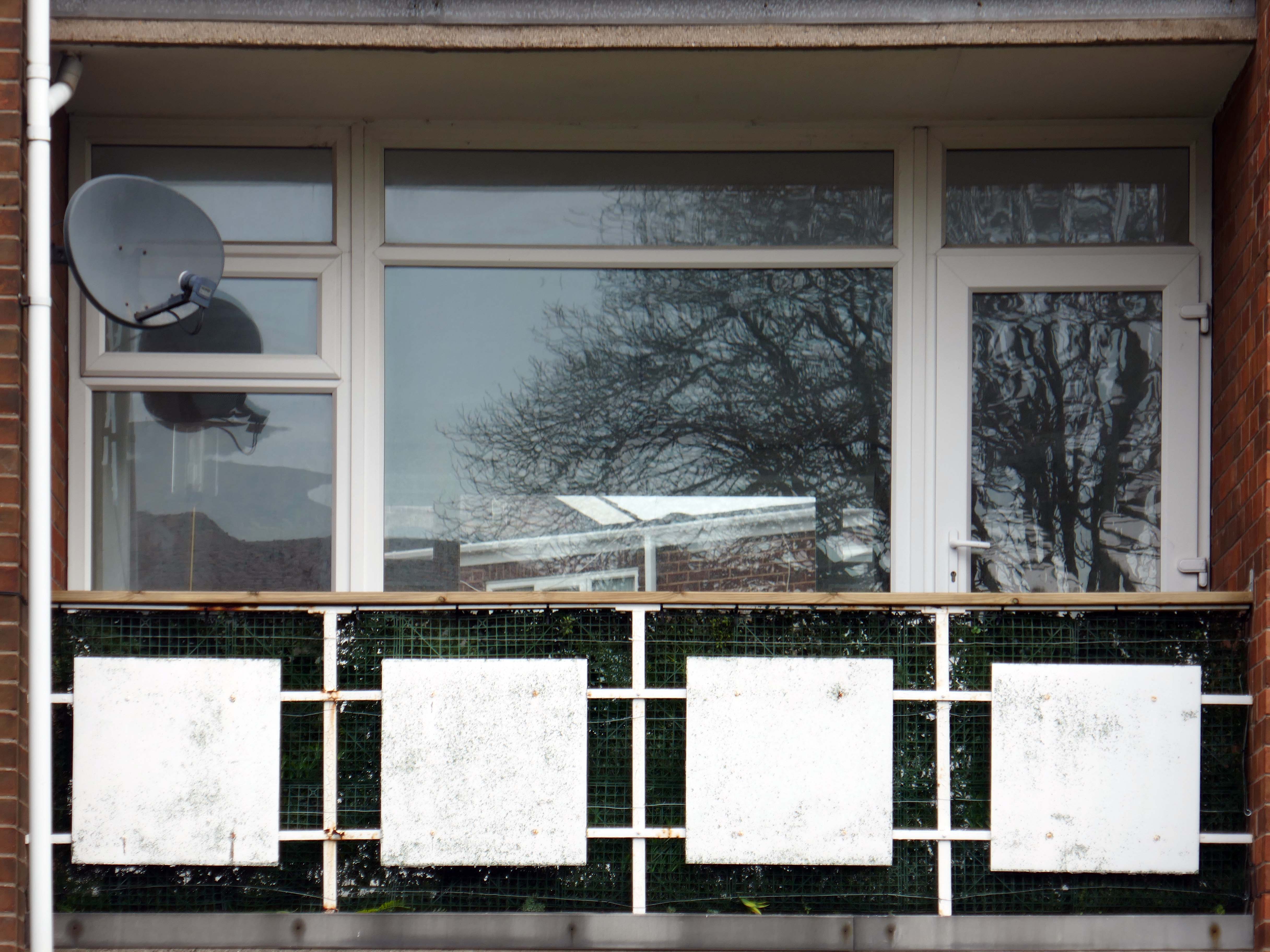
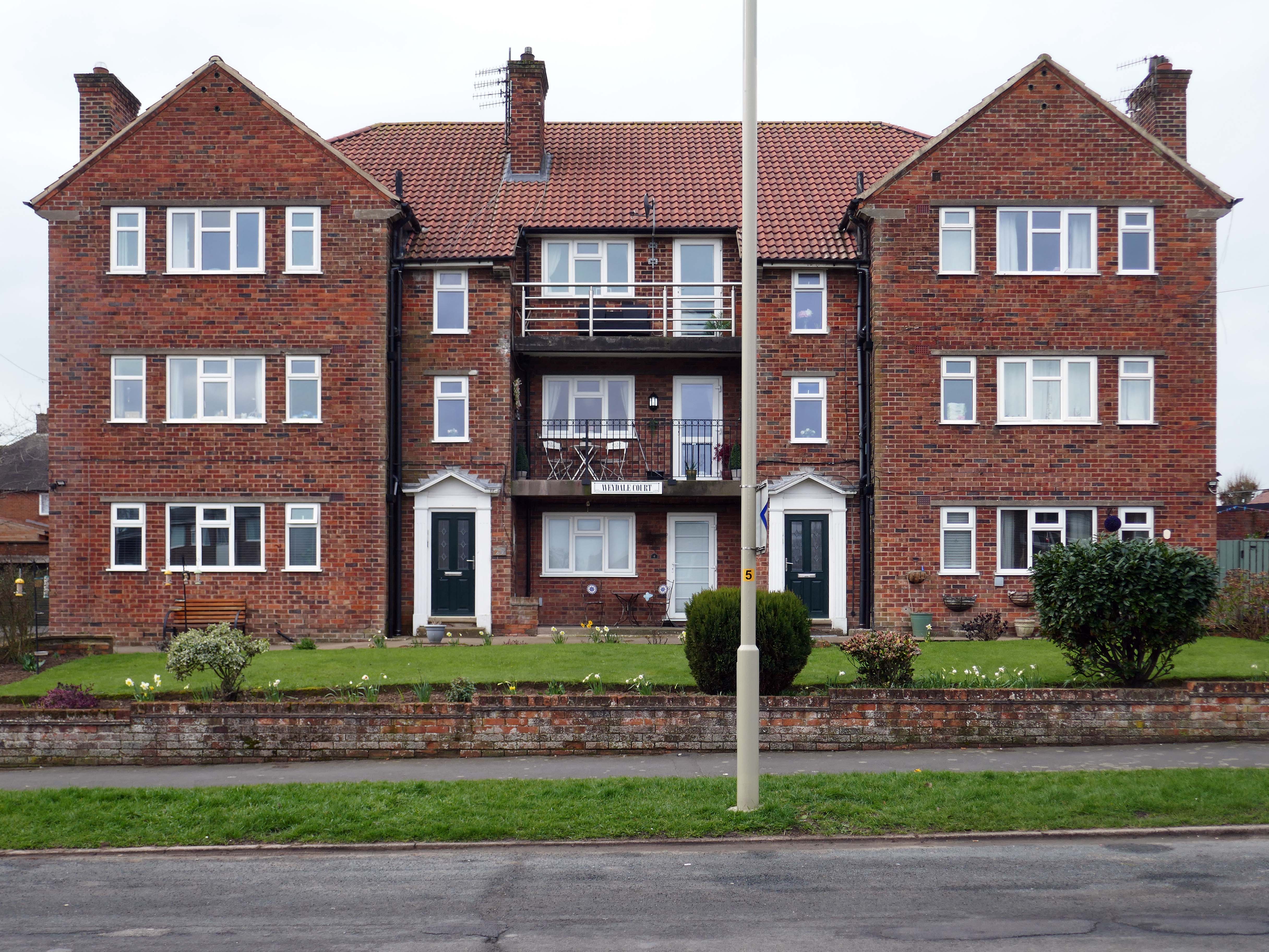
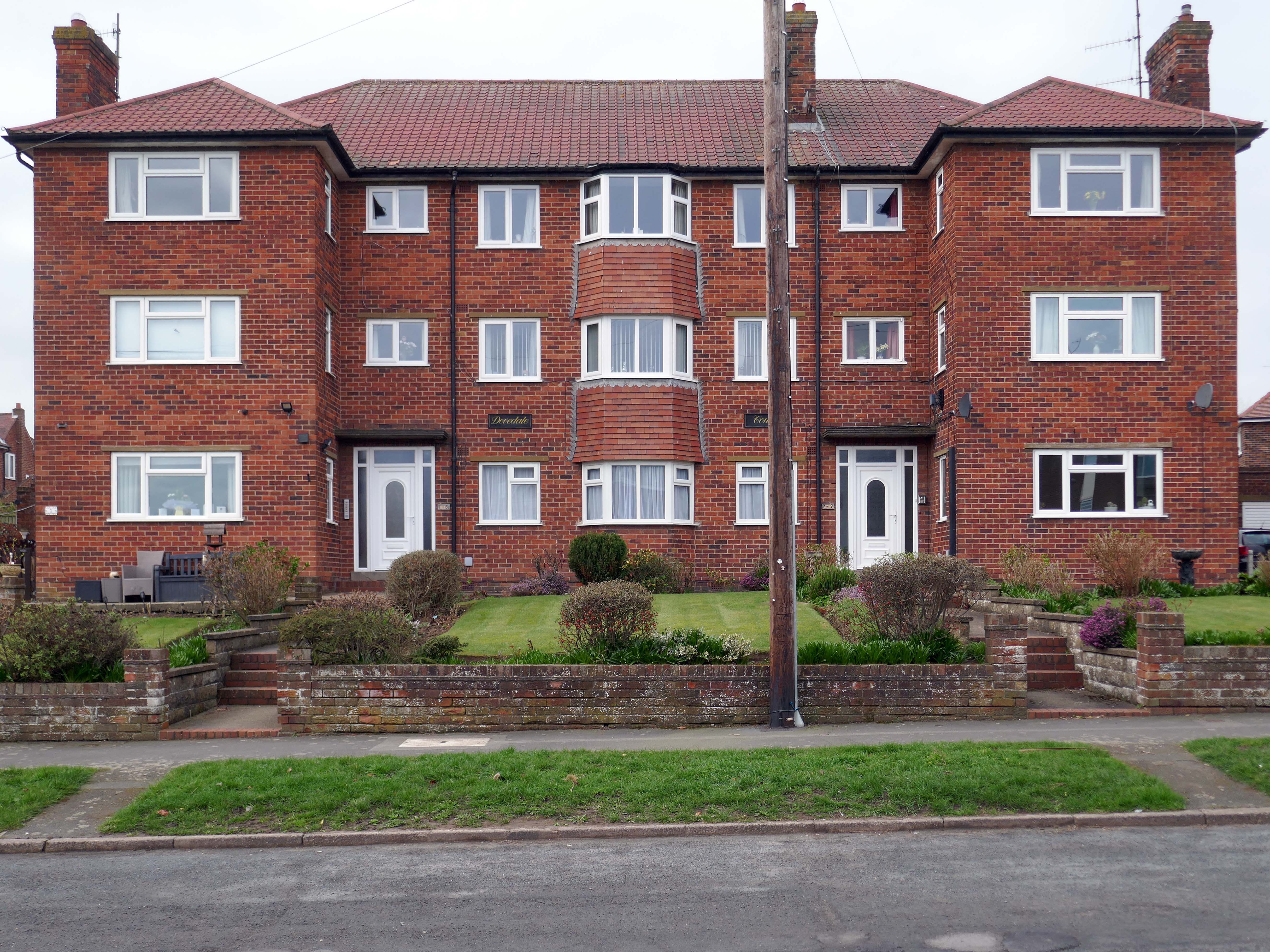
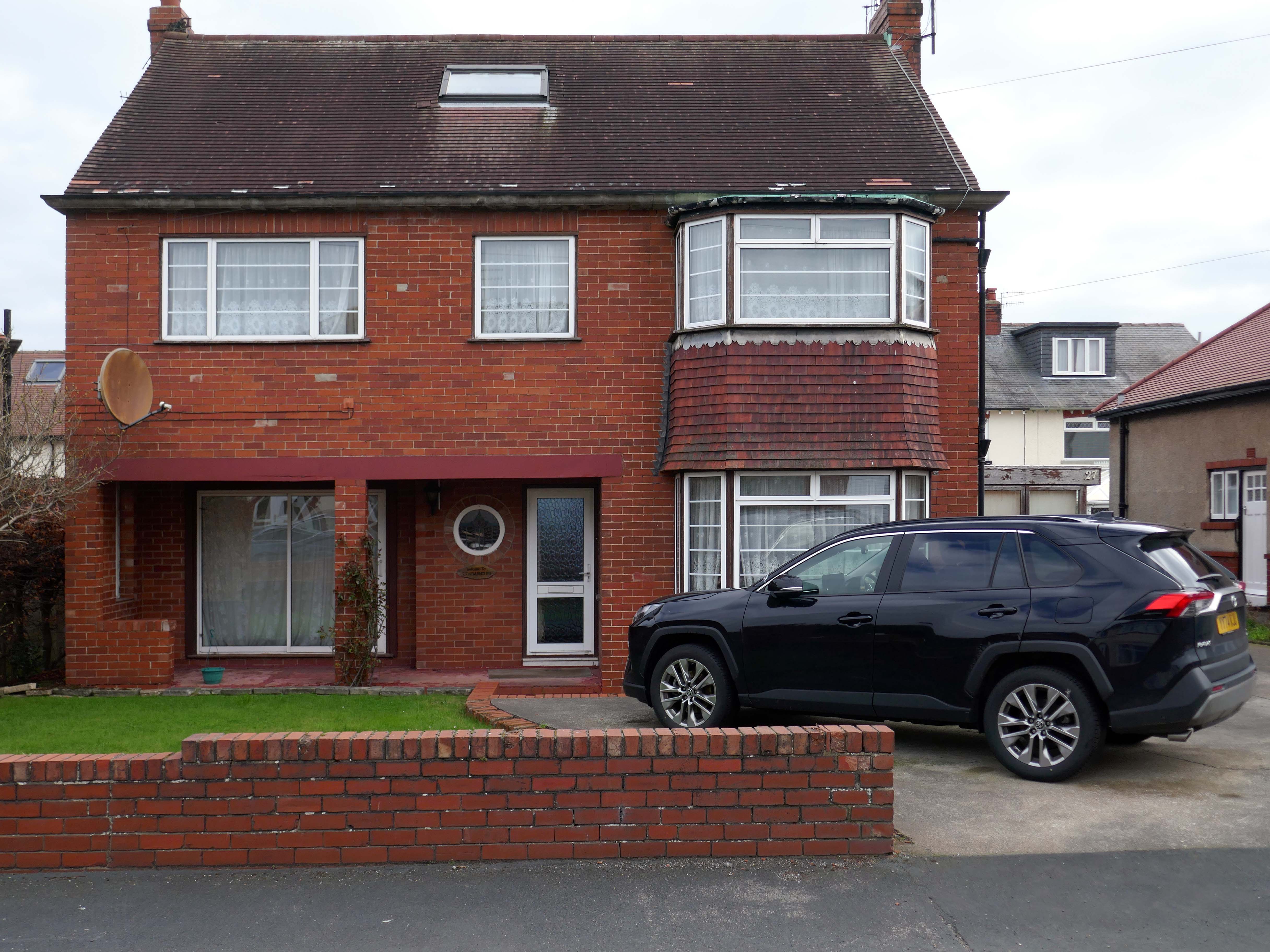
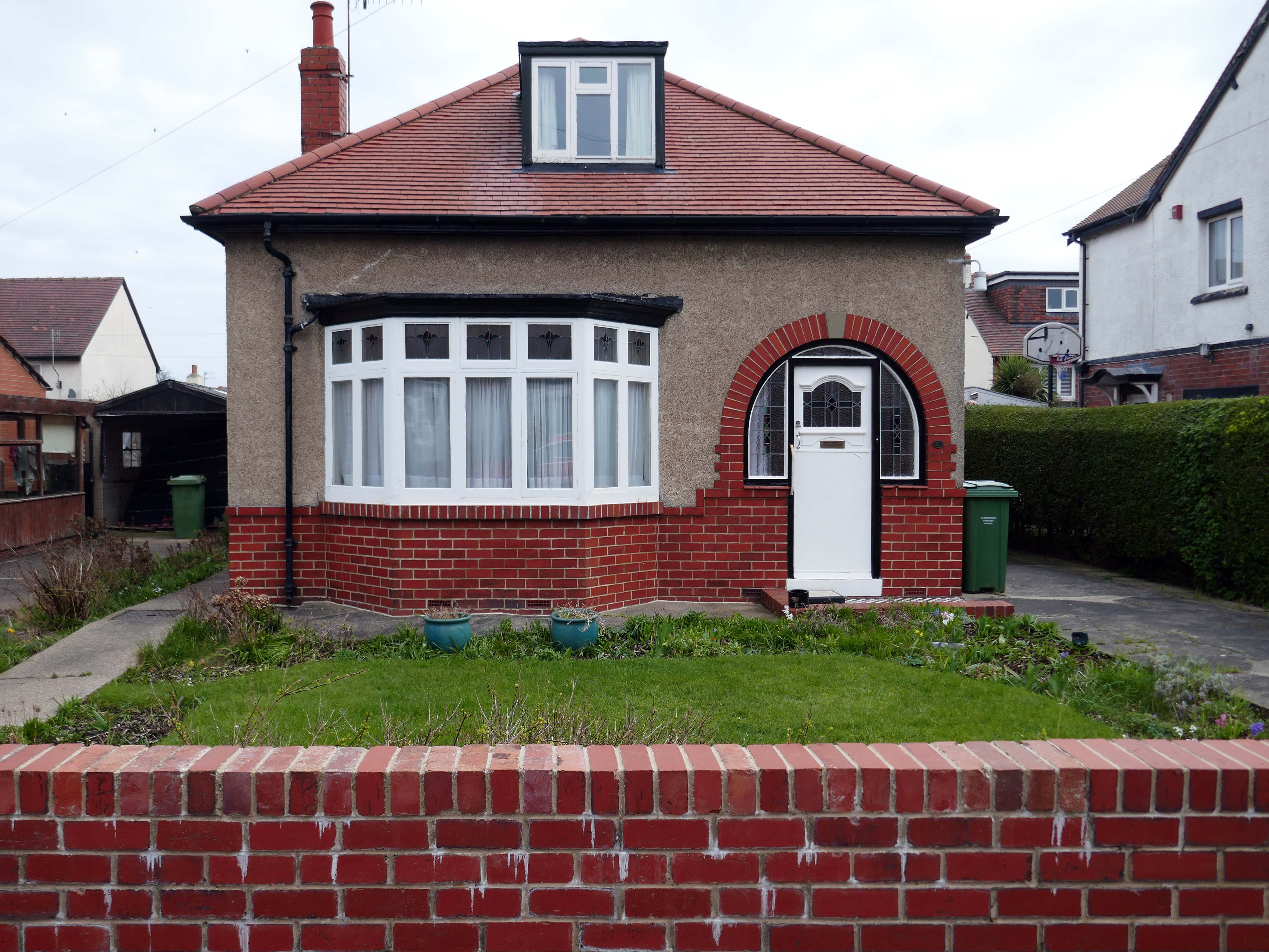
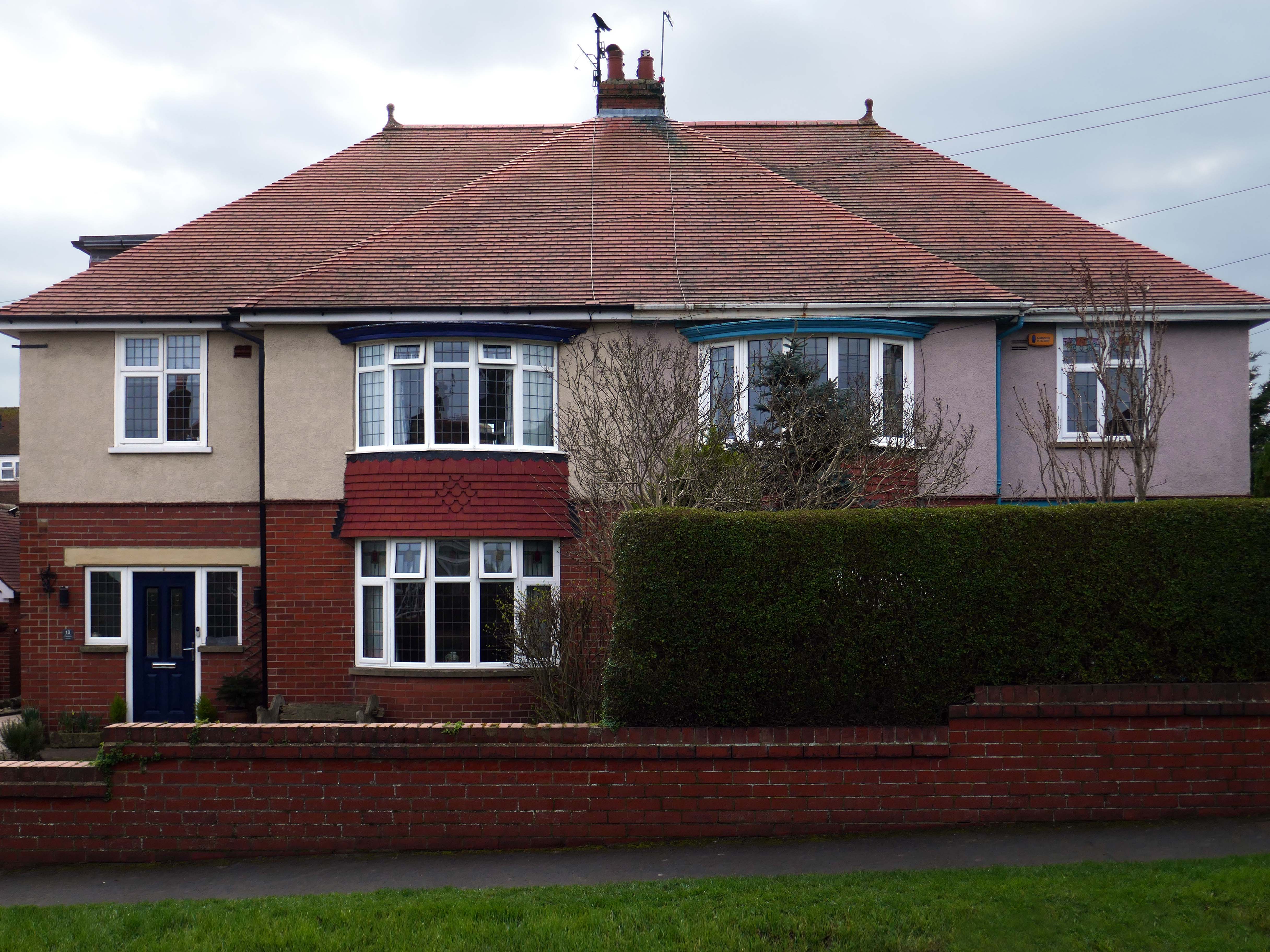
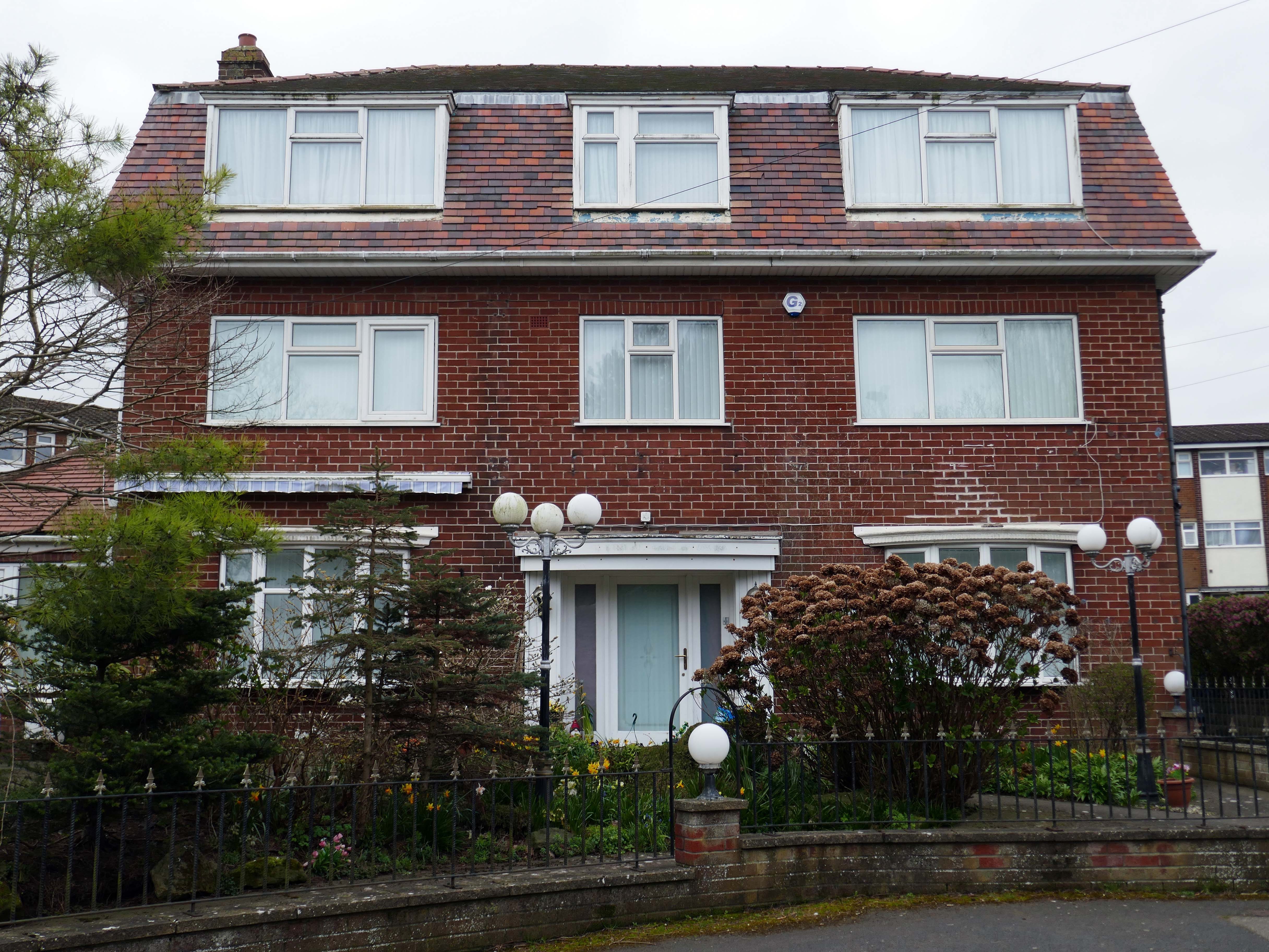
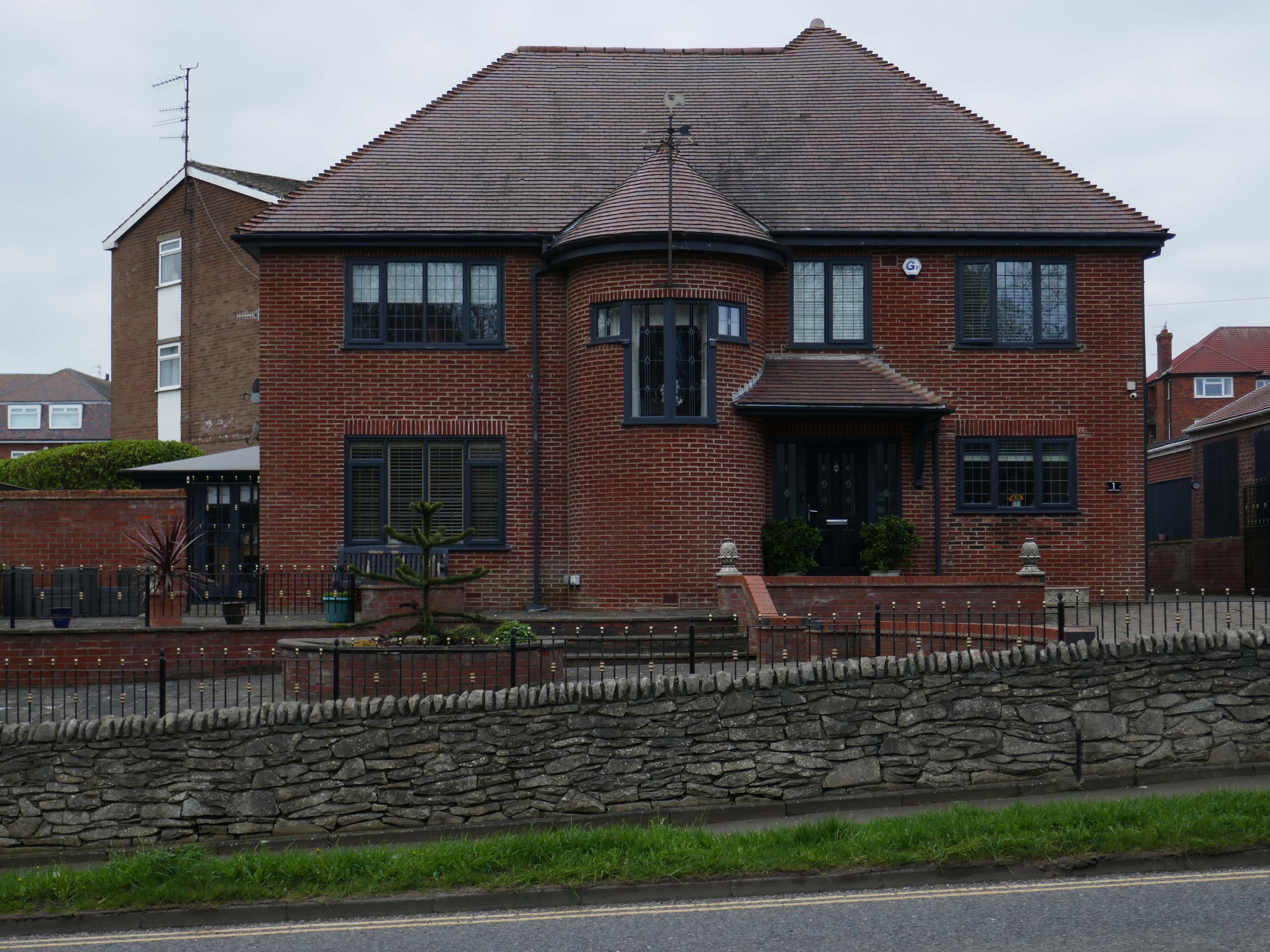
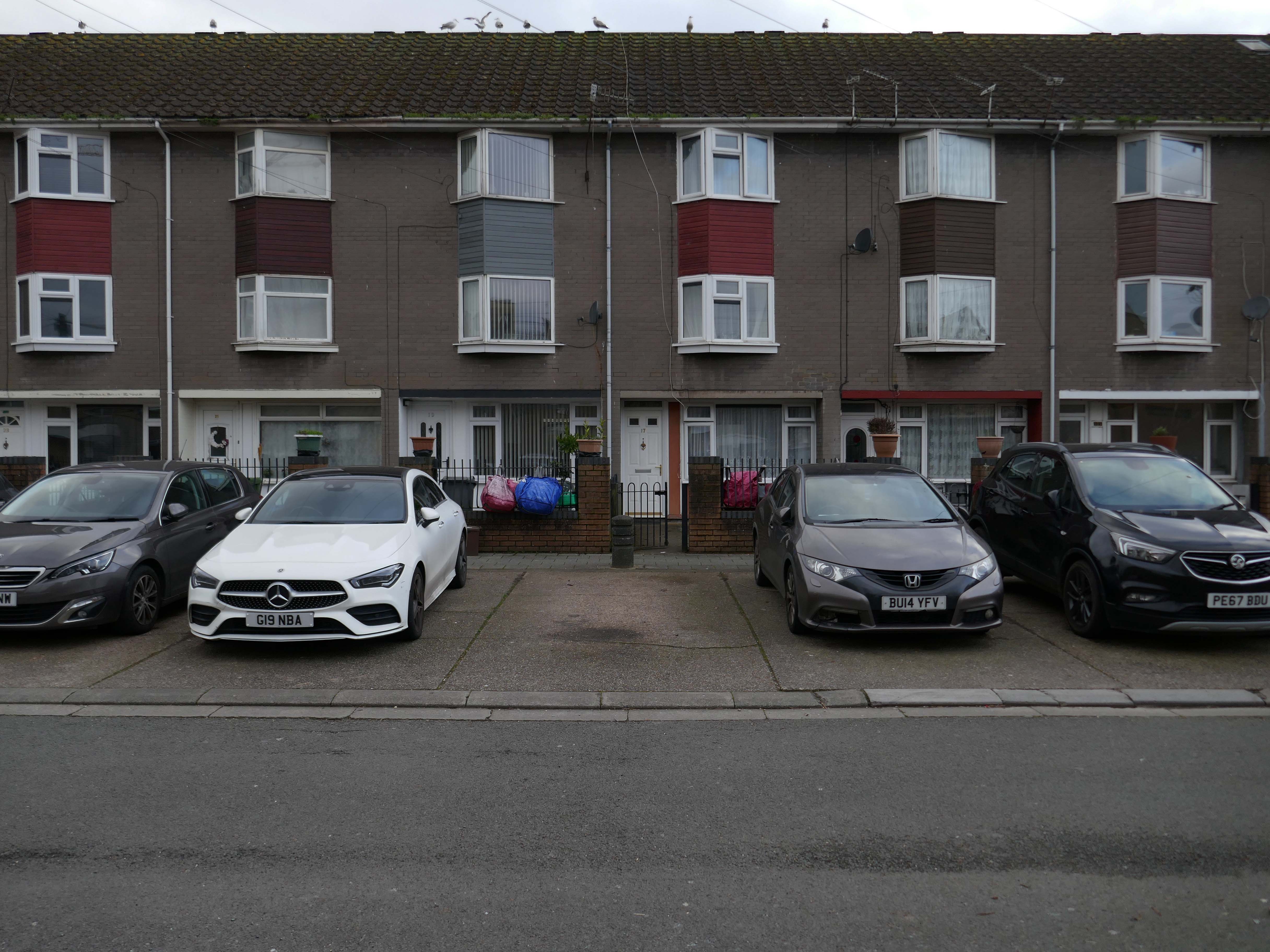
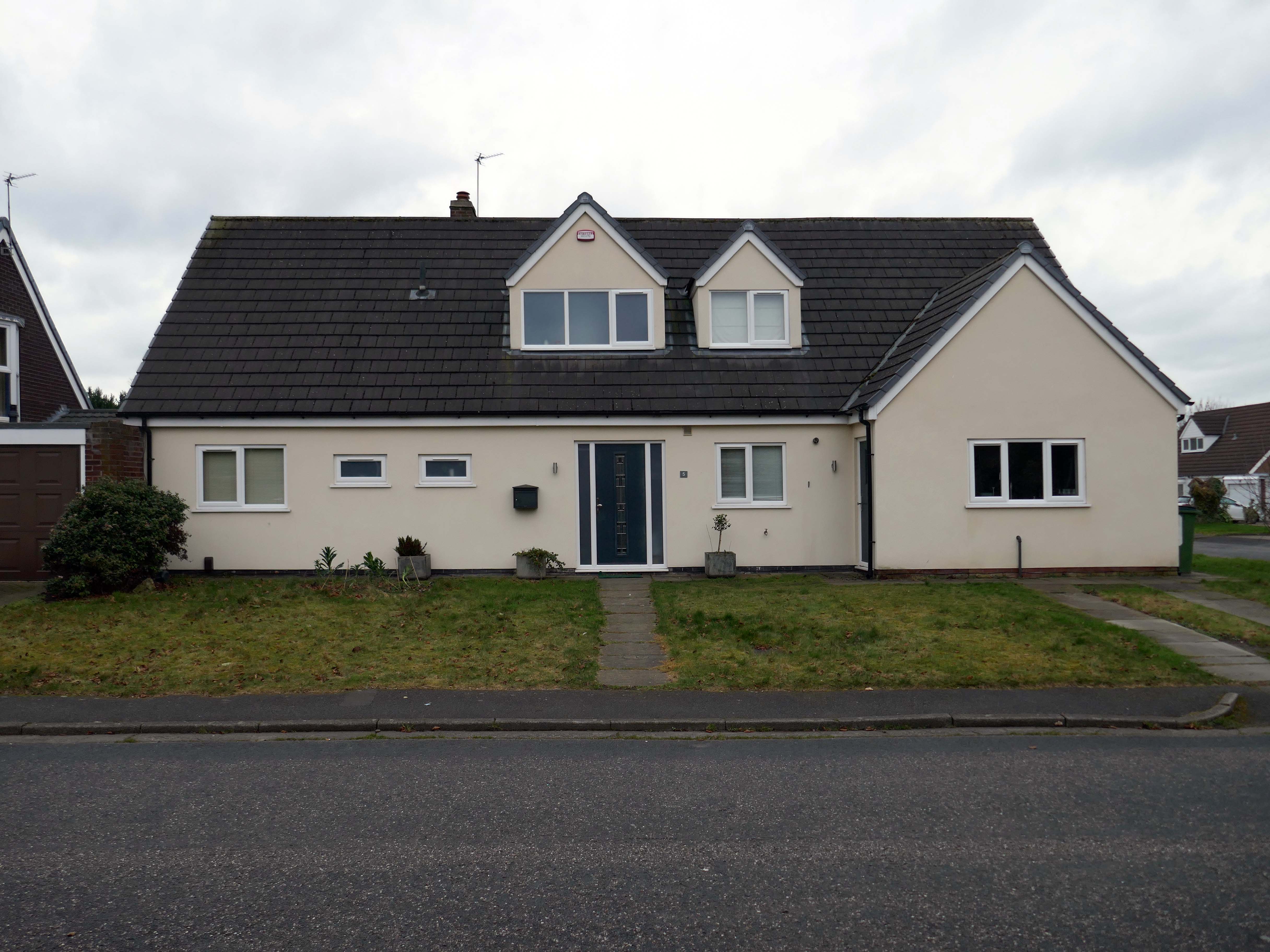
Walking the streets on a sunny Scarborough day, I was struck by the capricious cornucopia of interwar and postwar architectural styles. These are well kept well behaved homes, many of which were built as imposing apartment blocks, possibly for the seaside retirees, or the transient tourist.
The coast encourages a playful sense of design, referencing vernacular styles and including several decorative devices.
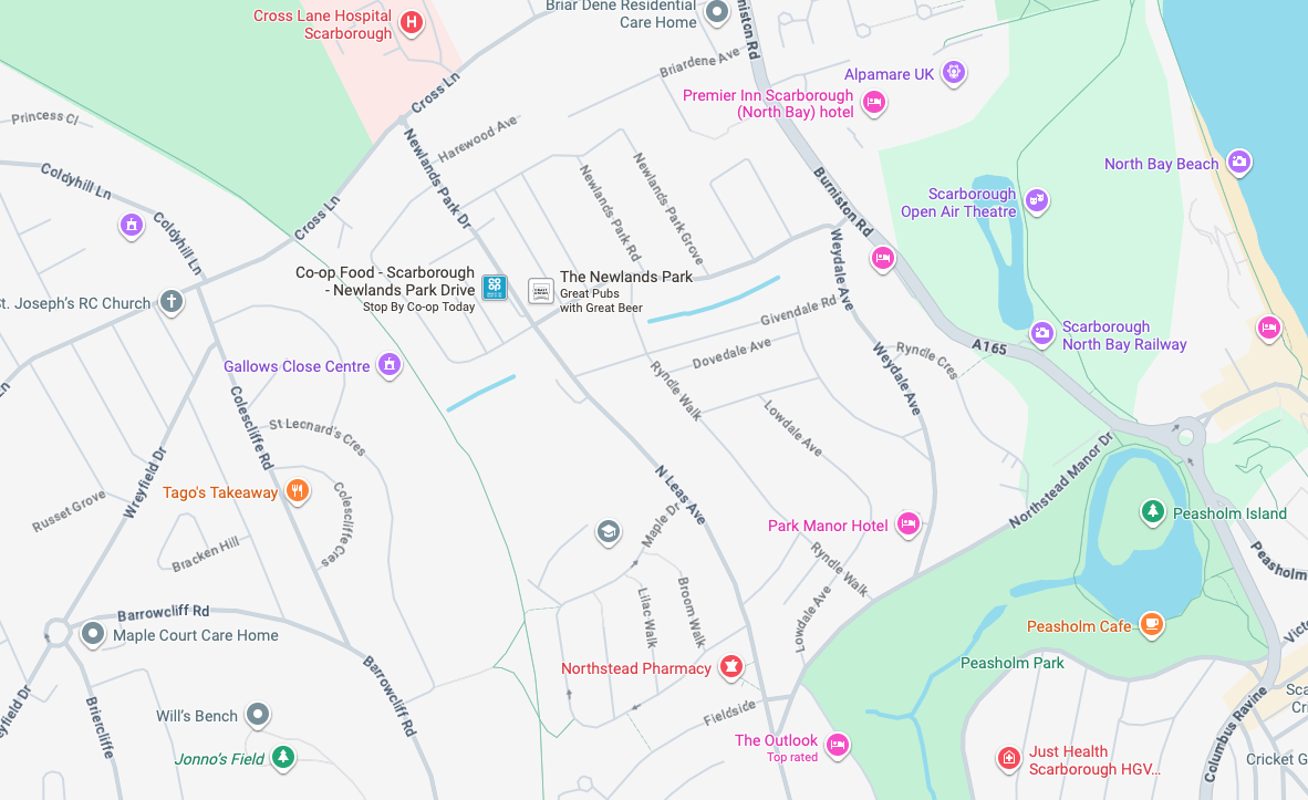
So let’s take a wander around, see what we can see.
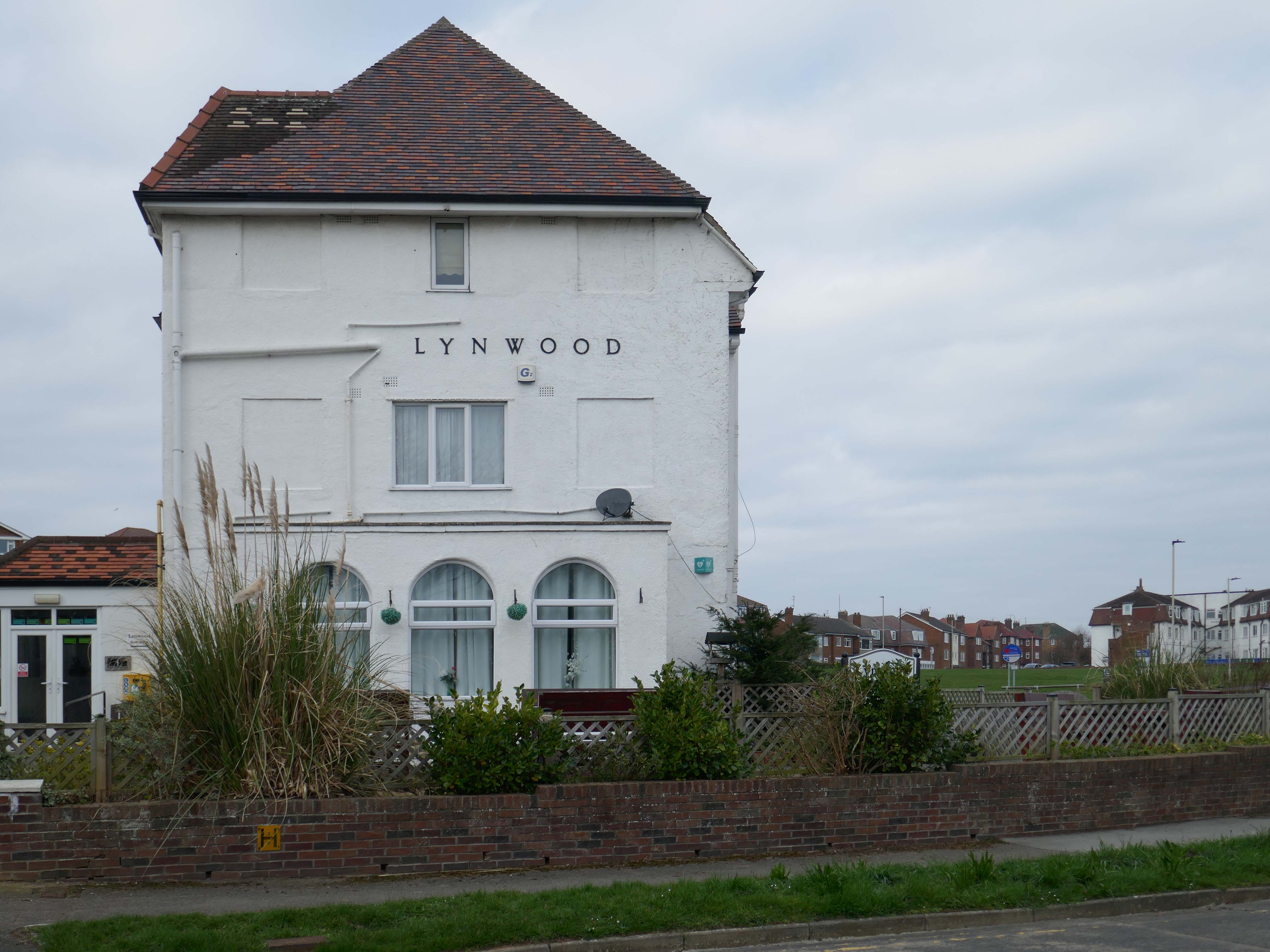
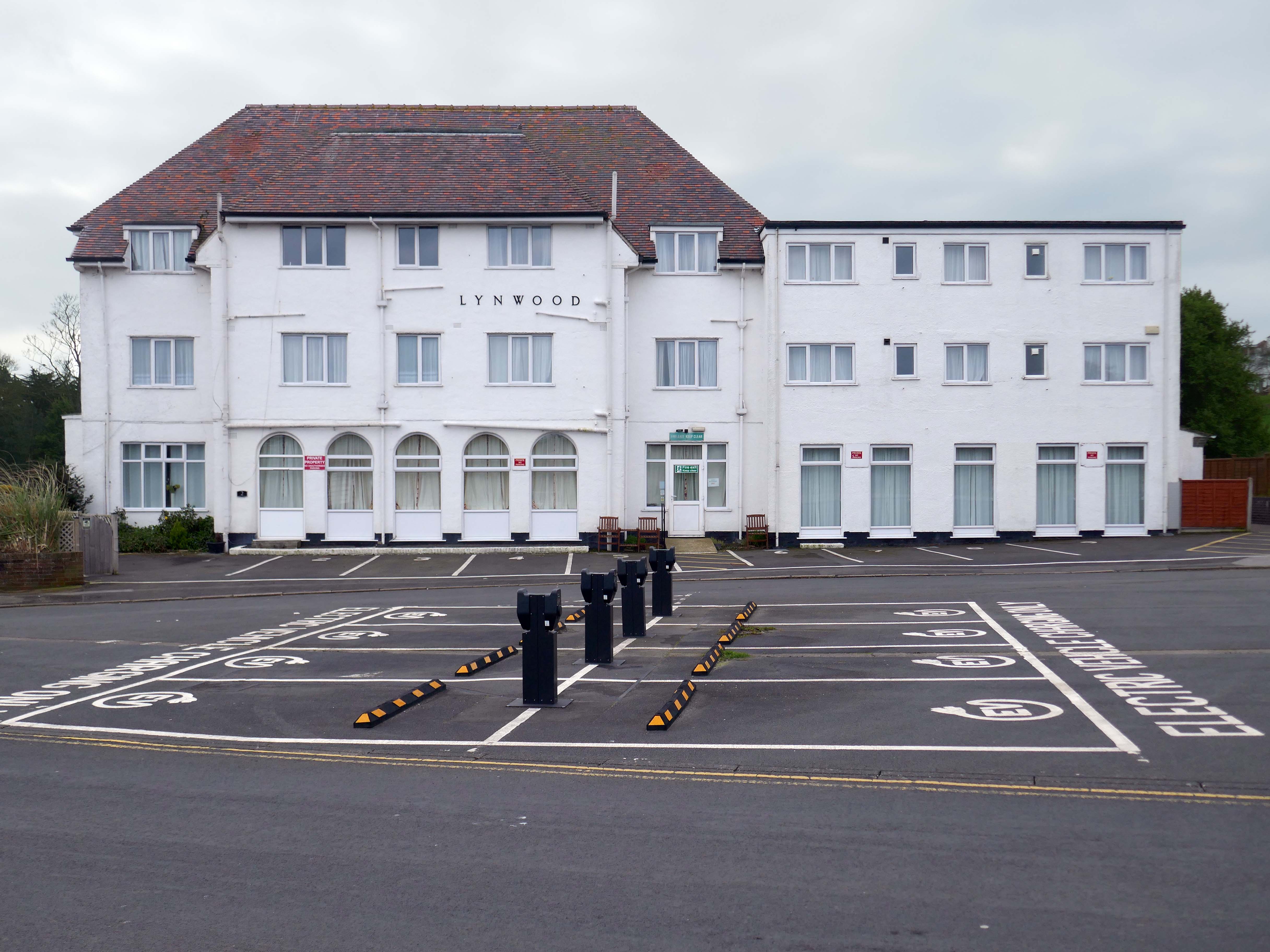
It is with deepest regret that despite the best efforts of everyone involved, it has now been confirmed that Lynwood Convalescent Home will close at the end of 2025. Whilst it was previously hoped that Lynwood could remain open for a further period, unfortunately, there are insufficient funds required to keep the Home operating and a sale of the building is progressing.
The Yorkshire Miners’ Welfare Convalescence Home charity who owns the home is continuing to support beneficiaries and staff during this difficult period. The trustees of the Home are currently discussing how the charity will use the funds from the property sale to support beneficiaries going forward and plans will be communicated in the coming weeks and months.
We fully understand the disappointment and impact this decision will have on our beneficiaries and staff. Please be assured that the trustees remain committed to keeping all stakeholders informed about the future of the charity.
Hi, there are a few point that we feel need addressing, the WiFi kept going off. Both shower heads were very high and we could not adjust them. The grouting in the bathroom floor was broken, which made the tiles loose and needs attention. The toilet in the bathroom was loose and felt insecure. The cooker was not properly secured to the housing, it felt loose in the housing. The TV kept loosing signal and the picture would break up – thank God for youtube, as that was pretty good
Apart from the points mentioned the apartment was clean and tidy and very nice.
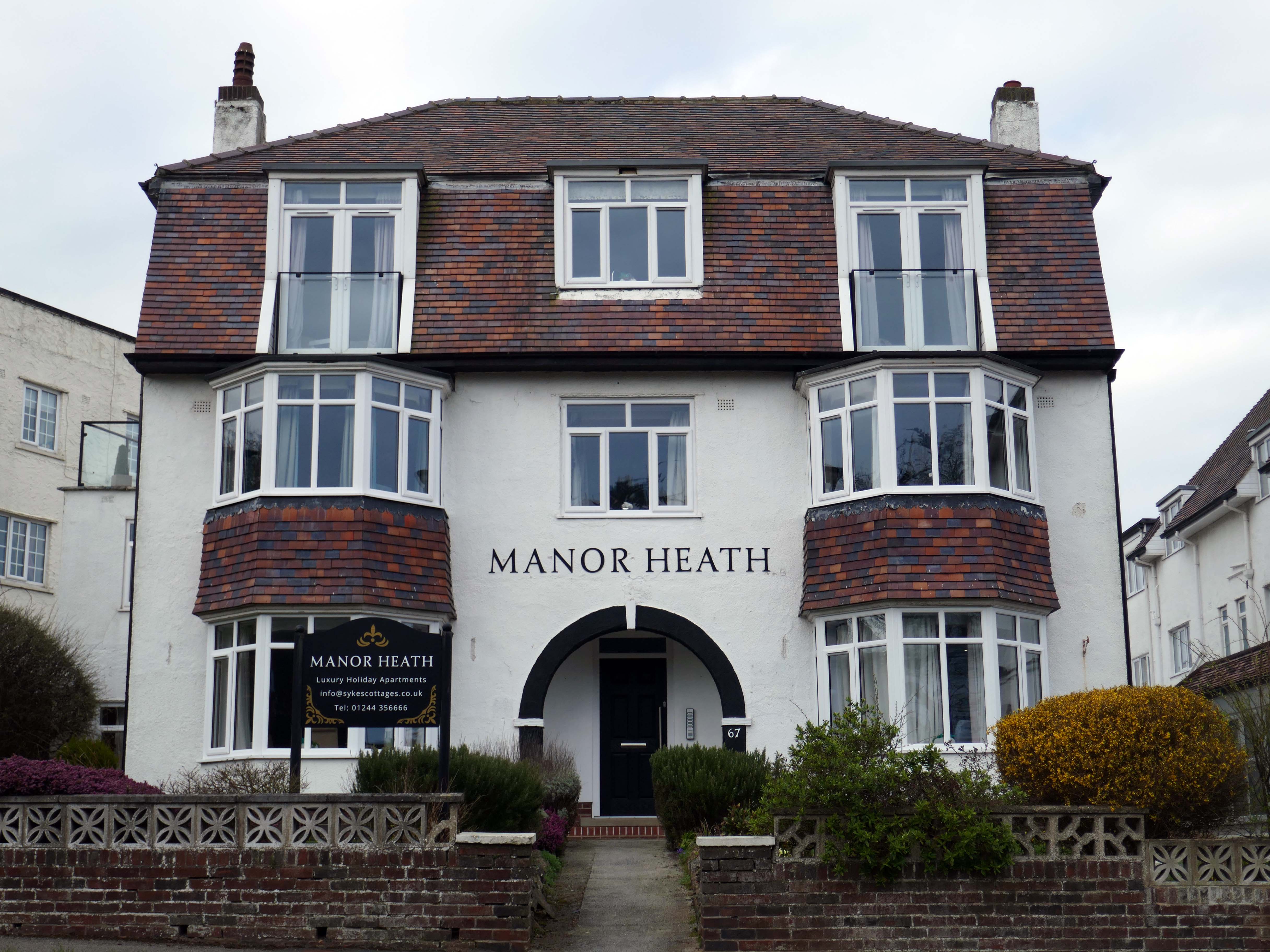
We have previously stayed at Manor Heath on four occasions and always enjoy it and look forward to our next visit. We stayed in apartment two, which was very comfortable, but would benefit from a coffee table or nest of tablets, so you could relax and put your drinks on it
Reviewed by Sharon 5.0 ★
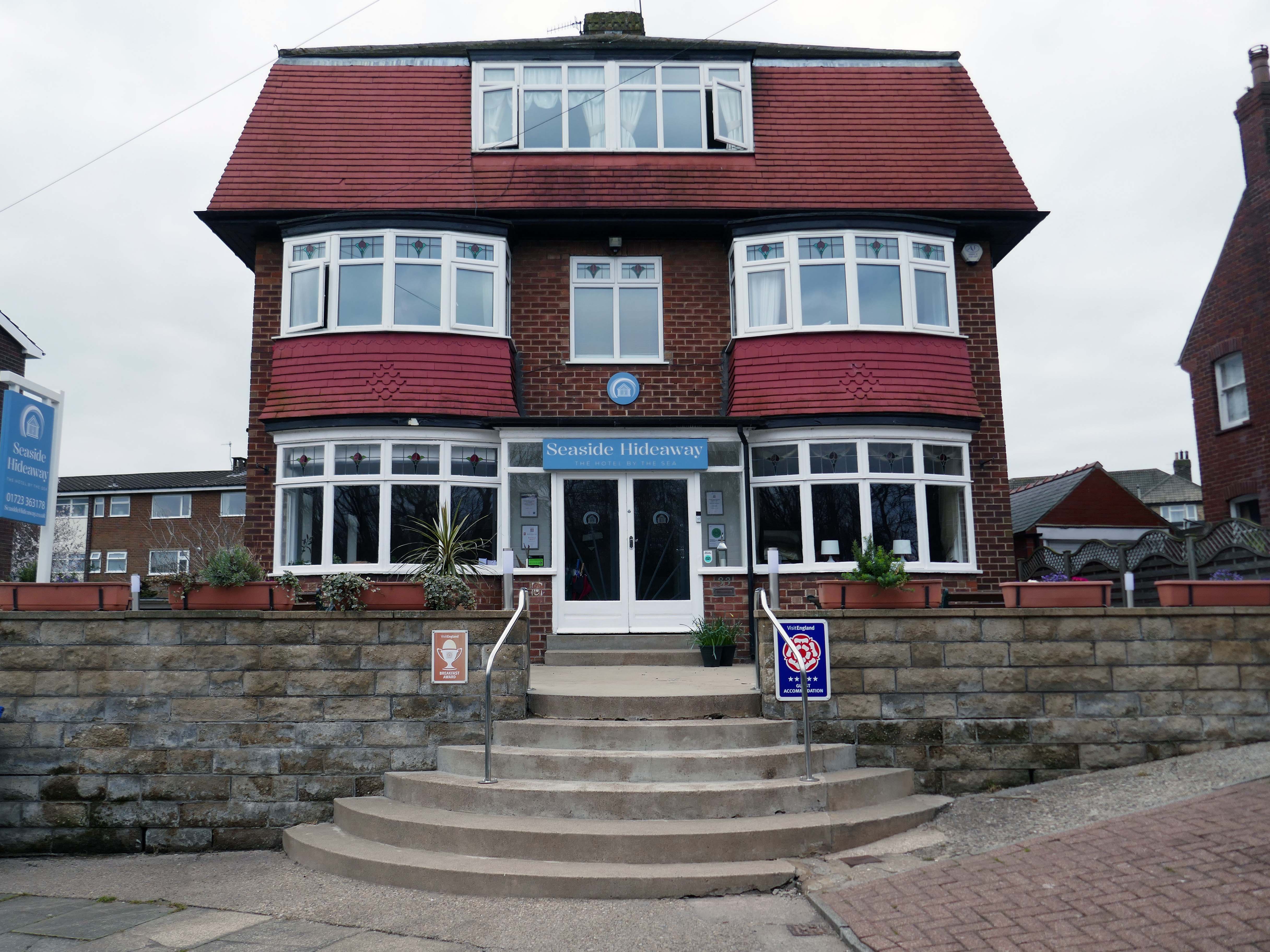
Seaside Hideaway combines a fantastic North Bay location with comfortable rooms, delicious breakfasts and a warm personal welcome from your hosts, Jim and Sarah.
If you’re thinking about a spring break by the coast, take a look at our spring breaks in Scarborough guide for ideas on where to stay and what to do.
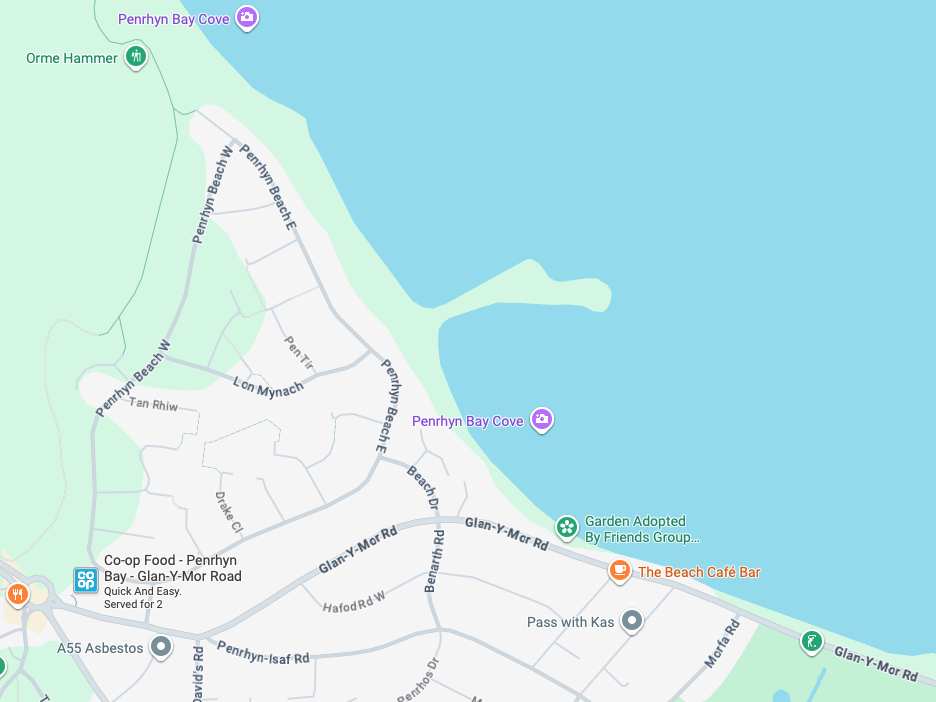
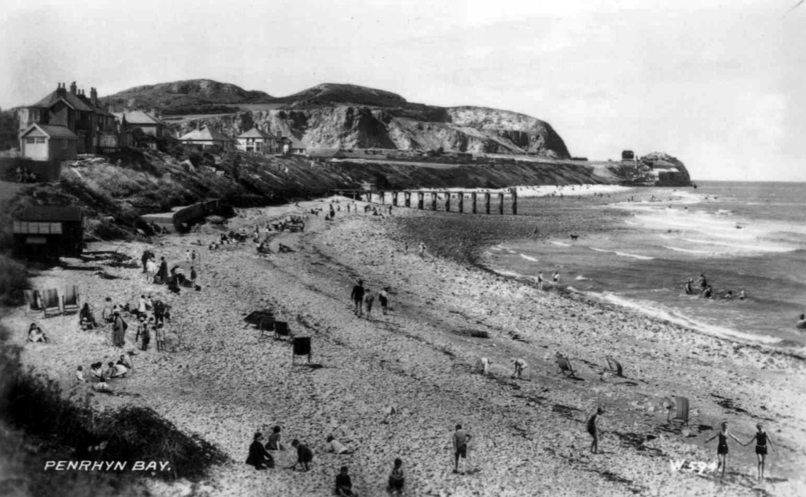
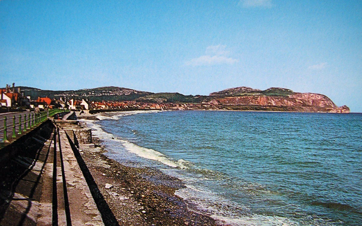
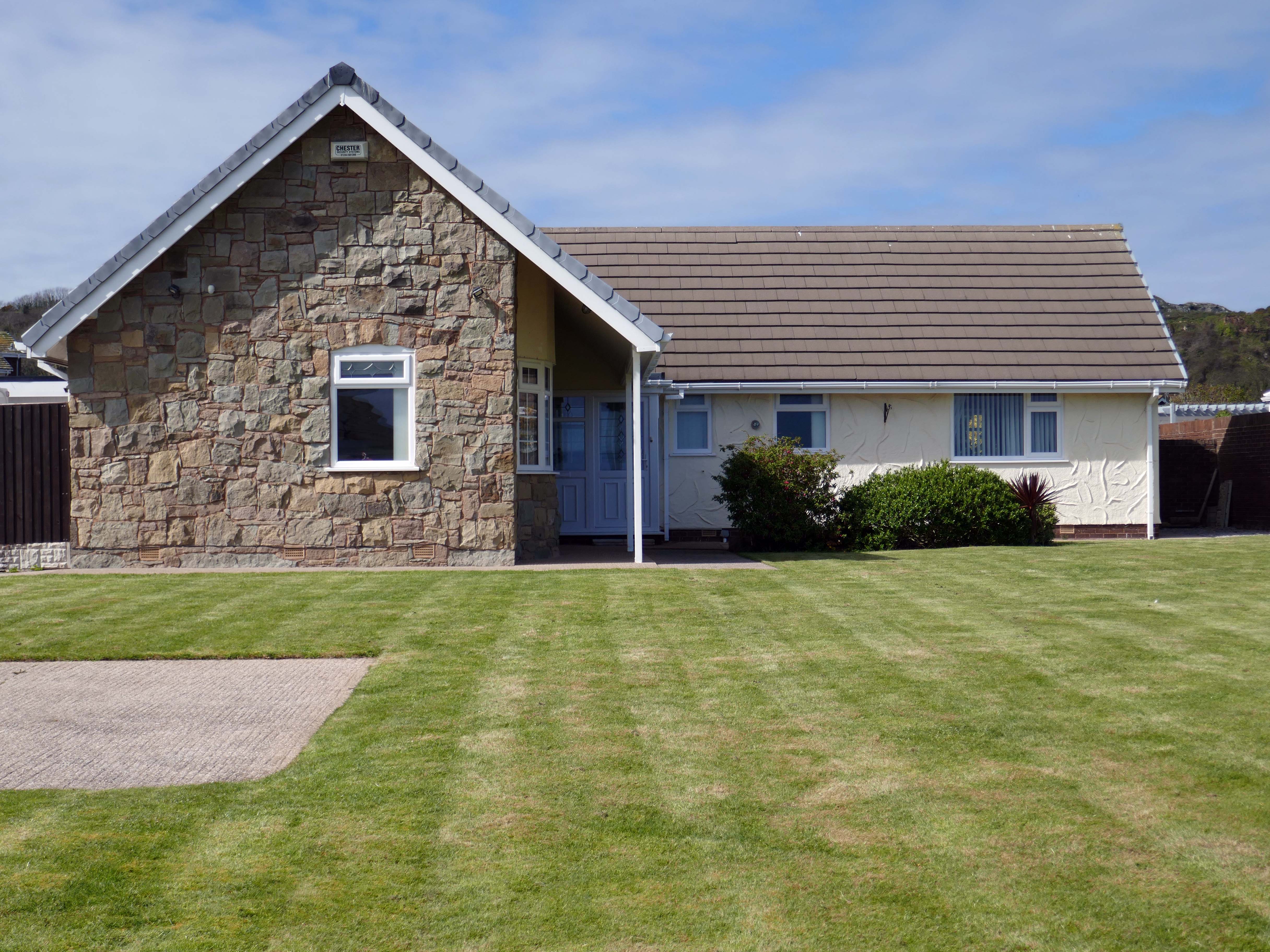
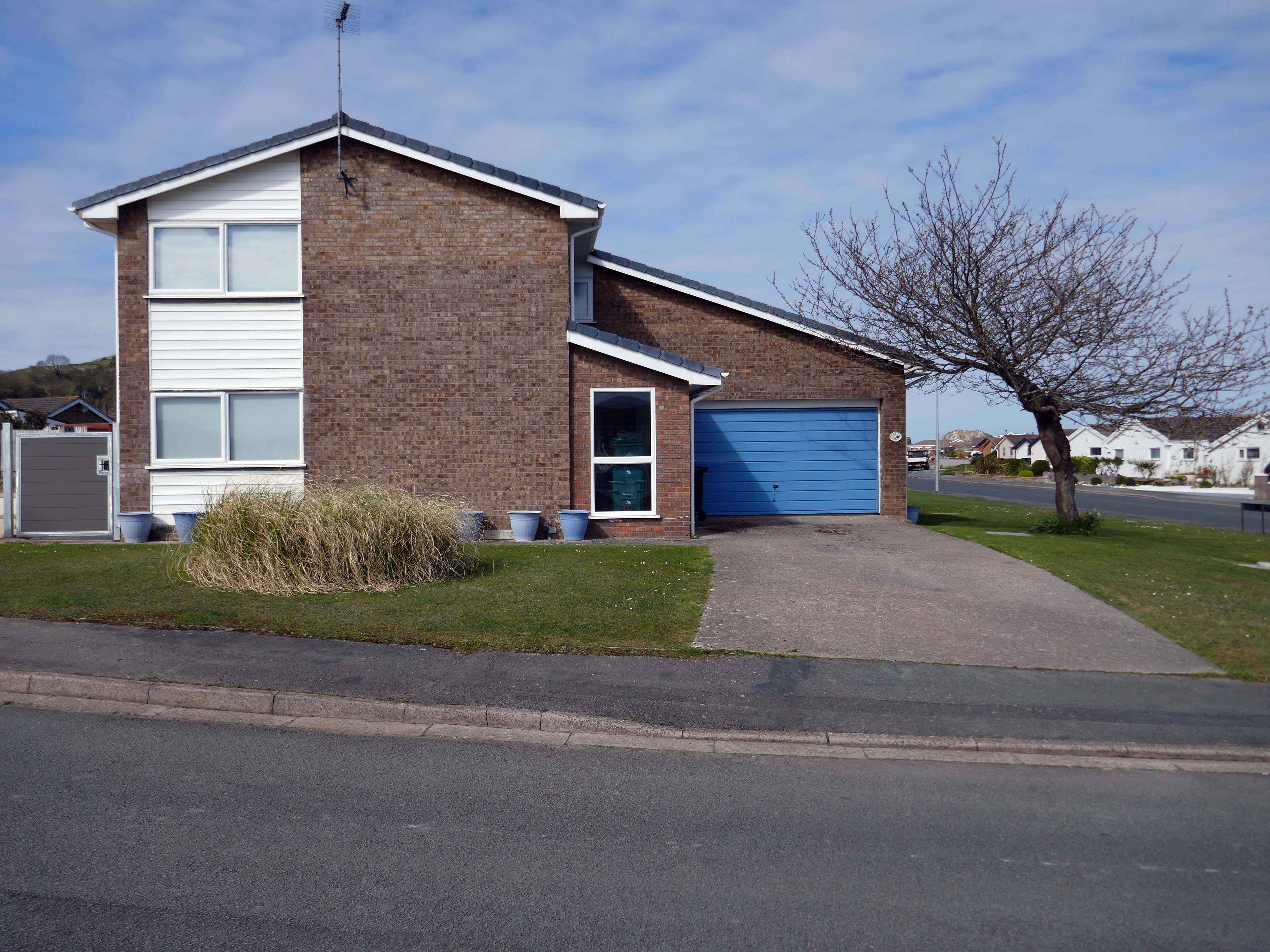
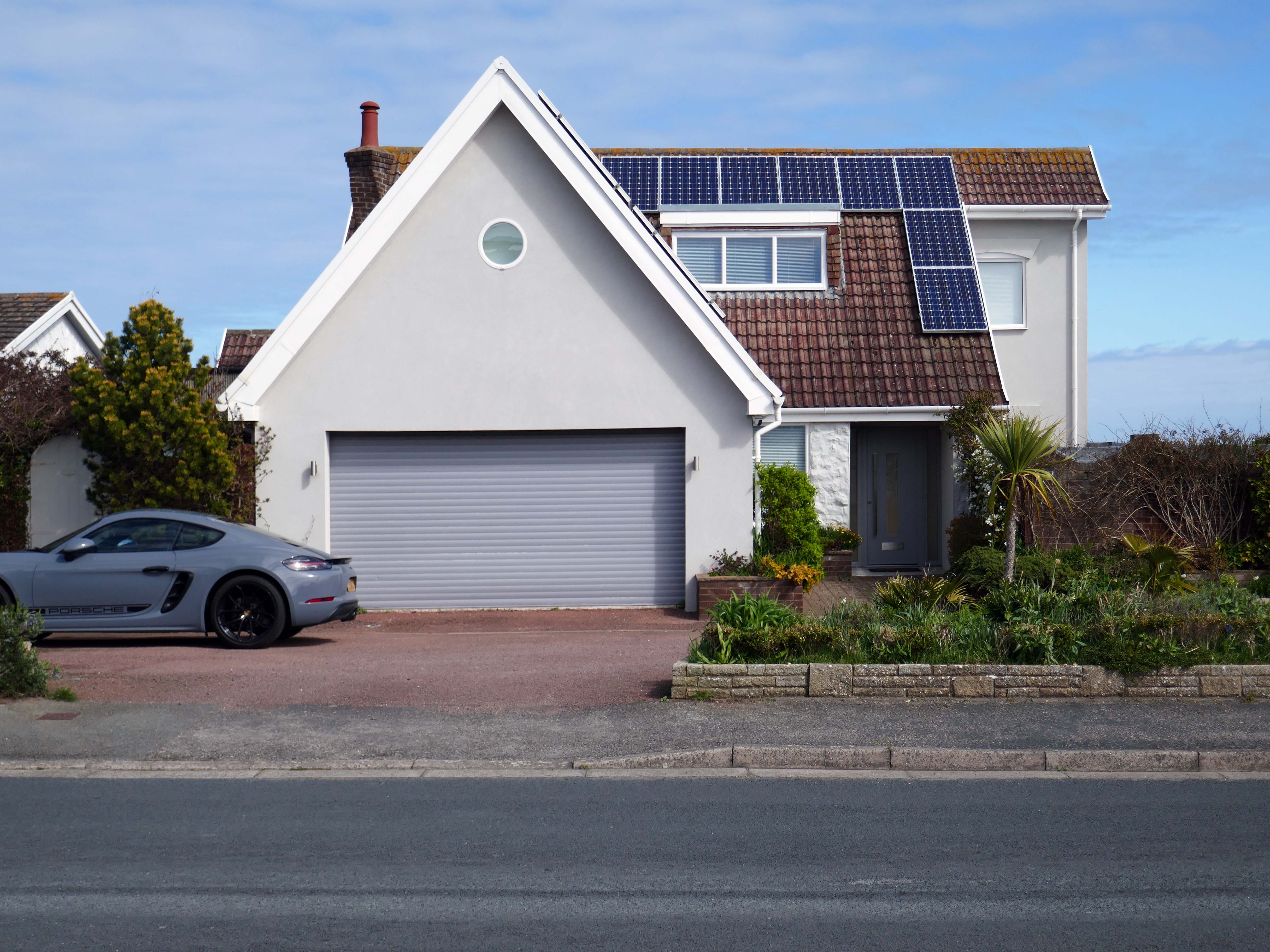
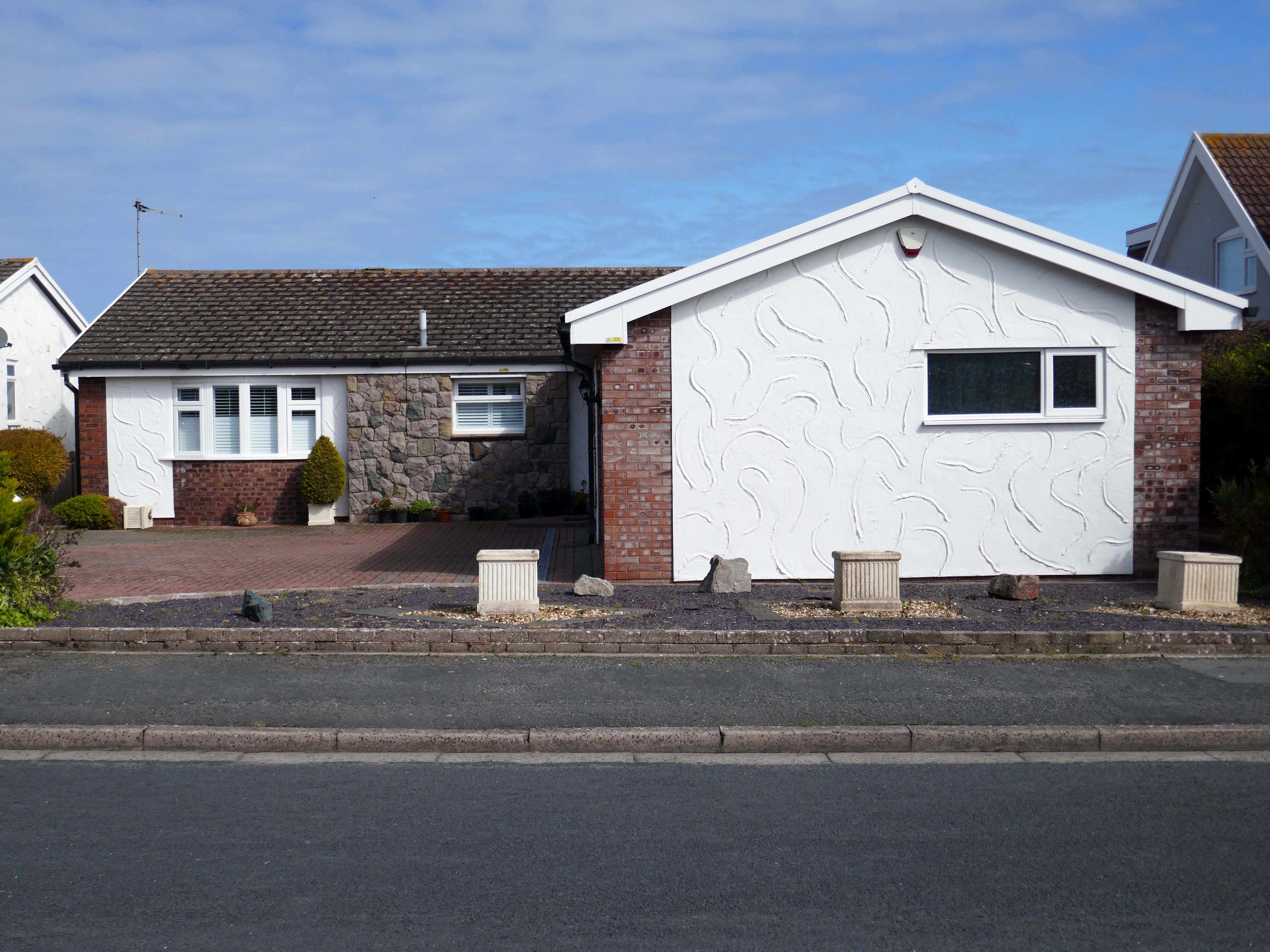
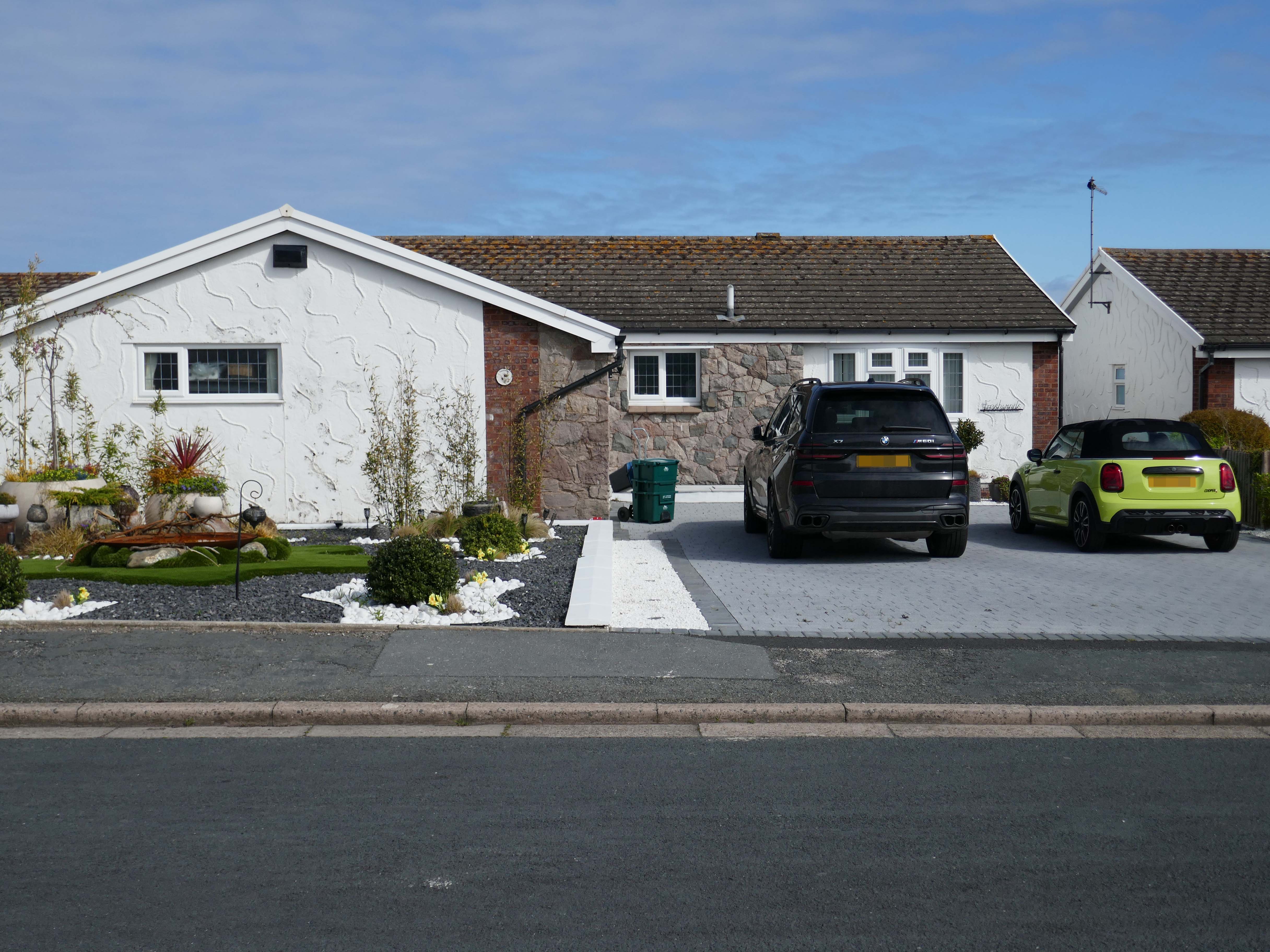
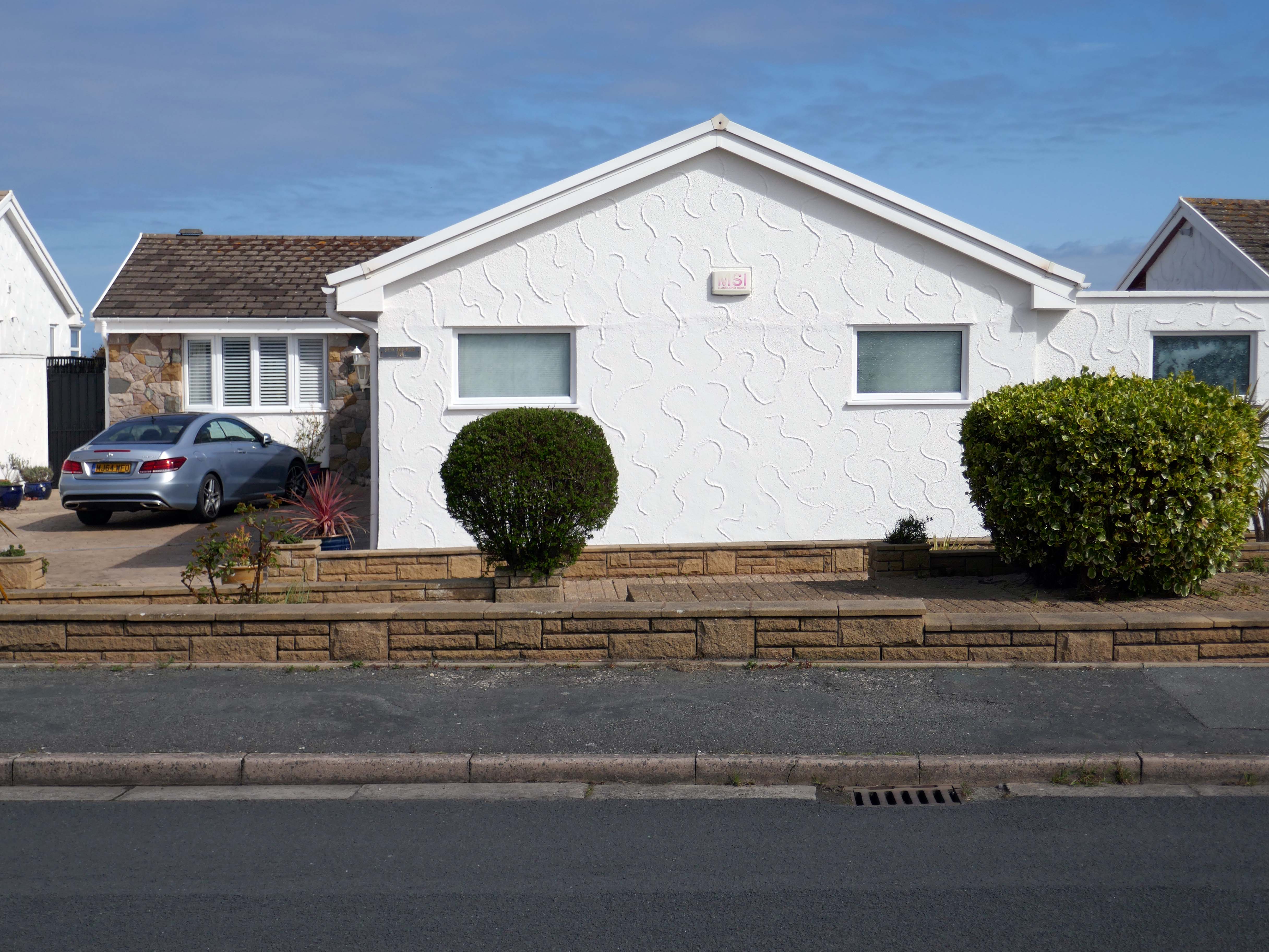
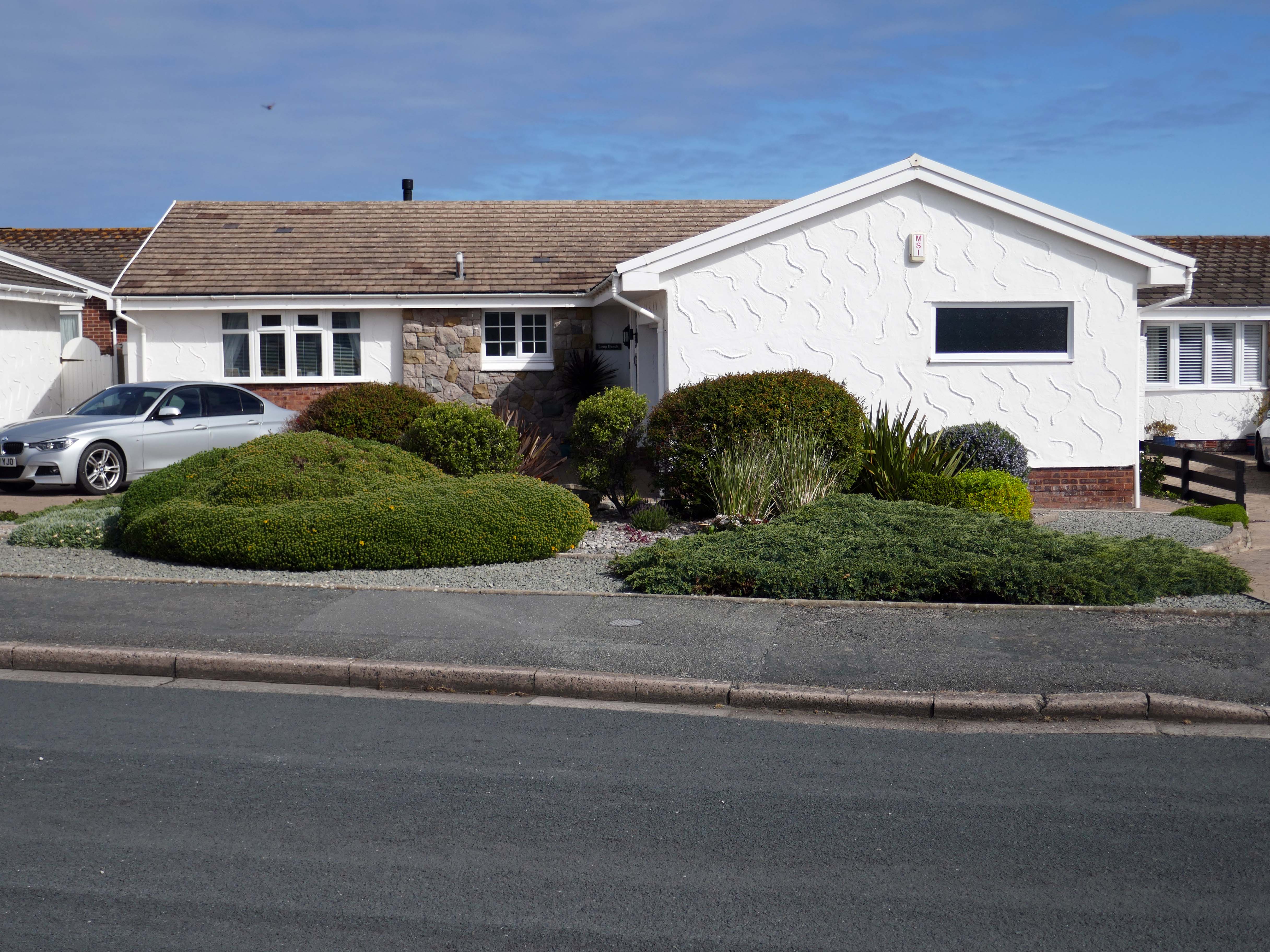
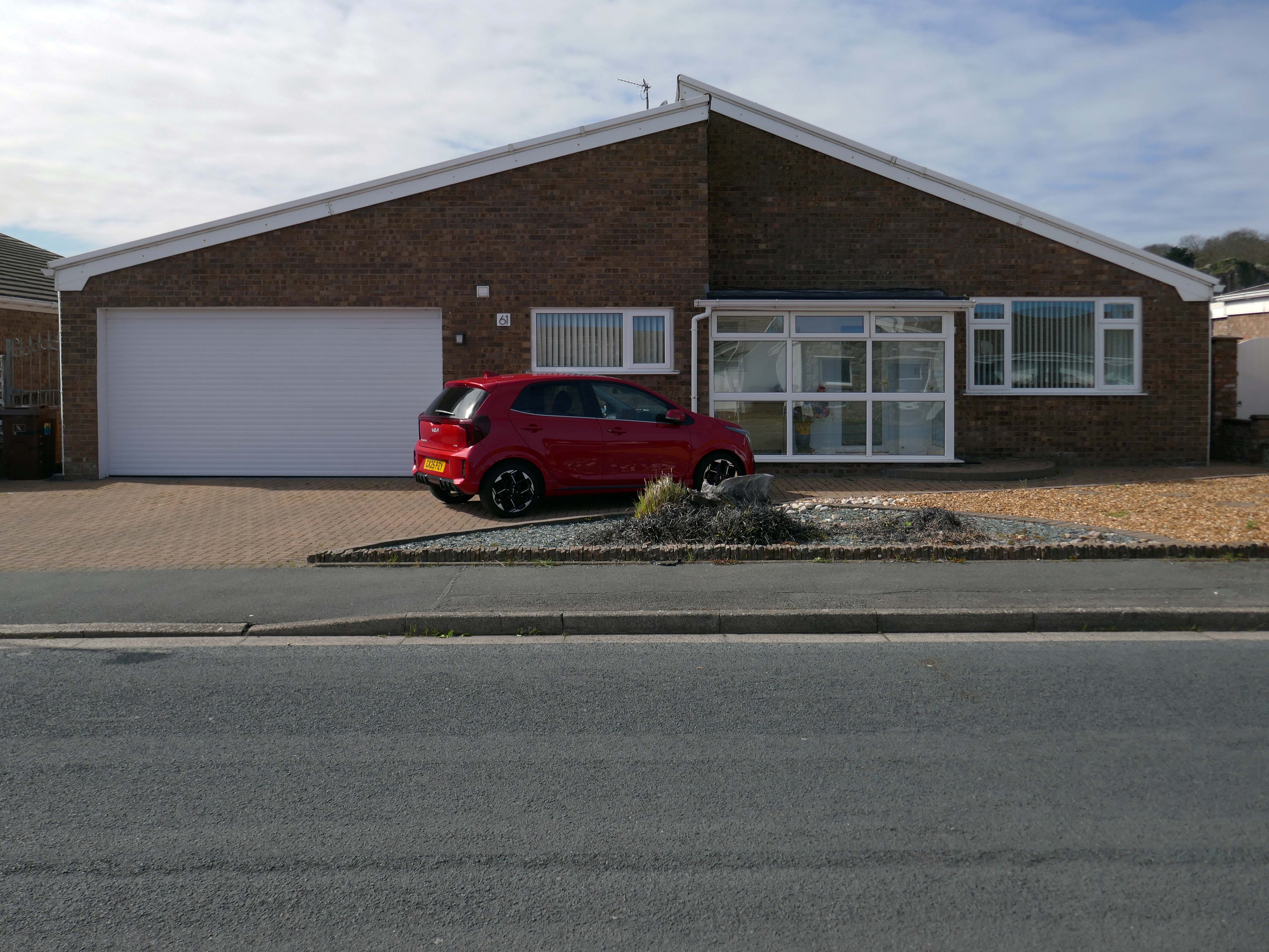
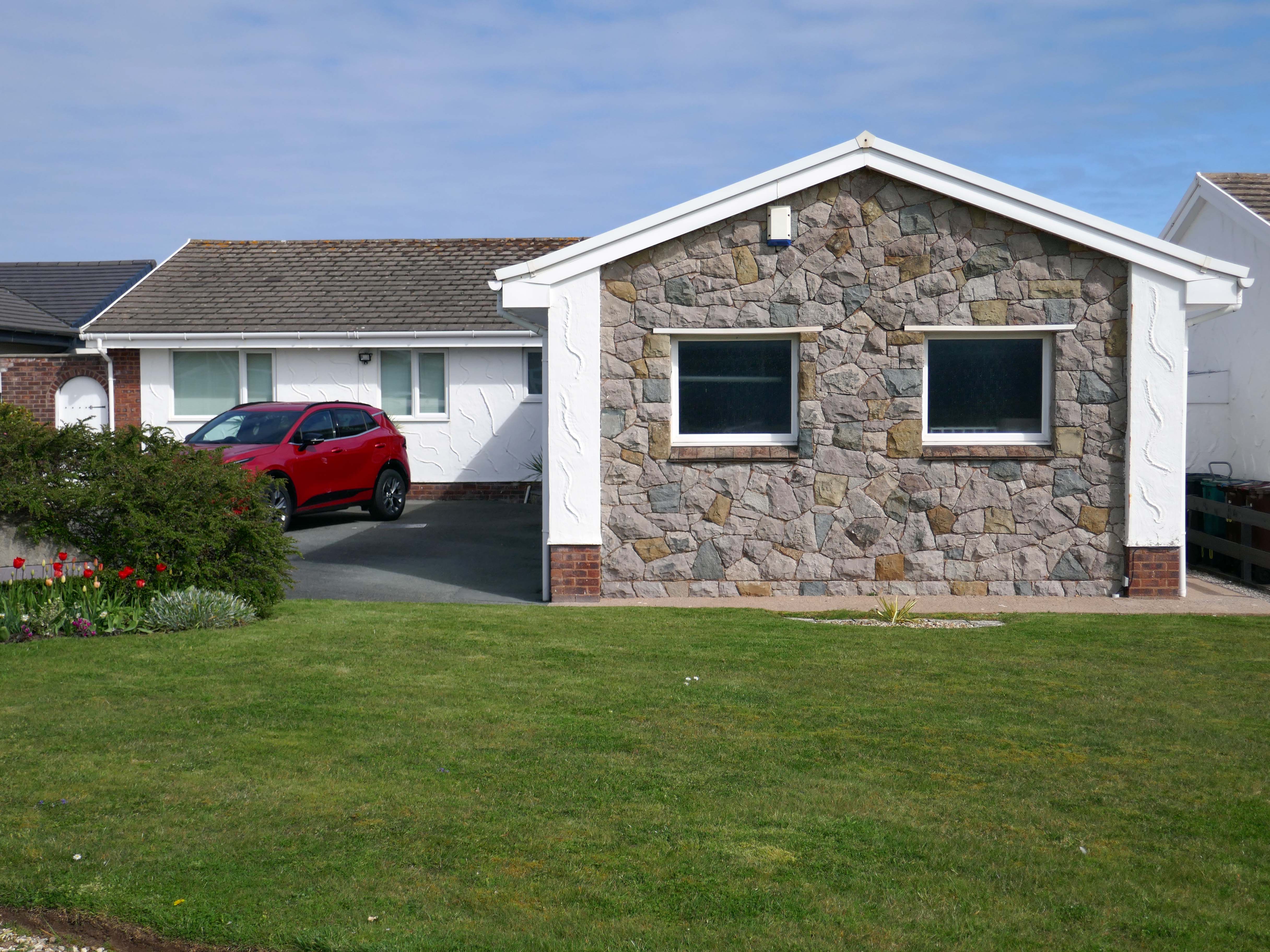
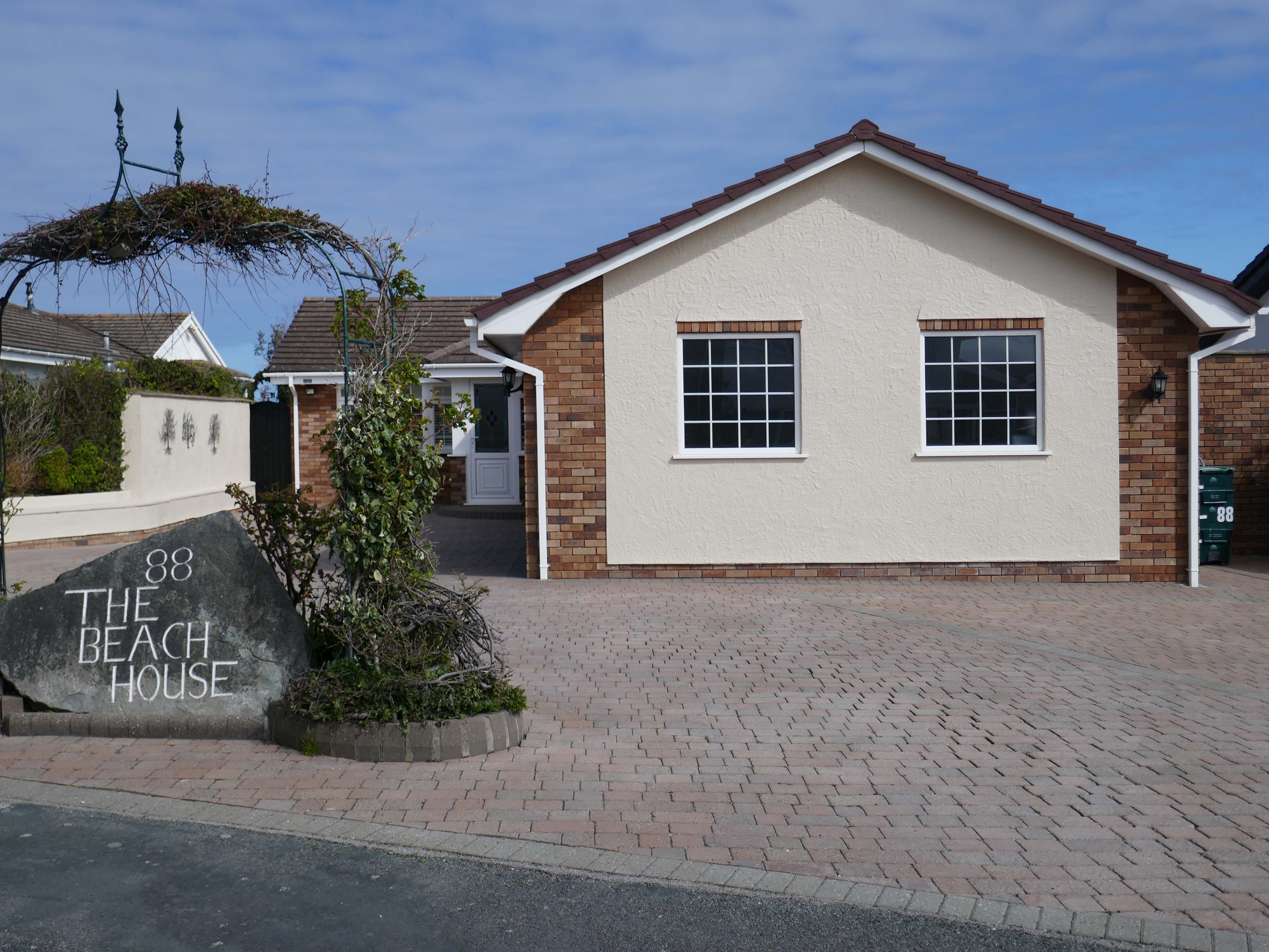
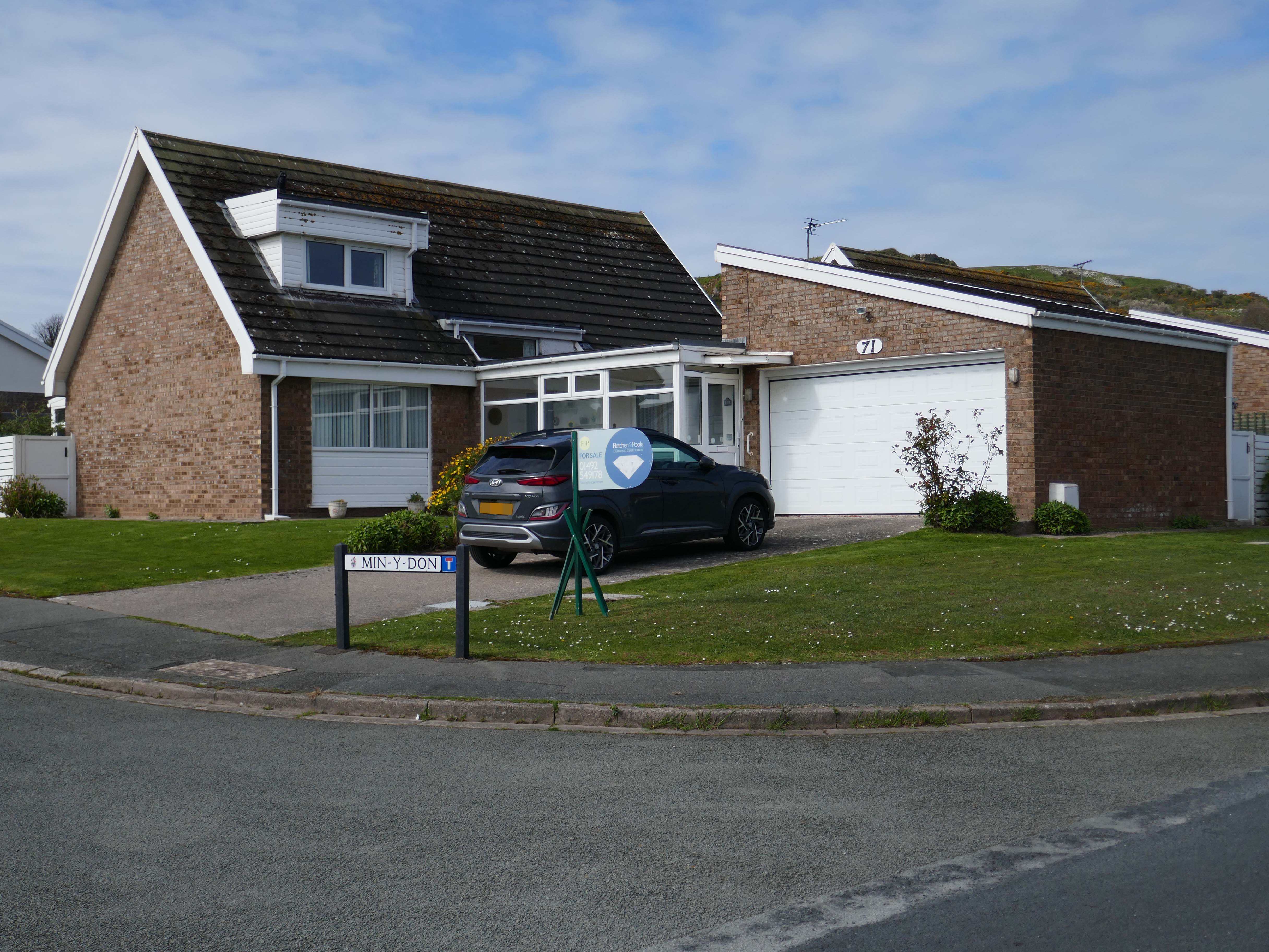
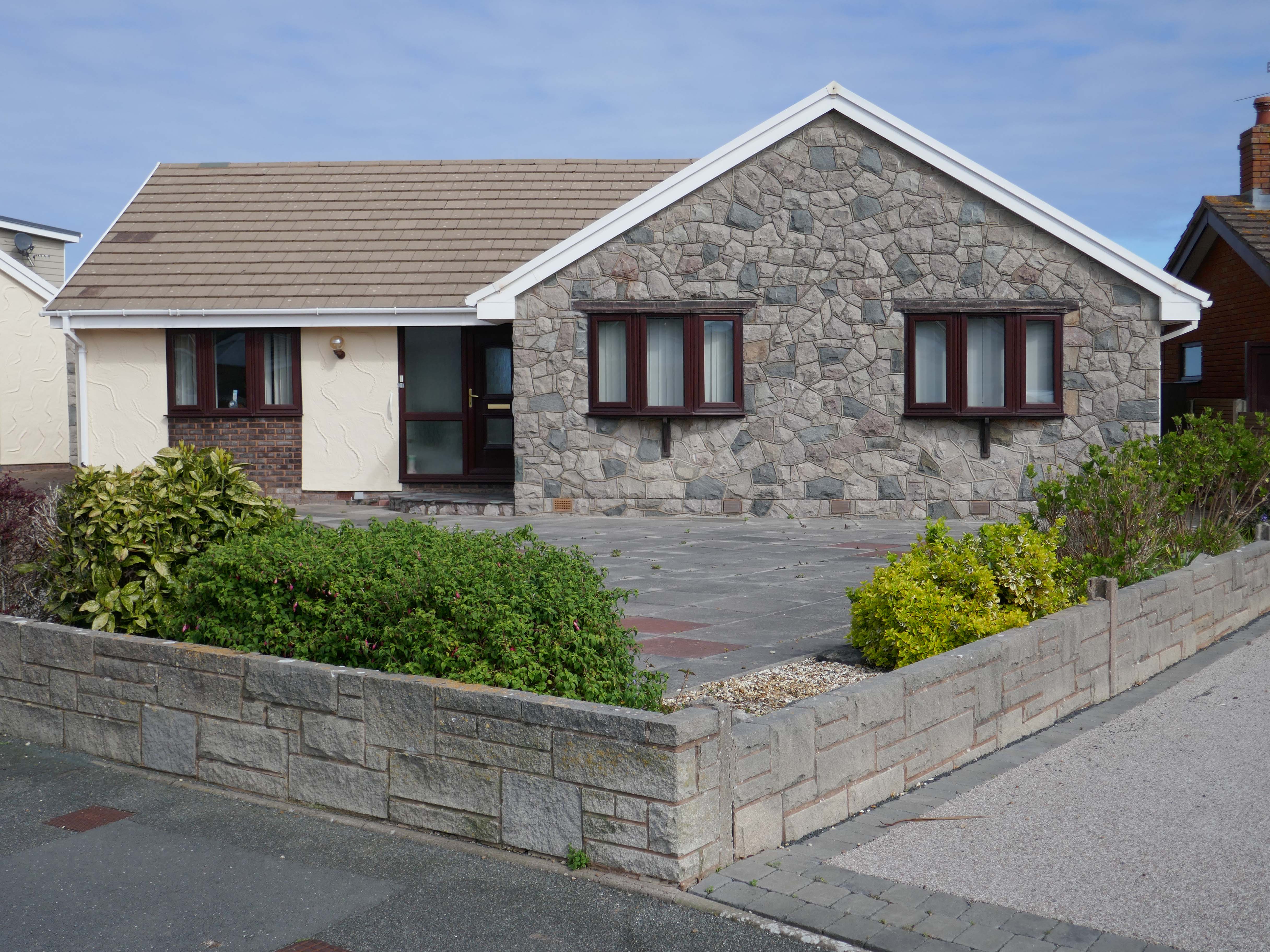
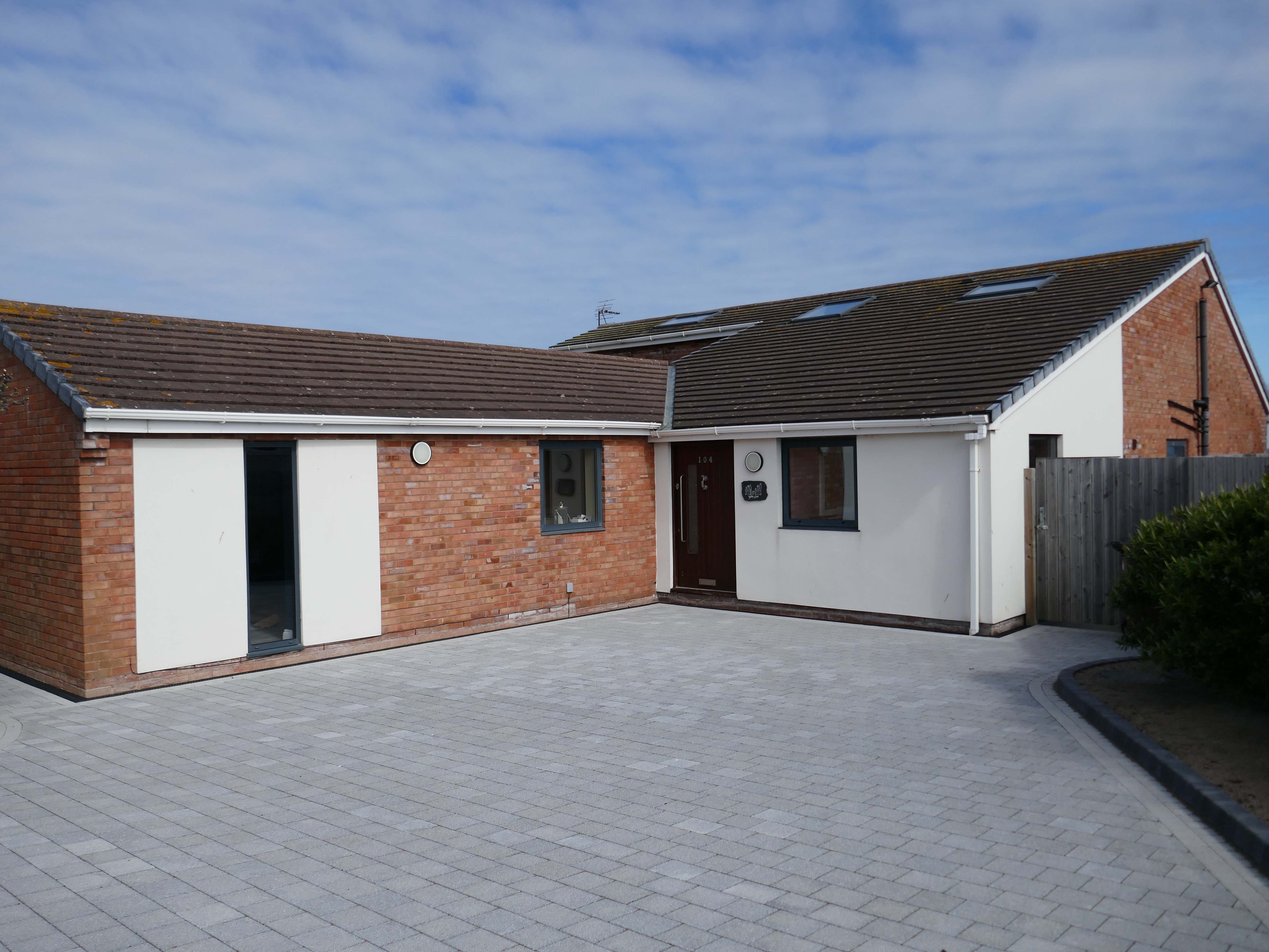
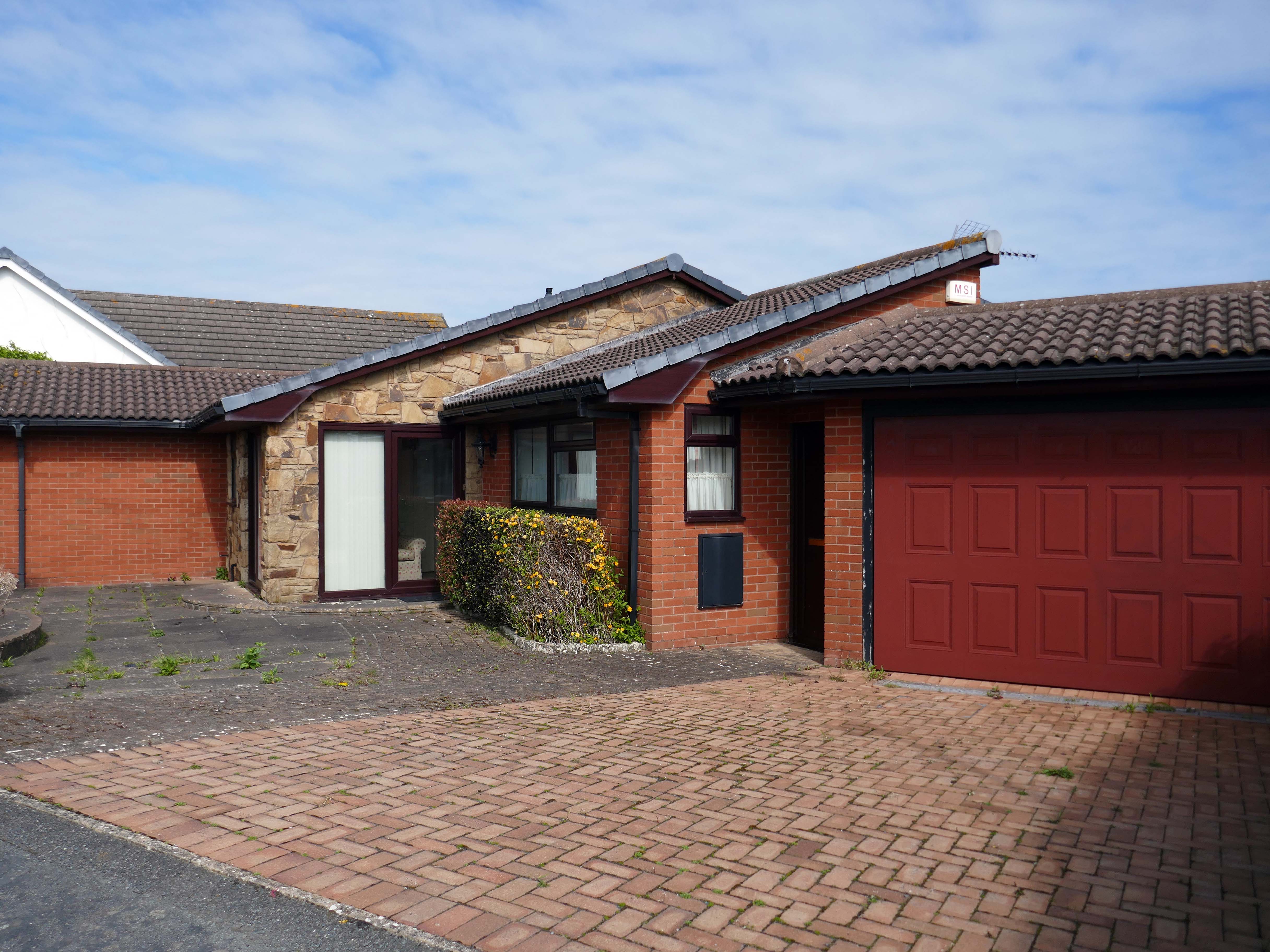
Penrhyn Bay is a peaceful seaside town and residential suburb of Llandudno in Conwy County, North Wales, known for its scenic sand-and-shingle beach. Located east of the Little Orme, it offers coastal walks, rock pooling, and a quiet alternative to nearby bustling resorts. The area is popular for its local community feel, nearby seal spotting, and easy access to North Wales attractions.
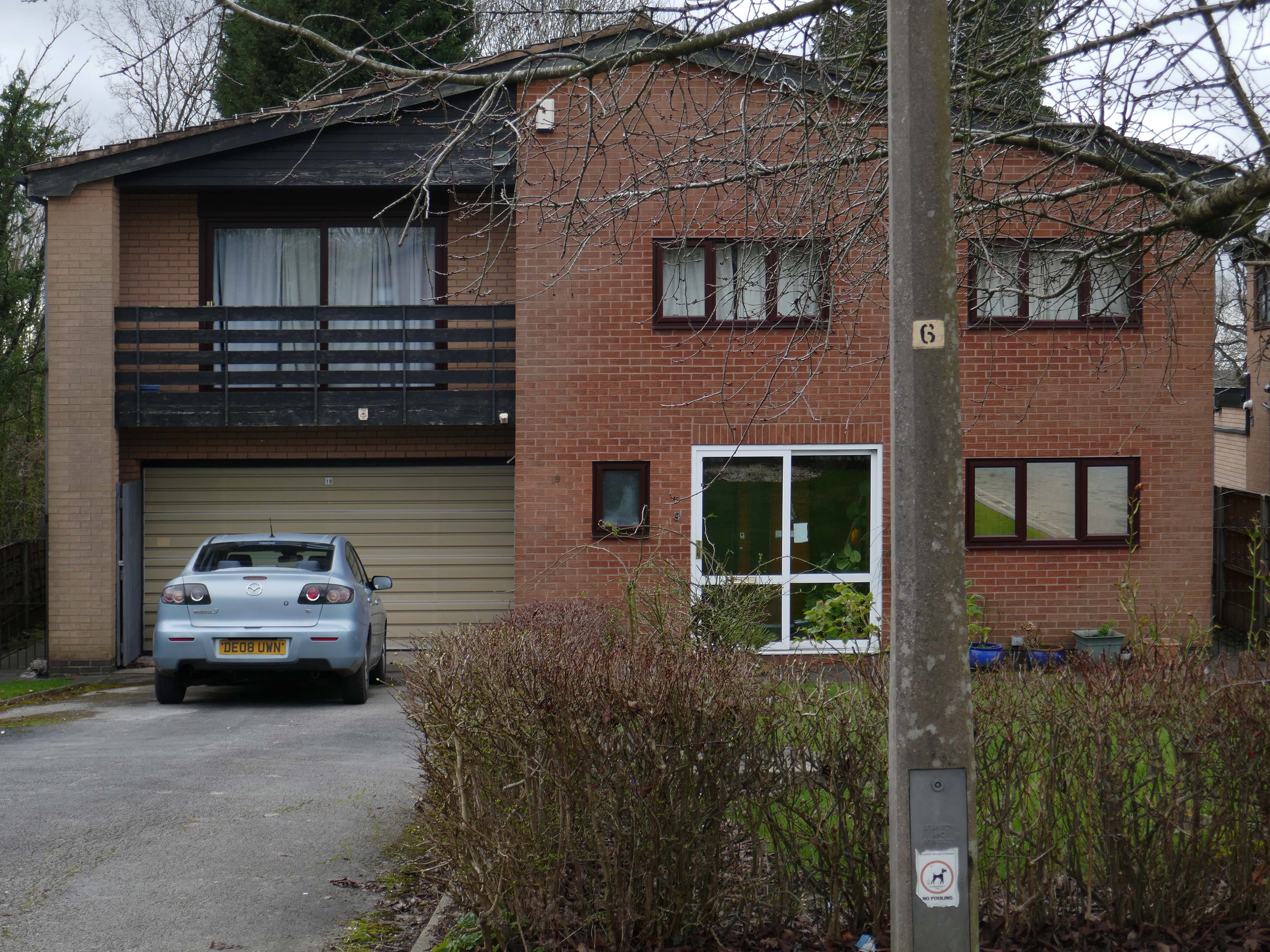
Following several recent suburban posts in my local area, I decided to take a train to Colwyn Bay, in order to revisit an old friend, last seen in 2023.
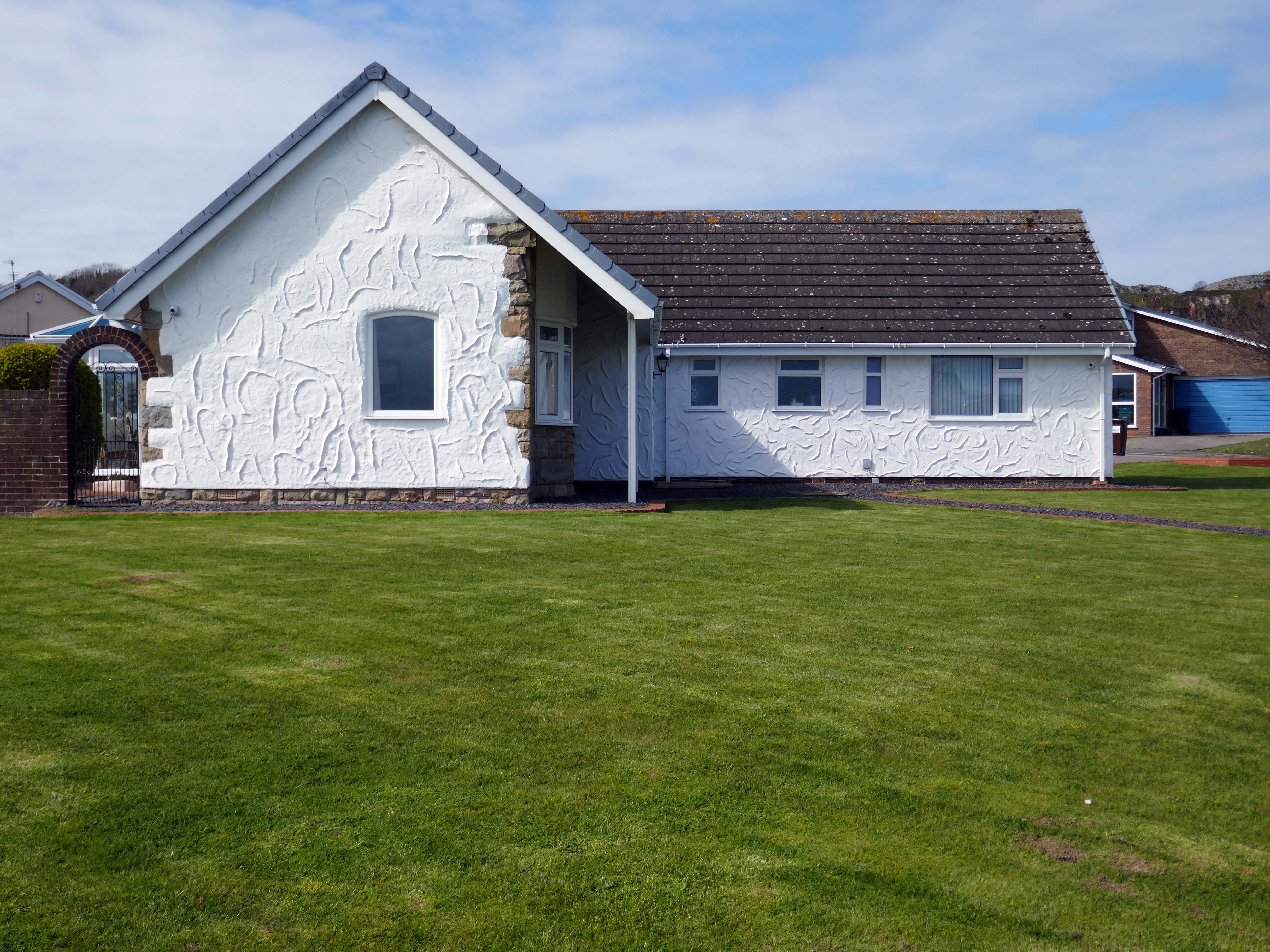
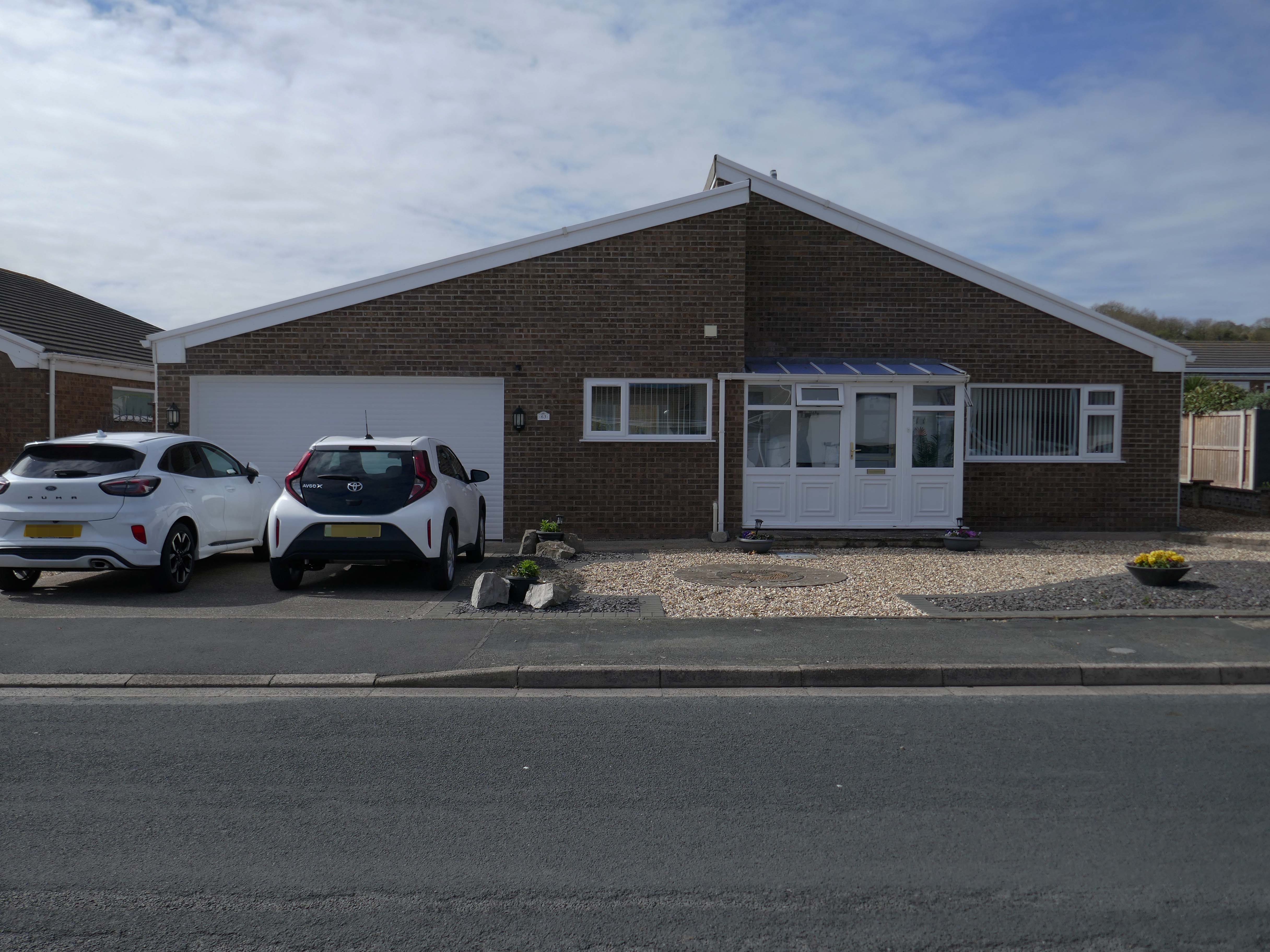
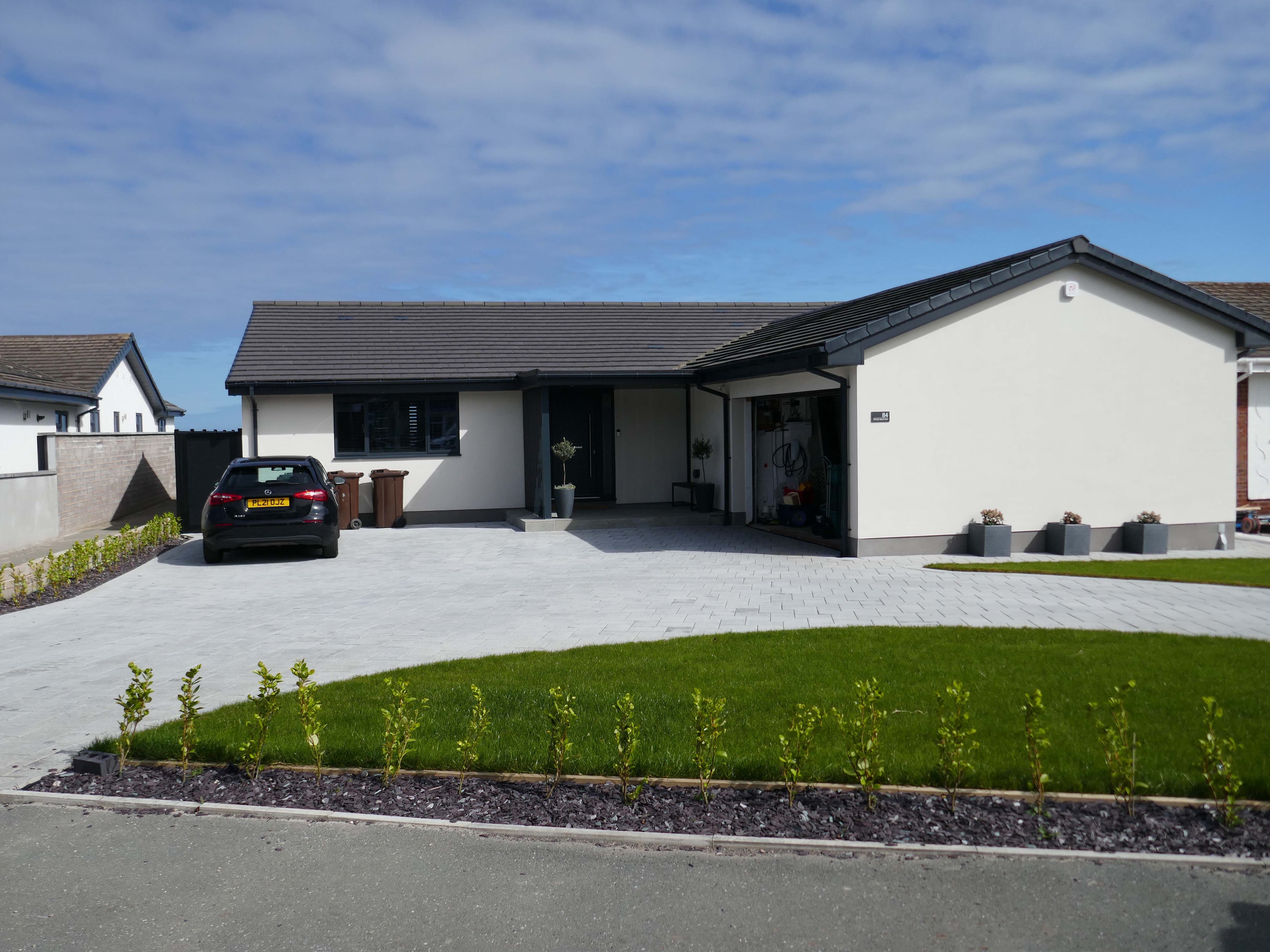
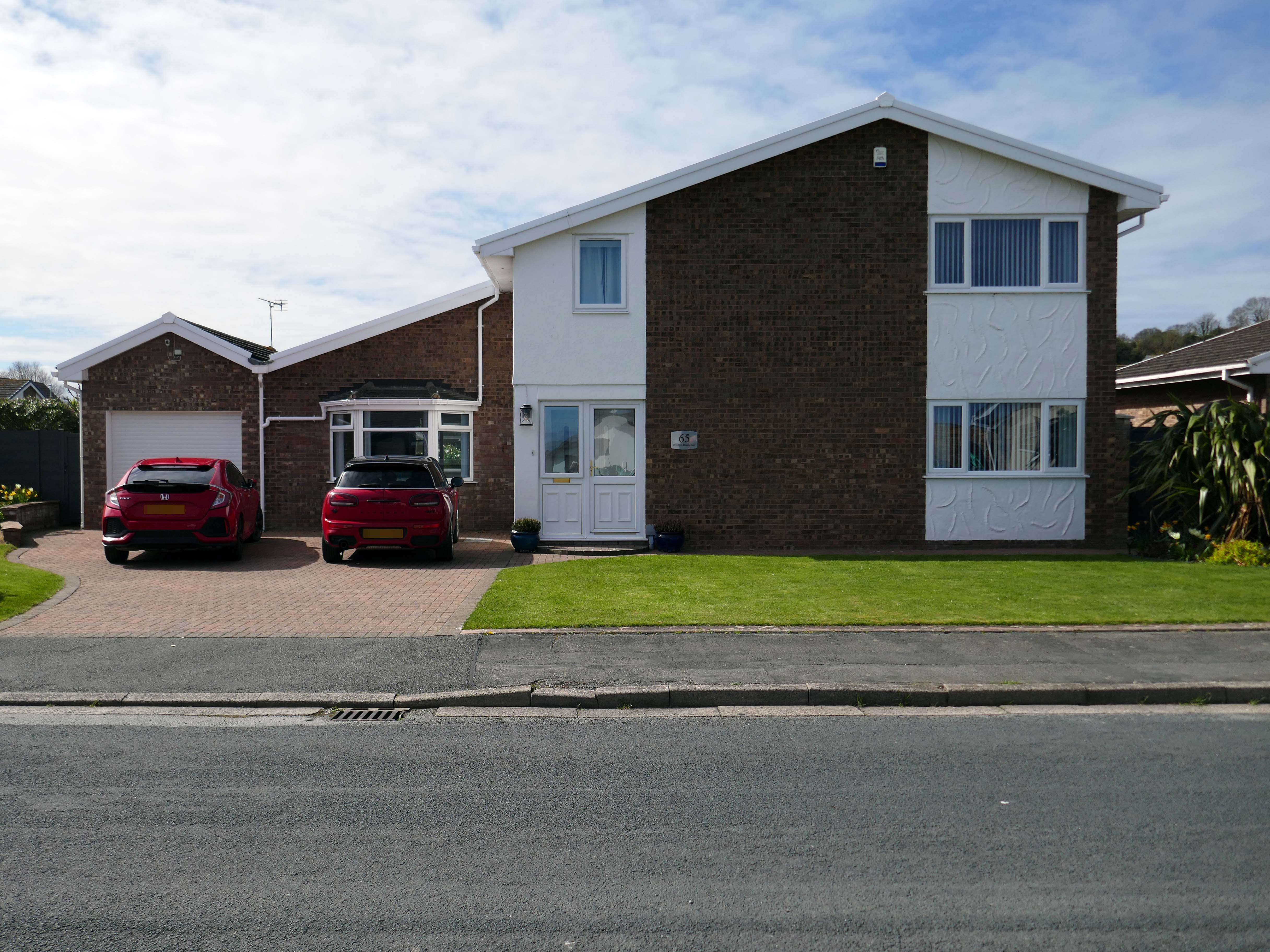
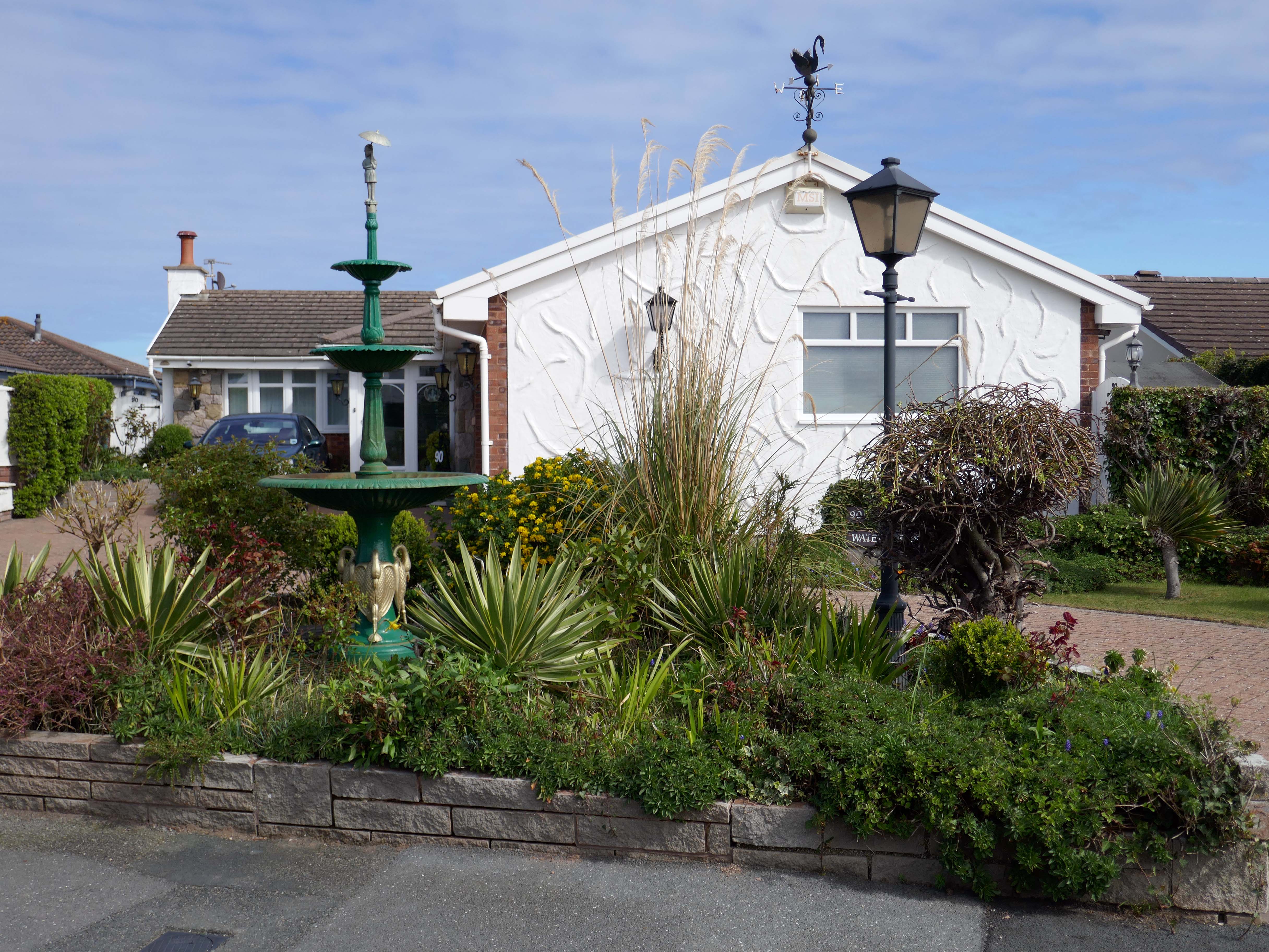
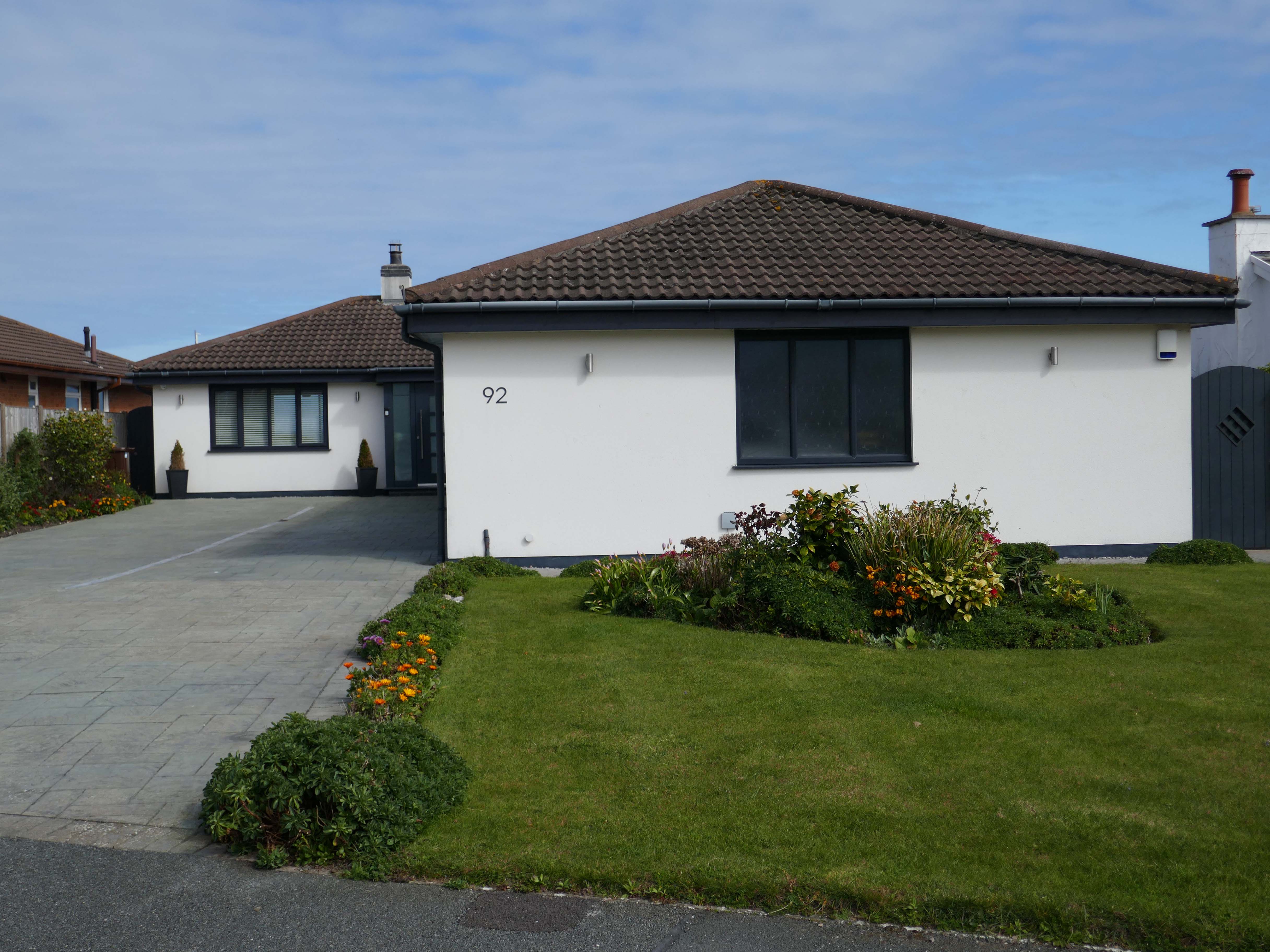
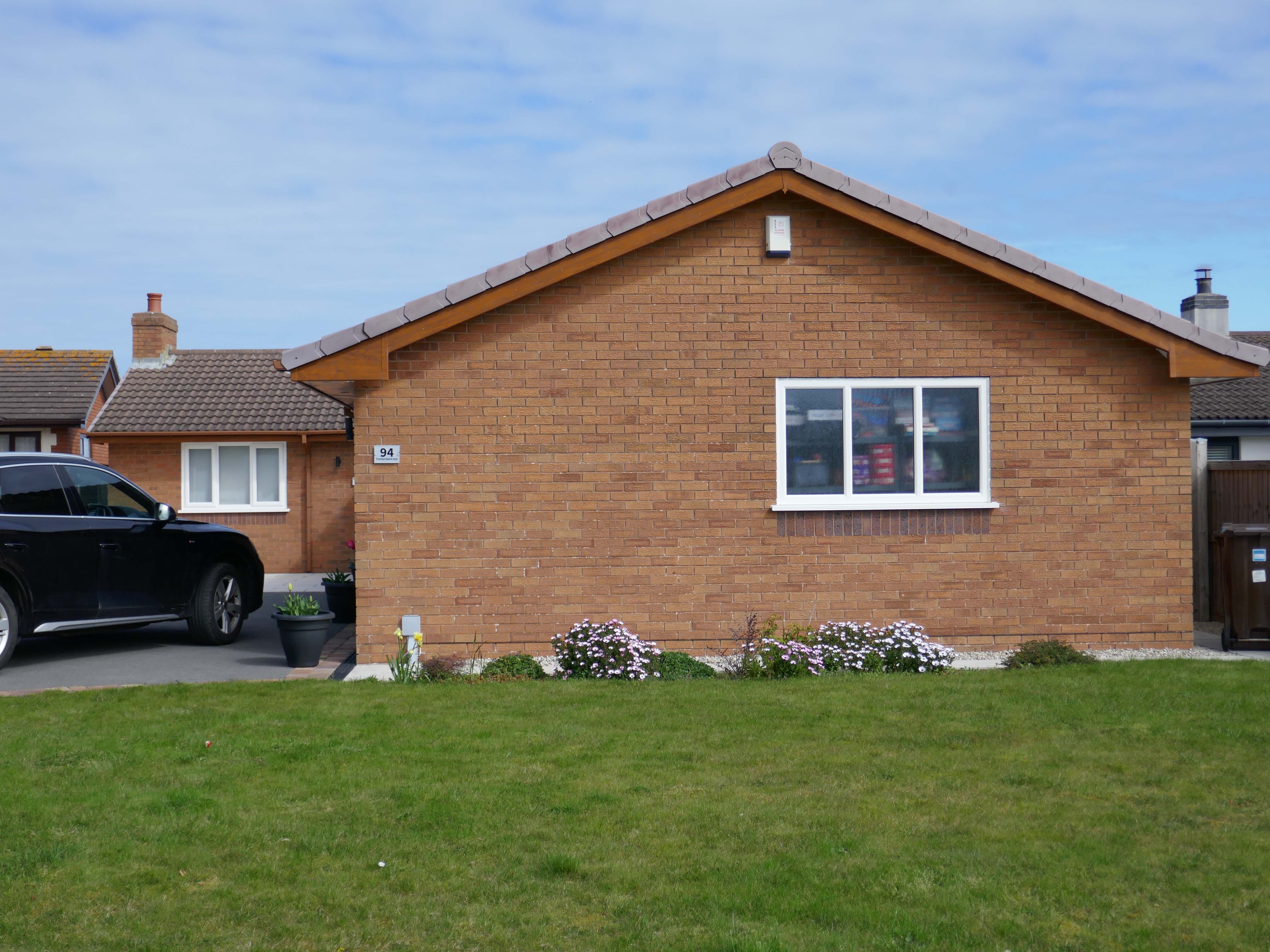
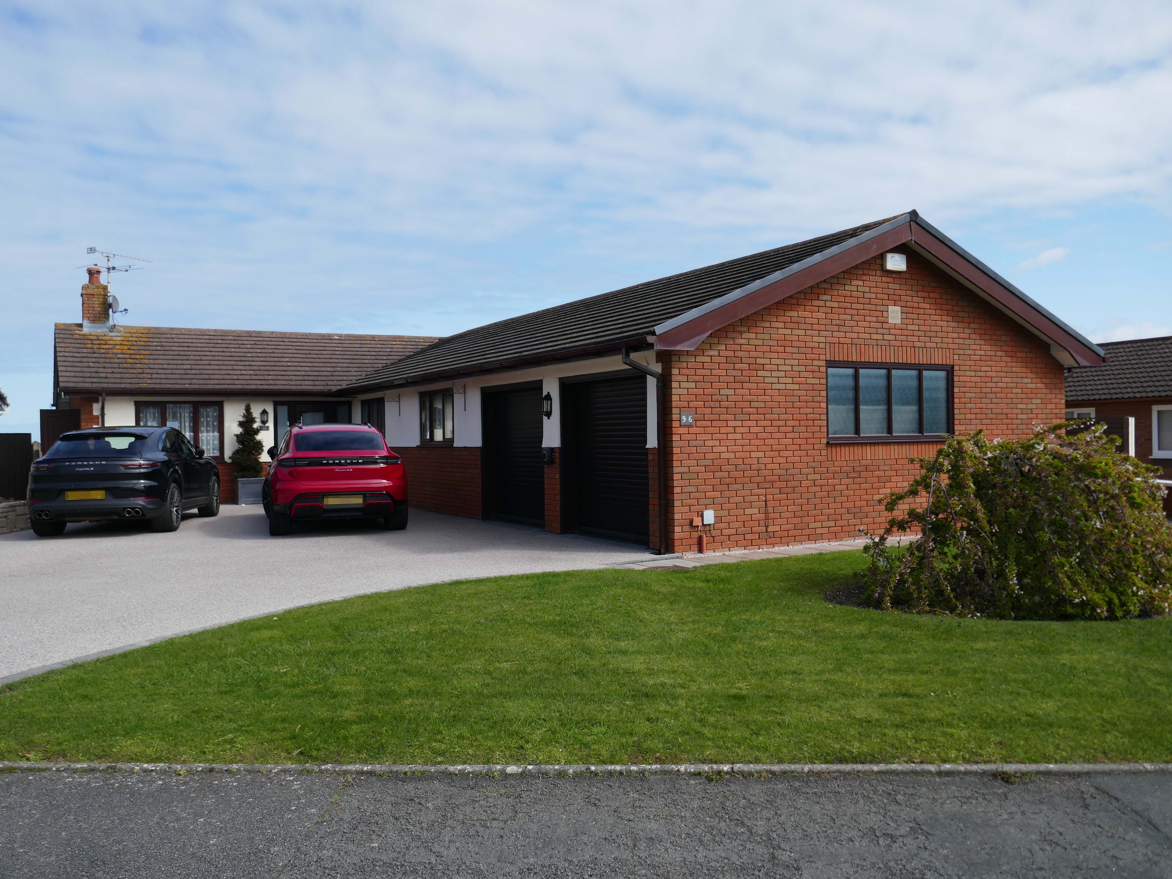
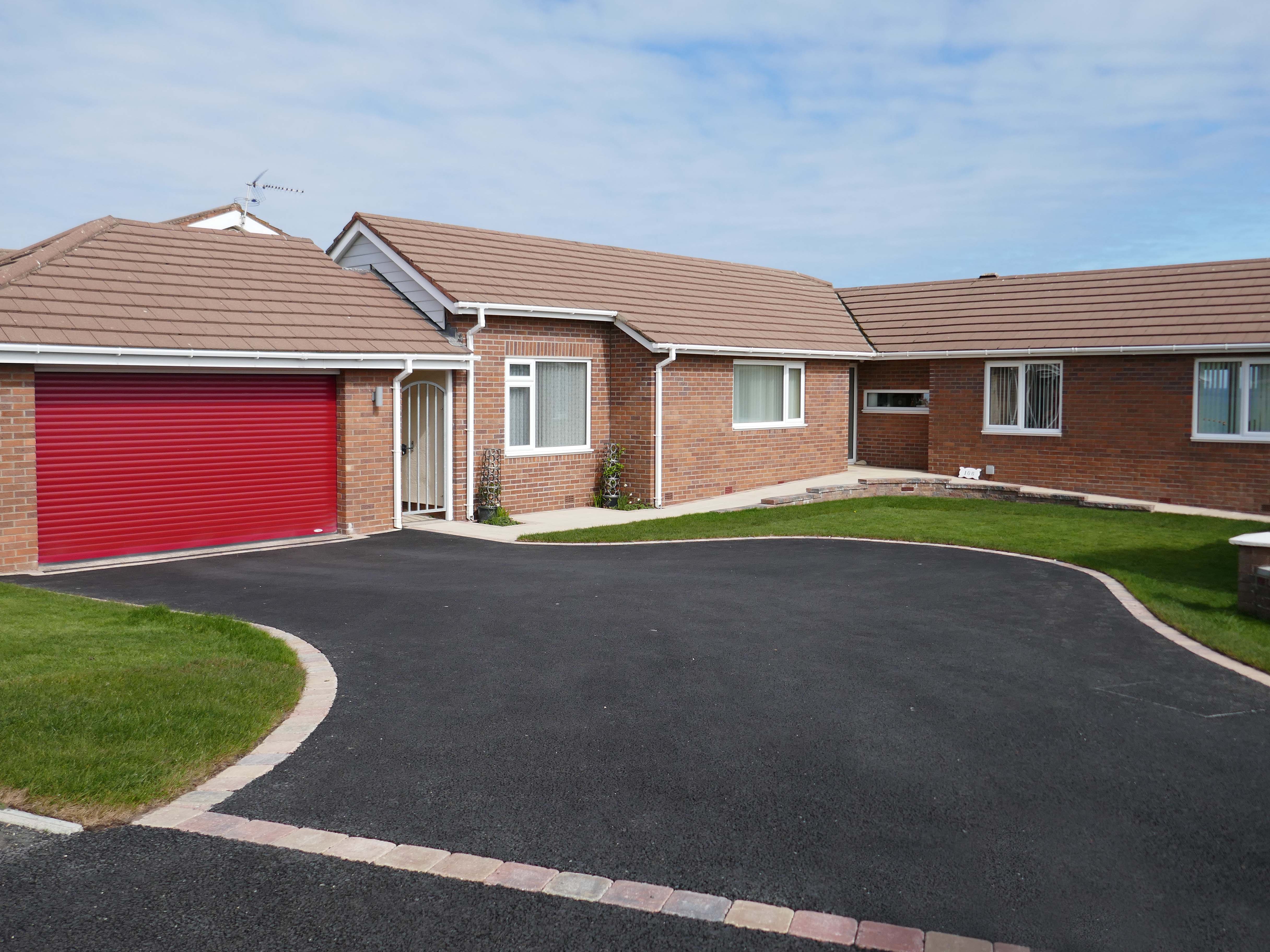
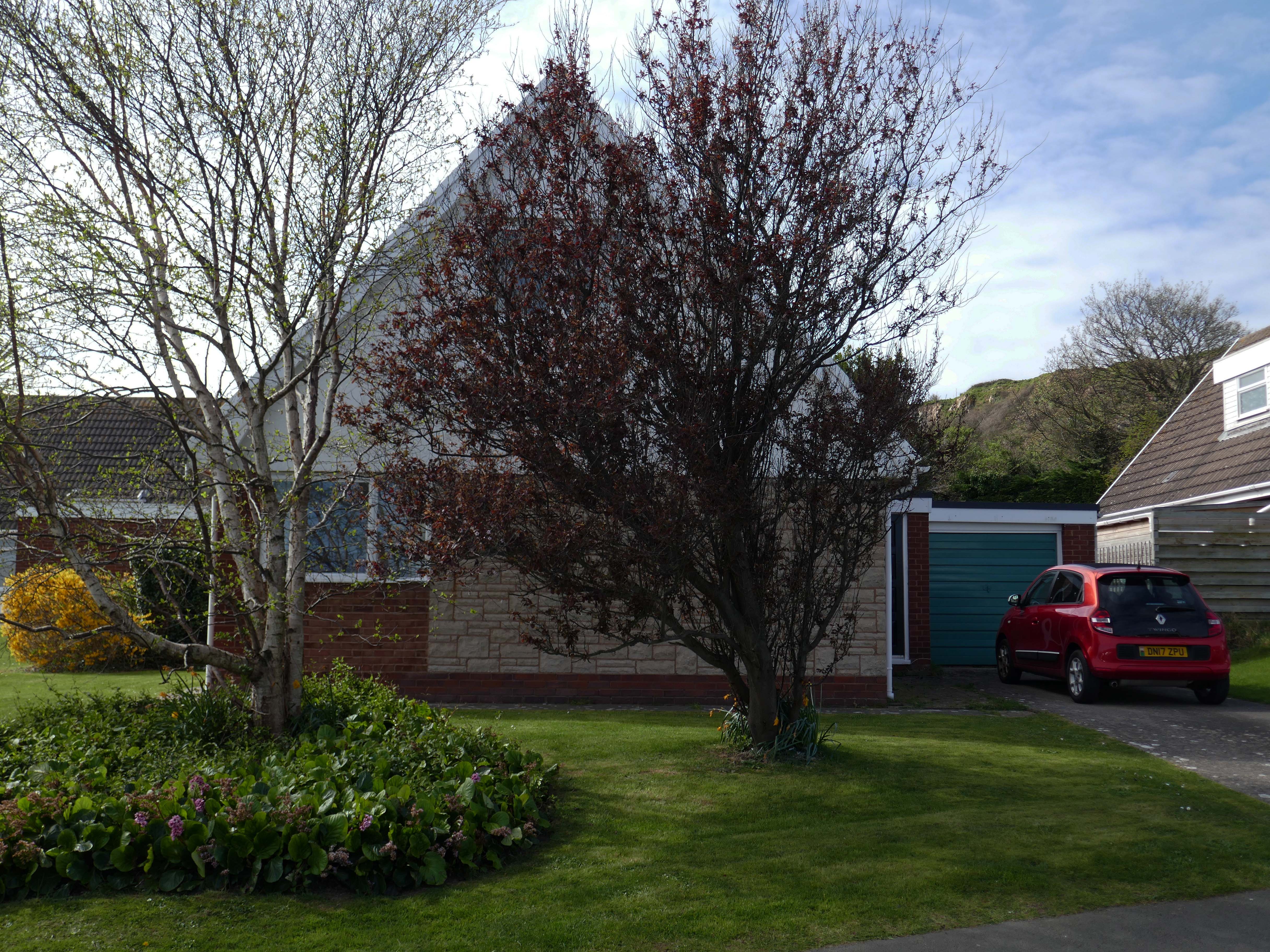
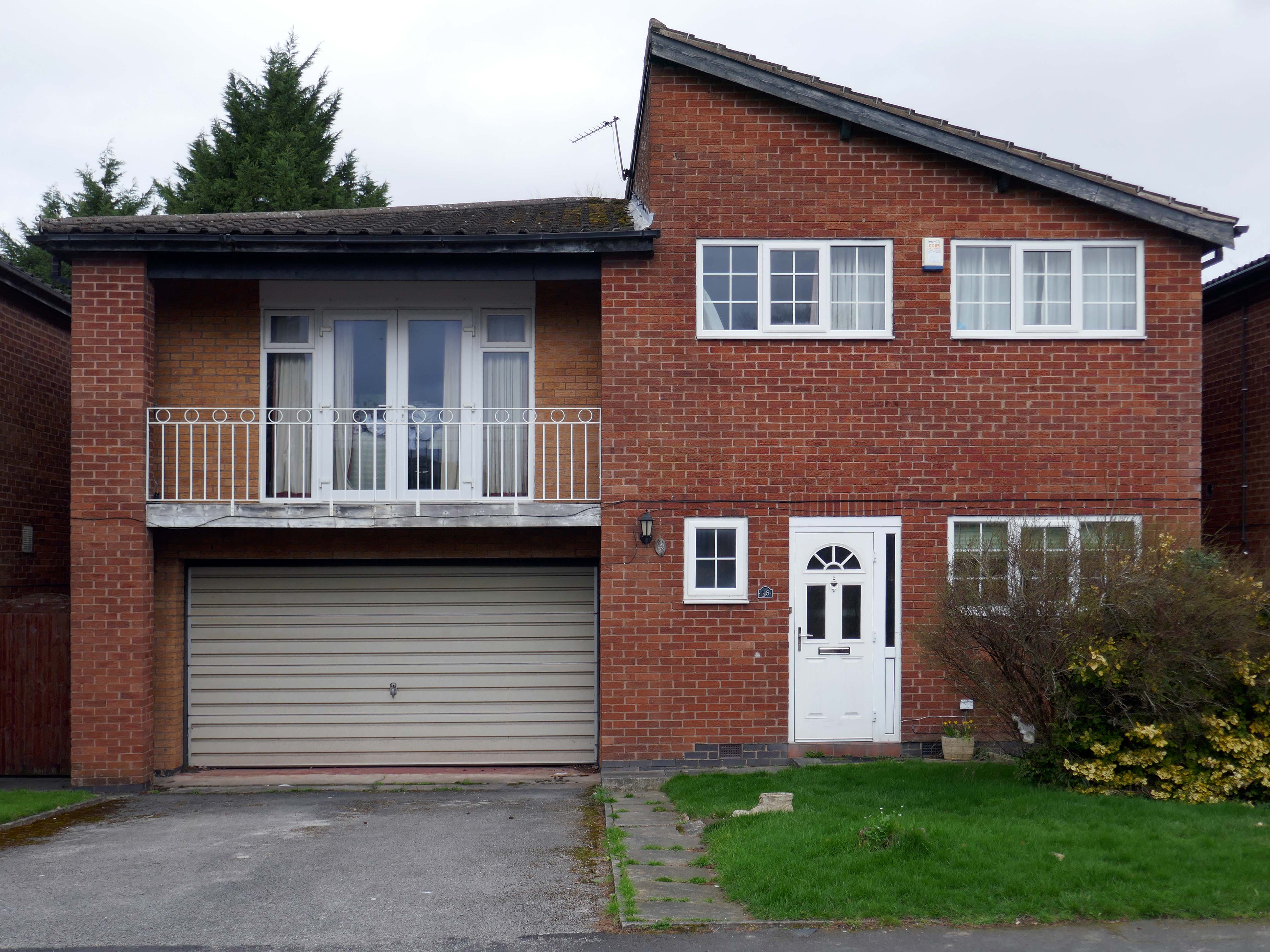
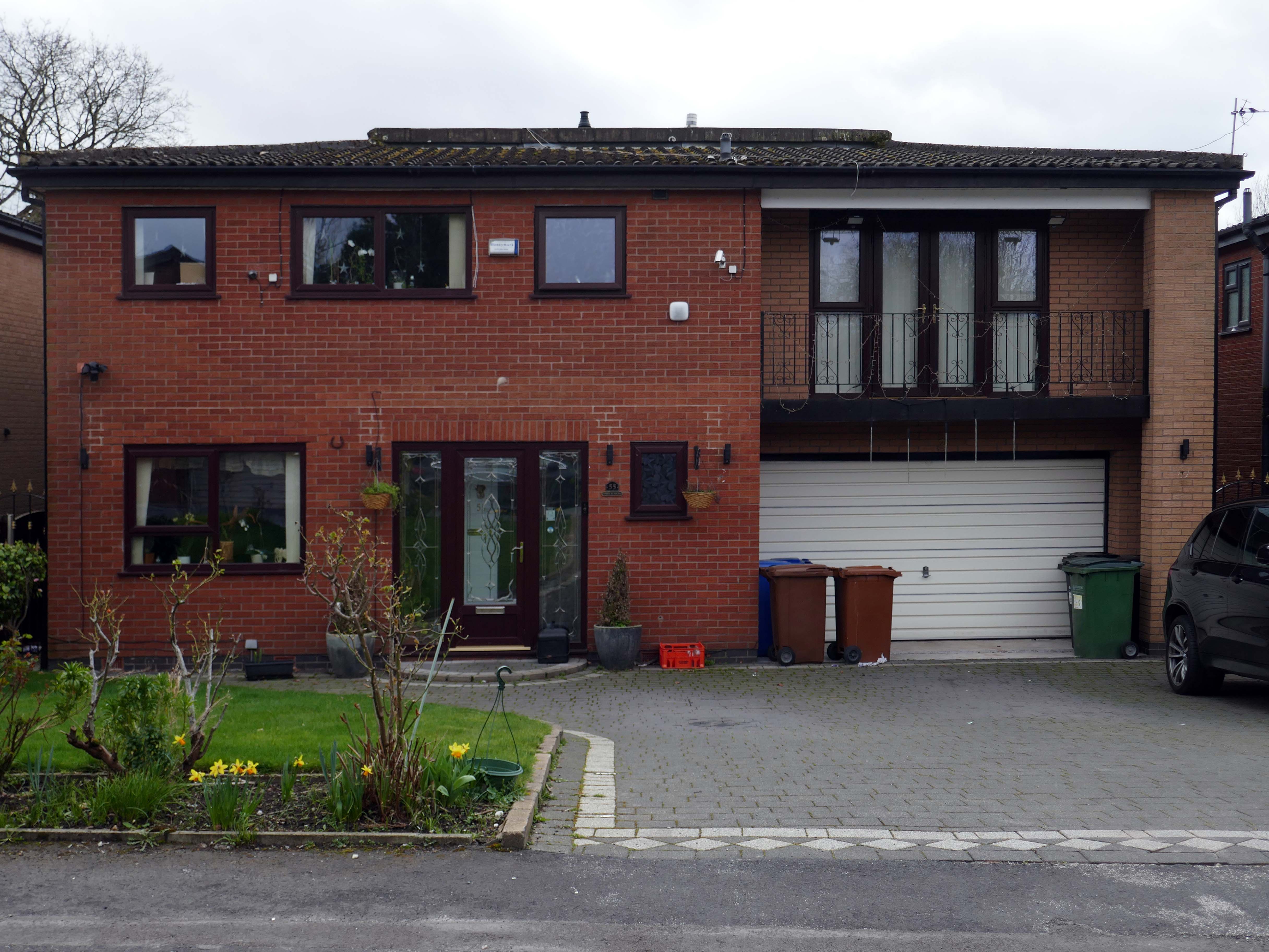
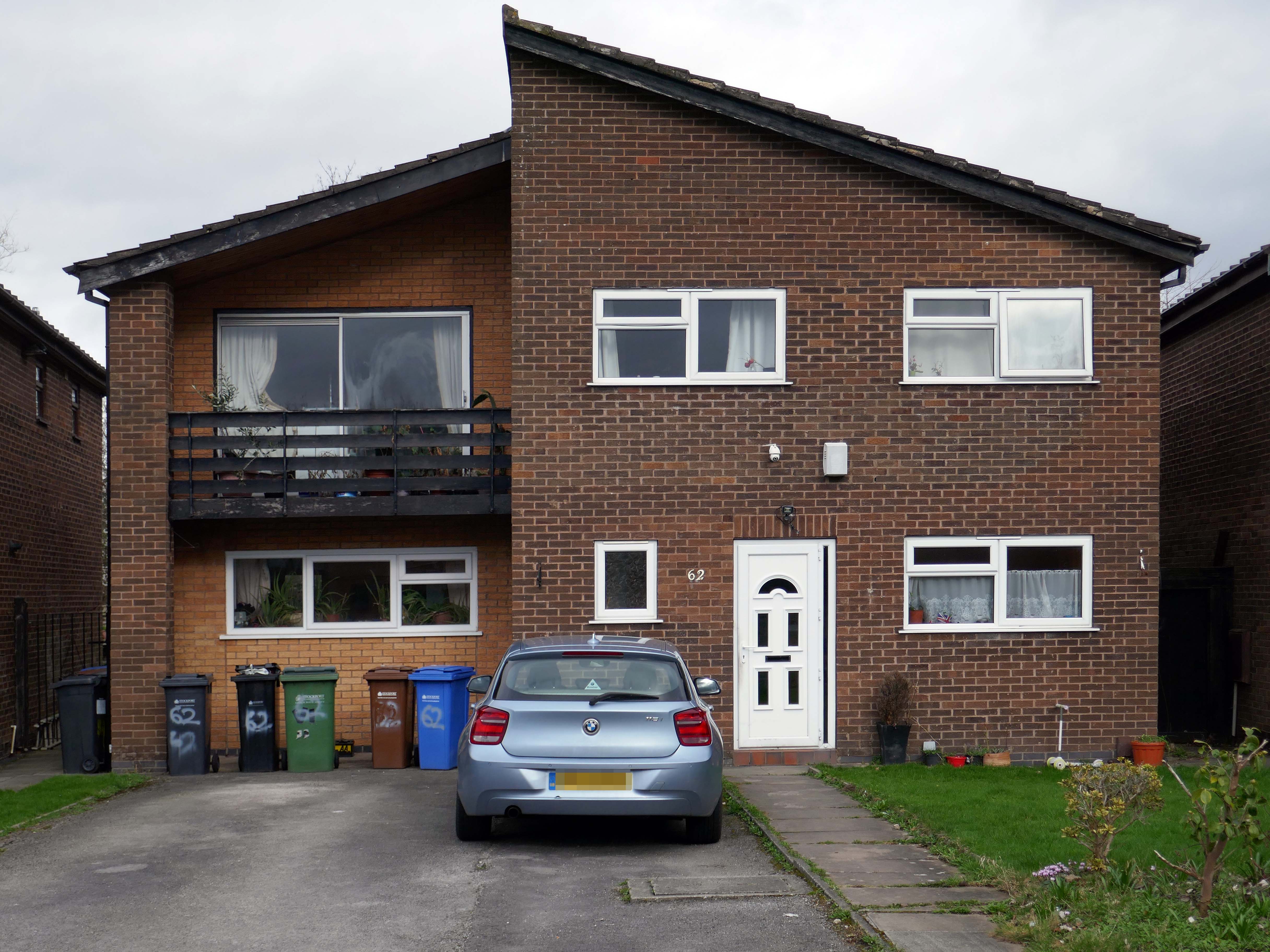
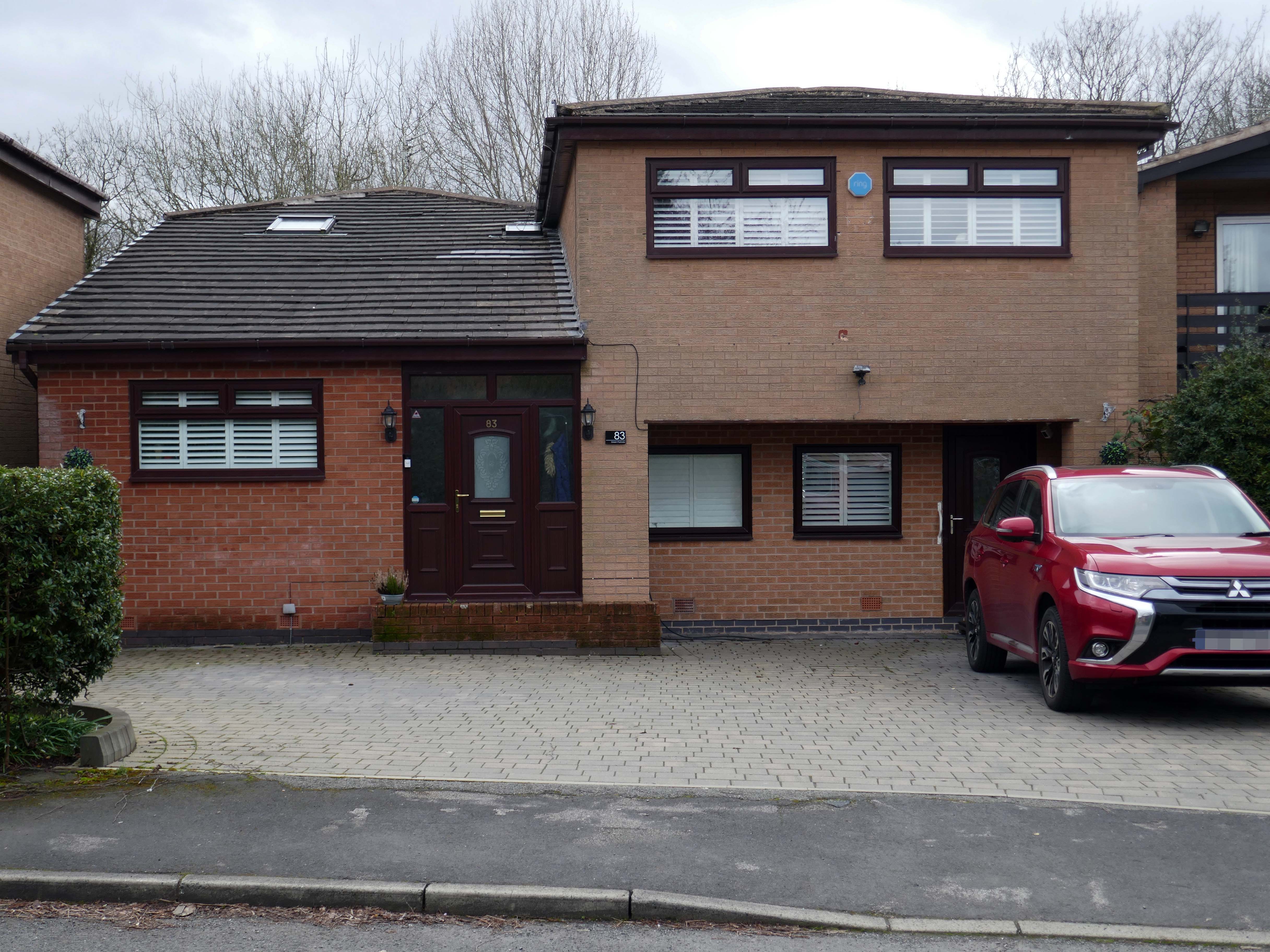
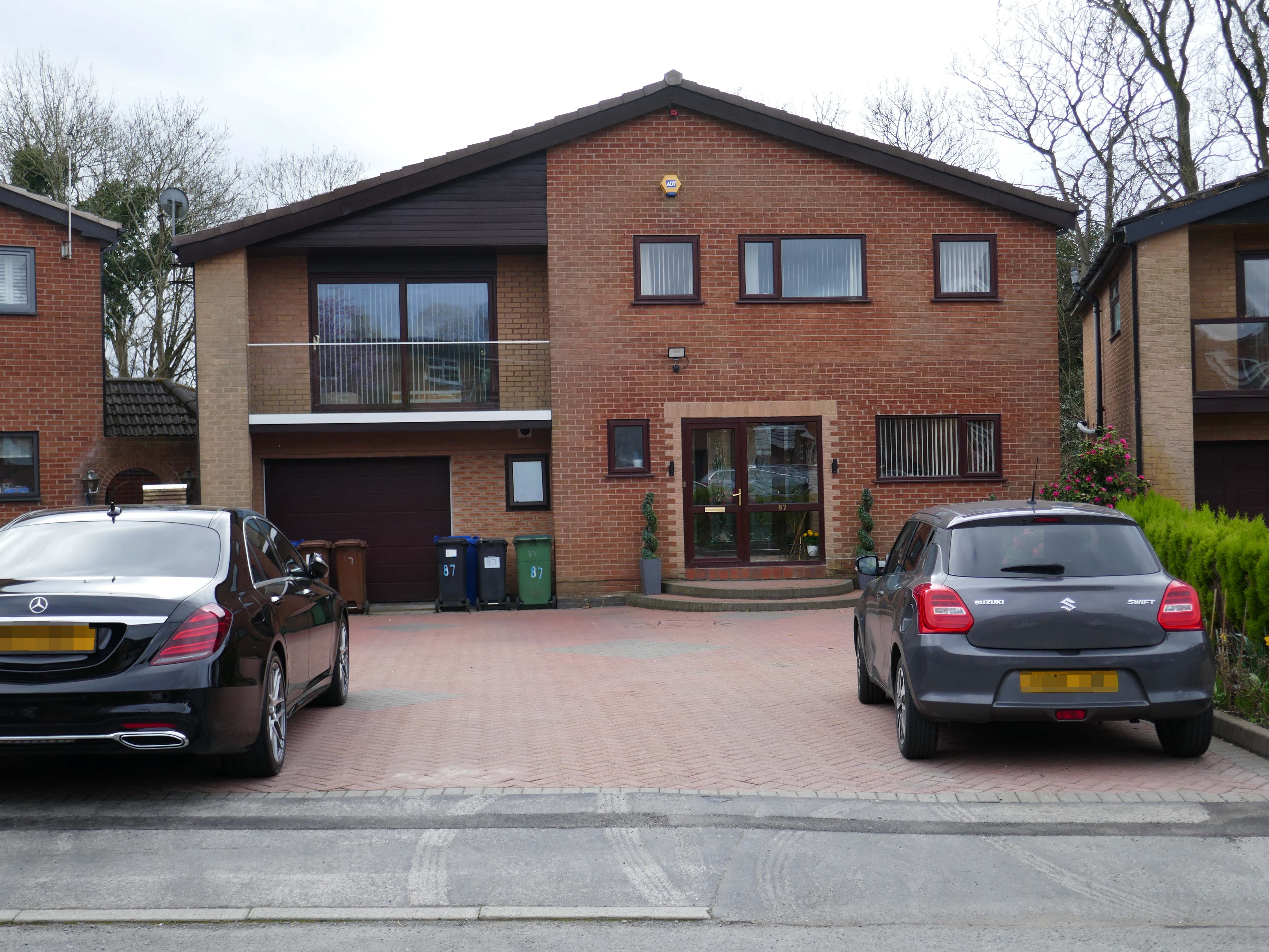
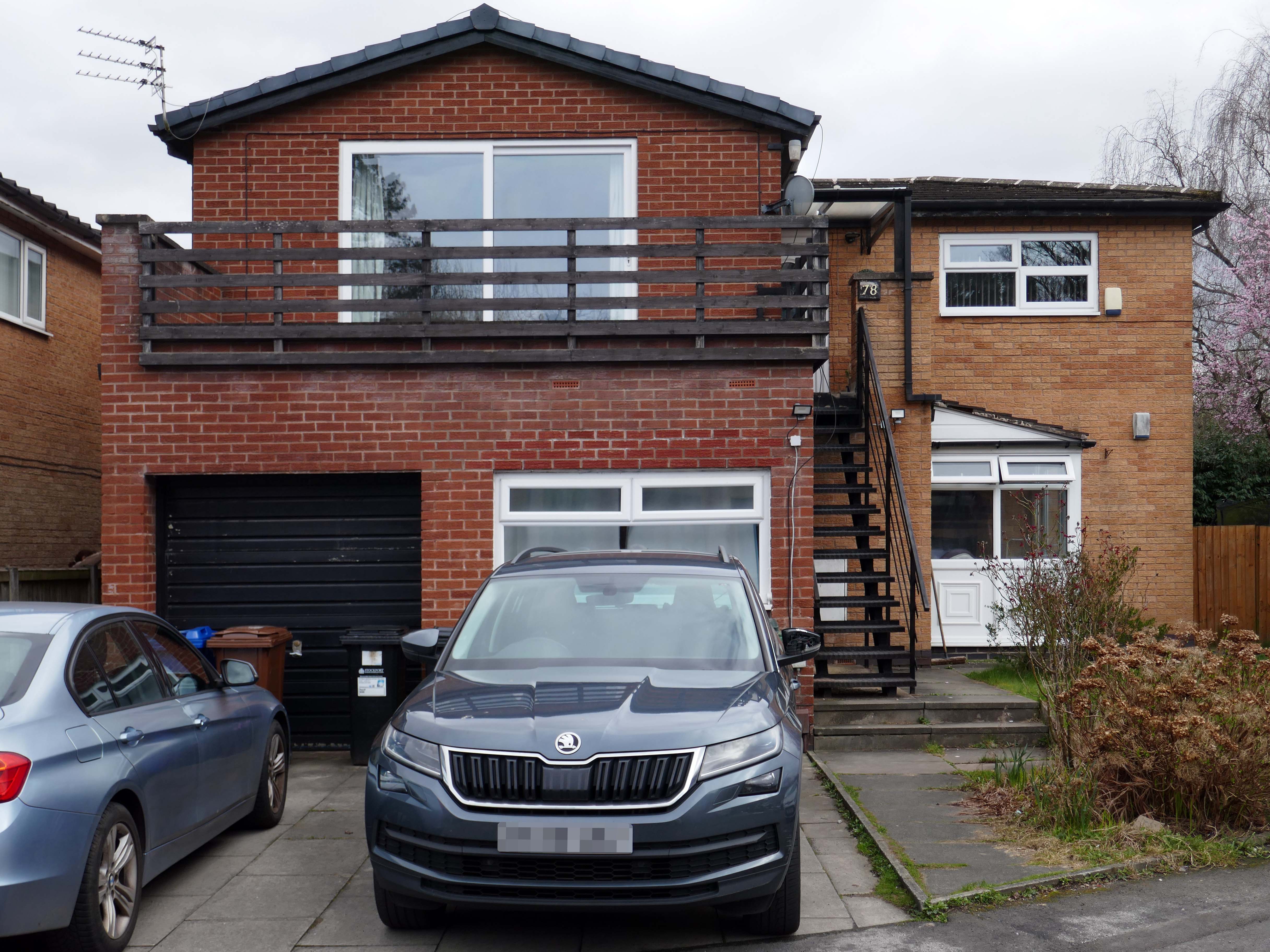
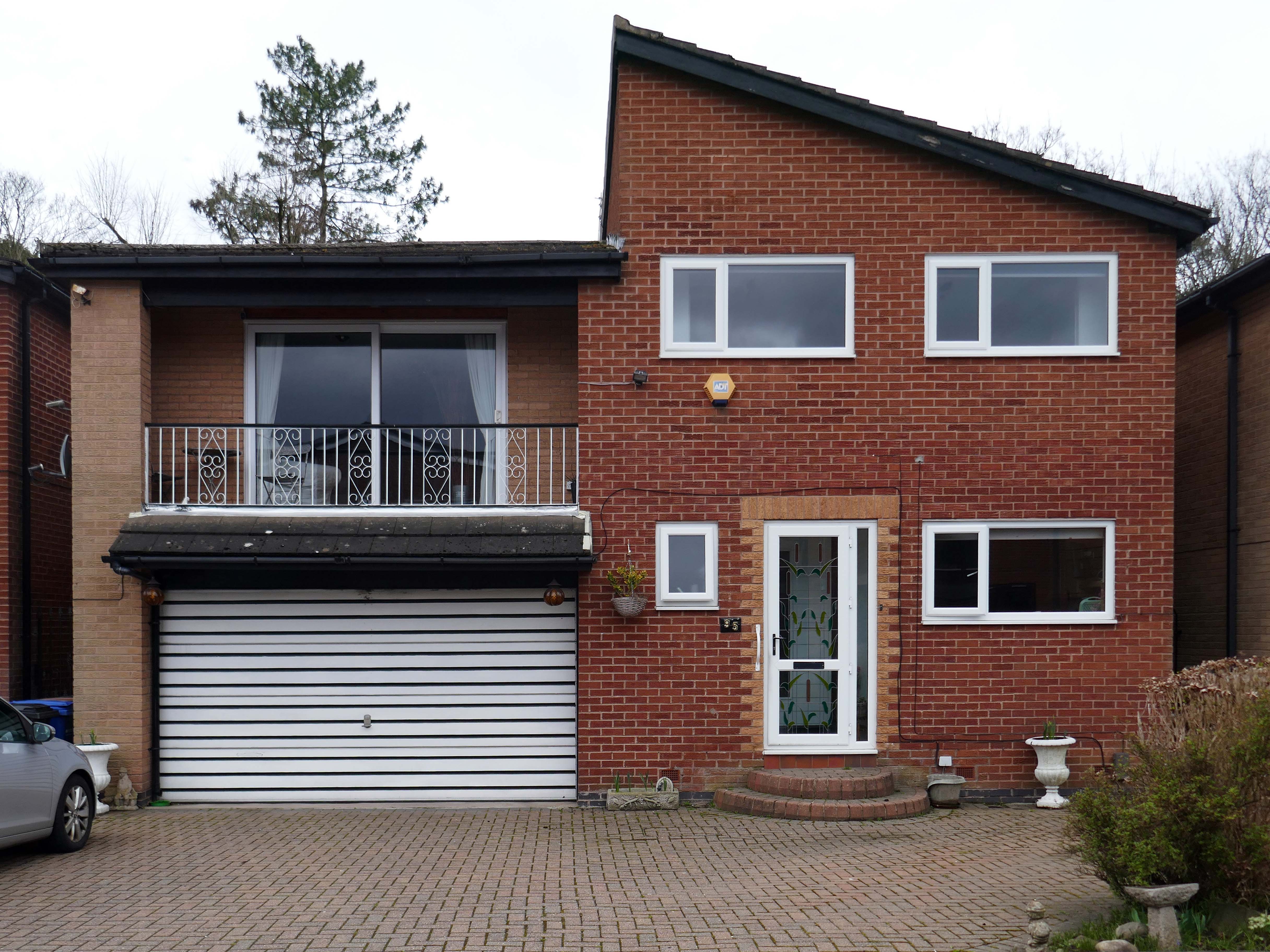
The quality of light and the well behaved deportment of the houses and owners, exuded the demeanour of a model village.
There are new model cars, extensions, impressed drives, garden ornamentation, quirkily rendered reliefs and cladding.
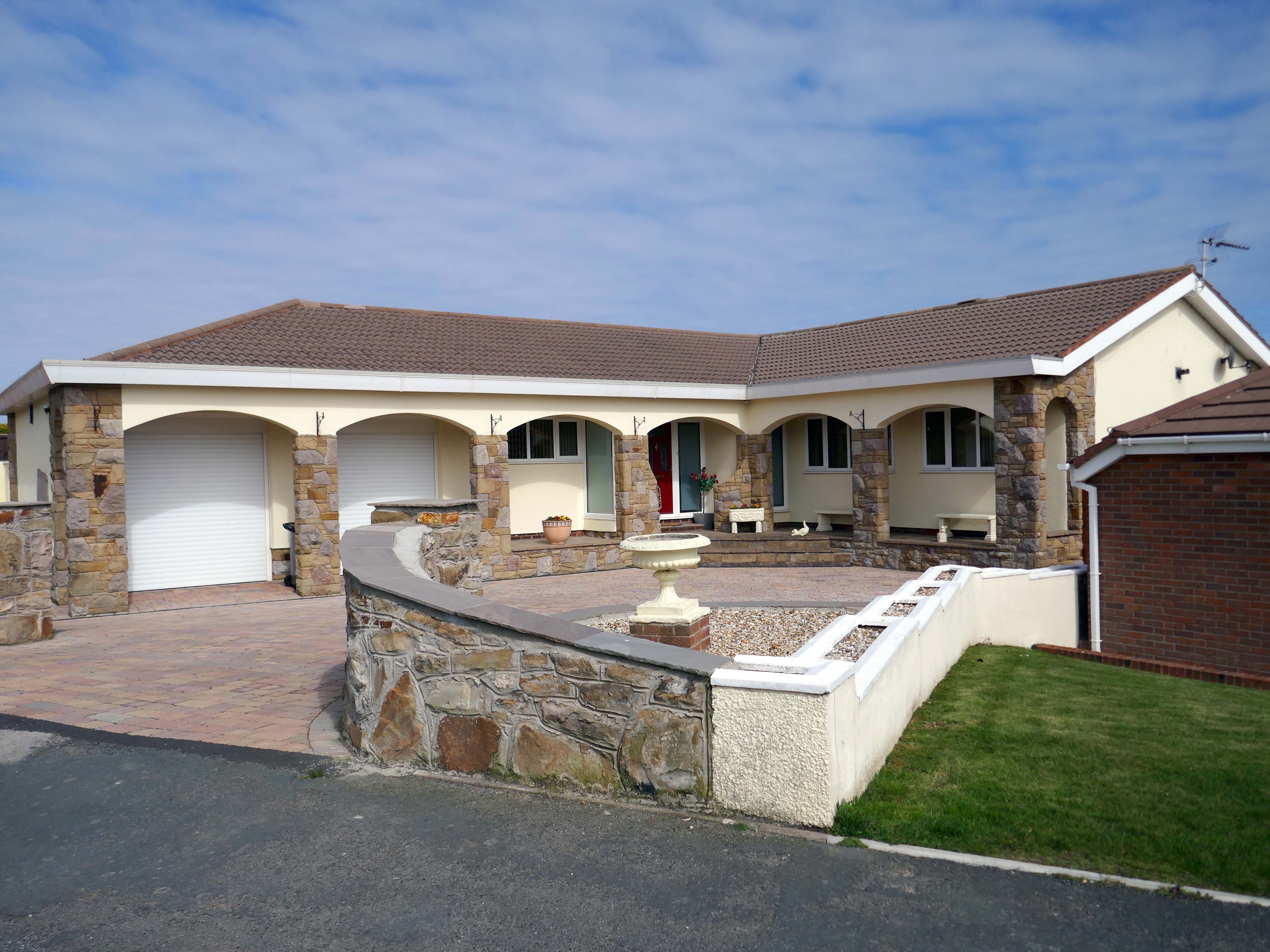
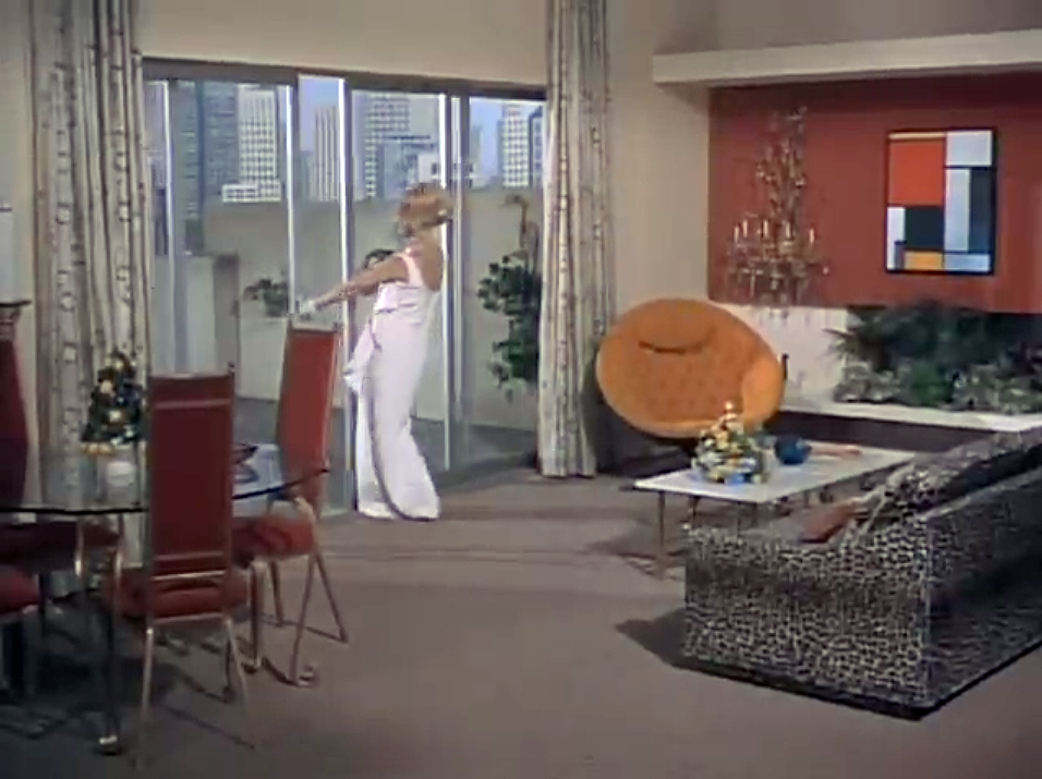
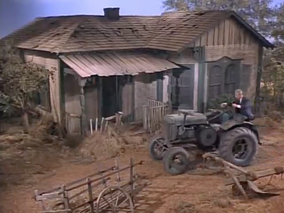
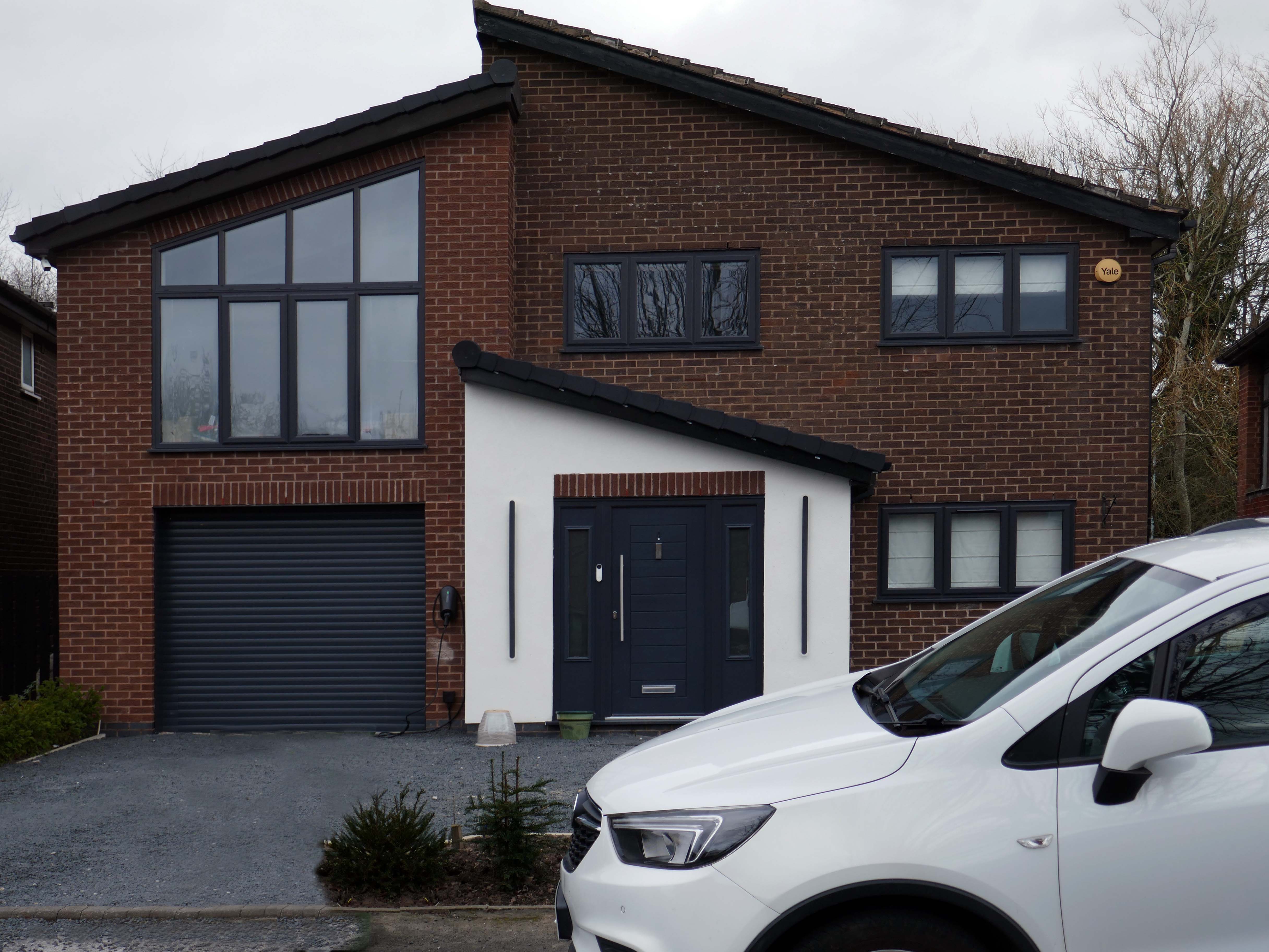
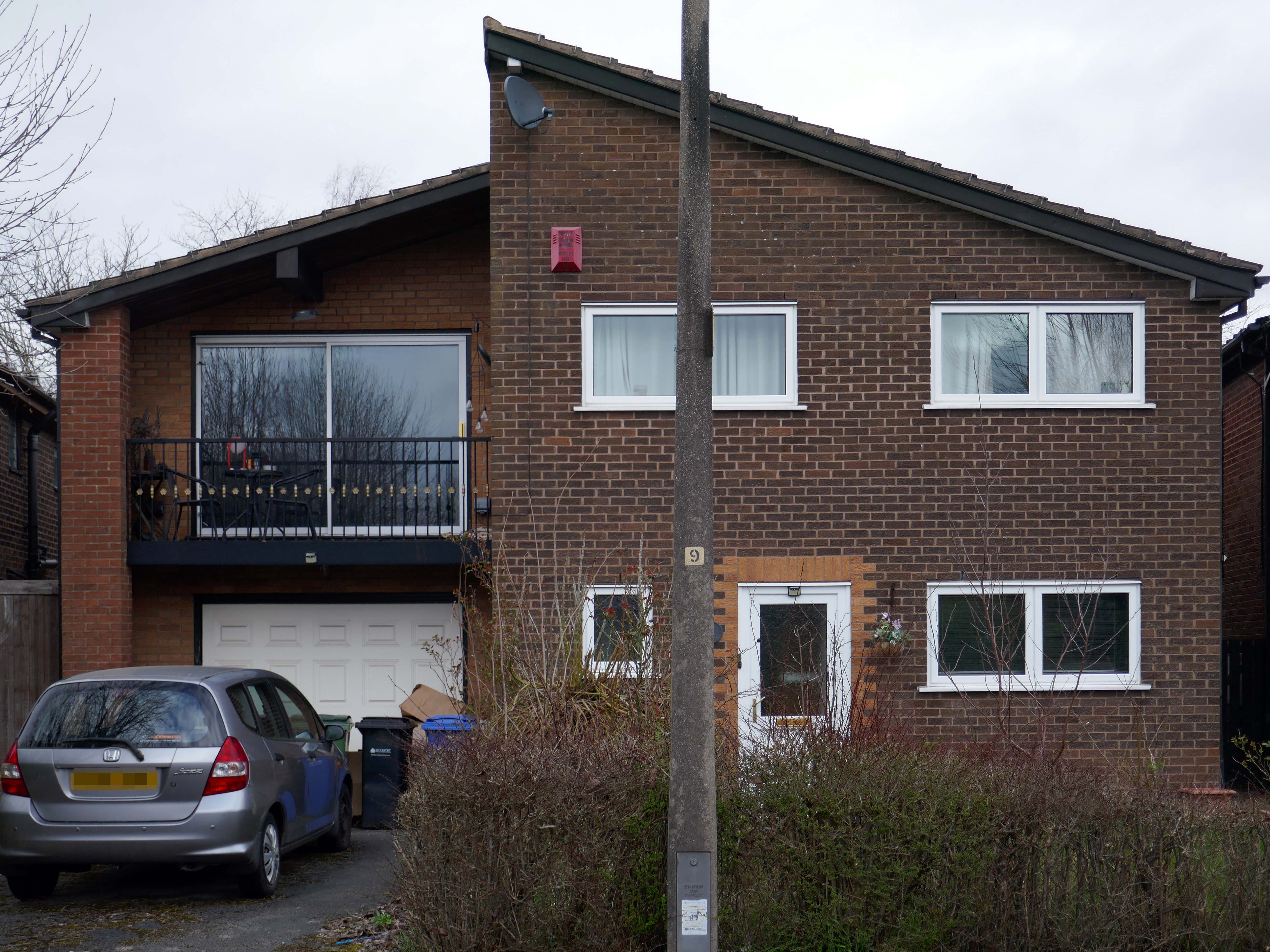
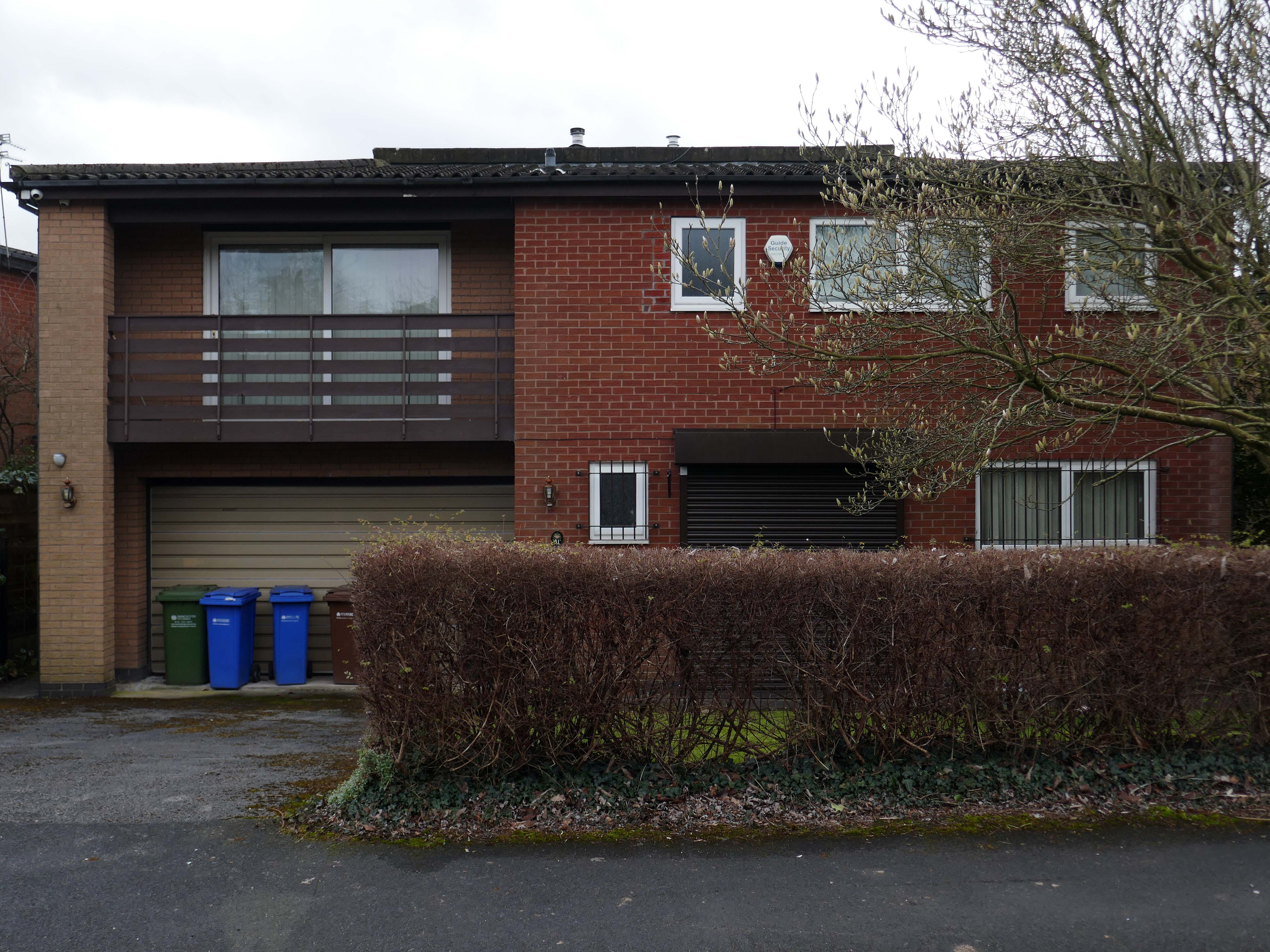
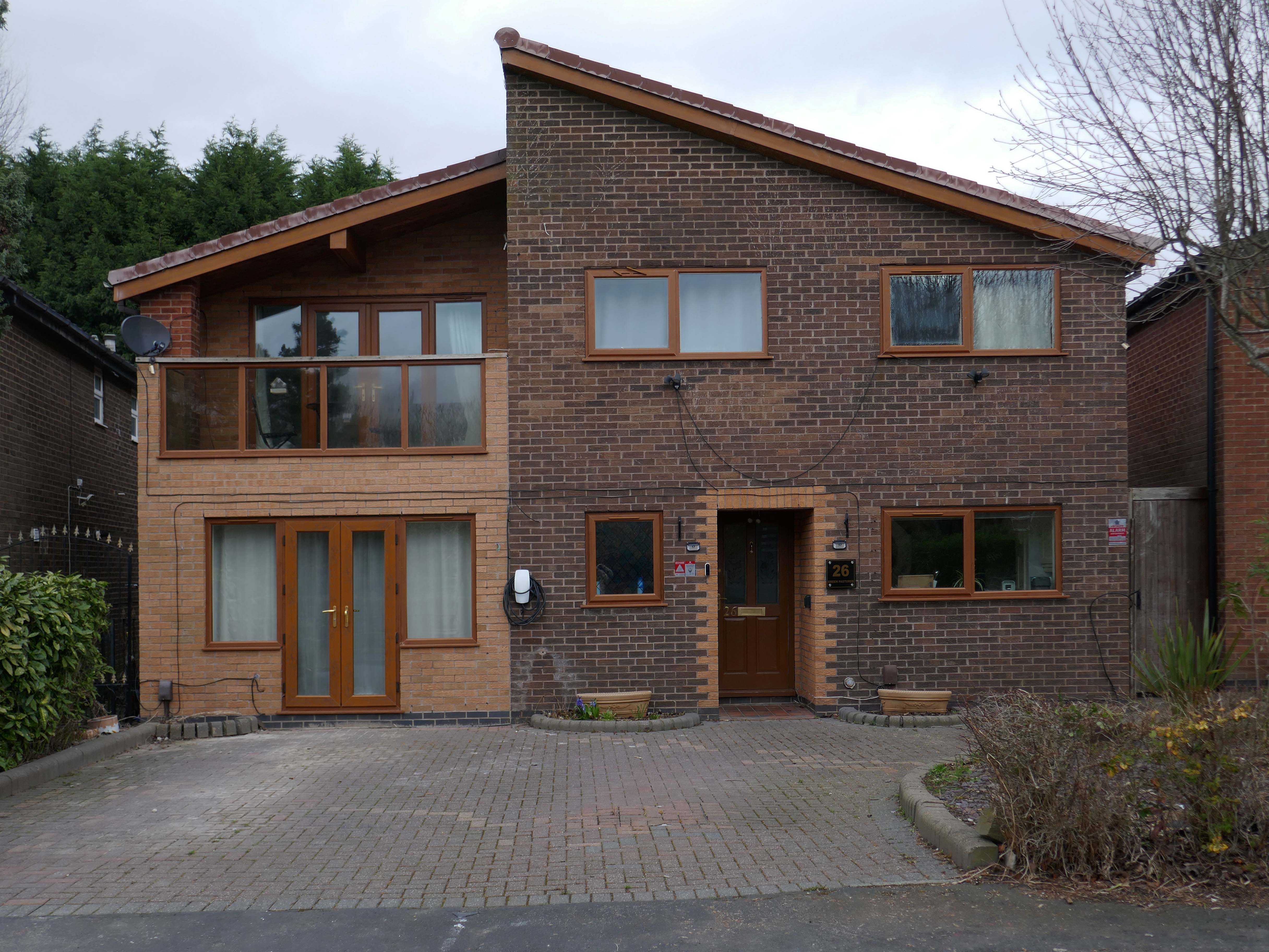
For my part I cannot help bur recall the TV show Green Acres whenever I pass by Green Pastures.
Eva Gabor preferring the glamour of Manhattan.
To the rural life.
Culturally and stylistically, Green Pastures sits somewhere betwixt and between.
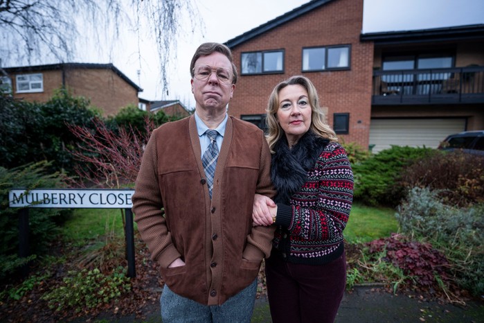
In reality the fictional life of Green Pastures became Mulberry Close, in the hit TV show Inside No. Nine
Vinette Robinson, Reece Shearsmith, Adrian Scarborough, Steve Pemberton and Dorothy Atkinson.
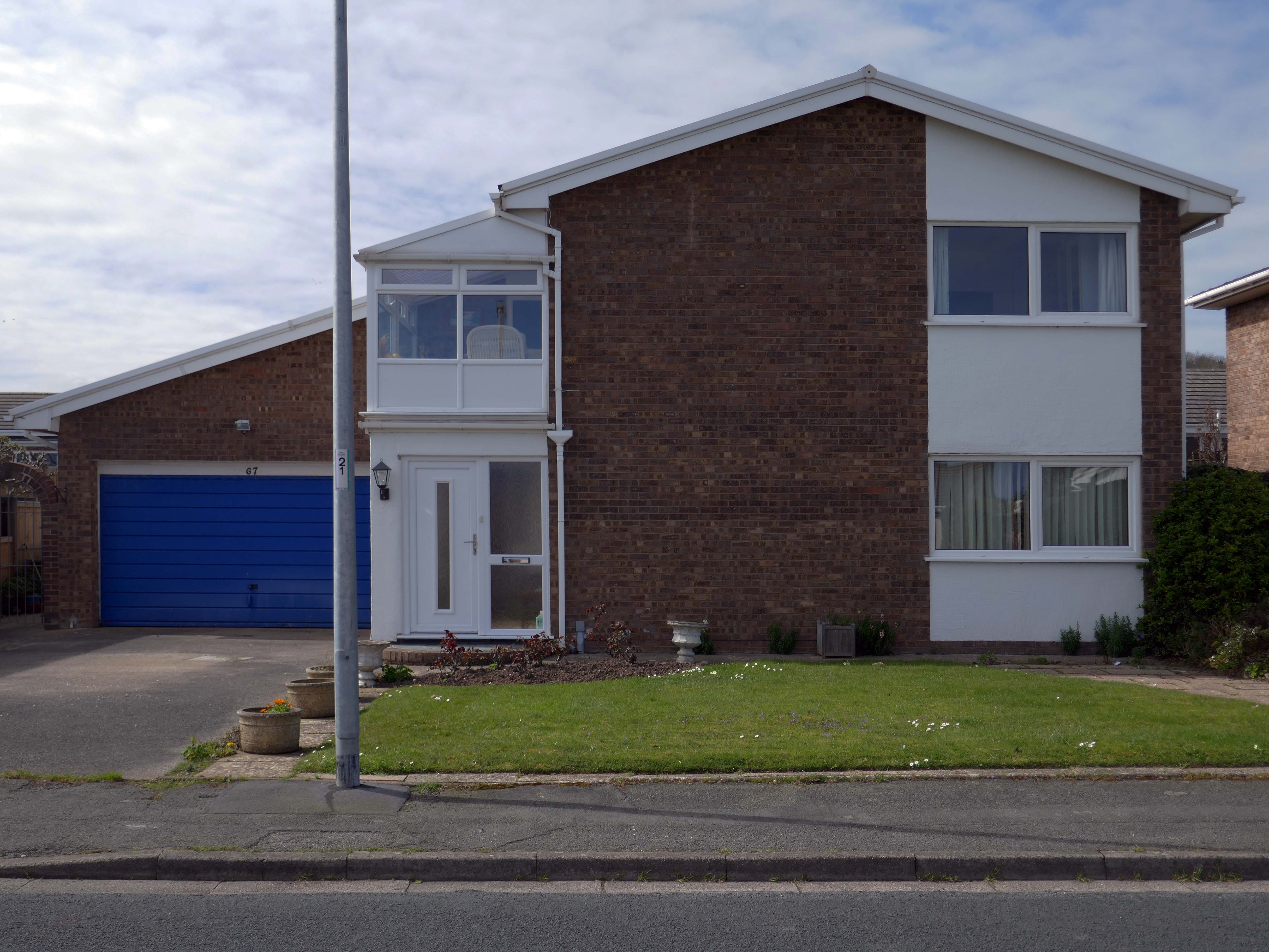
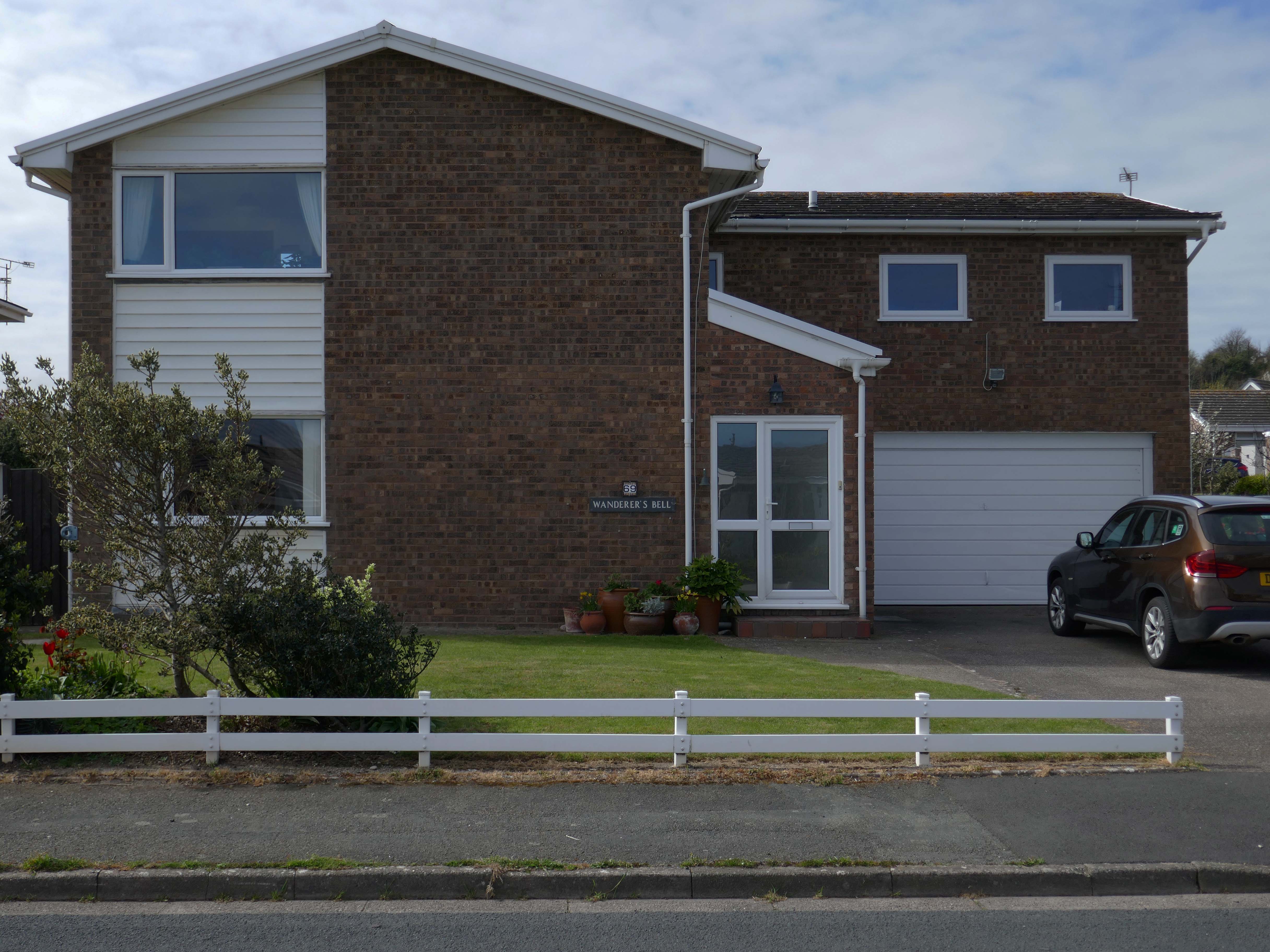
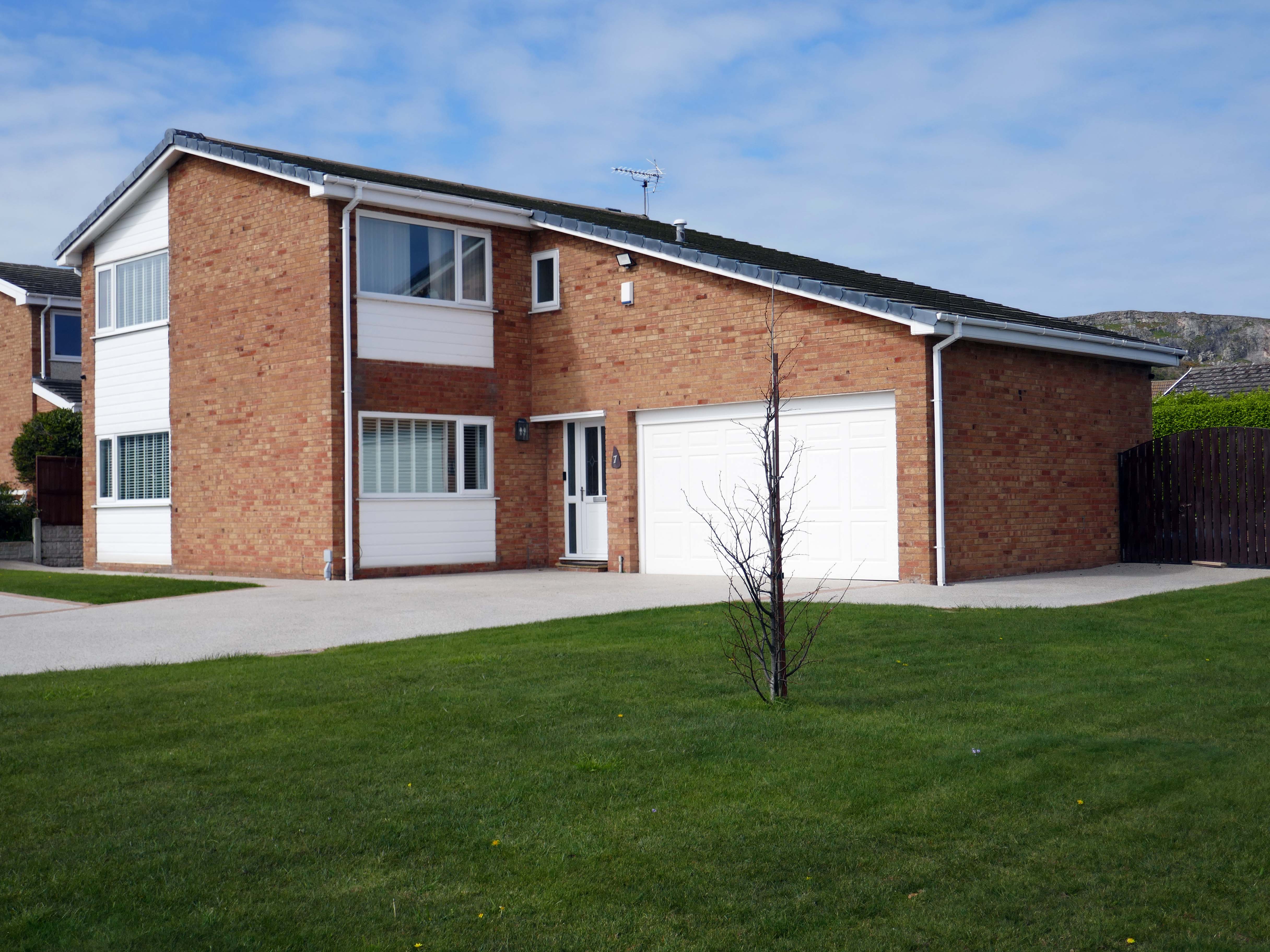
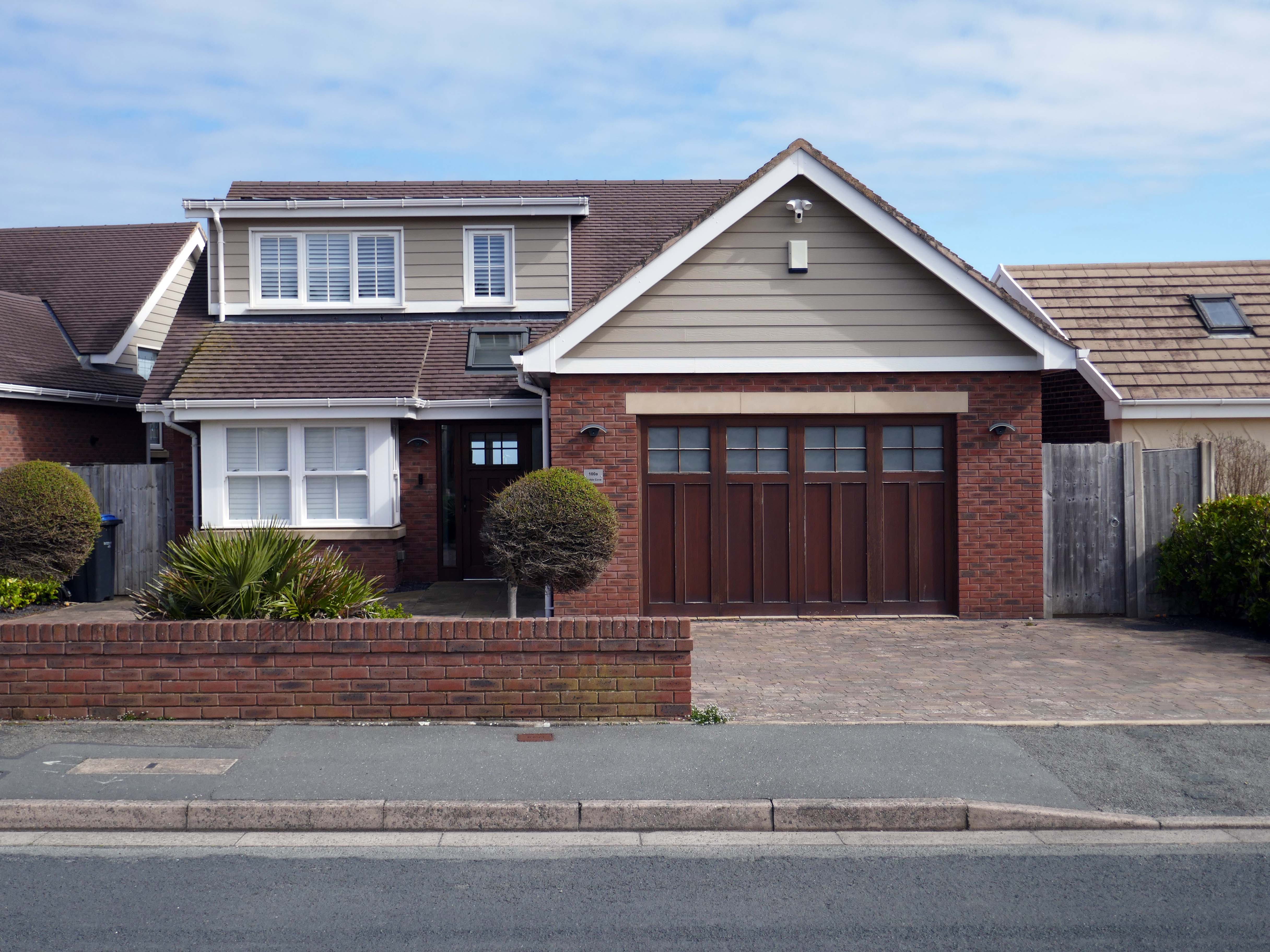
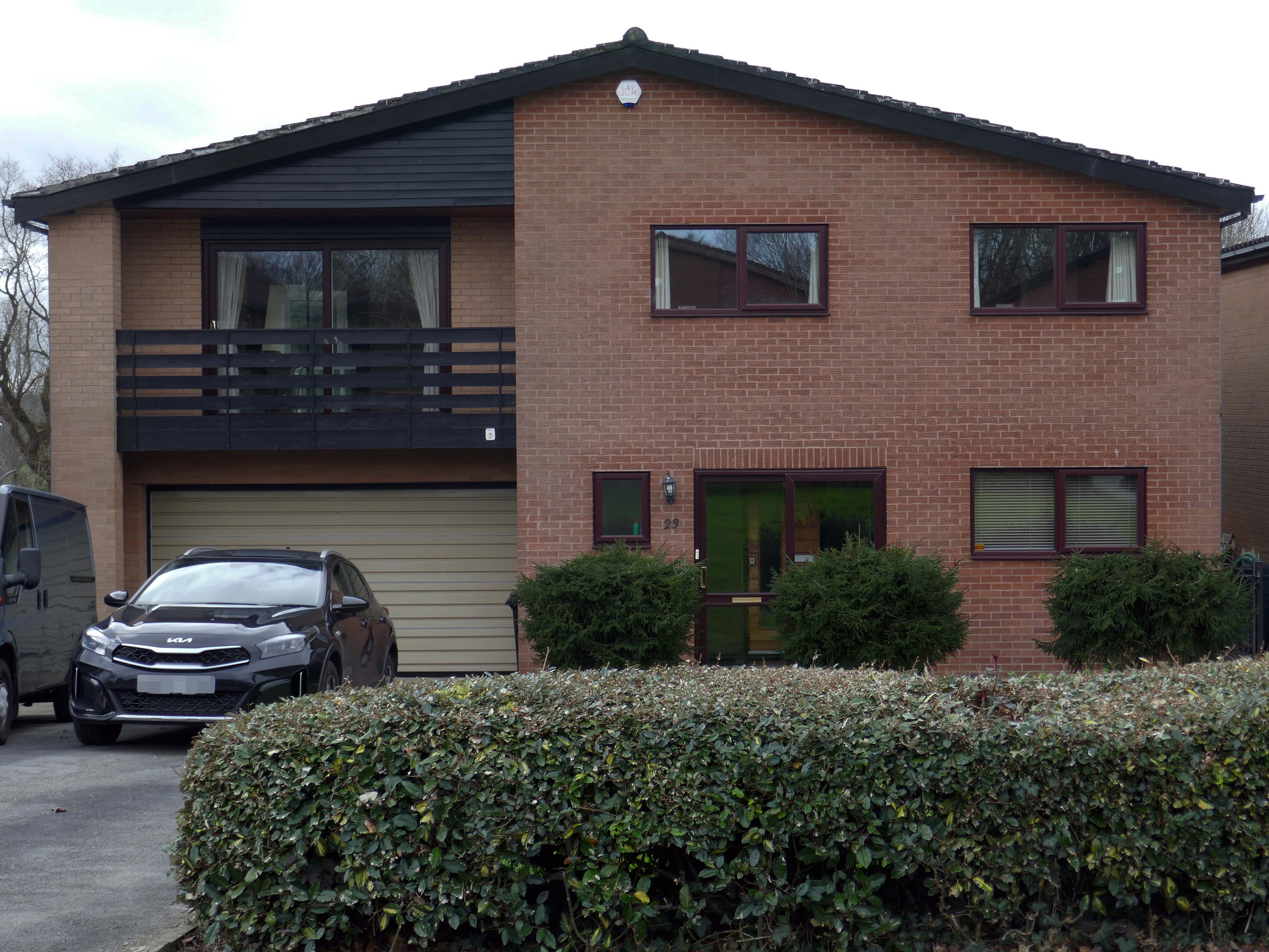
So much for the scriptwriters wild imaginings, what does the road look like?
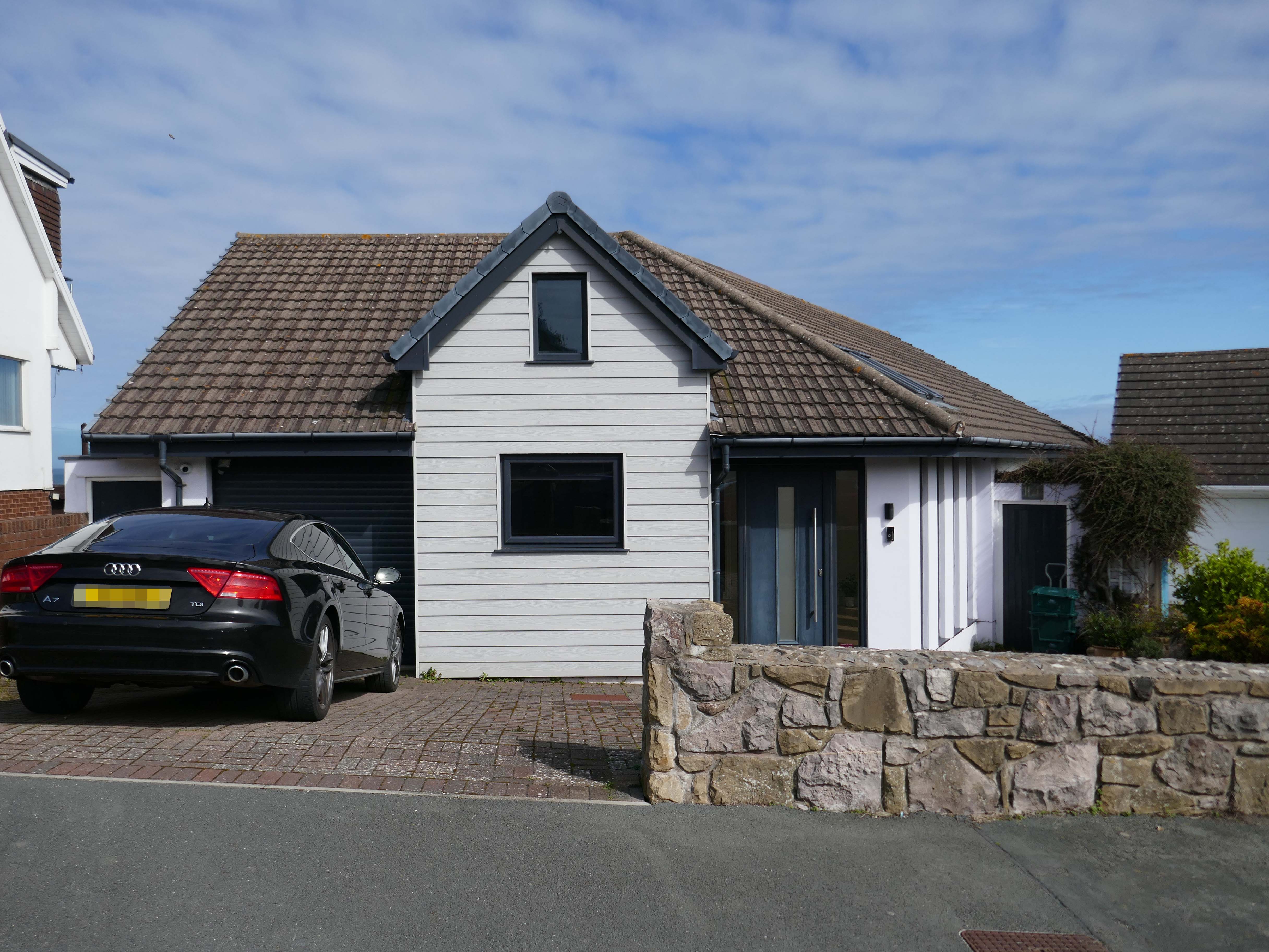
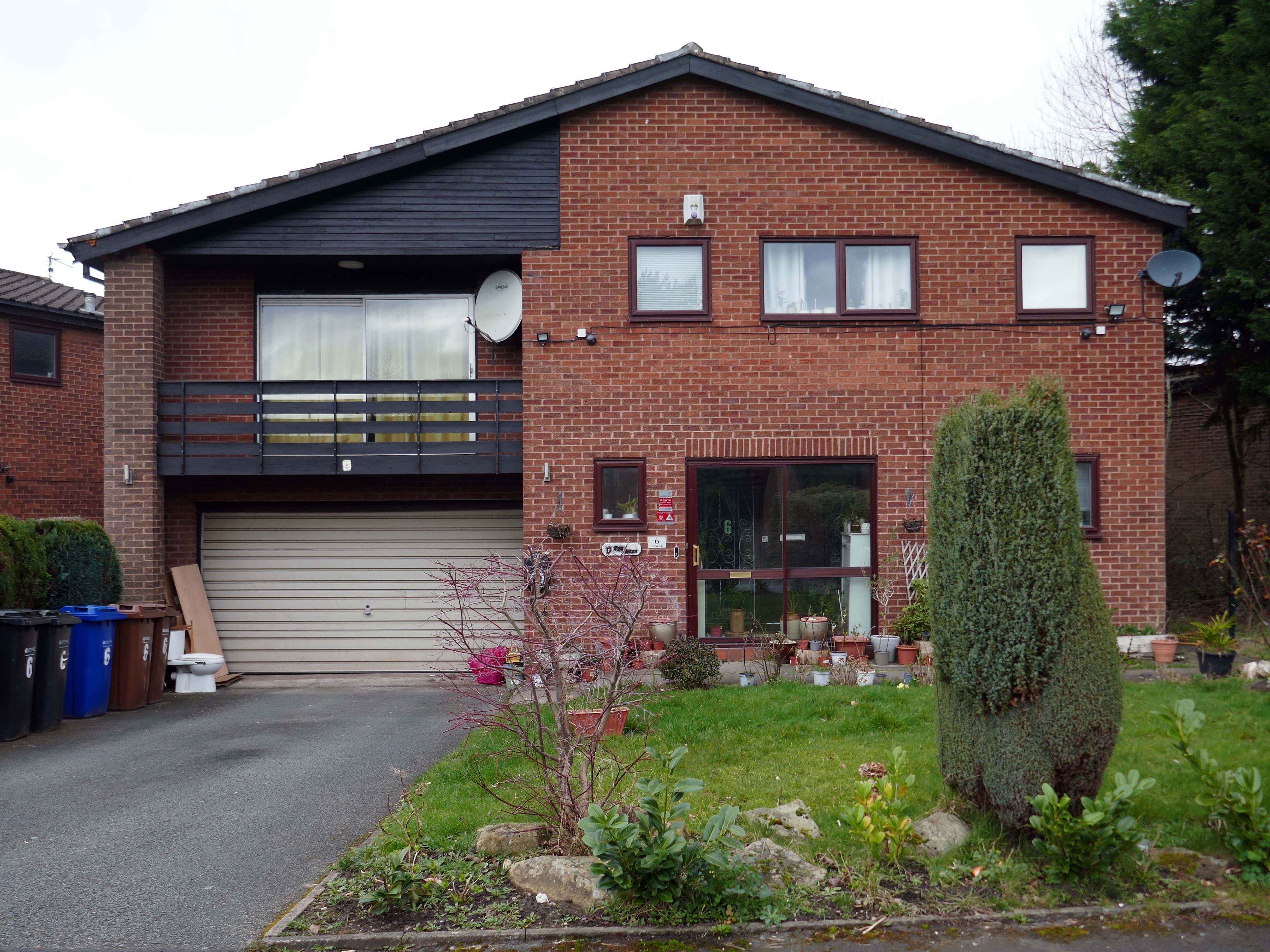
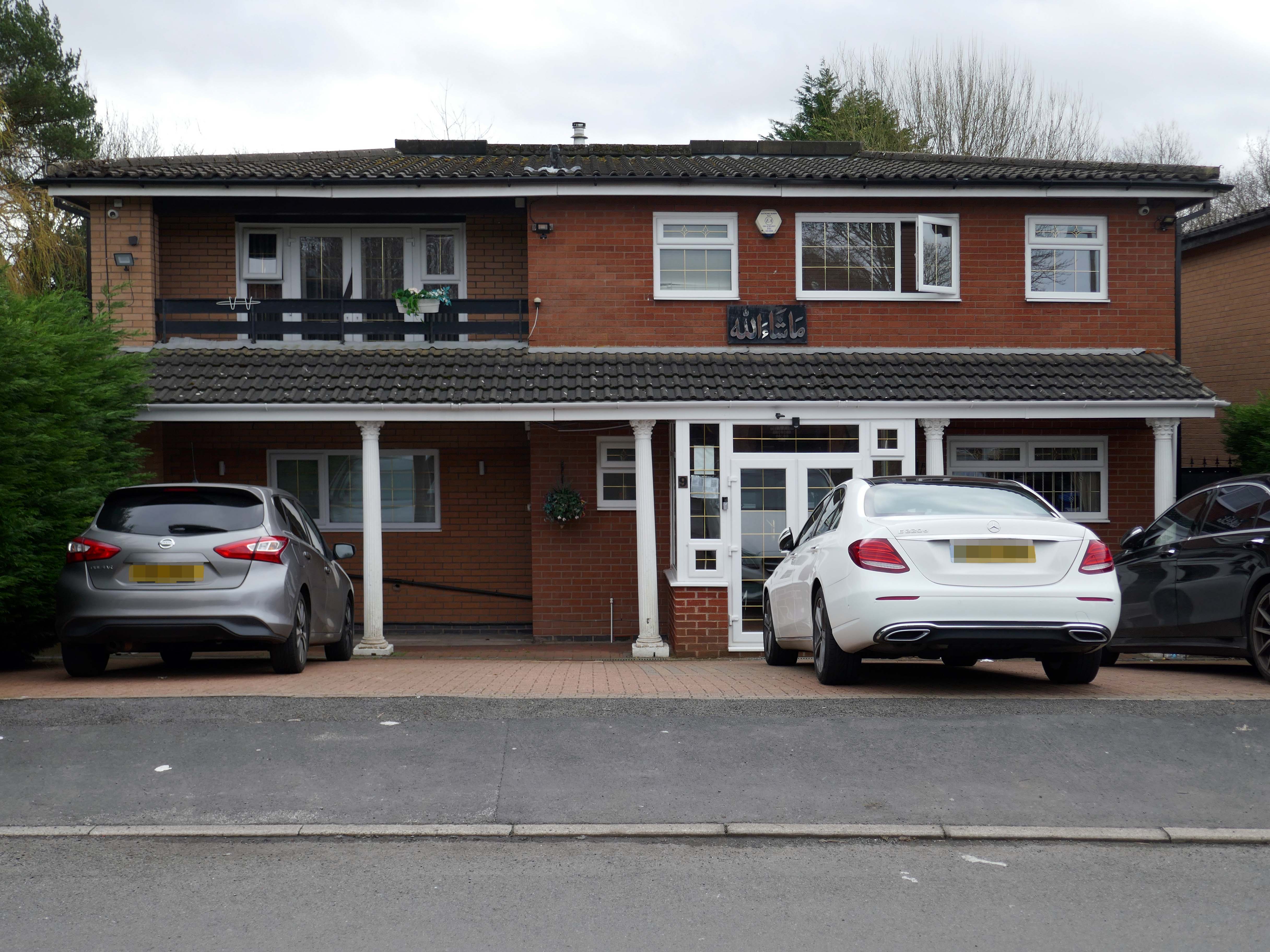
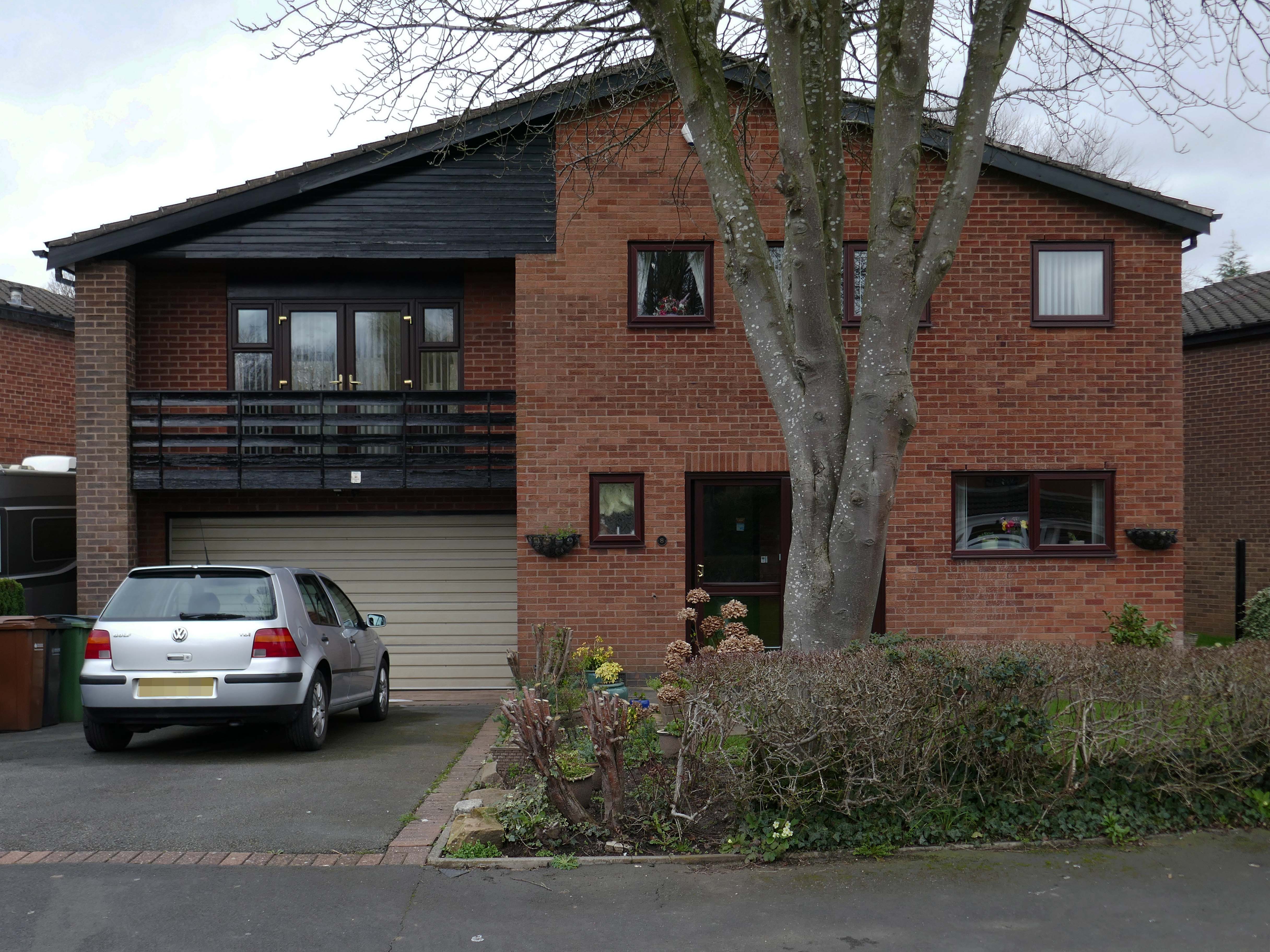
A broad sweeping swathe of tarmac, with a range of 70s housing typologies – wall less gardens, where grass becomes easily impressed concrete, gravel and artfully paved car parks.
Asymmetric roof, bedroom balcony with optional infill, ever more pointless integrated garage, as the inflated automobile refuses to fit in.
The ubiquitous carriage lamp, B&Q Georgian front door and hanging basket, all head up the relentless quest to defy period integrity, in favour of a free market, free for all of undiluted historicism.
The future and the past and the houses are infinitely all extendable.
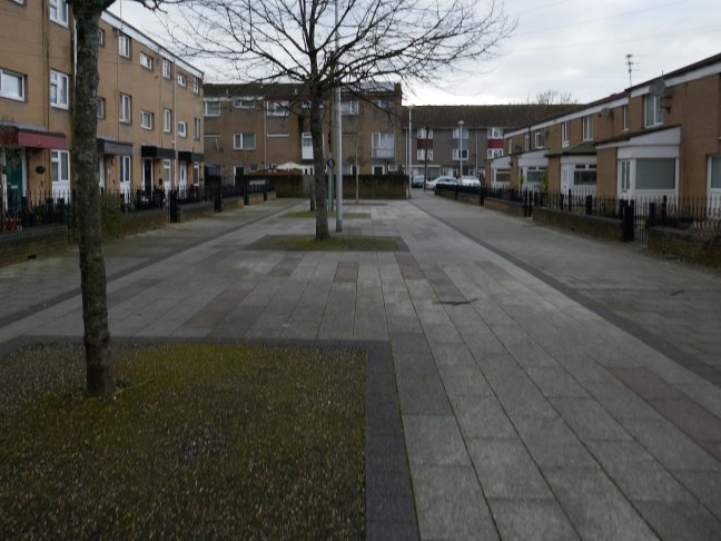
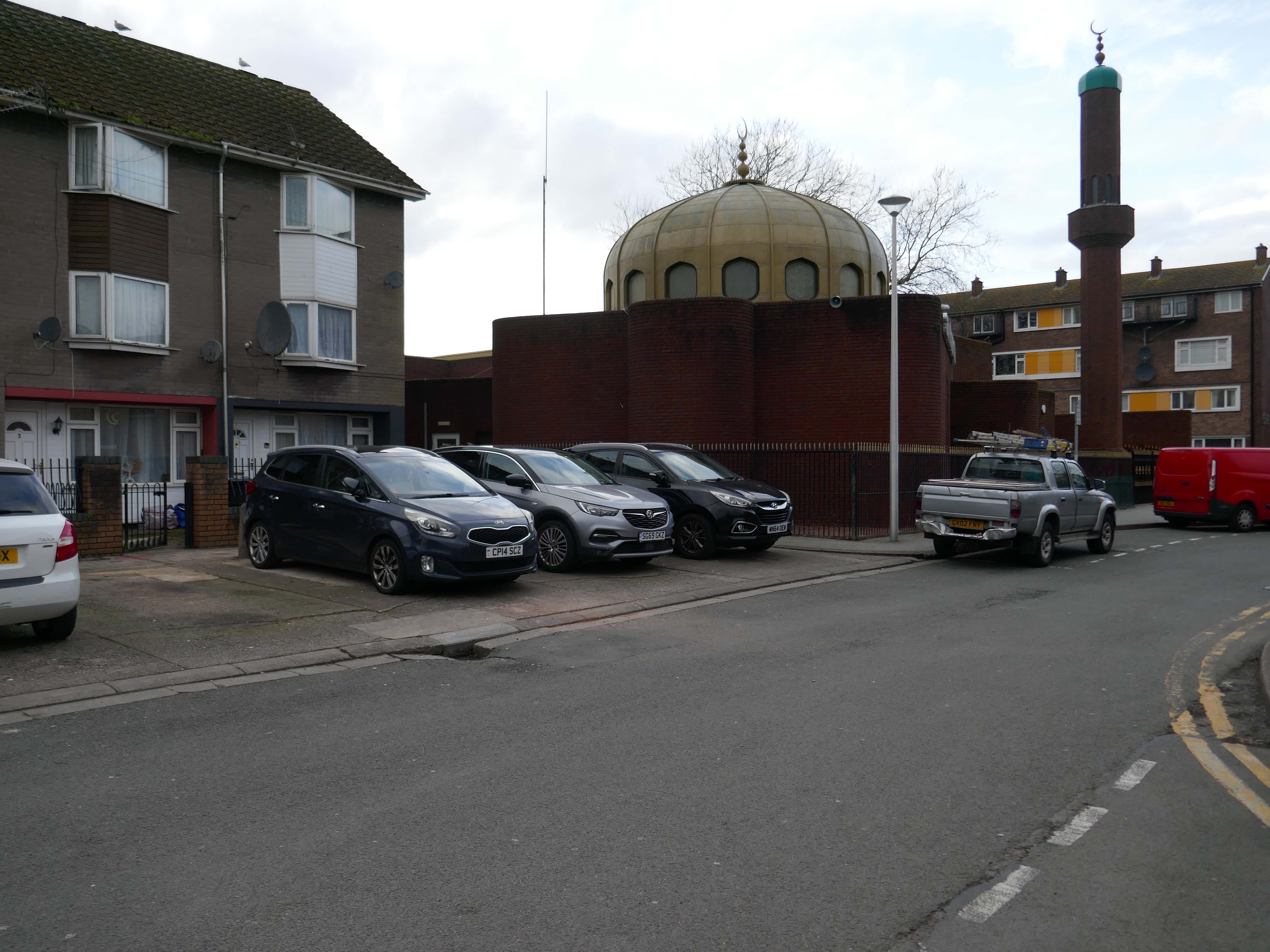
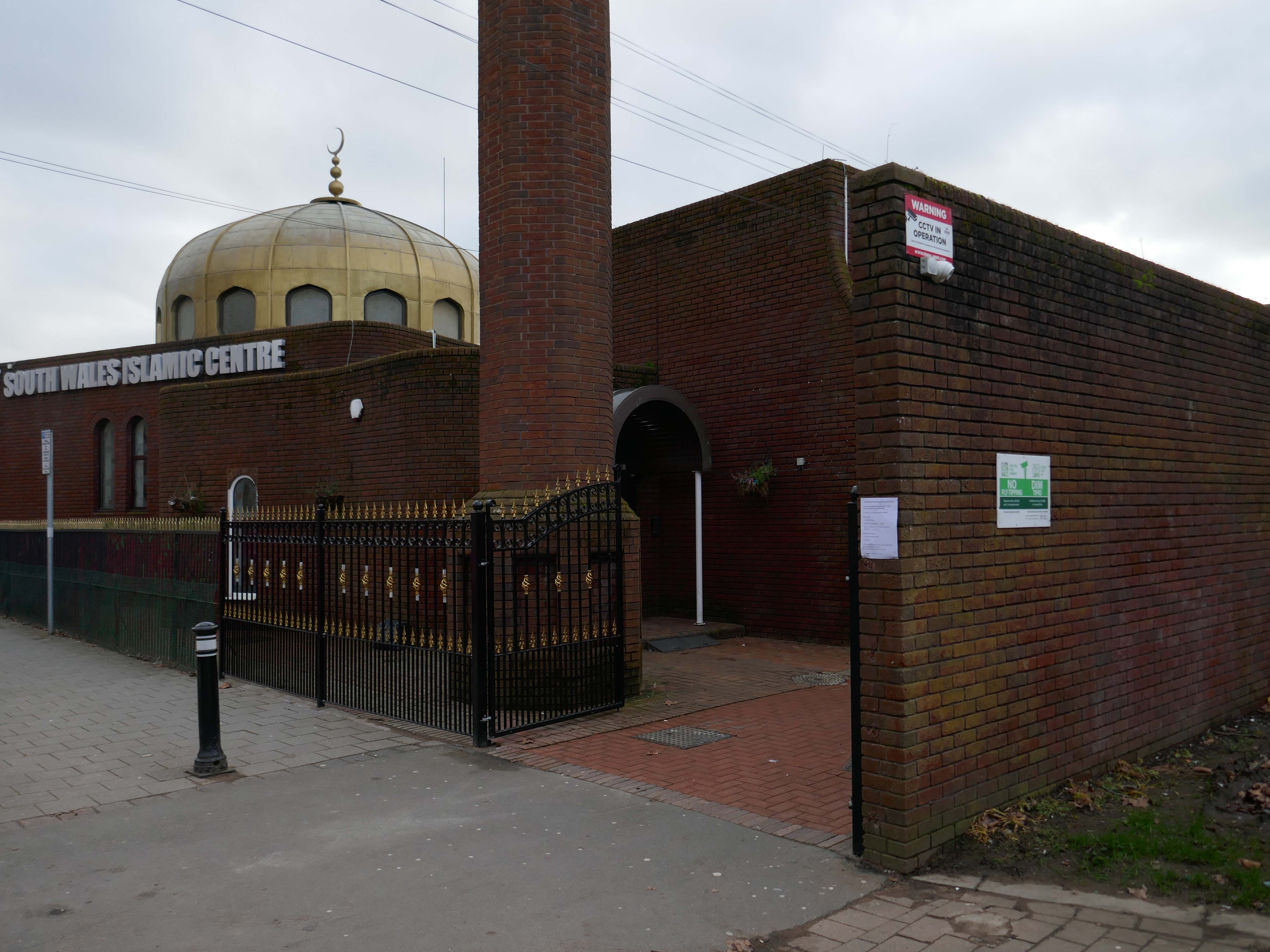
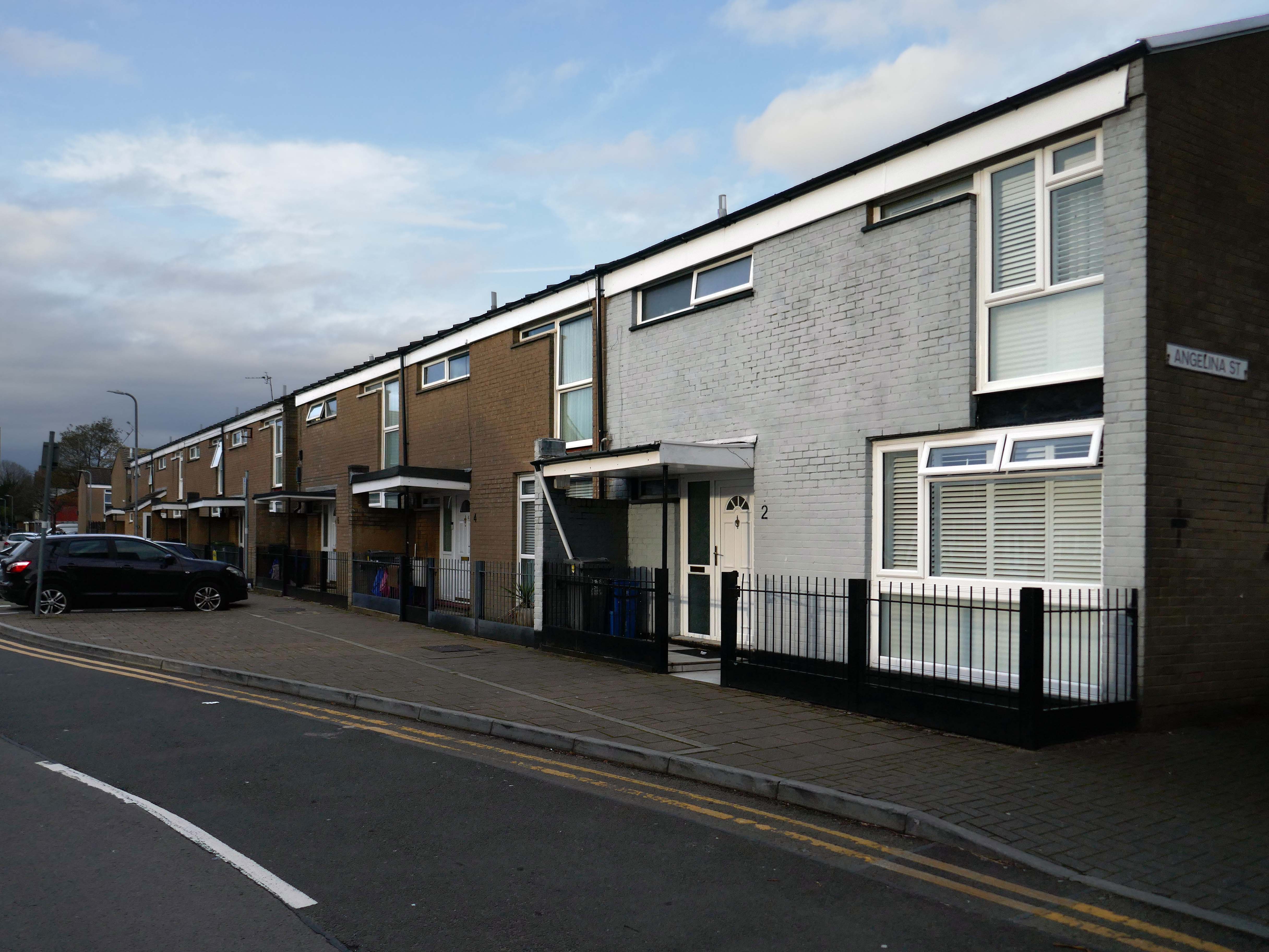
Butetown – or The Docks Tre-biwt is a district and community in the south of the city of Cardiff. It was originally a model housing estate built in the early 19th century by the 2nd Marquess of Bute, for whose title the area was named.
Commonly known as Tiger Bay, this area became one of the UK’s first multiculturalcommunities with people from over fifty countries settled here by the outbreak of the First World War, working in the docks and allied industries. Some of the largest communities included the Somalis, Yemenis and Greeks, whose influence still lives on today.
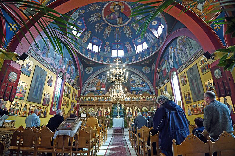
In 1906, work began on the present-day church, which also serves the Russian Orthodox community in south Wales. Designed by local architects, James and Morgan, it is located on a site provided by the 4th Marquess of Bute, to the west of Bute Street. The modestly-sized building is of Byzantine style with a domed nave and an apse at the east end. It retains the original dedication to StNicholas. The interior is very ornate, with a lot of carved woodwork. The dome and upper walls have painted Biblical scenes in vivid colours with gold decoration.
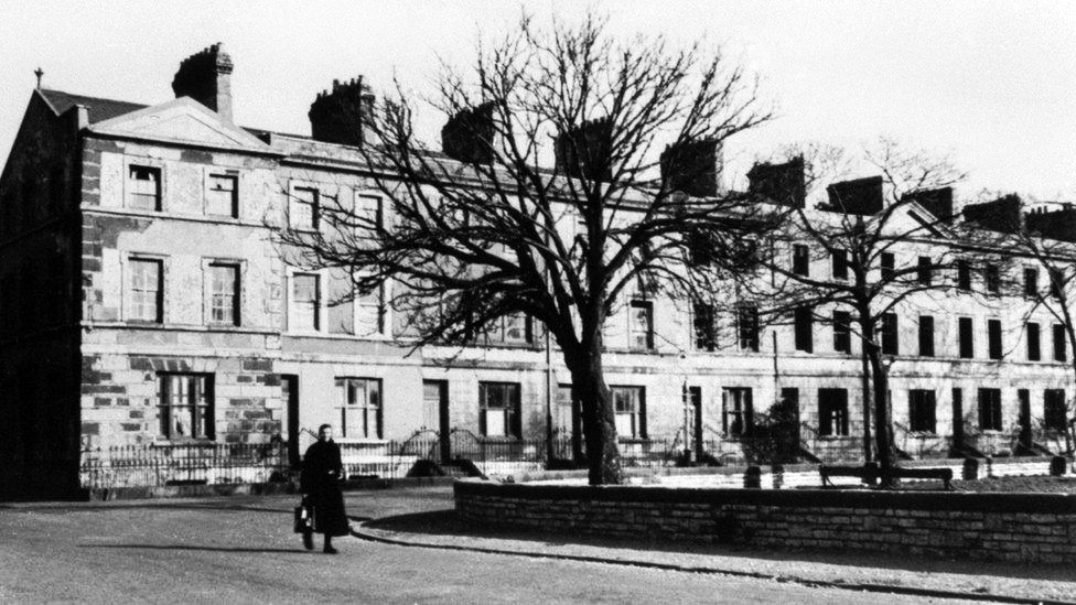
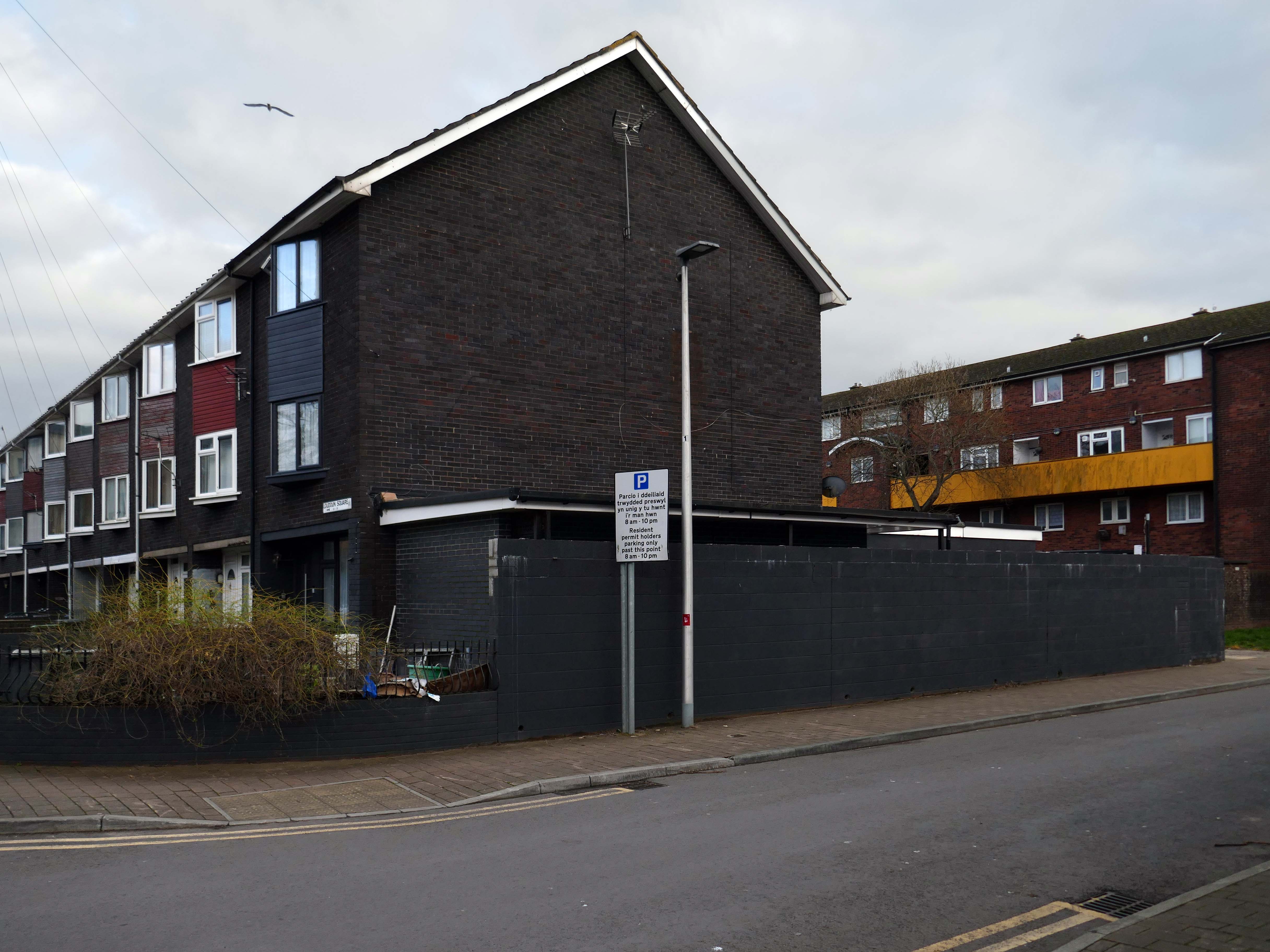
Loudoun Square was originally built in the mid-1850s as upmarket homes for merchants, mariners, ship brokers and the like around a central park.
Photo 1962
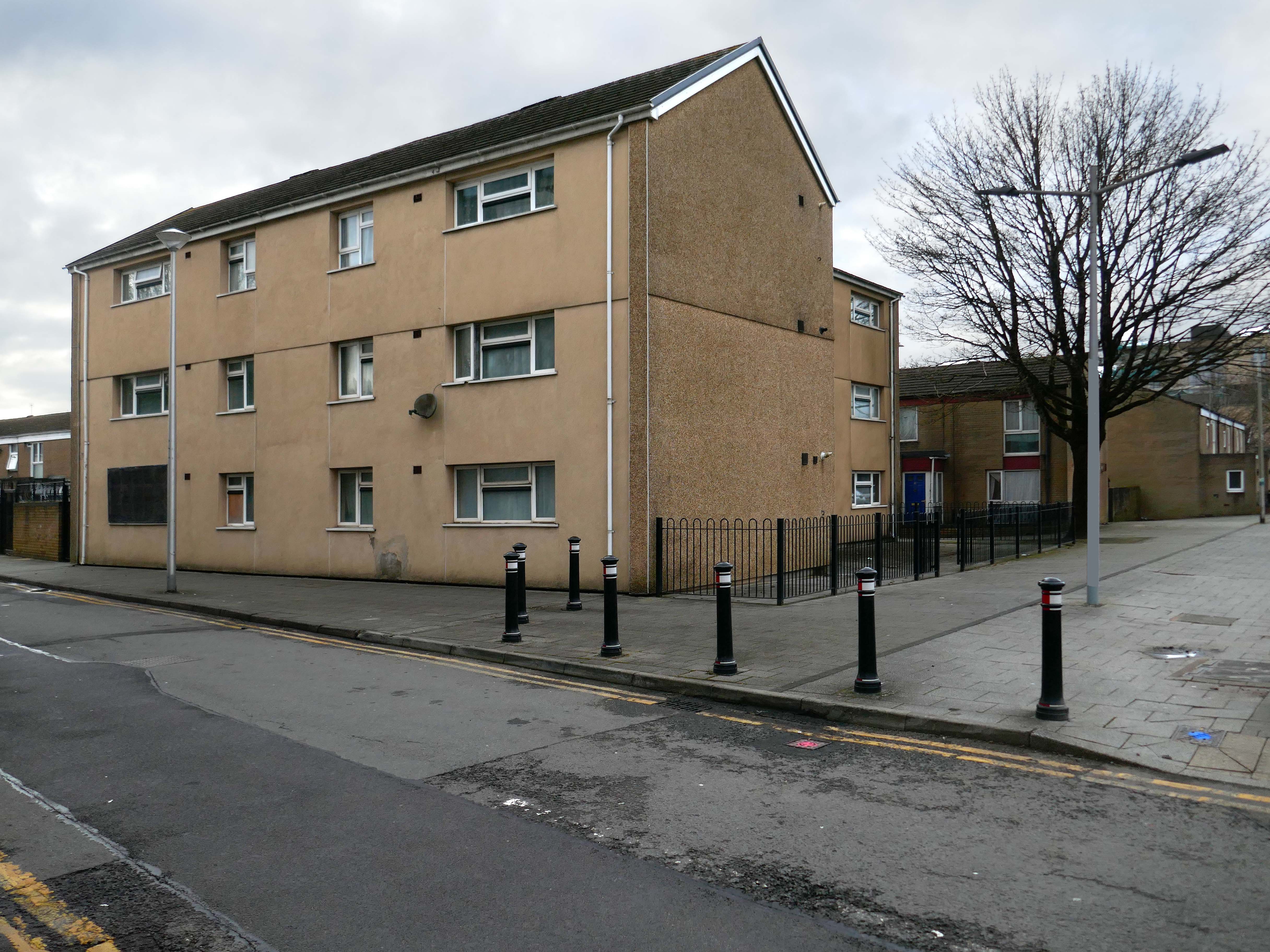
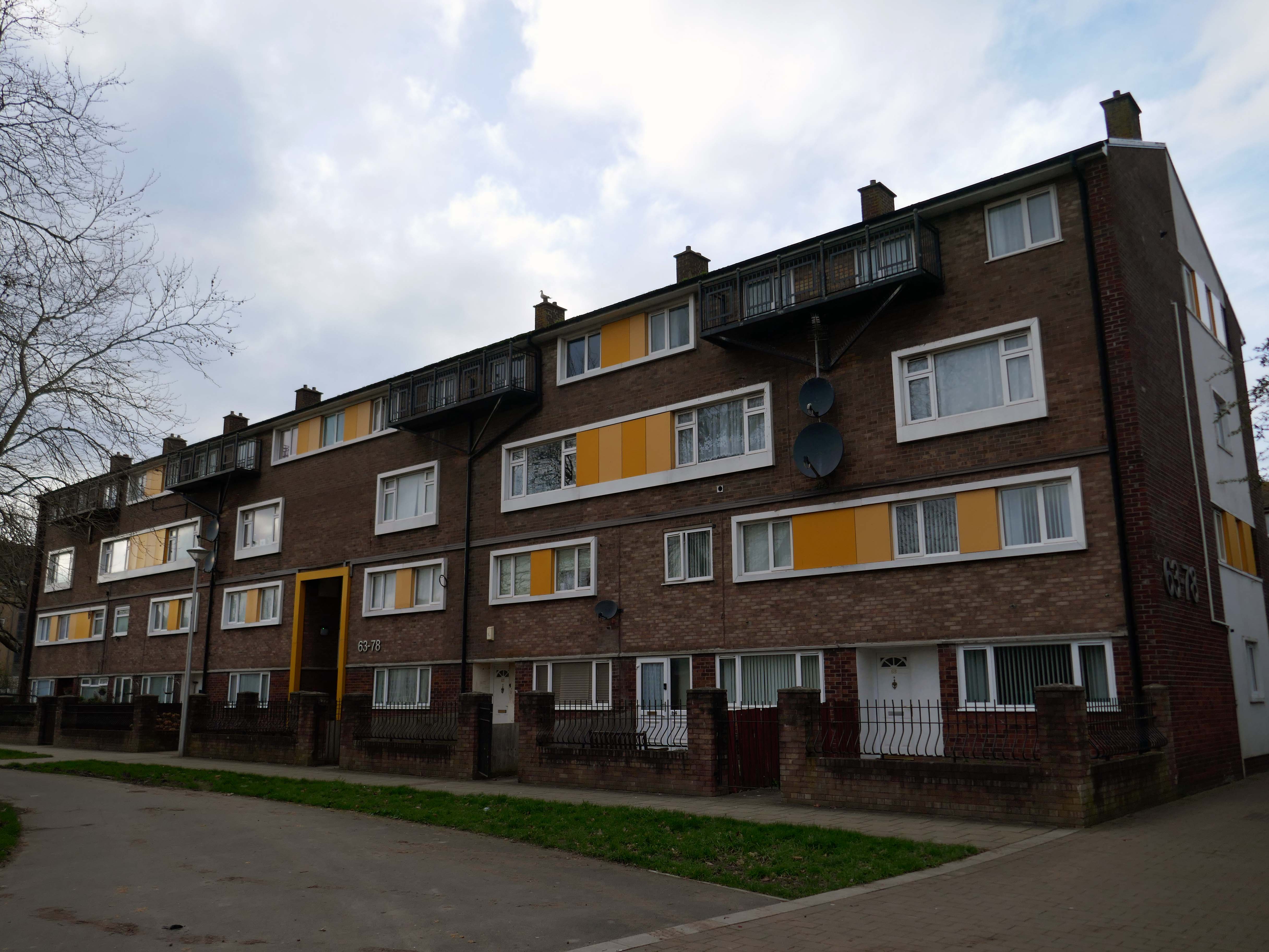
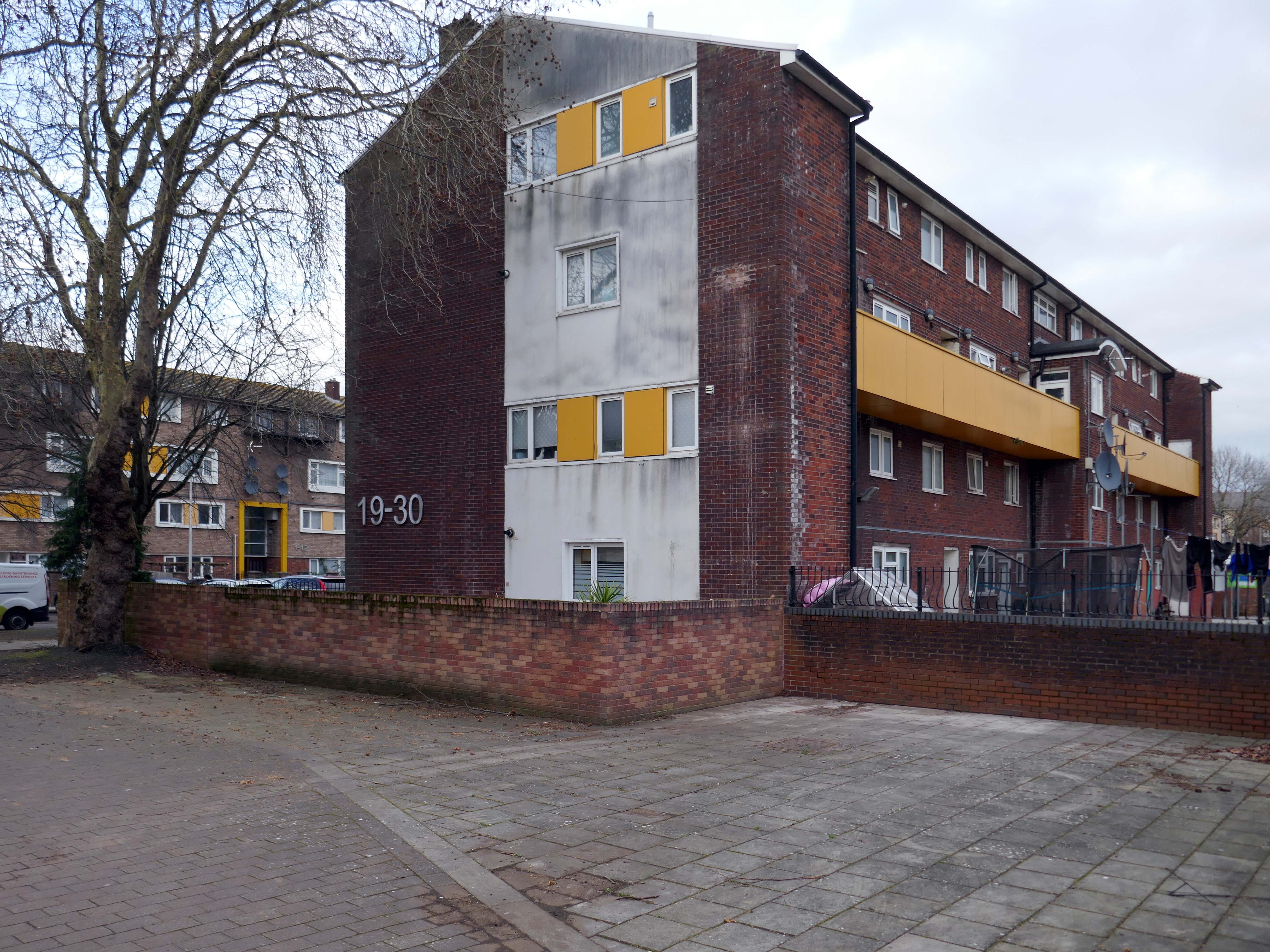
In the 1960s, most of the original housing was demolished including the historic Loudoun Square, the original heart of Butetown. In its place was a typical 1960s housing estate of low-rise courts and alleys, and two high-rise blocks of flats.
Between 1960 and 1966 two sixteen-storey tower blocks, Loudoun House and Nelson House, were built on the centre of Loudoun Square
The demolition of the old buildings in Bute Street gets under way in 1963.
Surveybase have undertaken detailed scanning and modelling prior to the planned post Grenfell re-cladding.
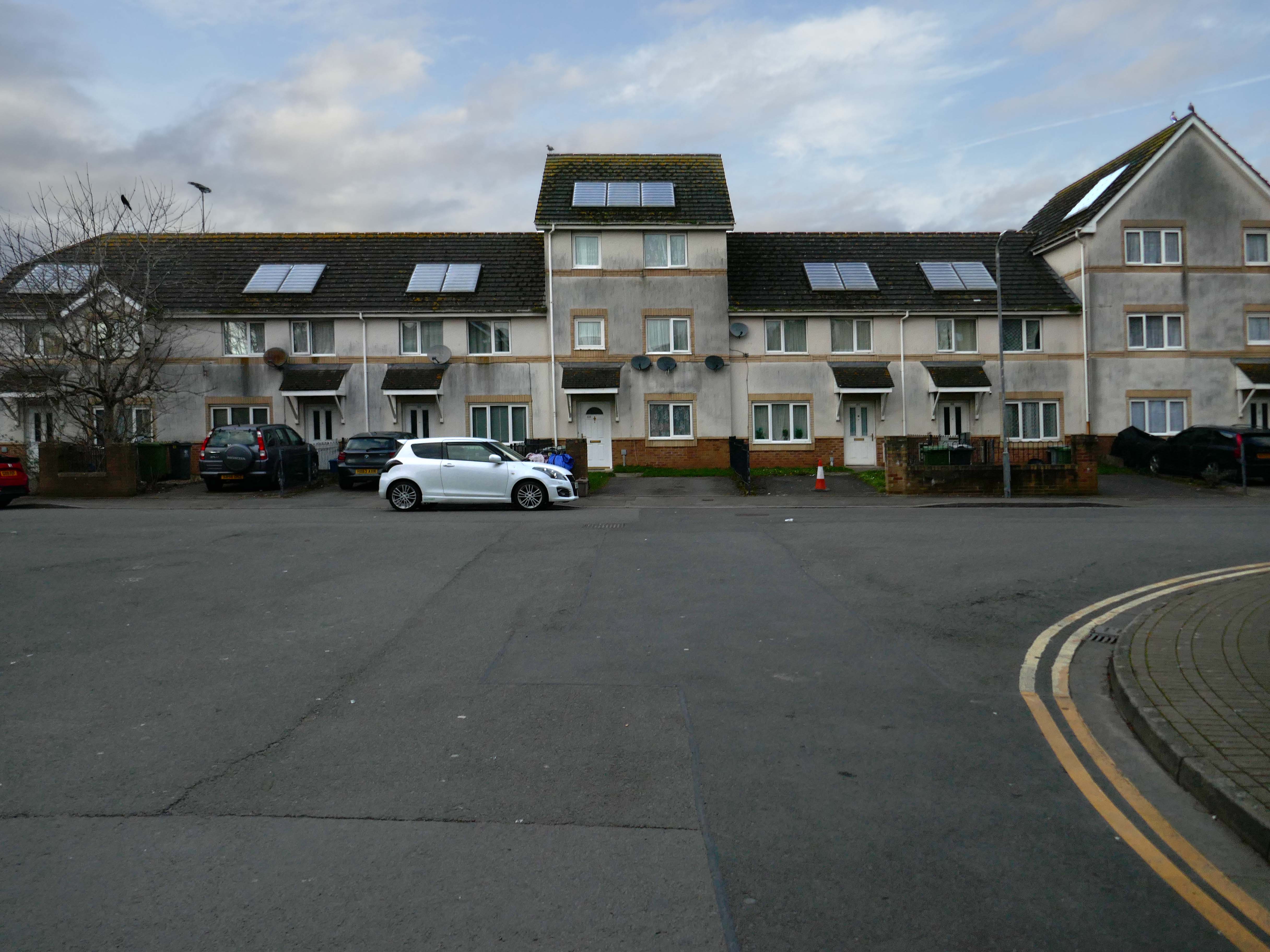
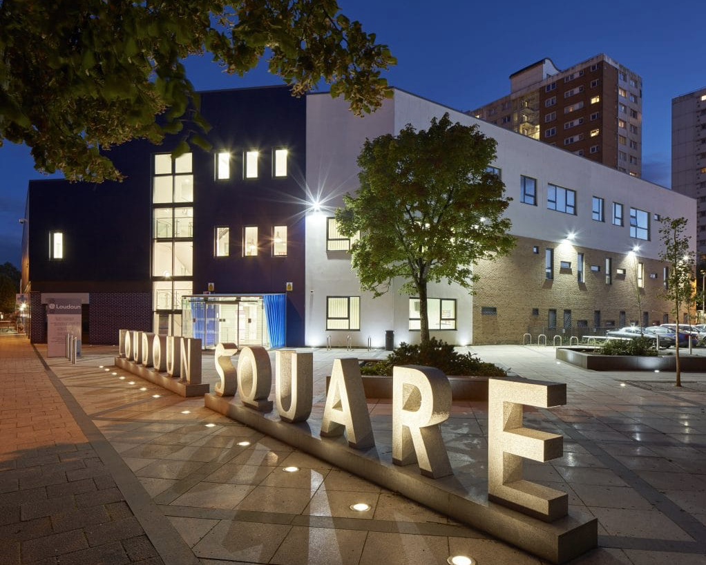
The Loudoun Square regeneration project is a collaboration between Cardiff City Council, Cardiff Community Housing Association, Cardiff Local Health Board and Cardiff and Vale NHS Trust. The site is located between Cardiff City Centre and Cardiff Bay, and was previously occupied by an existing health centre and local shops, together with a vacant area of land.
The area has been regenerated with the creation of new modern facilities to serve the local community and include a new health centre, shops, affordable homes and community facilities.
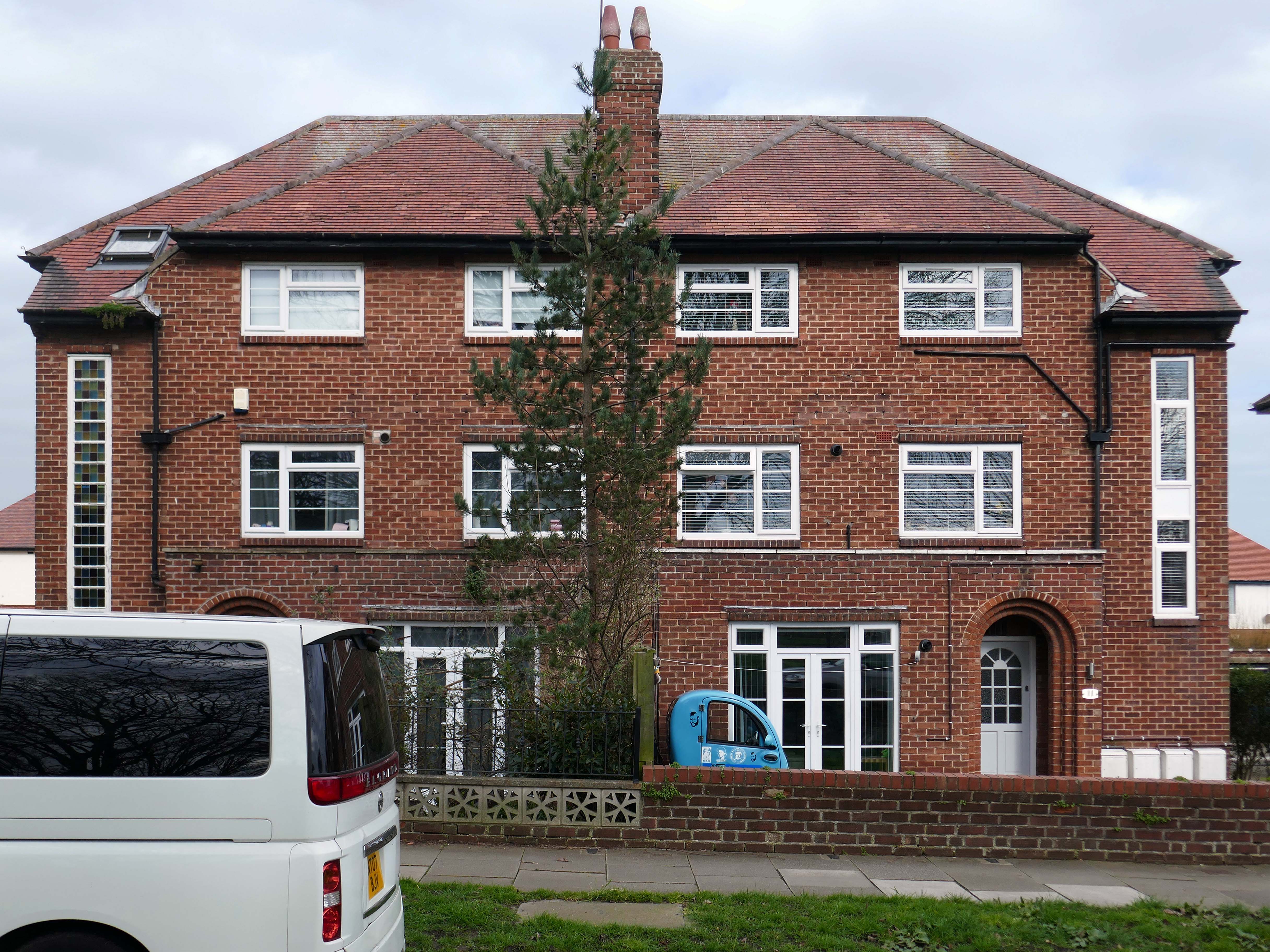
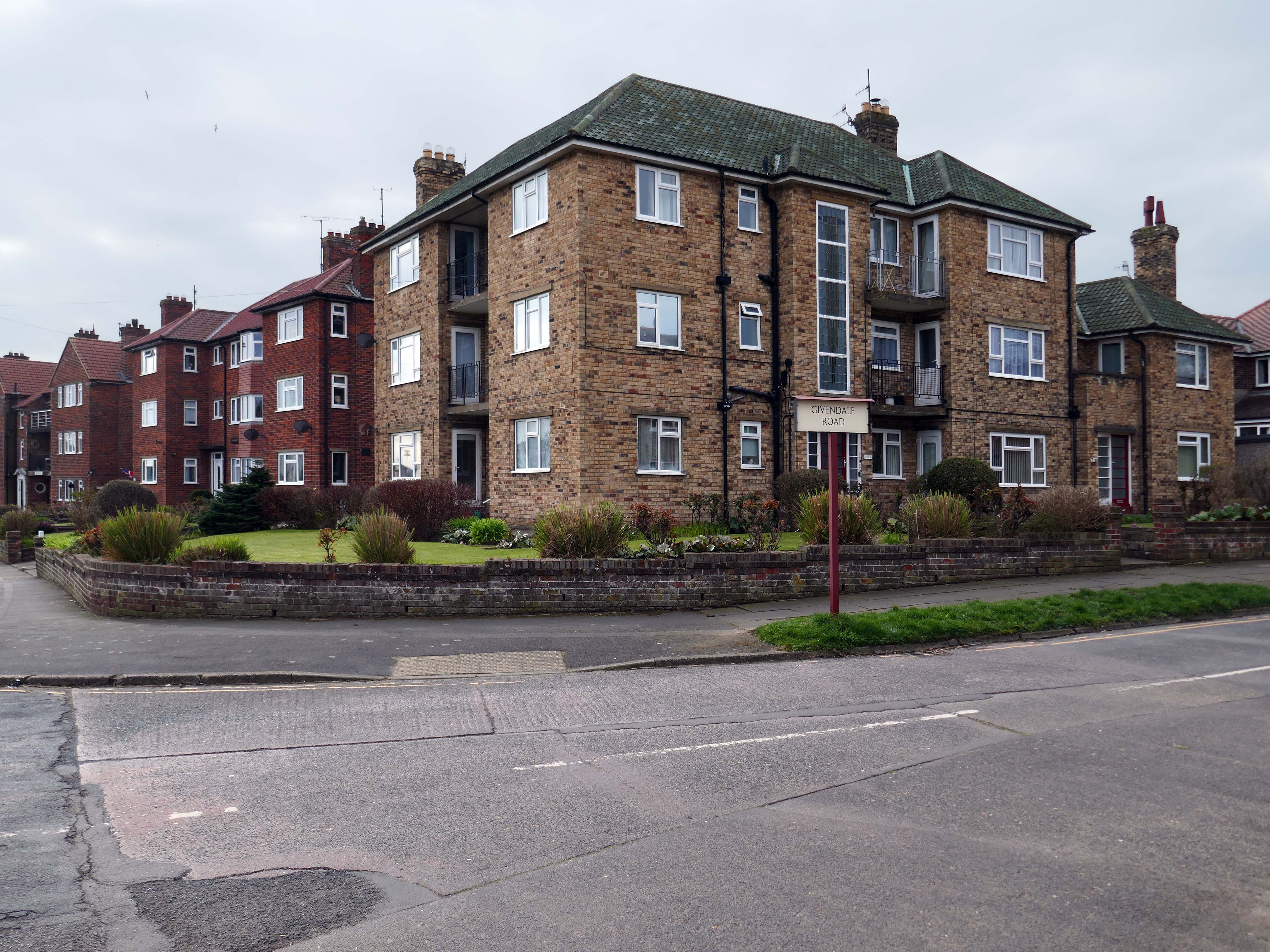
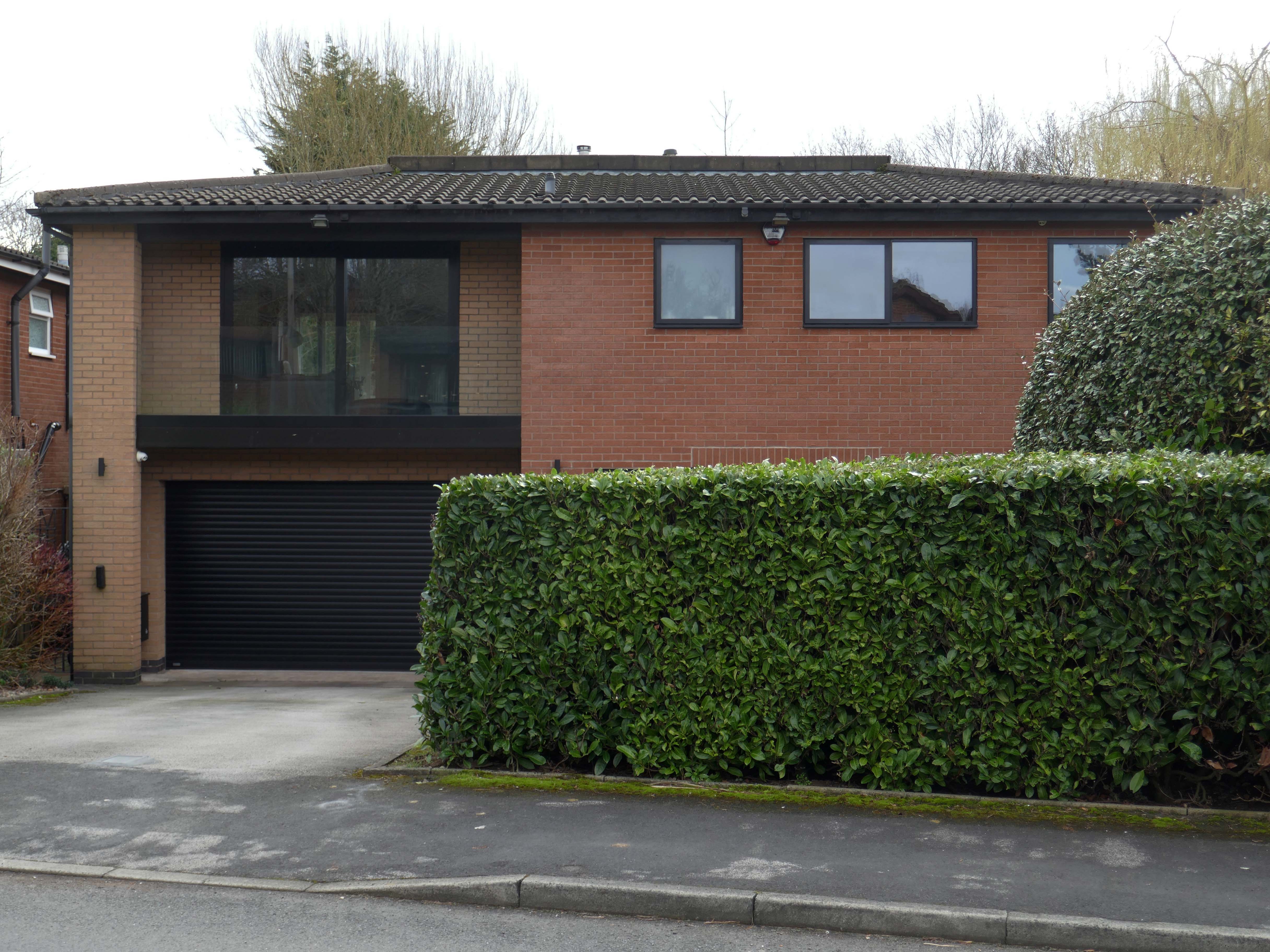
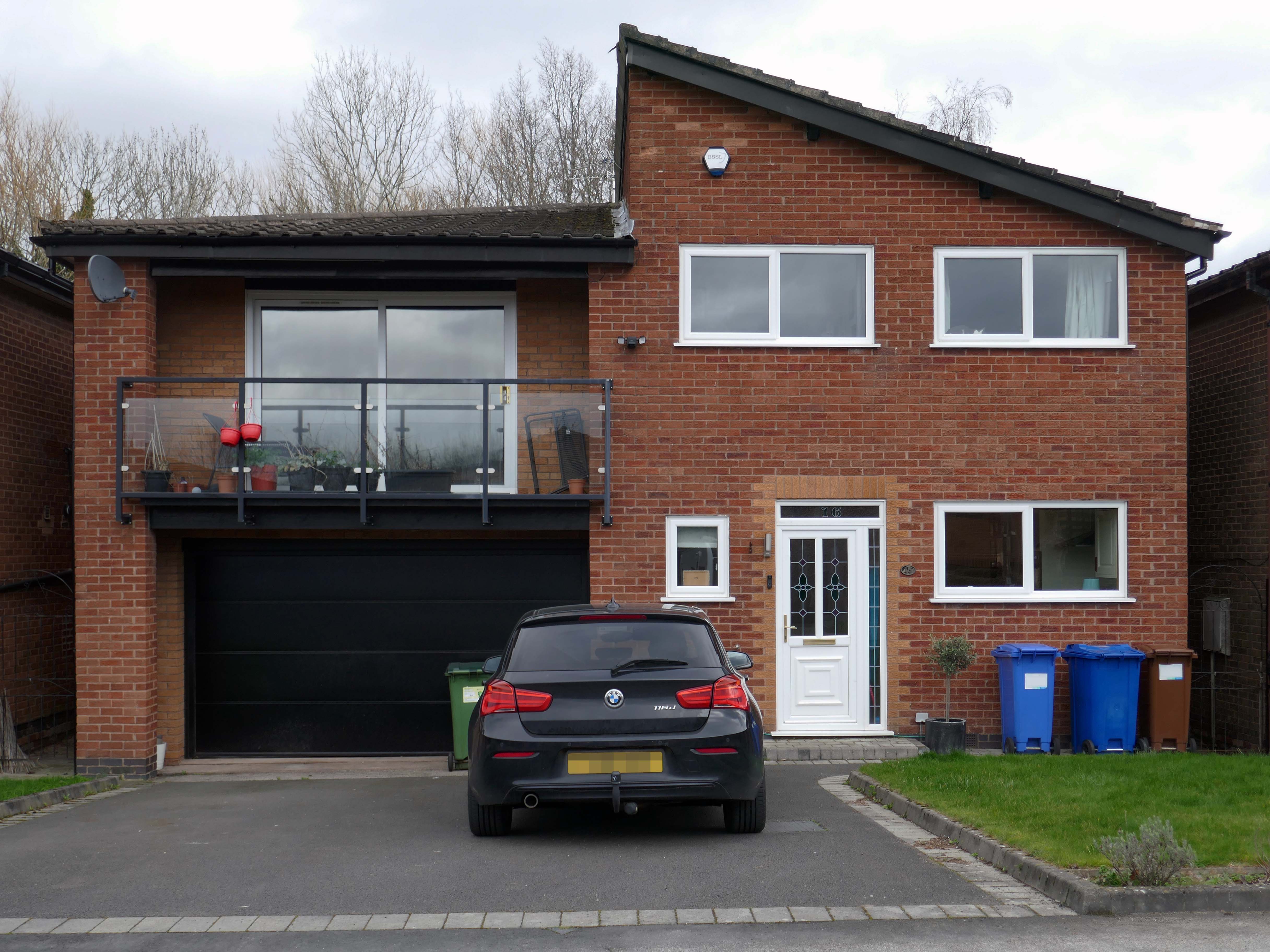
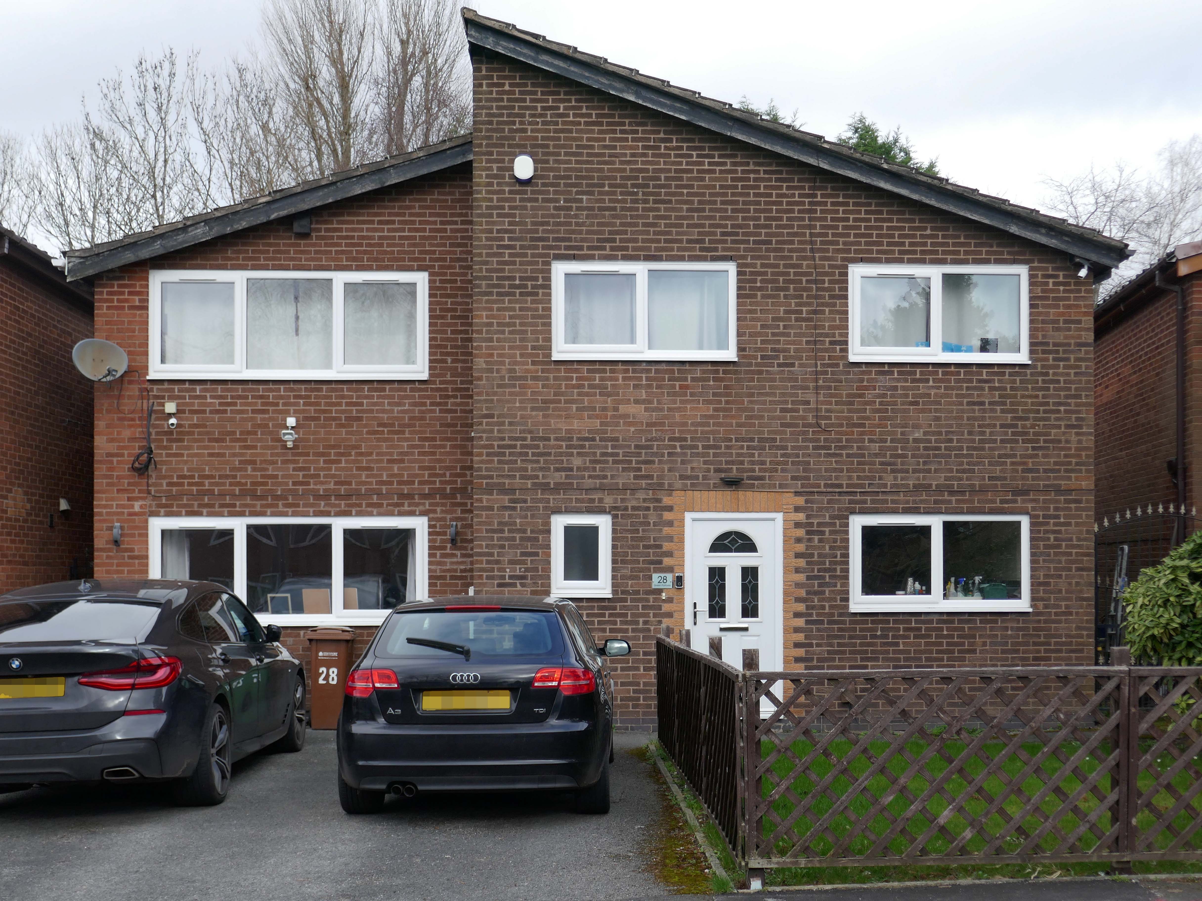
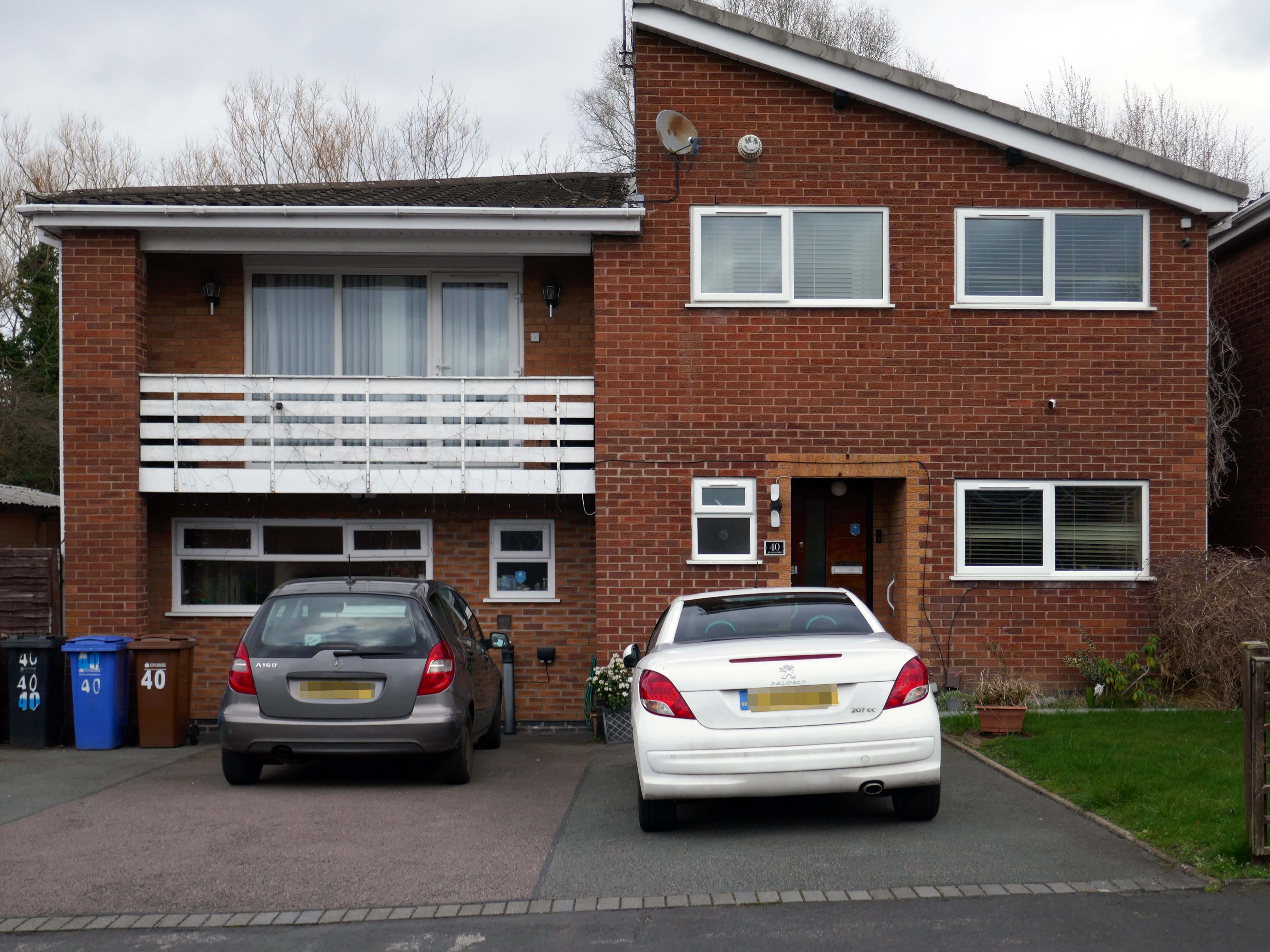
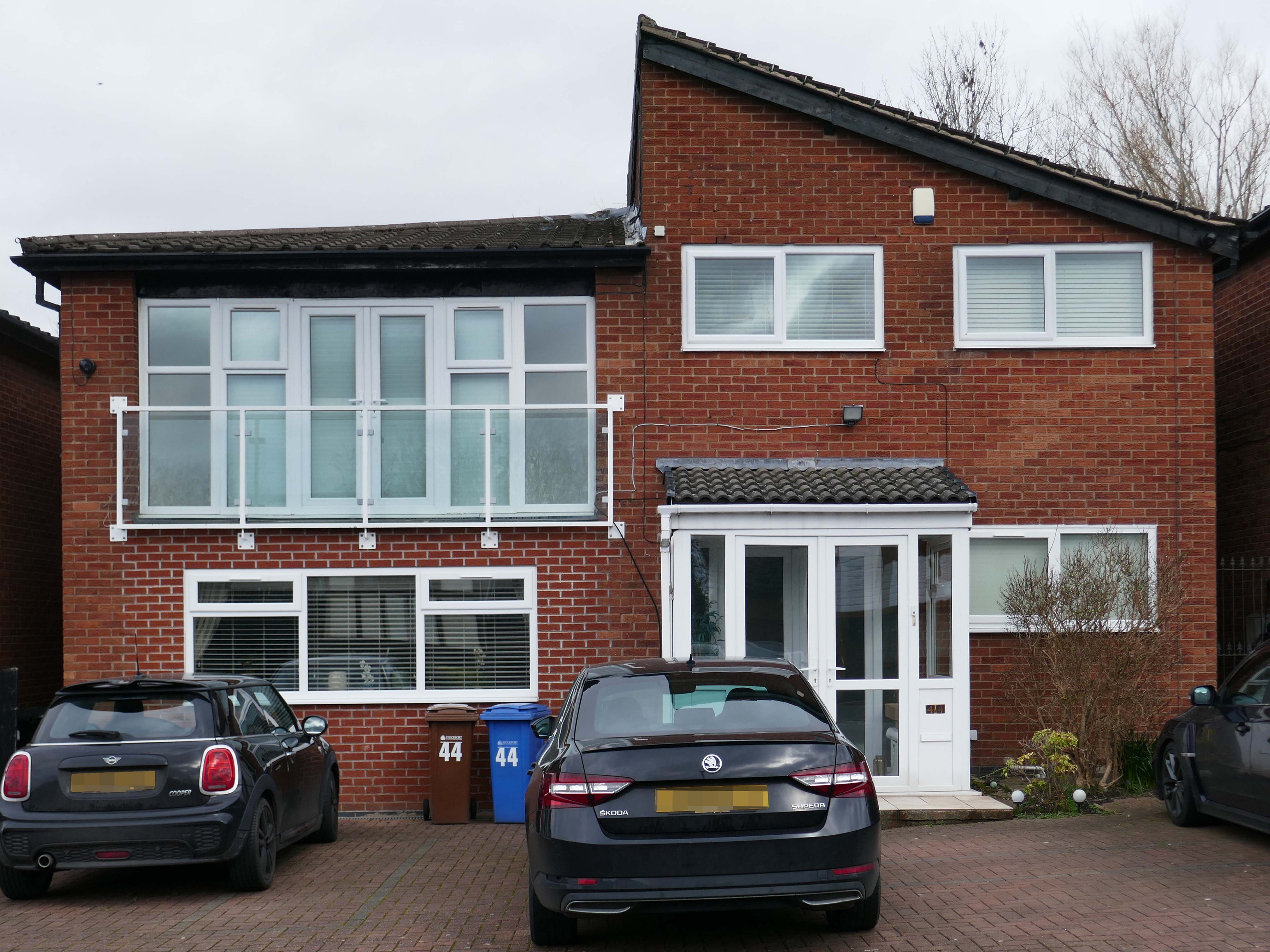
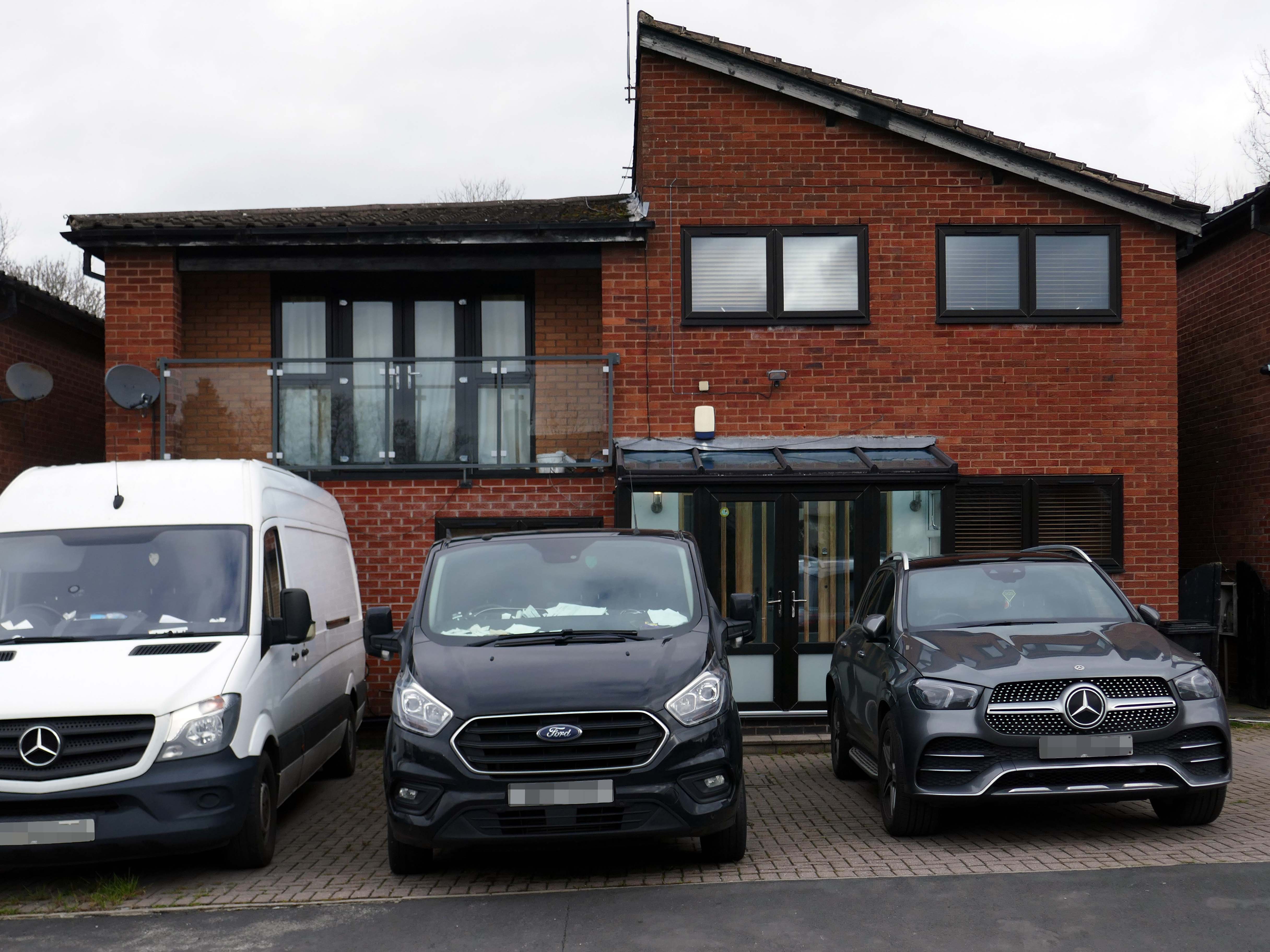
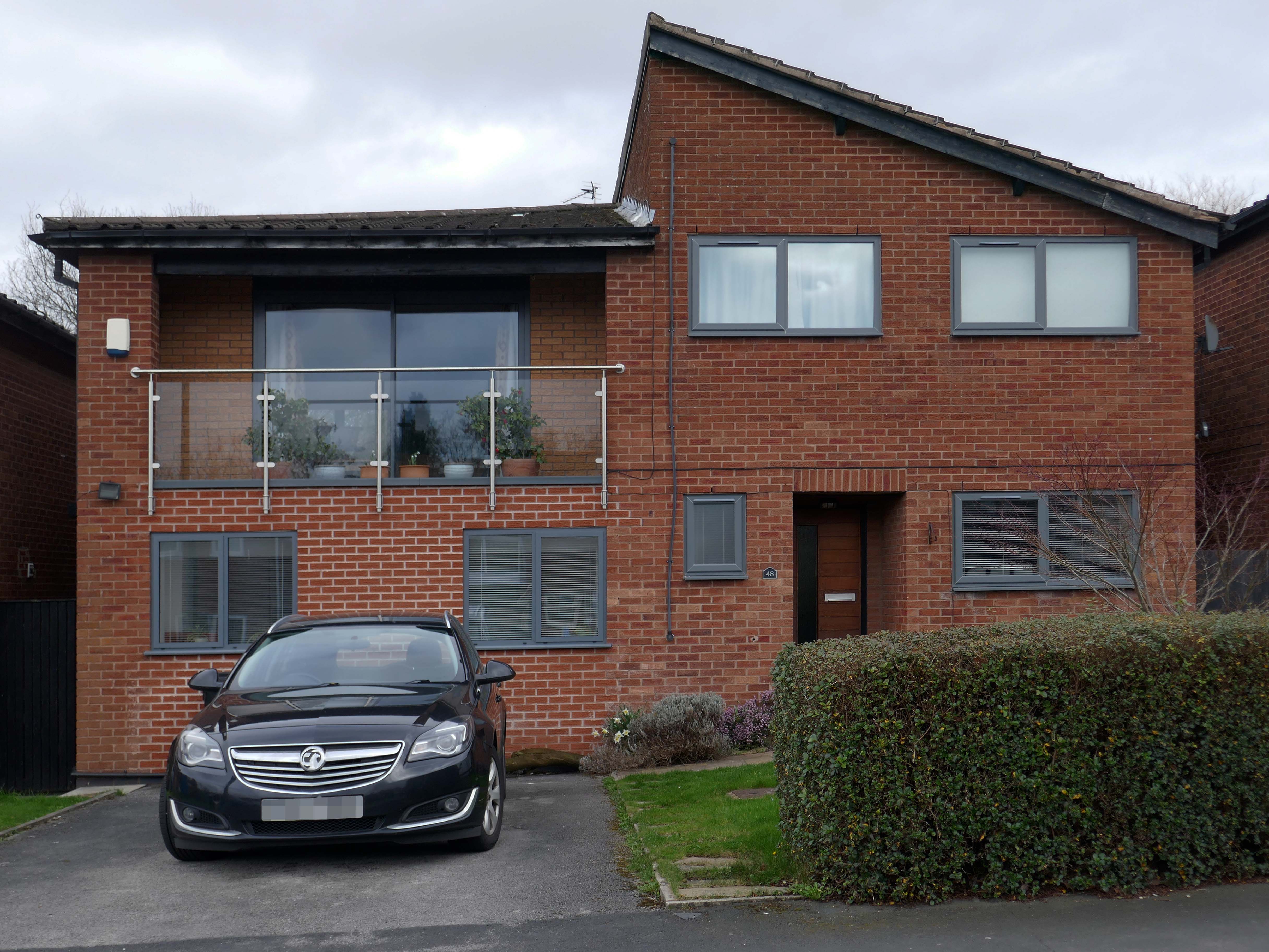
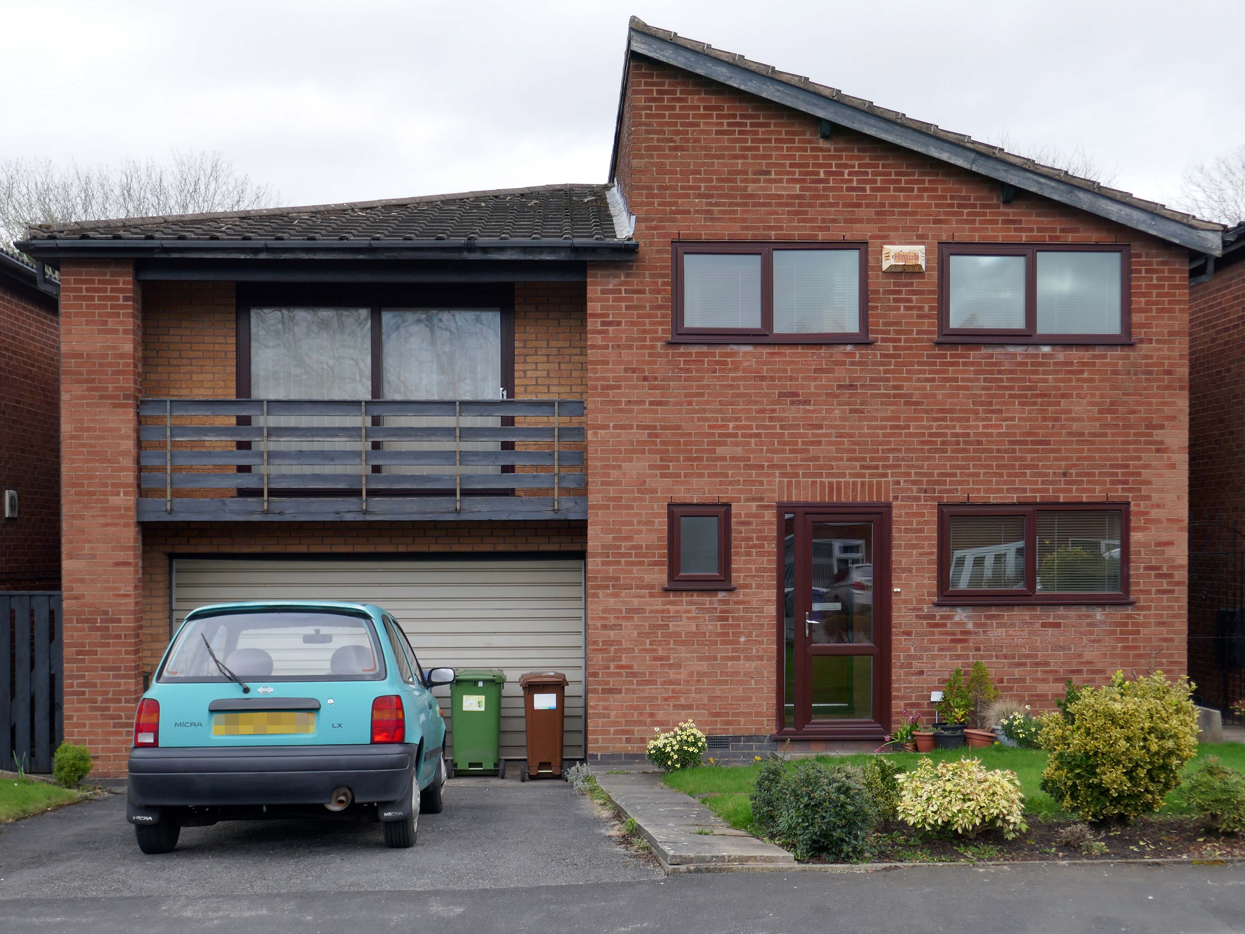
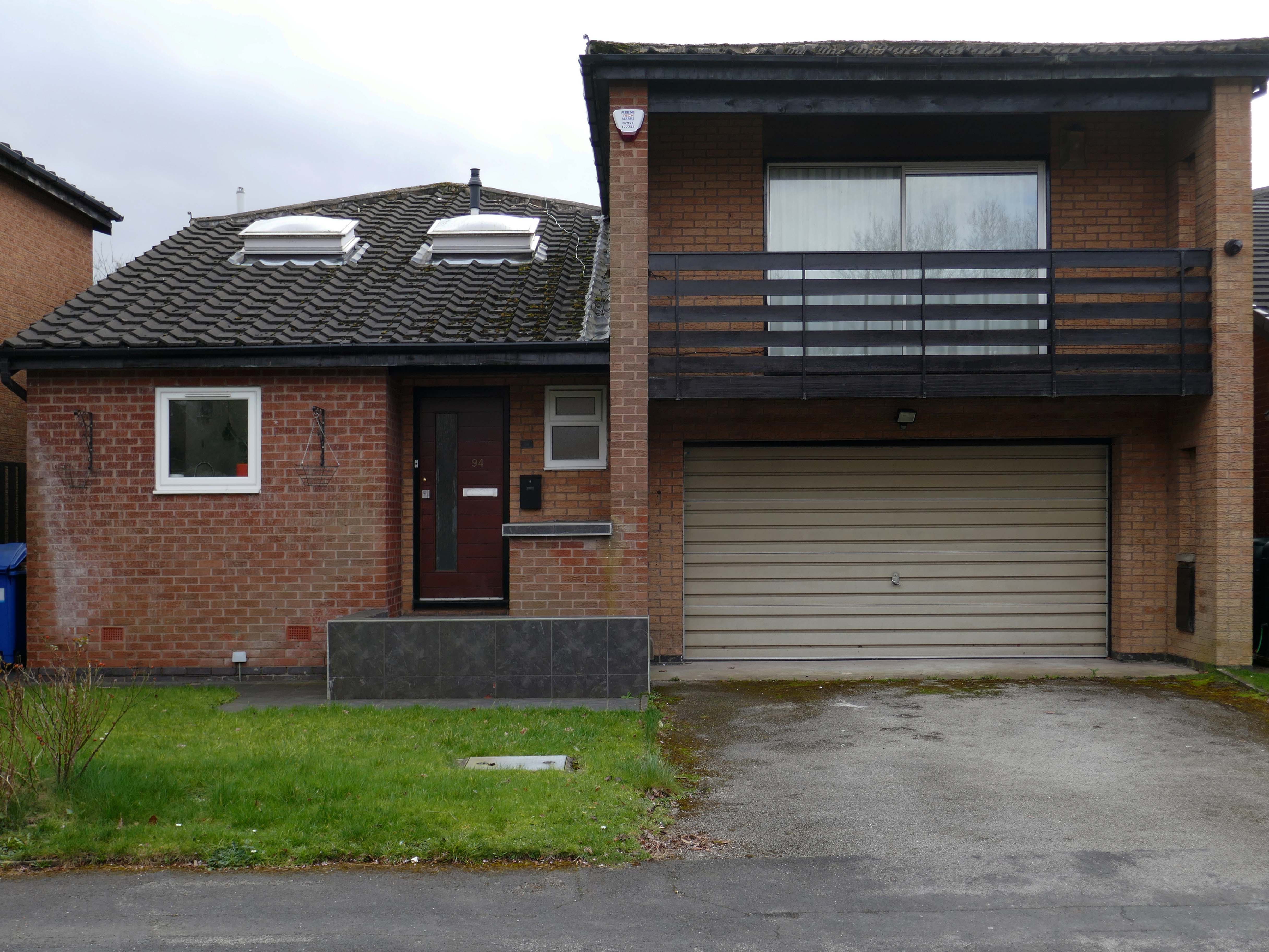
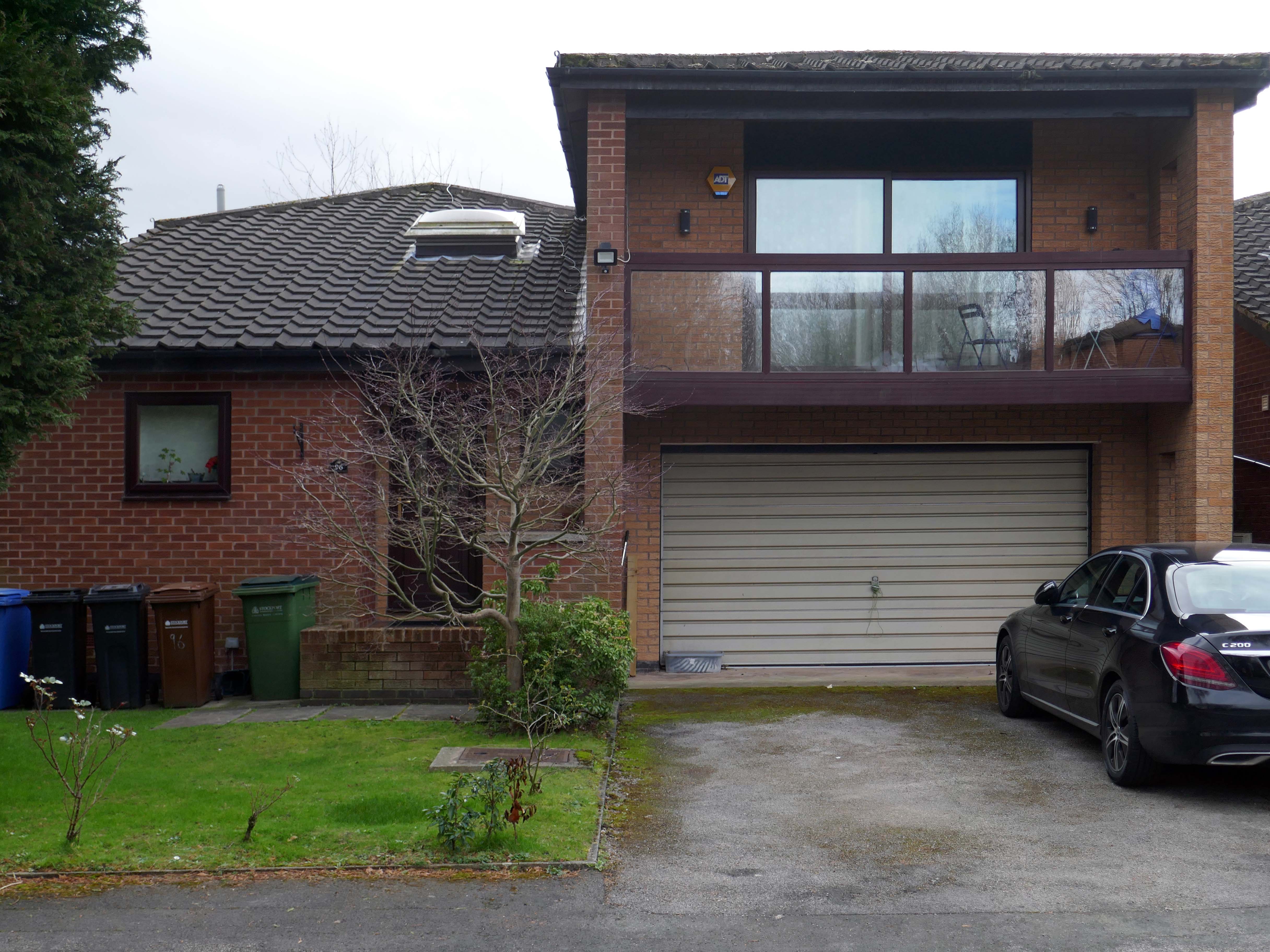
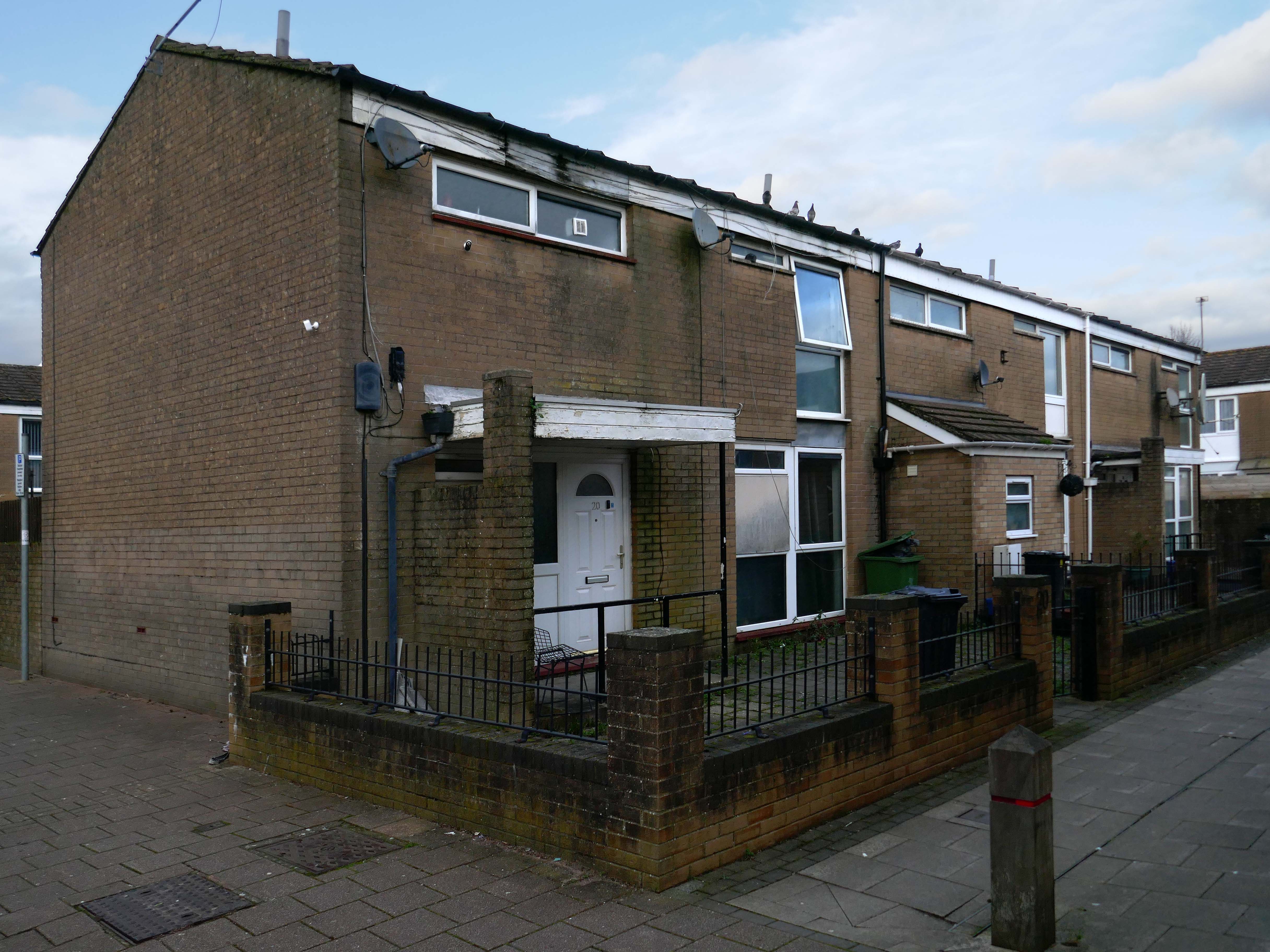
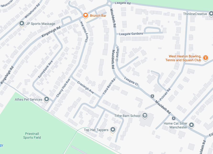
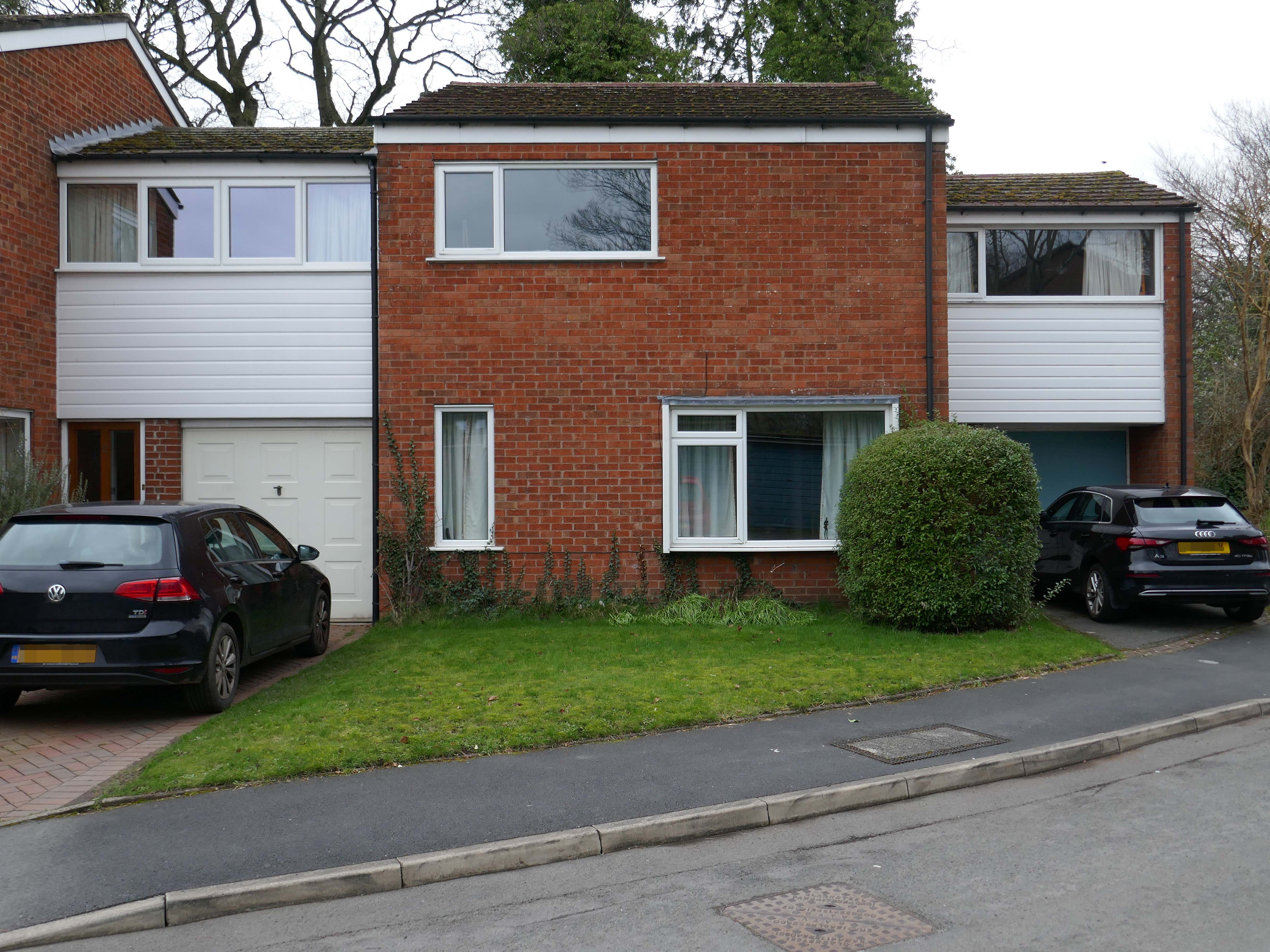
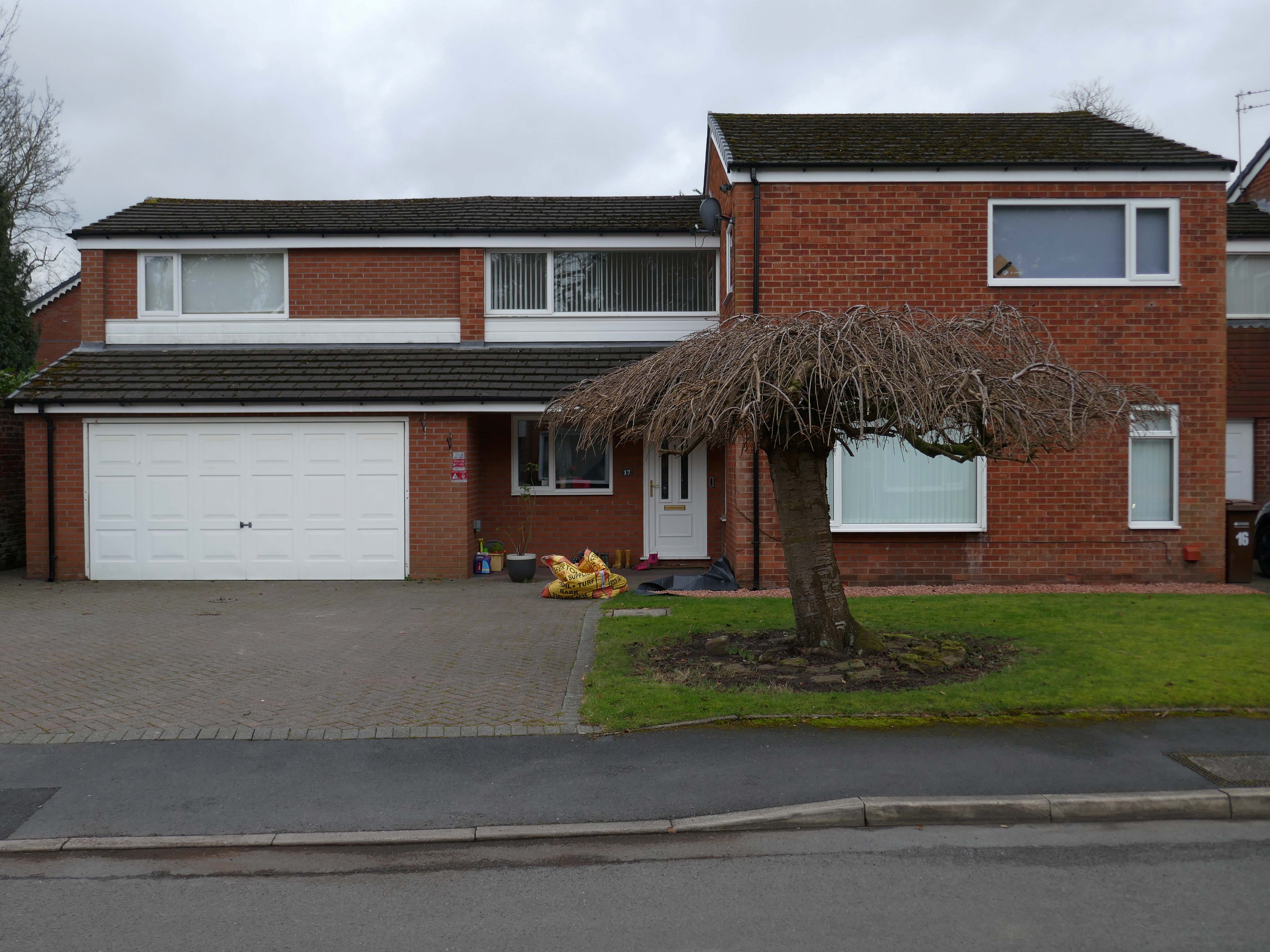
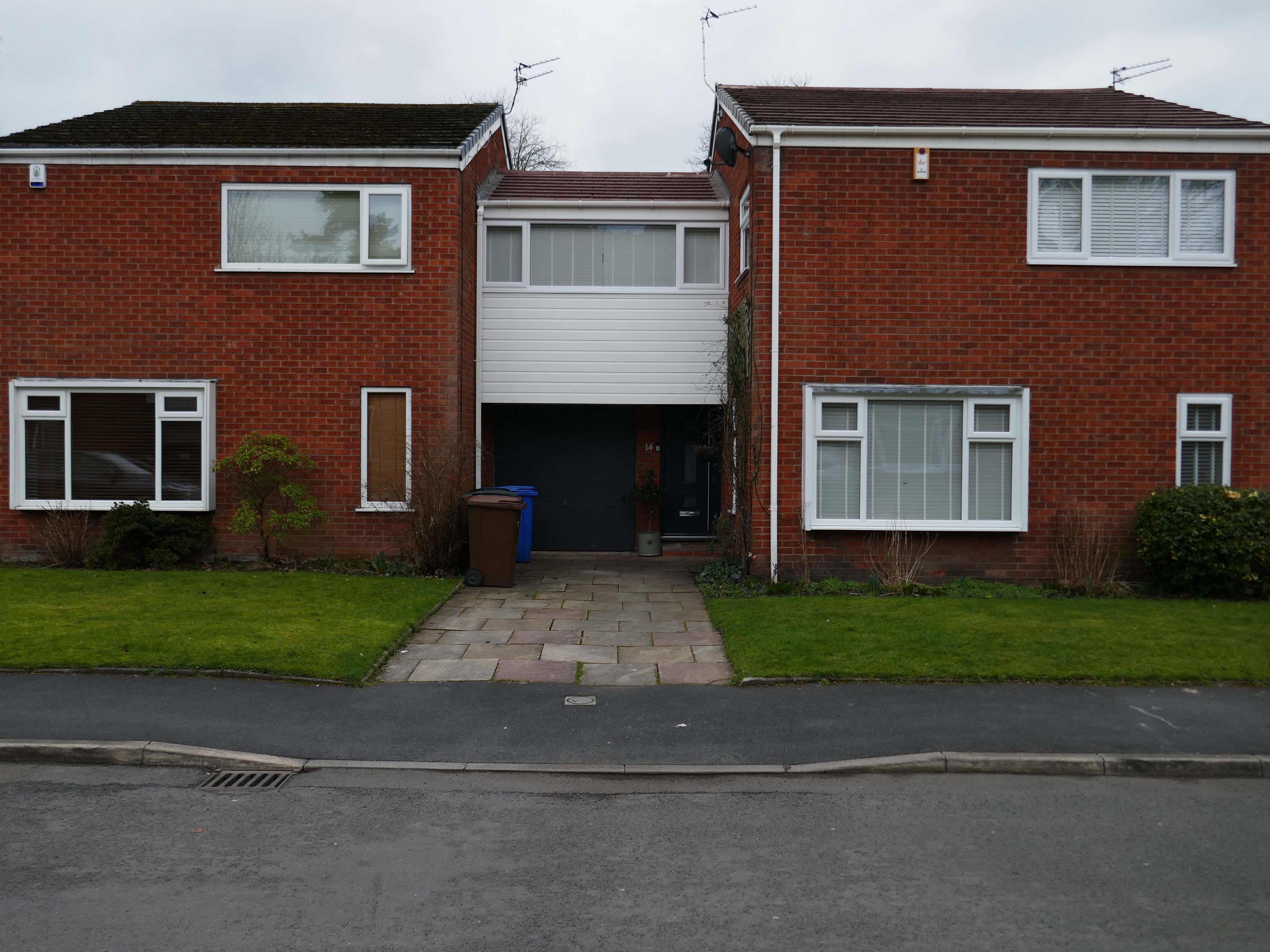
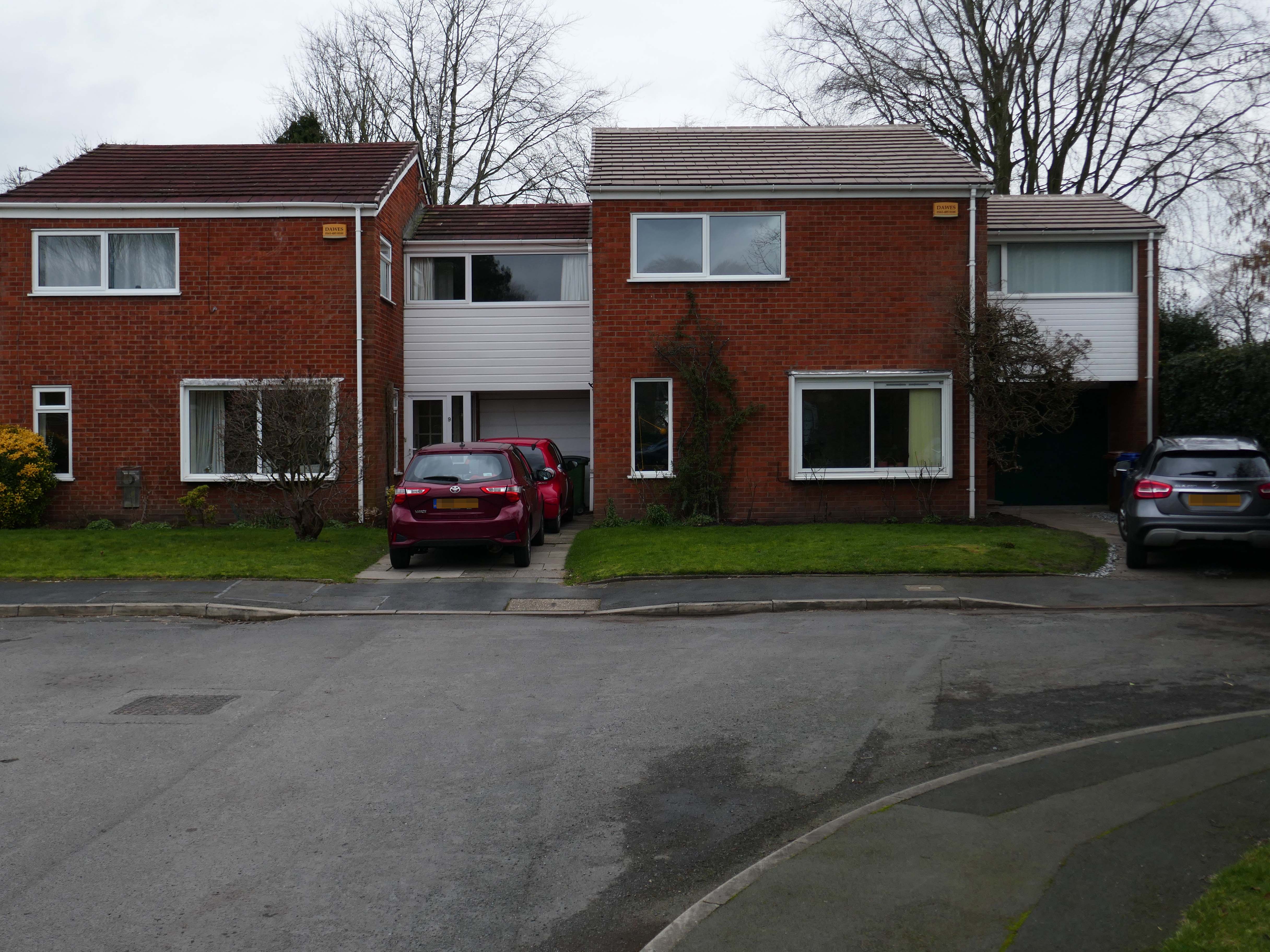
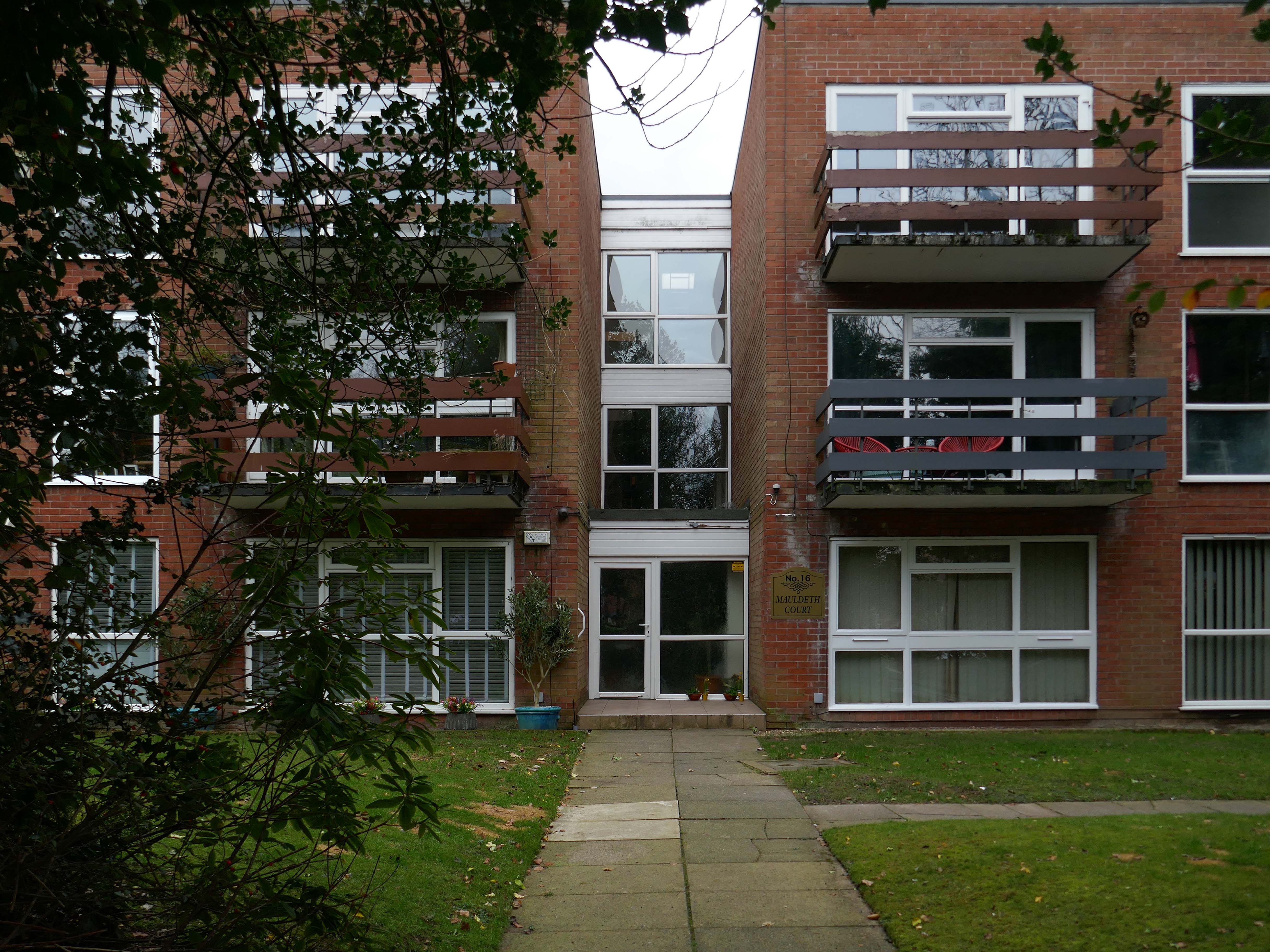
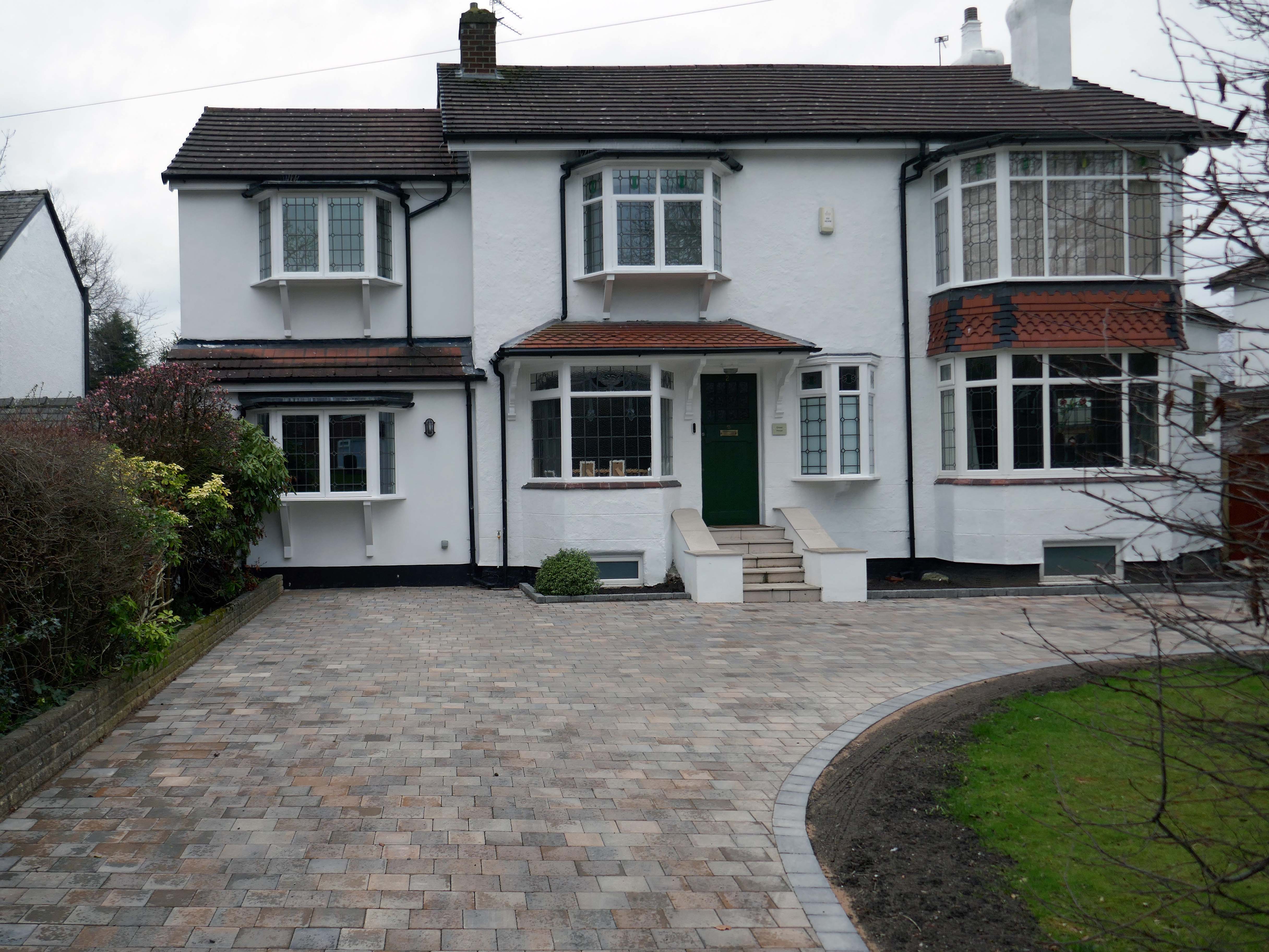
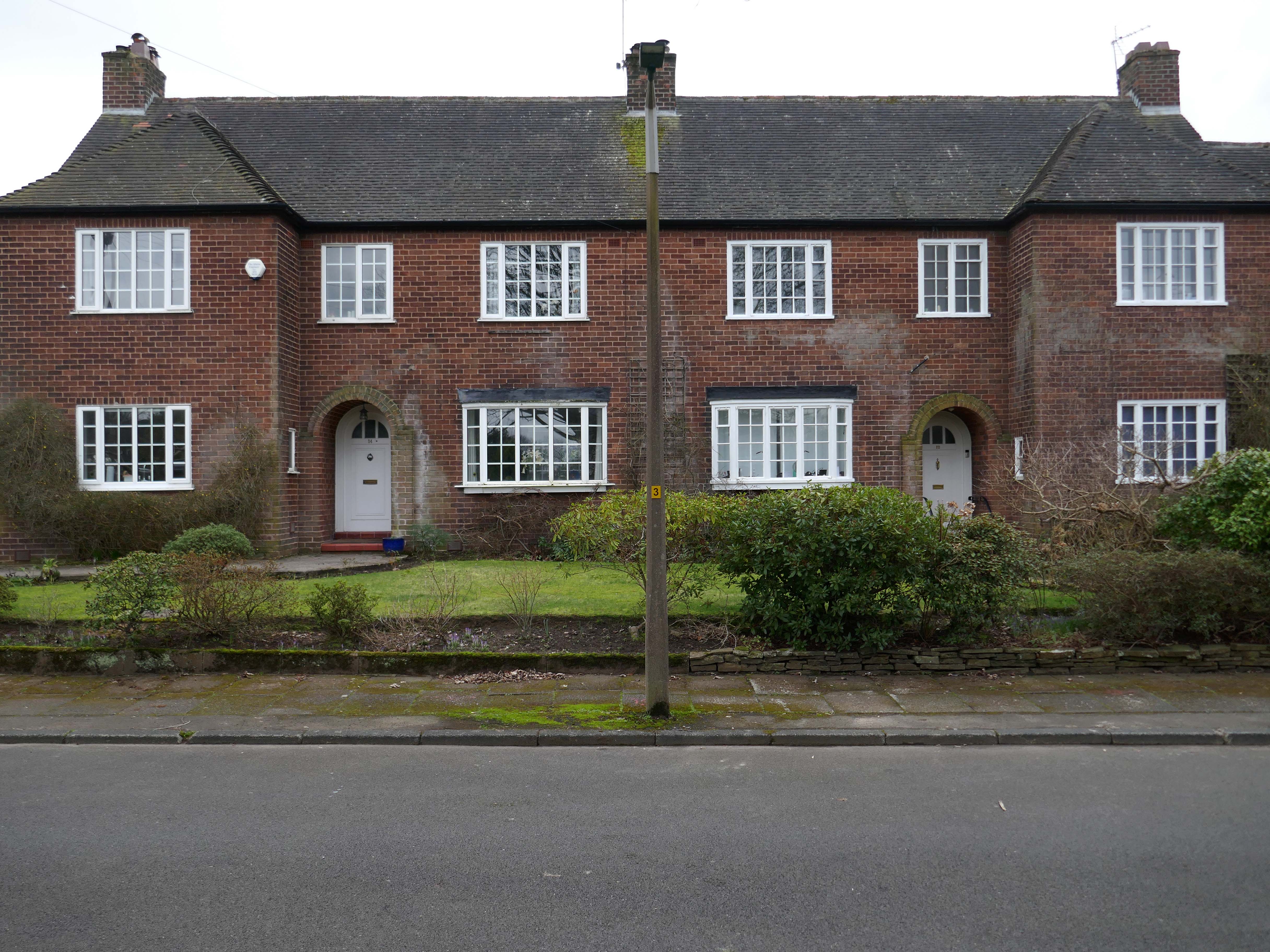
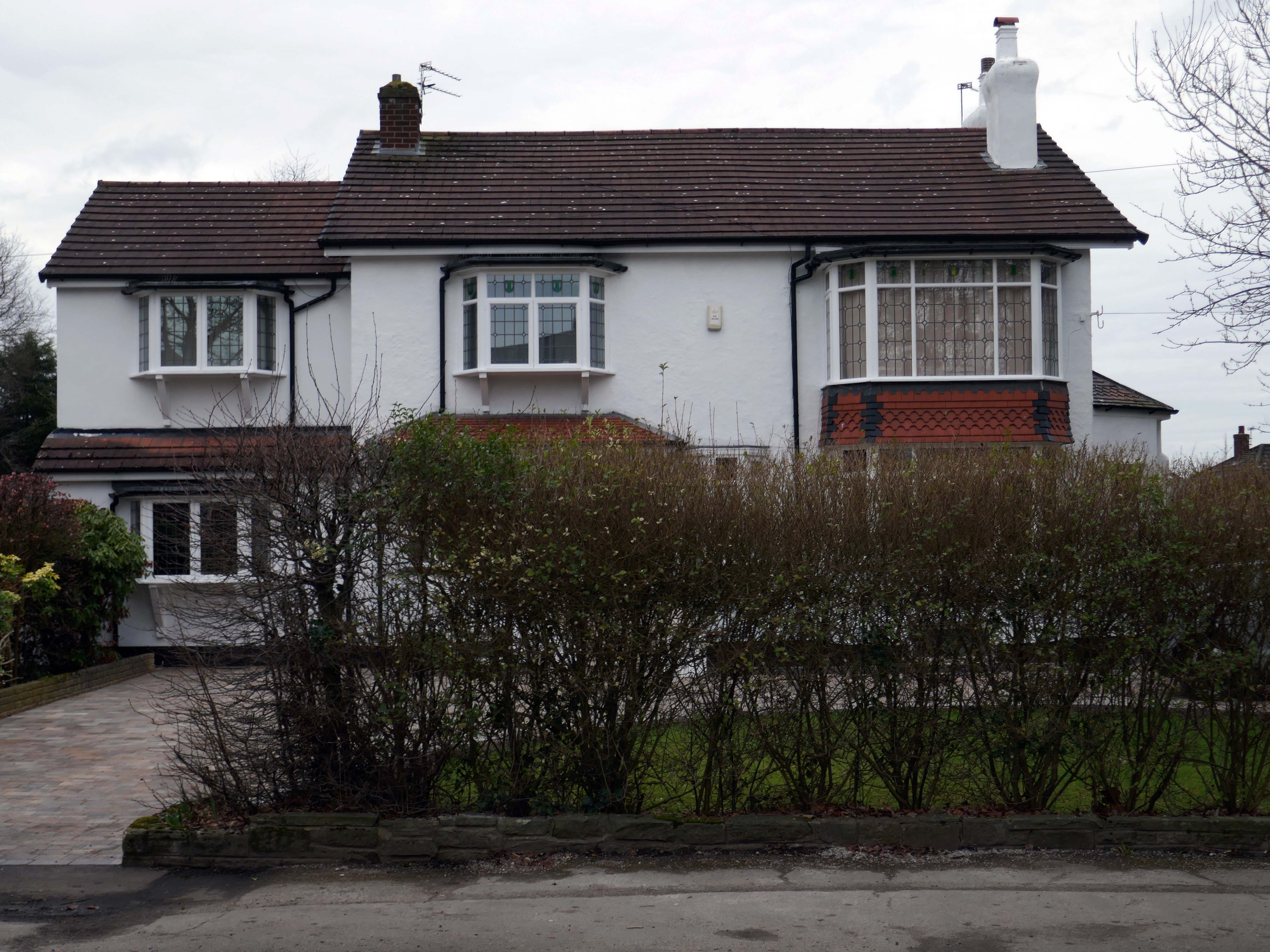
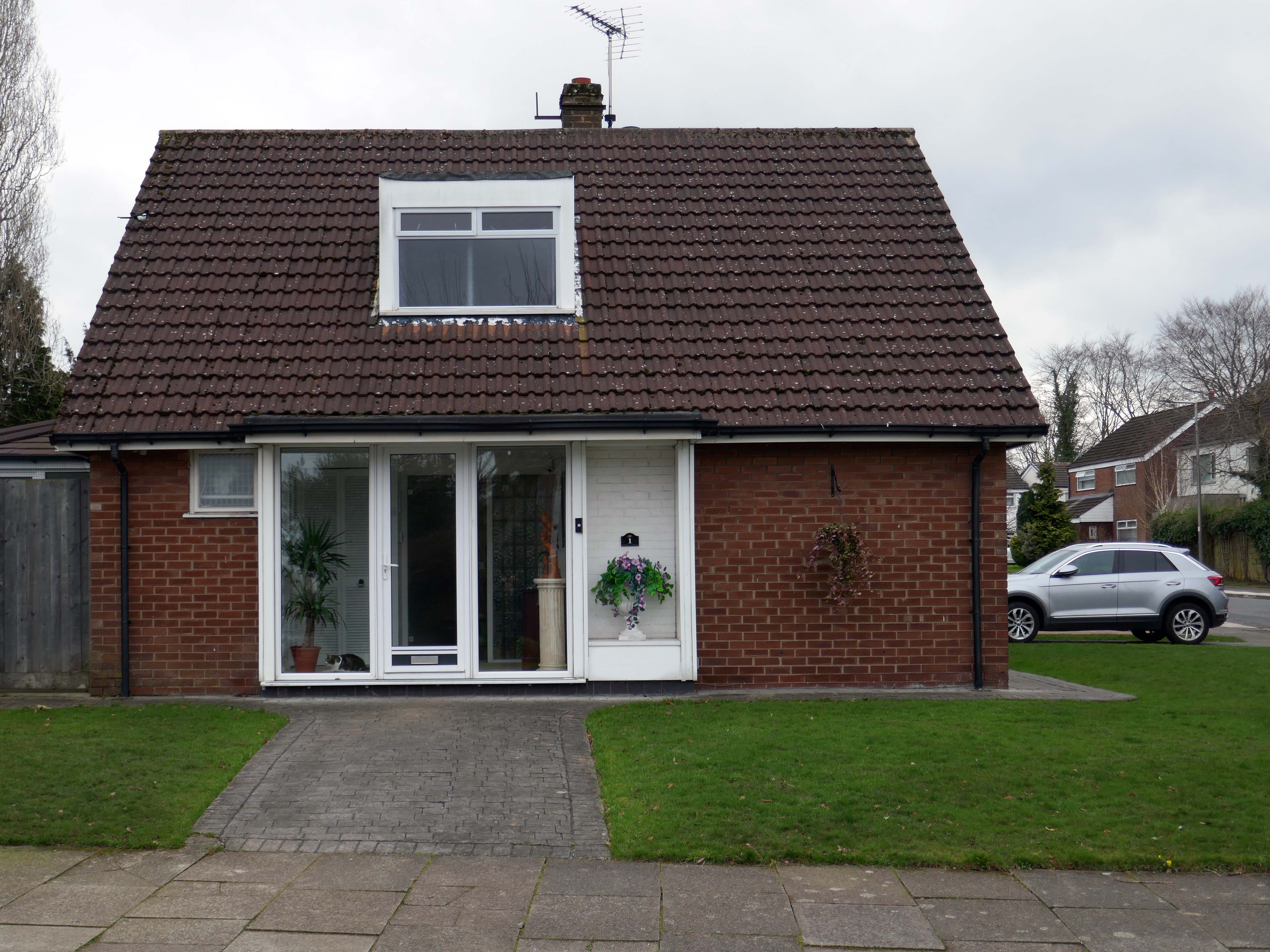
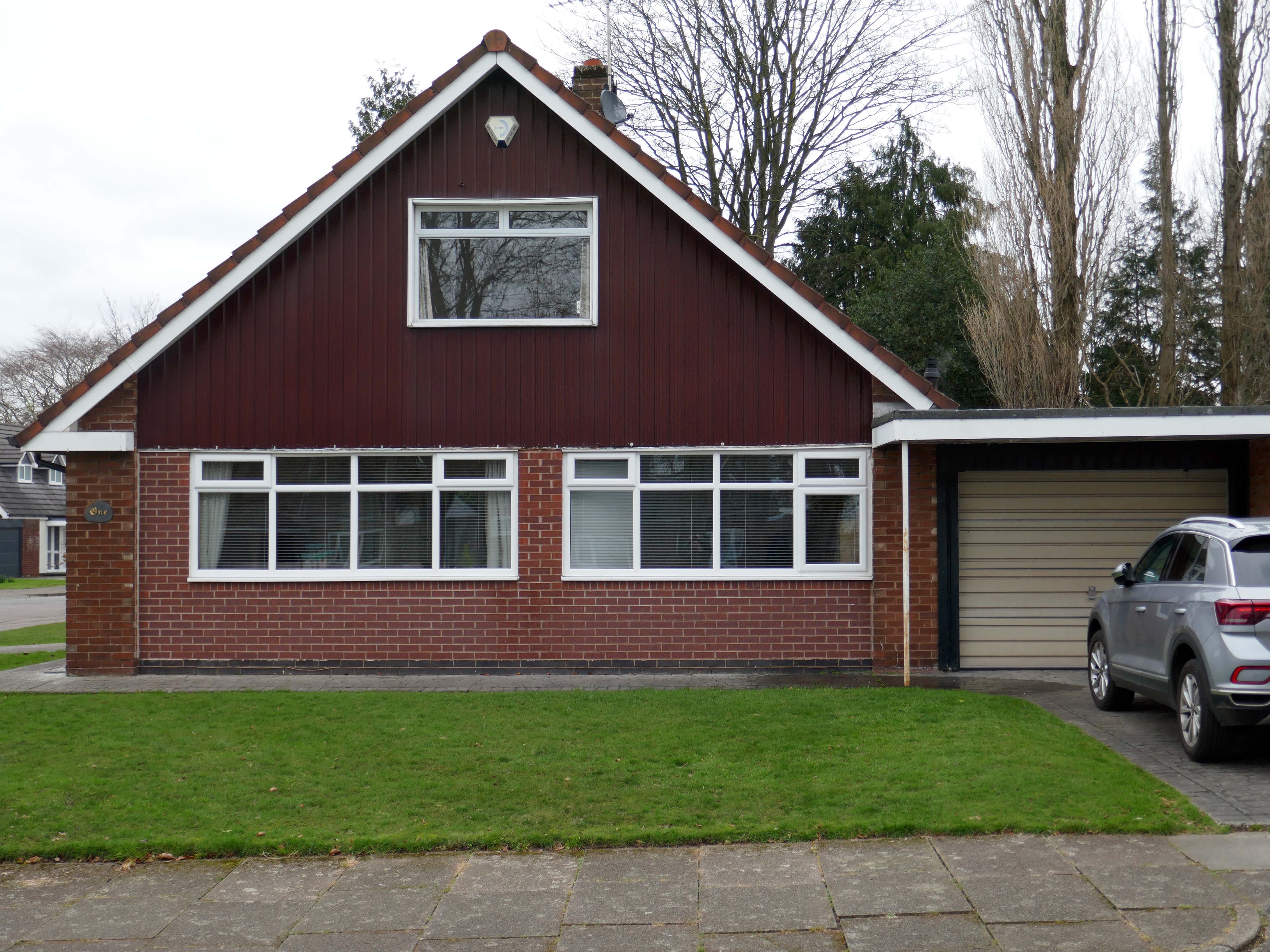
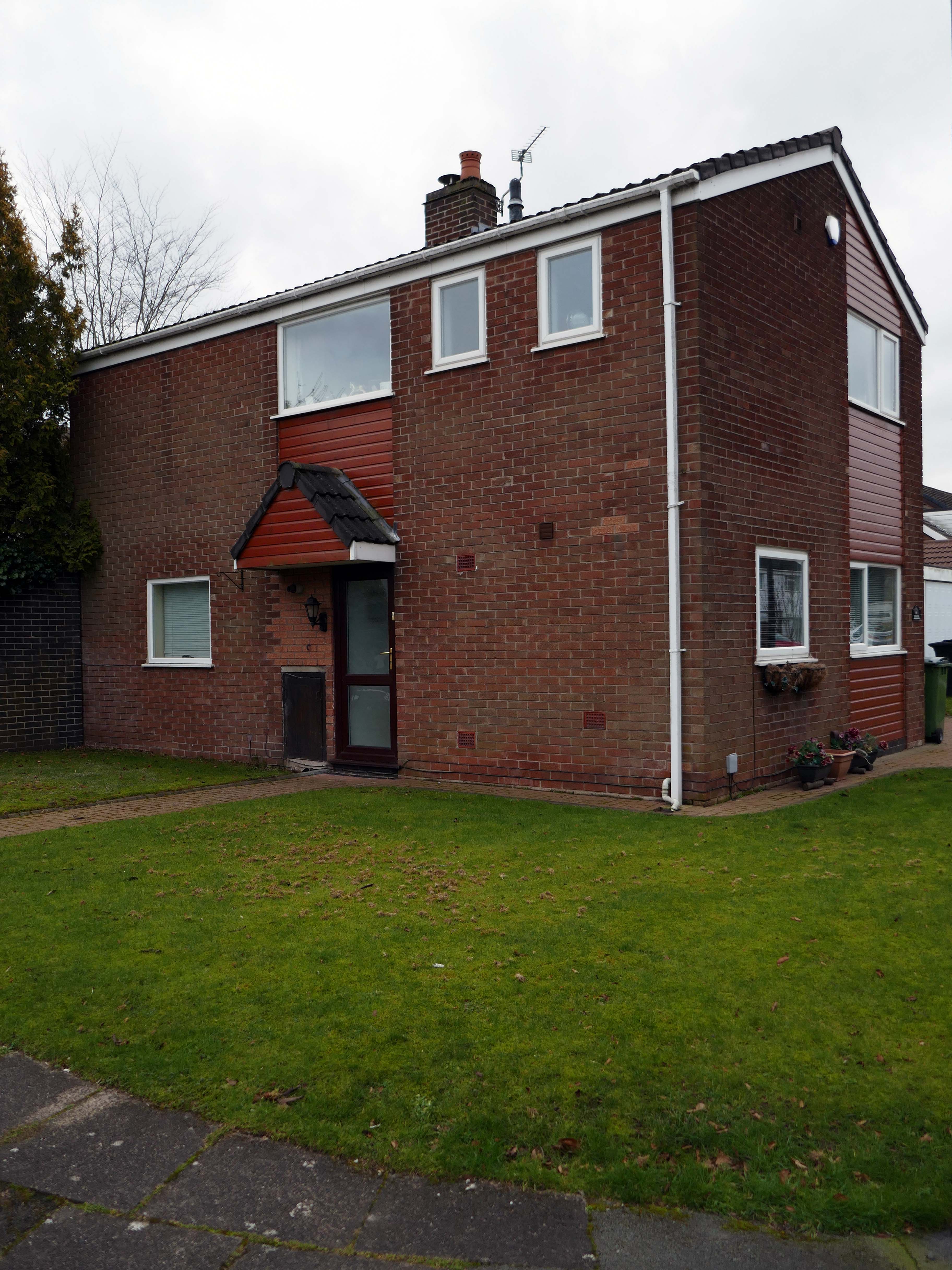
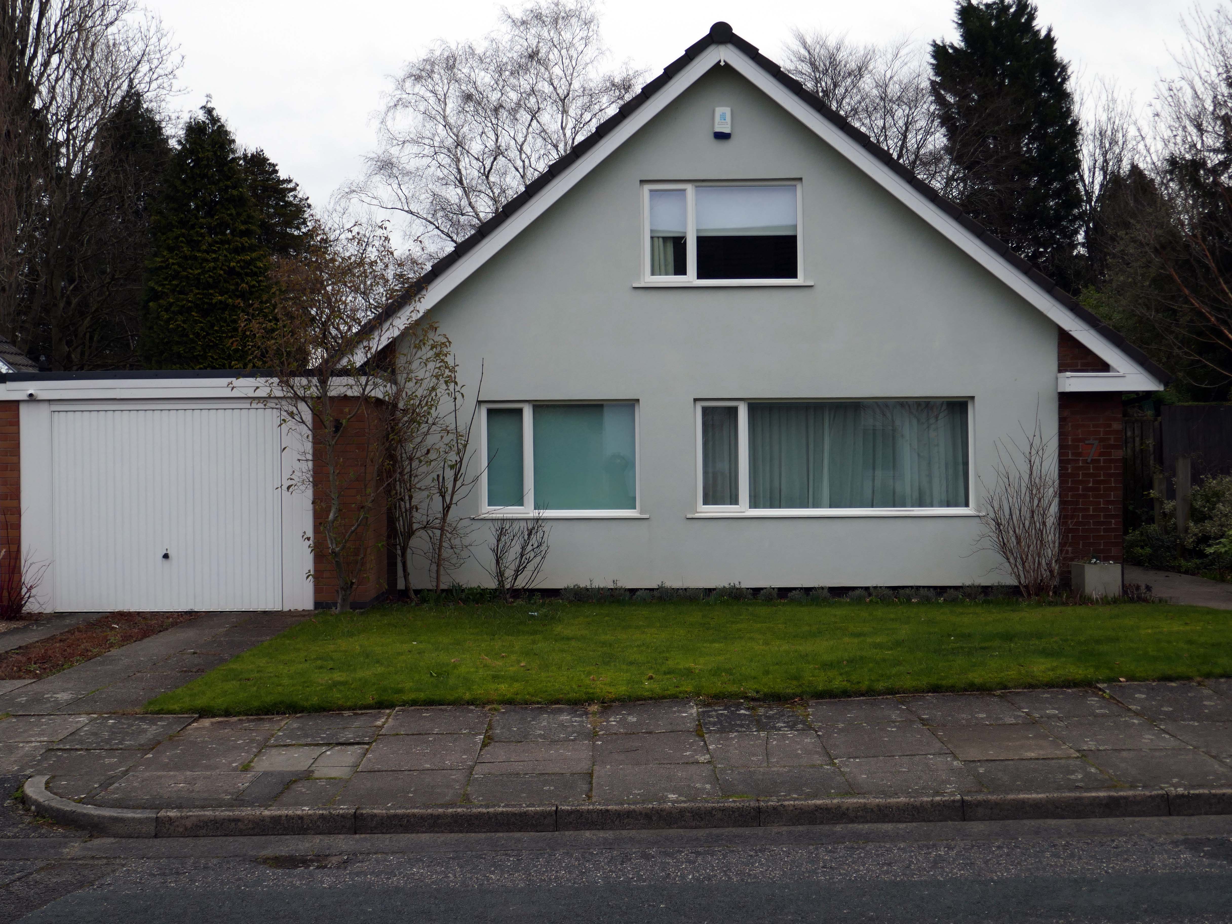
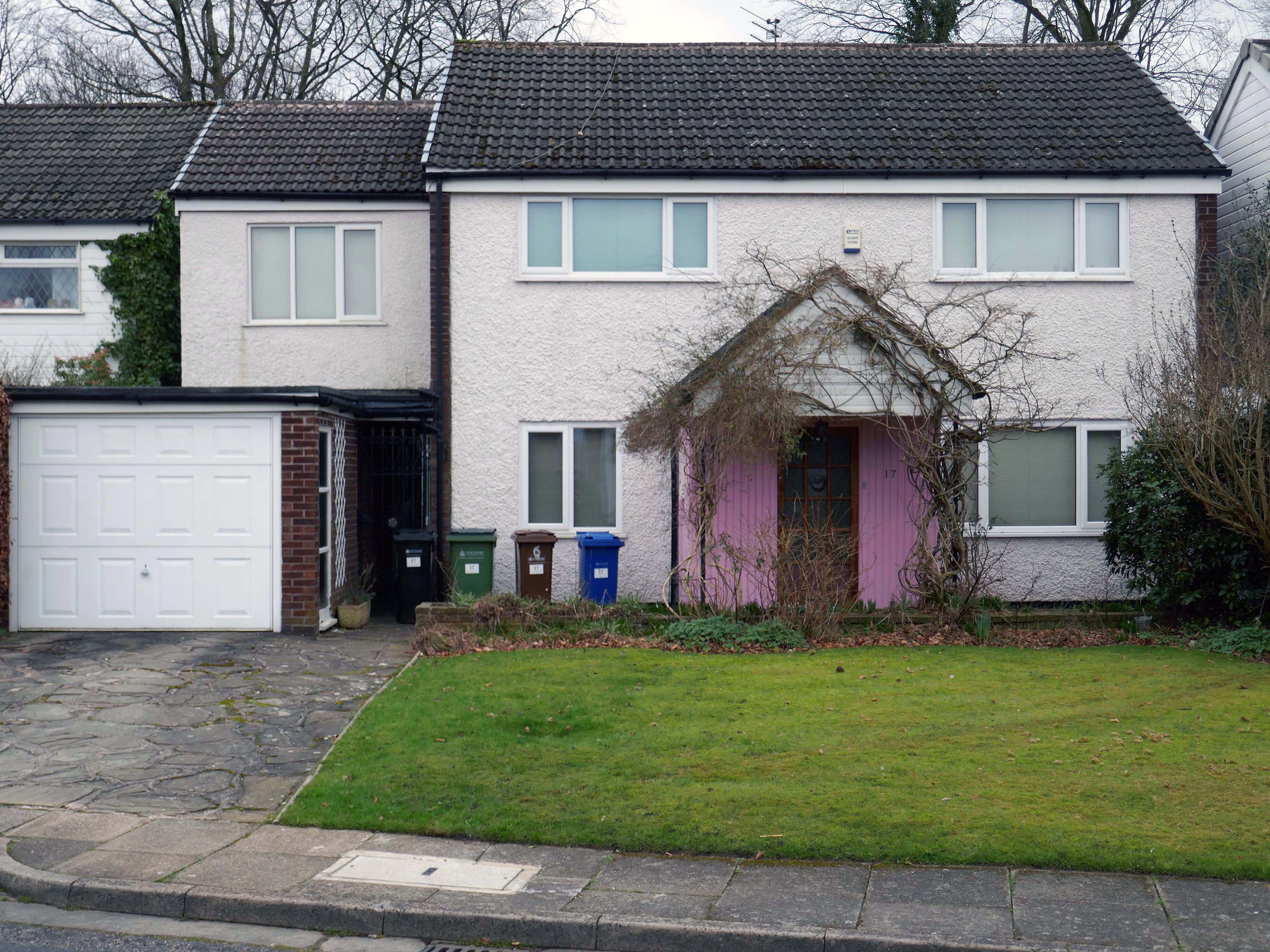
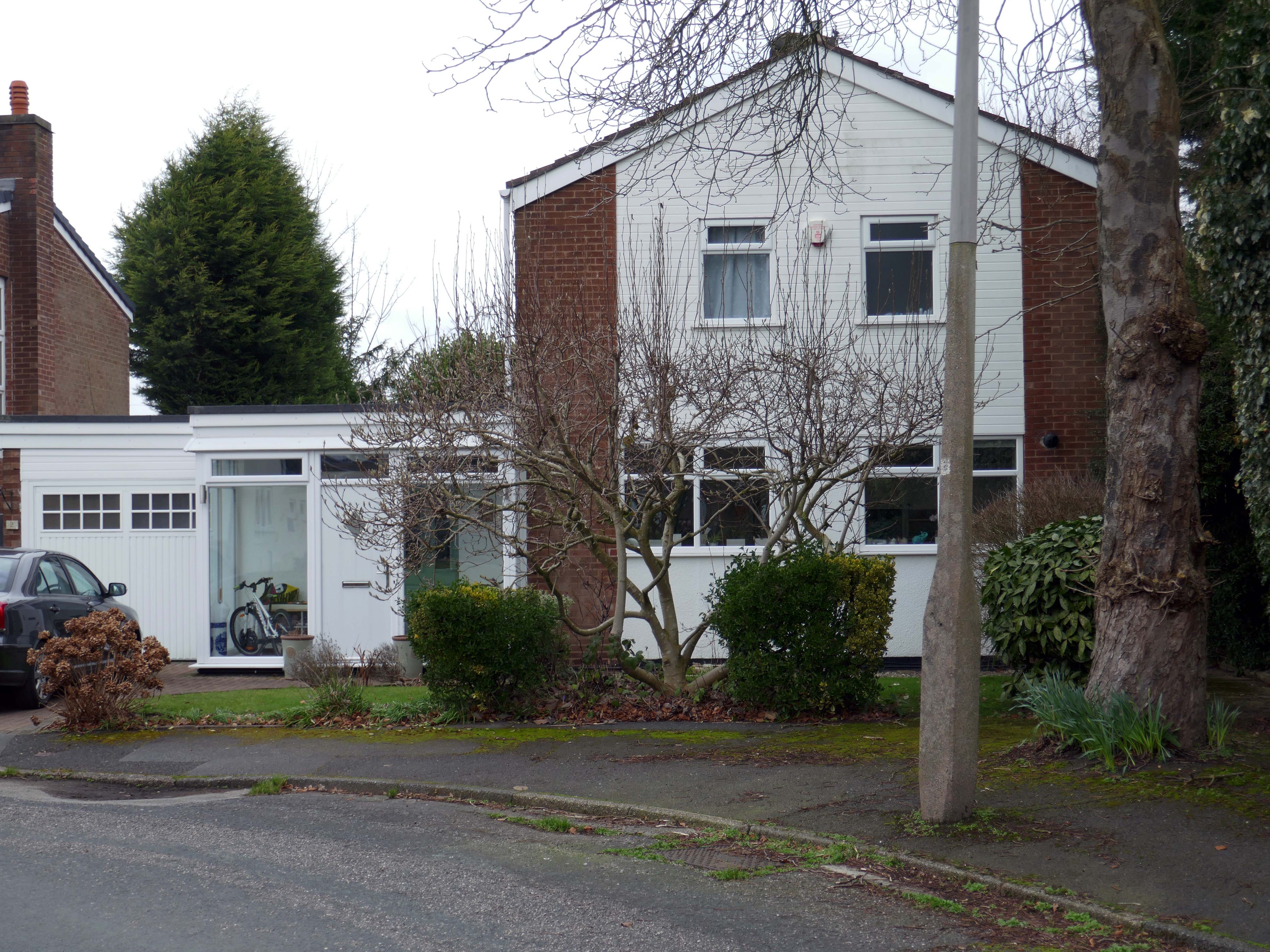
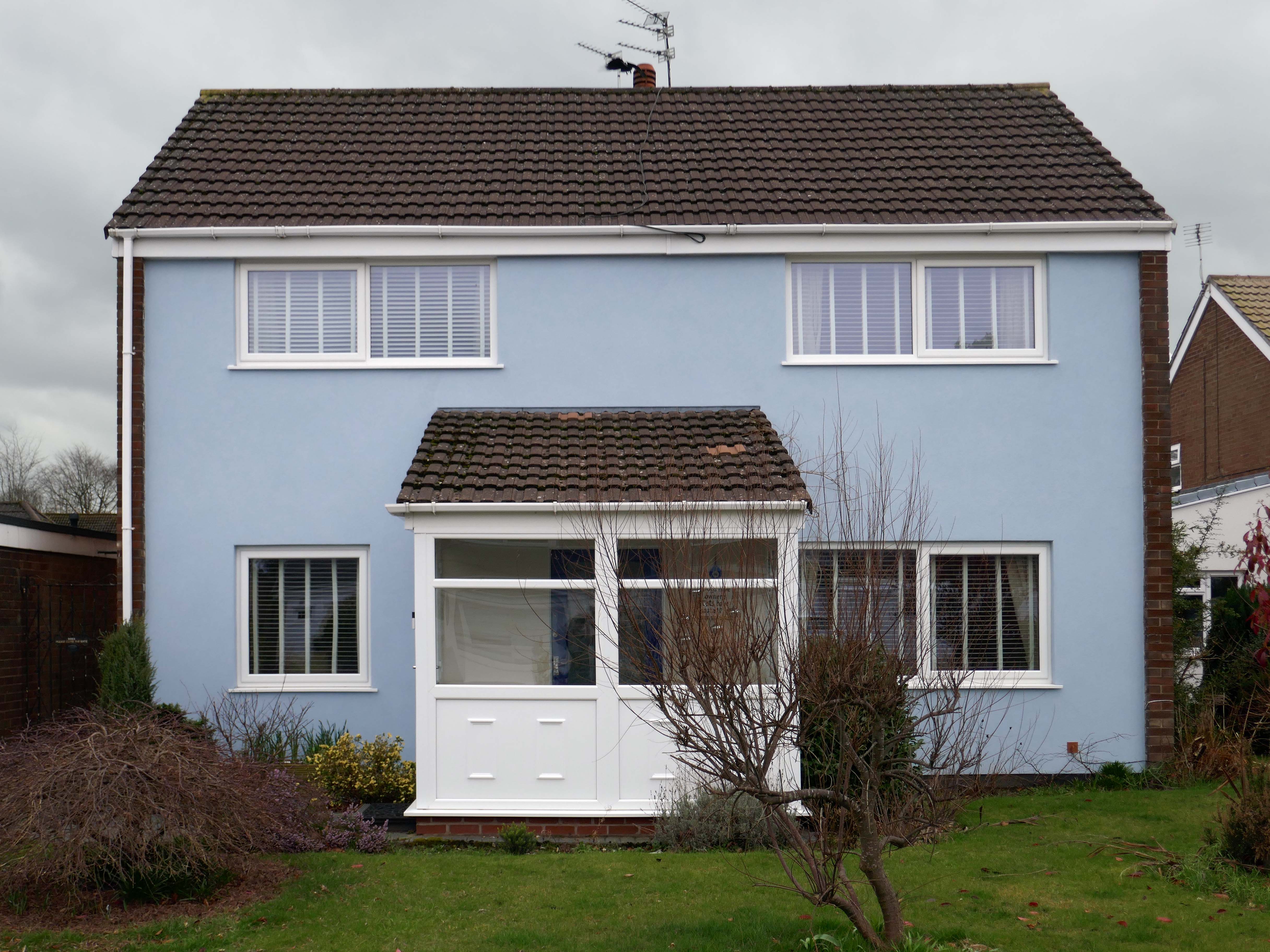
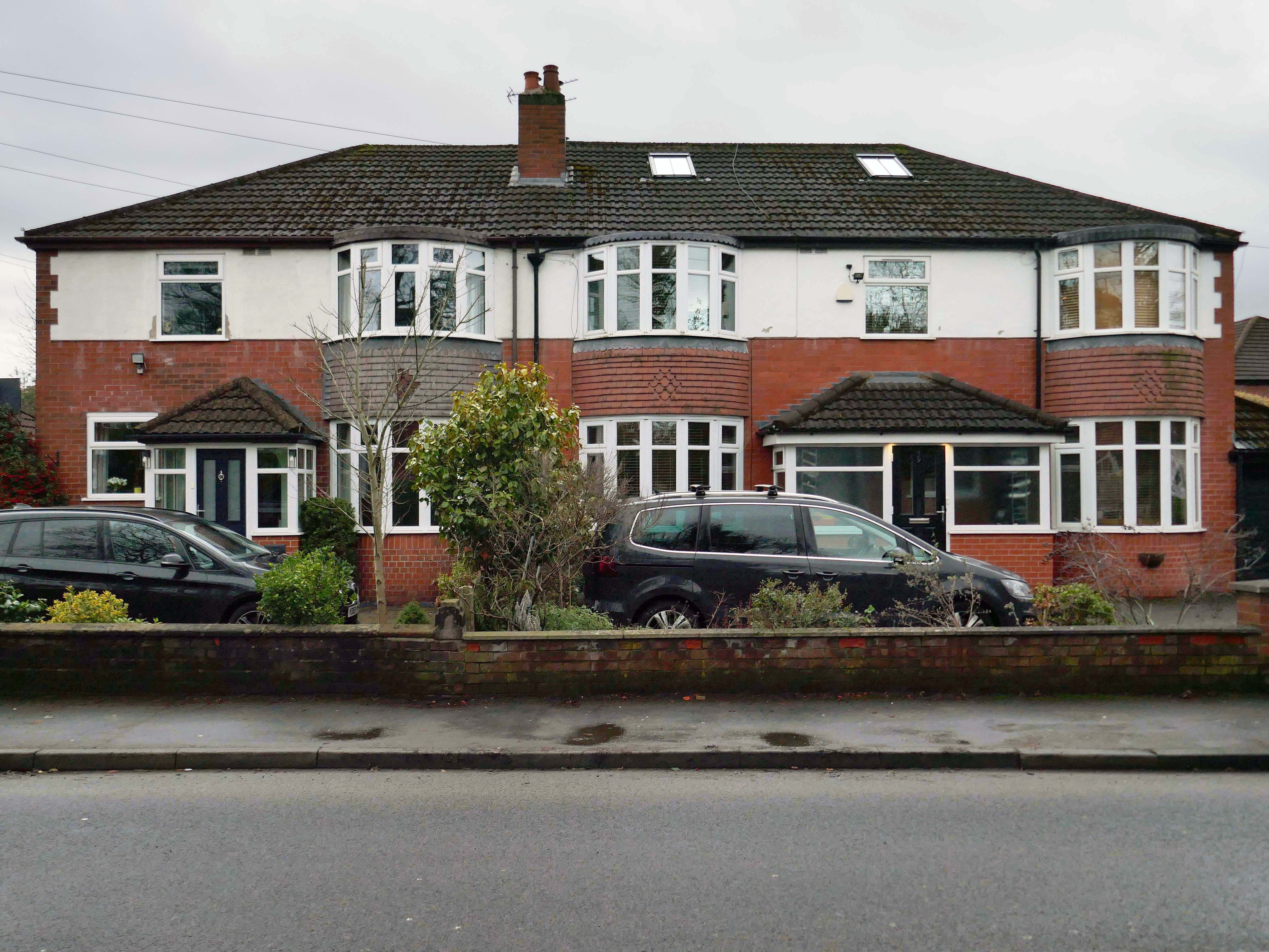
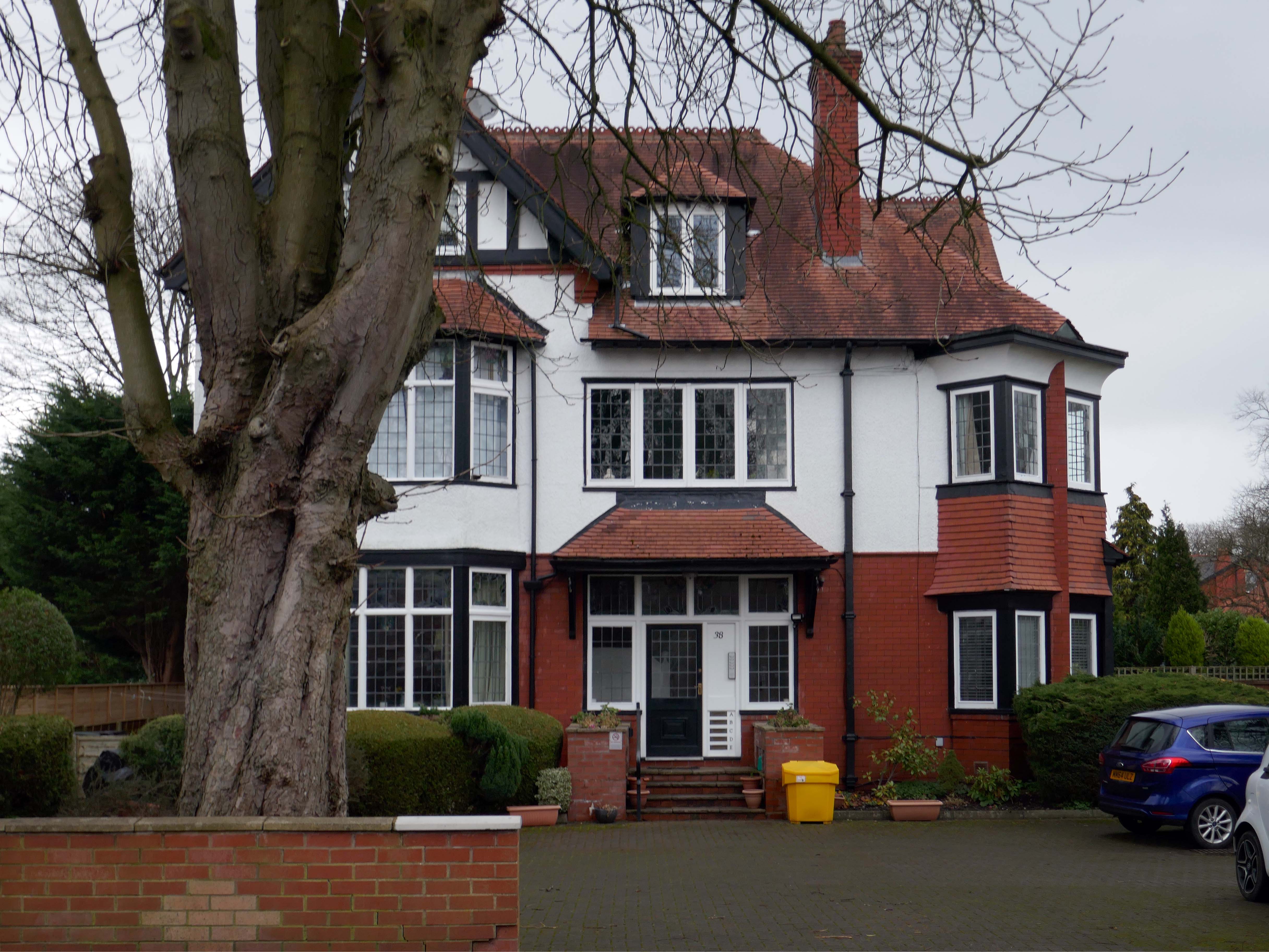
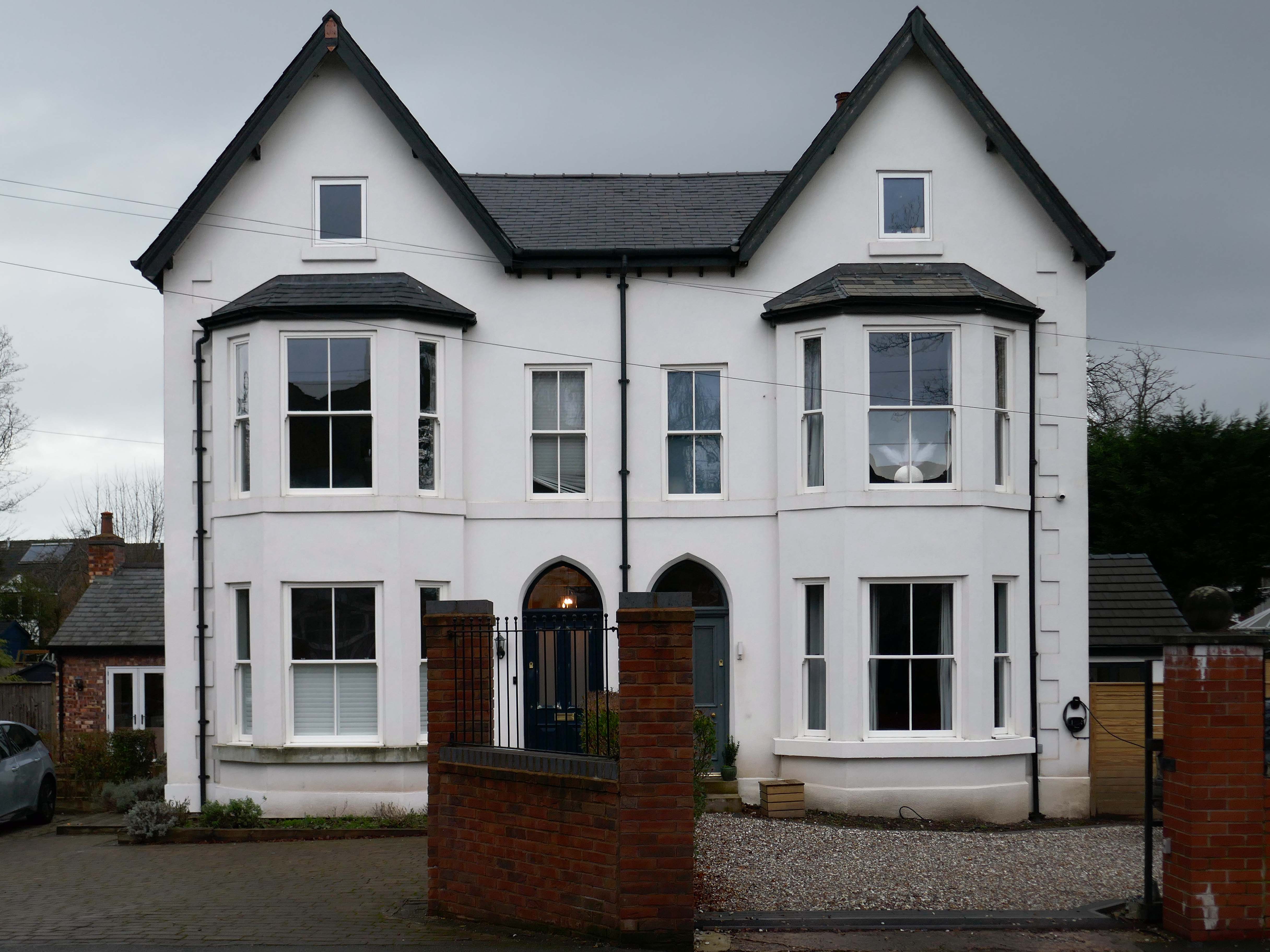
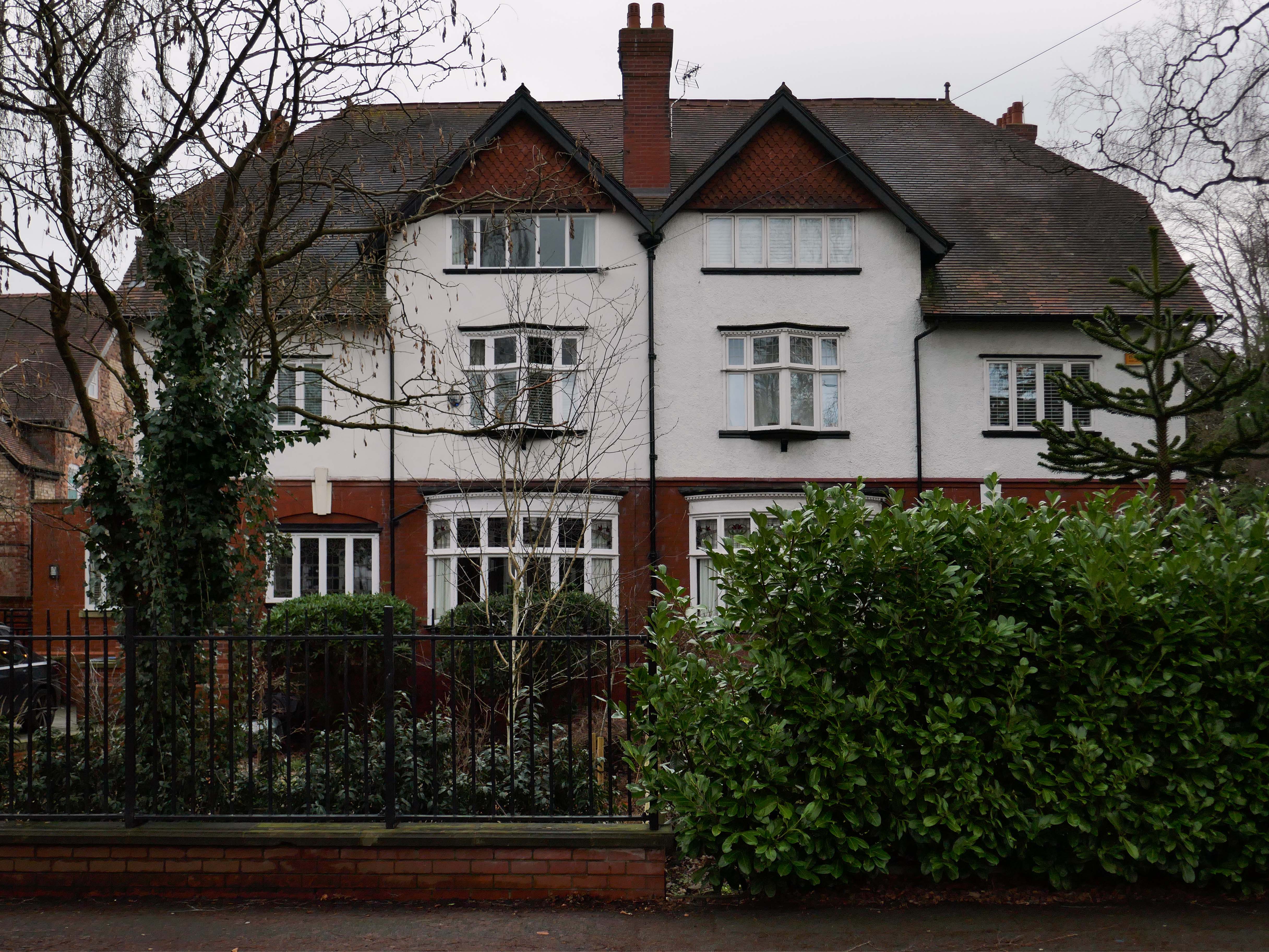
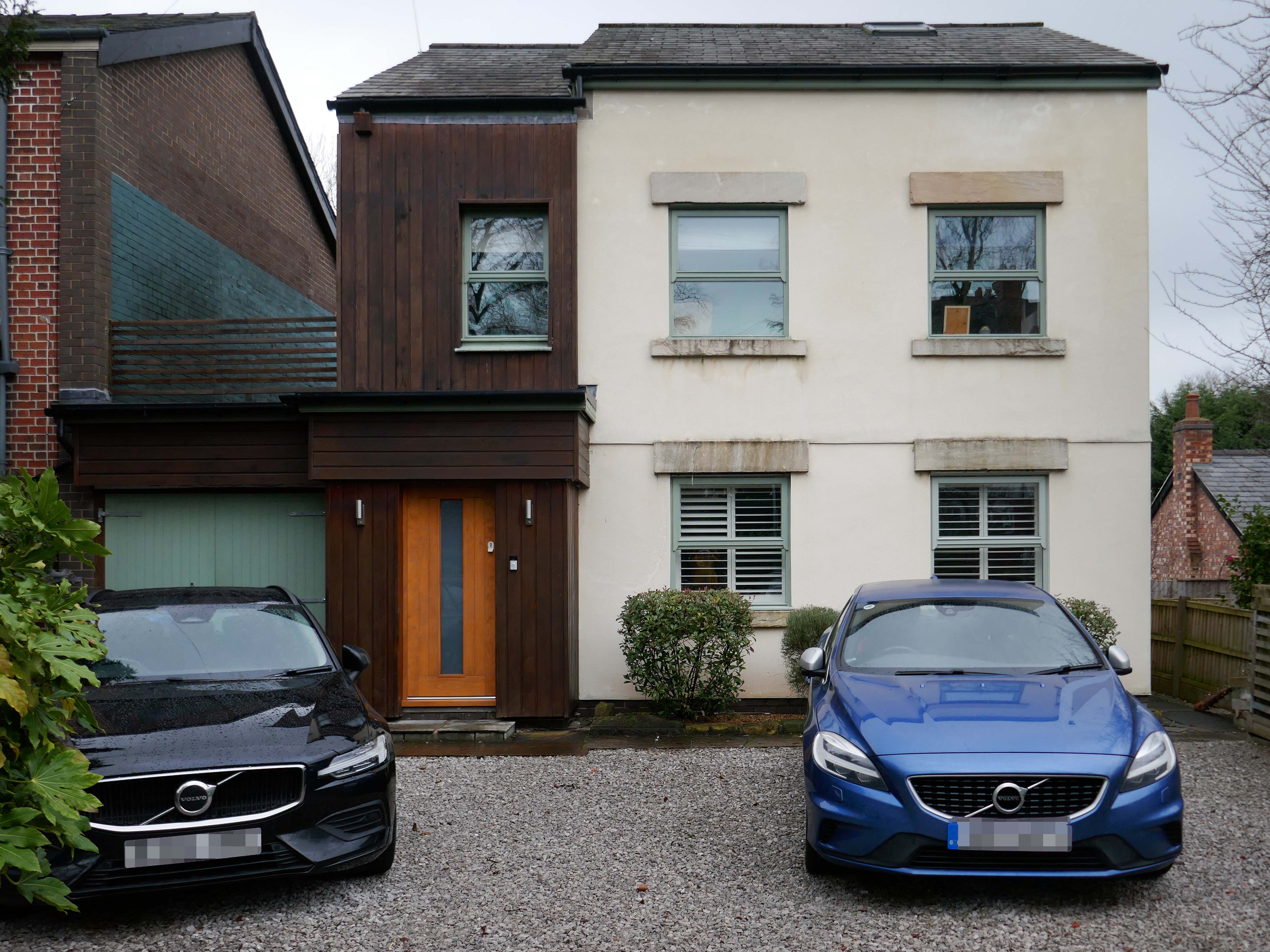
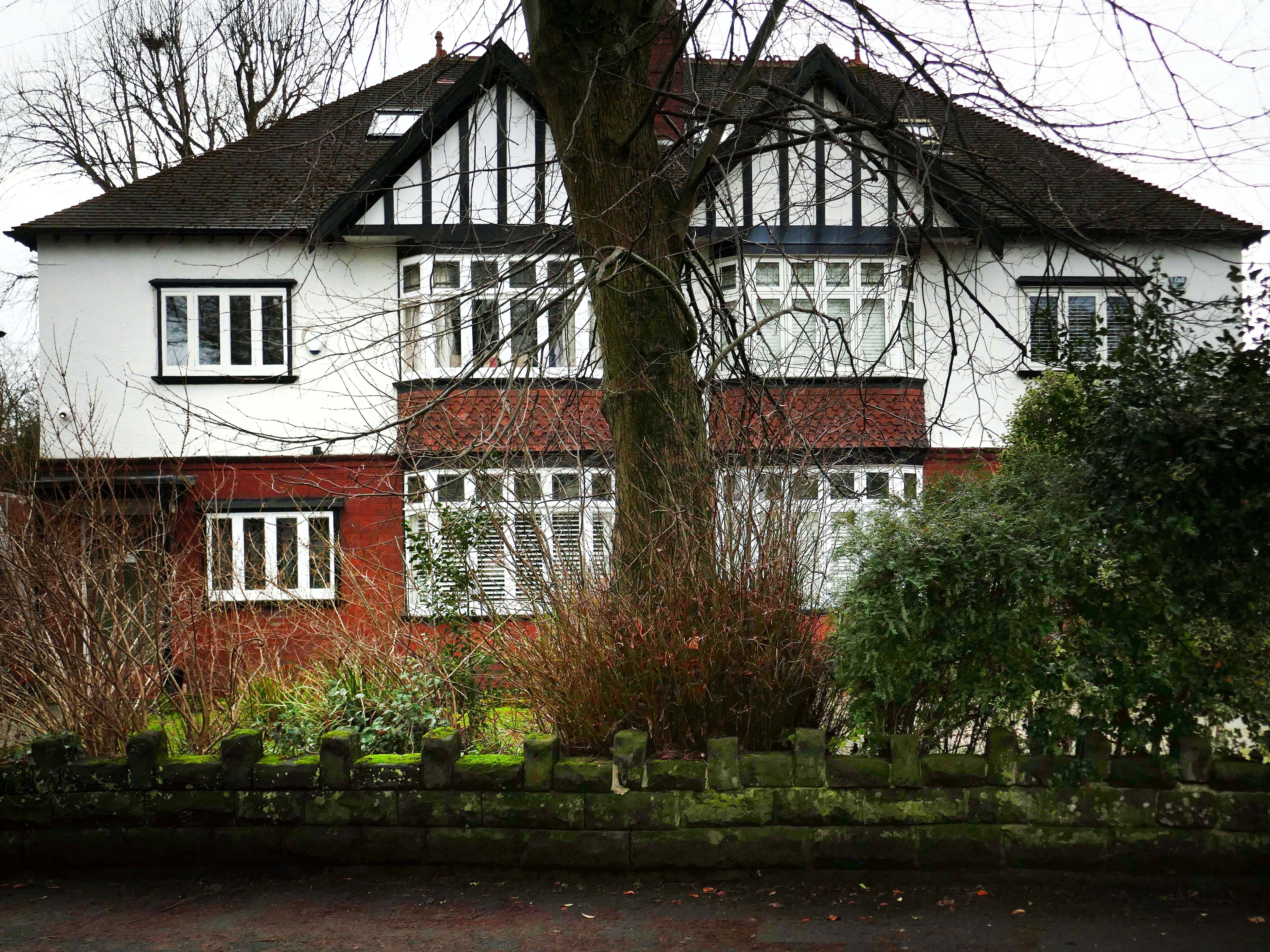
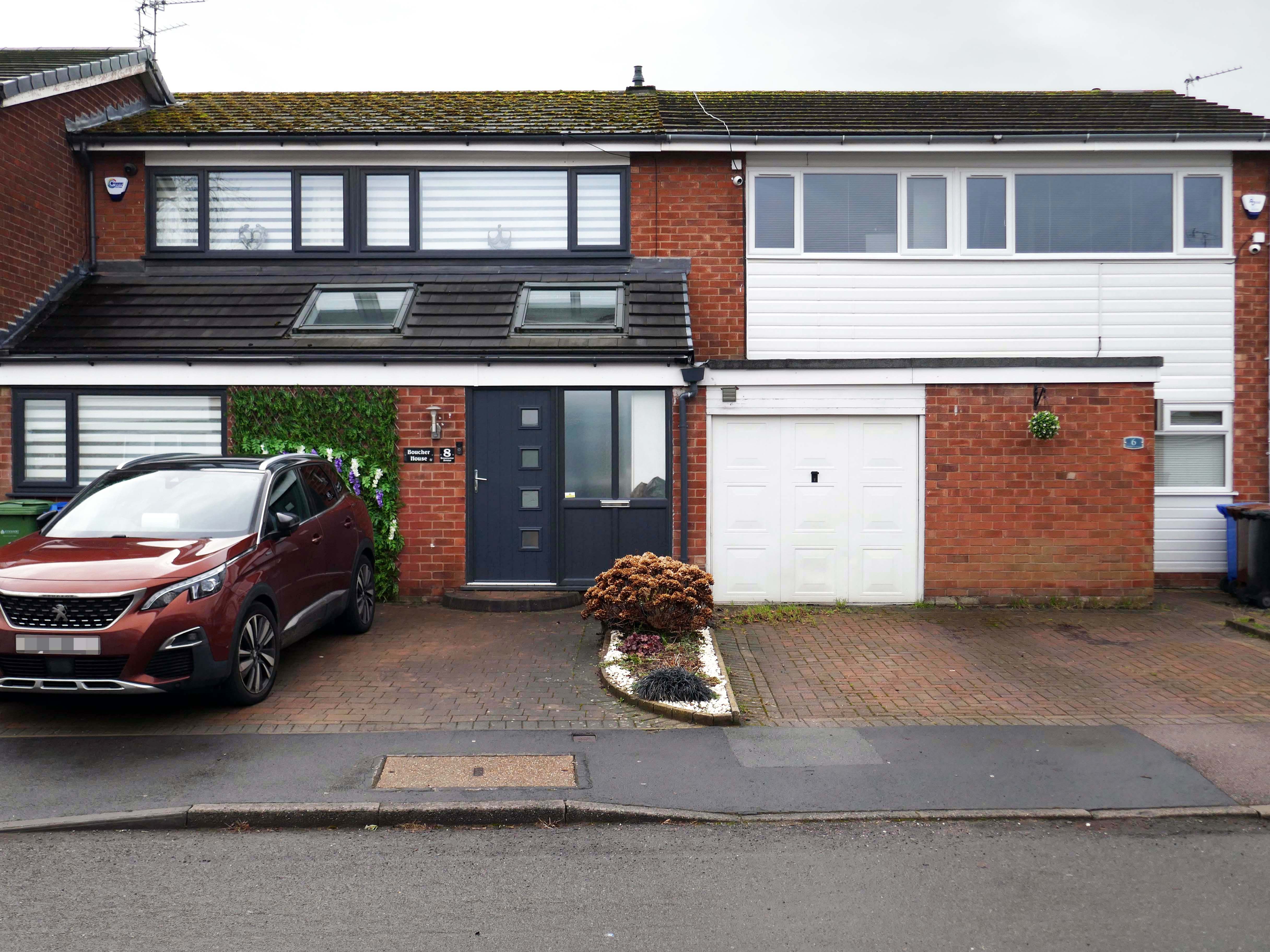
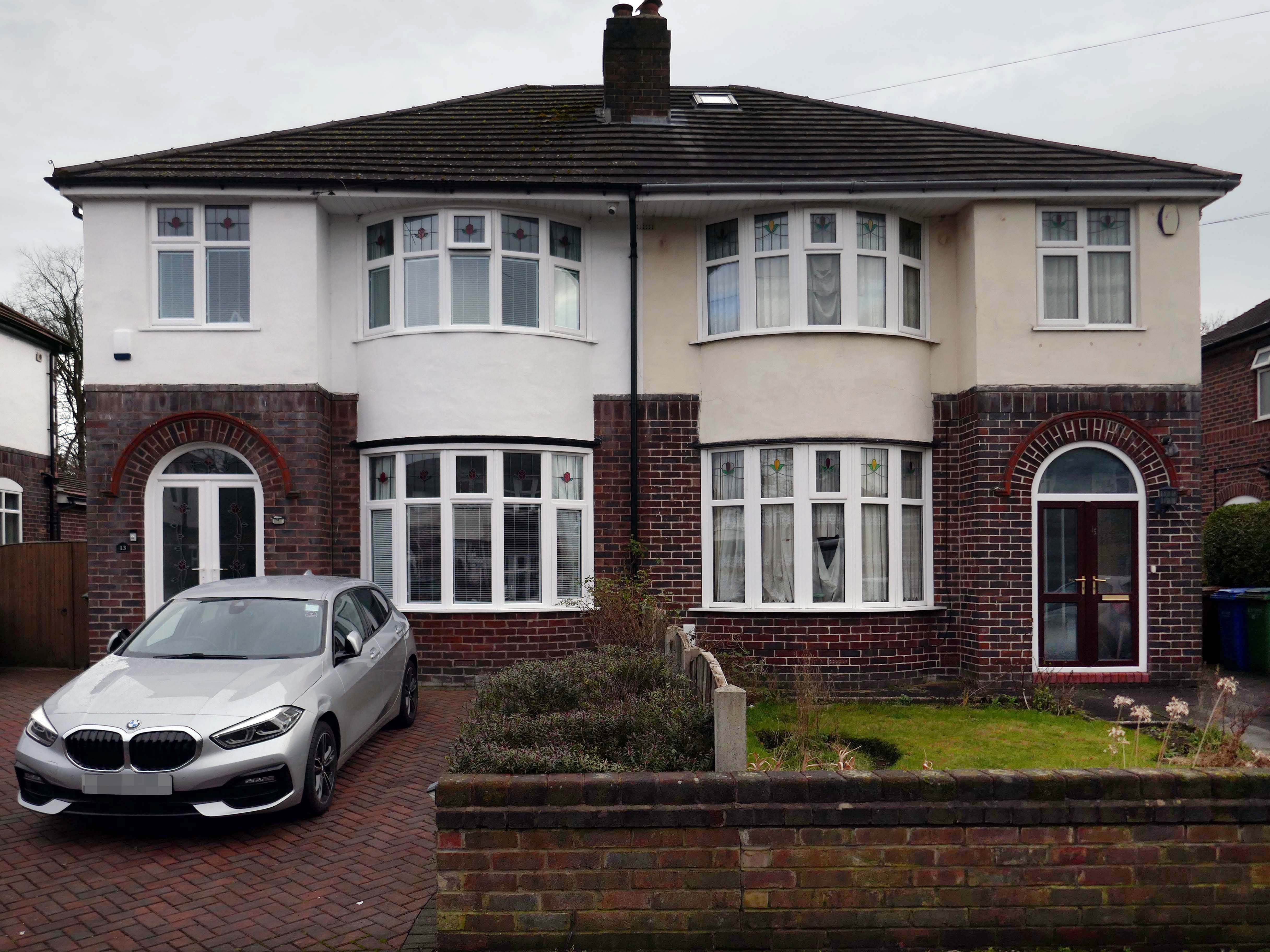
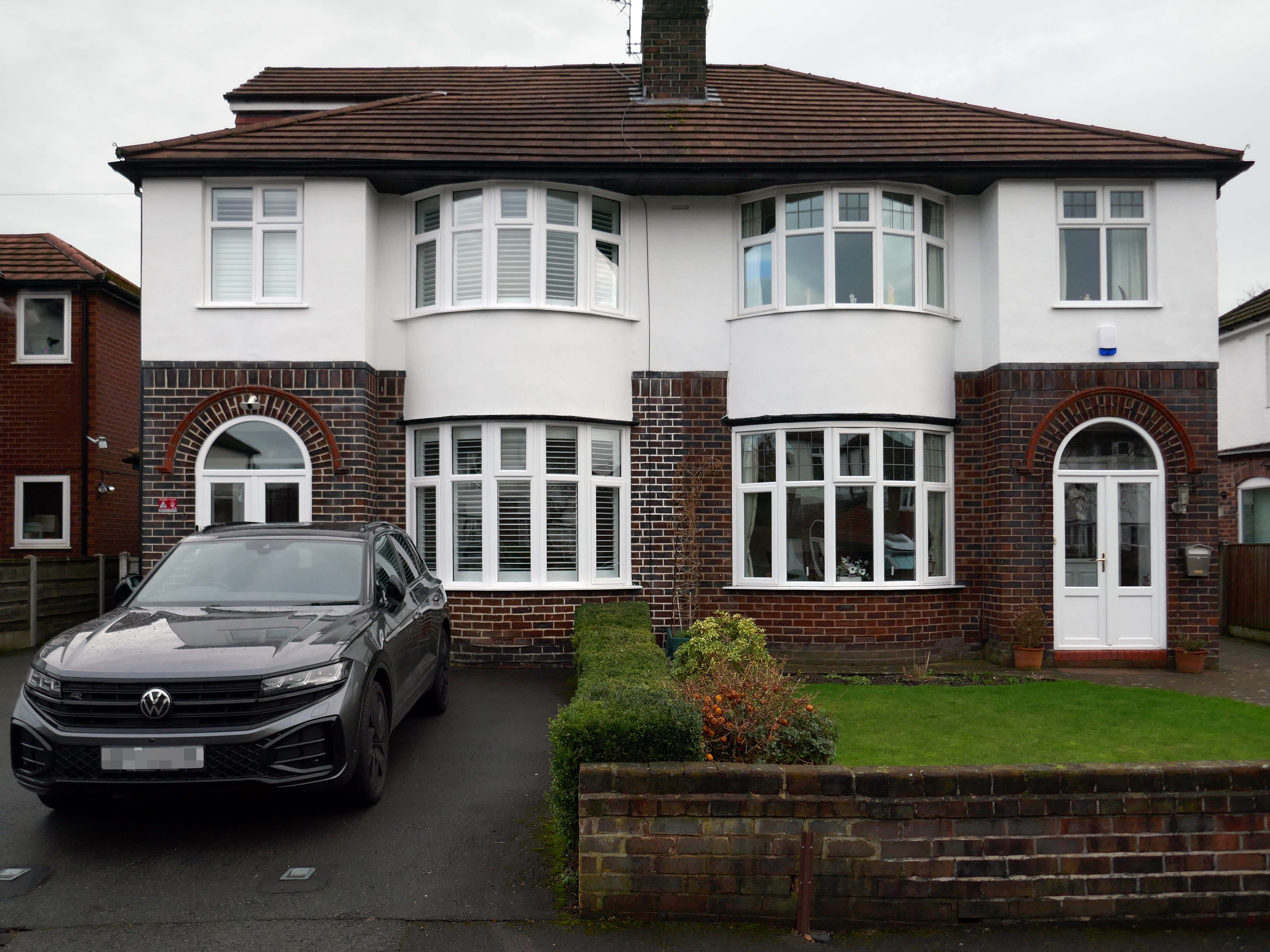
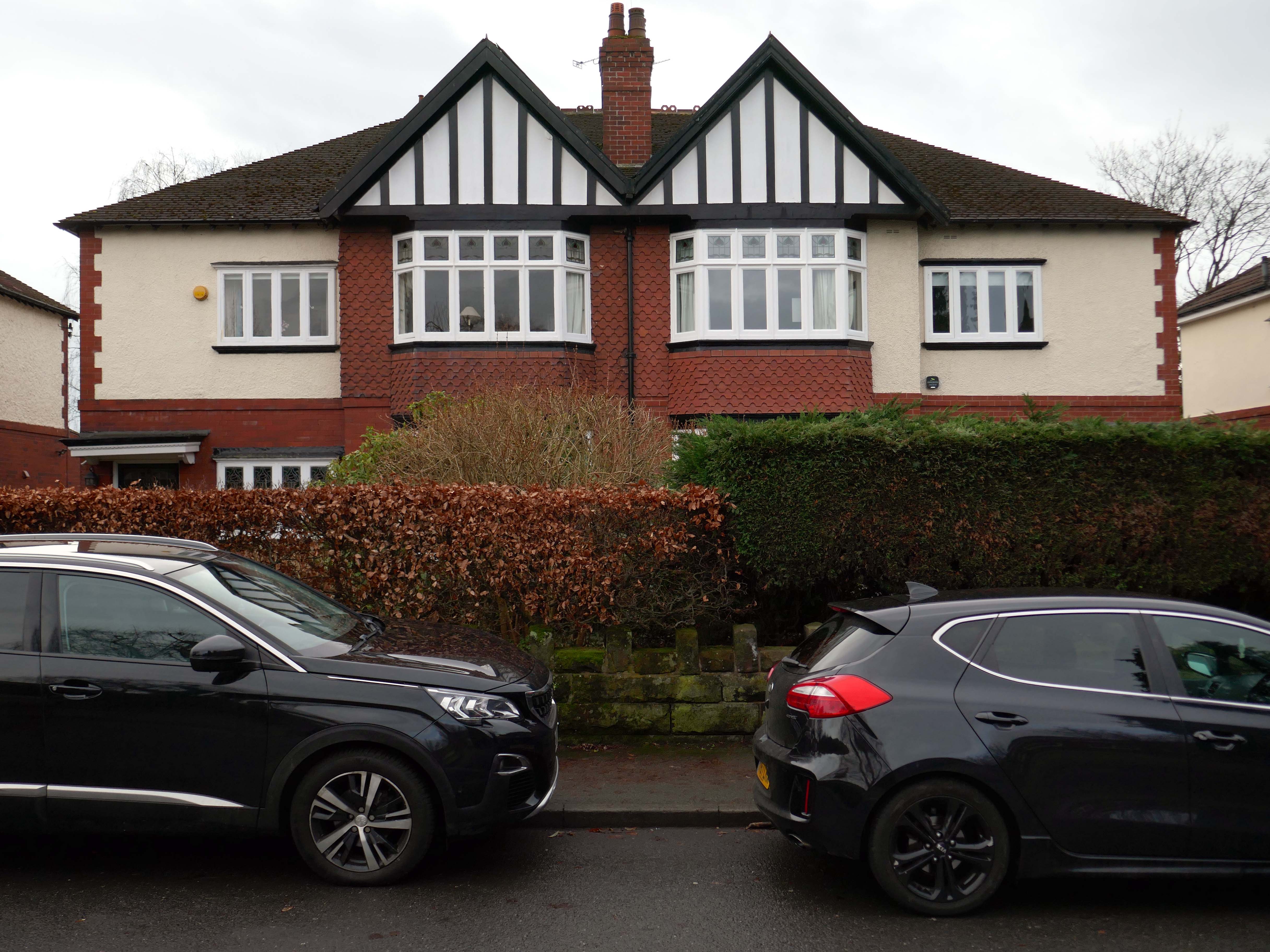
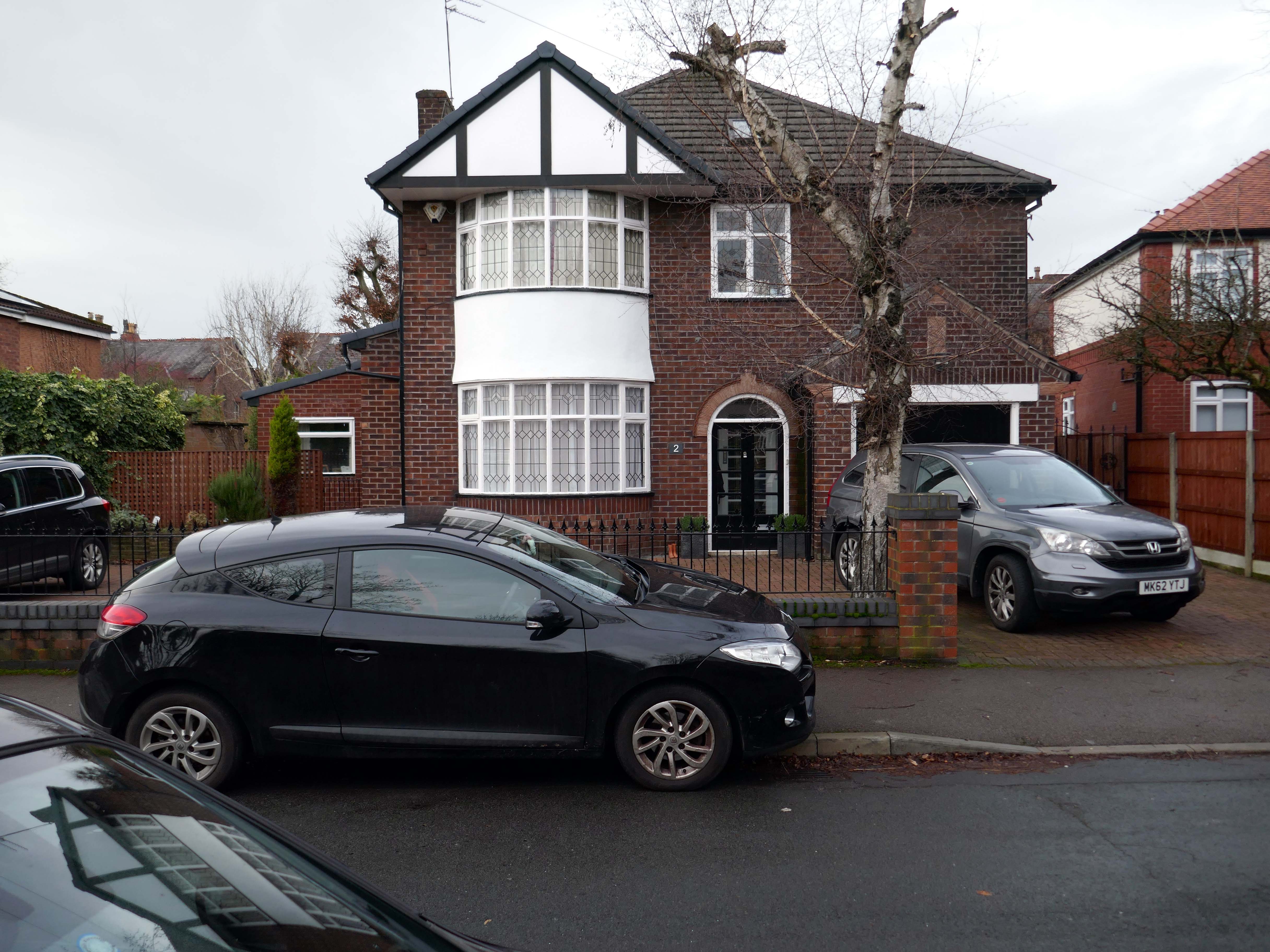
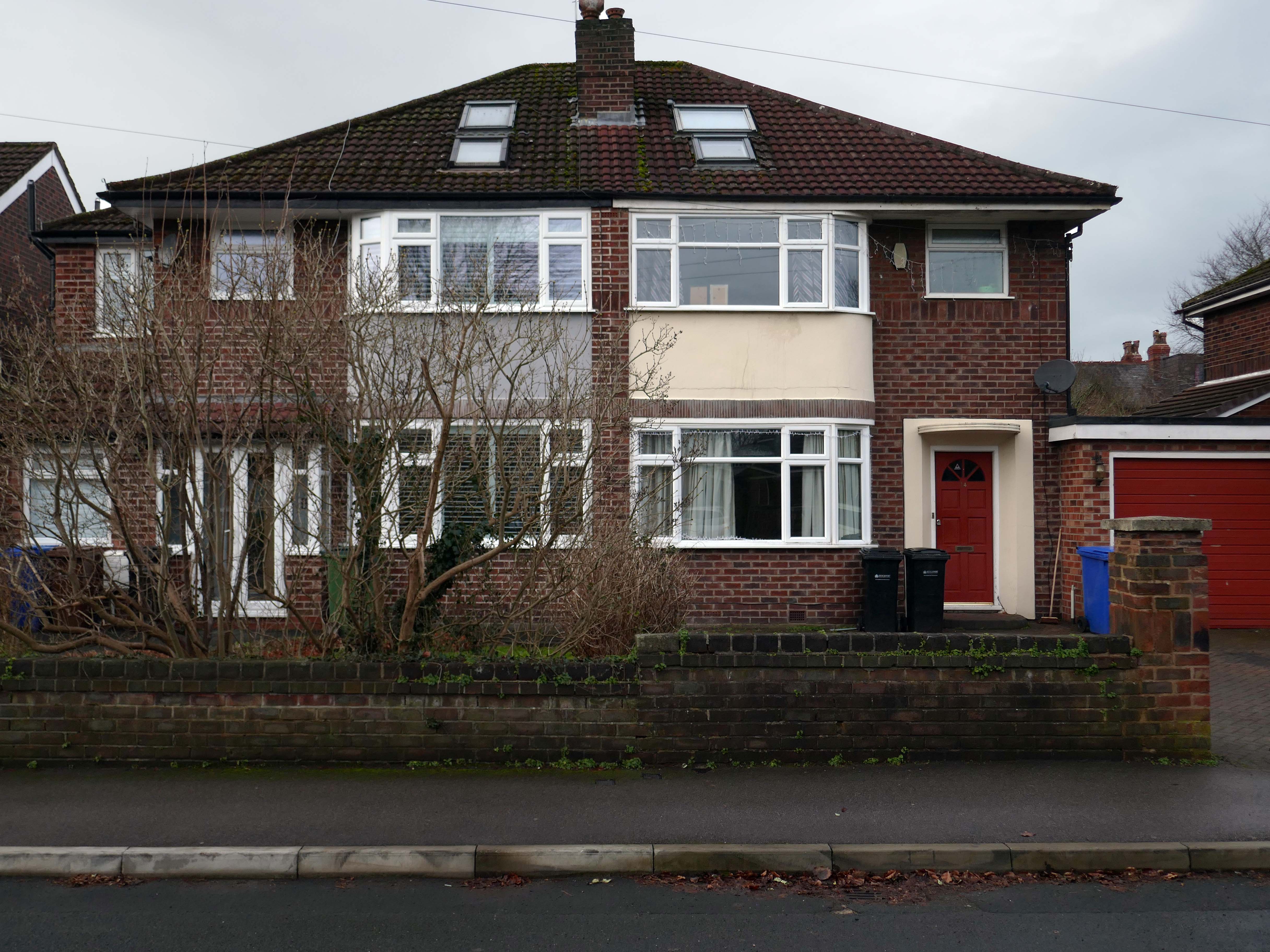
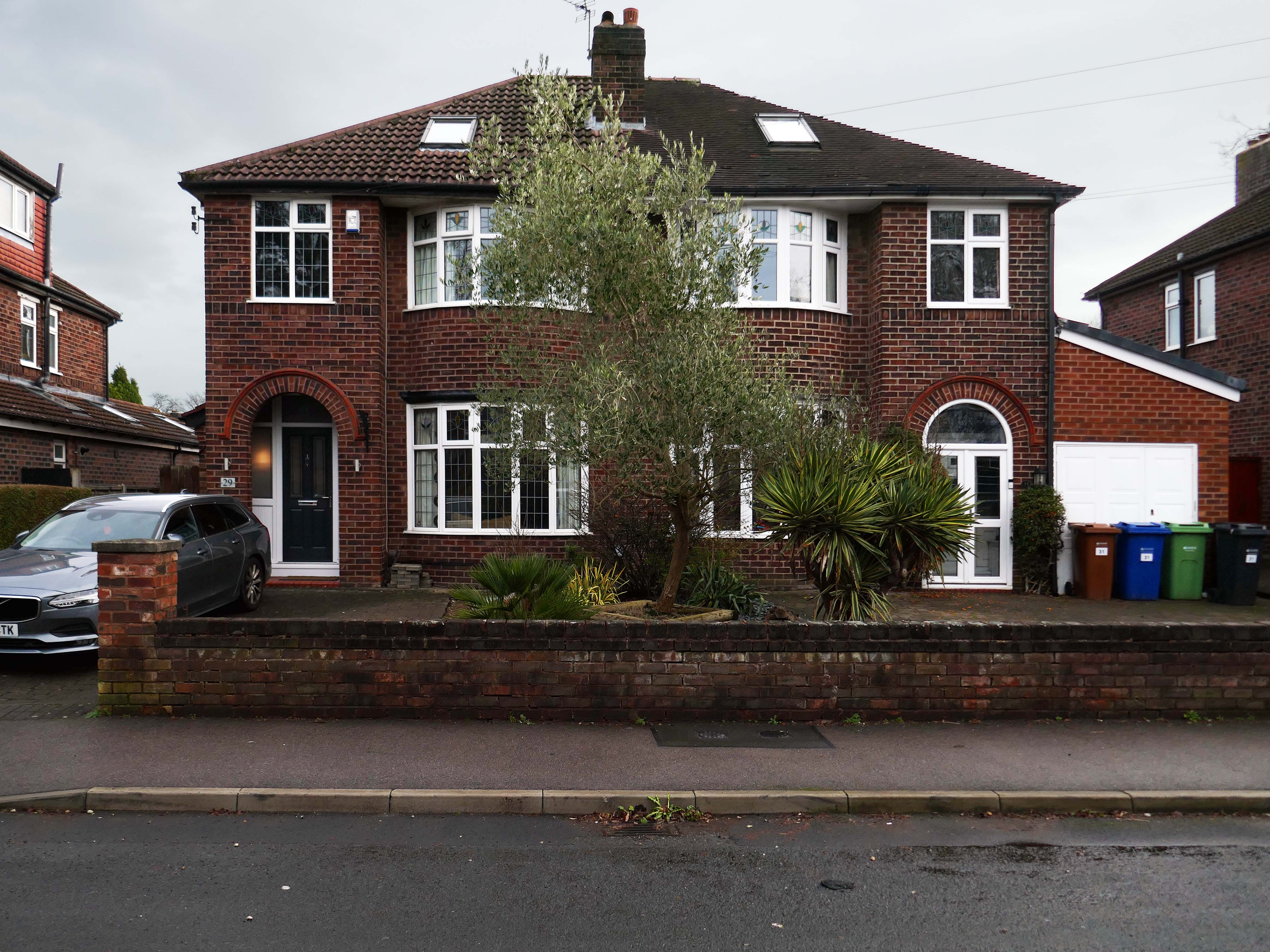
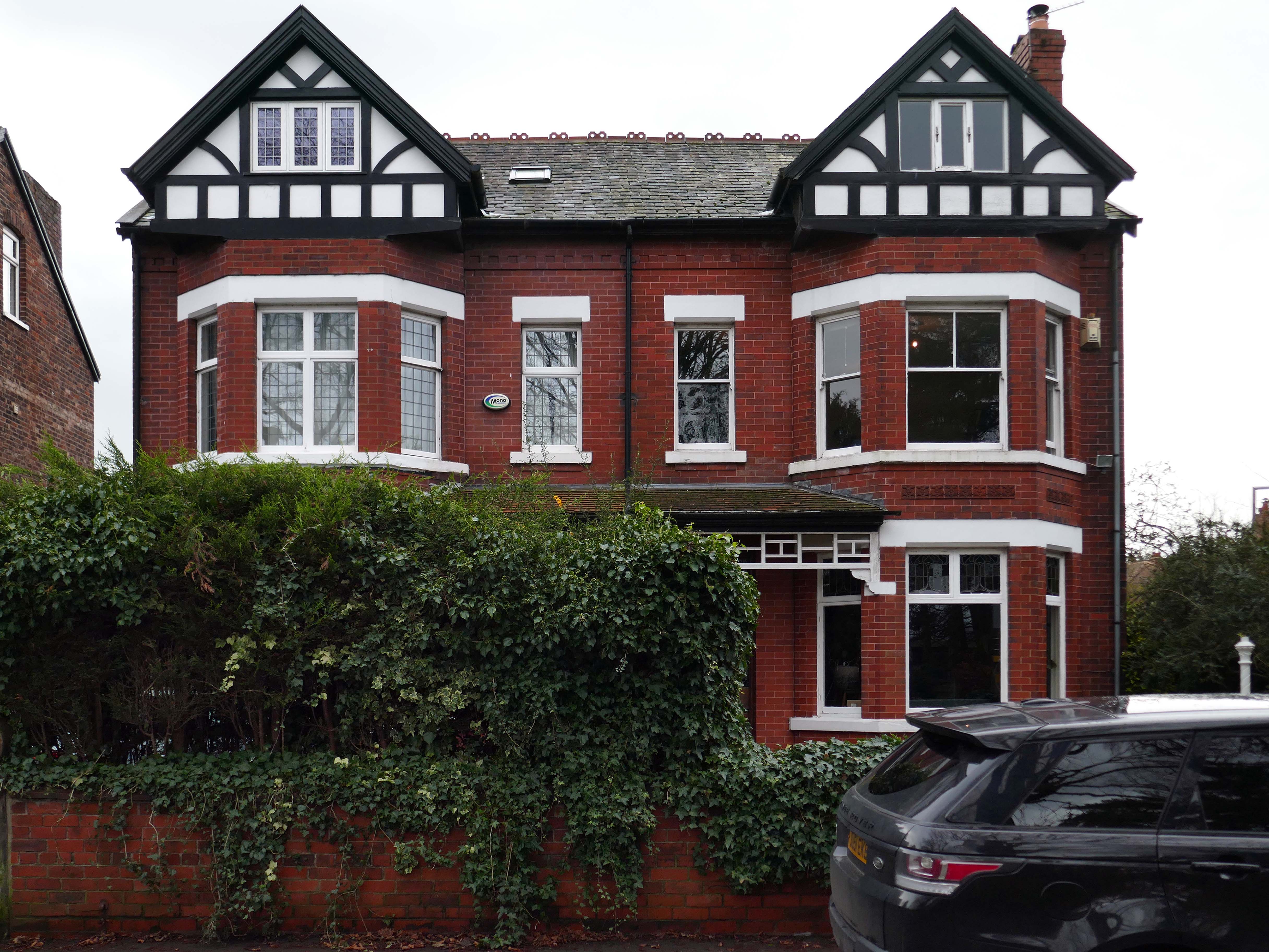
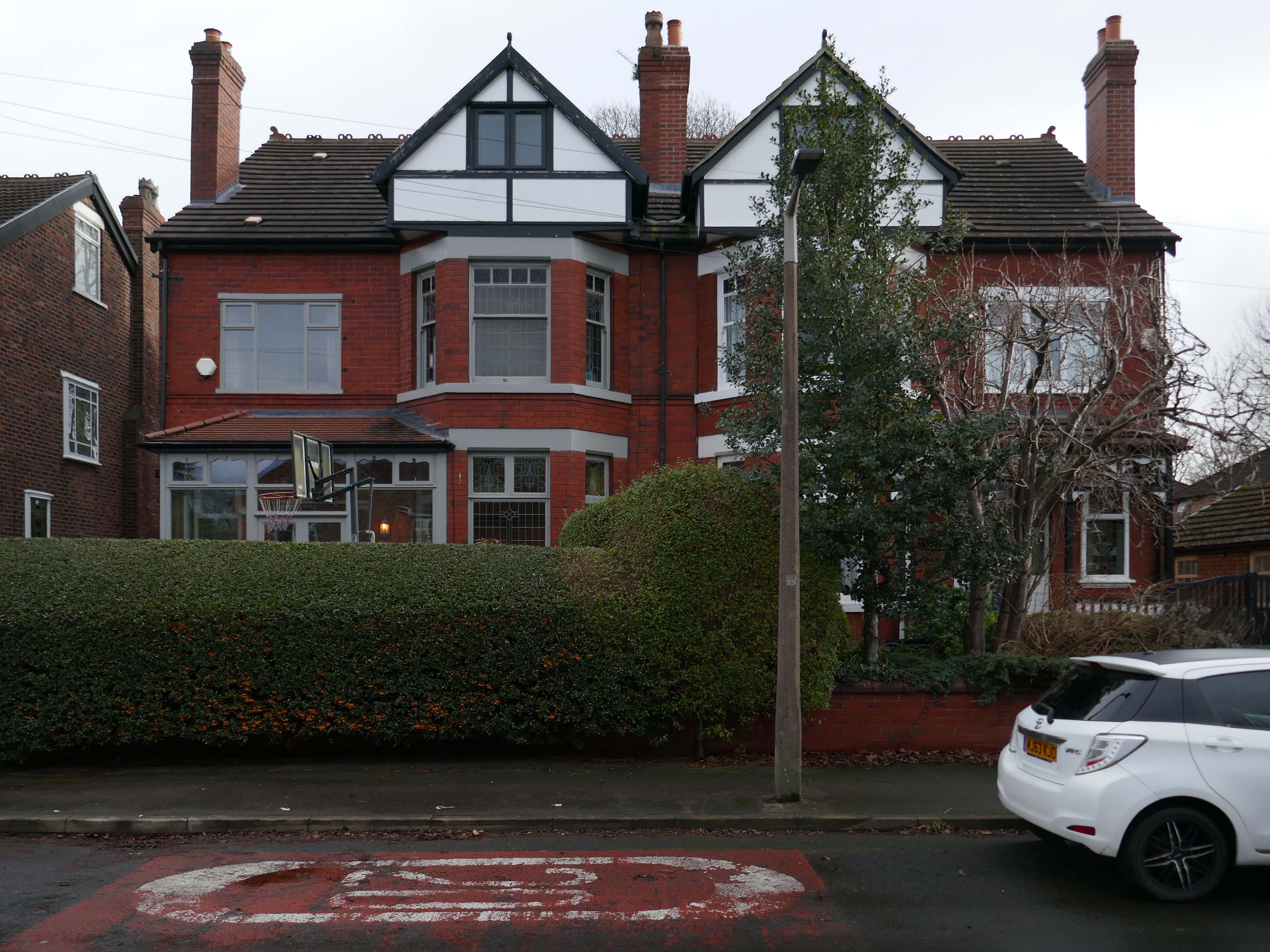
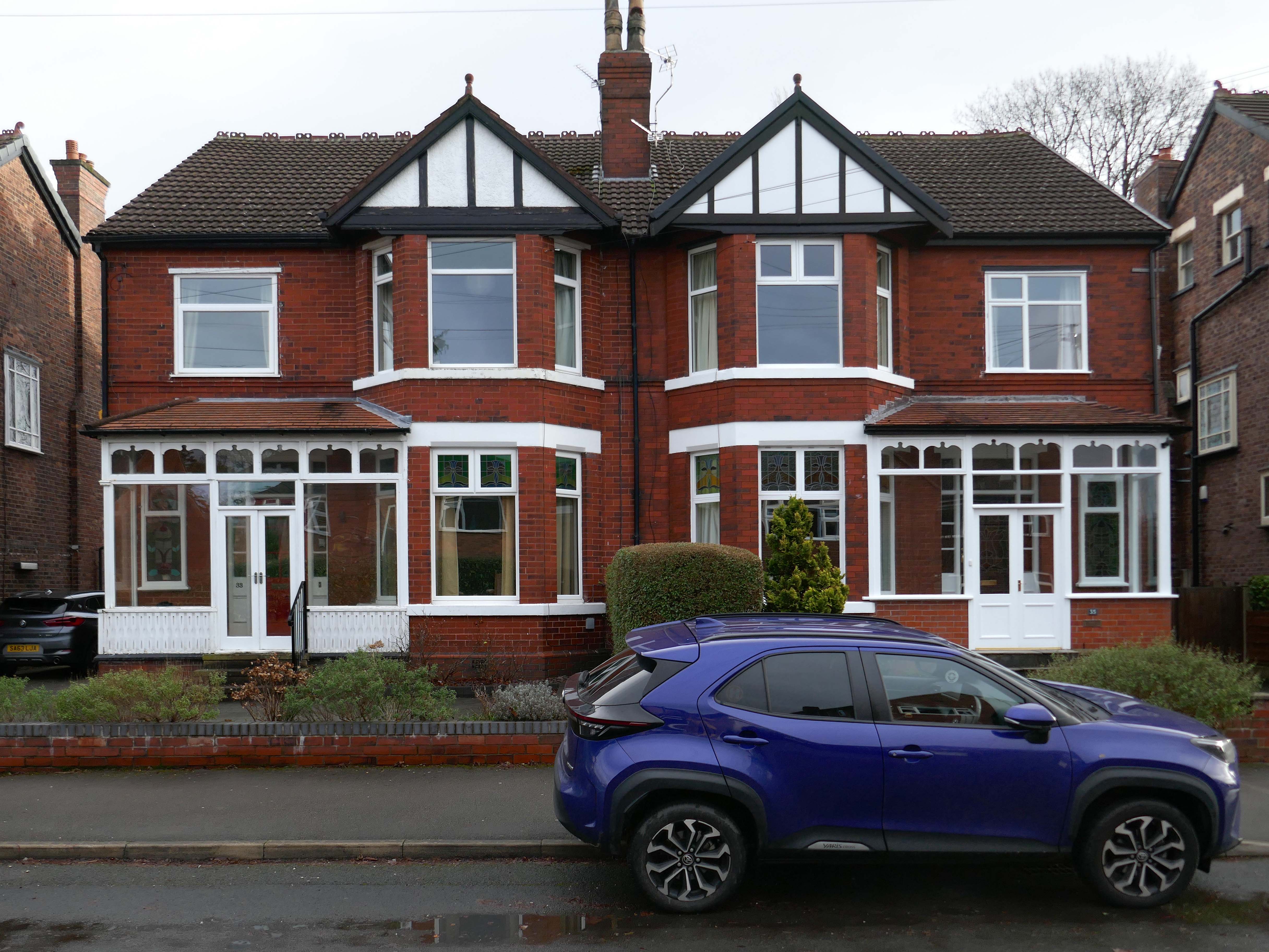
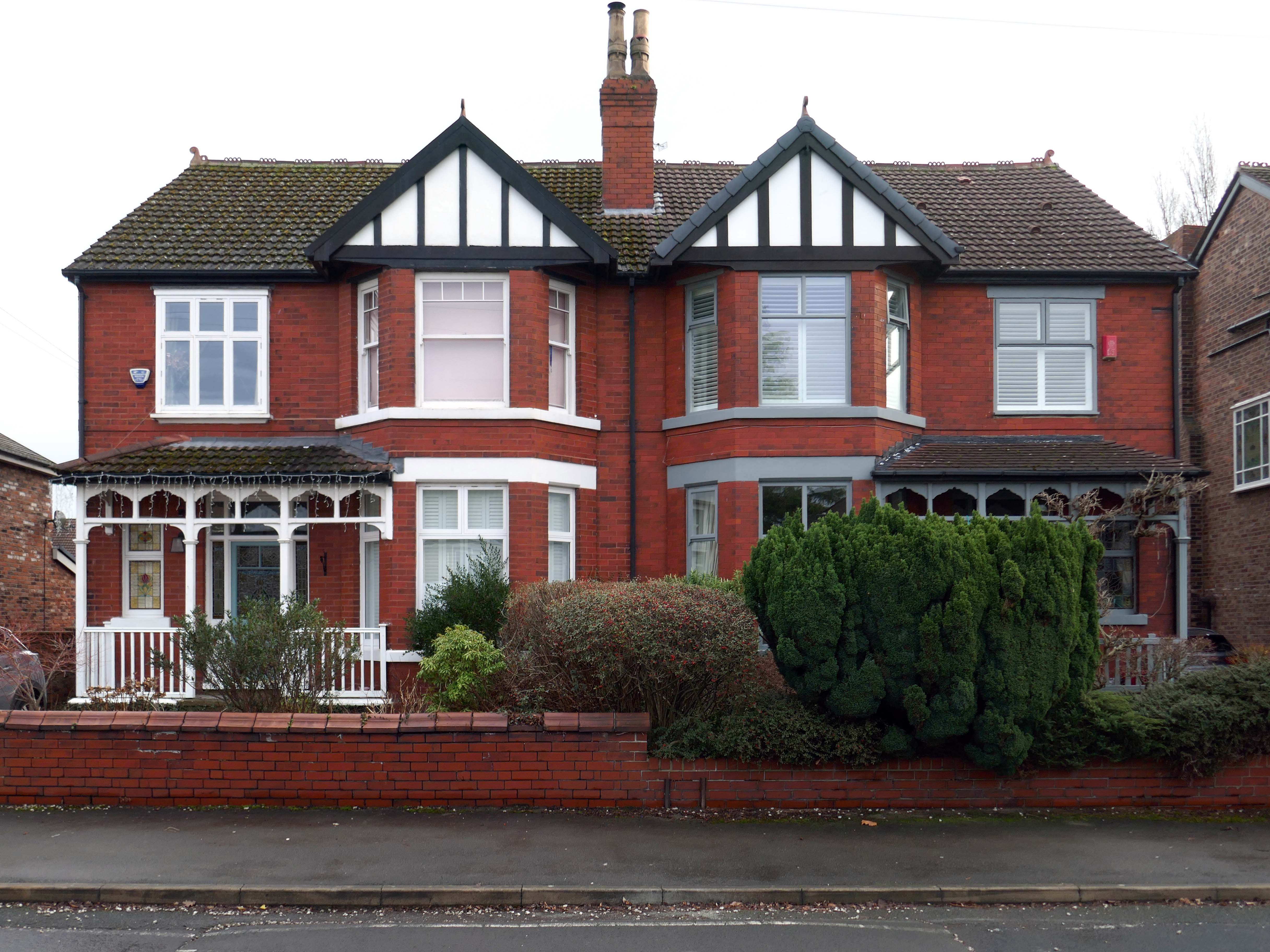
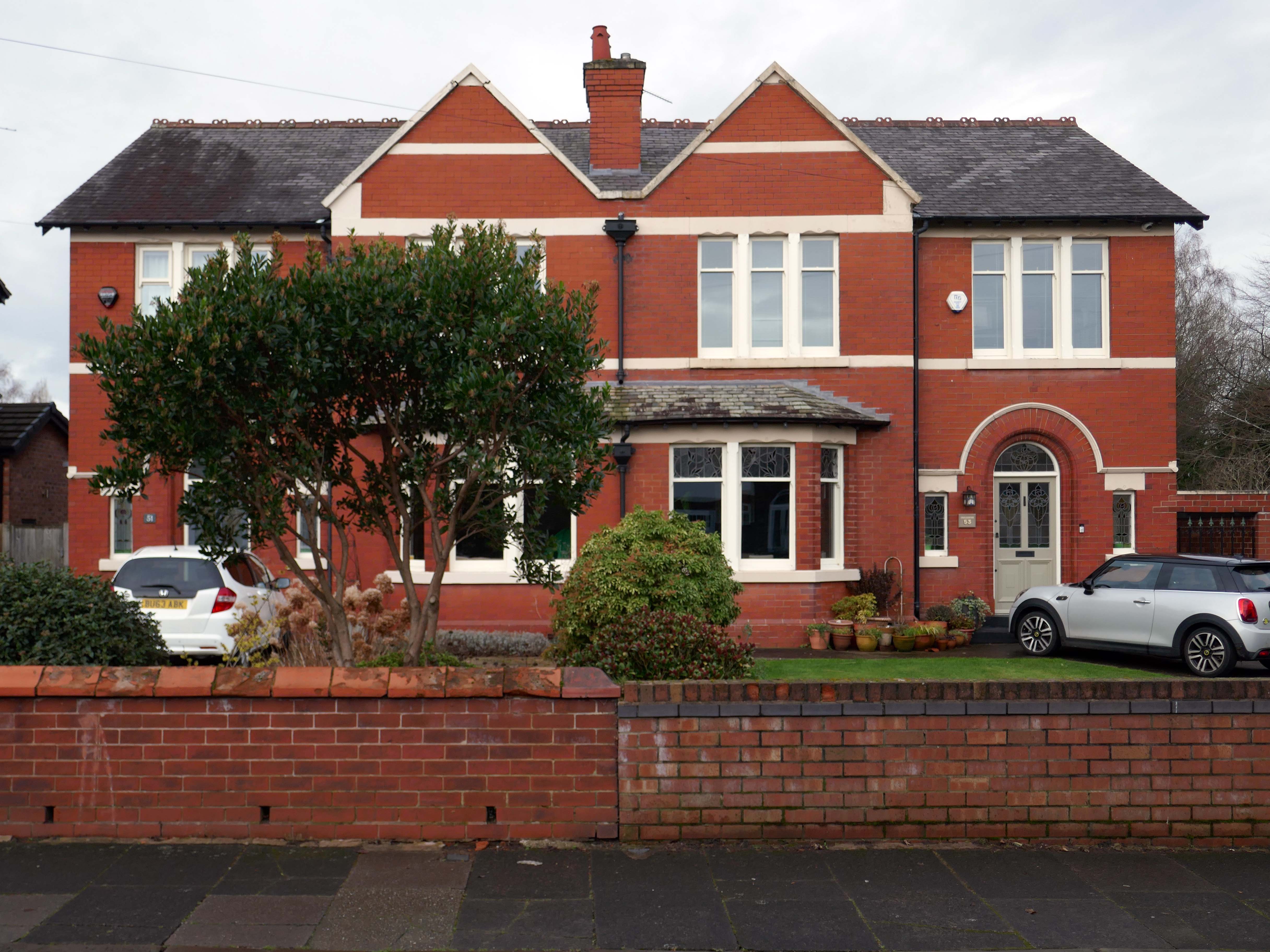
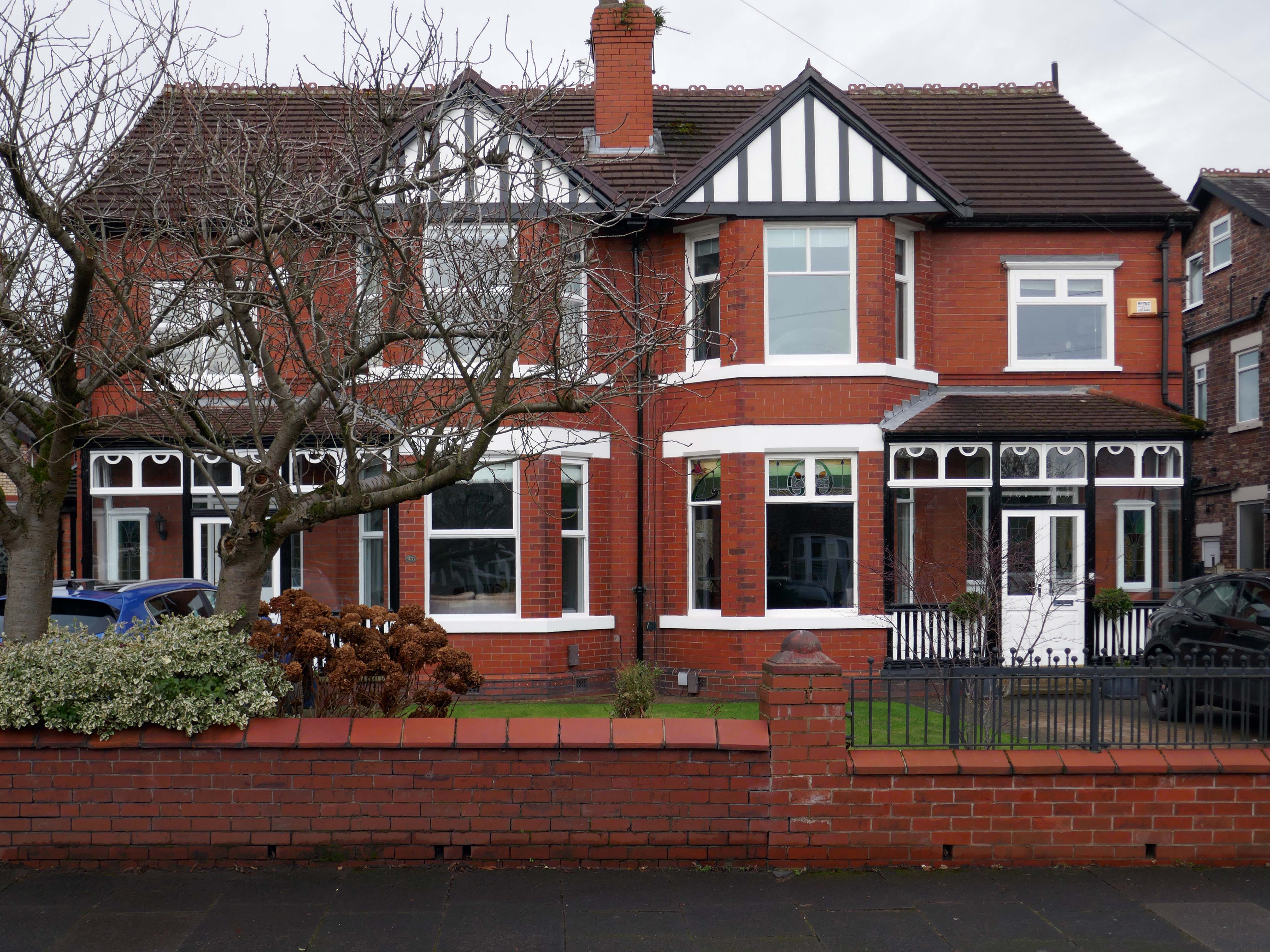
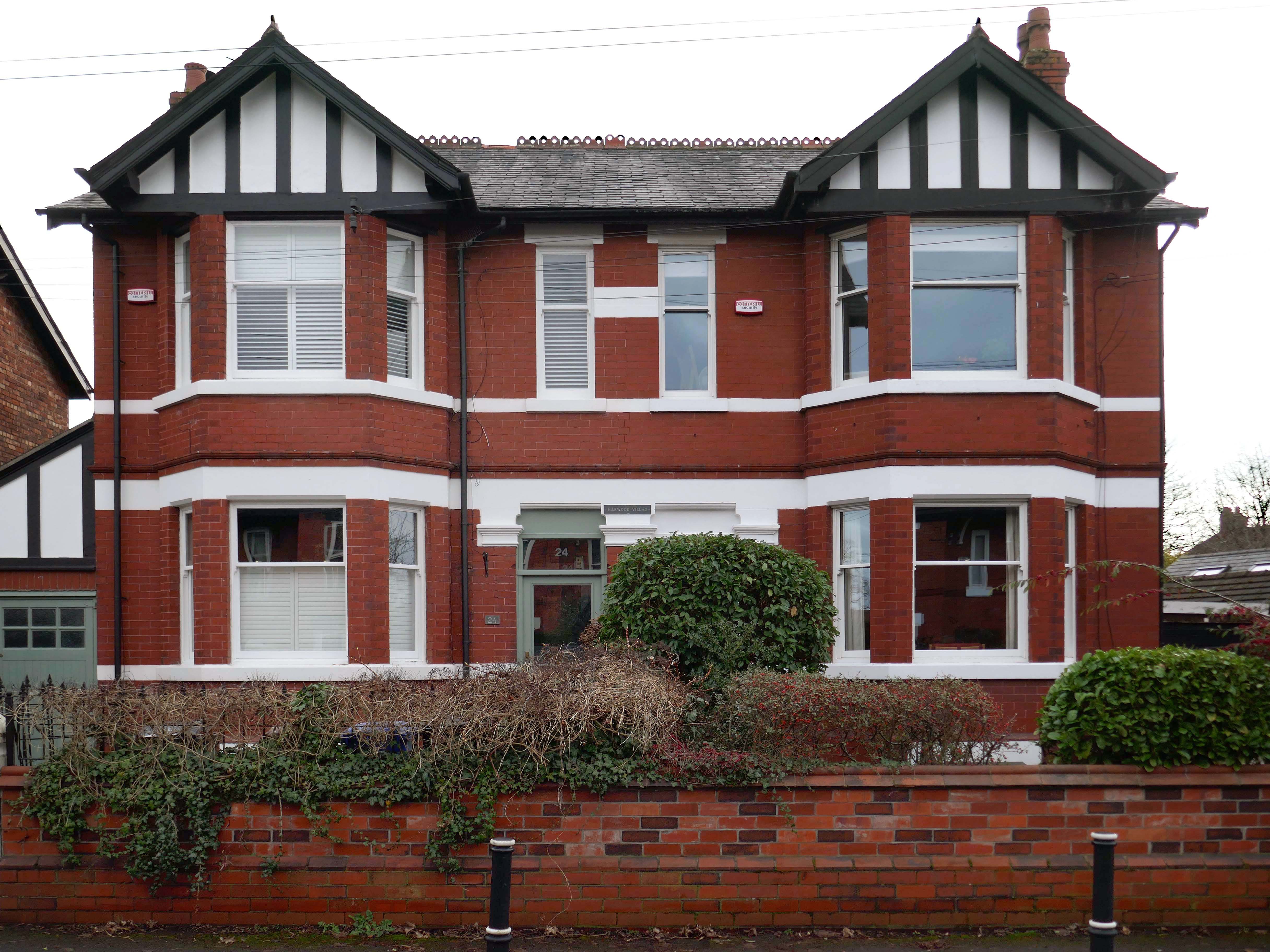
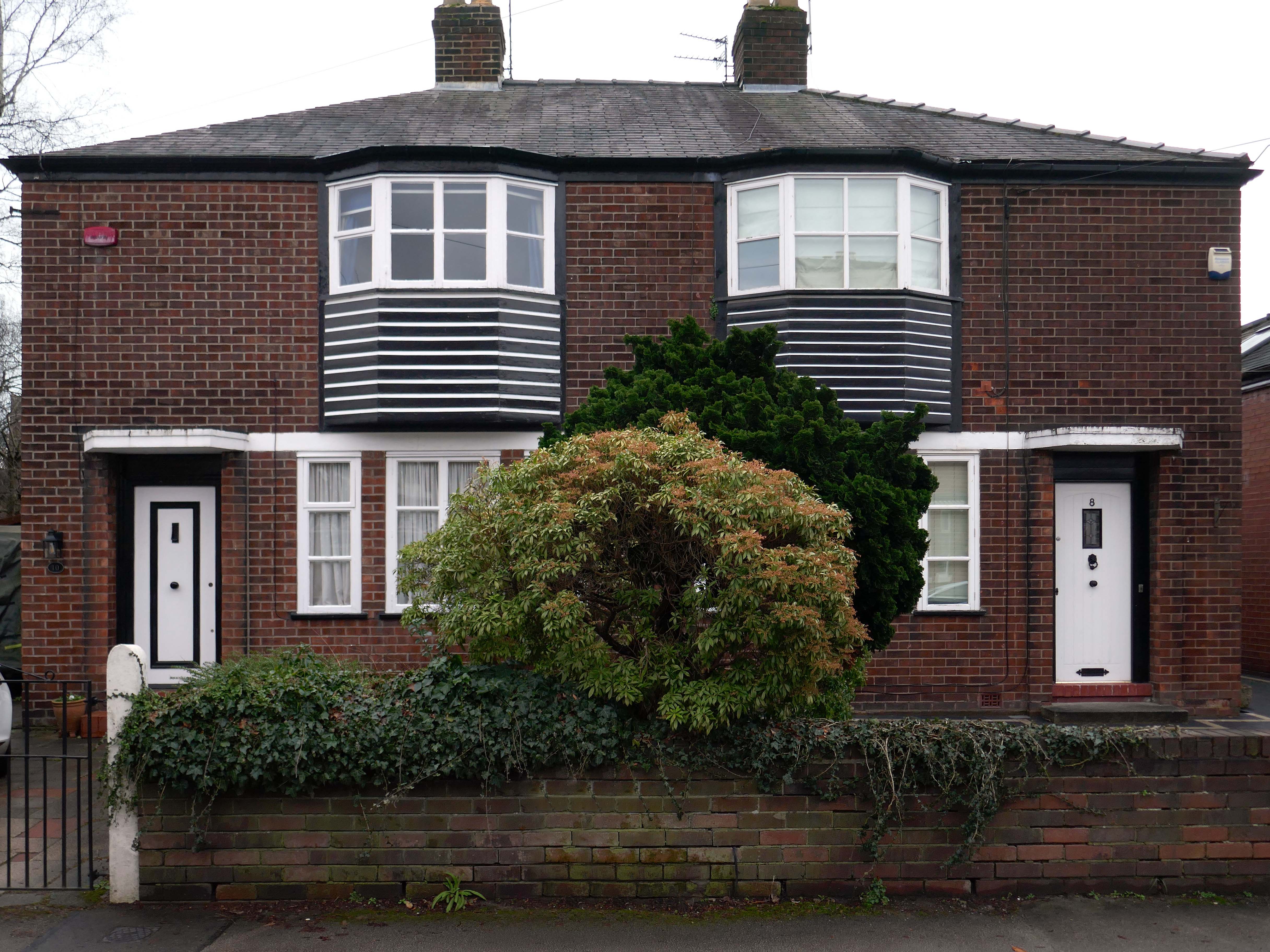
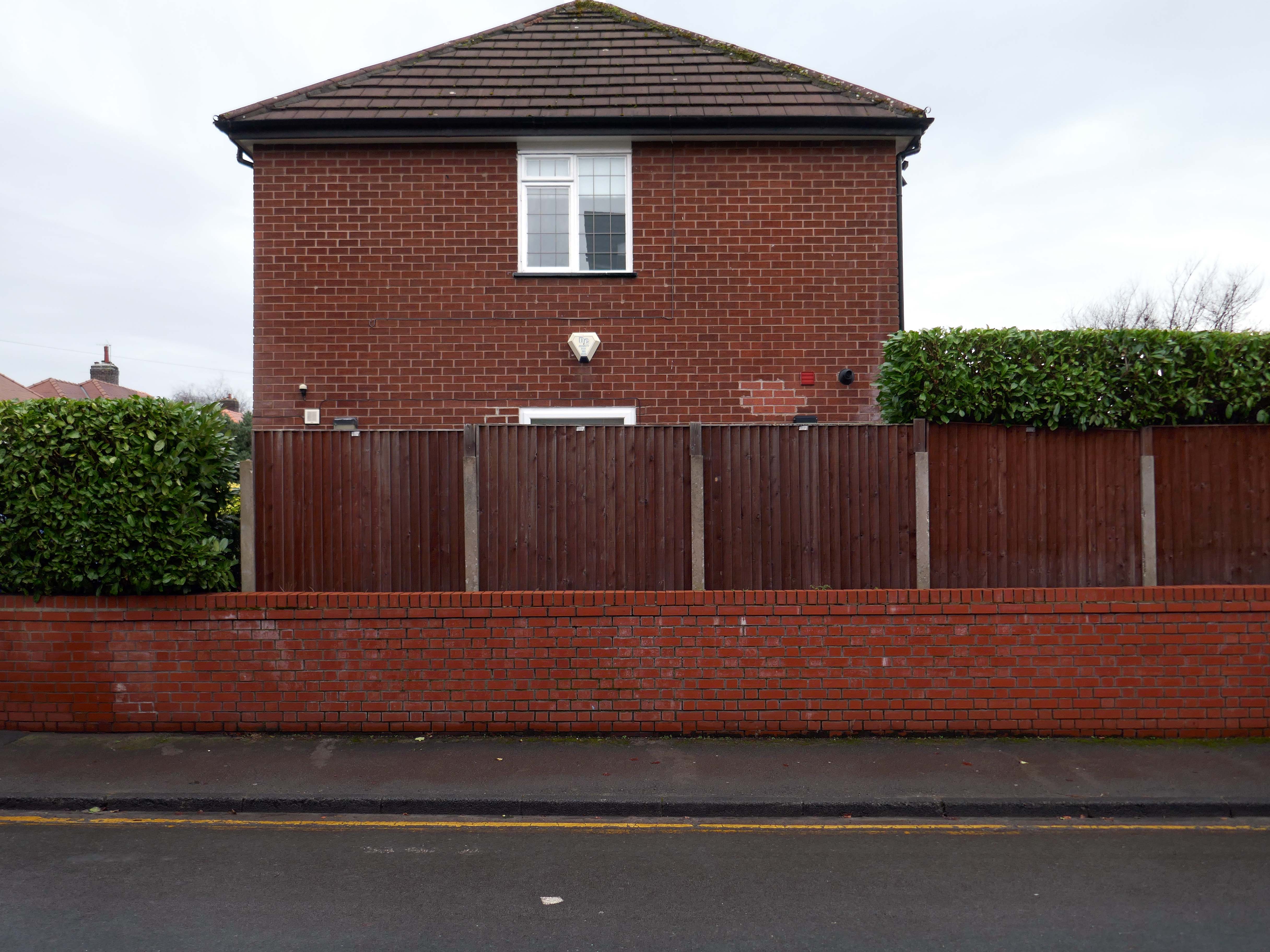
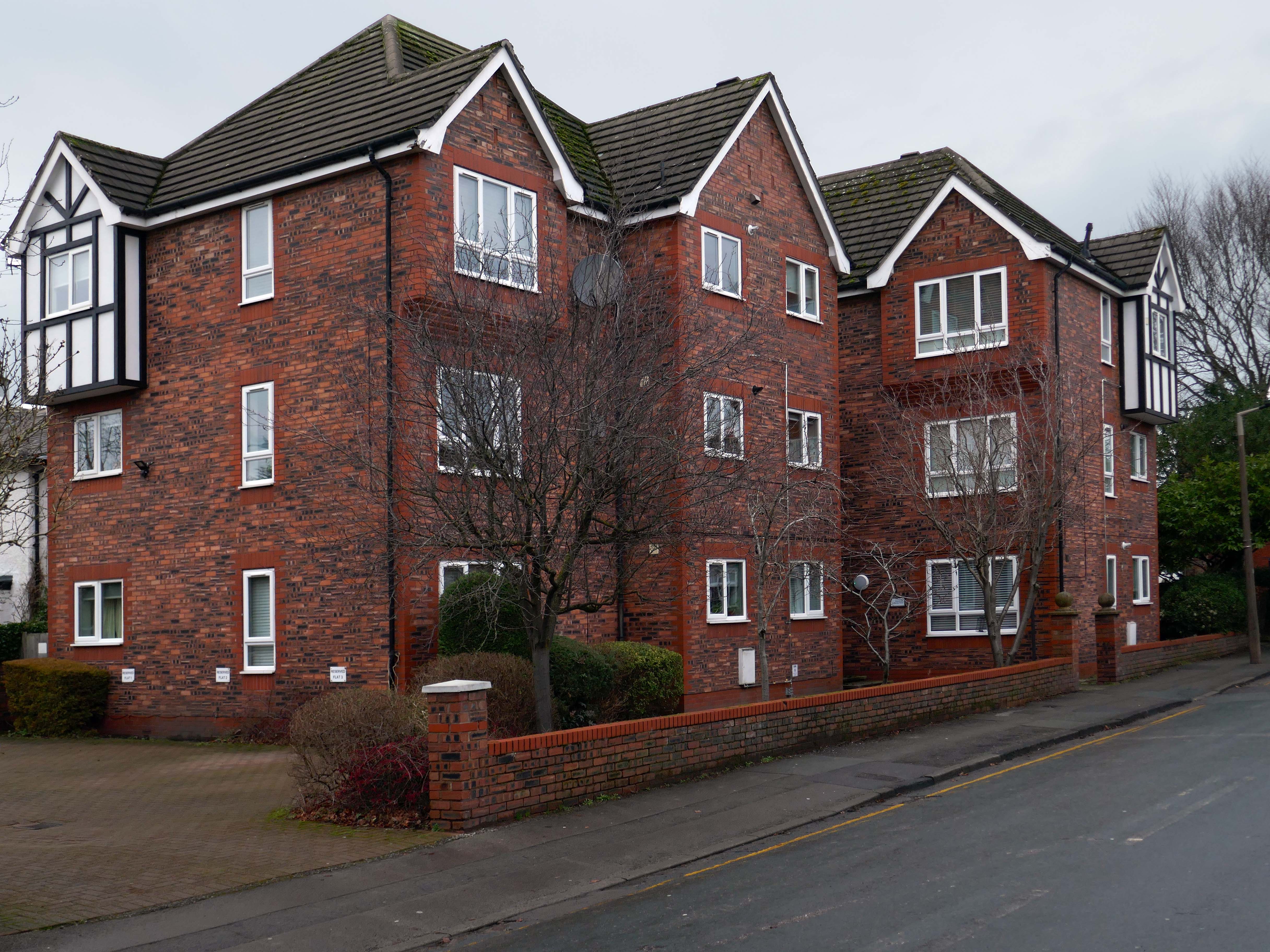
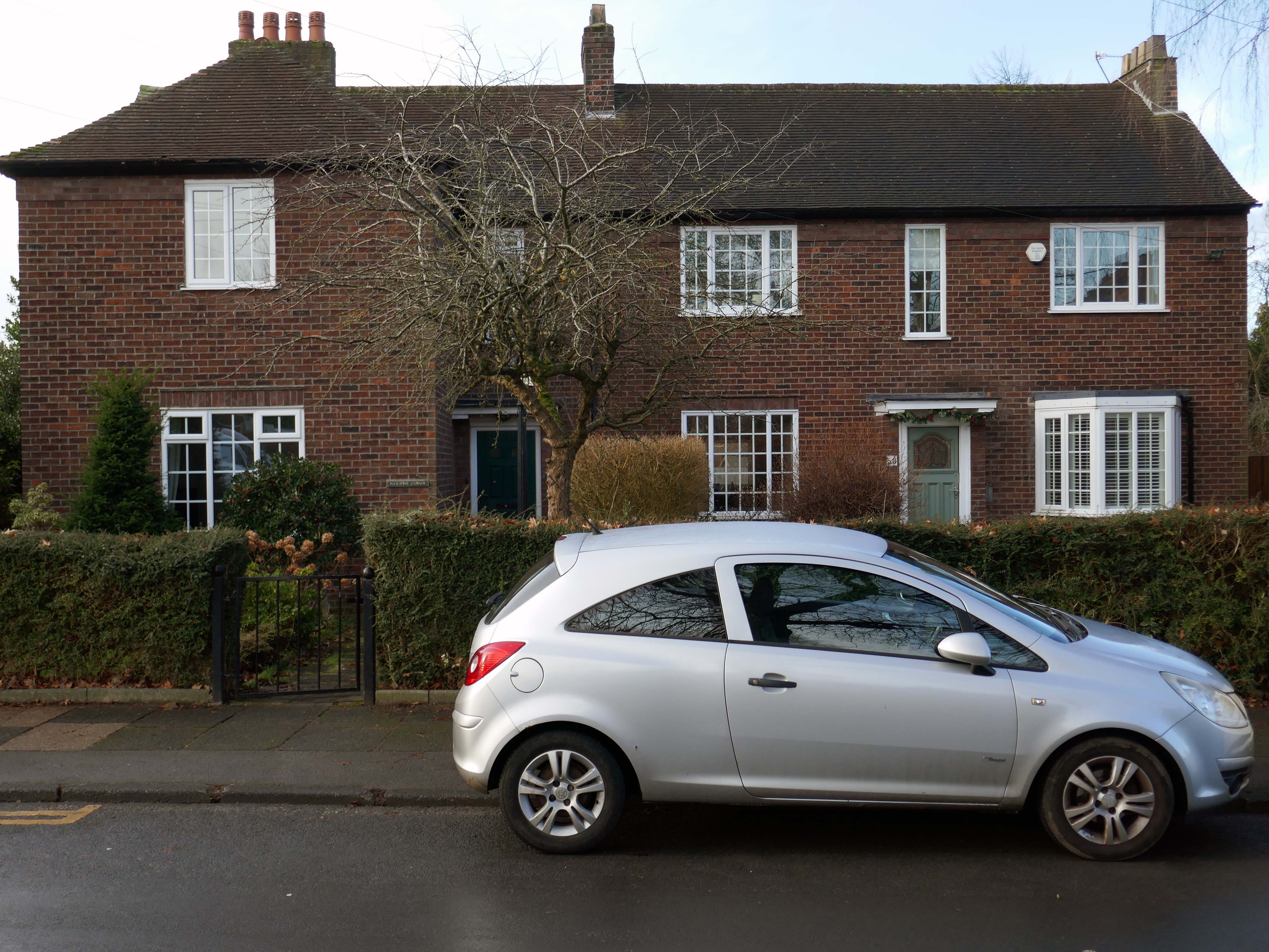
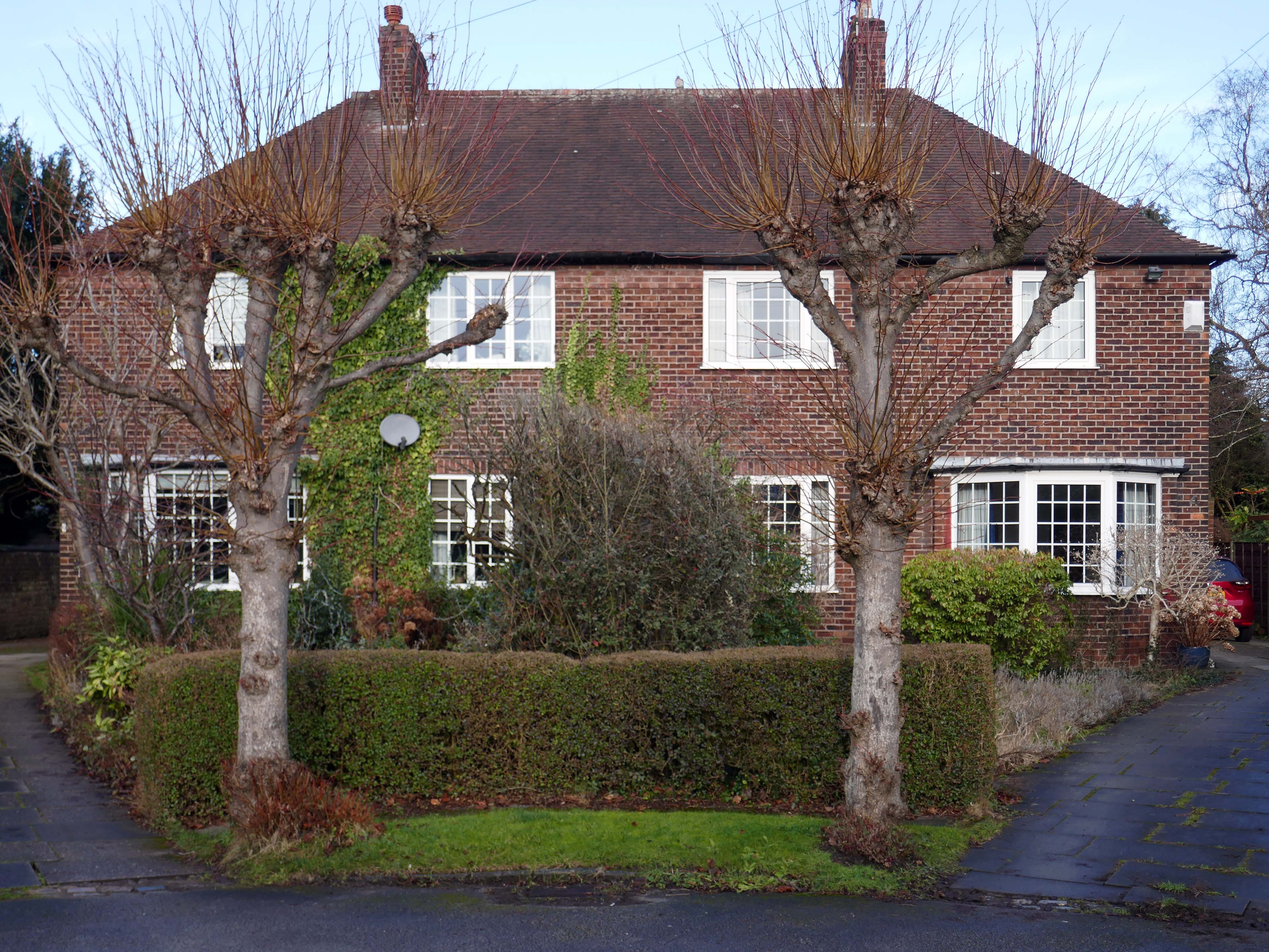
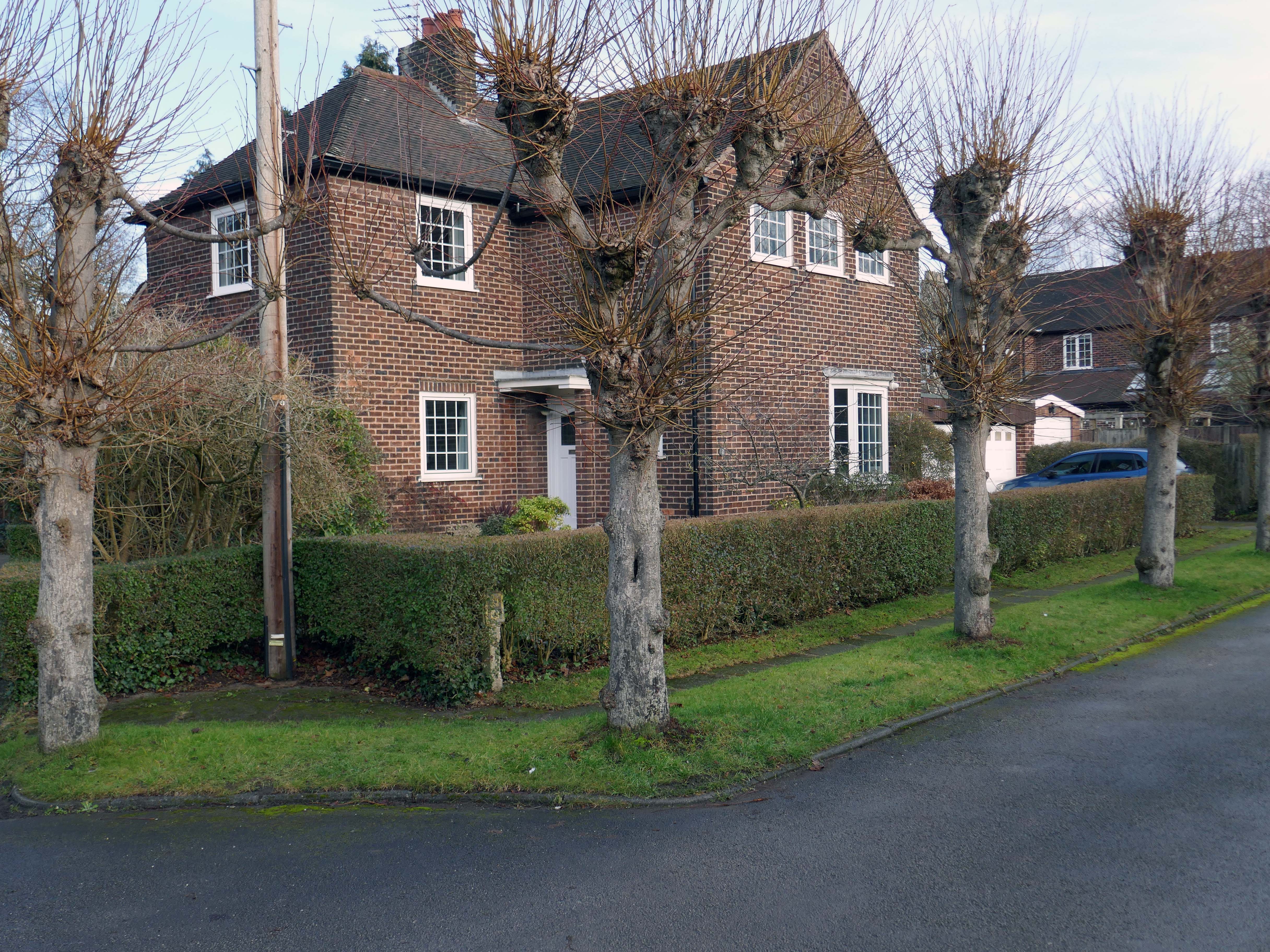
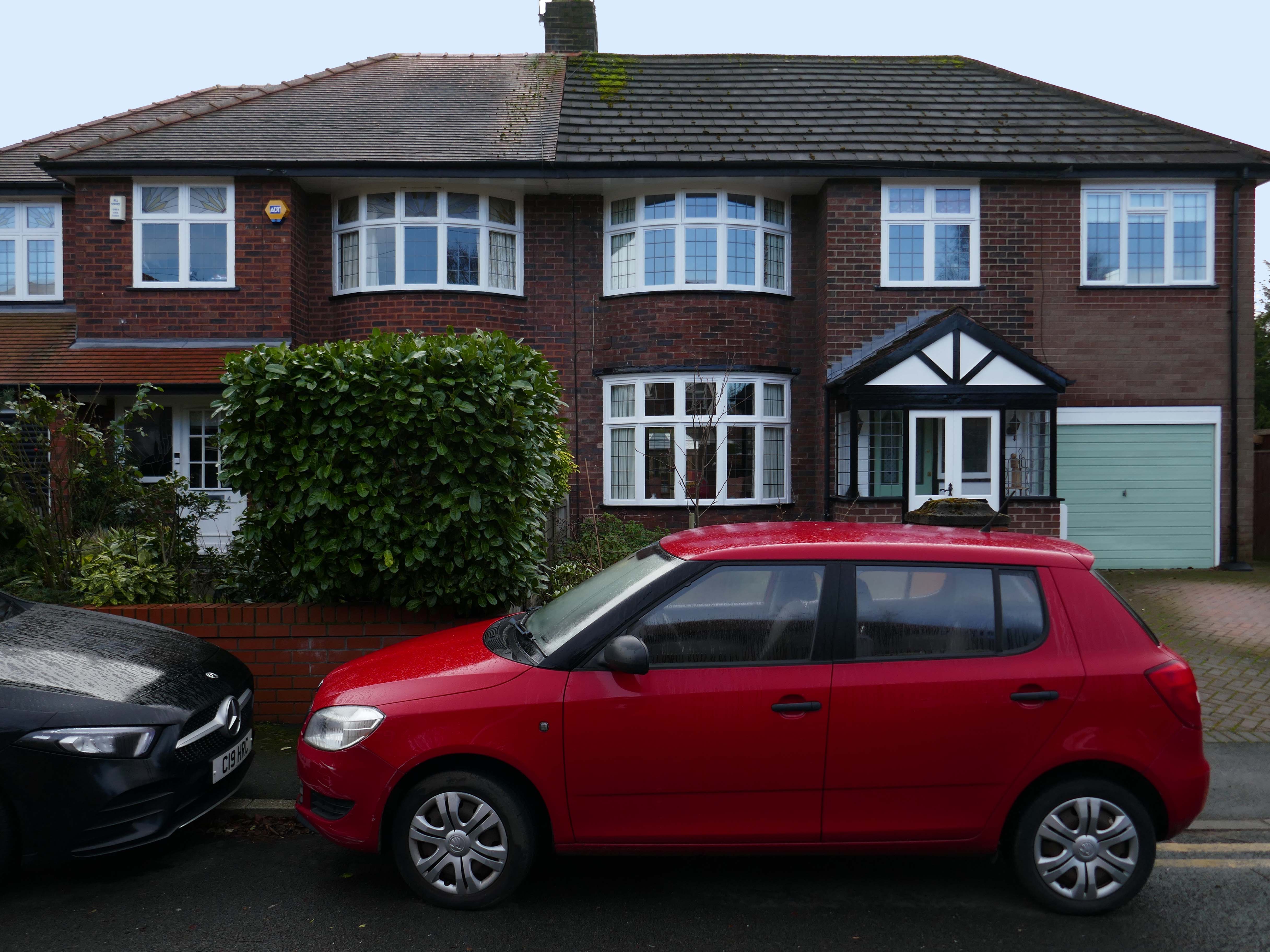
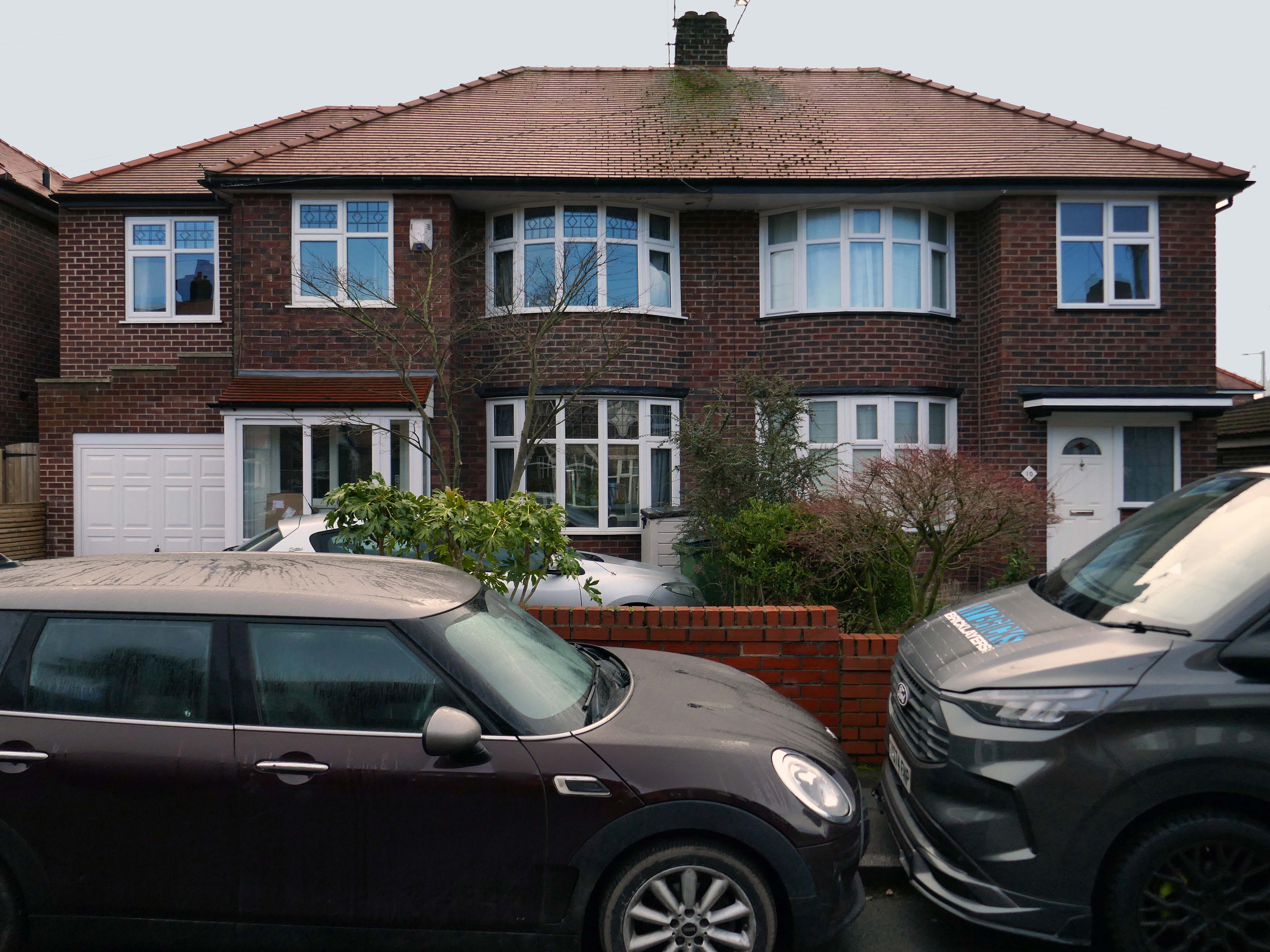
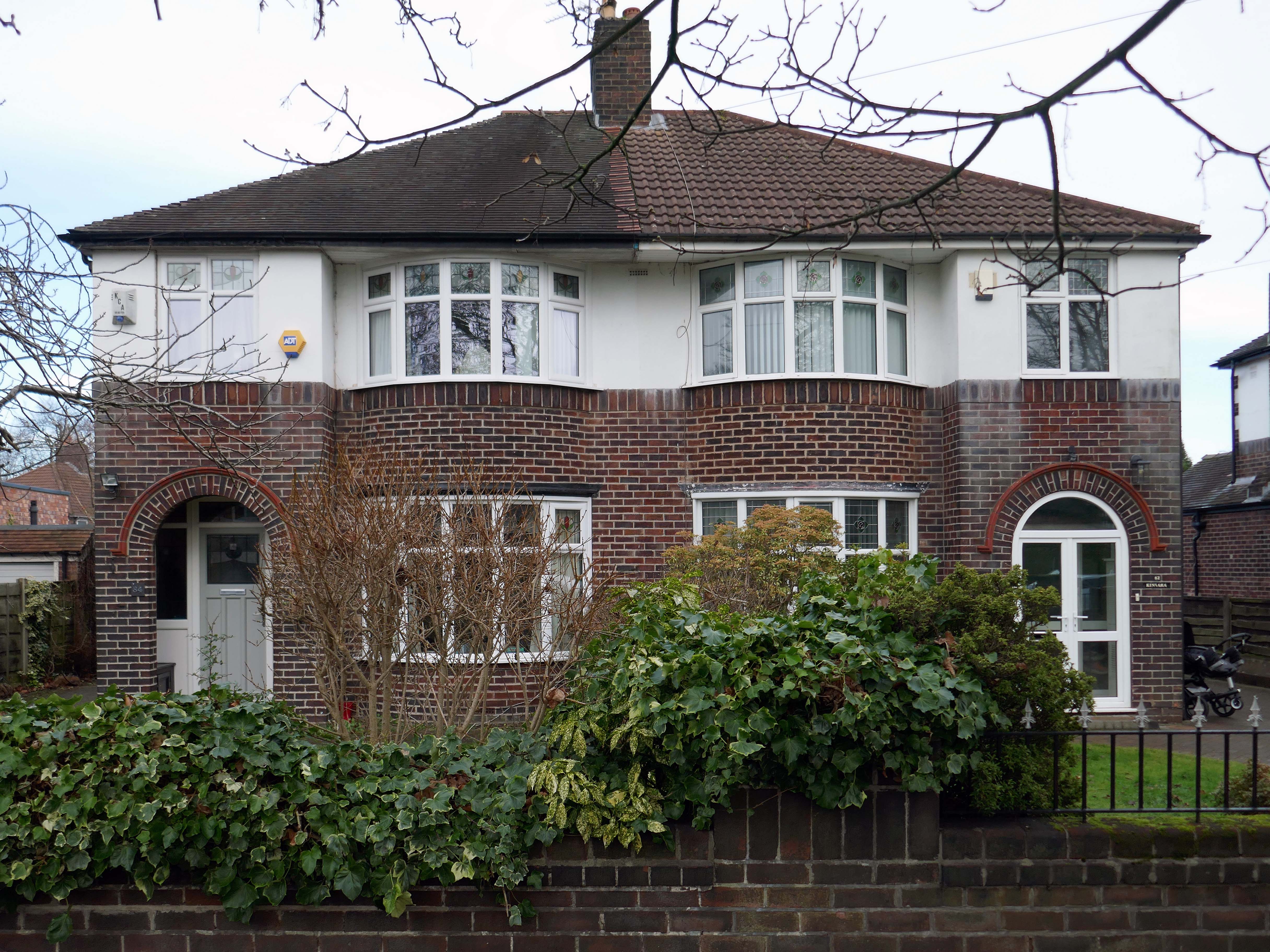
Taking in Mauldeth Road, Pinewood Close and Leegate Gardens
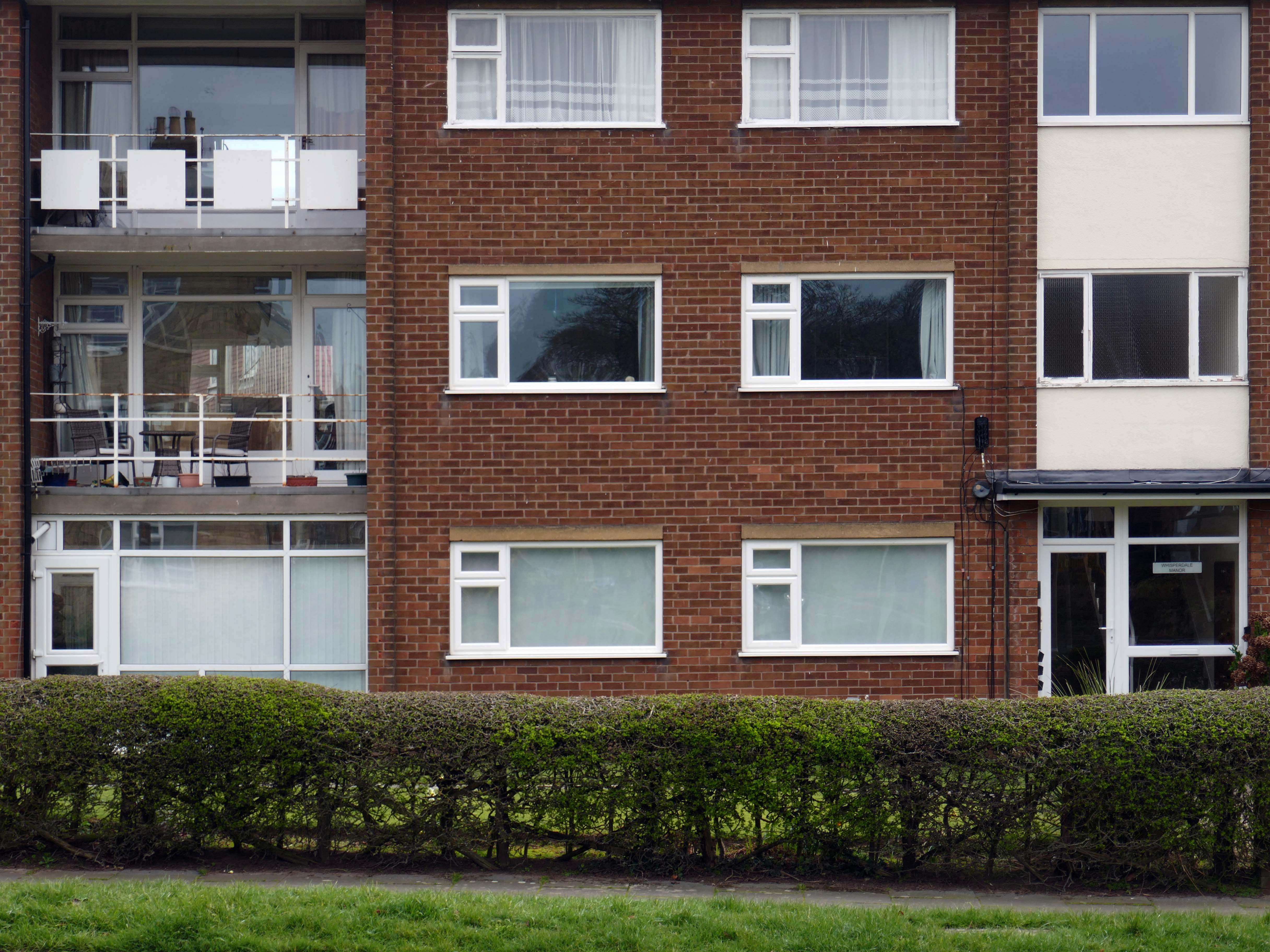
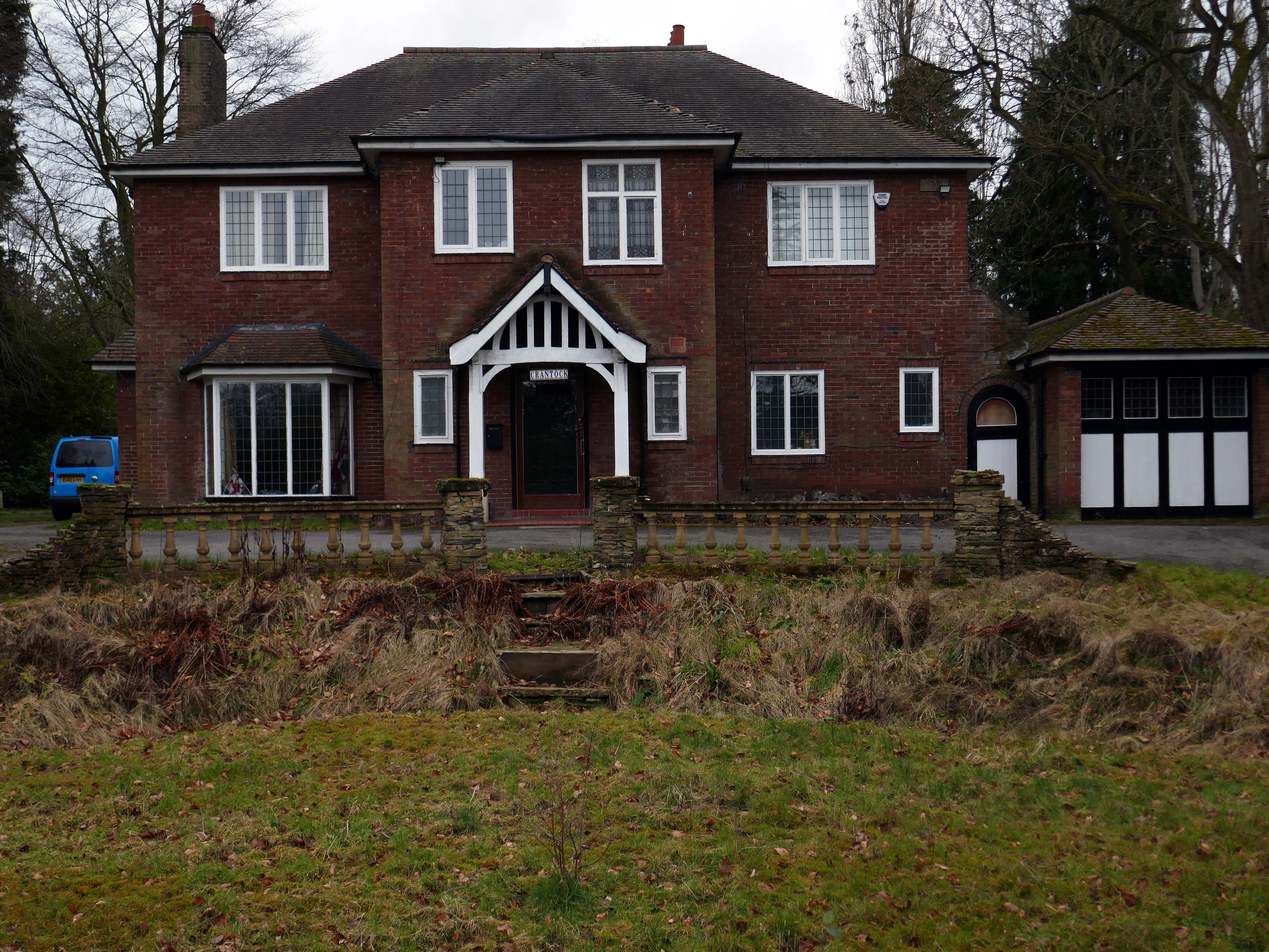
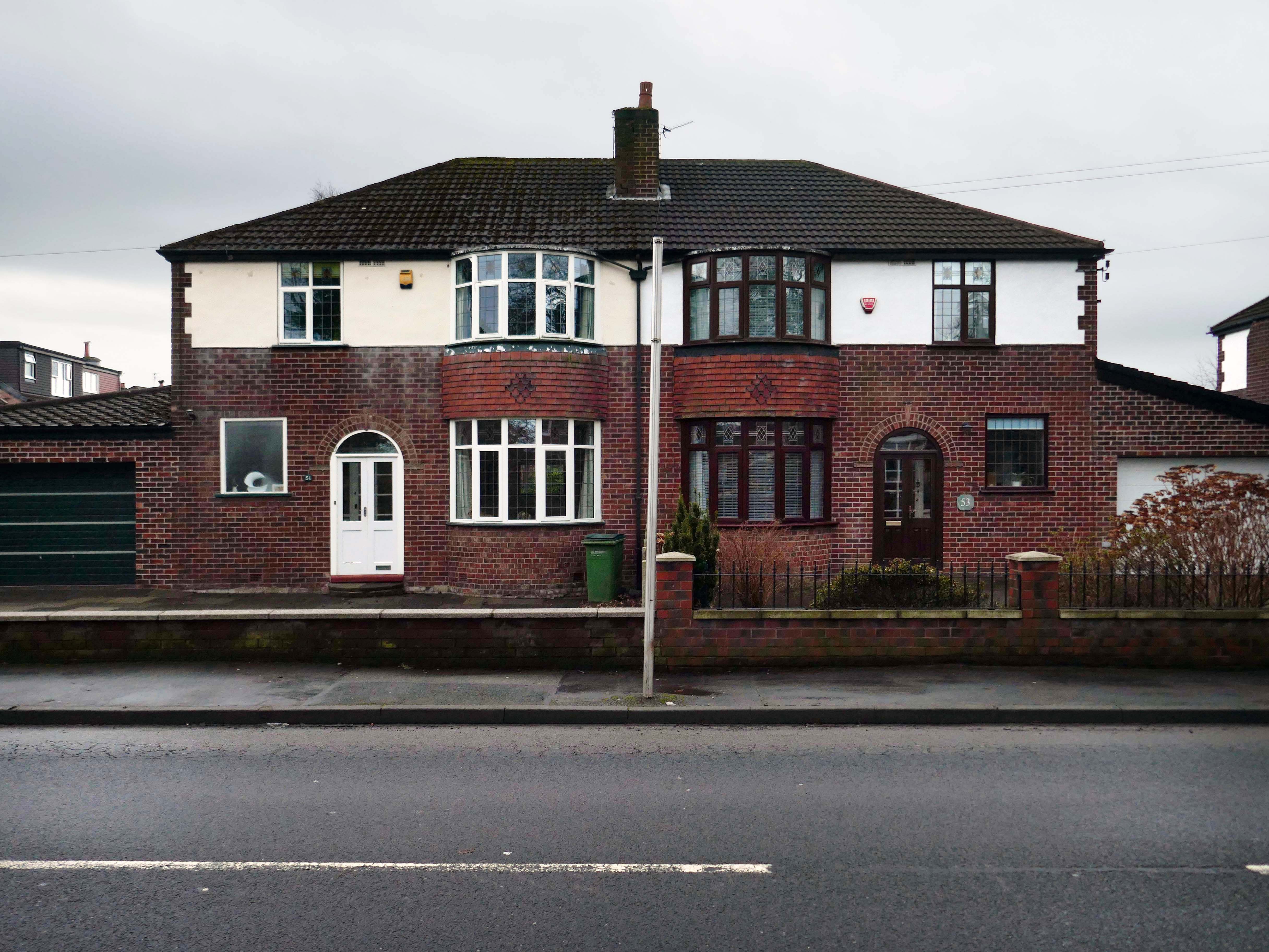
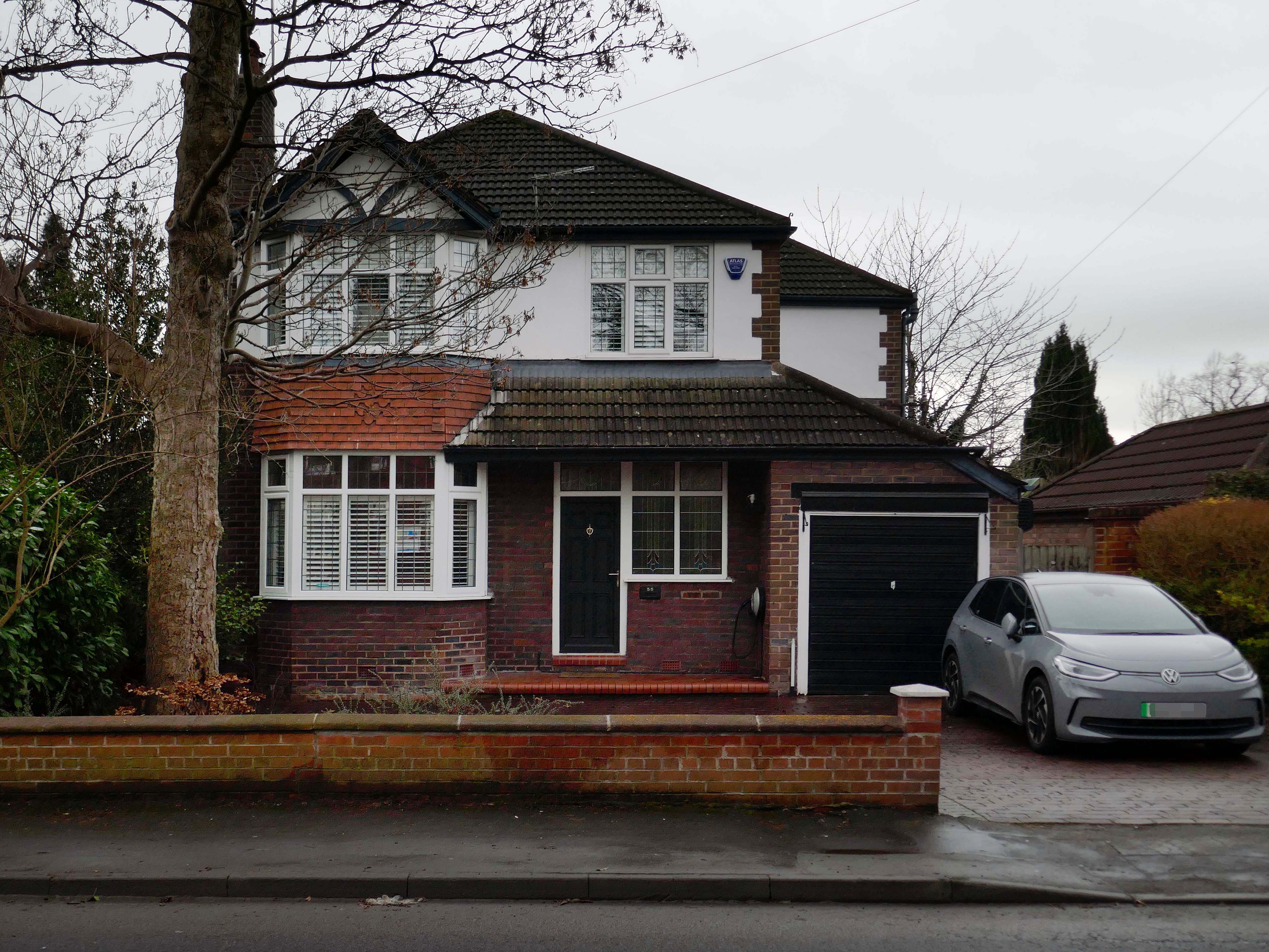
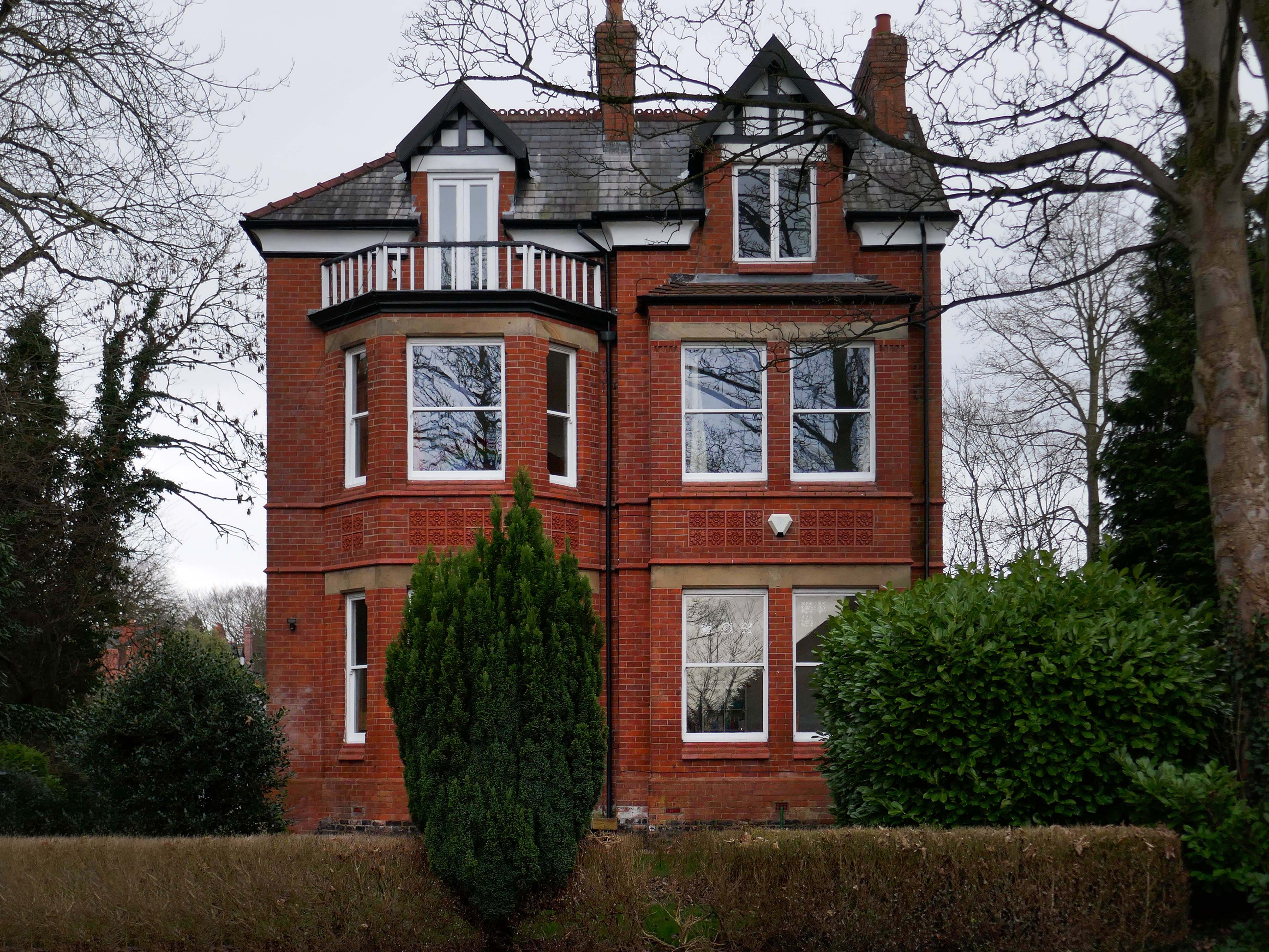
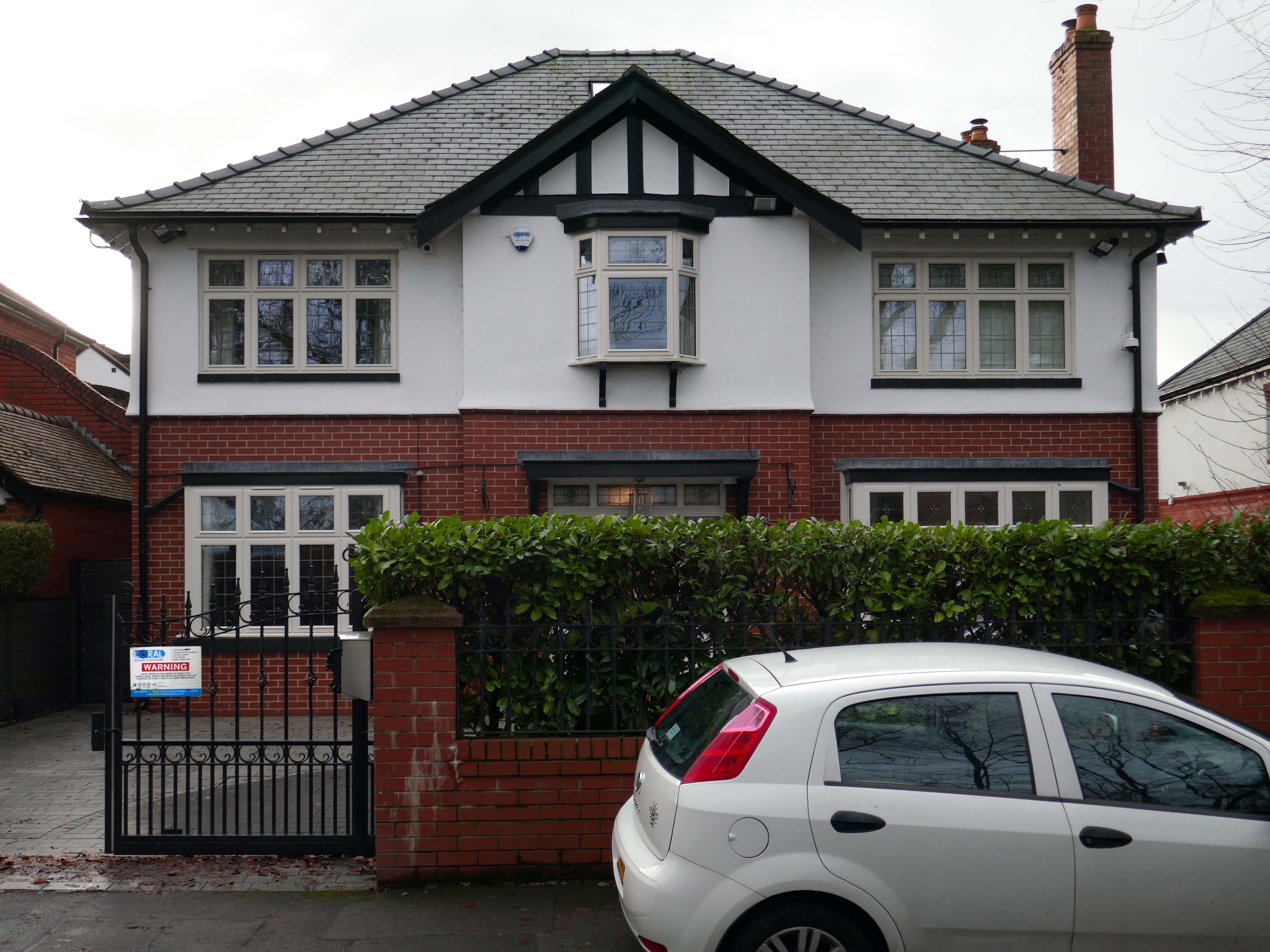
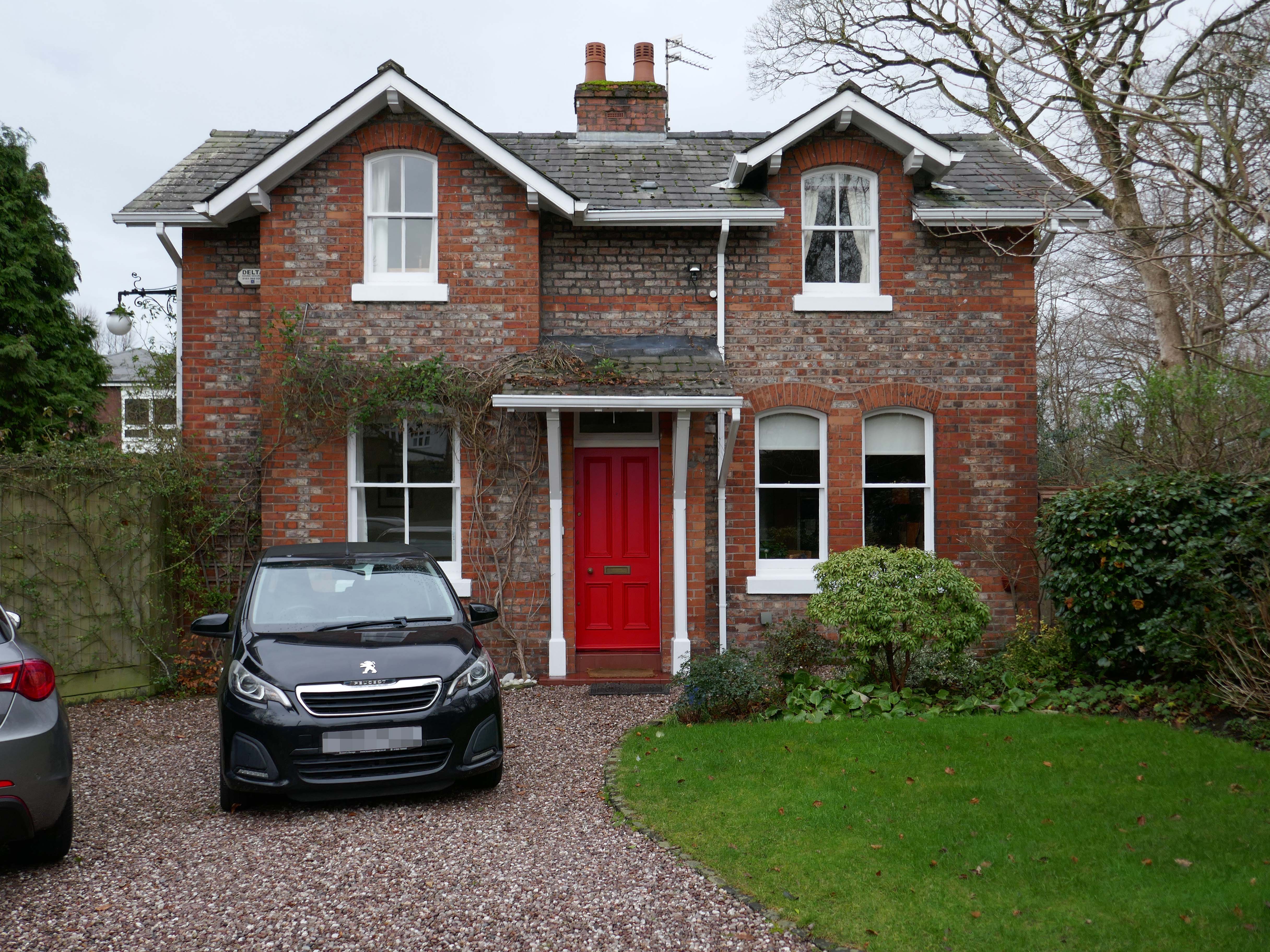
Mauldeth Road is lined with larger houses, Victorian and interwar villas, bijou apartments and the odd Modernist interloper.
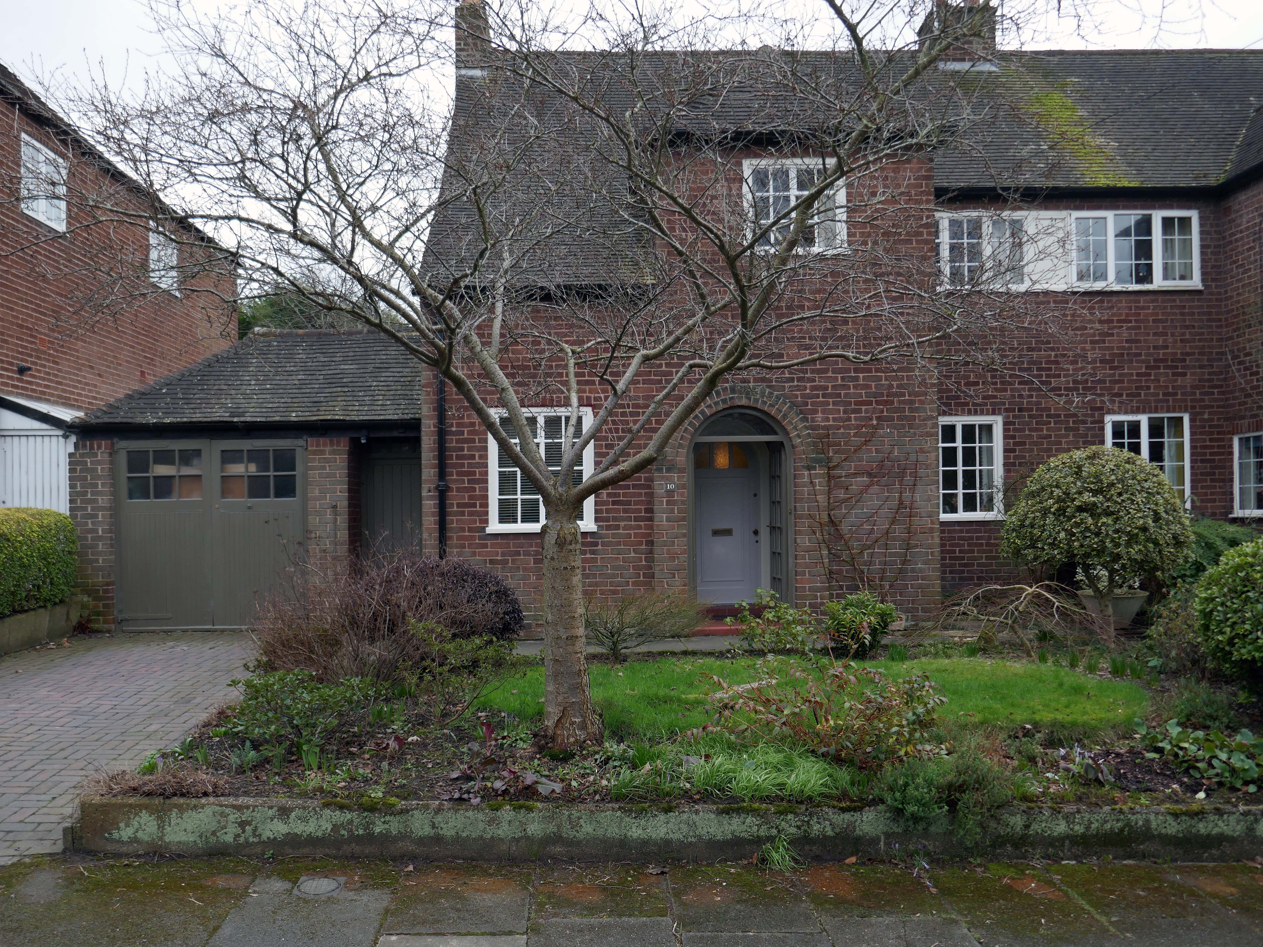
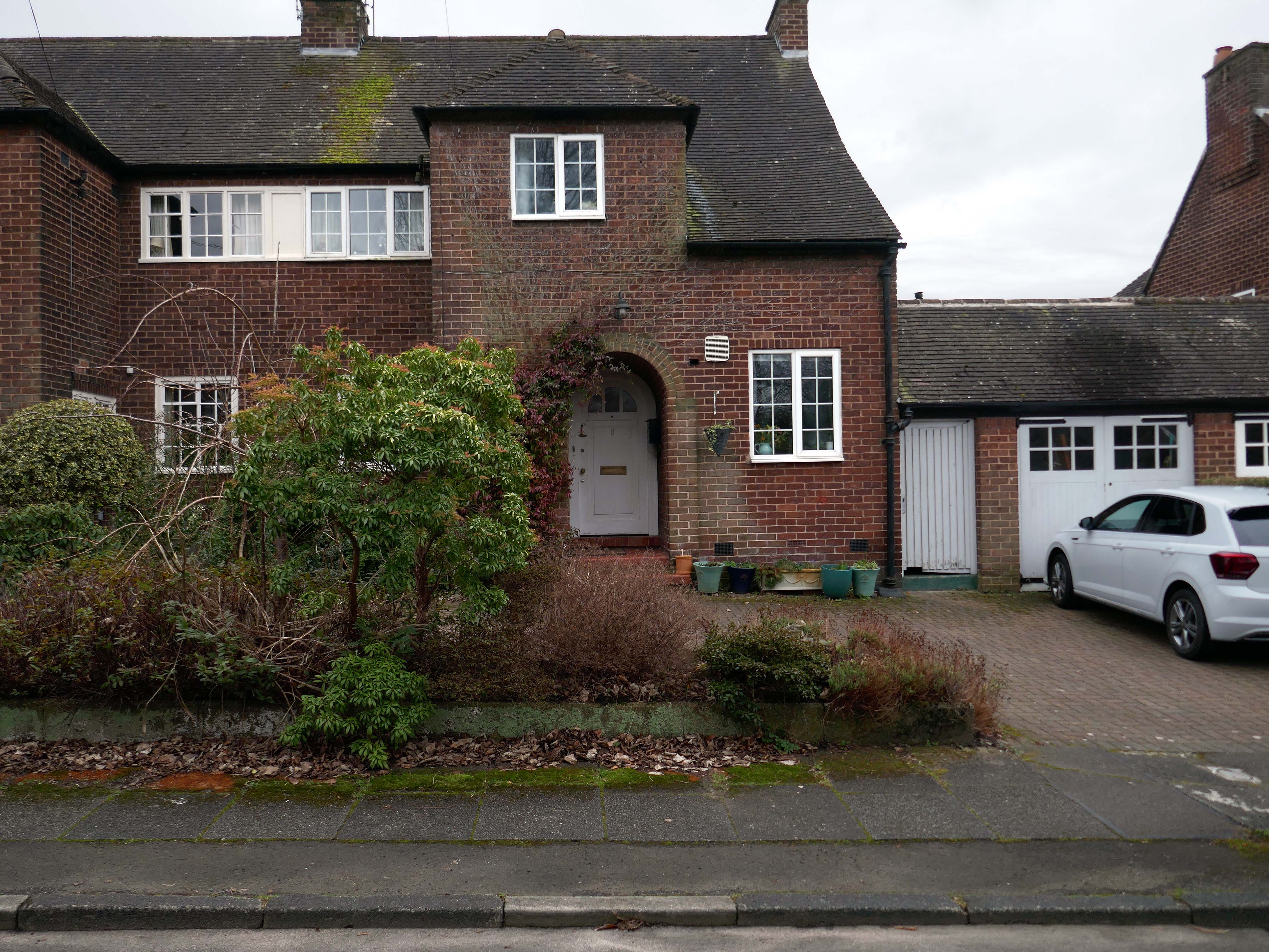
Through the avenues and alleyways, home to those ever so tidy inter and postwar enclaves.
Where a mans gotta work out which side he’s on Any way he chooses Chances are he loses No one gets to live too long
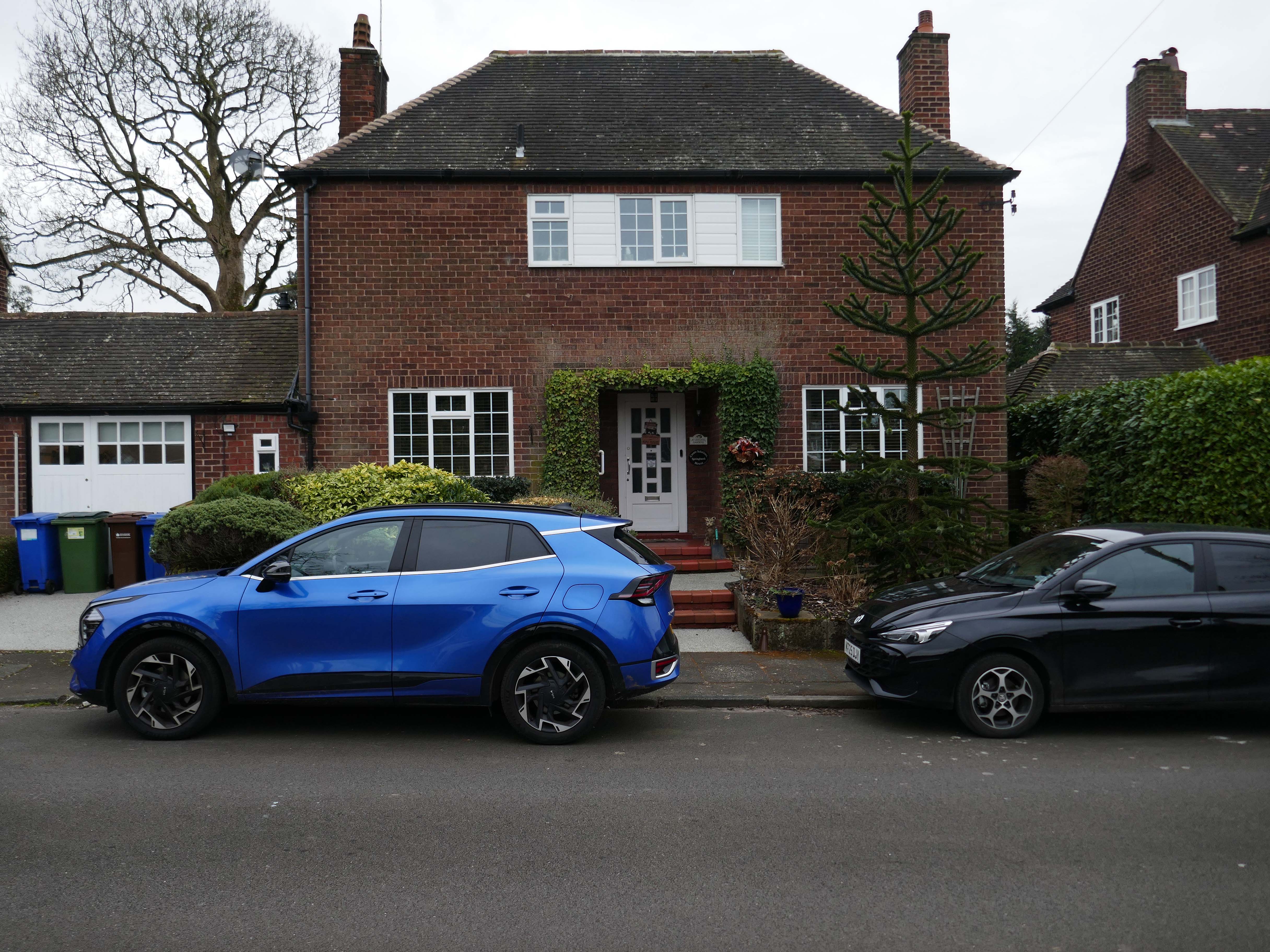
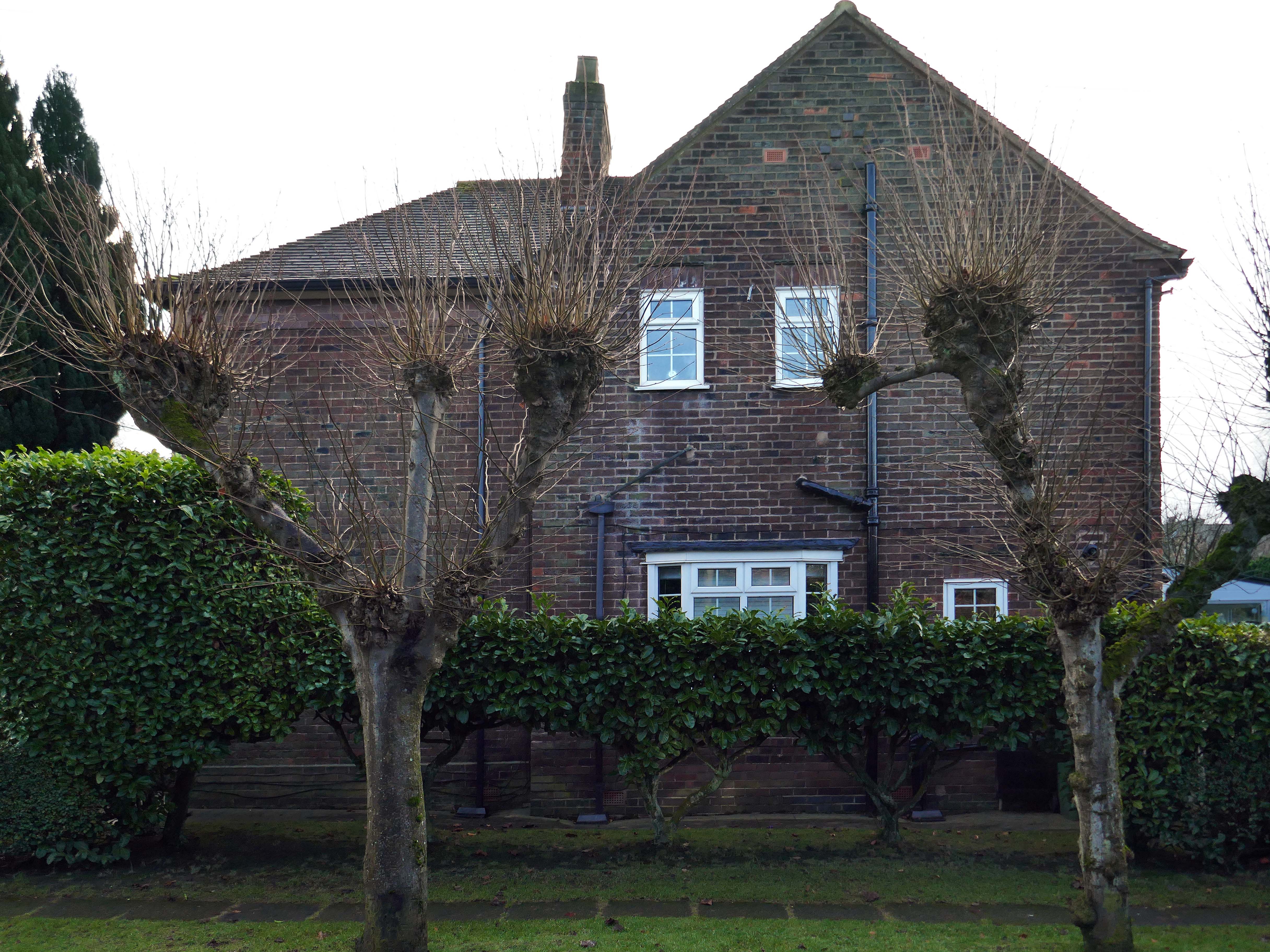
Though in my experience the converse is true, this is a mature community gently maturing, on the inside of everything.
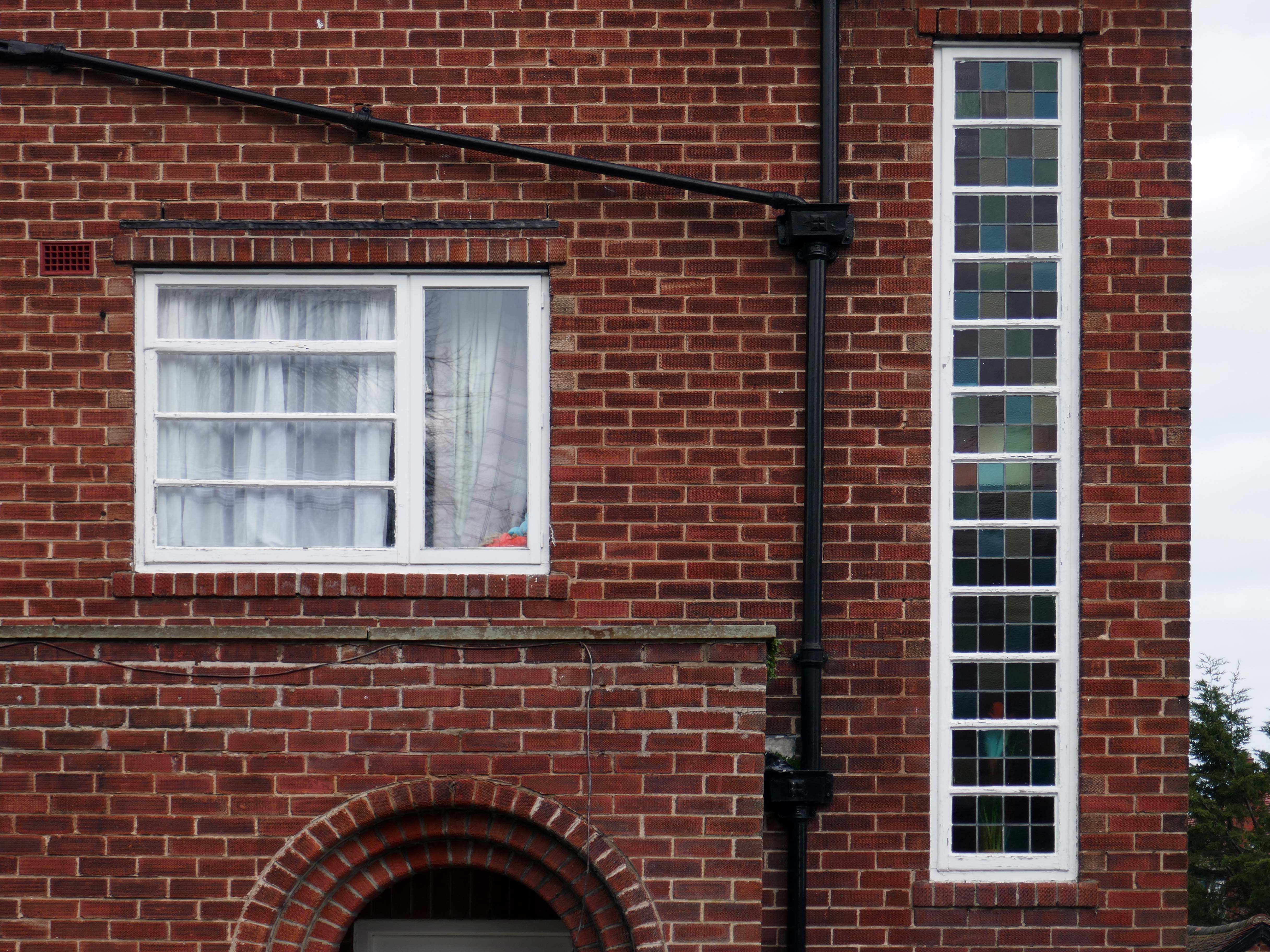
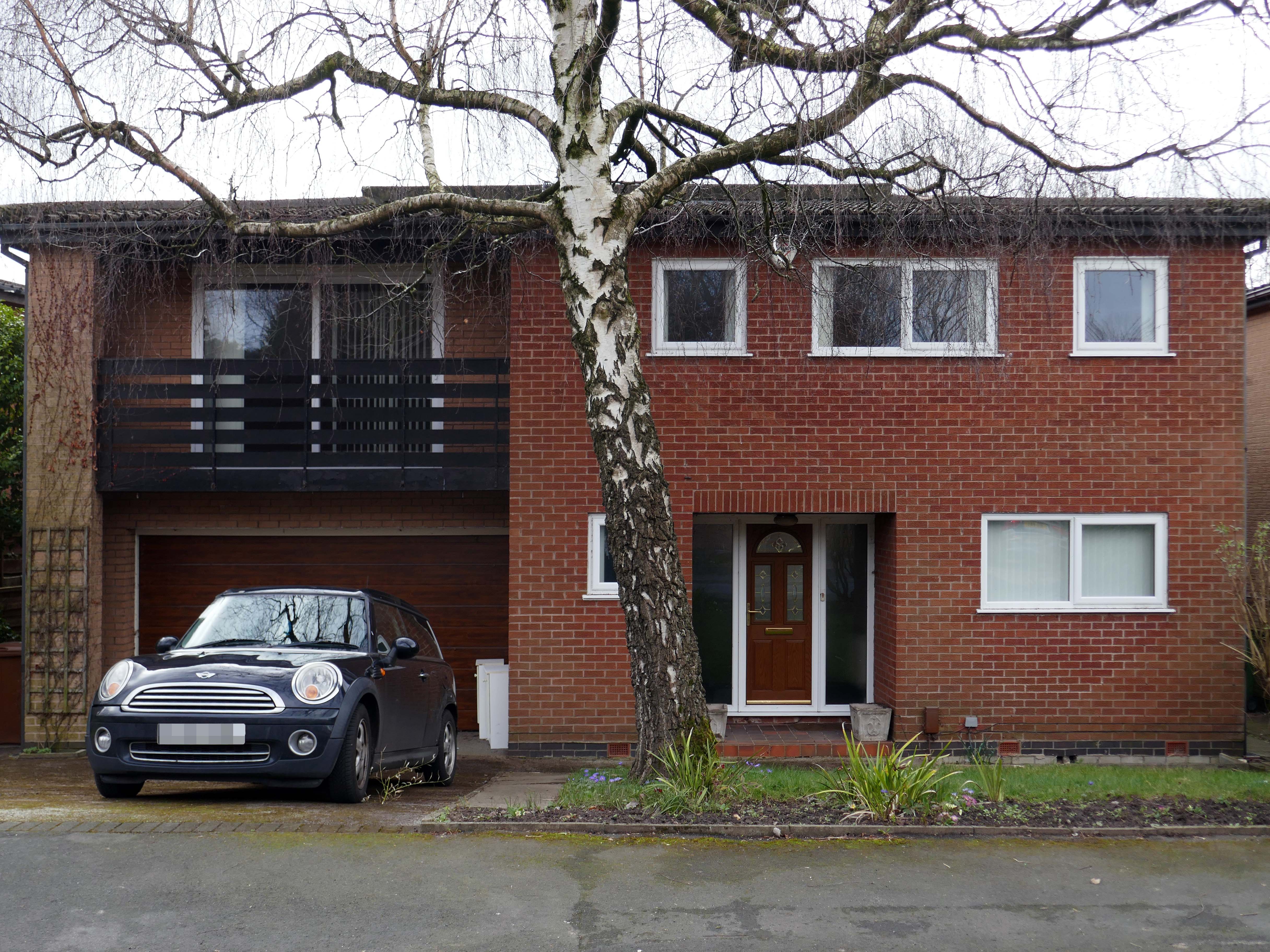
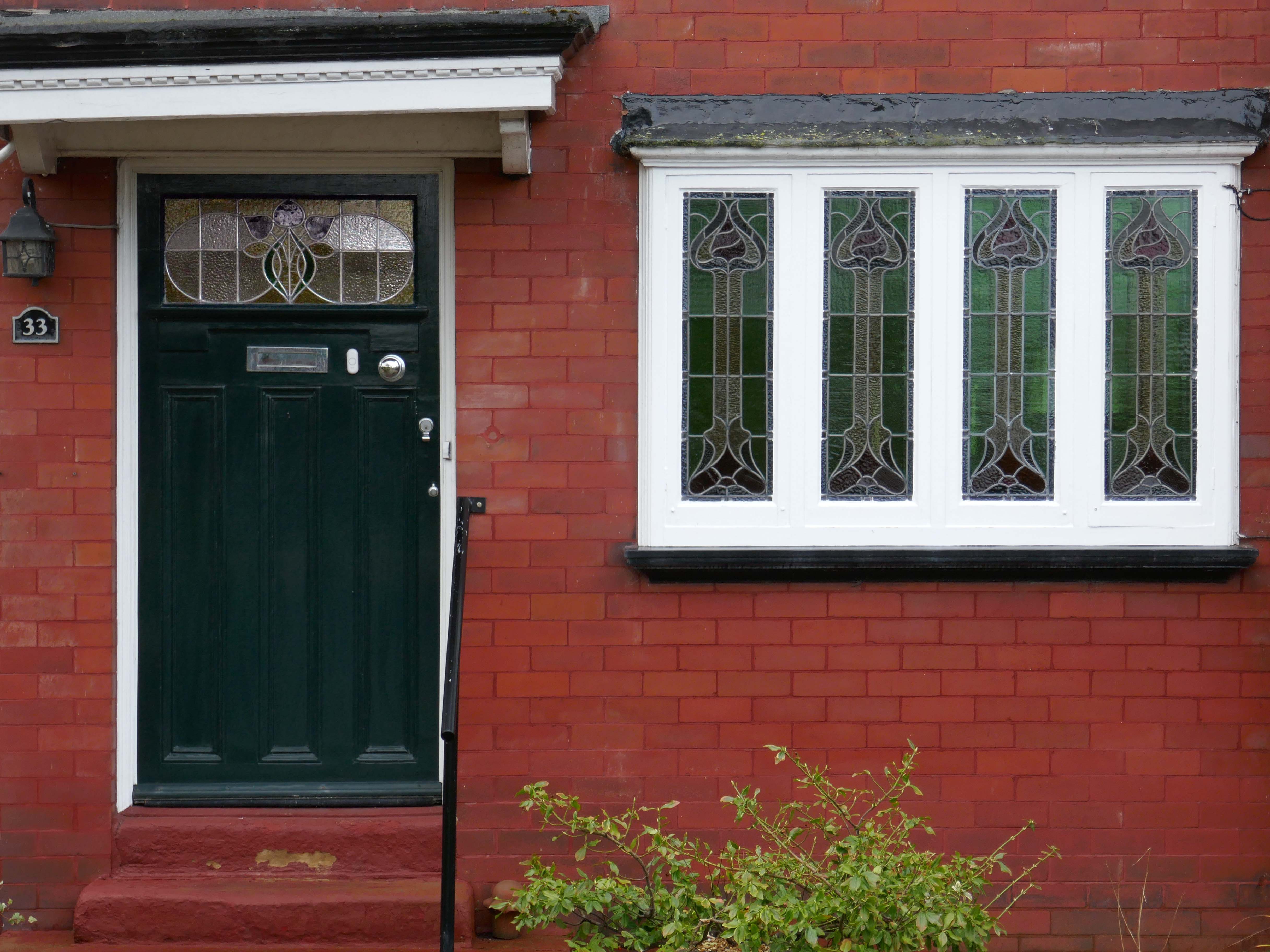
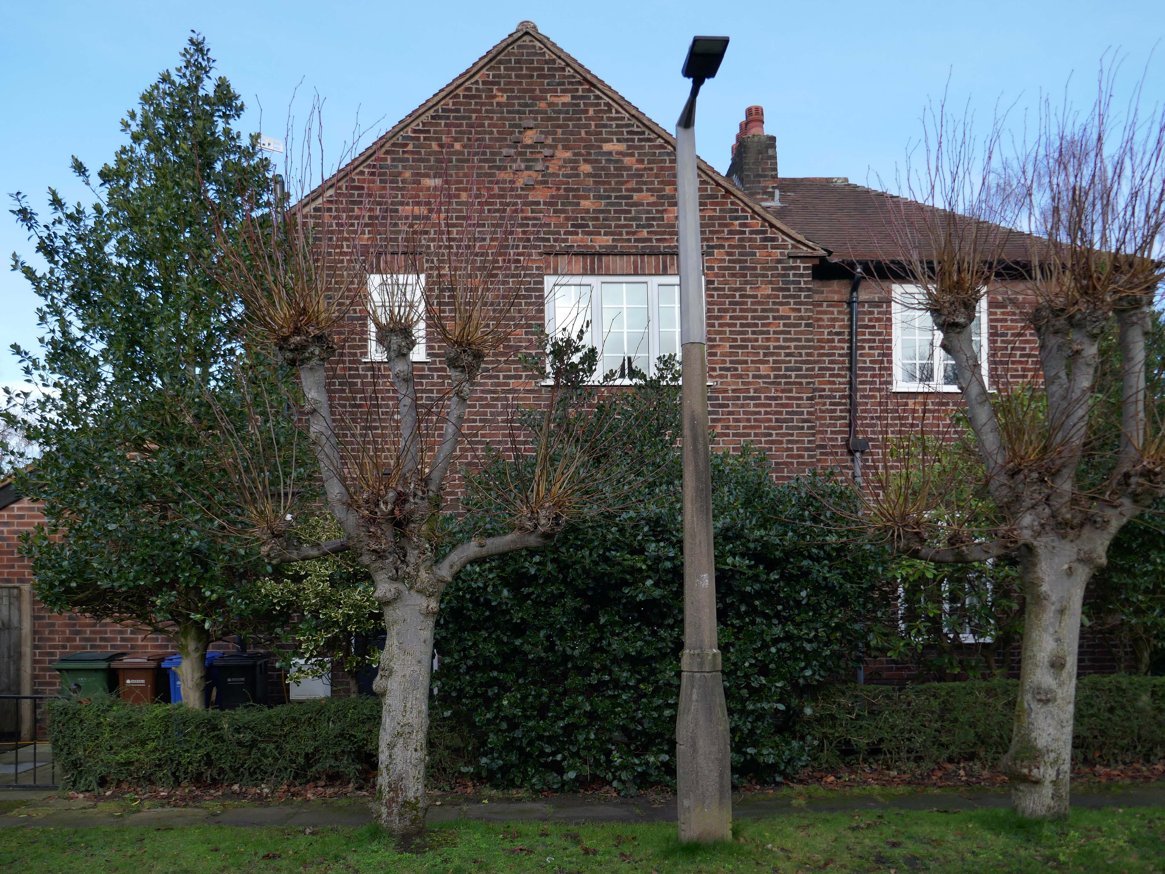
Hiding what may possibly be hidden behind the hedge, though the privacy of privet is in retreat, replaced by bay, birch, holly and the extremely hardy laurel.
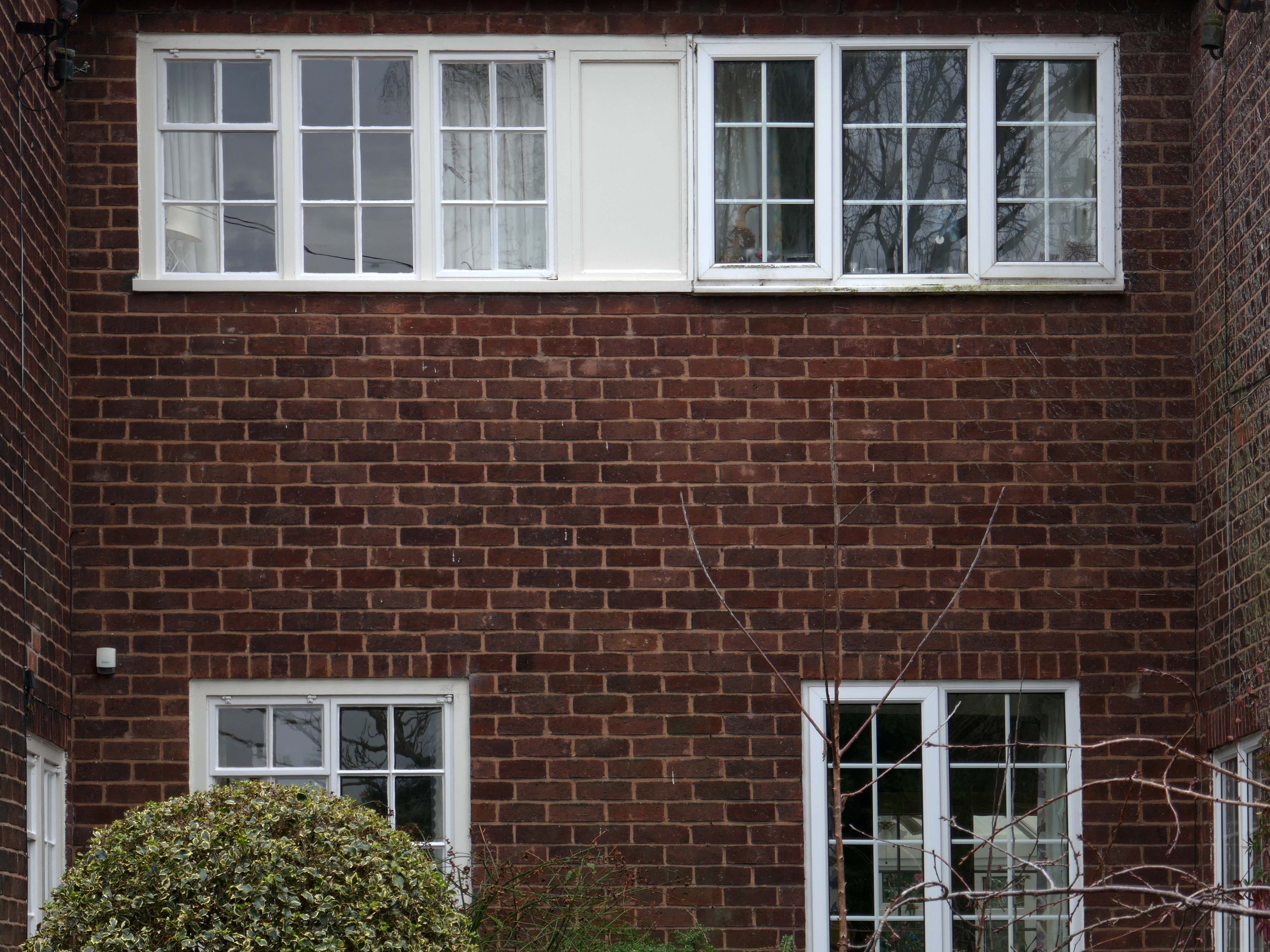
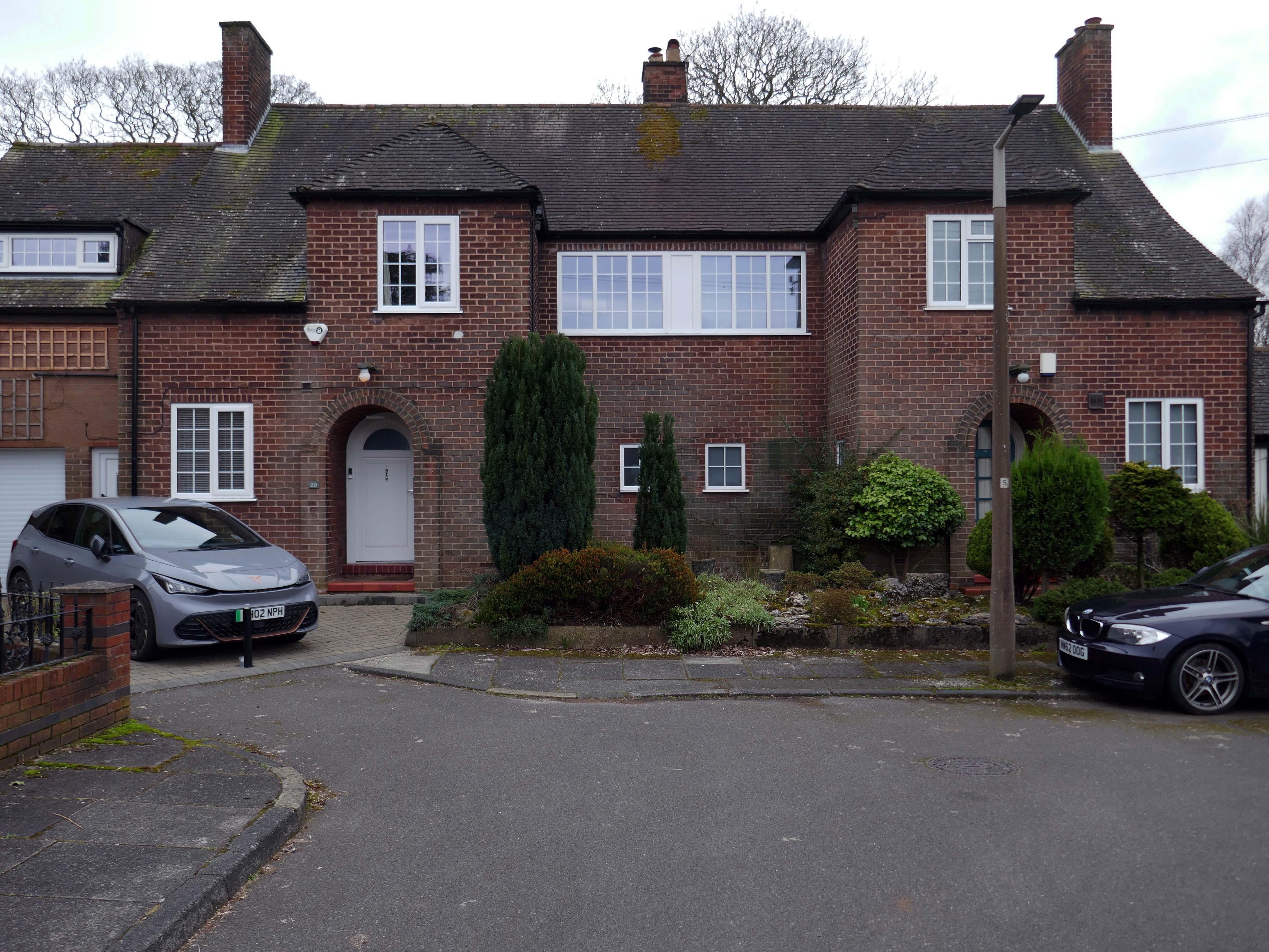
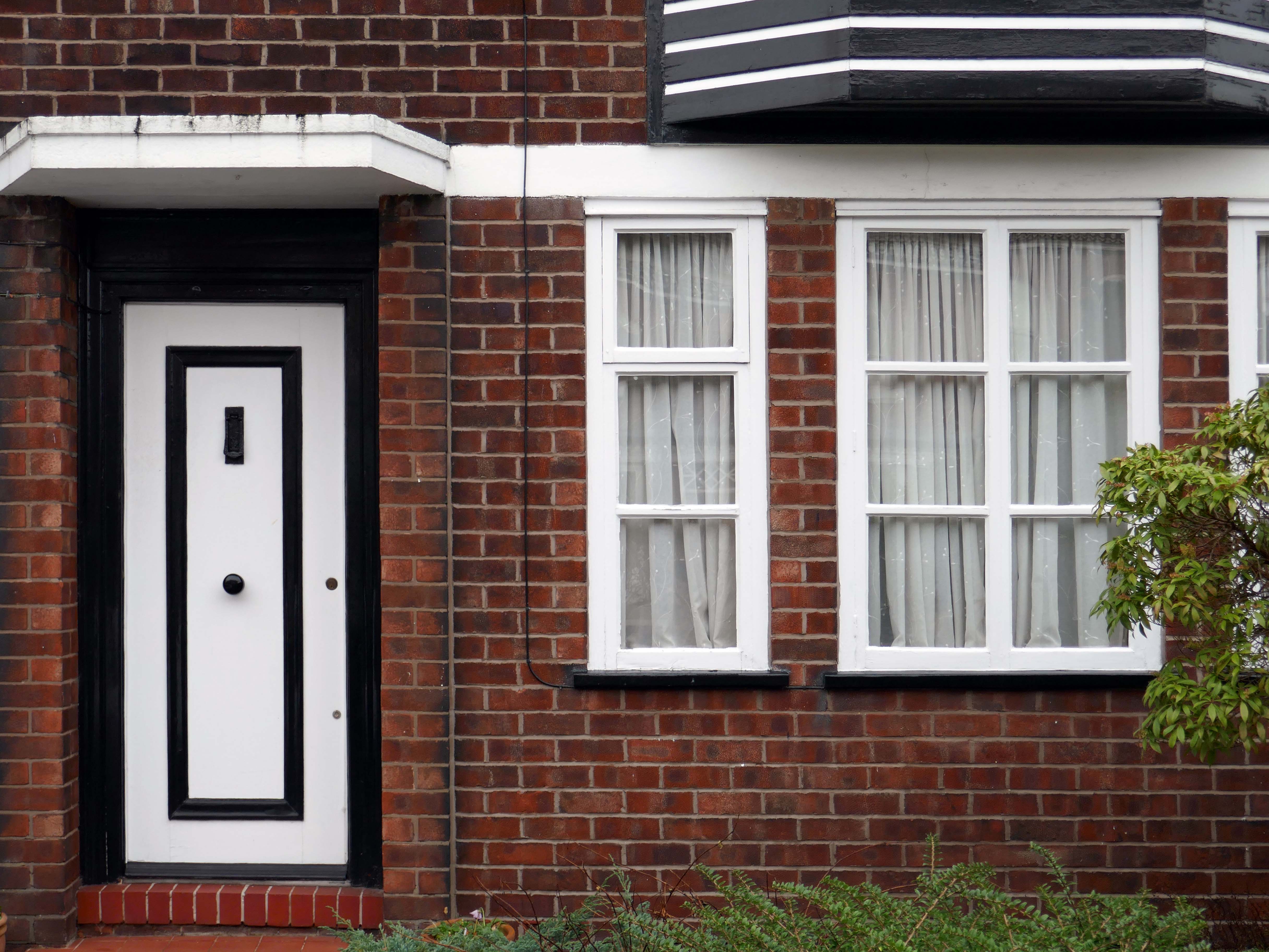
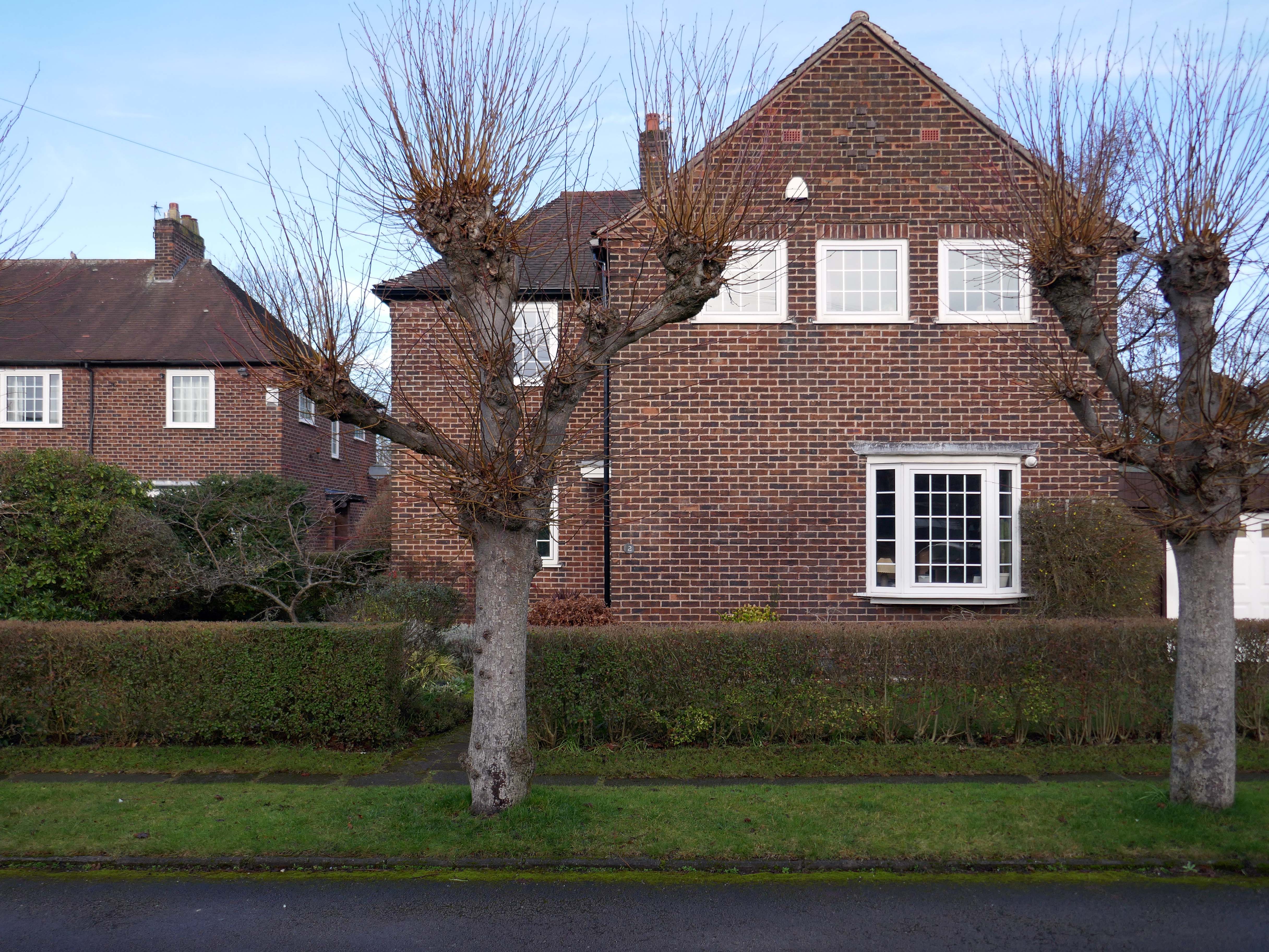
The left hand house has purposefully retained the original Crittall Windows.
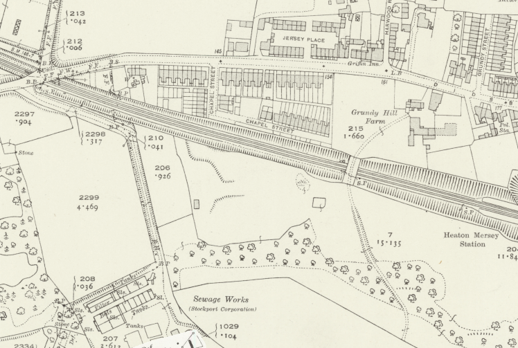
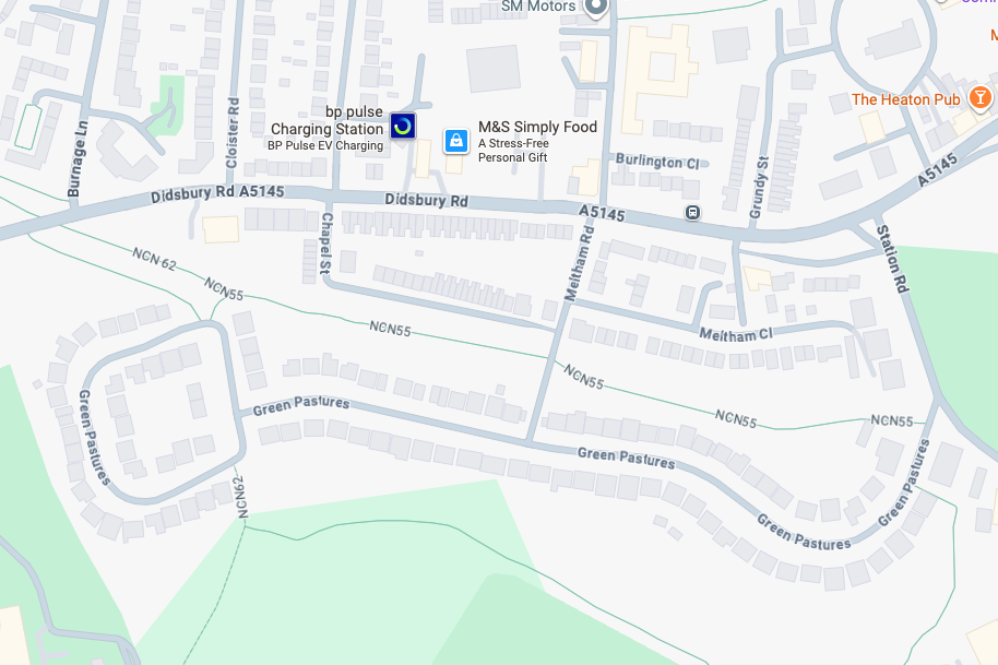
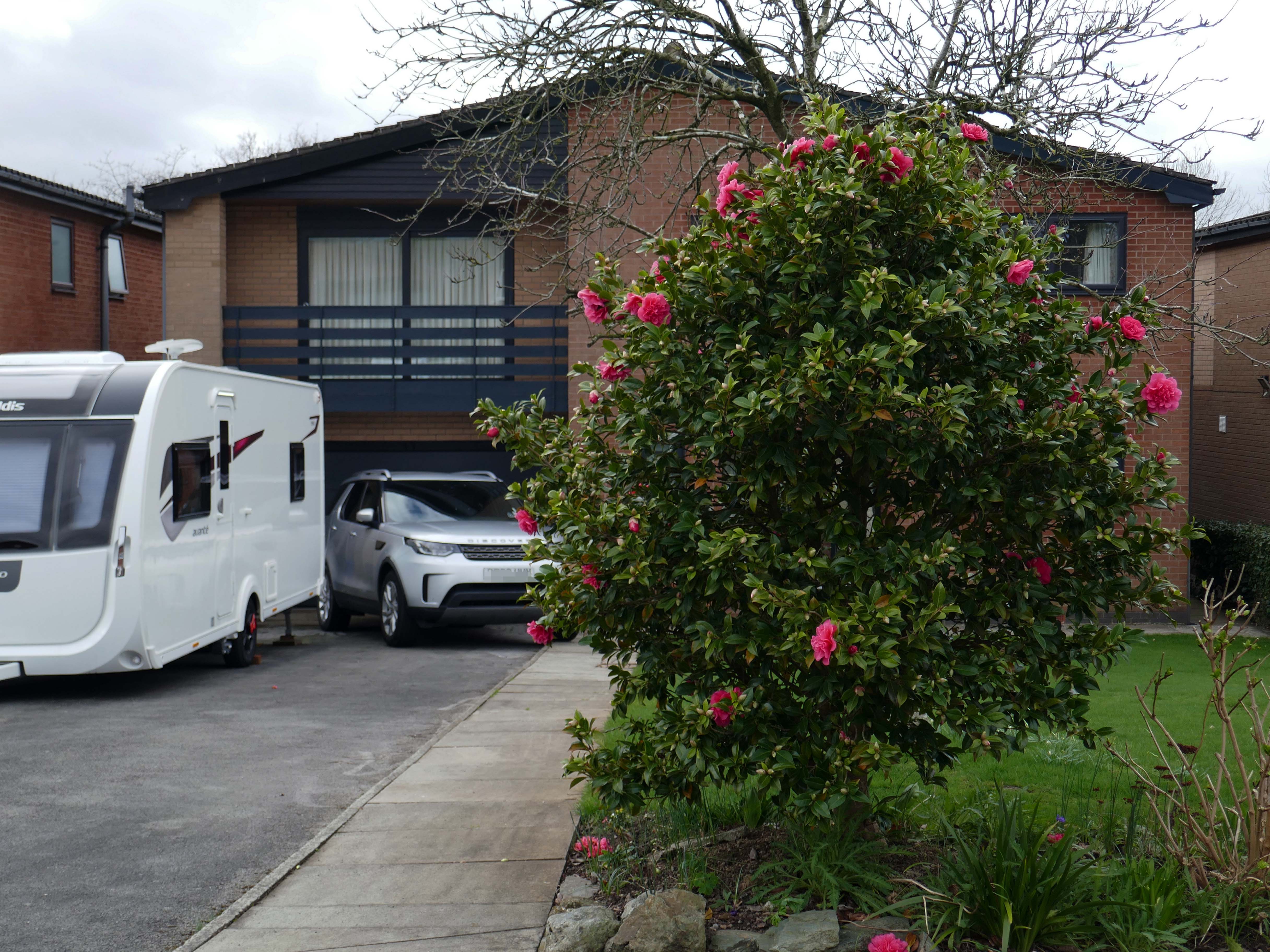
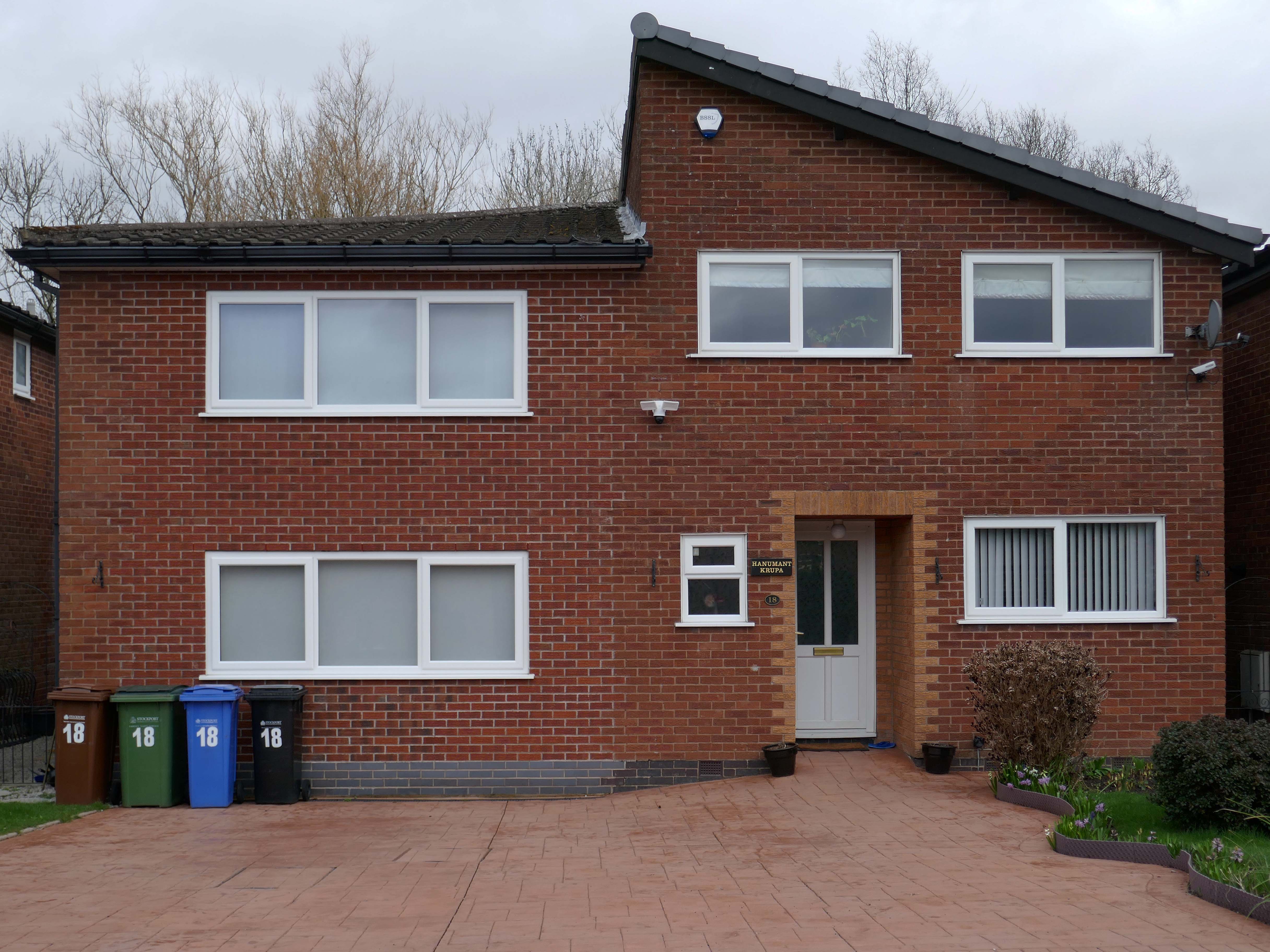
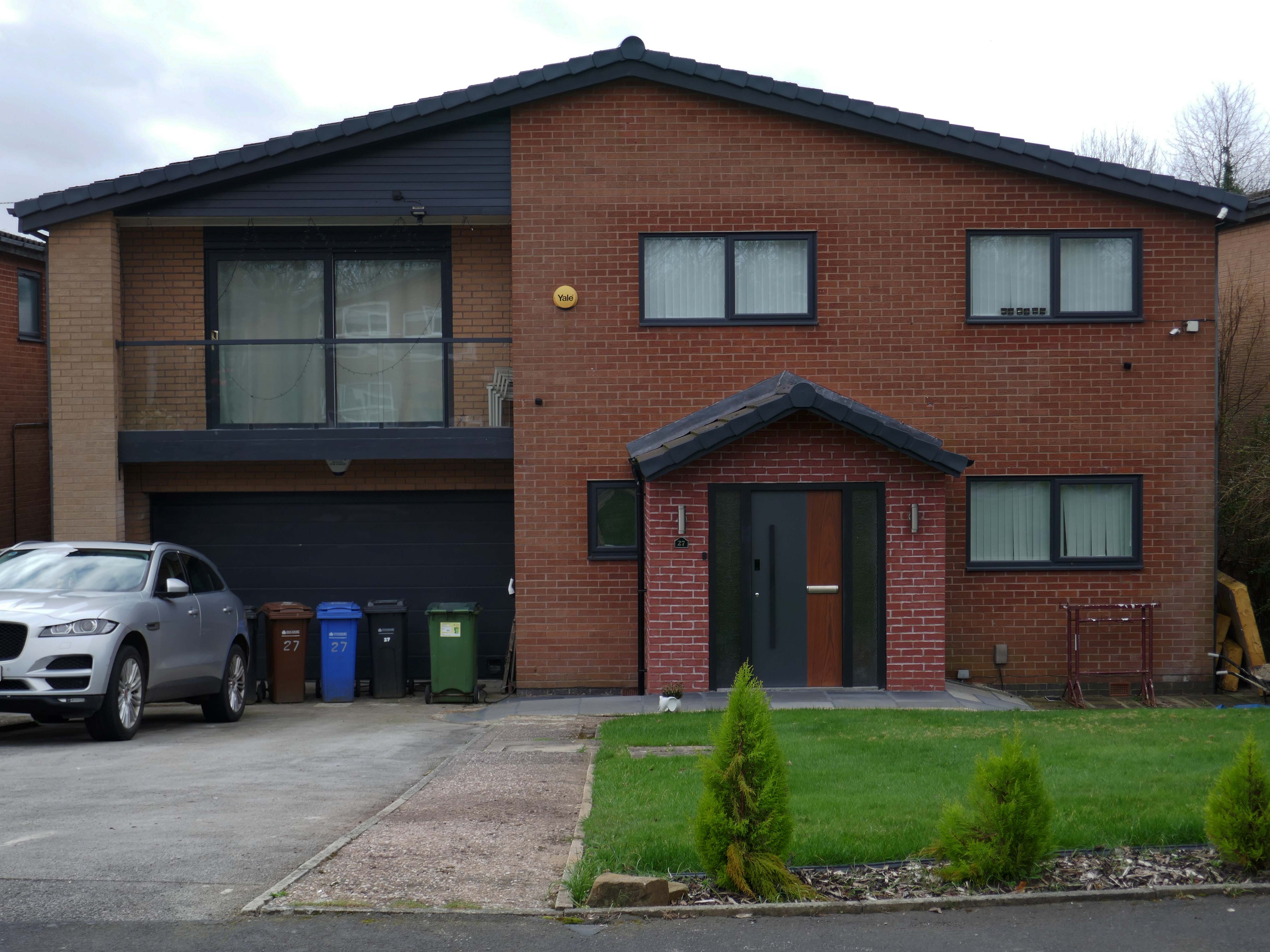
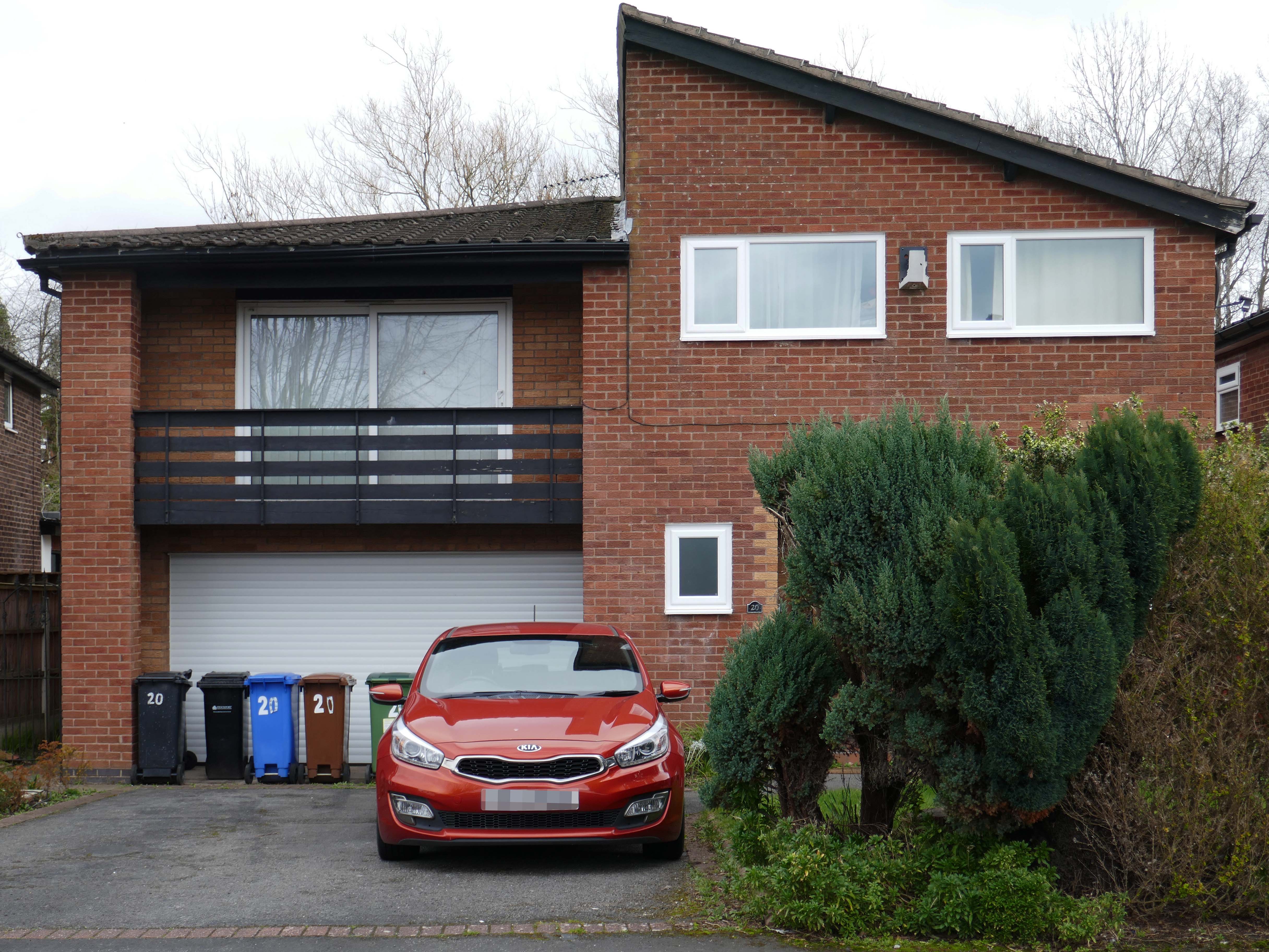
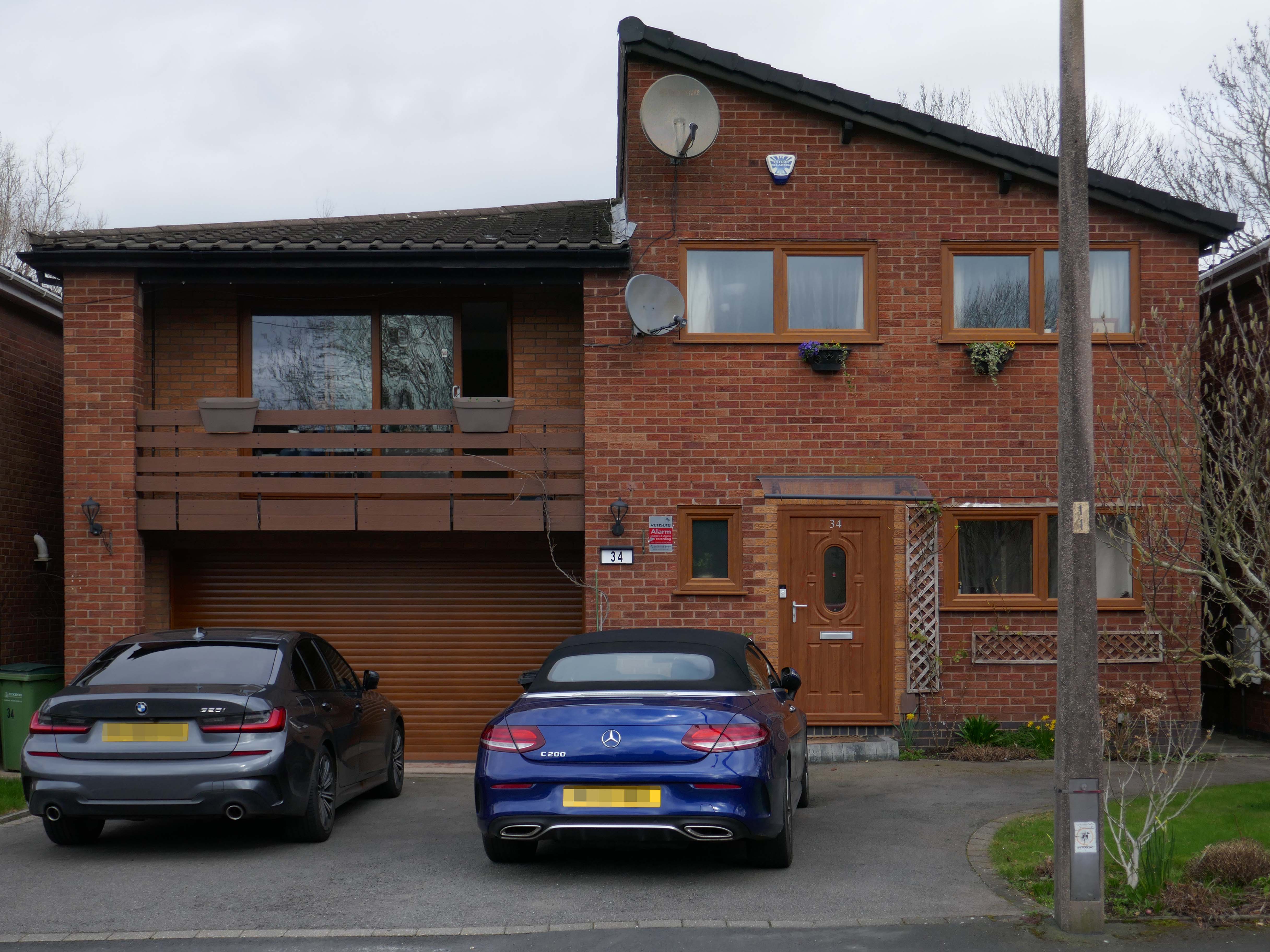
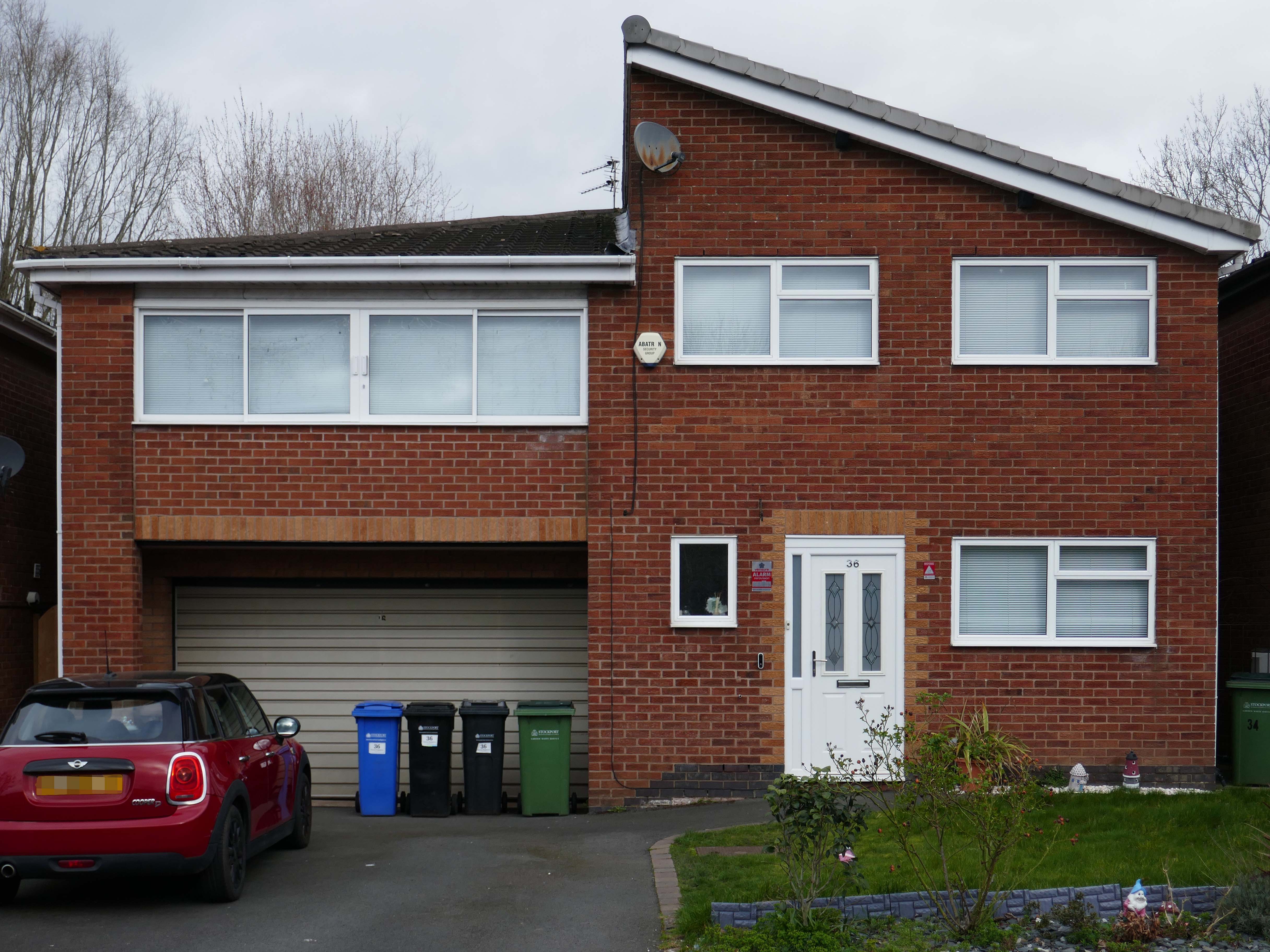
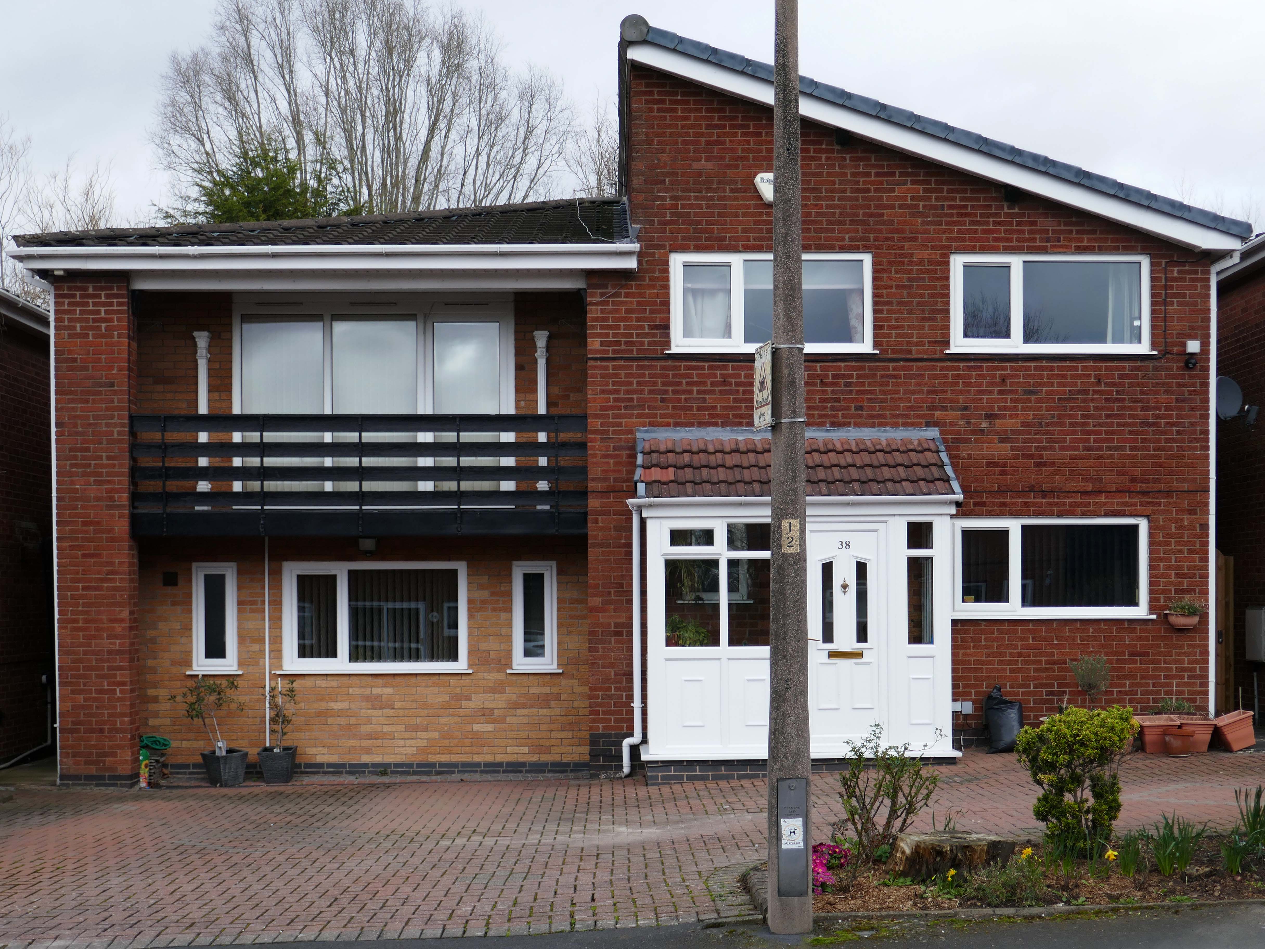
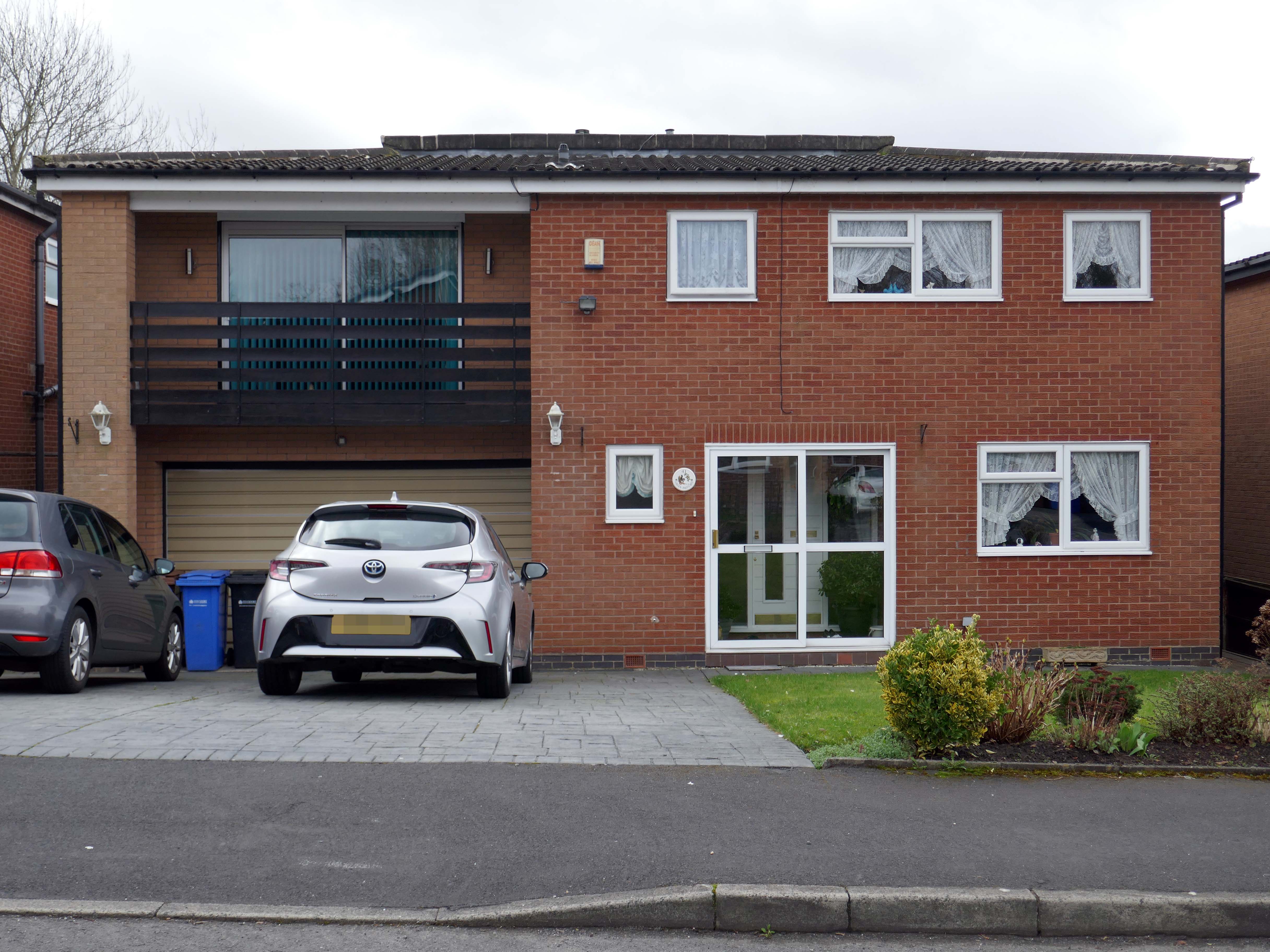
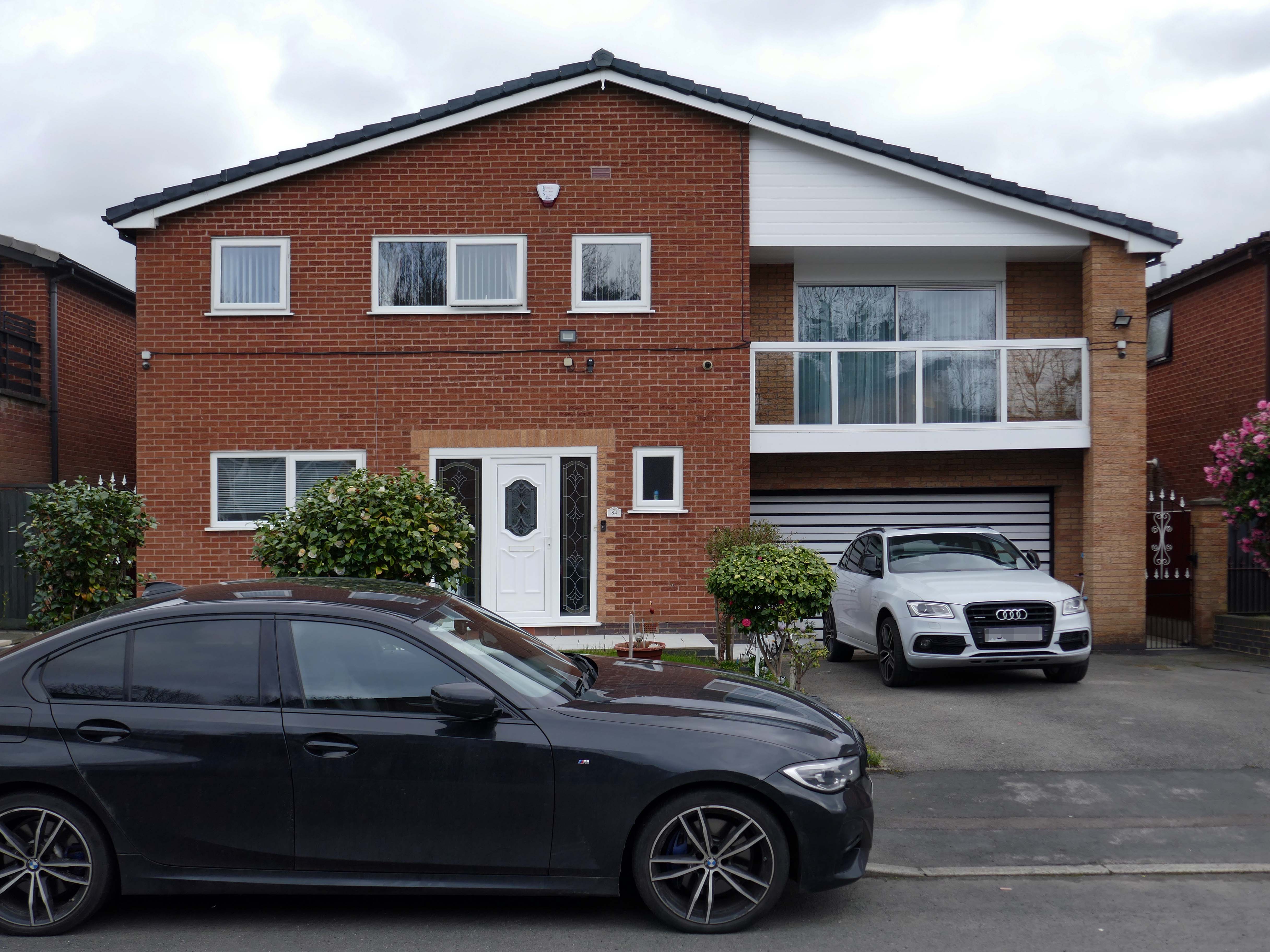
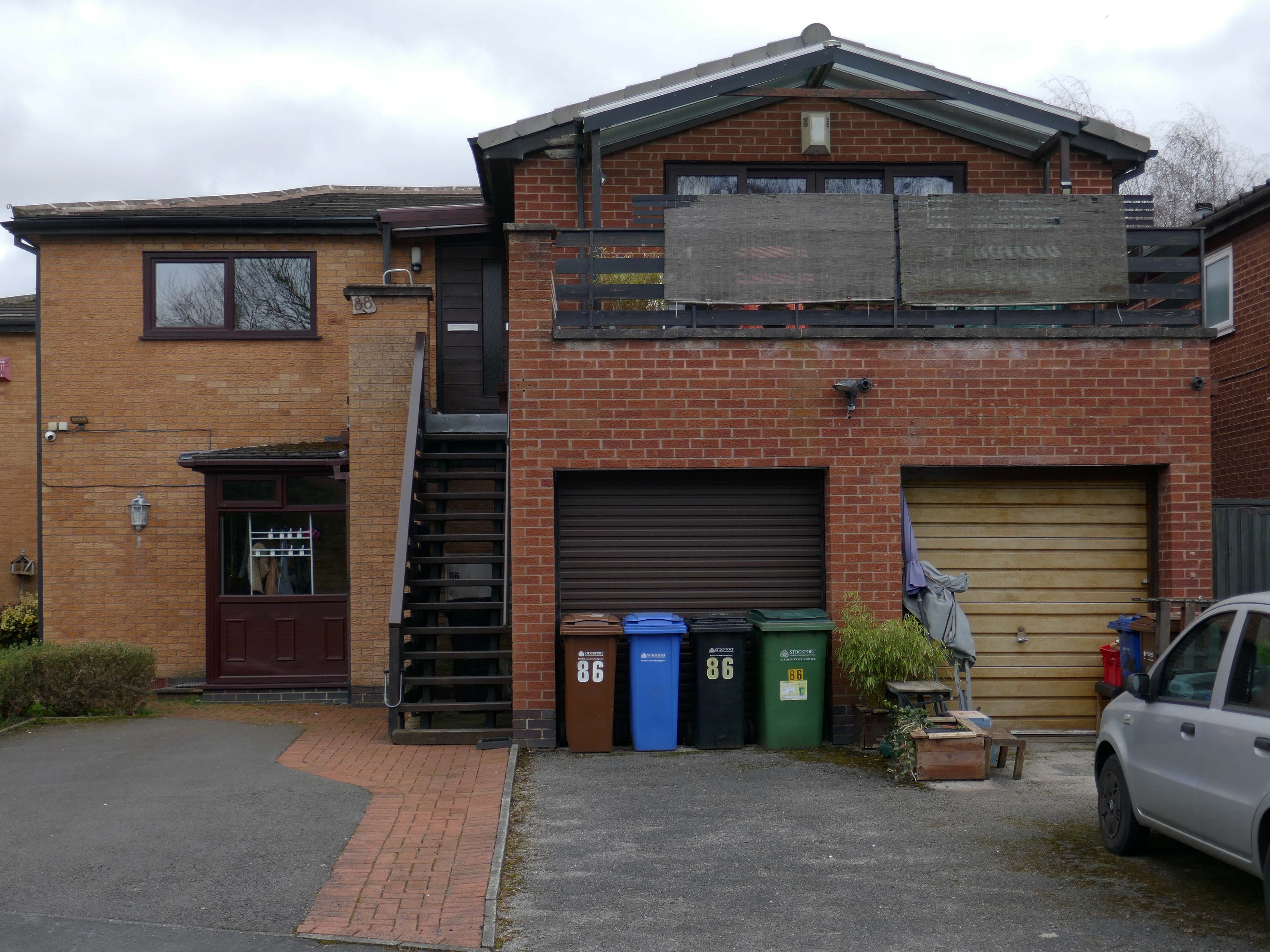
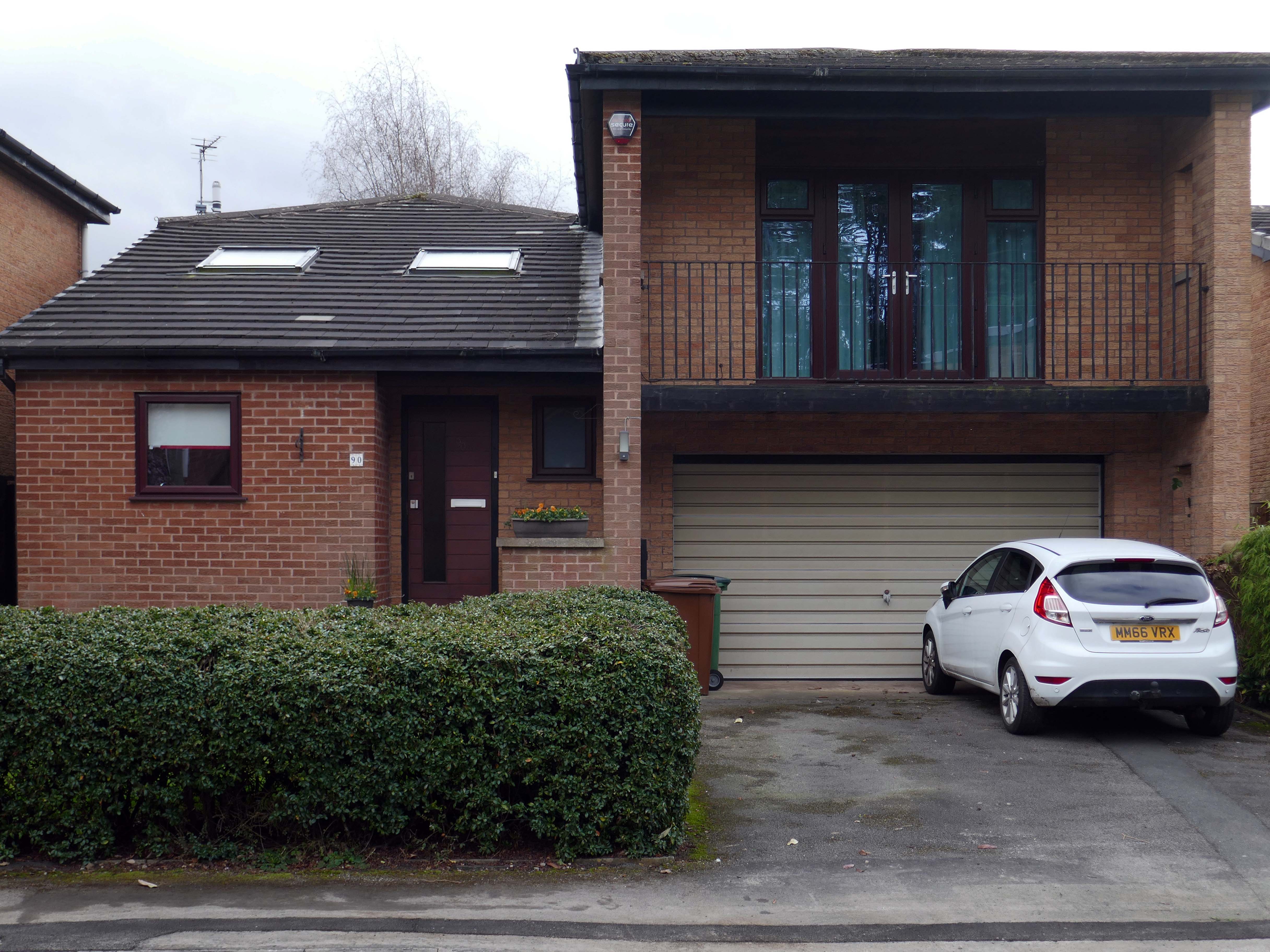
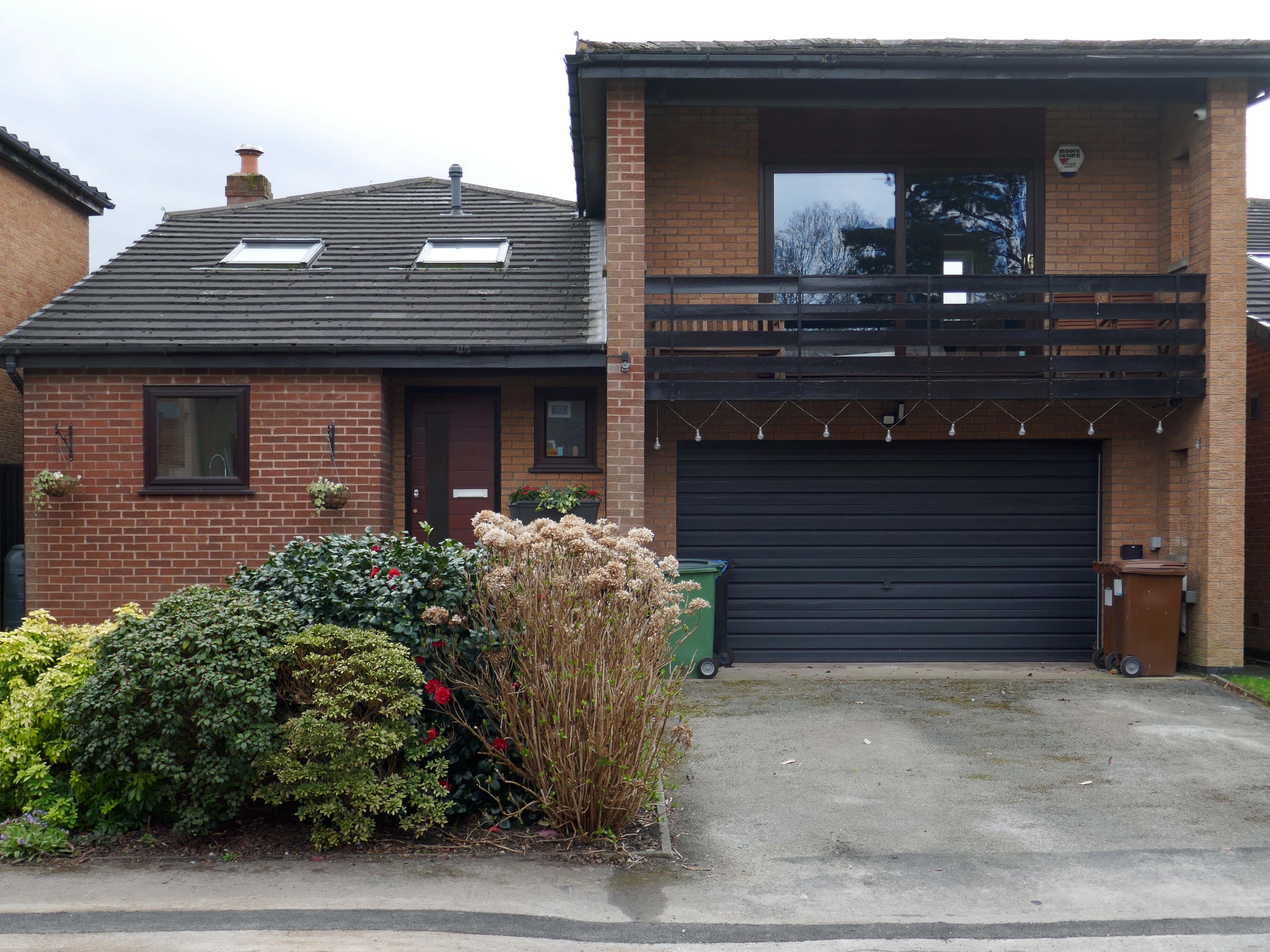
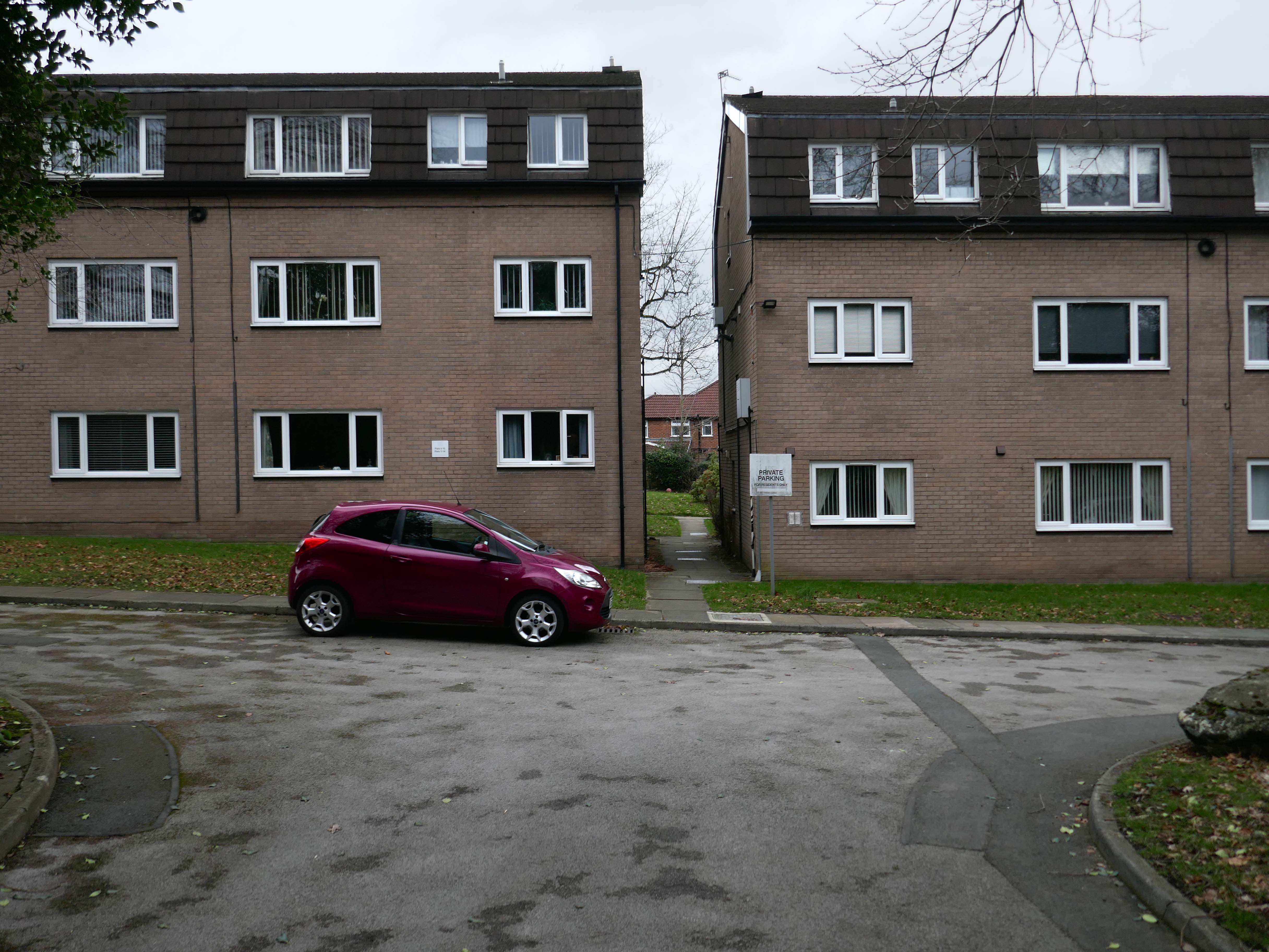
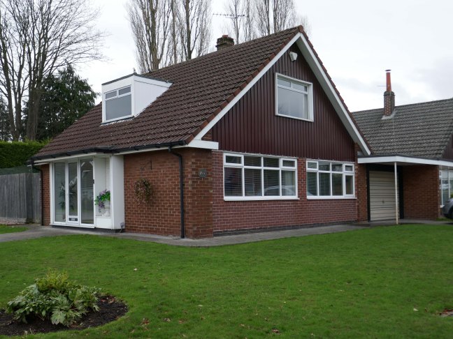
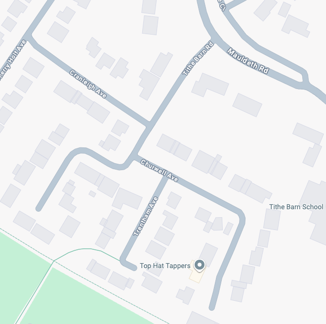
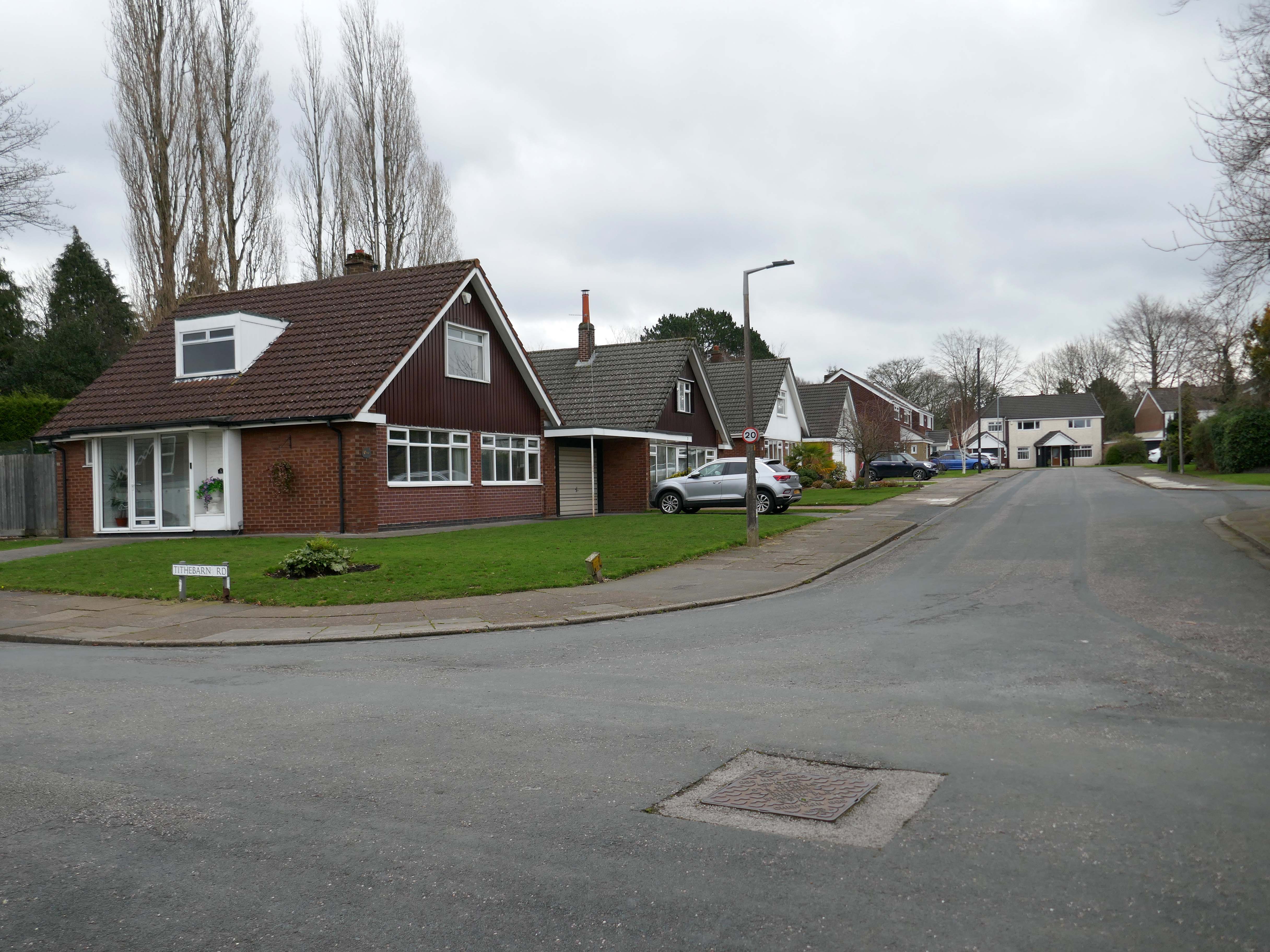
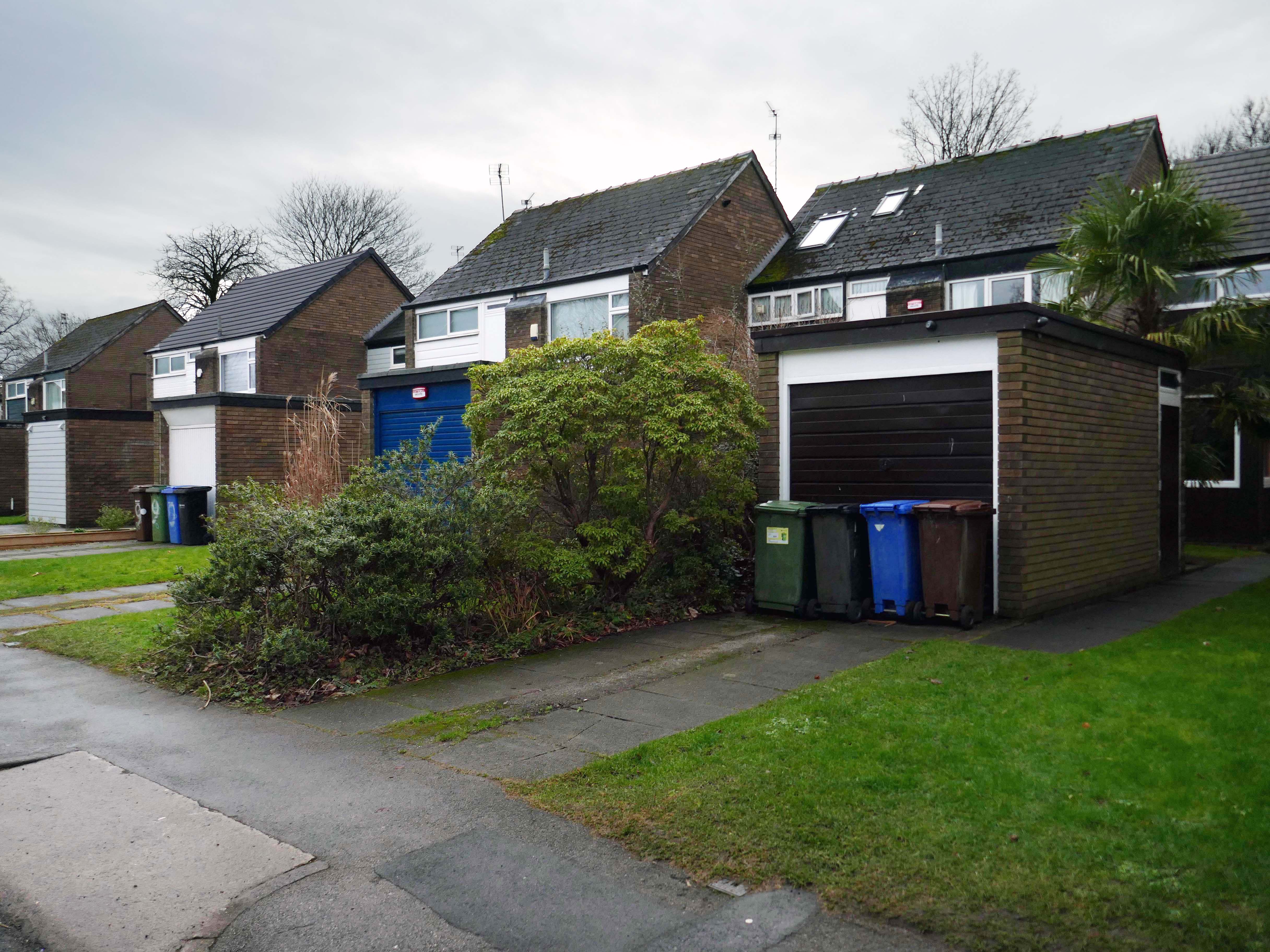
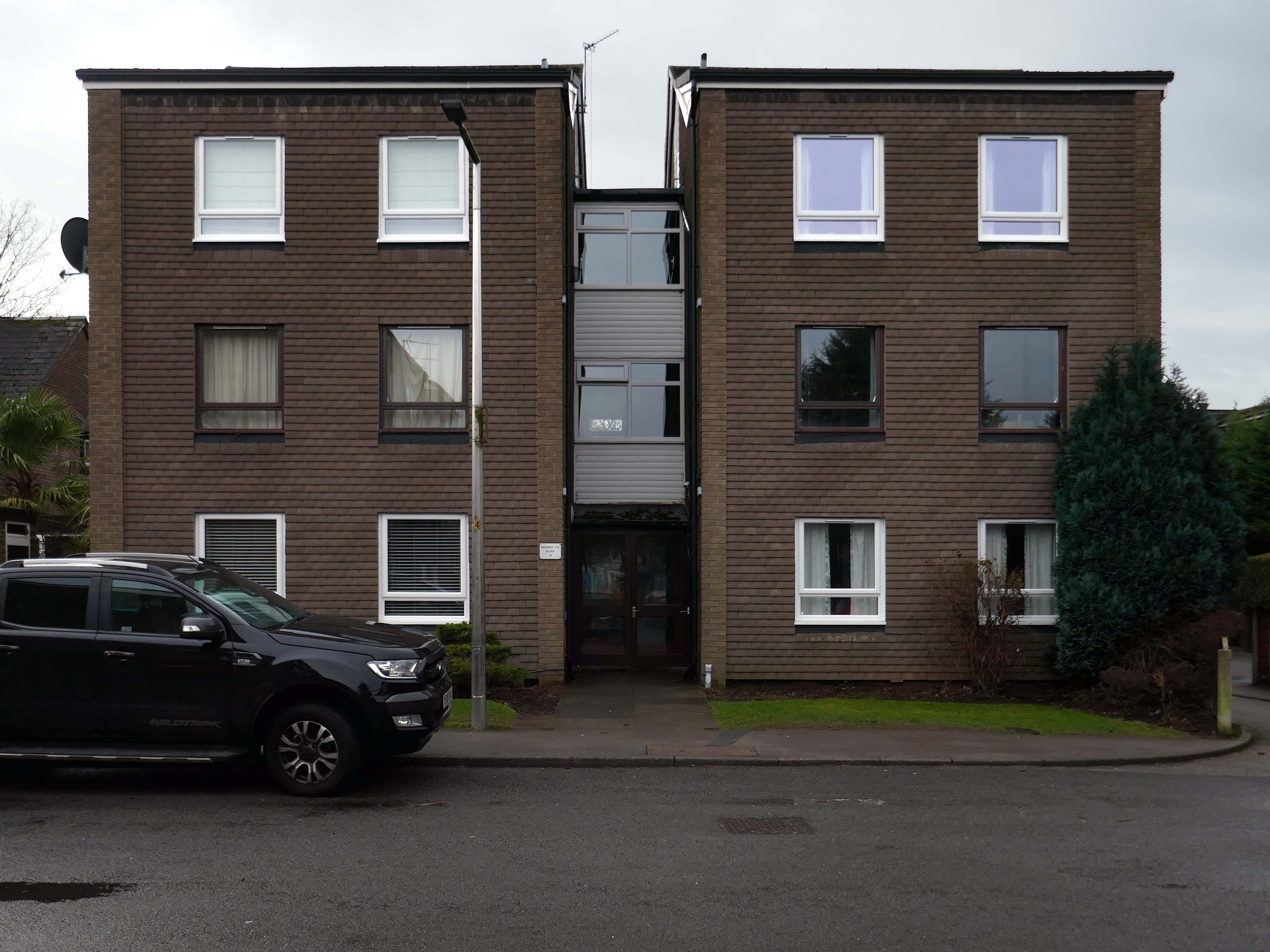
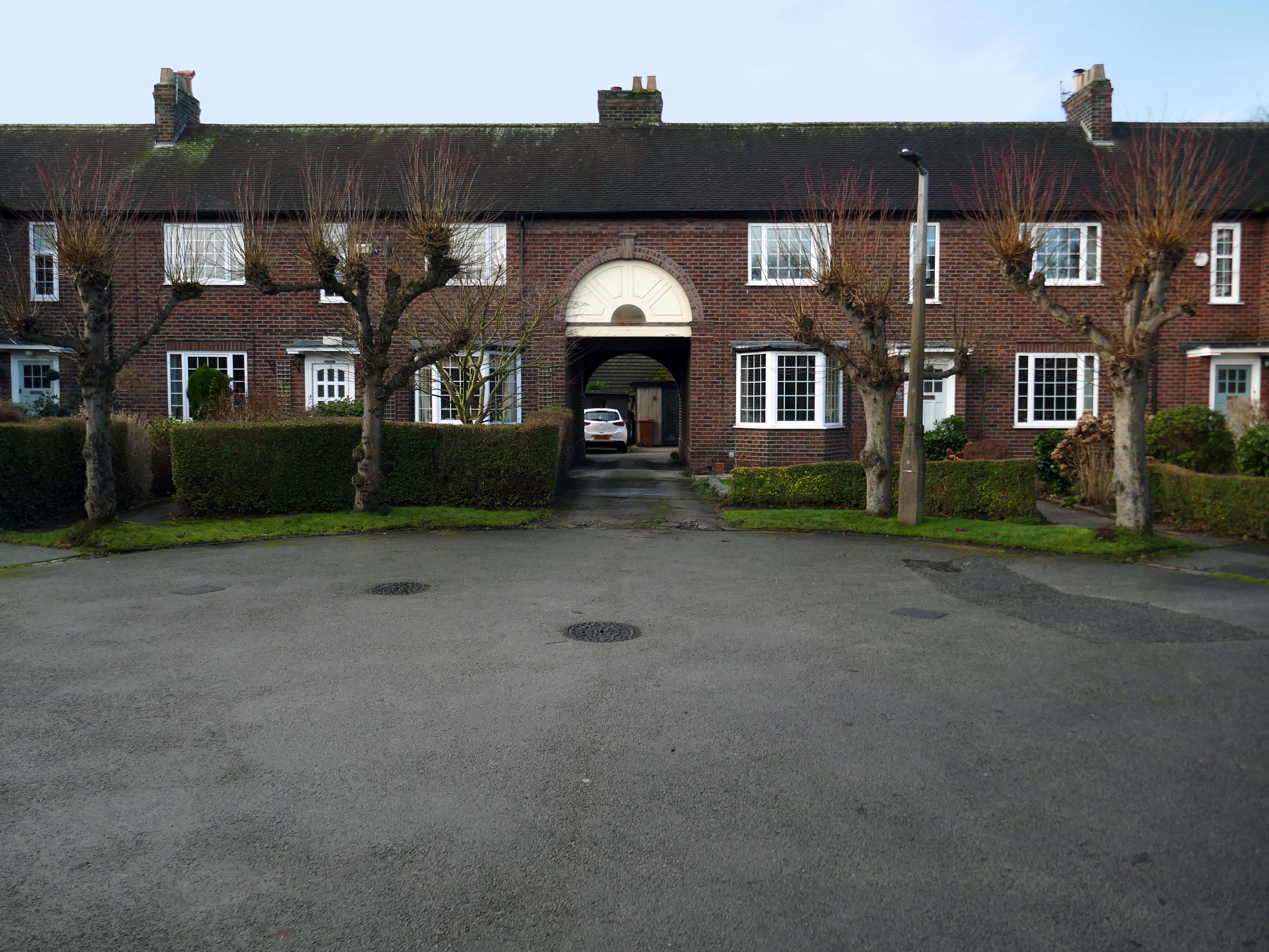
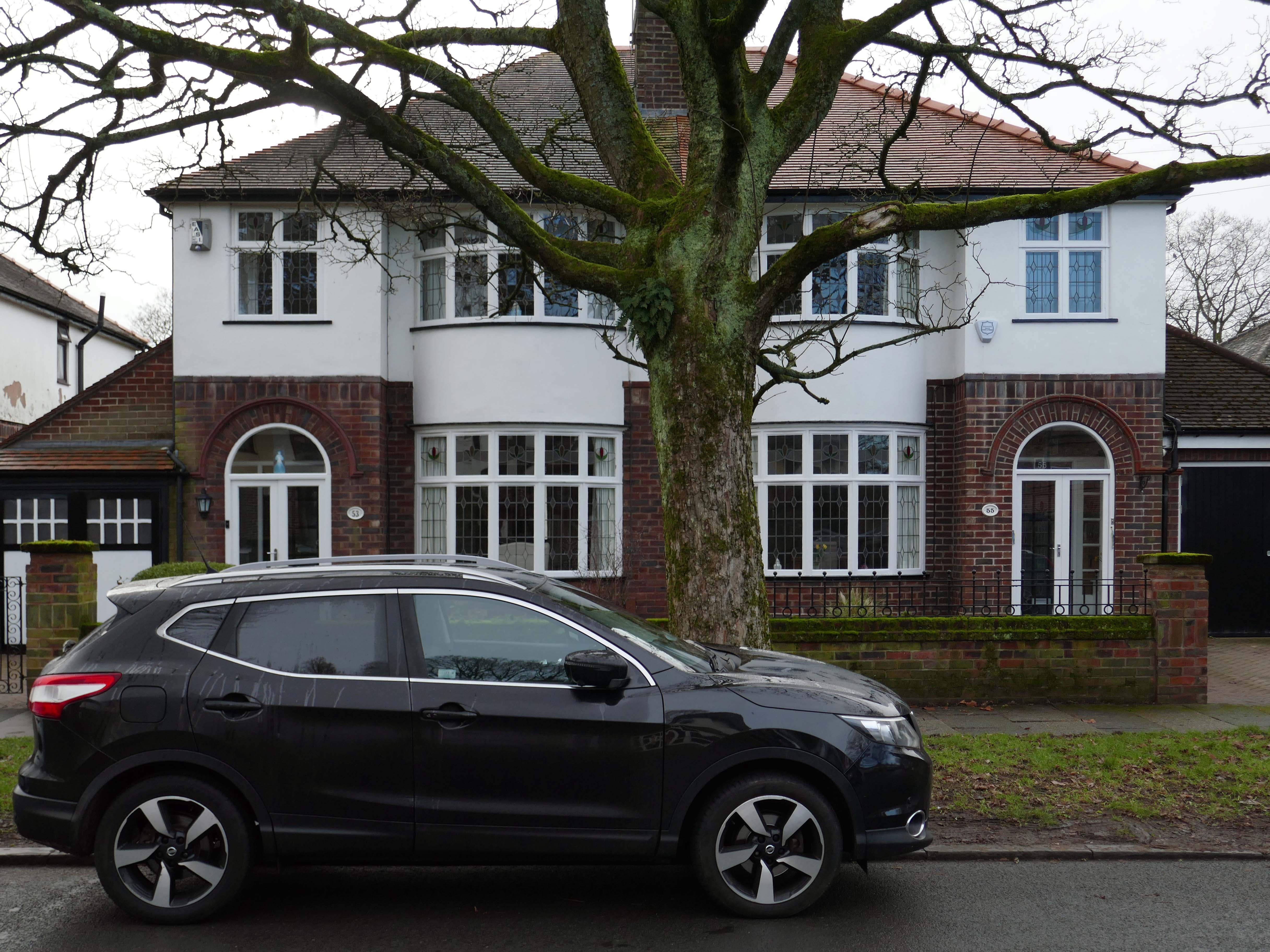
High above the streets of Stockport – zooming in to a cluster of cul de sacs branching out from Tithe Barn Road.
Cul de sac translates as bottom of the bag, the French do not use the term, preferring voie sans issue, literally a dead end.
In the slums of New York City, on the East River just below the Queensboro Bridge, wealthy people live in opulent and luxurious apartments because of the picturesque views of the river, while the destitute and poor live nearby in crowded, cockroach-infested tenements.
I assume that countless civic meetings and Estate Agents’ offices eschew the terminal term – dead end, in favour of the assumed elegance of the cu de sac.
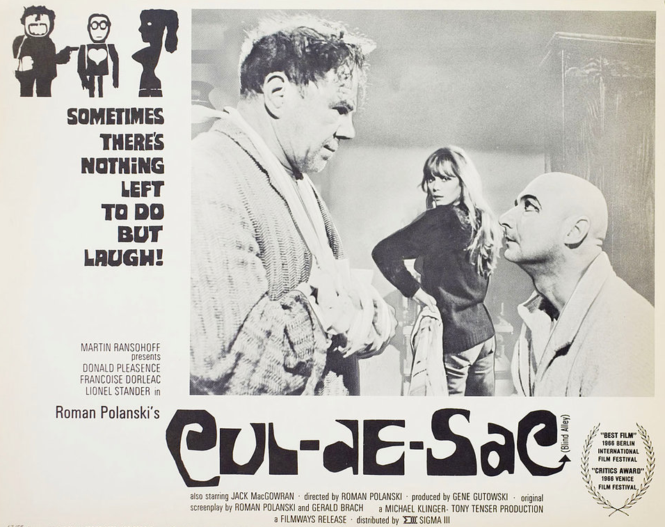
Polanski’s second English-language feature, it follows two injured gangsters who take refuge in the remote island castle of a young British couple in the North of England, spurring a series of mind games and violent altercations.
I was informed by a local resident that the streets and houses had been used by film crews, firstly for ease of access, the location being closed off, and secondly as the period architecture aligns perfectly with the current penchant for mid-century styling.
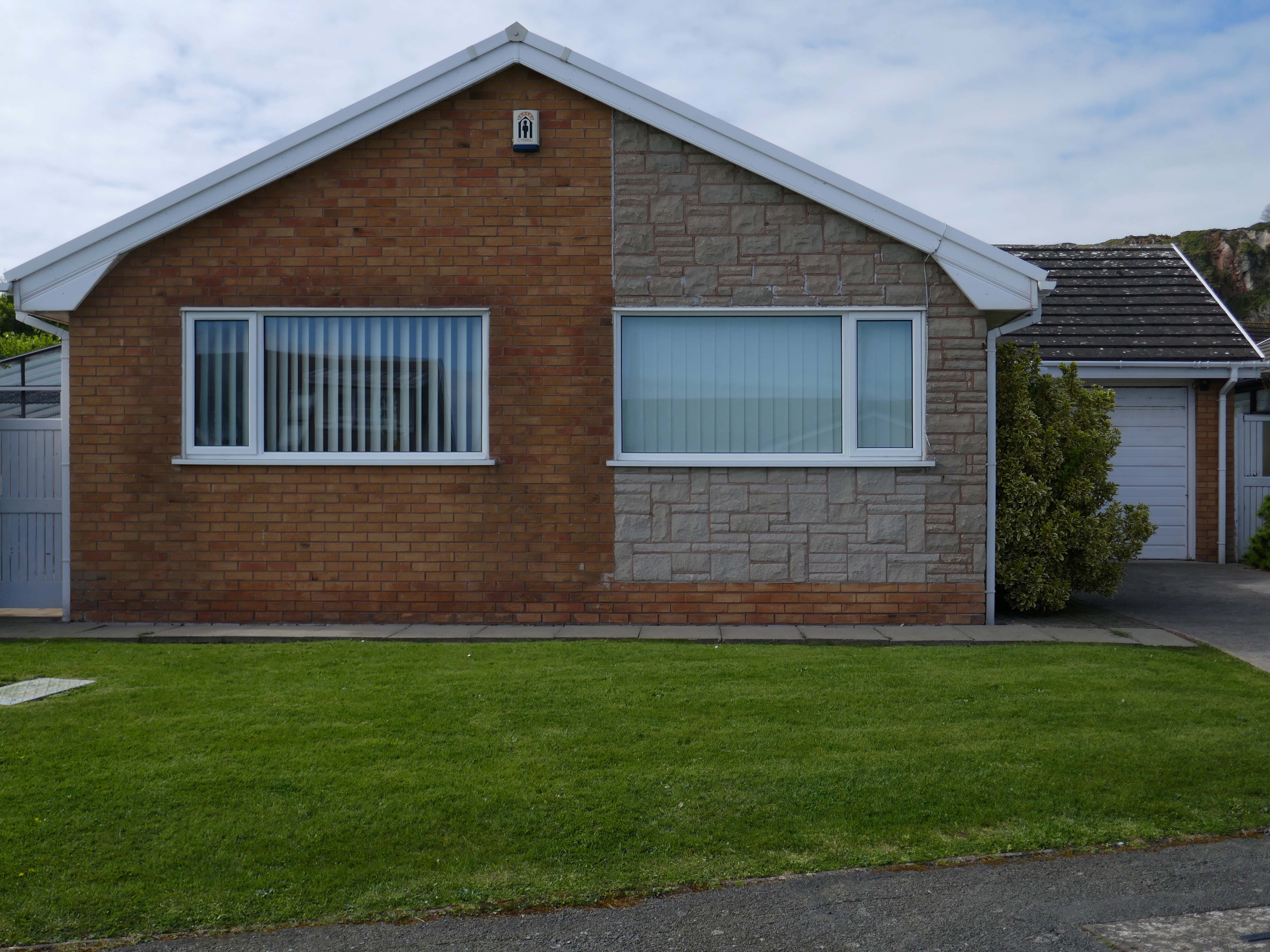
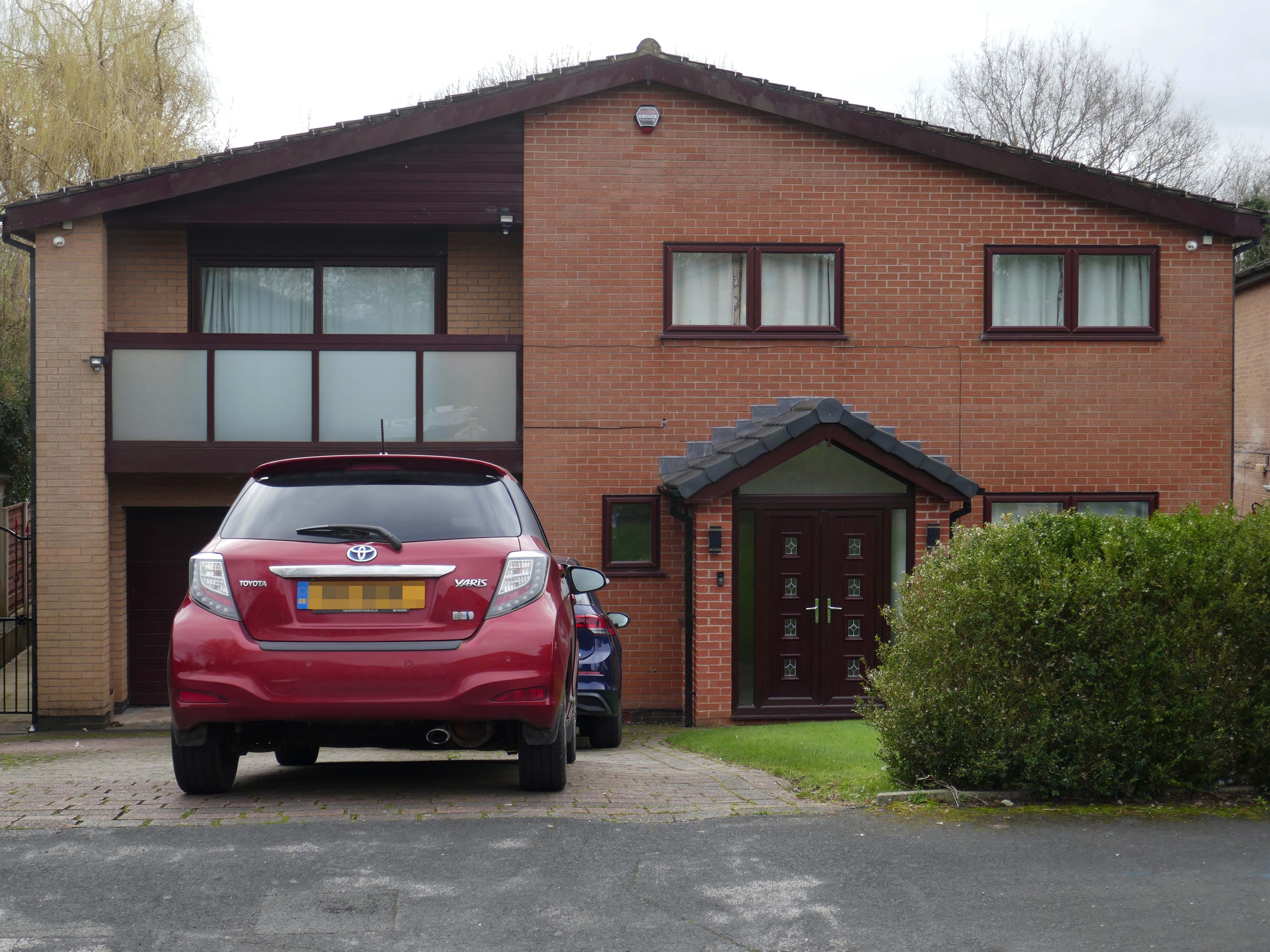
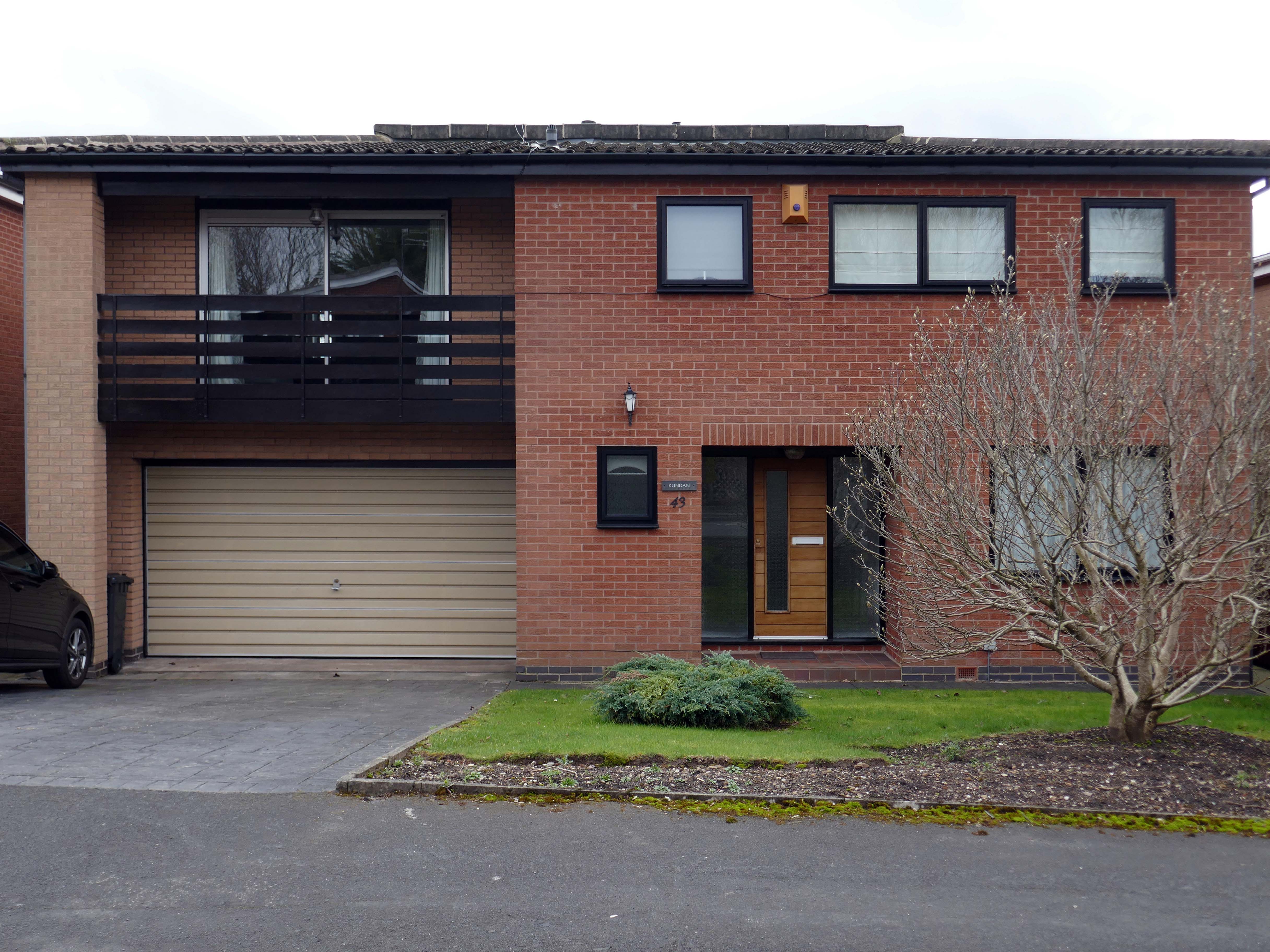
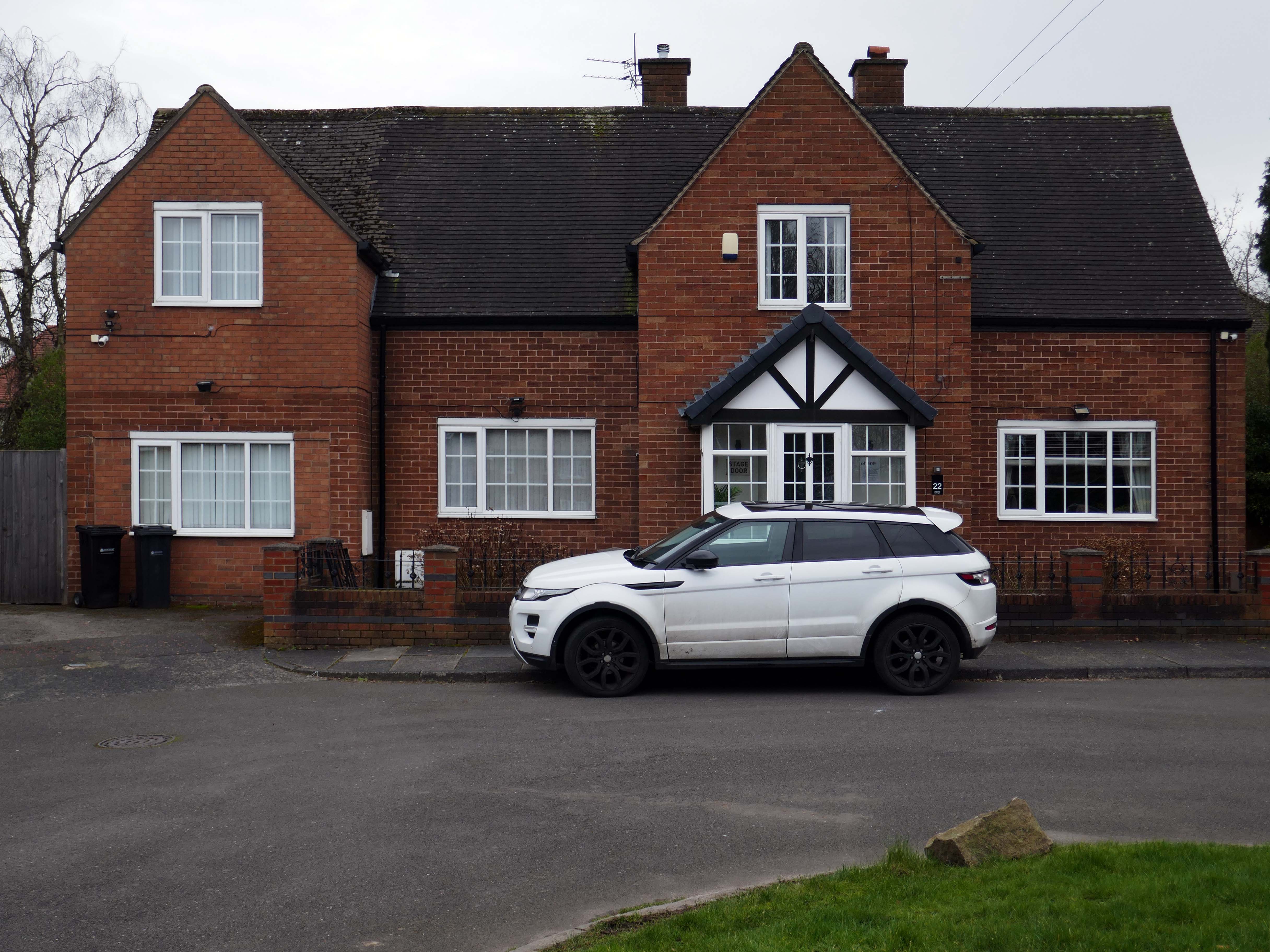
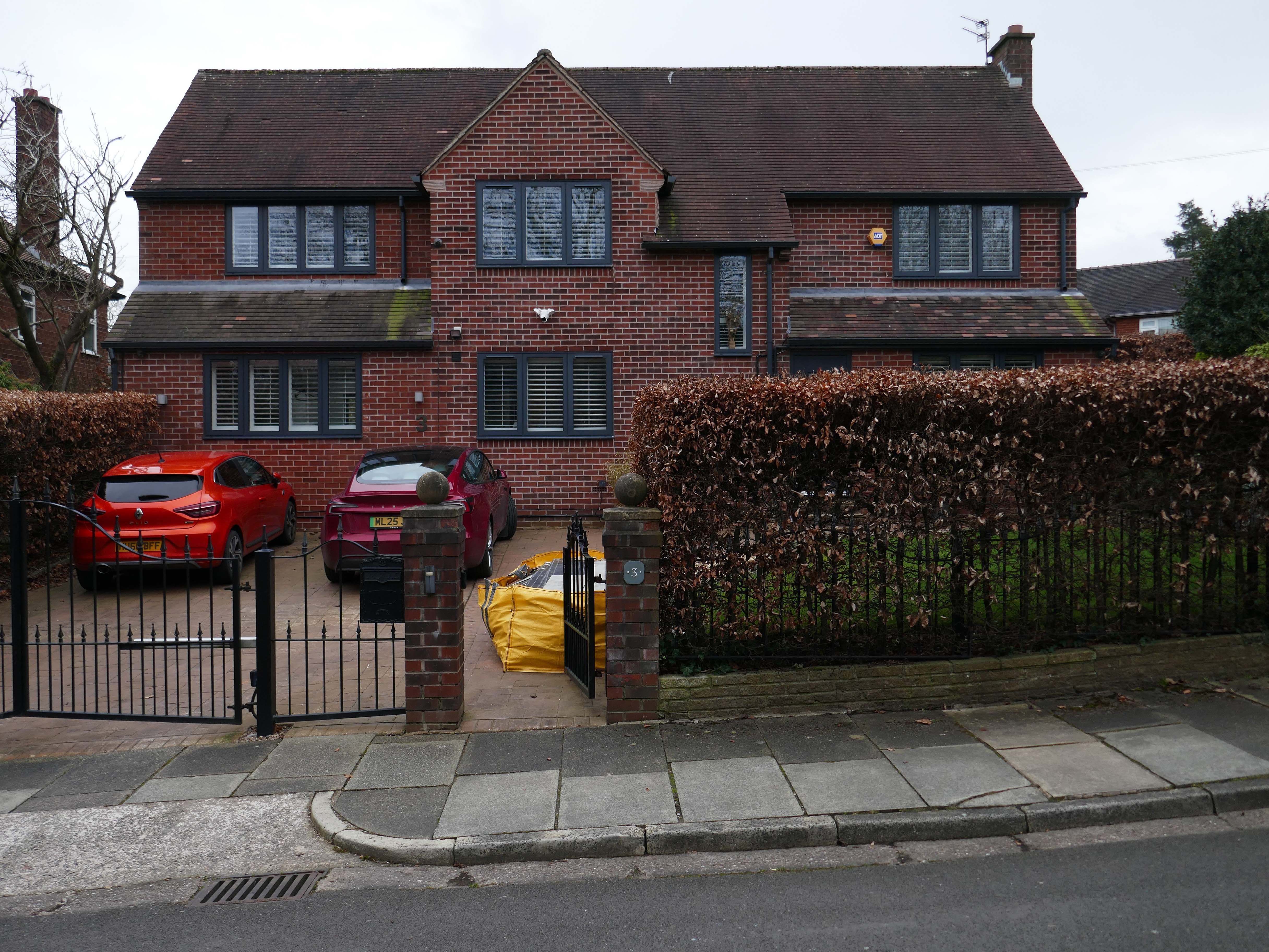
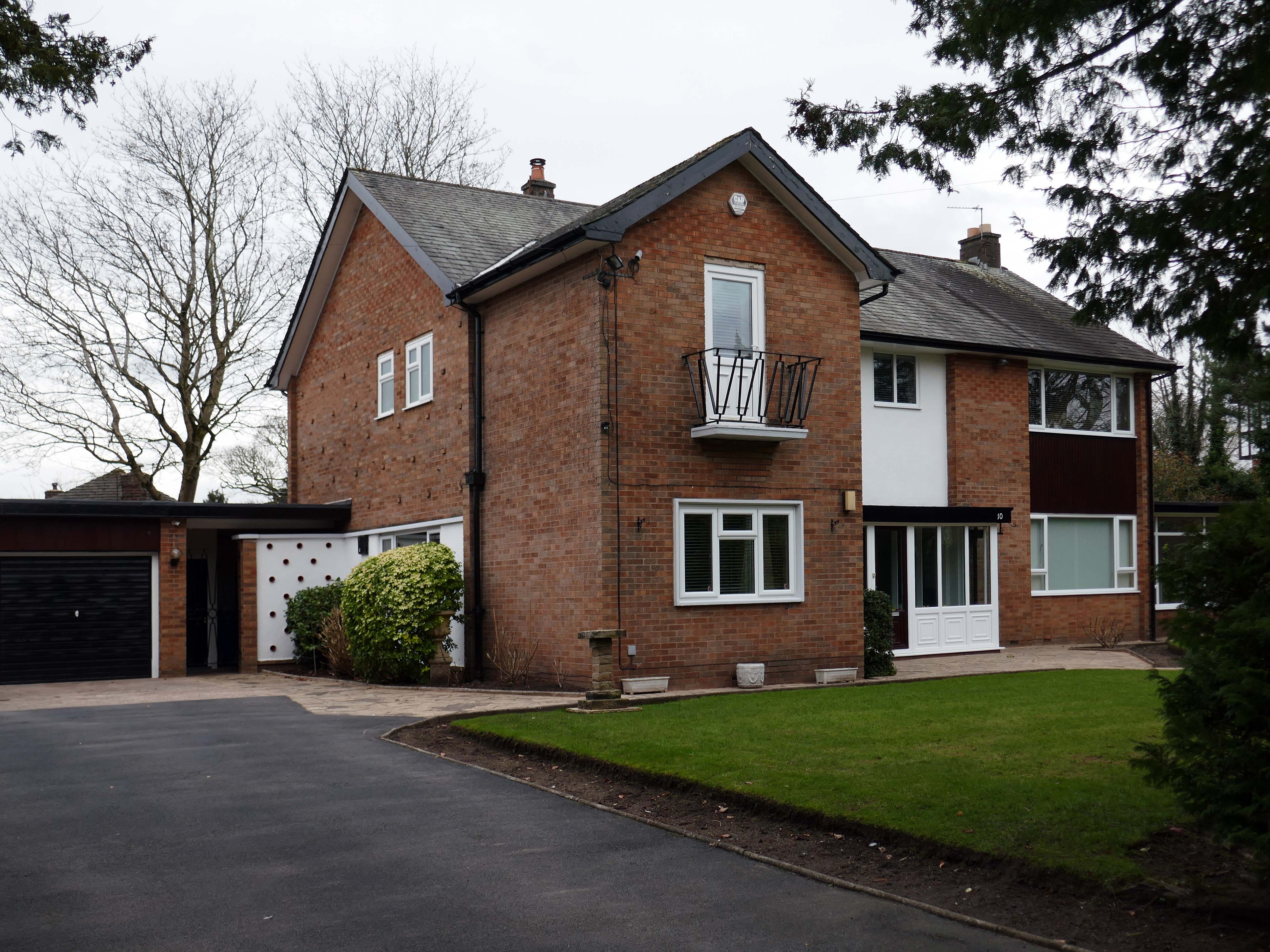
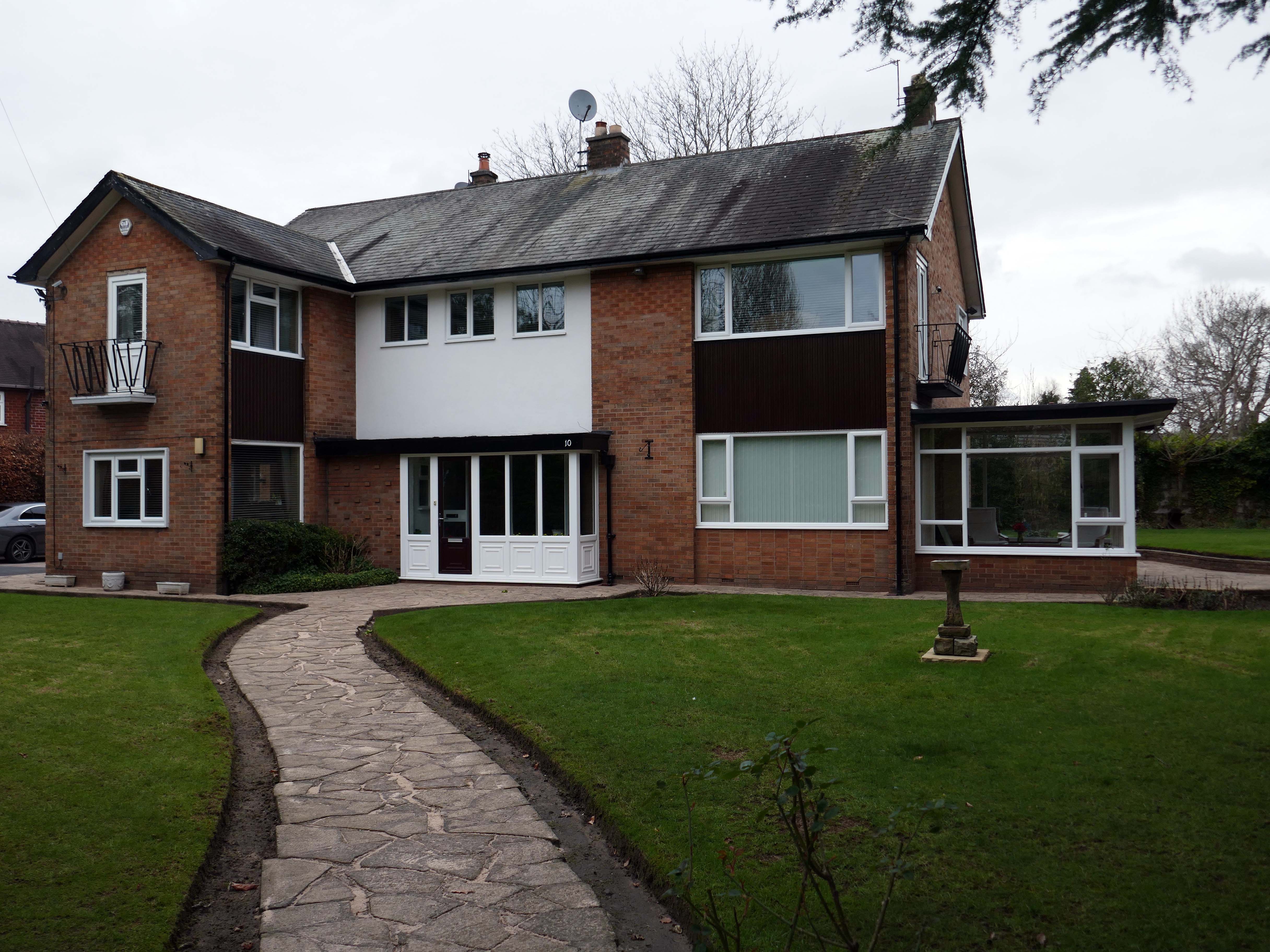
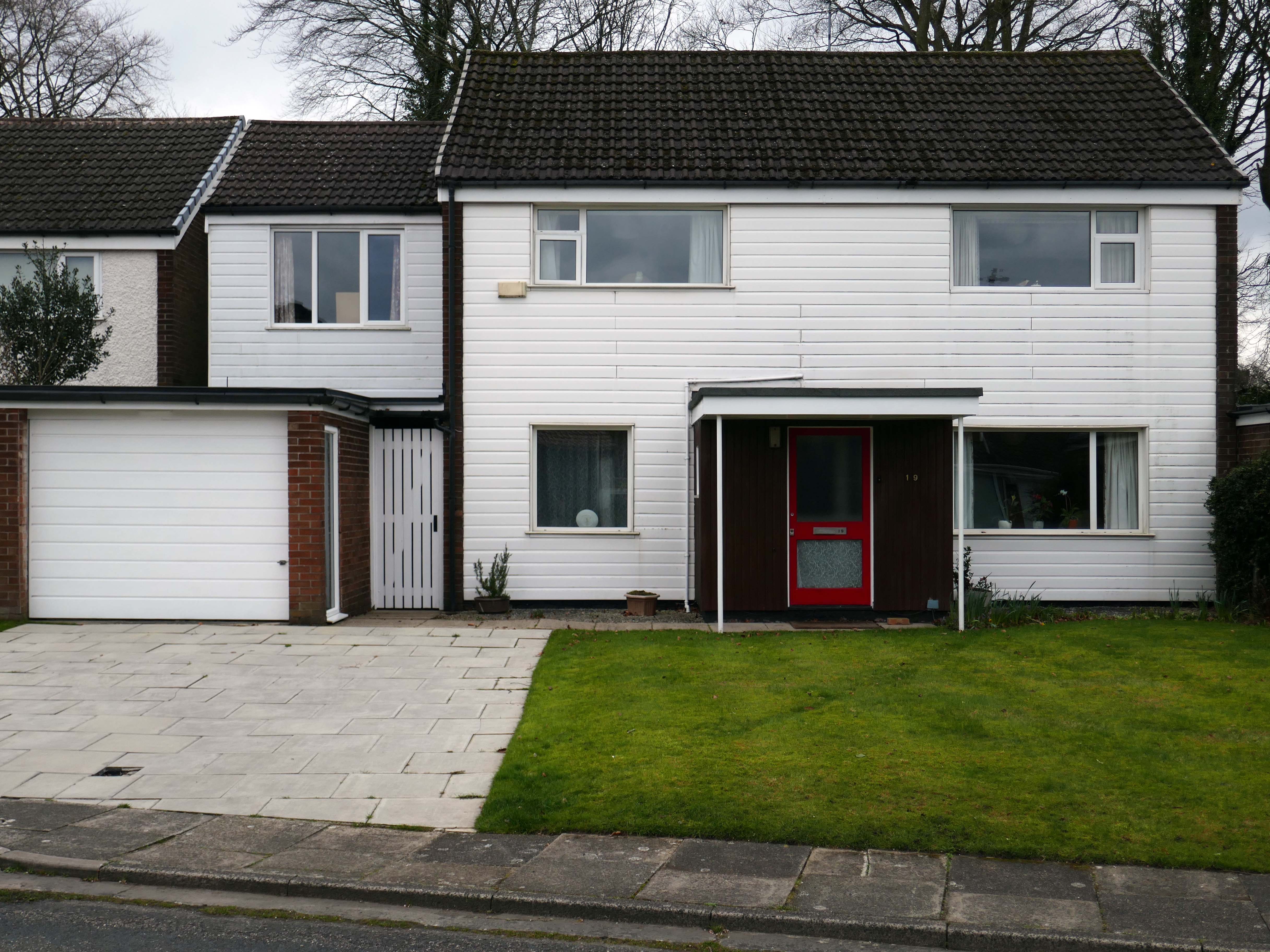
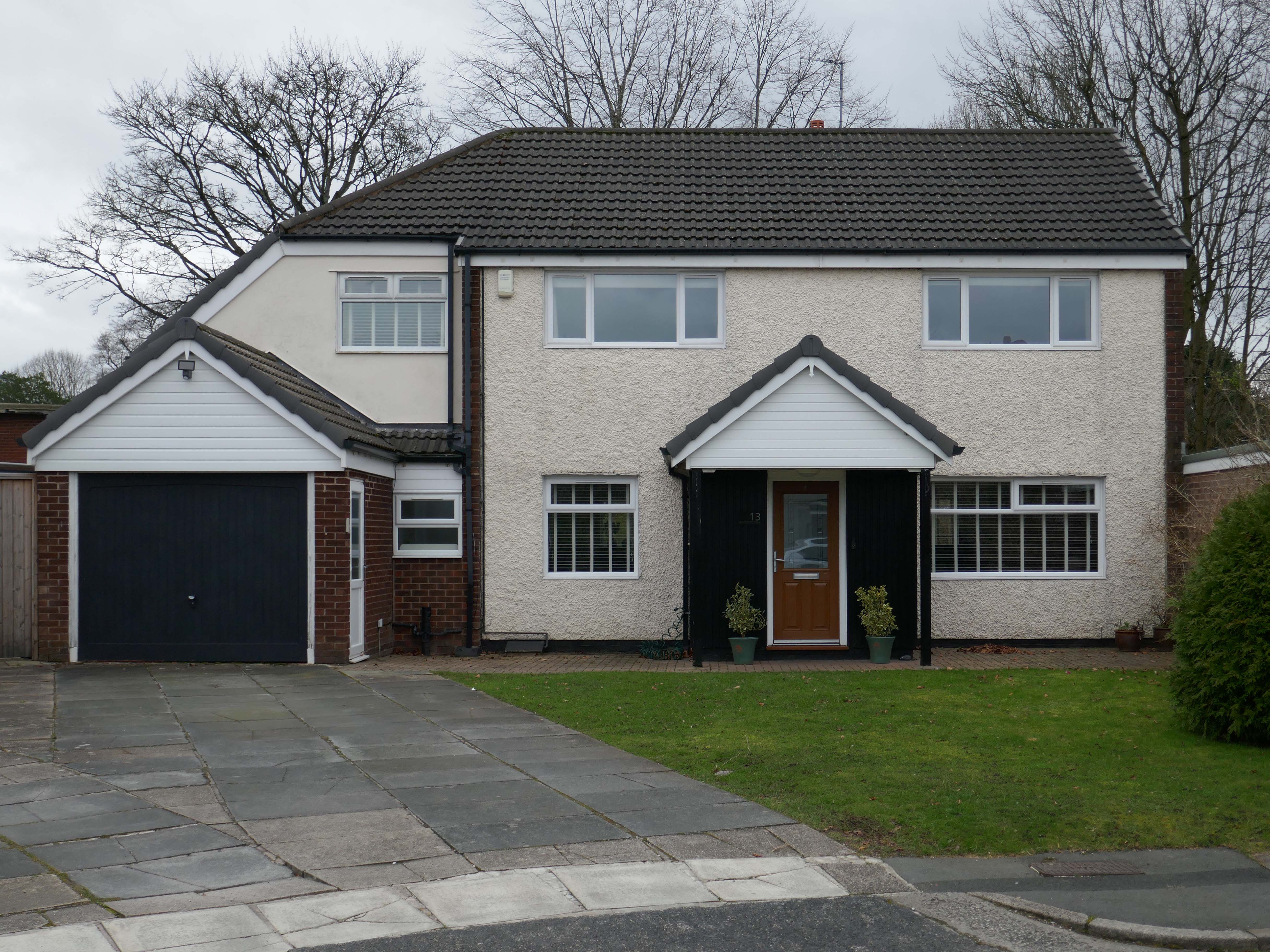
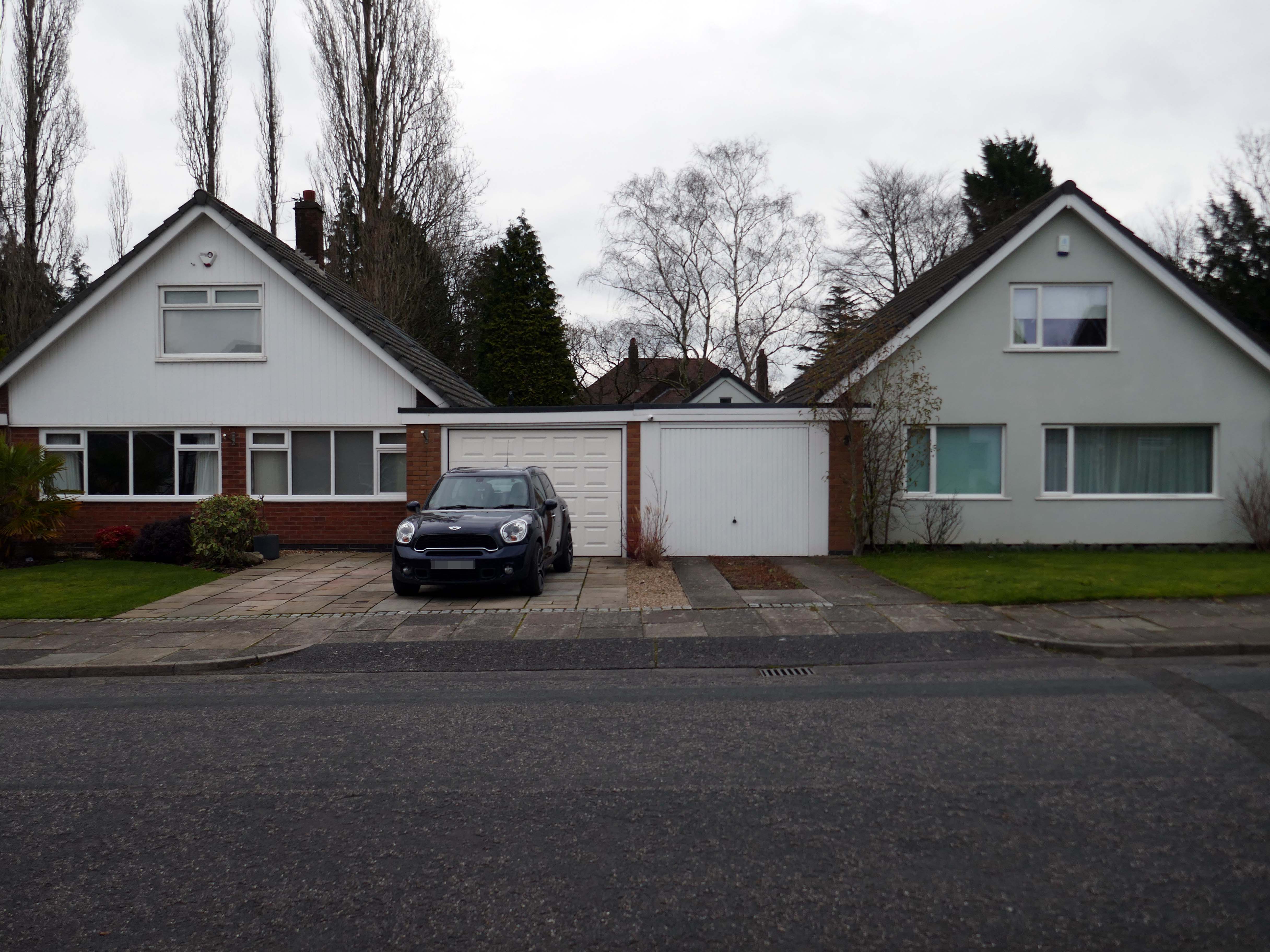
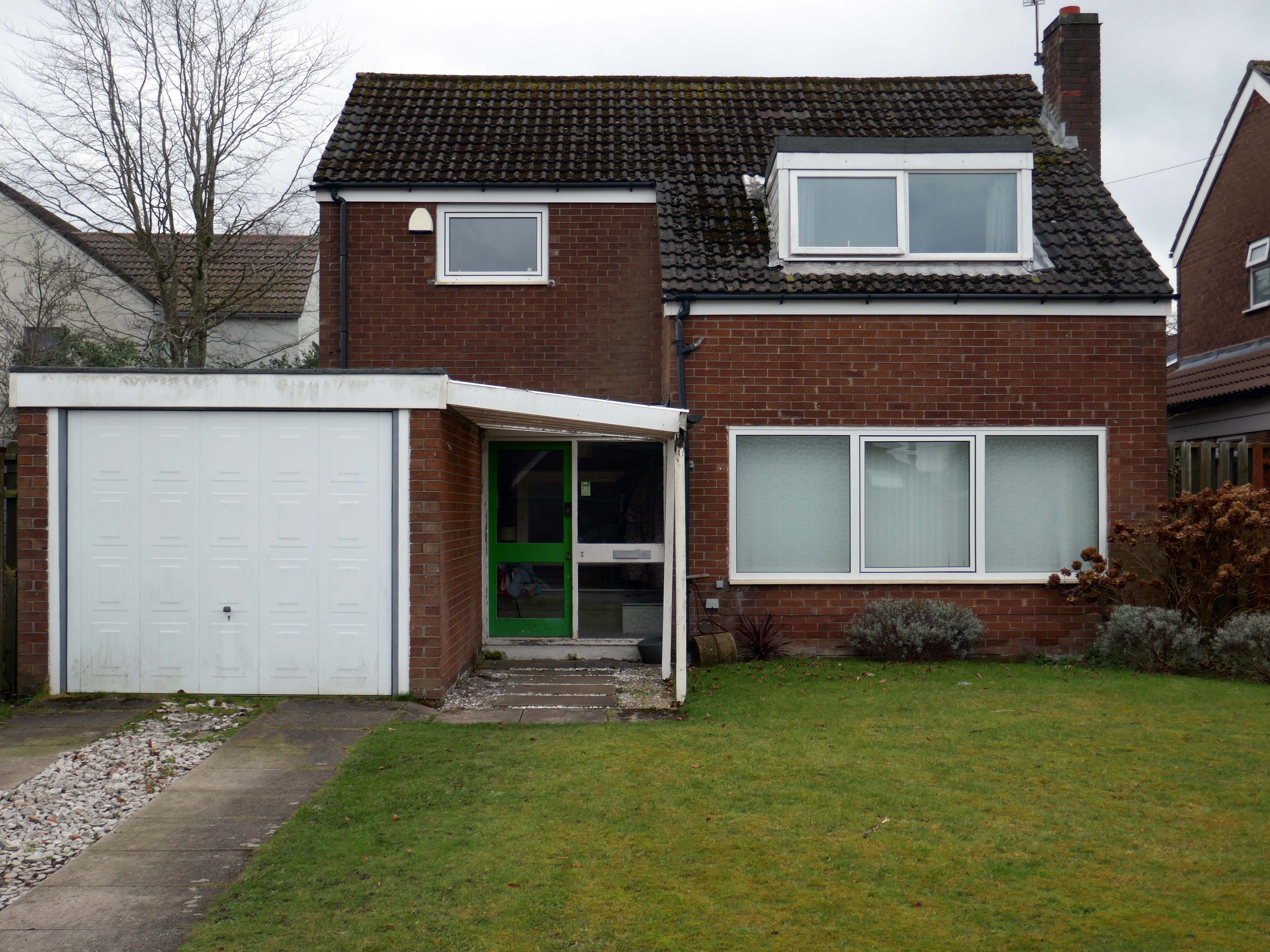
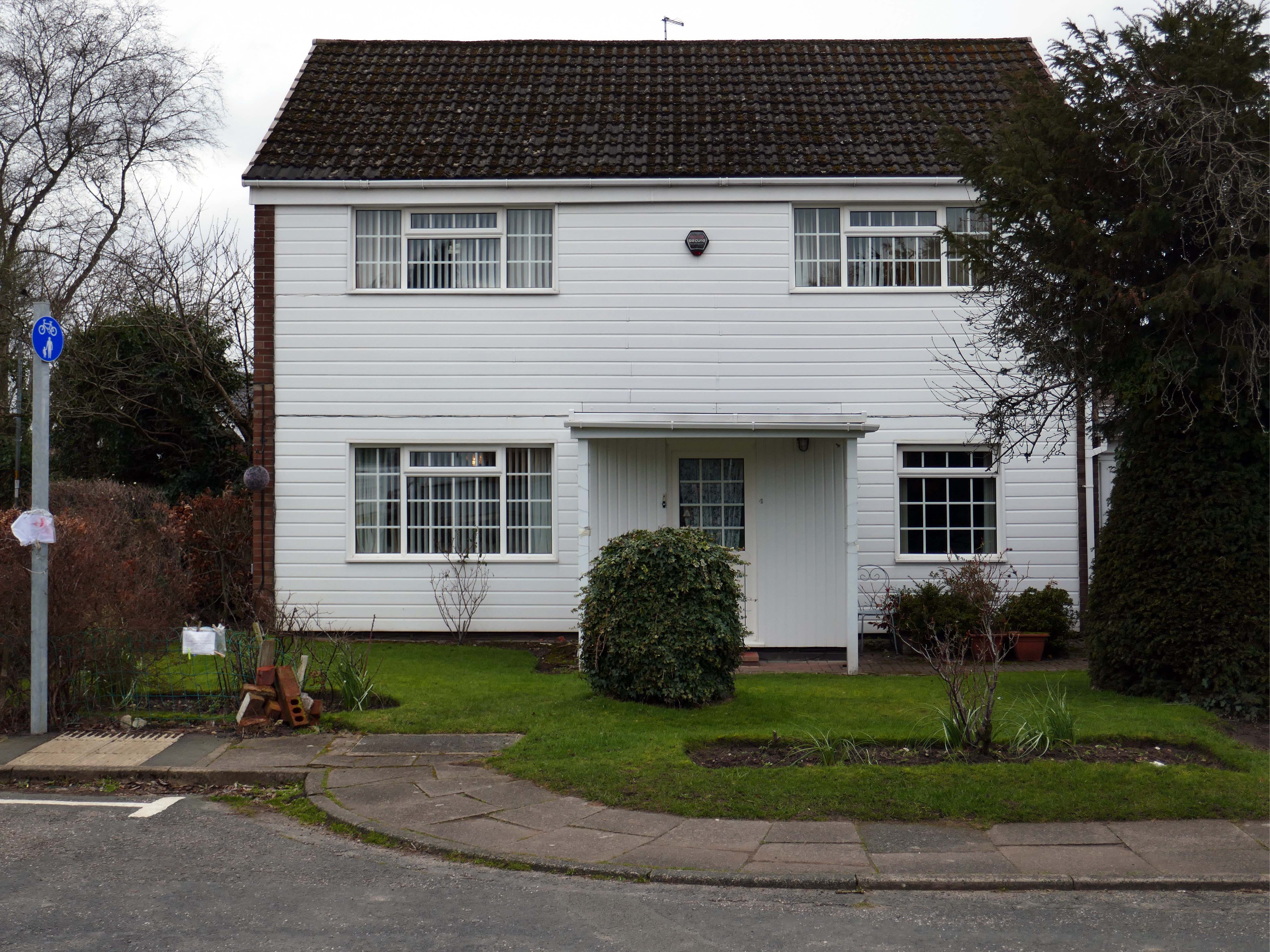
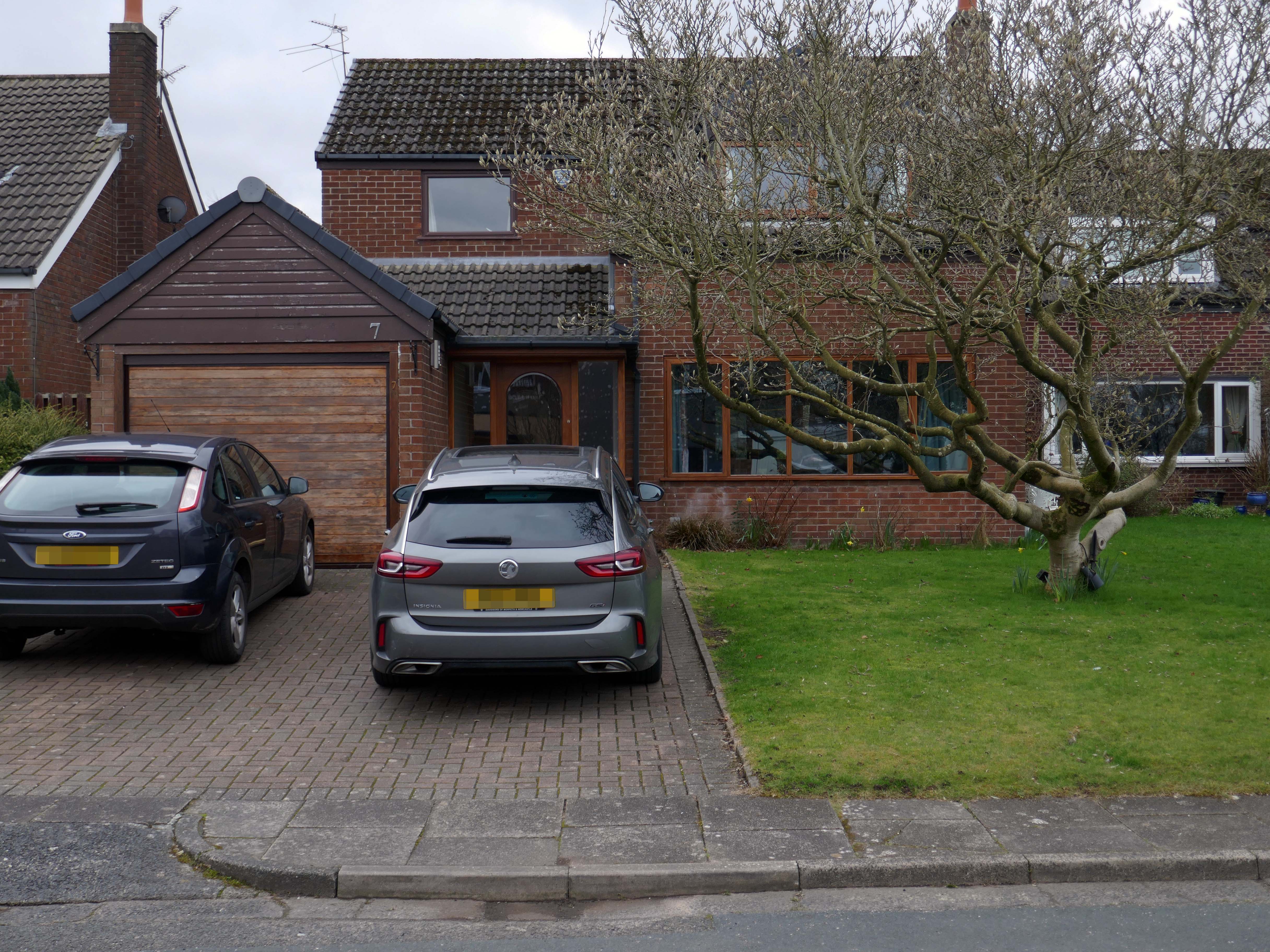
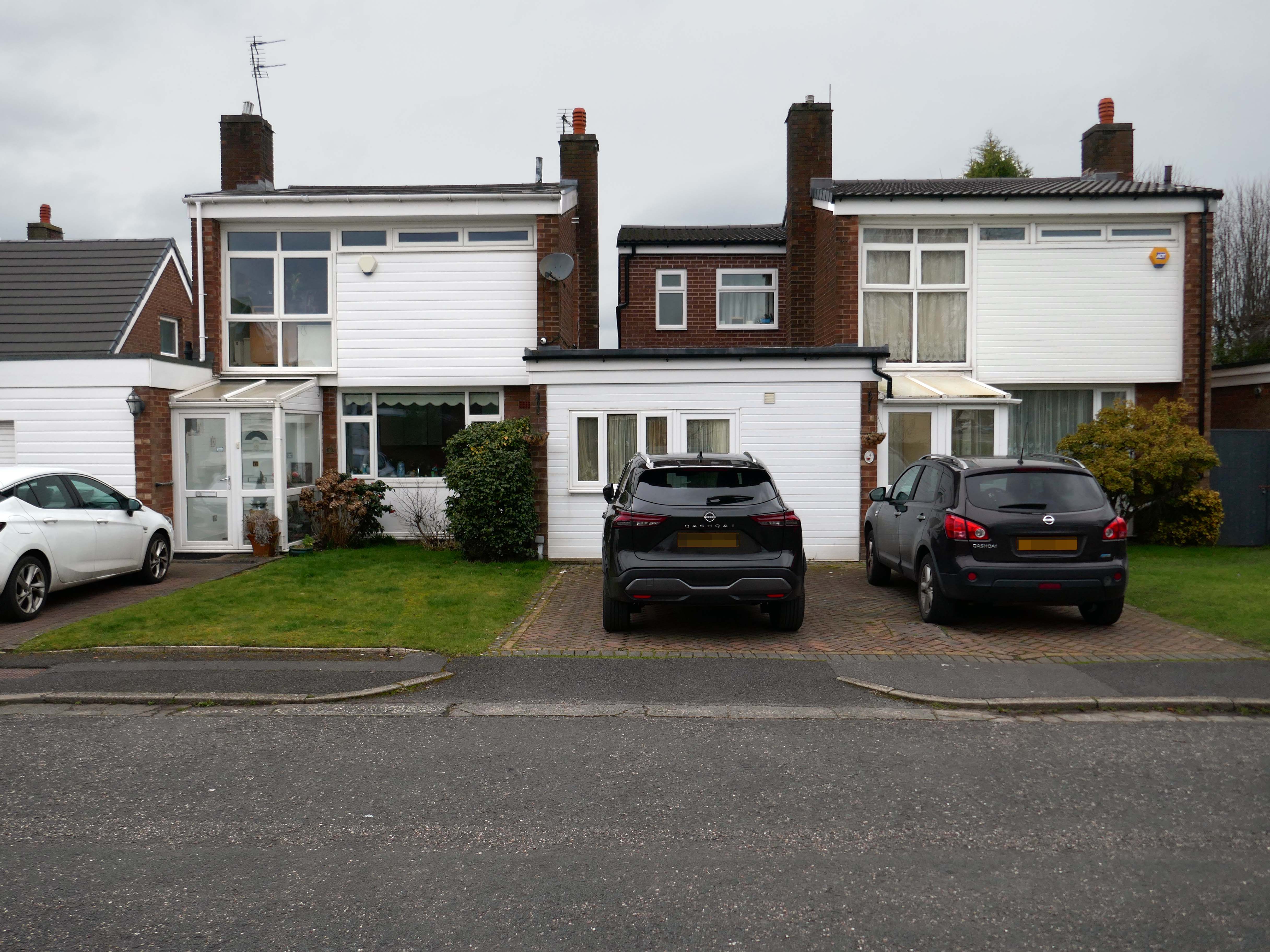
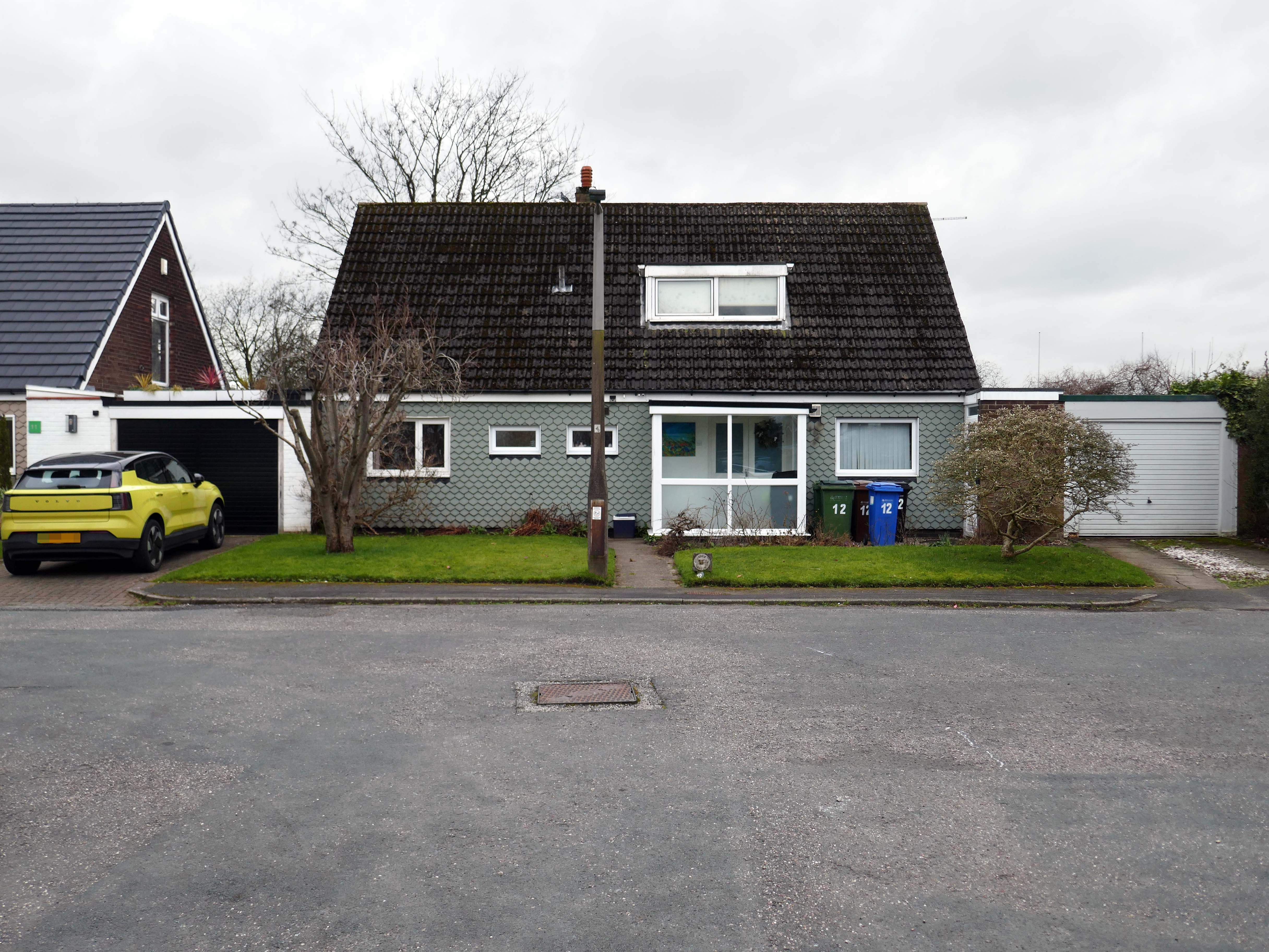
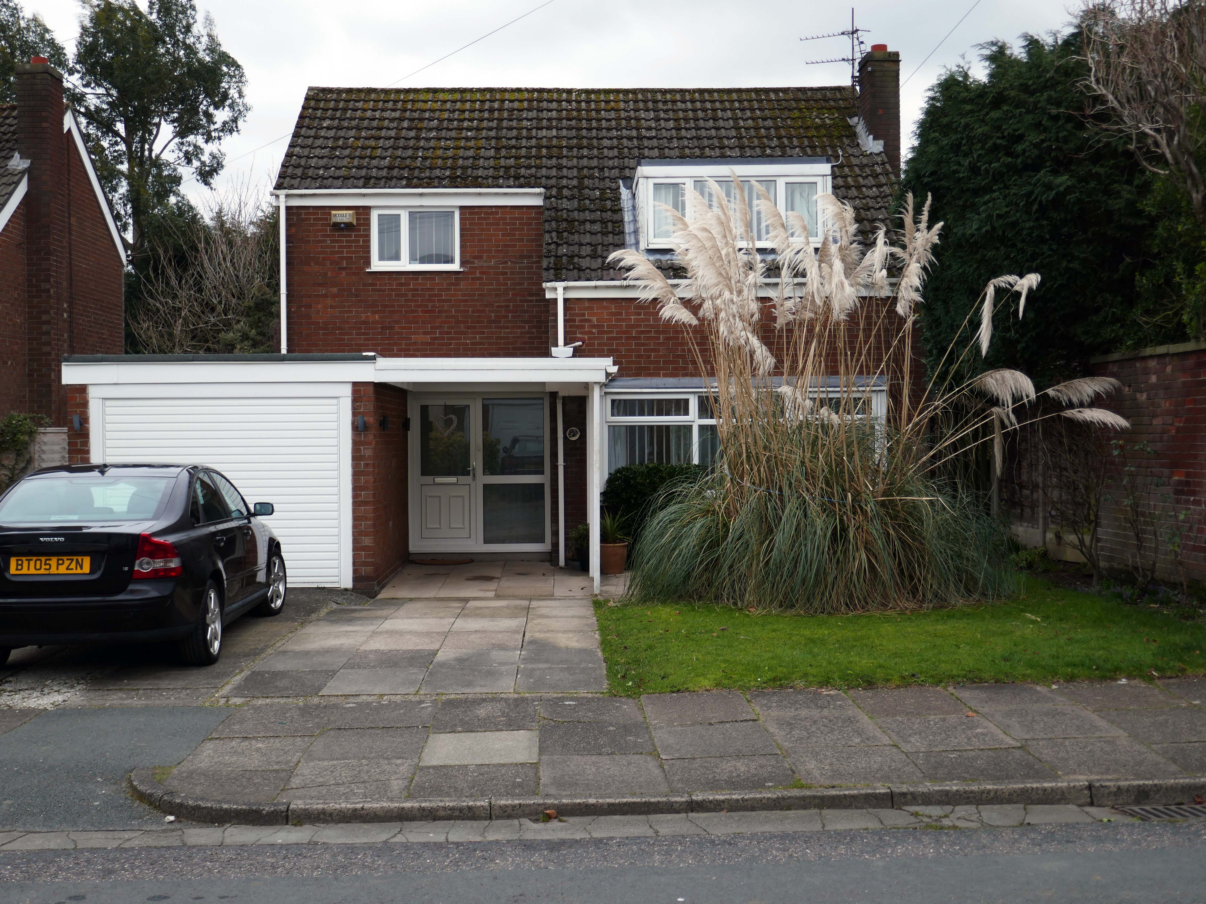
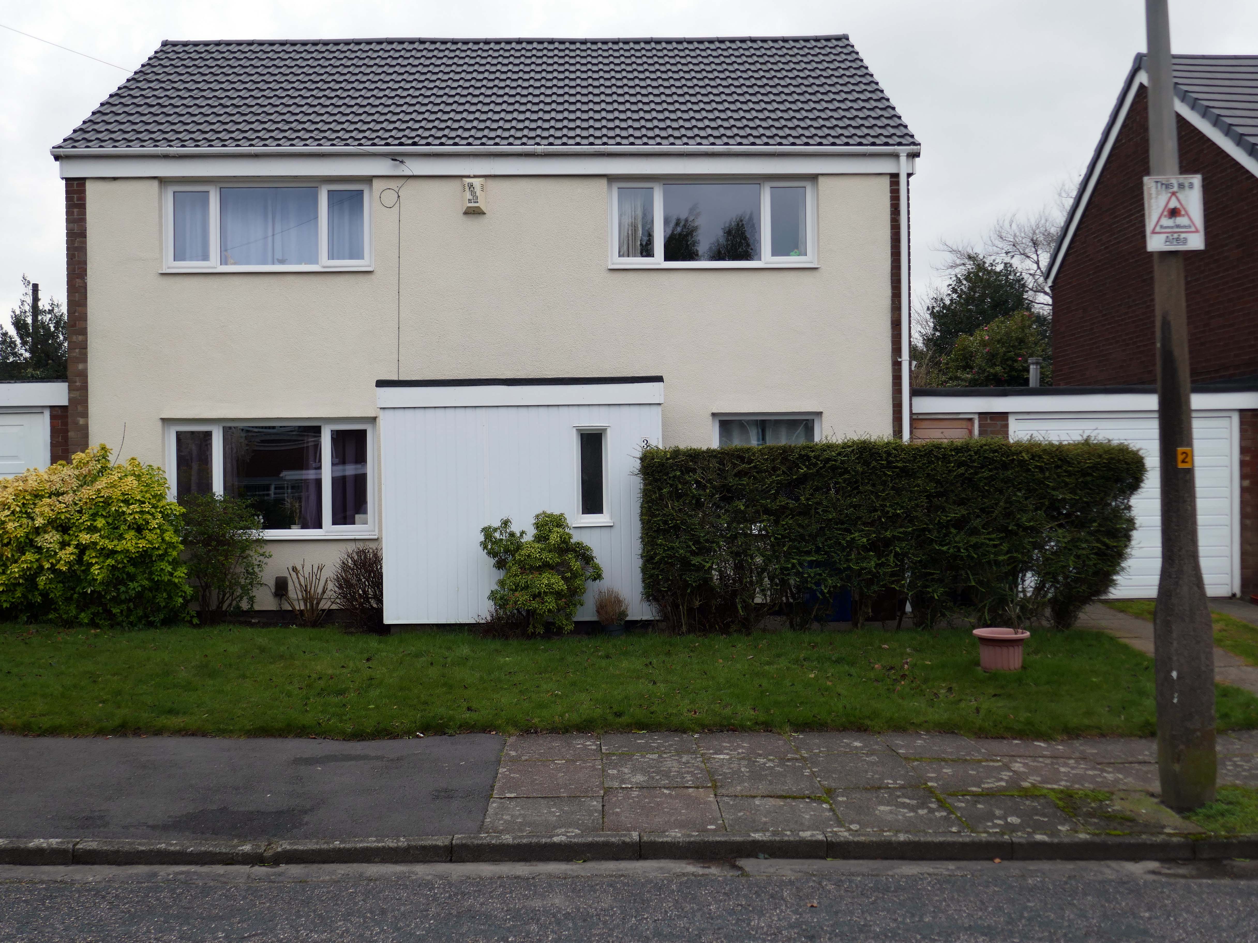
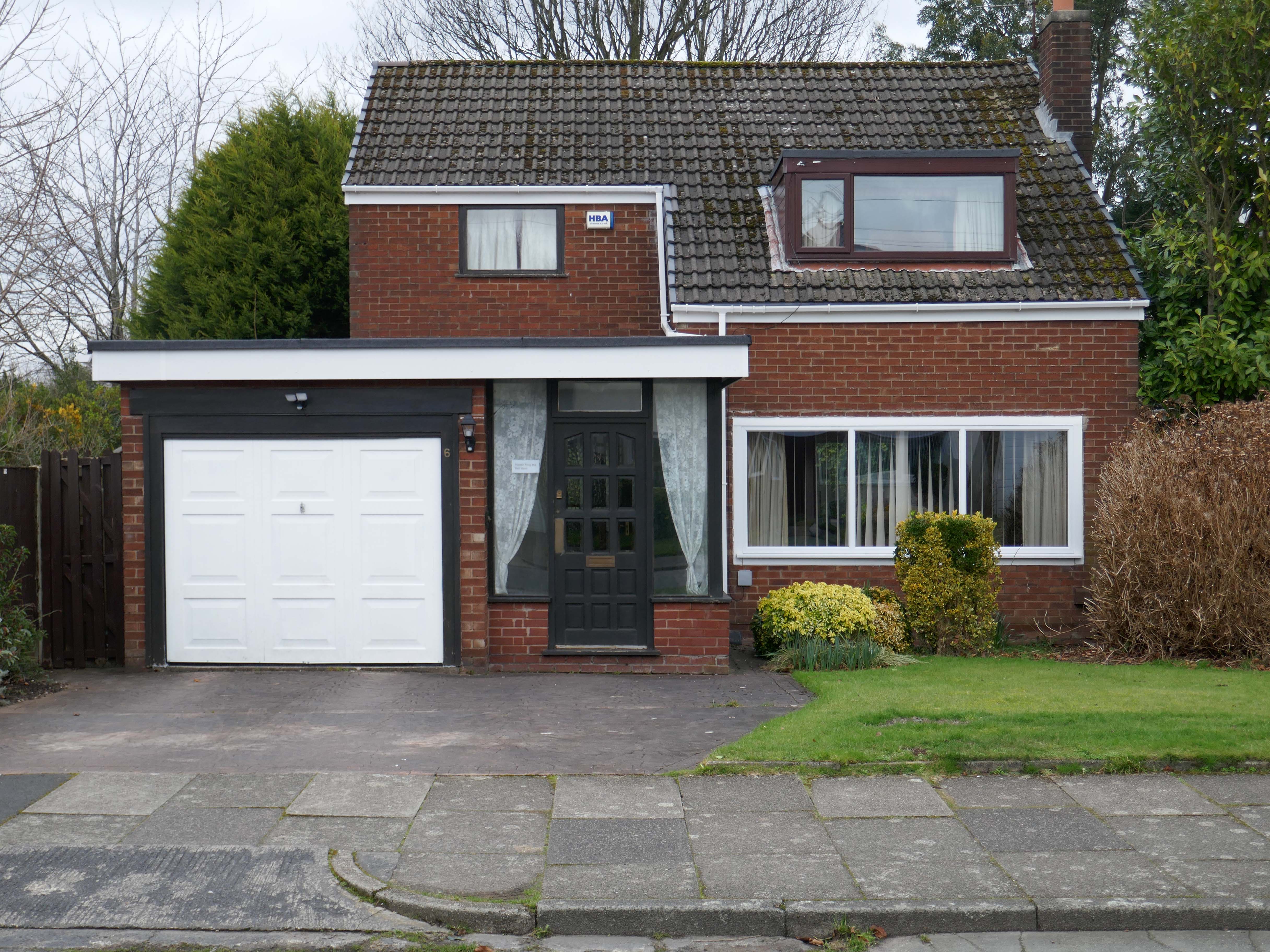
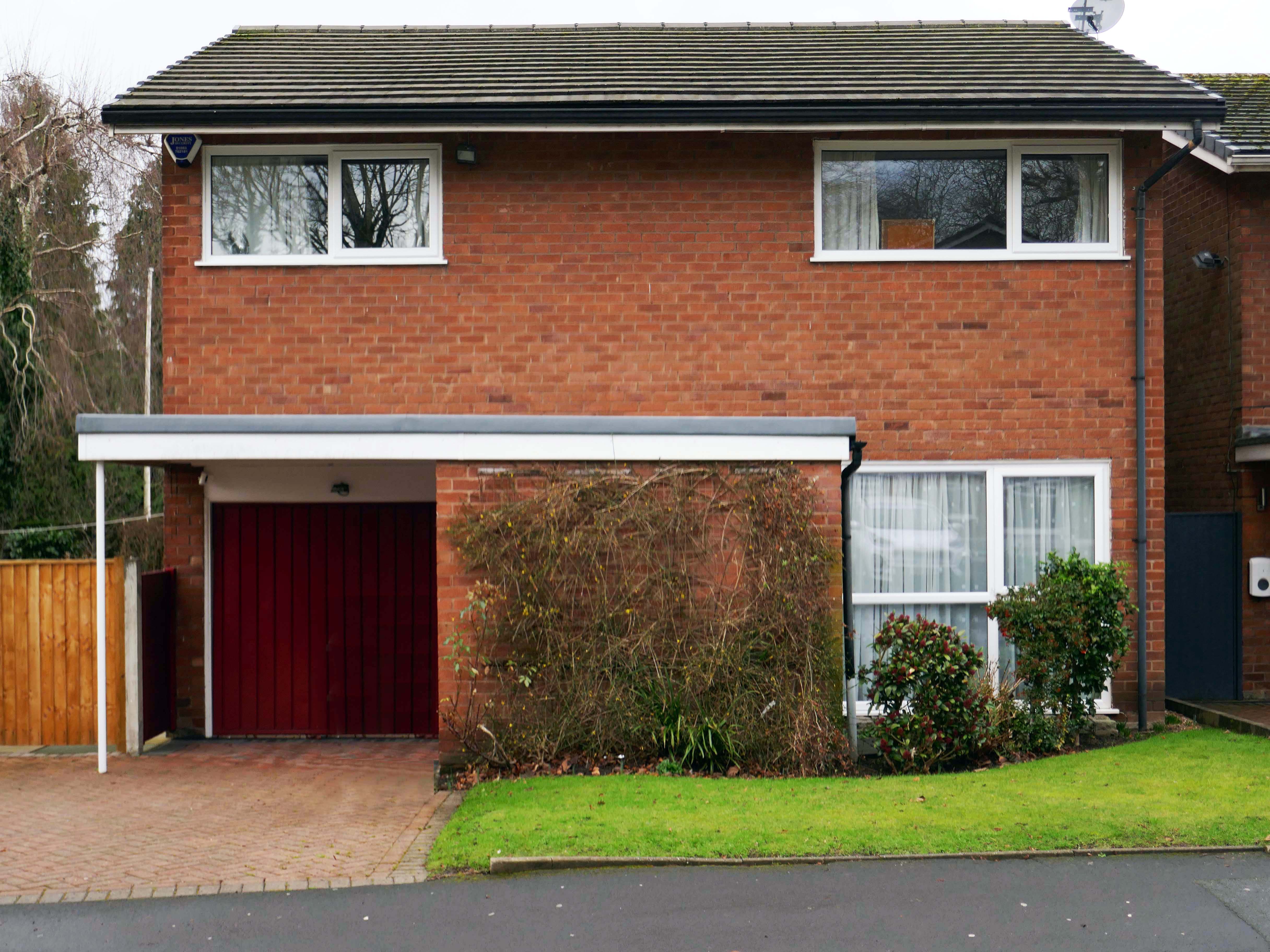
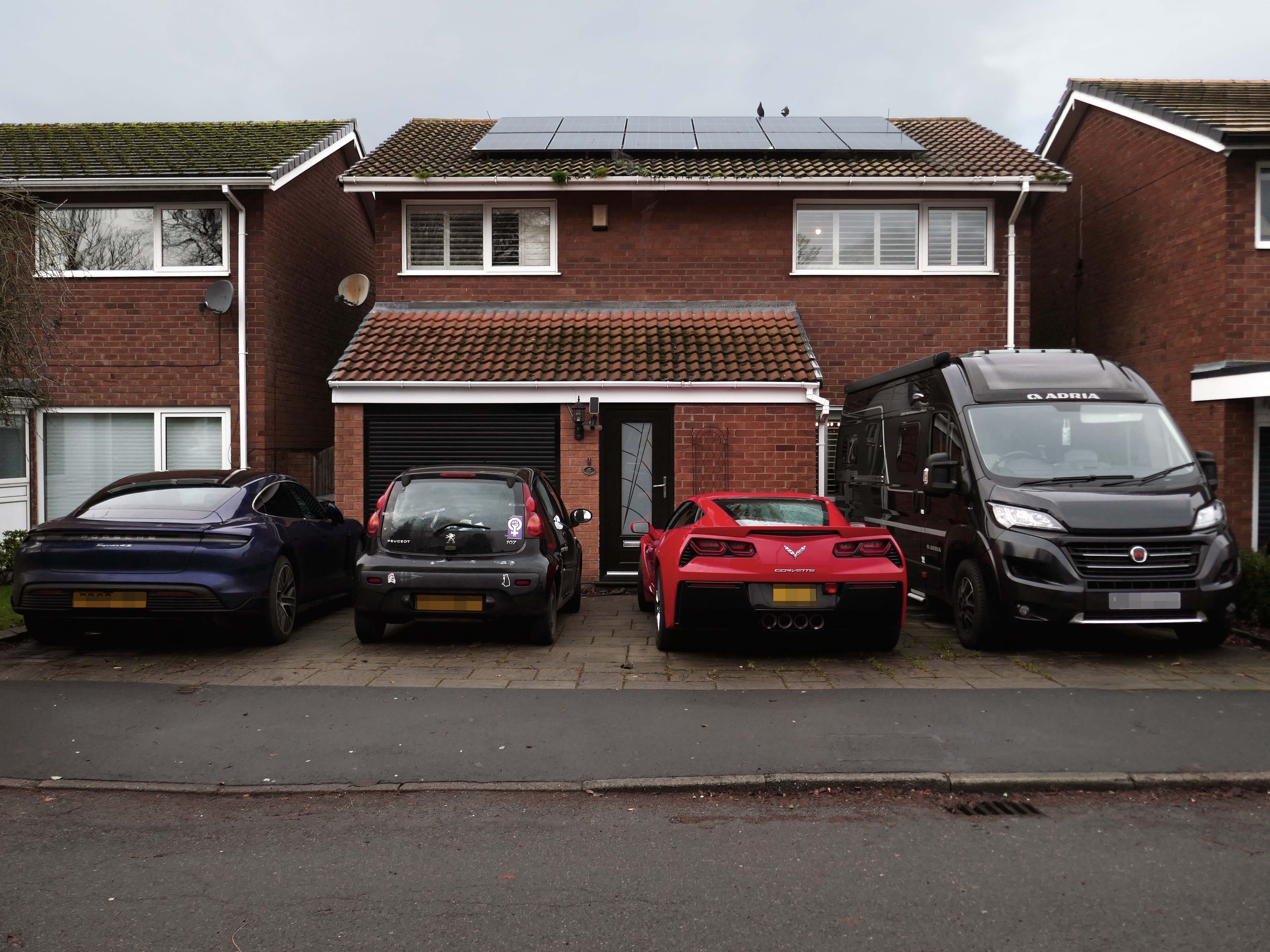
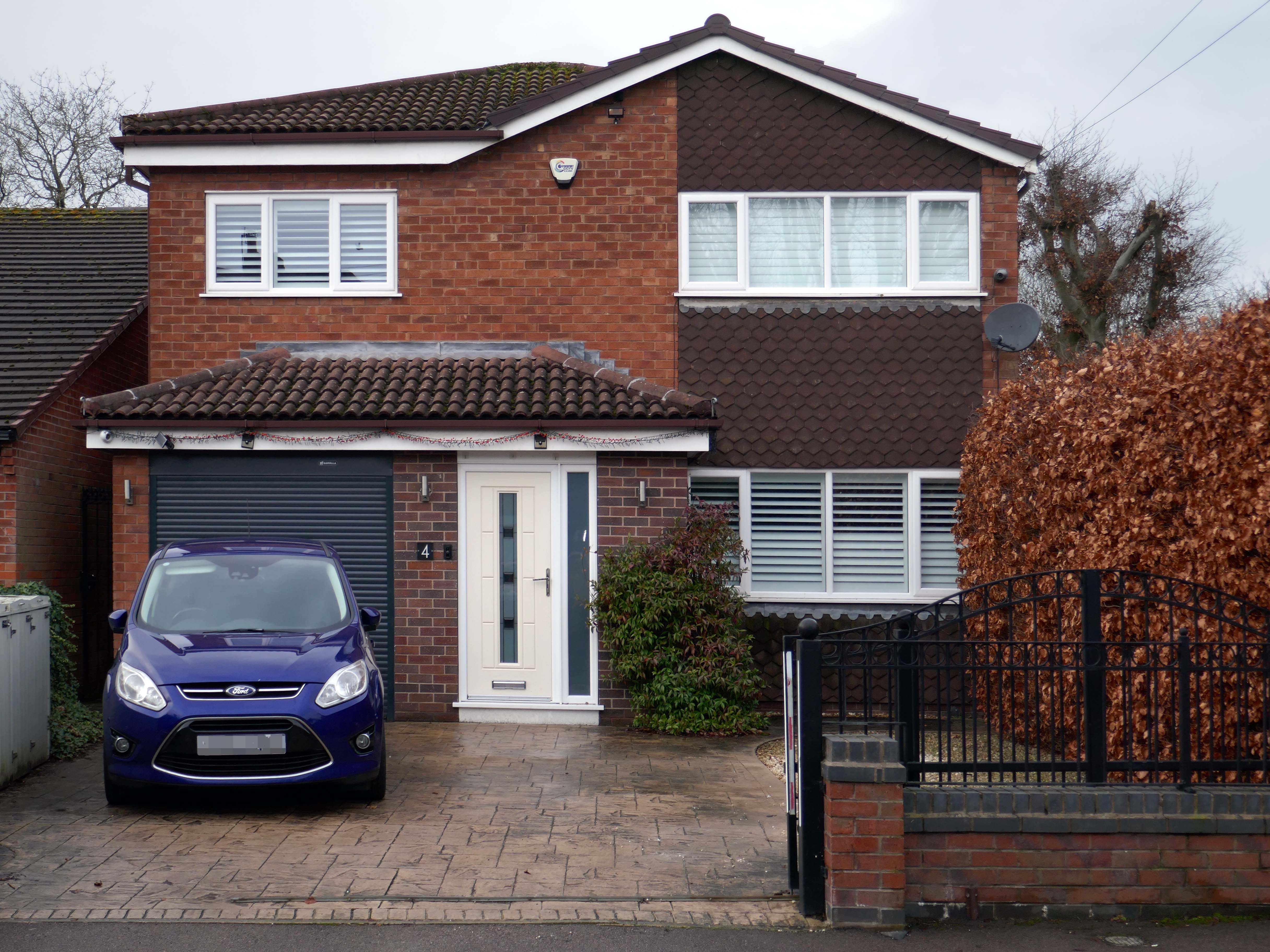
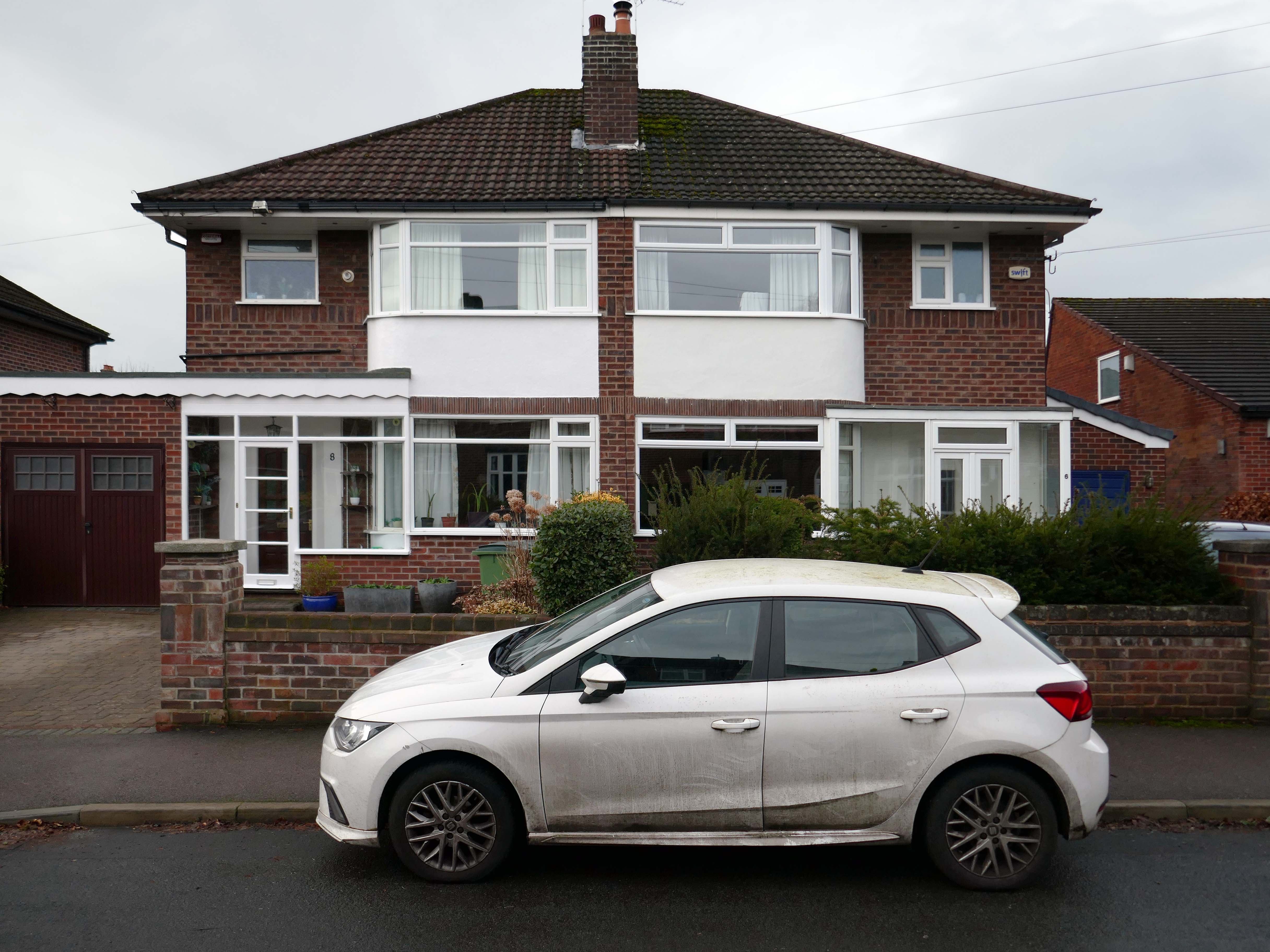
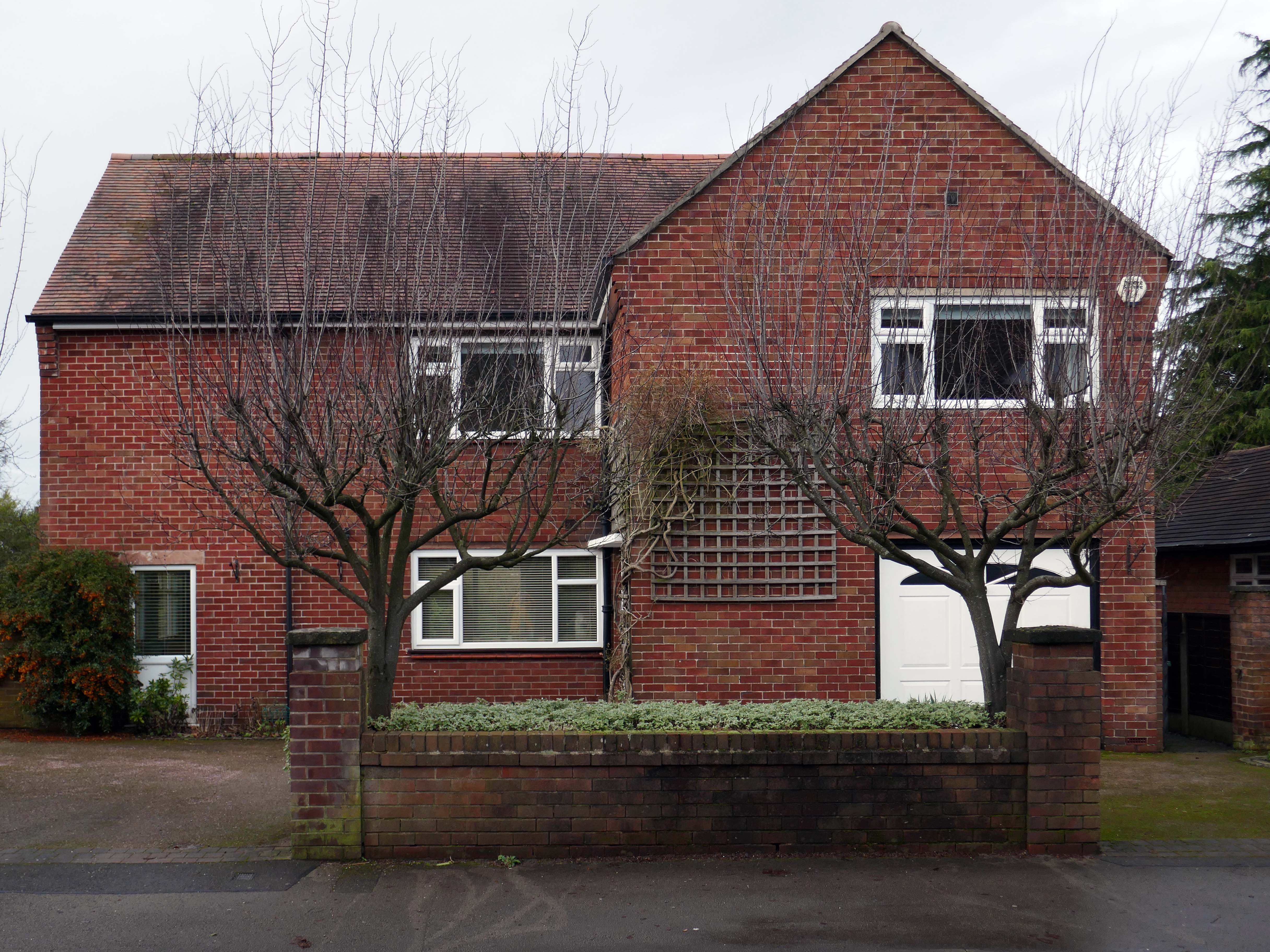
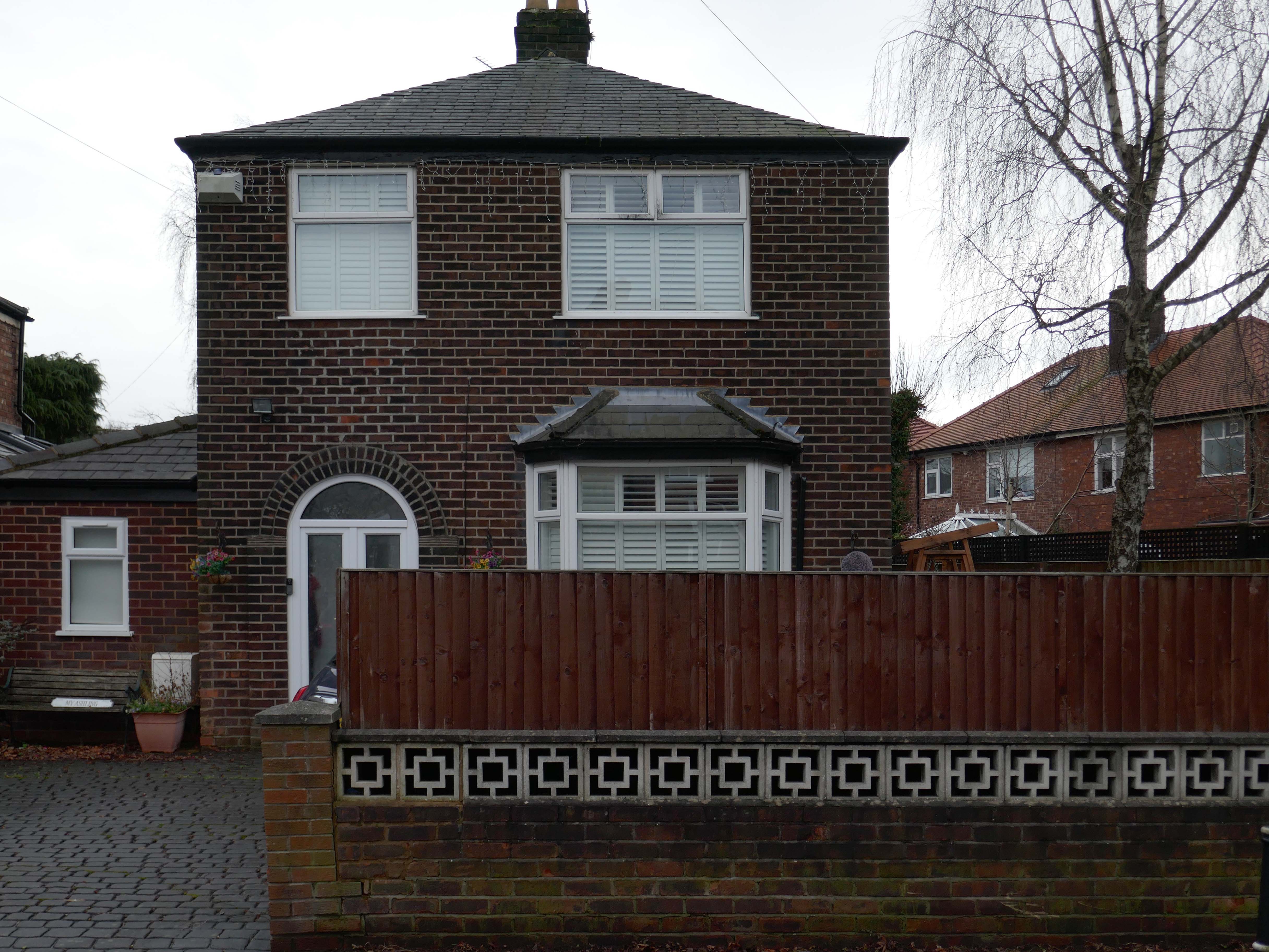
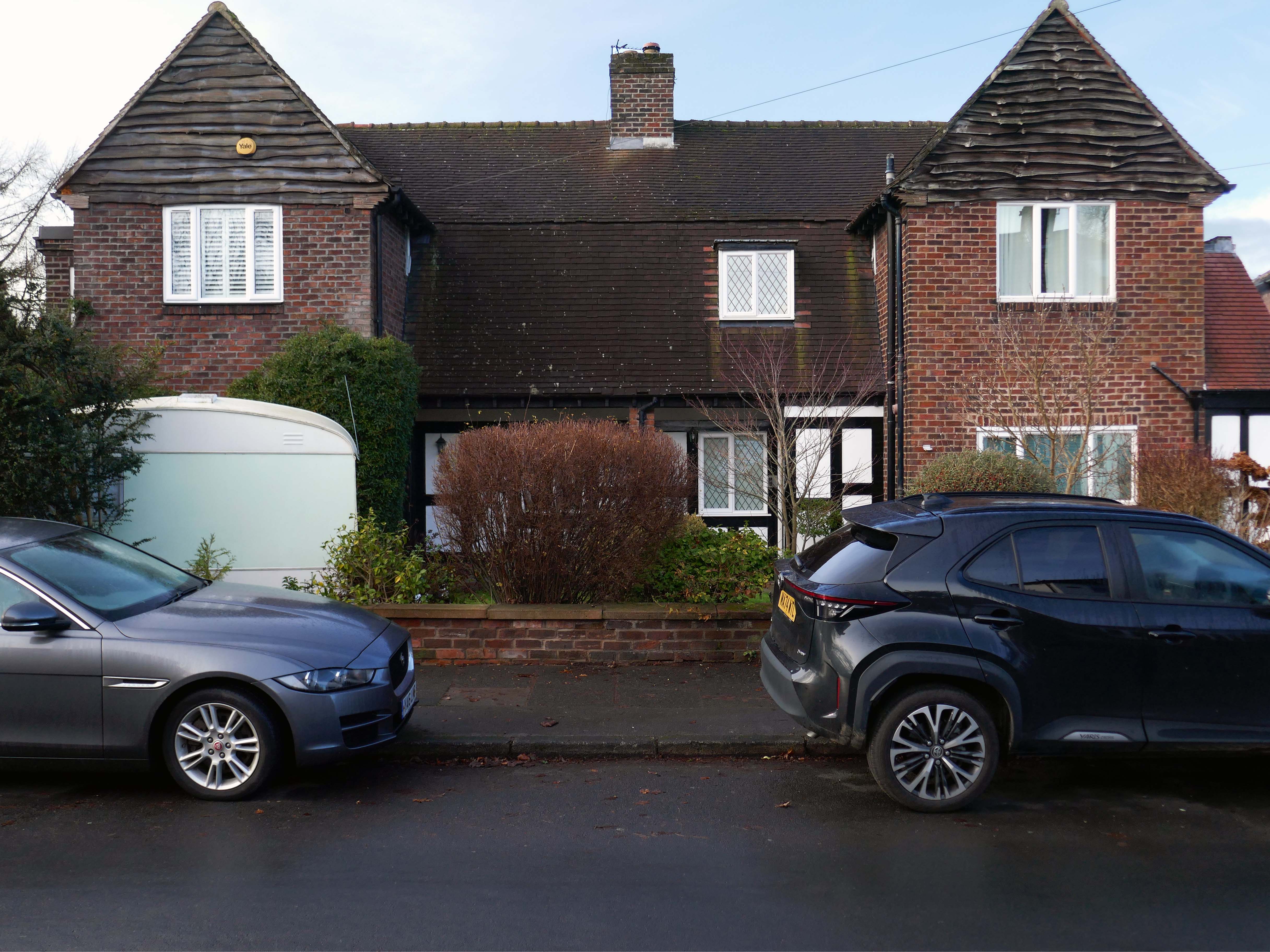
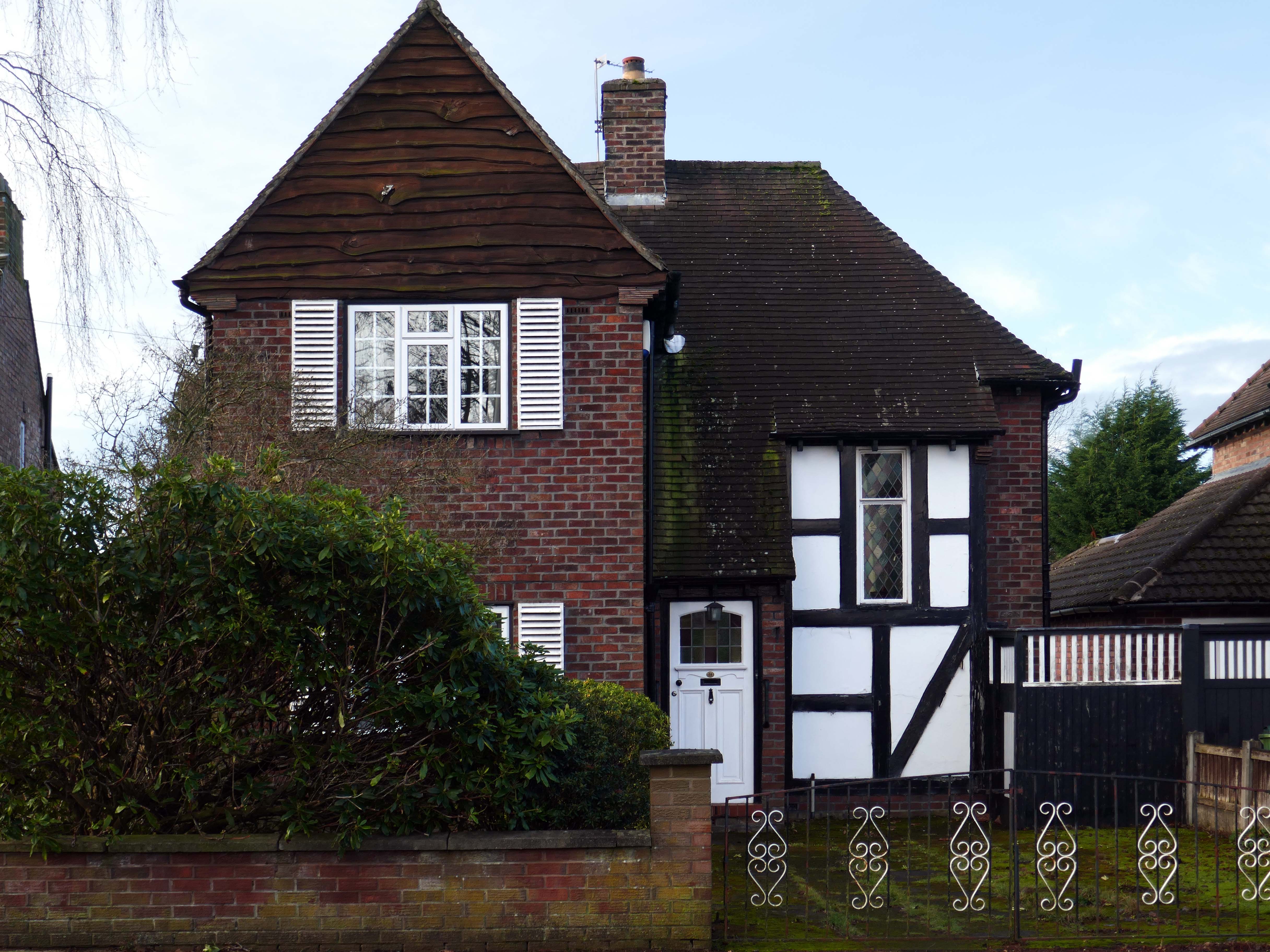
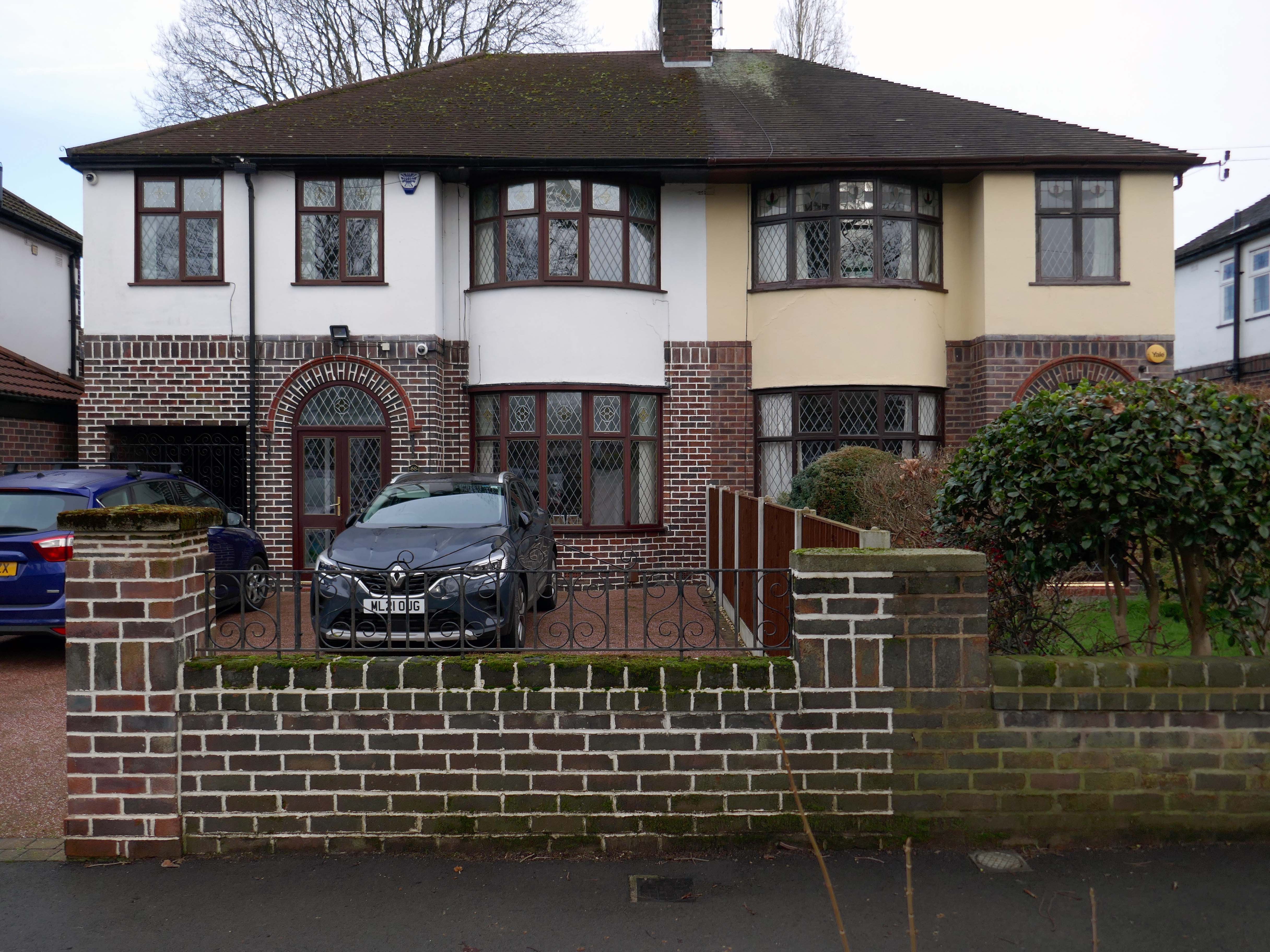
Within the typology there area number of variants, bungalow, dormer bungalow, link detached, semi-detached and detached.
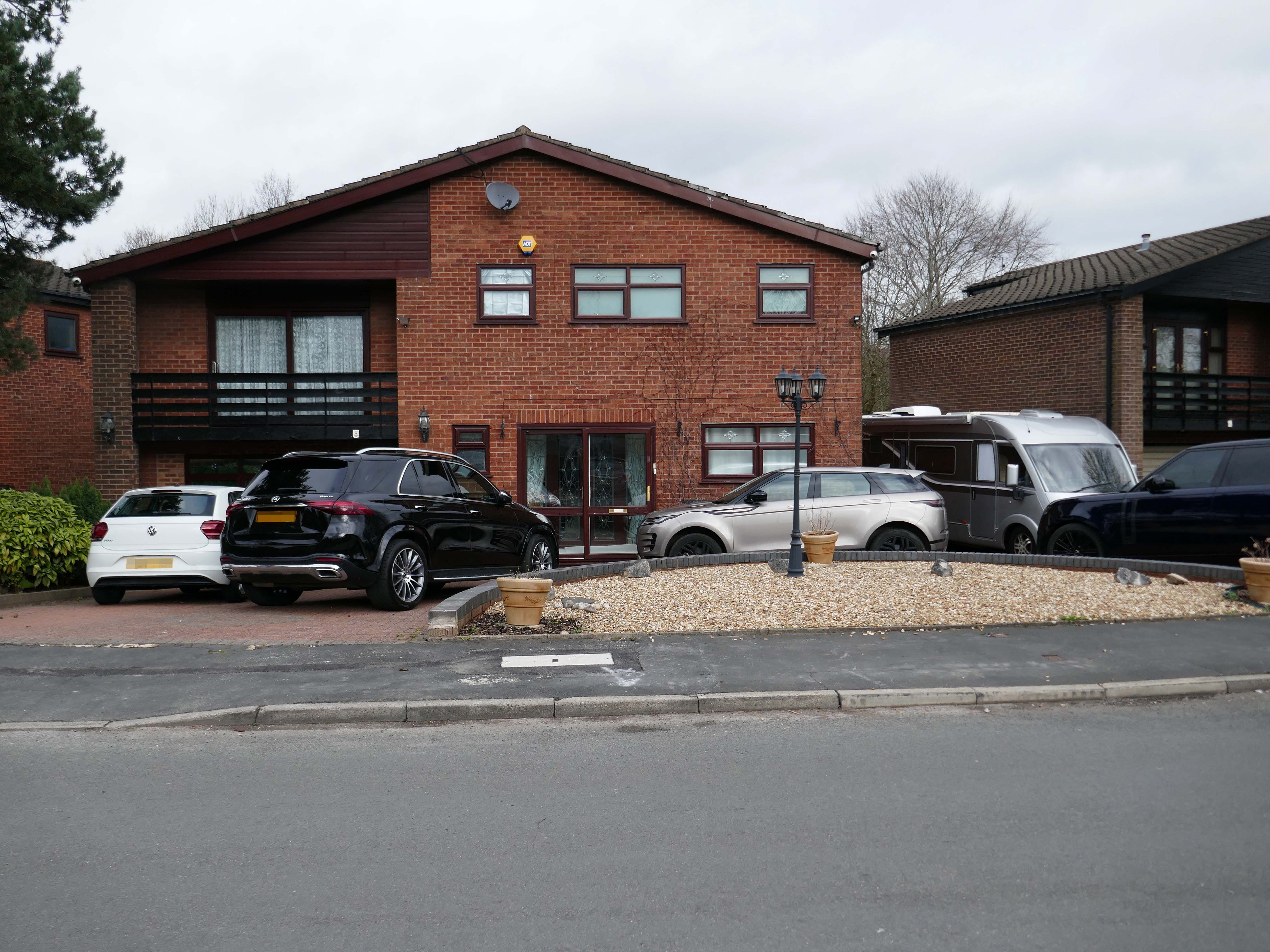
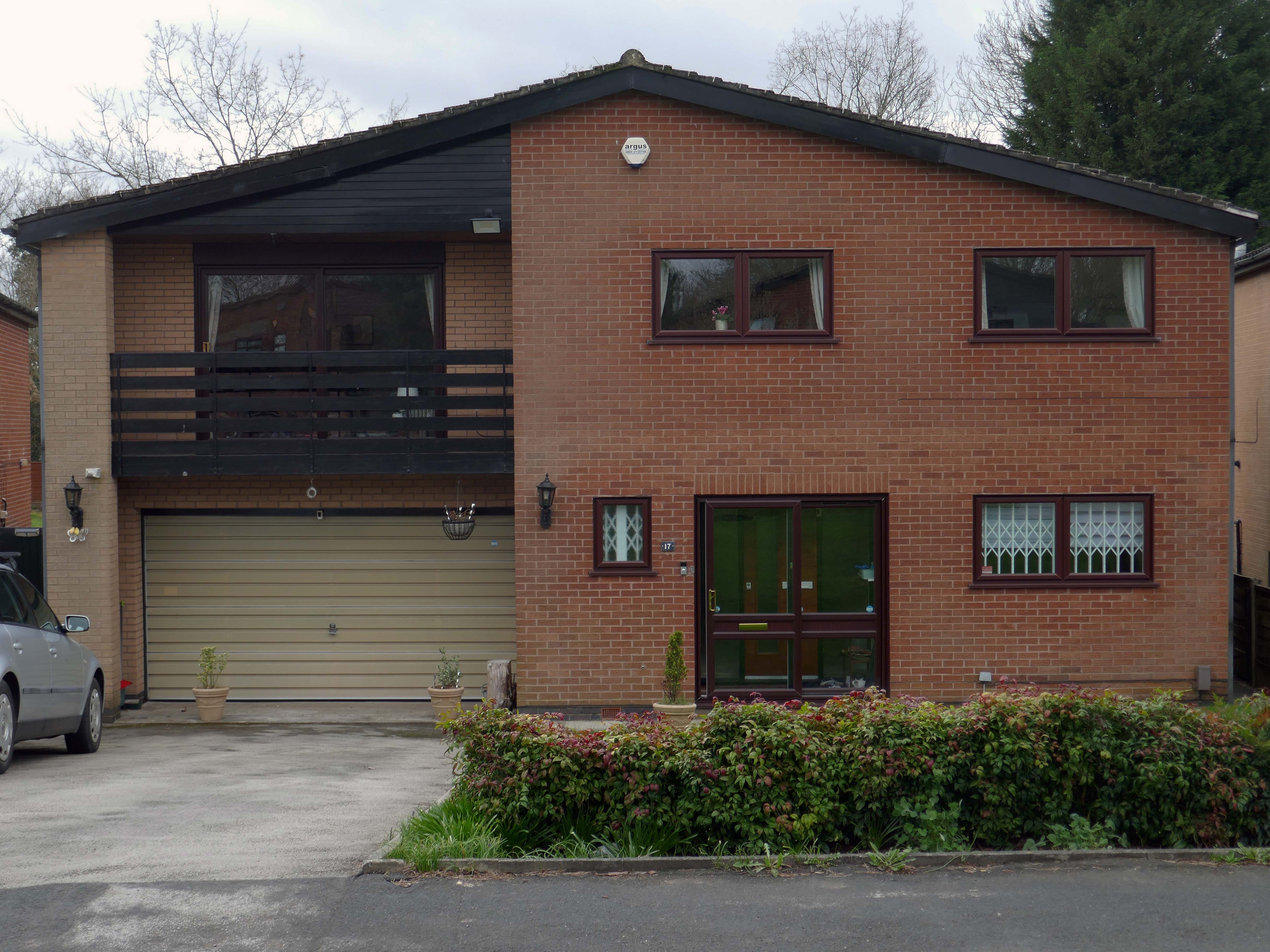
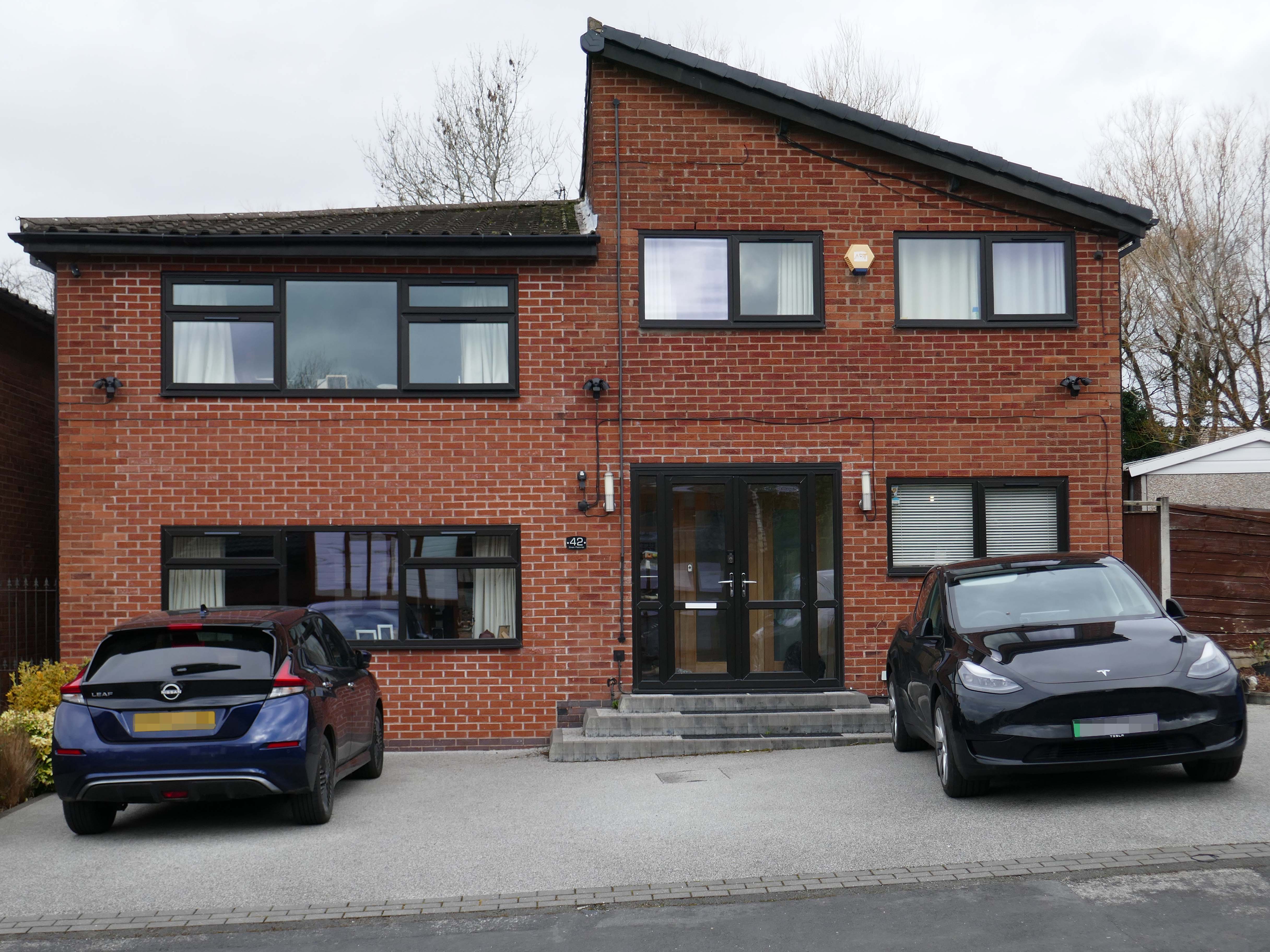
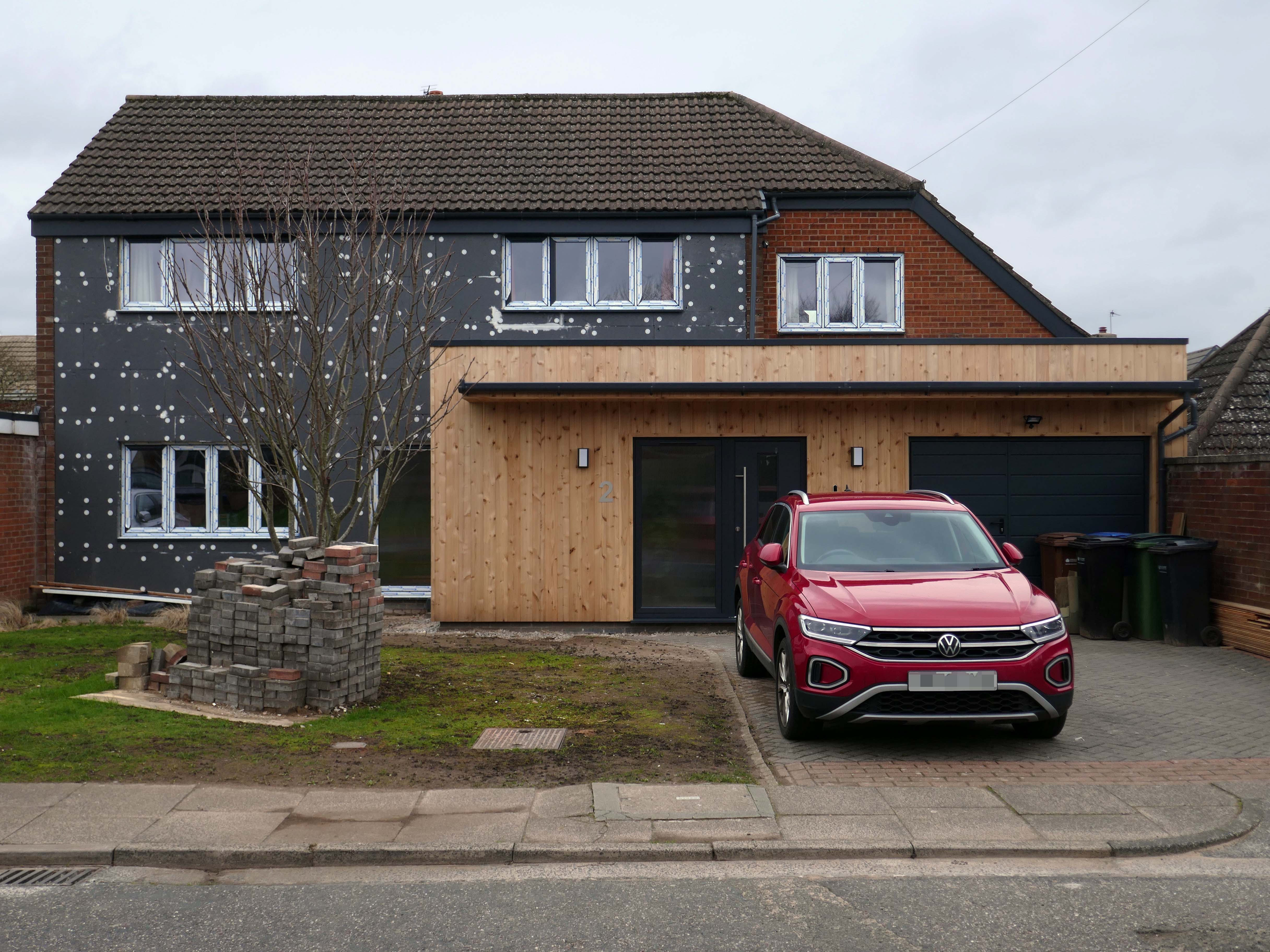
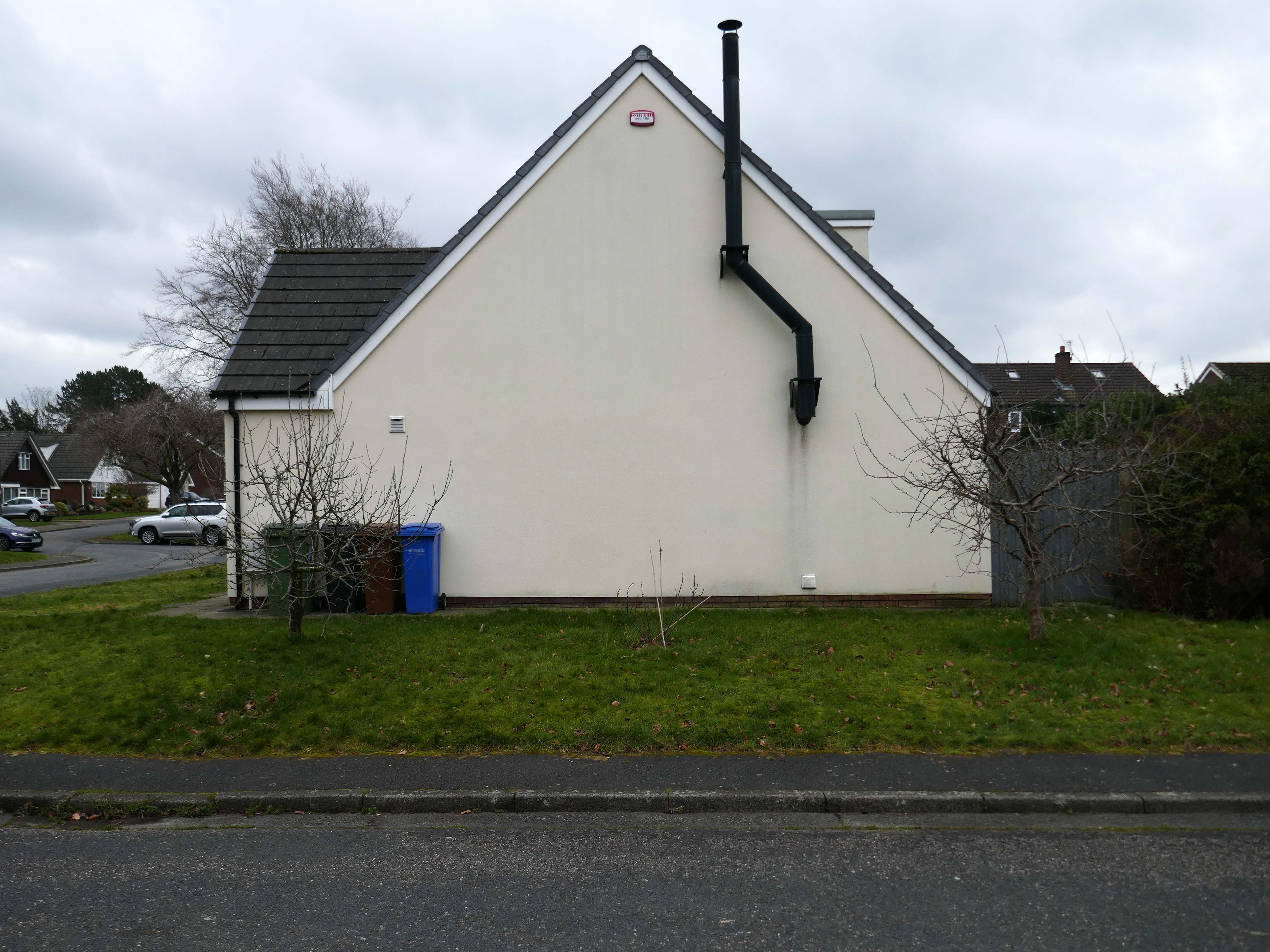
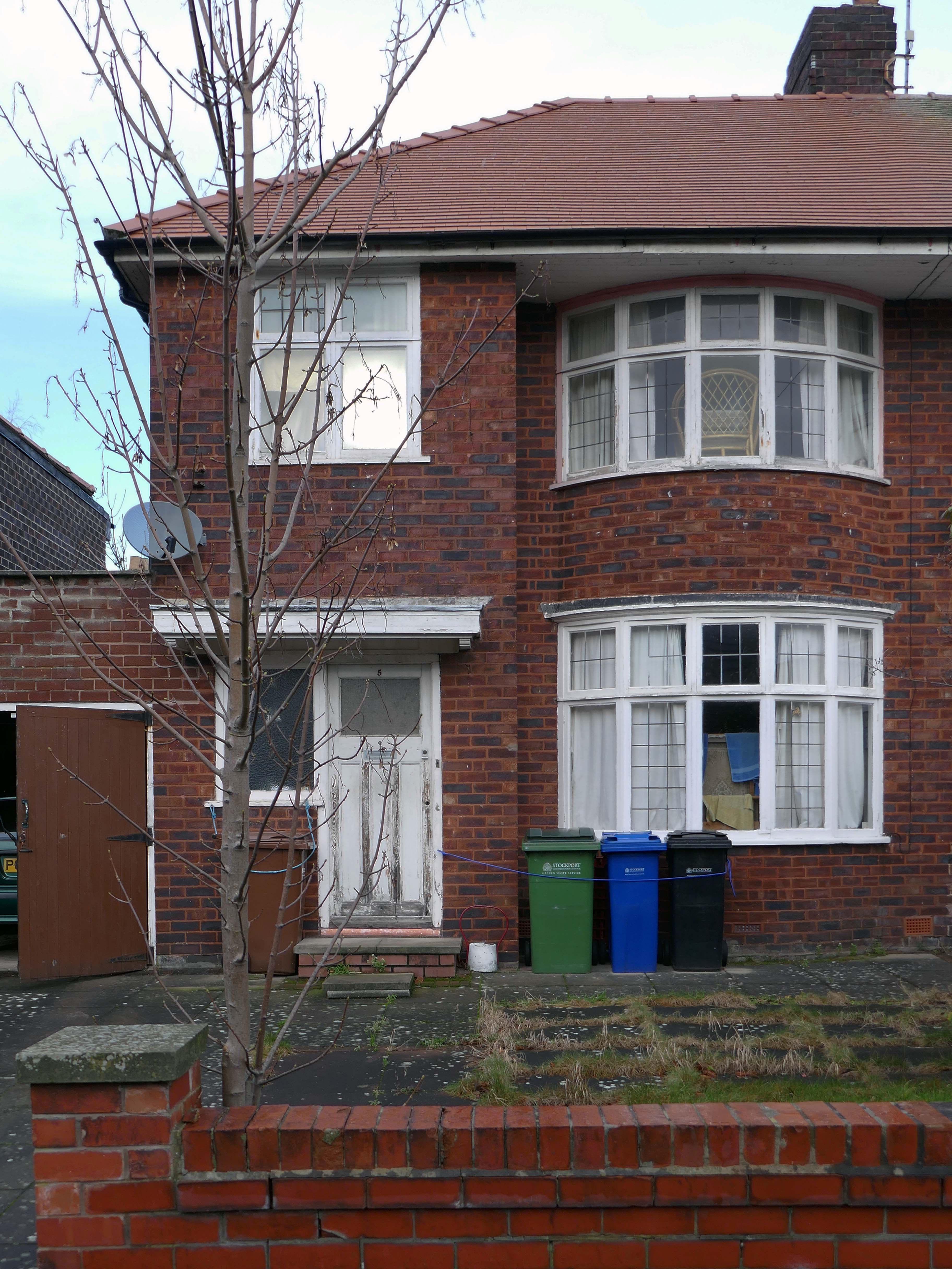
Very very few of the homes have retained their original features, the imperative of our age is to extend and improve.
There is a covenant in the deeds which prevents the building of border fencing – therefore the development retains its small-scale suburban American ambience.
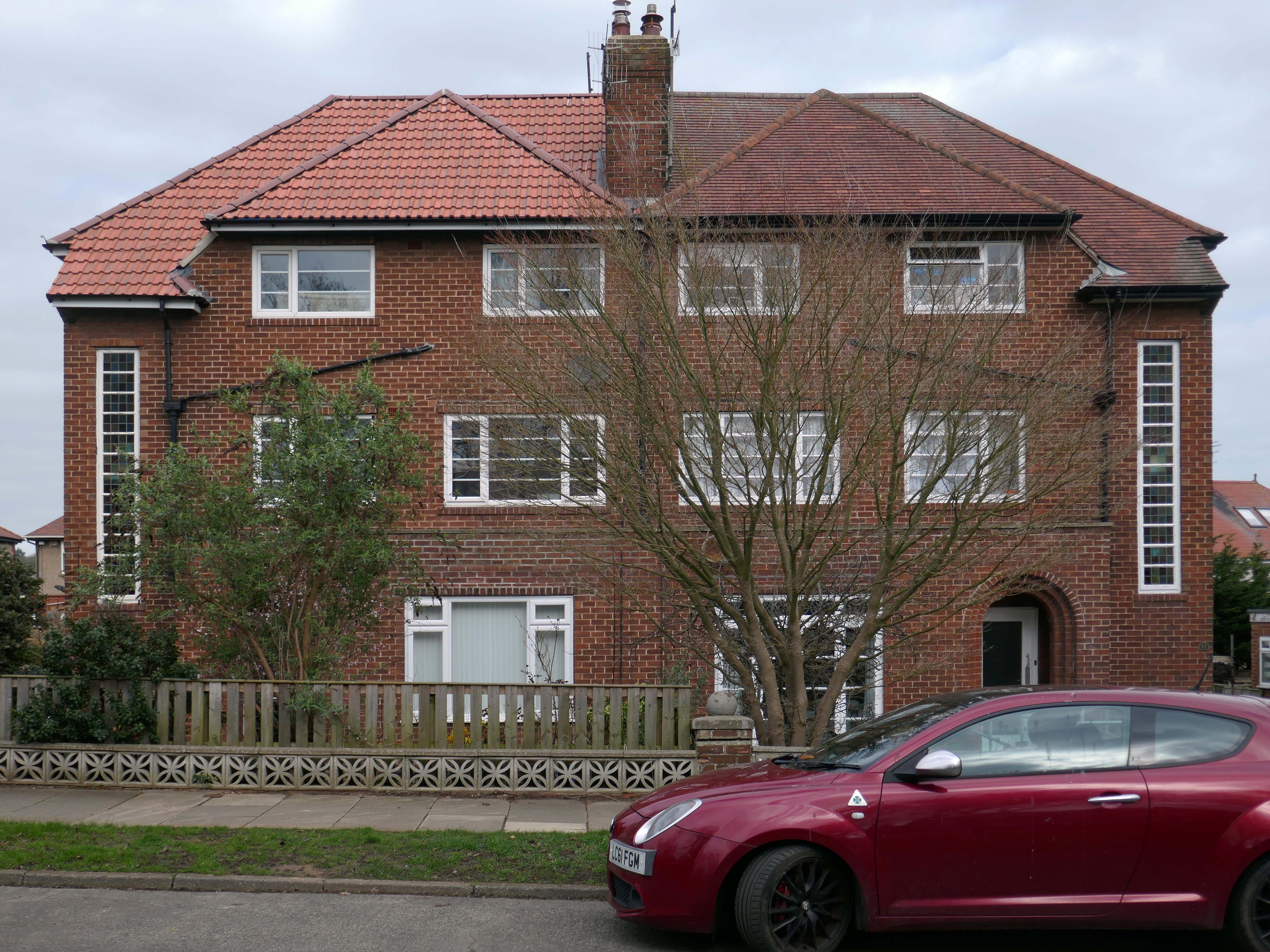
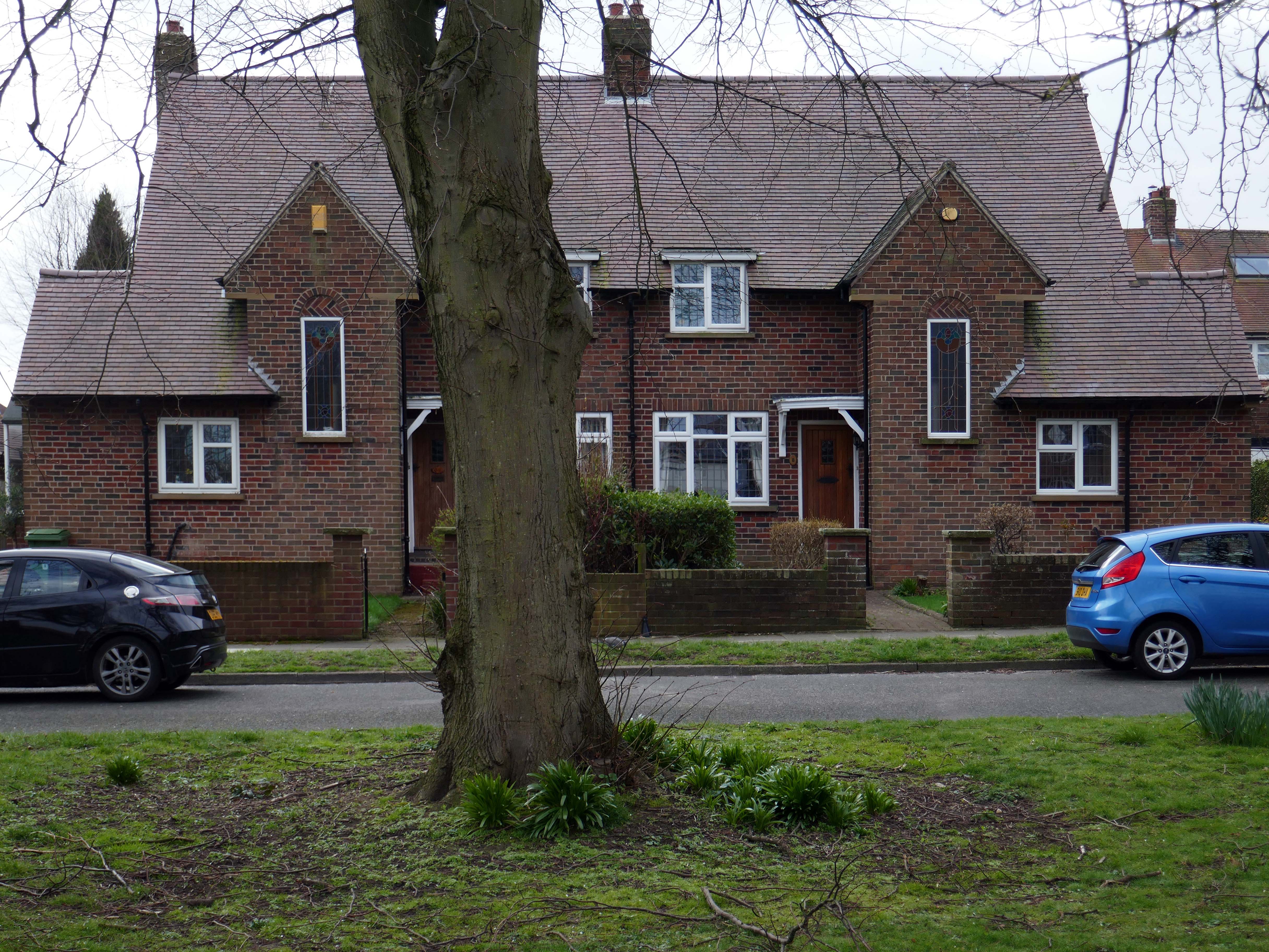
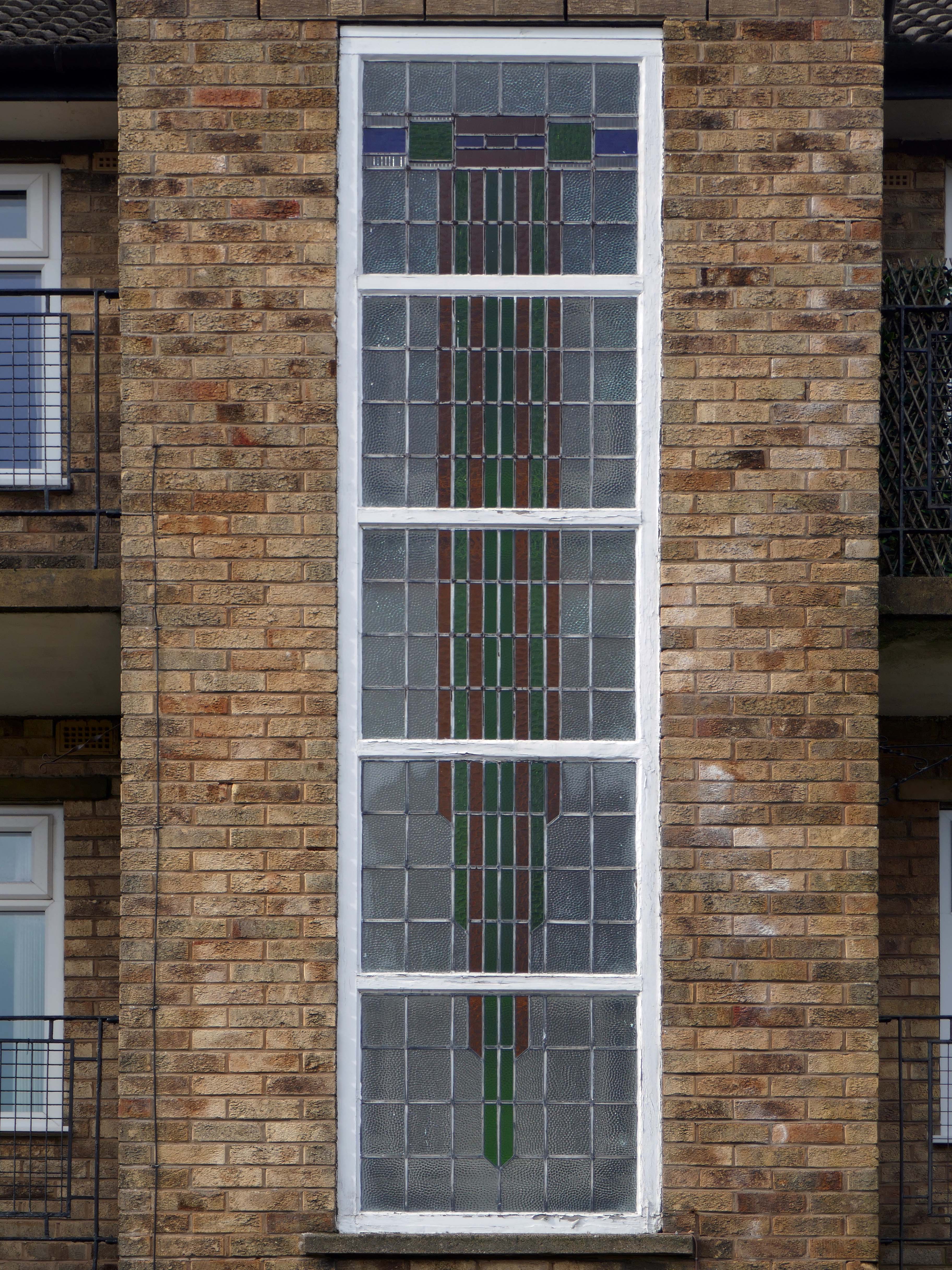
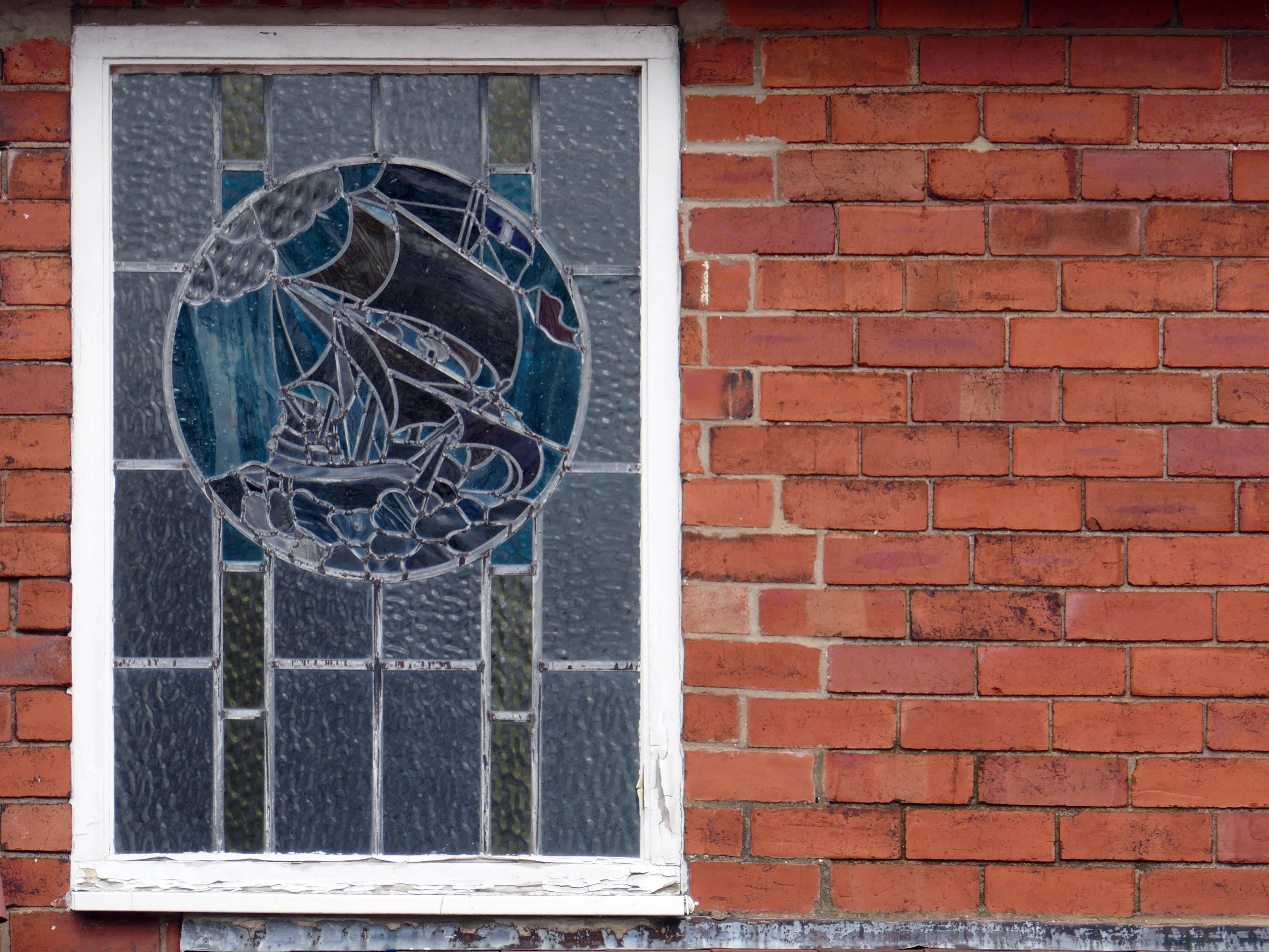
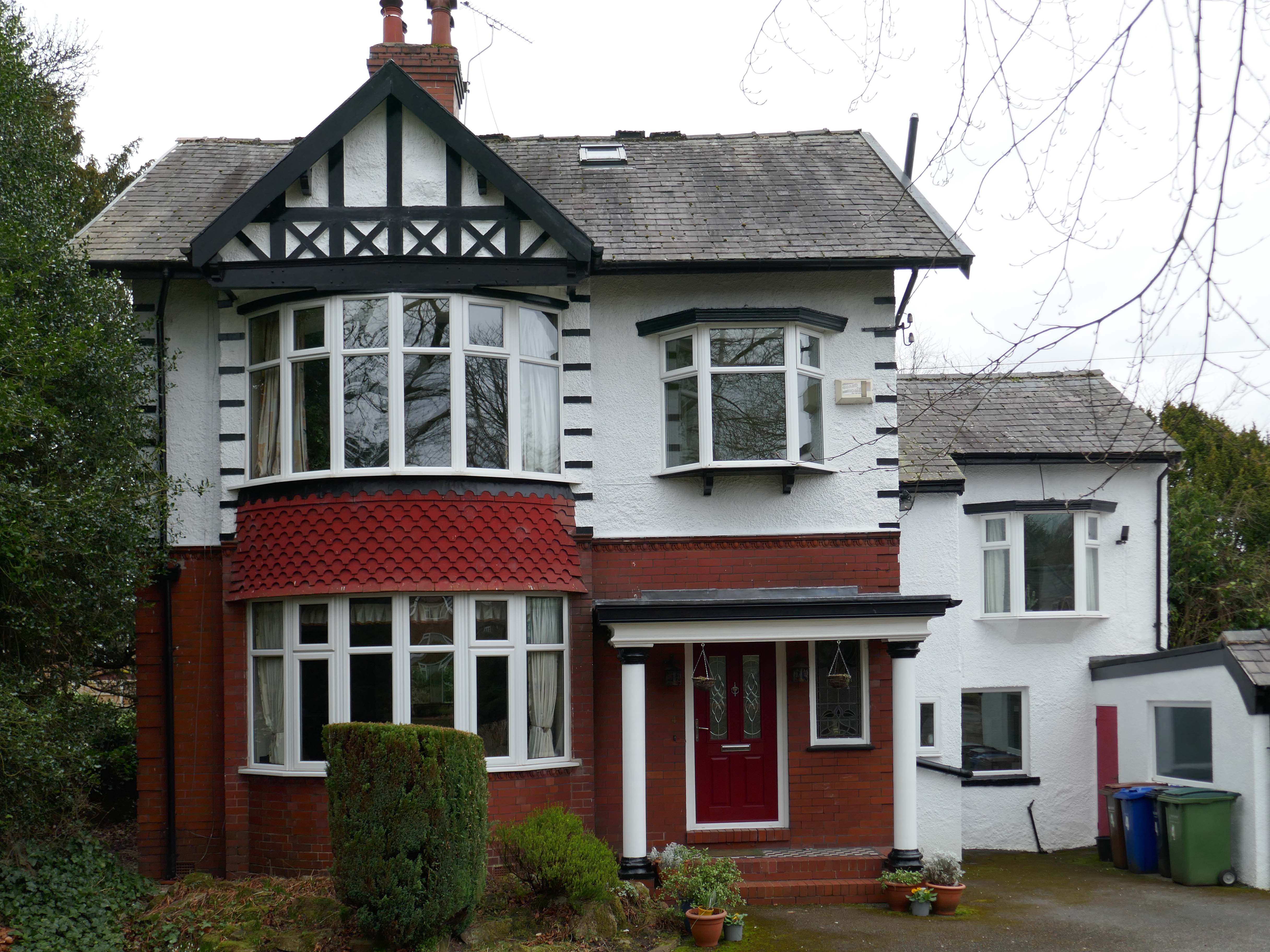
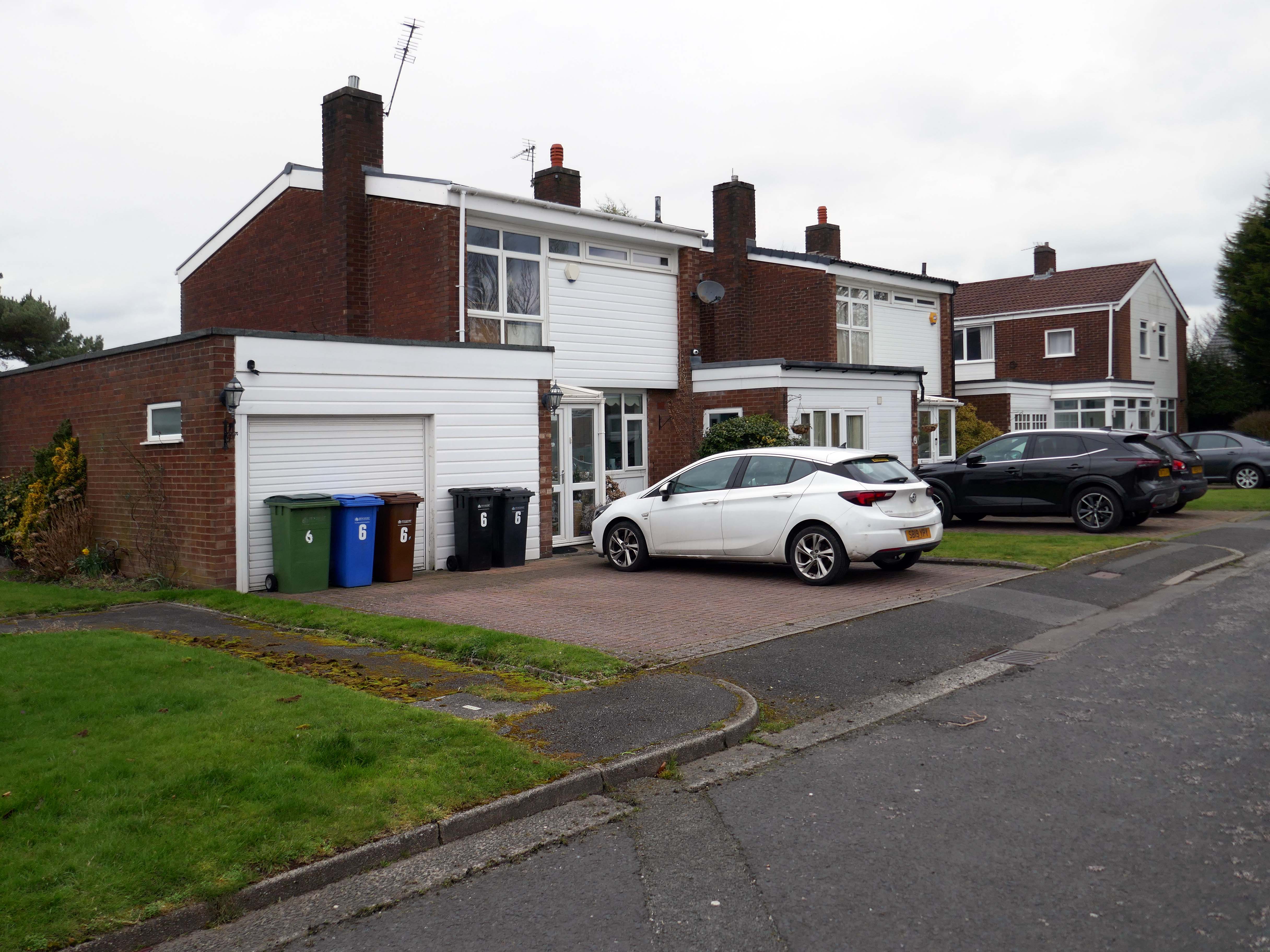
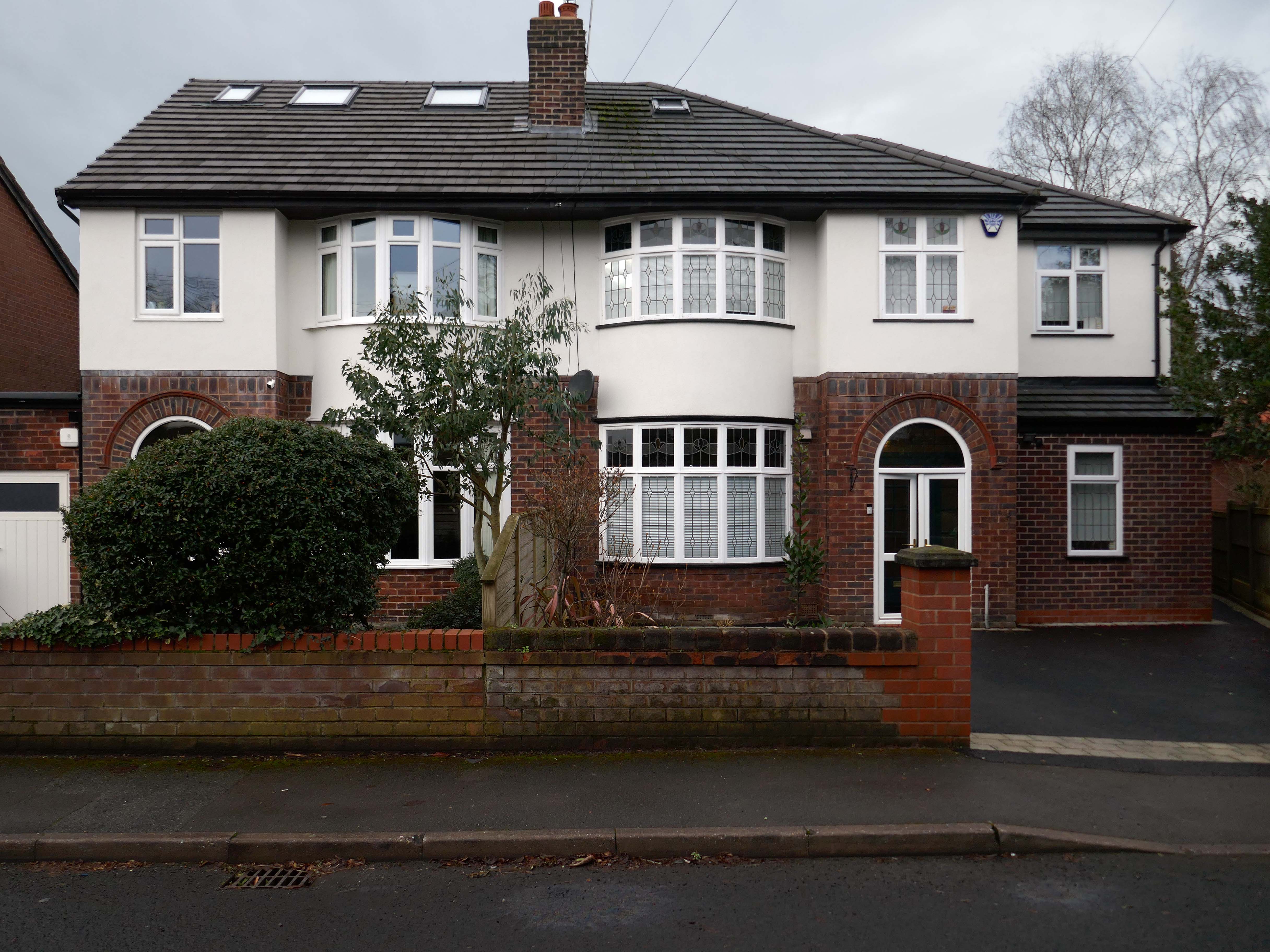
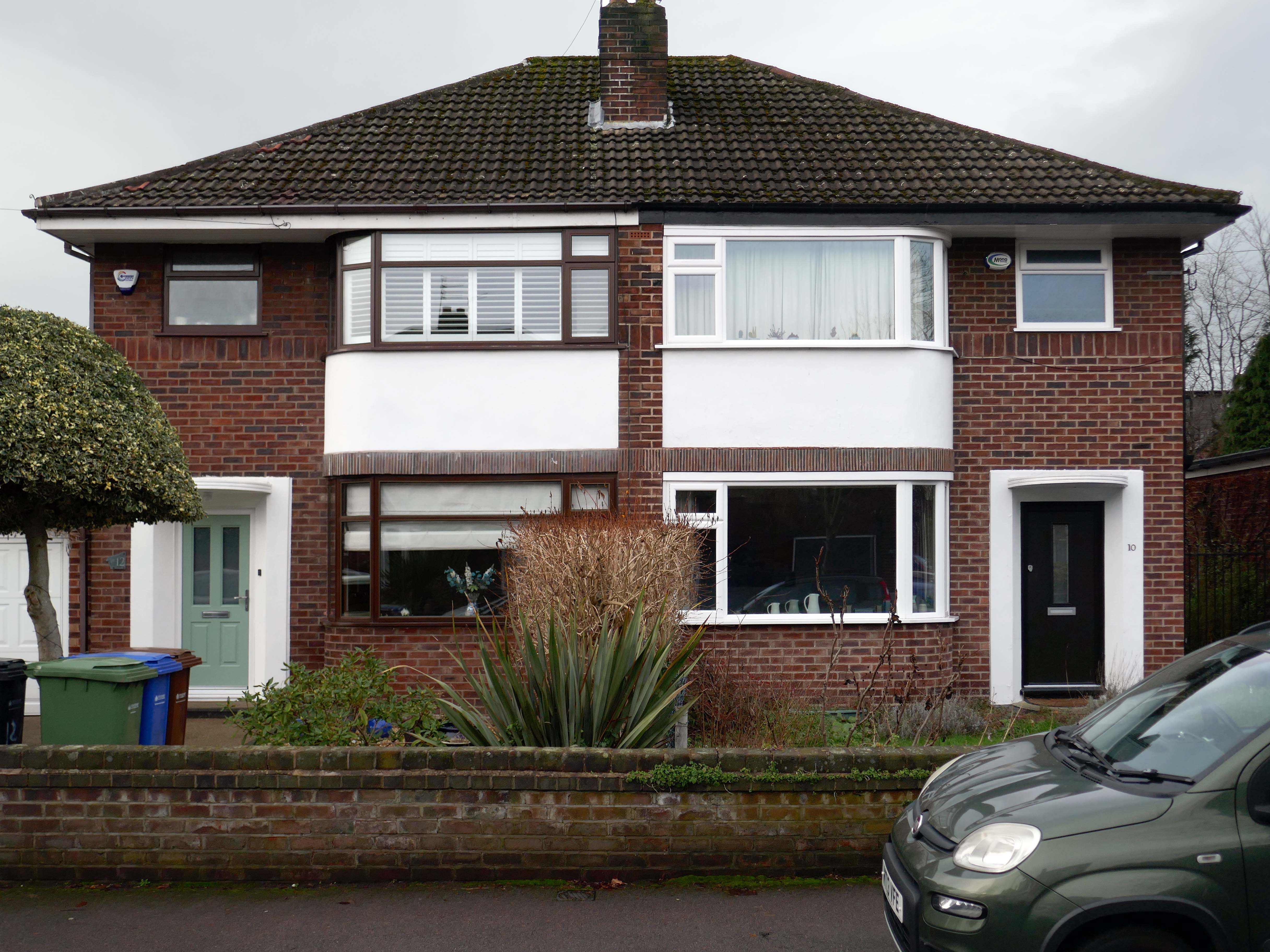
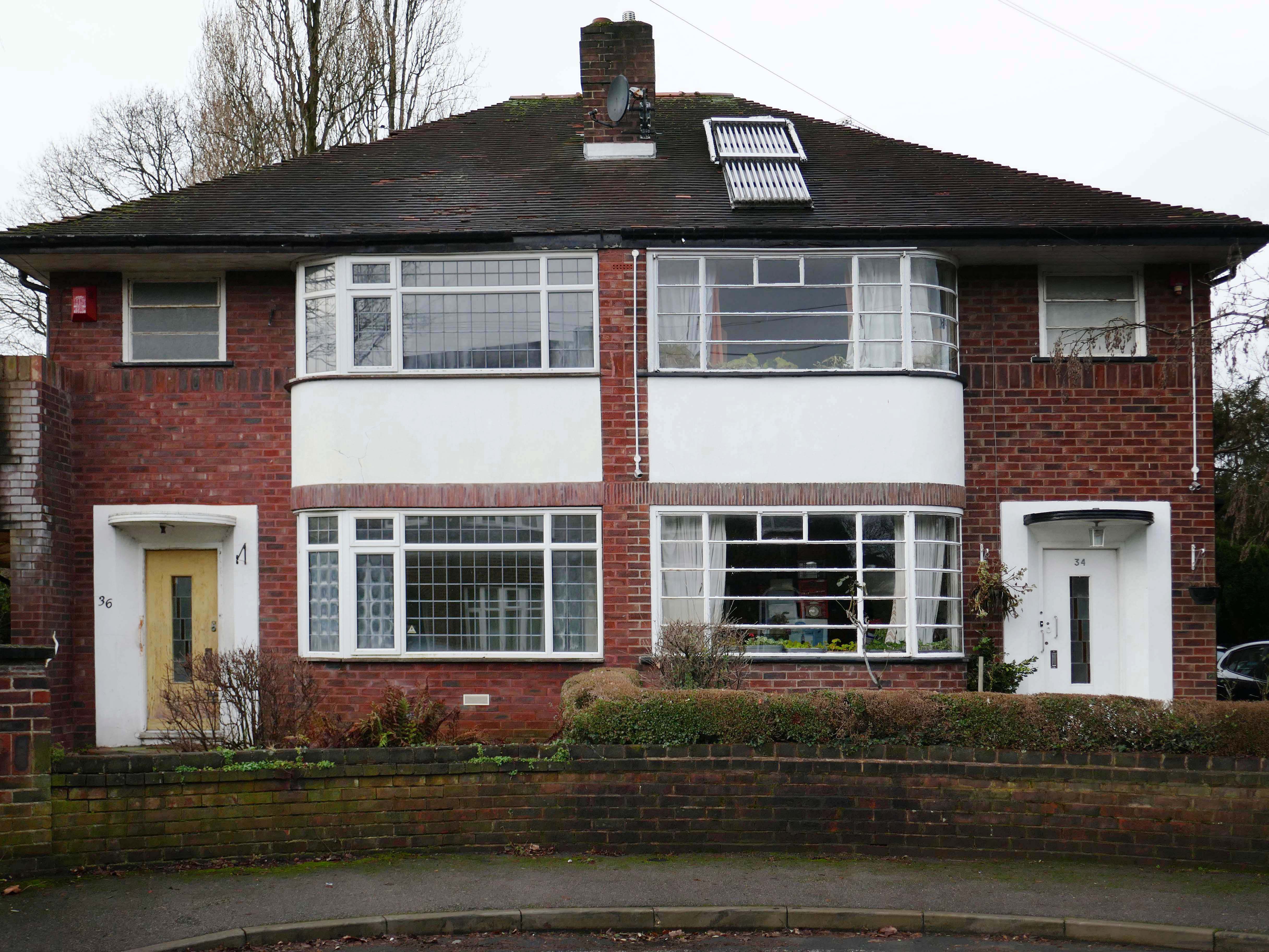
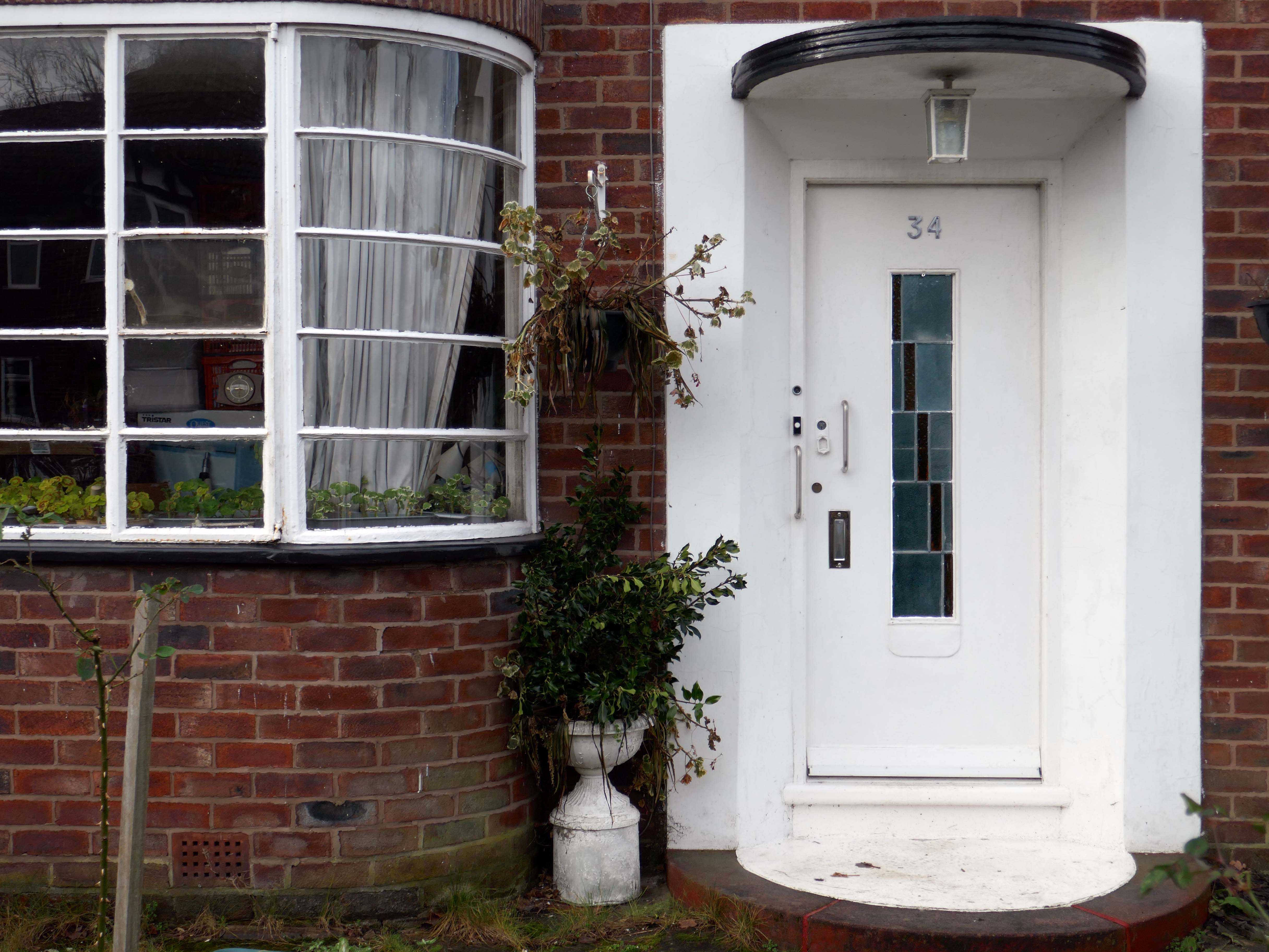
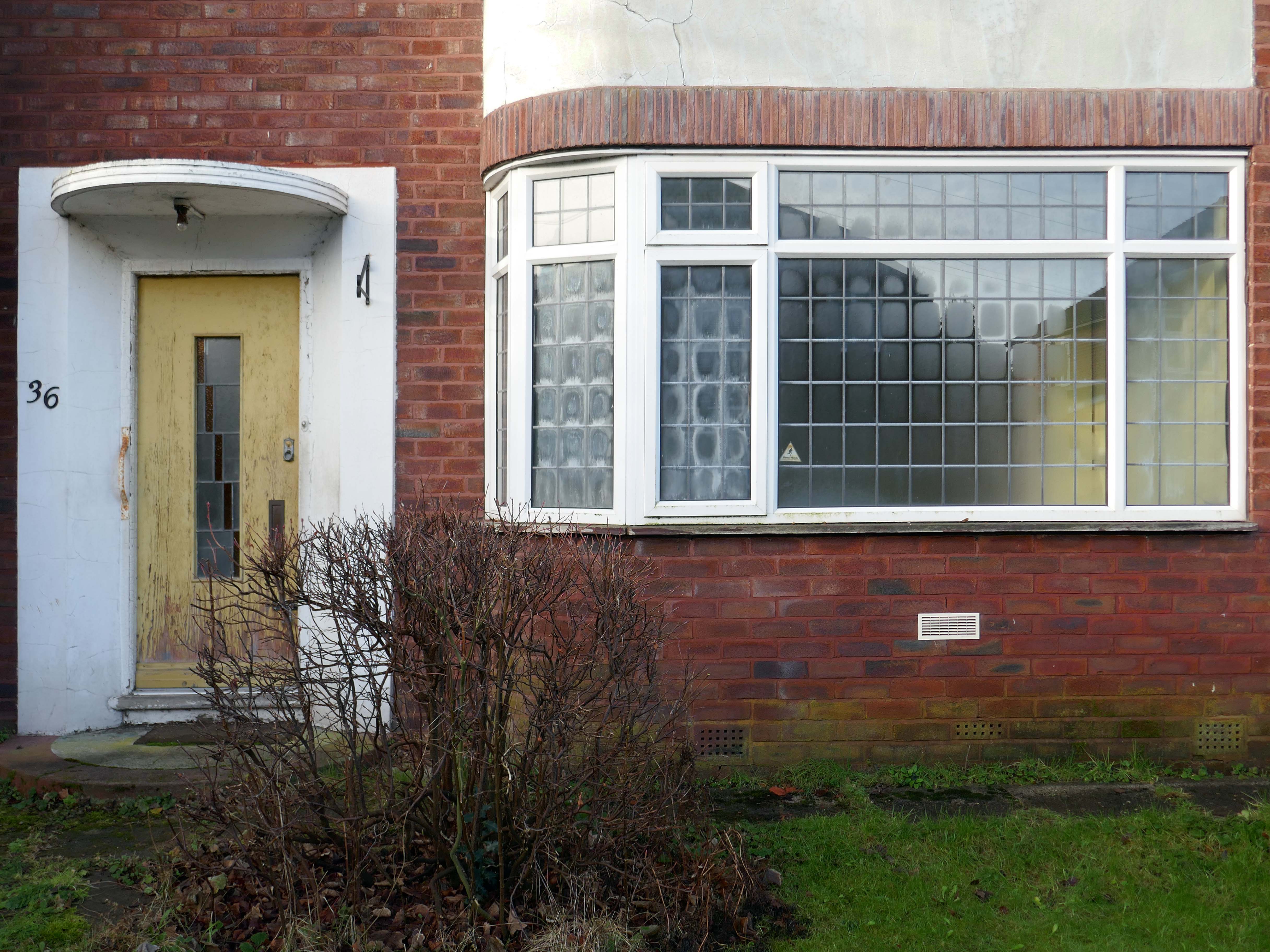
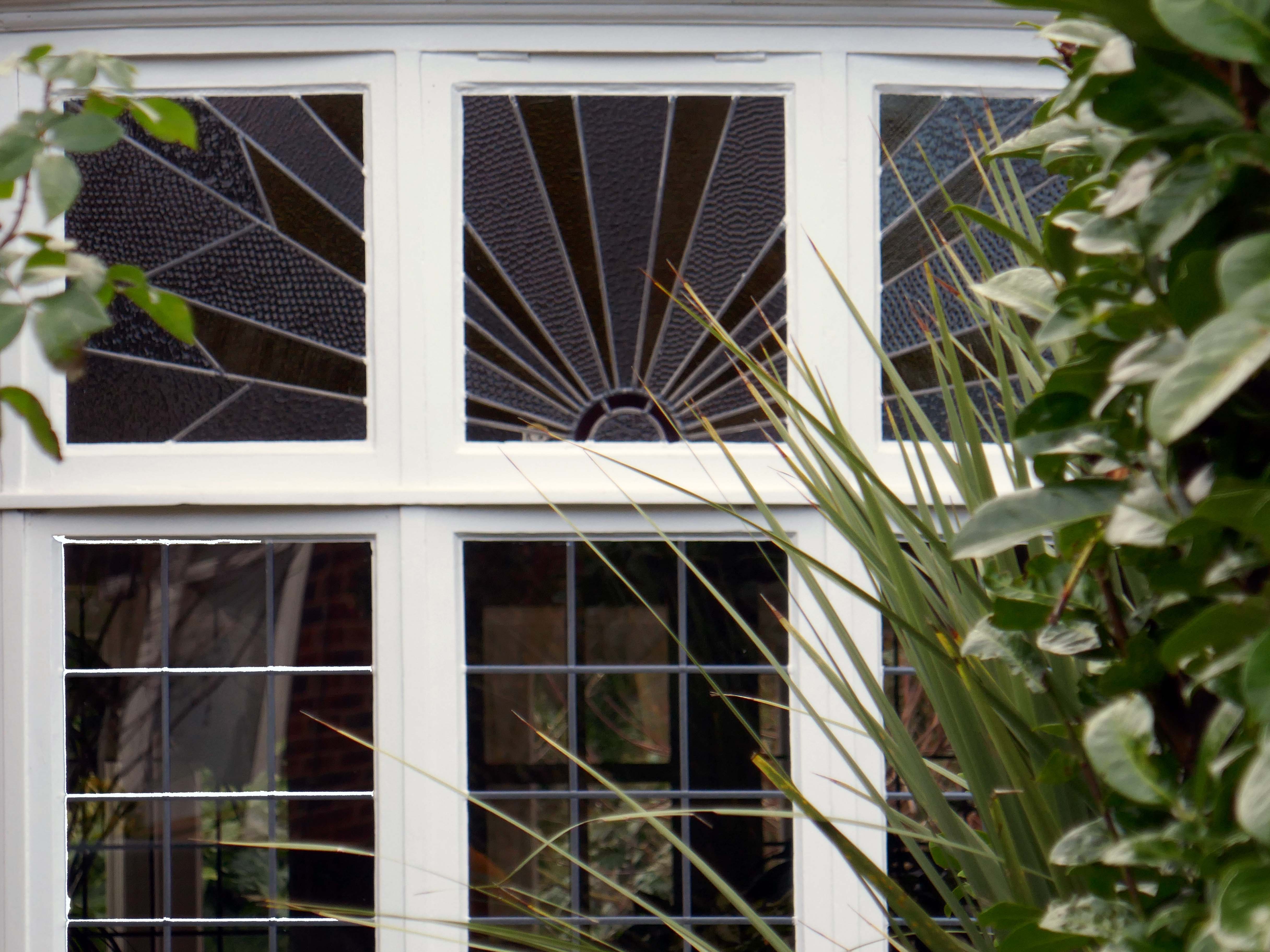
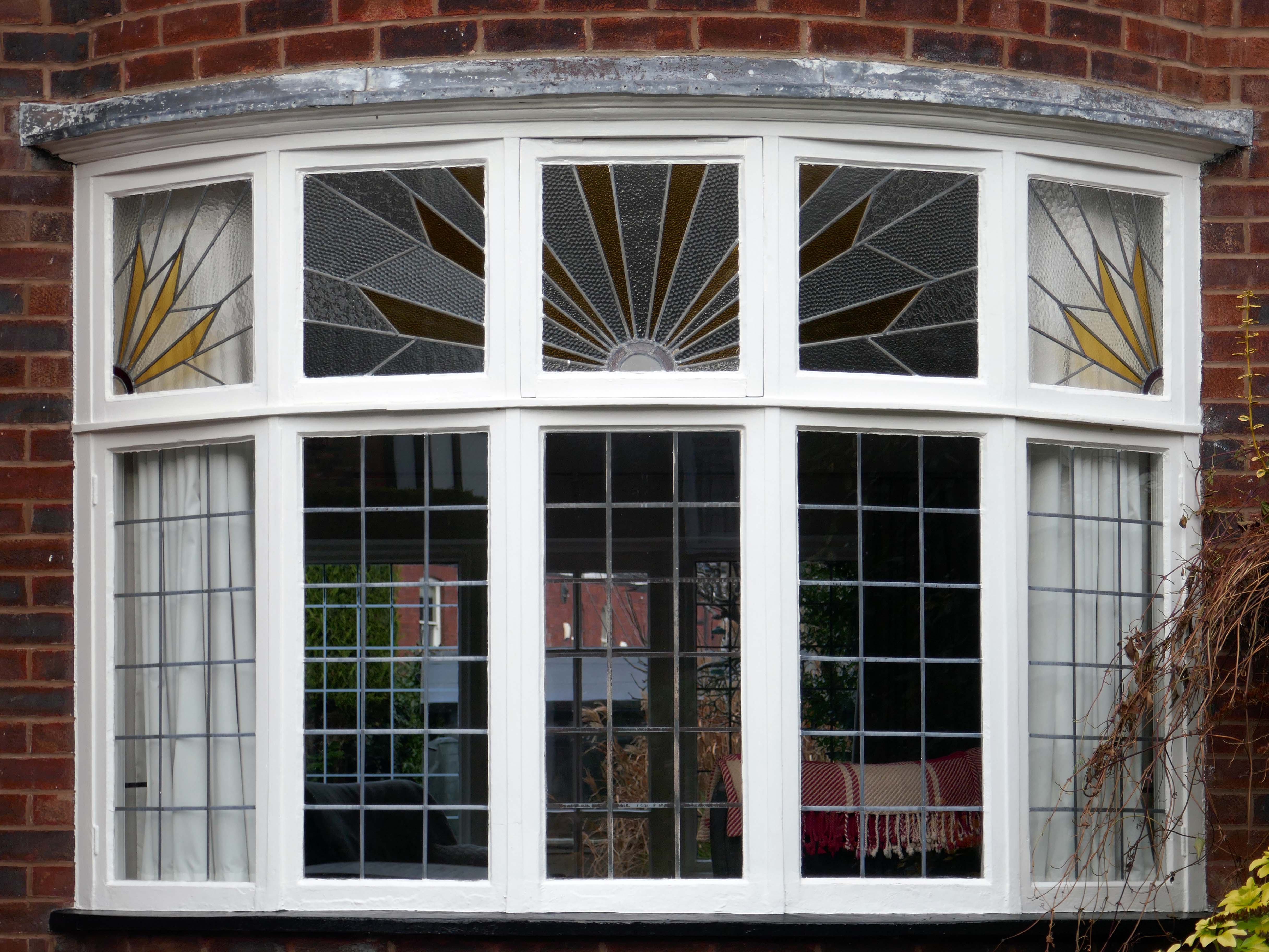
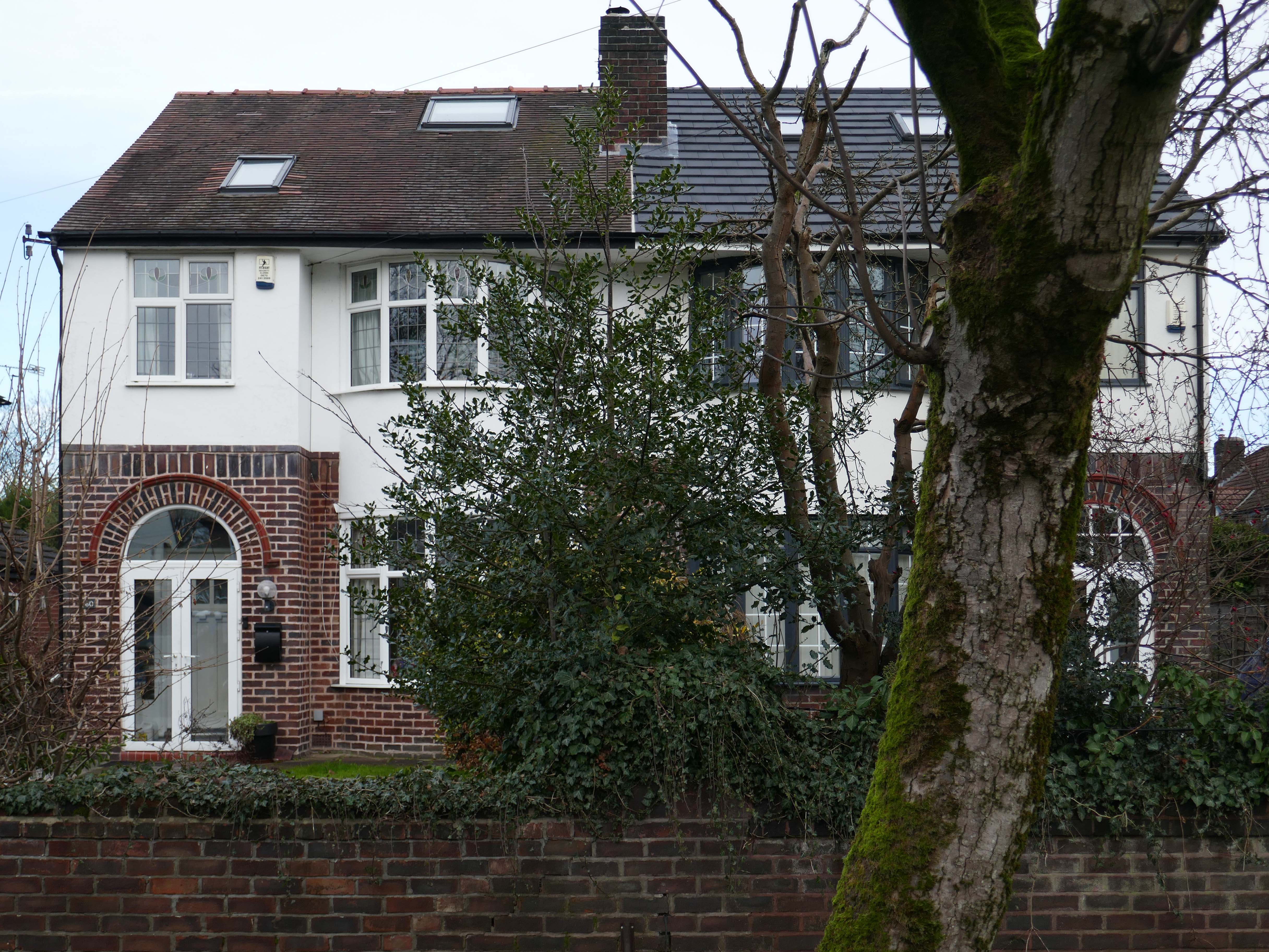
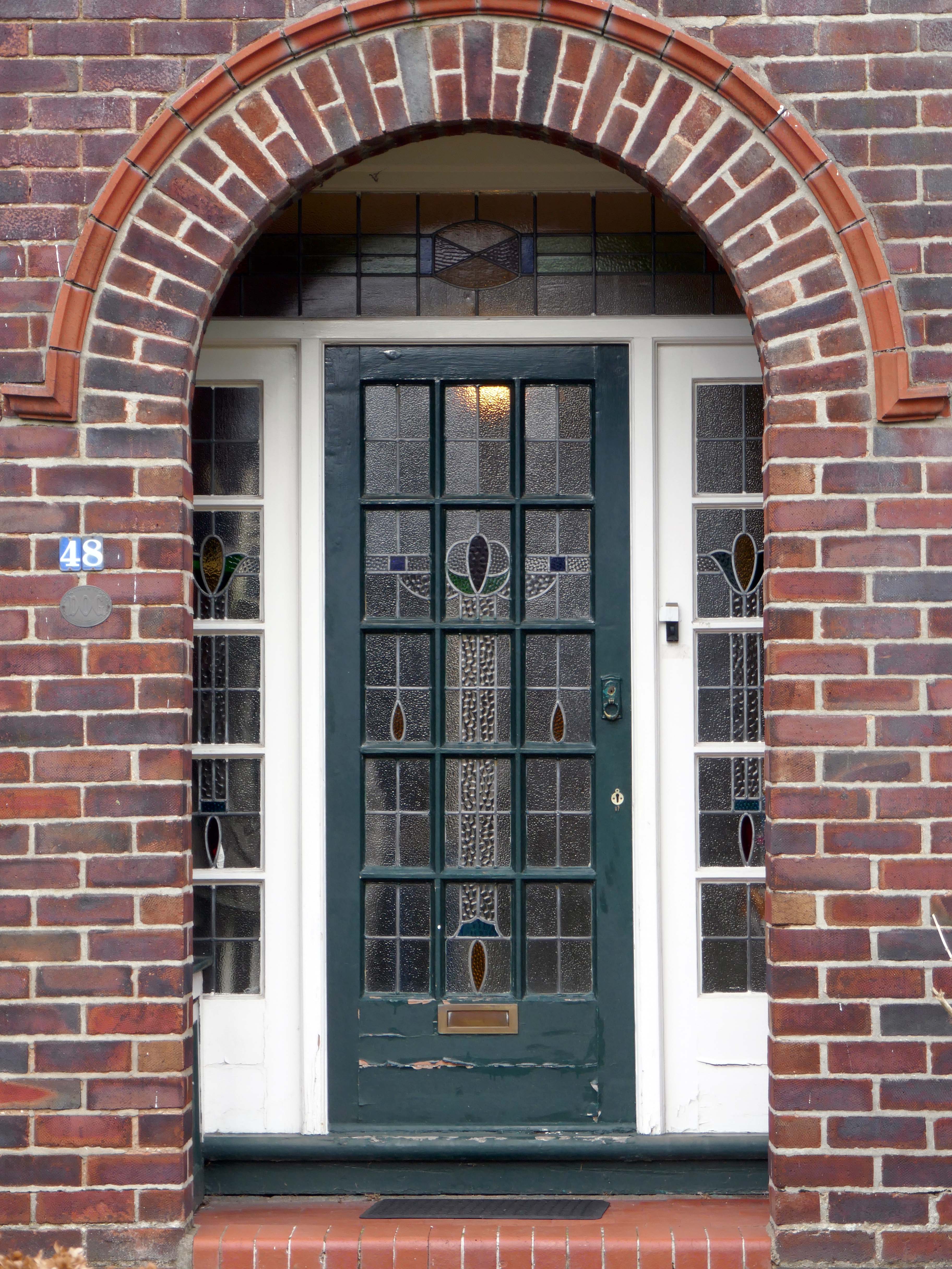
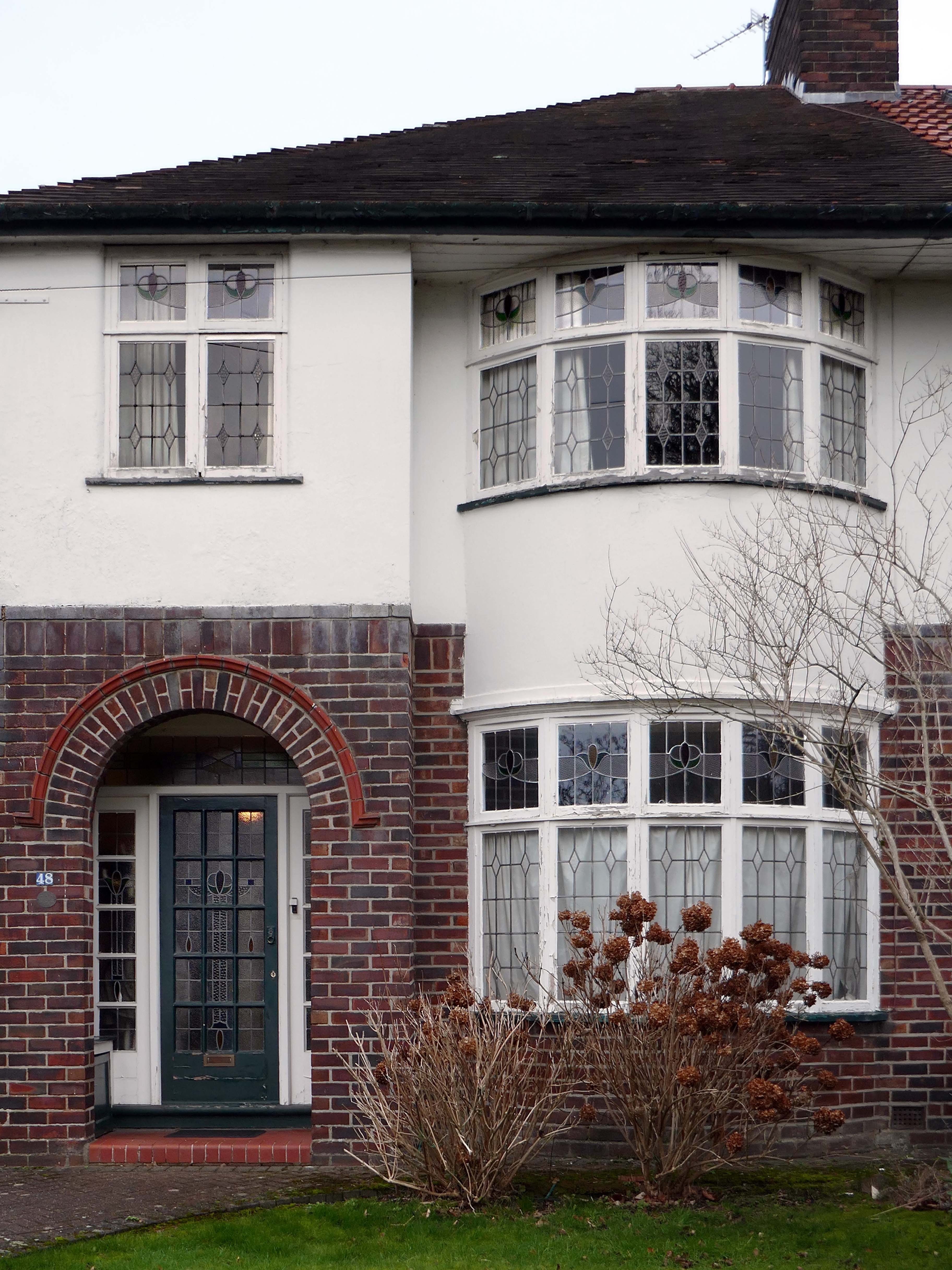
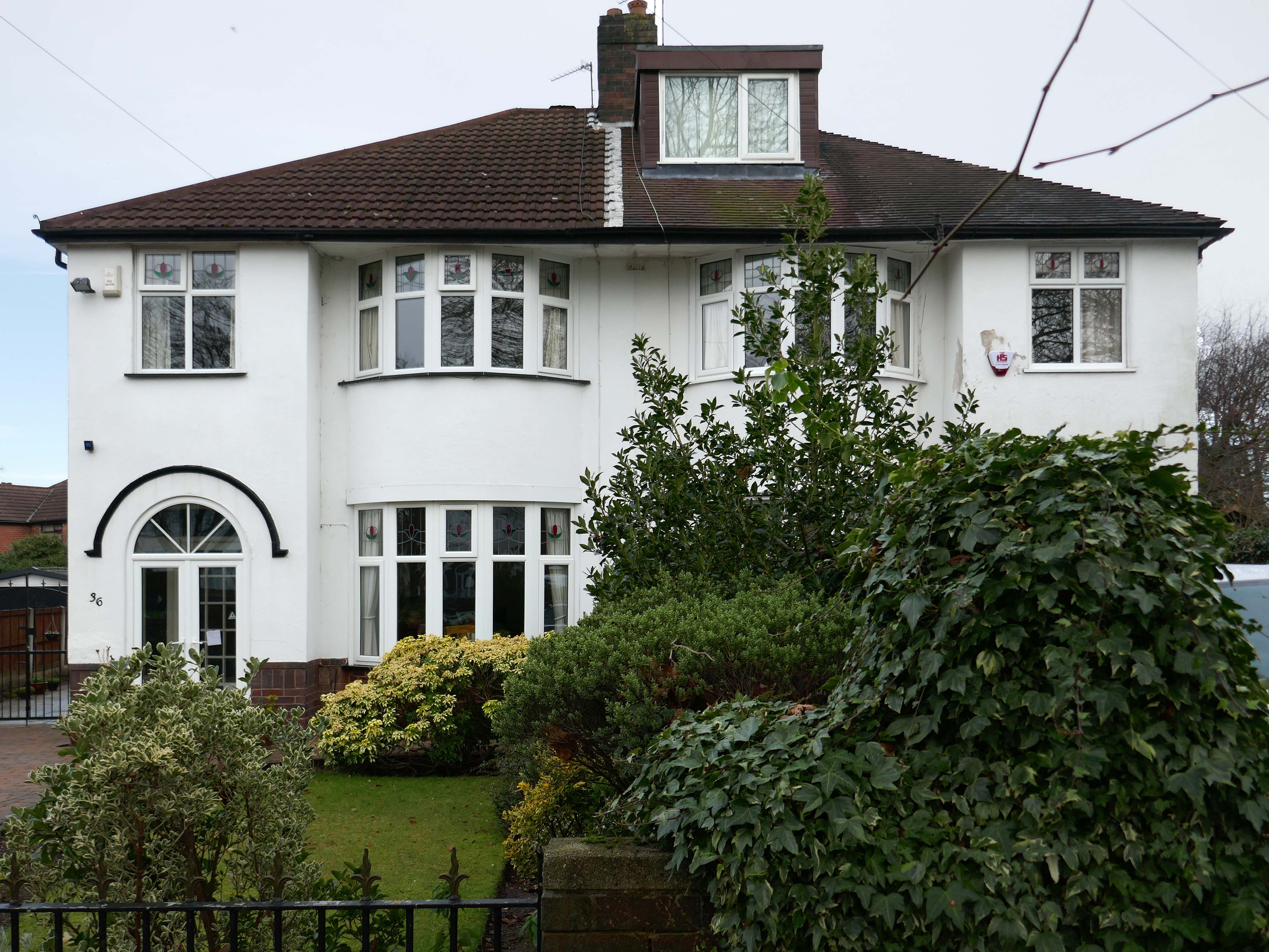
Within such a tight network of suburban streets, restrained Modernism sits alongside the traditional semi, the grand villa and humble abode. A smattering of stained glass and an original door here and there.
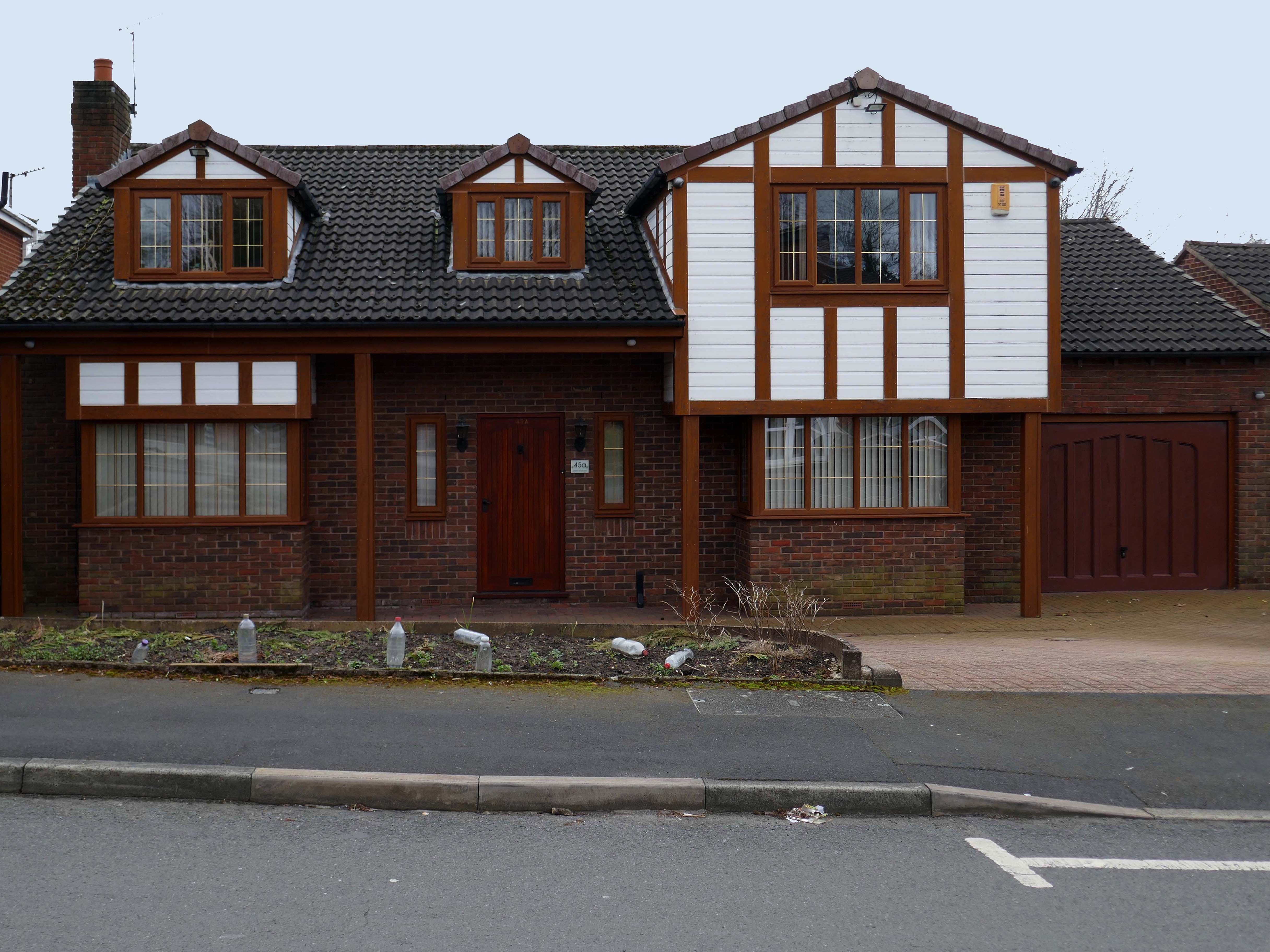
One example of a curved Crittall bay, sitting next door to a distant uPVC cousin.
Hesitant examples of Arts and Crafts and hints of Tudorbethan, subtle shades of sub Lutyens, the odd Art Deco detail.
We never keep to the present. We recall the past; we anticipate the future as if we found it too slow in coming and were trying to hurry it up, or we recall the past as if to stay its too rapid flight. We are so unwise that we wander about in times that do not belong to us, and do not think of the only one that does; so vain that we dream of times that are not and blindly flee the only one that is. The fact is that the present usually hurts. We thrust it out of sight because it distresses us, and if we find it enjoyable, we are sorry to see it slip away. We try to give it the support of the future, and think how we are going to arrange things over which we have no control for a time we can never be sure of reaching.
Blaise Pascal
Let each of us examine his thoughts; he will find them wholly concerned with the past or the future. We almost never think of the present, and if we do think of it, it is only to see what light it throws on our plans for the future. The present is never our end. The past and the present are our means, the future alone our end. Thus we never actually live, but hope to live, and since we are always planning how to be happy, it is inevitable that we should never be so.