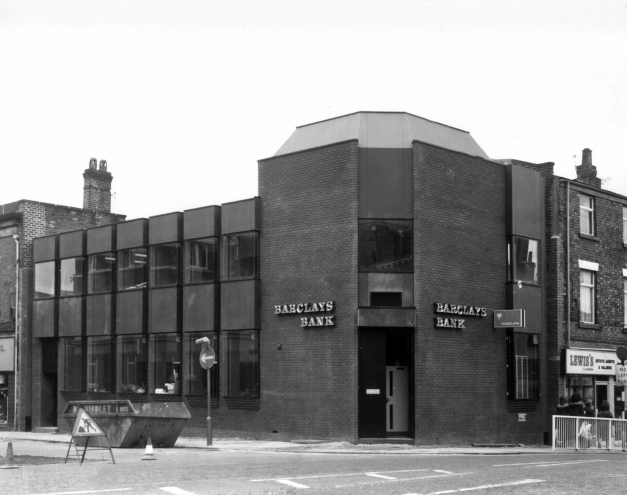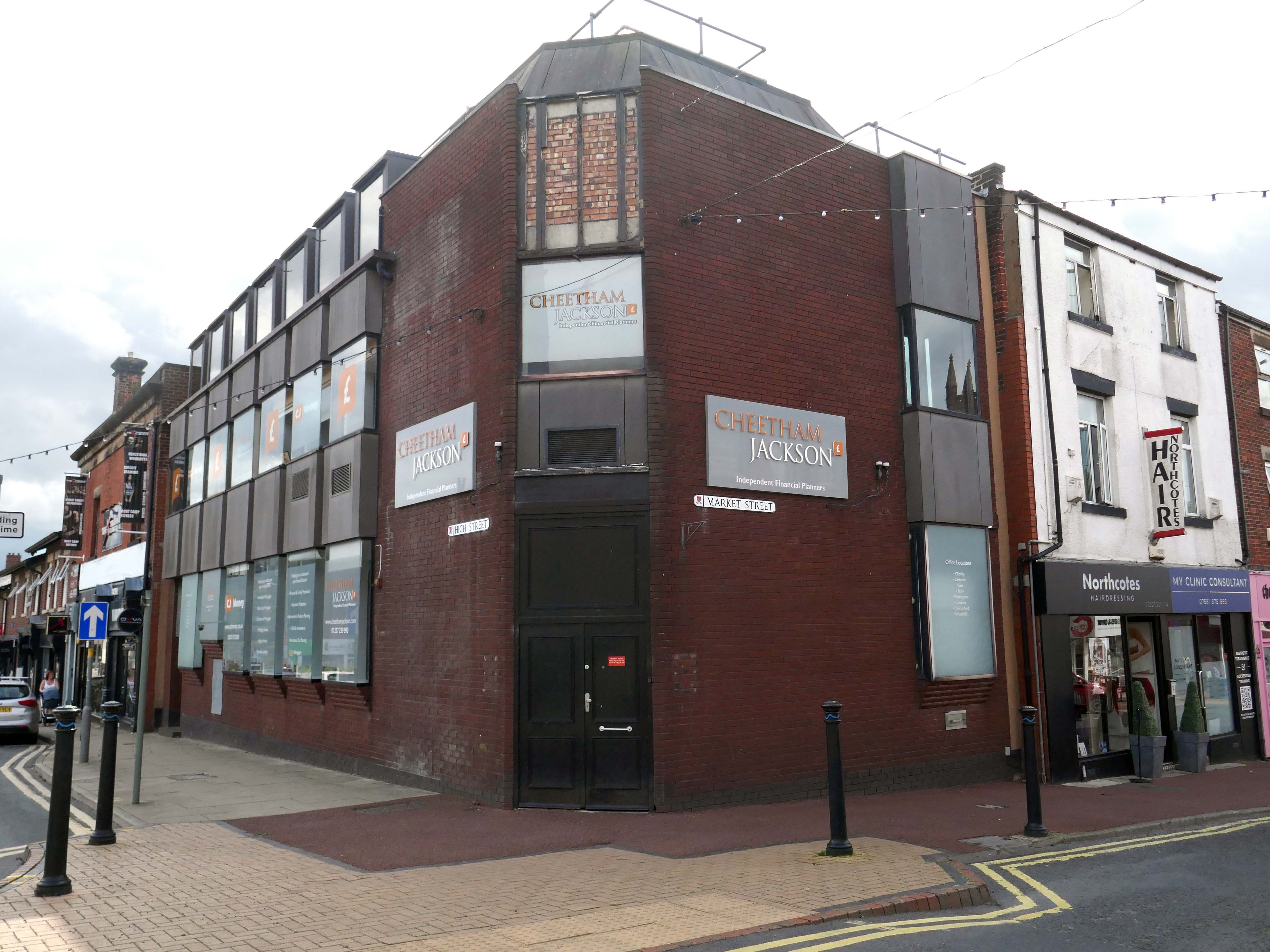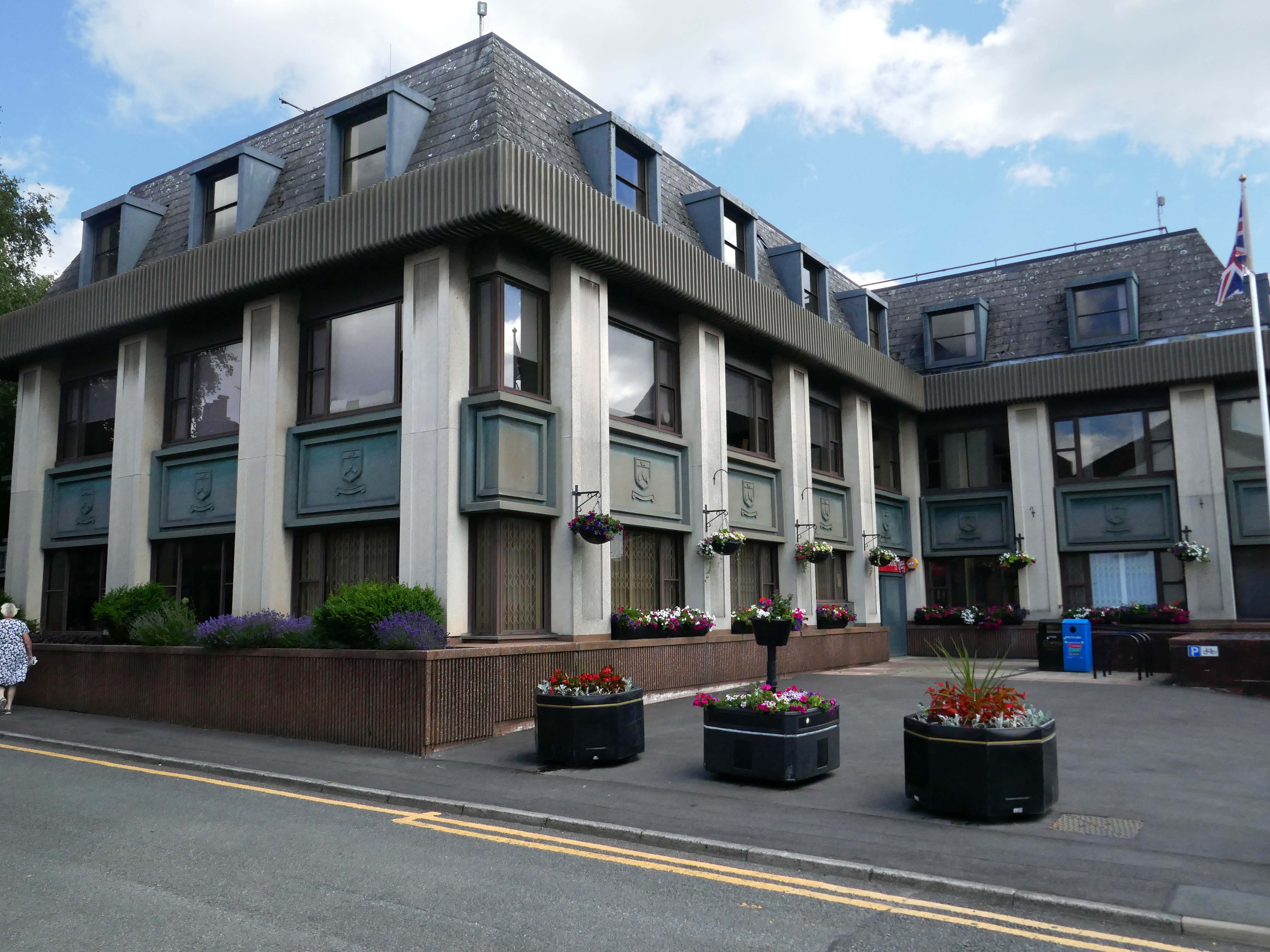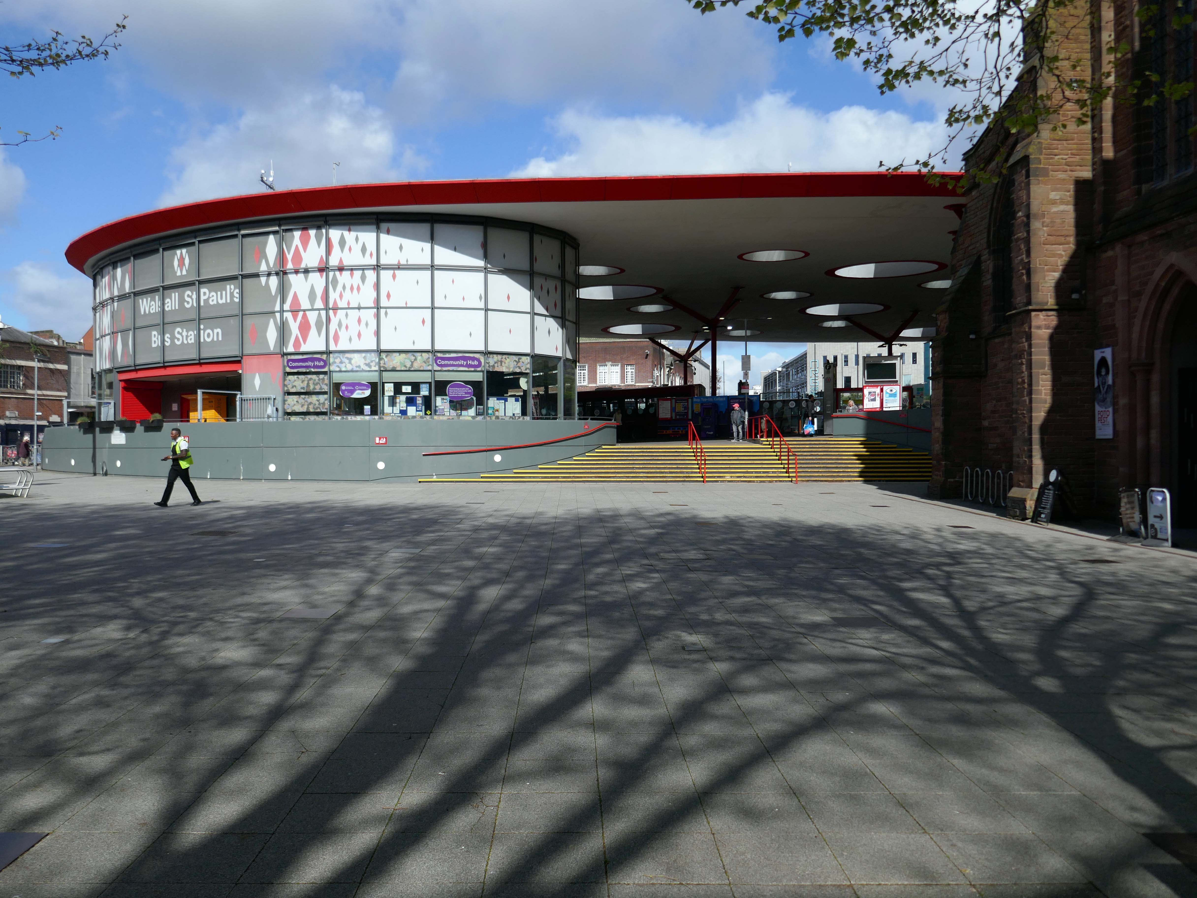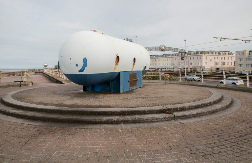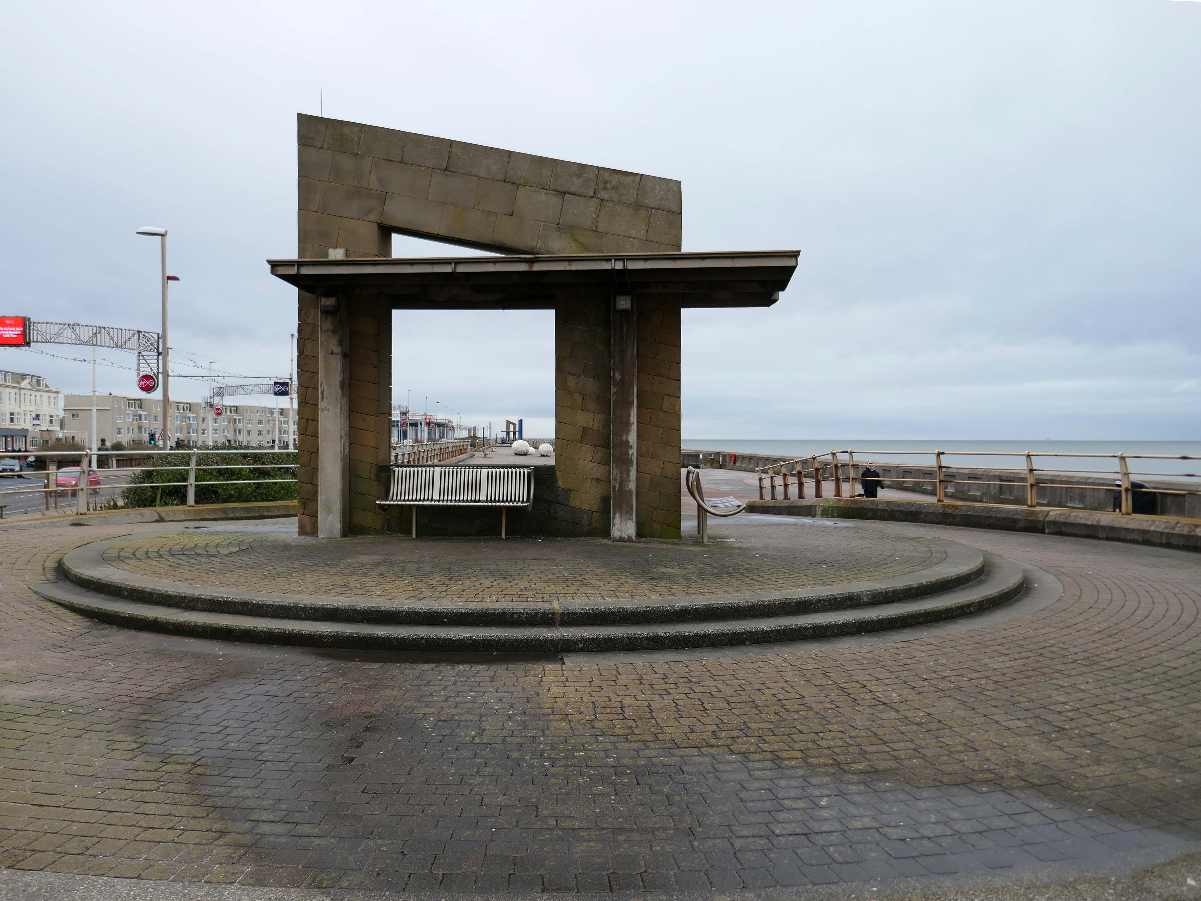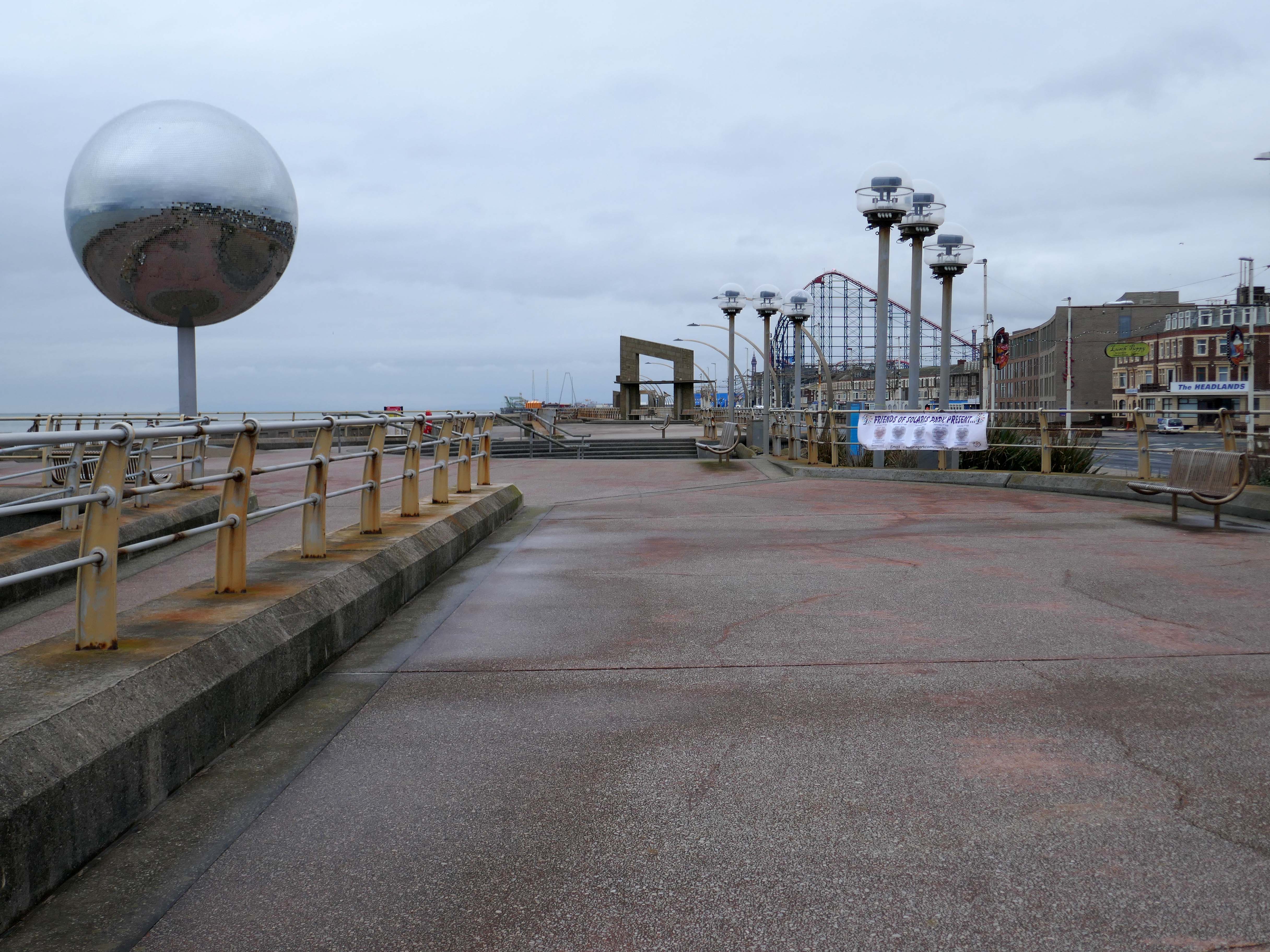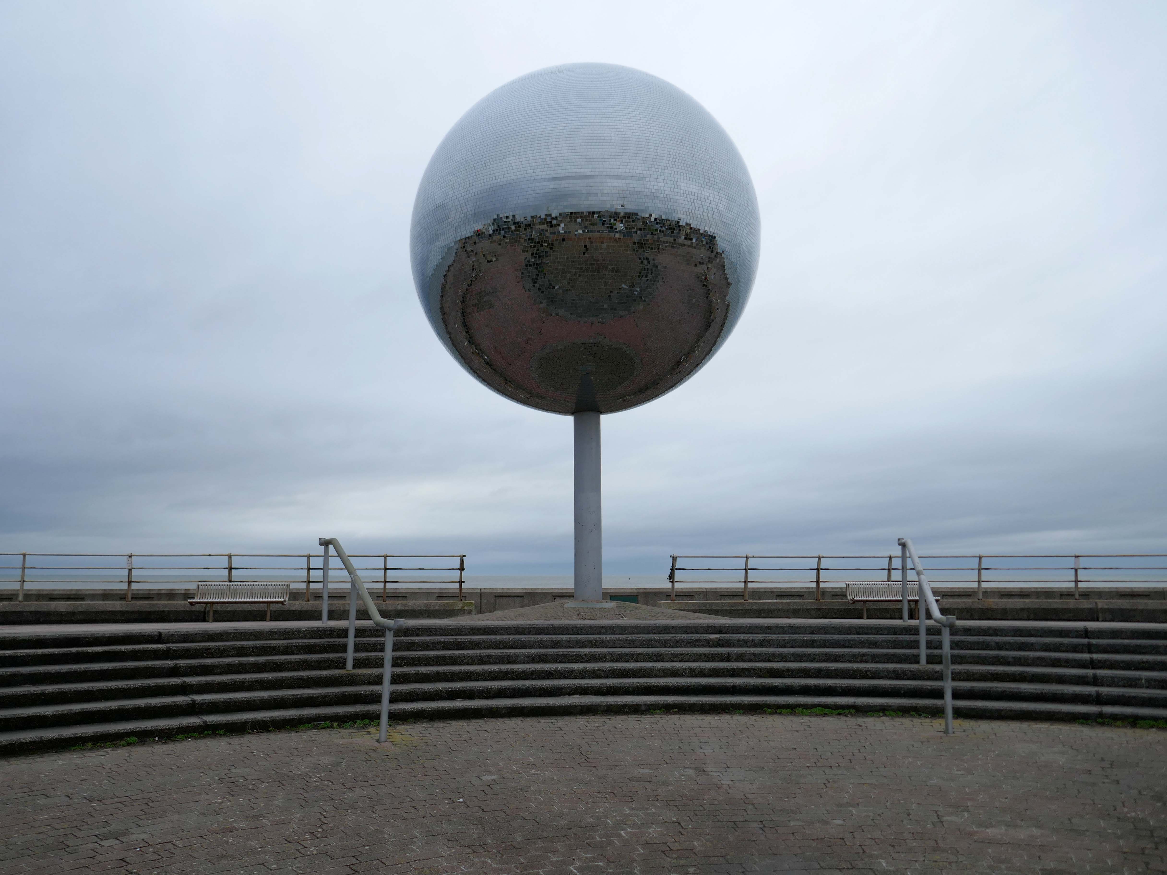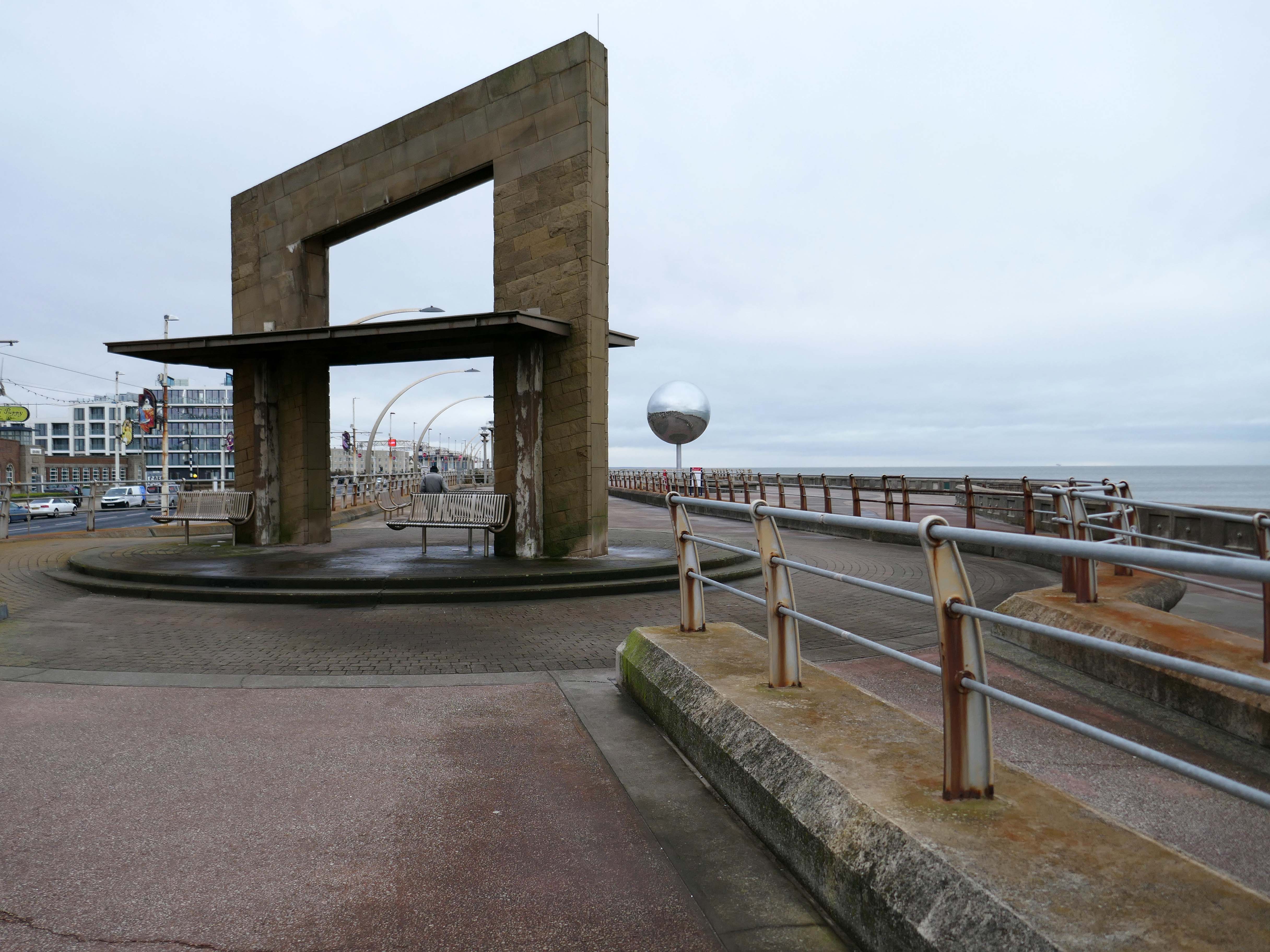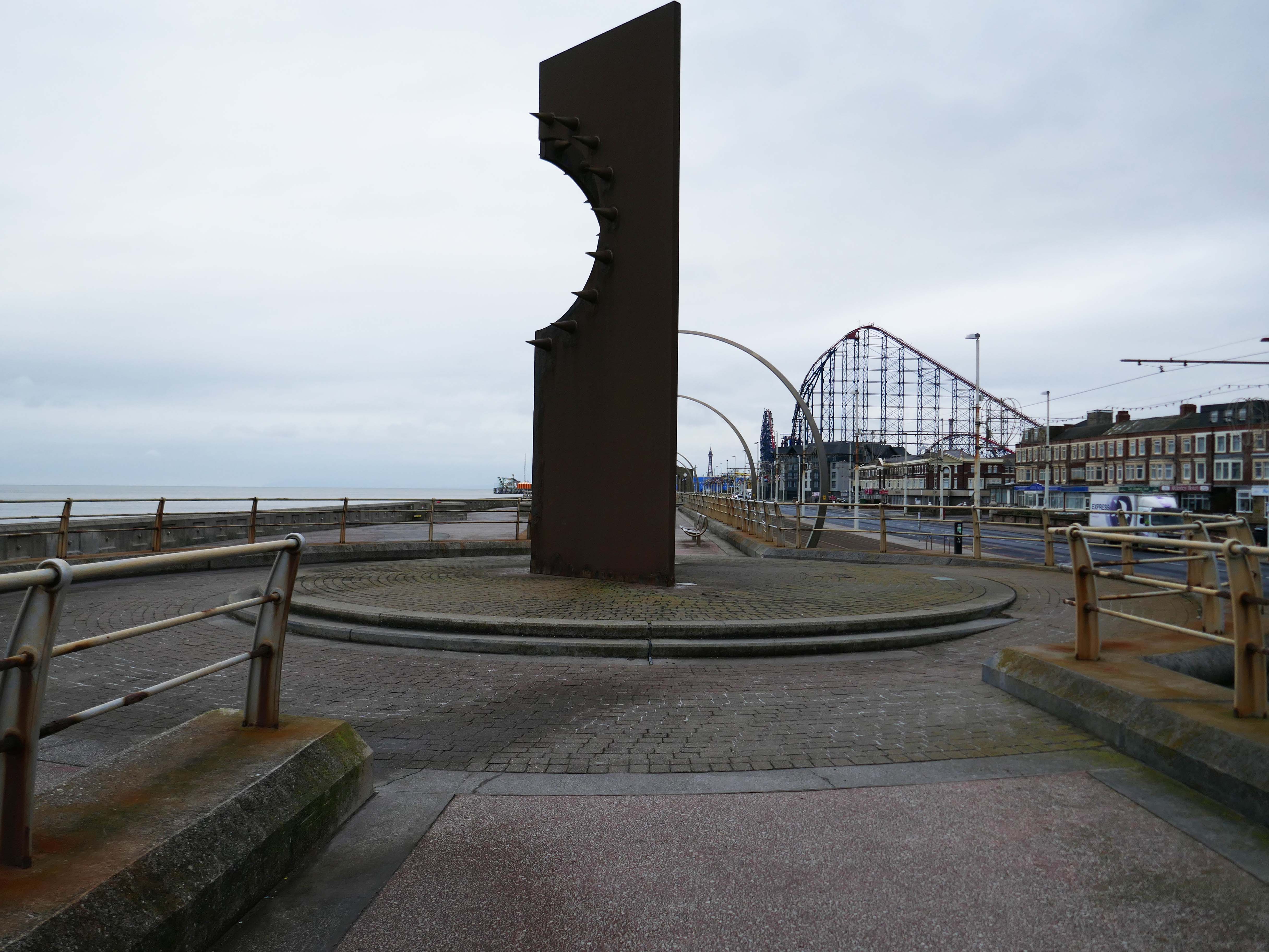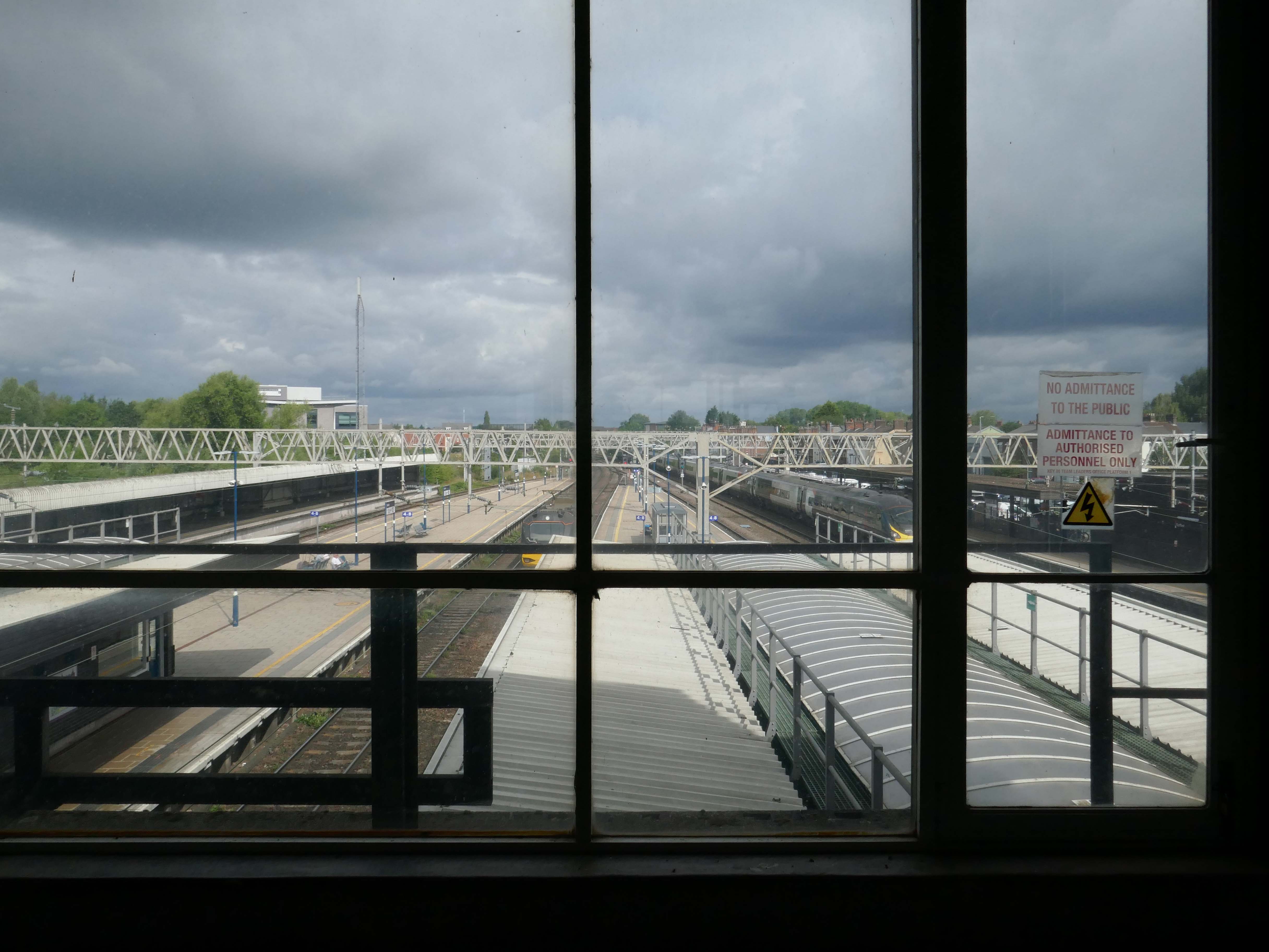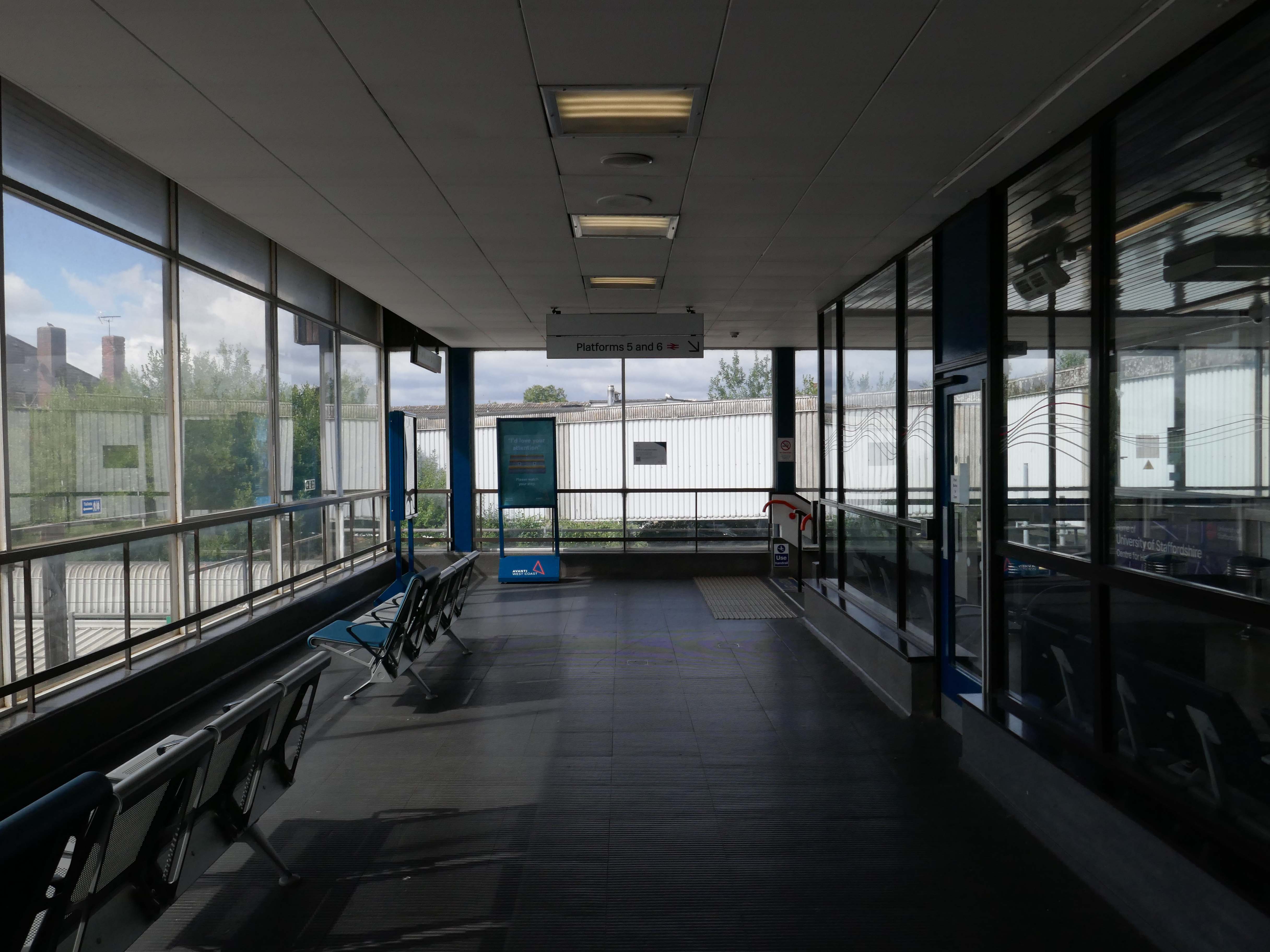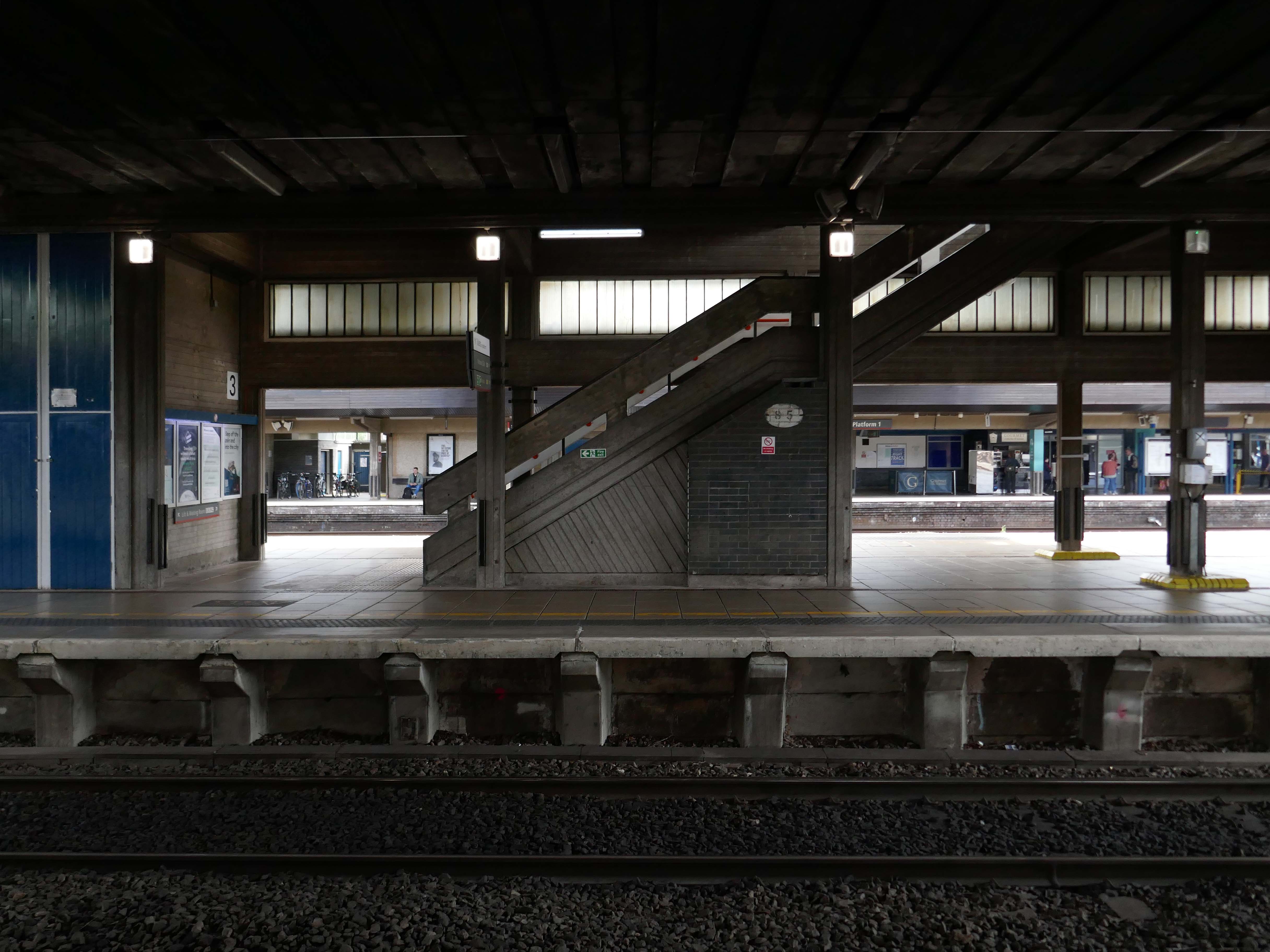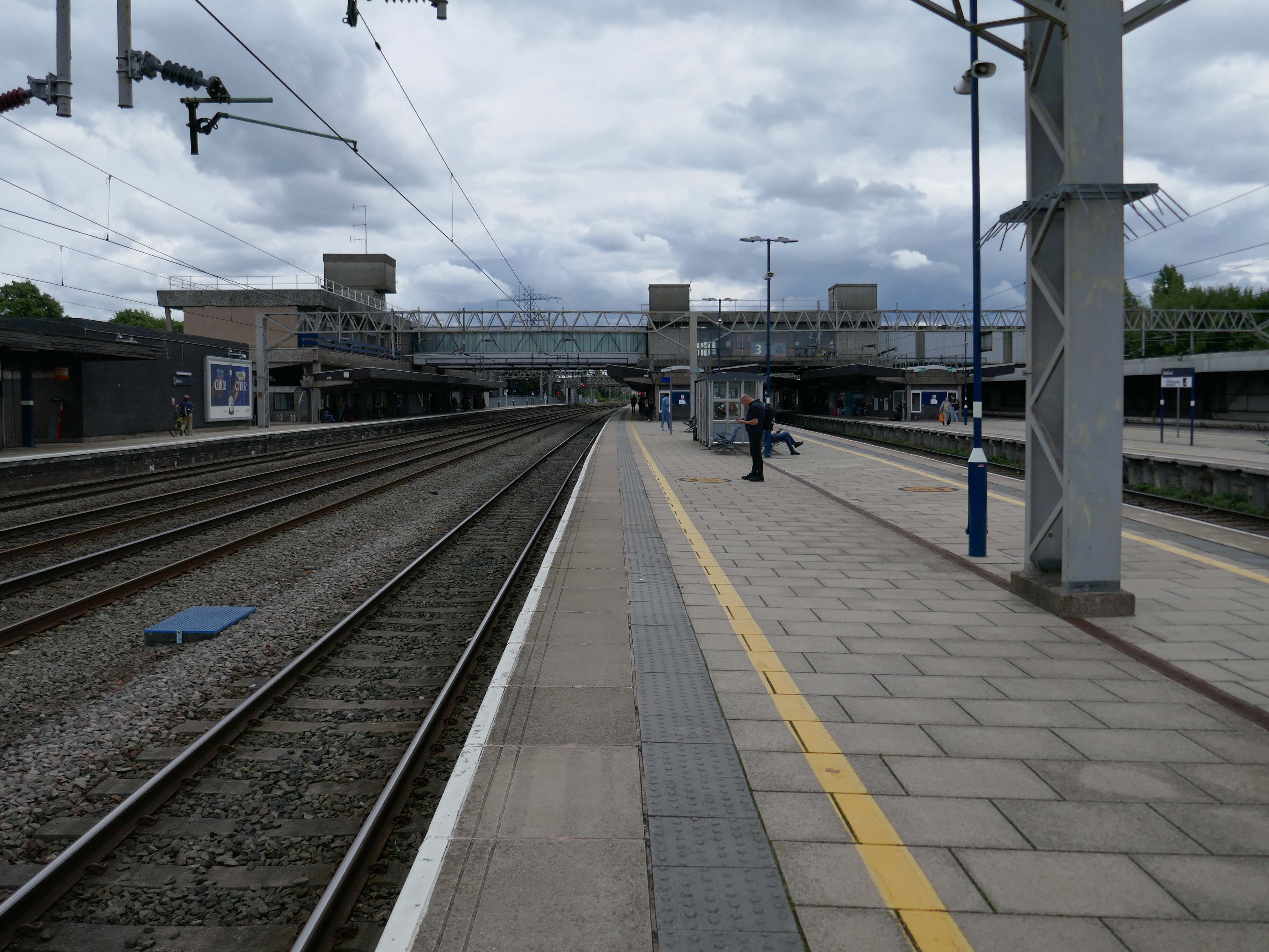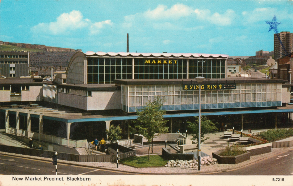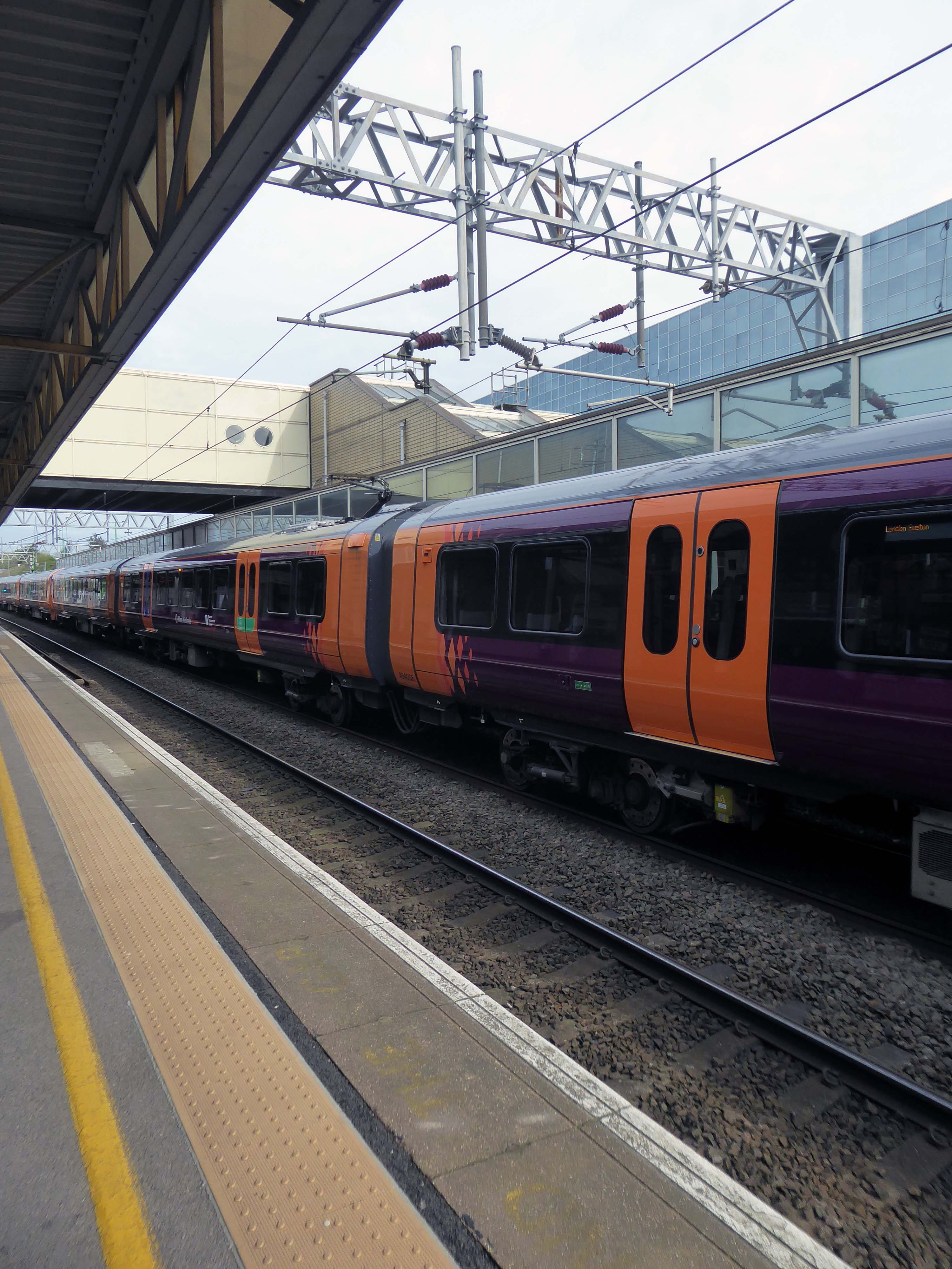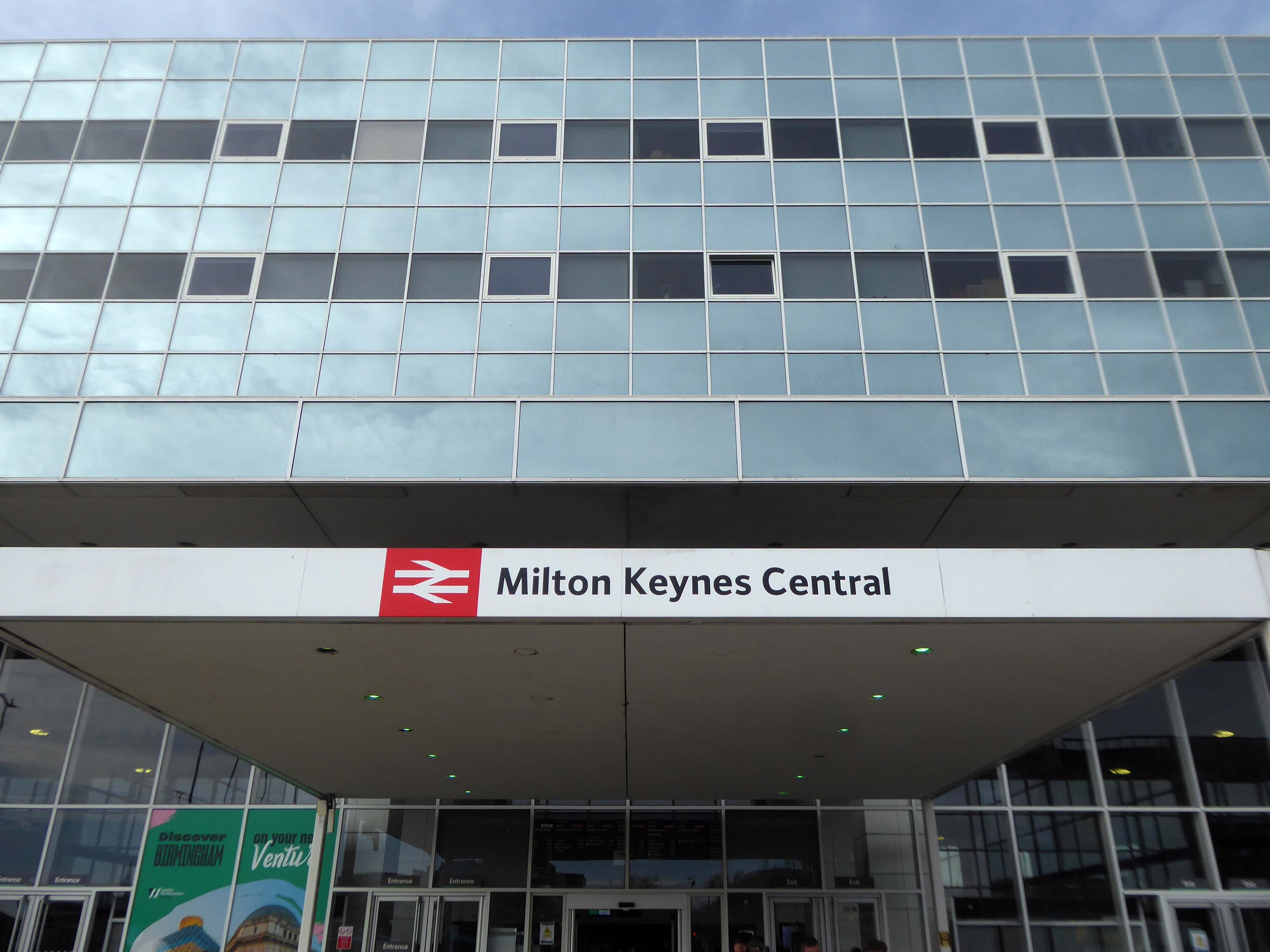
Here we are again – updating the 2020 post and subsequent 2024 visit.
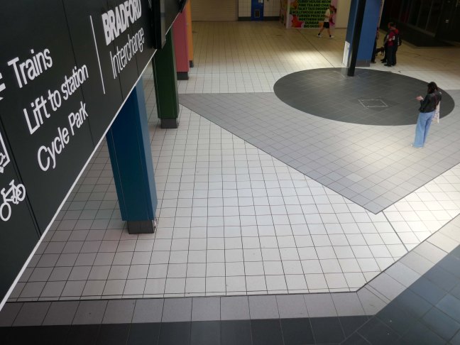
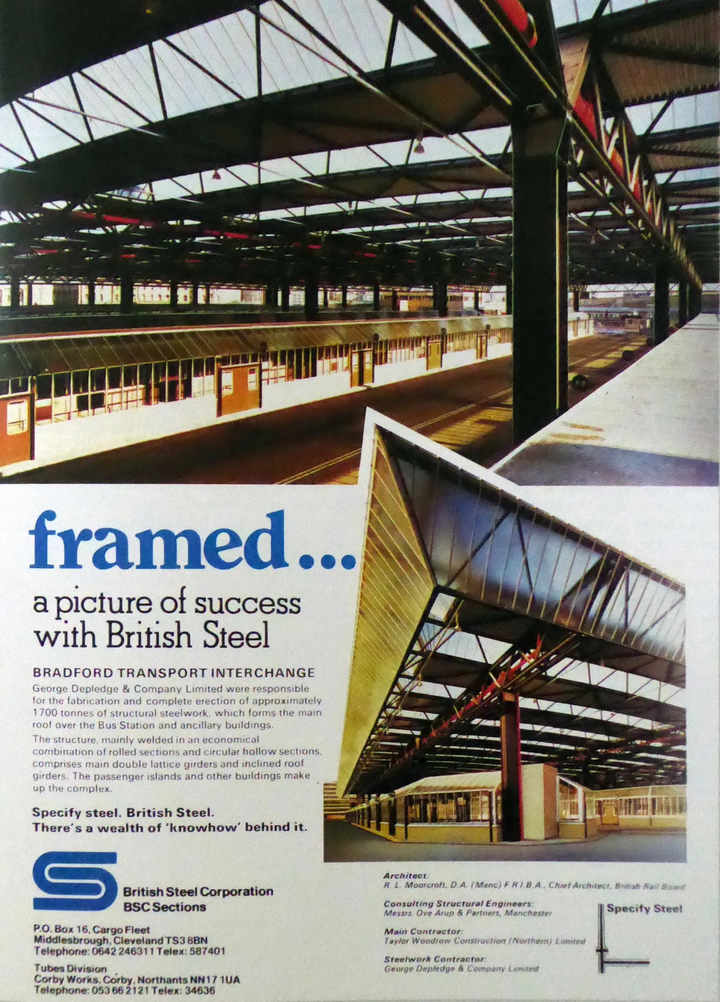
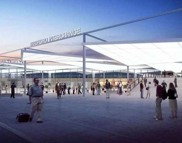
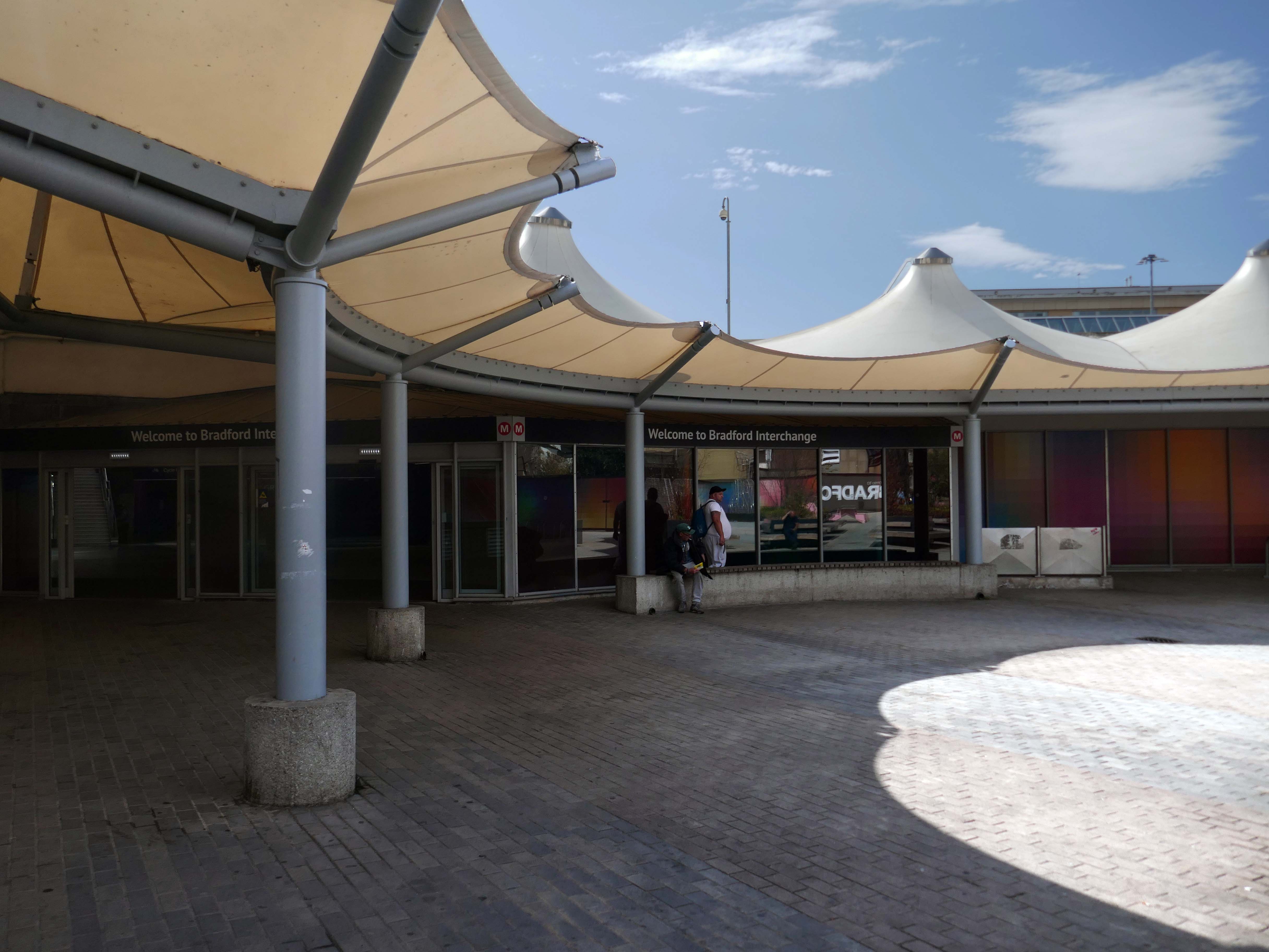
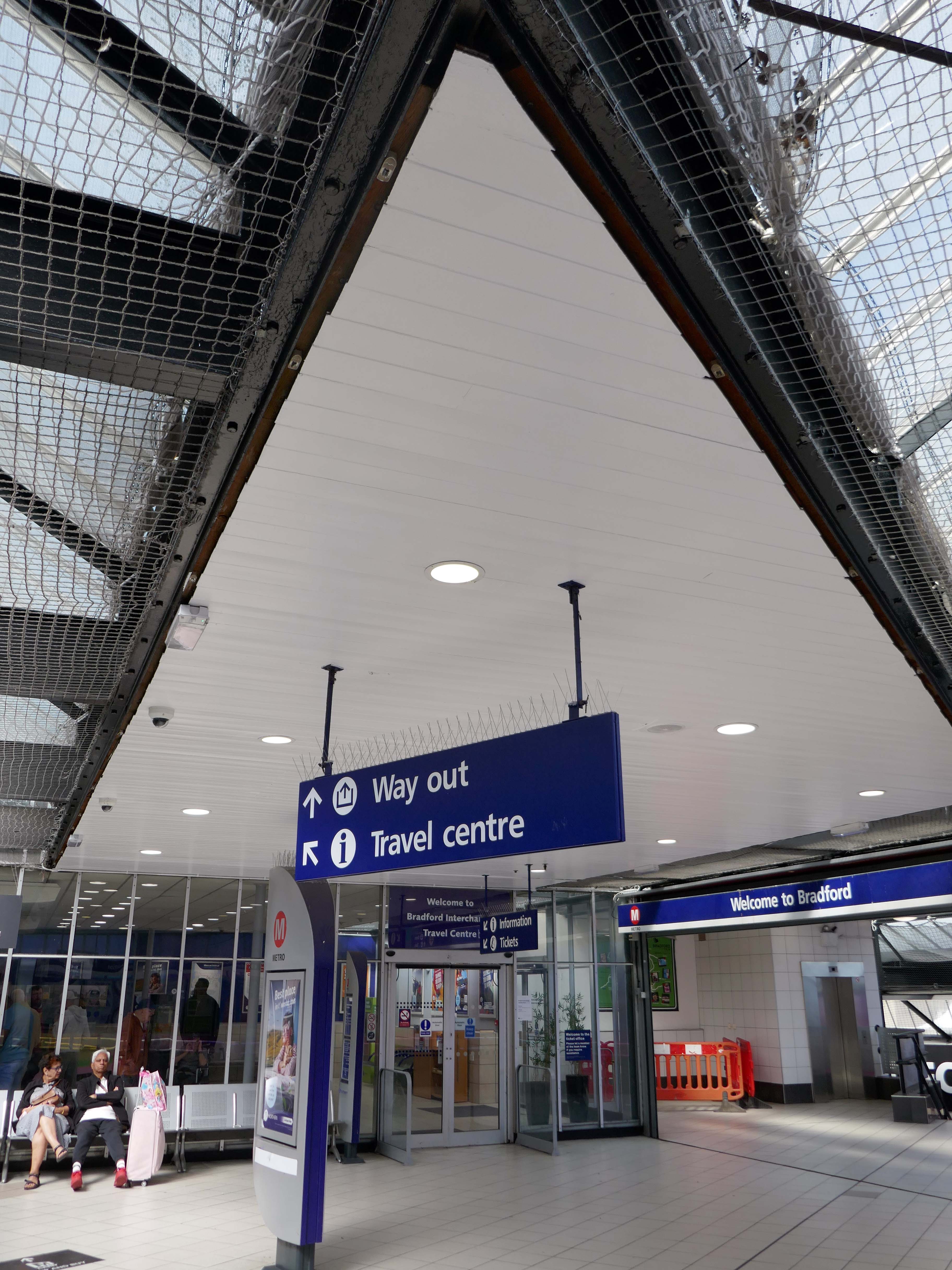
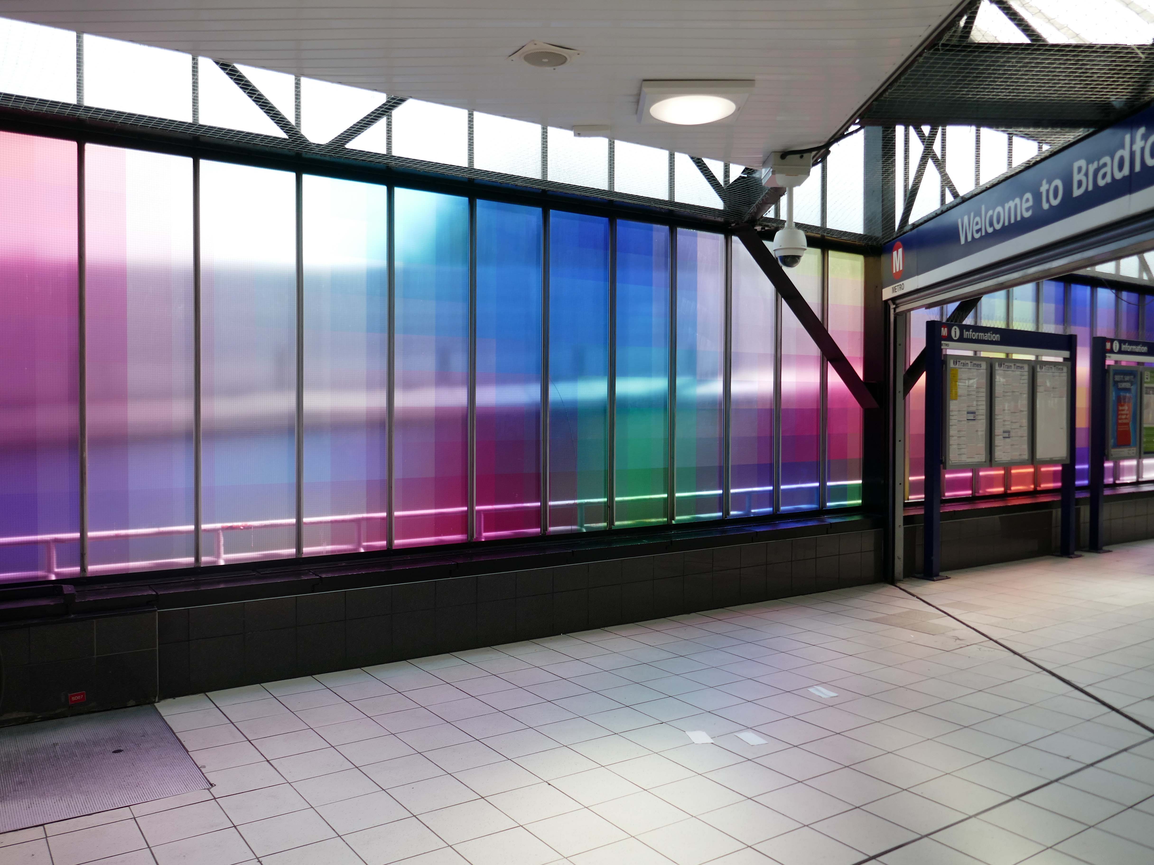
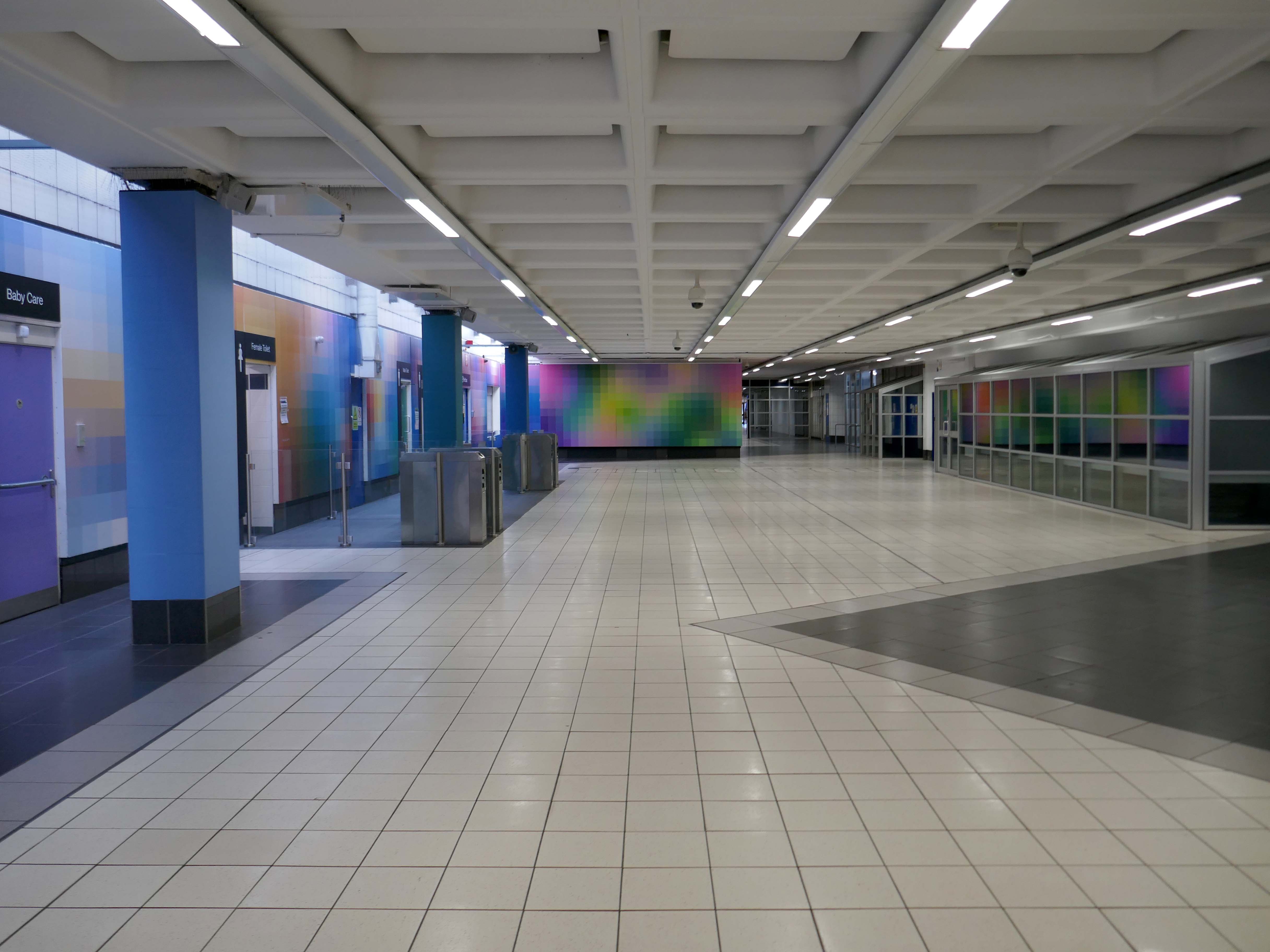
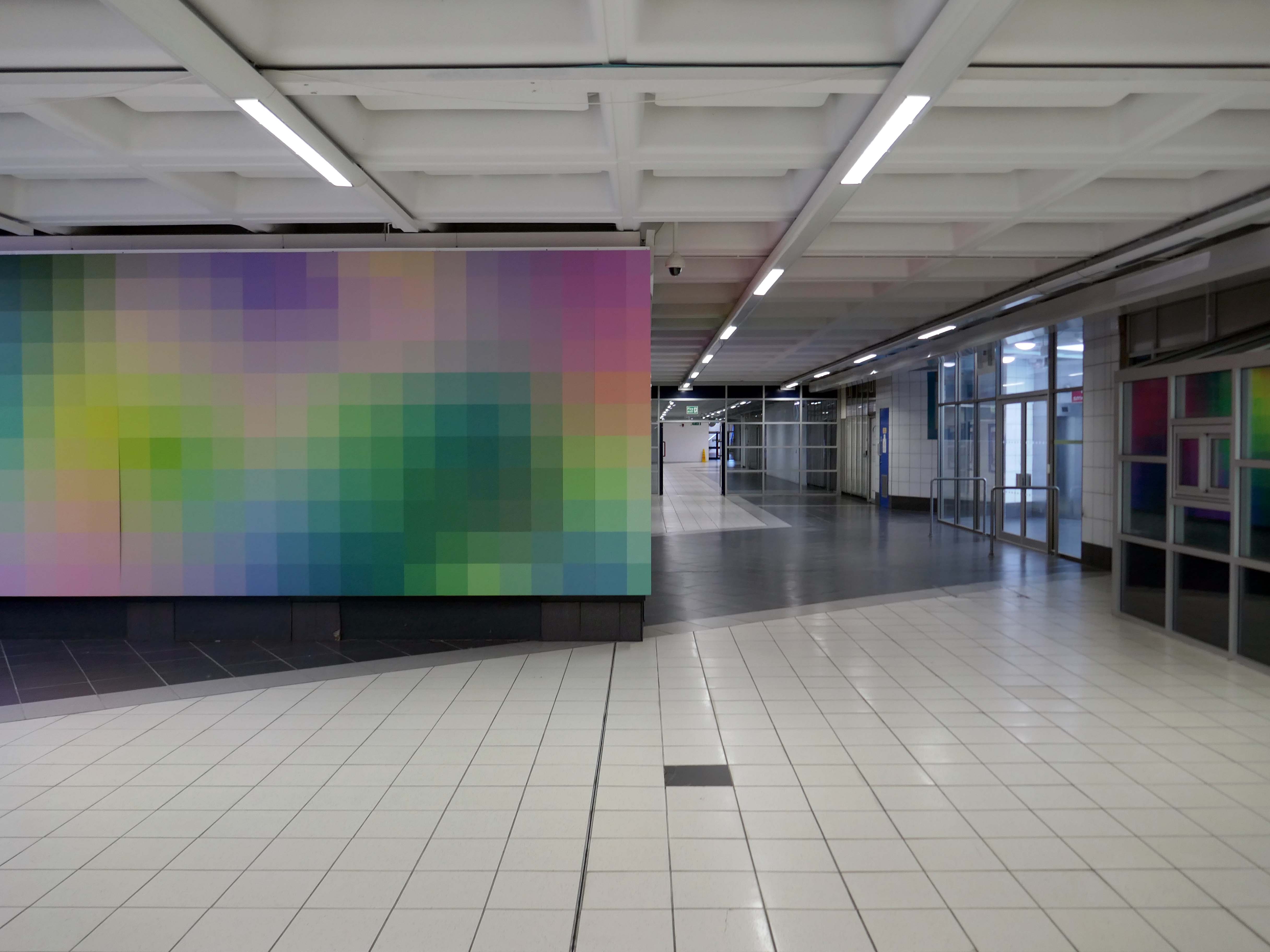
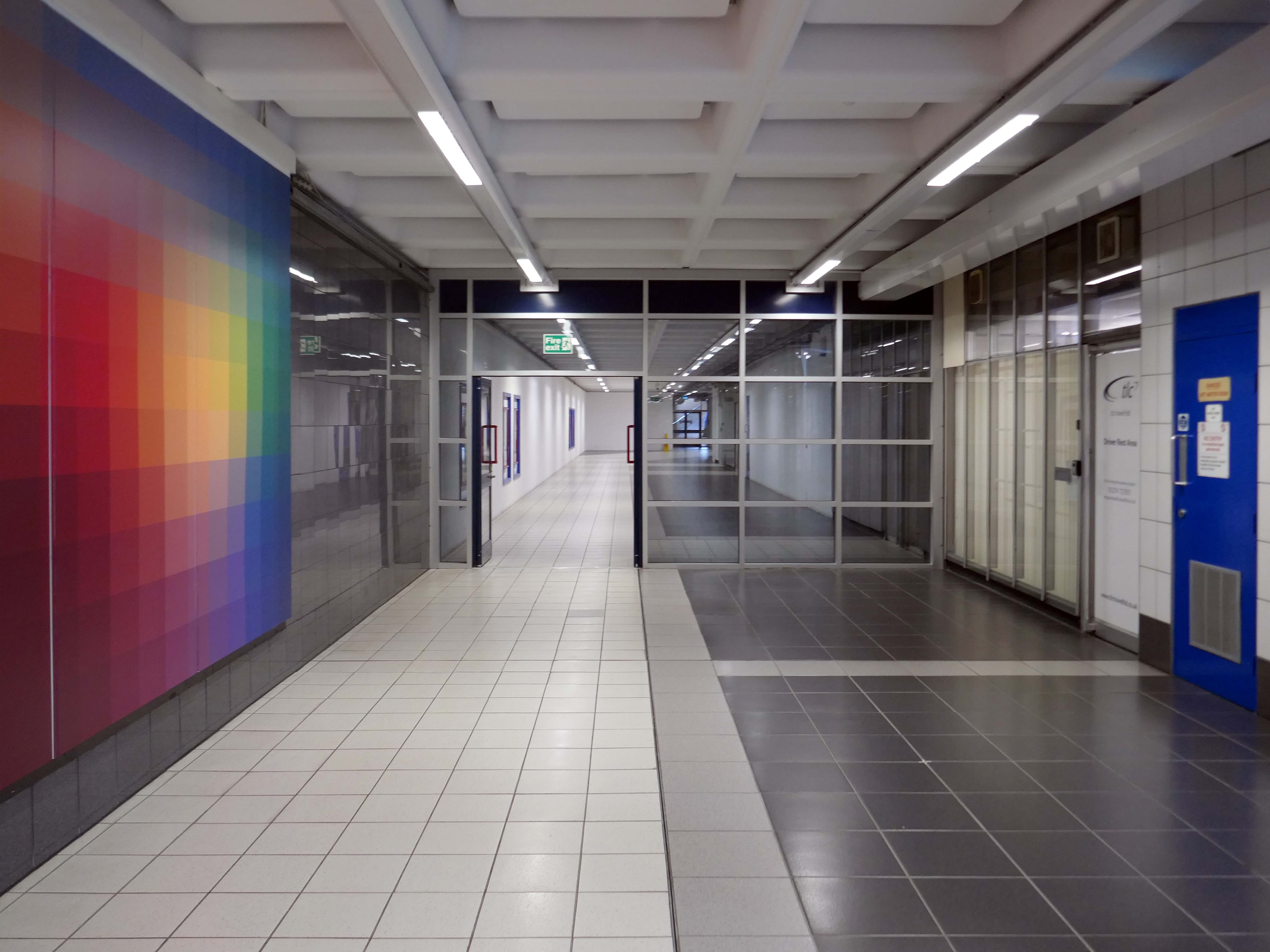
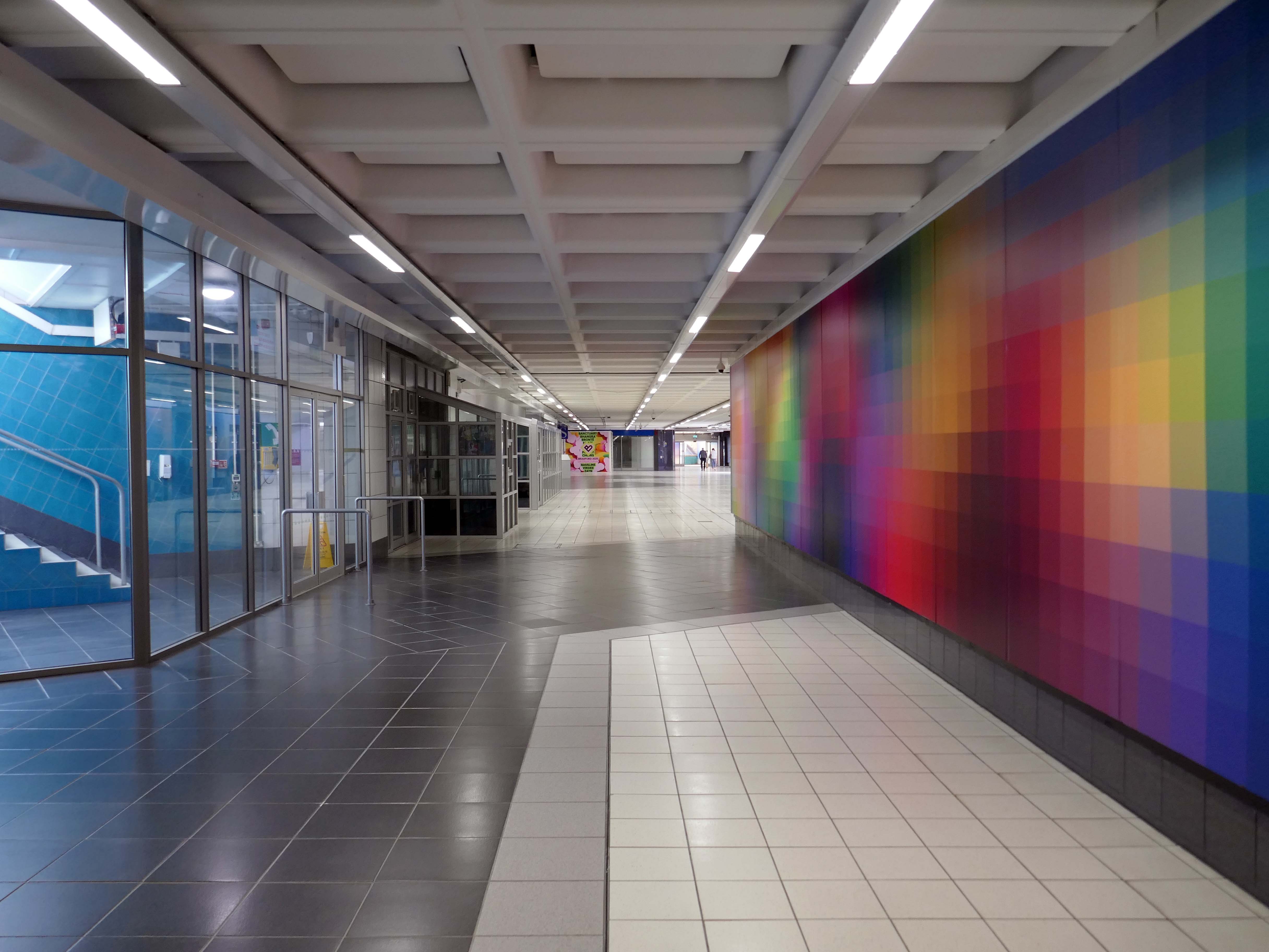
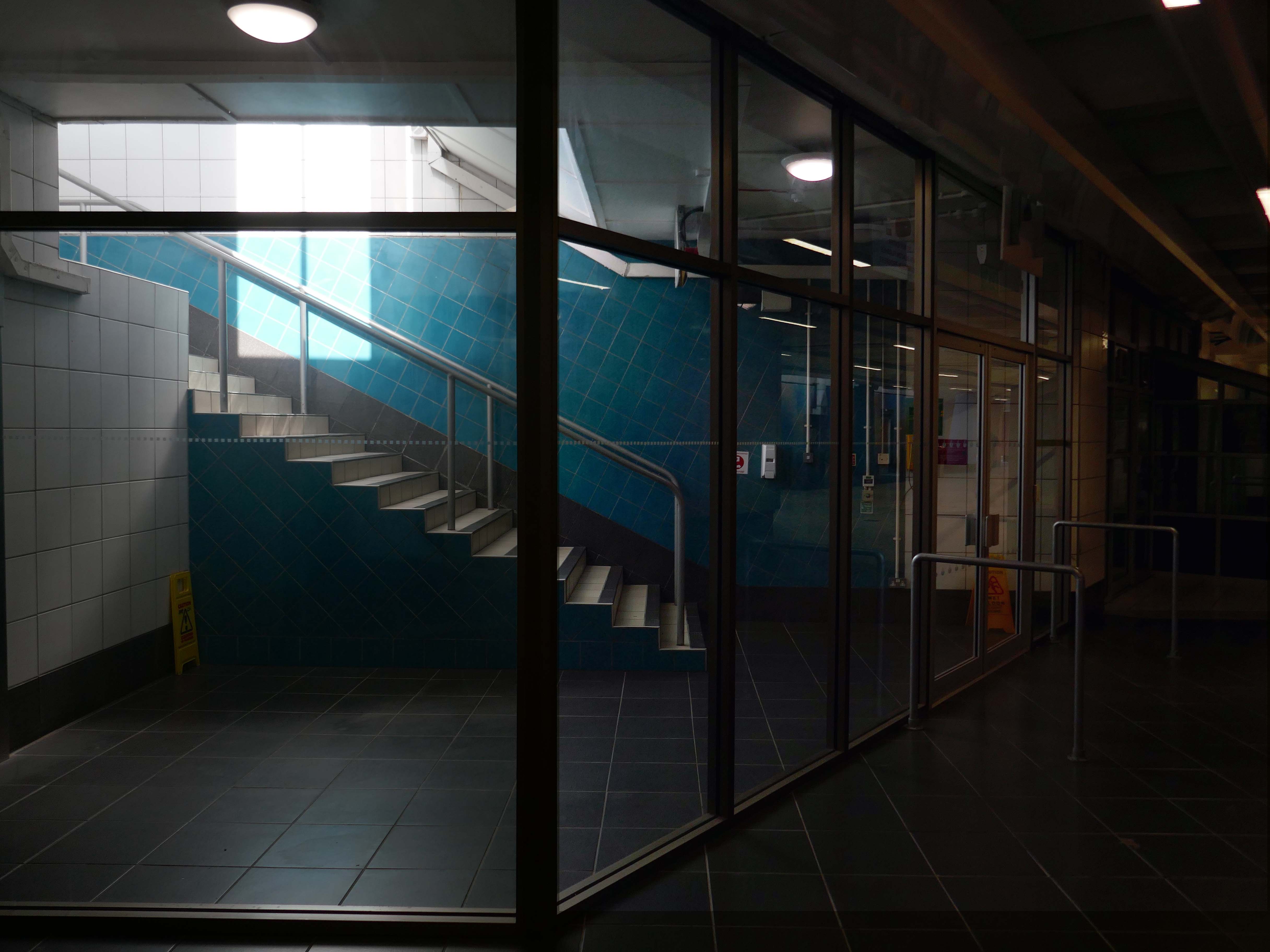
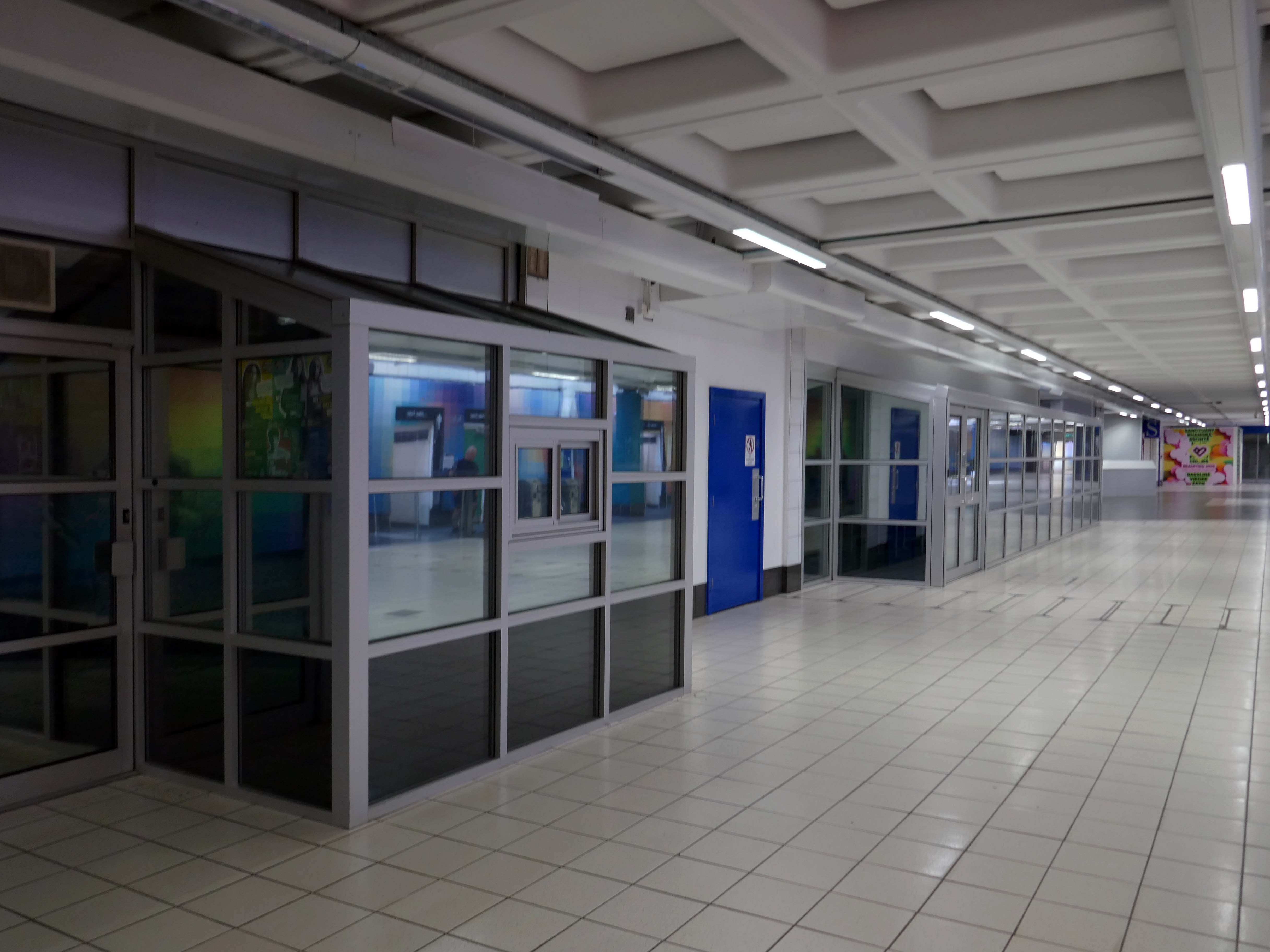
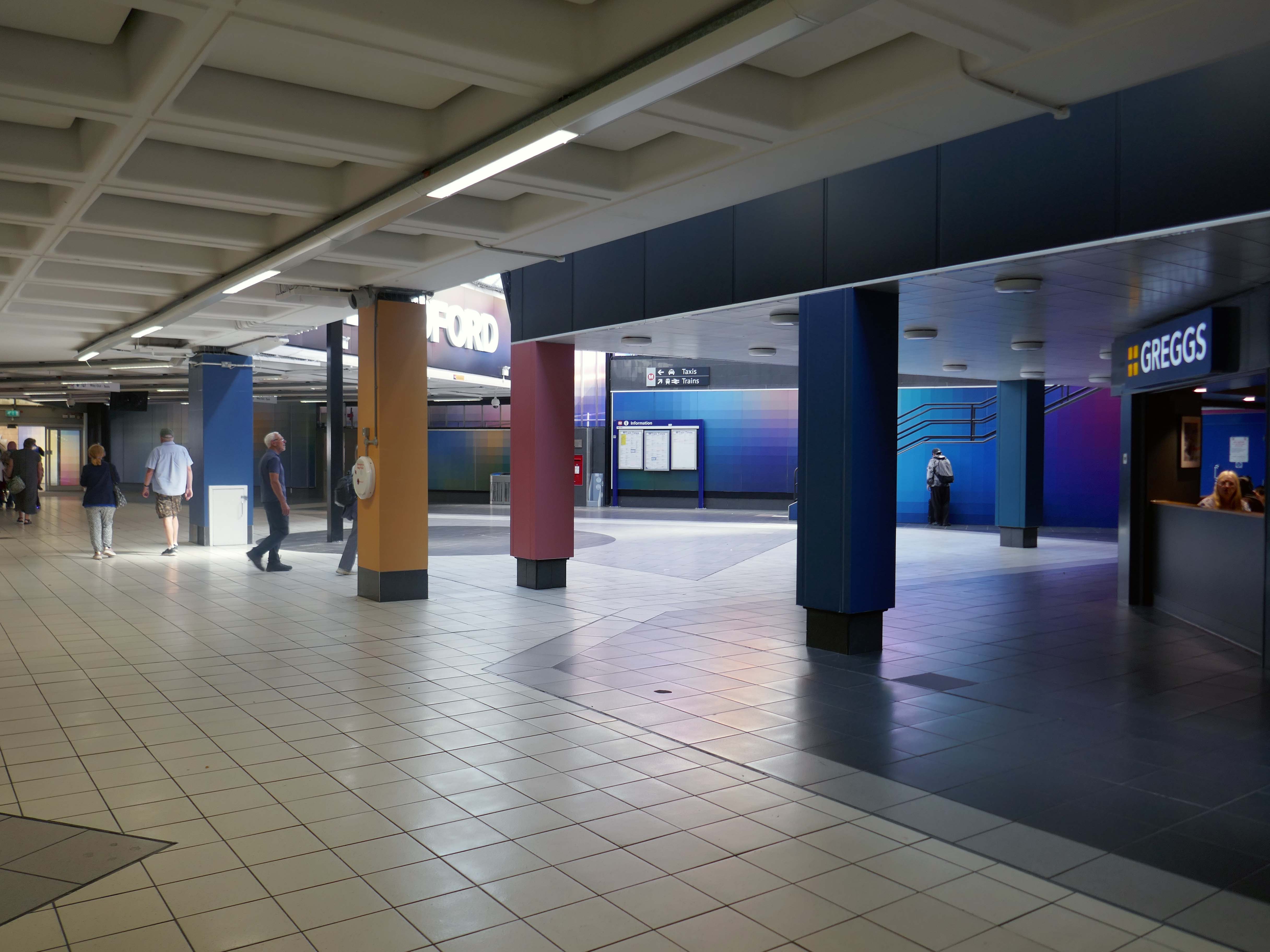
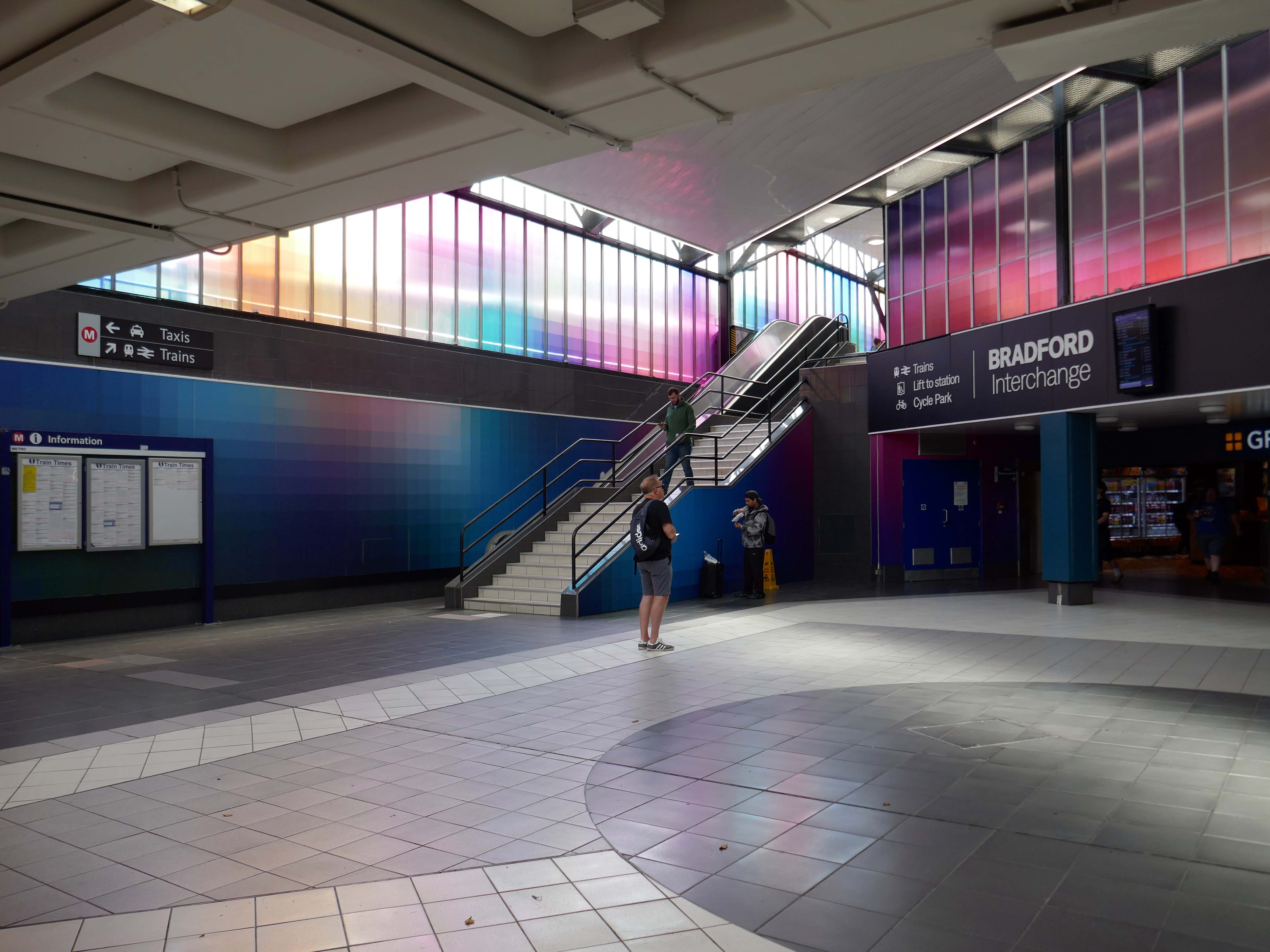
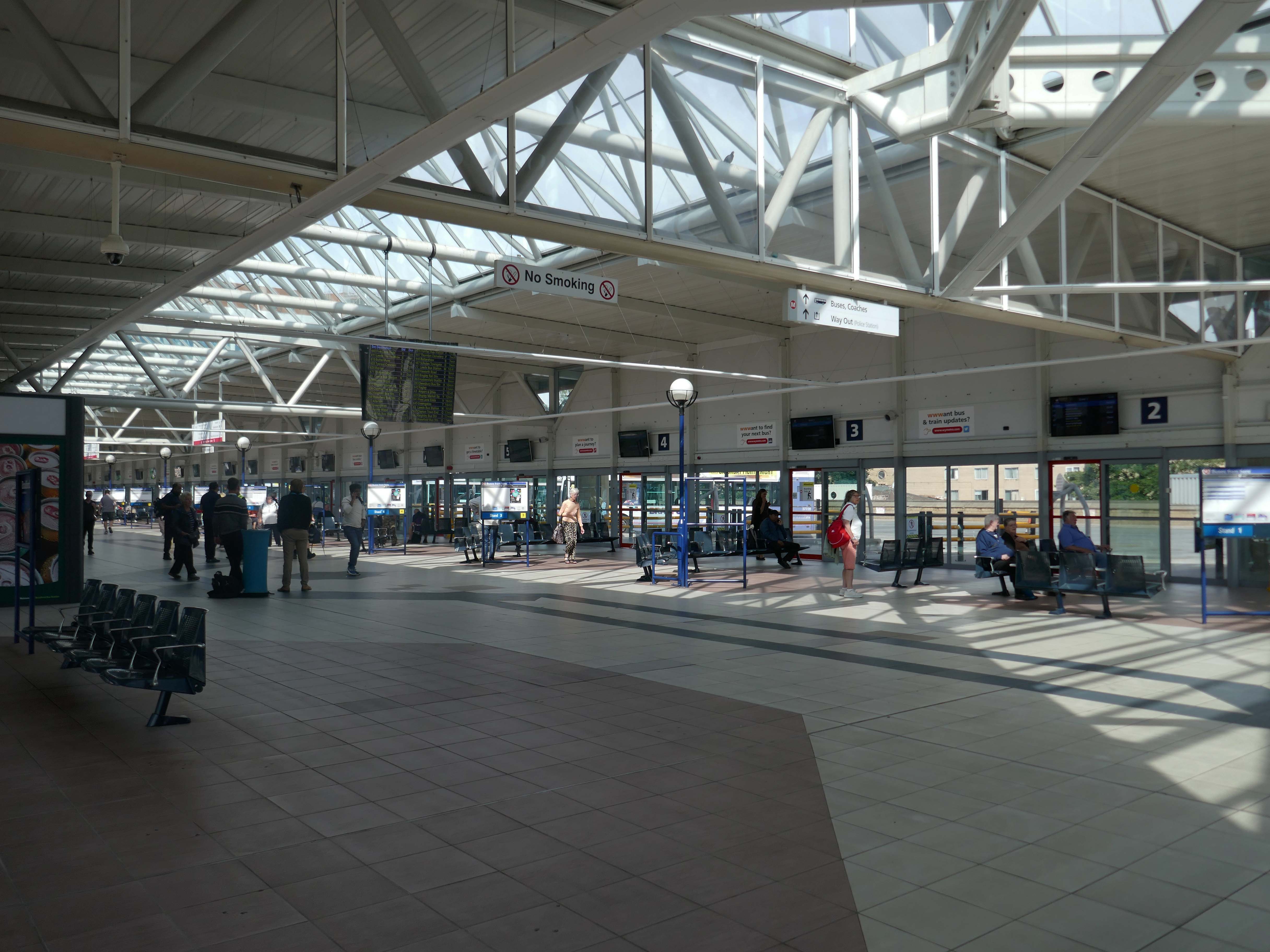
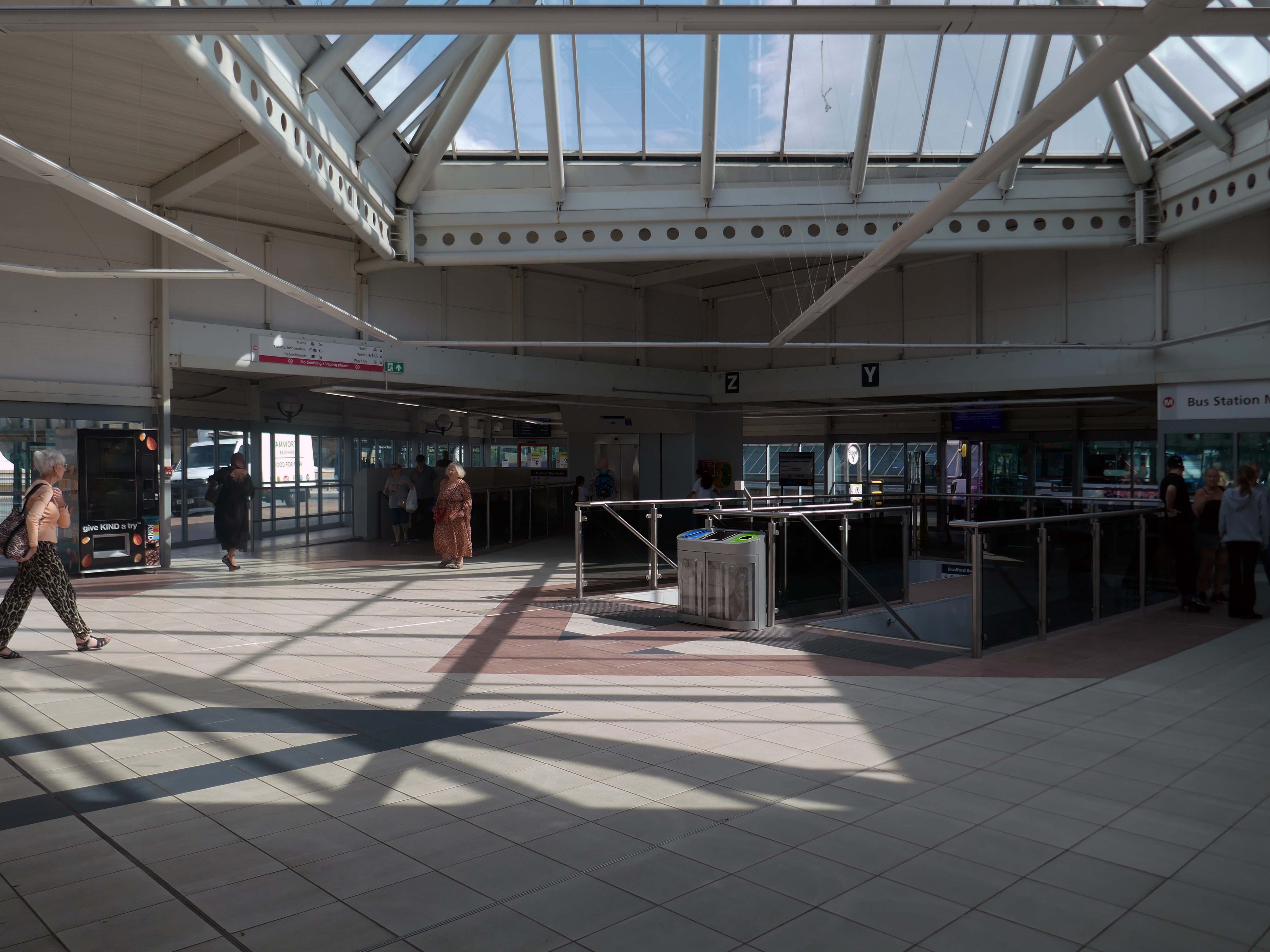
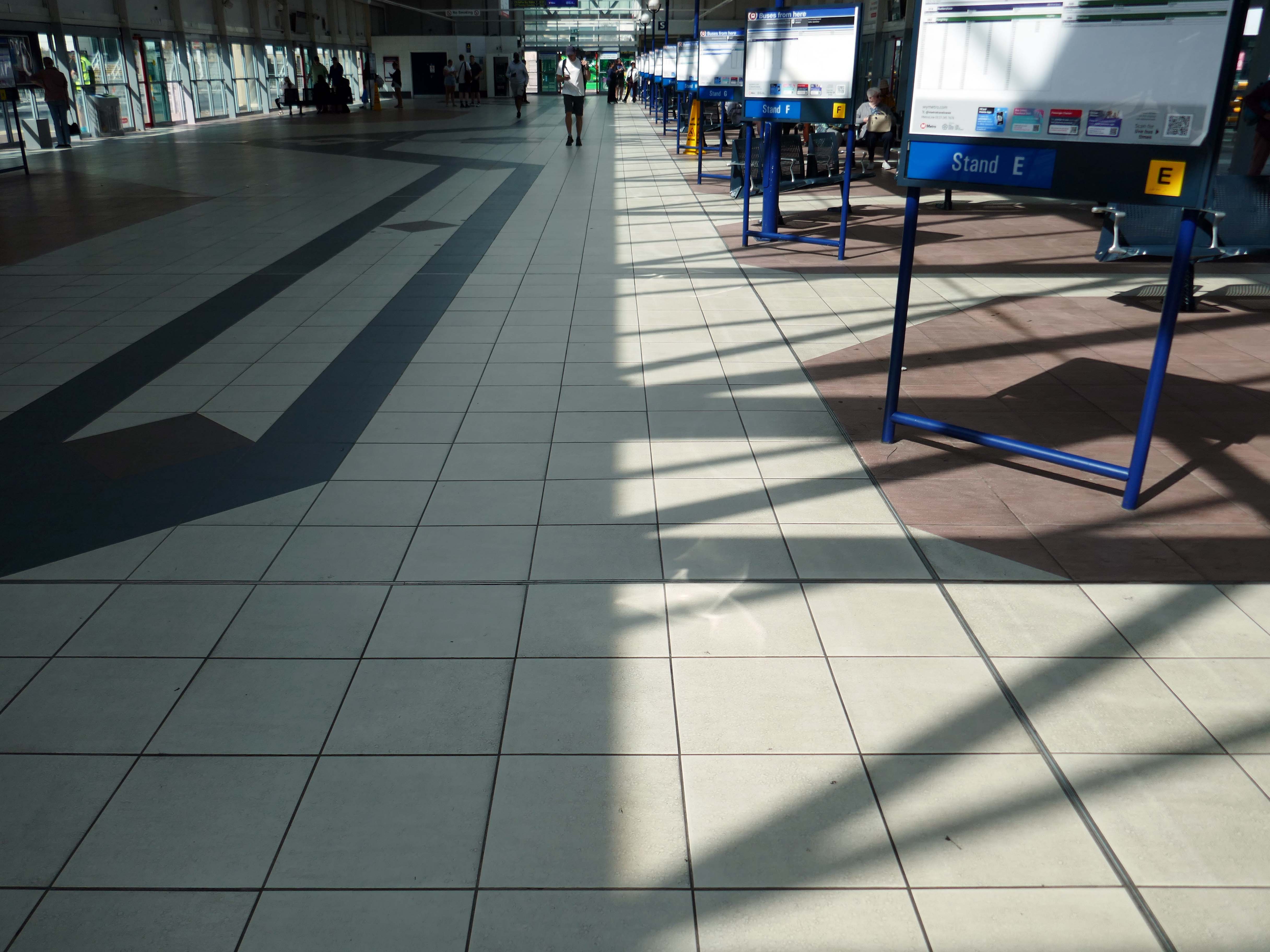
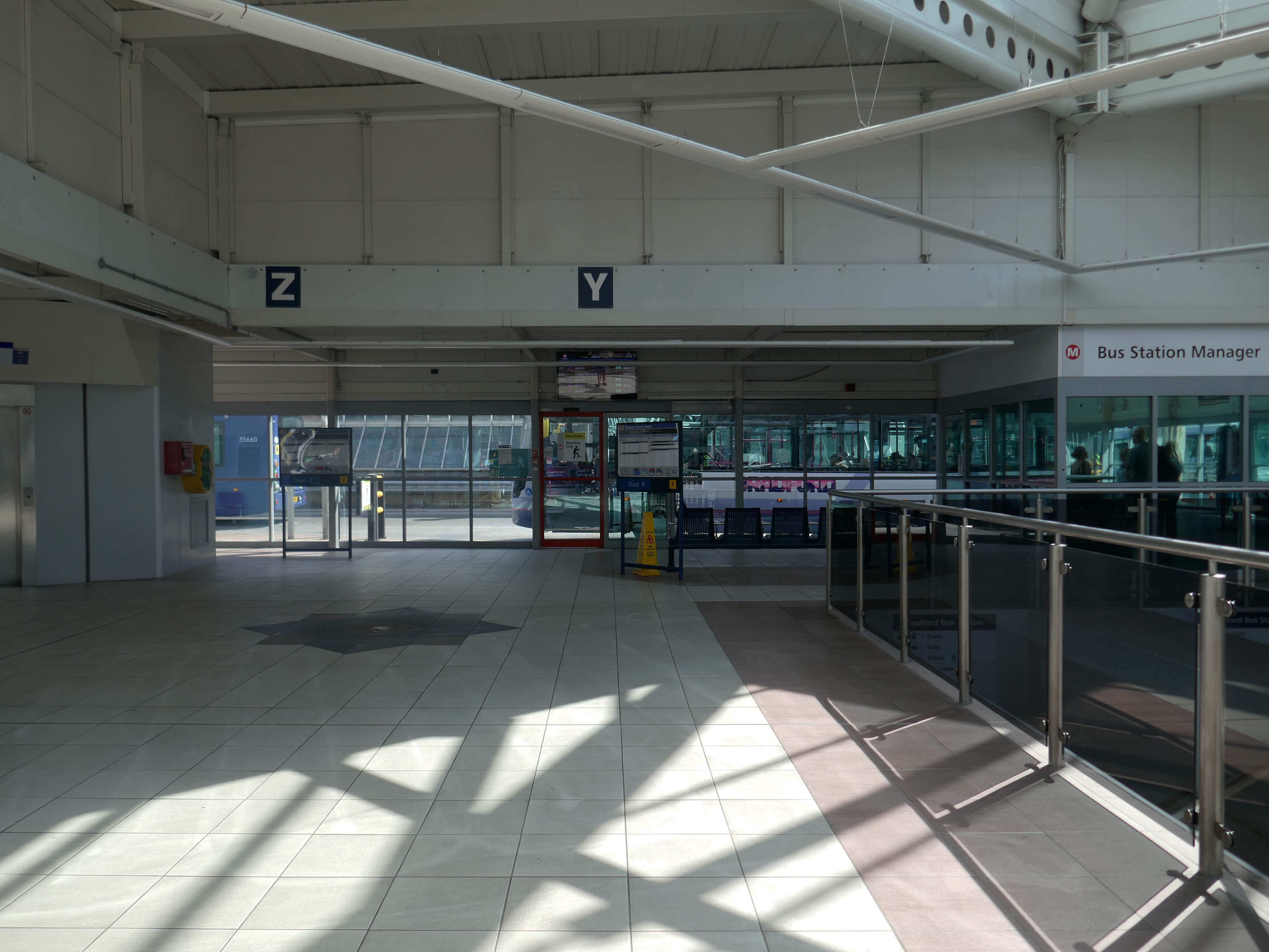
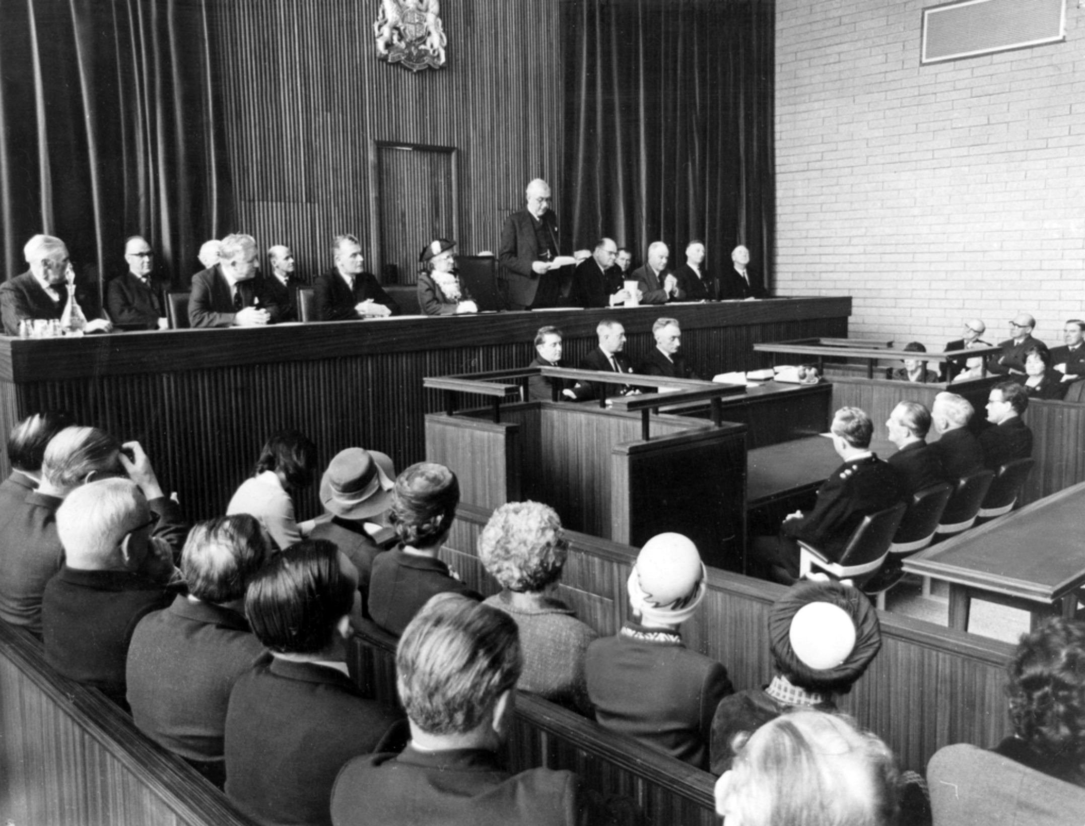
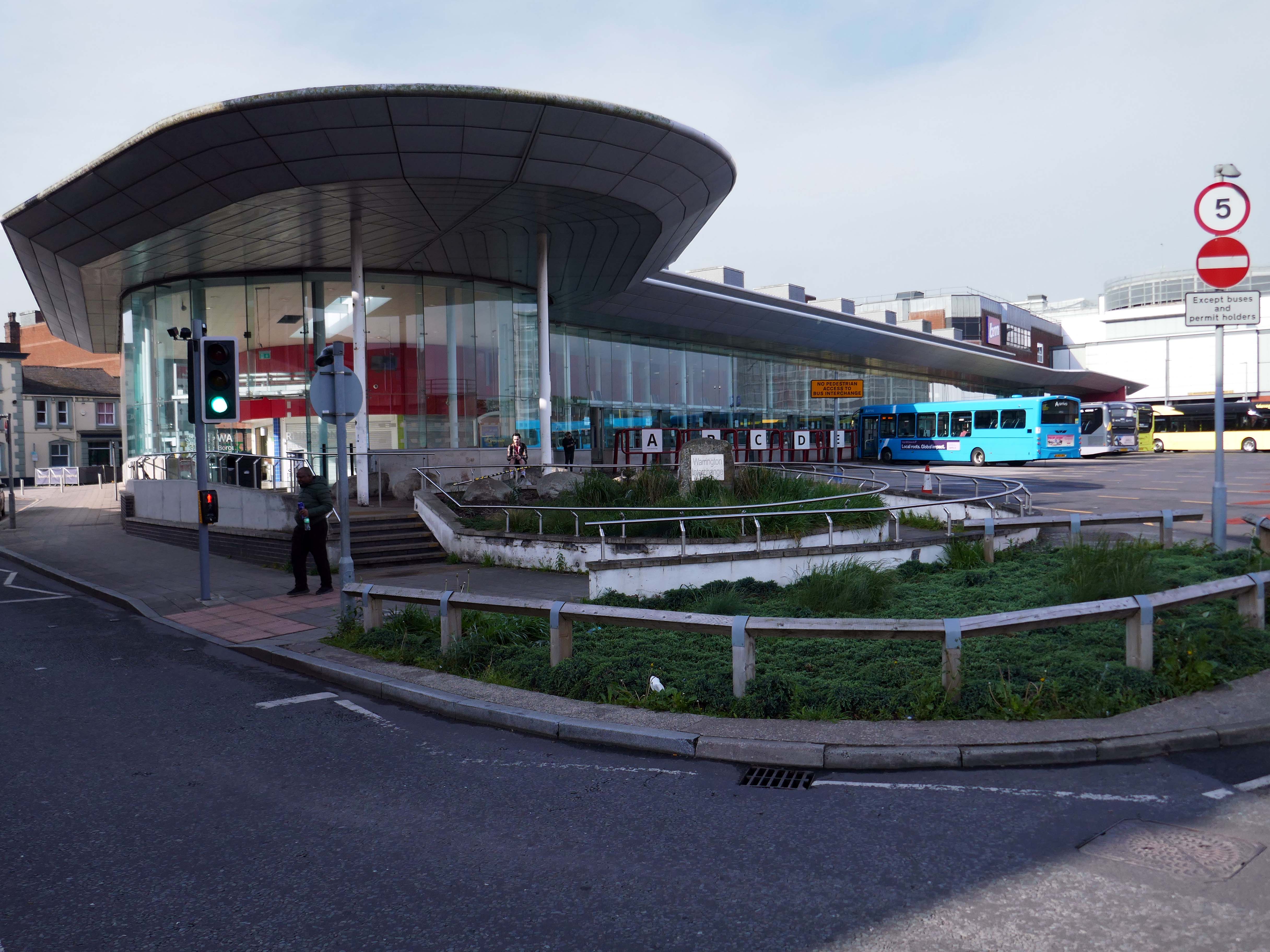
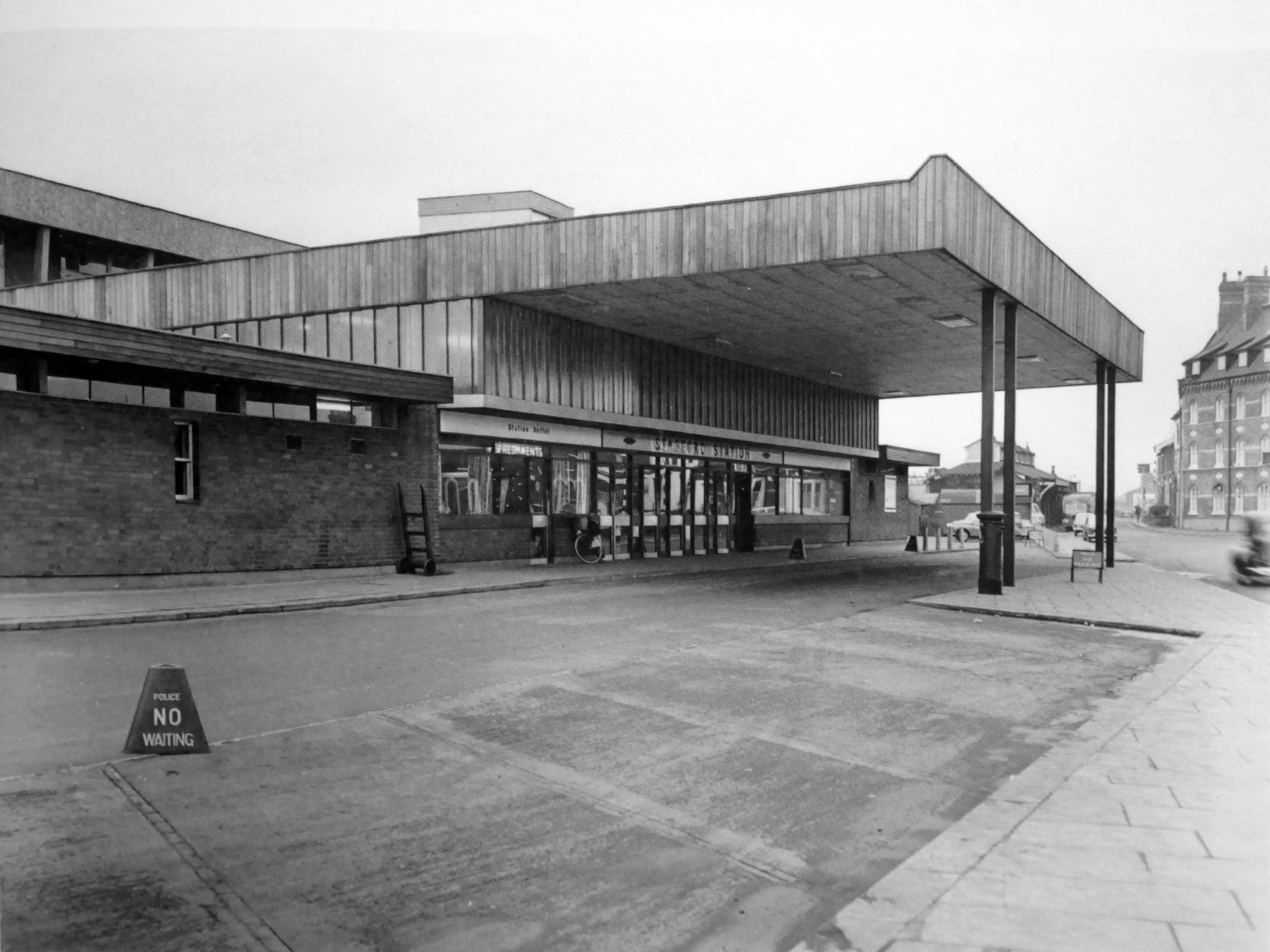
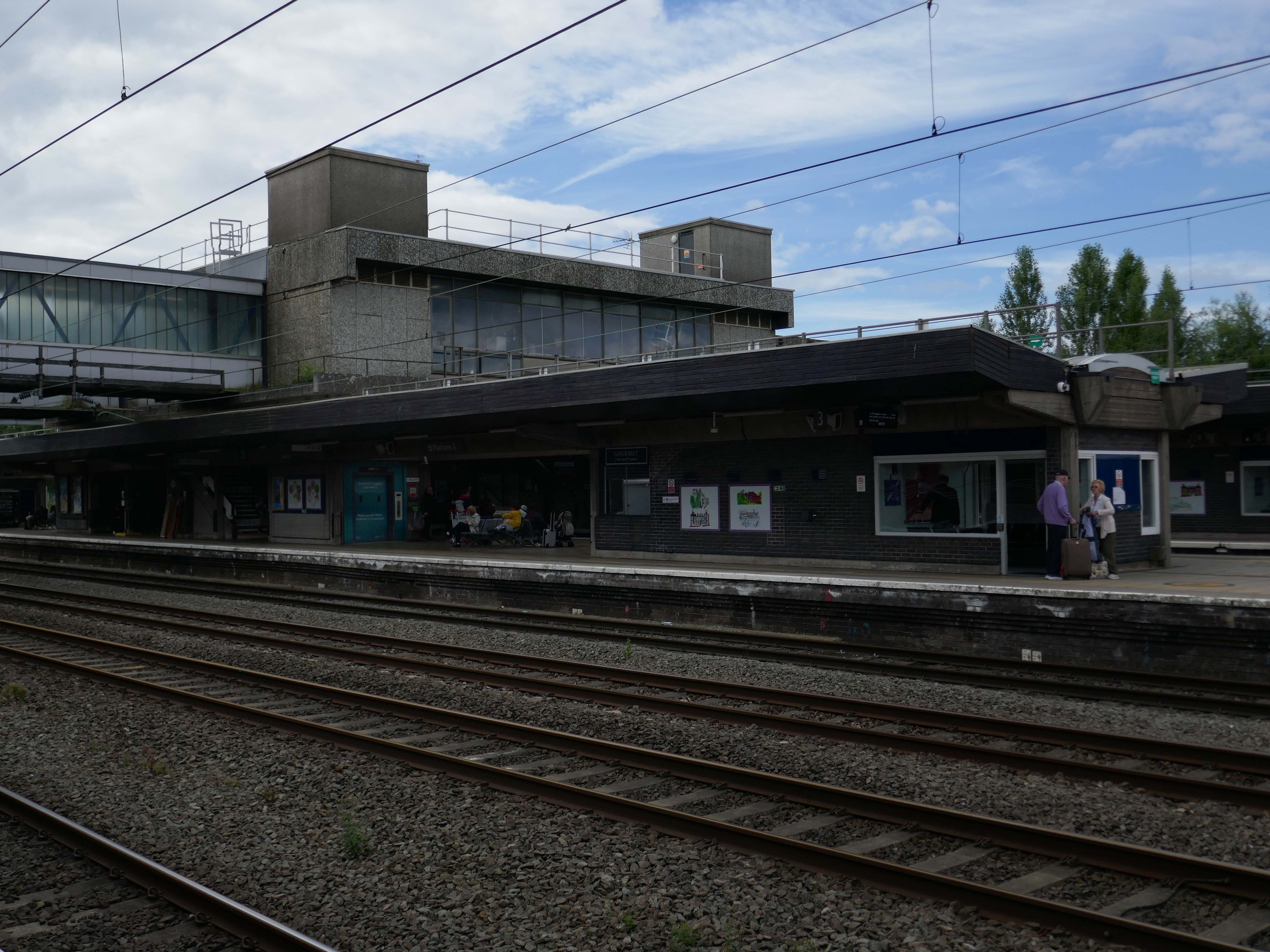
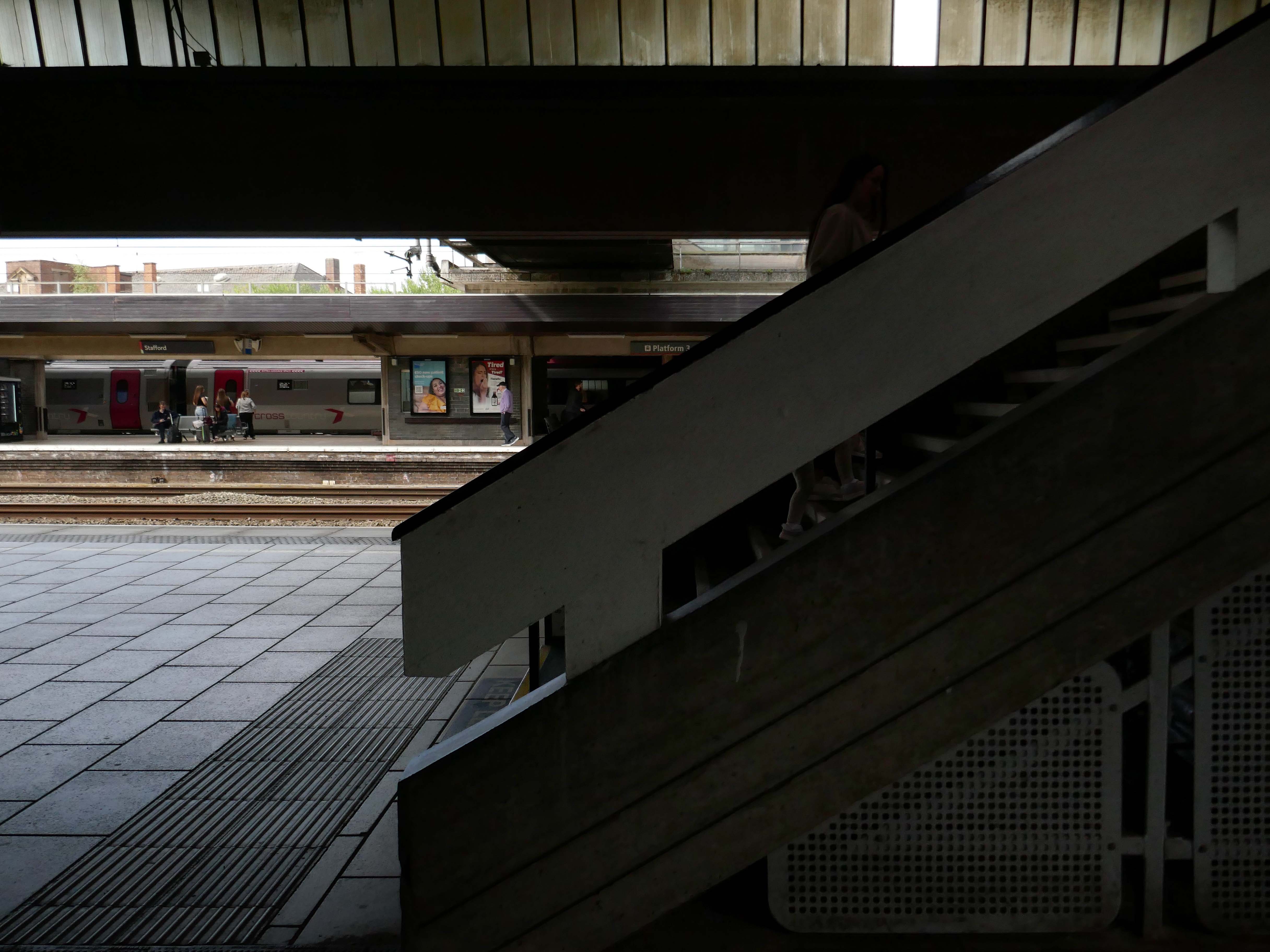
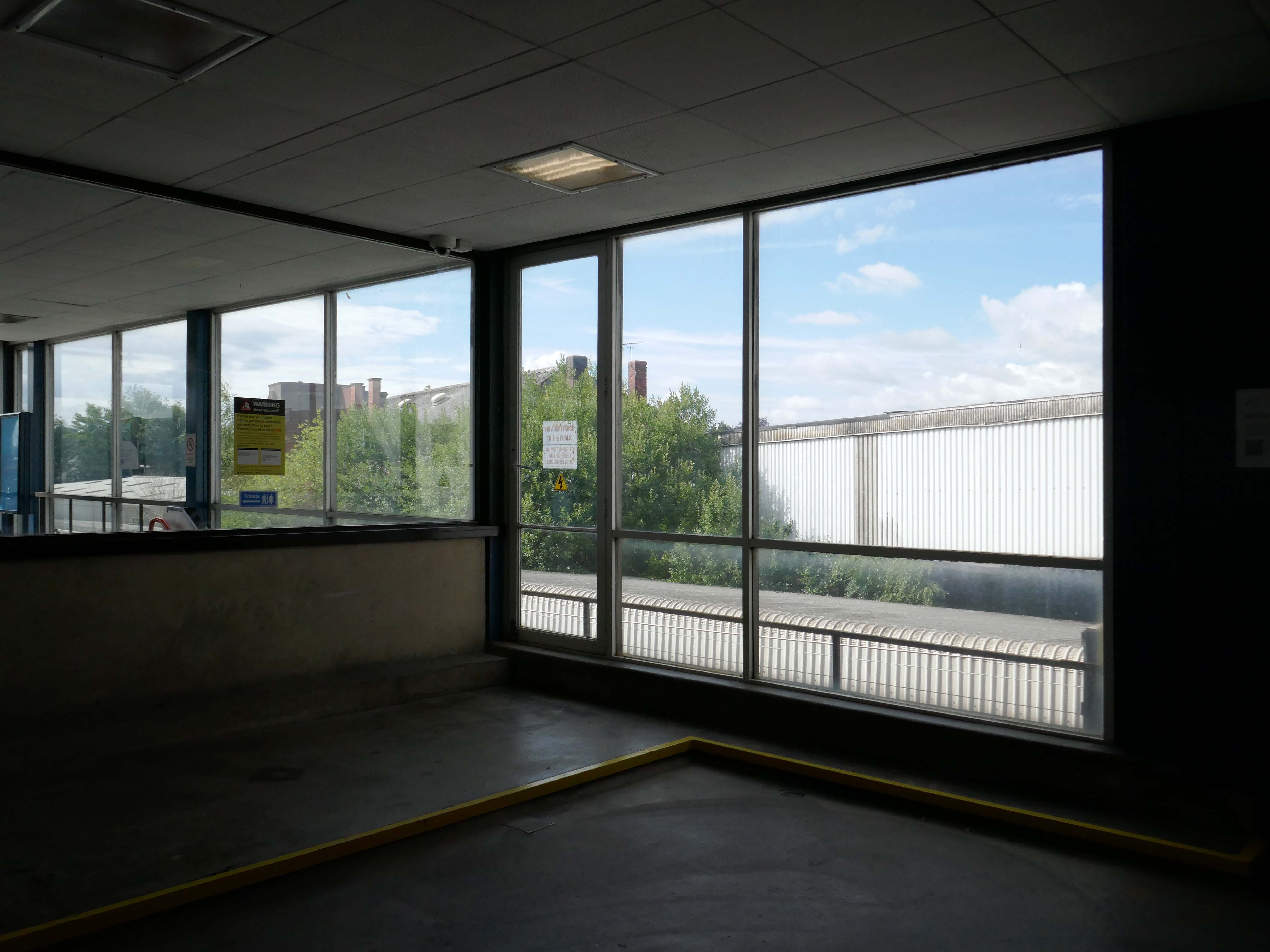
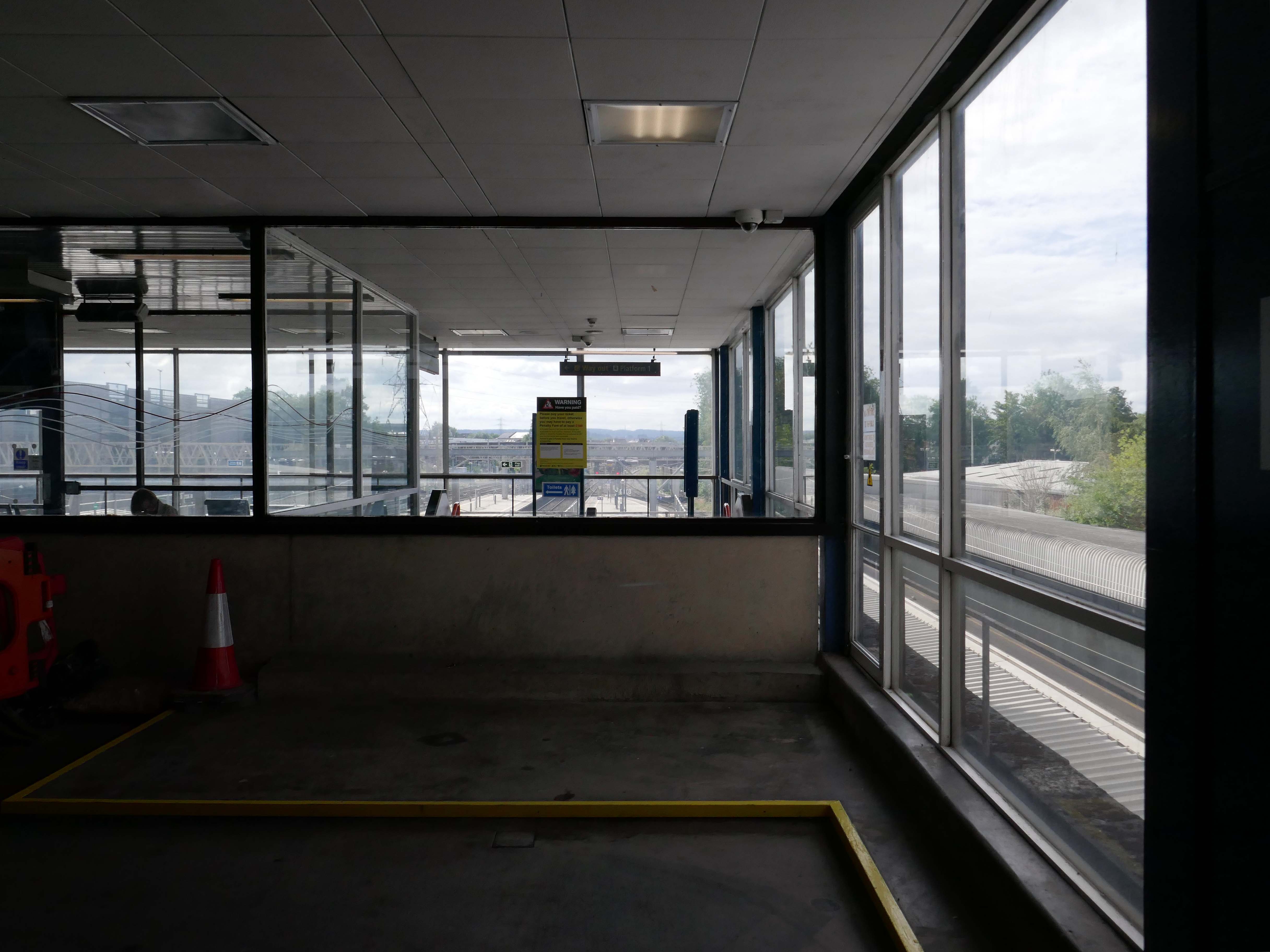
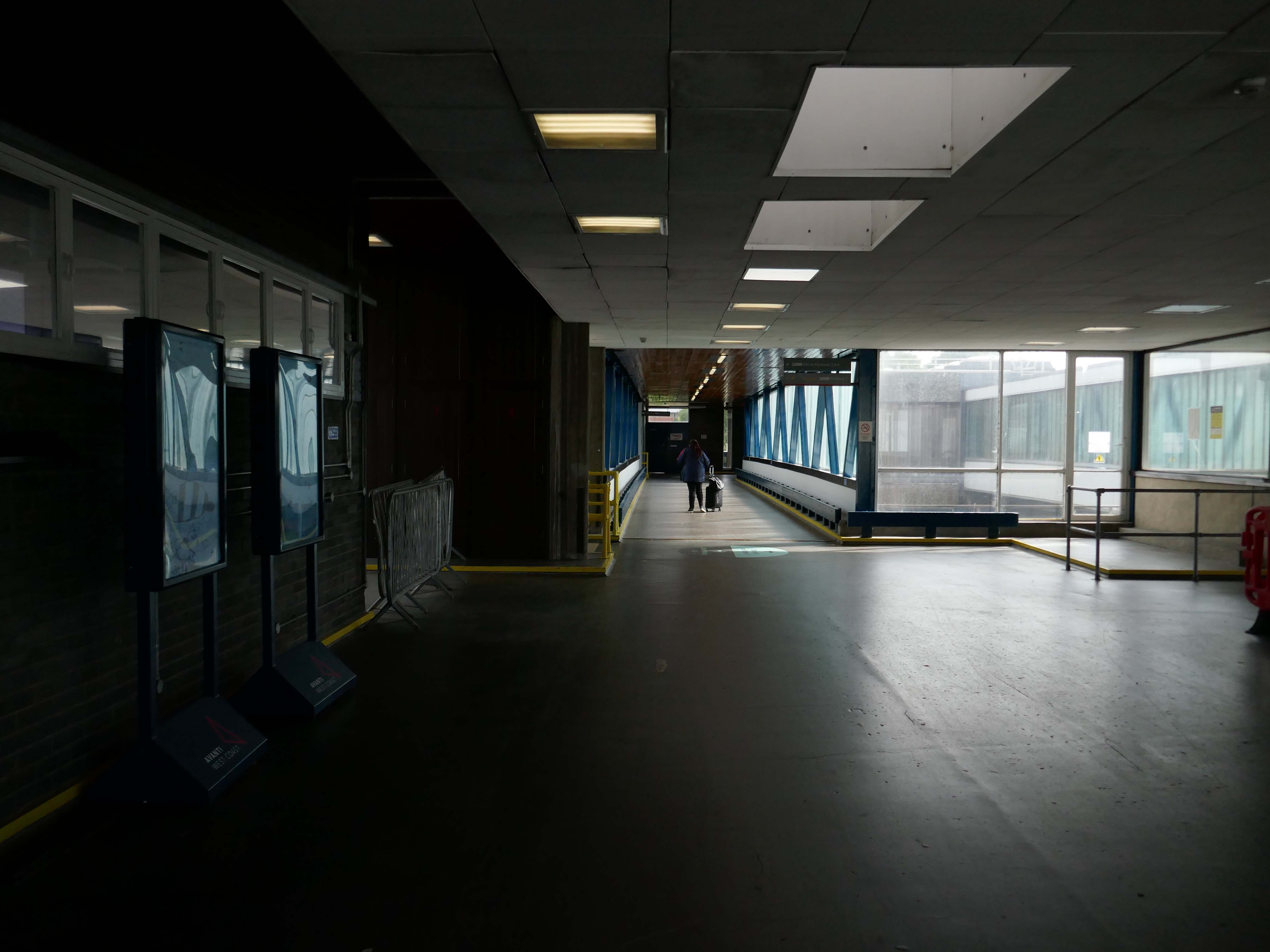
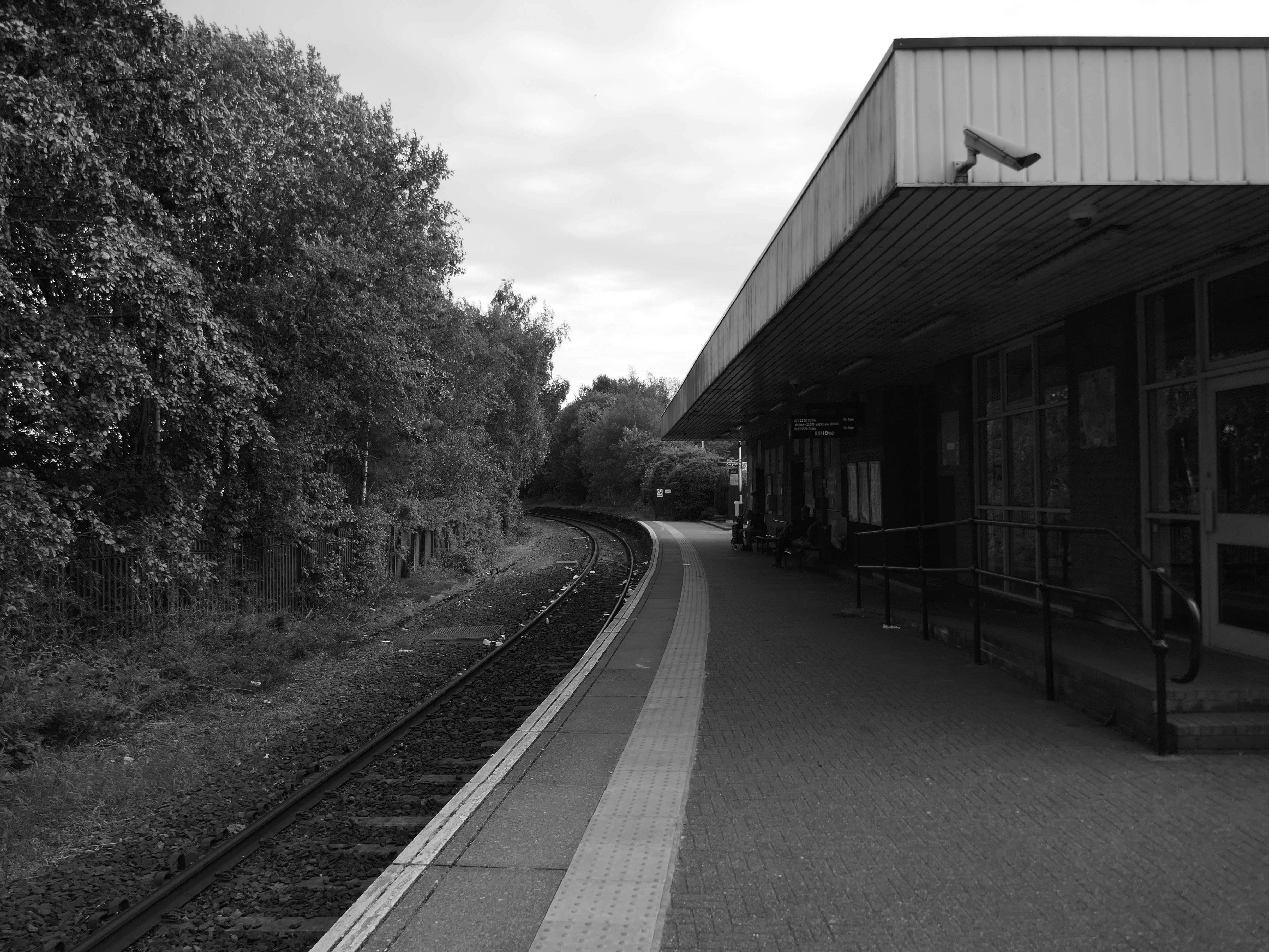
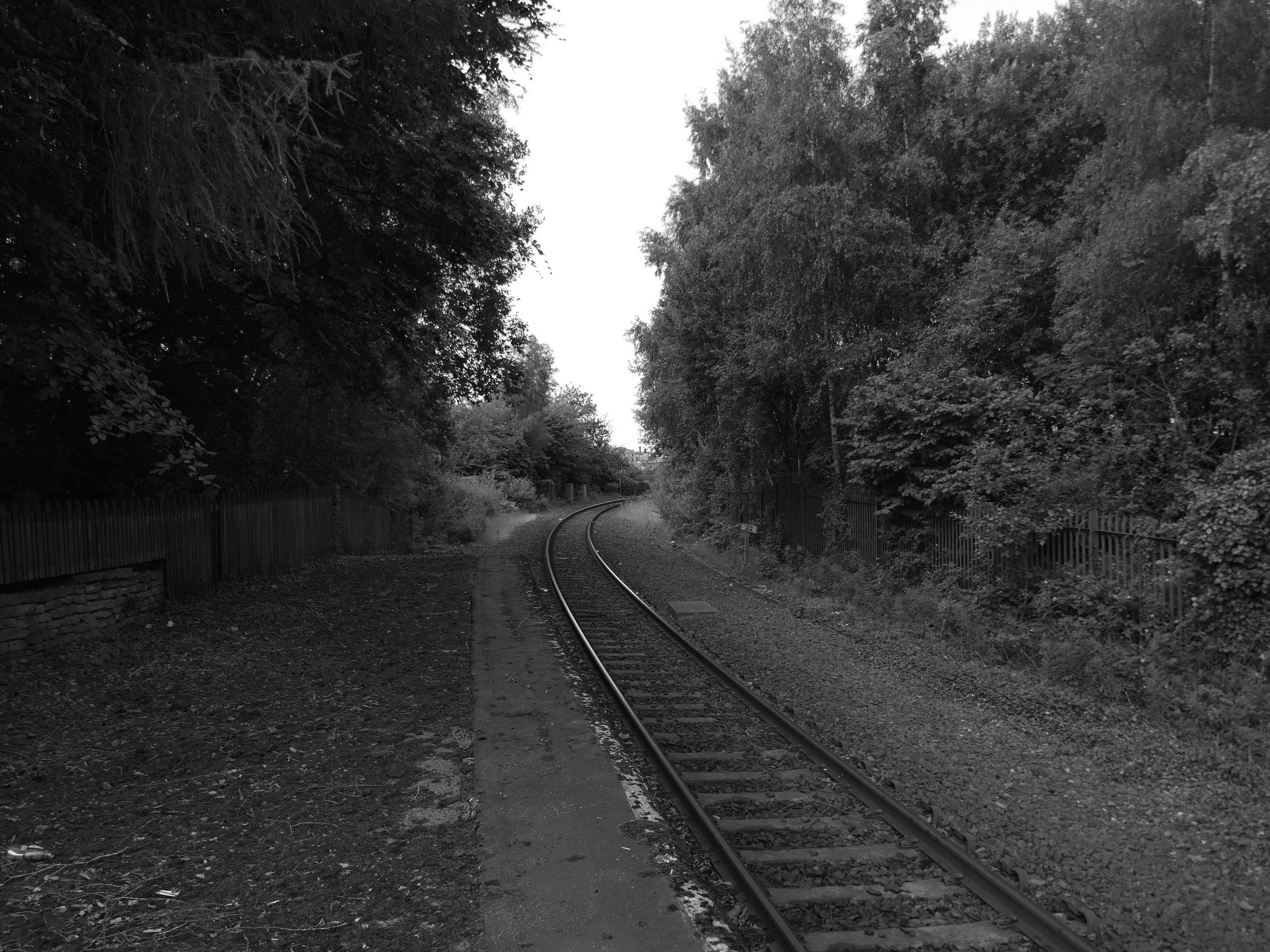
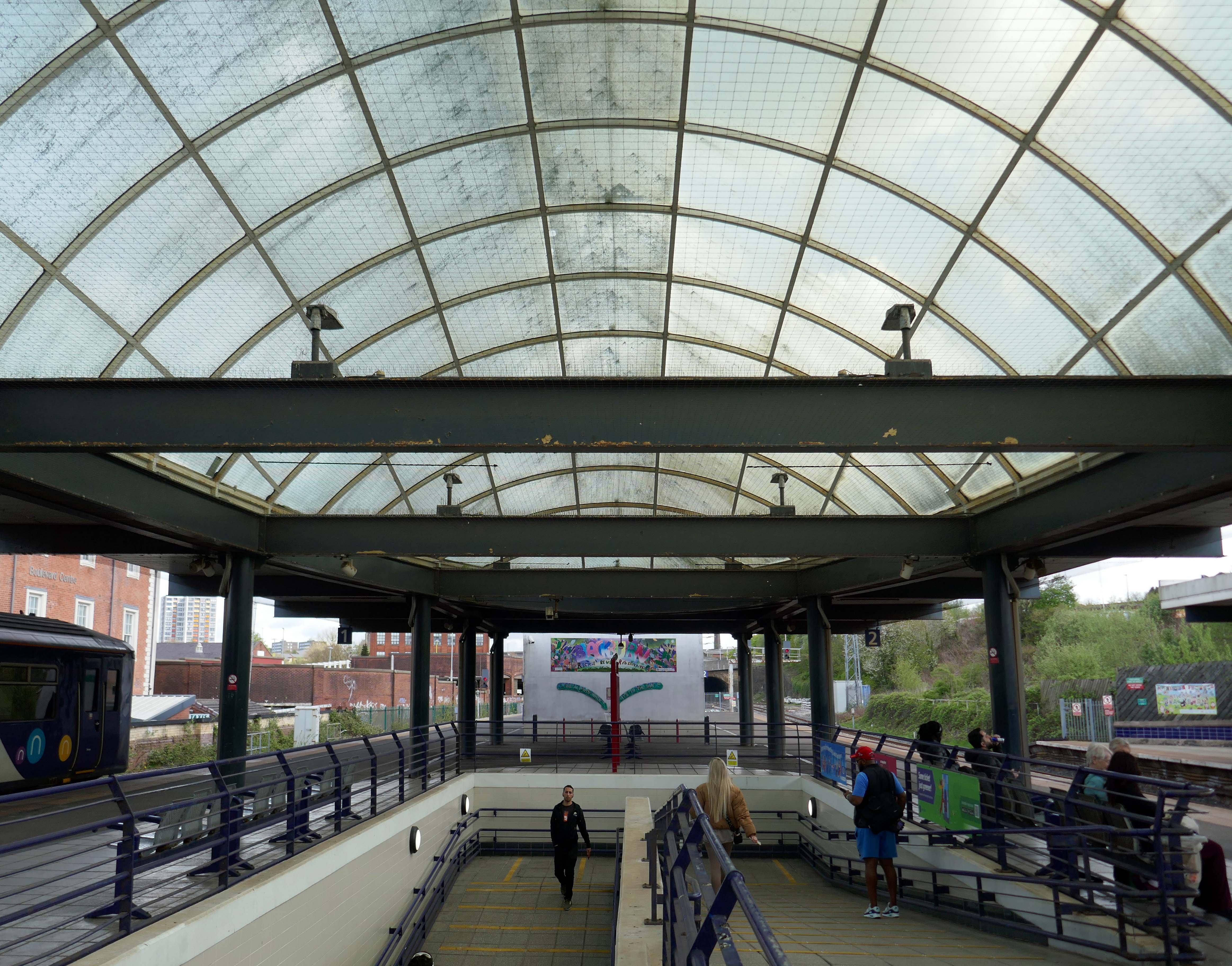
Saturday 25th July arriving in bright sunshine at the Bradford Interchange – architects WC Brown City Architect and RL Moorcroft BR 1971.
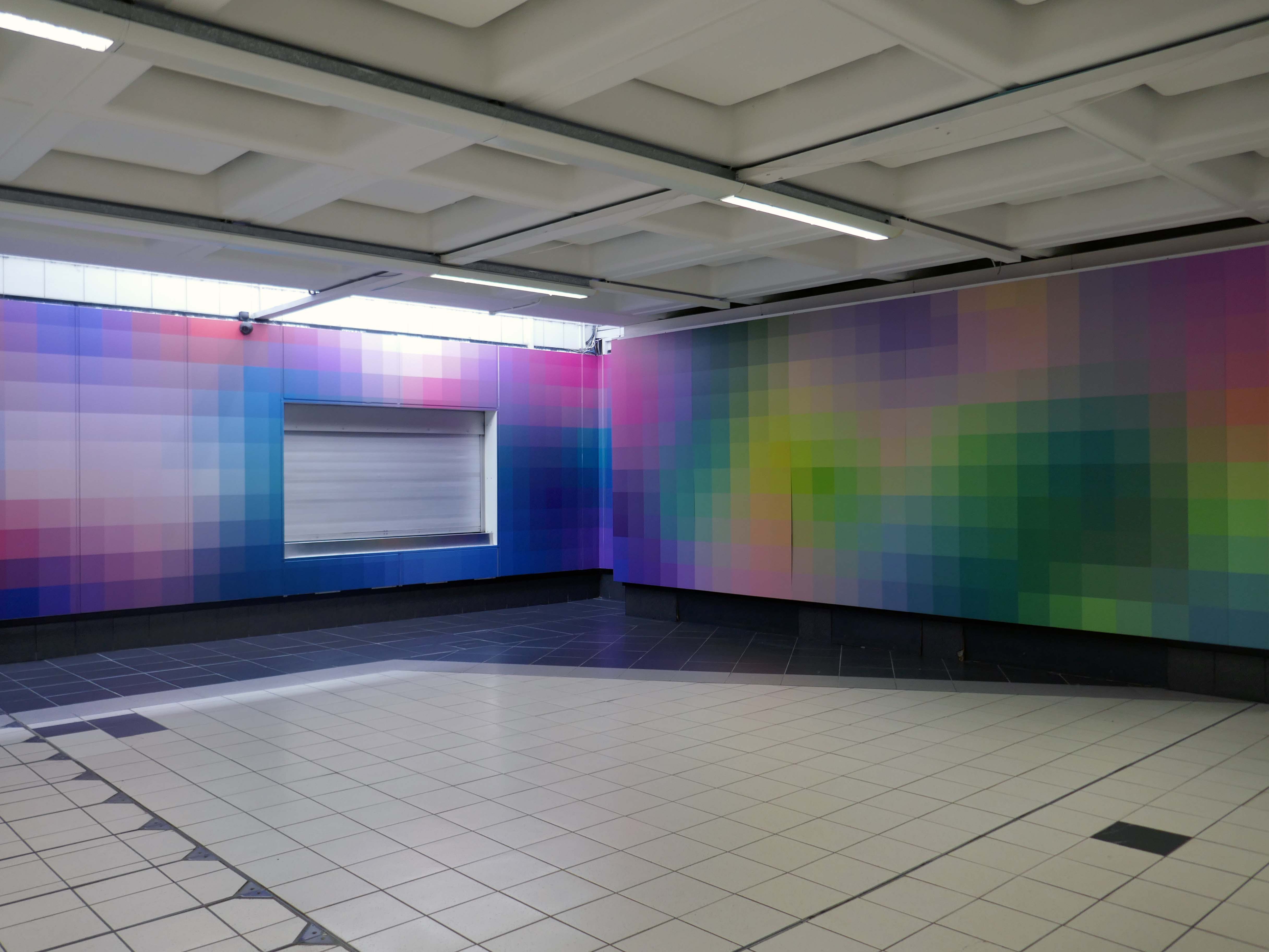
Which has been transformed for the City of Culture 2025 by Bigg Design, with their multicoloured panels.


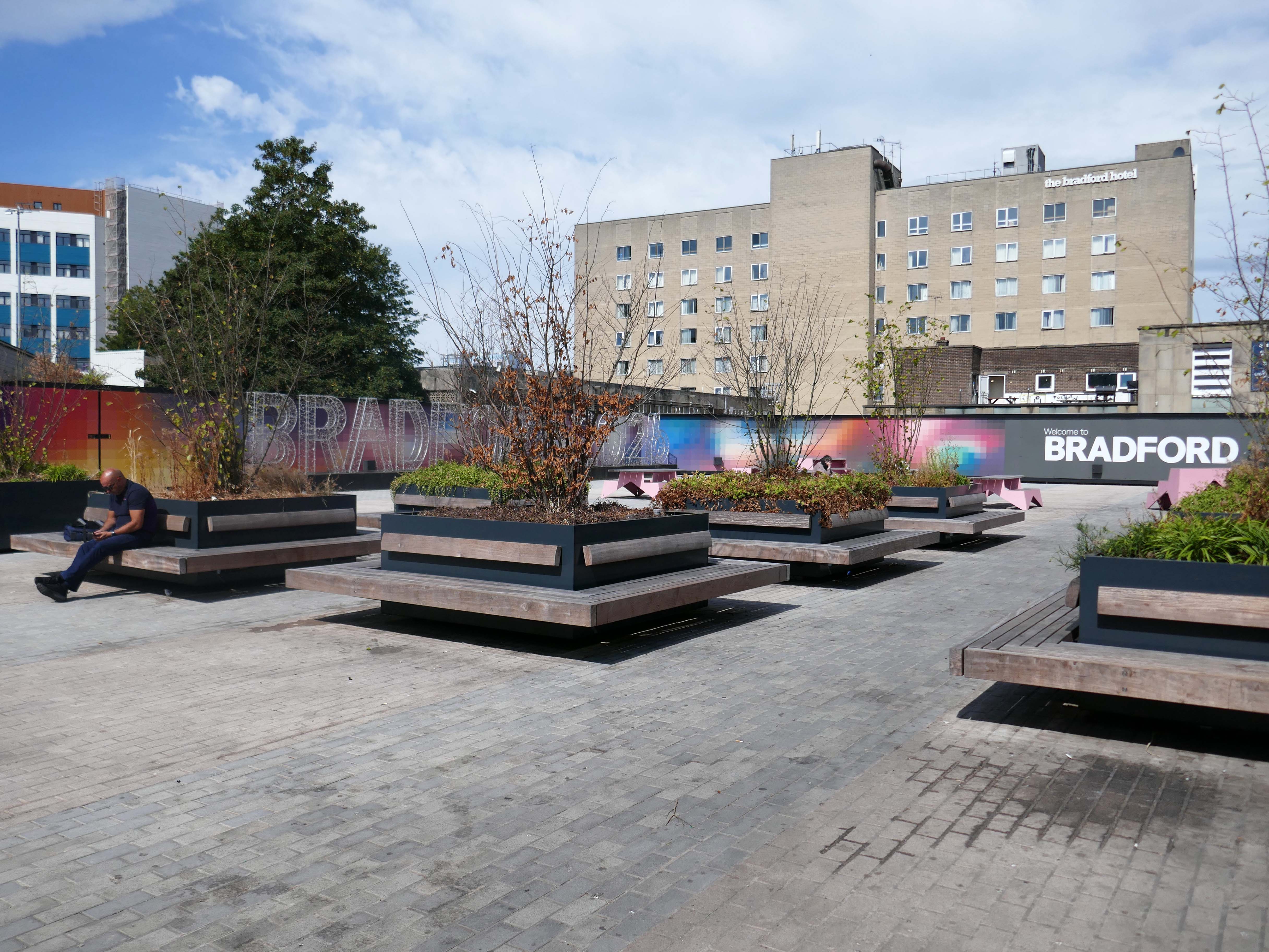
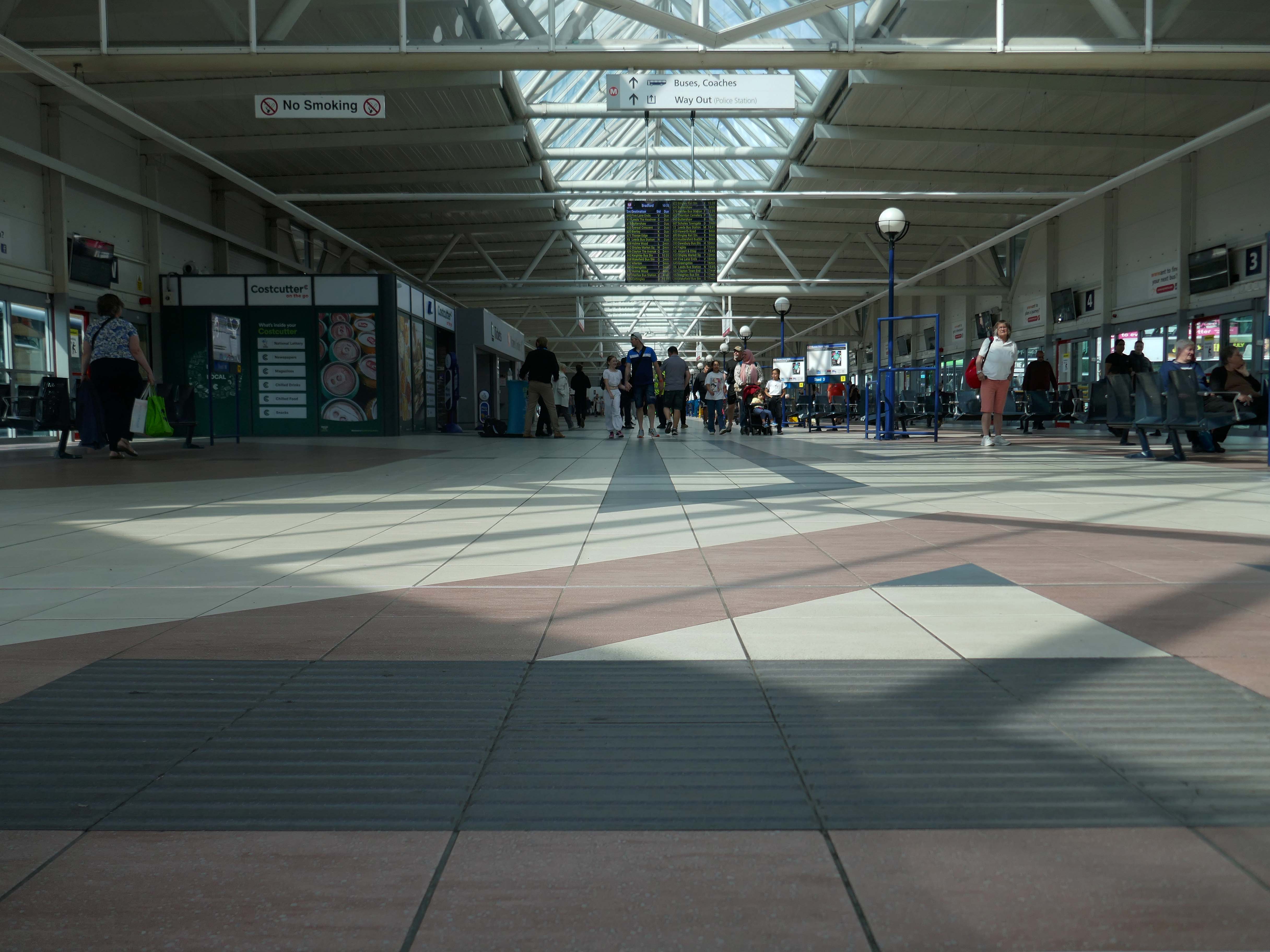
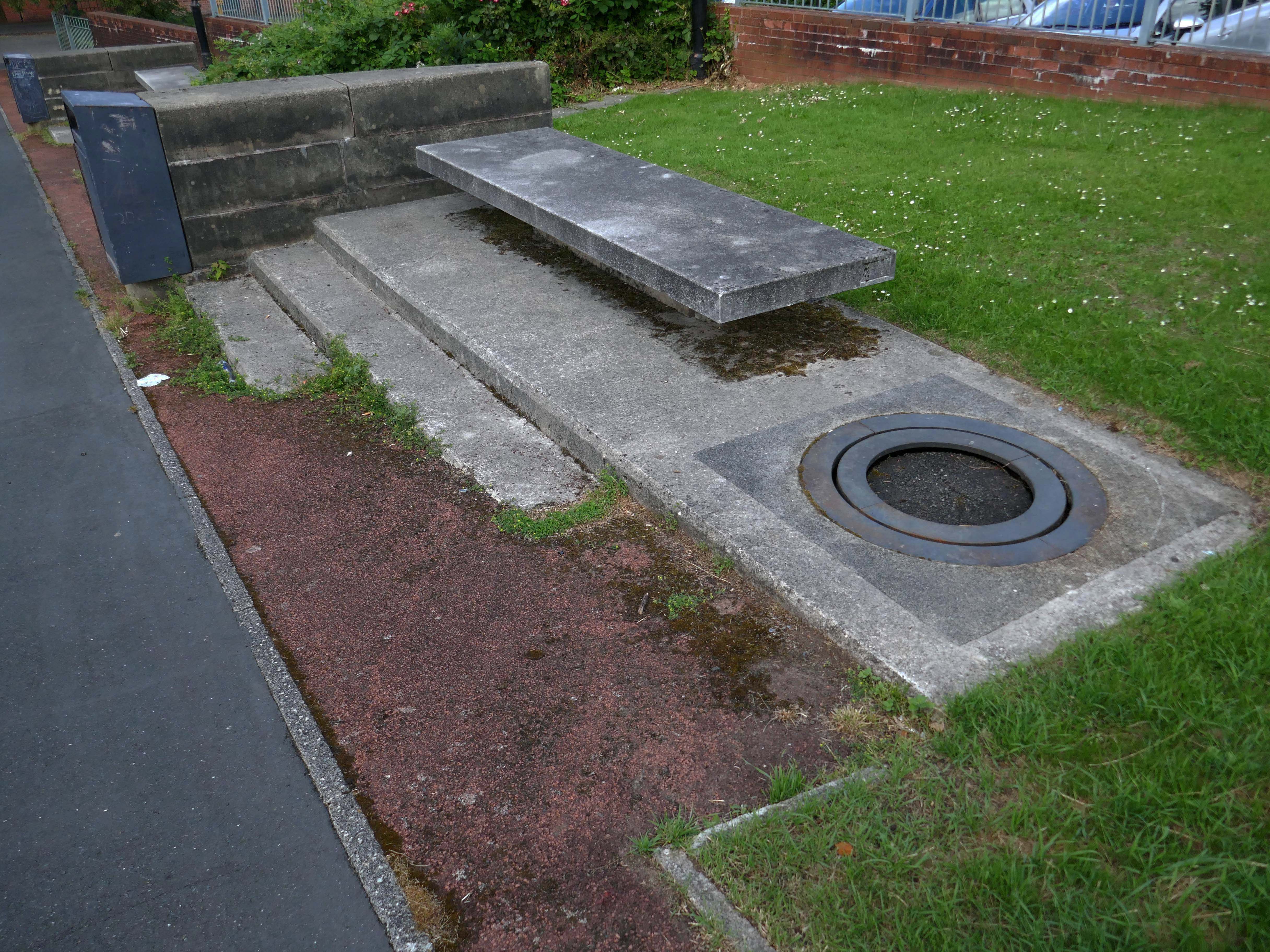
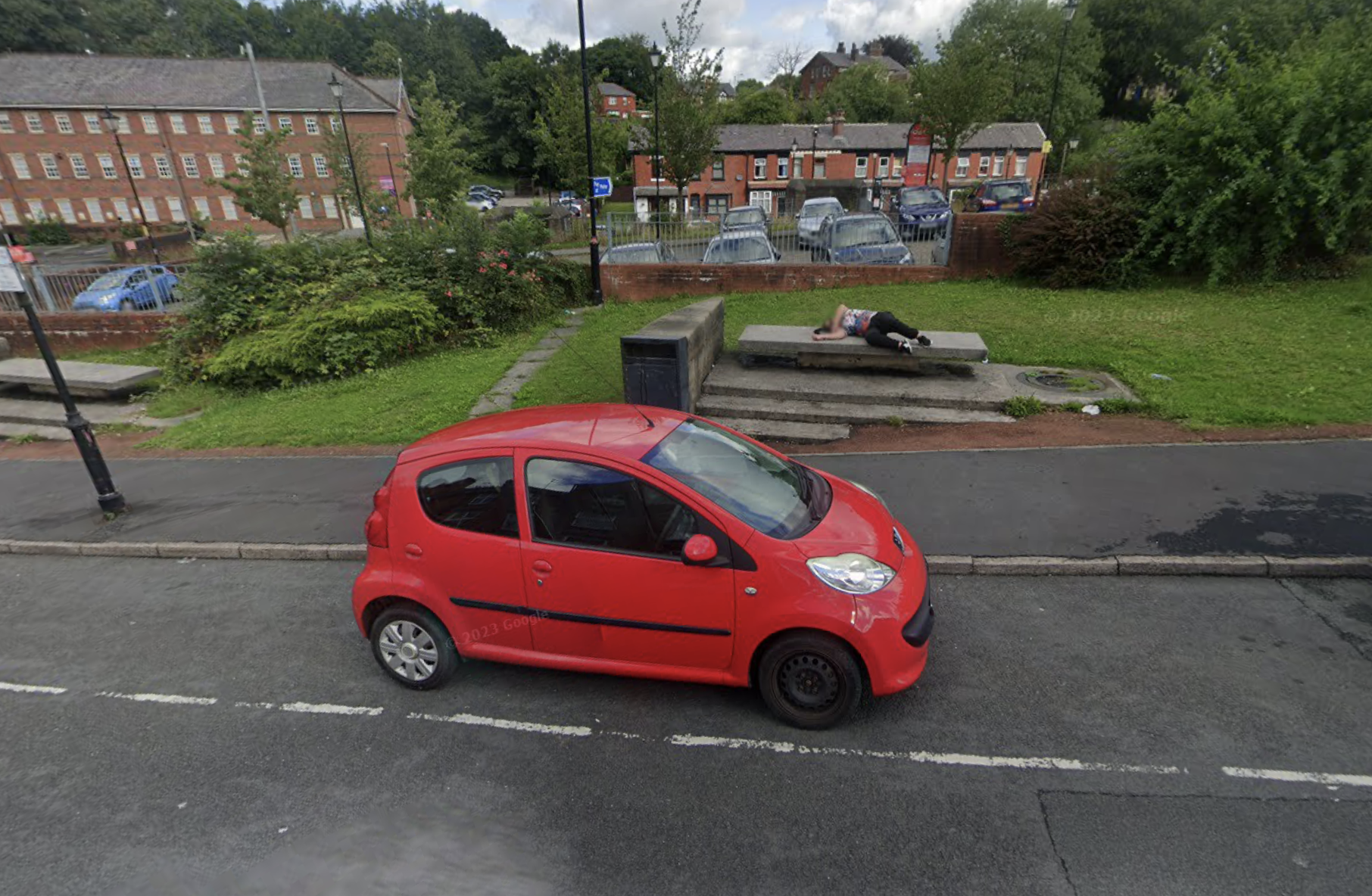
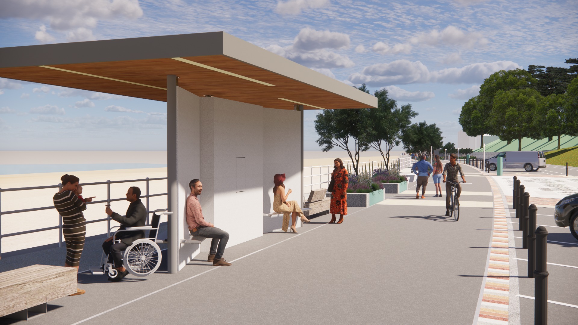
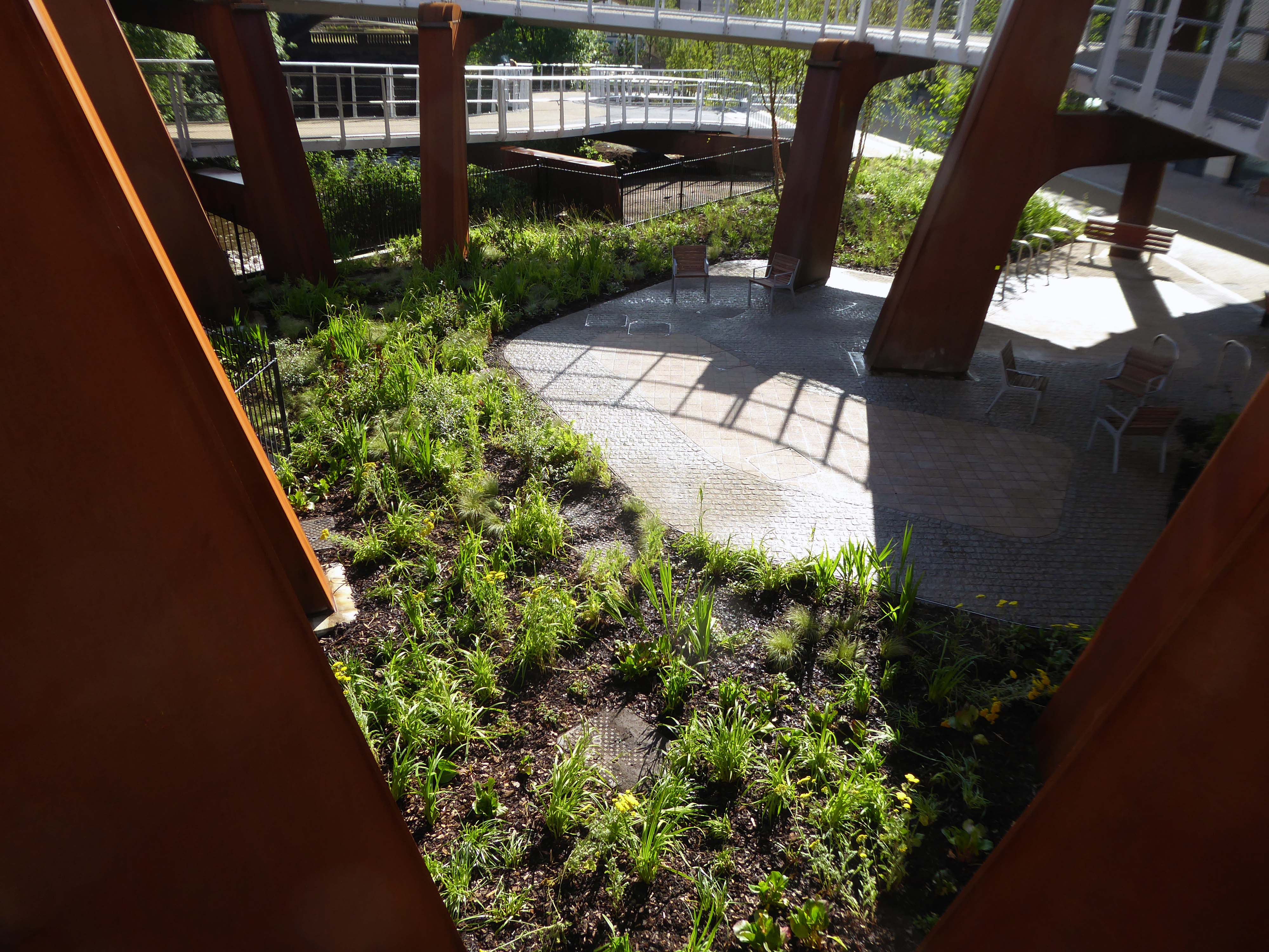
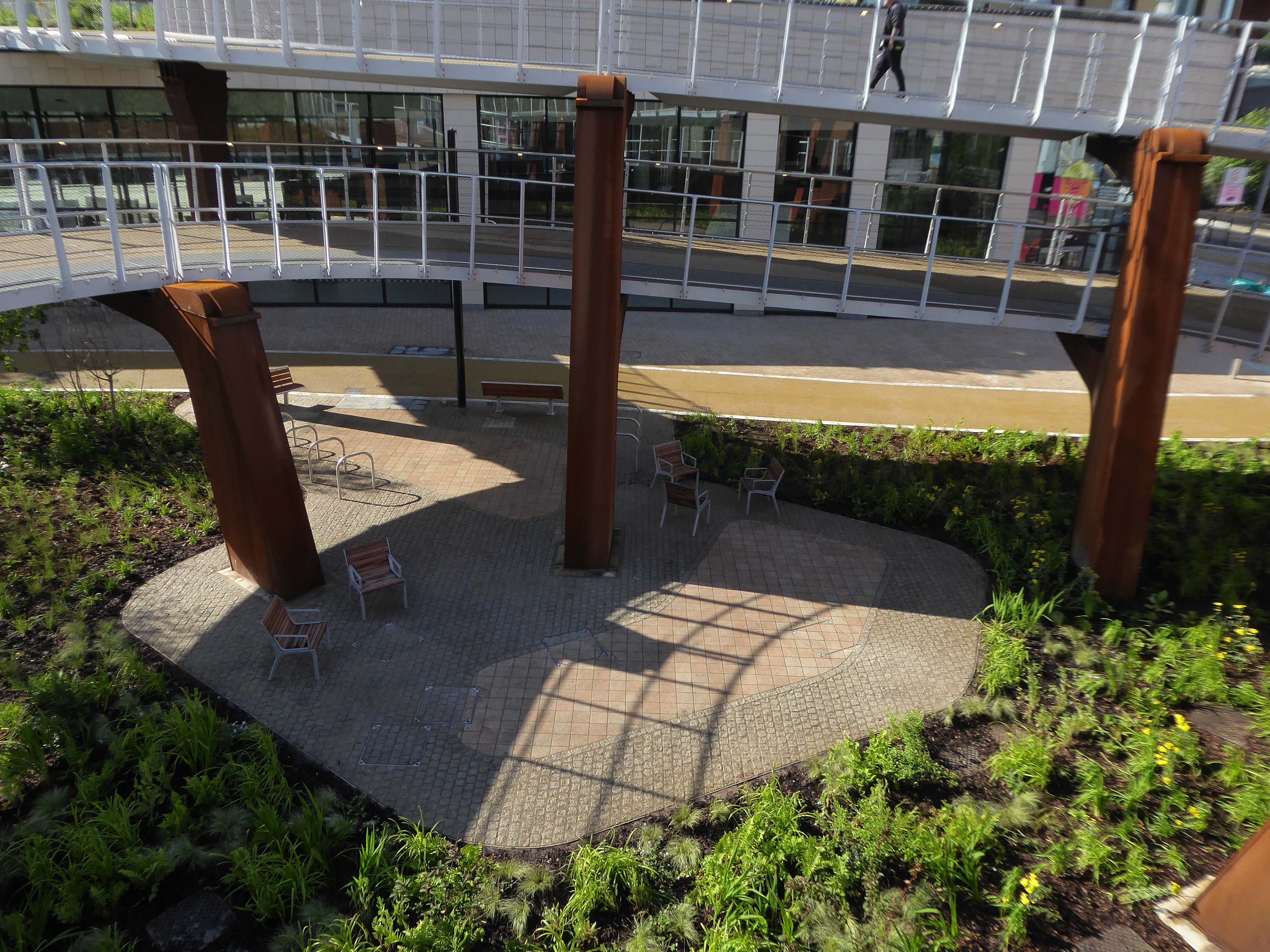
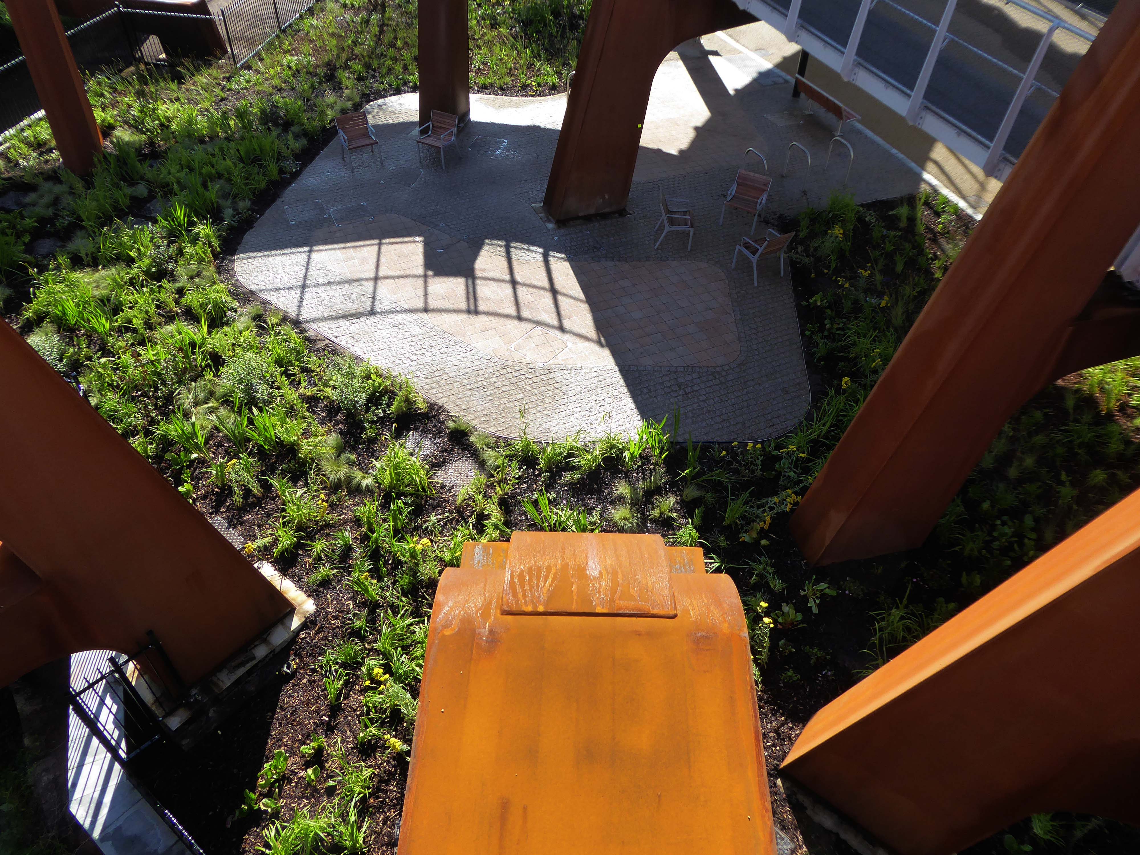
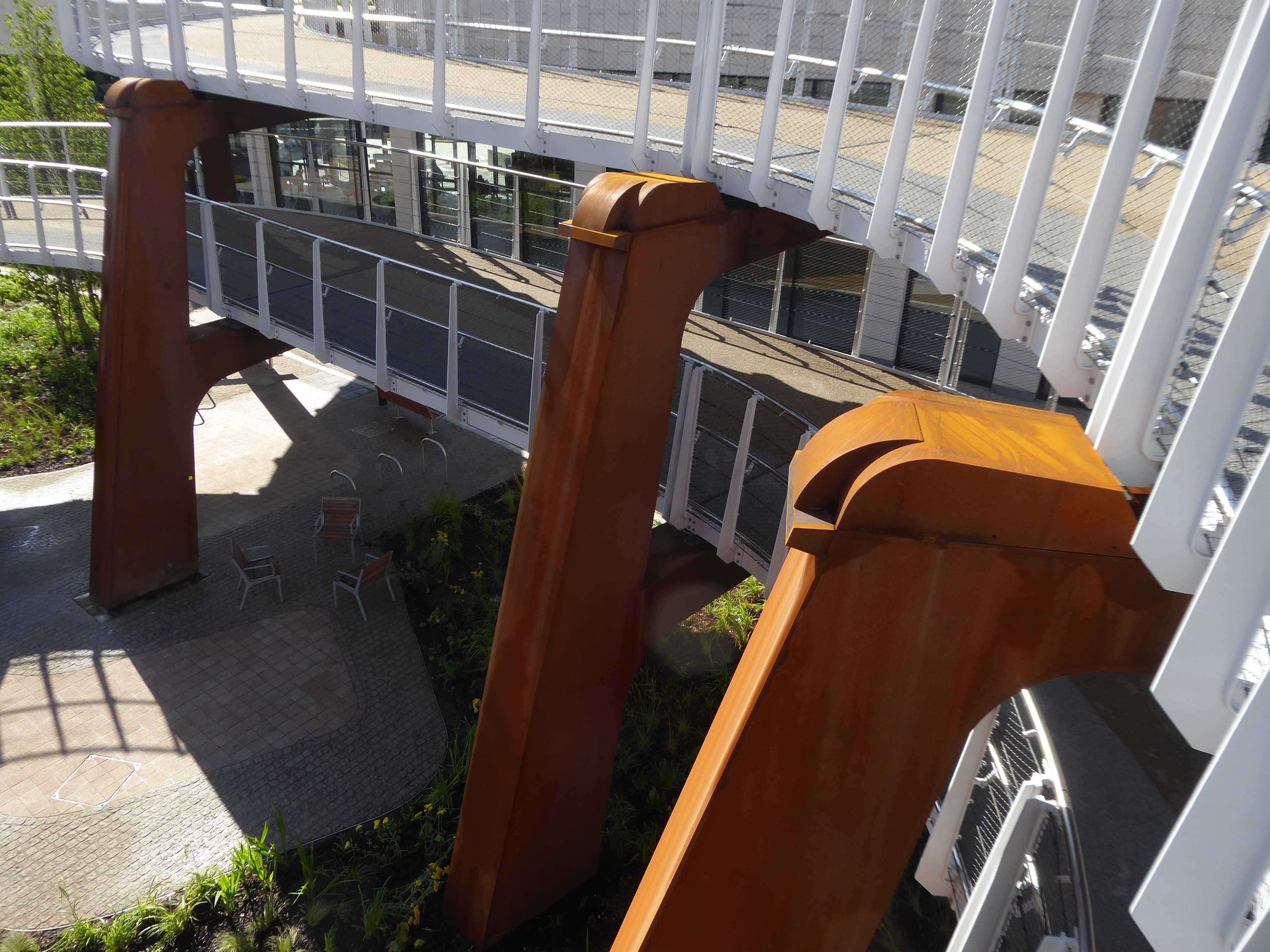
In addition there has been a transportation of the approach by Fereday Pollard, with the addition of seating in the newly landscaped plaza area.

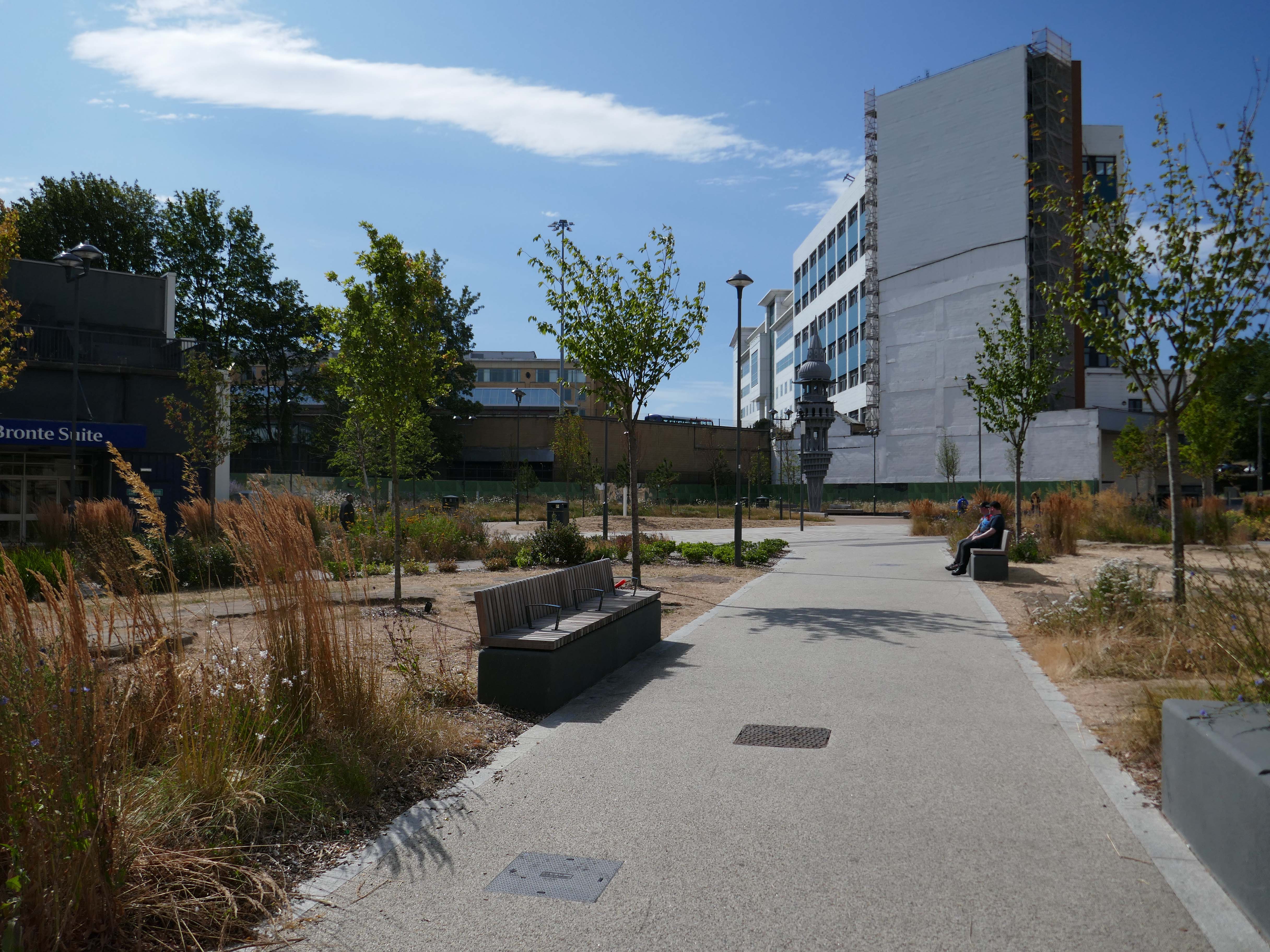
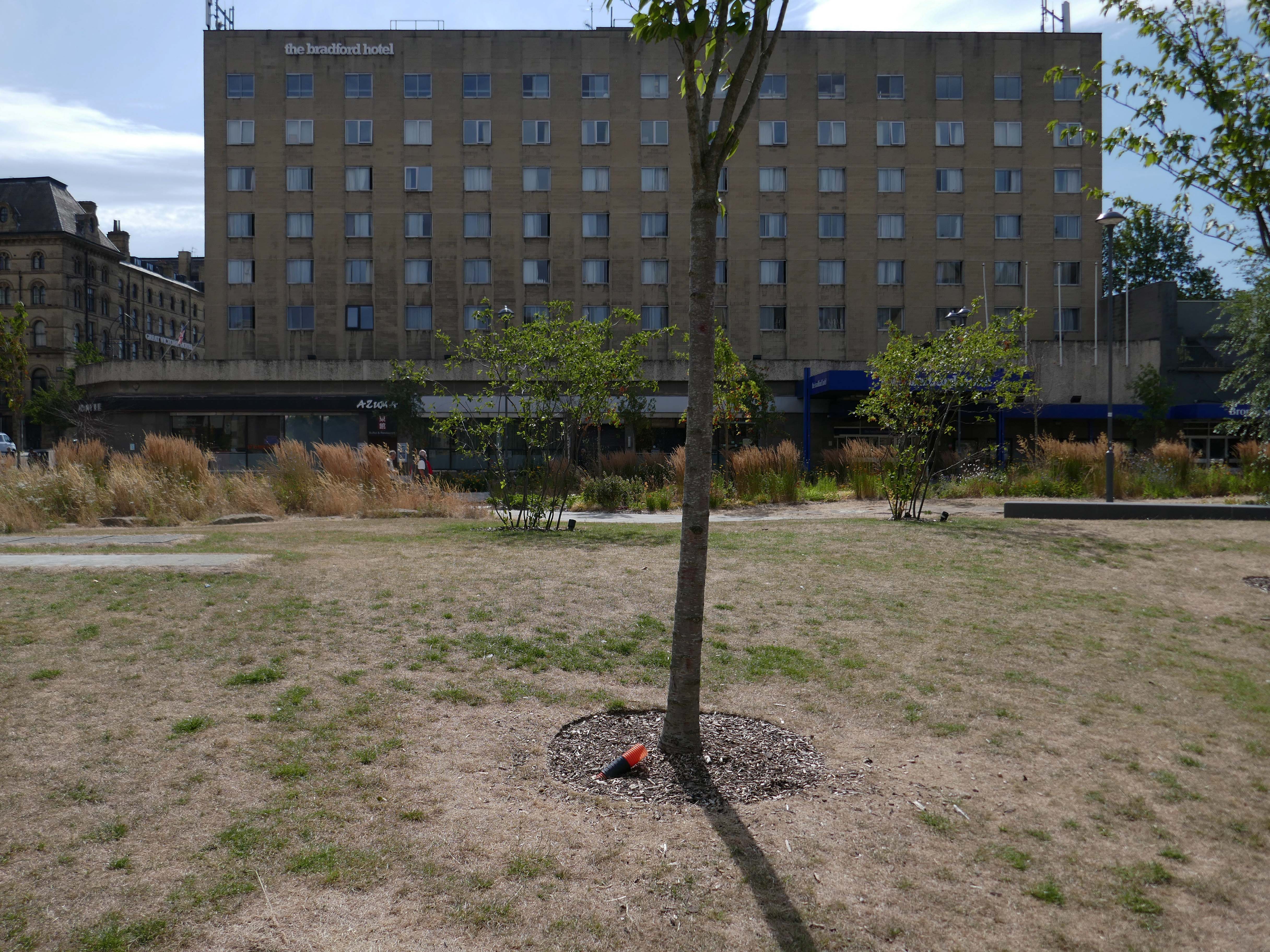
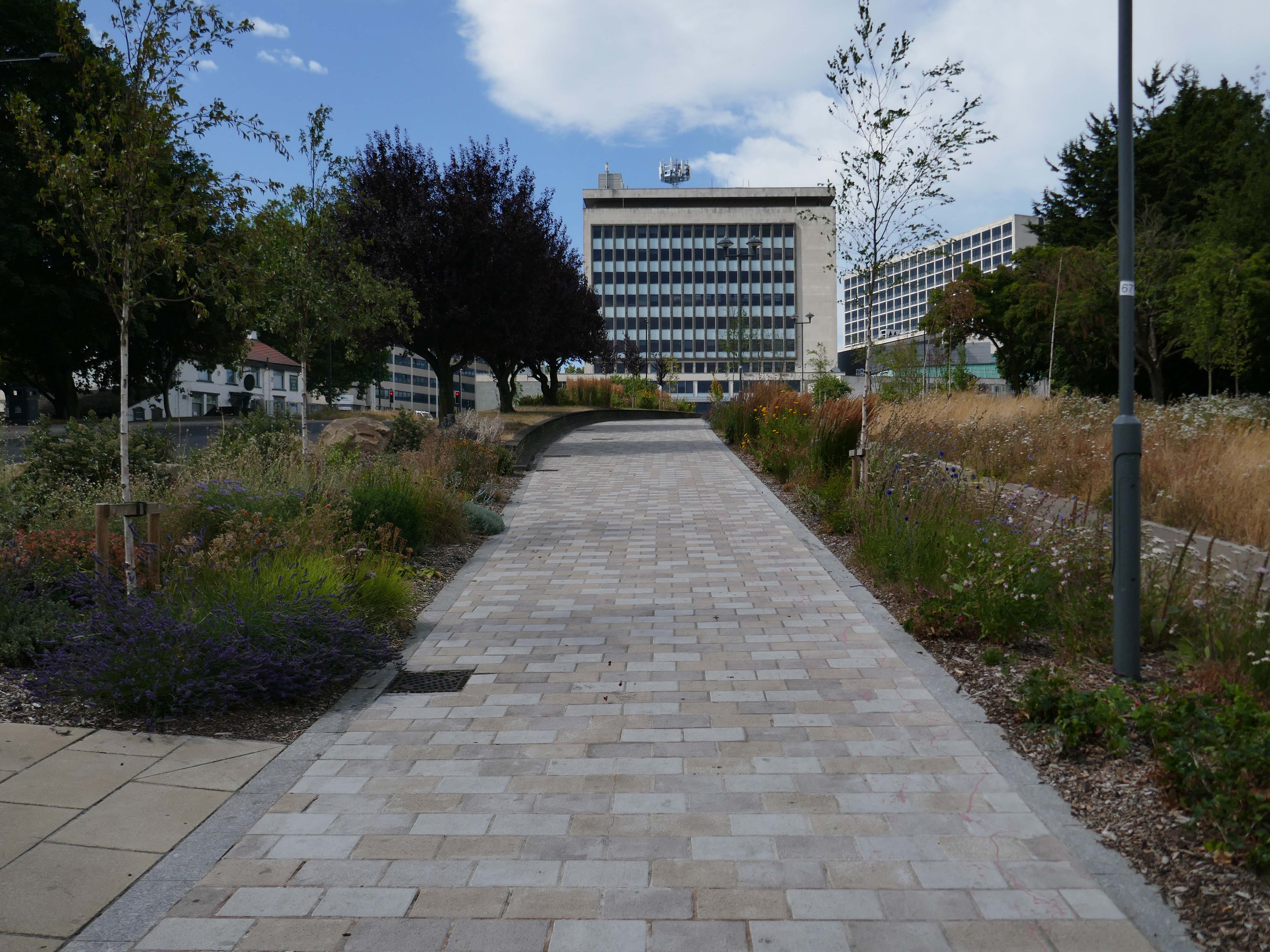
Moving into the city centre there have been changes in the area between the Bradford Hotel and the Town Hall, it’s now a freshly landscaped space especially for pedestrians.
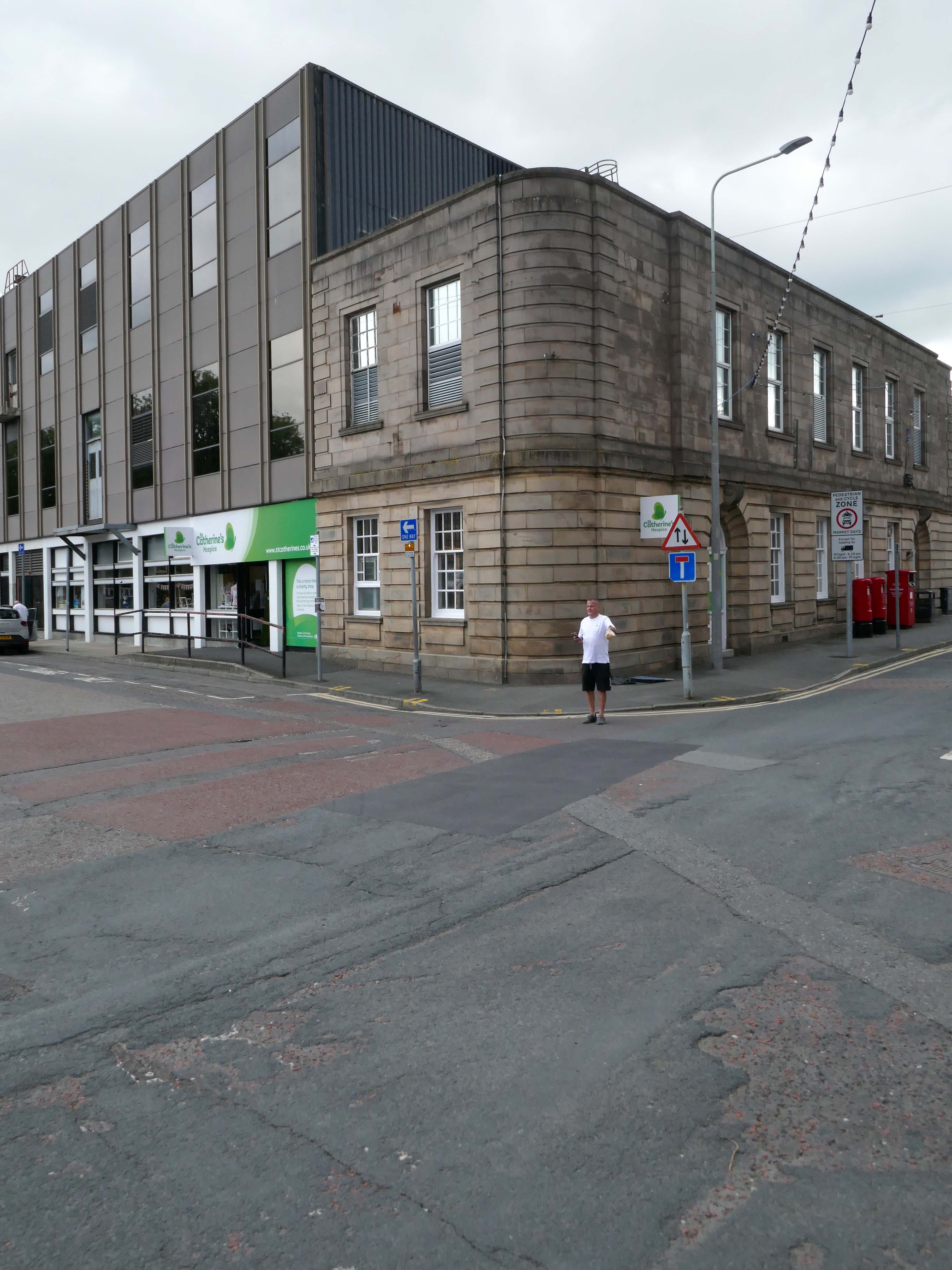
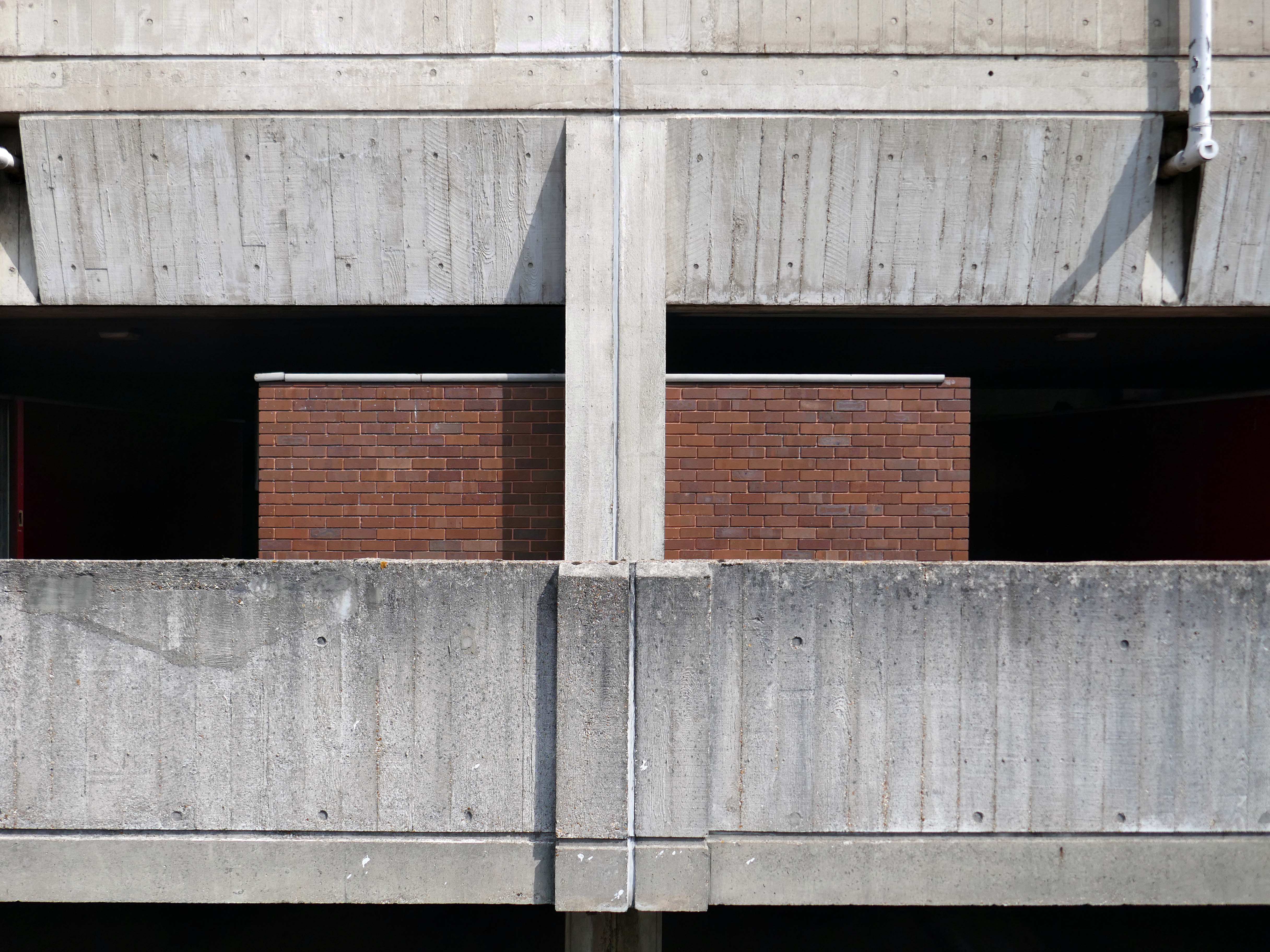
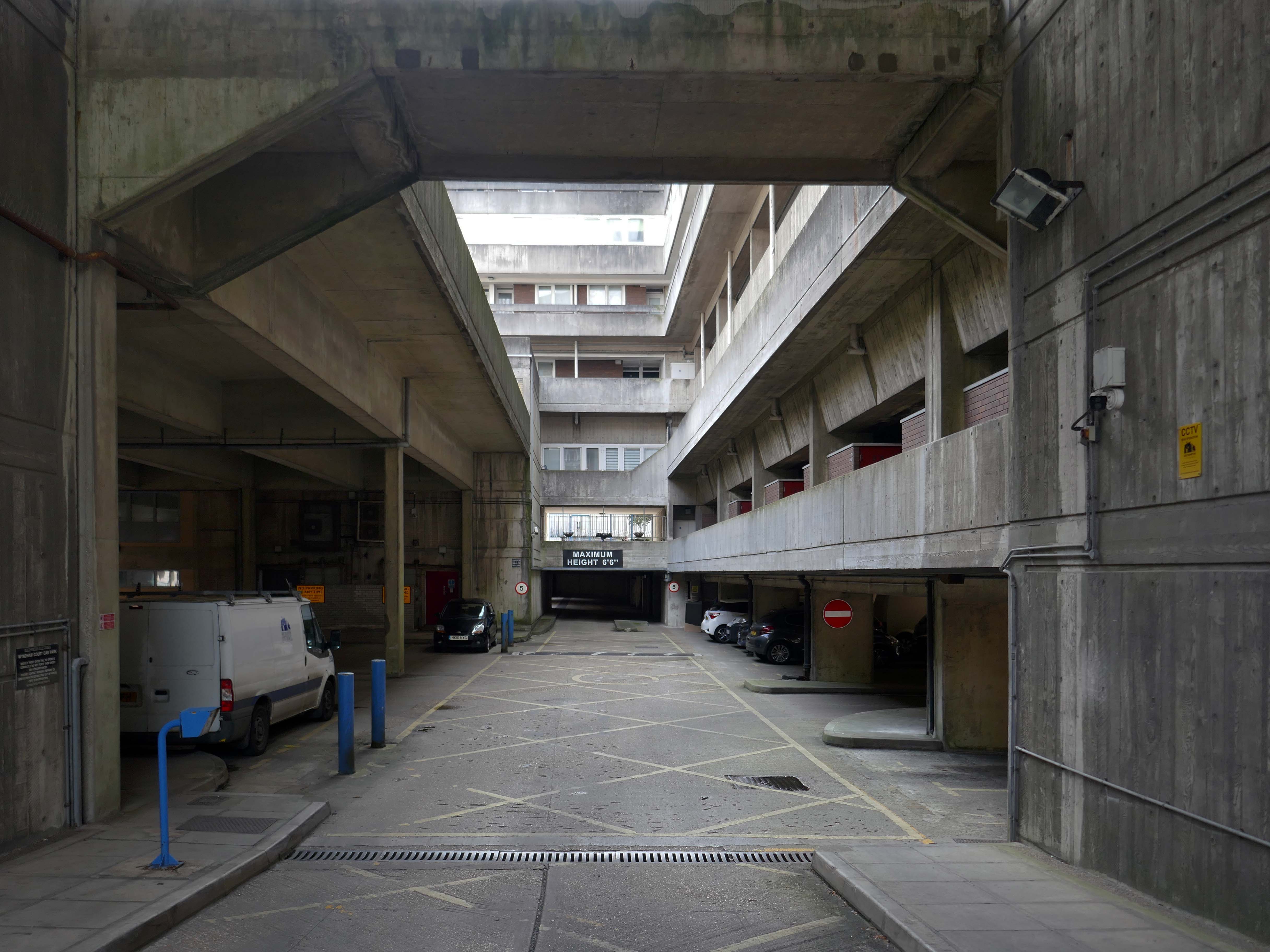
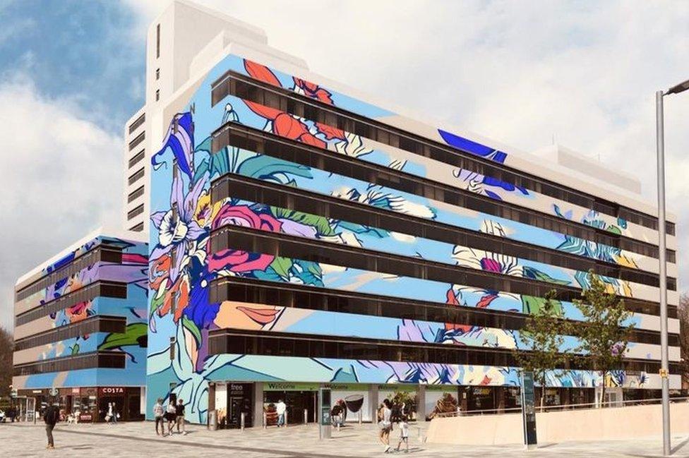
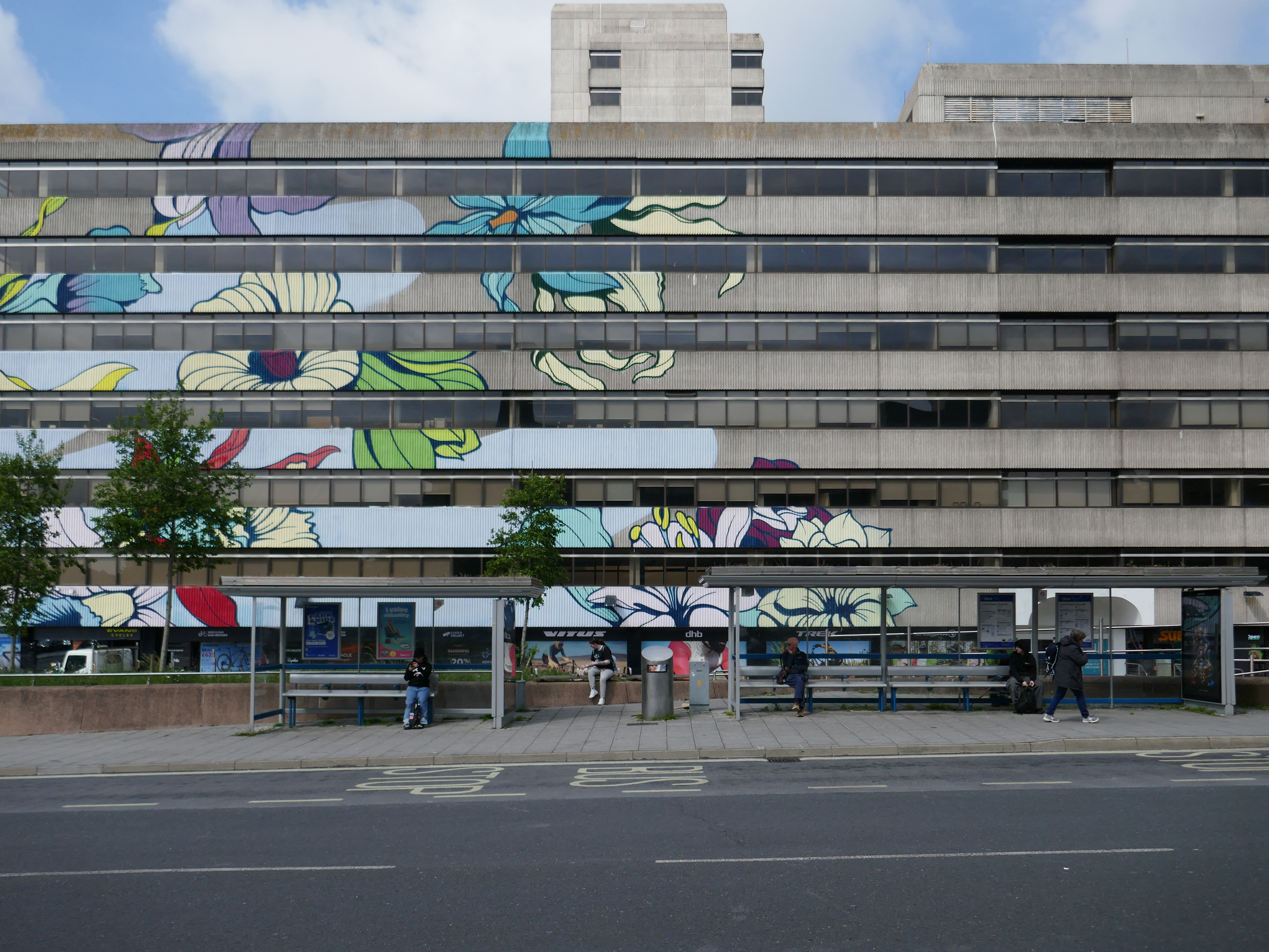
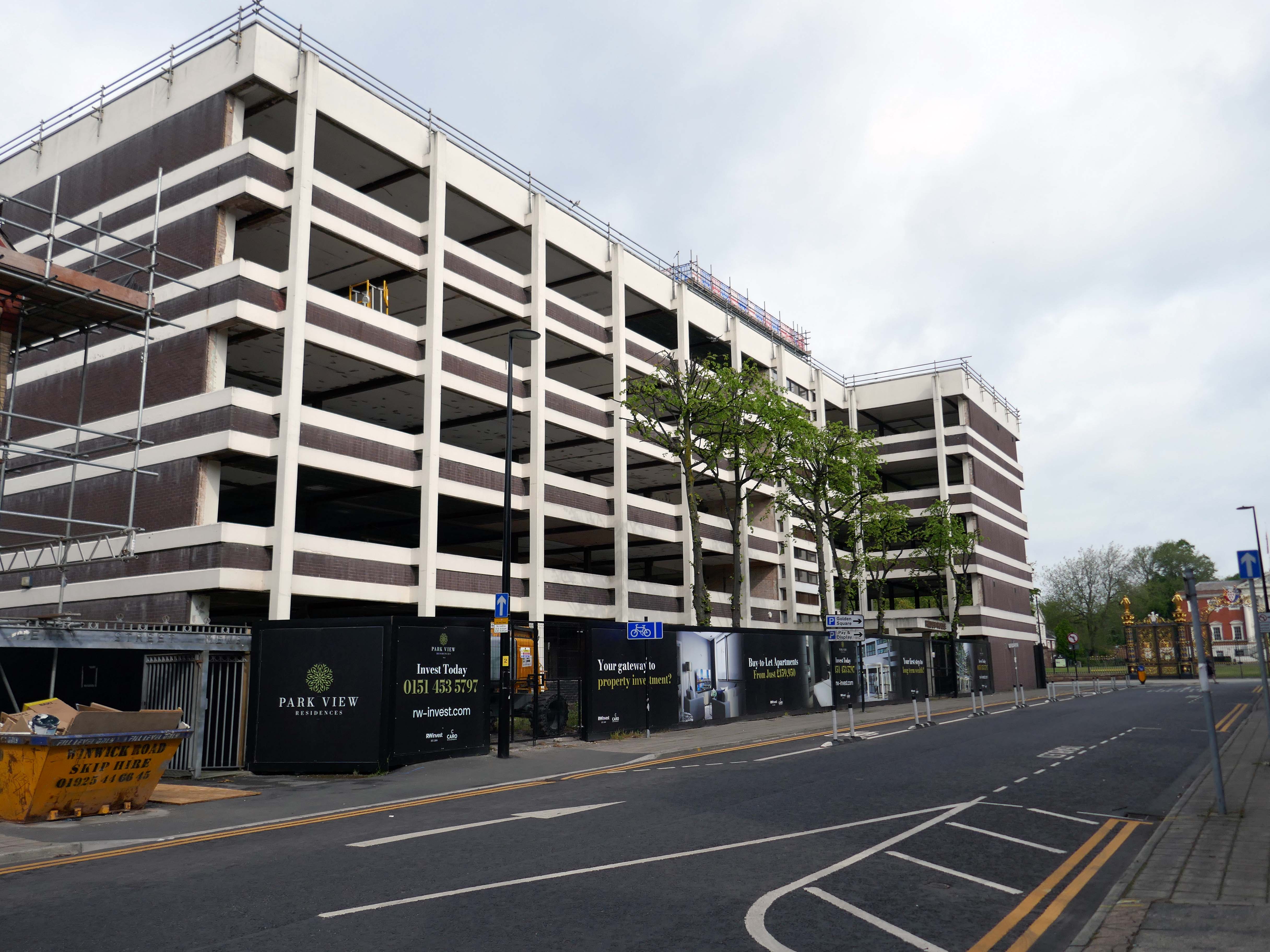
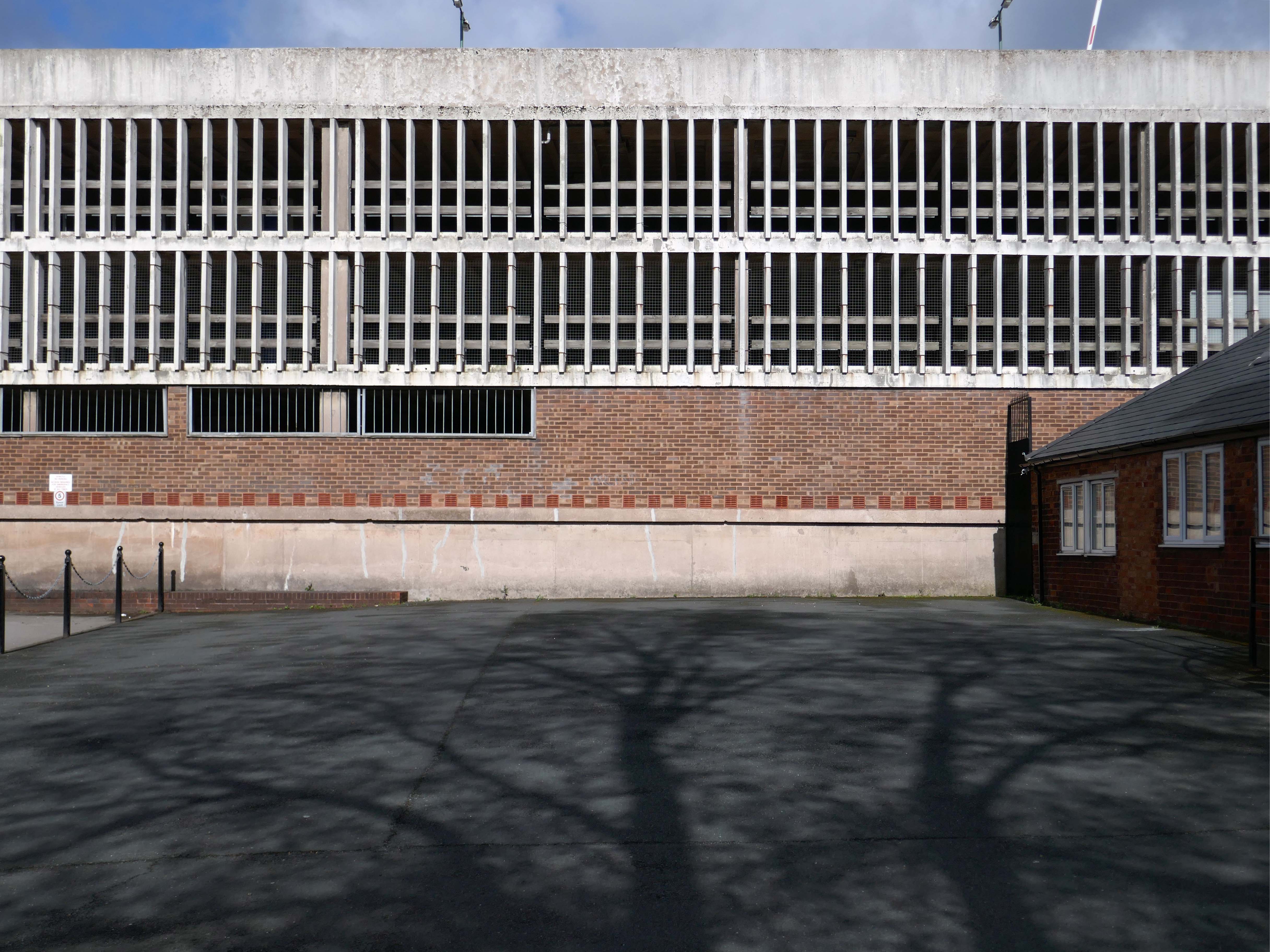
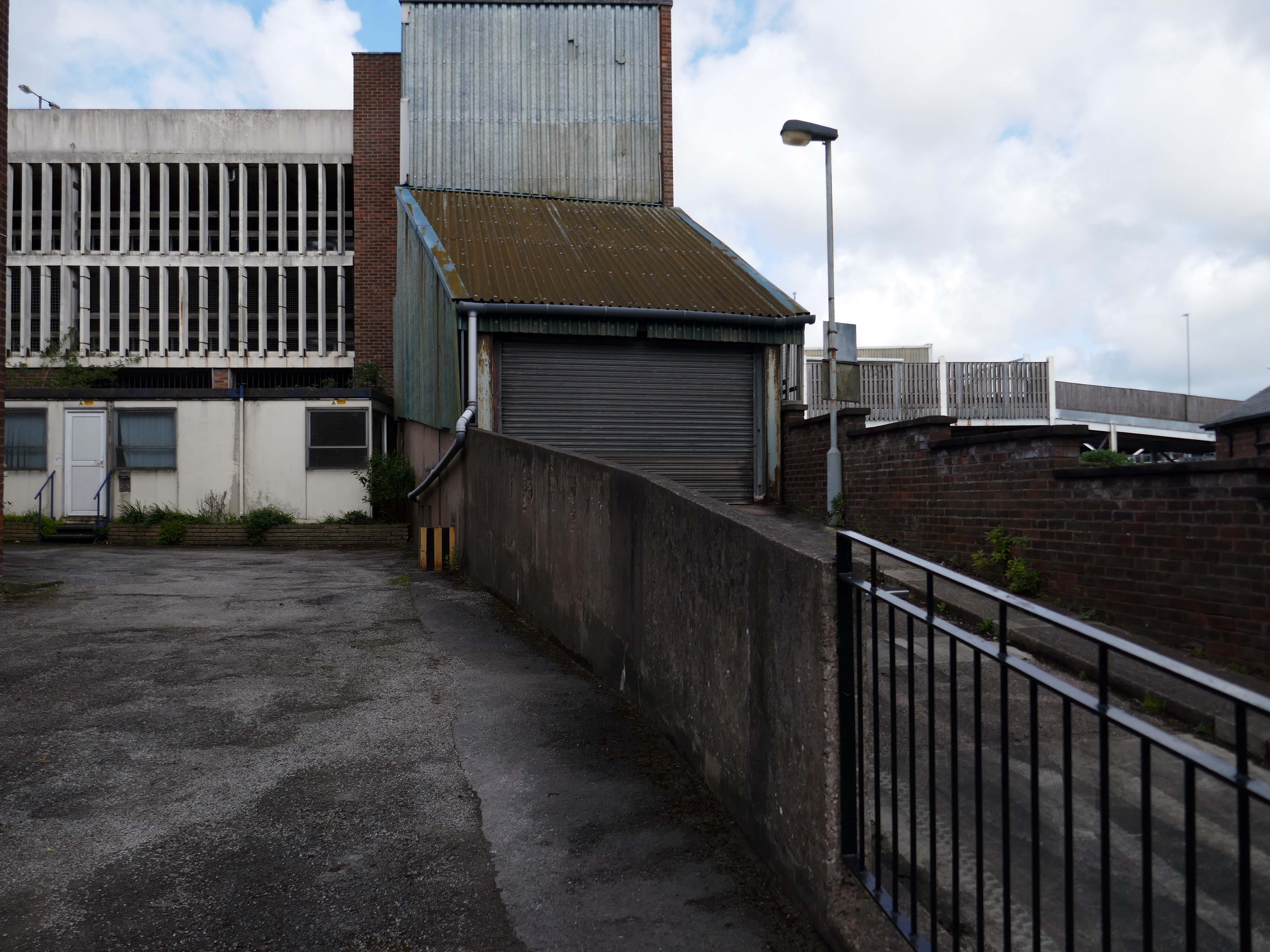
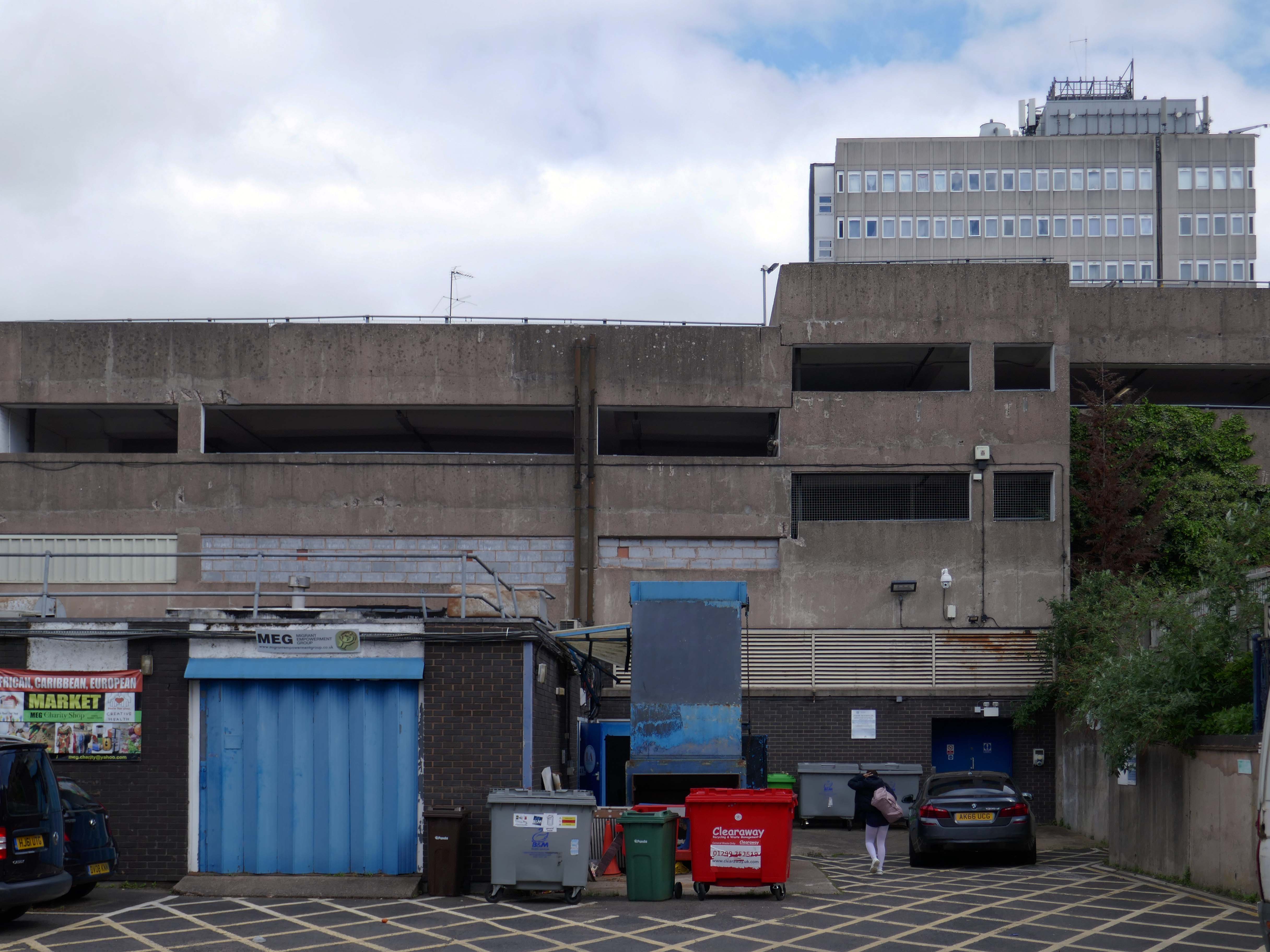
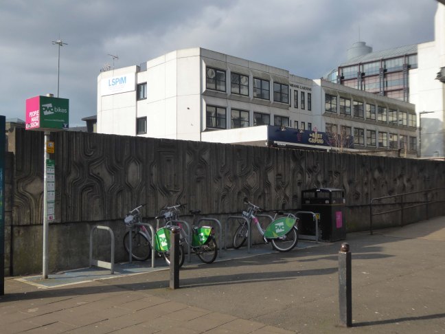
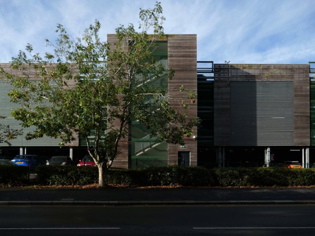
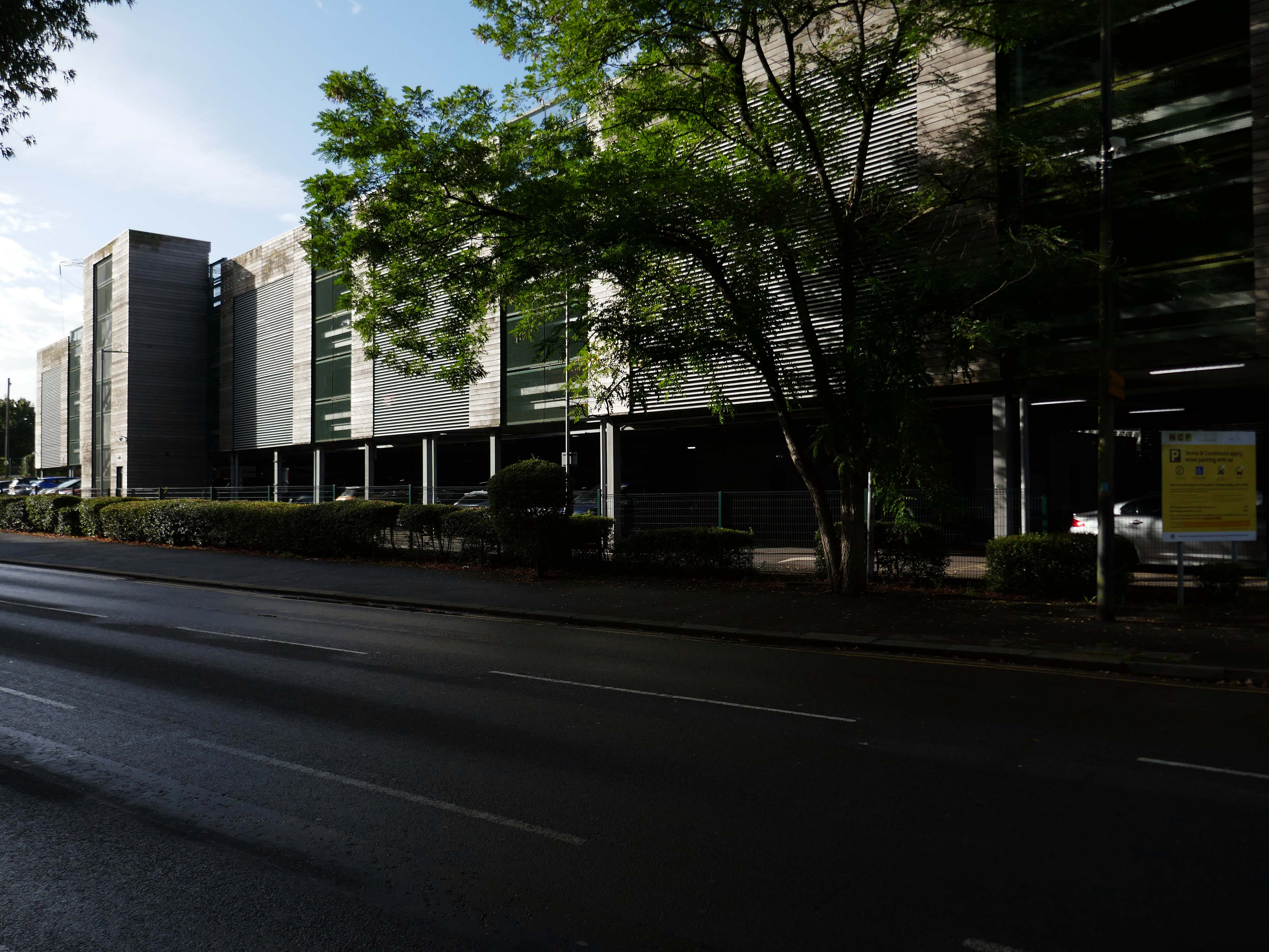
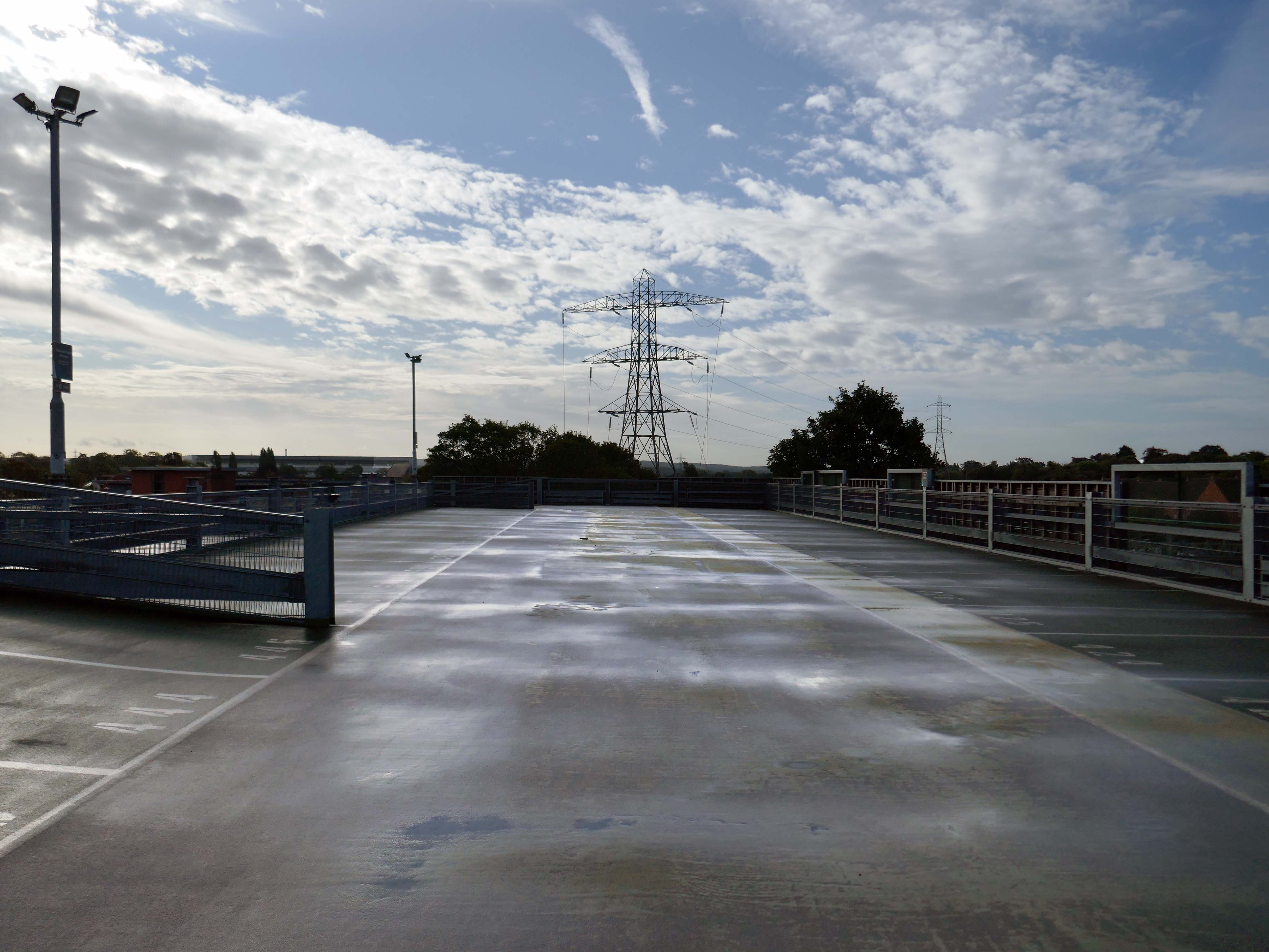
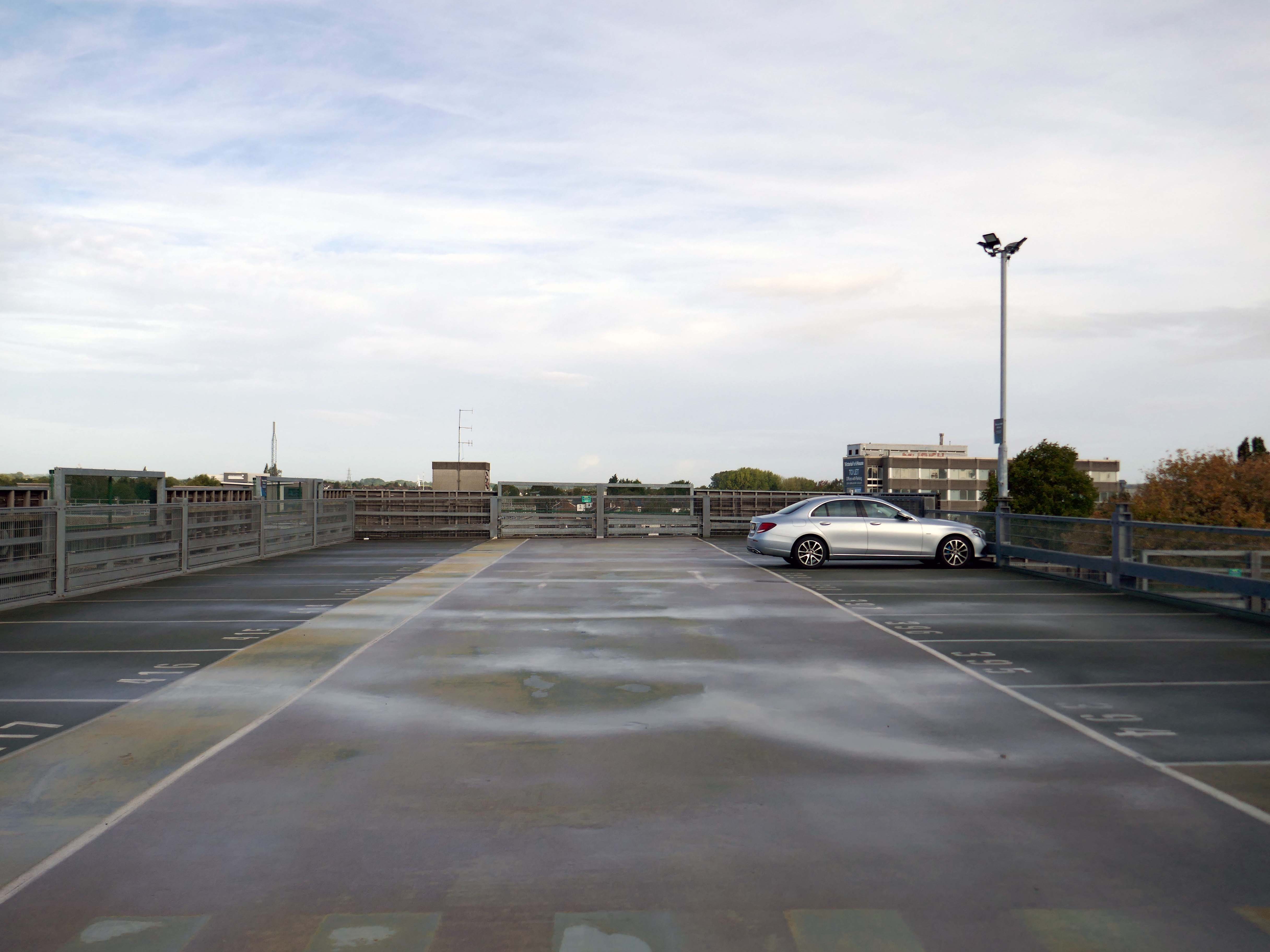
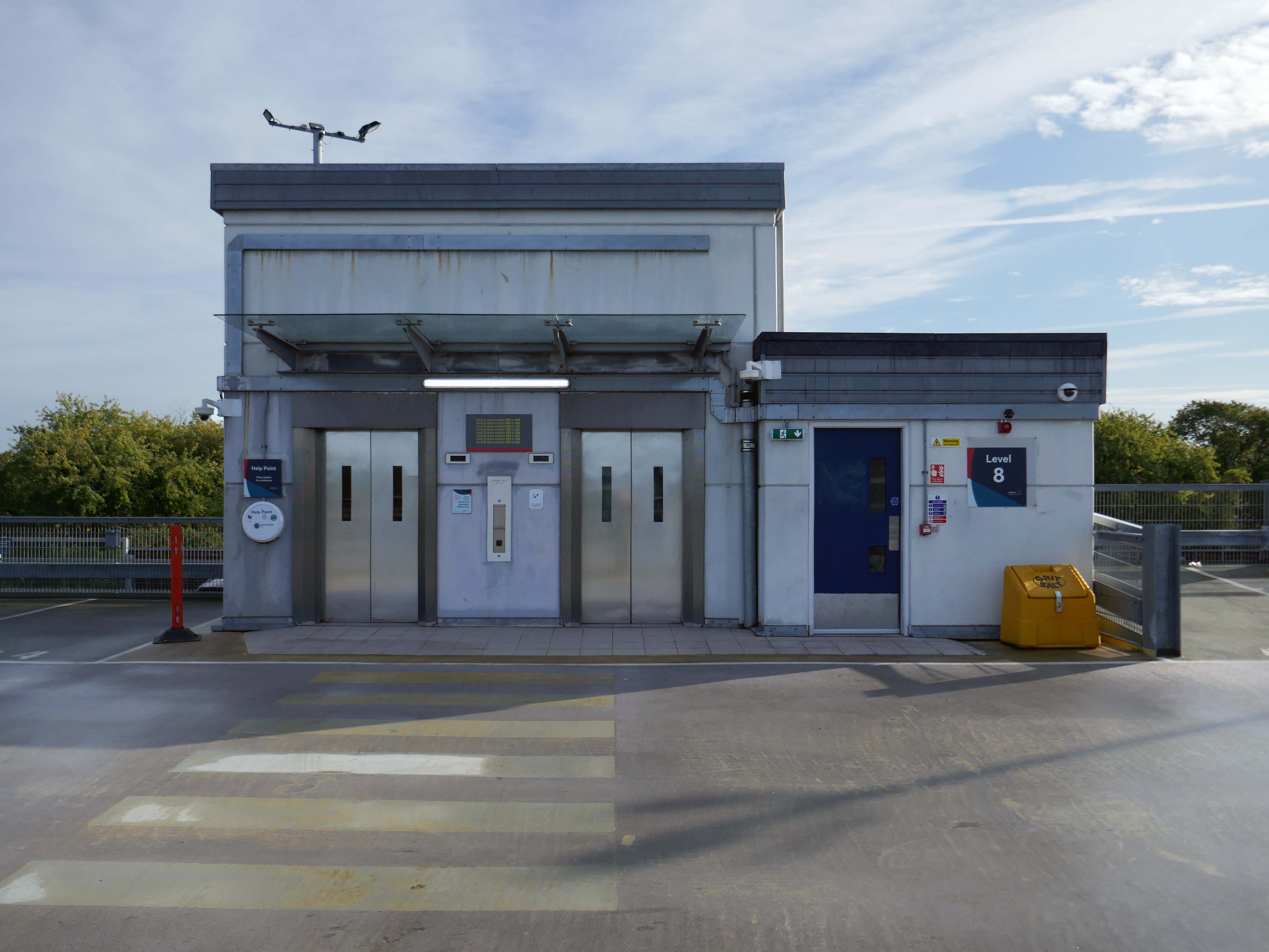
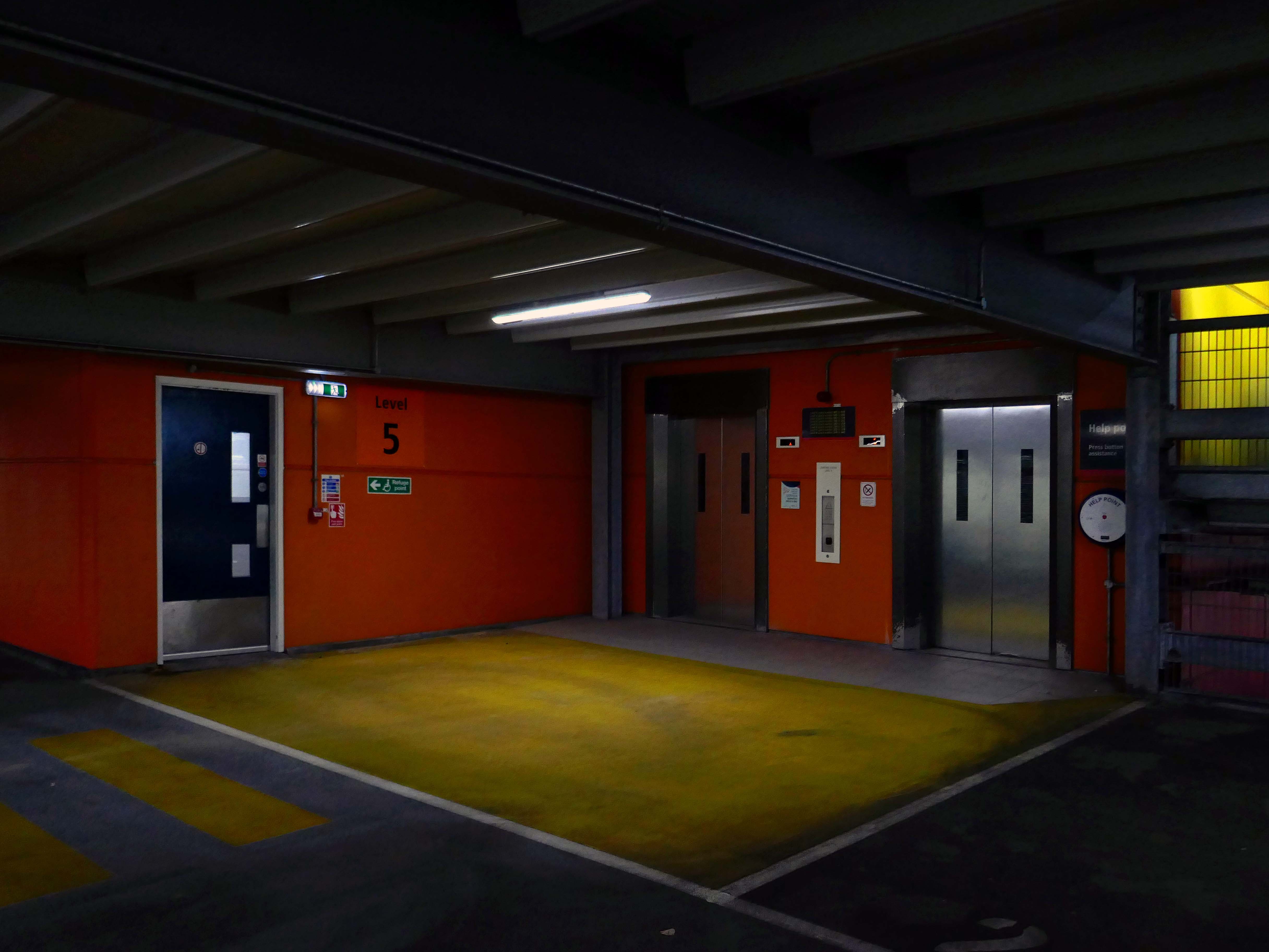
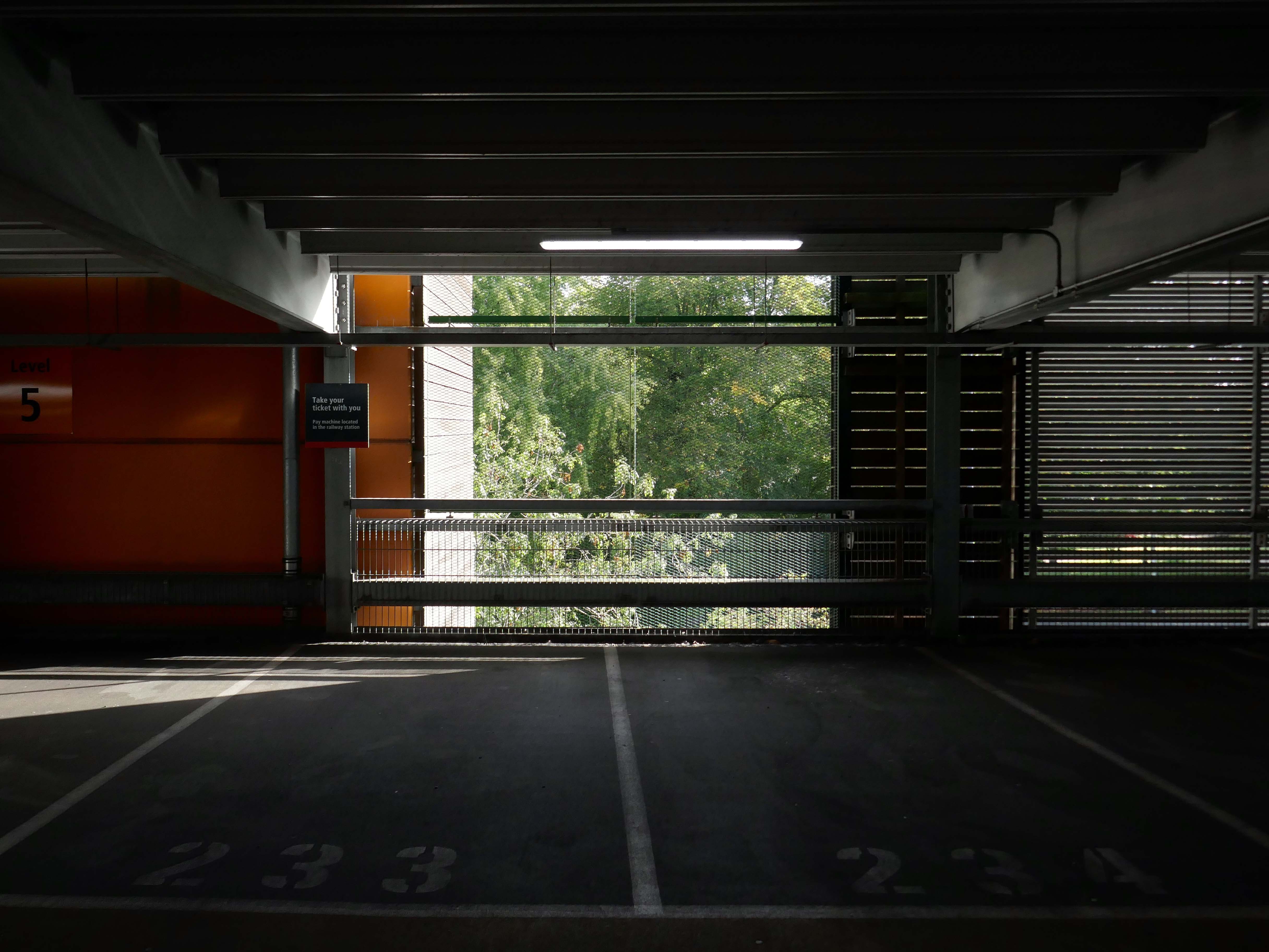
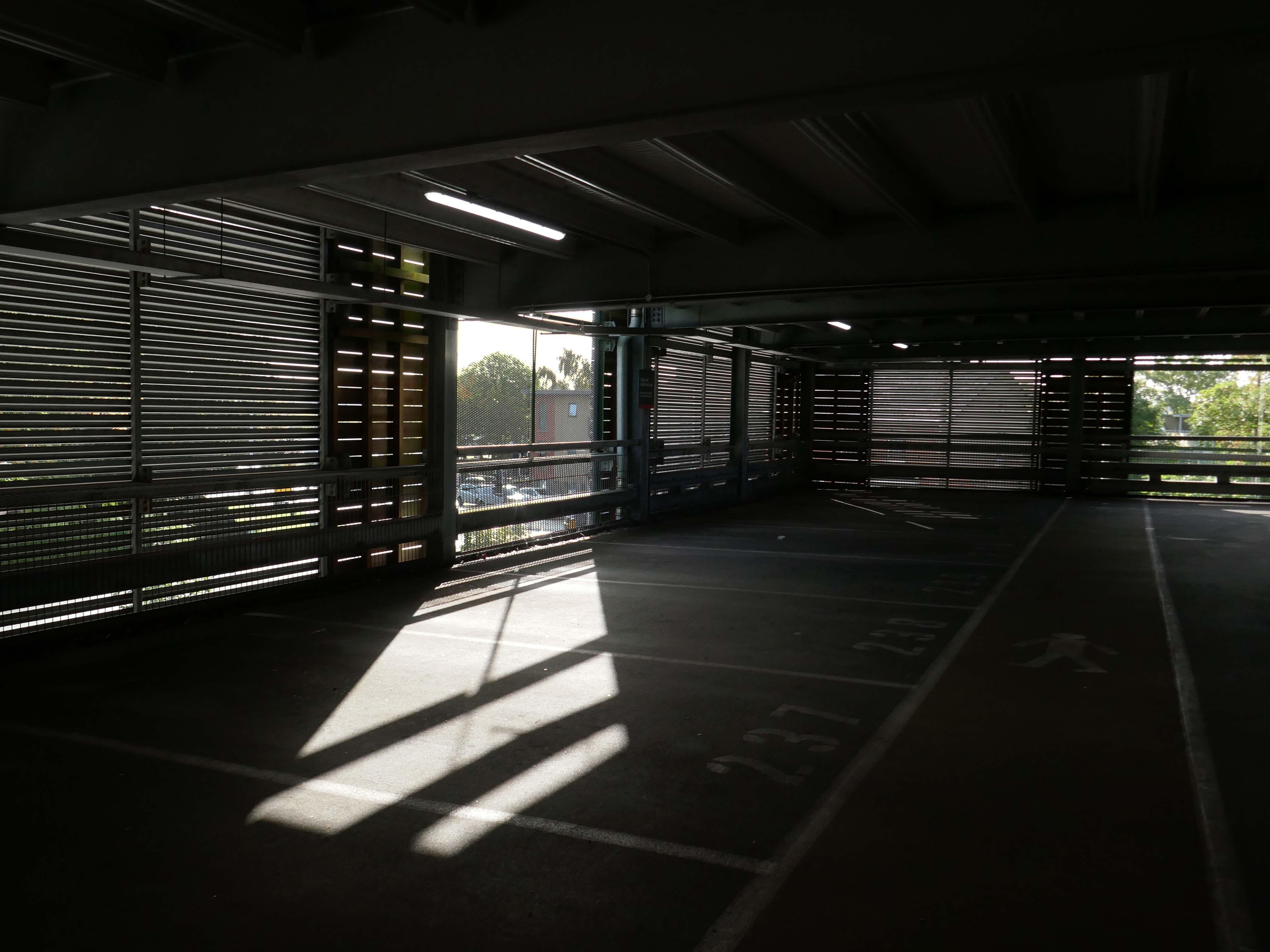
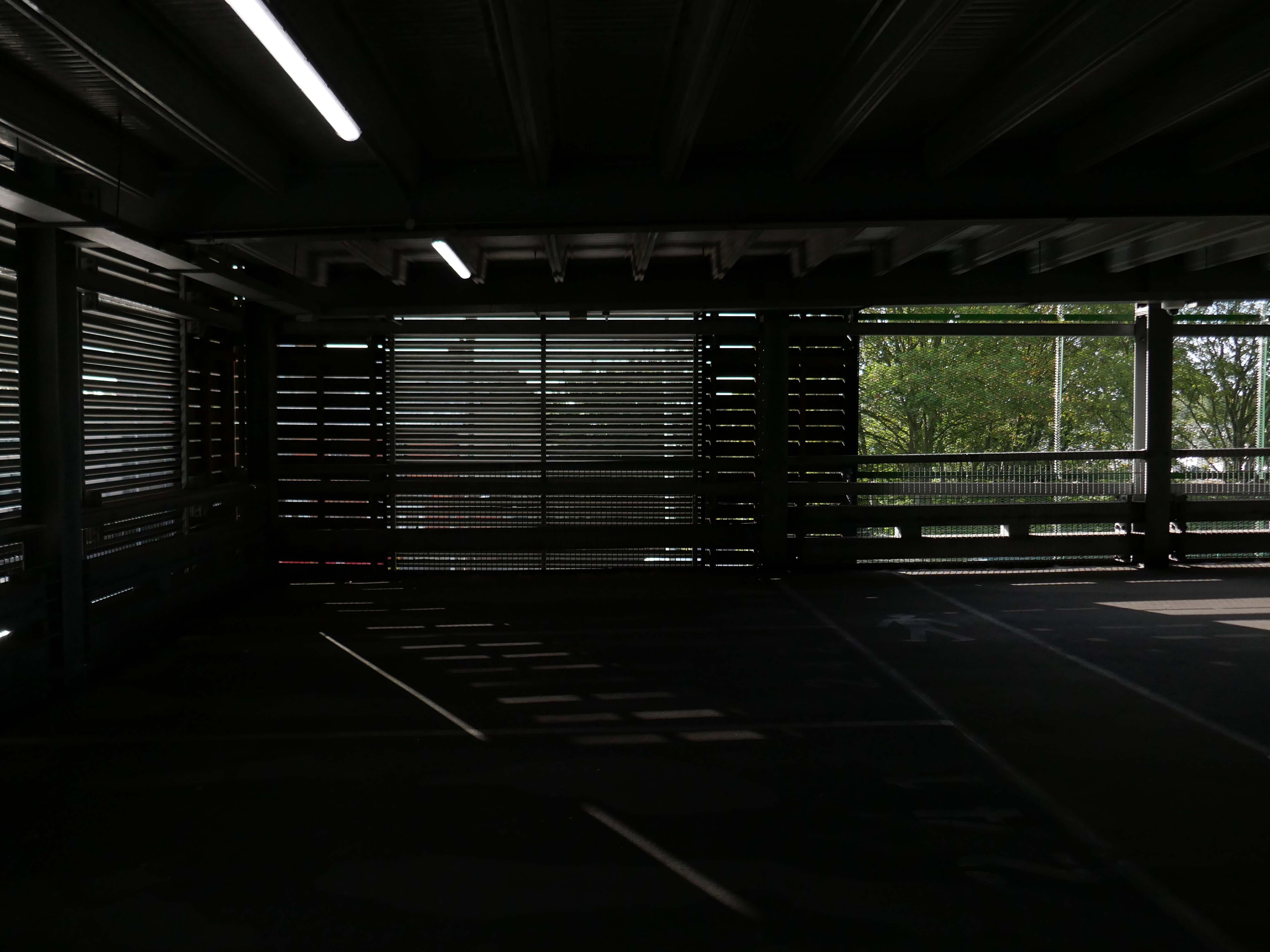
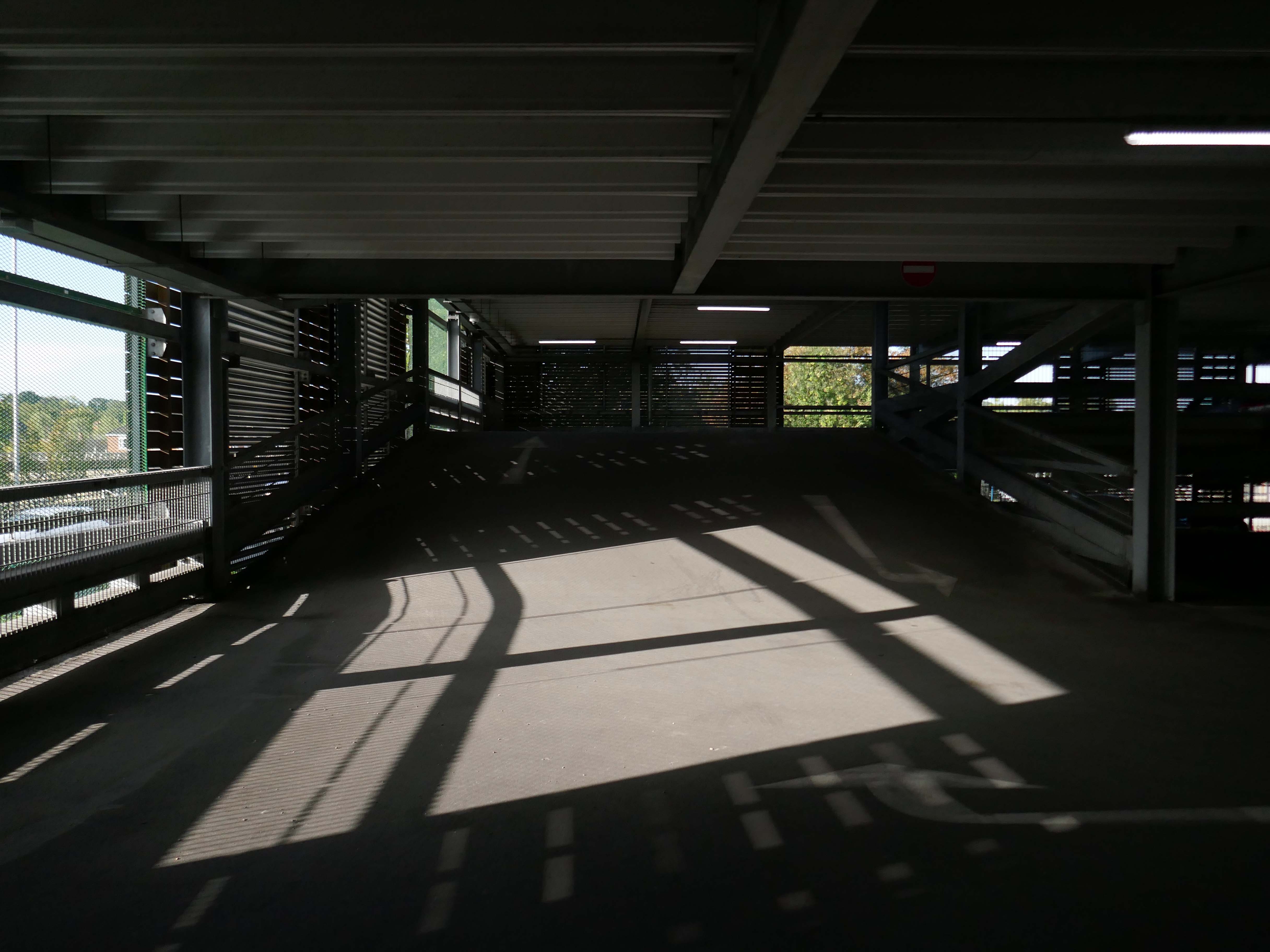
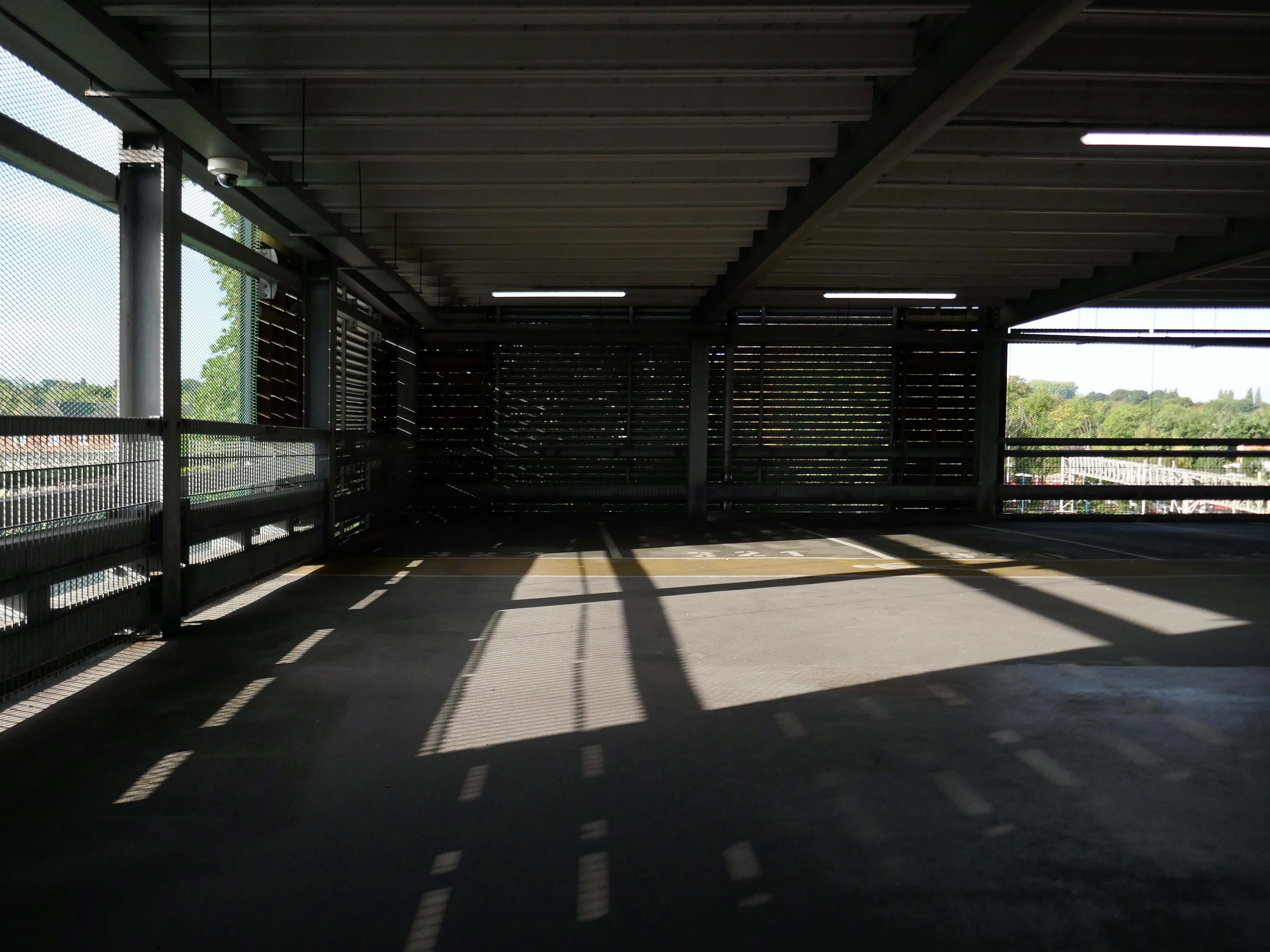
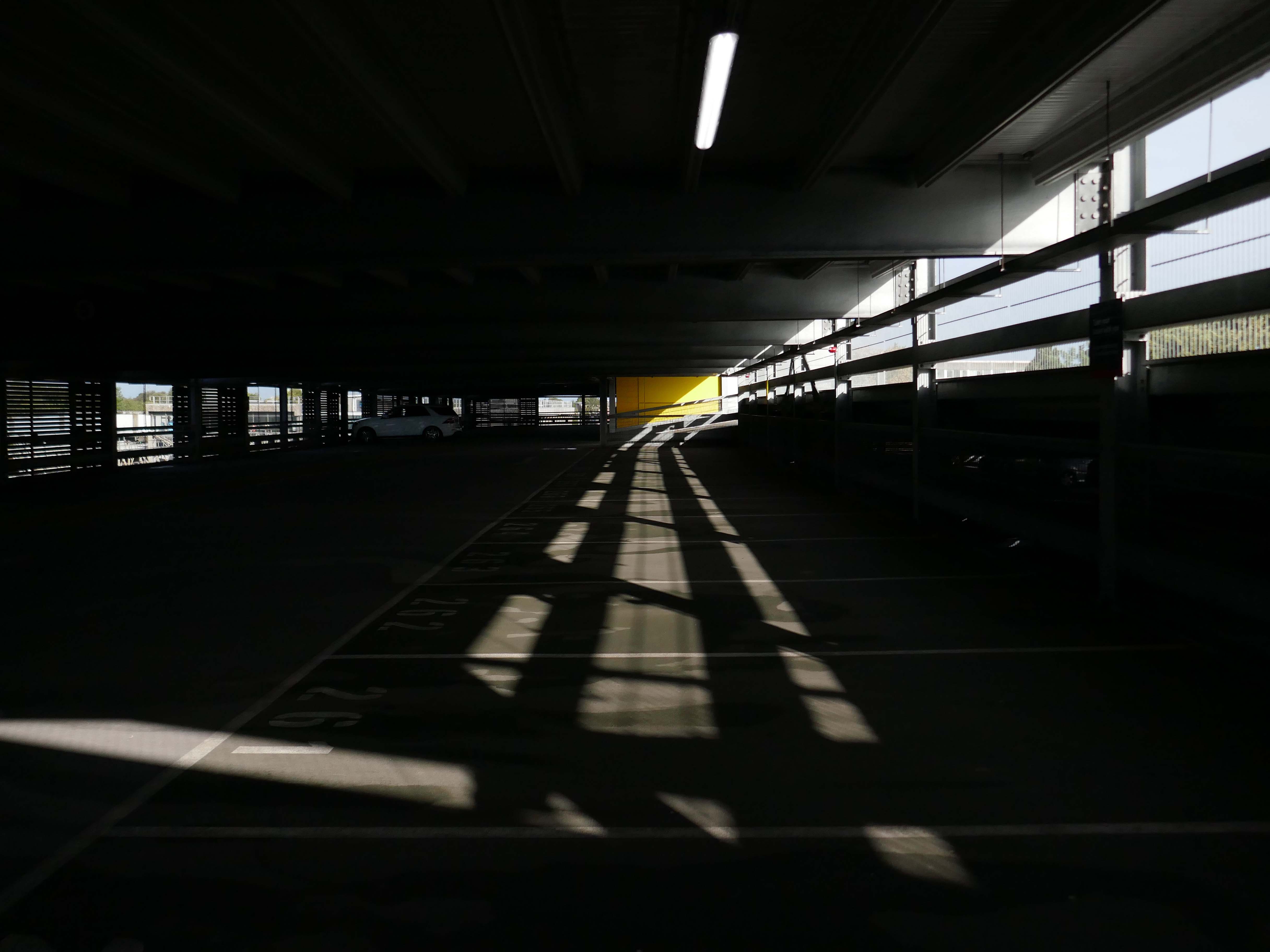
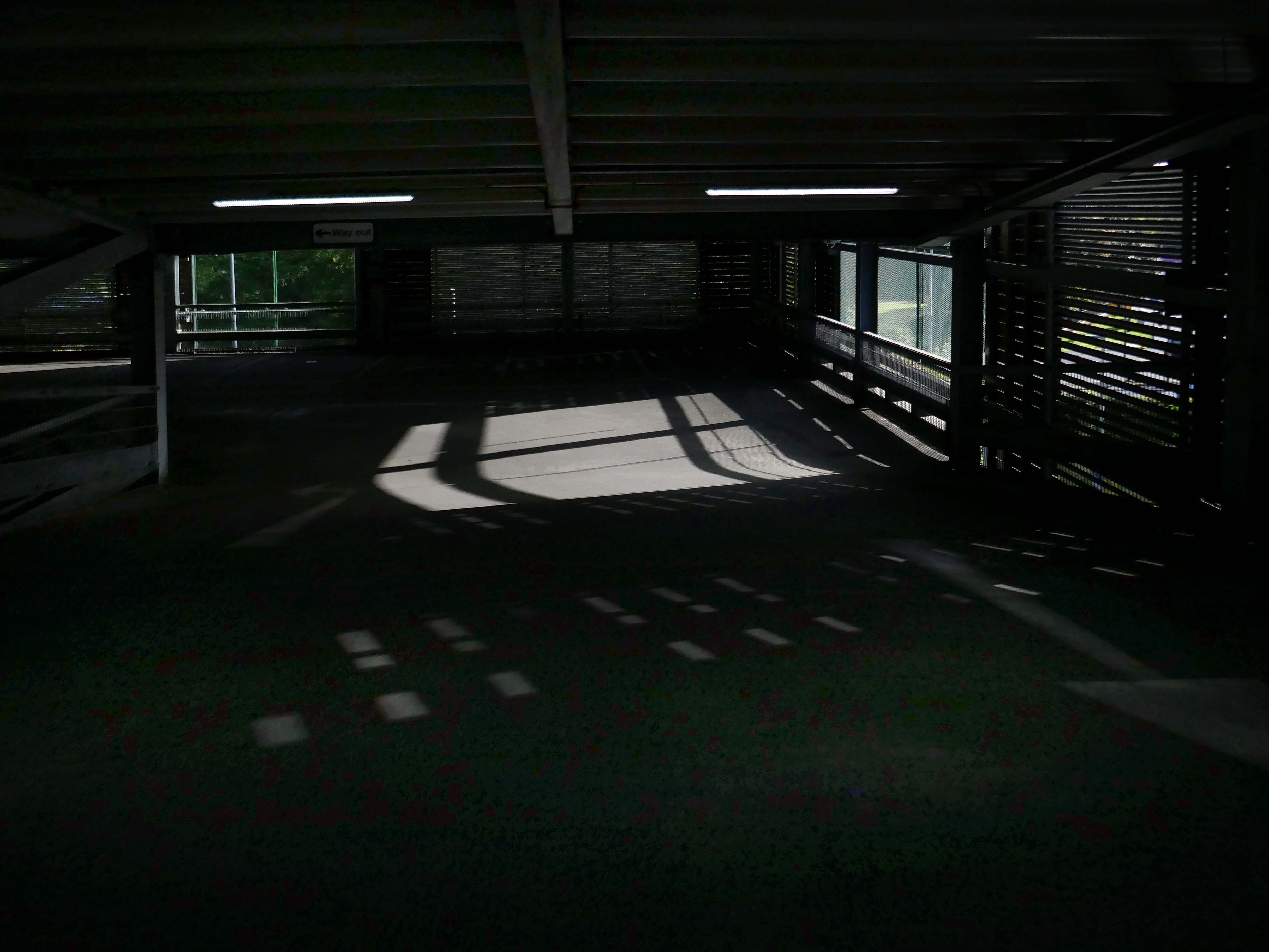
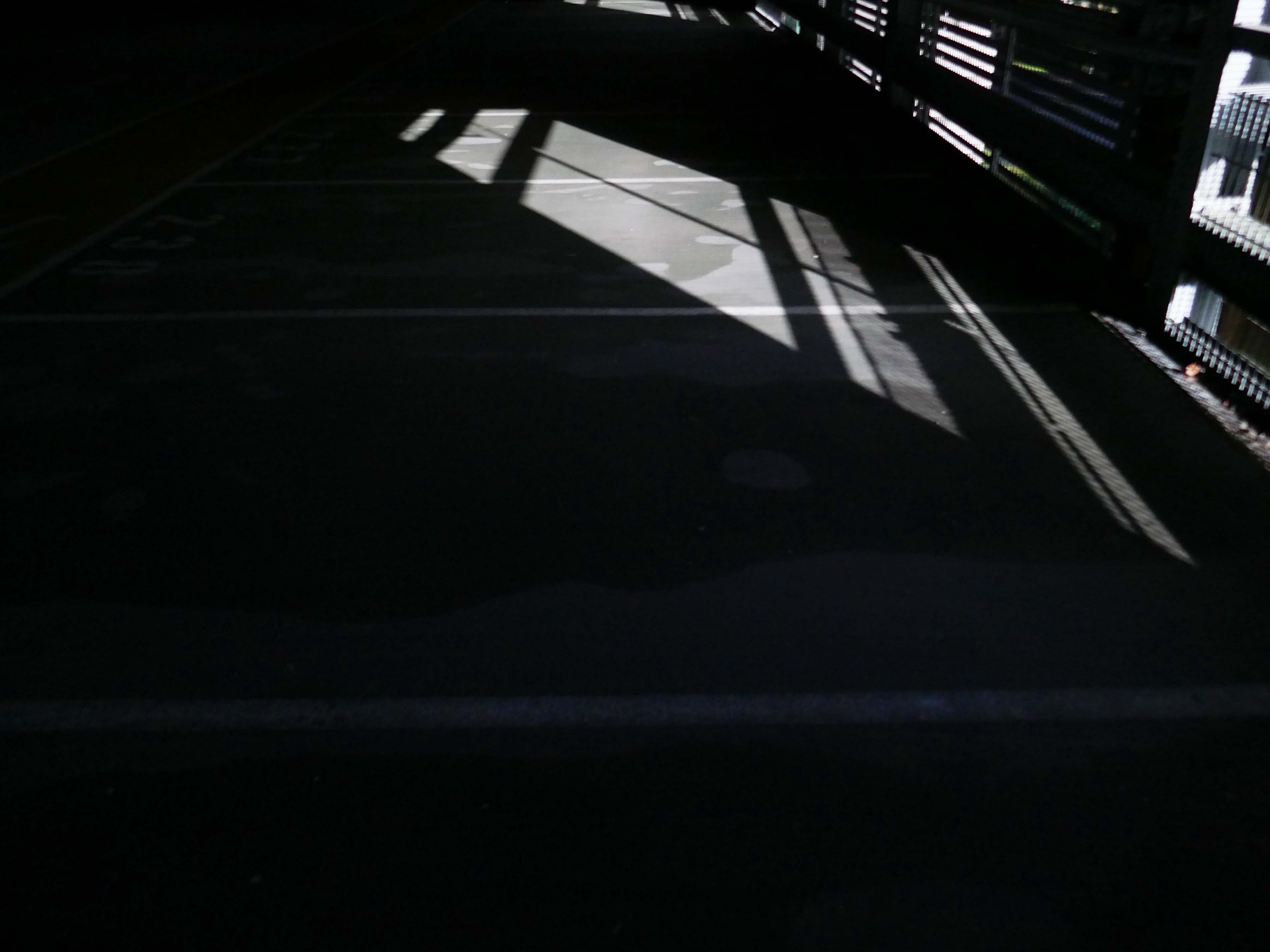
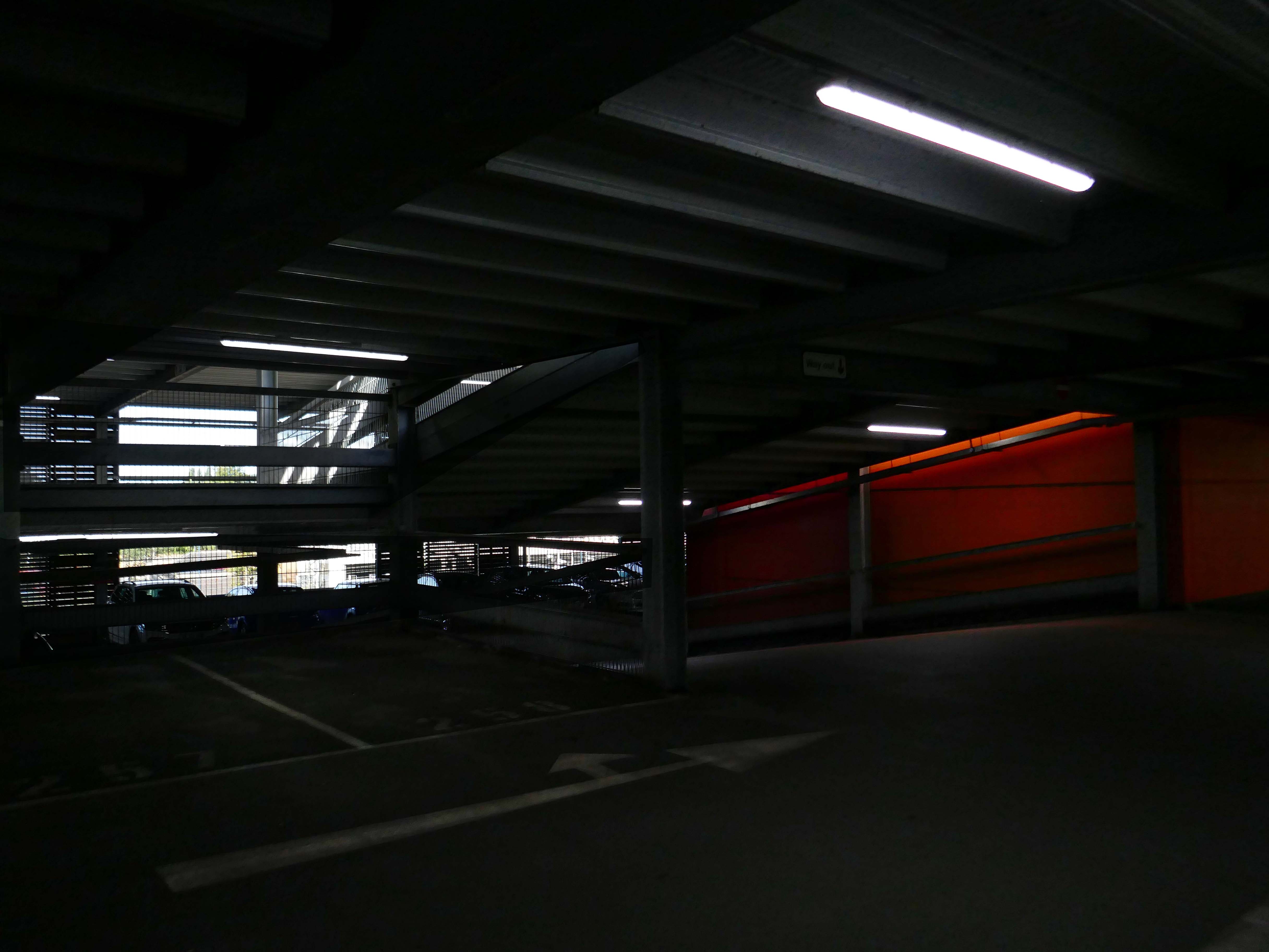
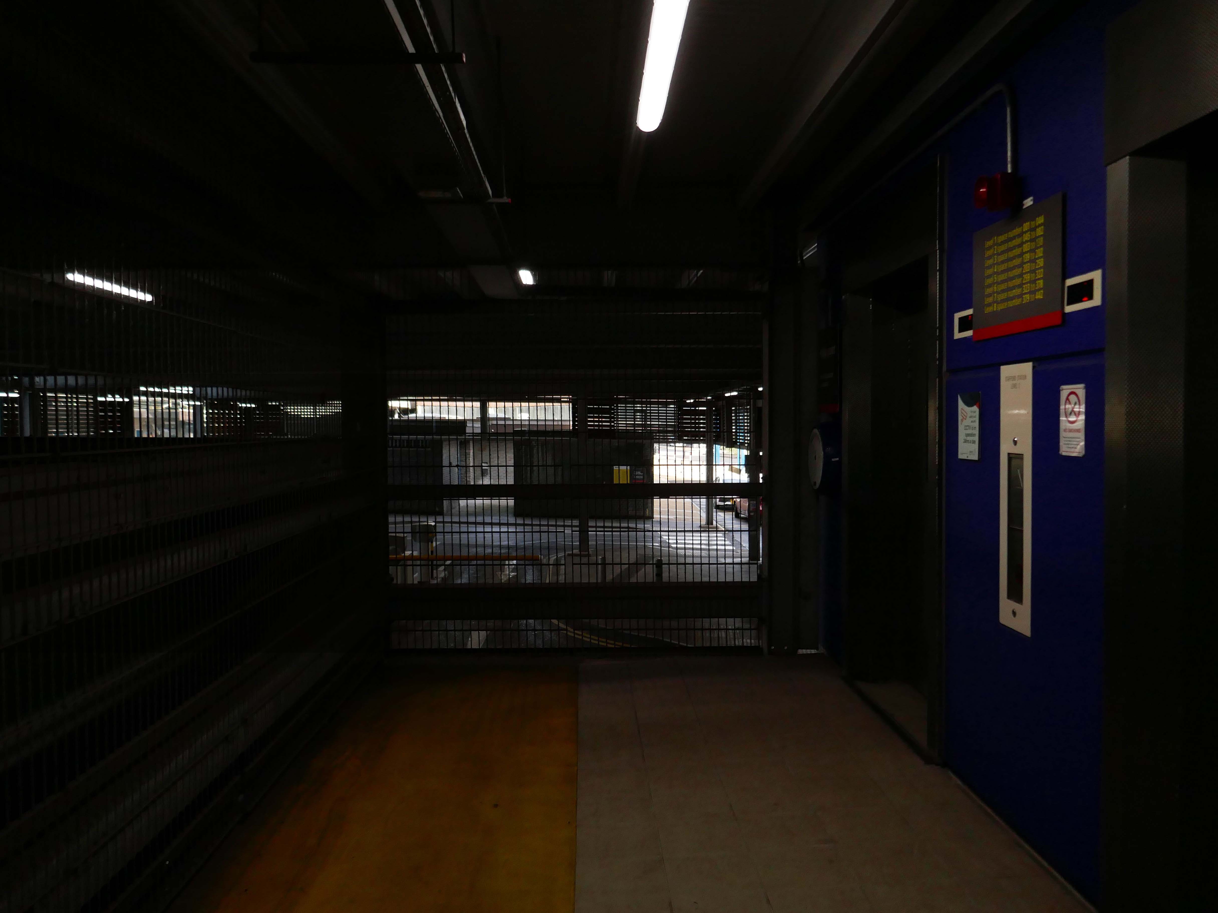
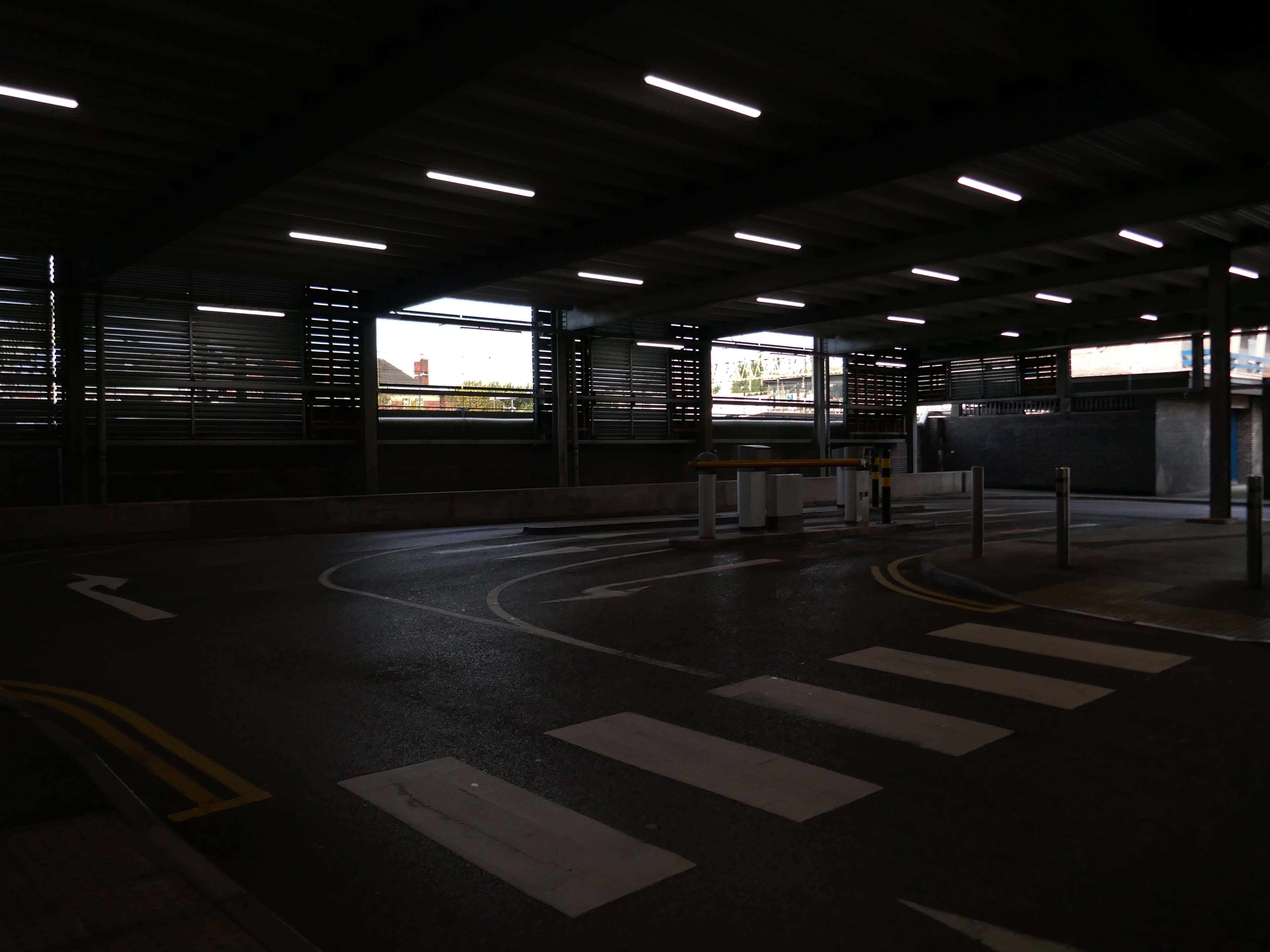
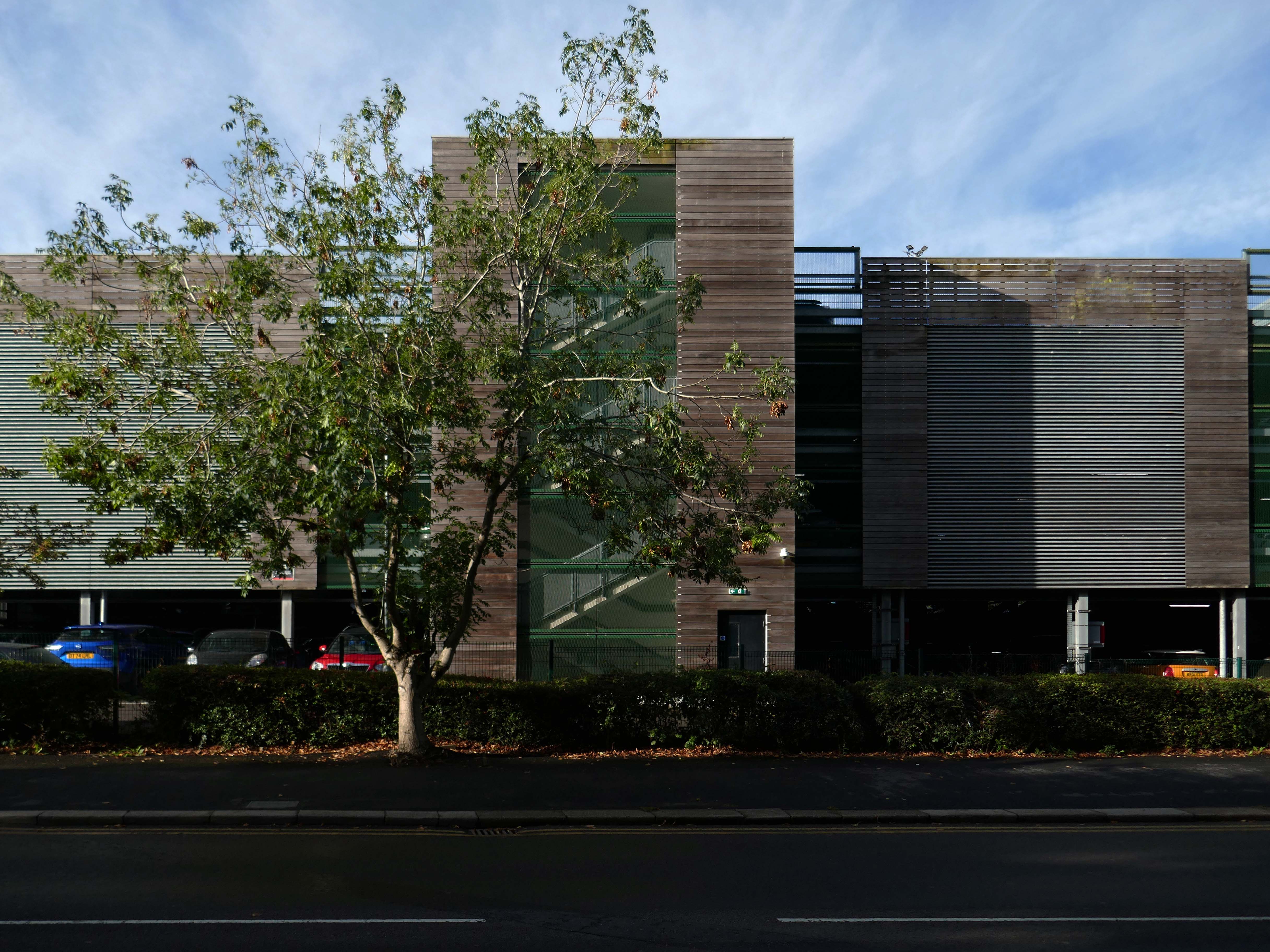
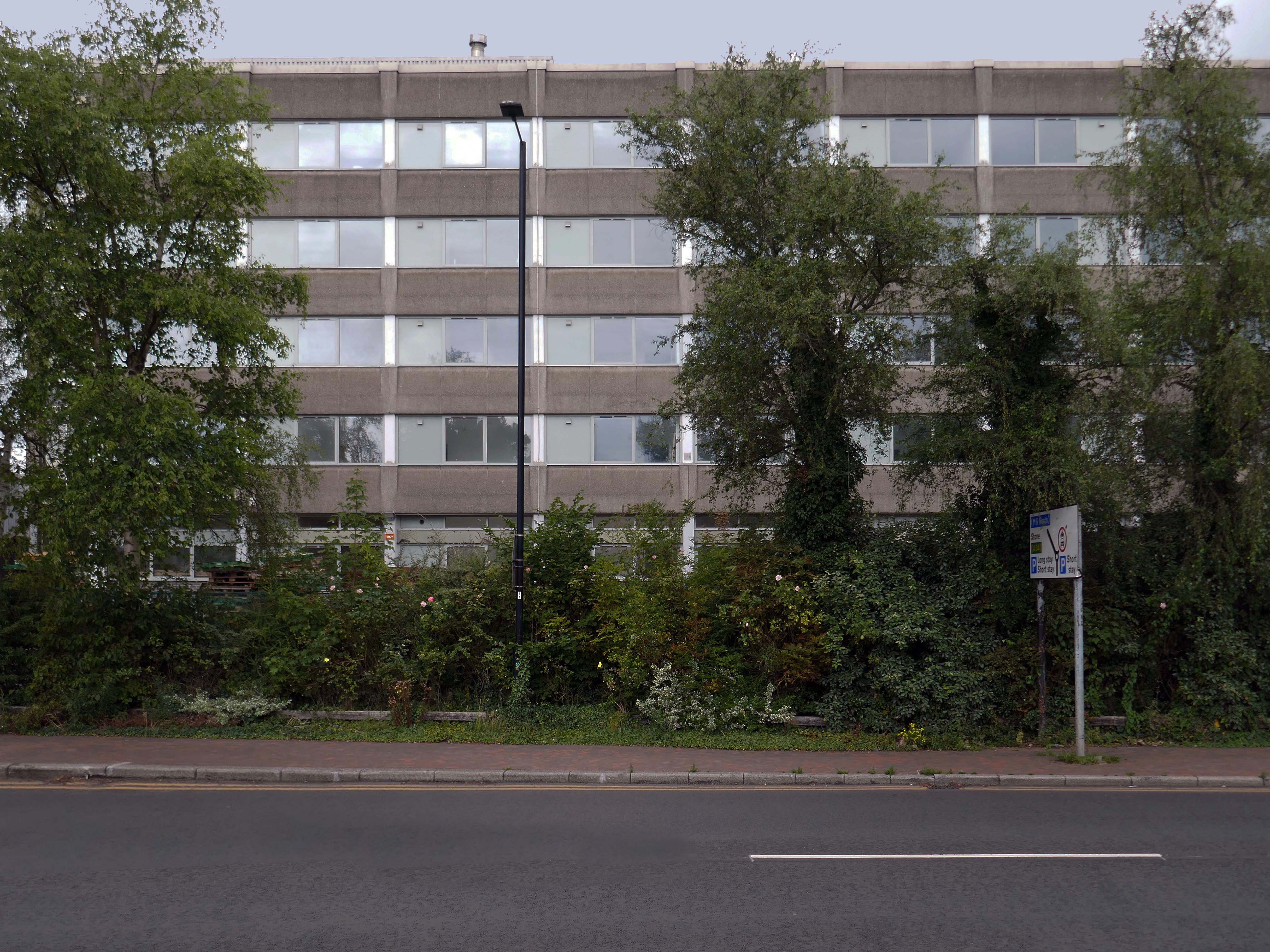
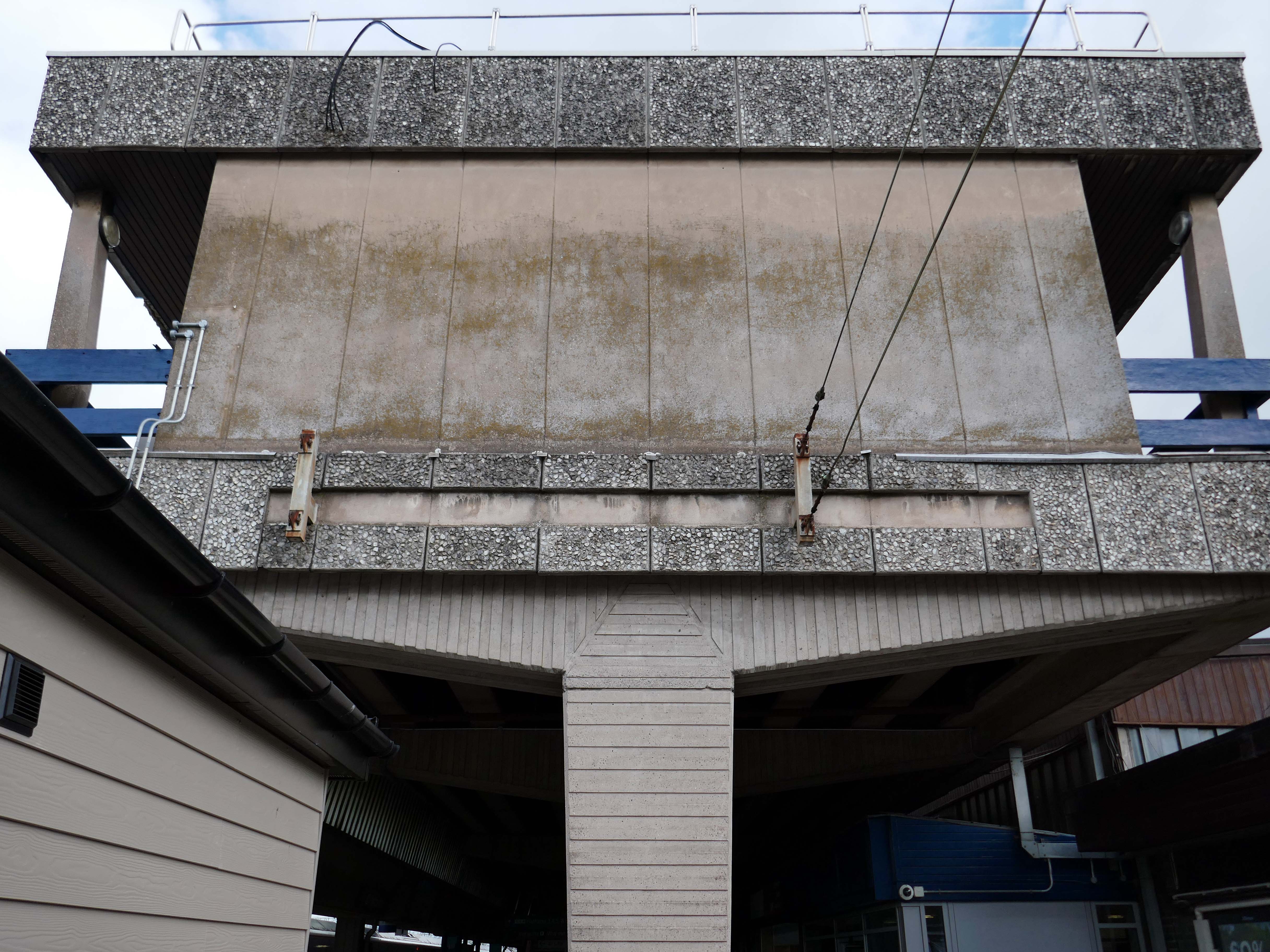
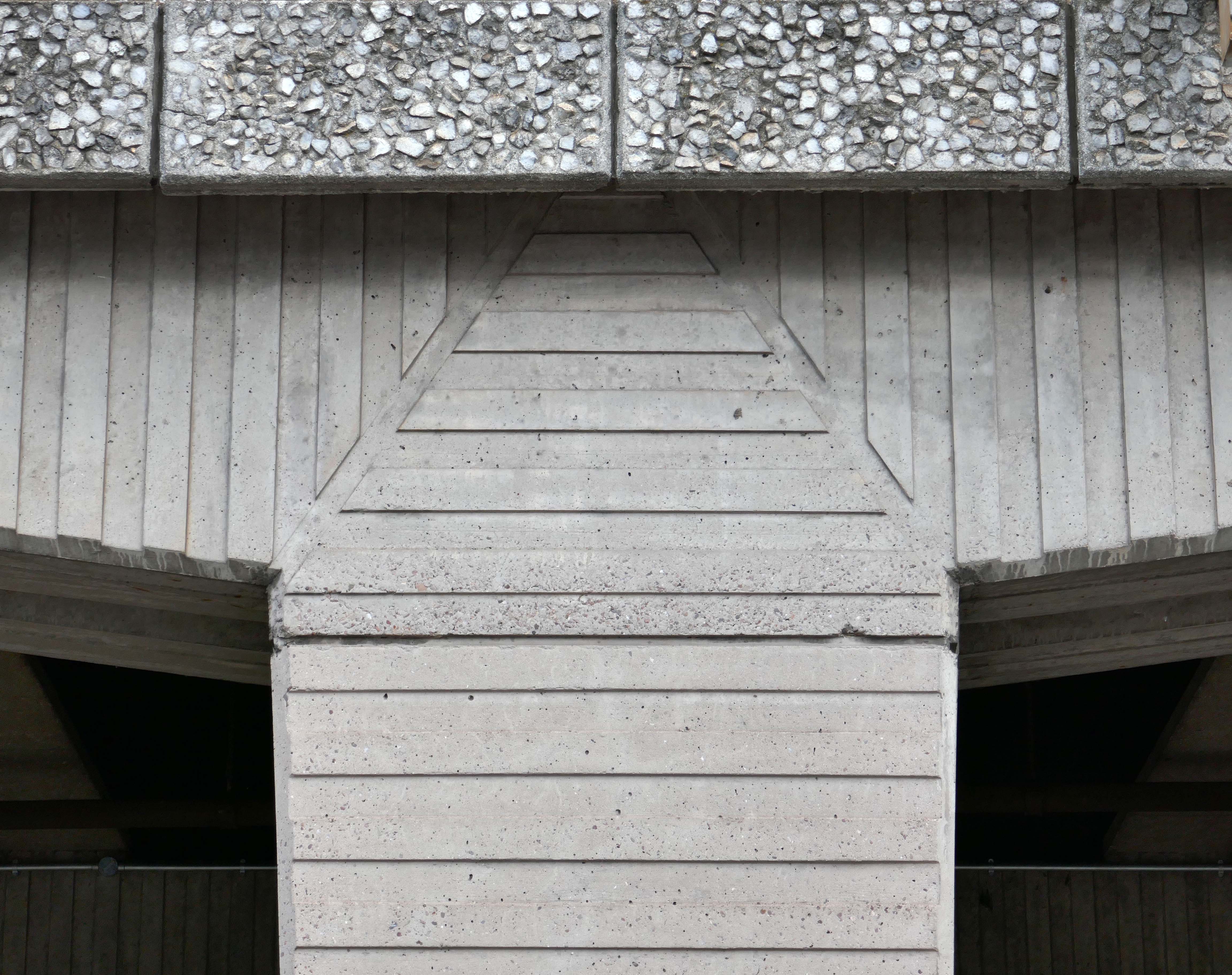
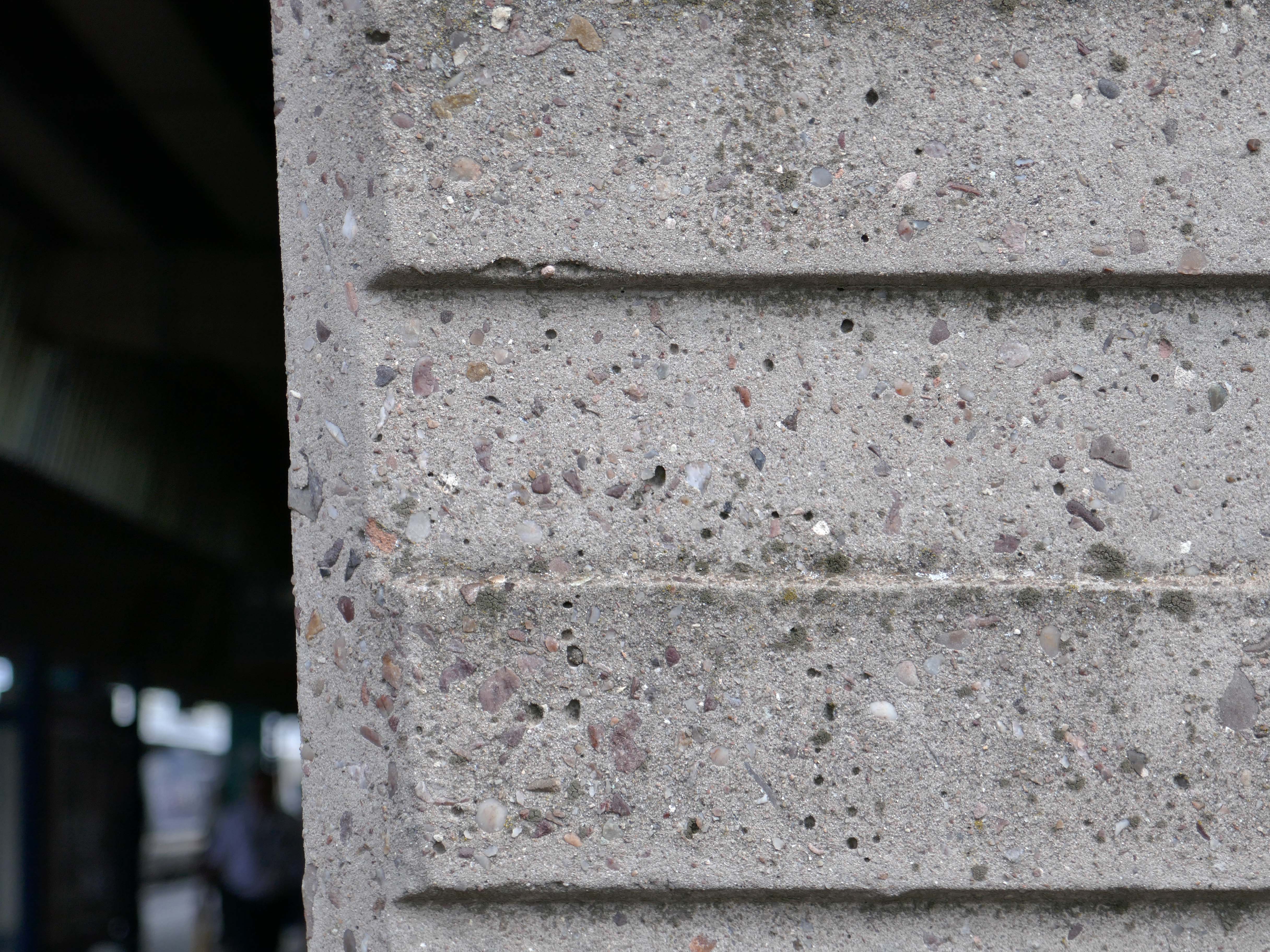
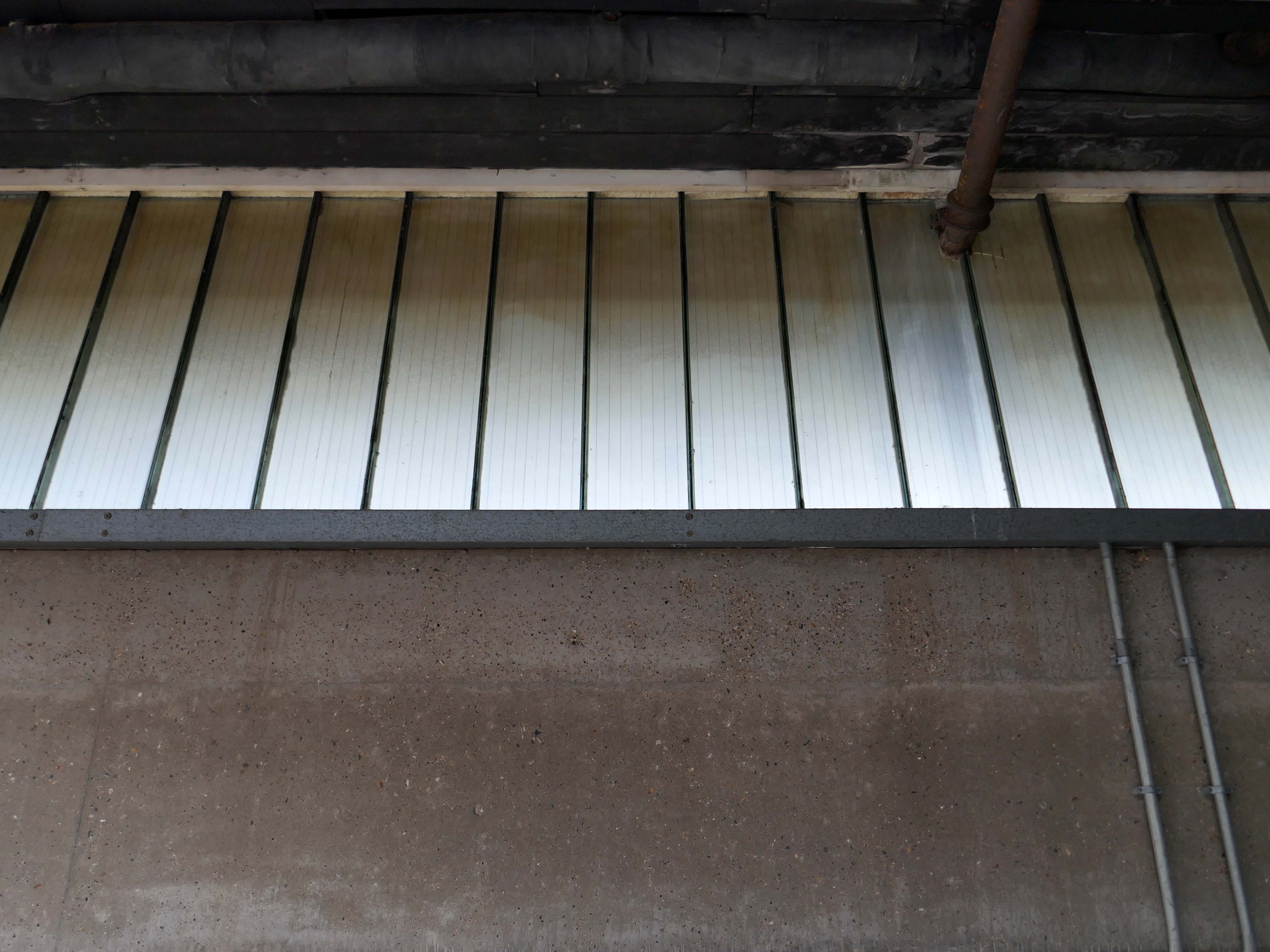
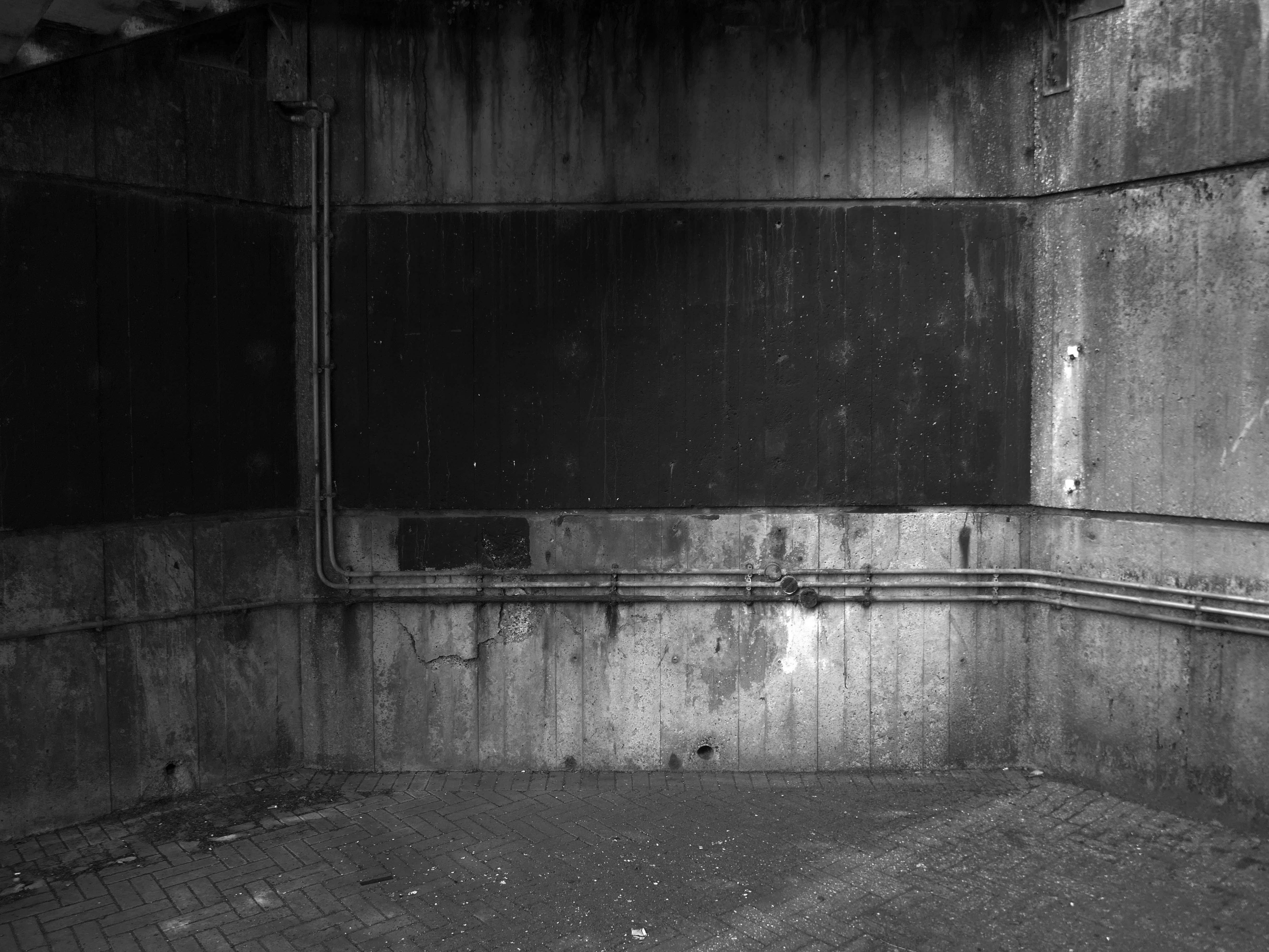
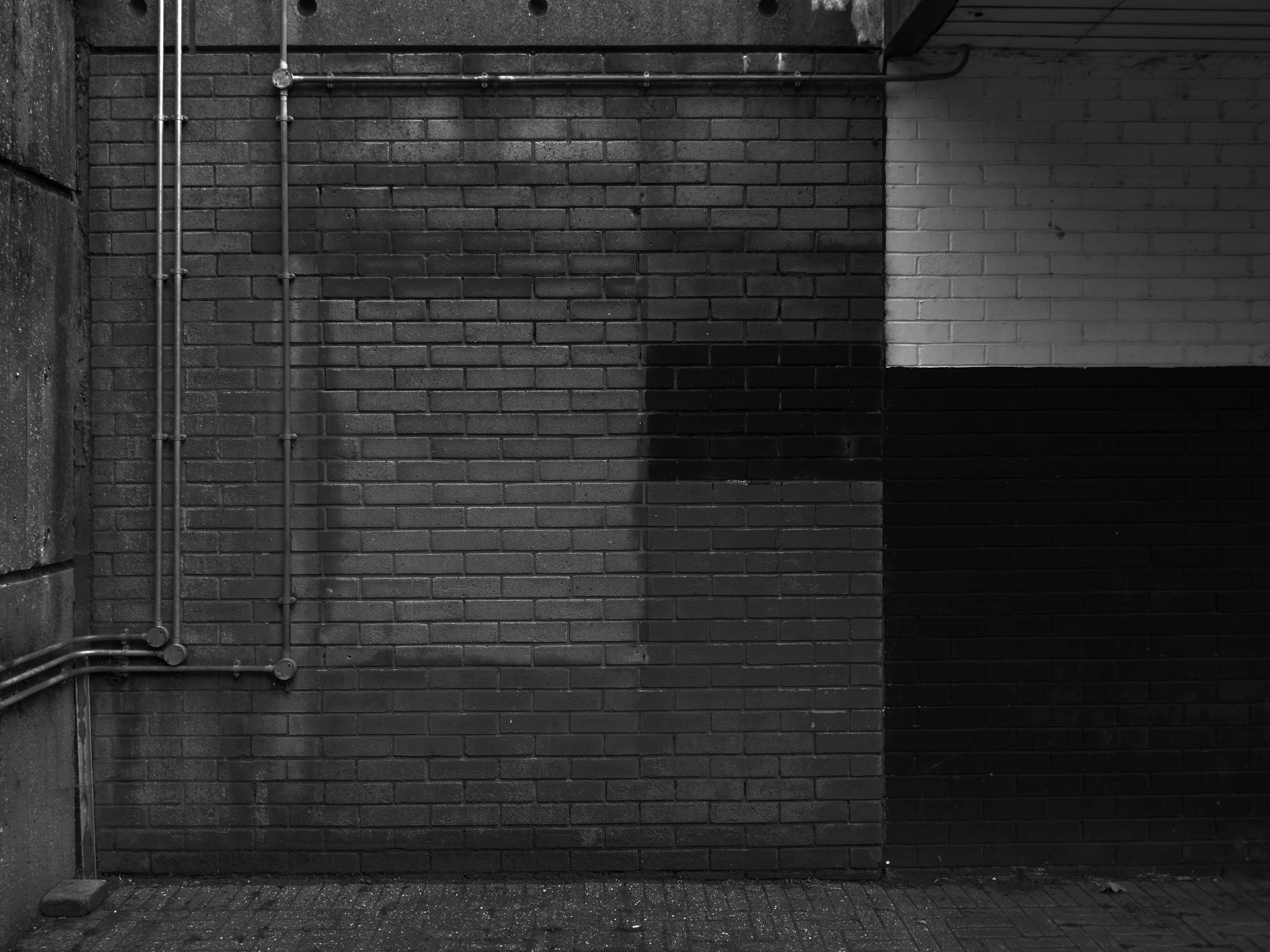
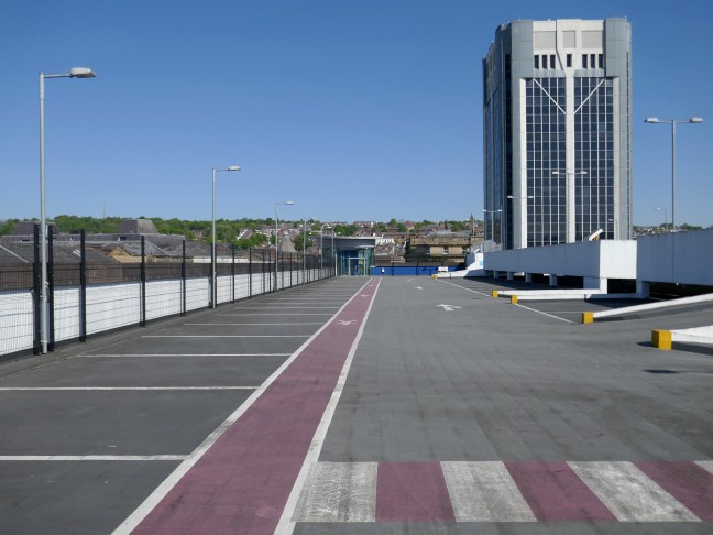
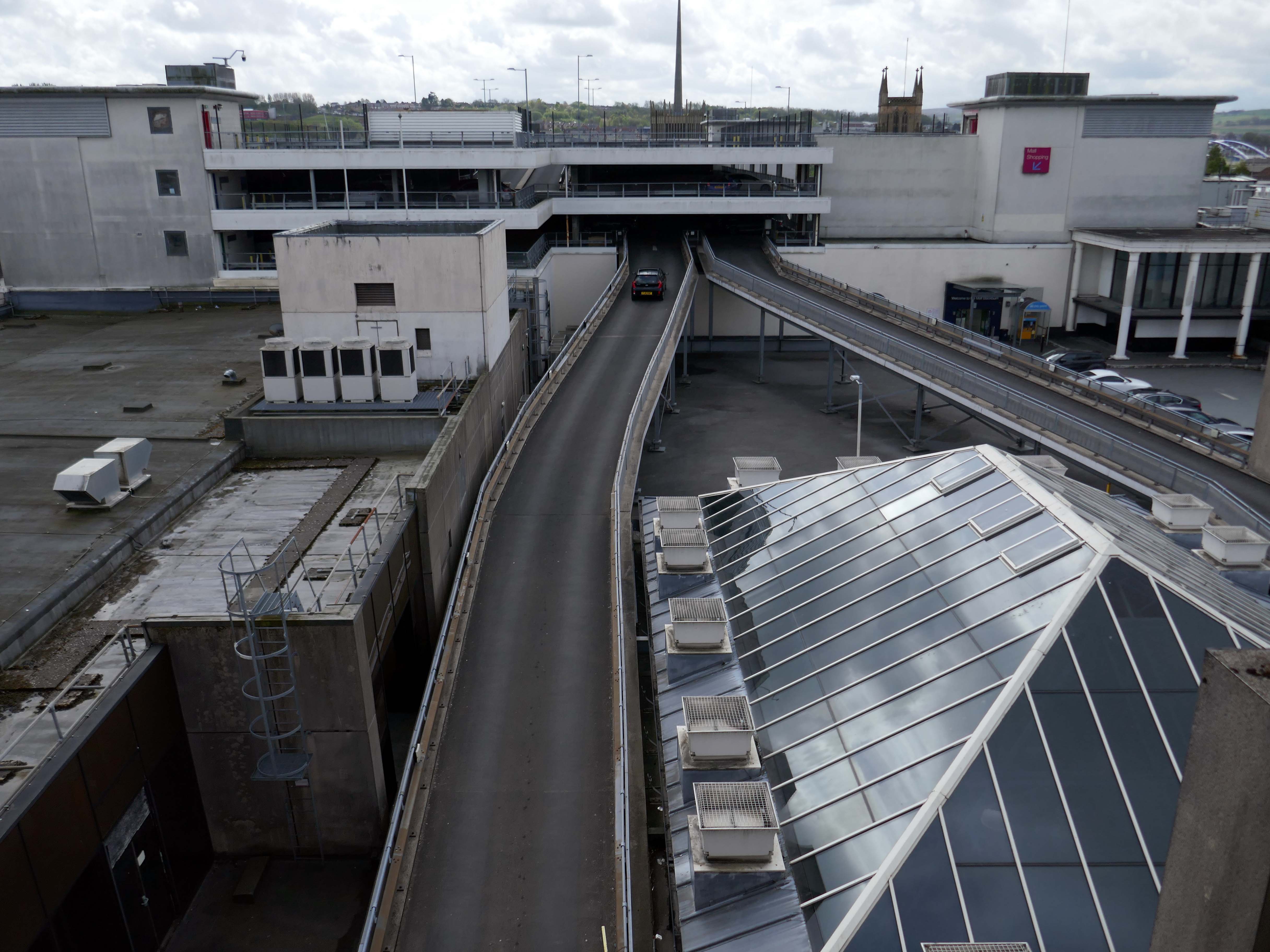
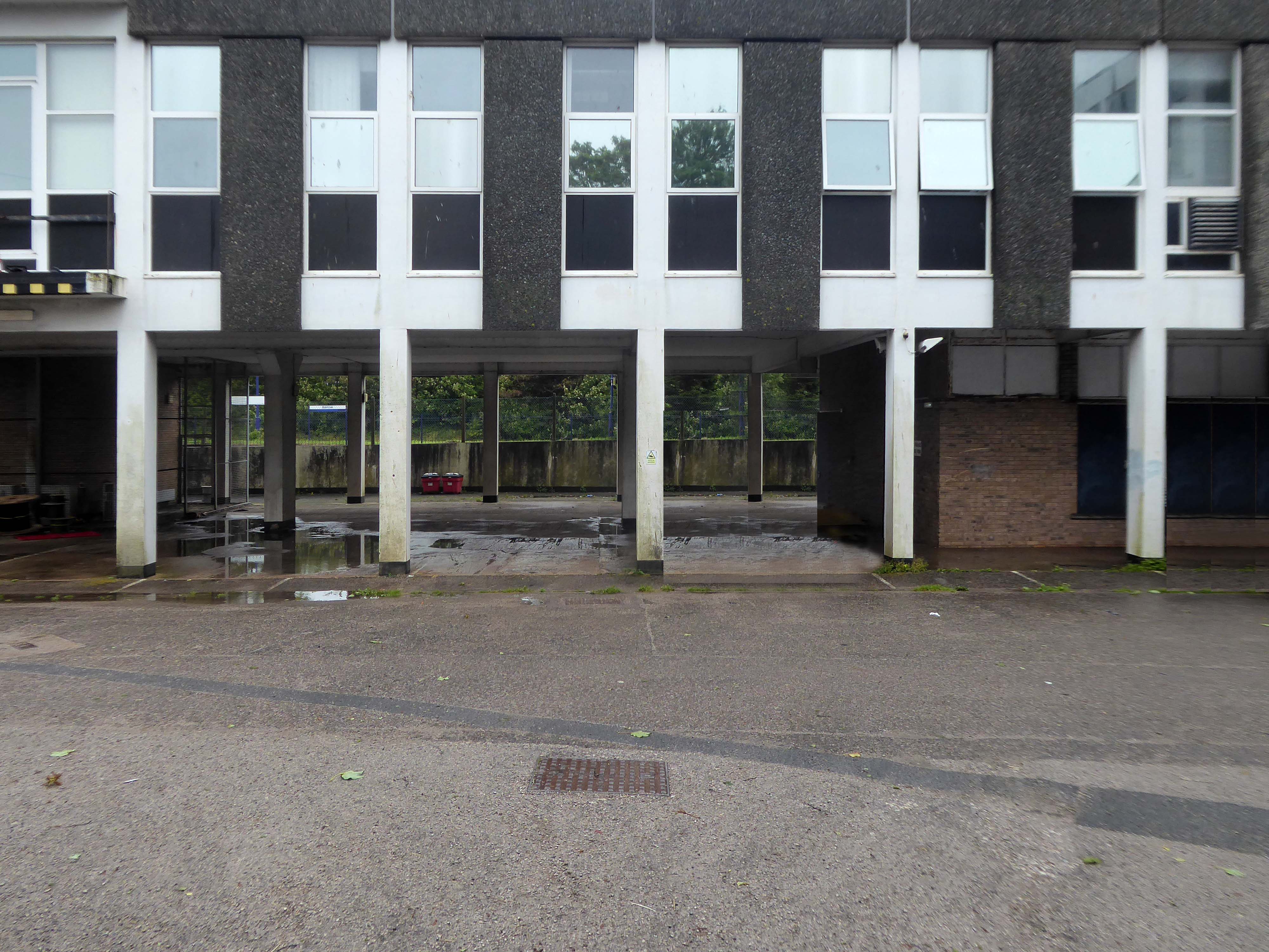
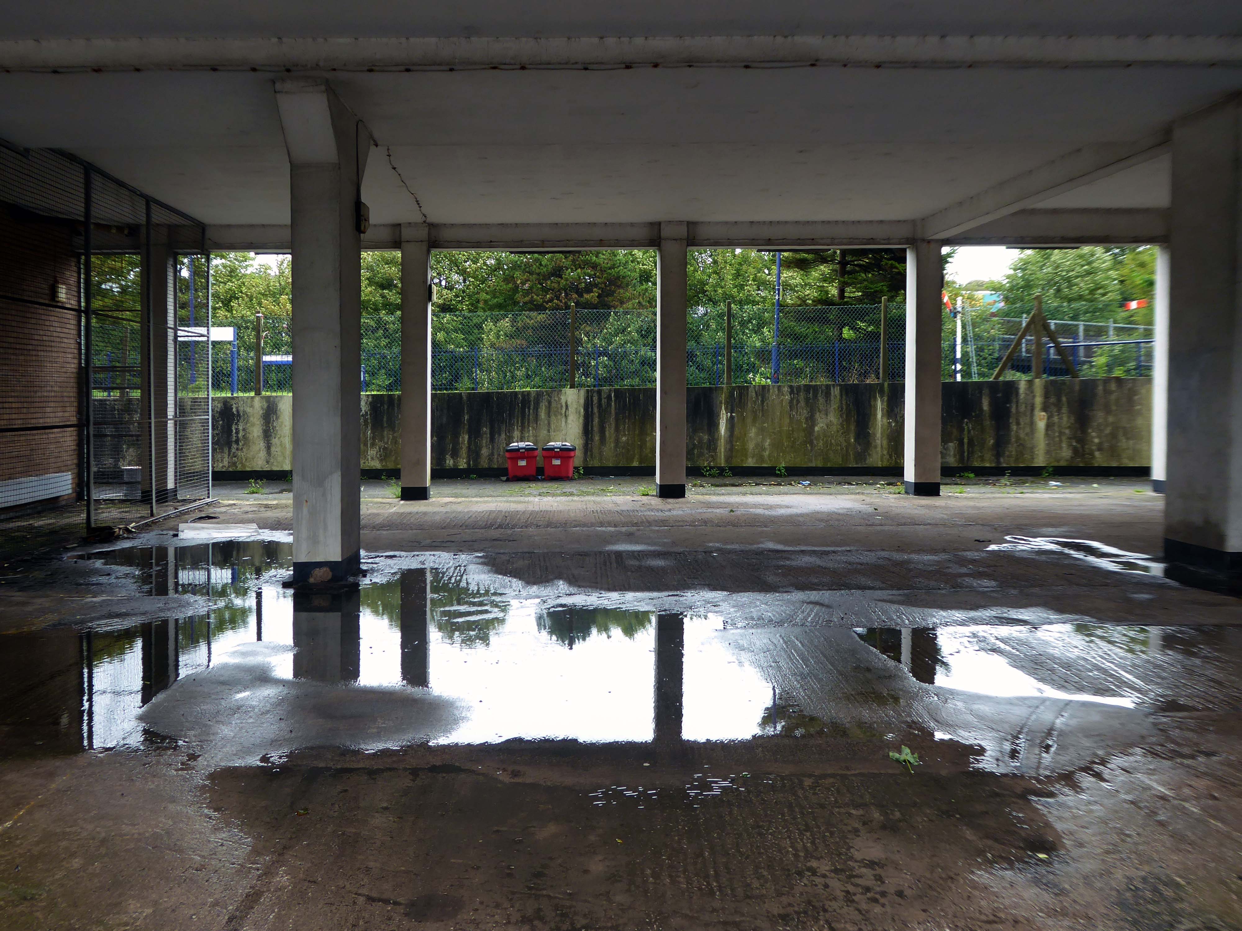
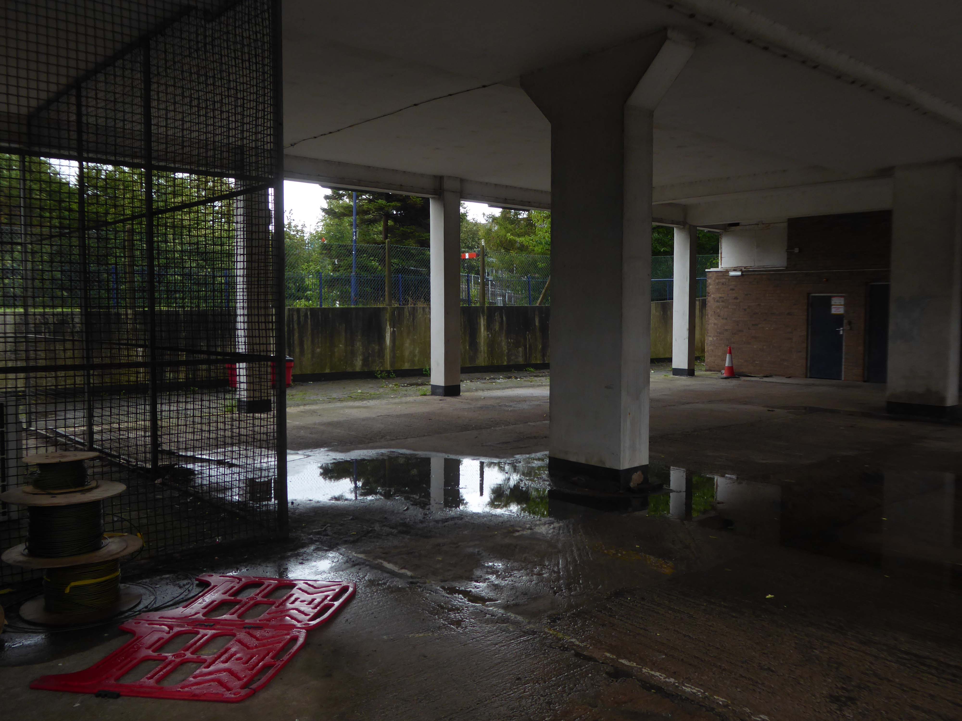
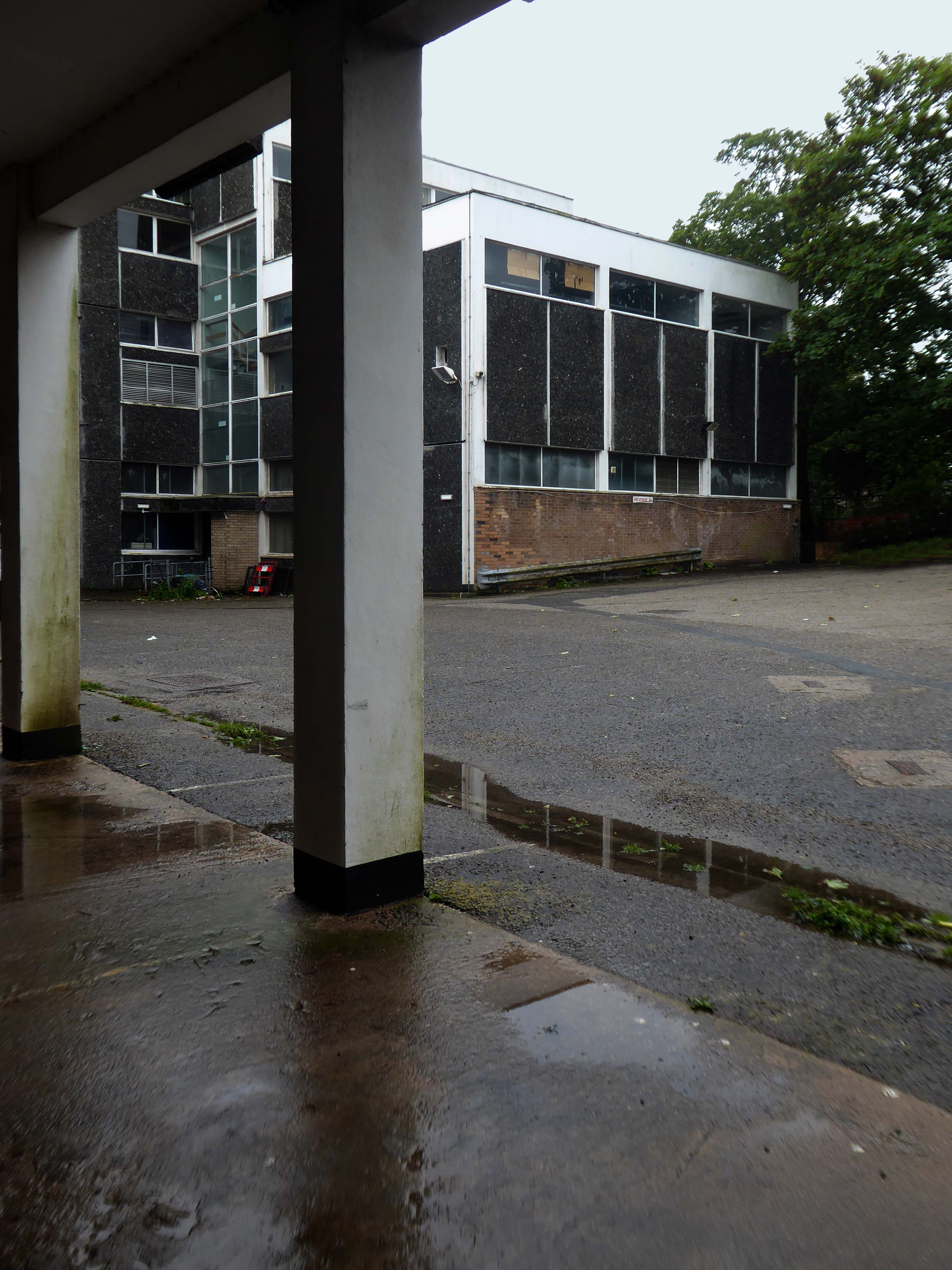
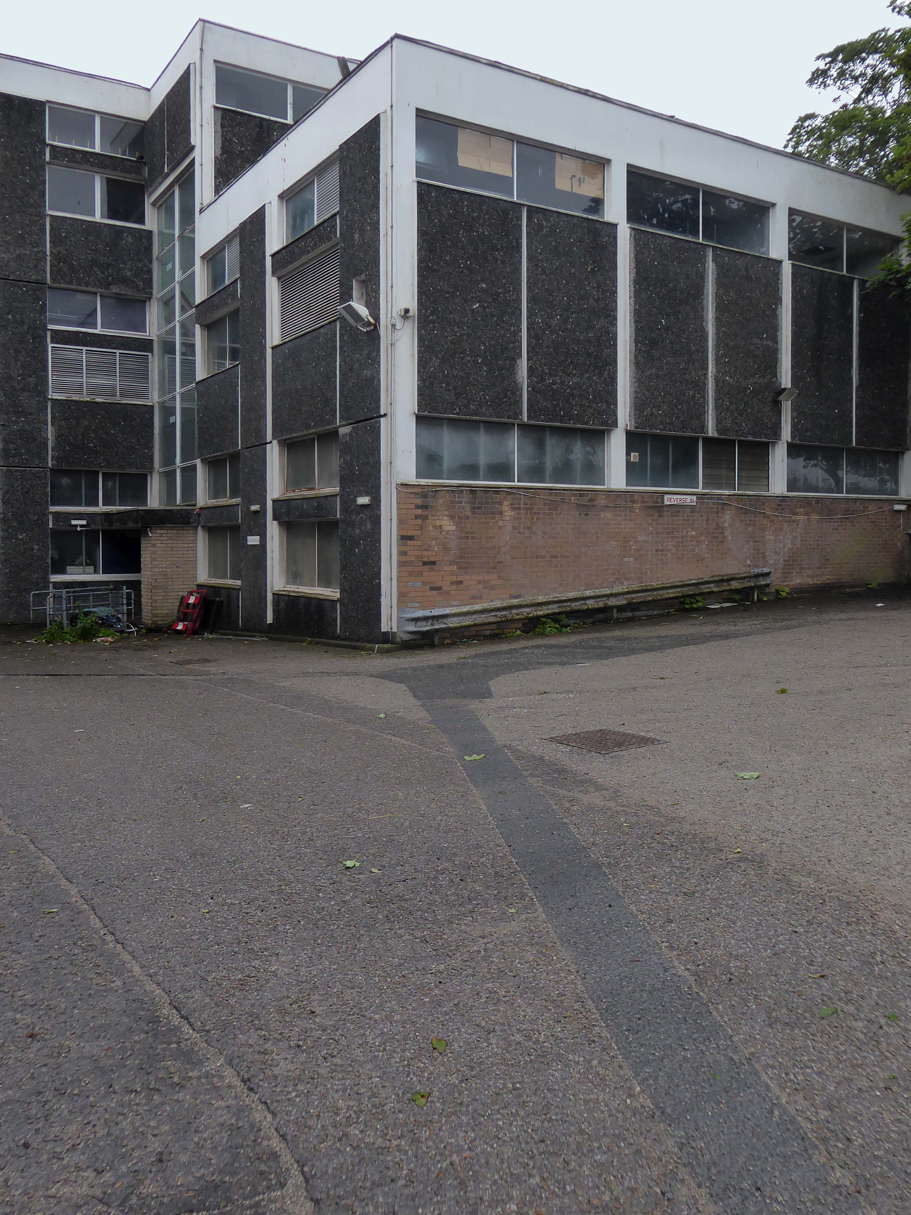
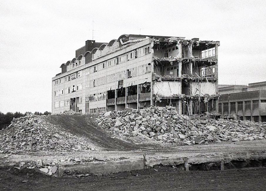
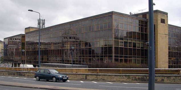
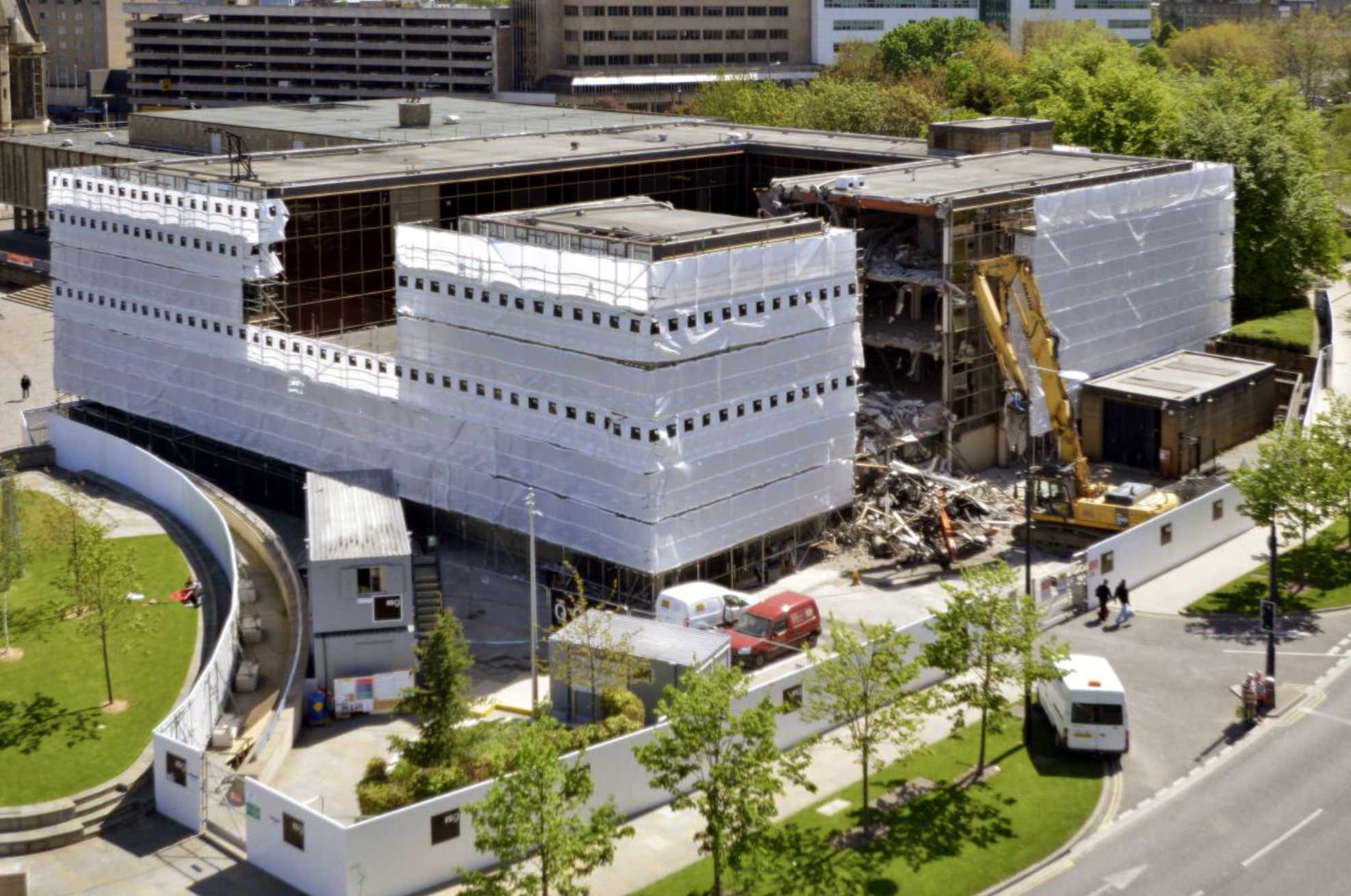
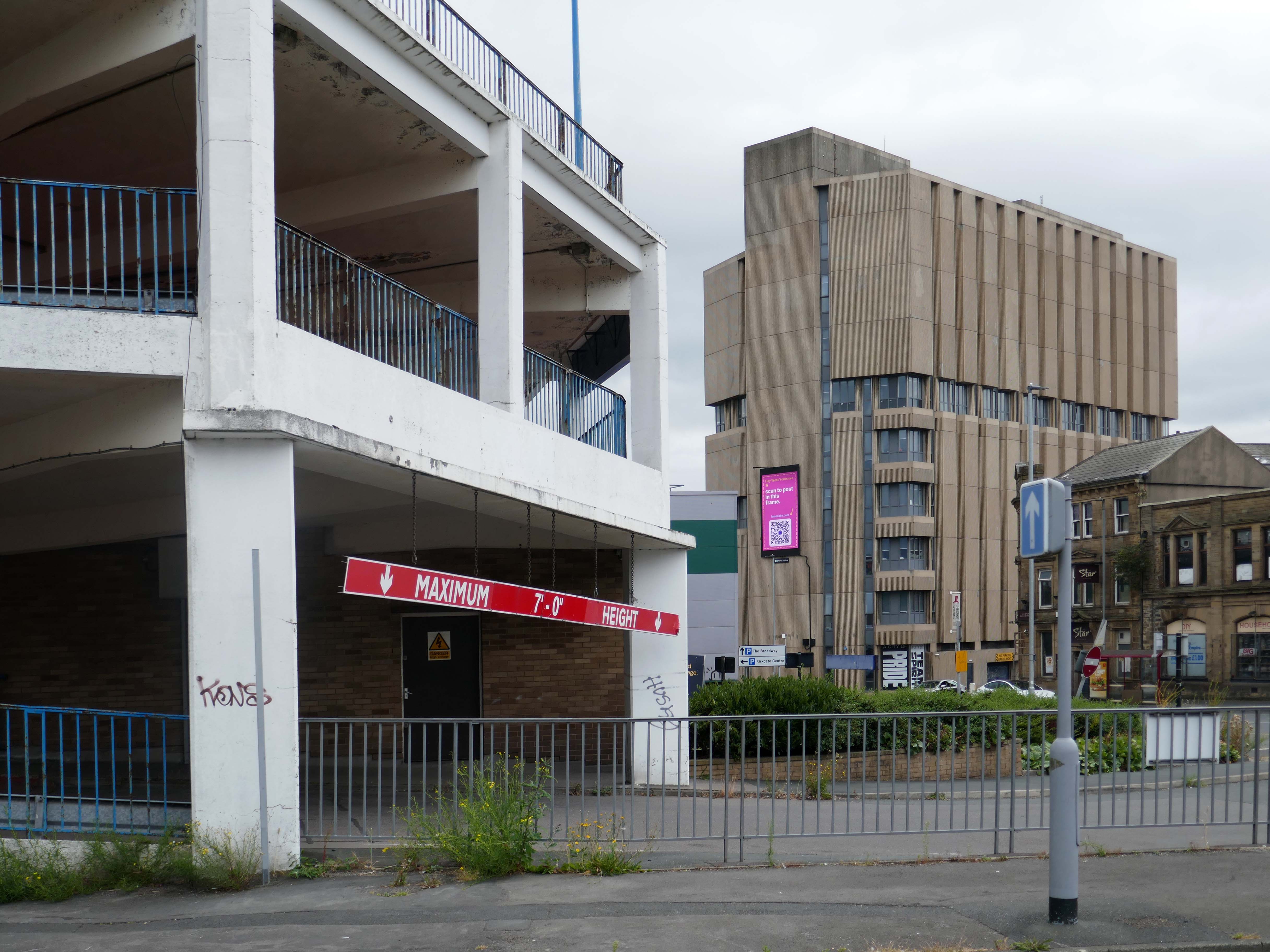
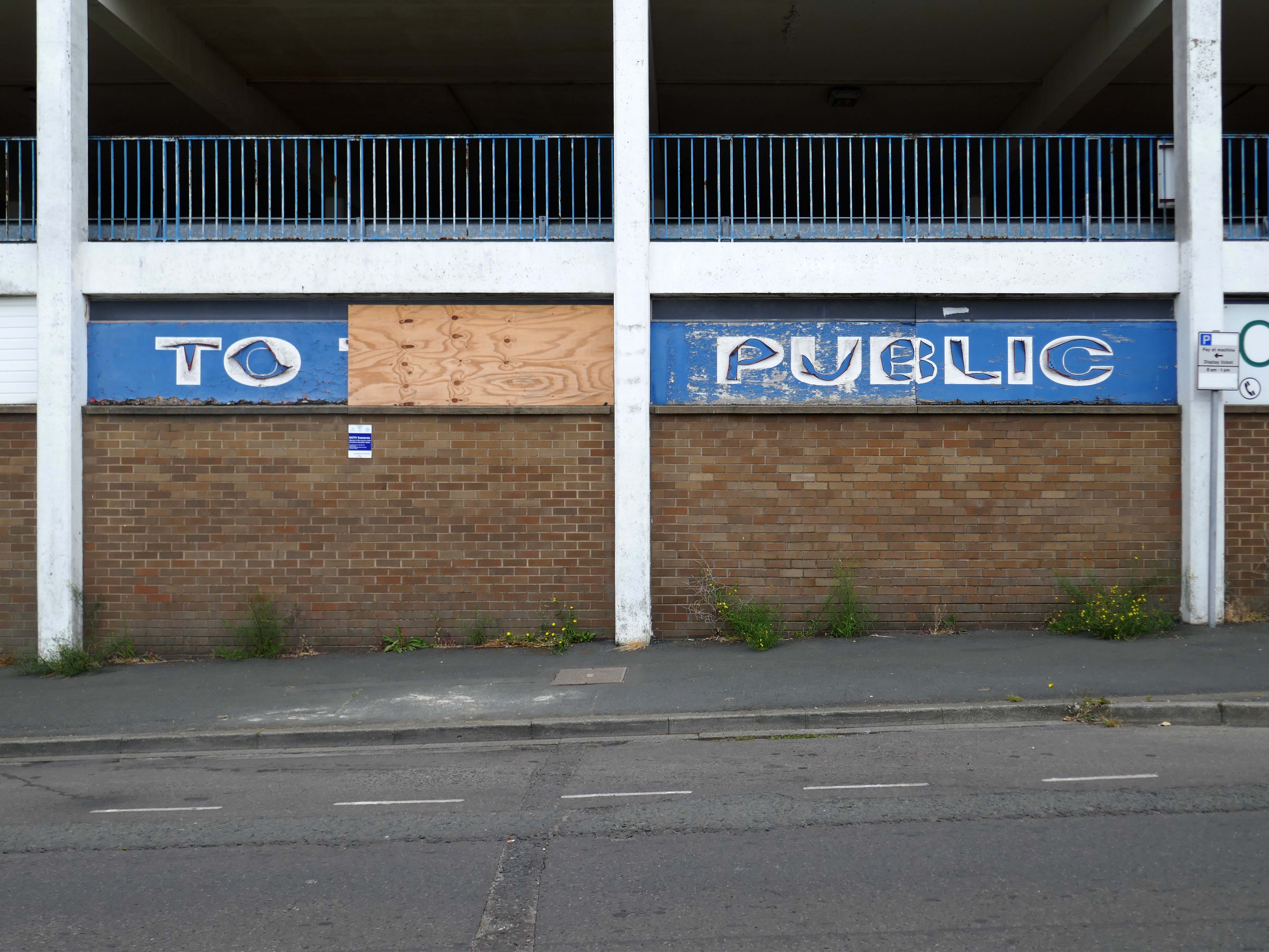
The NCP multi storey car park on Hall Ings has been demolished.
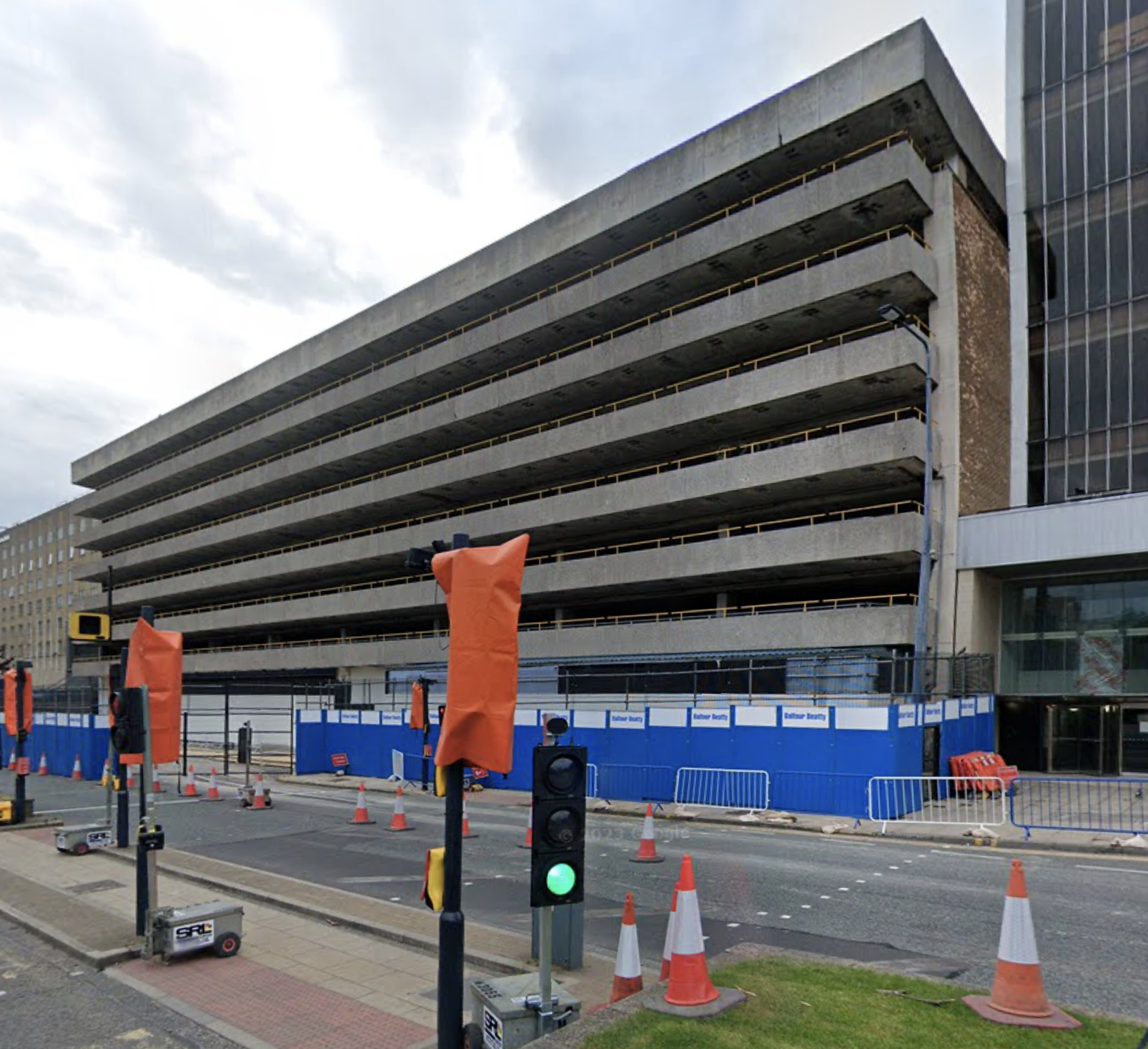
The demolition work is part of the Government-funded Transforming Cities Fund for Bradford.
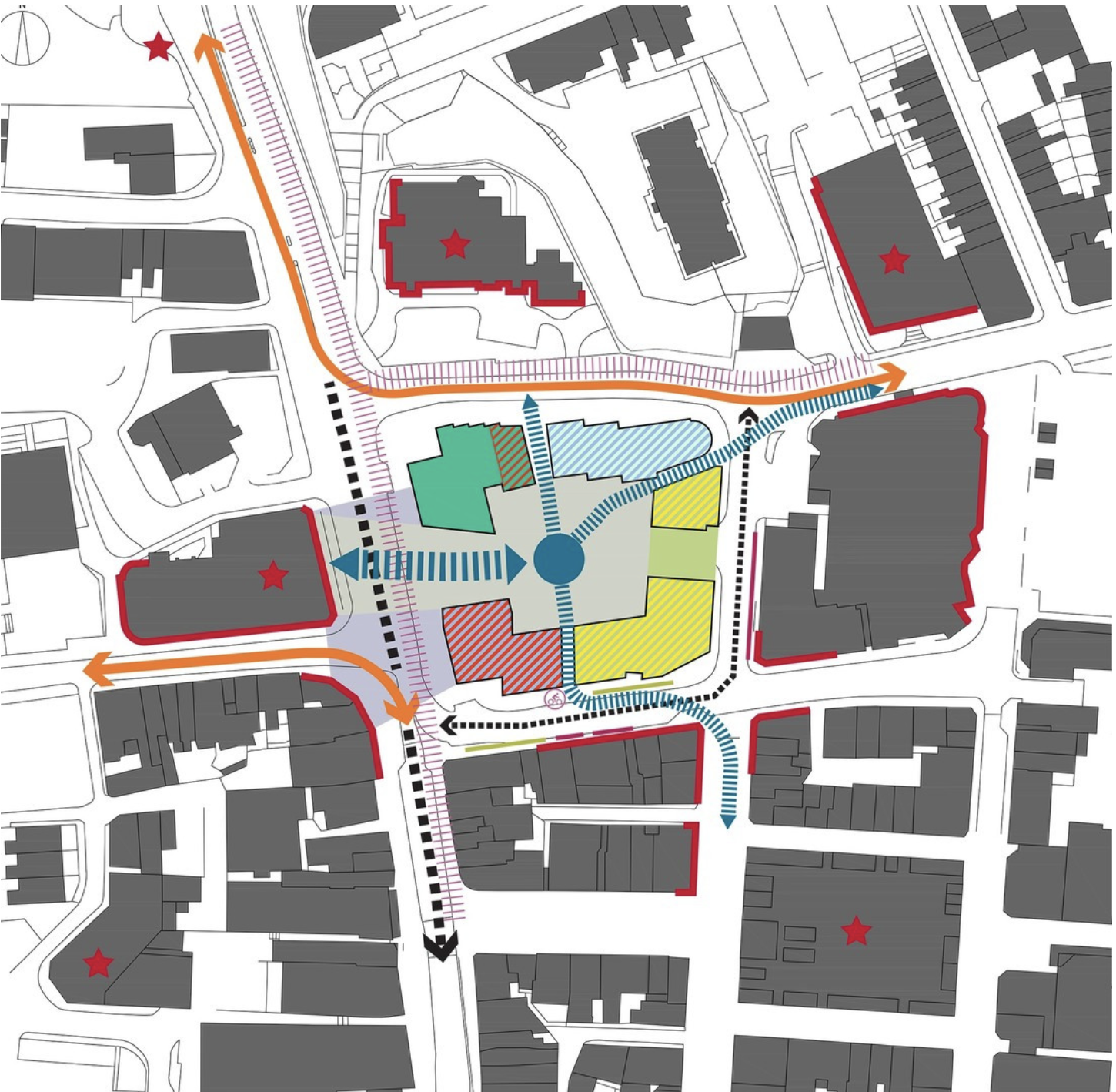
Bradford Council, in partnership with the West Yorkshire Combined Authority, is bringing forward a flagship programme of forward-thinking transport schemes, alongside major public space enhancements, that will help us shape and drive forward Bradford’s future regeneration in the city centre and beyond.
Providing an accessible, attractive and cleaner alternative to car journeys is at the heart of the Leeds City Region Transforming Cities Fund, a major new programme of transport infrastructure investment secured as part of the West Yorkshire devolution deal. The programme, which is being delivered by the Combined Authority in partnership with local authorities, will be funded through £317 million from the Department for Transport plus local match funding up to £140 million.
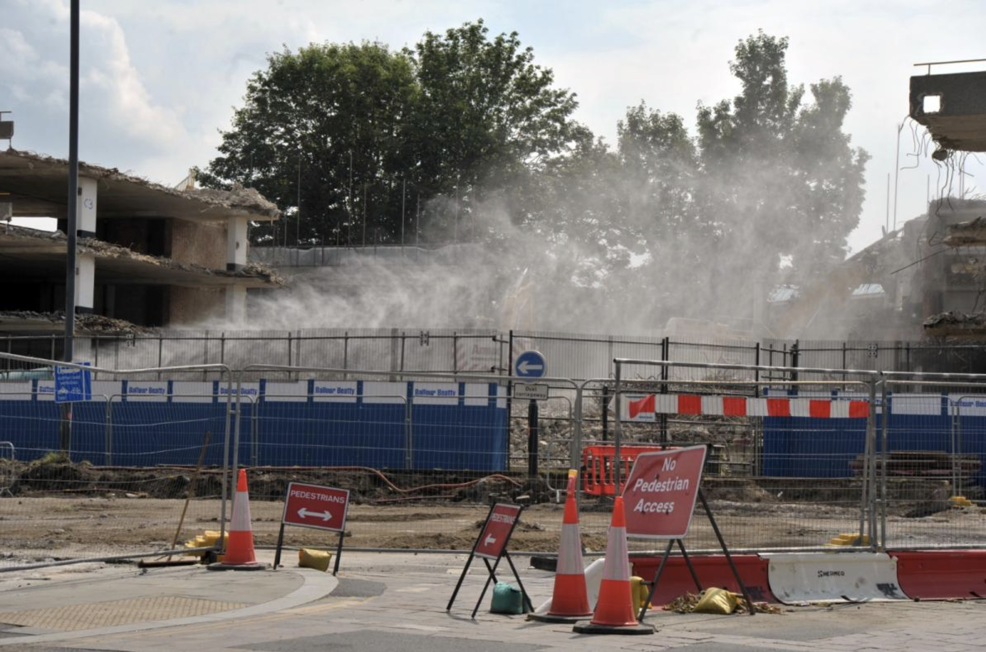
Photo Telegraph and Argus.
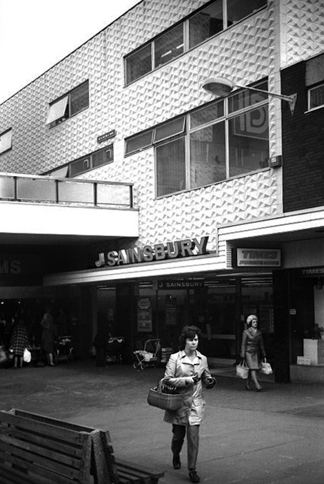
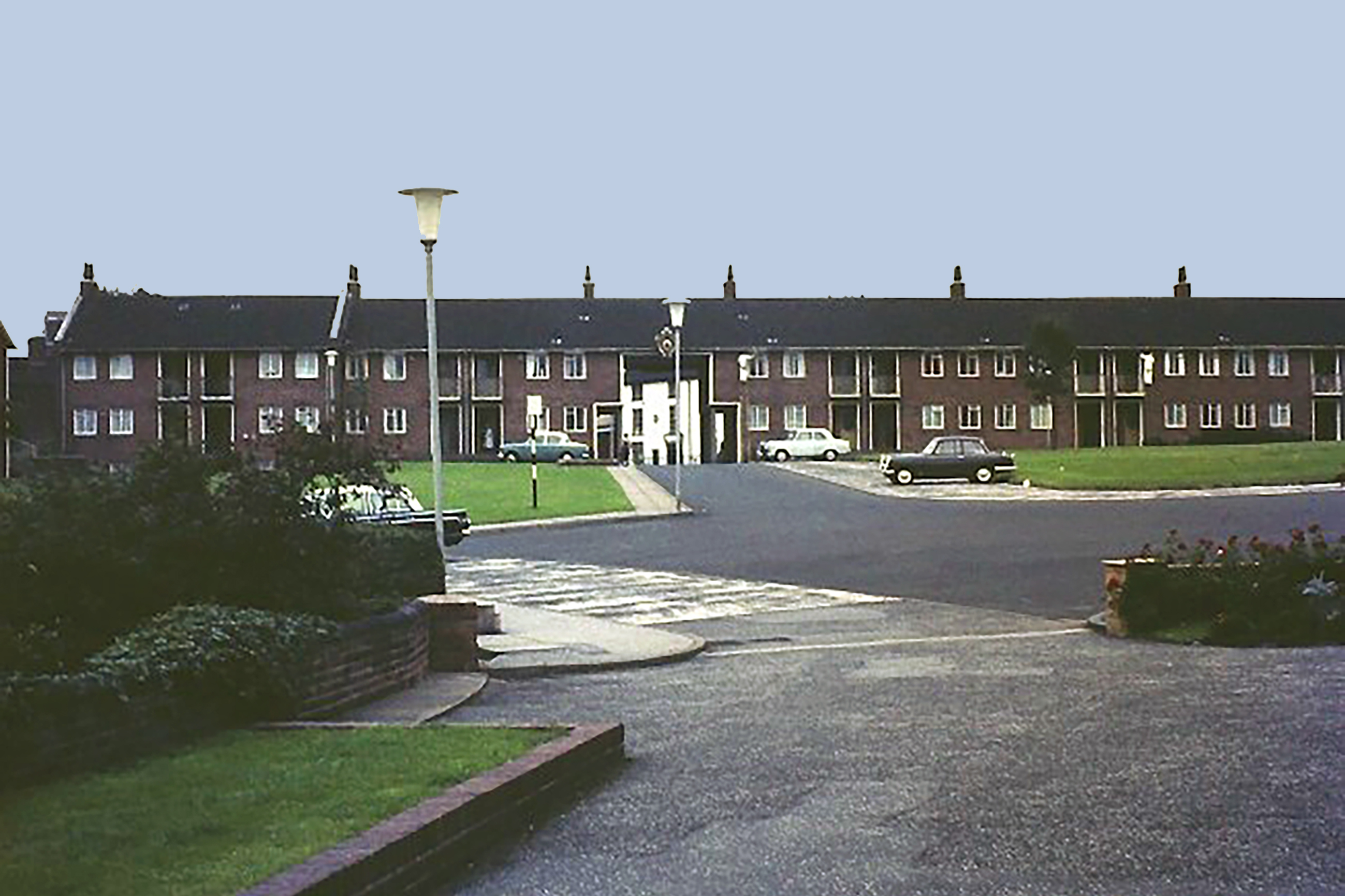
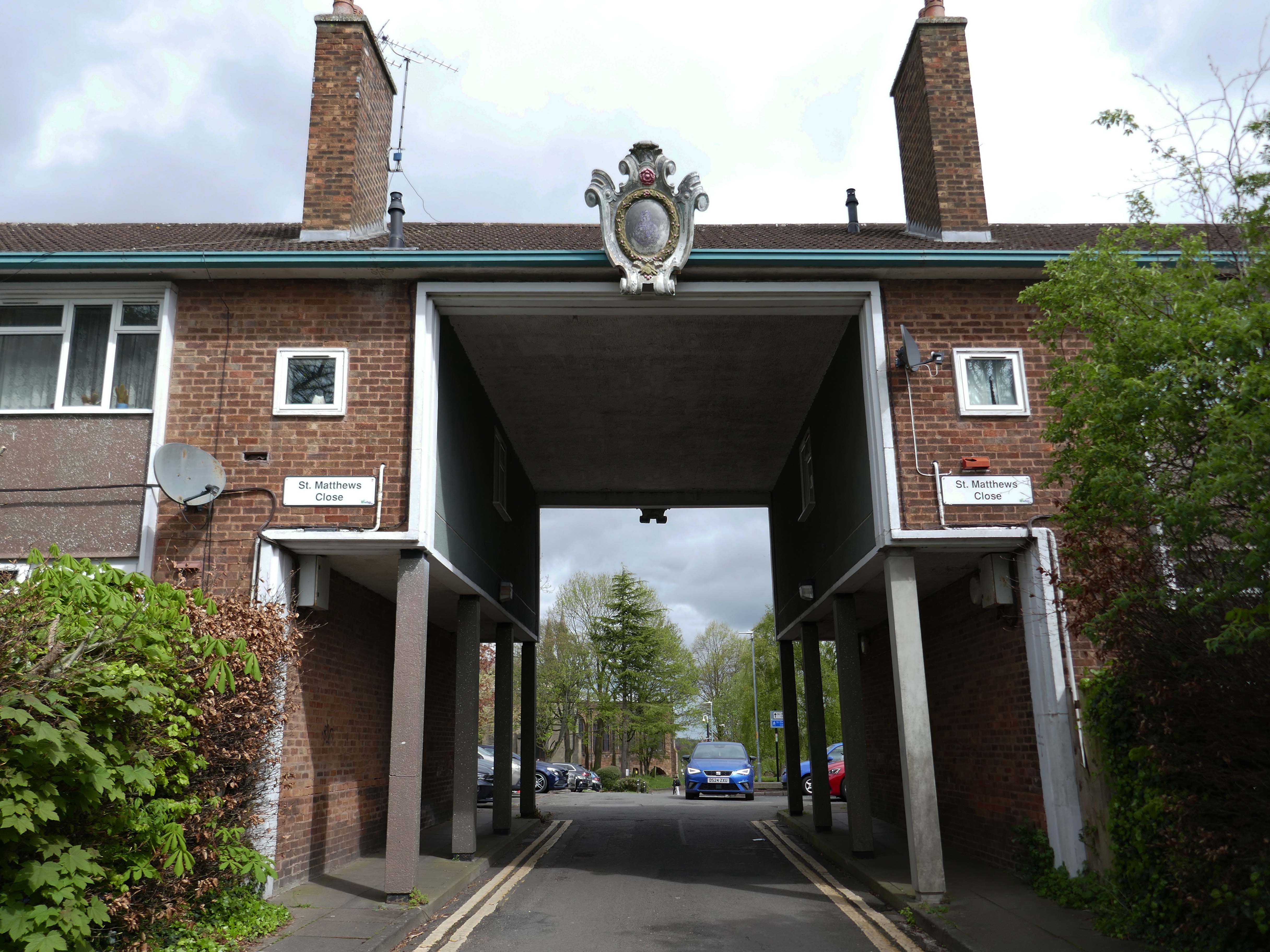
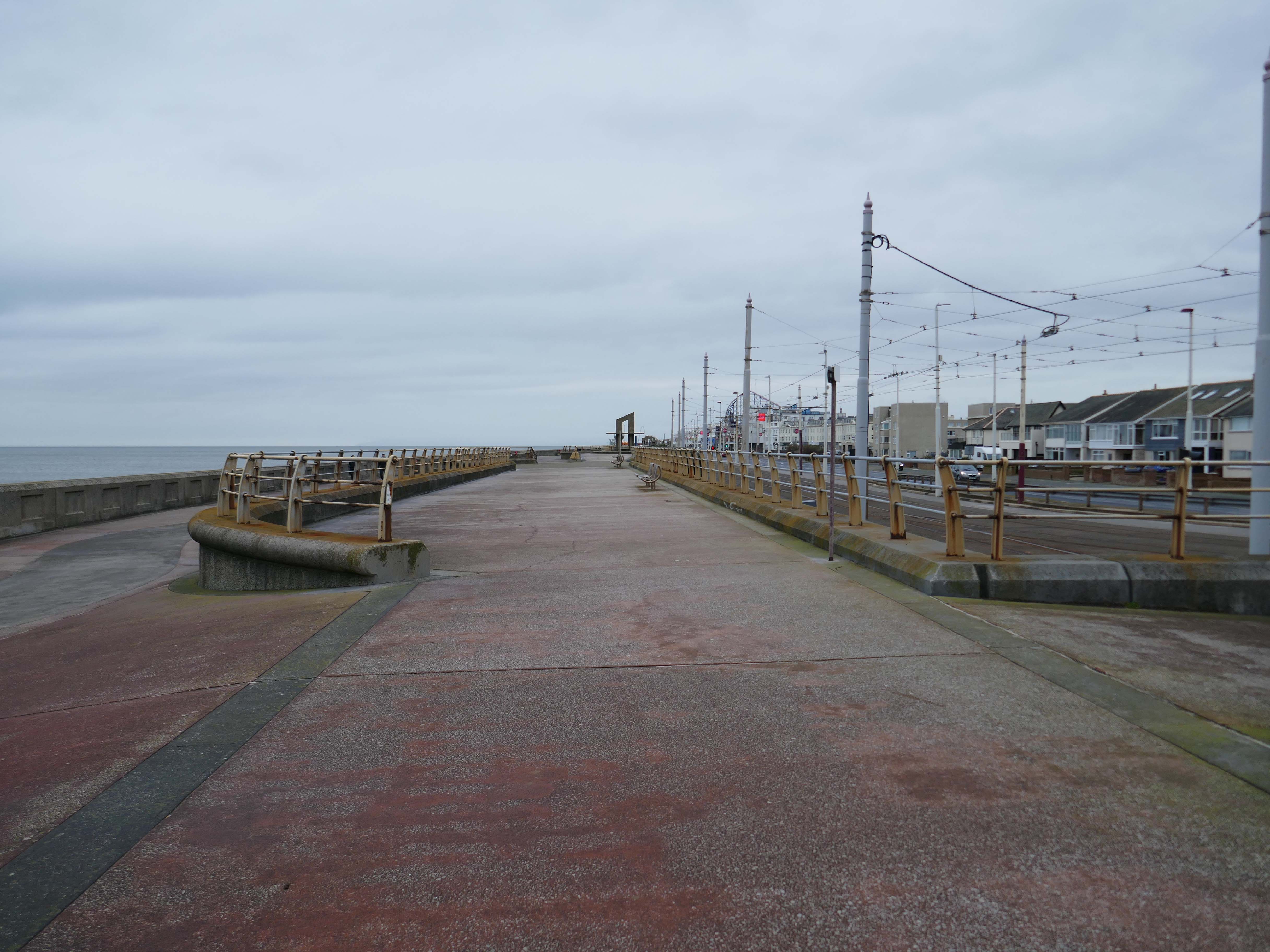
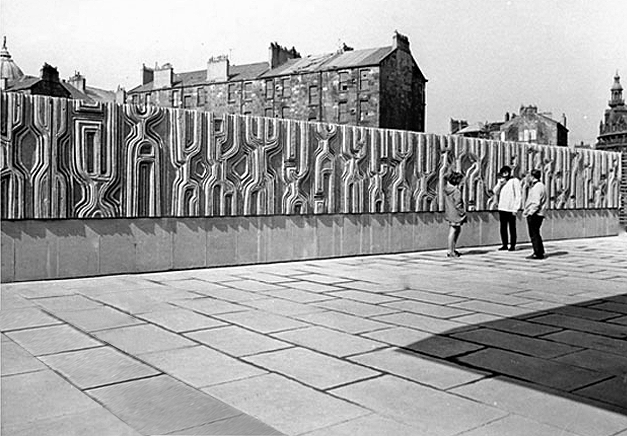
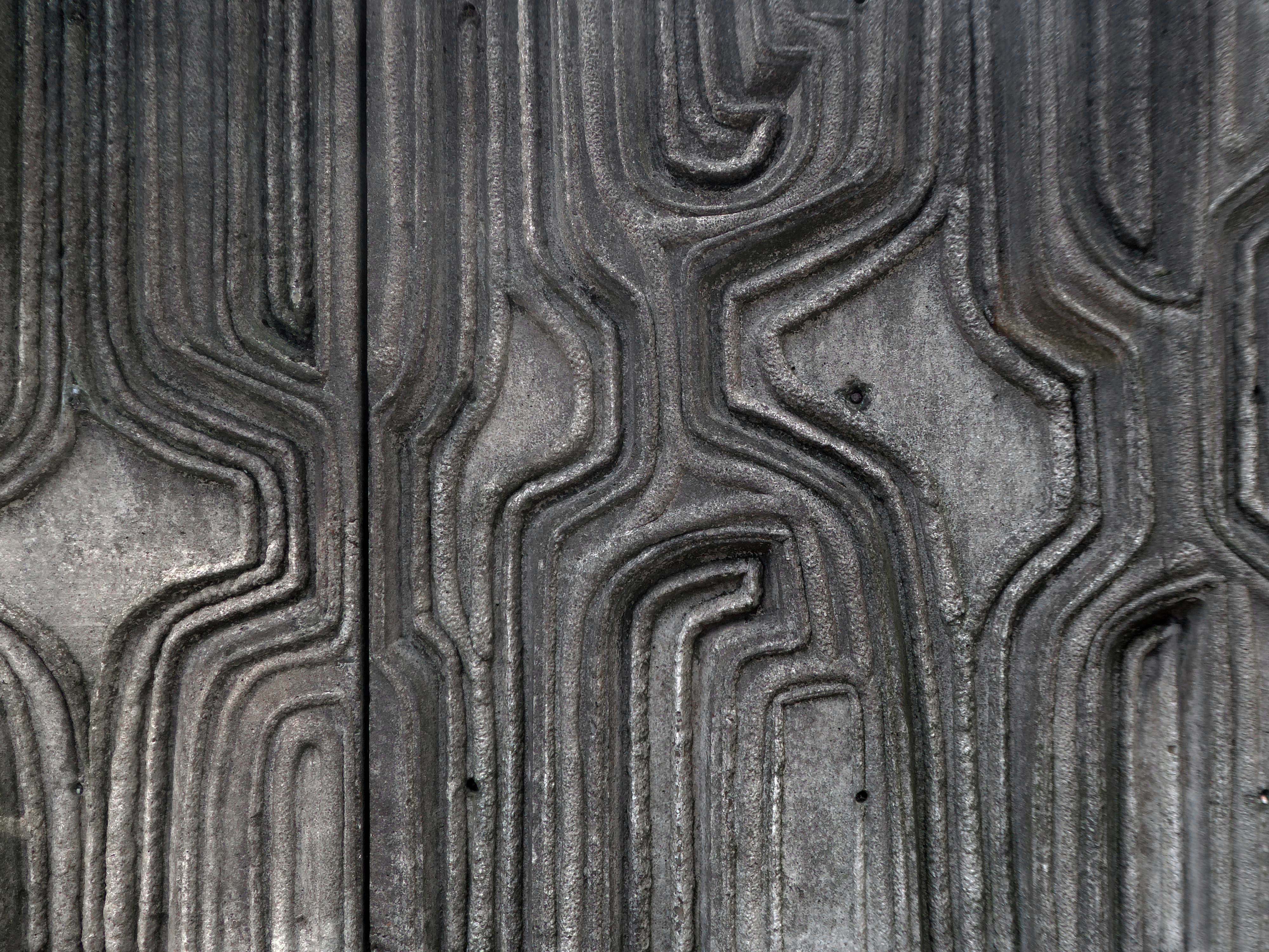
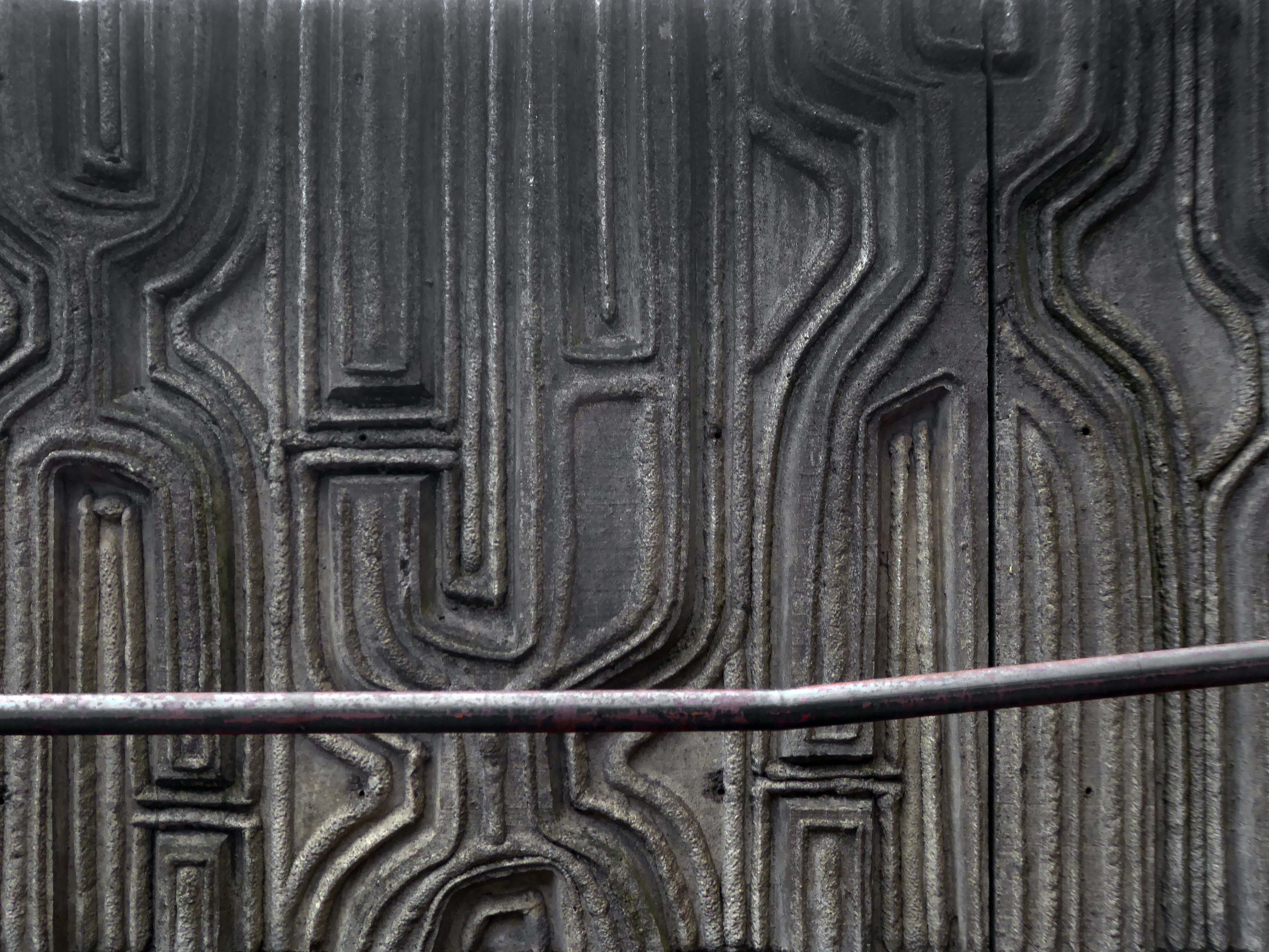
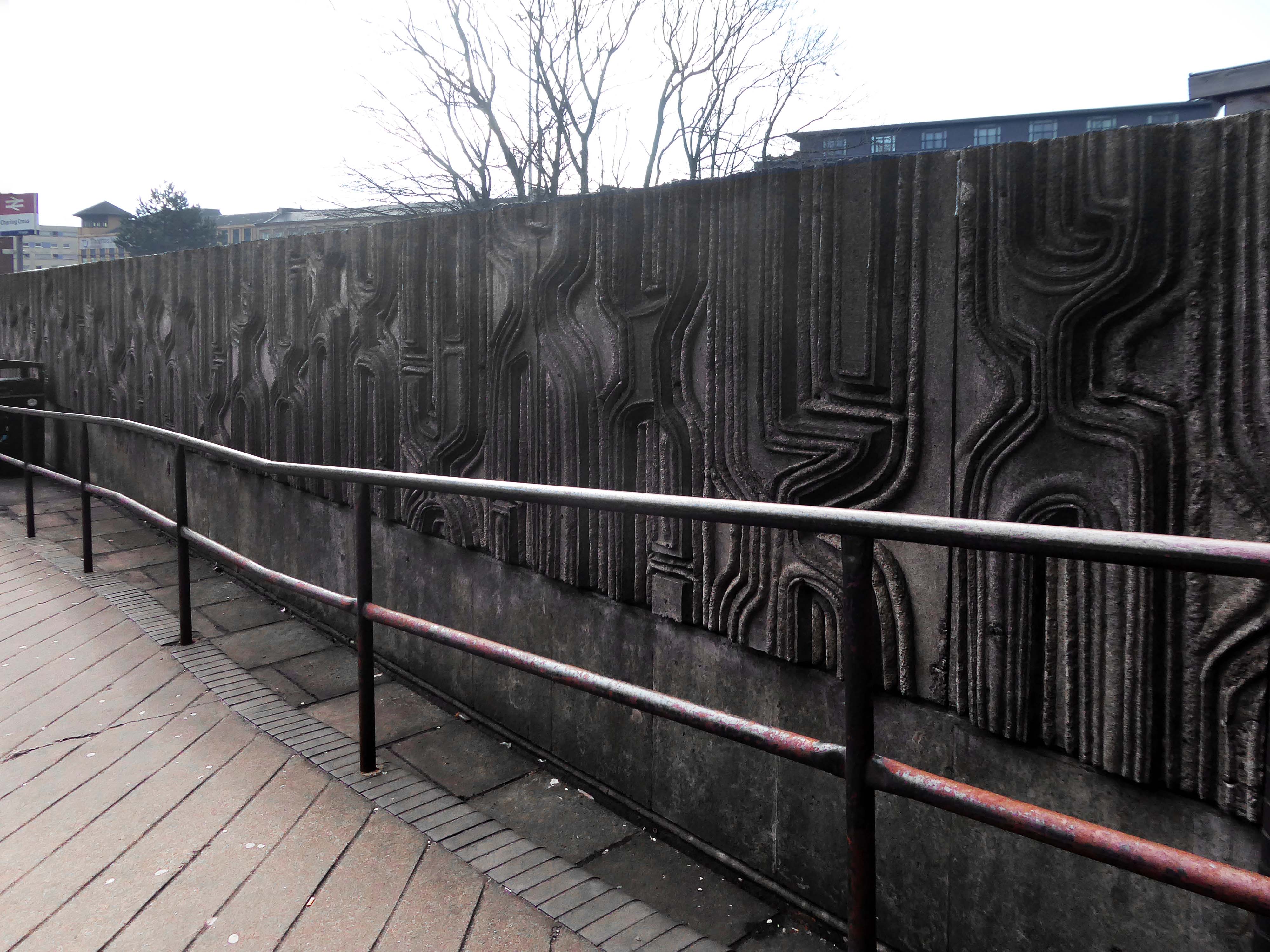
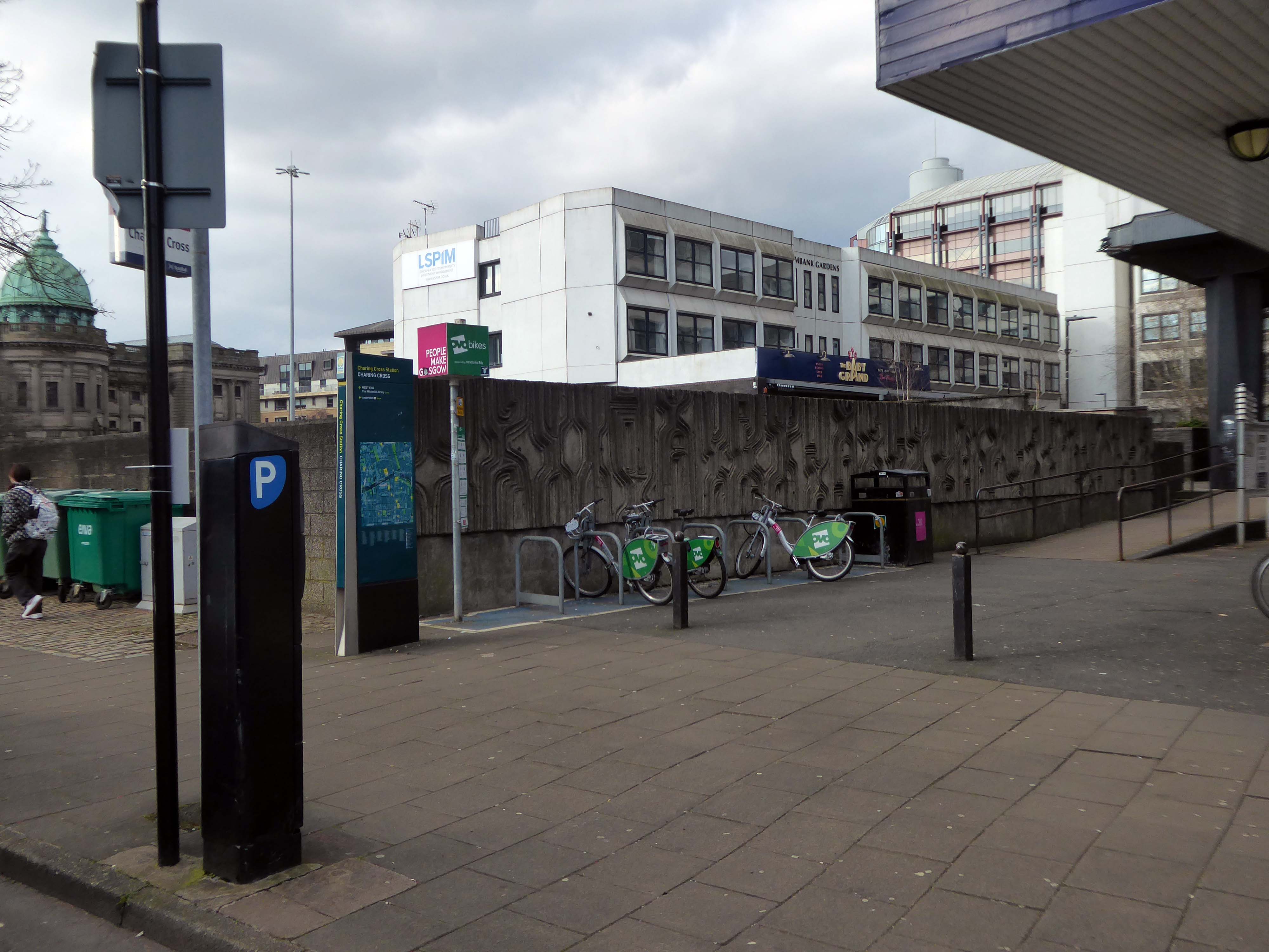
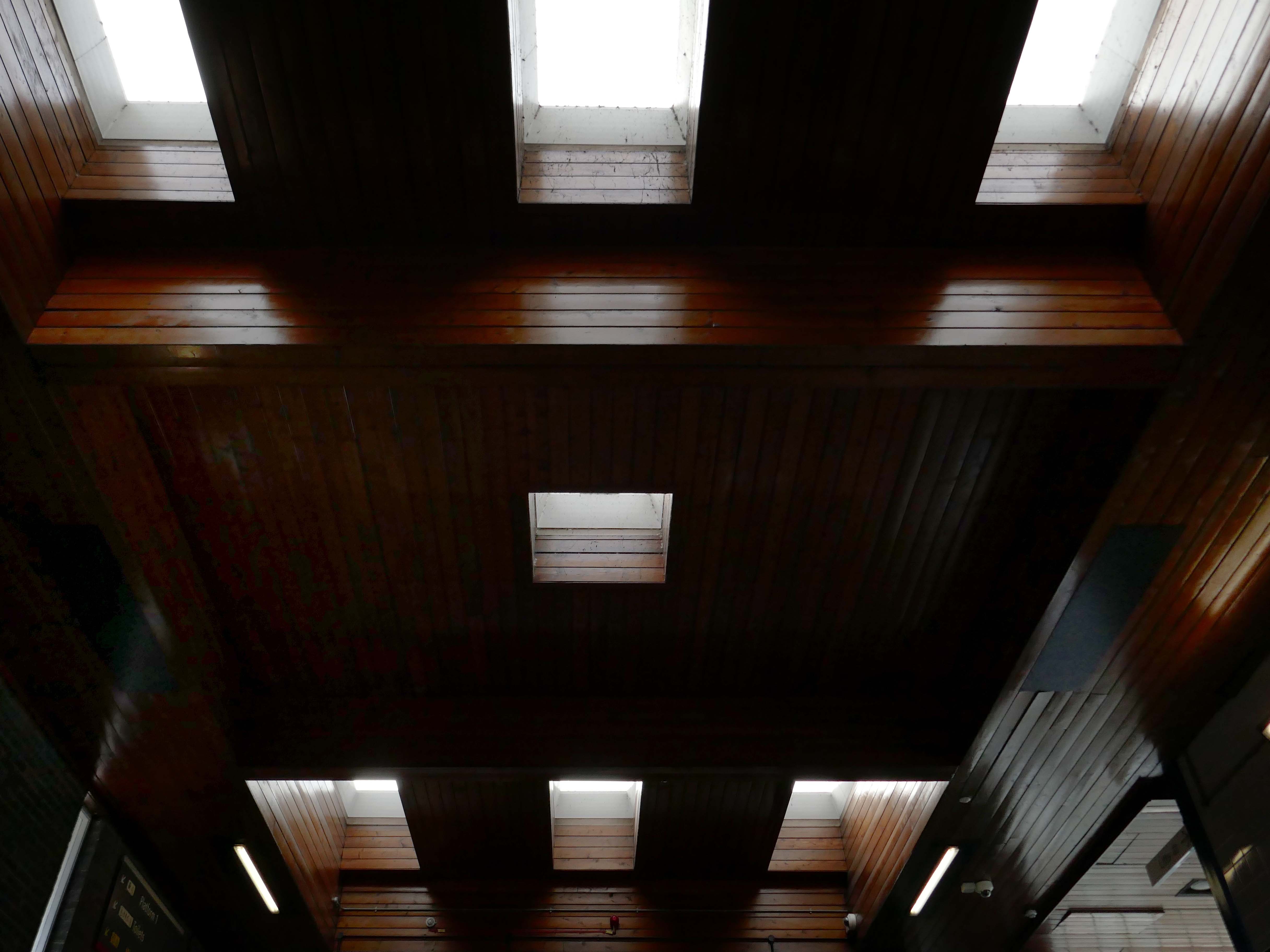
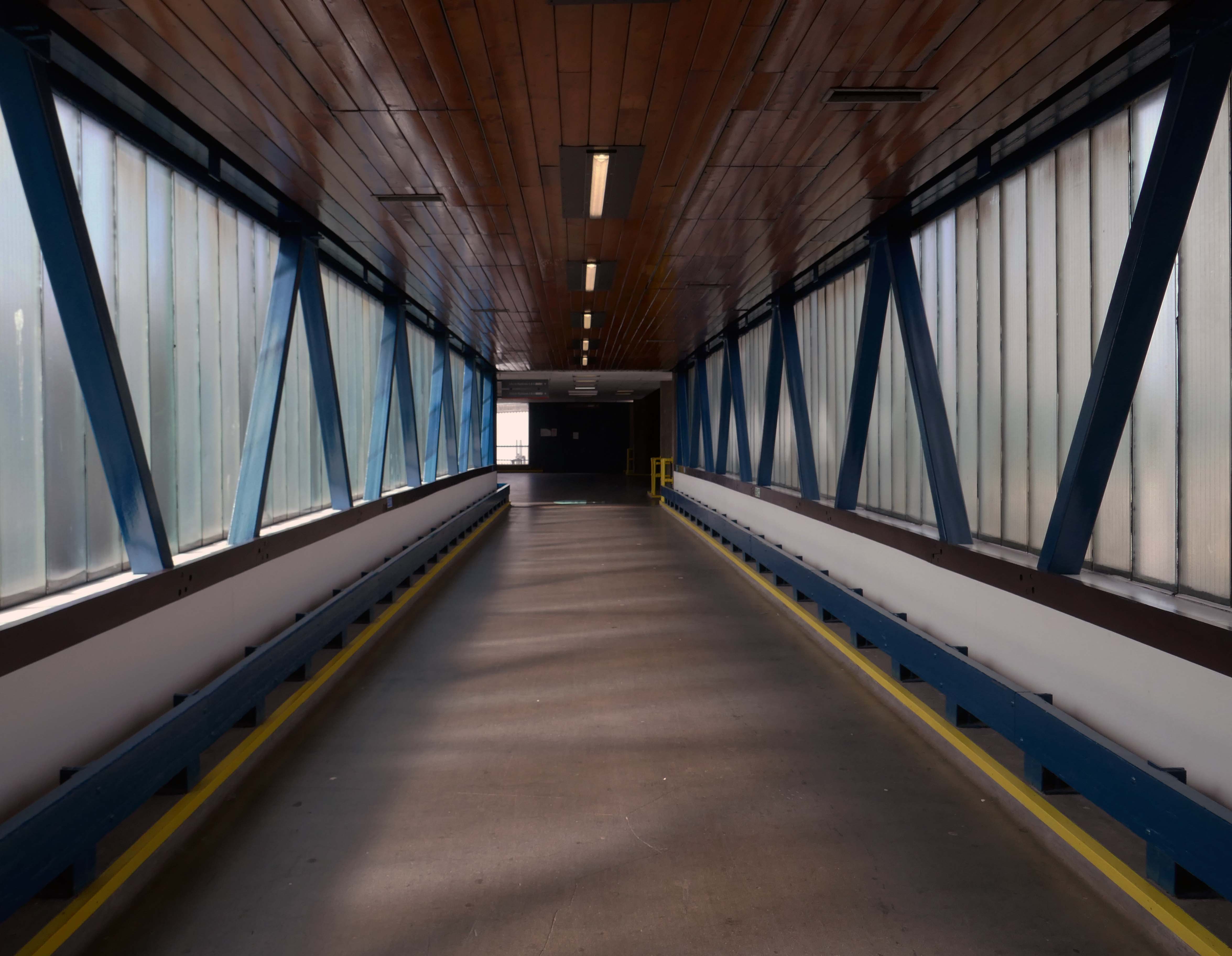
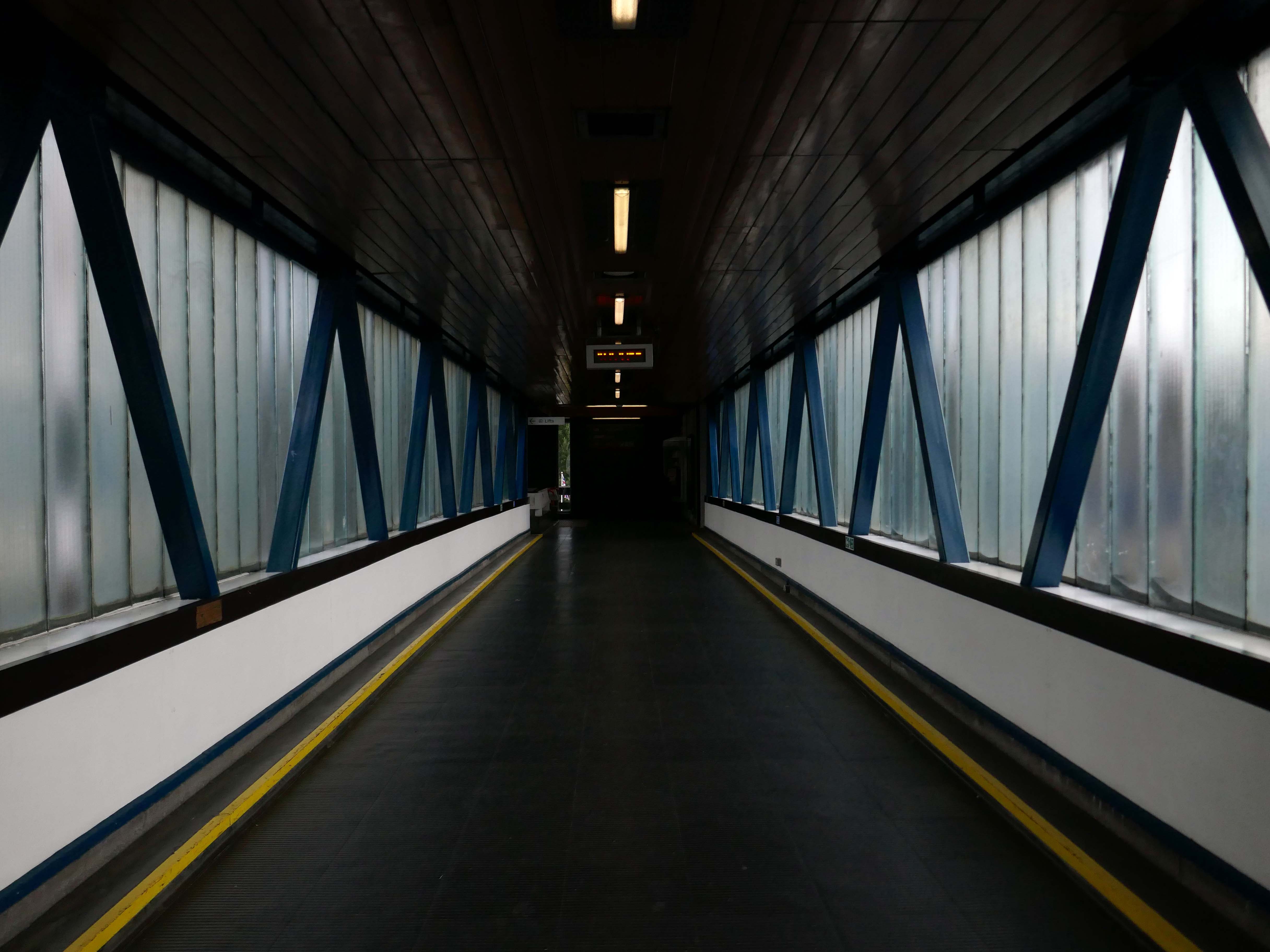
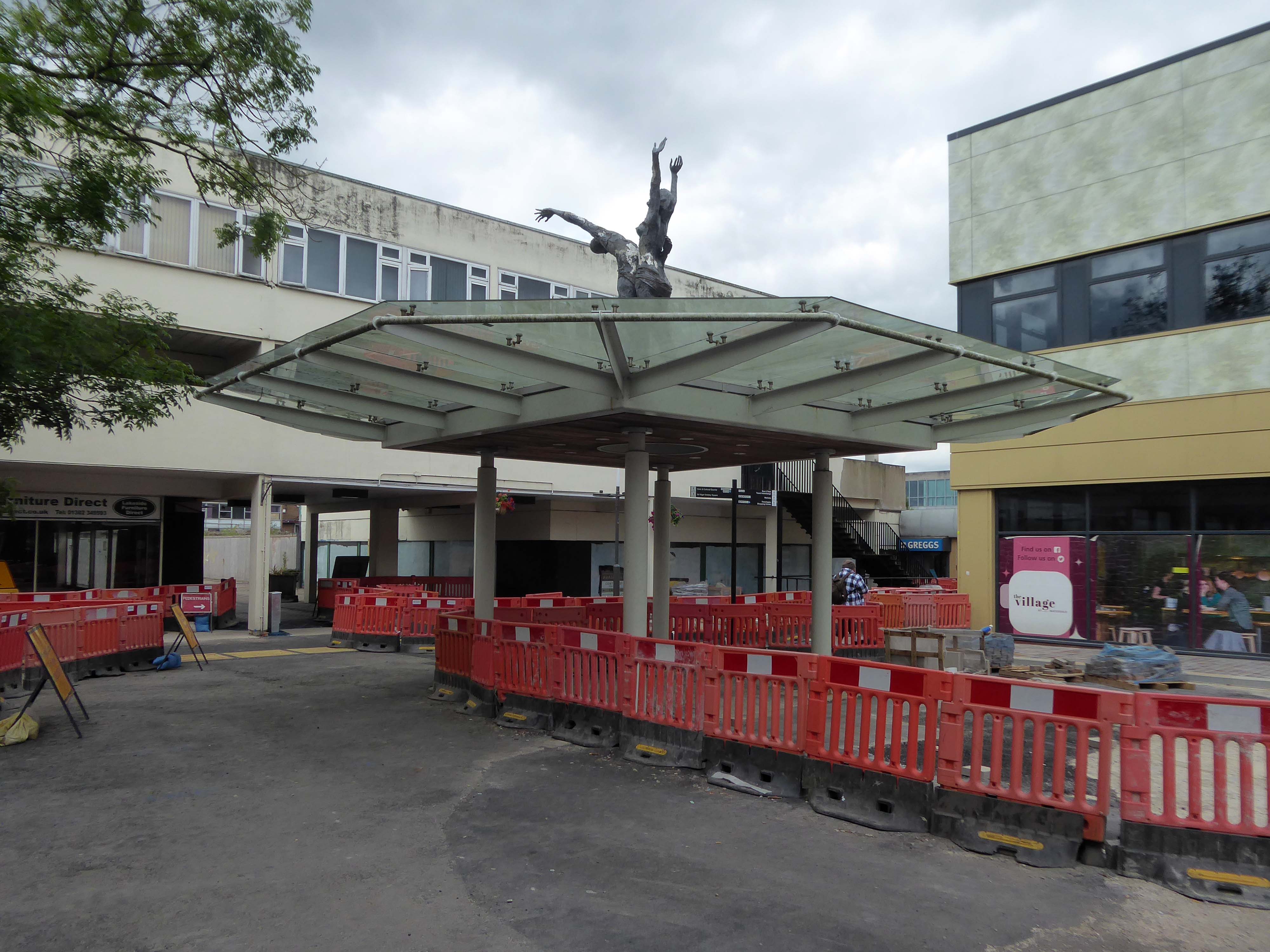
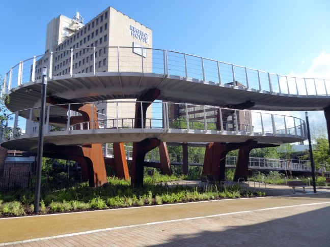
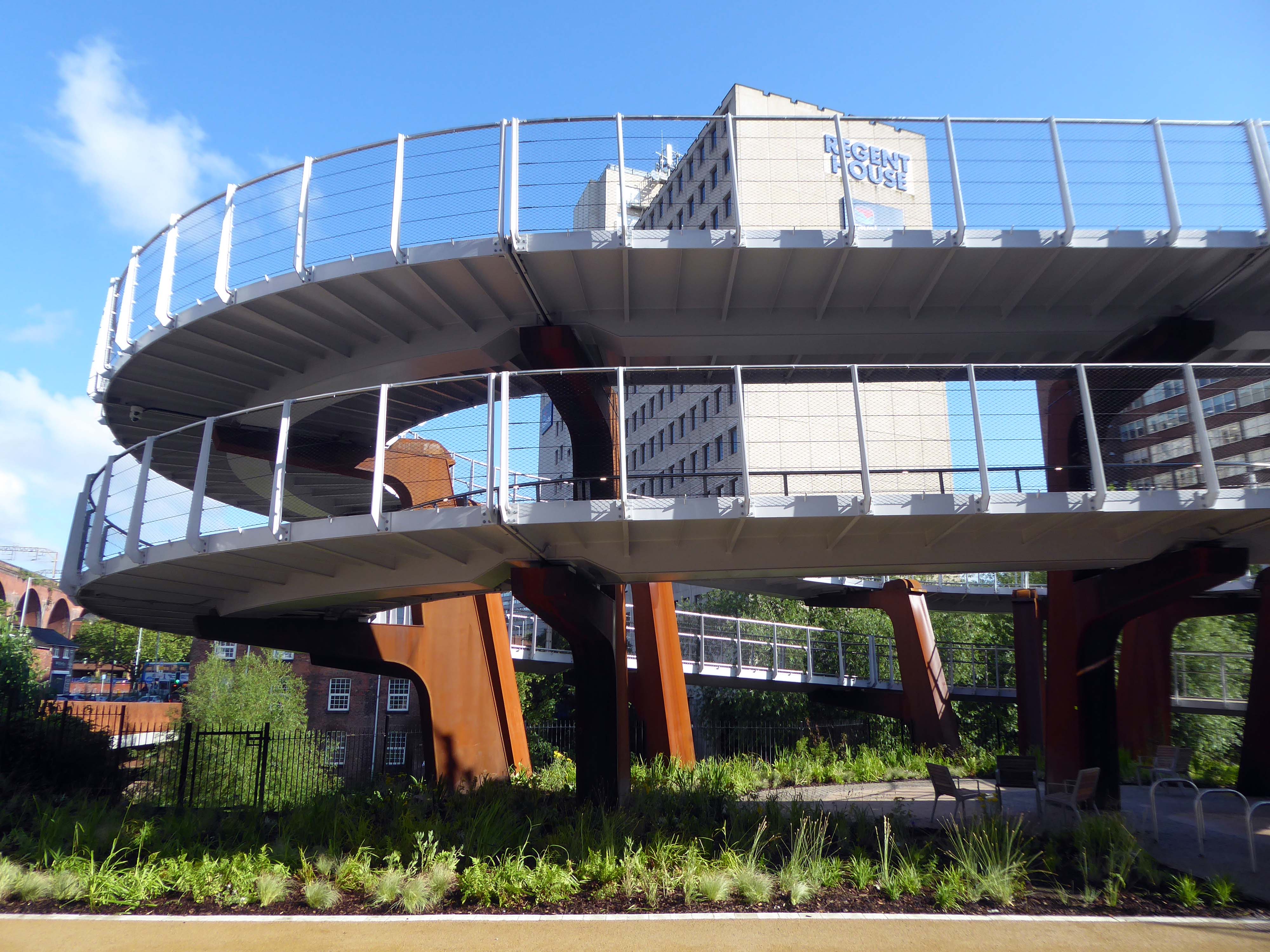
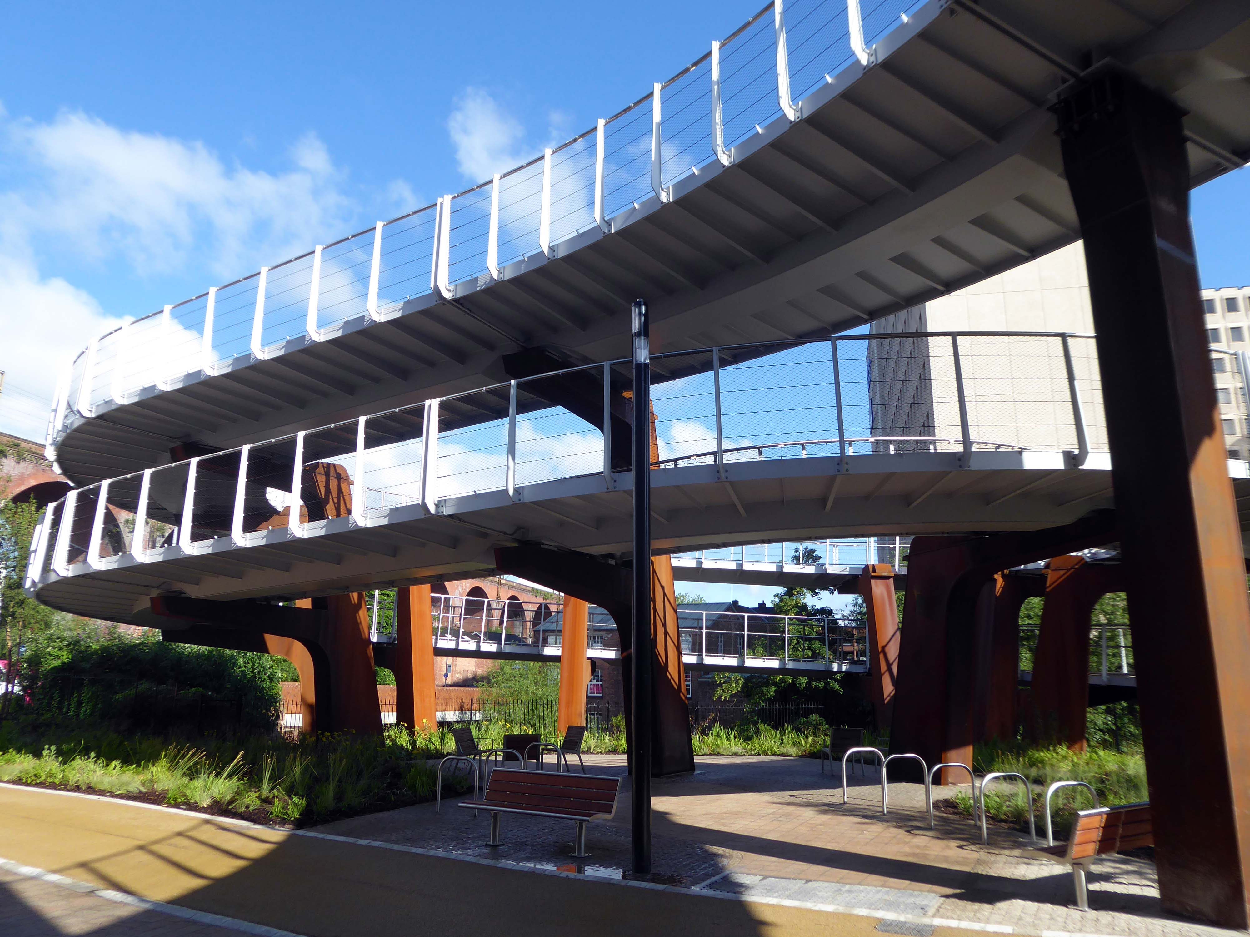
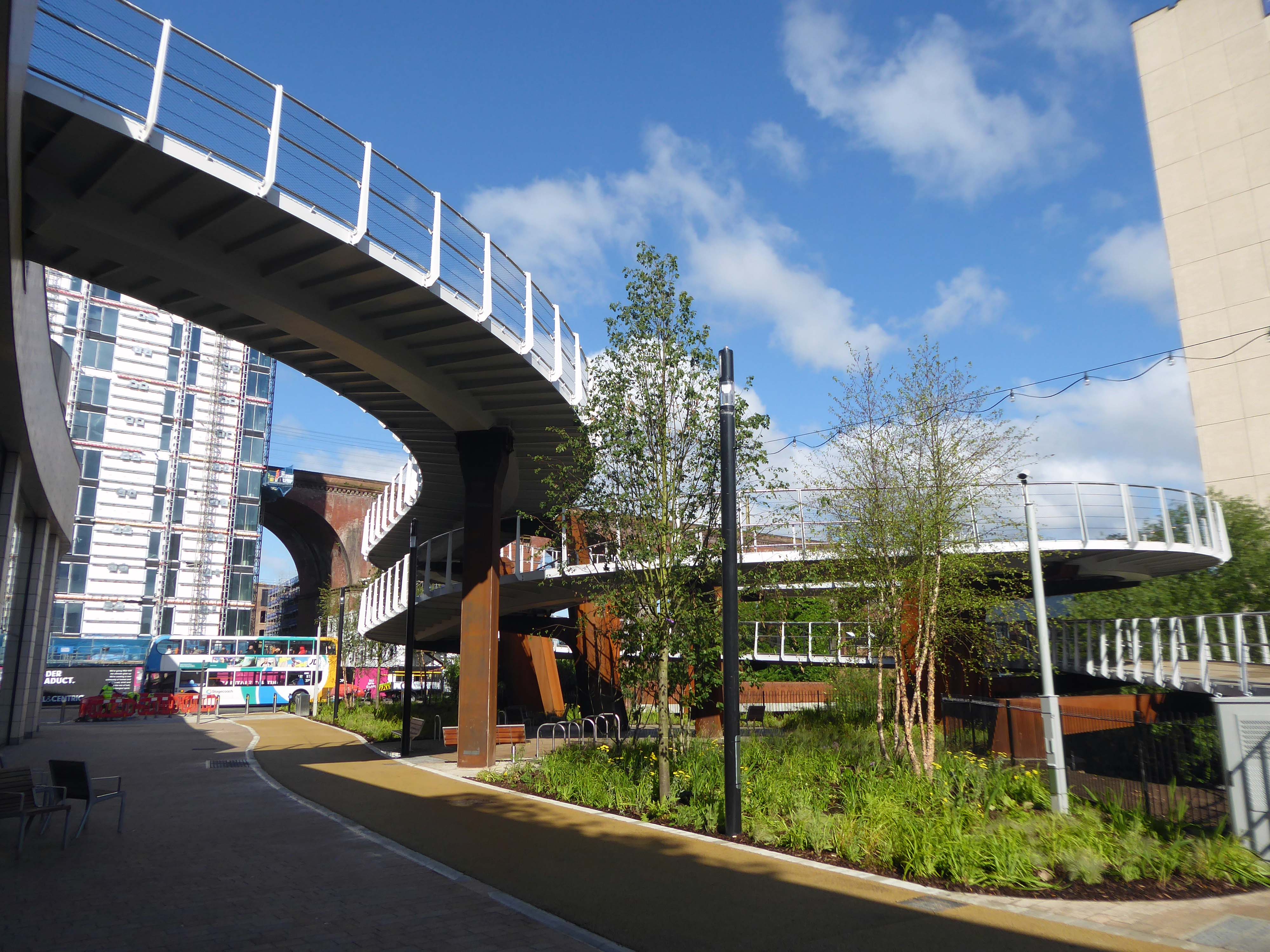
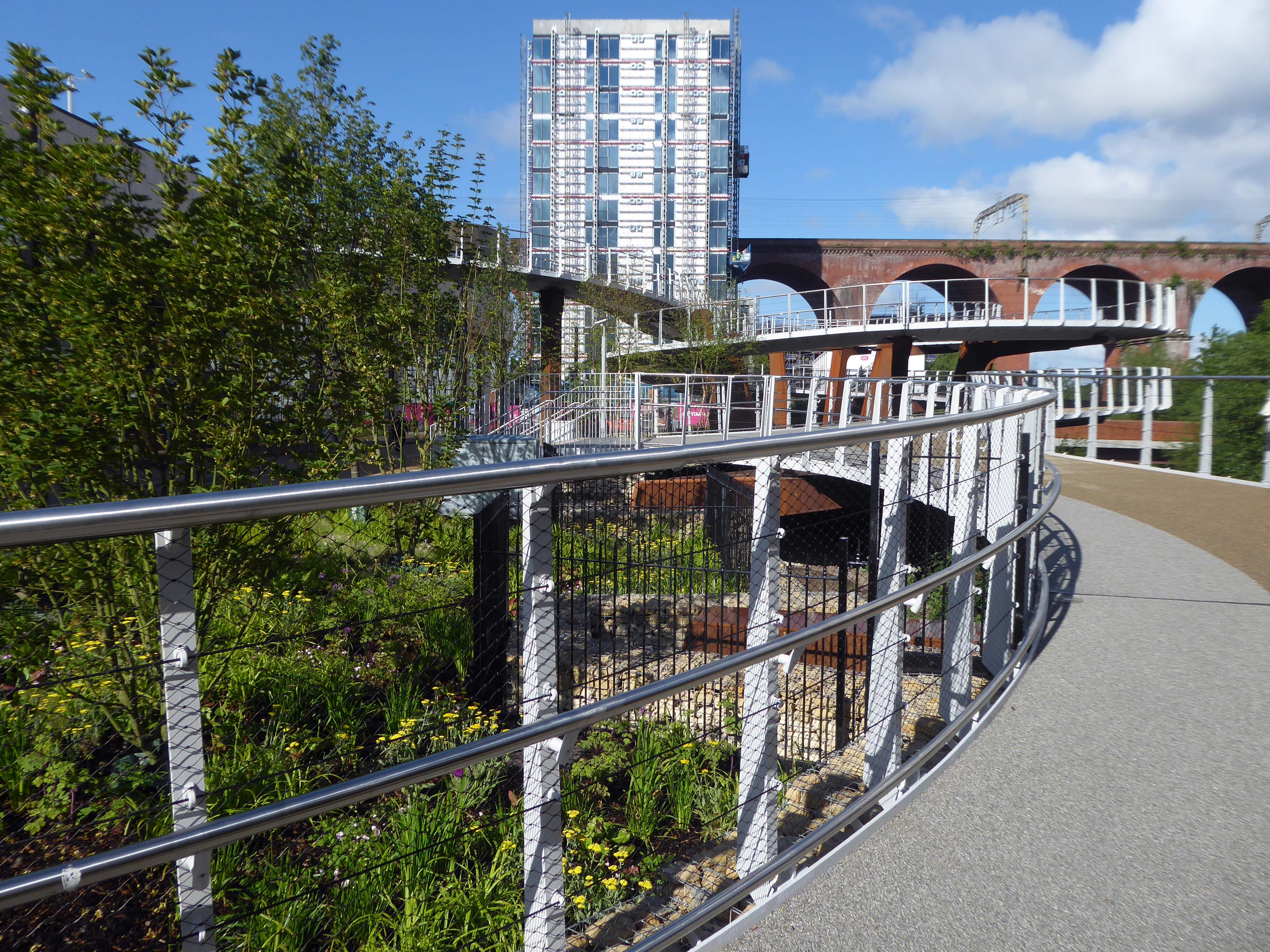
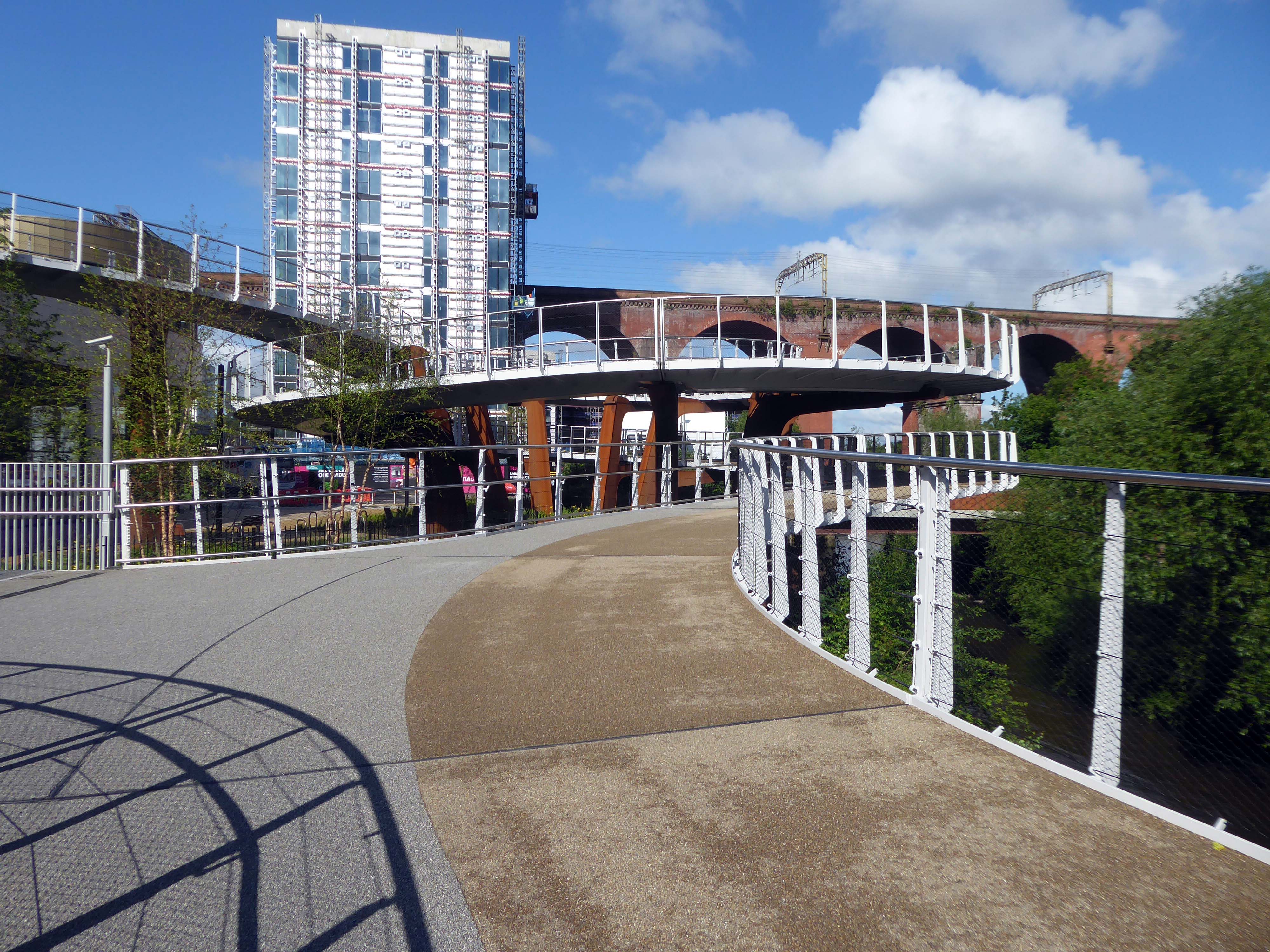
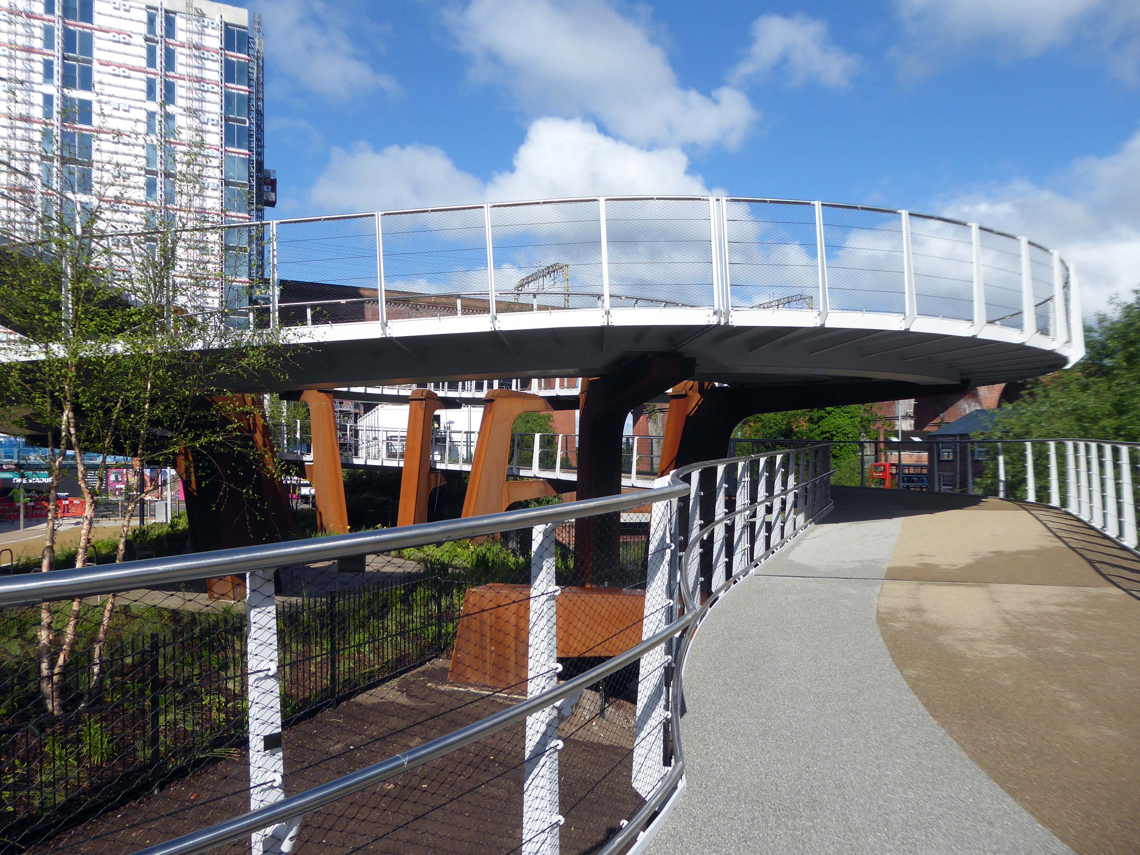
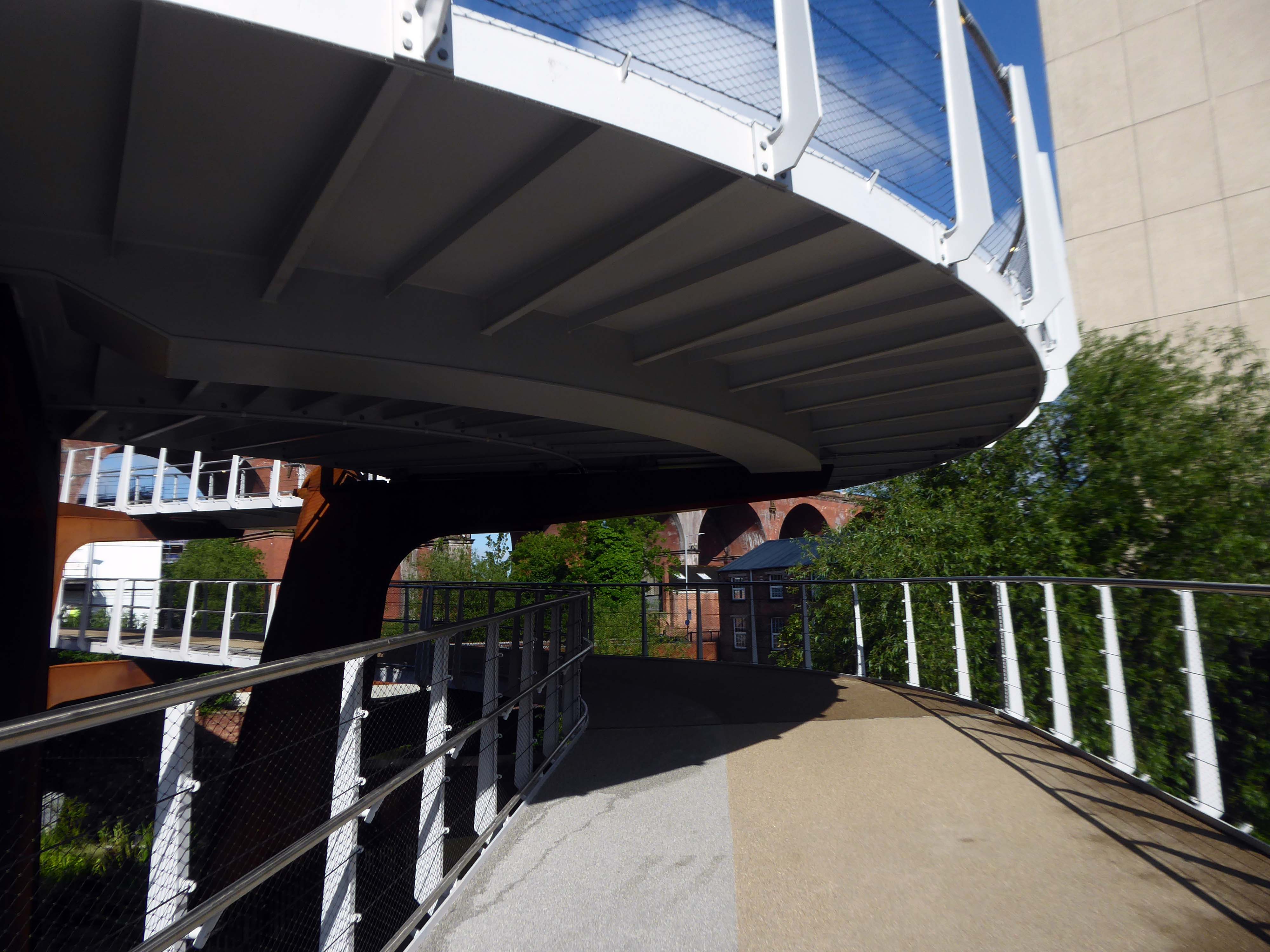
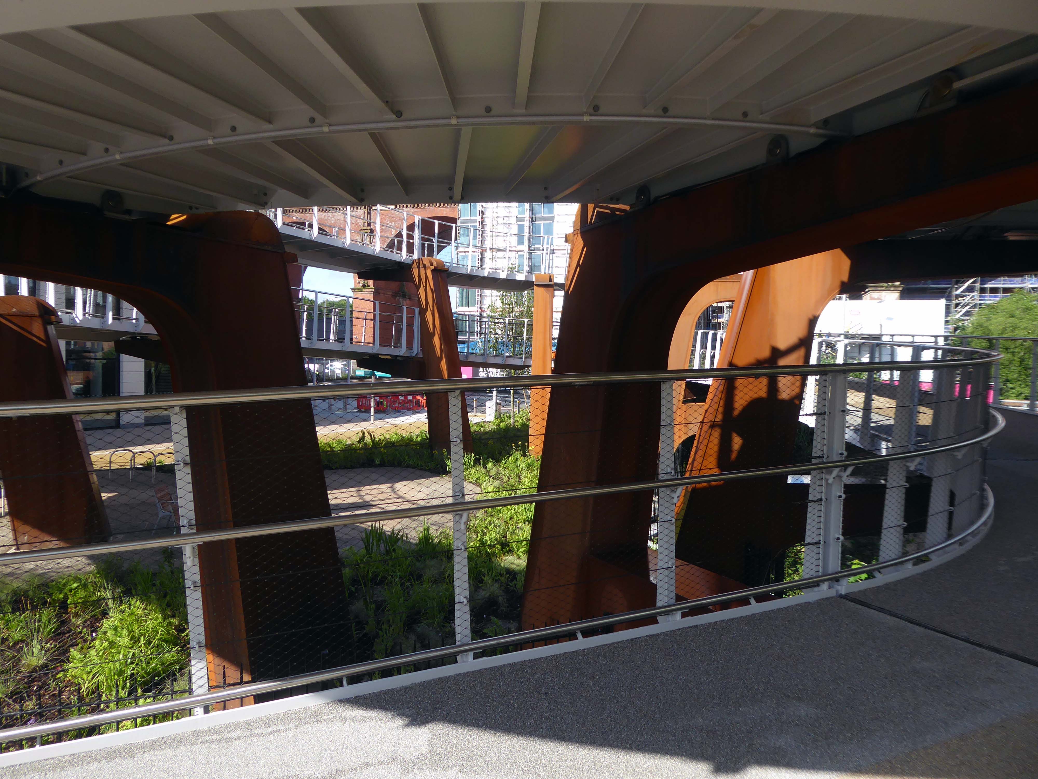
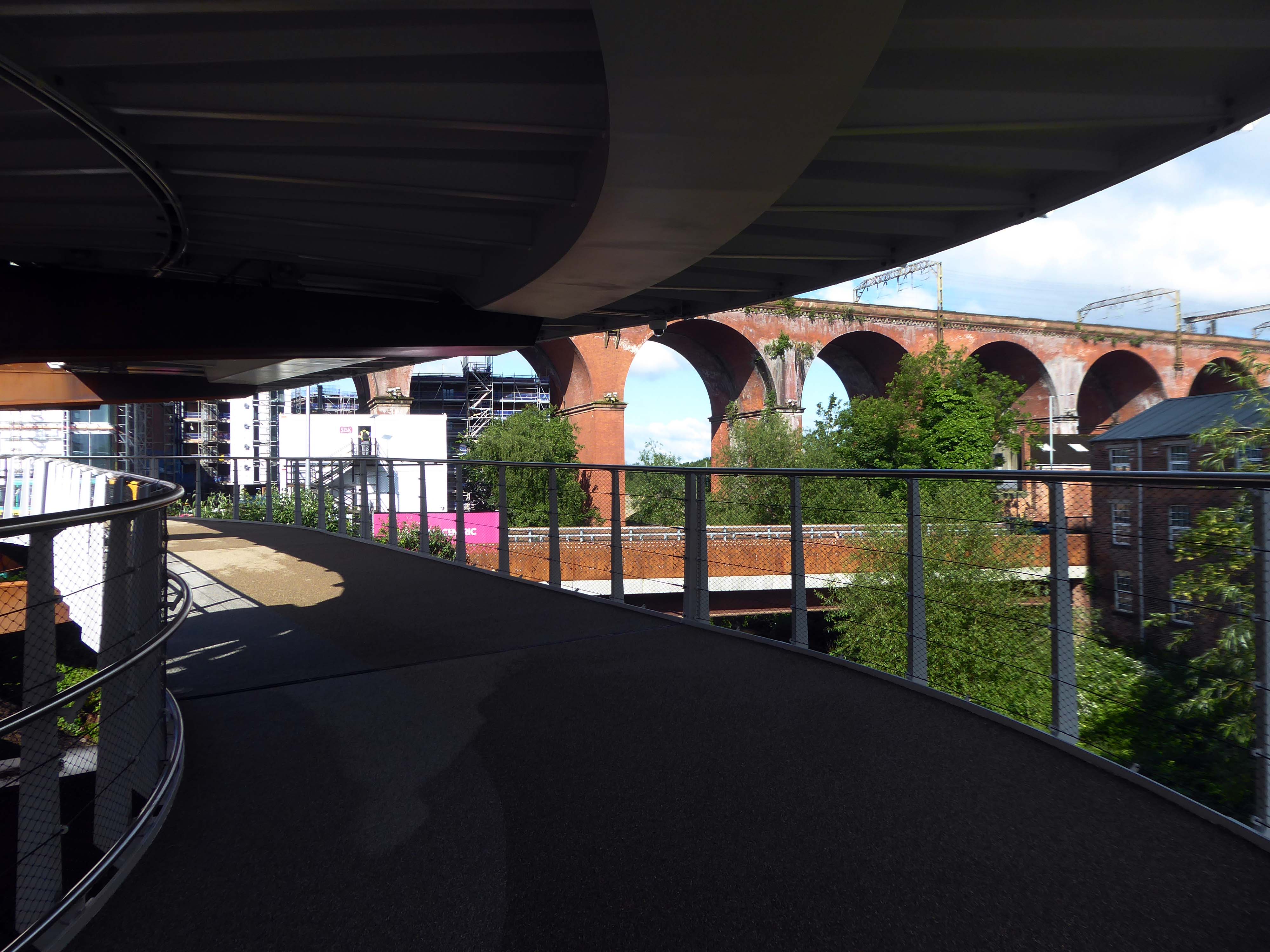
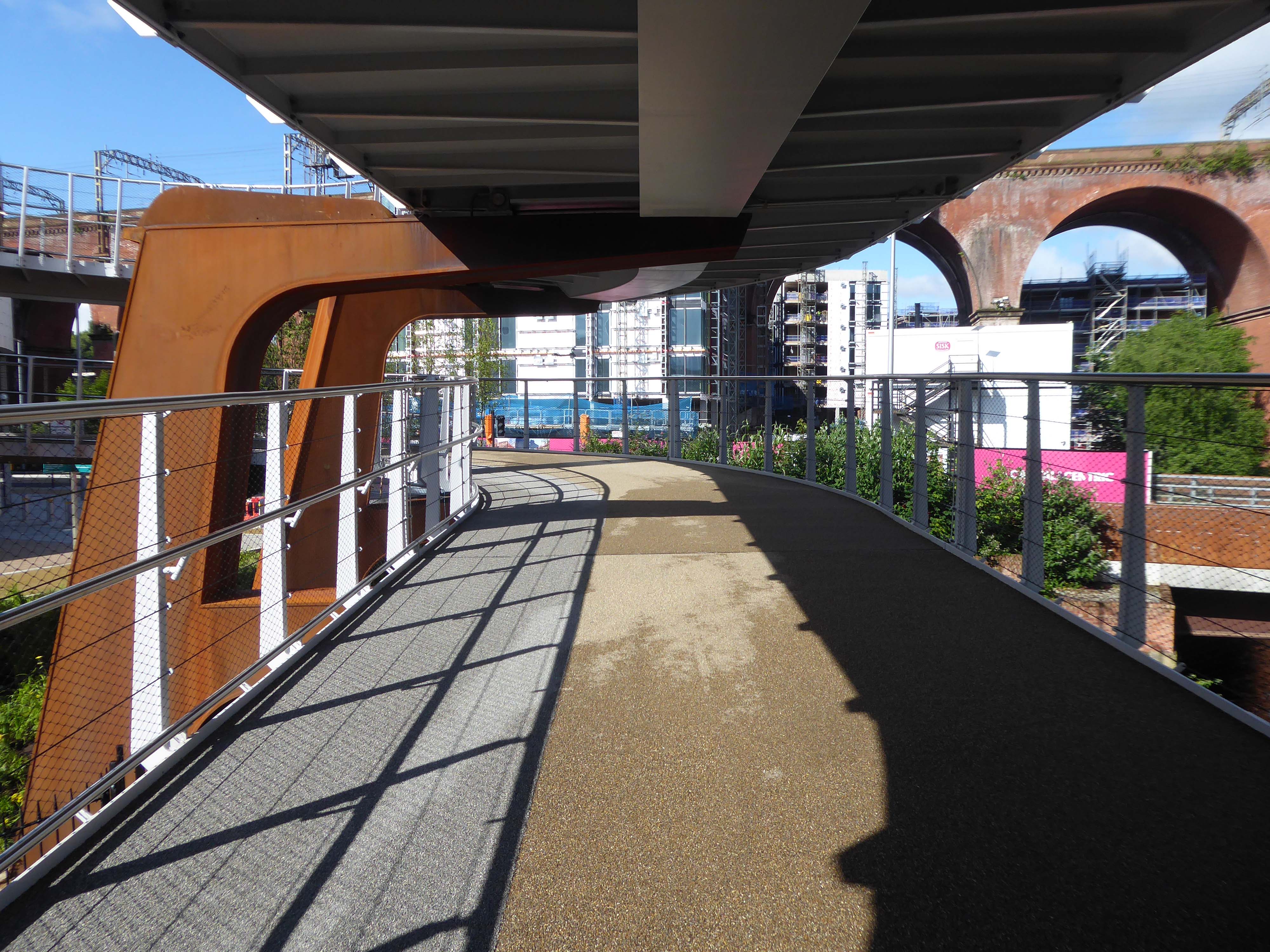
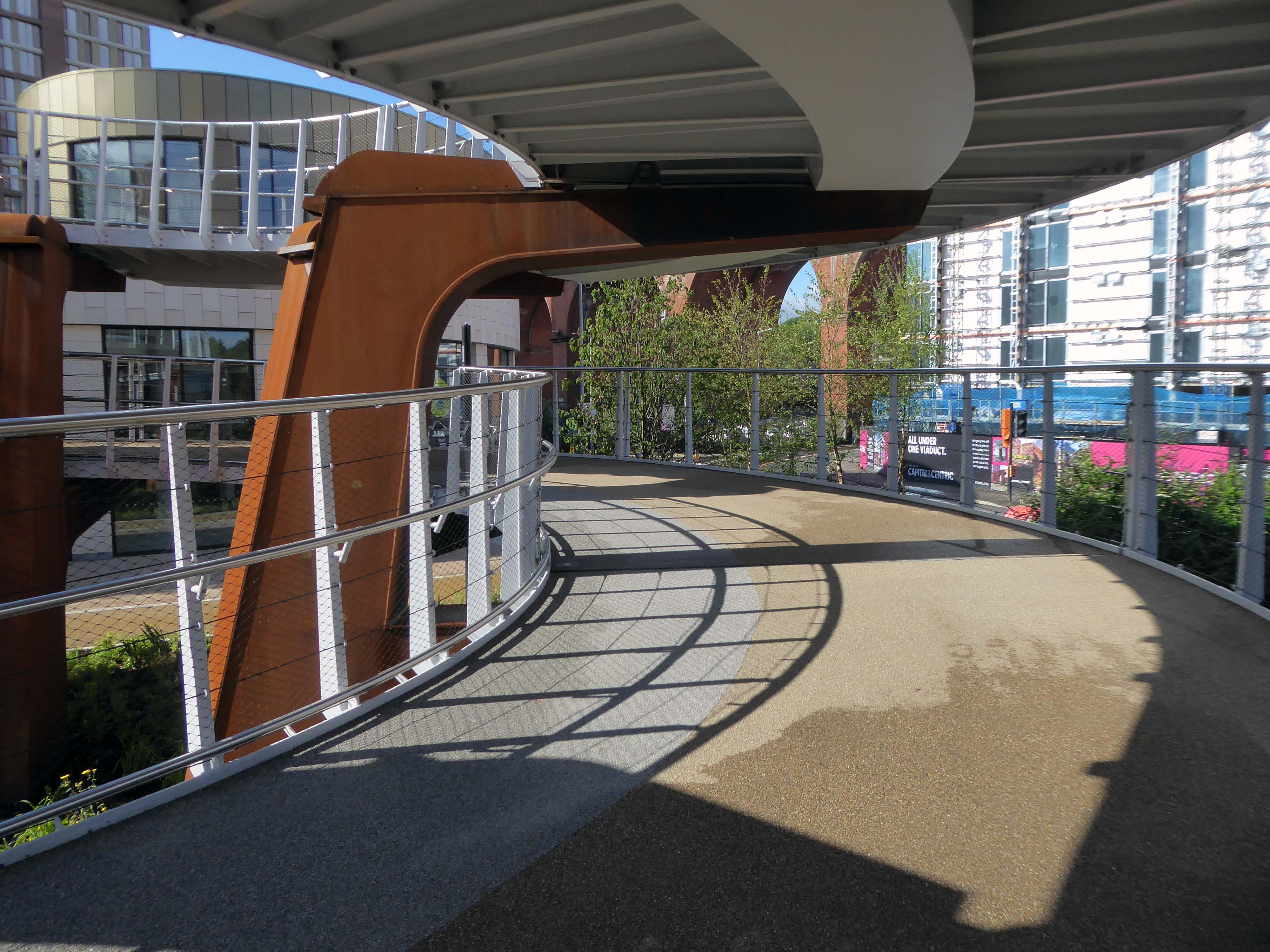
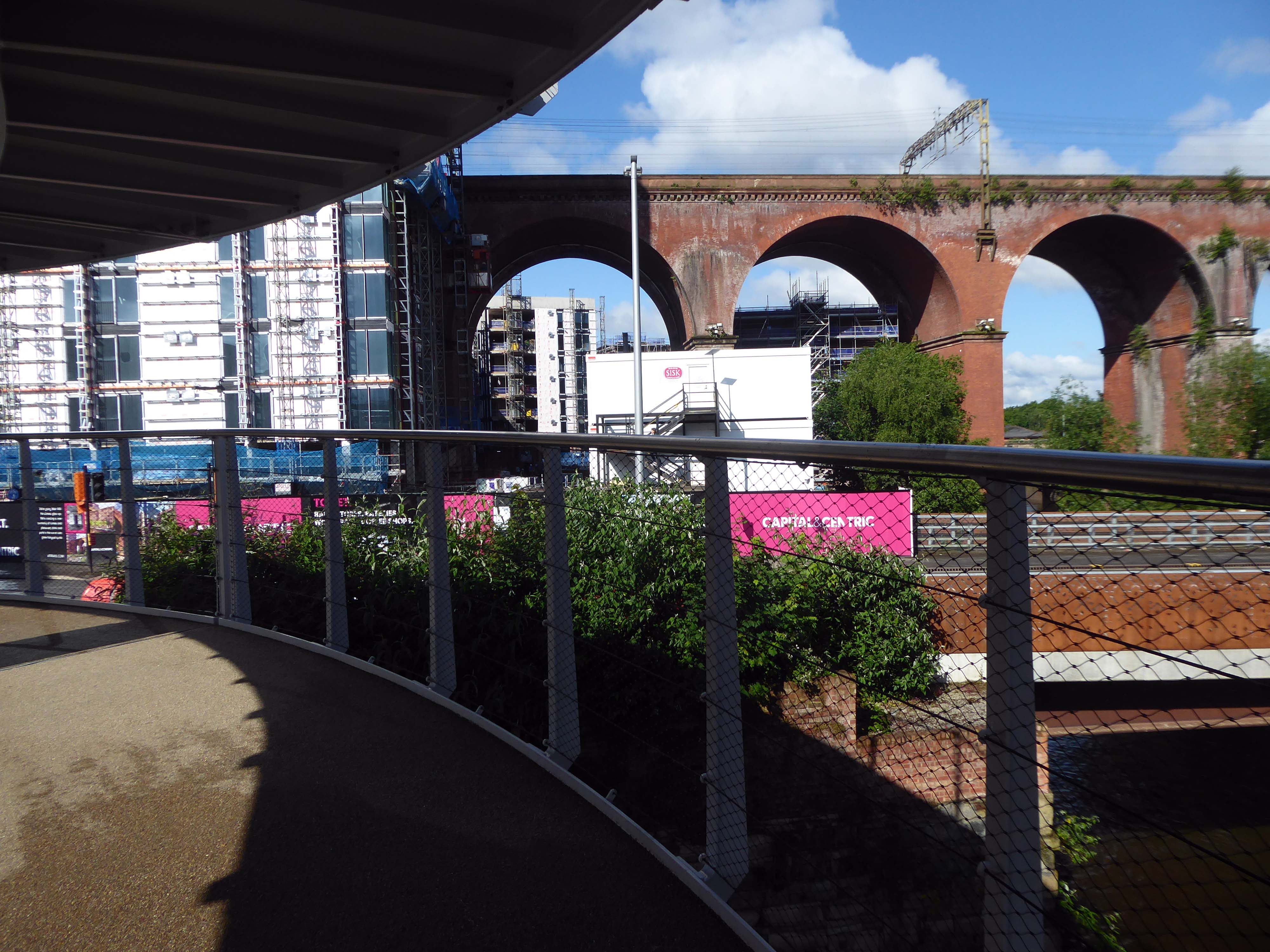
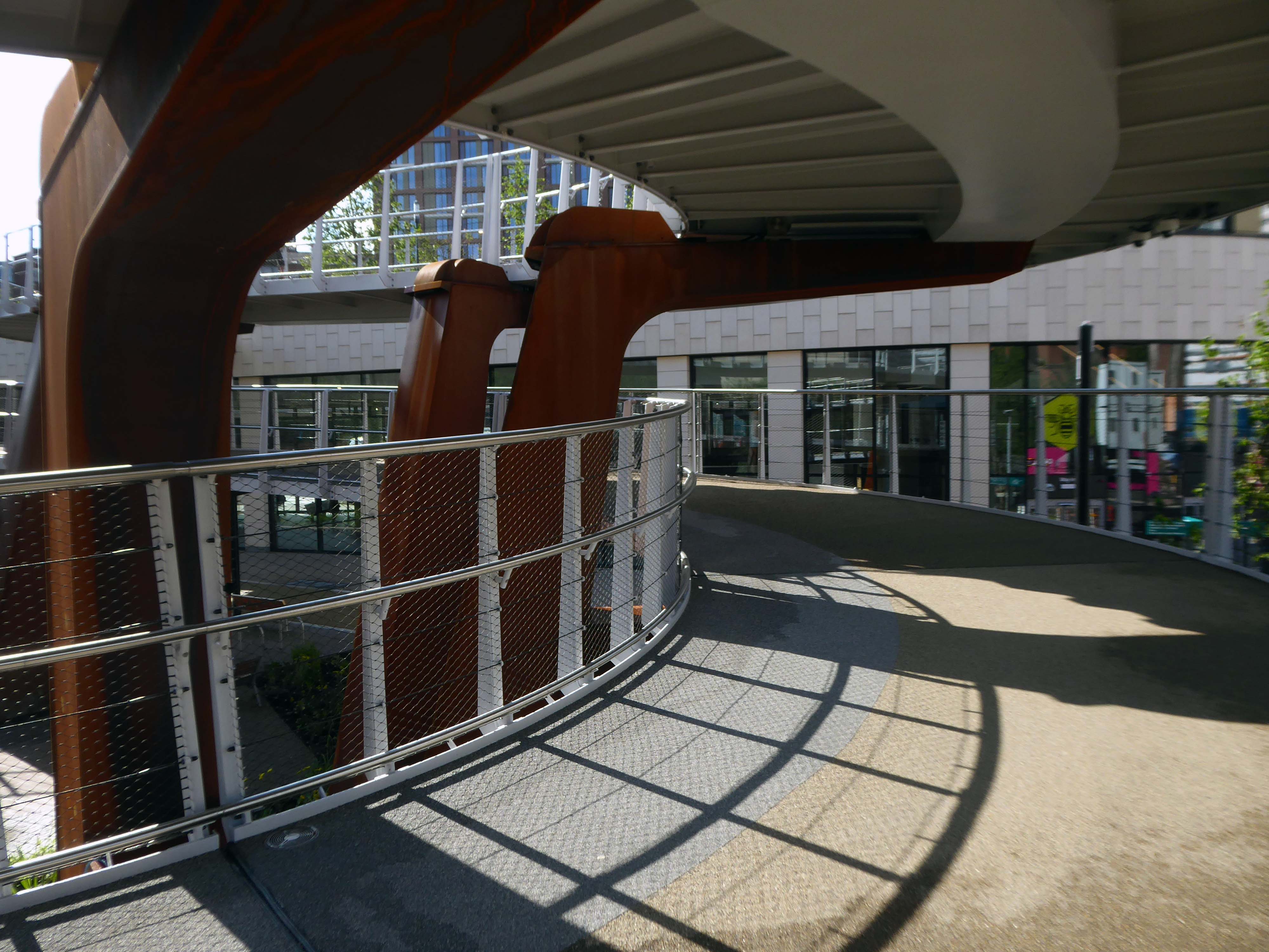
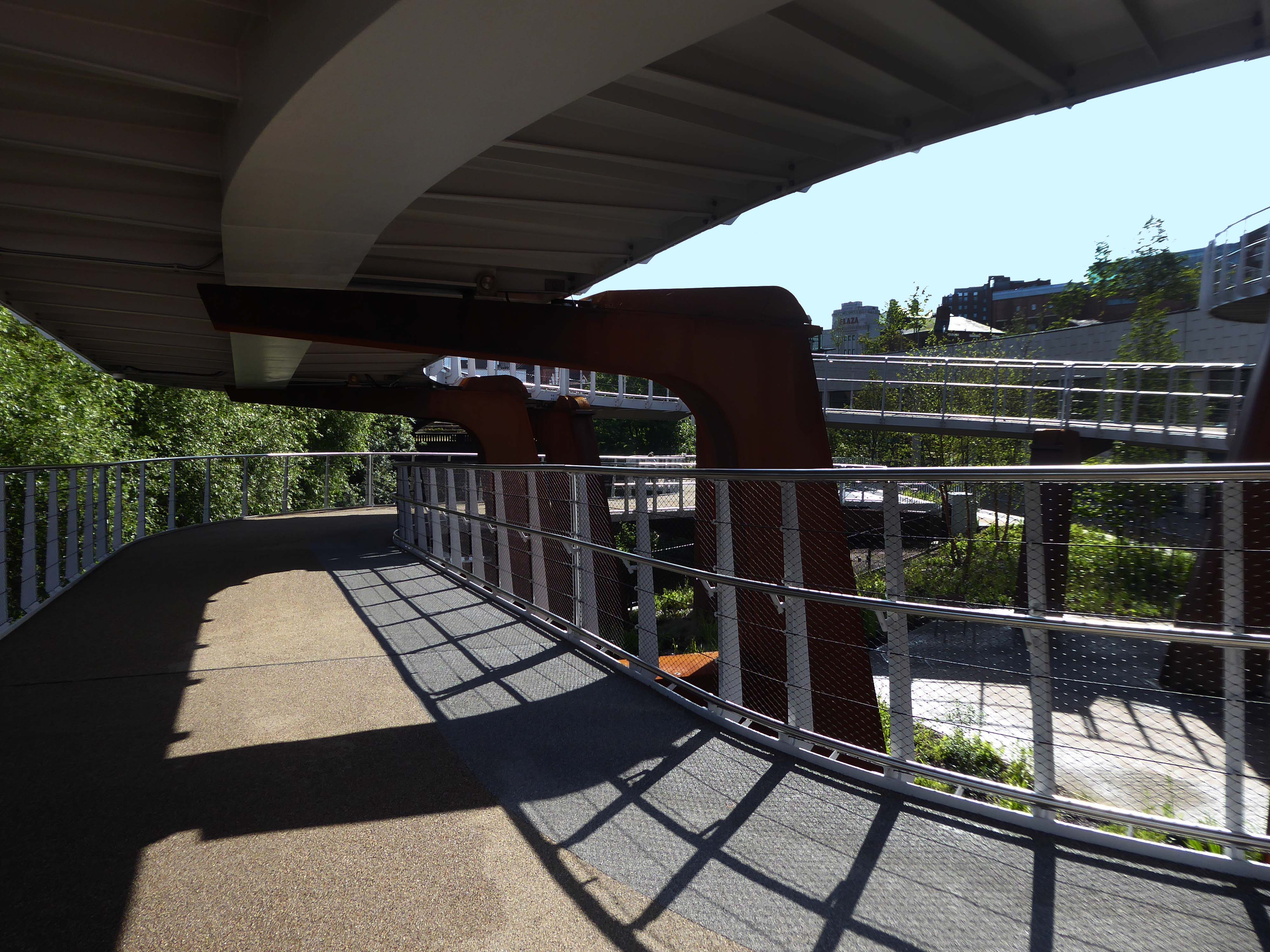
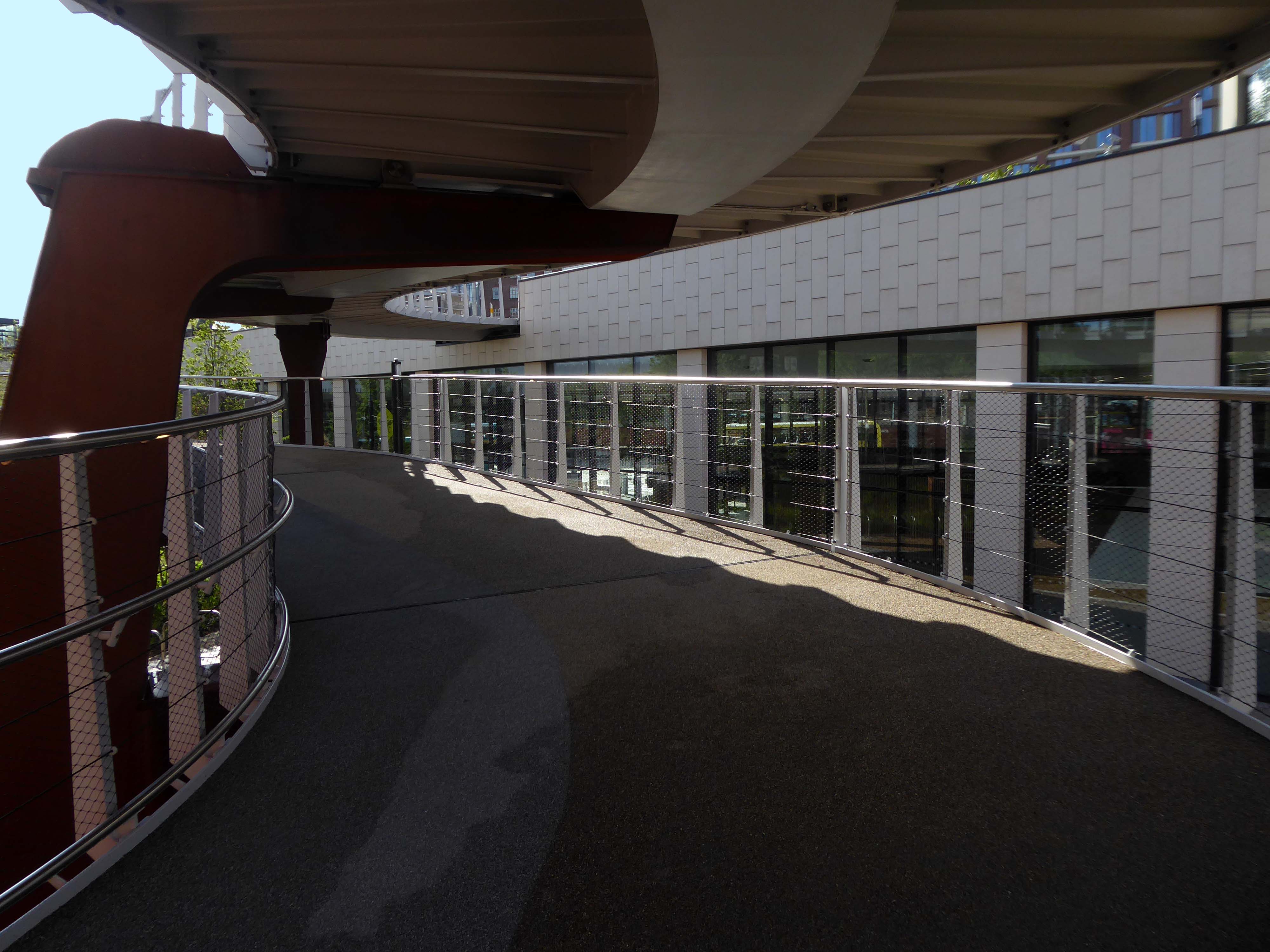
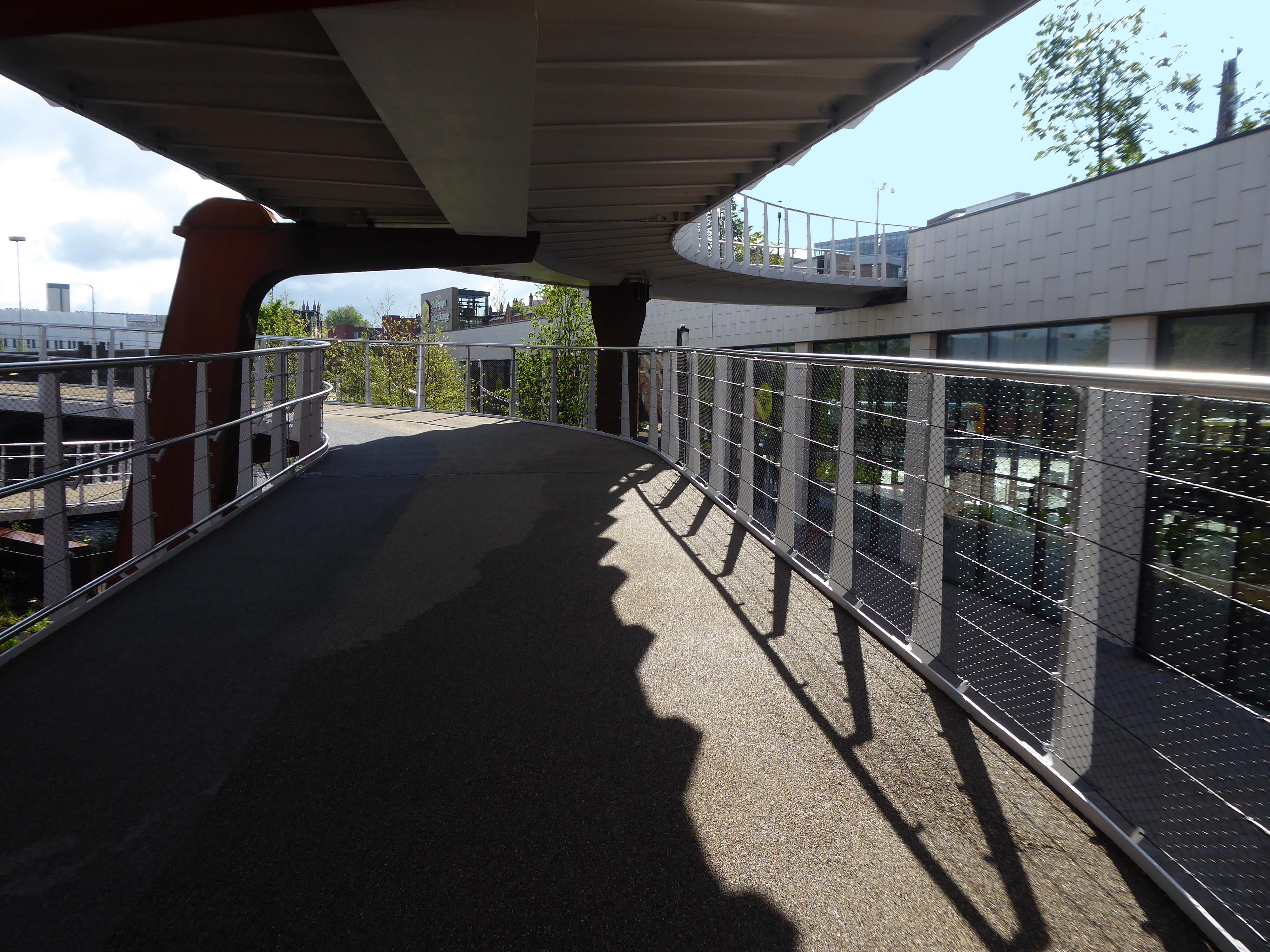
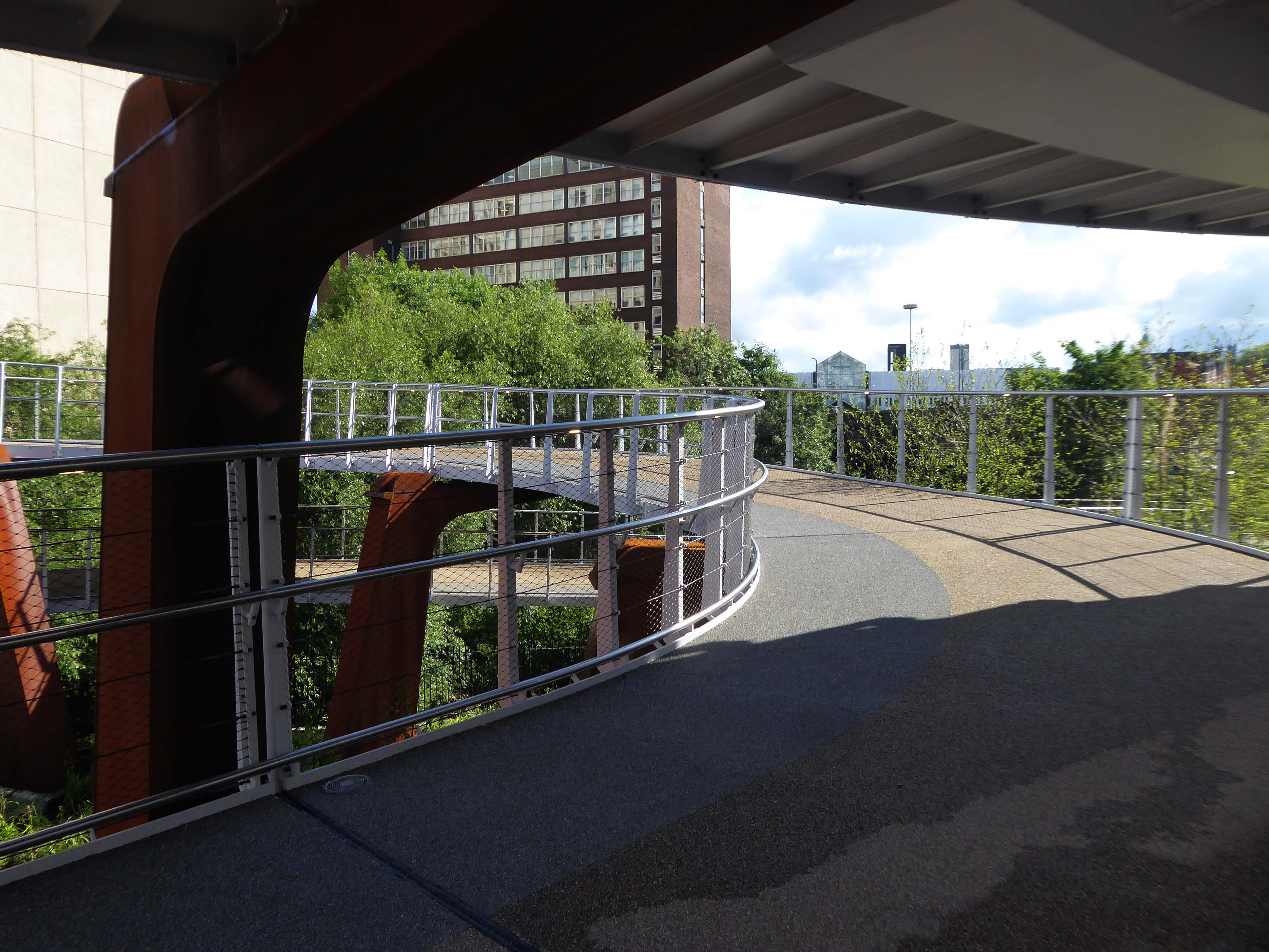
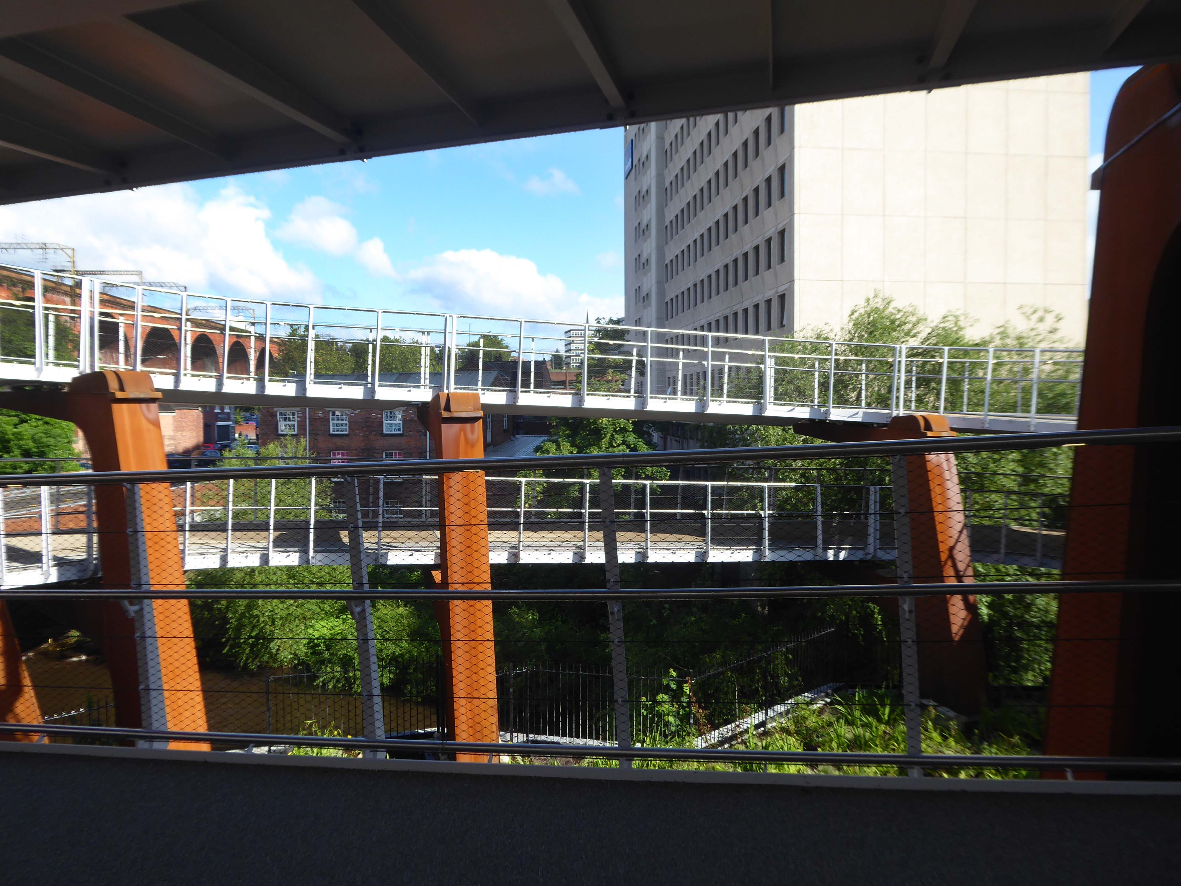
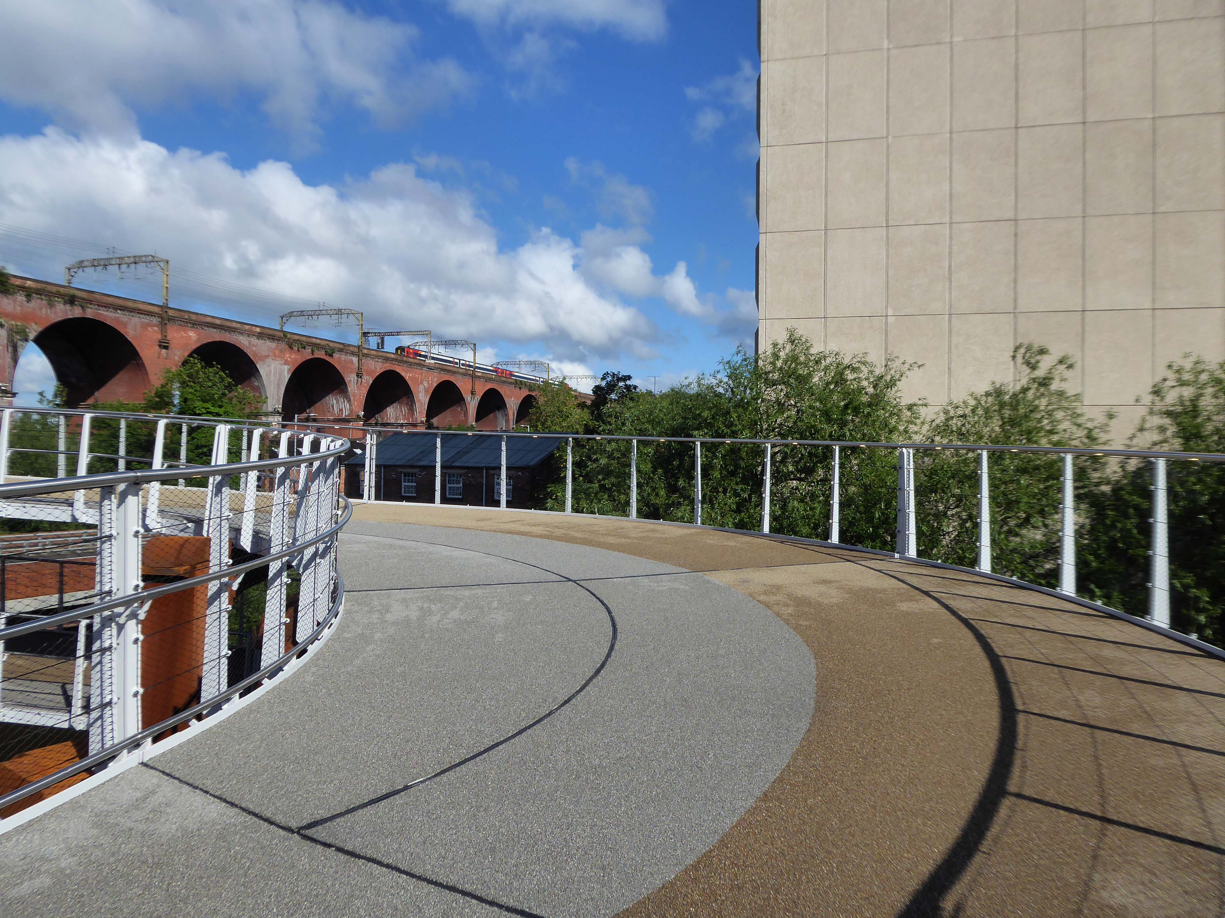
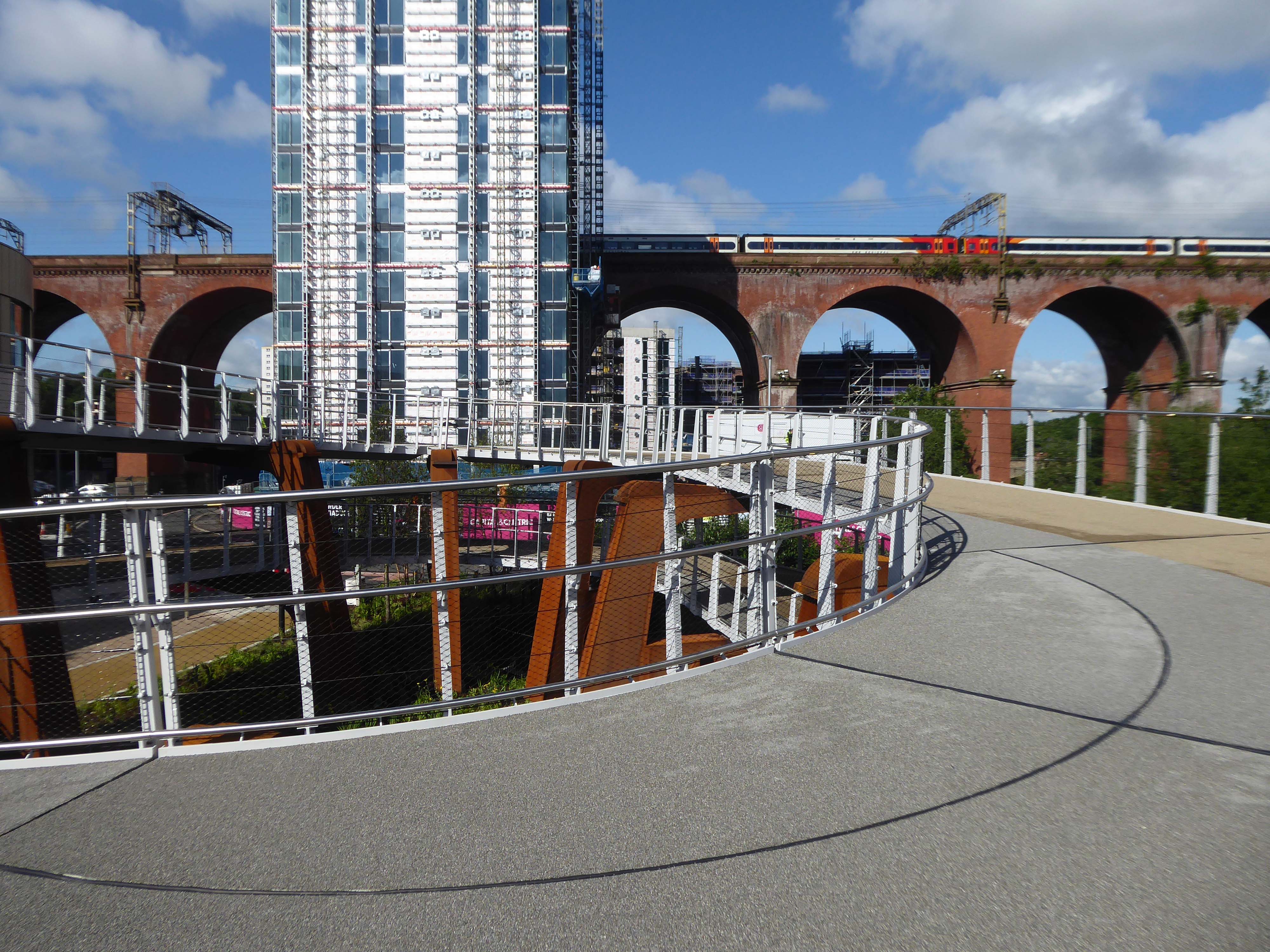
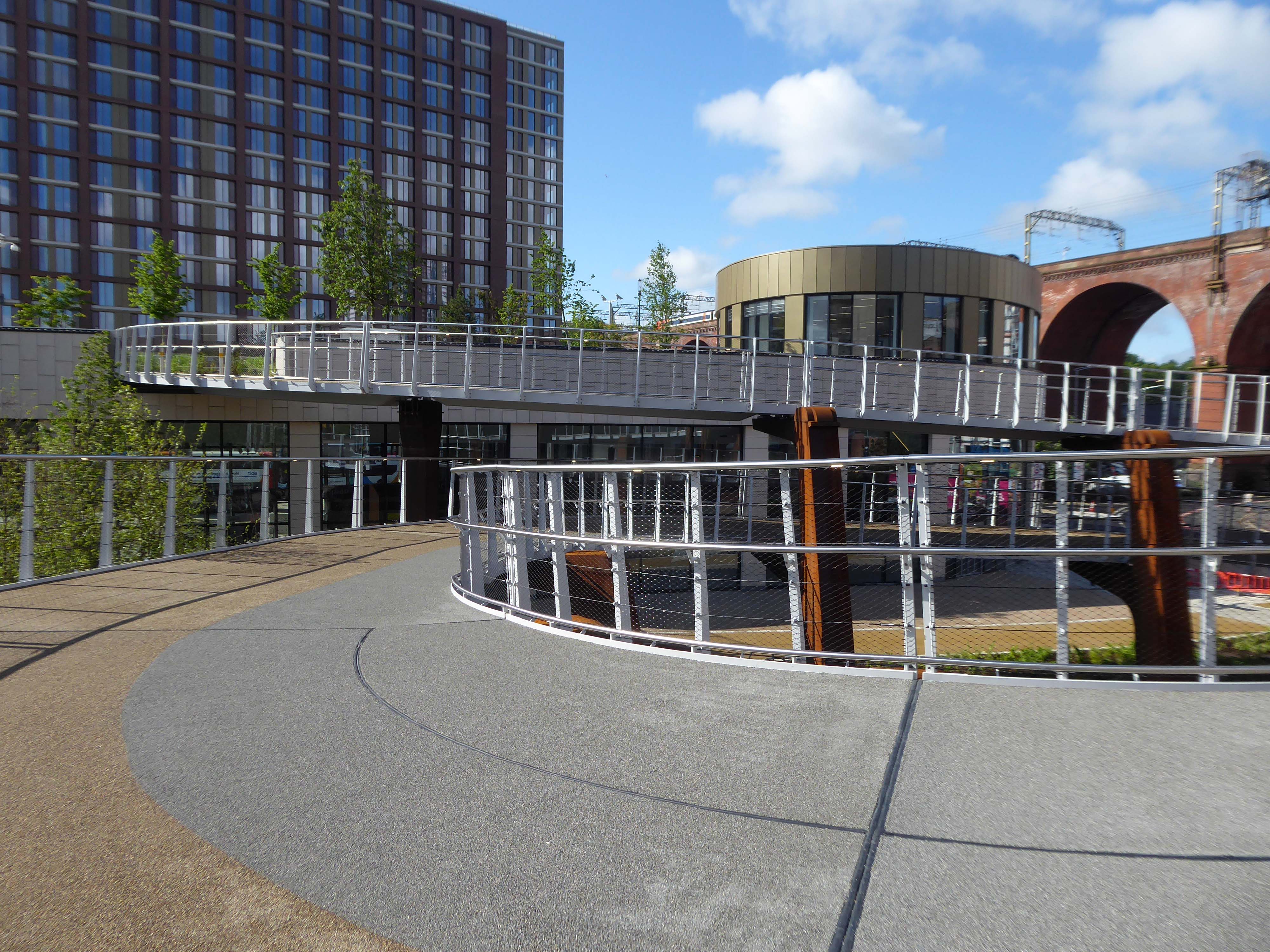
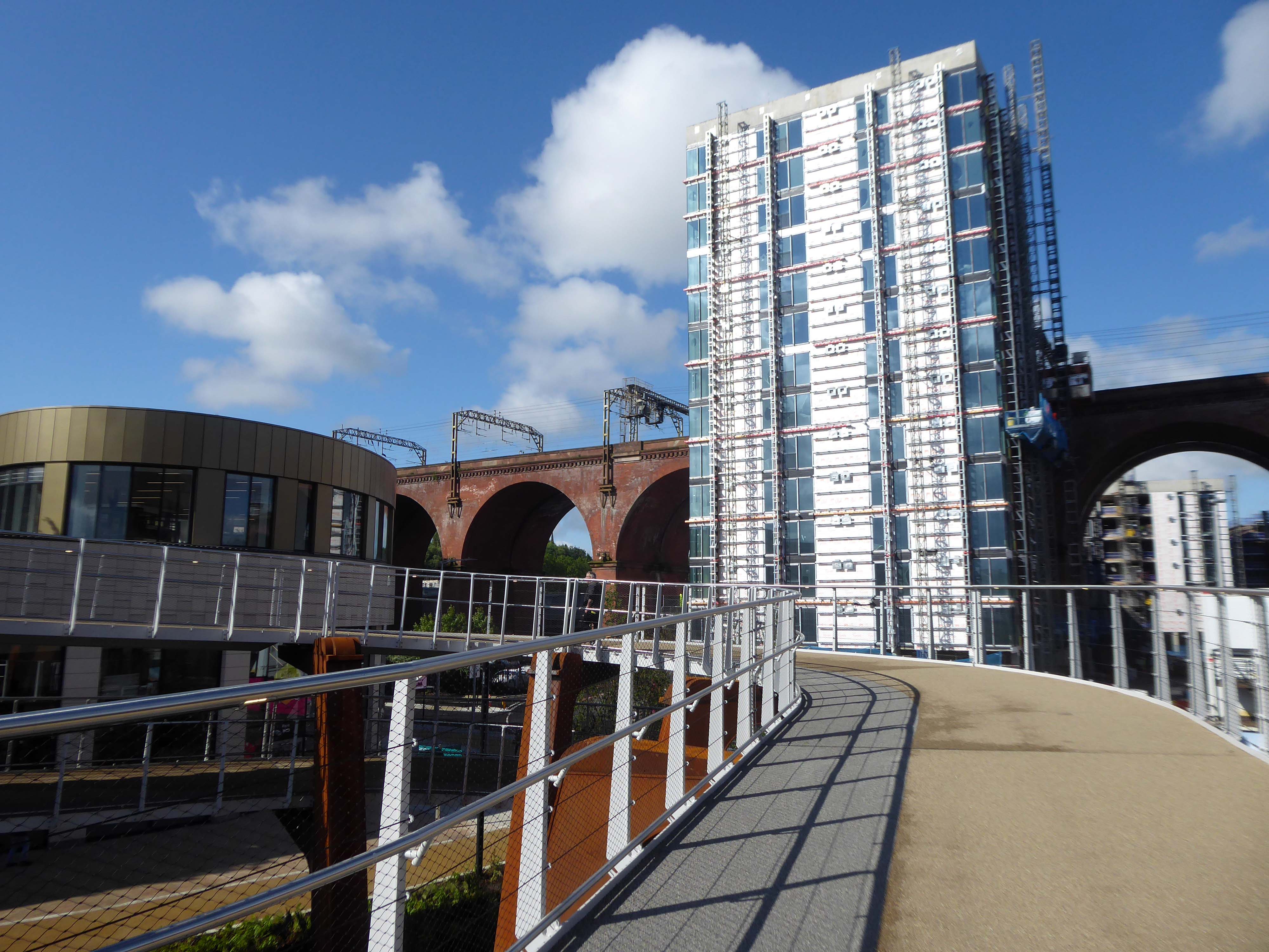
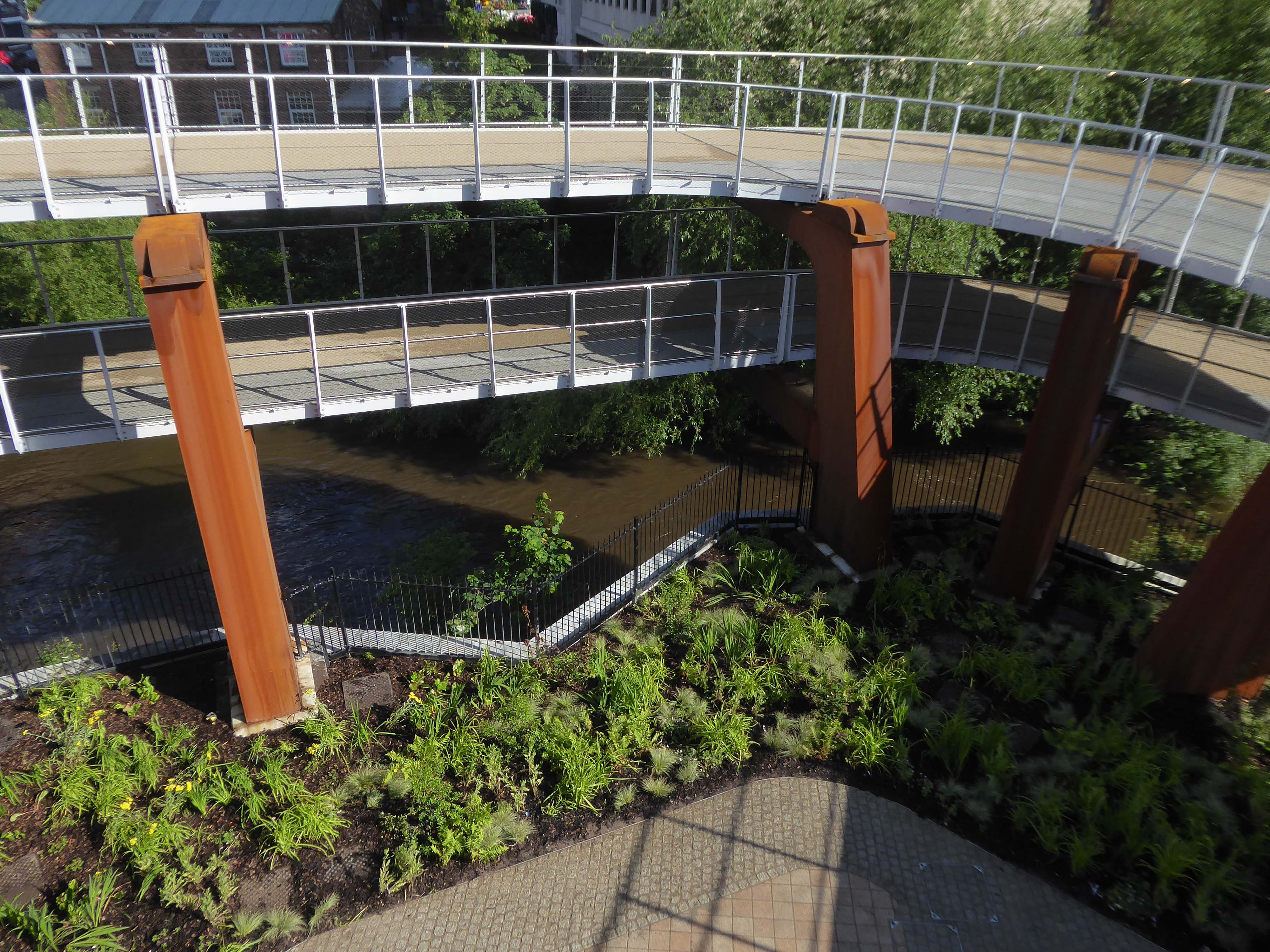
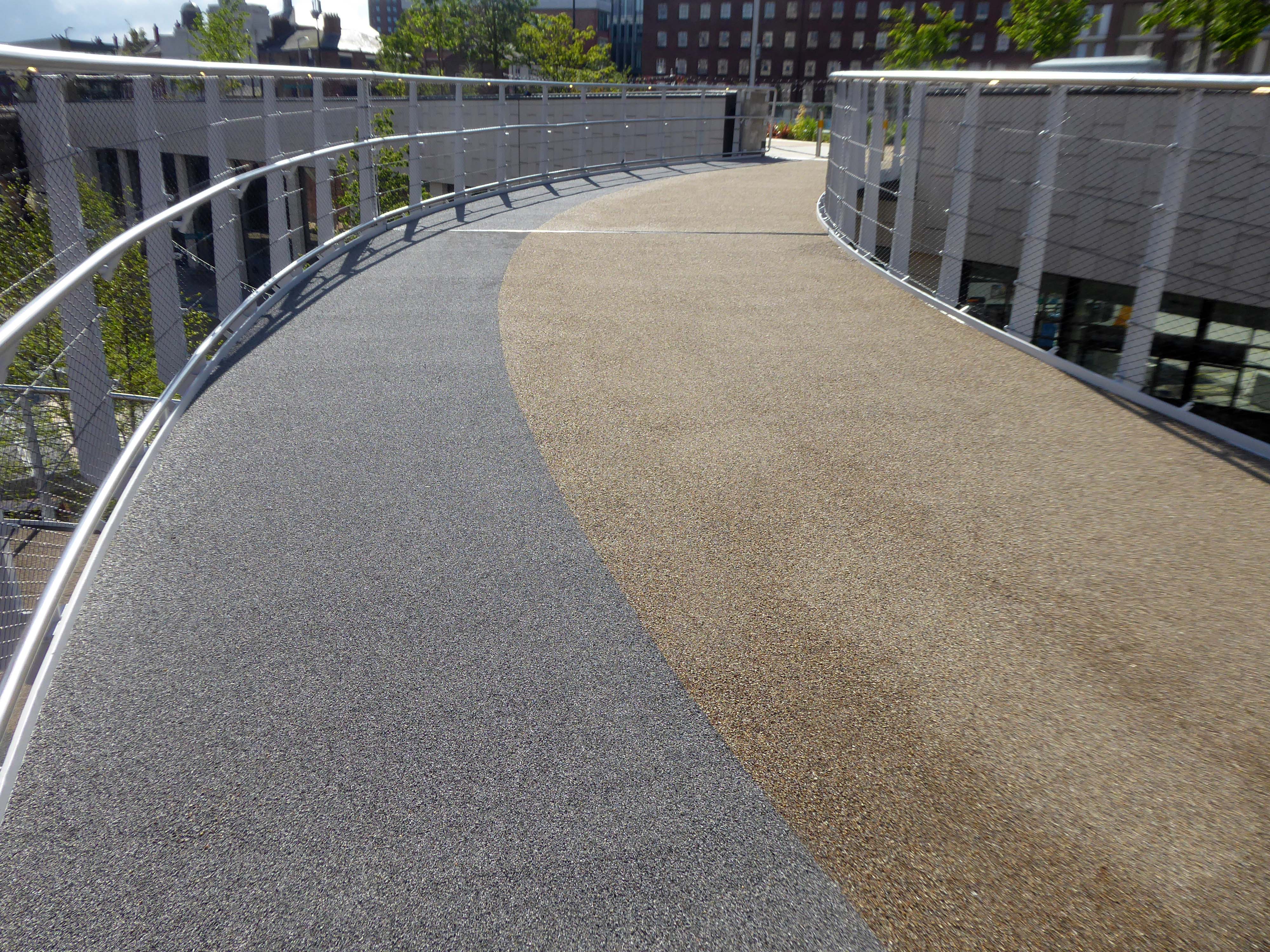
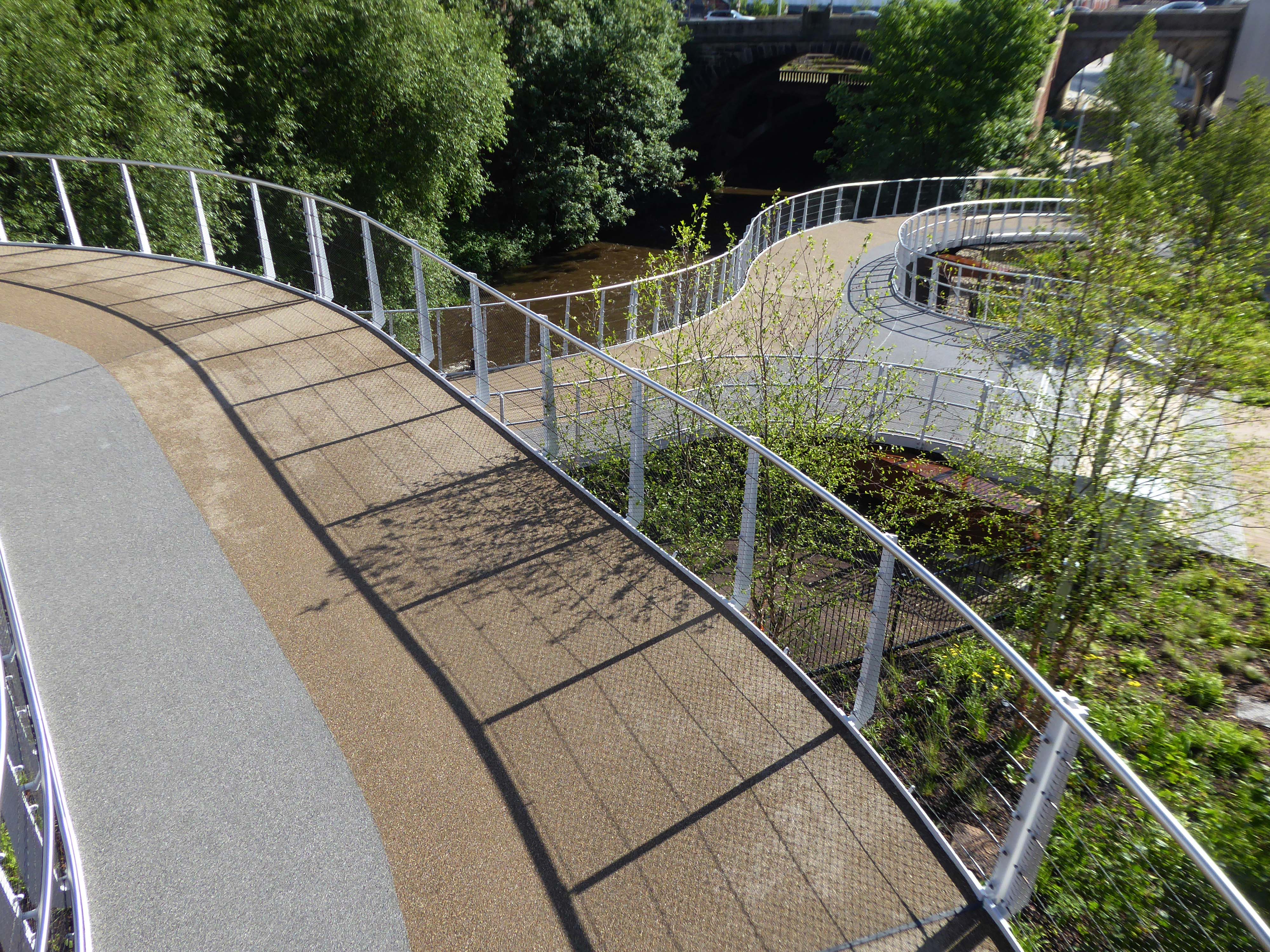
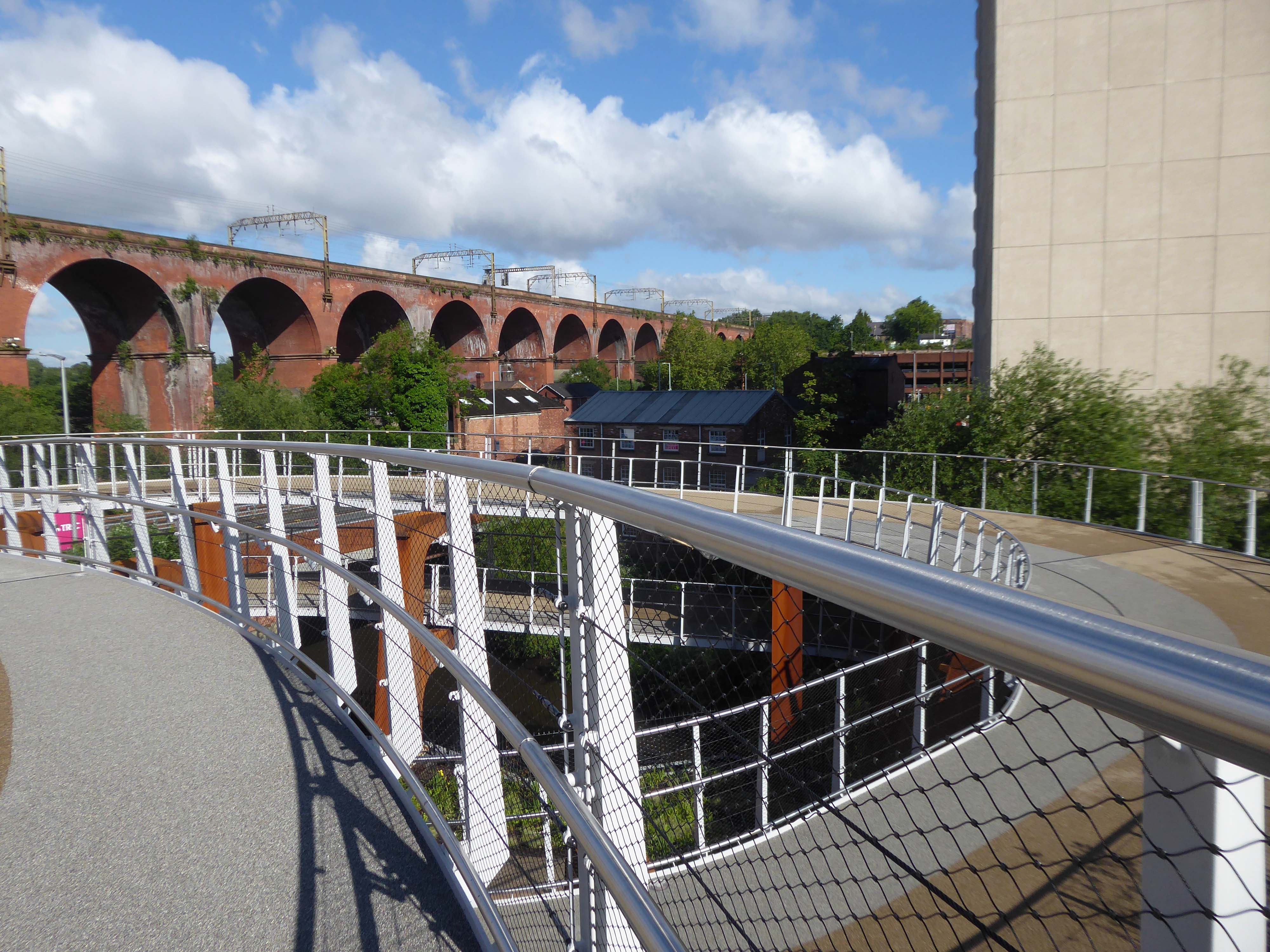
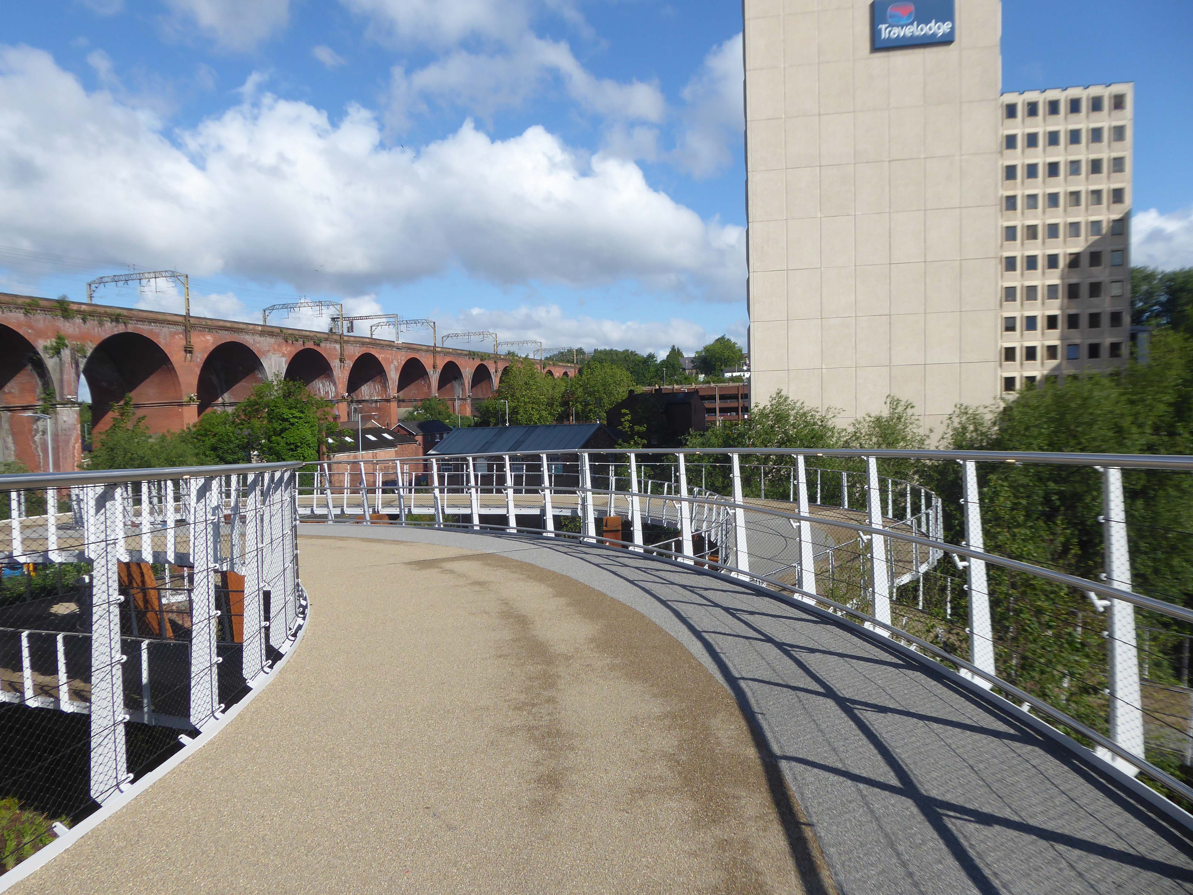
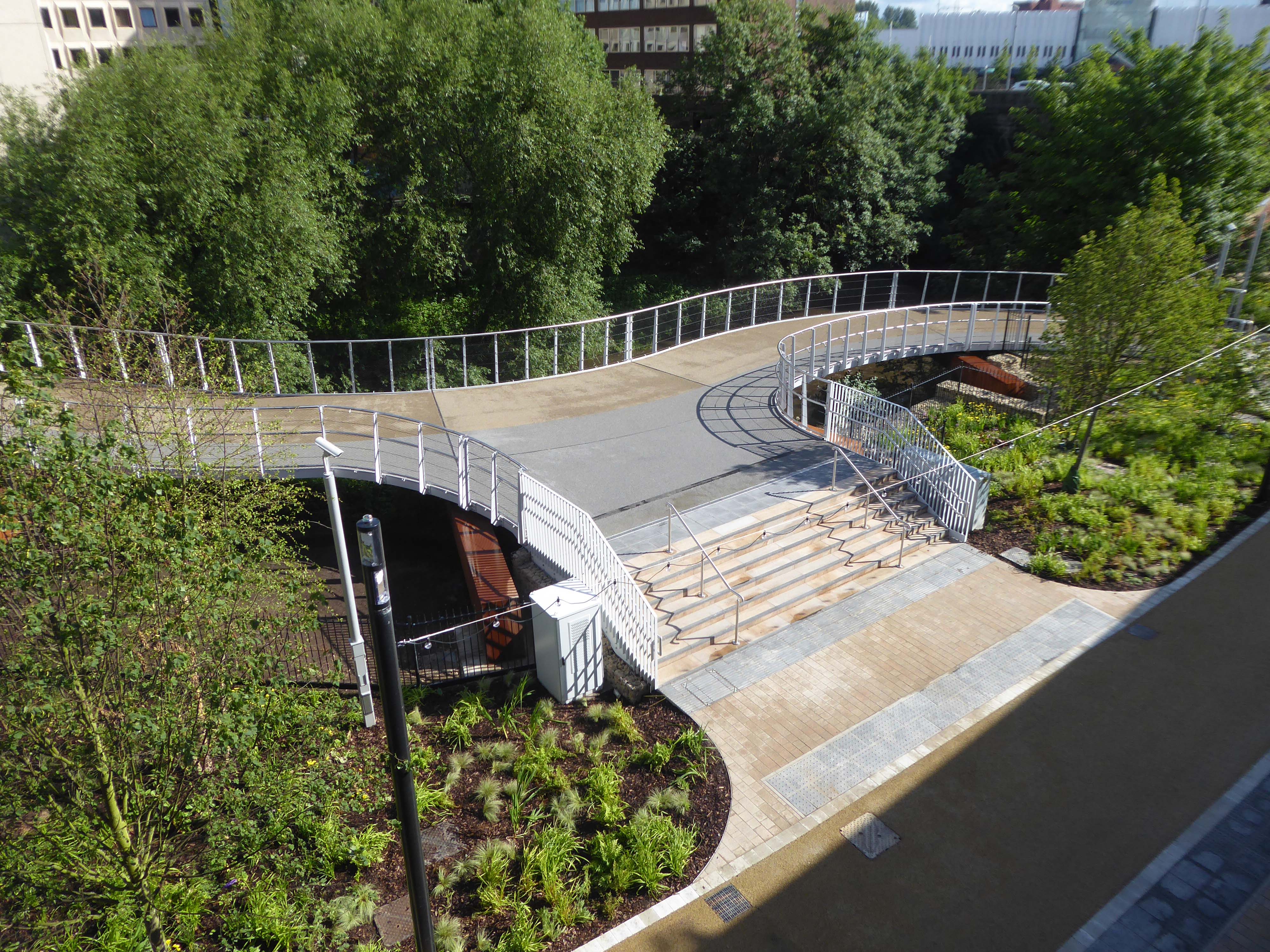
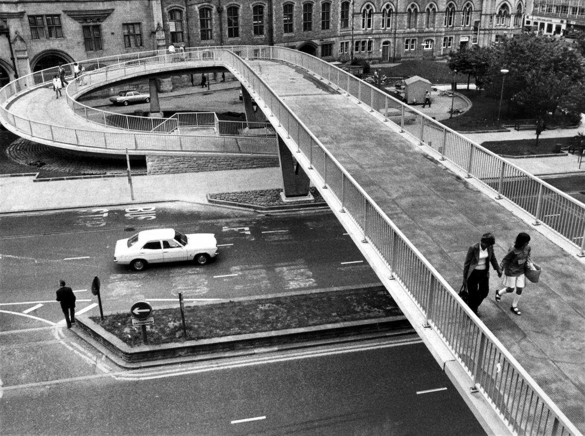
The area was once traversed by this elegant raised walkway.
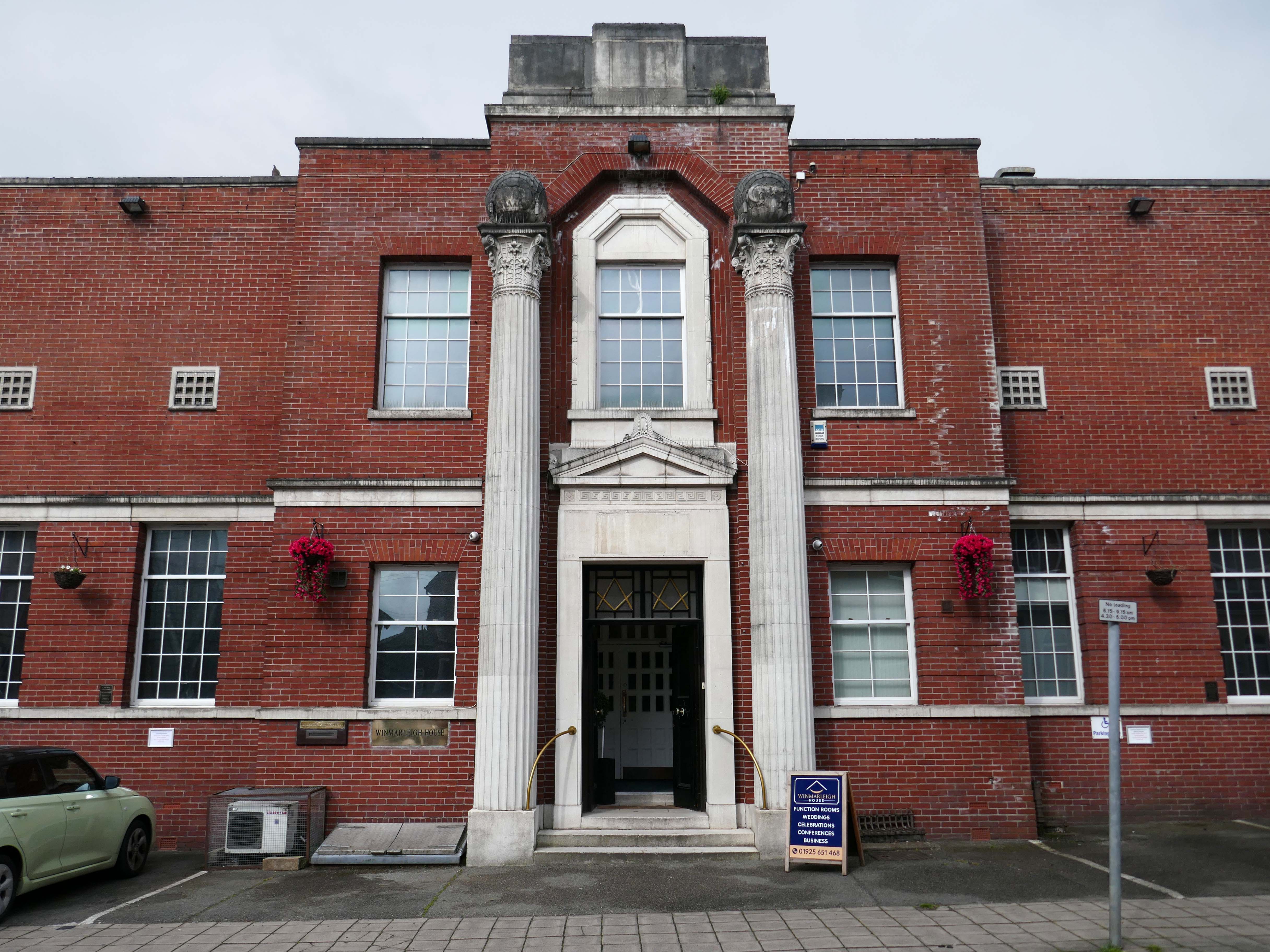
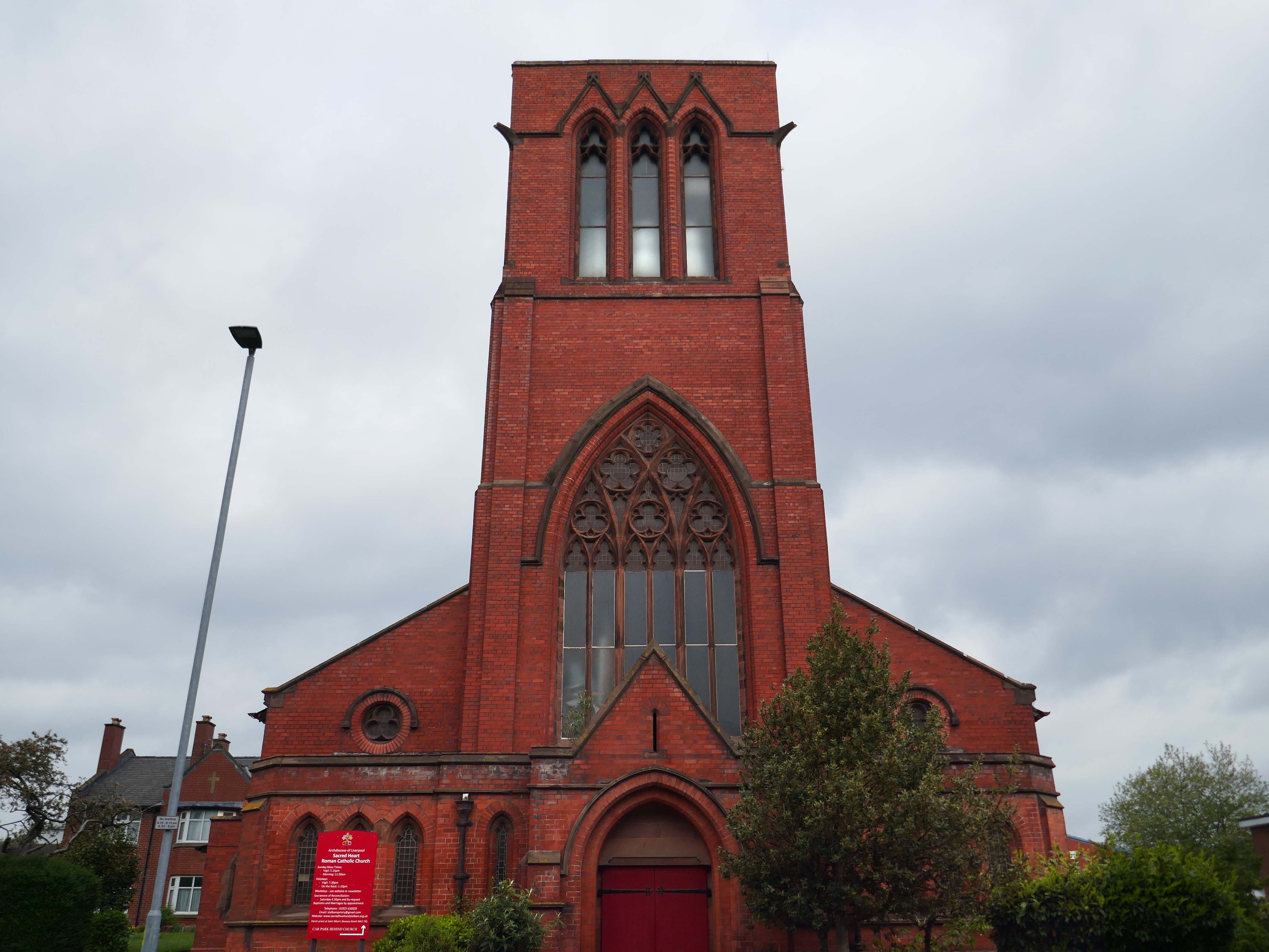
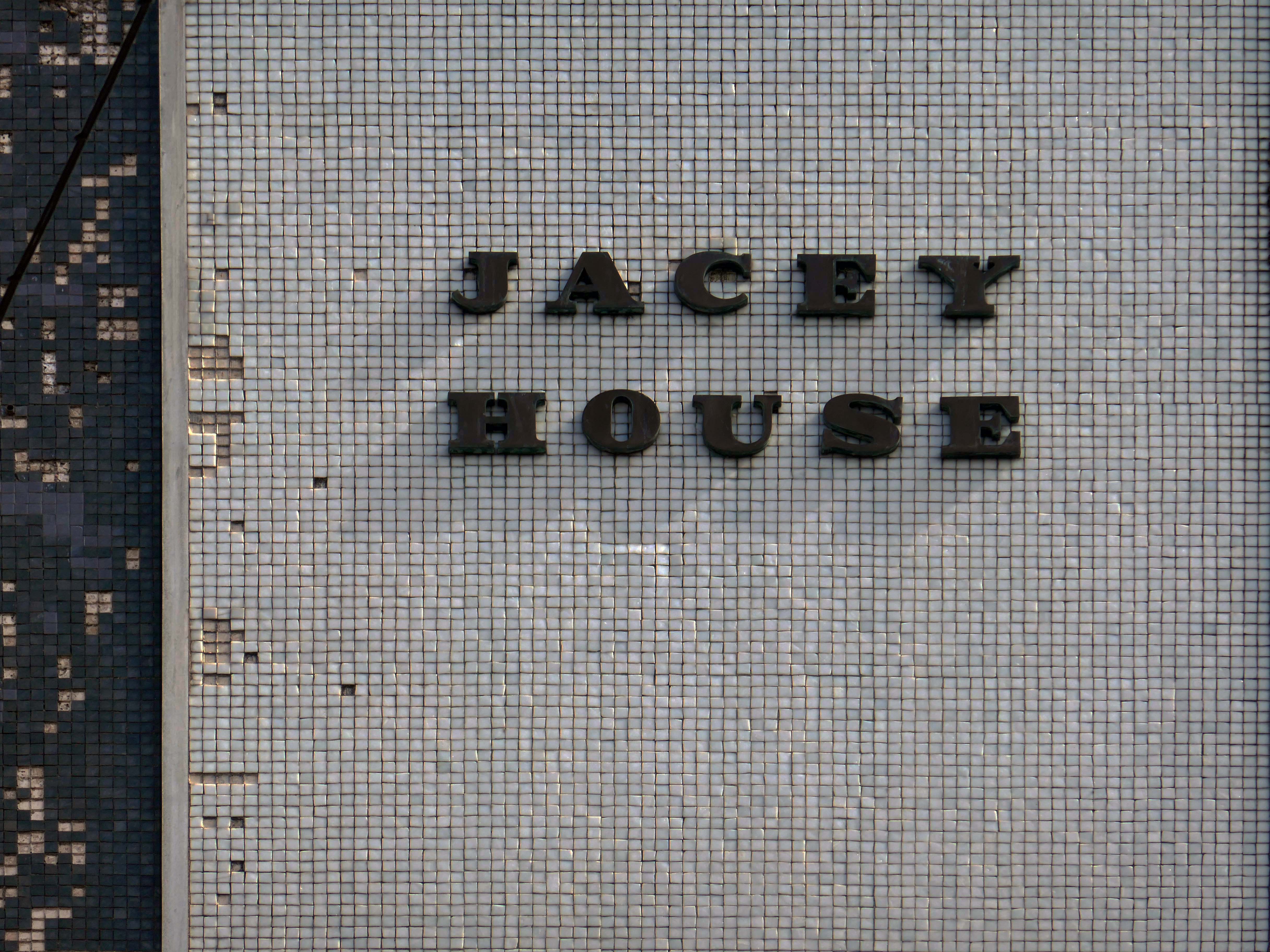
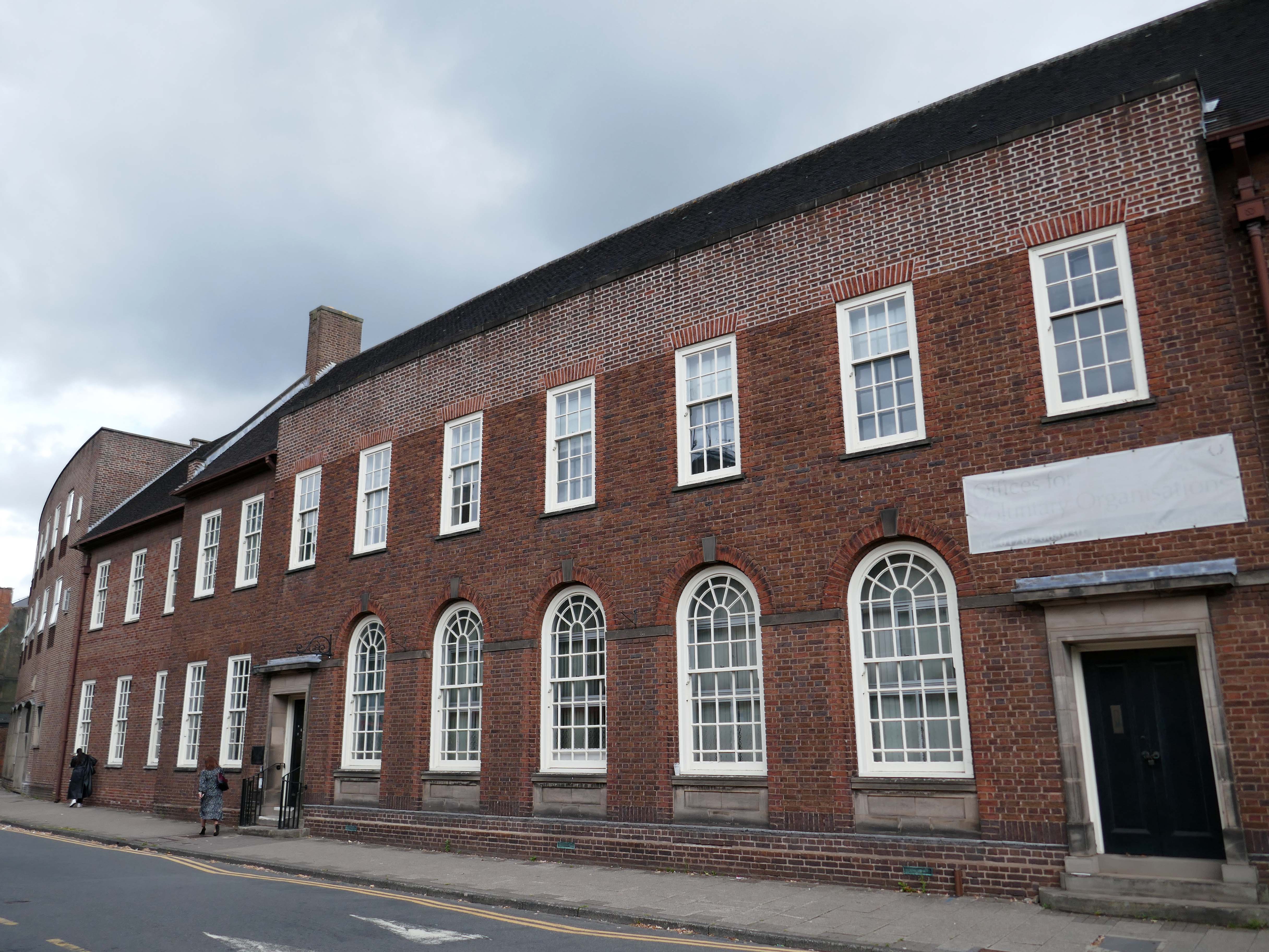
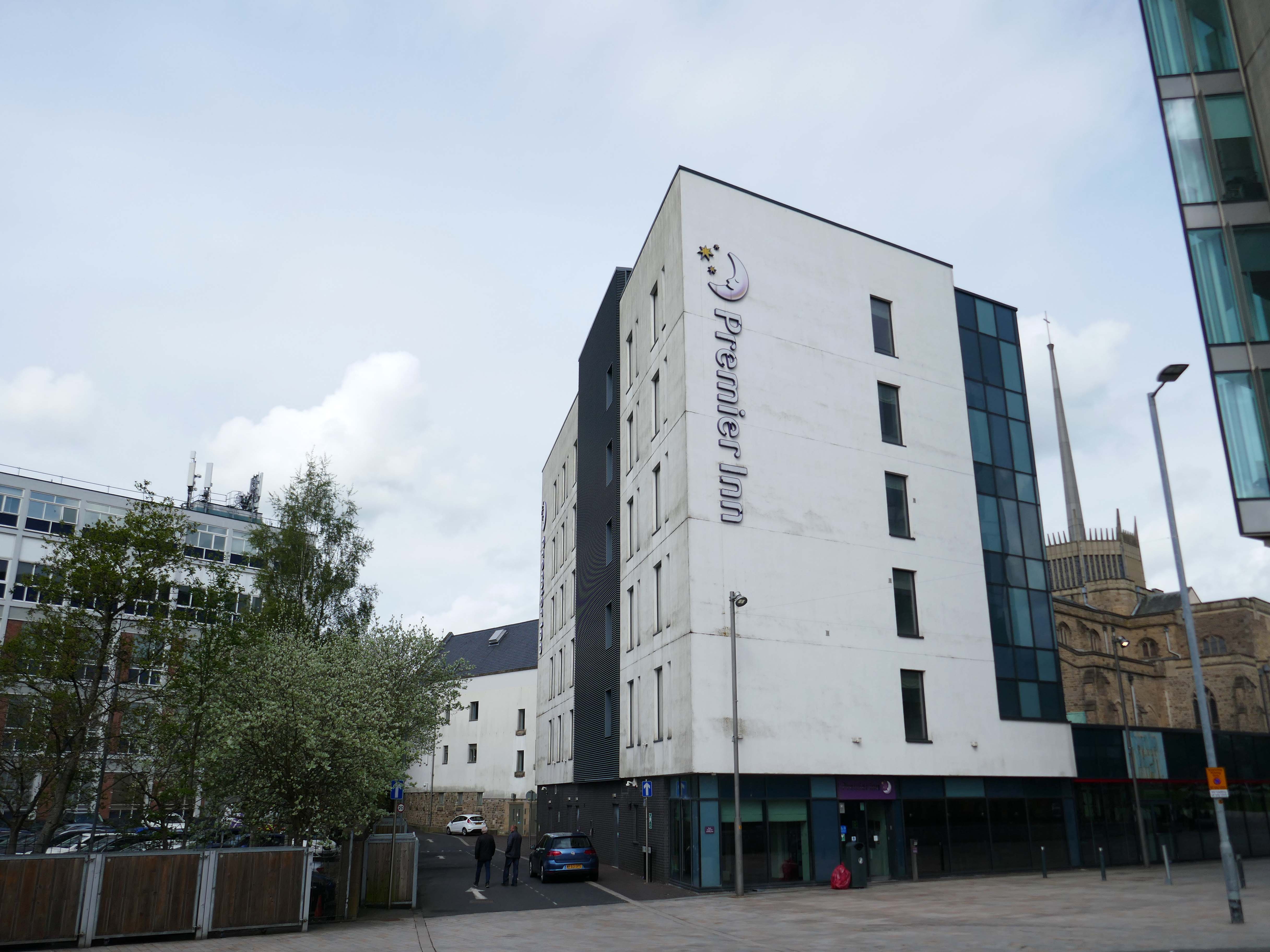
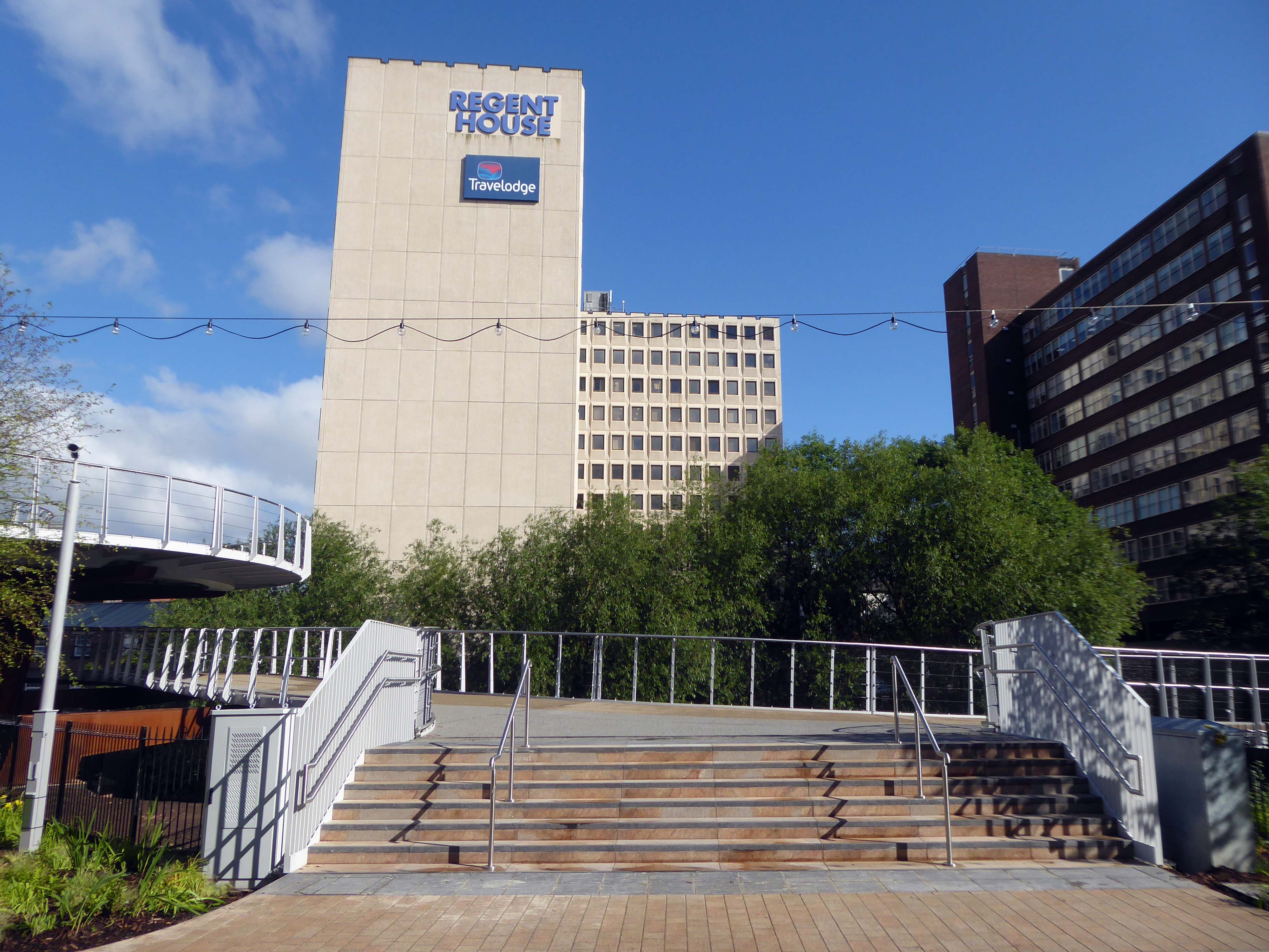
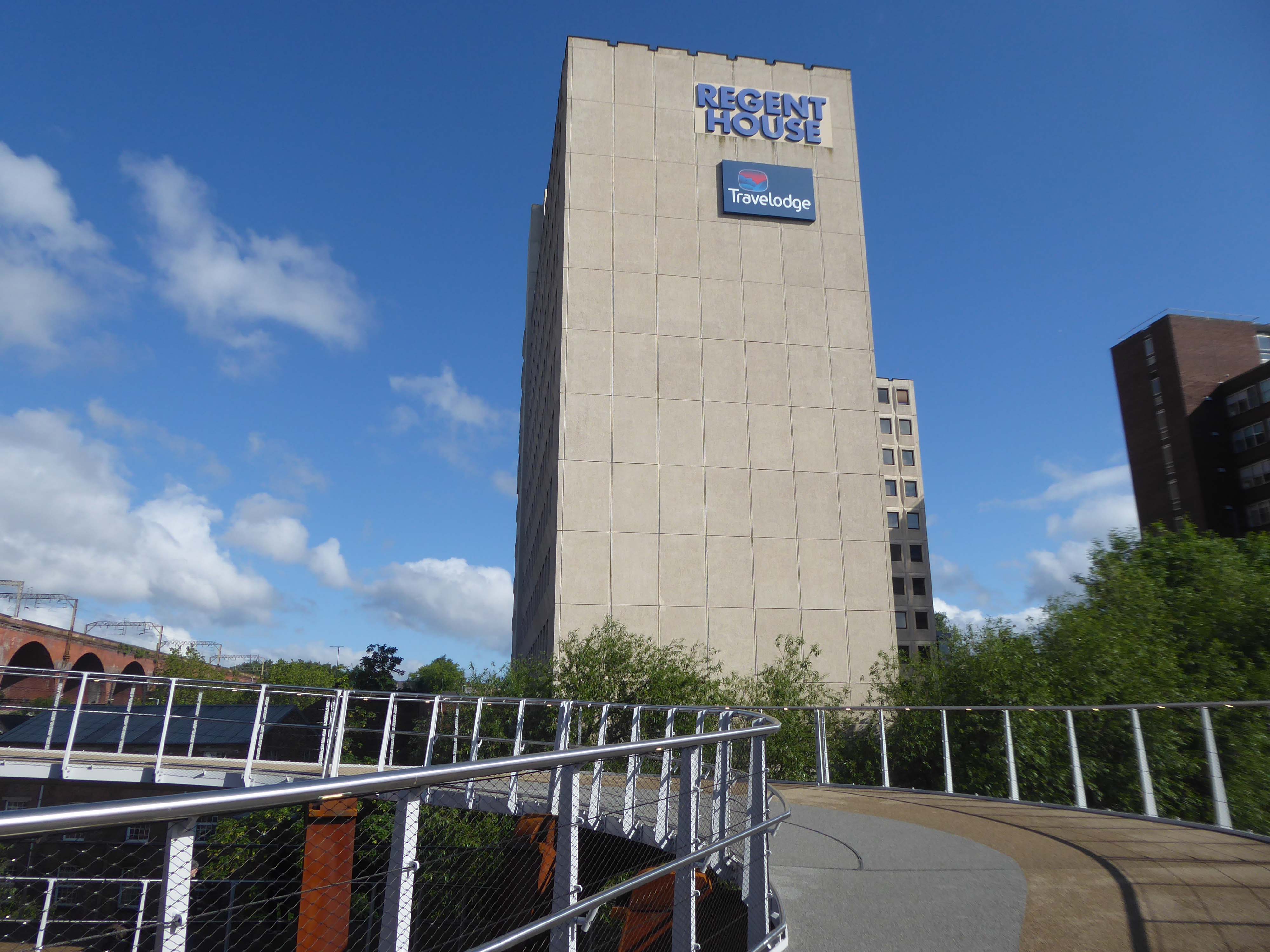
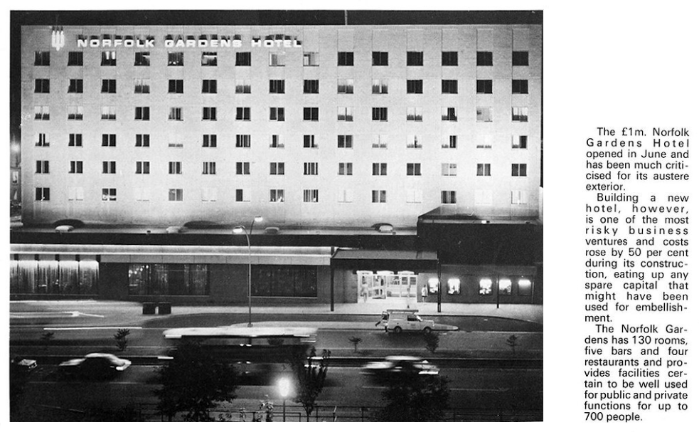
The Bradford Hotel remains resolutely unmoved, recently it has been used as an Asylum Hotel, unsure that this is still so.
Located in the heart of central Bradford, The Bradford Hotel provides an elegant refuge in the midst of the bustling city.
Originally opened as the Norfolk Gardens Hotel, the hotel was completed in 1972 and opened in June of that year.
Architects – William Walker Partnership.
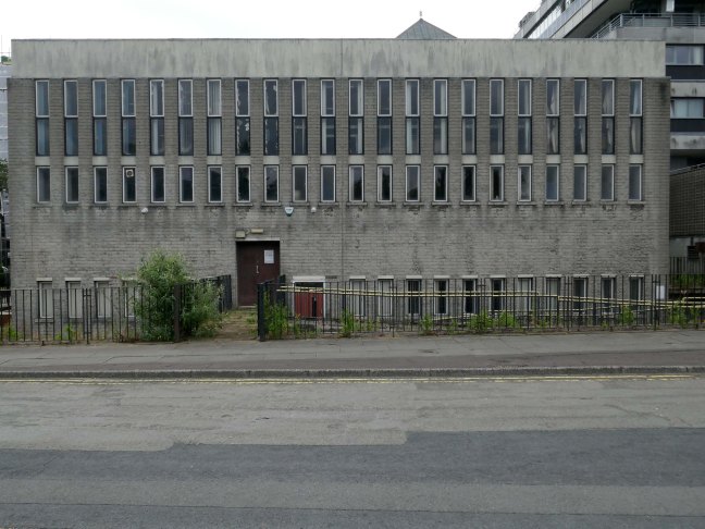
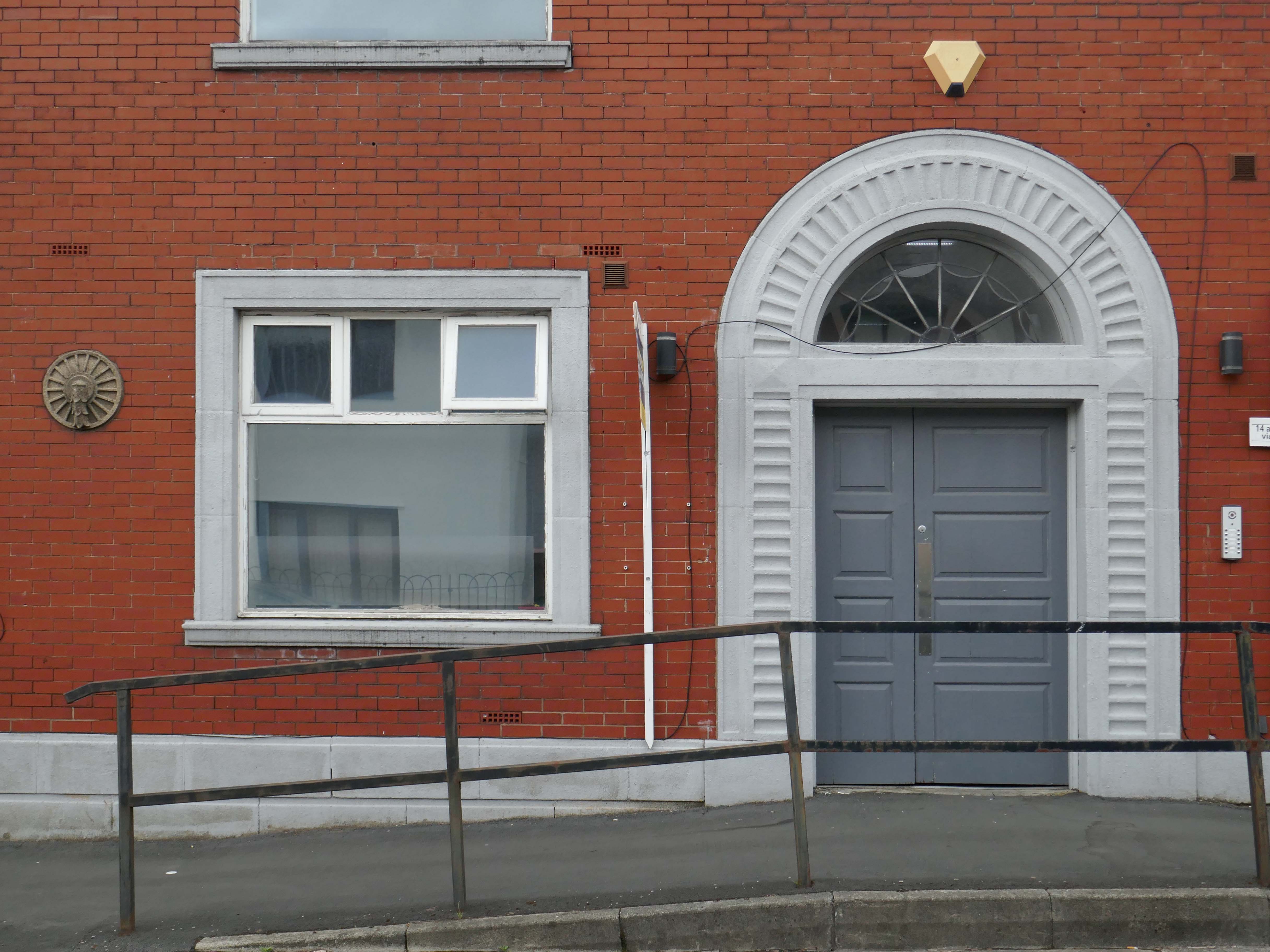
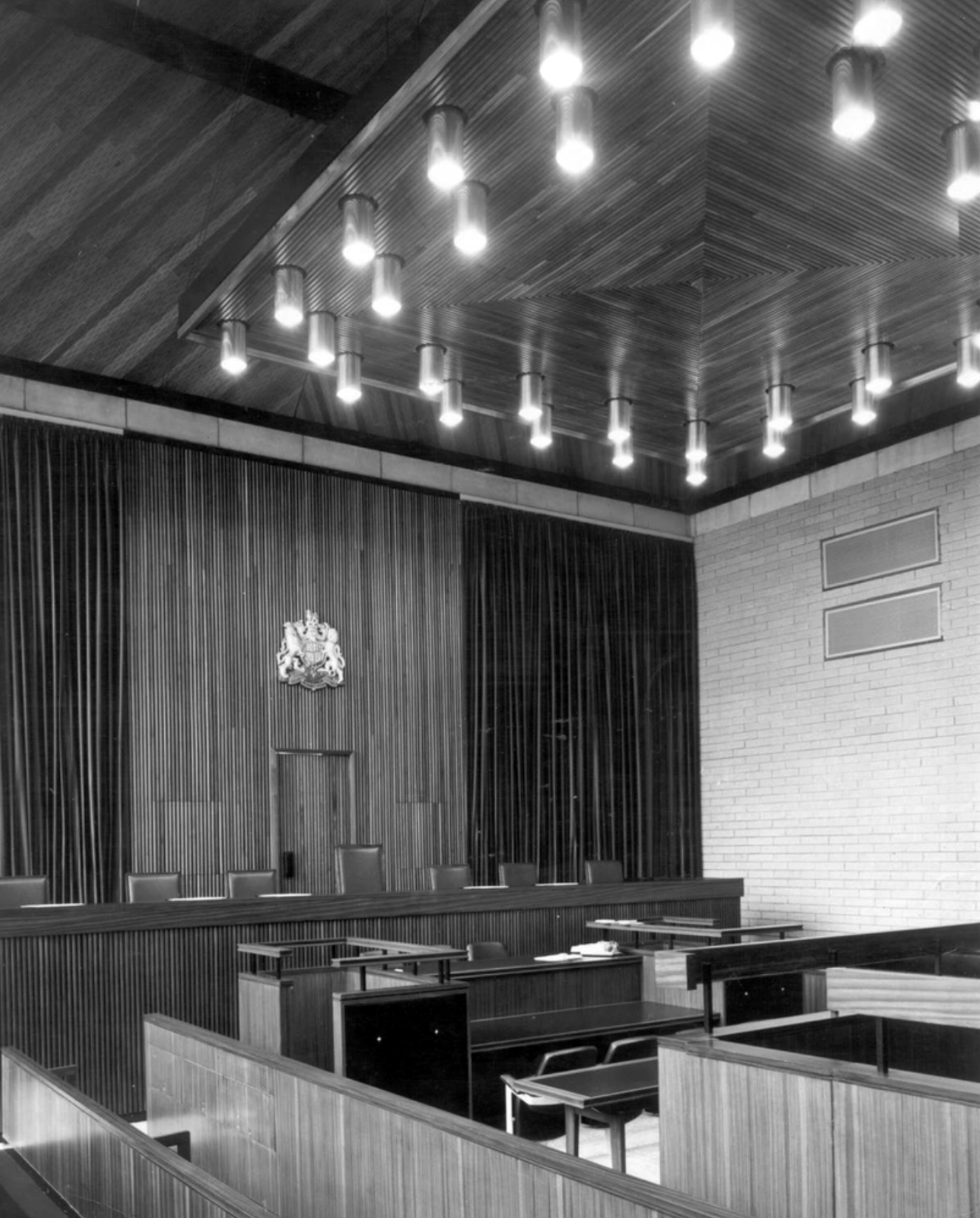
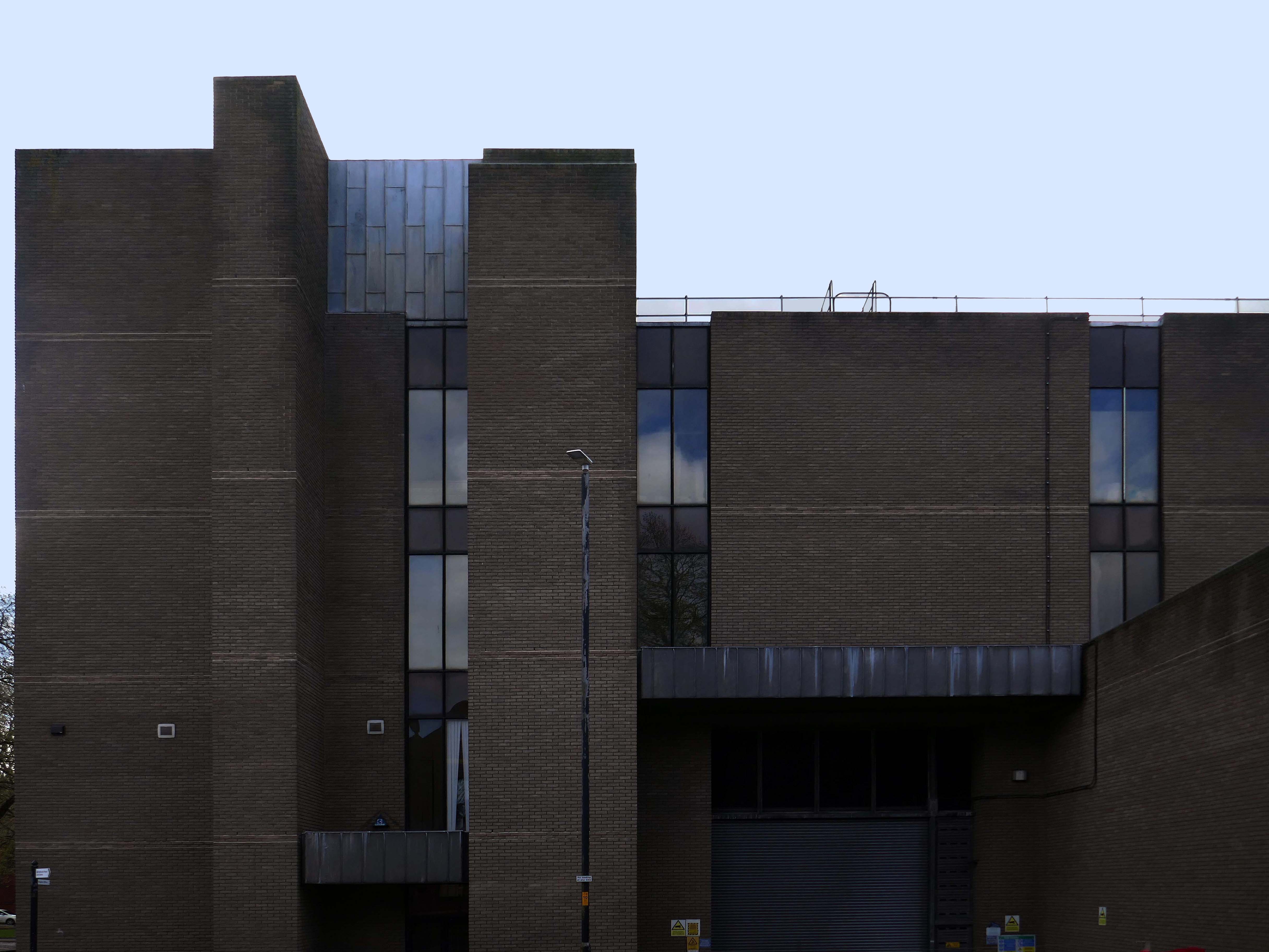
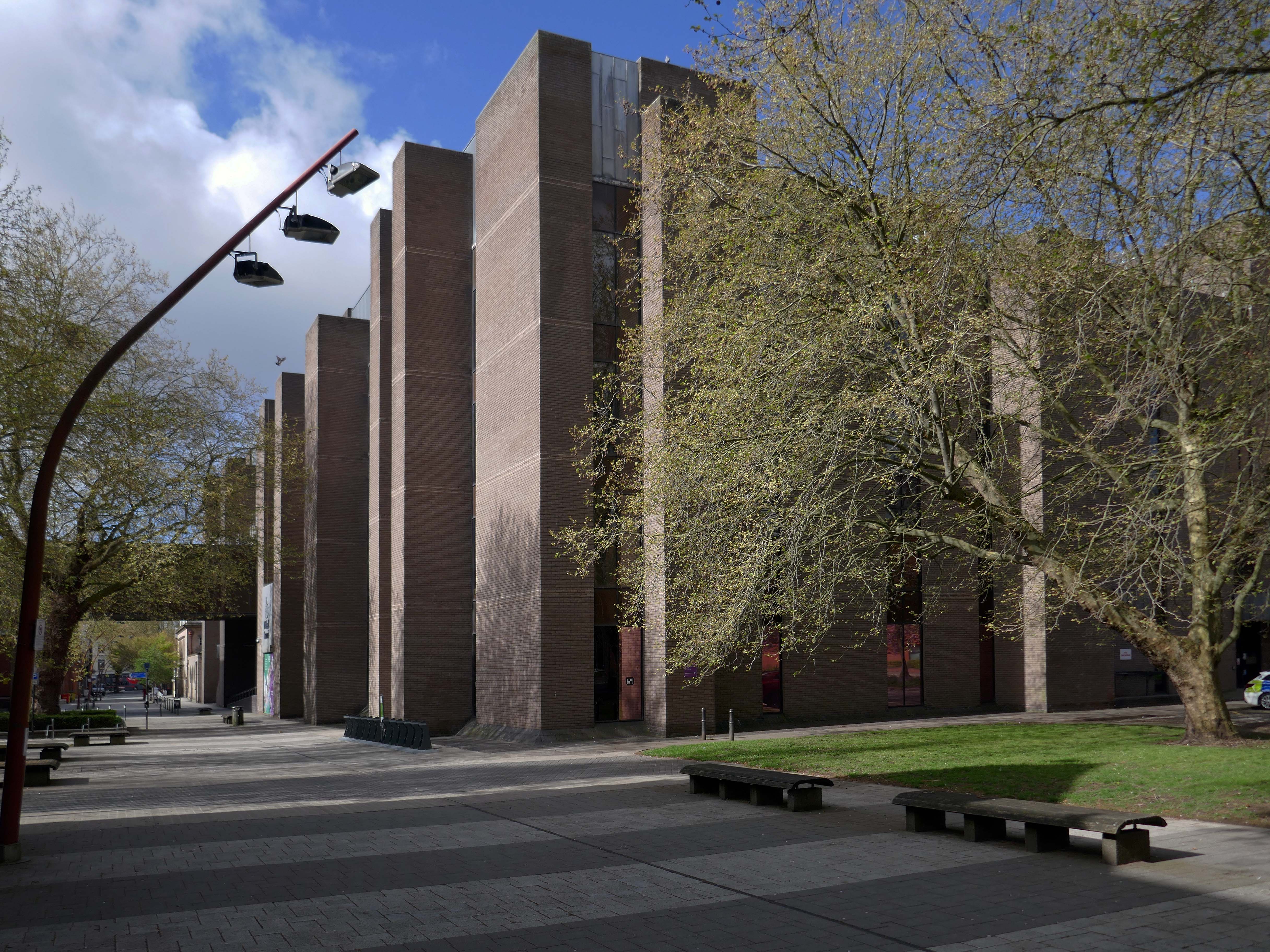
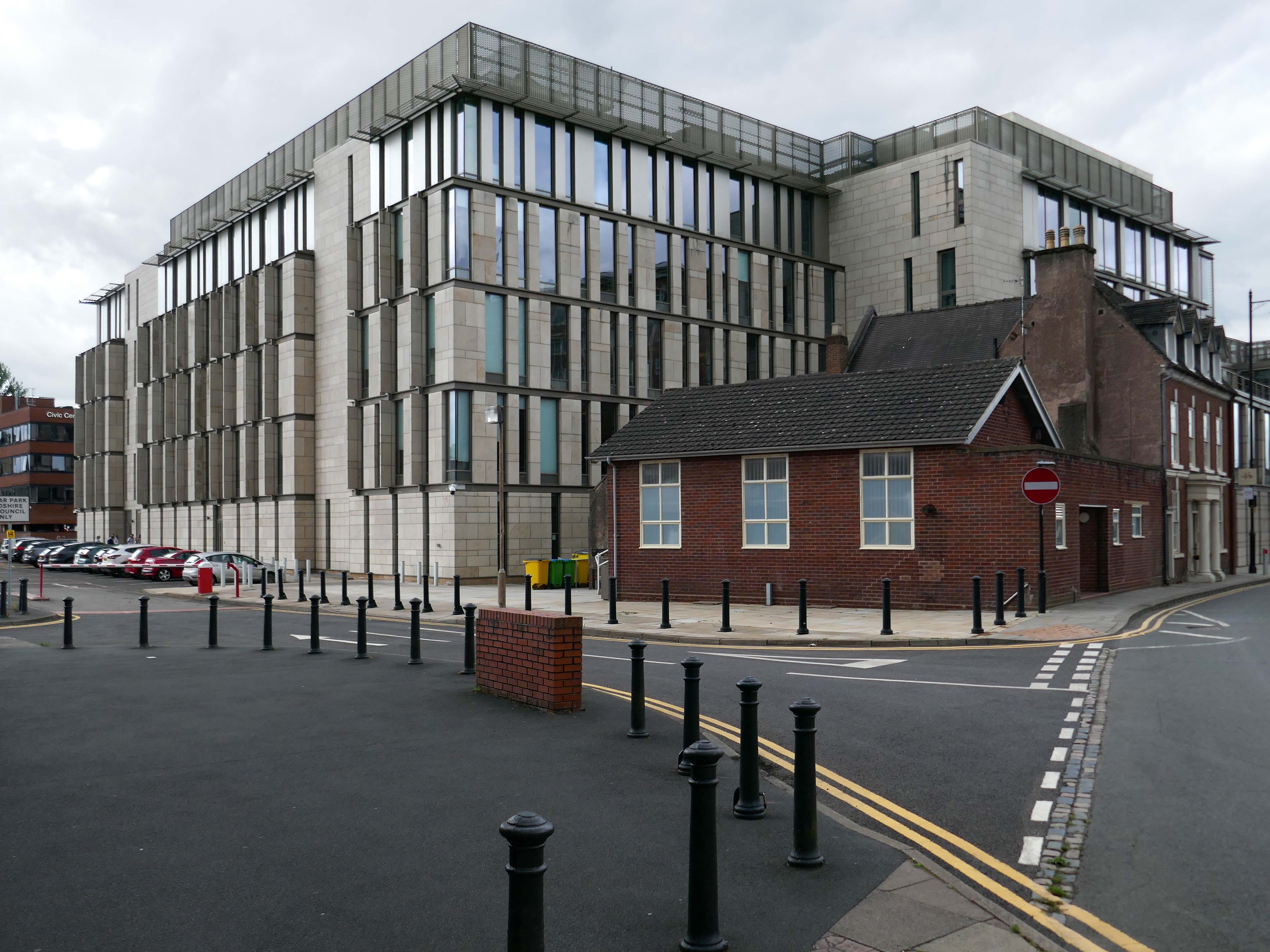
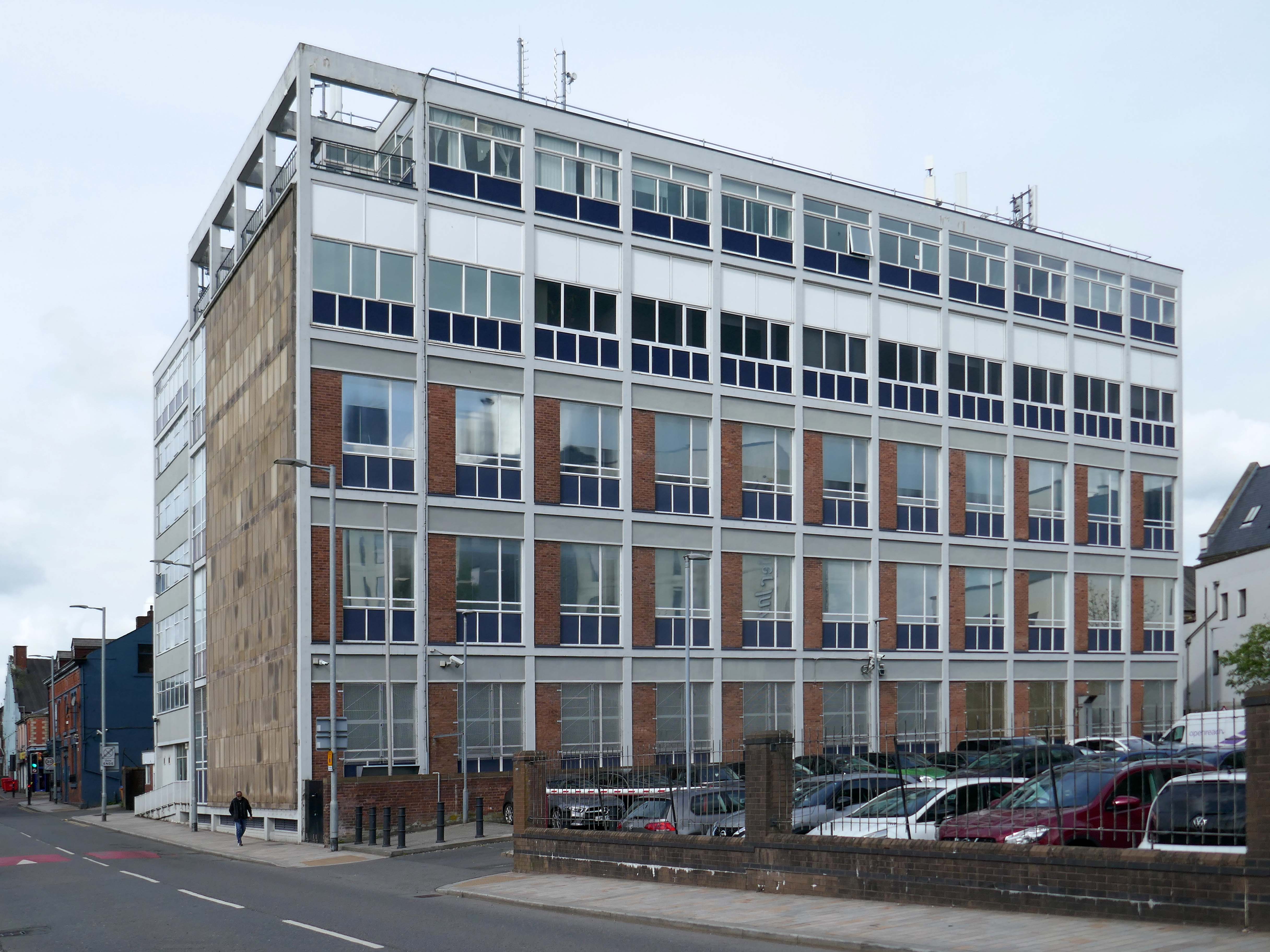
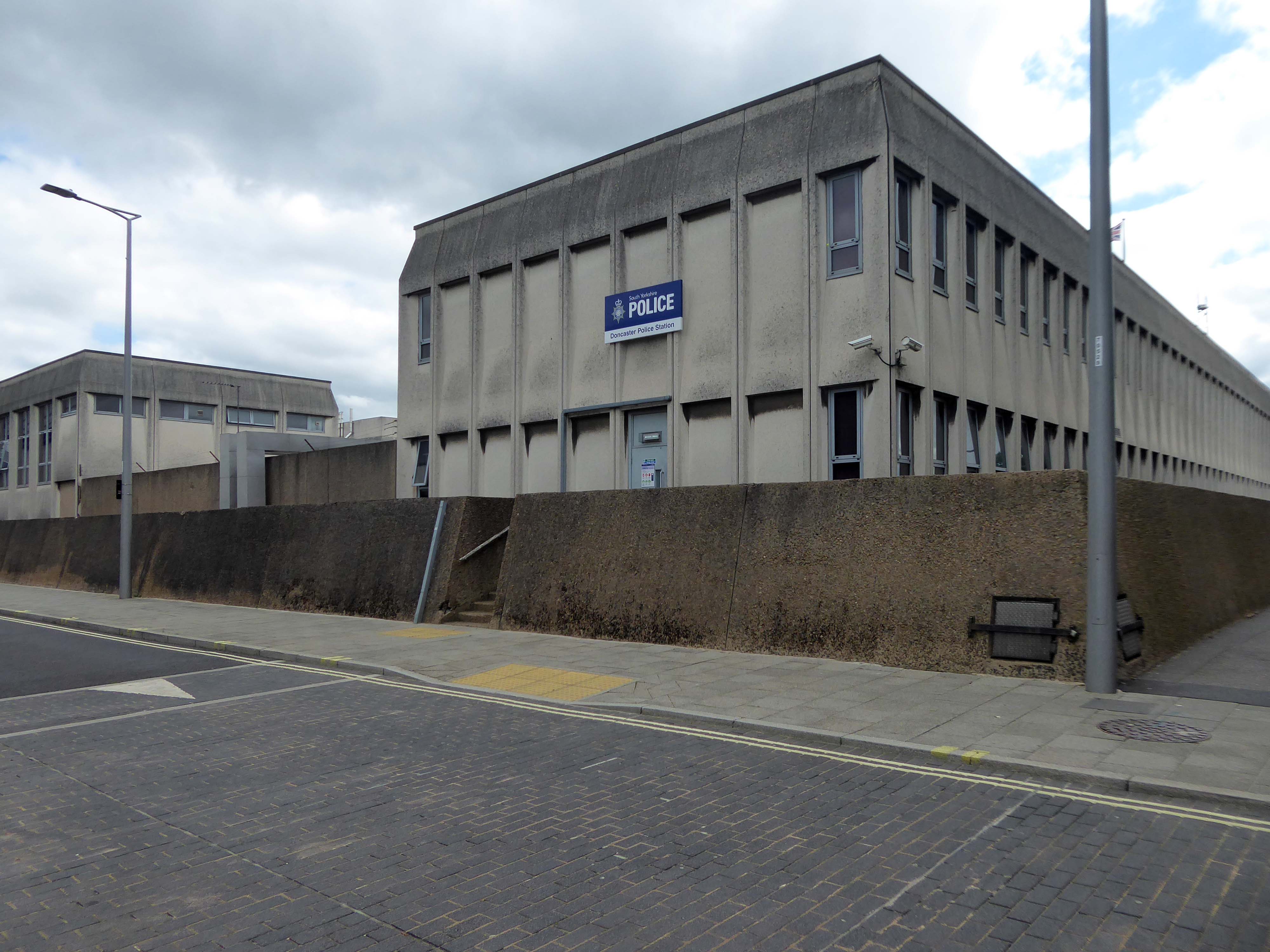
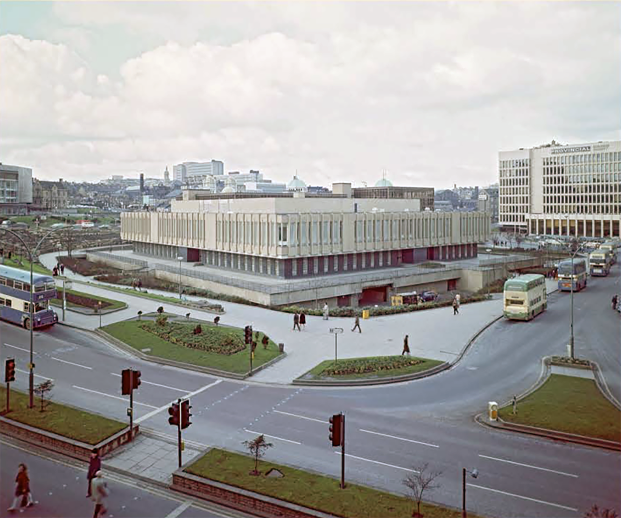
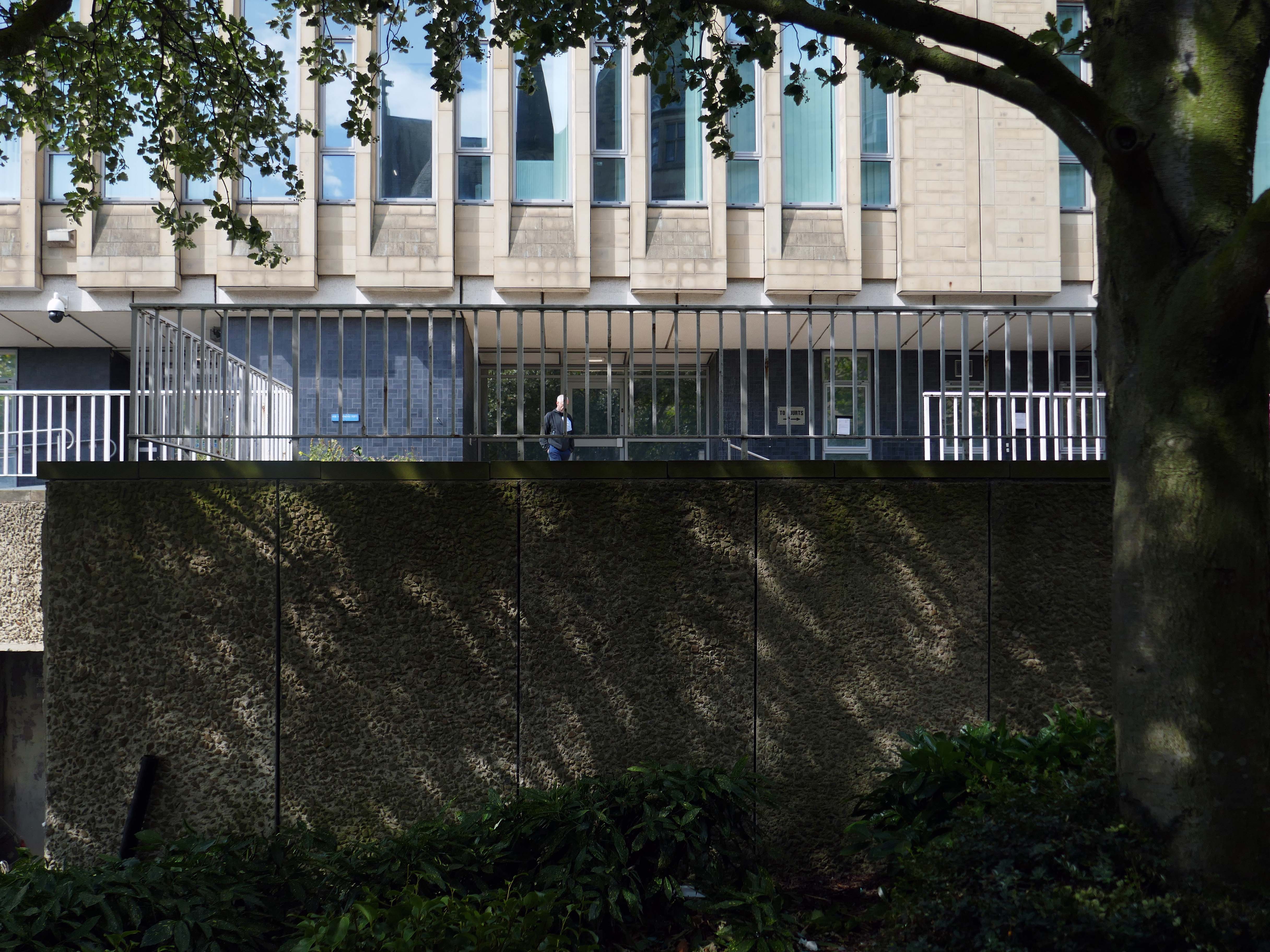
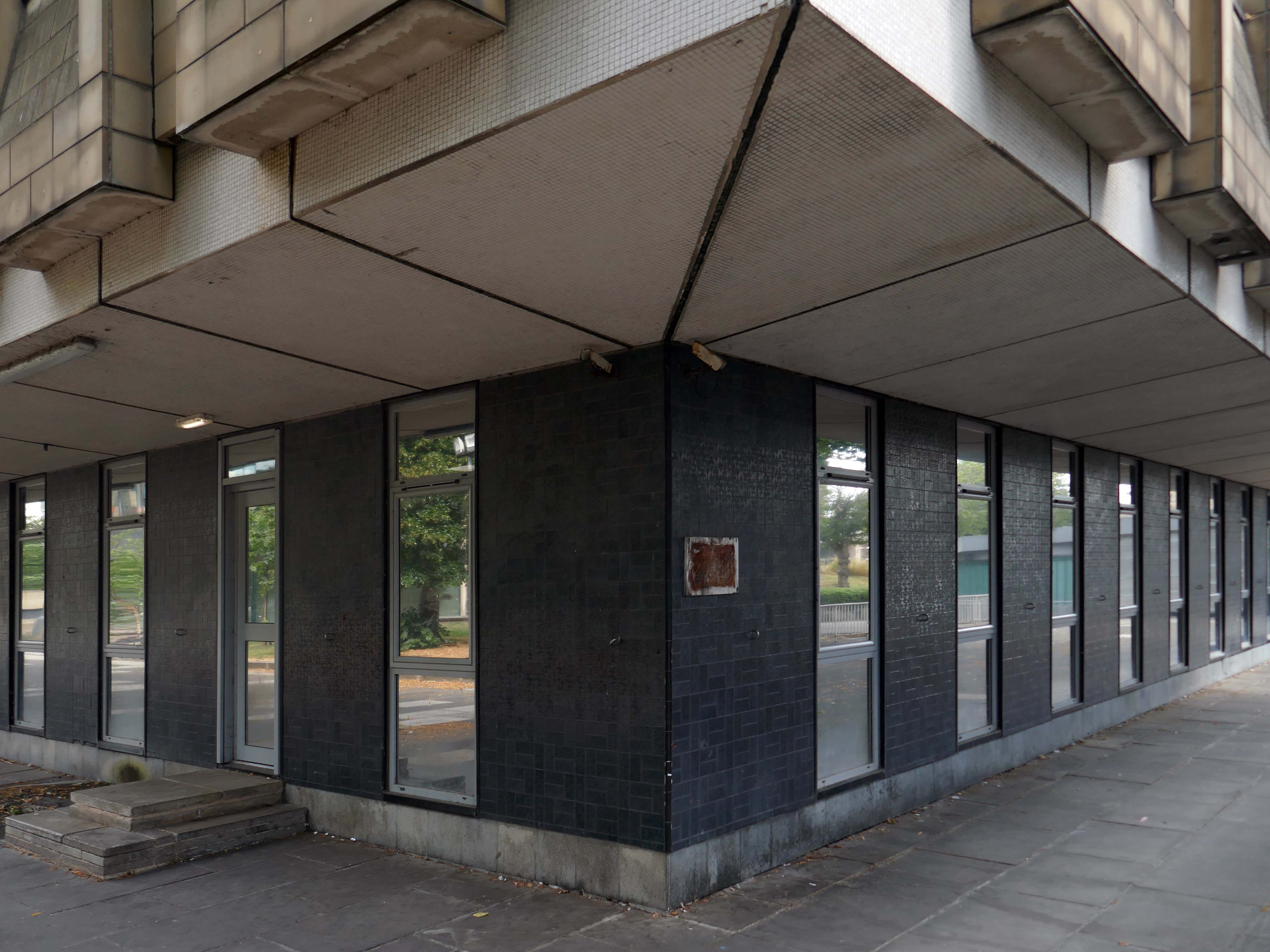
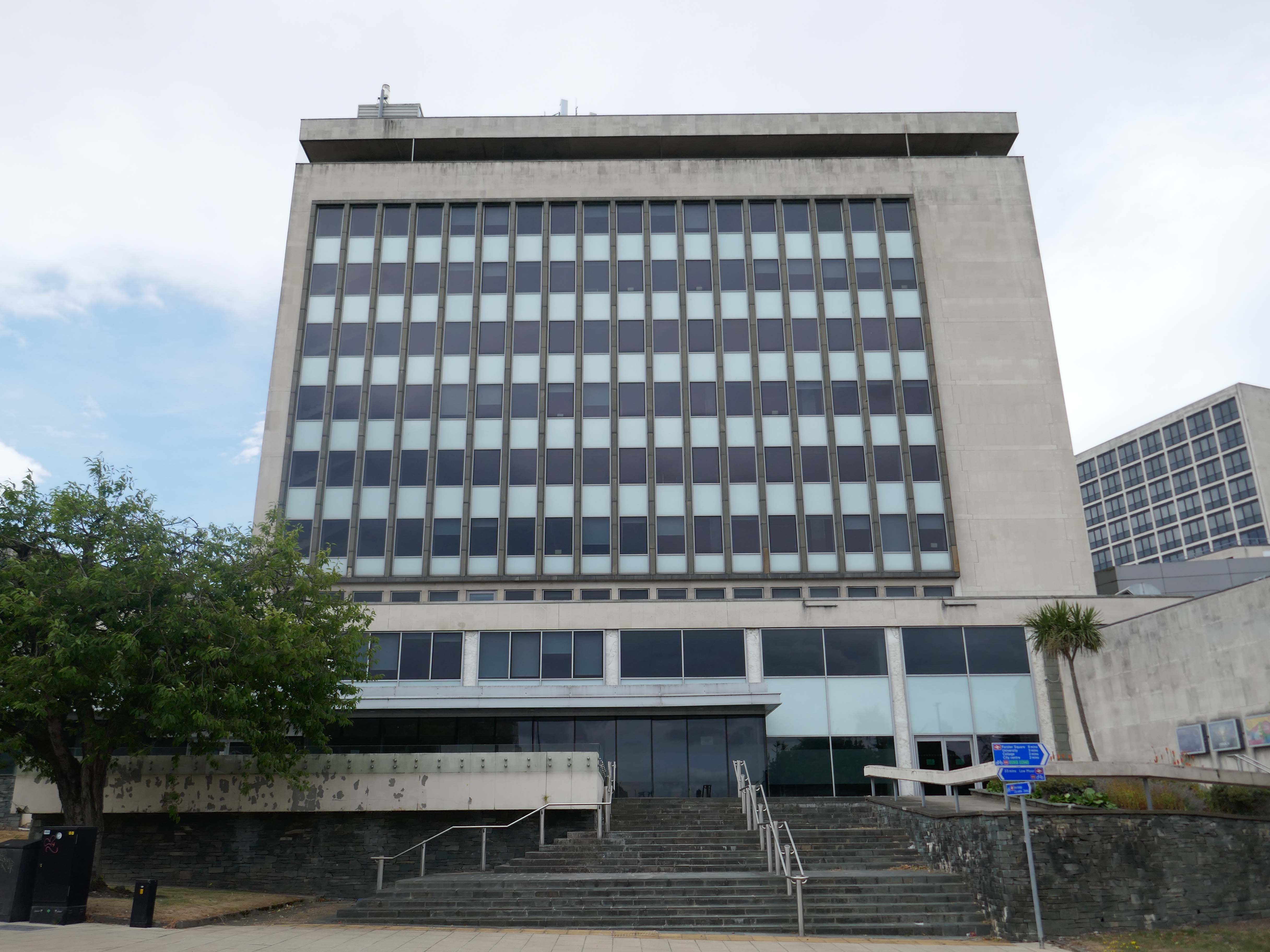
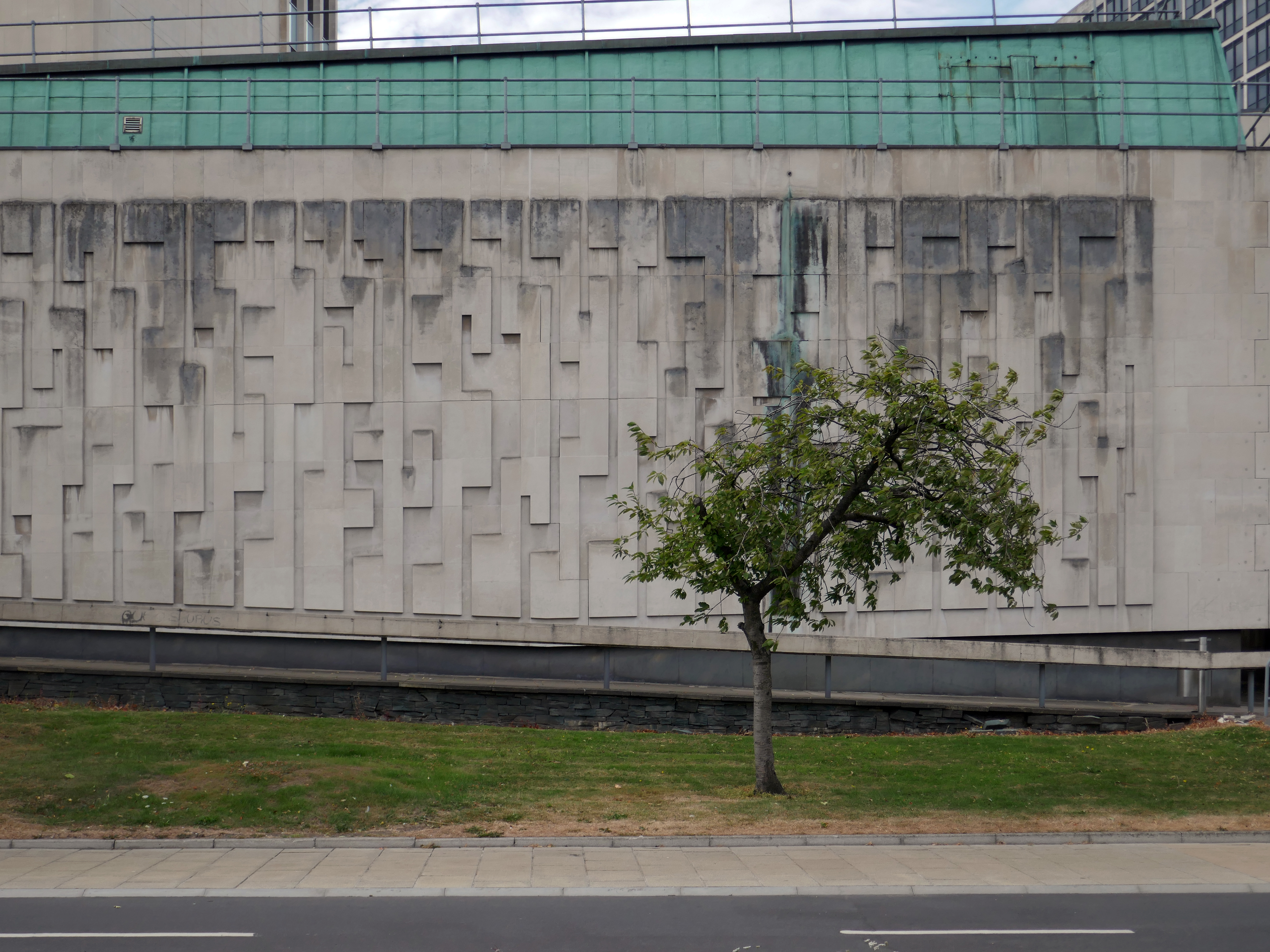
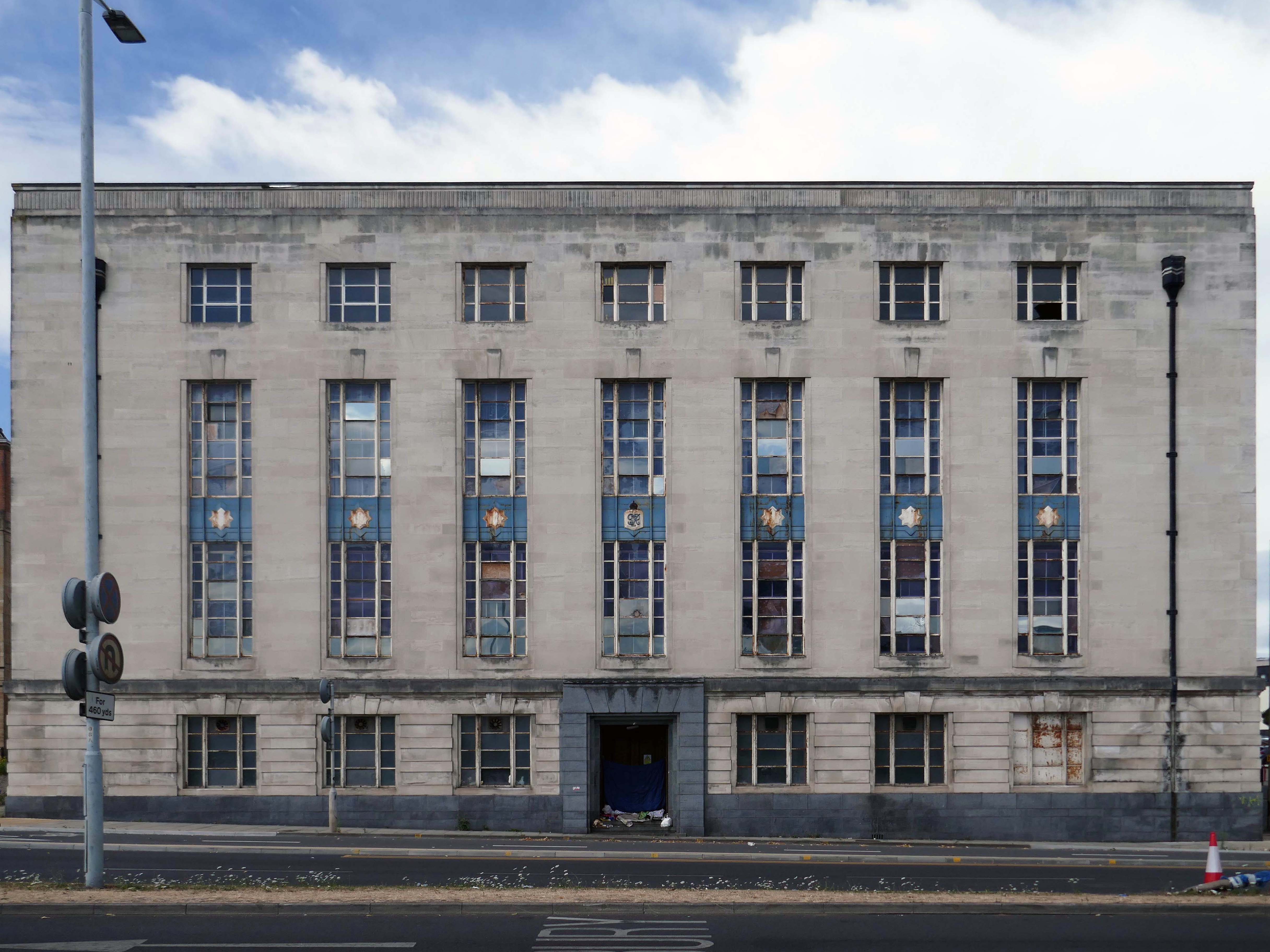
Adjacent is the Magistrates’ Court 1972.
City Architect WC Brown.
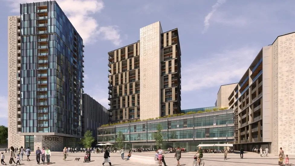
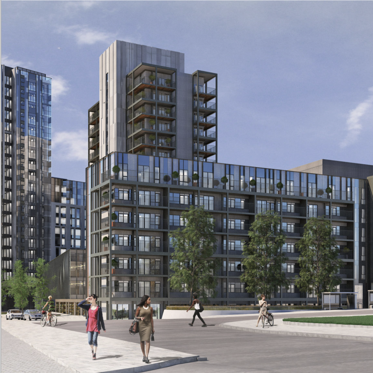
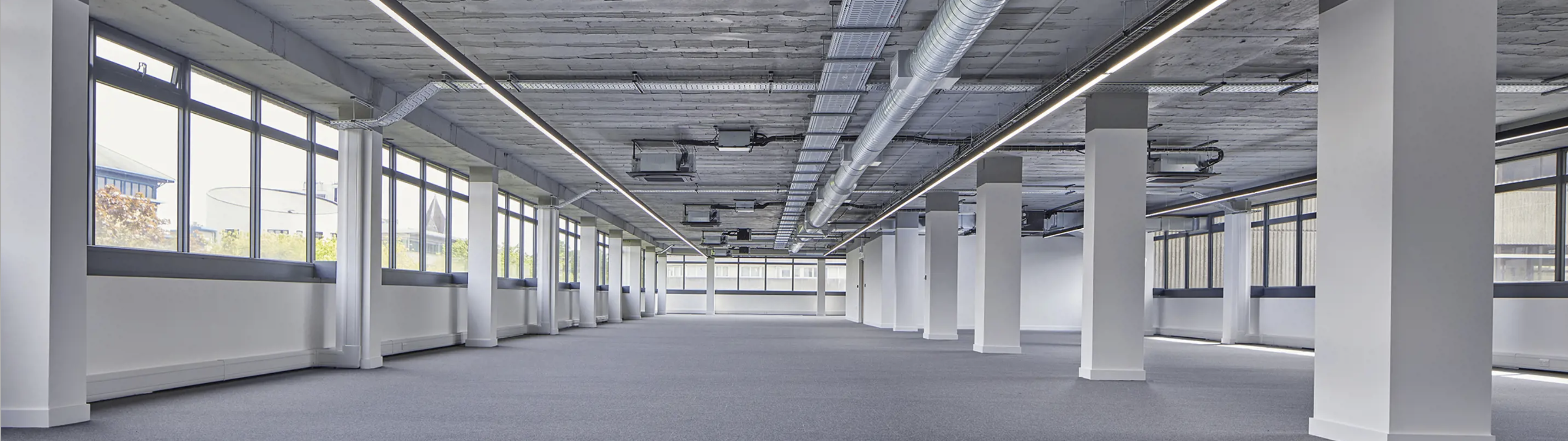
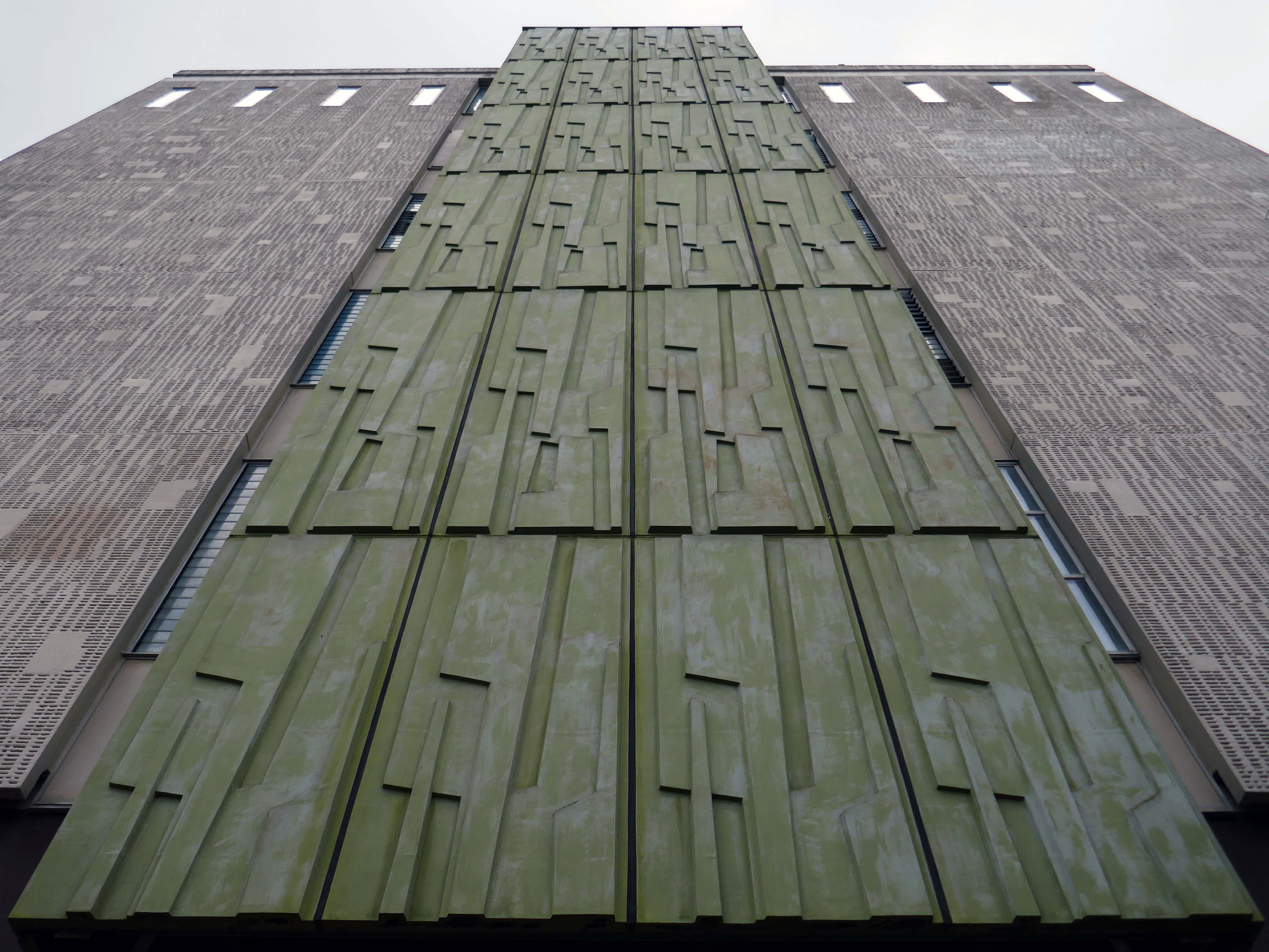
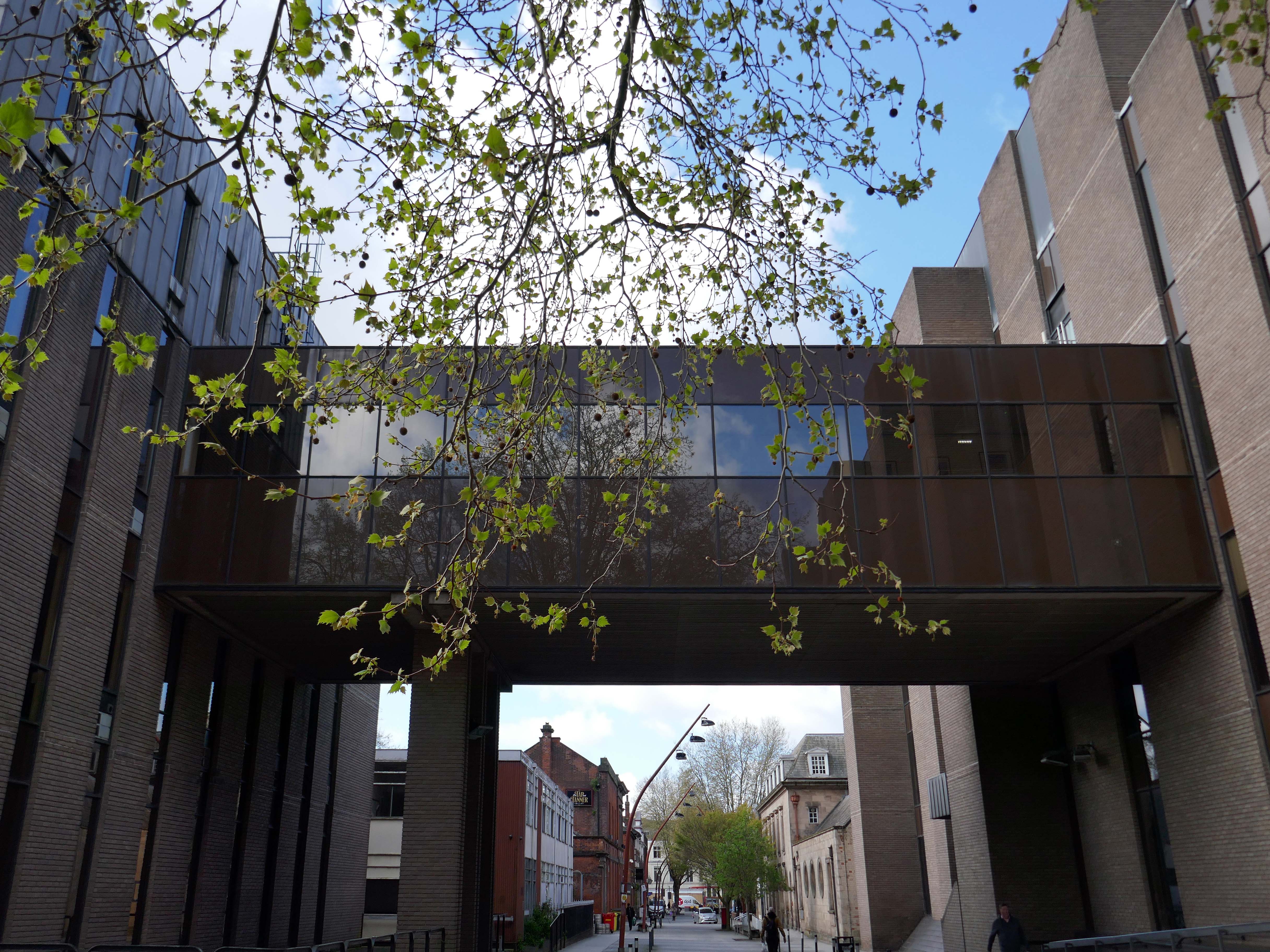
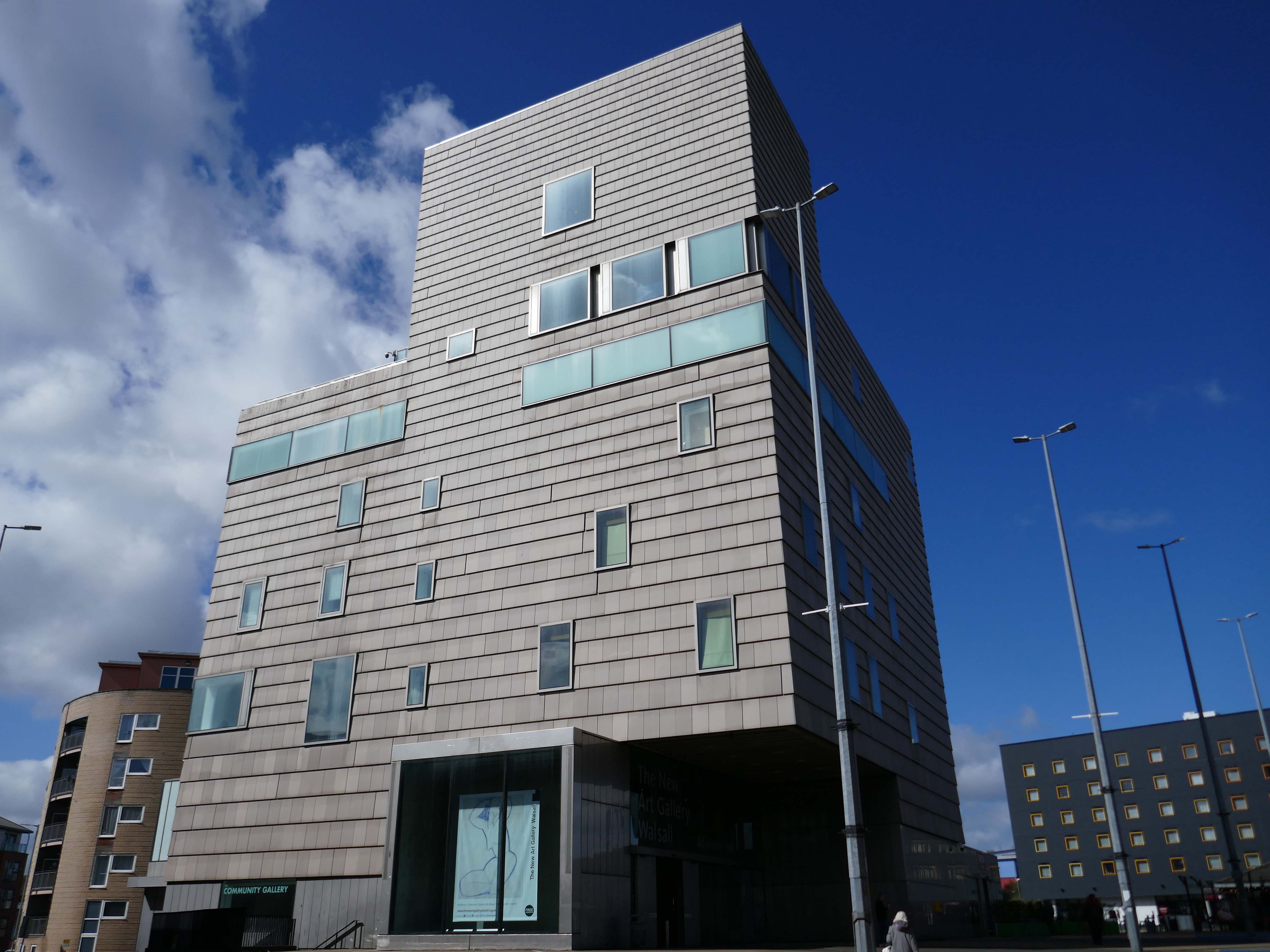
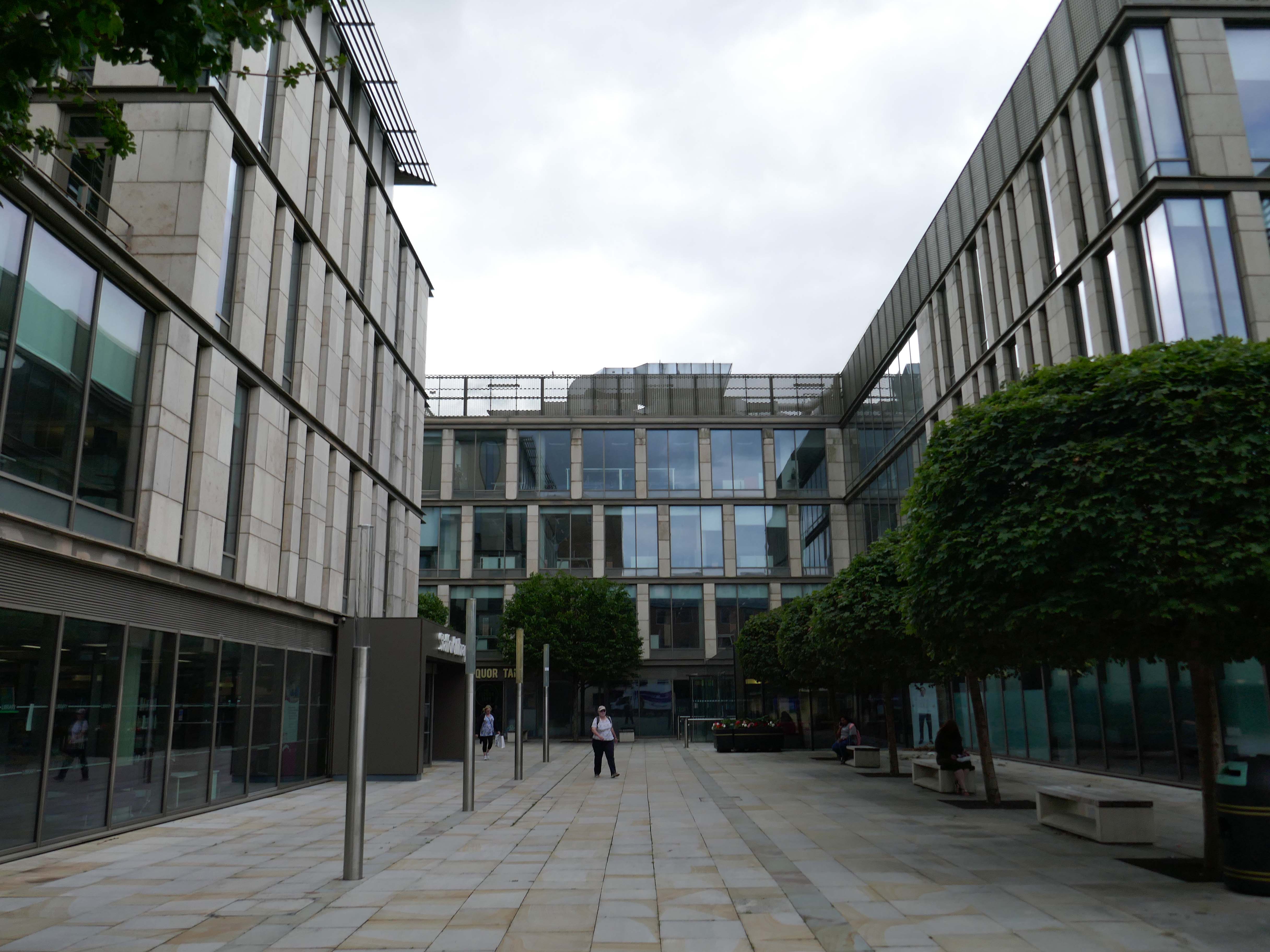
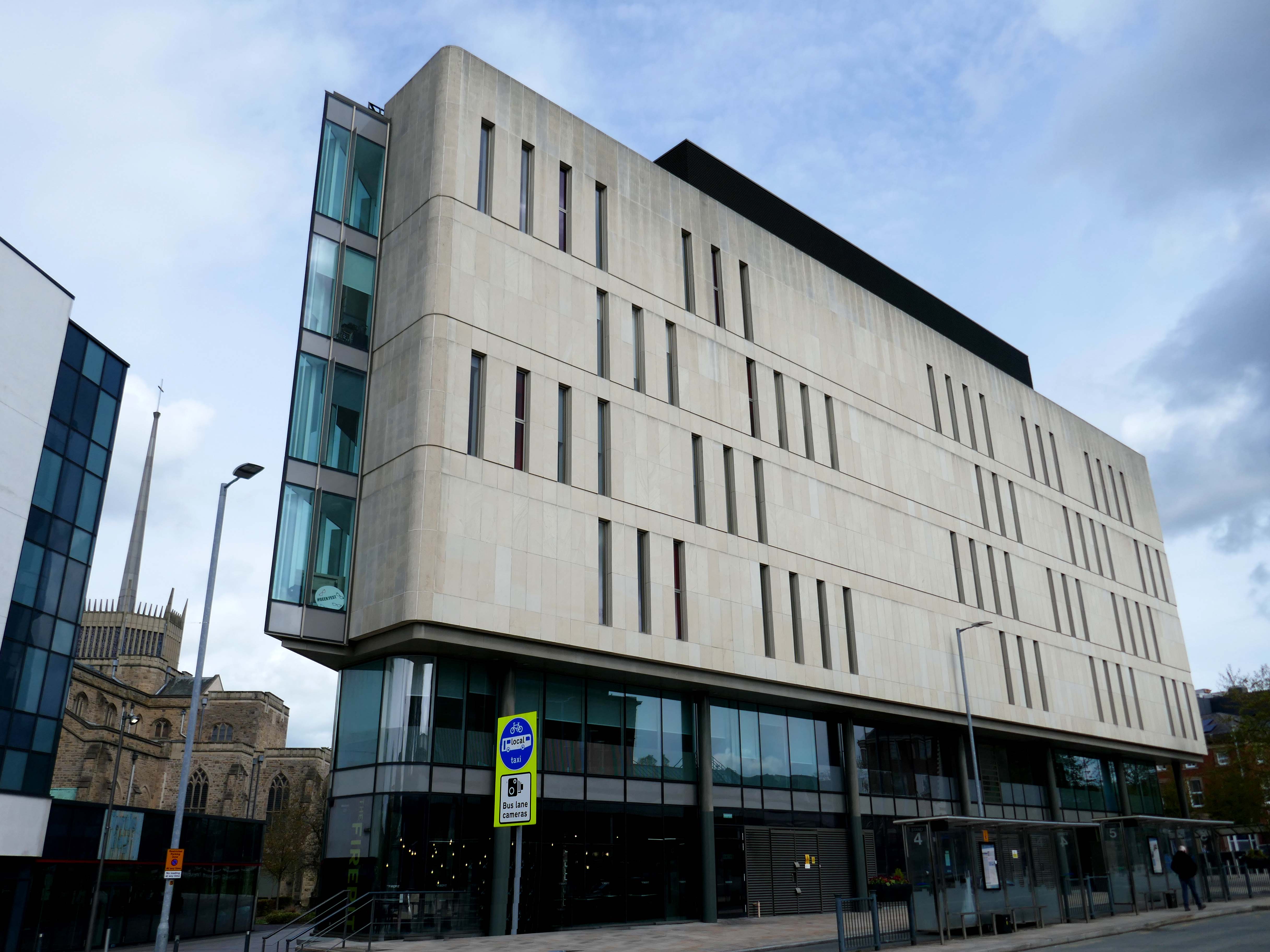
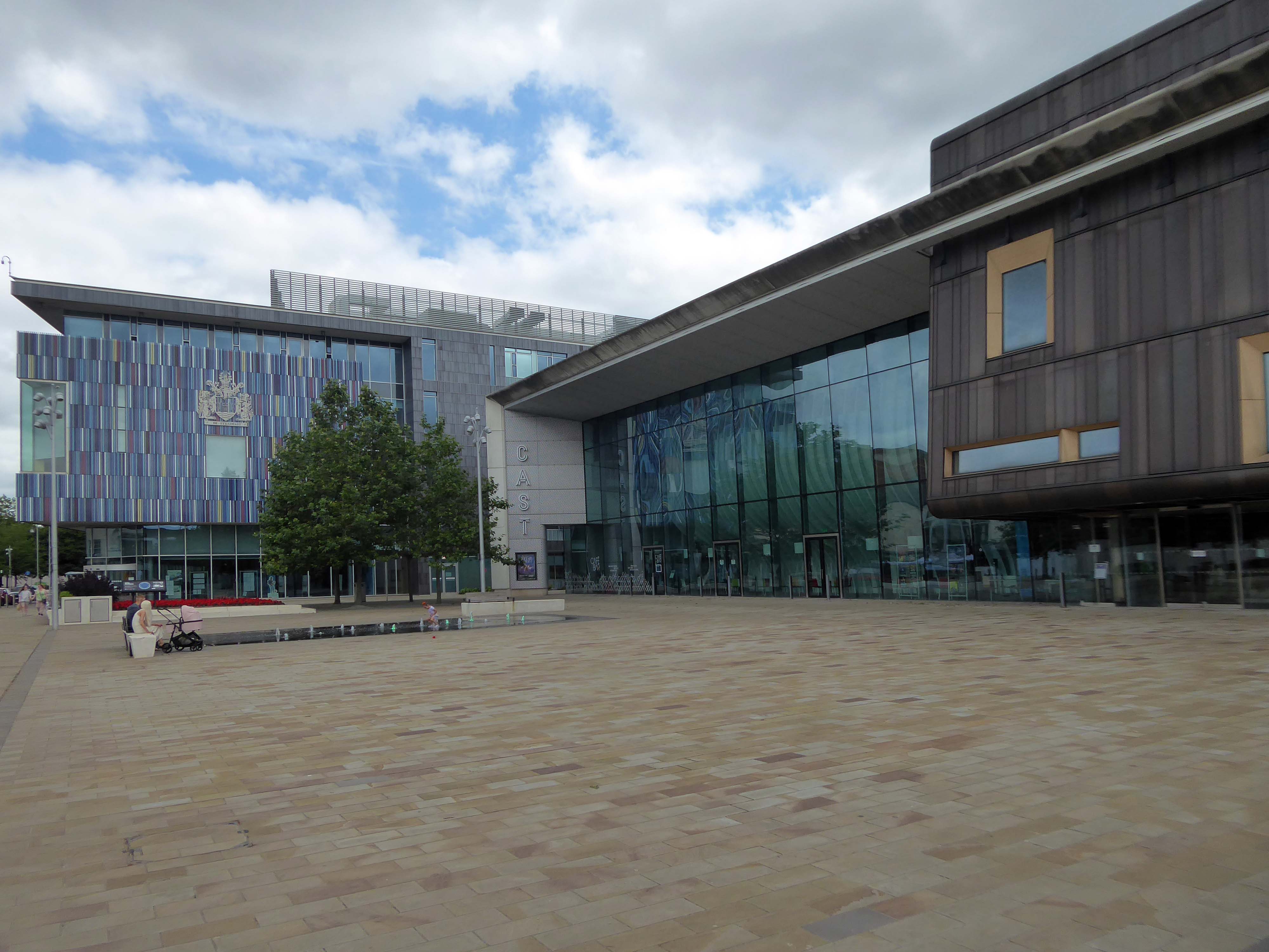
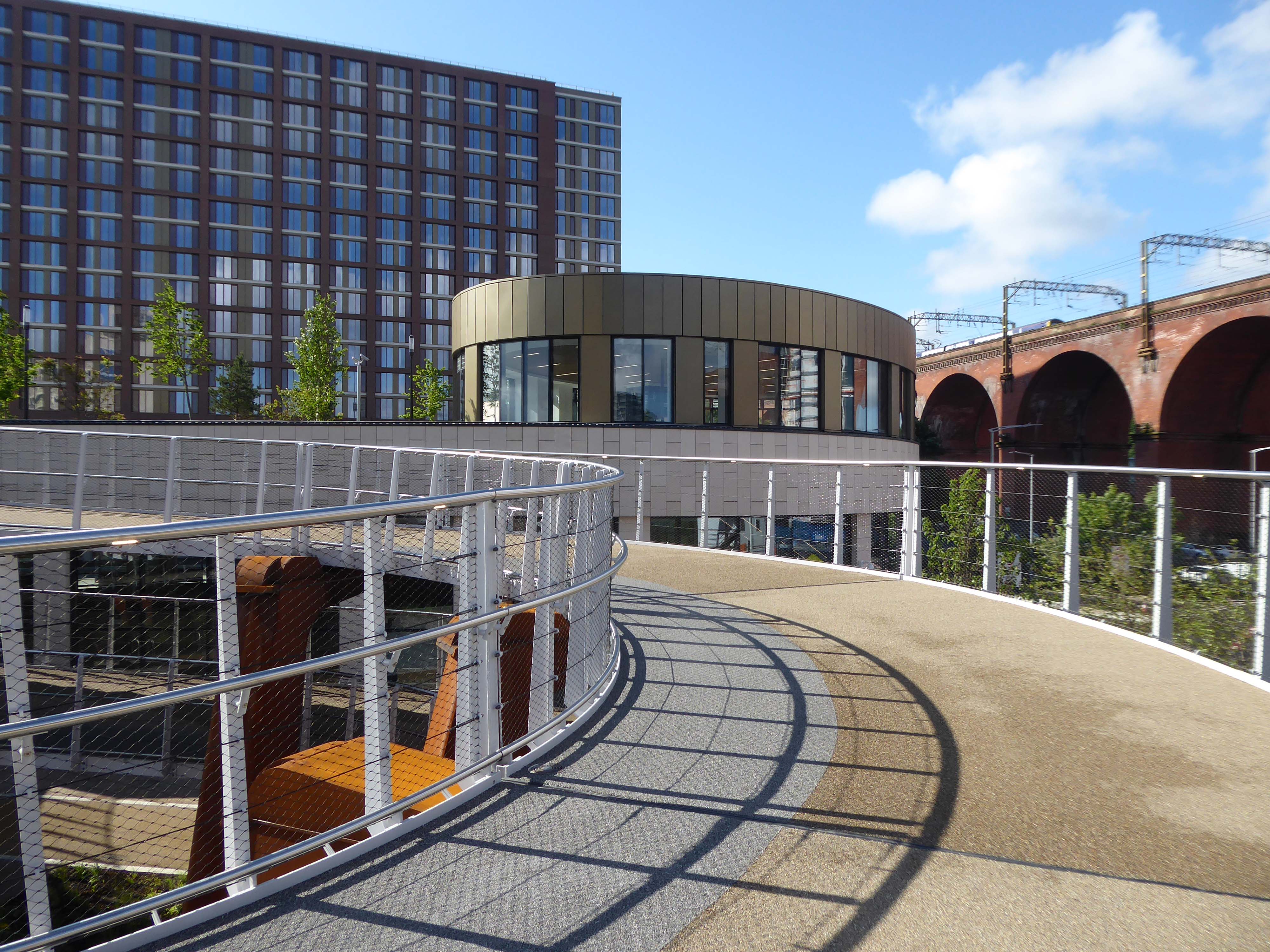
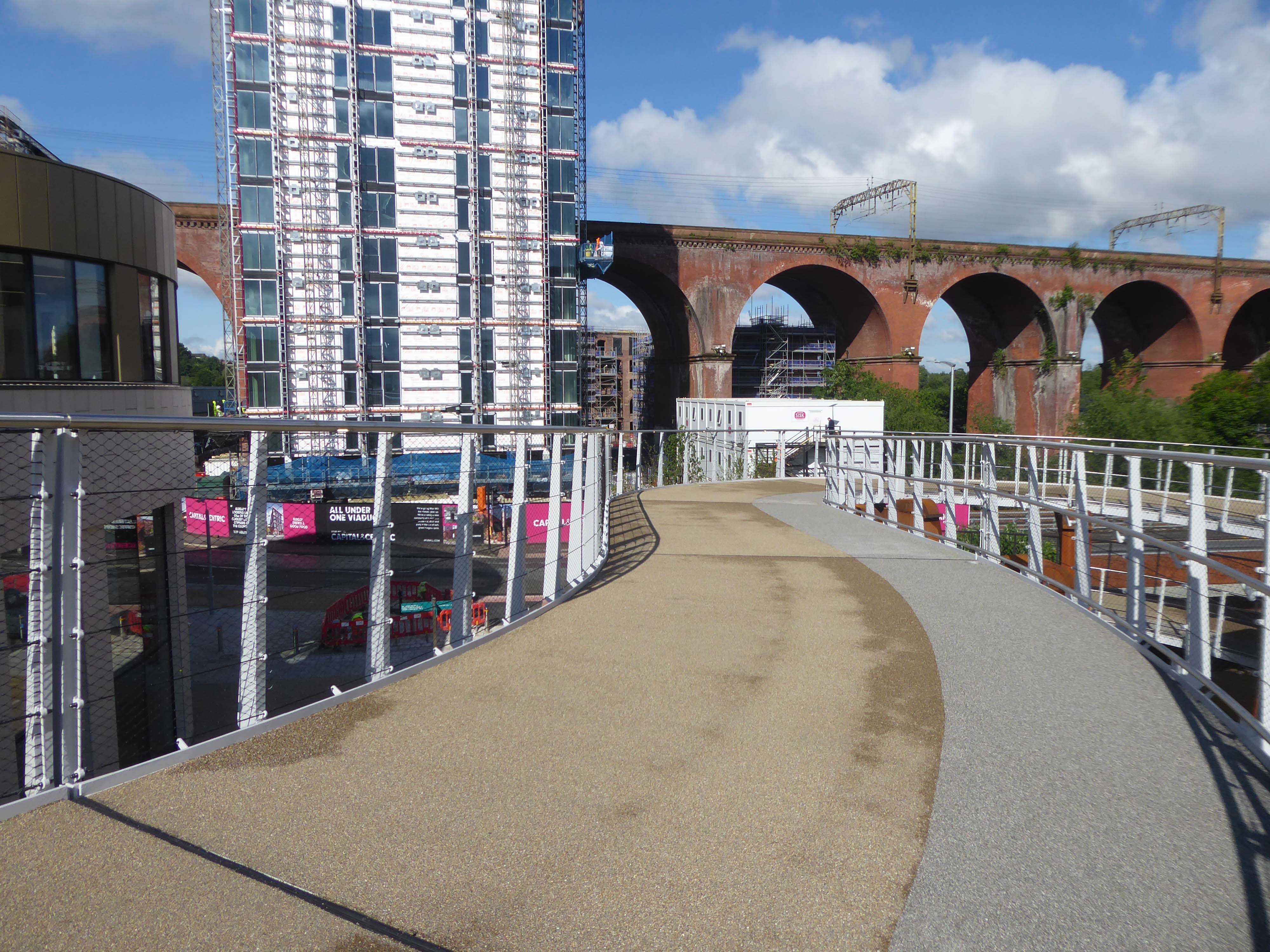
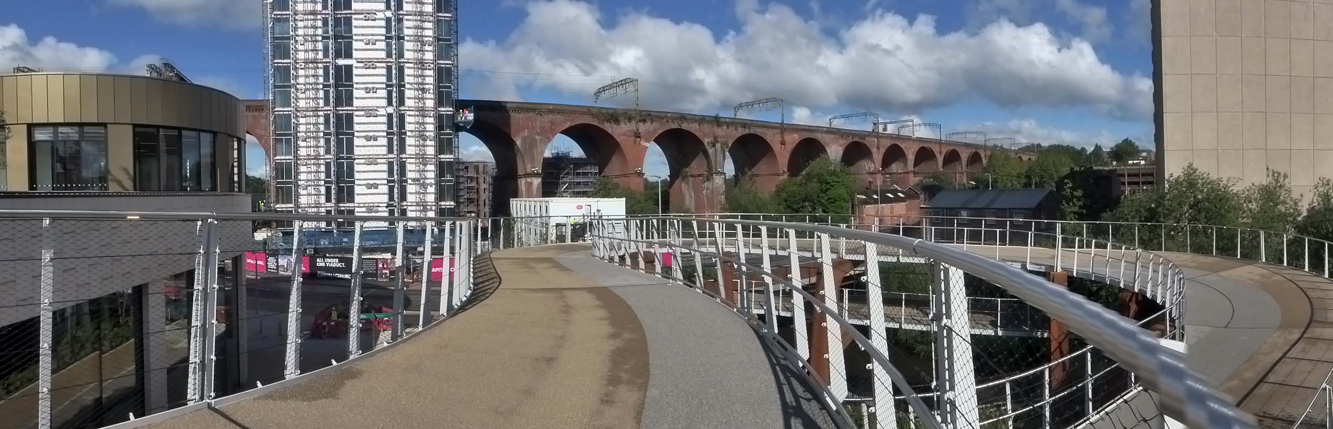
With a view through to One City Park 2024 Sheppard Robson.
One City Park in Bradford, England, draws attention with its striking architecture. The building’s curved design and forward-thinking concept create significant interest. For Sheppard Robson Architects, sustainability and the needs of people were paramount in the design. The facade of the complex features 1,700 glassfibre reinforced concrete elements from Rieder, making a distinctive design statement. The sandstone-coloured concrete components serve as both an architectural feature and a key element in creating a sustainable, visionary work environment.
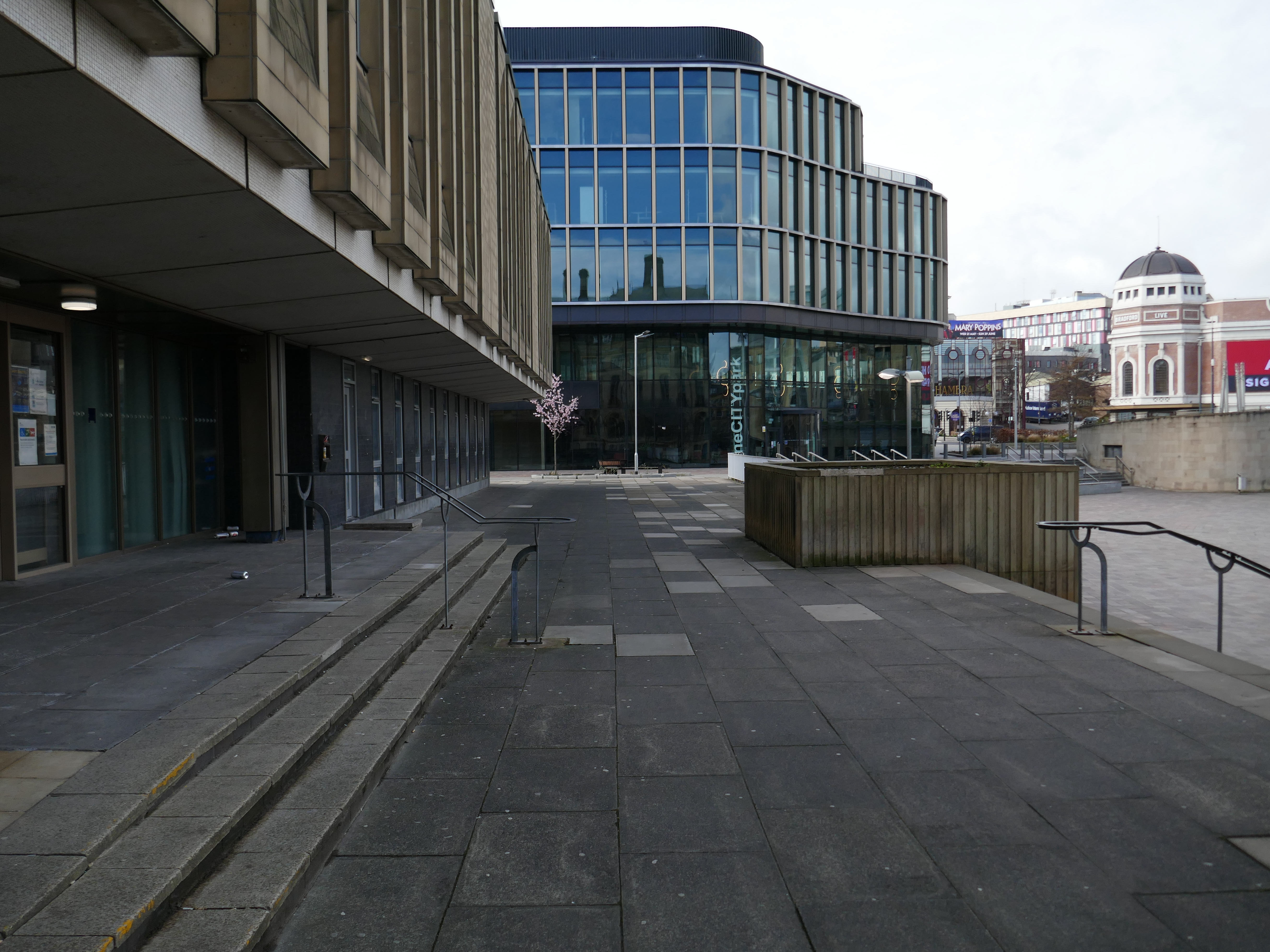
One City Park has been built on the site of the old Police Station opened in 1974 and demolished in 2010.
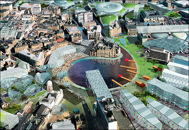
The area was once the centre of Will Alsop’s 2003 masterplan.
Which three years later are somewhat diluted:
The latest images of the scheme for the Bowl are generally disappointing and at the risk of a bad pun, the lake is now a watered-down version of Alsop’s vision.
Philip Veitch – of local practice Waller and Partners.
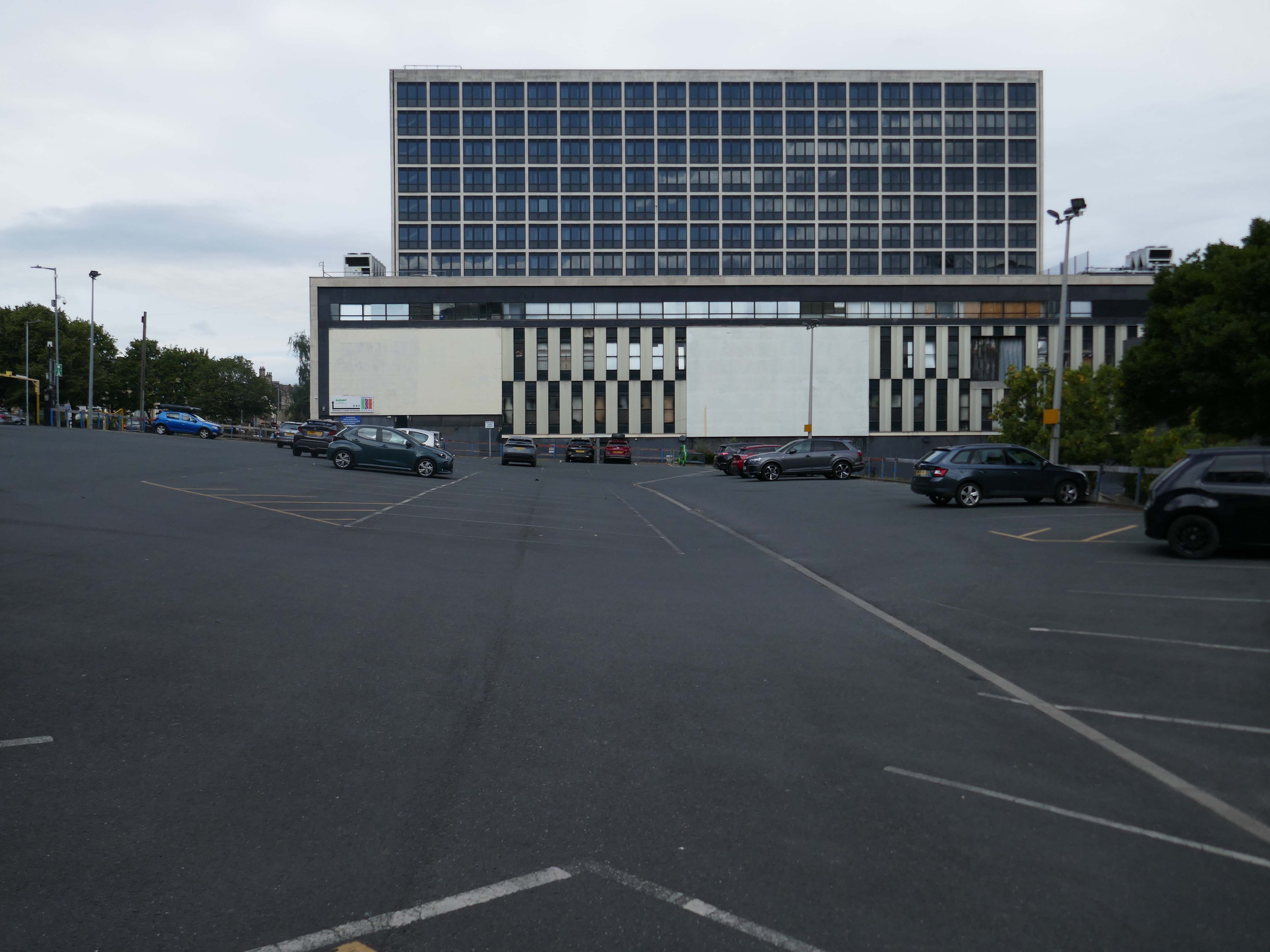
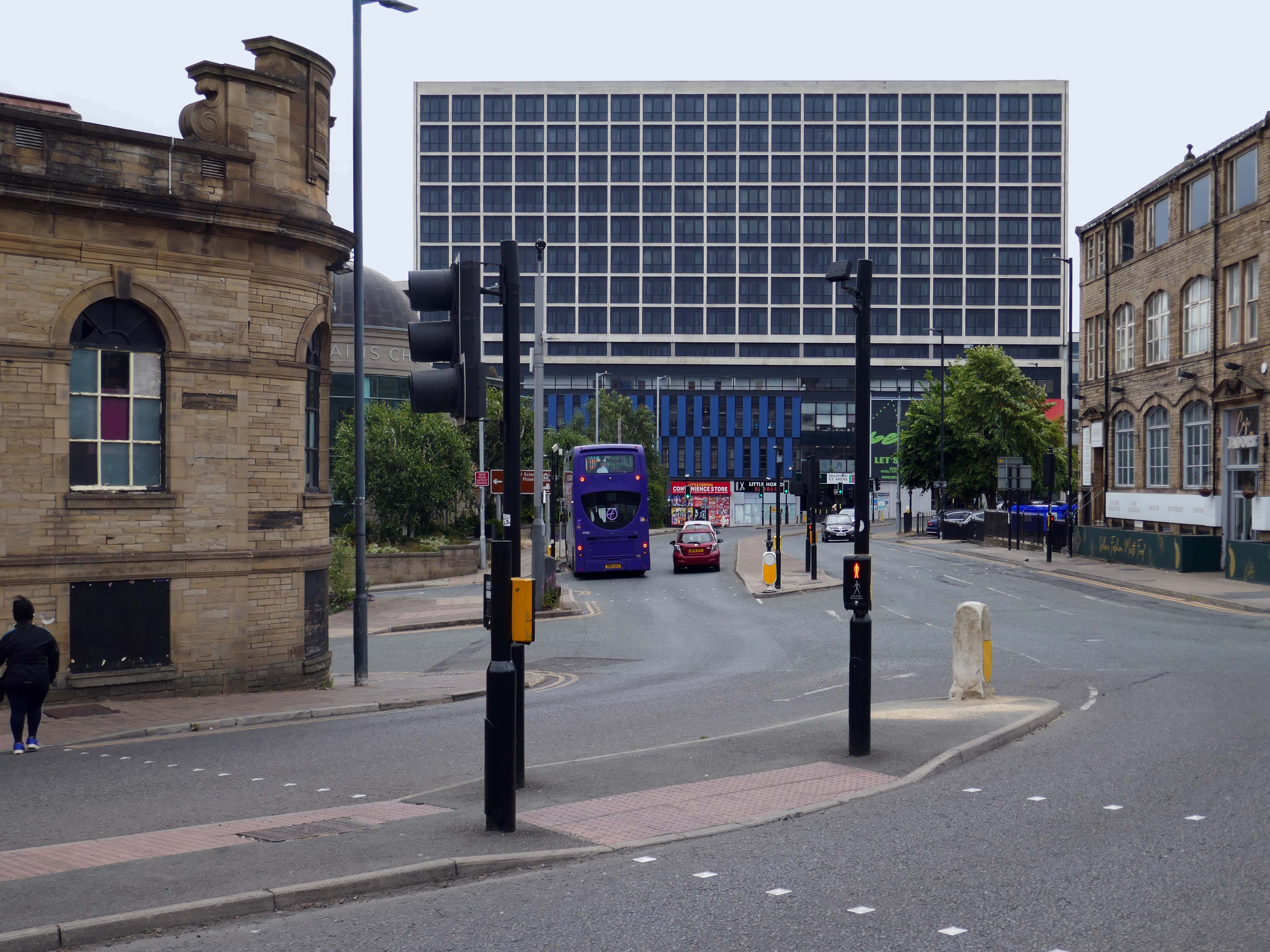
The Norfolk Gardens landscaping has opened up a fresh toward the Central Library 1965.
Architect – City Architect WC Brown with project architects G Sunderland and KLS Glen.
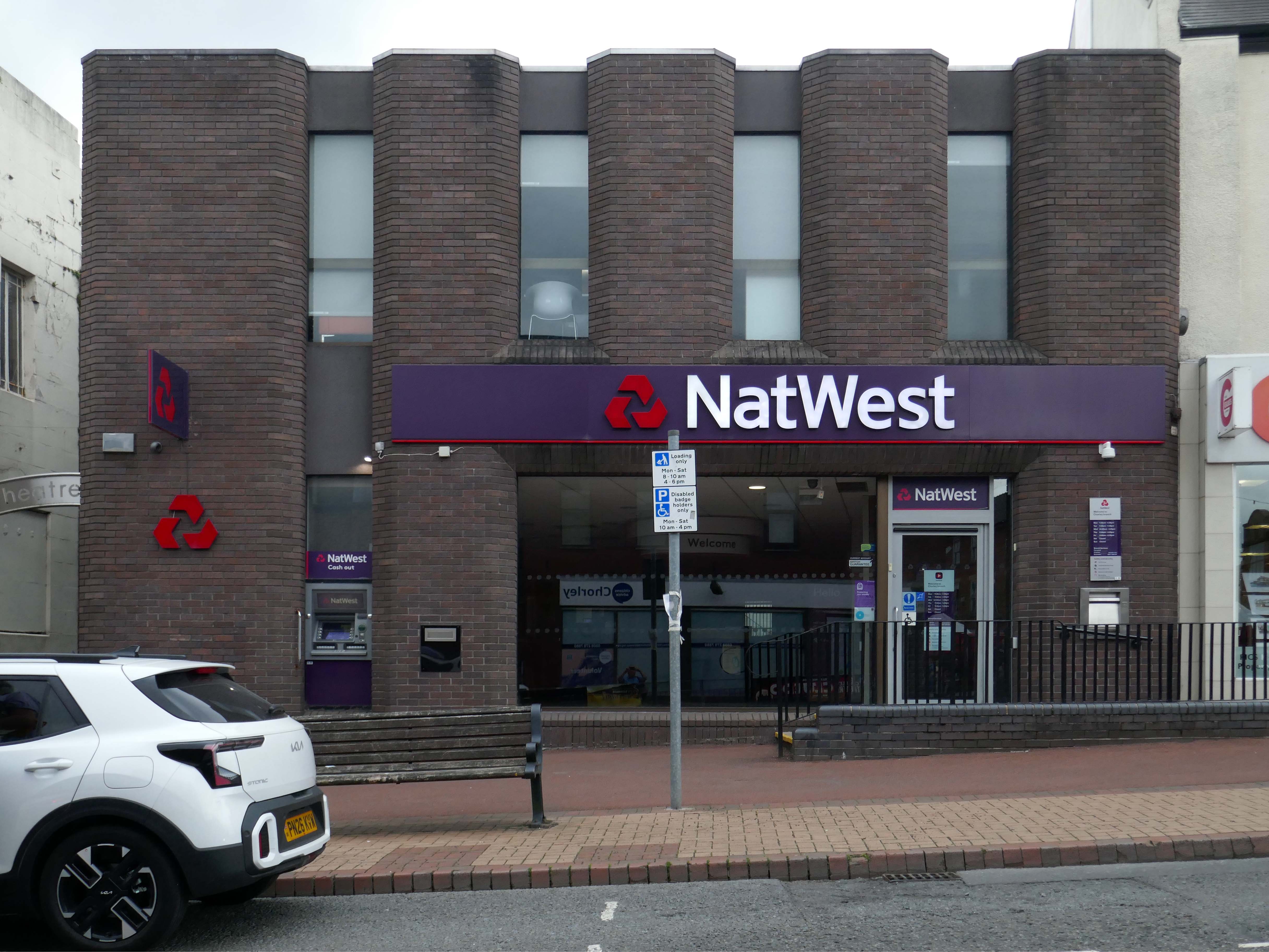
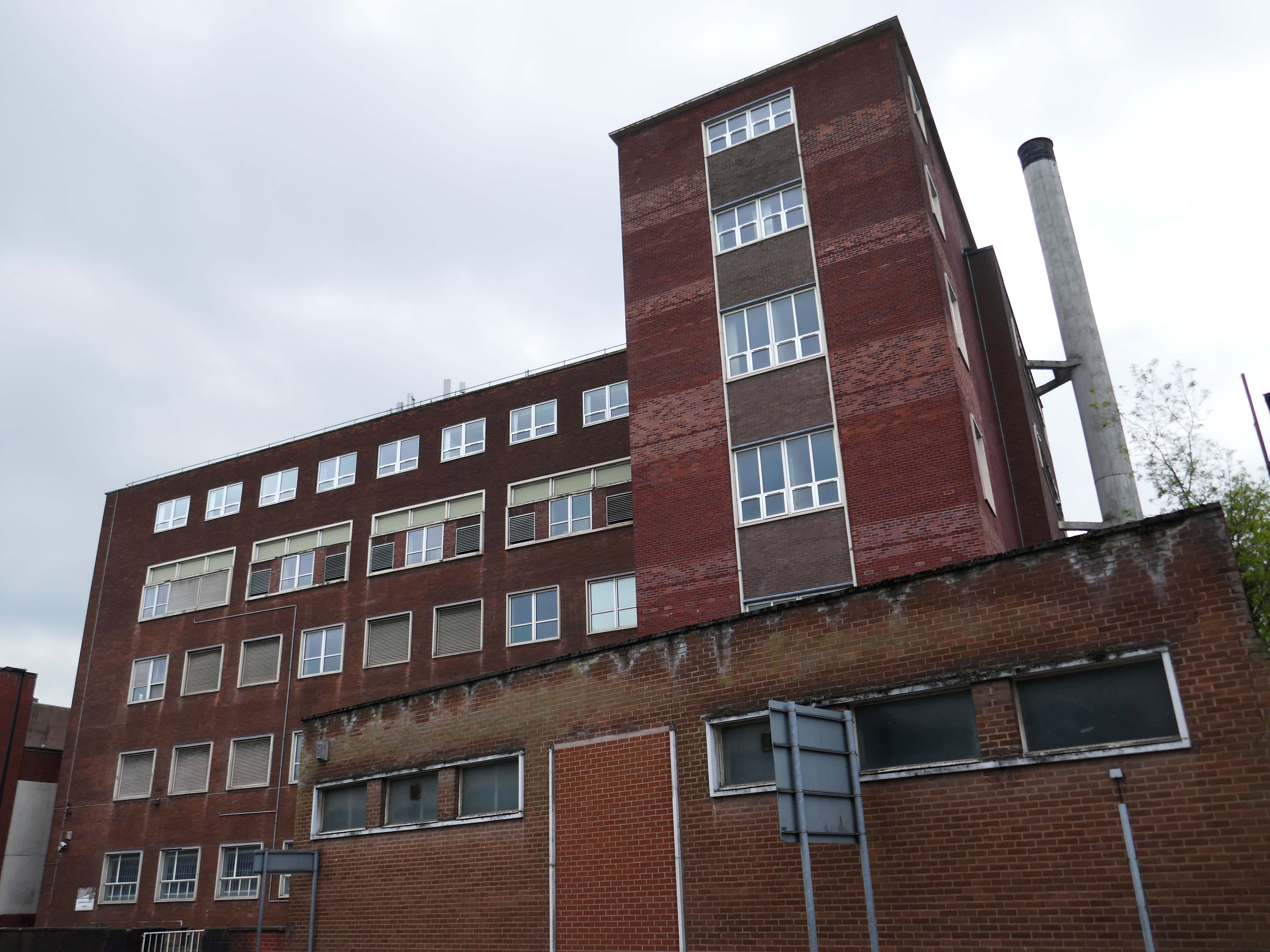
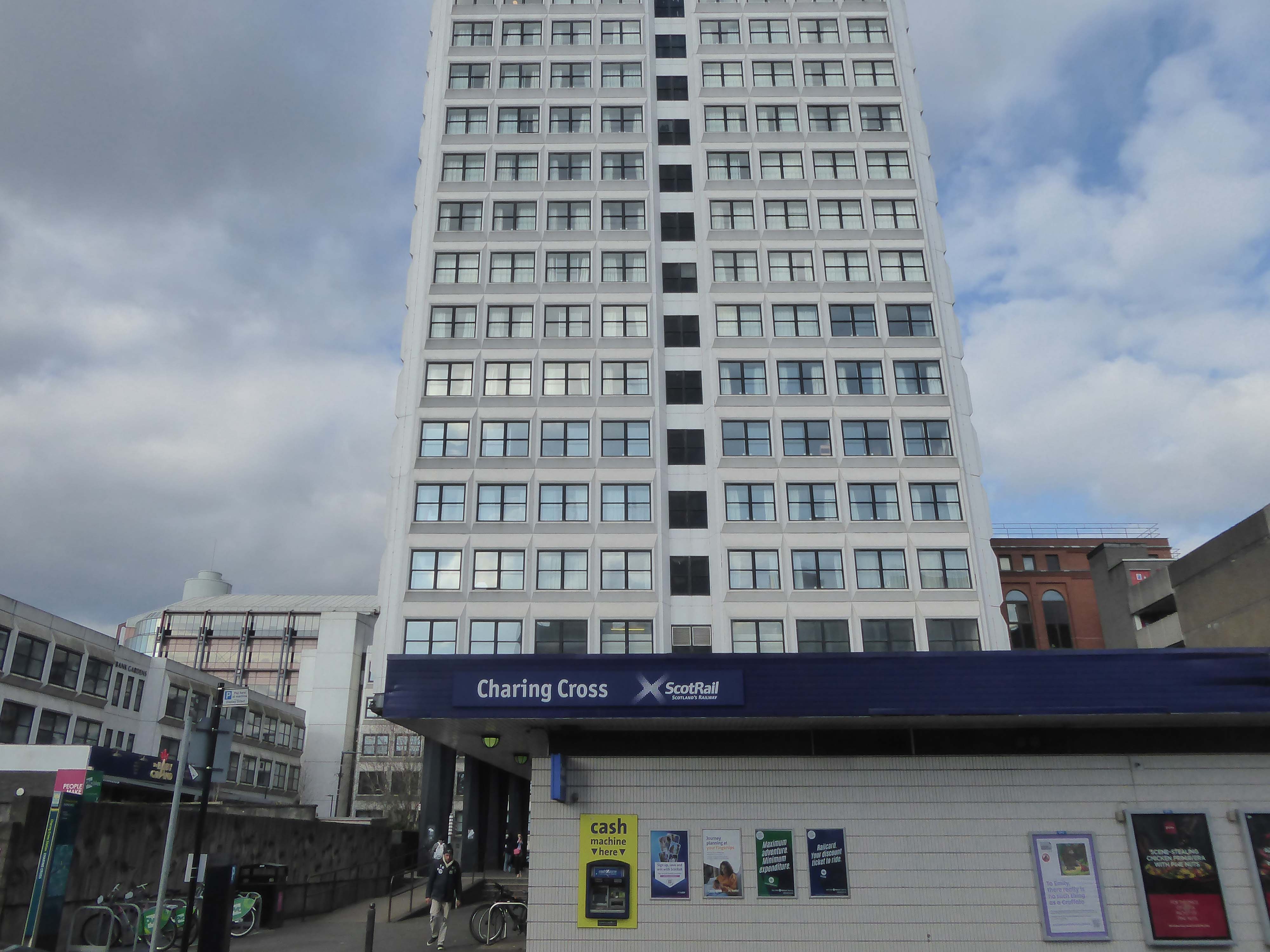
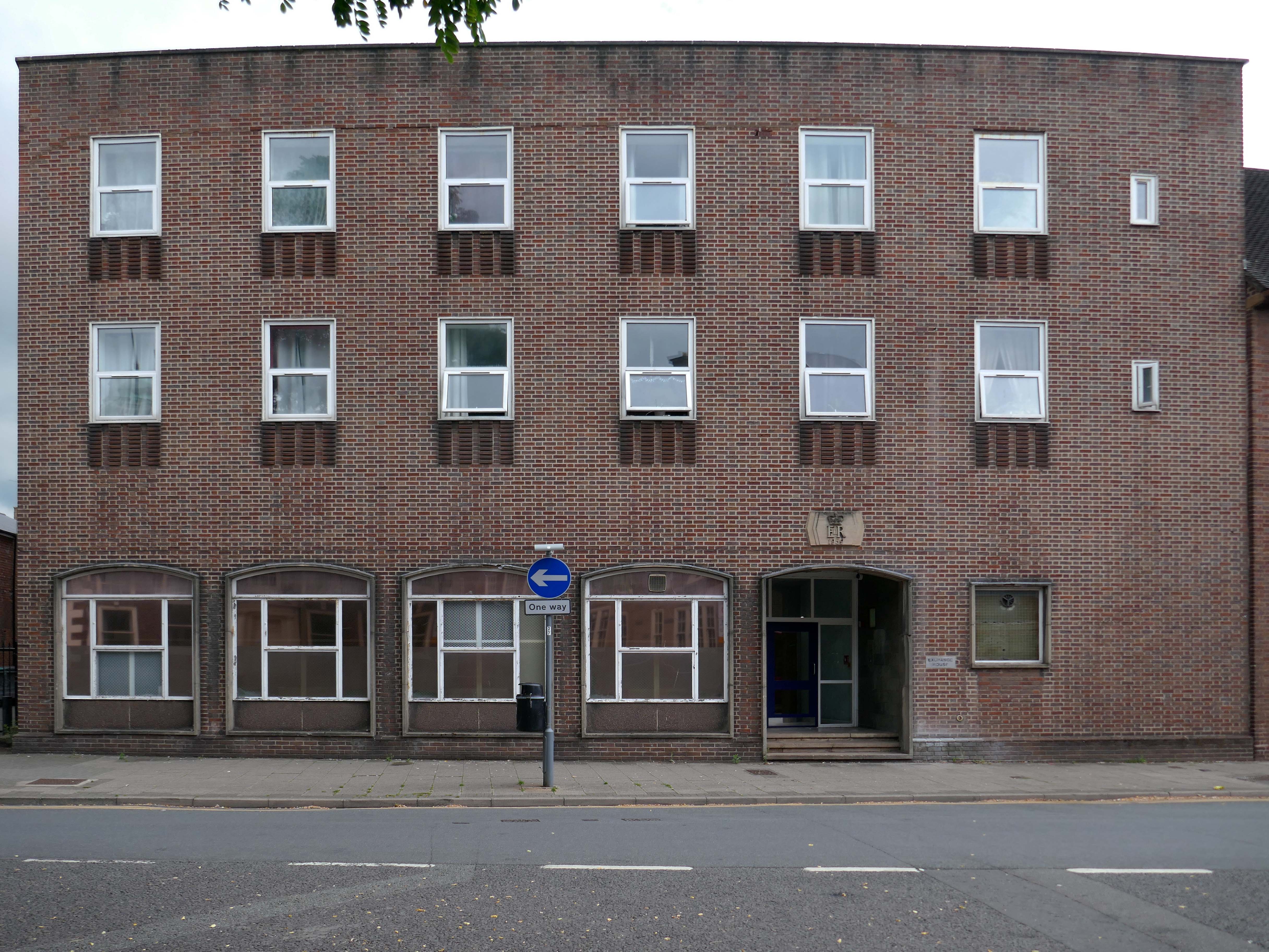
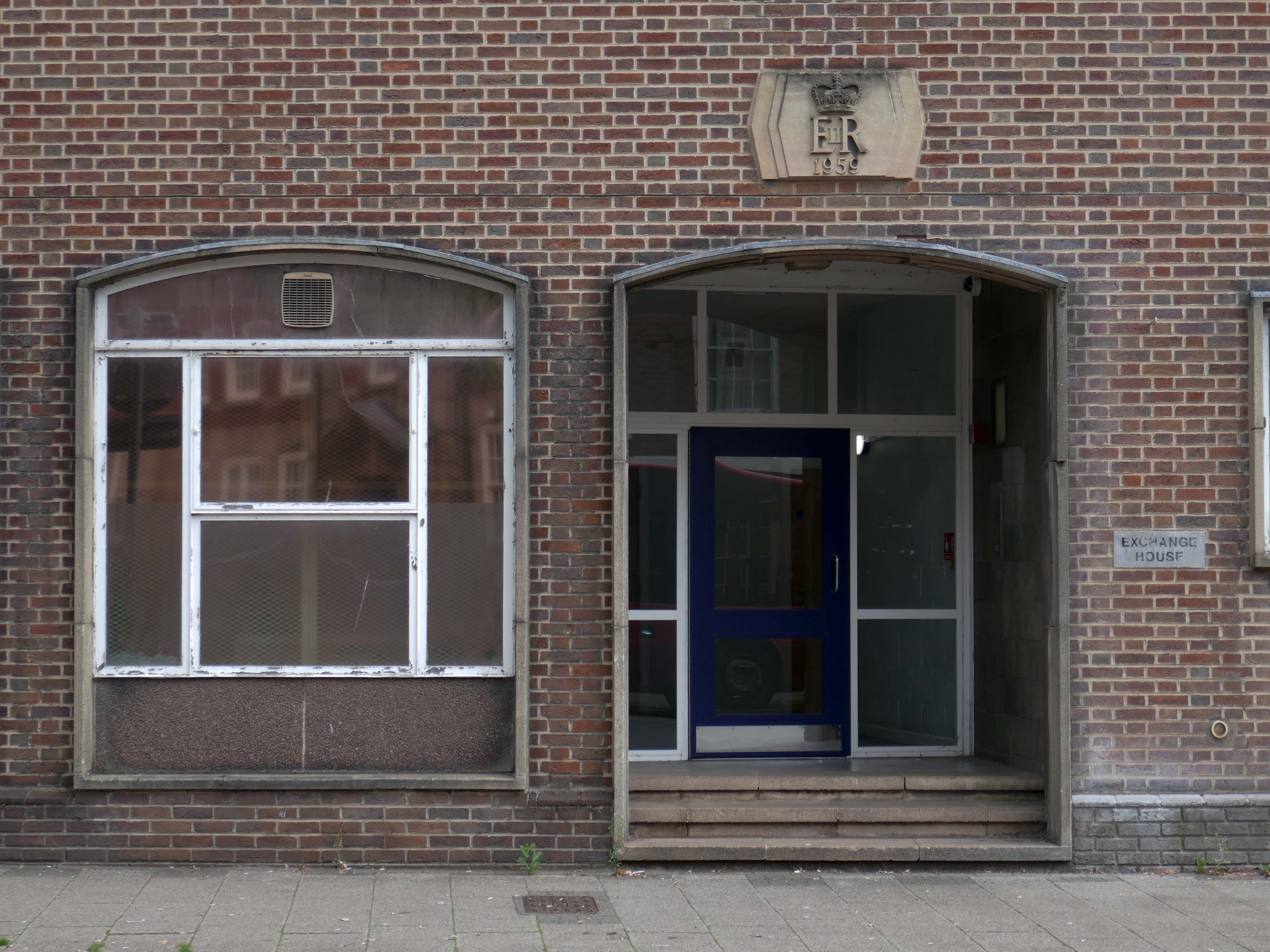
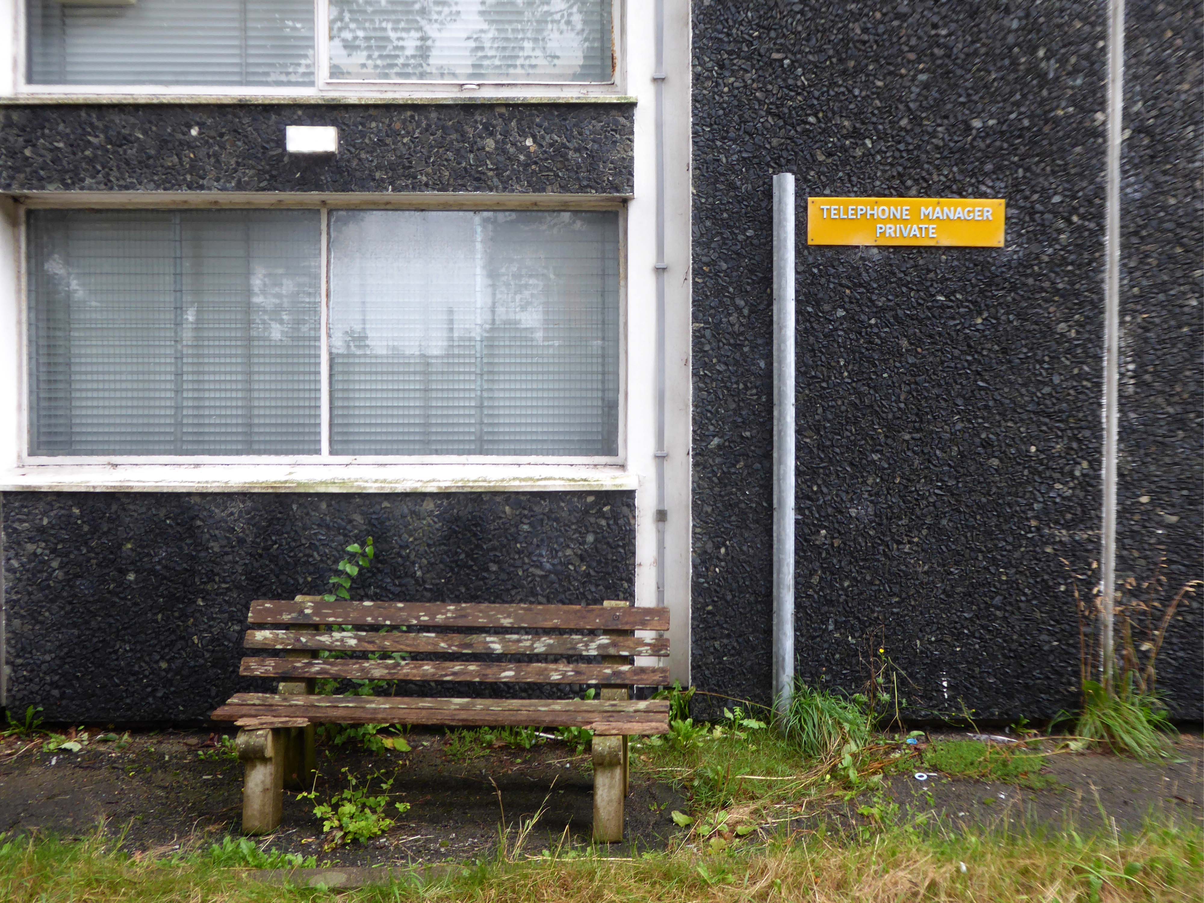
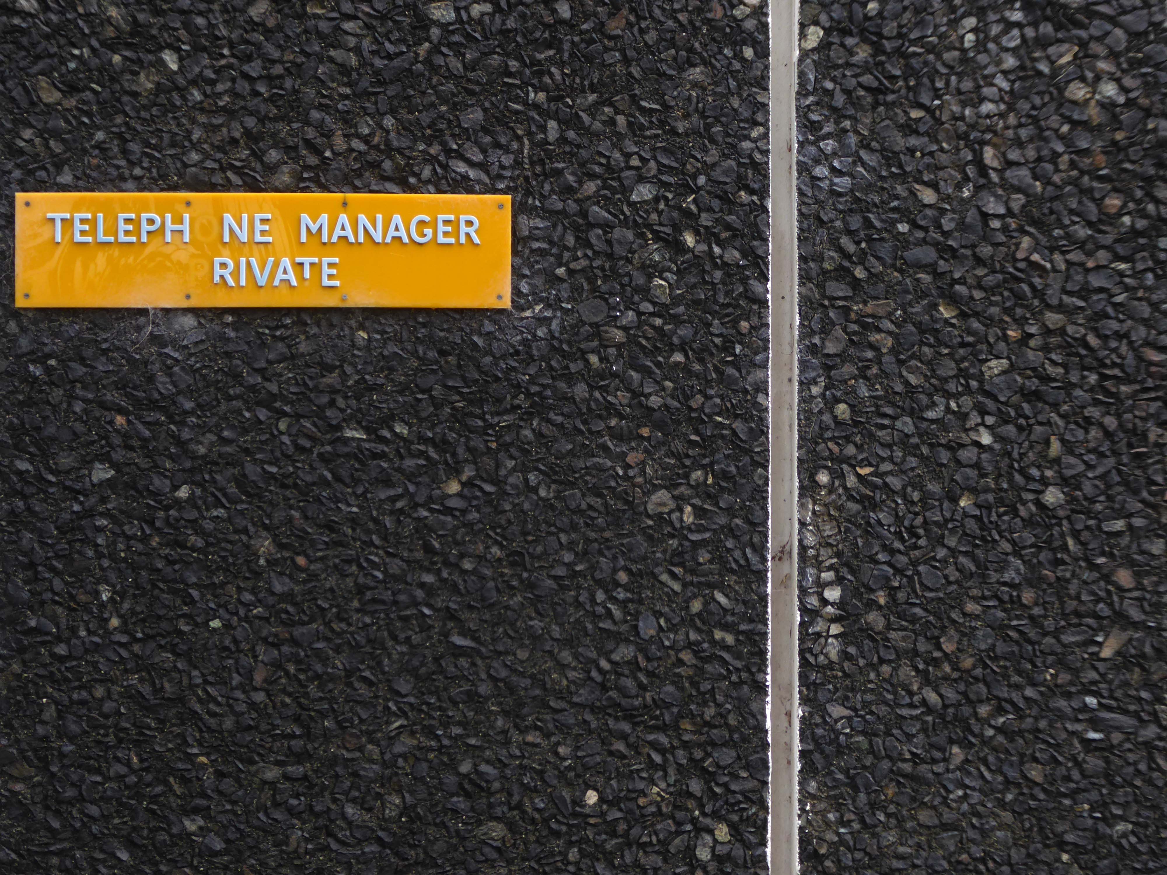
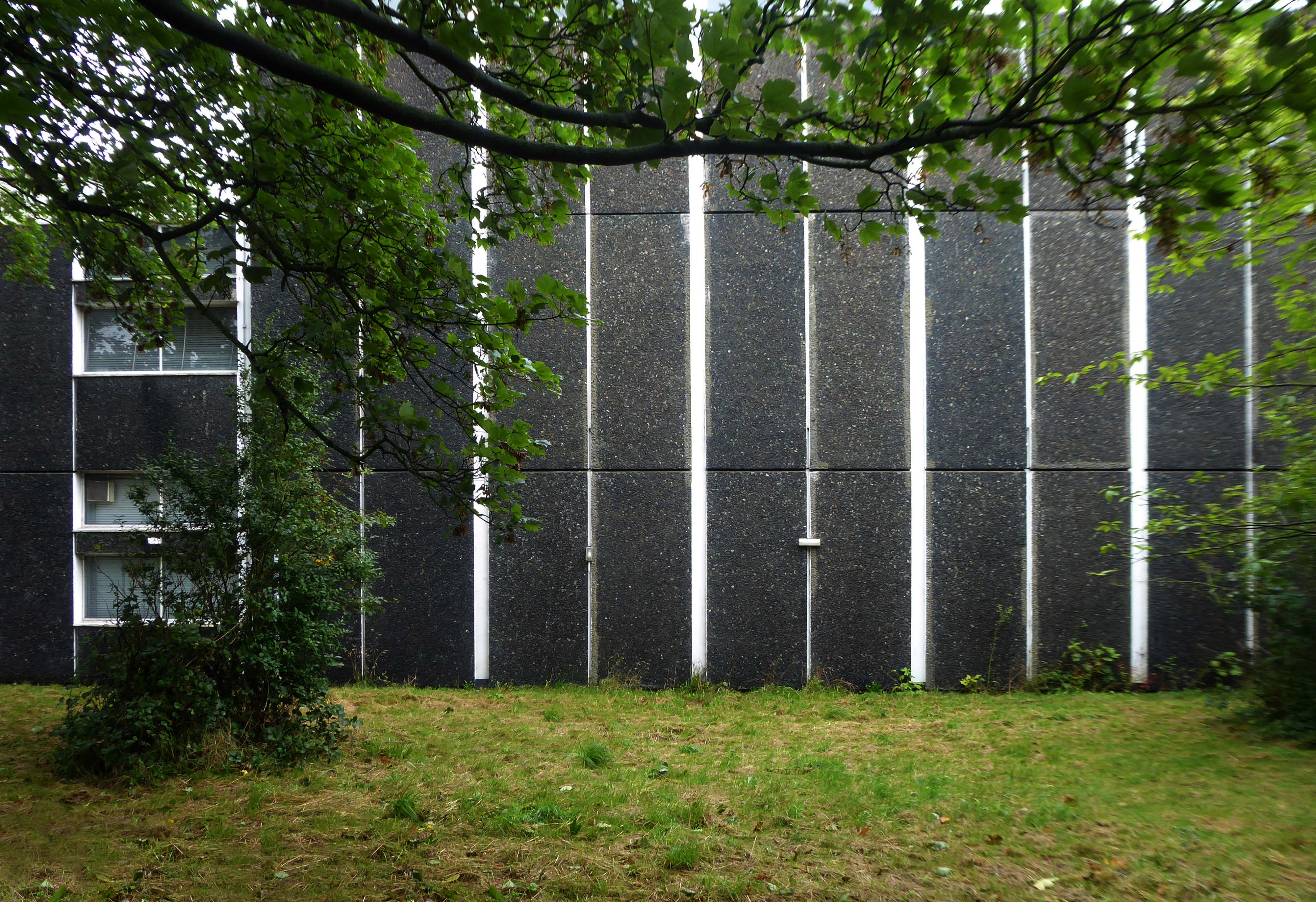
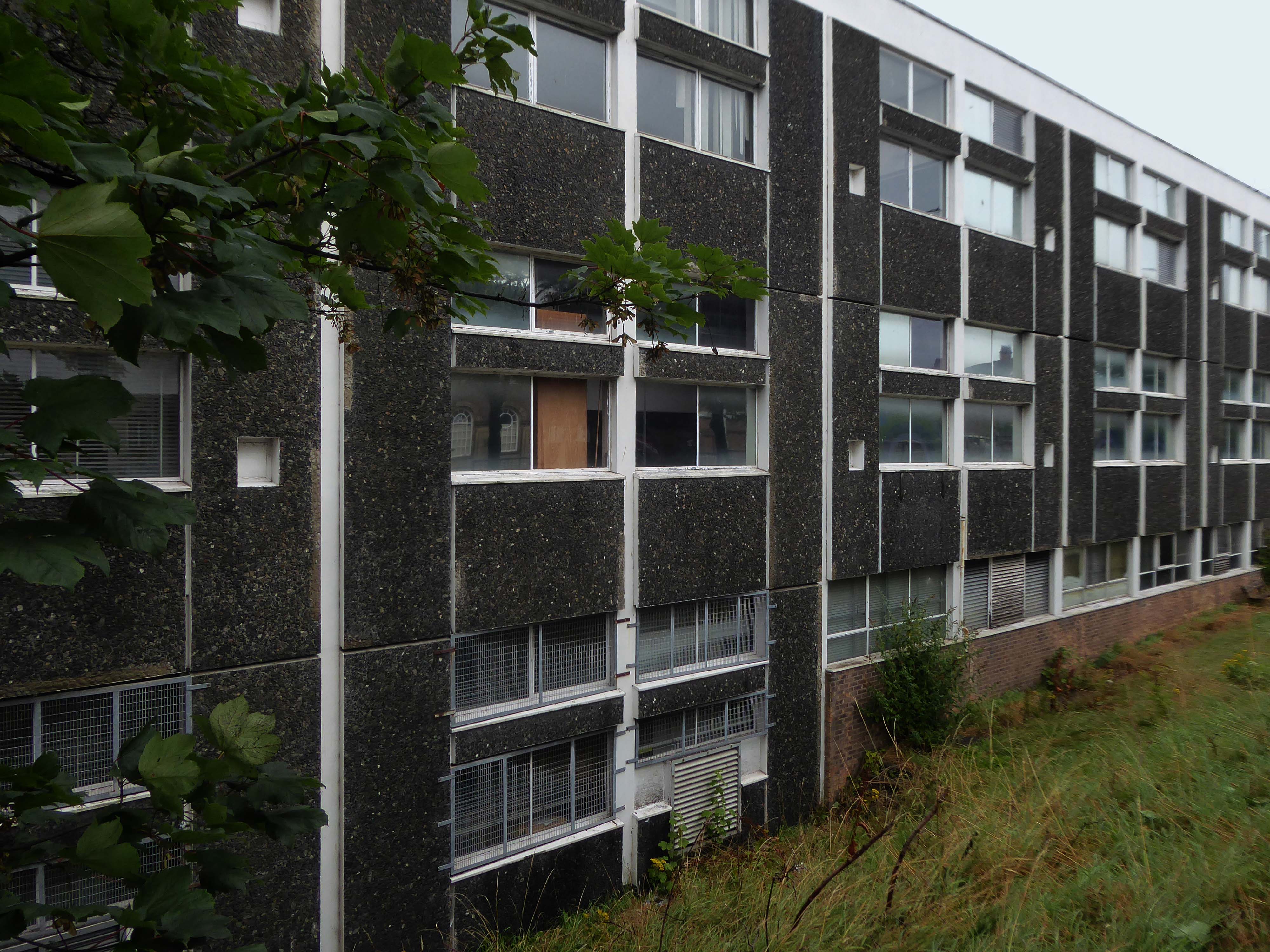
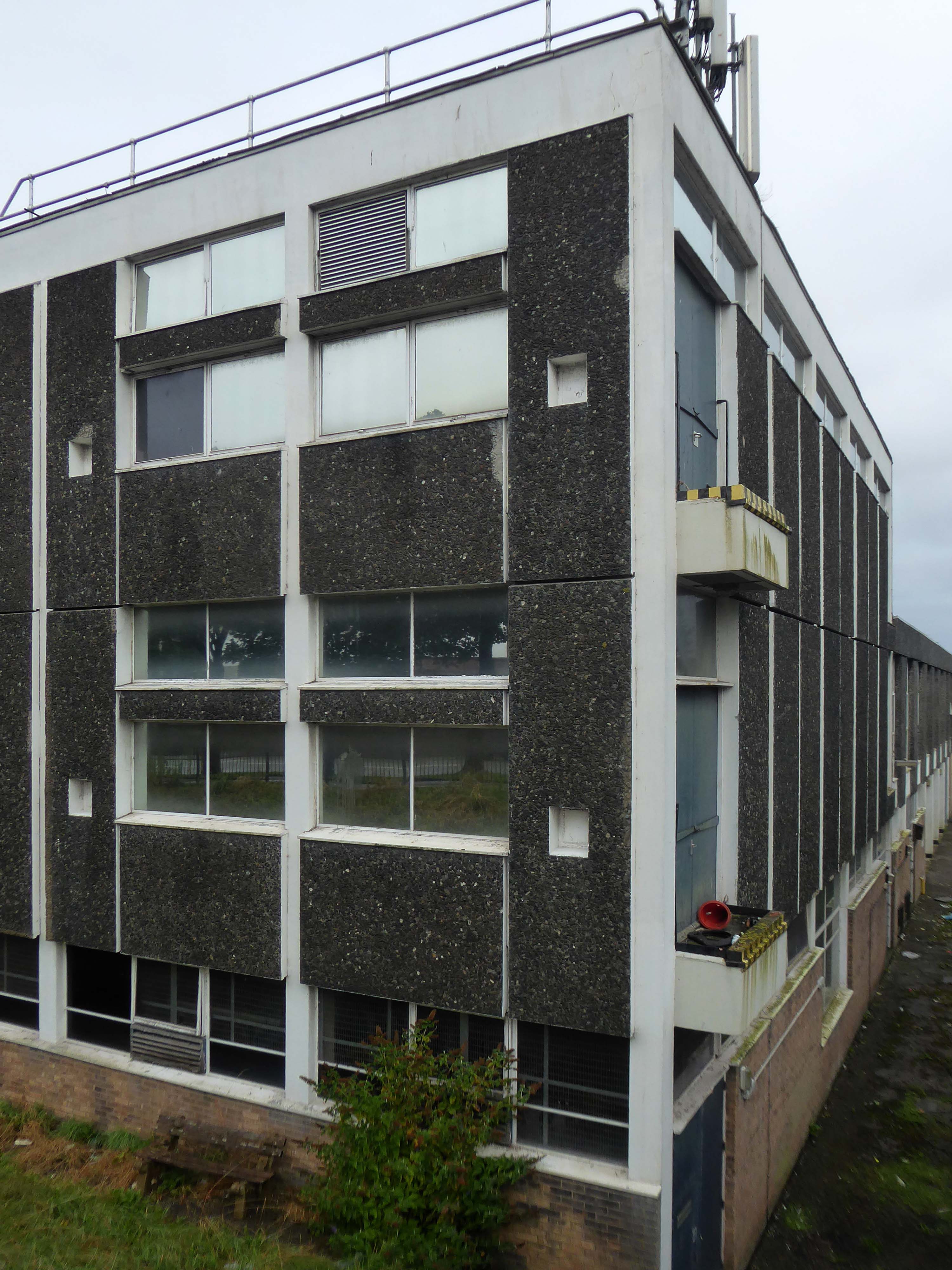
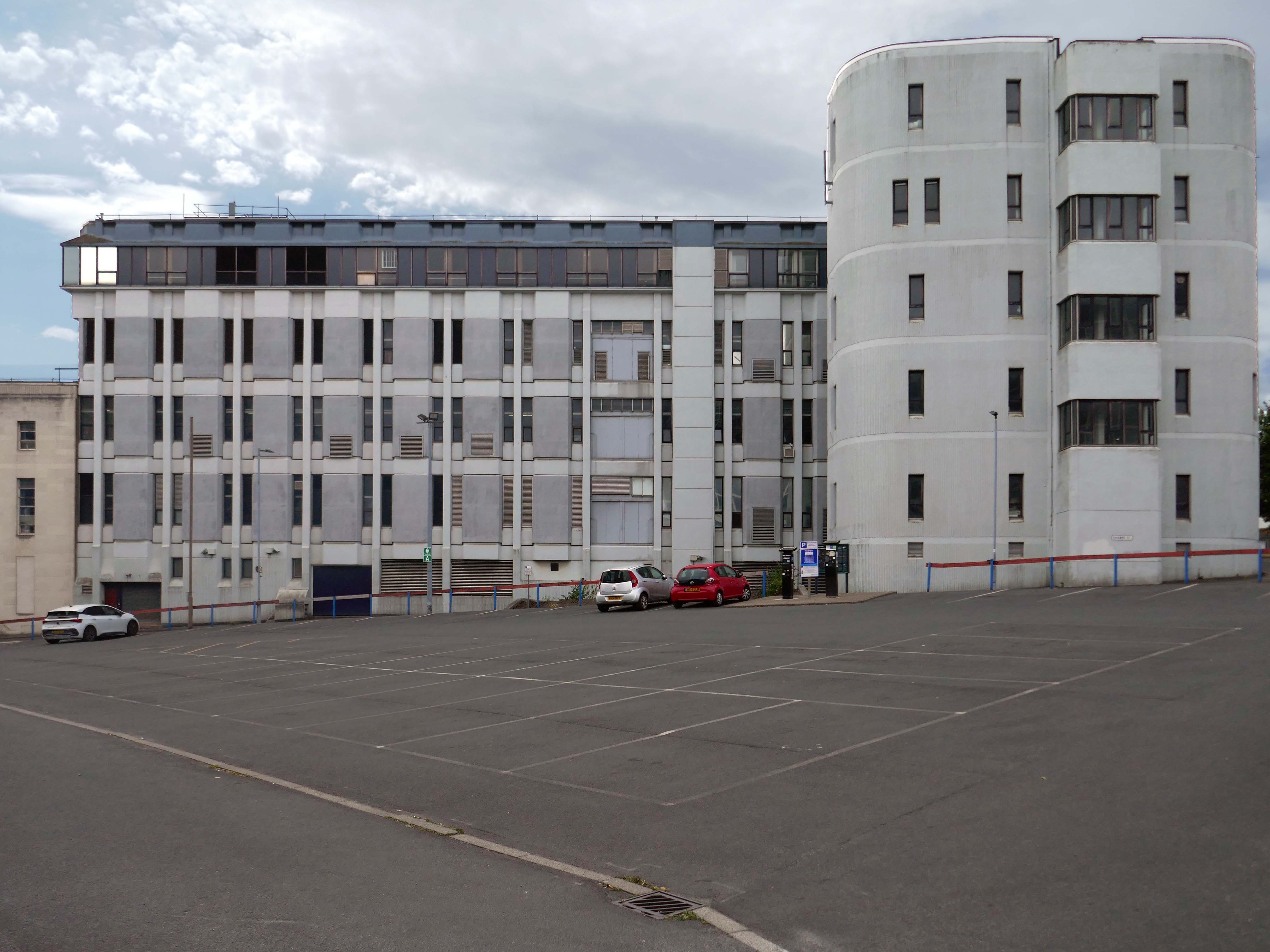
Next to the two Telephone Exchanges.
The Exchange of 1939 designed by FA Key.
The Exchange of 1976 by Trevor H Anson PSA Architect.
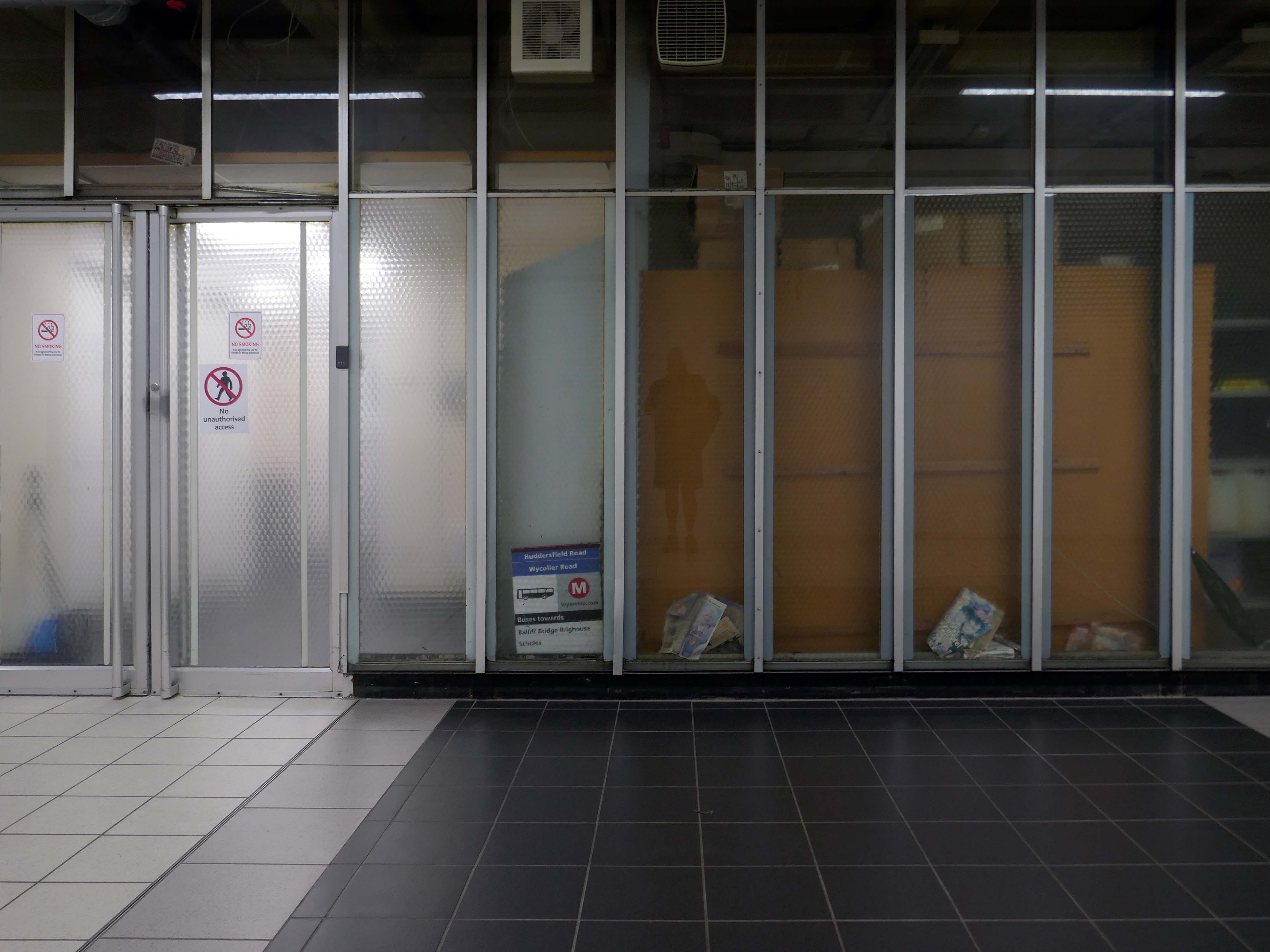
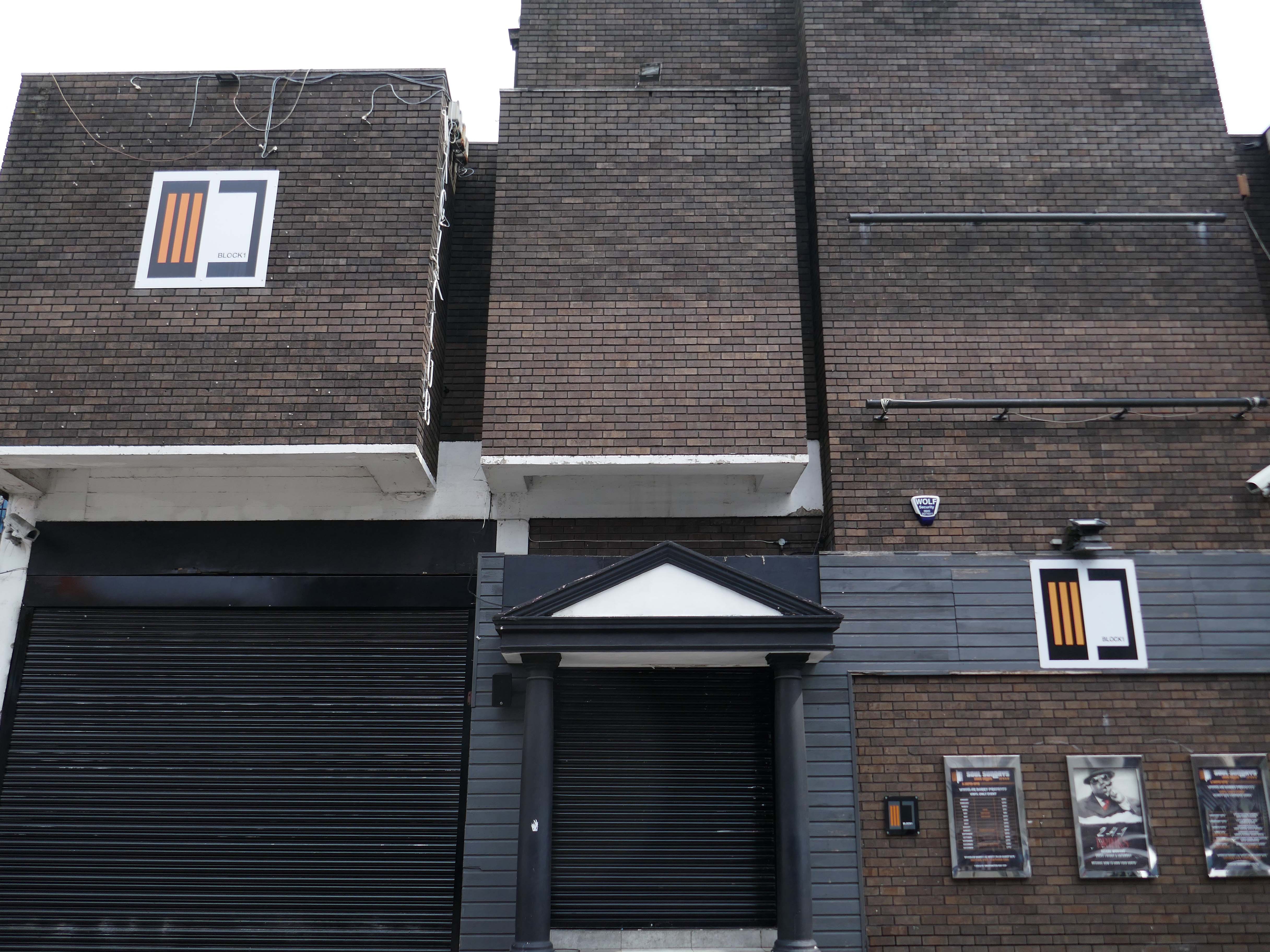
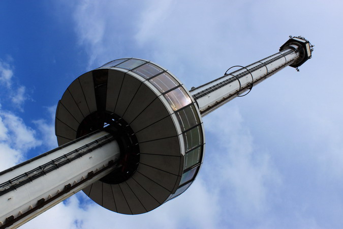
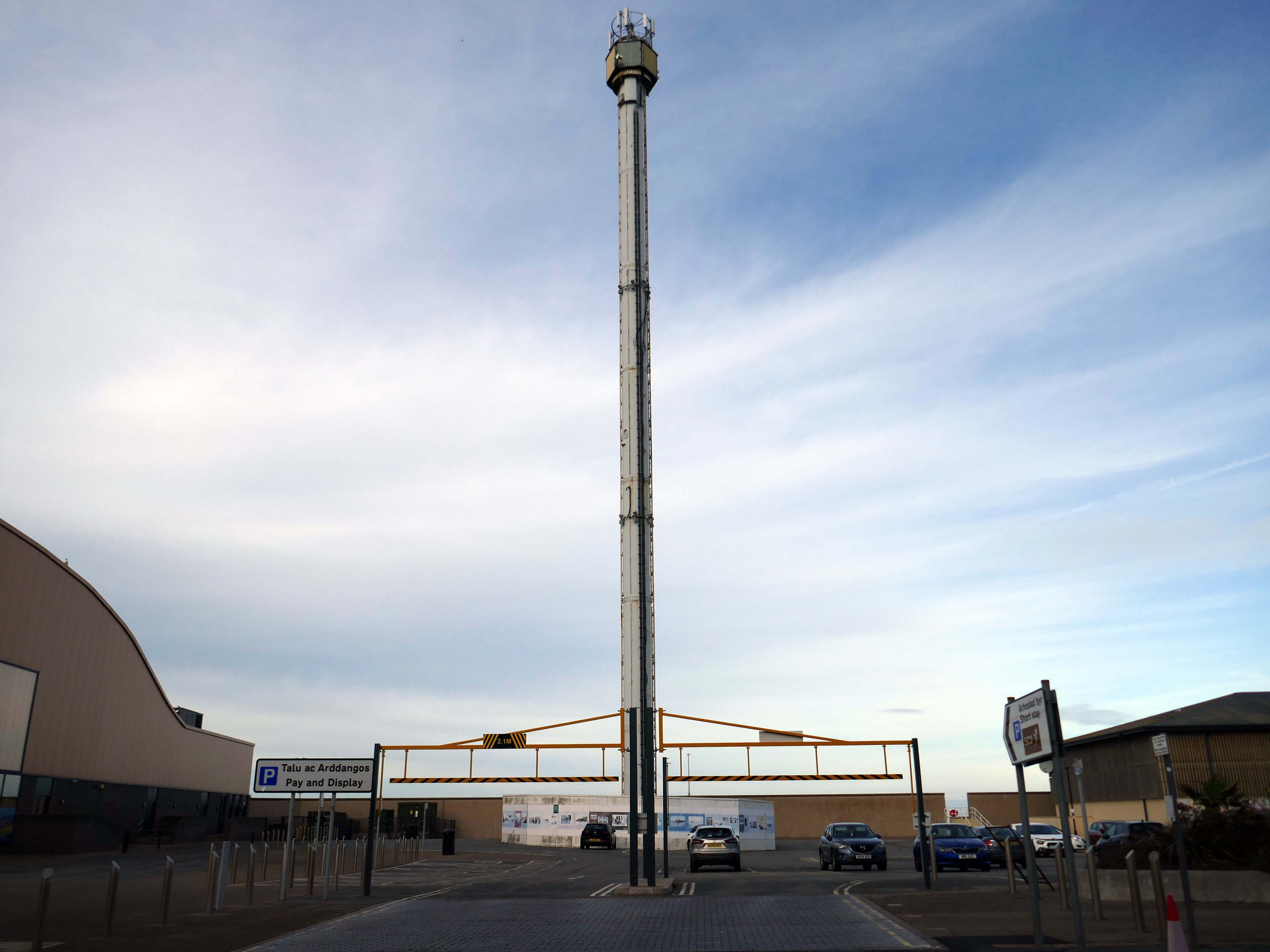
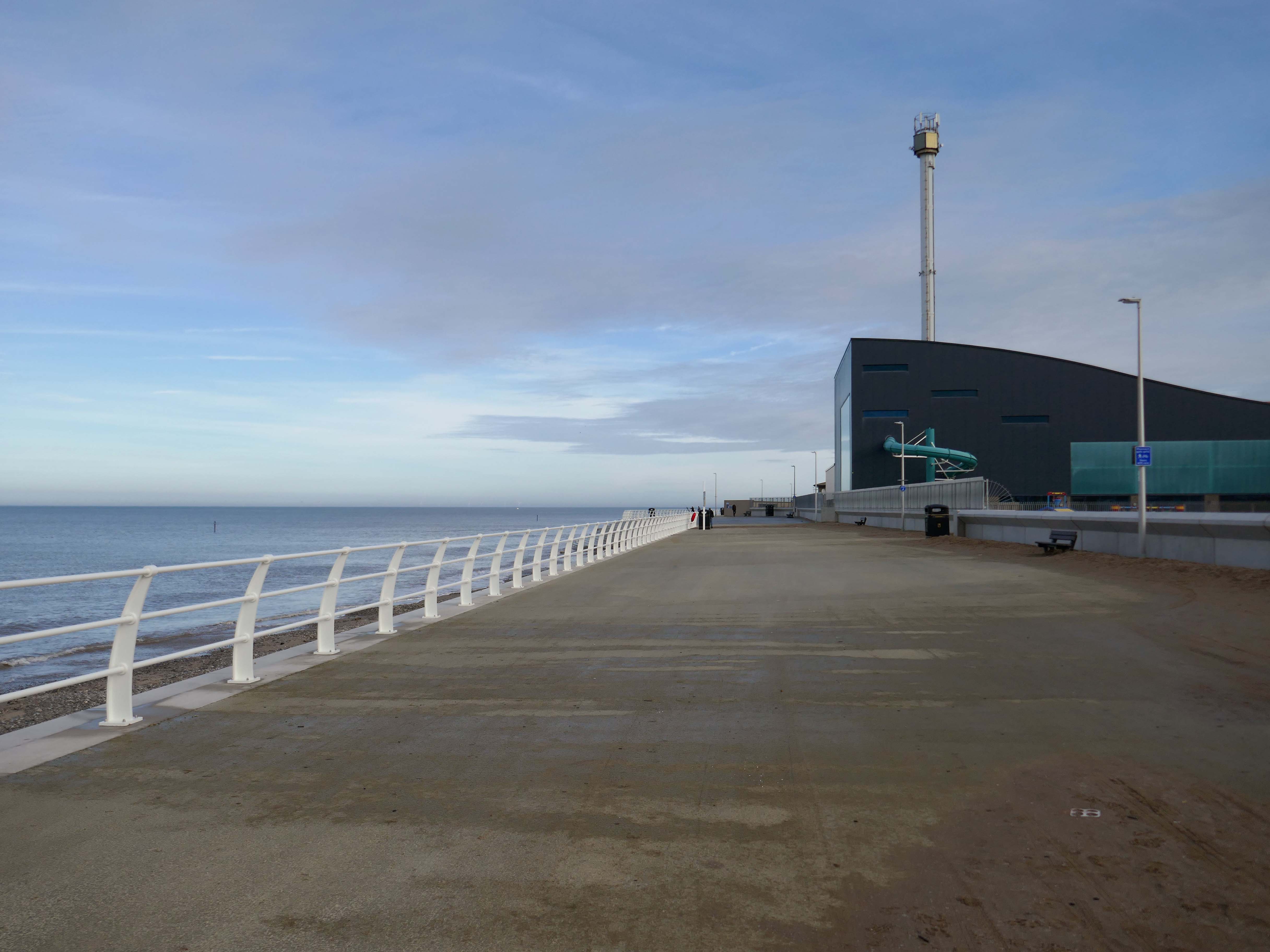
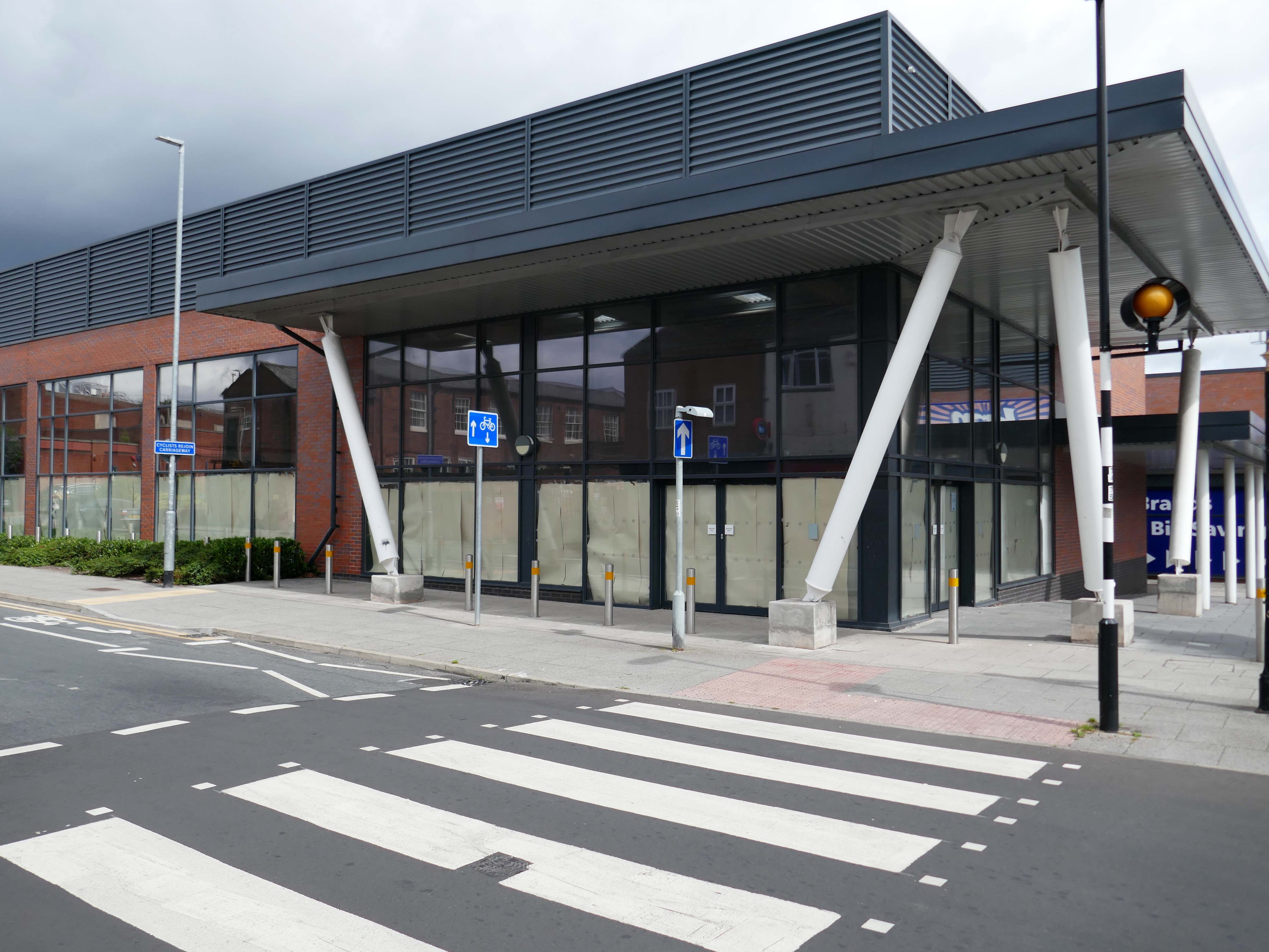
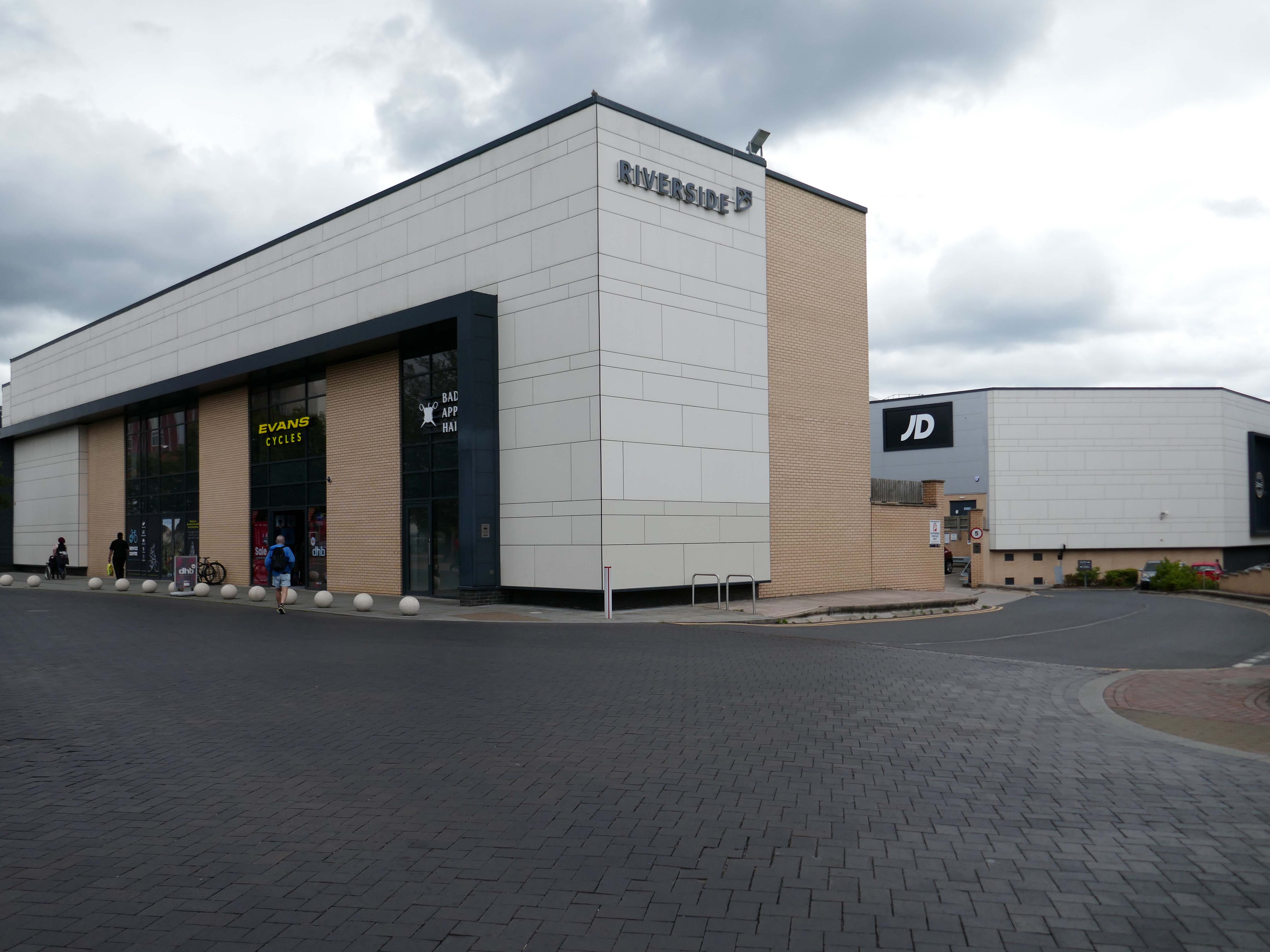
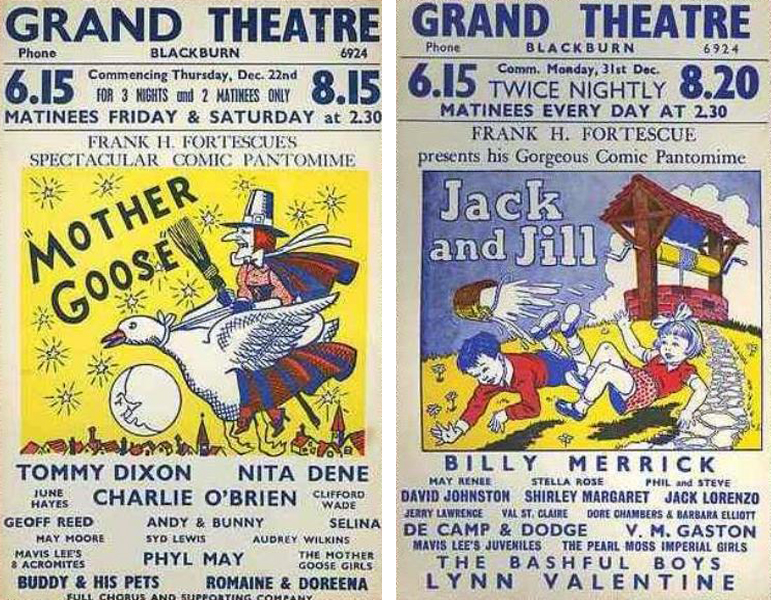
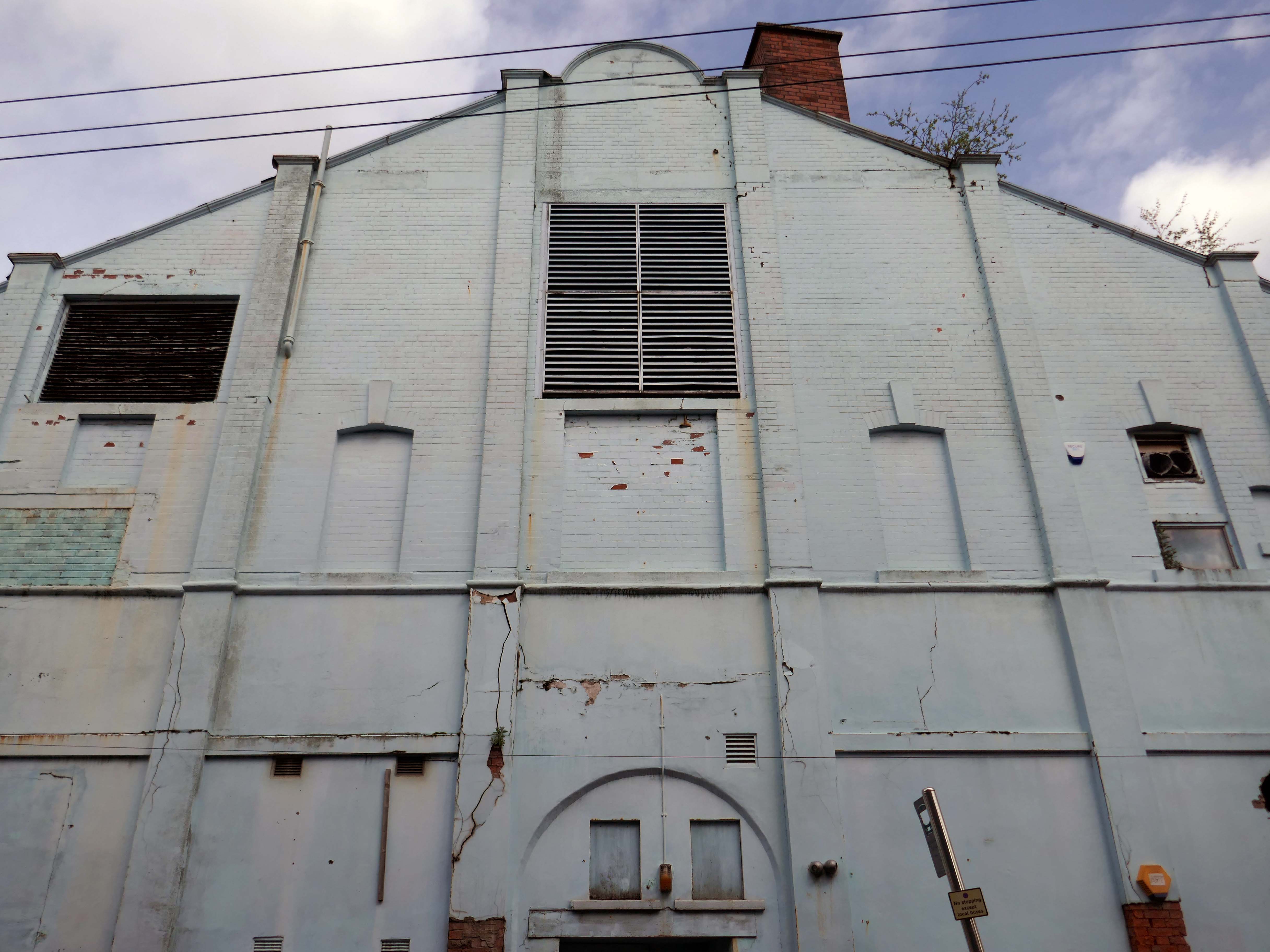
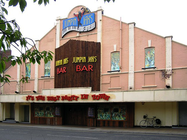
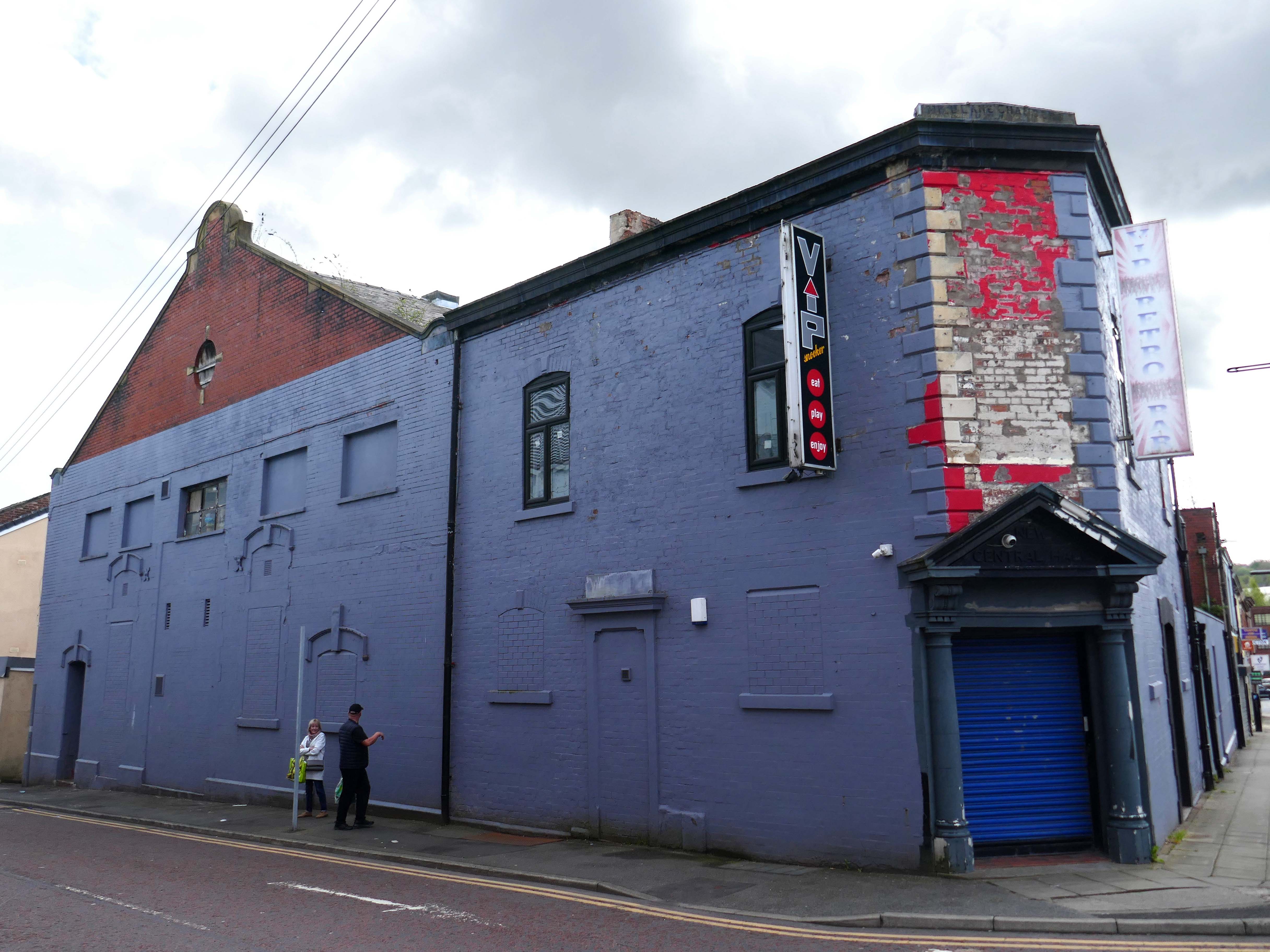
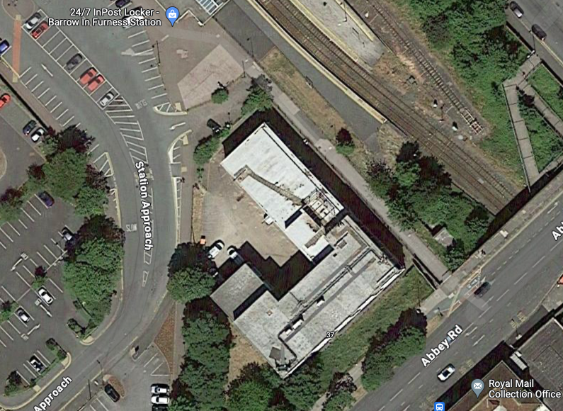
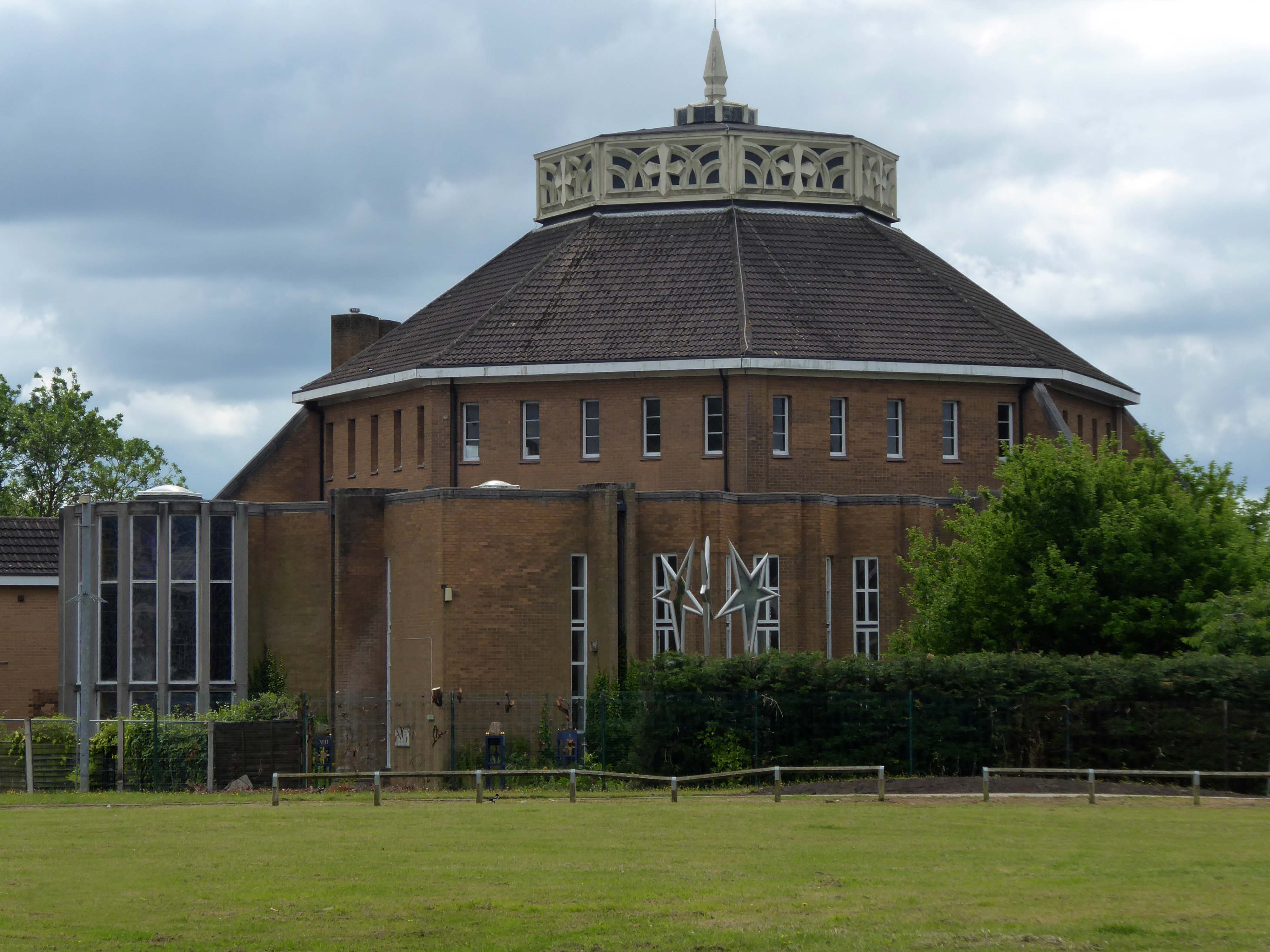
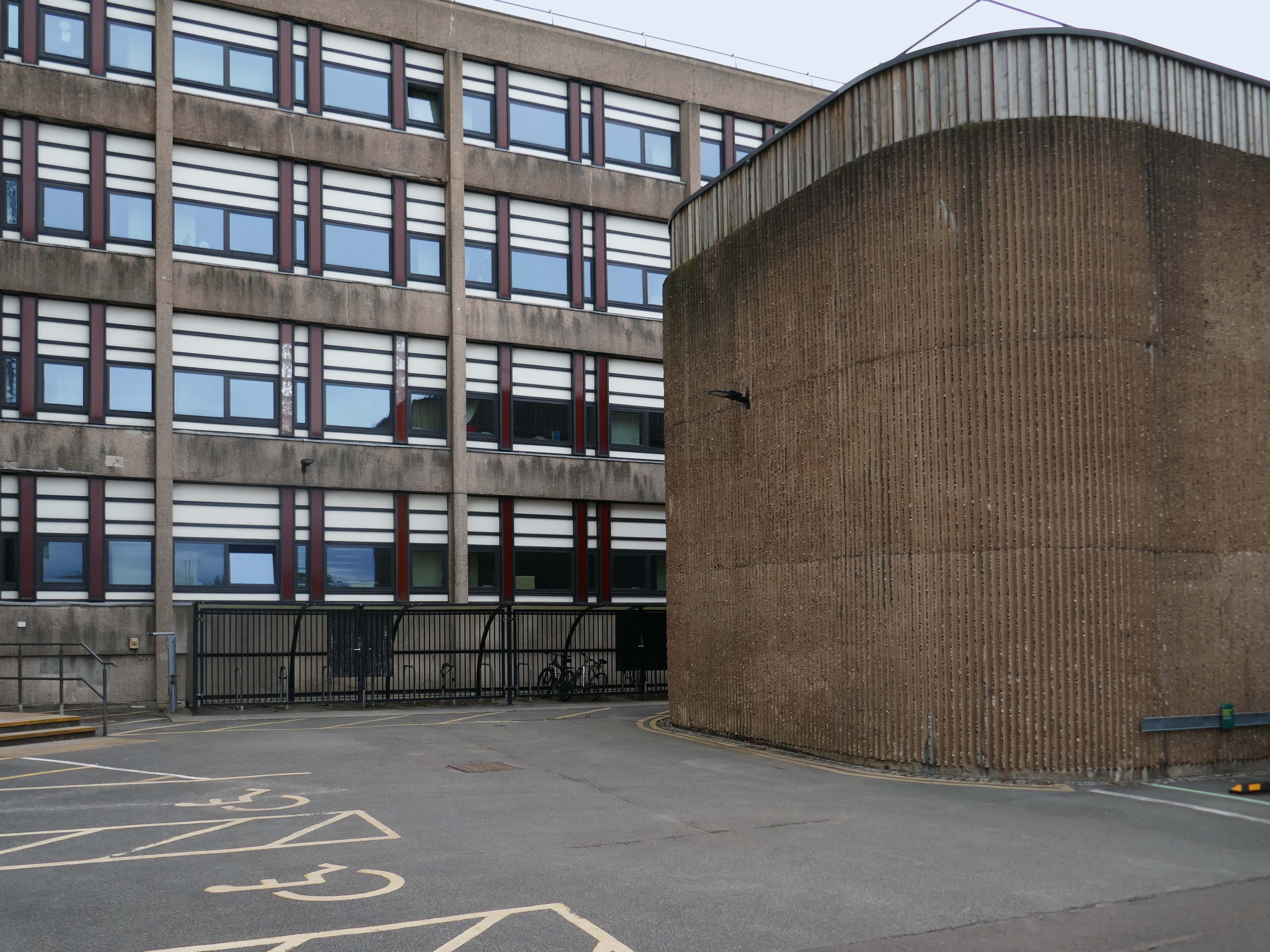
Turn right around to take a look at the rear of the Ice Arena.
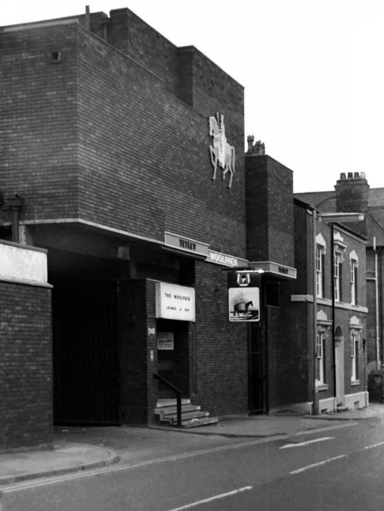
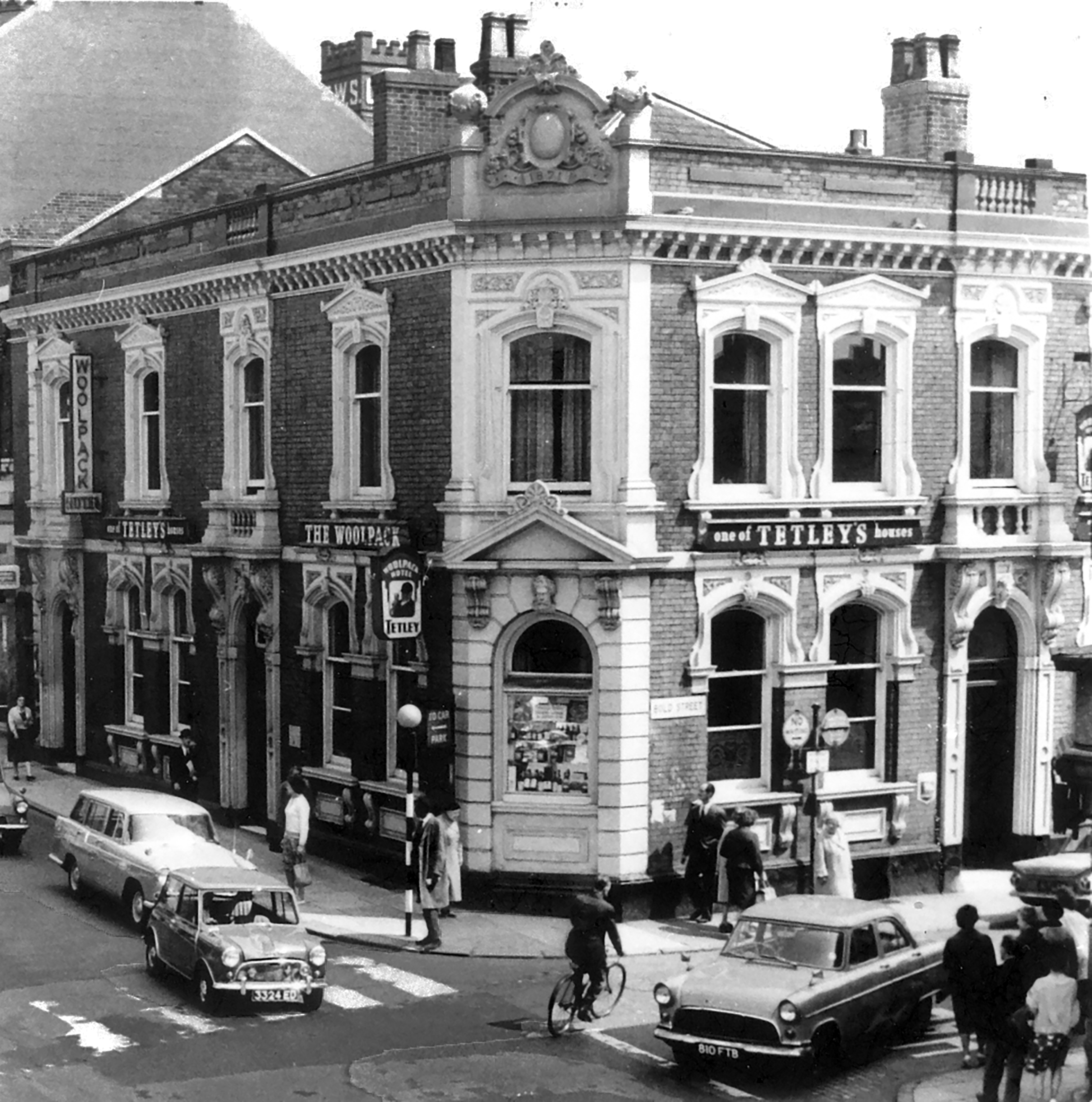
In January 1966 Mecca Leisure Limited opened the ice rink in Bradford under the name of the Silver Blades Ice Rink, it was reputed to be “The finest rink in the world”, with coloured lighting in the barriers, sparkling chandeliers over the ice, and a plush bar and restaurant.
The resplendently dressed skaters were entertained with organ music. The opening gala at the rink had performances by British skaters who had just returned from the World Championships, they included Sally Anne Stapleford, John Curry and ice dancers Bernard Ford and Diane Towler.
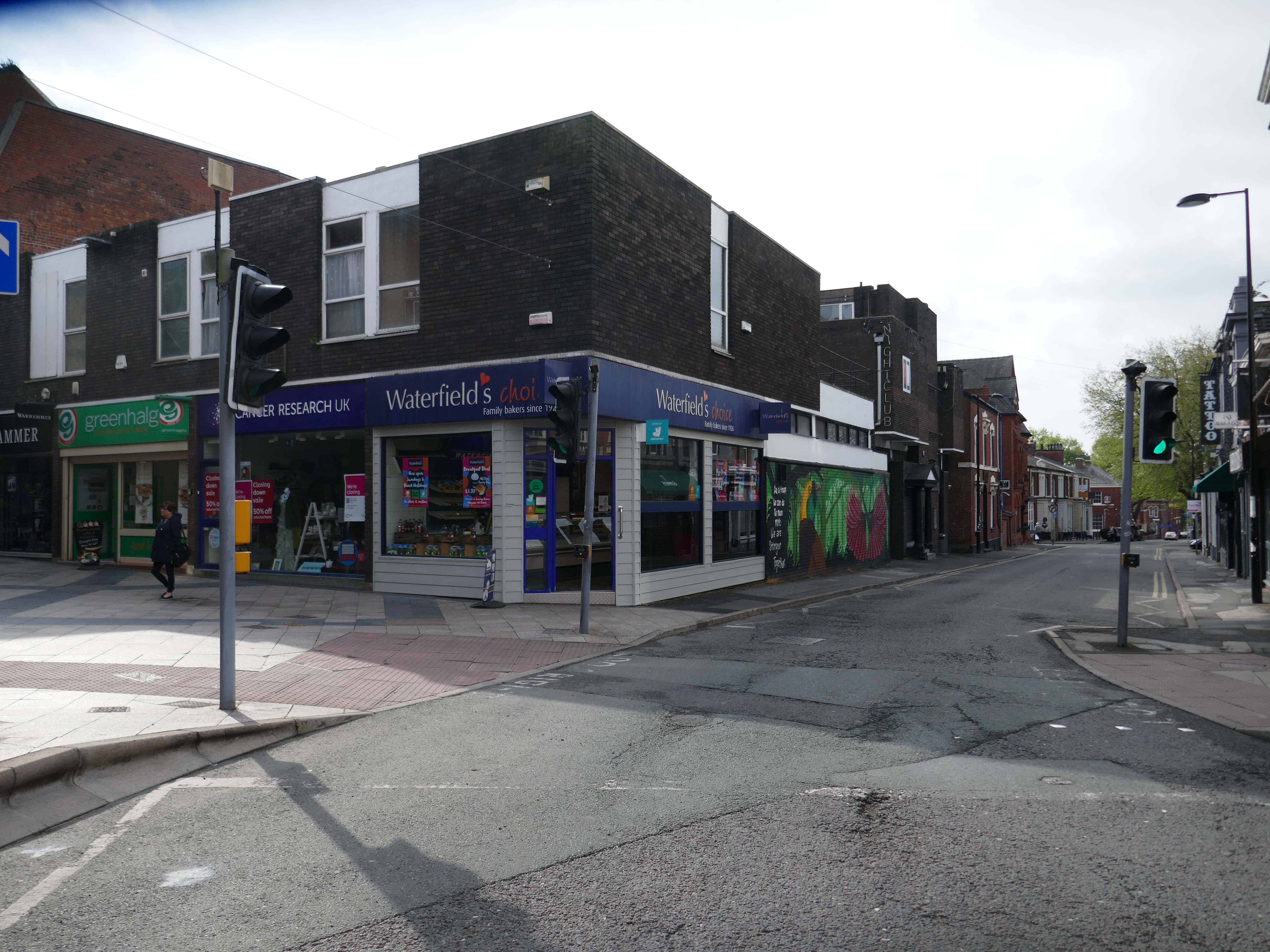
The take a turn around the bend to the front.
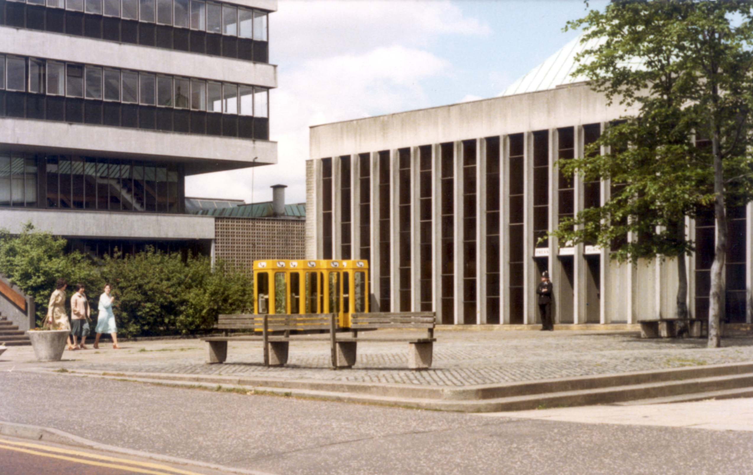
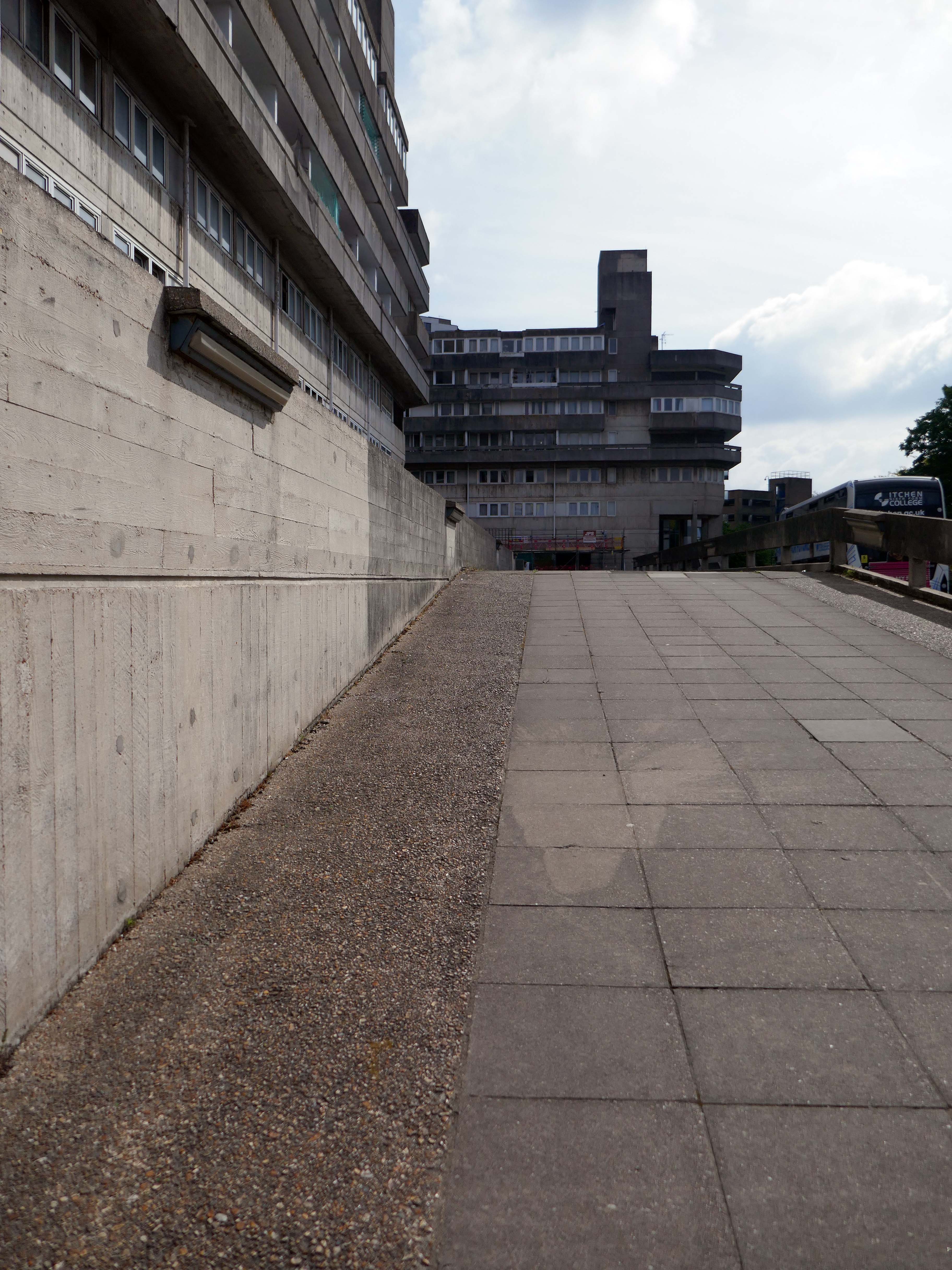
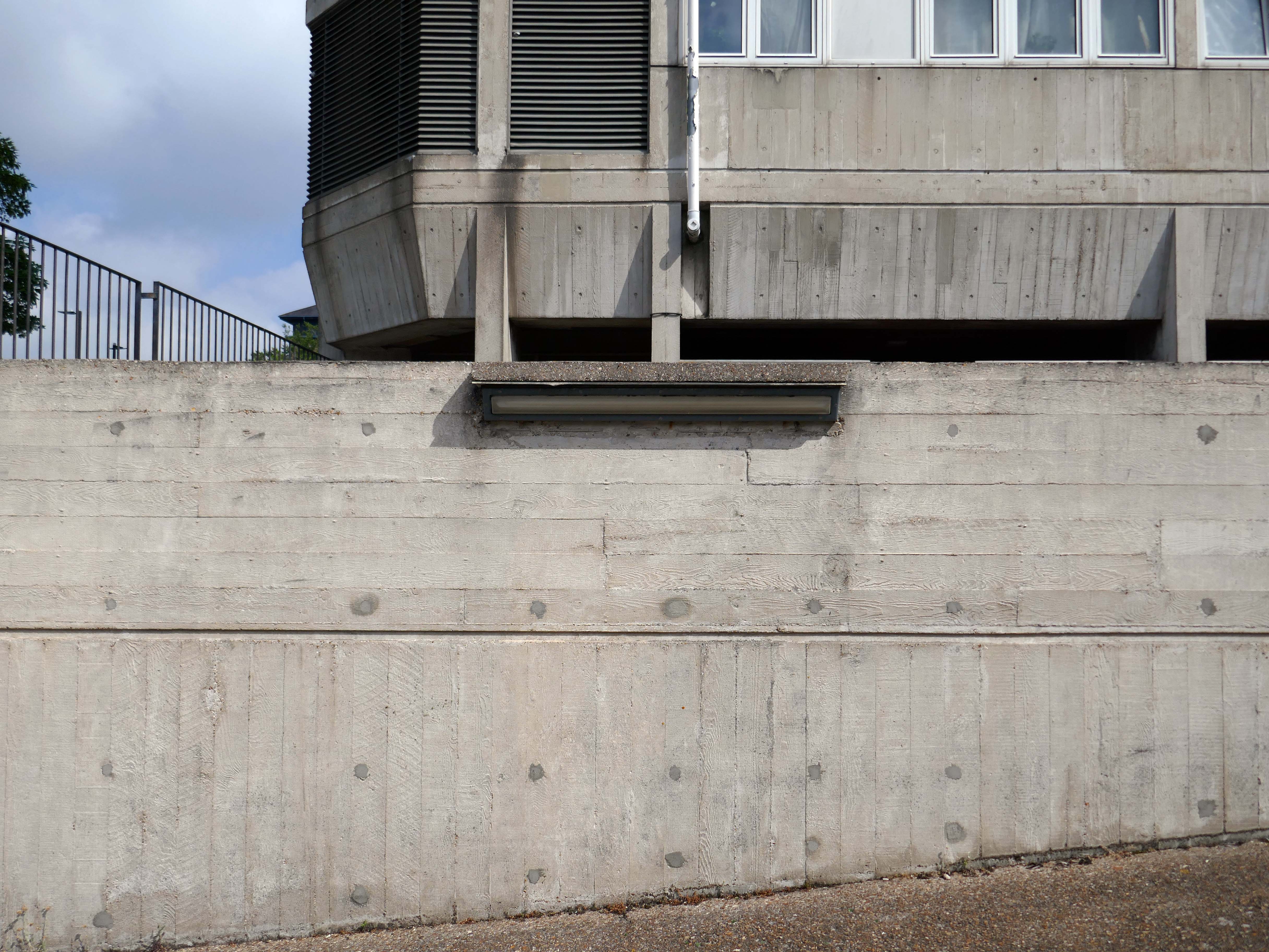
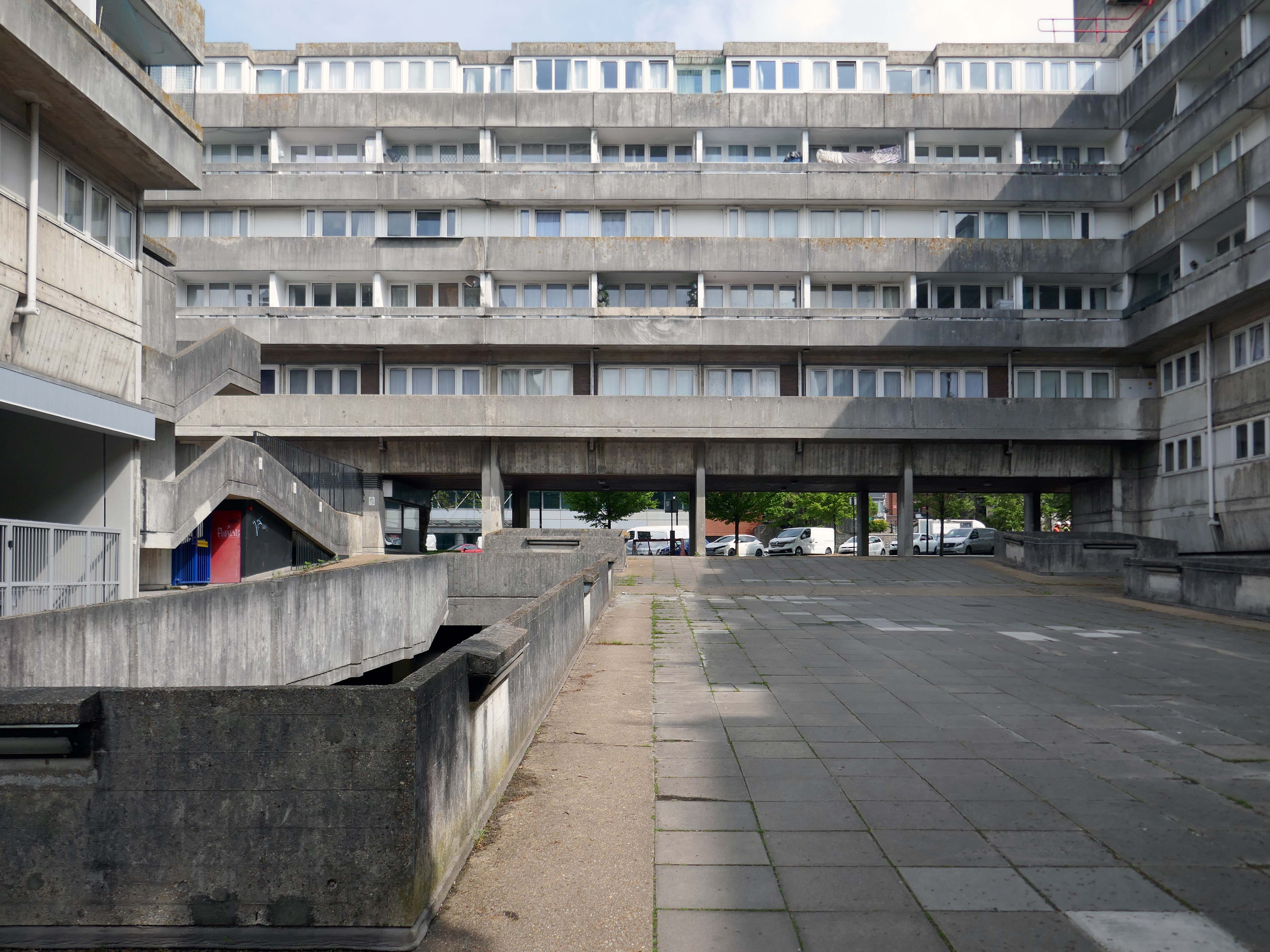
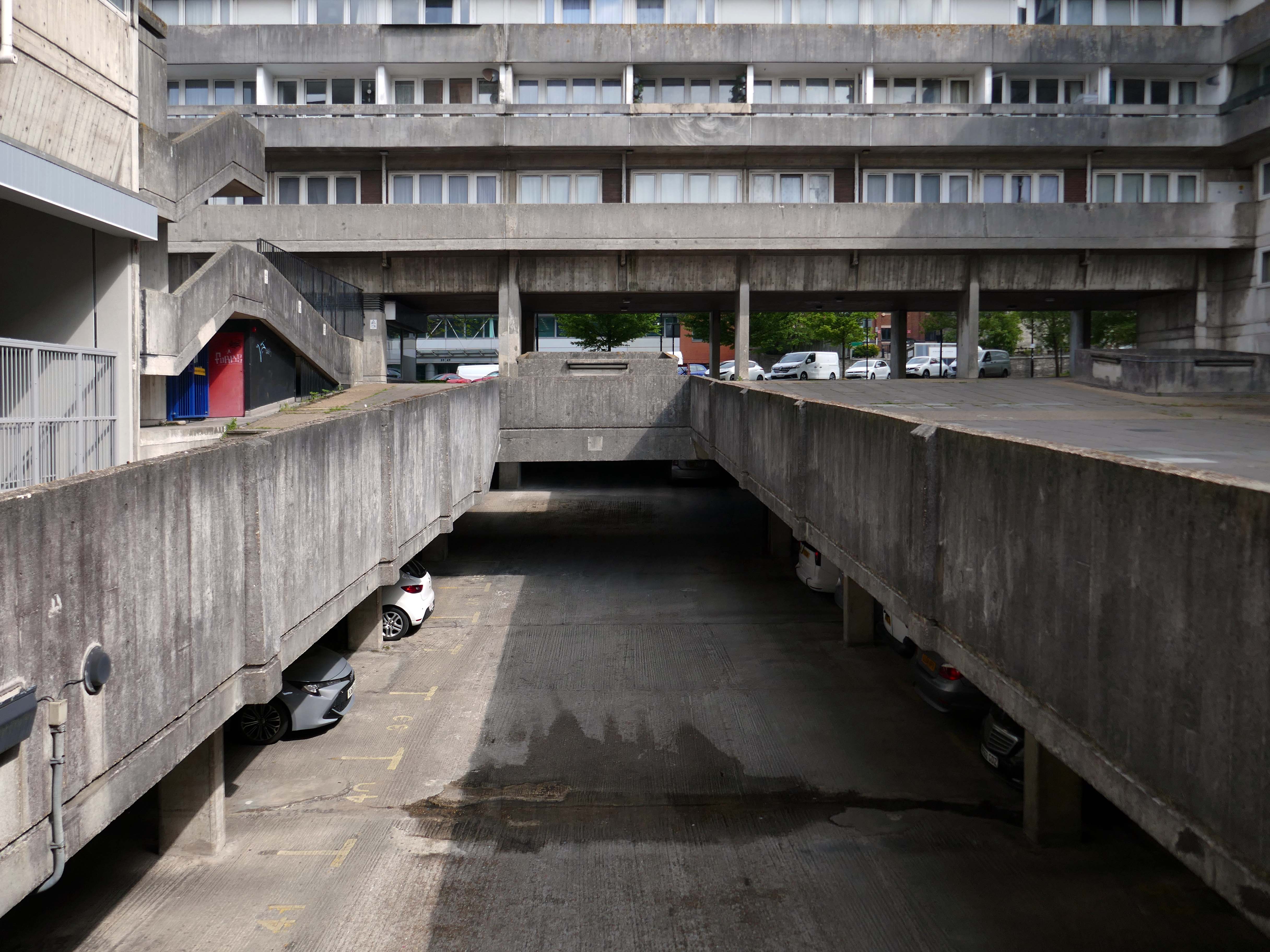
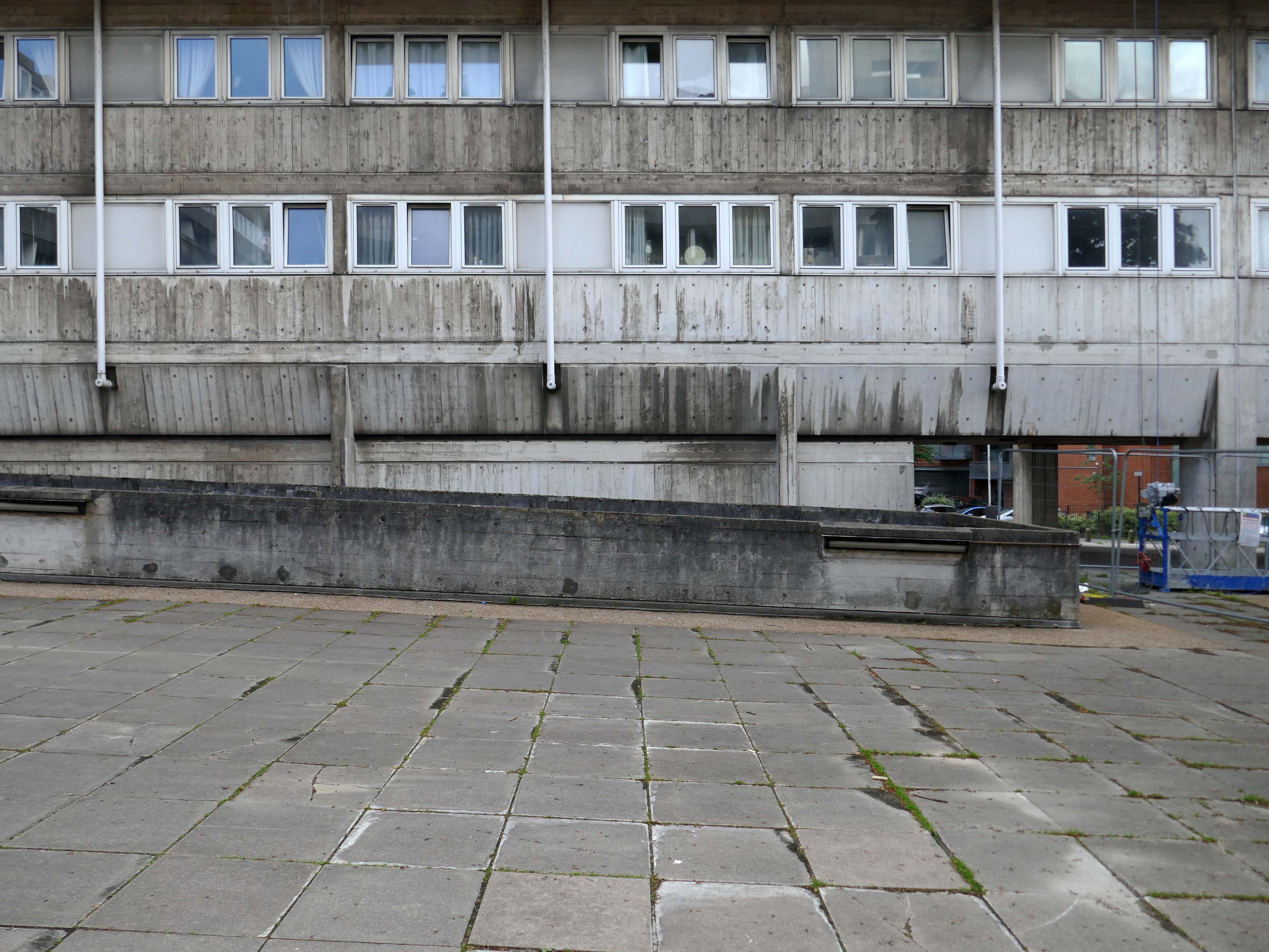
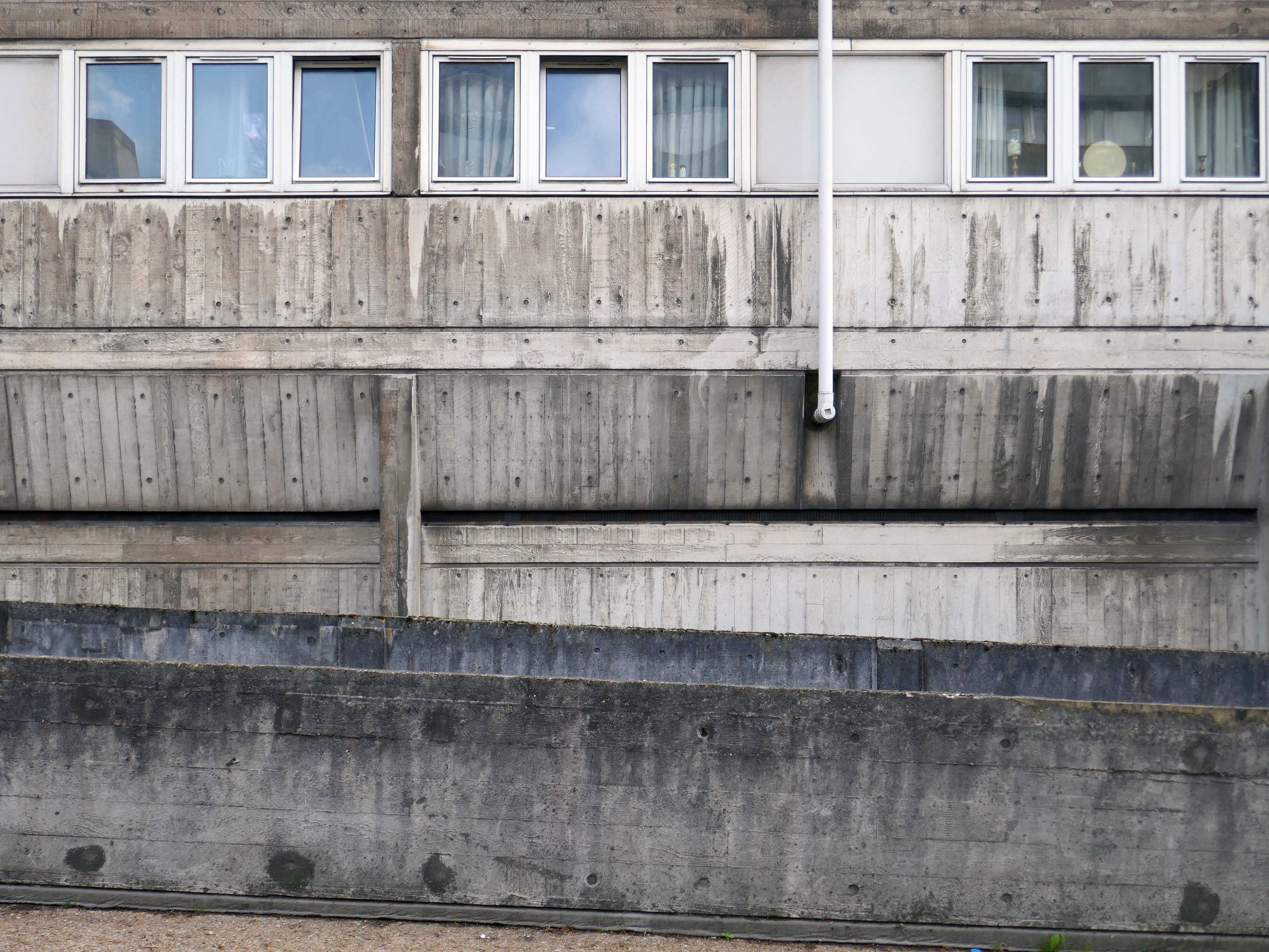
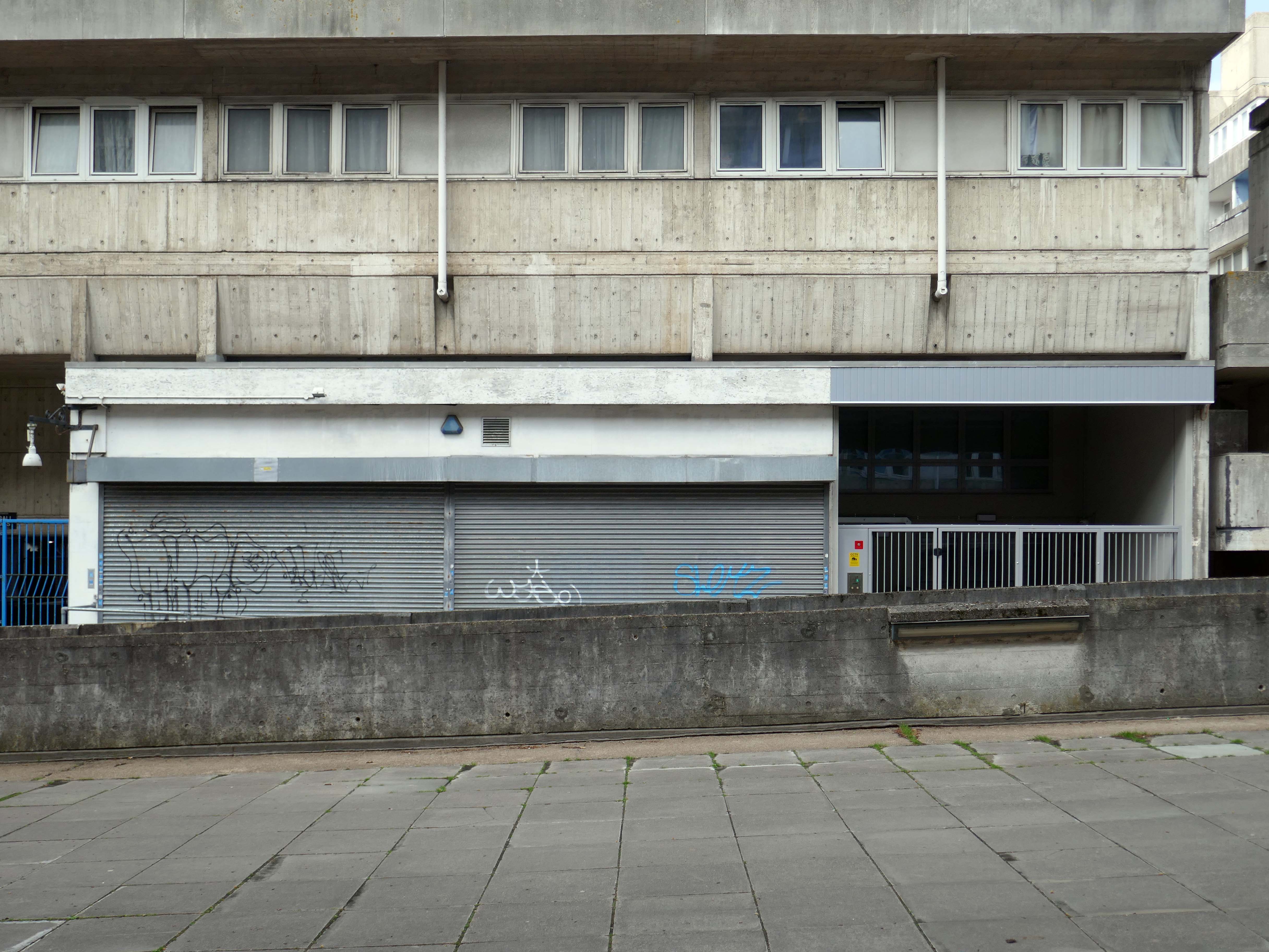
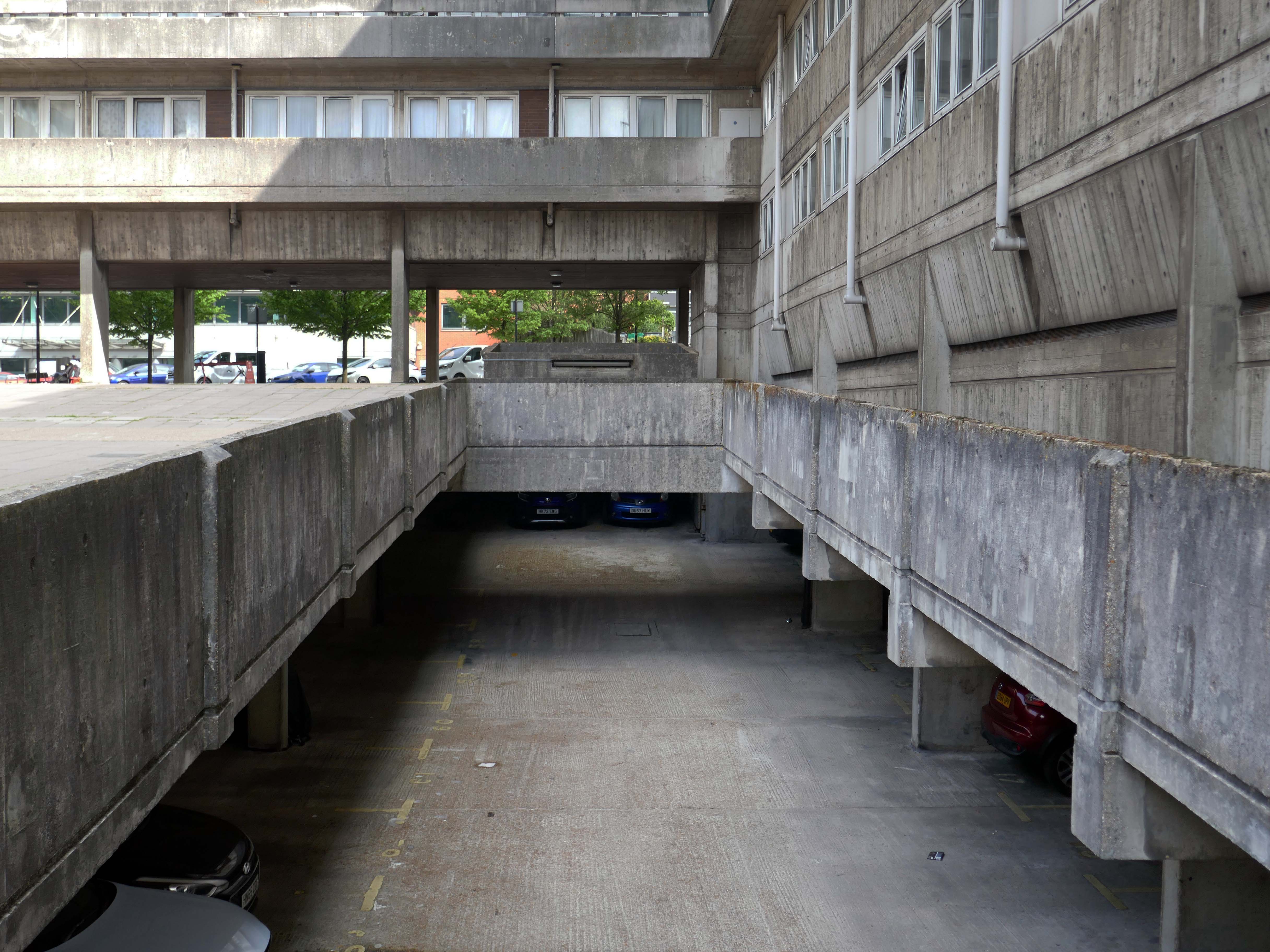
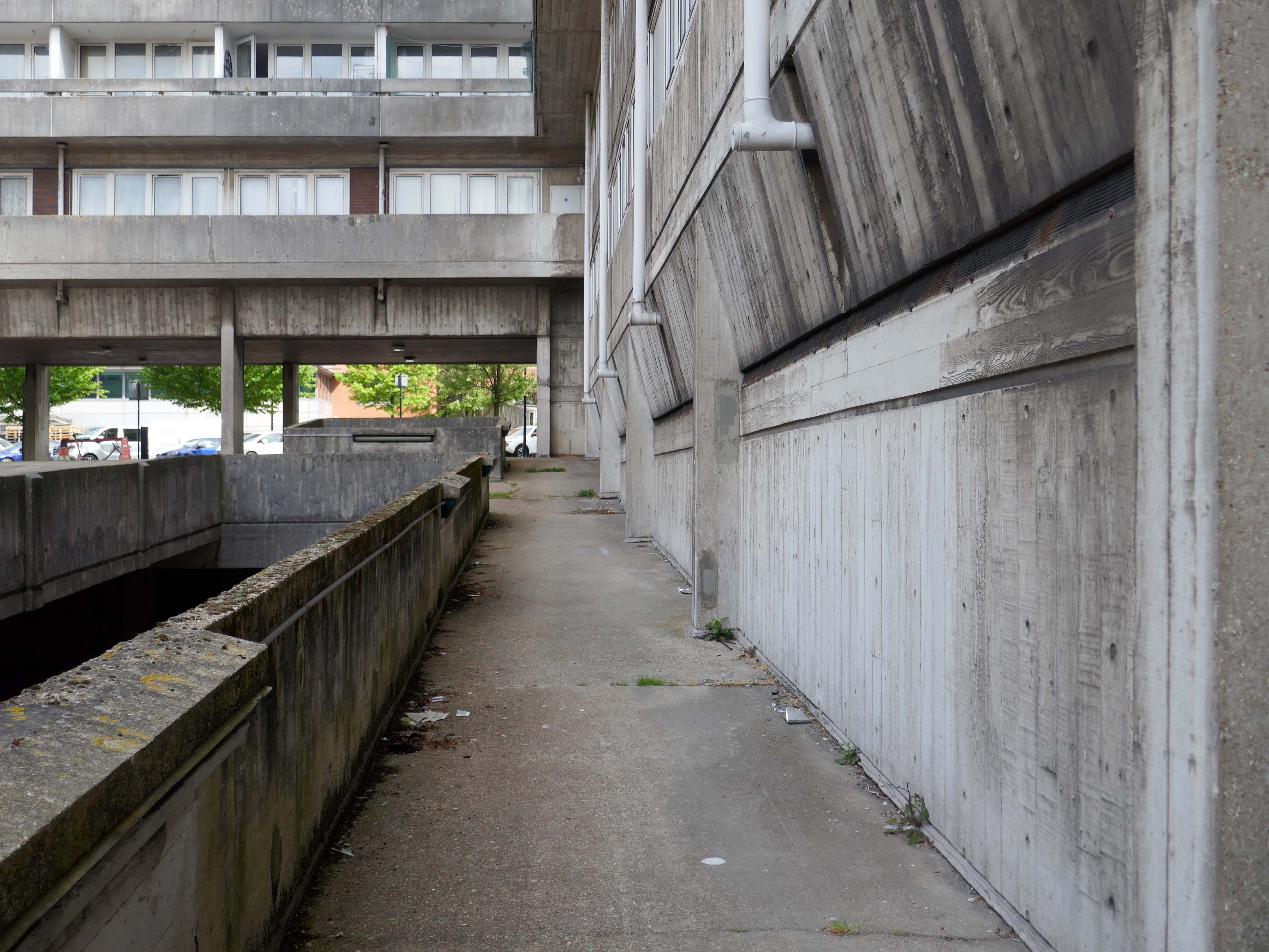
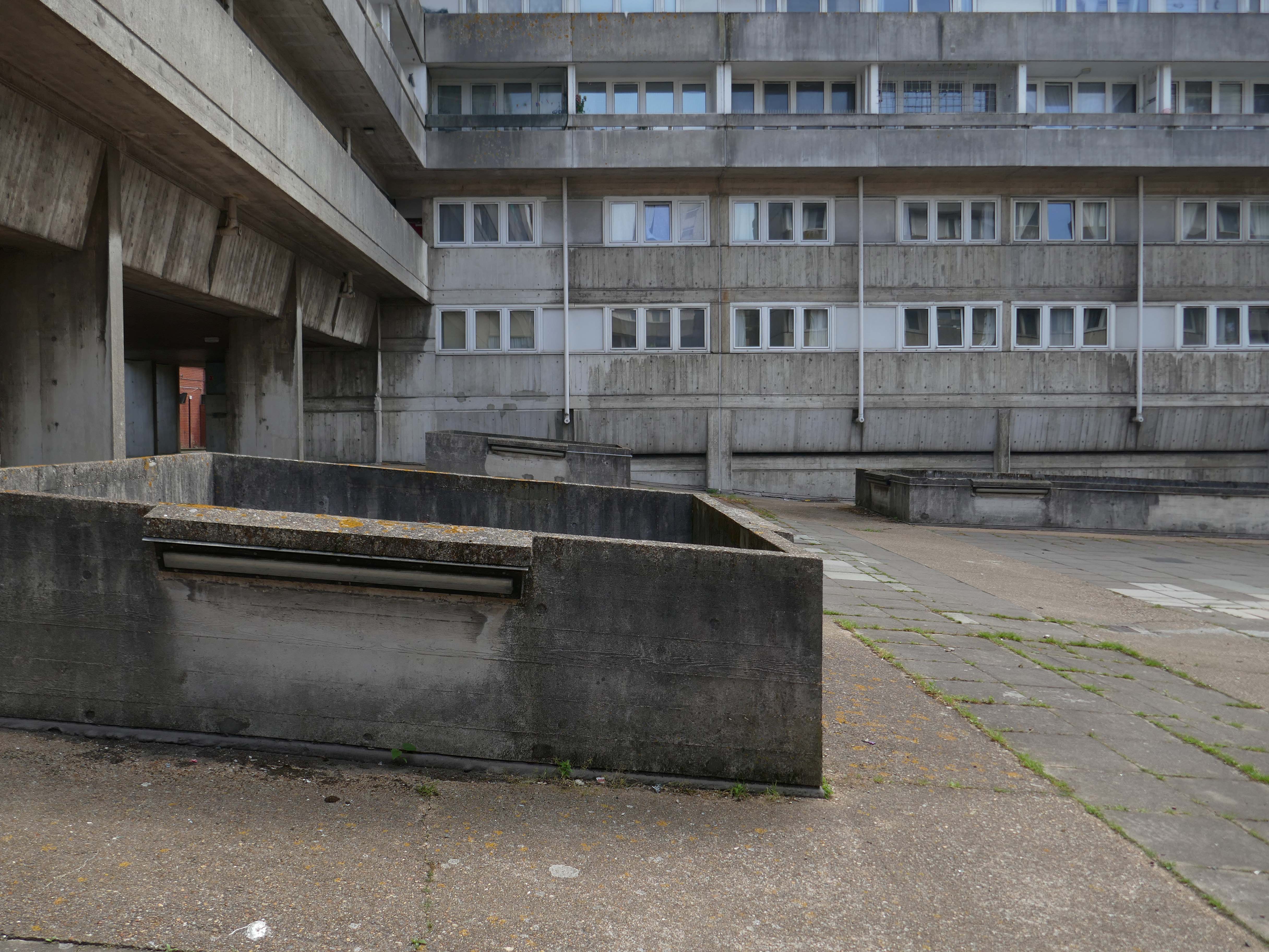
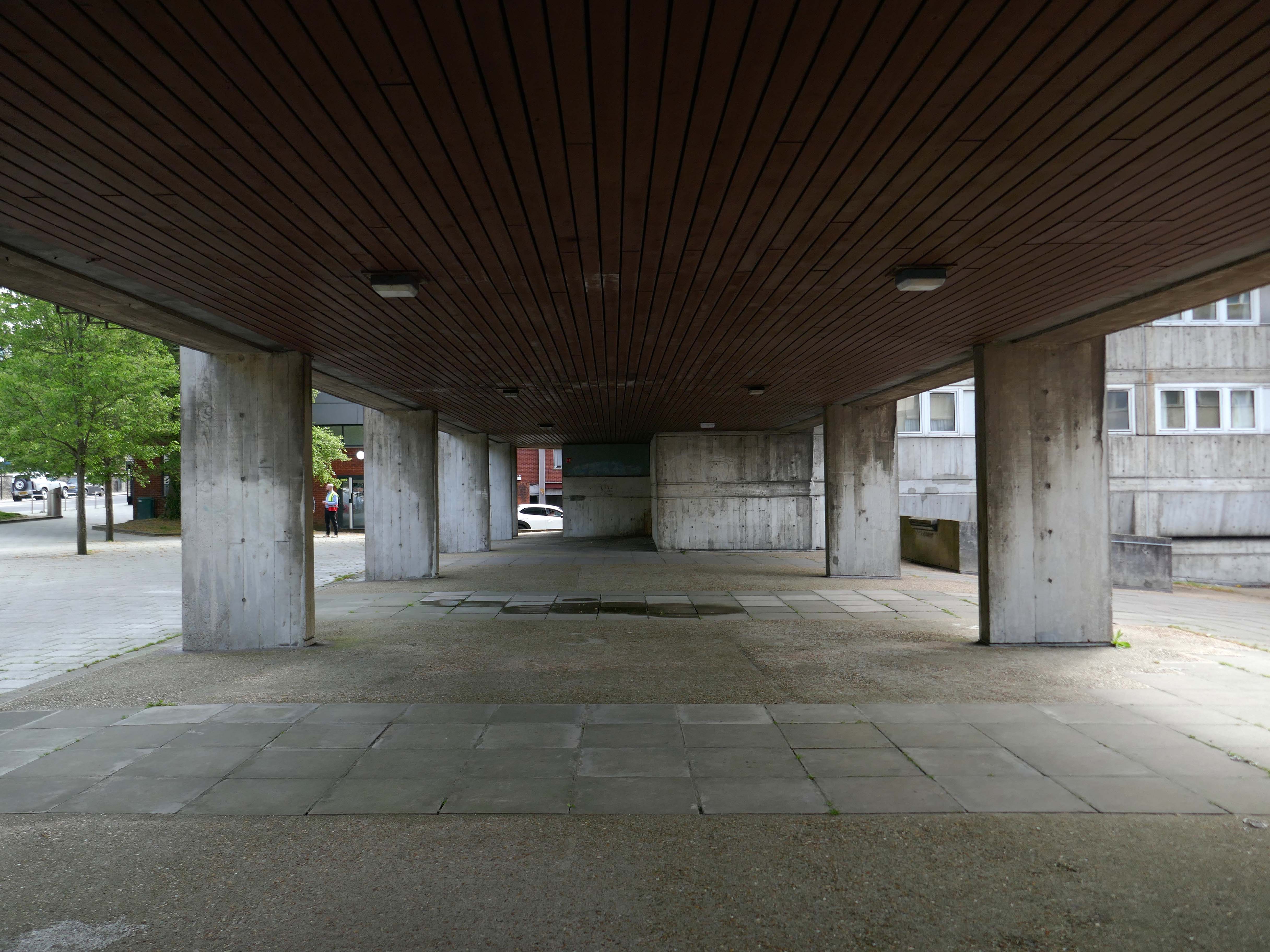
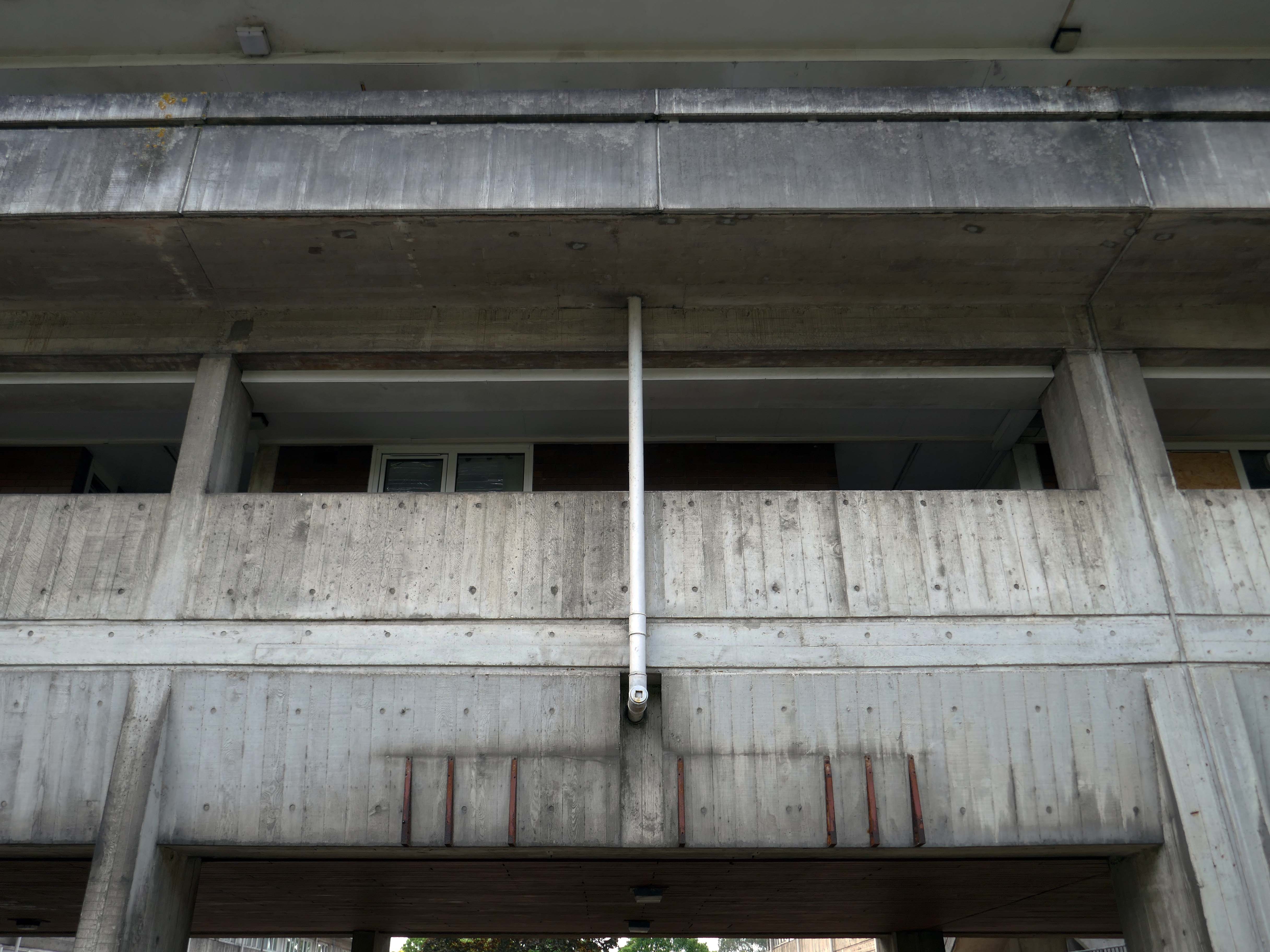
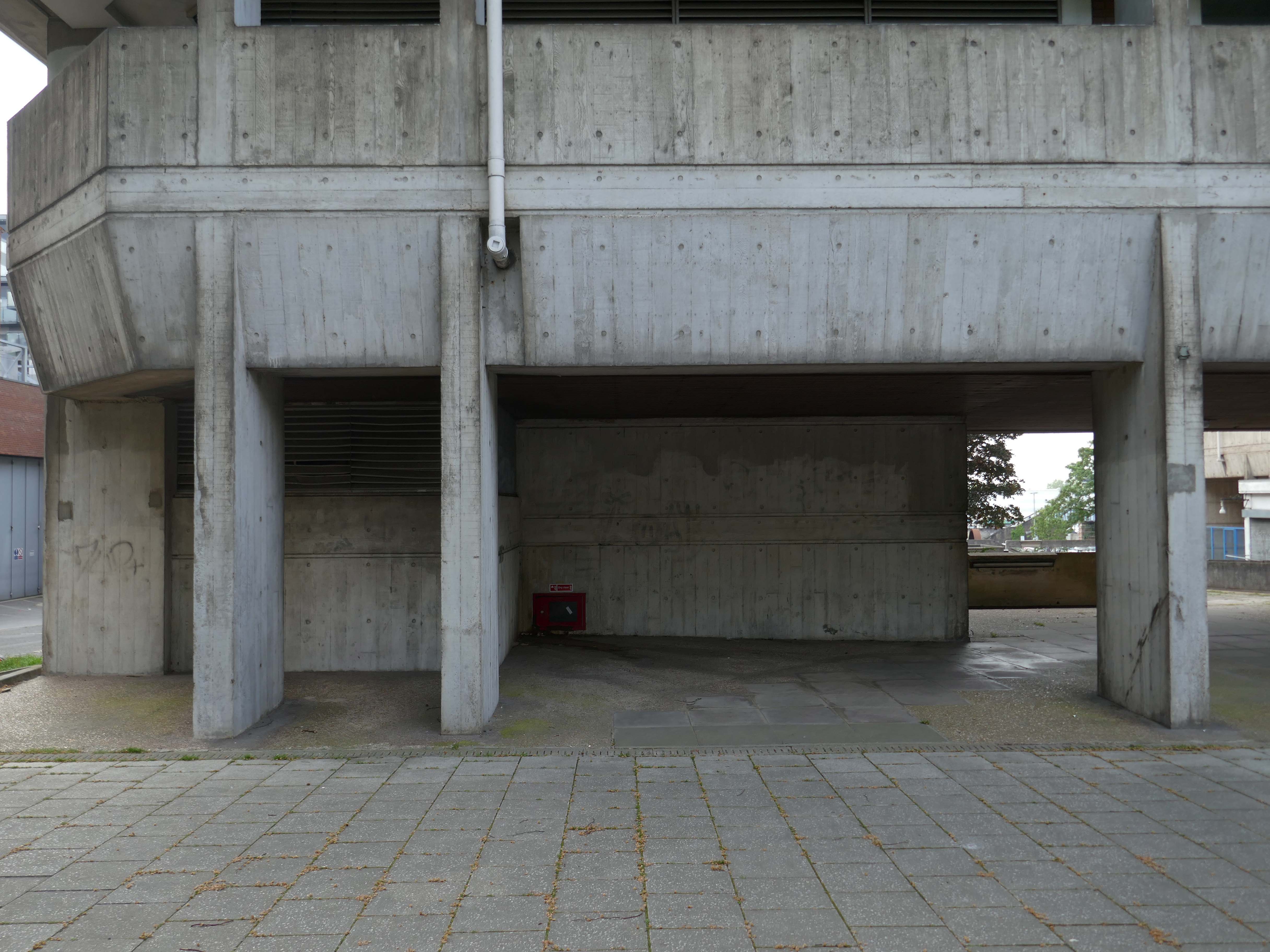
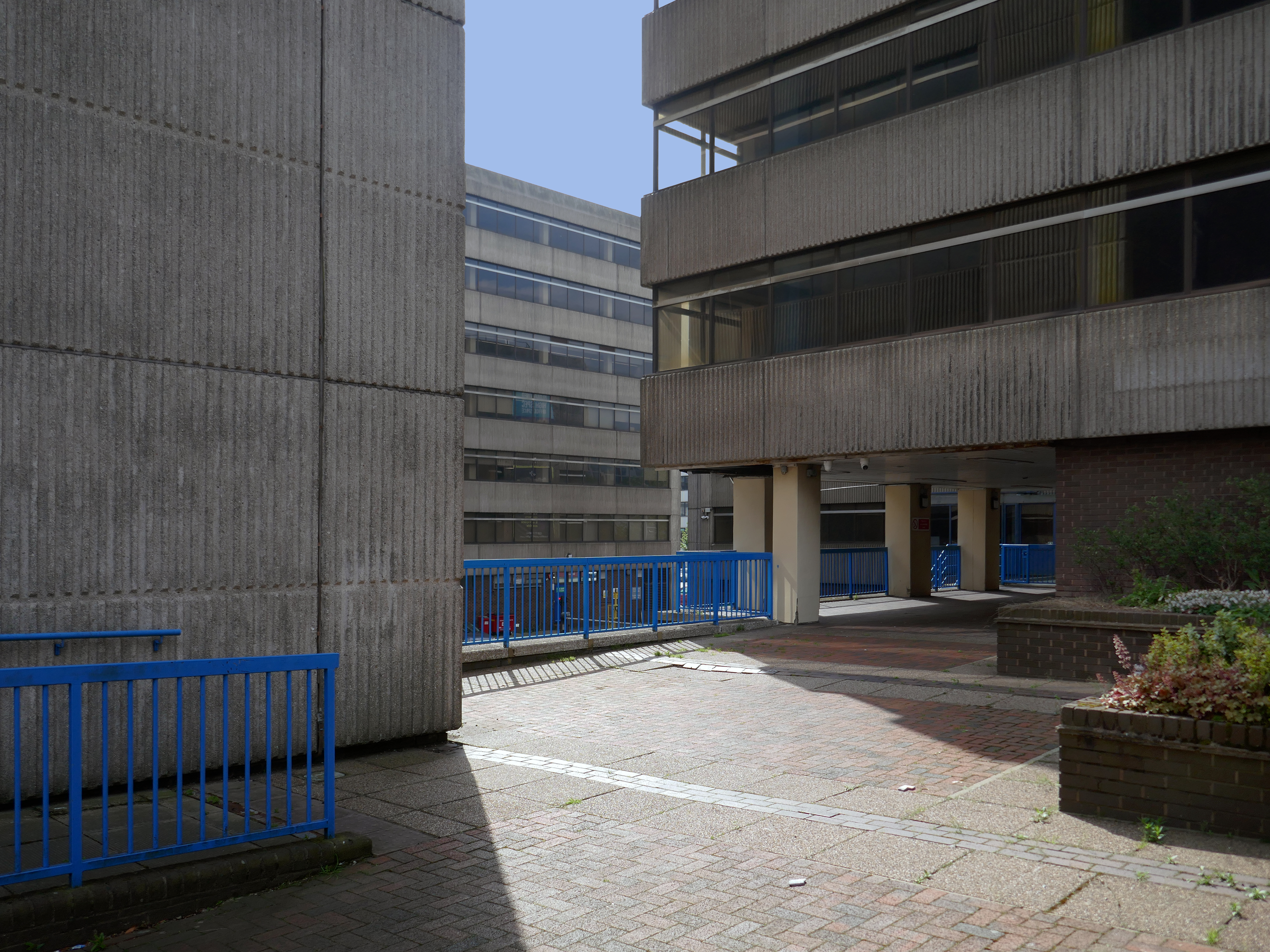
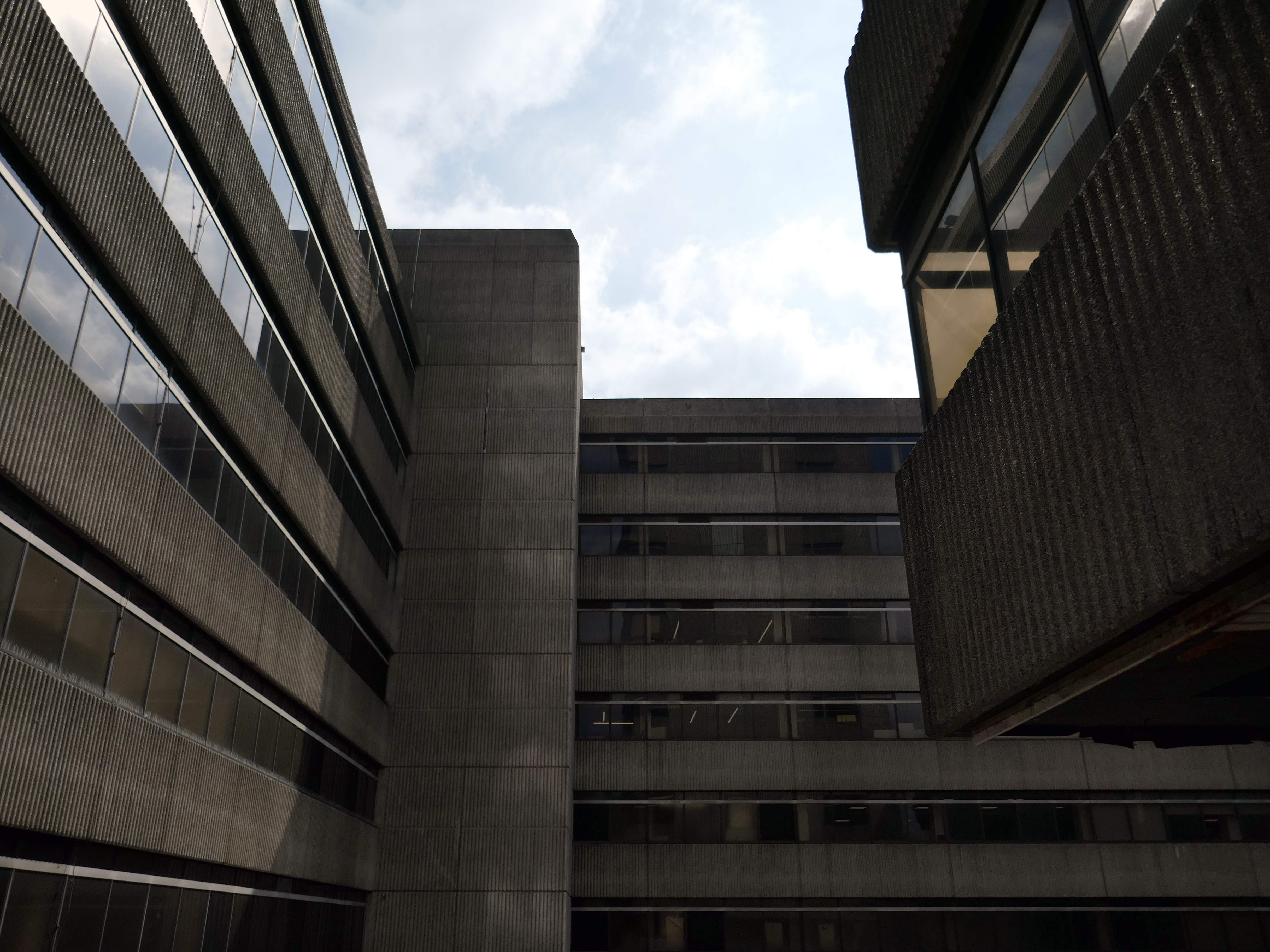
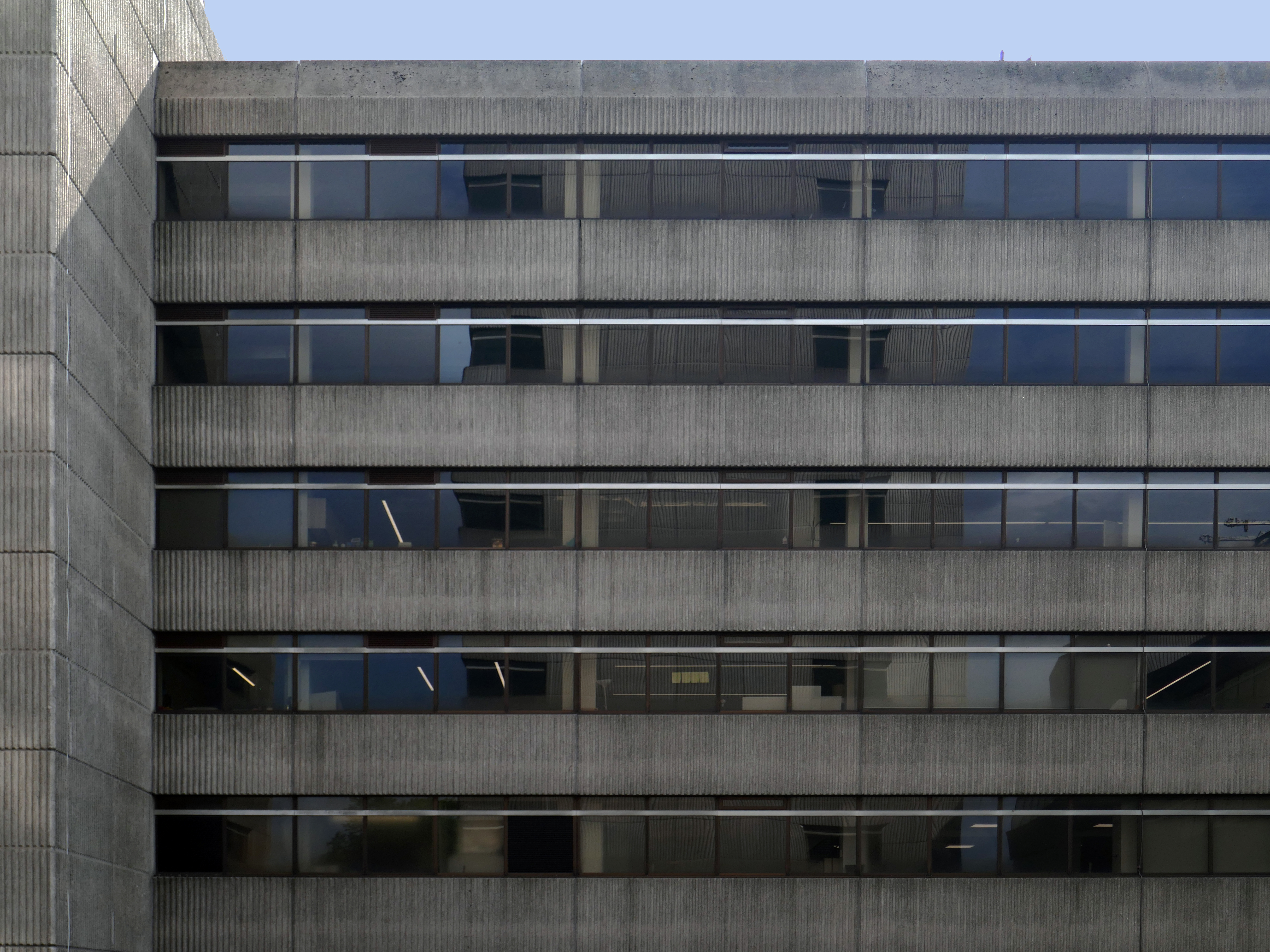
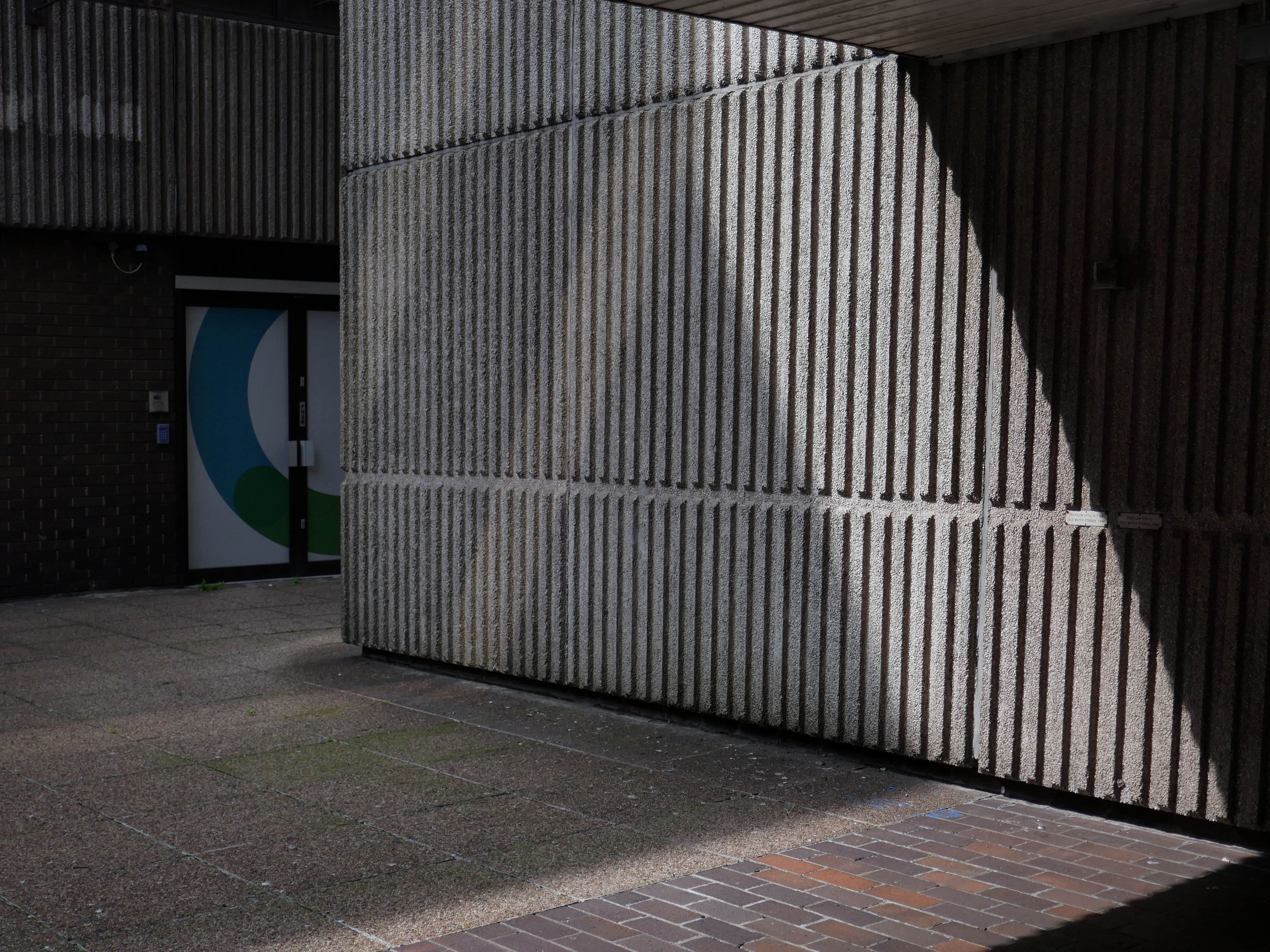
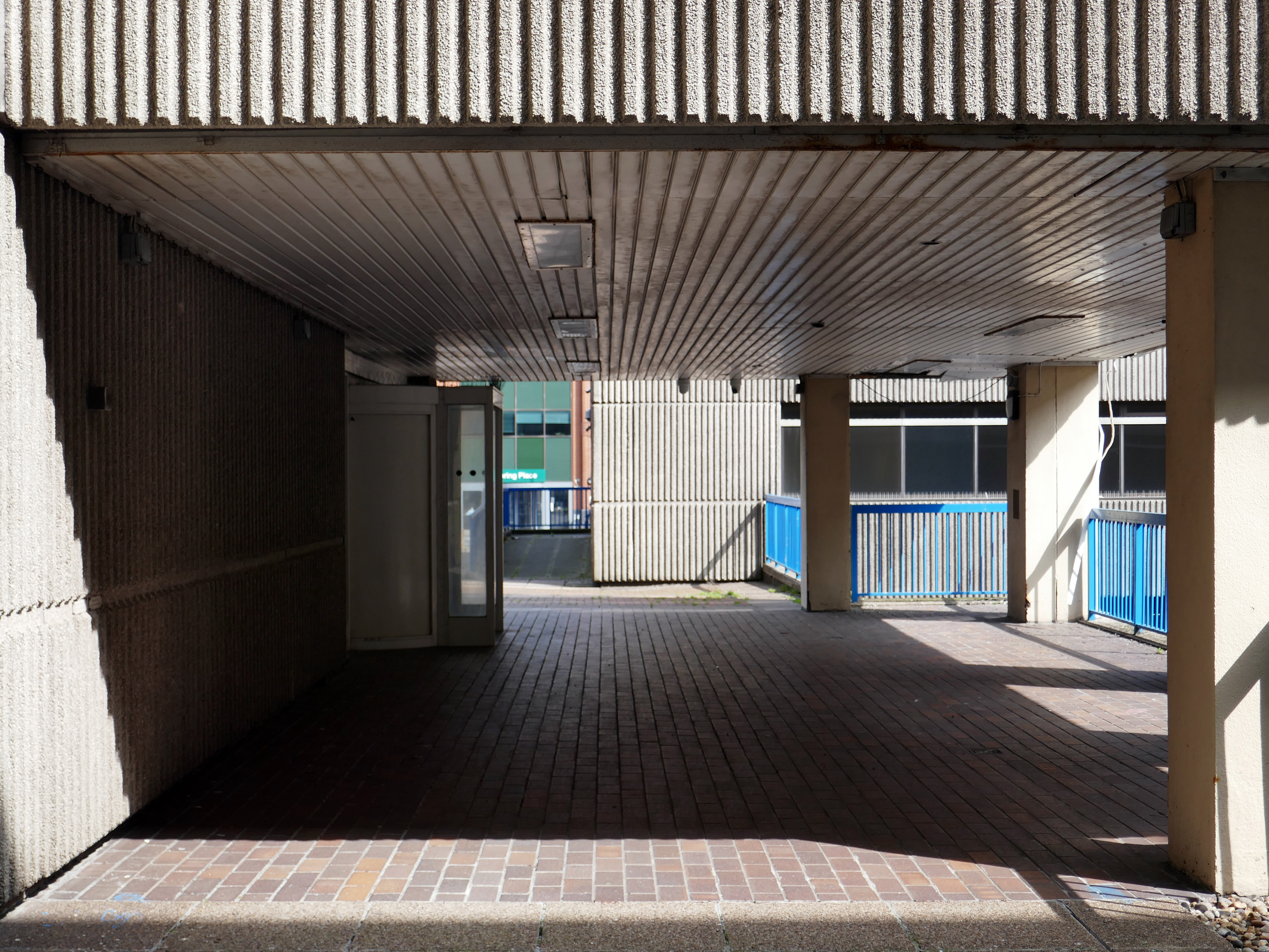
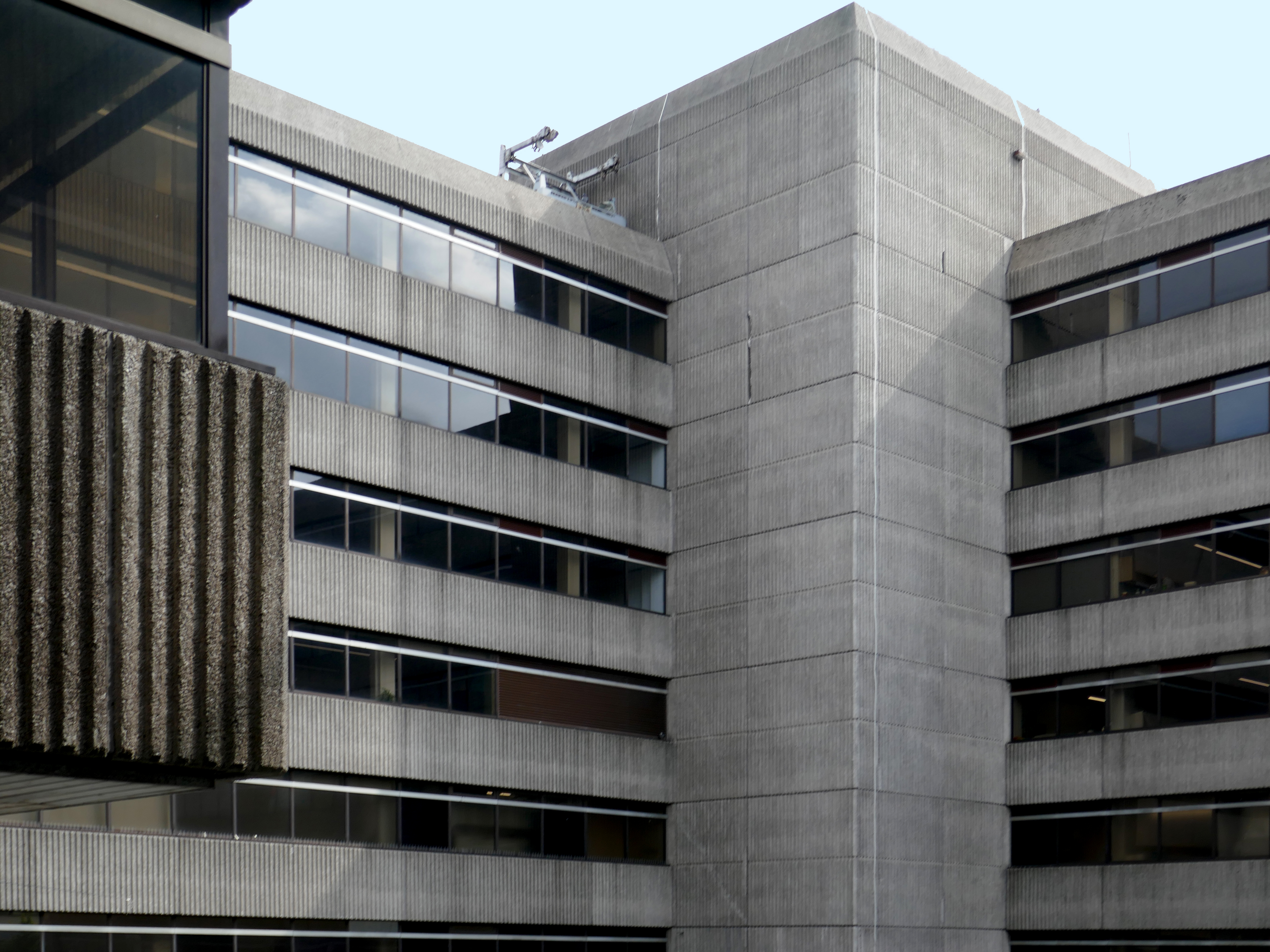
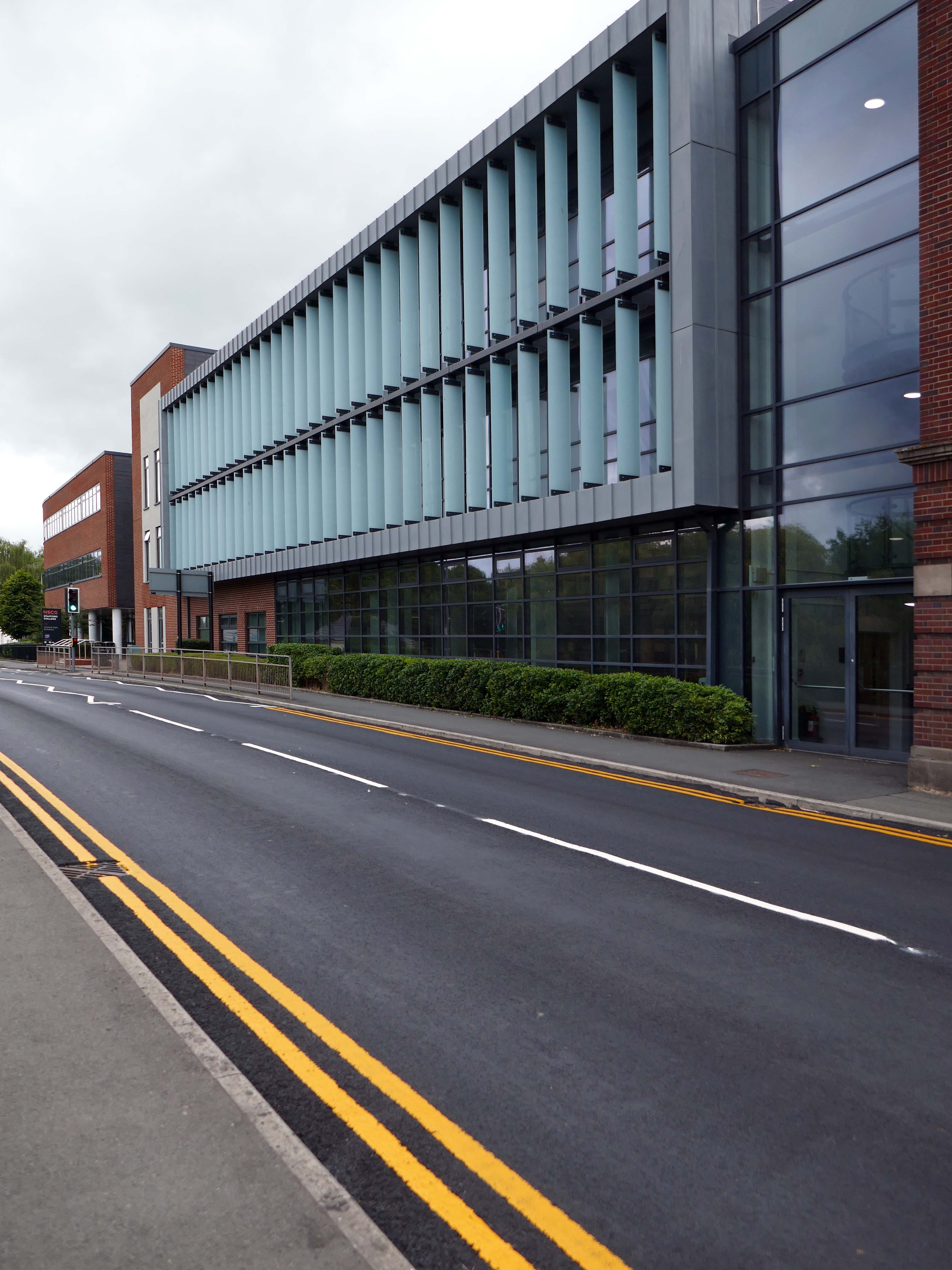
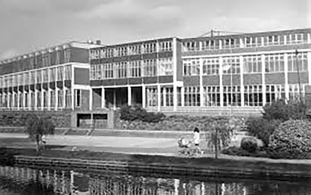
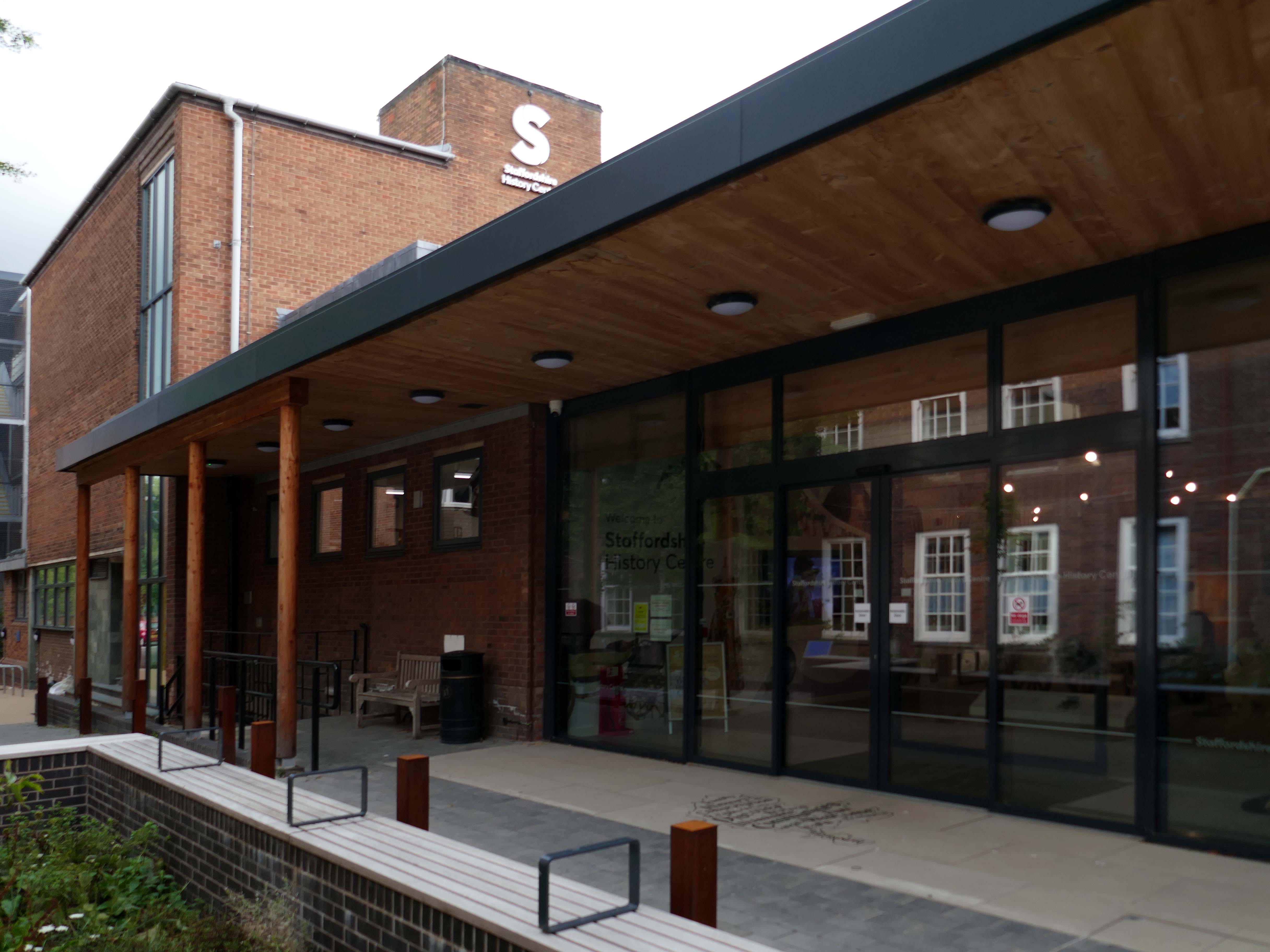
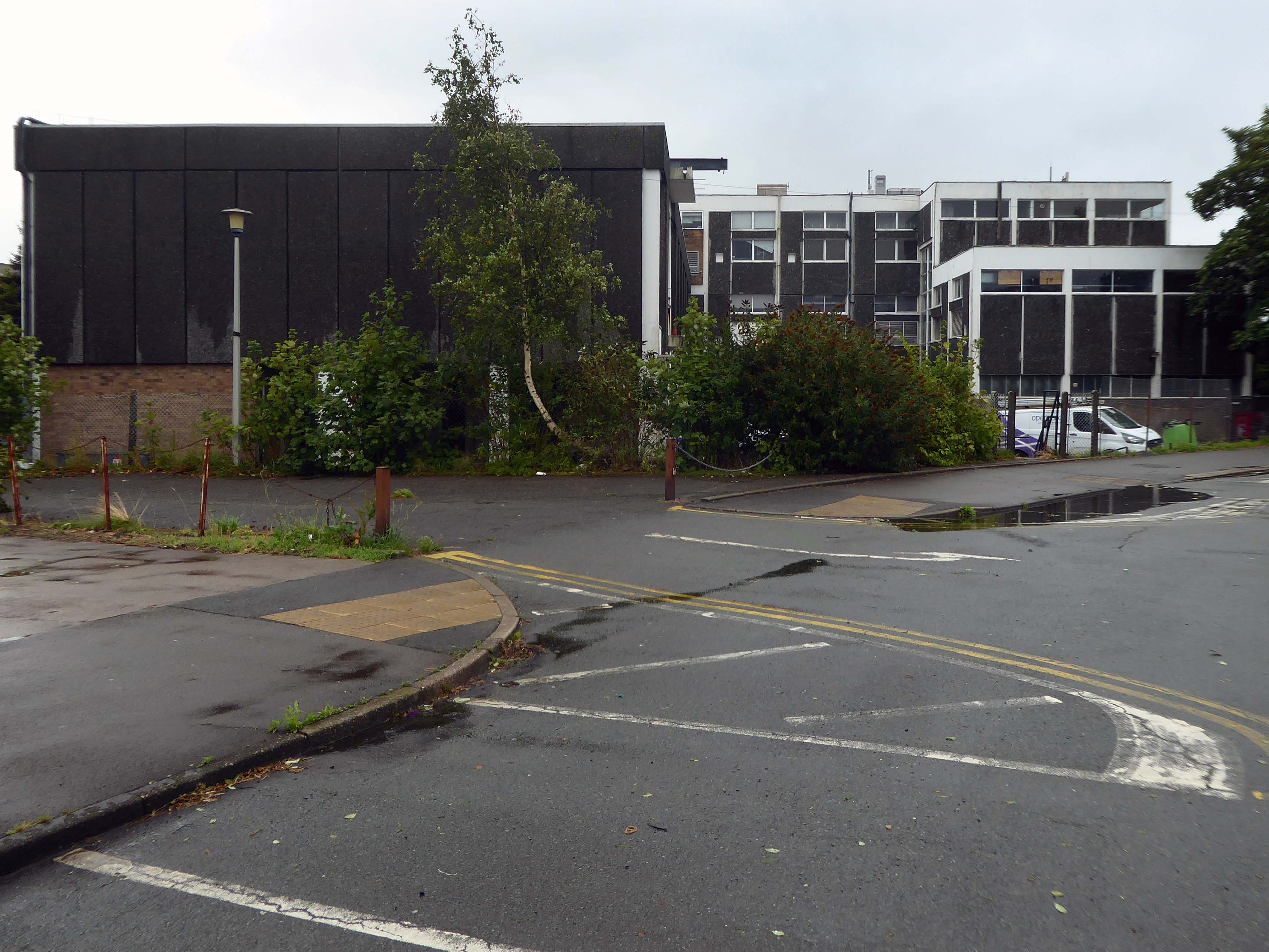
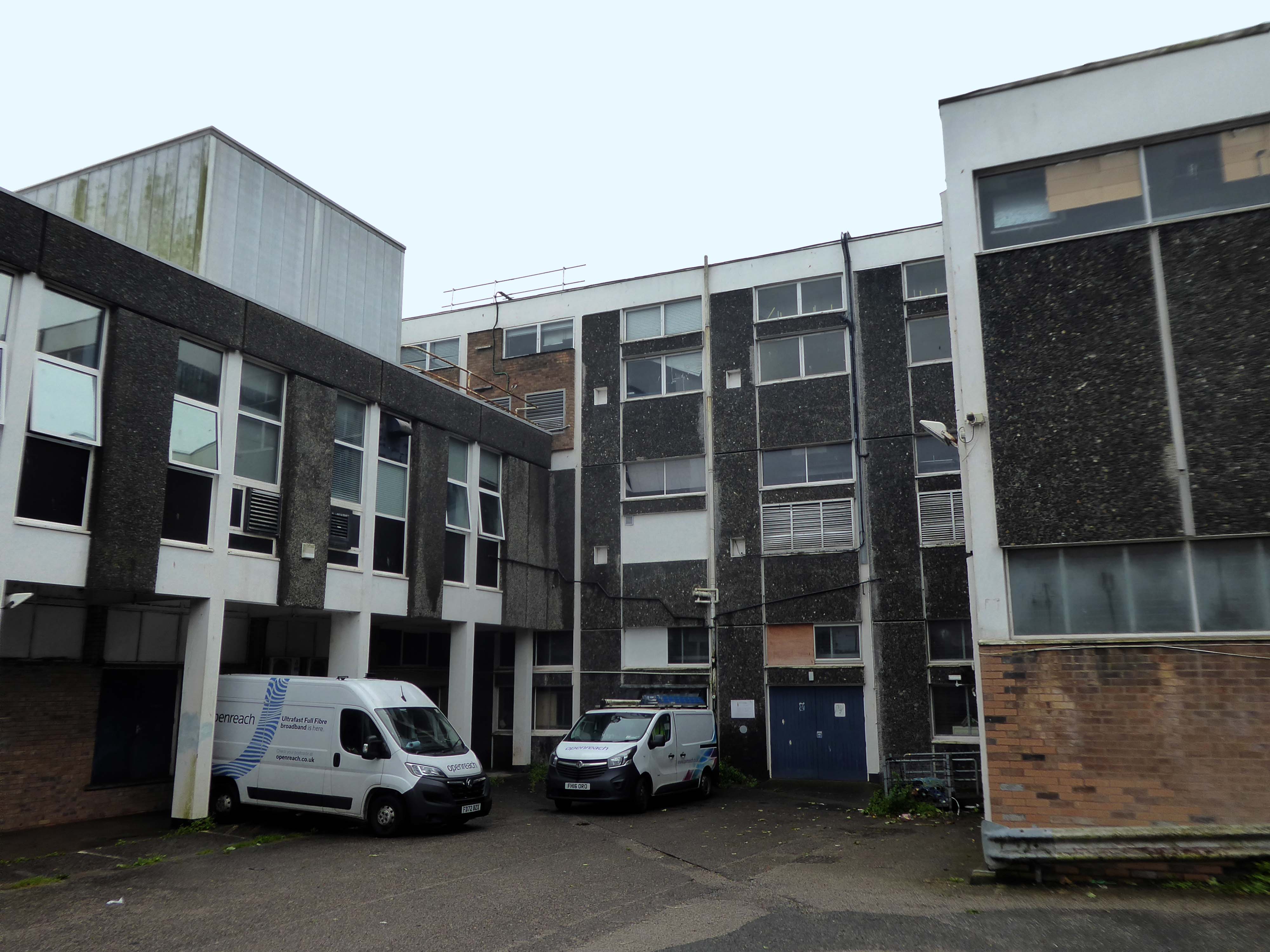
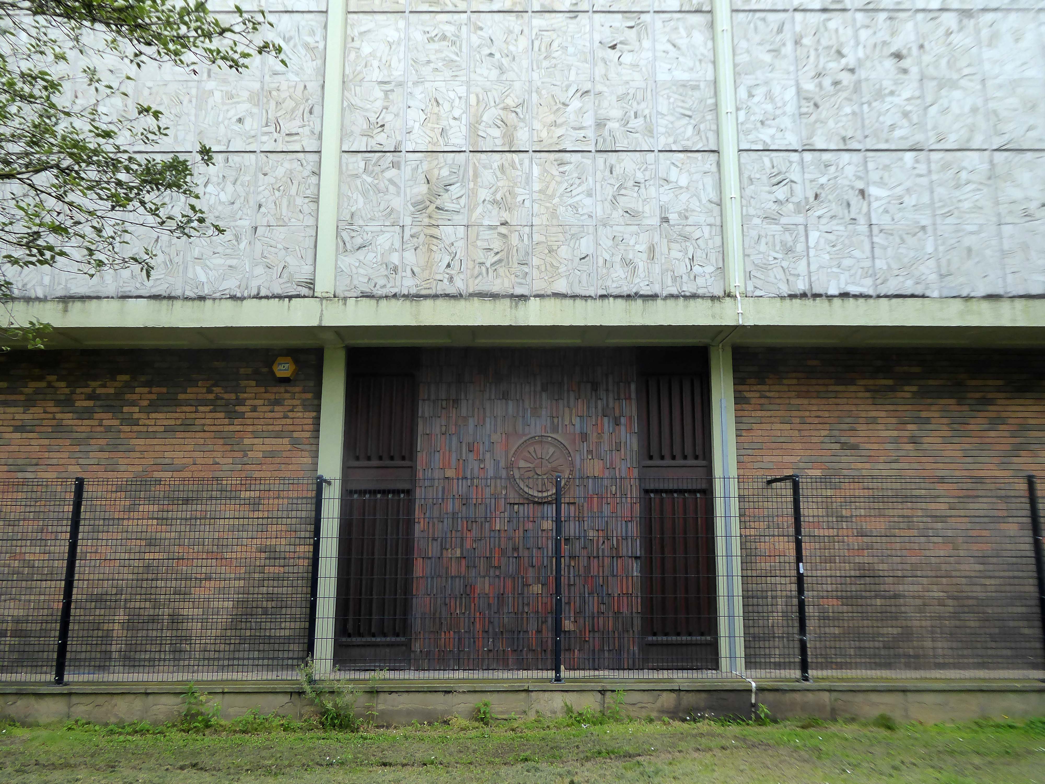
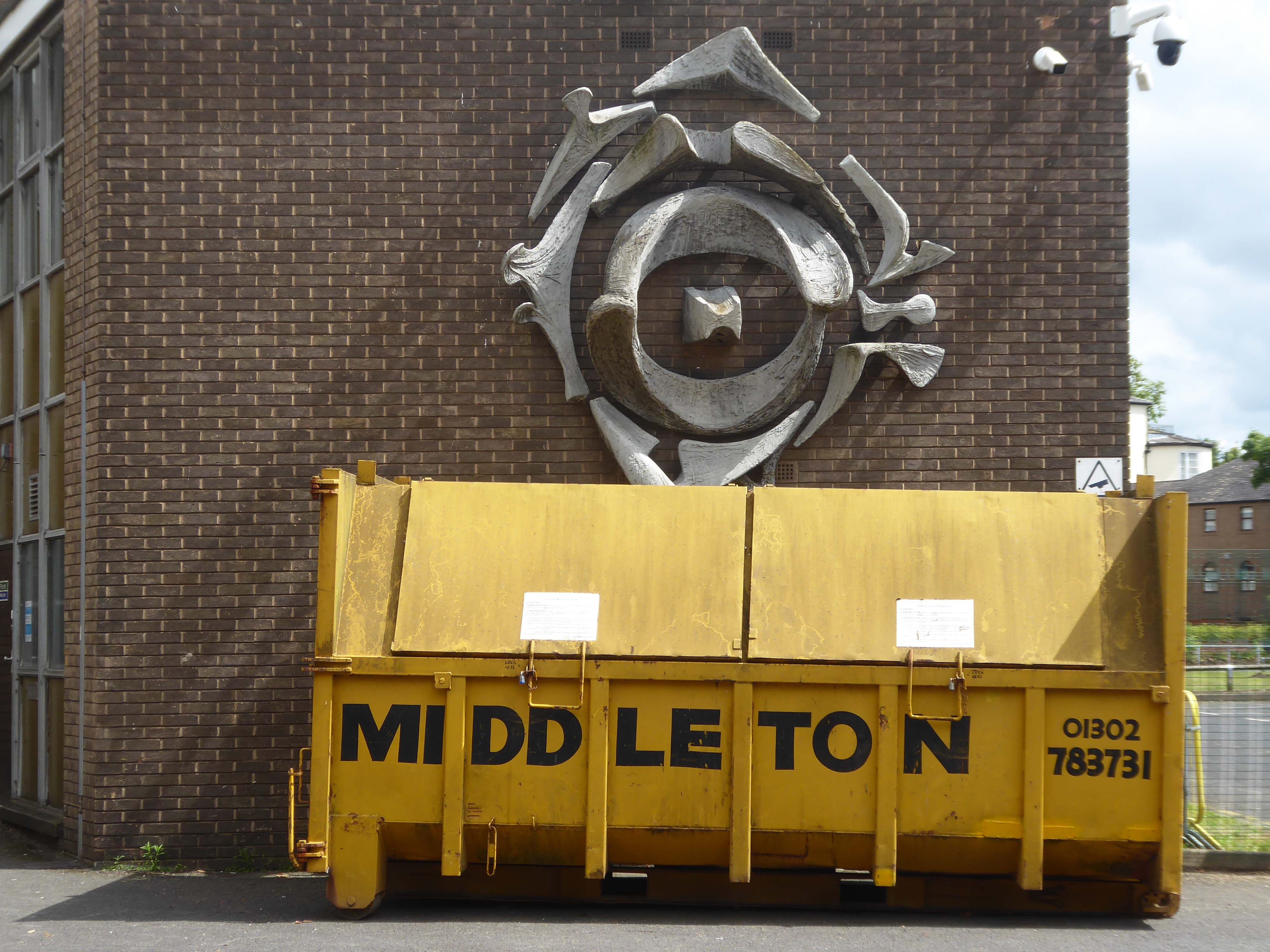
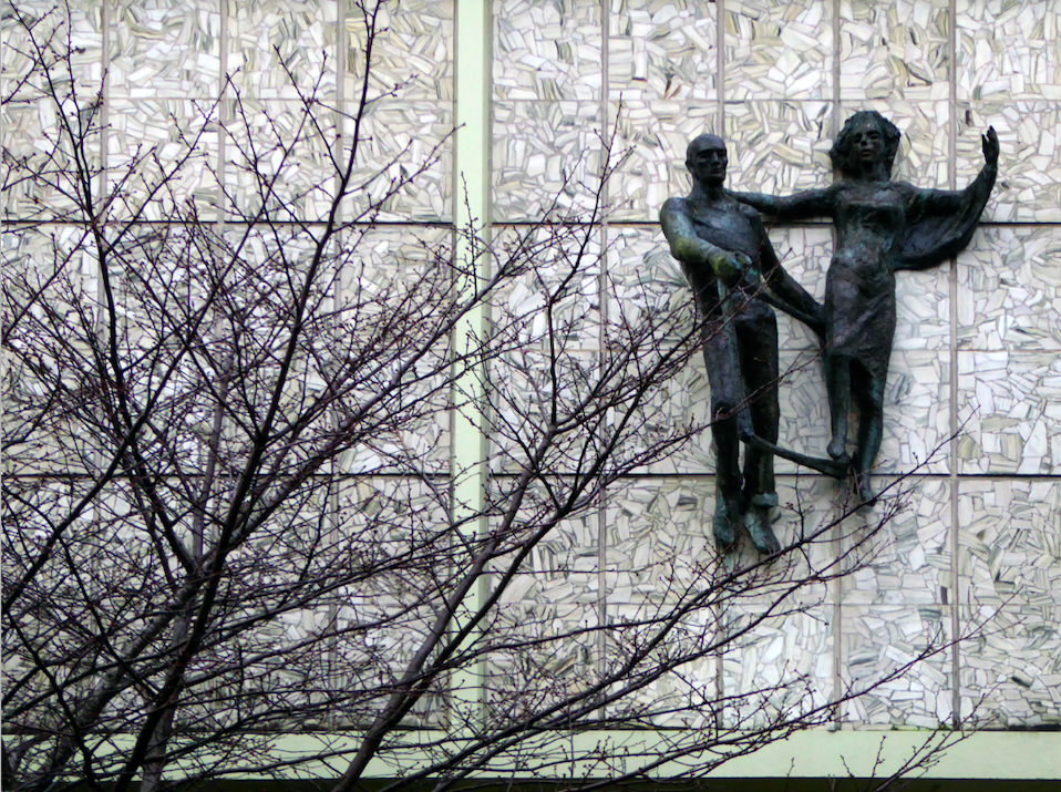
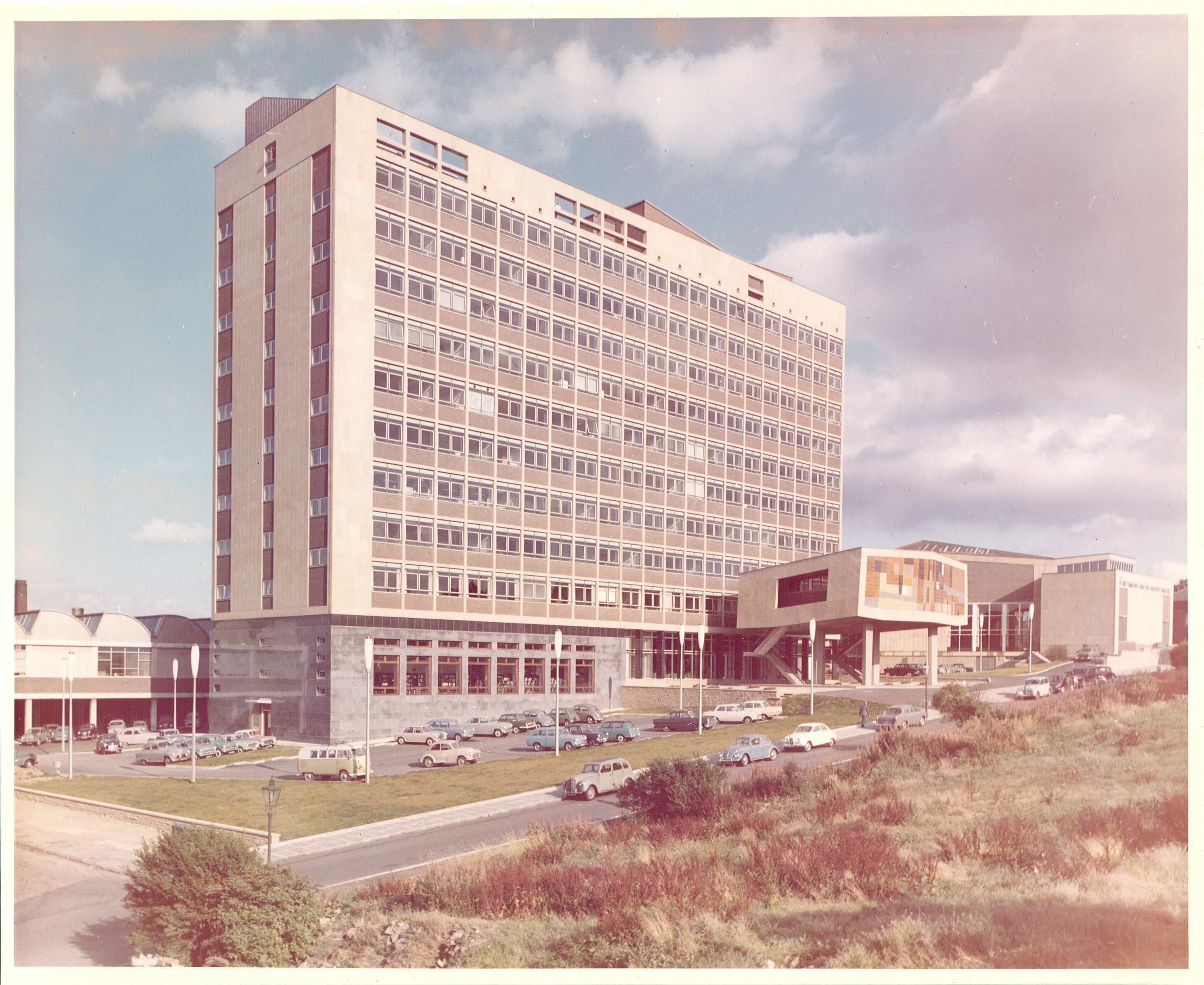
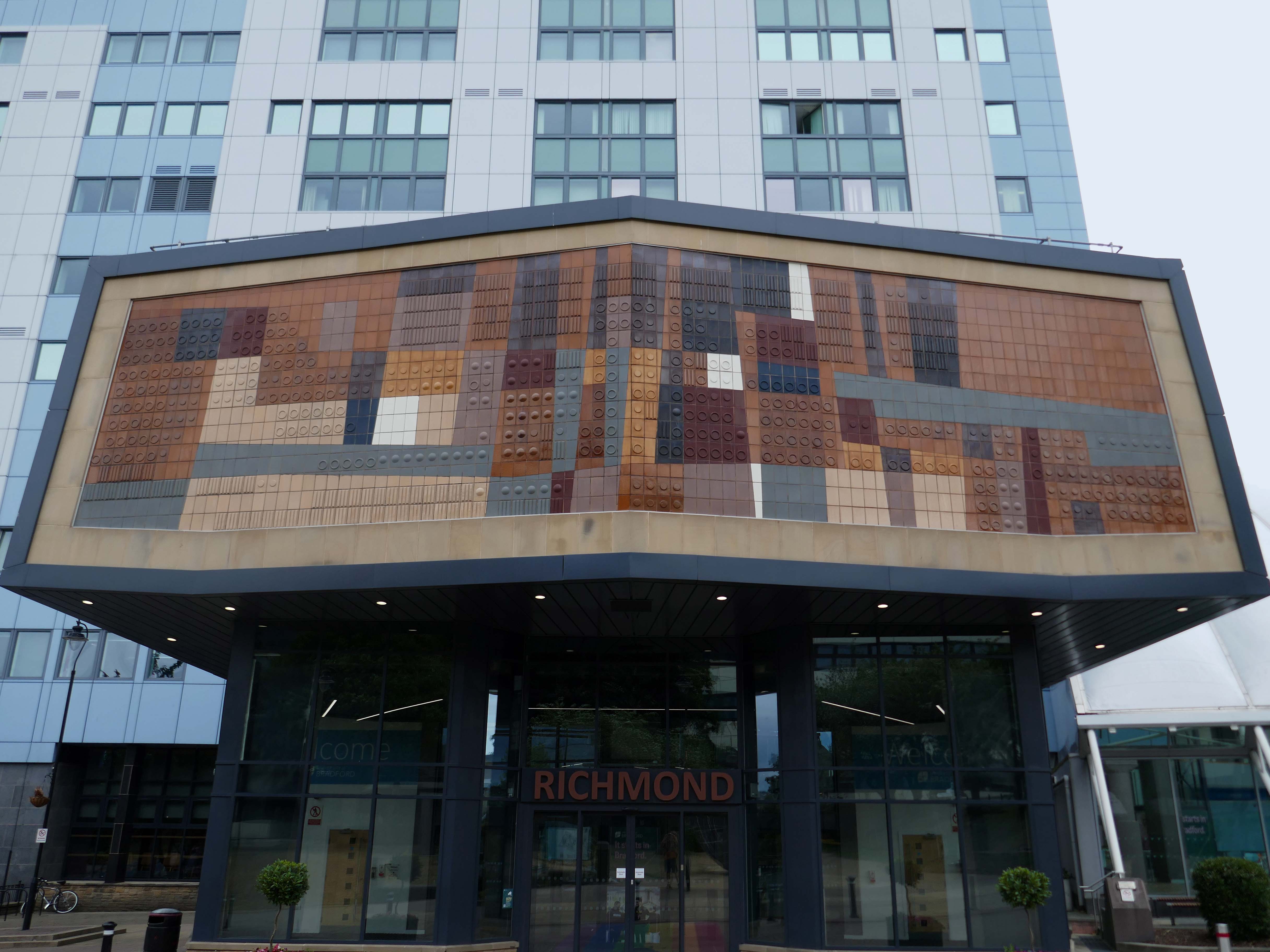
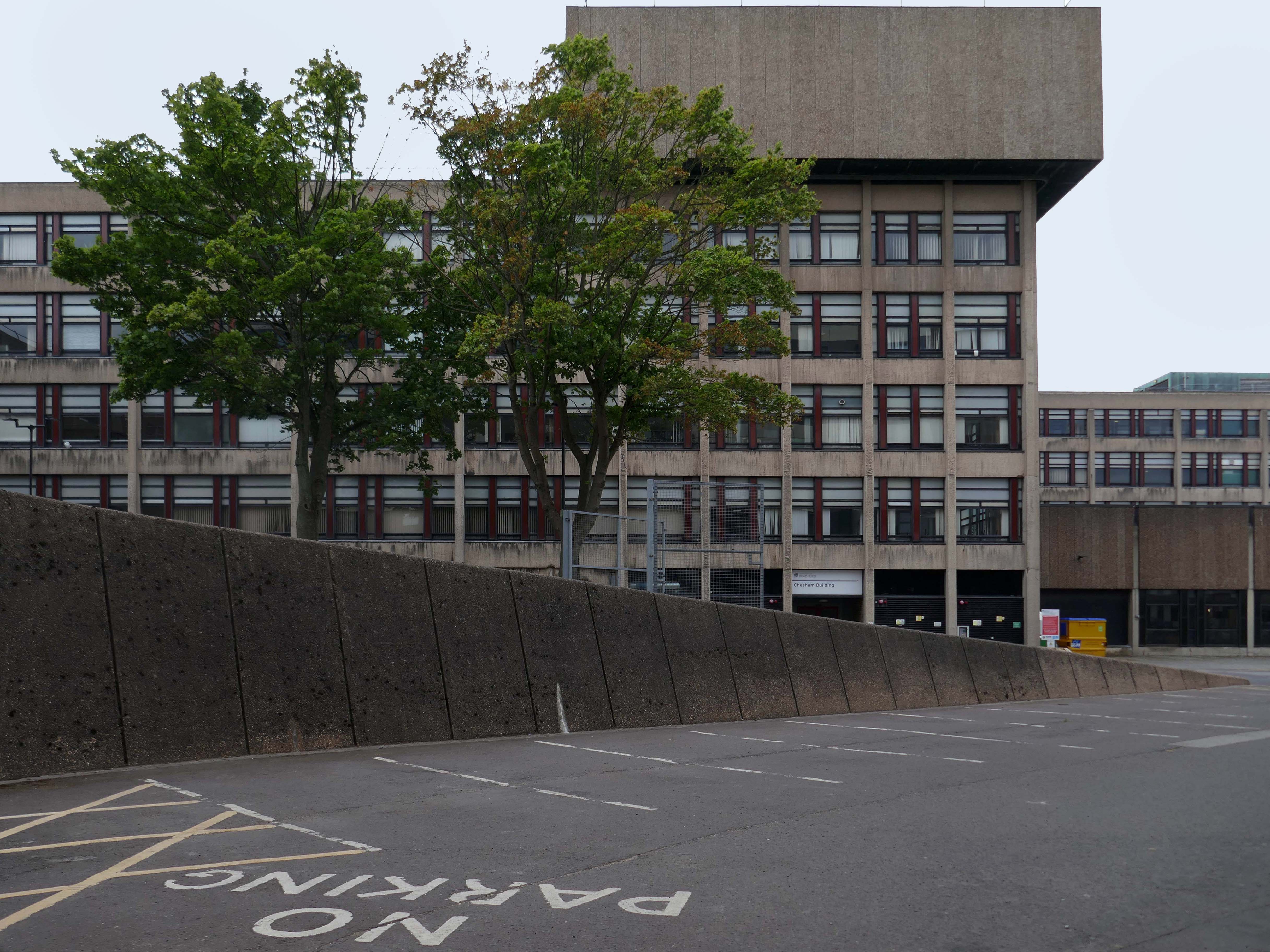
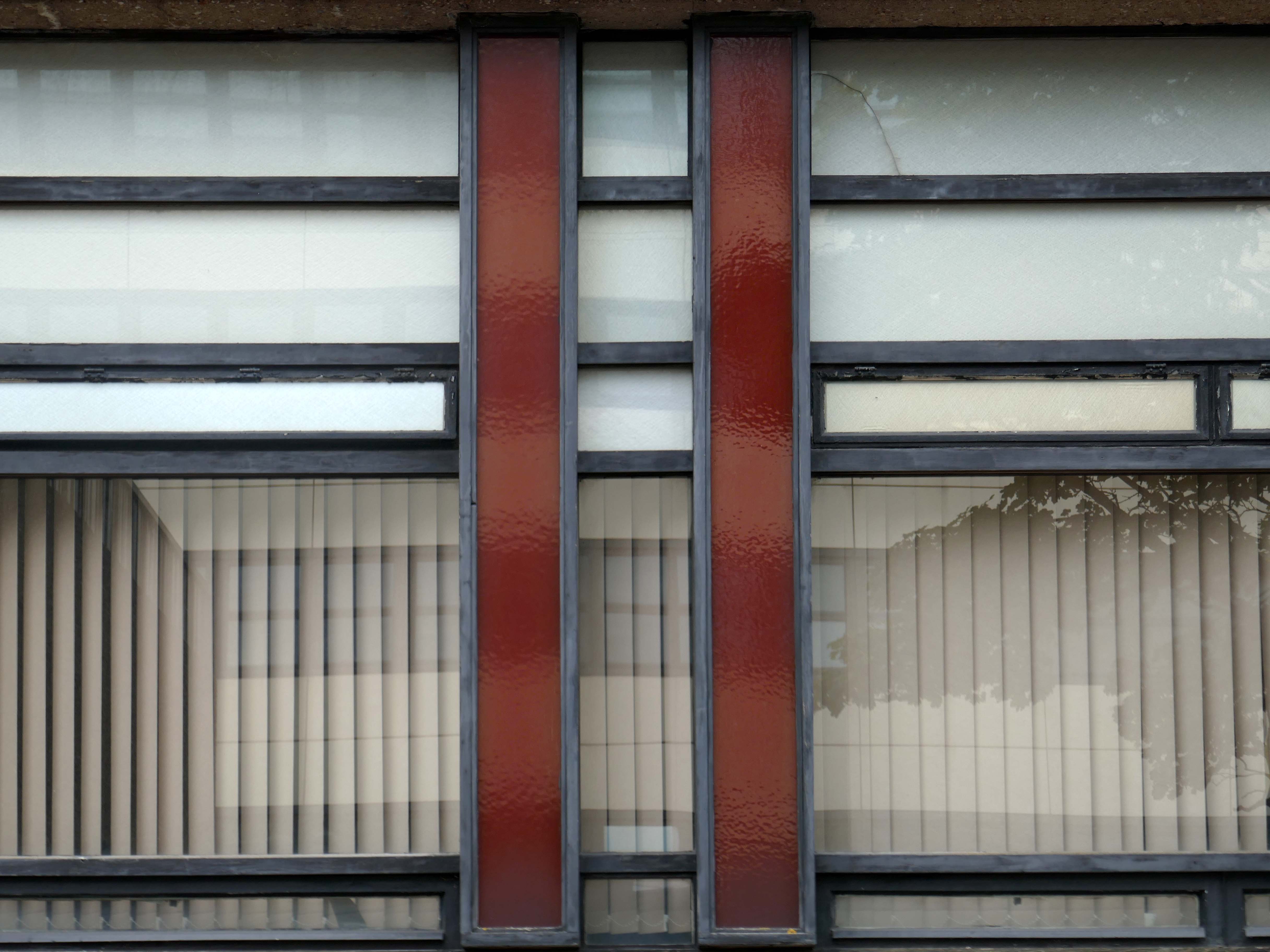
Let’s go up the hill to the University of Bradford.
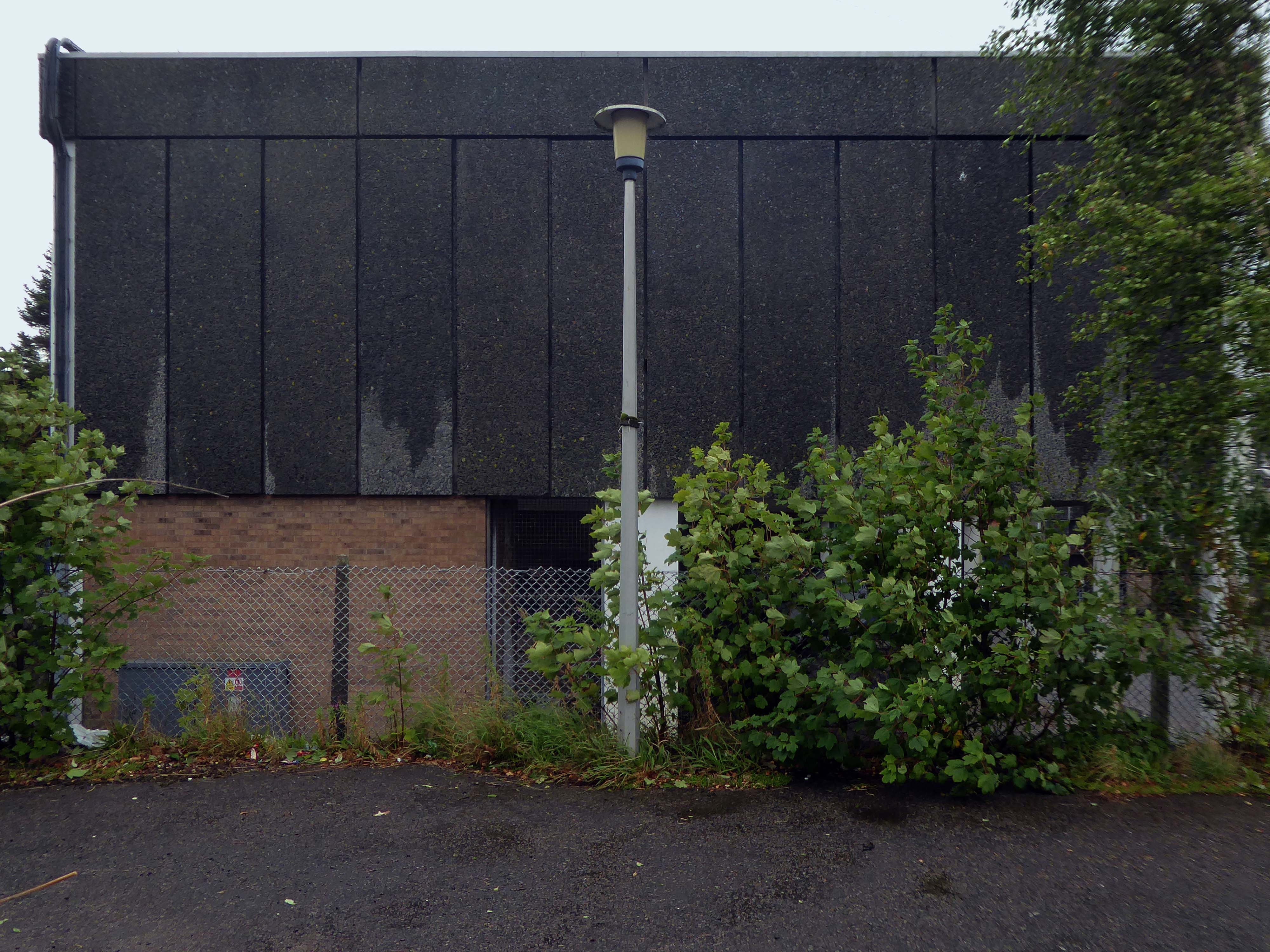
The institution uses this image illustrating the transition of the BDP Richmond Building of 1964, to its contemporaneously clad iteration.
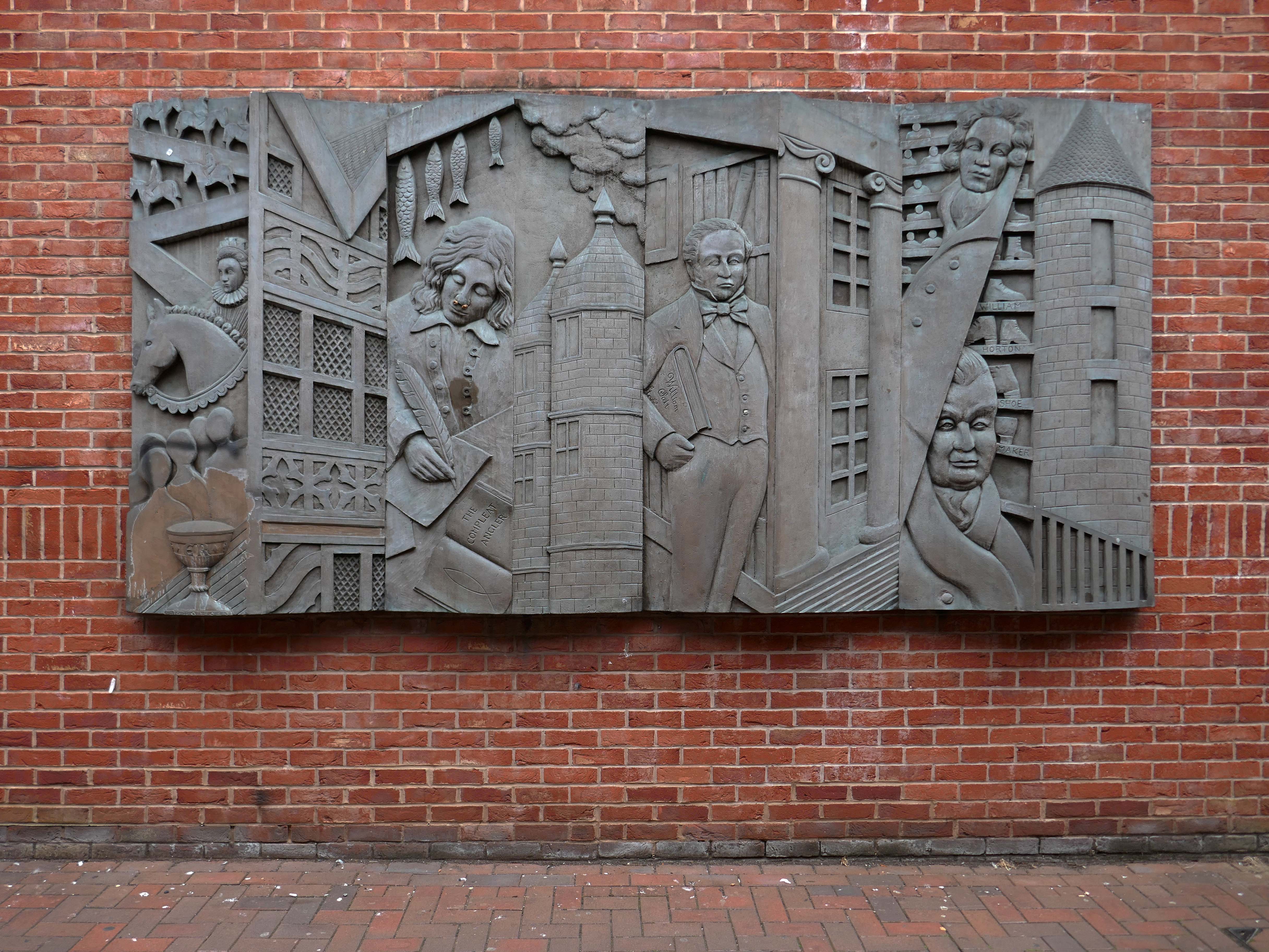
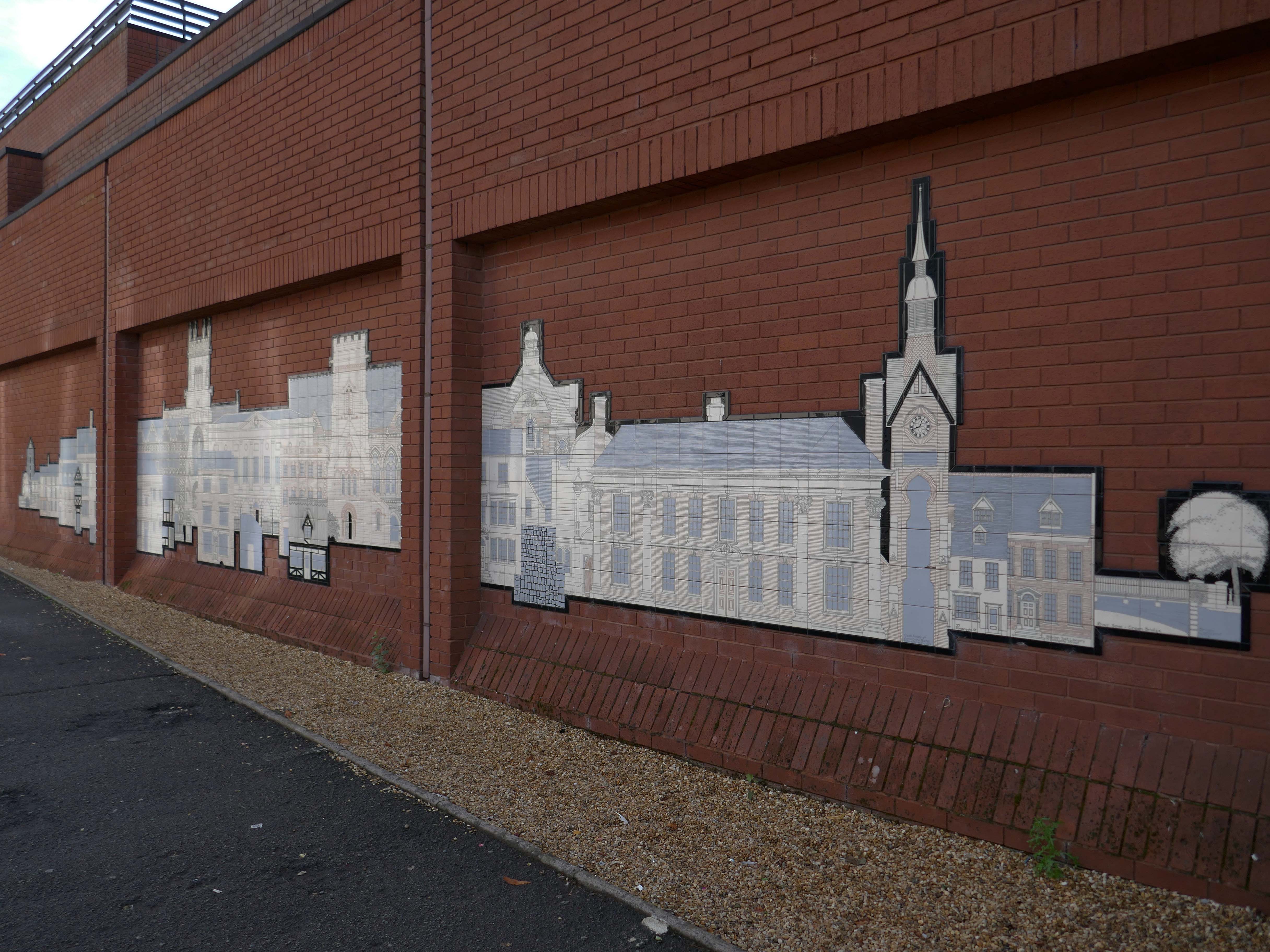
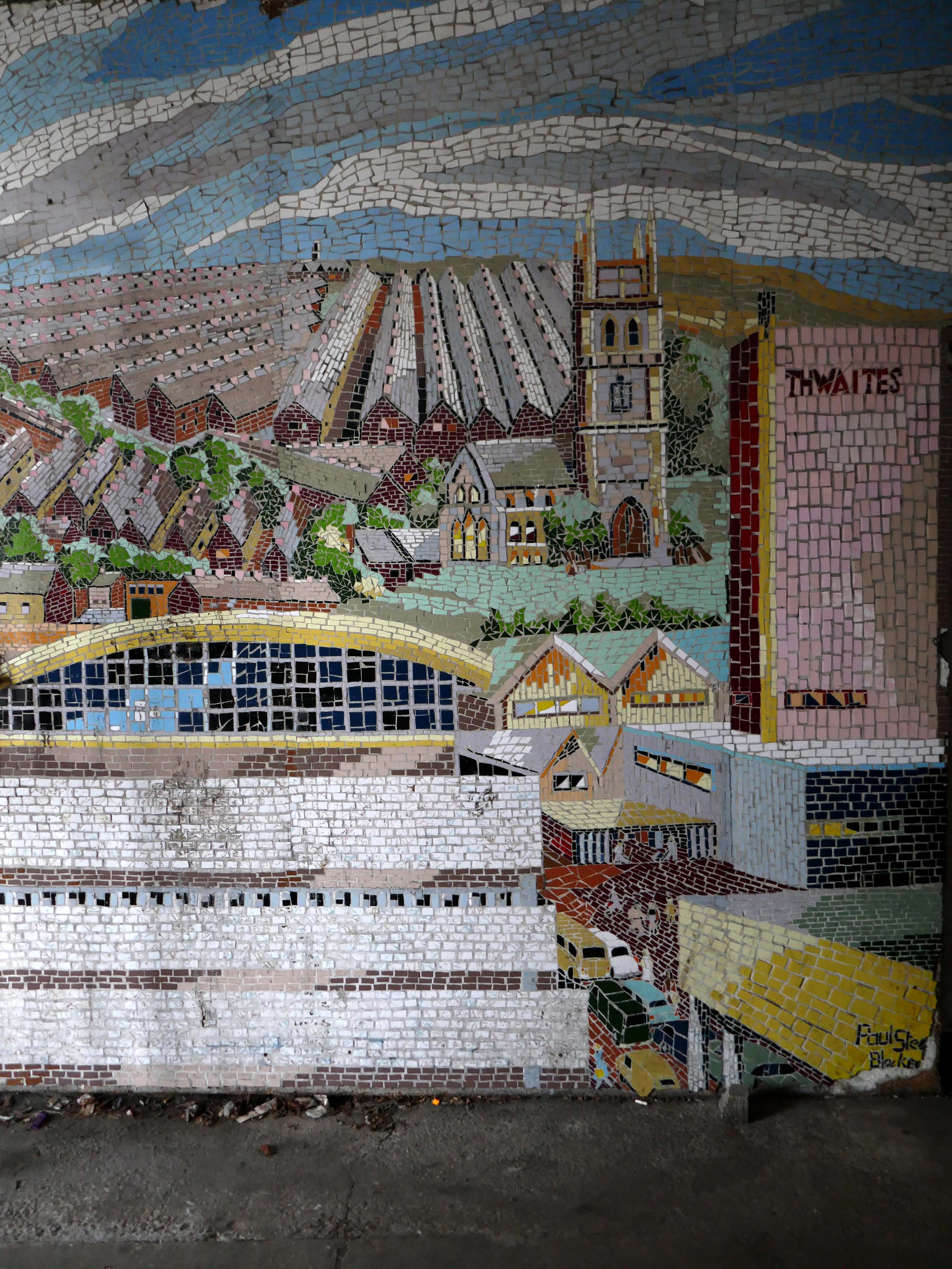
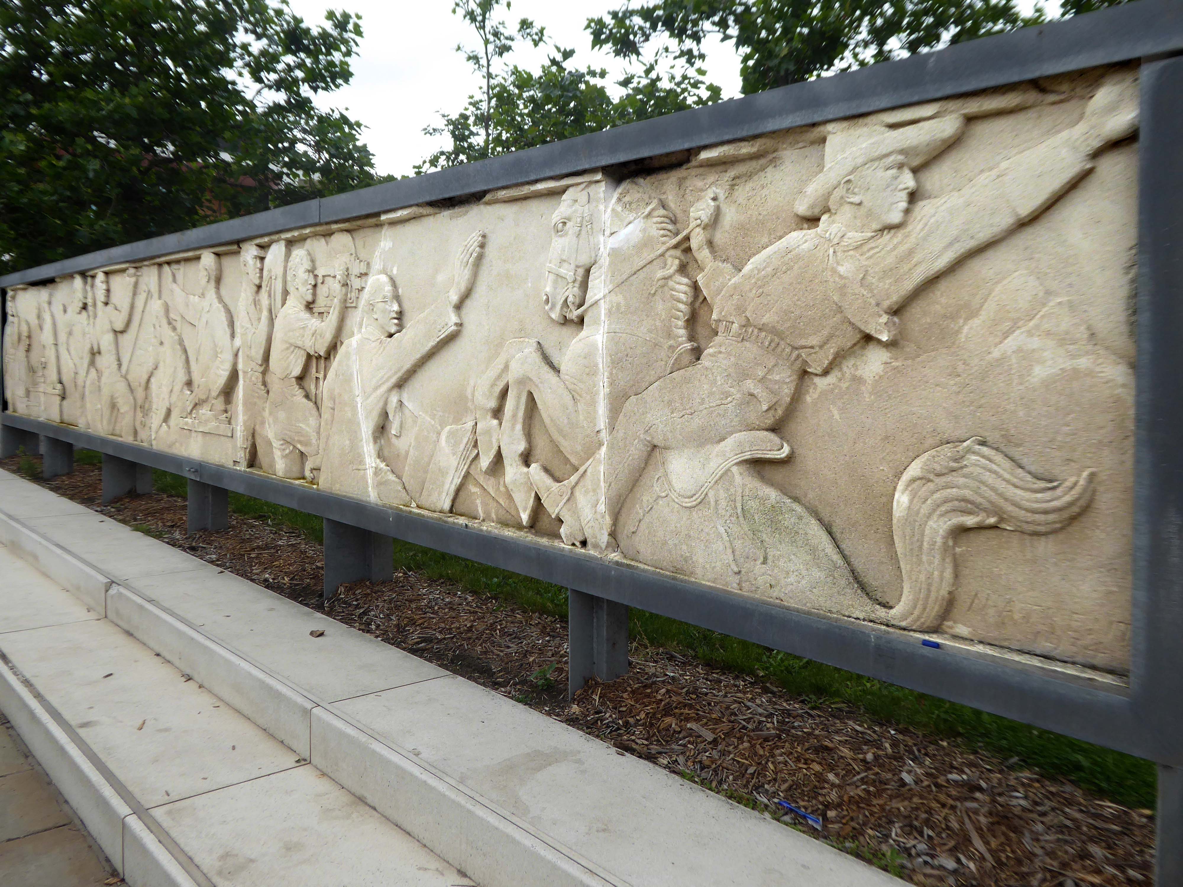
Out front is the tiled mural by Joe Mayo.
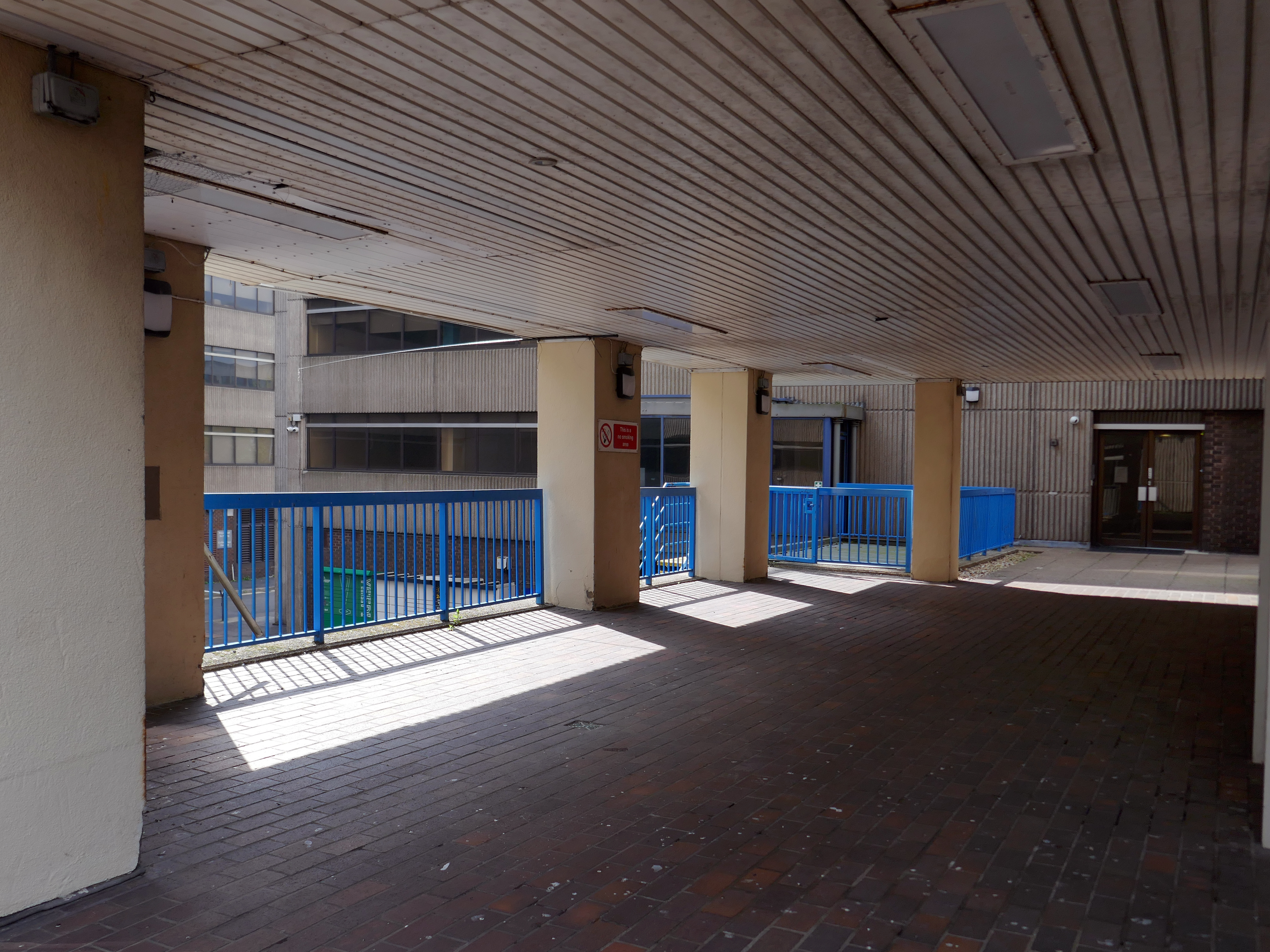
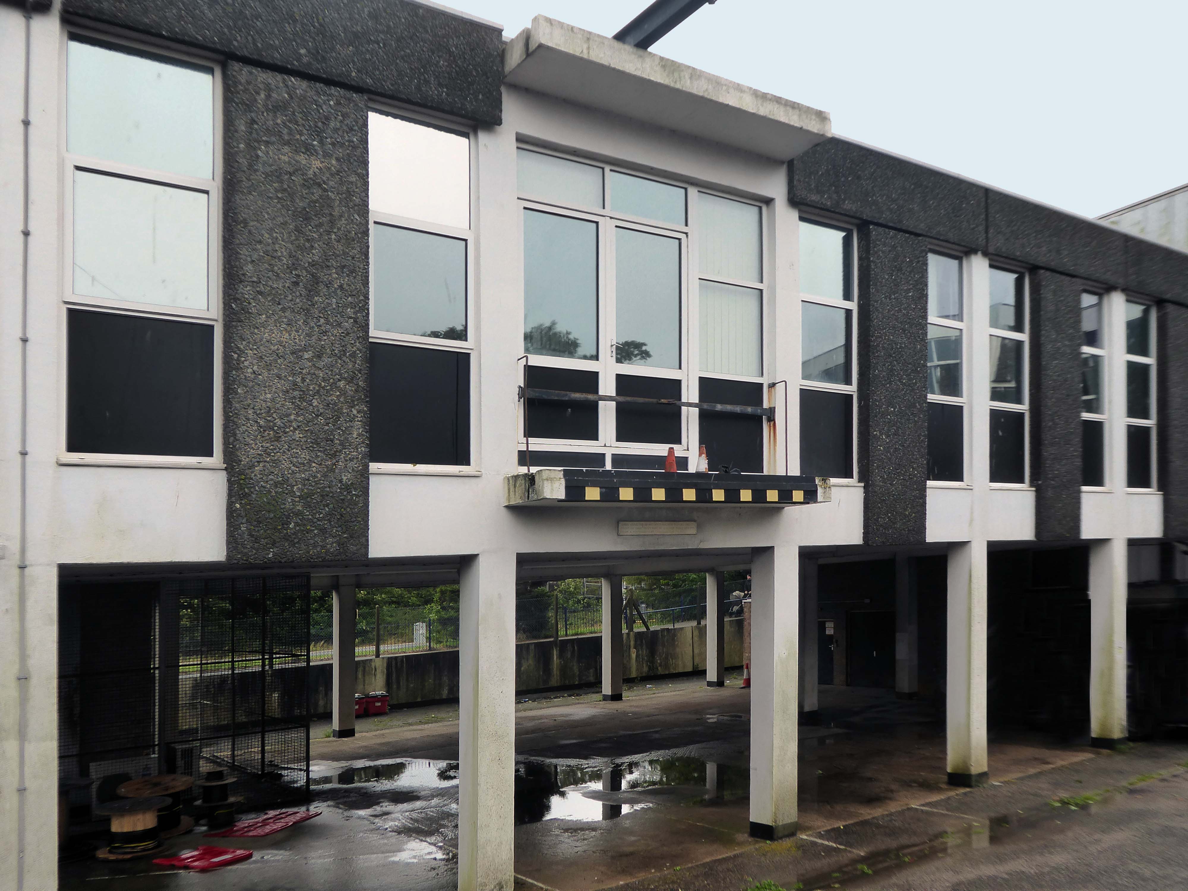
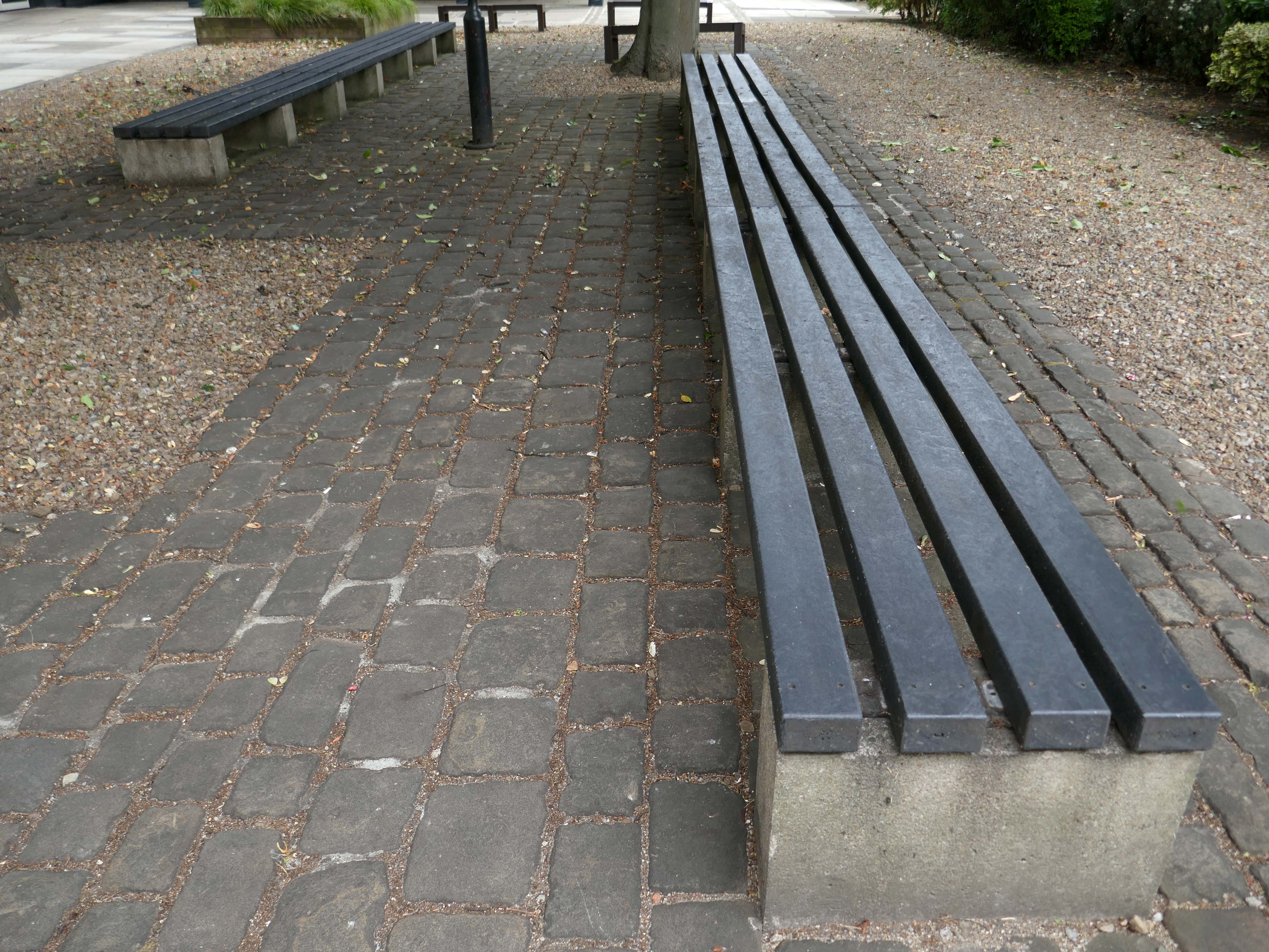
Some original seating has resisted transitioning.
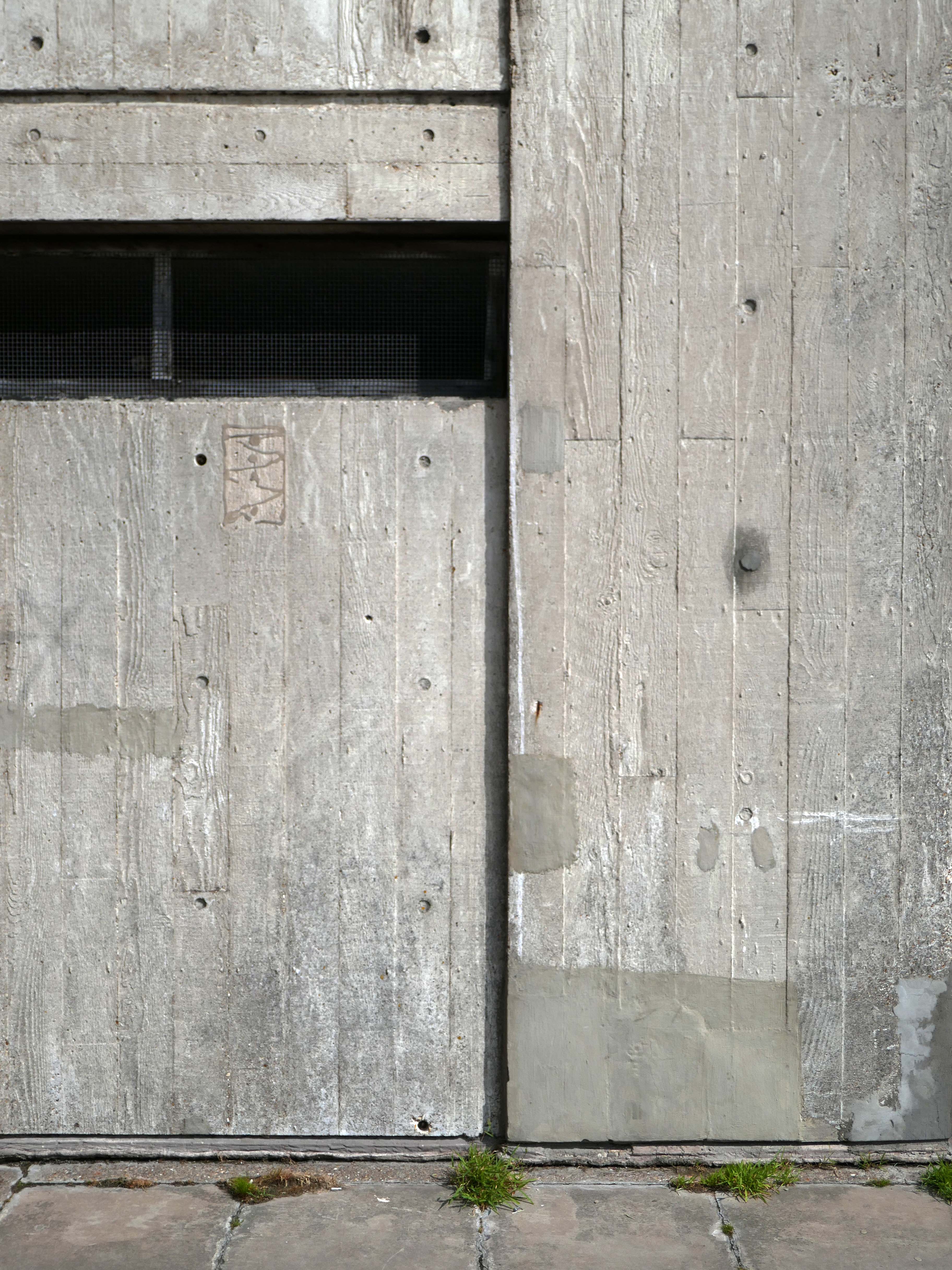
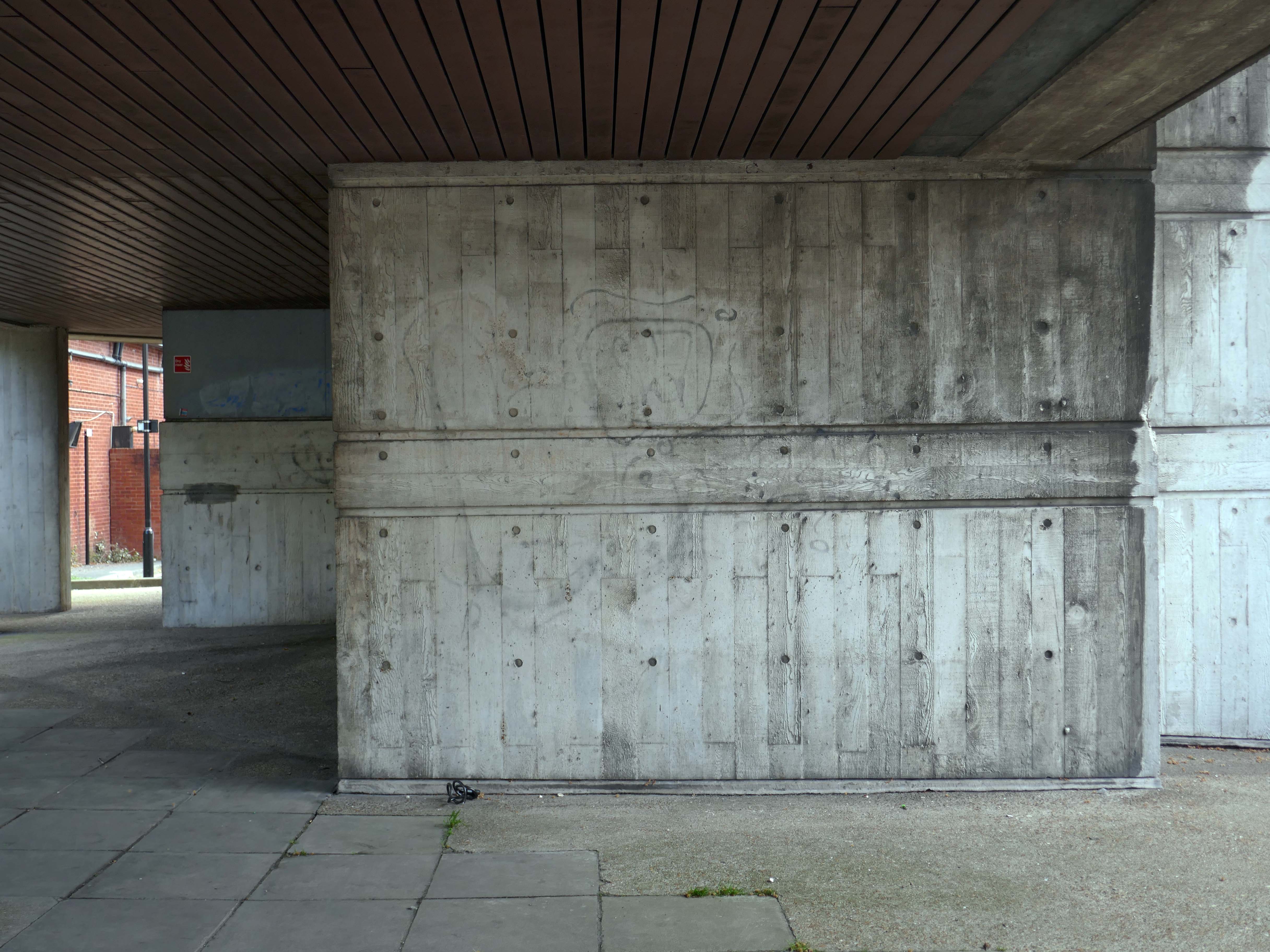
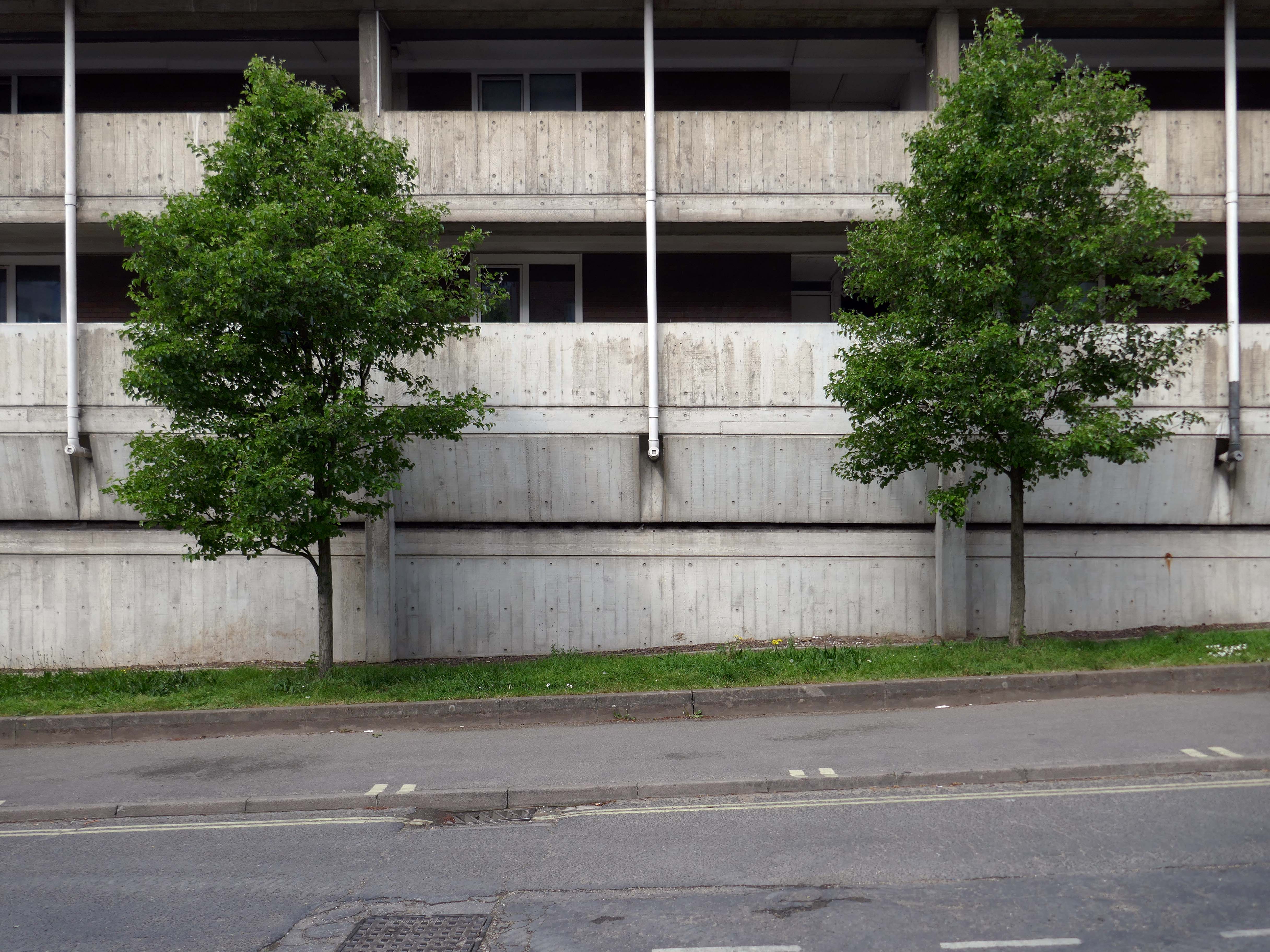
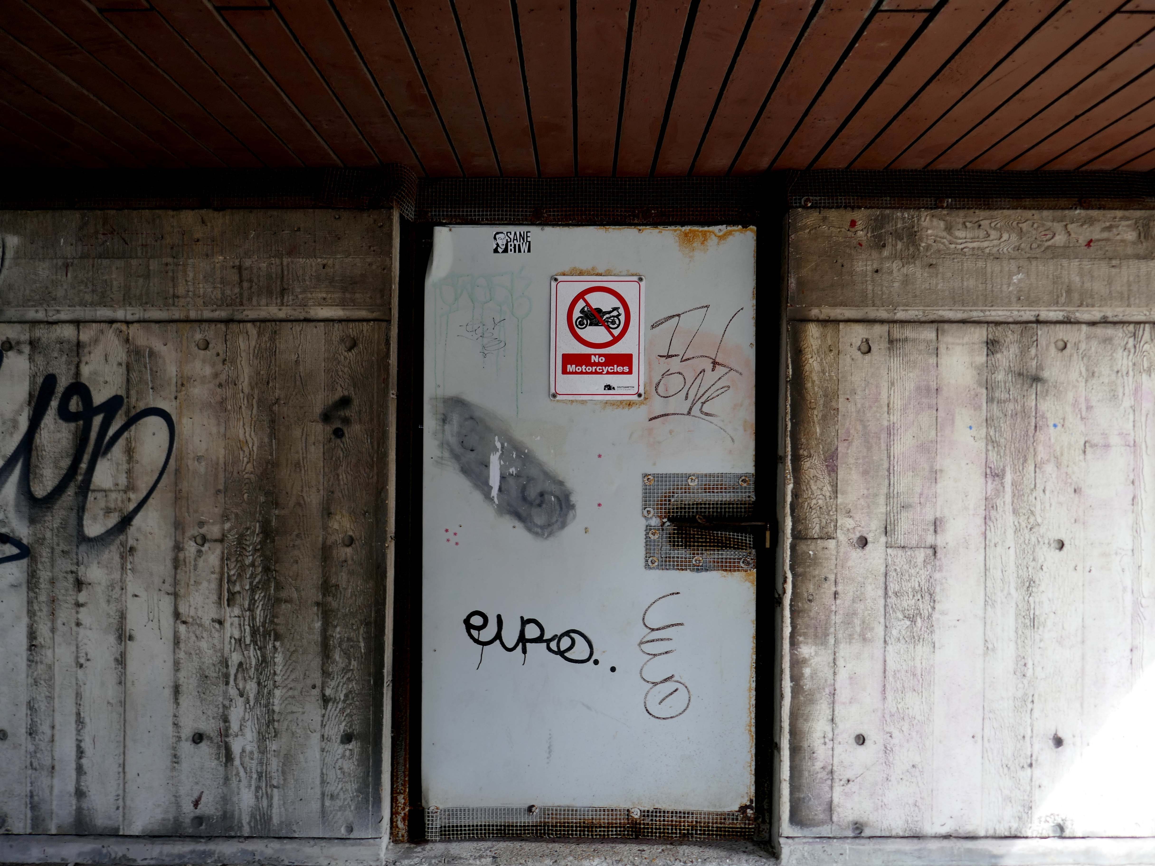
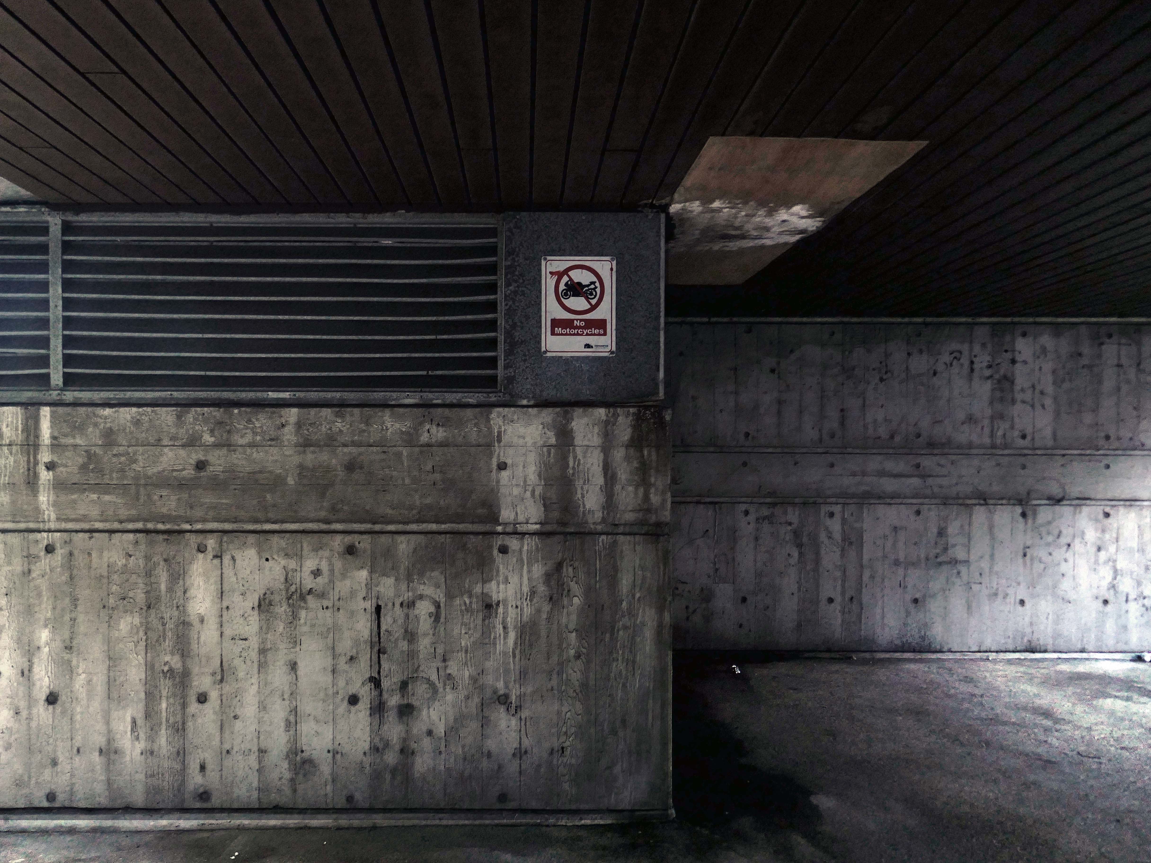
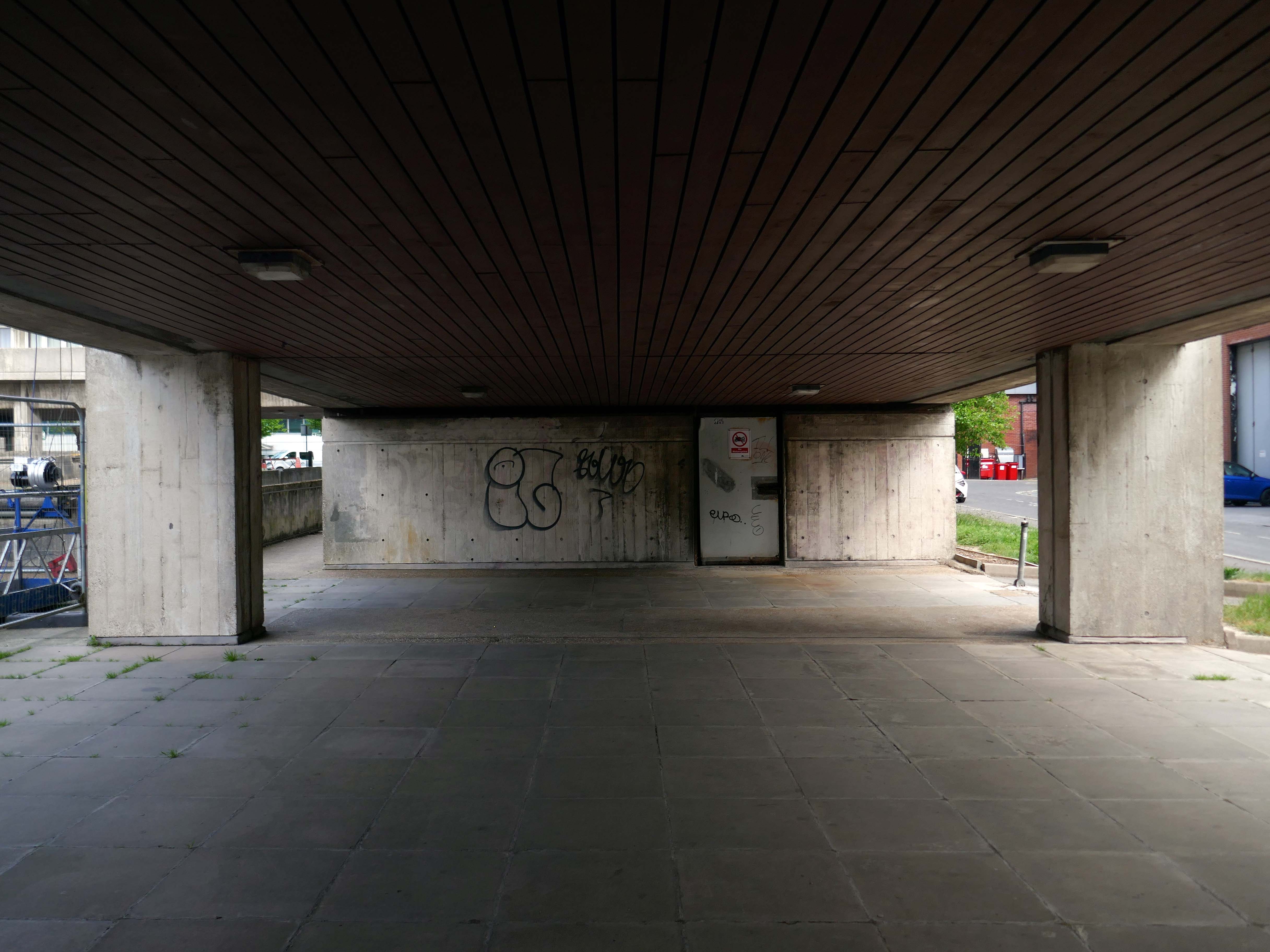
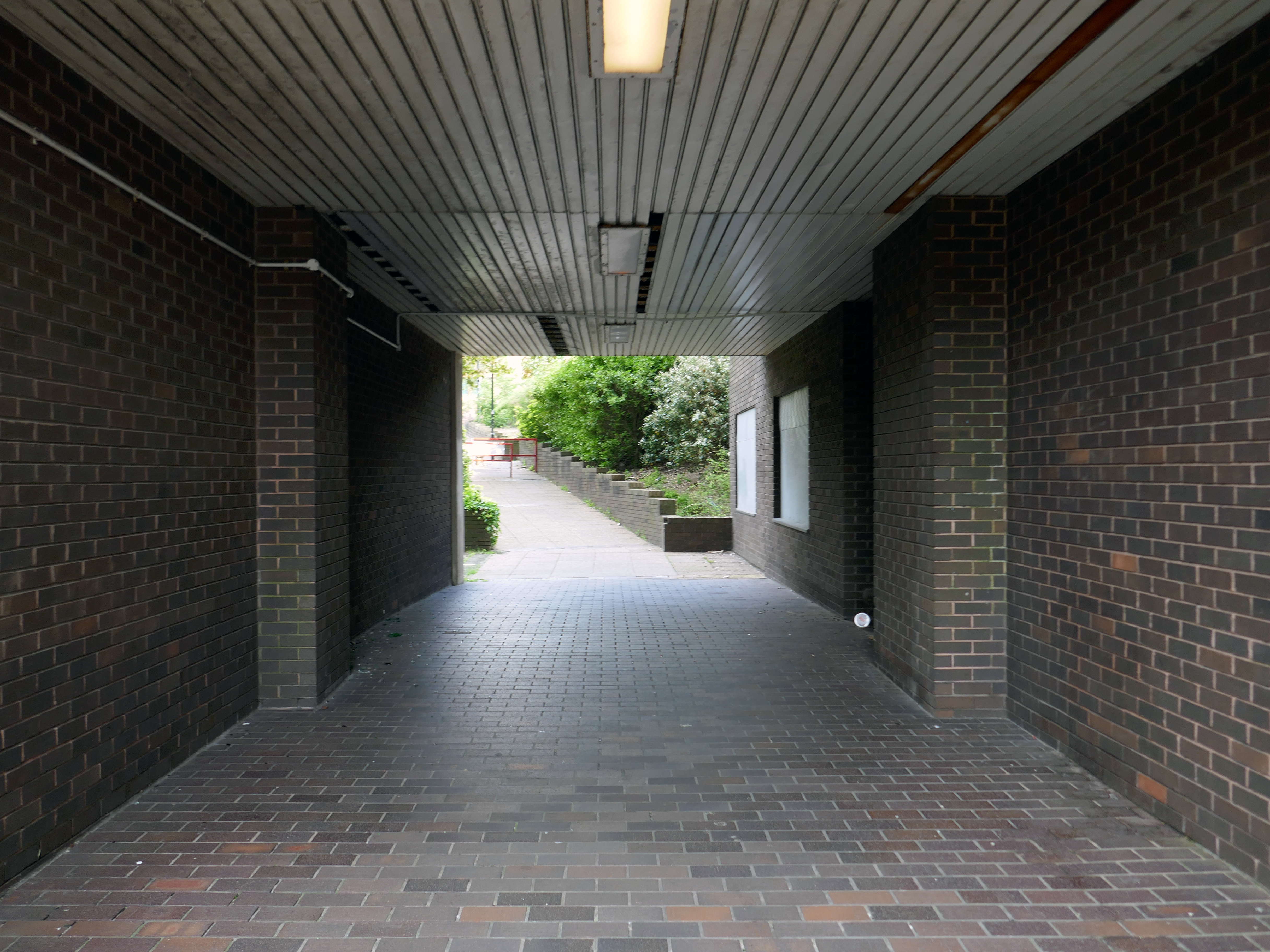
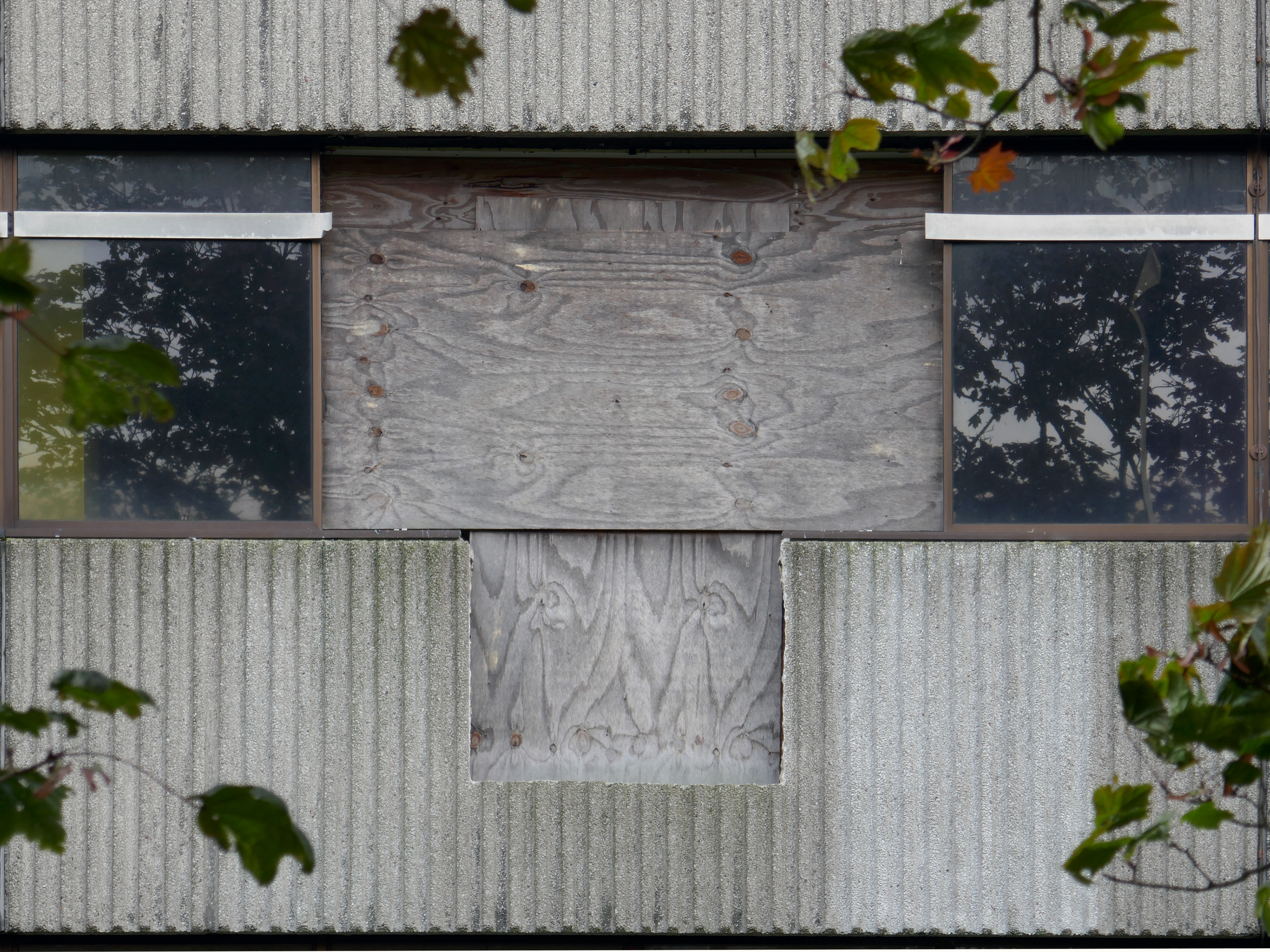
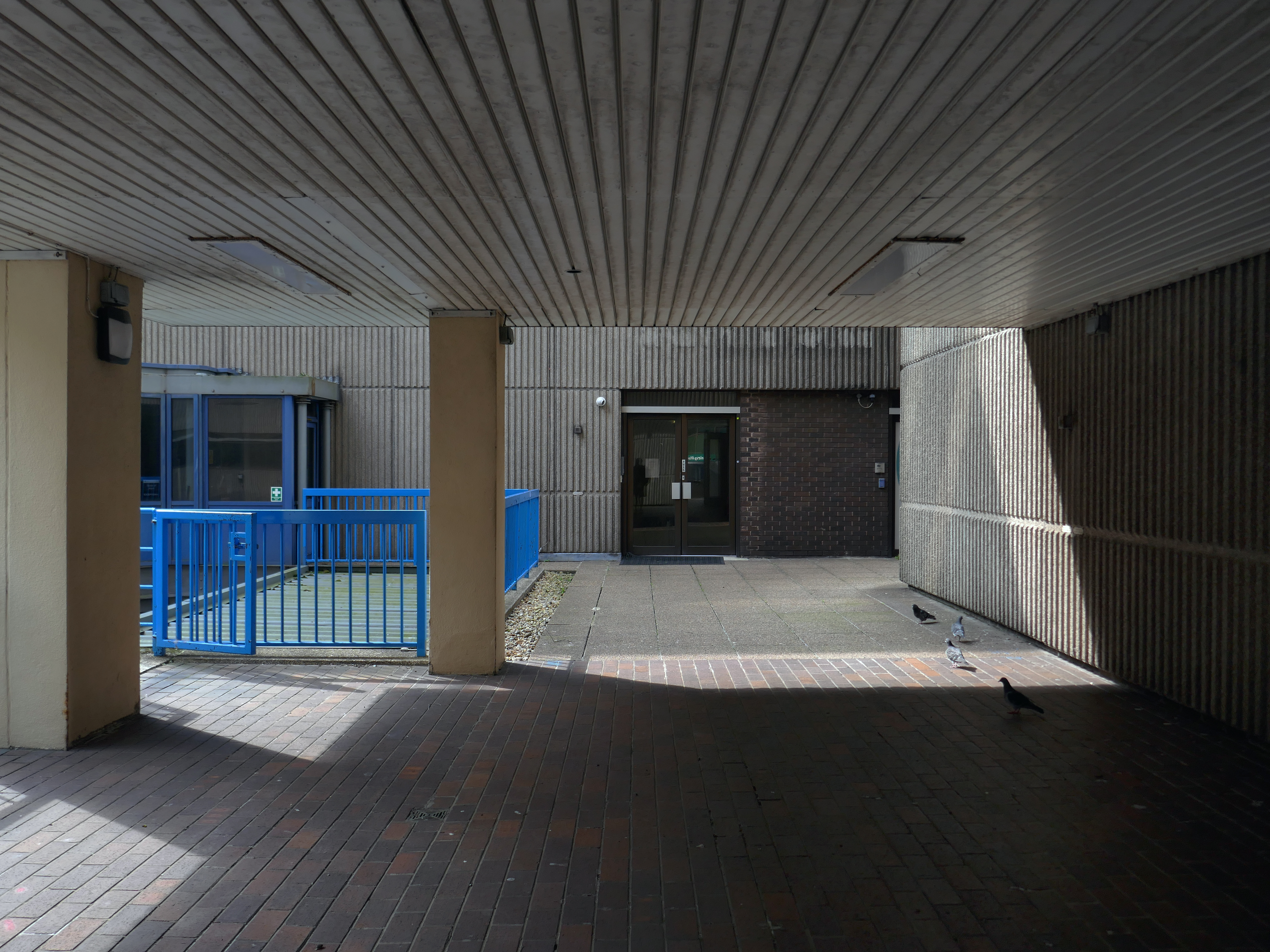
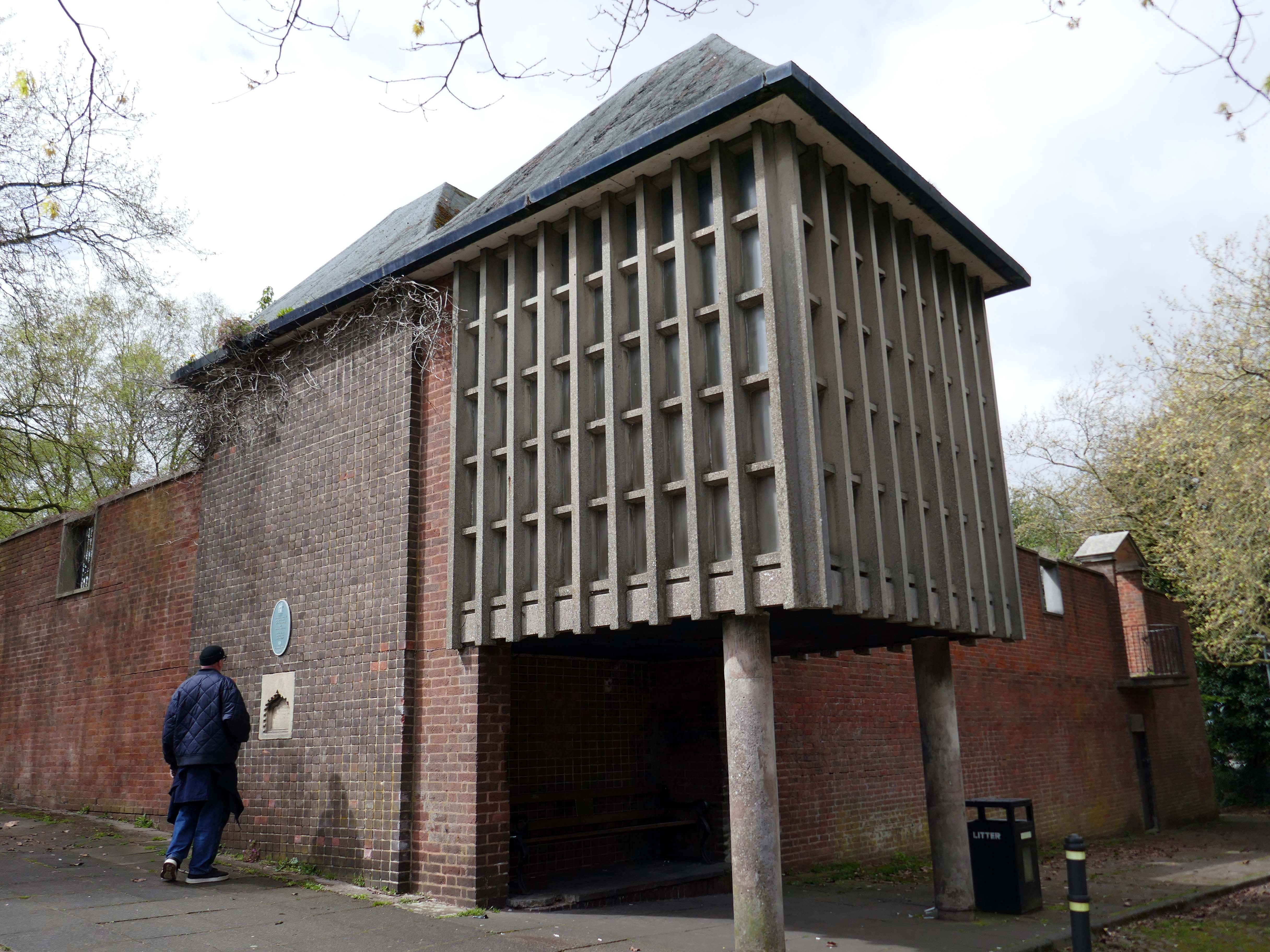
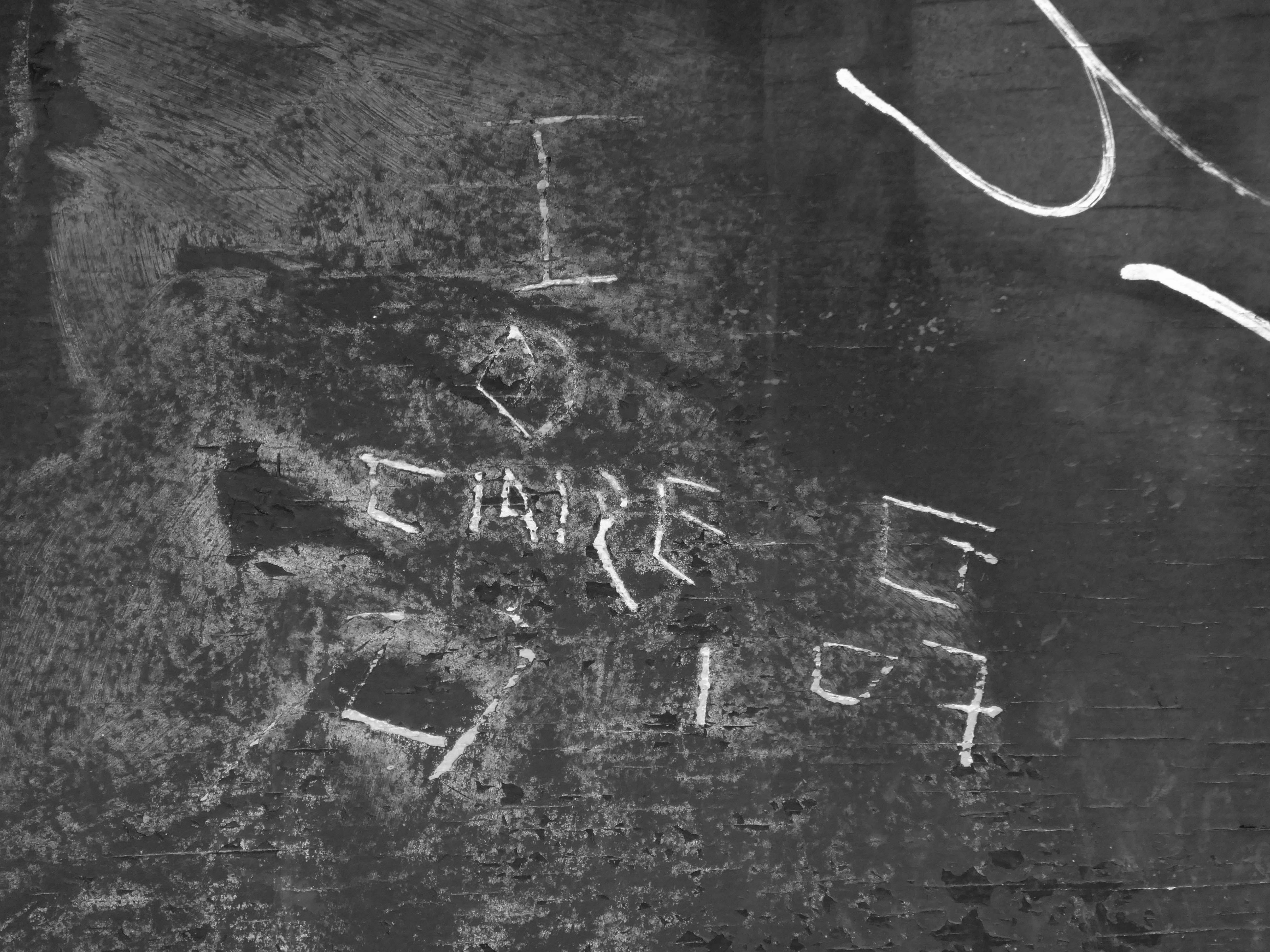
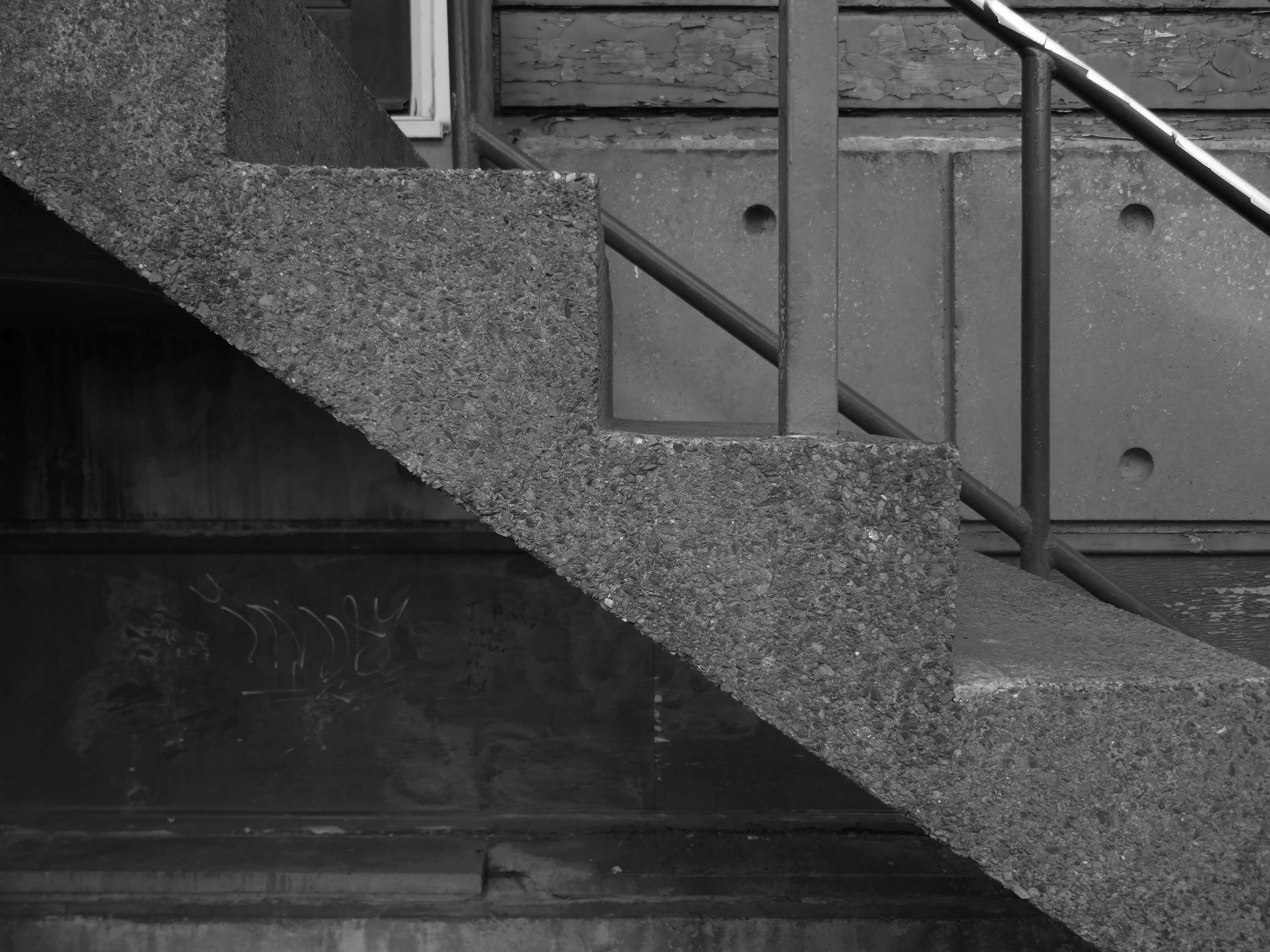
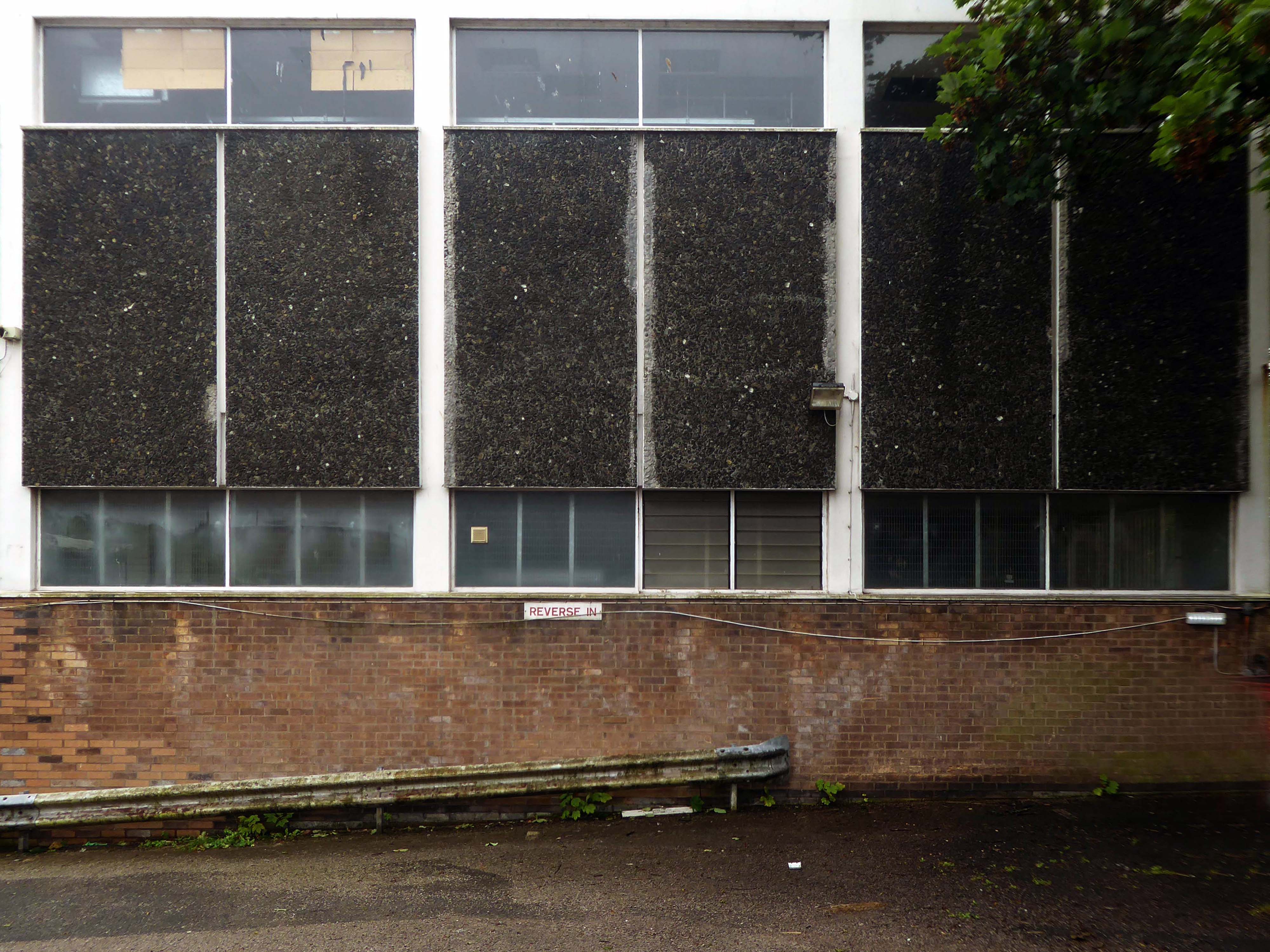
The undercroft has not been so fortunate in resisting the chill wind of change.
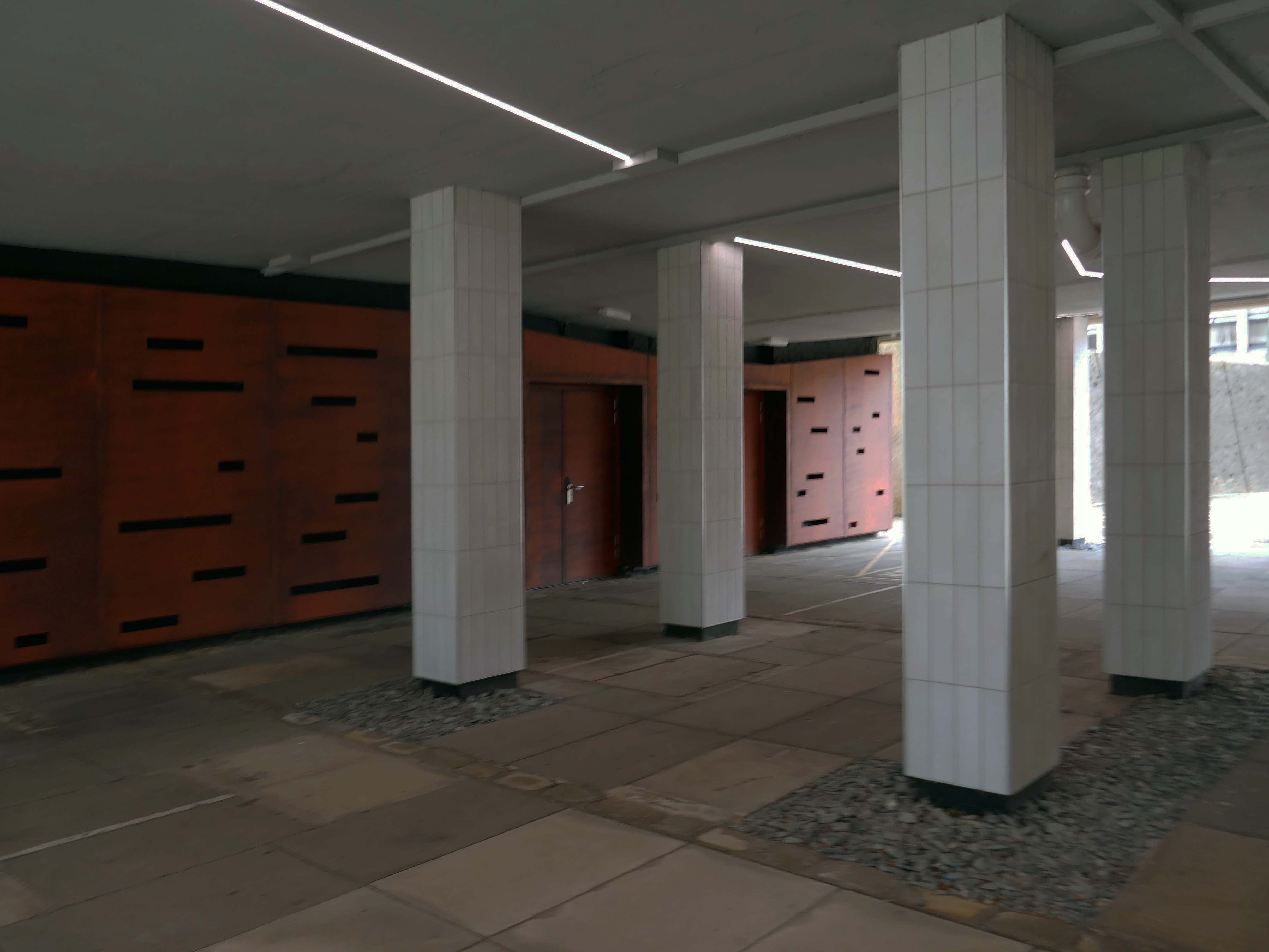
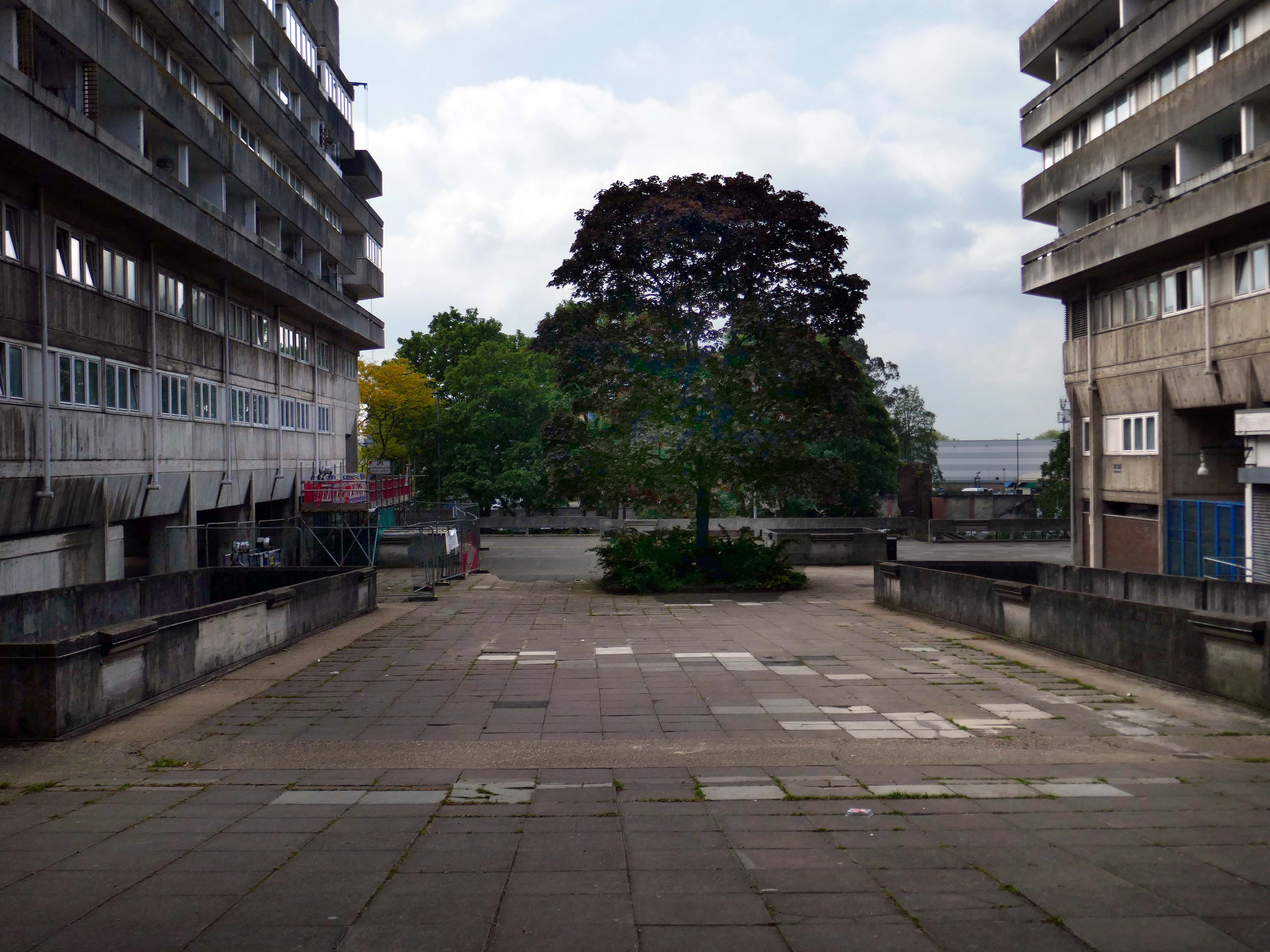
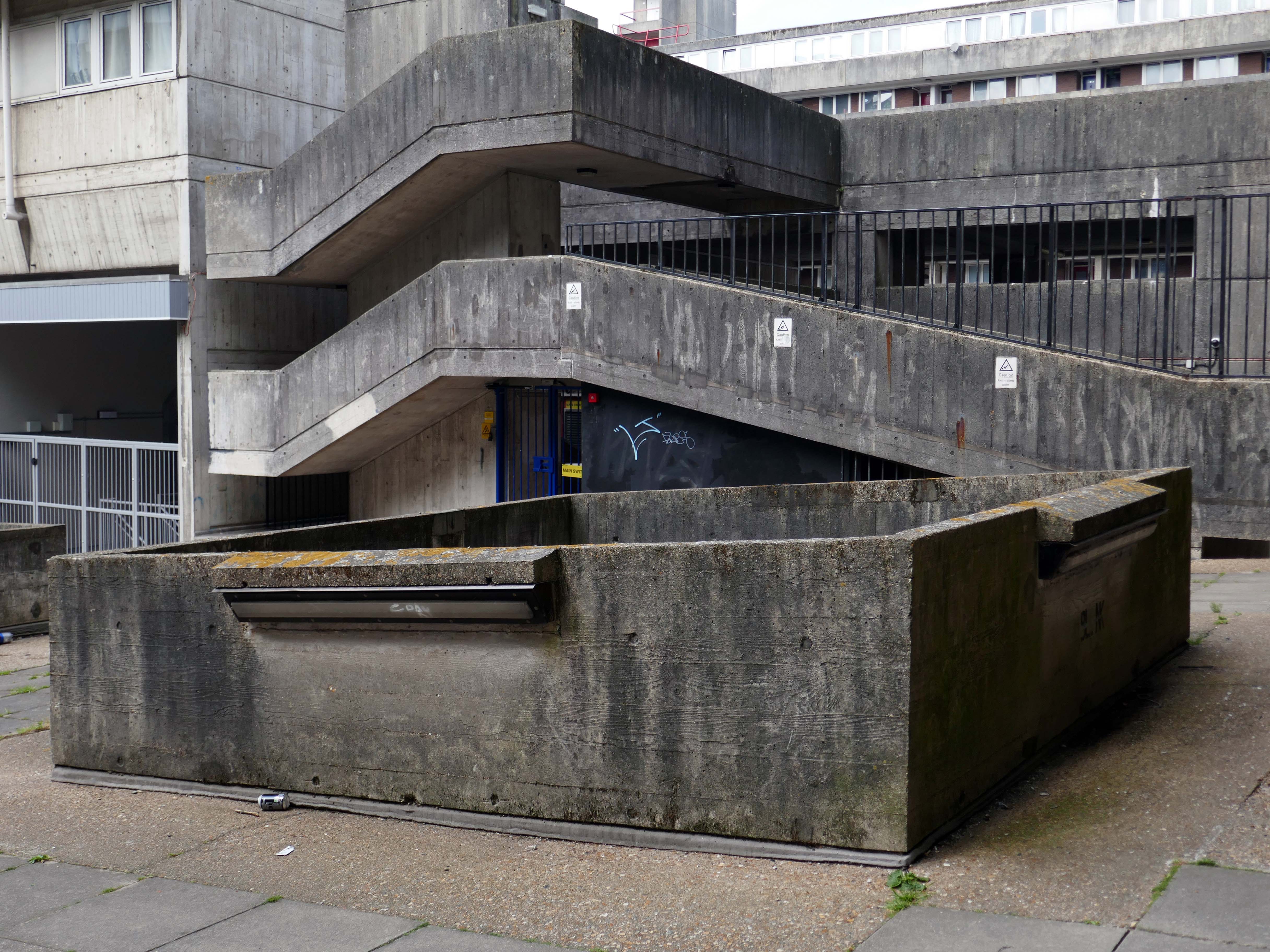
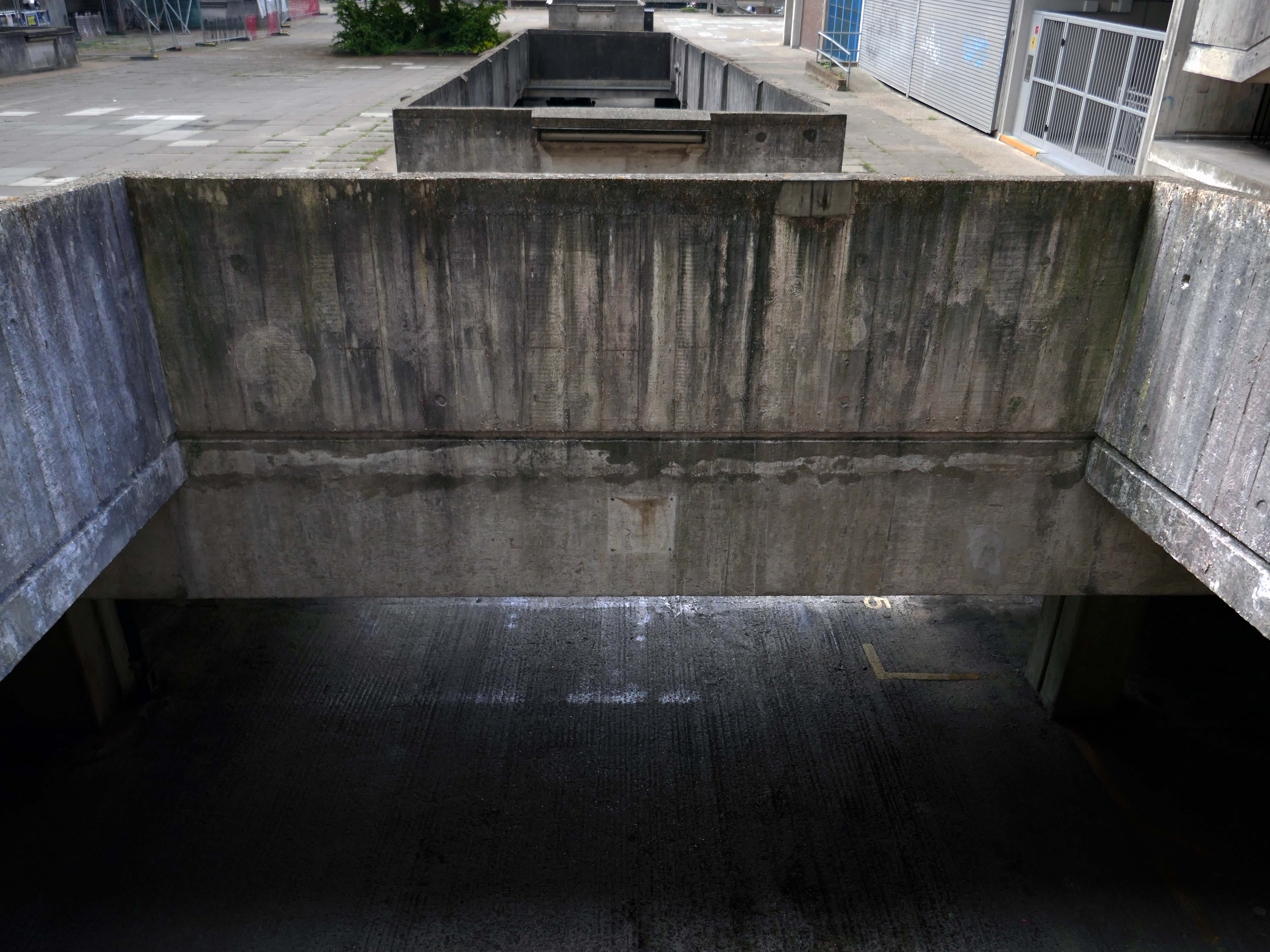
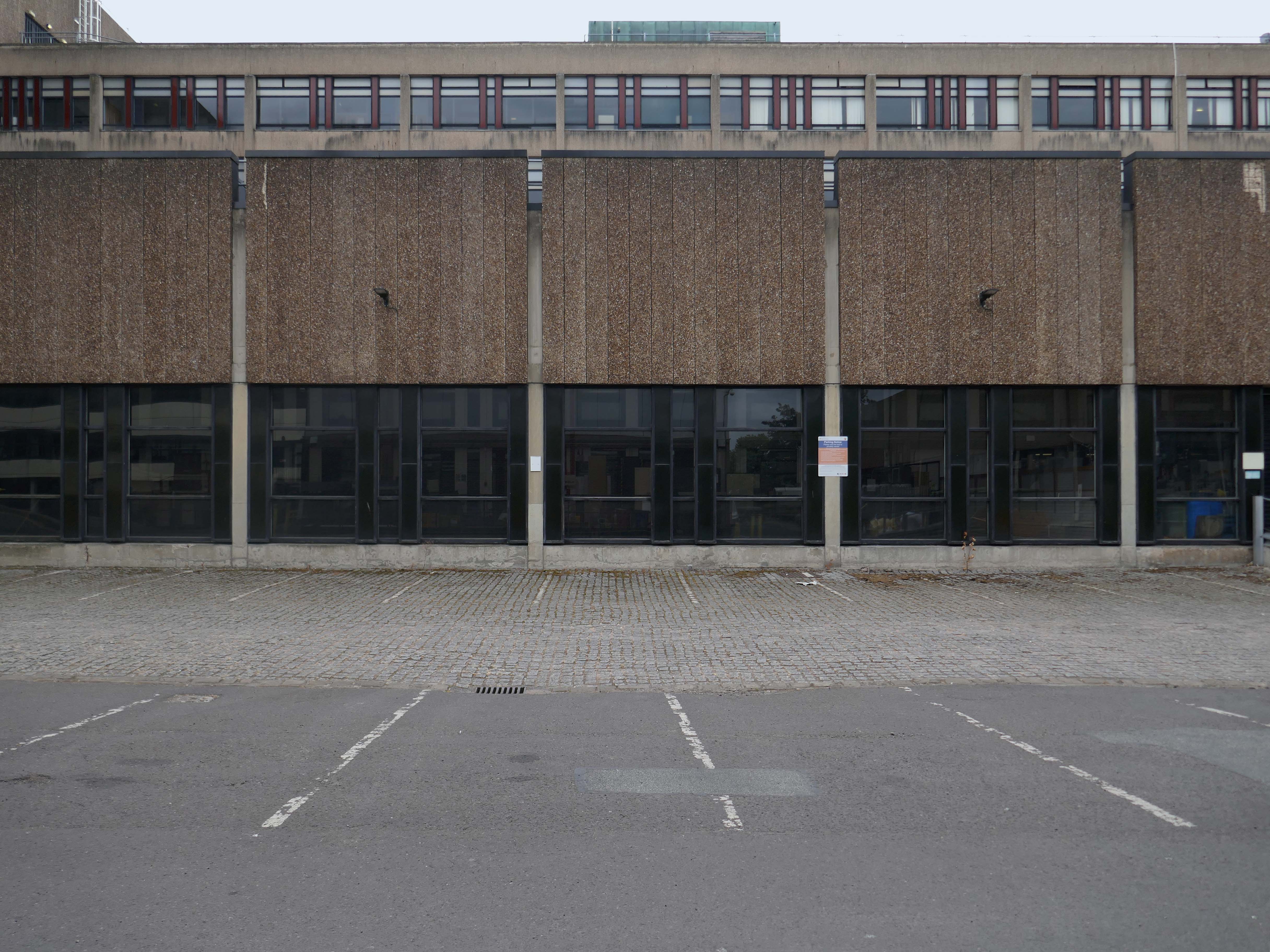
We emerge into the clear light of day and the BDP designed Chesham and Horton blocks along with the former Nuclear Research Bunker.
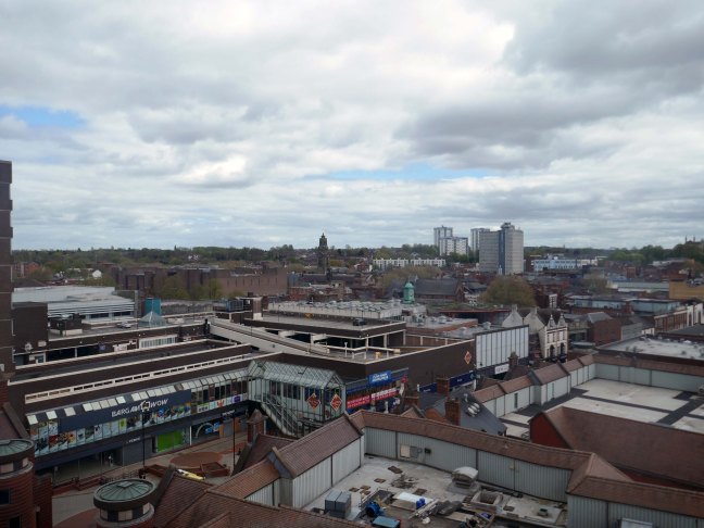
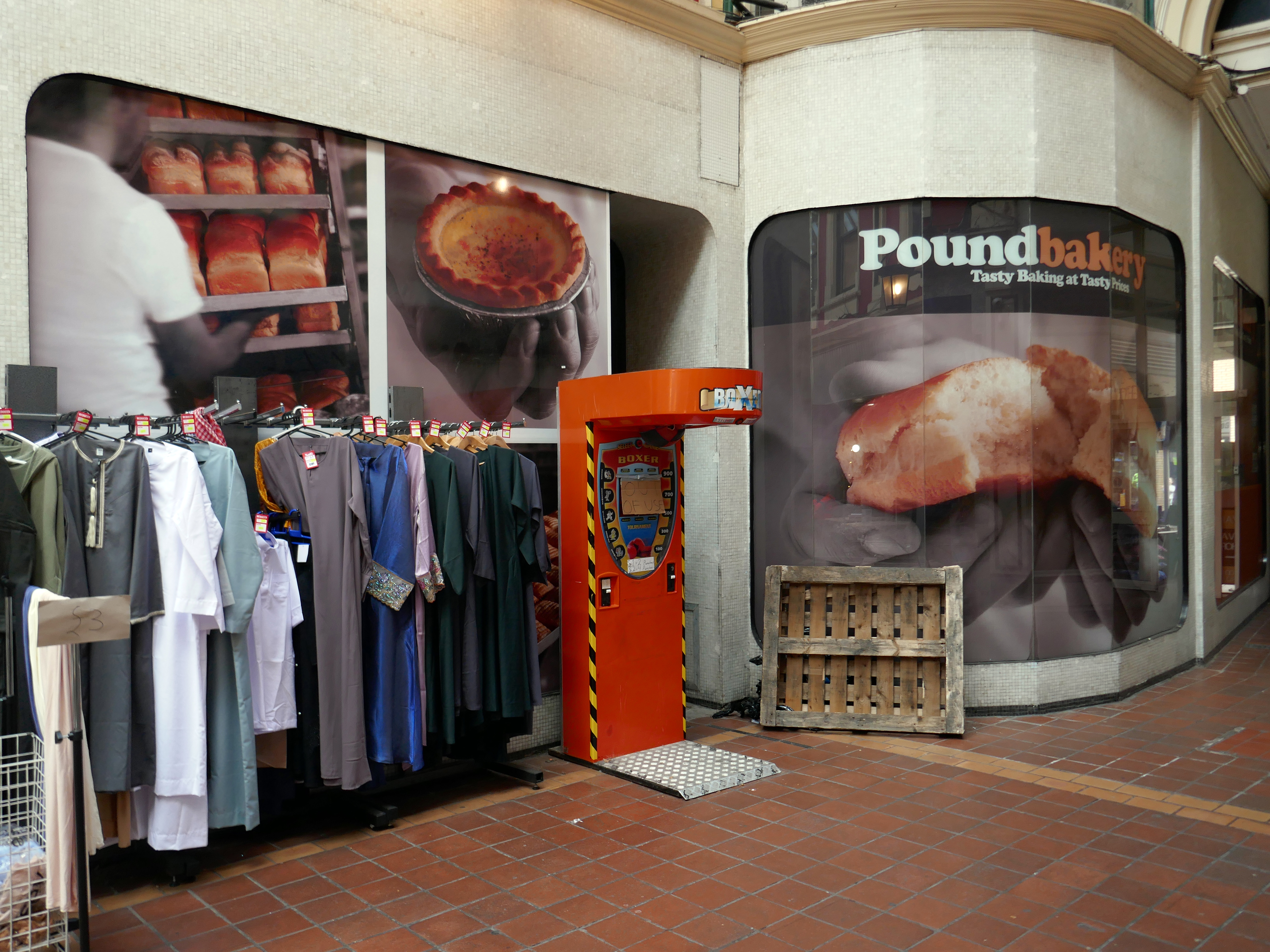
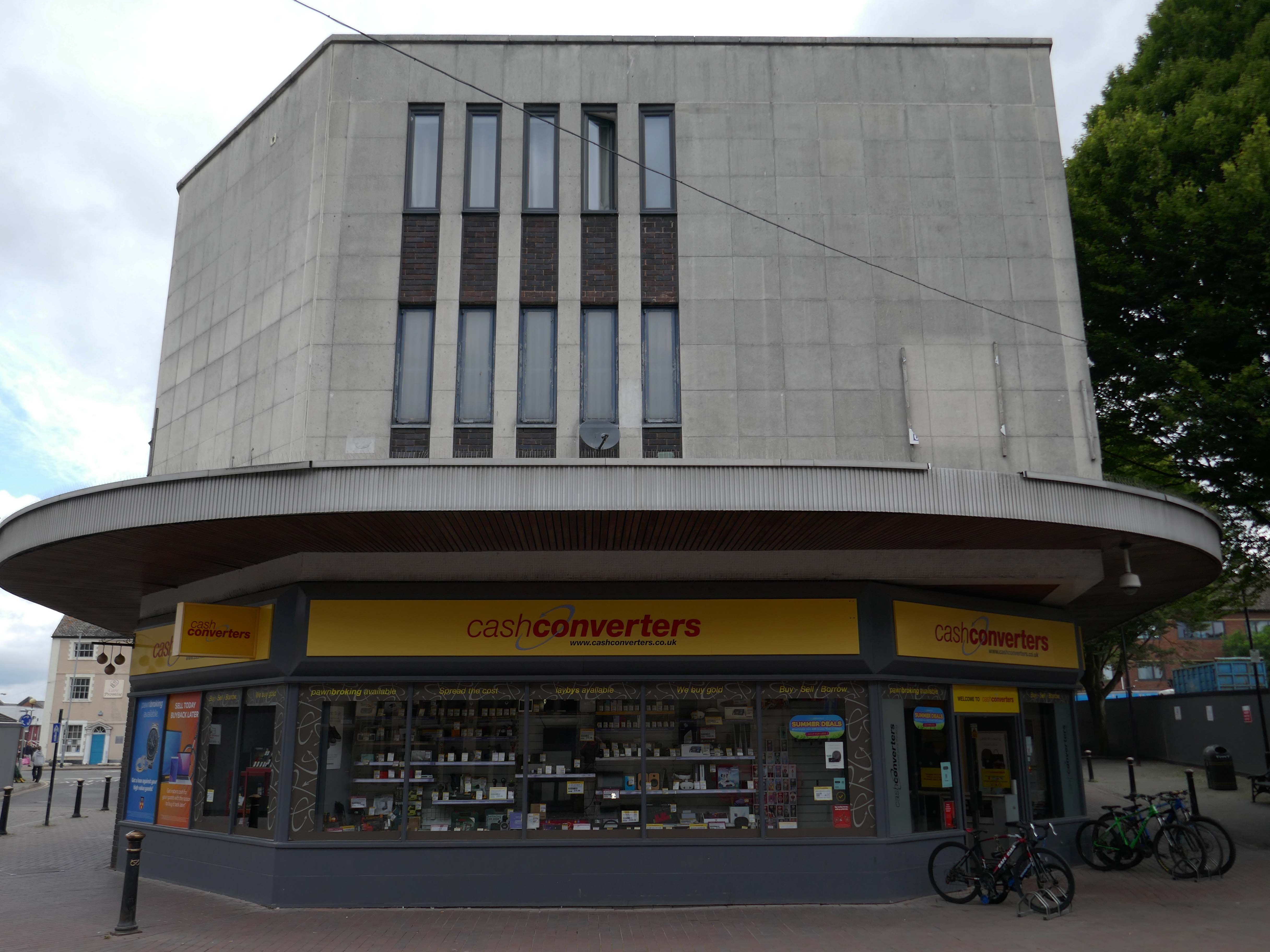
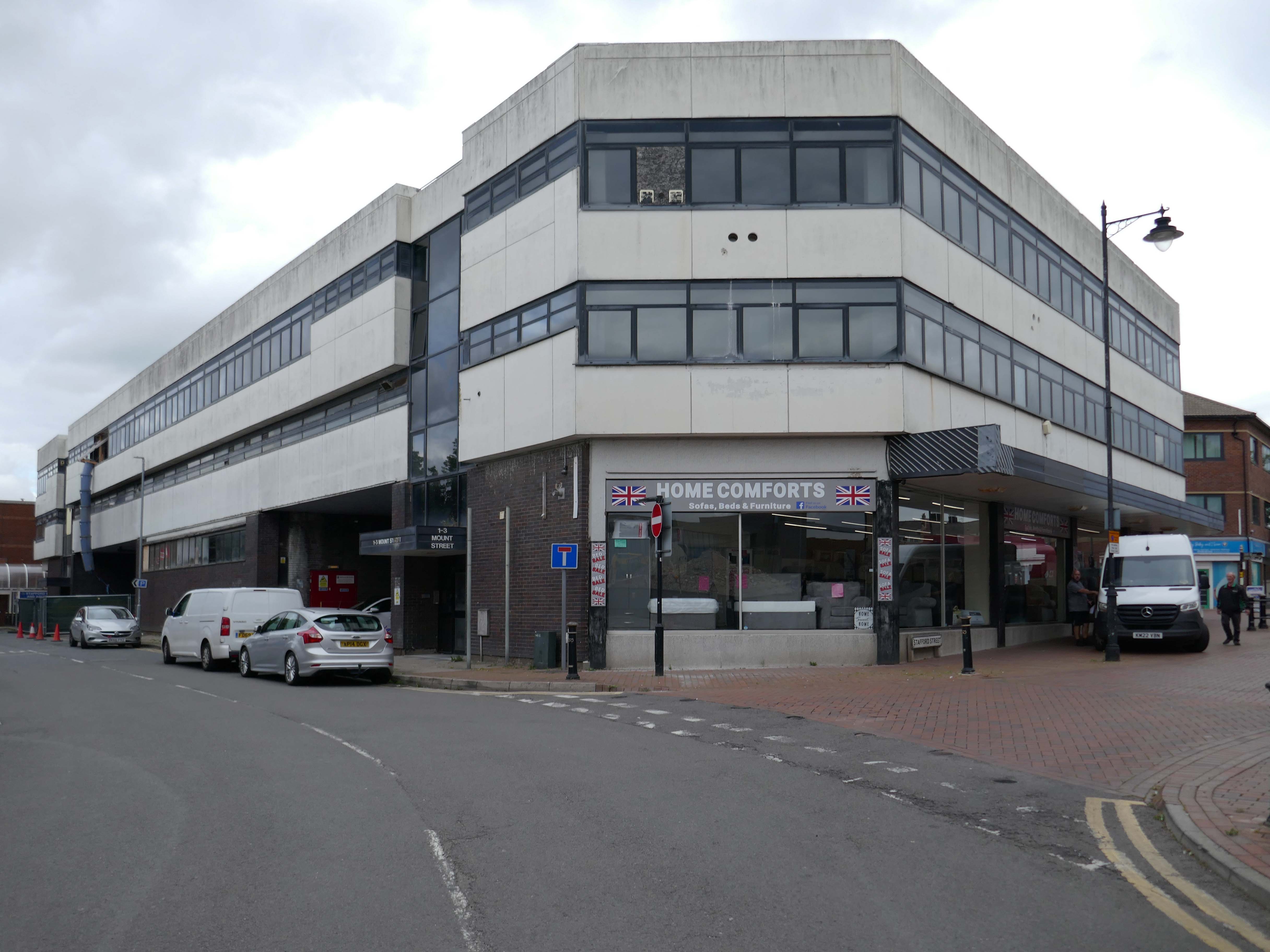
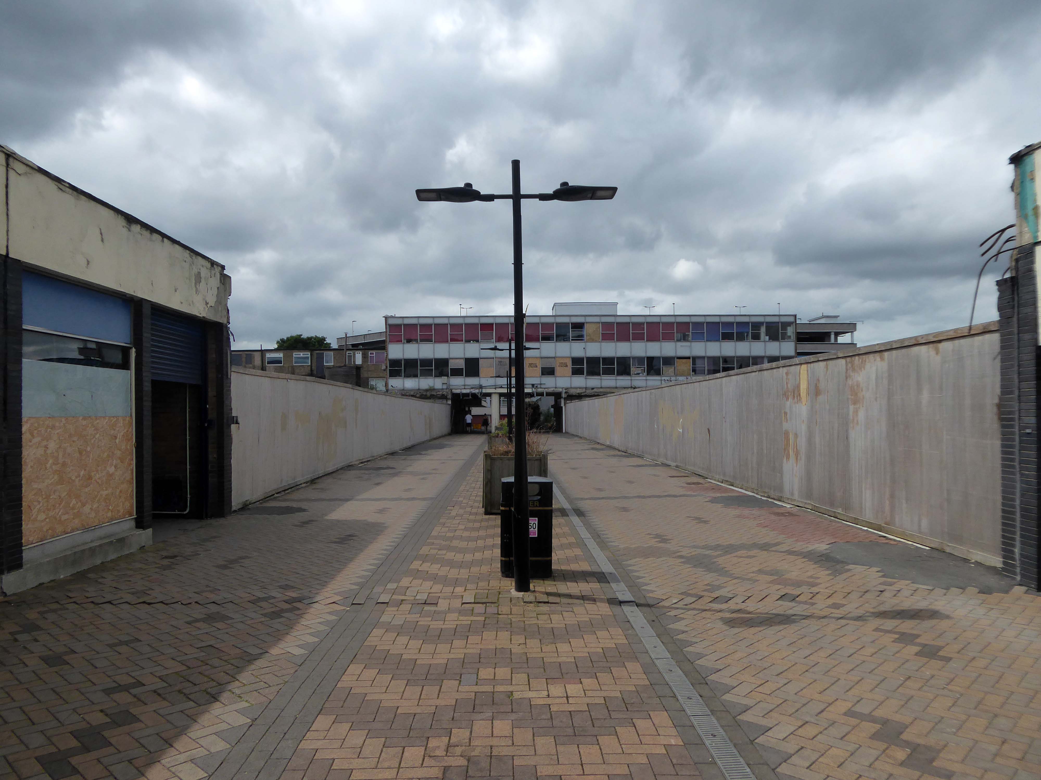
Next back down into town to the shops that were shops.
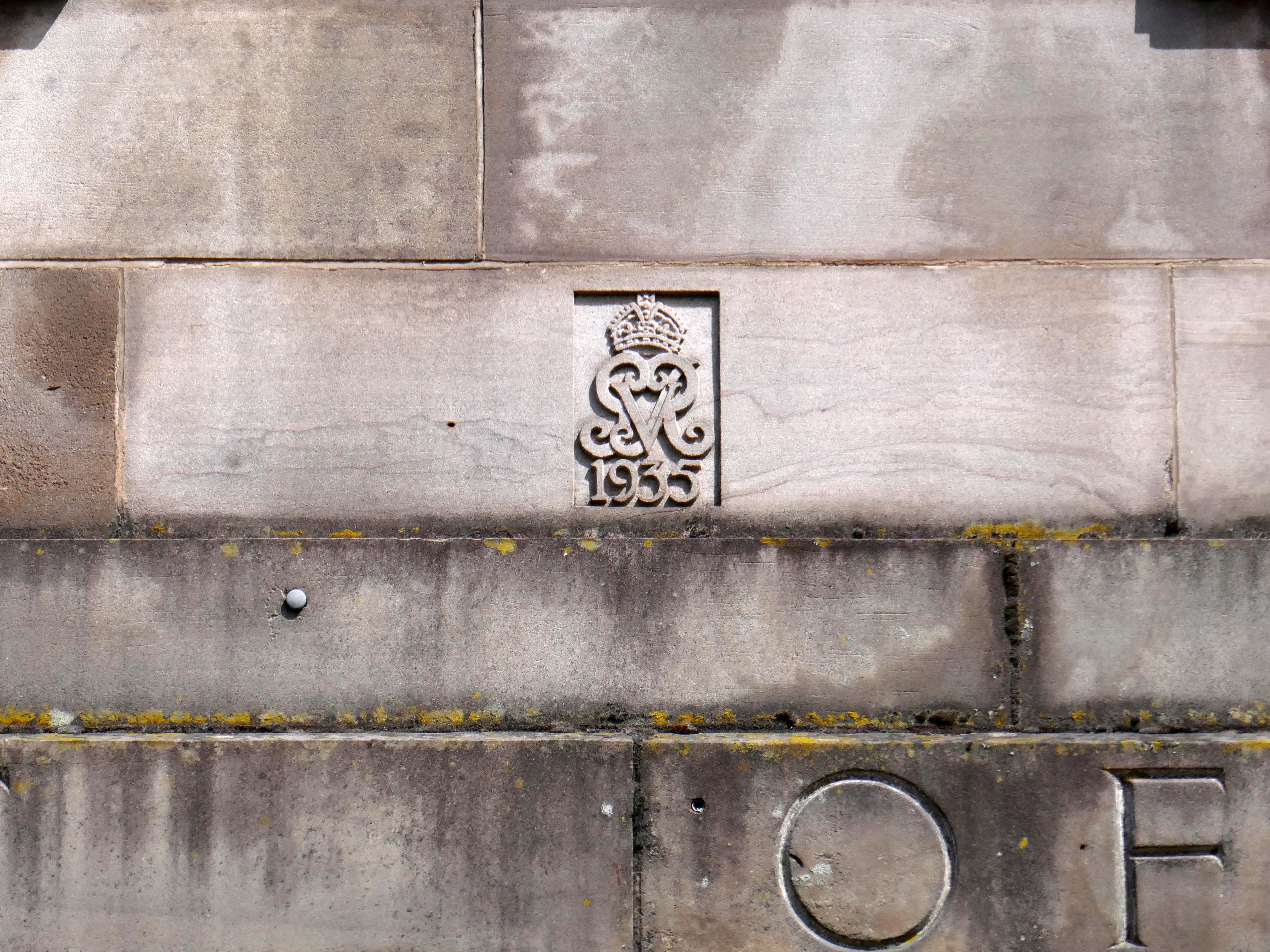
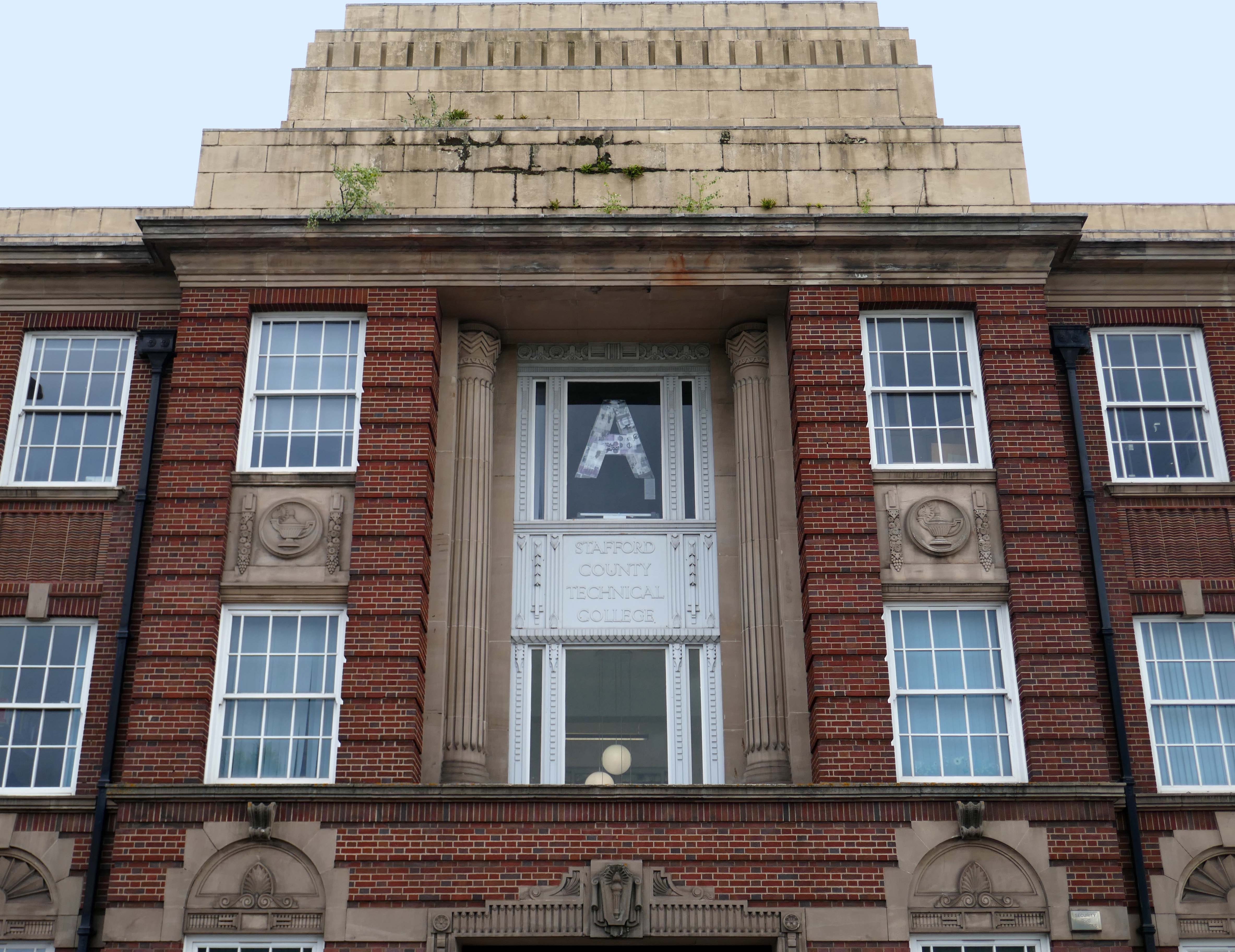
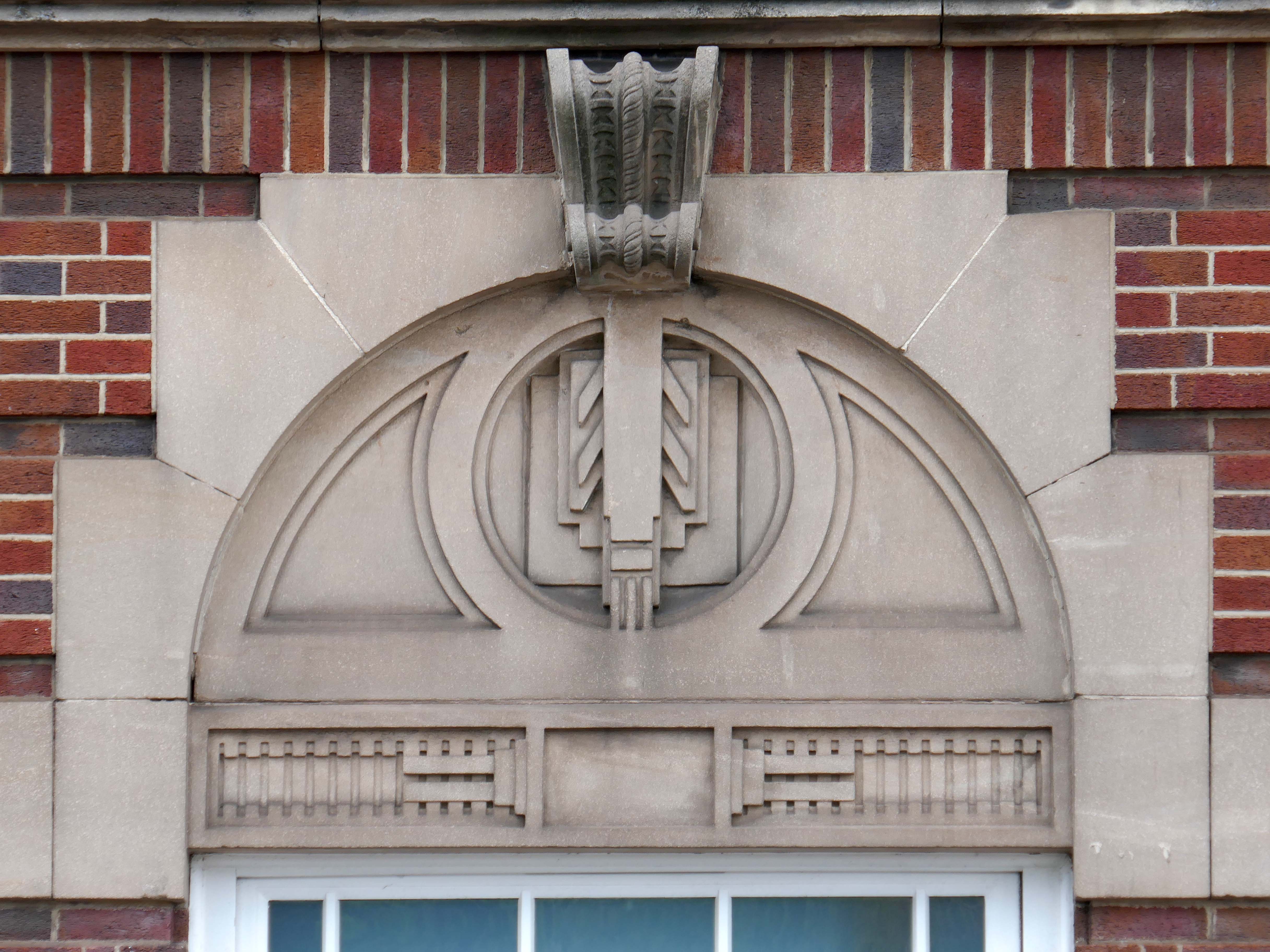
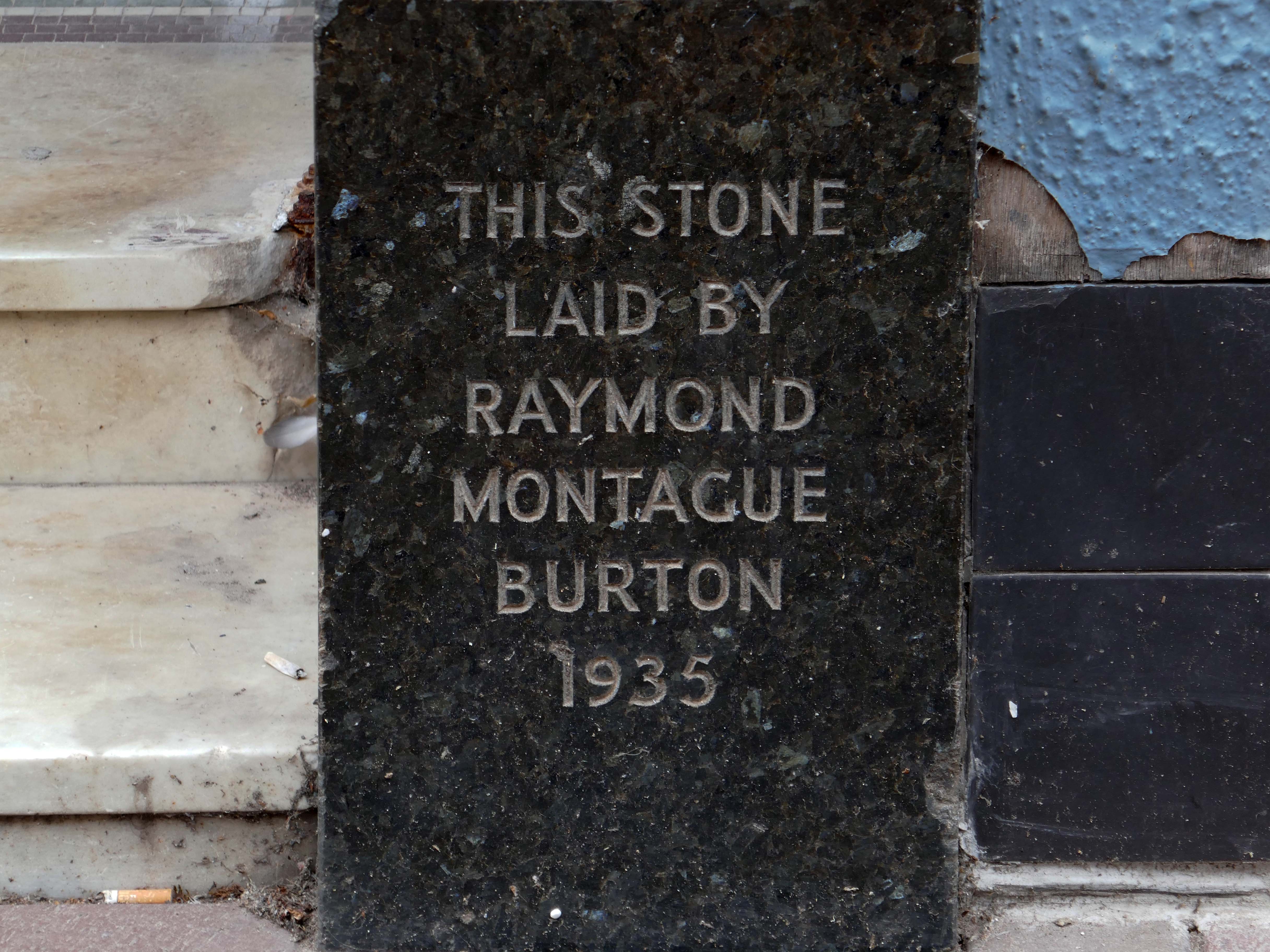
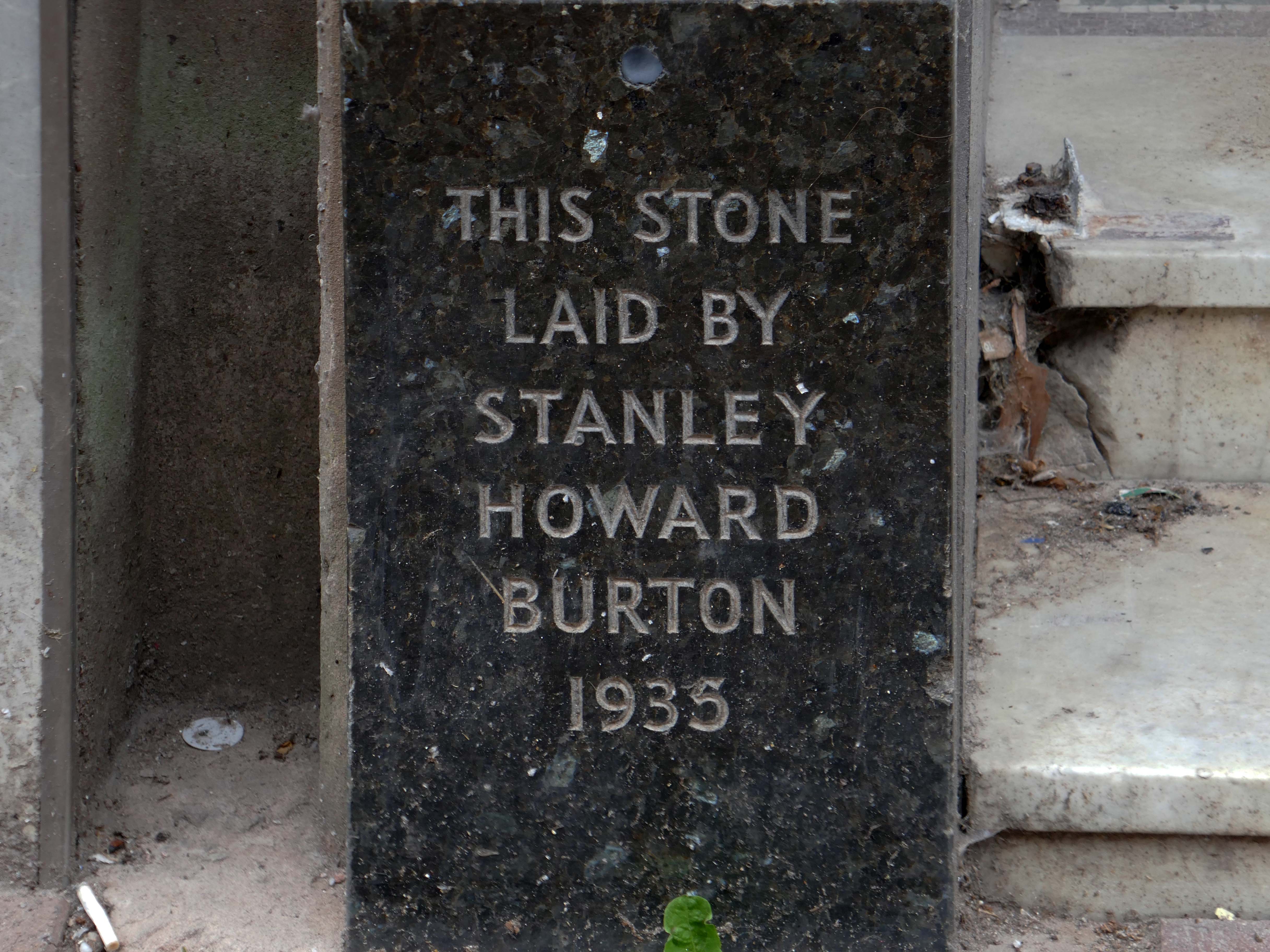
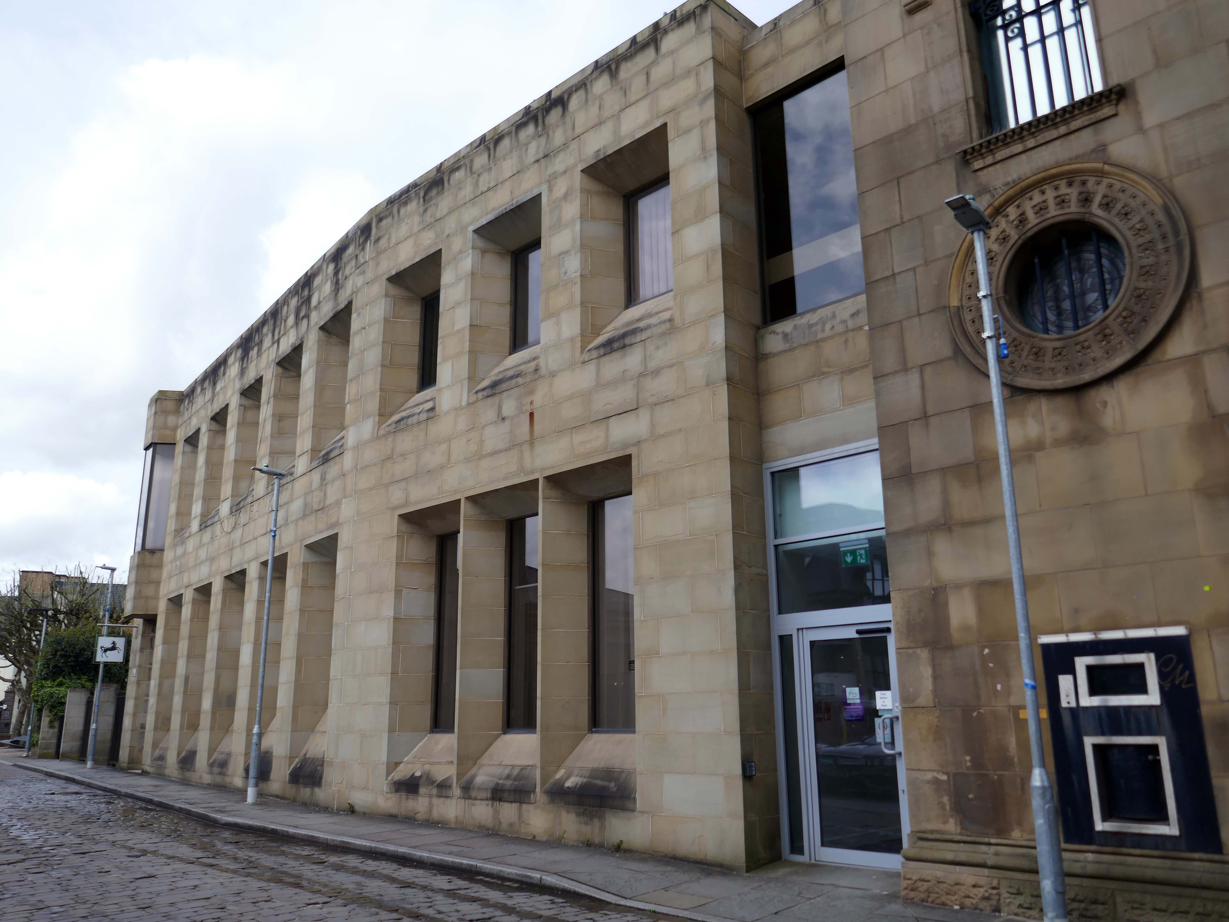
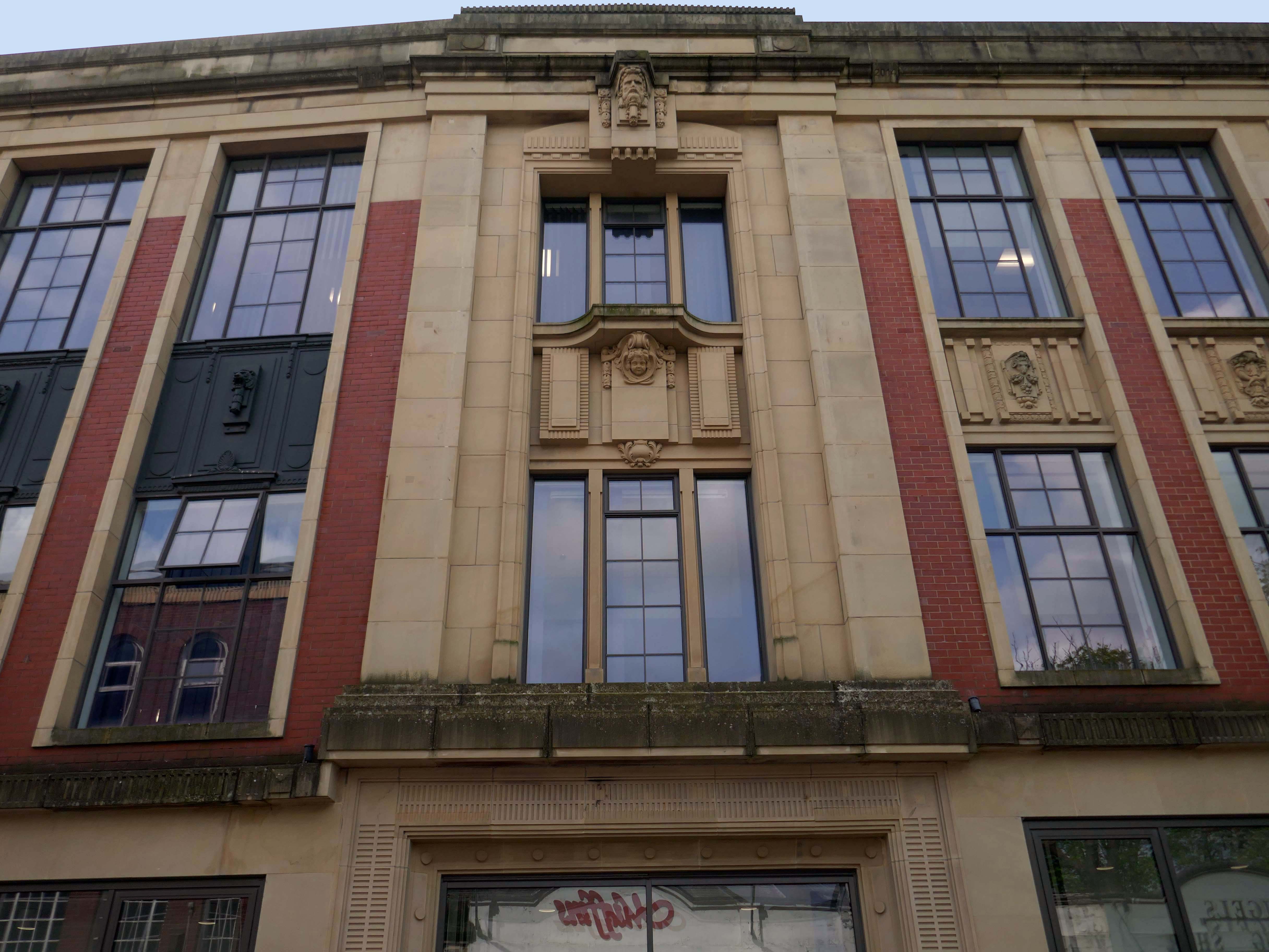
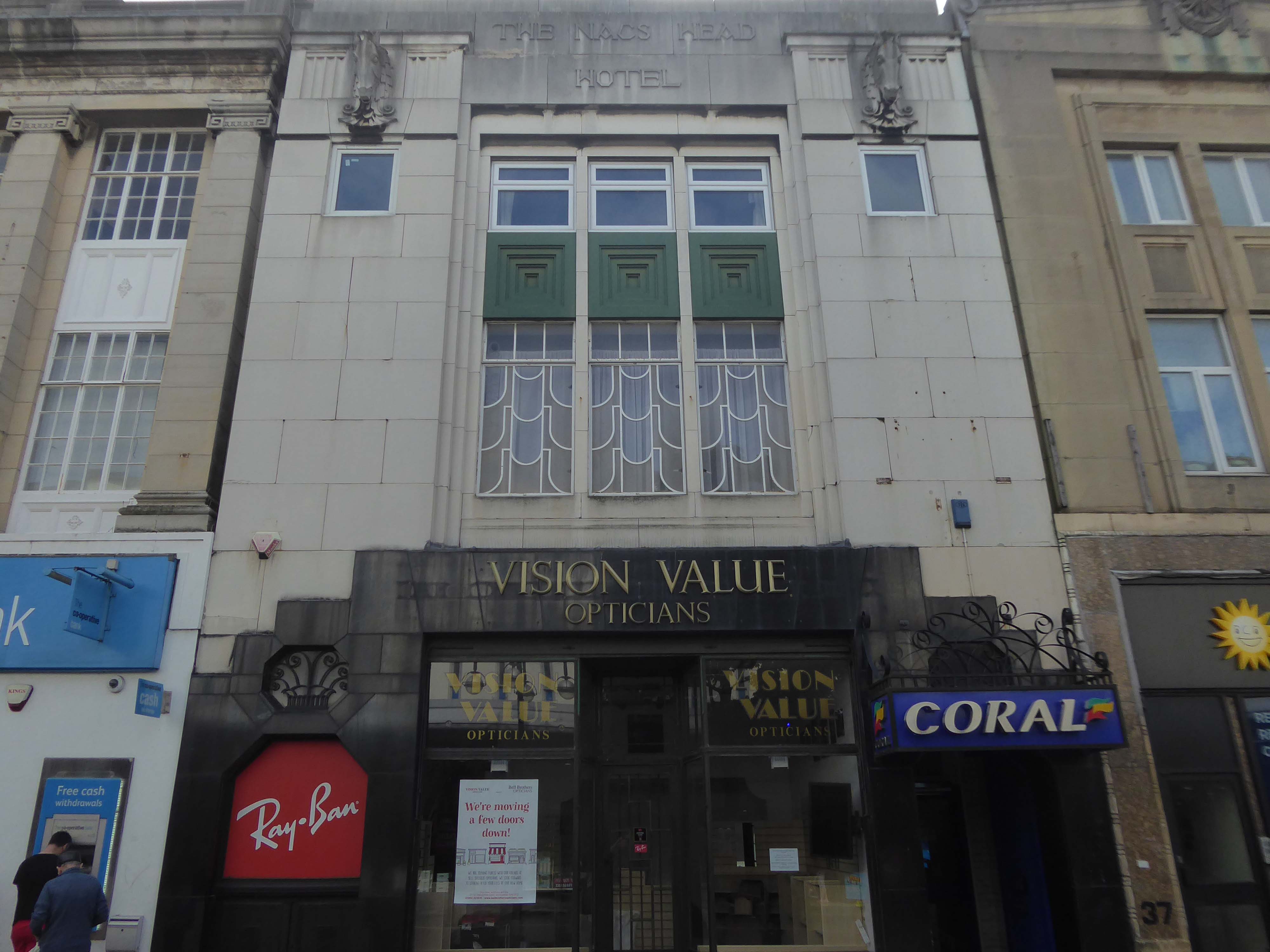
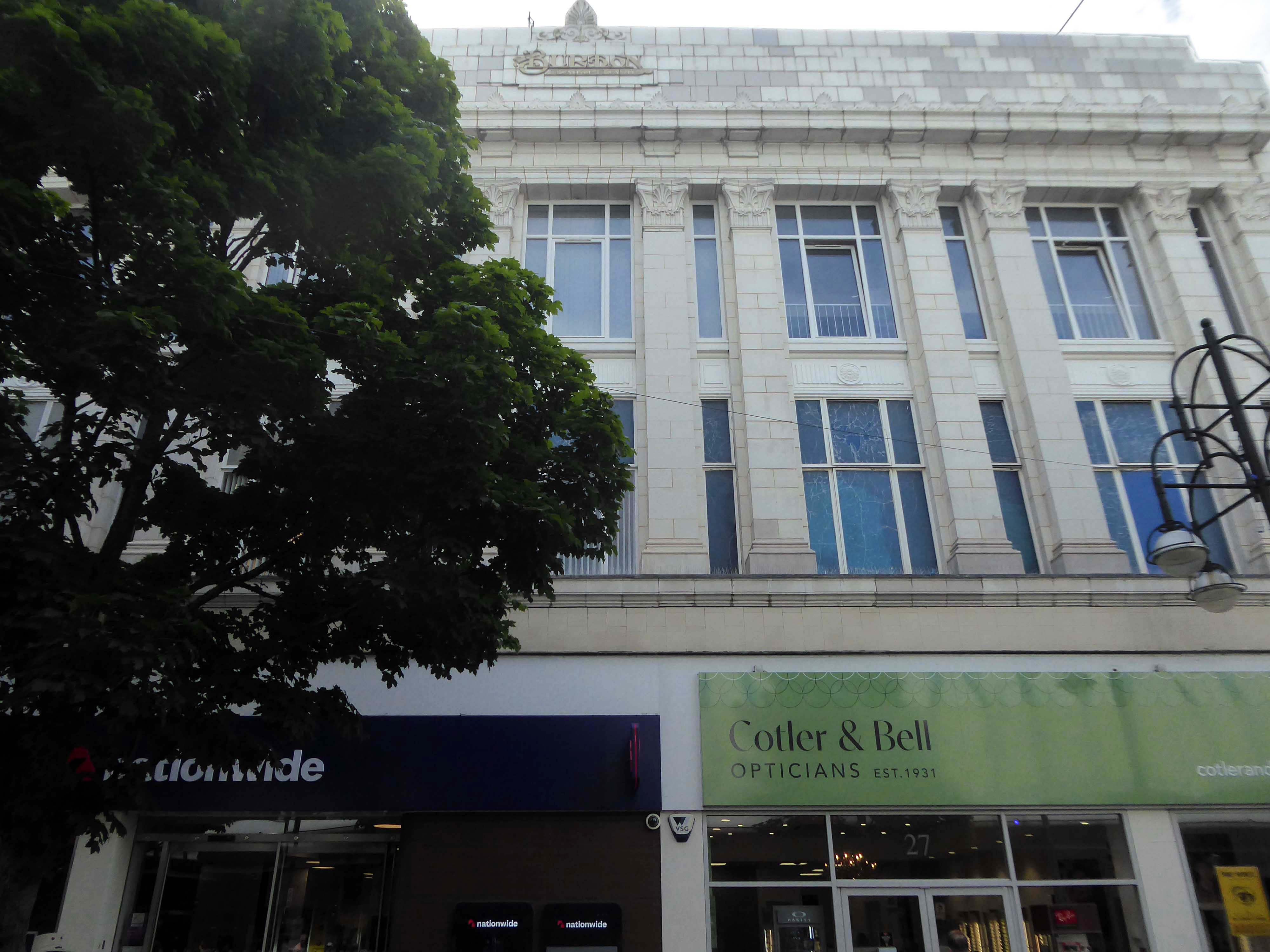
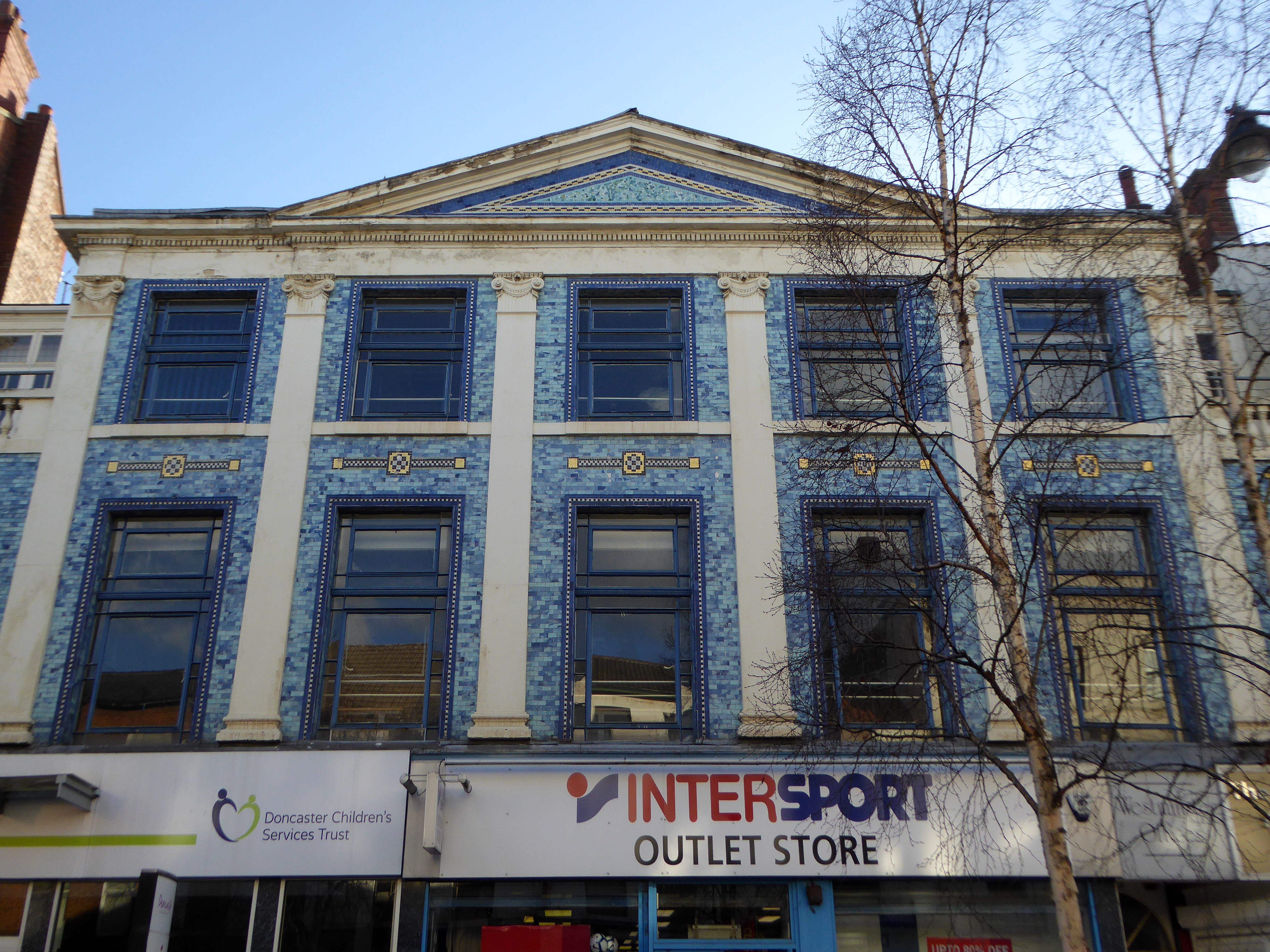
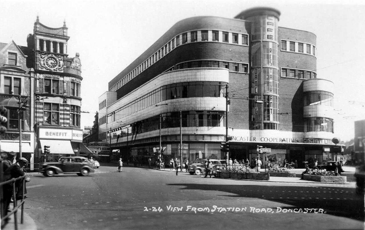
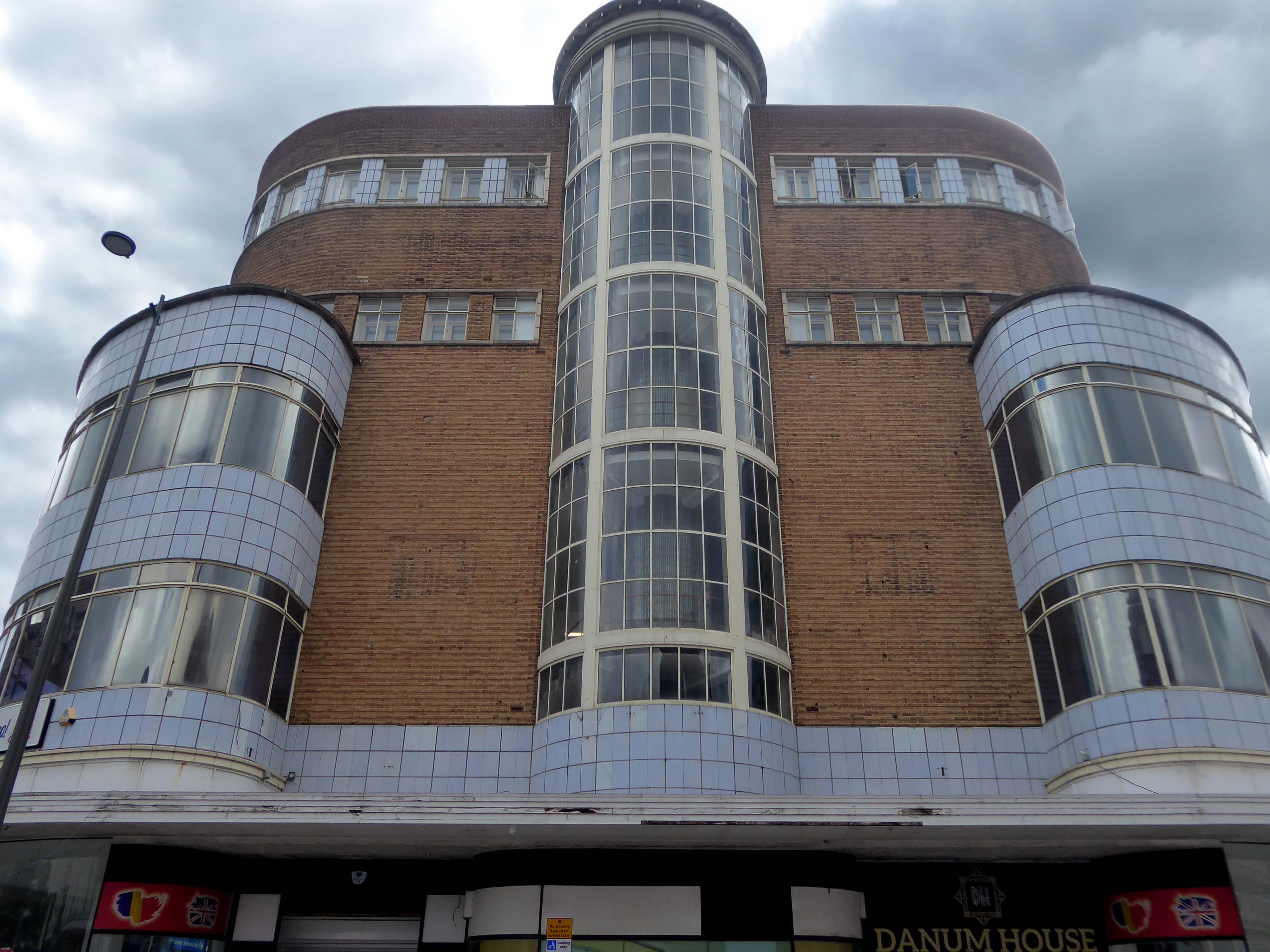
Let’s hop to the Grade II-listed Co-op Sunwin House designed by CWS in house architect WA Johnson and JW Cropper in 1935.
Architect W A Johnson worked for the Cooperative Wholesale Society from 1899 until 1950. He was heavily influenced by the German architect Erich Mendelsohn after 1930, evident in his embrace of the International Modernist style. Johnson travelled widely in Germany and Holland, and Mendelsohn’s Schocken store in Stuttgart 1928 is quoted as being a particular inspiration for the Bradford Co-op.
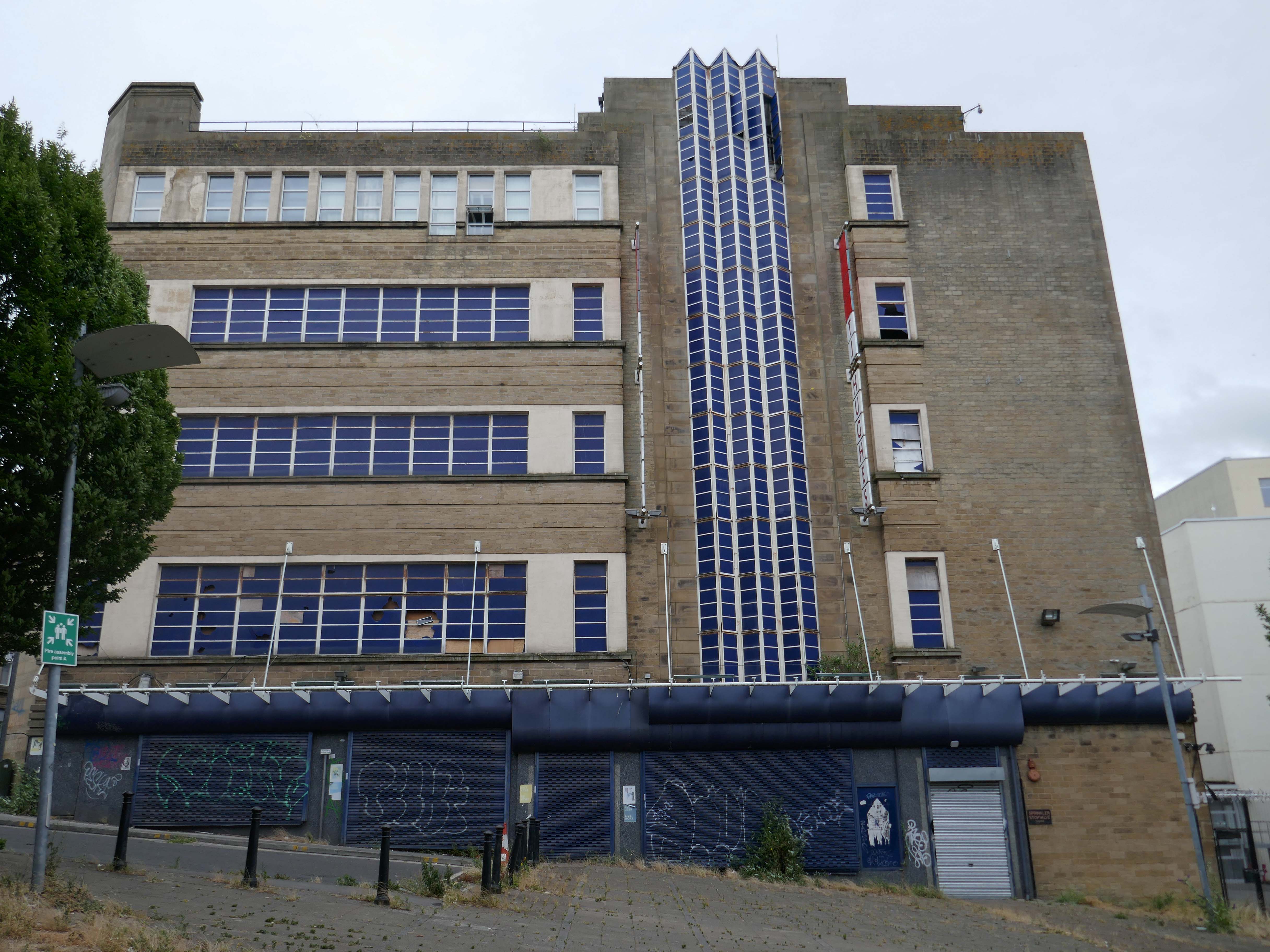
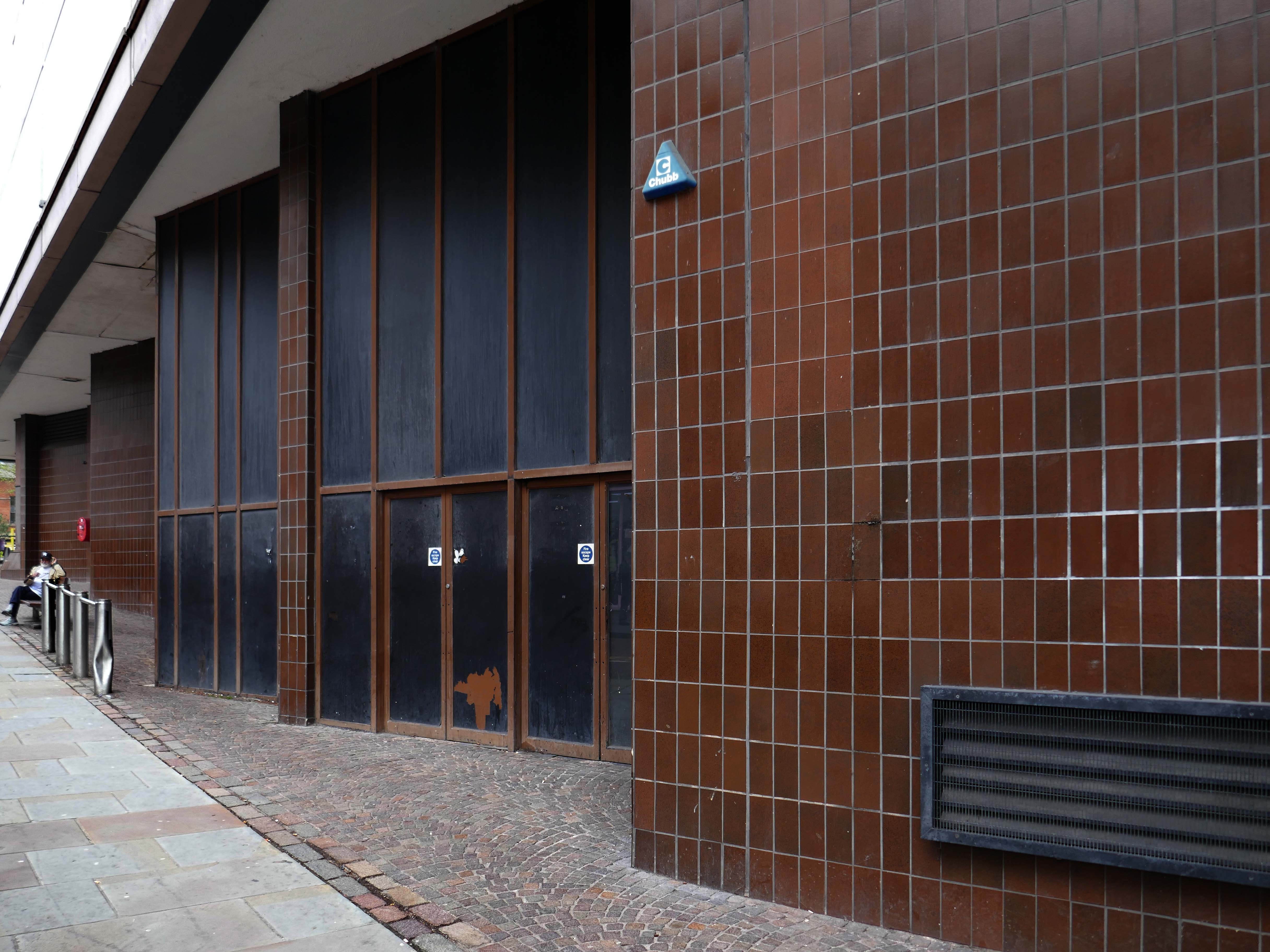
Sunwin House had been – one of the most modern and stylish looking shops in Britain, when it was built in 1936, according to The 20th Century Society.
But the charity warned that the building, whose architectural style was inspired by Germany’s Bauhaus art movement, had stood empty for nearly 15 years and was in danger of creeping neglect.
Sunwin House, which was most recently used as a TJ Hughes department store after the firm went into administration in 2011, is one of 10 buildings featured on The 20th Century Society’s risk list for 2025.
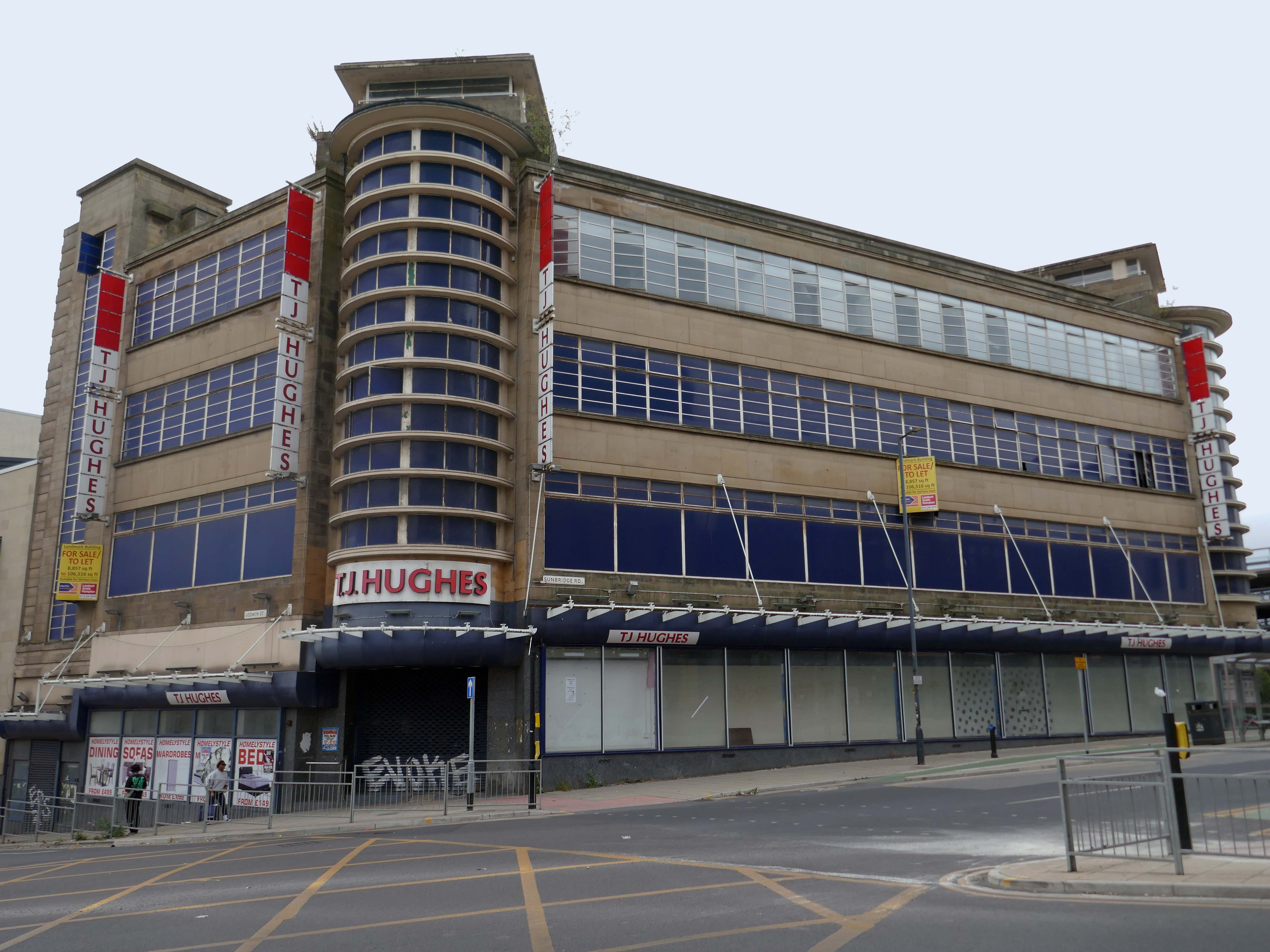
The Freehold of Sunwin House, 65 Sunbridge Road, Bradford has been sold to a Bradford based investment company who have plans to refurbish the whole building principally based off a Retail/ Emporium use.
The building was purchased by Legal and General from the Co-operative Wholesale Society in 2005 subject to a lease to T J Hughes, who ceased trading in 2012. Following Administration, and the release and separation from the former Godwin Street Annexe, the original 95,000 sq ft Grade II Listed Store became an independent asset in 2017.
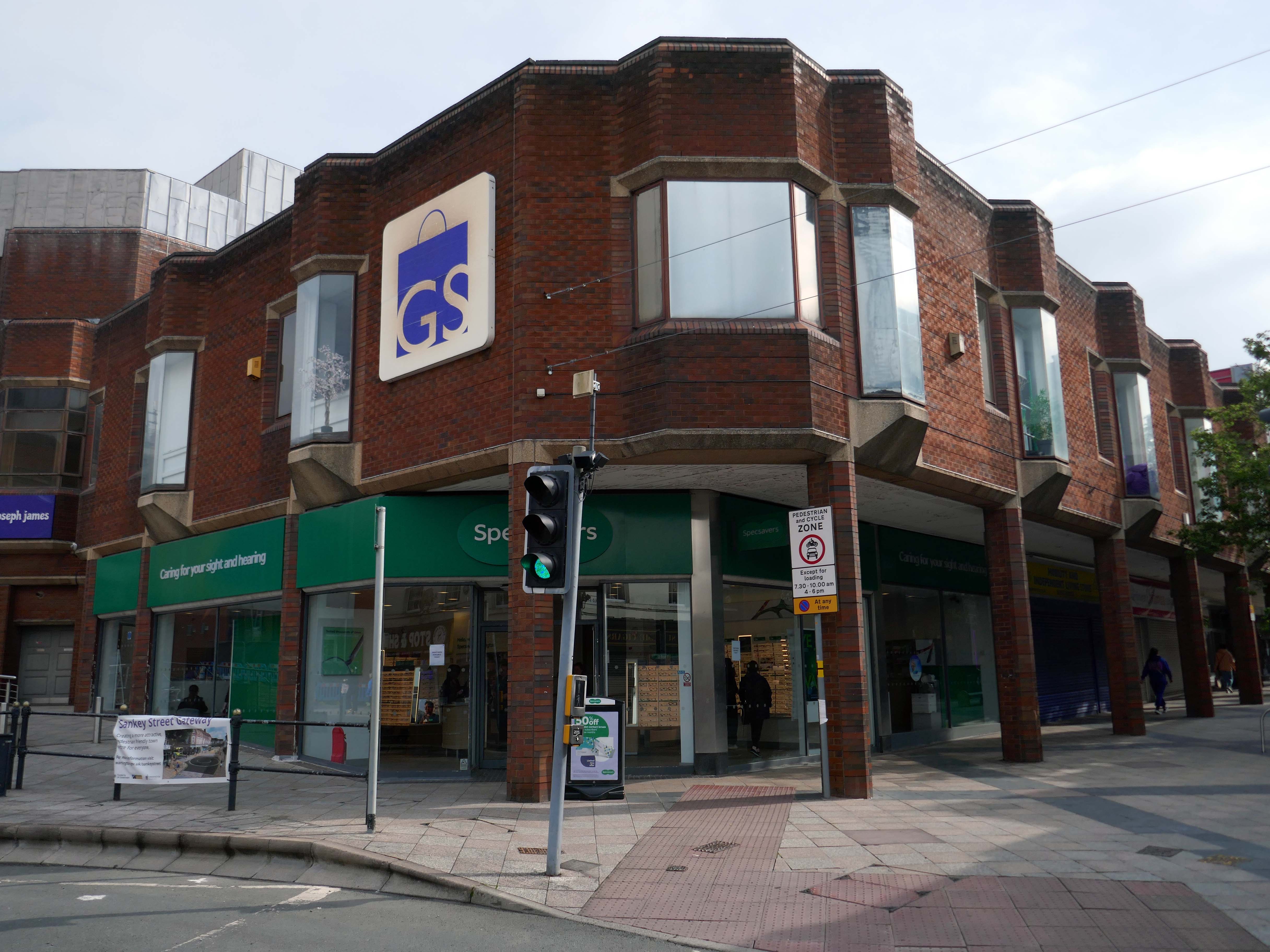
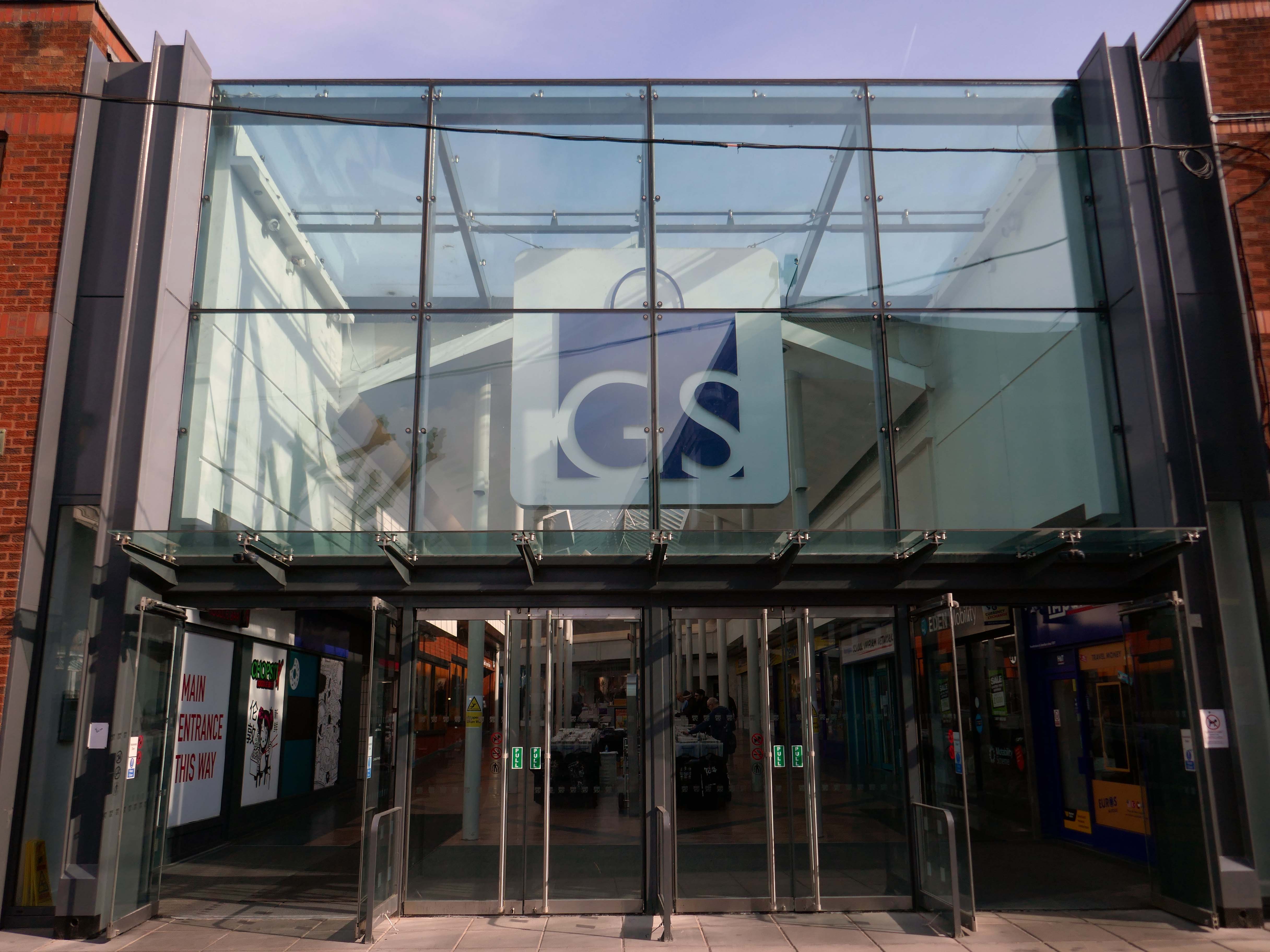
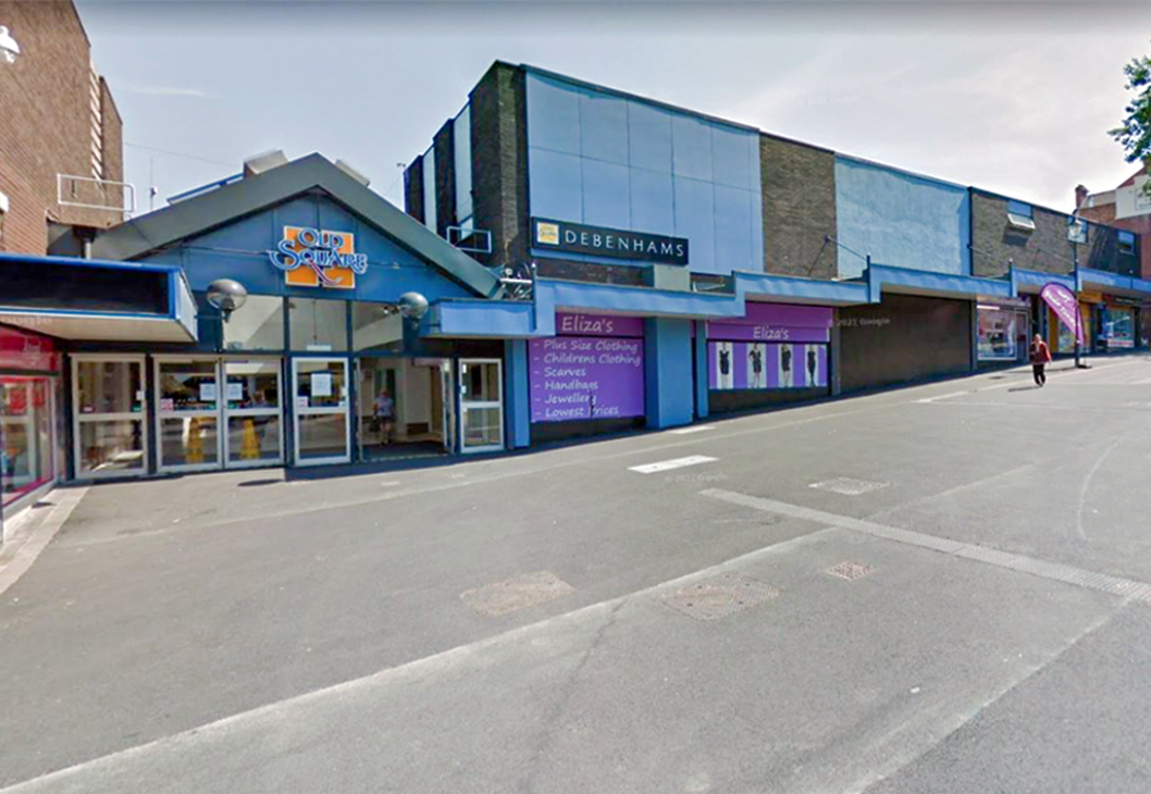
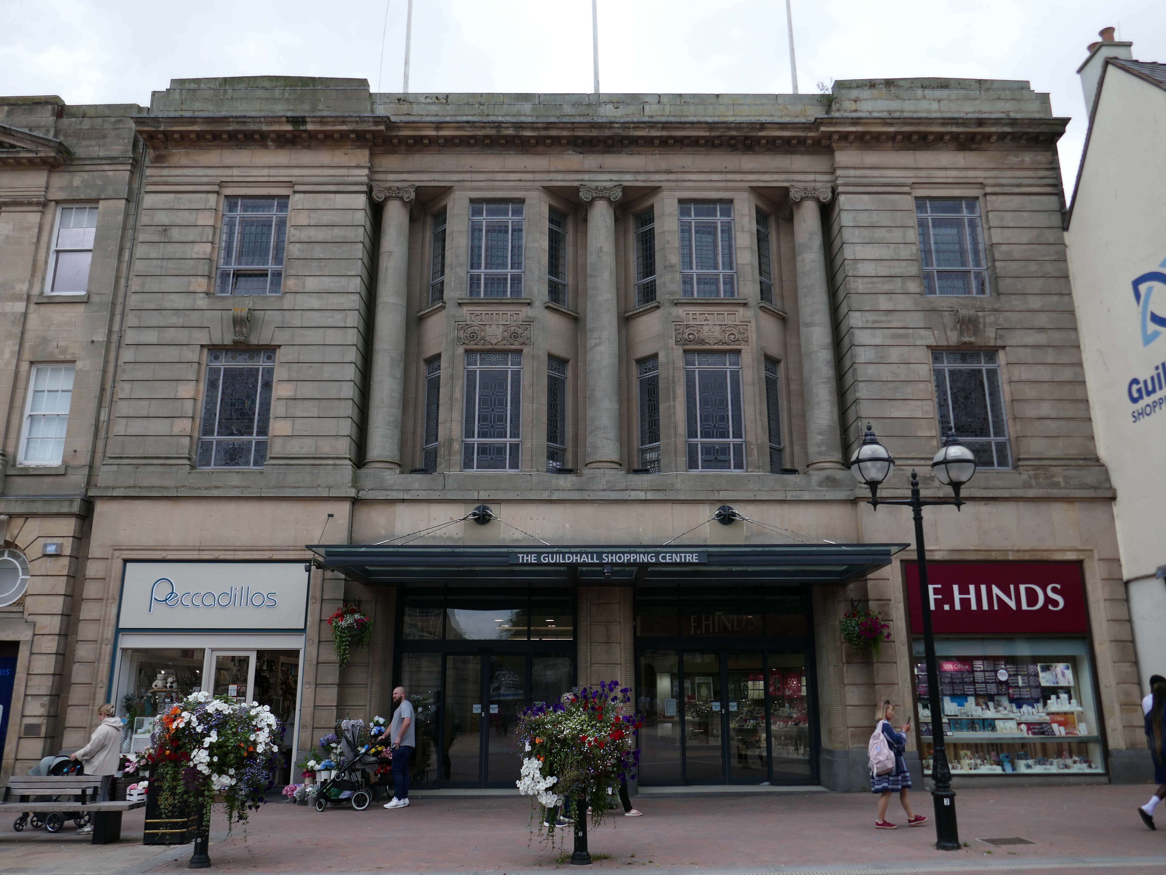
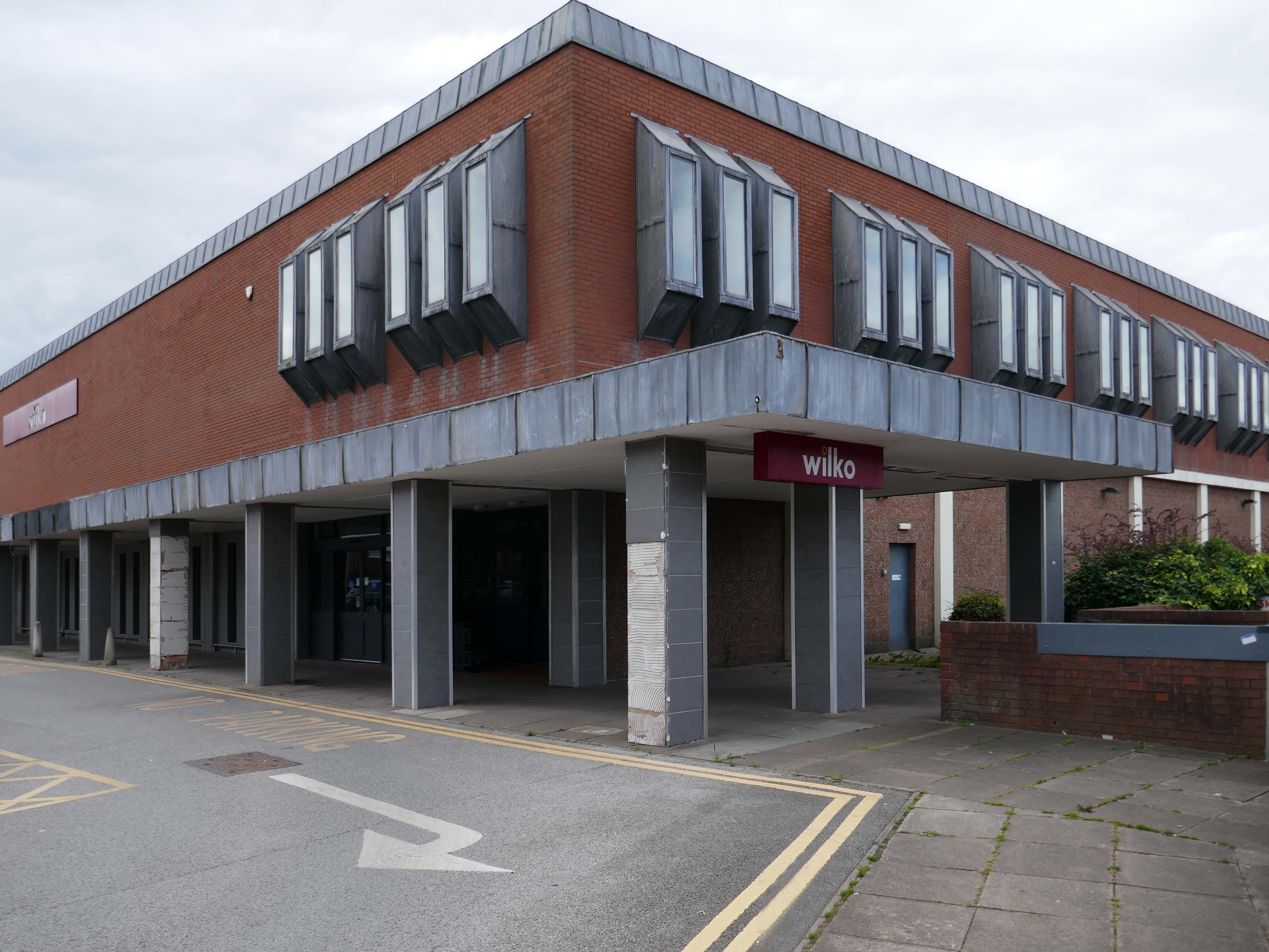
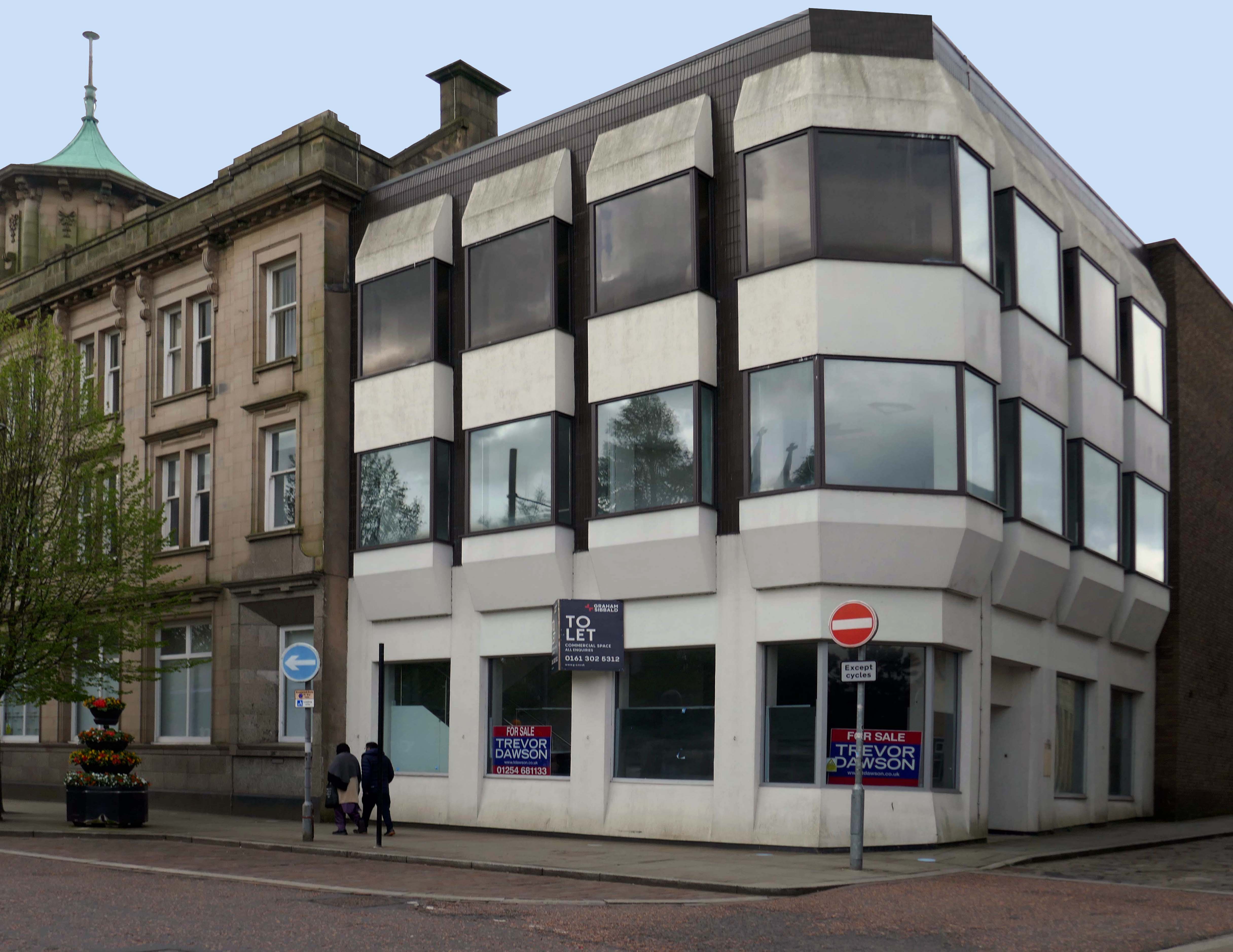
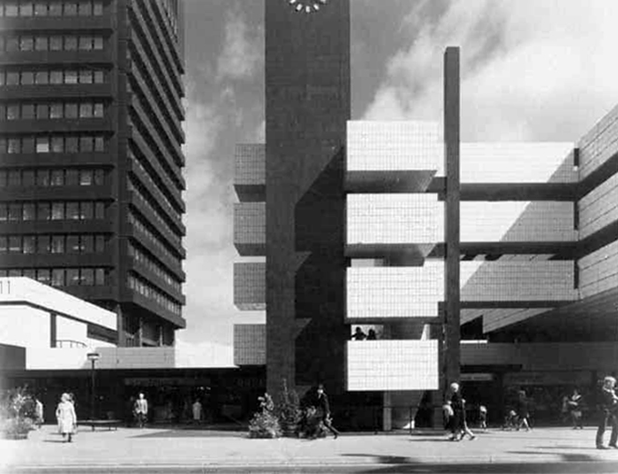
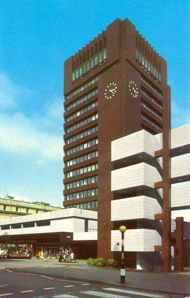
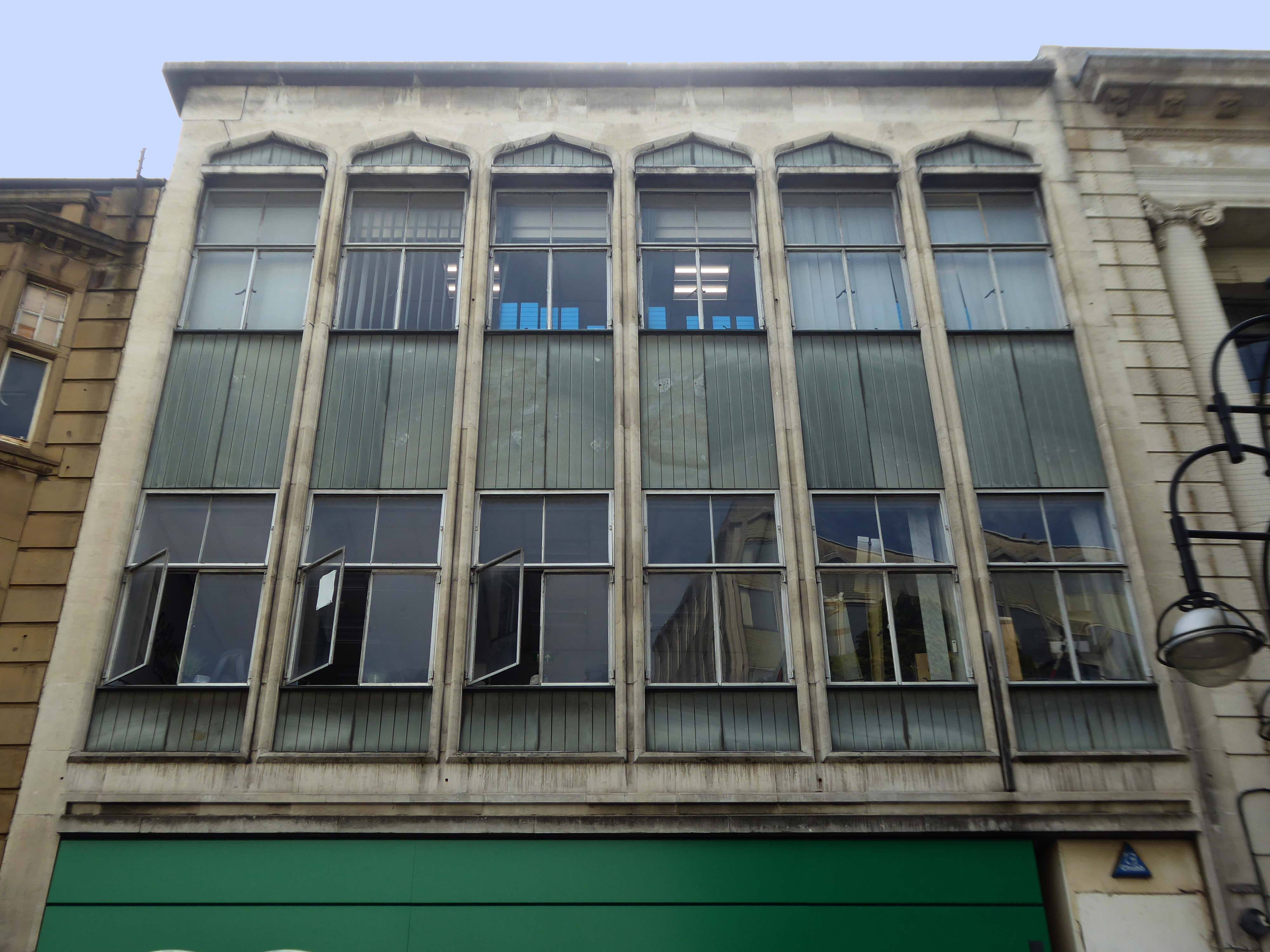
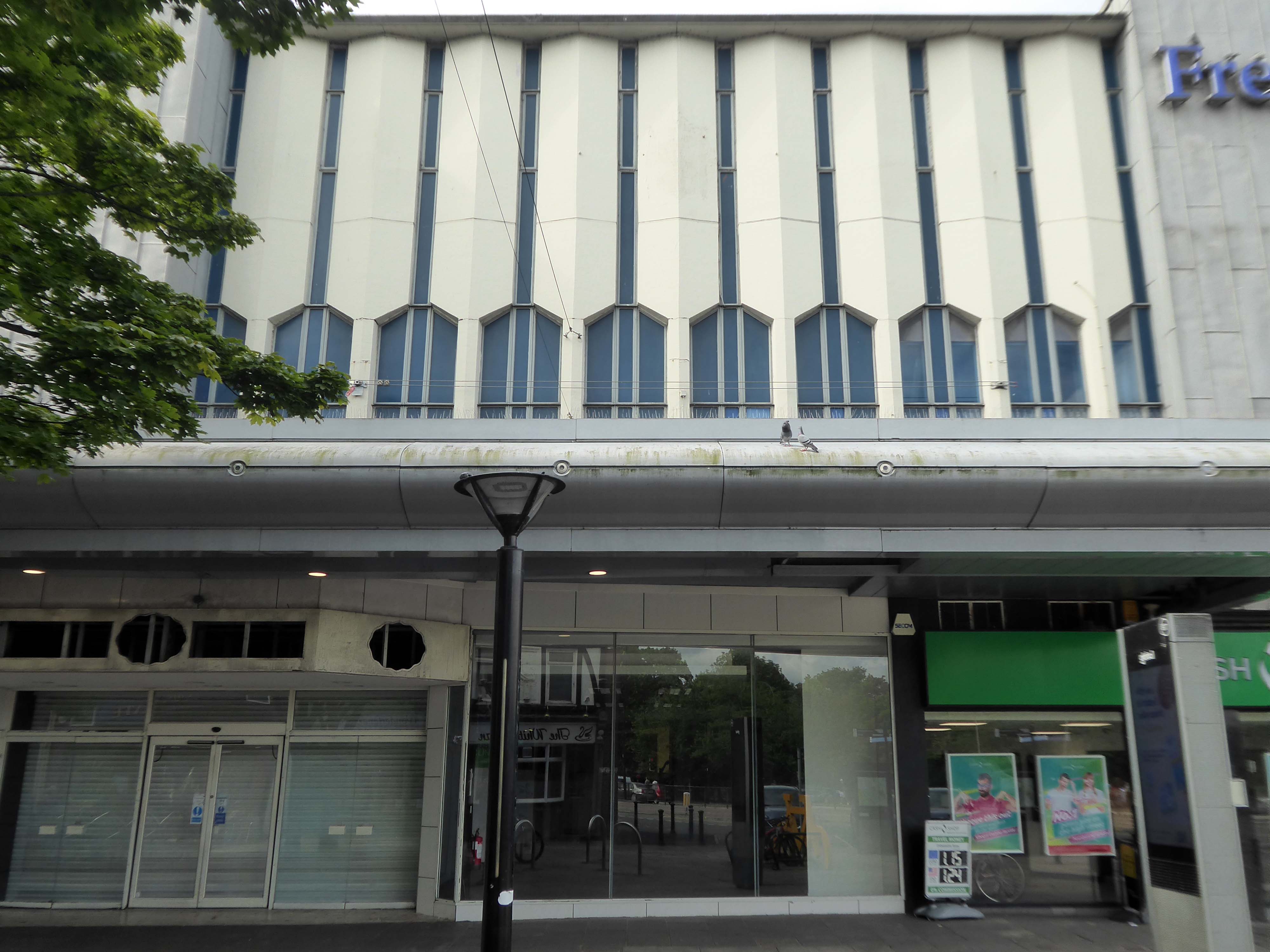
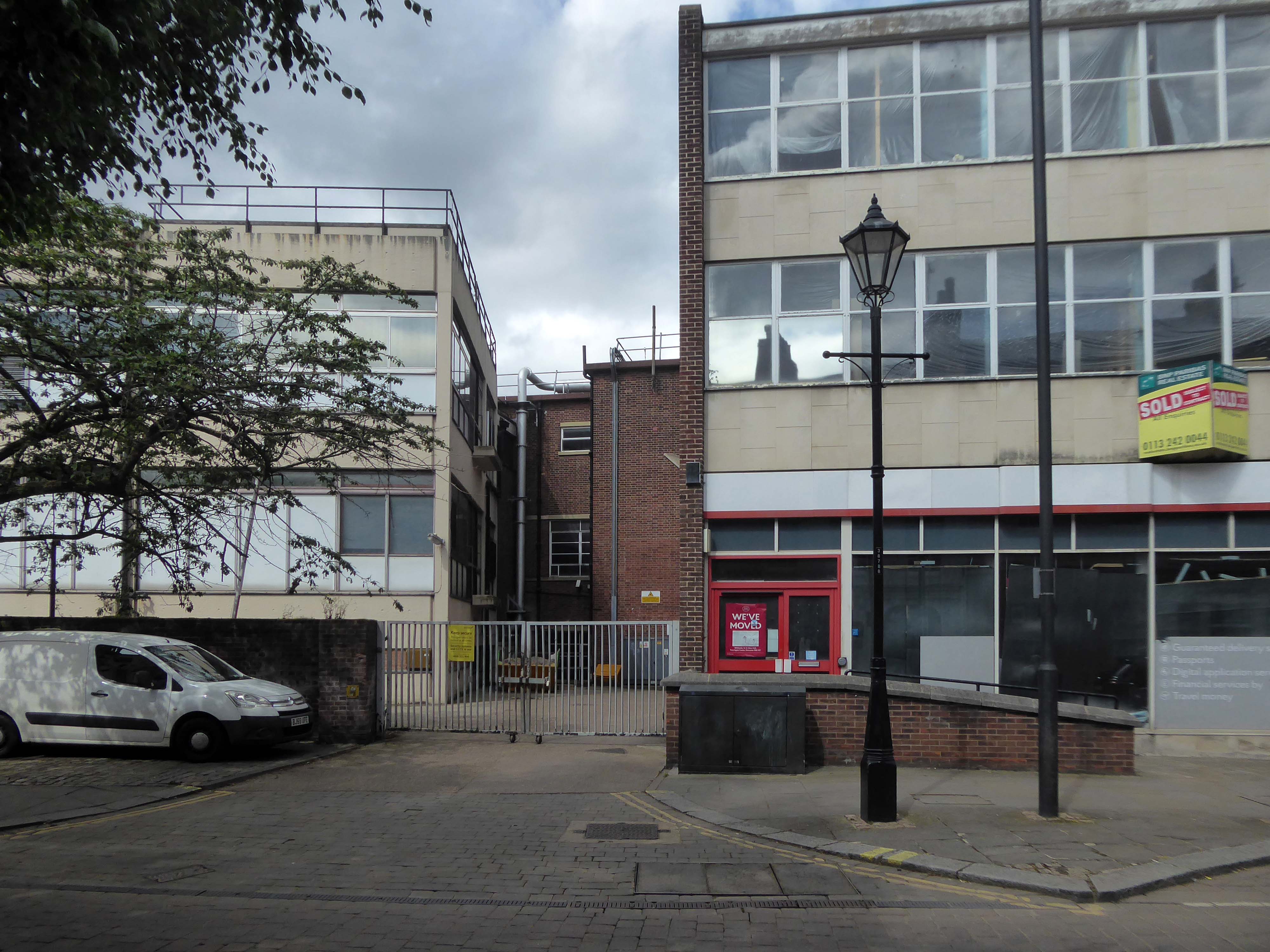
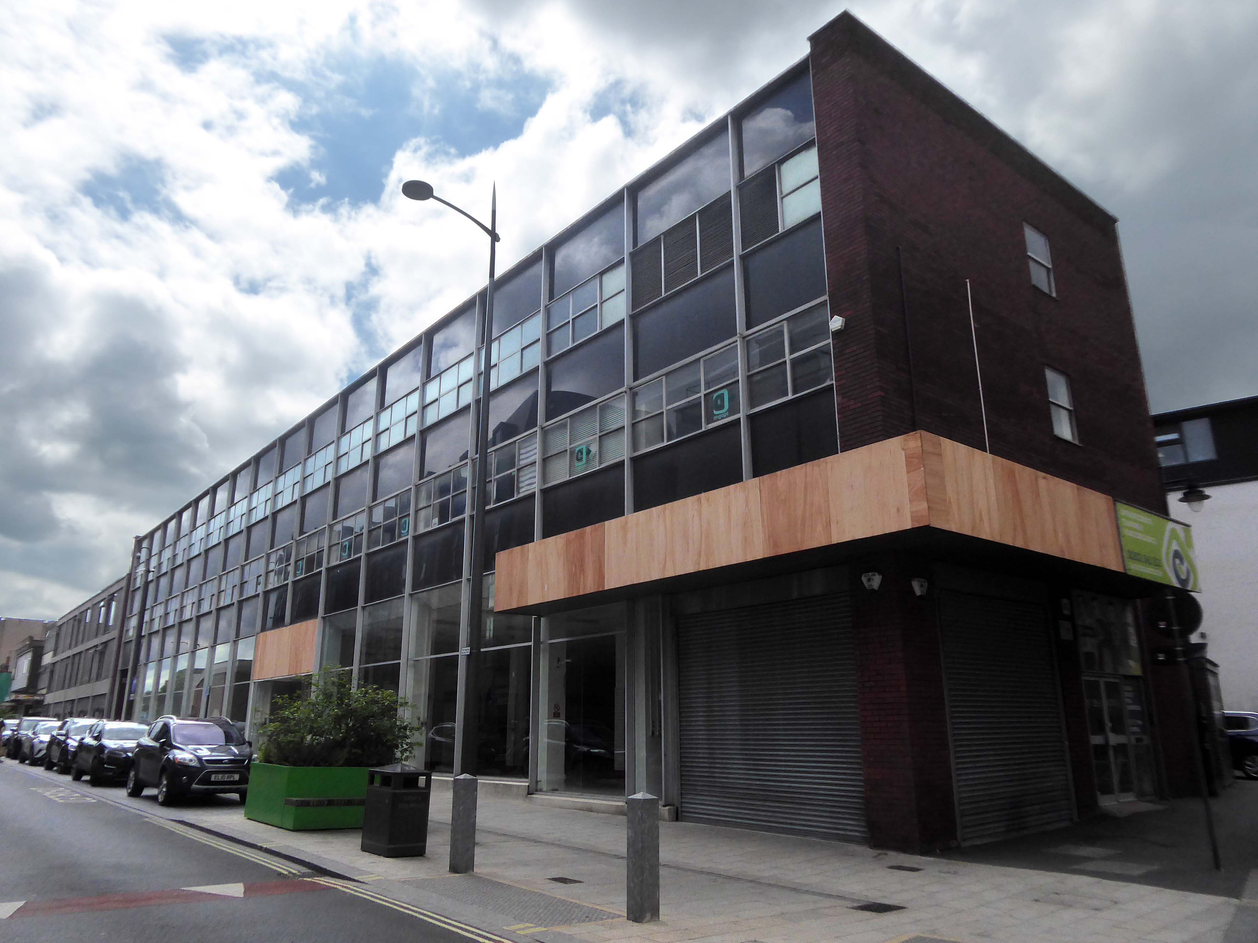
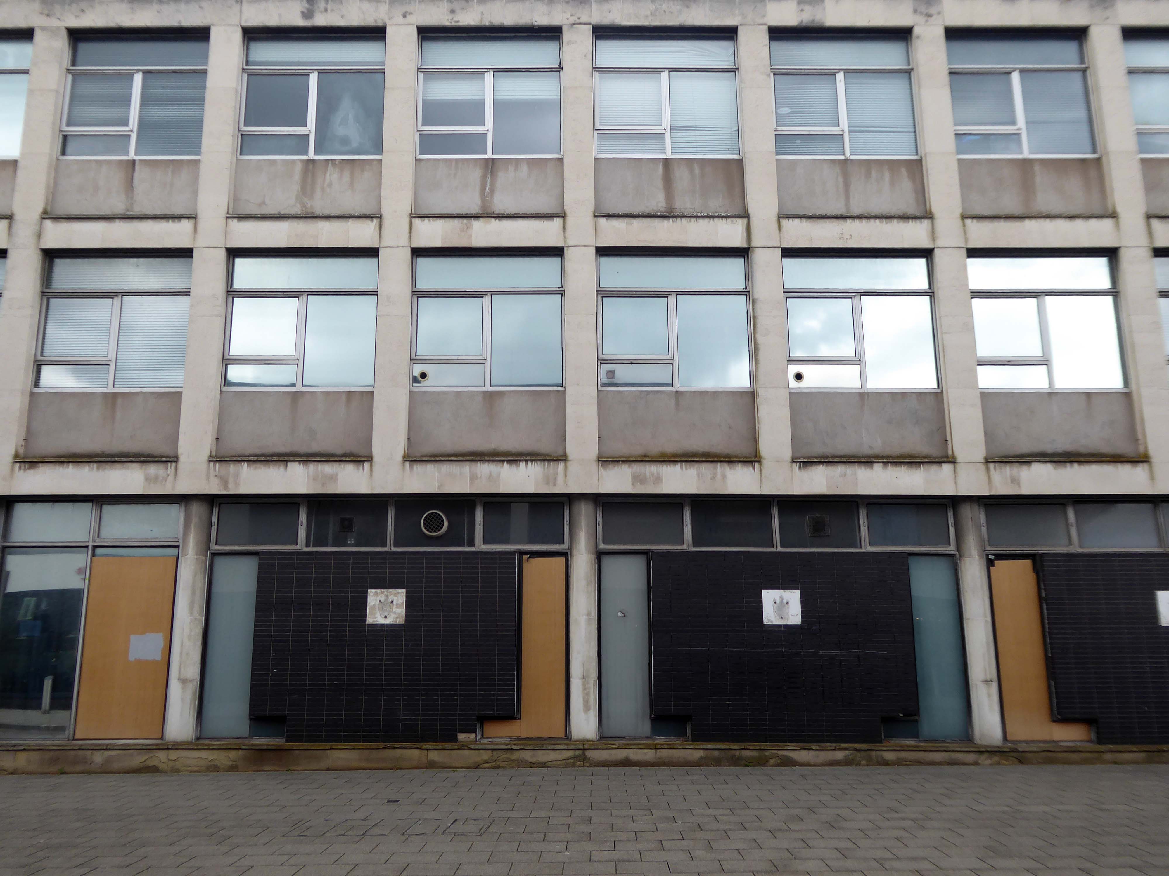
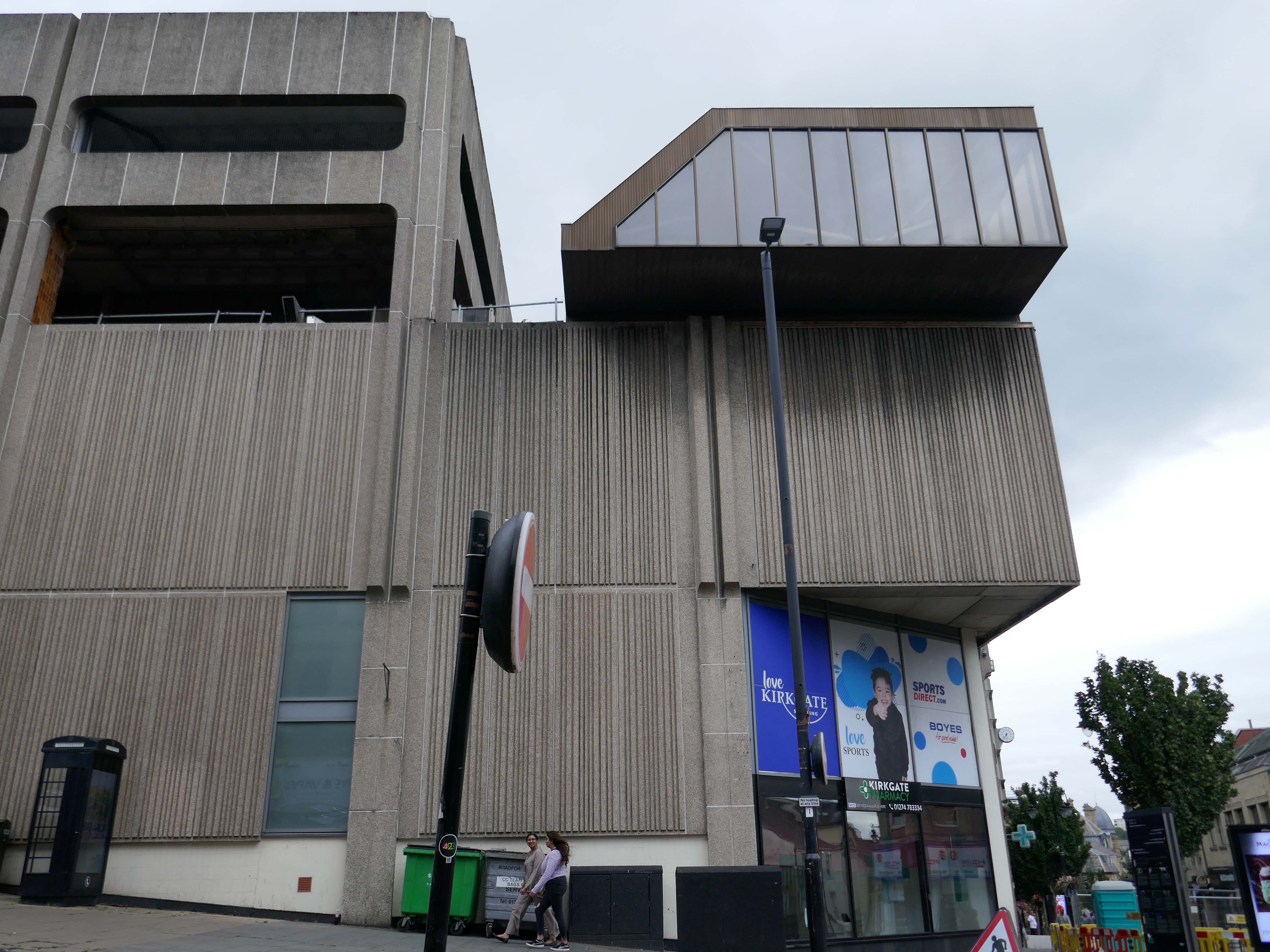
A stride away is the now closed Kirkgate Centre and Market – John Brunton and Partners 1975.

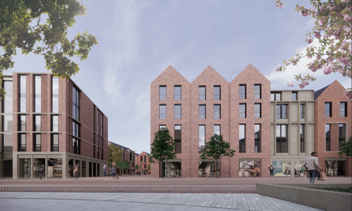
Demolition work will begin later this year to make way for the recently approved City Village development, comprising up to one thousand new homes, with the aim of creating a stronger, more welcoming, and sustainable future for Bradford.
Some residents have welcomed the changes, with the Kirkgate Centre previously described as a blight on the landscape. But others, like Barbara, lament the loss of the places they knew and loved.
Every time you go anywhere something has gone missing. Some of the changes are alright, some of them I think they could do without.
In 1979, the building won a European award from the International Council of Shopping Centres.
But the Historic England report described its design as mundane and repetitive.
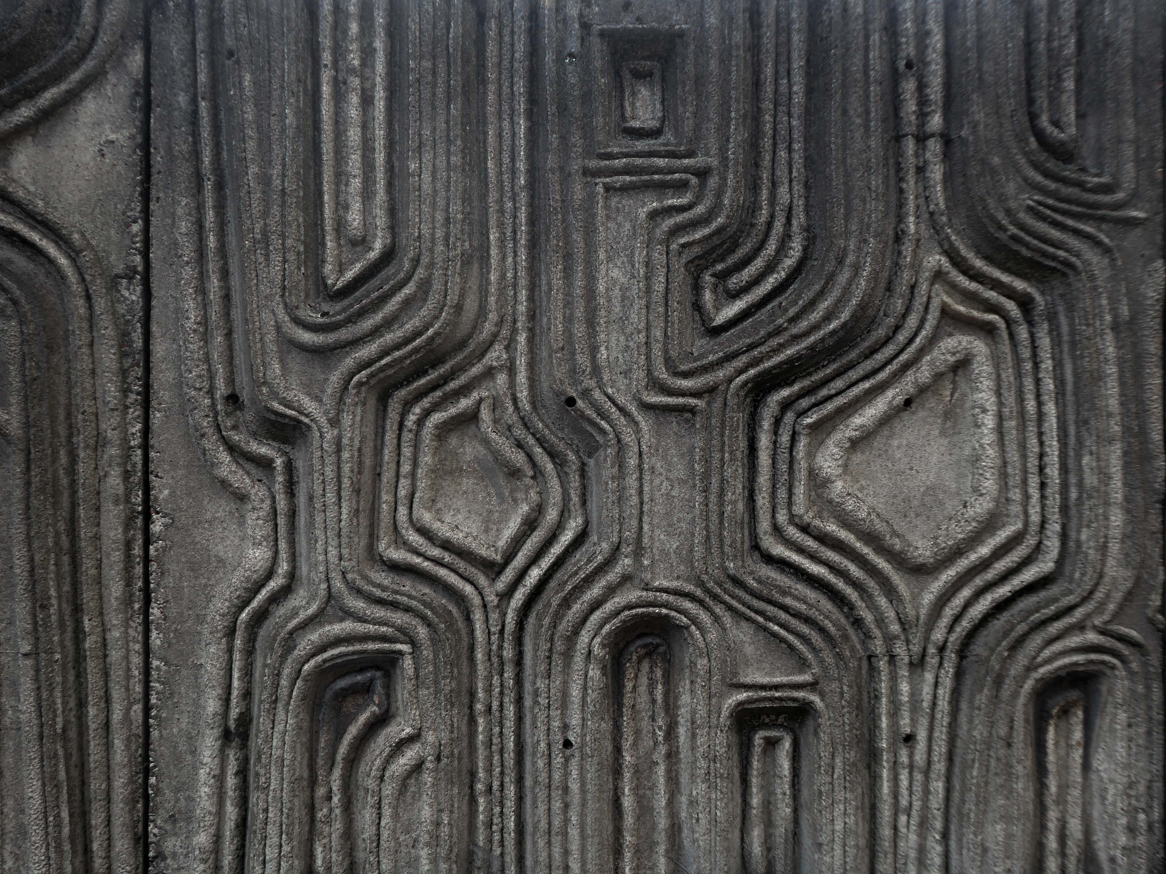
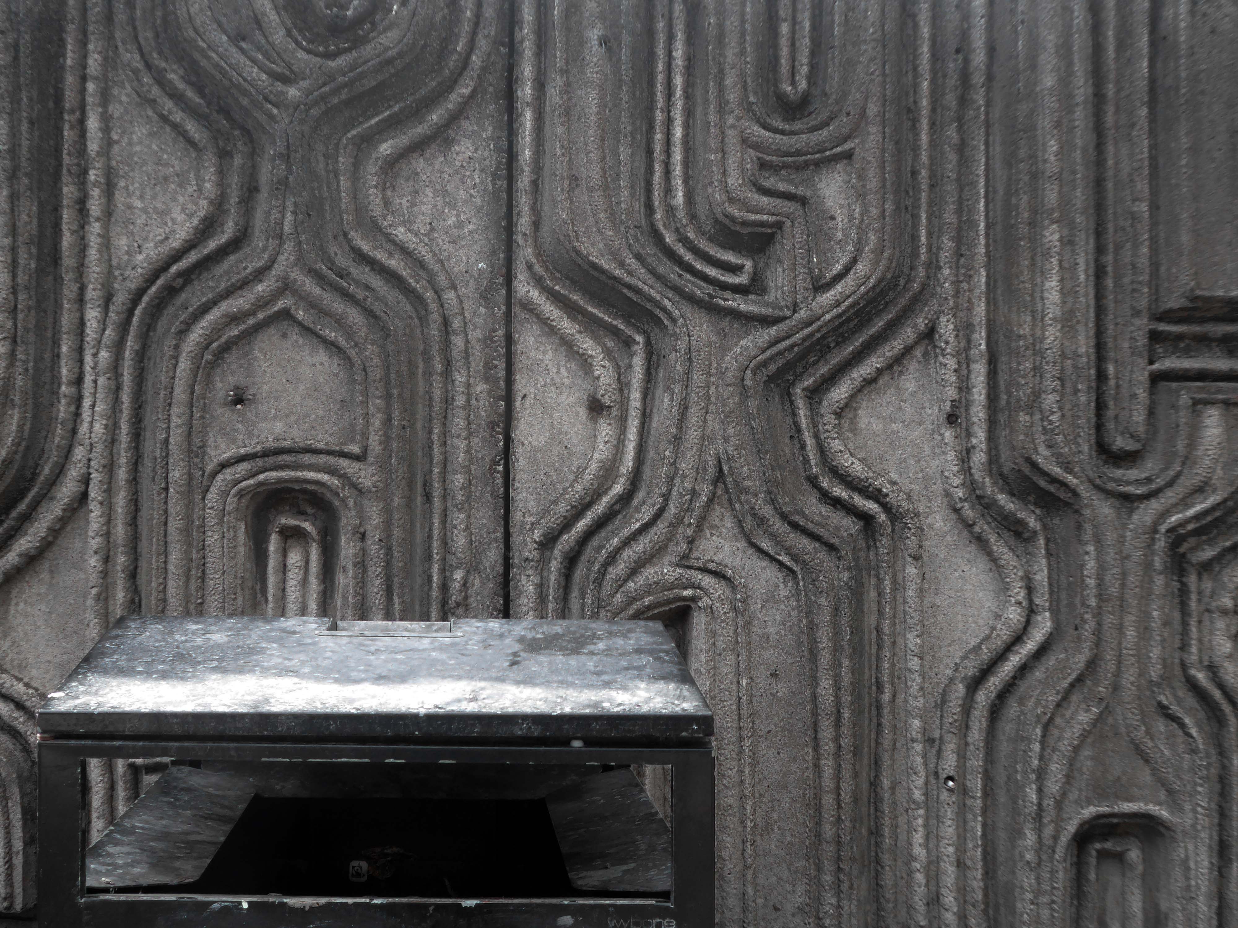
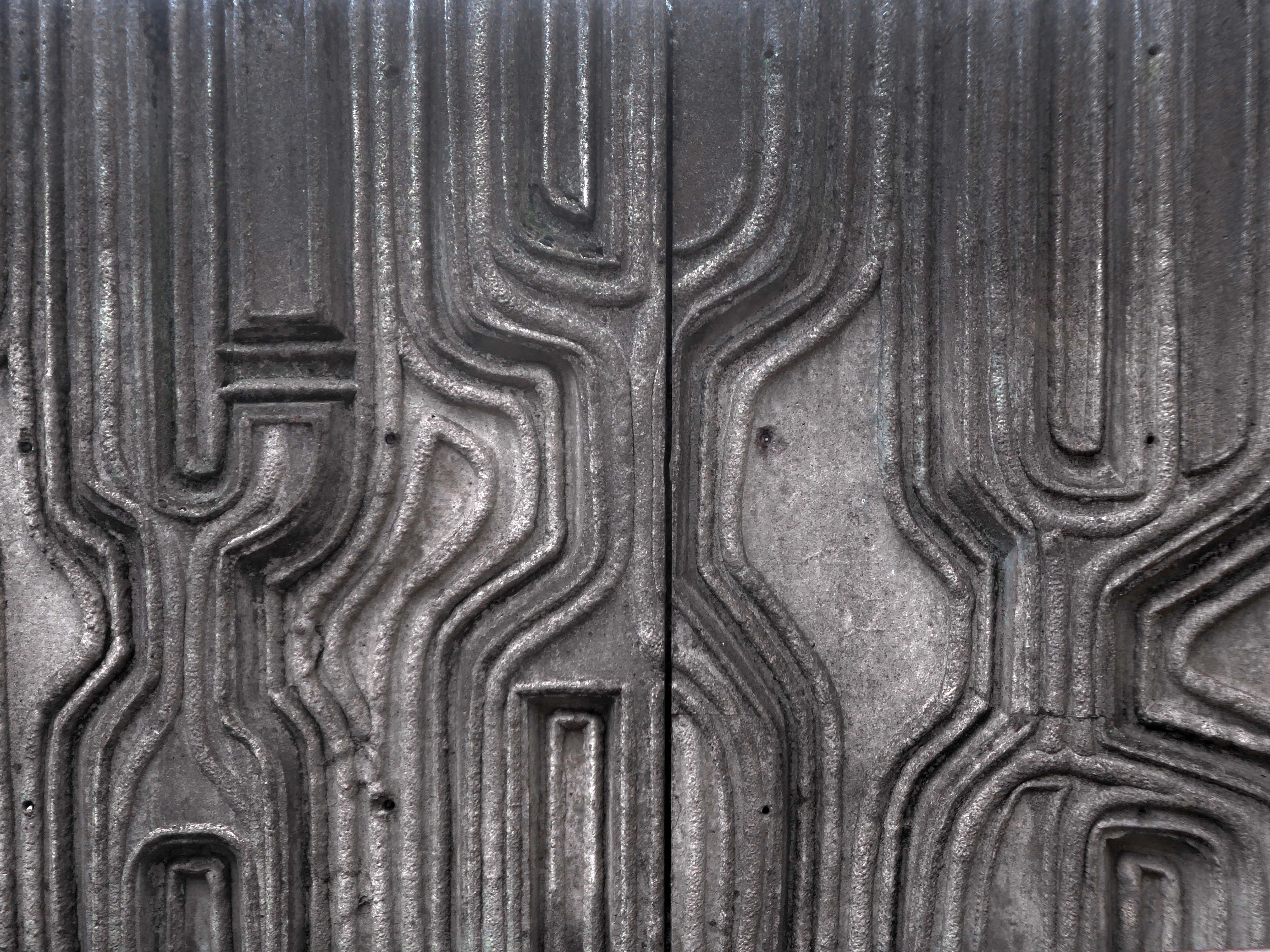
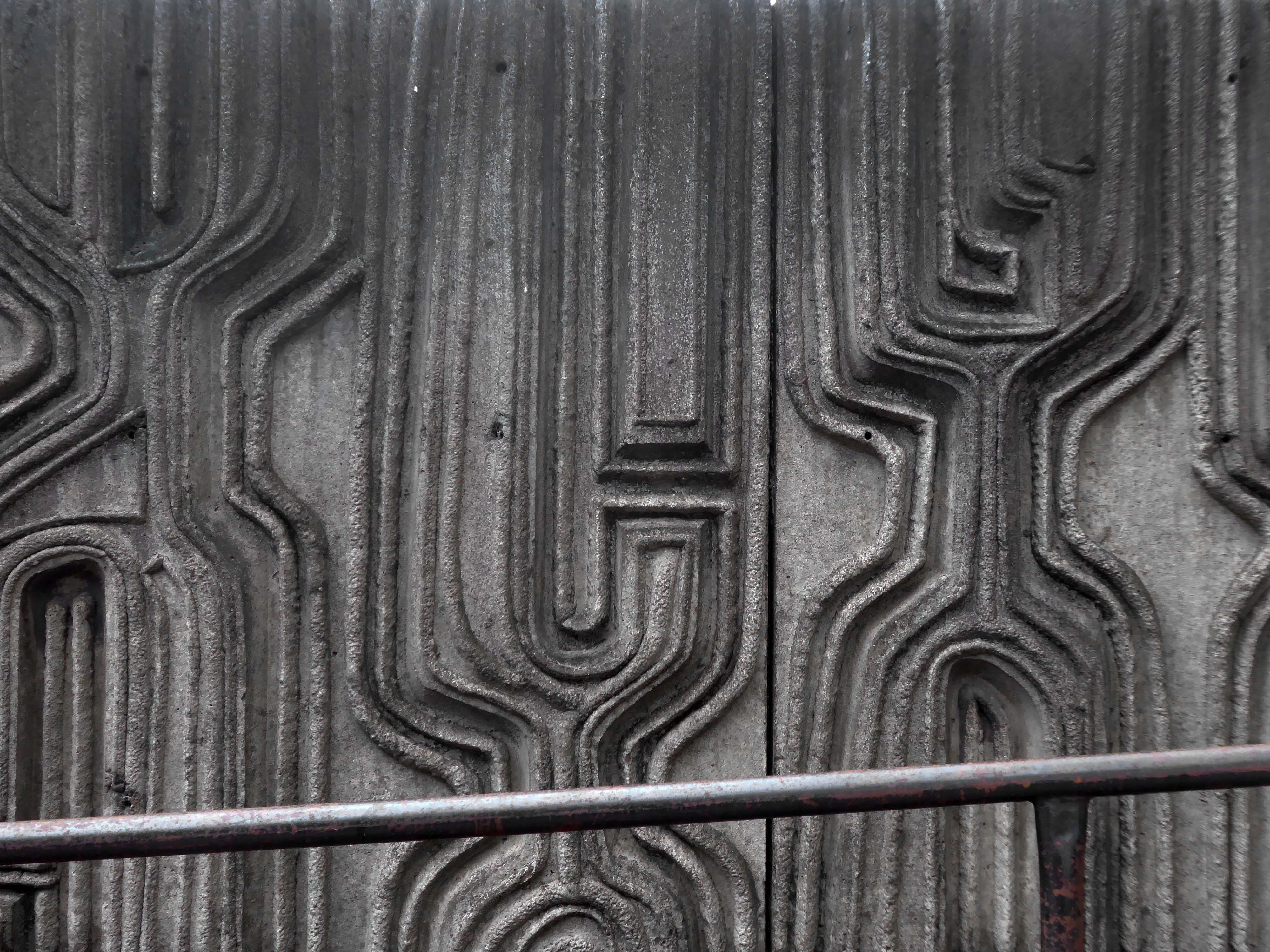
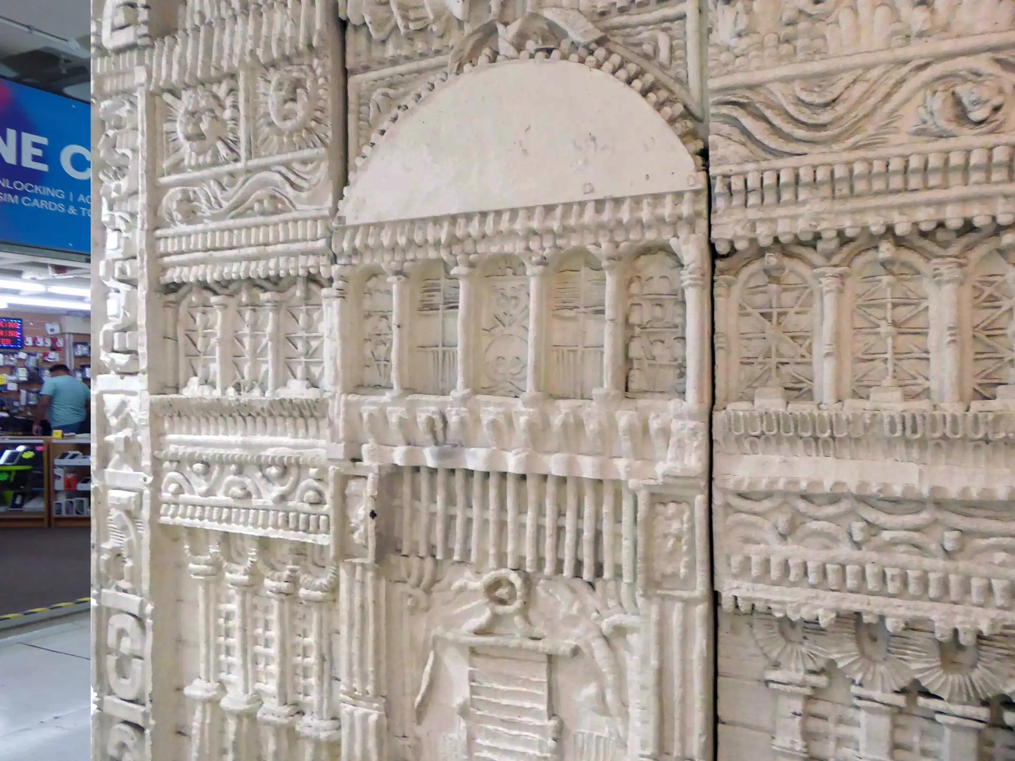
The William Mitchell concrete reliefs housed in the market are to be conserved along with the Fritz Steller tiles.
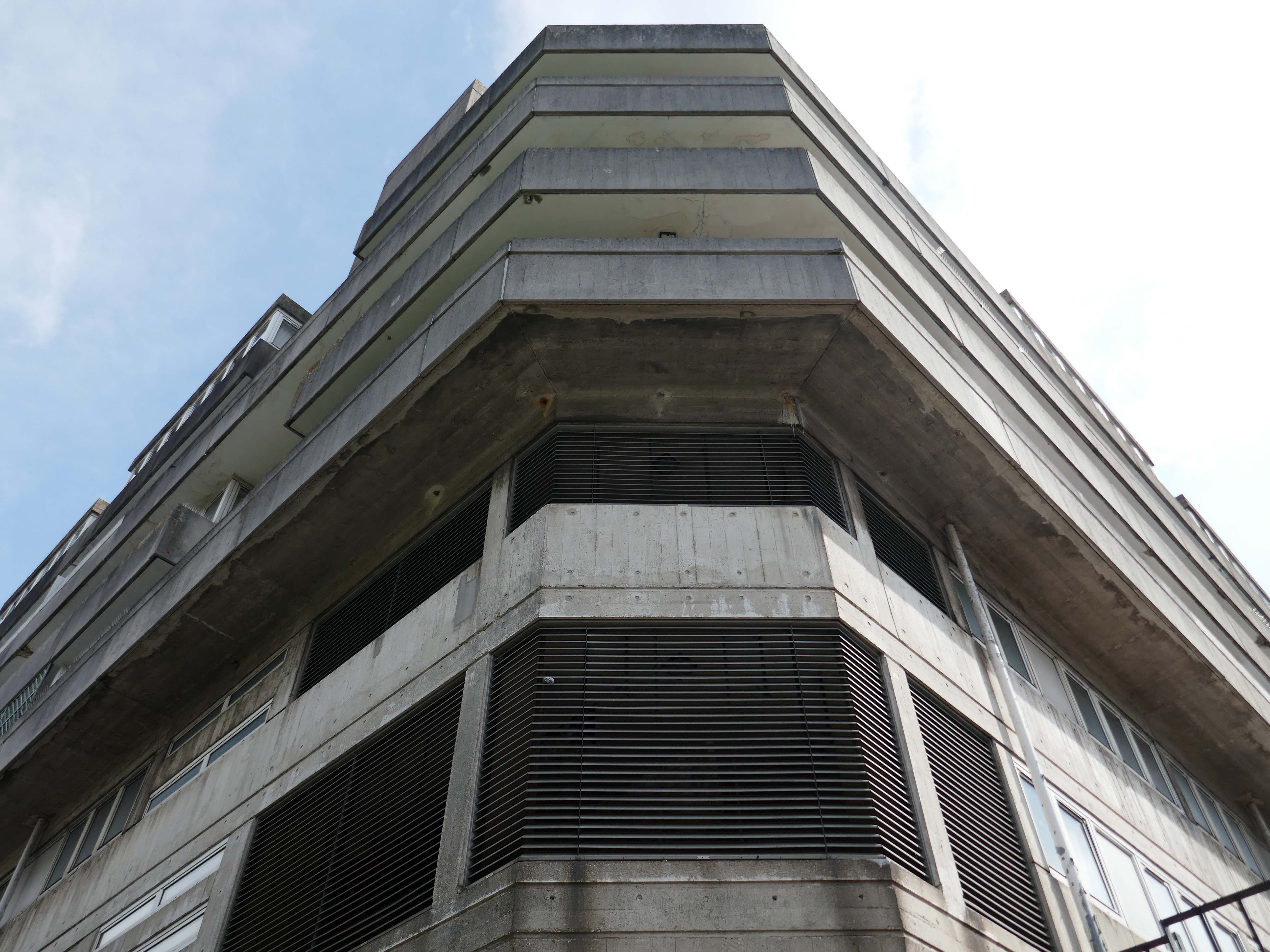
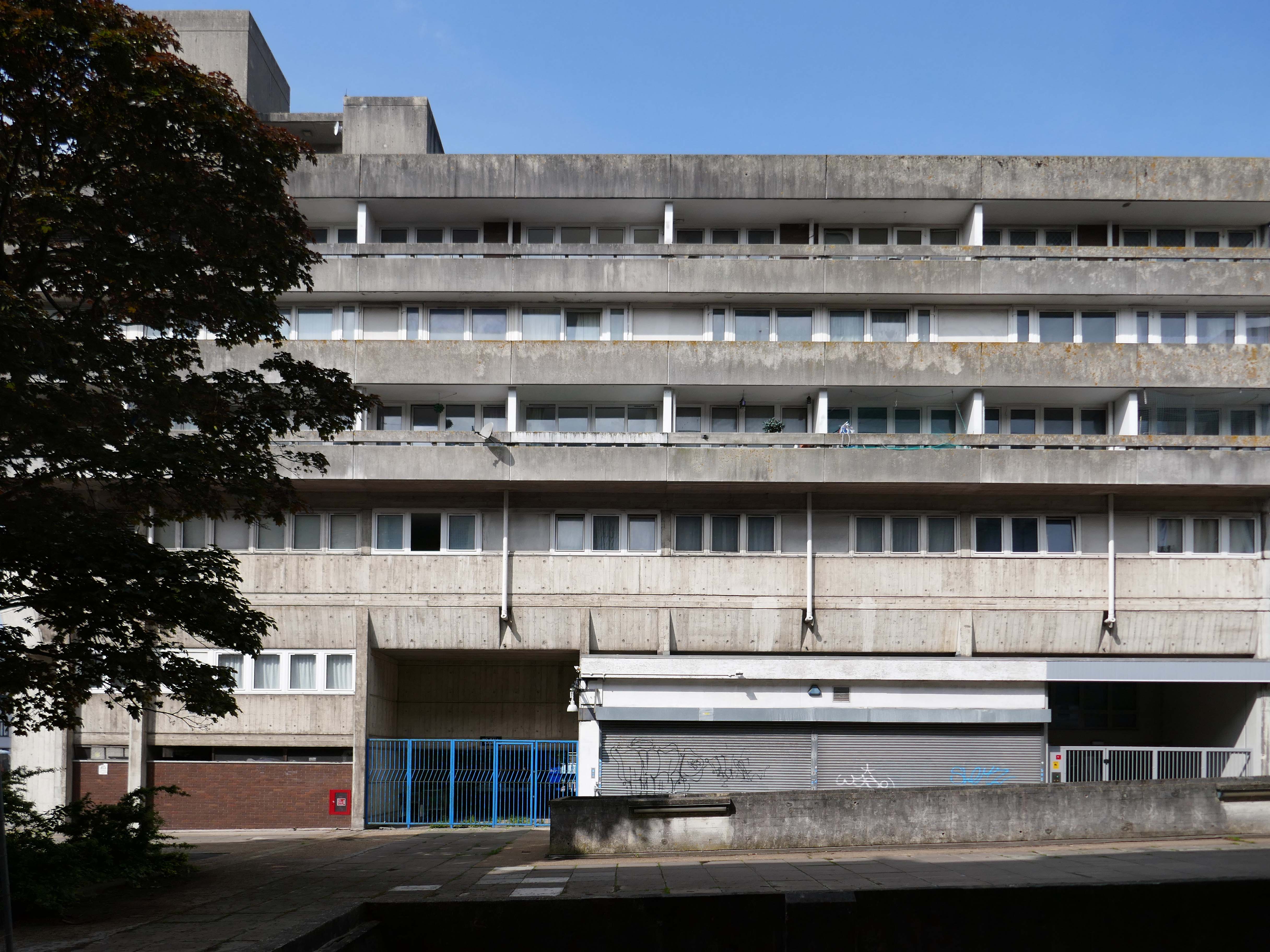
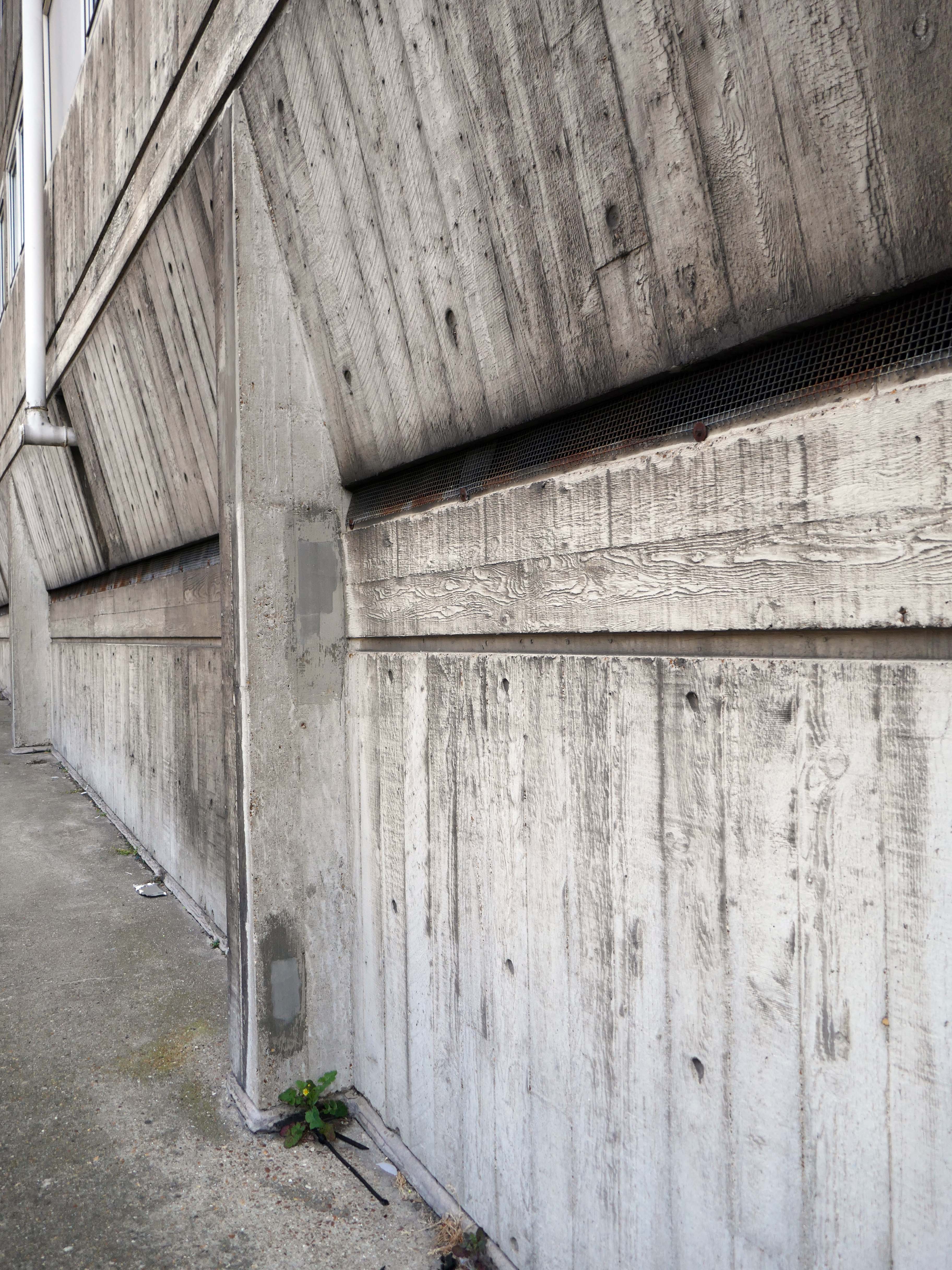
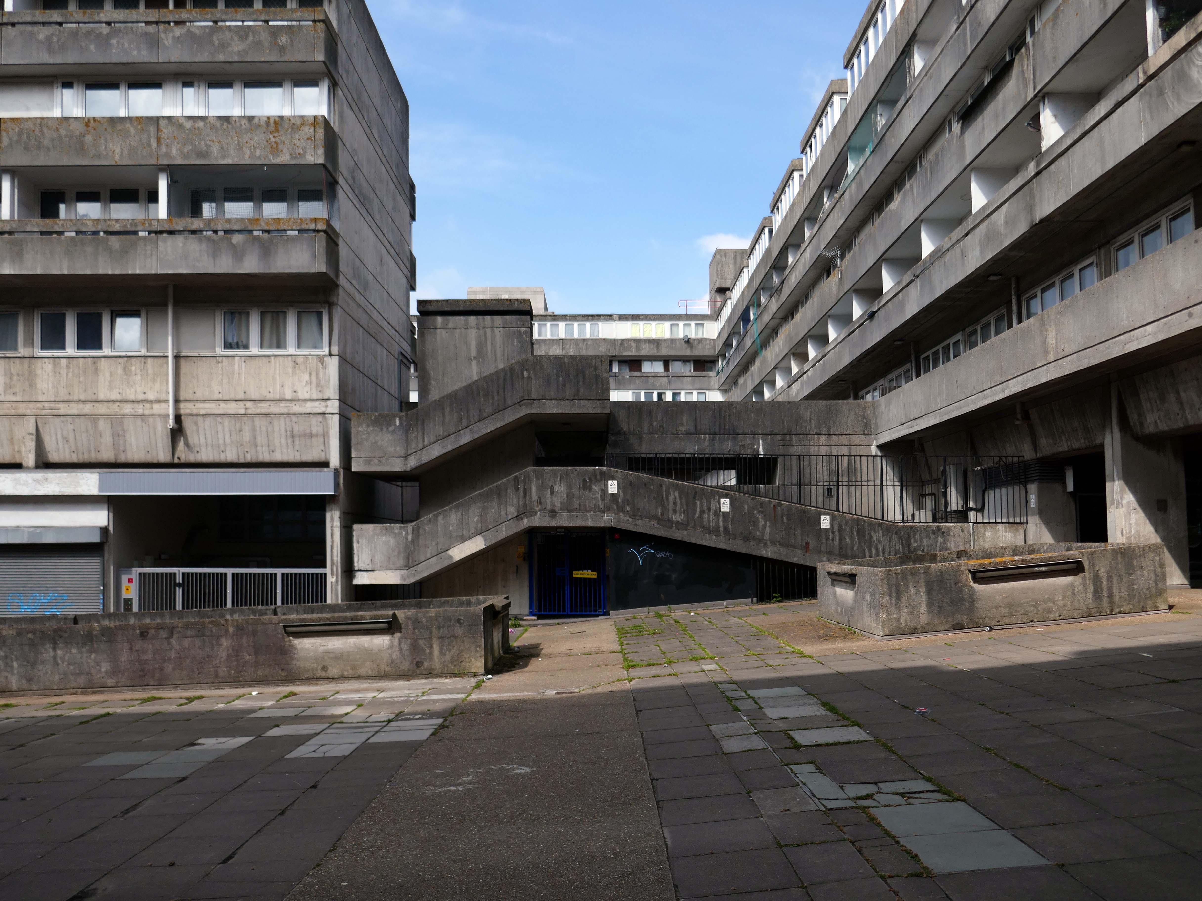
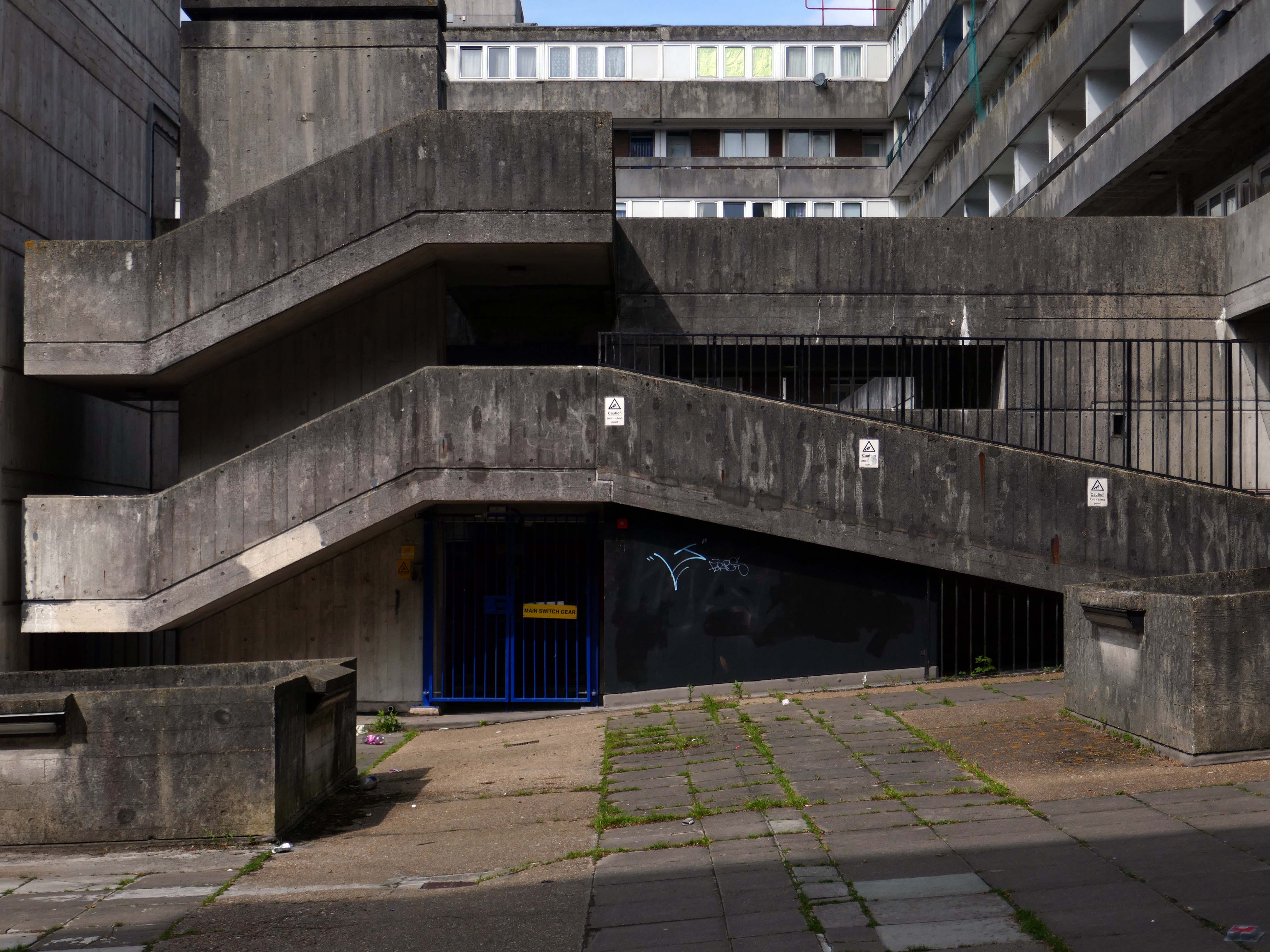
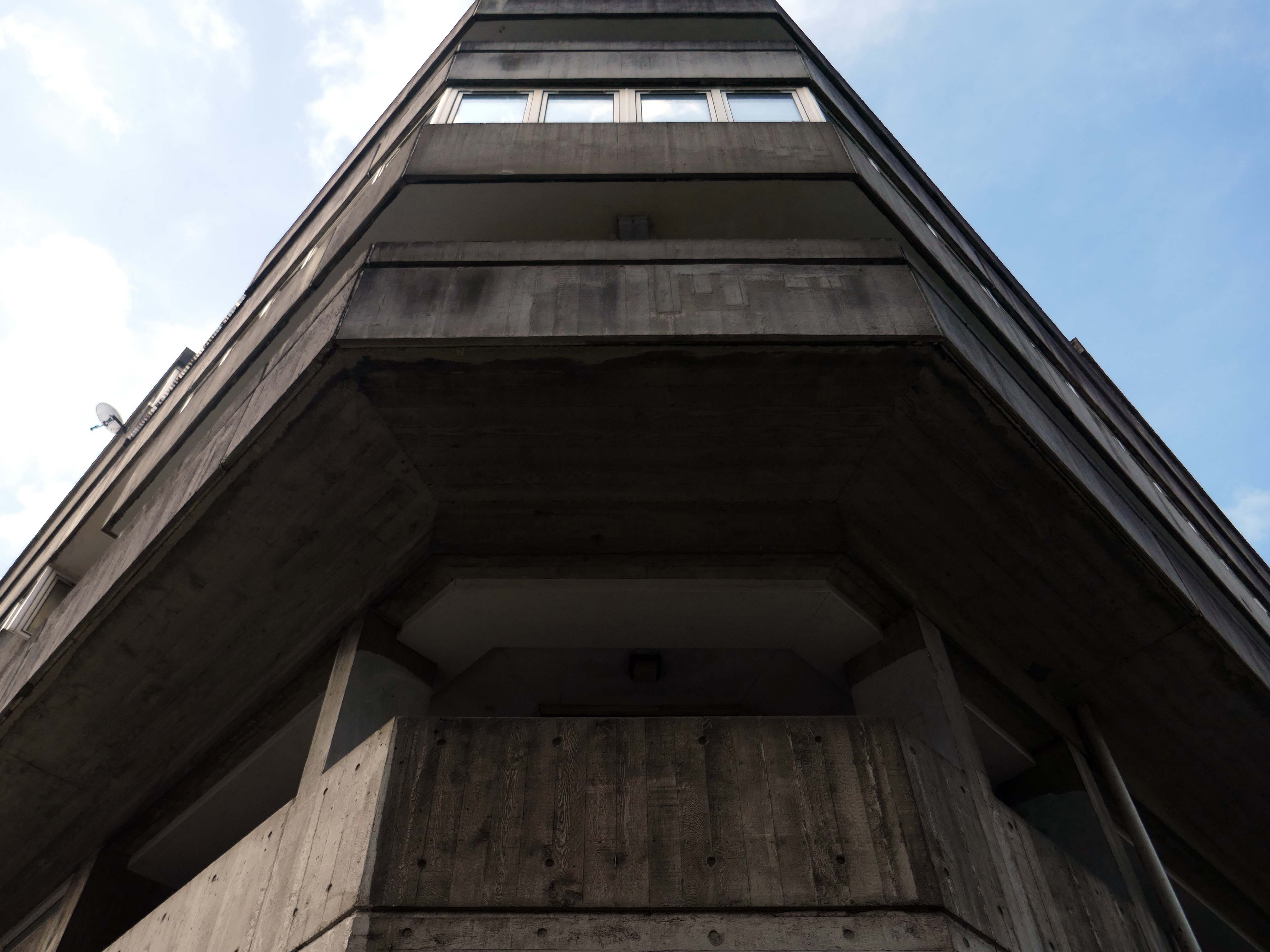
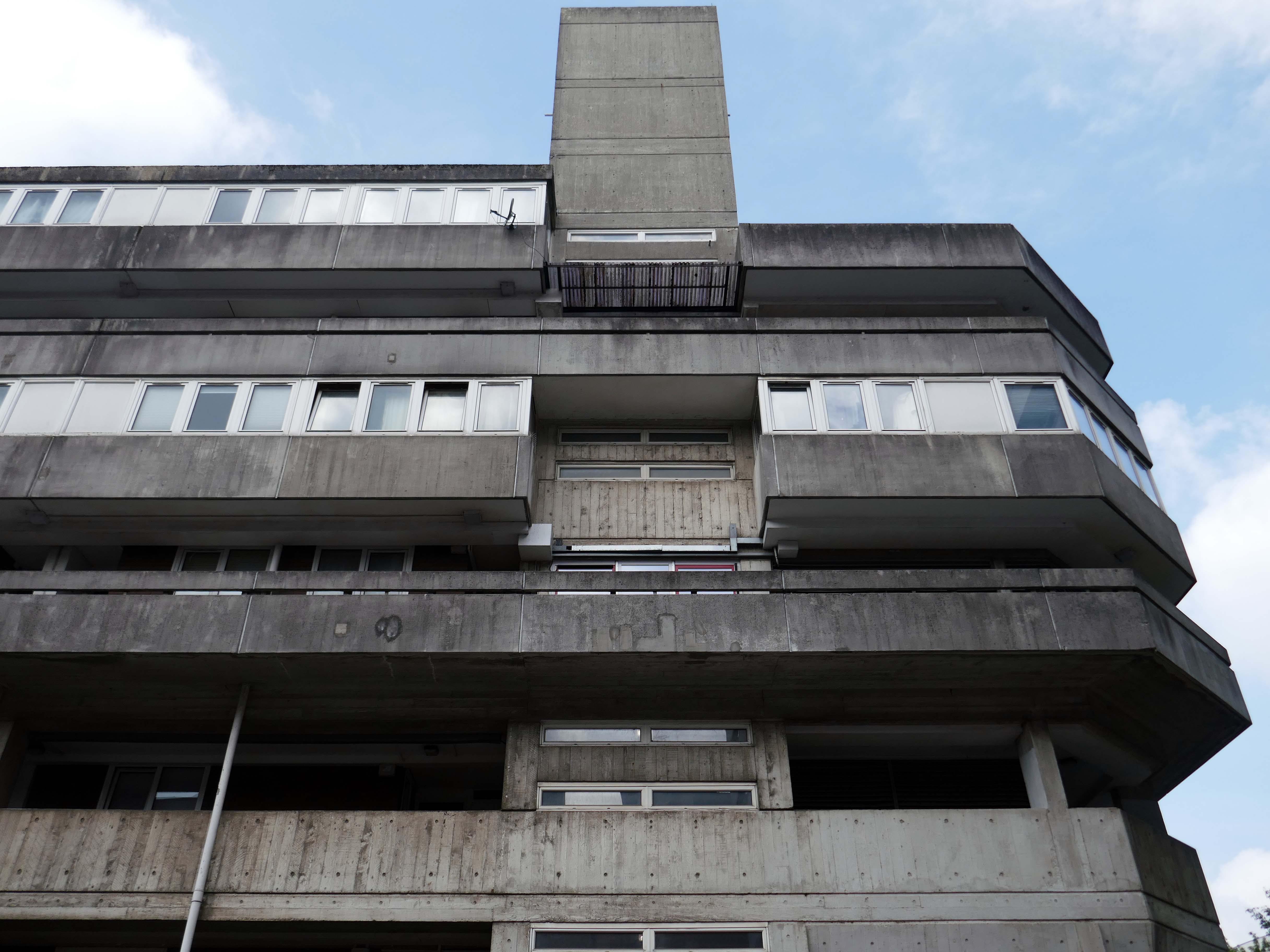
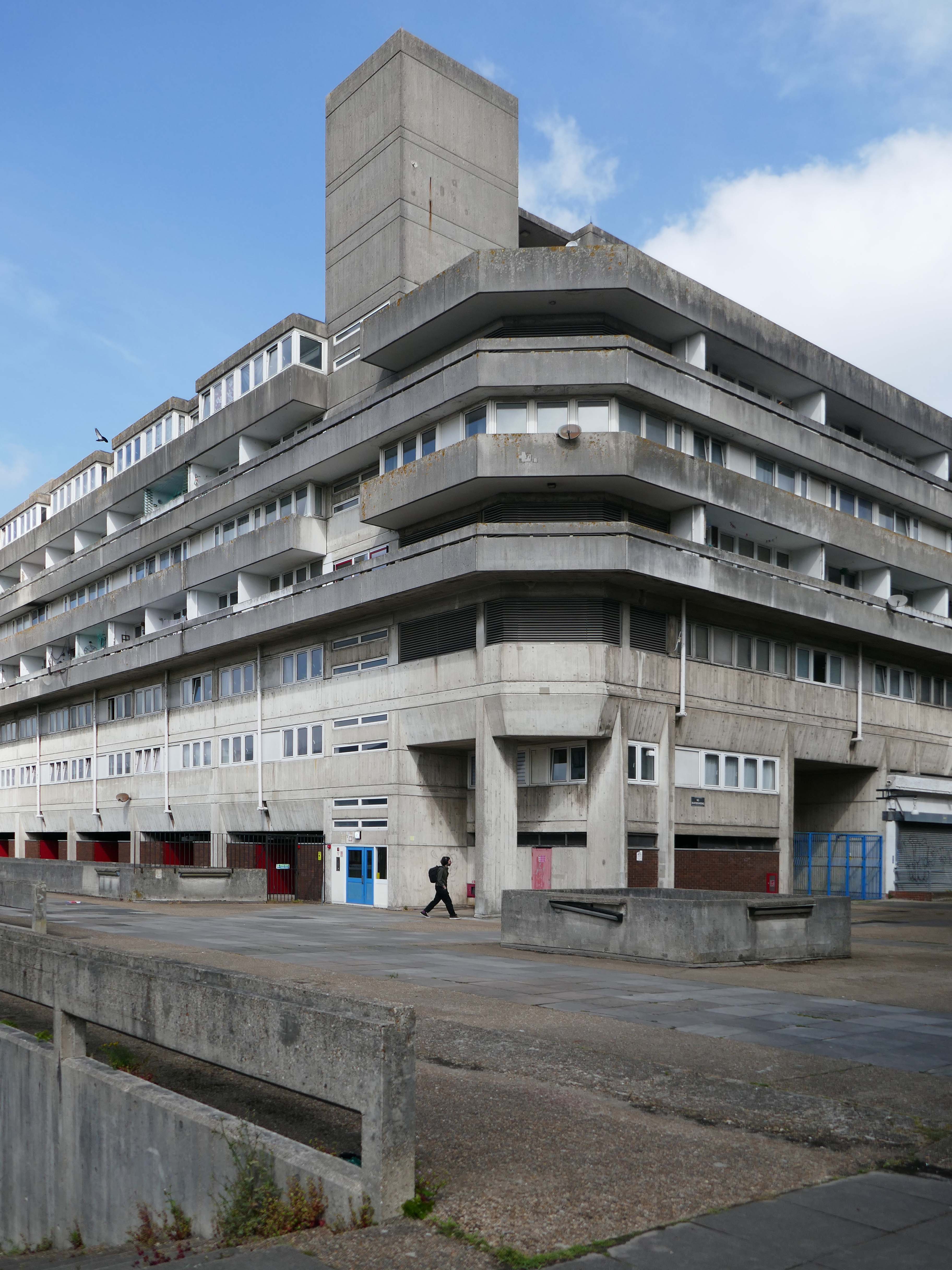
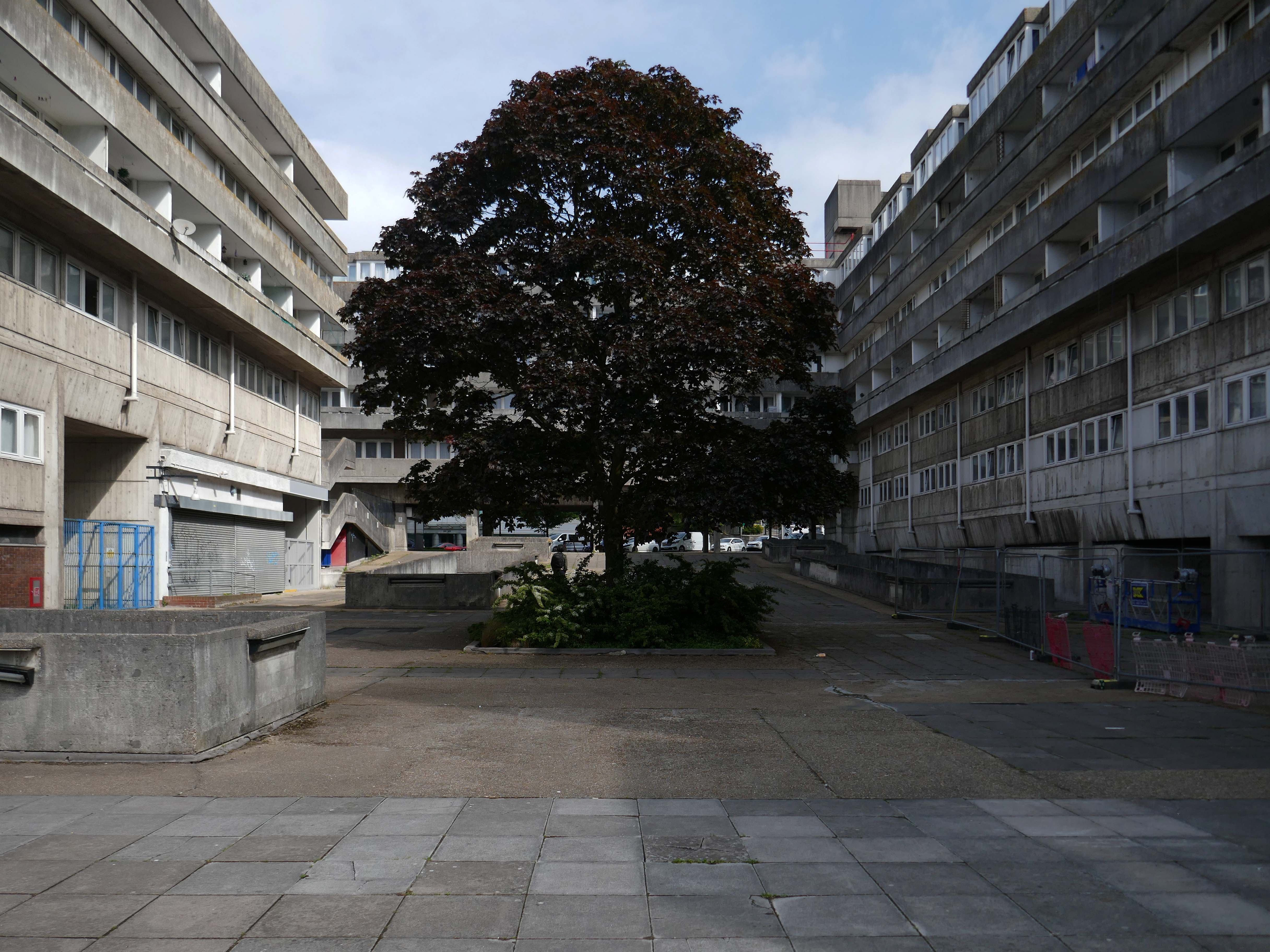
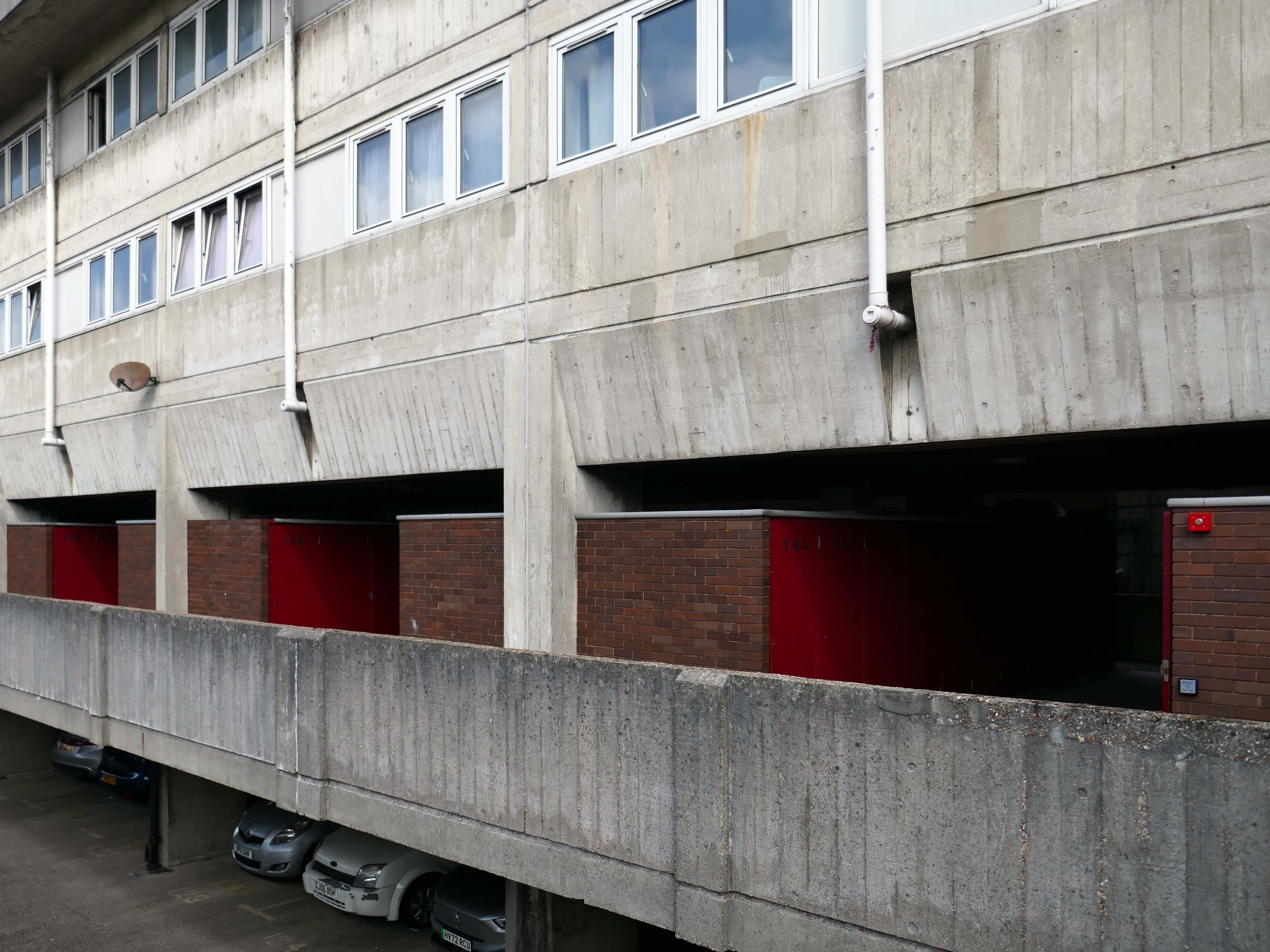
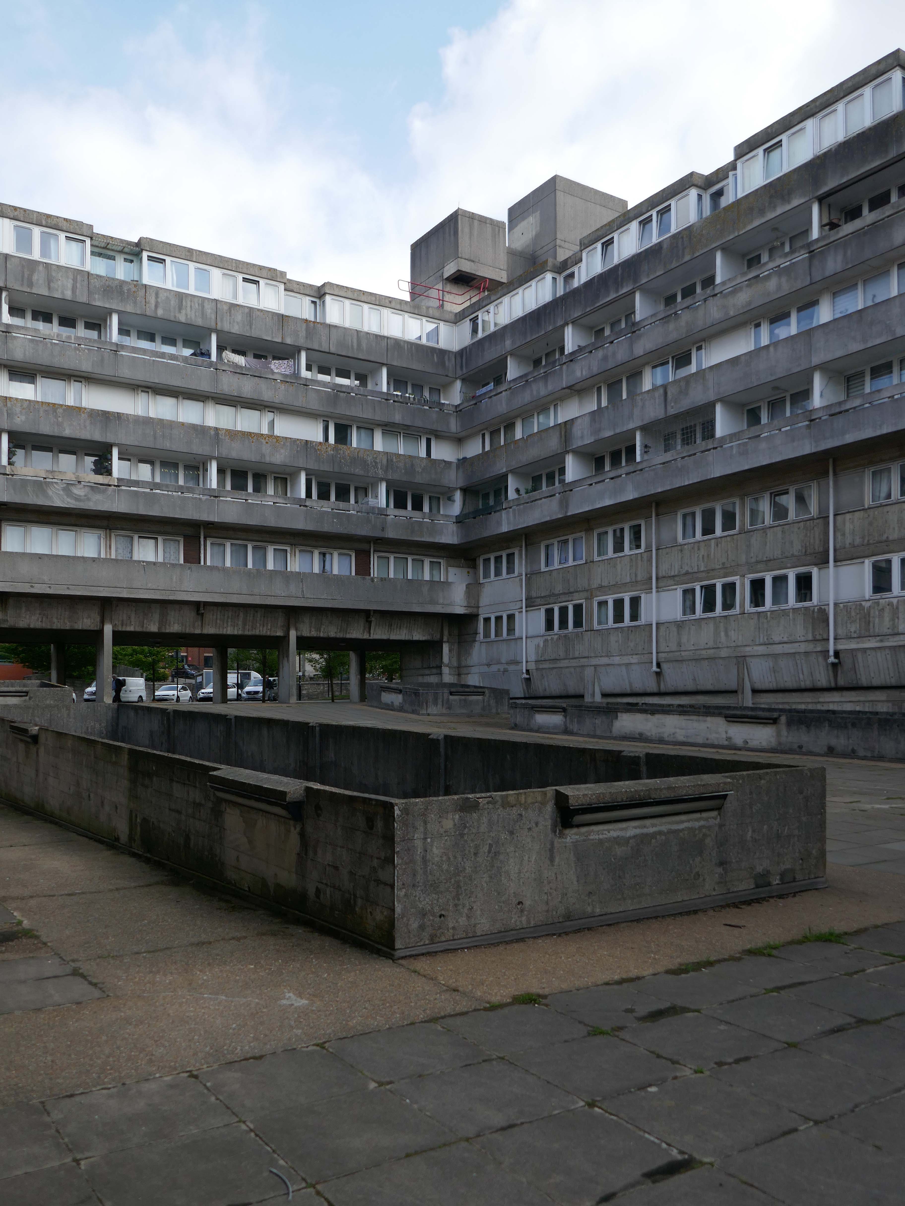
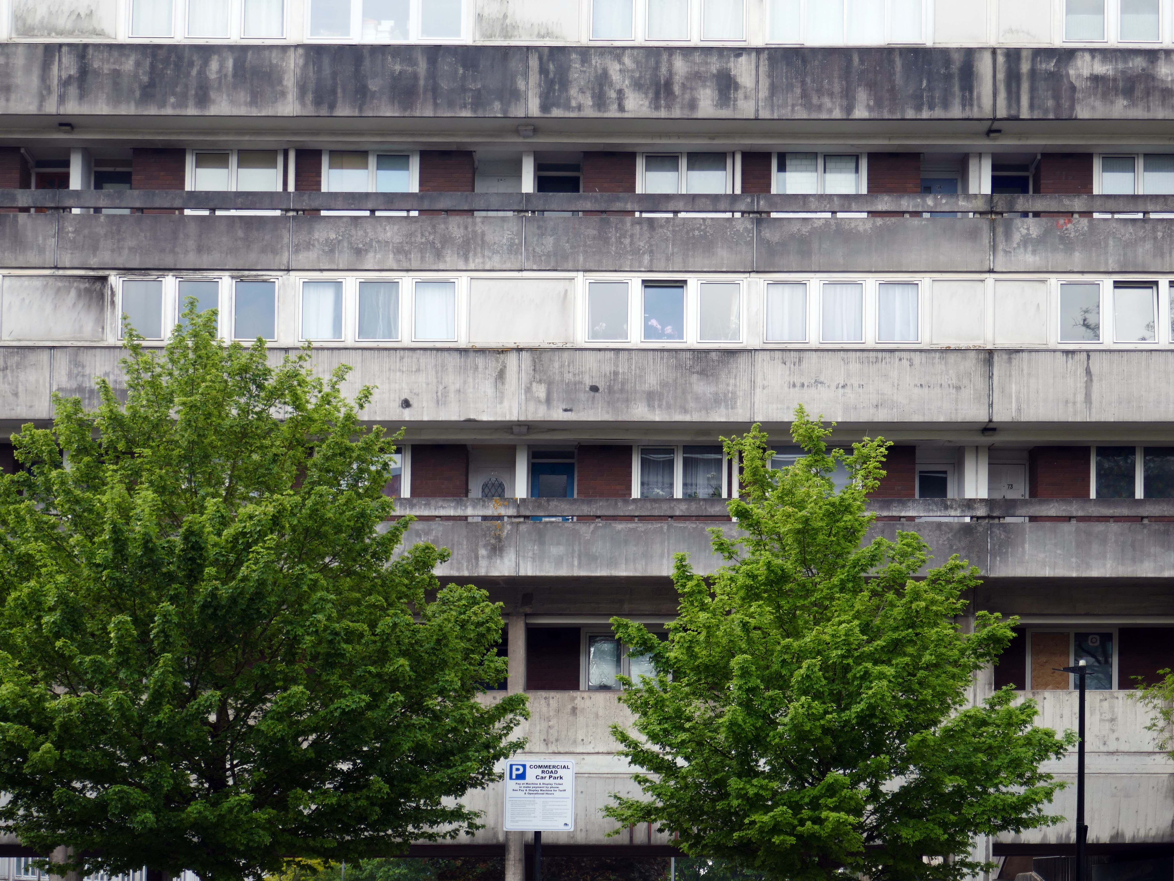
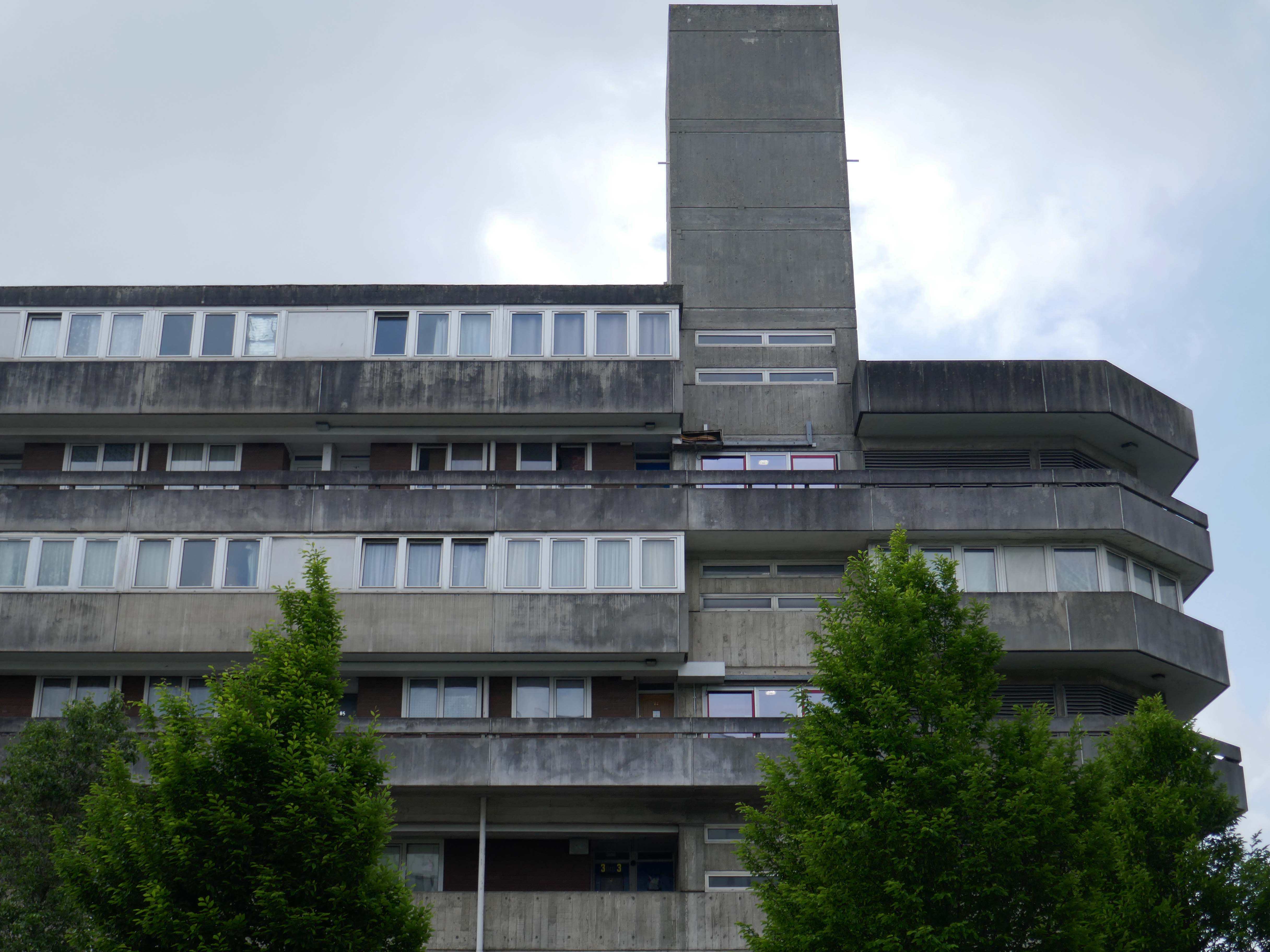
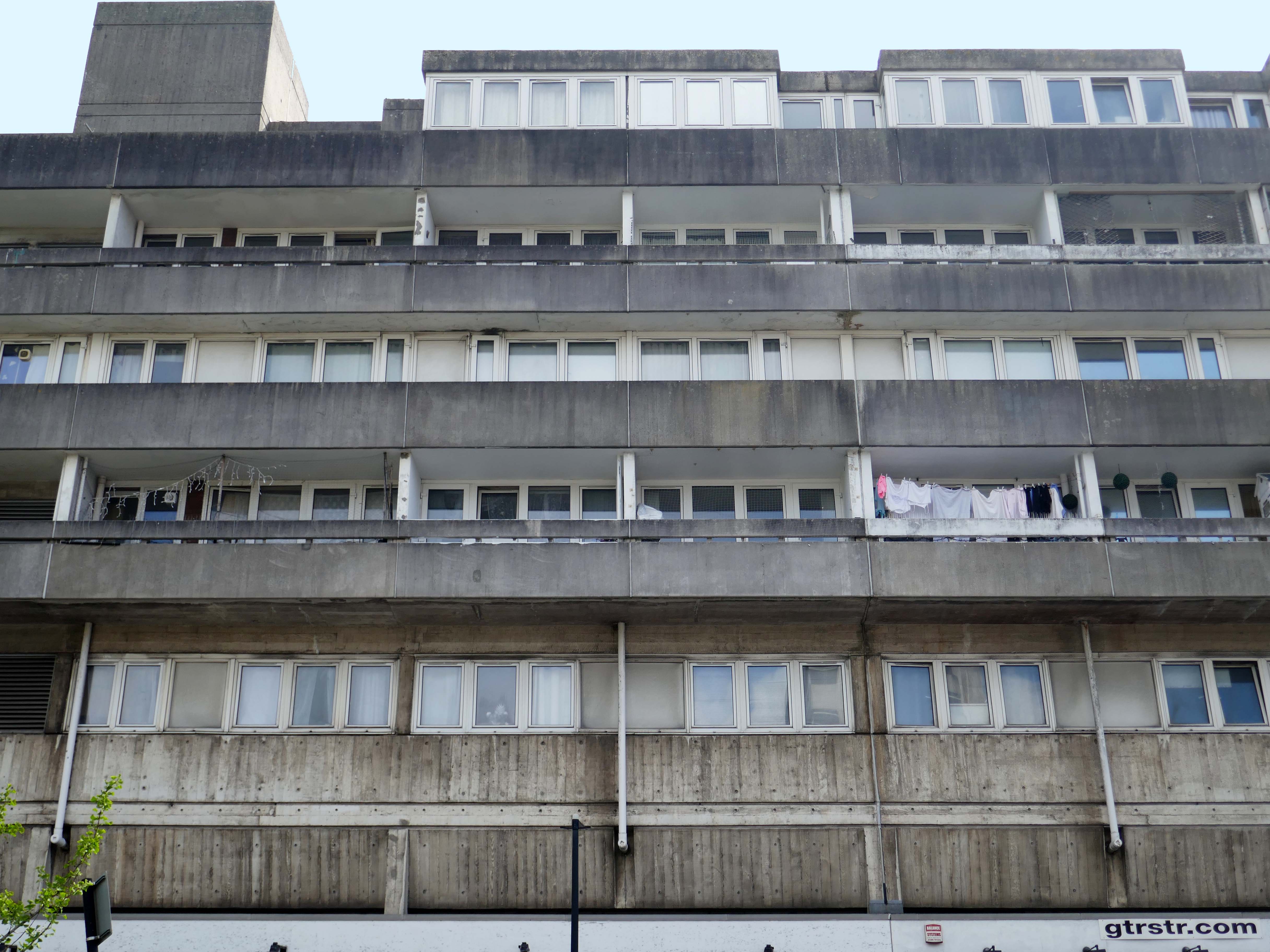
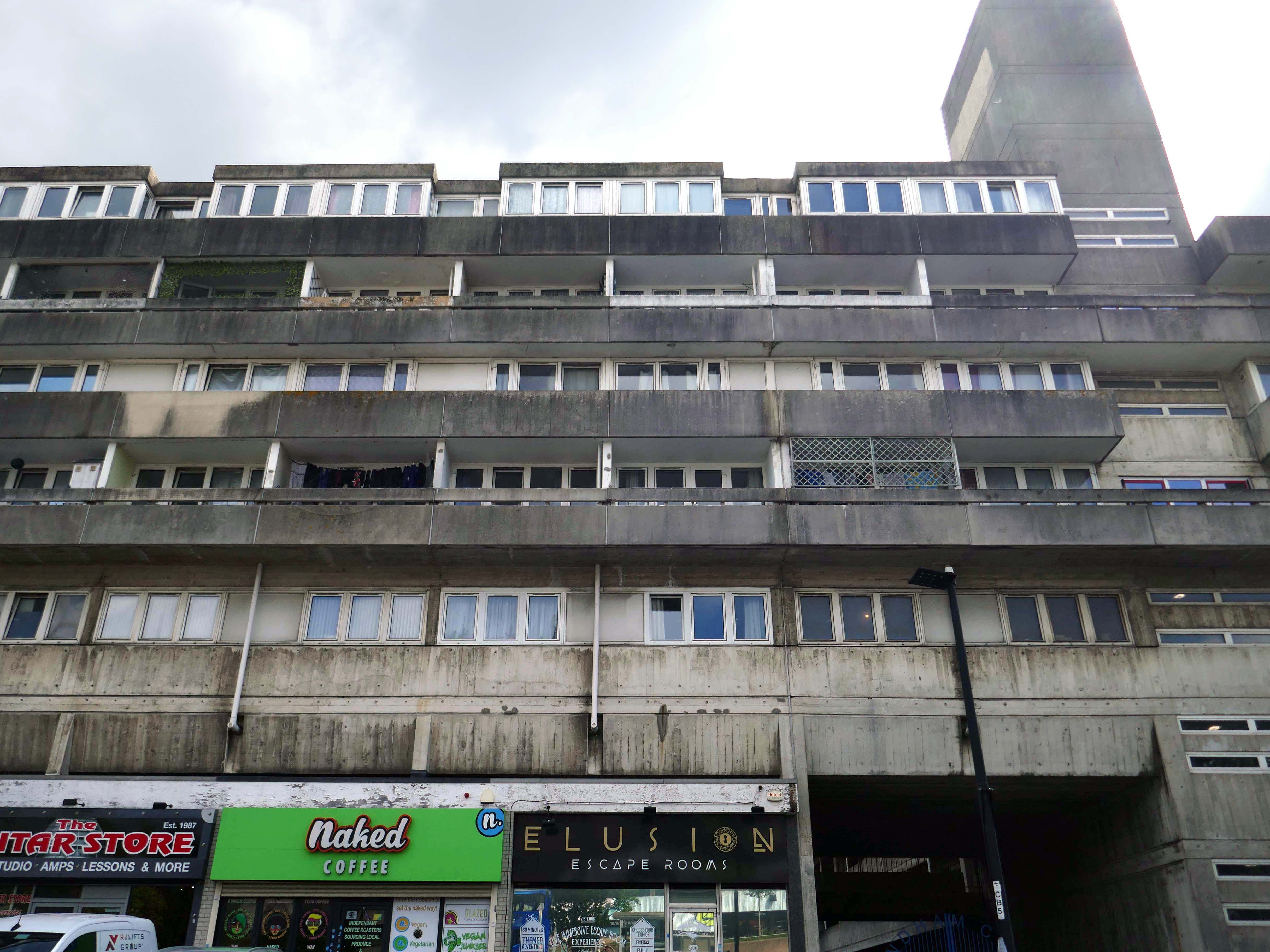
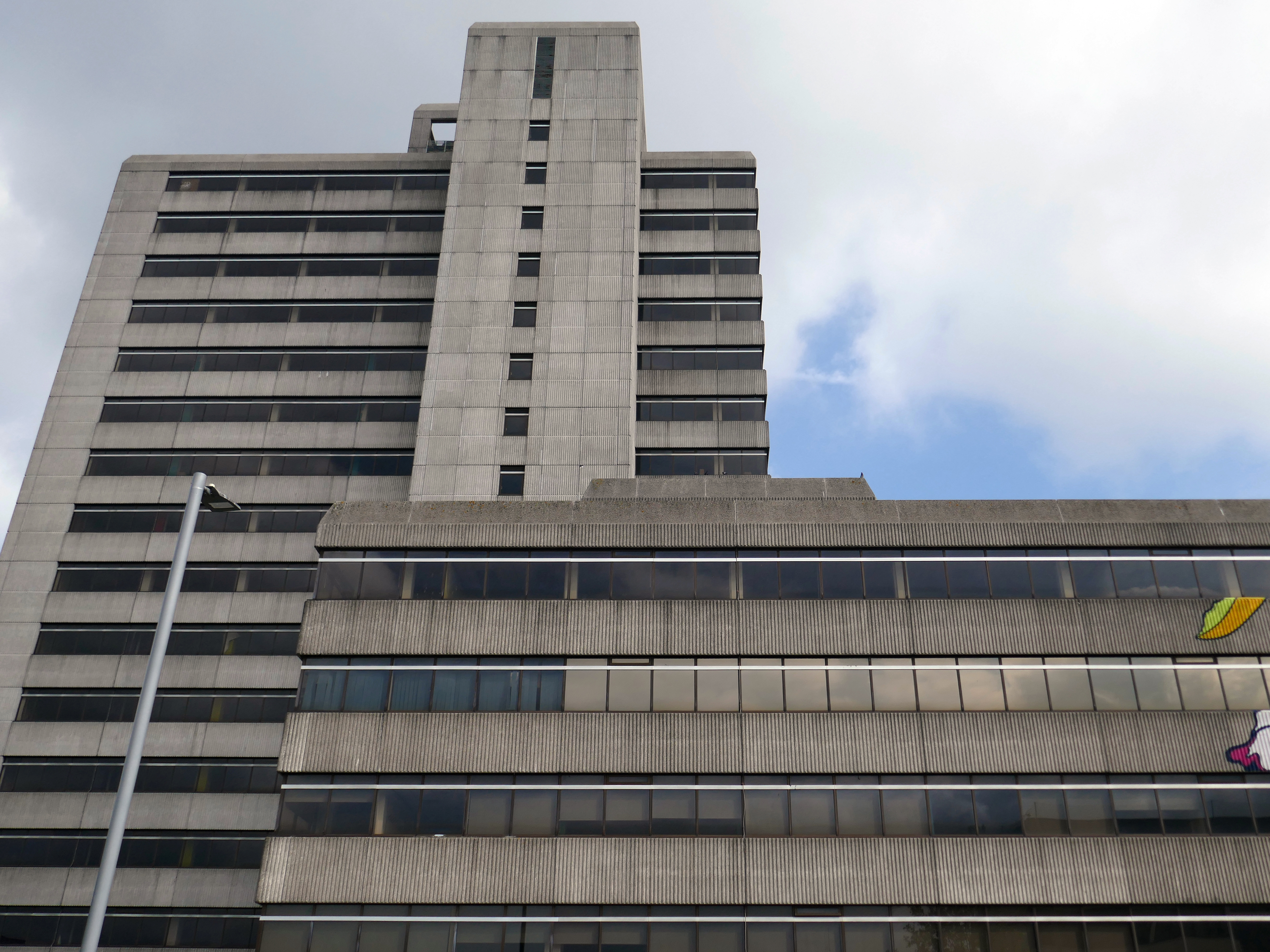
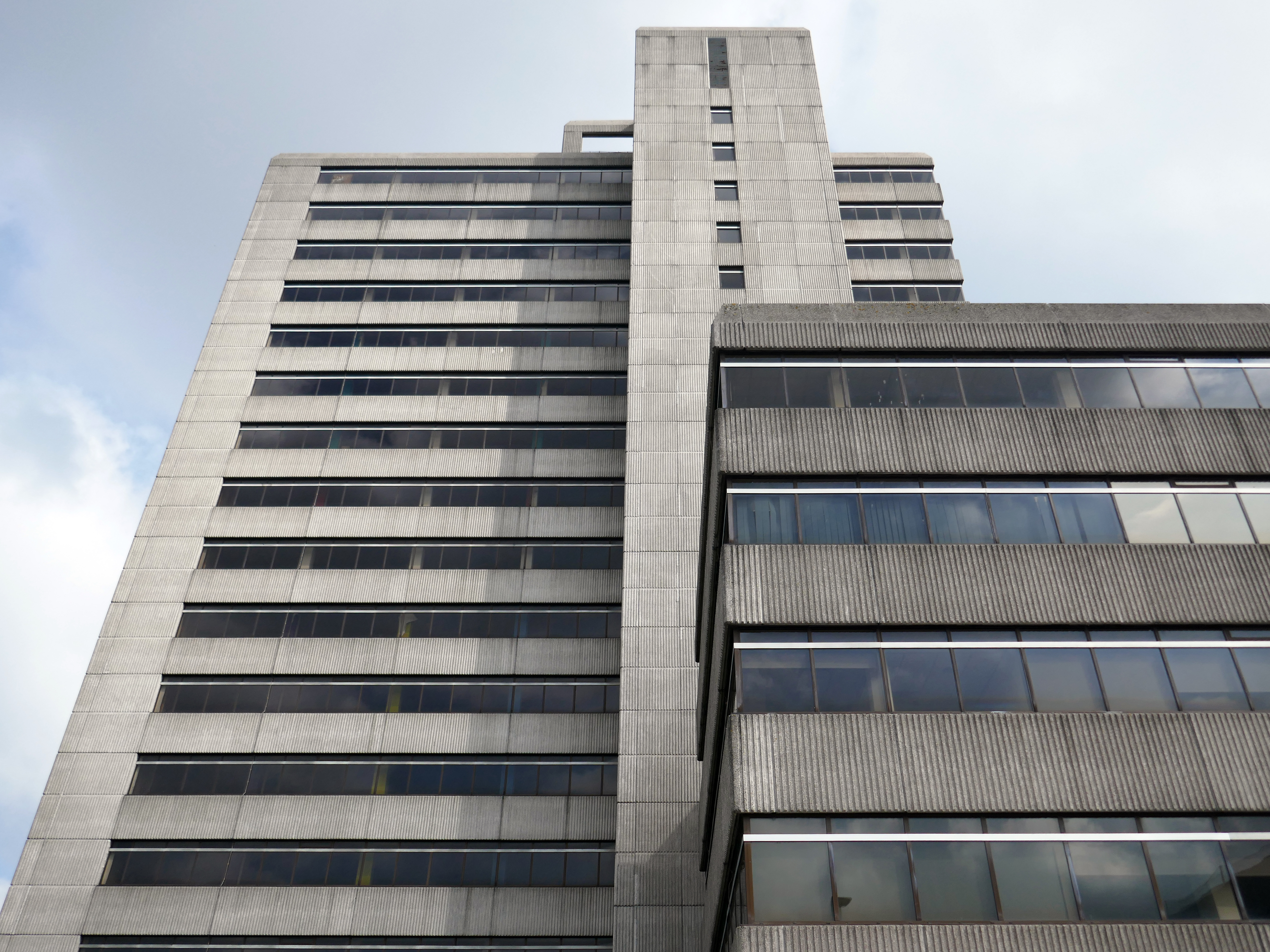
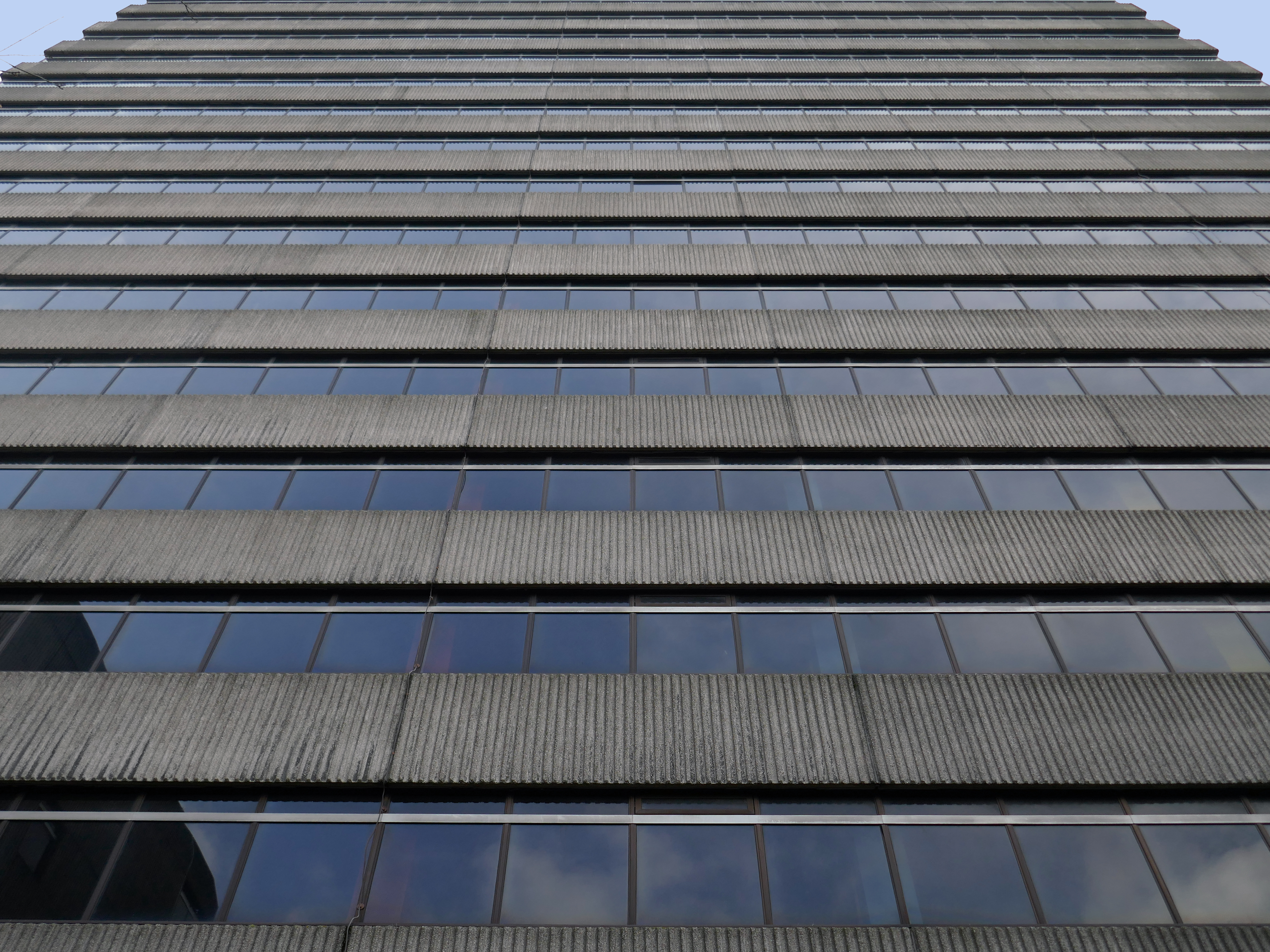
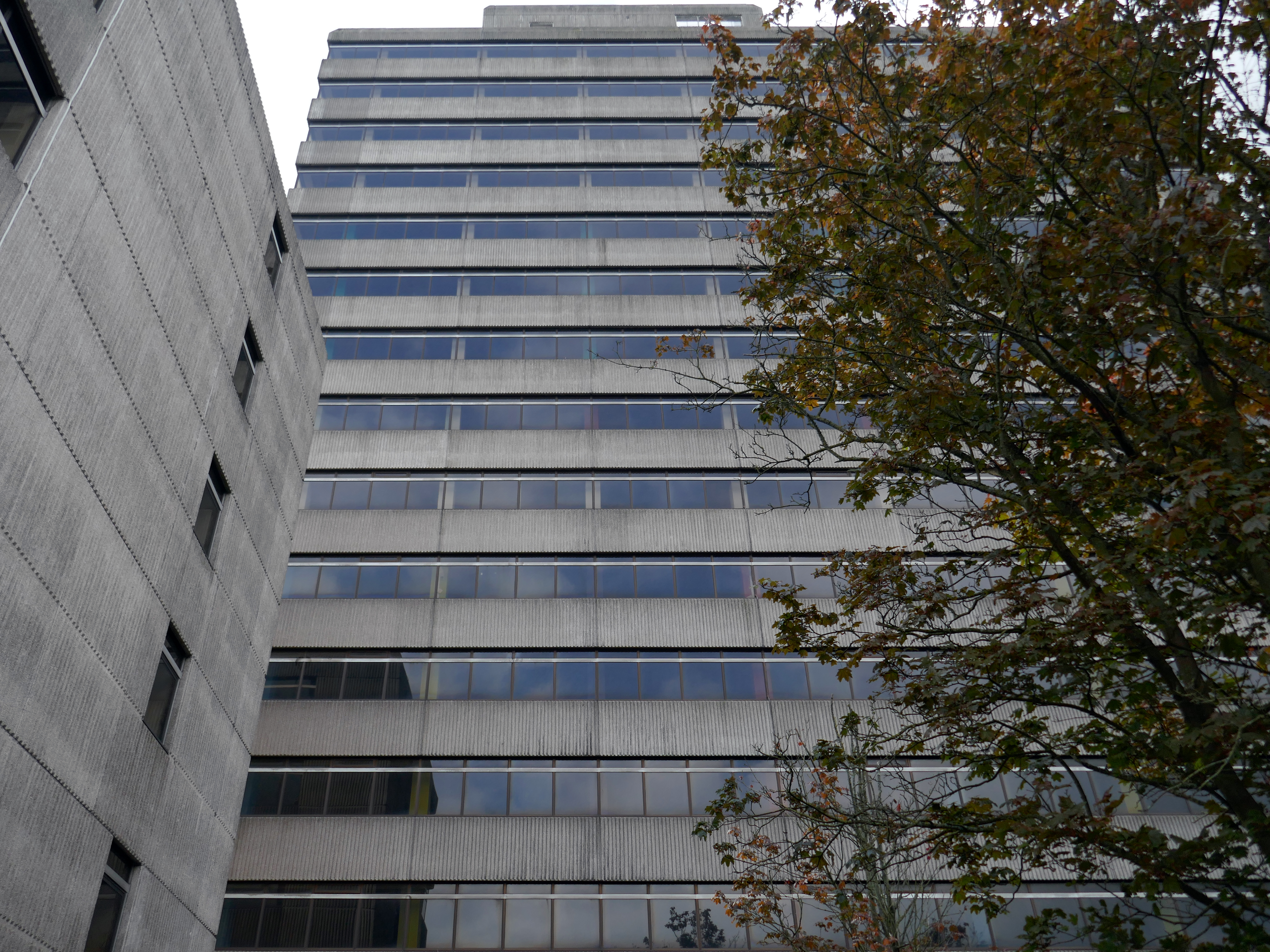
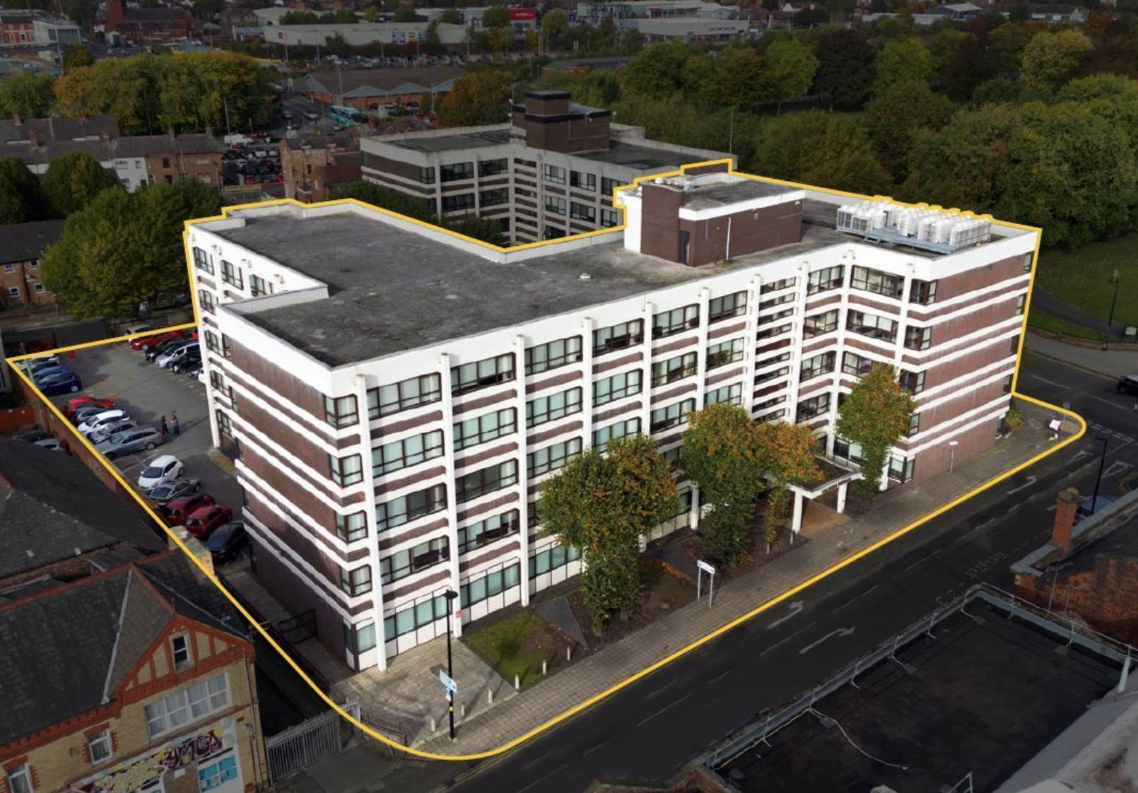
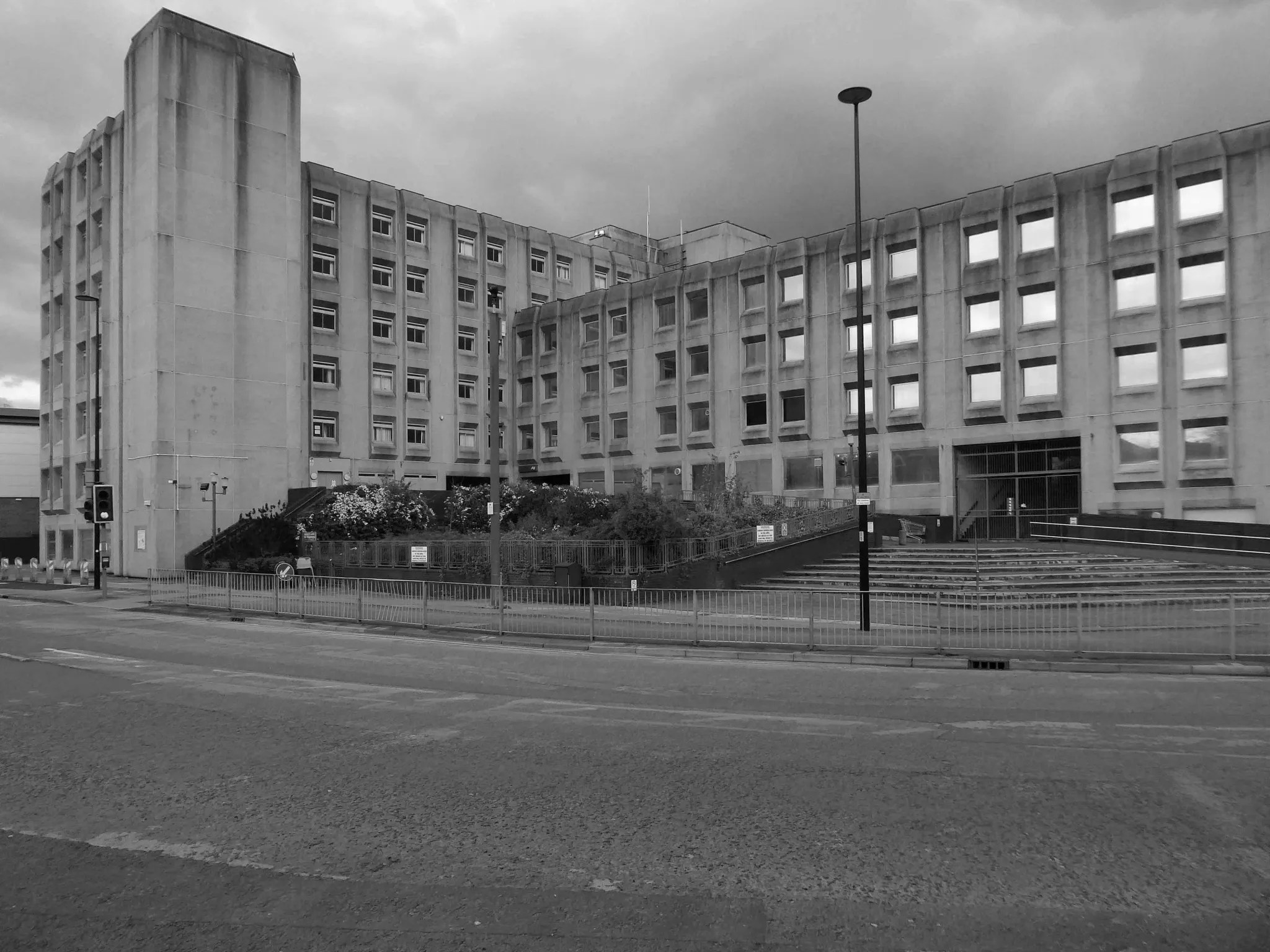
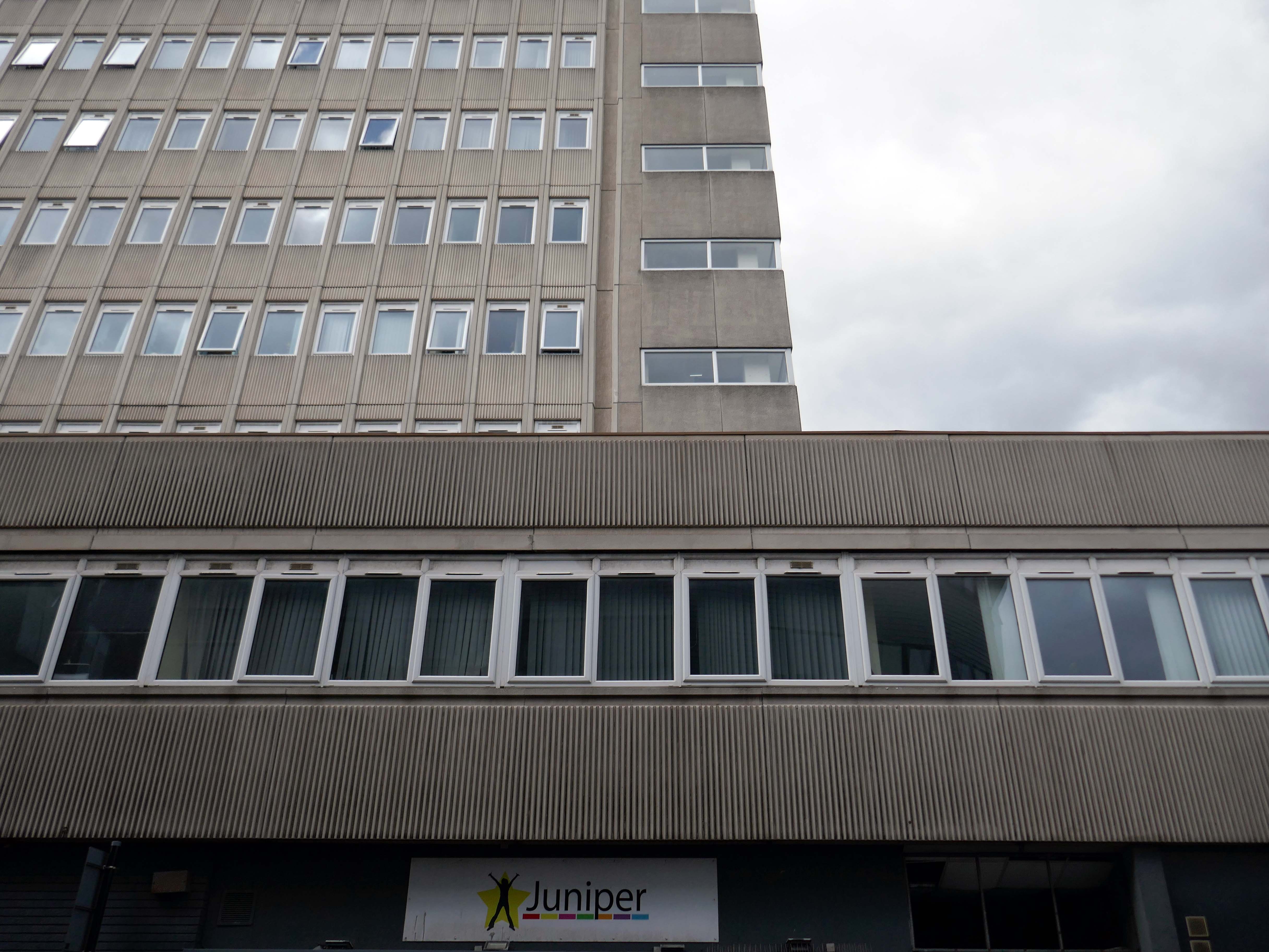
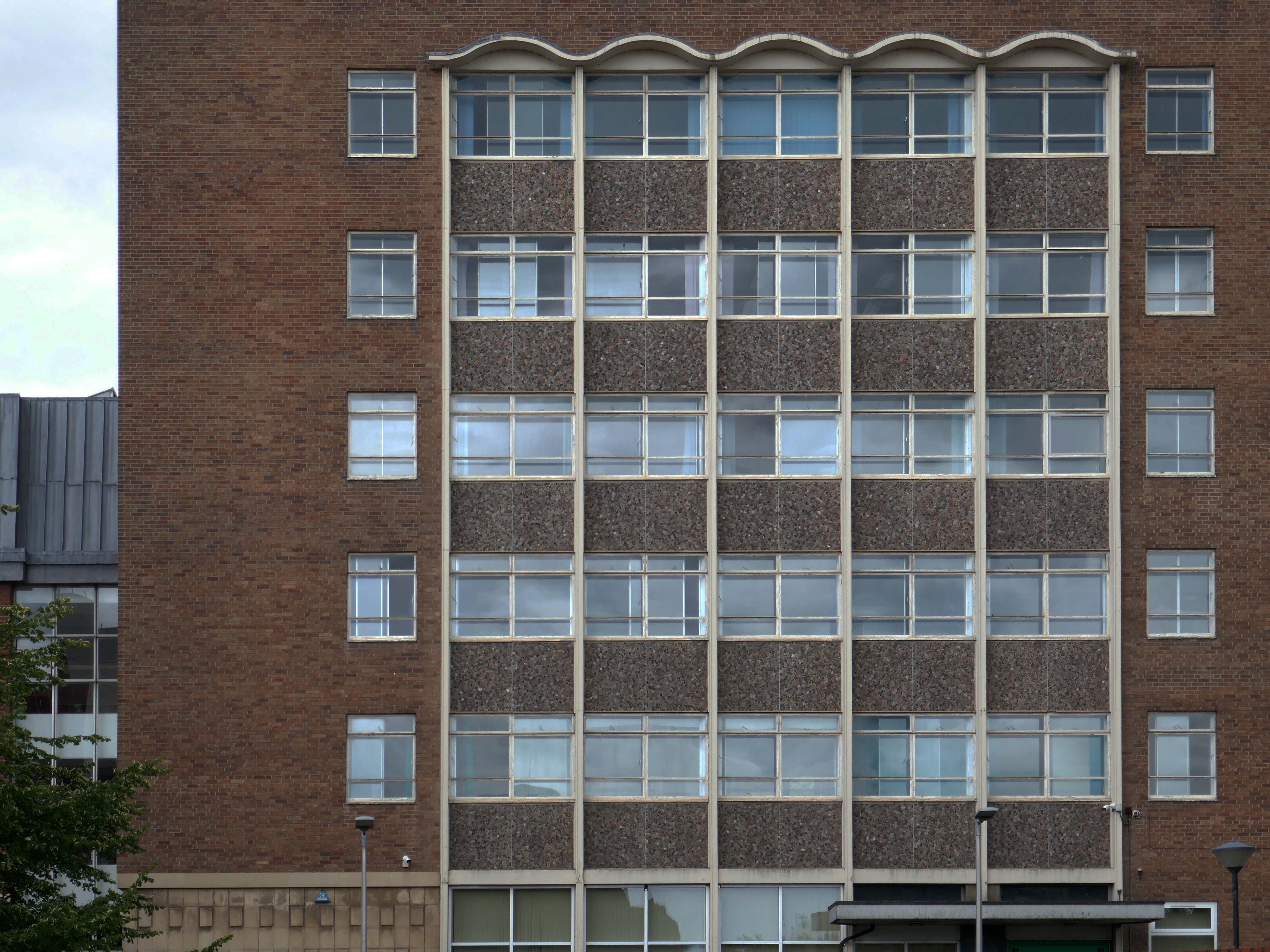
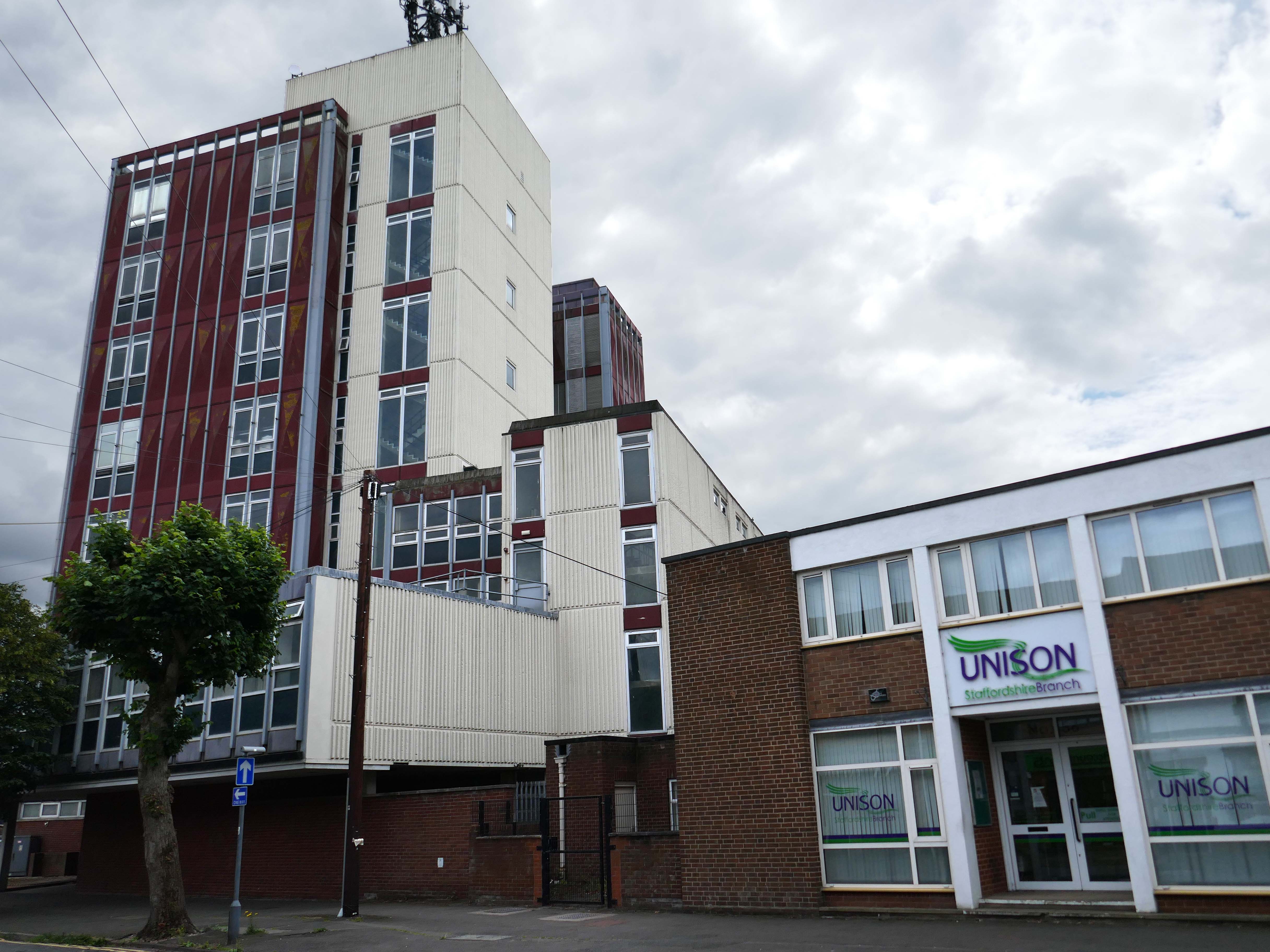
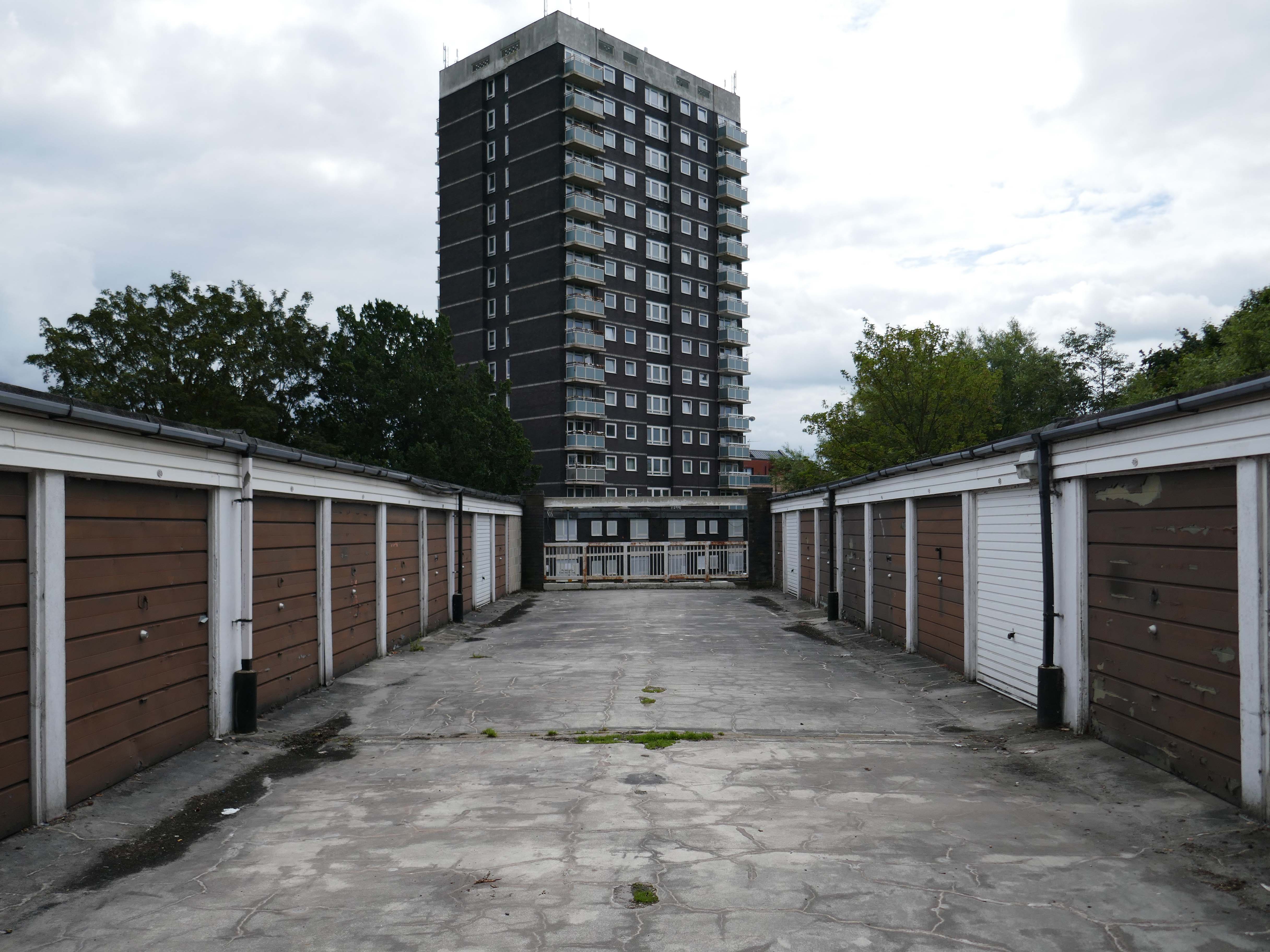
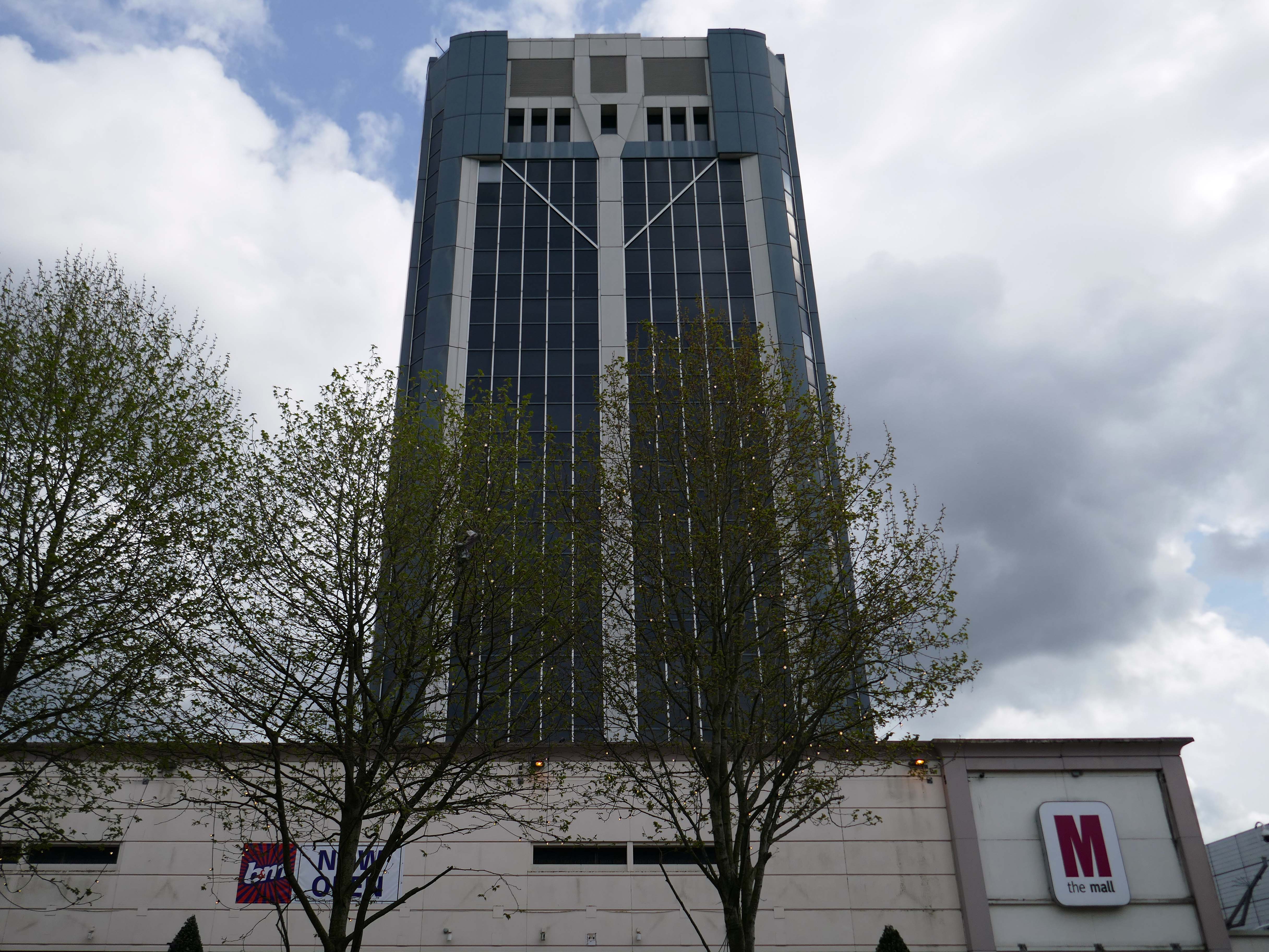
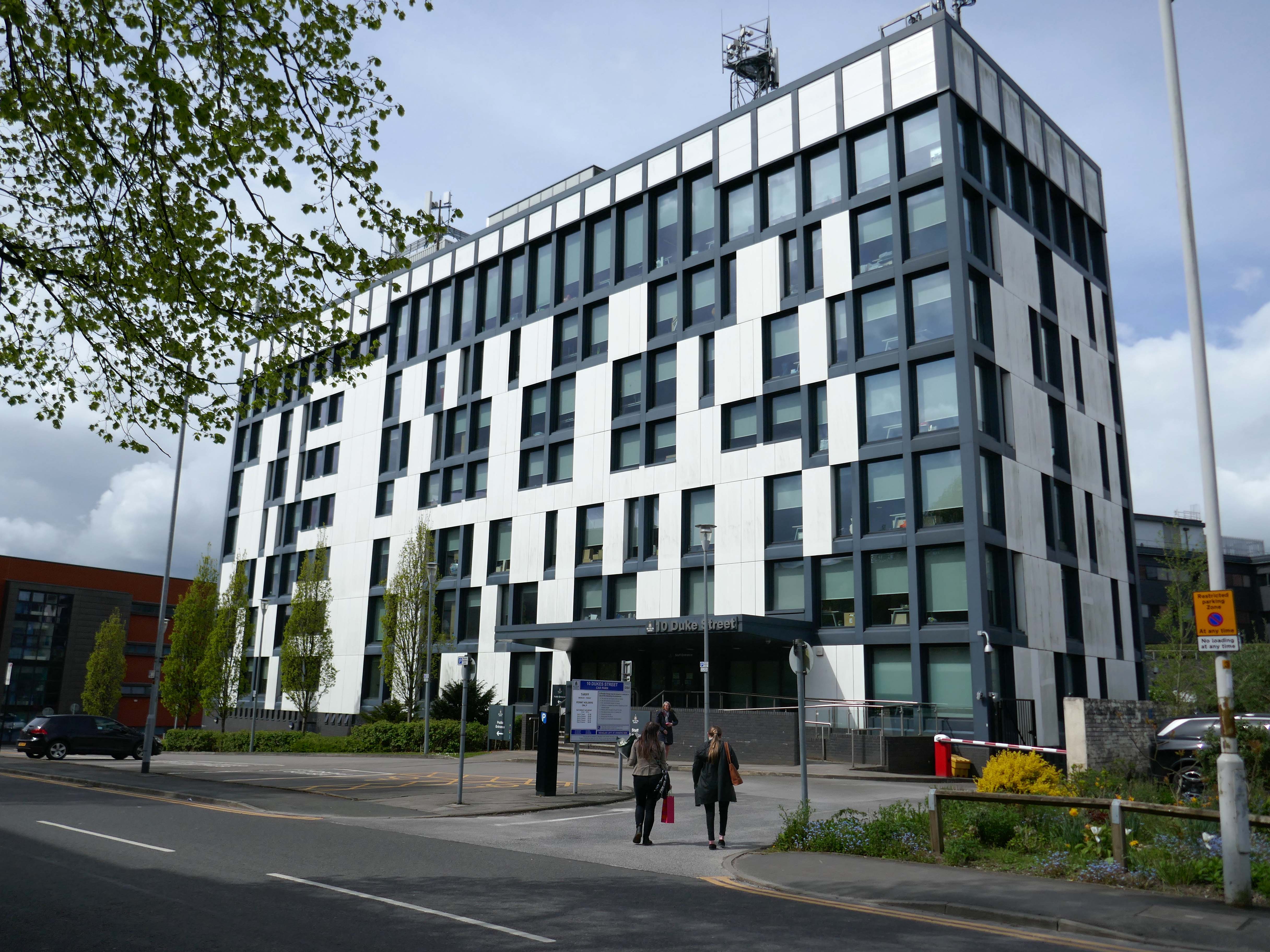
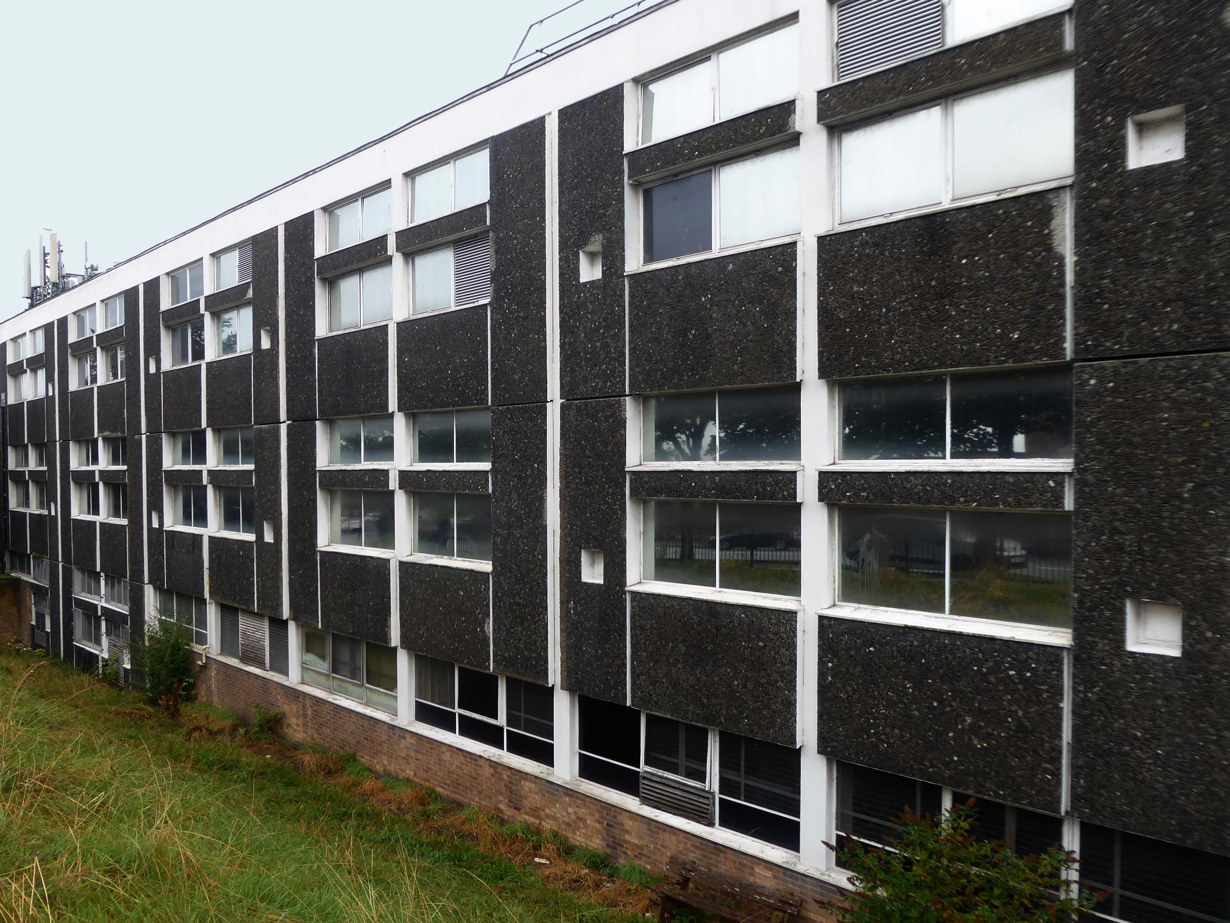
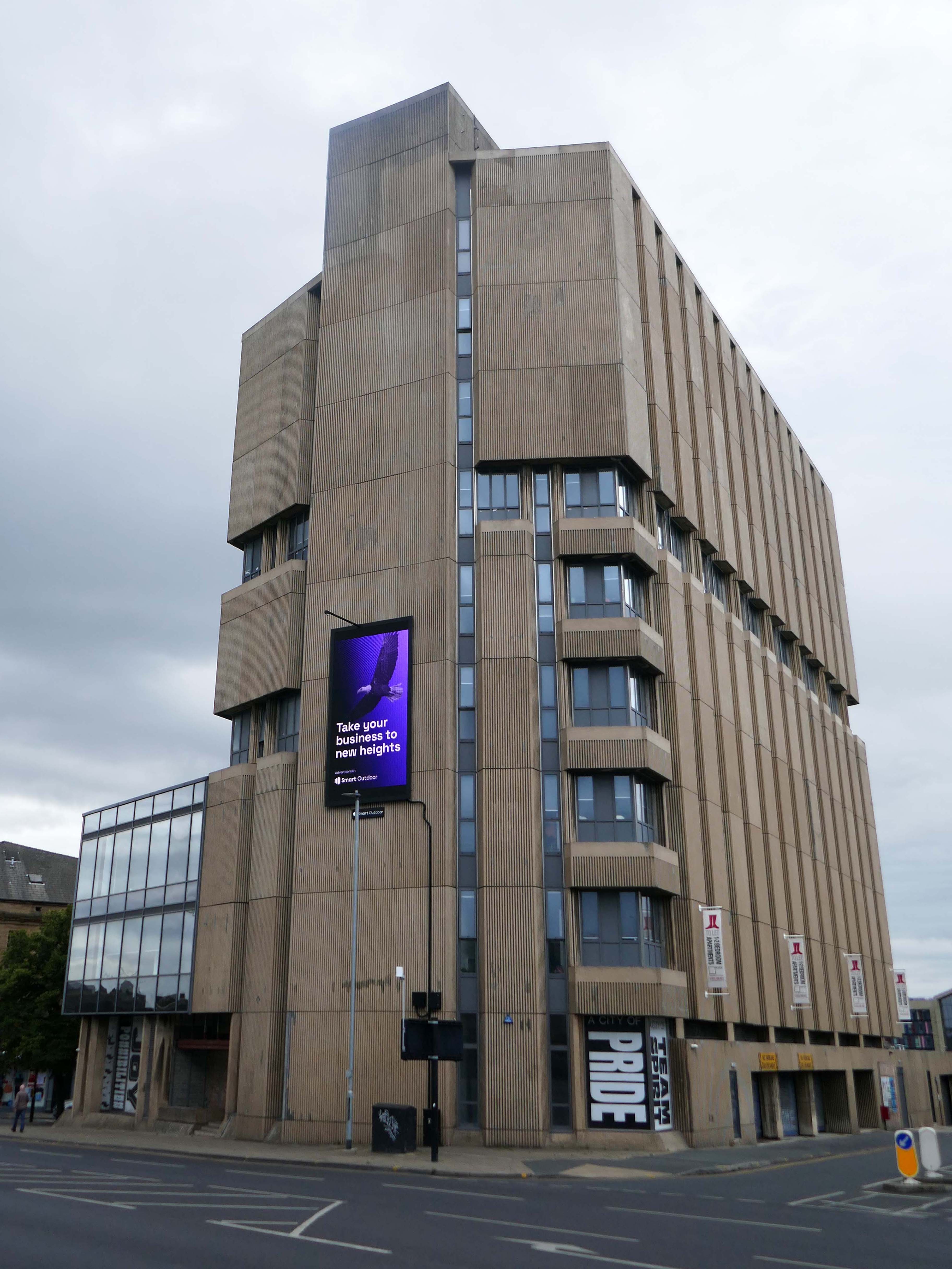
Higher up the hill John Brunton’s Highpoint has survived the call for demolition.
The derelict former headquarters of Yorkshire Building Society, on one of the highest parts of the city centre, looms over the city centre, and to many people is the city’s ugliest building.
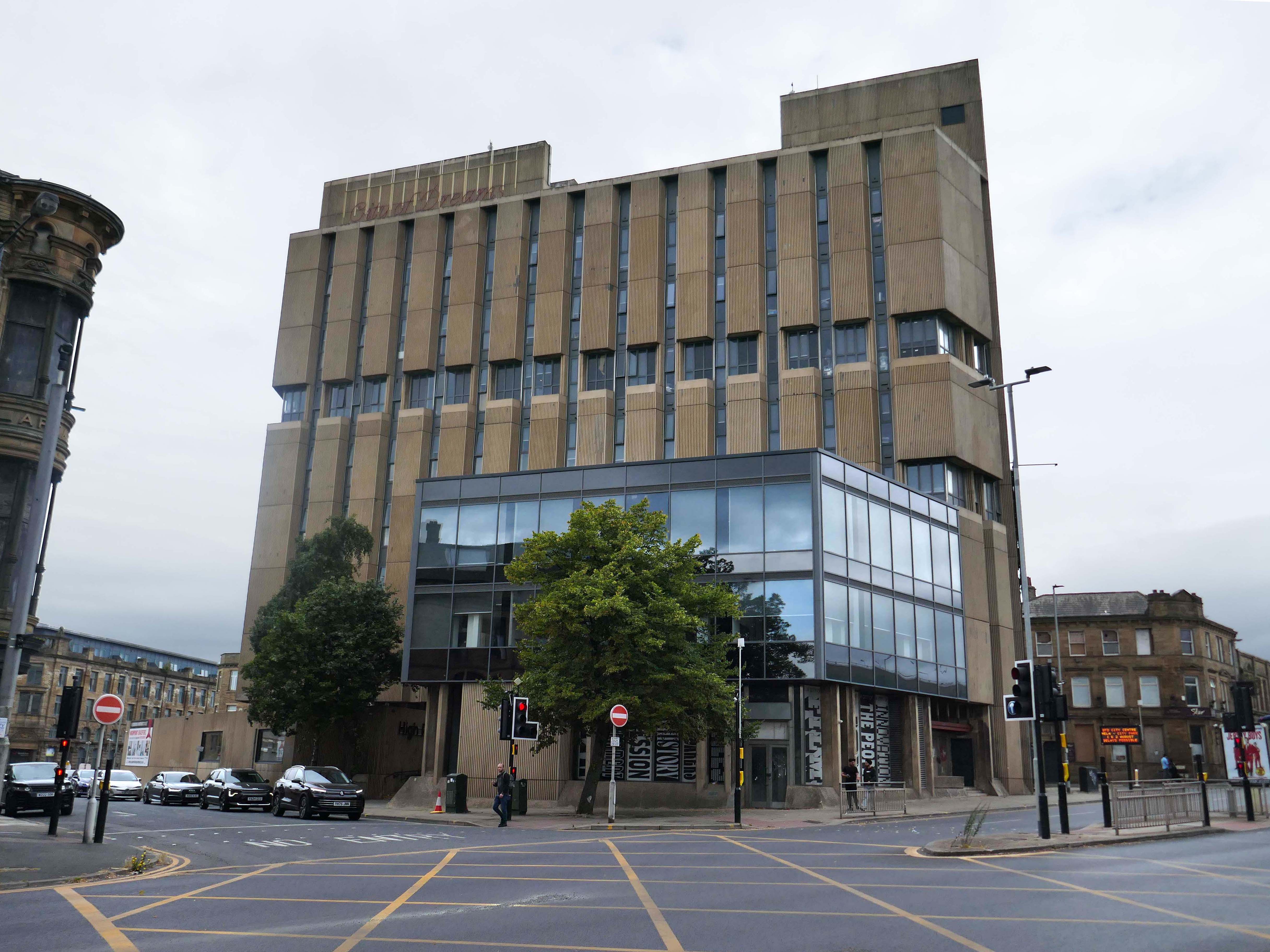
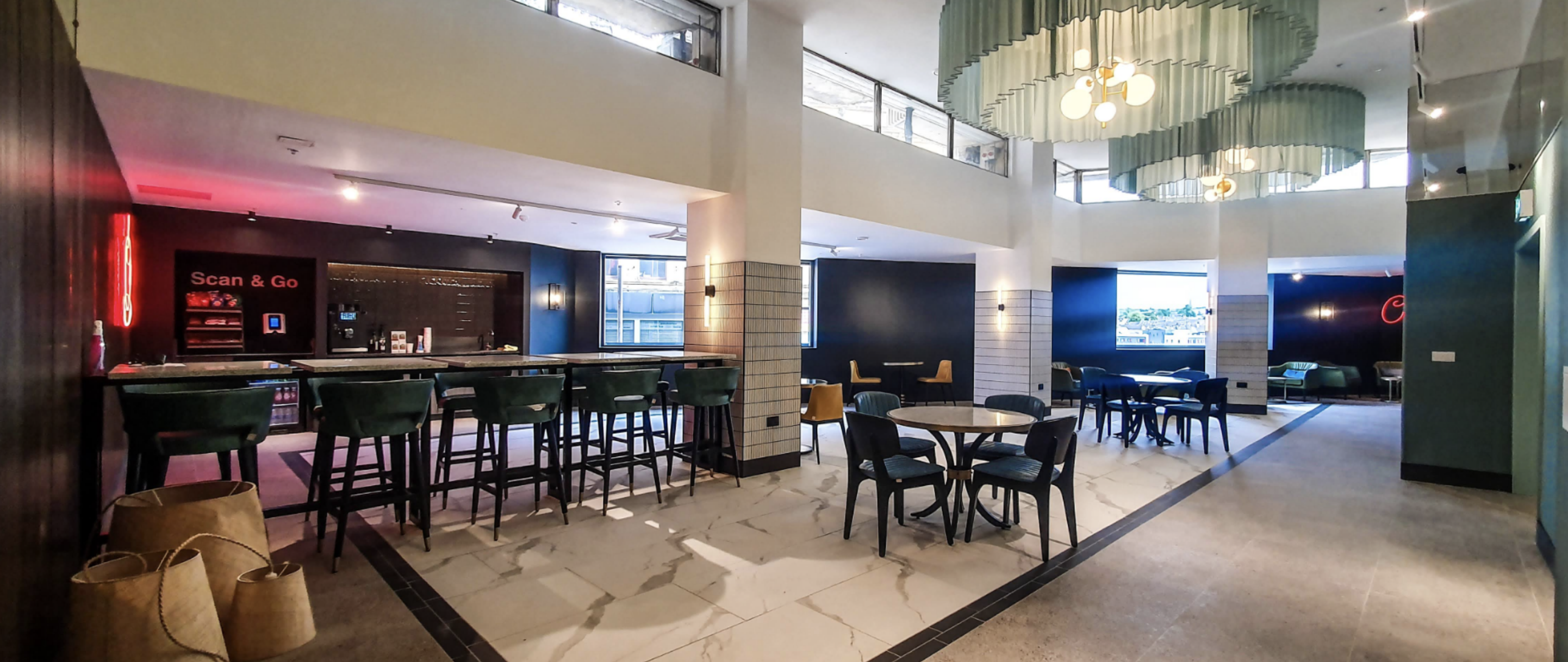
It is now home to an innovative residential apartment complex with a community at its heart, which embraces ideas of sustainability, preservation, and rejuvenation that will bring a new lease of life to this abandoned landmark.
Redeveloped by Radii Living.
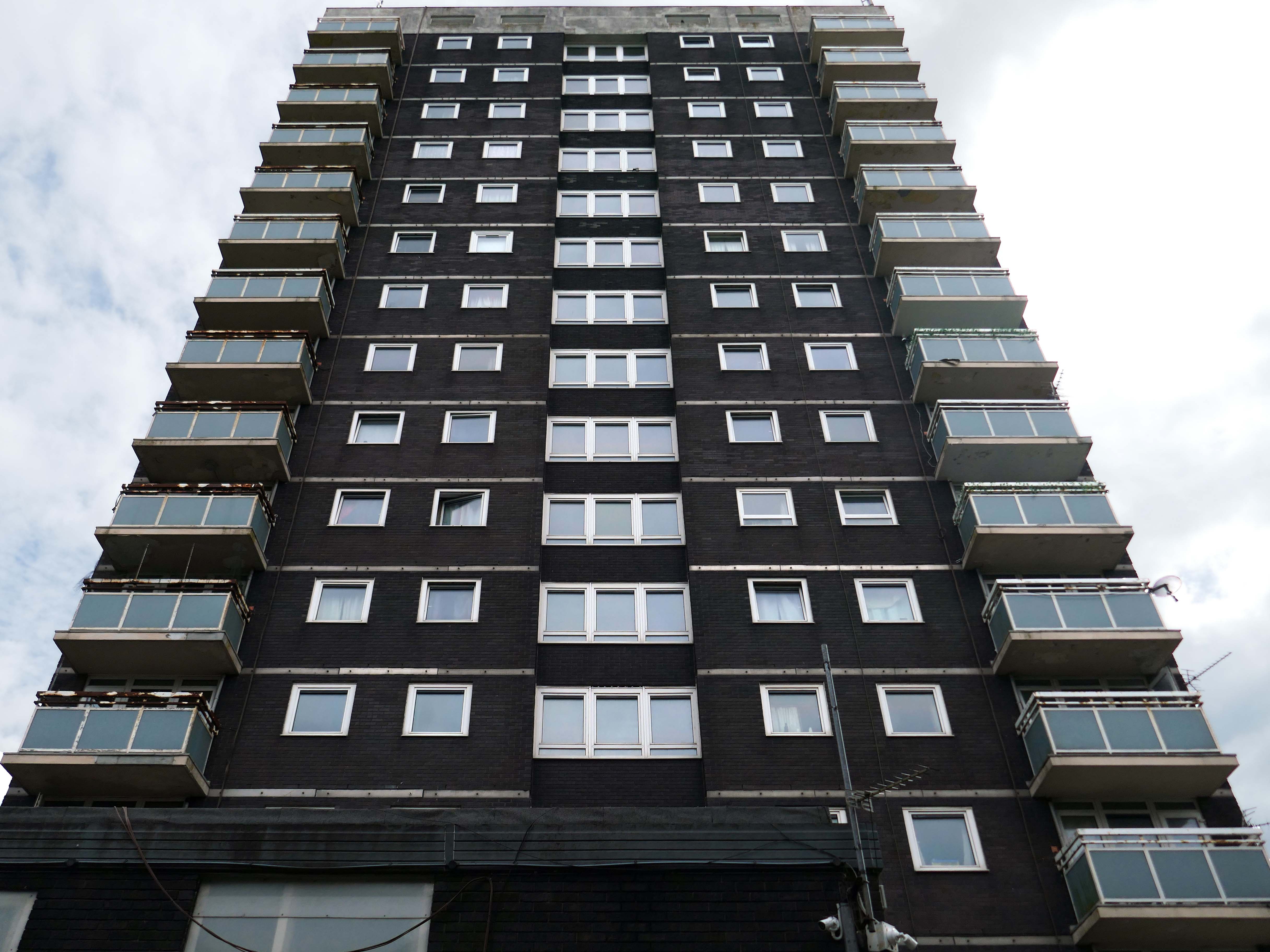
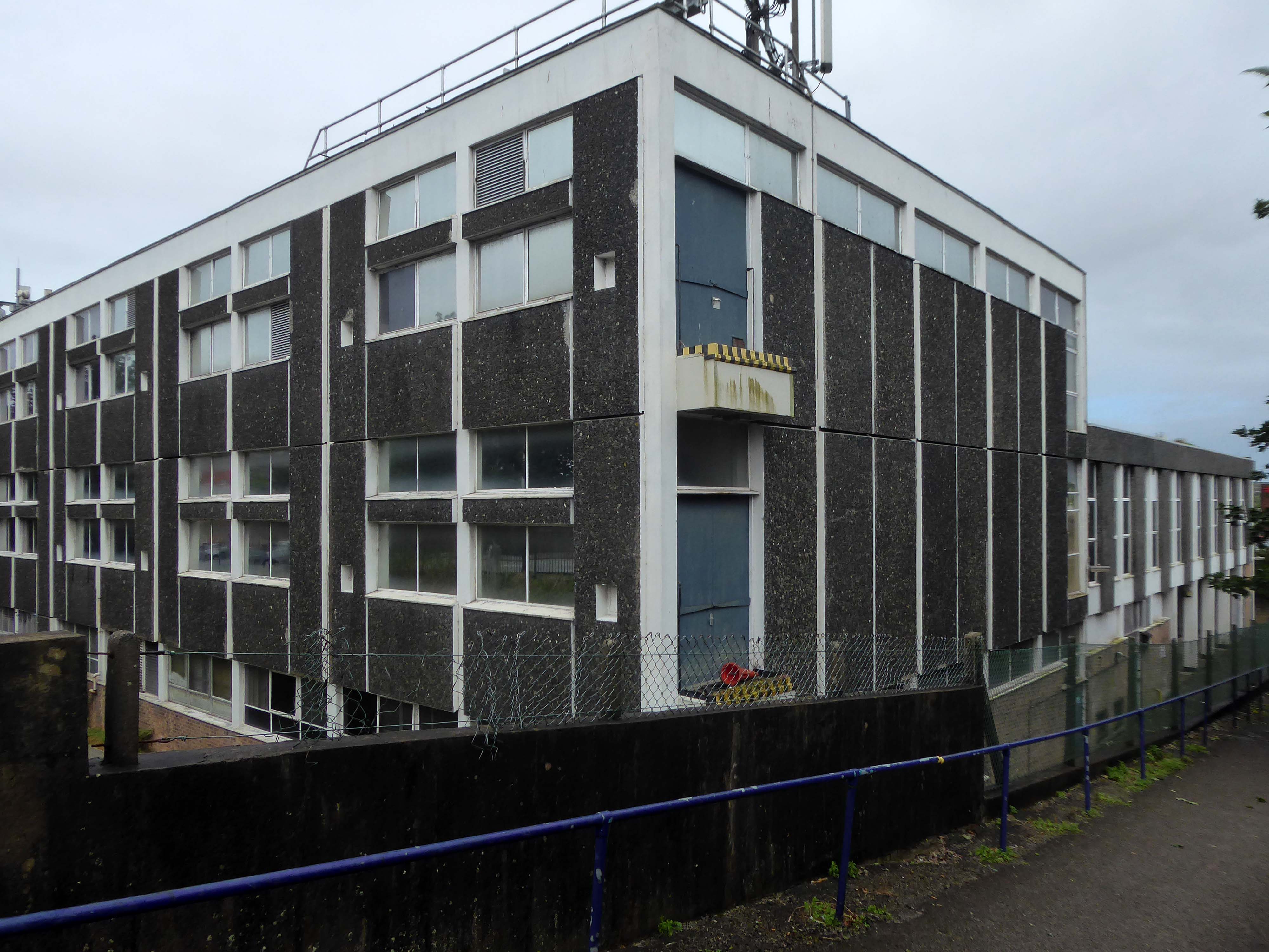
A tower block in Bradford likened to a structure from sci-fi movie Blade Runner has been named as the best brutalist building in the country.
Built in the 1970s, High Point, the former headquarters of the Huddersfield and Bradford Building Society, was recently converted into eighty seven flats as part of a £12m regeneration scheme.
National newspaper The Telegraph named the building top of its brutalist list – ahead of the Barbican, in London, Bristol’s Clifton Cathedral and Preston bus station.
Si Cunningham, who chairs Bradford Civic Society, said it remained one of the city’s
Most divisive buildings.
Symbolic of Bradford’s confidence and prosperity.
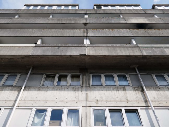
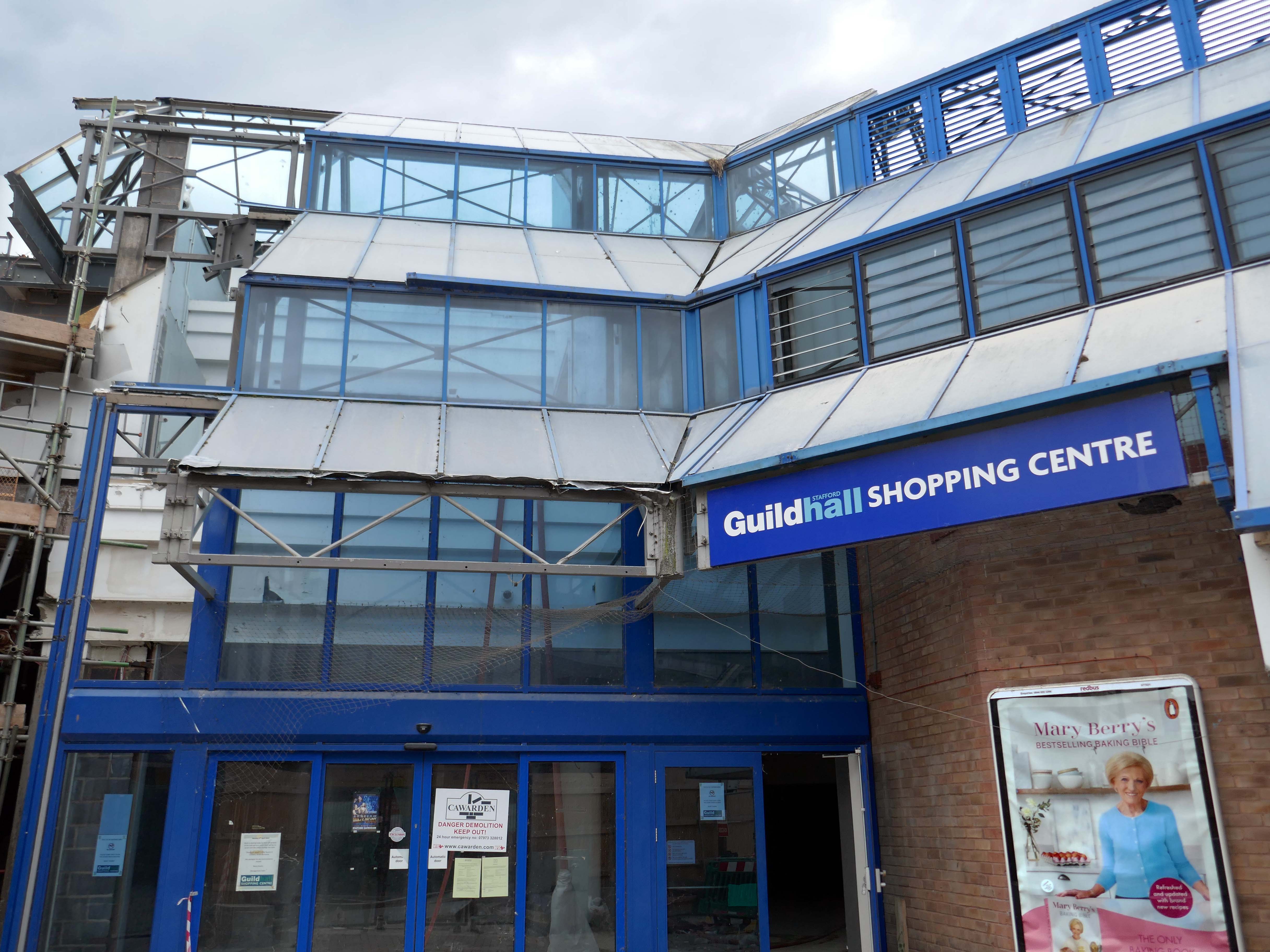
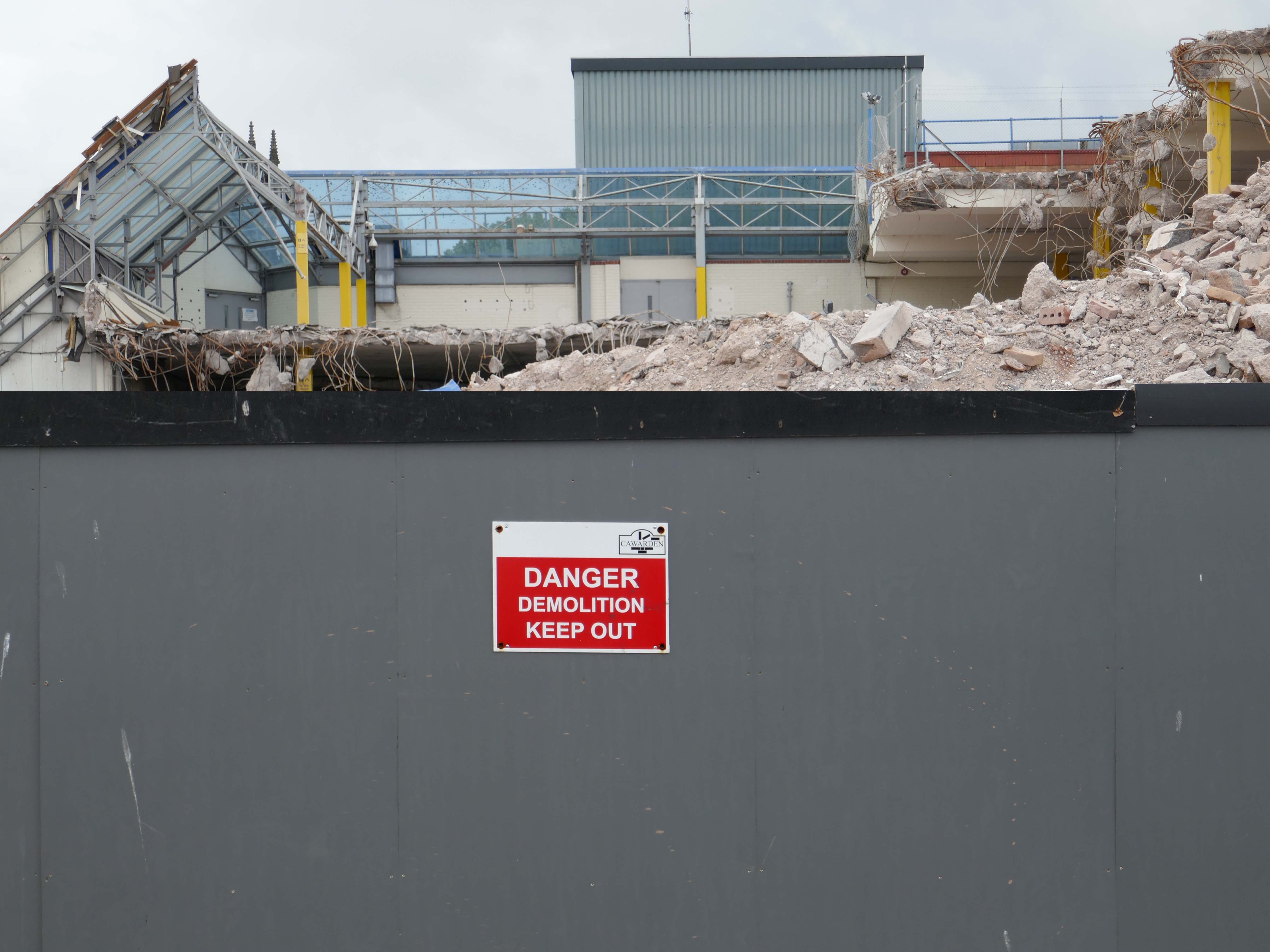
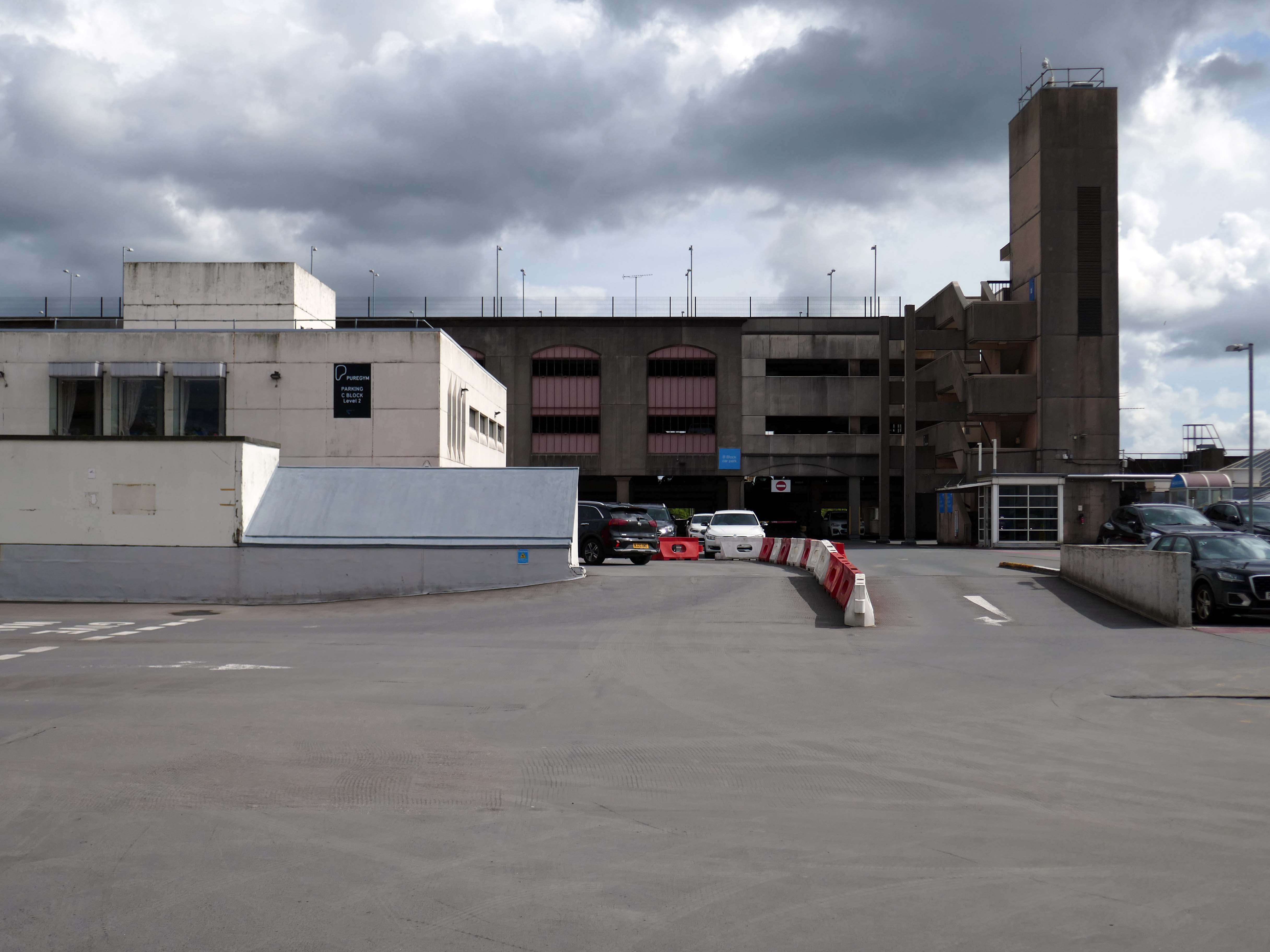
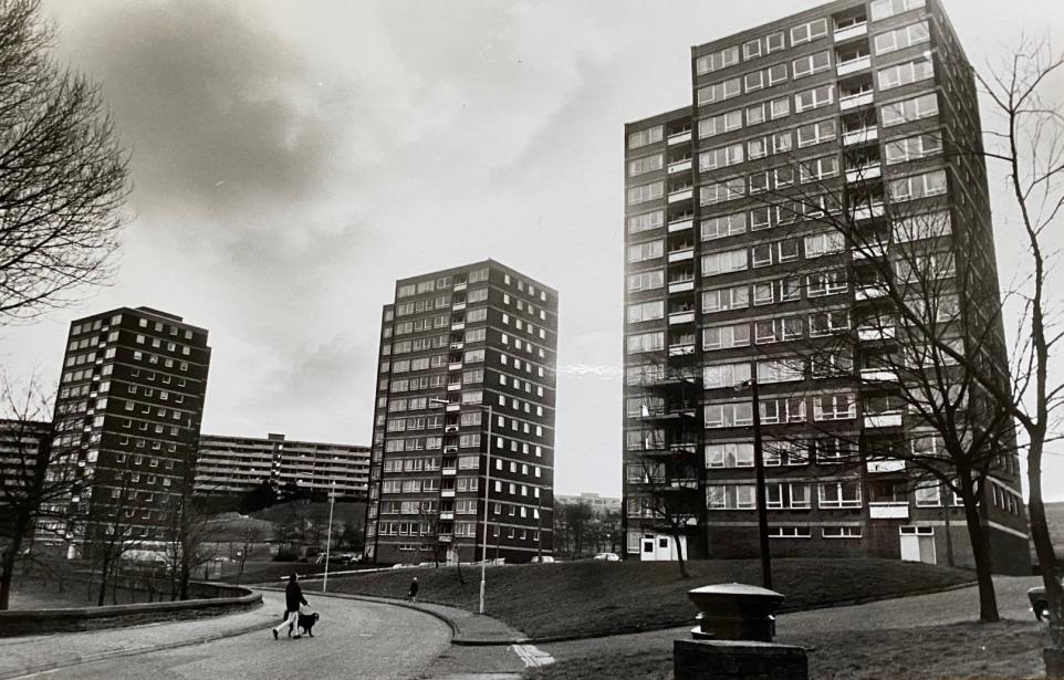
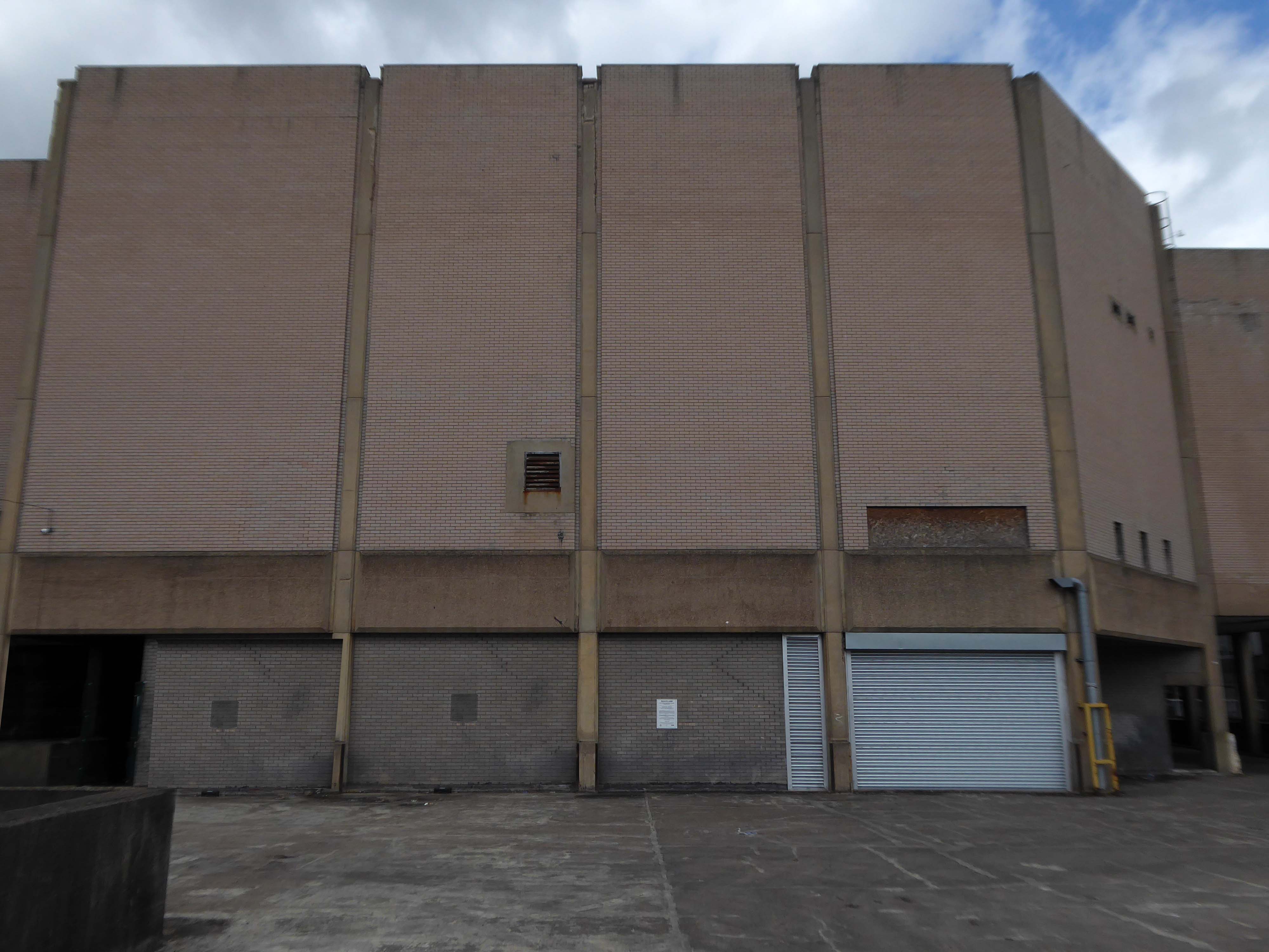
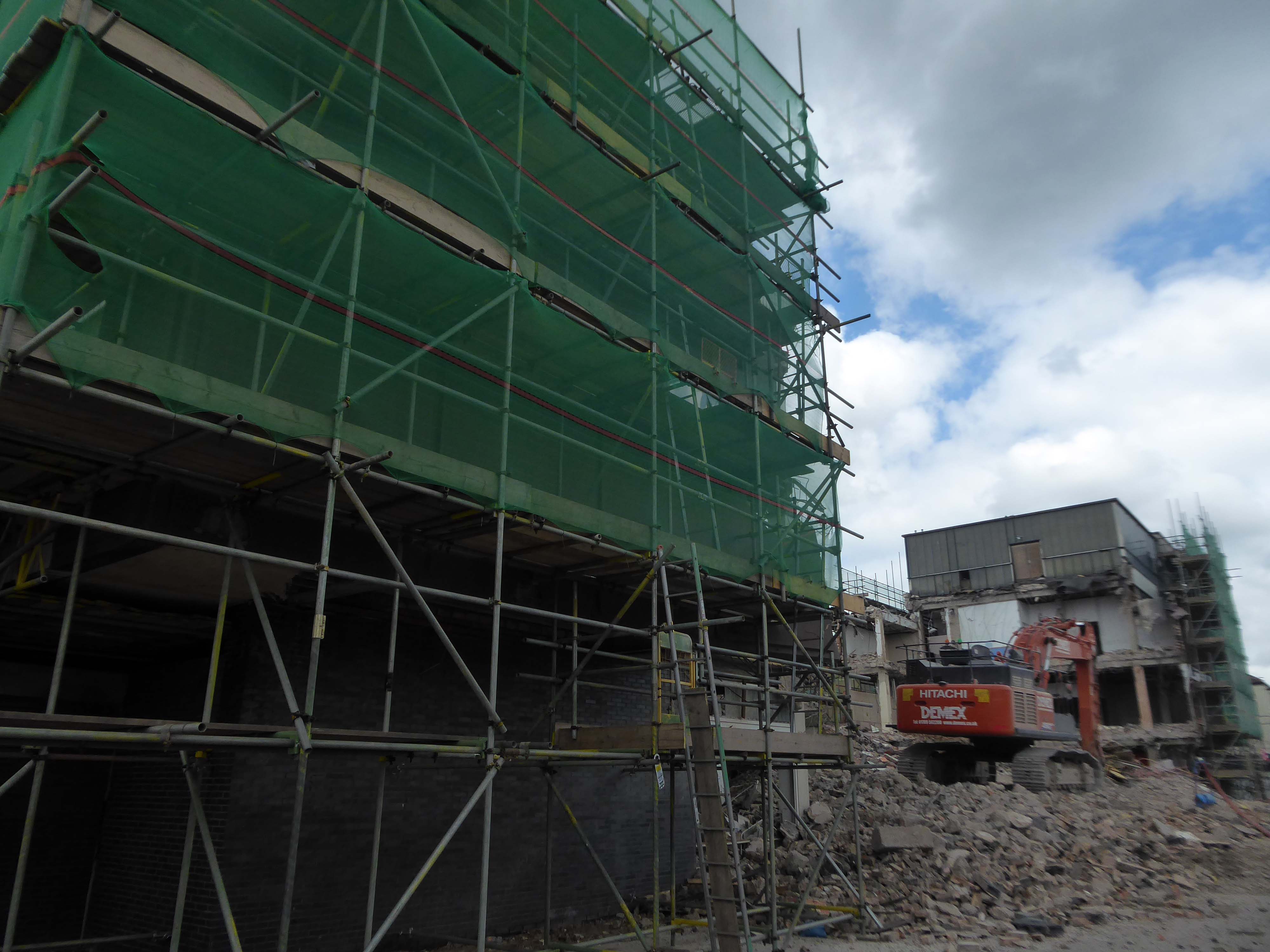
Highpoint’s neighbour the Oastler Centre is closed and awaiting demolition.
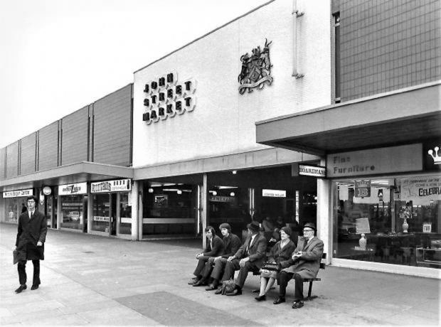
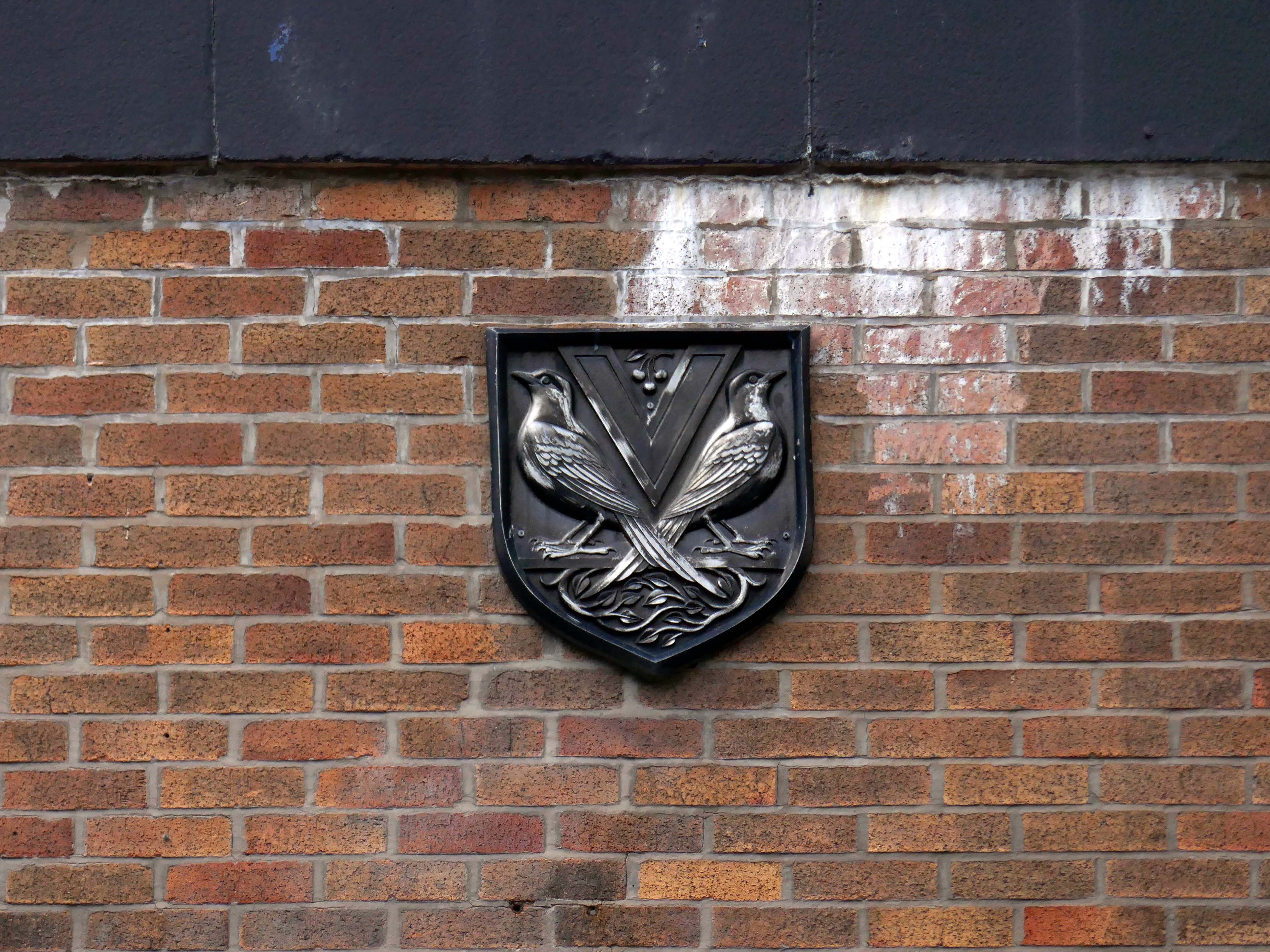
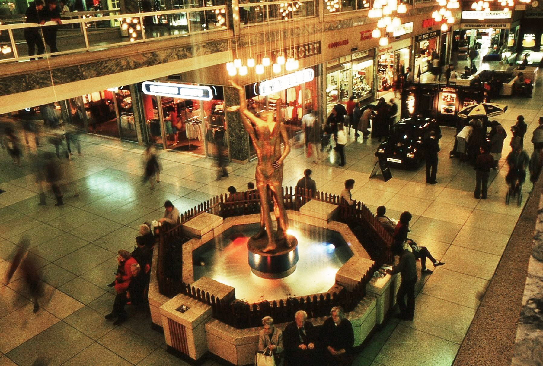
The Oastler Shopping Centre, formerly known as the John Street Market contained 176 stalls comprising a retail area, with an additional twenty three external shops and twenty seven storerooms. The cafes and stalls within the centre were various food, clothing and craft shops with some of the cafes and stalls having been in business since the 1960s.
The original outdoor open-air market was renovated to an indoor market in the early 1970s to make economic improvements to the upper side of the city centre and was named for the abolitionist Richard Oastler.
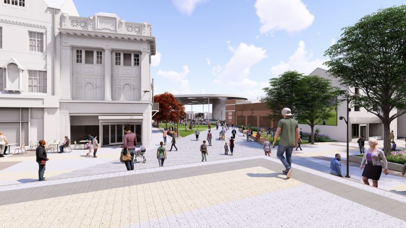
As part of the Bradford’s regeneration projects in line with the successful UK City of Culture 2025 bid, the Oastler Centre was scheduled to be demolished in late 2023 to make way for the new Darley Street Market.
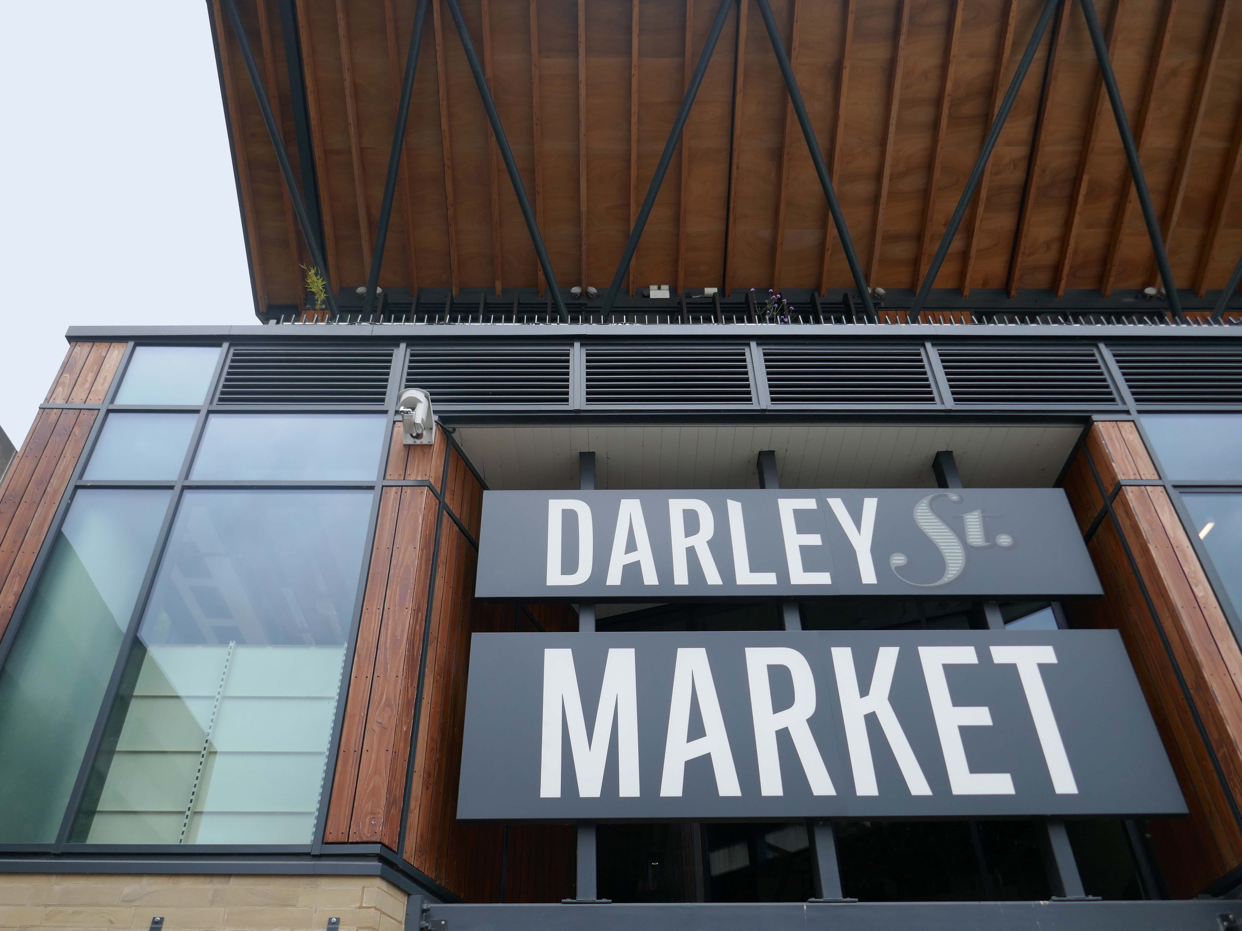
The Oastler Marker had its final day of trading on 28 June 2025.
The centre along with the nearby Kirkgate Market will be demolished and replaced with green space, housing and new commercial spaces in line with the new Darley Street Market and planned City Village, an area of green space nearby the site.
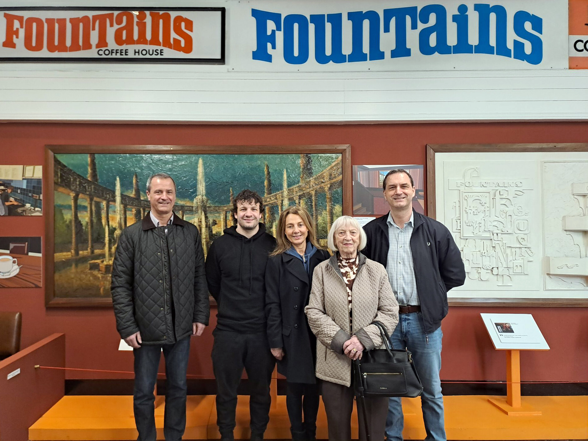
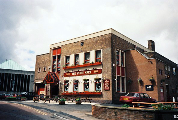
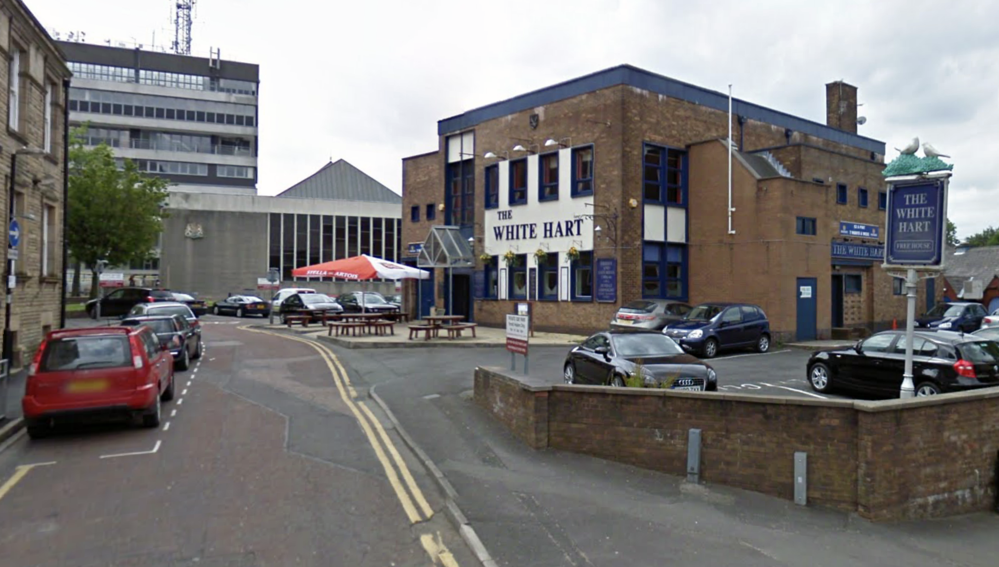
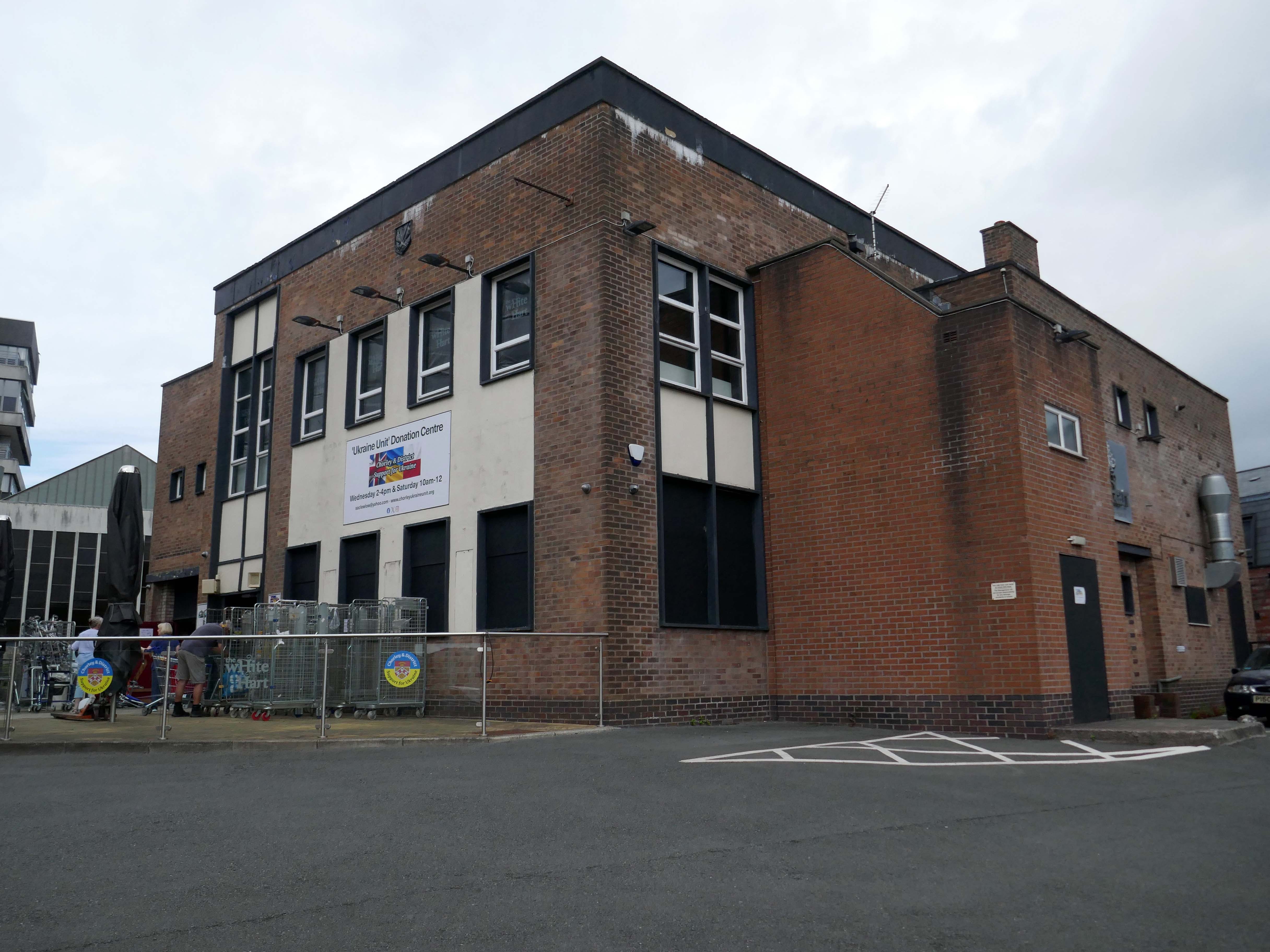
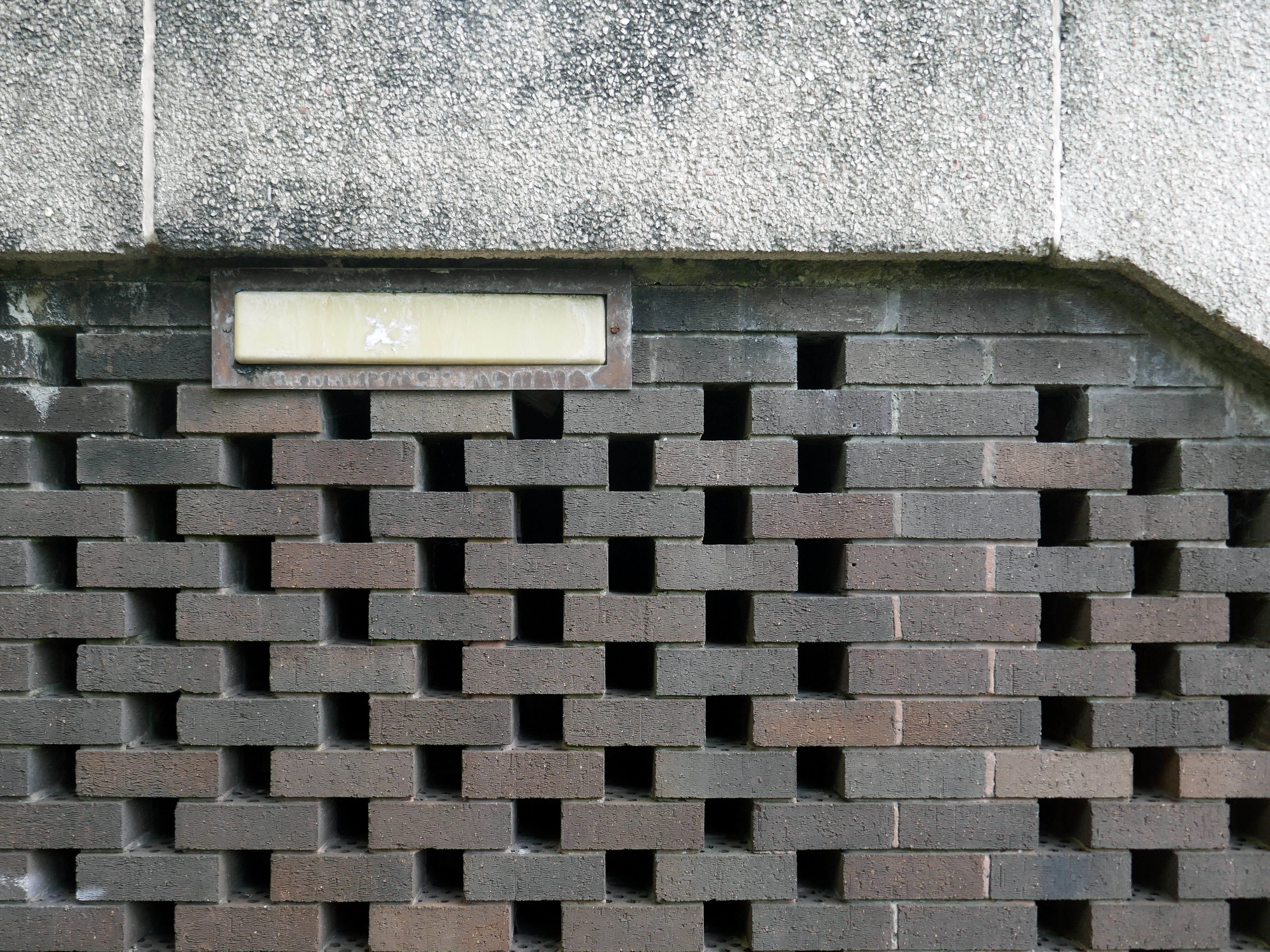
Happily the signage from the Oastler’s Fountains Coffee House has been preserved by the Bradford Industrial Museum.