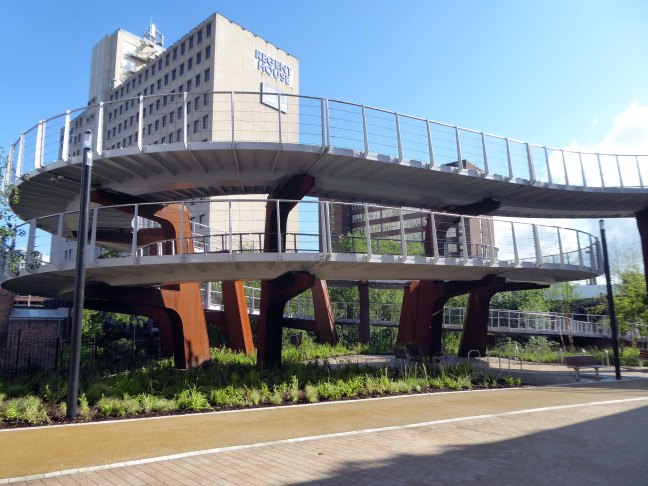
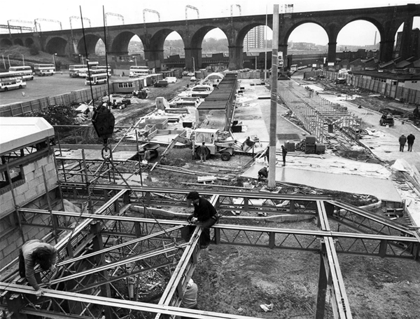
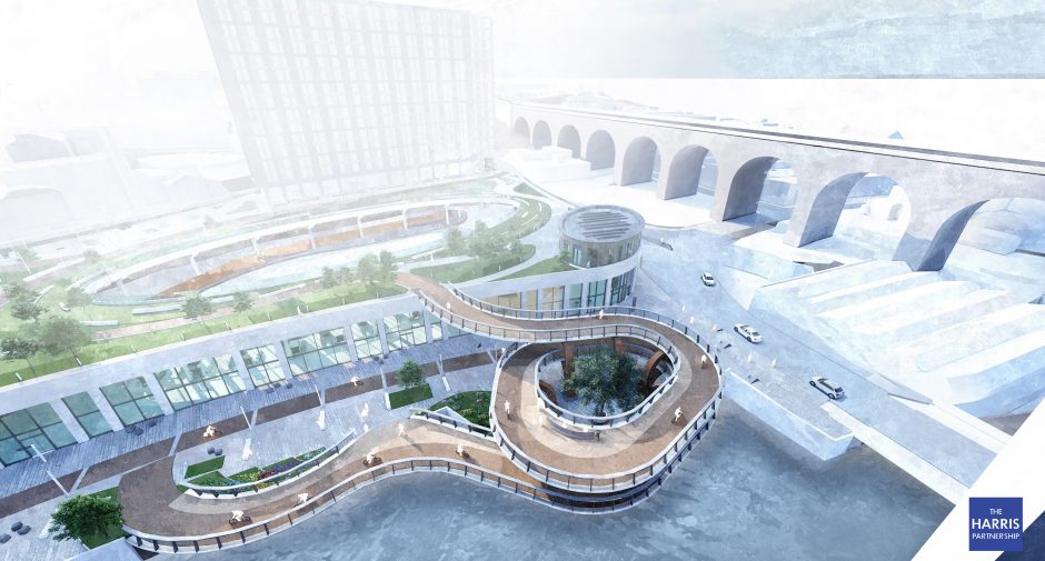
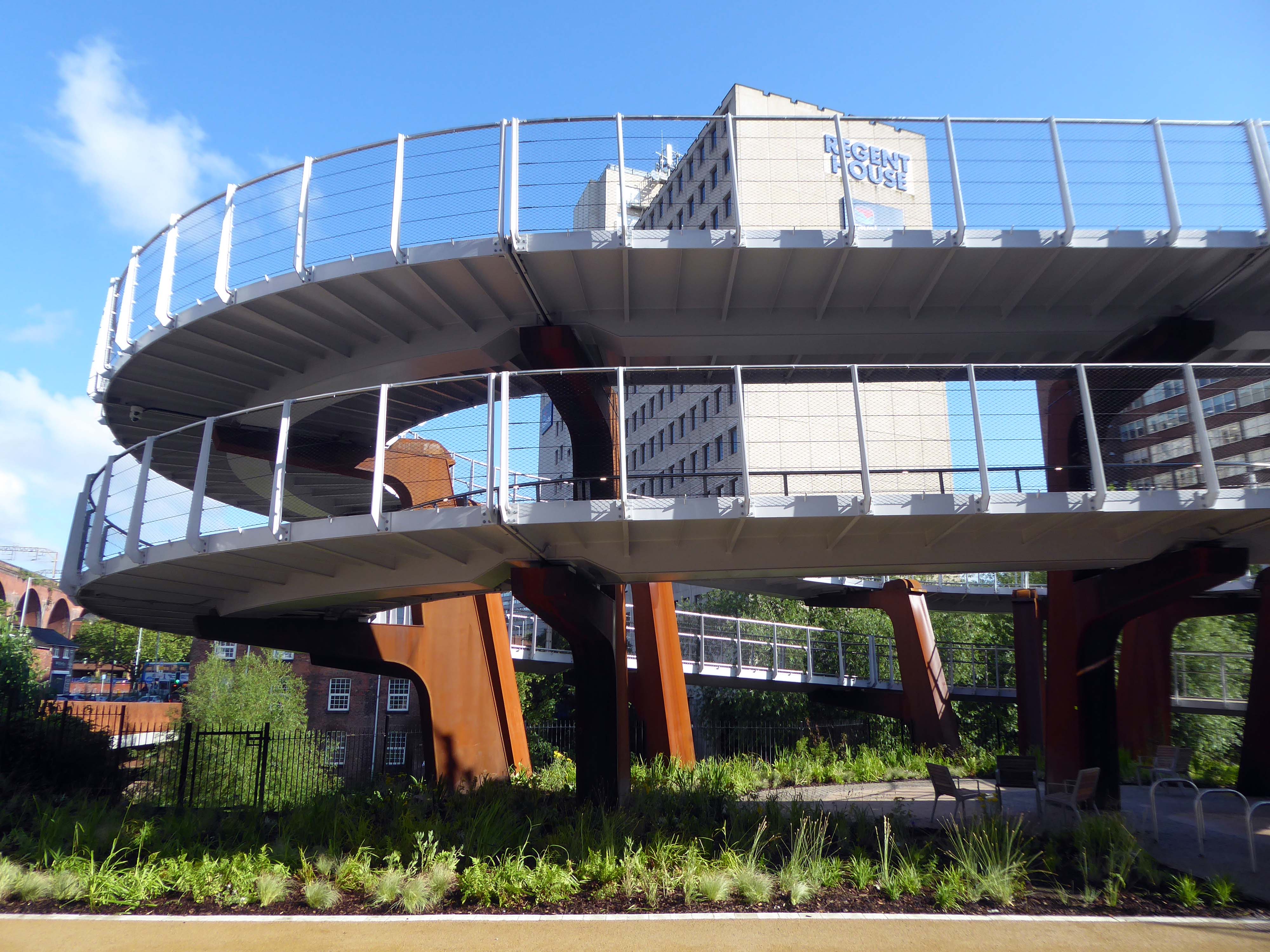
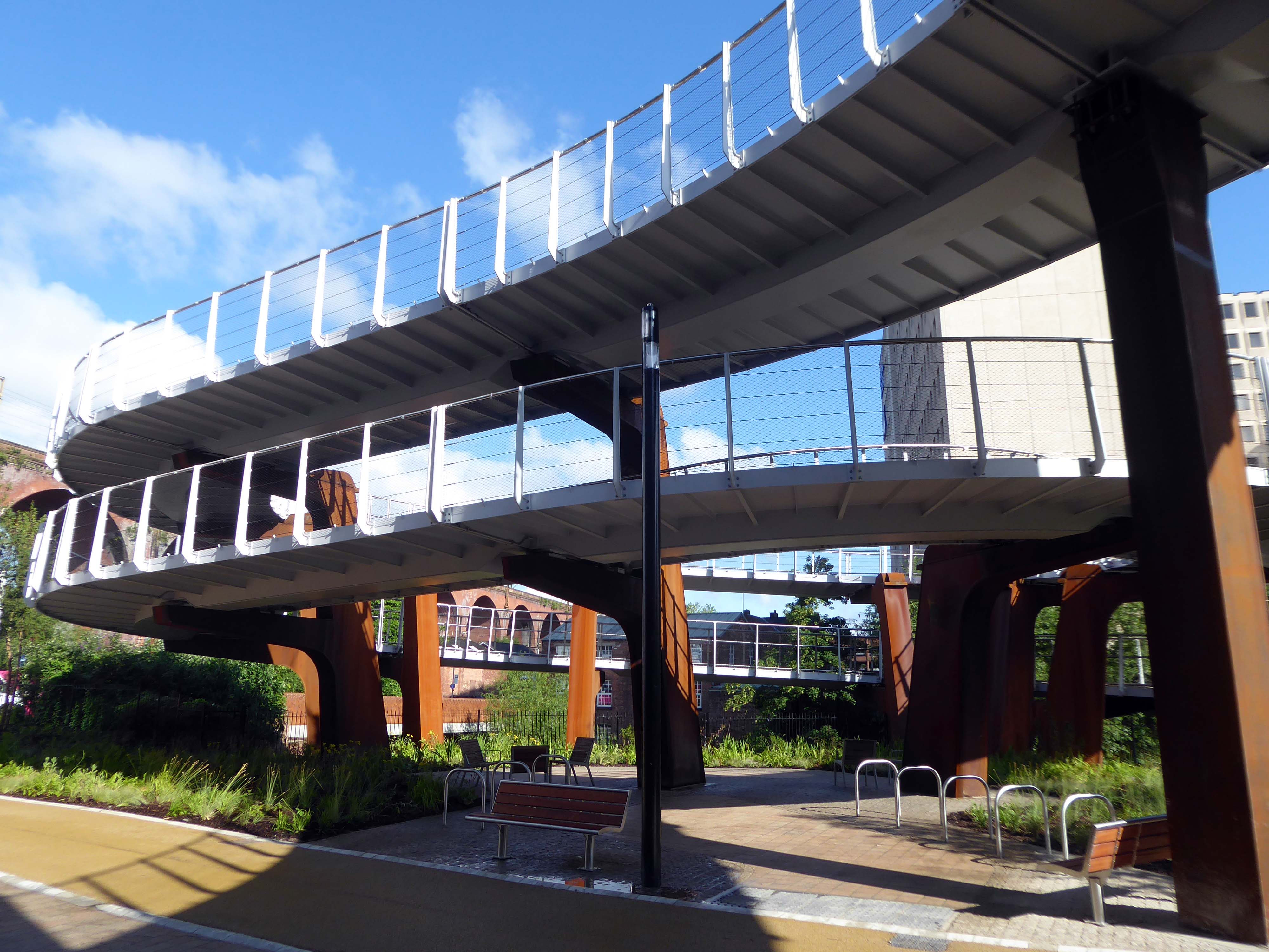
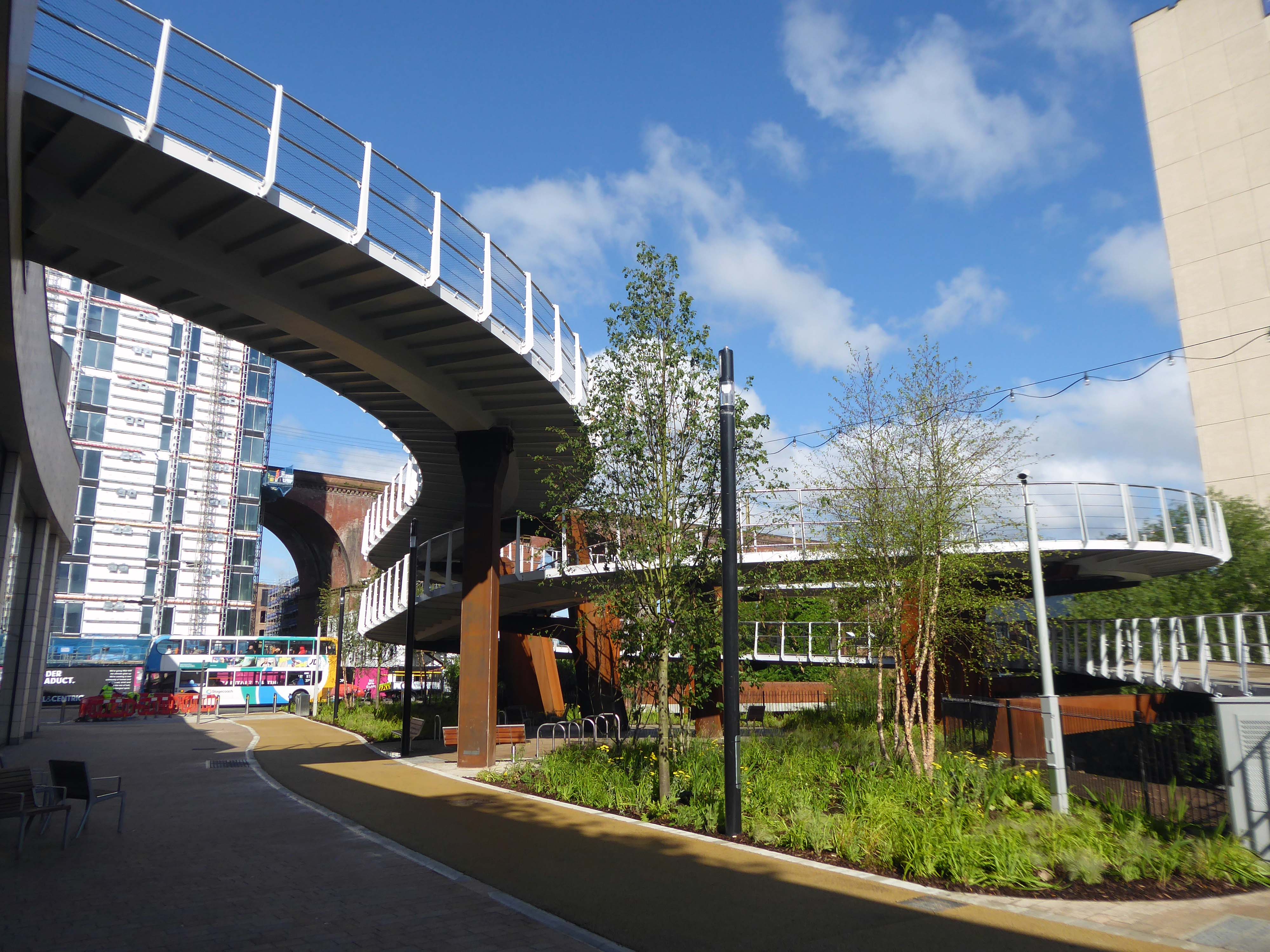
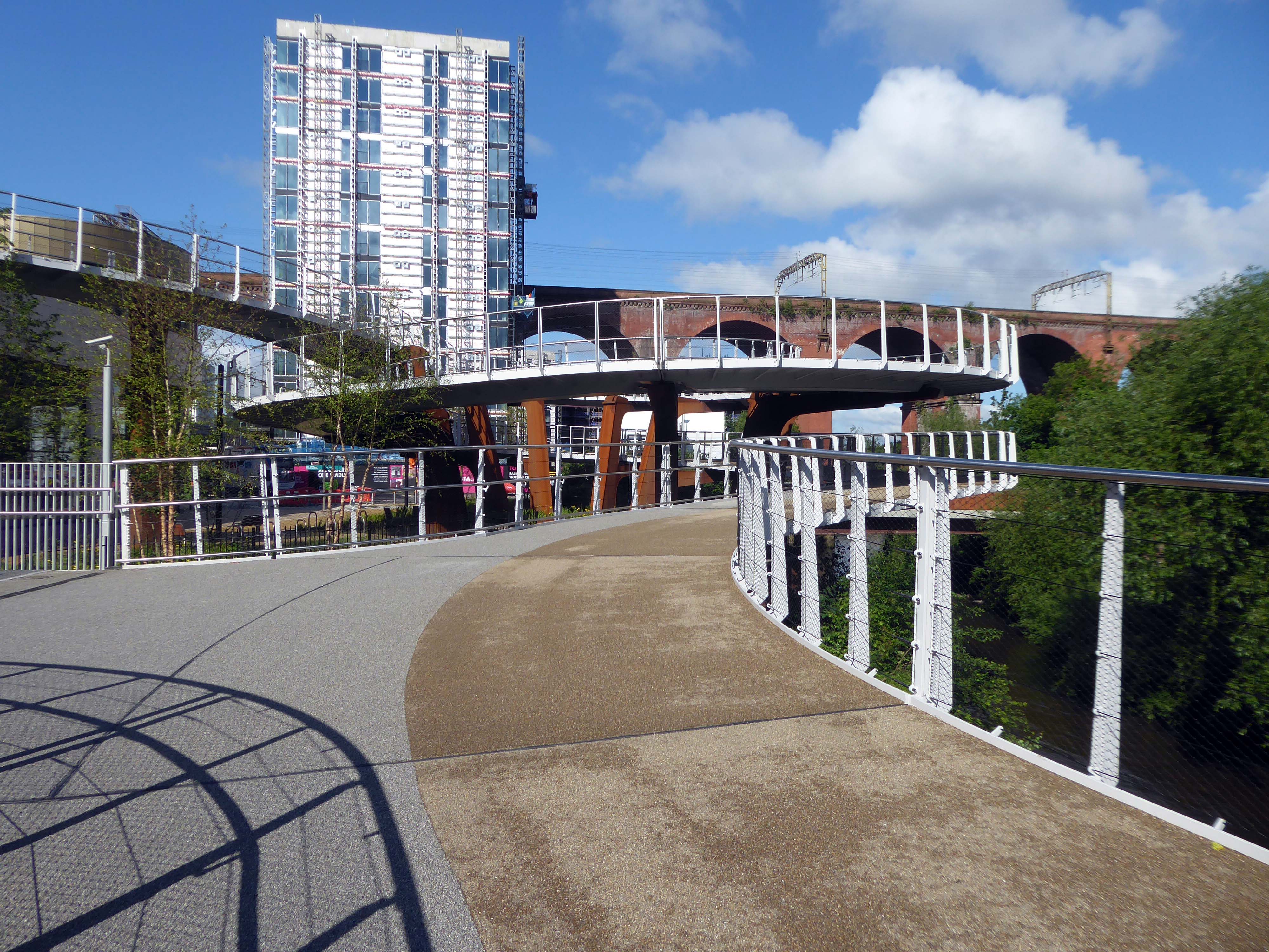
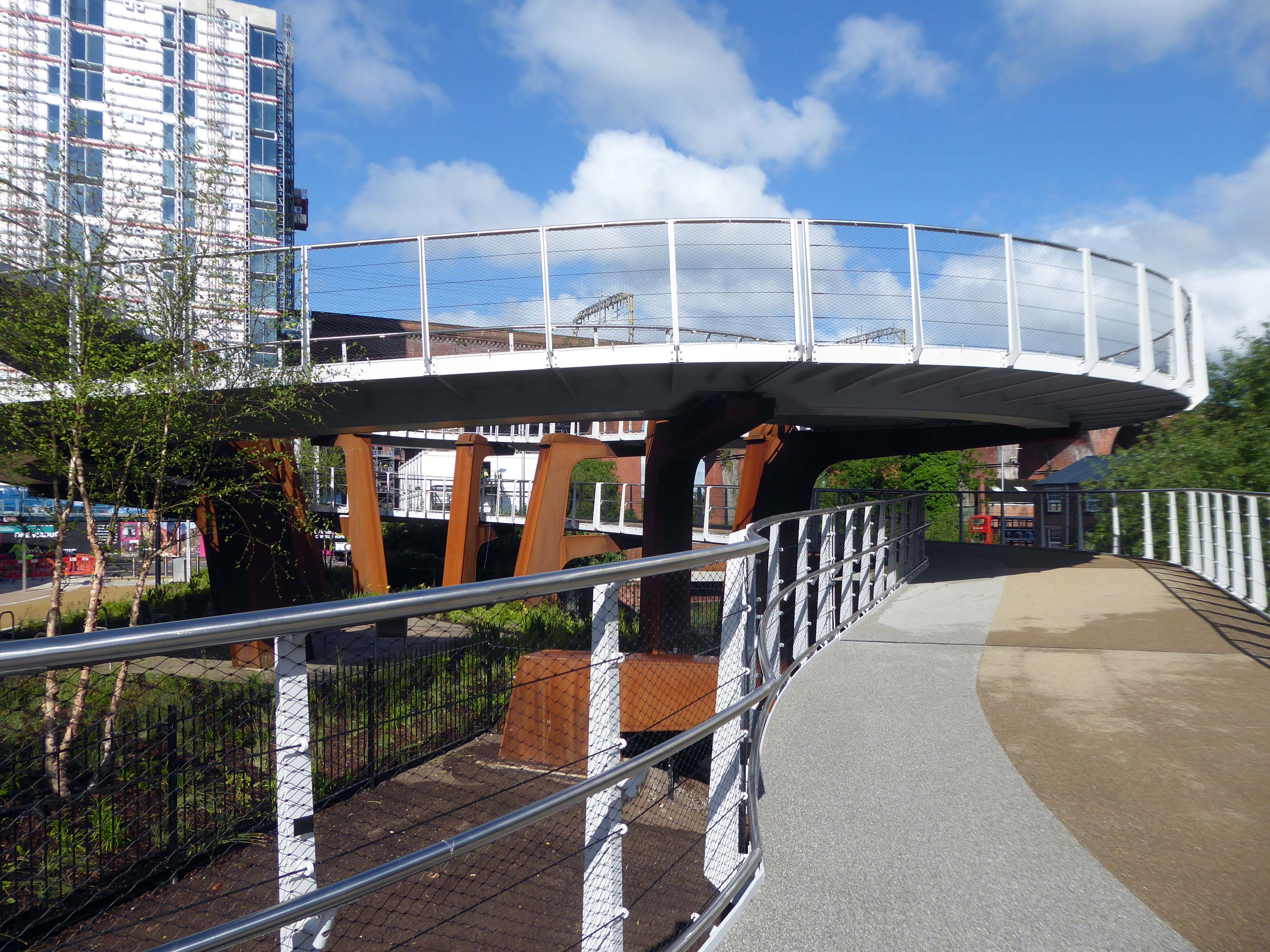
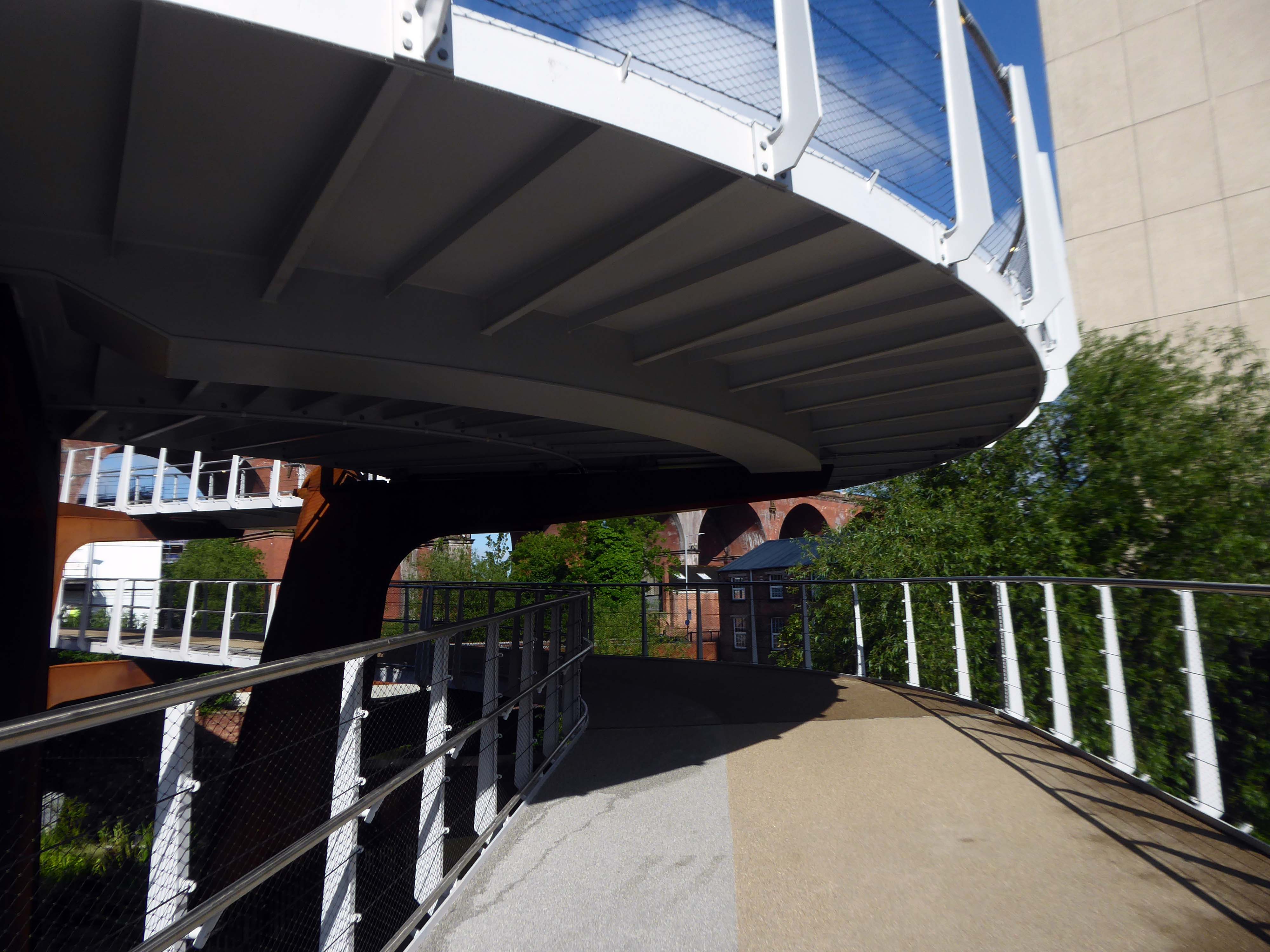
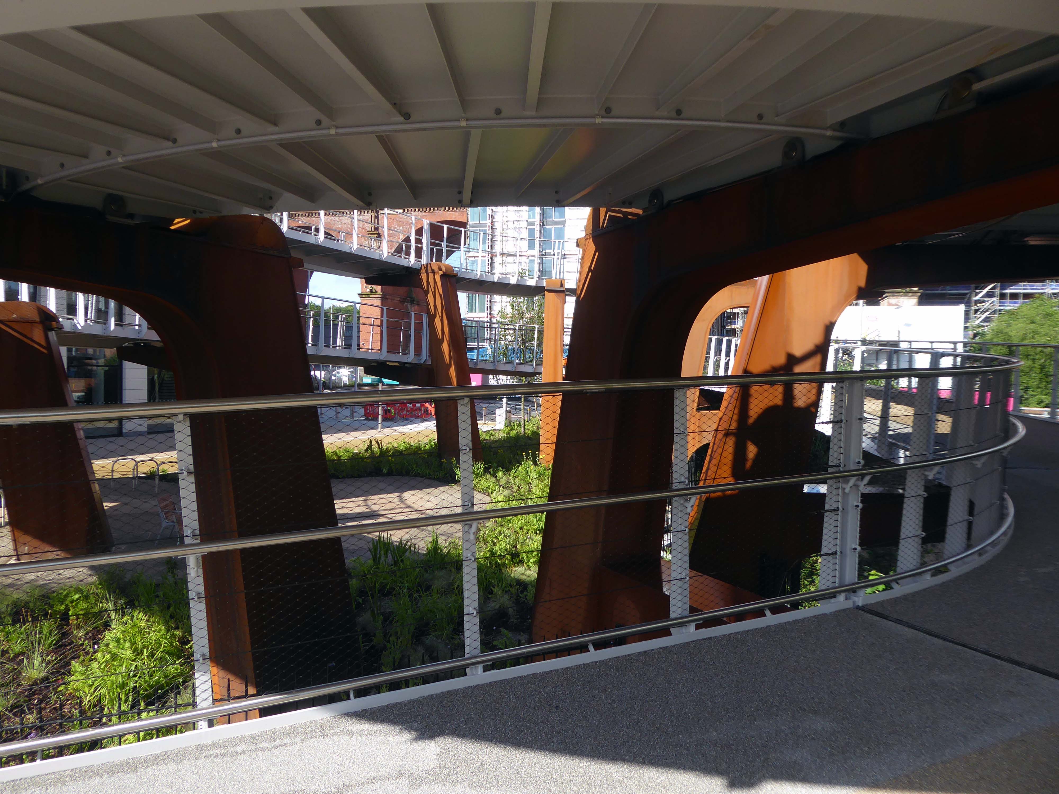
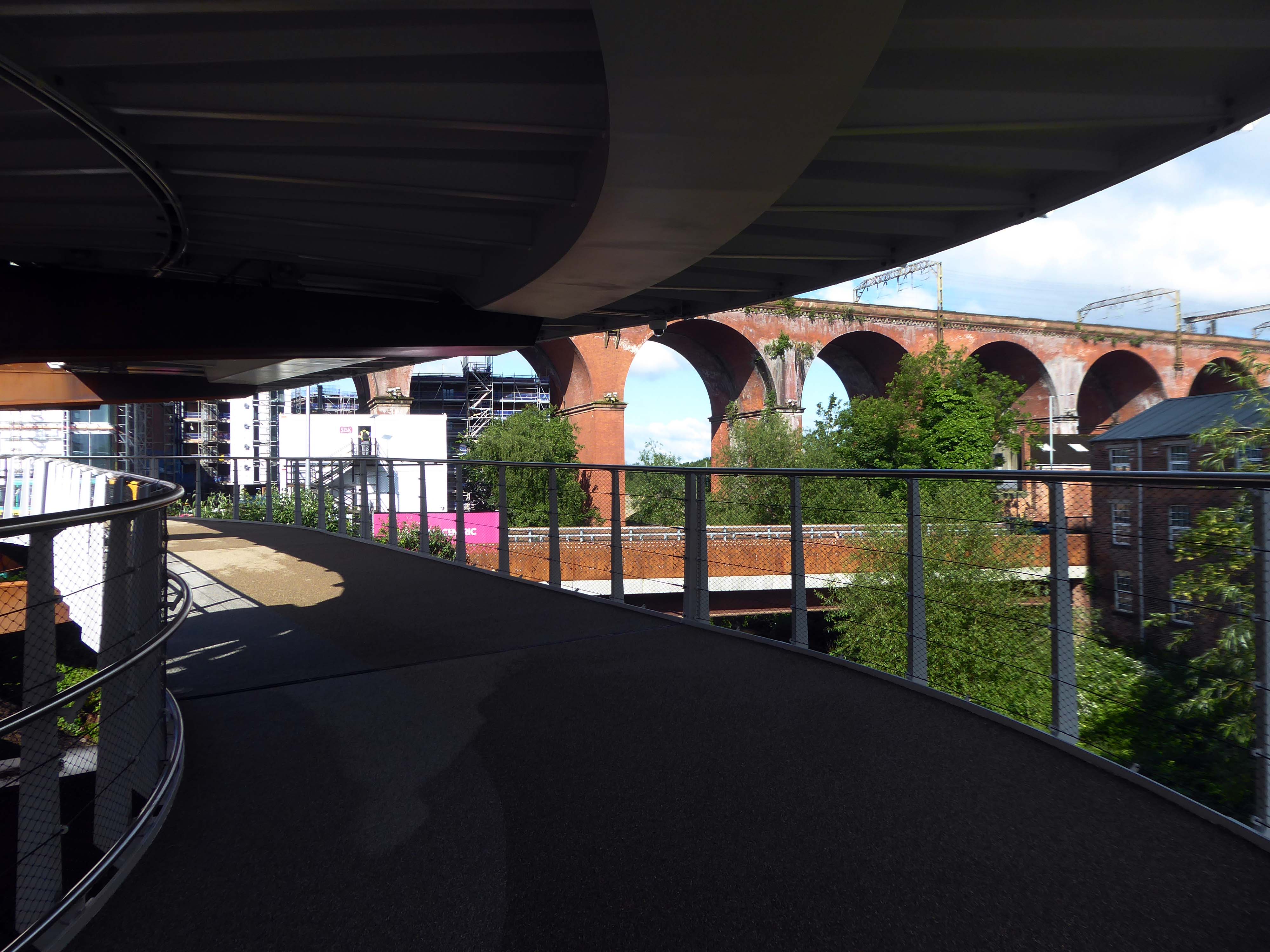
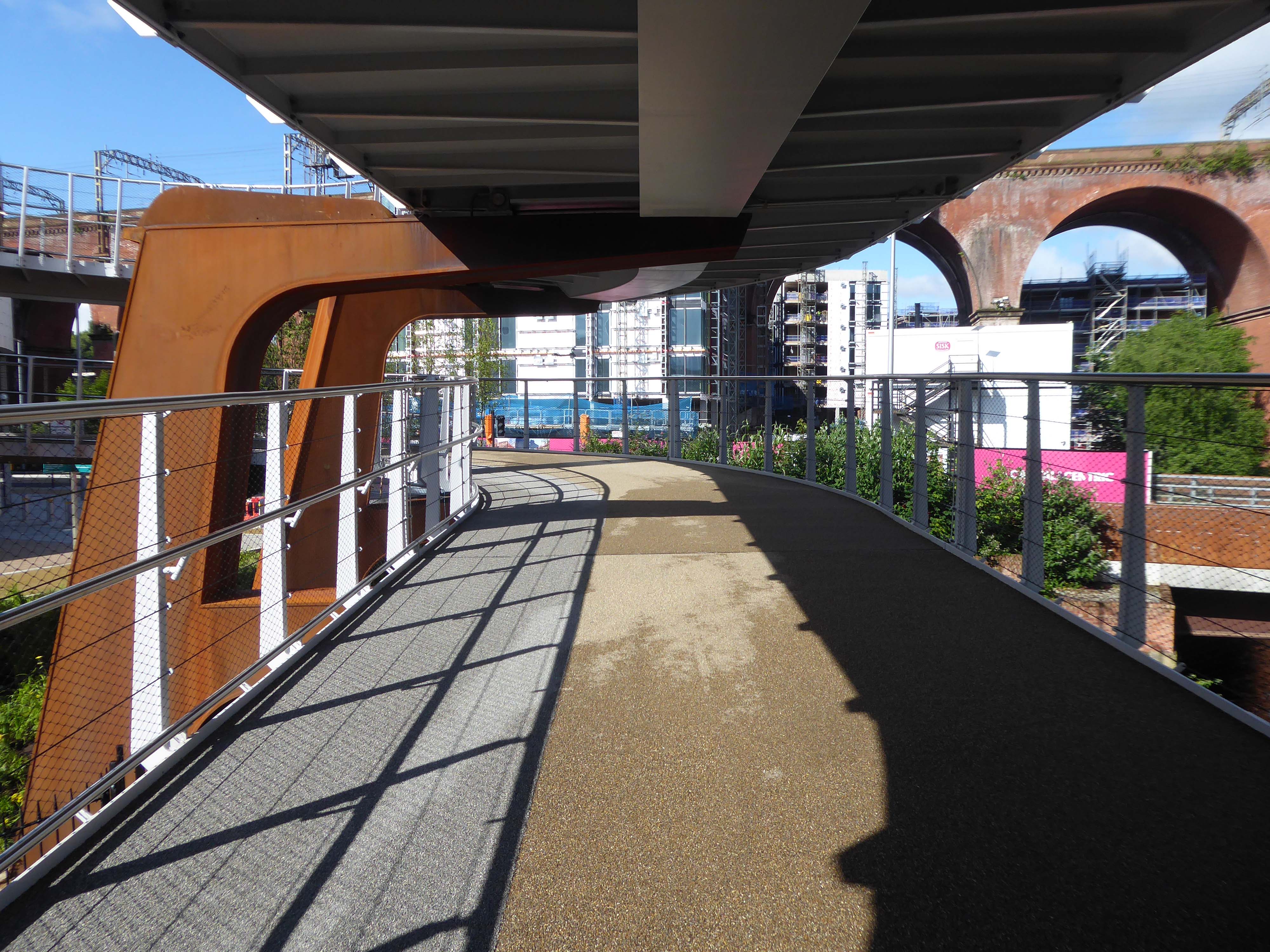
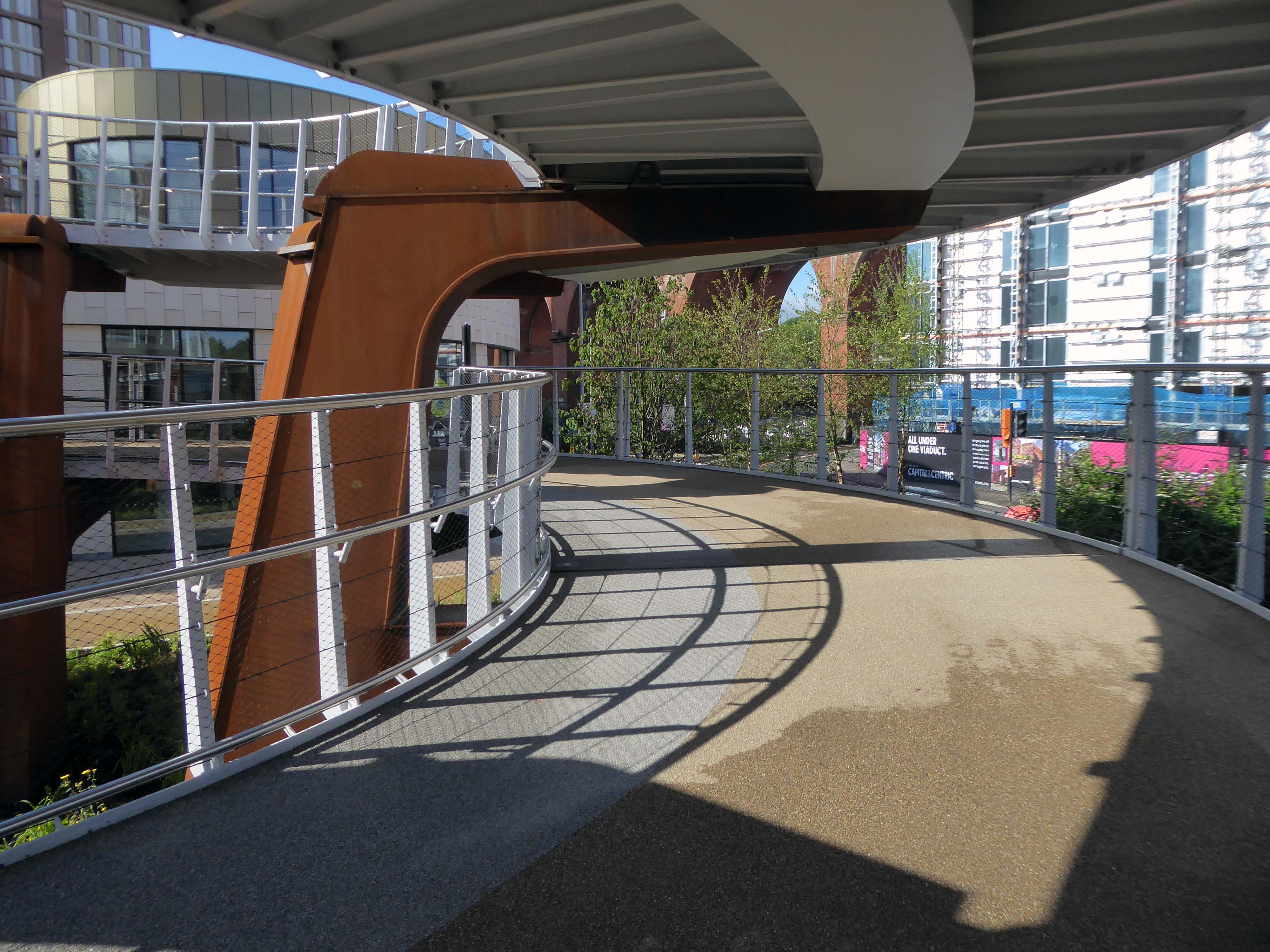
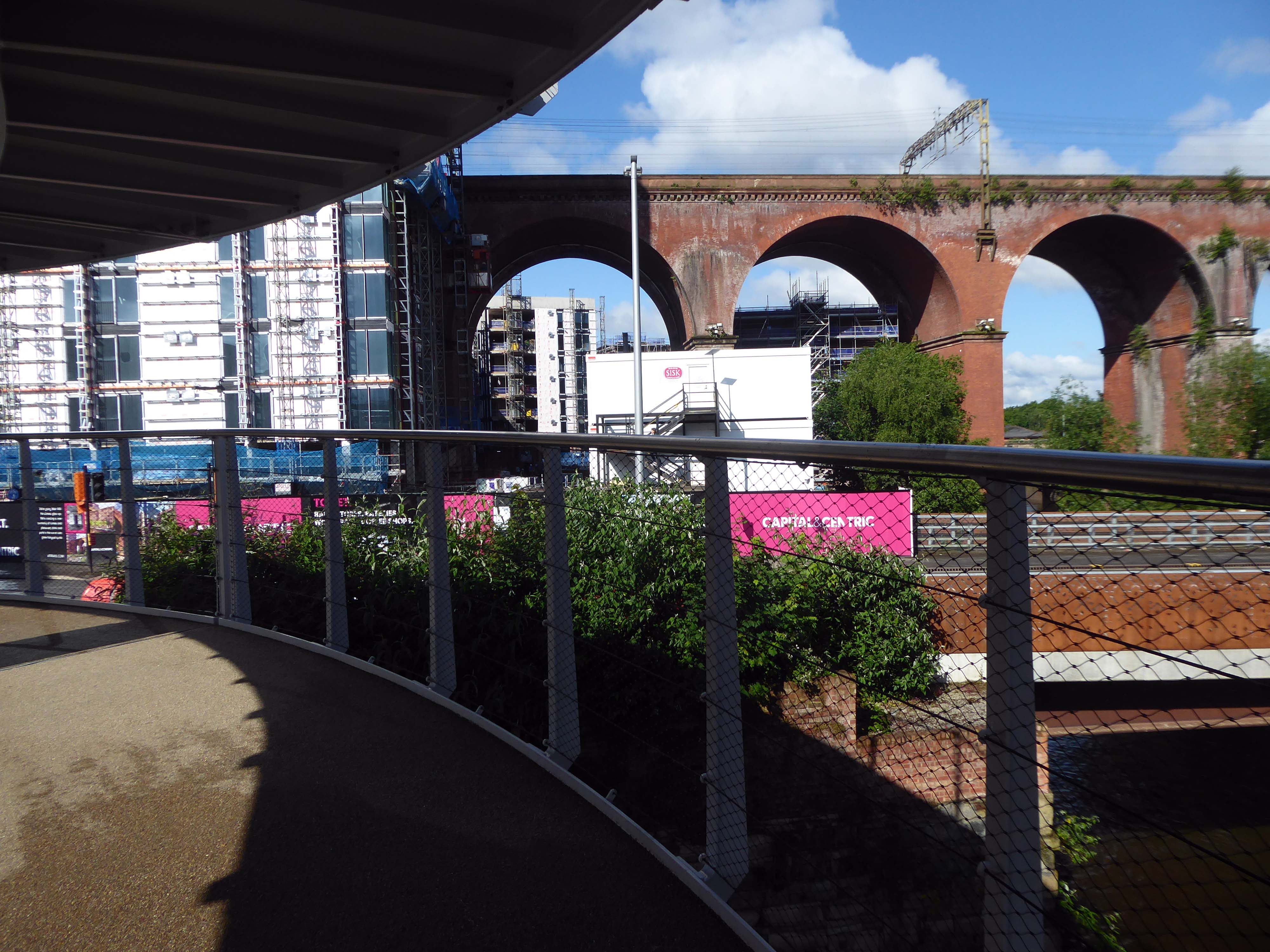
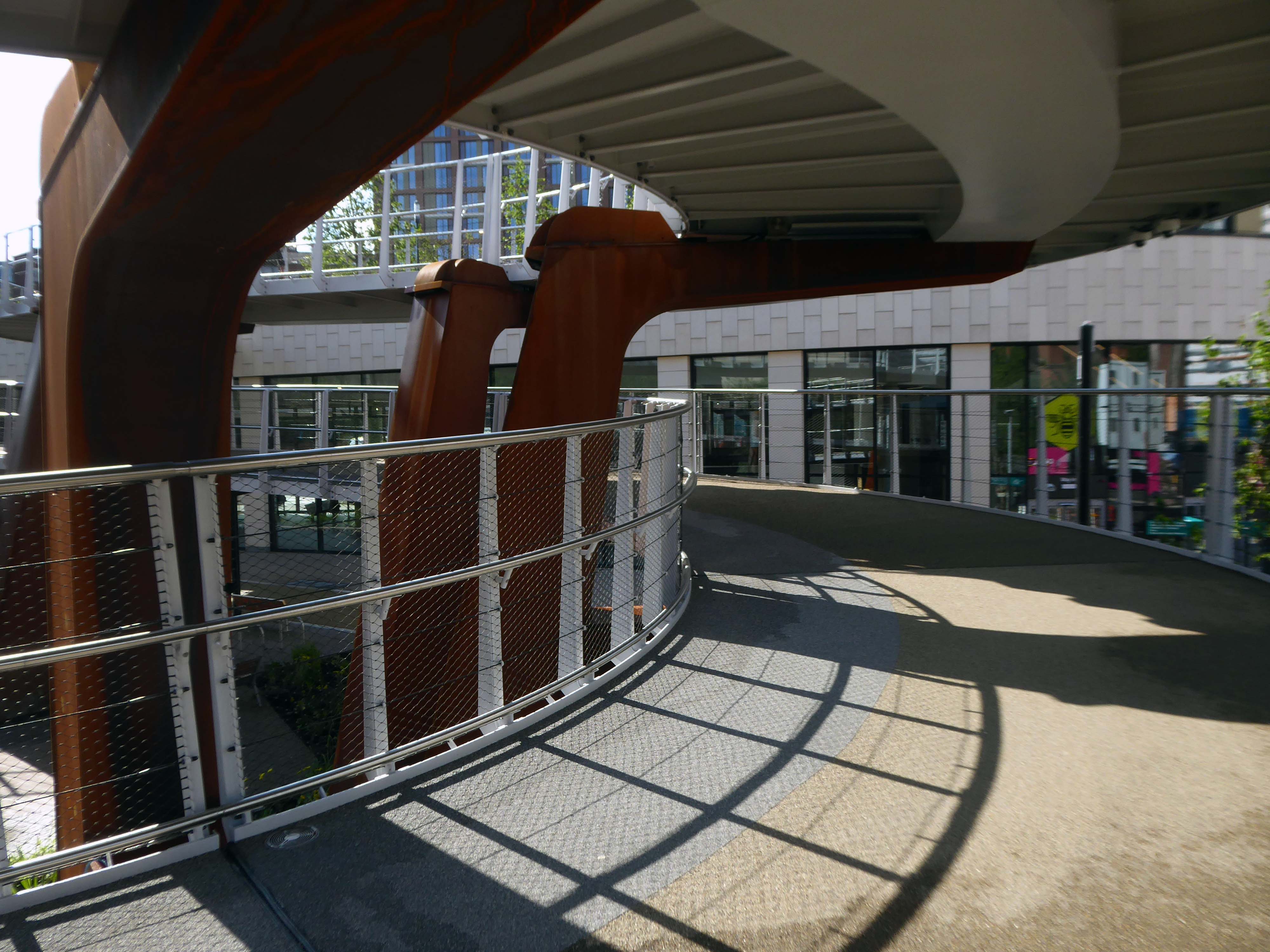
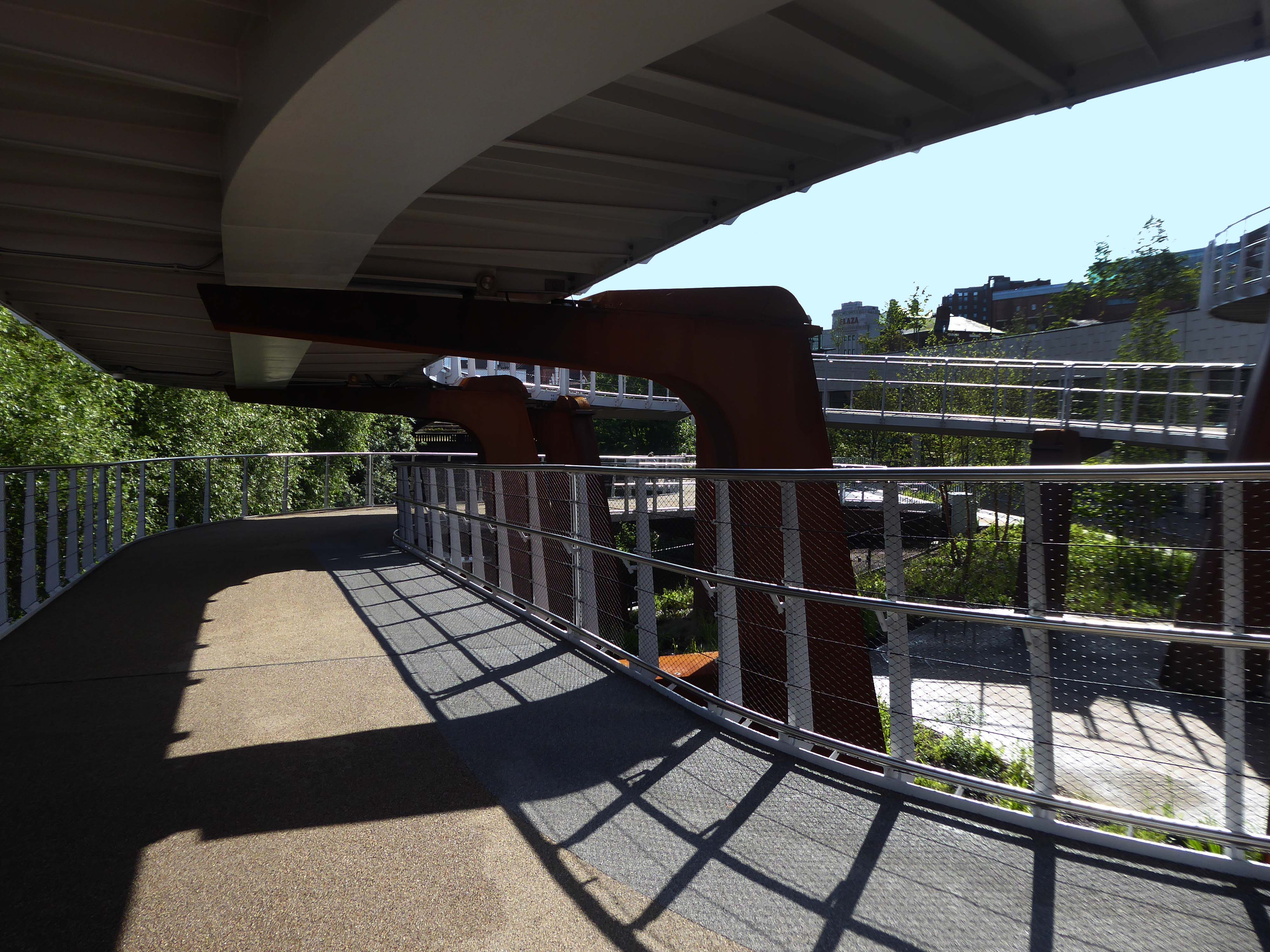
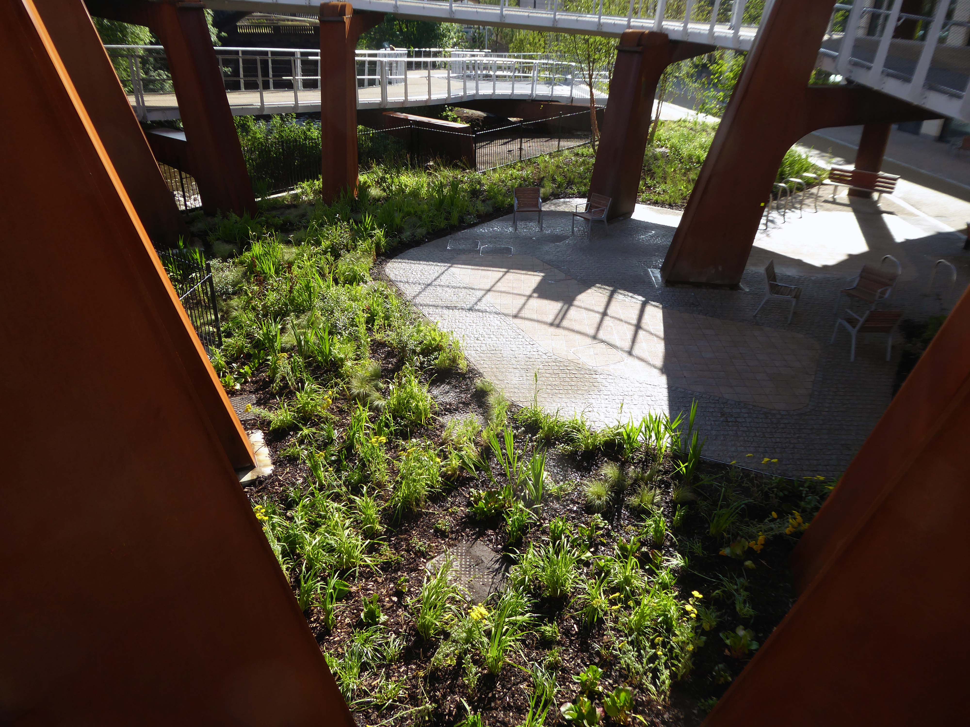
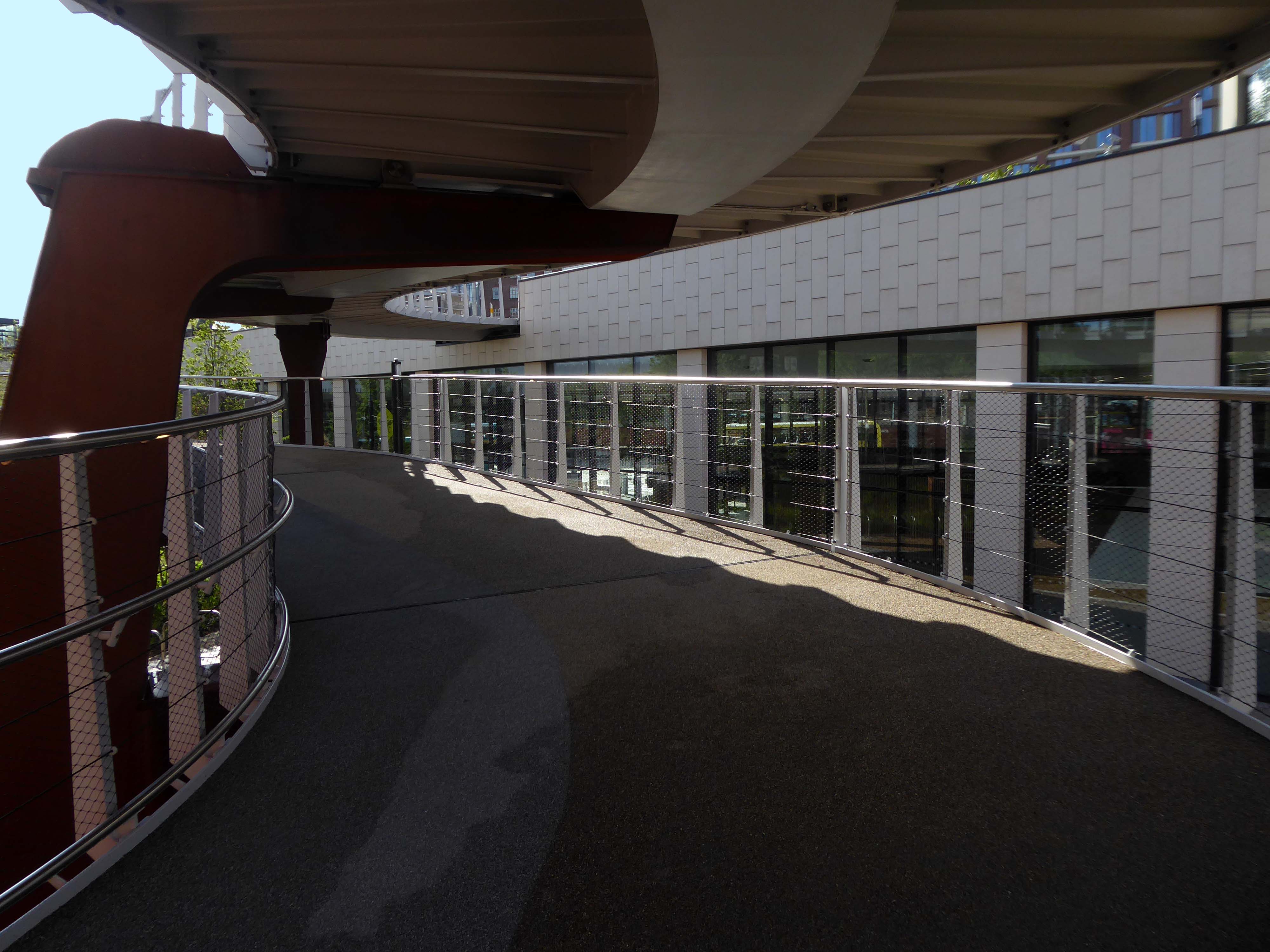
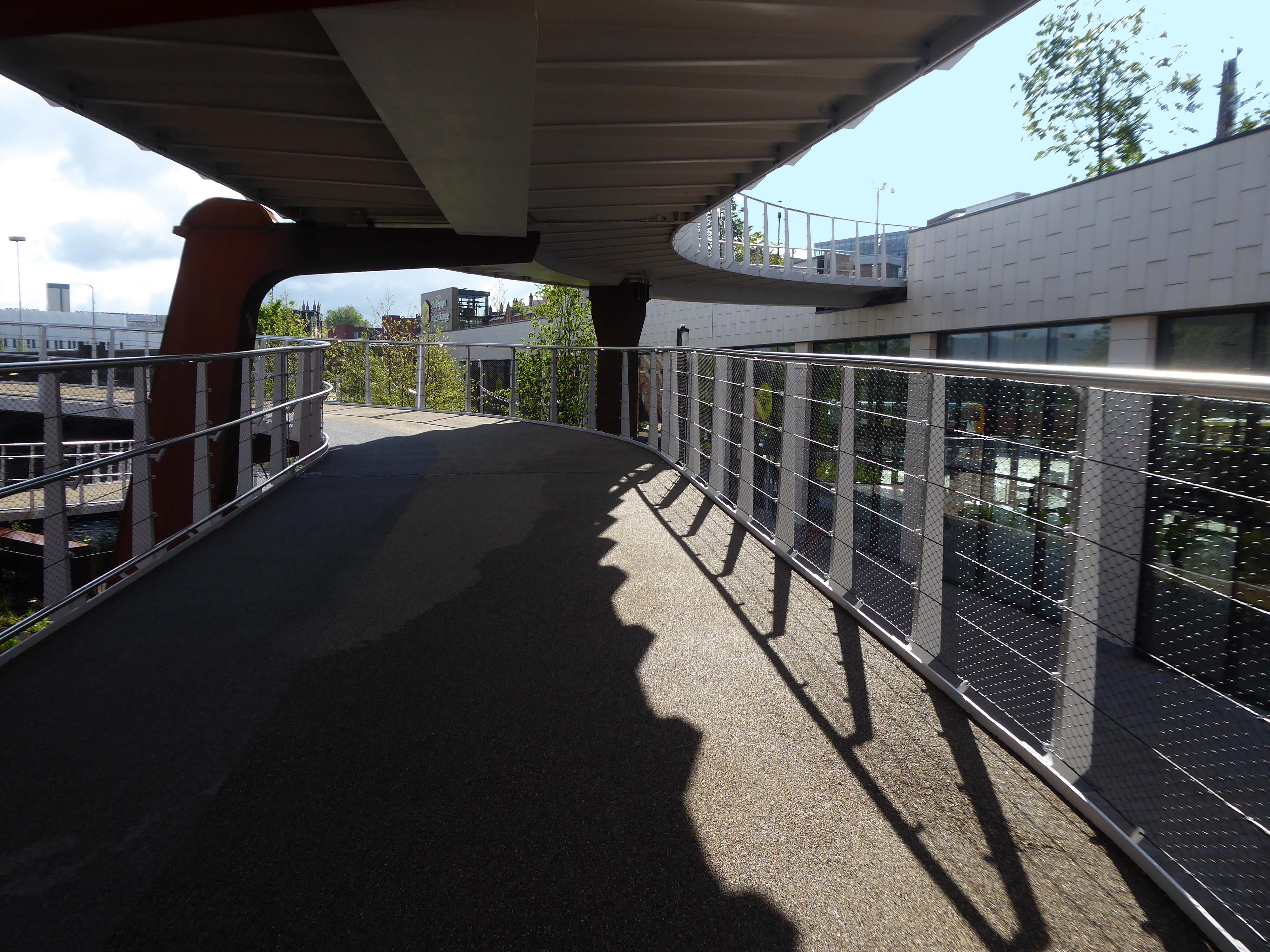
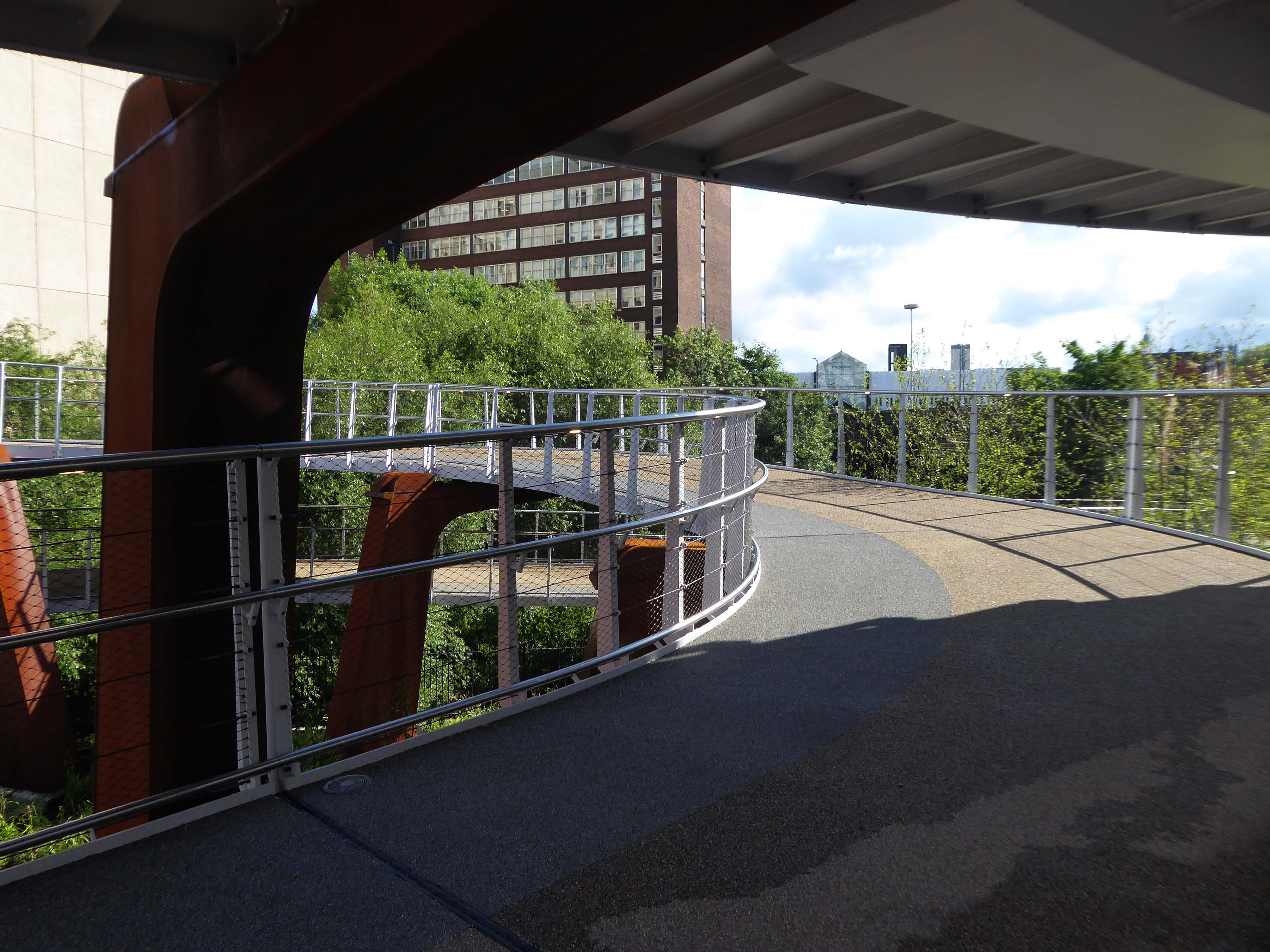
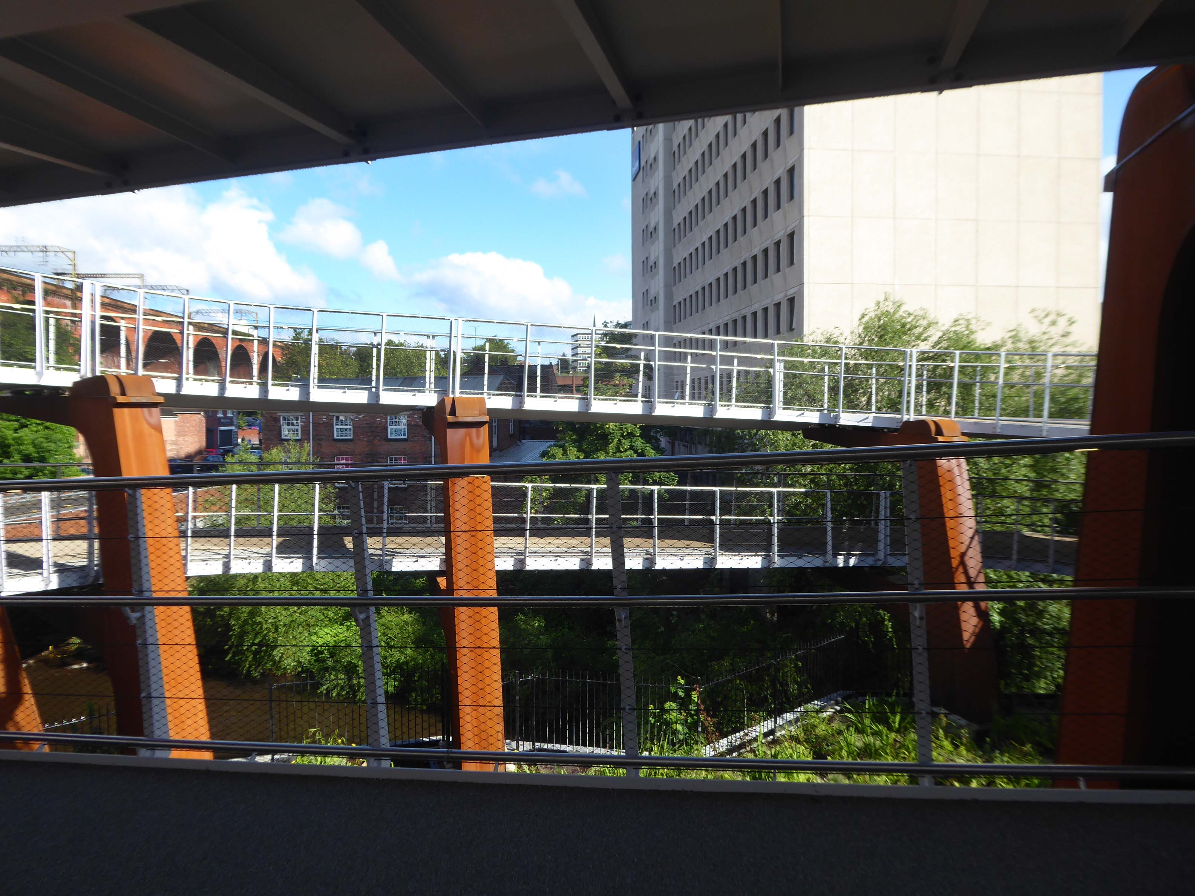
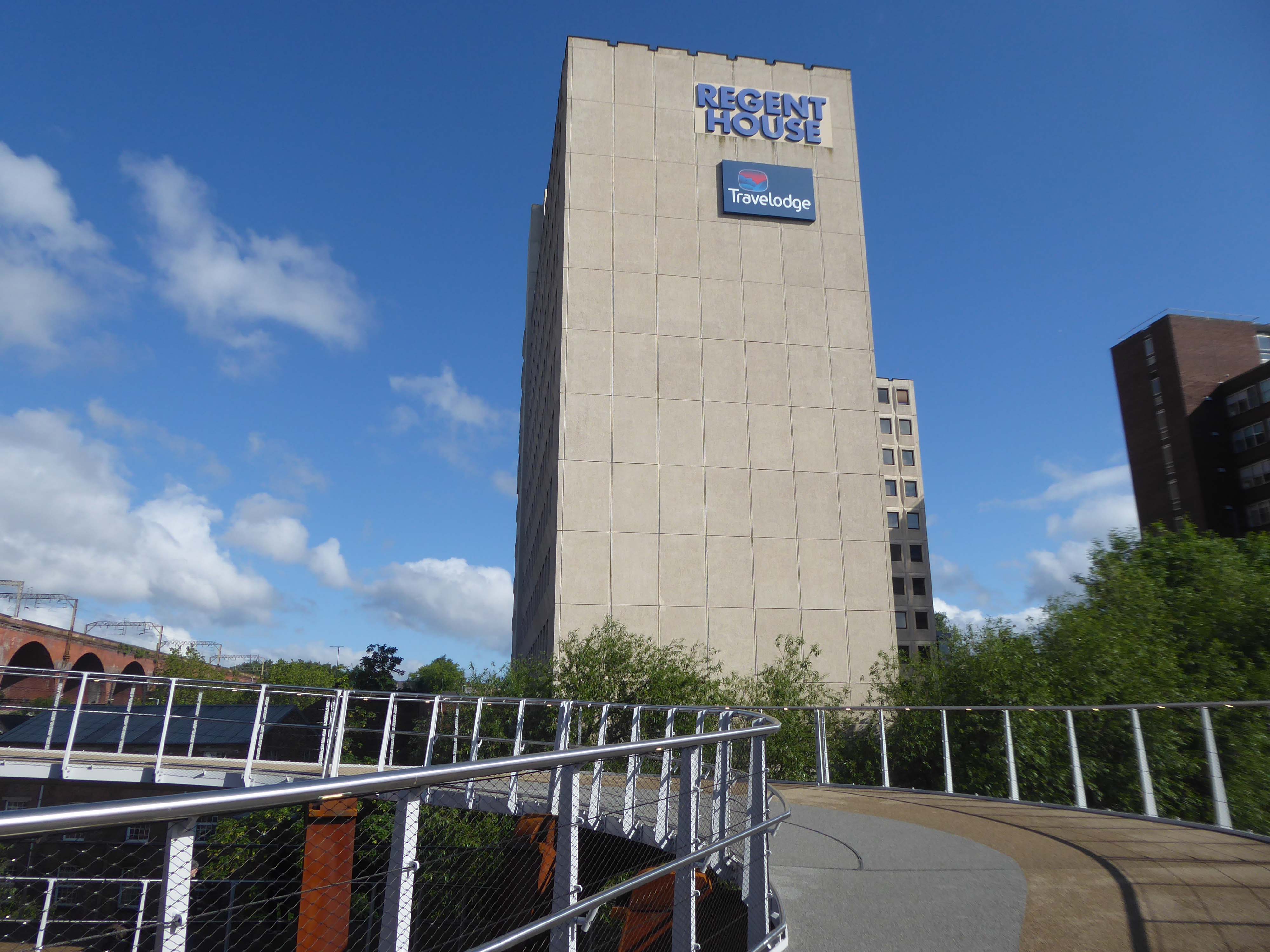
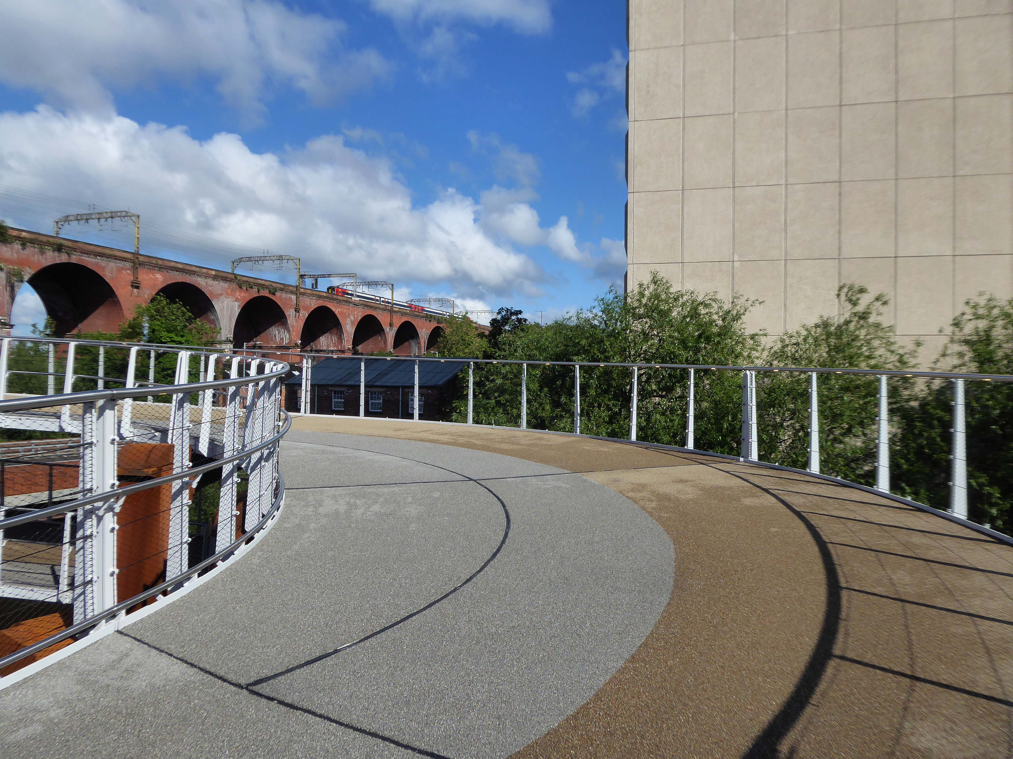
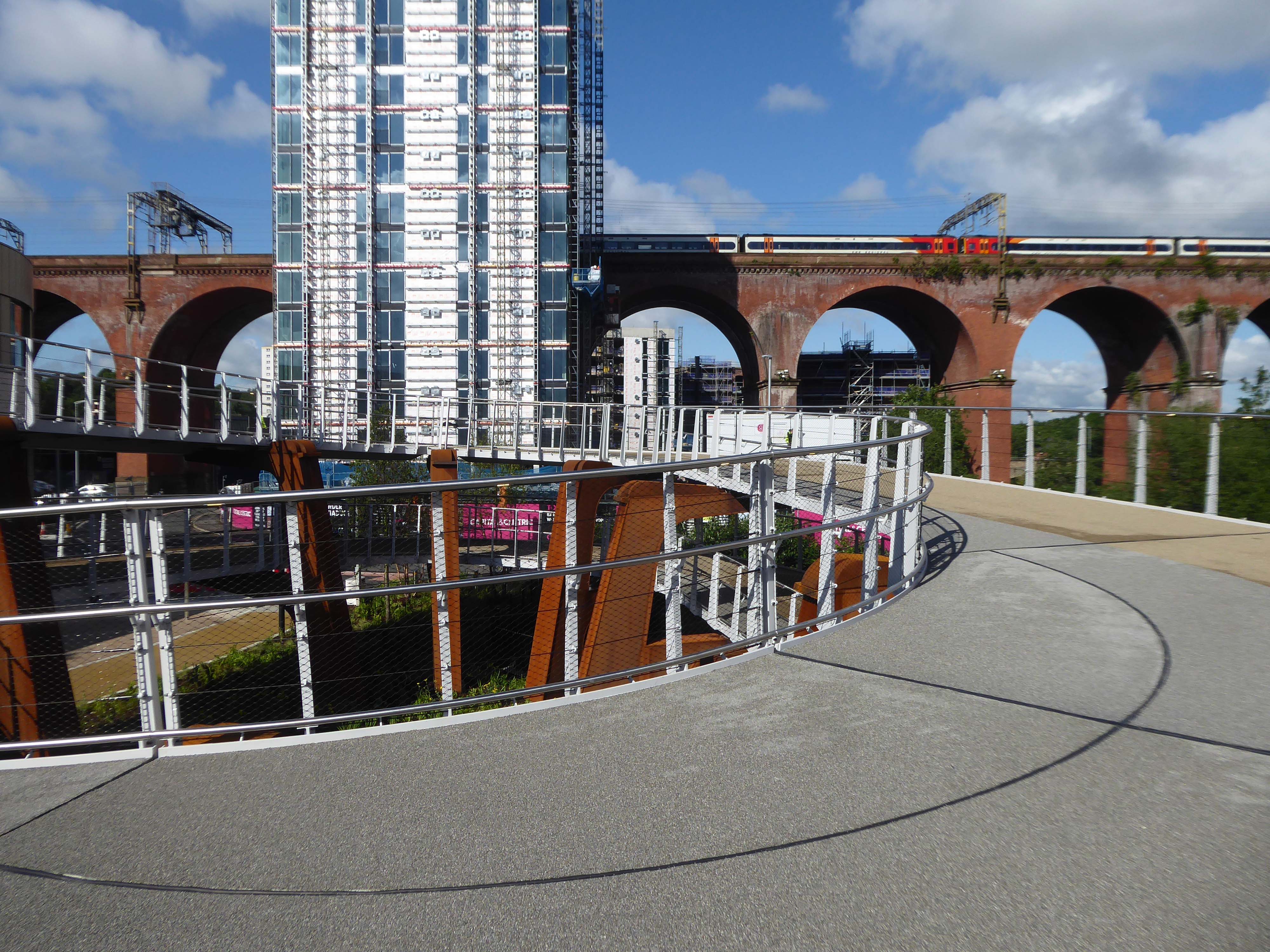
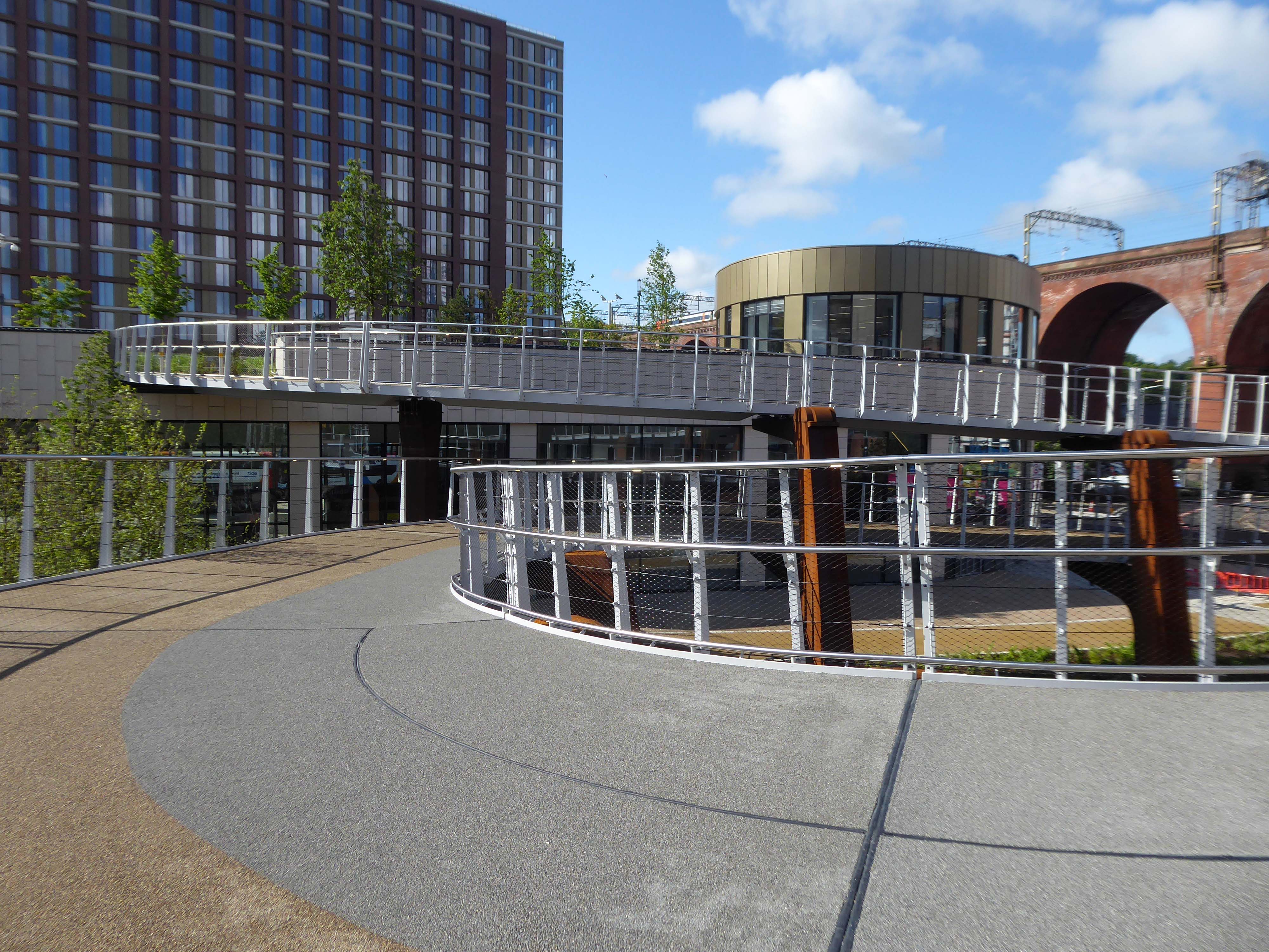
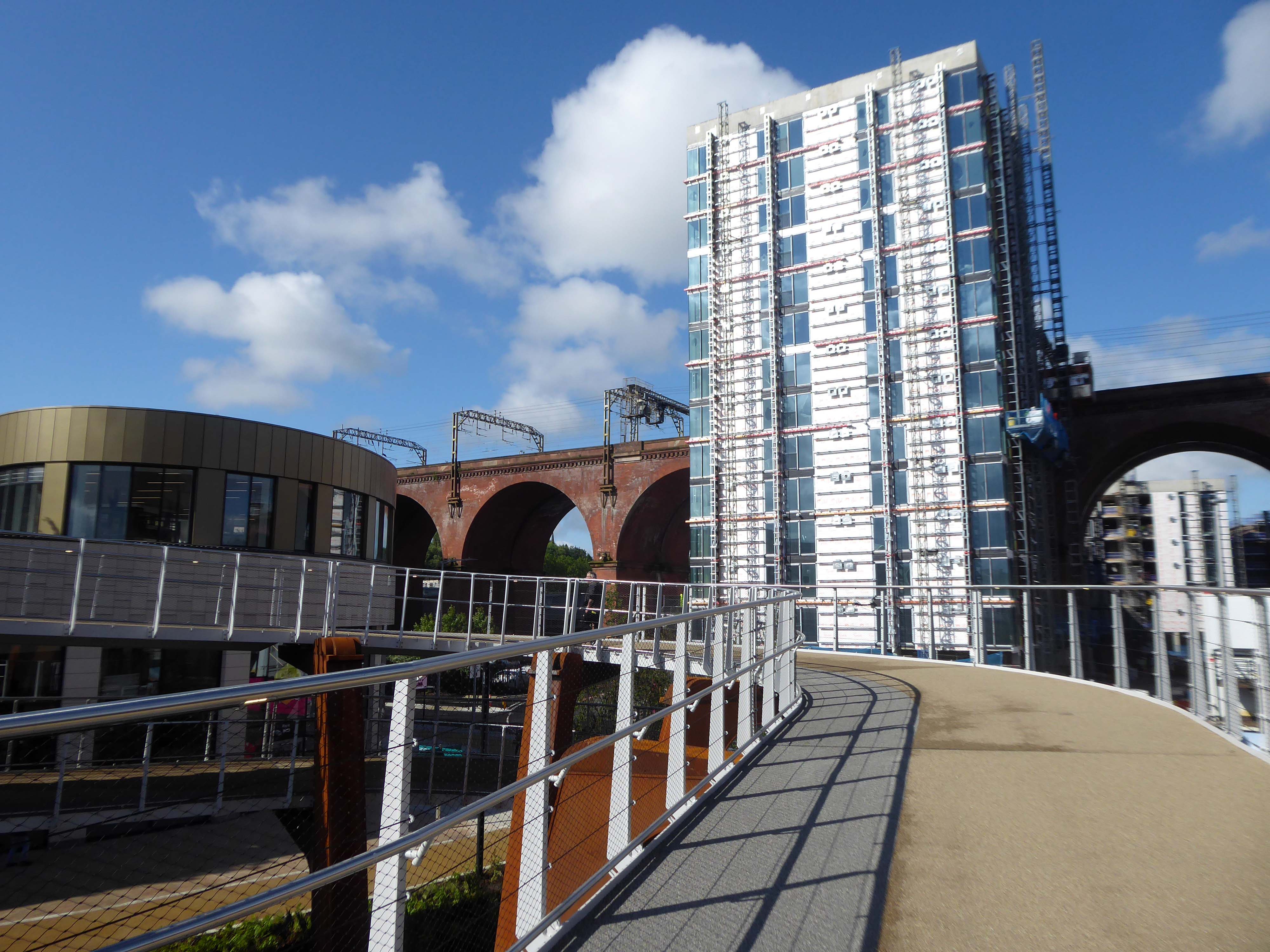
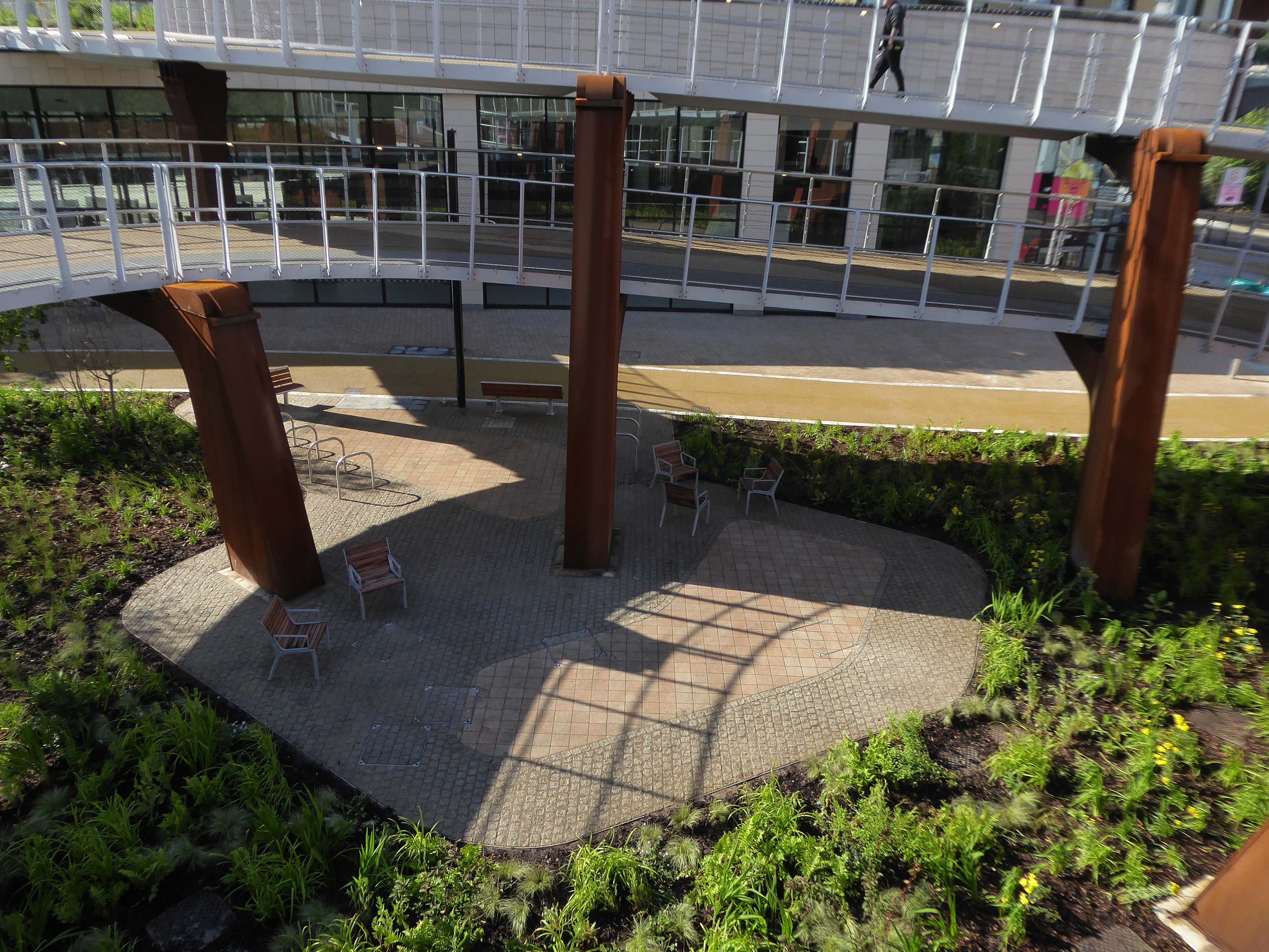
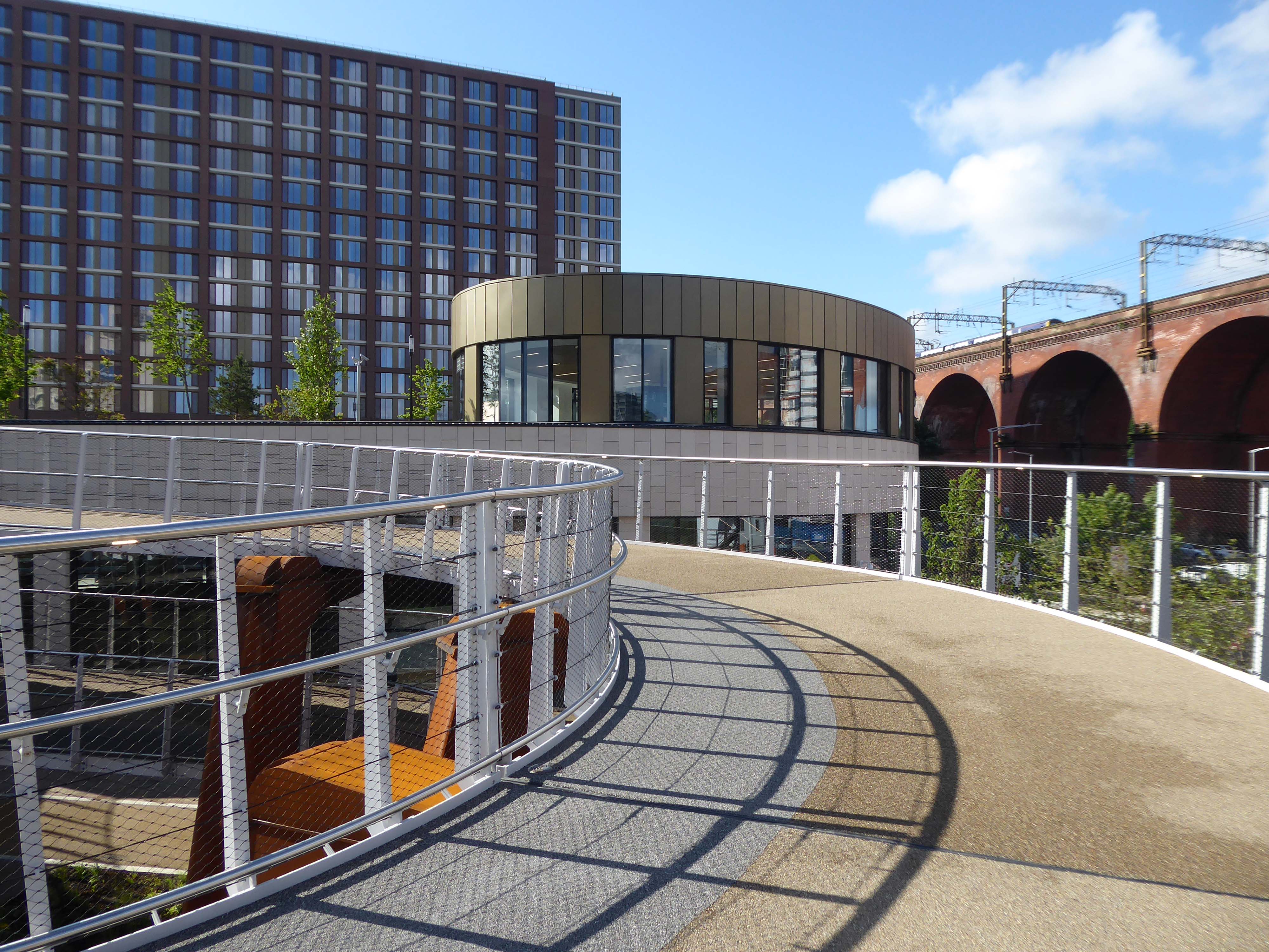
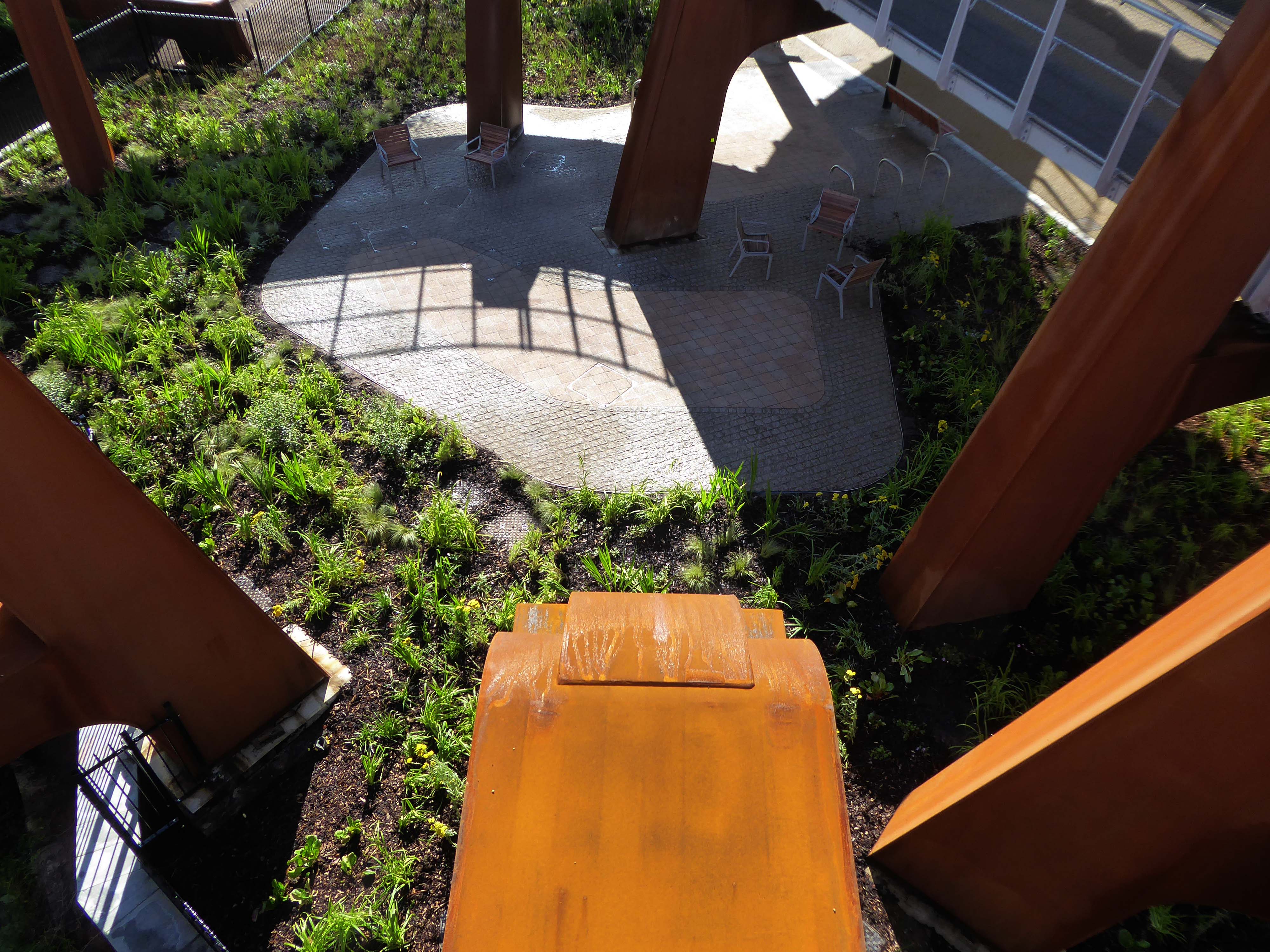
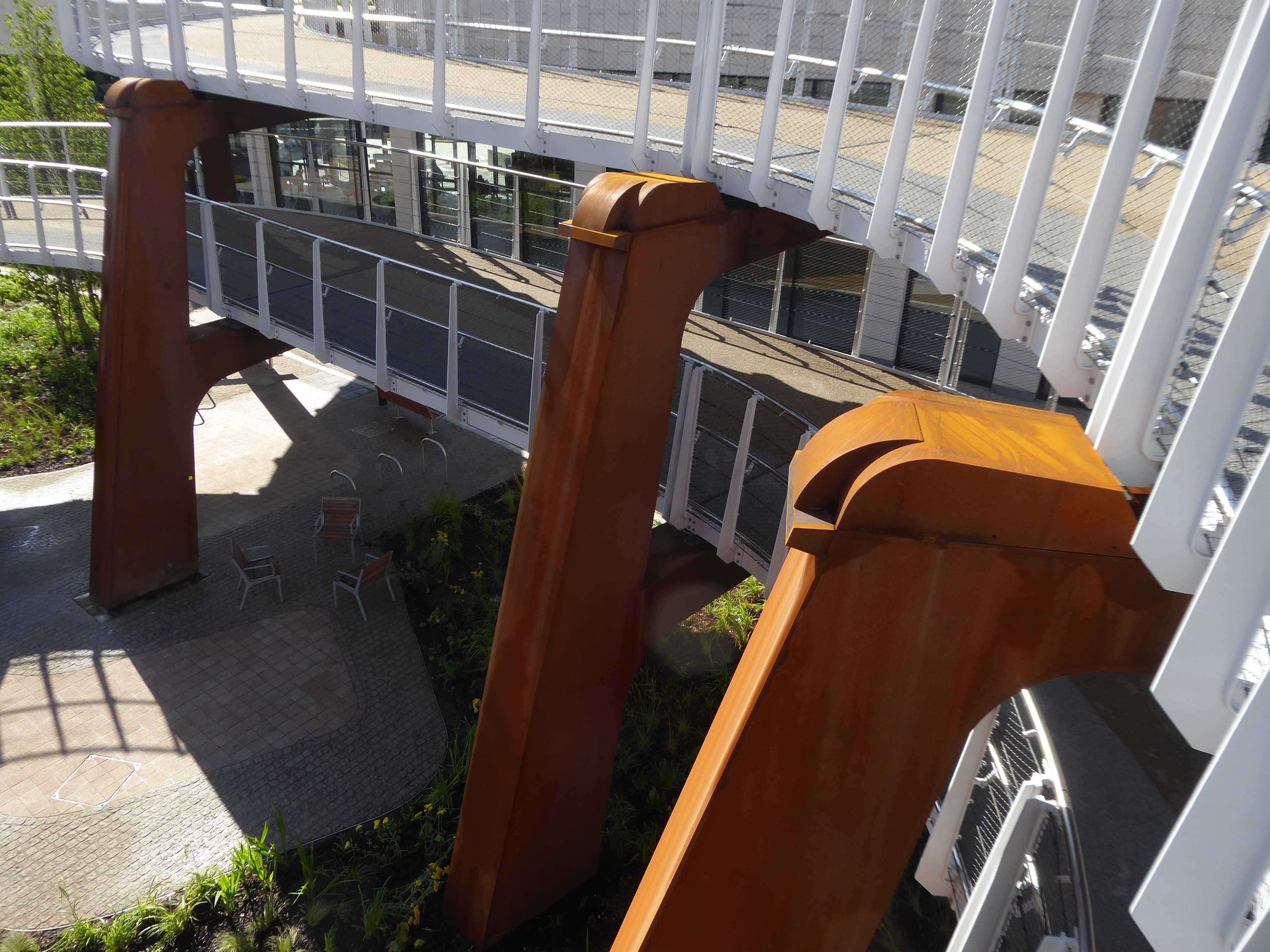
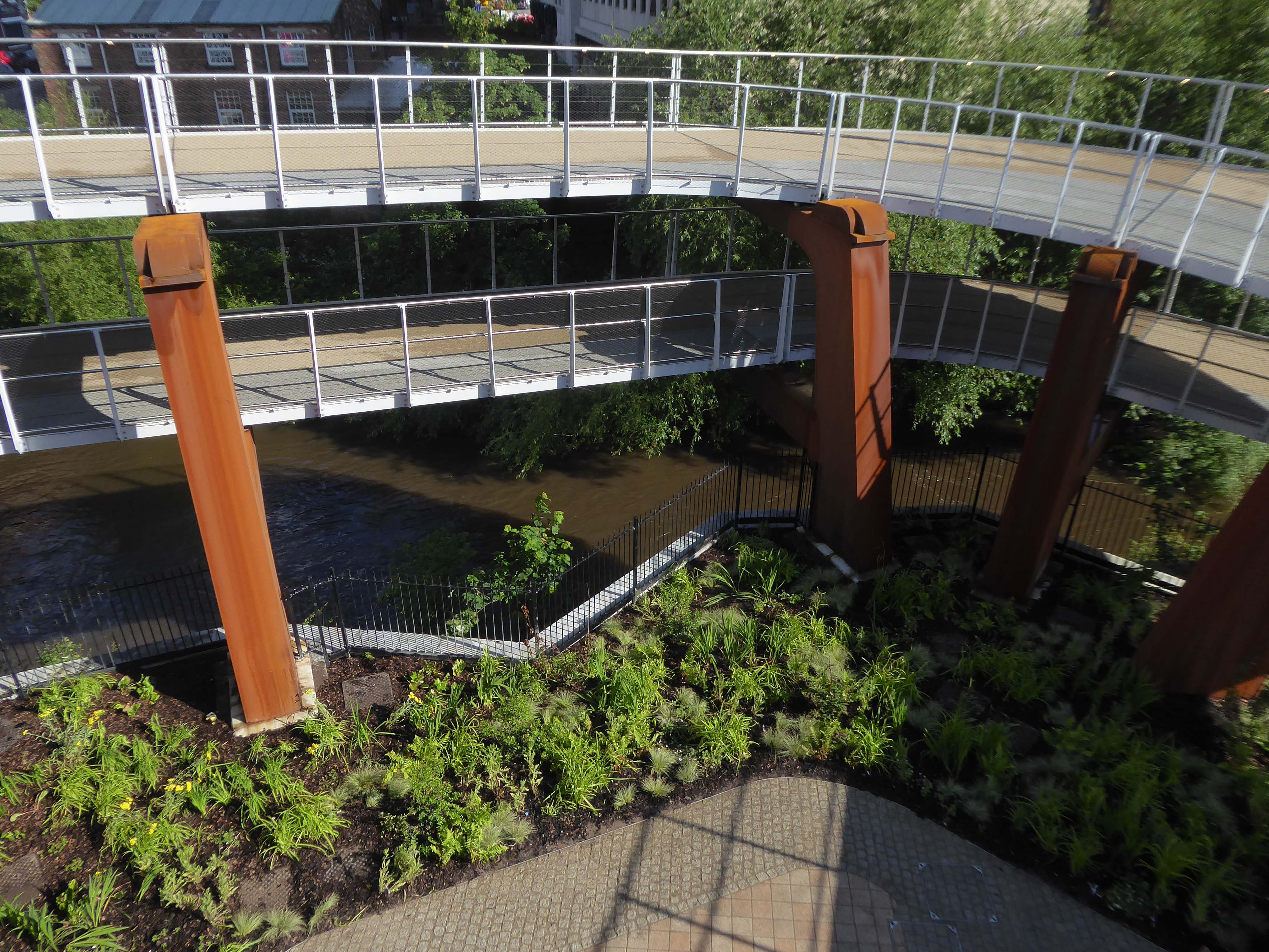
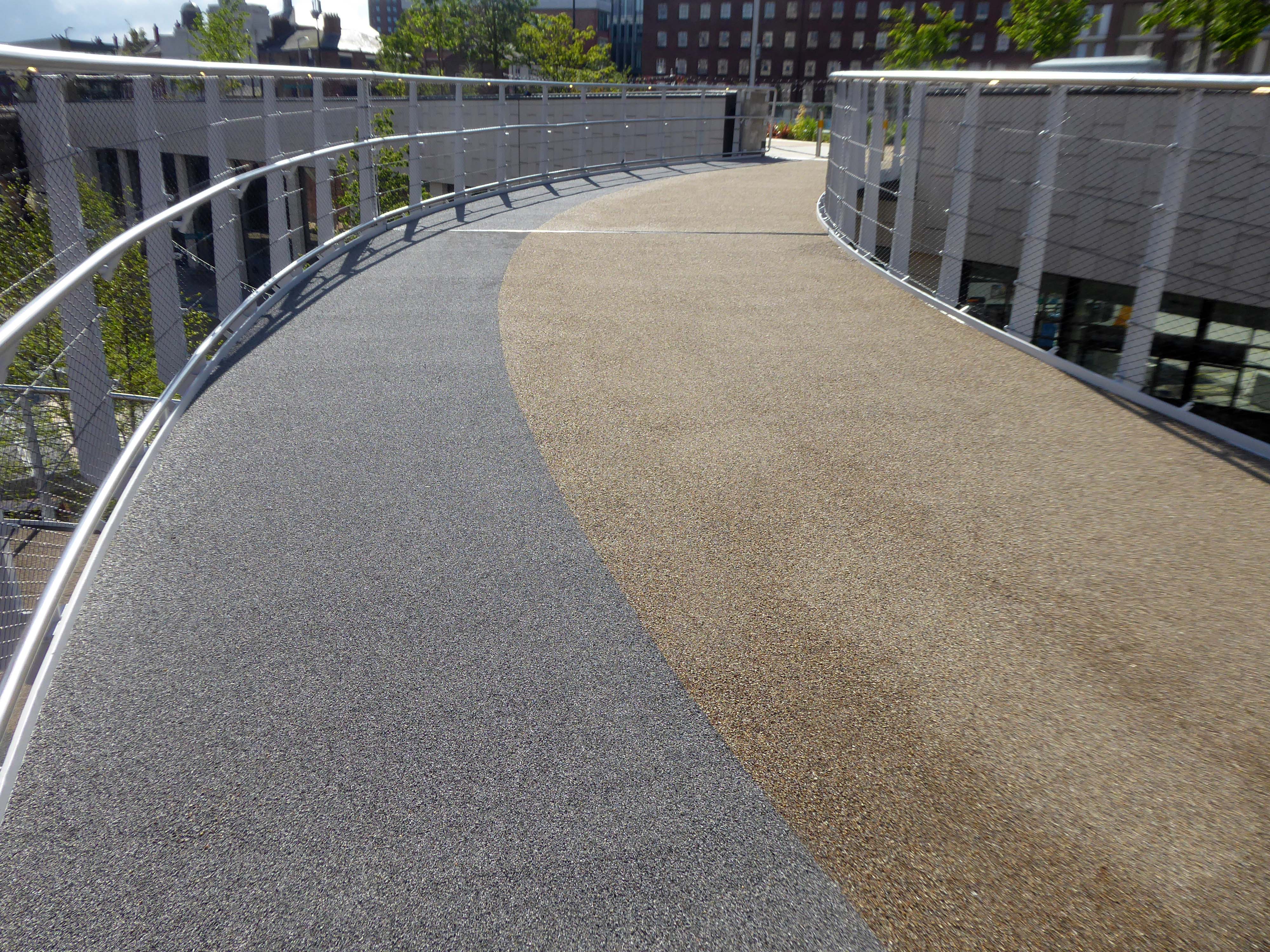
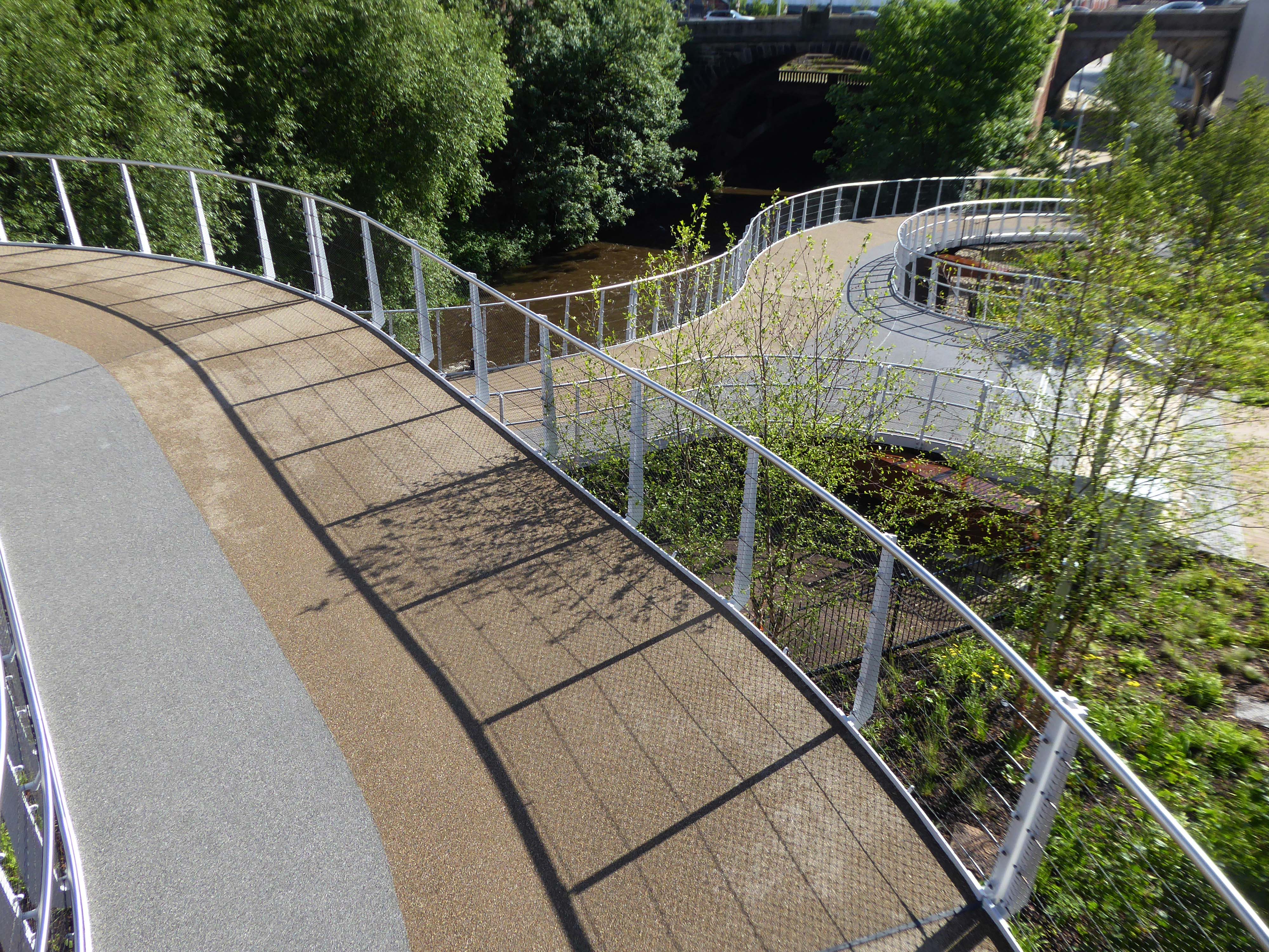
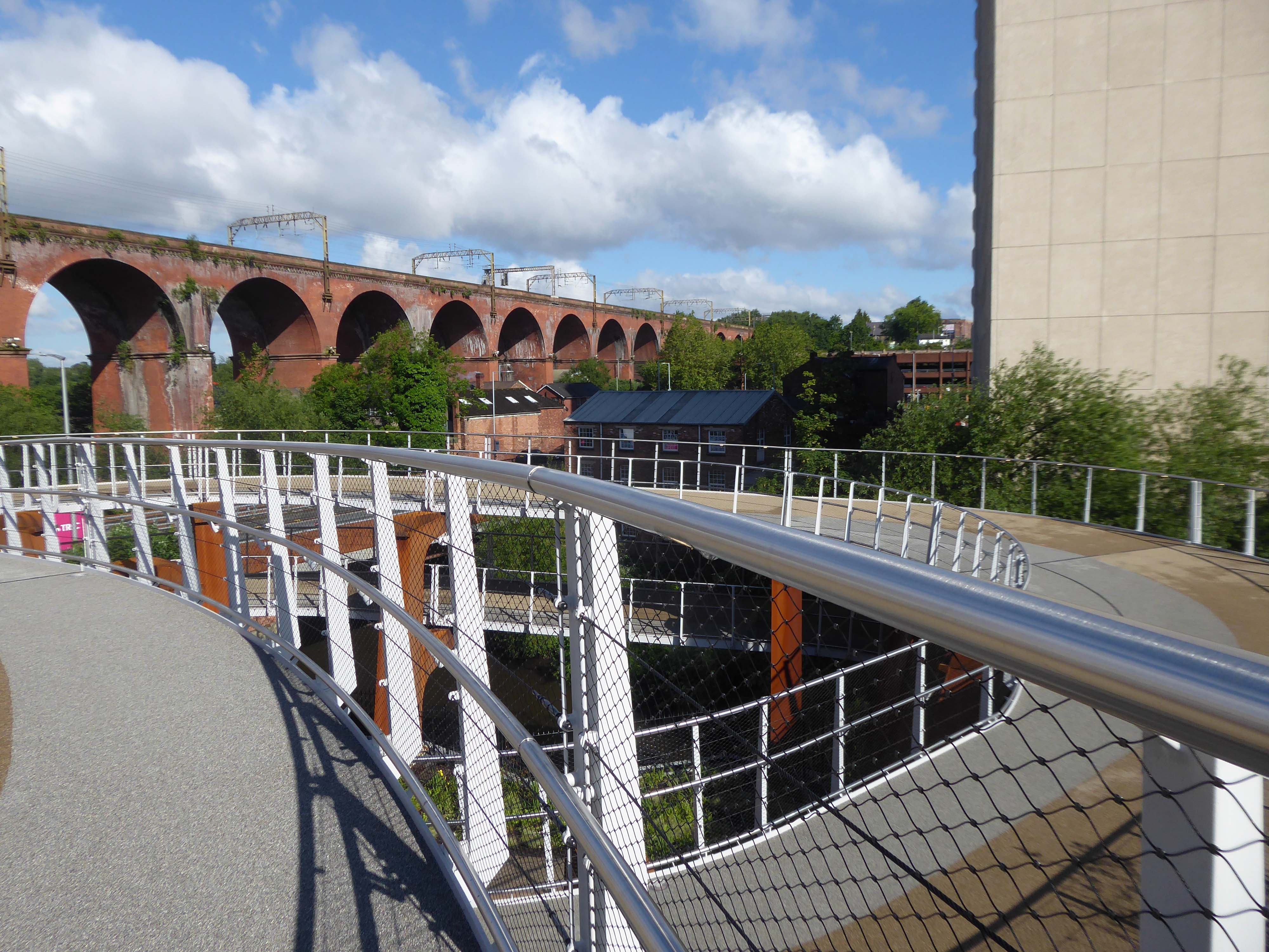
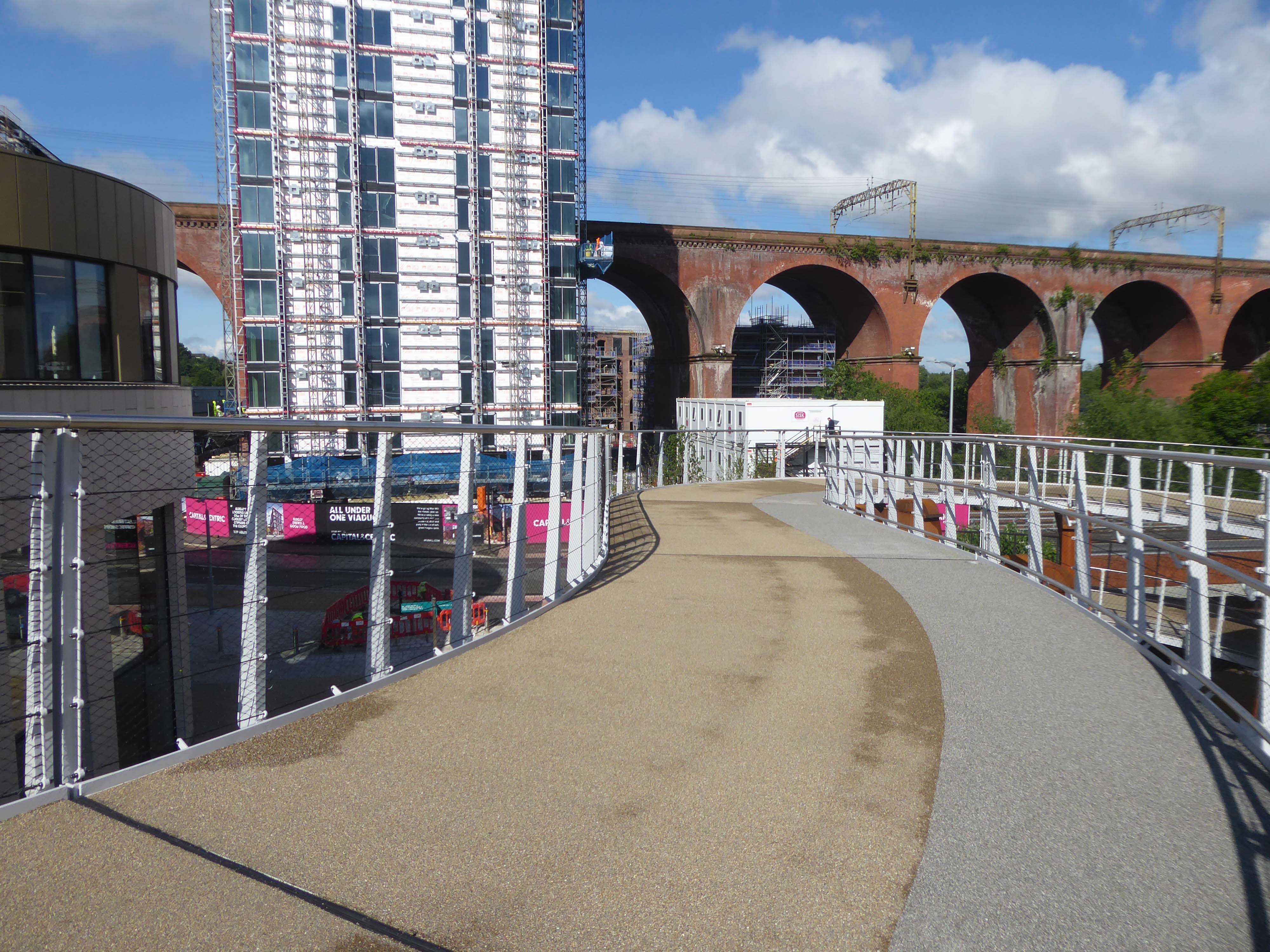
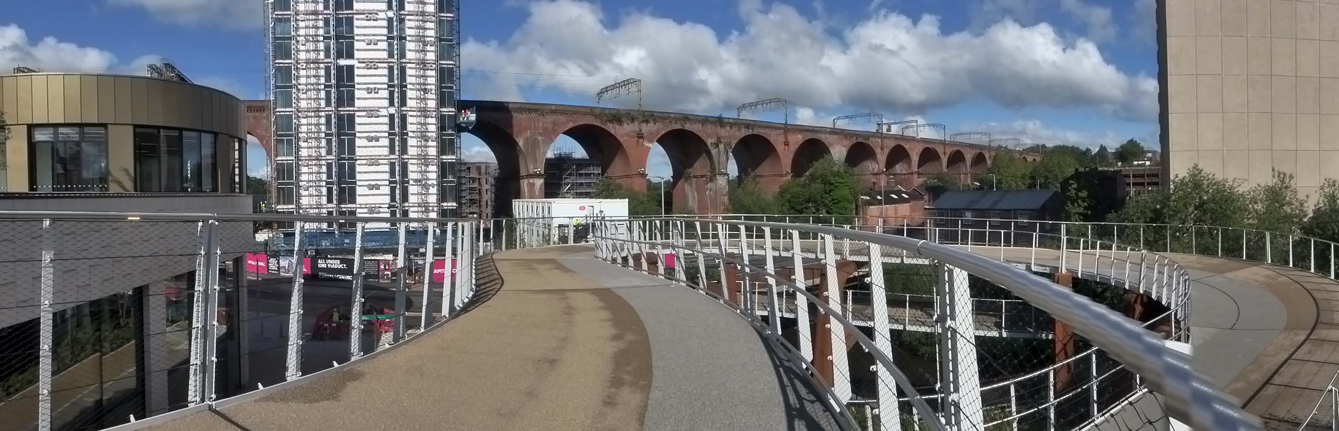
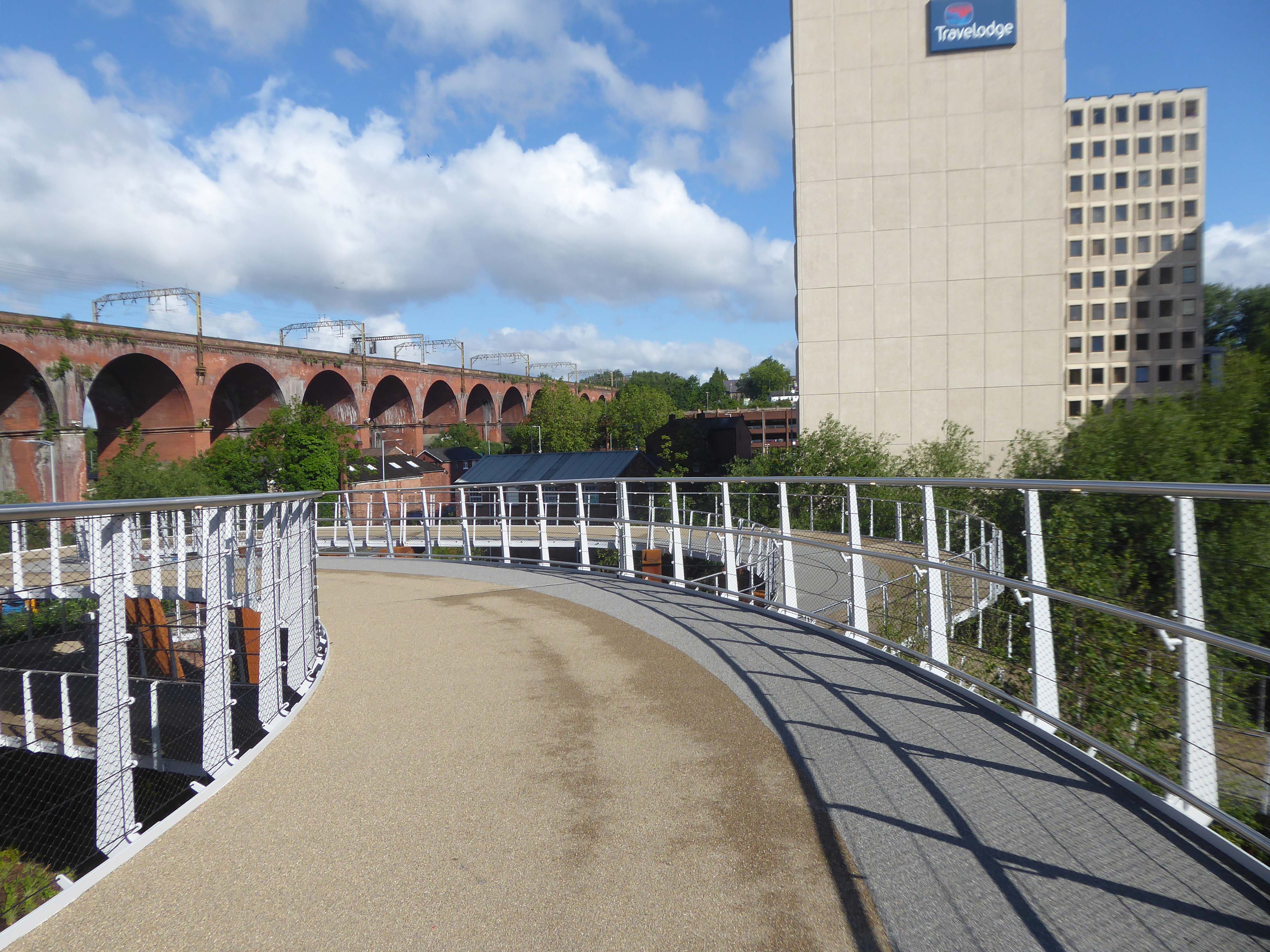
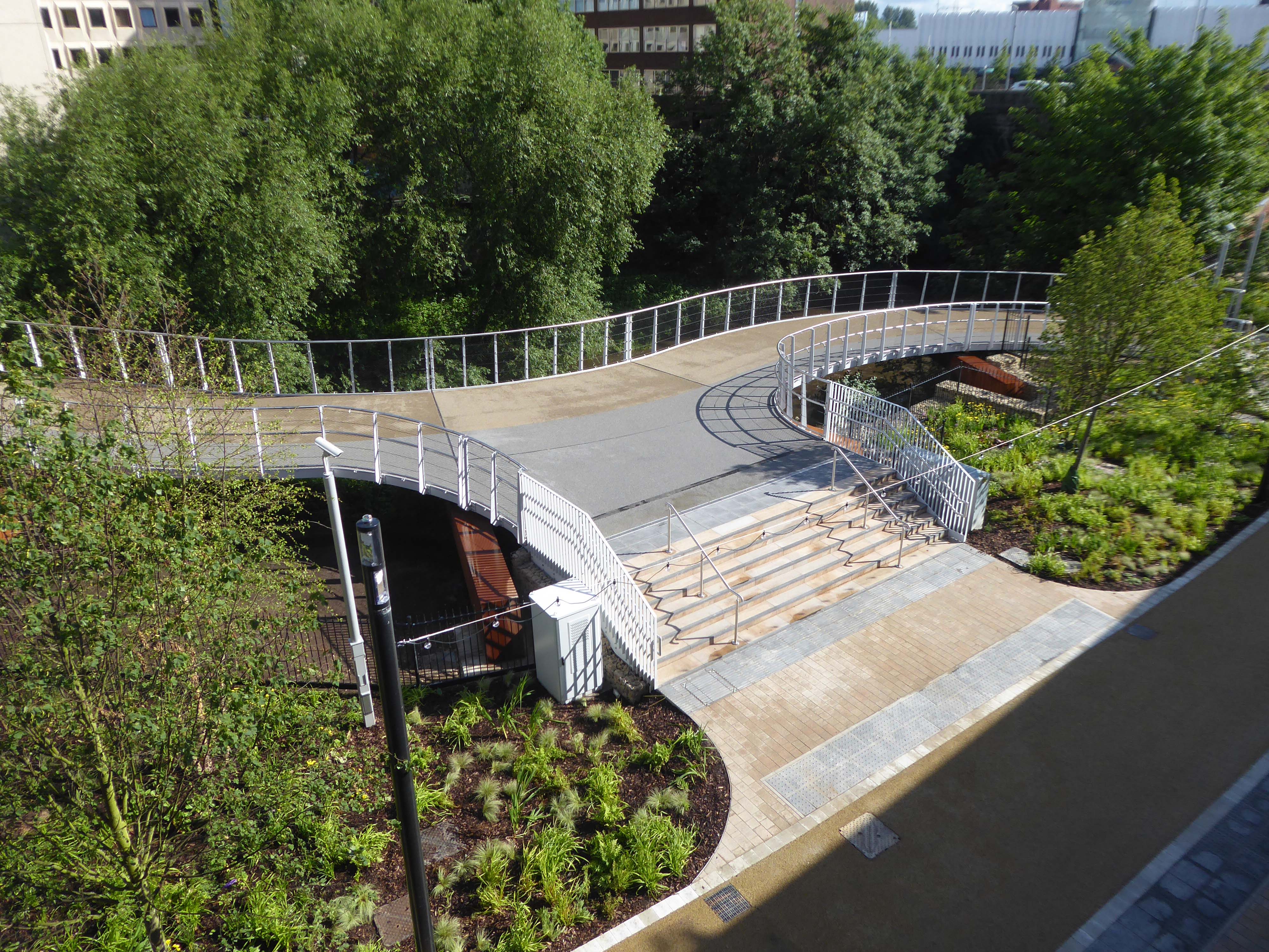
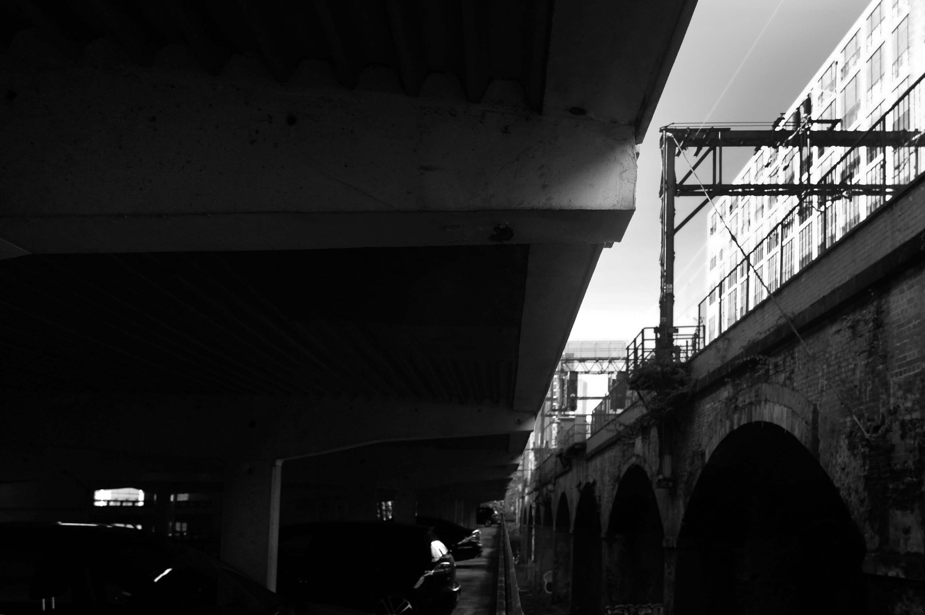
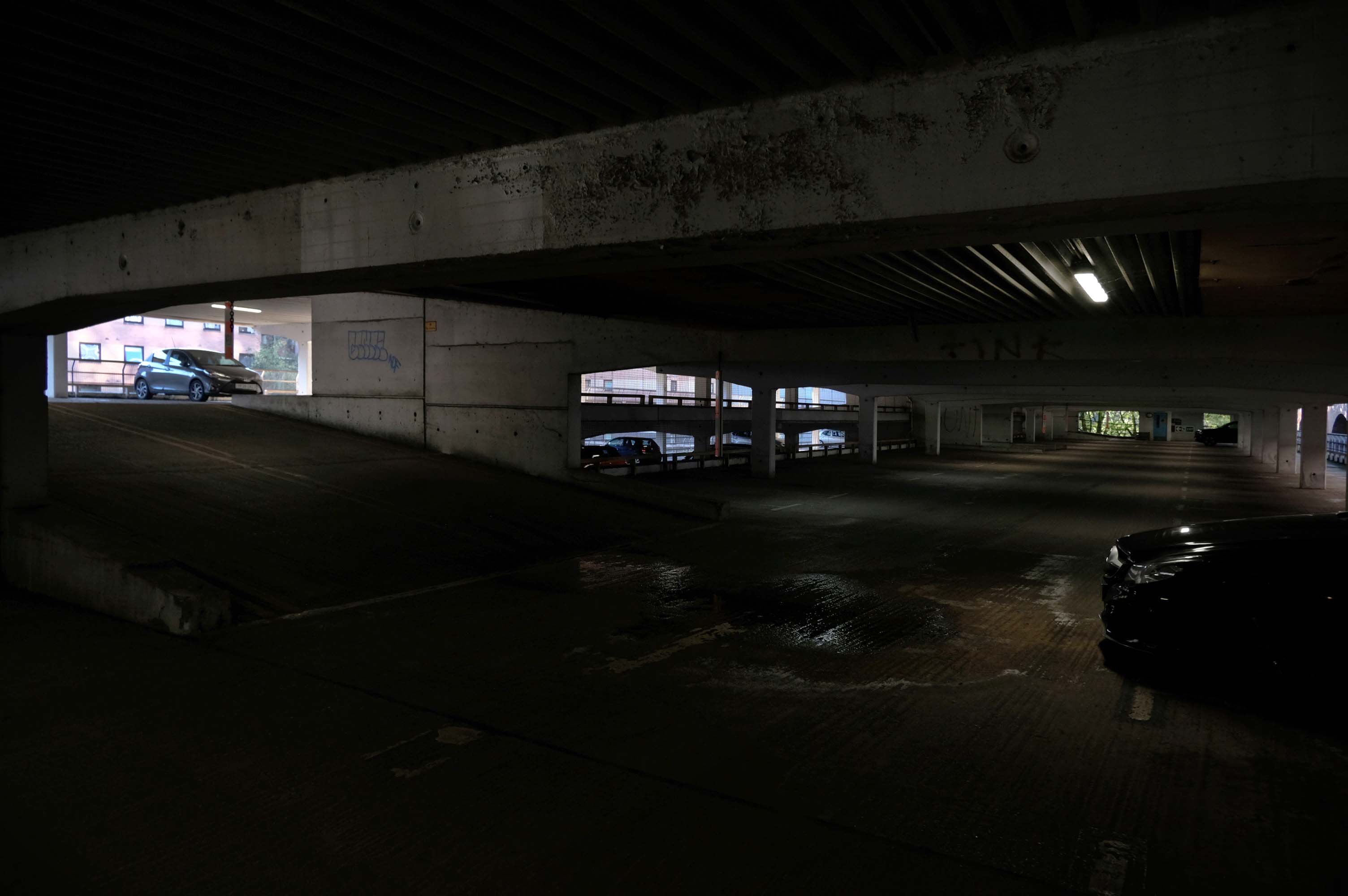
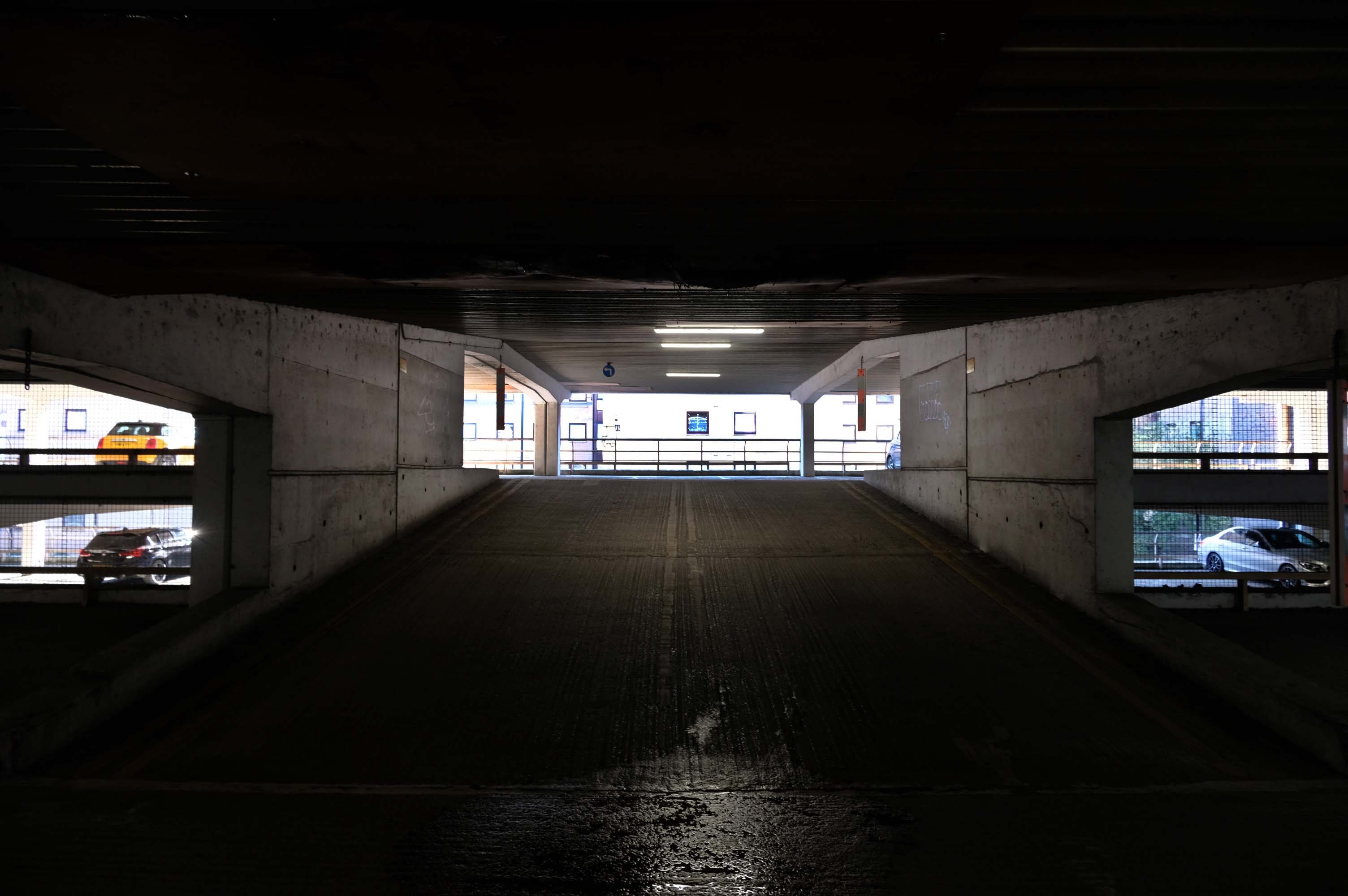
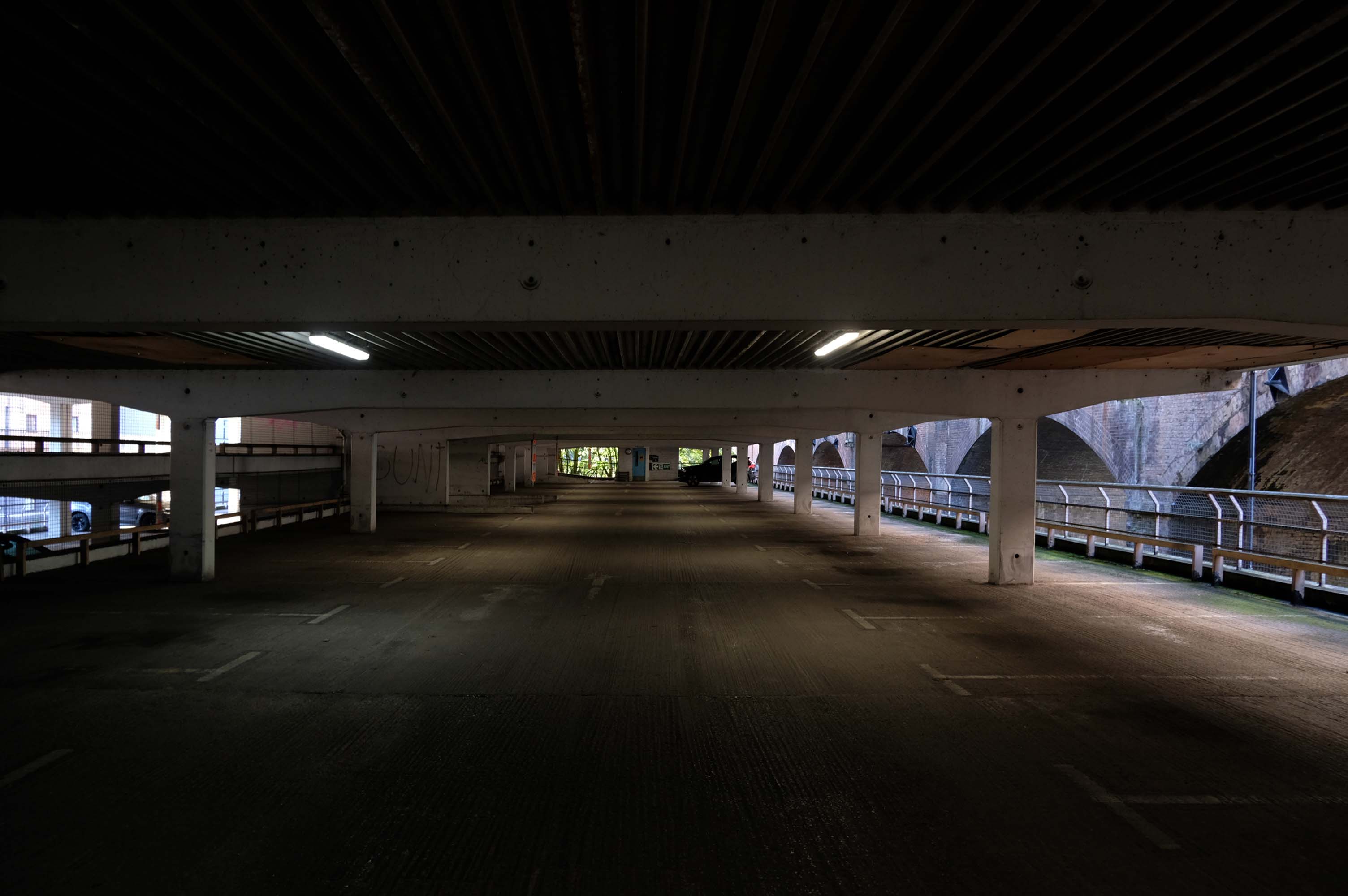
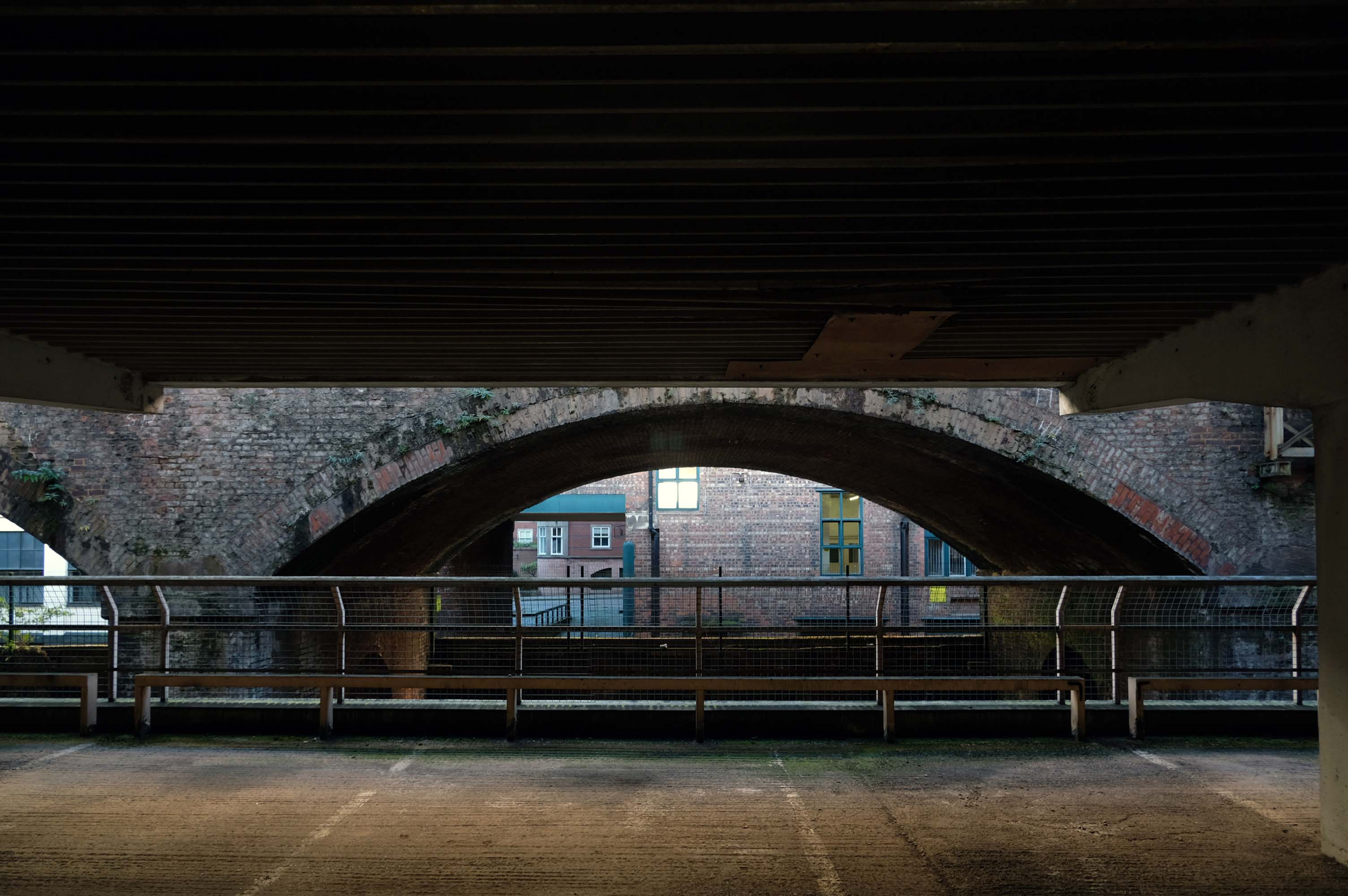
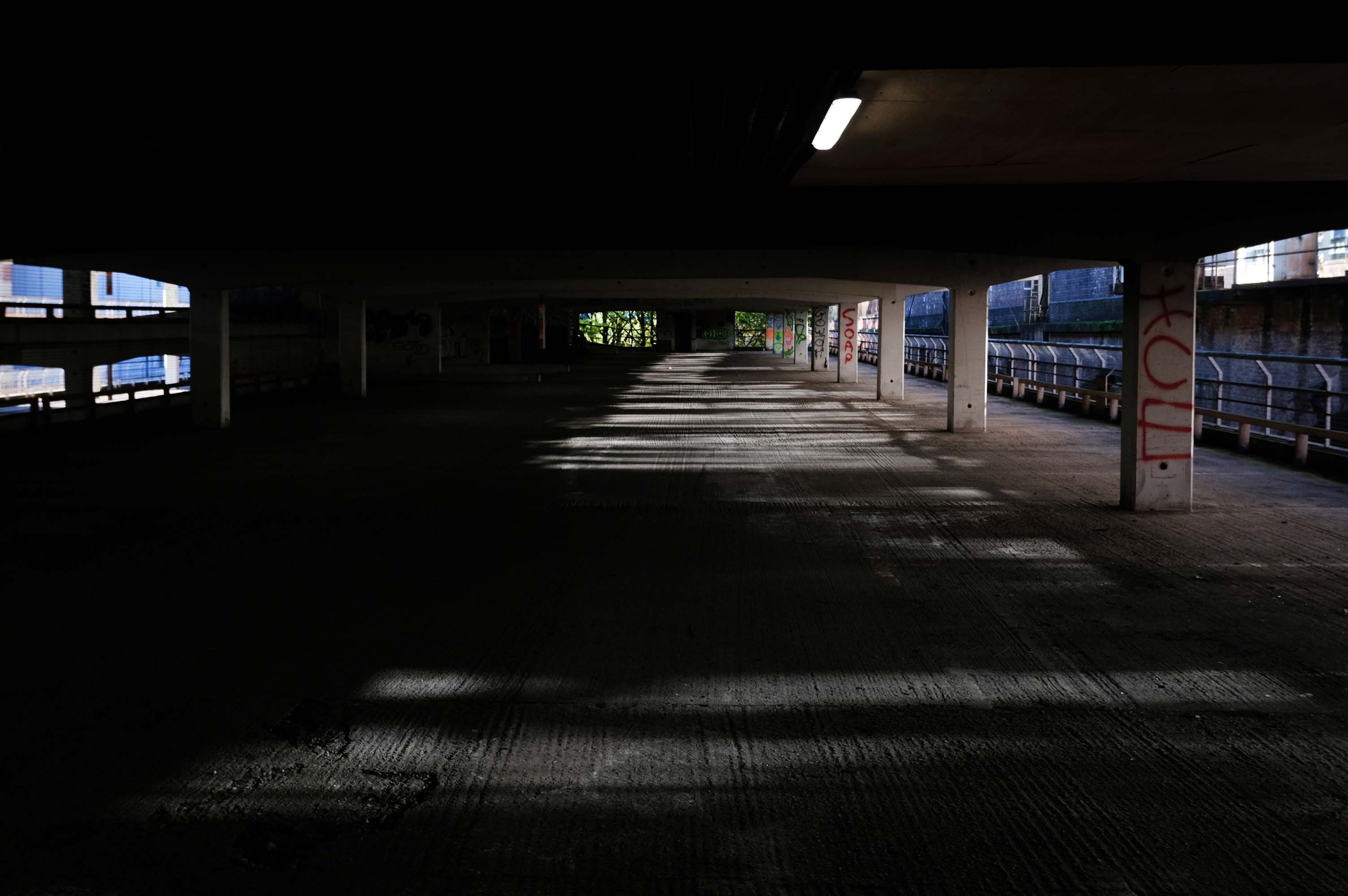
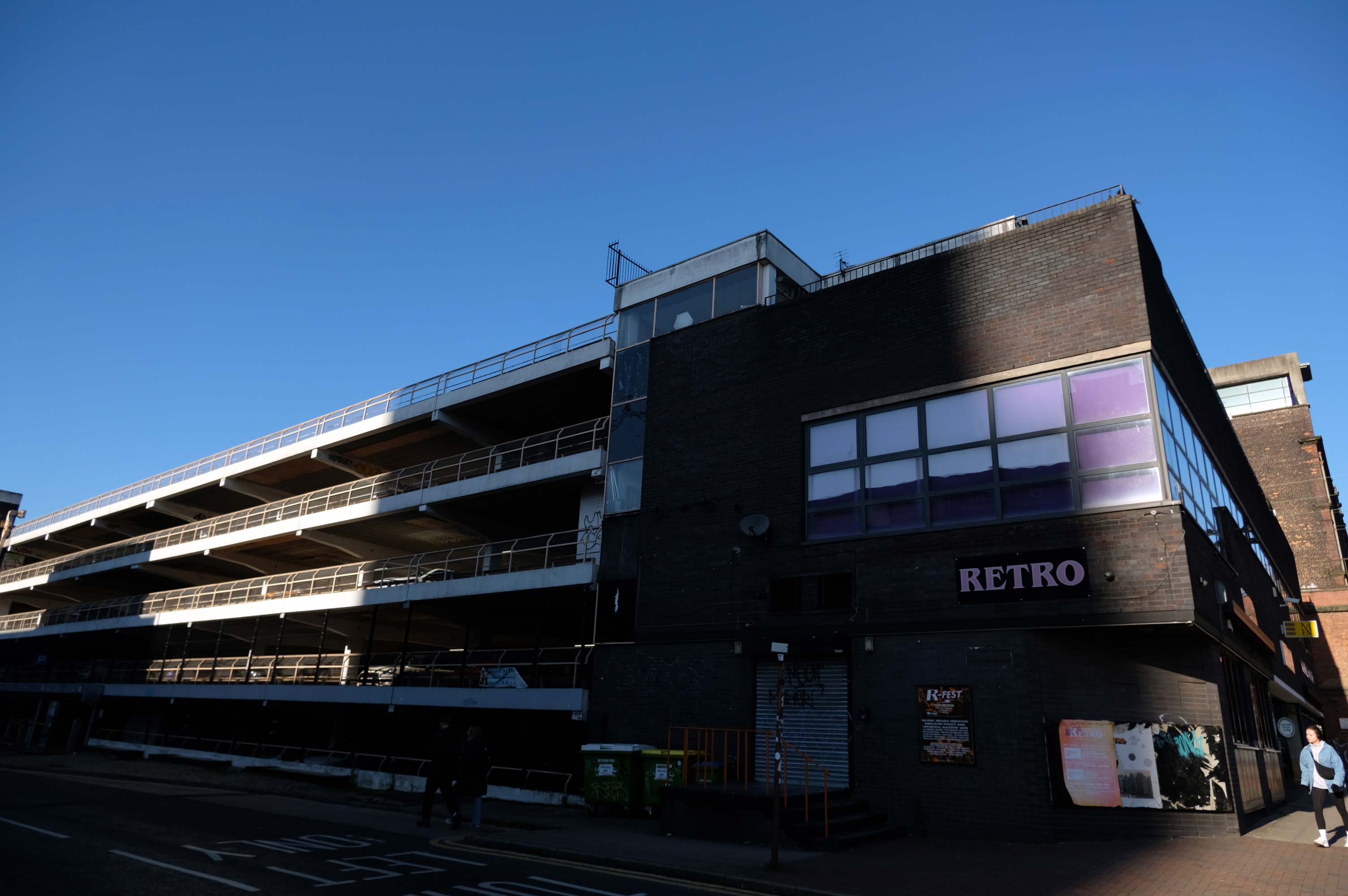
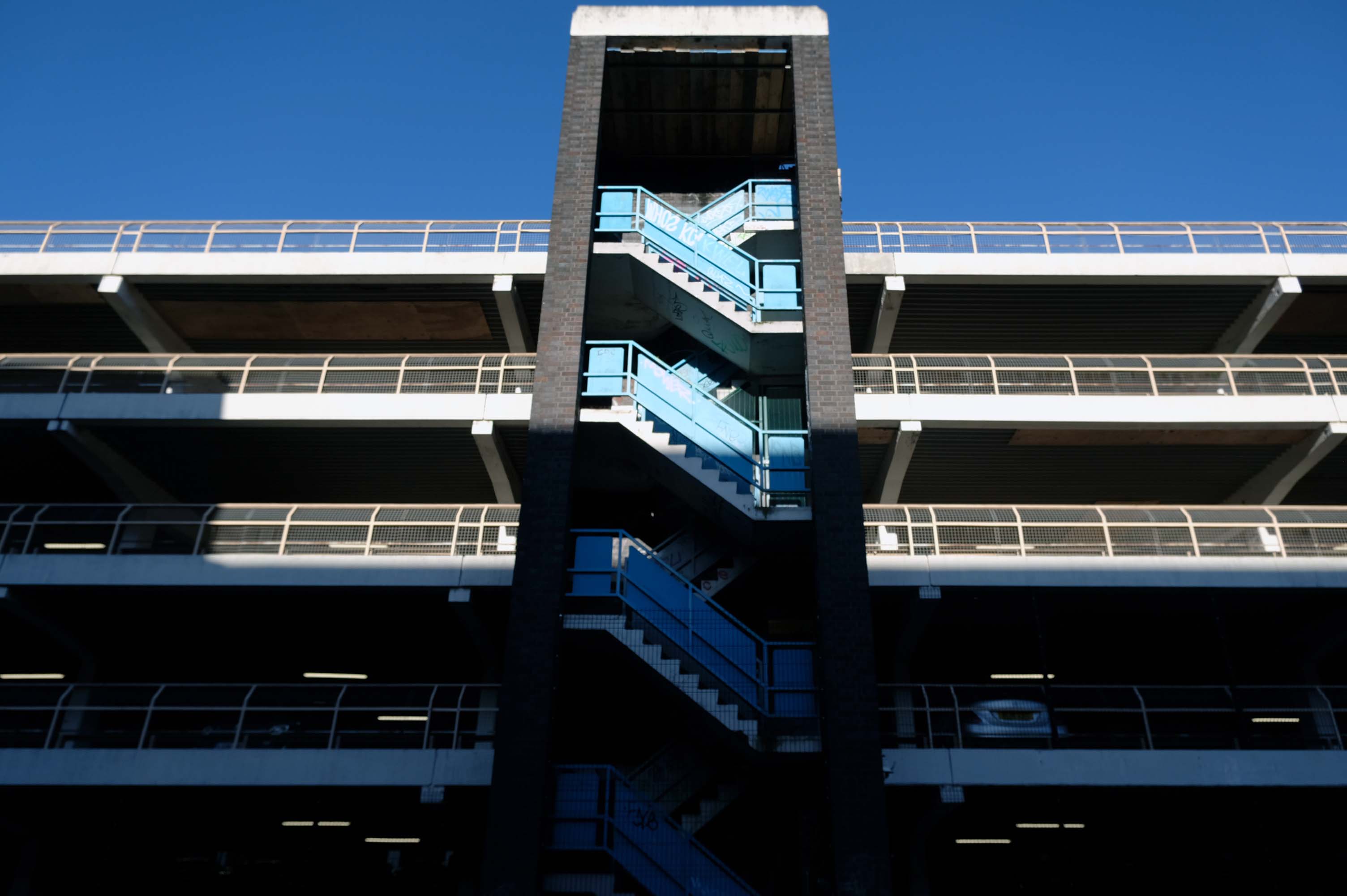
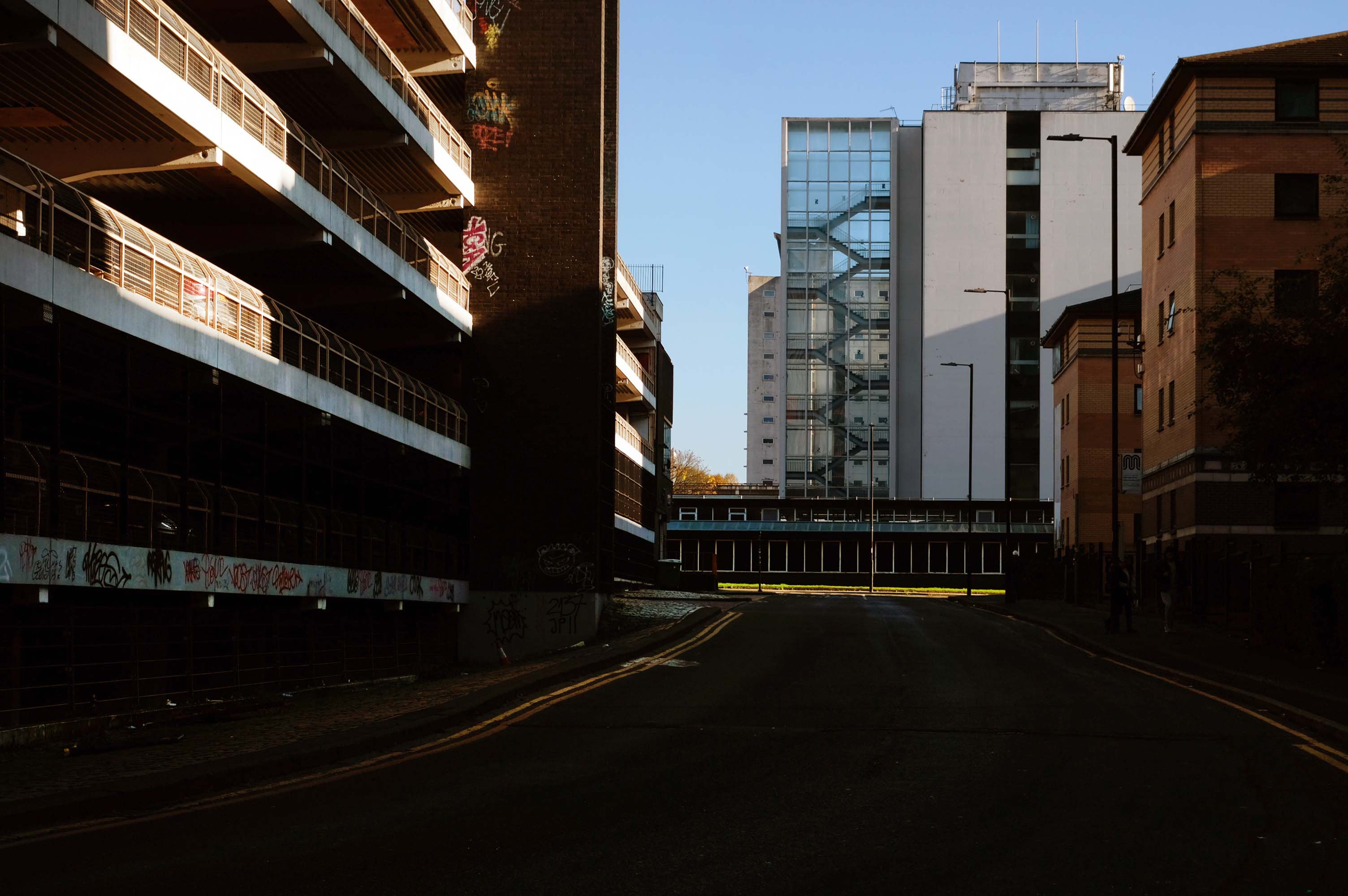
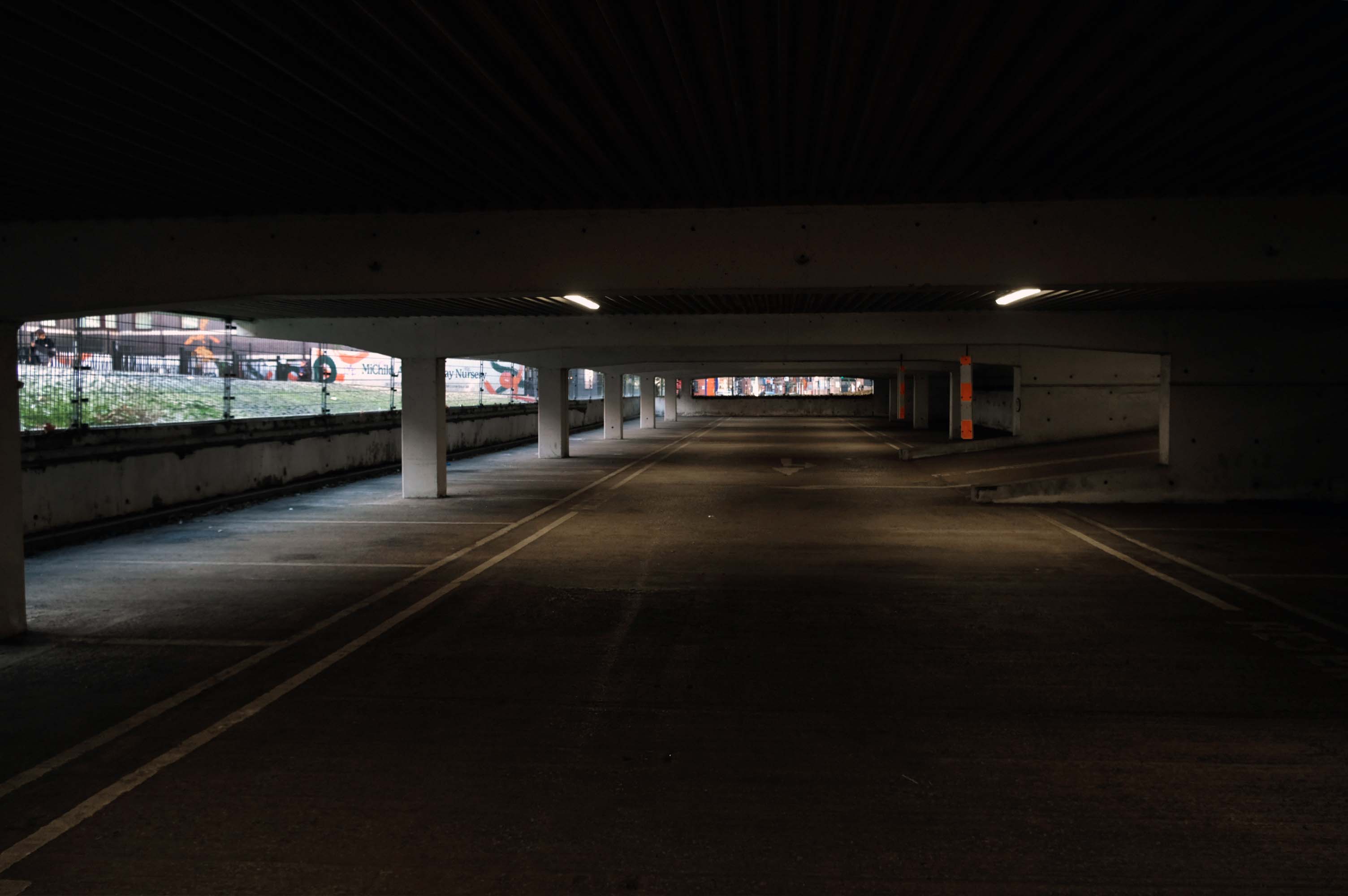
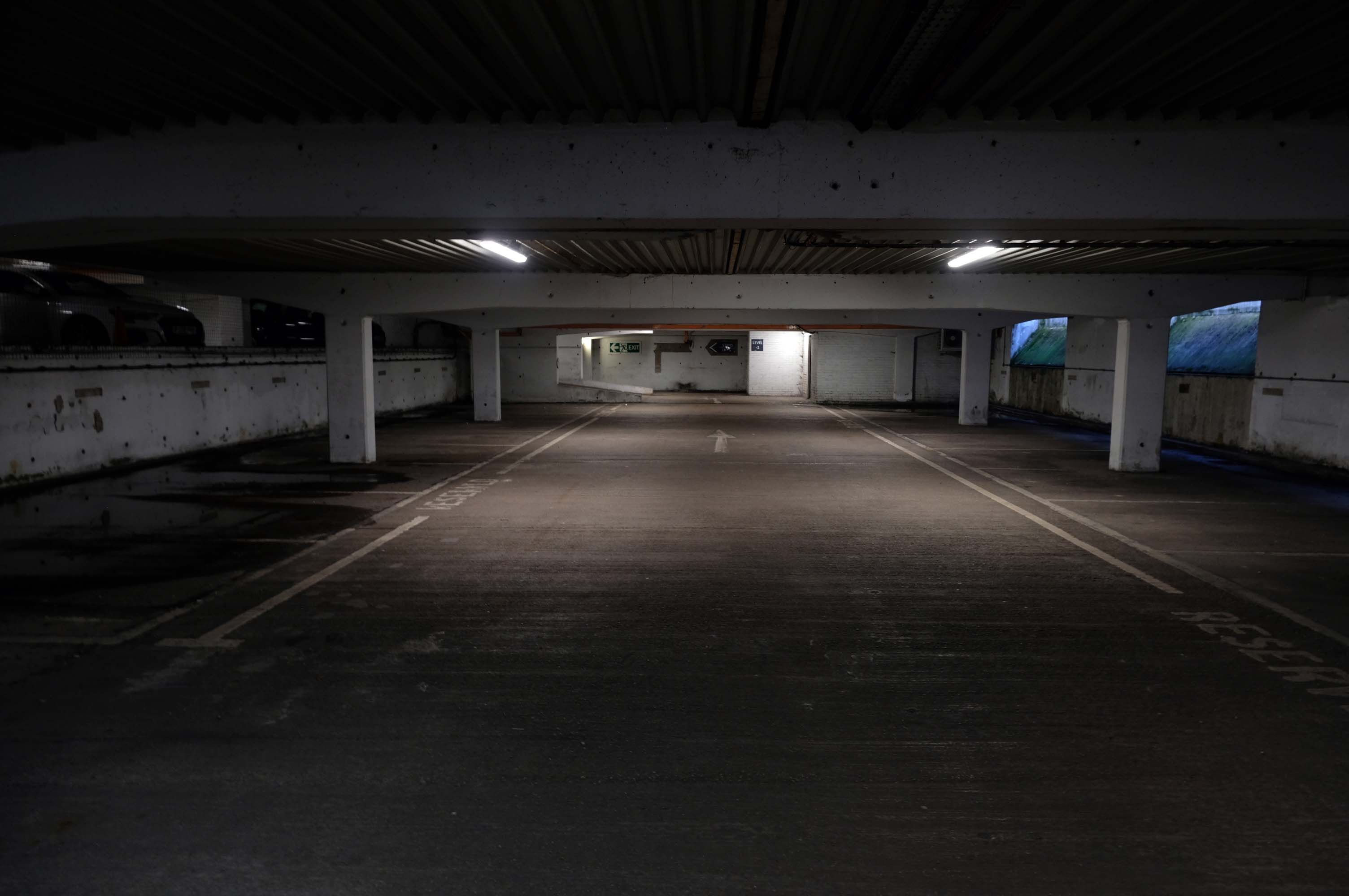
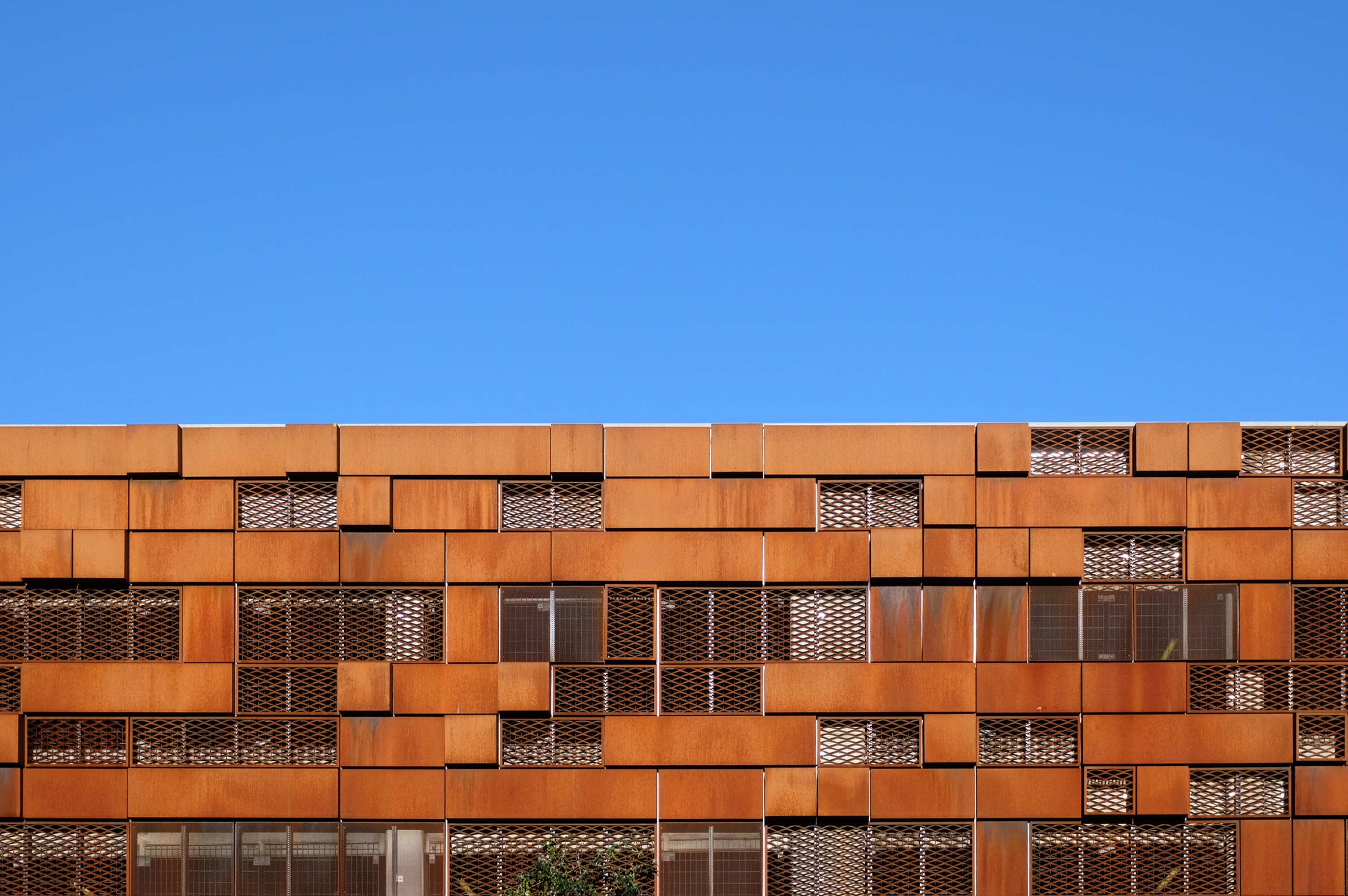
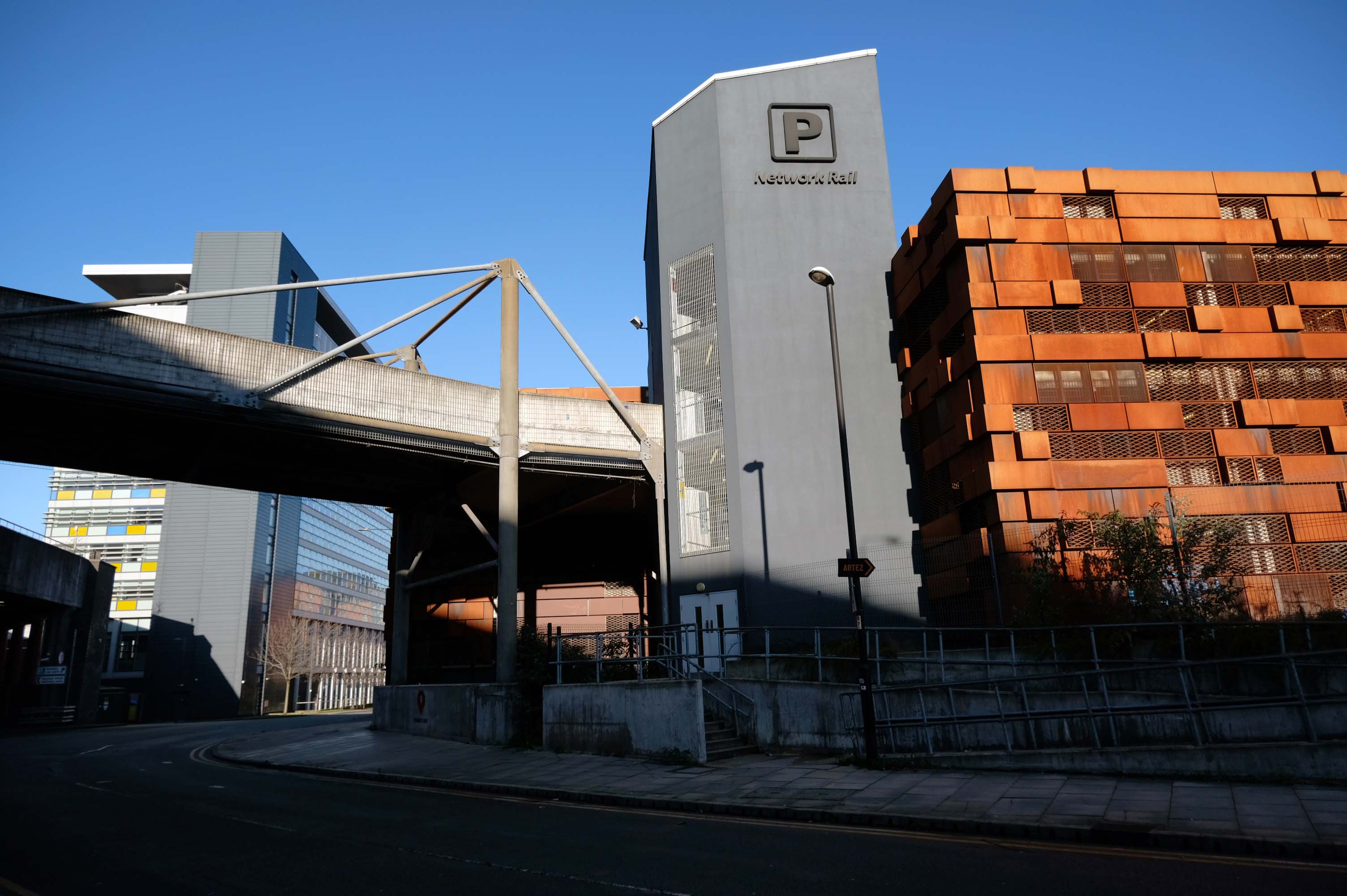
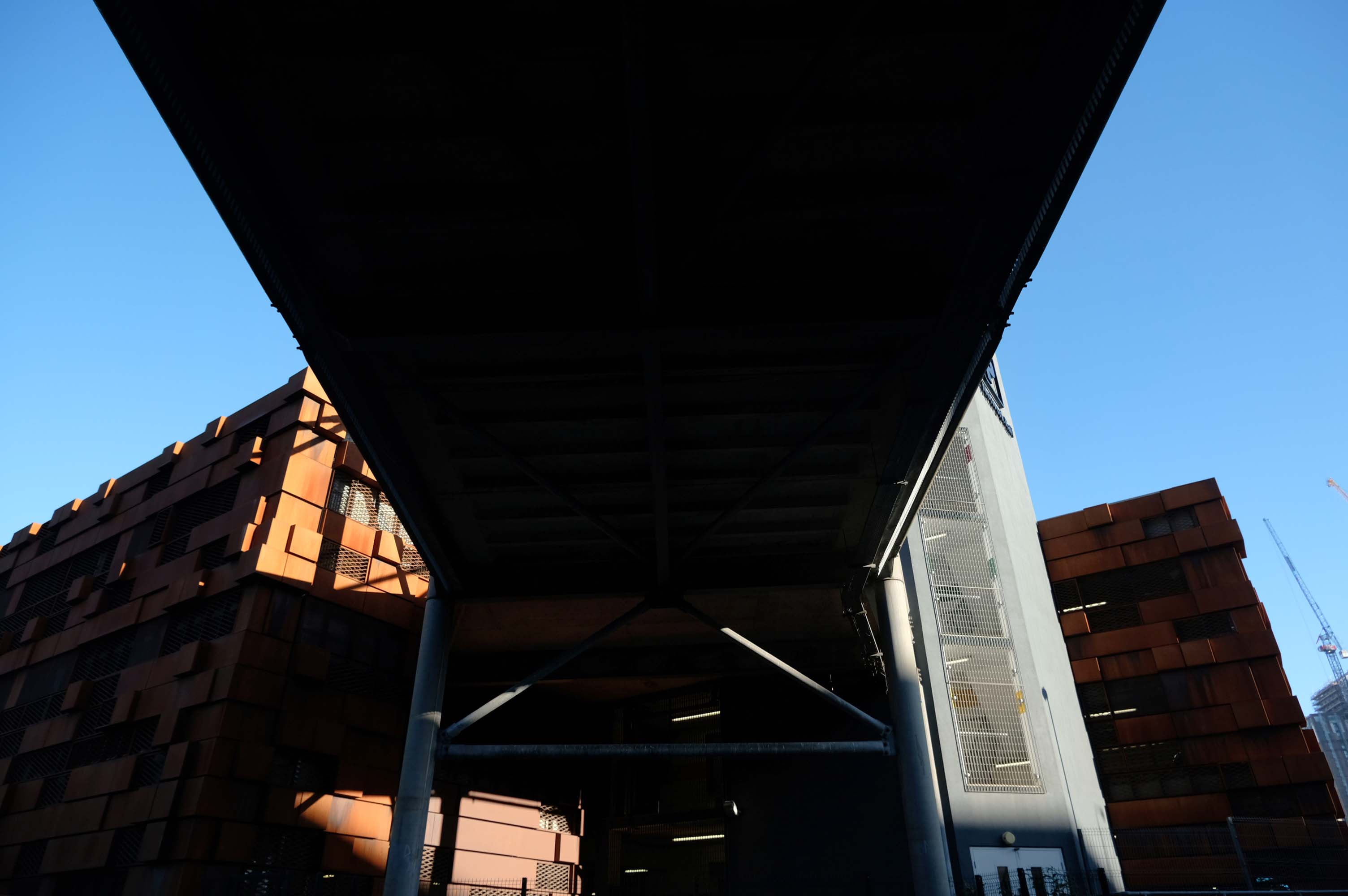
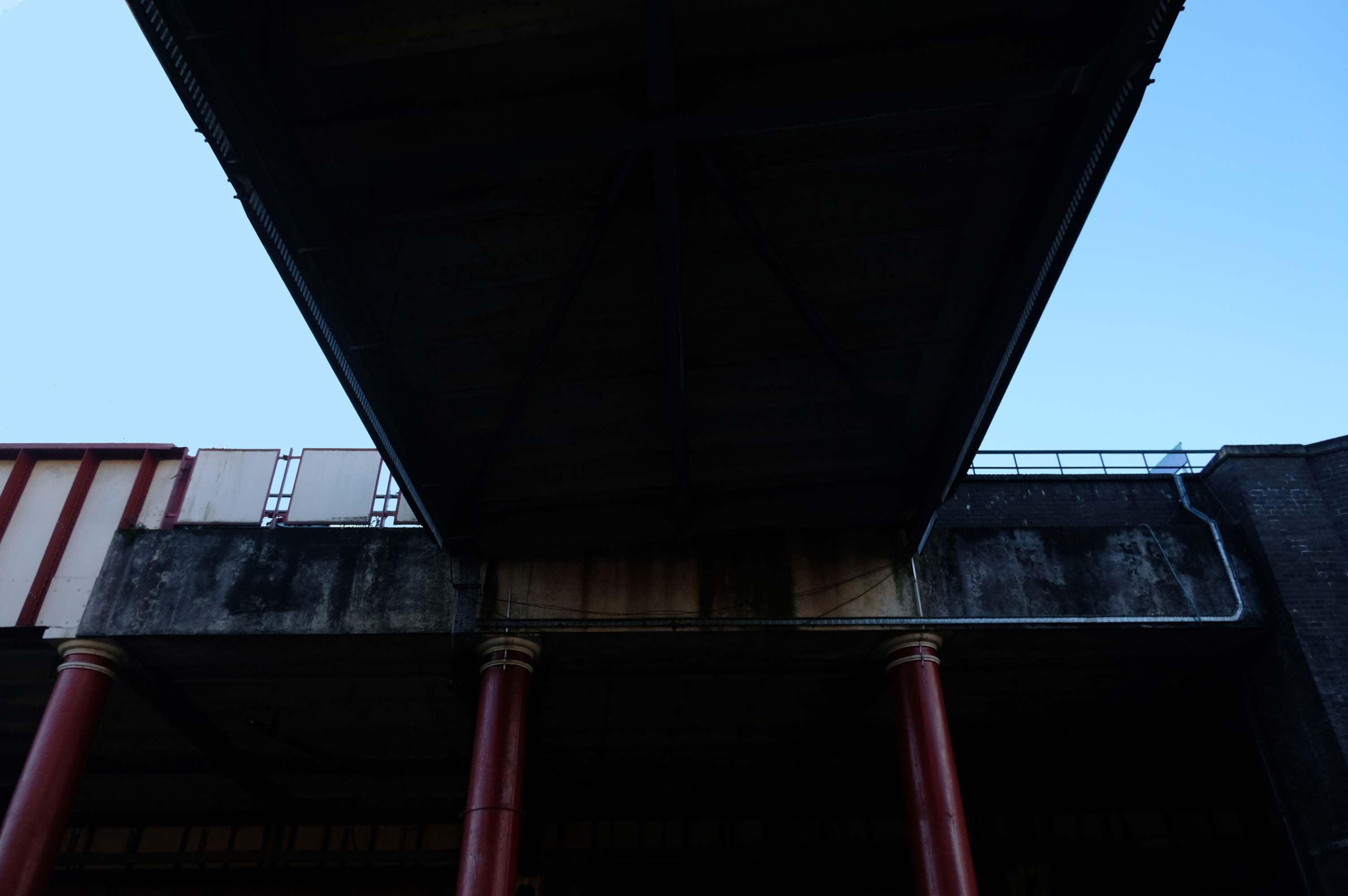
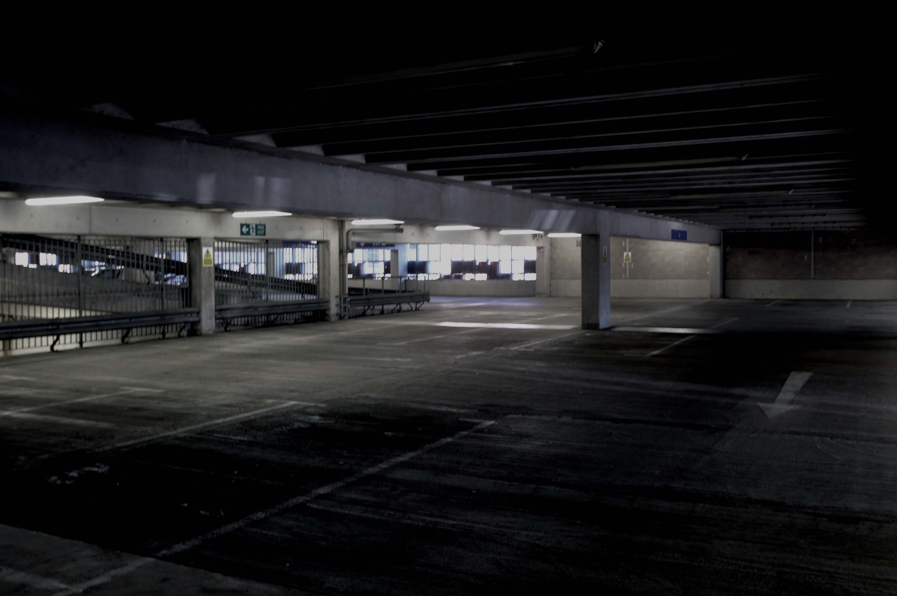
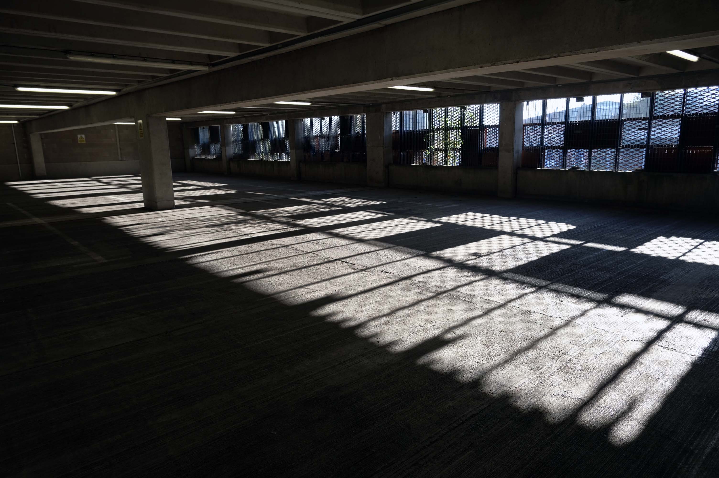
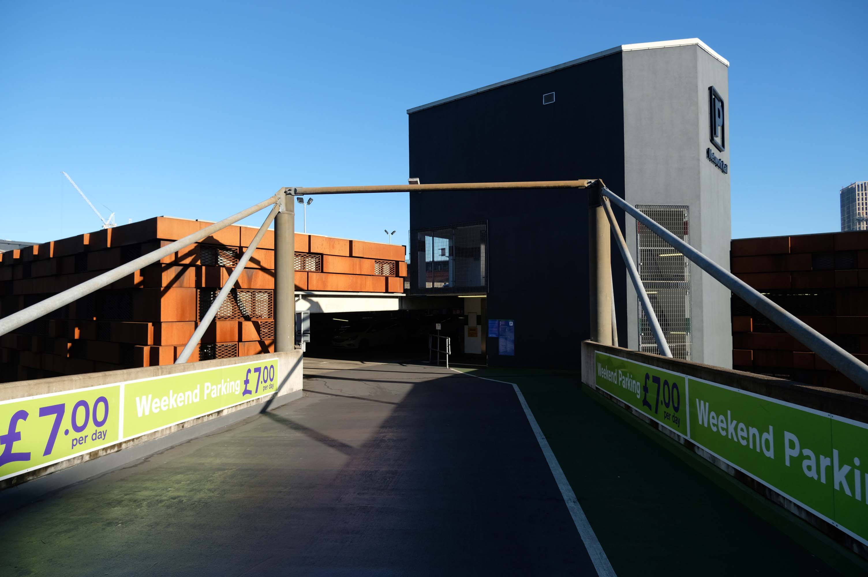
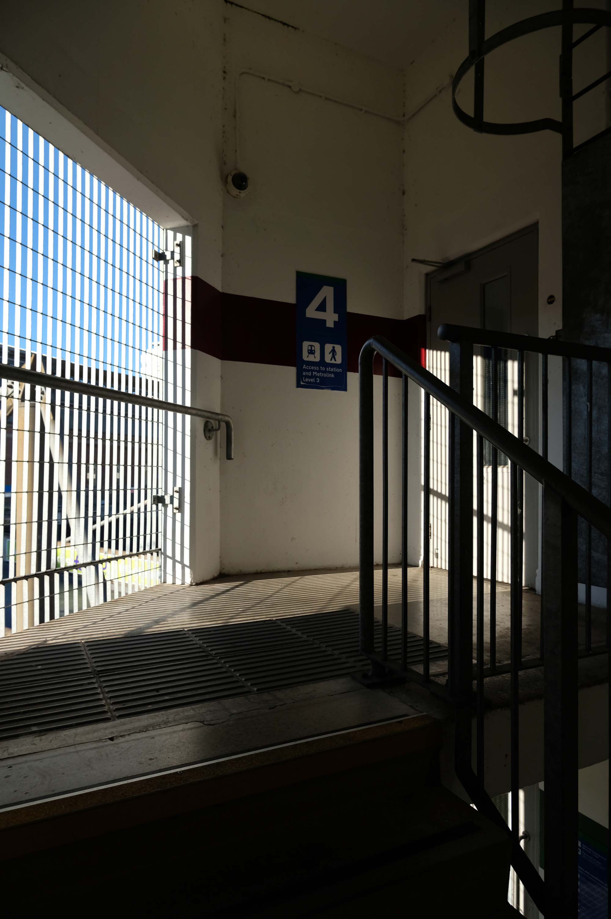
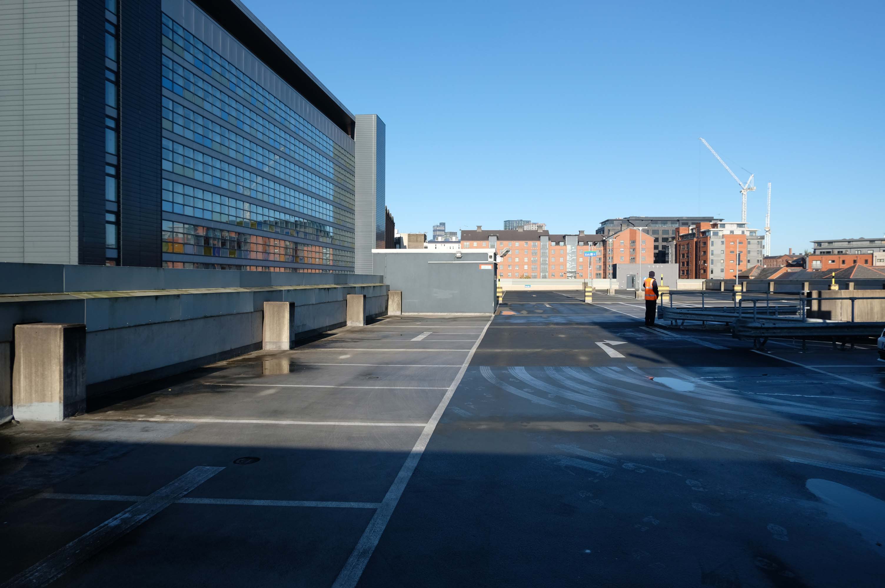
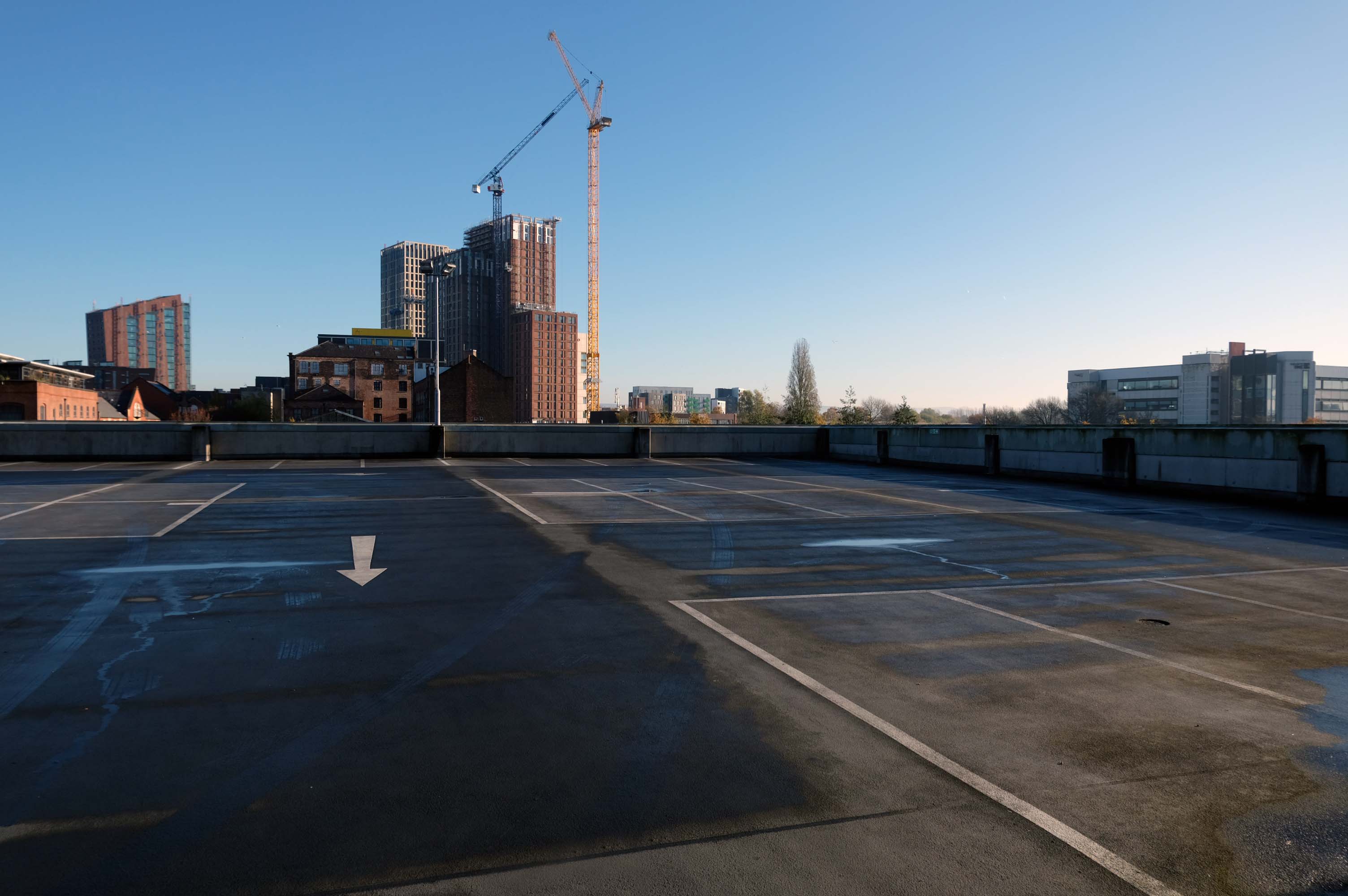
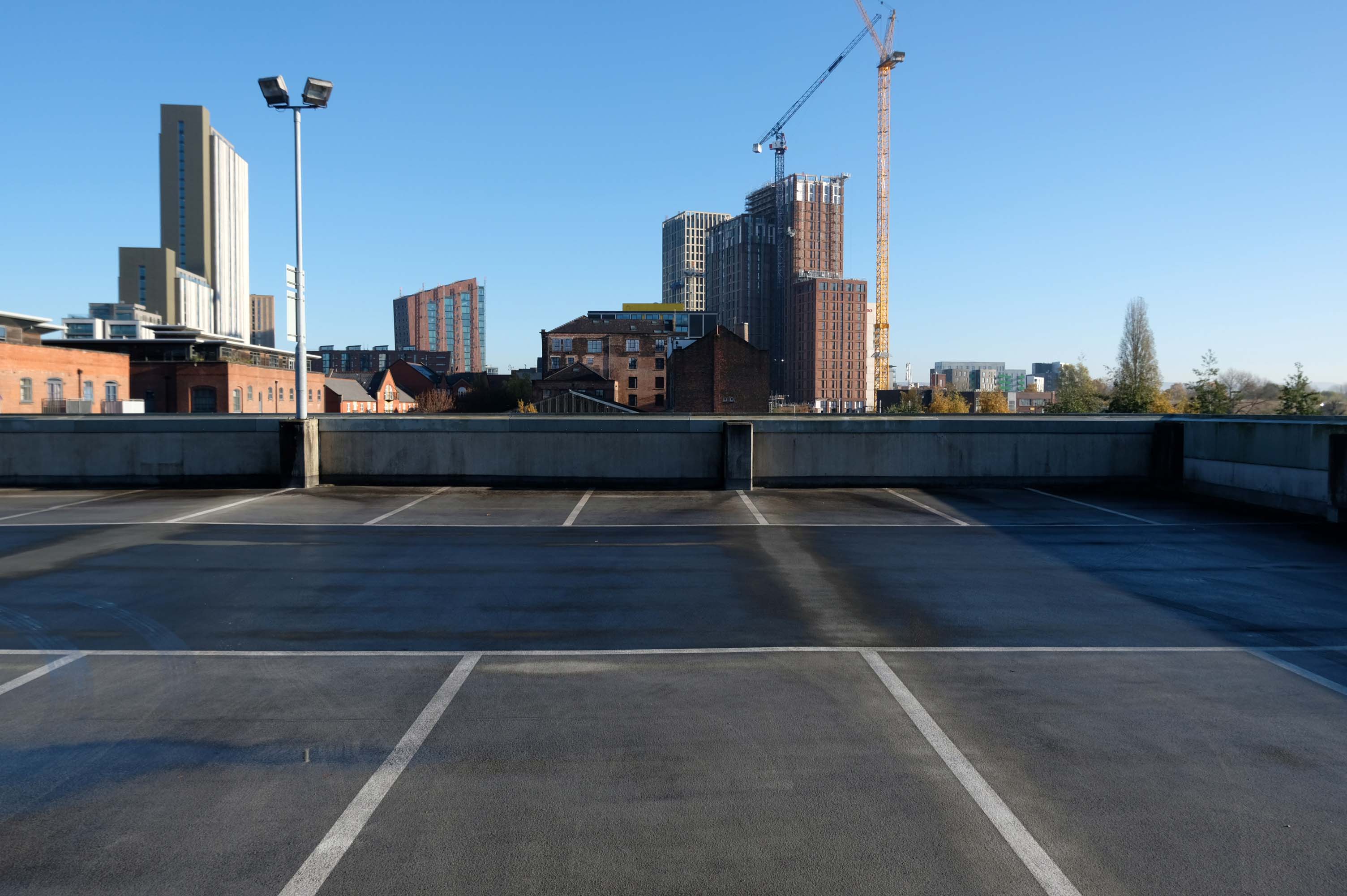
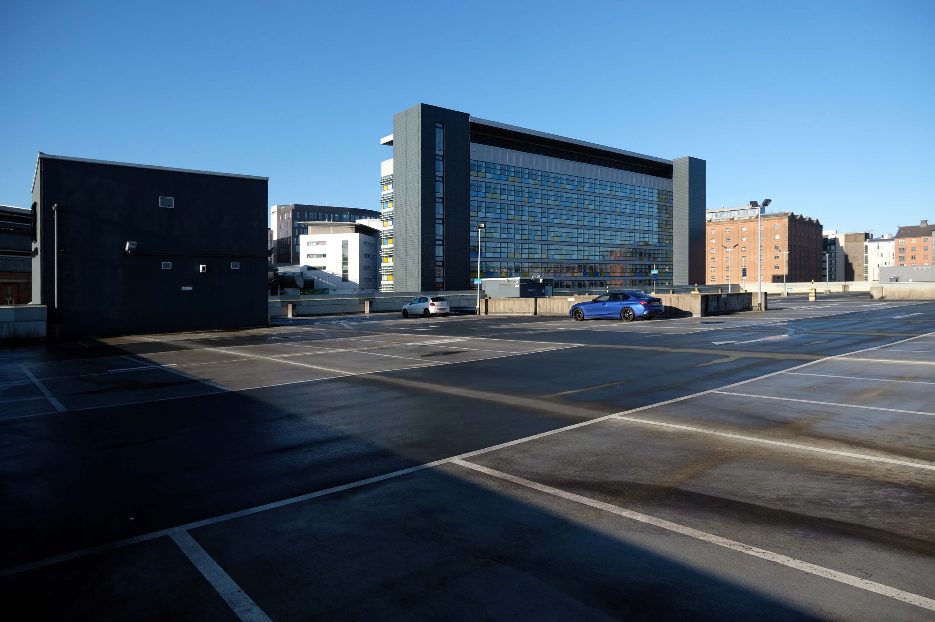
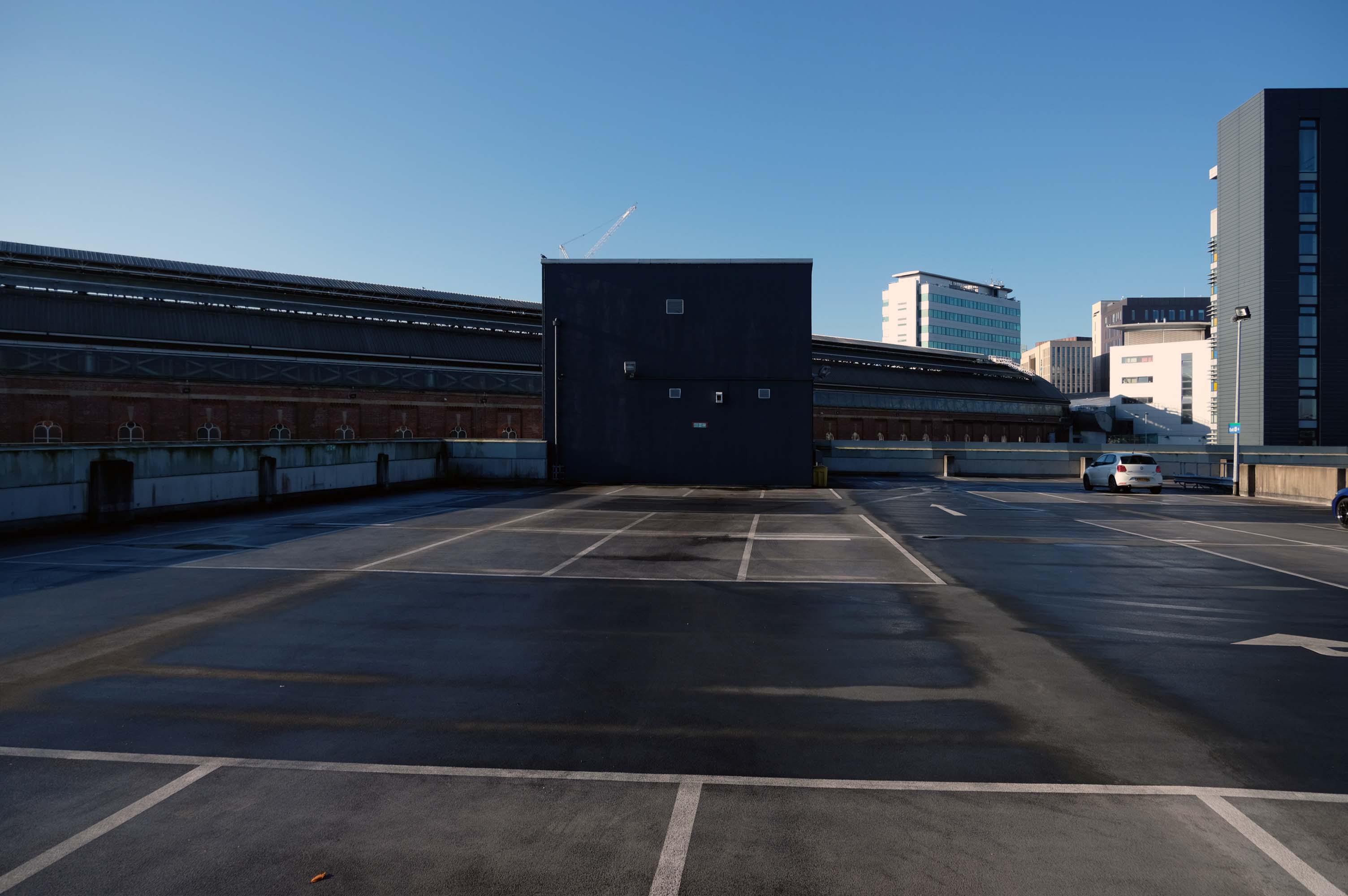
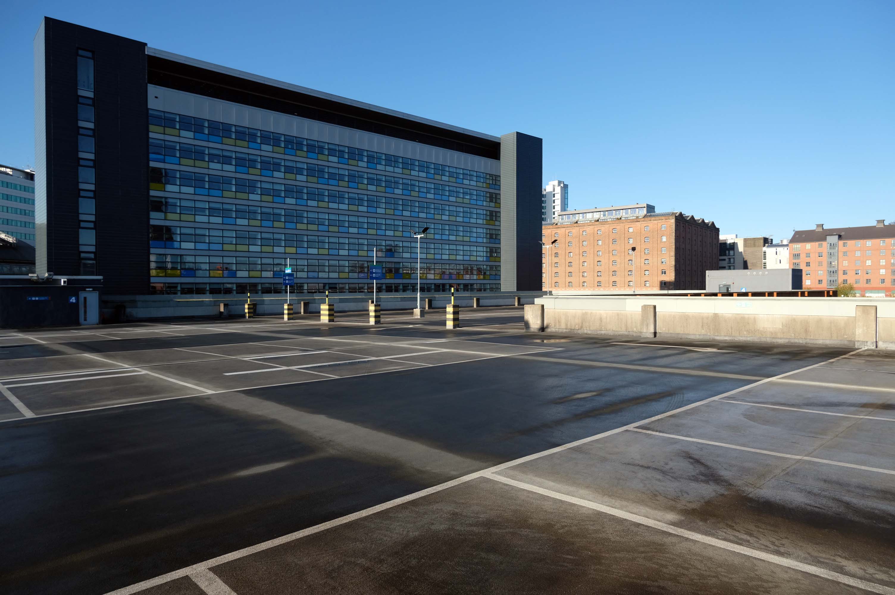
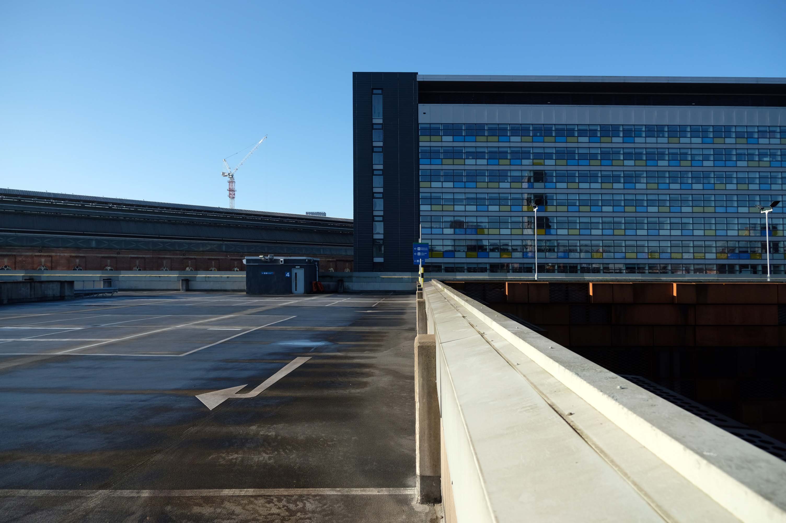
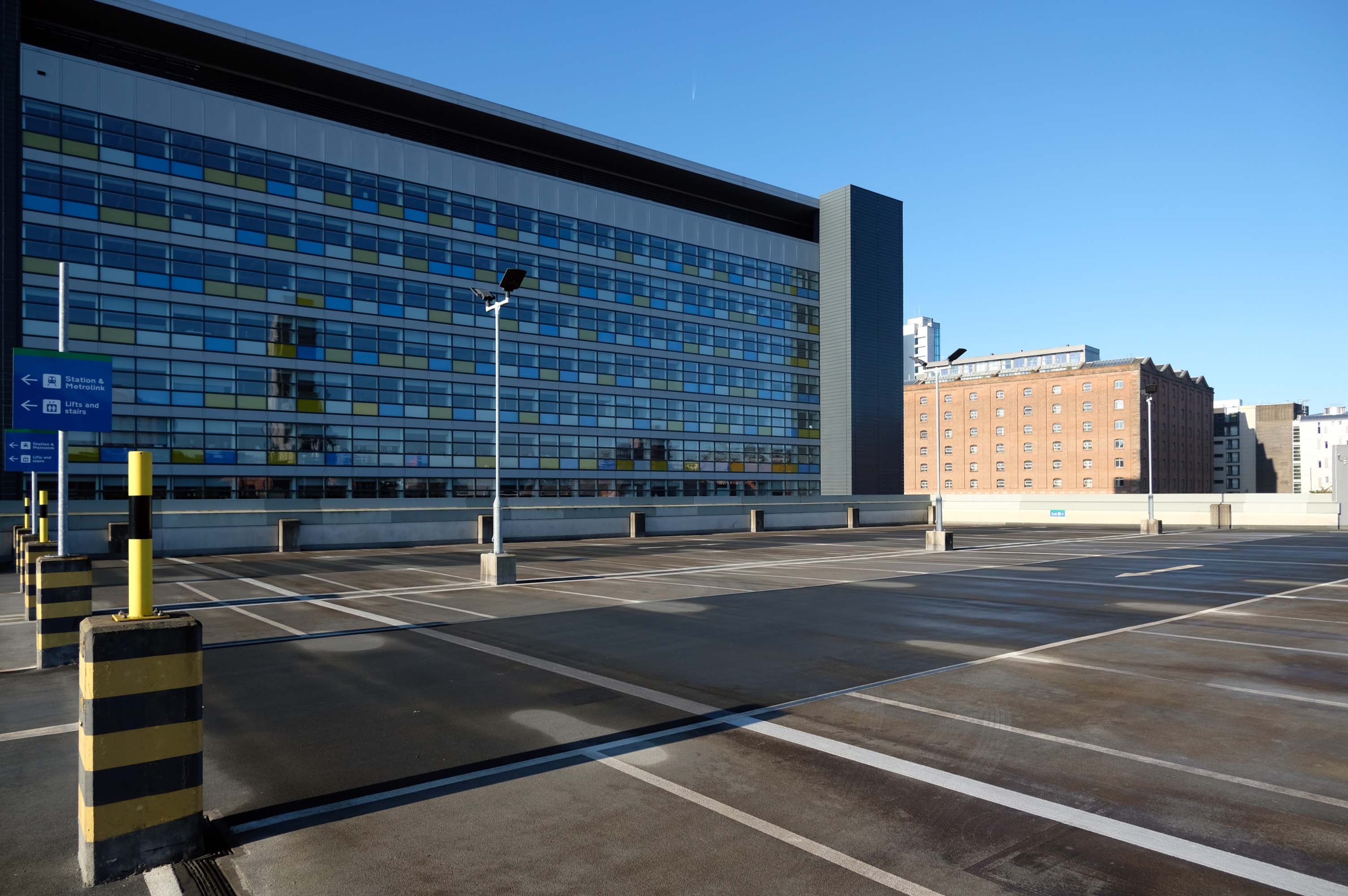
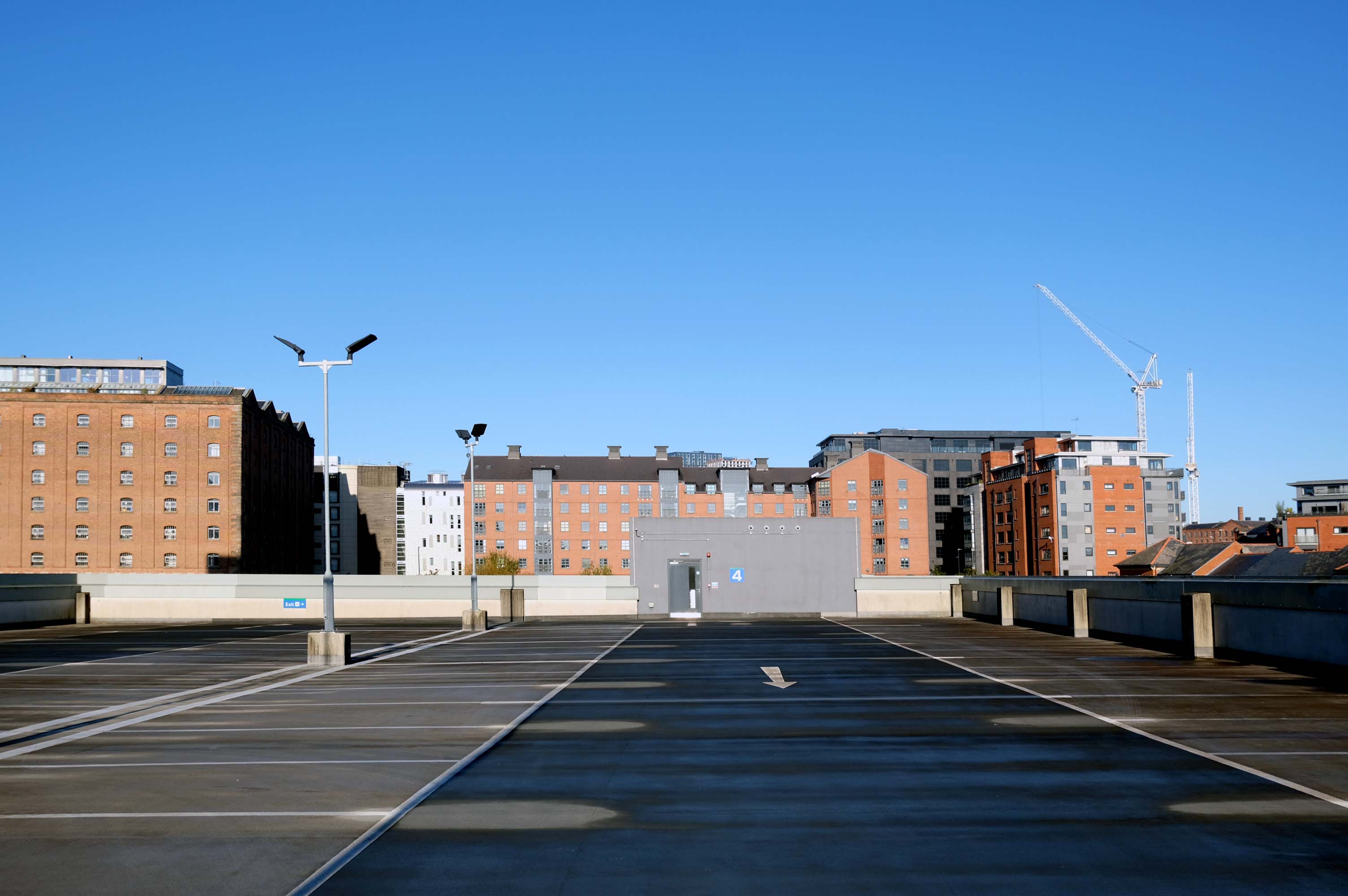
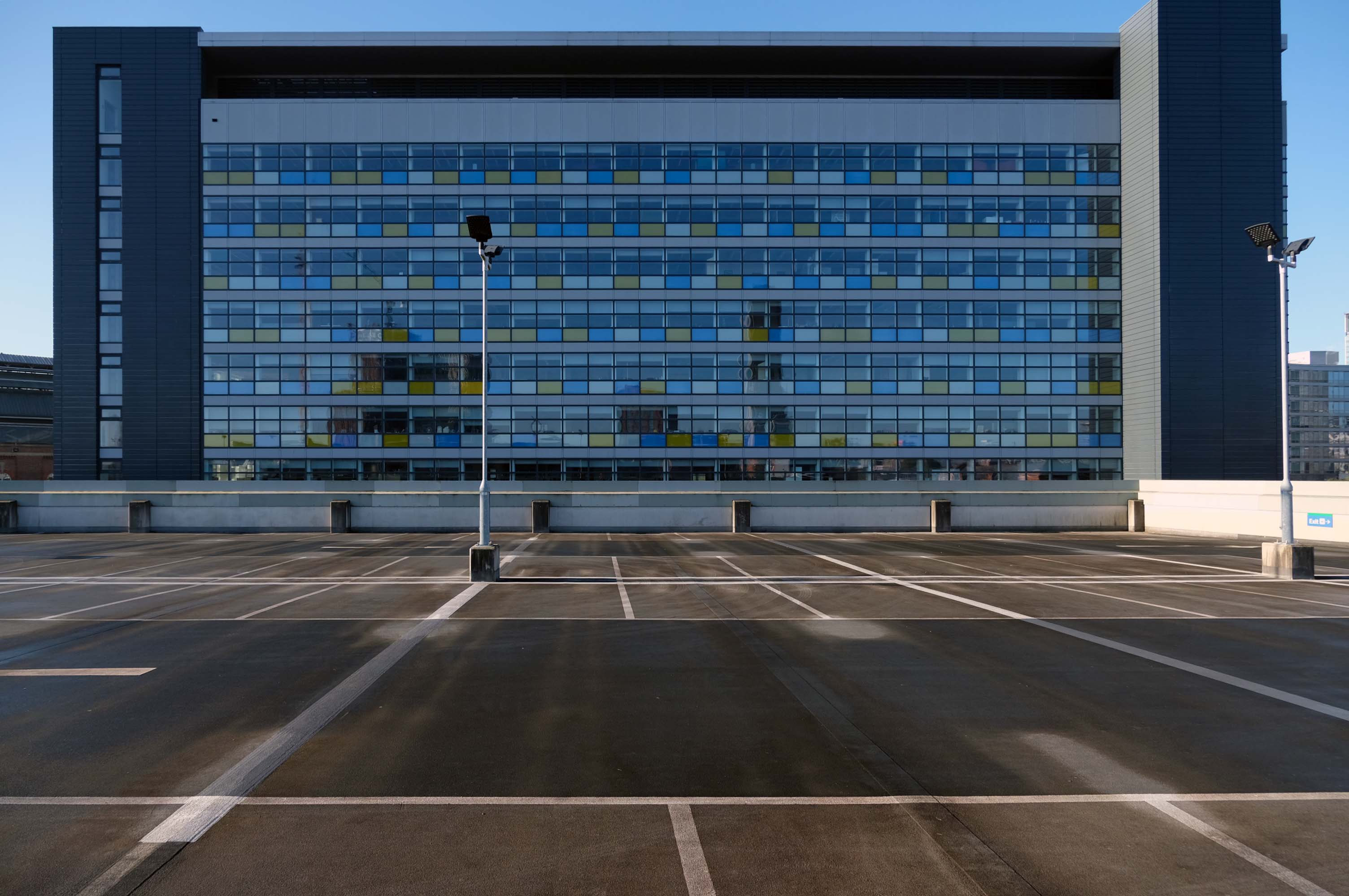
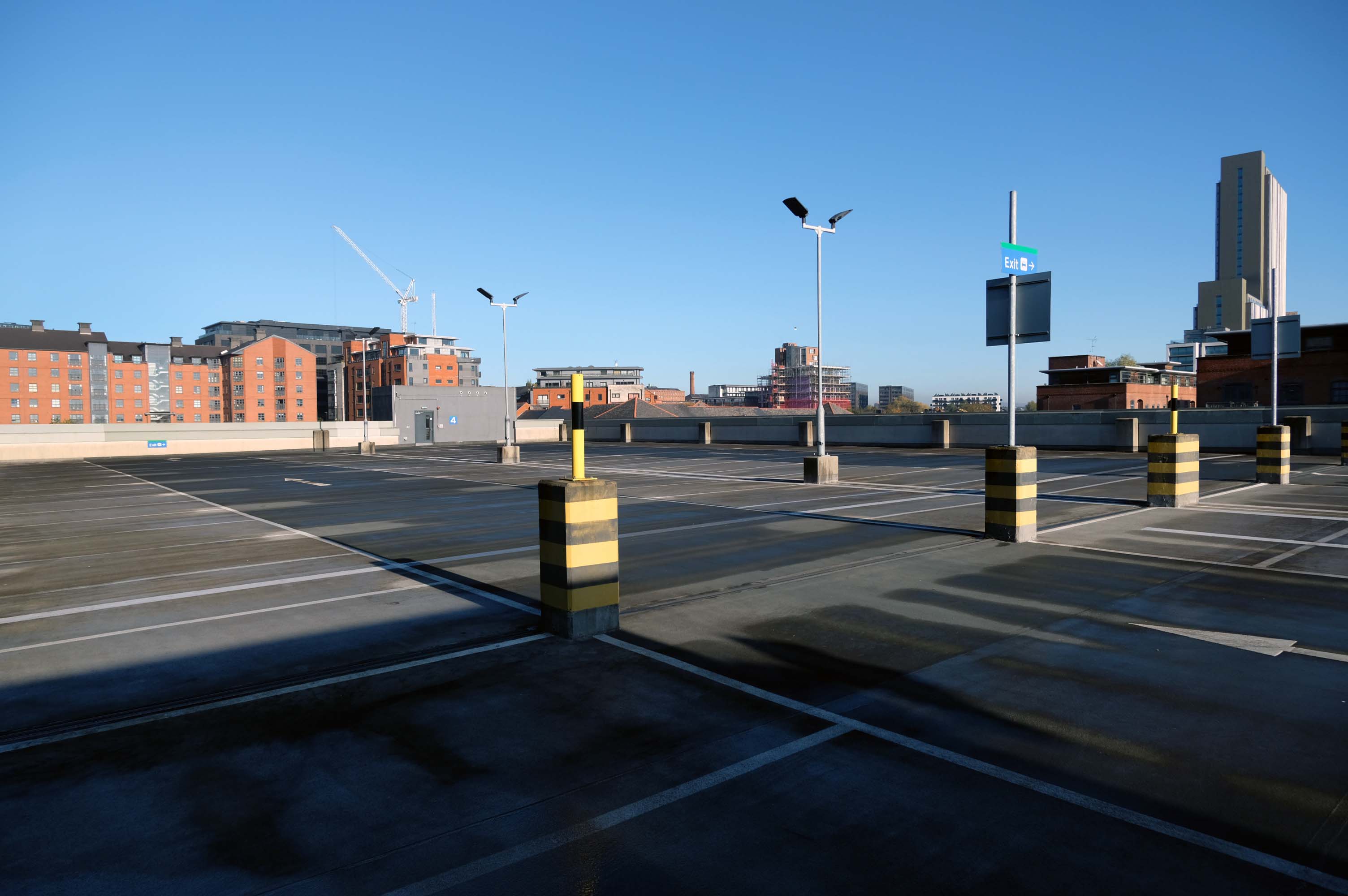
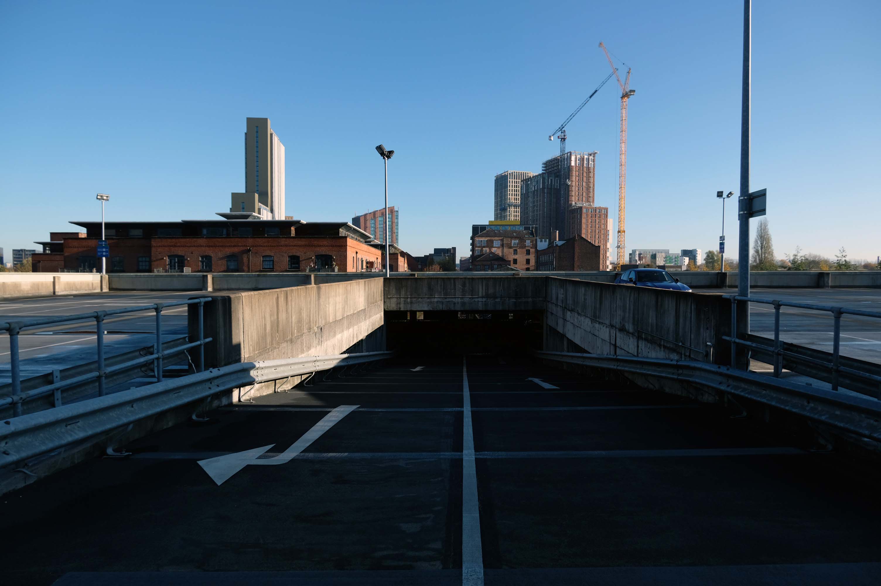
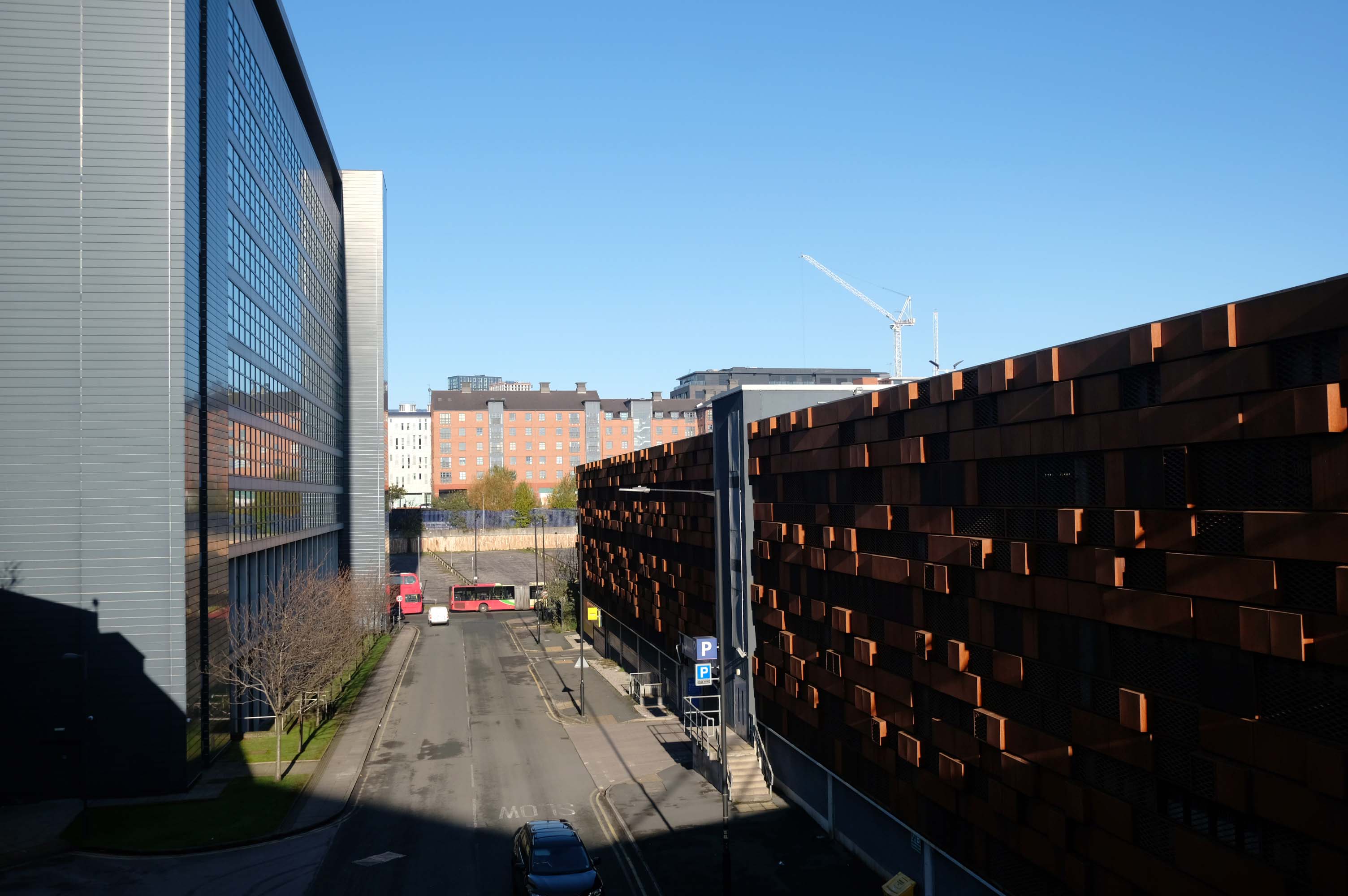
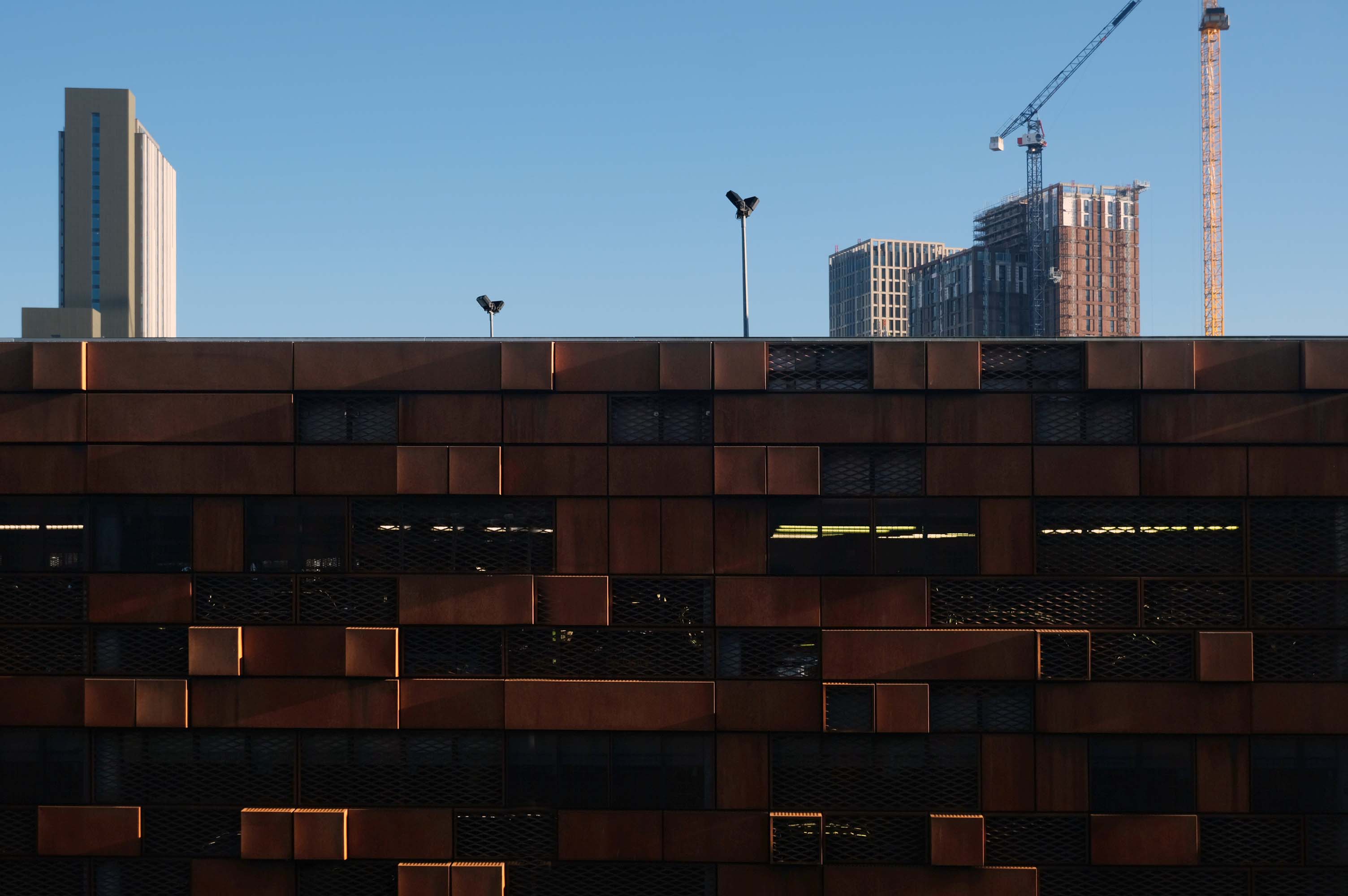
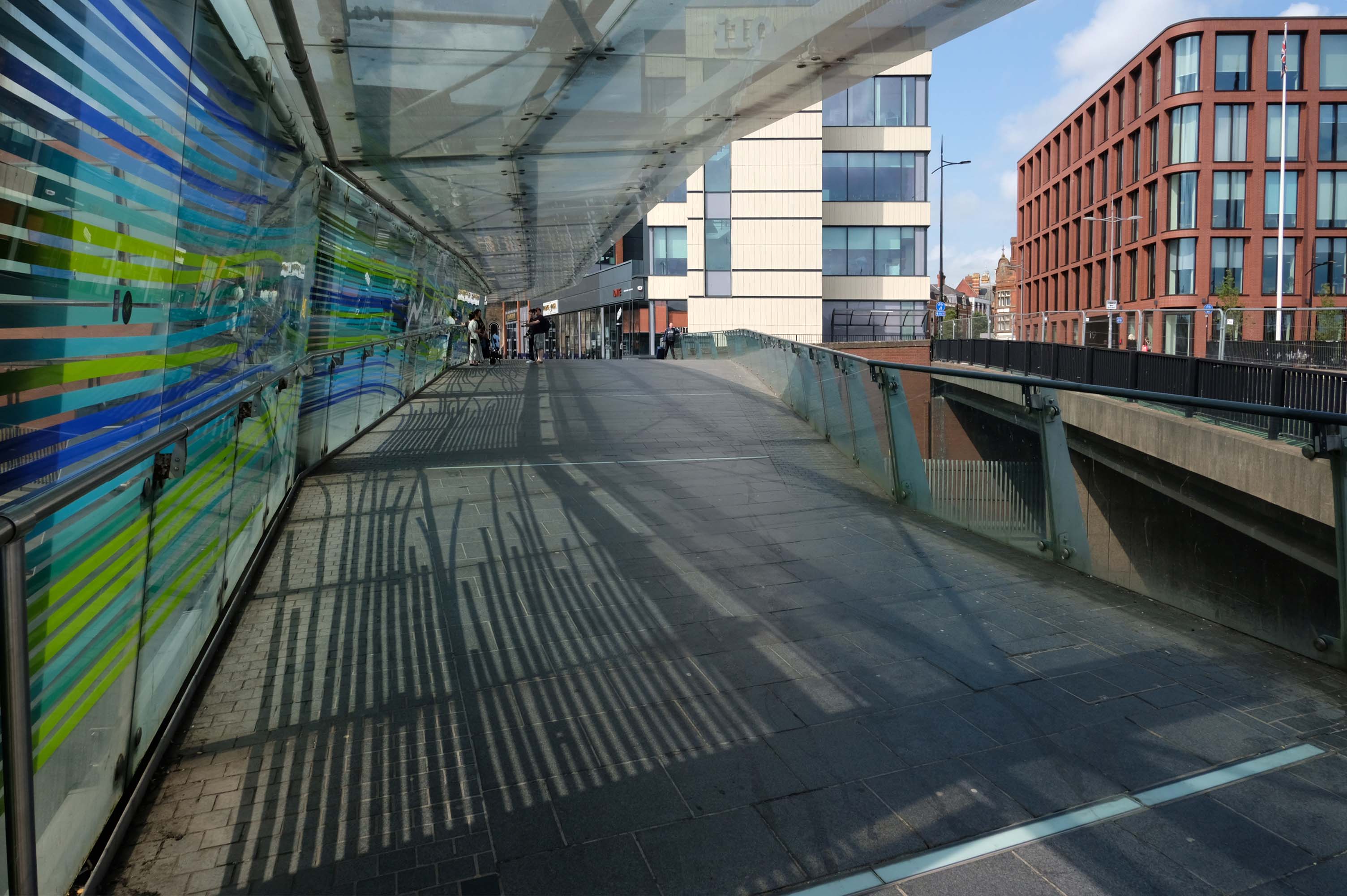
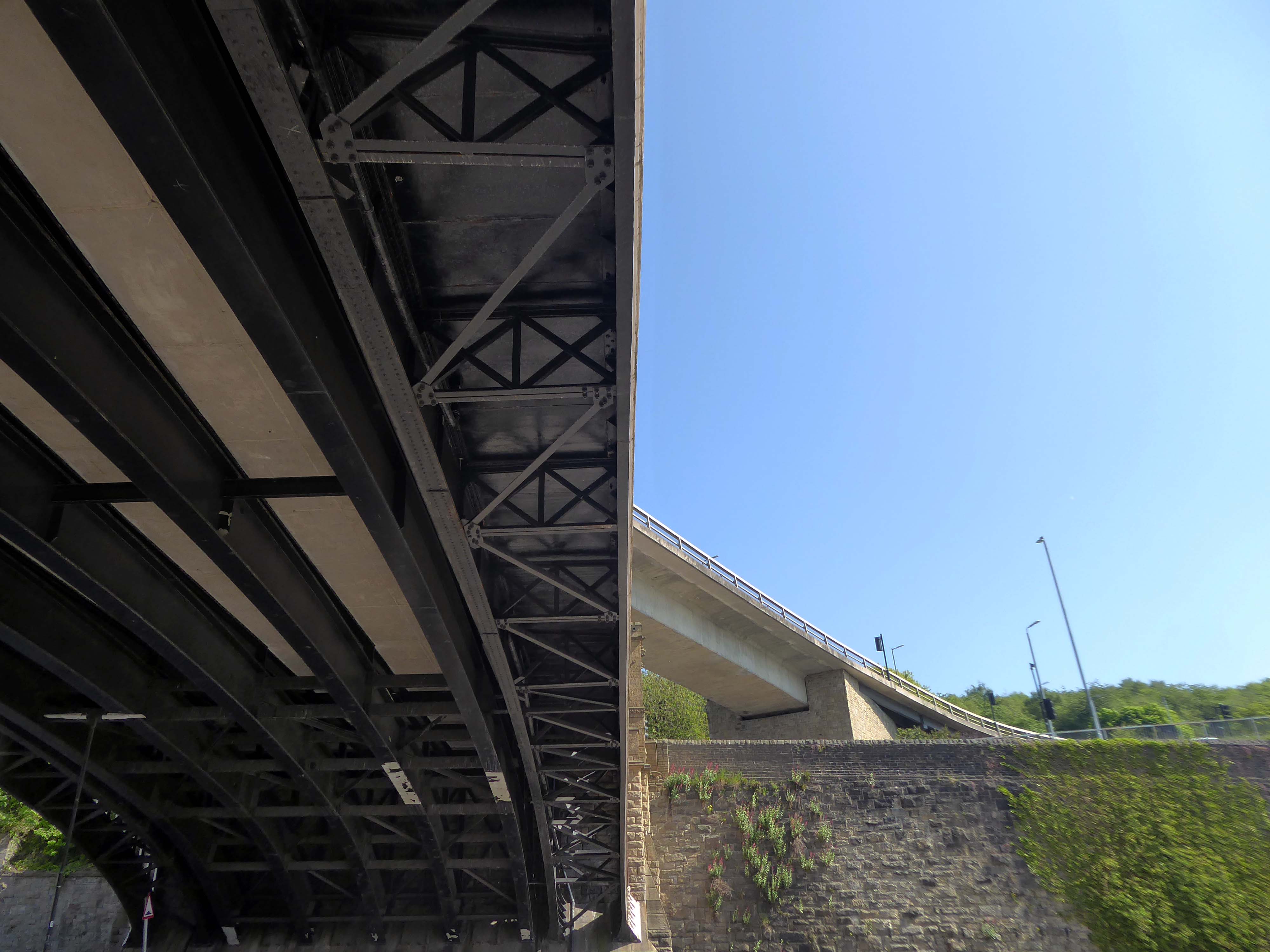
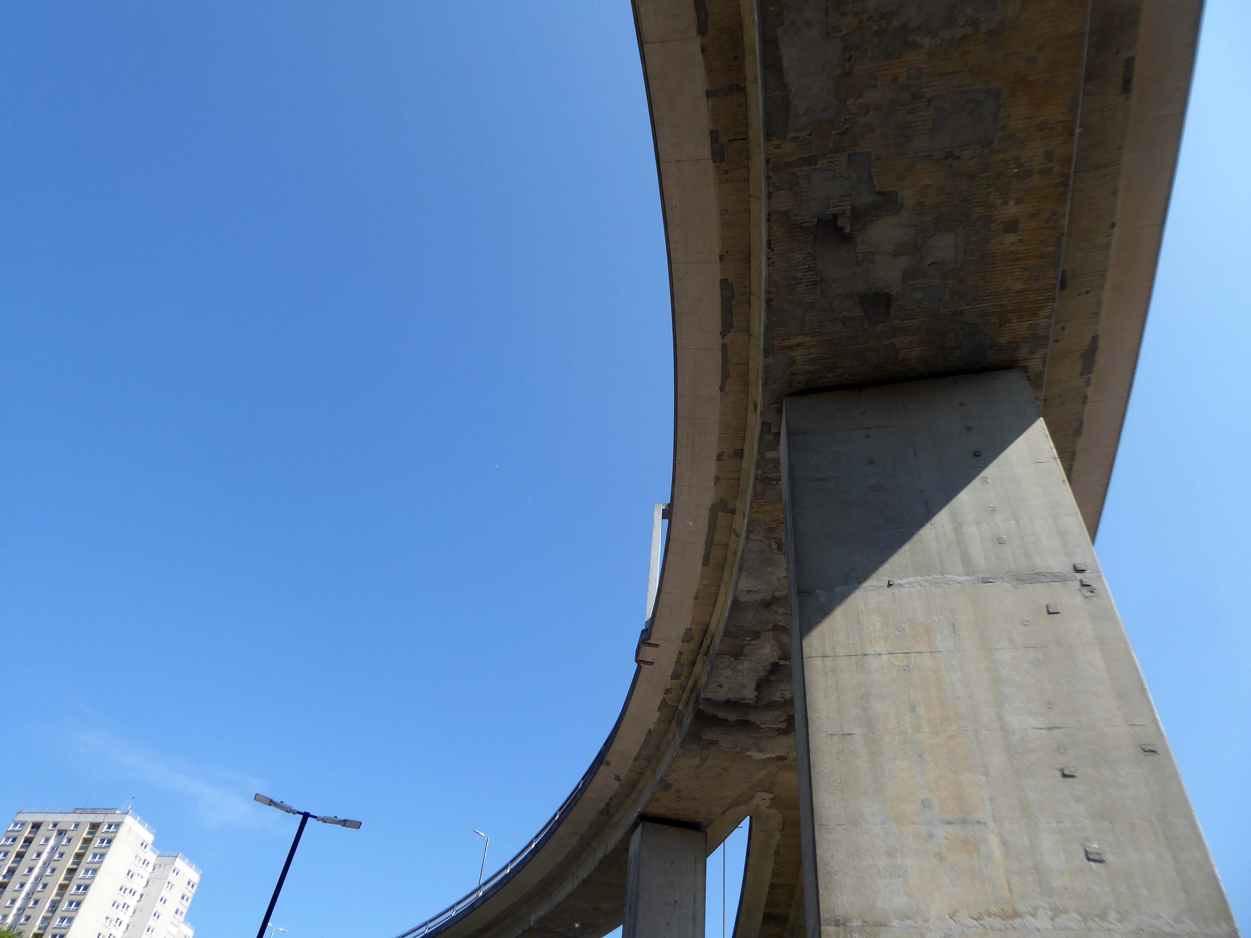
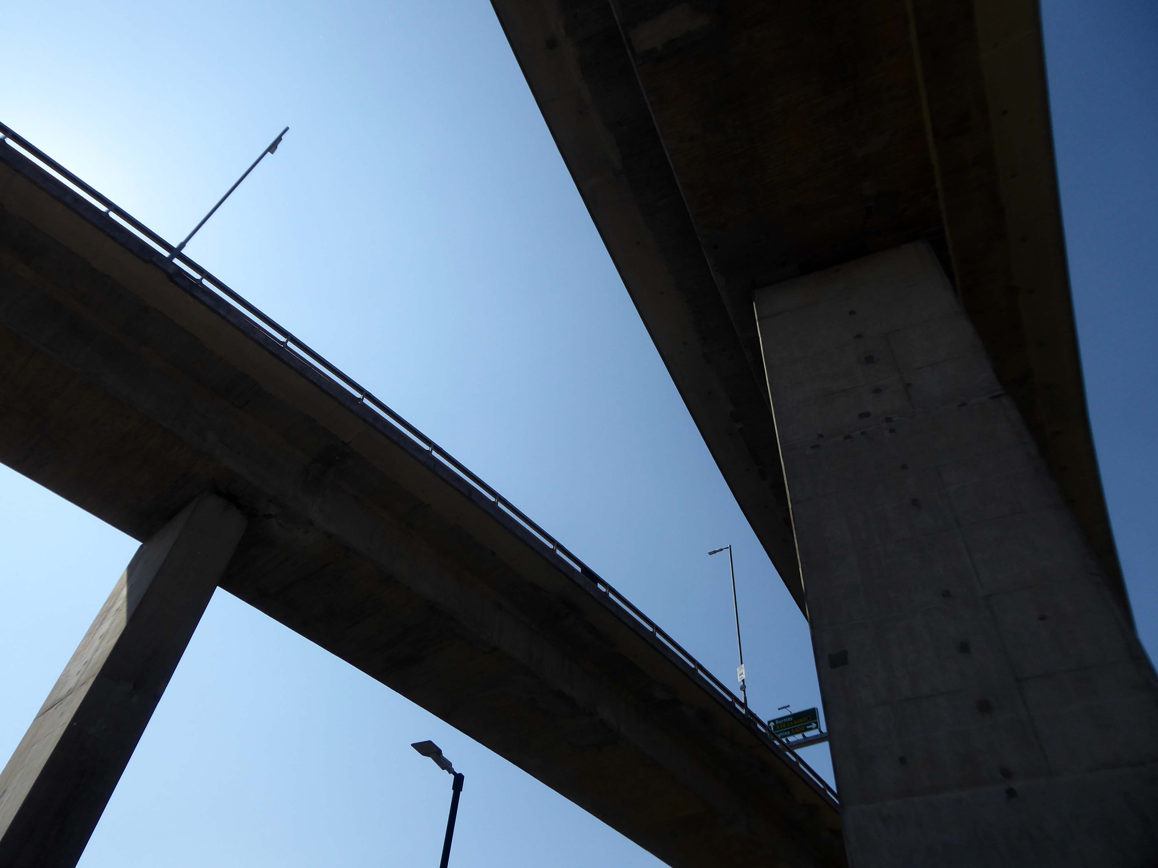
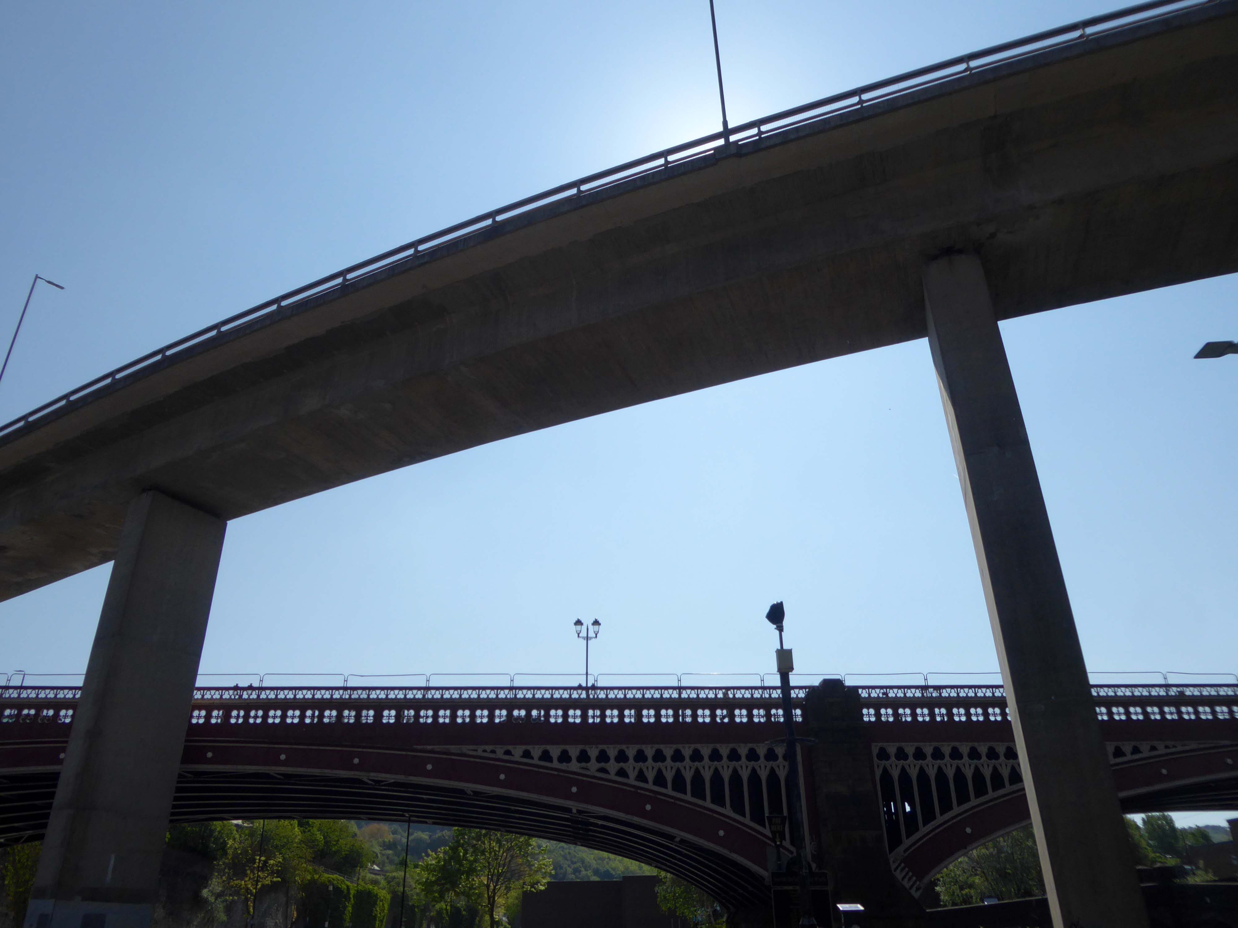
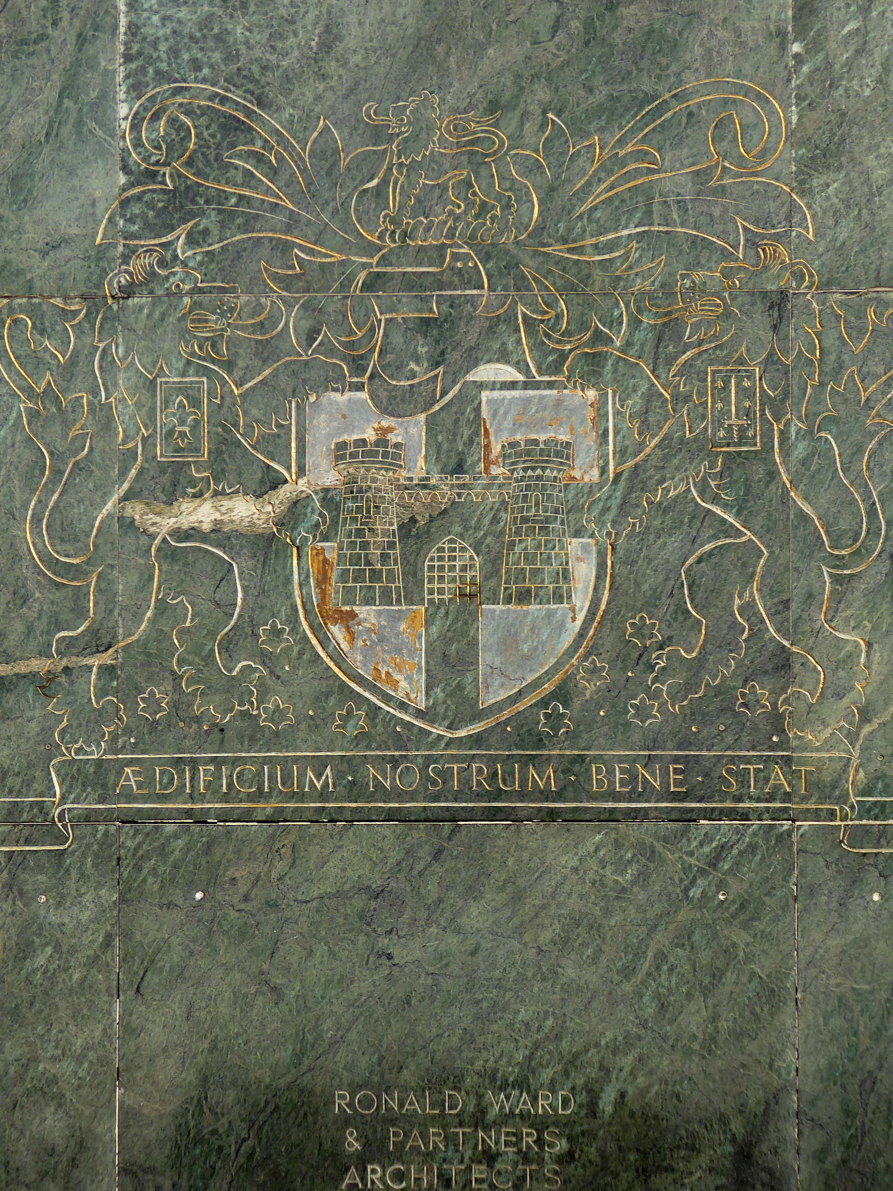
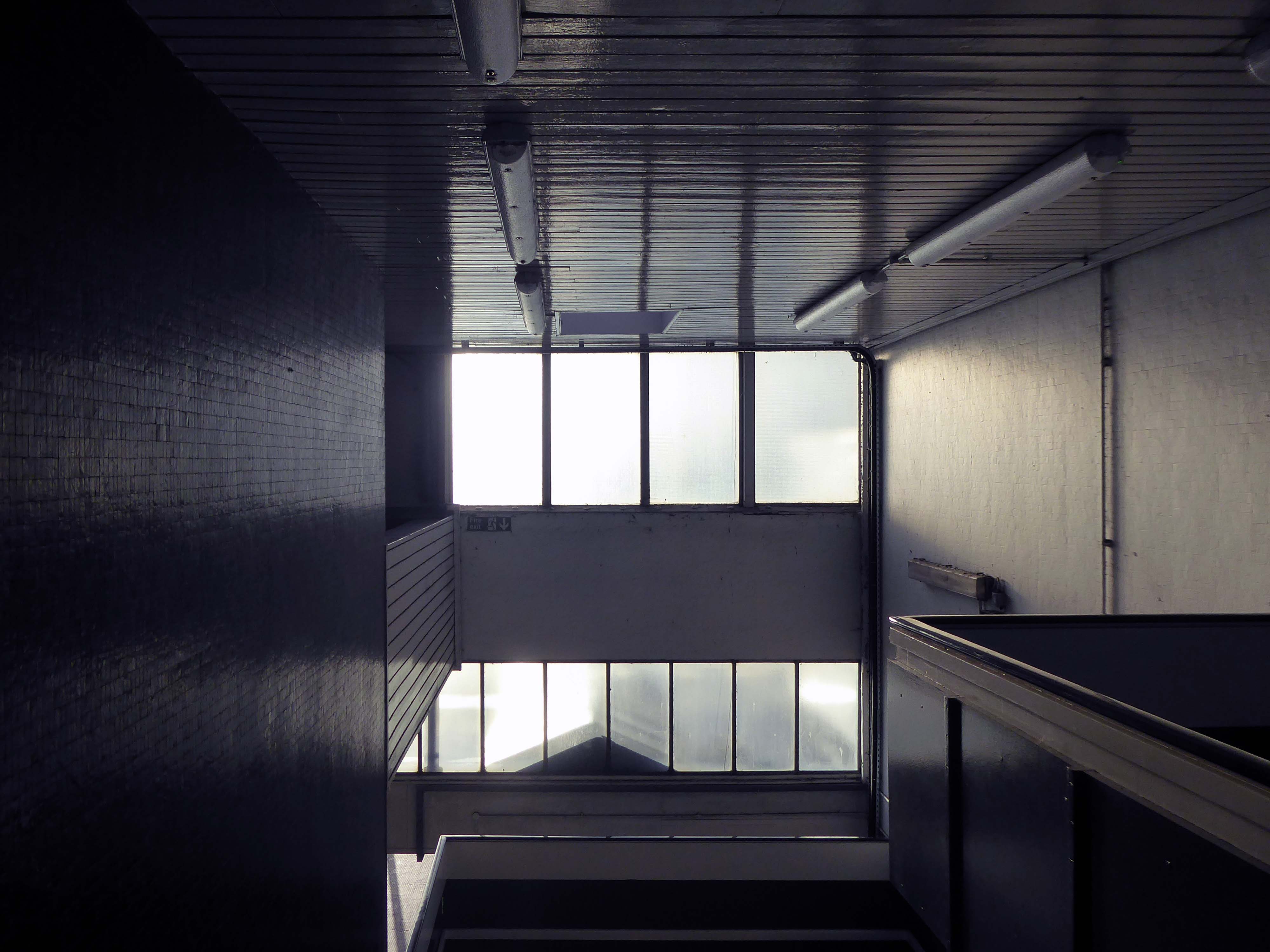
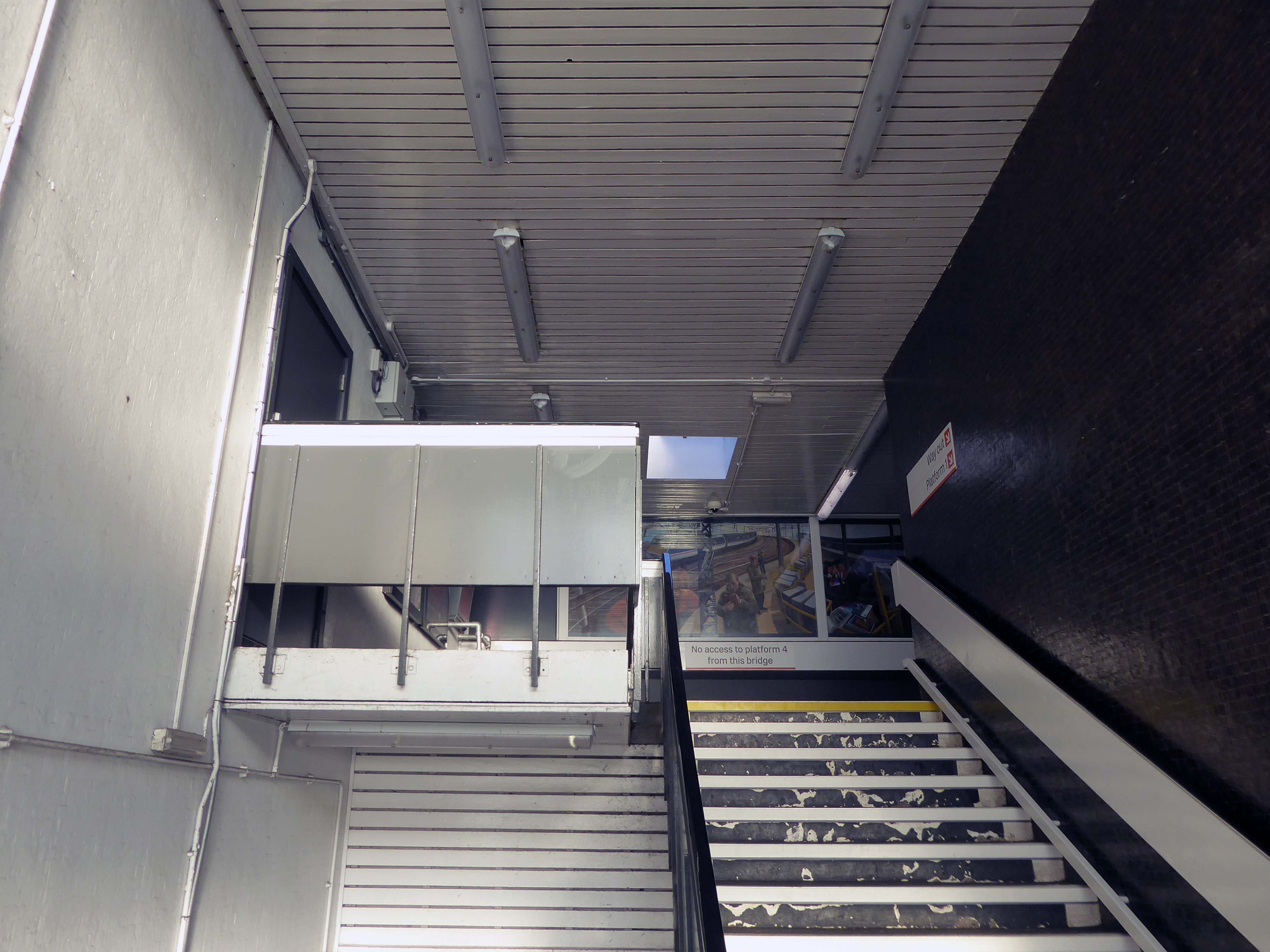
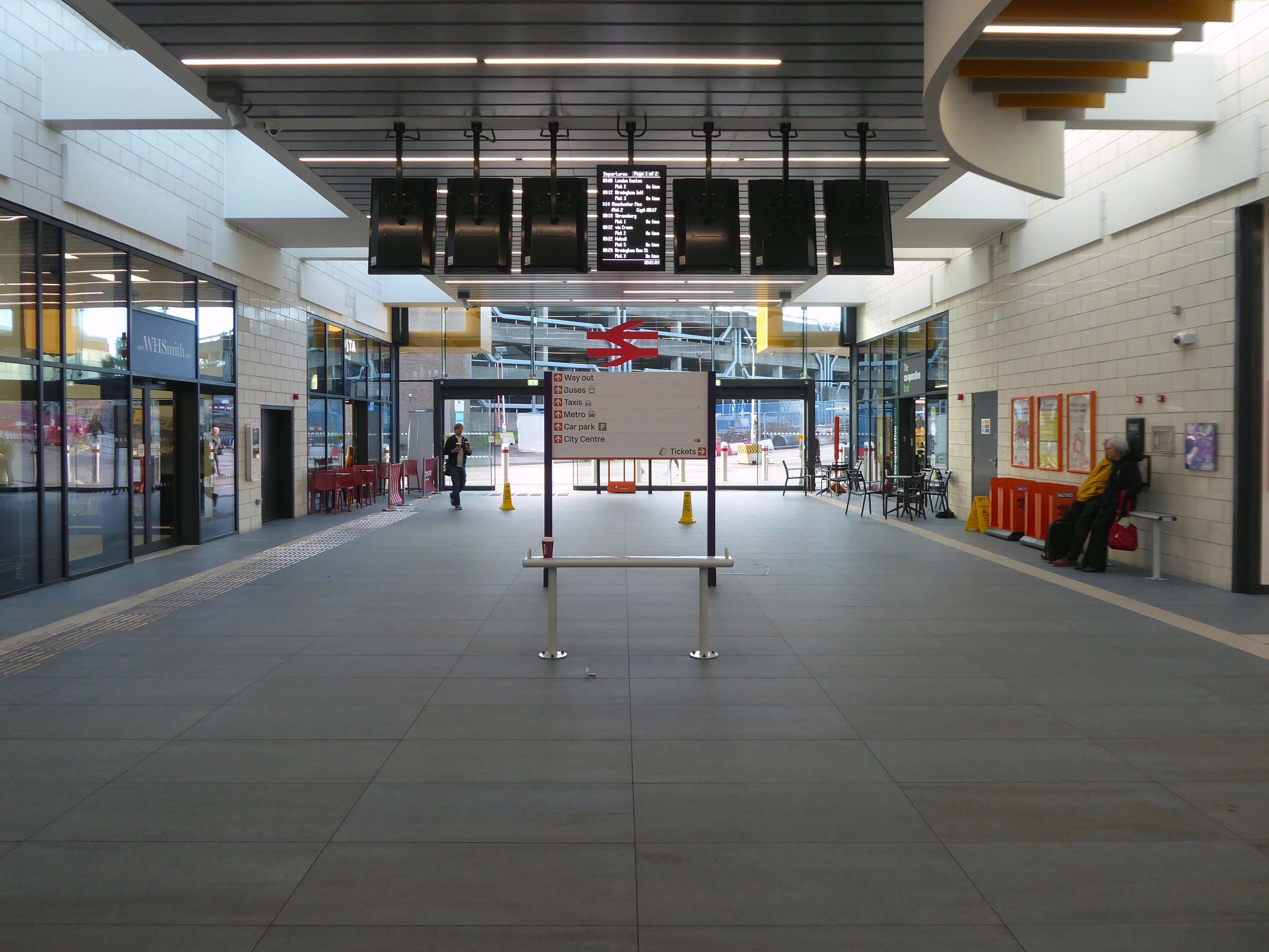
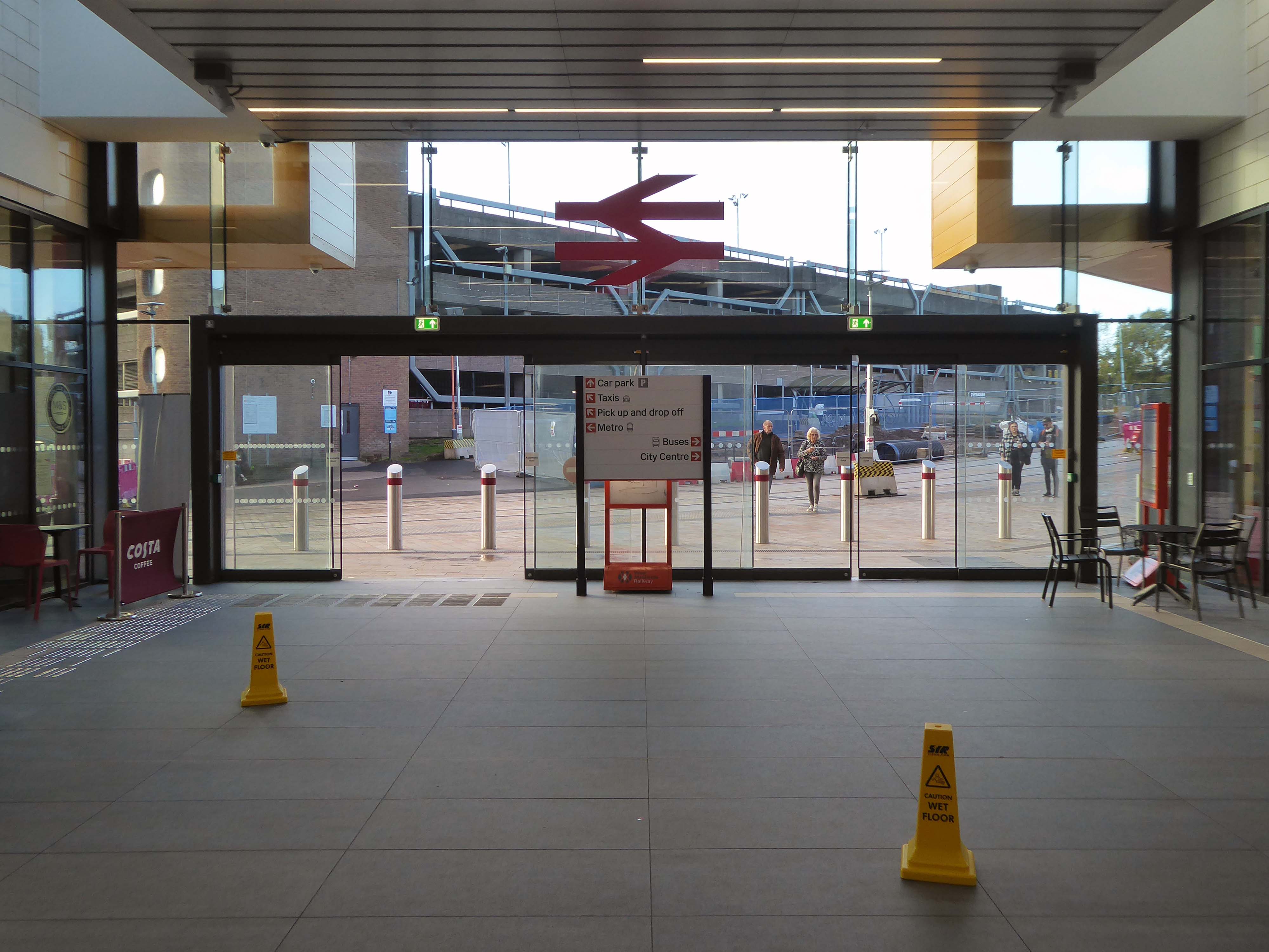
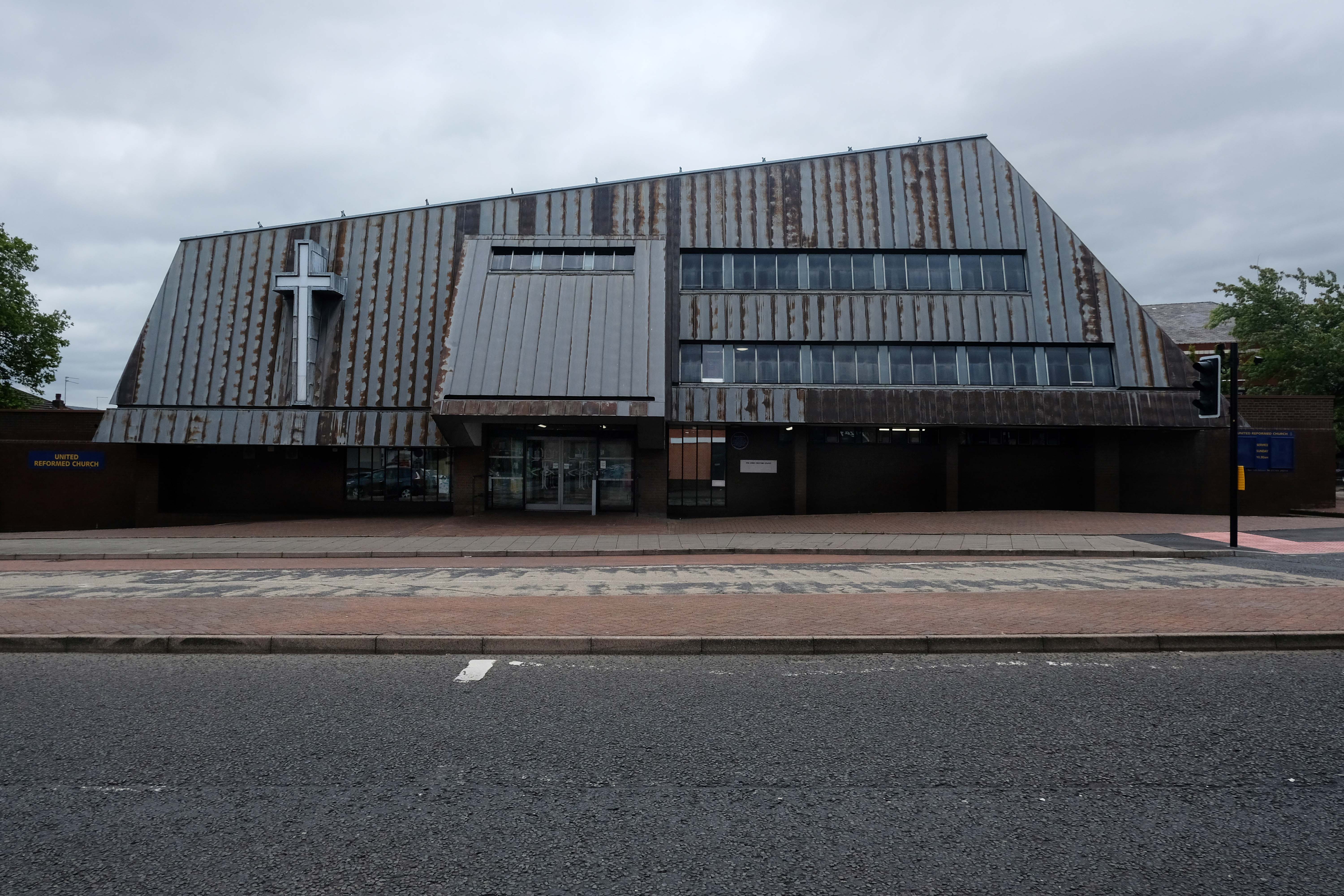
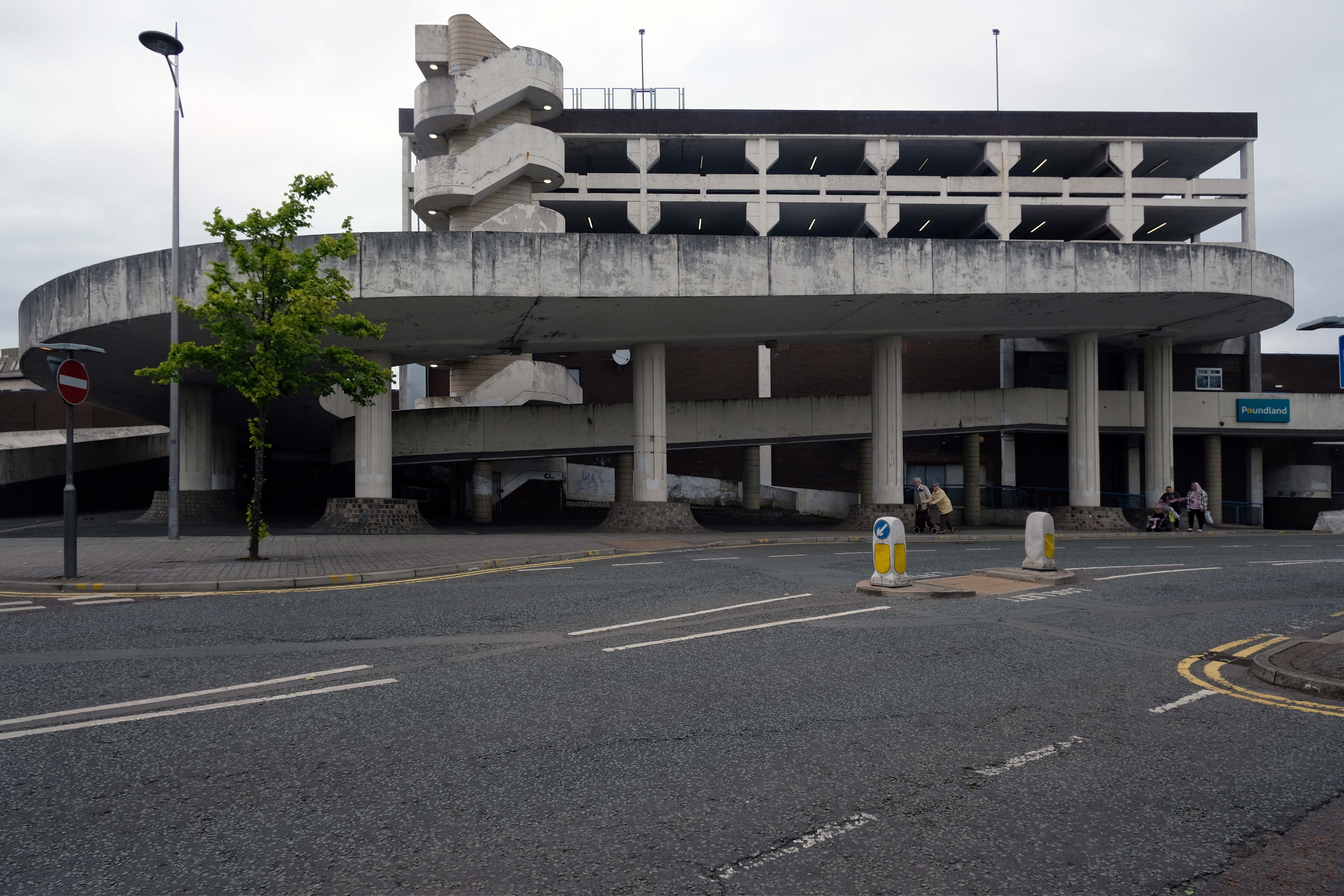
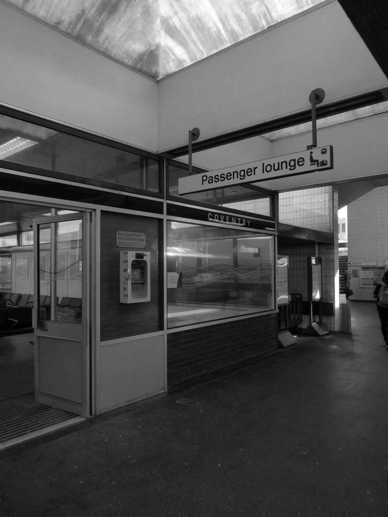
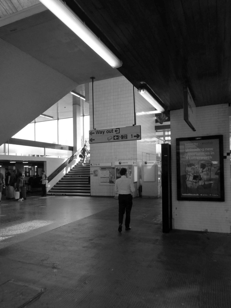
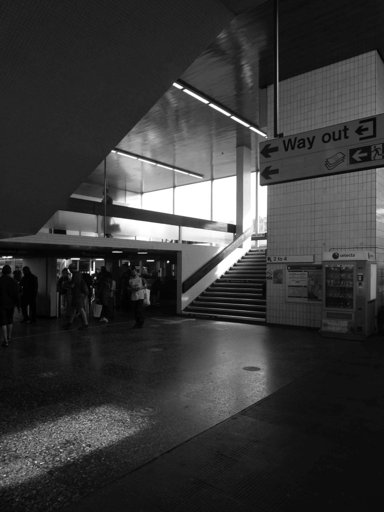
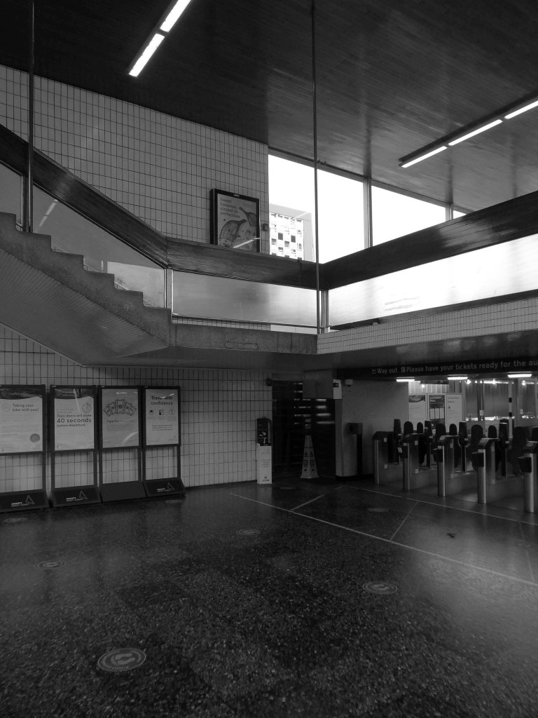
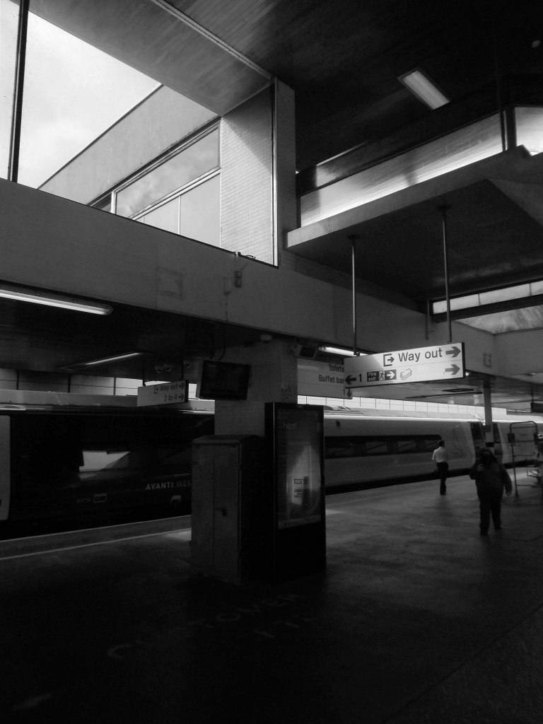
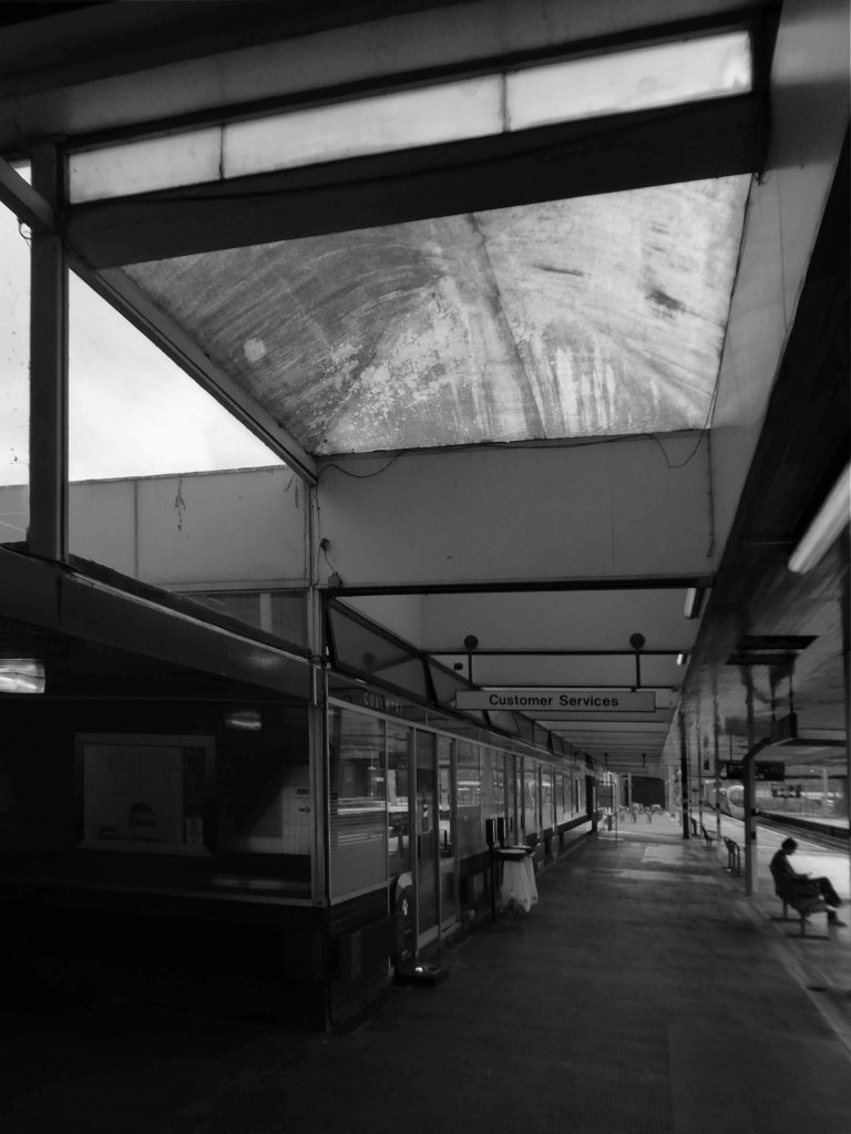
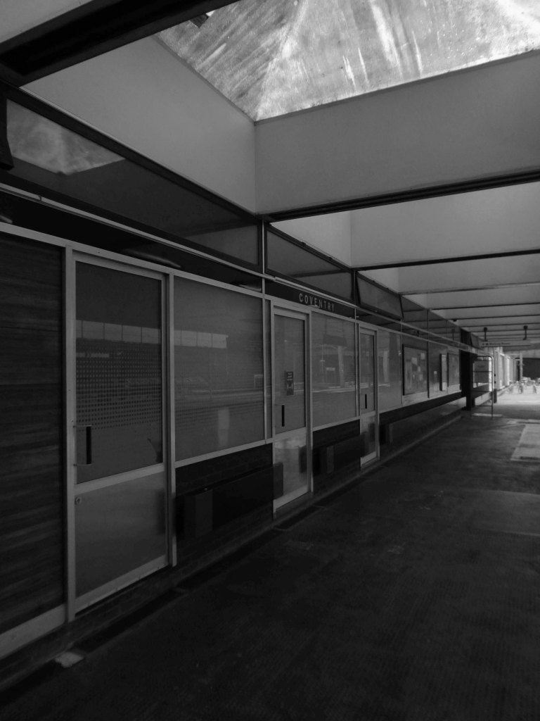
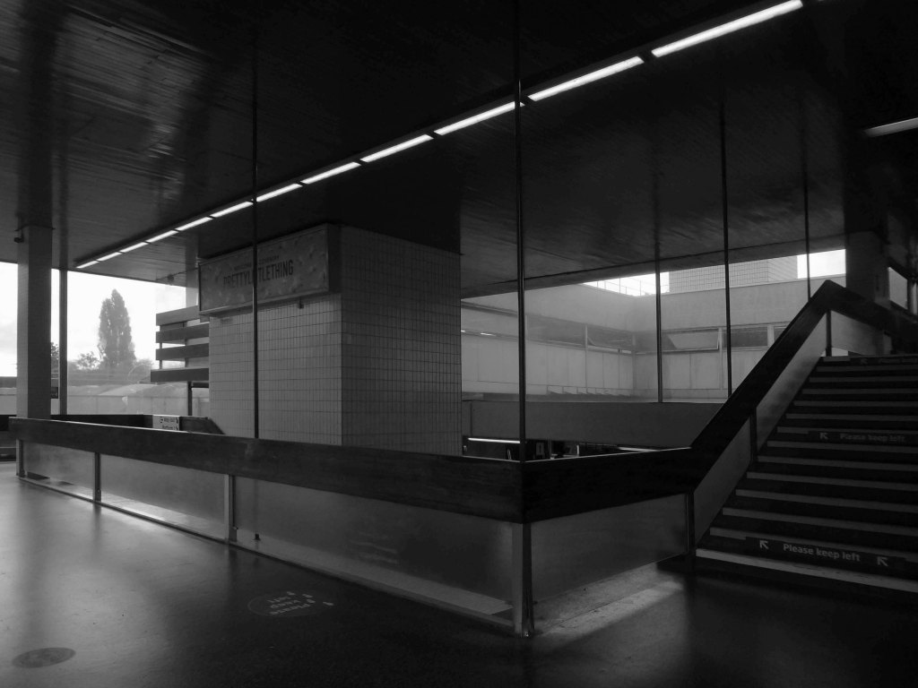
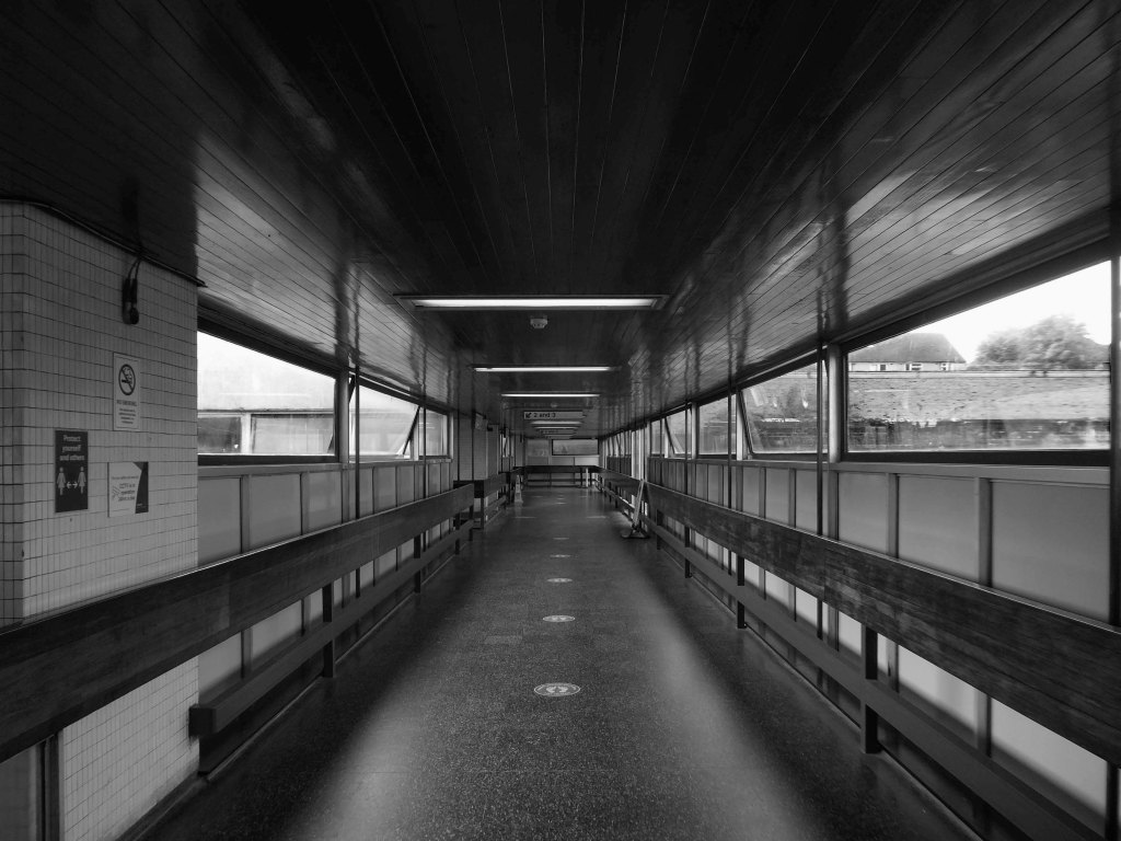
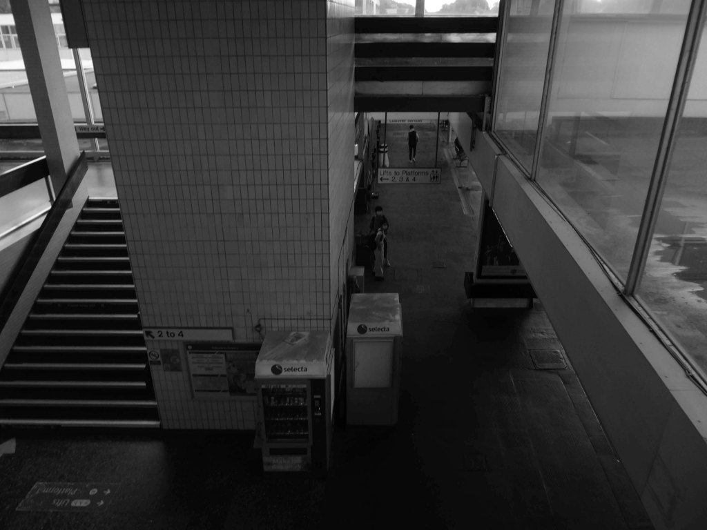
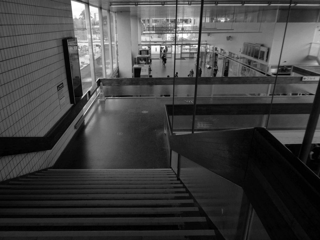
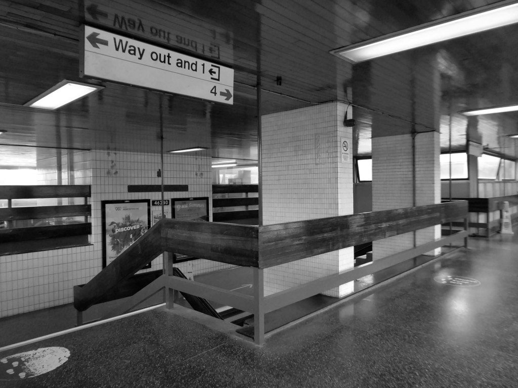
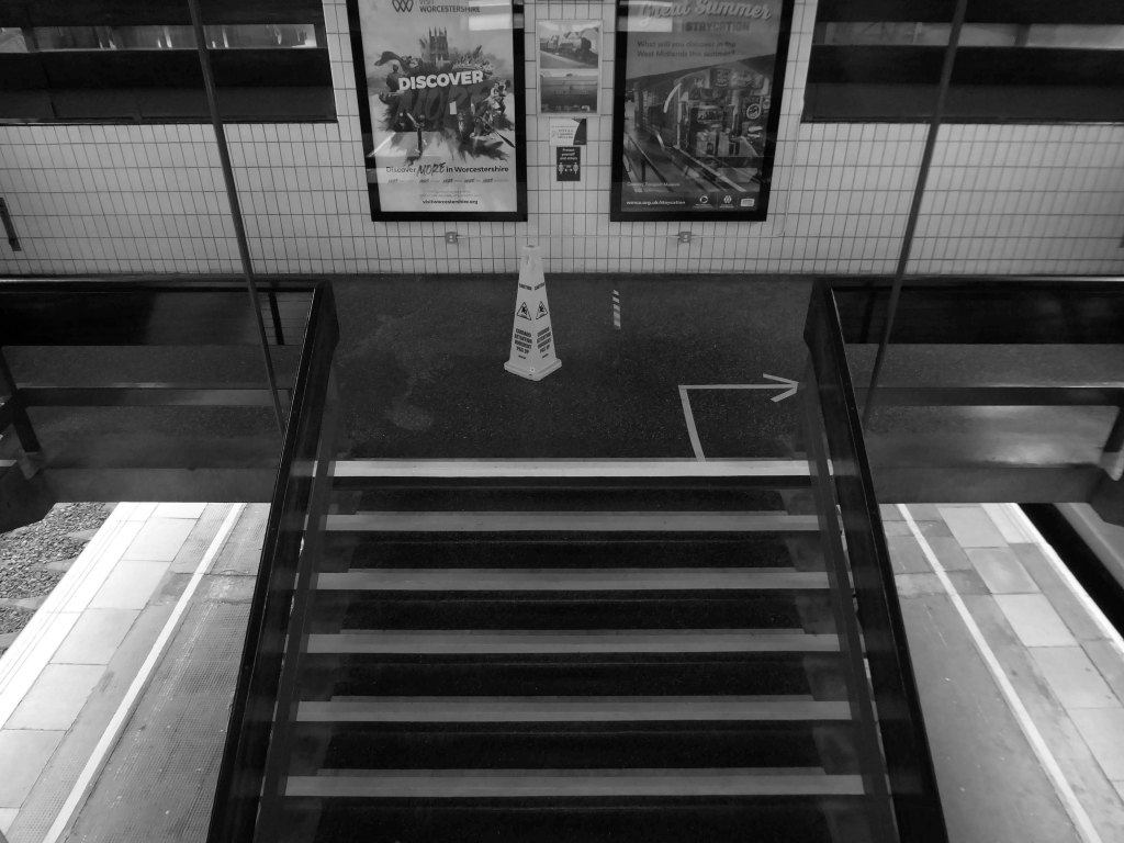
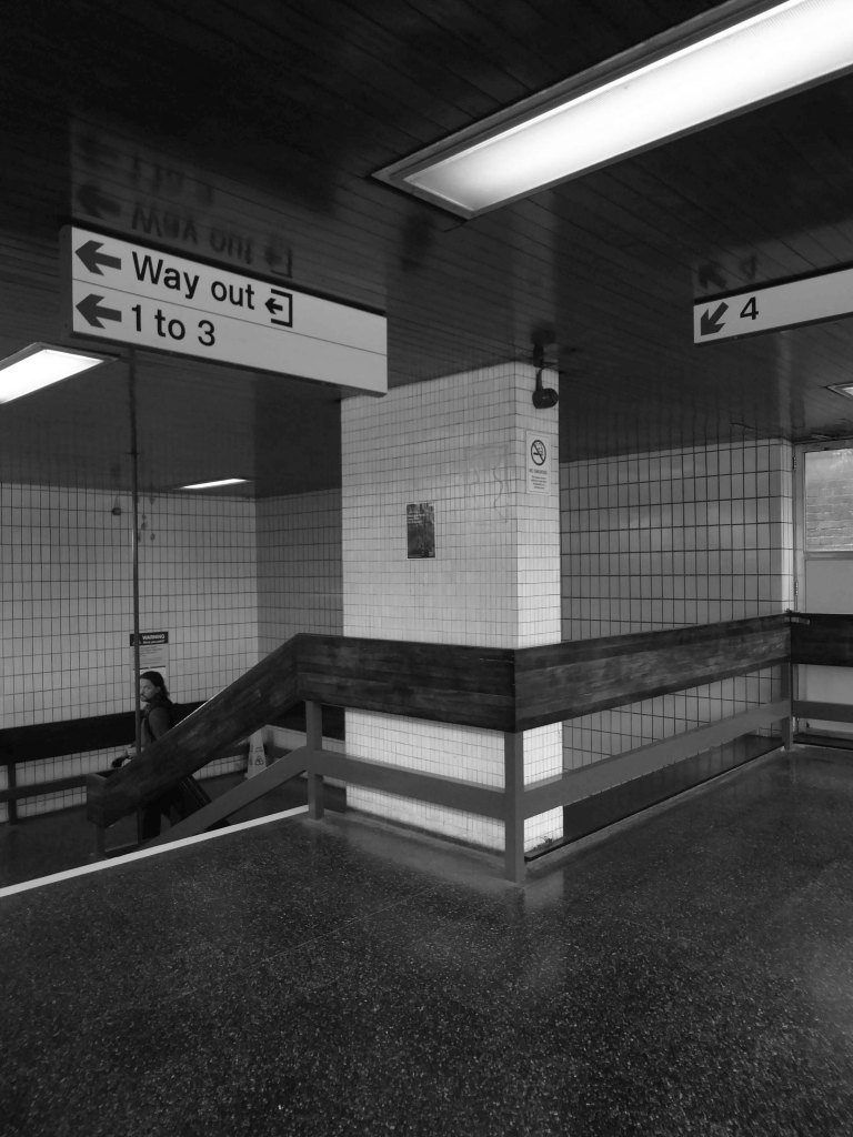
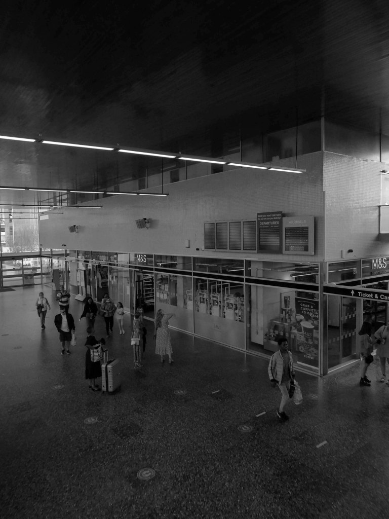
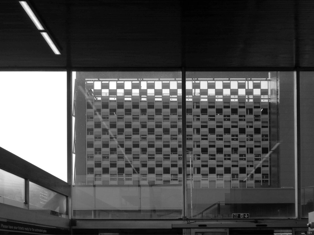
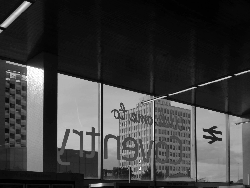
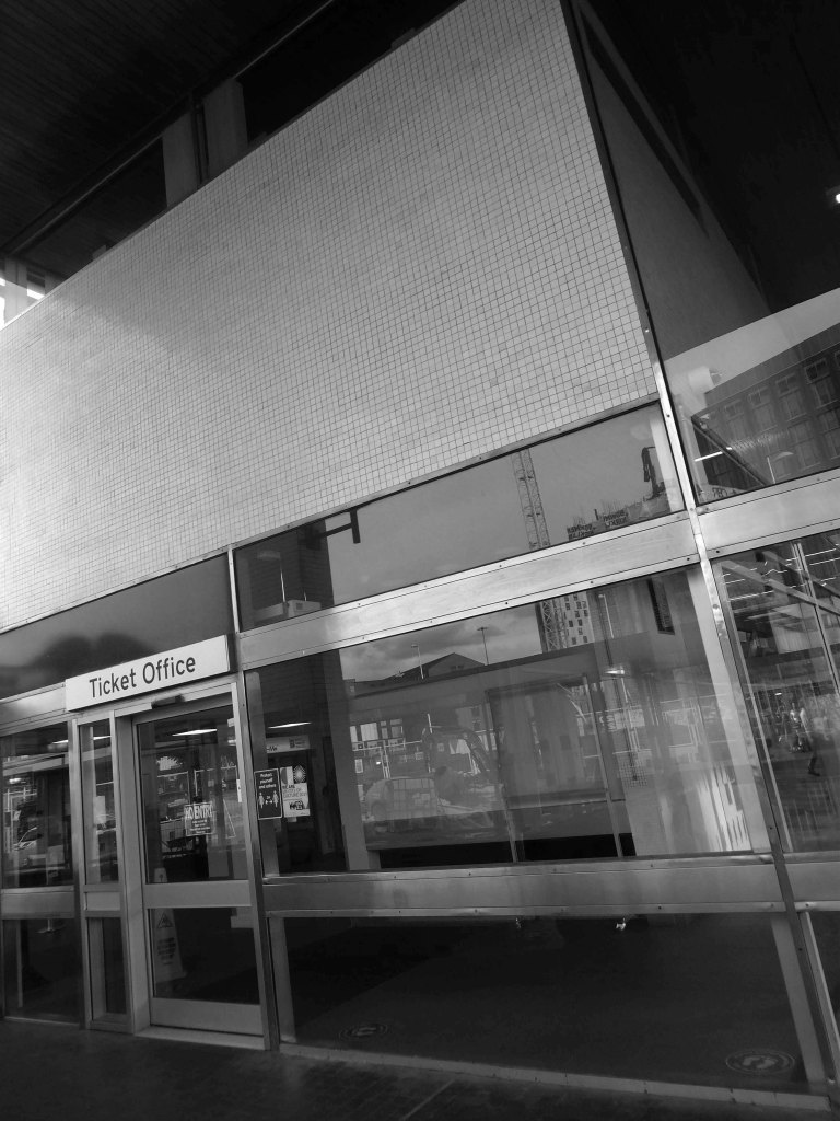
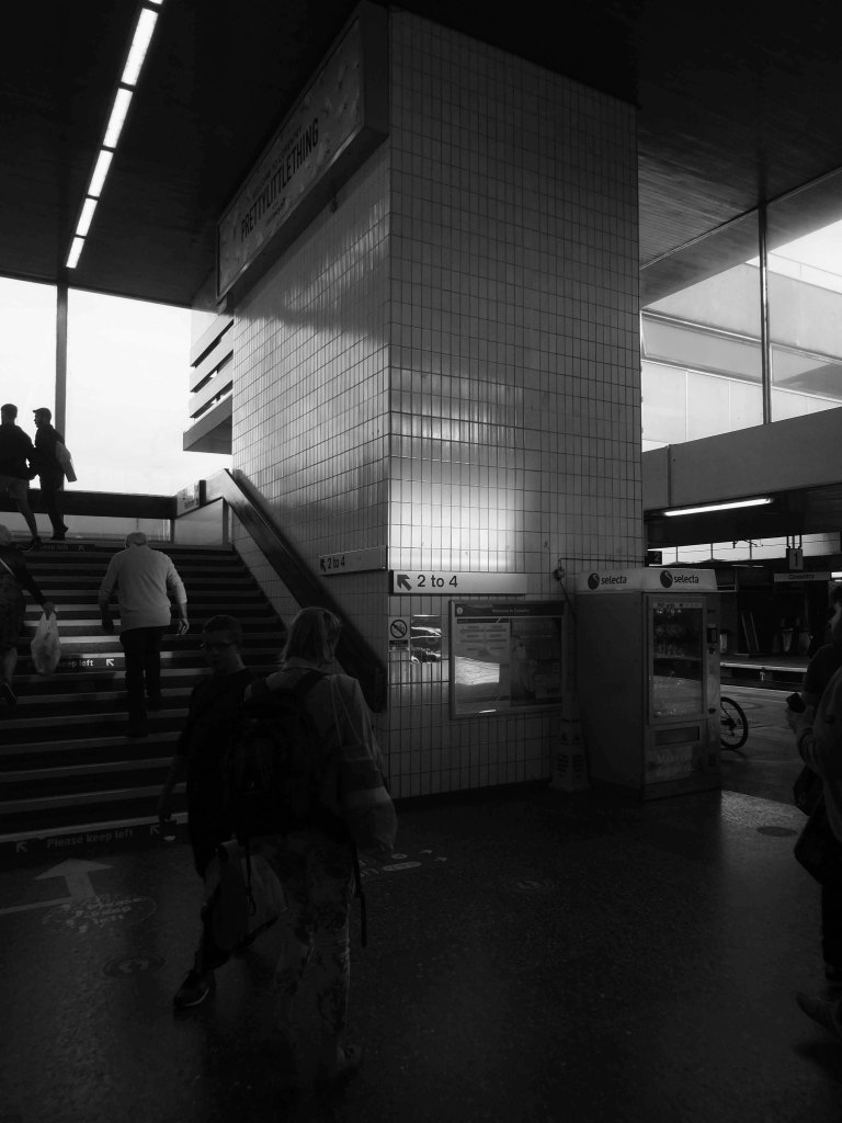
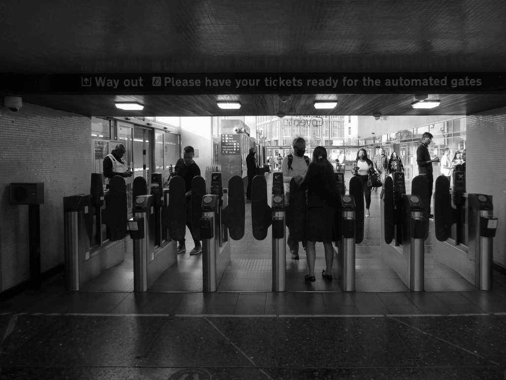
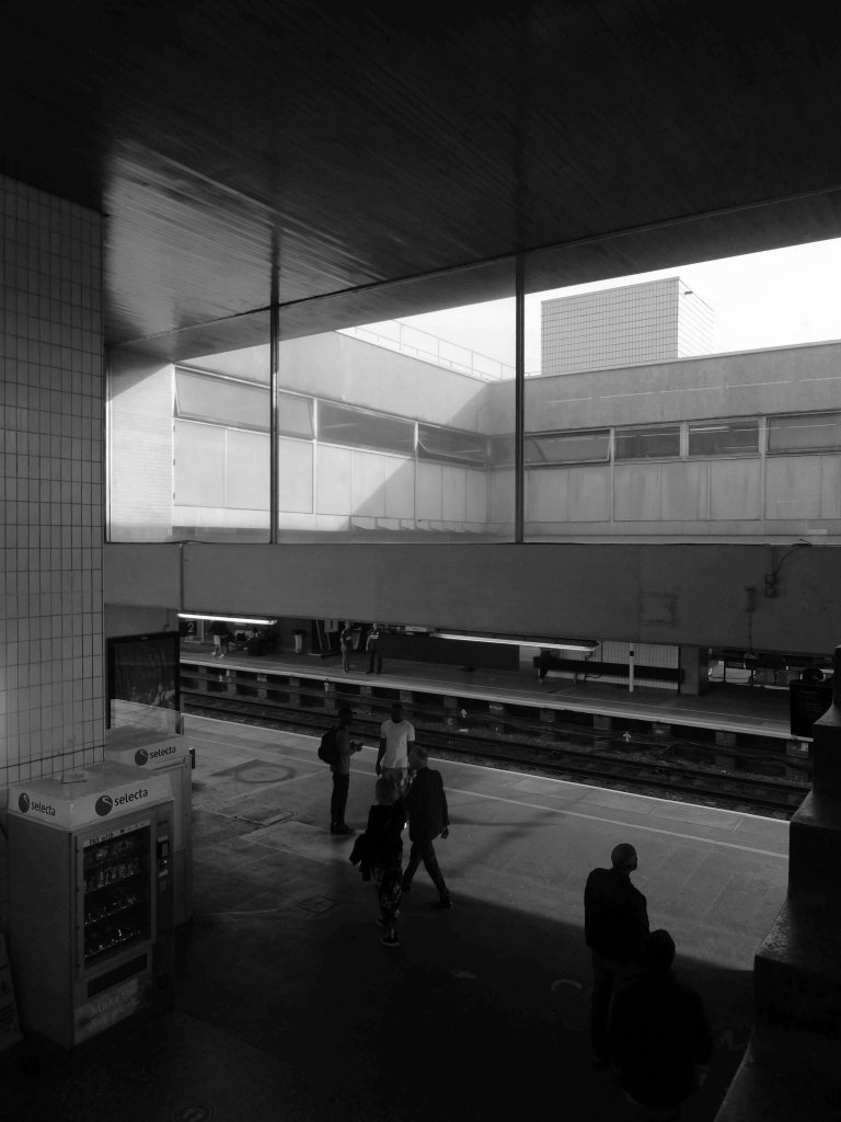
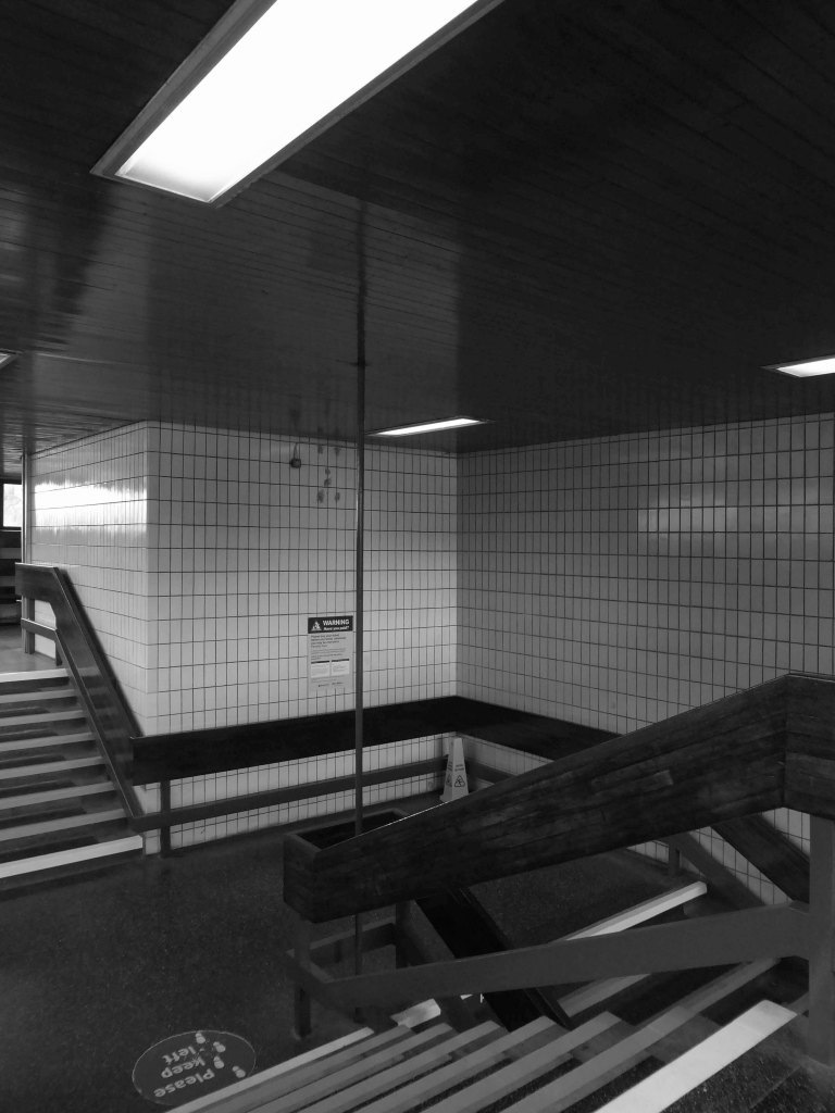
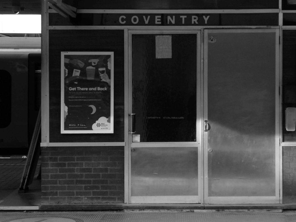
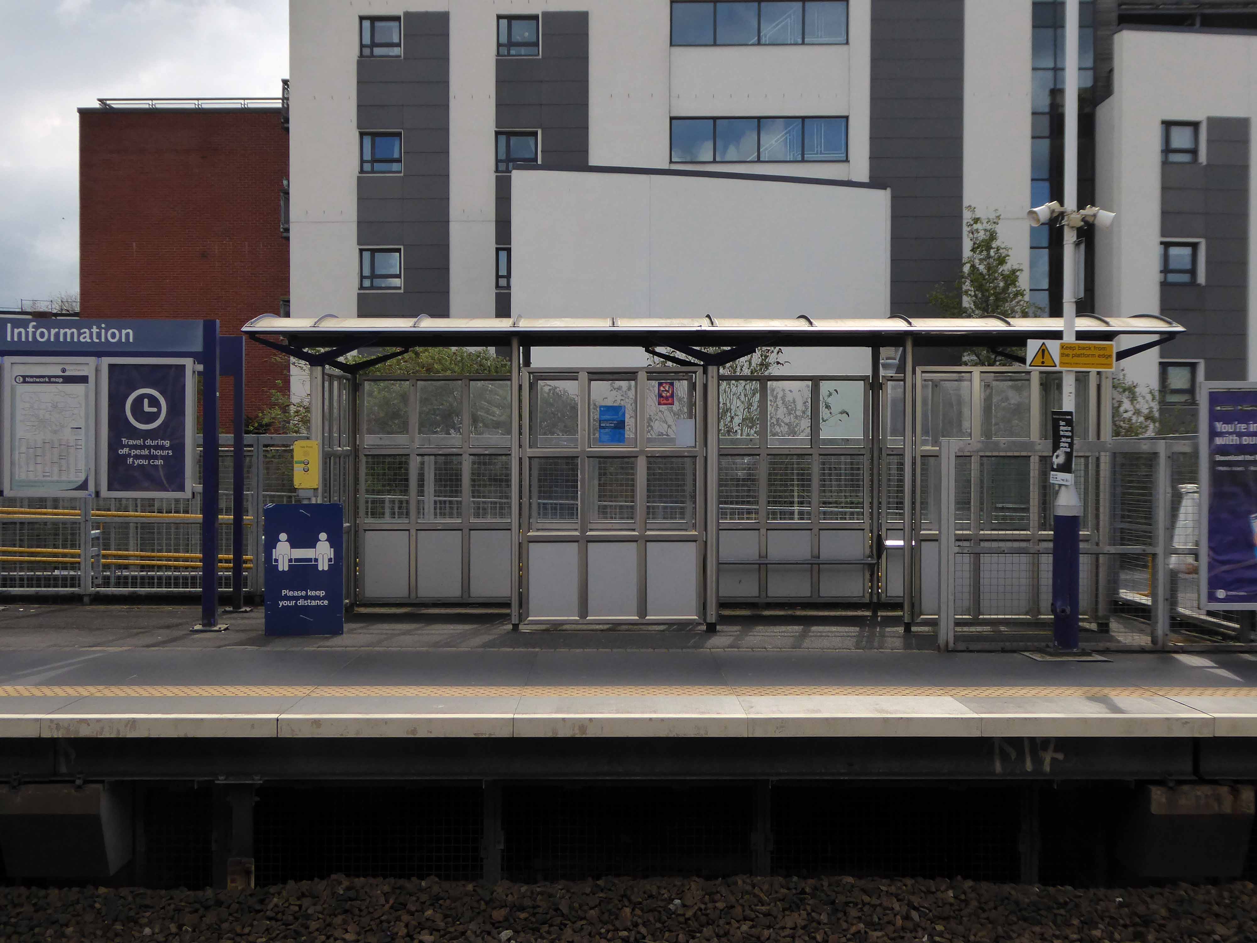
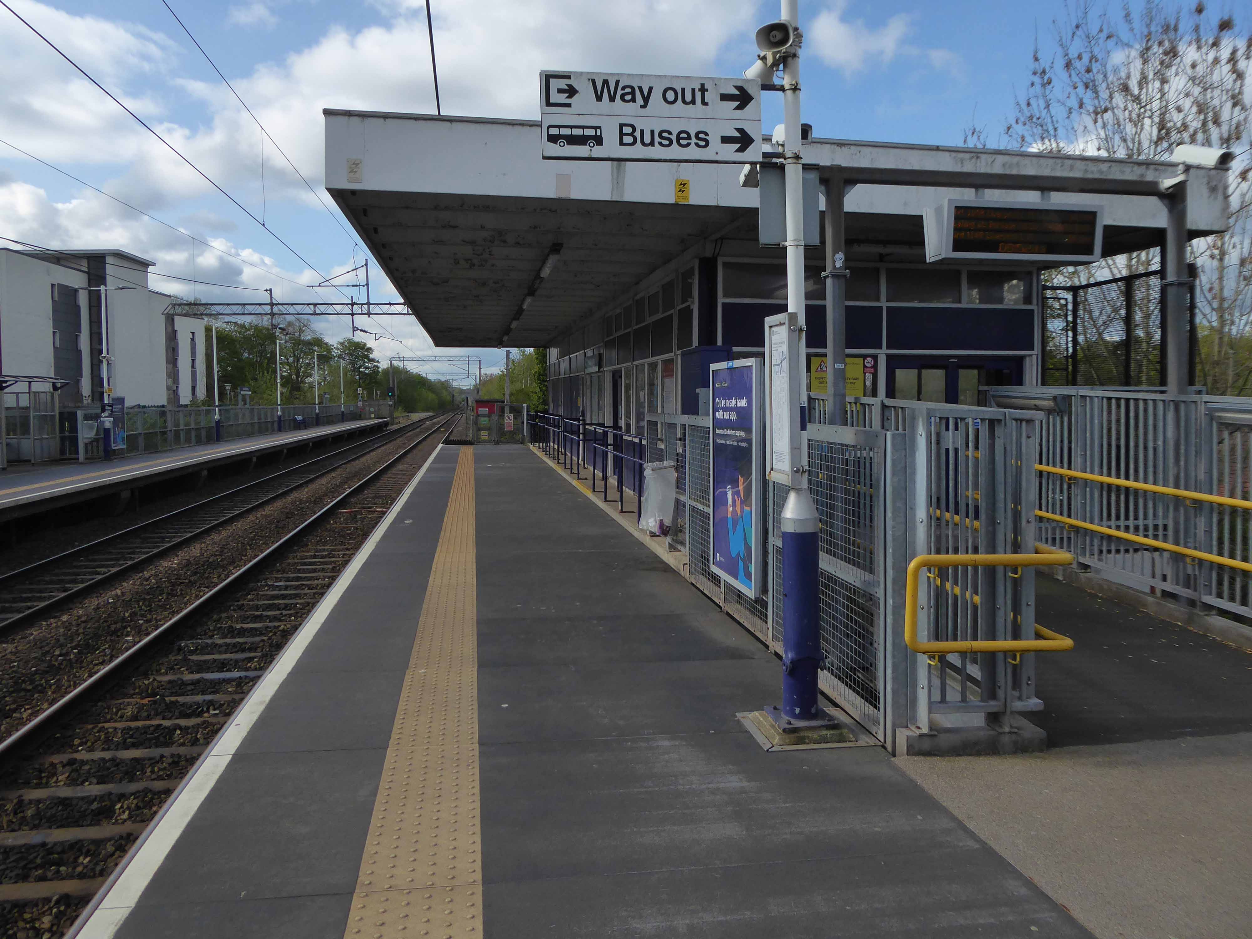
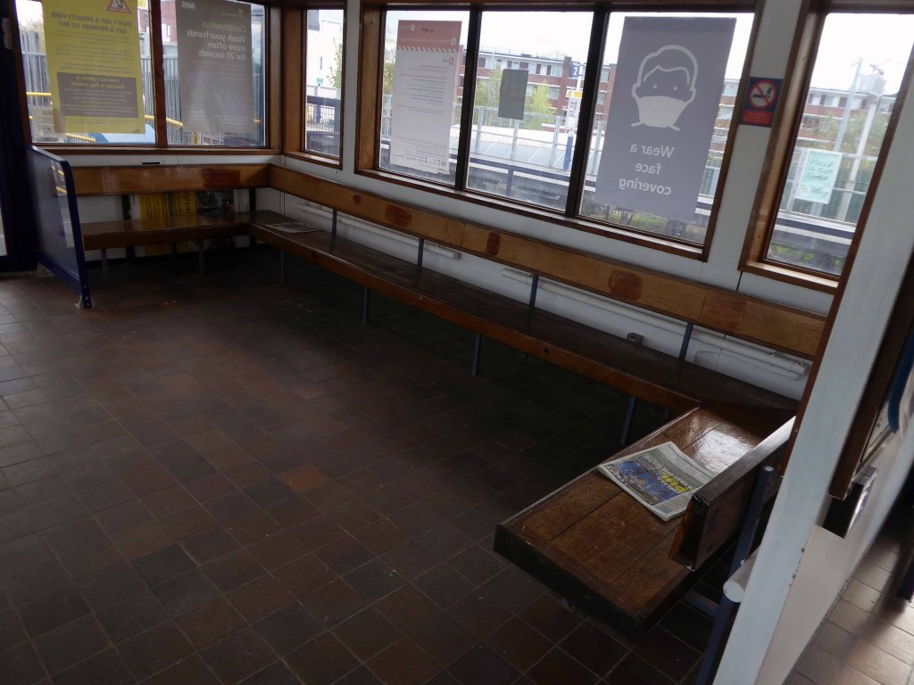
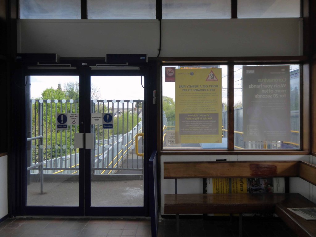
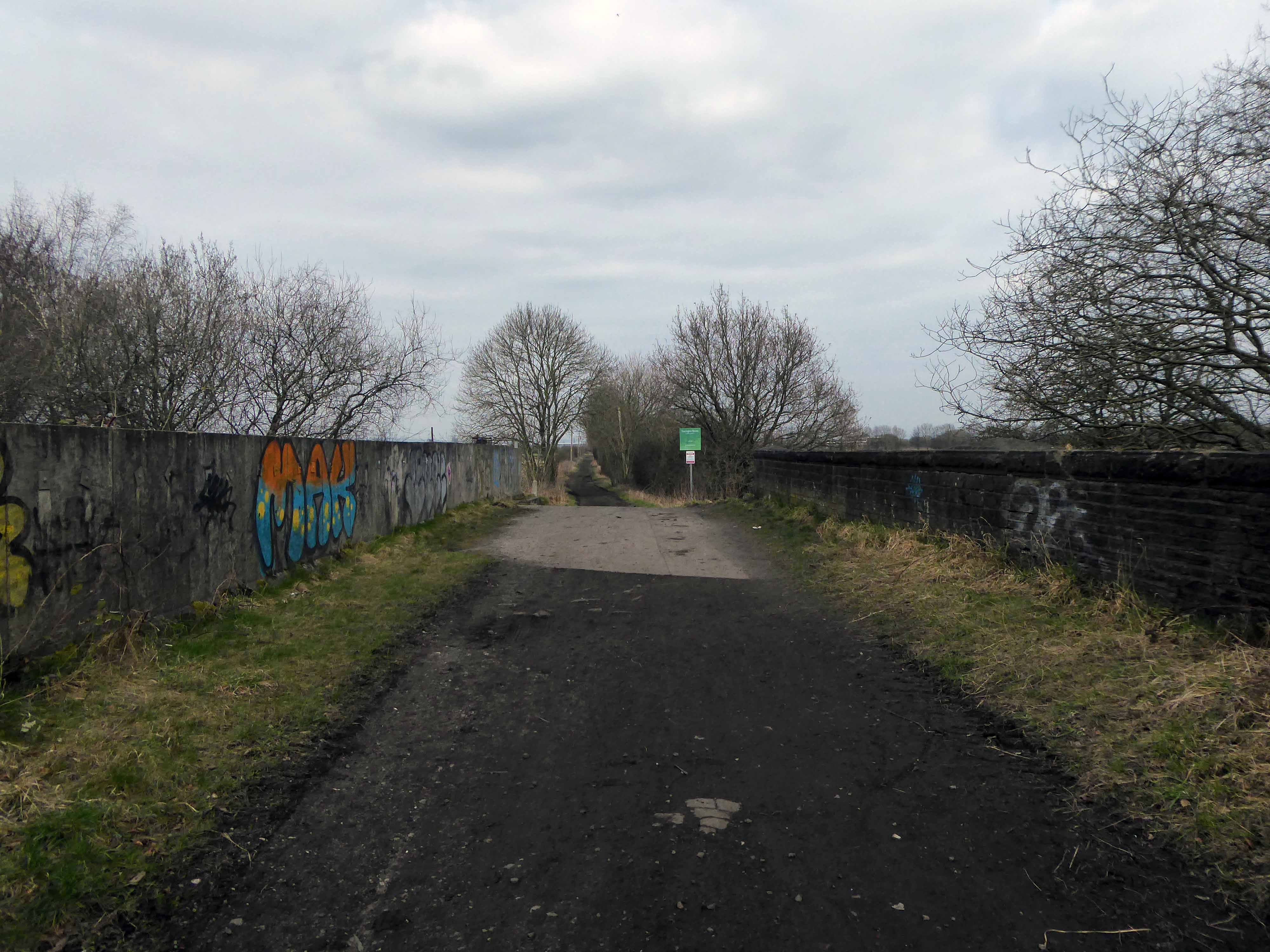
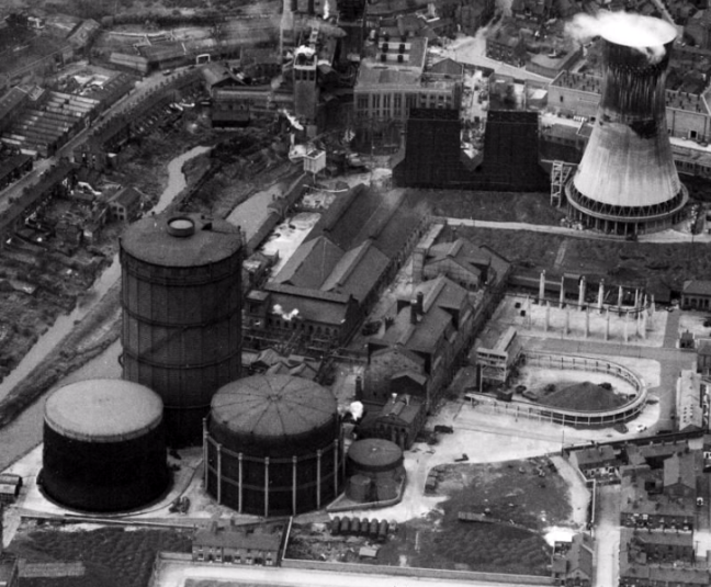
It’s now all grown up into a fully fledged transport interchange – with its very own pedestrian and cycling ramp.
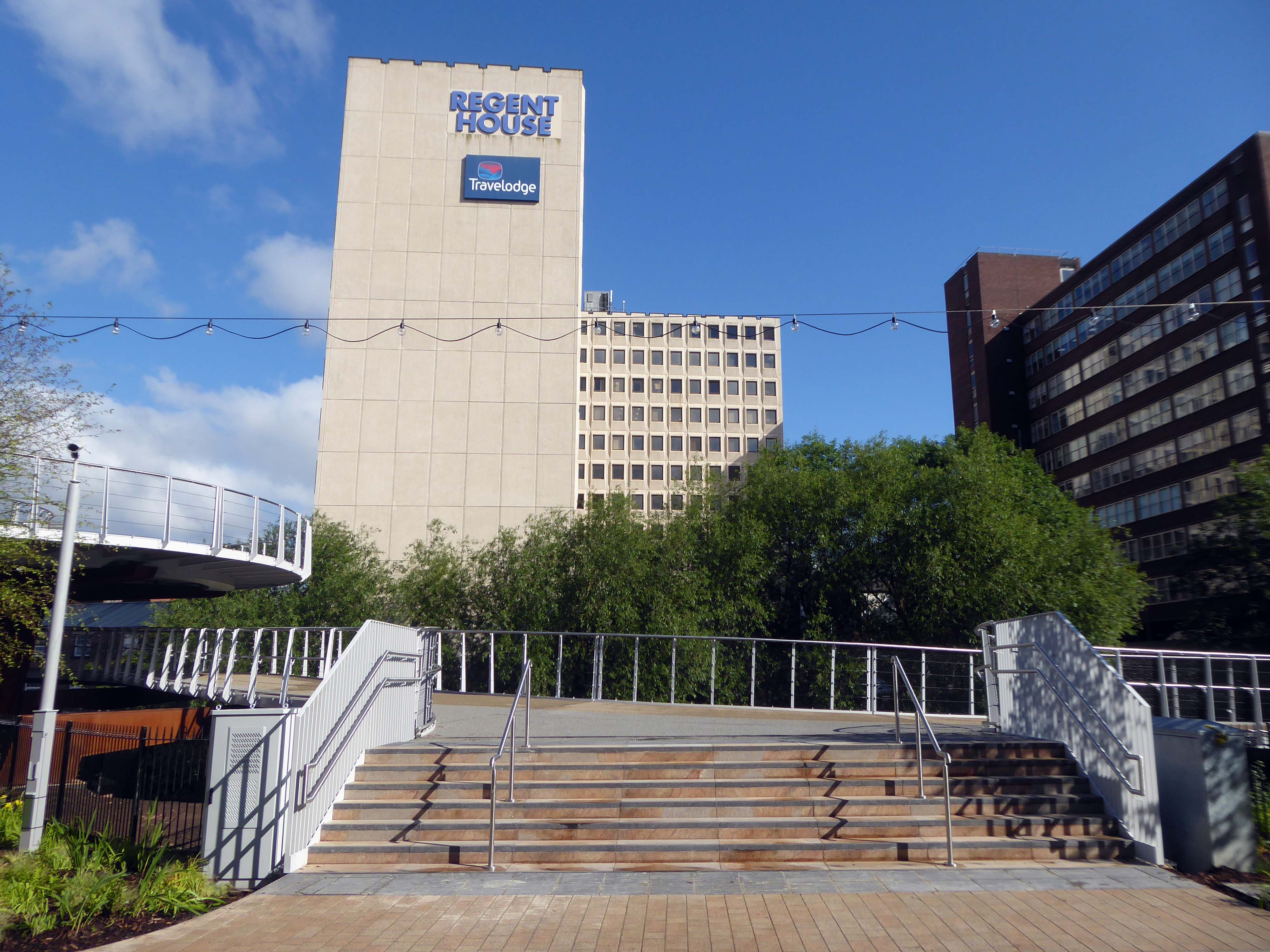
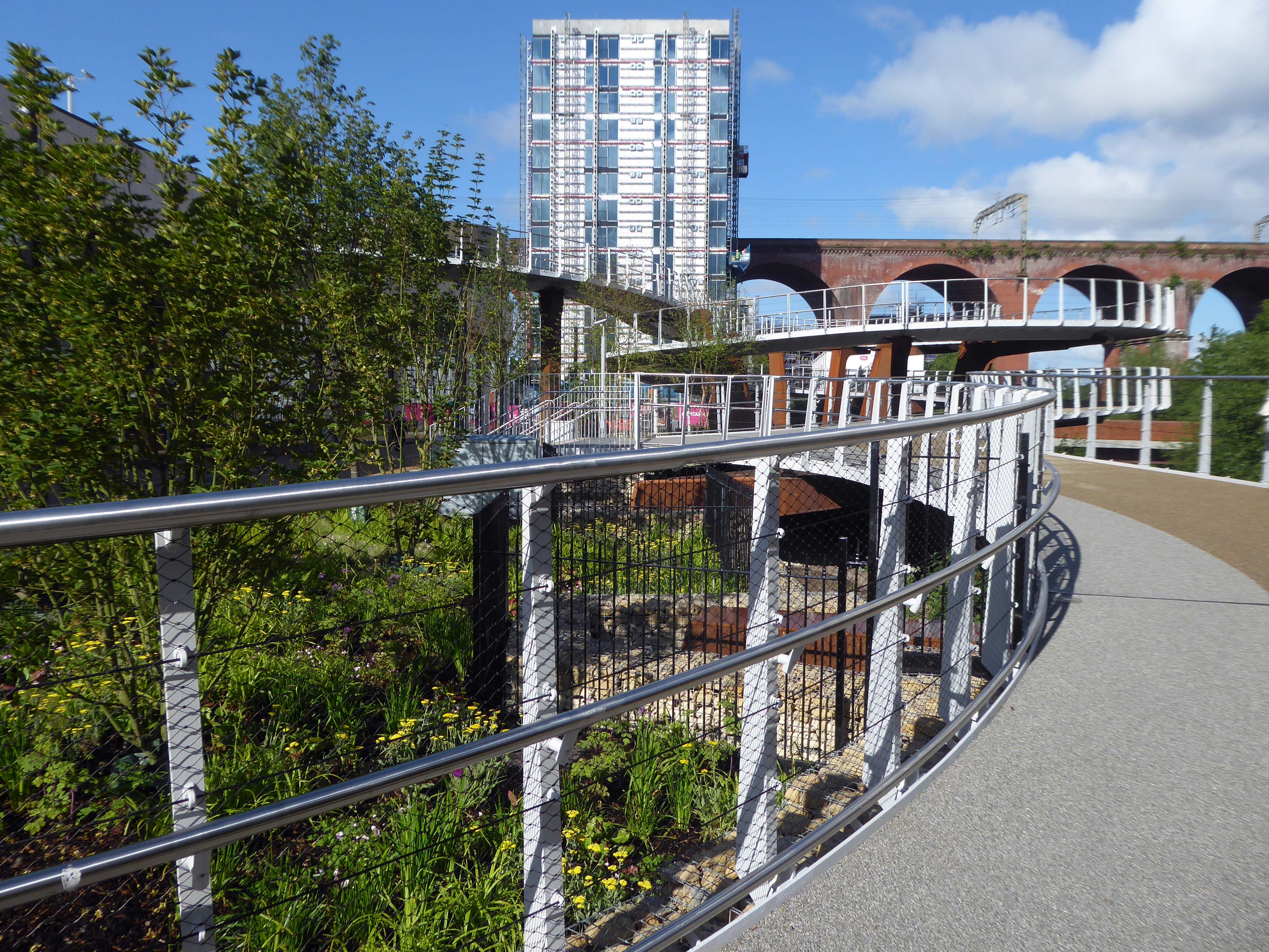
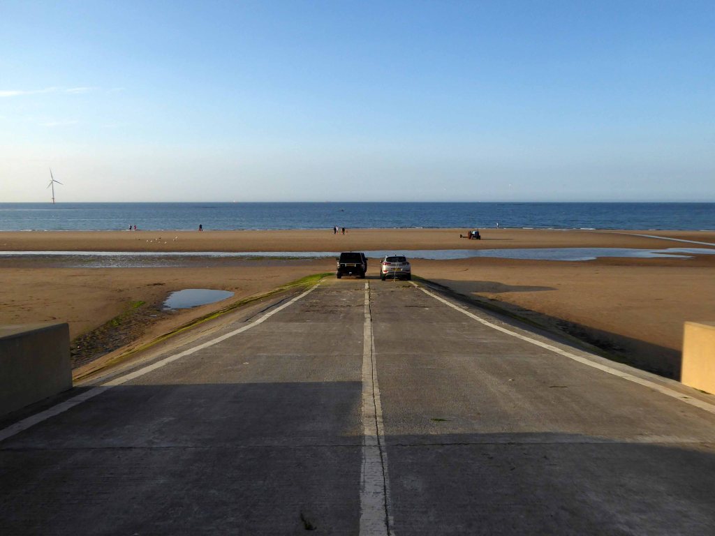
The 189-metre ramp provides a seamless and accessible route to navigate the level change from the rooftop park to the river Mersey frontage, leading to the Trans Pennine Trail route.
Forming part of the Stockport Interchange Mixed Use development scheme, and which also includes a new cycle and pedestrian link from Stockport rail station to the new park, as well as connecting the new facility to the wider Bee Network cycling and walking infrastructure, which is designed to encourage more people to make journeys on foot or by bike.
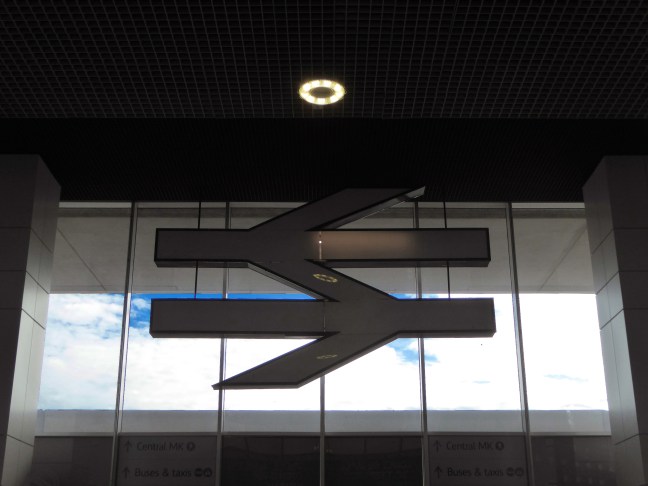
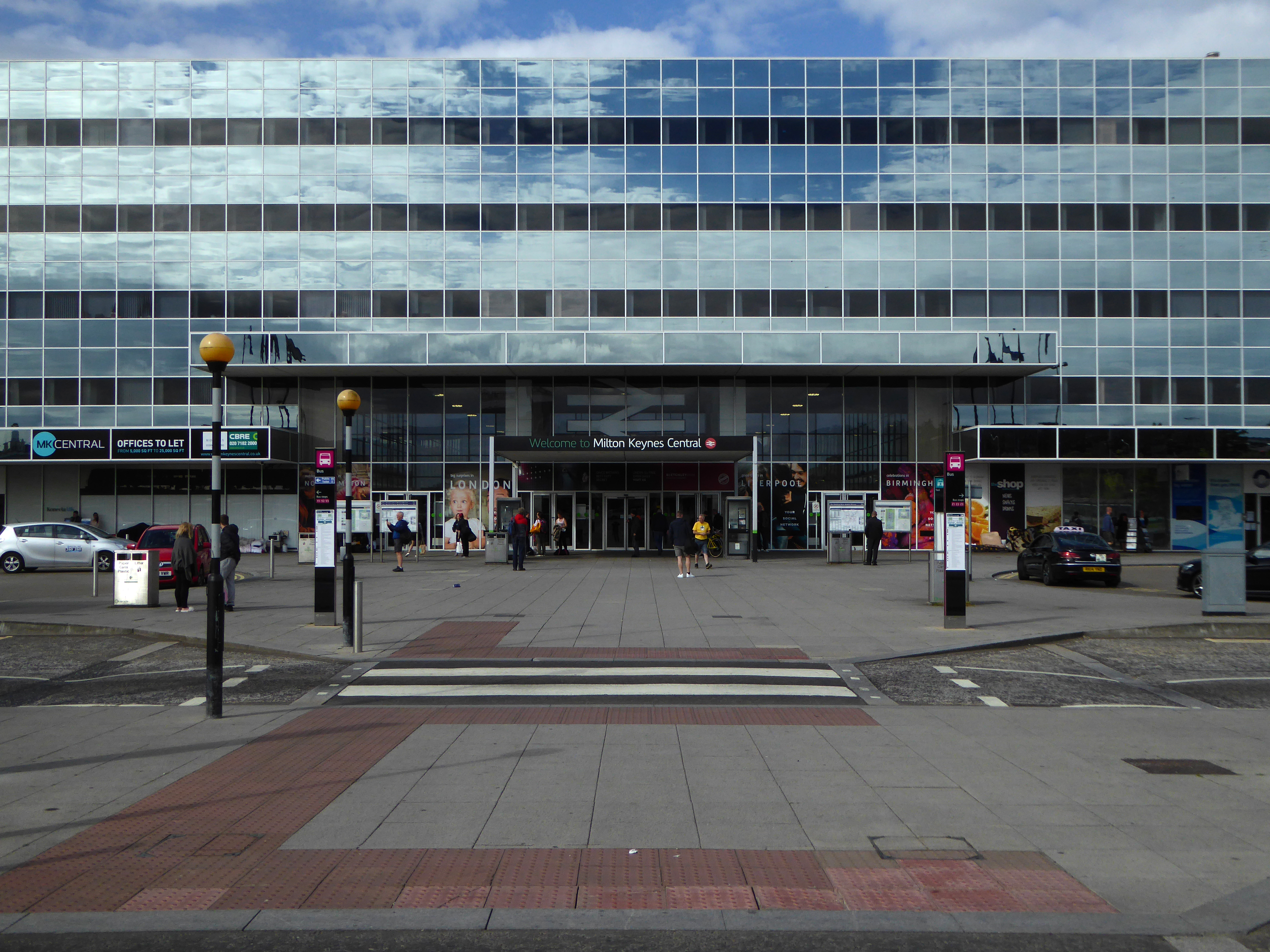
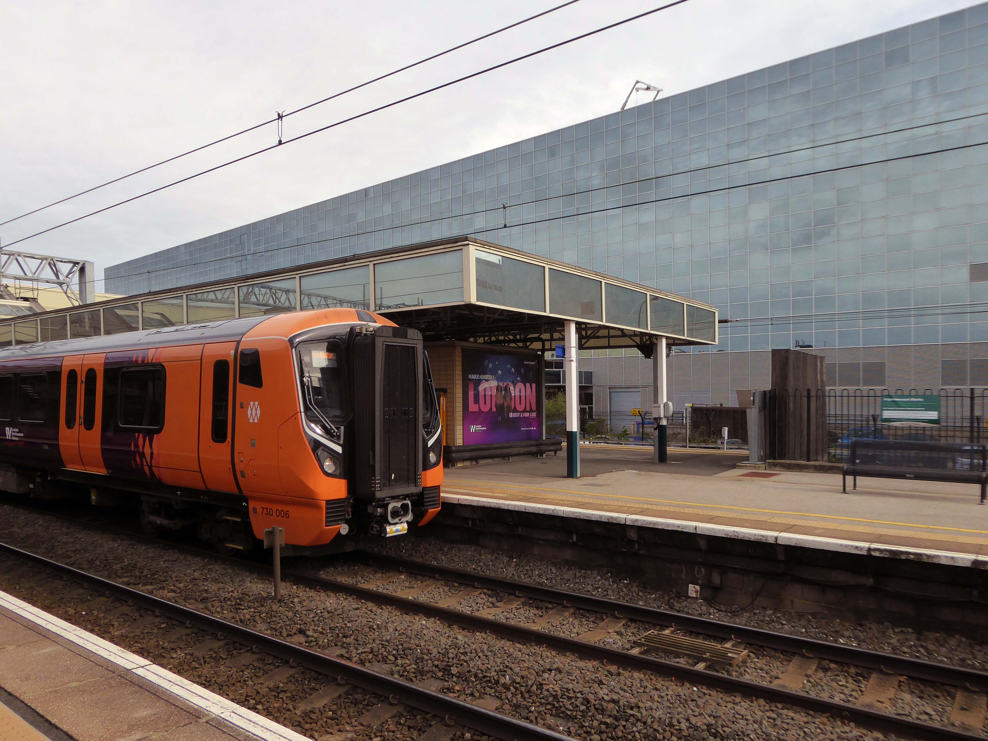
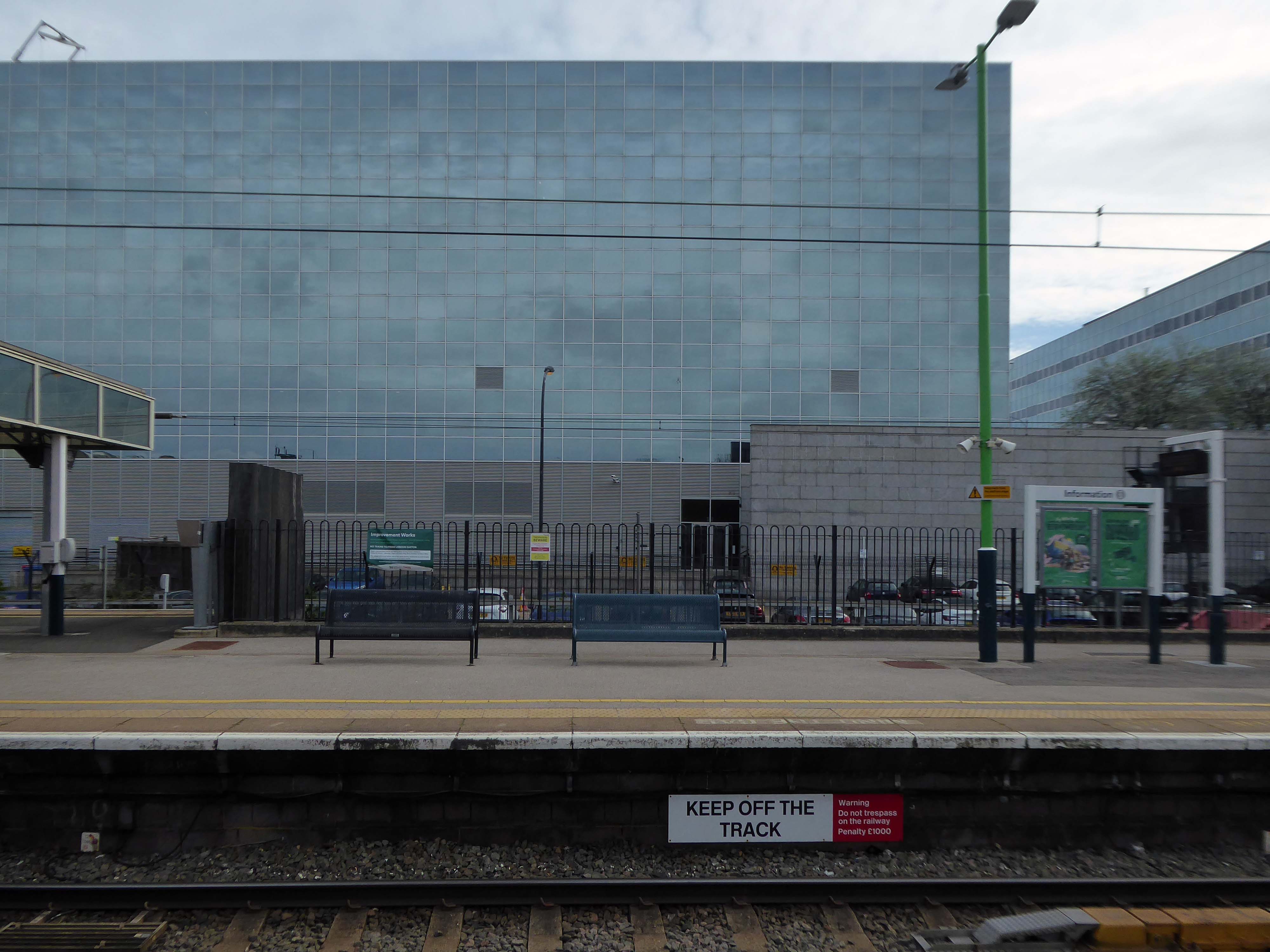
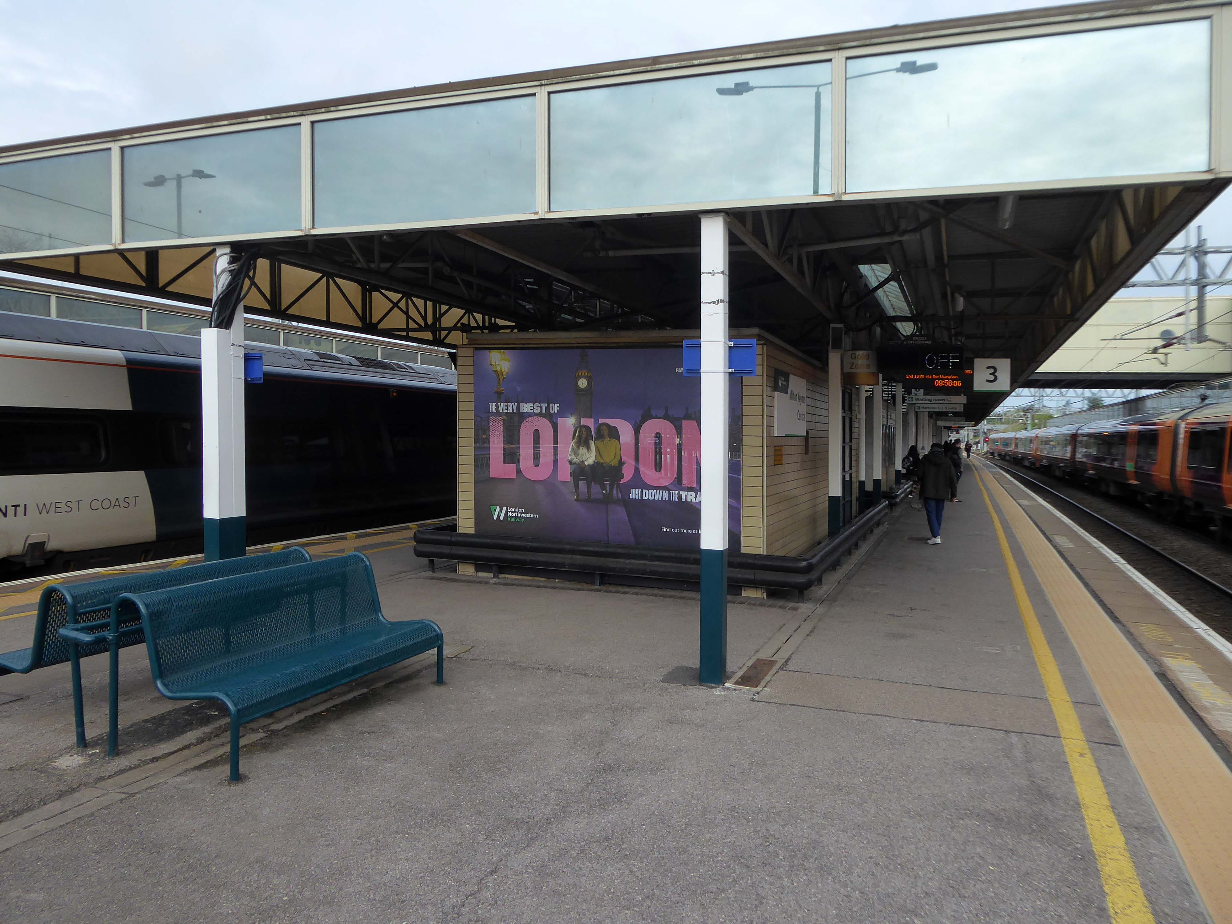
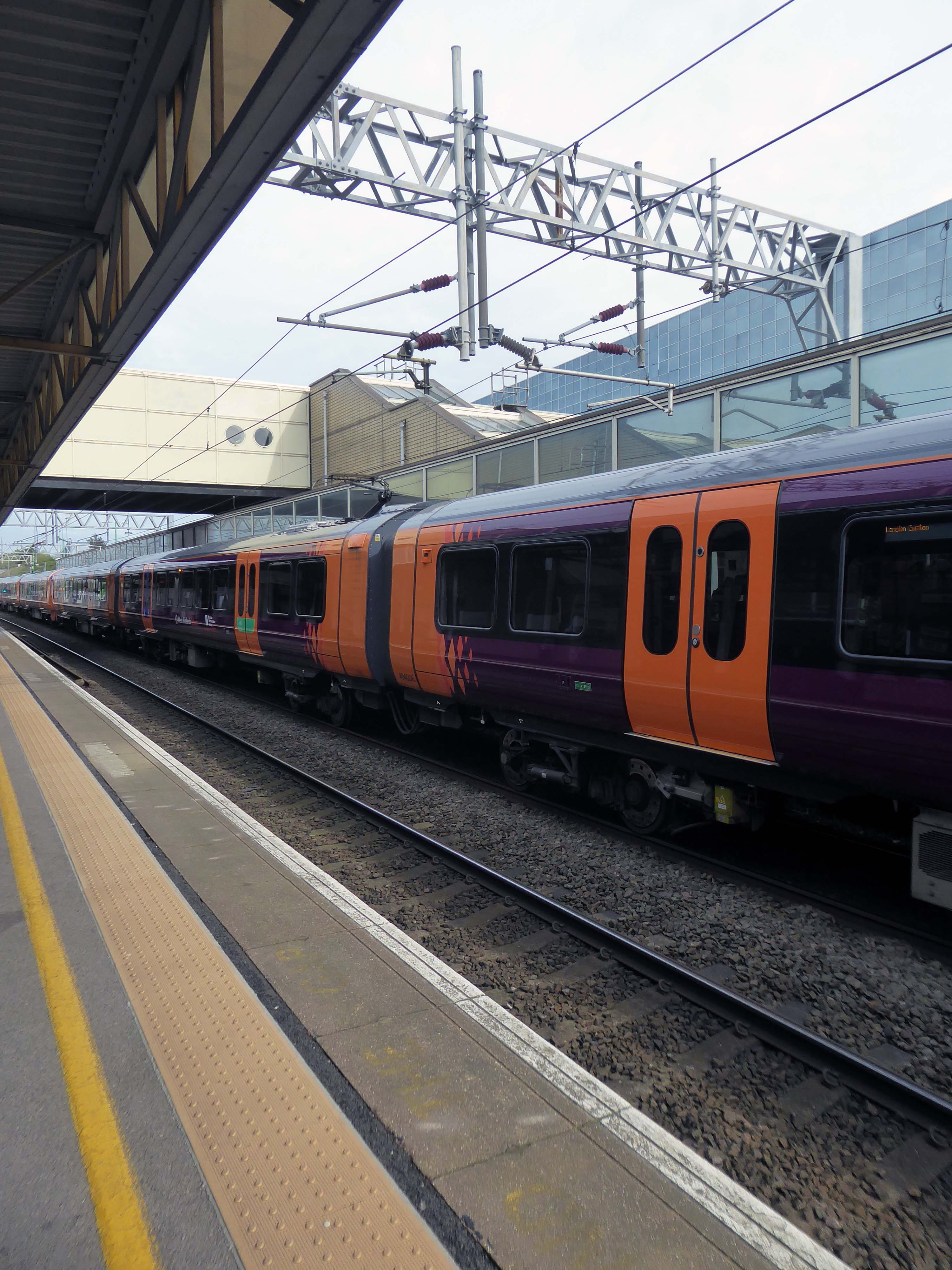
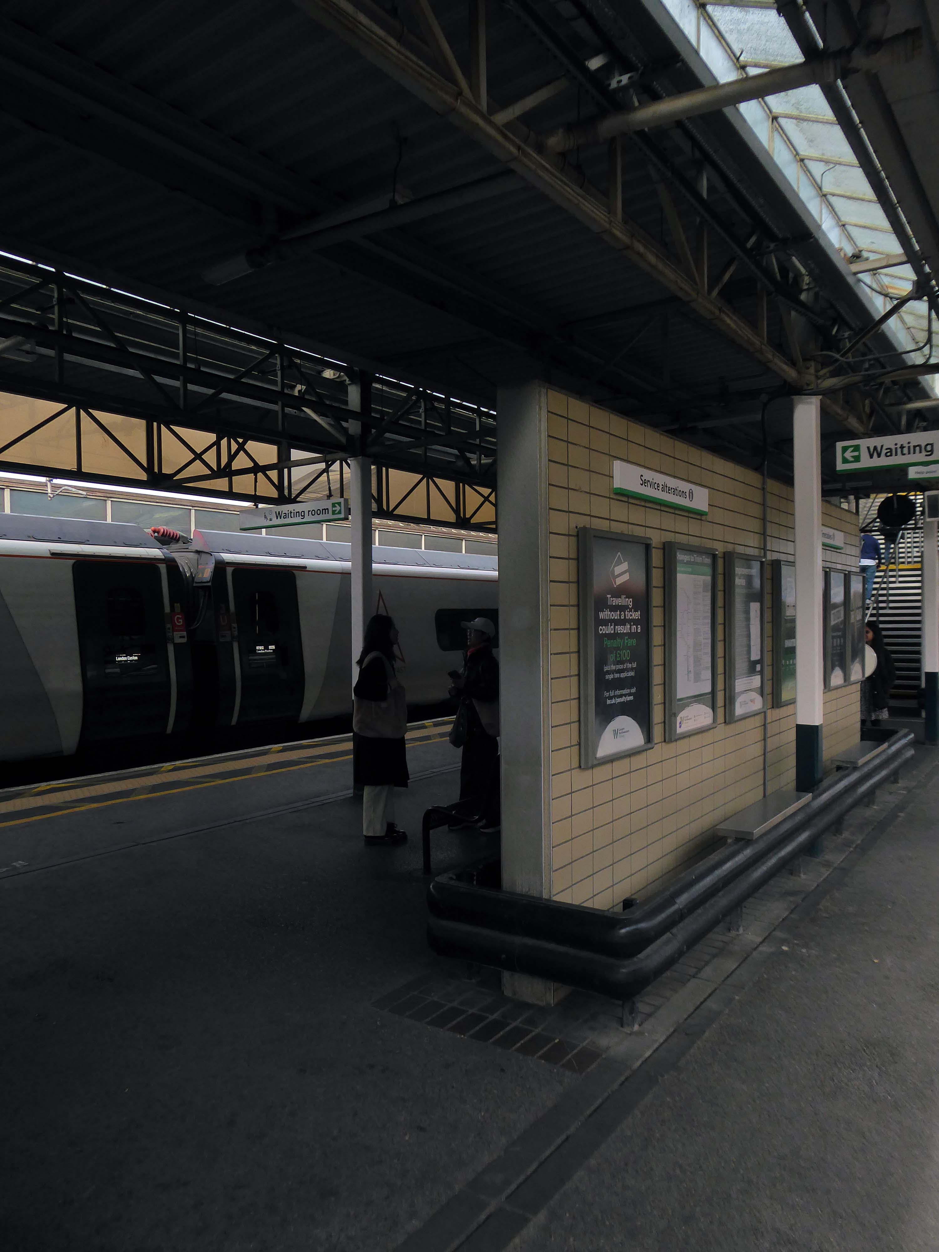
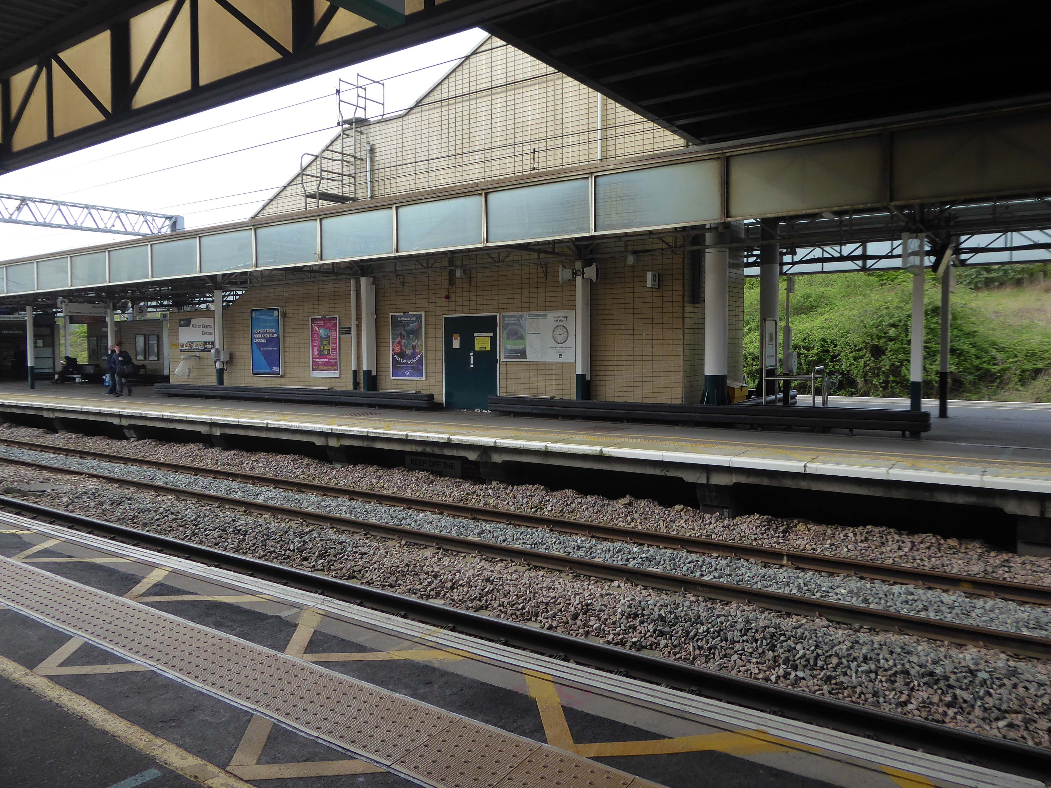
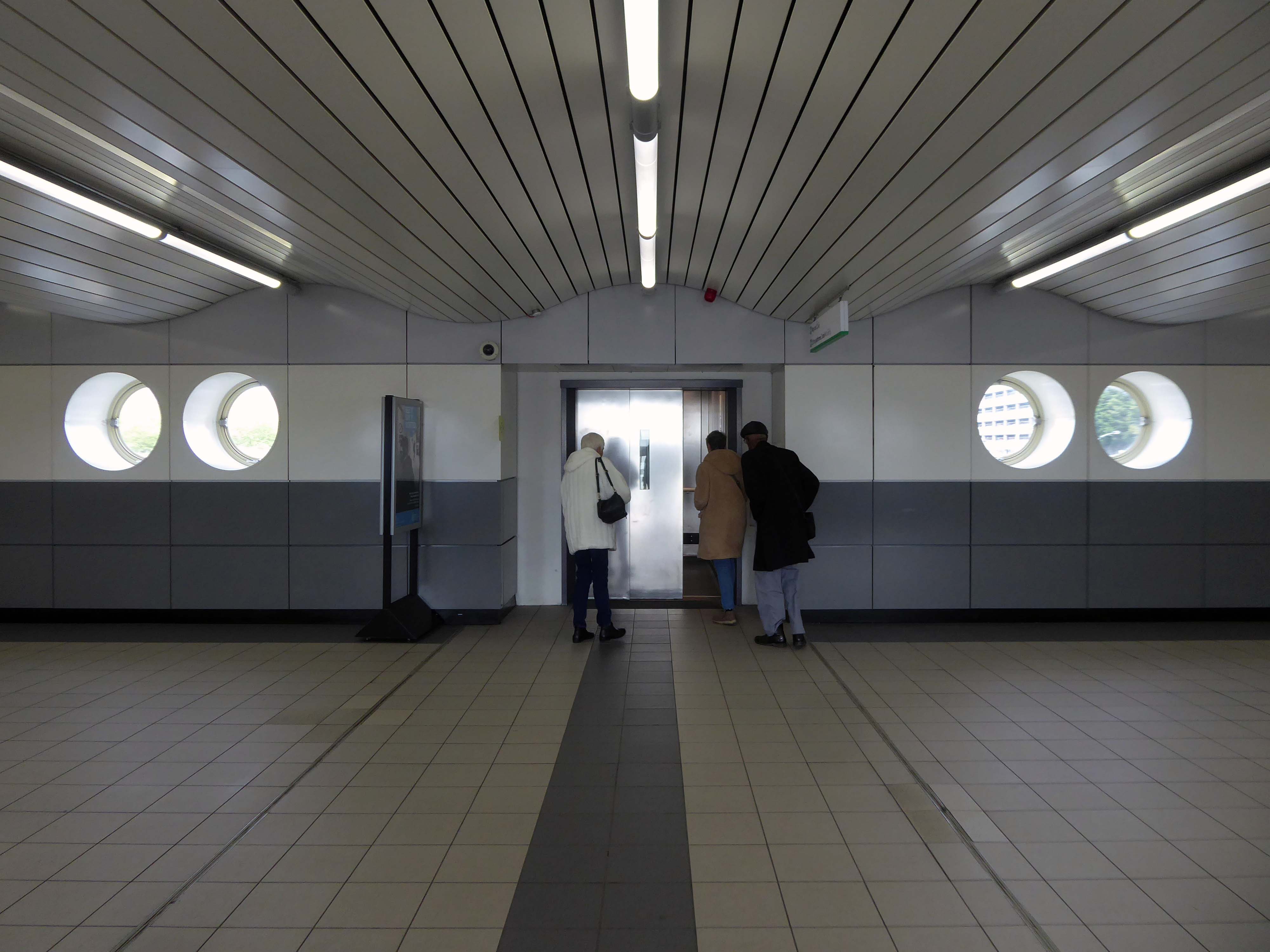
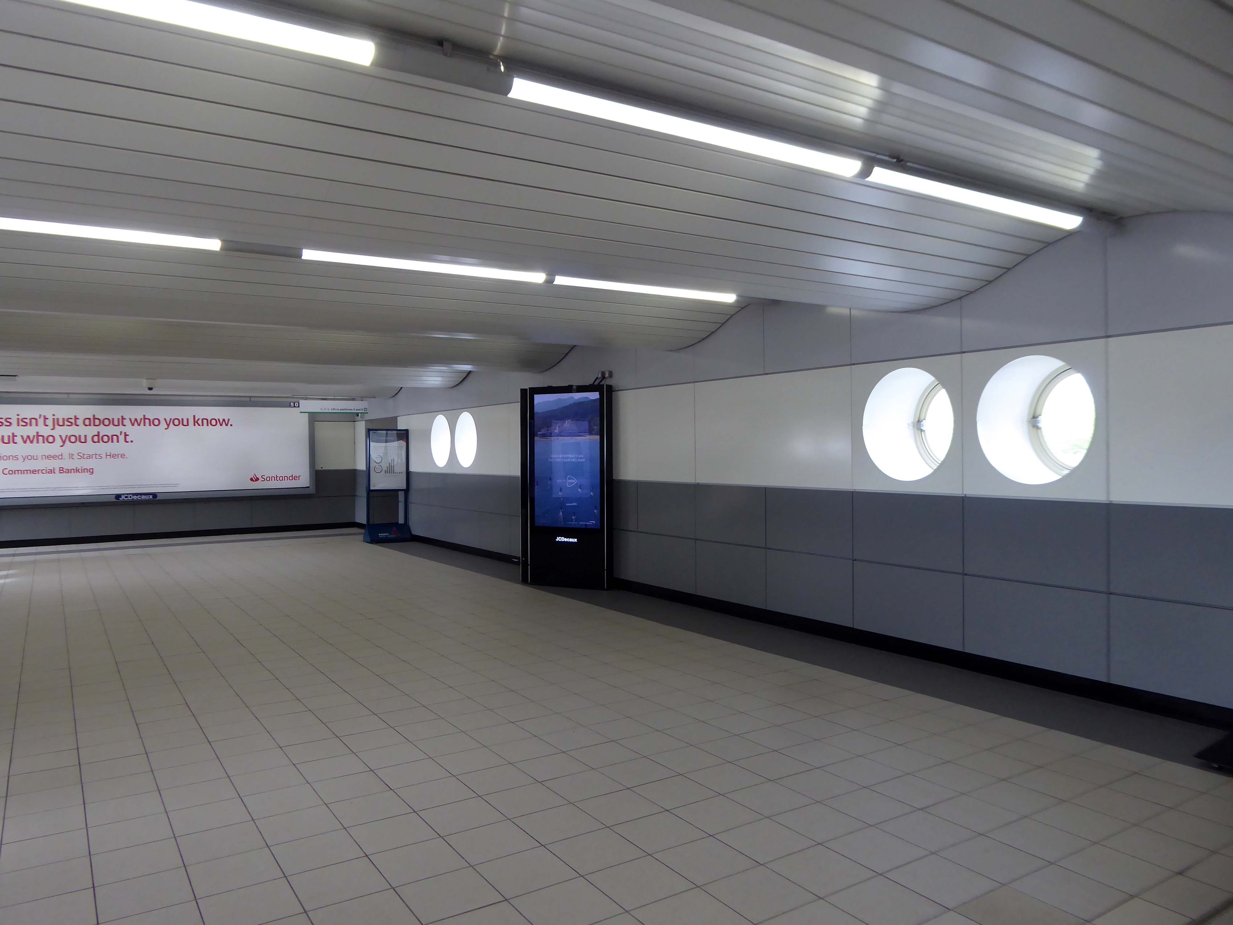
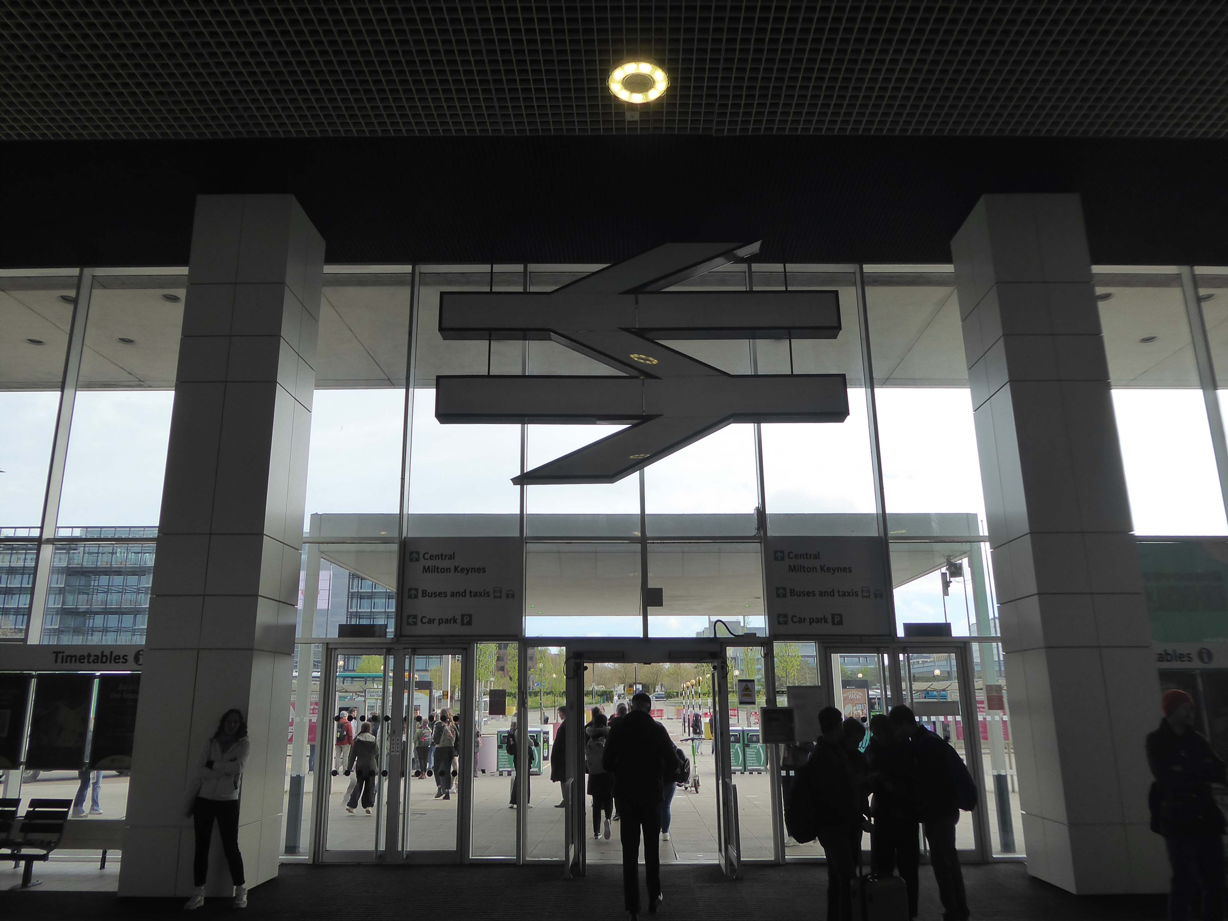
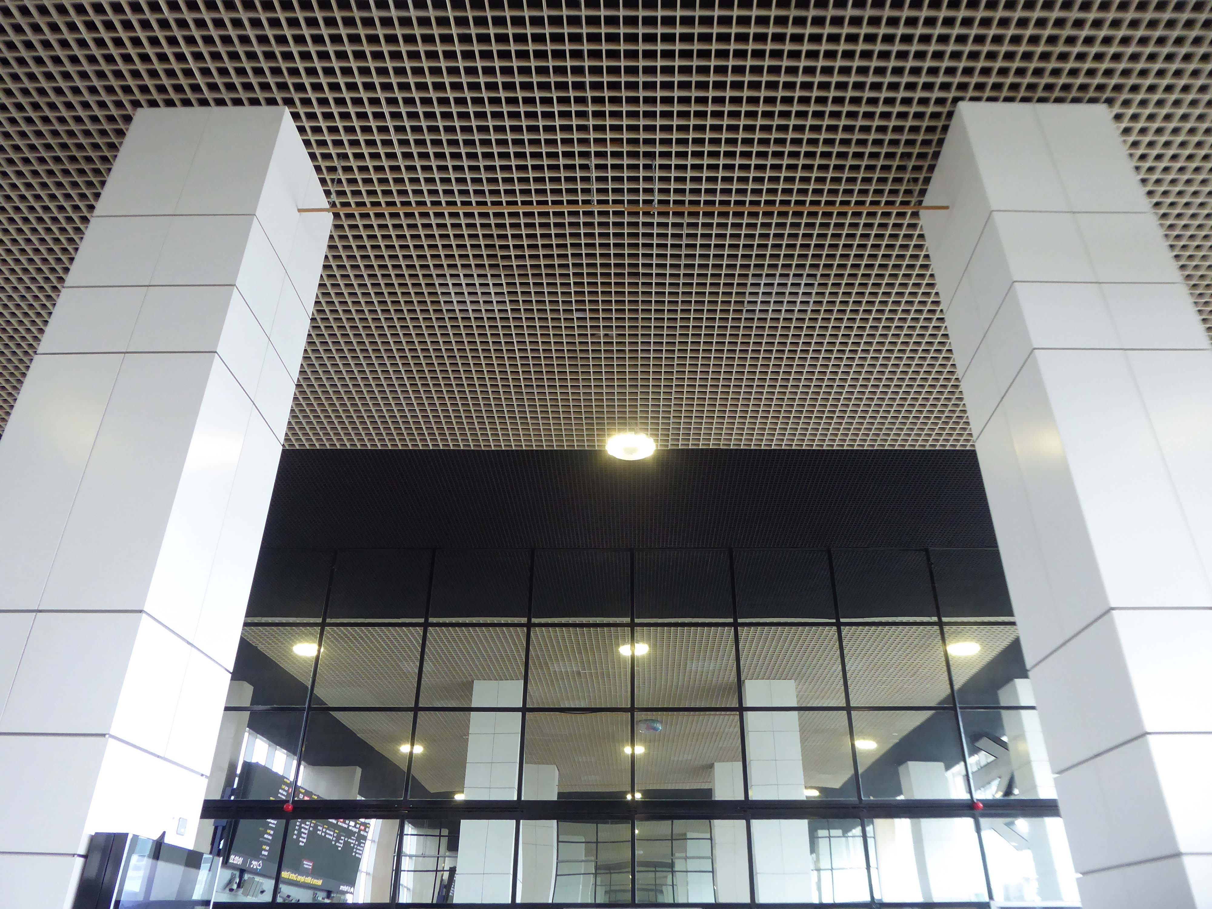
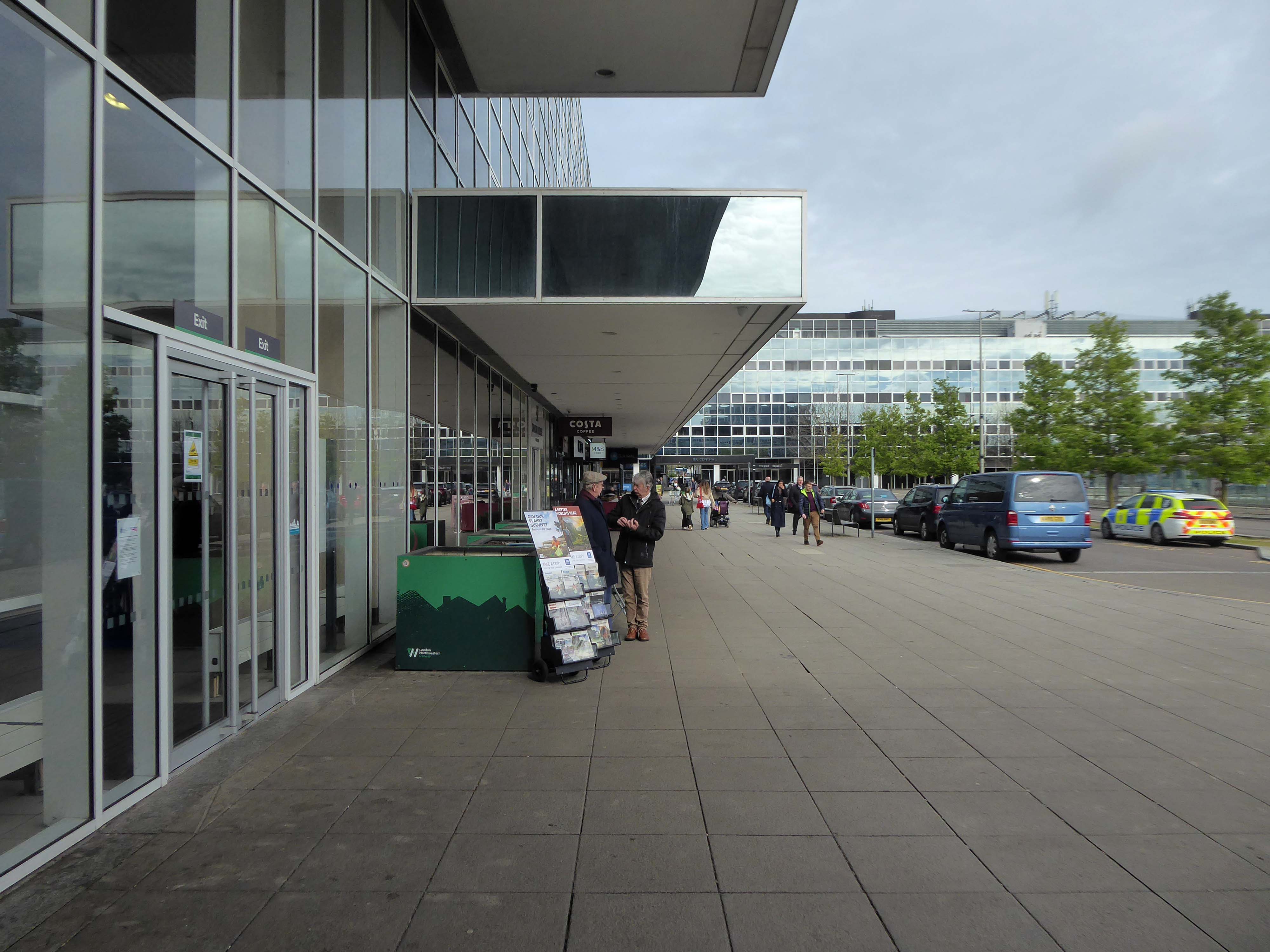
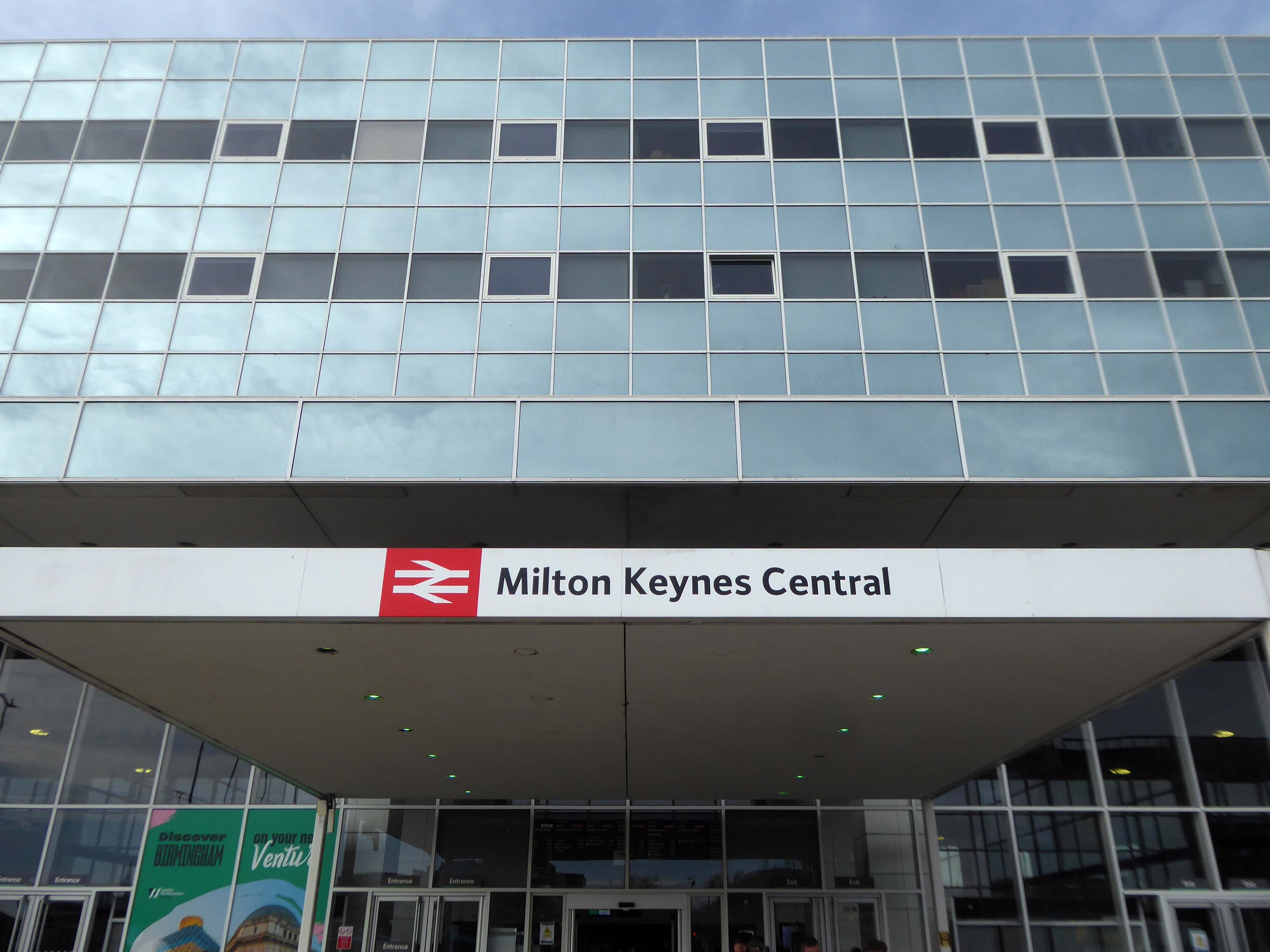
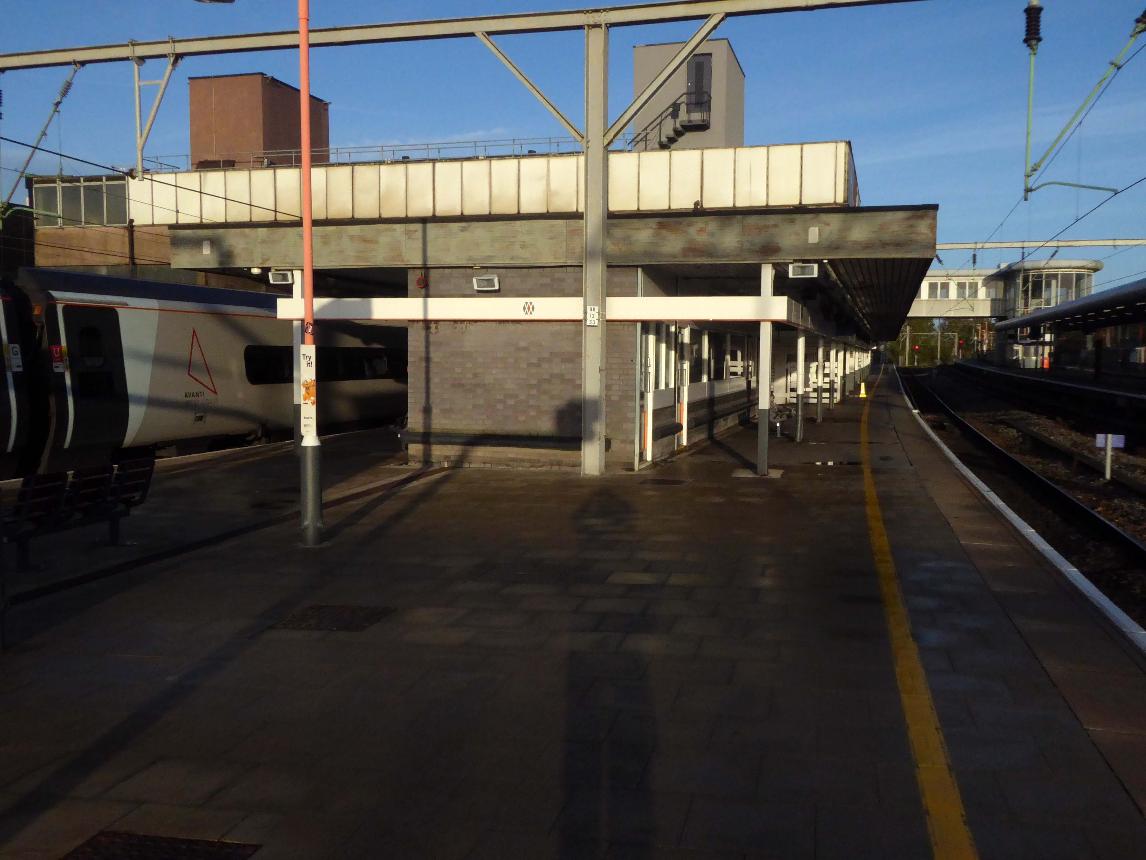
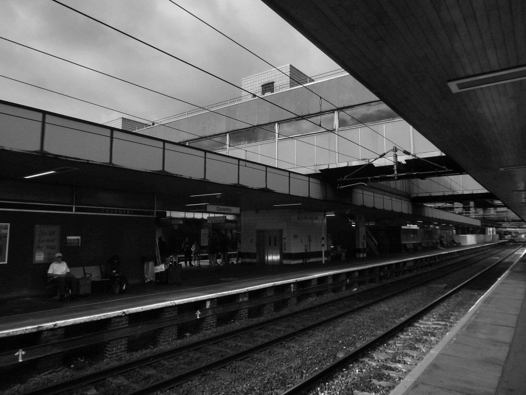
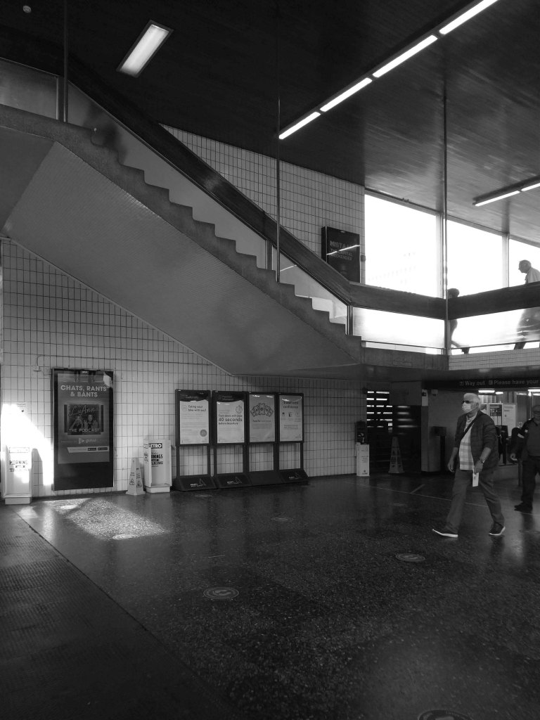
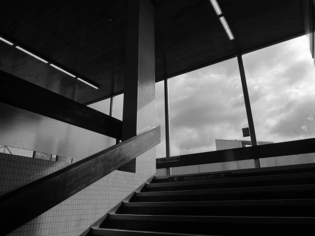
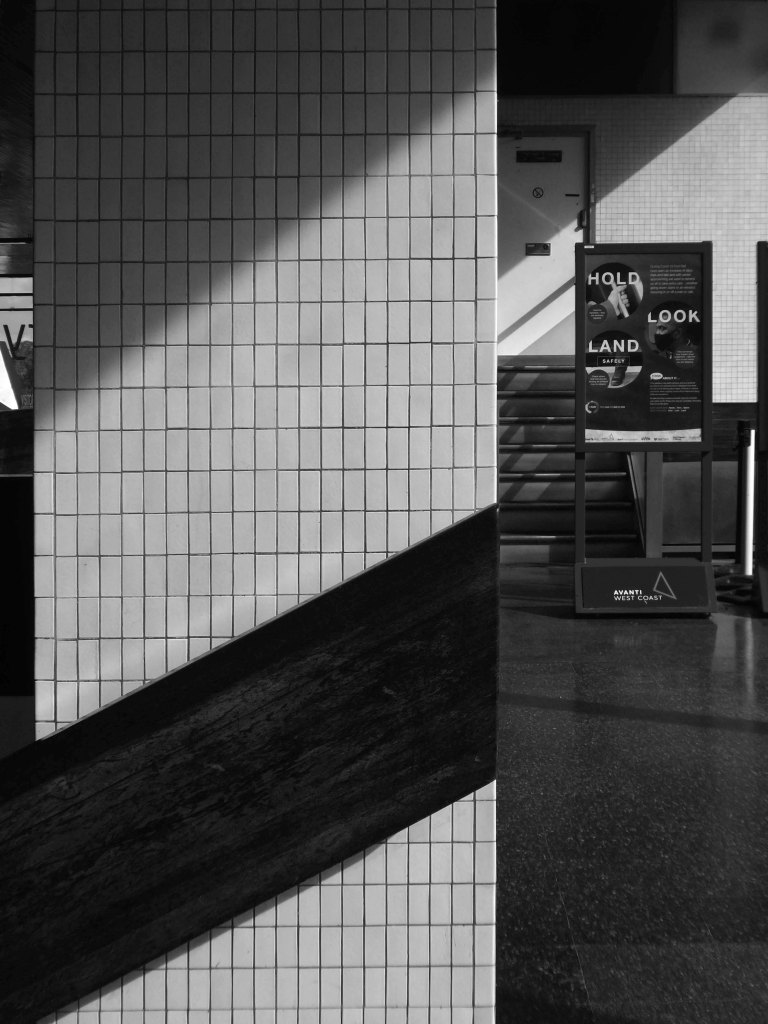
Milton Keynes Central railway station serves Milton Keynes and surrounding parts of Bedfordshire, Buckinghamshire and Northamptonshire. The station is located on the West Coast Main Line about 50 miles northwest of London. The station is served by Avanti West Coast intercity services, and by West Midlands Trains regional services.
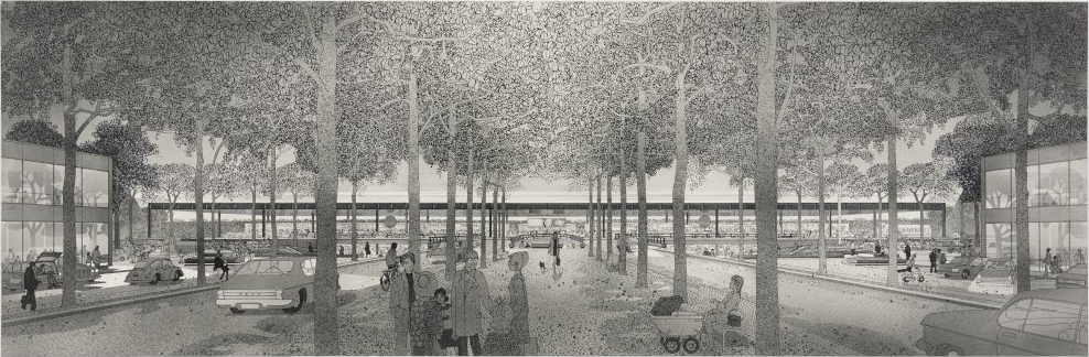
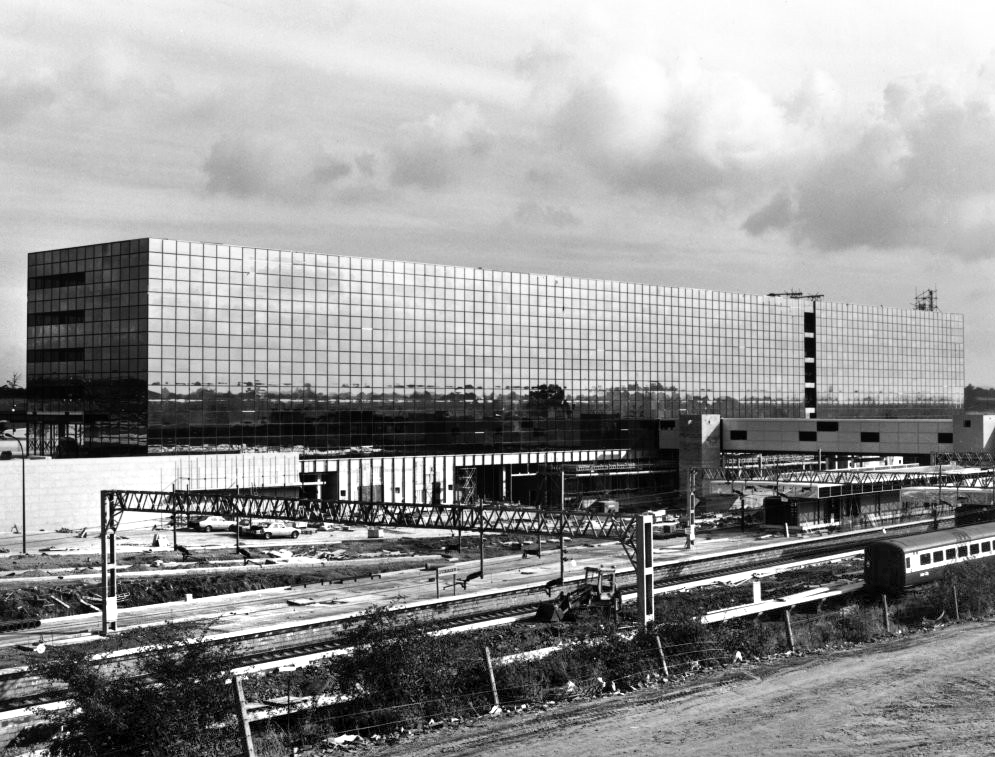
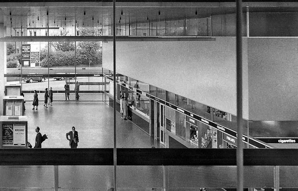
A new station to delimit the western end of the new central business district of Milton Keynes was a key objective for Milton Keynes Development Corporation. In the cash-strapped circumstances of the 1960s and 1970s, British Rail was unenthusiastic but eventually came round after a deal was done in 1978 on cost sharing. In 1979, MKDC architect Stuart Mosscrop designed the station building and office blocks to either side, framing a new Station Square and the vista uphill along Midsummer Boulevard – and the midsummer sunrise.
The Station Square and Station Building were designed by MKDC, the Station fitting out including the platforms, was designed by British Rail Architects, one third of the costs met by BR and two thirds by MKDC. For MKDC, the scheme was designed by MKDC architects Stuart Mosscrop, Derek Walker and Christopher Woodward; project architect David Hartley, assisted by Barry Steadman and Christopher Moxham; structural engineers Felix J Samuely. British Rail was responsible for the station concourse, footbridge and platform structures, the team comprising Jim S Wyatt, BR regional architect, and project architect John H Kitcher, assisted by Colin Eades.
The station opened on 14 May 1982, with an official opening by Charles, then Prince of Wales, conducted three days later.
Mother of two Jo Francis leans in for a kiss.
Older people are remembering when he previously came to Milton Keynes:
Crowds stood around the forecourt of the Tickford Street factory to watch, cheer and wave flags. Then suddenly, a five year old boy called Matthew Turvey reached into his mum’s shopping basket, took out a tin of baked beans and held them out to the young Prince.
Proposed designs for architecture and town planning of Milton Keynes: boulevard and railway station – 1970 Derek Walker Associates
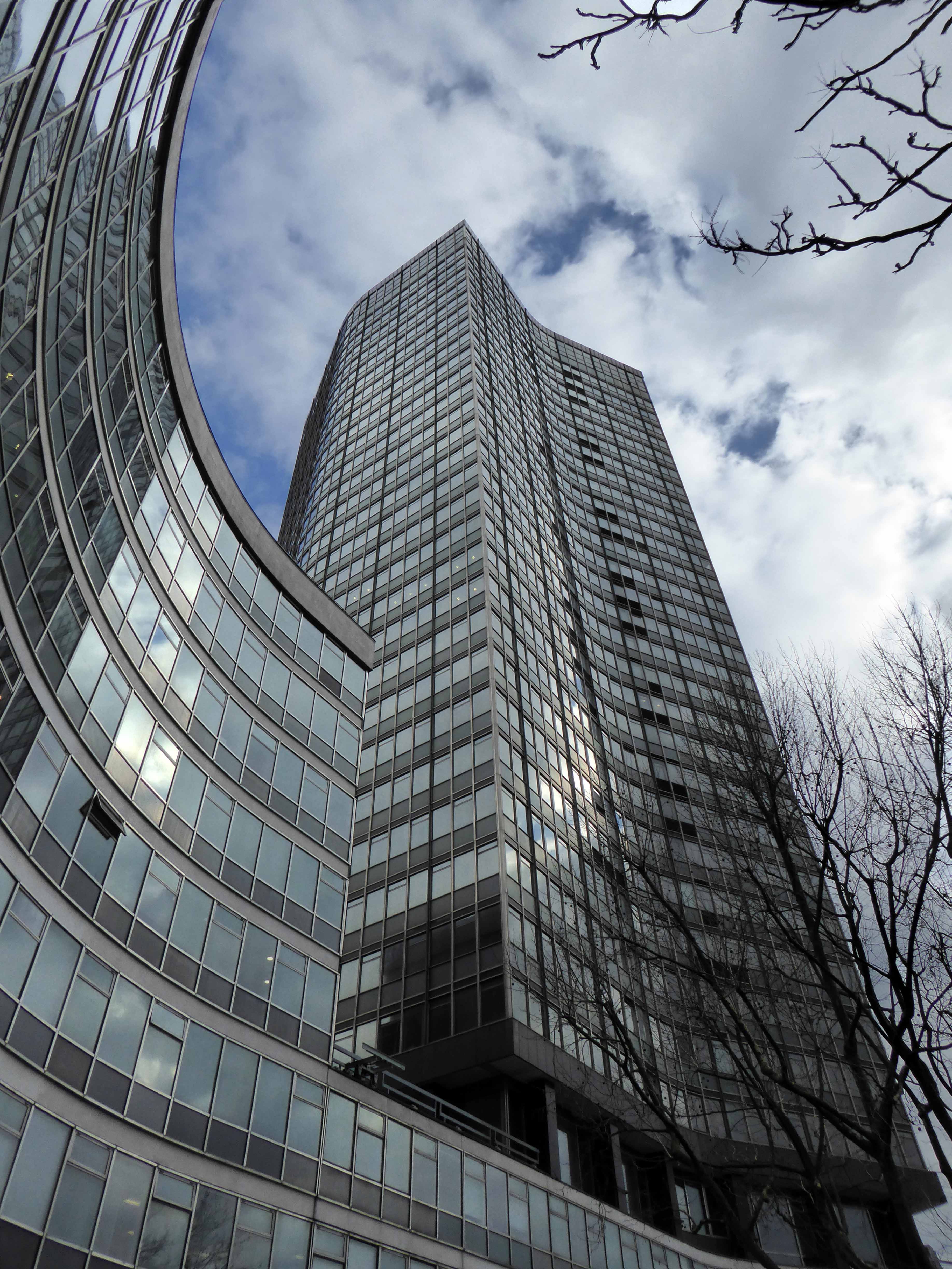
1981 – Built using a high performance reflective solar control glass called Vari-Tran, creating a complete curtain wall to cover the whole construction.
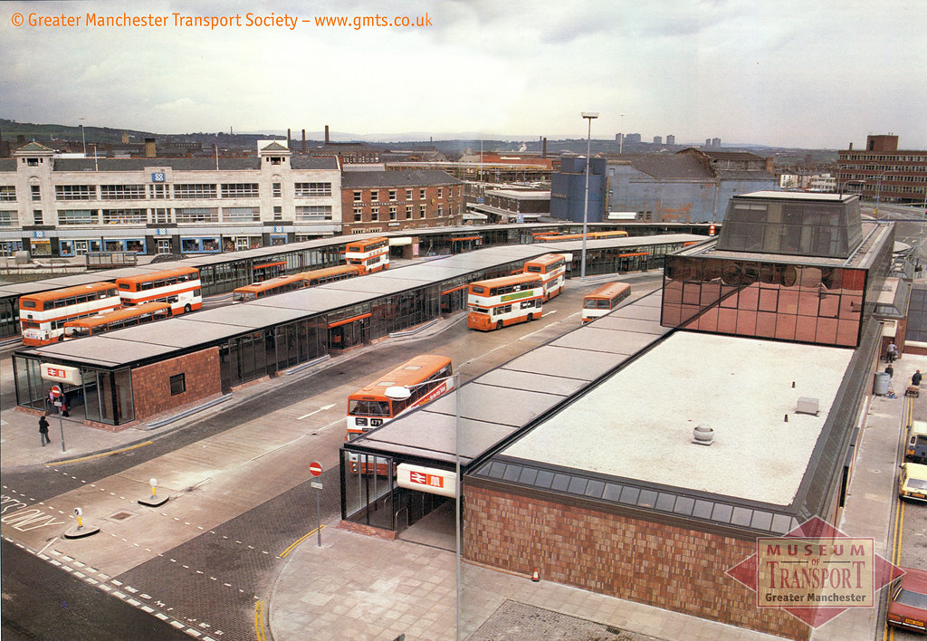
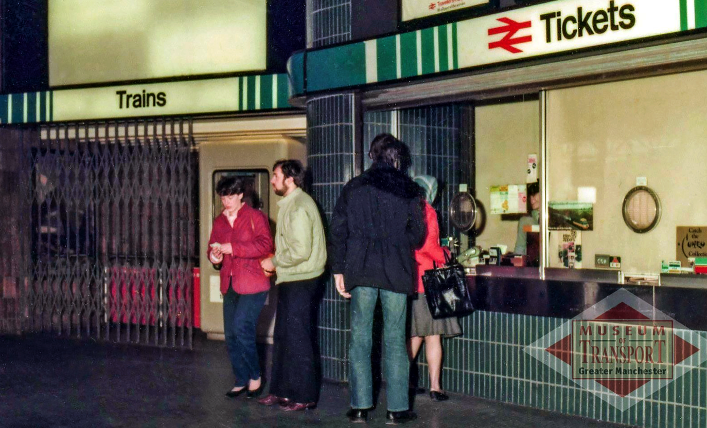
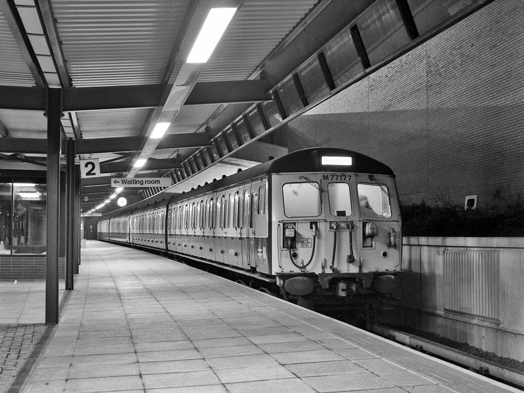
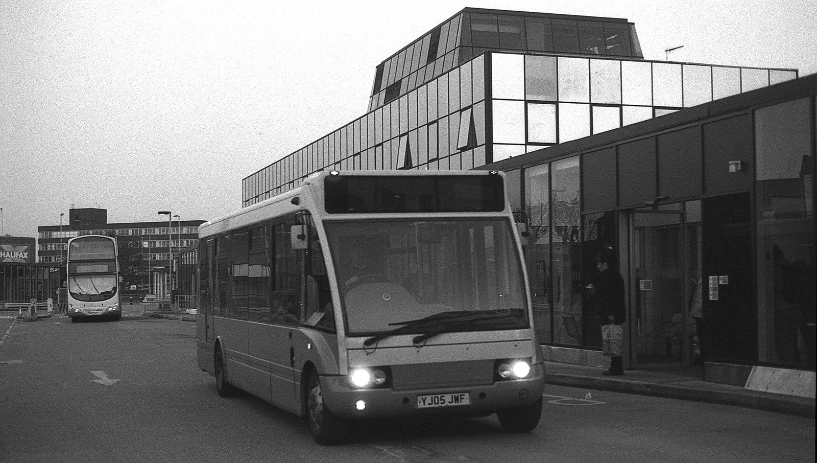
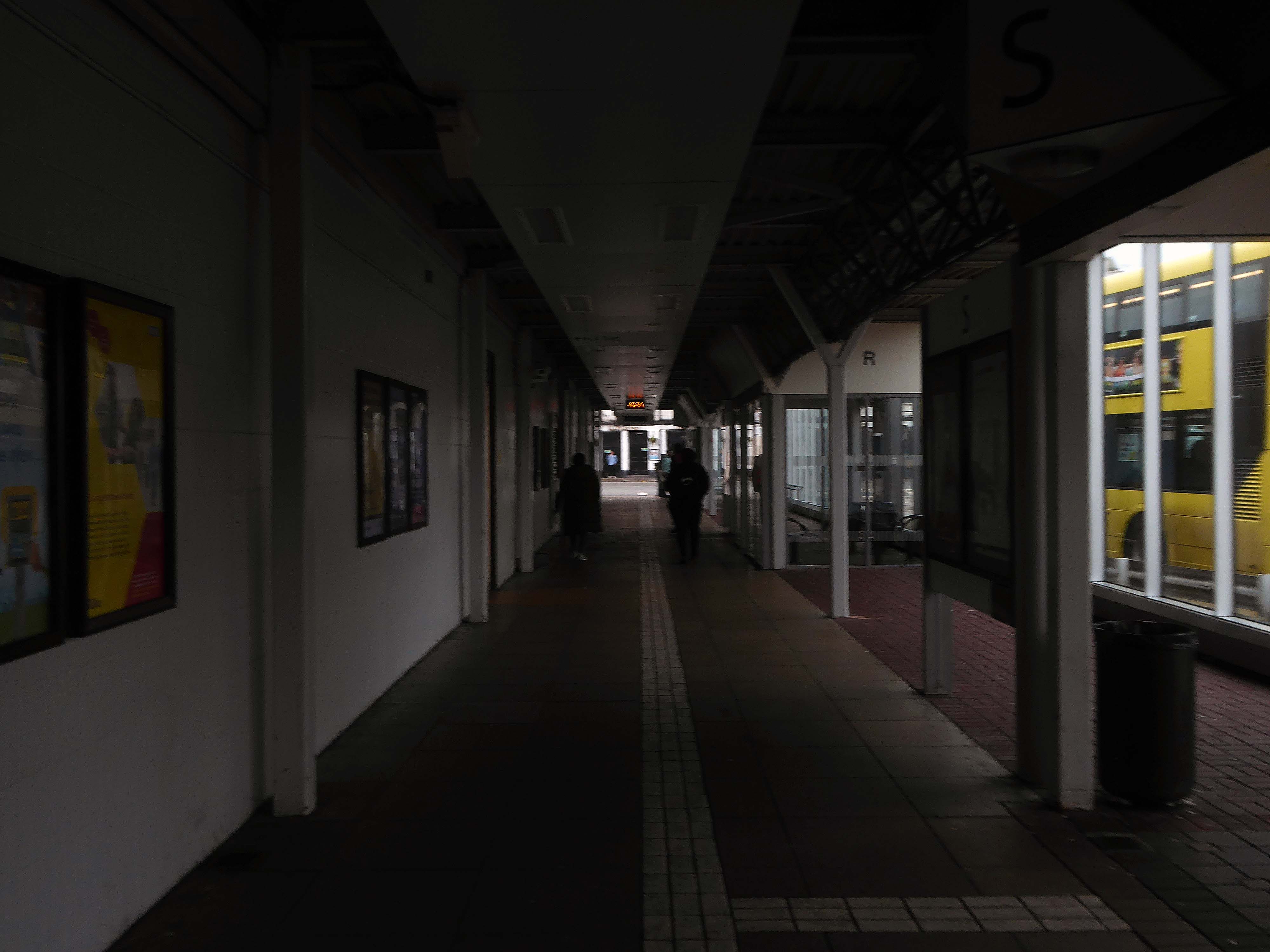
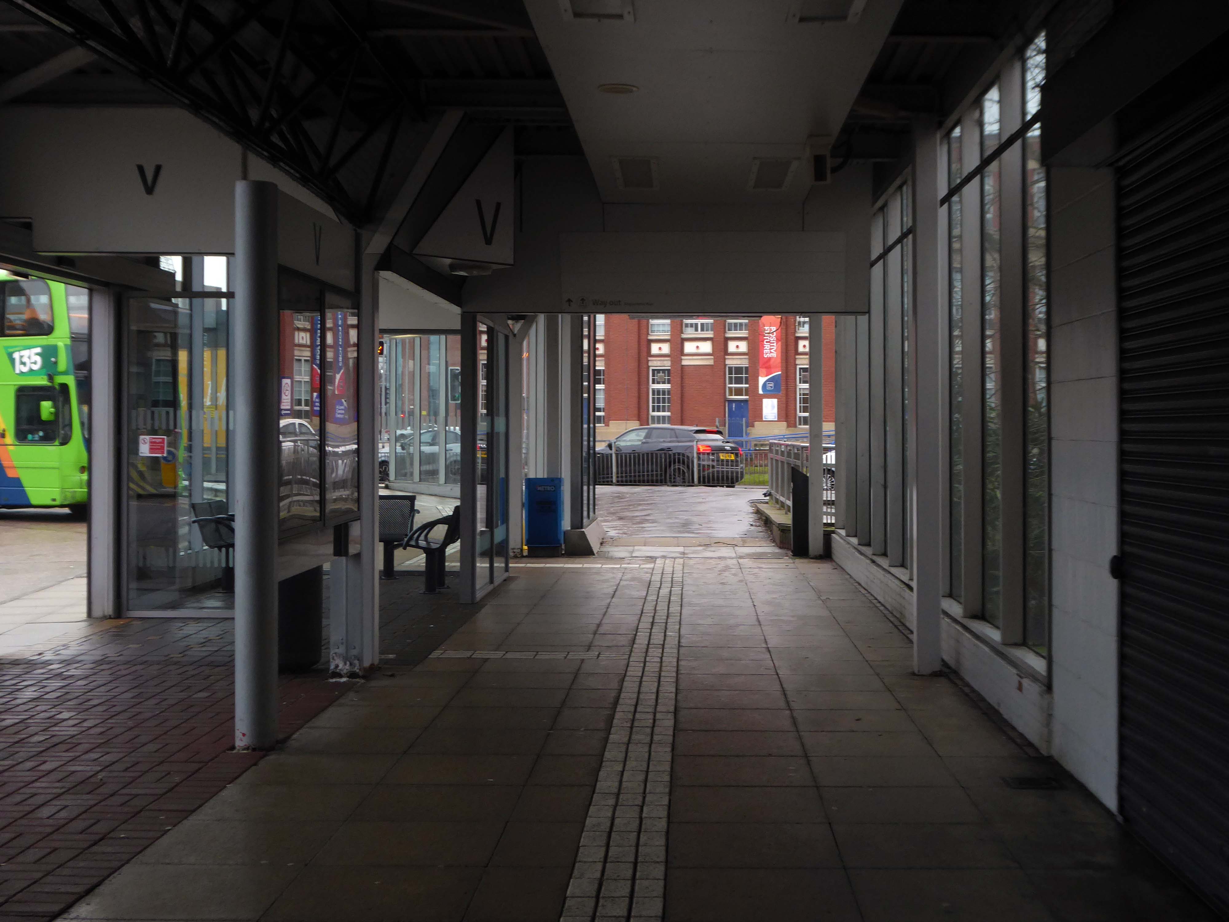
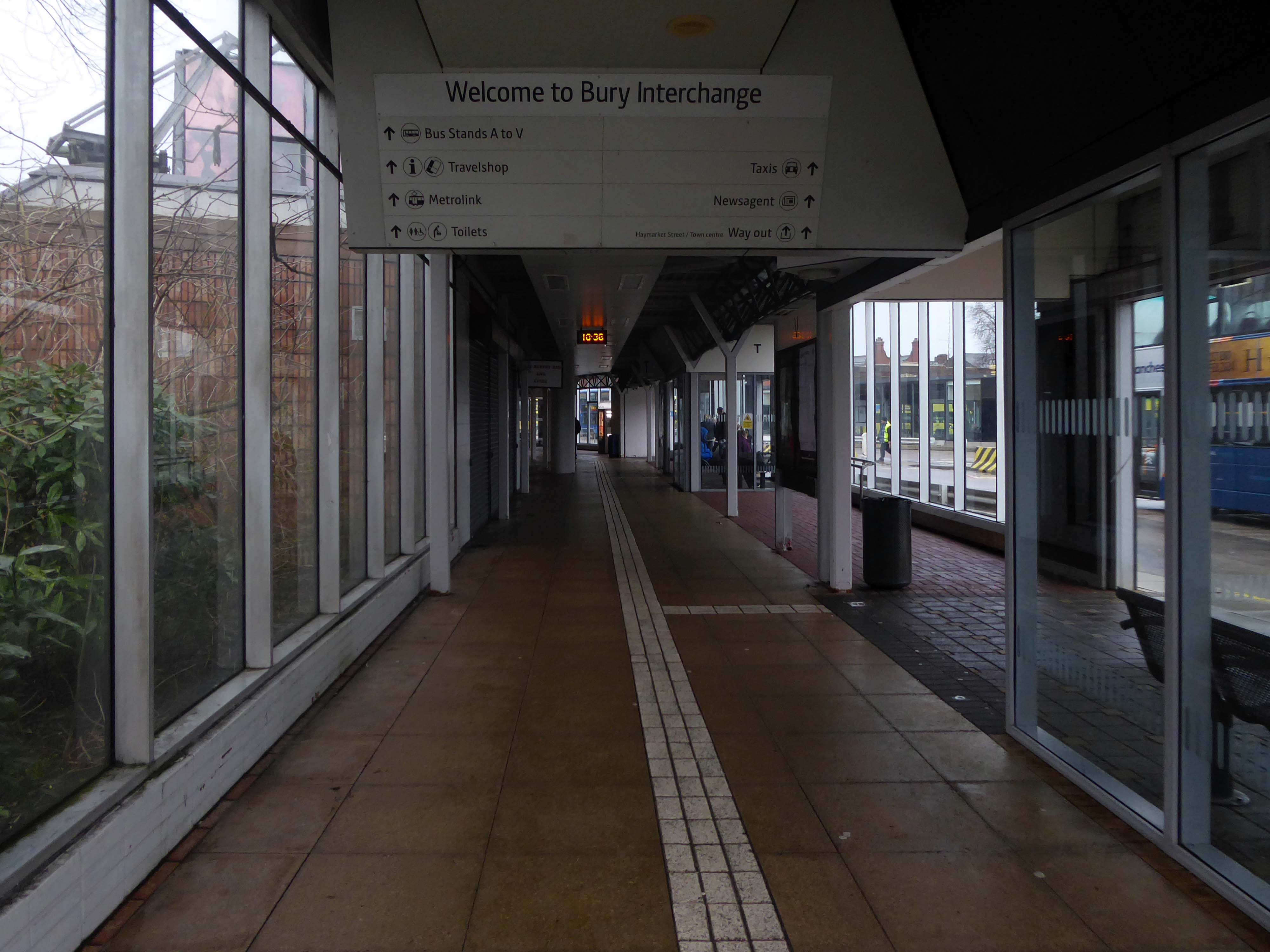
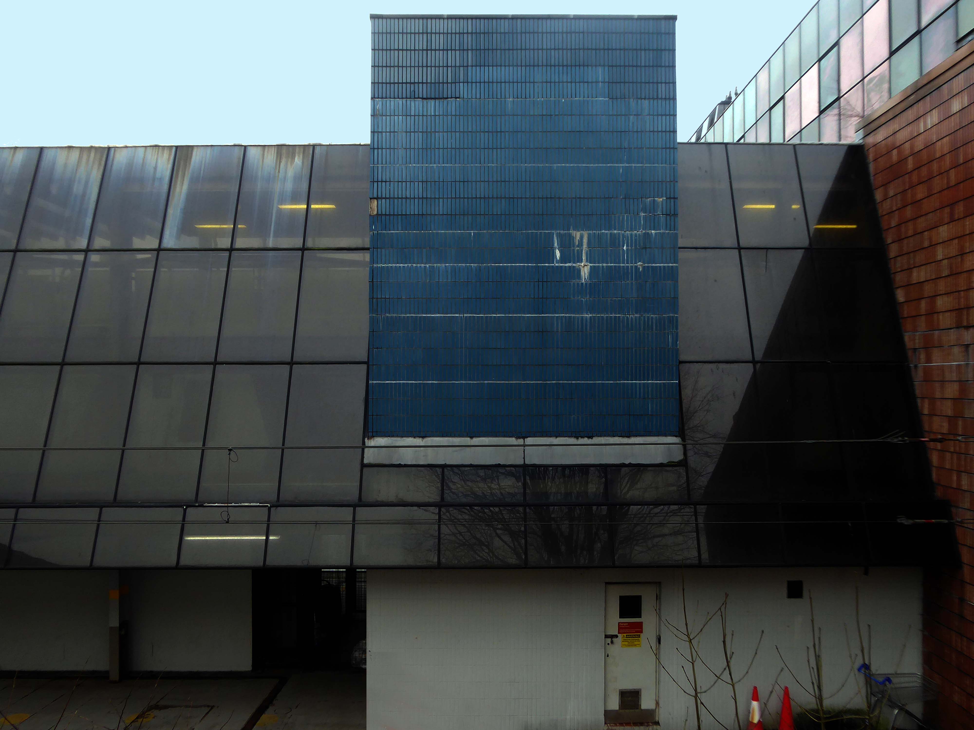
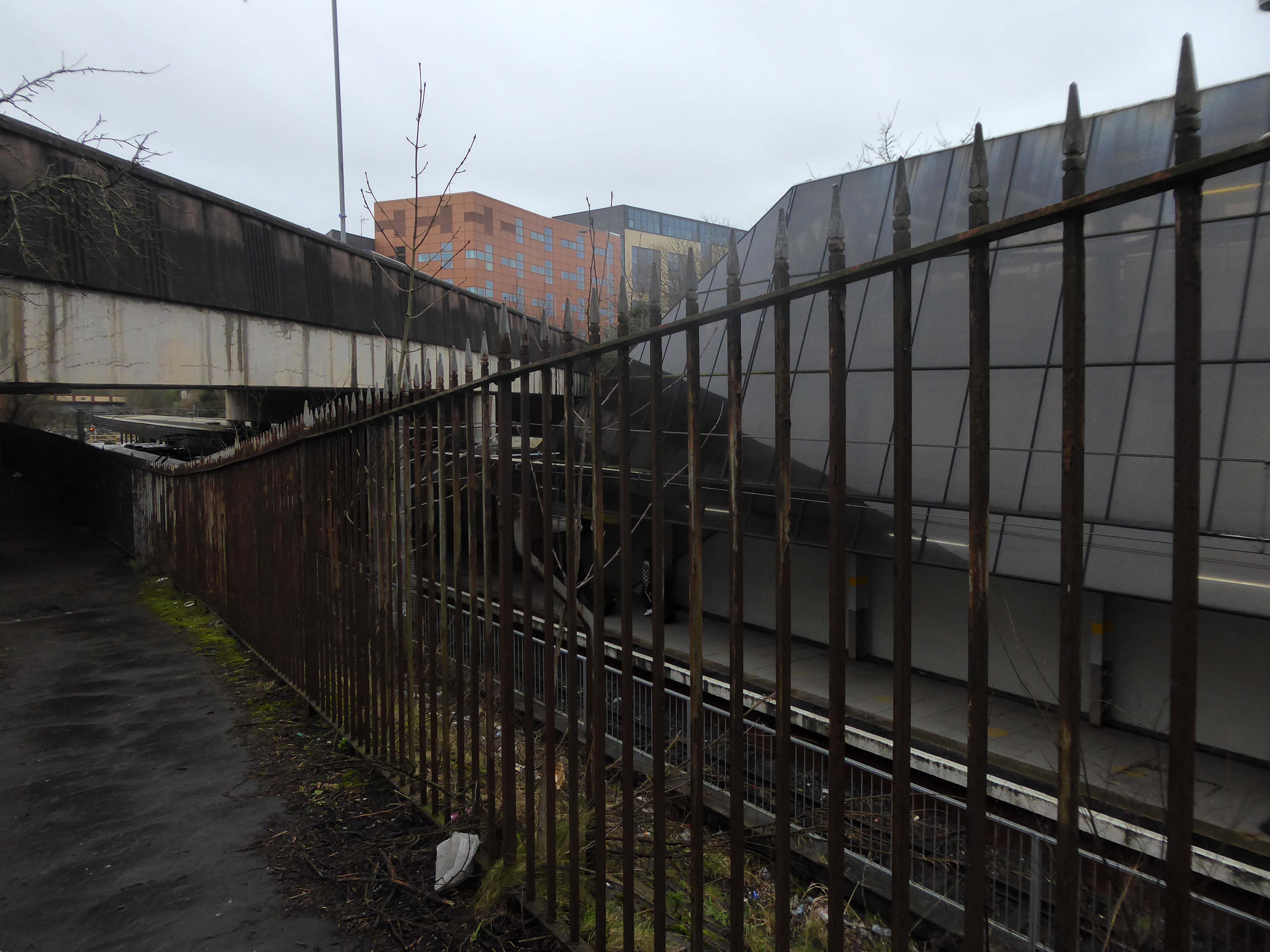
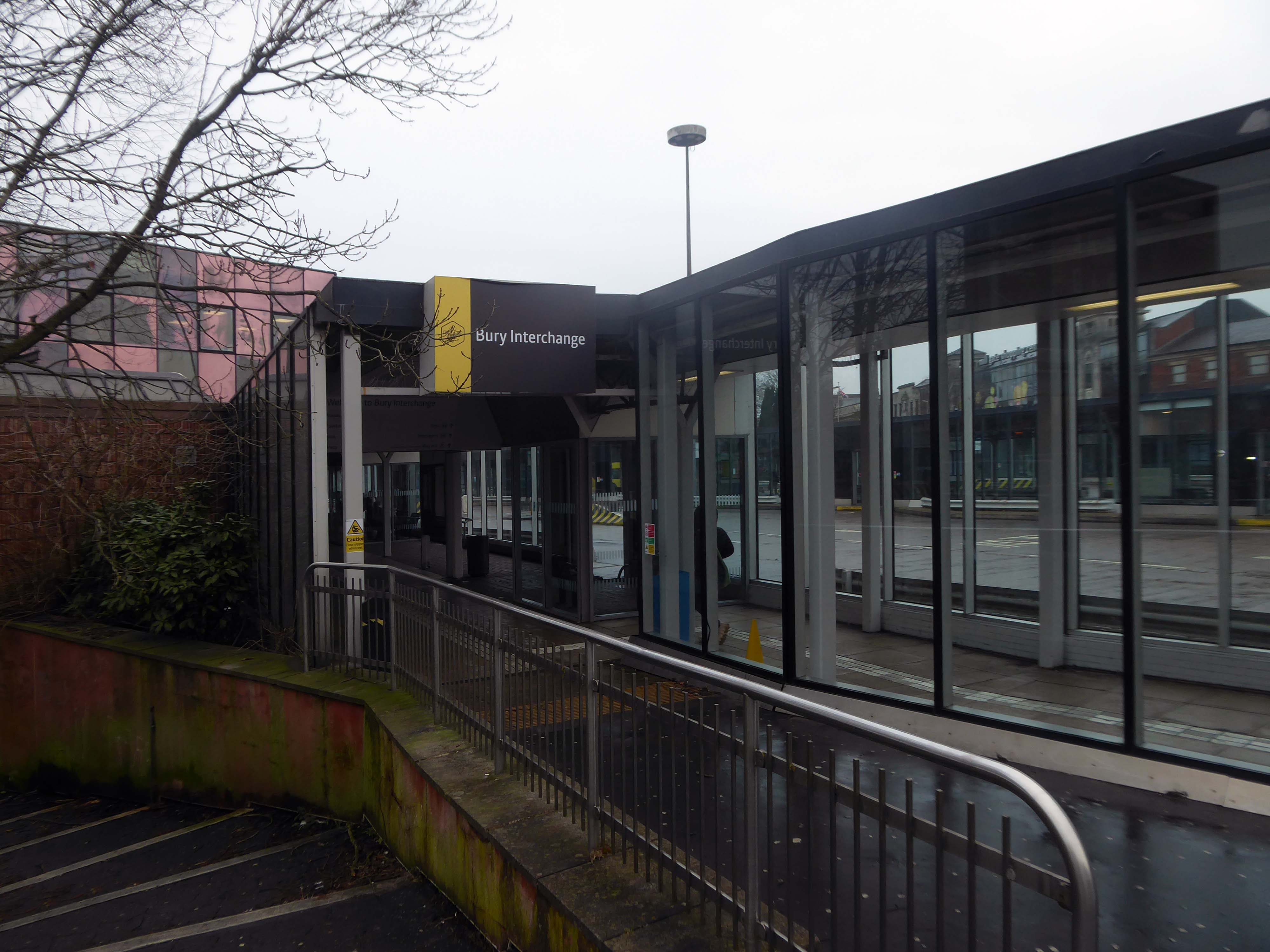
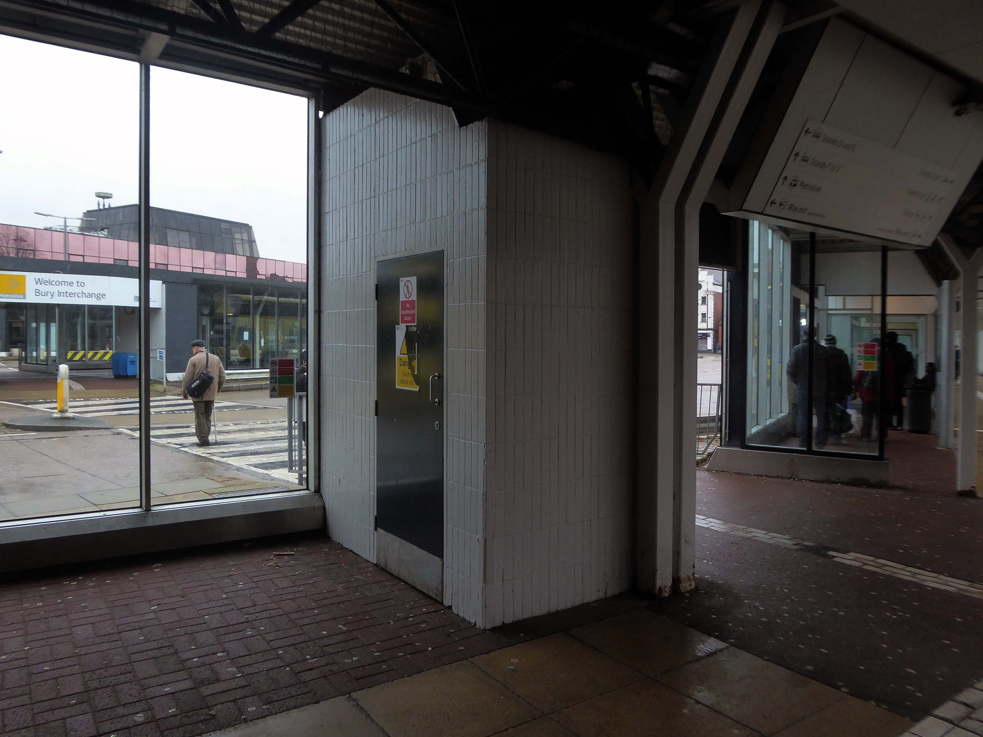
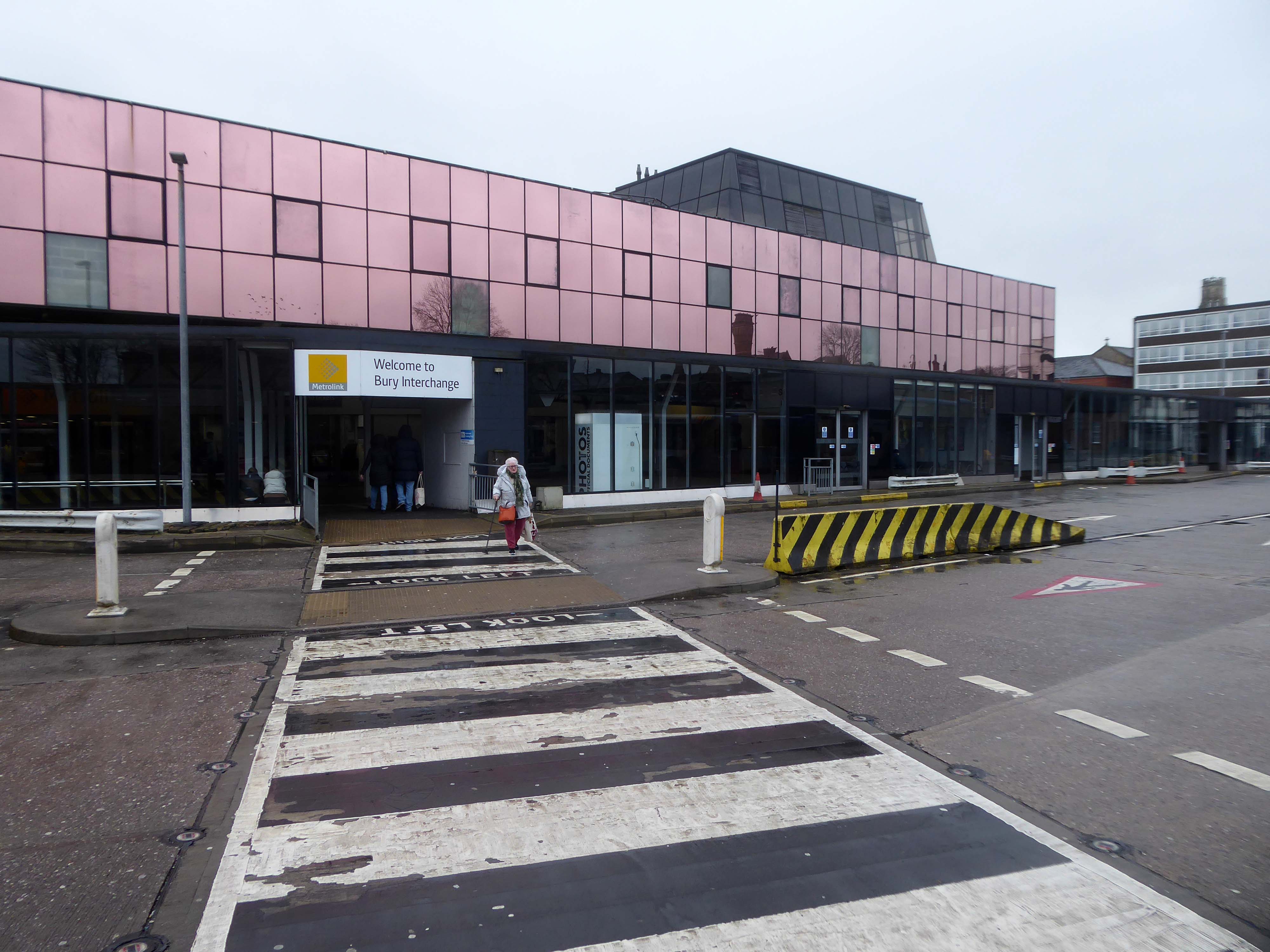
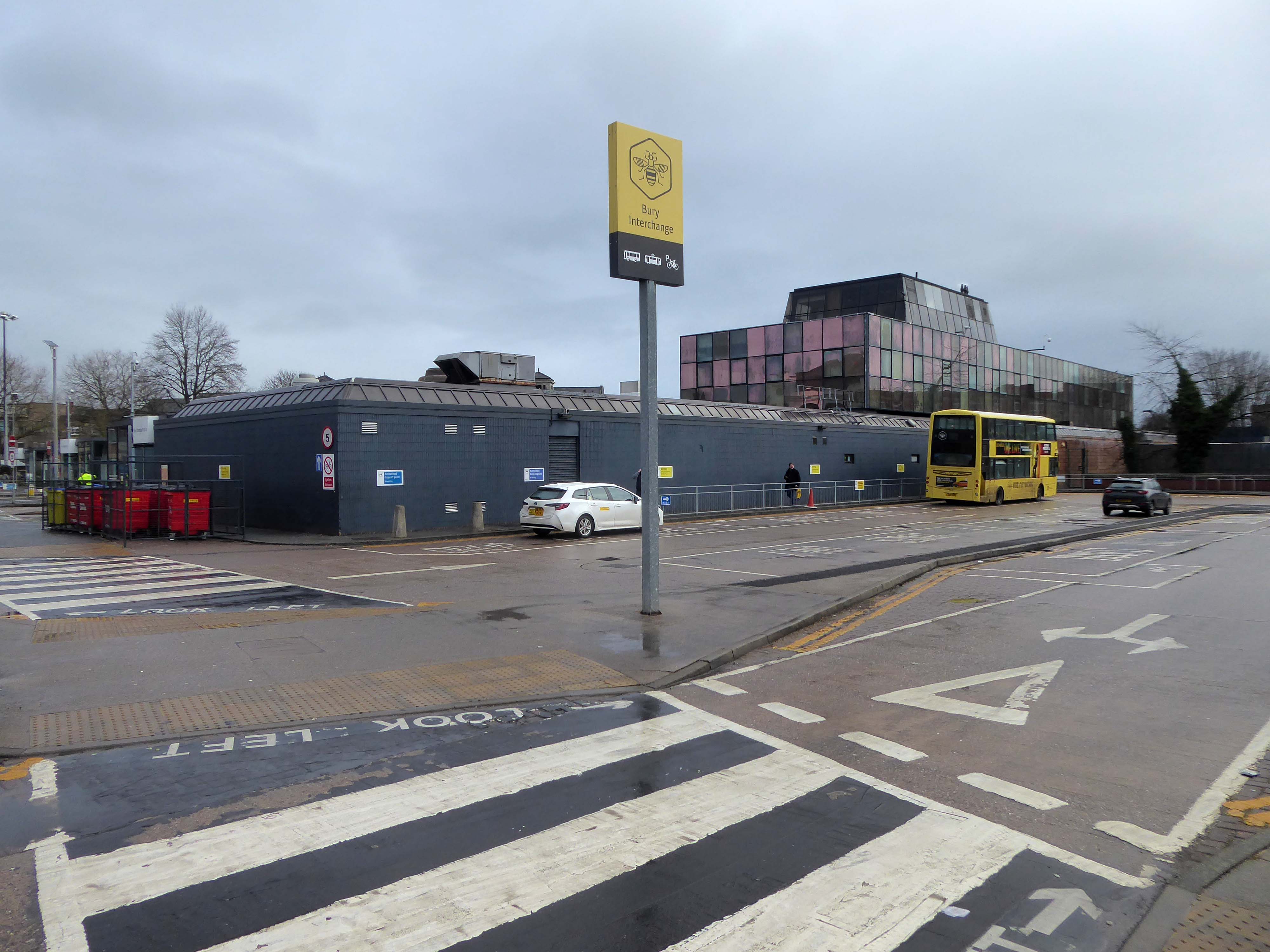
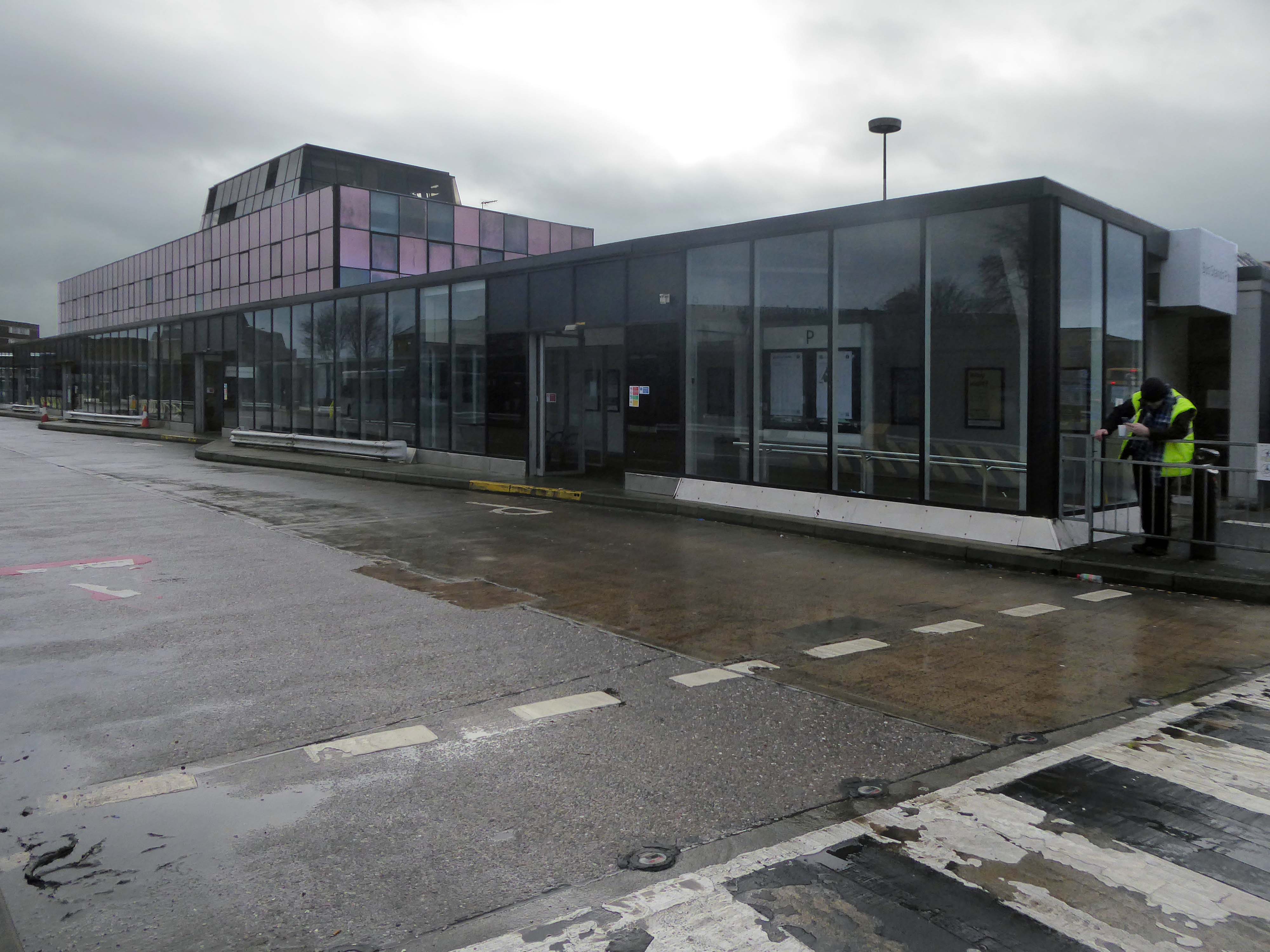
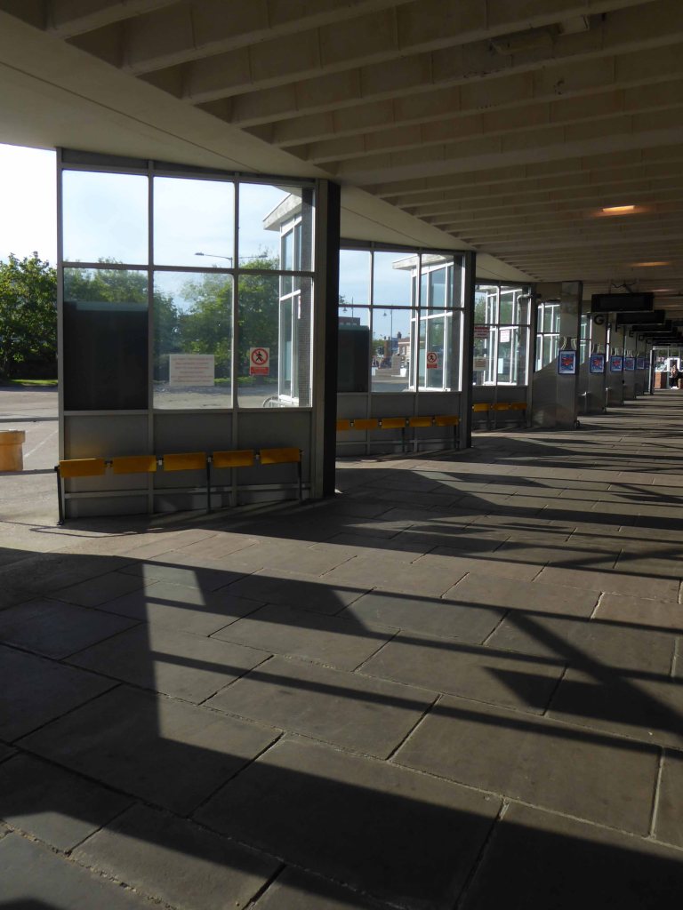
Bury Interchange is a transport hub opened in 1980, it is the northern terminus of the Manchester Metrolink’s Bury Line, which prior to 1992 was a heavy-rail line.
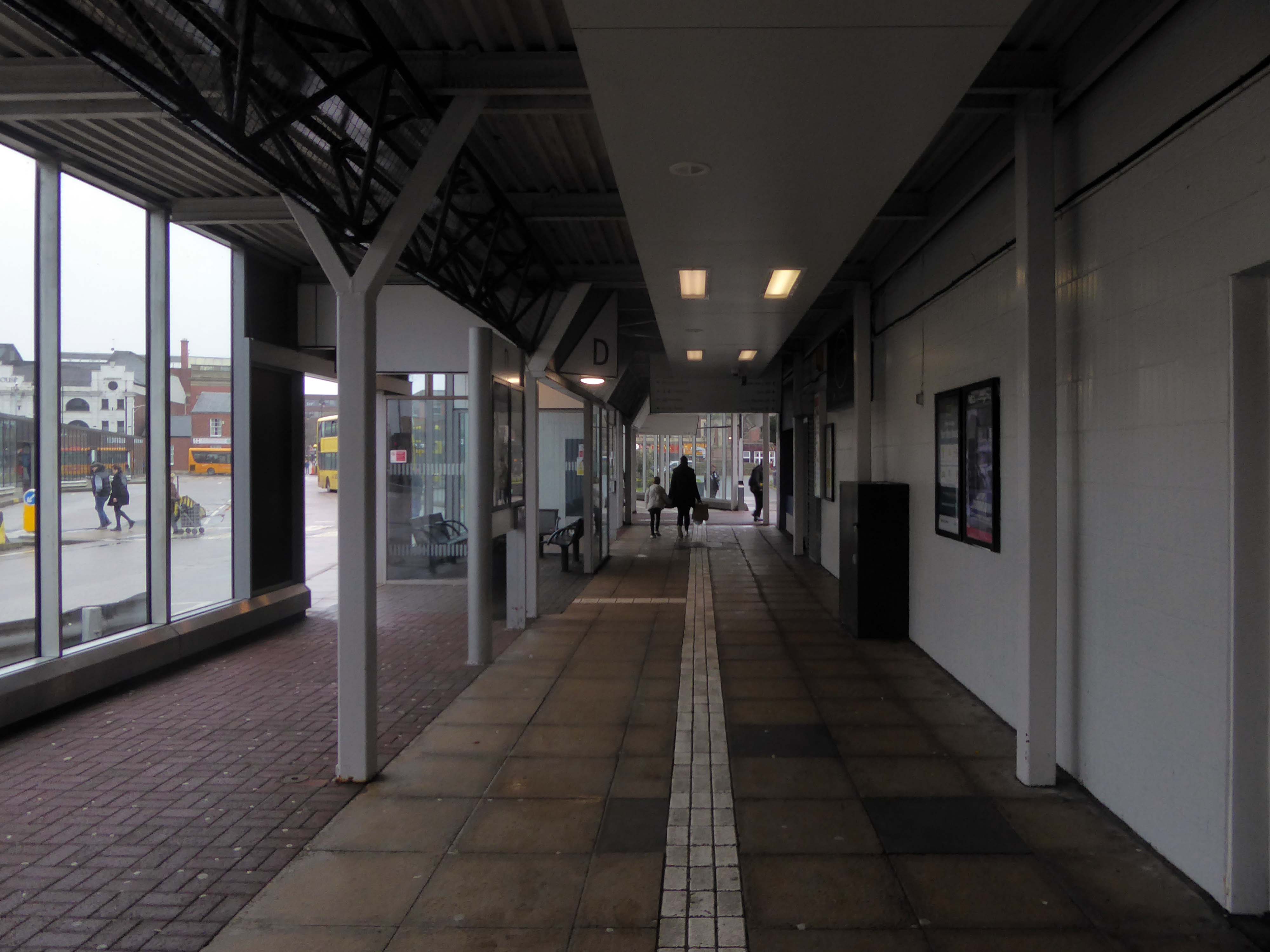
It also incorporates a bus station.
Bury Interchange replaced the bus termini scattered around Bury town centre, notably around Kay Gardens.
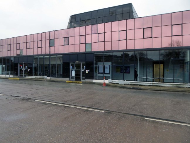
Bury Interchange was opened by British Rail in March 1980, integrating a new bus station with the northern terminus of the Bury-to-Manchester heavy railway line, a new short spur line was constructed to connect the new station.
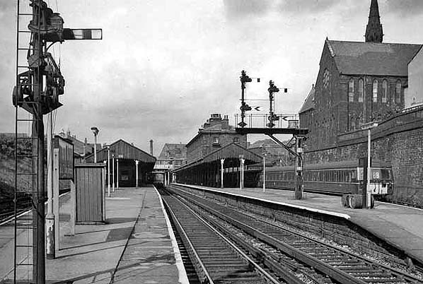
The railway had originally run into Bury Bolton Street which was further away from the town centre, and was closed by British Rail on the same day that Bury Interchange opened.
An £80m transformation is coming to the Bury Interchange, which will see step-free access at the Metrolink, a “vertical circulation core” to better connect the Metrolink with the bus facility, and an integrated travel hub with spaces for cycle storage.
The work is much-needed, explained Transport for Greater Manchester’s Alan Lowe, he said that the interchange was built in the 1980s and very much is of its time.
It’s not what we need for our customers need.
The new Bury Interchange project is expected to complete at the end of the decade.
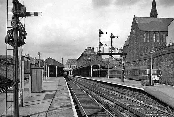
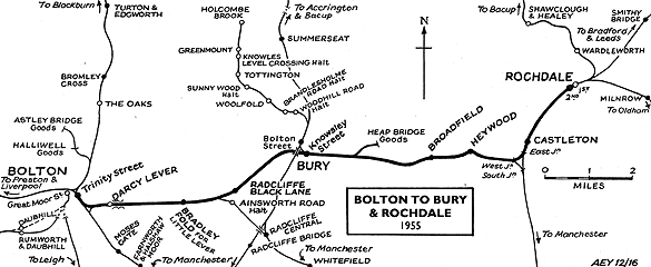
The line and station were closed on 5 October 1970 as part of continuing cutbacks in British Rail services and the line west to Bolton subsequently dismantled.
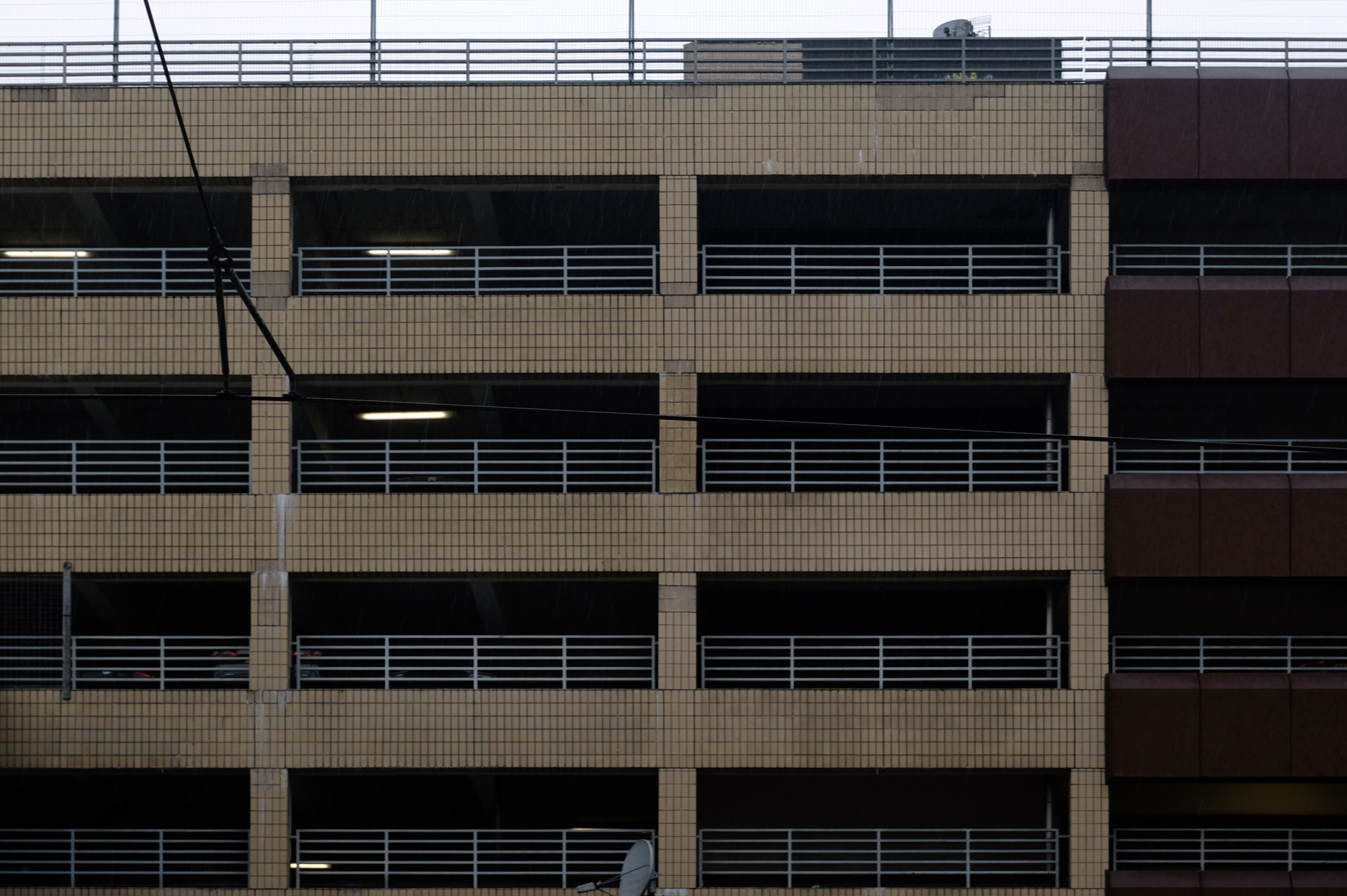
The earliest known multi-story car park in the UK was opened in May 1901 by City & Suburban Electric Carriage Company at 6 Denman Street, central London. The location had space for 100 vehicles over seven floors, totaling 19,000 square feet.
It is estimated that there are between 17,000 and 20,000 non- residential car parks in Great Britain, including those run by councils, commercial parking companies, shops, hospitals, businesses, railway stations and airports, providing between 3 and 4 million spaces.
The Manchester Airport multi-storey car park is one of the largest car parks ever built; in fact, it’s the second largest in Europe. This mega-park was designed to house a staggering 8,000 cars, split over a six-level facility that stretches out over 330 metres.
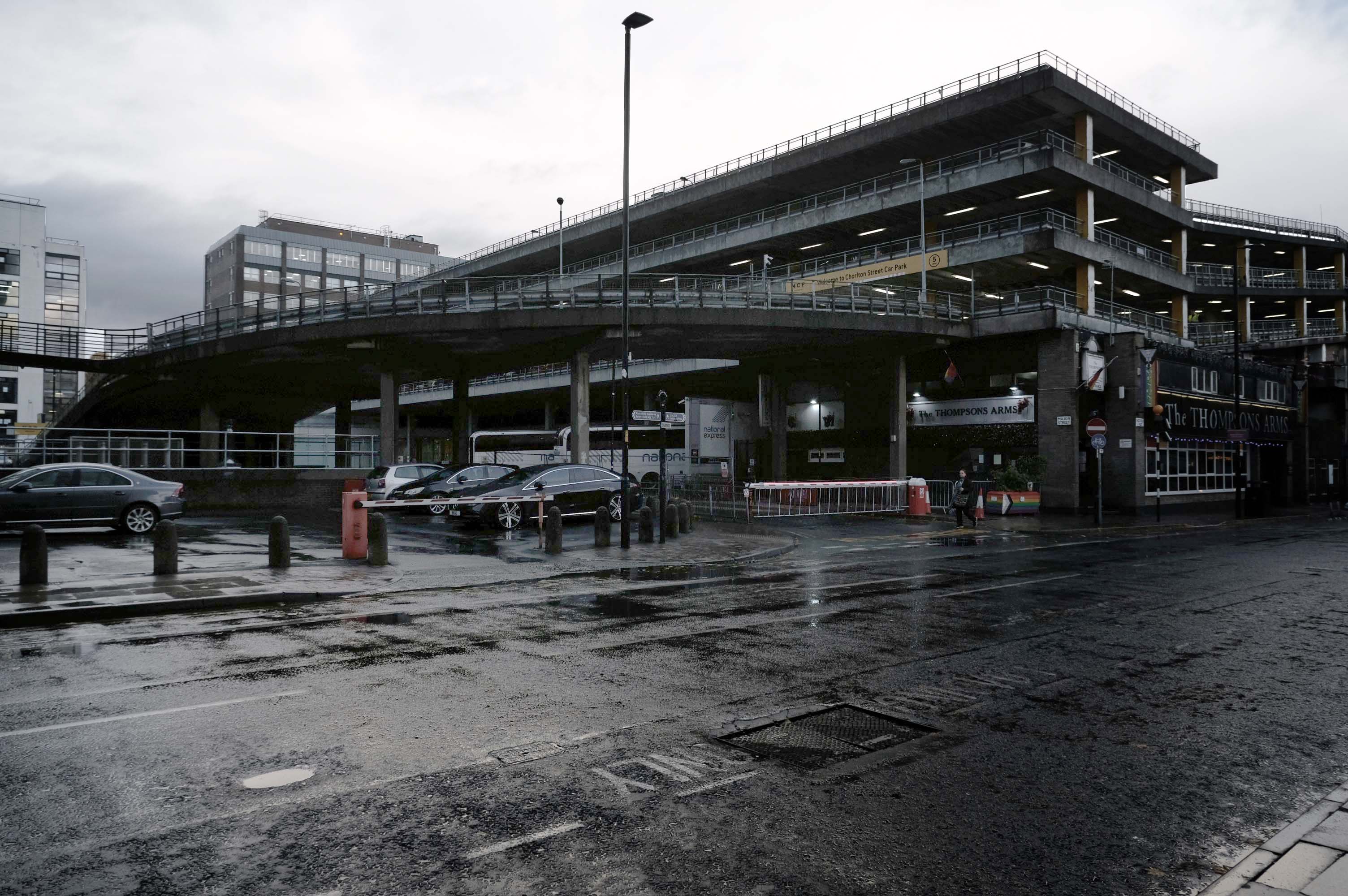
In the city centre NCP has over 13,000 car parking spaces across 43 sites
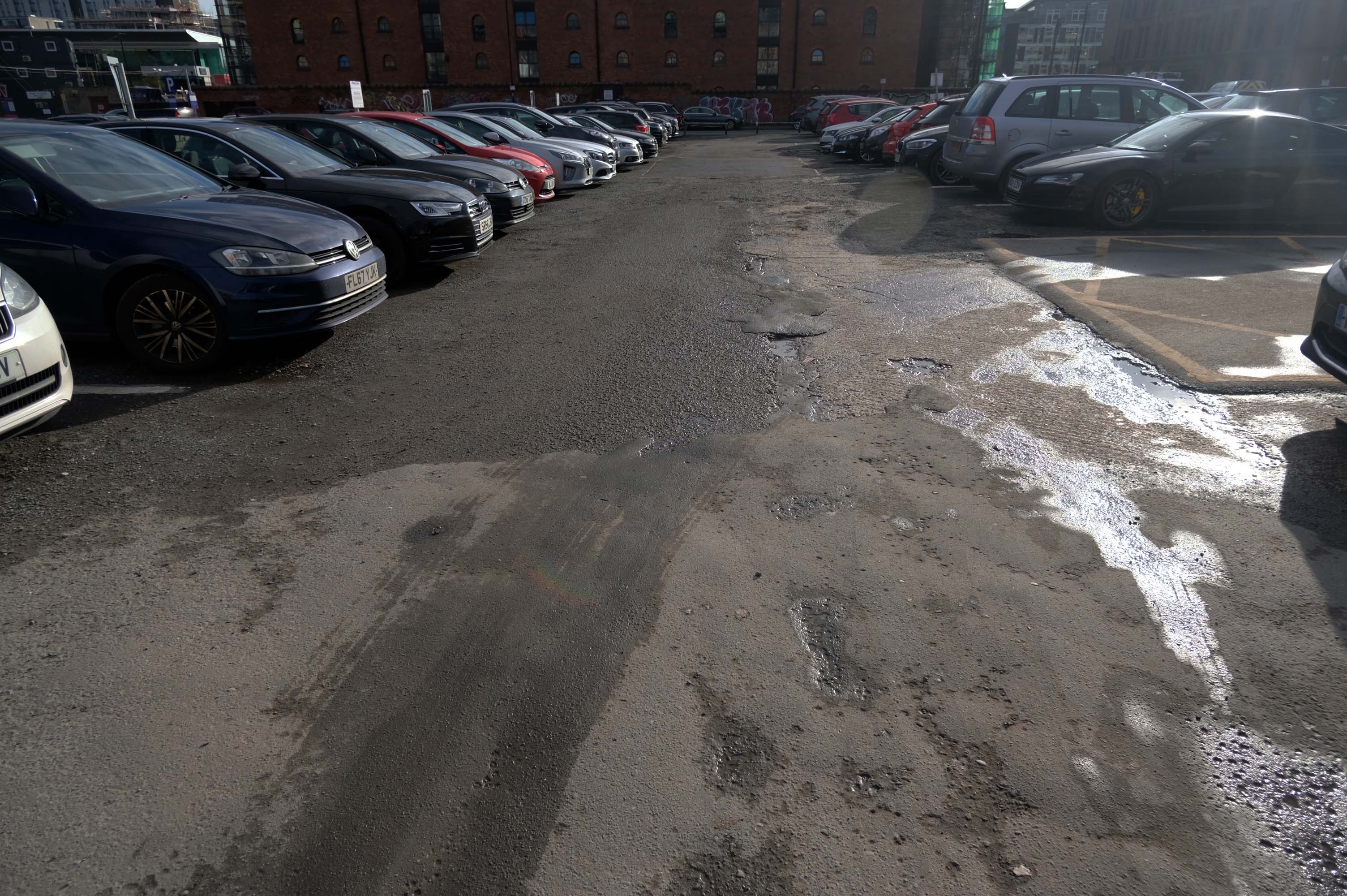
Good location but the access to the shopping centre is dirty. Lifts dirty – discarded soiled underwear, urine, spit and rubbish in the lifts. Car park also full of litter.
The most unnecessarily complicated ticketing system I have ever seen for a car park. Designed to fail so that the system can fine you. Beware. Better avoided for overseas visitors
Immerse yourself in the eclectic vibe of the Northern Quarter, the heartbeat of art, culture, and urban lifestyle. Whether you’re heading to its vintage shops, art studios, or chic cafes, finding the cheapest, best parking is paramount.
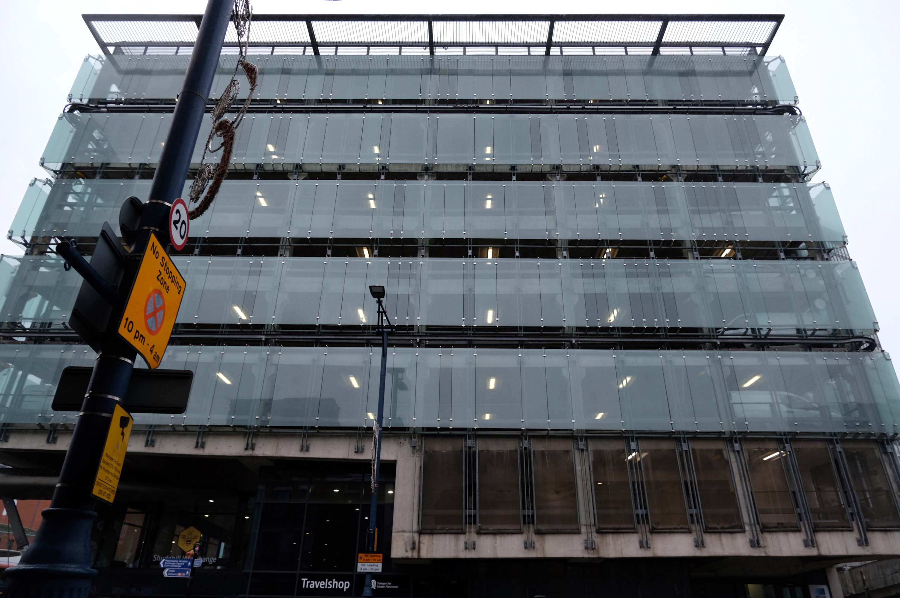
The Shudehill Interchange car park and bus station, designed by Jefferson Sheard Architects working with Ian Simpson, replaced the former Cannon Street bus station, under the Manchester Arndale; since the redevelopment of Manchester city centre, the latter has disappeared along with Cannon Street itself.
Great location but narrow roadway between floors. Pay in advance so you need to know how long you’re staying for.
£20.40 for 4 hours is expensive but you are minutes from Deansgate shops.
Only given one star because there wasn’t an option for zero. Not secure, car broken into theft of personal effects, pedestrian gate was un locked, no CCTV that I could see anywhere. Cost me over £25 to park for 6 hrs and lost over £200 of personal effects, complained to council, no response. Wouldn’t park here ever again.
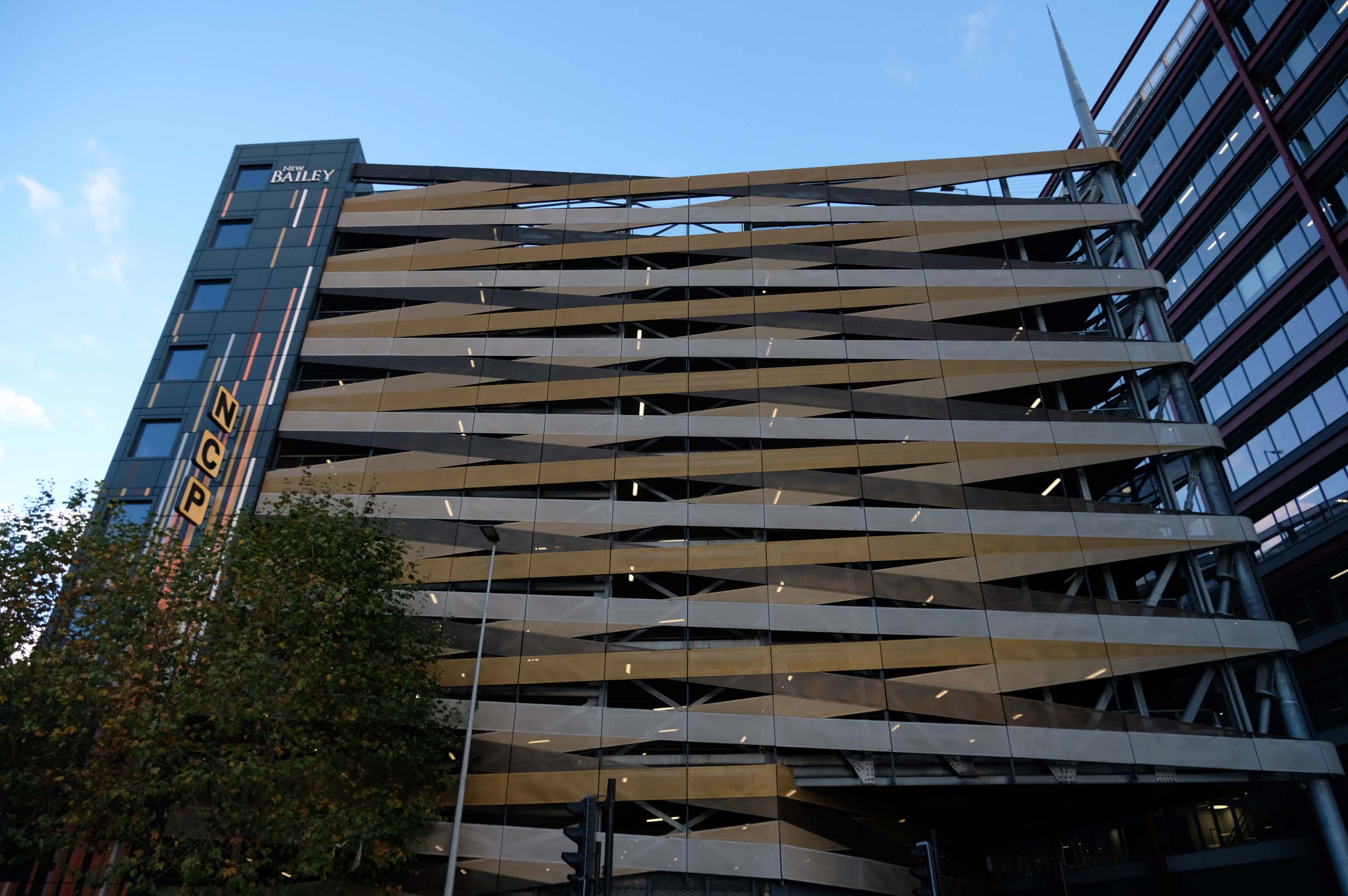
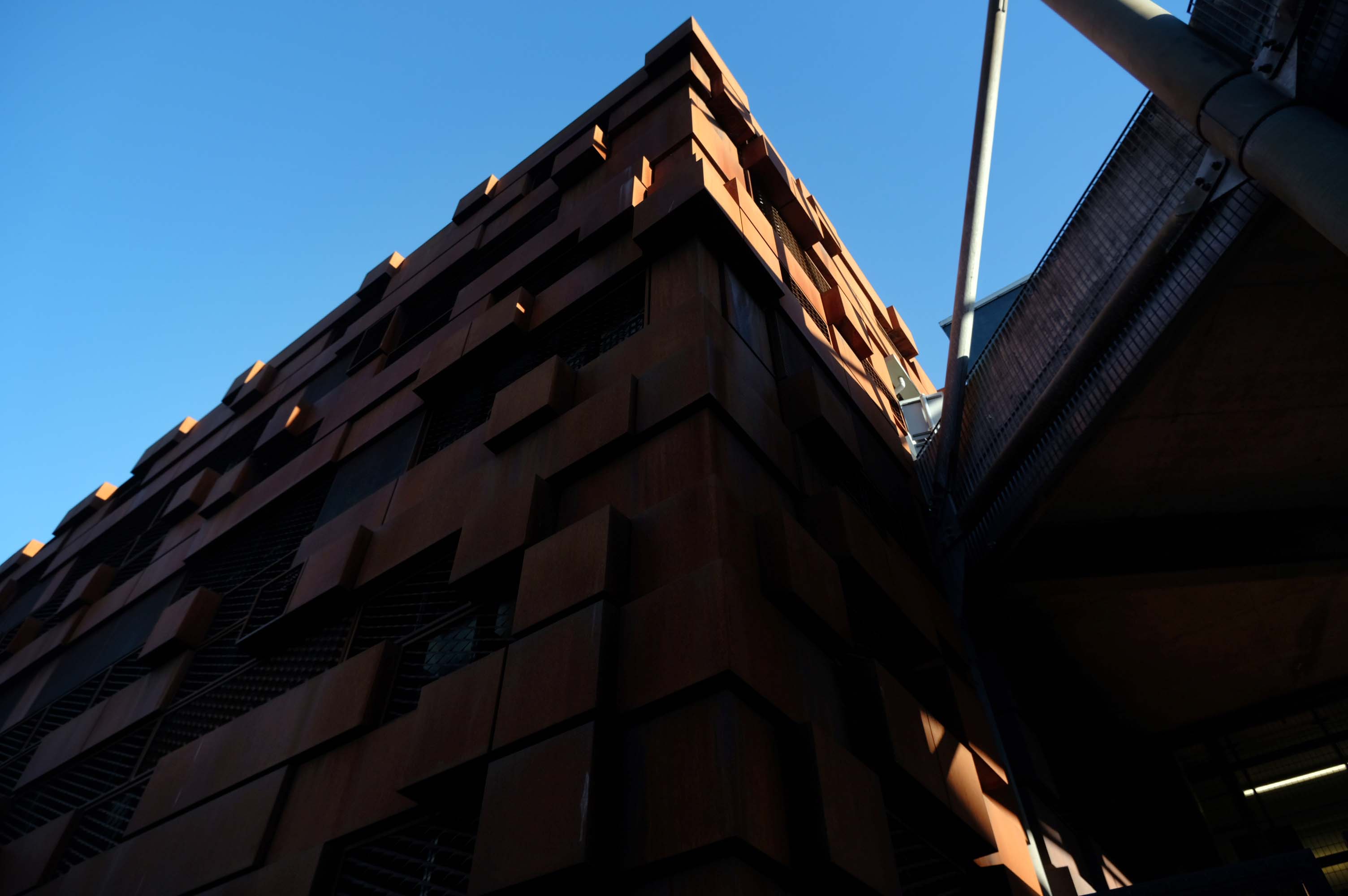
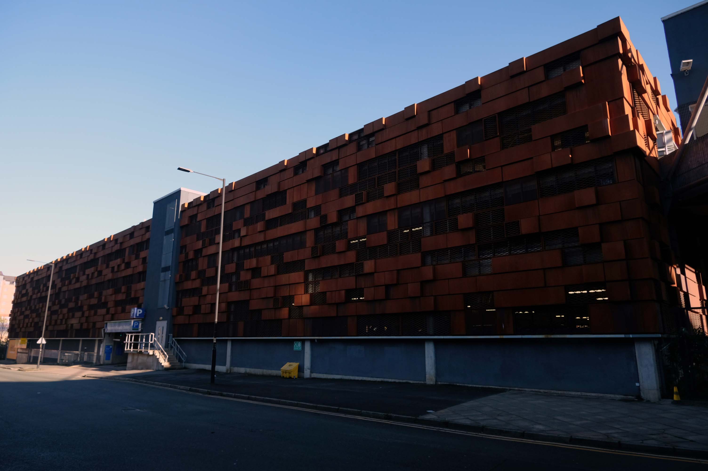
Maple gave architects Aedas RHWL the freedom to express themselves on a prominent multi-storey car park development in Salford. Their imaginative design created a great concept – the nine storey New Bailey car park appearing to be wrapped in ribbons that echo the lattice patterns and intersections in the ironwork of nearby Victorian bridges.
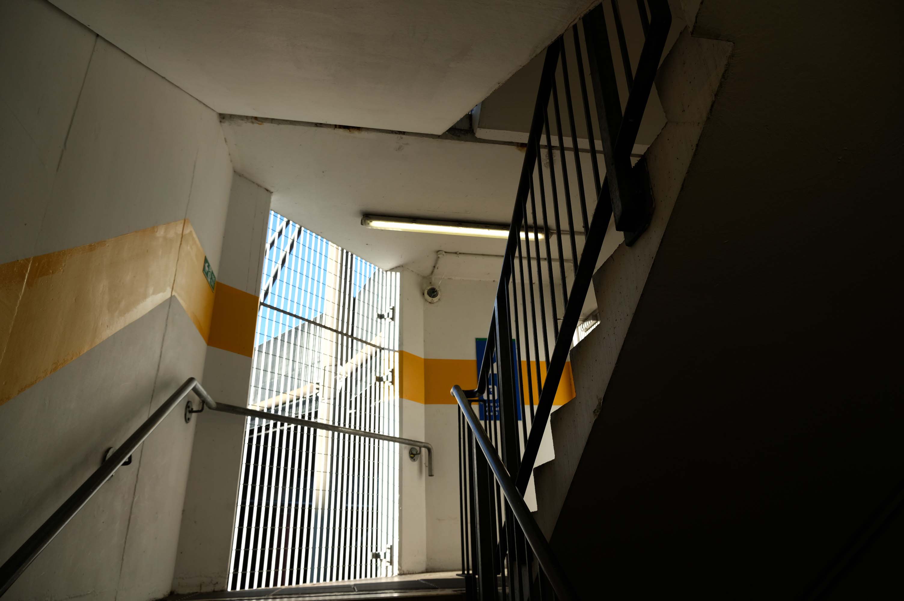
A good, clean and modern carpark. Easy to navigate and sensibly sized spaces. The only downsides are that it’s not cheap and getting into it from Trinity way is hard, as the traffic blocks the junction meaning it takes may cycles of the traffic lights to get across the junction.
Part of the Piccadilly Plaza development of 1965 by Covell Matthews and Partners
Nice central location with a large entrance so you dont have to risk scratching your car as you pull in. Found there was a lack of signage to direct to nearest pay machine or walkway exit. Also had trouble when it was time to pay. I typed in my registration and yet it wasnt recognised and so I had to estimate my time of arrival. I ended up paying £10.50 for around 3 hours, which probably is the going rate for city centre parking.
Sadly after seeing several reviews that cars were broken in to, I would certainly reconsider parking here in future. I got lucky here, I had suitcases locked in the car, with several hundreds of pounds worth of travel money.
Worst place to park on earth, we had our car broken int0, everything stolen, it’s common knowledge that the drunks in the town hang around the car park to steal and then use your cards to buy their booze
Secure and easy to find while driving, struggled to get back in through side door, had to walk up the ramp.
Expensive.
Stairwell stinks like piss and I’ve seen homeless people sitting in there. Doesnt feel safe.
Great car park, security is great, right in the city centre above the bus station that goes Scotland to Cornwall, Wales to Norwich and many more, Manchester city centre literally with Piccadilly Gardens around the corner.
Great car park we use all the time in Manchester, easy to book online, no messing with cash machines. Takes your car reg by camera for easy access in and out. Plenty of spaces mainly upper floors, just tight around corners.
Fielden Clegg Bradley were concept architects while Leach Rhodes Walker were delivery architects.
A series of four × two-storey-deep lattice girders and a single one-storey girder, all measuring up to 27m-long, span over the zone where the underground pipes are located. In these parts, the car park has no first-floor level as the local water board needed a 5m ground-to-ceiling clearance in case they had to undertake any maintenance works. Consequently, the first floor is only a partial level and is set within the depth of the larger lattice girders, as is the second floor, while the third level is supported on top of these members.
Supporting a hotel would be challenging enough, however the design has also had to incorporate large bridging elements as there are two subterranean 600mm-diameter water pipes crossing the site. “It’s a very unusual design and one that was originally designed as a concrete-framed structure,” says James Killelea Senior Structural Engineer Charlie Twist. “However, the bridging parts would have proven to be too difficult to build and consequently a steel-framed solution was chosen for the car park, which in turn supports a precast concrete hotel.”
This car park is one of the cleanest and most well maintained in Manchester.
JHA Pulmannwere commissioned via network rail to deliver an extension to, and re-cladding of an existing 1970’s concrete frame carpark outside of Manchester Piccadilly station.
The carpark is fine but as a lone female arriving off the train in the early hours of the morning, I felt quite vulnerable getting back there. It’s in a very quiet dark place accessed by going through a tunnel going under a bridge.
Easy to find, plenty of spaces and only a short walk to Piccadilly station – great!
JHA Pulmannwere commissioned via network rail to deliver an extension to, and the re-cladding of an existing 1970’s concrete frame carpark, outside of Manchester Piccadilly station.
The carpark is fine but as a lone female arriving off the train in the early hours of the morning, I felt quite vulnerable getting back there. It’s in a very quiet dark place accessed by going through a tunnel going under a bridge.
Easy to find, plenty of spaces and only a short walk to Piccadilly station – great!
The pedestrian in a car park ventures beyond the train station, across a bridge and through a portal to another dimension.
Where once the dank dark grey mists descended, we now see only light.
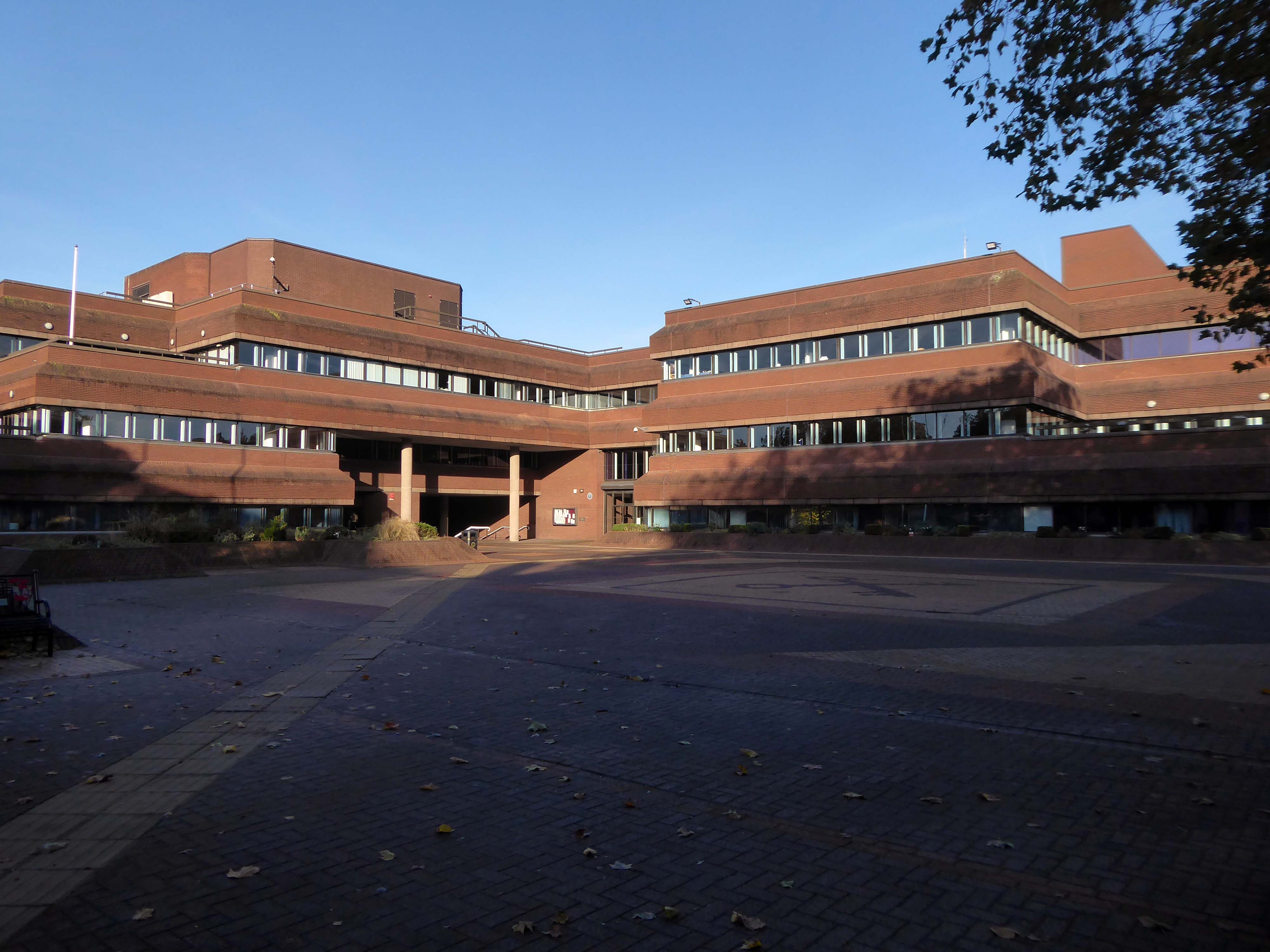
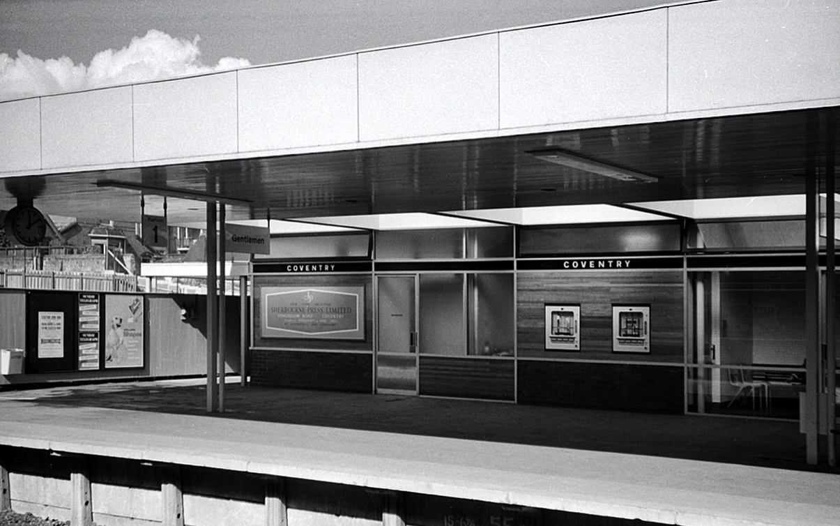
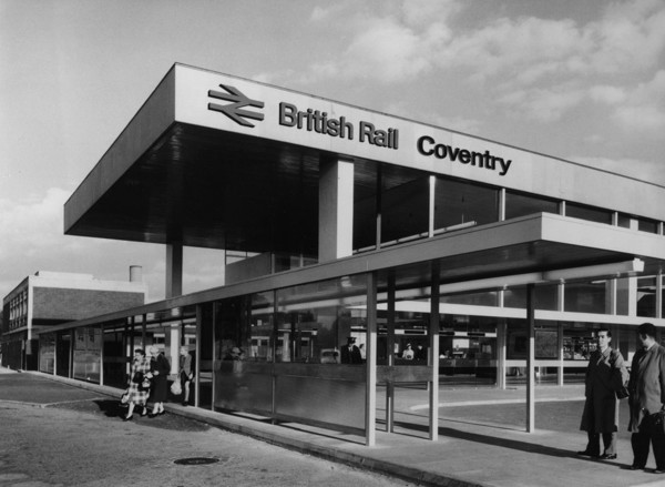
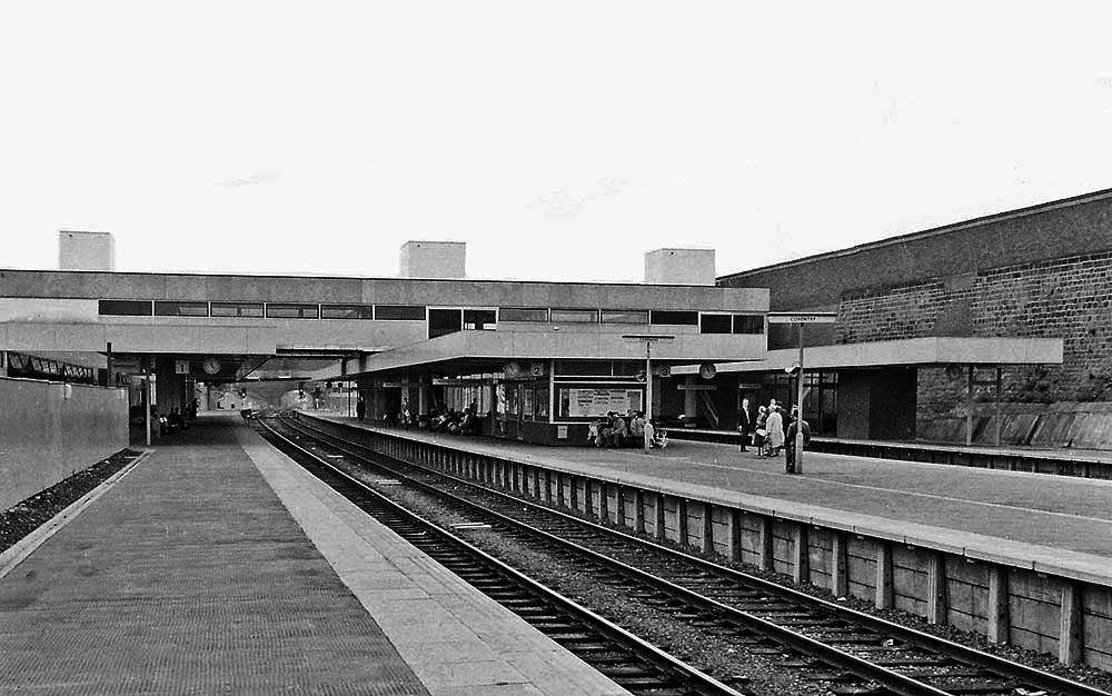
We begin at the Railway Station – recently refurbished, overwriting its 60s iteration – completely rebuilt by the architect Ray Moorcroft as part of the modernisation programme which saw the West Coast Main Line electrified.
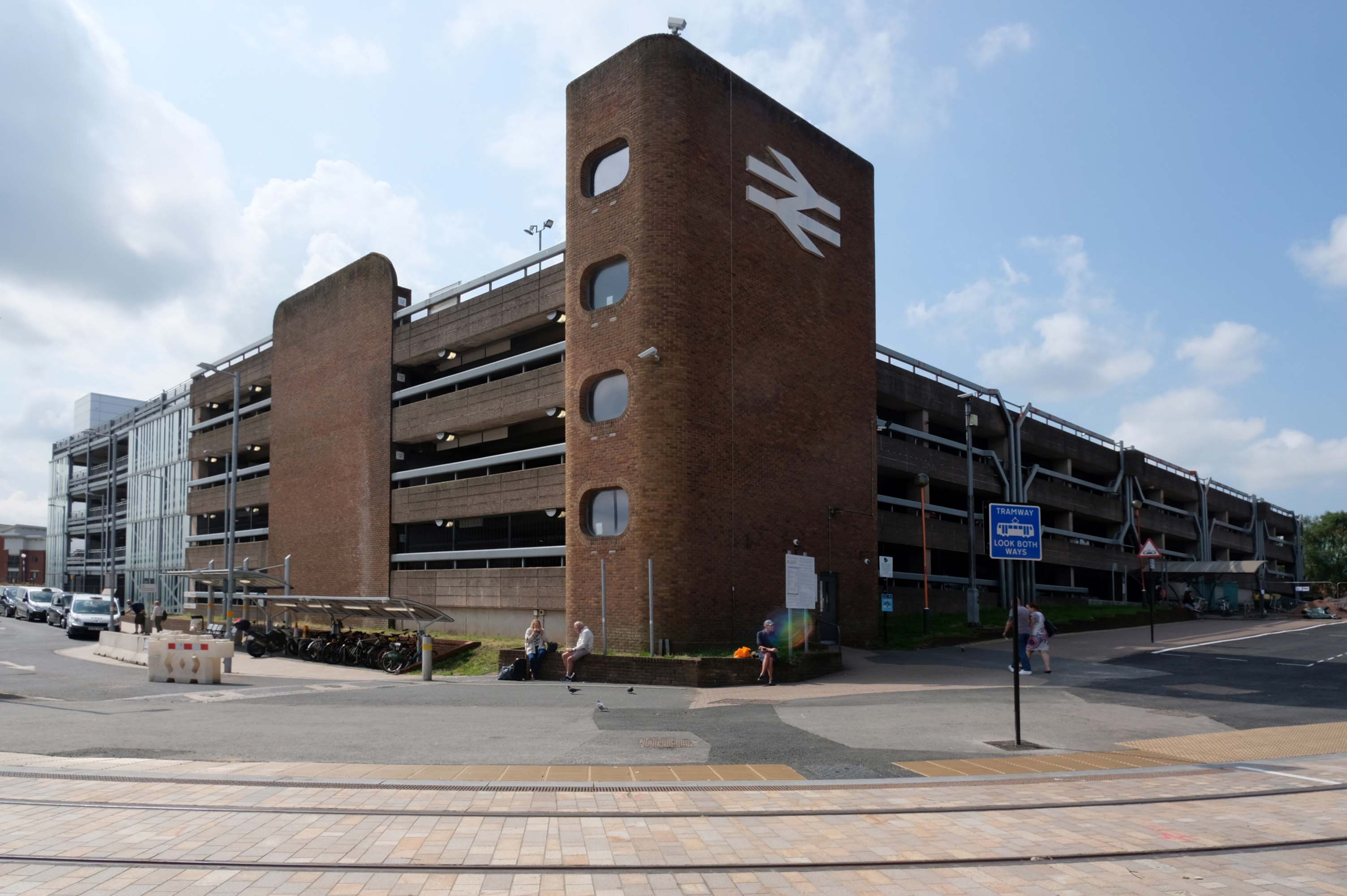
Across the way an enormous brick clad multi-storey car park – skirted by the lines for the tram, which travels to and from Birmingham.
Walk across the brand new pedestrian footbridge over the ring road.
Architectural glass artist Kate Maestri was commissioned to produce the artwork design which features glass with blue and green strips of colour running through it.
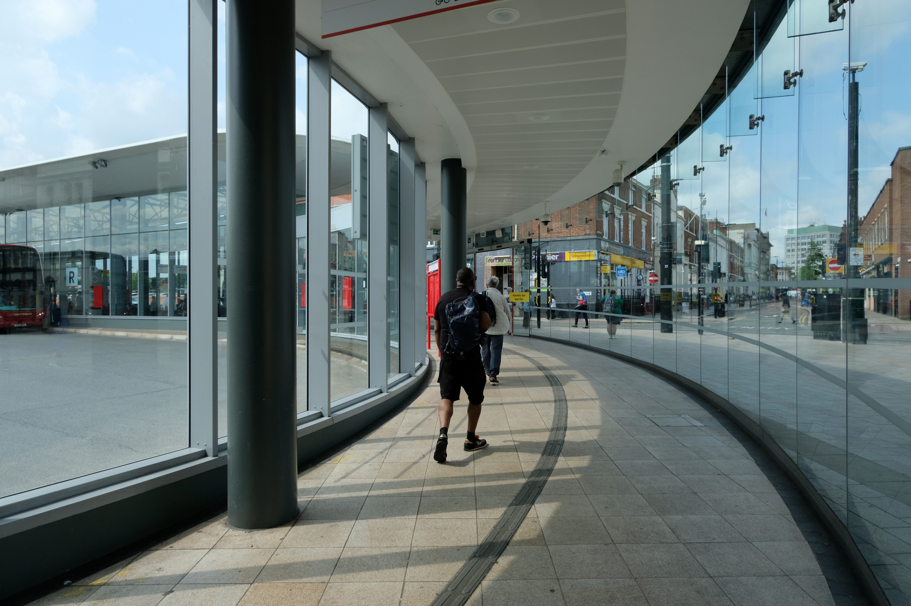
Linking the Rail Station with the brand new Bus Station.
The normal practice of the Wolverhampton Bus Service is to have dirty, smelly buses, that are cramped and extremely hot in the summer and freezing cold in winter. They offer no announcements apologizing for delays they know about and don’t appear to care how long passengers wait with no idea of how or when they’ll be getting a bus.
The best thing you can do is learn to drive as quickly as possible and get your own vehicle or car pool.
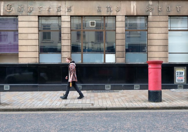
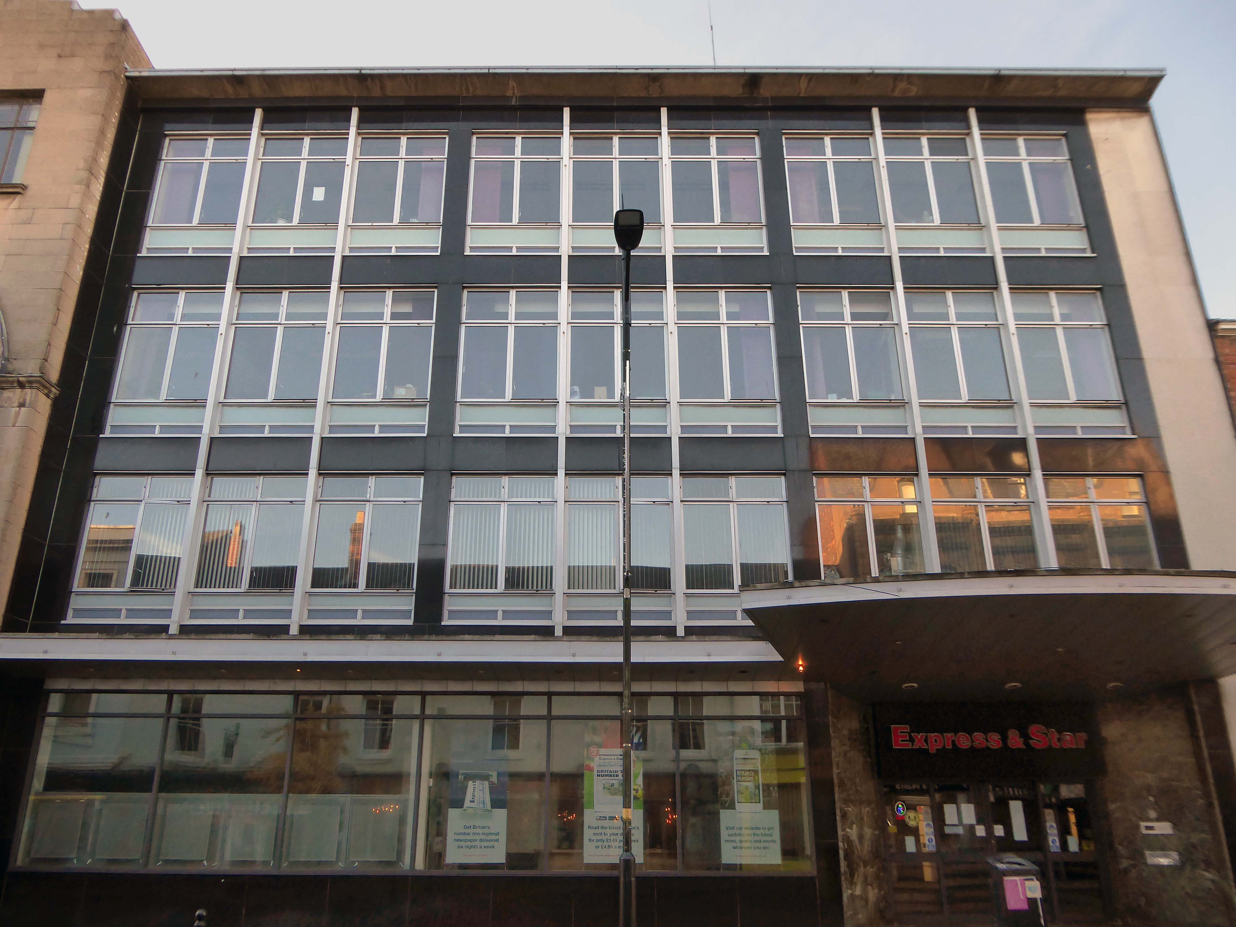
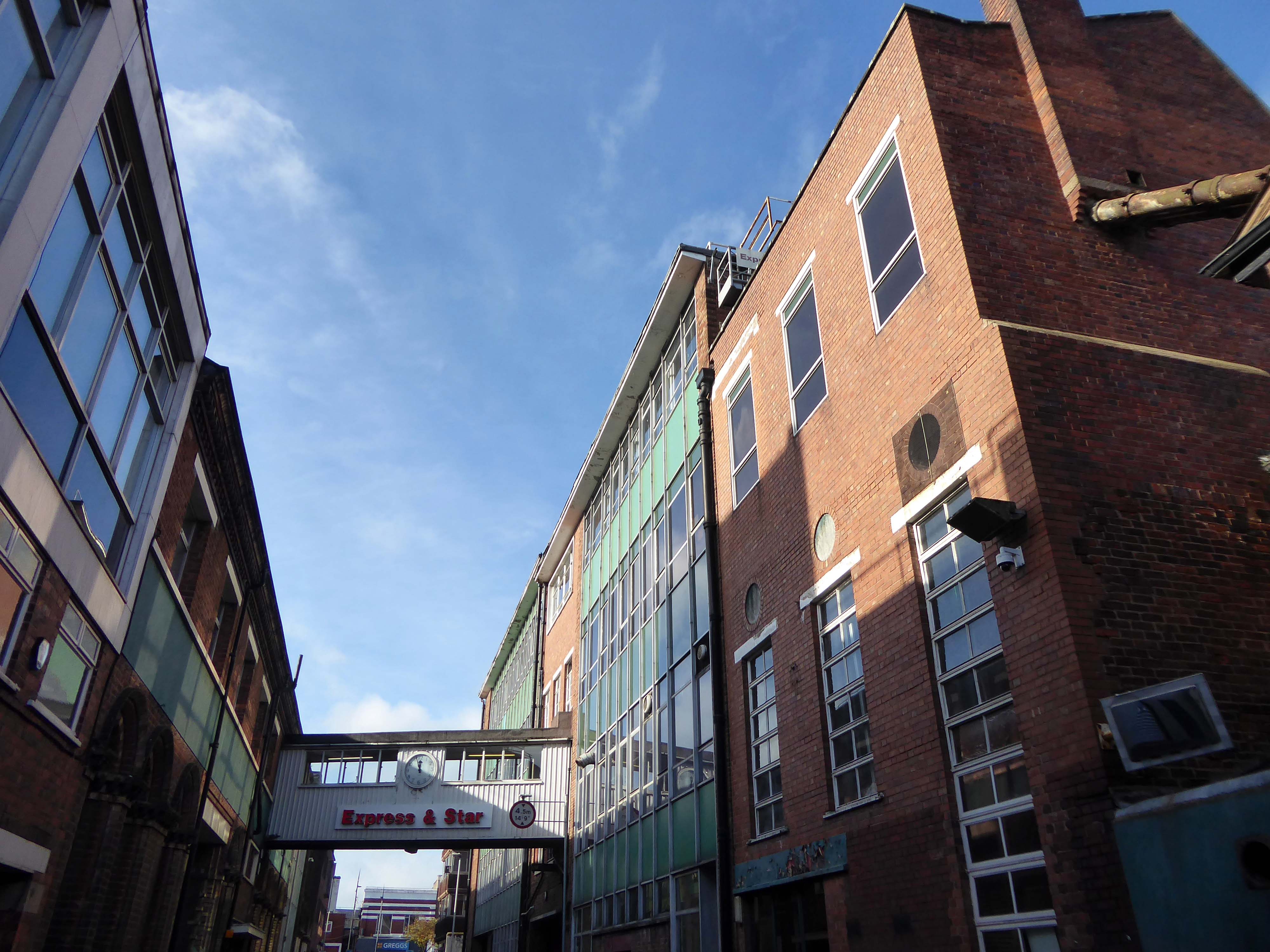
Midland News Association managing director Matt Ross confirmed the company is now looking at the building’s future.
For a number of years we have been exploring opportunities surrounding our historic Express & Star offices in the heart of Wolverhampton.
After removing the printing presses from the site and restructuring our departments we now have significant spare capacity available and so are looking at the various options available to us, be that redeveloping the current site or exiting the building altogether.
Extension is by architects: H Marcus Brown & Lewis 1965
With further work at the rear.
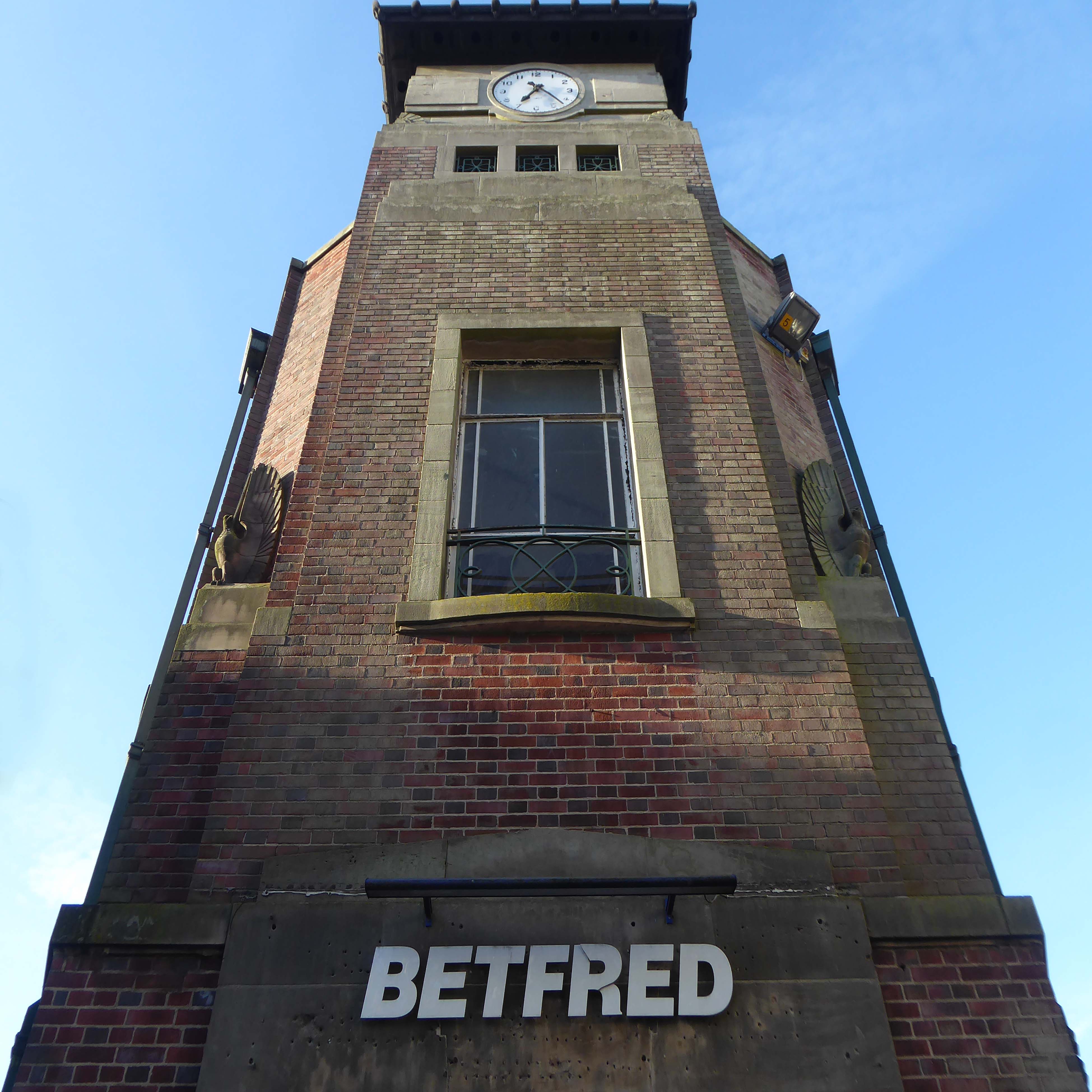
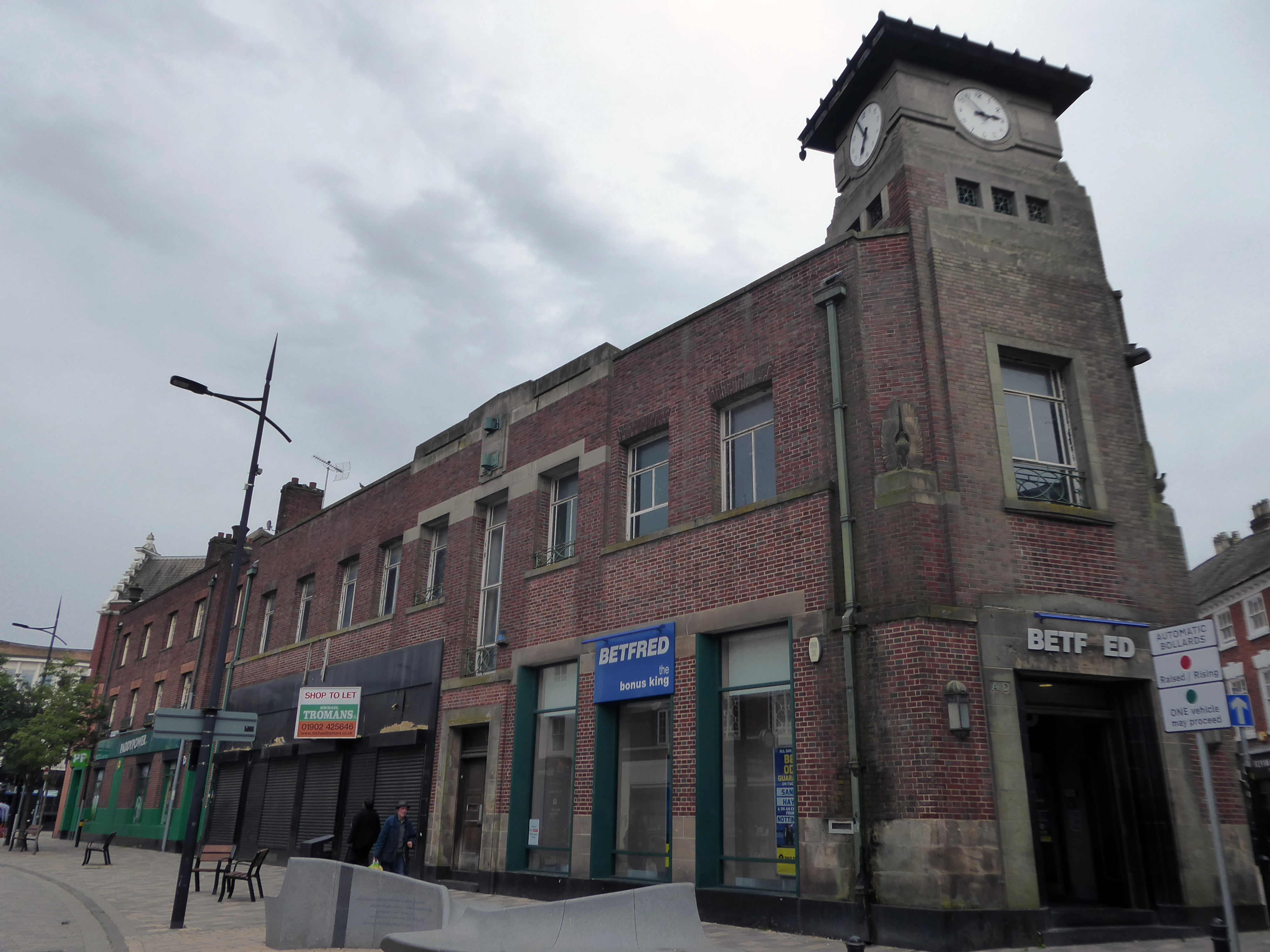
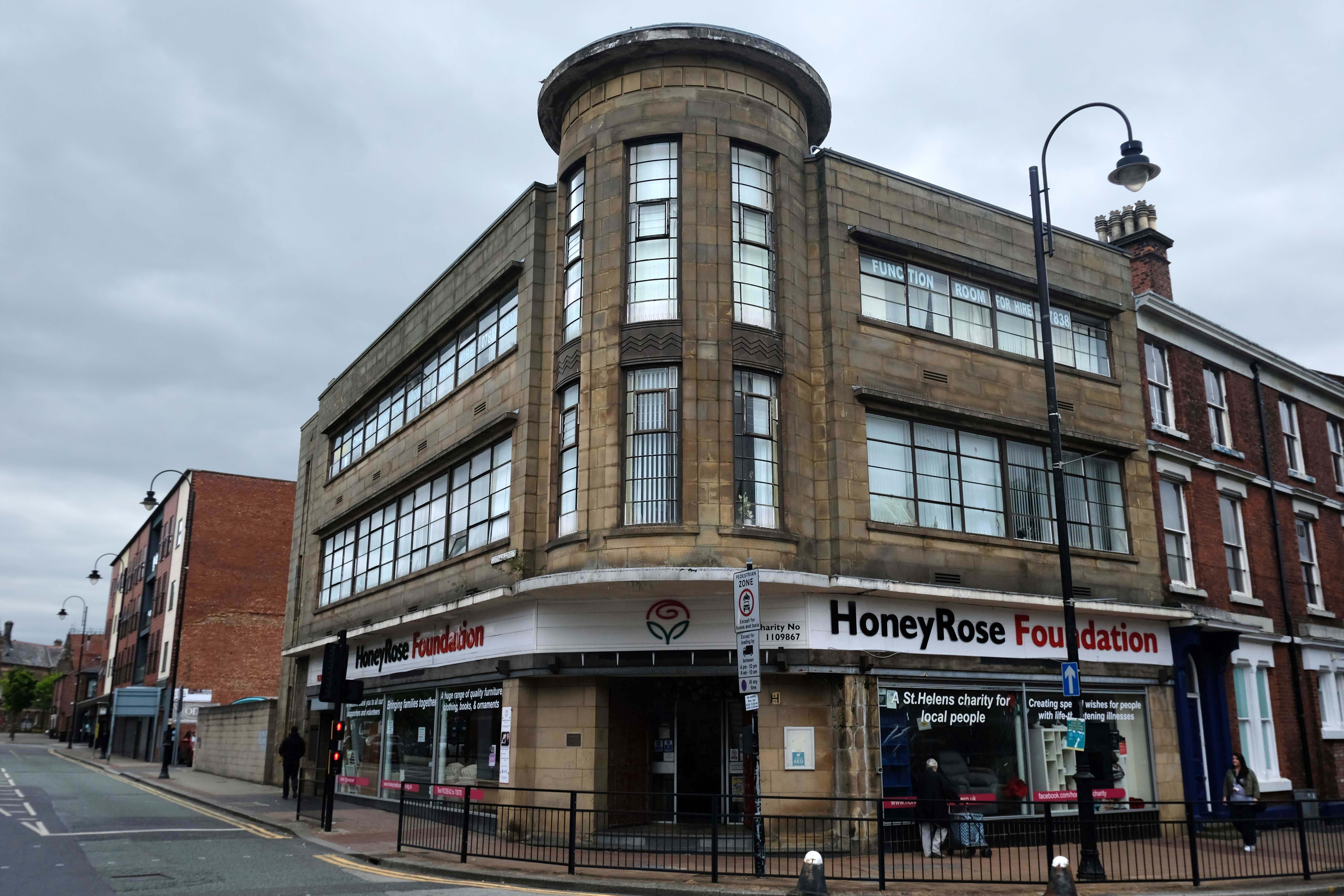
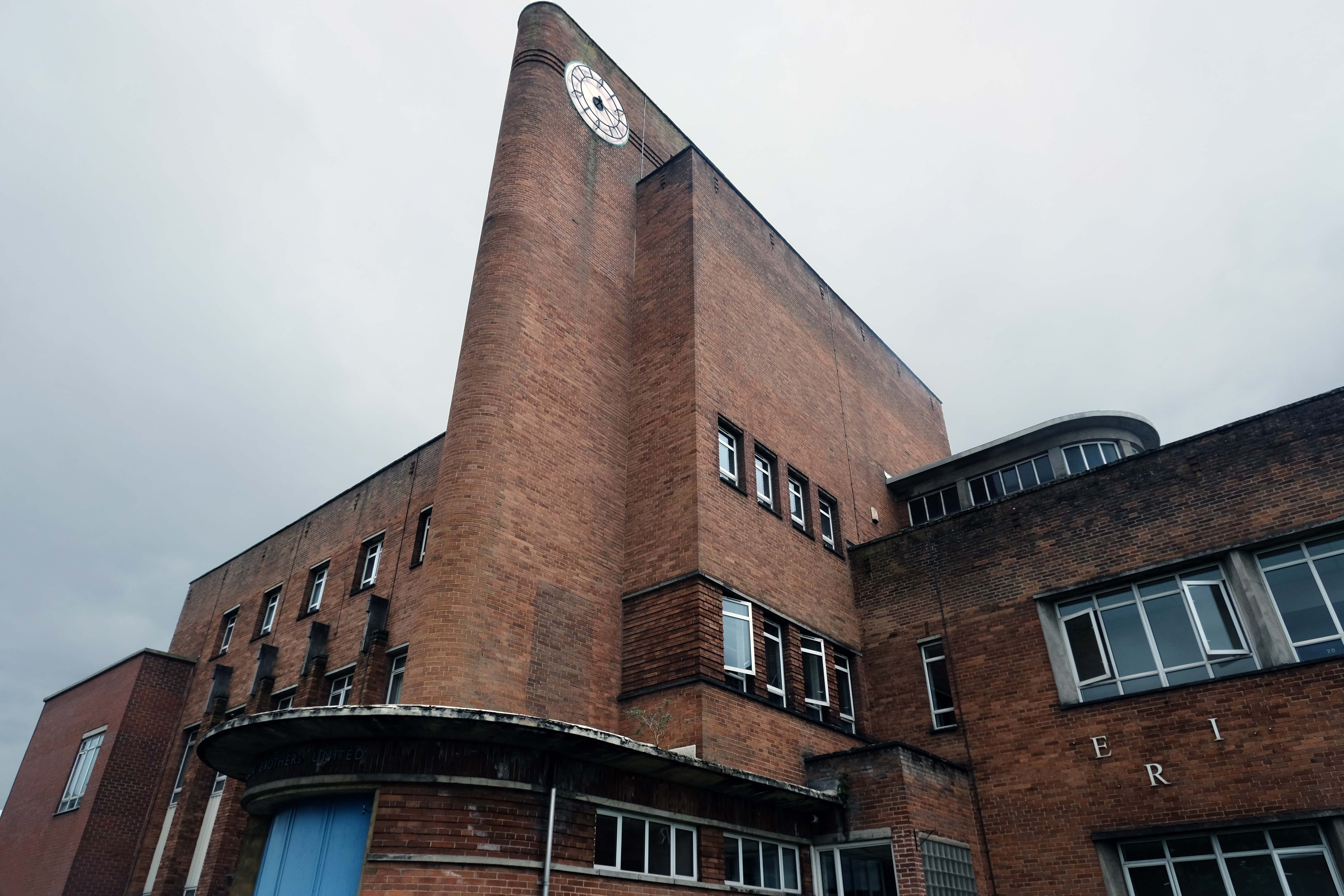
Along Princess Street this corner group, with an impressive clock tower – originally HQ for the South Staffordshire Building Society
Architects: George A Boswell of Glasgow 1932.
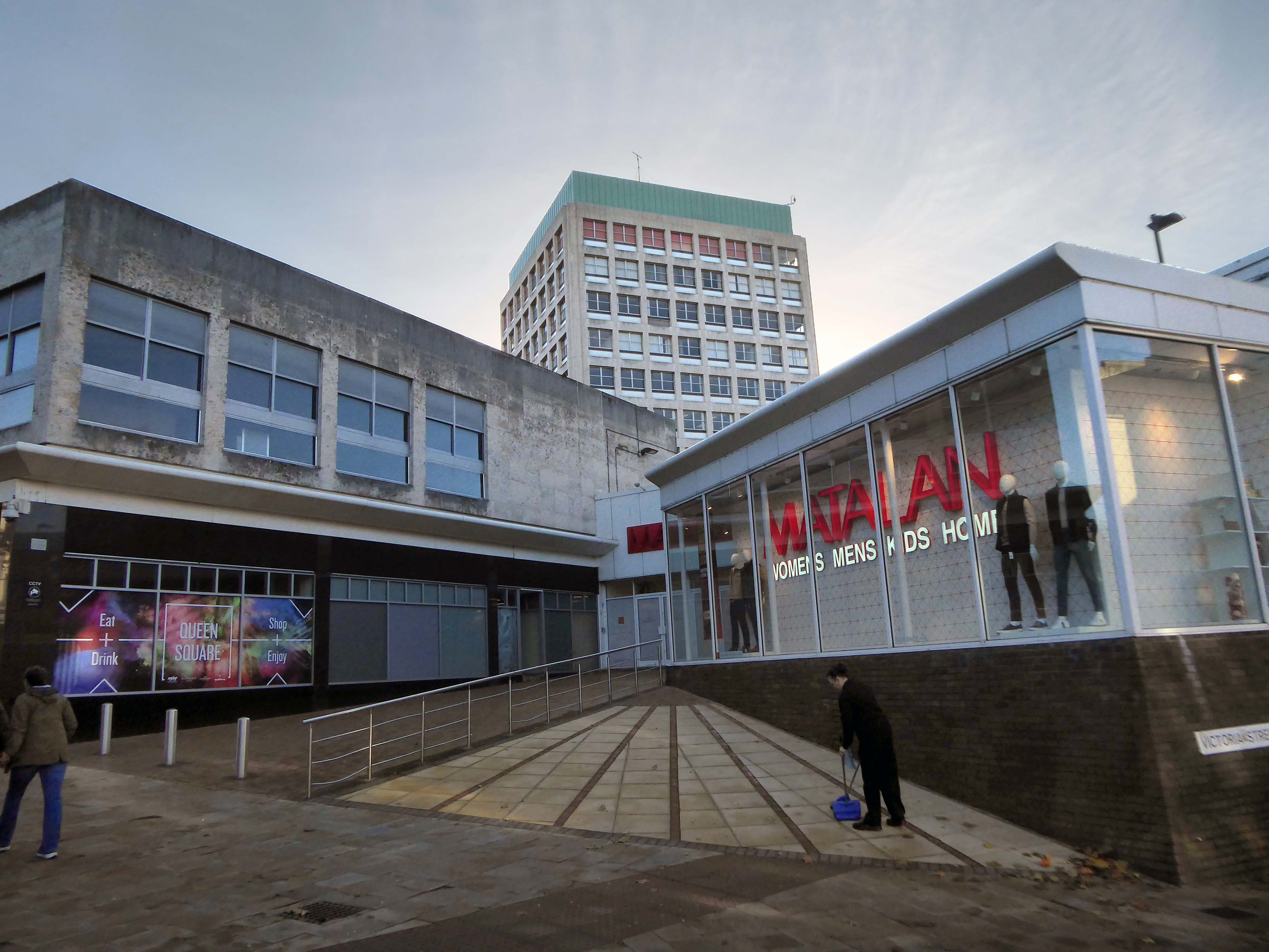
On to the Mander Centre – opened on 6th March 1968, refurbished 1987, 2003 and 2016-17.
The Mander Shopping Centre in the heart Wolverhampton is your one-stop shopping destination for all things fashion, home, beauty, food and technology.
Architects: James A Roberts principal architect Stanley Sellers.
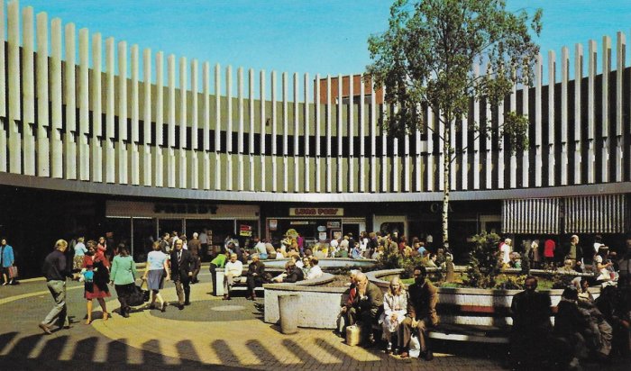
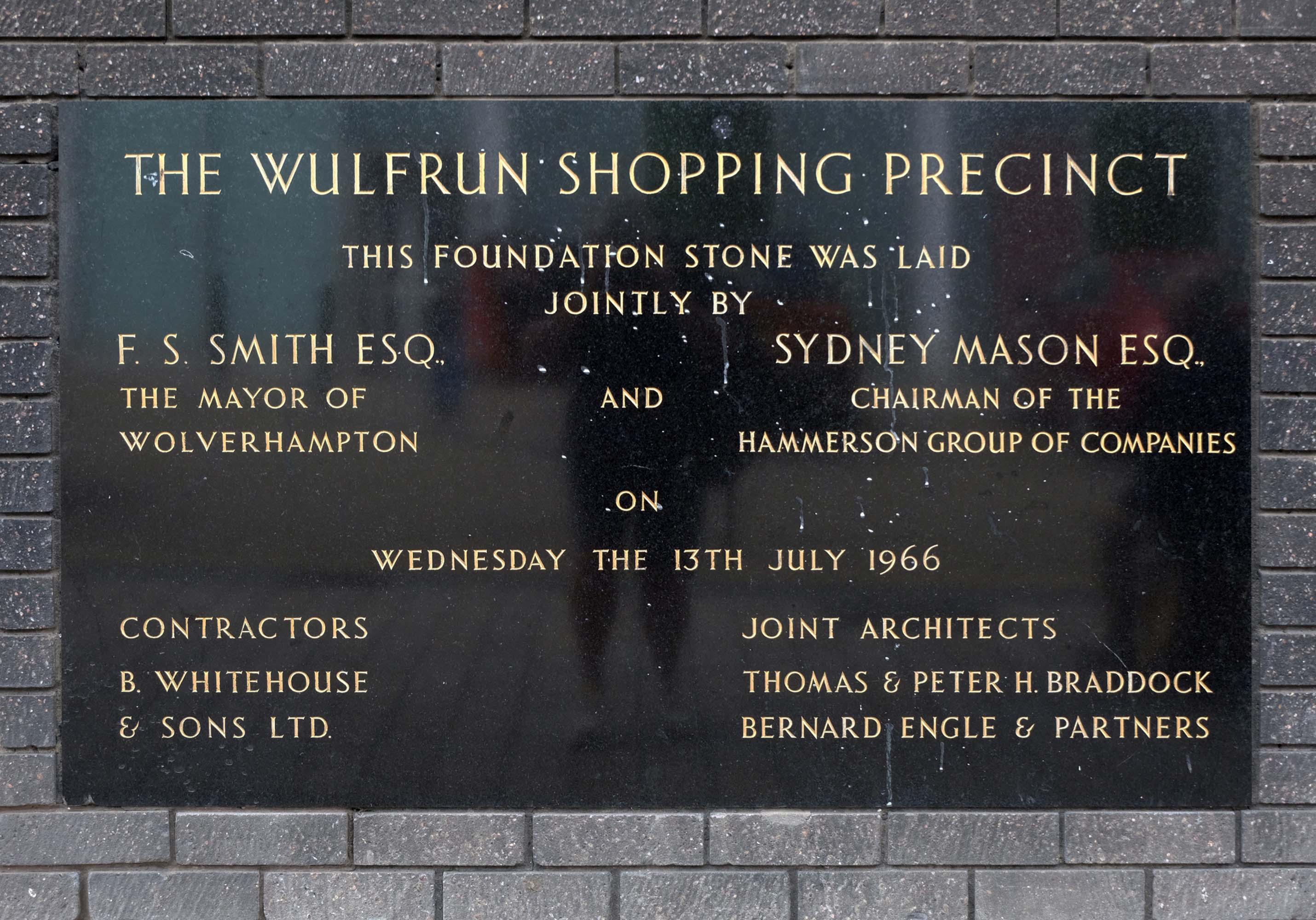
Developed by Manders Holdings Plc, the paint, inks and property conglomerate, between 1968 and 1974. The site occupies four and a half acres comprising the old Georgian works and offices of the Mander family firm, founded in 1773, as well as the site of the former Queens Arcade.
Architects: T & PH Braddock and also Bernard Engle & Partners.
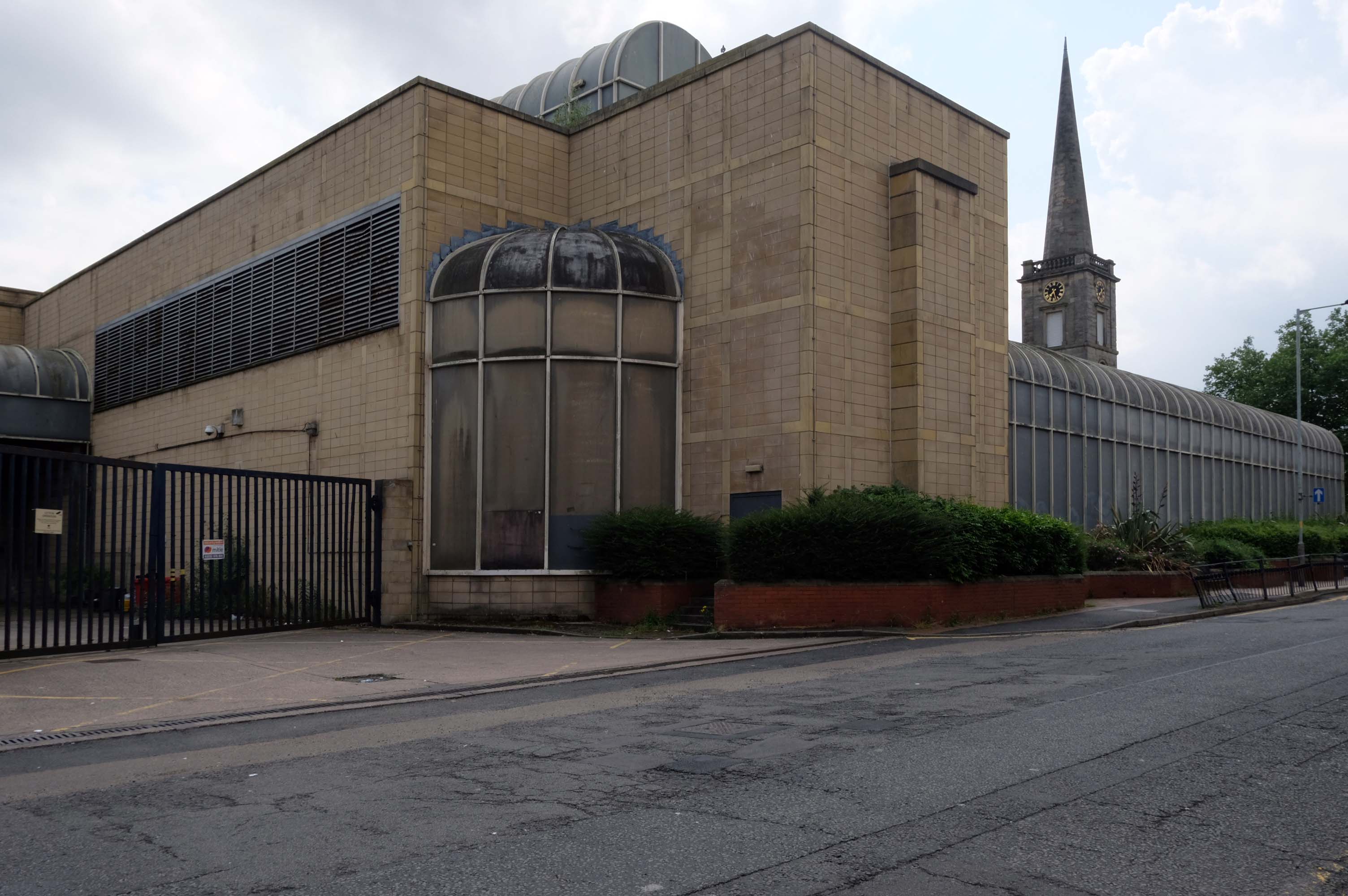
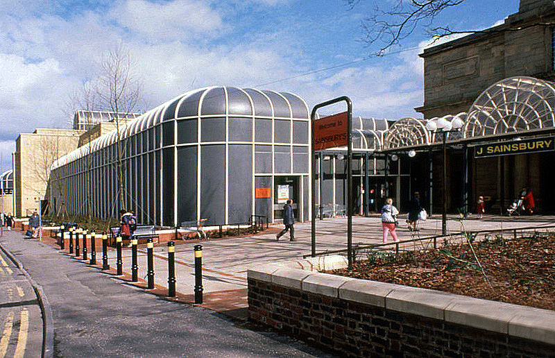
Along St Georges Parade, an abandoned Sainsbury’s church combo – store designed by J Sainsbury’s Architects Department opened 1988.
The church was built between 1828 and 1830 – architect: James Morgan, at a cost of £10,268. It was consecrated on Thursday 2 September 1830 by the Bishop of Lichfield, it was made redundant in 1978.
The site is currently under lease to Sainsbury’s for a further three years and will come forward on a phased basis subject to their lease concluding. The council is in active dialogue with prospective development partners on the redevelopment of this site and in wider consultation with Homes England.
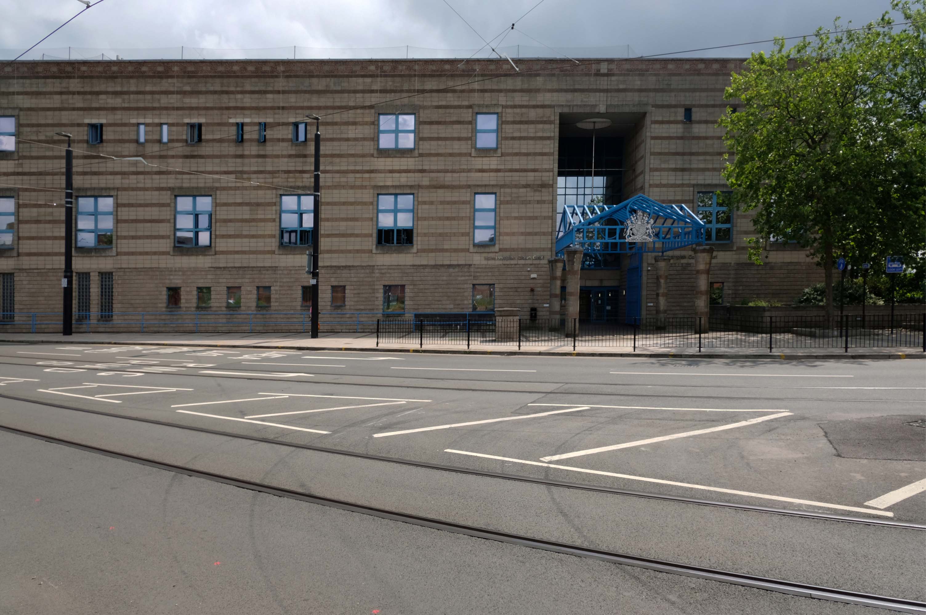
Notable cases included trial and conviction of four members of The Stone Roses, in October 1990, for criminal damage to the offices of their former record company.
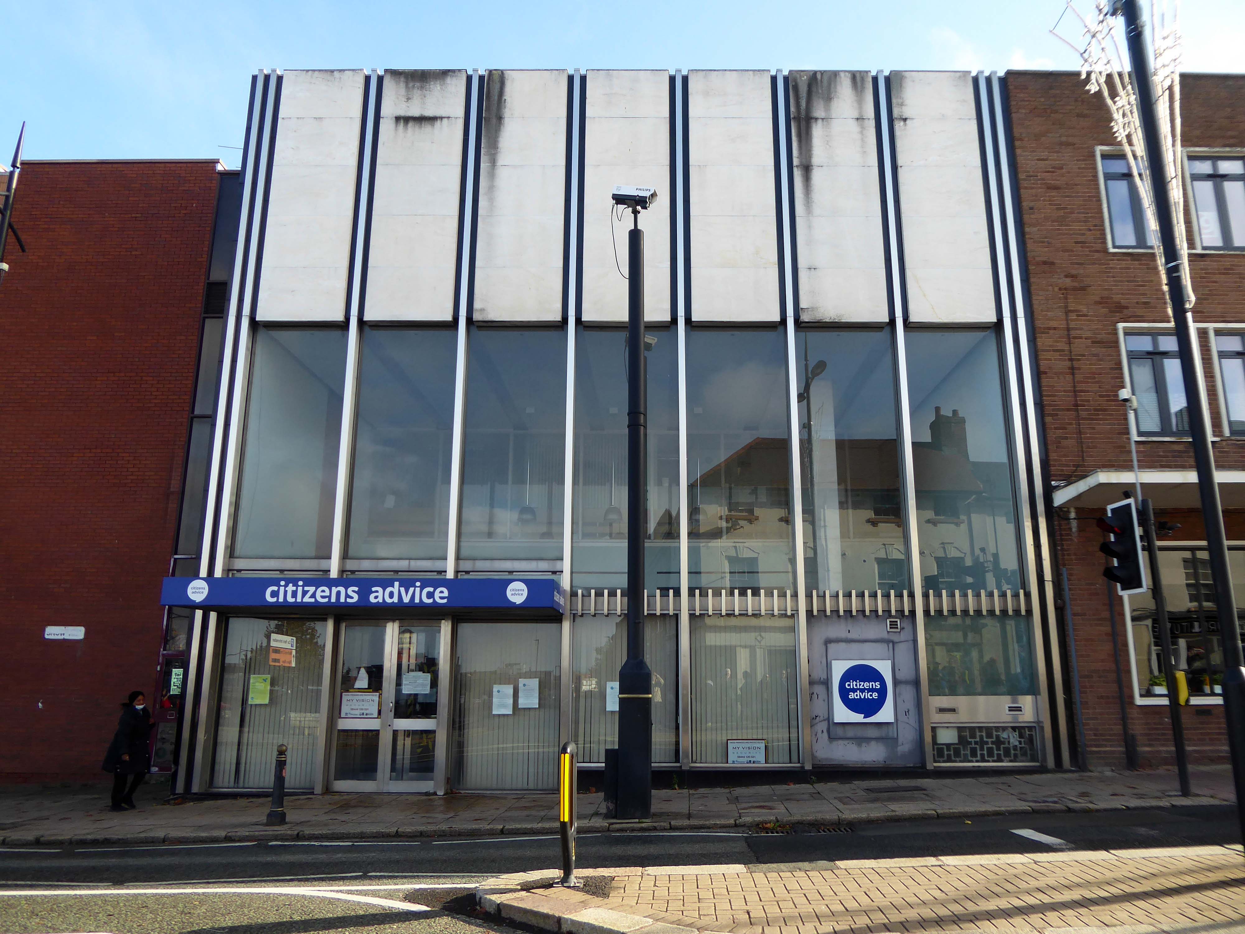
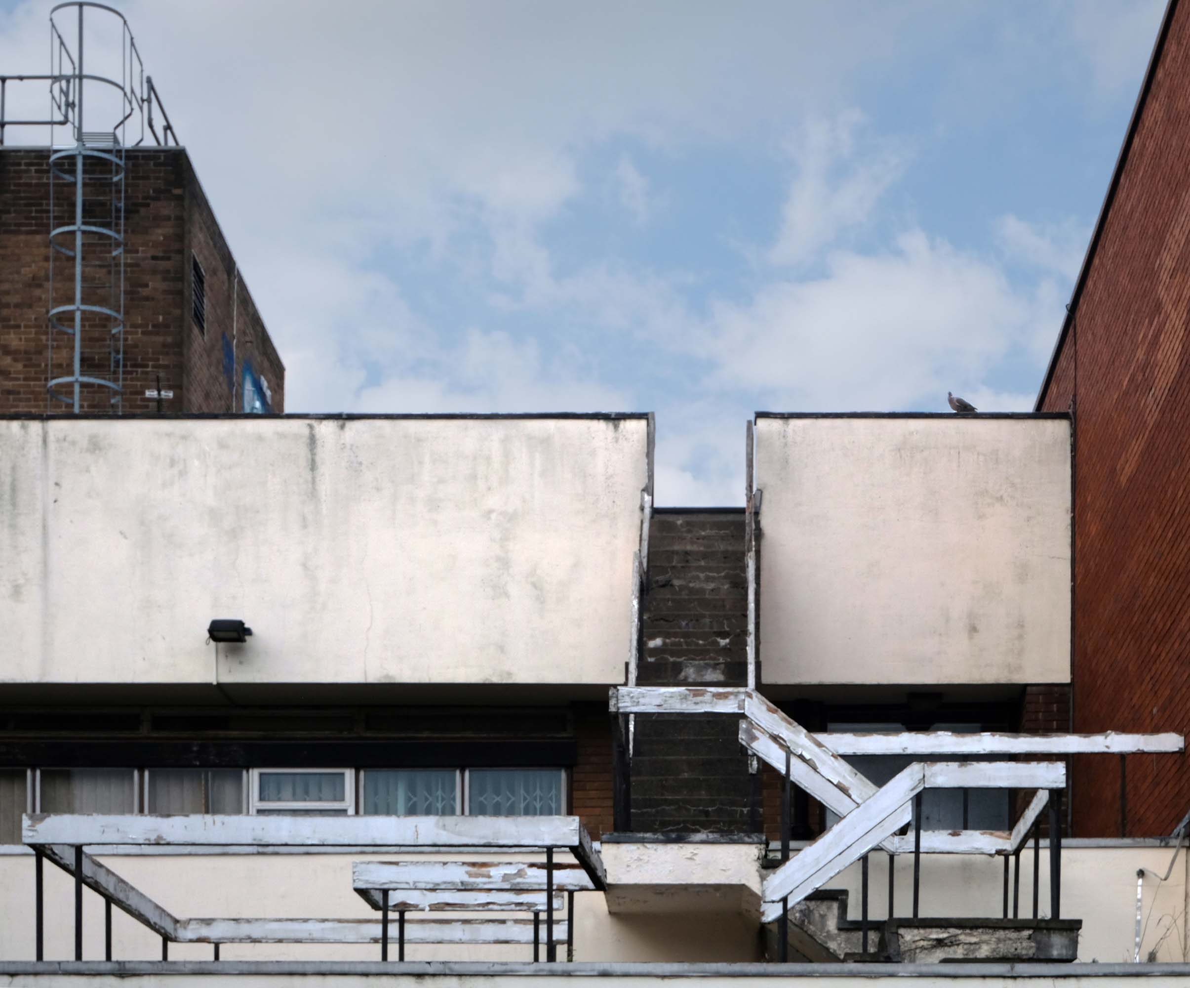
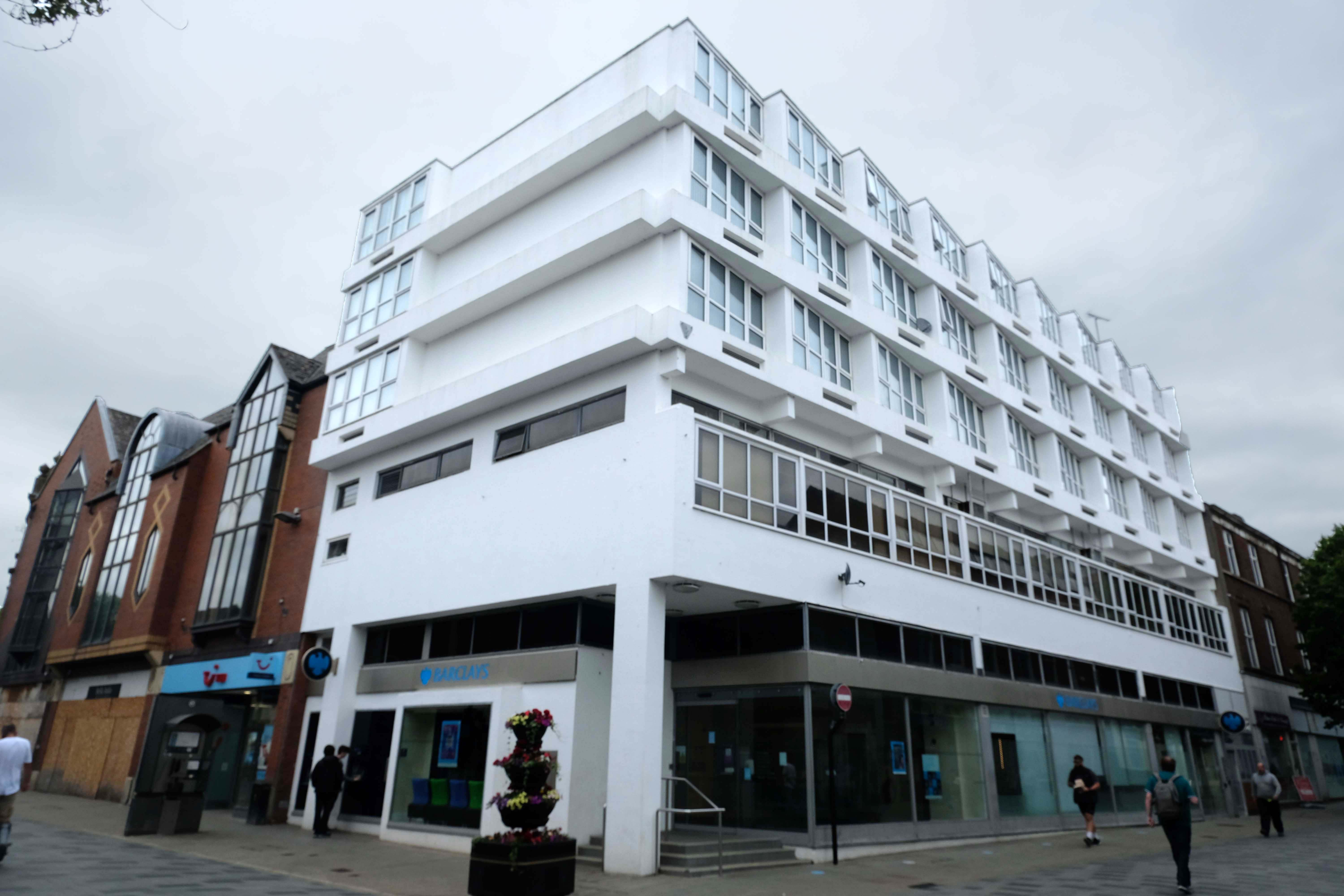
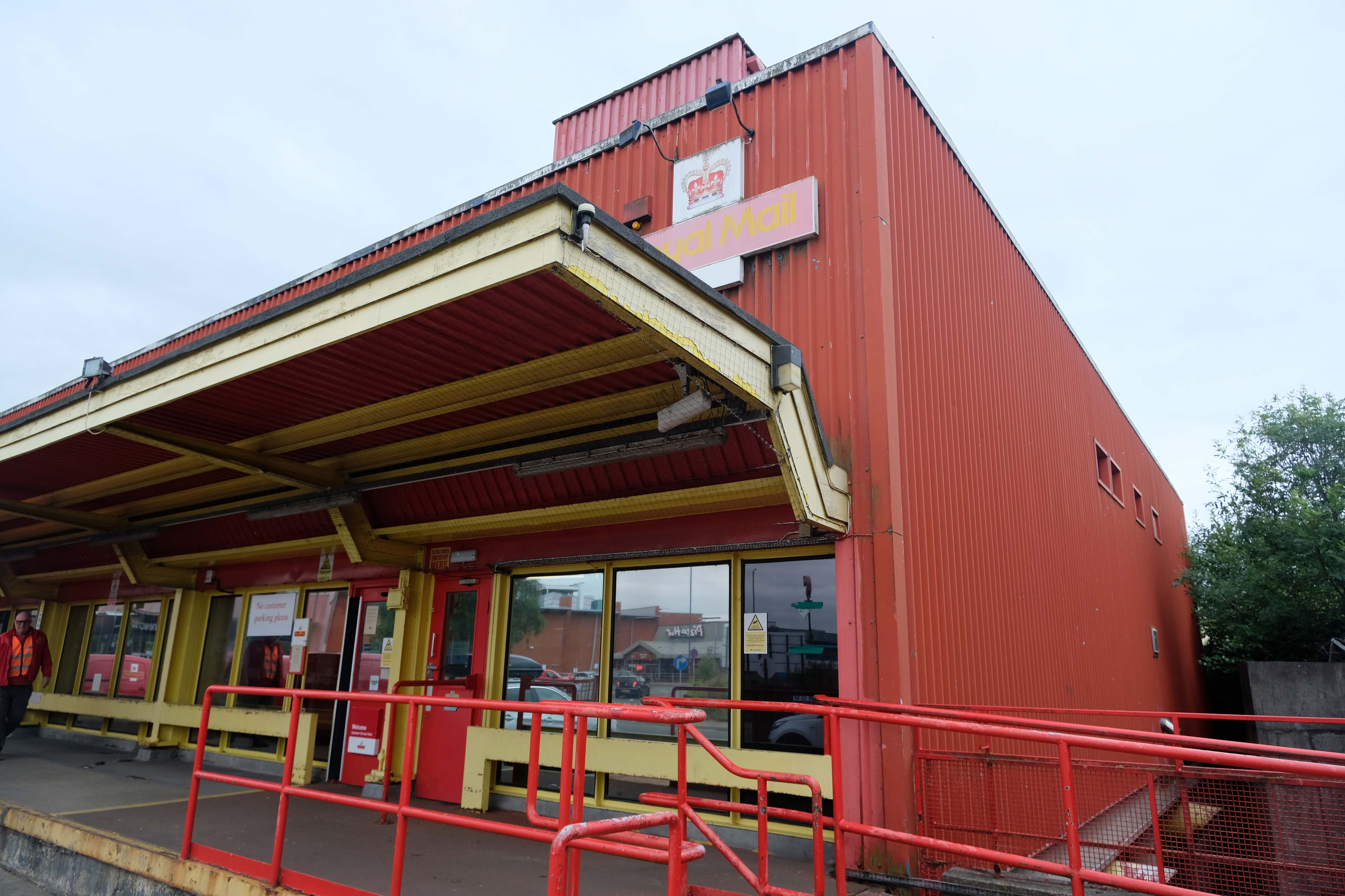
Thence up Snow Hill to the former Citizens Advice former Barclays Bank currently empty.
Architects: John HD Madin & Partners 1969
Take time to have a look around the back.
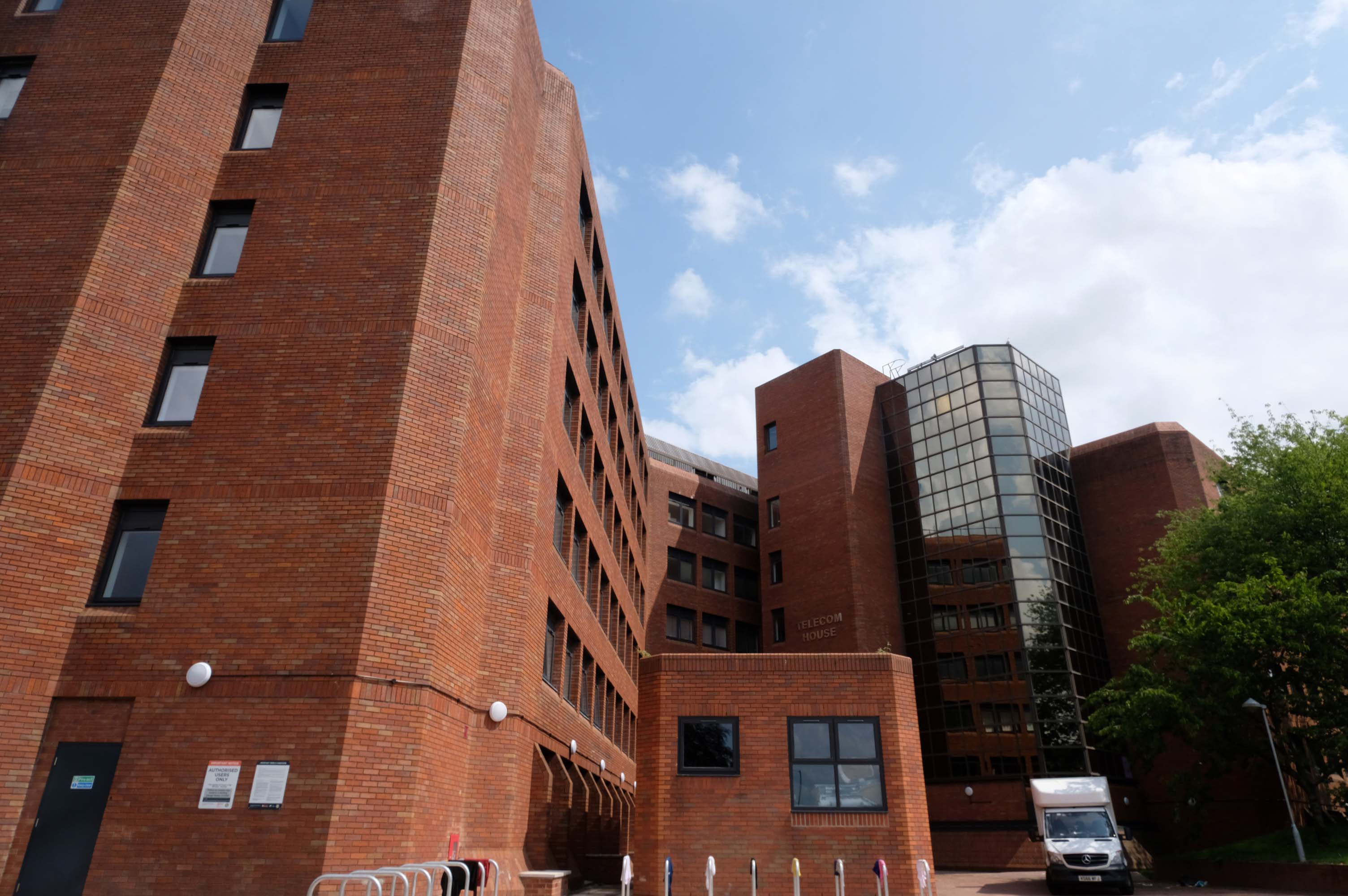
Off to Church Street and Telecom House
Sold for £4.25 million to Empire Property in 2022.
It had previously been sold for more than £3m in July 2018, also for use for apartments, to Inspired Asset Management which later went into receivership.
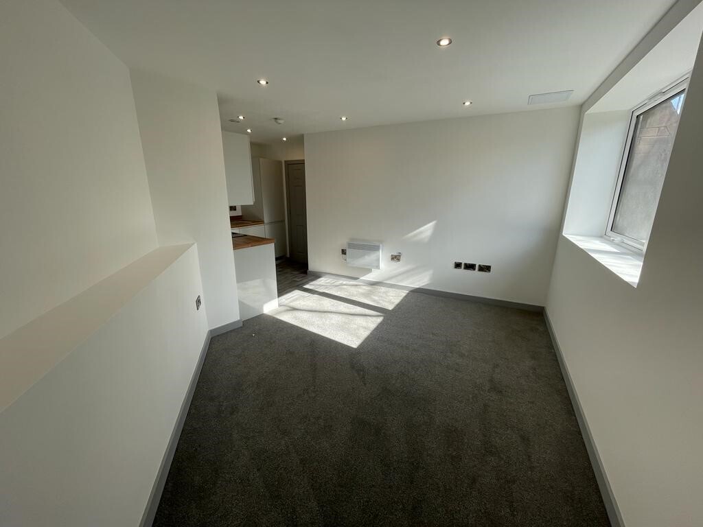
Located on a popular apartment block on Church street in the Wolverhampton centre, this 1 bedroom property has been newly renovated throughout and compromises an entrance hallway, open plan lounge/kitchen with in built appliances, shower room and double bedroom.
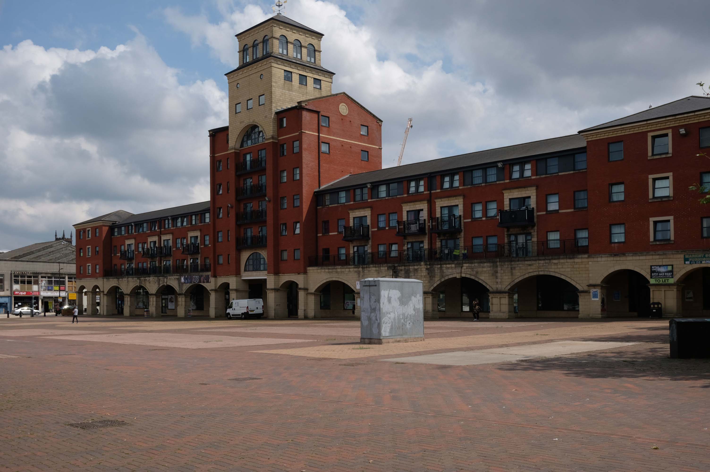
Next to this modern piazza New Market Square – Architects: Nicol Thomas from a concept by head of planning Costas Georghiou.
Formed from the former Market Square, a mix of flats and shops opened in 2004, in an Italianate version of the modish school of streaky bacon.
In 2021 the Coca-Cola Christmas Truck visit to the Midlands was cancelled.
It was meant to arrive at Market Square in Wolverhampton at 11am today but failed to show up.
One fan had waited since 7am this morning to see the Coca-Cola truck.
While schoolchildren were left gutted when the truck didn’t turn up – and one boy had been so excited his mother said he had been talking about the red truck all morning.
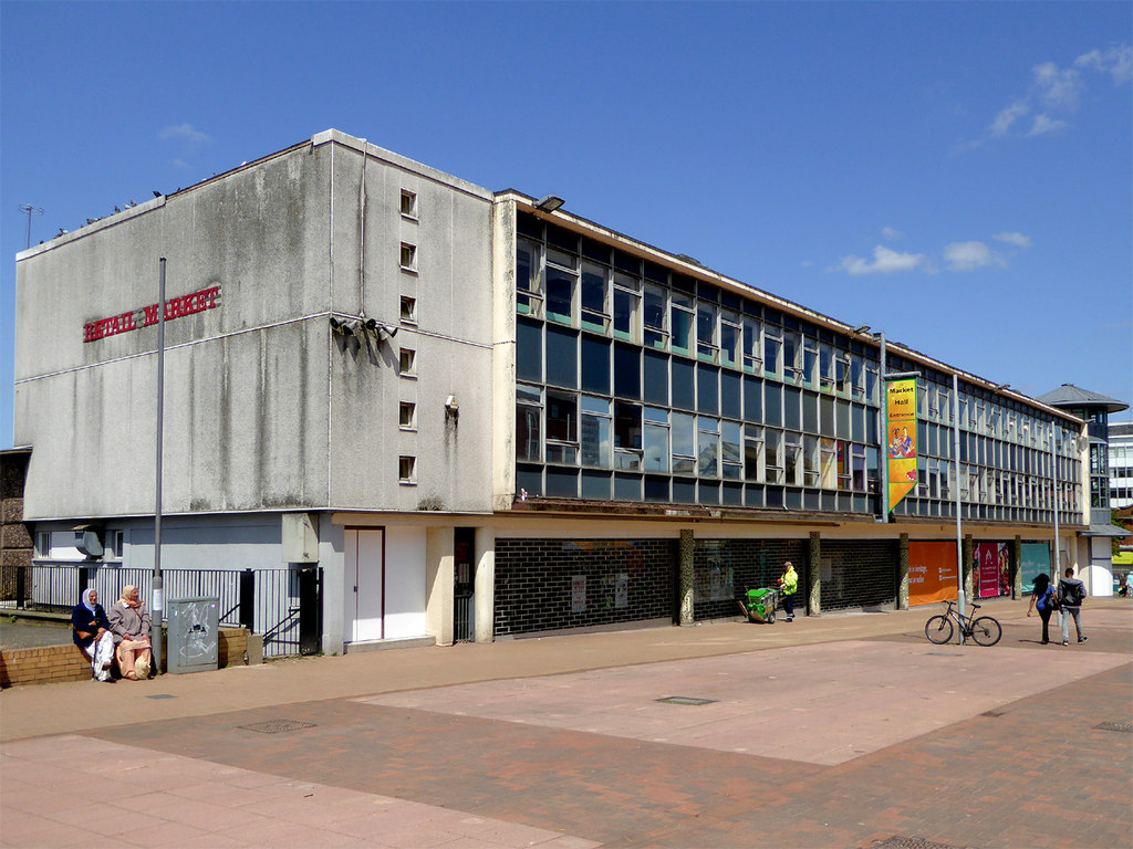
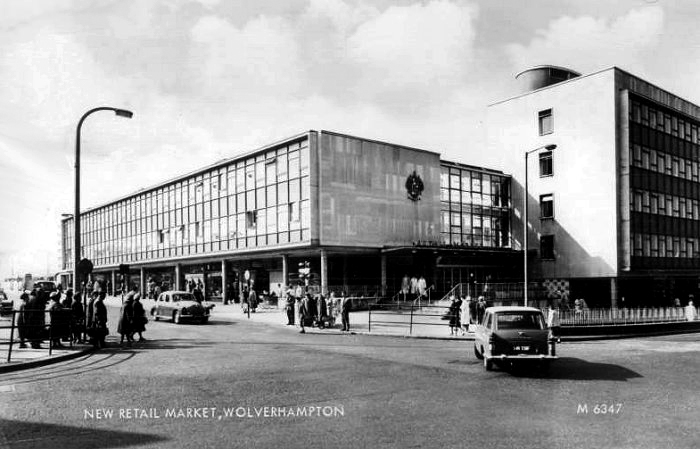
Retail Market – Late 1950s market hall and offices above.
Architects: Borough Surveyor.
Excellent example of the Festival of Britain style of architecture, won Civic Trust Award 1960.
Locally Listed March 2000.
demolished January 2017.
Photo: Roger Kidd
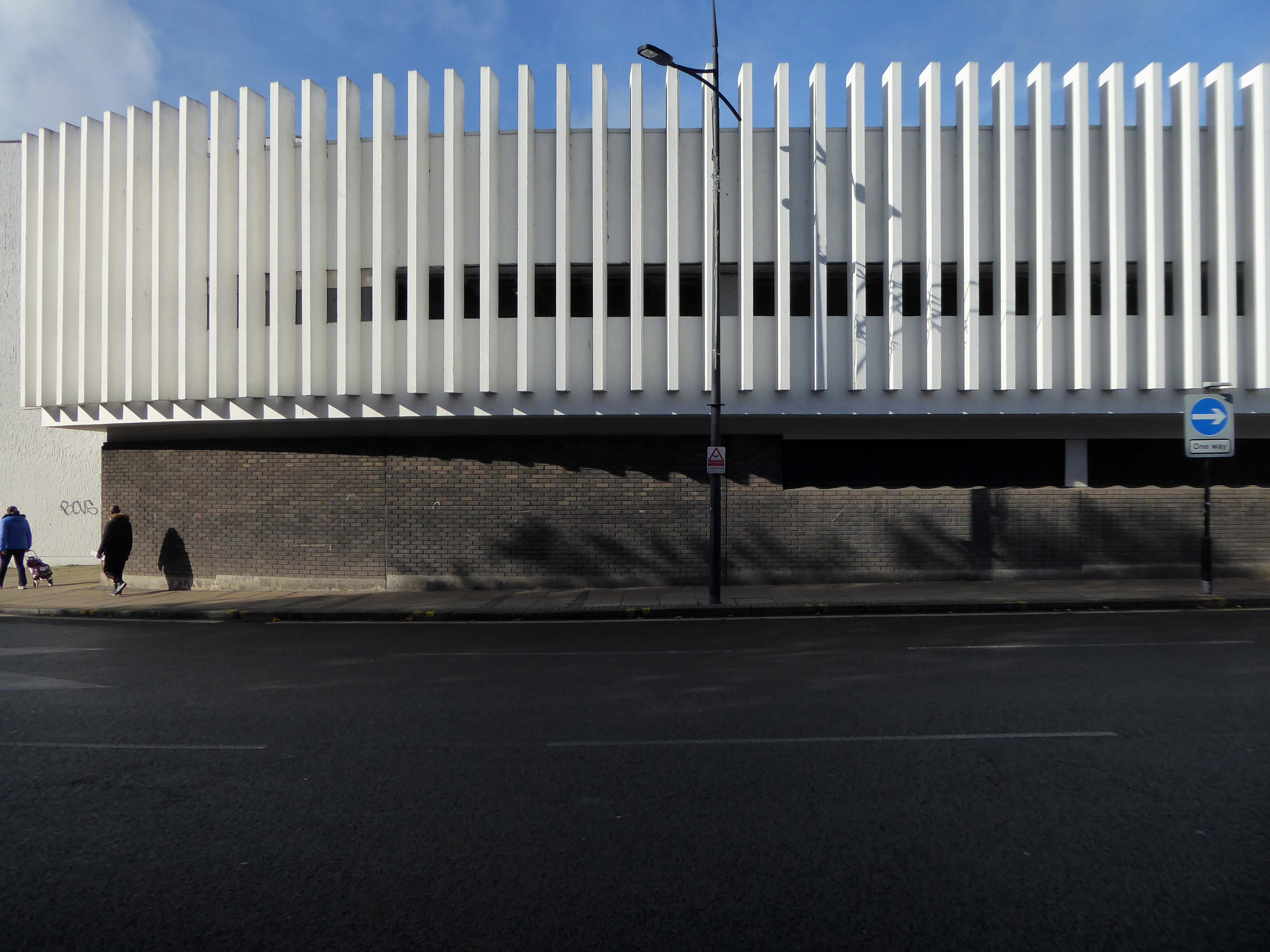
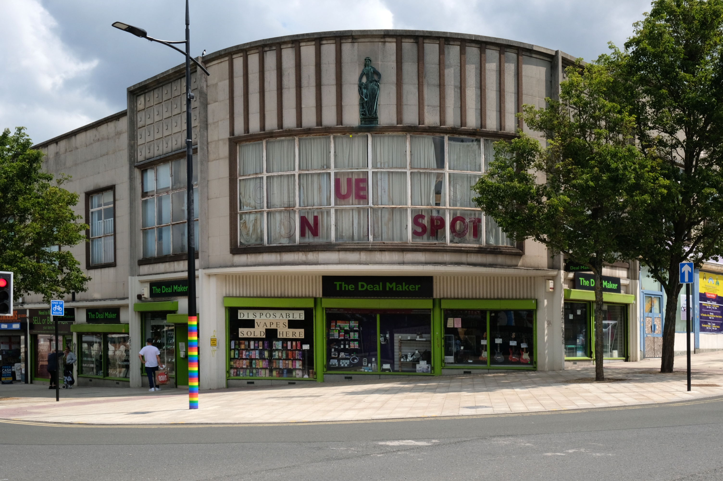
This development that wraps itself around Salop, Skinner and School Streets appears to be of a similar period to the Retail Market – and sports a Lady Wulfrun in relief.
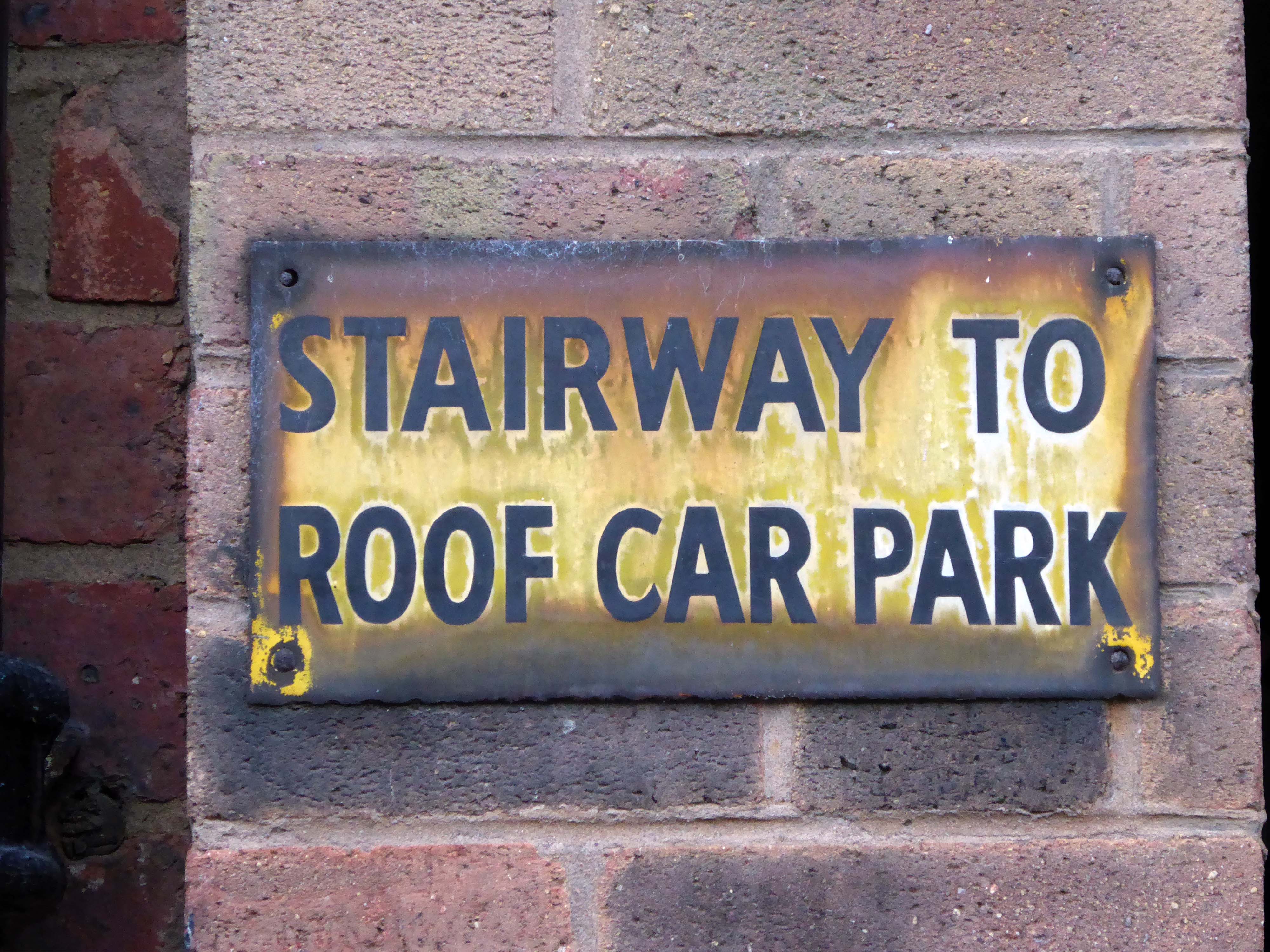
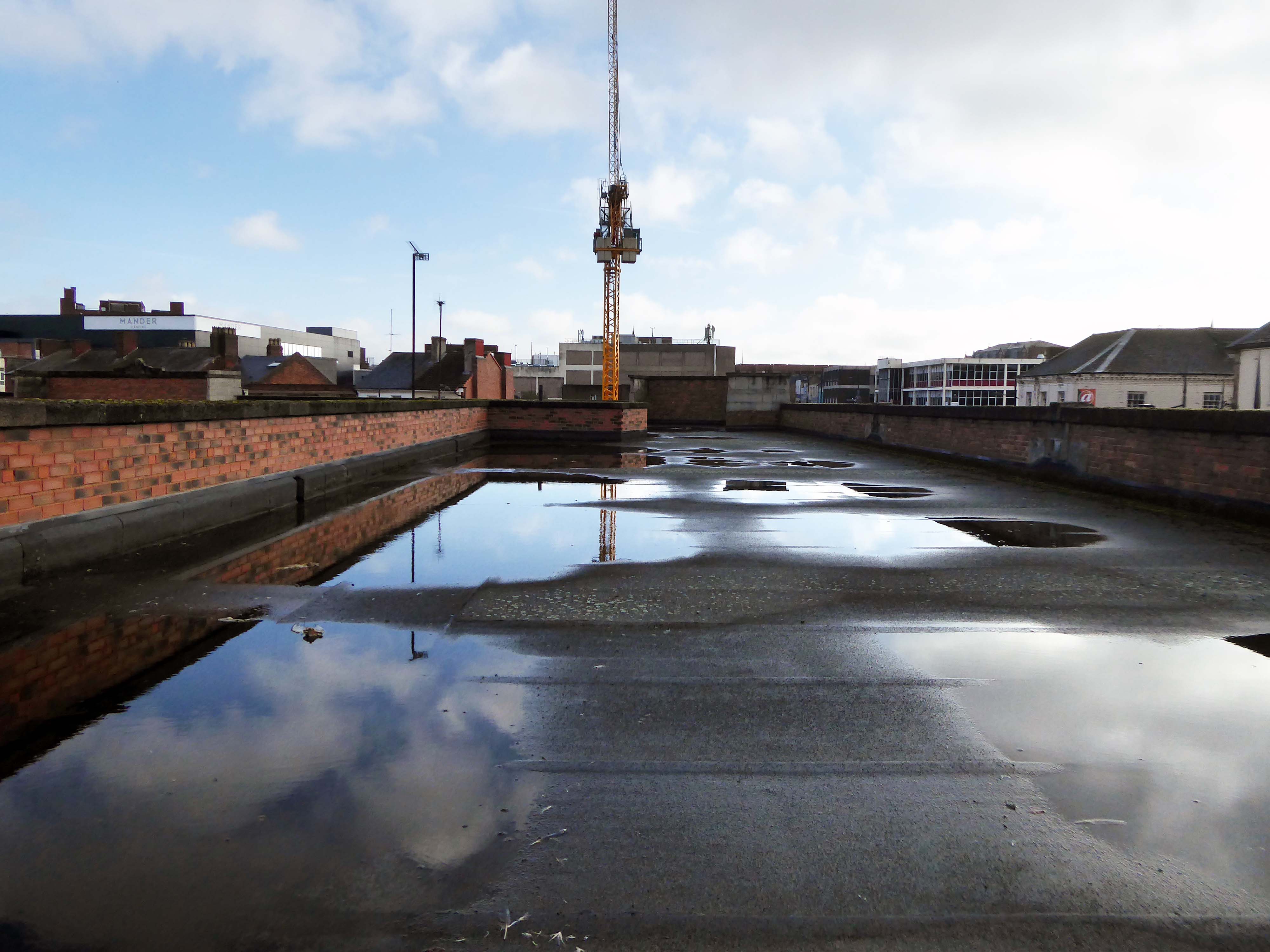
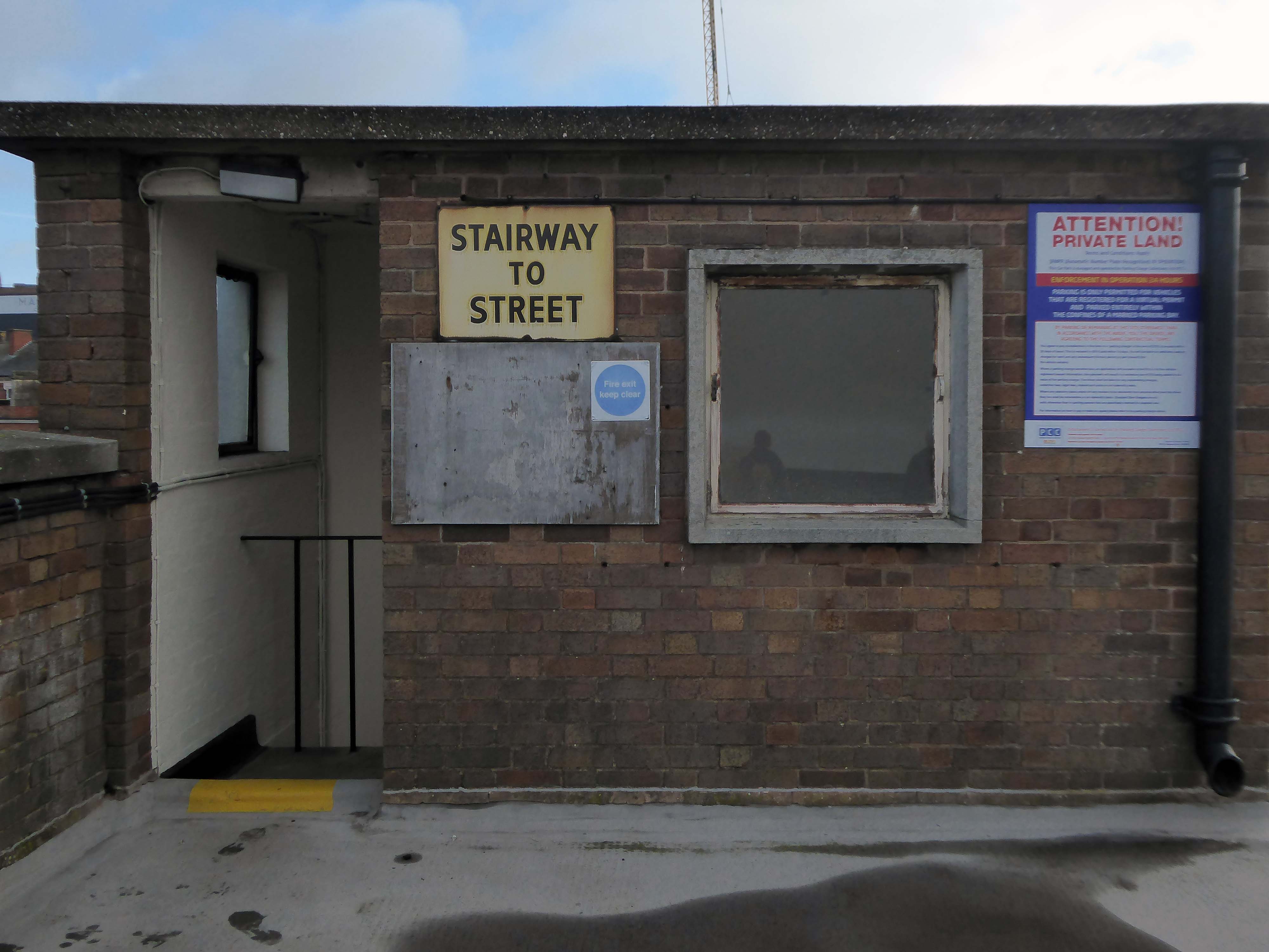
There is access to its roof top car park.
And also an exit back to street level.
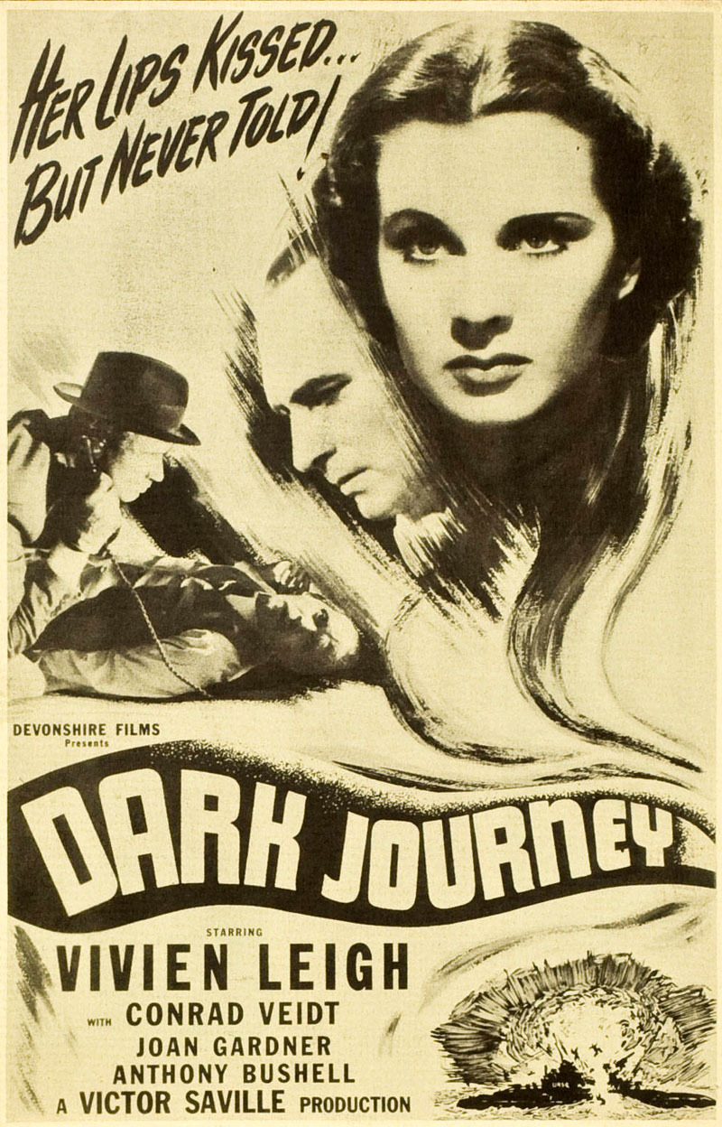
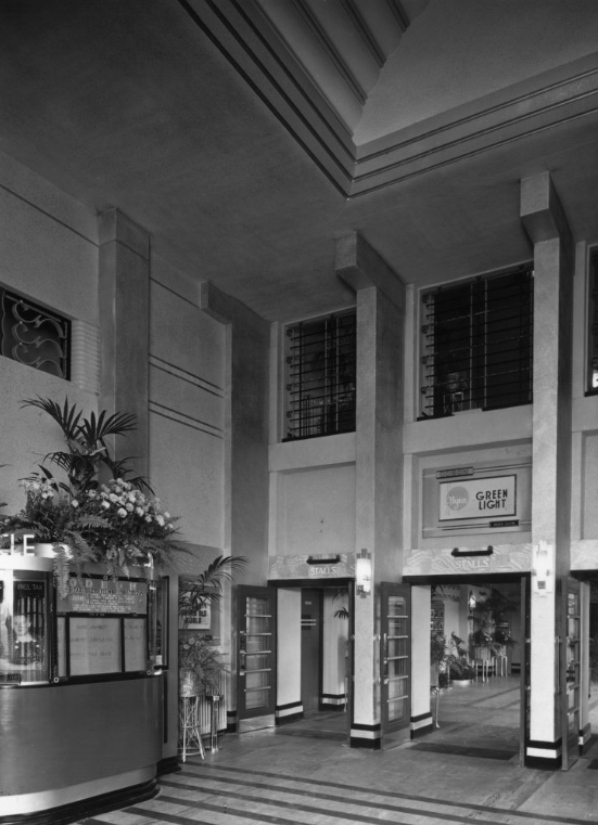
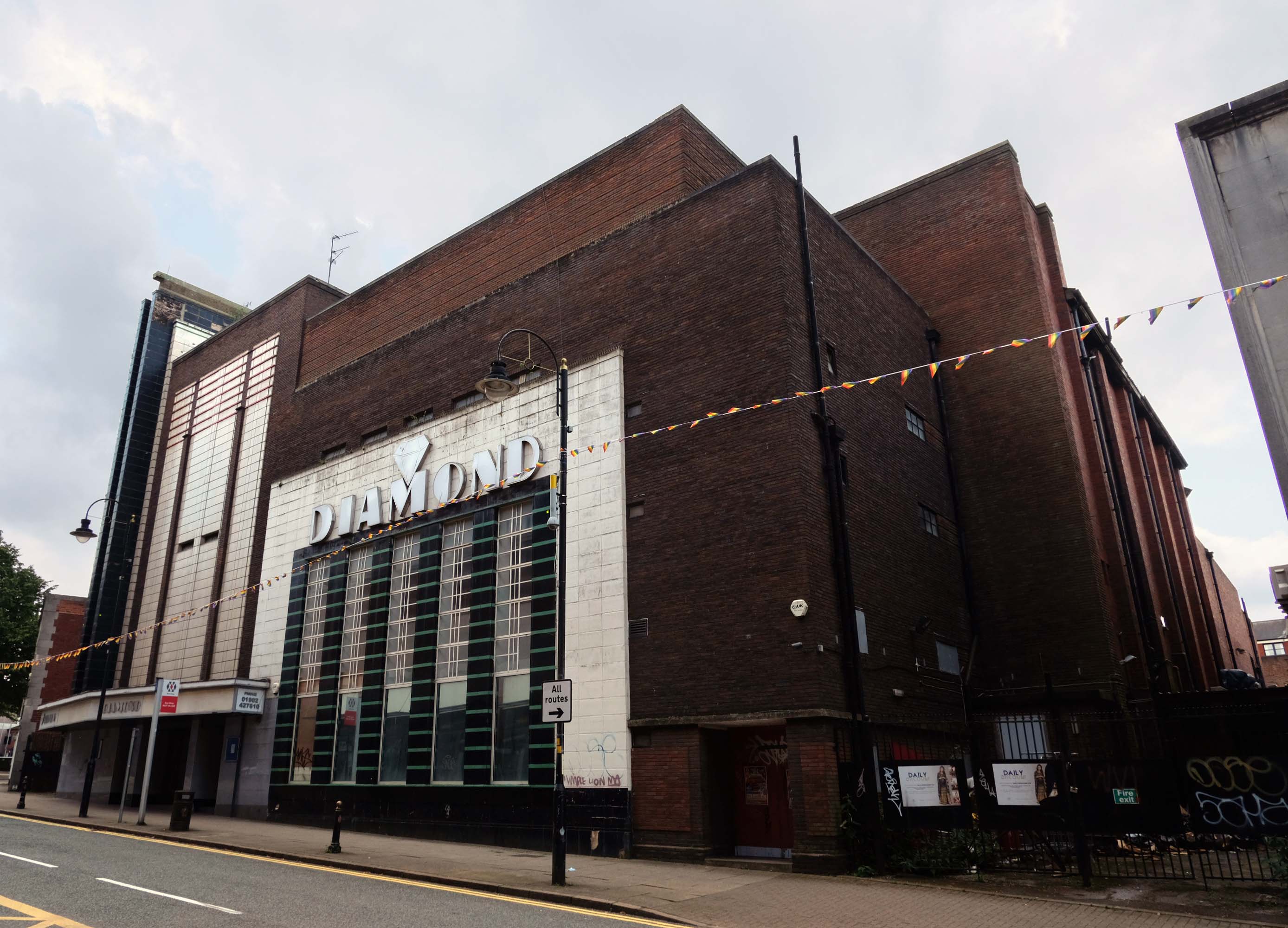
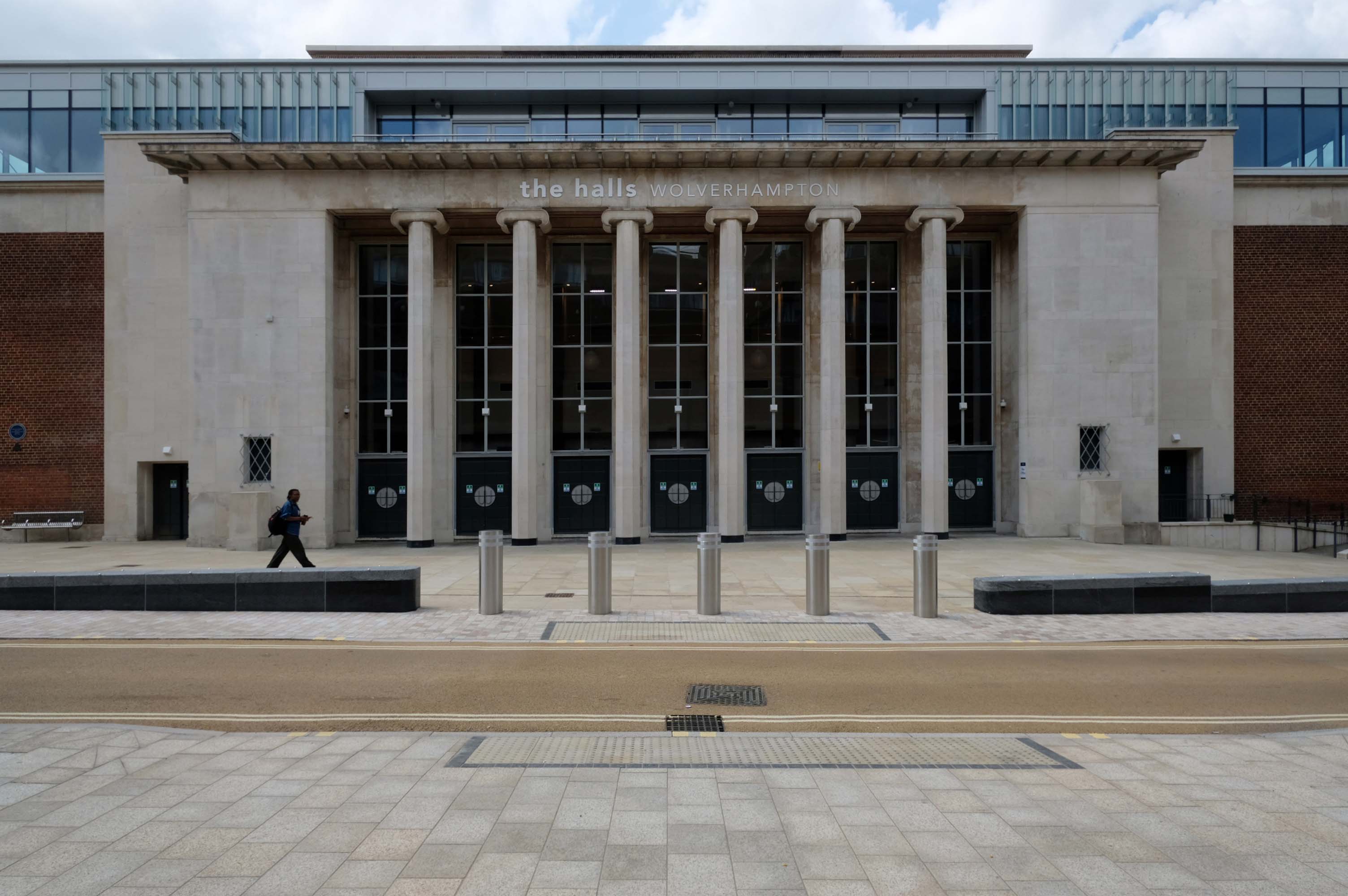
Where we find at street level the former Odeon Cinema, opened on 11th September 1937 with Conrad Veidt in Dark Journey.
In October 2000, the former Odeon was designated a Grade II Listed building by English Heritage.
RIBA pix
In recent years it was a Mecca Bingo Club, but this was closed in March 2007 In October 2009, it had been refurbished and re-opened as the Diamond Banqueting Suite. In April 2021 police raided the vacant building to discover an illegal cannabis farm operating in the building.
Four men were arrested.
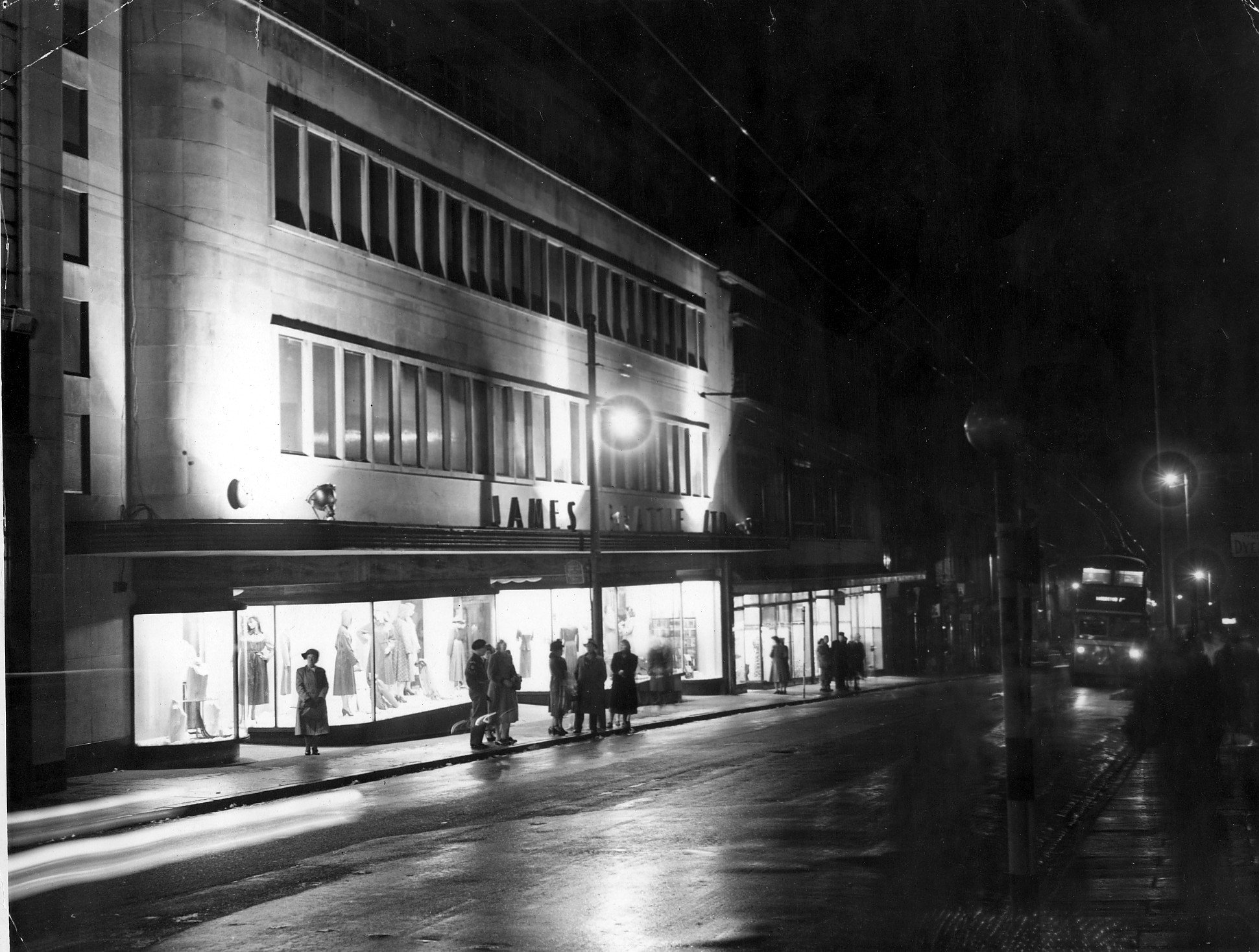
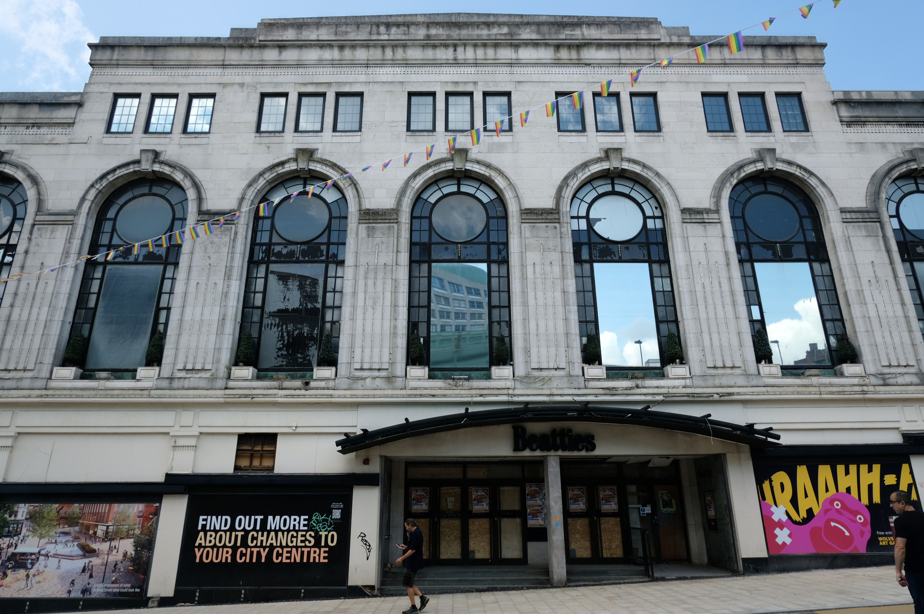
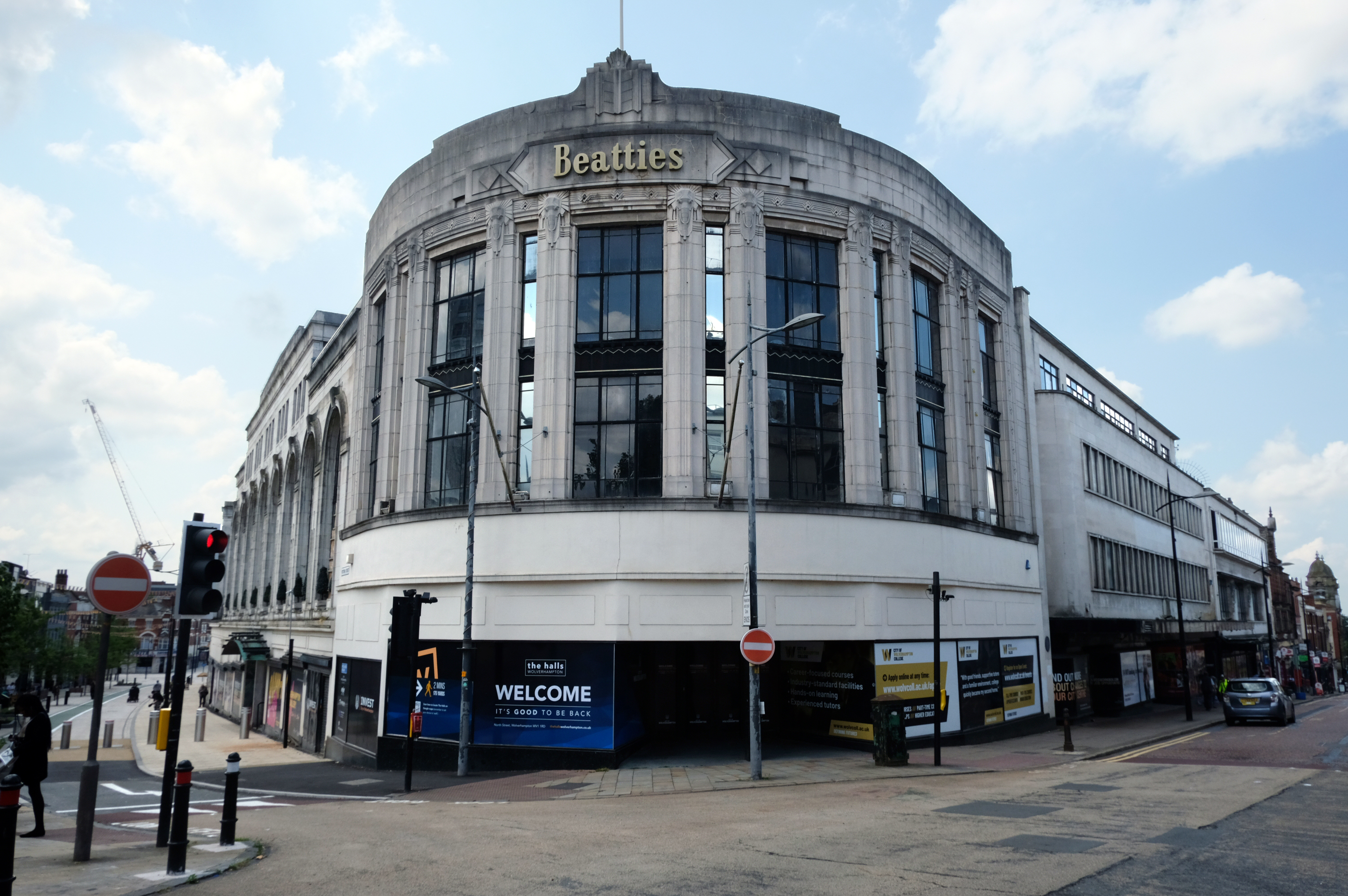
Let’s take a turn around the corner to Victoria Street where we find the complex of Beatties Buildings.
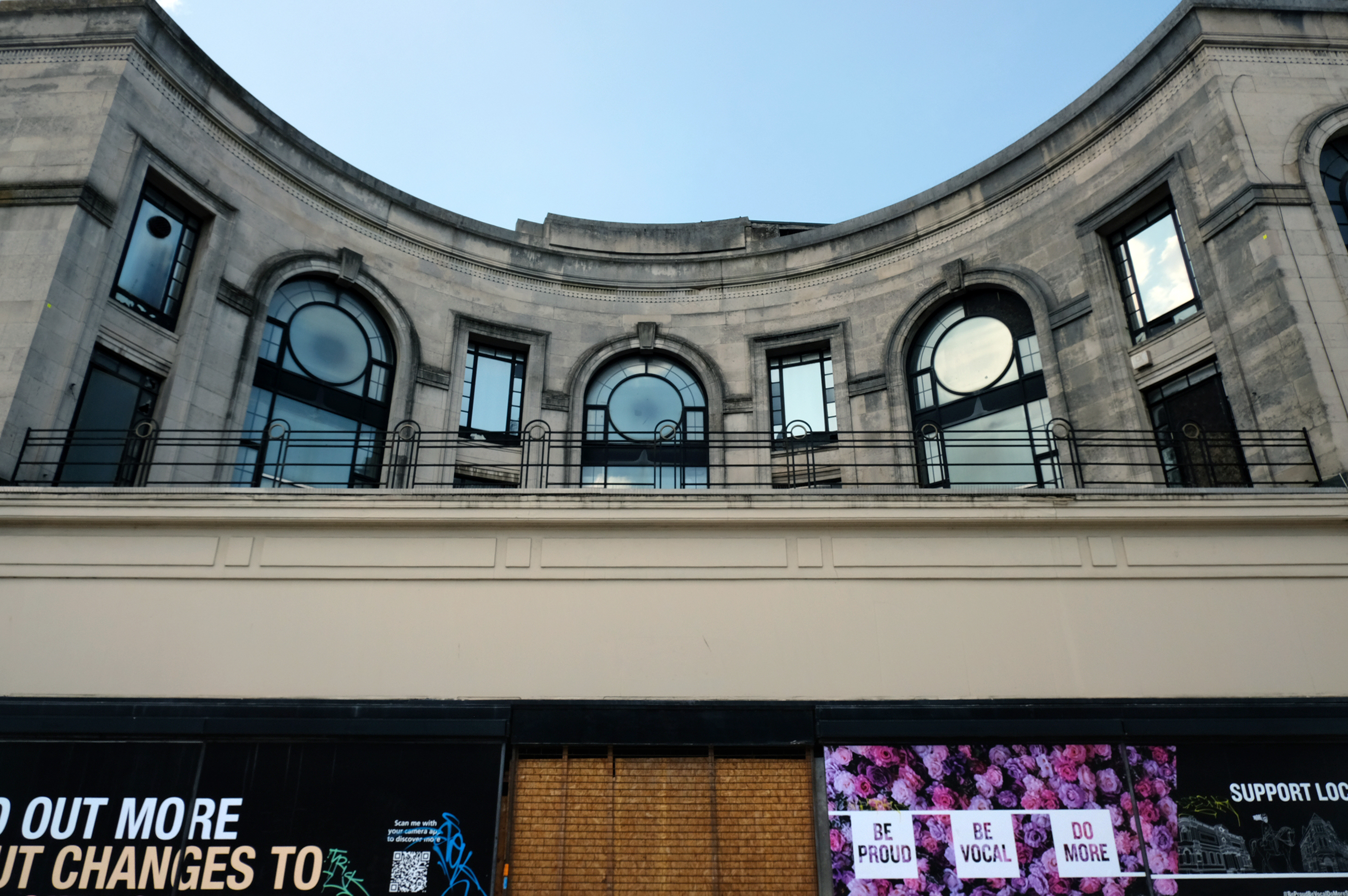
Architects: Lavender, Twentyman and Percy 1920’s – 30’s
The C20 Beatties store is a multi-period site developed first in the 1920s-30s. A Burton’s men’s clothes shop was built on a curved corner site at Victoria St/Darlington St and Beatties themselves replaced their existing Victoria St store in the 1930s with a building by local architects Lavender, Twentyman and Percy. Beatties later acquired and incorporated the Burton’s shop into their store. These two buildings form the locally listed building to which were added a mid-C20 extension along Darlington St and a late-C20 development to the rear at Skinner St.
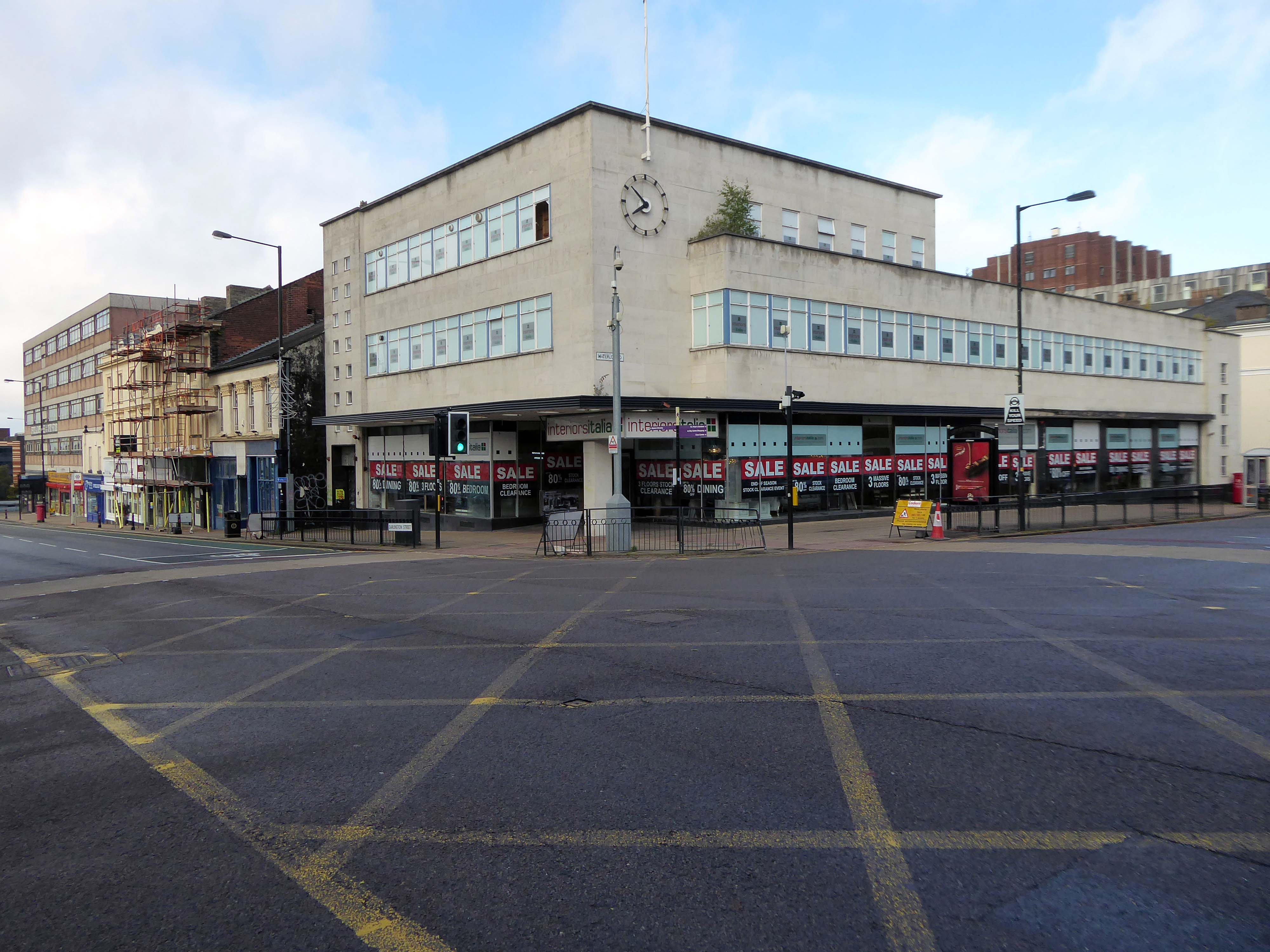
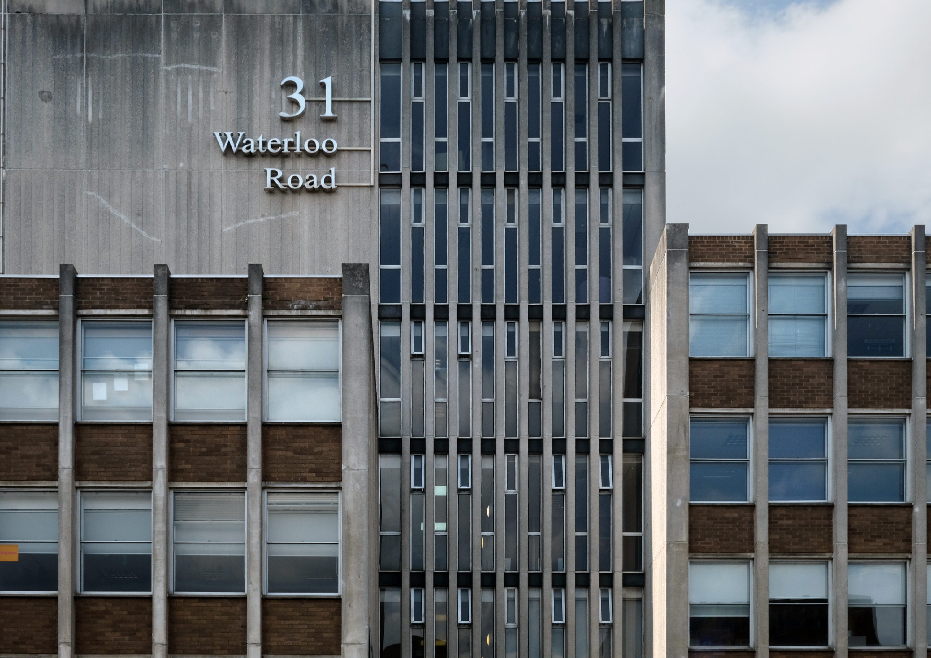
An imperious Portland stone clad mixed us block on Waterloo Road, with a delightful clock.
Formerly the Gas Showrooms then SunAlliance & LondonInsurance offices – aka Clock Chambers
The showroom in Darlington Street was also the centre of a radio network that controlled a fleet of service vans. This enabled customers to receive service within minutes of making a telephone call. Demonstrations of cookery, washing and refrigeration were given by the Gas Board’s Home Service Advisers and a number of the company’s engineers, who specialised in designing gas equipment for industrial processes operated an advisory service for manufacturers.
Architects: Richard Twentyman 1939.
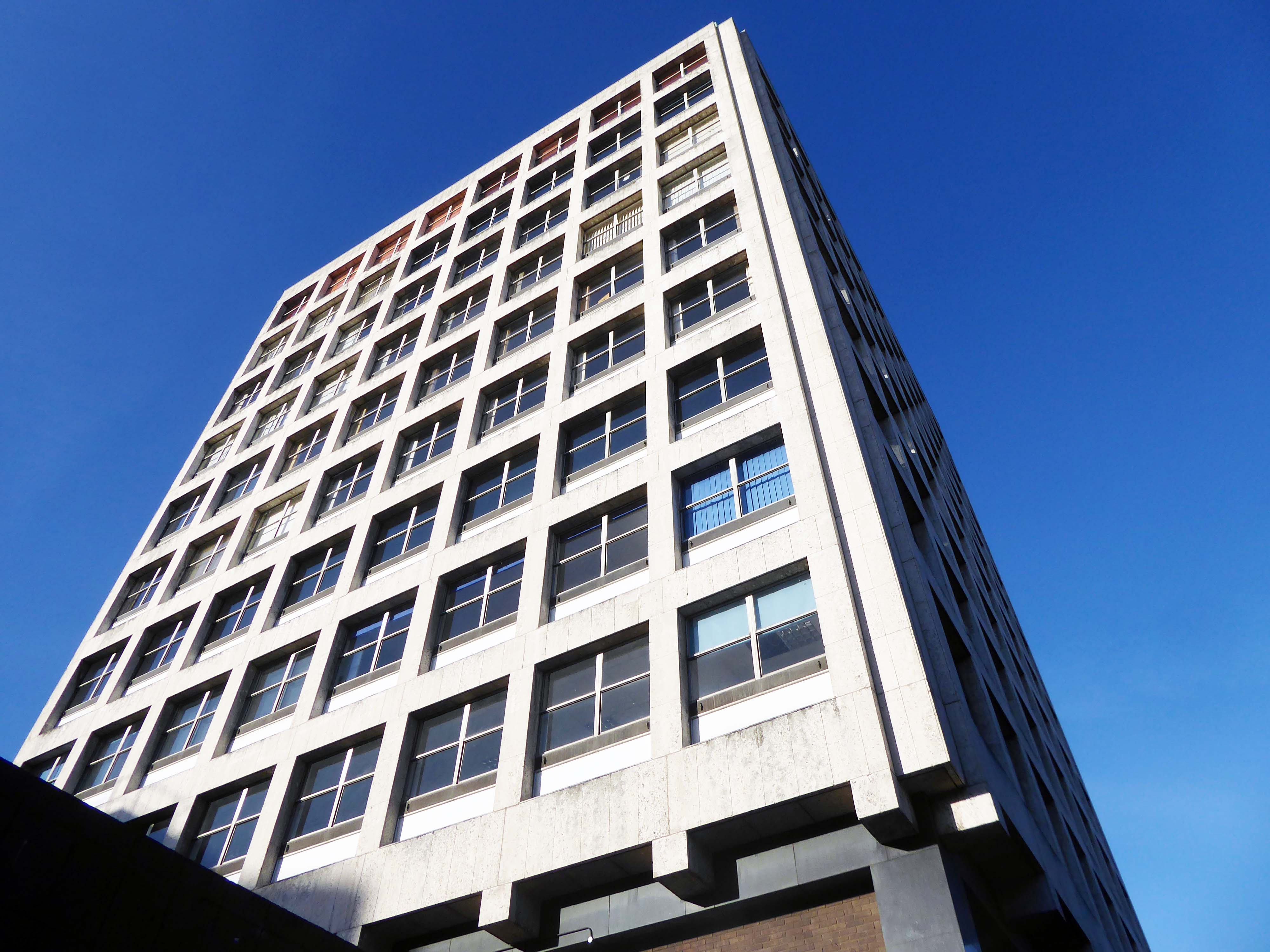
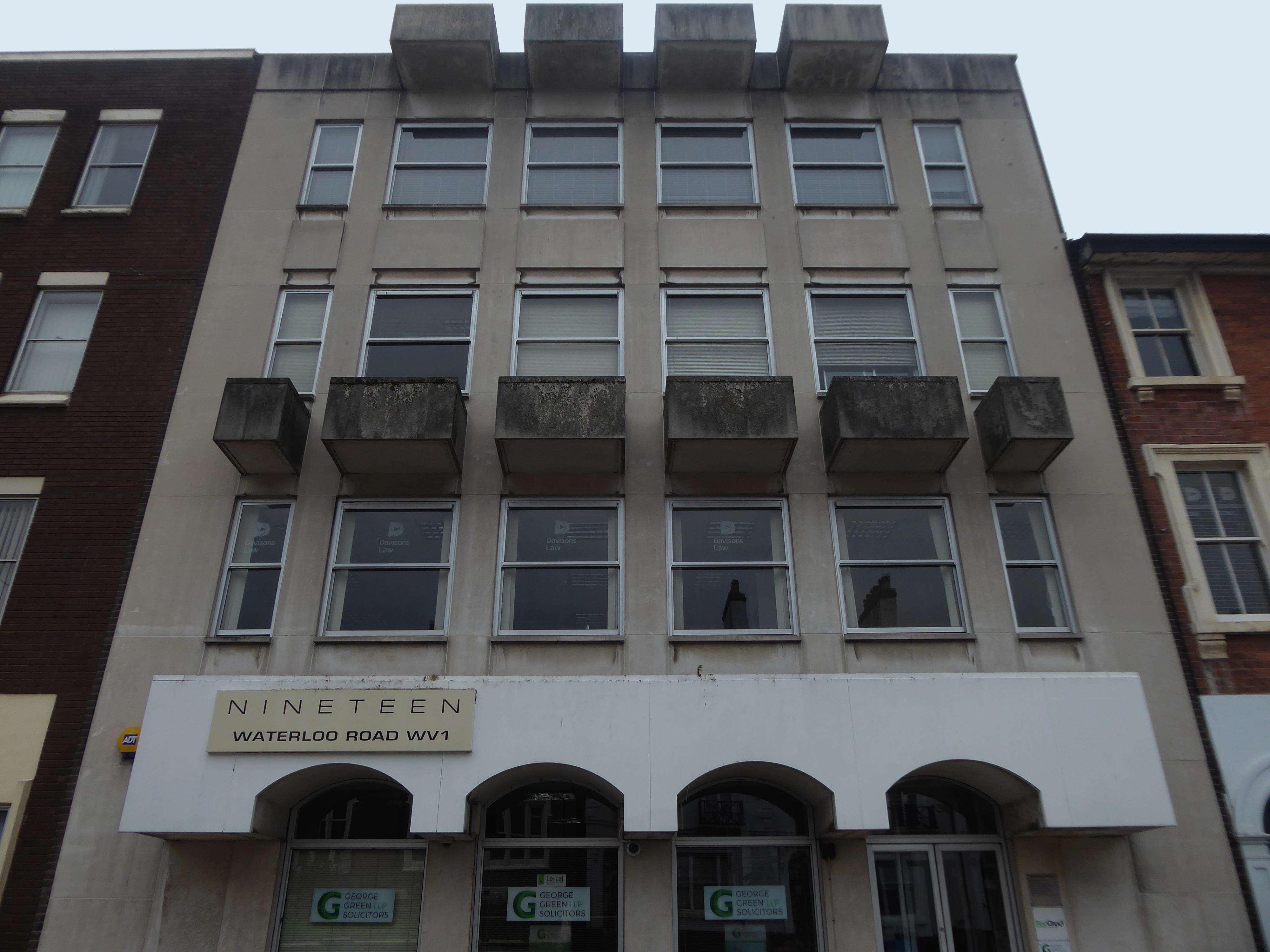
Nineteen Waterloo Road latterly First City House formerly home to Eagle Star Insurance 1970
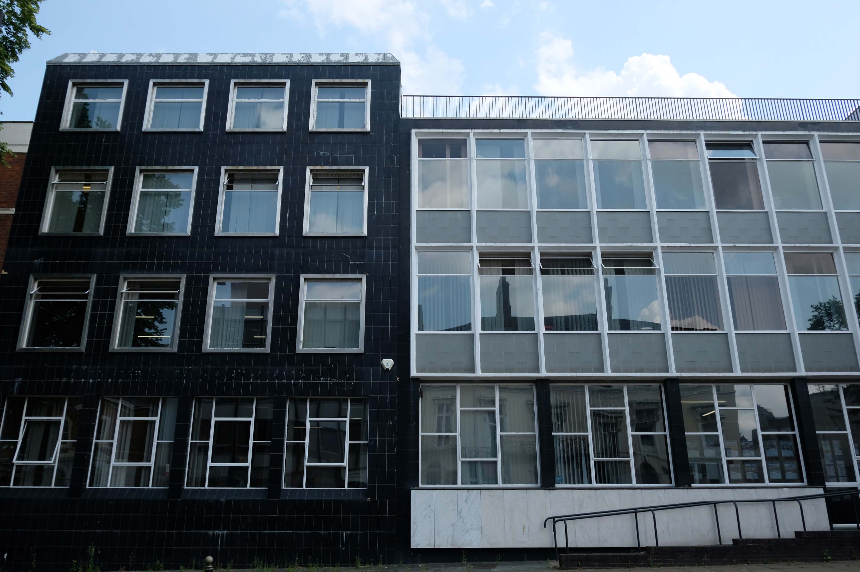
8-10 Waterloo Road architects: Richard Twentyman 1959 extended 1966.
One man who saw the wisdom of building a road infrastructure to deal with high volumes of traffic passing through Halifax and to provide convenient links to the M62.
That man was prominent town councillor John Burdock.
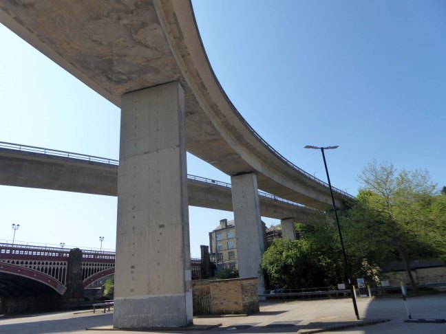
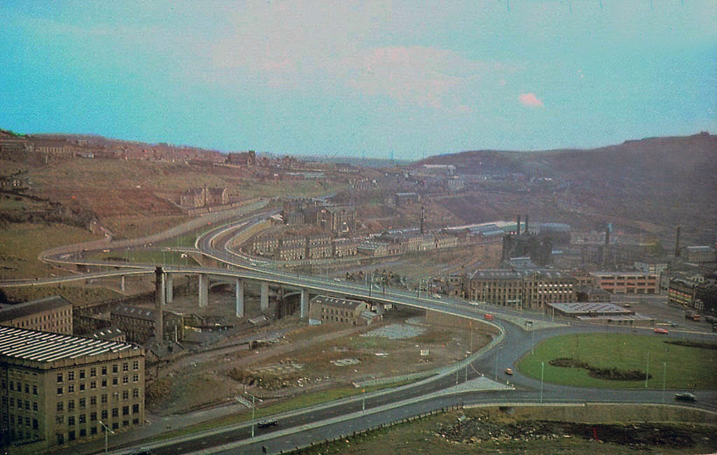
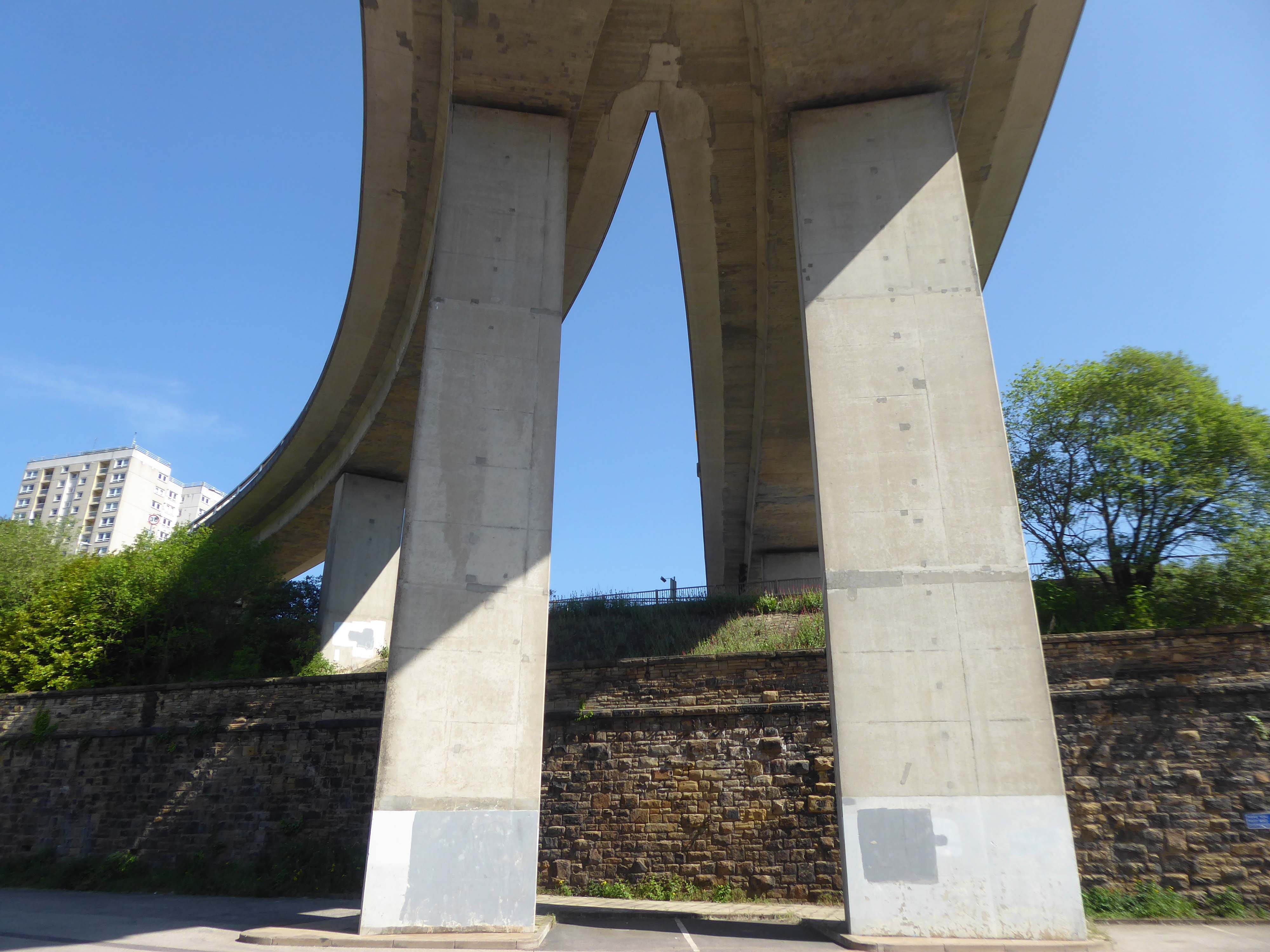
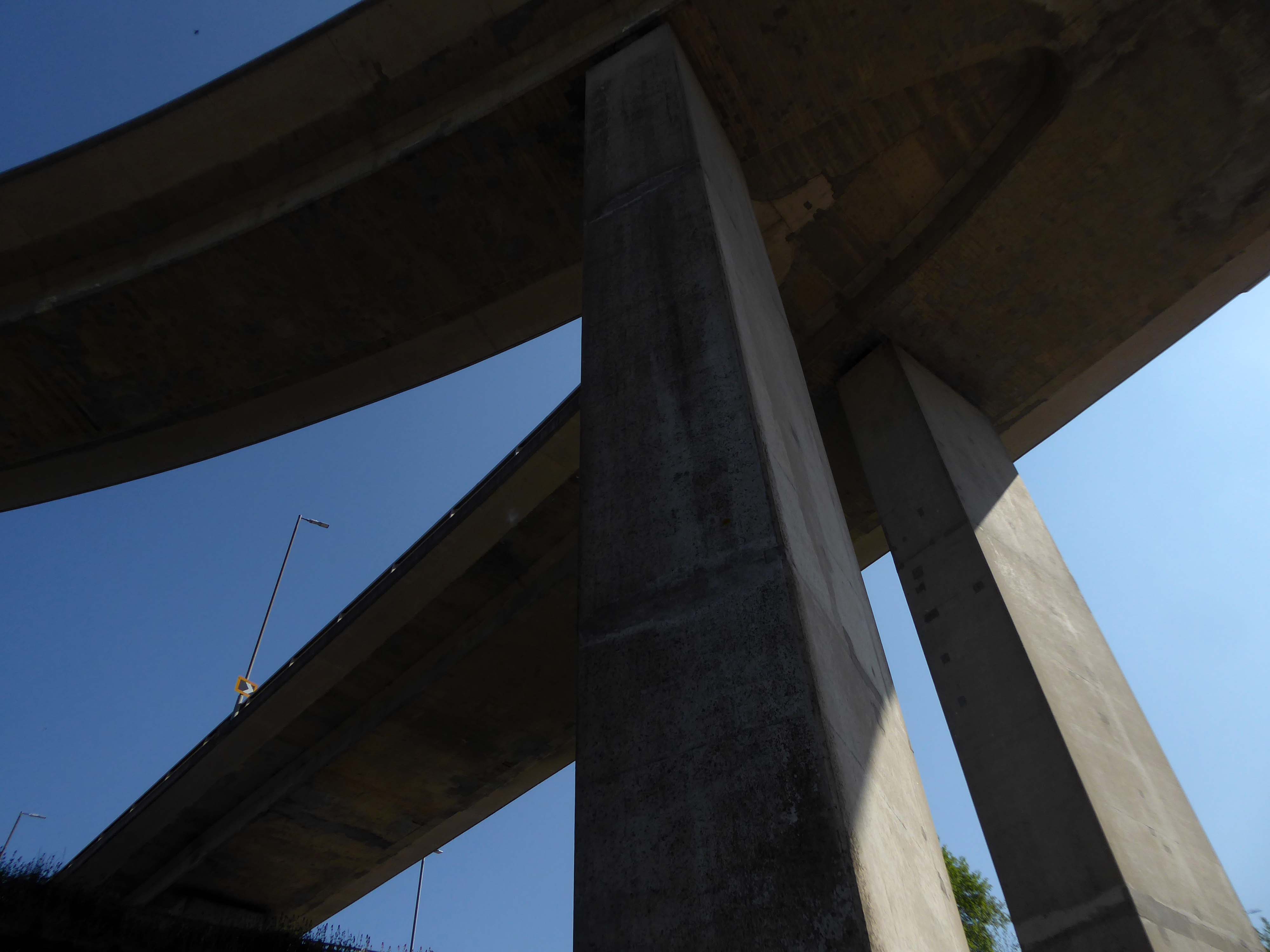
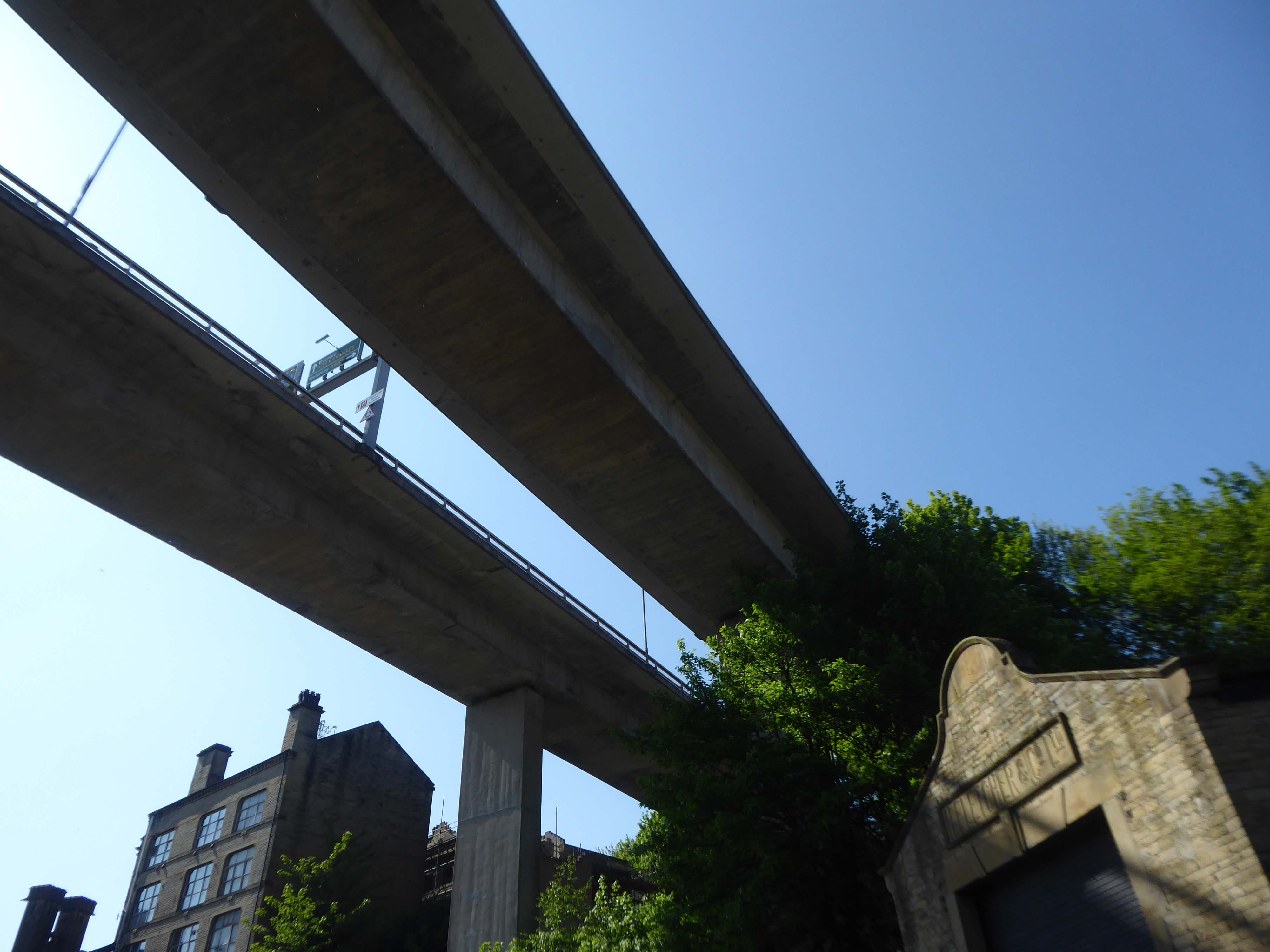
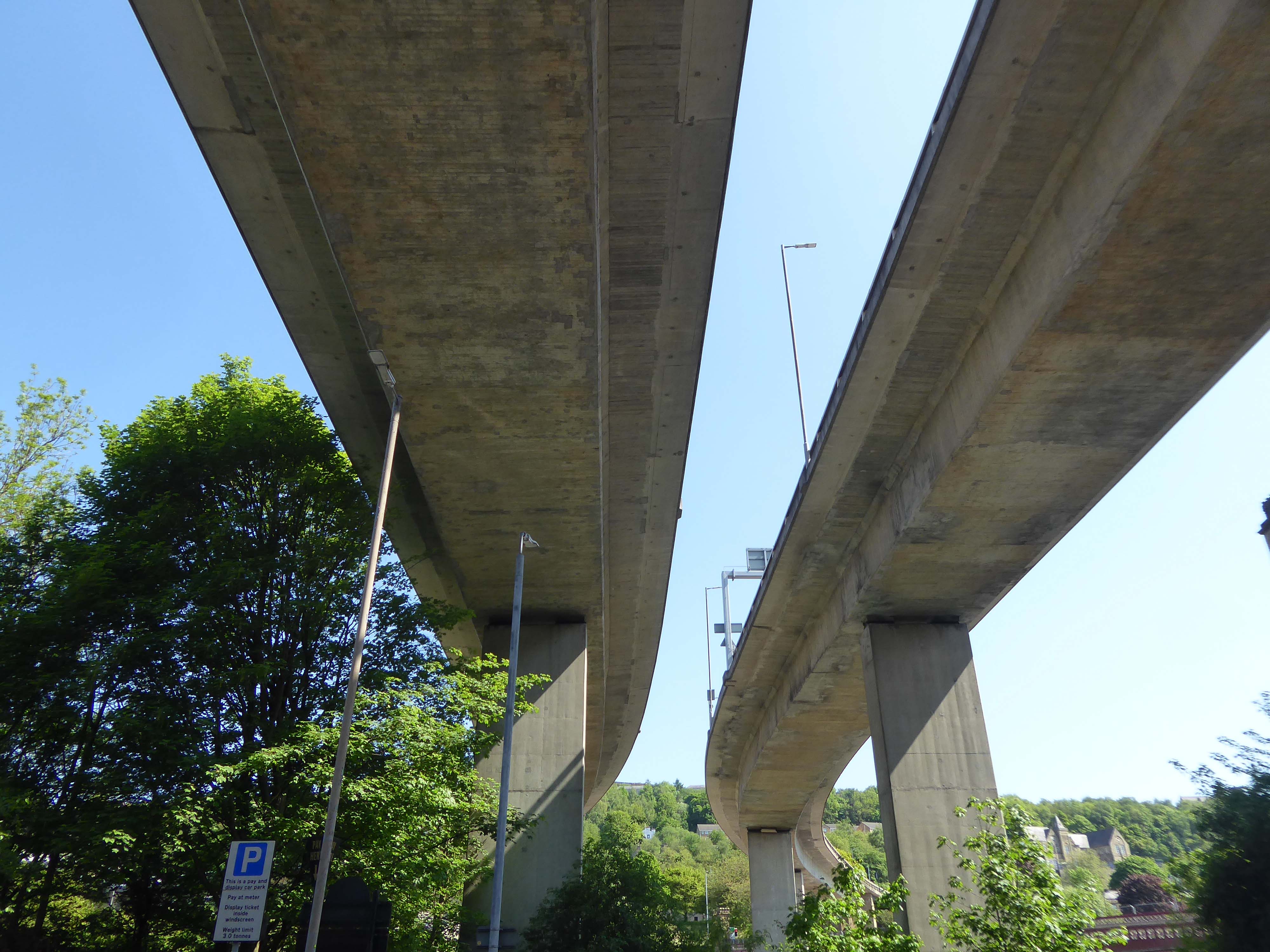
Burdock Way, the modern flyover system, was opened in 1973 to take the A58 and A629 traffic over the River Hebble.
Faced with the problem of very high volumes of through traffic in its town centre, and with the impending construction of the M62 too far to the south to provide relief for the town, Halifax needed a bypass. The steep sided valley that the town centre inhabits prevented a conventional road from being built around the town, and so in the early 1970’s construction began on Burdock Way – one of the most adventurous relief road schemes built in Britain, certainly by a town the size of Halifax.
Only one phase of the futuristic road was ever built, but what exists is a partially grade-separated dual carriageway that runs through deep trenches and over tall viaducts close to the heart of the town. At its eastern end is a truly byzantine piece of traffic engineering that stretches the definition of a roundabout to its limit.
In October 1971 the official celebrations went anything but according to plan. It had been decided to give the people of Halifax a half day holiday so they could attend the opening, but there were not enough police on duty to control the sightseers. It was impossible to get complete silence for the speeches and arrangements to tell the artillery guns at Southowram Road when to fire broke down. They were fired prematurely while an archdeacon was offering prayers. The Mayor, HC McCrae, finally managed to announce that the bridge was officially open and he scurried back to the town hall where he hosted a banquet.
Burdock Way has never been fully completed as it is missing certain sections envisaged in the early 1960s plans. There are a number of reasons for this, but it is mainly owing to West Yorkshire County Council’s cost cutting in the 1970s.
Yorkshire Post
This is the Valley of the Gwangi in the West Riding – minus the dinosaurs.
An urban chasm, the gulf between everything and nothing.
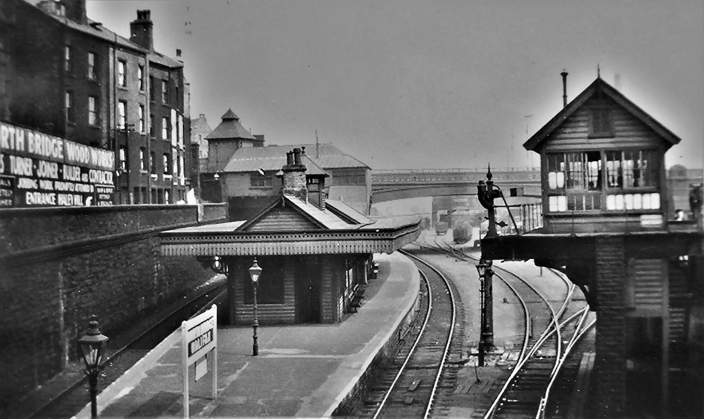
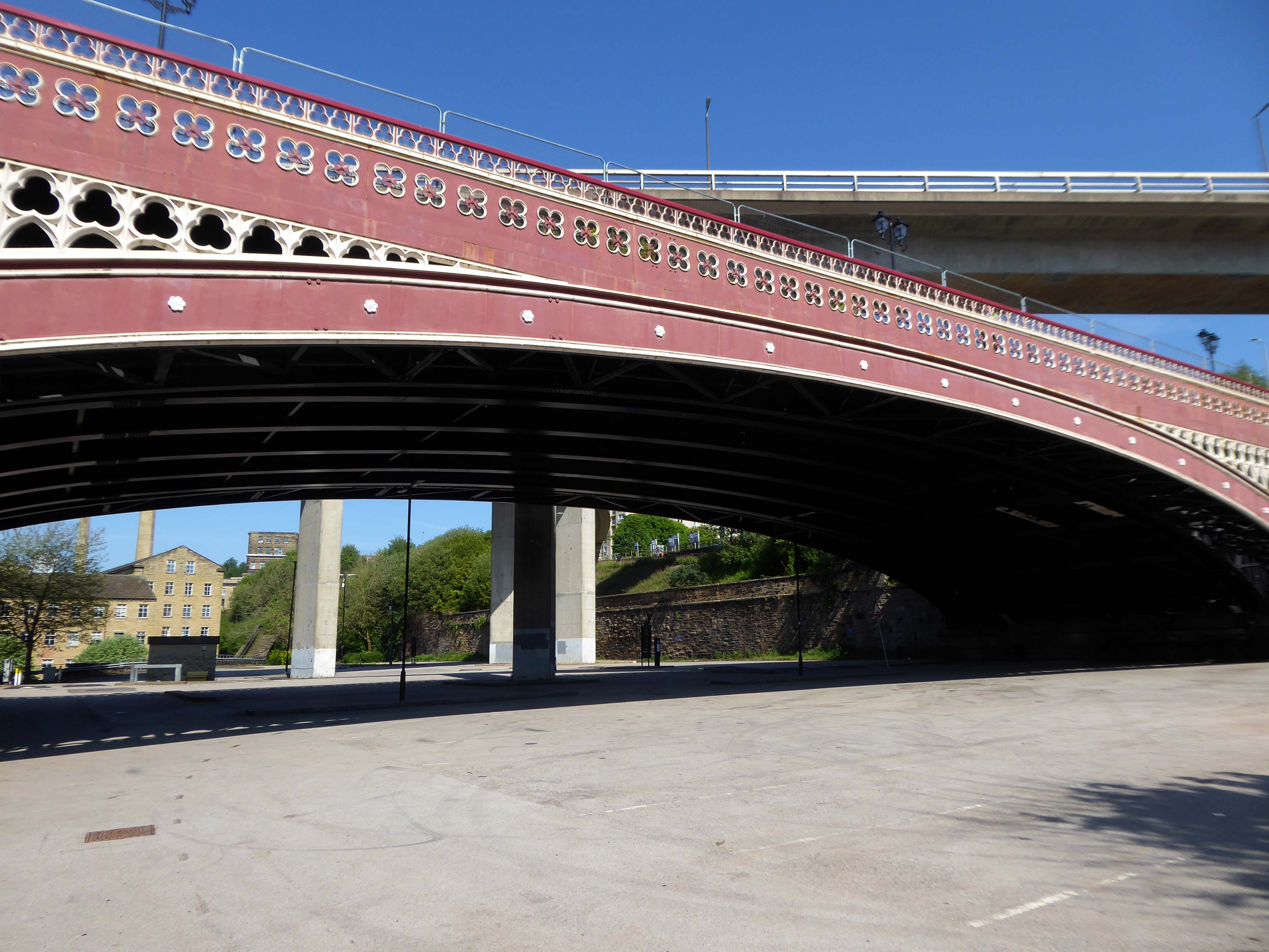
North Bridge is a Victorian iron and stone bridge crossing the valley of the River Hebble, connecting the town to roads to Bradford and Leeds. Replacing an earlier six arch stone bridge it was raised to allow the subsequent construction of the Halifax High Level Railway beneath it, along with an adjoining station.
Opened in 1871 amid chaotic crowd scenes it carried increasingly heavy traffic until it was by-passed by the Burdock Way in 1973.
More than once, though that’s no reason not to do so again – so I did.
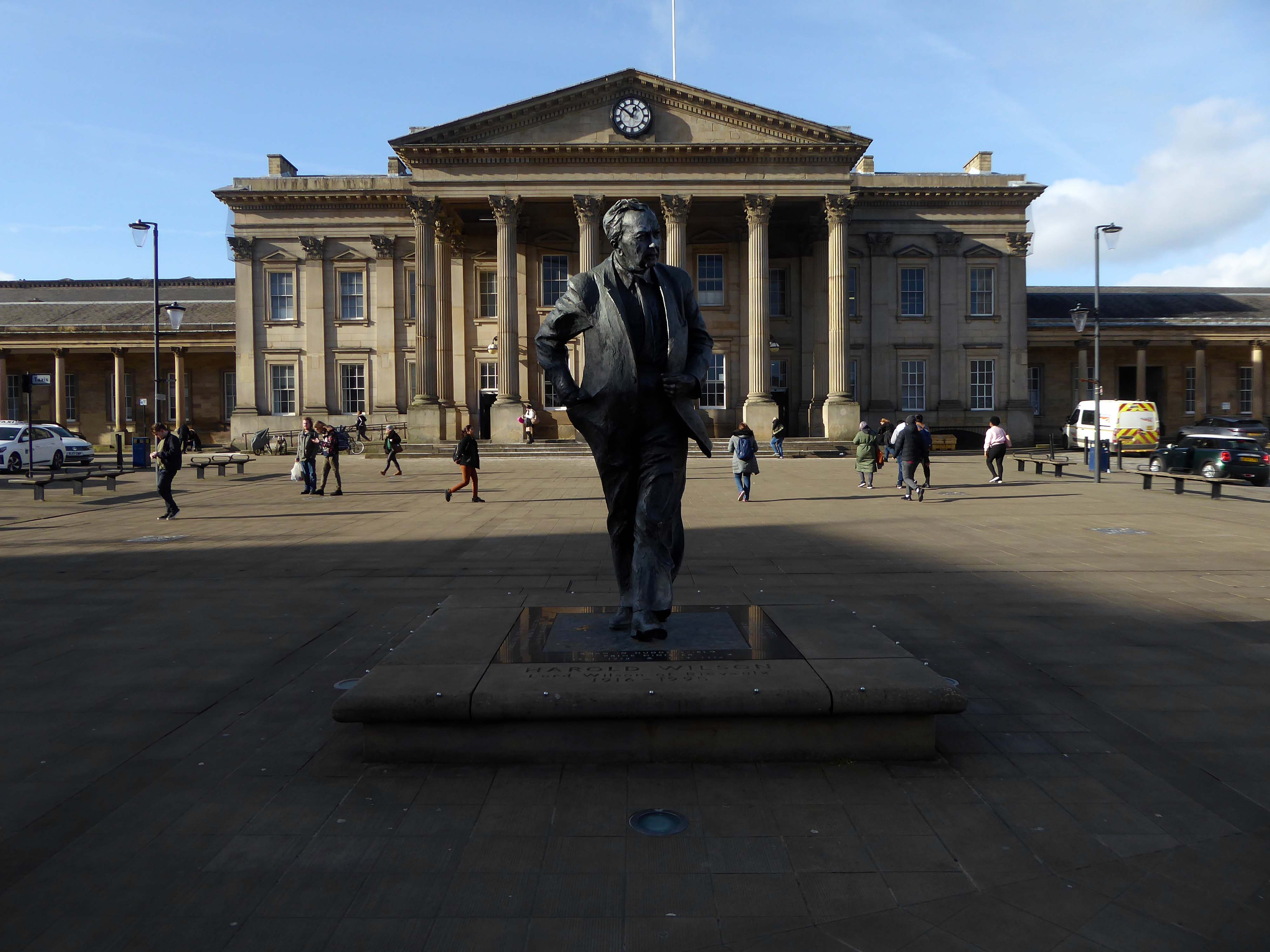
Saying hello to Harold.
Harold saying hello to us:
Nostalgia won’t pay the bills; the world doesn’t owe us a living; and we must harness the scientific revolution to win in the years to come. This scientific revolution is making it physically possible, for the first time in human history, to conquer poverty and disease, to move towards universal literacy, and to achieve for the whole people better living standards than those enjoyed by tiny privileged classes in previous epochs.
He warned change would have to reach every corner of the country; The Britain that is going to be formed in the white heat of this revolution will be no place for the restrictive practices or for outdated methods on either side of industry.
Standing sentinel over one of Nikolaus Pevsner and John Betjeman’s favourite railway station front elevations.
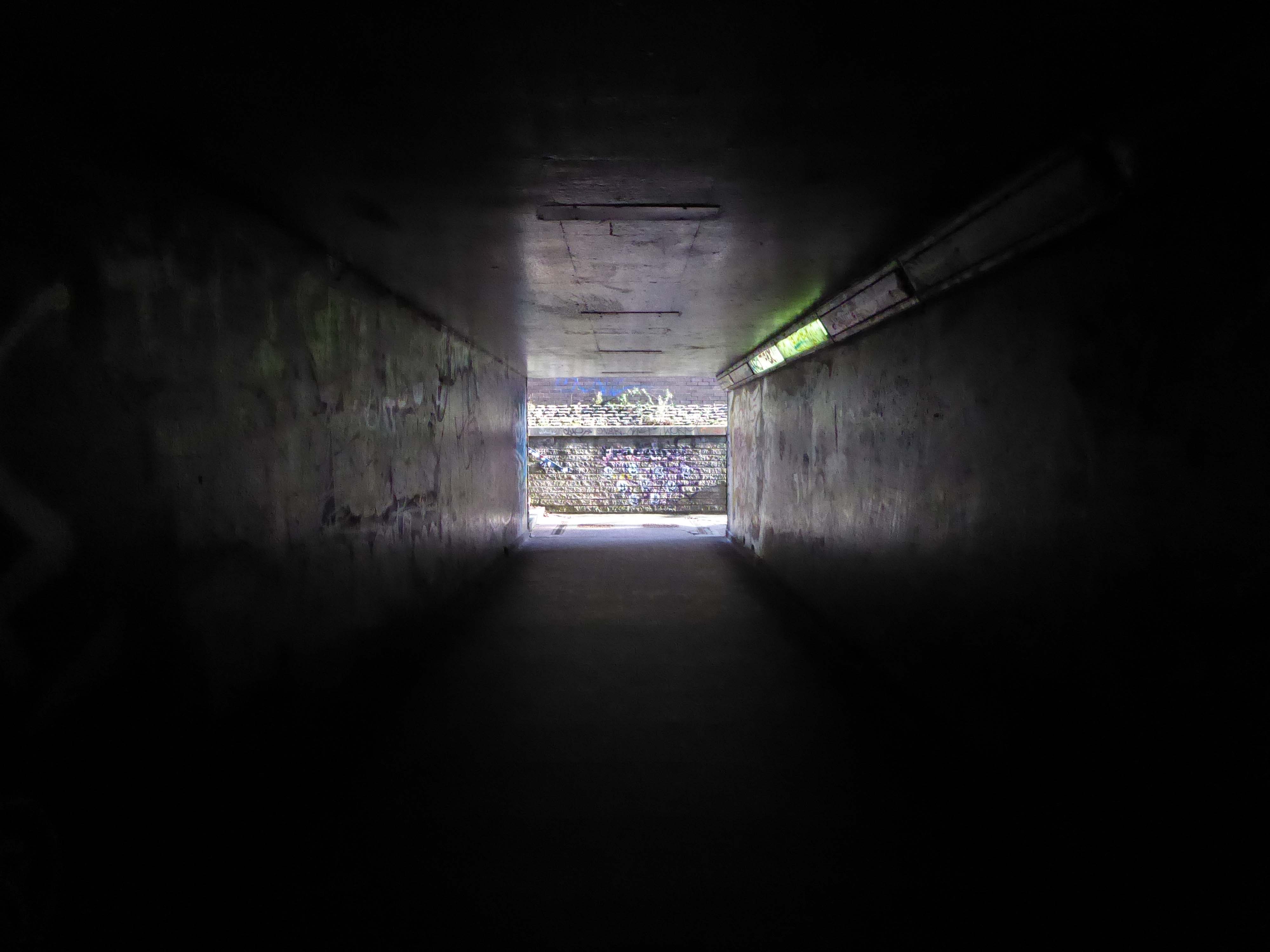
Through a passage darkly.
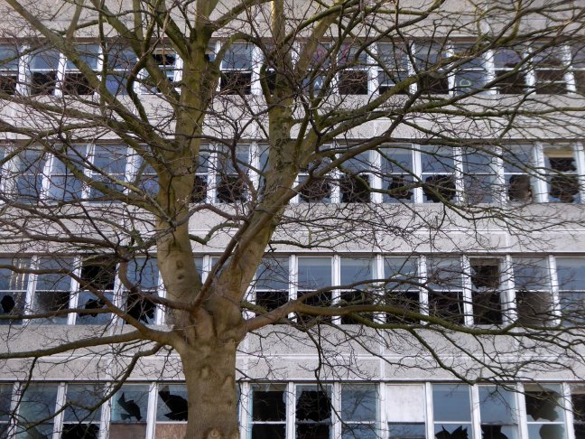
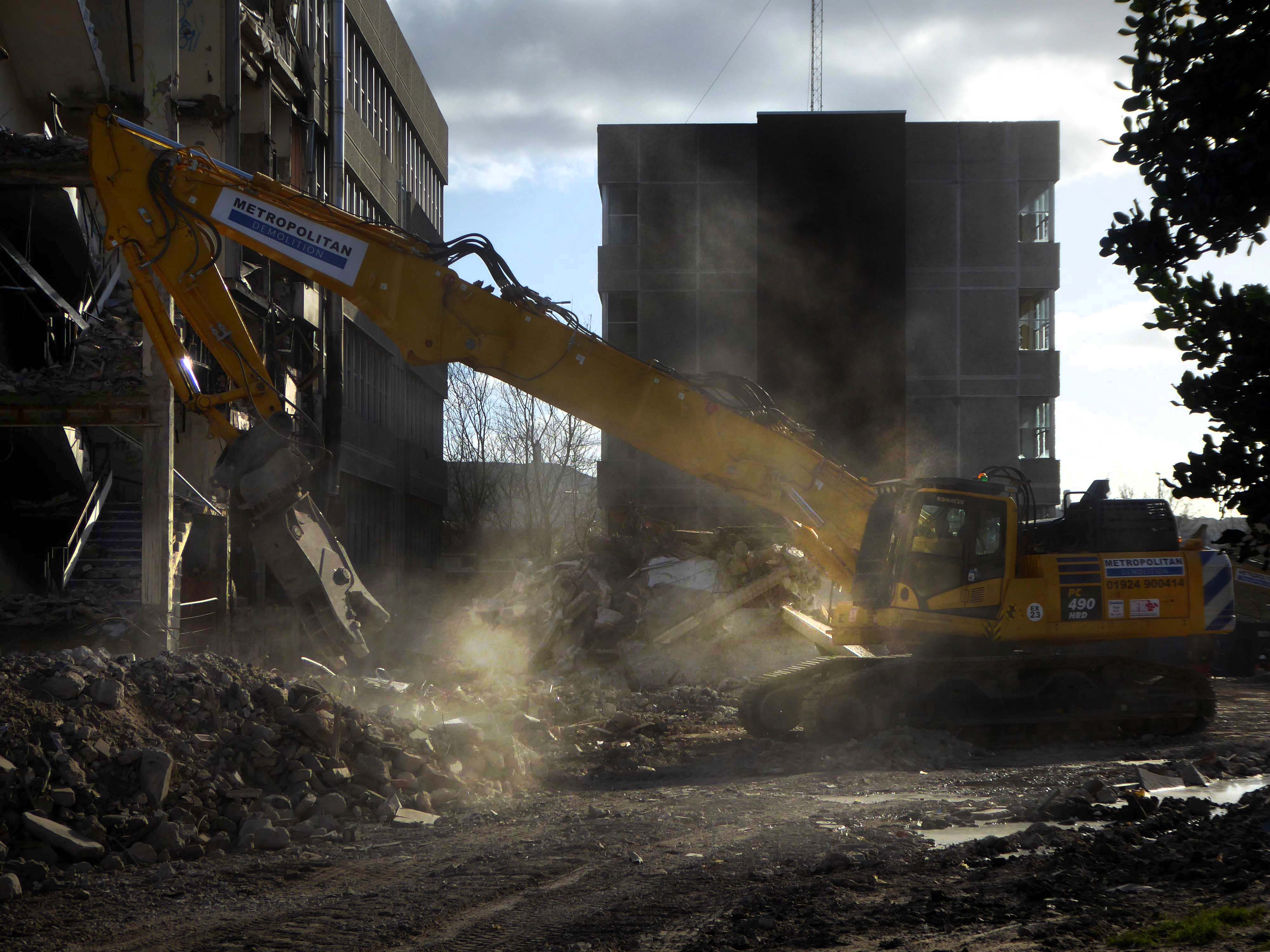
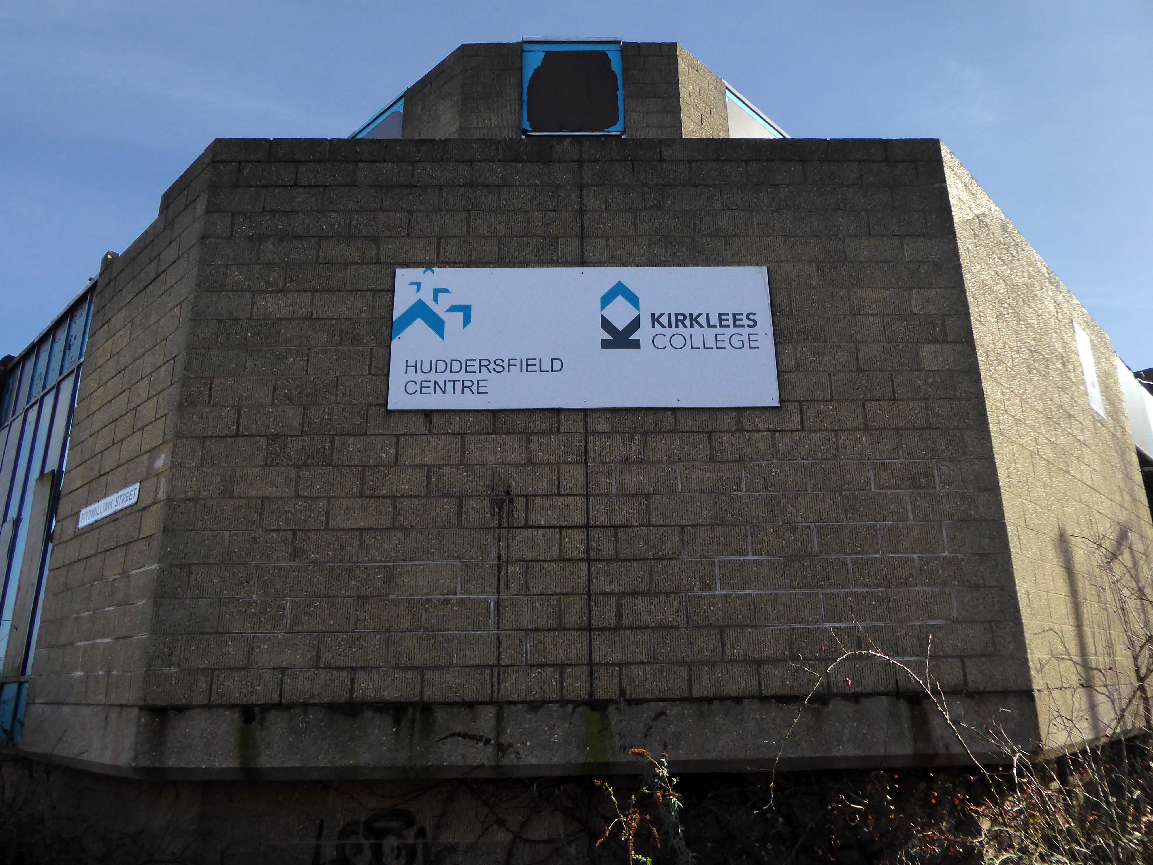
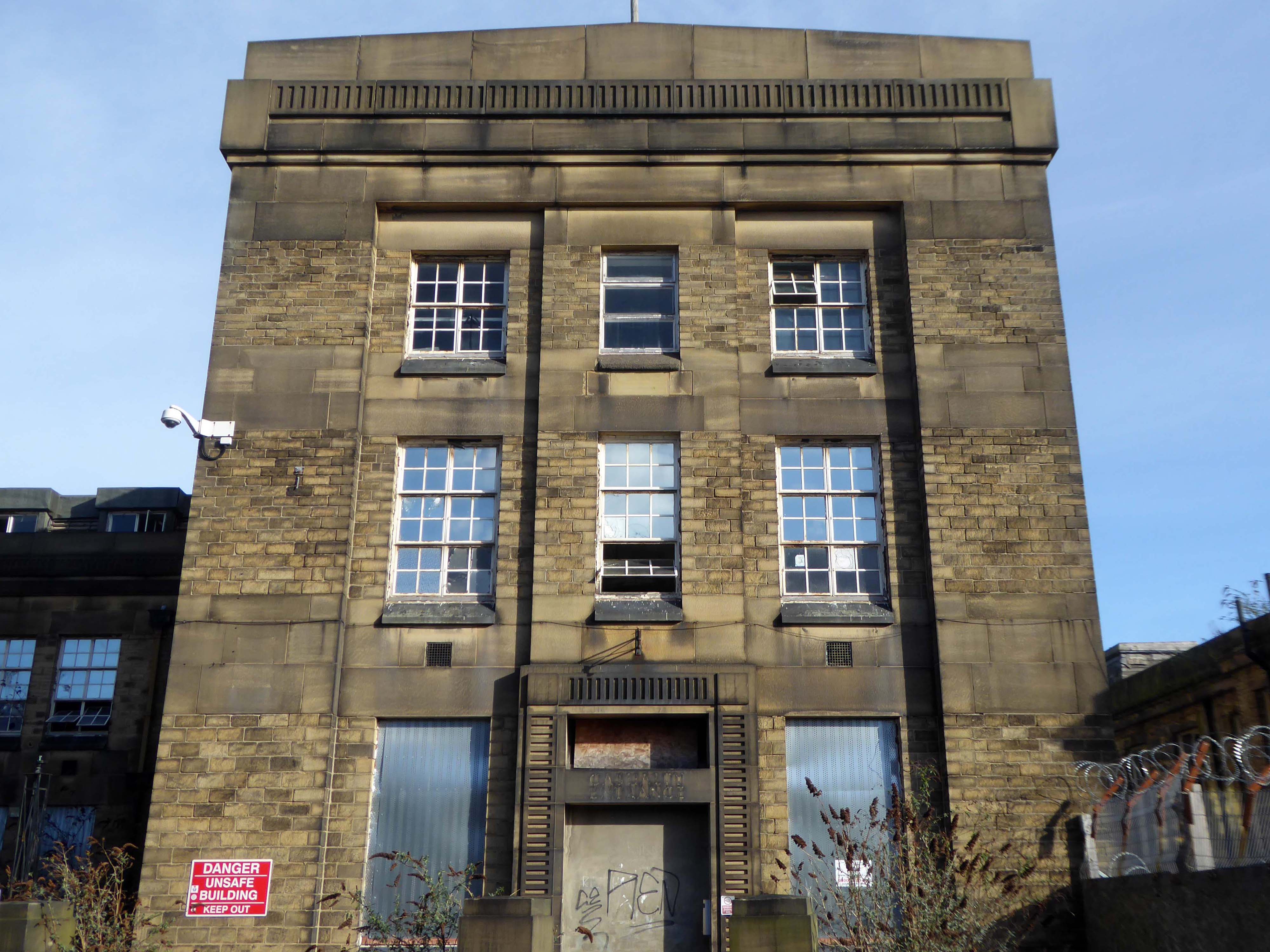
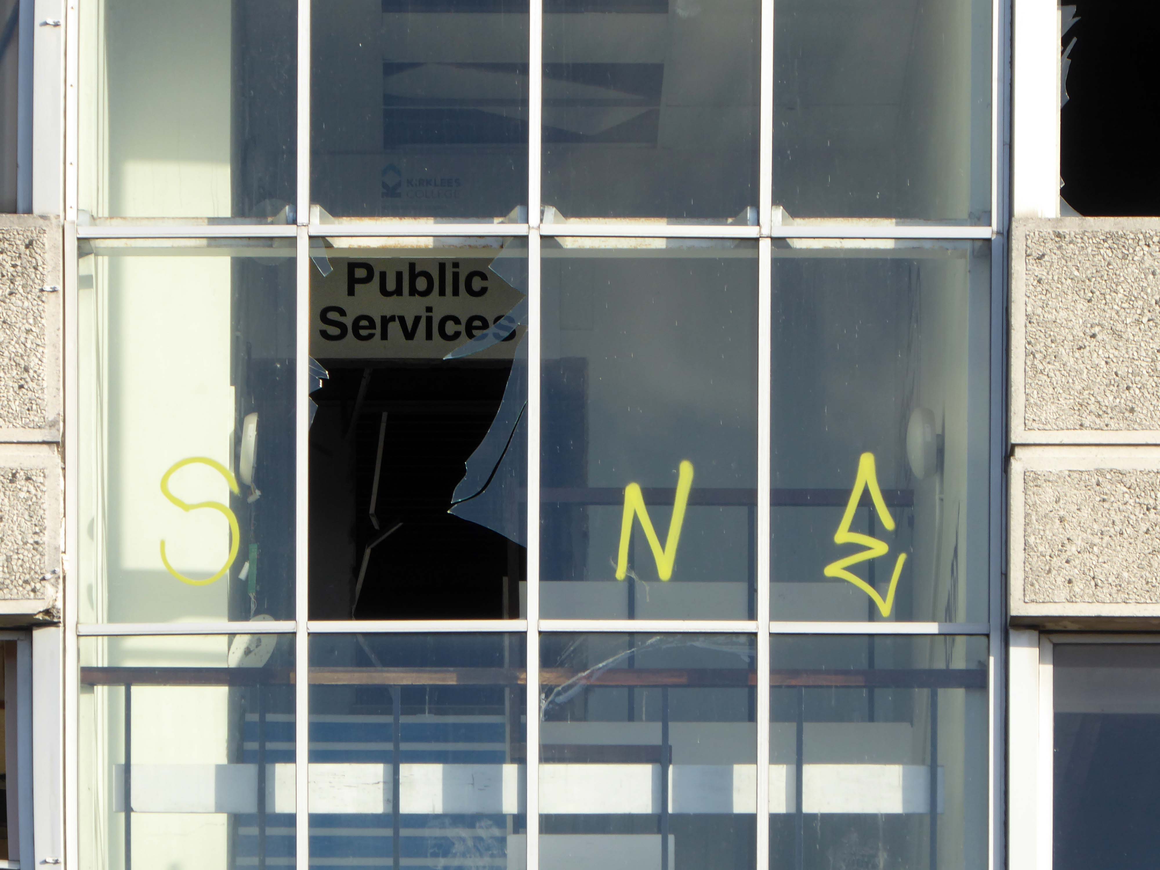
Emerging into the light of day and the demolition of the Kirklees College 1969-72 by Borough Architect Charles Edmund Aspinall.
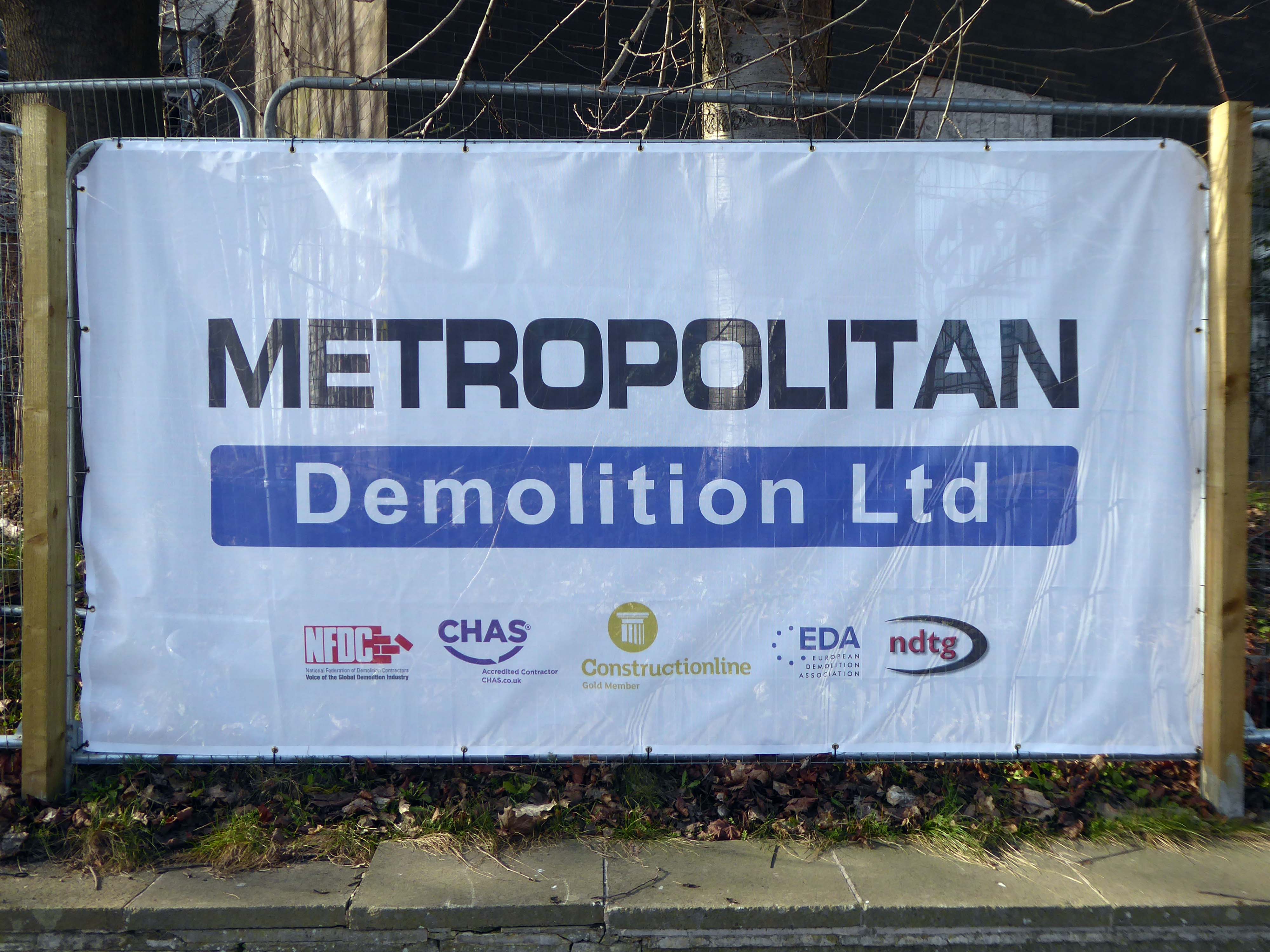
My thanks to the Metropolitan team who invited me in beyond the barriers.
We provide safe and efficient demolition services across a broad range of projects, from the small domestic dwelling to large scale industrial units – we offer the complete solution. With excellent communication and impeccable health and safety standards, we can project manage the decommissioning a structure on time and on budget.
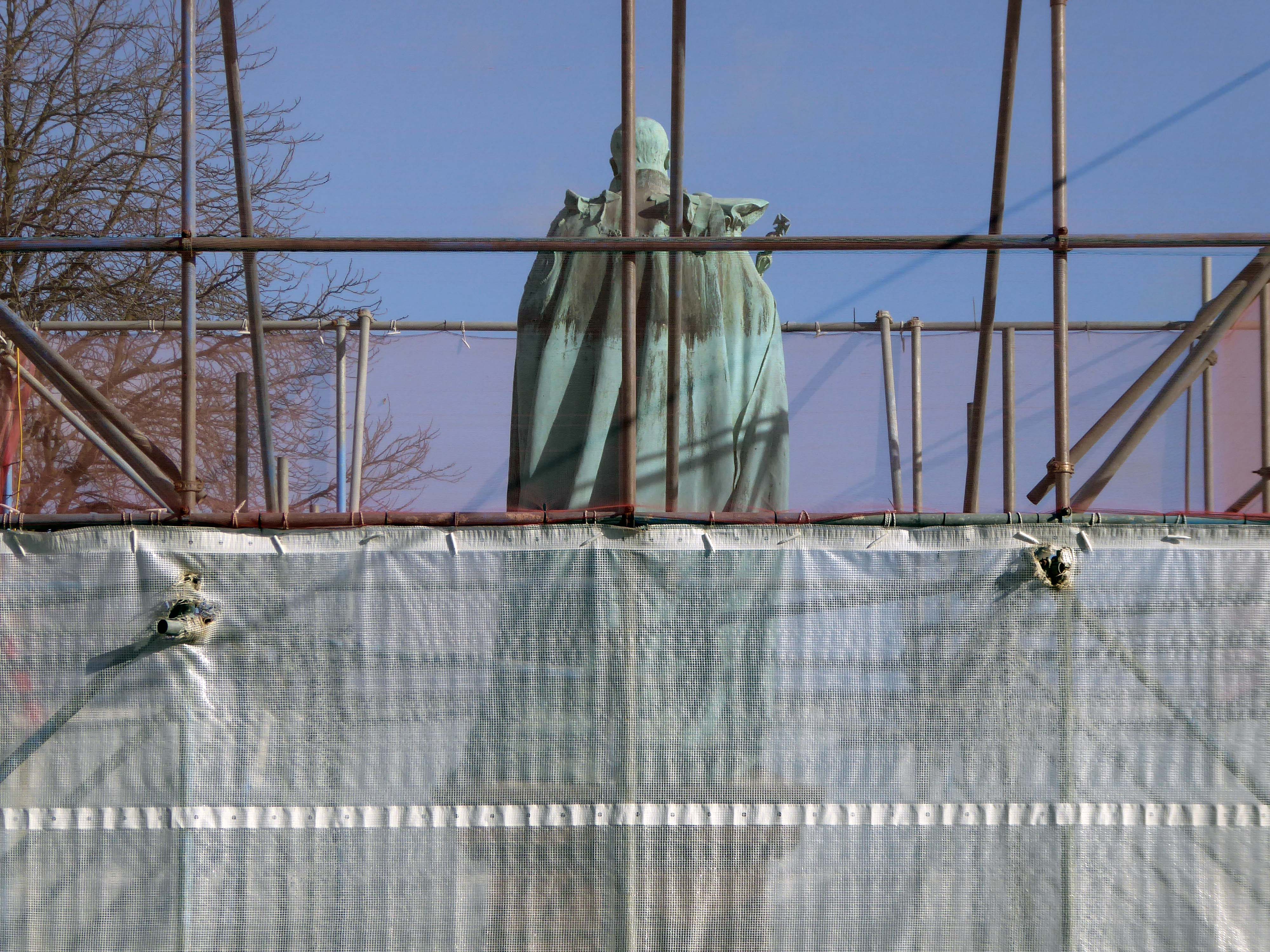
Edward VII is under wraps.
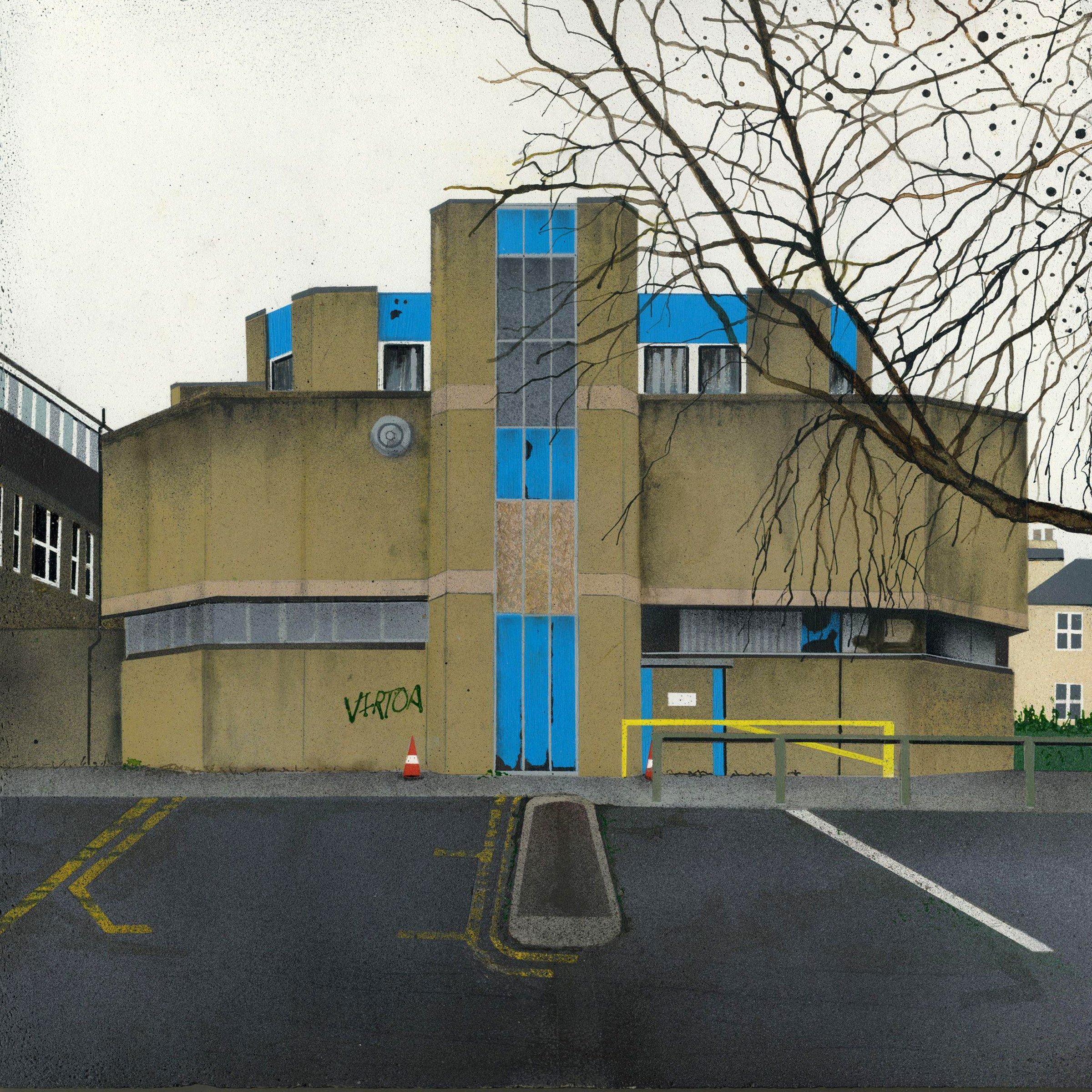
Everything else is up for smash and grab – including the later concrete block immortalised by Mandy Payne.
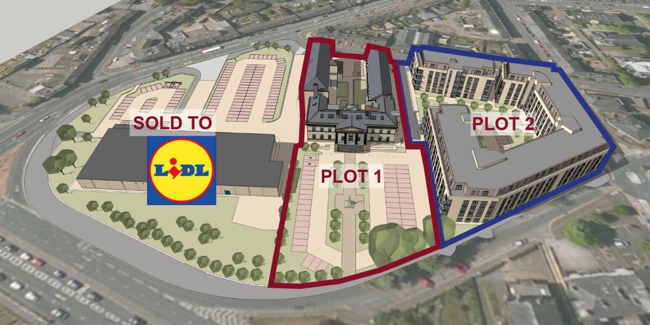
LIDL is coming – and some homes
The final details have now been signed off by the council and work on the six-acre site – which includes the Grade II-listed original Huddersfield Royal Infirmary – can now begin.
The vandal-hit and fire-damaged late 1960s and early 1970s college buildings are to be demolished and Lidl will build a new supermarket with a 127-space car park. The store will eventually replace the store on Castlegate.
The former hospital will be retained and the site will see 229 apartments and an office complex. The apartments are expected to be for older or retired people.
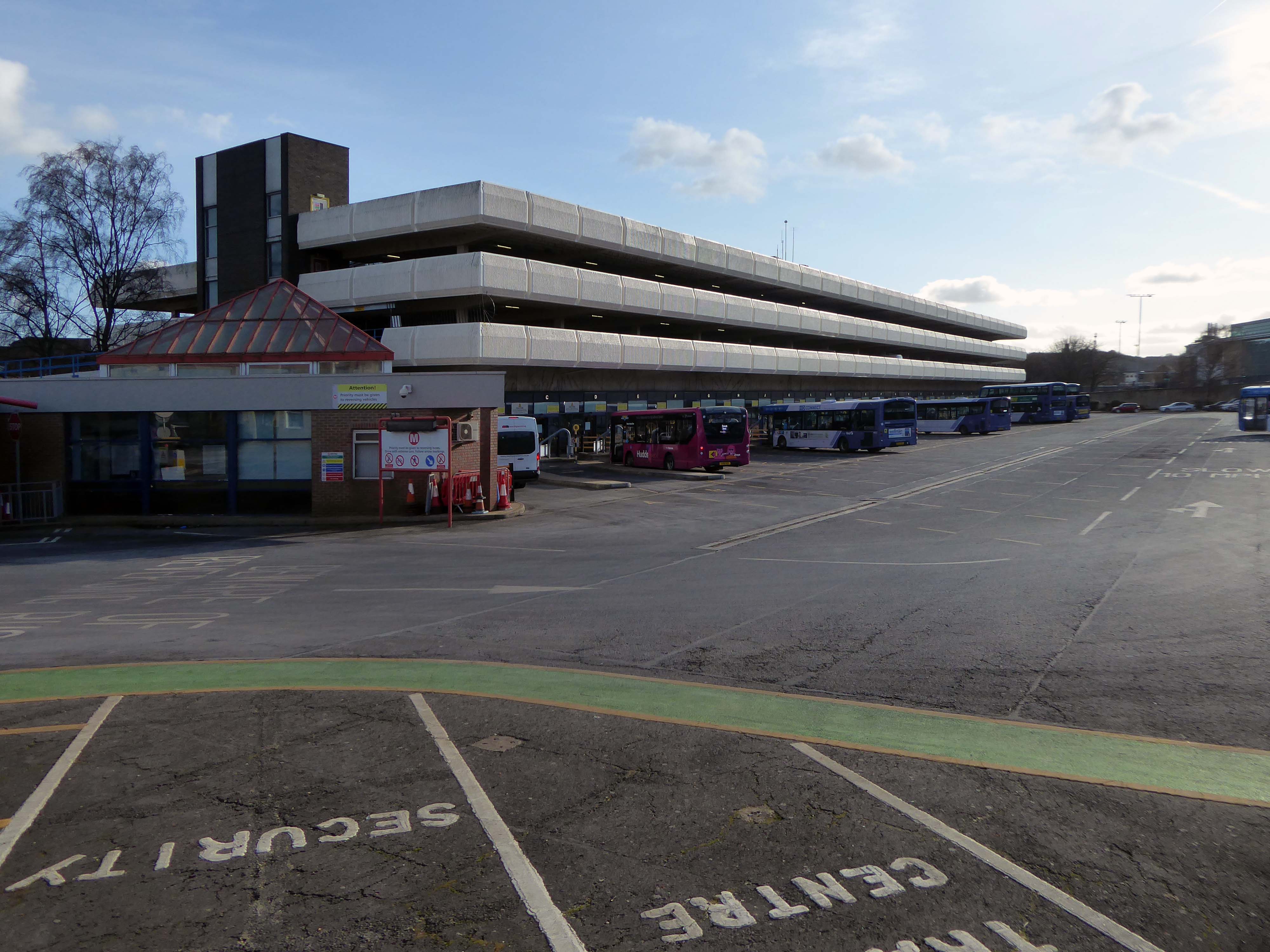
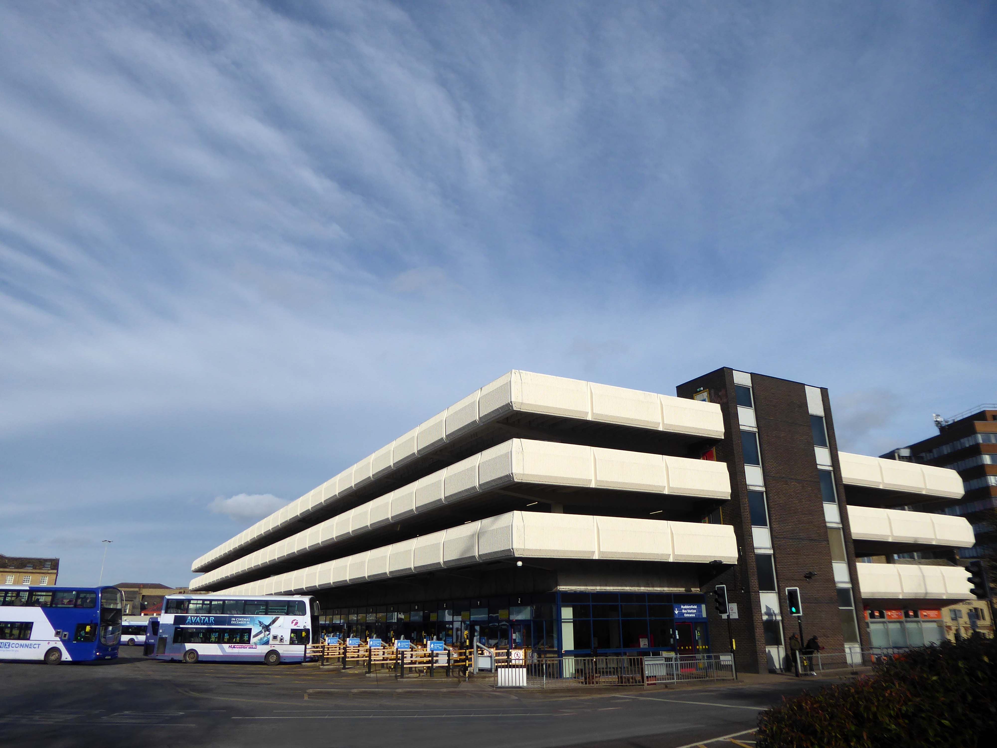
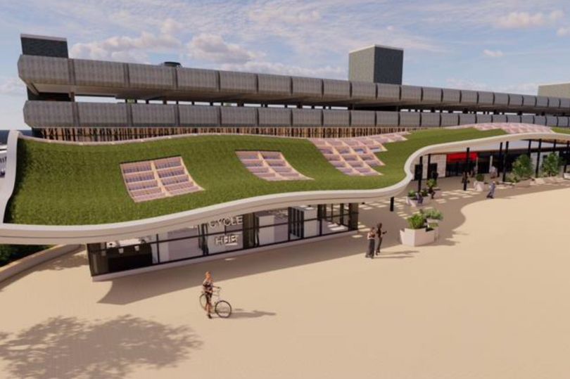
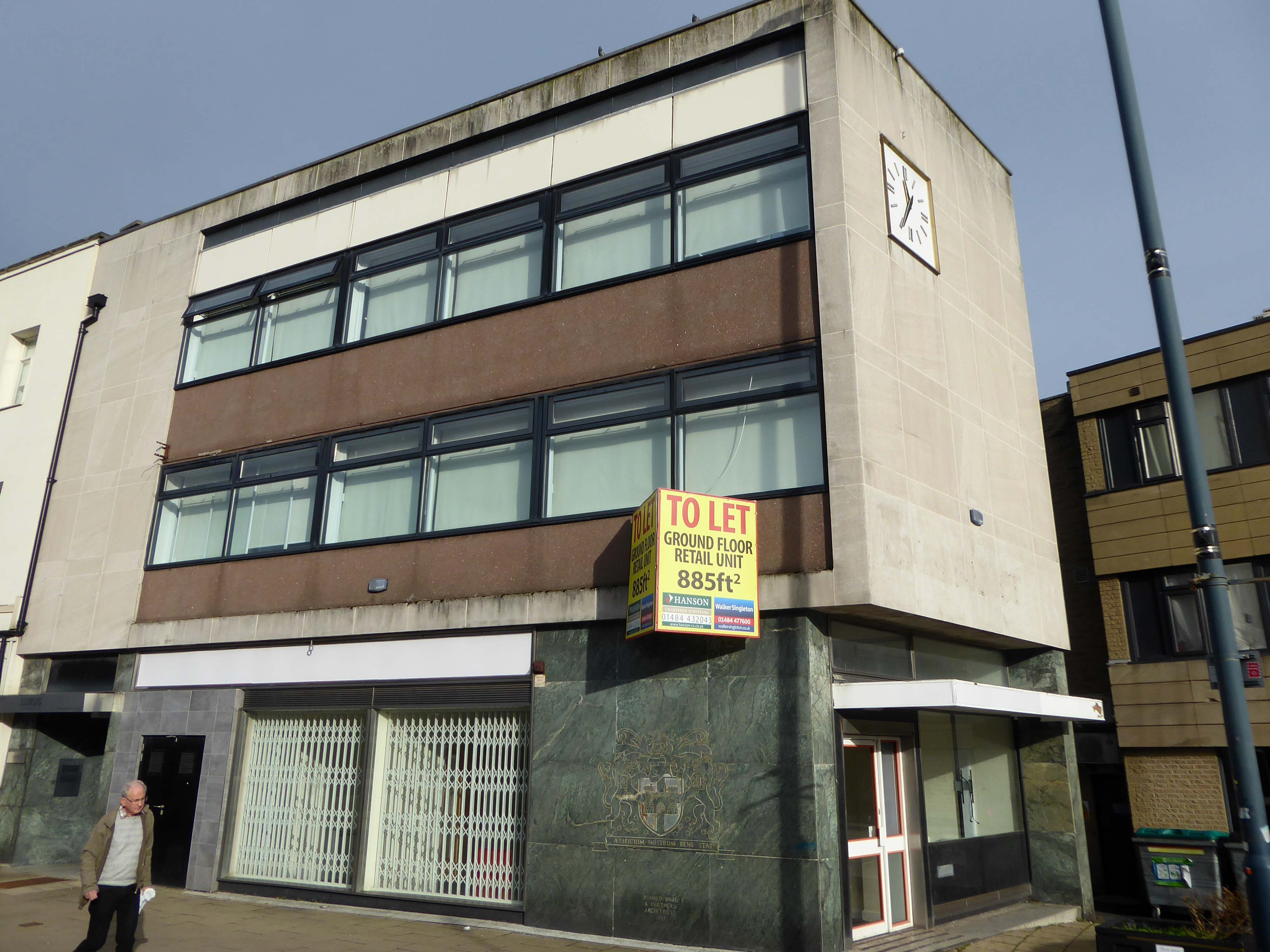
Huddersfield’s £20M game-changing bus station is set to be completed by the end of 2025 with a living grass roof, sixty bike cycle hub, upgraded shops and new facilities
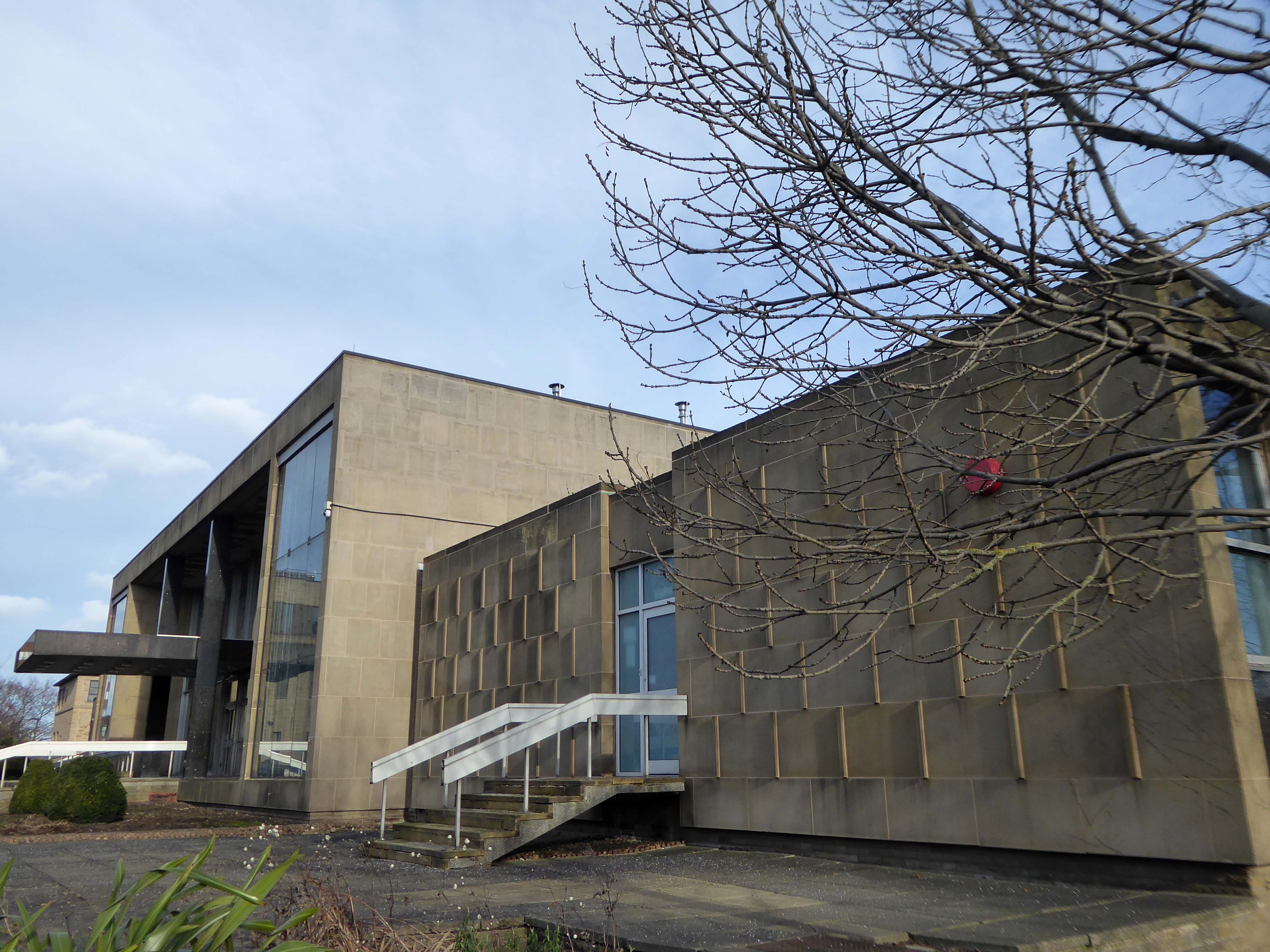
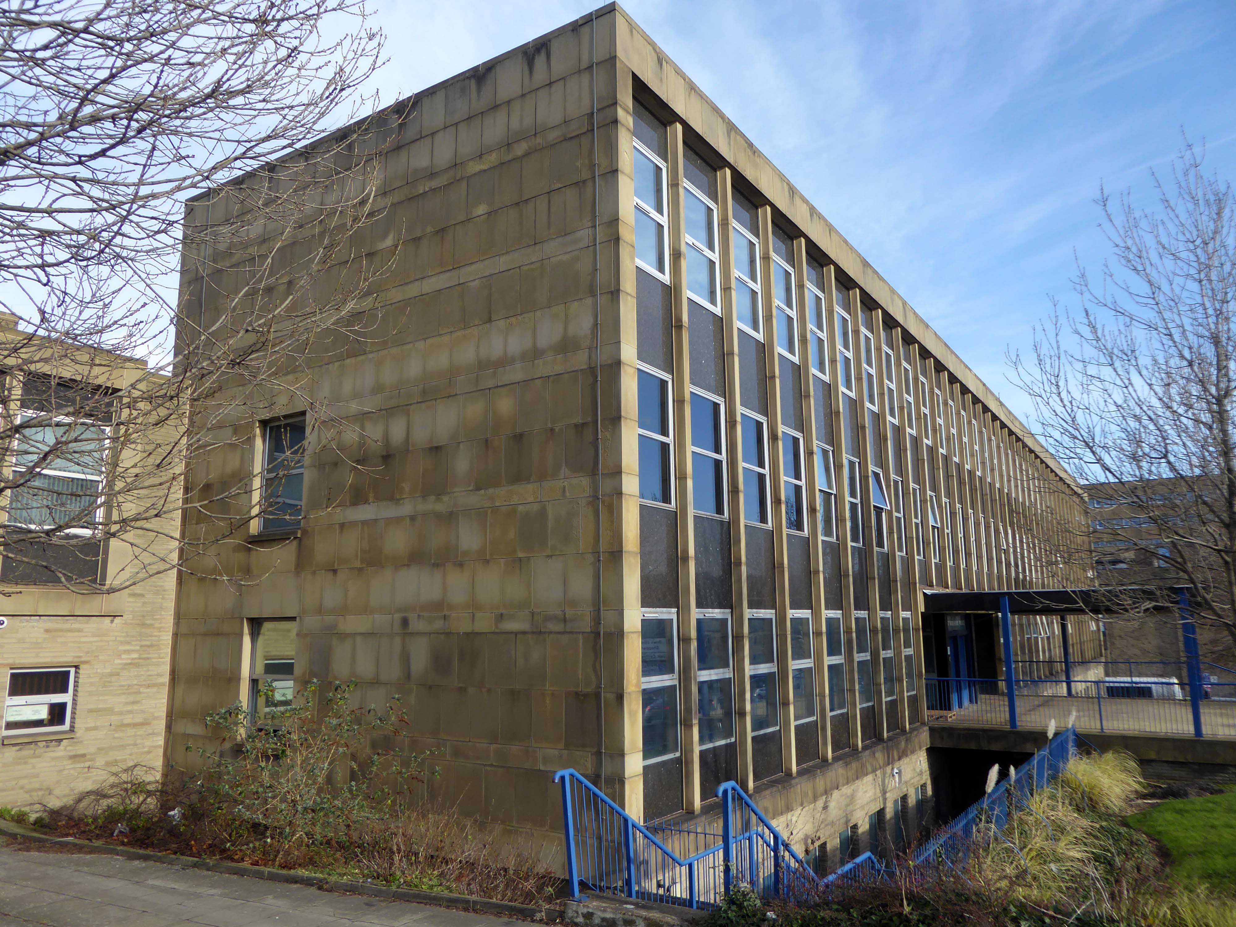
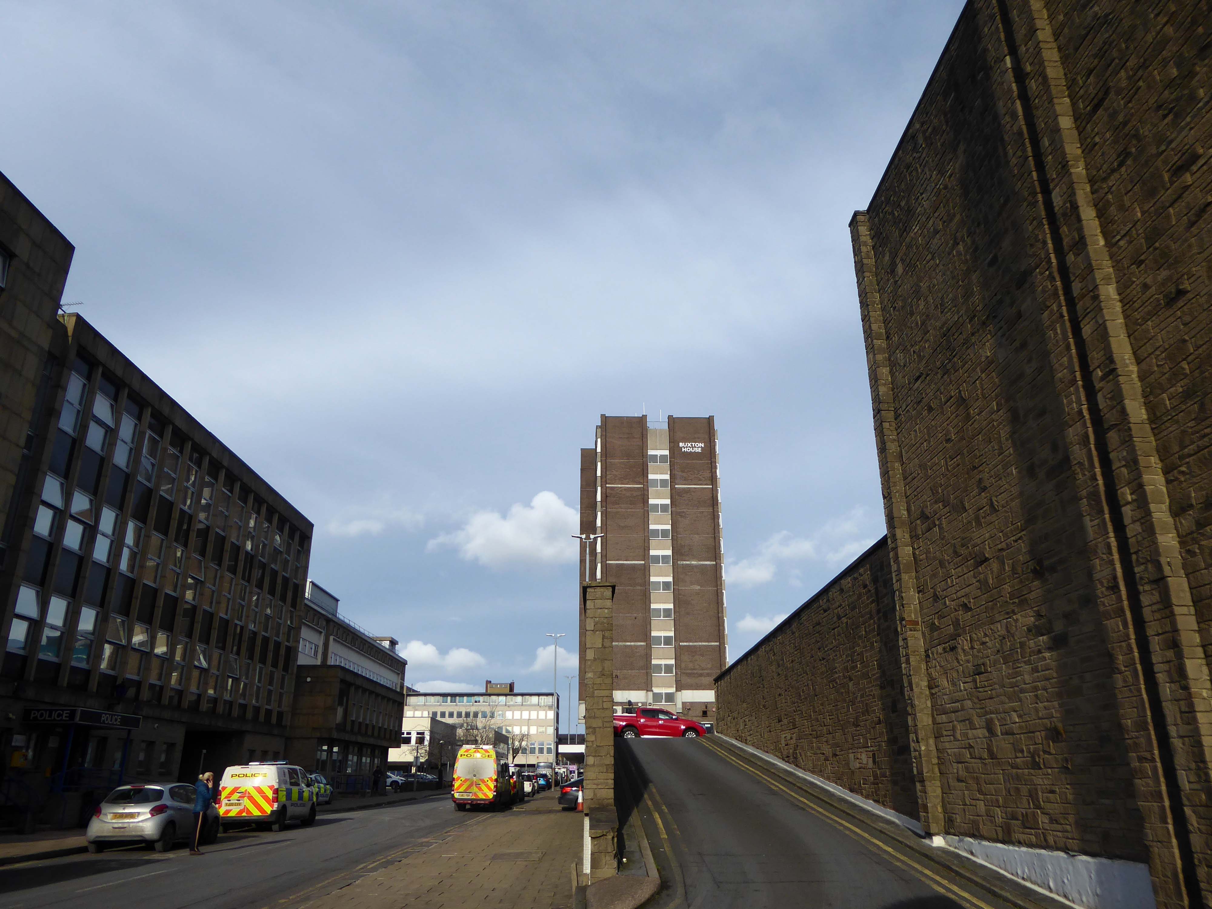
Crossing the road to the Civic Centre and the perennially empty piazza which along with the Magistrates Courts and Police Station was the work of the Borough Architects team – led by Charles Edmund Aspinall.
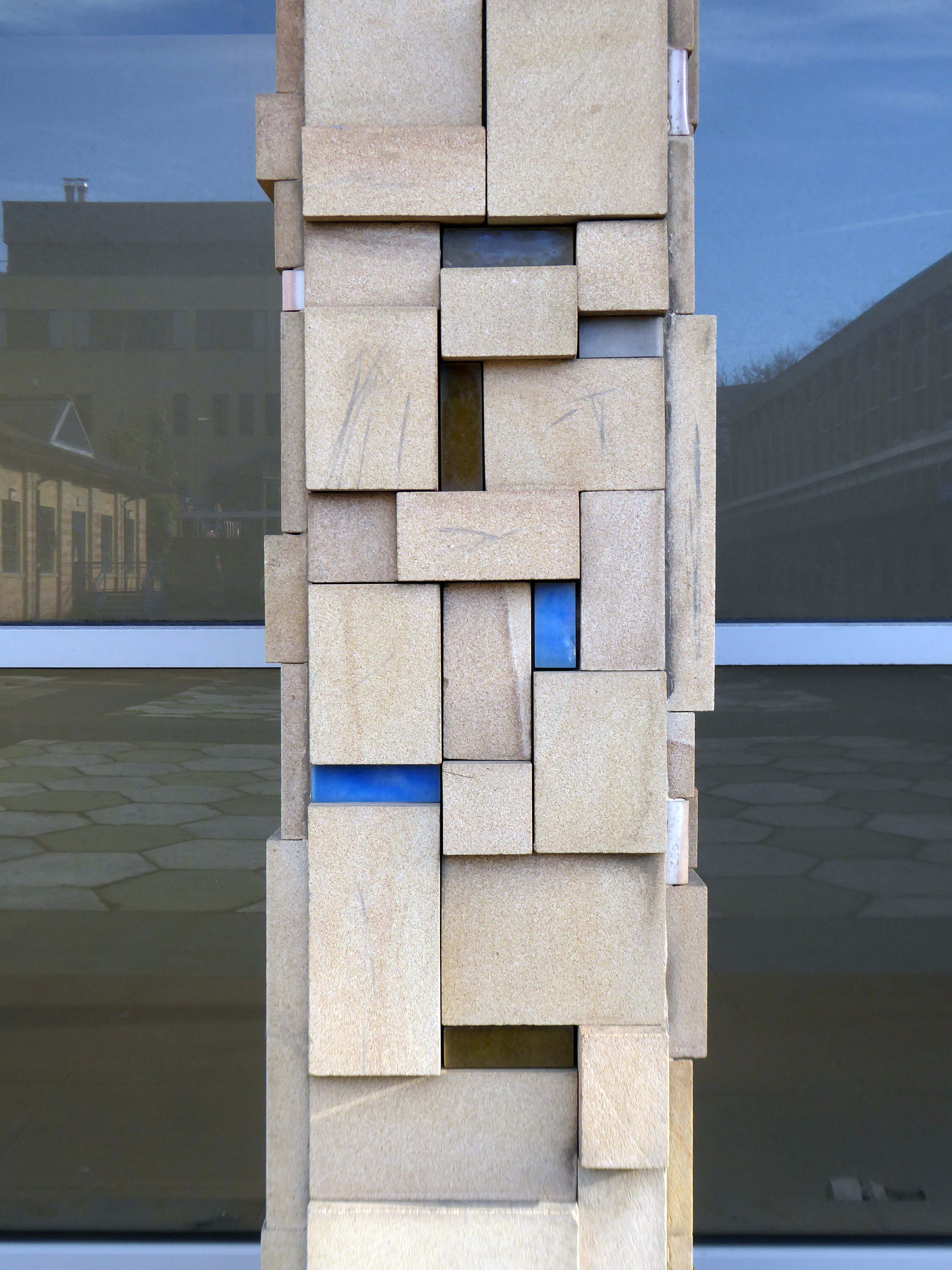
Walking excitedly toward the Exsilite panels set in the stone faced columns – a brand name for a synthetic, moulded, artificial marble.
Magistrates Courts
Police Station
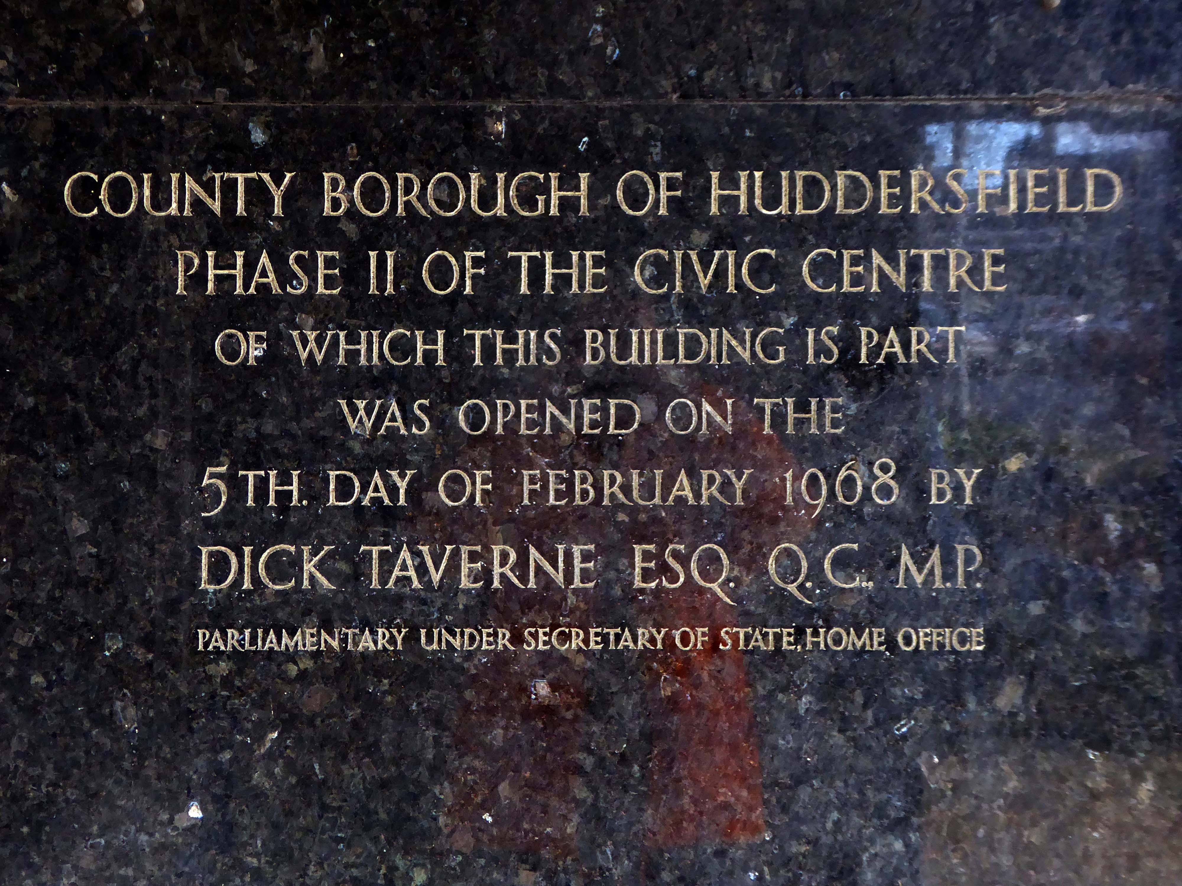
Dick Taverne served under Harold Wilson’s premiership in the 1960s, he served as a Home Office Minister from 1966 to 1968, Minister of State at the Treasury from 1968 to 1969 and then as Financial Secretary to the Treasury from 1969 to 1970.
In 1970, he helped to launch the Institute for Fiscal Studies, now an influential independent think tank and was the first Director, later chairman.
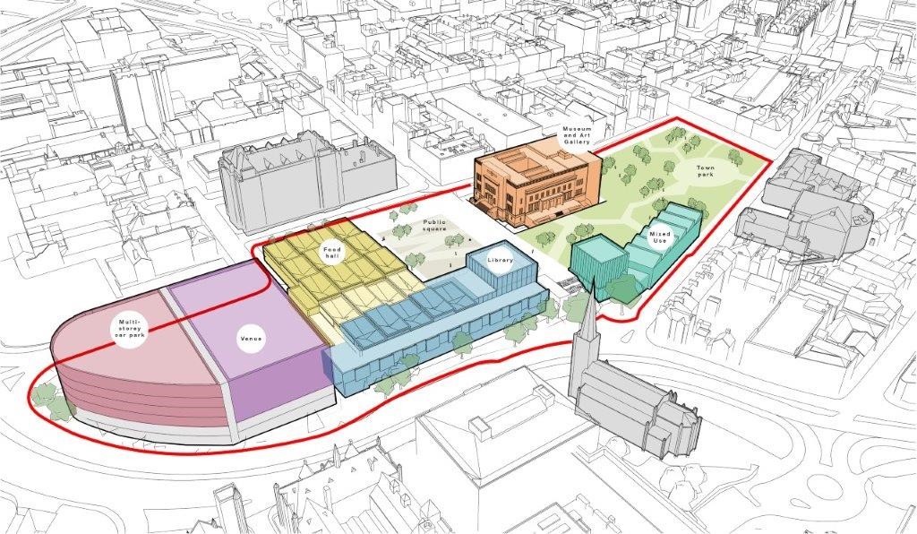
The vision is to create an inclusive space where families, residents and visitors can enjoy a vibrant mix of music, arts, food and more in one central area, overlooking a stunning new urban park.
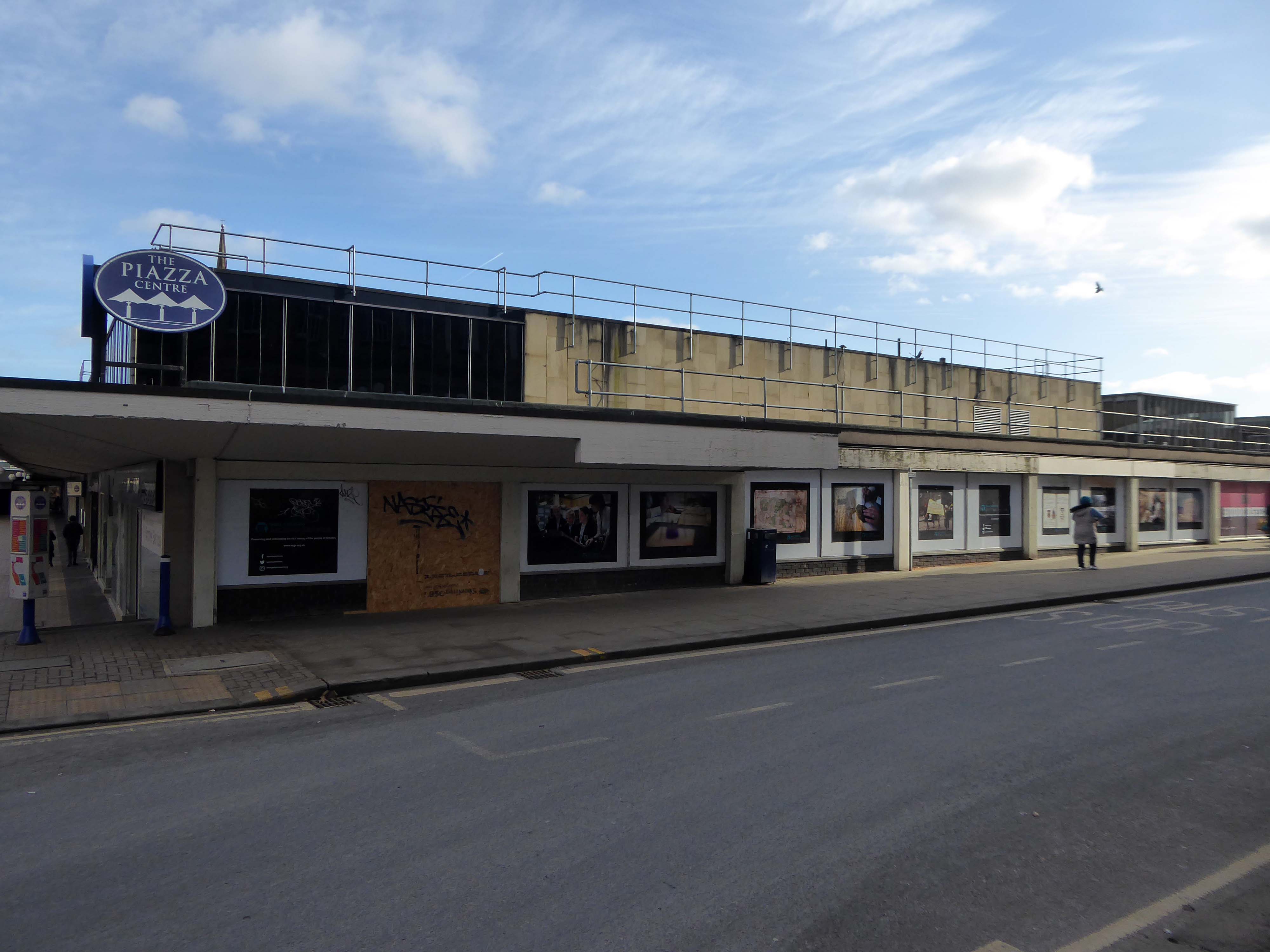
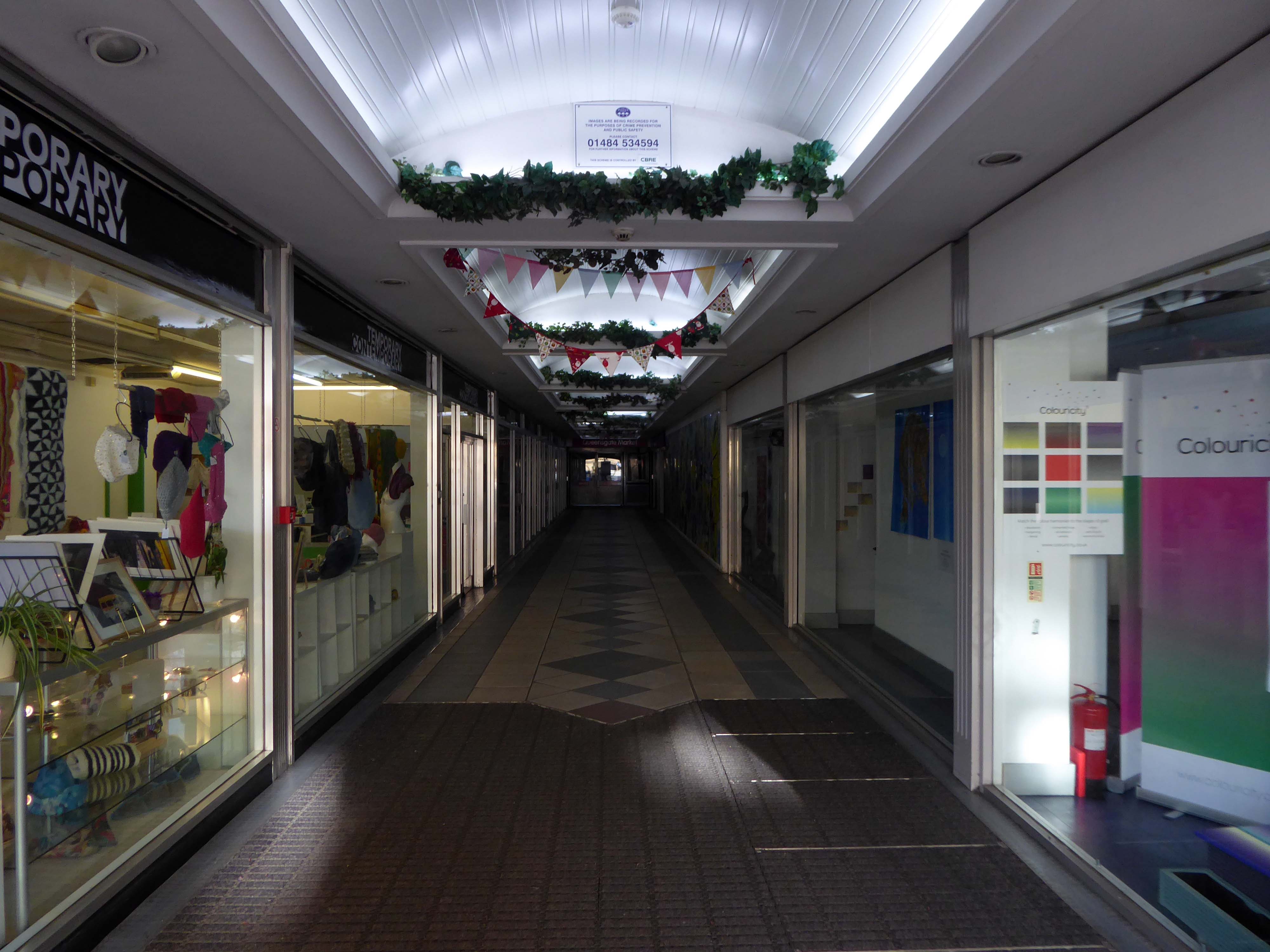
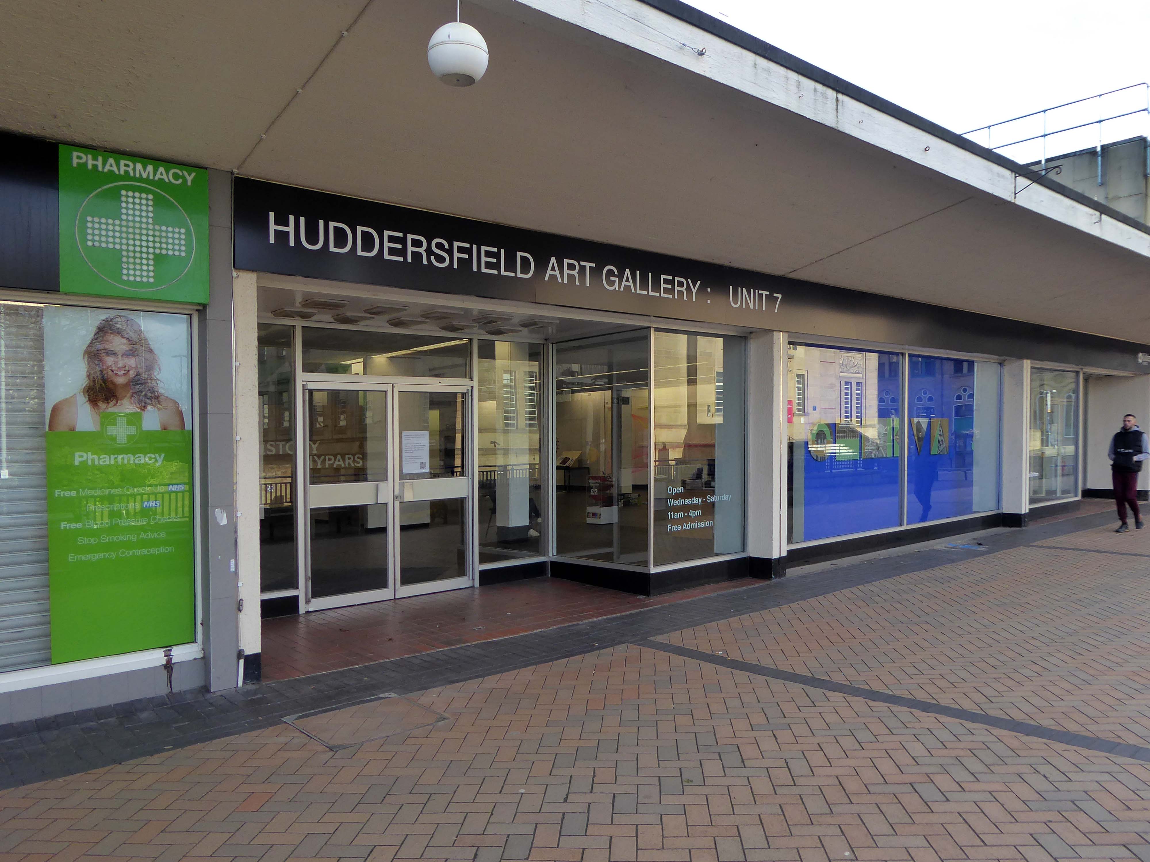
The council plans to demolish the Piazza Centre and create a new events/live music venue, a food hall, a museum and art gallery, a new library and a new multi-storey car park, all centred around a new Town Park.
Named after one of the Twentieth Century’s finest artists, the space nurtures a new and inspired generation of designers. Through visual and physical connection, the environment encourages students to work together, stimulating communication and ingenuity, the ingredients of successful collaboration.
Take that to the bank/s
Keep savin’, keep buildin’ That interest for our love Take that to the bank Keep savin’, keep buildin’ That interest for our love Take that to the bank
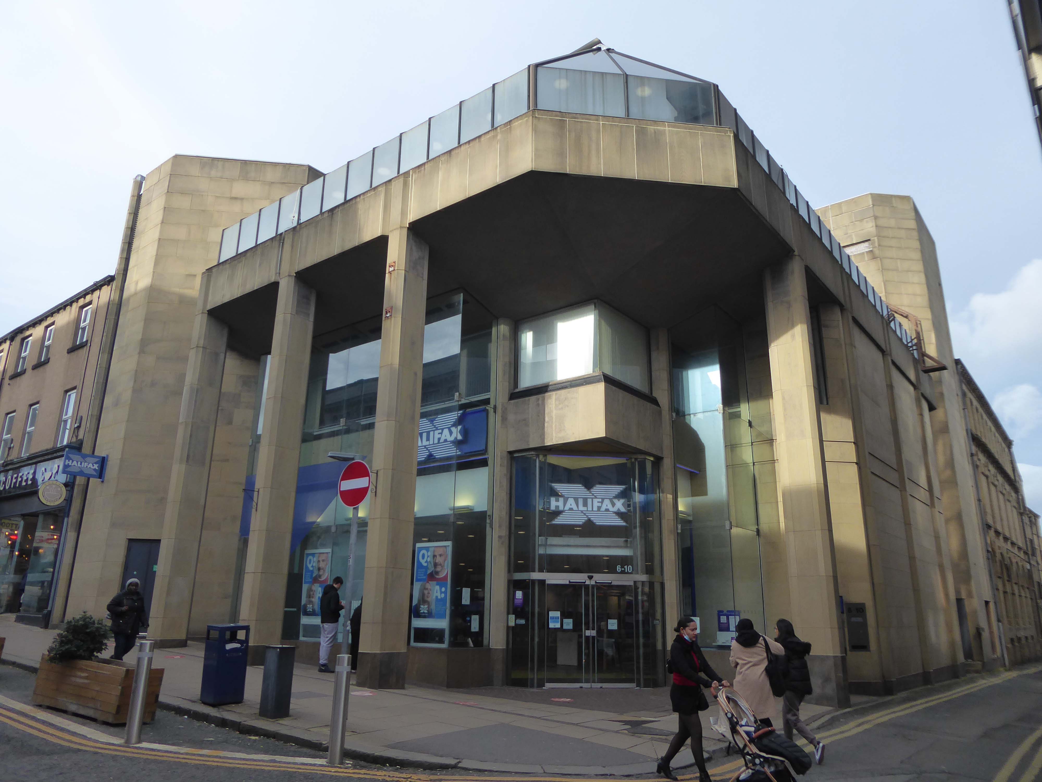
HSBC was designed by Peter Womersley, who also designed the thoroughly modern private house, Farnley Hey, near Castle Hill, which won the RIBA Bronze Medal in 1958.
Halifax Building Society
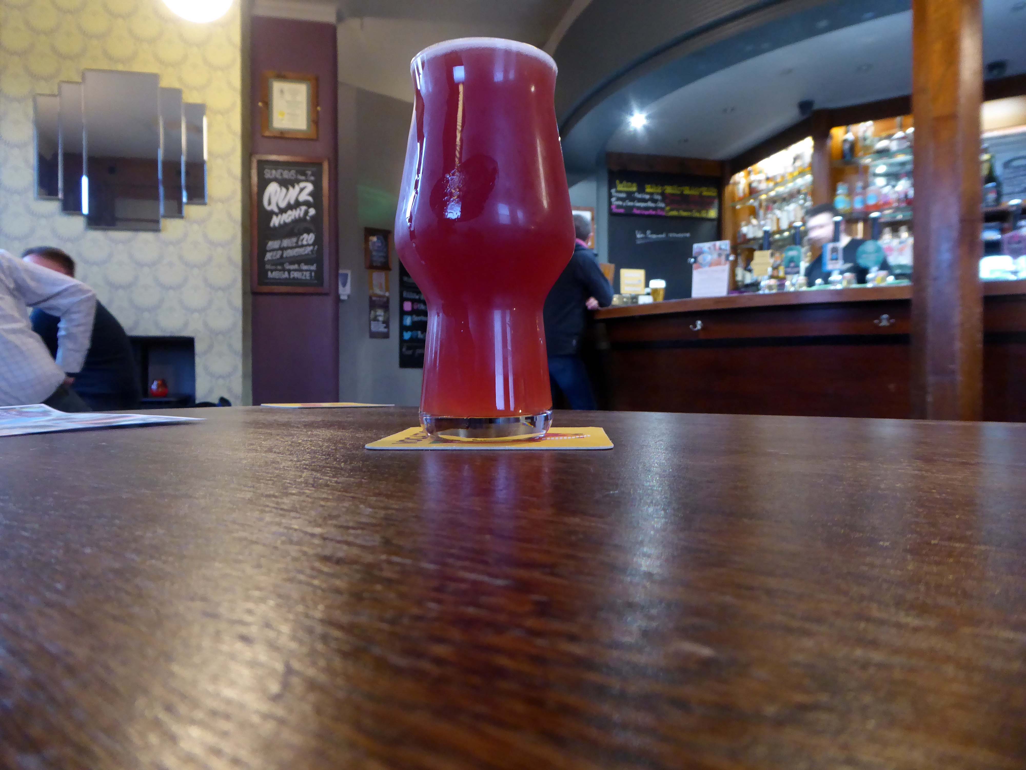
Having walked around town for more hours than enough I sought respite in The Sportsman and a glass of Squawk multi-berry fruited sour
Situated at the junction of Salkeld Street and Cook Street
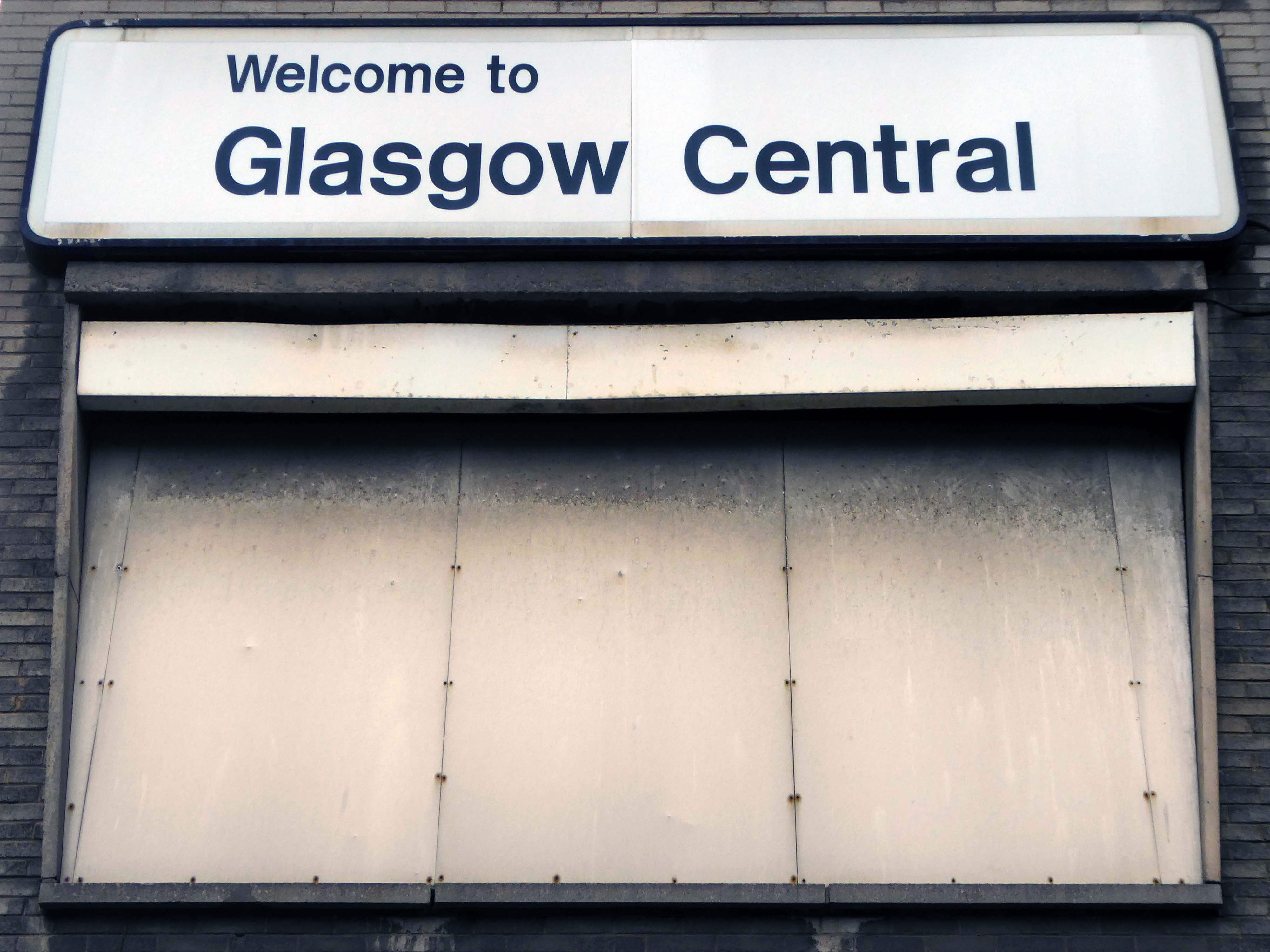
Glasgow Central Signalling Centre, located in the vee of Bridge Street Junction, opened on 2 January 1961. It replaced signal boxes at Central Station, Bridge Street Junction, Eglinton Street Junction and Eglinton Street Station. When initially opened it was capable of handling 1,000 routes.
Glasgow Central Signalling Centre closed on 27 December 2008, when its area of control was transferred to the new West of Scotland Signalling Centre – WSSC at Cowlairs. The NX panel is to be preserved. The station is currently signalled by two Westinghouse Westlock Interlockings which are controlled via an Alstom MCS control system.
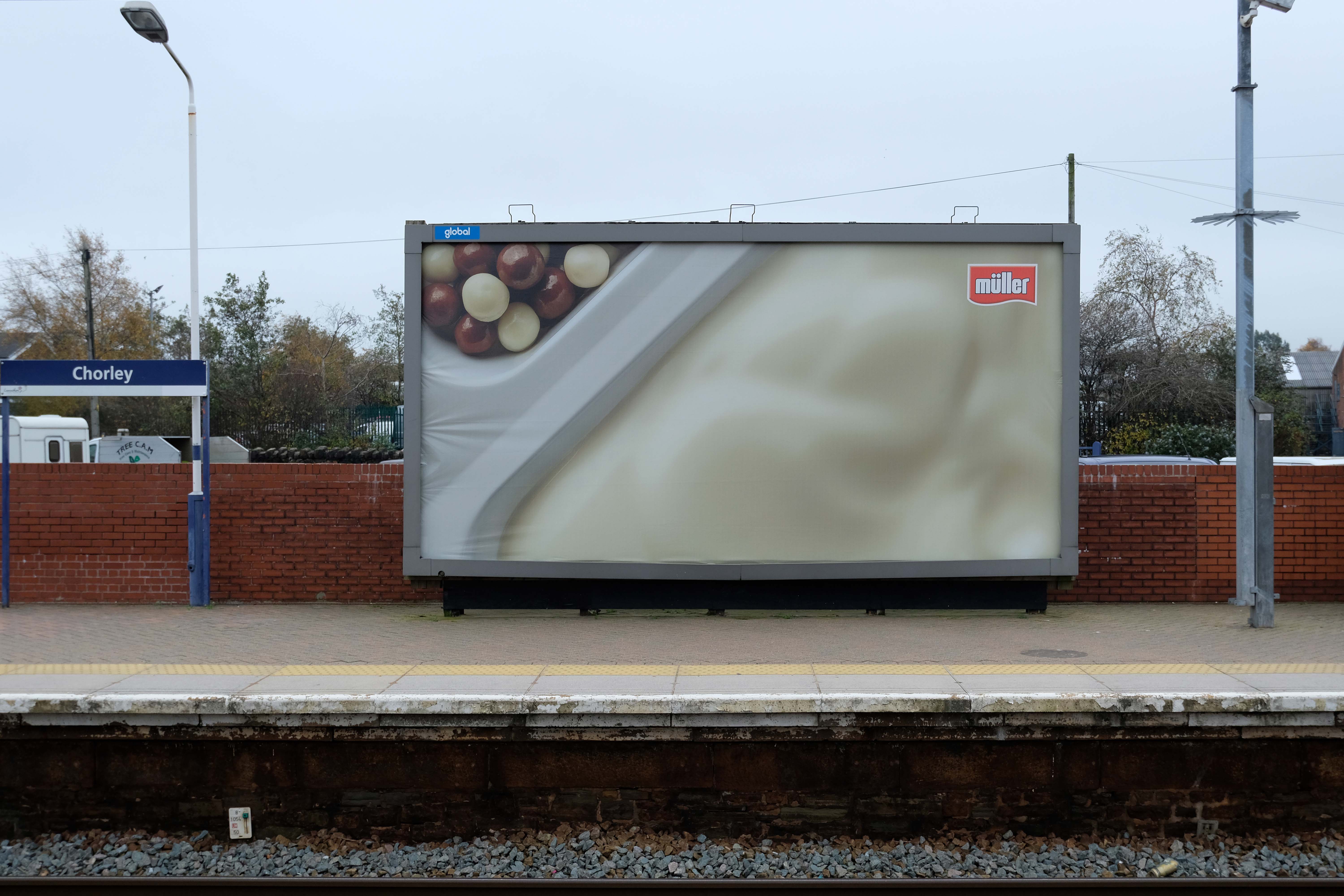
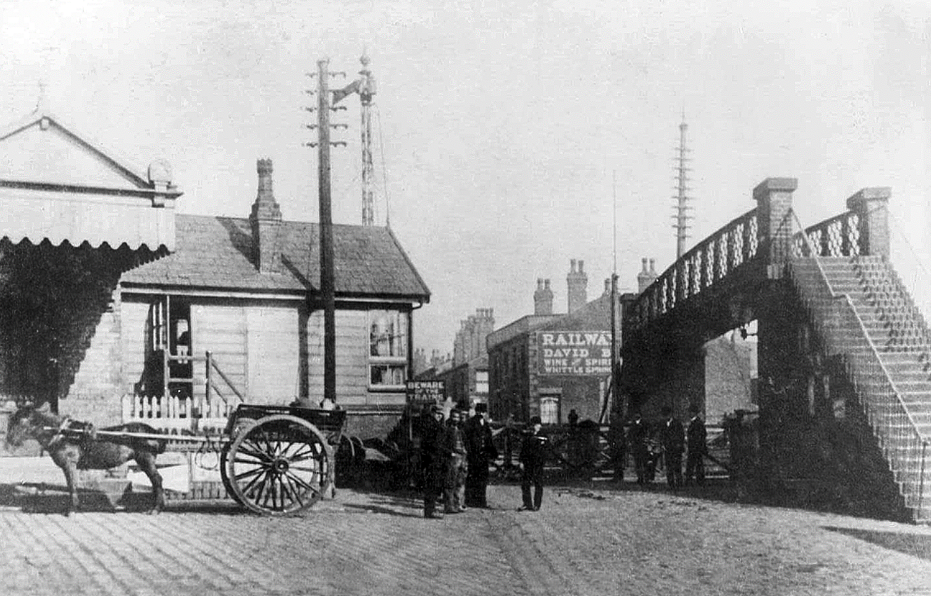
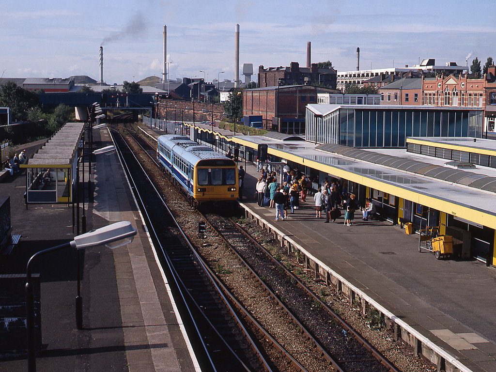
The current railway station is a modern version from the 1980s that was built on top of the original station. The level of the old platforms can be seen under the existing station’s two platforms which are connected by underpass. The initial station was opened on 22 December 1841 by the Bolton and Preston Railway – which later became part of the Lancashire and Yorkshire Railway and was subsequently served by the Lancashire Union Railway between St Helens, Wigan North Western and Blackburn from 1869.
Passenger trains over this route between Blackburn & Wigan were however withdrawn in January 1960. Further work was done in 2016 and 2017 in connection with the electrification of the line between Euxton Junction and Manchester.
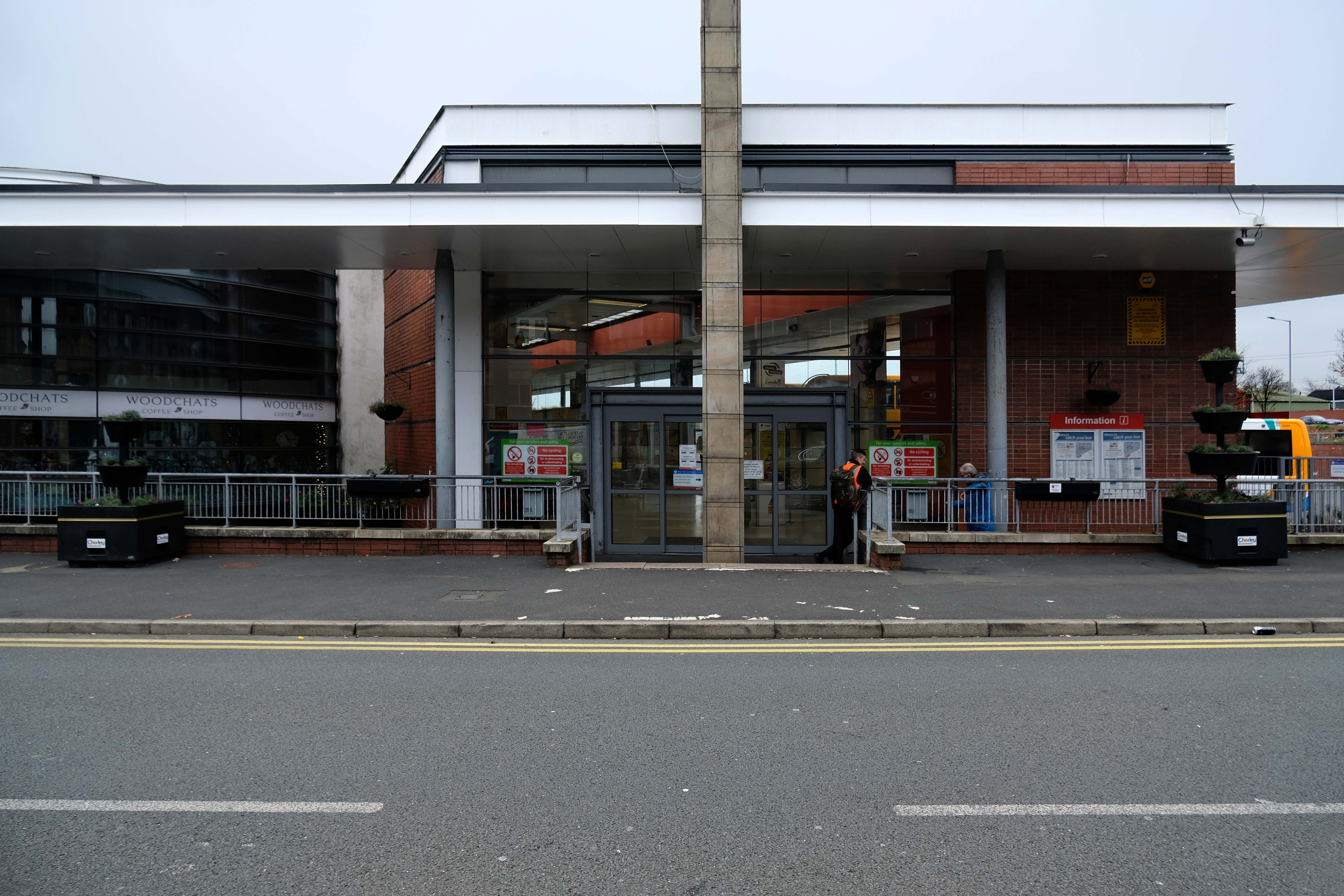
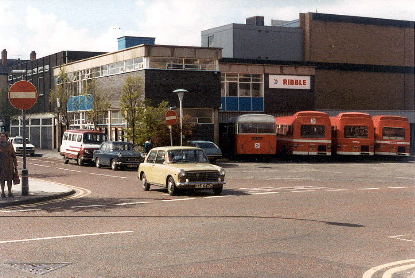
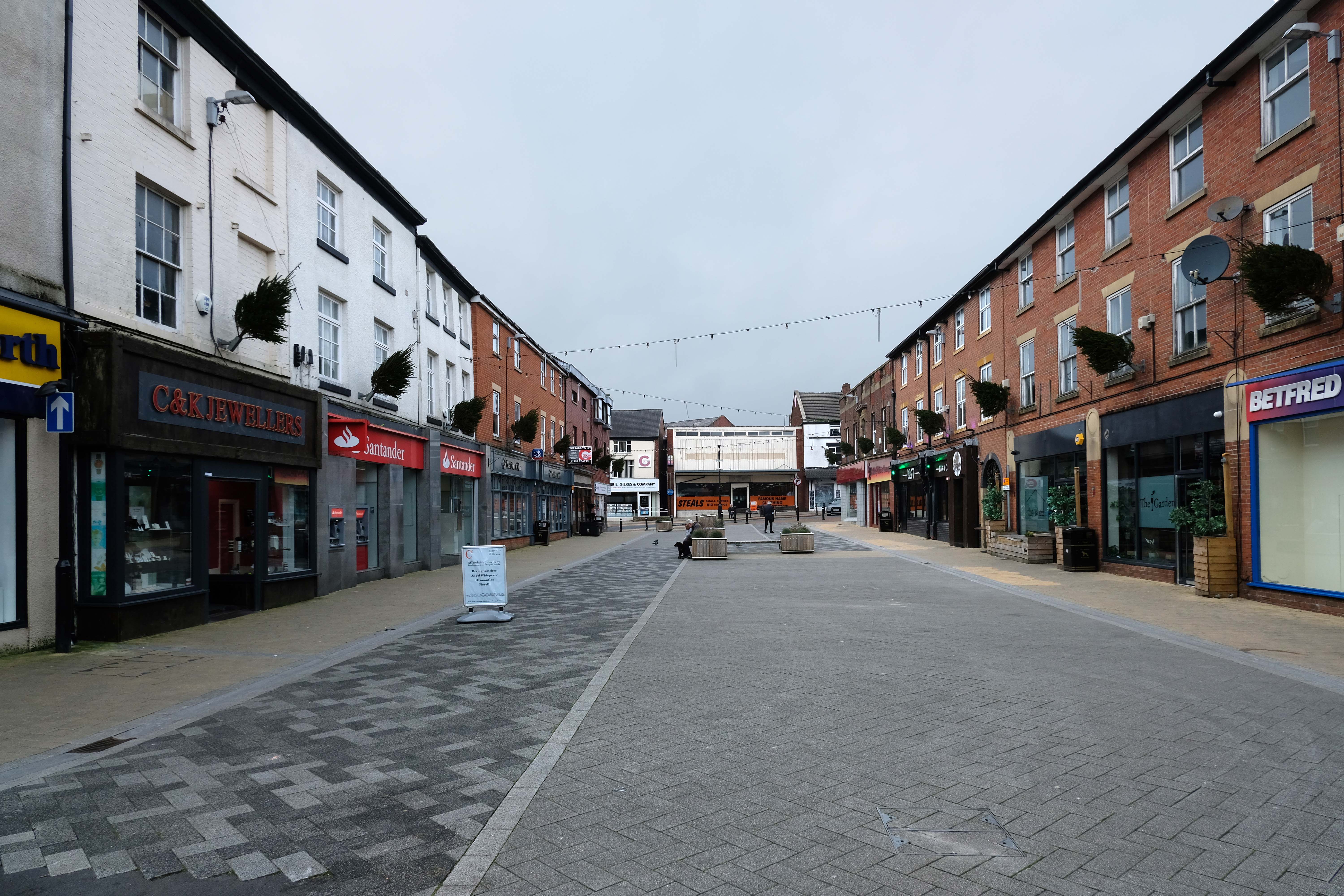
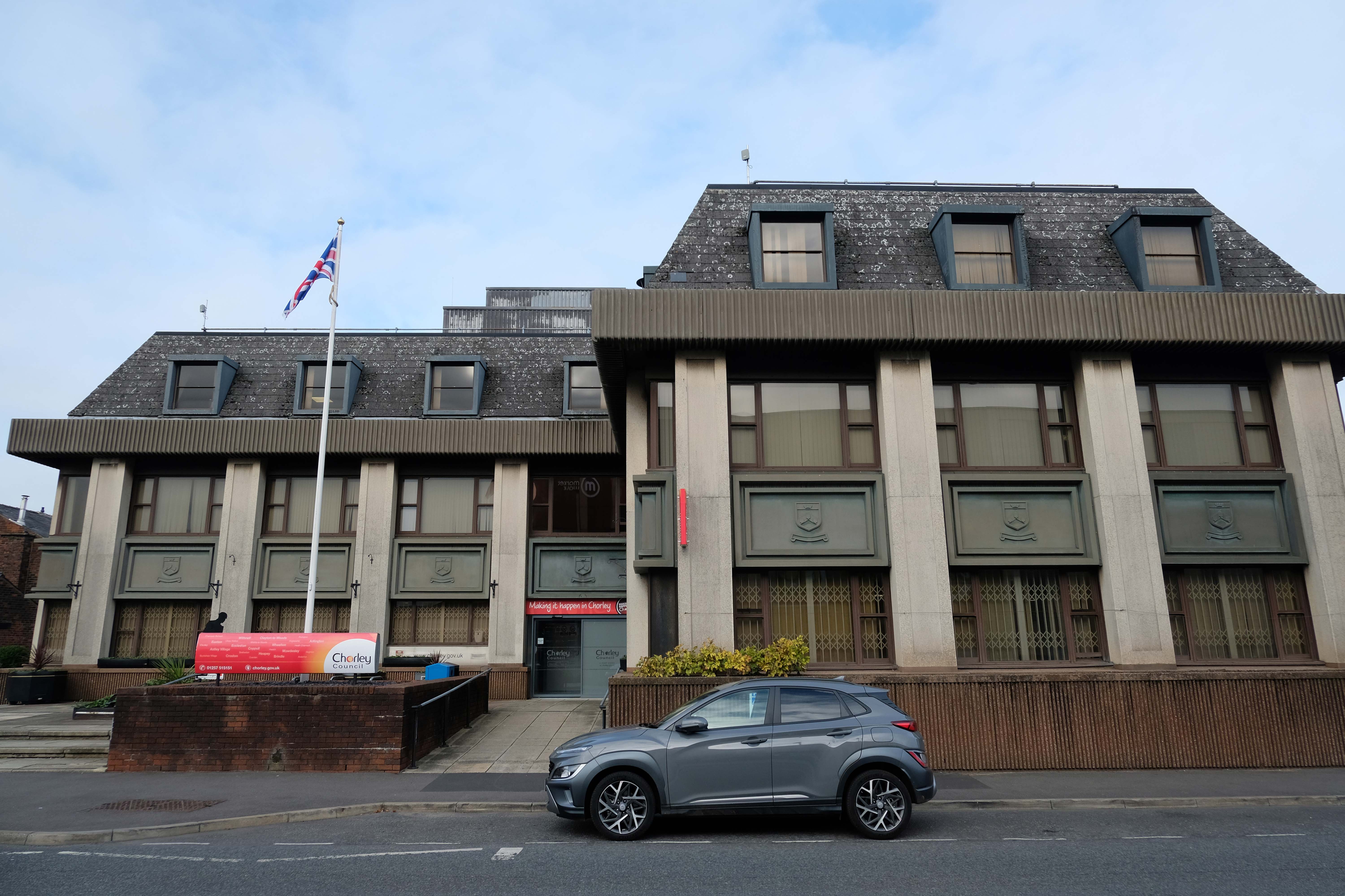
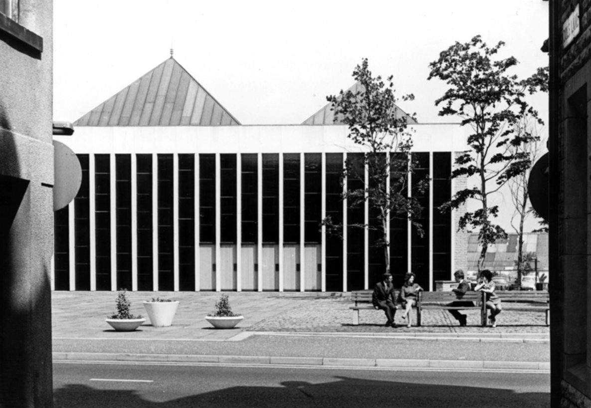
Crossed over to the Interchange – which was formerly a humble bus station, opened in February 2003 replacing the previous structure.
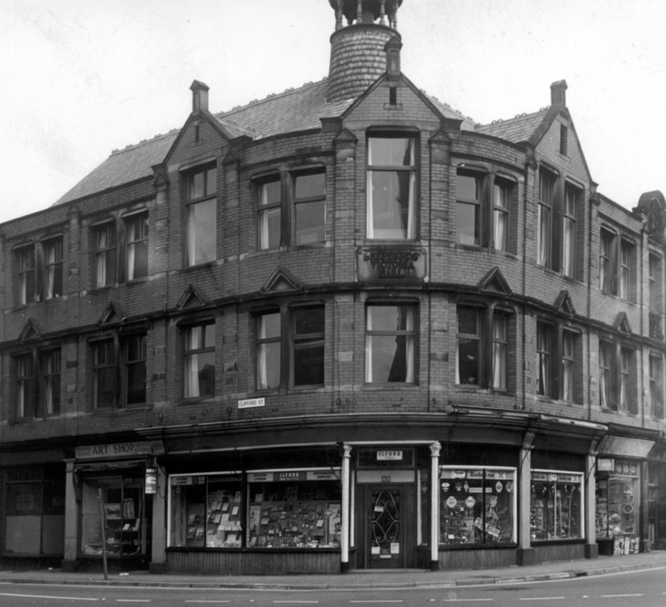
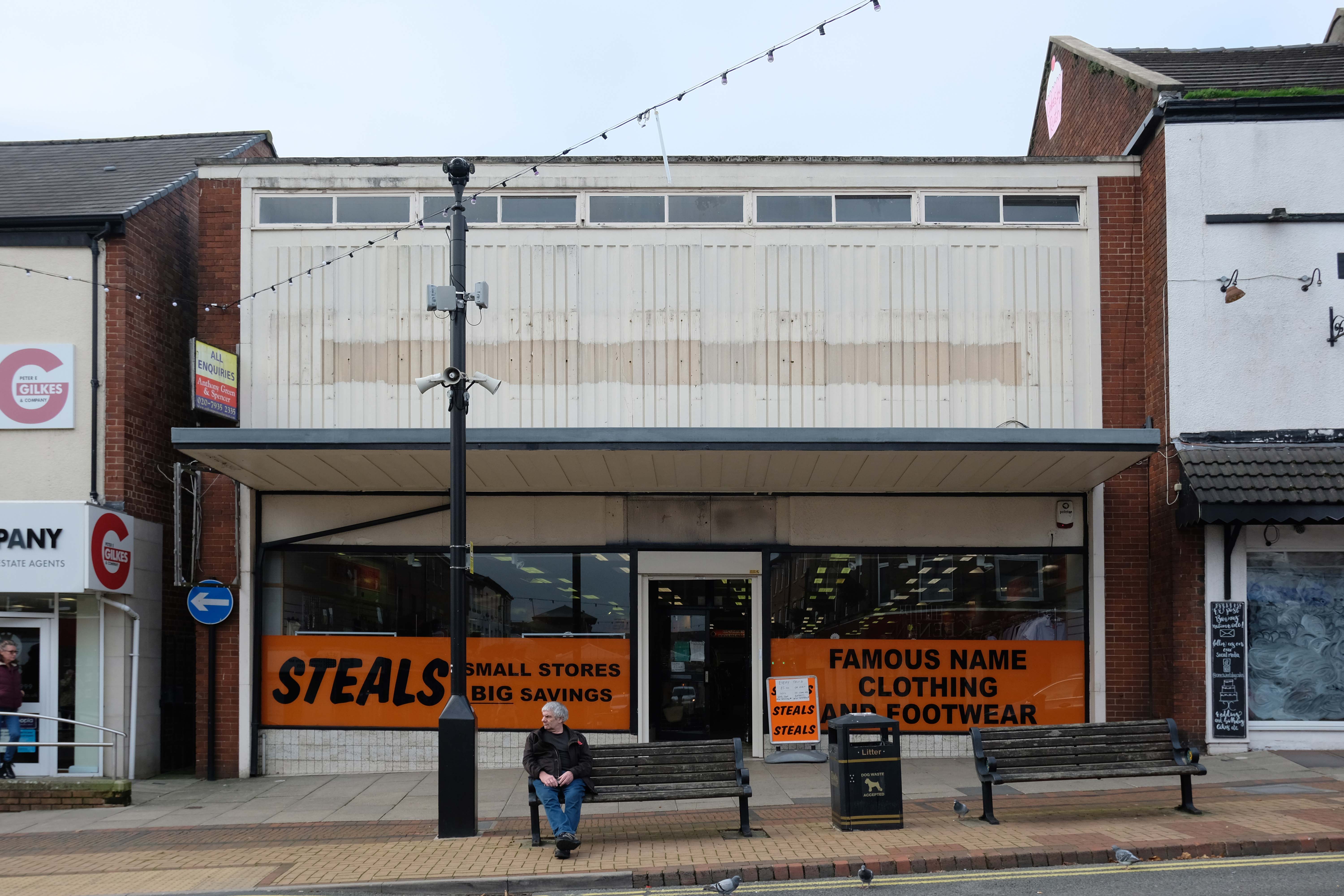
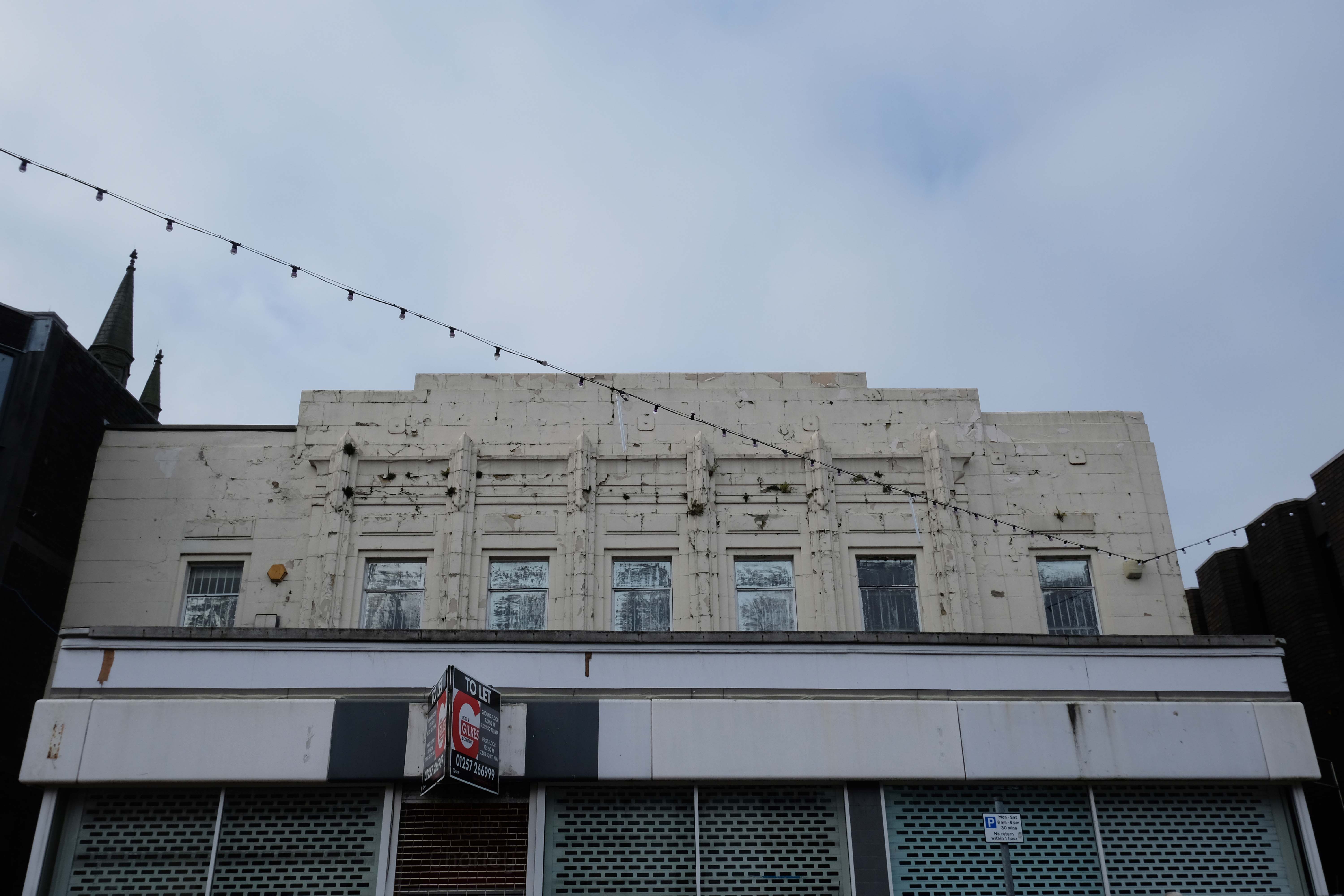
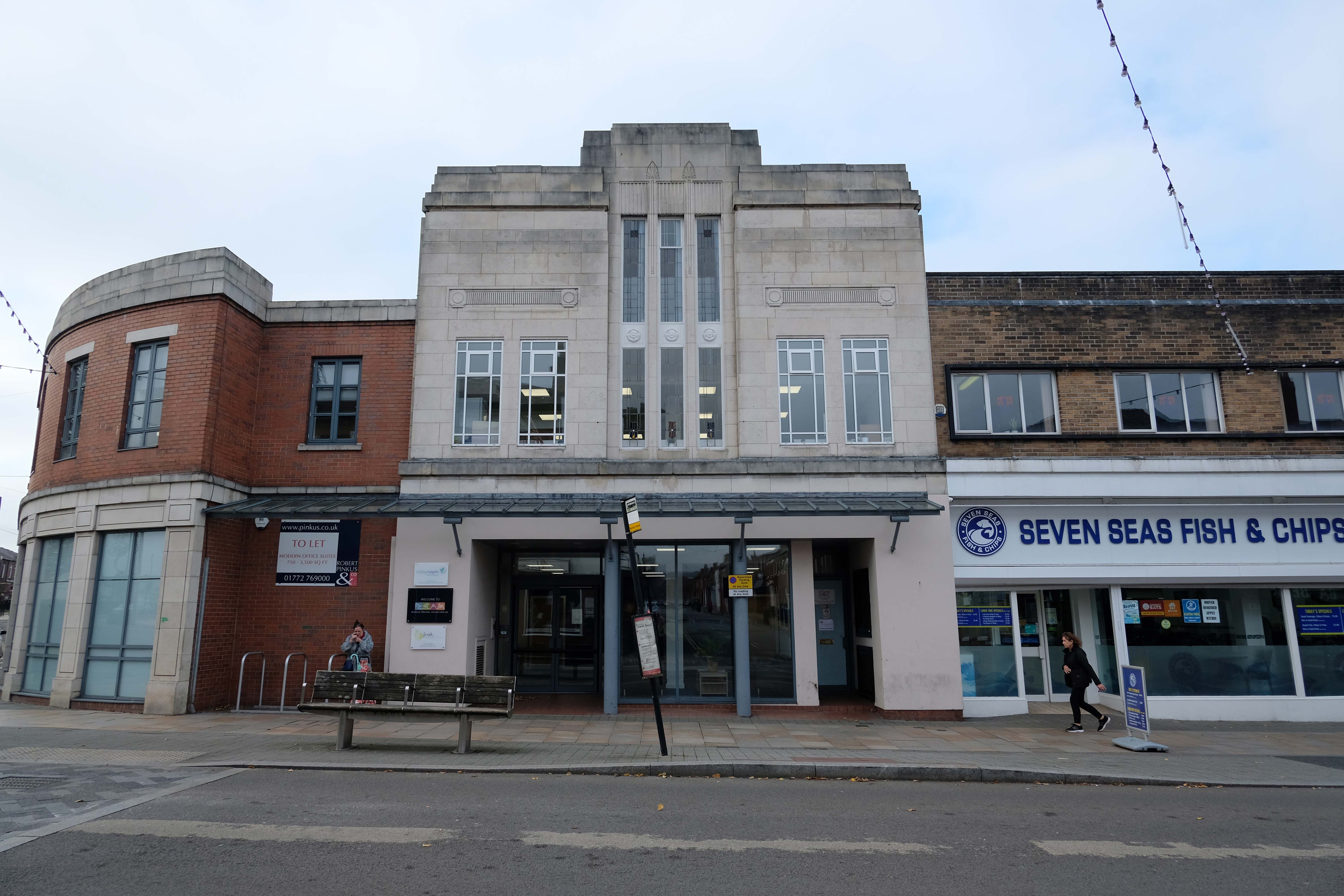
Across the way a stand of shops with distinctive faience fascias.
Further along the Shepherds’ Victoria Hall – once home to the Jubilee of the Ancient Order of Shepherds’ Friendly Society which was quite prominent in Chorley in the late 1800’s and early 1900’s
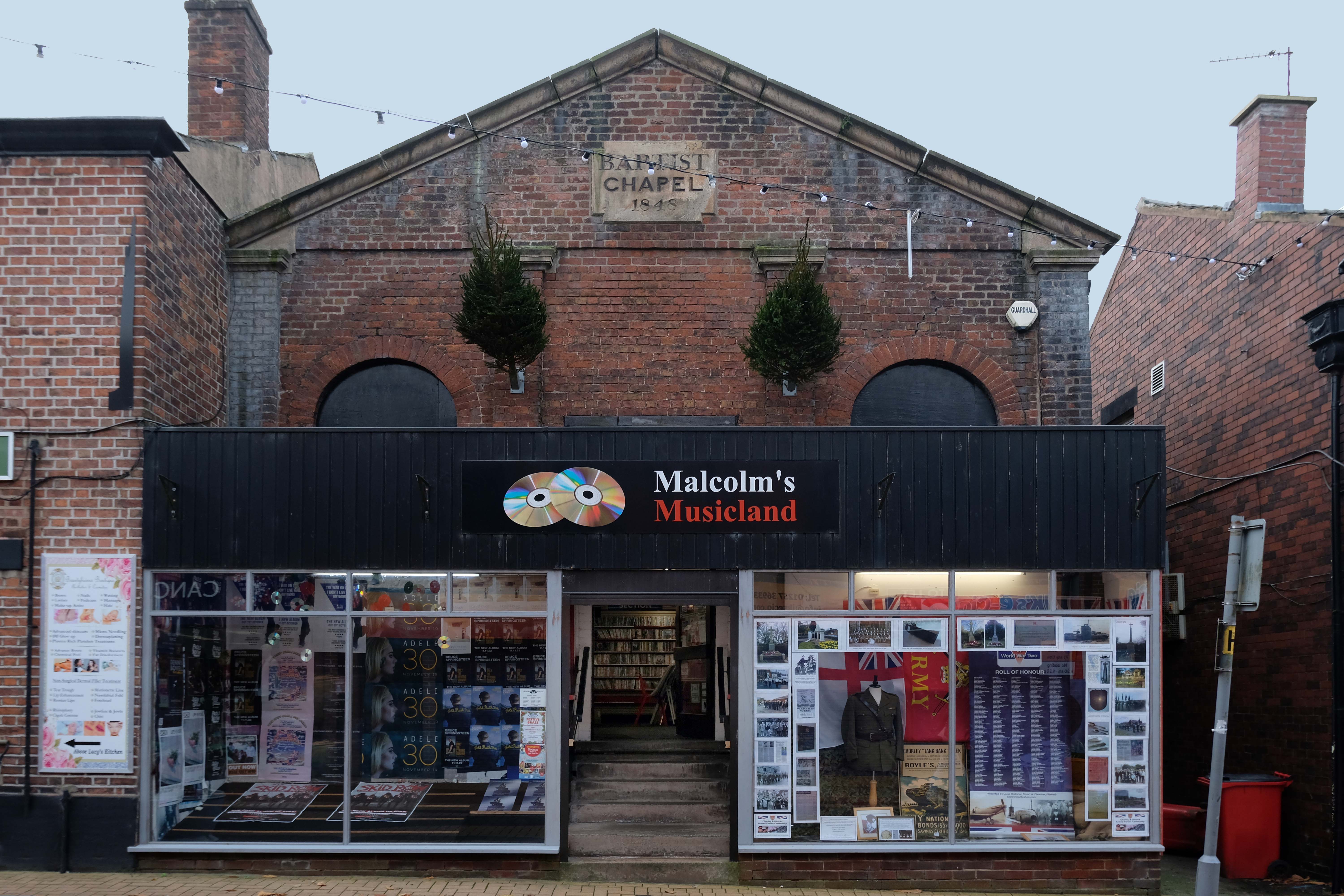
Down the way a ways a Baptist Chapel of 1845 on Chapel Street – currently trading as Malcolm’s Musicland.
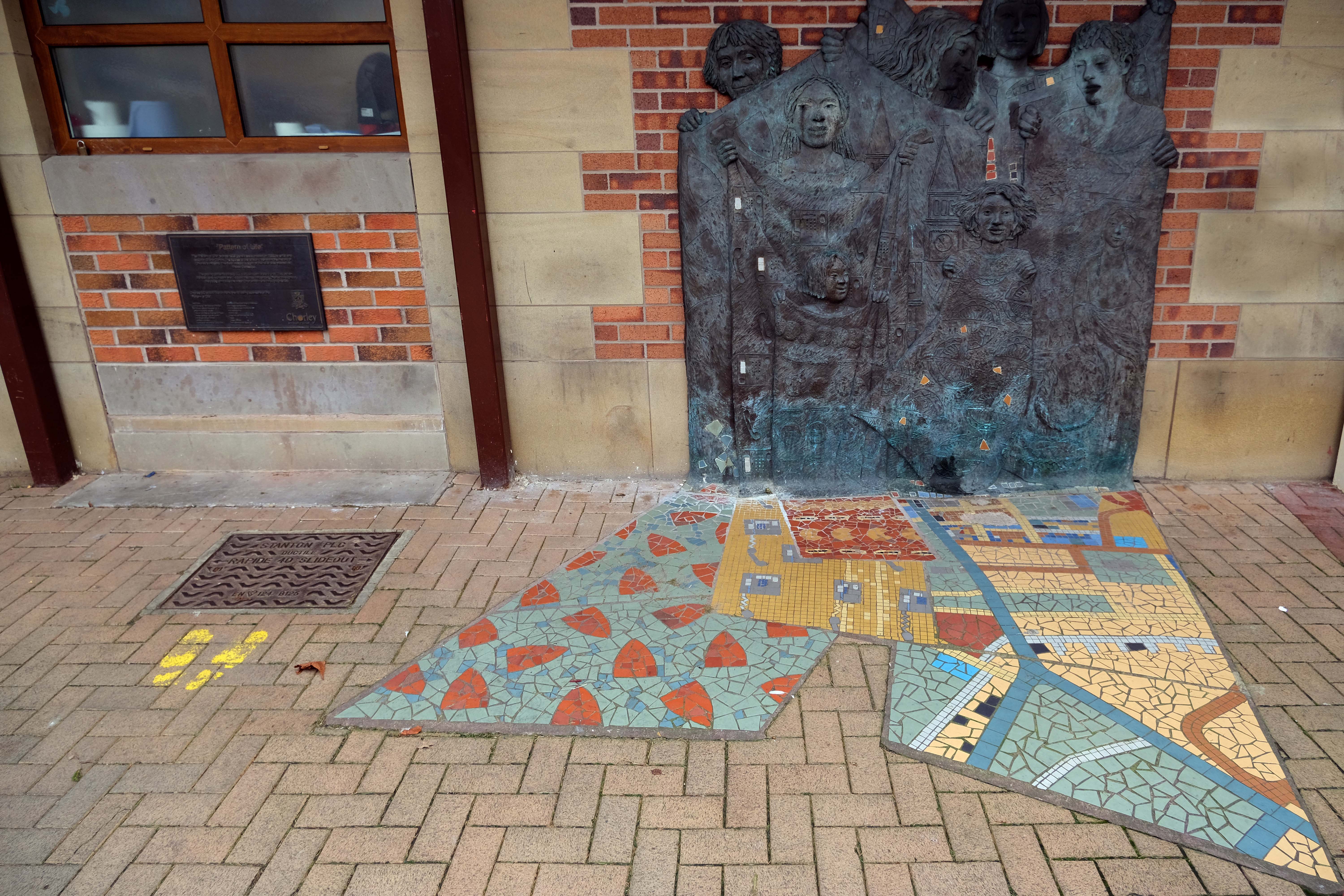
Hang a sharp right to the Market – where there is this newish piece of public art Pattern of Life a bronze relief by Diane Gorvin and mosaic work by Tracey Cartledge
This piece involves an innovative combination of cast bronze and ceramic mosaic. Two bronze relief panels display female figures holding out rolls of fabric, each decorated with patterns and images that are particular to the town of Chorley. Payphones, for example were invented and manufactured in Chorley, the crested newt is protected here and you might also notice the famous Chorley Cakes. As the fabrics tumble down, the designs are translated from bronze relief on the wall surface into 2D mosaic in the pavement.
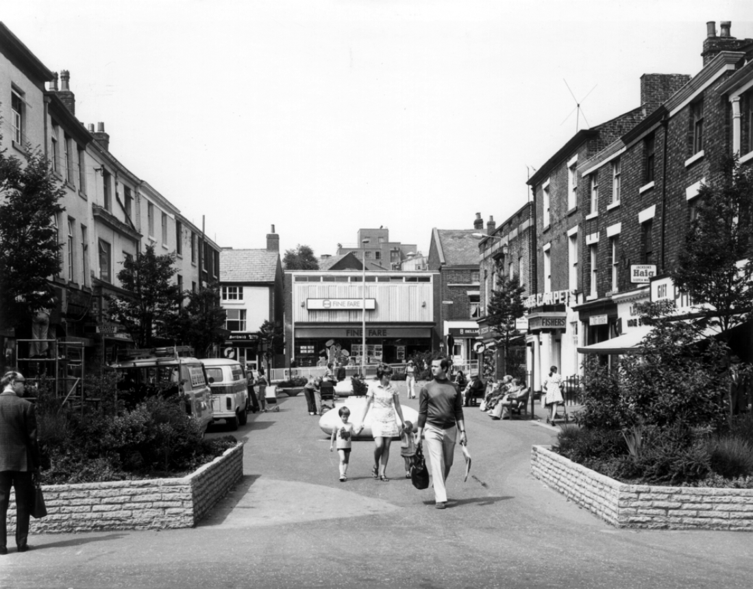
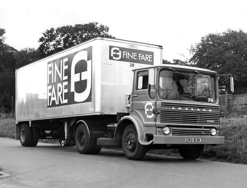
Looking down Fazakerley Street to where Fine Fare once was.
We’ll return to such matters in a moment – we have to get to the Post Office – which is no longer a Post Office.
It was a Post Office in 1935 – it also has a later extension.
The local list declares that the post office dates from 1935. This is almost certainly erroneous since the contract documents date from 1924, and from contract to completion the average construction and fitting-out time was about 18 months.
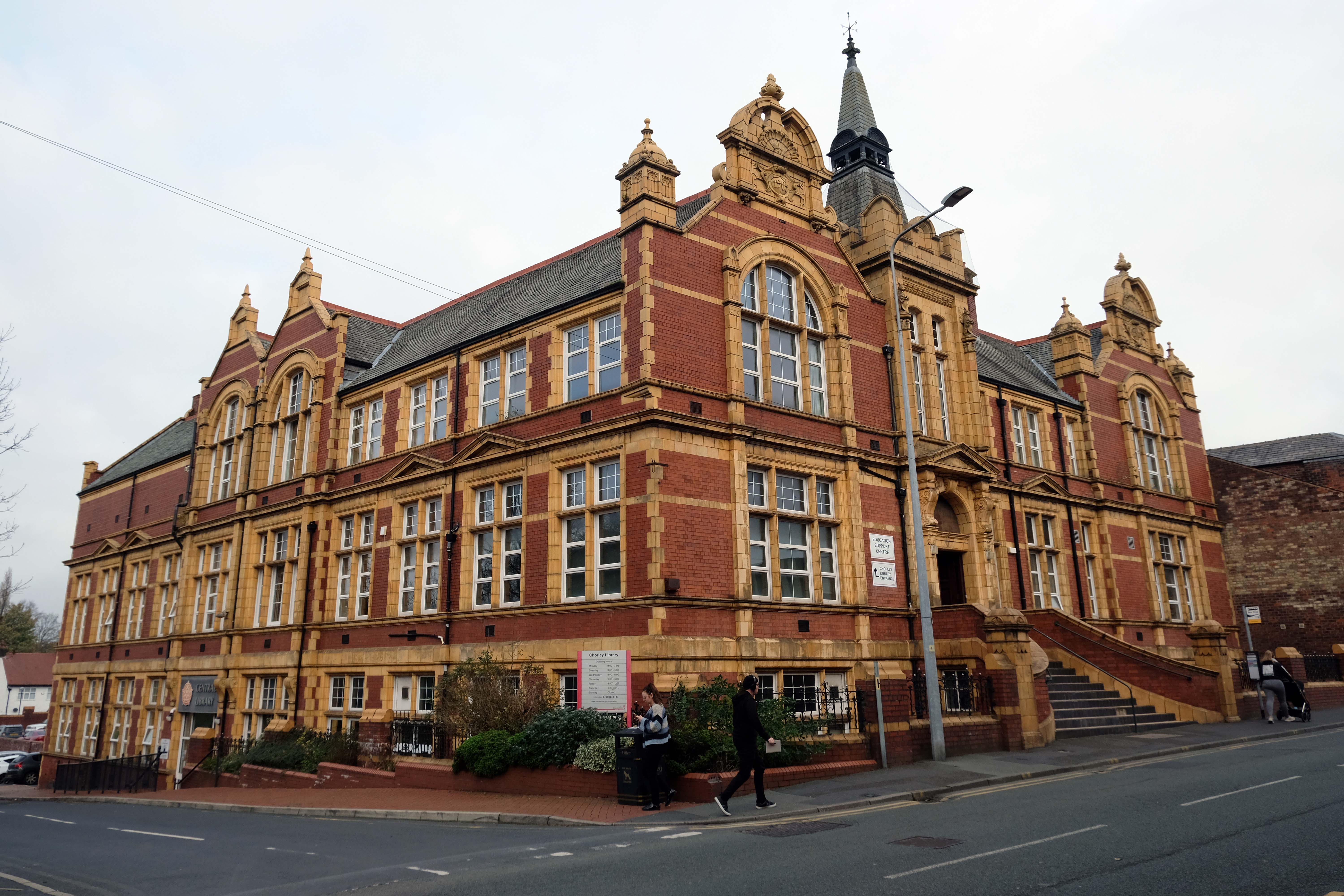
Plans supplied by the Architects Messrs. Cheers & Smith of Blackburn which were approved by the Education Committee on the 18th August 1904 – design proposals for the new Technical School entitled Light and Air.
The considerable task of erecting the school was given to the local builder Mr. William Hampson of Pall Mall.
Surely the envy of his trade, the total contract was worth a mouth- watering £10,041 15s. 9d. – approx. £720,000 today.
The building was officially opened by the 16th Earl of Derby on September 24th 1906.
Over the road the town’s newest retail development Market Walk – the work of AEW Architects.
Chorley Council bought the shopping centre from Orchard Street Investments for £23m in 2013 and commenced a large-scale regeneration scheme in 2018 involving a £15m, 79,000 sq ft retail and leisure extension led by main contractor Eric Wright Group and designed by AEW Architects. Here, Conrad Heald of Chorley Council tells his interviewer, AEW director Phil Hepworth, how the scheme came to fruition and has rejuvenated the town centre.
The memorial re-sited in 2018 commemorates the Chorley Pals.
In less than 20 minutes, 235 of the 720 men from the 11th East Lancs. were killed. Another 350 were wounded, of which 17 would eventually succumb to their wounds. Many of the Battalion died where they fell, in No Man’s Land.
As a result of the attack on the morning of the 1st July, the Chorley Pals – Y Company, had 31 men killed and three died within a month of their wounds received on that day. 21 have no known graves and their names are transcribed on the Thiepval memorial to the Missing on the Somme battlefield. A further 59 were wounded, making a total of 93 casualties out of approximately 175 men from Chorley who went over the top that morning.
Reversing now to the former Barclays Bank – which closed earlier in 2022.
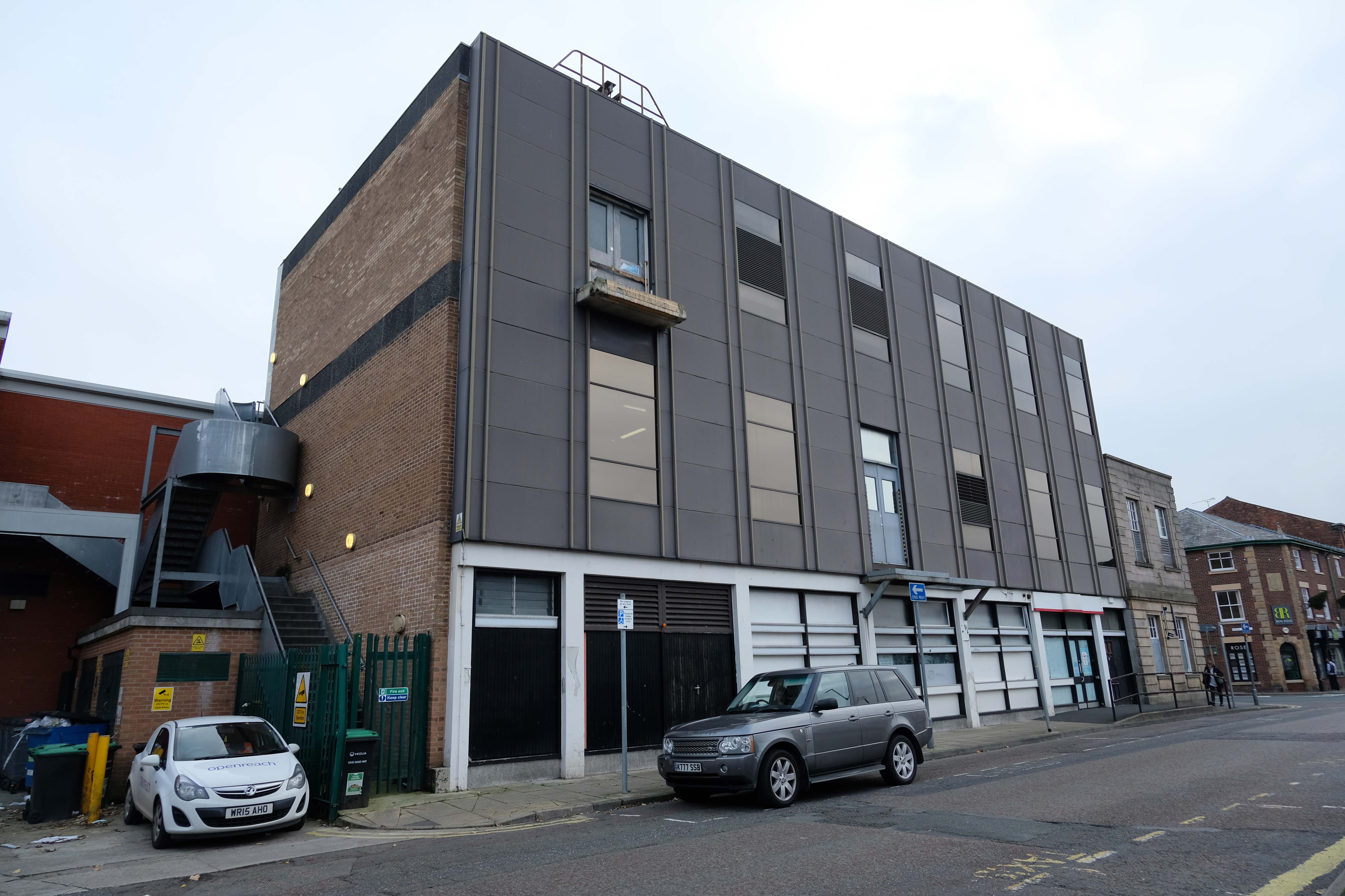
We return now to the former Fine Fare.
The company began as one single supermarket in Welwyn Garden City in 1951, as an offshoot of the Welwyn Department Store, owned by Howardsgate Holdings, the company of Ebenezer Howard, the founder of the garden city movement.
Now here’s a thing a bank which is a bank NatWest not gone west.
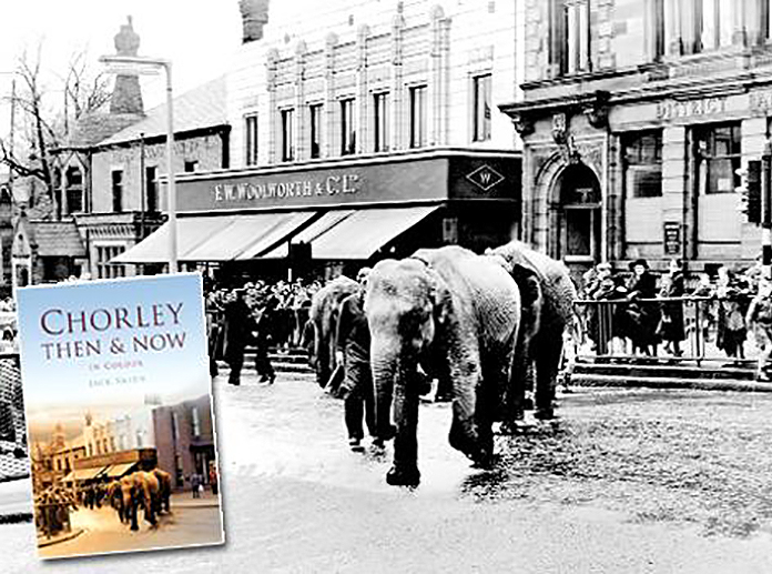
Next to the former Woolworths, opened in Chorley in 1930 on Market Street, with its pale Deco faience fascia.
They traded from this building for sixty five years, before closing in March 1995 in order to move to a new store on Market Walk – it became an Argos, then it didn’t.
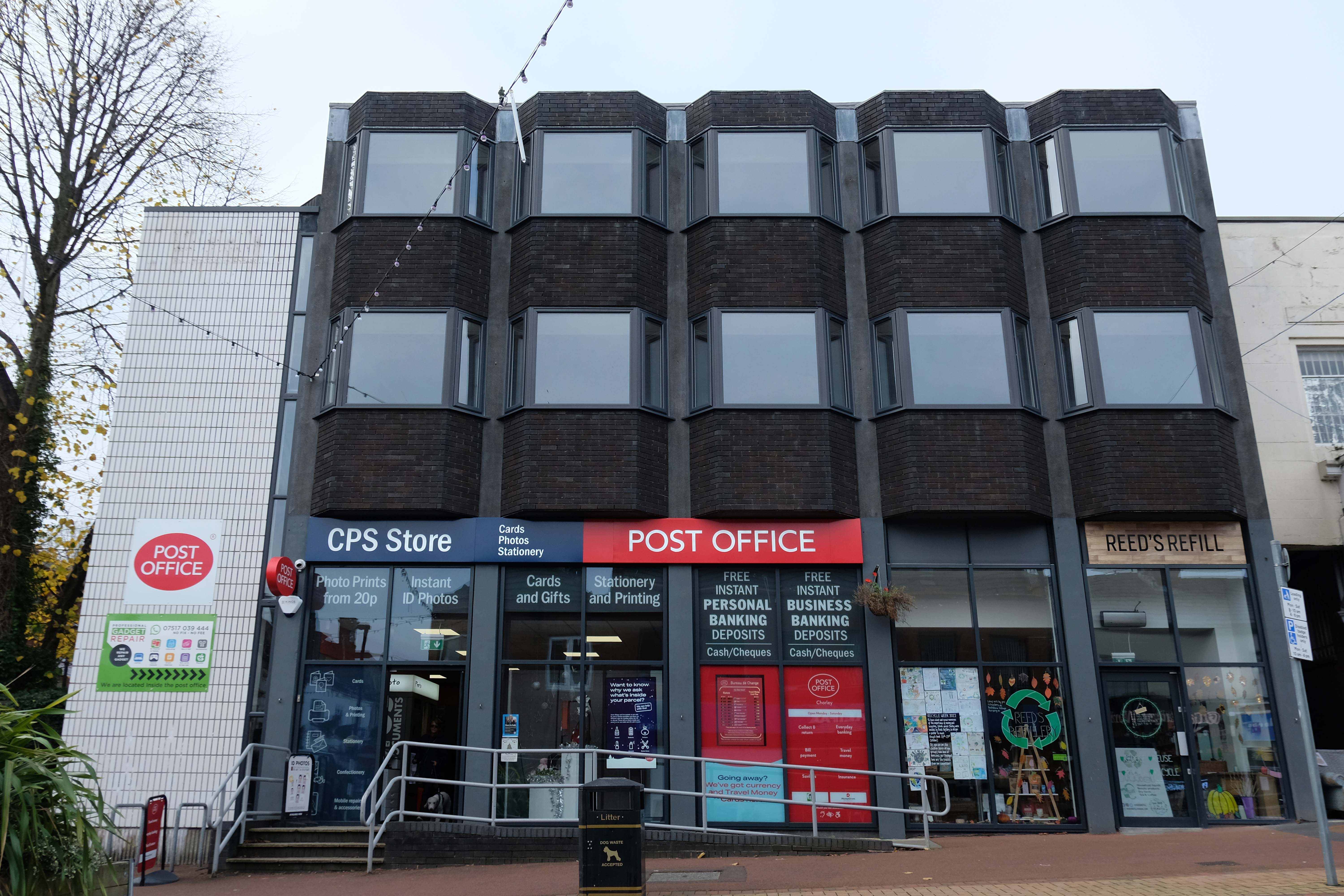
Here we are now at a Post Office that is a Post Office but was an RBS Bank.
the Bank was the work of Cruickshank & Seward – thanks to Mainstream Modern for these archive images.
The new location is at the former Royal Bank of Scotland on Market Street in the town centre.
Since the Post Office that was based at WH Smith on New Market Street came to an end, when that store closed in January, it relocated to a temporary unit in Market Walk until a permanent solution could be found.
The unit, which had been provided by the postmaster from Burscough Bridge Post Office, closed on Tuesday.
Kenny Lamont, Post Office Network Provision Manager, said a Post Office is important to a community.
This had been a Methodist Church – then, it became the HQ of the Lancashire Electric Power Company.
The Lancashire Electric Power Company was one of the largest private electricity companies in the UK. It was established in 1900 and generated and supplied electricity to 1,200 squares miles of Lancashire from 1905 until its abolition under nationalisation in 1948.
Time to back track to the Cop Shop – the work of County Architect Roger Booth and crew.
The Magistrates’ Courts are closed and up for sale.
Next door the White Hart once upon a time the Snooty Fox, a pub with an up and down trajectory – currently open and described online as plush.
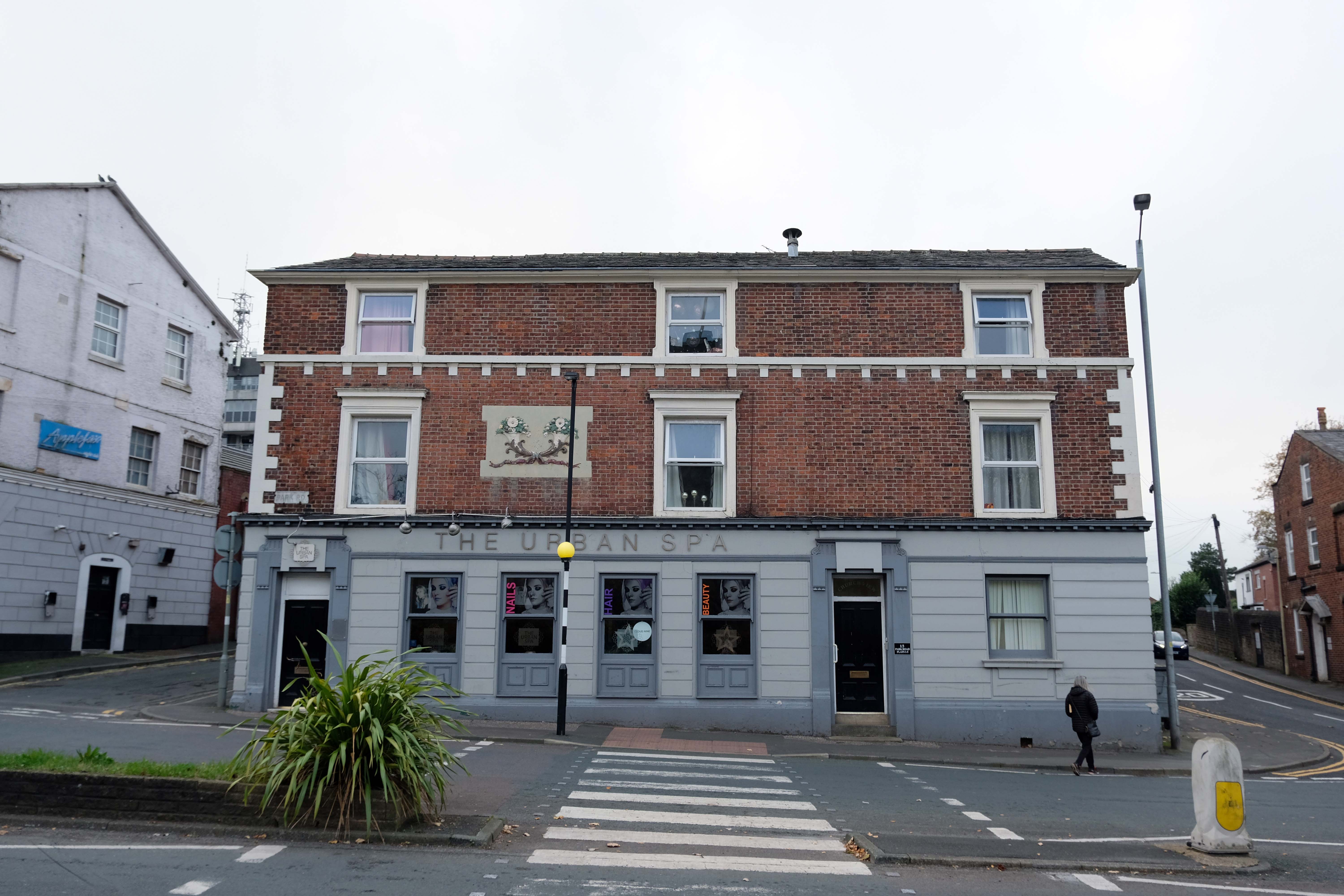
Down the road a pub no longer a pub but an Urban Spa.
We offer you a full range of professional treatments tailored to your own personal needs. We treat every client as an individual and offer an extensive range of treatments and professional products making your visit one to remember.
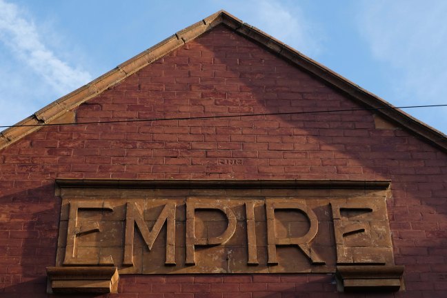
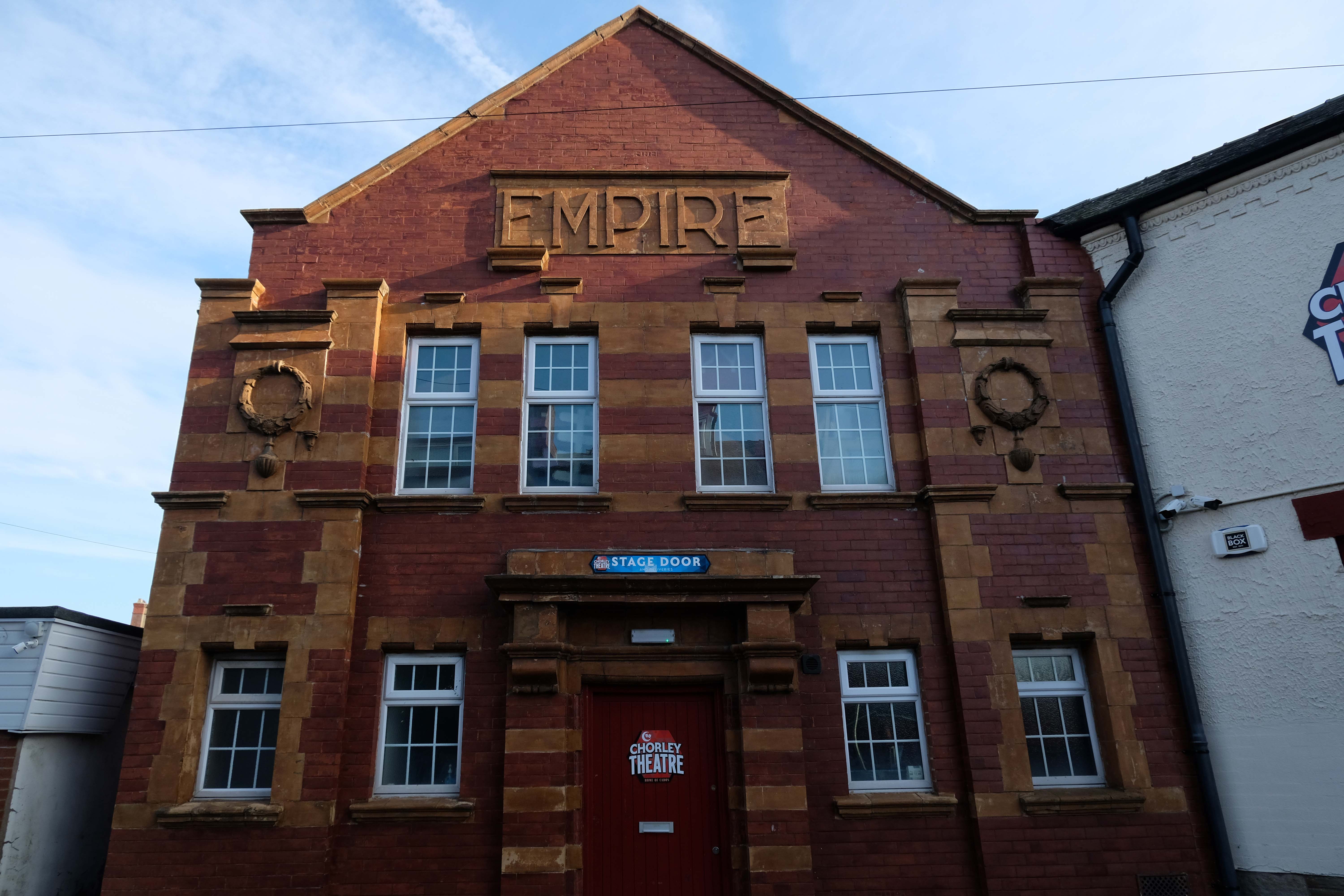
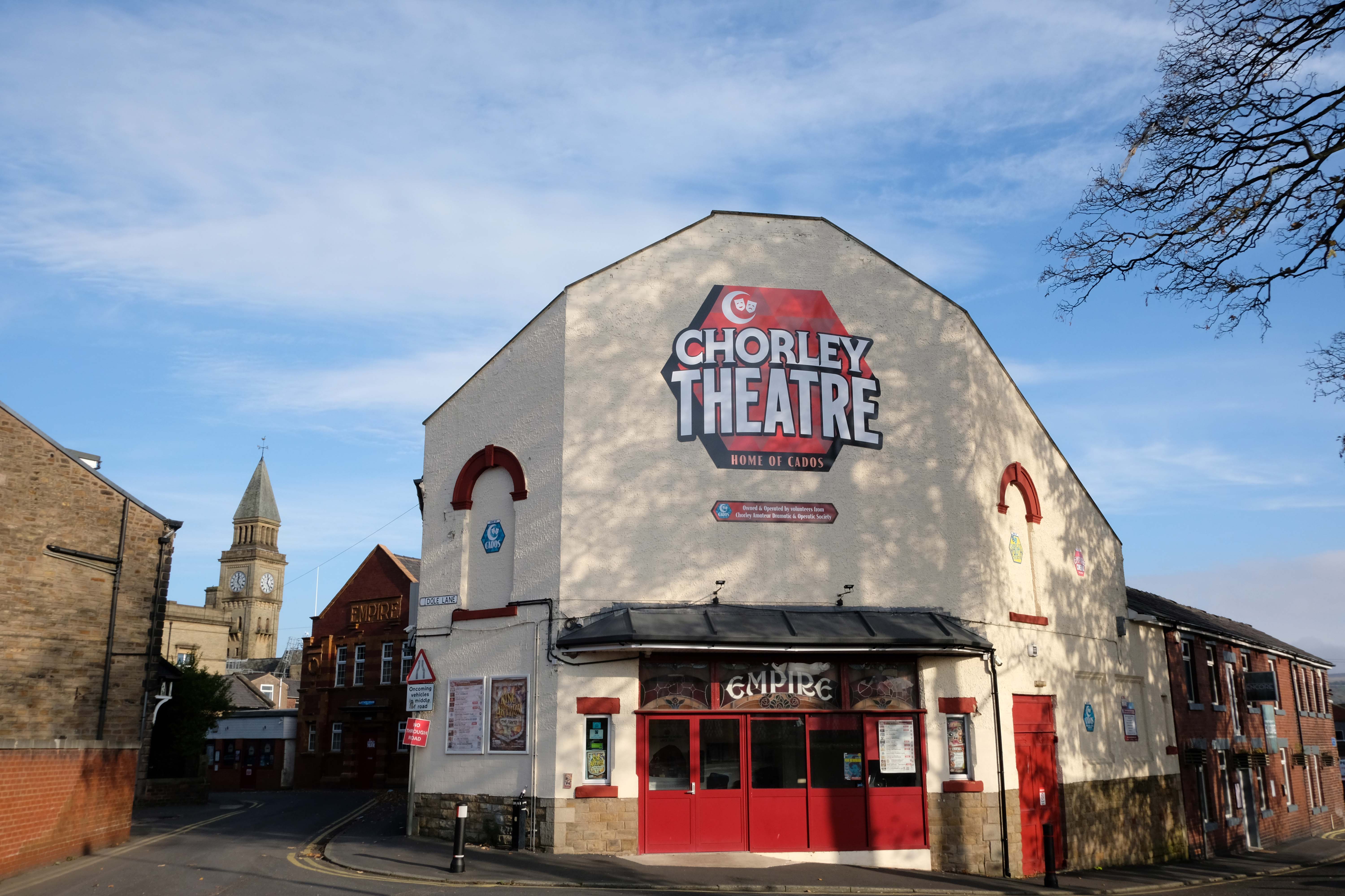
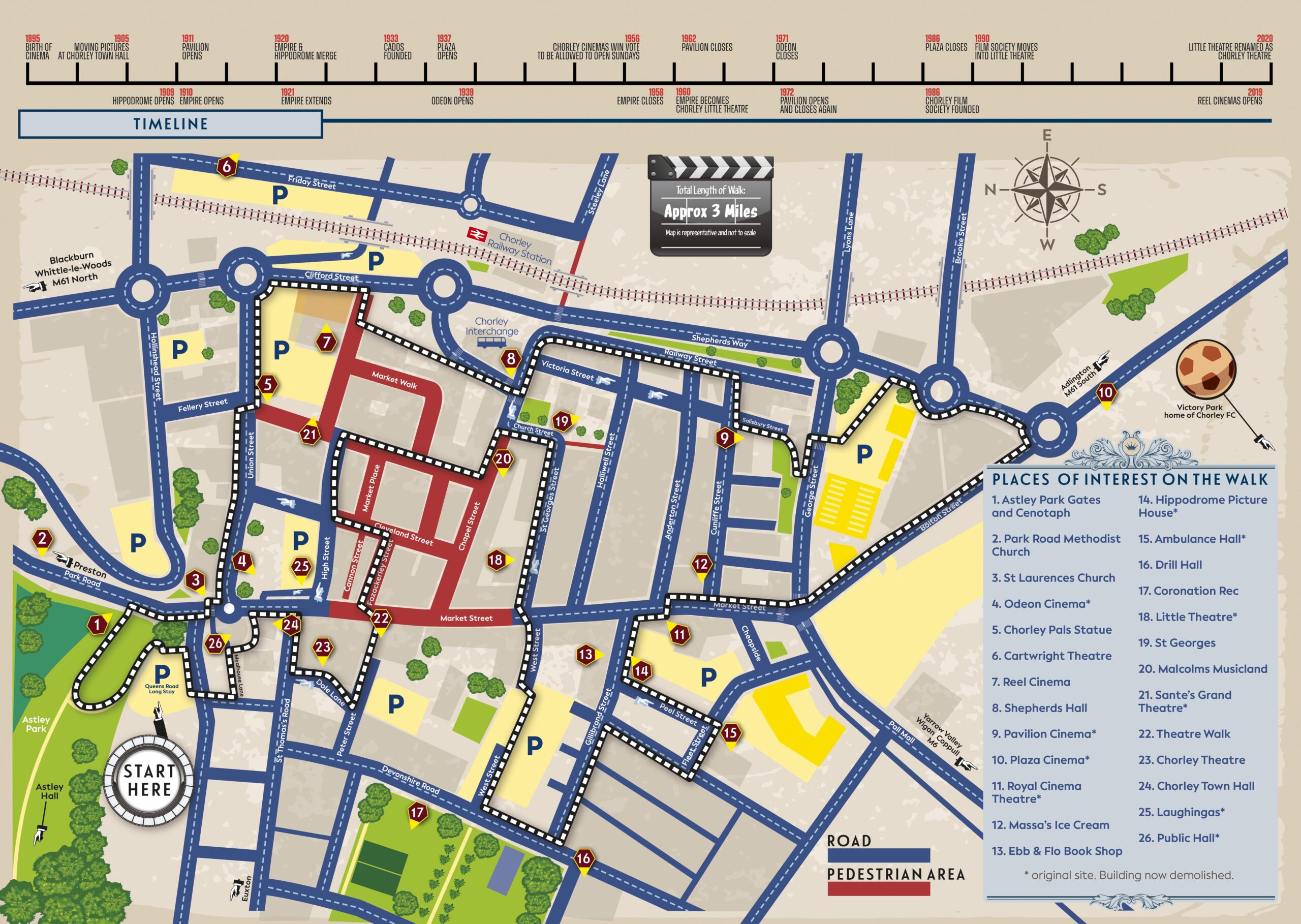
Let’s go to the theatre – The Empire tucked away at the back of town.
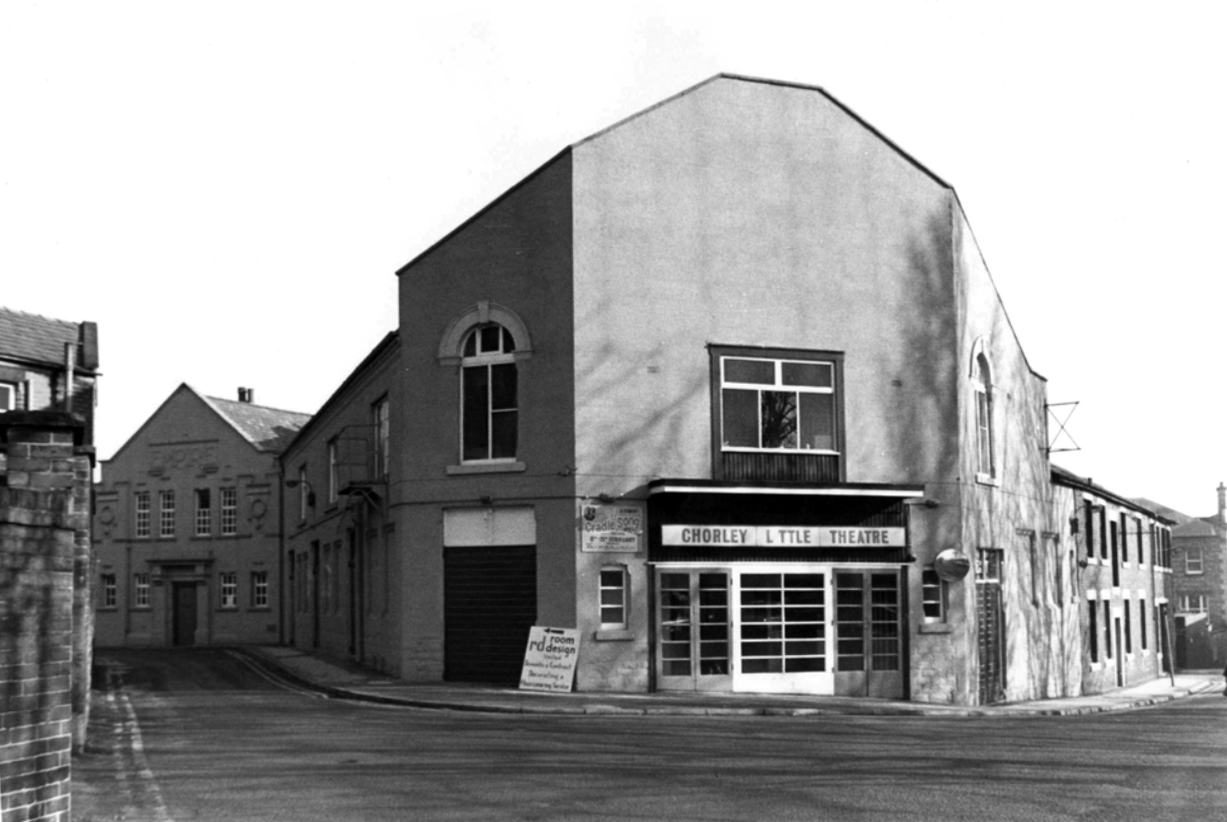
The Empire Electric Theatre opened, as the town’s first purpose-built cinema, on 3rd September 1910. In 1912 Archie Hooley began his connection with the cinema business at the Empire Electric Theatre. By 1927 it had been re-named Empire Cinema and by 1930 it was equipped with a Western Electricsound system and was operated by the Perfecto Filmograph Co. Ltd. By 1939 it was operated by the Snape & Ward chain. According to the Kine Year Books, in 1940 the seating was for 800, while by 1952 it had been reduced to 679 – still a far cry from today’s 236 seats. 3D films were shown in the early-1950’s. Archie had died in 1944; his son Selwyn closed the cinema in 1957, apparently “because of the taxes”.
1959
Wrestling took over for a while before Chorley Amateur Dramatic and Operatic Society – CADOS acquired the building and renamed it the Chorley Little Theatre. Since 1960 CADOS have been putting on high-quality productions, presenting at least six productions per season – from September to July. It is also the home of the award-winning Chorley Youth Theatre who meet every Saturday, putting on shows throughout the year; and Chorley Empire Community Cinema who present the cinema experience on their 21ft wide screen with 8-Speaker Surround Sound. Run entirely by volunteers the theatre has state-of-the-art sound systems and a full range of lighting equipment. There are two spacious dressing rooms, space for costumes and props and the Empire Bar. The building has disabled access throughout the public area, including a toilet, and the auditorium is fitted with a hearing loop. There are three spaces for wheelchairs in the auditorium. It was re-named Chorley Empire Cinema at Chorley Theatre in October 2019 and films are still part of the programming.
The Odeon Market Street was built for and operated by Oscar Deutsch’s Odeon Theatres Ltd. chain, it opened on 21st February 1938 with Jack Buchanan in The Sky’s the Limit.
Architect Harry Weedon was assisted by PJ Price.
It was closed by the Rank Organisation on 6th February 1971 with George Lazenby in “On Her Majesty’s Secret Service”. After laying closed and un-used for over two years it was sold to an independent bingo operator and re-opened on 9th August 1973 as a Tudor Bingo Club. It later became a Gala Bingo Club which was renamed Buzz Bingo Club in June 2018. It was closed on March 21, 2020 due to the Covid-19 Pandemic. On 15th July 2020 it was announced that the closure would be permanent.
The building was handed over to Chorley Council who decided that asbestos removal would be too costly and the building was demolished in August 2021.
Located on Salisbury Street, off Cunliffe Street, built in 1888 as a military warehouse, it was converted into a roller skating rink around 1909. It opened as the Pavilion Picture Palace on 14th September 1911, operated by George Testo Sante, a music hall strong man, who also operated the Grand Theatre as a cinema. By 1915, music hall acts were also part of the programme. After the end of World War I, the flat floor of the cinema was raked, allowing for better viewing of the screen. The proscenium was 30ft wide, the stage was 16 feet deep and there were two dressing rooms.
The Pavilion Cinema was the first in town to screen ‘talkies, when an Electrochord sound system was installed in 1929. It was taken over by the J.F. Emery Circuit in 1932 and they operated it until the end of 1933. The sound system was upgraded to a British Talking Pictures sound system. In 1954 it was the first cinema in town to be fitted with CinemaScope and the proscenium was widened to 36 feet.
The Pavilion Cinema was closed by 1962 and converted into a bingo club. In 1972 it was re-opened as a cinema again, but due to Star Cinemas chain barring it from showing first run features – they operated the Plaza Cinema, it was closed after 5 months of operation. It was later demolished and the area was redeveloped for housing.
No trace of The Hippodrome Theatre on Gillibrand Street, which was built and opened in 1909, or the Theatre Royal, opened on 30th September 1911, It was demolished in 1959.
A supermarket was built on the site which later became a McDonalds, which is now a Pizza Hut.
Last but not least – located on the Flat Iron Parade, aka Cattle Market, The Grand Theatre was a wooden building built in 1885, which presented melodramas and plays. In June 1909 it was taken over by George Testo Santo, who had been a music hall strongman, and his family. It went over to operating as a Picture Palace for a short season.
By 1914 it was operating as a full time cinema, but was destroyed by fire in 1914.
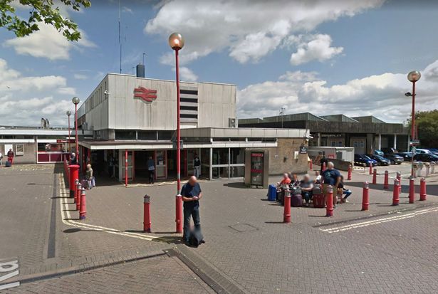
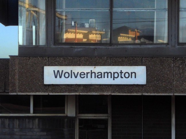
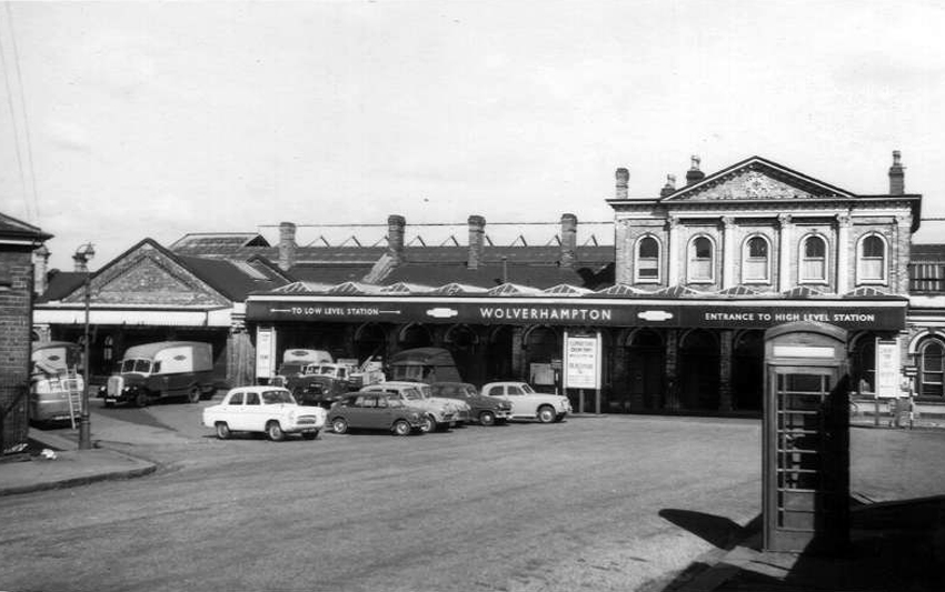
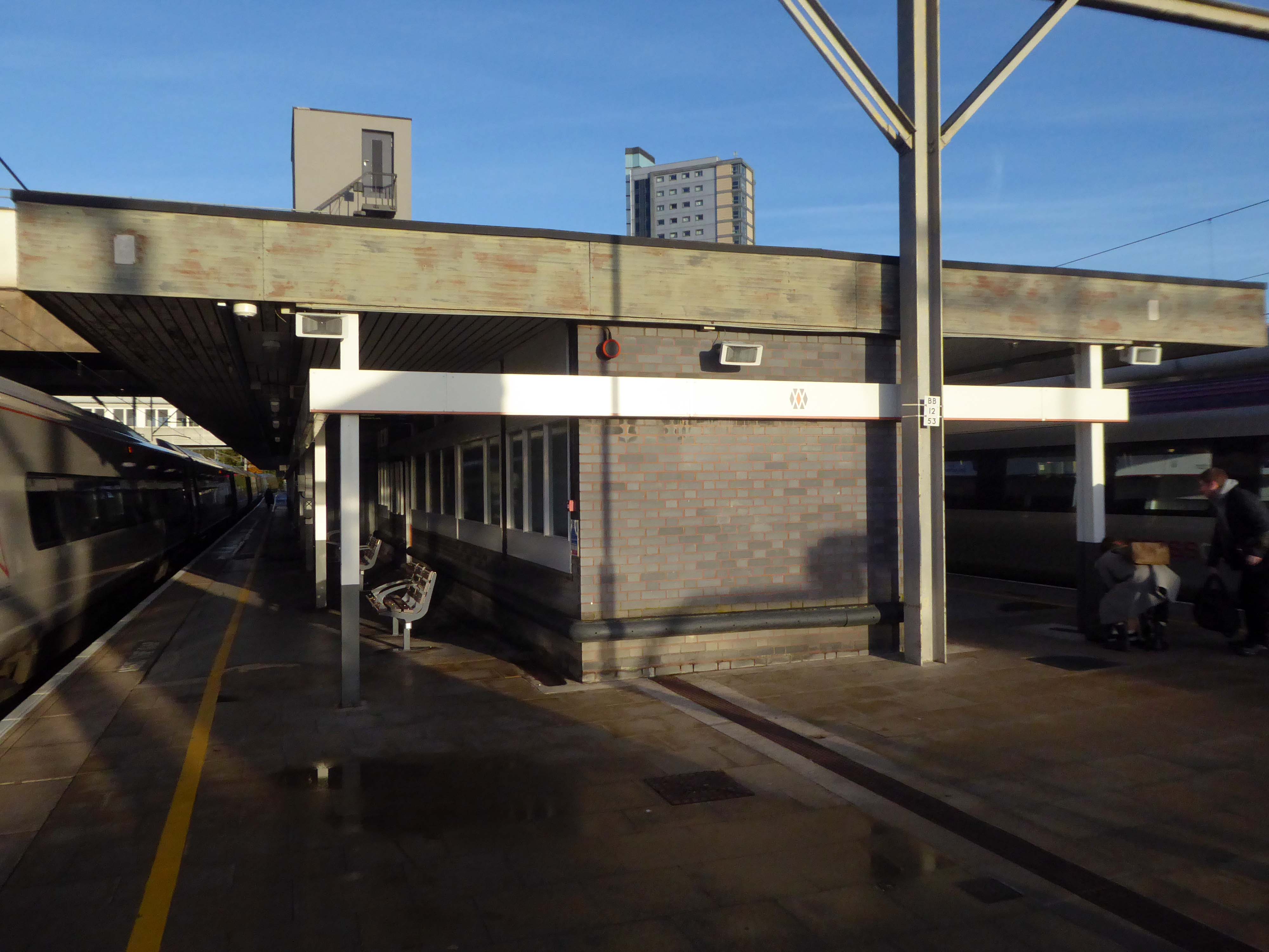
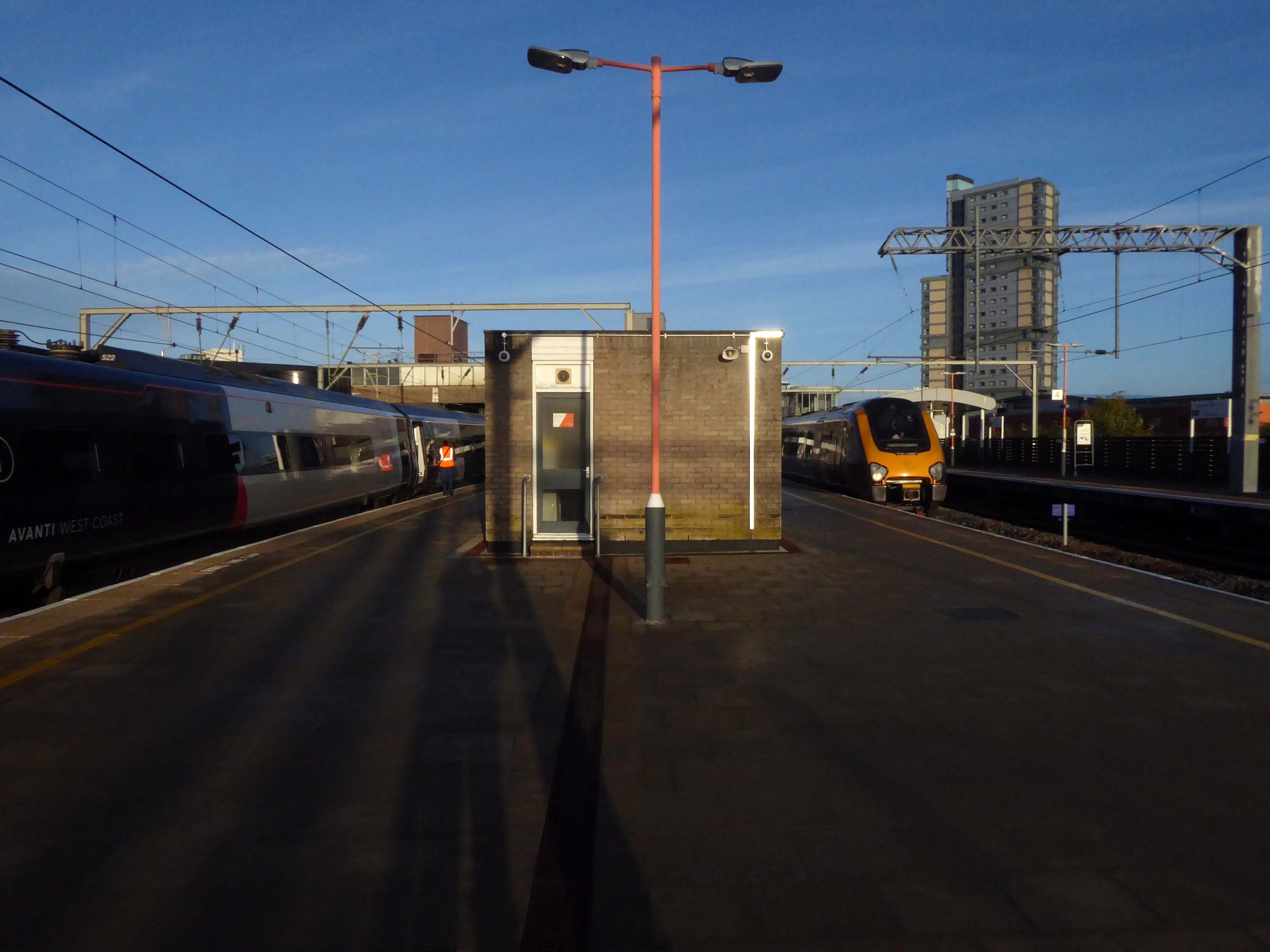
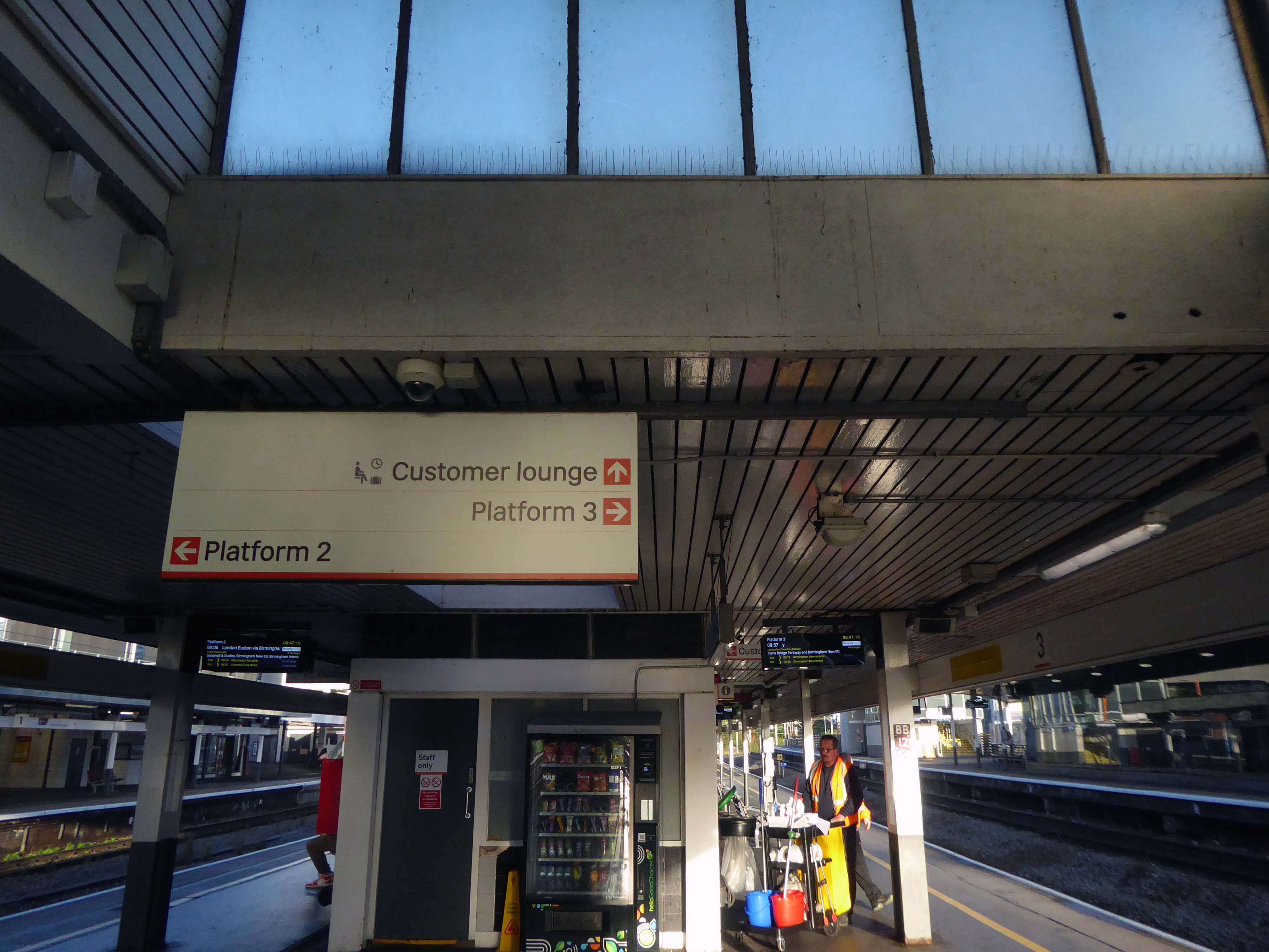
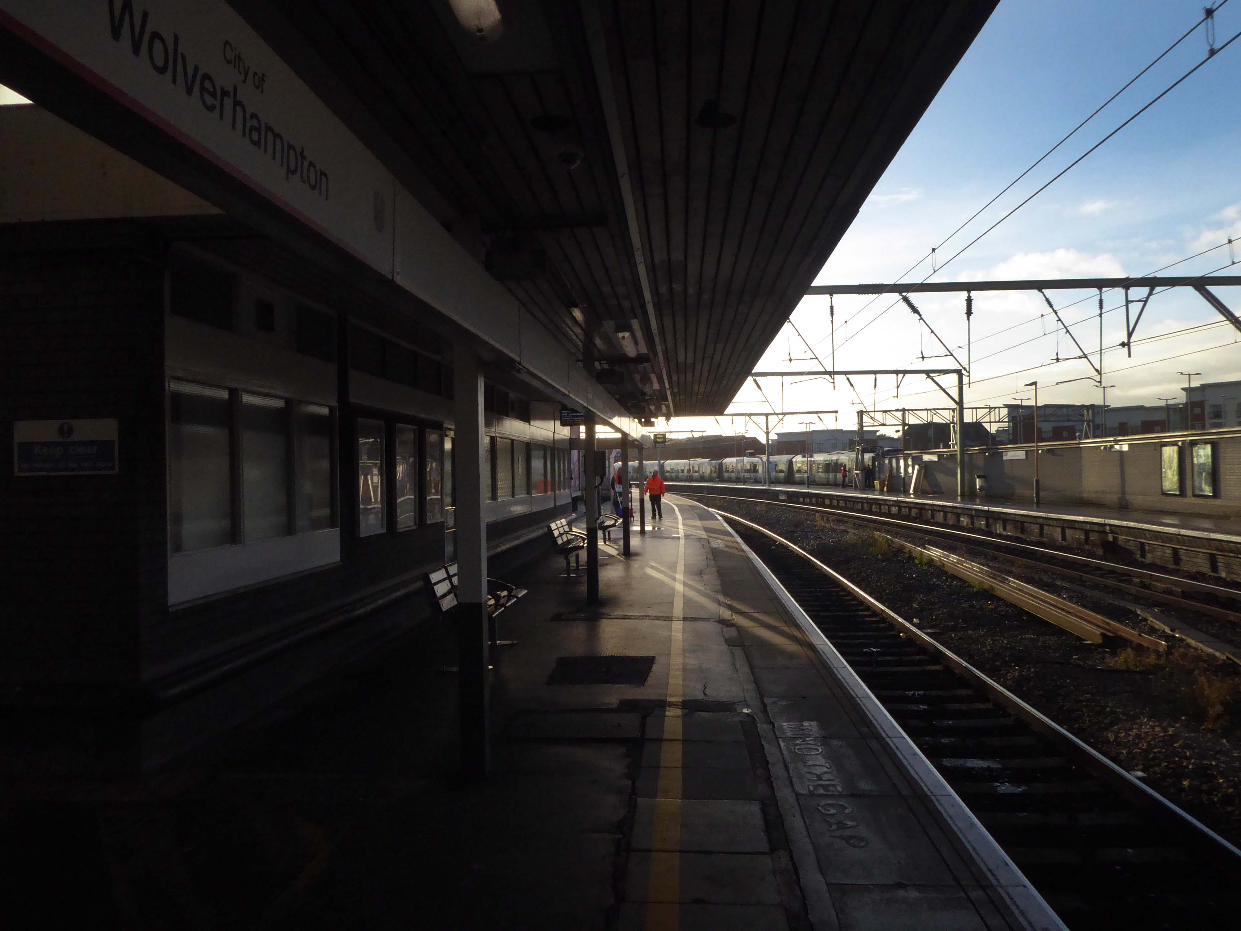
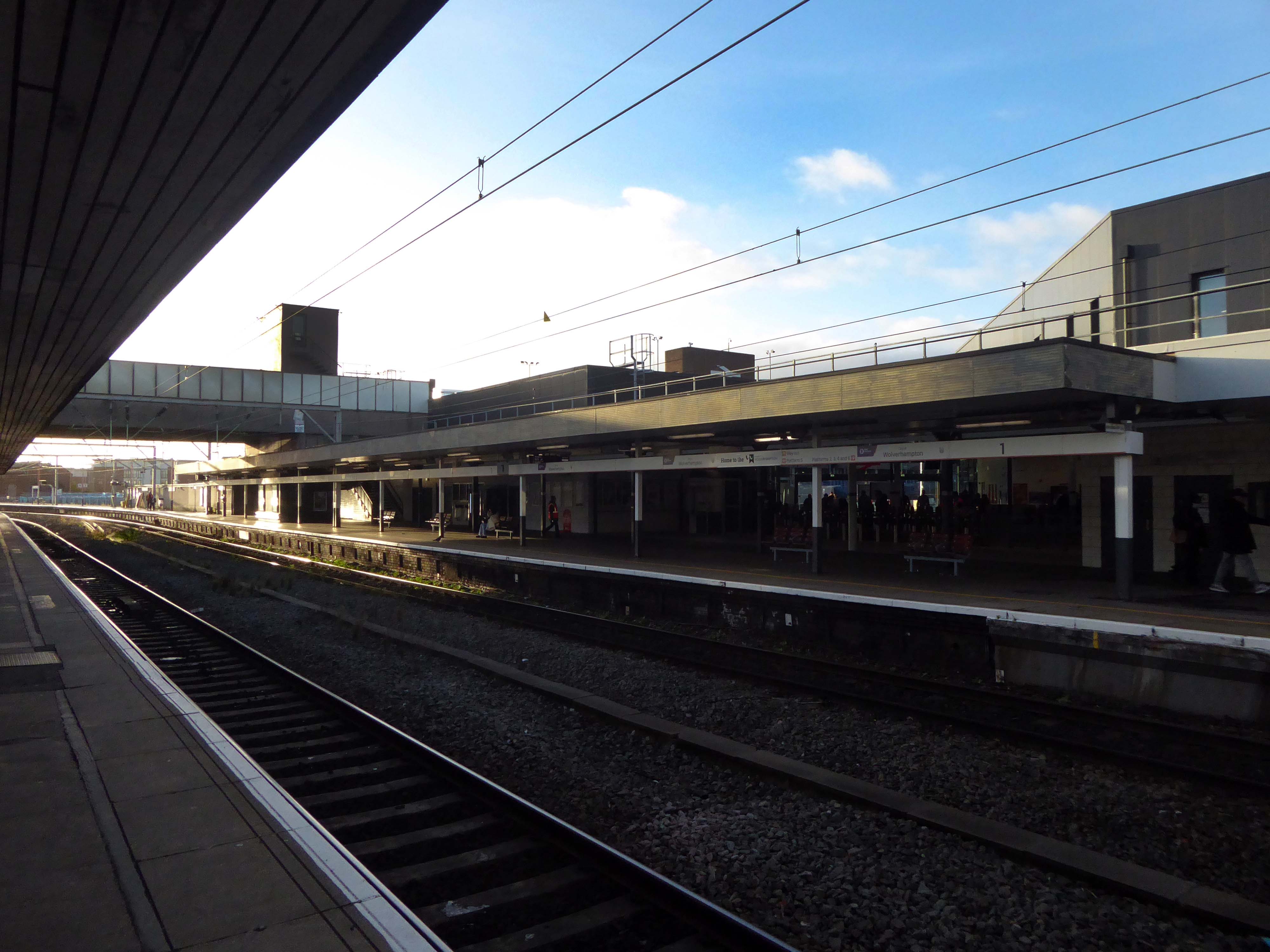
Wolverhampton High Level Station was built in 1852 and lay on what used to be known as the Stour Valley Line. The modern day Wolverhampton Station now occupies the site and there is little left of what my father photographed as the station suffered a major phase of modernisation in the mid 1960’s.
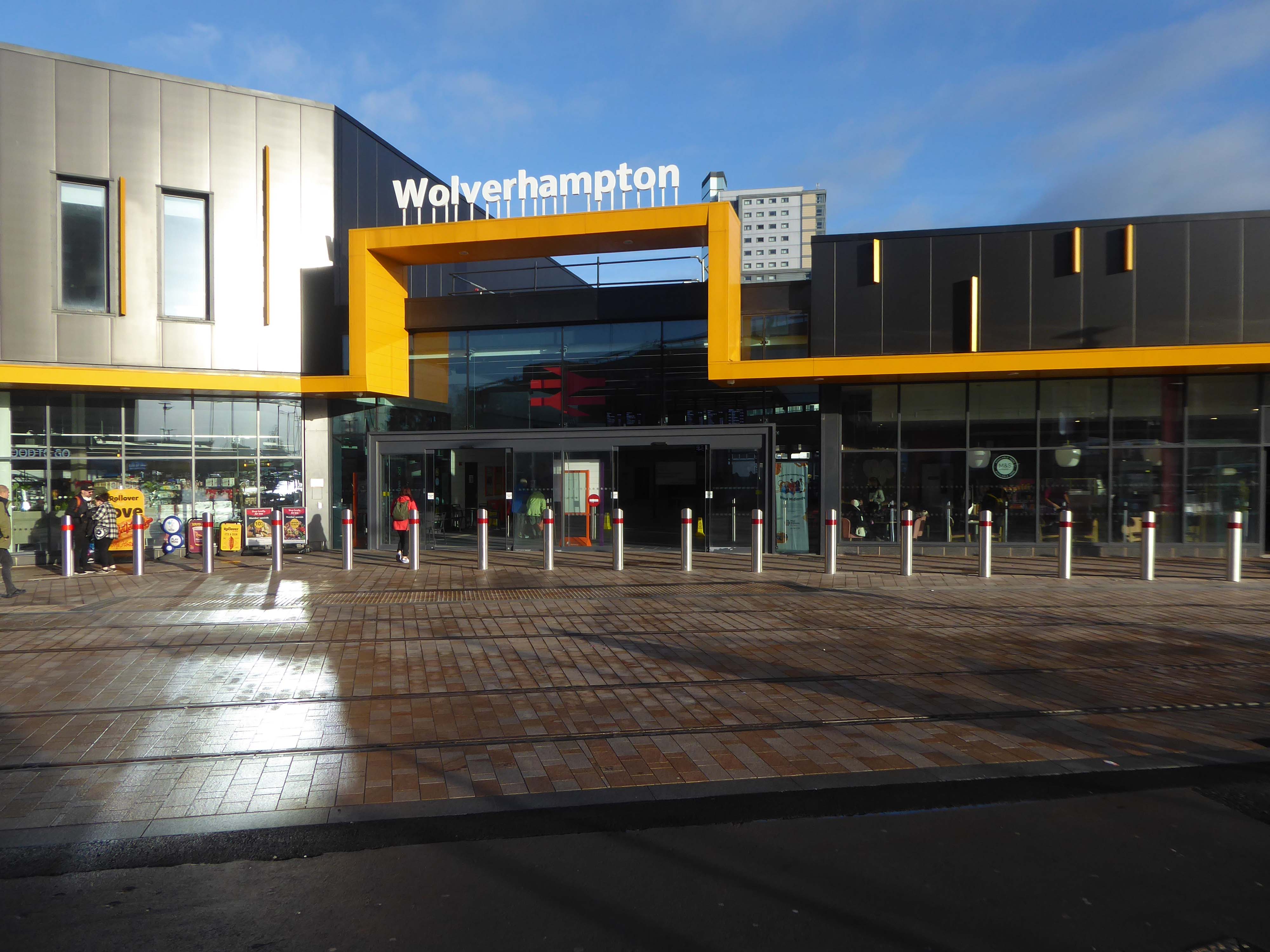
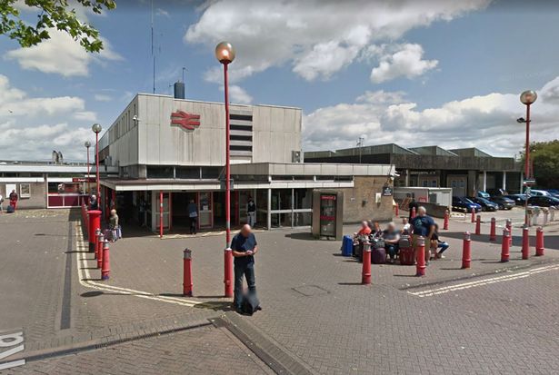
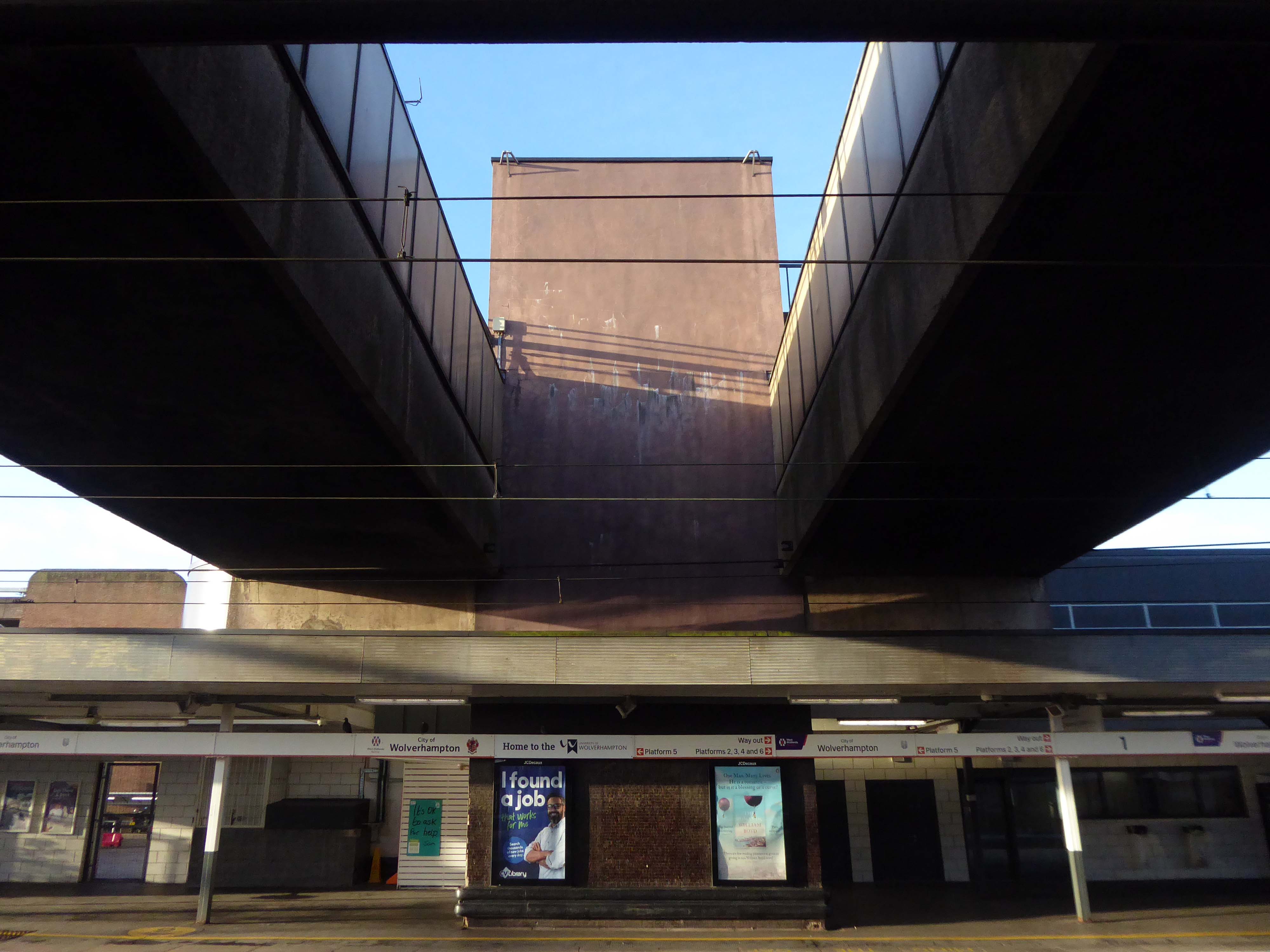
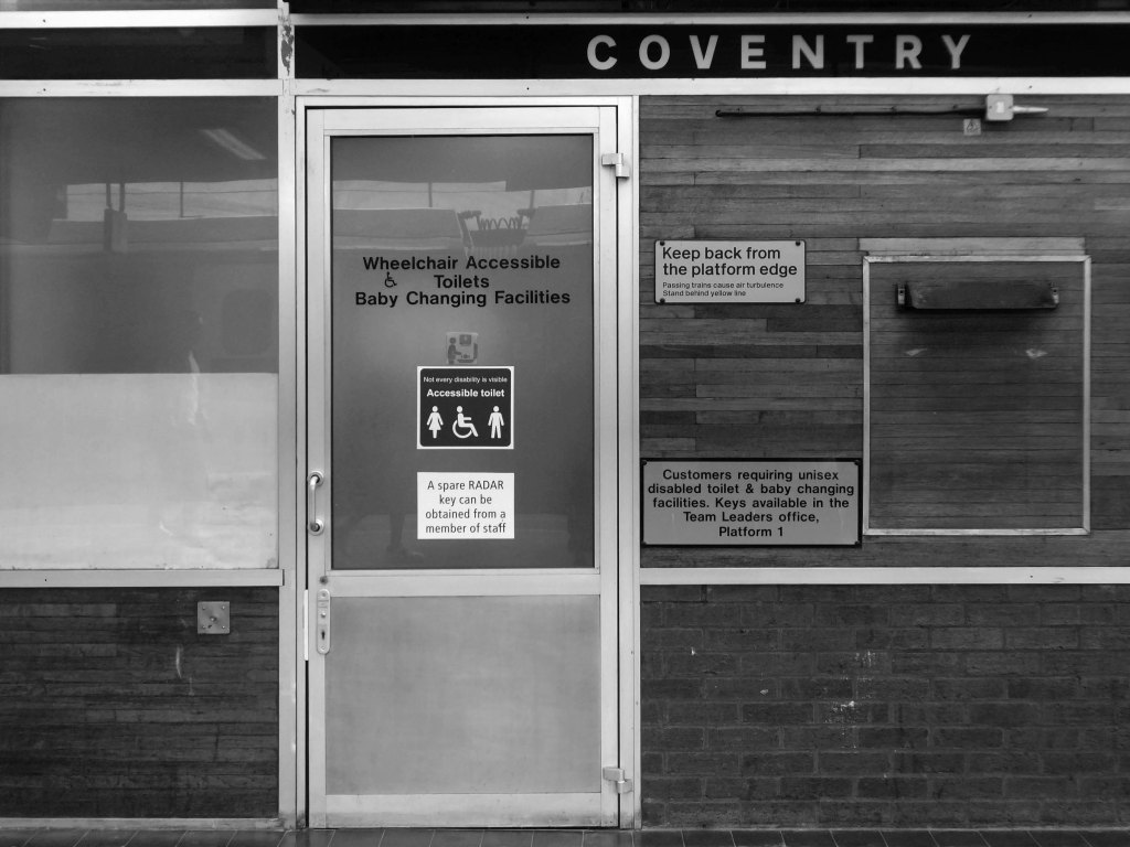
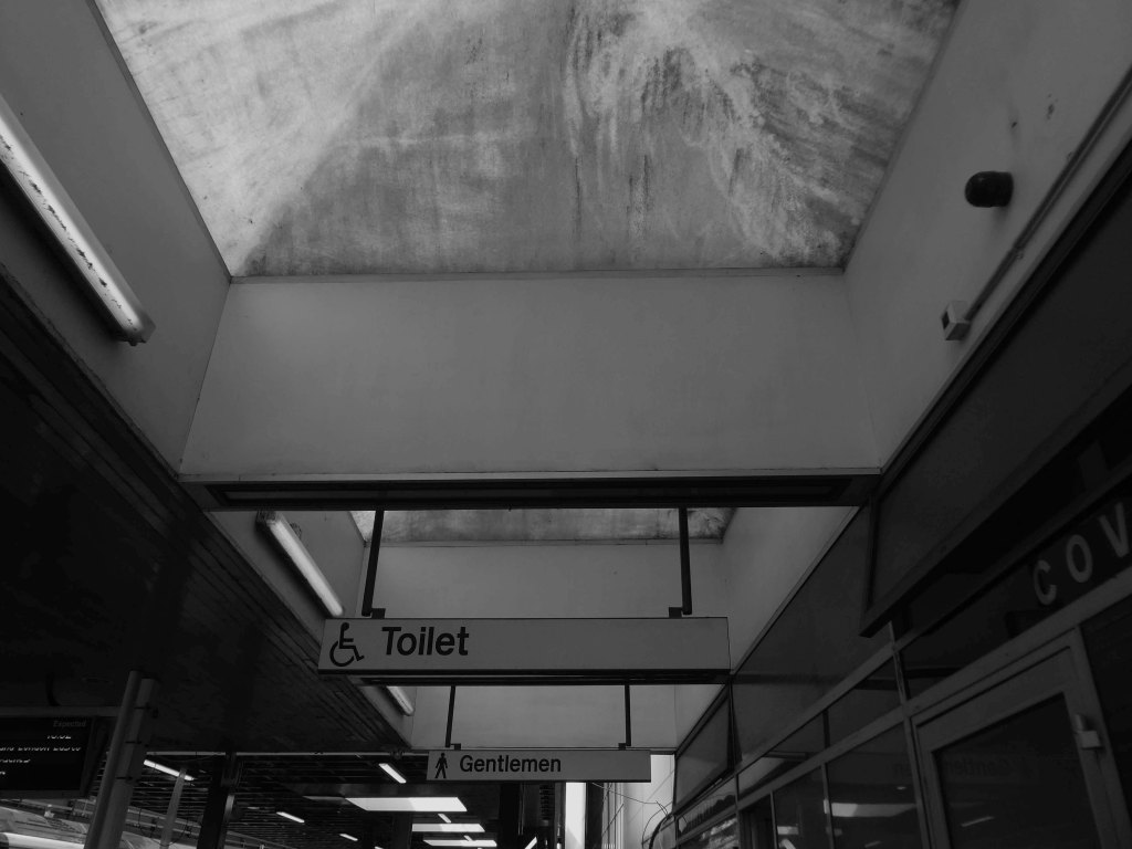
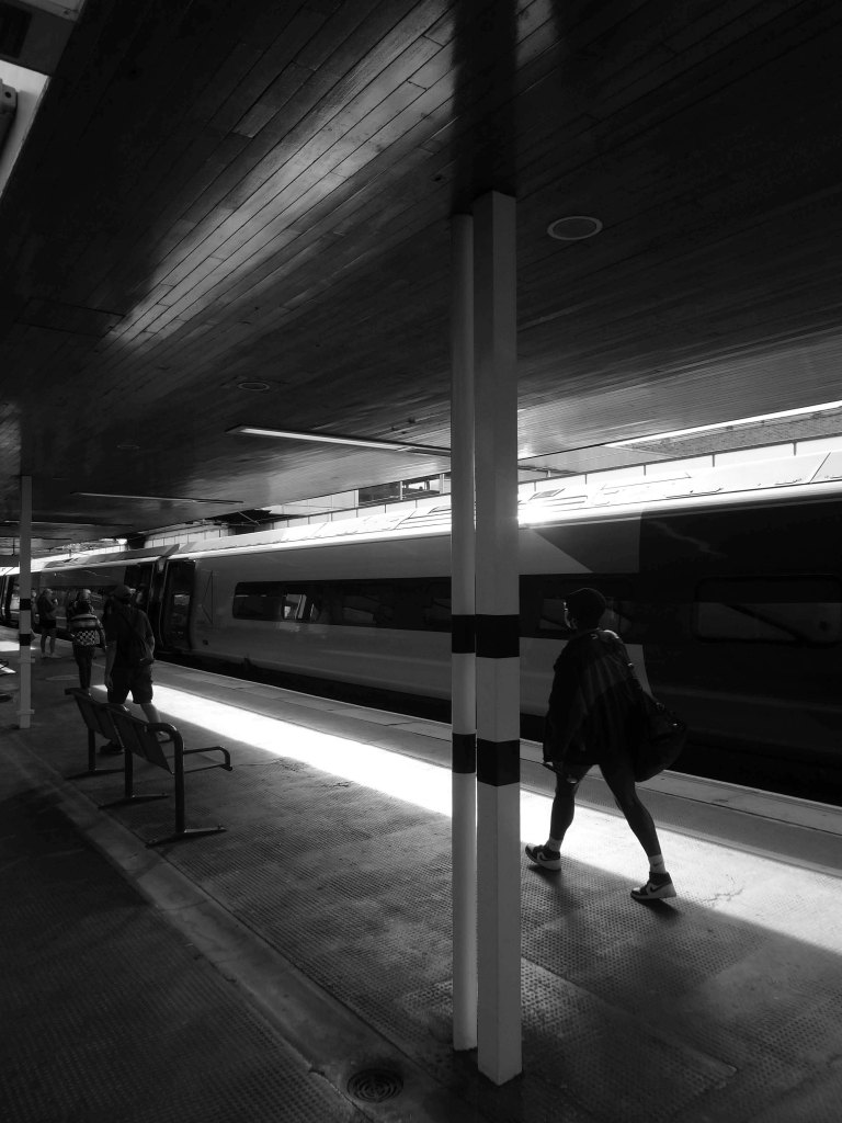
The present Wolverhampton station dates from 1964 to 1967 when the High Level station was completely rebuilt by the architect Ray Moorcroft as part of the modernisation programme which saw the West Coast Main Line electrified.
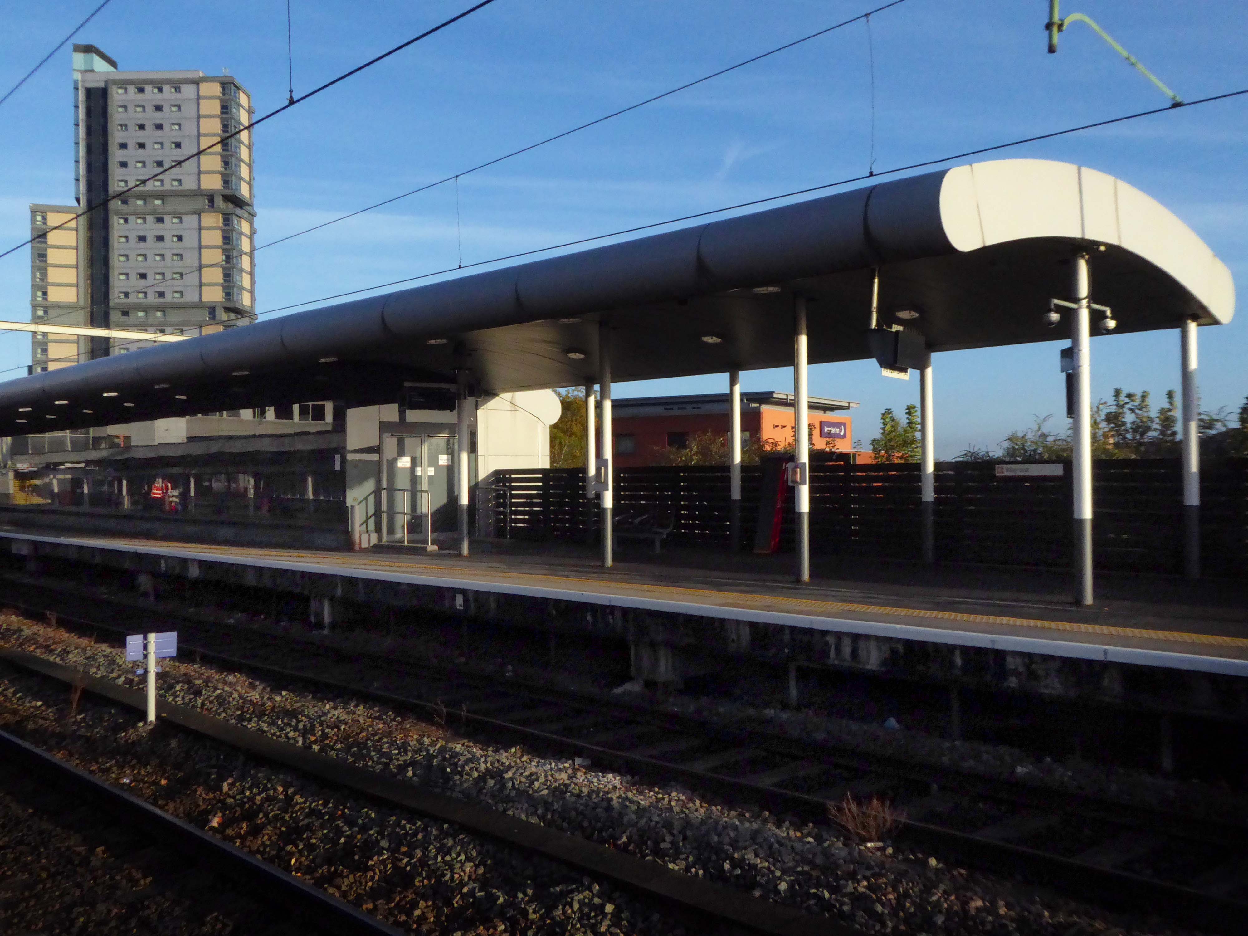
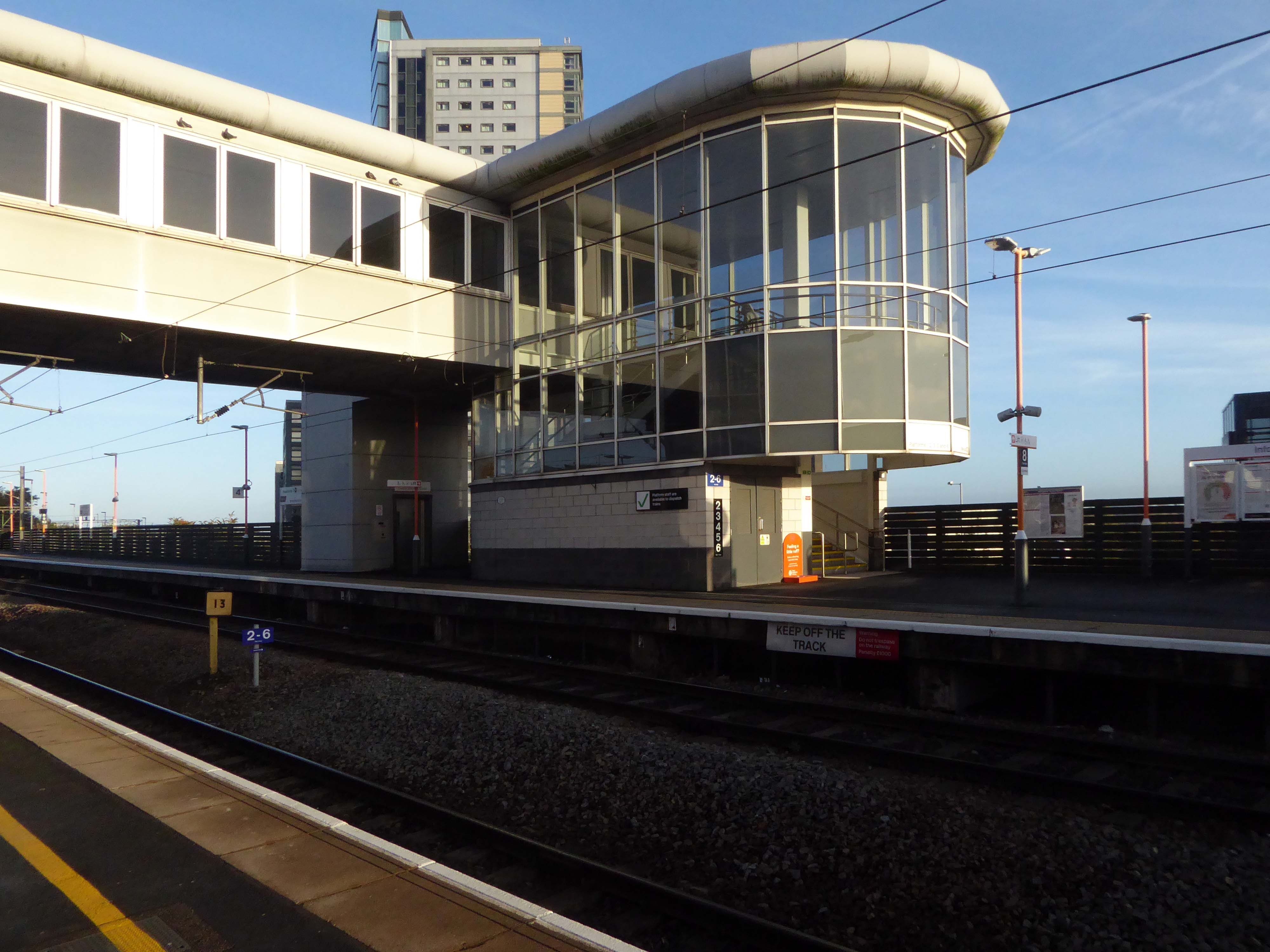
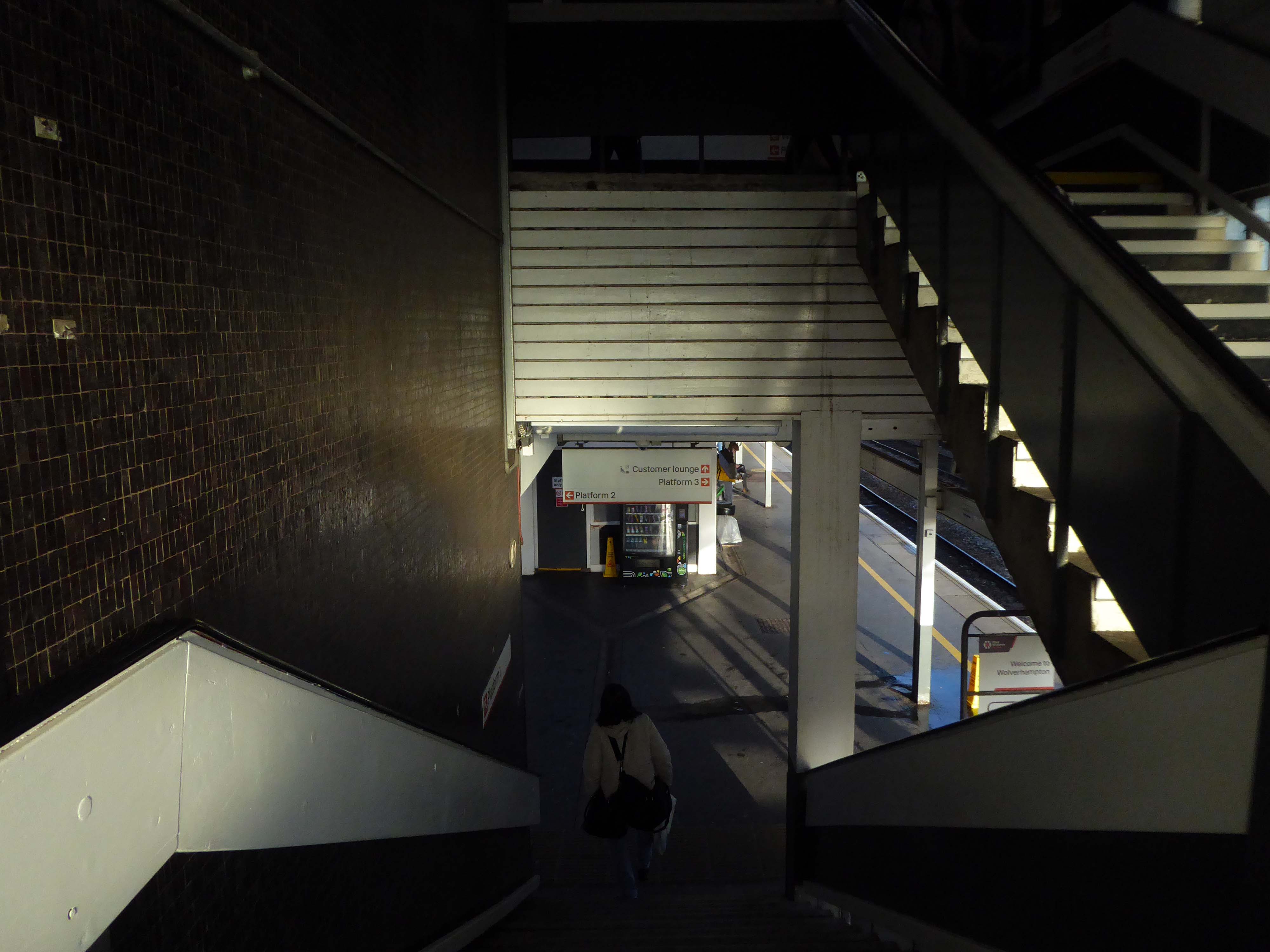
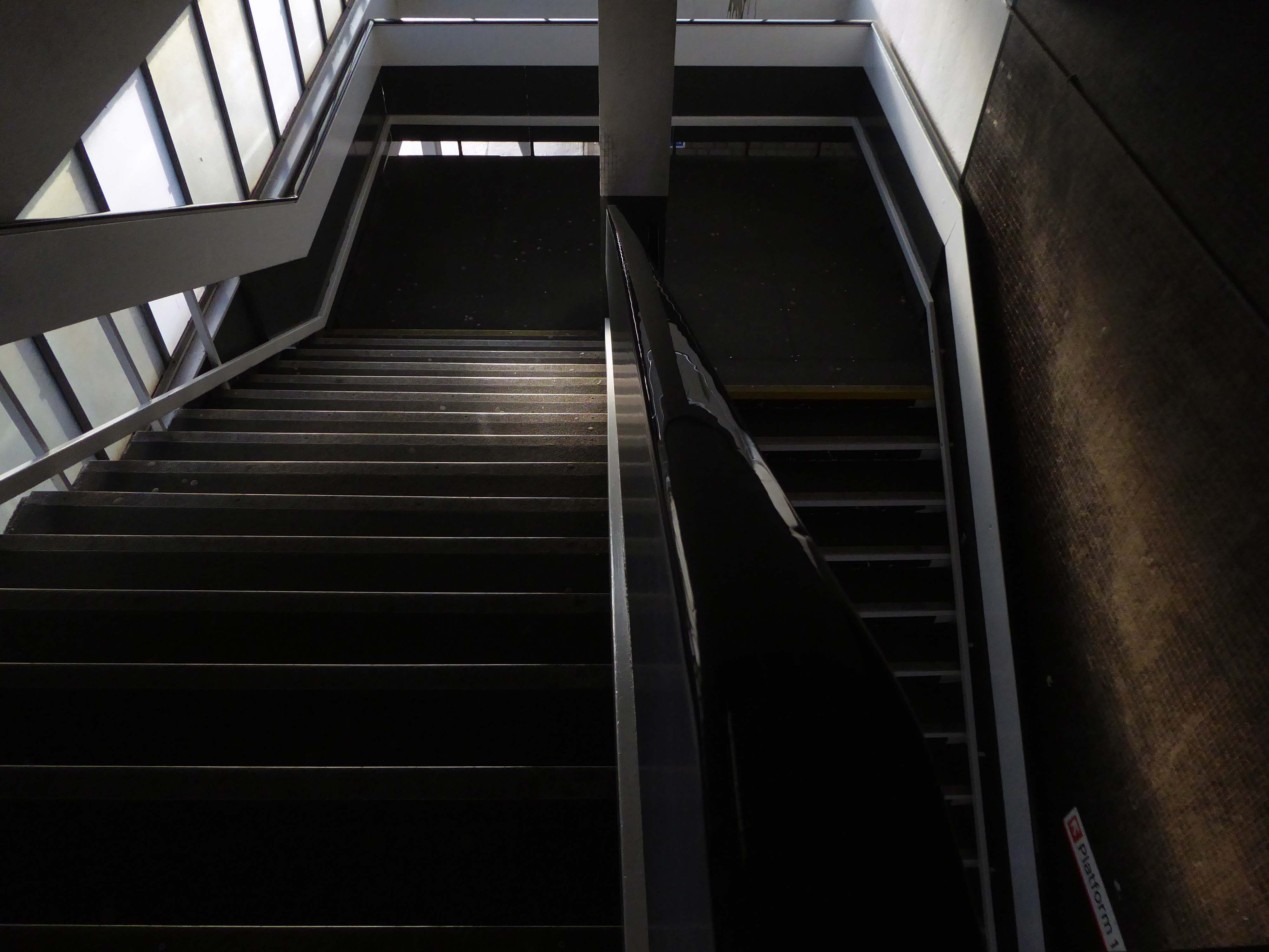
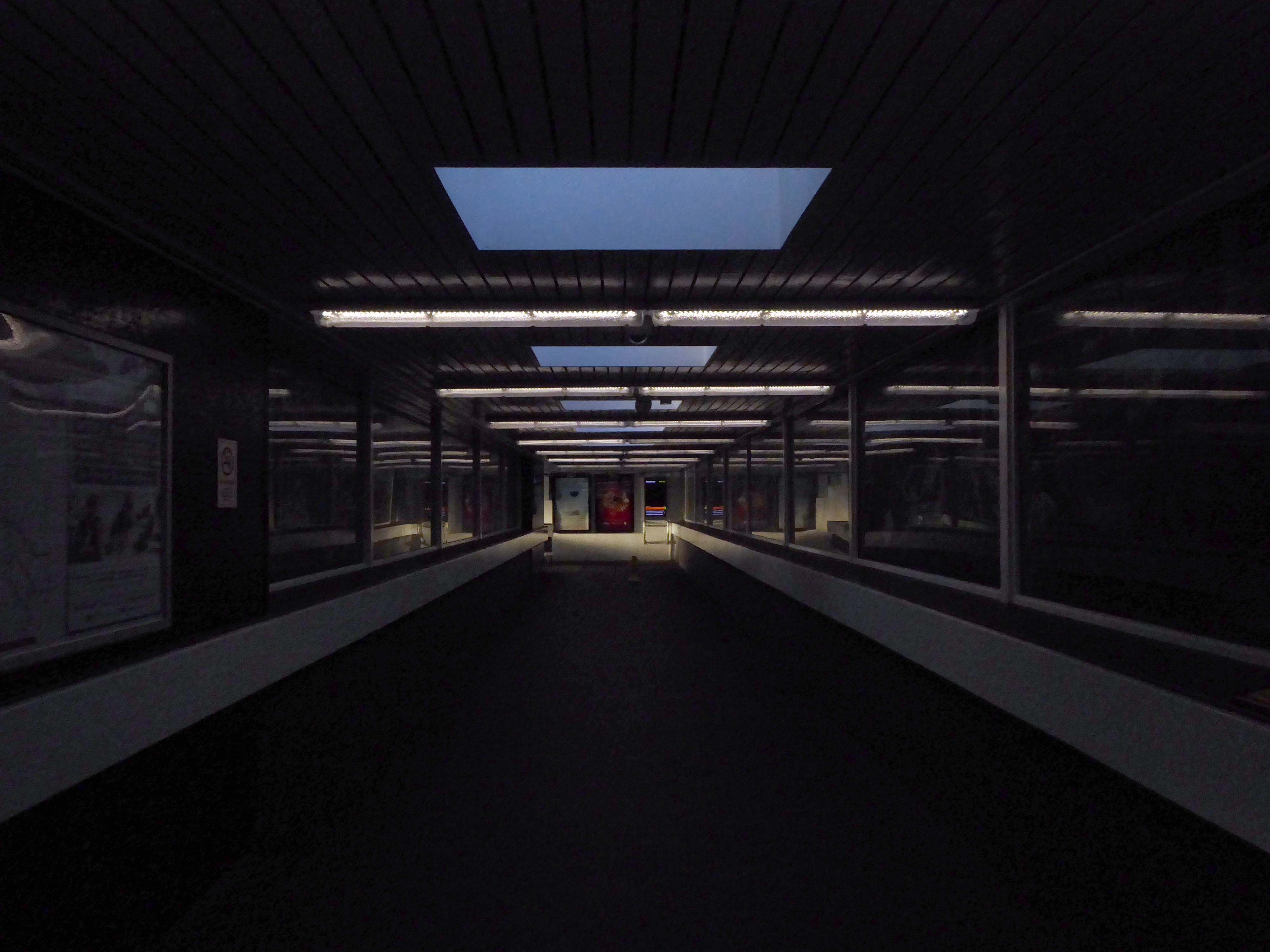
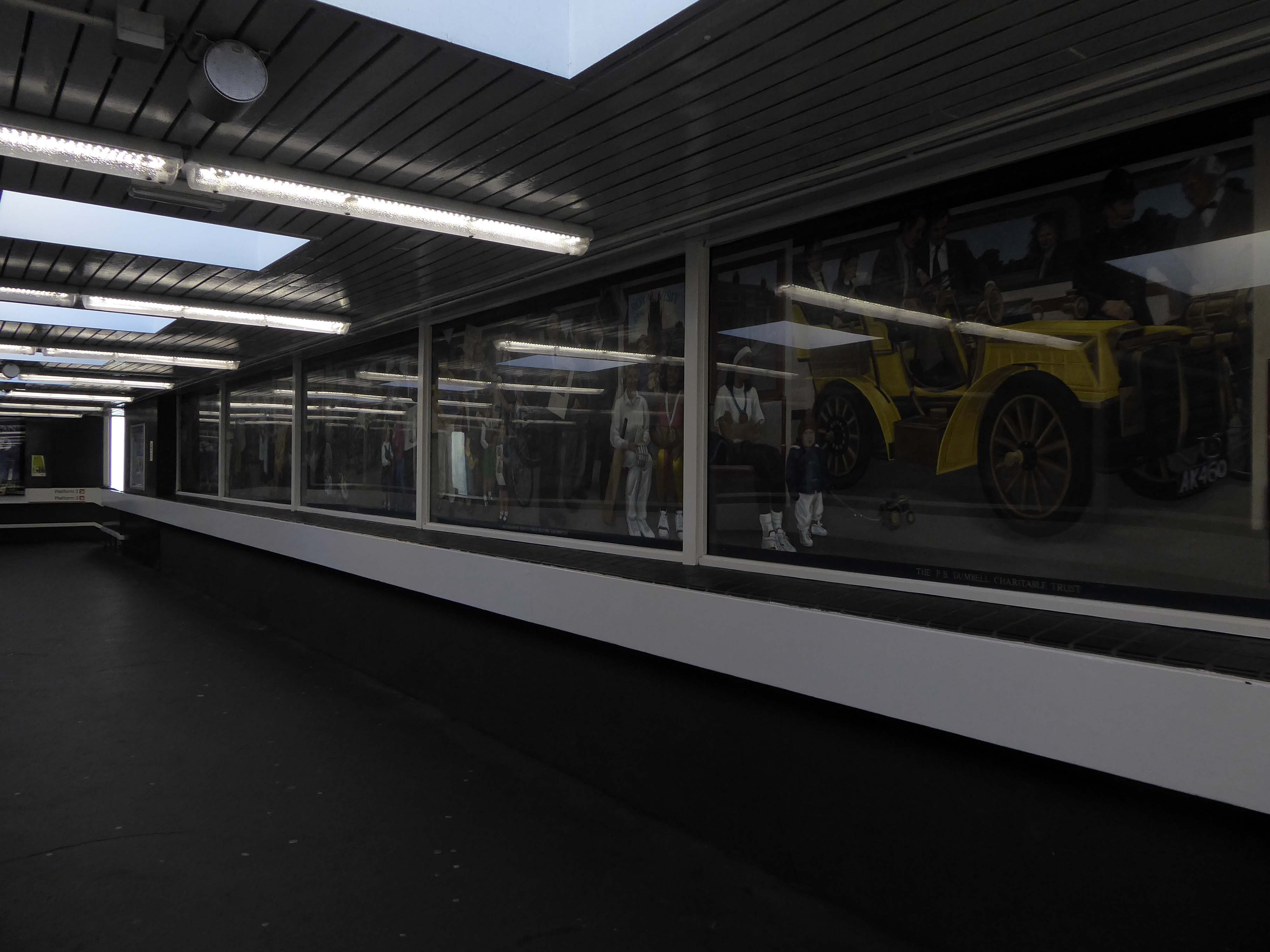
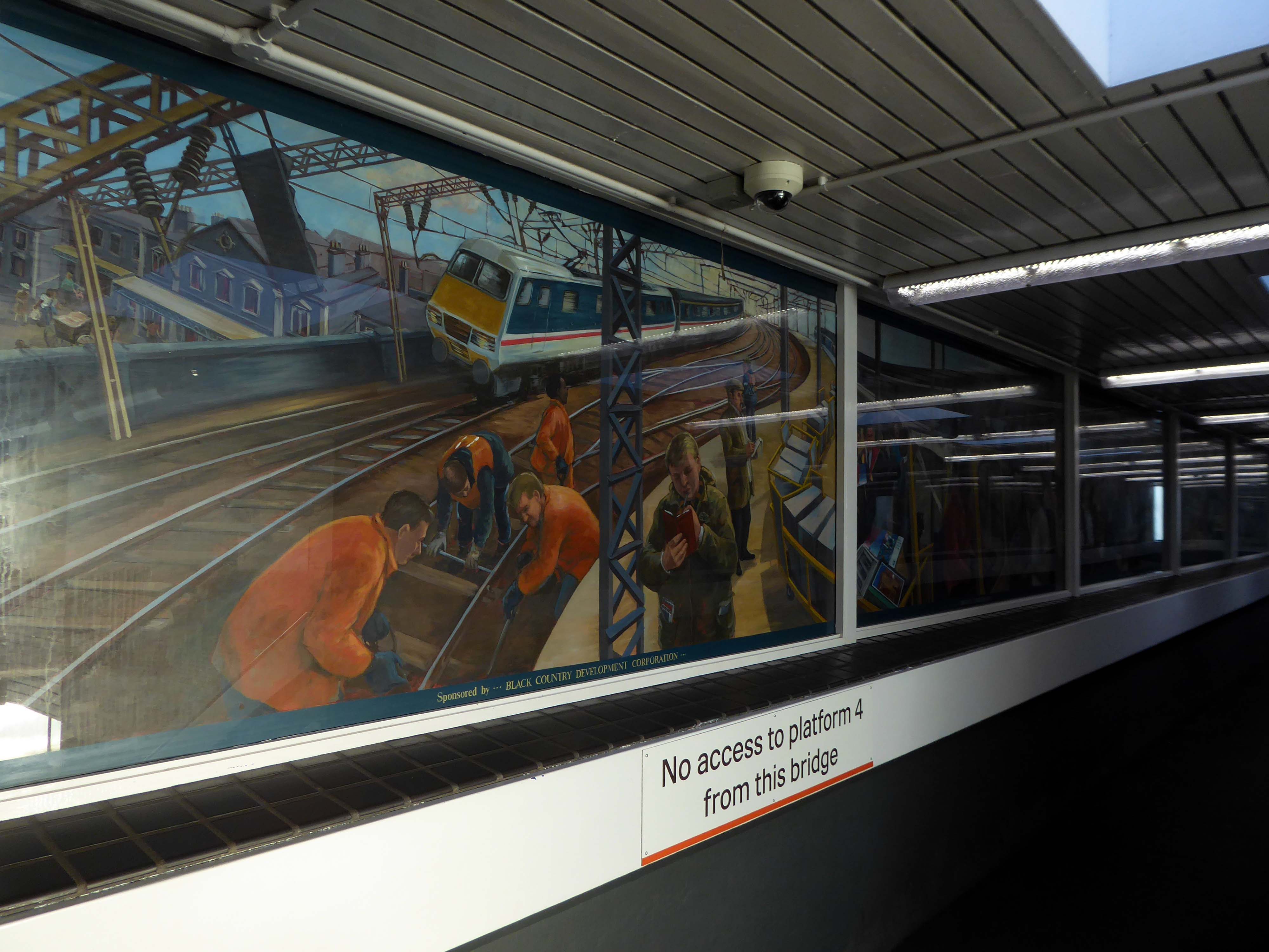
More recently in 2004, a new through platform – platform 4, was constructed on the site of infrequently-used sidings. This has greatly enhanced the capacity of the station. A new footbridge was also constructed, to allow access to the new platform but also to improve access to the existing ones.
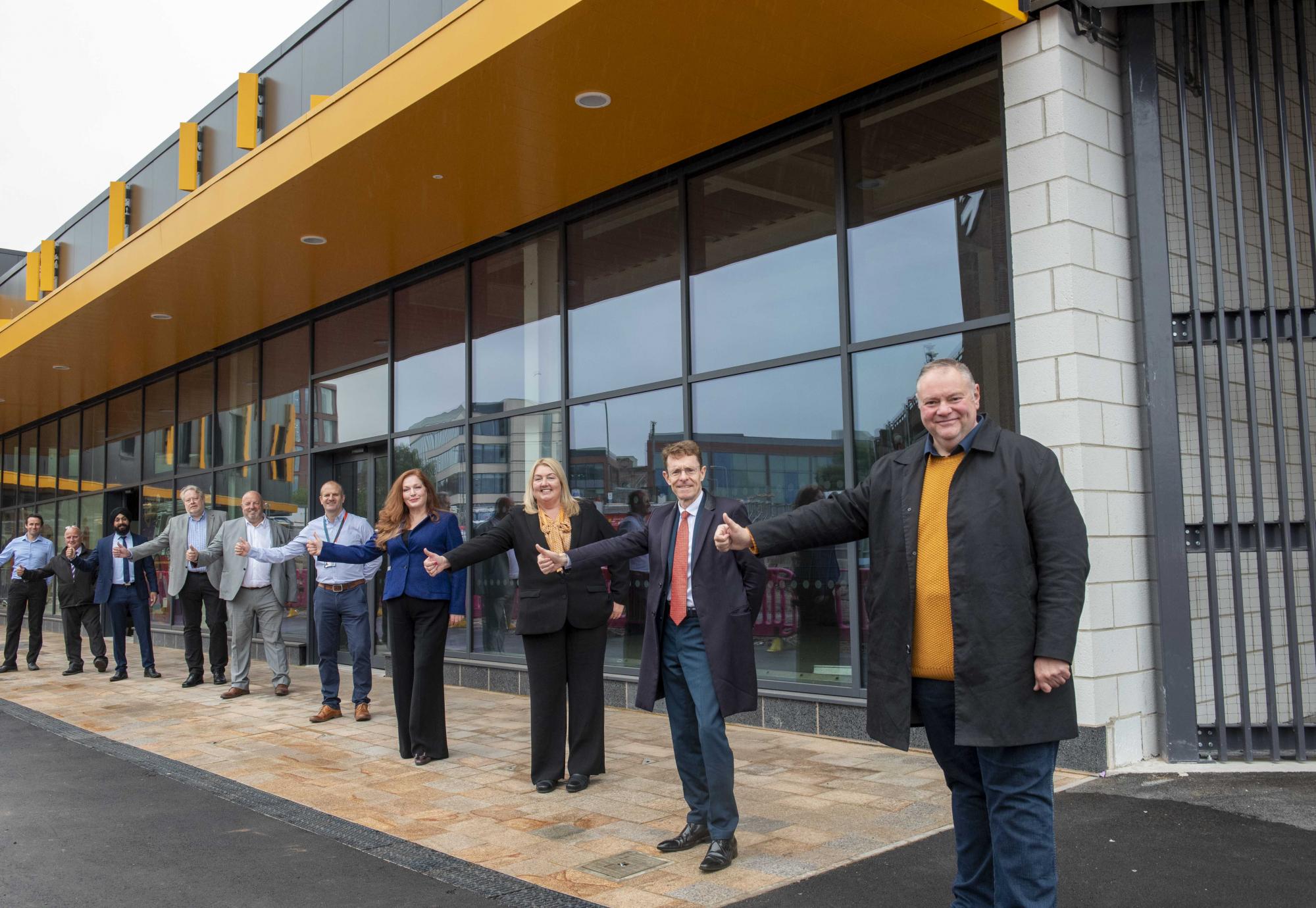
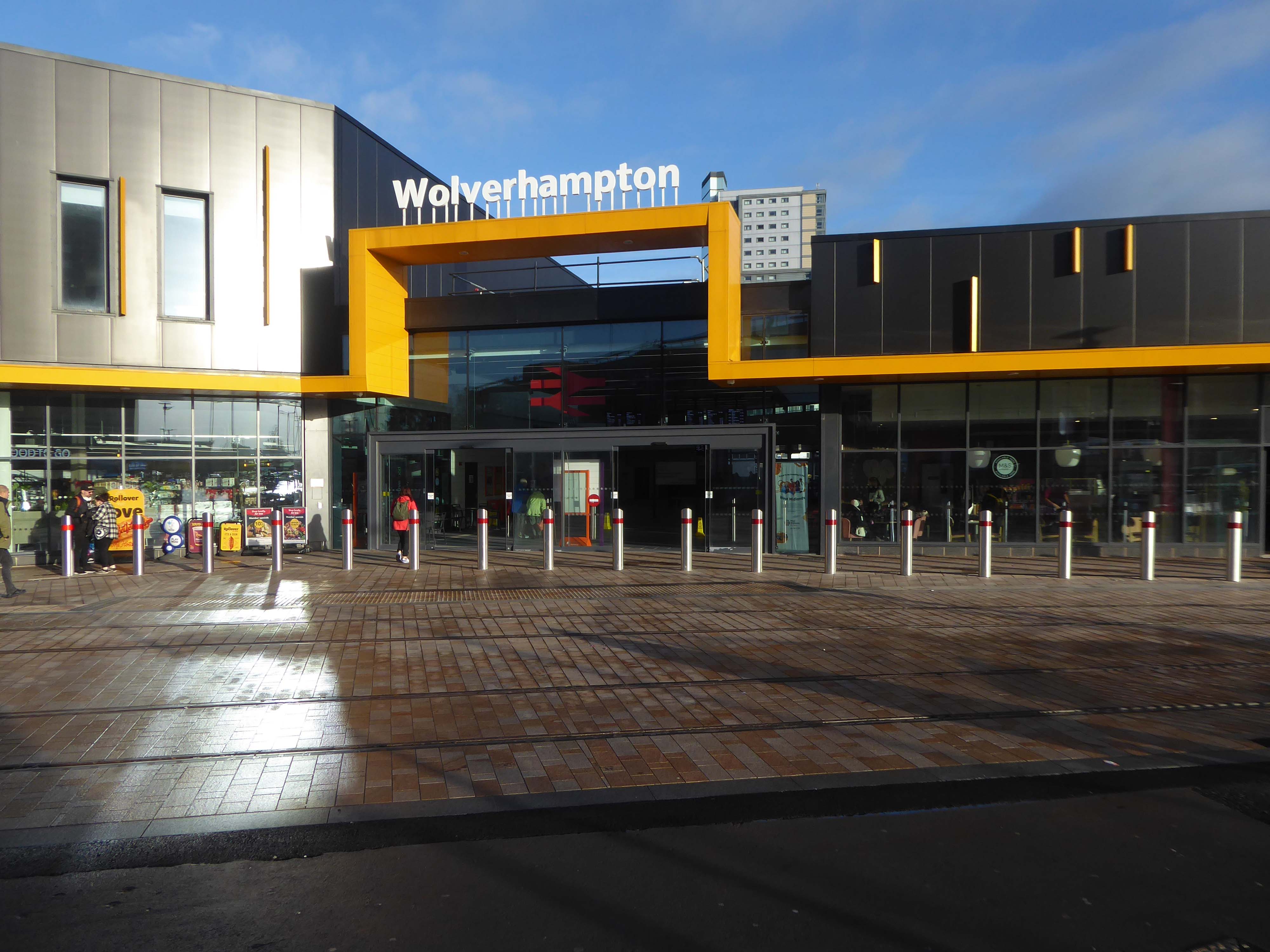
Members of the public are now able to access the second half of the new Wolverhampton railway station, following the completion of main construction on Phase 2 in March 2021.
The new station forms part of a significant local transformation being carried out, as part of the city’s £150m Interchange scheme. Within the city scheme, there are improvements planned for bus, Metro, cycle and train connectivity.
This was my first visit to Wolverhampton, arriving at 8.42 on a crowded Bournemouth bound Cross Country train, which was destined to terminate at Reading.
By wandering aimlessly, all places became equal, and it no longer mattered where he was.
Paul Auster City of Glass.
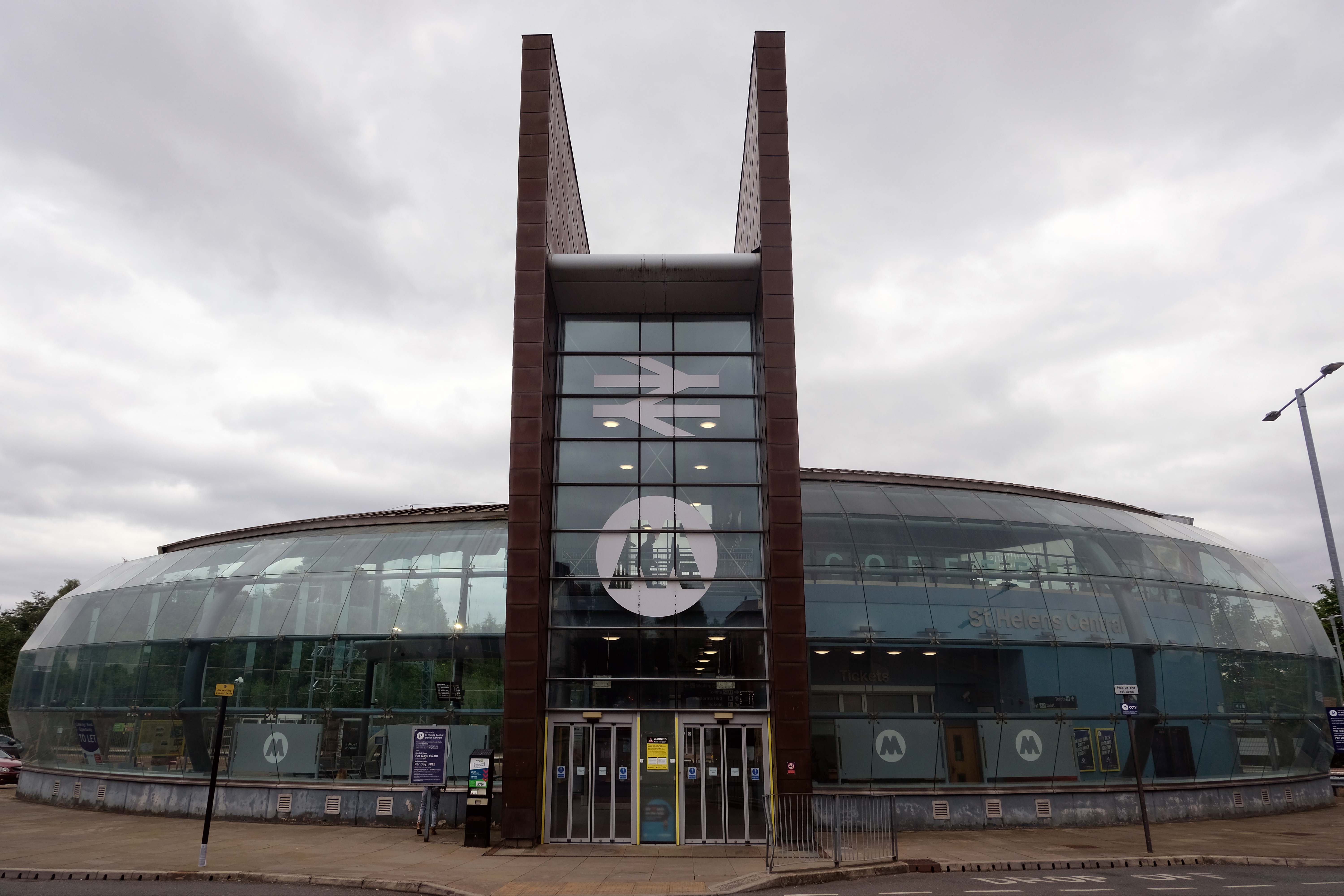
The station as built in 1961 to a design by the architect William Robert Headle, which included and advertised a significant amount of the local Pilkington Vitrolite Glass. The fully glazed ticket hall was illuminated by a tower with a valley roof on two Y-shaped supports. The platform canopies were free standing folded plate roofs on tubular columns.
The new station building and facilities were assembled just a few yards from the 1960s station building and is the third build on the same site. The project came in at a total estimated cost of £6 million, with the European Union contributing £1.7 million towards the total funding. The new footbridge was lifted into place in the early hours of 22 January 2007.
The striking Pilkington’s glass-fronted building was designed by architect SBS of Manchester. Construction work was completed in the summer, with the new waiting rooms and footbridge opened to passengers on 19 September. The new station building was officially opened on 3 December 2007.
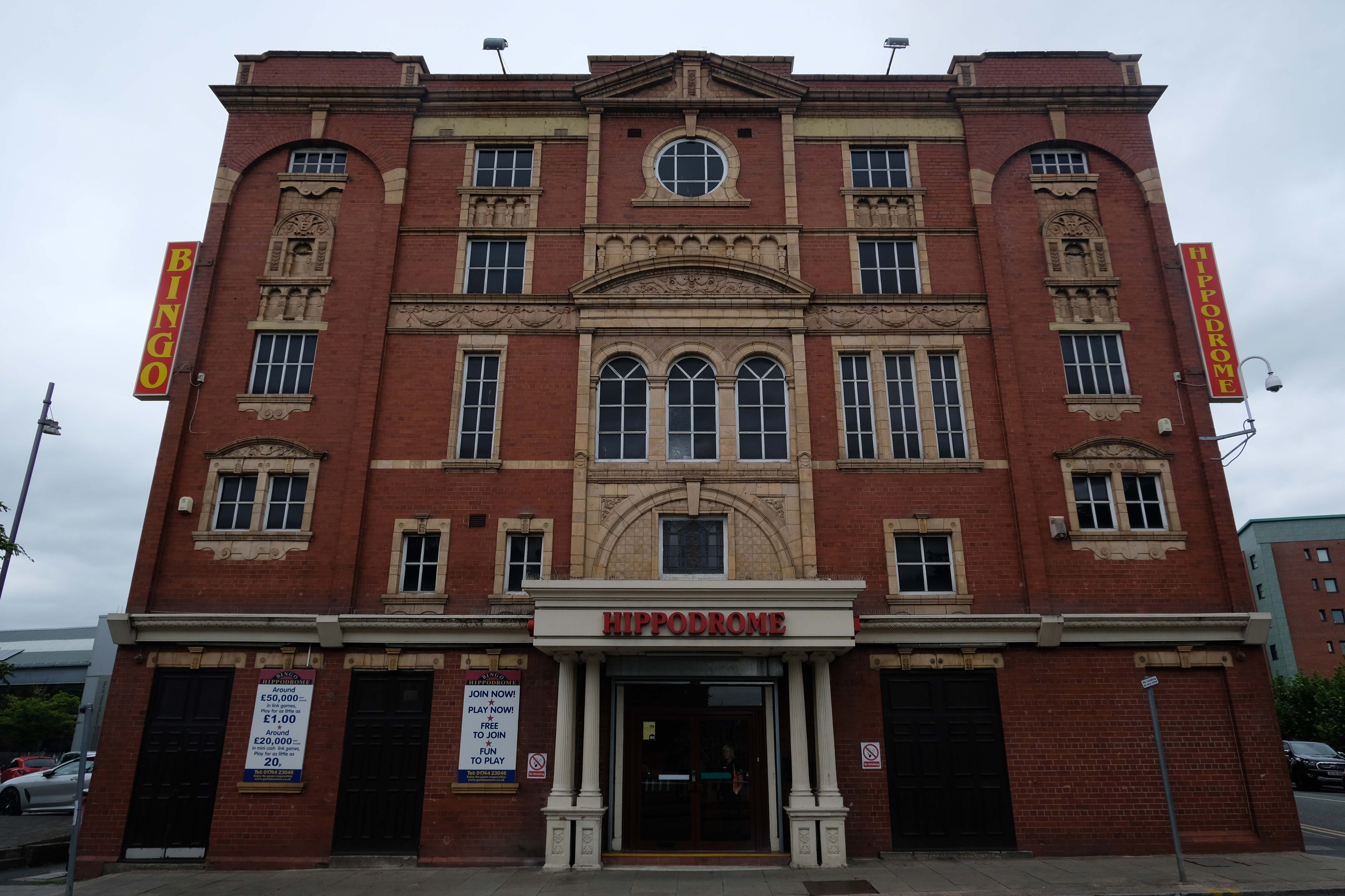
In the early Edwardian era a fine theatre was opened on 1st June 1903. It had been designed by local architect J A Baron and was on the site of an earlier theatre known as the Peoples Palace. It was operated as the New Hippodrome Cinema from 8th August 1938 when it reopened with Anna Neagle in Victoria the Great. On 1st September 1963 it was converted to a Surewin Bingo Club by Hutchinson Cinemas which continued to operate in 2008. By May 2019 it was independently operated as the Hippodrome Bingo Club.
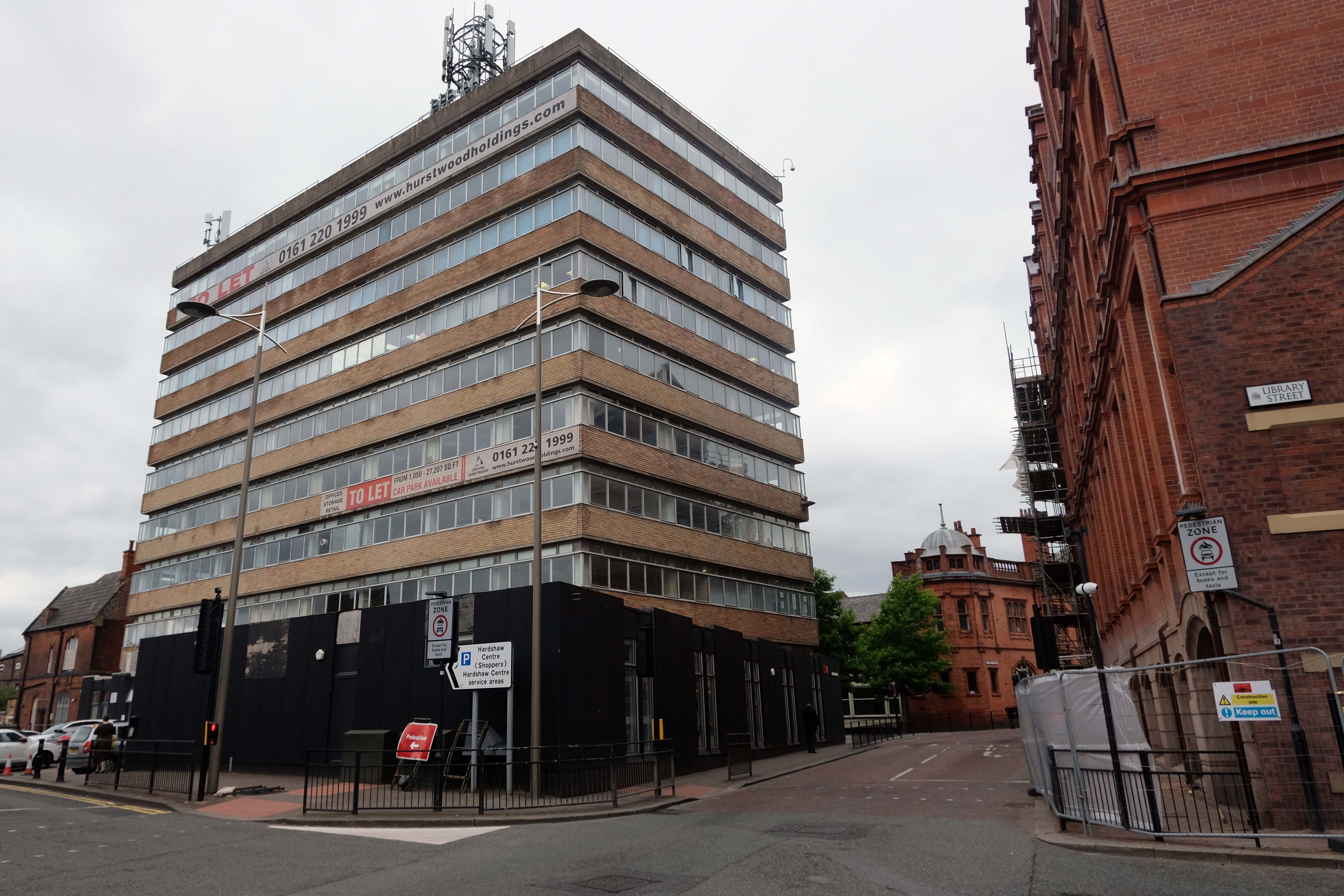
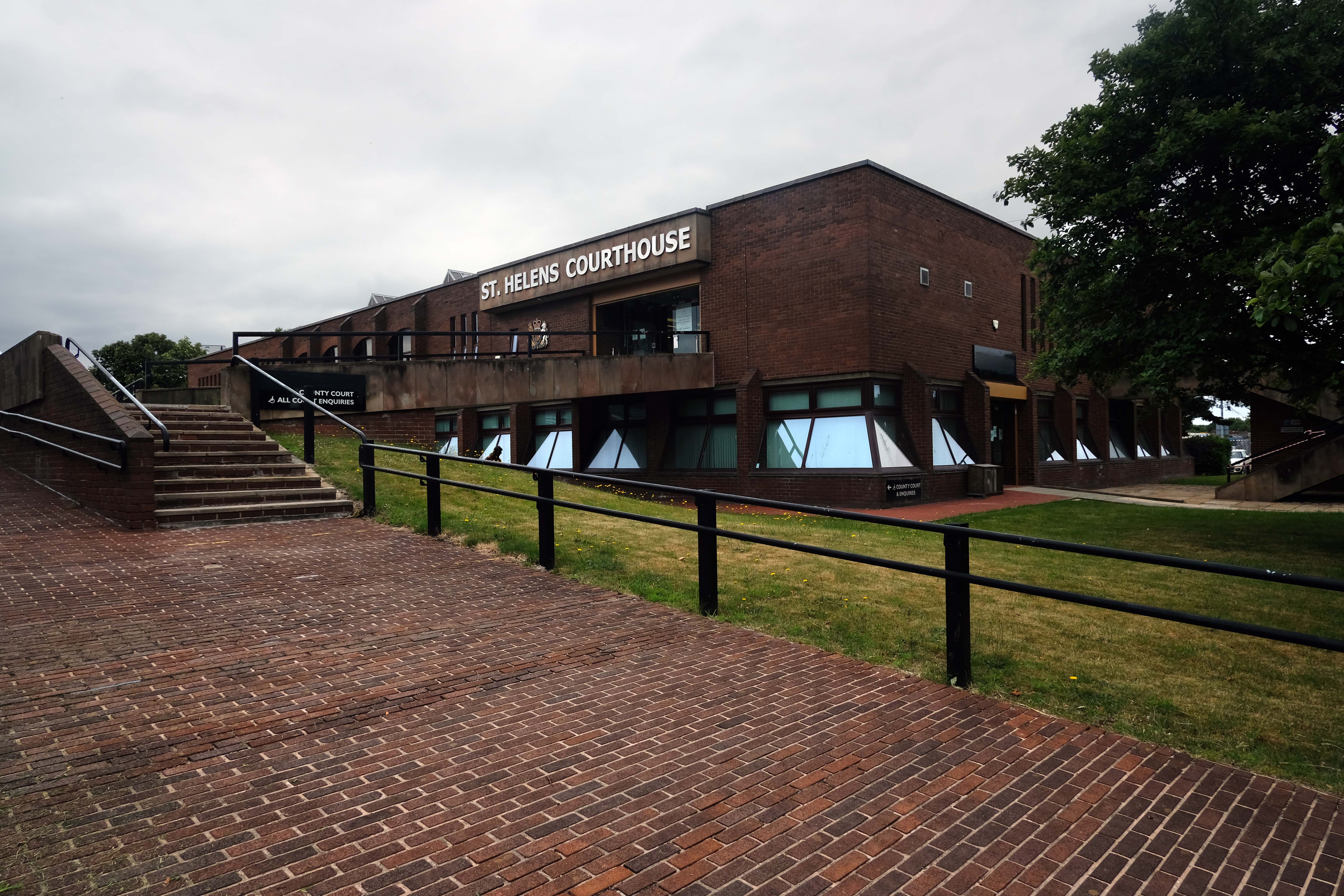
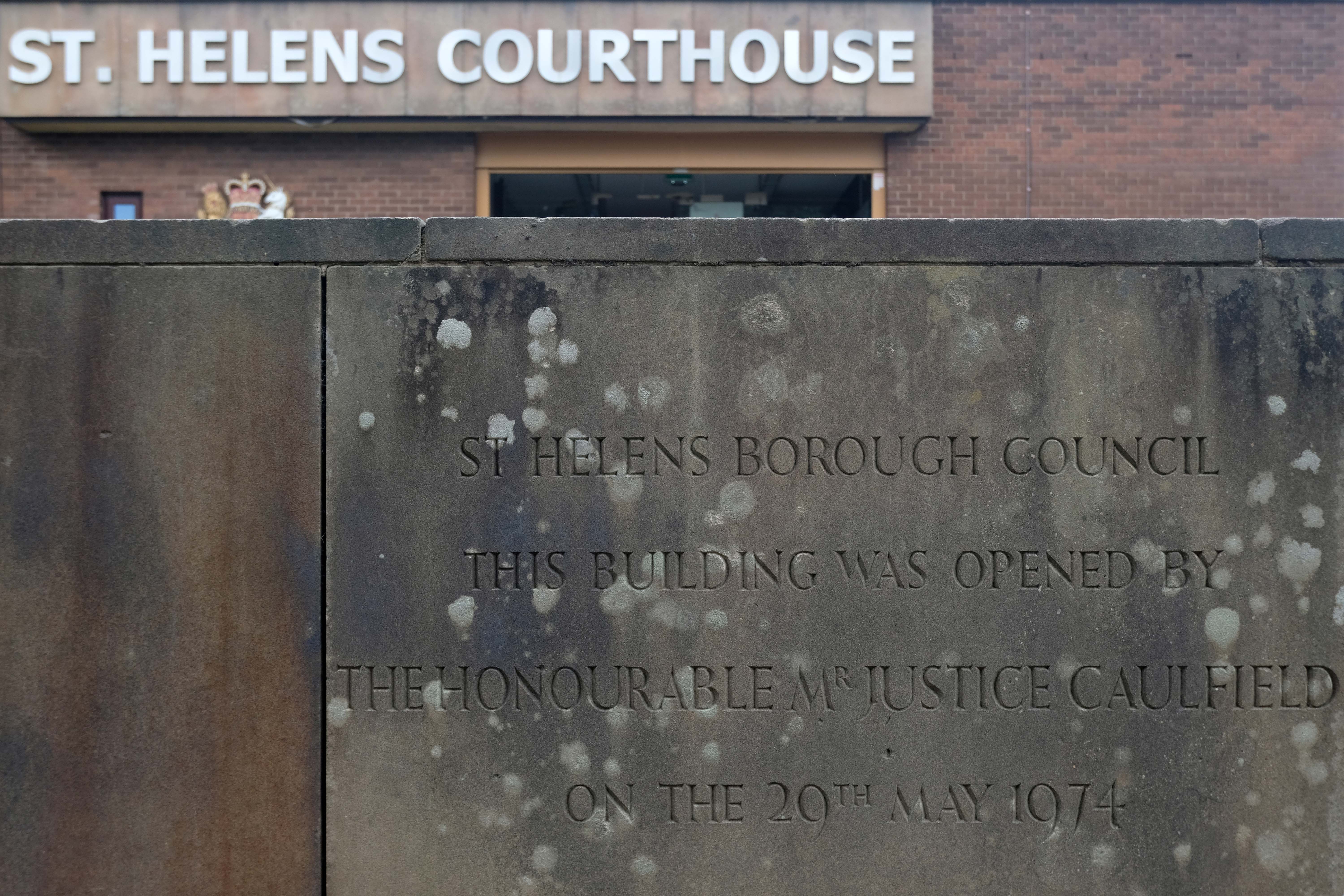
Onwards down Corporation Street to Century House, currently awaiting some care and attention and tenants.
Century House is a prominent landmark in St Helens town centre, being the tallest office building in place. The accommodation ranges over 9 floors, providing offices from a single person, to whole floors. In addition, all tenants benefit from the use of a modern break out space and meeting rooms, in addition to manned reception desk.
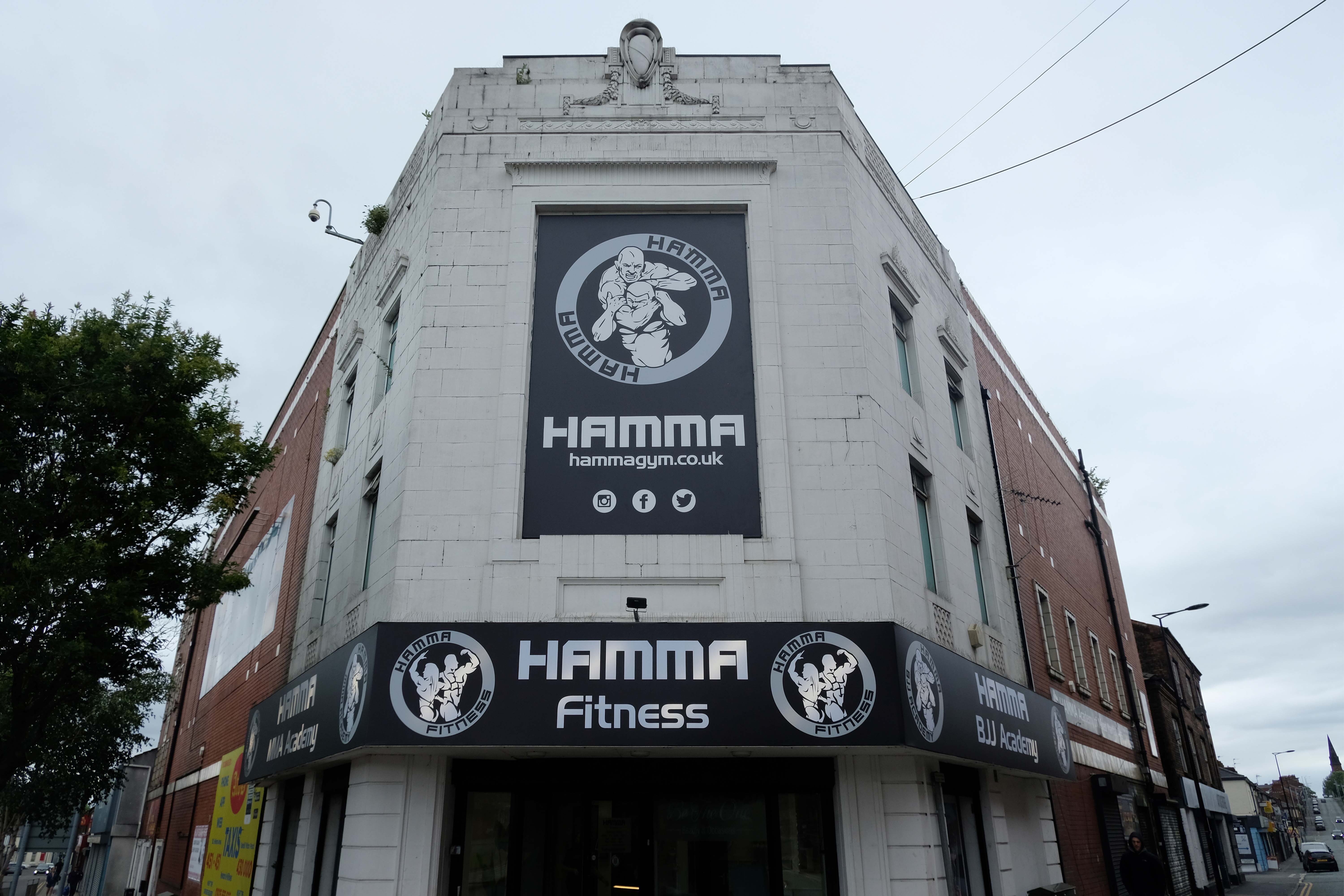
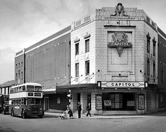
The Capitol Cinema opened on 3rd October 1929 by an independent operator. It stood on a prominent corner site at North Road and Duke Street – known as Capitol Corner.
The Capitol Cinema was taken over by Liverpool-based Regent Enterprises Ltd. in 1929, and by the Associated British Cinemas – ABC chain in 1935. It underwent a renovation in the 1960’s, and was closed by ABC on 9th December 1978.
The building was converted into a sports centre, by 2009 it was a Central Fitness gymnasium.
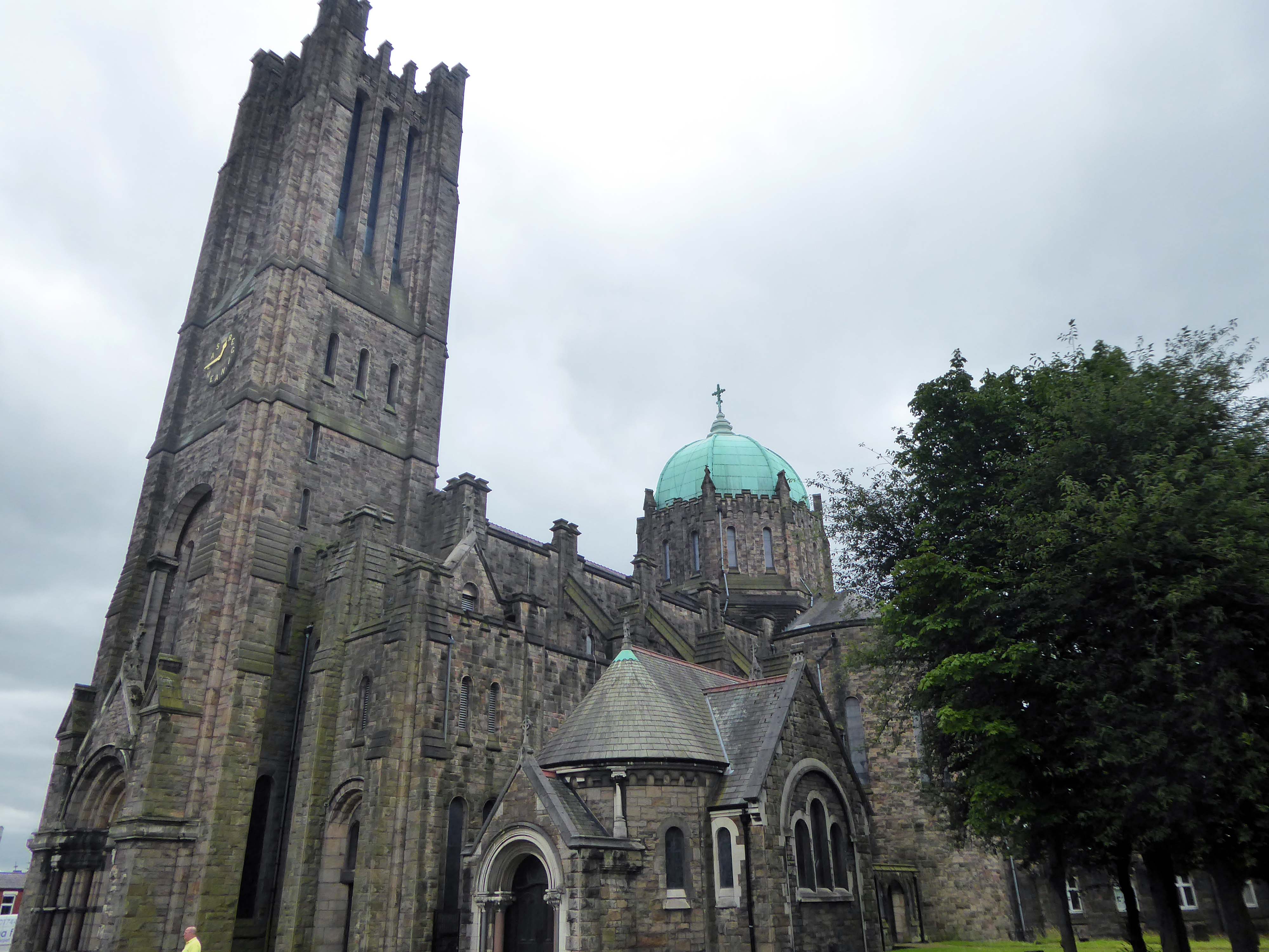
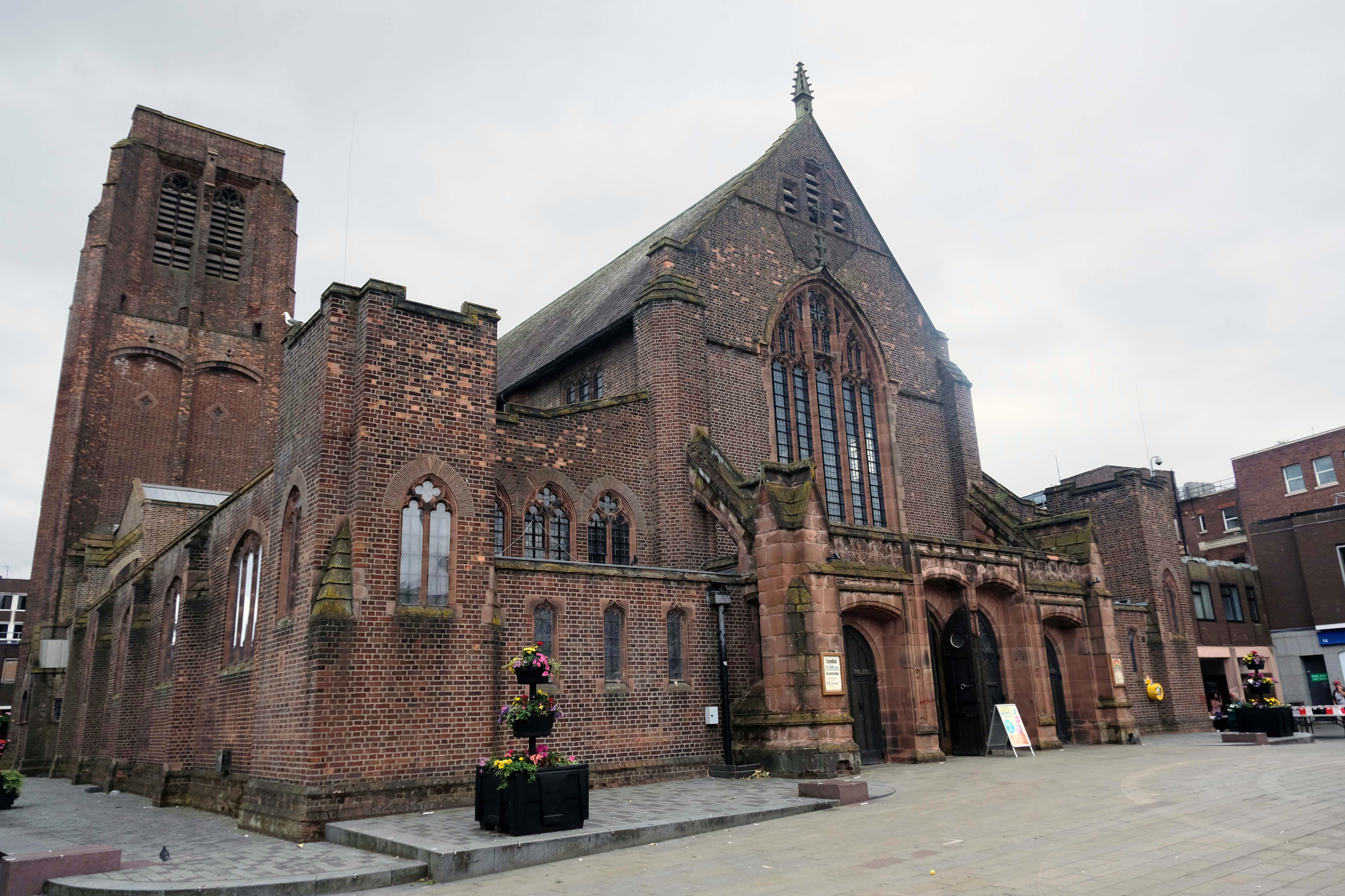
Along the way to St Mary Lowe House RC – the style is a combination of Gothic and Byzantine elements. One of the most unusual fittings is the carillon, one of the largest in the British Isles with 47 bells, which was installed in 1930 and is still played regularly.
The main approach is identified by a beak-like porch which projects from the main cladding. In this space hangs a recast eighteenth century bell, from the original chapel.
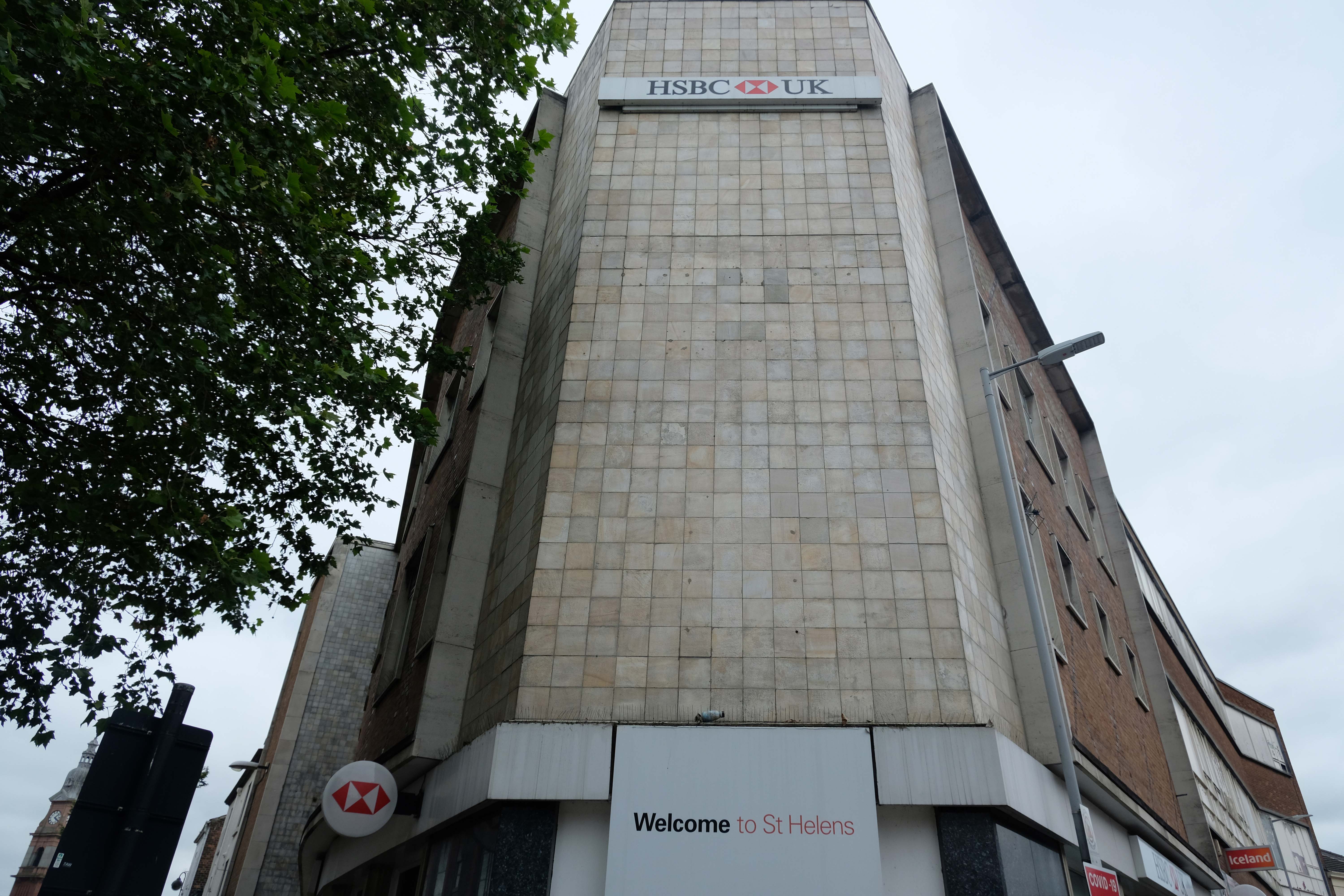
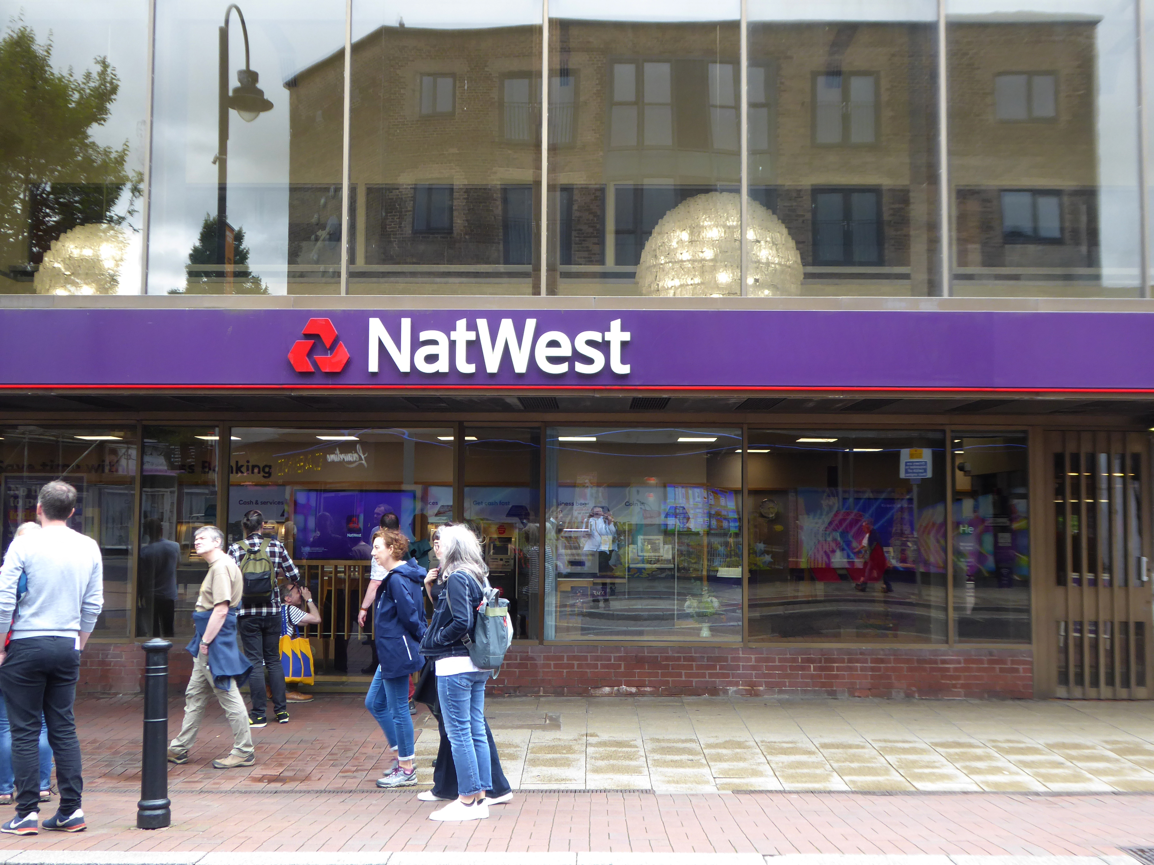
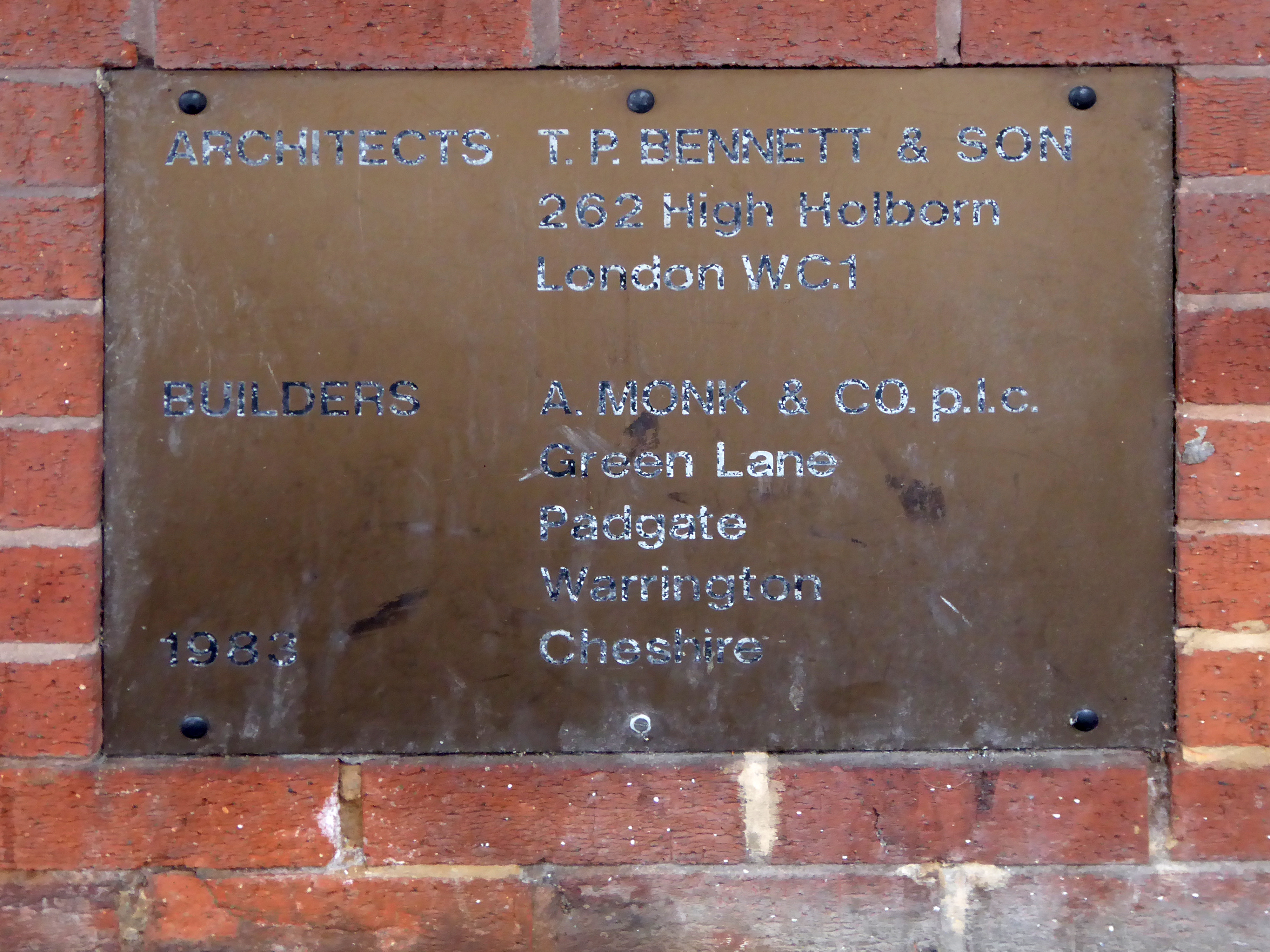
Let’s take it to the Midland, Nat West and Barclays Banks.
With an intermediate former Gas Showroom.
Next to the Church of St Helen.
Architect: WD Caroe 1920-26 Grade II Listed
A chapel has been on the site since at least the 16th century. The chapel was doubled in size in 1816, but burnt down in 1916. It is the parish church of the town, and stands in a prominent position.
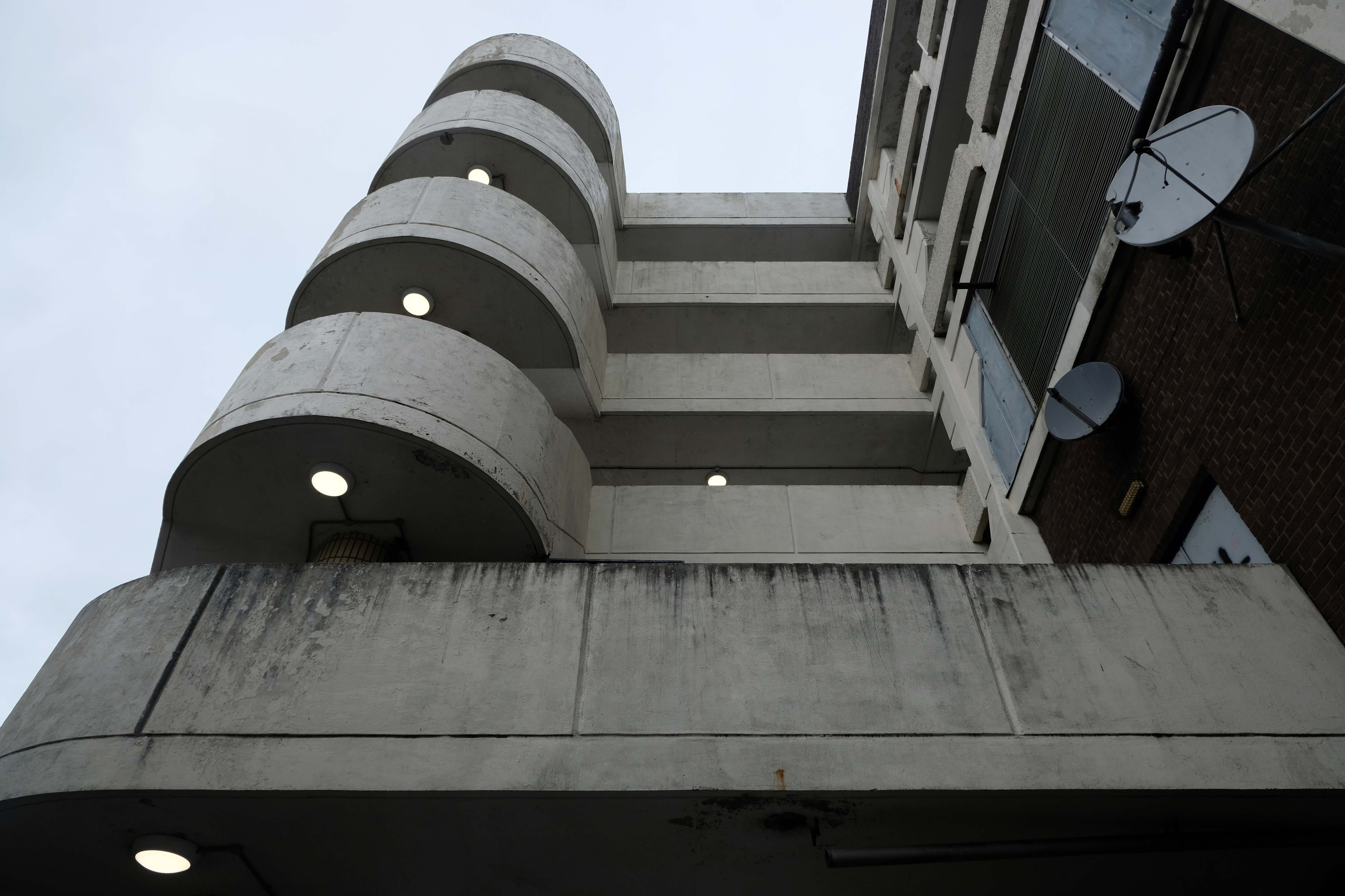
St Mary’s Car Park a multi-storey masterpiece straight outa Dessau.
Next crossing a complex web of inner ring roads designed with the beleaguered pedestrian at the forefront of the planners’ minds.
To the inter-war Pilkington’s Offices – Reflection Court
Architects: Herbert J Rowse and Kenneth Cheeseman 1937-41 Grade II Listed.
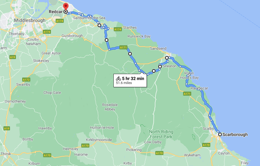
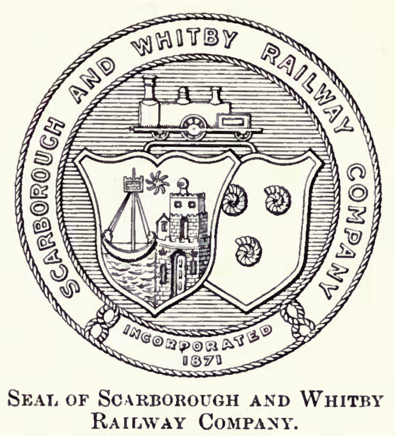
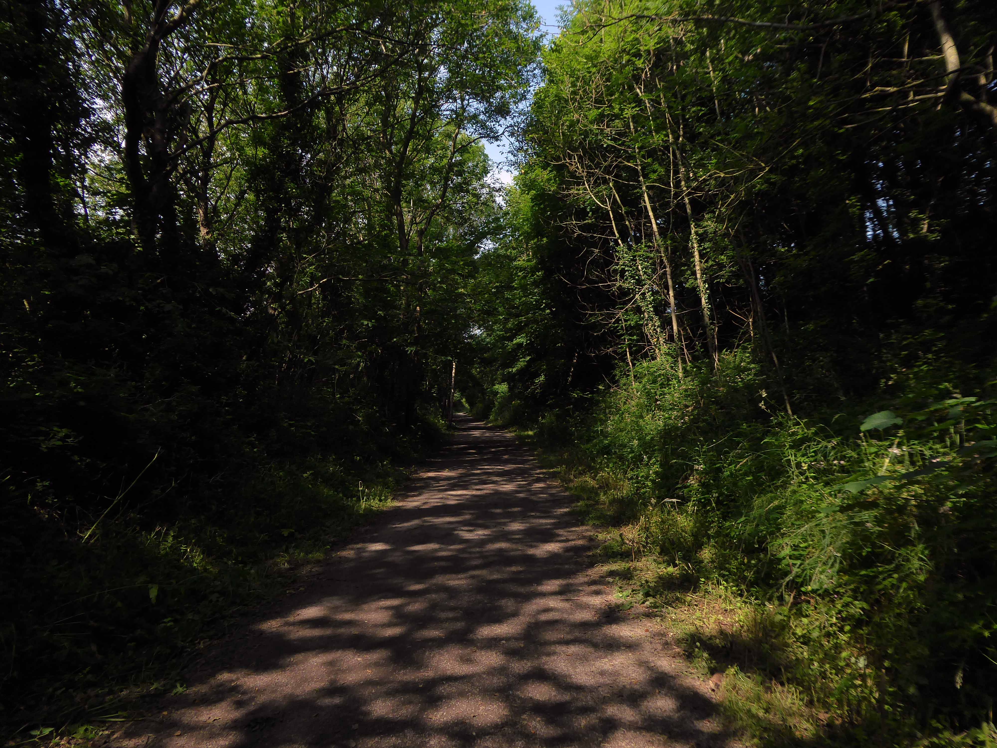
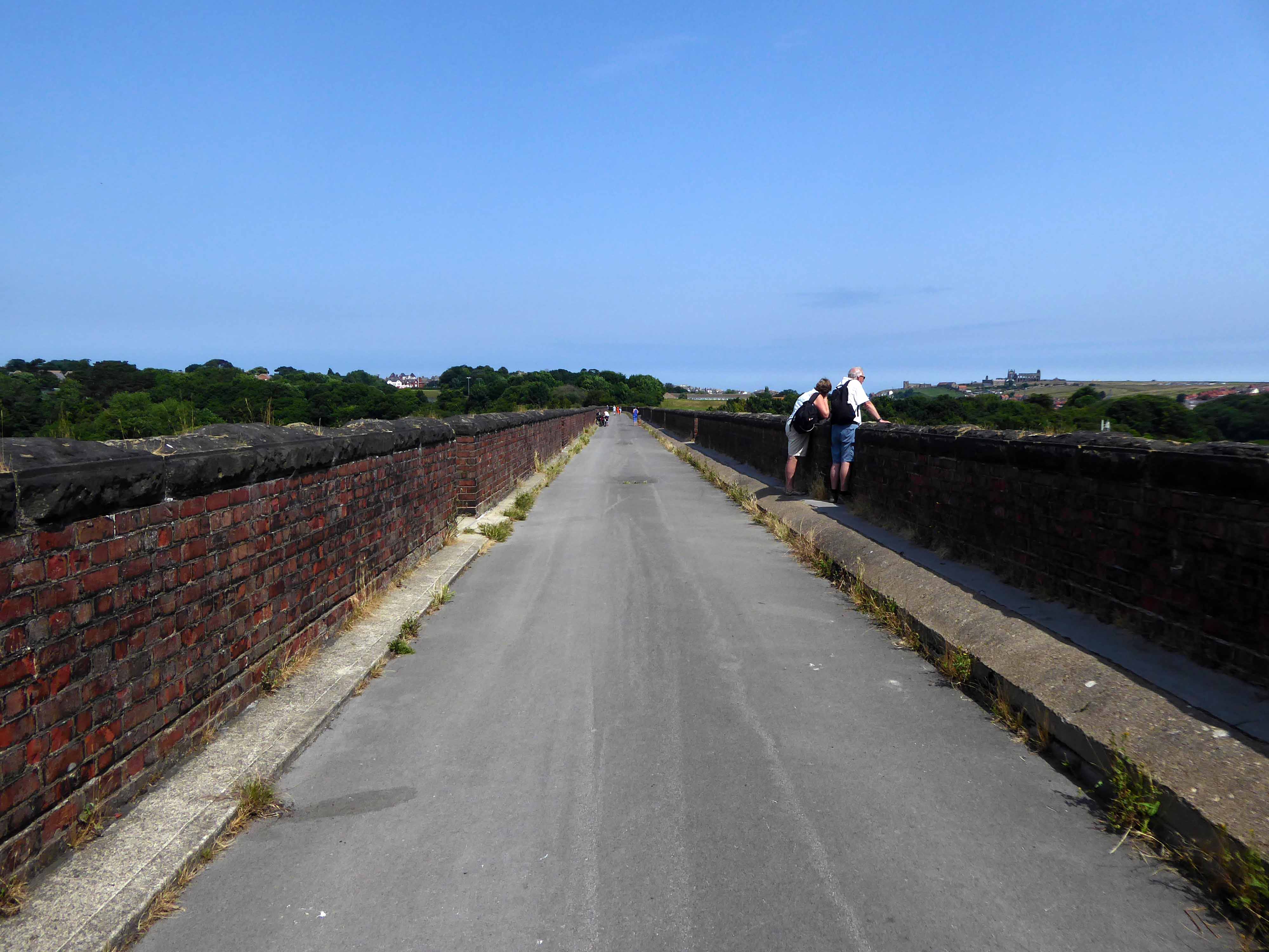
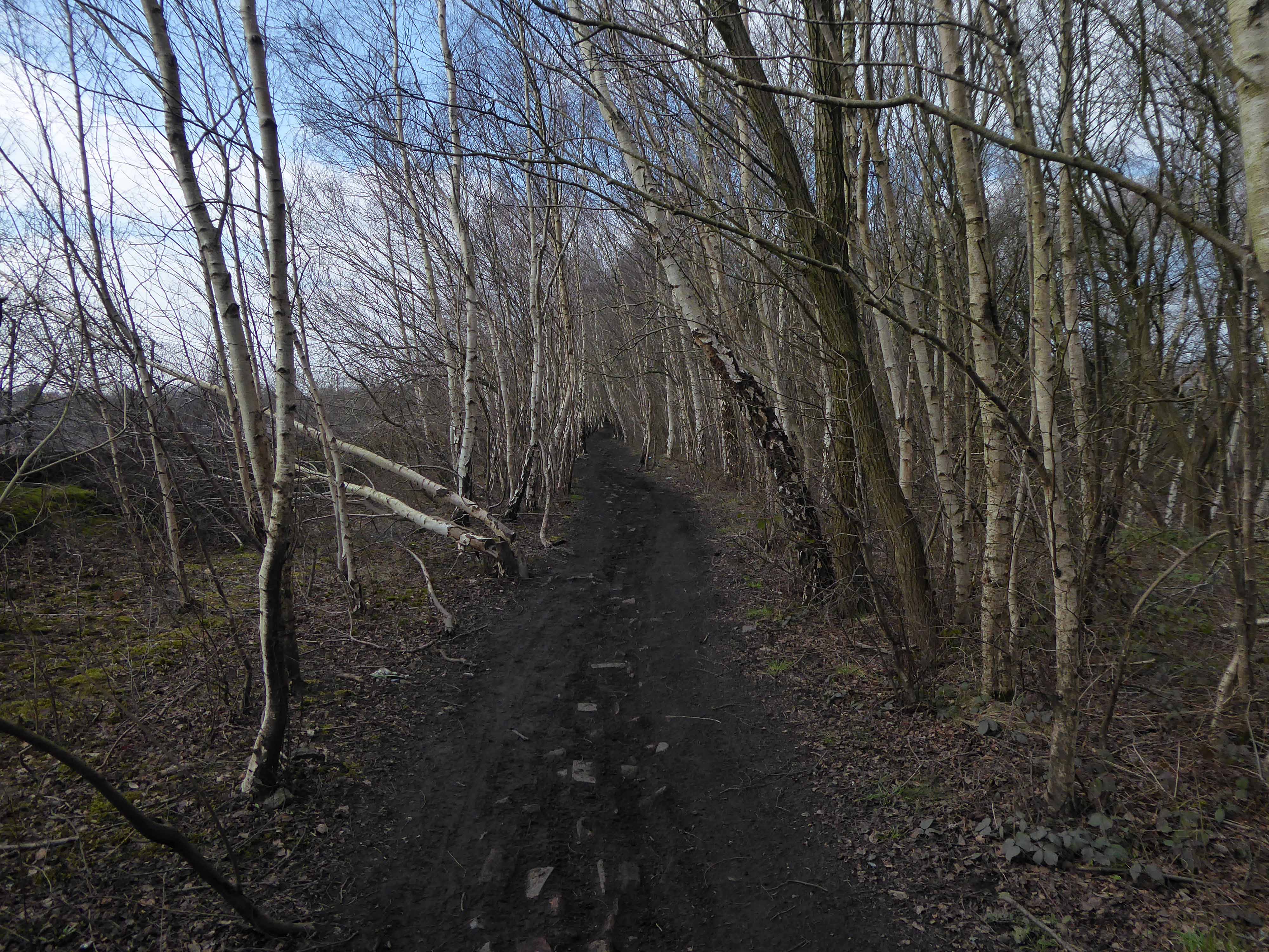
Formerly the Scarbough to Whitby Railway – the line opened in 1885 and closed in 1965 as part of the Beeching Axe.
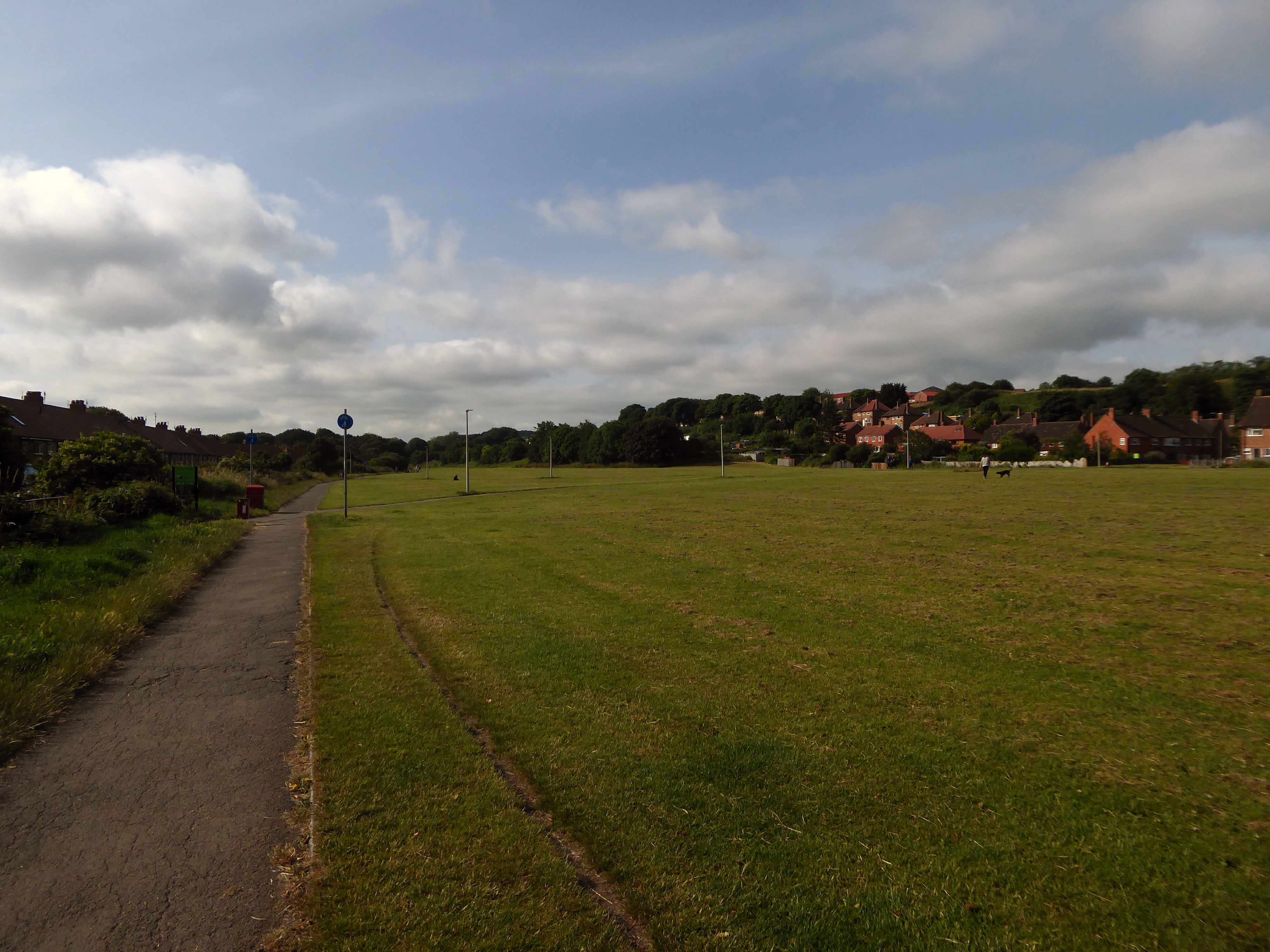
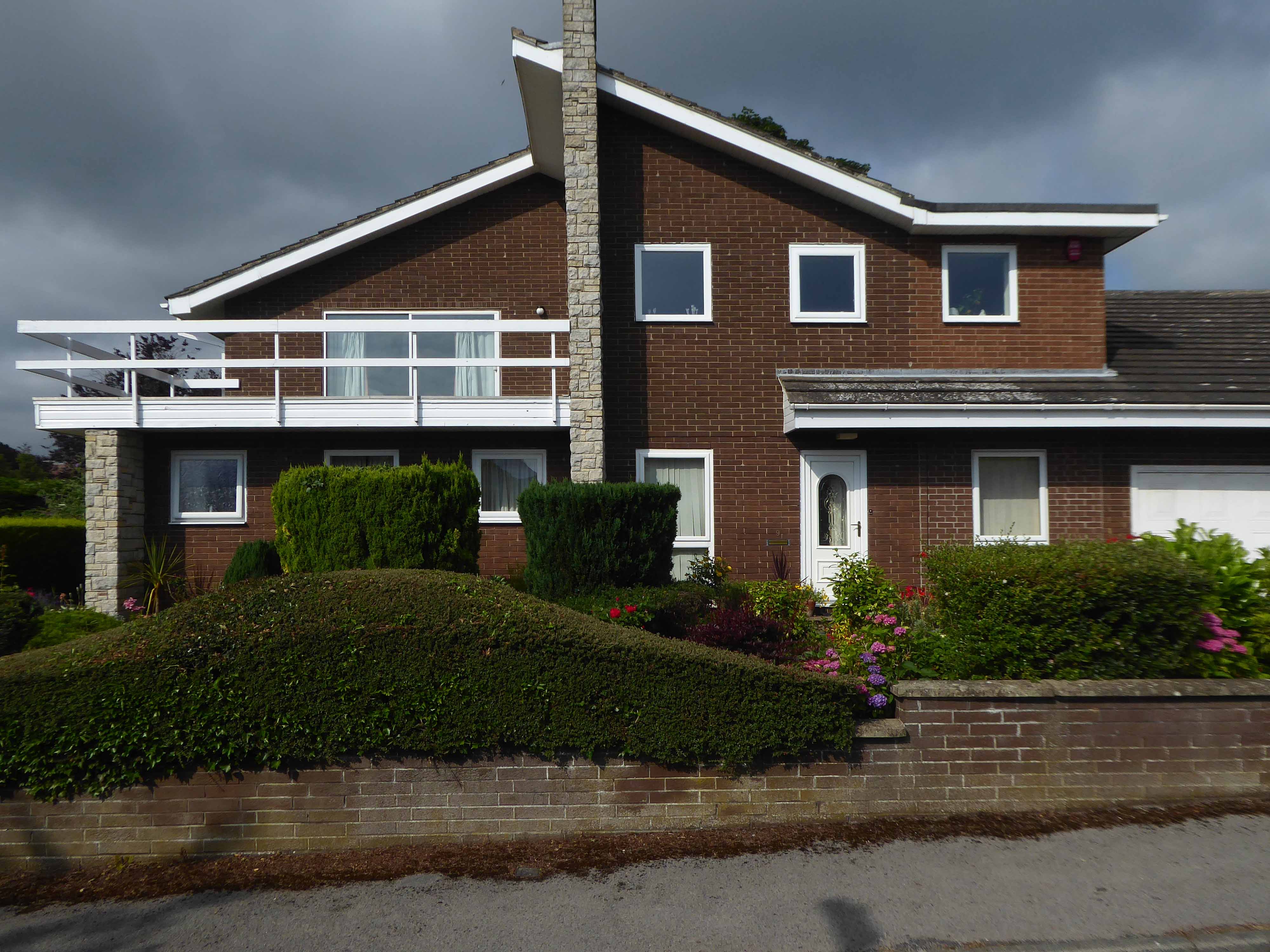
Yet again I chance upon a delightful post-war home.
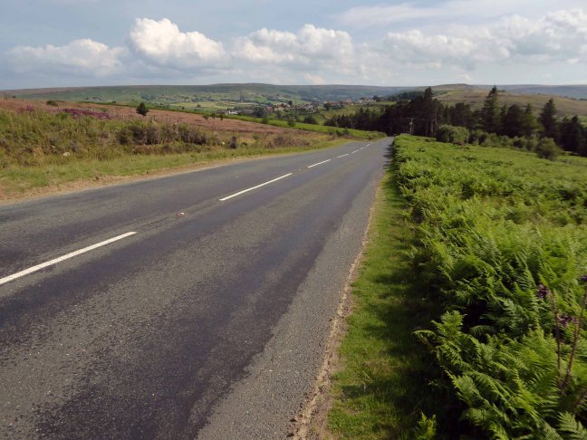
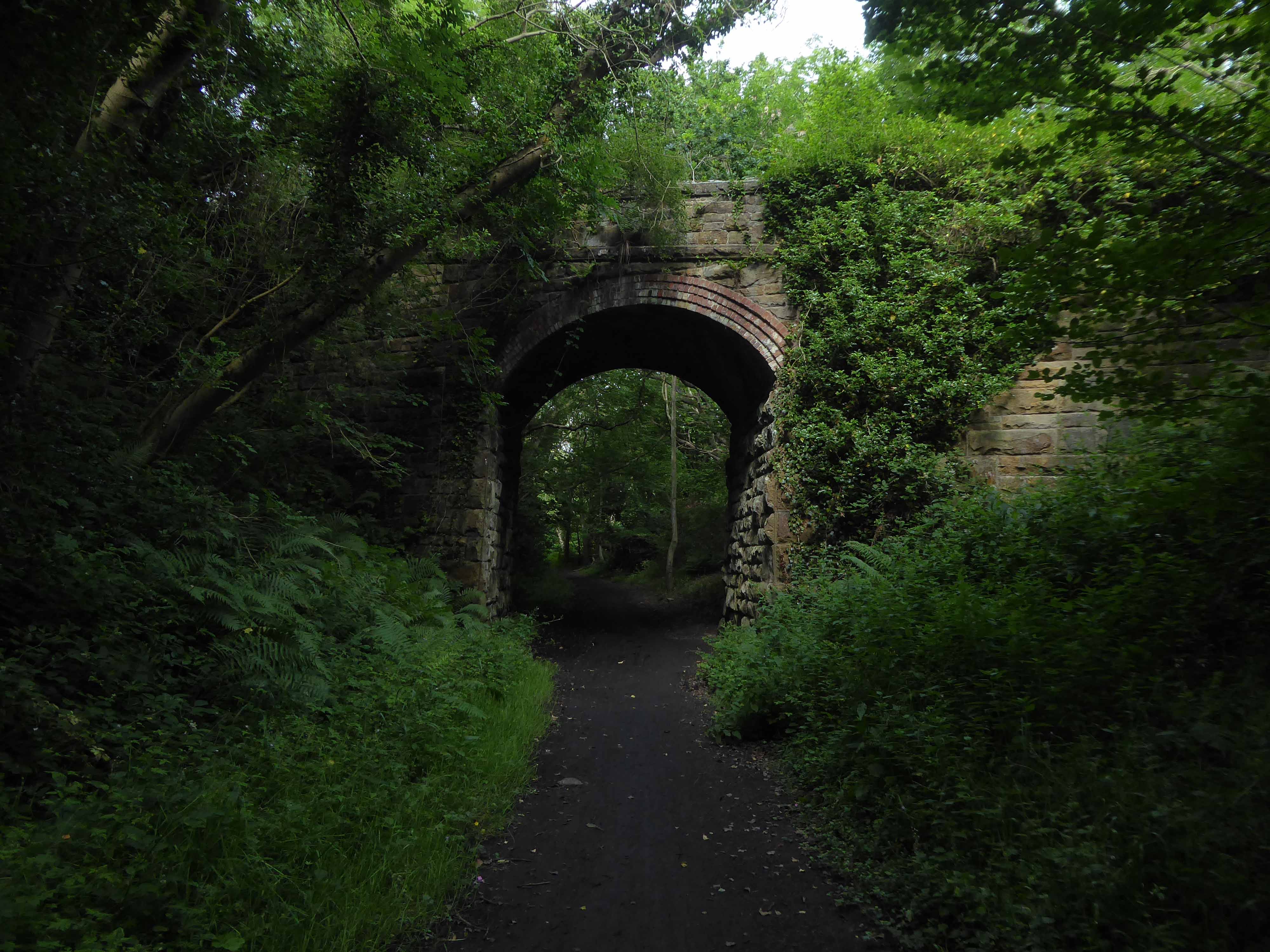
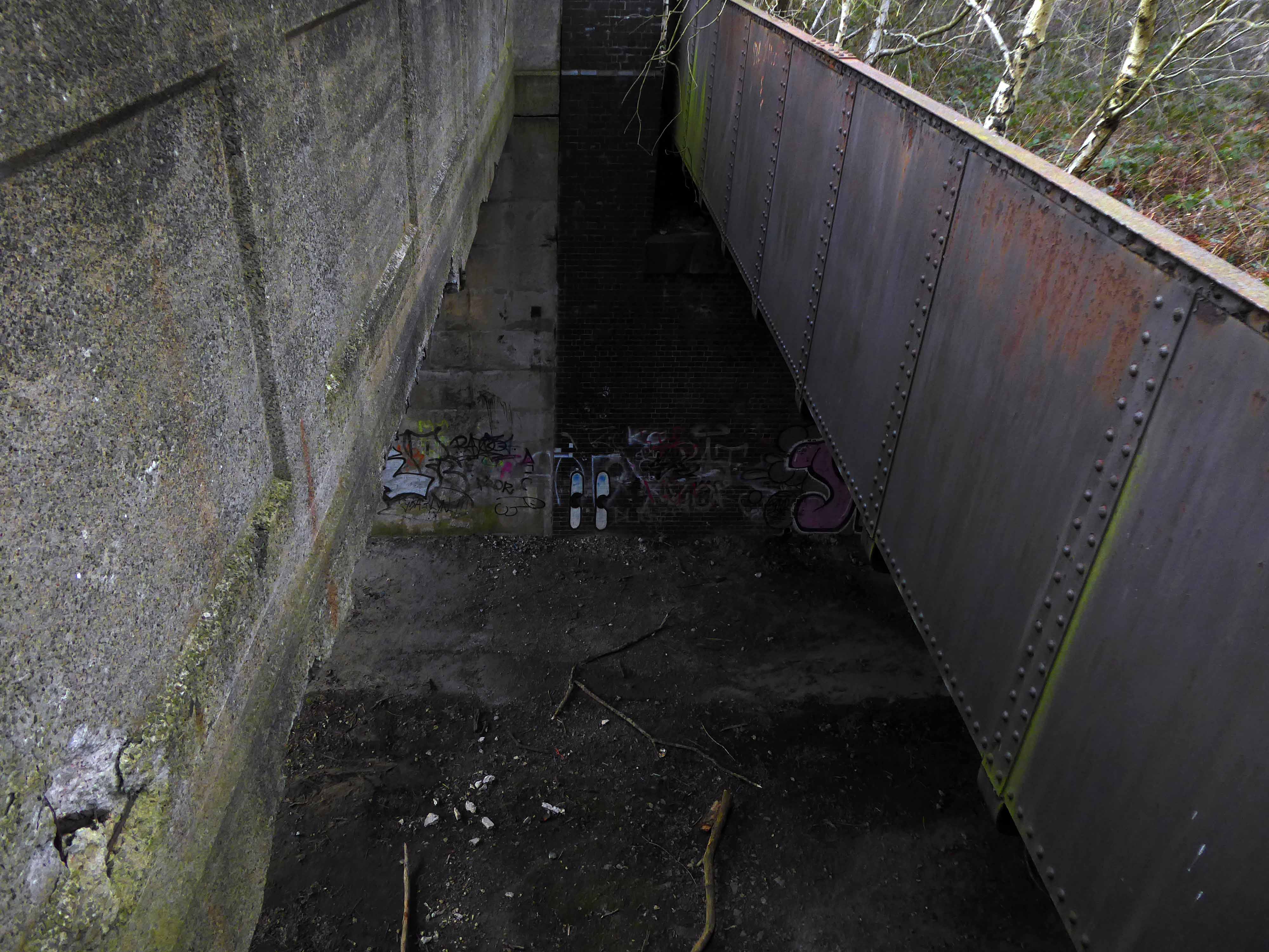
I parted company with the track dropping down to the Esk Valley from the Larpool Viaduct.
Construction began in October 1882 and was complete by October 1884.
Two men fell from the piers during construction, but recovered.
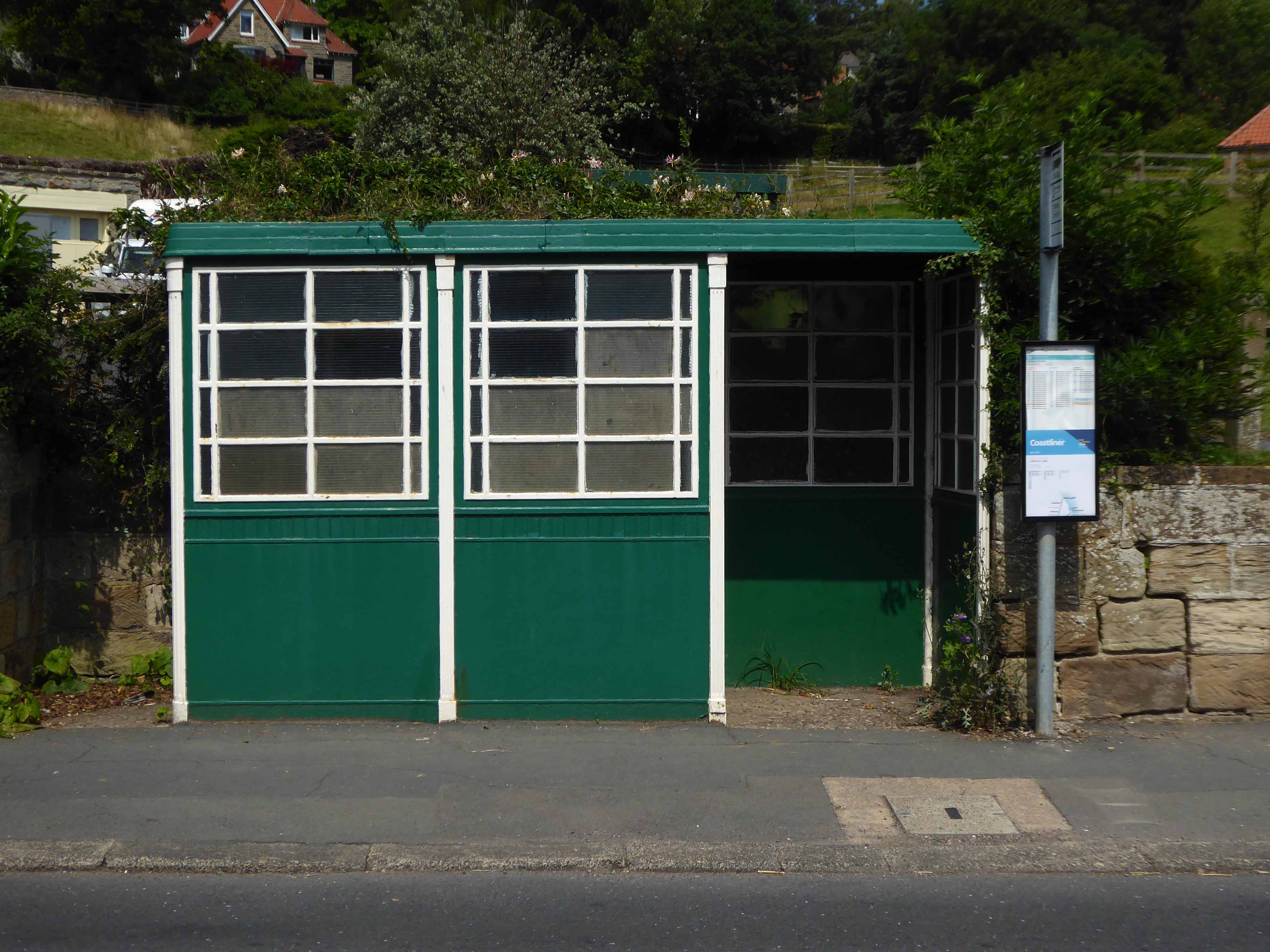
I found myself in Ruswarp, home to this enchanting bus shelter.
I bombed along the main road to Sleights.
There then followed a hesitant ascent, descent, ascent along a badly signed bridleway, fearing that I had climbed the hill in error I retraced, then retraced.
A difficult push ensued, a precipitous path, rough and untended, rising ever higher and higher.
Finally arriving at Aislaby, more than somewhat exhausted – the village is mentioned in the Domesday Book as Asuluesbi.
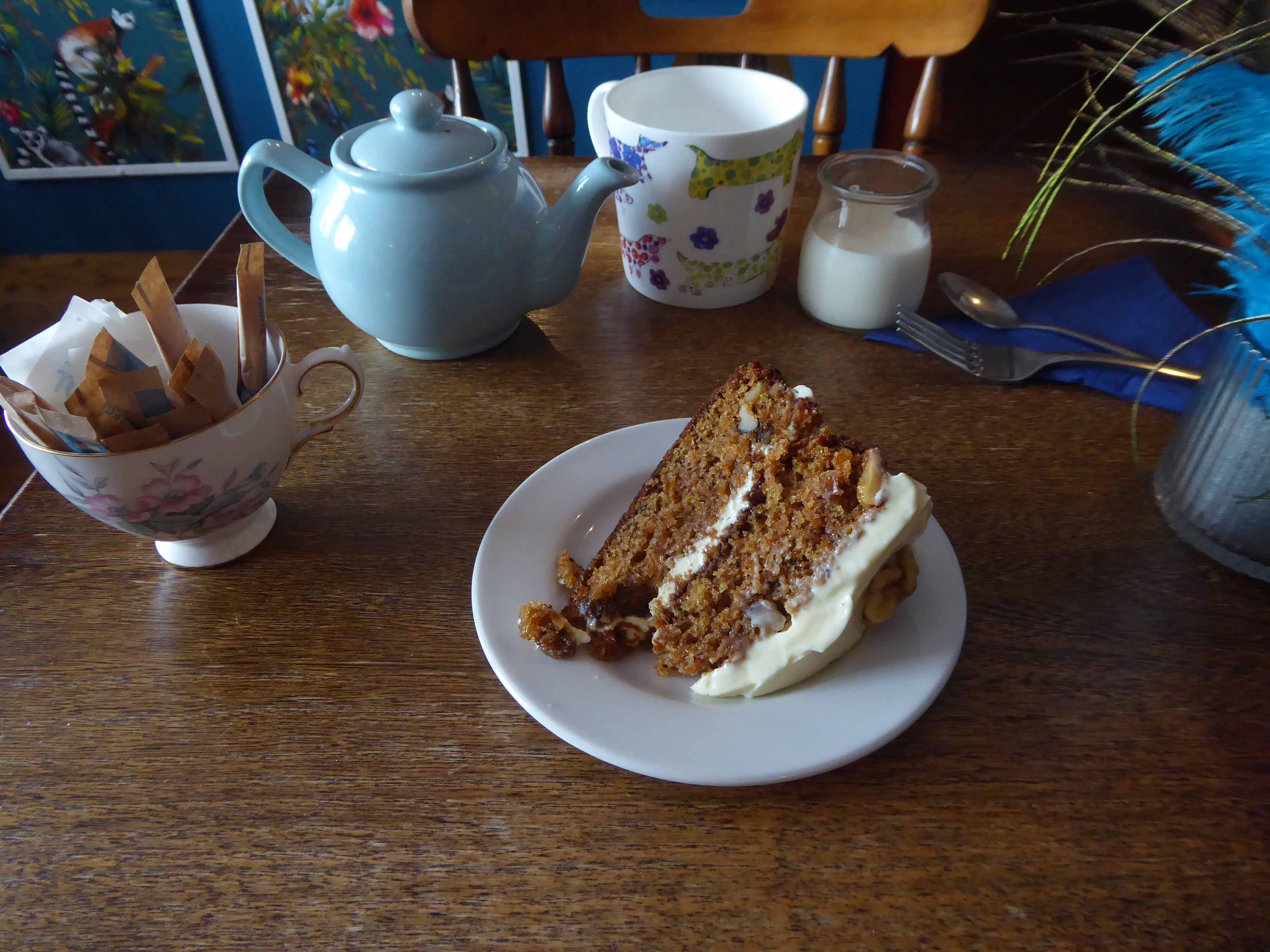
Pausing to catch my breath I took the wildly undulating road to Egton – along the way I was alerted to the presence of a tea stop by two touring cyclists from Nottingham.
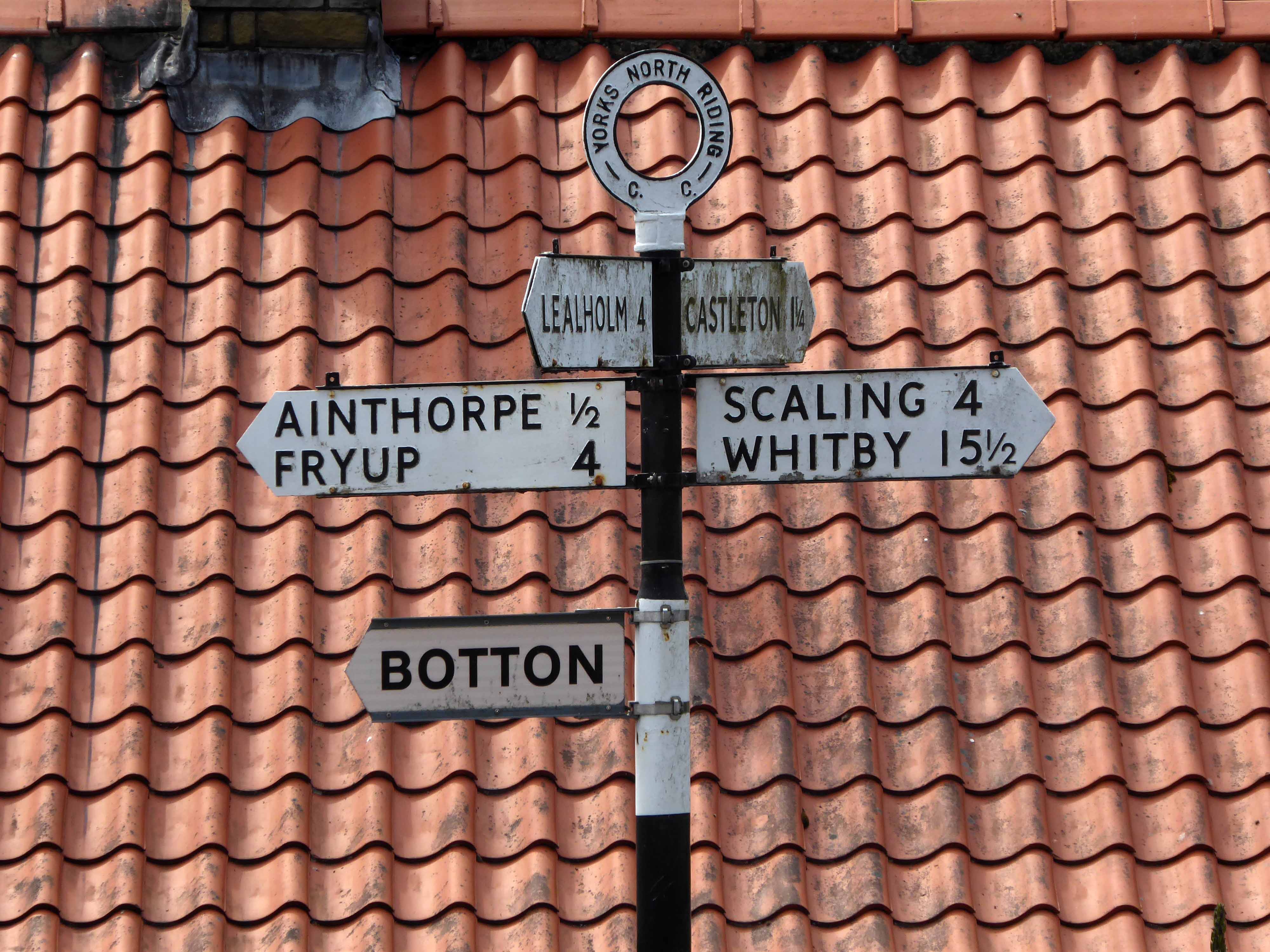
The curious name Fryup probably derives from the Old English reconstruction Frige-hop: Frige was an Anglo-Saxon goddess equated with the Old Norse Frigg; hop denoted a small valley.
An old woman at Fryup was well known locally for keeping the Mark’s e’en watch – 24 April, as she lived alongside a corpse road known as Old Hell Road.
The practice involved a village seer holding vigil between 11pm and 1am to watch for the wraiths of those who would die in the following 12 months.
Castleton Moor ghost.
In the village I was given further directions by two elderly gents, who had been engaged in a discussion concerning their long term mapping of acid rain levels in the area.
One was wearing a Marshall Jefferson t-shirt.
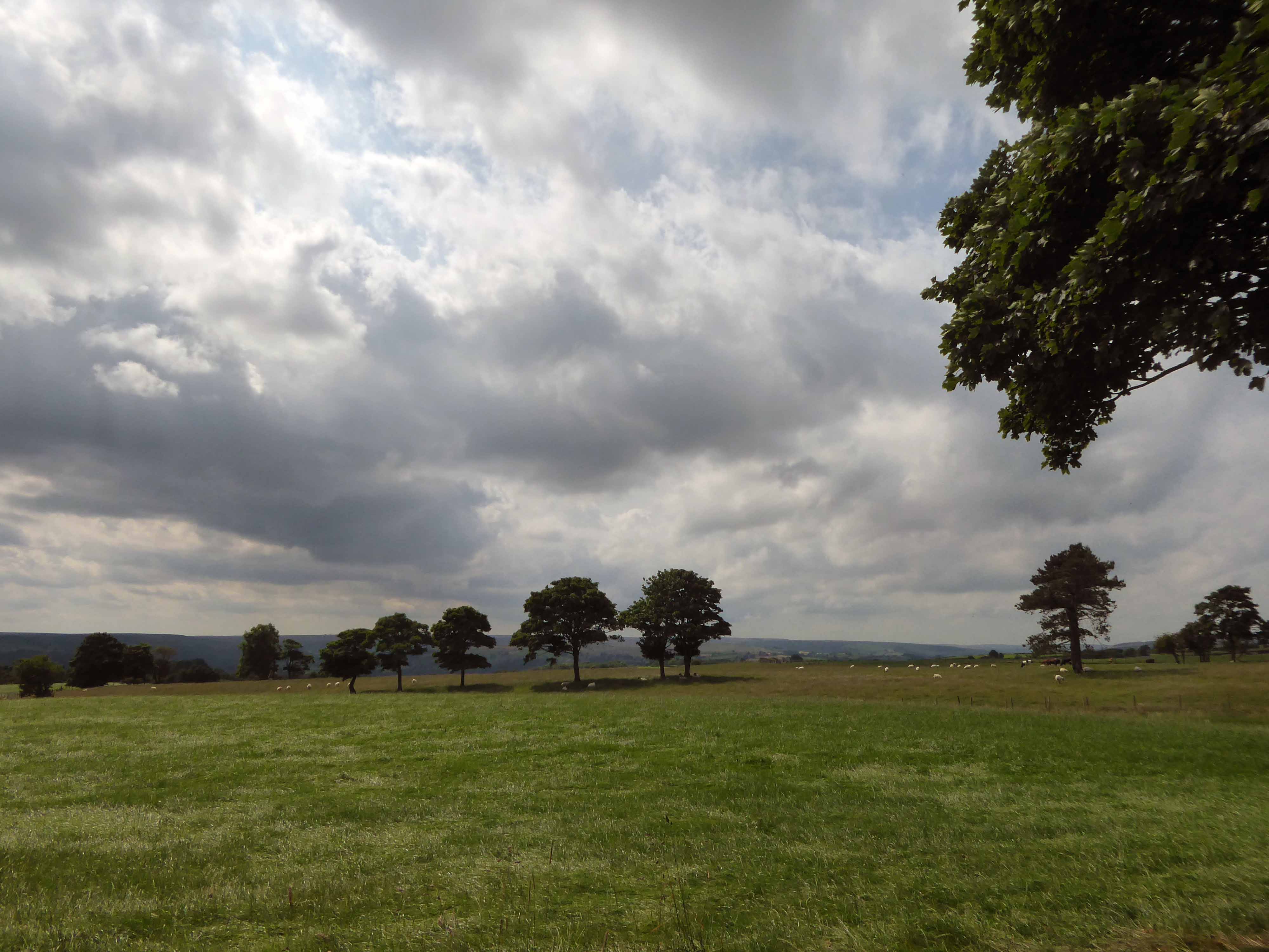
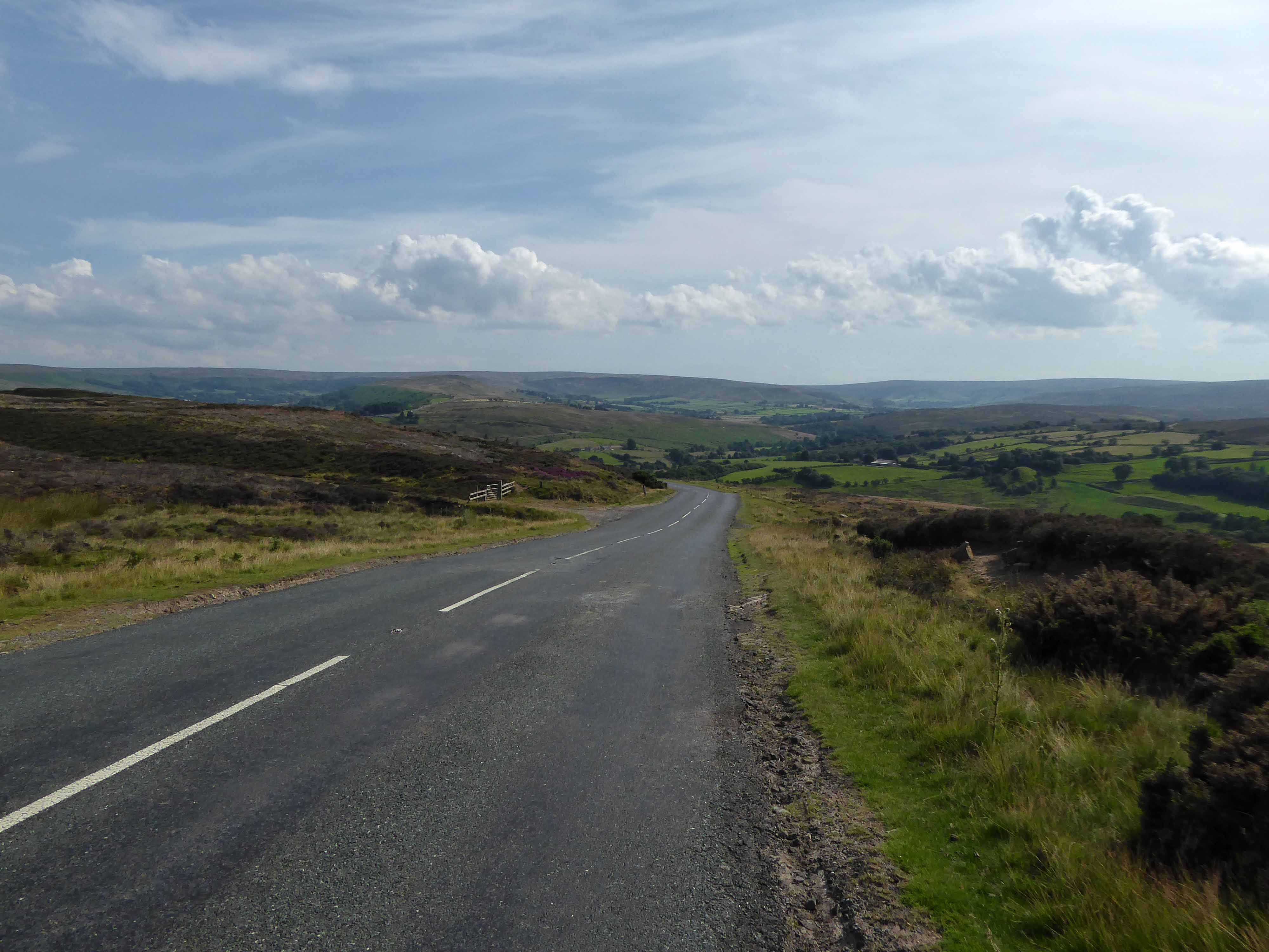
I climbed Langburn Bank onto the flatish open moorland.
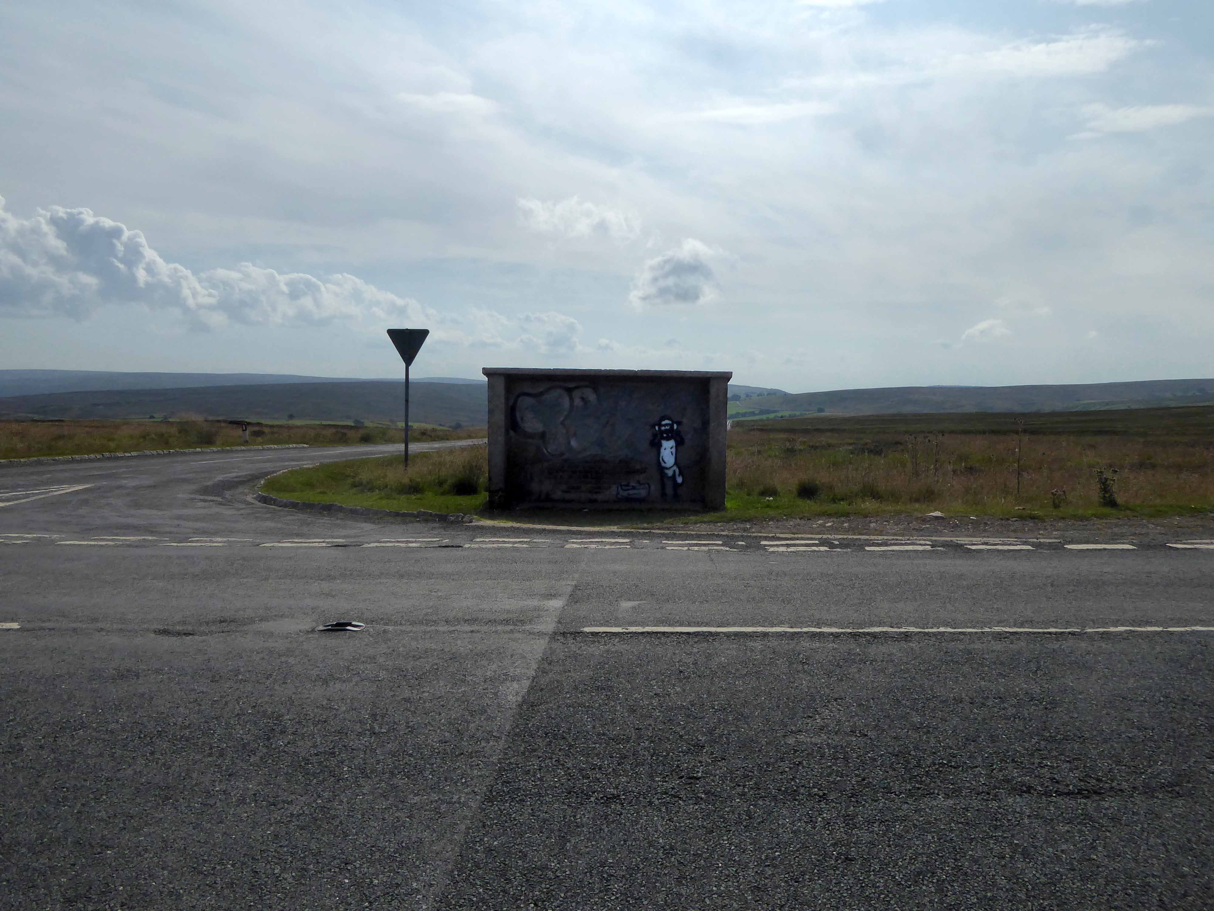
Taking a brief break to snap this concrete shelter.
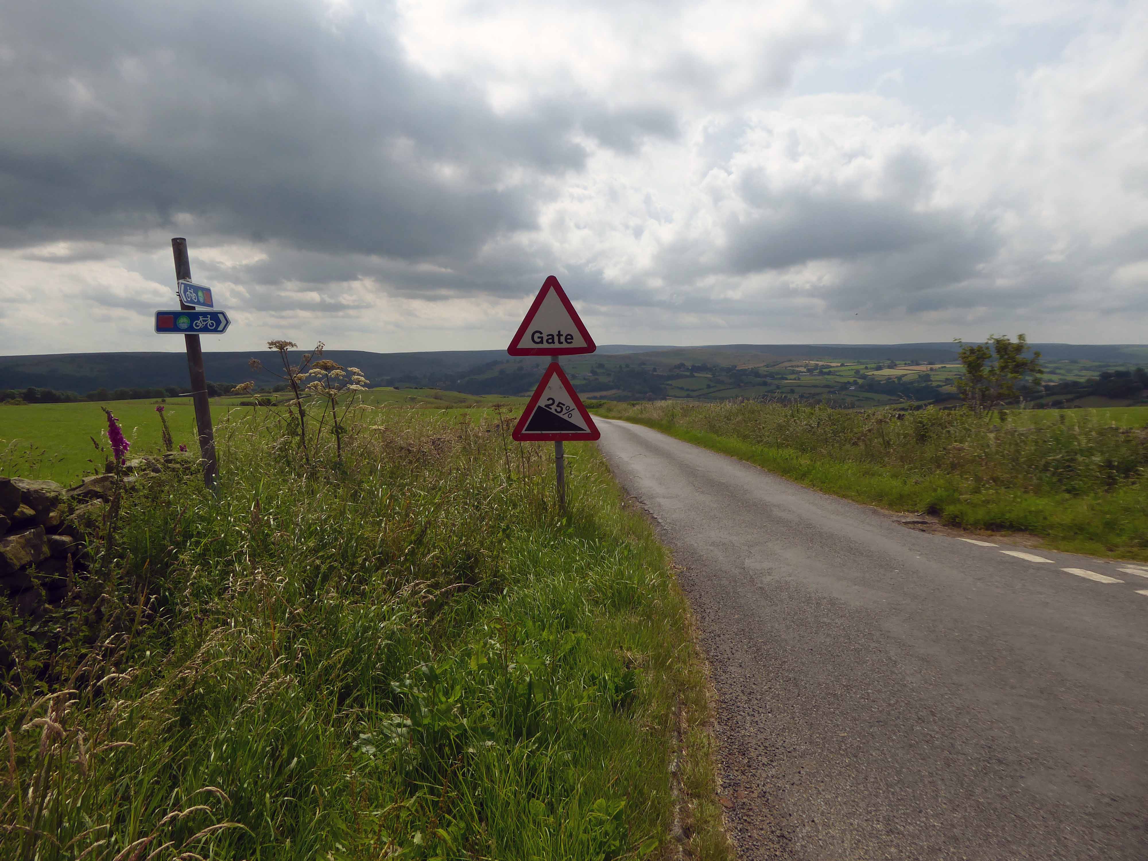
There then followed a hair stirring series of hairpin descents to the coast at Saltburn.
Built in 1928, this church was designed with some care and is an attractive, if fairly modest, Lombard Romanesque-style essay in brick. The use of a semi-circular apse, narrow brickwork and use of tile for decorative effect give it a pleasing appearance, typical of restrained but elegant work between the wars.
I arrived and took a look around, first time in town, here’s what I found.
We arrived safely by train from Stockport at Southampton Central.
Following lengthy consideration we headed off on our bikes.
Whilst halting to review our progress, I realised that I had lost the map, a map vital to our further progress.
Returning to the station I found it nestled against the kerb.
Further assessment of our onward journey resulted in yet another retracing of steps.
In the shadow of Southampton Station dwarfed by Norwich House.
Resolute, we confront the fact that we are unsure of the route and following close scrutiny of the map, our environs and the surrounding signage, we proceed eastward towards our destination.
Wyndham Court – architects Lyons Israel Ellis, E.D. Lyons being the partner in charge along with Frank Linden and Aubrey Hume.
Leaving the city and heading along the Weston Shore – Southampton Water.
To our right several Seaside Moderne shelters
Tim feasts on a Mint Club biscuit.
To our left are the tower blocks of Weston Farm Foreshore – L. Berger City Architect 1963
In the distance Canberra Towers Ryder and Yates 1967
Residents living on the second floor of 24-floor block Canberra Towers, on Kingsclere Avenue in Weston, were told to evacuate as flames erupted inside a kitchen.
The Daily Echo spoke to the residents of the affected flat, who said the cat knocked paper that was on top of the microwave, which then fell onto the toaster.
Tracey Long said:
I’ve got two cats, and Sponge was the one who knocked the paper.
He knocked paper off the microwave and into the toaster, it was quite scary.
I lost him in the flat but now I’ve found him again.
Arriving just in time to be too late, next thing you know we’re bobbing along on the Hamble Warsash Ferry.
The obliging ferry folk having taken us across the estuary, despite our tardiness.
The village and the River featured in the 1980s BBC television series Howards’ Way.
Sadly little evidence of the successful TV show remains, however happily Henry VIII’s Dock and an Iron Age Fort have prevailed.
Onward to Gosport where we happen upon a diminutive yet perfectly formed Bus Station.
Originally built in the 1970s, the bus station was described in 2012 as knackered by the council chief executive at the time, Ian Lycett, and an investment plan was drawn up.
Talk of redevelopment then resurfaced in 2015, before the site was put on the market in 2016.
Keith Carter, retiring owner of Keith’s Heel Bar in Gosport Precinct, has described the bus station as a missed opportunity.
The nearby Harbour and Seaward Towers have faired a little better, newly clad and their tiled murals intact.
While working for George Wimpey and Co. Ltd, and together with J E Tyrrell, Chief Architectural Assistant to Gosport Borough Council, Kenneth Barden was responsible for tiled murals on Seaward Tower and Harbour Tower, two sixteen-storey tower blocks built in 1963 on the Esplanade in Gosport.
They really are something they really are.
And so following a ride on the Gosport Ferry we arrive at Portsmouth Harbour.
The land where British Rail signage refuses to die!
I have passed this way before on a Bournemouth to Pompey trip and both Tim and I were students at the Poly here in the 70s – more of which later.
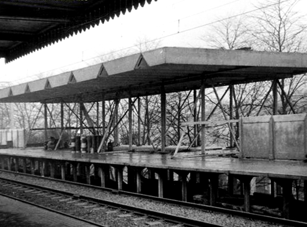
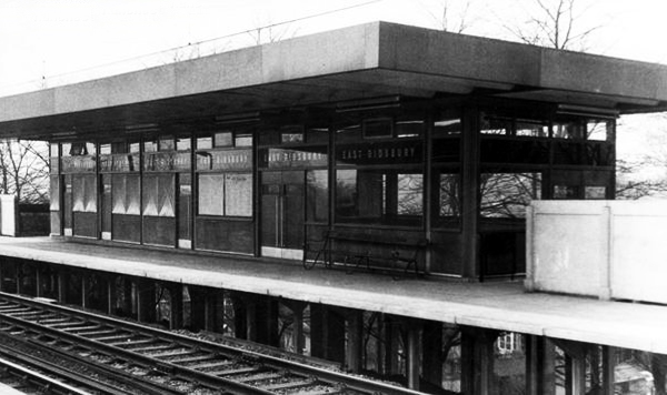
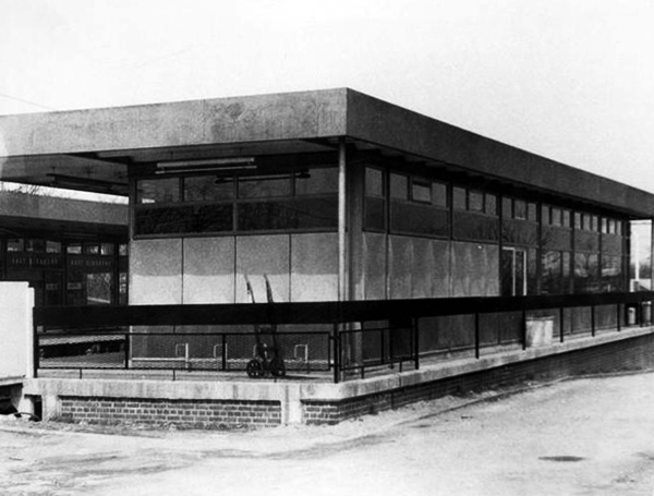
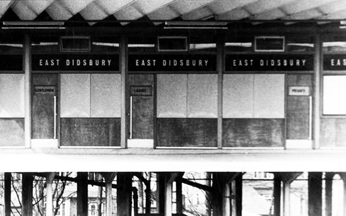
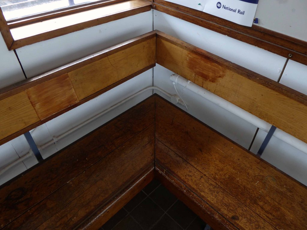
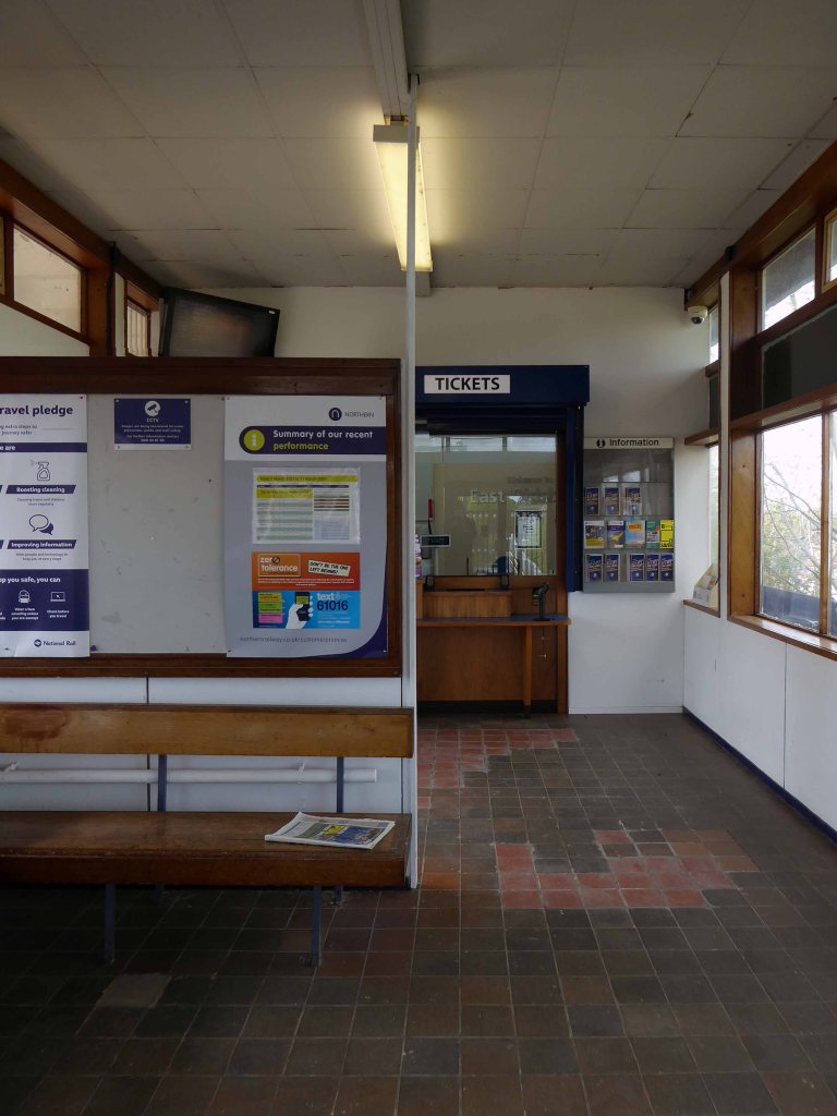
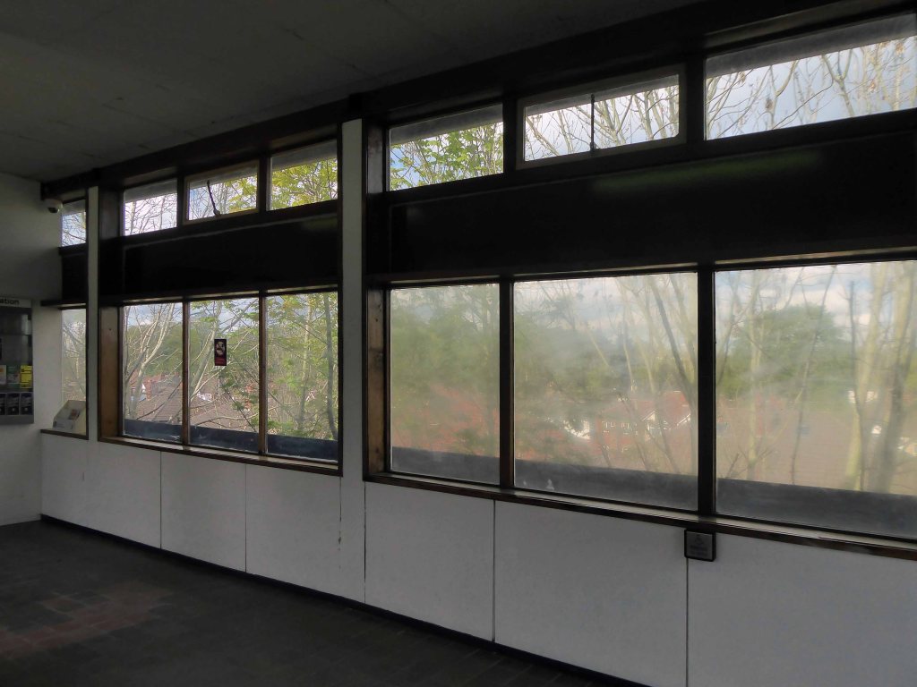
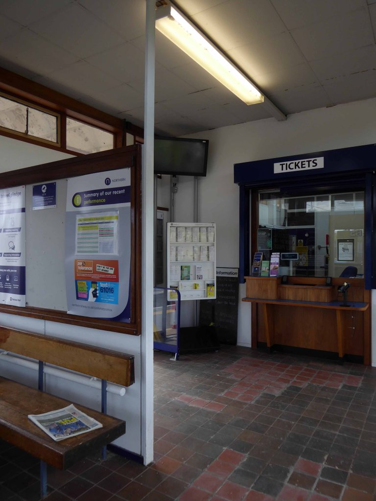
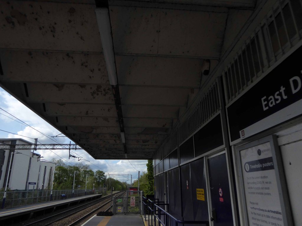
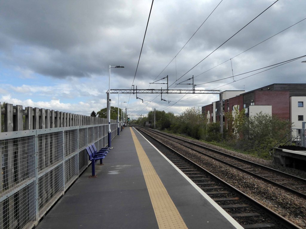
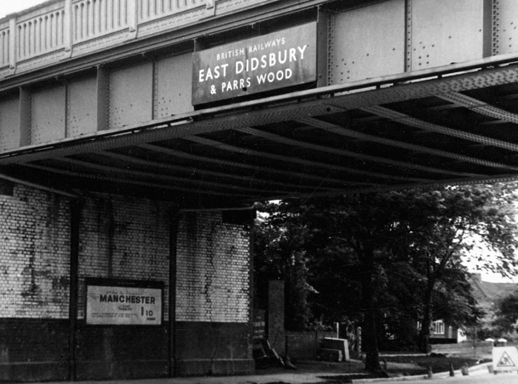
East Didsbury Station was opened in 1909 by the London and North Western Railway and, until 6 May 1974, was called East Didsbury and Parrs Wood.
From 1923, the line was operated by the London Midland and Scottish Railway. Following the formation in 1948 of British Rail, rail services were operated by the London Midland Region of British Railways, then North-Western Regional Railways.
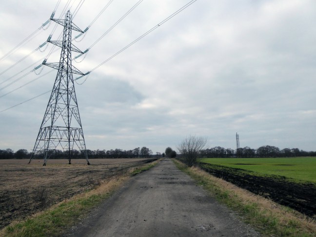
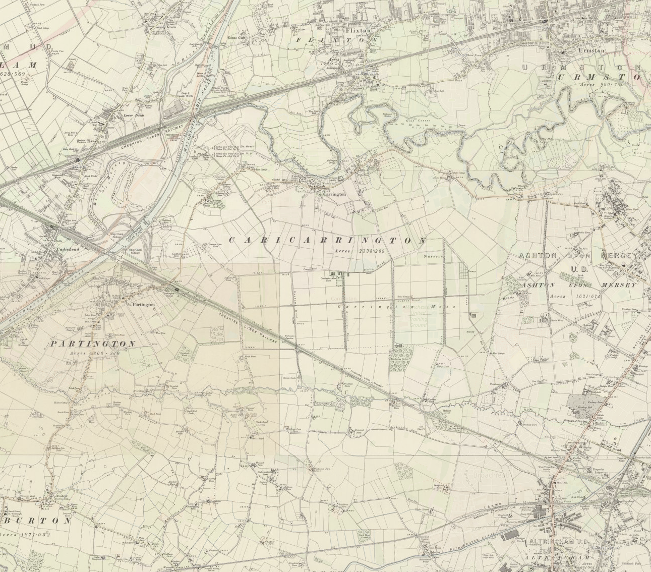
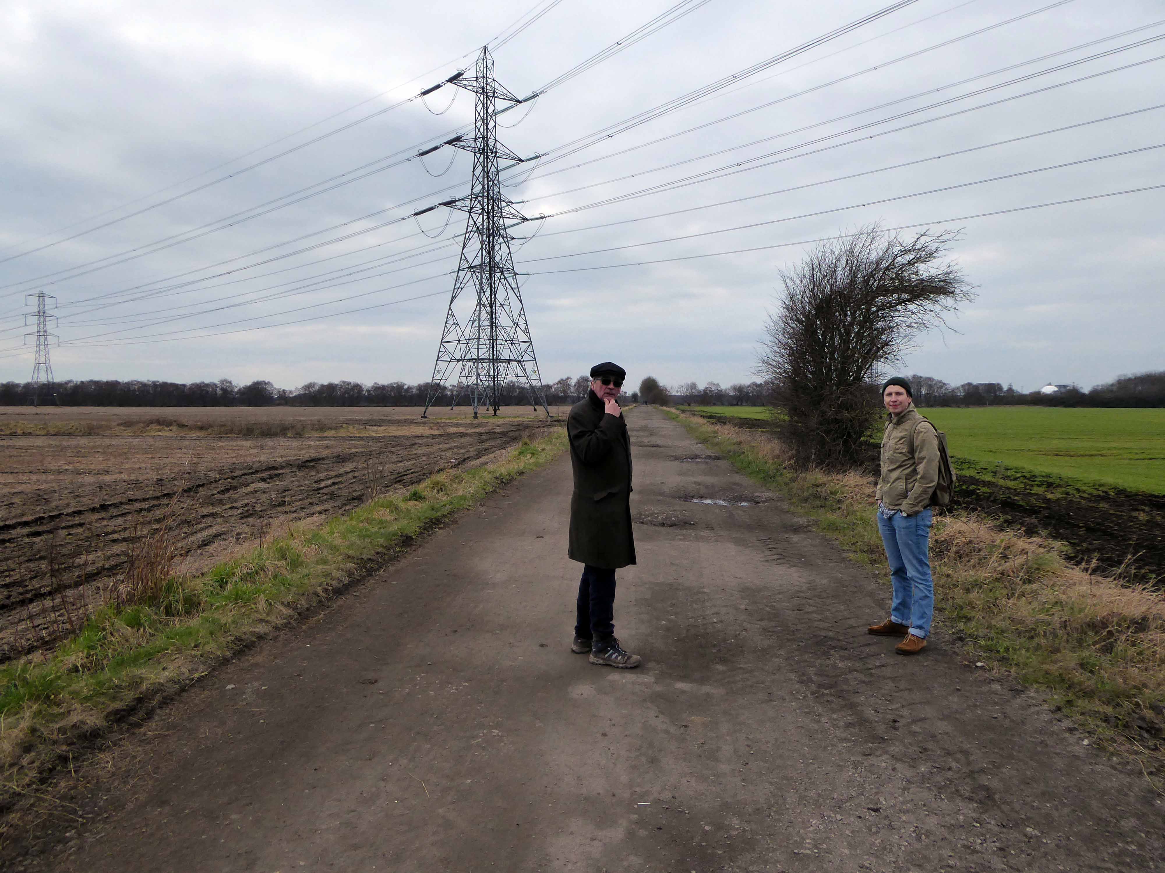
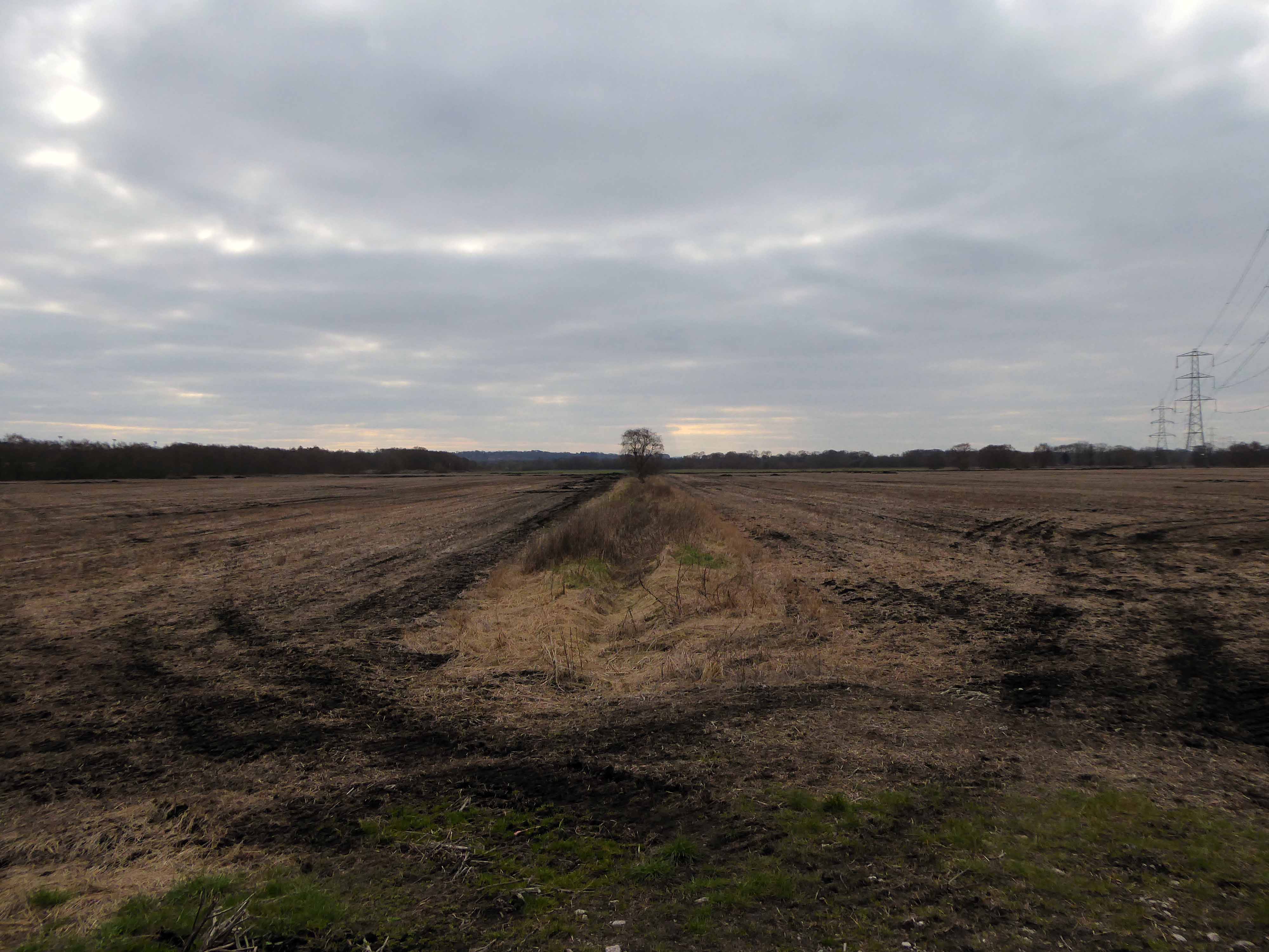
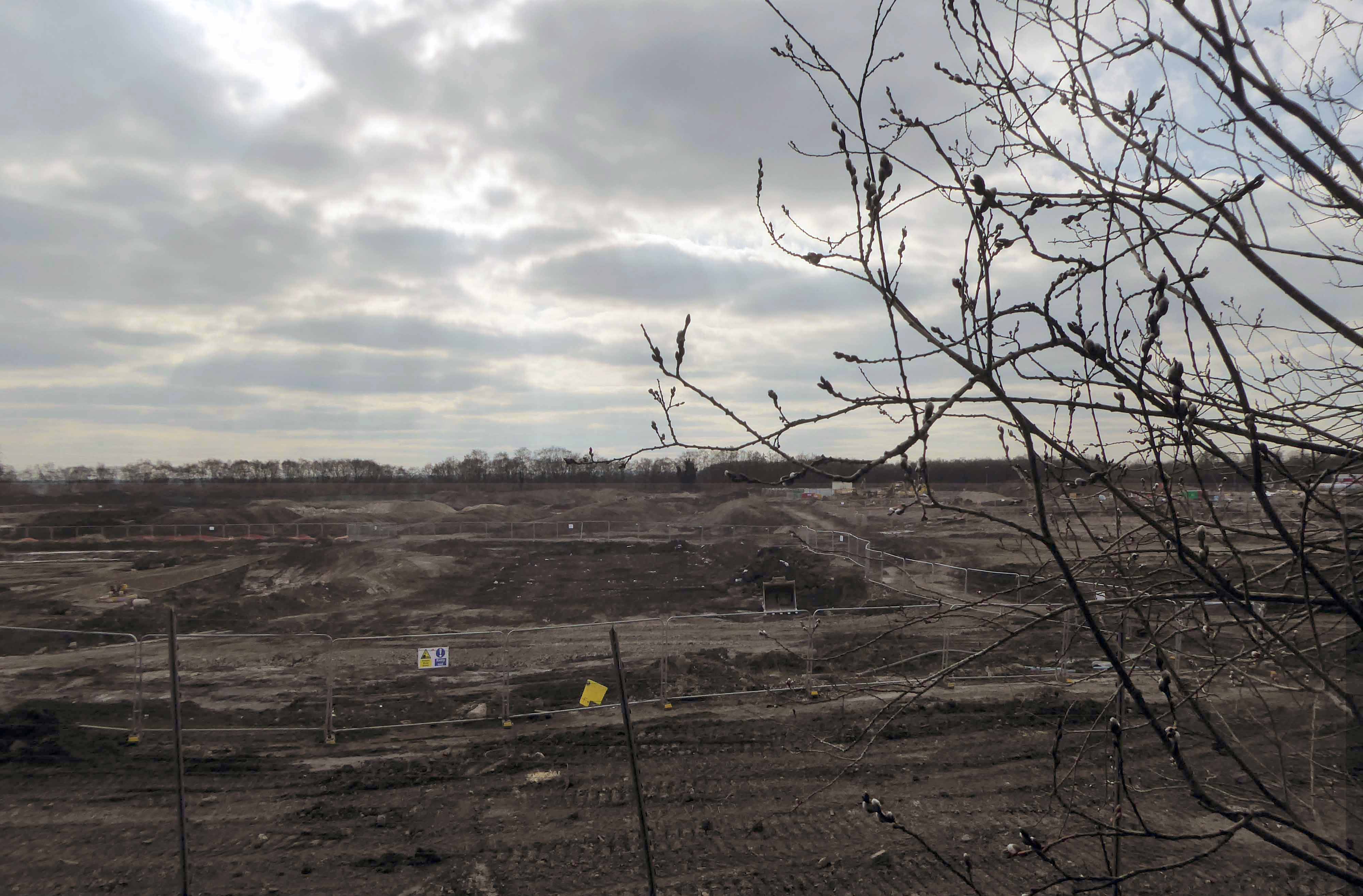
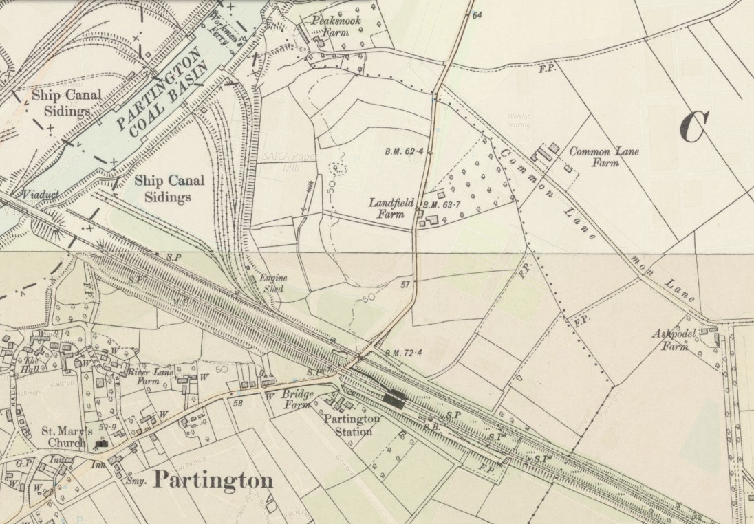
Carrington Moss is a large area of peat bog near Carrington in Greater Manchester, England. It lies south of the River Mersey, approximately ten miles south-west of Manchester, and occupies an area of about 1,100 acres..Originally an unused area of grouse moorland, the moss was reclaimed in the latter half of the 19th century for farming and the disposal of Manchester’s waste. A system of tramways was built to connect it with the Manchester Ship Canal and a nearby railway line. During the Second World War the land was used as a Starfish site and in the latter half of the 20th century, a large industrial complex was built along its northern edge. More recently, several sporting facilities have been built on Carrington Moss. Today, the land is still used for farming and several nature reserves have been established within its bounds.
Parts of Carrington Moss are accessible to the public over several rights of way.
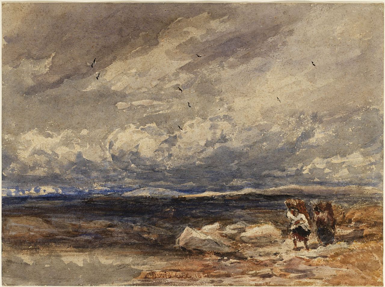
On Carrington Moss 1851 David Cox
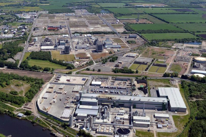
Industrialisation of the moss took place from 1947–1952 when Petro-Carbon ltd began to build what would later become known as the Shell Site. The estate was leased on 1 October 1968 to Shell Chemicals, who in 1957 had purchased a propylene oxide plant along the moss’s northern edge. Shell had built an ethylene oxide plant in 1958 and began to produce polyether polyols the following year. Council housing was built nearby, at Carrington and Partington, for workers and their families. By 1985 the Shell plant had a turnover of about £200M and employed 1,150 people, but a major restructuring of the business reduced the workforce to less than 500 by 1986. By 1994, four distinct plants operated on the 3,500-acre (14 km2) site, producing a range of chemicals, and materials including polystyrene, polyethylene and polypropylene.In 2005 it was reported that Shell would close their polyols and ethoxylates units, a decision which came into effect in 2007. The estate is currently managed by chartered surveyors Bell Ingram. Lyondell Basell operate the last remaining chemical plant on site.
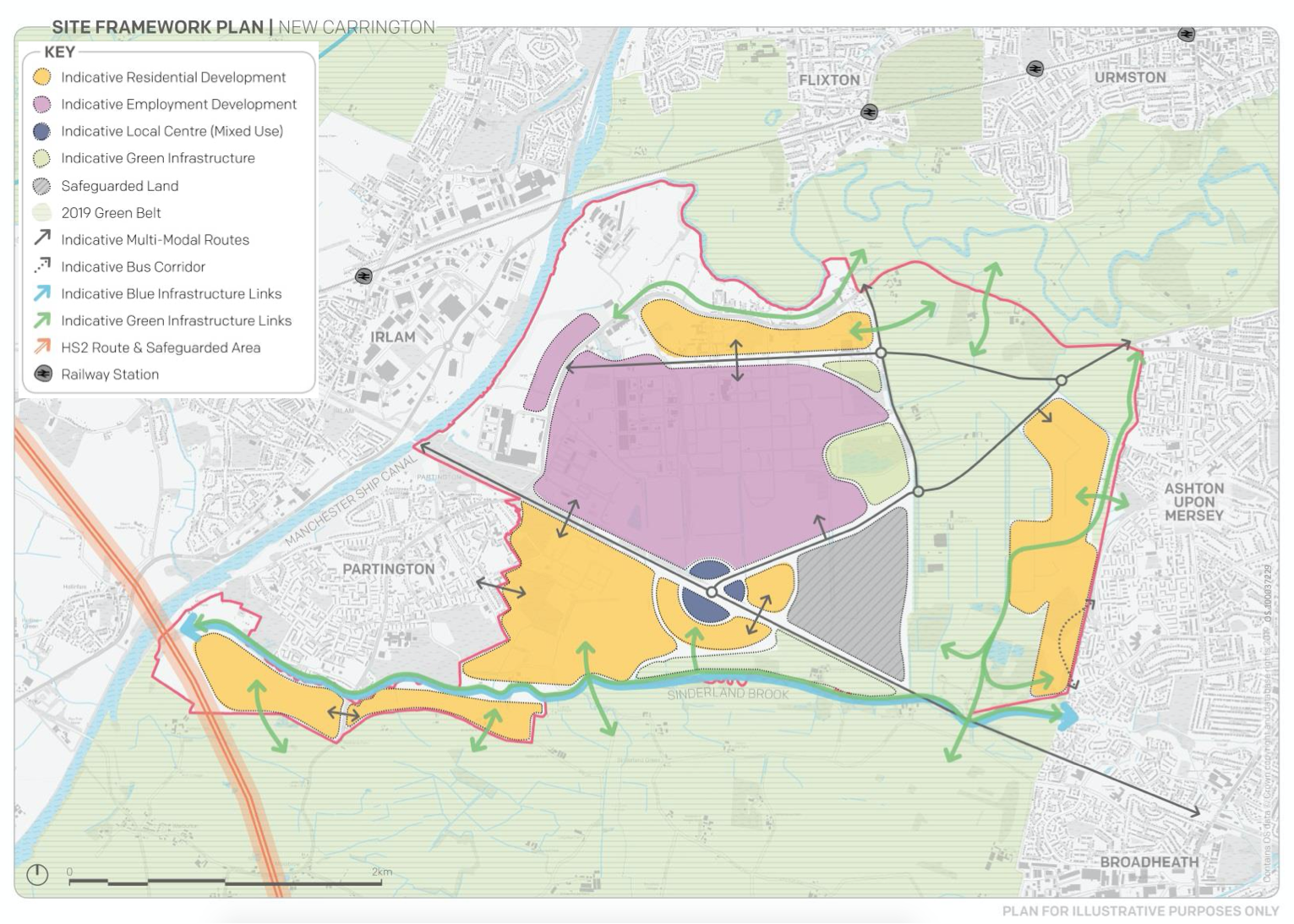
Storm Christoph showed that Manchester is susceptible to the adverse effects of extreme weather events, which are forecast to become more regular occurrences.
Greater Manchester Labour for a Green New Deal argue that we must abandon the idea of developing on greenbelt, and instead embrace bold alternatives which reflects the urgency of the climate crisis﹣starting with sites like Carrington Moss.
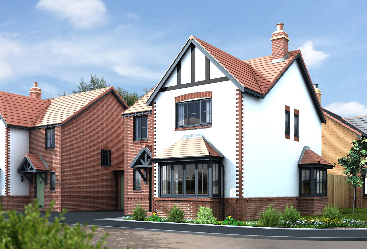
This is an area in liminal limbo, the pressures of the modern world leaning on its very being, as ash, alder, badger, field mouse, and kestrel give way to Wainhomes.
Where then will the wanderer wander, in search of solace?
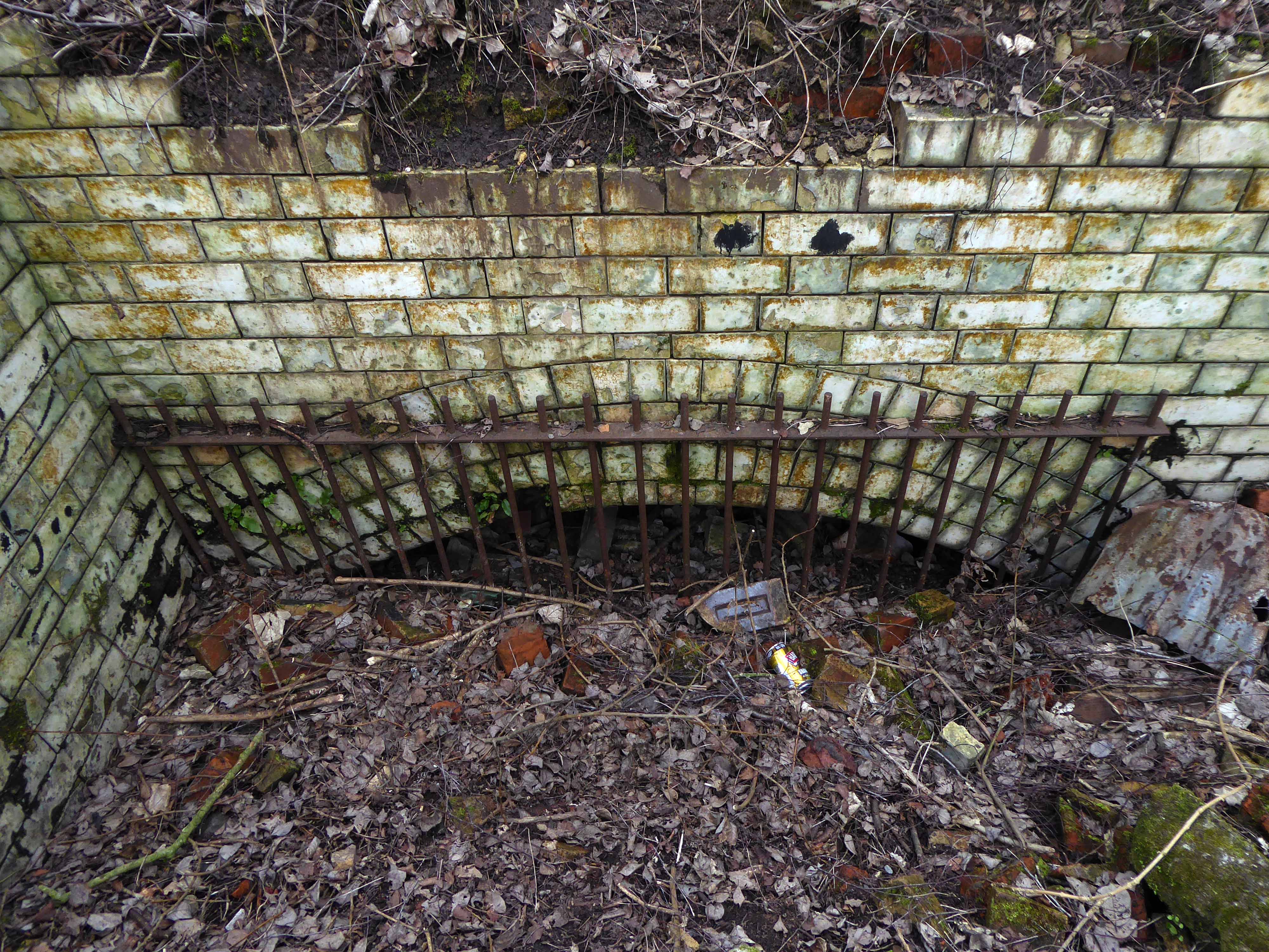
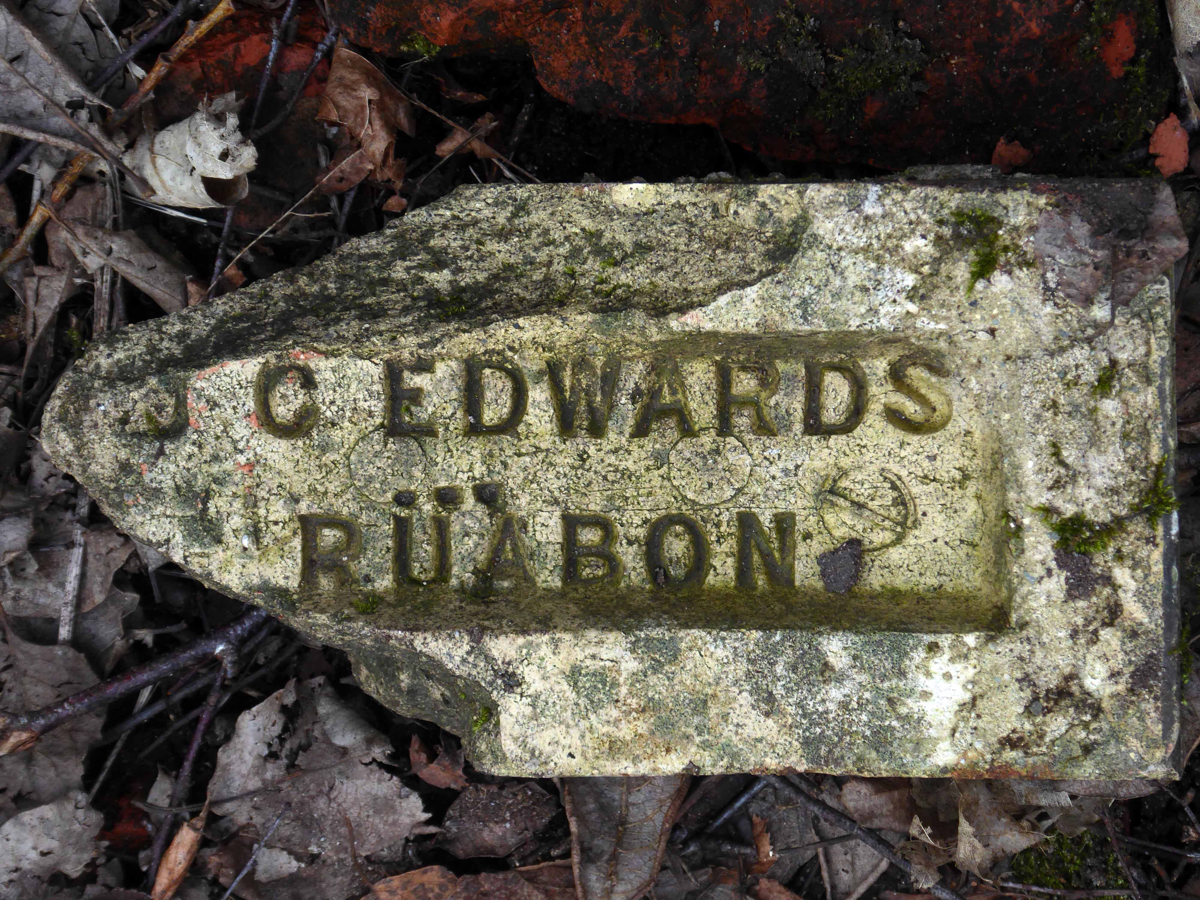
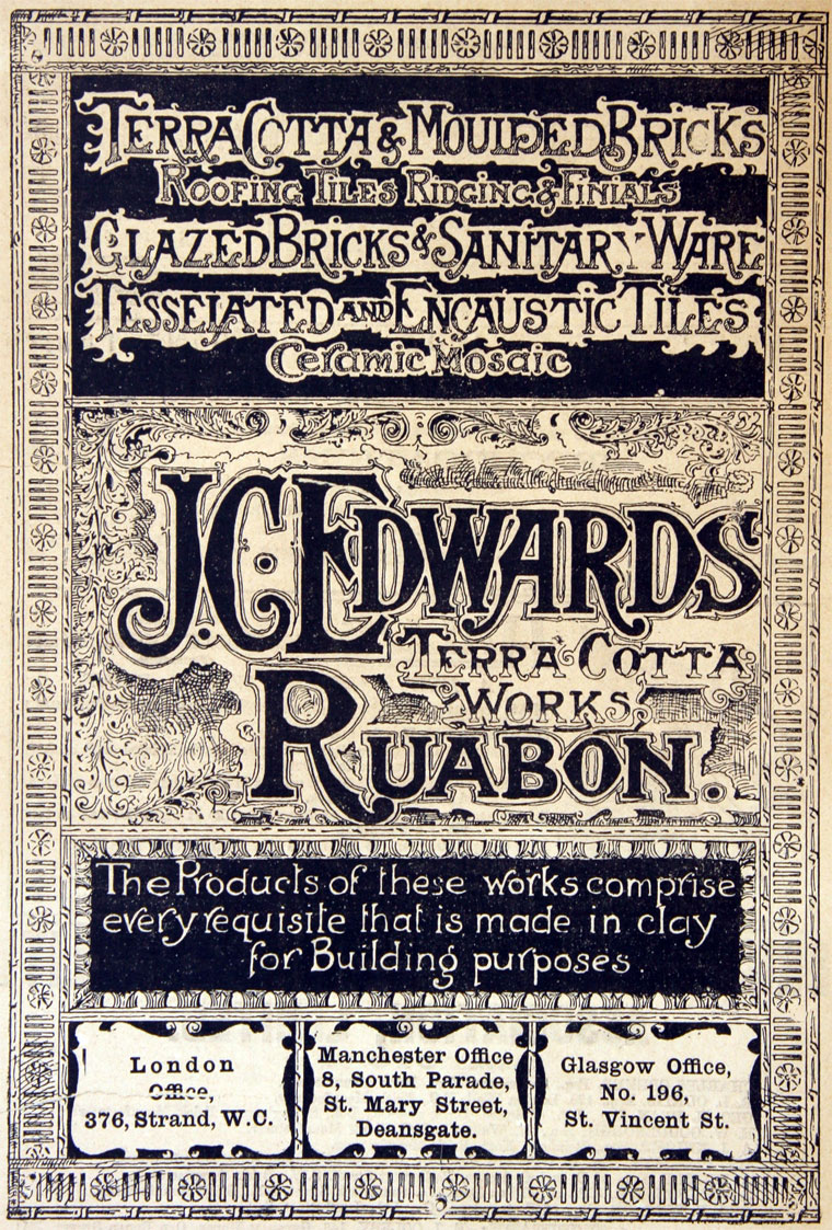
The company of J. C. Edwards Ruabon Ltd, was based in Ruabon, Denbighshire, and was active from 1903 to 1956 as a brick, tile and terracotta manufacturer from its works at Tref-y-Nant, Acrefair, Albert Works, Rhosllannerchrugog, and Pen-y-bont, Newbridge, Denbighshire.
James Coster Edwards (1828-1896) founded the company; it was sold in 1956.
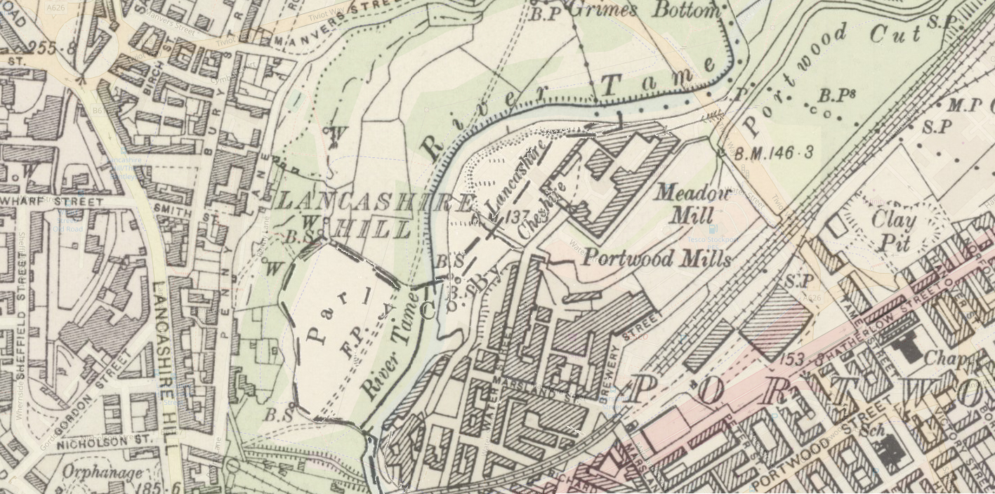
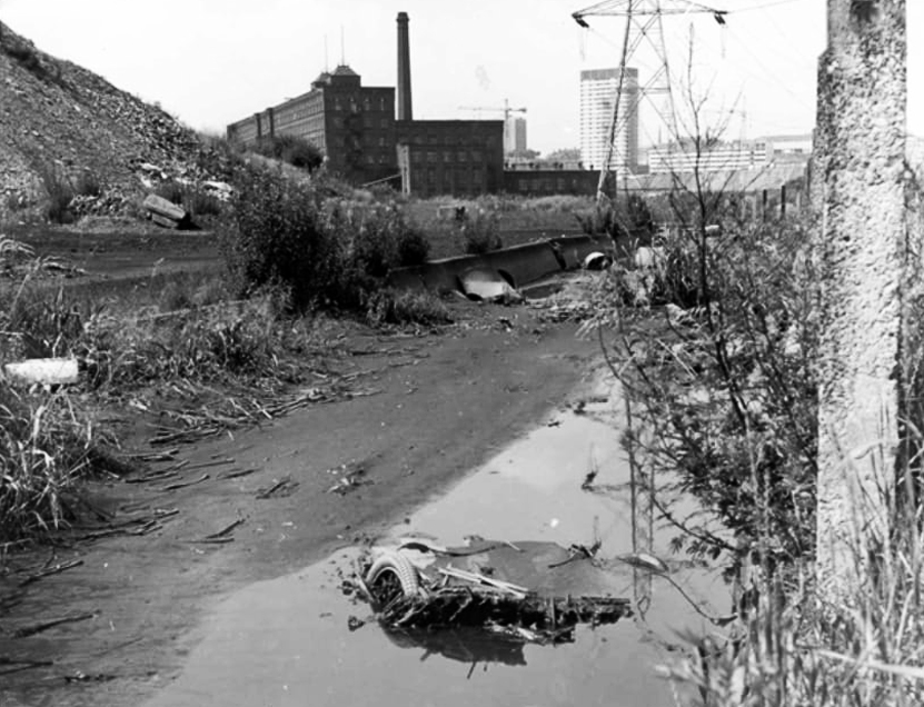
I often walk around here, the space enclosed by the River Tame and the M60, it was a maze of busy streets, home to peoples’ homes, industry, pubs, clubs and railways.
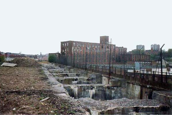
Much of that is now gone, either left to its own devices, untended rough empty ground, or overwritten by the newly built Tesco Extra and Porsche dealership.
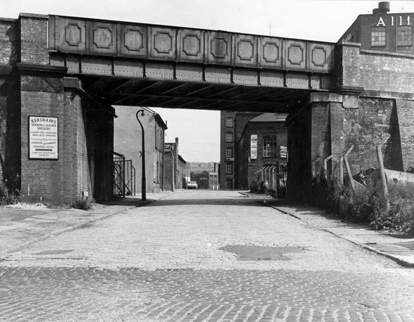
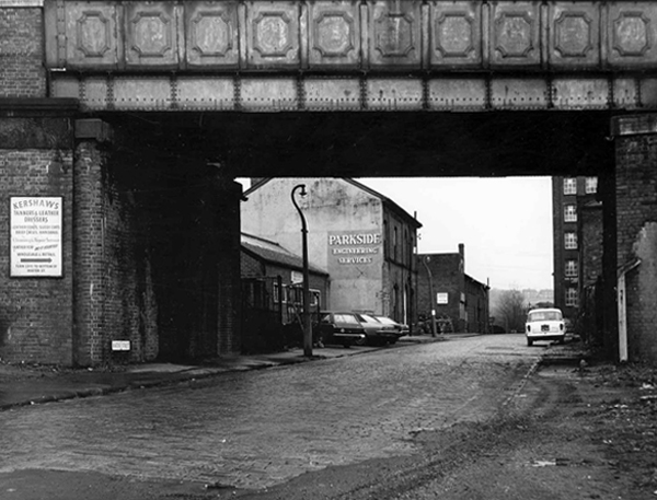
Water Street, Portwood looking north, taken from Avenue Street. Looking underneath the railway bridge, on the left hand side, the first building used to be a public house called ‘The Beehive’, further along was Kent & Swarbrick’s Tripeworks, now a precision engineers, then North West Concrete Works – Easymix. On the right is Coxson’s Brushworks, then the Portwood Mill, Kershaw’s Tannery and the Meadow Mill at the bottom of the street.
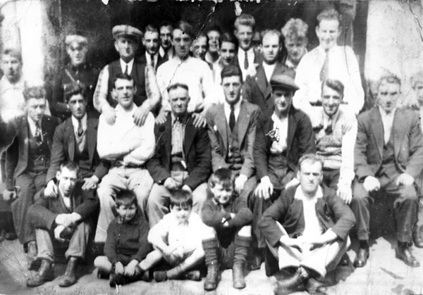
The area was also home to the Blood Tub boxing ring.
Outside the Blood Tub Back Water Street Portwood.
Centre row left to right Billy PittTaylor Micky PelhamJack HulmeJo Moran owner John MorryBobby RileyLaurie Glen a jockey
2nd row from the back – James Jimmy Rose.
Back row left to right – Charlie Dean An ambulance man Ike Irelands horse dealer – Team from Macclesfield.
Extreme right – Jo Mulrooney.
Front row left to right extreme left – Sidney Smith soft Sidney – a simpleton Jo Hulme.
Copied from a photograph lent by Eddie Pitt
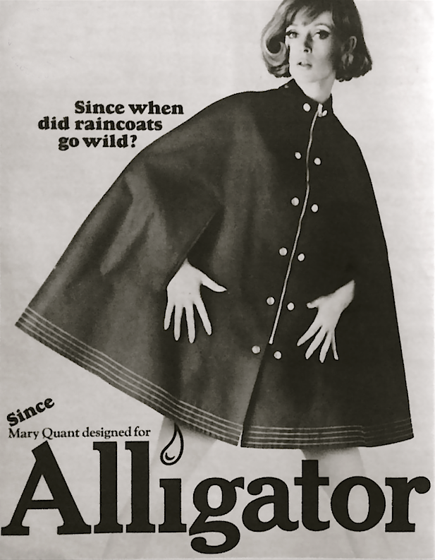
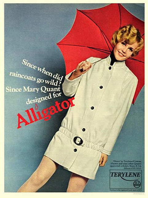
Alligator Rainwear – a British company, whose main factory was based in Beehive Mill. It was best known for its 1960s collaborations with Mary Quant in the design and production of her Wet Look collection of PVC raincoats.
The firm was started after the First World War by Reuben Satinoff, who had previously founded the London Waterproof Company – Silkimac. It was taken over by his sons after the Second World War. For decades, it manufactured traditional weatherproof raincoats in black, brown and beige, but the collaboration with Quant led to new fabrics including PVC and nylon, and a range of bright and vibrant colours.
At its peak in the 1960s and 1970s, Alligator had a turnover of £5 million per year and was exporting its products to Europe and North America. It was later owned by Baker Street Brands who describe it as one of their heritage brands.
Viewed from Tiviot Dale Viaduct
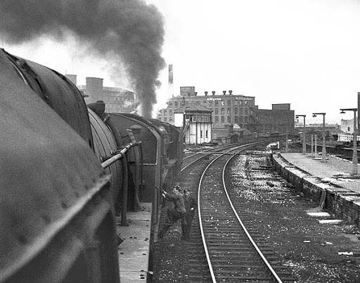
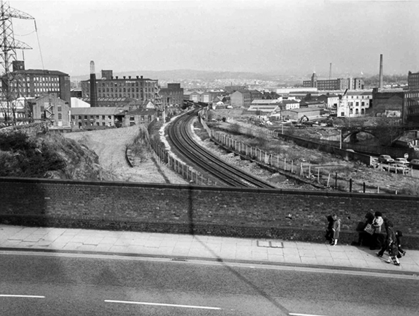
Tiviot Dale station was located on the Cheshire Lines Committee (CLC) operated Stockport, Timperley and Altrincham Junction Railway line from Portwood to Skelton Junction, a section of what became the Woodley to Glazebrook line. It was situated at the bottom of Lancashire Hill, next to the present motorway bridge. It was opened on 1 December 1865 and was originally known as Stockport Teviot Dale. From 1880, Tiviot Dale was also served by long-distance trains running on the Manchester South District Railway to London St Pancras.
Tiviot Dale remained a part of the CLC, which was jointly owned from 1923 by the London and North Eastern Railway and the London Midland and Scottish Railway, until 1948 when it became part of the British Railways London Midland Region.
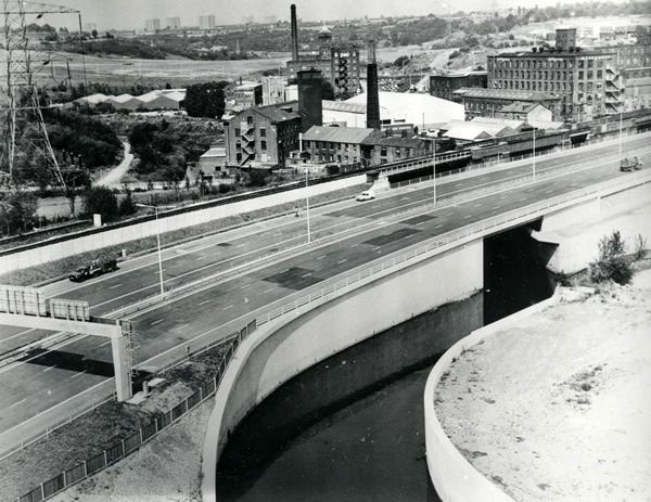
The lines through the station remained in heavy use by coal trains heading for Fiddlers Ferry power station near Warrington from the Woodhead Line. These, however, ceased in 1980 when damage was caused to the nearby Tiviot Dale tunnel during construction work on the M63 motorway – now M60 motorway and the line temporarily closed for safety reasons. The closure was made permanent west of Bredbury’s stone terminal in 1982, following the demise of the Woodhead route; the track was subsequently lifted in 1986 and the tunnel partially filled in. The area surrounding the station was further altered at the beginning of the 21st century to allow the construction of a supermarket and office buildings, which now block the old trackbed.
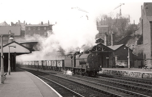
Portwood Railway Station was on the Stockport and Woodley Junction Railway – later becoming part of Cheshire Lines Committee – Glazebrook to Woodley line. According to Bolger it opened to passengers on 12 January 1863, along with the rest of the Stockport and Woodley Junction Railway, although Butt suggests it opened on 1 December 1865 when the Stockport, Timperley and Altrincham Junction Railway opened.
The station opened for goods traffic in 1865, closing to passengers on 1 September 1875, when it became a goods station. It remained in use until 25 April 1966 when it closed except for coal traffic which continued until 27 March 1972 when it closed entirely except for a private siding.
Today no trace of the station remains, the site being buried under a slip road of the M60 motorway.
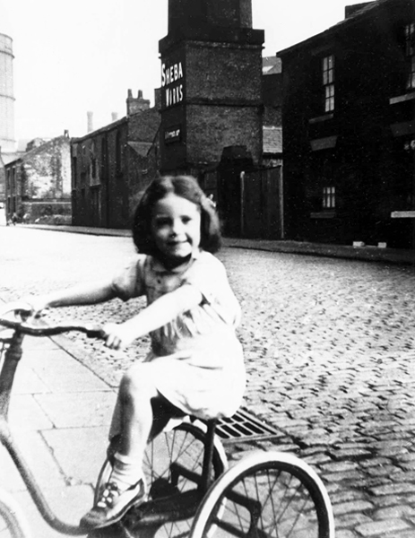
Monica Clarke on her tricycle in Marsland Street, behind her across the cobbled street is the Sheba Works – 1951.
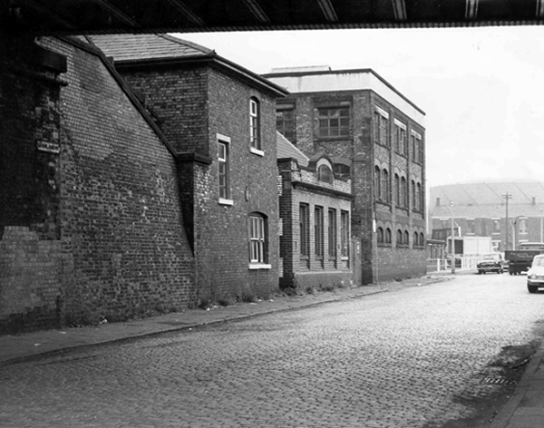
Marsland Street east, showing the Haymarket Chambers – 1967
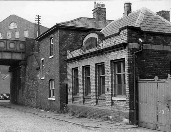
The front of Haymarket Chambers Marsland Street.
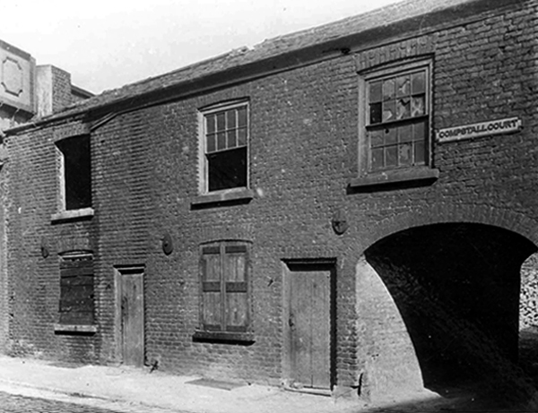
Boarded up dwellings on Compstall Court, off Marsland Street.
Portwood Cut 1968
James Harrison bought the manor of Brinnington in the early 1780’s – by 1790 Harrison had three factories in Portwood and others were to follow. In 1796, to provide sufficient water-power to this industrial zone he constructed a substancial millrace. Known as the Portwood Cut, it carried water across the Tame, between his Reddish and Brinnington estates. Harrison also planned the construction of factories at Wood Hall but that particular scheme was abandoned after his death in 1806.
Harrison’s Weir still survives on the river. To the south sections of the Portwood Cut also survive within Reddish Vale Country Park, both as a shallow depression and as water-filled, if somewhat silted and overgrown channel.
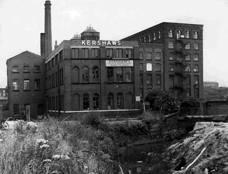
Kershaws is one of the only original businesses which still trades in the area.
Established back in 1855 by Joshua Kershaw, the company has gone from strength to strength.
Way back then, it was just a tannery. Today, seven generations on, Edward Kershaw heads a company that is known and respected for it’s quality leather in Europe, America and the Far East.
Kershaws also provide white leather for masonics and bagpipes.
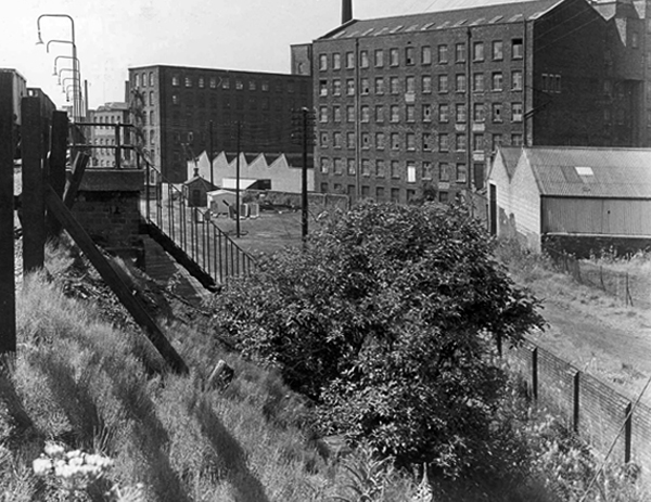
Brewery Street – a view of the steps leading to the railway footpath to Tame Street – 1967.
The mill in the foreground is the Portwood Spinning Mill now called Portwood Mill – on the front of the mill it states Sir Richard Arkwright Portwood Mill.
Employees – Portwood Spinning Company
Coal drops and yard at the rear of the Beehive Spinning Mill
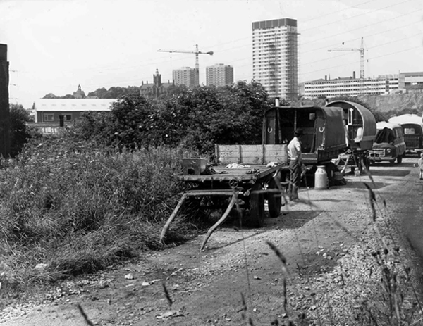
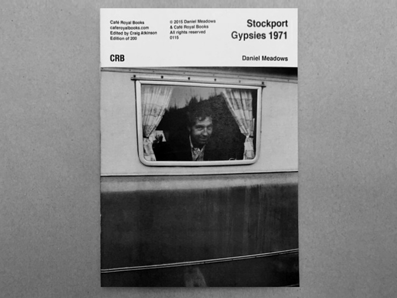
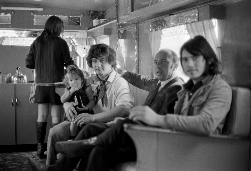
Tame Street gave motorized access to the Cut and here the caravans of travelling folk were parked several times a year, usually until the police ‘moved them on’. The men collected and sold scrap metal, the women sold clothes pegs and told fortunes from door to door. Many of the local people treated them with suspicion and some local pubs would not admit them.
Building work on Lancashire Hill can be seen in the background – 1968
The city, however, does not tell its past, but contains it like the lines of a hand, written in the corners of the streets, the gratings of the windows, the banisters of the steps, the antennae of the lightning rods, the poles of the flags, every segment marked in turn with scratches, indentations, scrolls.
Italo Calvino – Invisible Cities
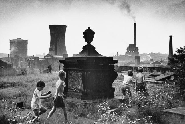
Paul Dobraszczyk posted this Shirley Baker photograph, he was puzzled by its exact location, it puzzled me too.
For nearly all that is depicted here, is now no longer extant, save one hopes, for the group of playmates.
All that is solid melts into air, all that is holy is profaned, and man is at last compelled to face with sober senses his real conditions of life, and his relations with his kind.
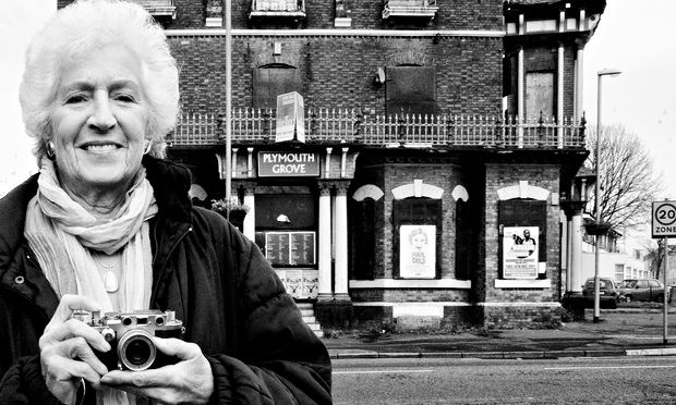
Shirley Baker was a renowned documentary photographer, who worked extensively in Greater Manchester.
I love the immediacy of unposed, spontaneous photographs and the ability of the camera to capture the serious, the funny, the sublime and the ridiculous. Despite the many wonderful pictures of the great and famous, I feel that less formal, quotidian images can often convey more of the life and spirit of the time.
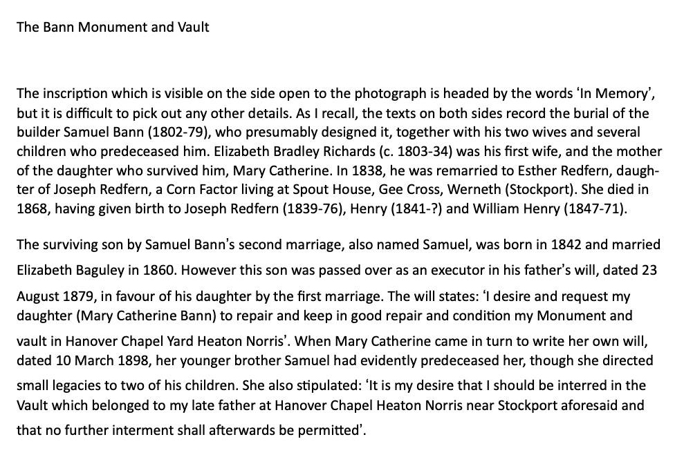
I am grateful to Stephen Bann who has identified the monument as the Bann Family vault:
Stephen Bann and his younger brother – many thanks for the text and photograph Stephen.
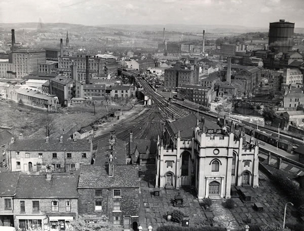
Her photograph was taken in Stockport 1967 – I first assumed it was taken from St Mary’s Church, looking toward the former power station.
I was mistaken.
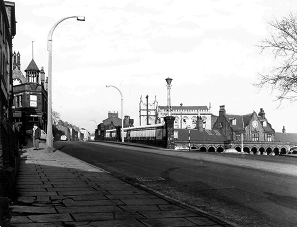
Using the Stockport Image Archive, I found the possible site, in this photograph of Tiviot Dale Station.
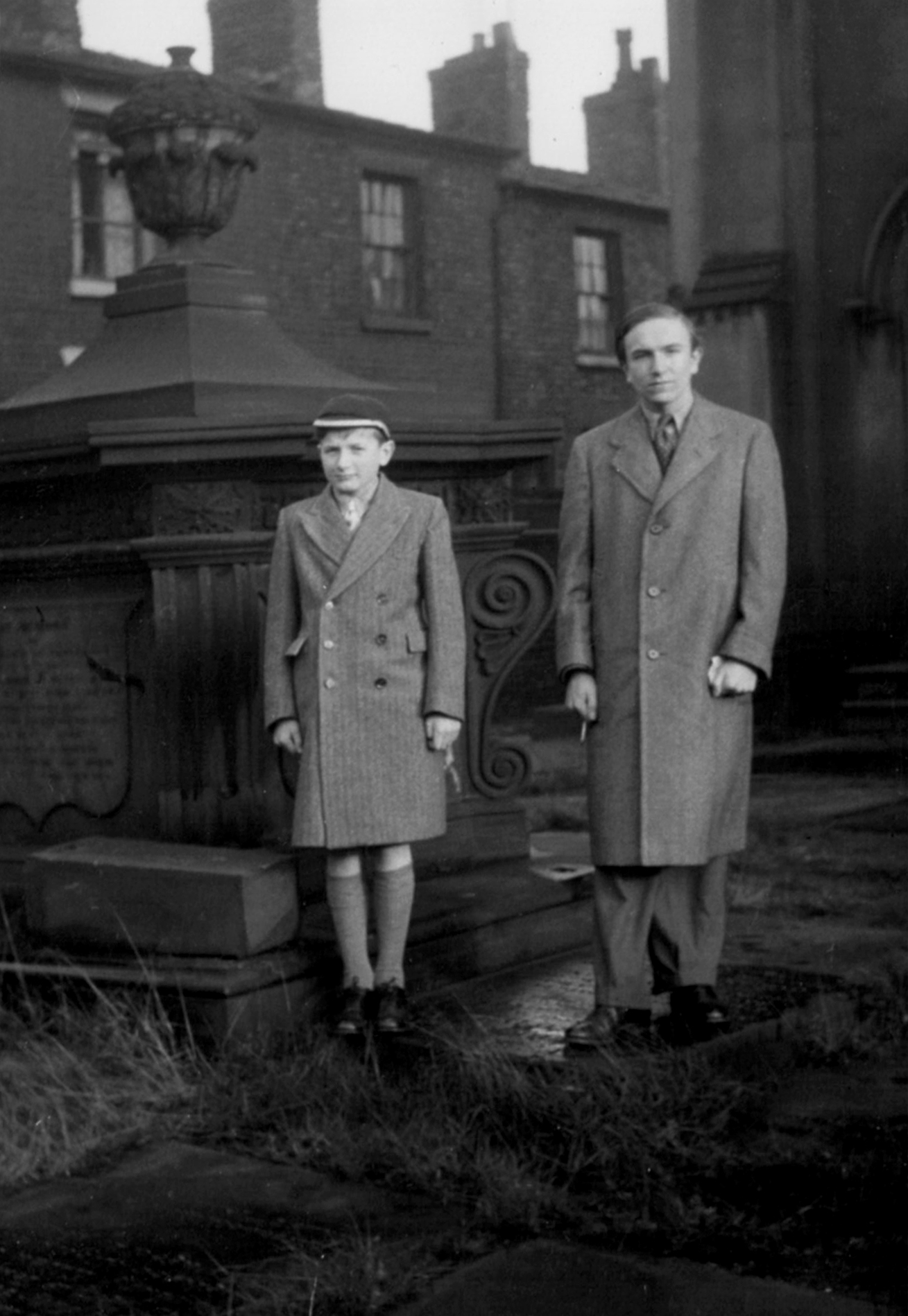
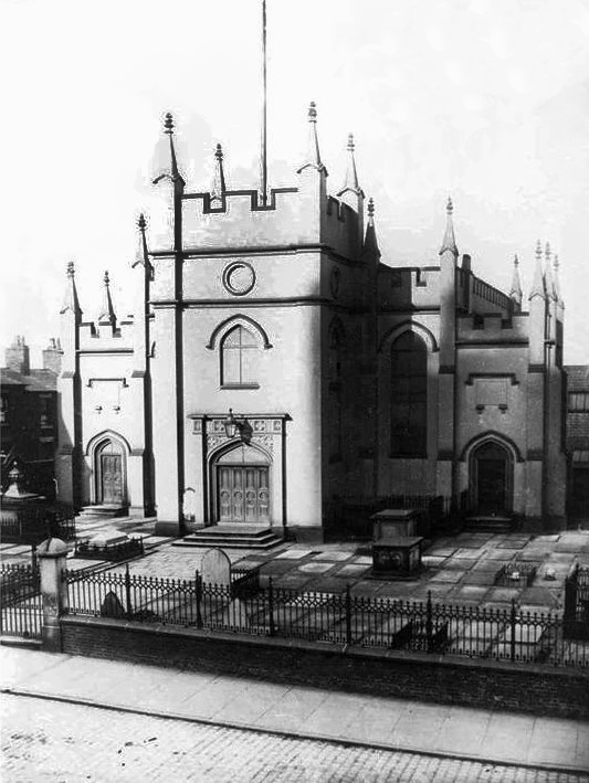
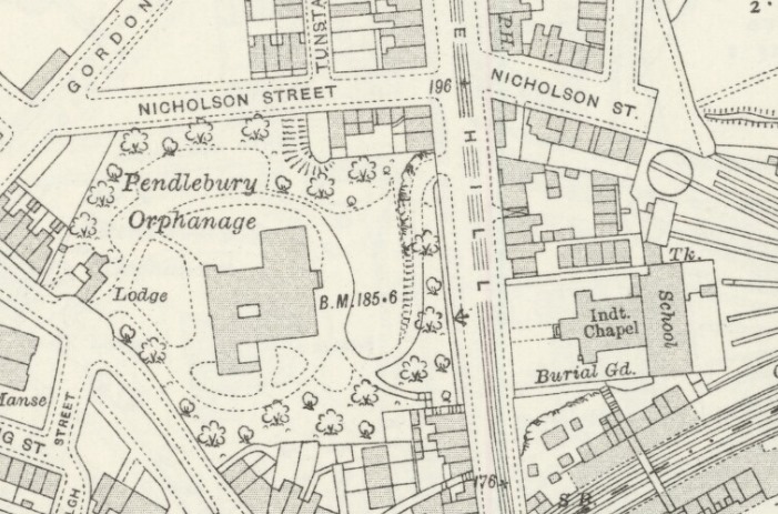
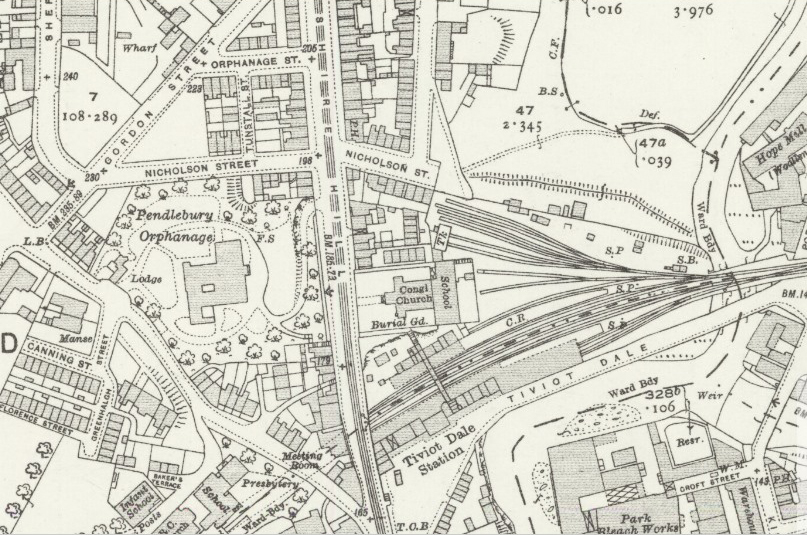
There on the eastern edge of Lancashire Hill – Hanover Chapel.
Seen here on the maps of 1917 and 1936.
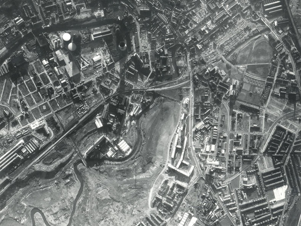
An area of intense activity, road, rail, housing and infrastructure.
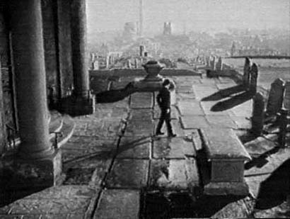
Hanover Chapel closed 1962 – though we may assume from Shirley Baker’s photograph, that following its demolition the graveyard remained intact but untended.
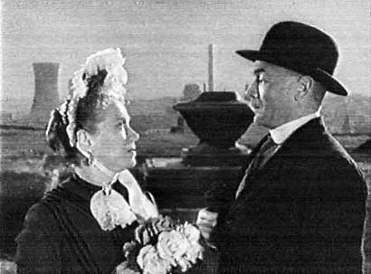
The chapel is thought be seen in the 1954 film Hobson’s Choice, directed by David Lean and starring John Mills, here awaiting his bride to be – the parish church of St Mary’s on the skyline.
Though closer examination reveals that this is not Hanover Chapel – where did those pillars come from?
Where are we, in a labyrinth of invention with a superimposed Stockport backdrop?
My thanks to Robert Collister for these observations.
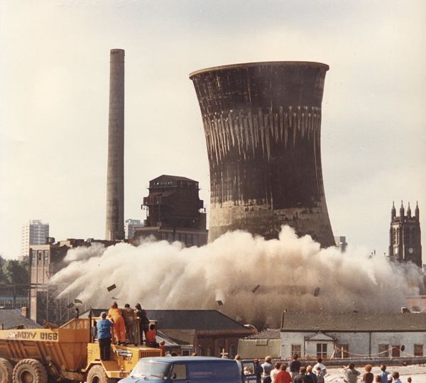
Improbably out of time, the cooling towers are yet to be built, or blown up.
Here John is joined by Salford born Brenda Doreen Mignon de Banzie, playing Maggie.
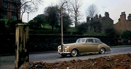
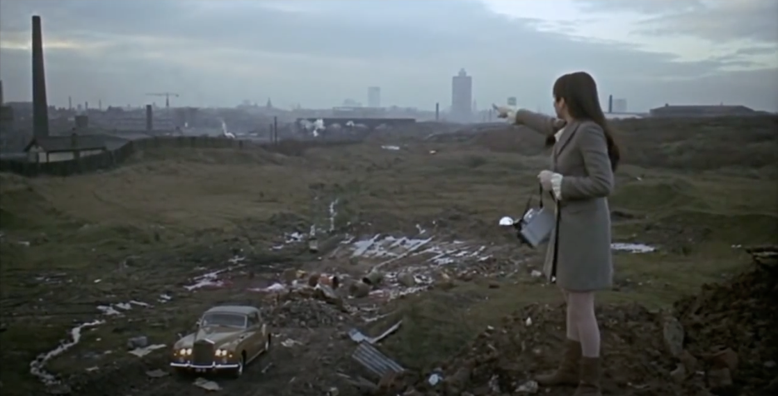
The demolished chapel rubble appears in the foreground of Albert Finney’s gold Roller CB 1E in Charlie Bubbles.
The film’s screenplay was the work of Shelagh Delaney, whose previous work A Taste of Honey also used local locations.
Where Finney has pulled up, feeling proper poorly.
As a serendipitous symmetry, Charlie Bubbles co-star Liza Minelli plays a photographer recording Salford’s disappearing streets.
Bit by bit everything disappears, Tiviot Dale Station closed completely on January 2nd 1967.
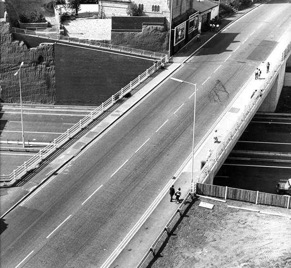
Where once there was a continuous run from the chapel to the town centre, the motorway has since intervened.
The Tiviot Dale pub on the right is no more, closed in 2013.
We had people from all parts of the country turn up on our final day,some of them brought their children who wanted to come because they remember the pub so fondly from their childhood. It was really humbling to see that our pub had touched so many lives.
I remember this pub as a Boddingtons house in the 1970’s. Excellent bitter served by handpump from small vault at the front and a larger “best room” behind, both very narrow given the width of the pub. The landlord employed an unusual method of ensuring everyone got a full pint; a half pint glass of beer was kept between the pumps and your pint was topped up from the half which was constantly replenished to keep it fresh. I have not seen this practice in any other pub.
Phil Moran
When’s the next tram due?
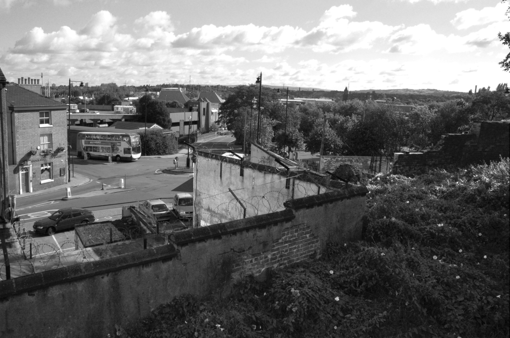
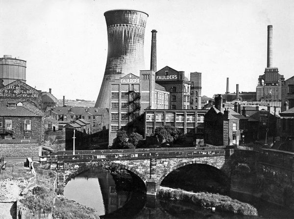
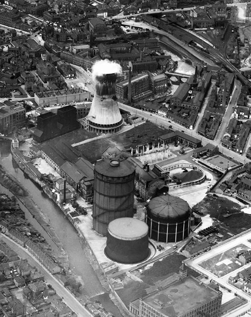
Millgate Power Station operated until 1976.
At the adjacent gas works – gas holder number three was dismantled in 1988, gas holders one and two were removed in 2019.
The nature of infrastructure, housing and industry has changed radically.
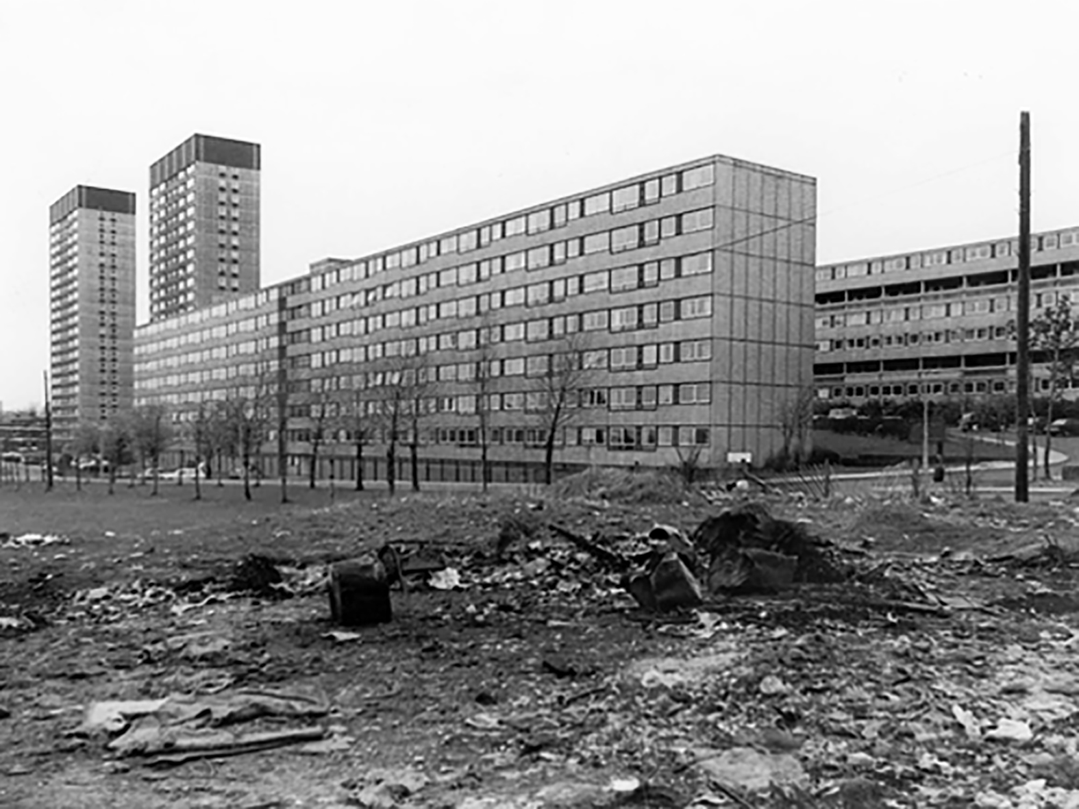
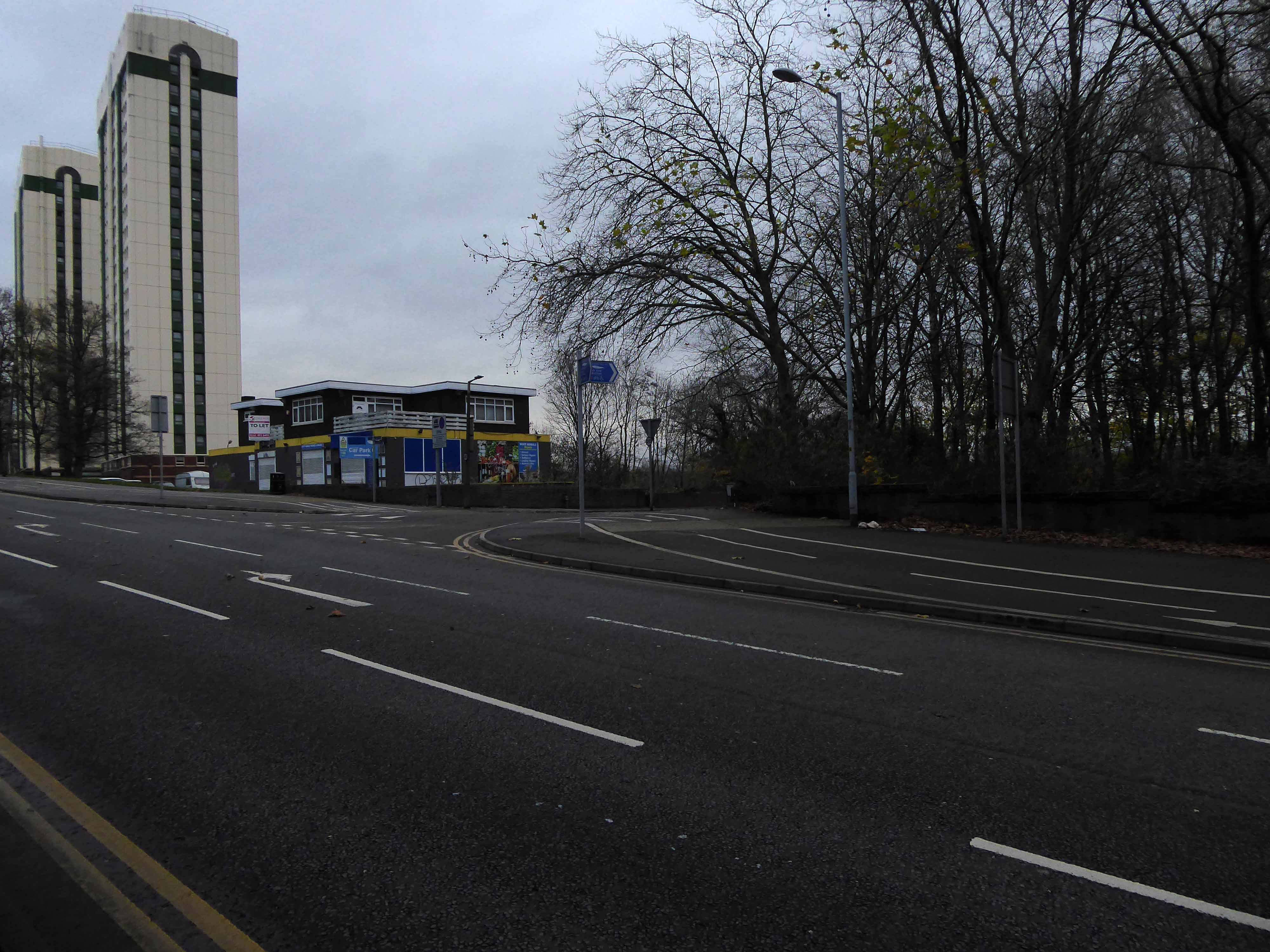
Lancashire Hill flats were built in the 60s, designed by City Architect JS Rank, two seven storey blocks containing 150 dwellings; two six storey blocks containing 120 dwellings.
Replacing tight rows of terraced housing.
They themselves clad and revamped.
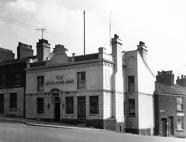
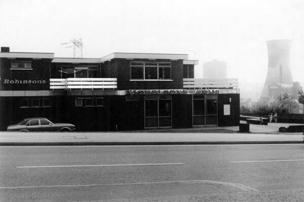
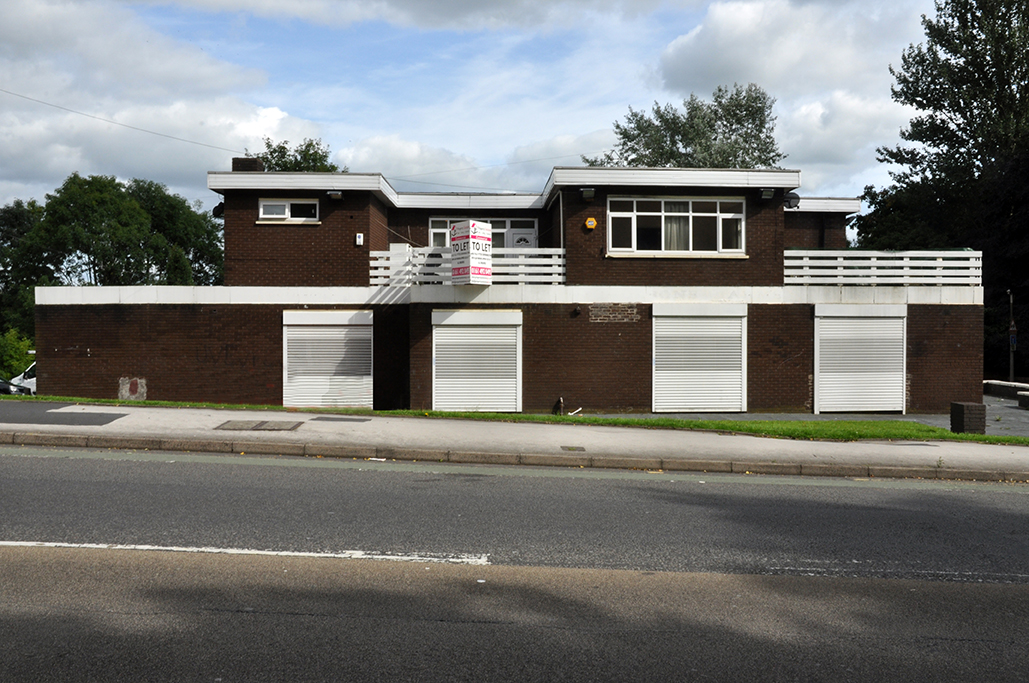
The Nicholson’s Arms built to serve the flats closed and currently empty, signs say to let – replaced an earlier pub, sited on the corner of long gone Nicholson Street.
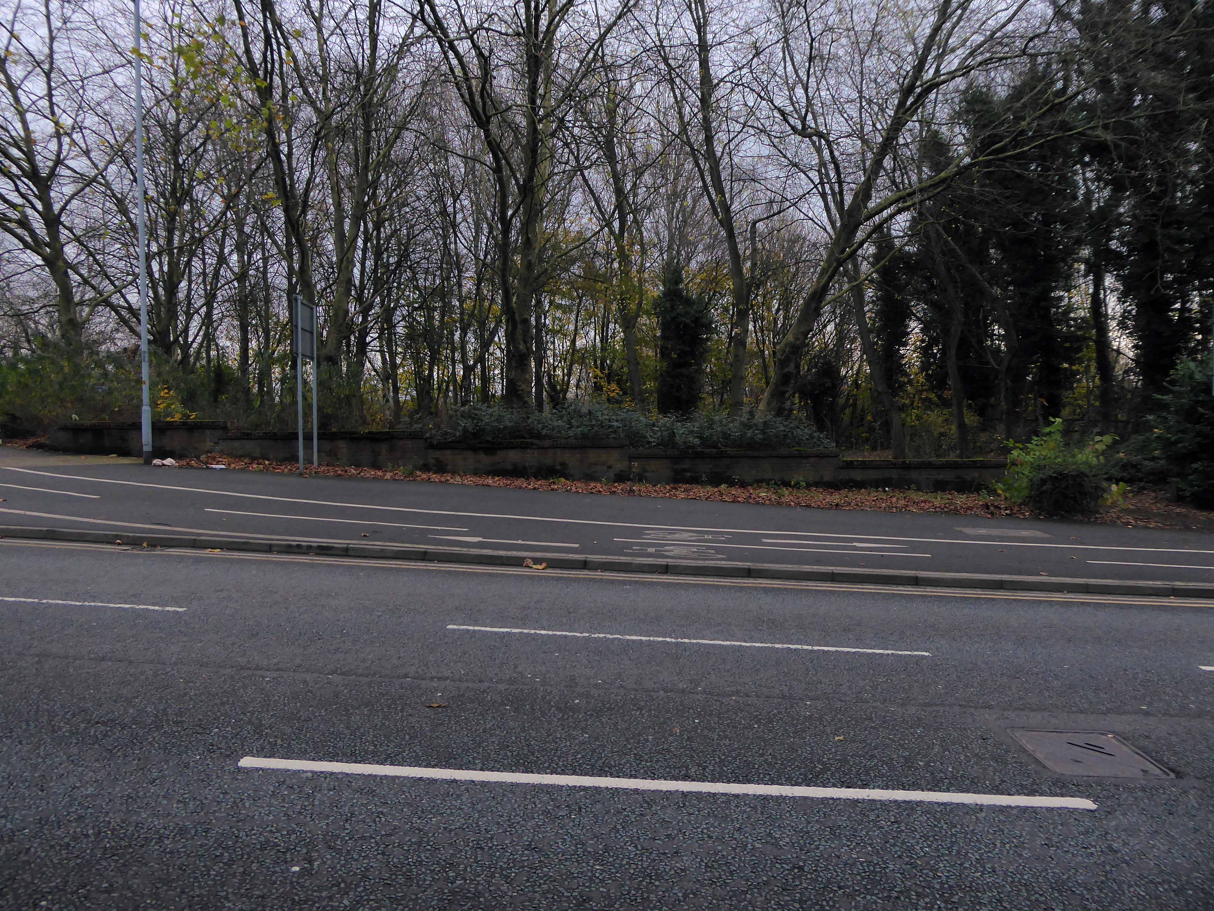
Today from the road there’s simply no trace of the site’s past purpose.
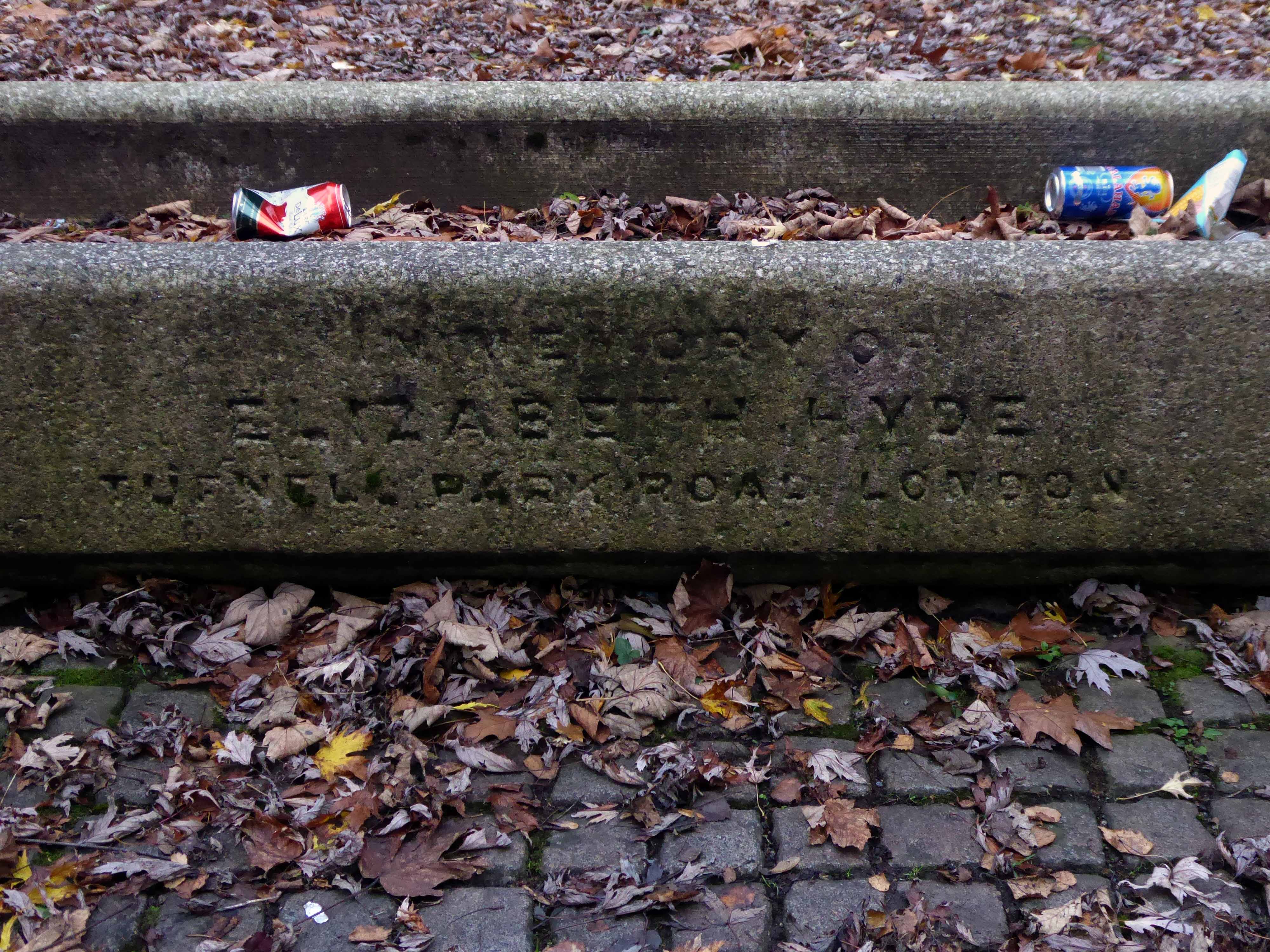
At the centre of what is now a compact civic grassed area – a trough.
Incongruously in memory of Elizabeth Hyde of Tufnell Park Road London.
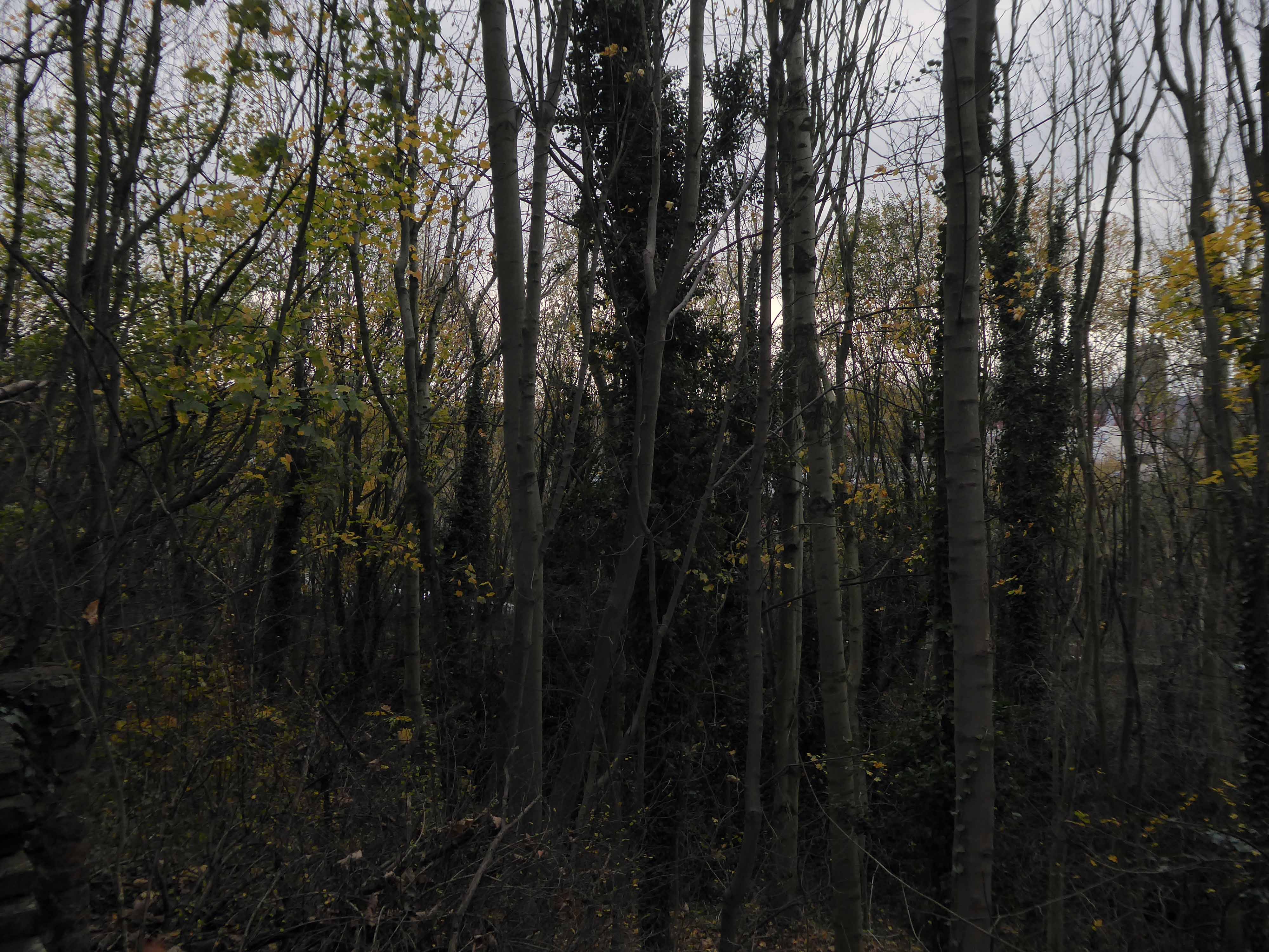
The dense stand of trees is impenetrable – no longer a view of the non existent power station and beyond.
And they that shall be of thee shall build the old waste places: thou shalt raise up the foundations of many generations; and thou shalt be called, the repairer of the breach, the restorer of paths to dwell in.
Isiah 58:12
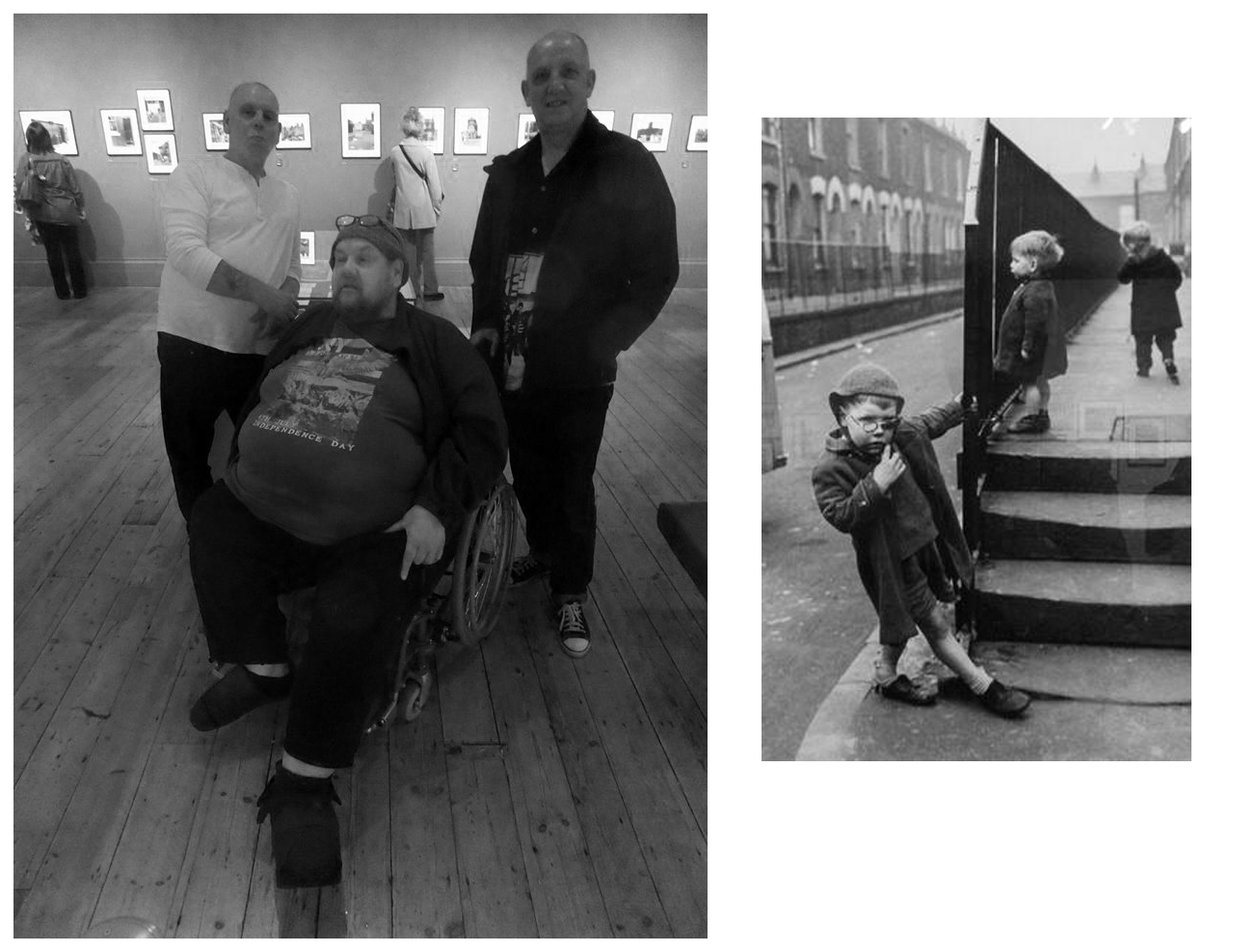
As a footnote I did meet brothers Stephen, Derek and Peter who appeared in this Shirley Baker photograph 55 years ago – she promised them an ice cream each – they never ever received an ice cream.
They are seen in Sunnyside Street Ordsall – long since demolished.
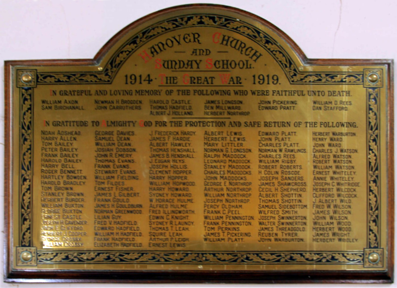
A commemorative plaque from the Chapel still exists, sited now on the wall of Wycliffe Congregational Church Georges Road Stockport.