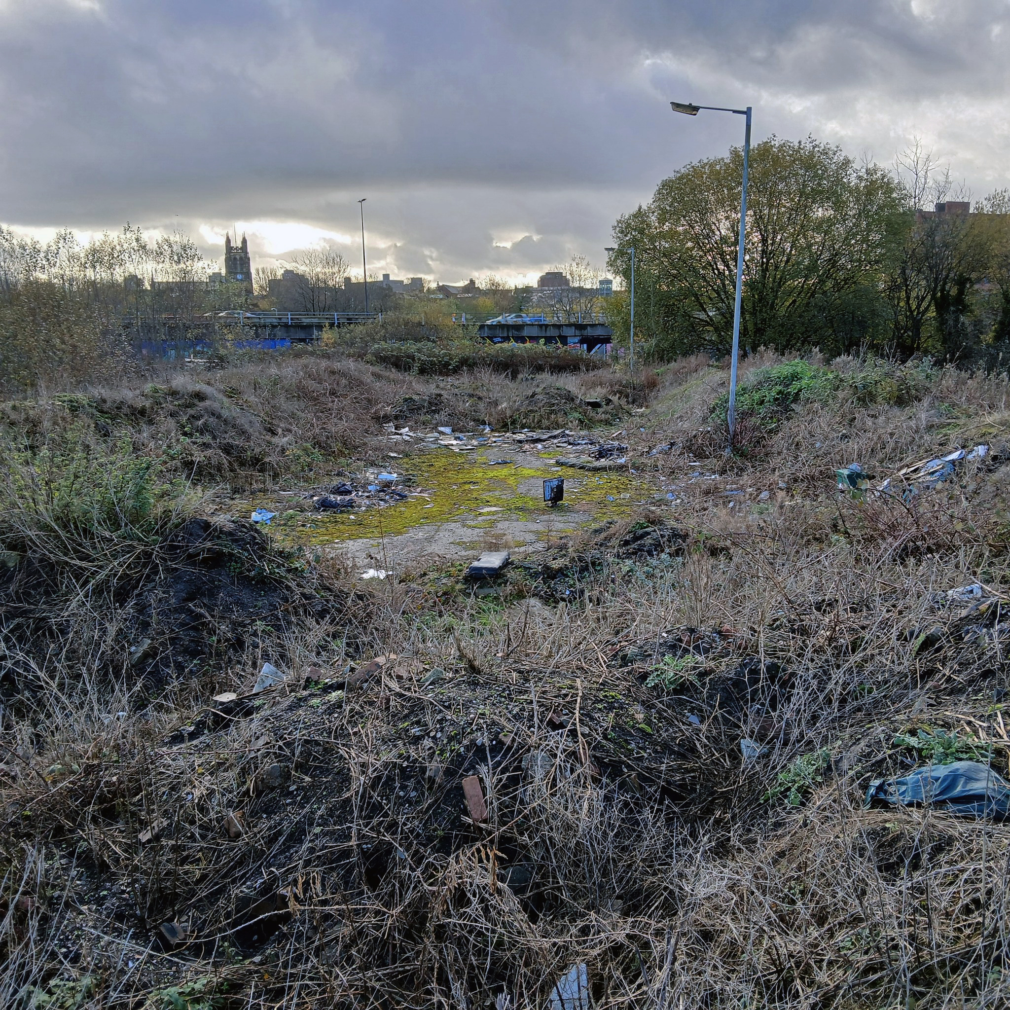
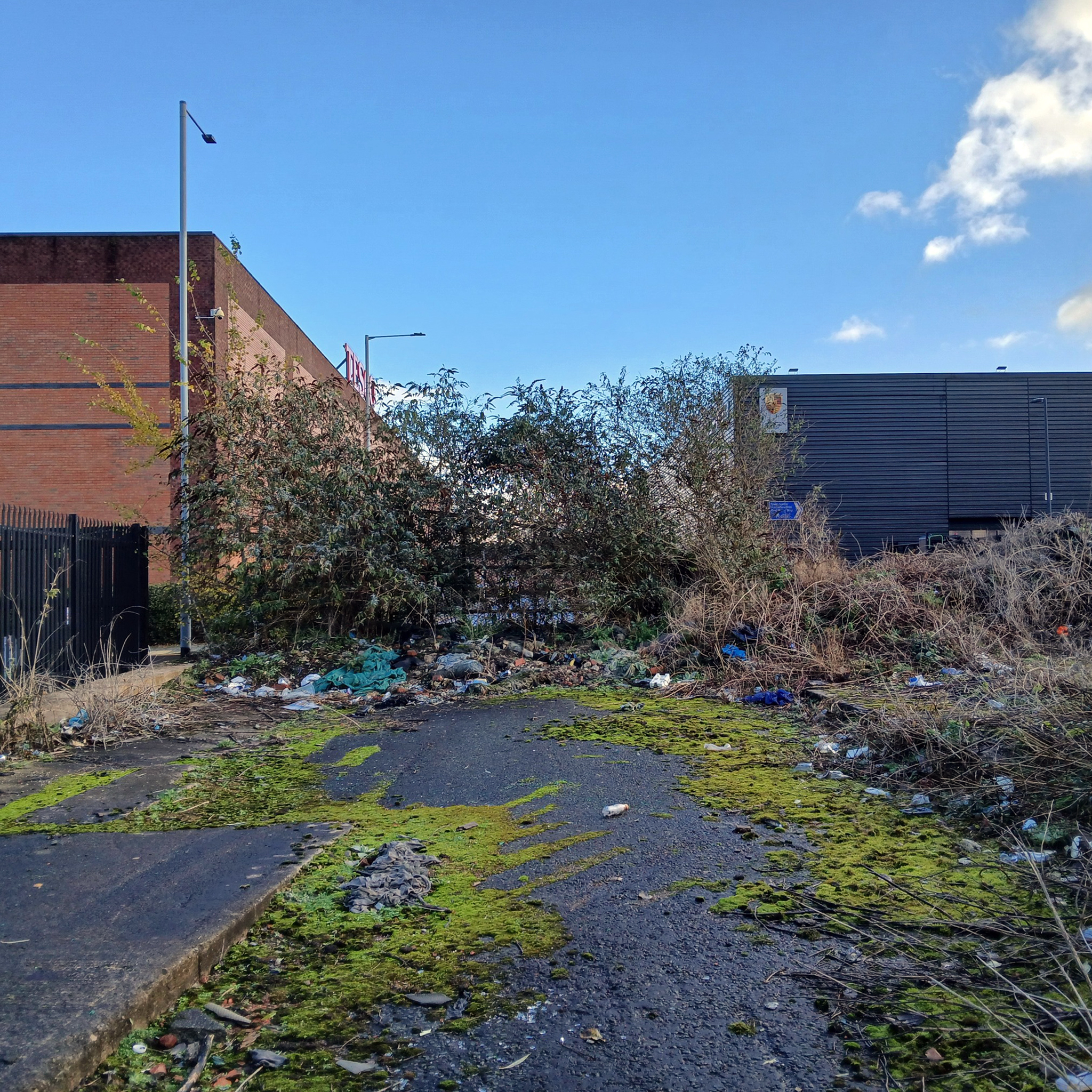
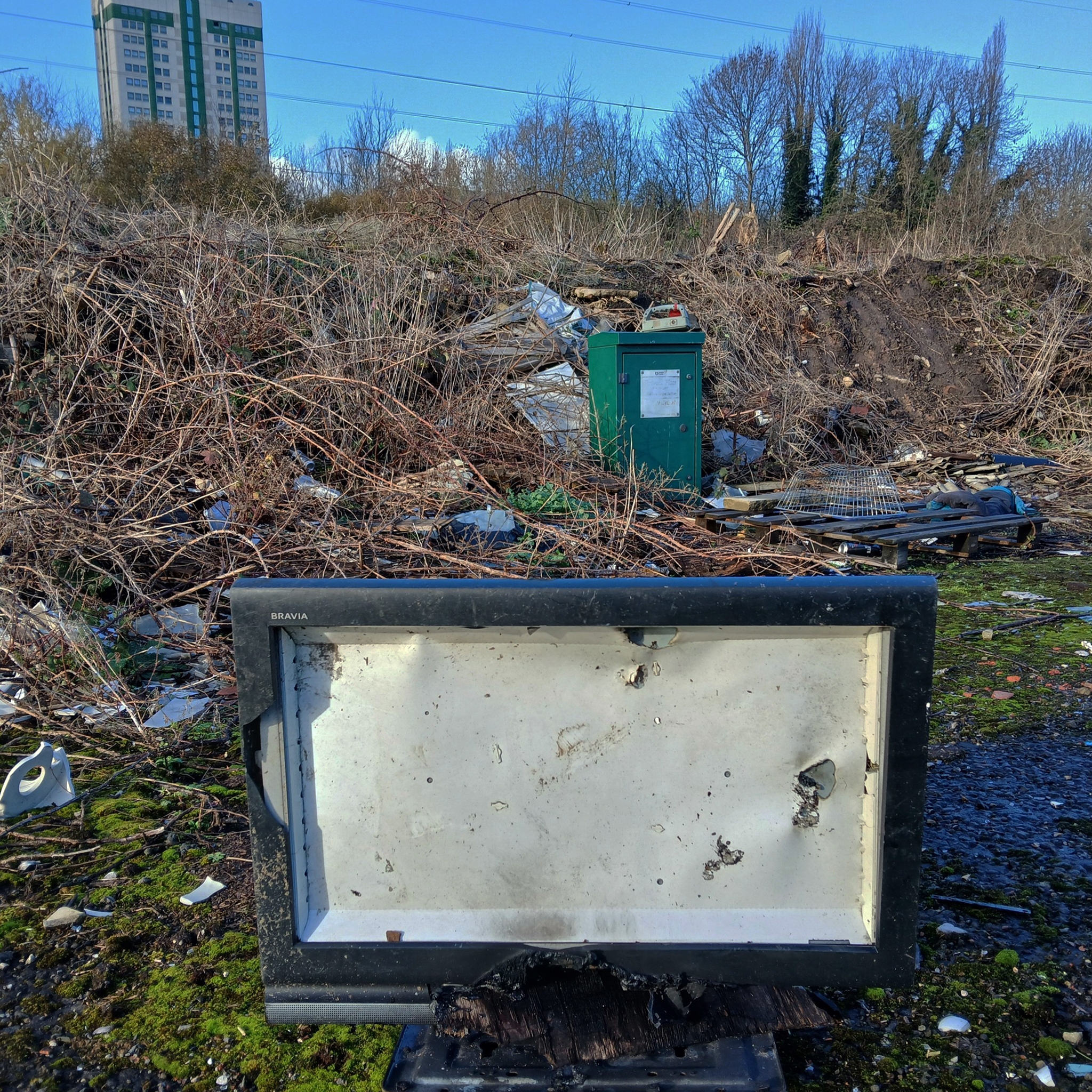
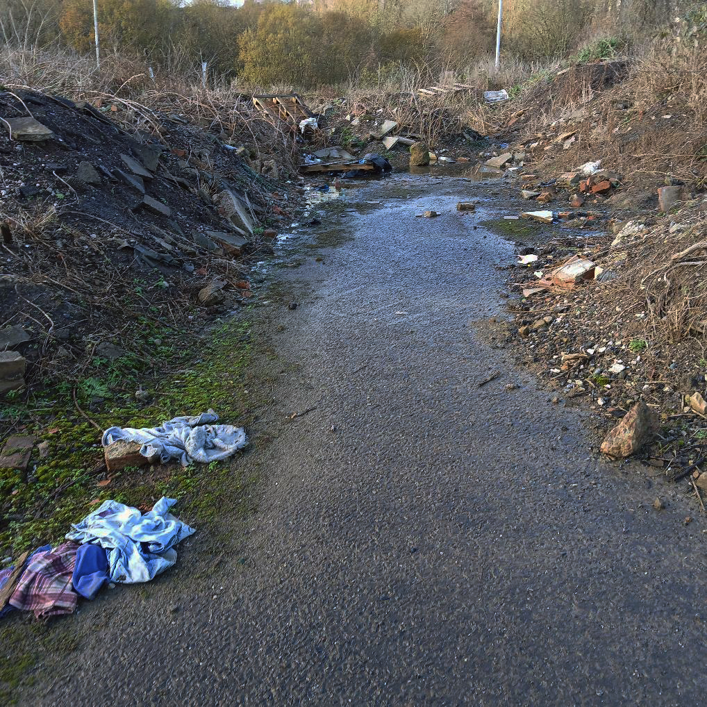
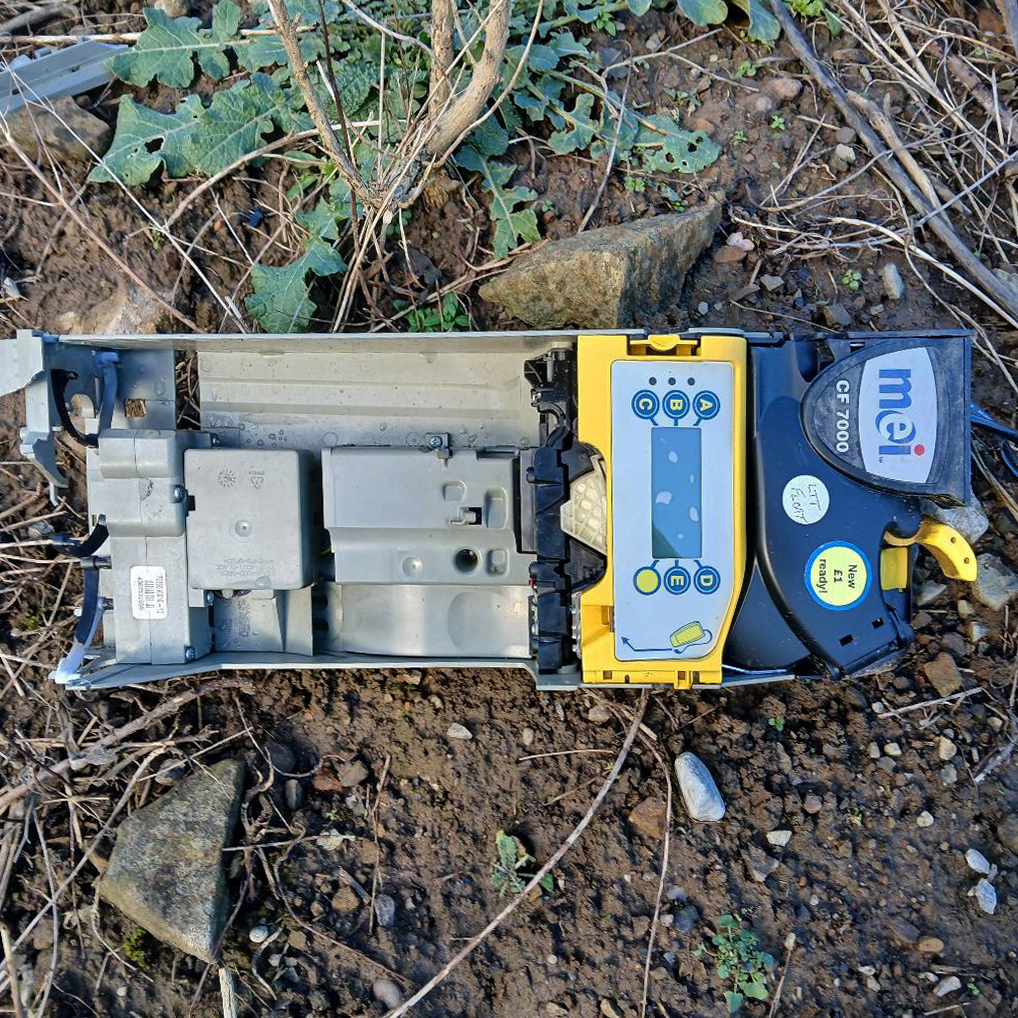
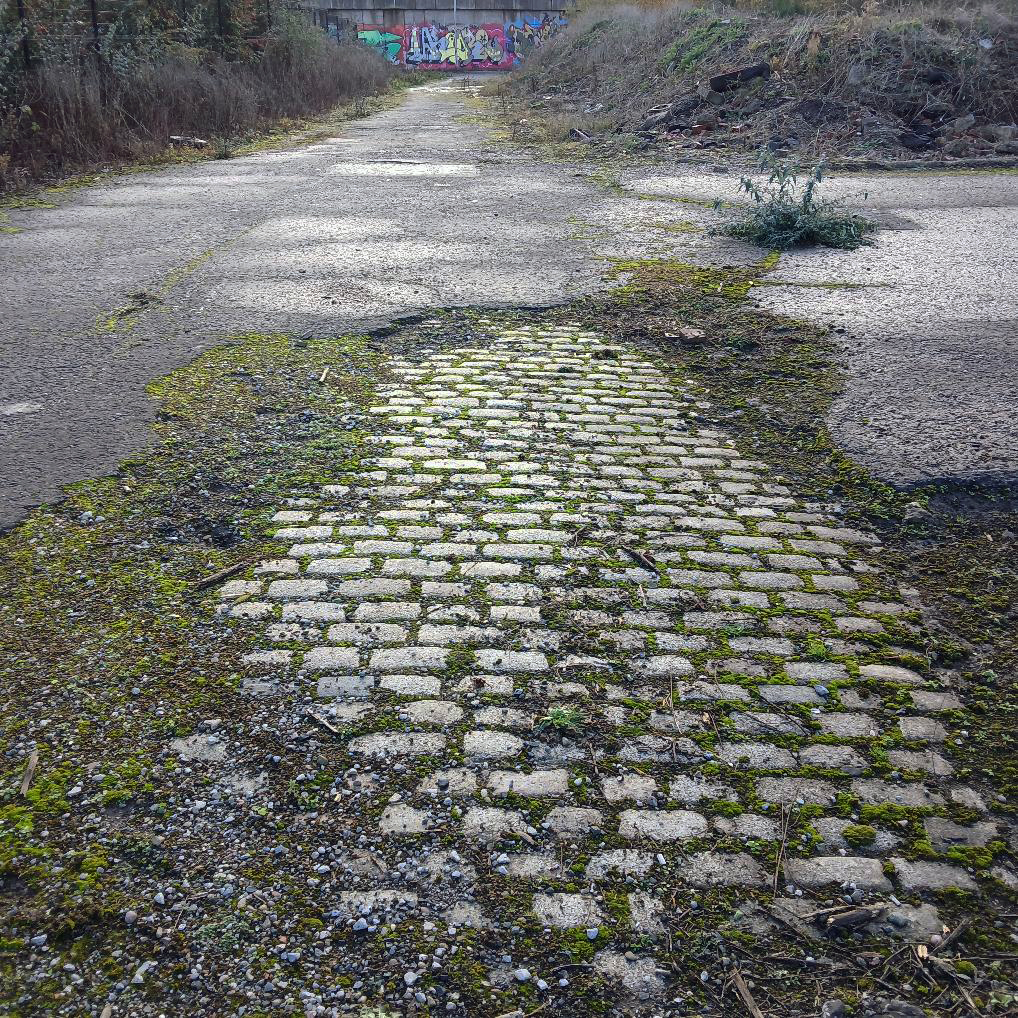
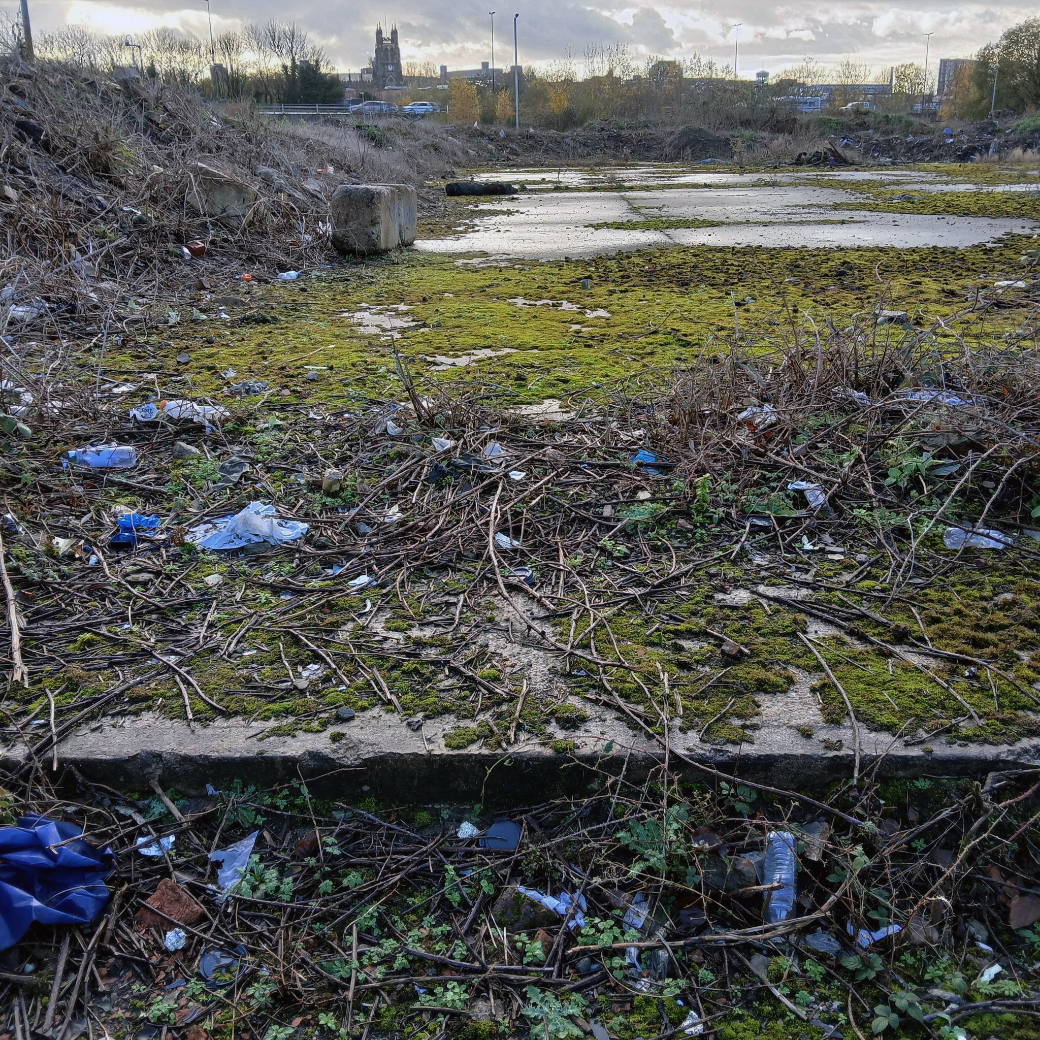
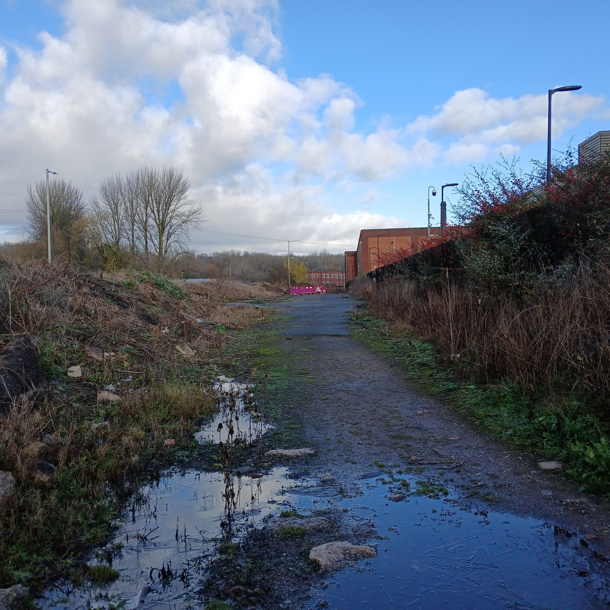
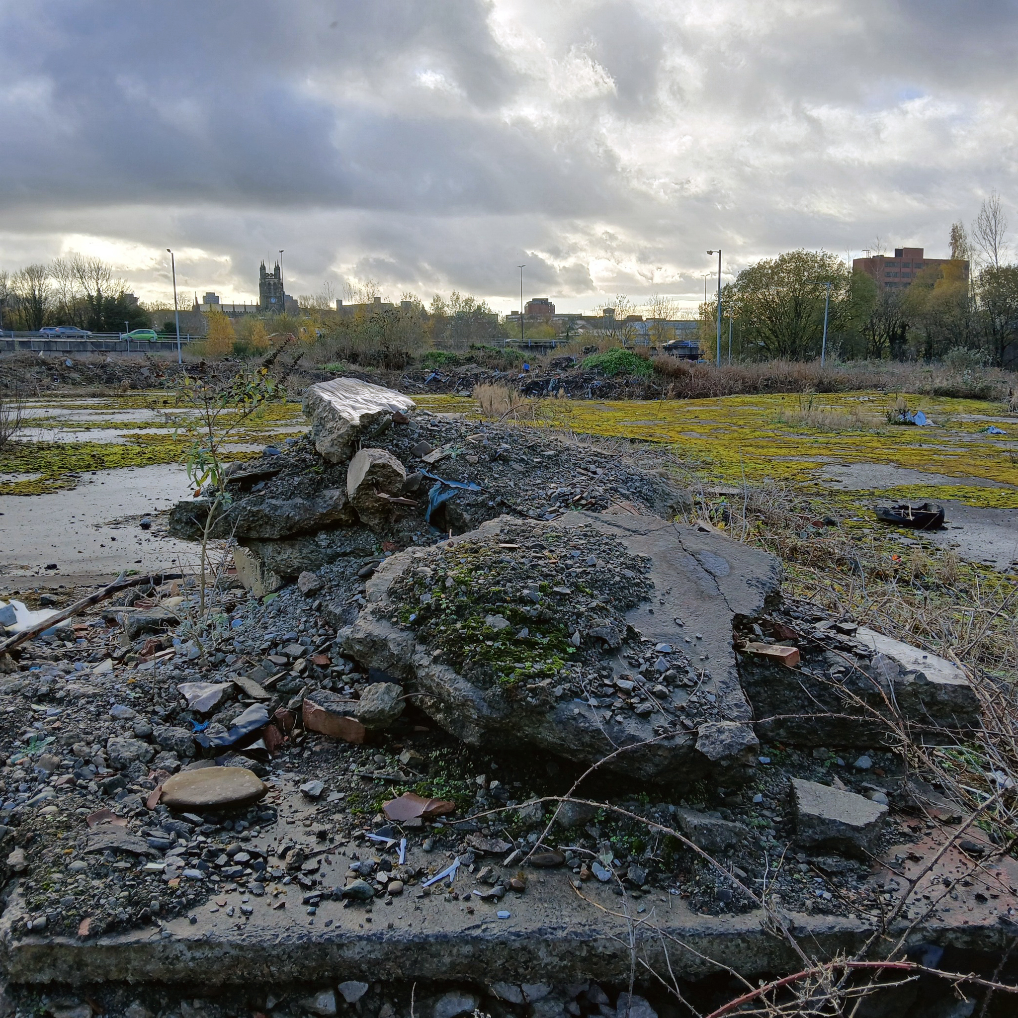
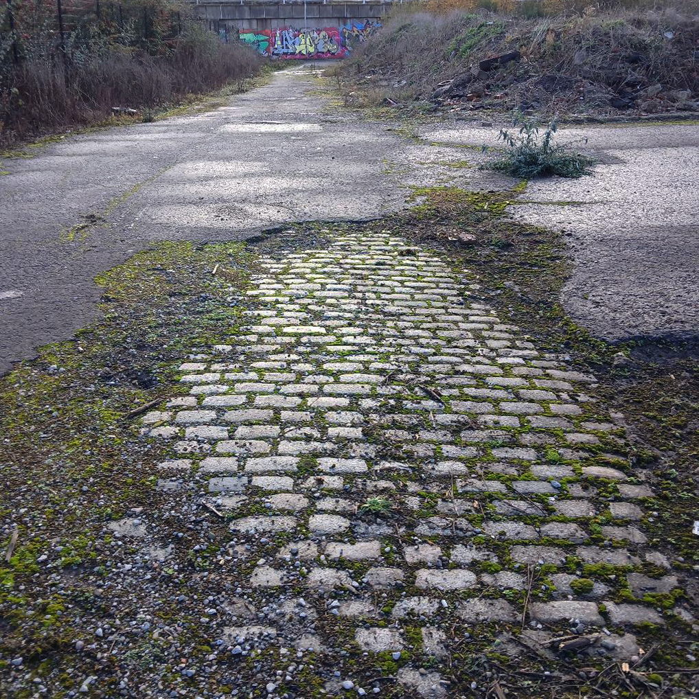
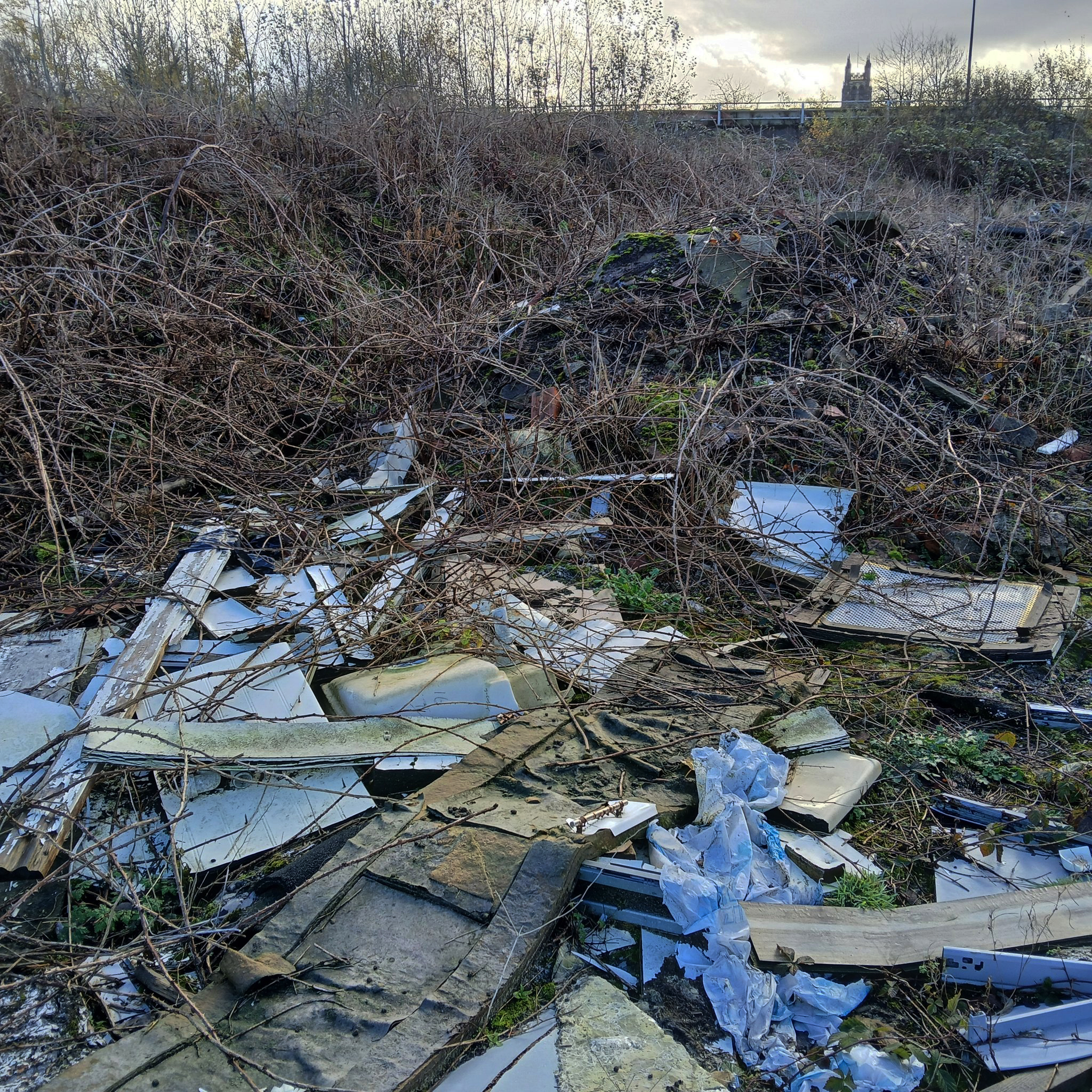
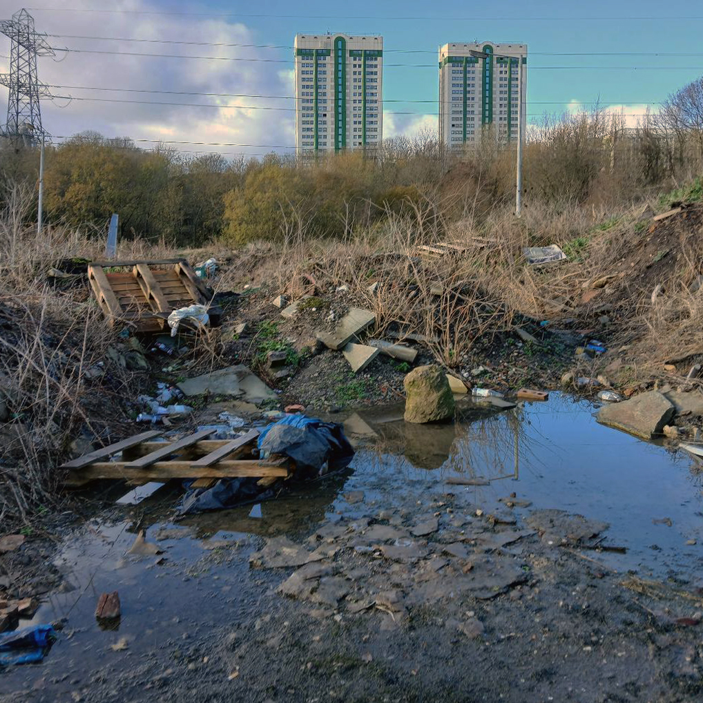
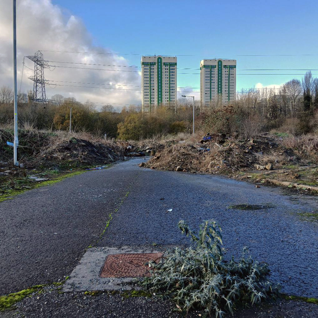
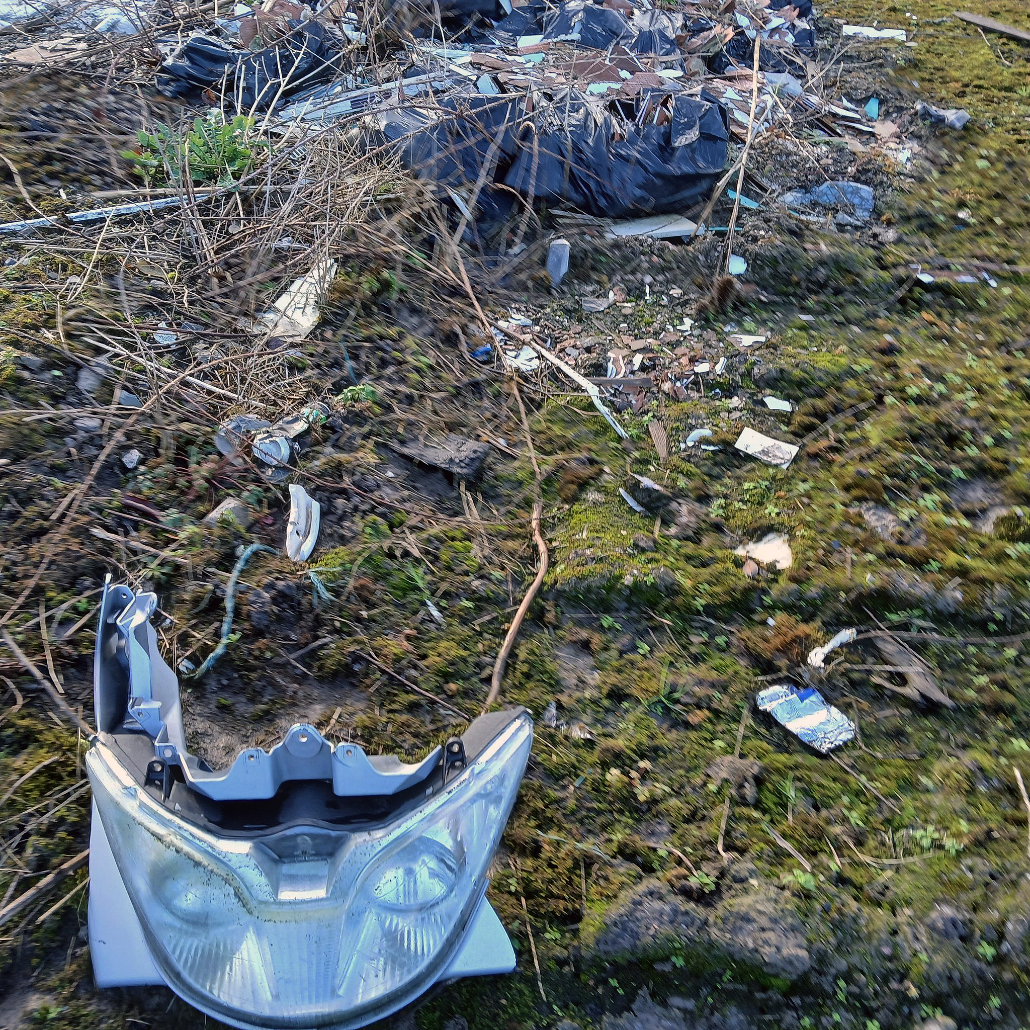
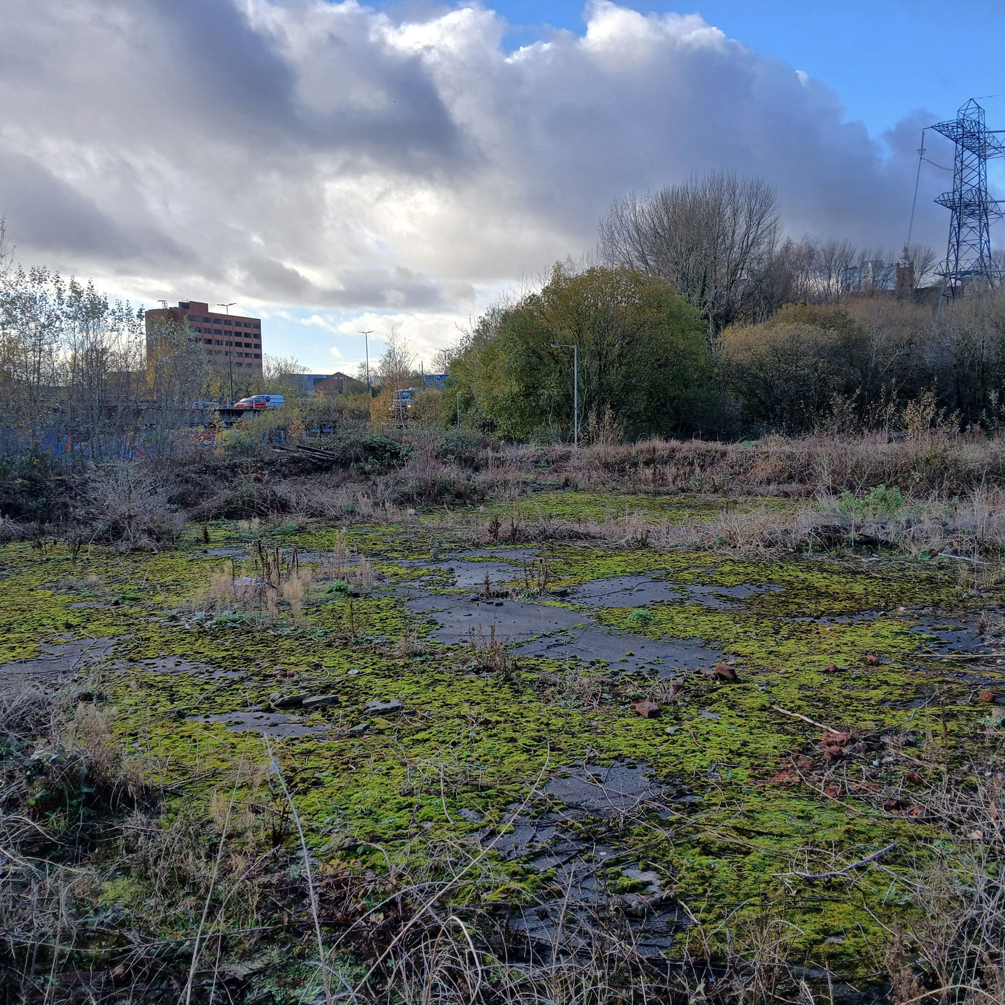
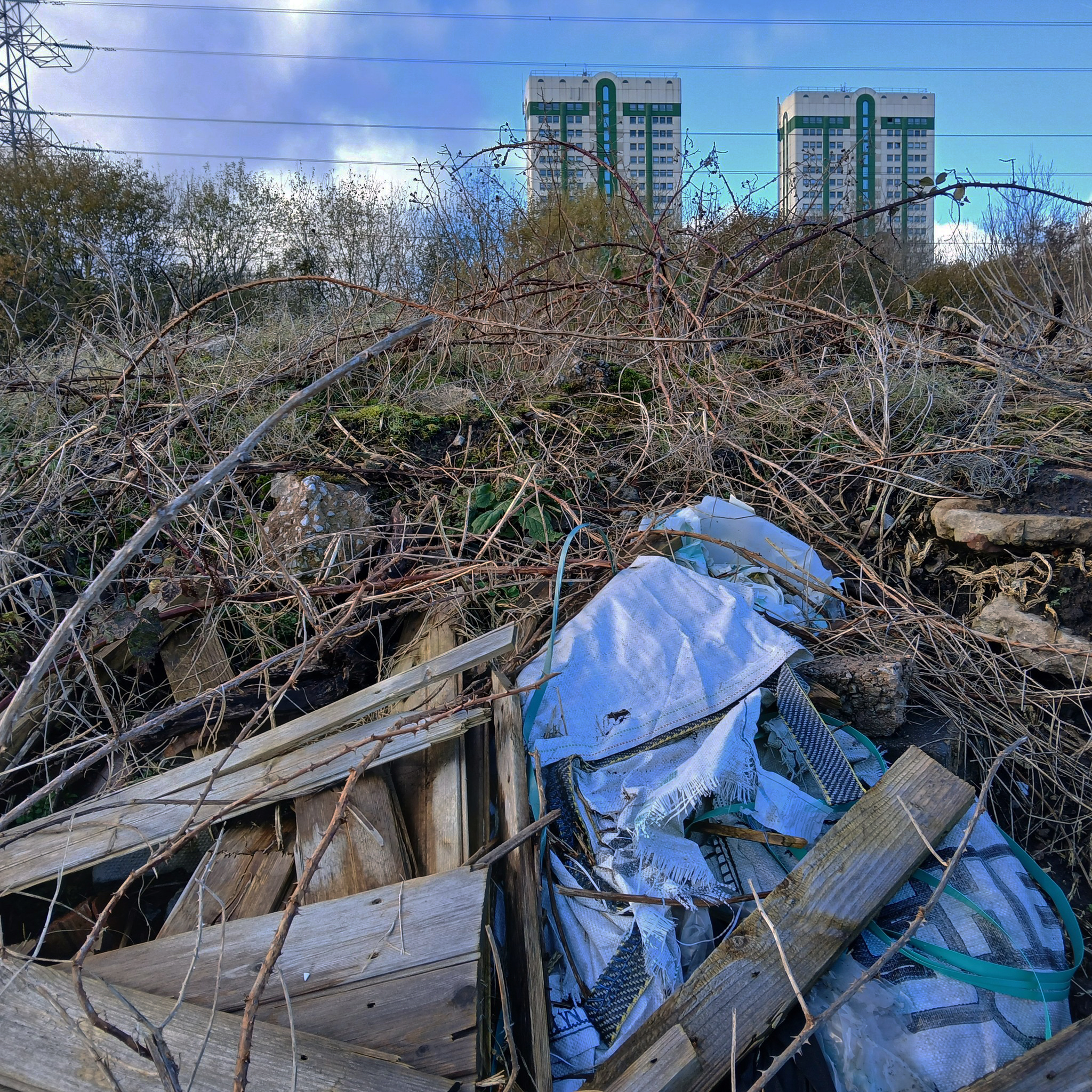
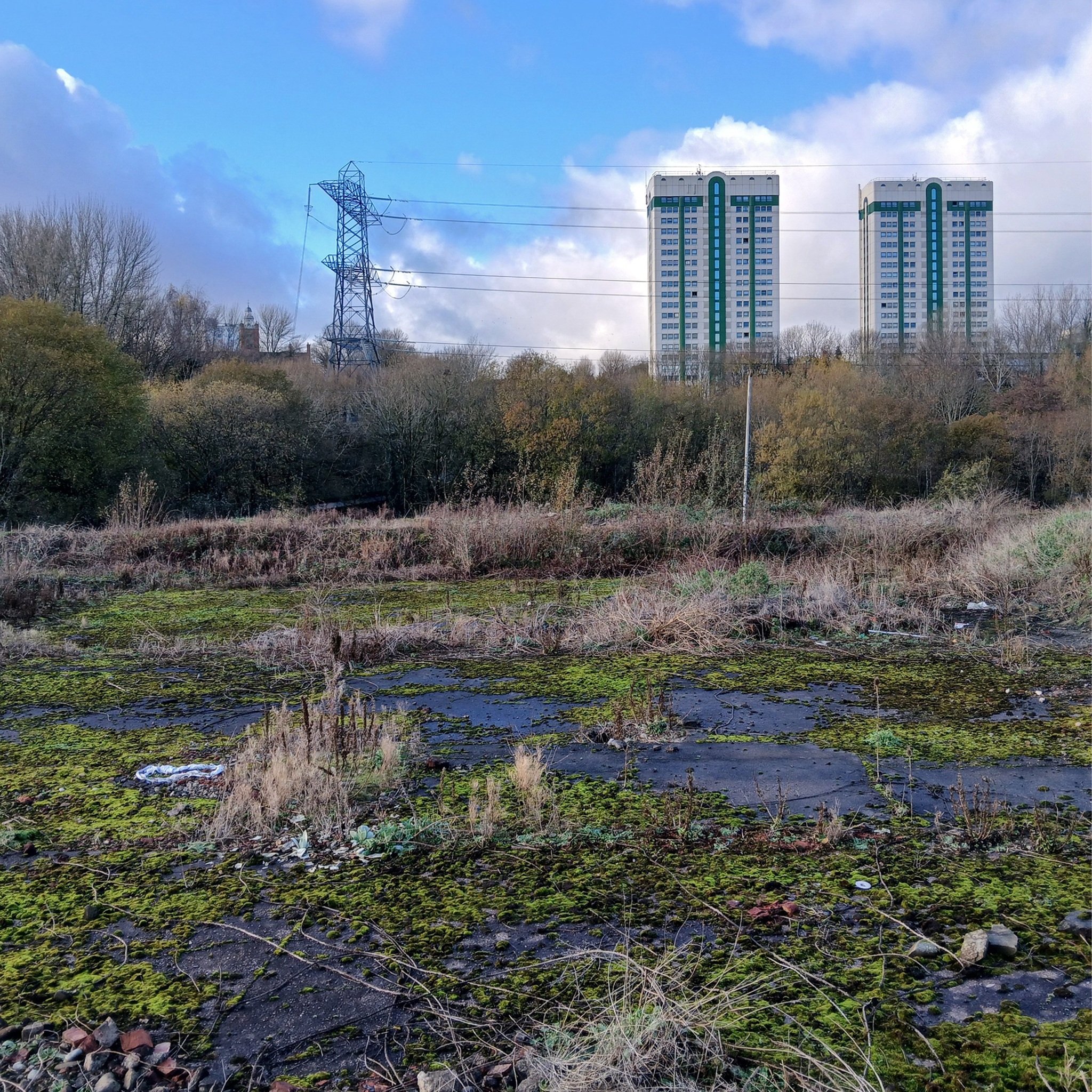
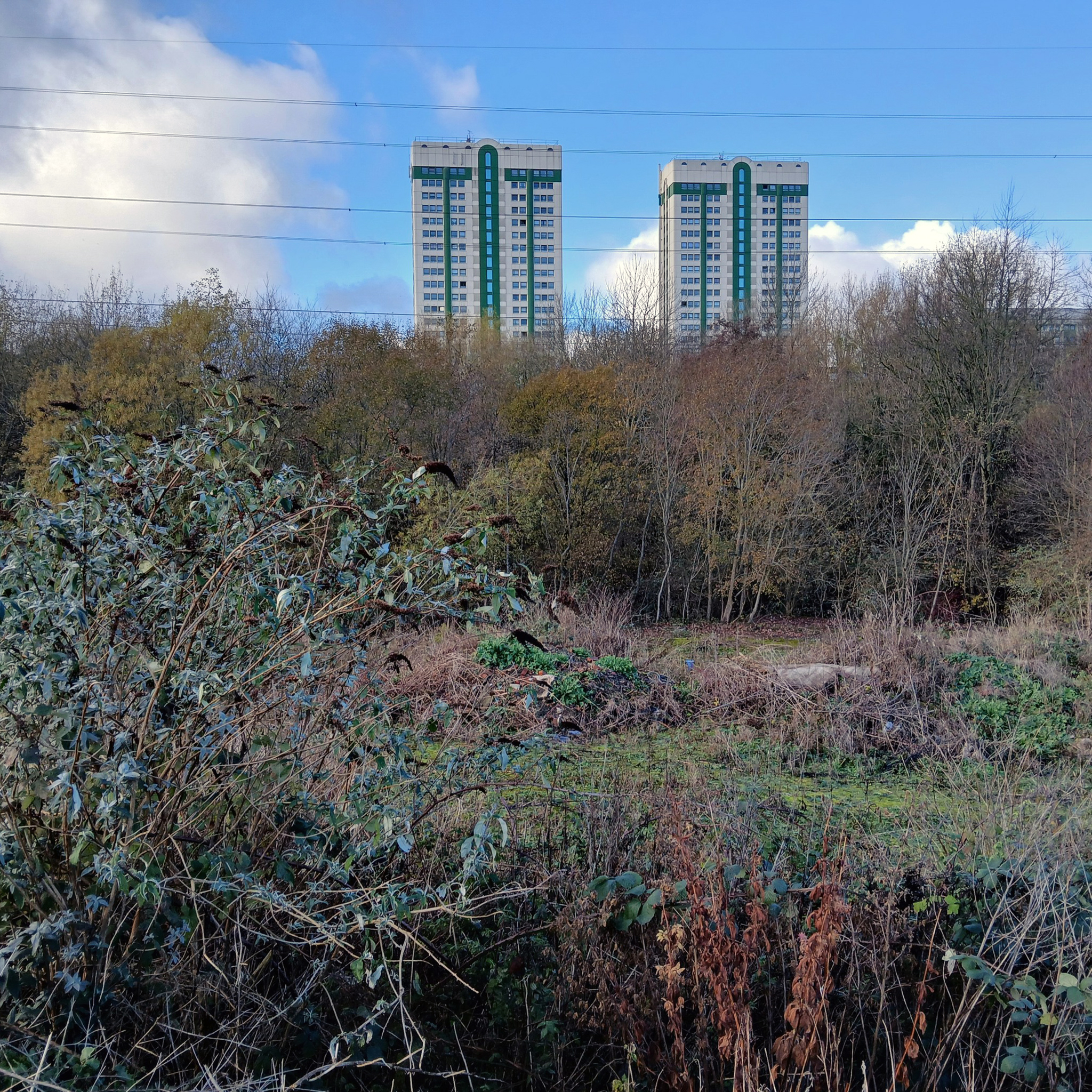
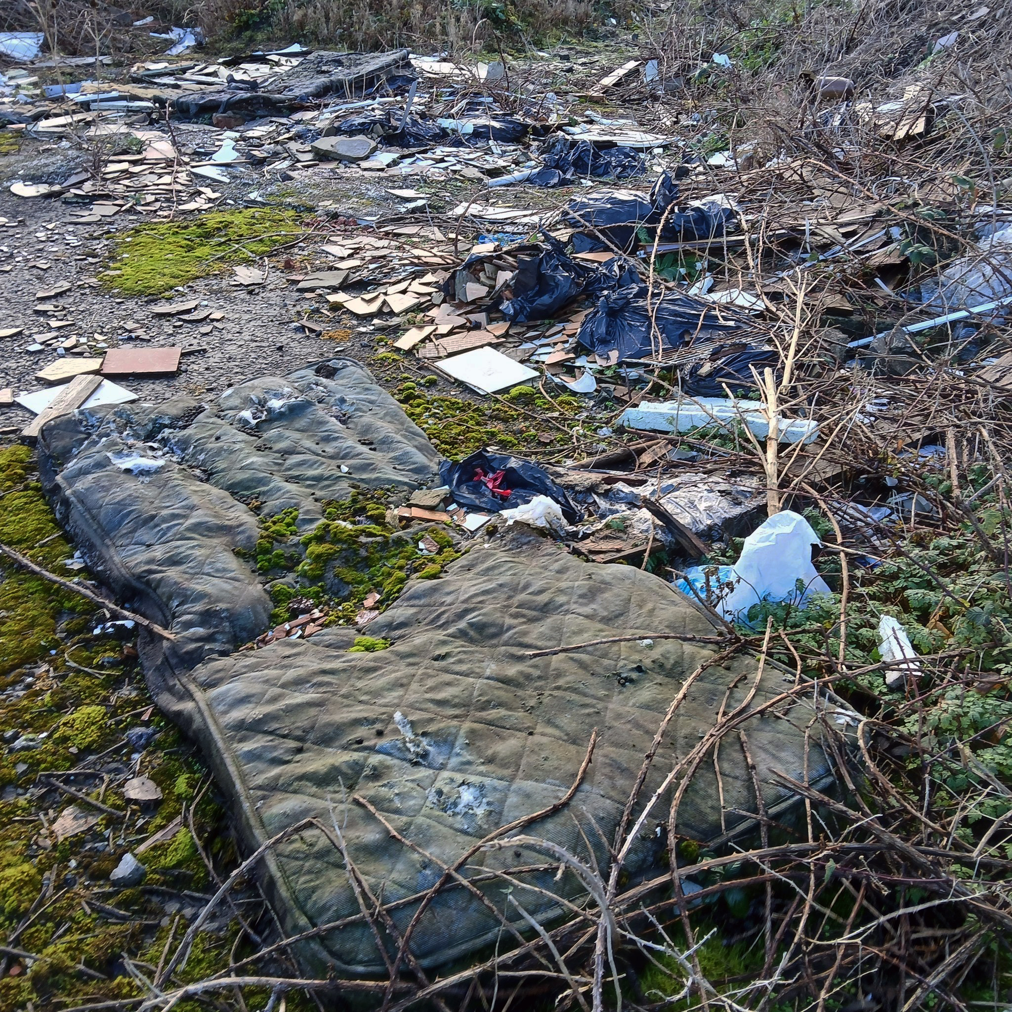
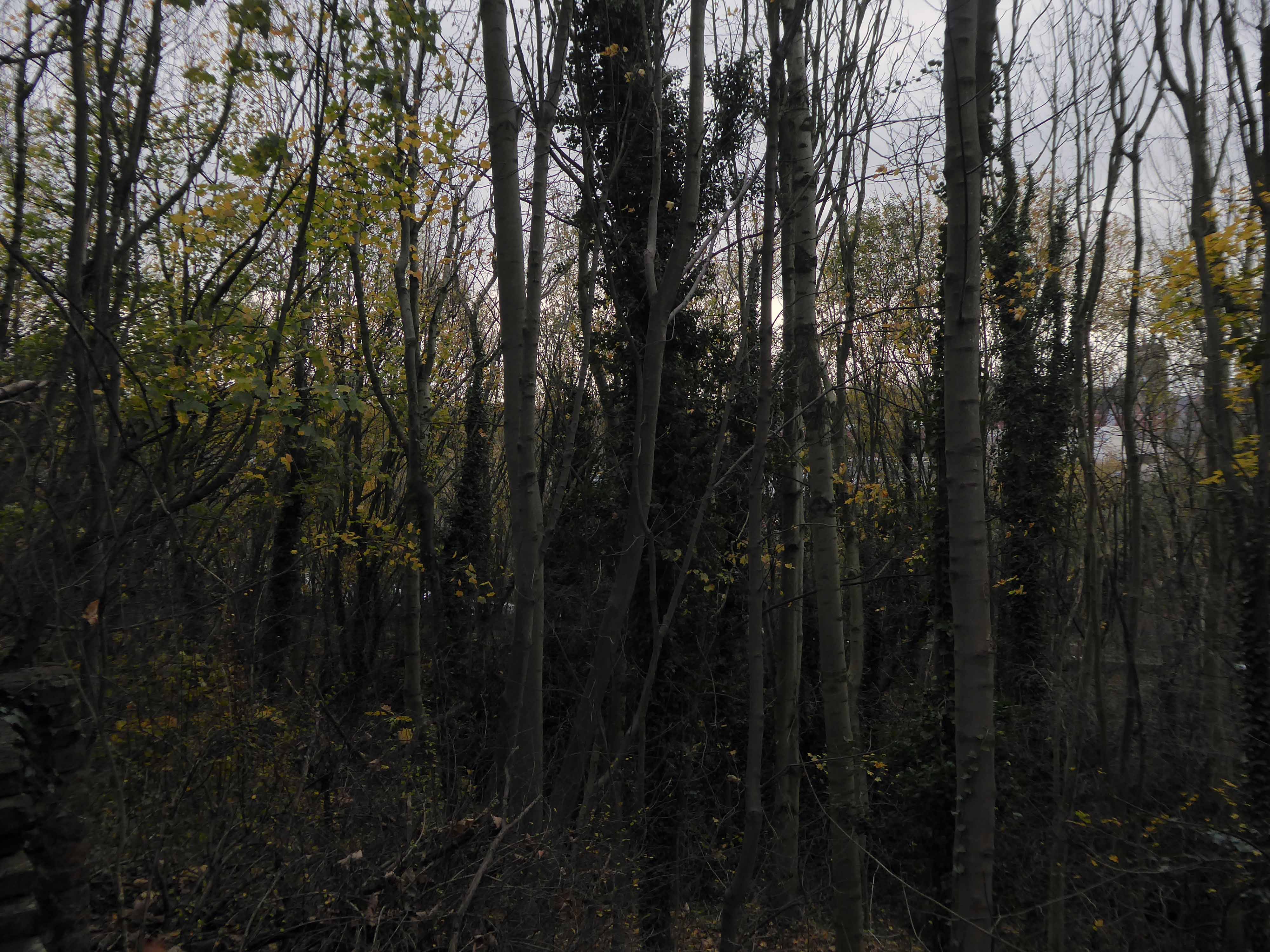
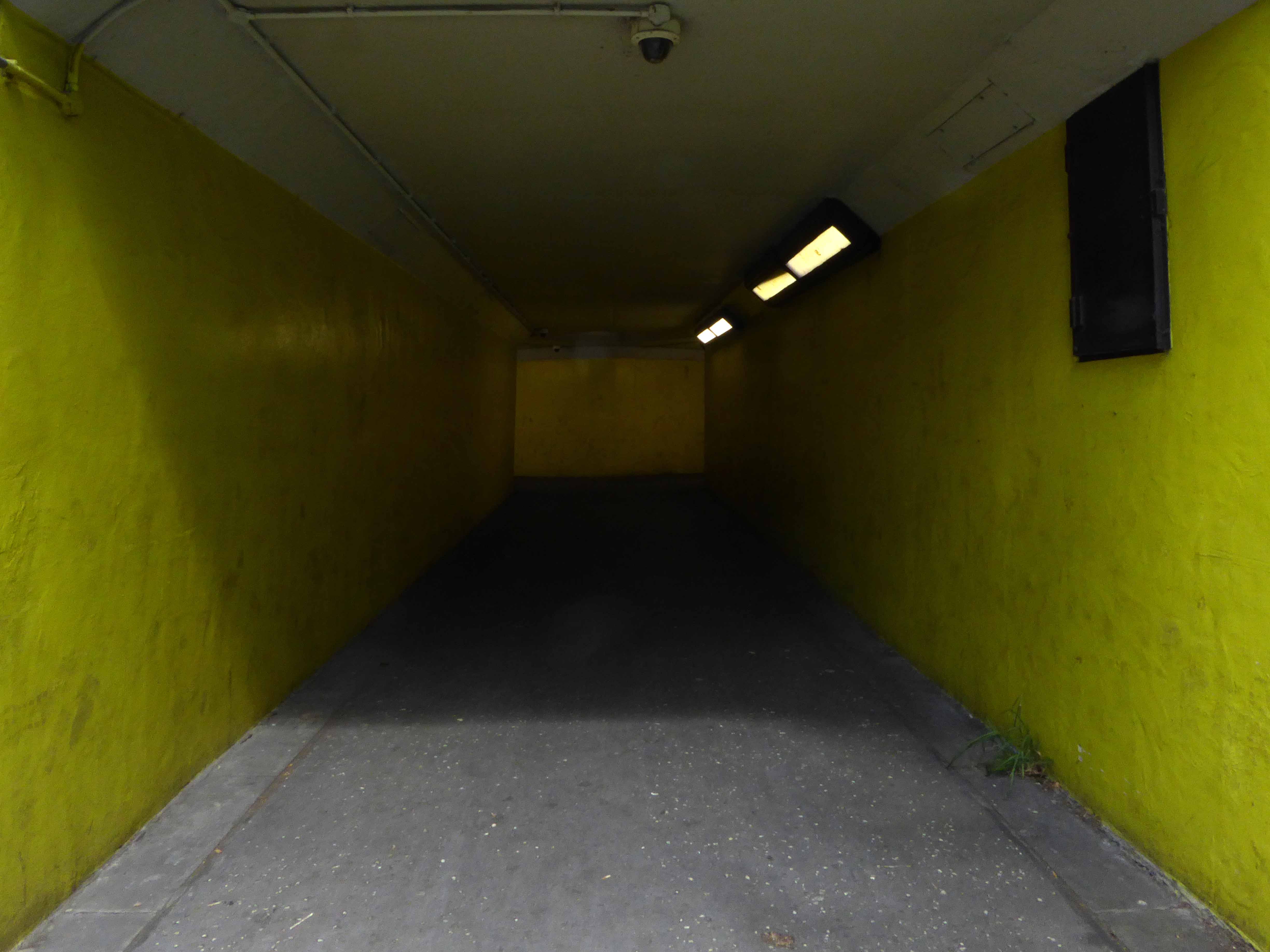
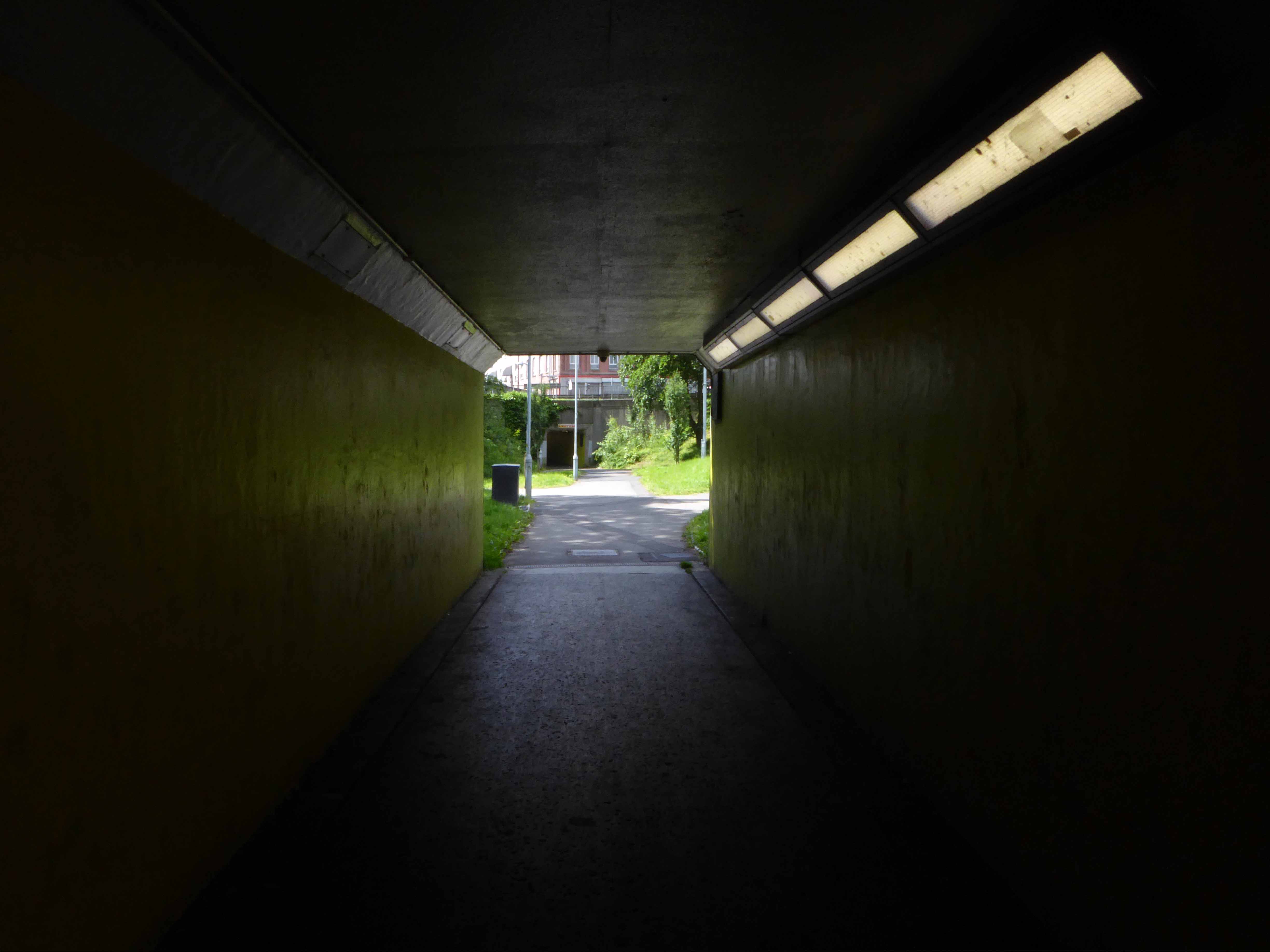
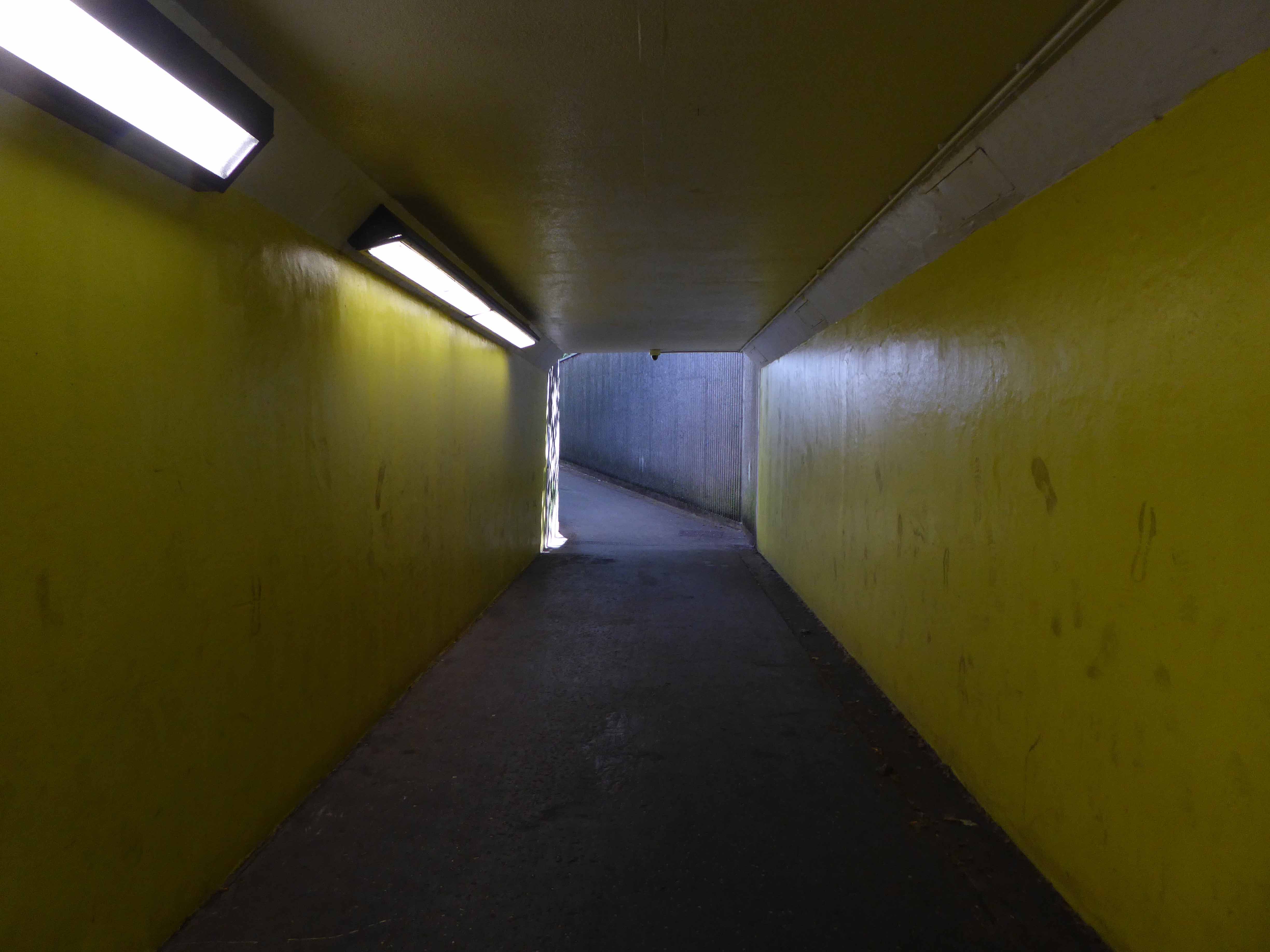
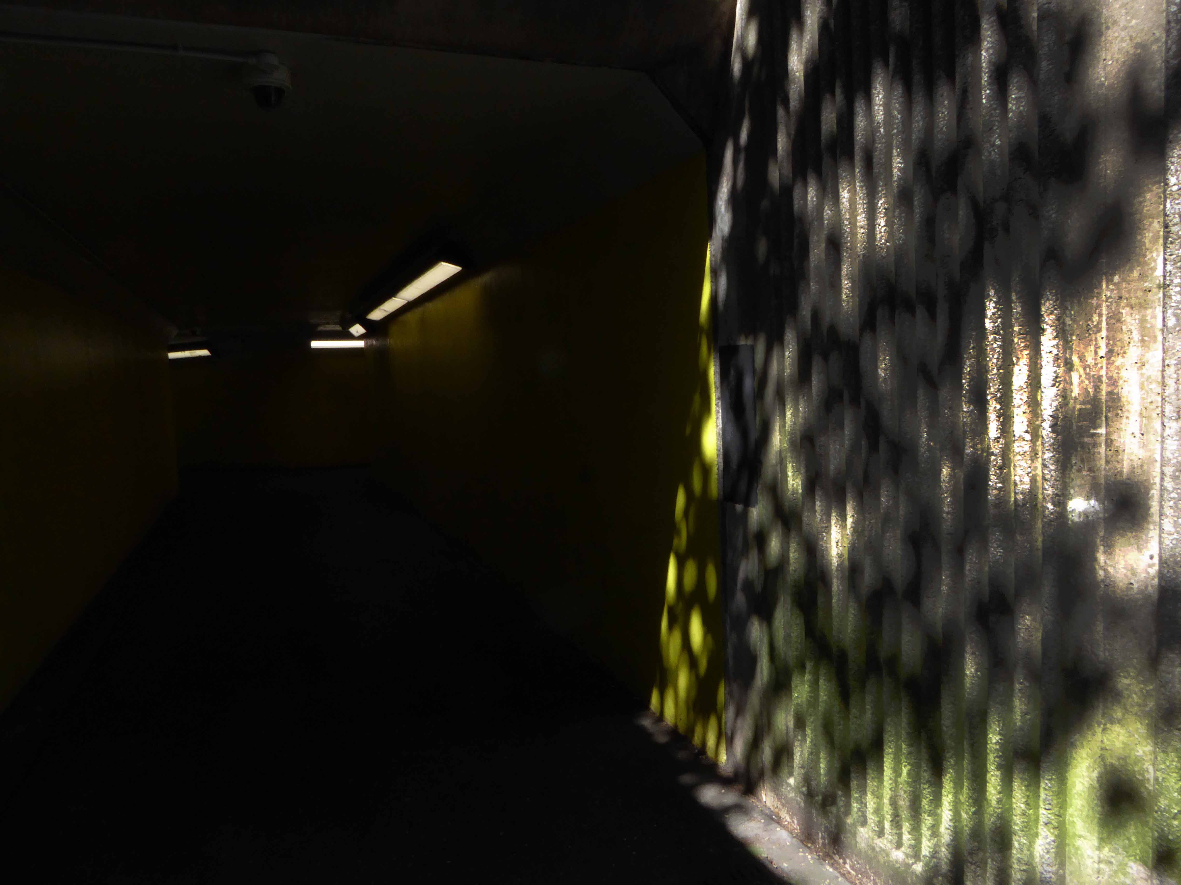
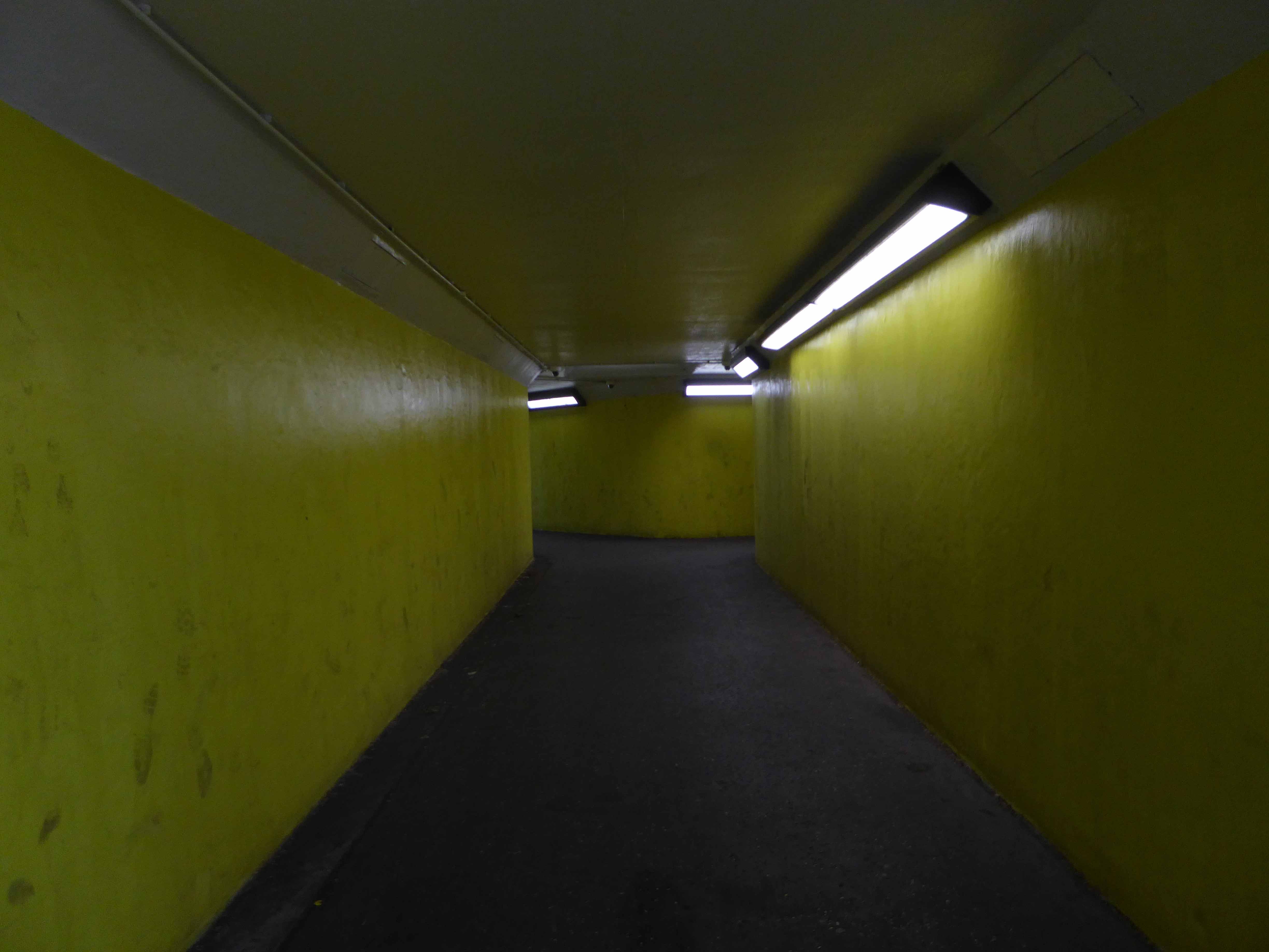
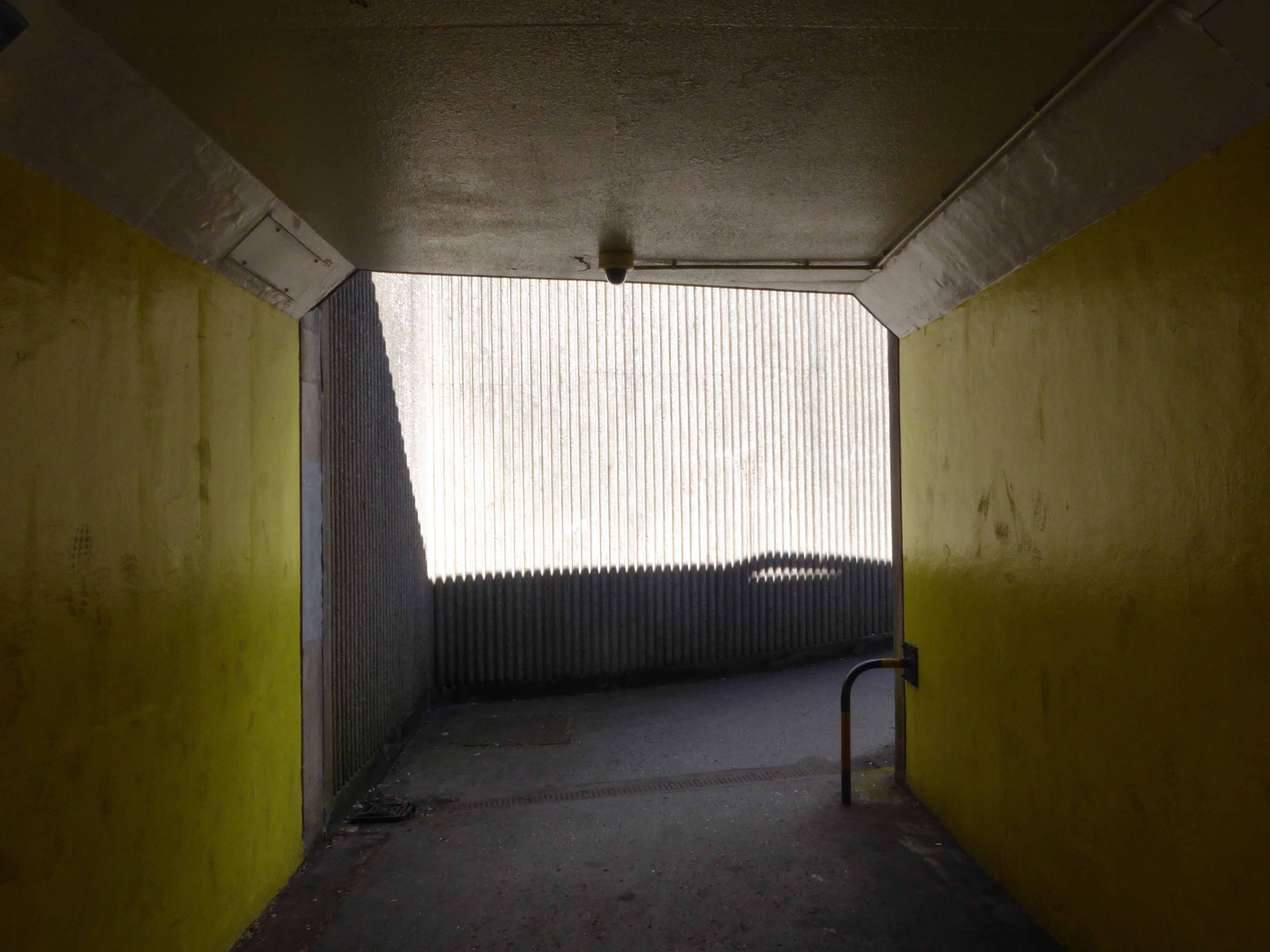
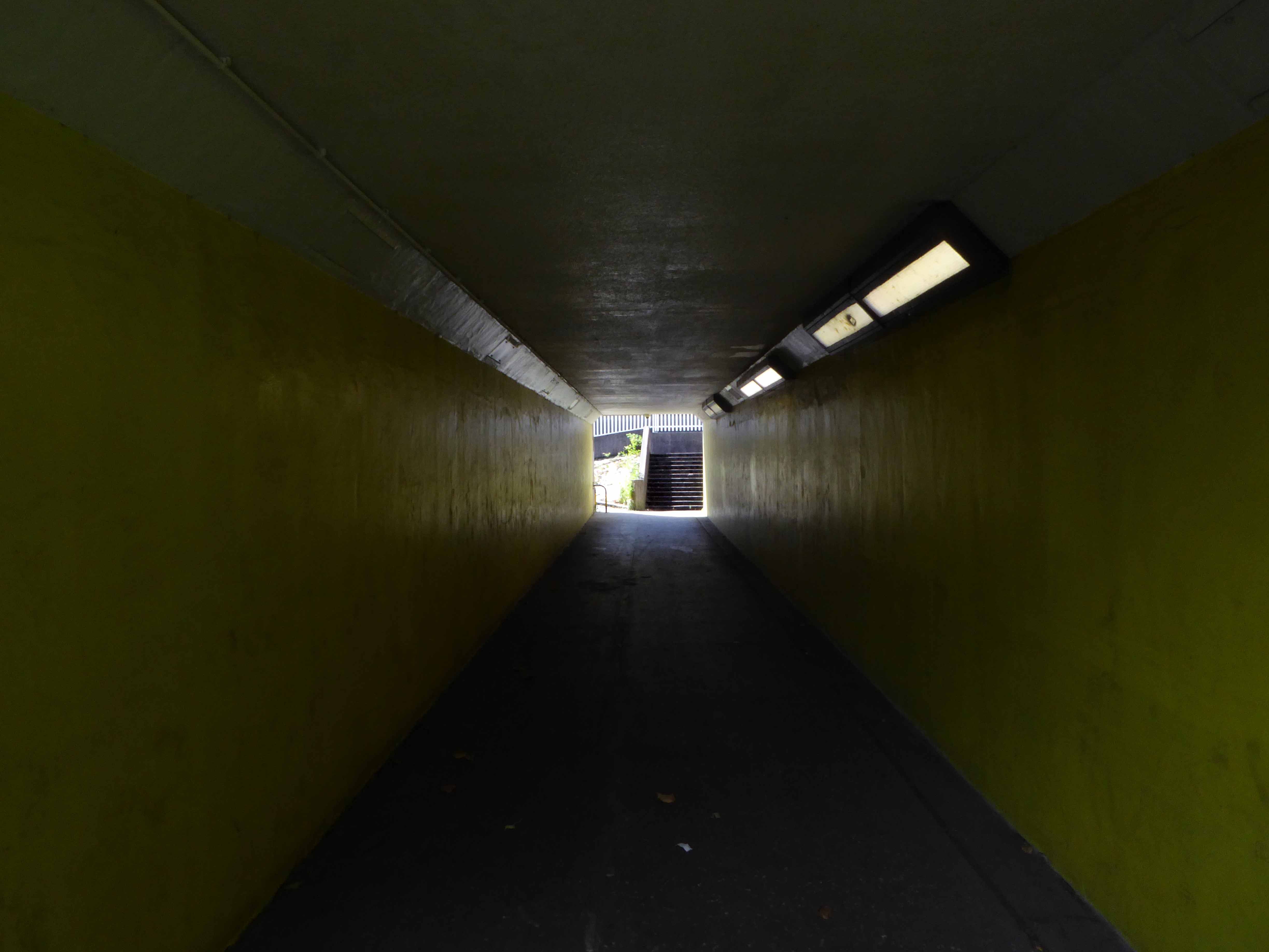
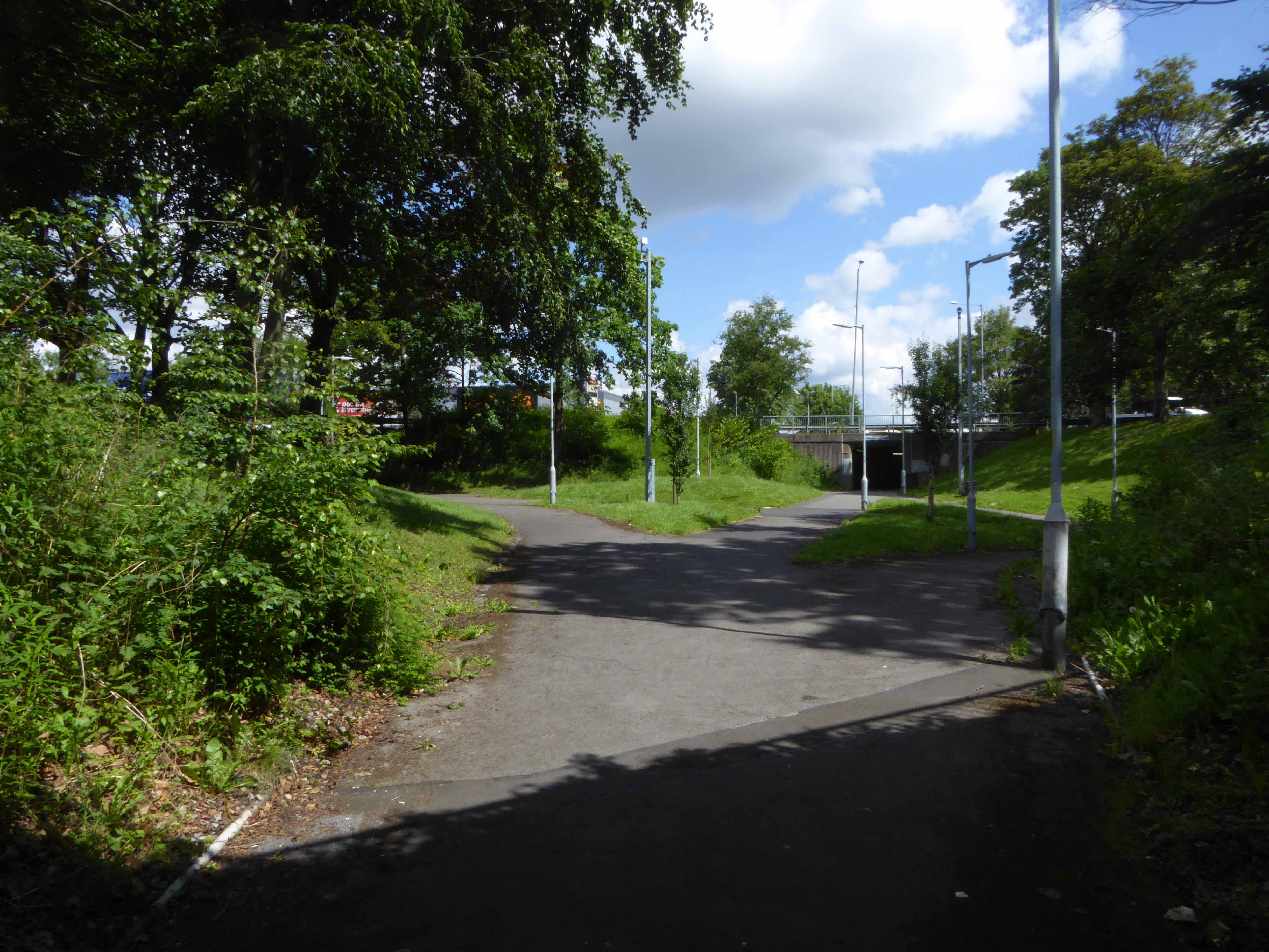
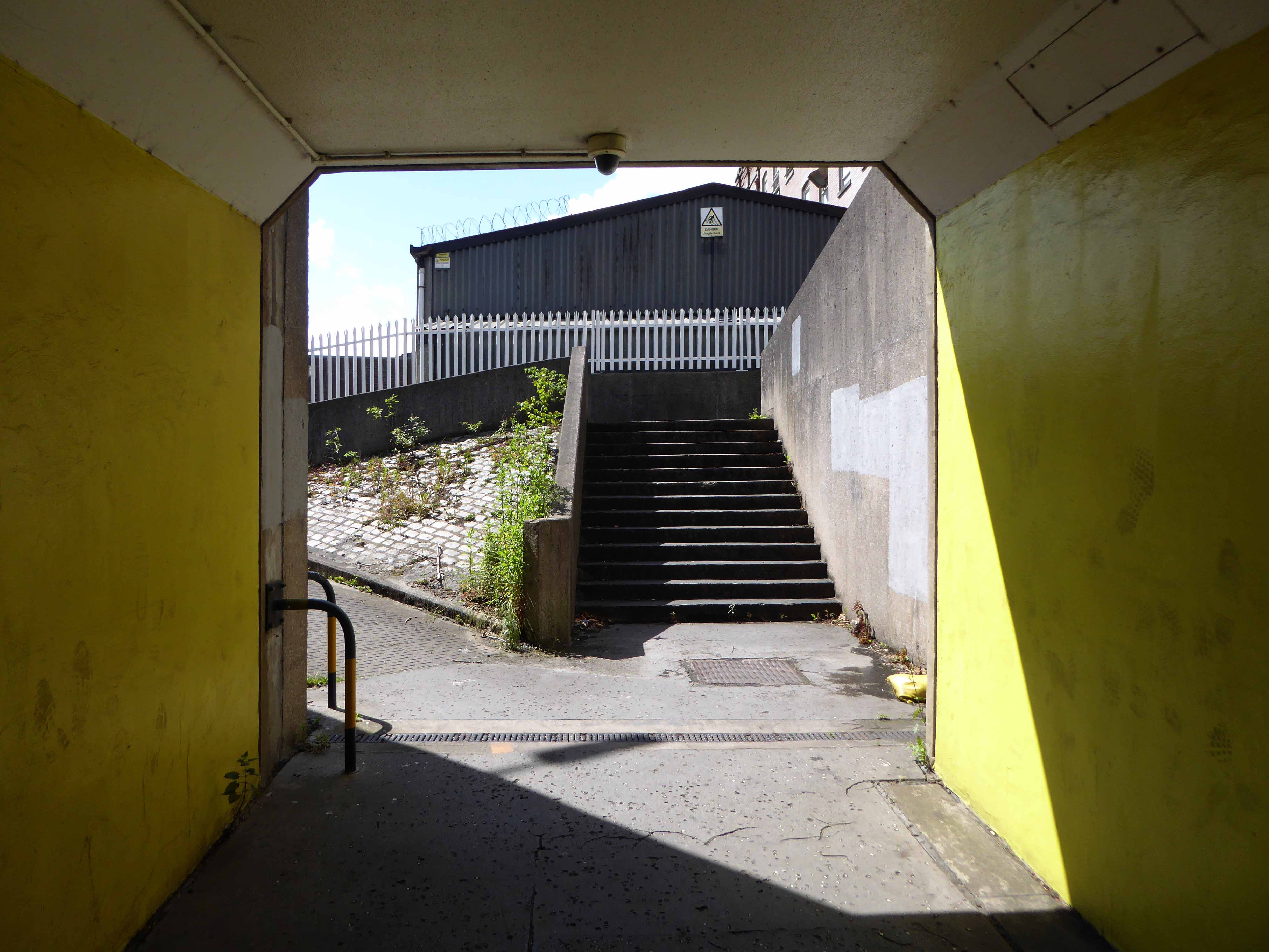
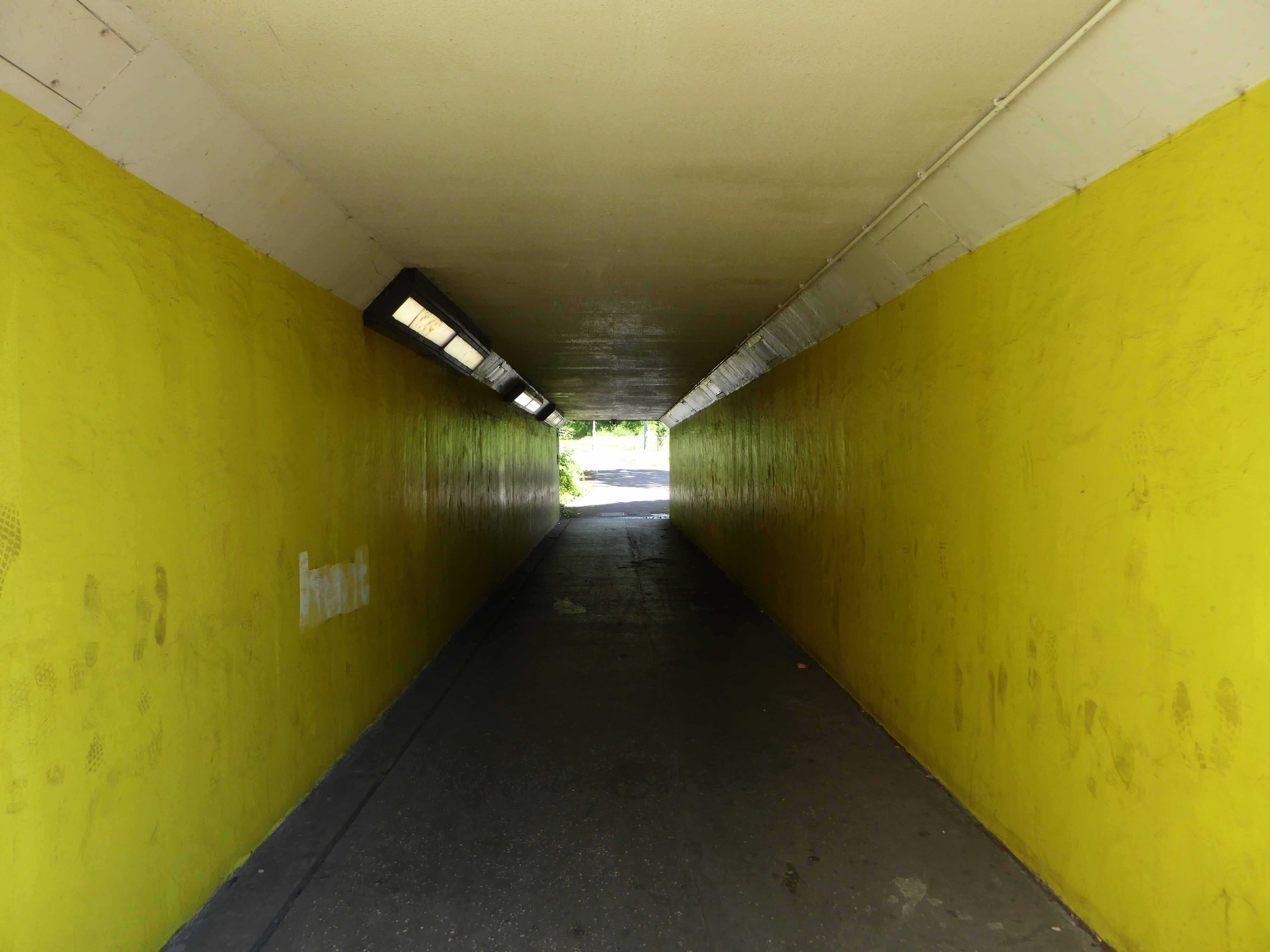
We can see the remains of the road system of this former industrial site, now colonised by brambles and greenery, the imposition of earth mounds and fly tipping.
The city, however, does not tell its past, but contains it like the lines of a hand, written in the corners of the streets, the gratings of the windows, the banisters of the steps, the antennae of the lightning rods, the poles of the flags, every segment marked in turn with scratches, indentations, scrolls.
Italo Calvino – Invisible Cities
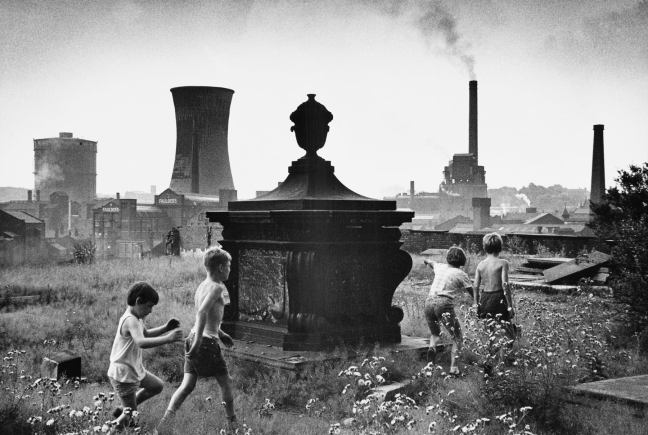
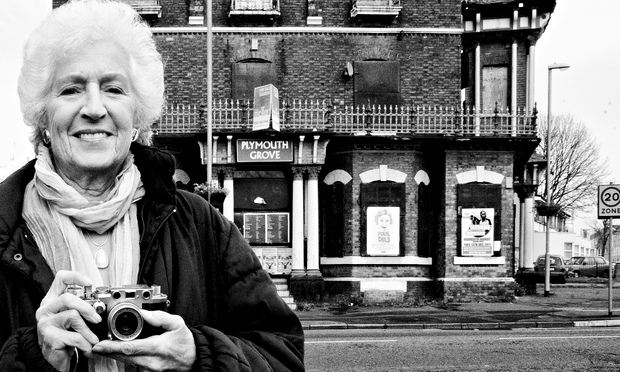
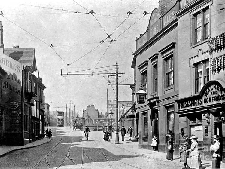
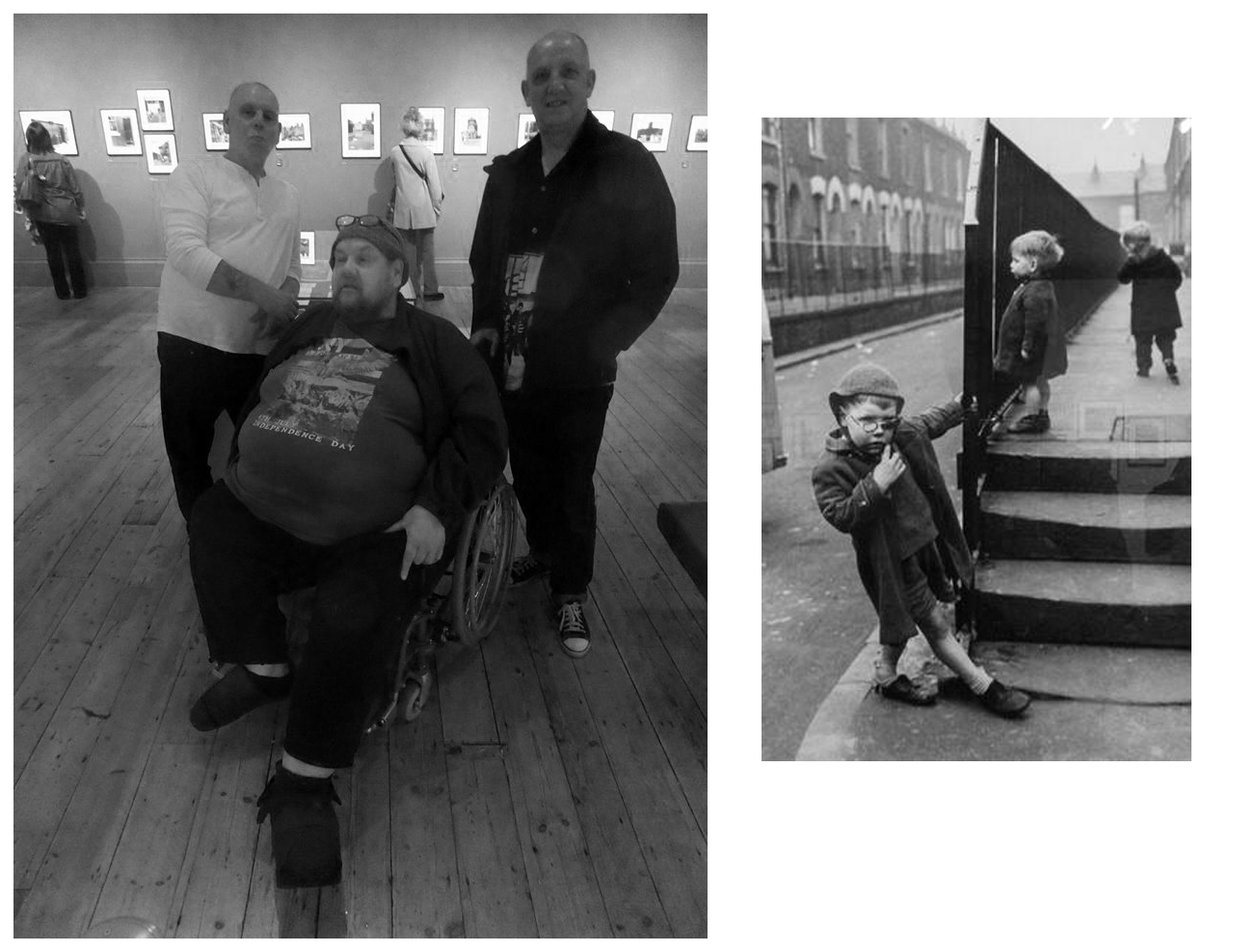
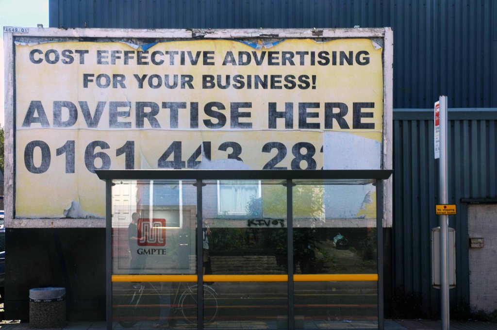
Paul Dobraszczyk posted this Shirley Baker photograph, he was puzzled by its exact location, it puzzled me too.
For nearly all that is depicted here, is now no longer extant, save one hopes, for the group of playmates.
All that is solid melts into air, all that is holy is profaned, and man is at last compelled to face with sober senses his real conditions of life, and his relations with his kind.
Shirley Baker was a renowned documentary photographer, who worked extensively in Greater Manchester.
I love the immediacy of unposed, spontaneous photographs and the ability of the camera to capture the serious, the funny, the sublime and the ridiculous. Despite the many wonderful pictures of the great and famous, I feel that less formal, quotidian images can often convey more of the life and spirit of the time.
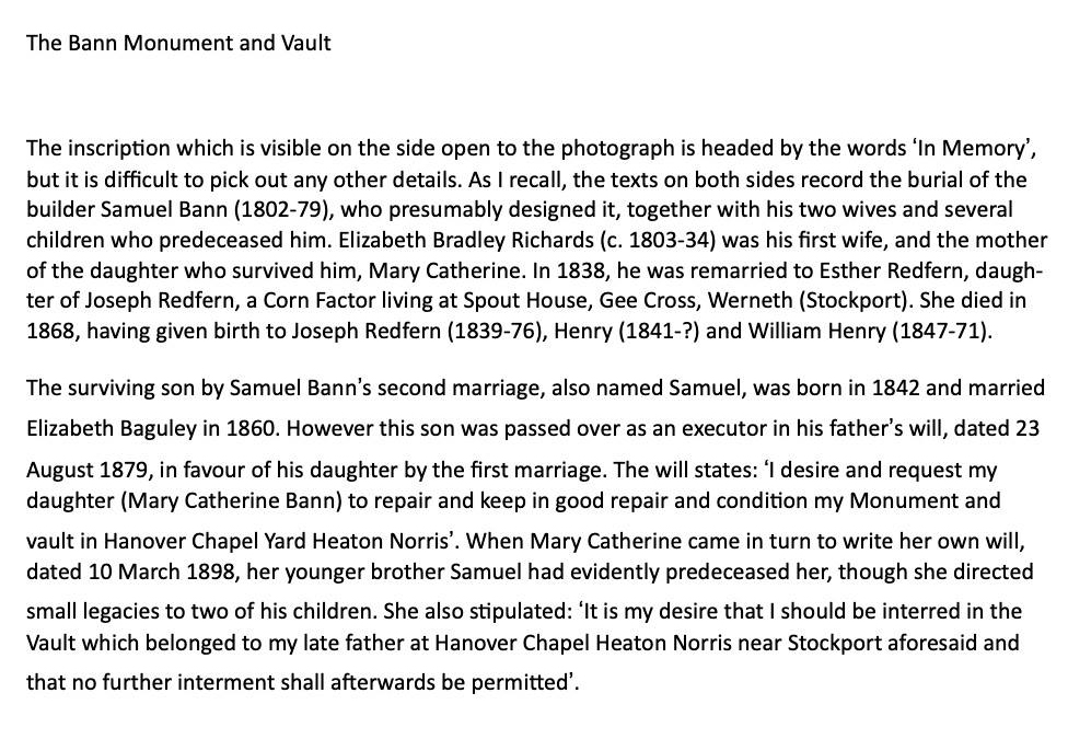
I am grateful to Stephen Bann who has identified the monument as the Bann Family vault:
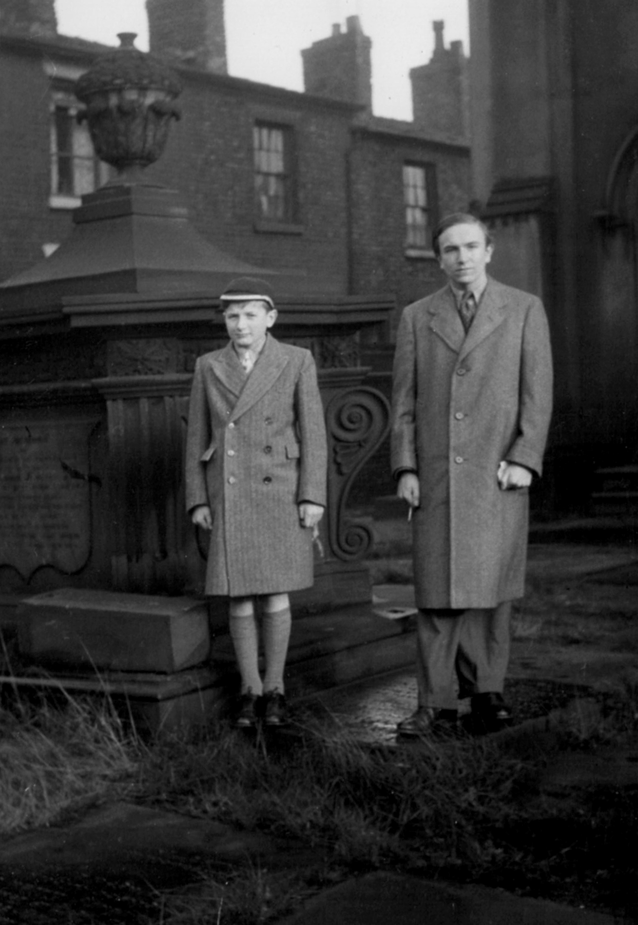
Stephen Bann and his younger brother – many thanks for the text and photograph Stephen.
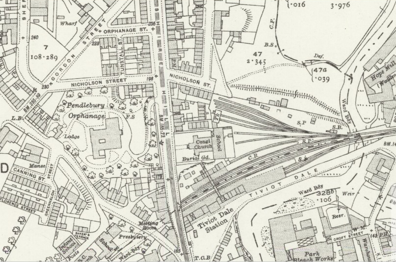
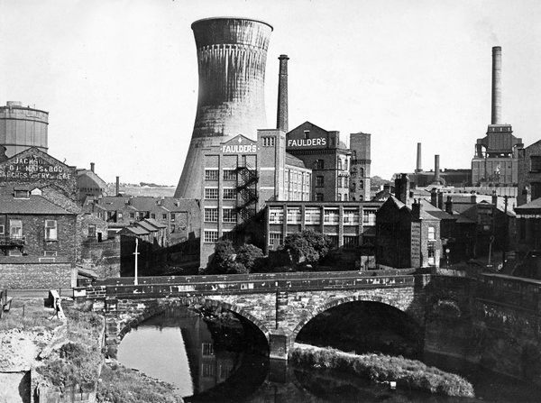
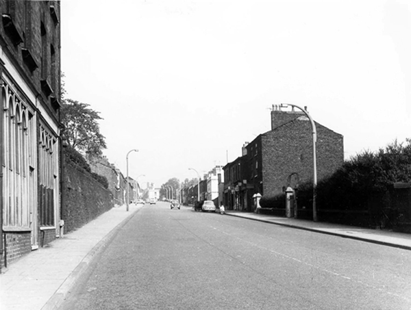
Her photograph was taken in Stockport 1967 – I first assumed it was taken from St Mary’s Church, looking toward the former power station.
I was mistaken.
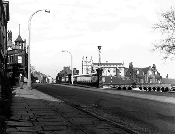
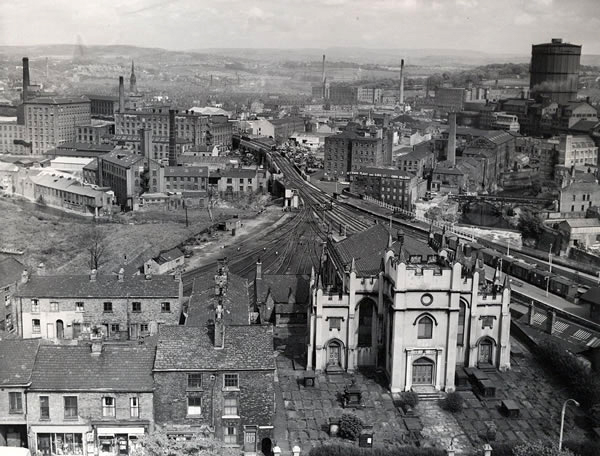
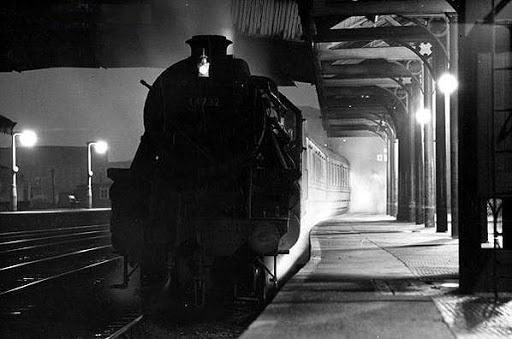
Using the Stockport Image Archive, I found the possible site, in this photograph of Tiviot Dale Station.
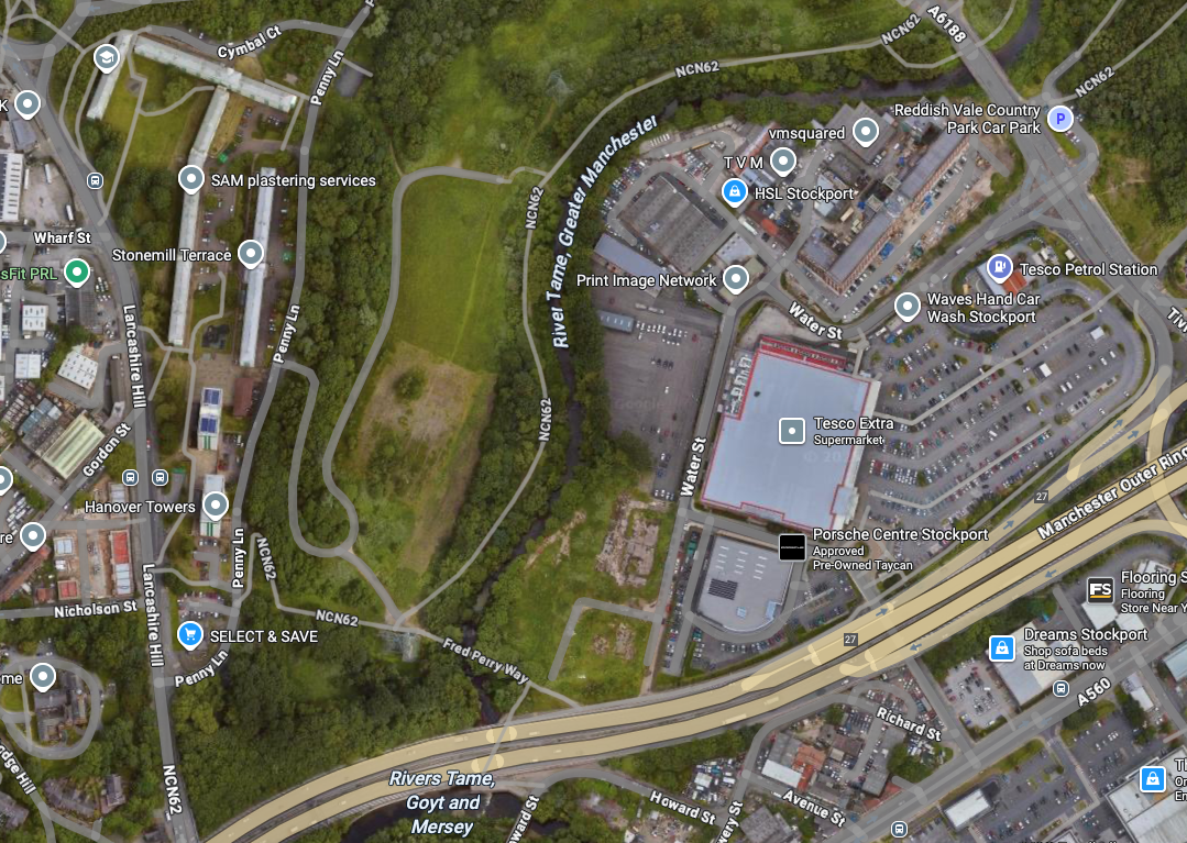
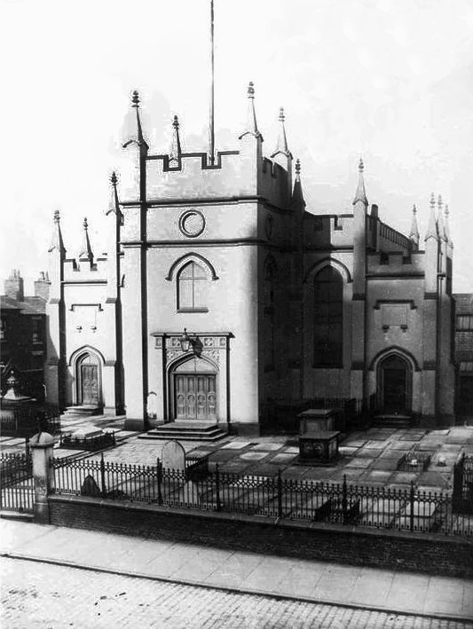
There on the eastern edge of Lancashire Hill – Hanover Chapel.
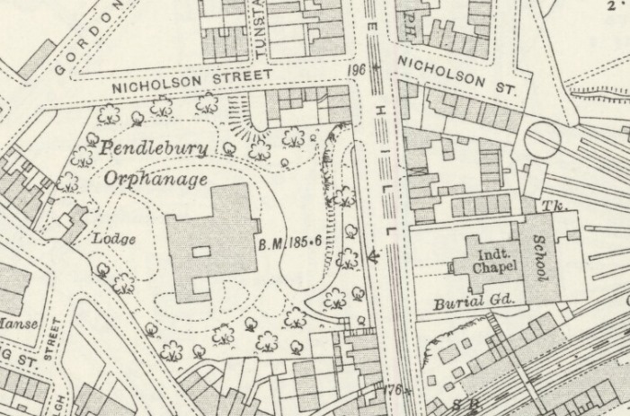
Seen here on the maps of 1917 and 1936.
An area of intense activity, road, rail, housing and infrastructure.
Hanover Chapel closed 1962 – though we may assume from Shirley Baker’s photograph, that following its demolition the graveyard remained intact but untended.
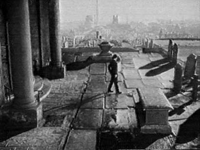
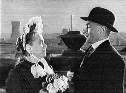
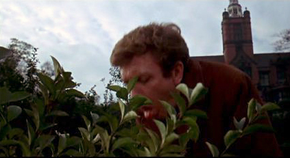
The chapel is thought be seen in the 1954 film Hobson’s Choice, directed by David Lean and starring John Mills, here awaiting his bride to be – the parish church of St Mary’s on the skyline.
Though closer examination reveals that this is not Hanover Chapel – where did those pillars come from?
Where are we, in a labyrinth of invention with a superimposed Stockport backdrop?
My thanks to Robert Collister for these observations.
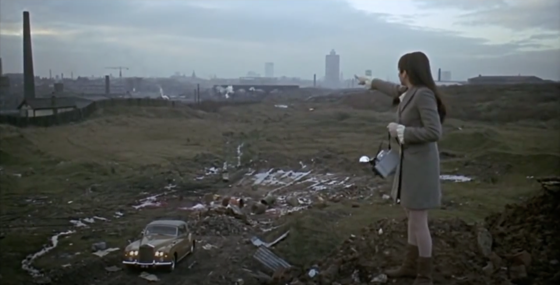
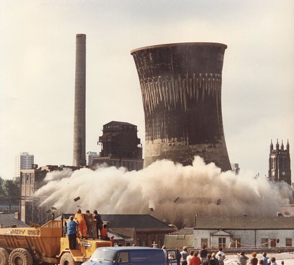
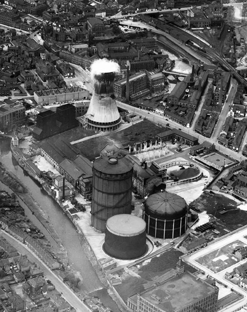
Improbably out of time, the cooling towers are yet to be built, or blown up.
Here John is joined by Salford born Brenda Doreen Mignon de Banzie, playing Maggie.
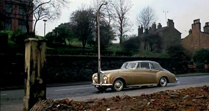
The demolished chapel rubble appears in the foreground of Albert Finney’s gold Roller CB 1E in Charlie Bubbles.
The film’s screenplay was the work of Shelagh Delaney, whose previous work A Taste of Honey also used local locations.
Where Finney has pulled up, feeling proper poorly.
As a serendipitous symmetry, Charlie Bubbles co-star Liza Minelli plays a photographer recording Salford’s disappearing streets.
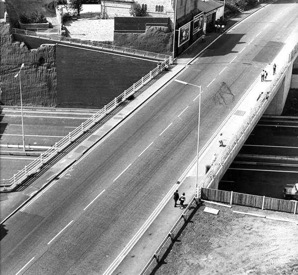
Bit by bit everything disappears, Tiviot Dale Station closed completely on January 2nd 1967.
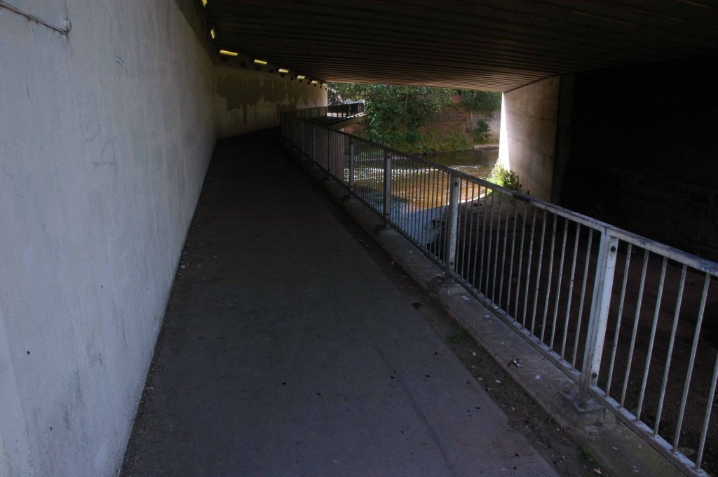
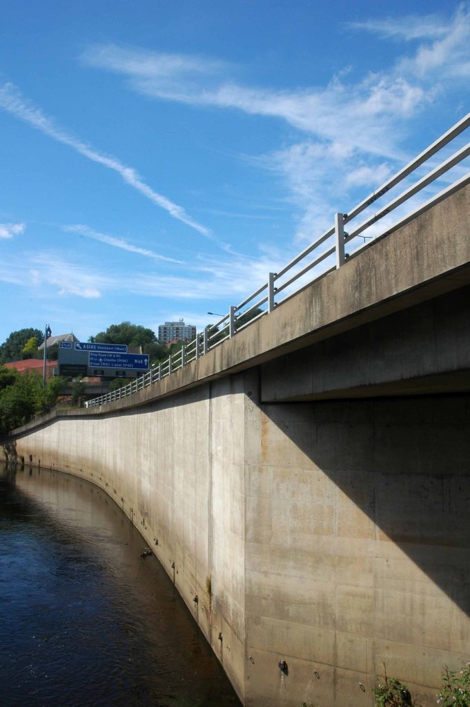
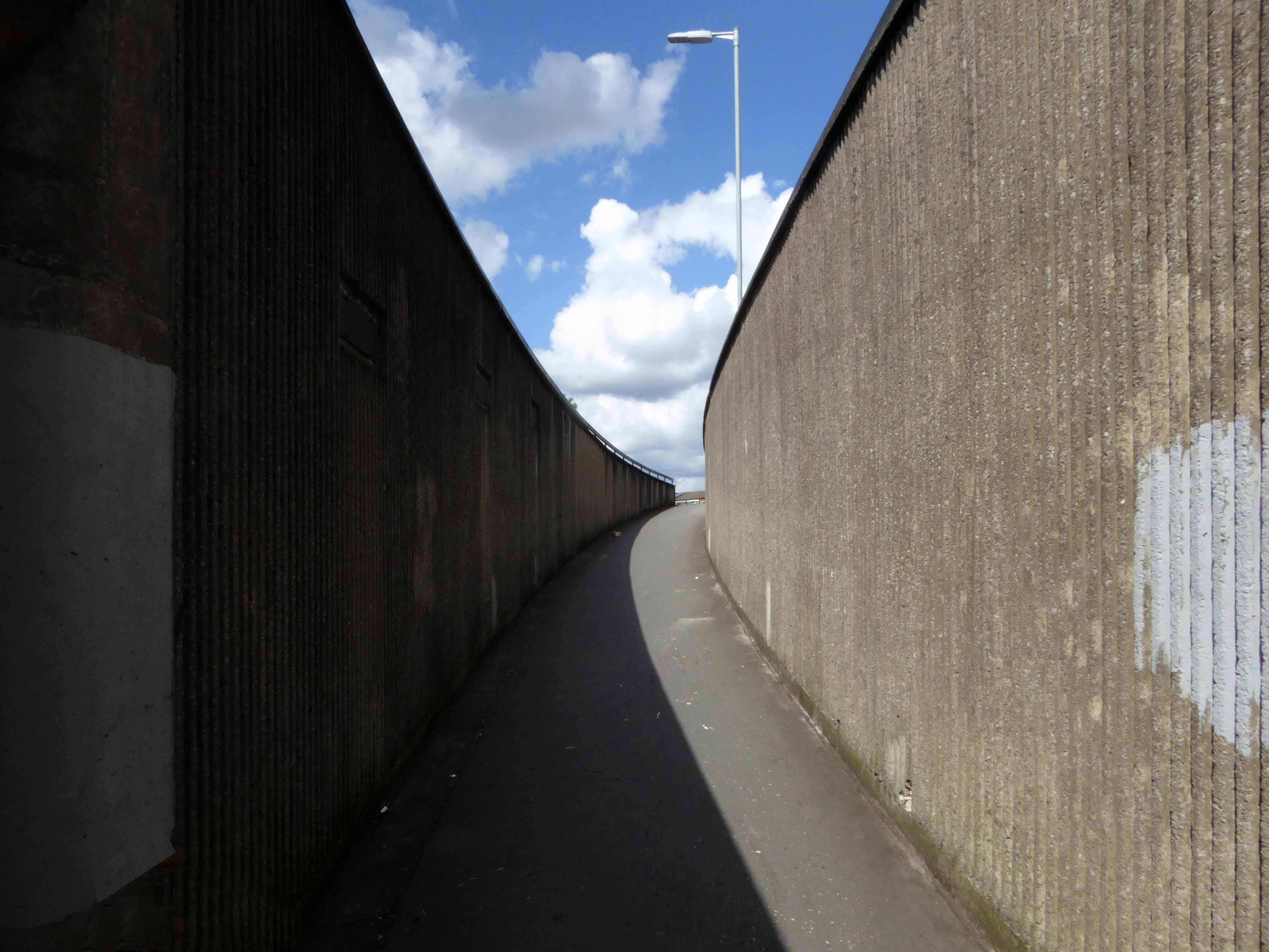
Where once there was a continuous run from the chapel to the town centre, the motorway has since intervened.
The Tiviot Dale pub on the right is no more, closed in 2013.
We had people from all parts of the country turn up on our final day,some of them brought their children who wanted to come because they remember the pub so fondly from their childhood. It was really humbling to see that our pub had touched so many lives.
I remember this pub as a Boddingtons house in the 1970’s. Excellent bitter served by handpump from small vault at the front and a larger “best room” behind, both very narrow given the width of the pub. The landlord employed an unusual method of ensuring everyone got a full pint; a half pint glass of beer was kept between the pumps and your pint was topped up from the half which was constantly replenished to keep it fresh. I have not seen this practice in any other pub.
Phil Moran
When’s the next tram due?
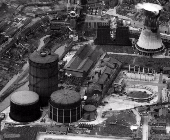
Millgate Power Station operated until 1976.
At the adjacent gas works – gas holder number three was dismantled in 1988, gas holders one and two were removed in 2019.
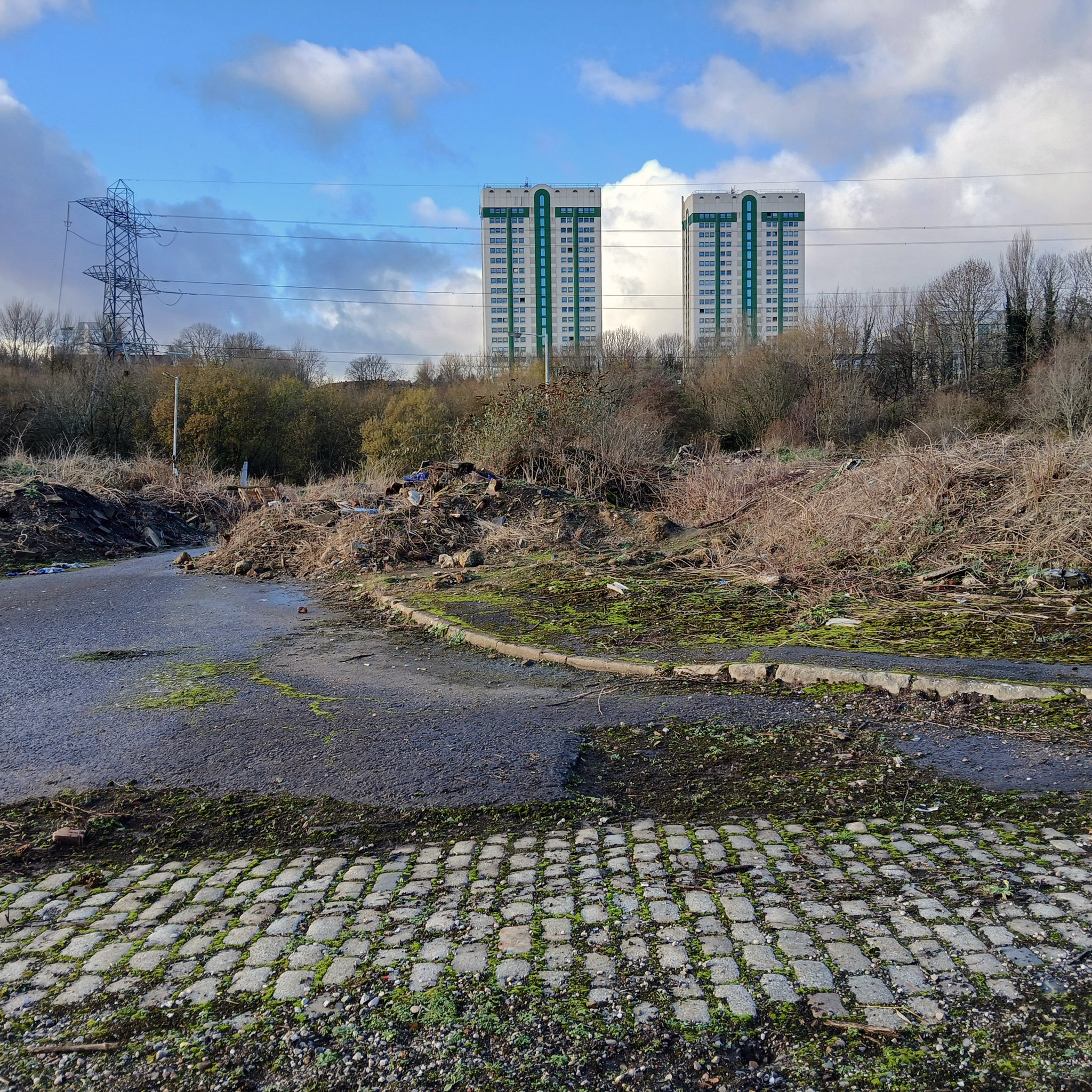
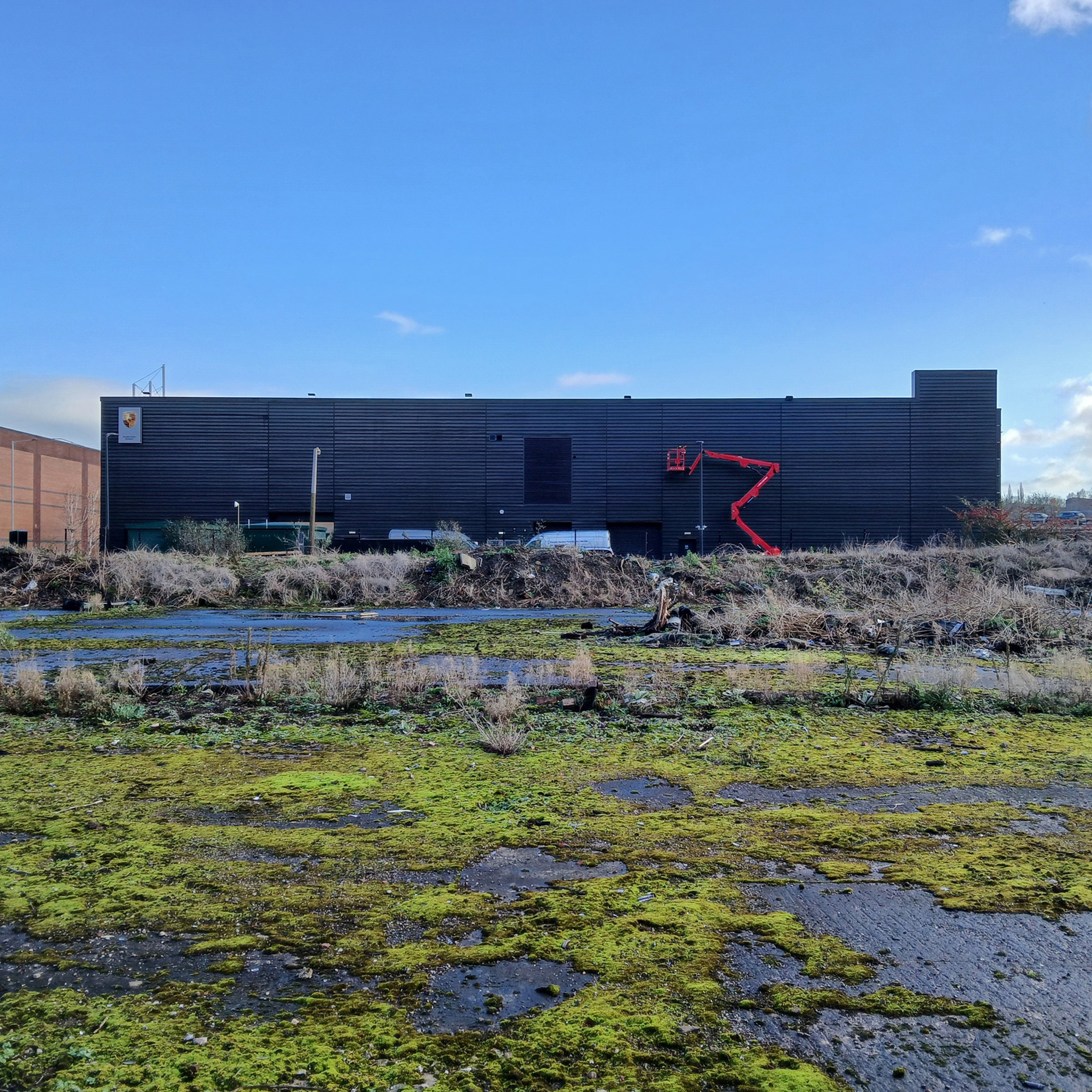
The nature of infrastructure, housing and industry has changed radically.
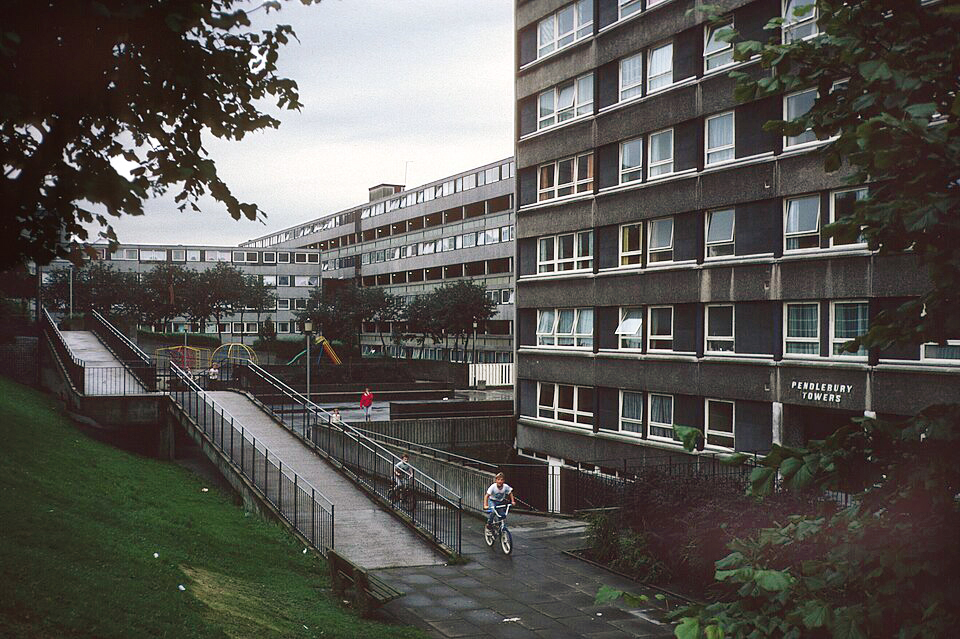
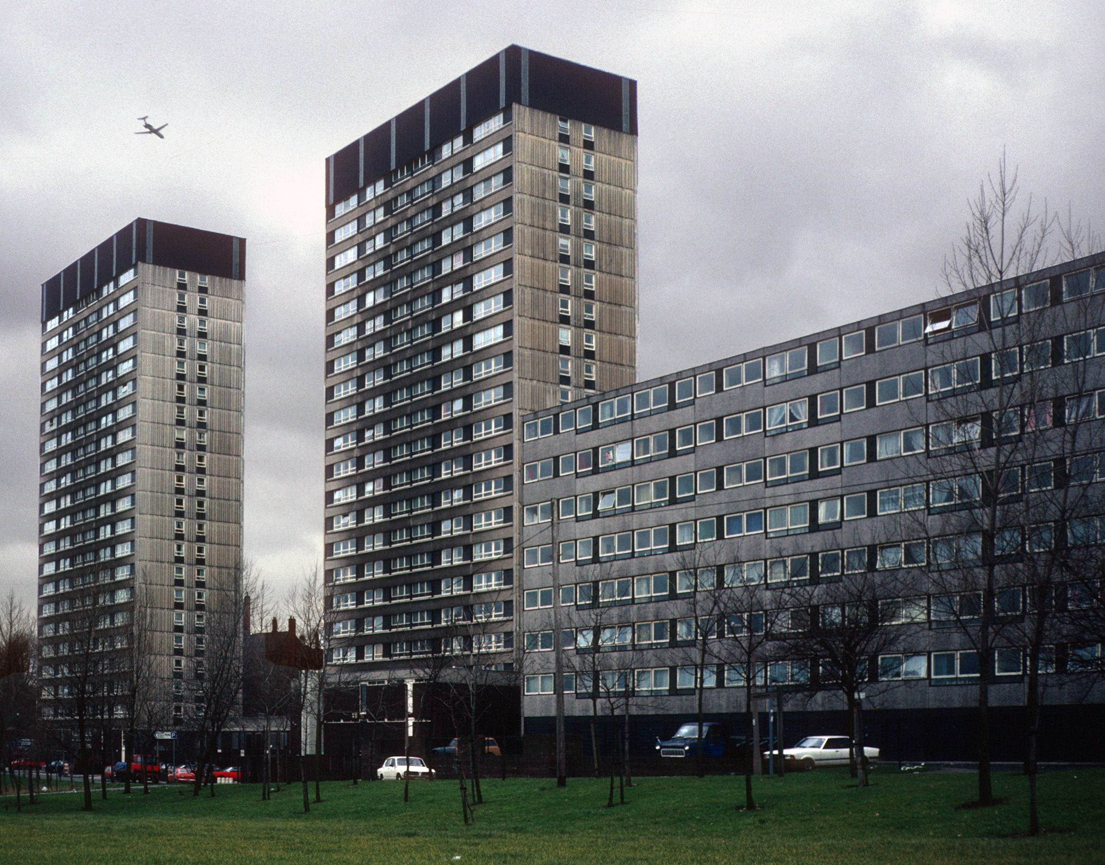
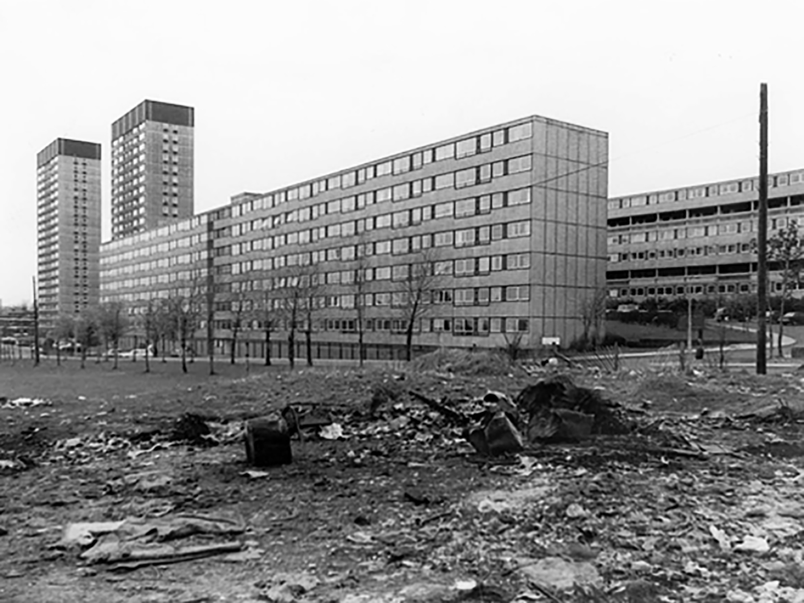
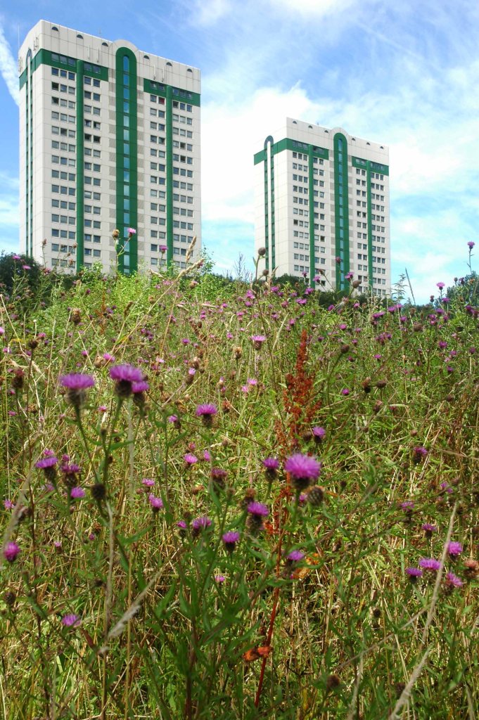
Lancashire Hill flats were built in the 60s, designed by City Architect JS Rank, two seven storey blocks containing 150 dwellings; two six storey blocks containing 120 dwellings.
Replacing tight rows of terraced housing.
They themselves clad and revamped.
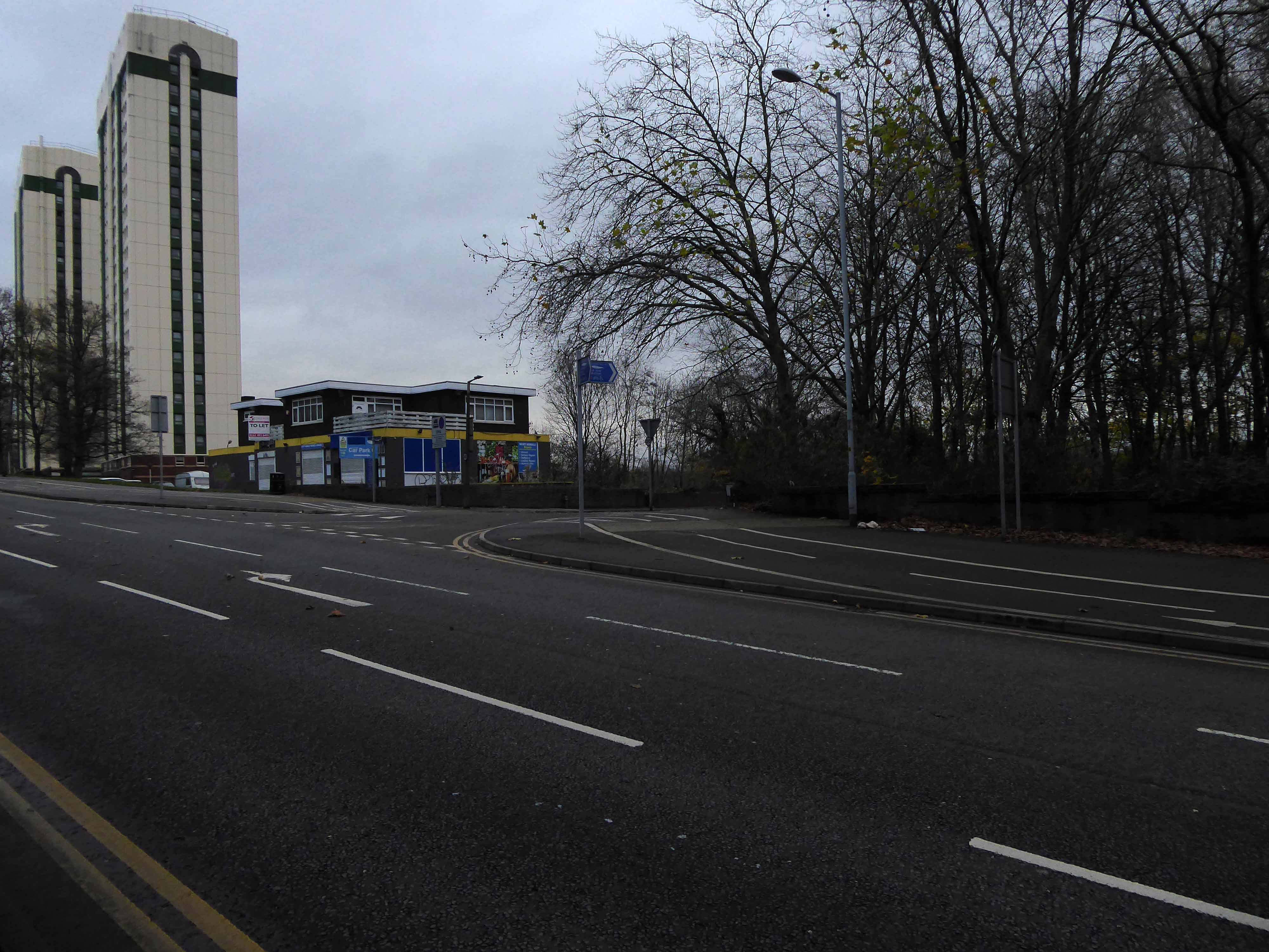
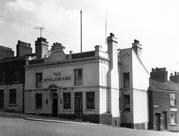
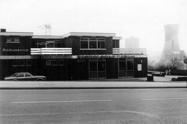
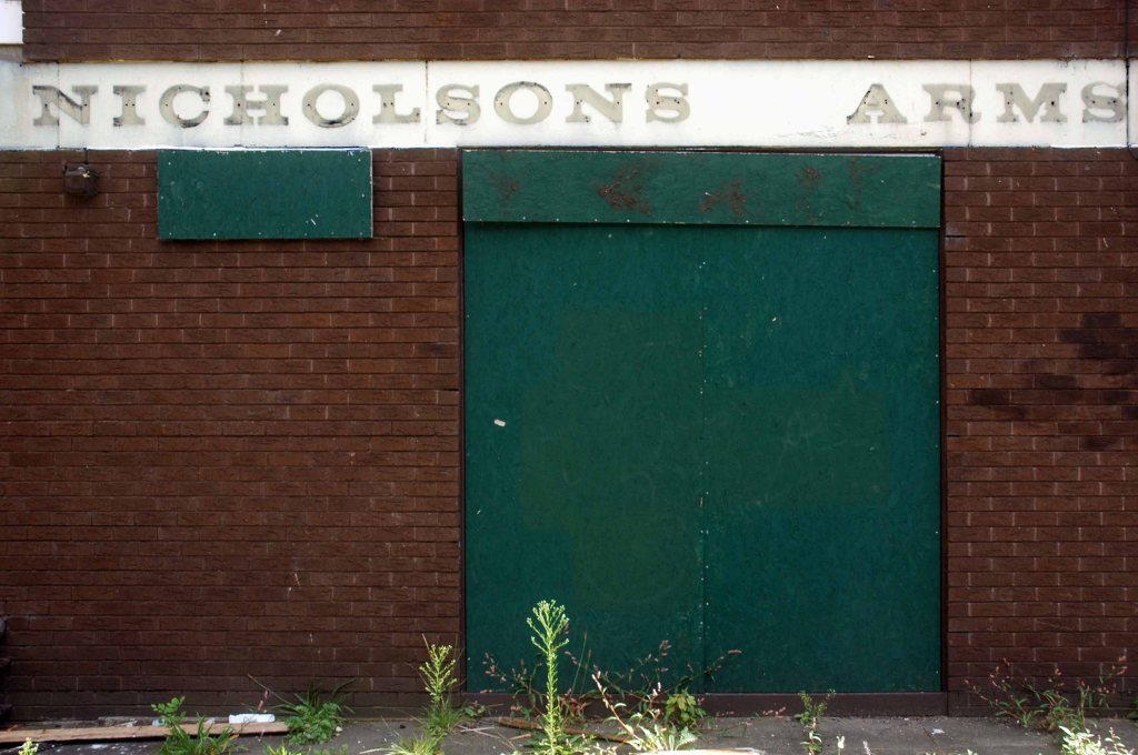
The Nicholson’s Arms built to serve the flats closed and currently empty, signs say to let – replaced an earlier pub, sited on the corner of long gone Nicholson Street.
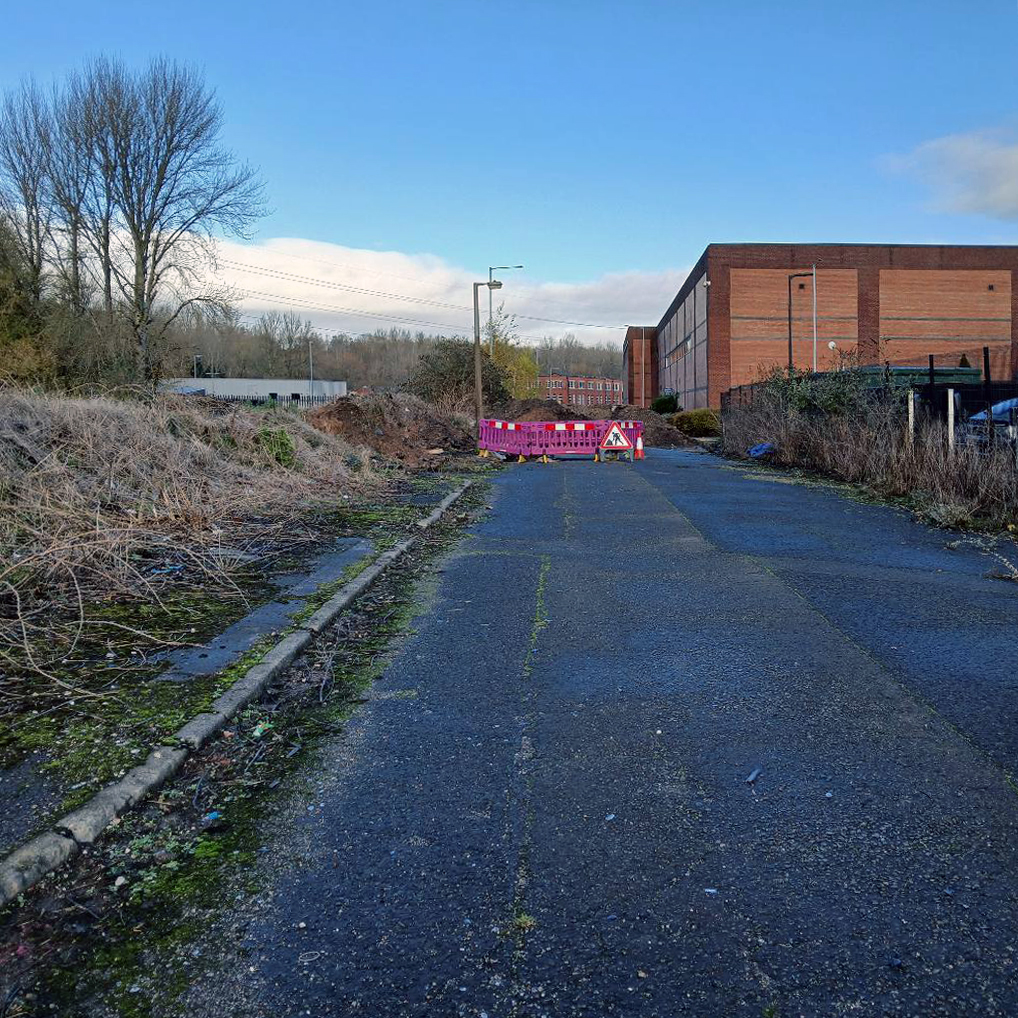
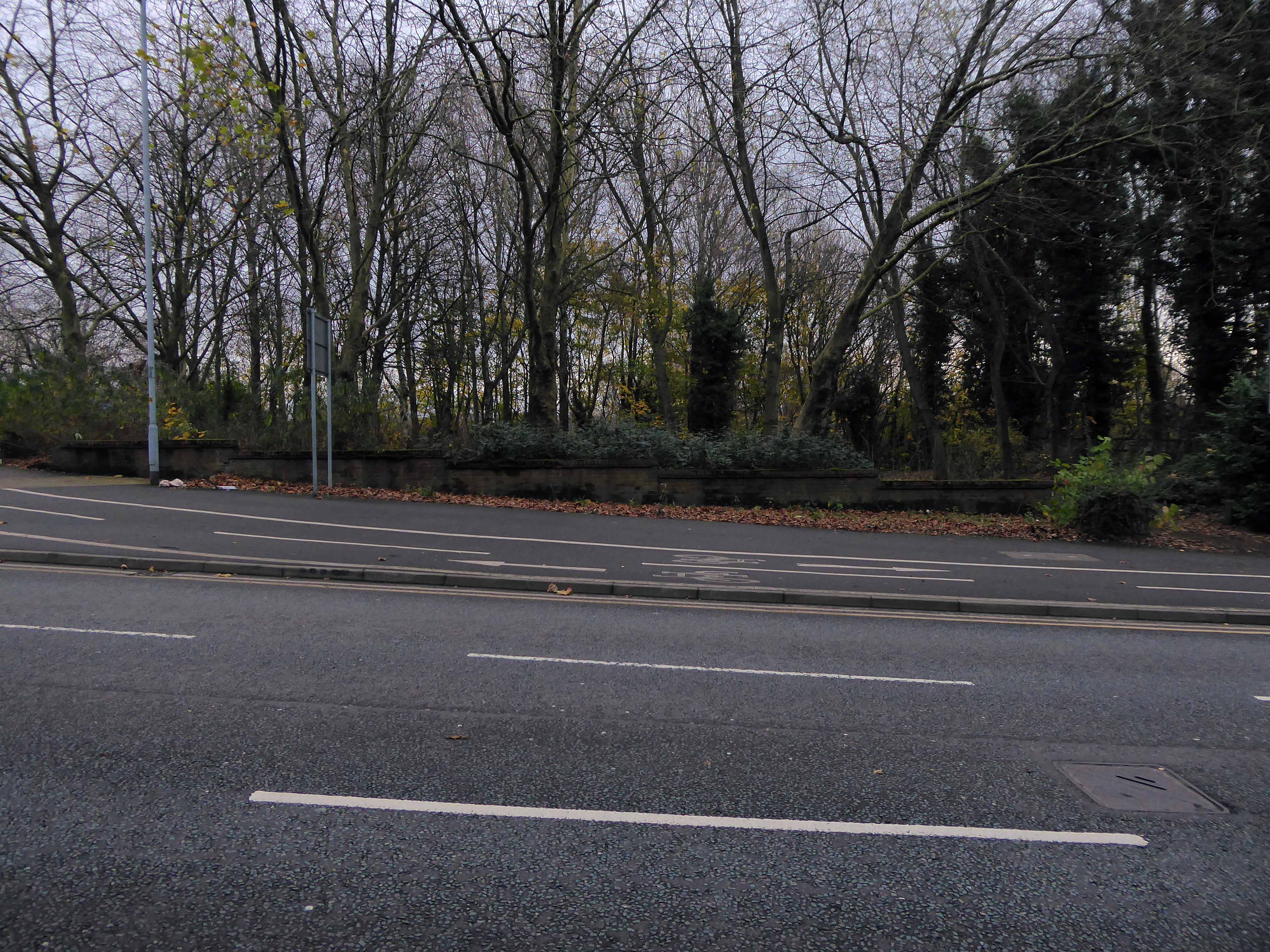
Today from the road there’s simply no trace of the site’s past purpose.
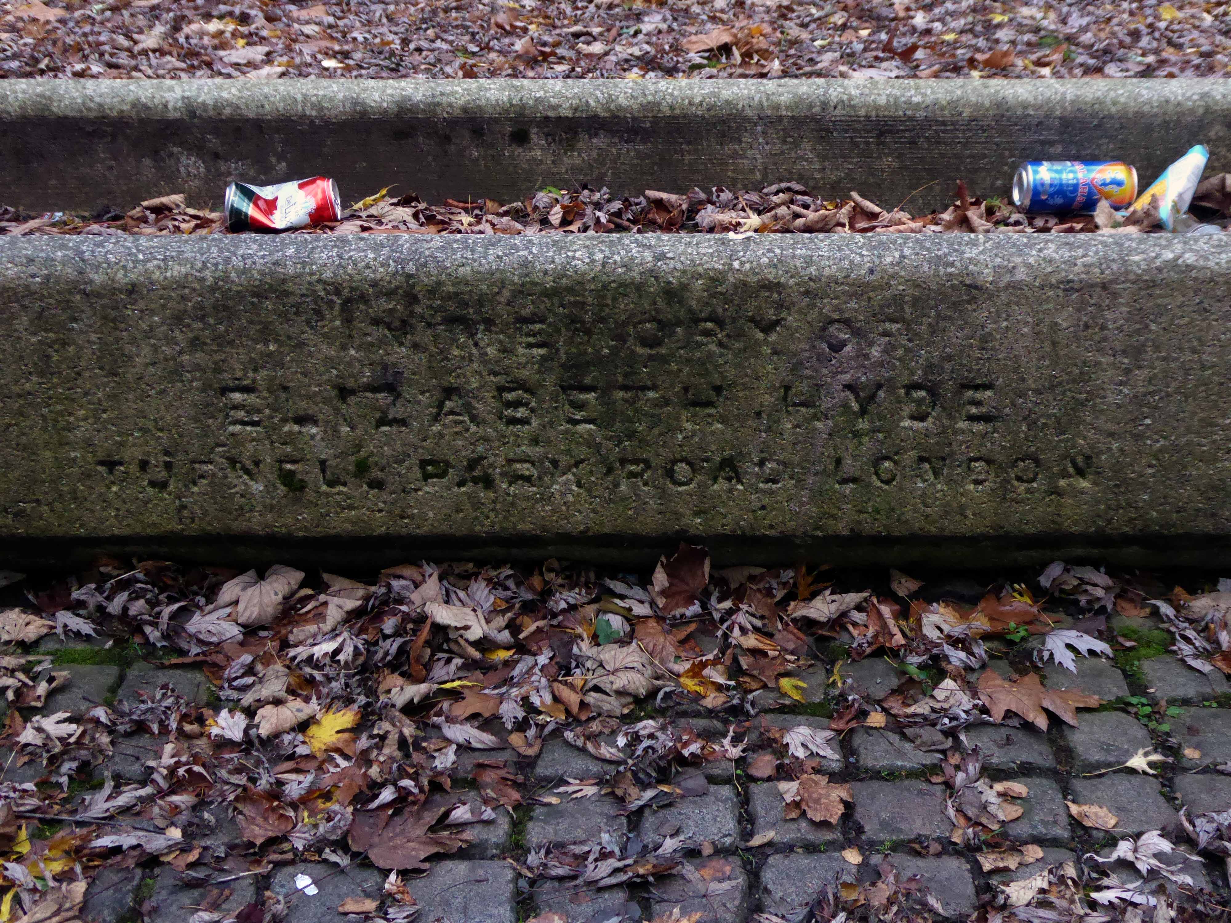
At the centre of what is now a compact civic grassed area – a trough.
Incongruously in memory of Elizabeth Hyde of Tufnell Park Road London.
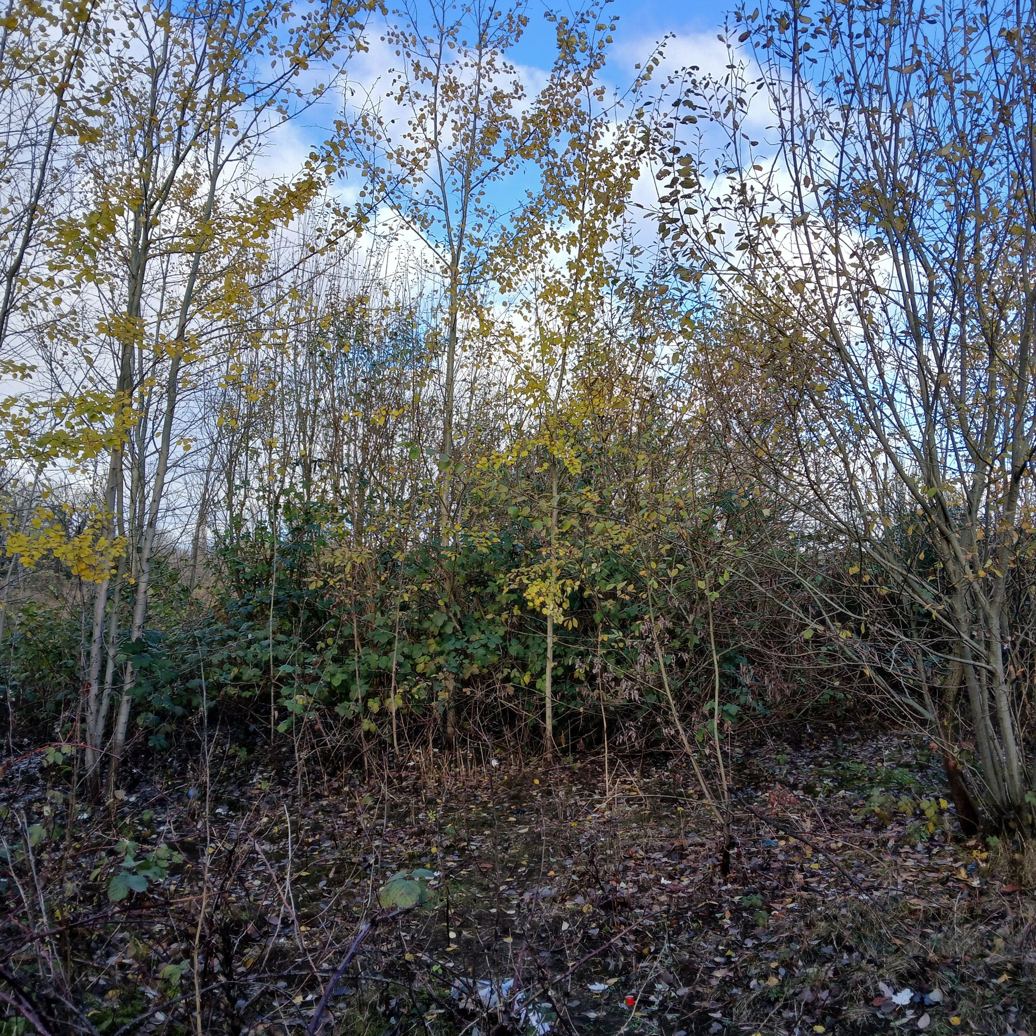
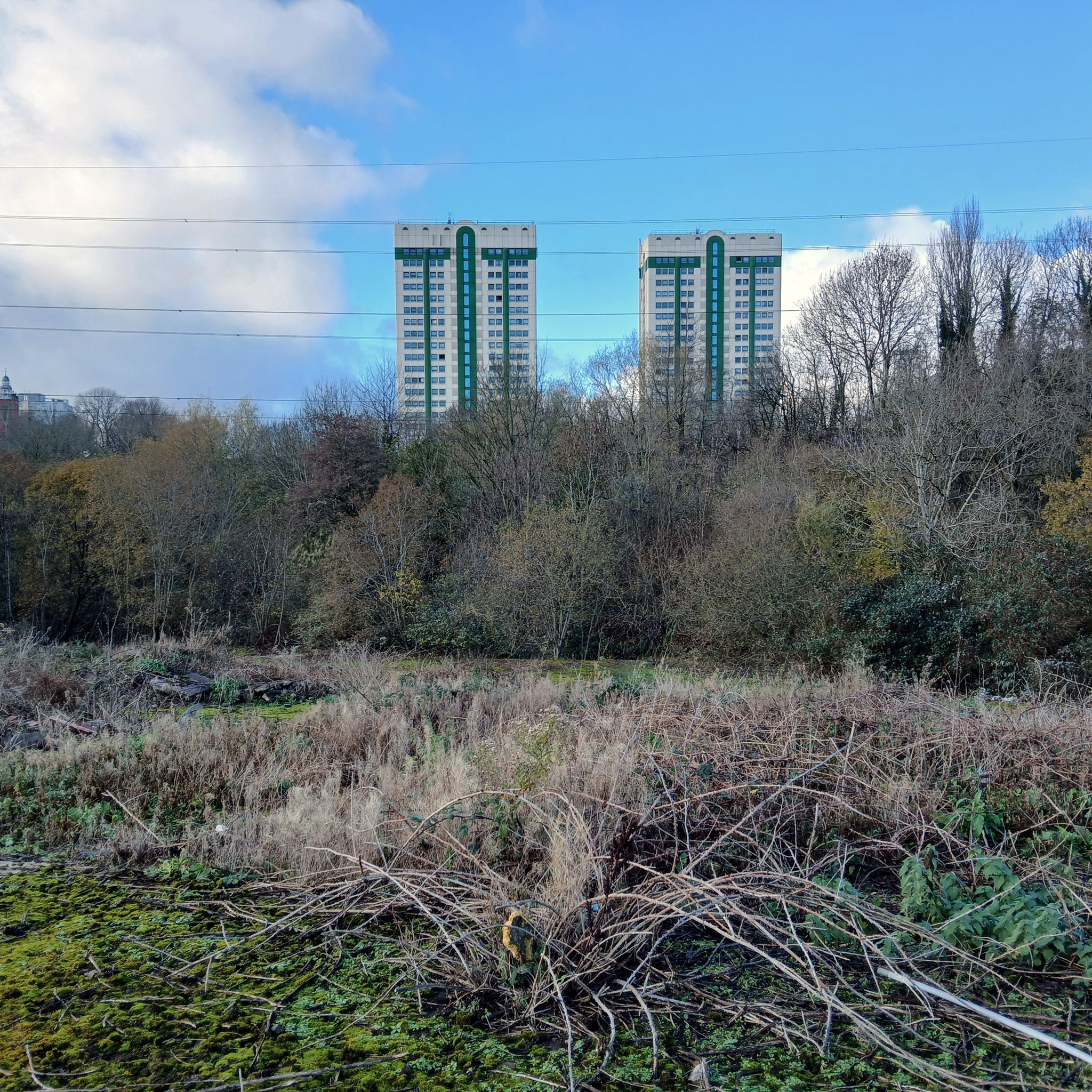
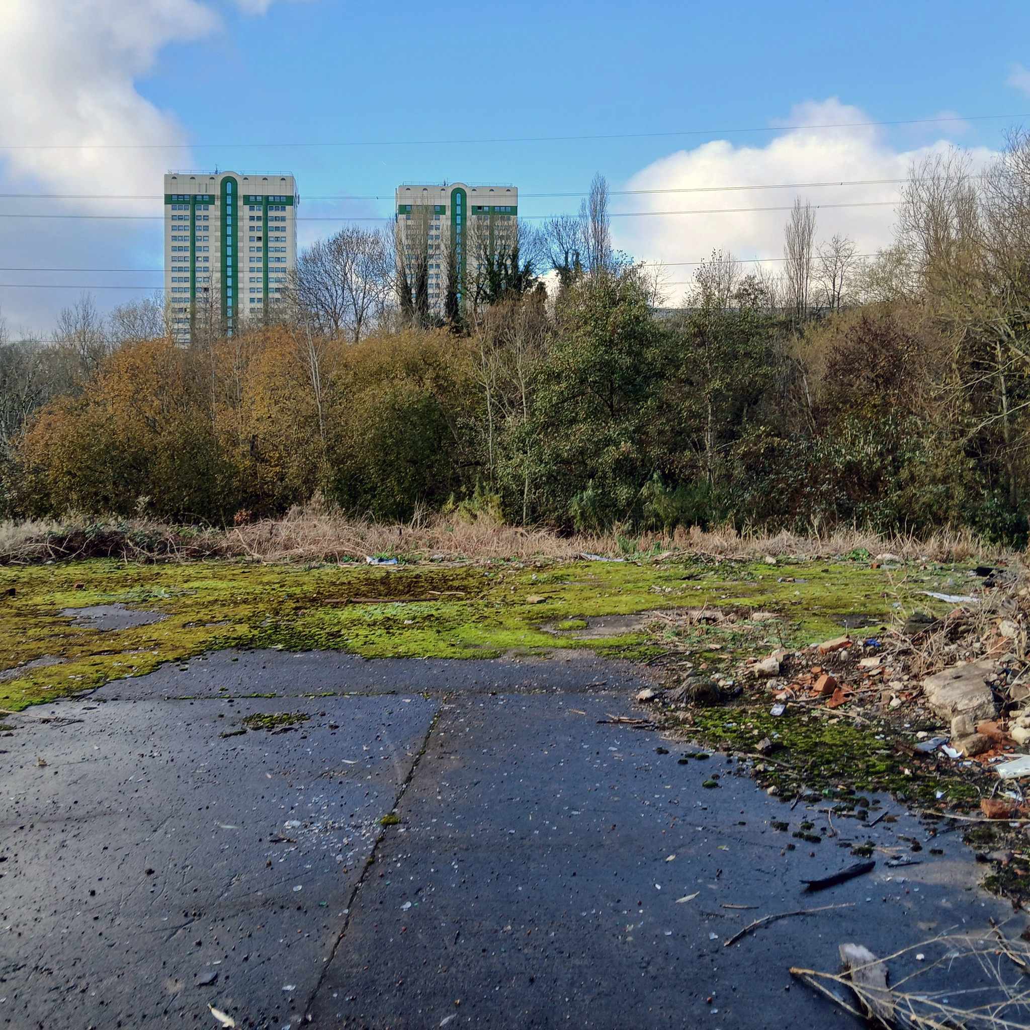
The dense stand of trees is impenetrable – no longer a view of the non existent power station and beyond.
And they that shall be of thee shall build the old waste places: thou shalt raise up the foundations of many generations; and thou shalt be called, the repairer of the breach, the restorer of paths to dwell in.
Isiah 58:12
As a footnote I did meet brothers Stephen, Derek and Peter who appeared in this Shirley Baker photograph 55 years ago – she promised them an ice cream each – they never ever received an ice cream.
They are seen in Sunnyside Street Ordsall – long since demolished.
A commemorative plaque from the Chapel still exists, sited now on the wall of Wycliffe Congregational Church Georges Road Stockport.
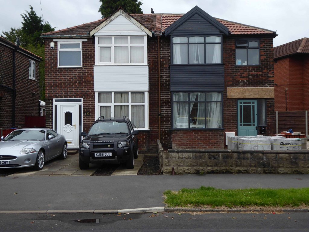
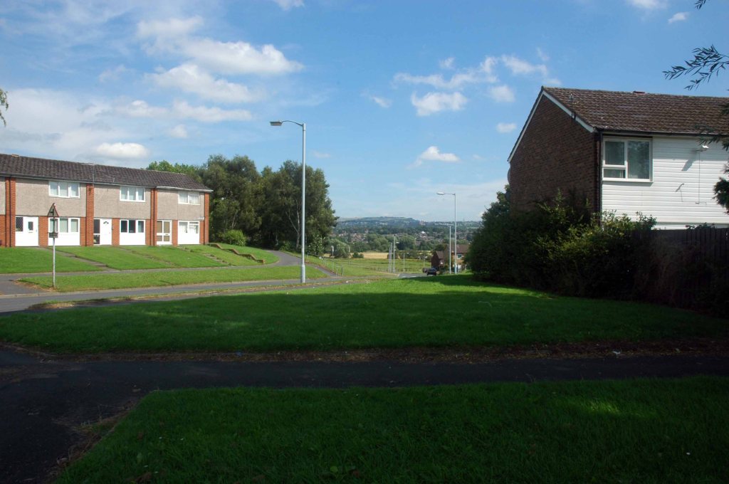
Once a rare sight on our roads the ubiquitous SUV reigns supreme on our suburban streets – the level of UK car debt currently stands at £73 Billion.
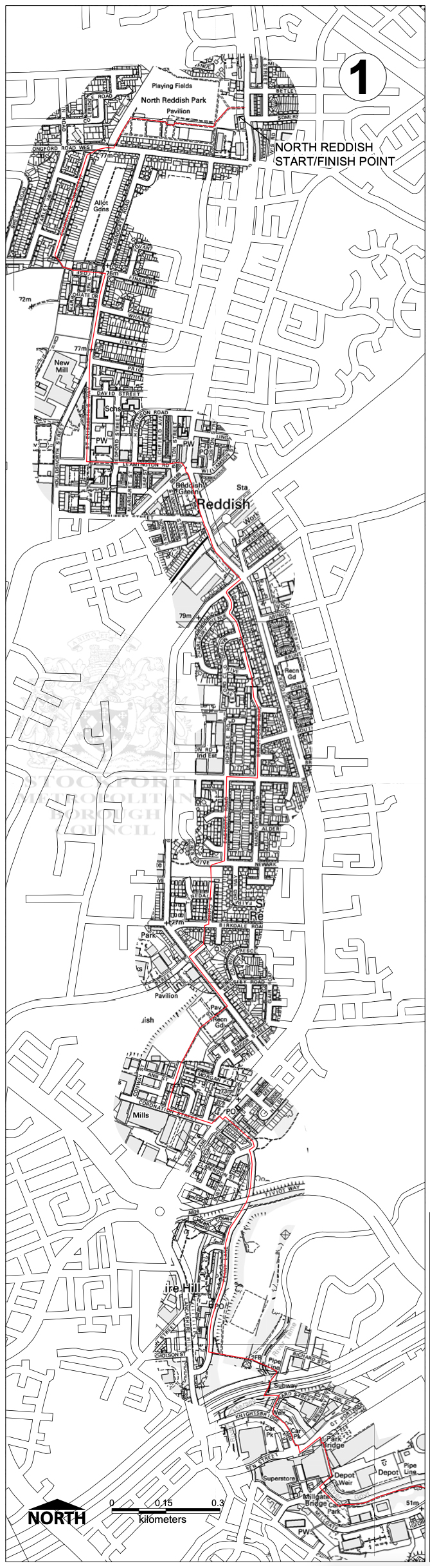
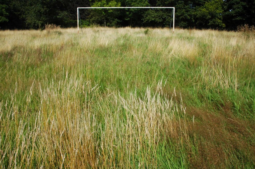
We weaved in and out of the highways and byways of South Reddish.
Through Unity Park where the goals are lower than low.
The hoops are higher.
And the bowls are rolling.
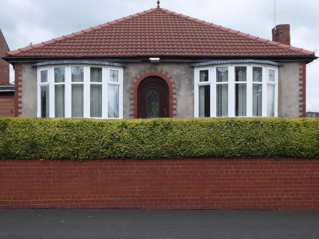
Past the perfect Platonic bungalow.
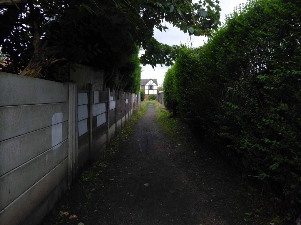
Taking the well worn path betwixt and between the houses.
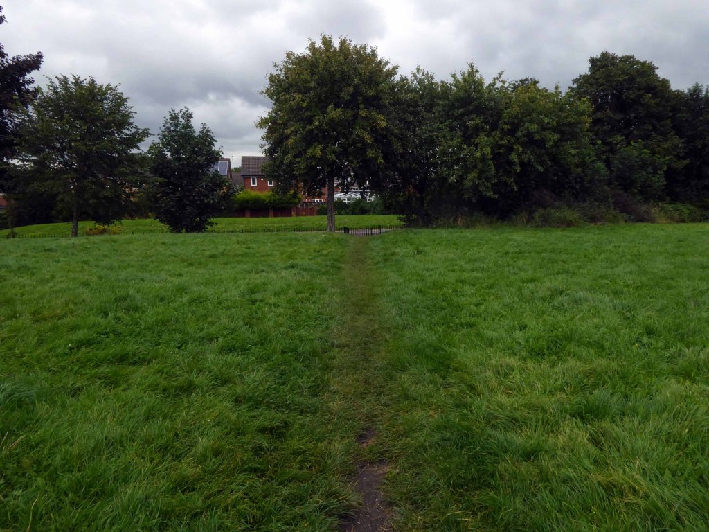
Crossing open country.
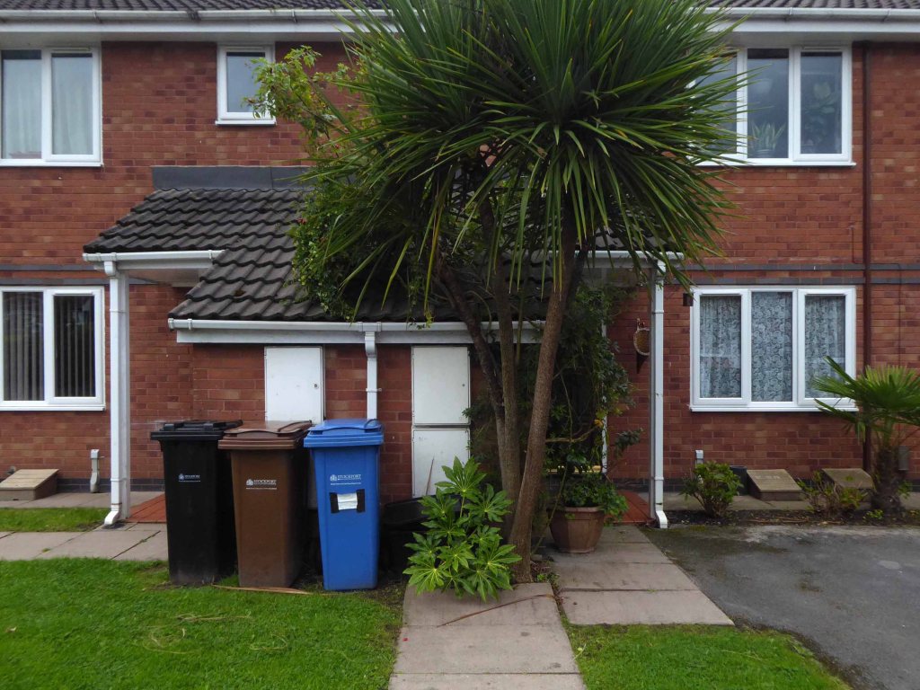
Encountering exotic planting worthy of the French Riviera.
Noting the voguish transition of the local semi-detached housing from white to grey and the now familiar sight of the Range Rover in the former front garden.
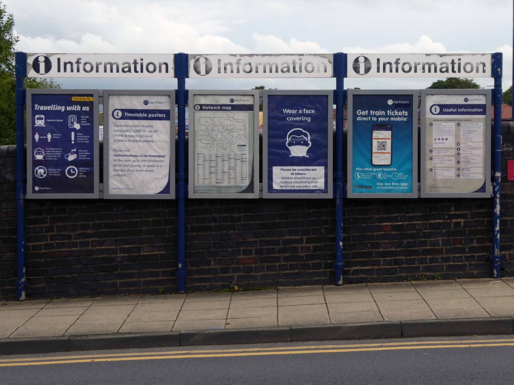
The reverse of a roadside sign can often be far more interesting and attractive than the obverse face.
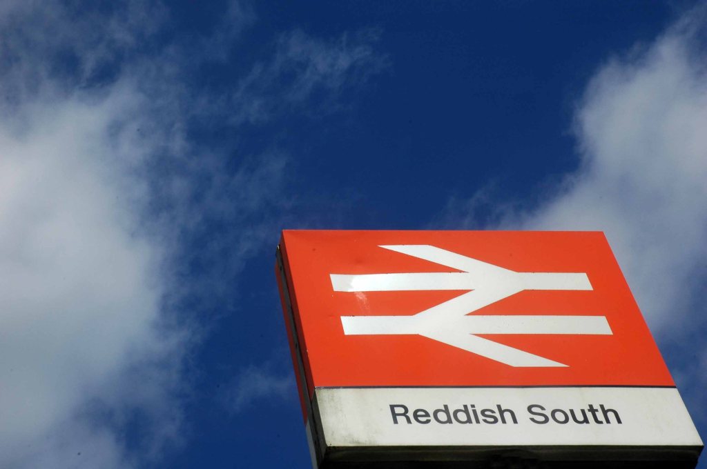
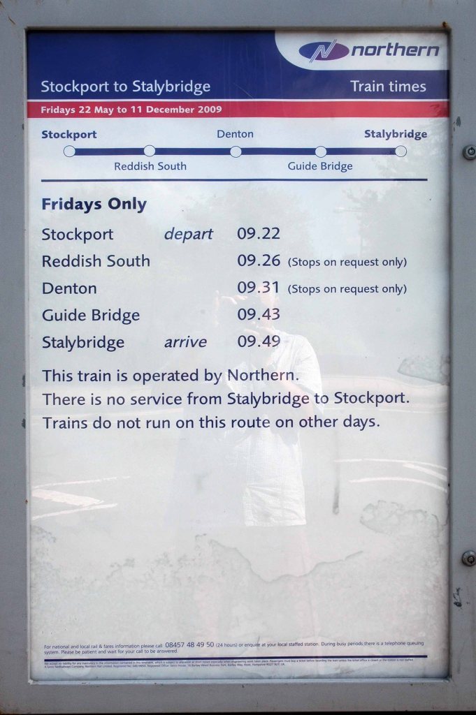
Reddish South Station sustained by the once a week parliamentary train, on the Stockport to Stalybridge Line, coincidentally the only time, as a goods guard, I ever worked a passenger train, was along here, one Christmas long ago.
We stopped at Denton, a request stop, the seasonally boozy passenger gave me a fifty pence tip.
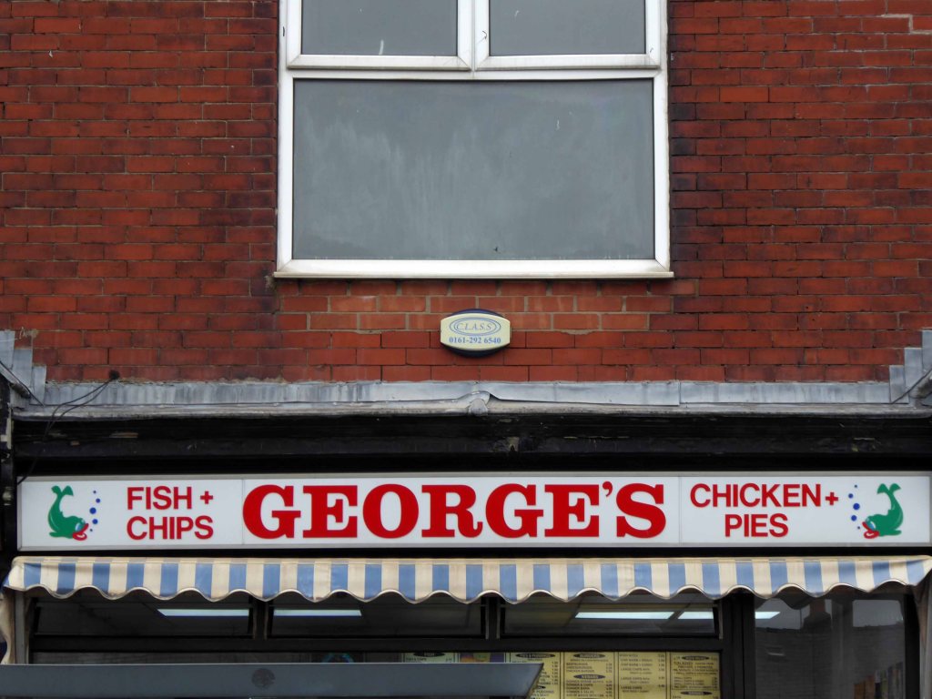
George’s – where I bought a bag of chips on the way back, great chips, friendly and safe service with a smile.
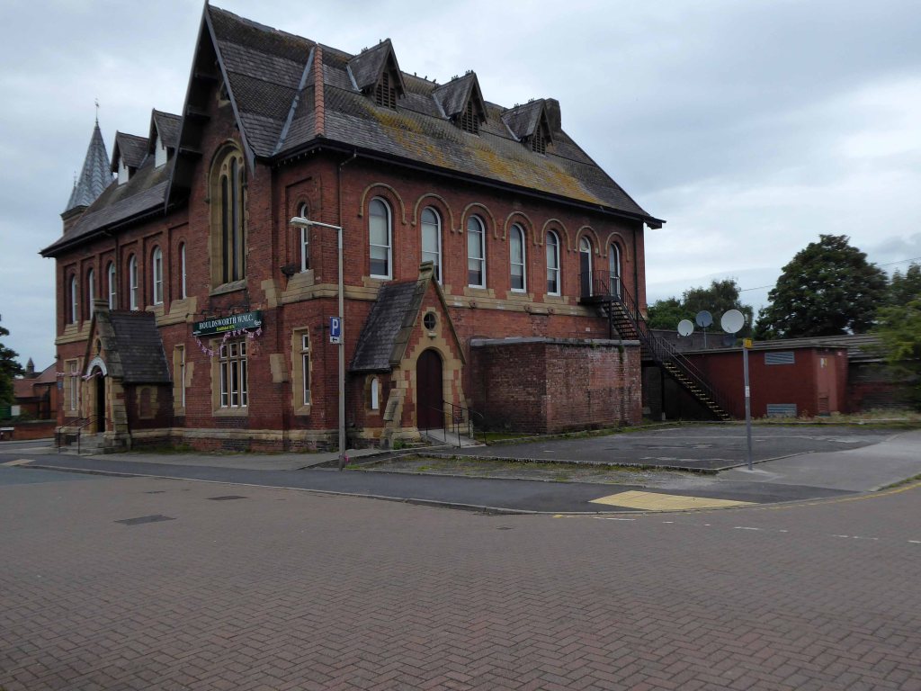
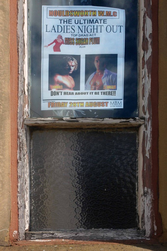
Houldsworth Working Mens Clubdesigned by Abraham Henthorn Stott forming part of the model community developed by the late-C19 industrialist Sir William Houldsworth, which included cotton mills, workers’ housing, school, church and a park.
Church of St Elisabeth 1882-3, by Alfred Waterhouse one of the finest Victorian churches in the country – both of the buildings are Grade II Listed.
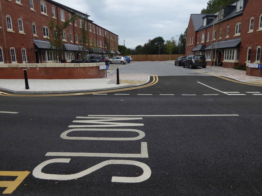
Over the way the former Victoria Mill, converted into apartments.
With adjoining new build.
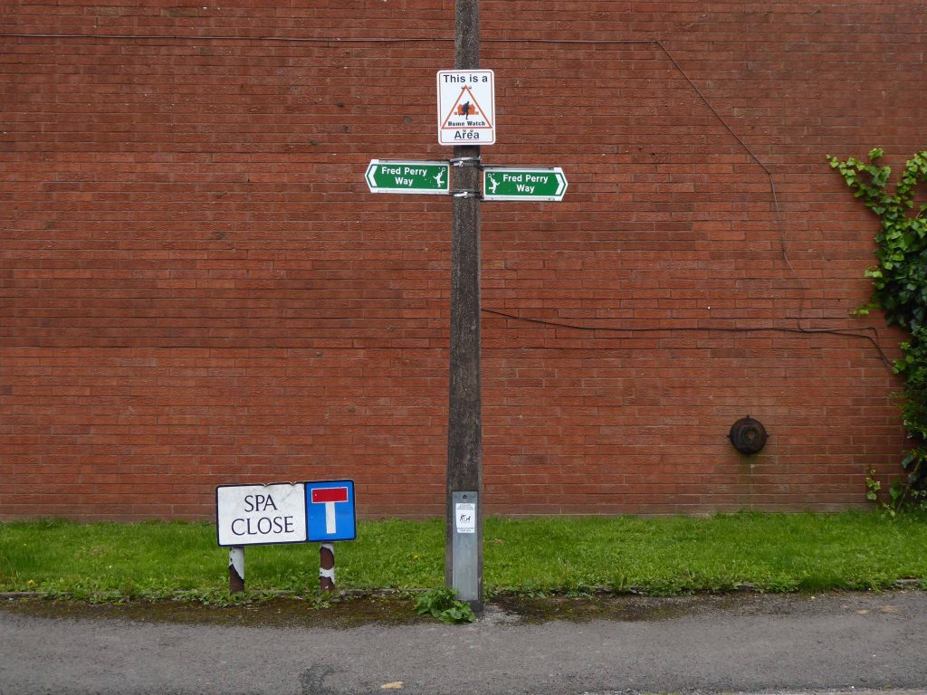
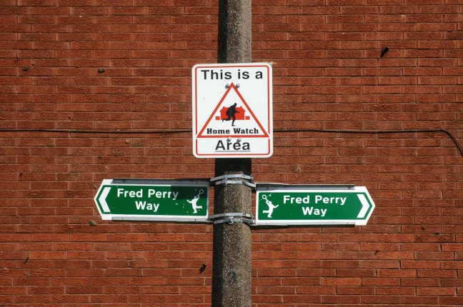
We faithfully followed the signs, noting a change from blue to green.
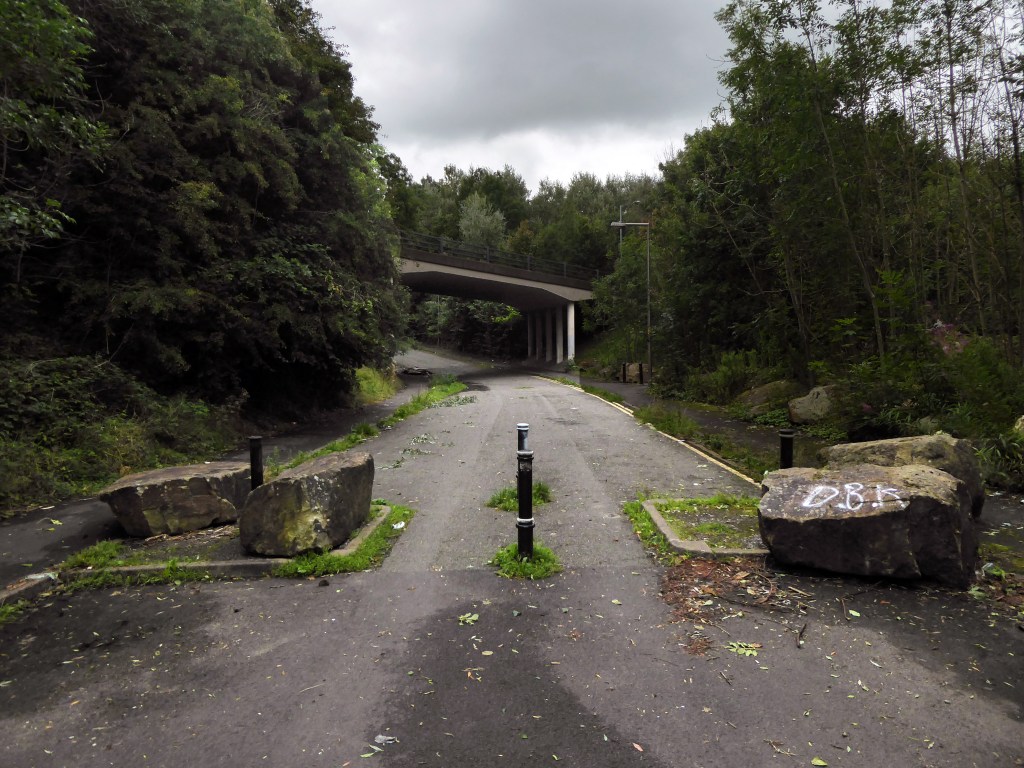
Somewhere or other we went wrong, our luck and the signs ran out, we instinctively headed north, ever onwards!
Traversing the Great Wall.
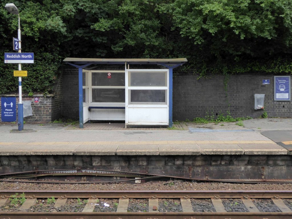
Mistakenly assuming that the route ended or began at Reddish North Station that’s where we landed.
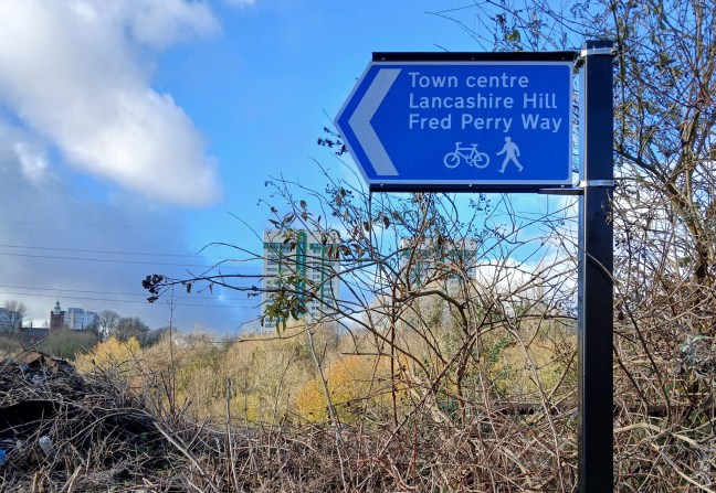
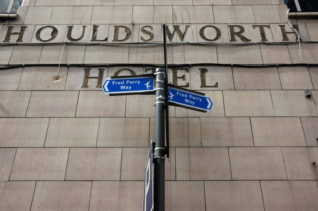
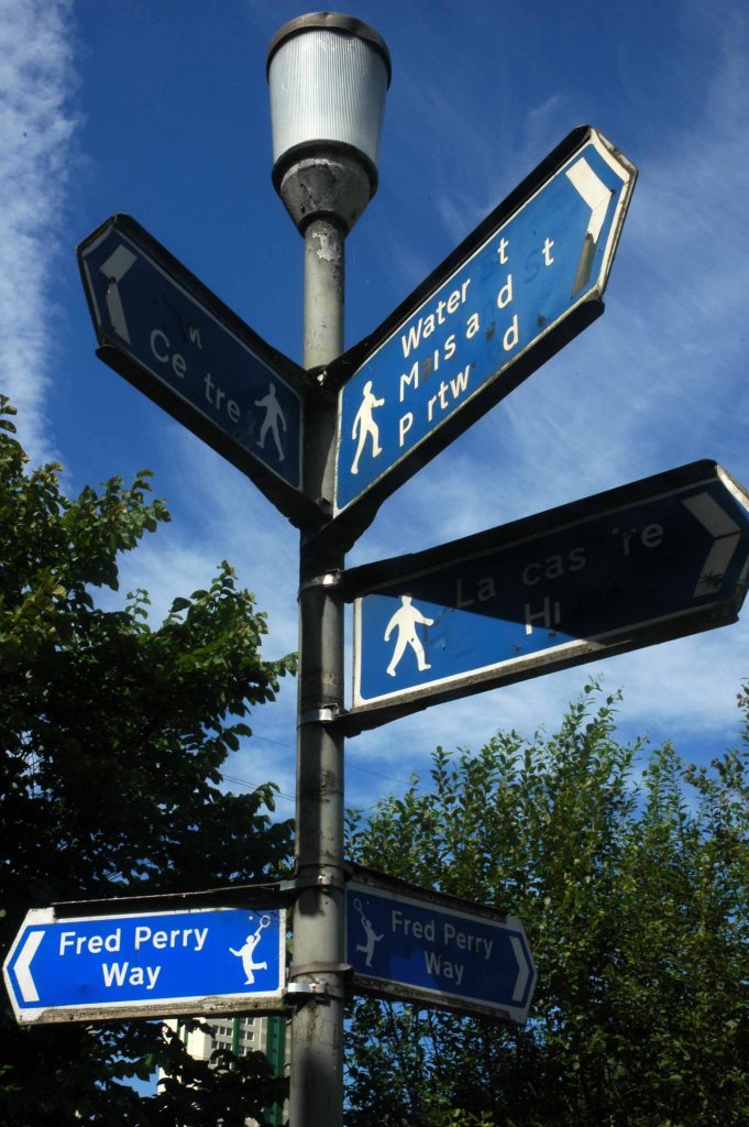
Back tracking intrepidly along the road we found the source of the Fred Perry Way.
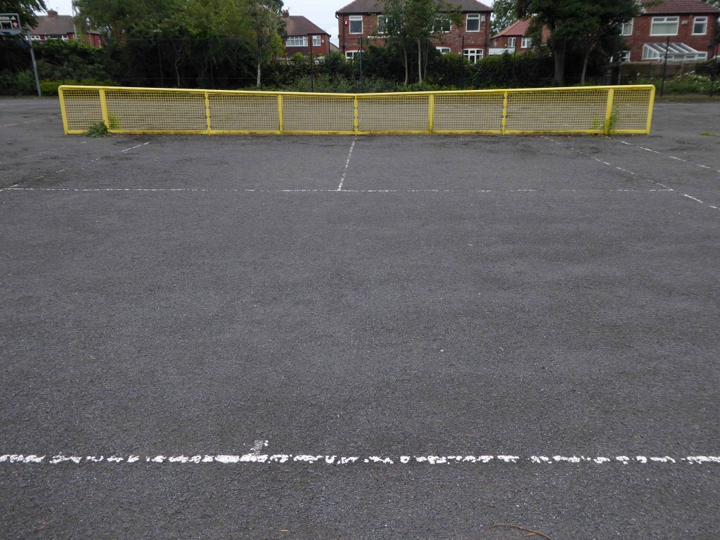
In the North Reddish Park – where tennis can still be played today albeit with a somewhat functionalist net, on an unsympathetic surface.
Journey’s end.
To forget, you little fool, to forget!
D’you understand?
To forget!
You think there’s no limit to what a man can bear?
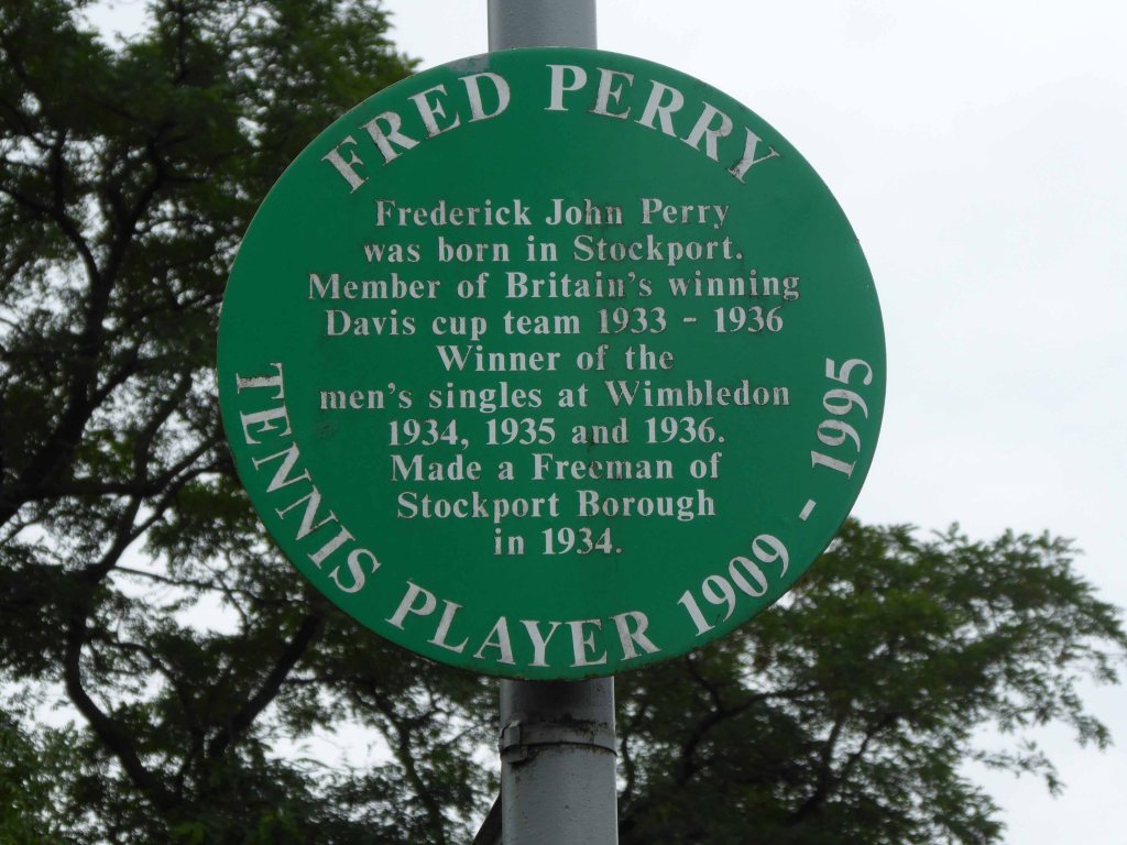
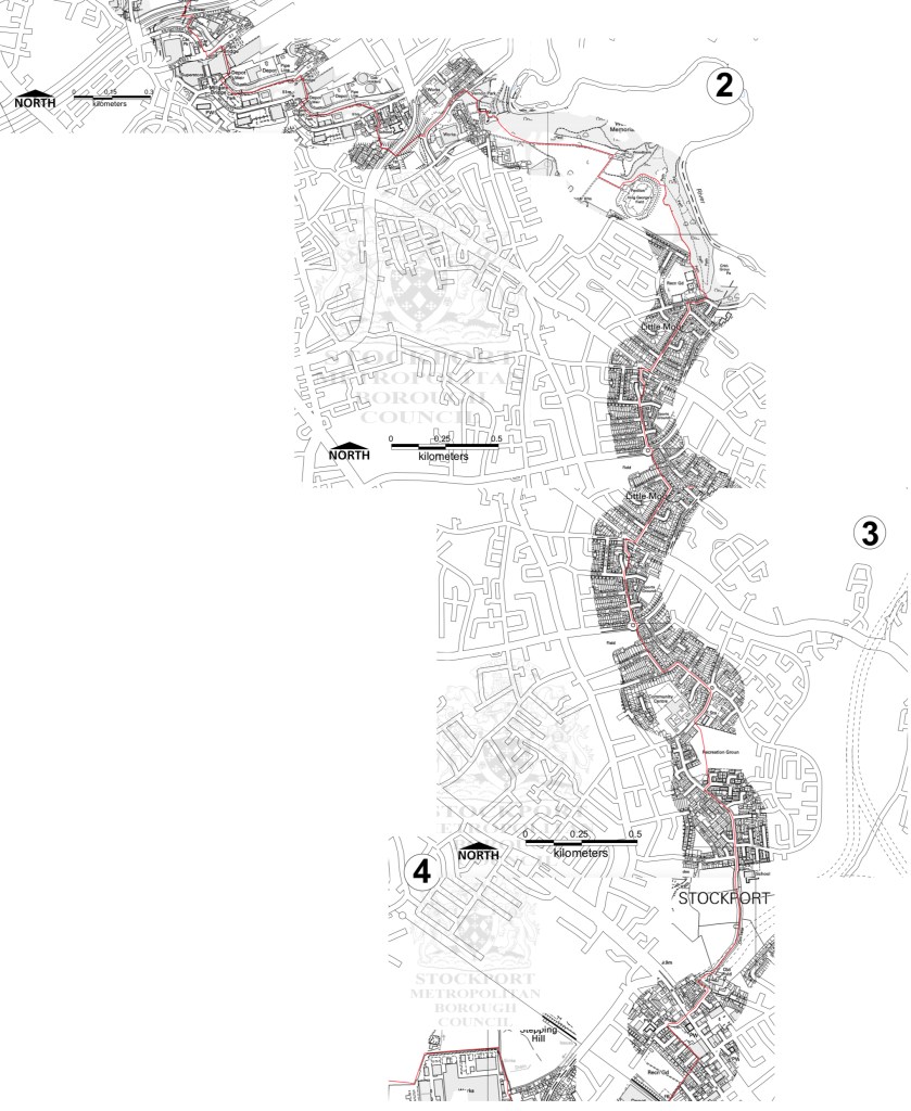
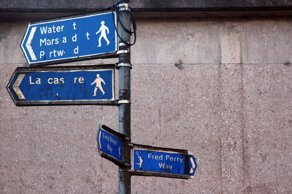
Some time ago in Stockport Fred Perry was born, lived and moved away – in pretty rapid succession. Nevertheless the Borough claims him as their own and to celebrate the fact, they have devised a Way.
Not the way or an away day but a named way, the Fred Perry Way.
Stretching from North Reddish in the north to Woodford in the south – zigging and zagging through and across highways and byways, avenues and alleyways.
Combining rural footpaths, quiet lanes and river valleys with urban landscapes and park lands.
For the long distance walker it may be useful as a link route. The Fred Perry Way provides a link between the Bollin Valley Way, and through that, the North Cheshire Way, and via a short link between Mottram & Woodford, the Tame Valley Way and Etherow Goyt Valley Way at Stockport. A full crossing of historical North Cheshire could be devised, linking Black Hill & Crowden on the Pennine Way with Hilbre Island, utilising also the Wirral Way/Wirral Shore Way.