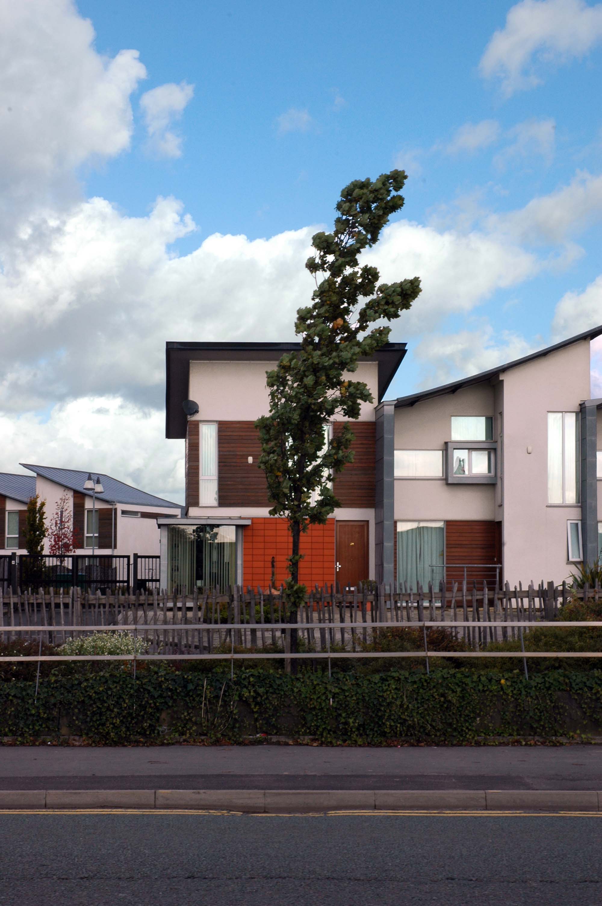
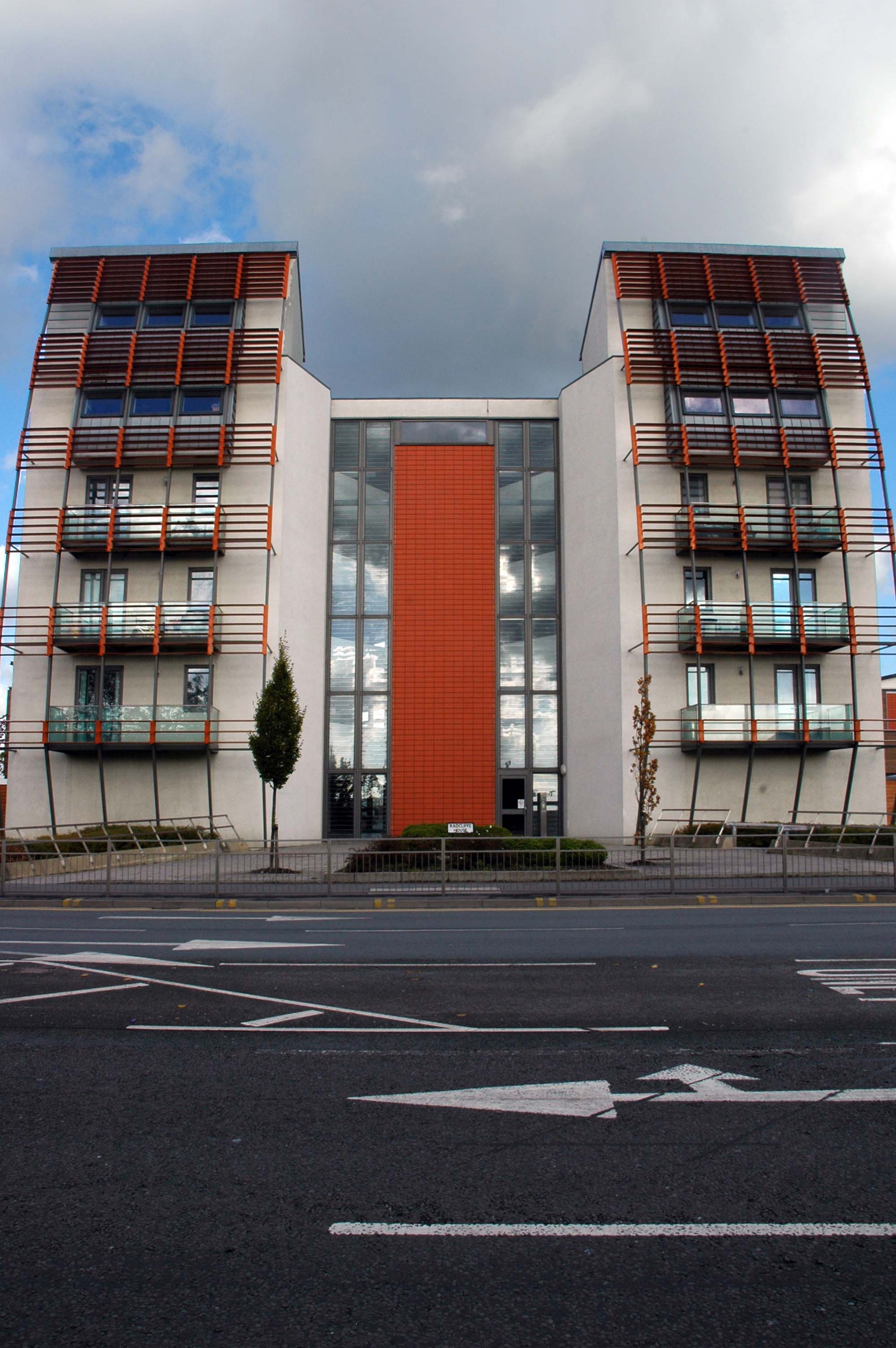
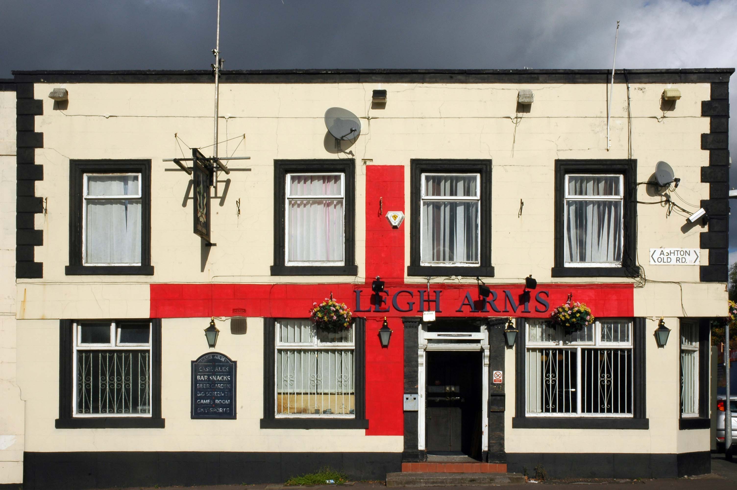
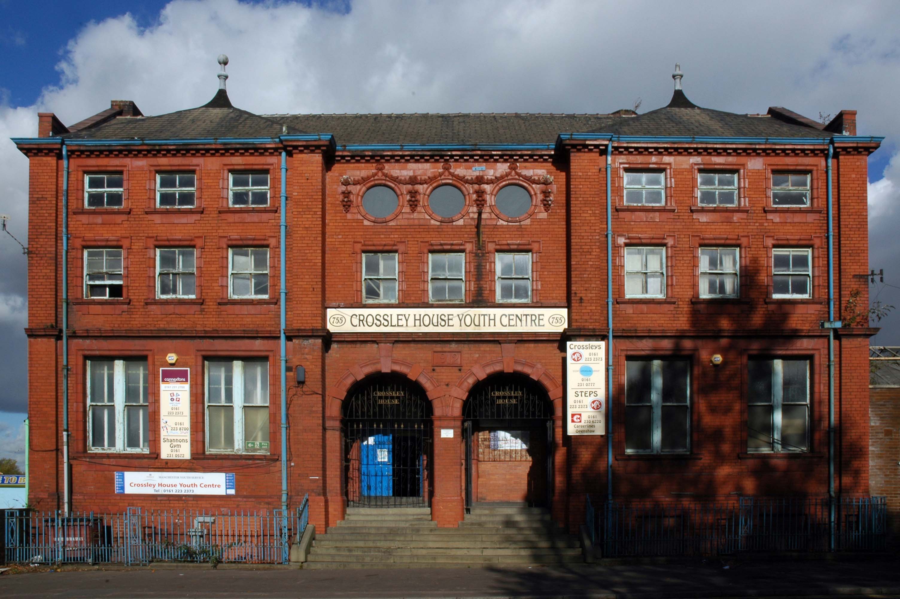
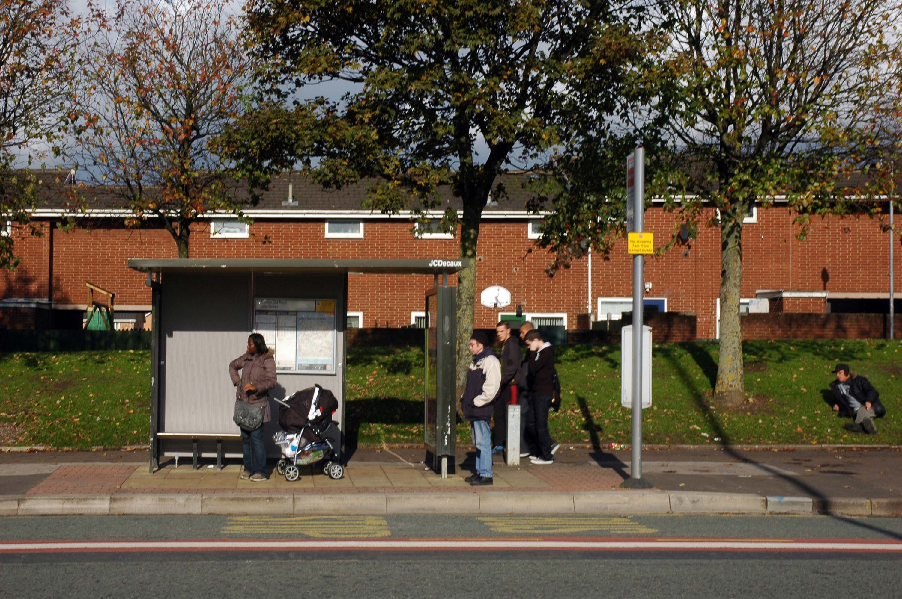
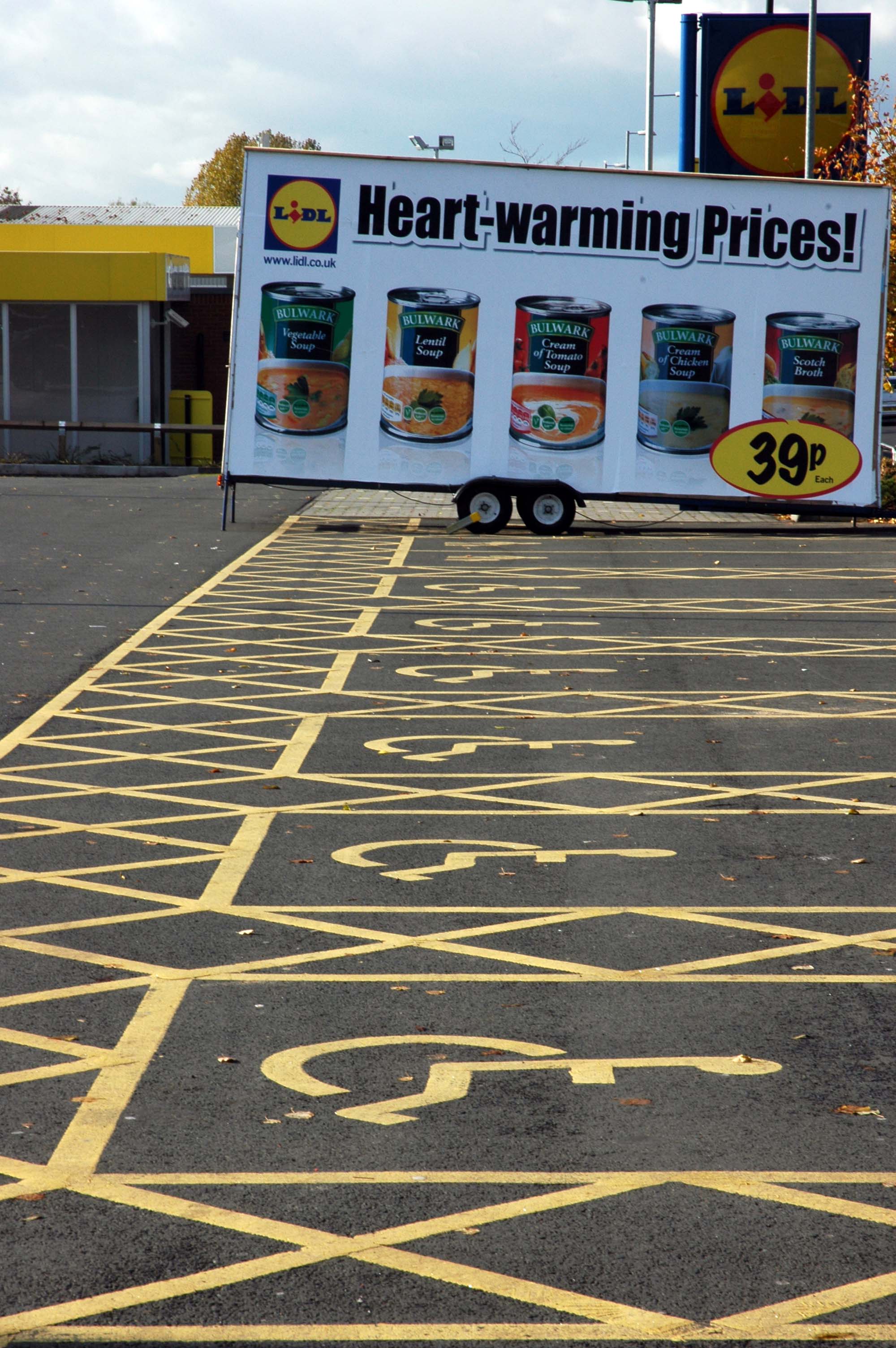
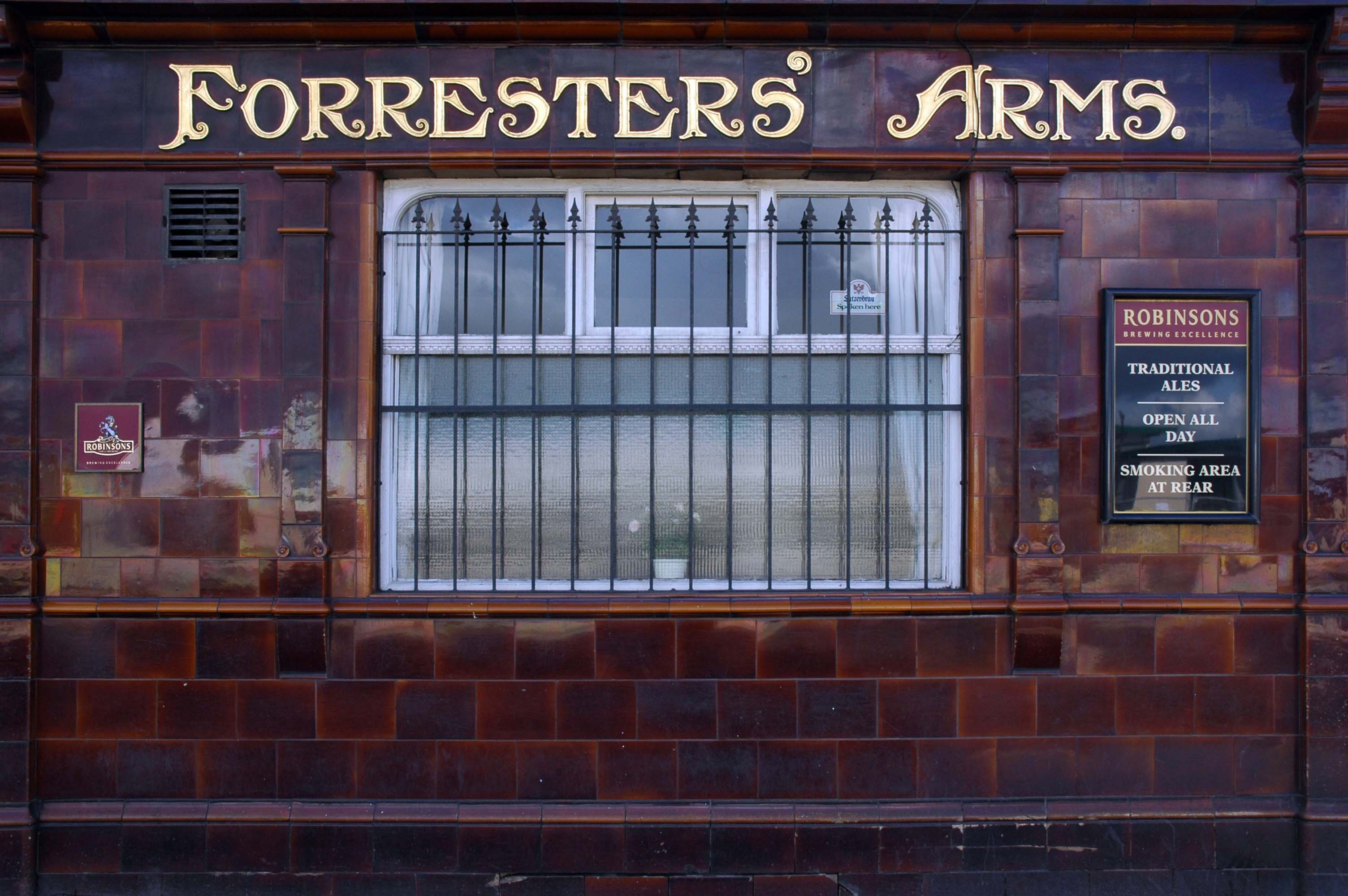
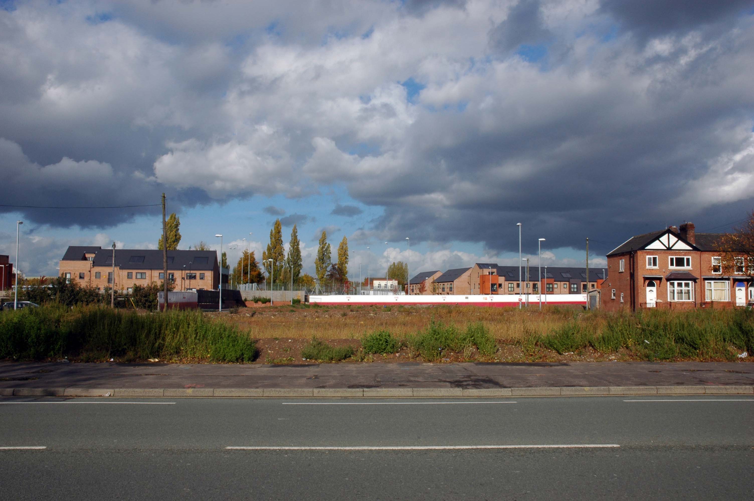
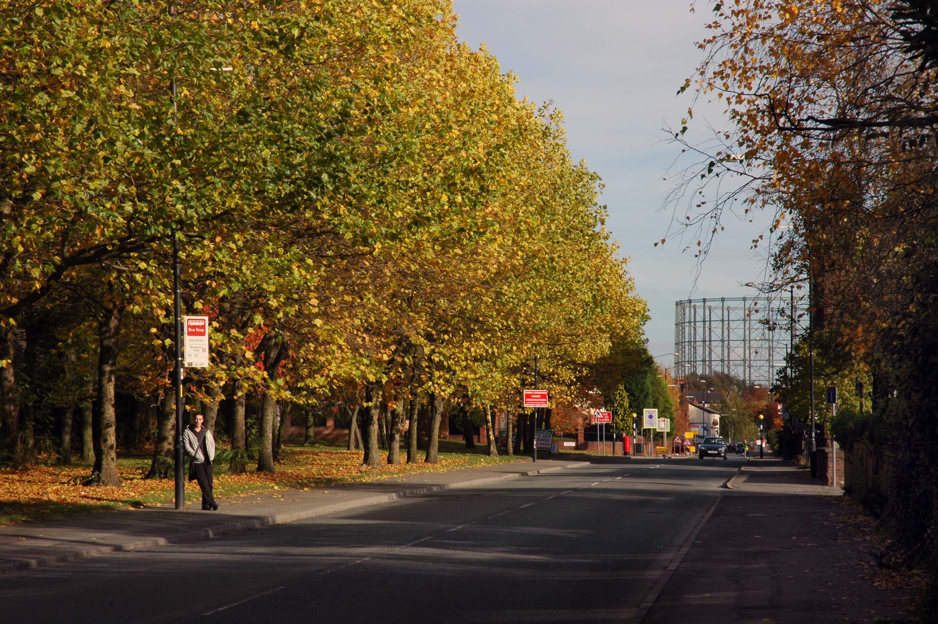
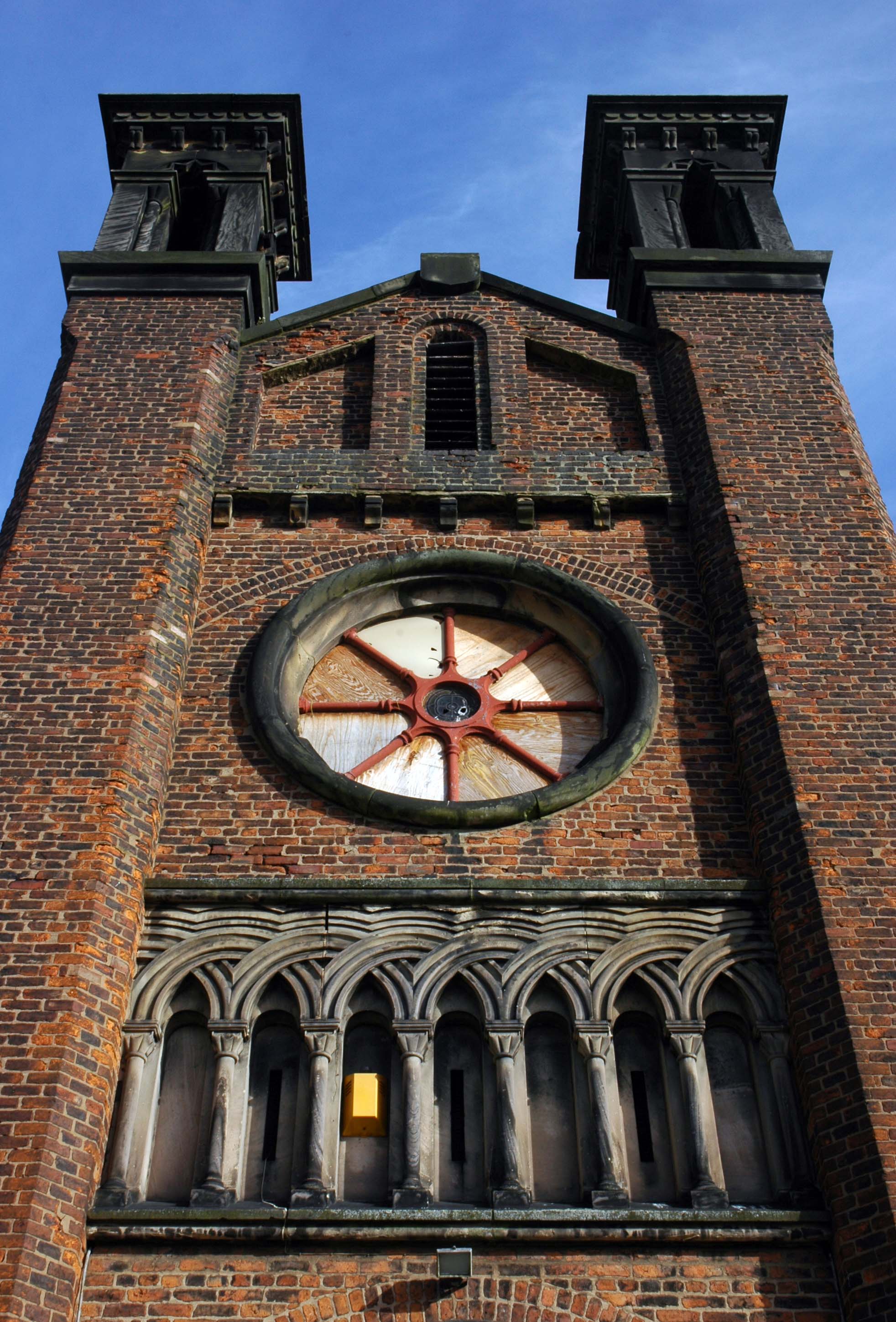
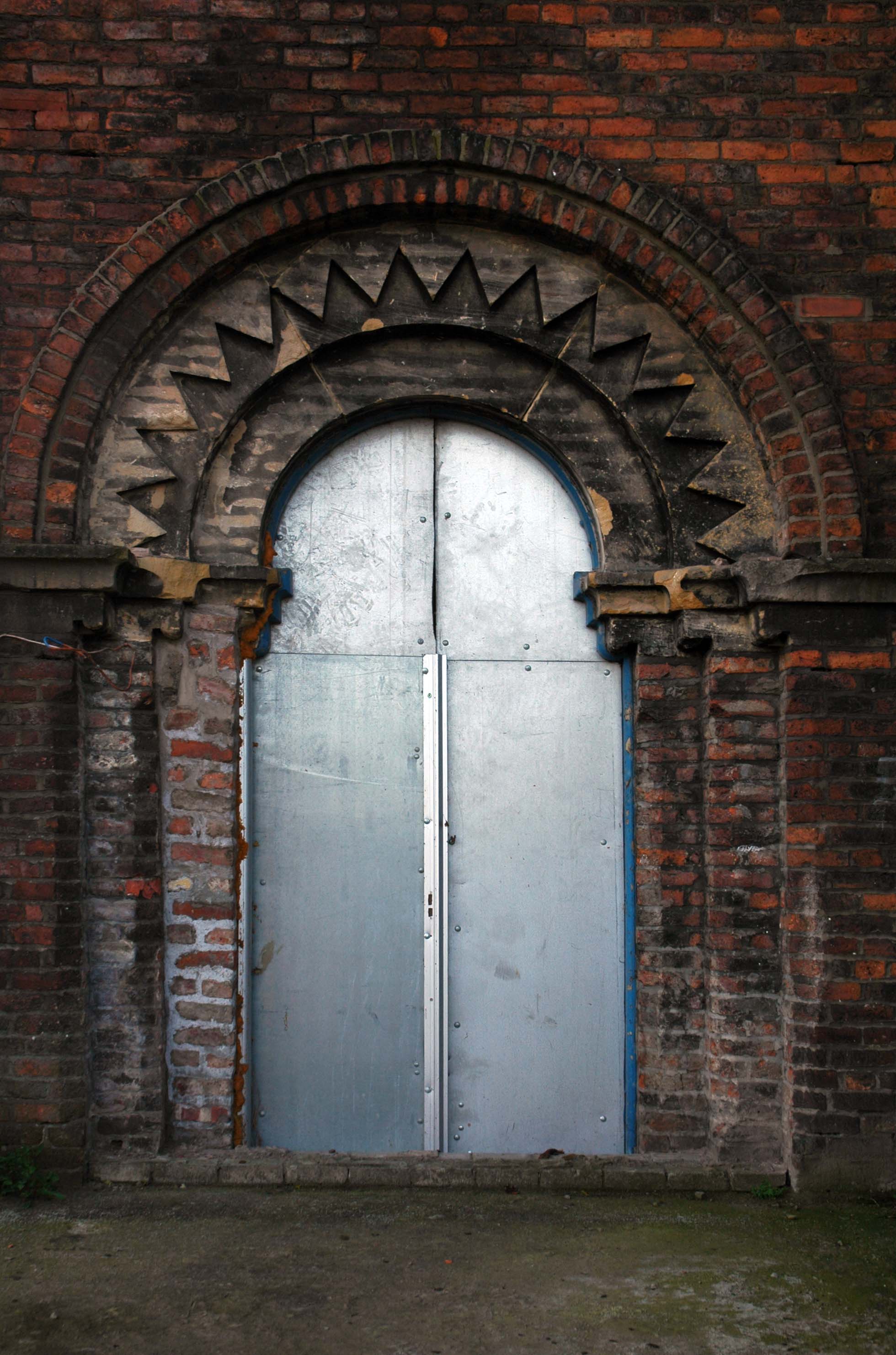
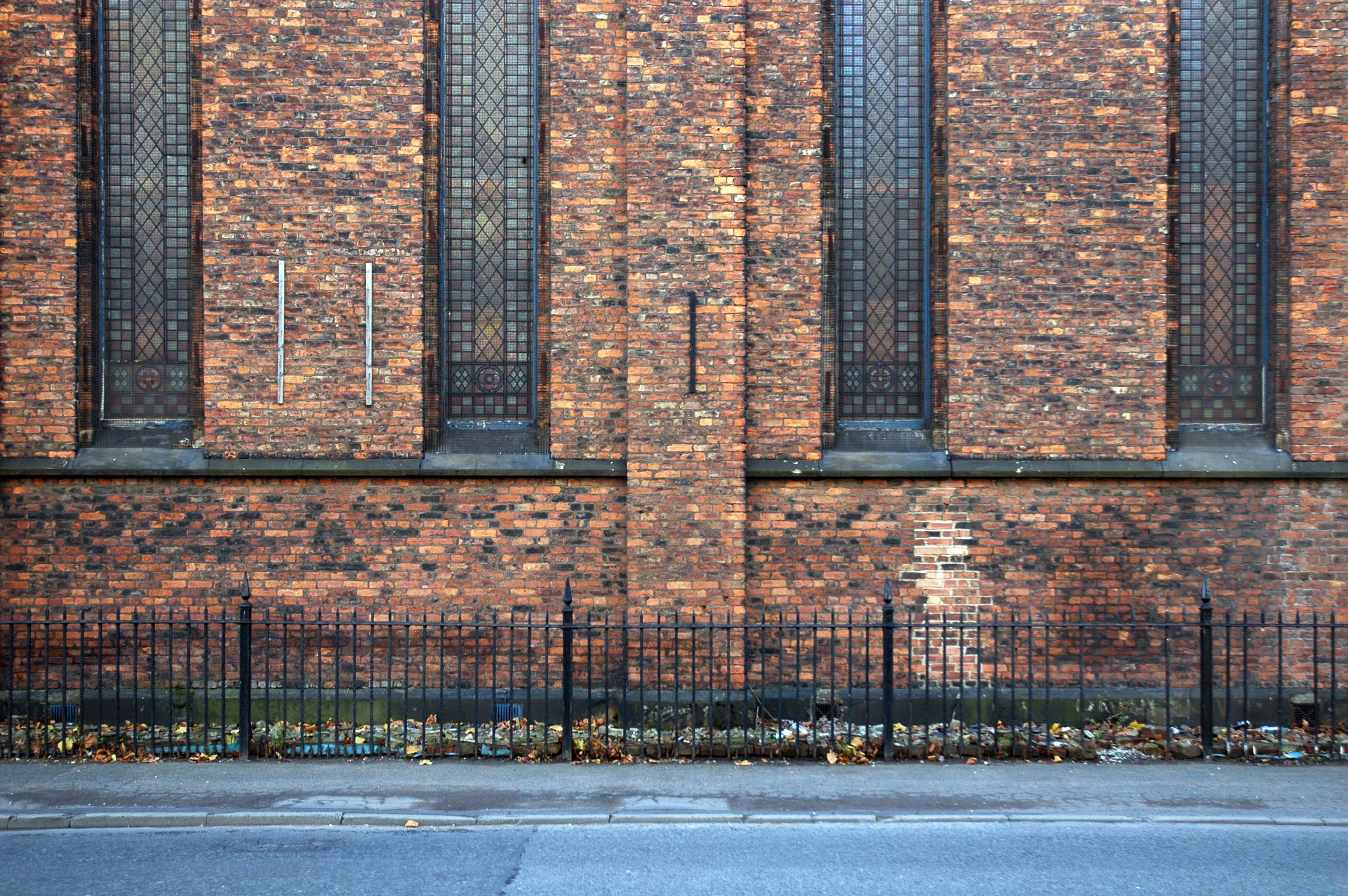
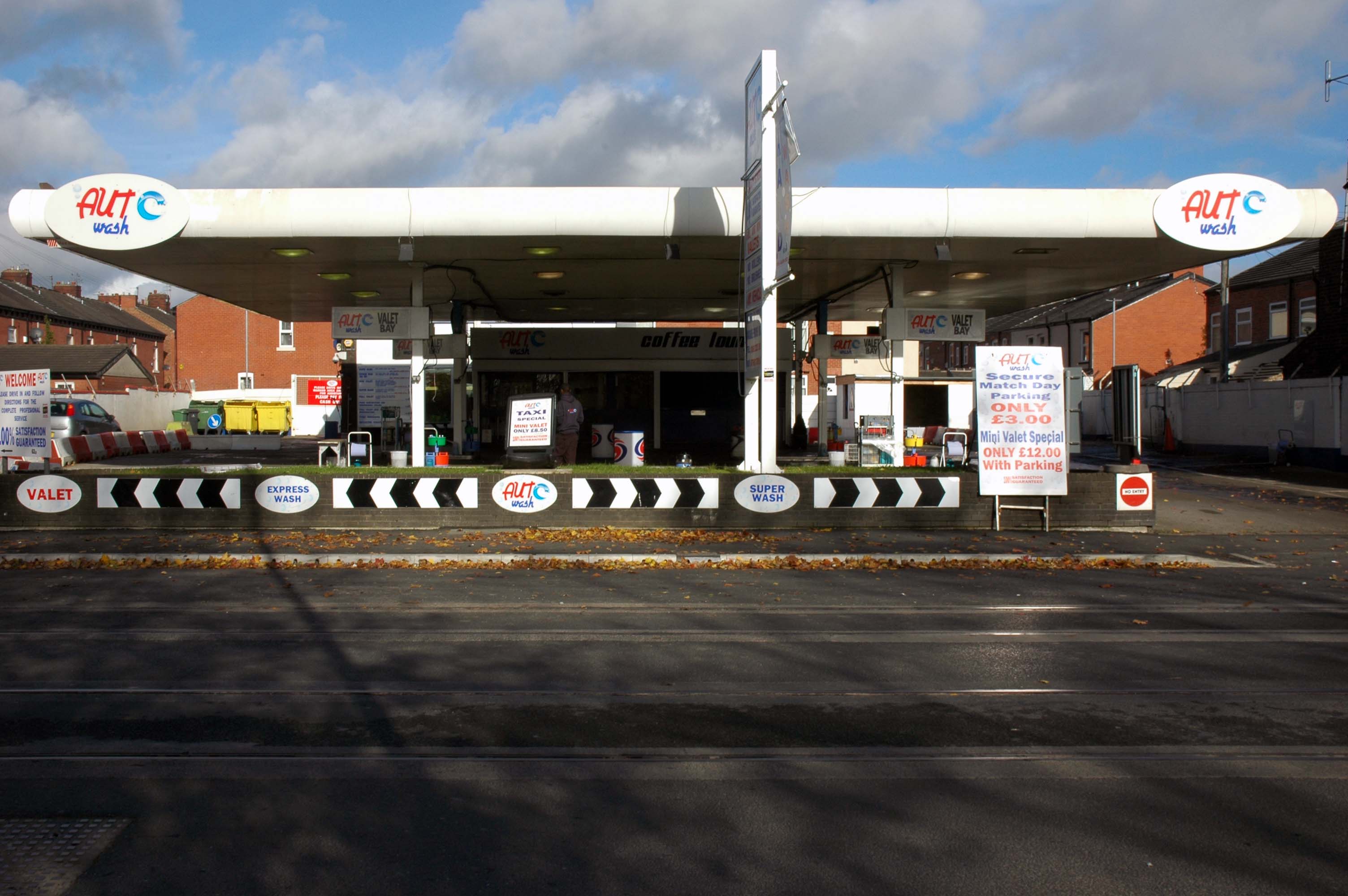
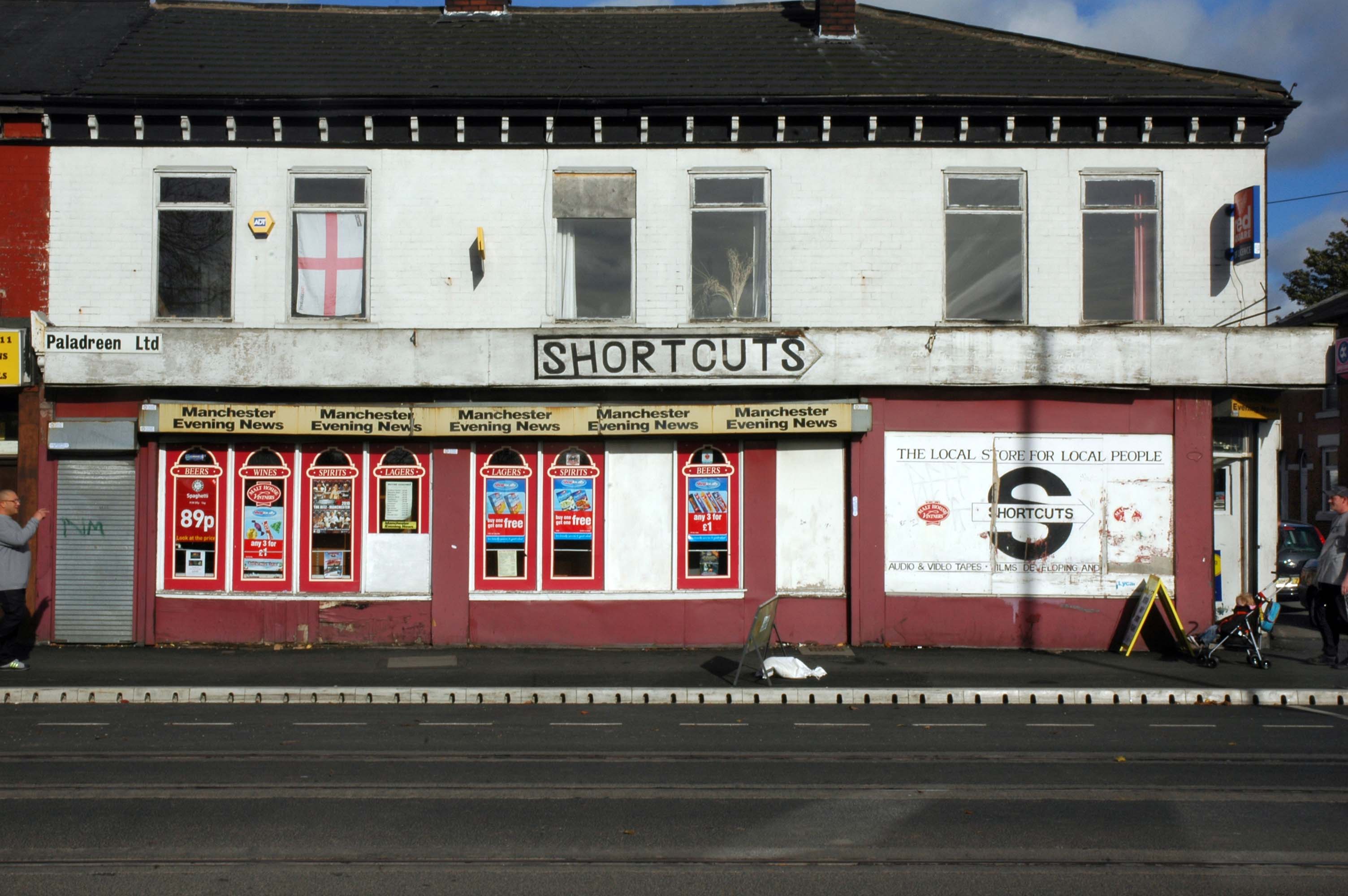
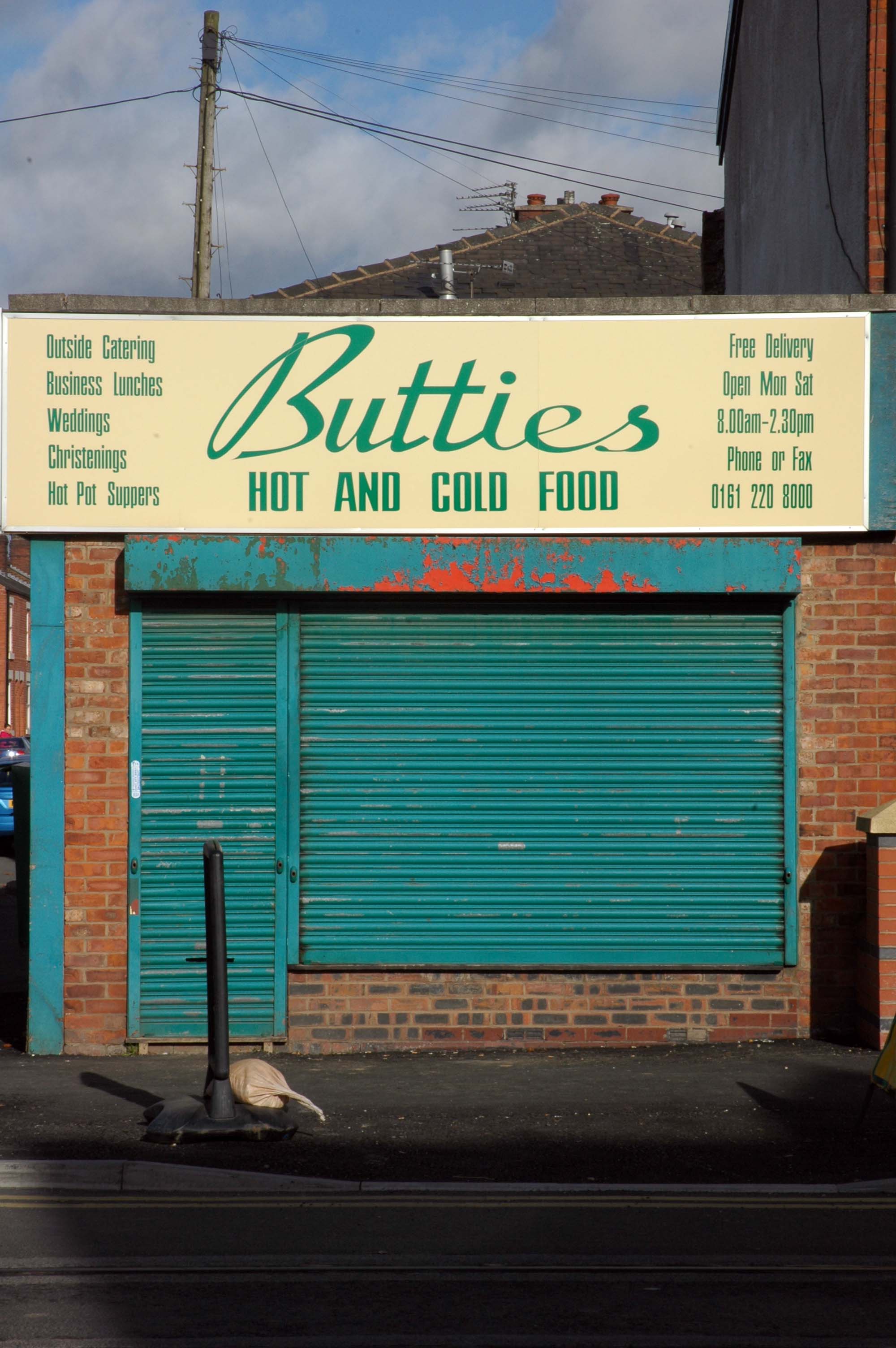
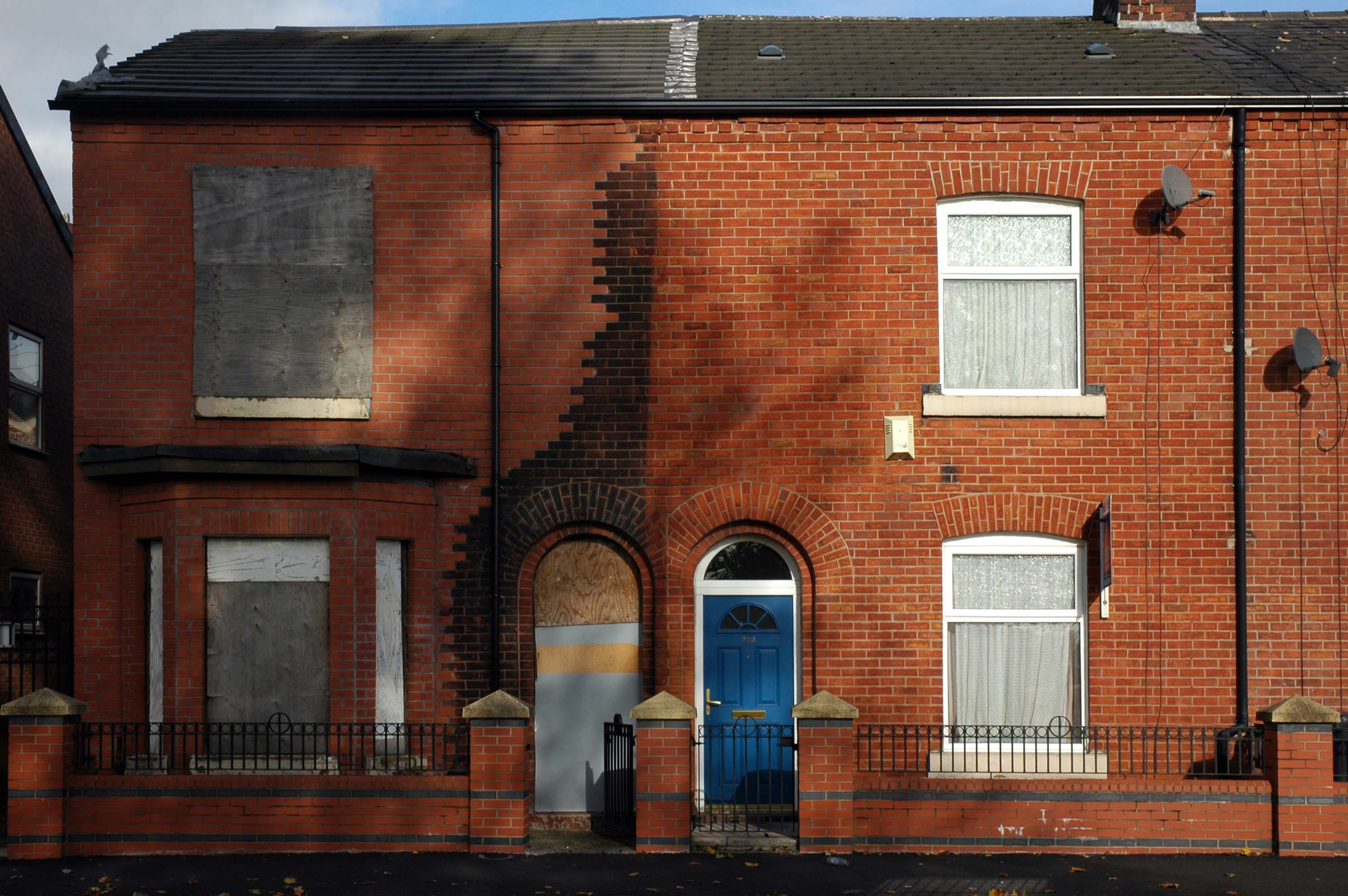
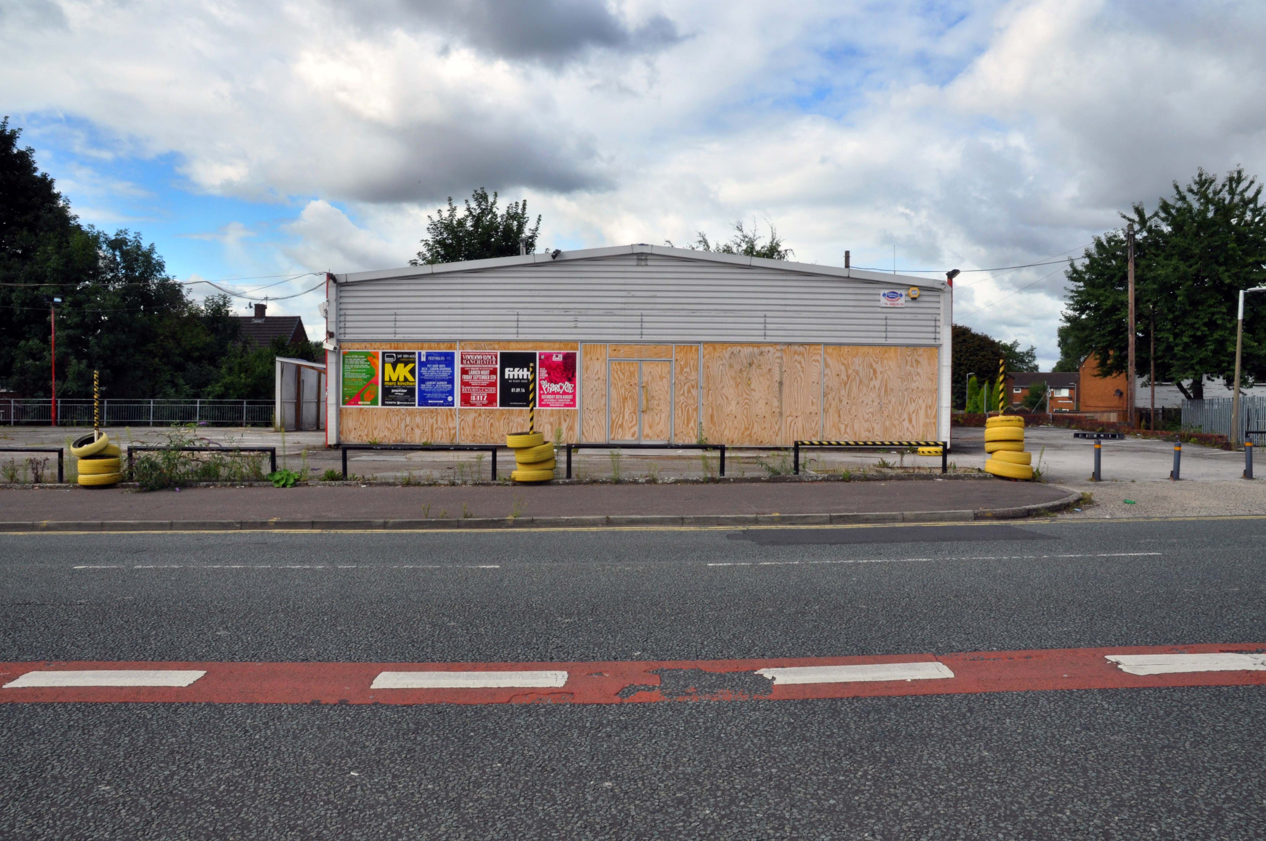
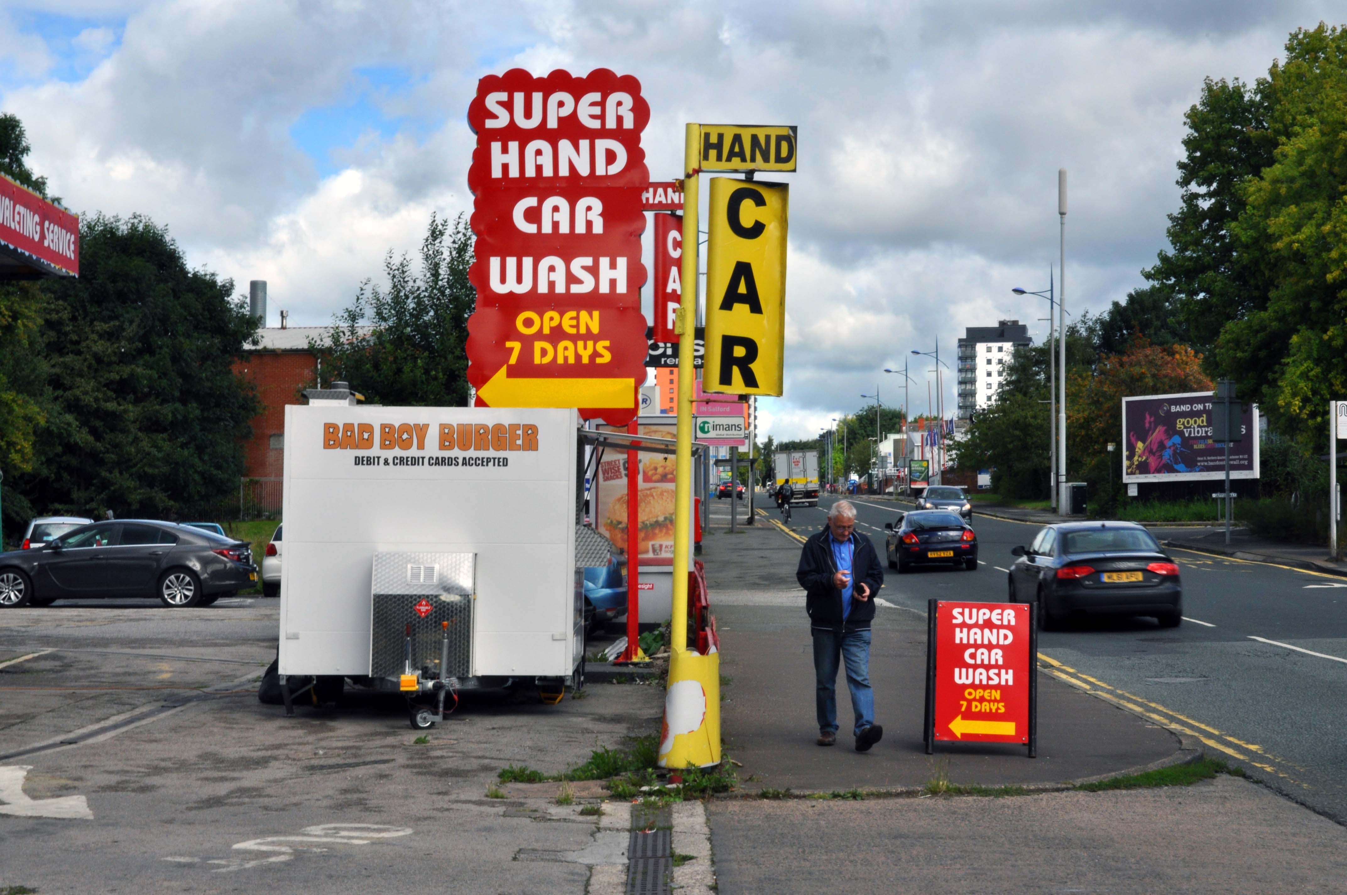
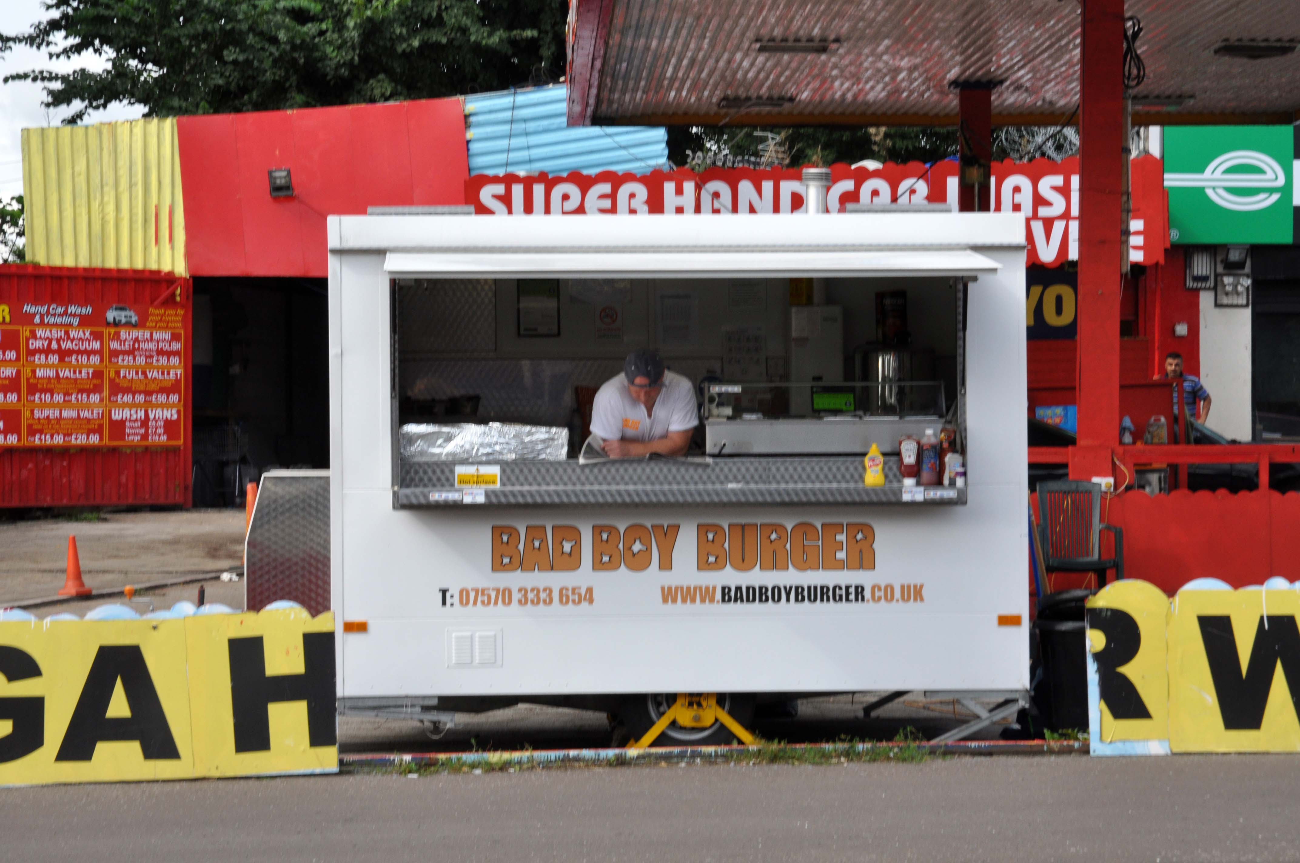
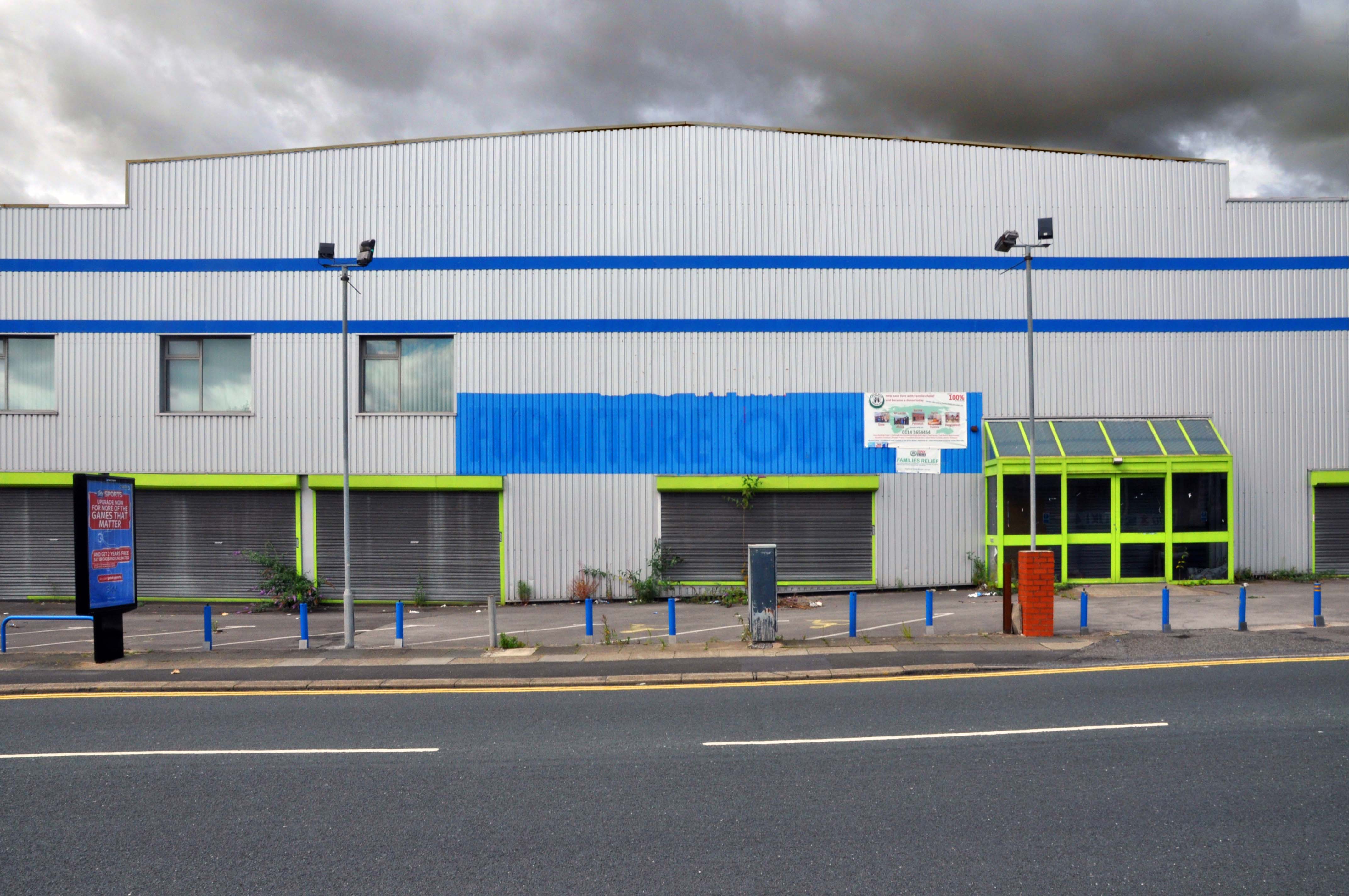
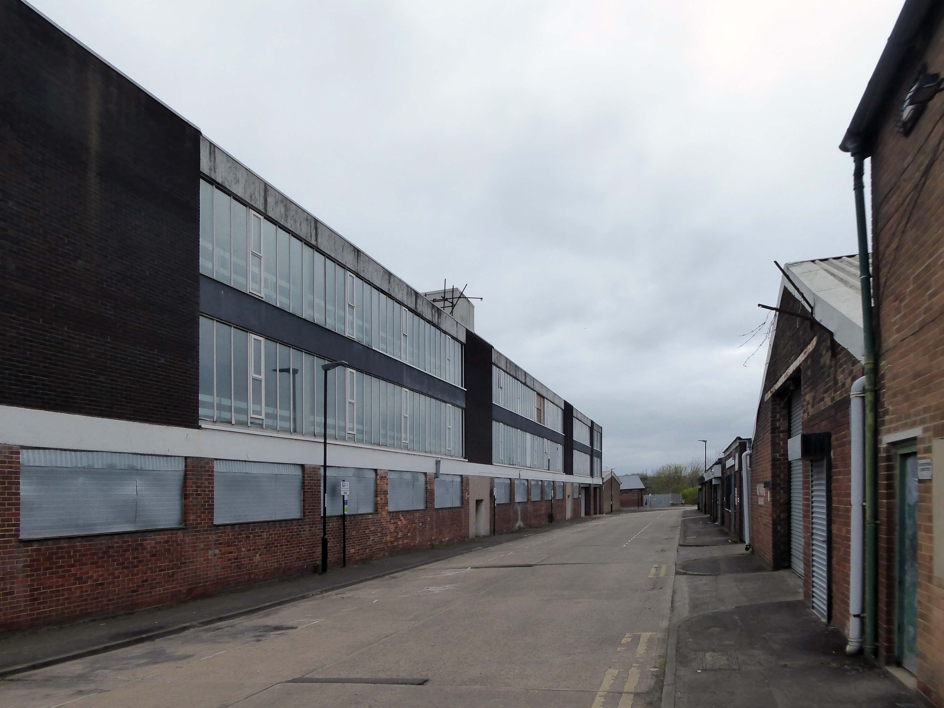
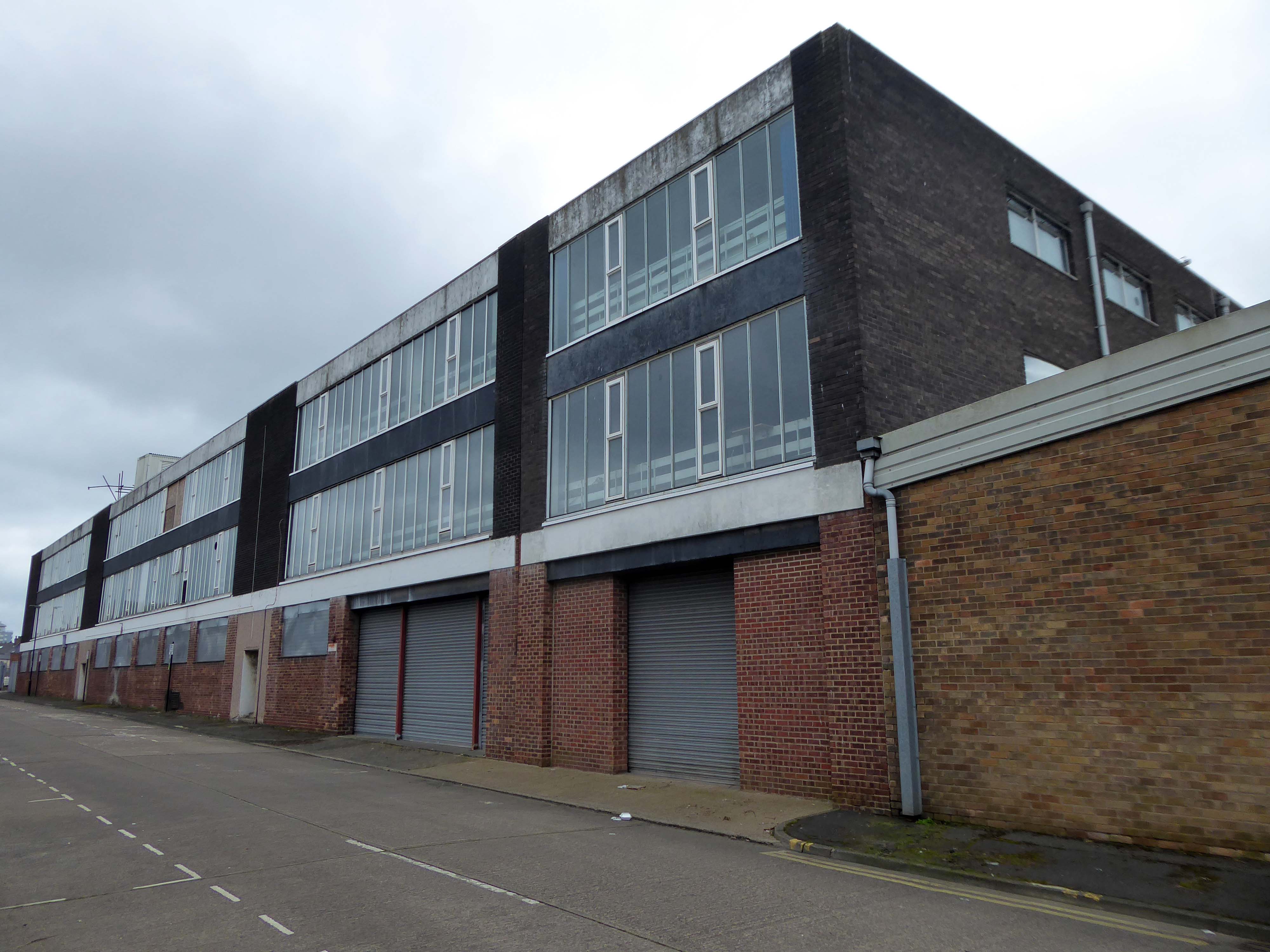
The A57 was nearly a coast to coast route. It passes through three major city centres (Liverpool, Manchester, and Sheffield – with elevated sections in each) and several smaller ones, multiplexes with the A6 and the A1, follows the banks of two canals and negotiates the remotest part of the Peak District. In one city it part of it is a tram route, whilst in another its former route is also a tram route. After all these adventures, it sadly gives up just 40 miles short of the east coast, Lincoln apparently proving too big an obstacle.
The A57 crosses the River Irwell at Regent Bridge before entering its moment of motorway glory as the A57(M) Mancunian Way skirting the south of Manchester’s city centre on an elevated section and crossing the A56 and A34. This includes a half-completed exit that goes the wrong way up Brook Street – a one way street. The original A57 ran further north through the city centre along Liverpool Road (now the A6143) and Whitworth Street – B6469 as far as the A6 London Road which marked the start of a multiplex.
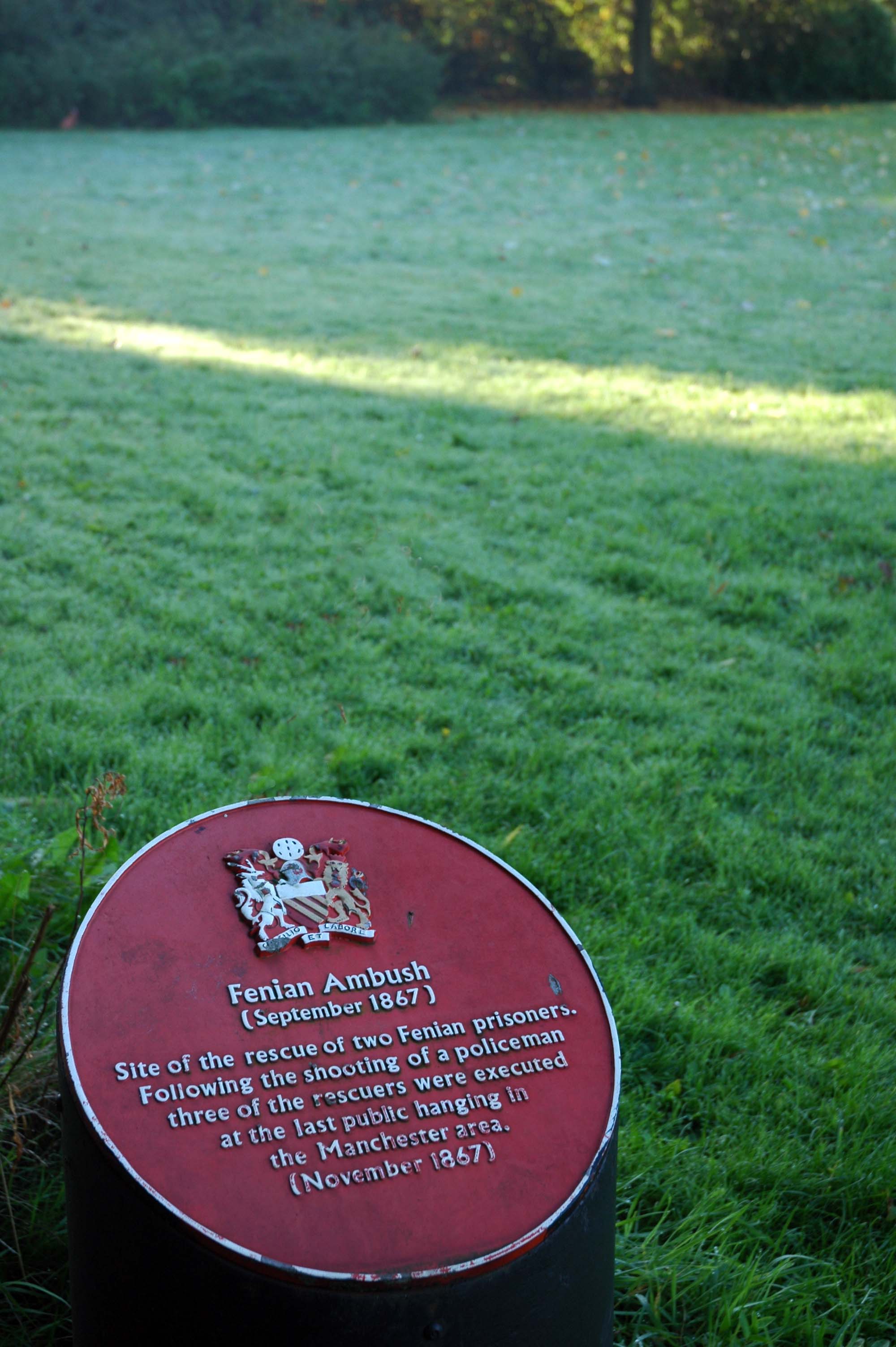
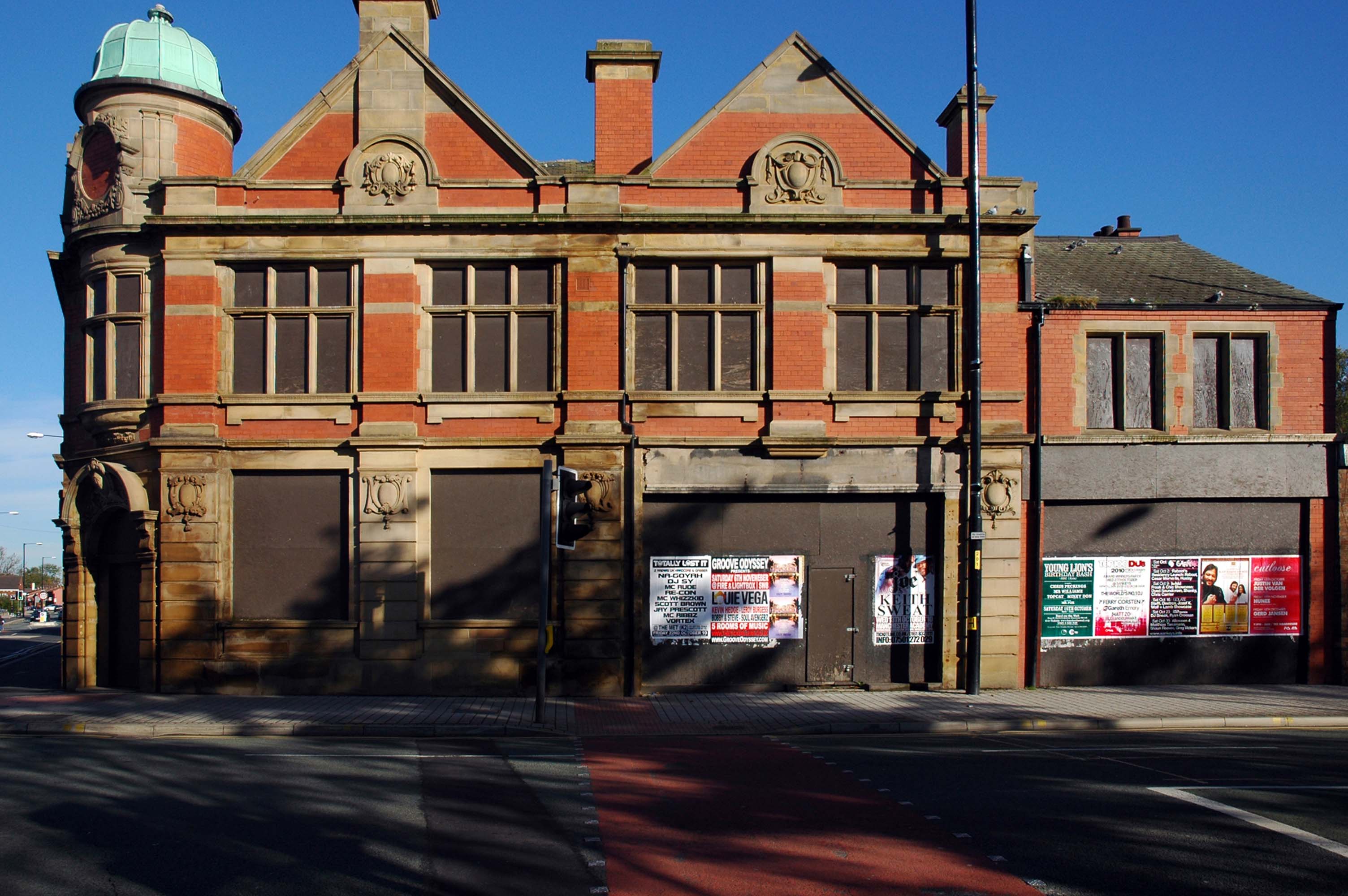
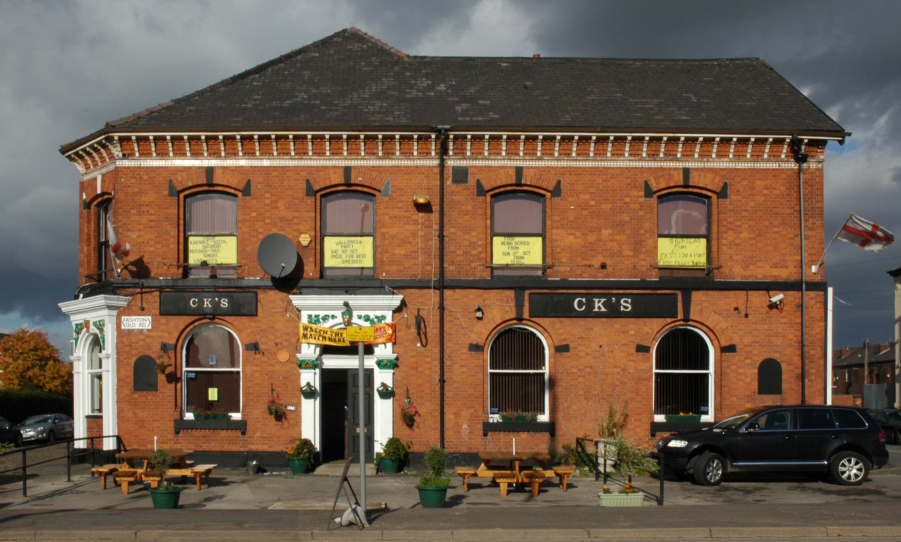
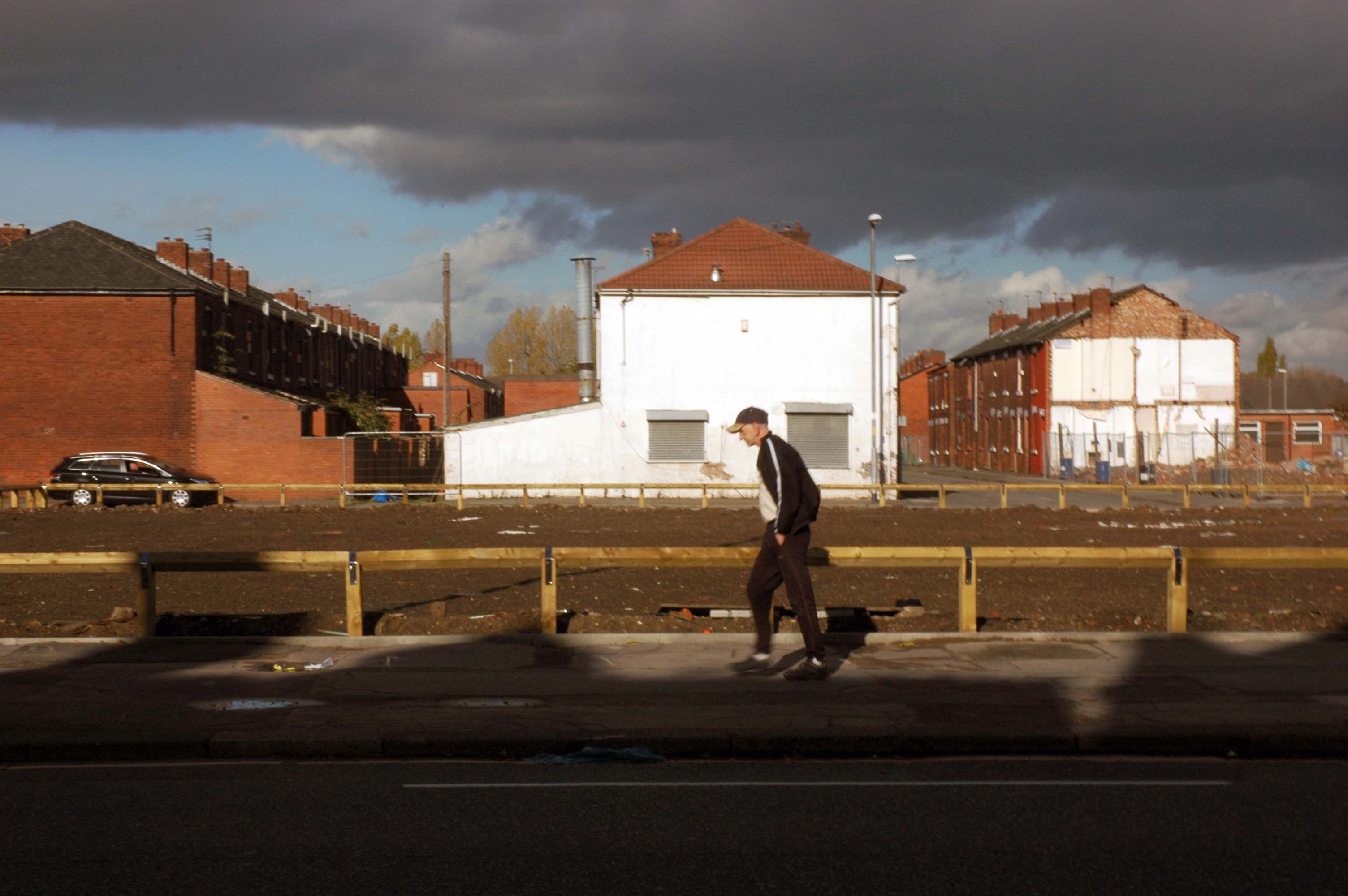
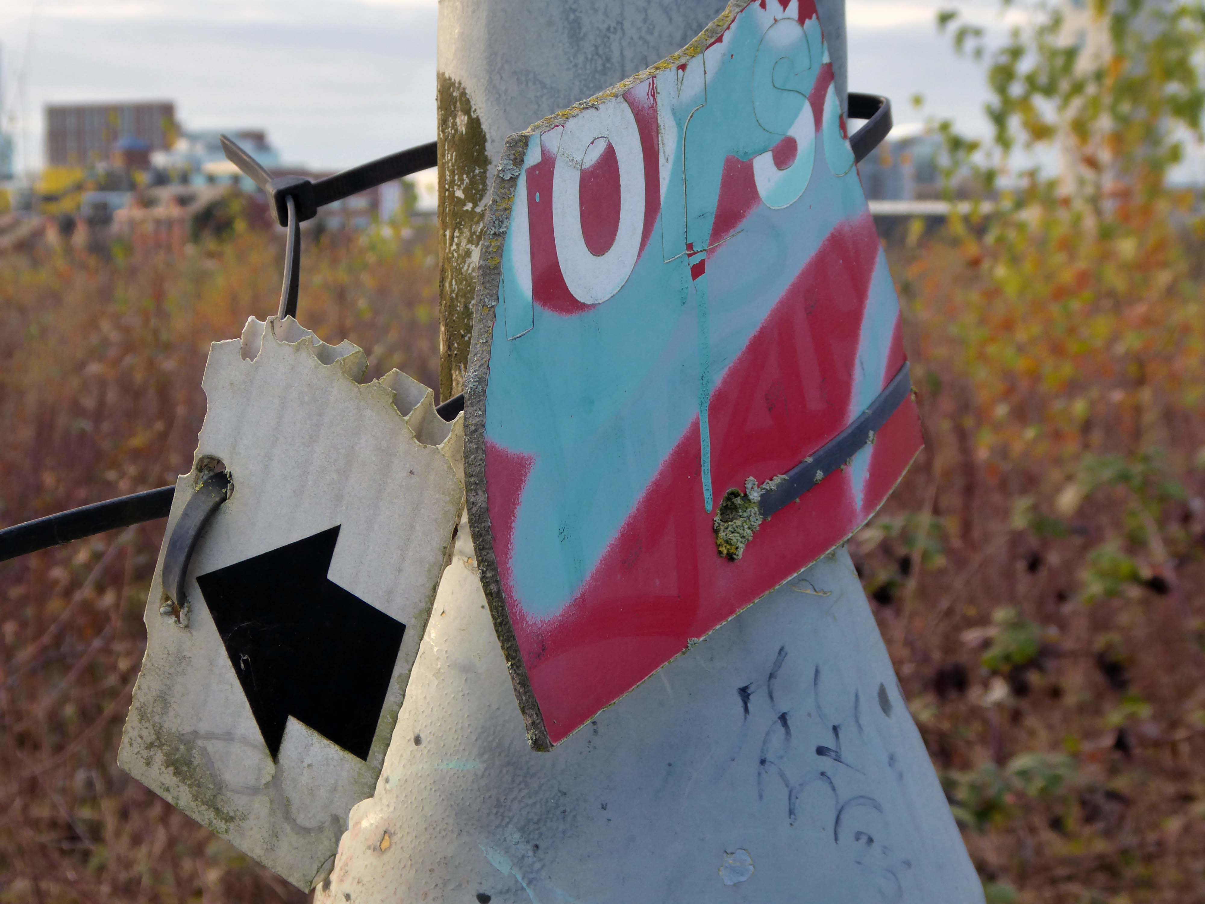
At the end of Mancunian Way, we reach a TOTSO, straight on being the short unsigned A635(M) and thence the A635 – for Saddleworth Moor, Barnsley and Doncaster whilst the A57 turns south, briefly multiplexing with the A6, and then branching off along Hyde Road. This section of road was extensively cleared for the westward extension for the M67, and consequently has seen a lot of redevelopment.
The road now begins slightly further south than it used to. Instead of starting on Fairfield Street in Manchester city centre, it begins immediately as the Mancunian Way ends, which at this point is the unsigned A635(M). The motorway flows directly into our route. There’s a TOTSO right at a set of lights, and we pick up the old alignment, which now starts as the B6469.
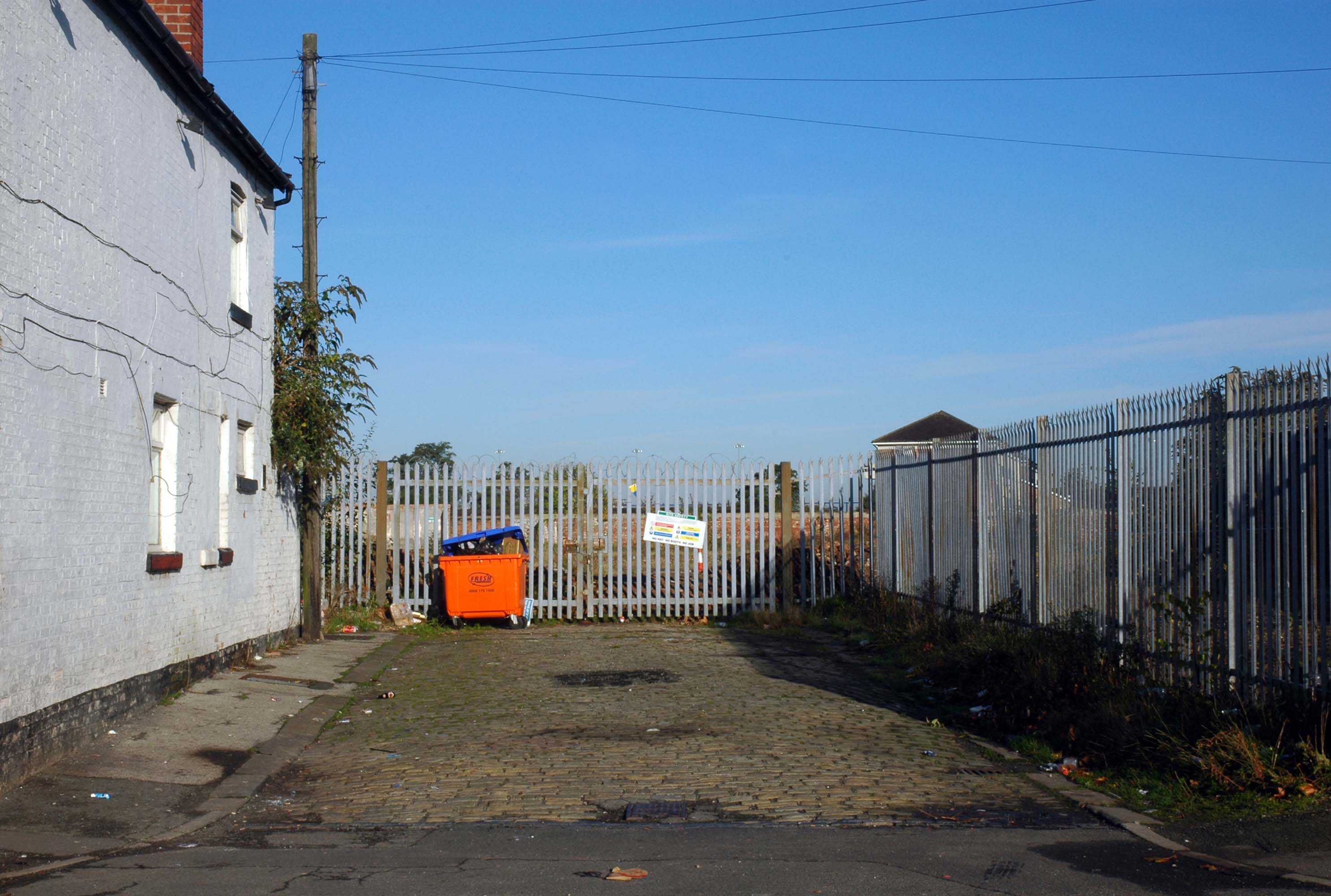
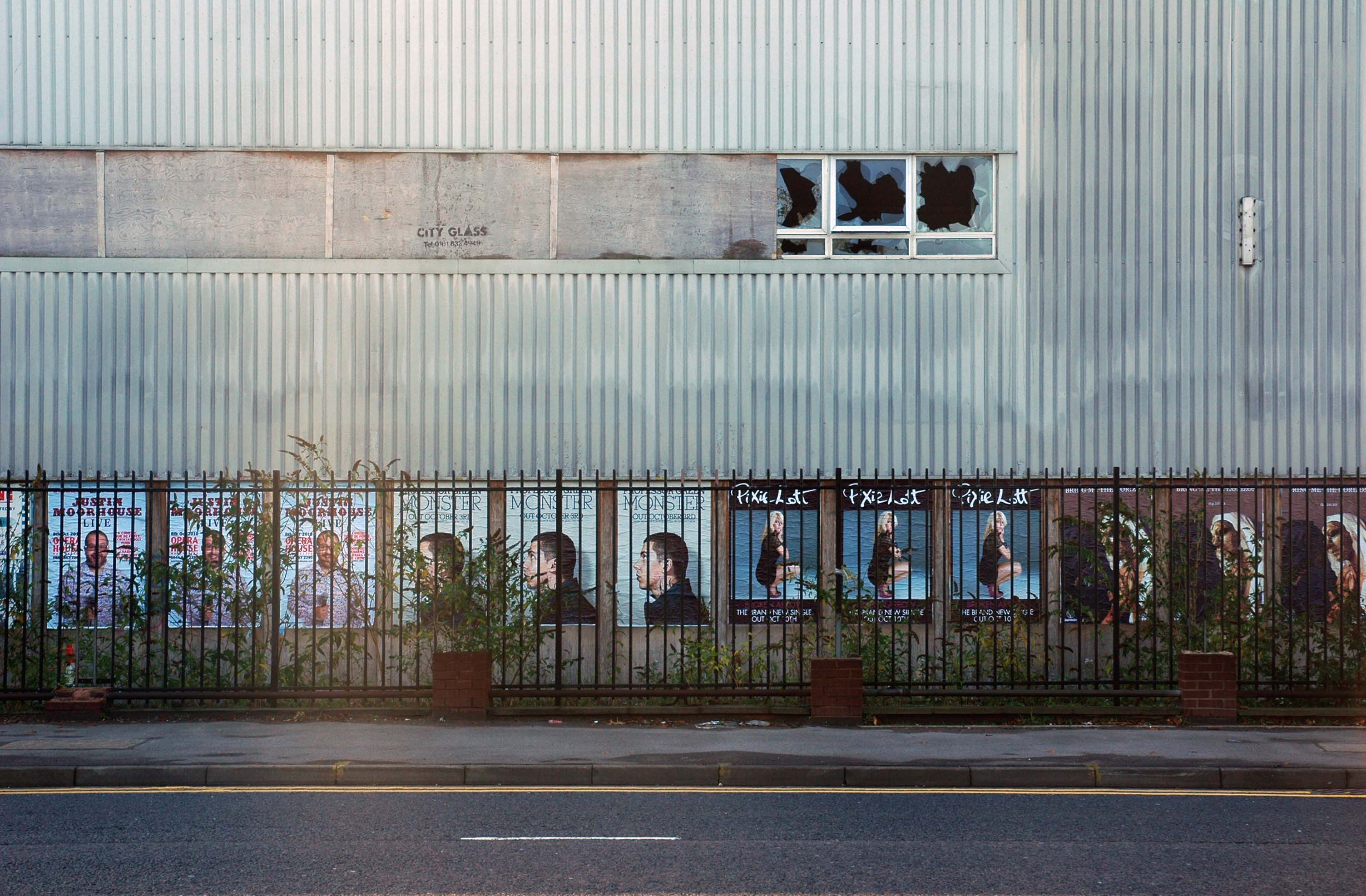
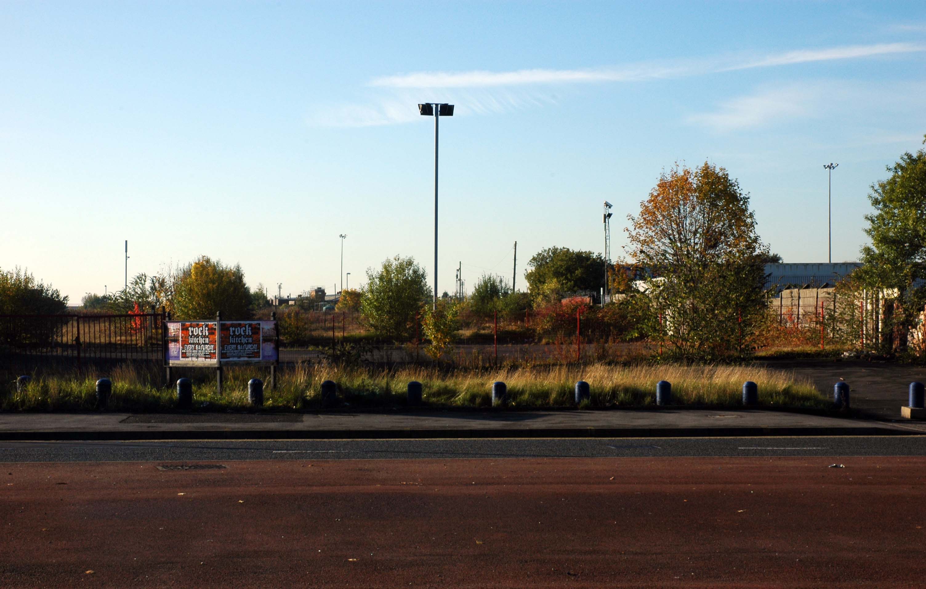
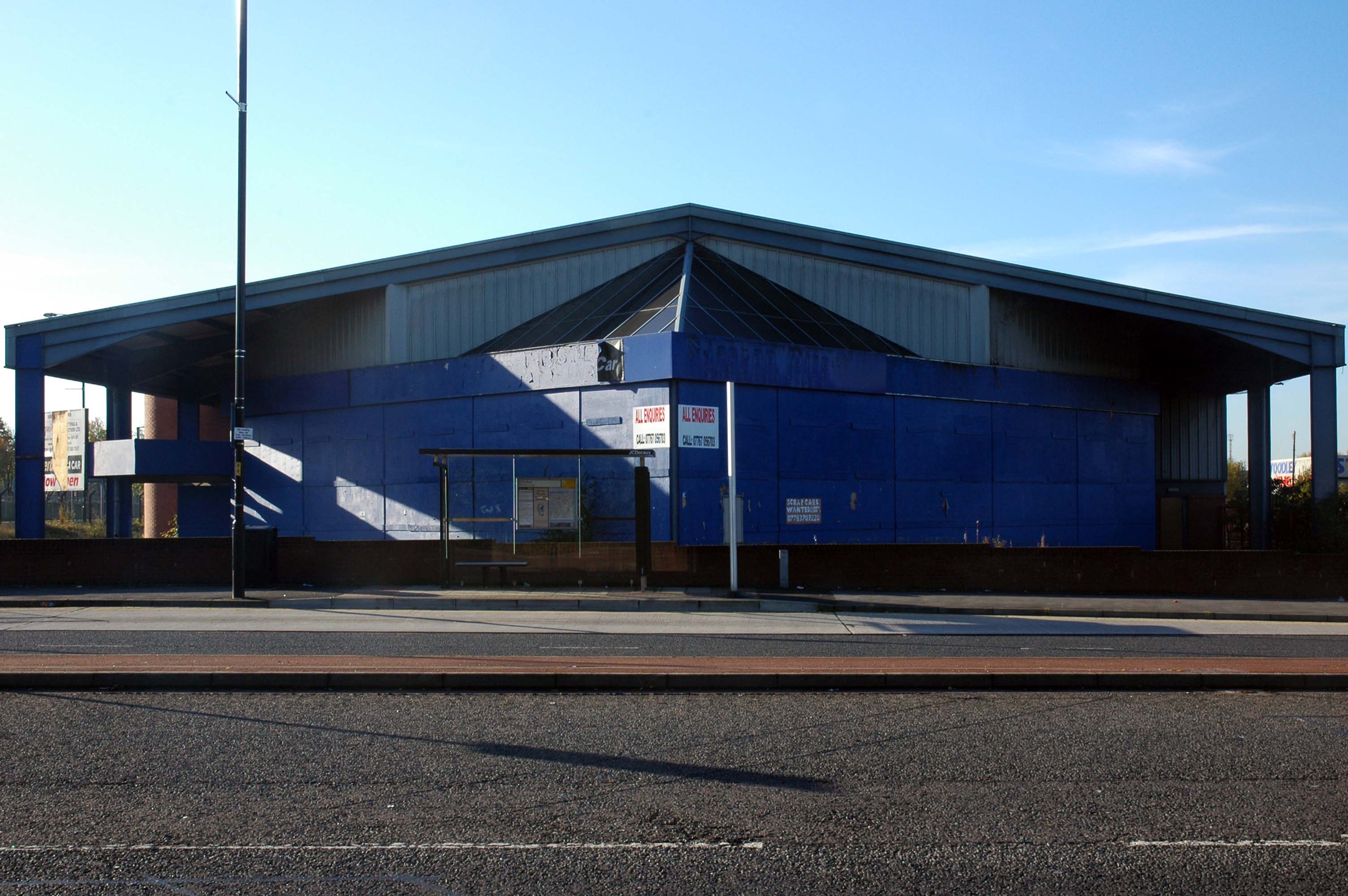
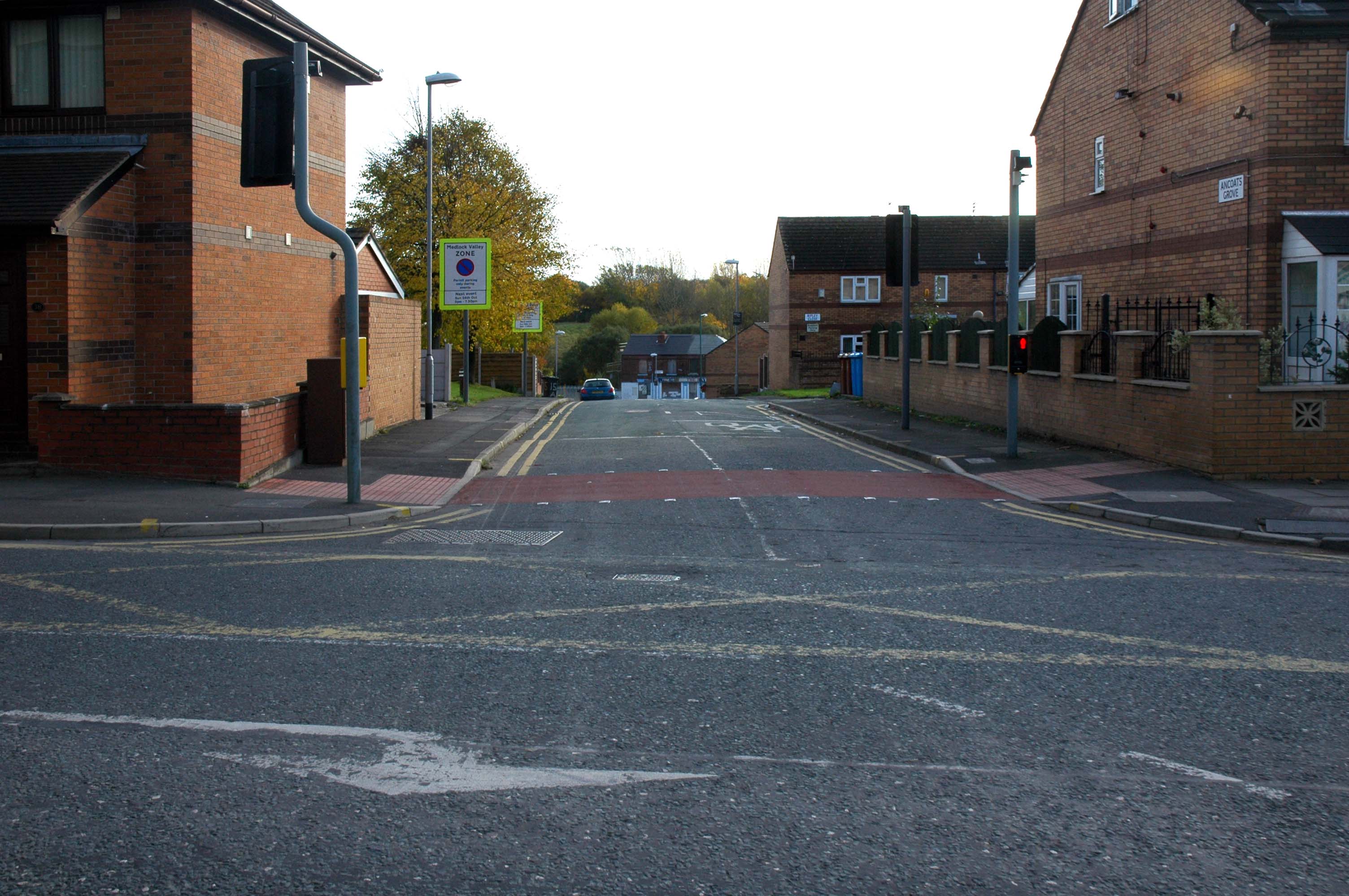
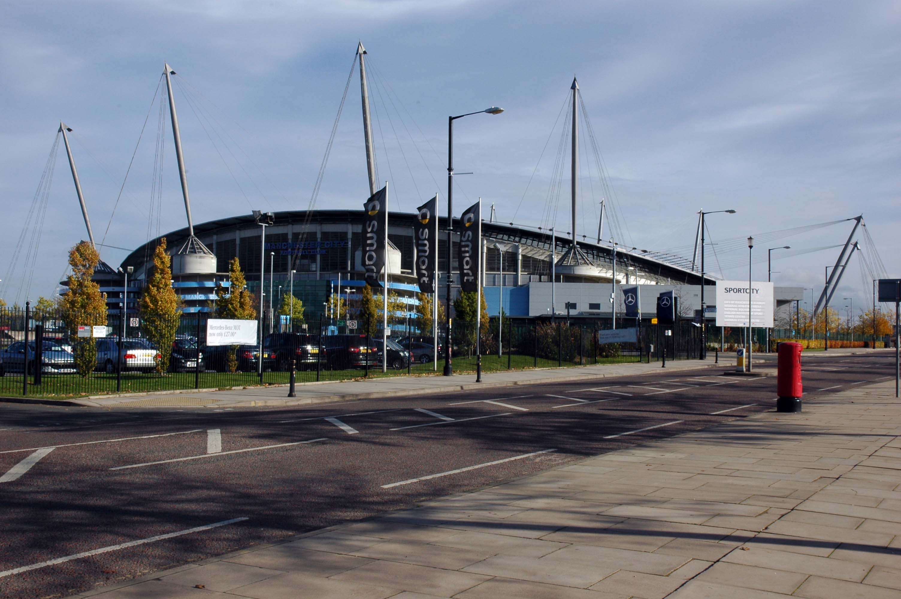
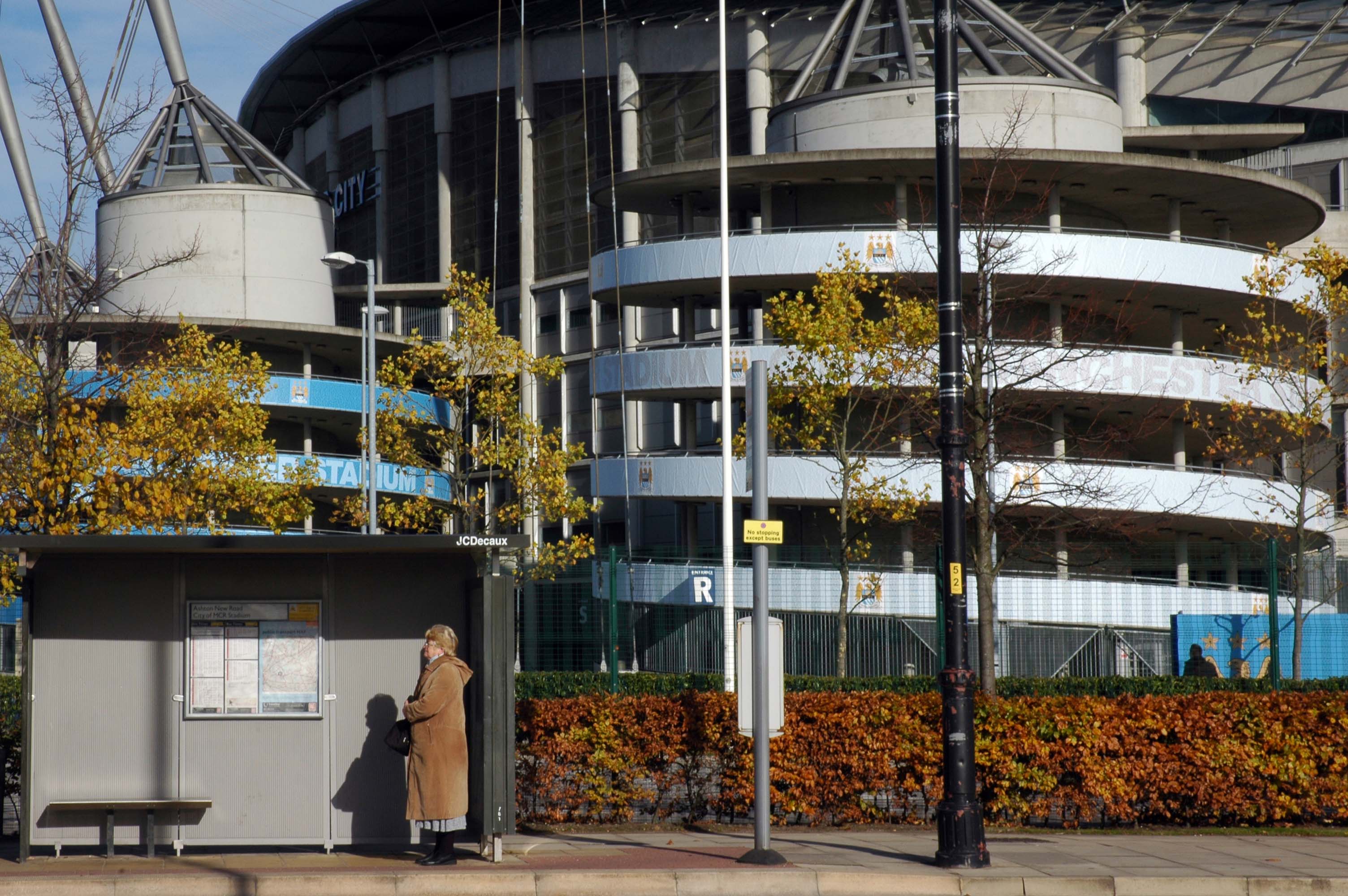
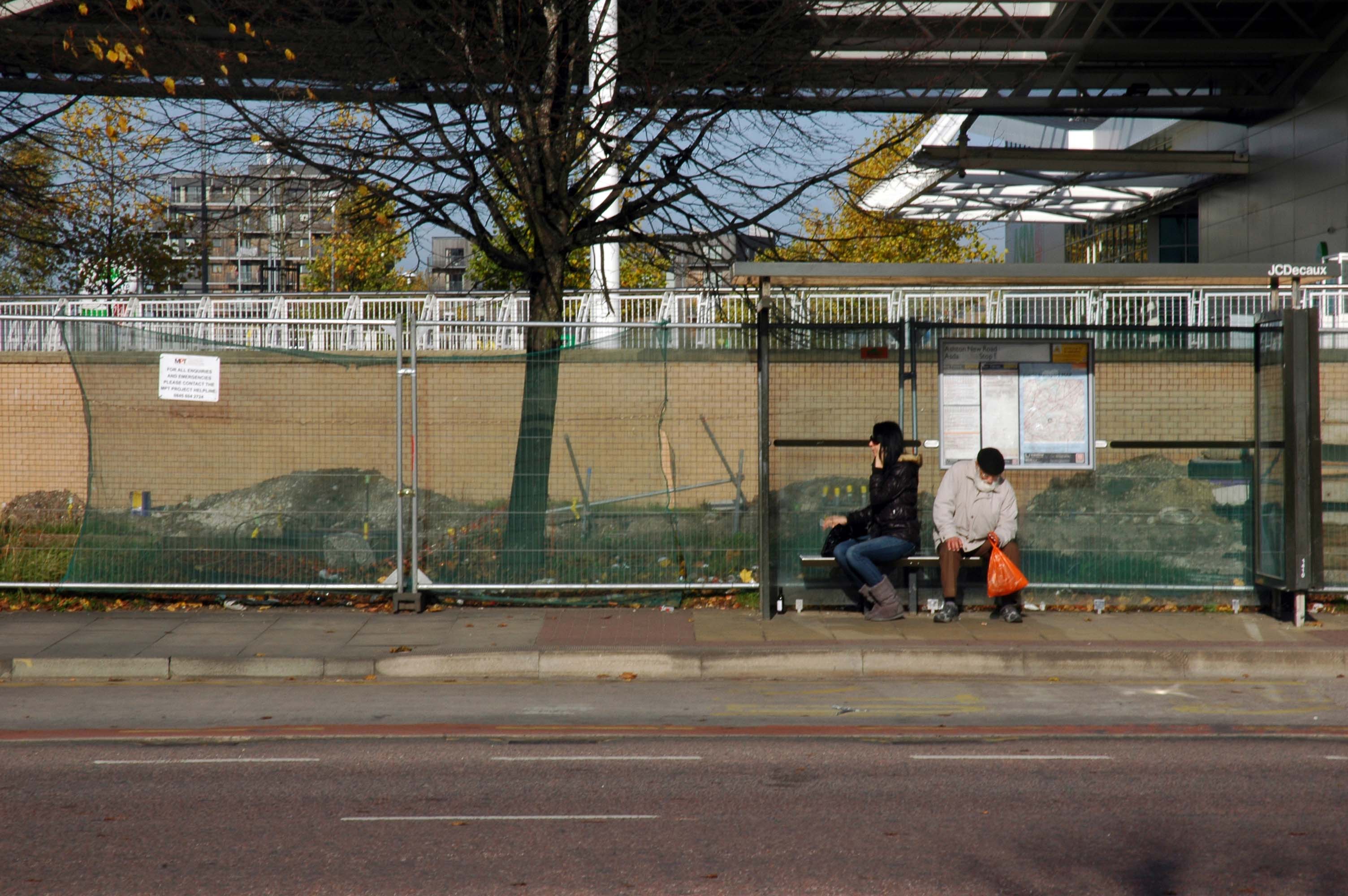
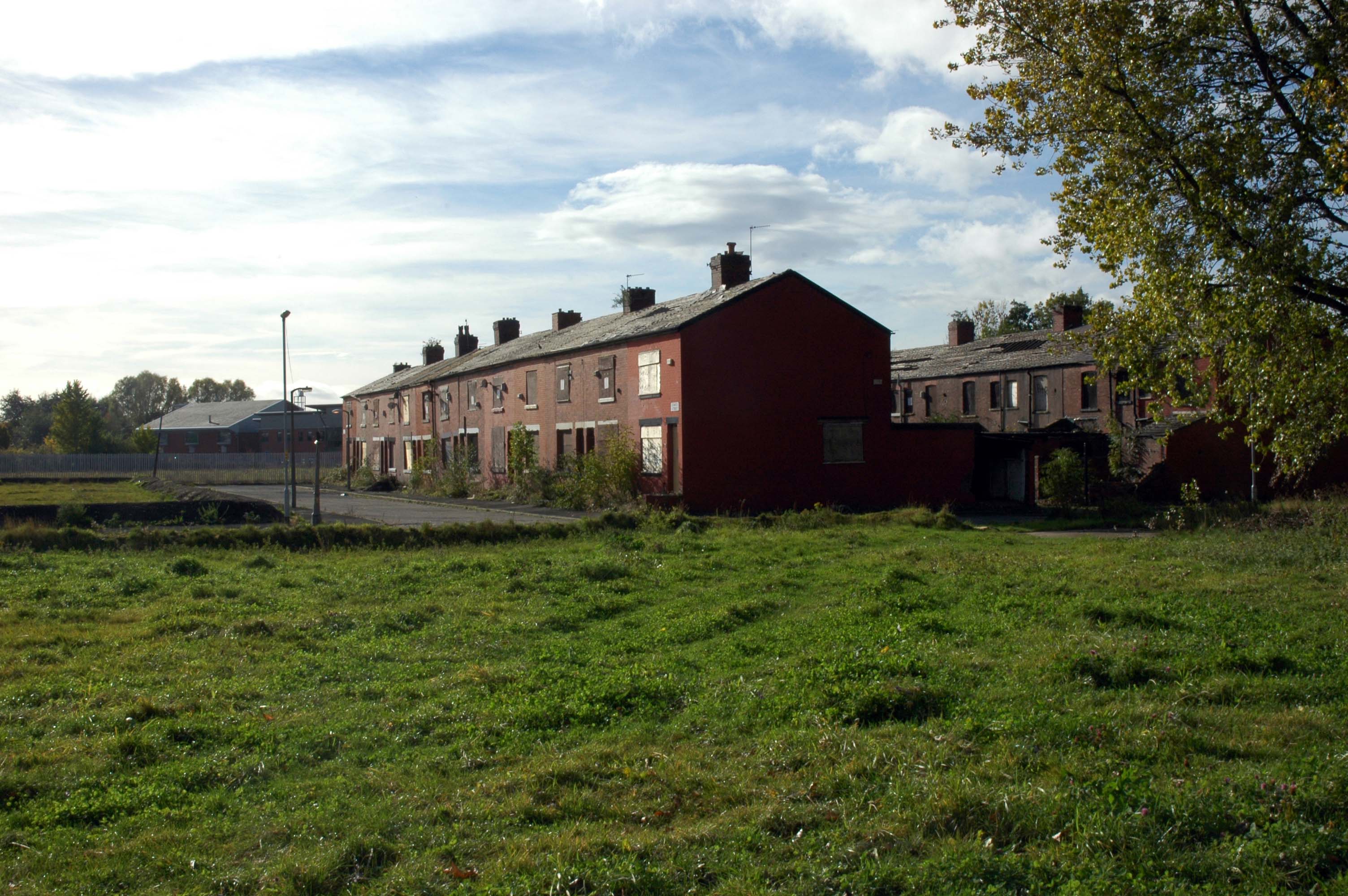
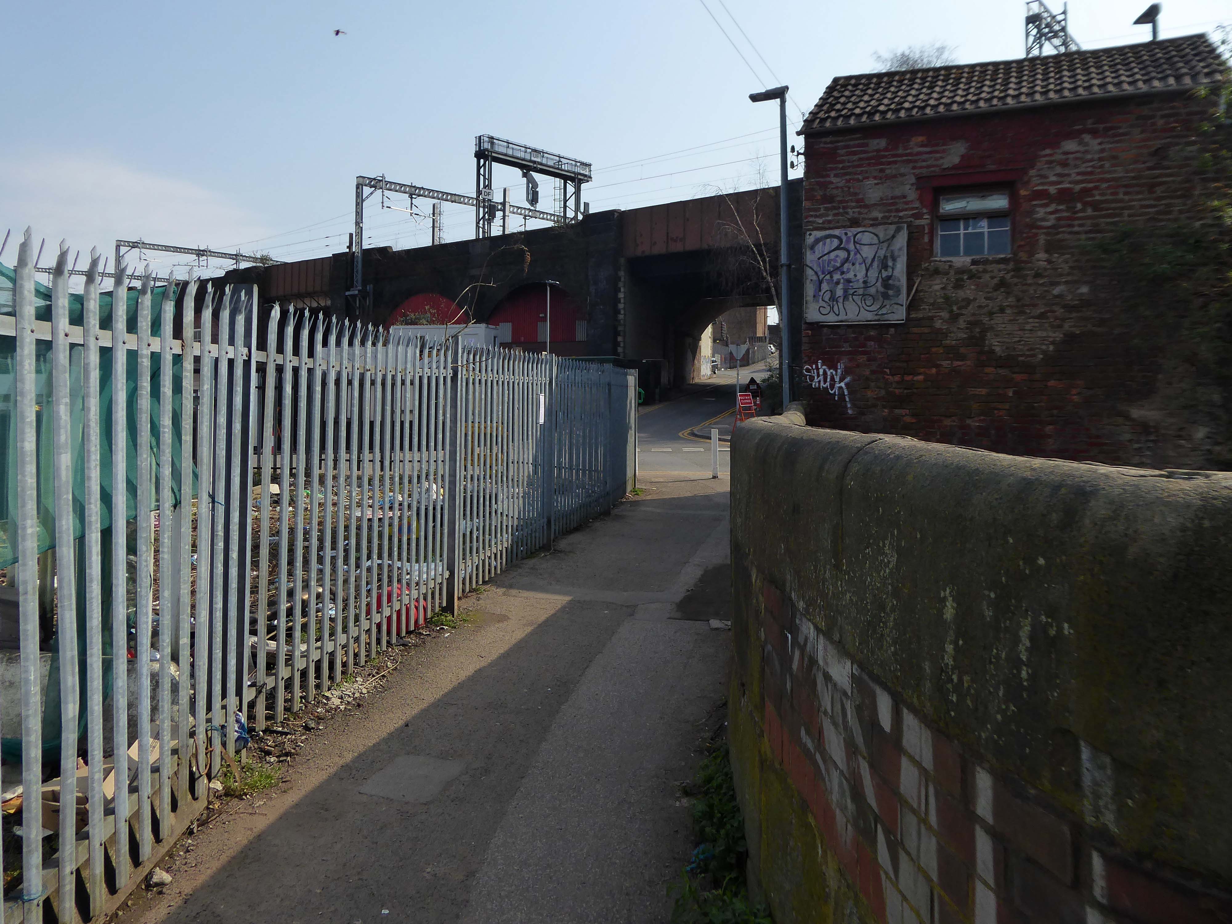
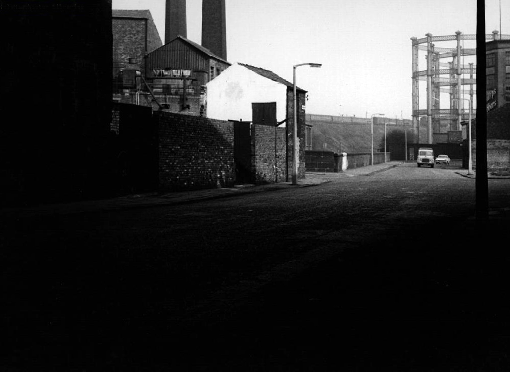
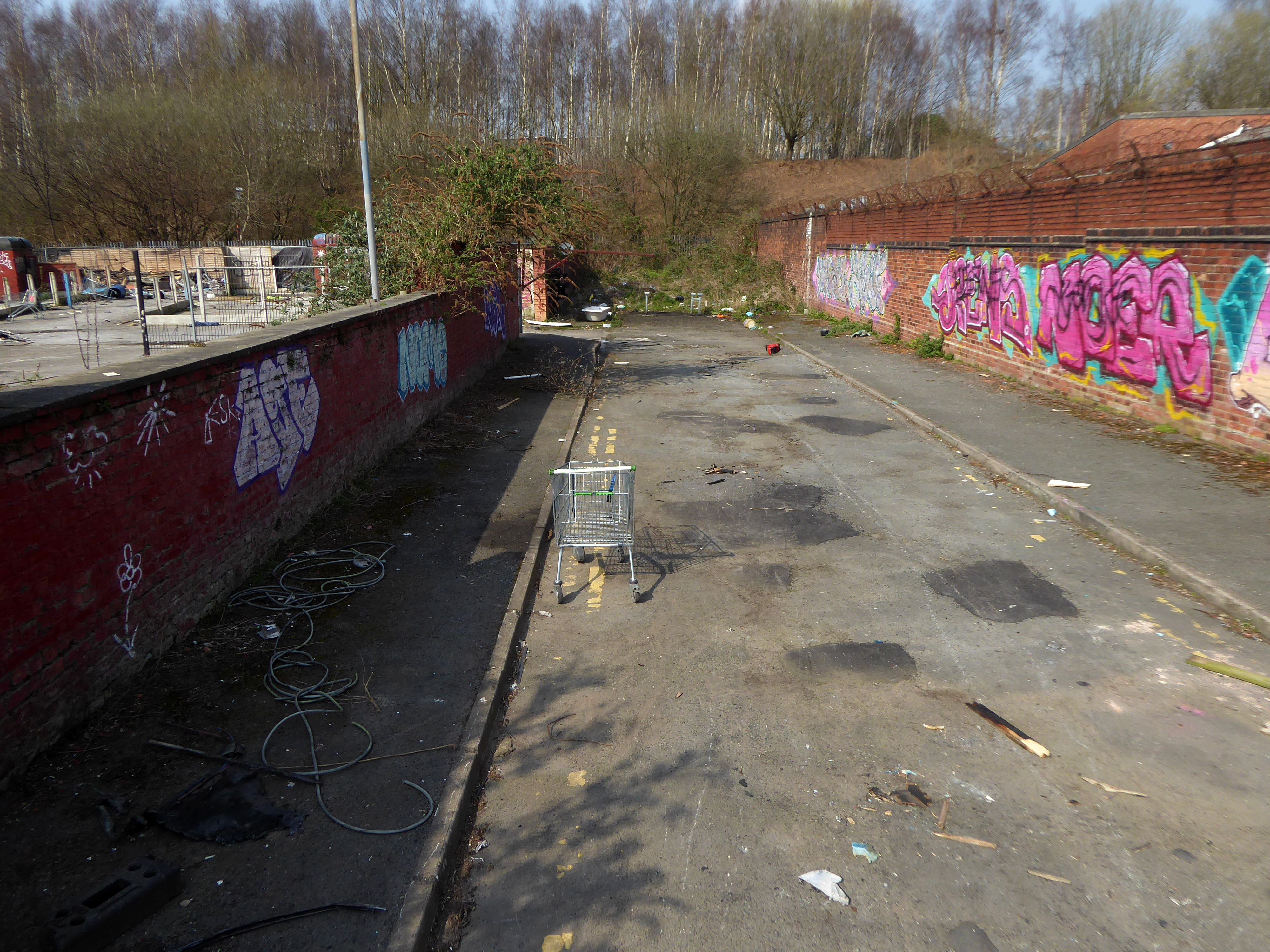
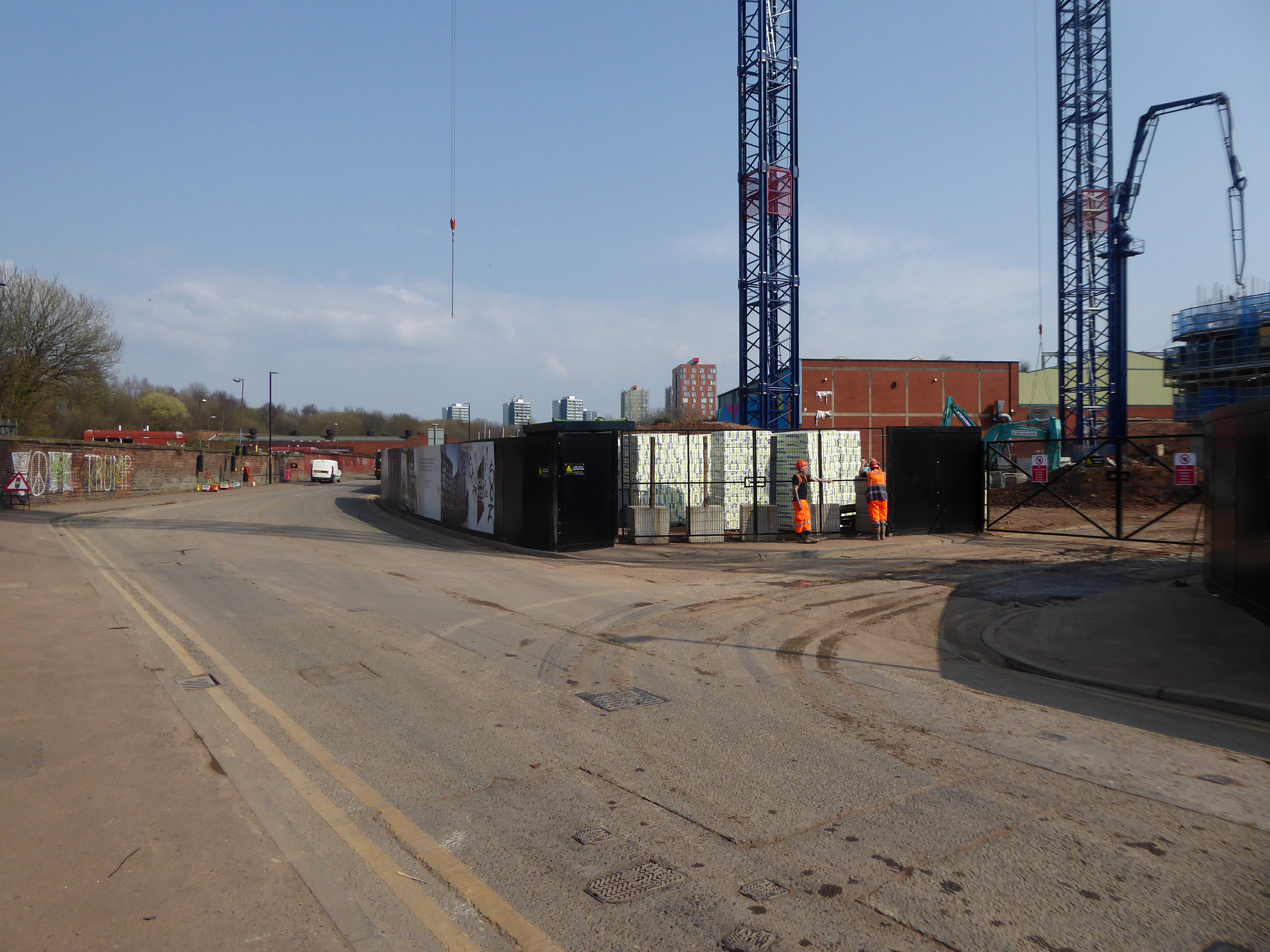
We can see the new City of Manchester Stadium on the left, site of the 2002 Commonwealth Games and now home to Manchester City FC. The road switches between S2 and S4 as it passes through the rather run-down urban areas of Ardwick and Gorton. A short one-way system at a triangular-shaped junction with the A662 leads onto a wider stretch as we near the M60 junction. This area is set to see significant industrial growth, with whole swathes of land either side of the now D3 road cleared and ready for development.
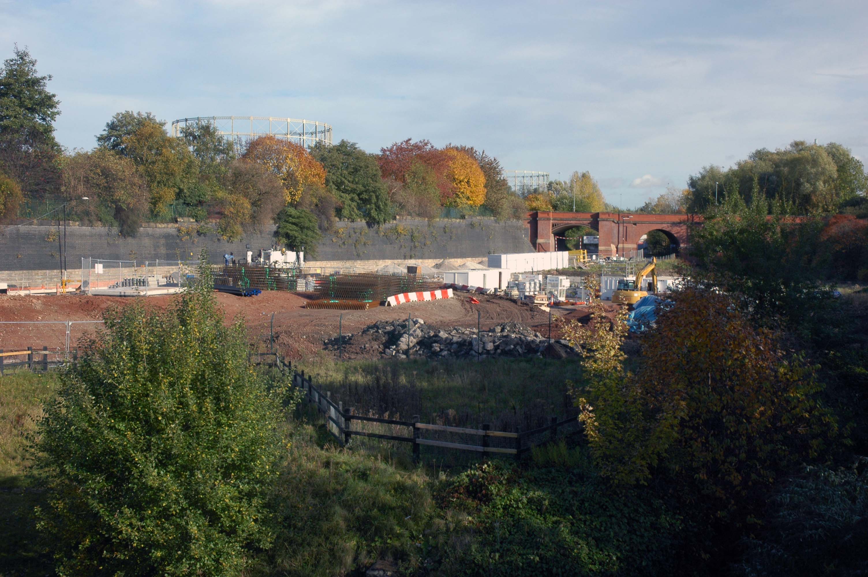
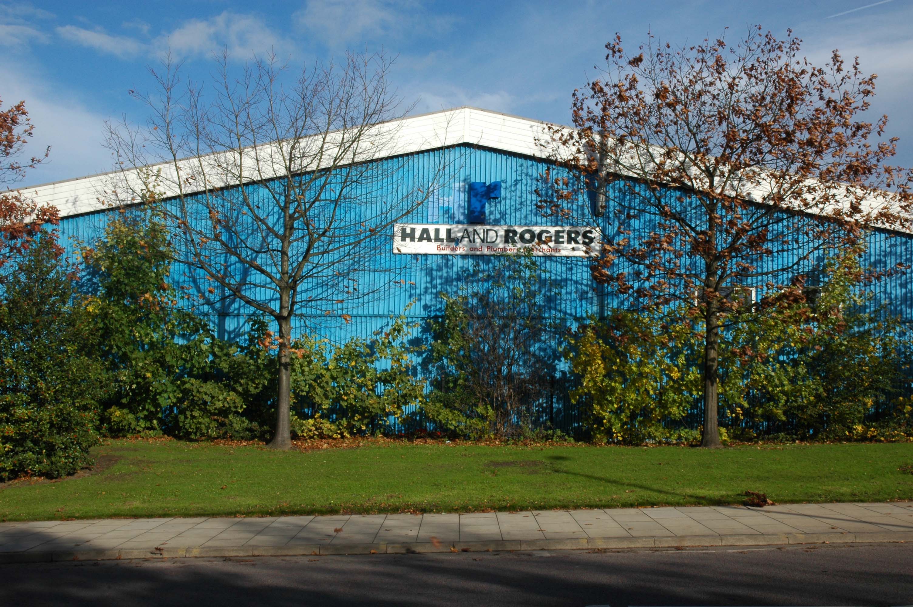
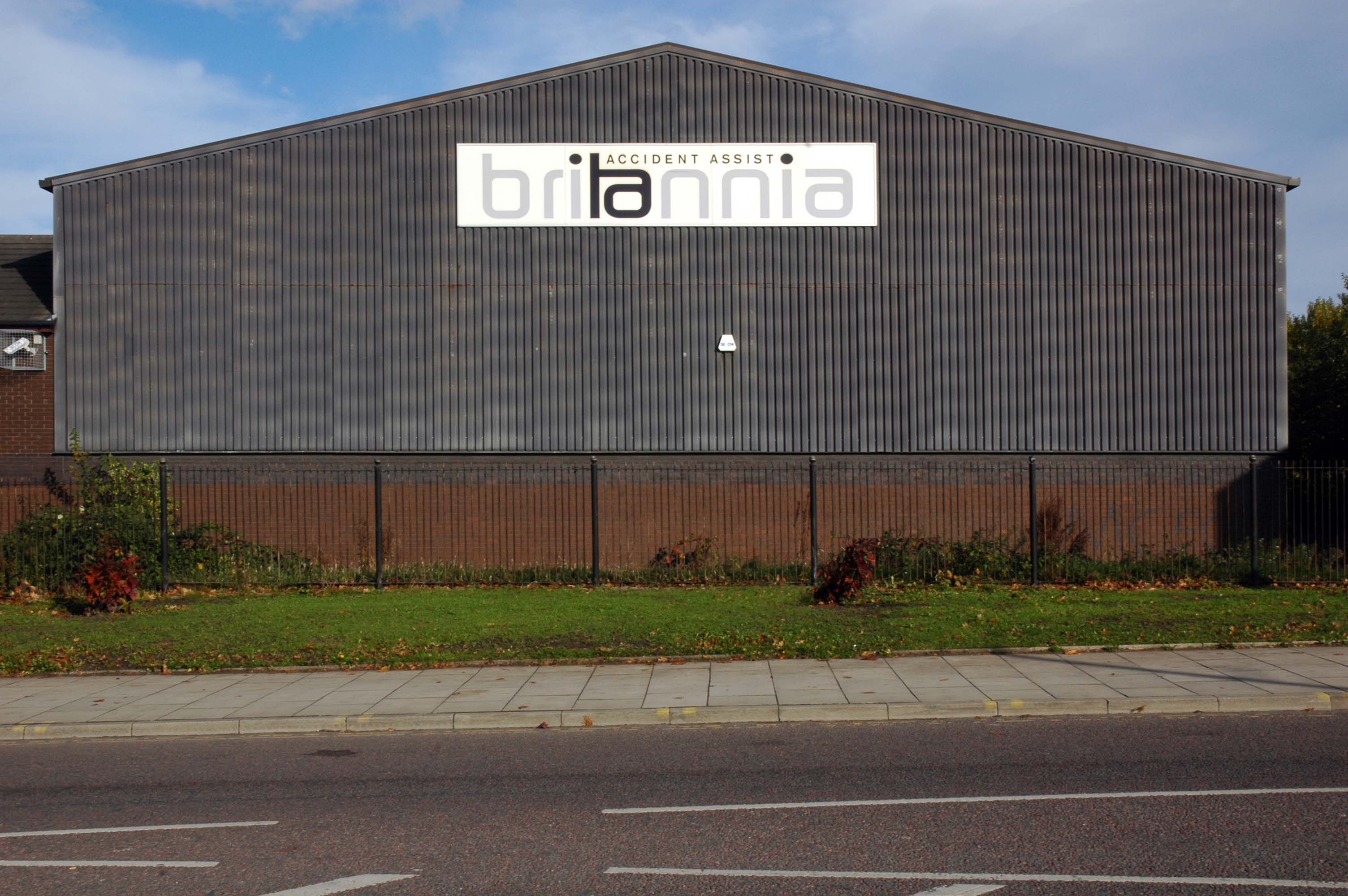
Starting at traffic lights on the A665 the road heads northeastwards, initially with the Metrolink on the left and a factory building on the right. The road then bears right at traffic lights marking the first section of on-street running for the trams, which lasts until just before a bridge over the River Medlock, after which the road passes to the south of the Sportcity complex whilst the tram line runs through the middle.
The A6010 is crossed at traffic lights, after which we see the tram lines on the left once more. We go over the Ashton Canal, then the tram lines at grade before bearing to the right to pass Clayton Park before another section of on-street running for the Metrolink begins, which continues for some distance. Just after crossing the Manchester city limit there is a set of traffic lights, after which the road becomes D2 for a short distance to allow a tram stop – Edge Lane, to be located in the central reservation. The tram leaves the road to the right for the next stop – Cemetery Road, and the stop in Droylsden town centre is once again in the central reservation. In all three cases the street running recommences after the stop.
The A62, which runs from Manchester to Leeds, via Oldham and Huddersfield, was once the main route across the Pennines, connecting the largest city in Lancashire with Yorkshire’s largest city. However with the completion of the M62 towards Leeds in the early 1970s it lost much of its importance and traffic to the motorway, which runs a few miles to the north. These days, the A62 serves as a busy primary route between Manchester and Oldham, an extremely very quiet route over the Pennines, and then a fairly busy local road linking Huddersfield with Leeds.
Most maps show that the A62 starts its journey in the middle of Manchester by leaving the A6 Piccadilly and running along Lever Street – the original route was the parallel Oldham Street. However, owing to a bus gate Lever Street is not generally accessible from Piccadilly. We head out easterly on a busy street – non–primary, until we meet the Ring Road where we pick up primary status that we retain until Oldham. We turn left at this point and then immediately right to start the A62 proper.
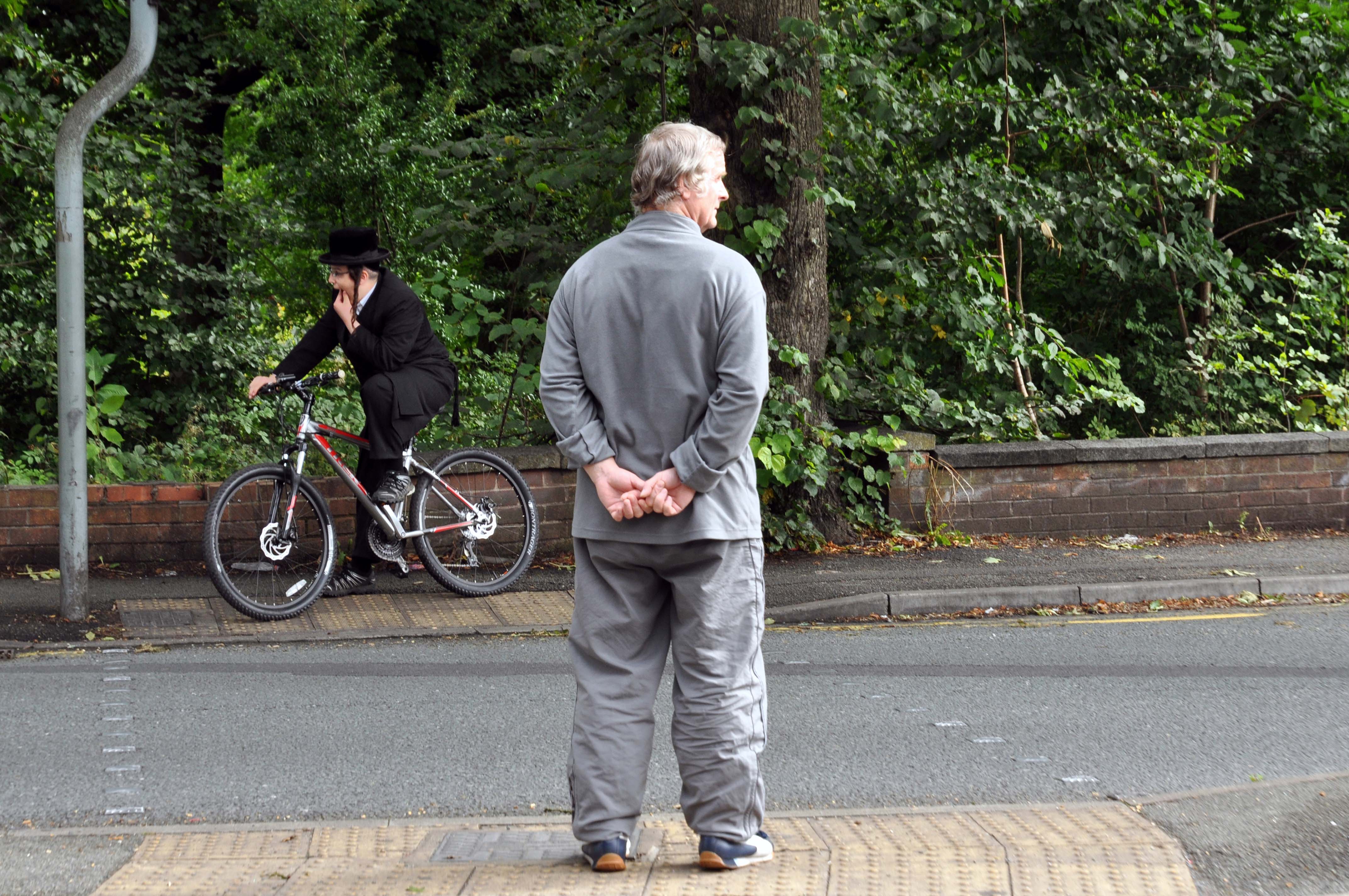
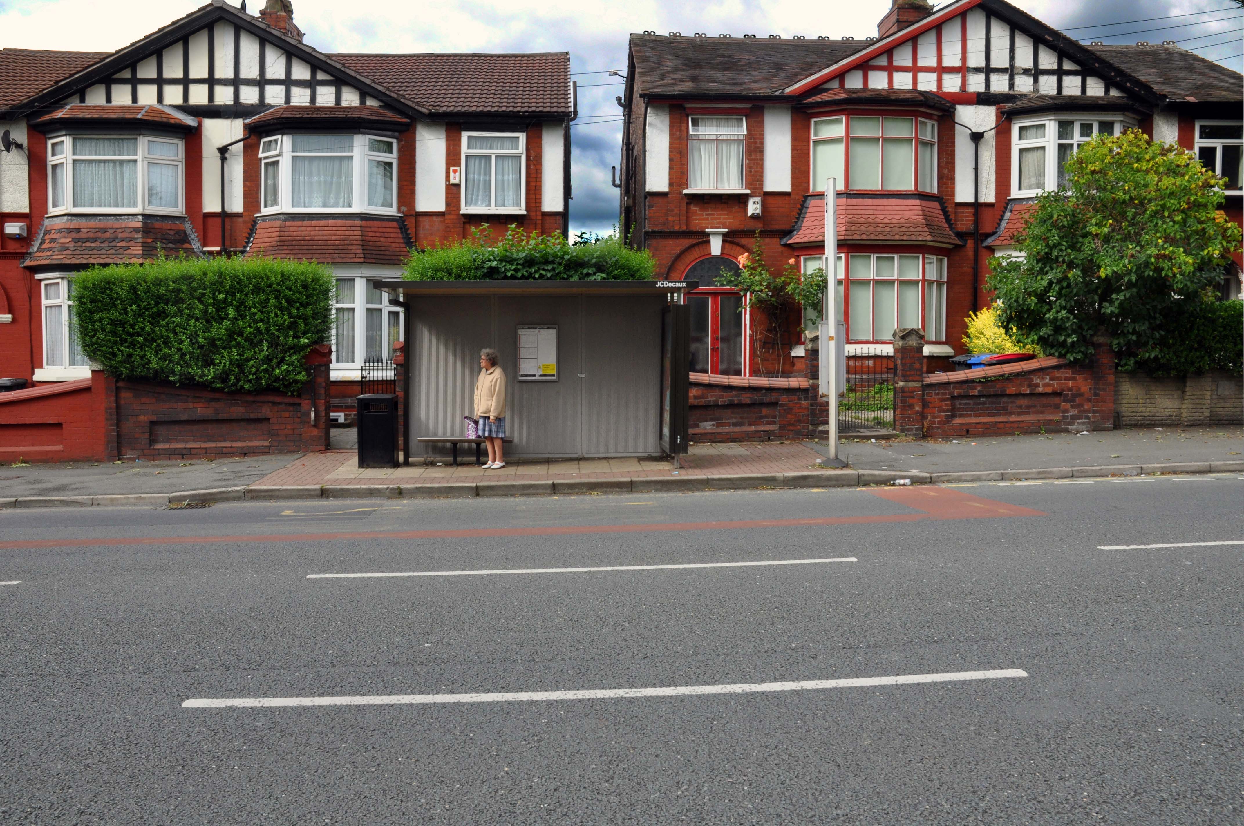
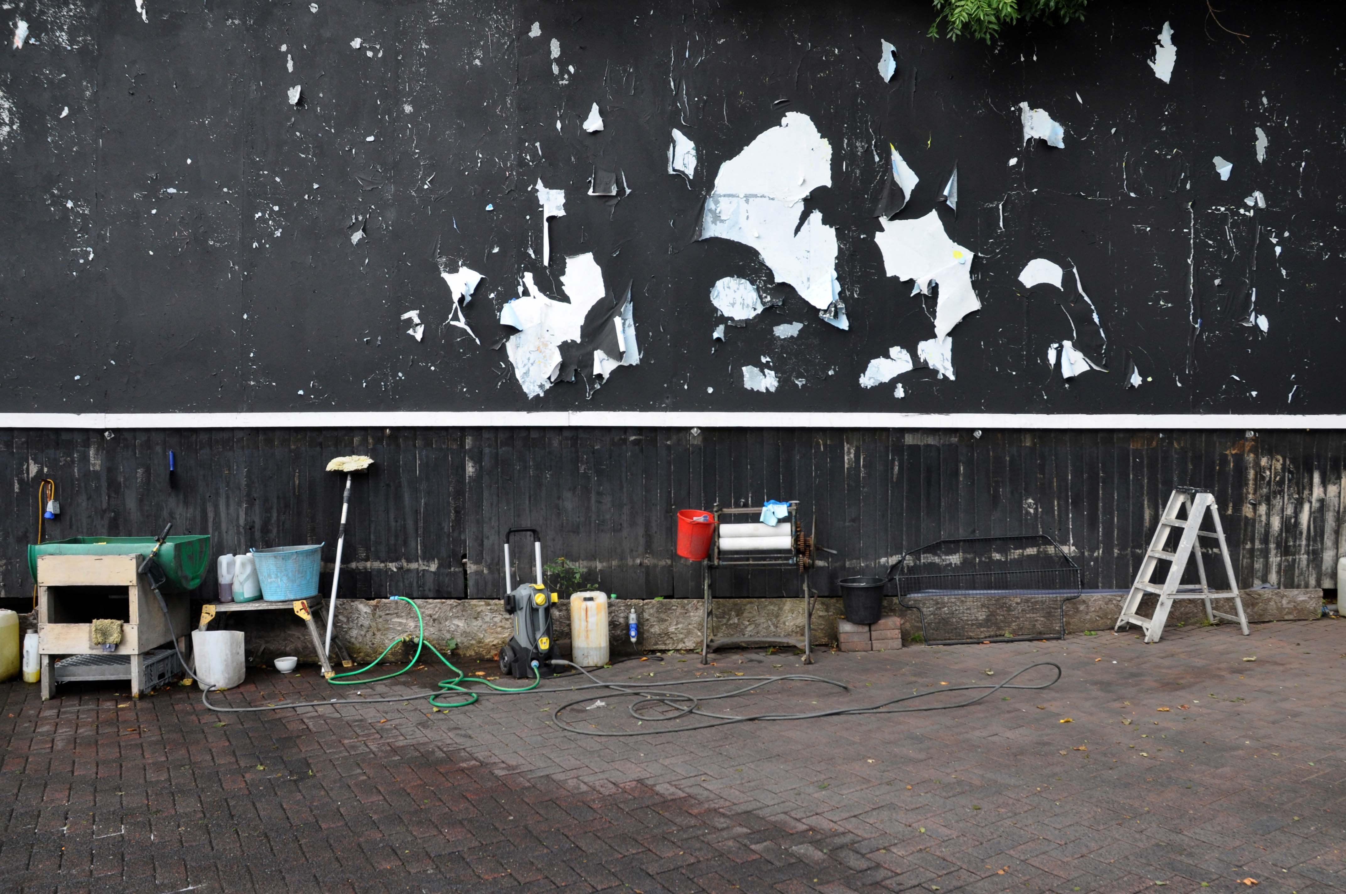
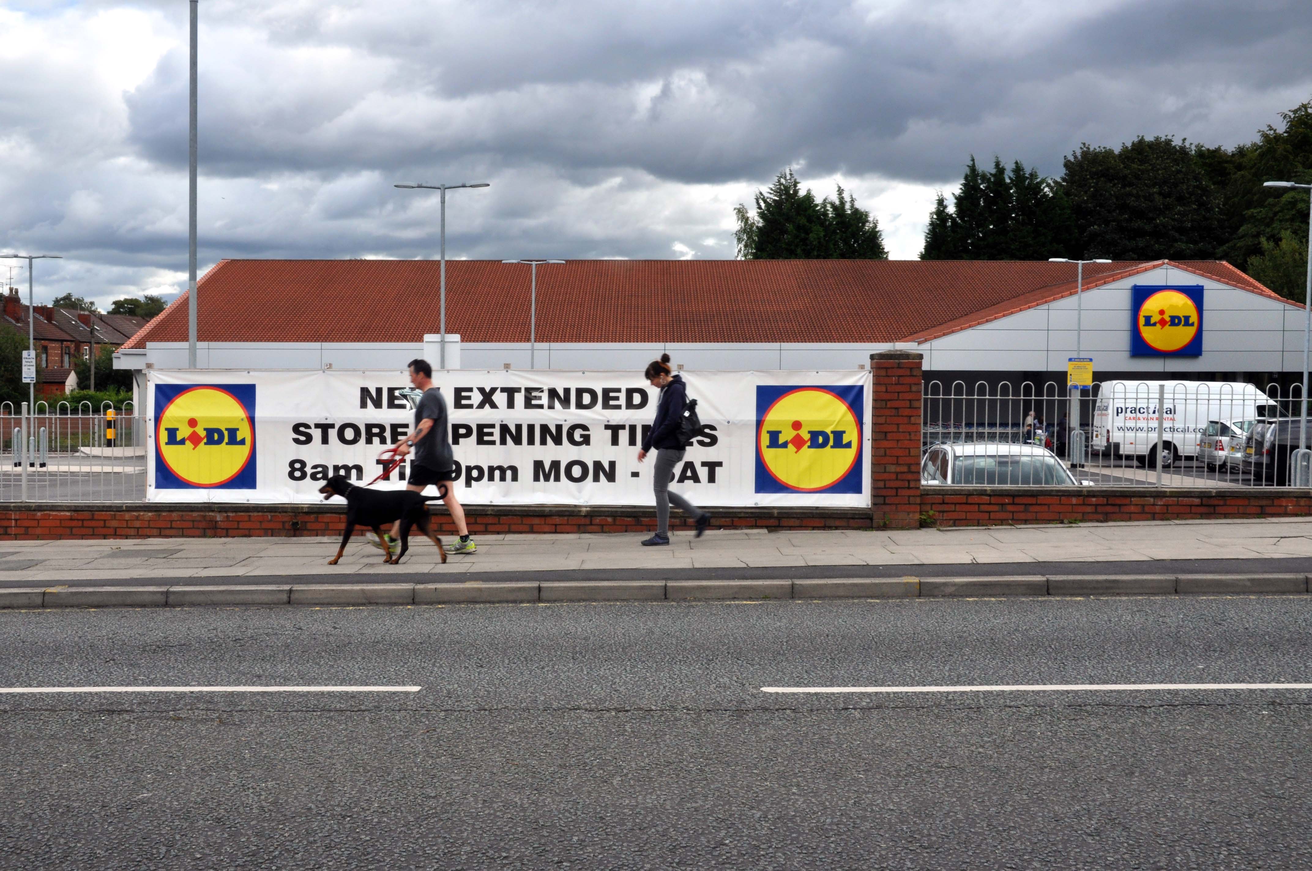
In 2014, having taken early retirement from teaching photography, I embarked on a series of walks along the arterial roads of Manchester.
This whole undertaking was prompted in part by Charlie Meecham’s 1980’s Oldham Road project.
The work questions whether a sense of local identity can be maintained in an area of constant redevelopment and community displacement.
This area was first developed in the 19th century for cotton manufacture, coal extraction and later electrical and heavy engineering. The road was lined with shops and there was a vibrant community.
When I first started working on the project, most of the early industry had ceased operating and the mills were either abandoned or being dismantled. However, some had been refurbished either for new industrial use or later, made into apartments. Some run down areas were cleared making way for new housing. Clearance also provided opportunity to build new schools, trading estates and create green space. Most of the older community centres such as theatres and cinemas along the road were also abandoned and later cleared.
First crossing the M60 Manchester Outer Ring Road at Junction 7 into Stretford.
The A56 takes the name of Chester Road and continues north-eastwards through Stretford and Hulme into Manchester city centre, where it takes on the name Deansgate, one of Manchester’s main shopping streets and thoroughfares. At the end of Deansgate, the A56 takes on the name of Victoria Street as it passes Manchester Victoria railway station. Since 2012, most of Victoria Street has been pedestrianised with planters, but the road markings still remain underneath.
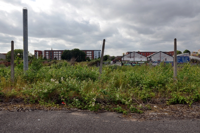
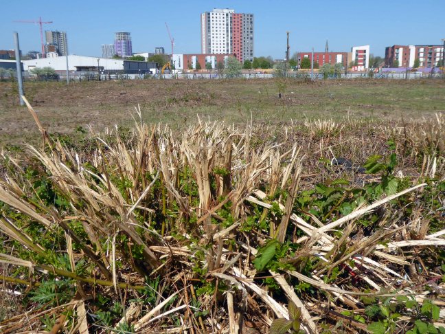
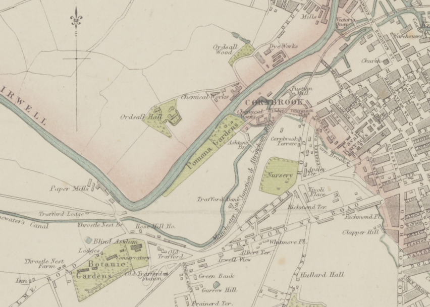
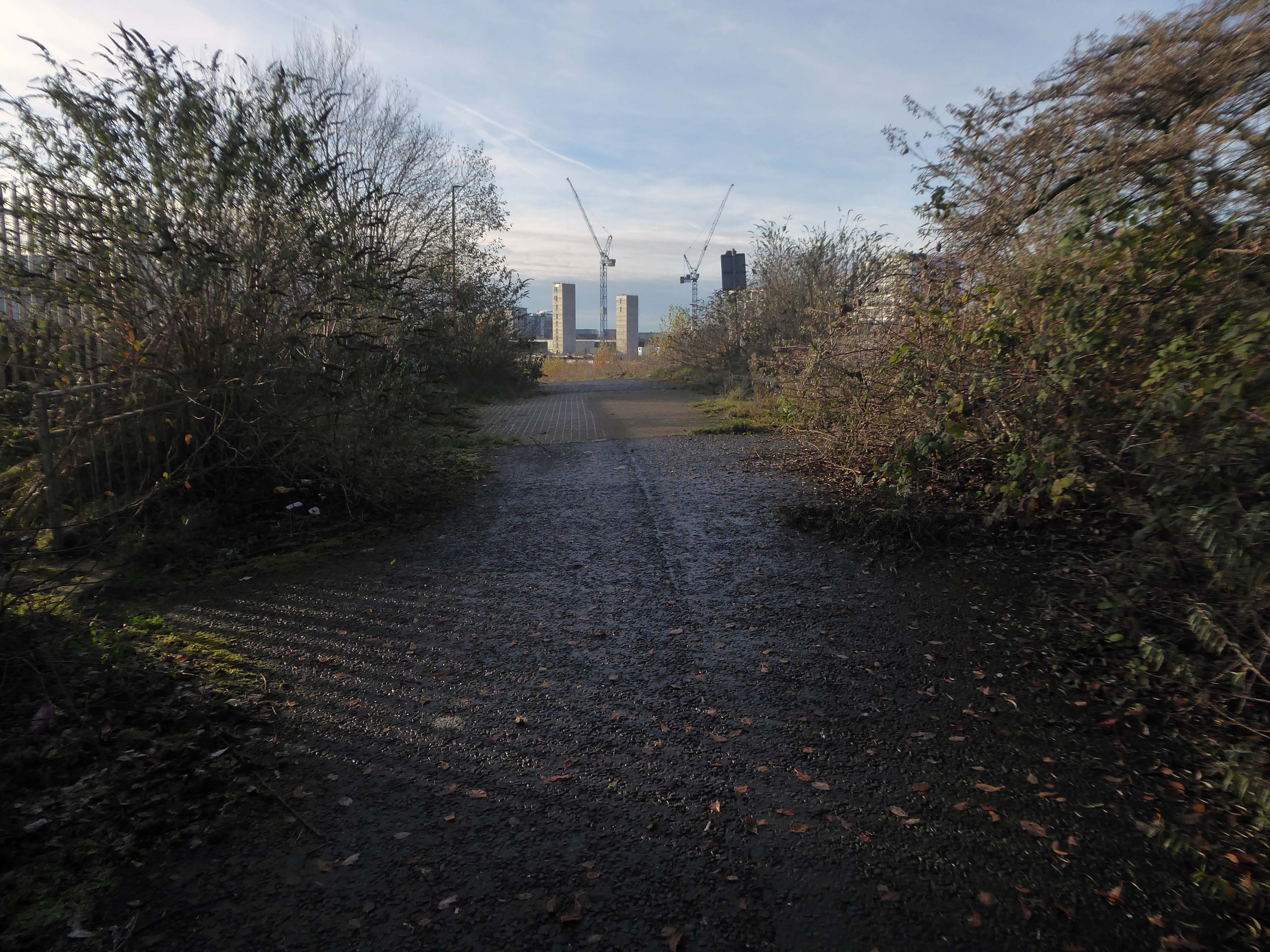
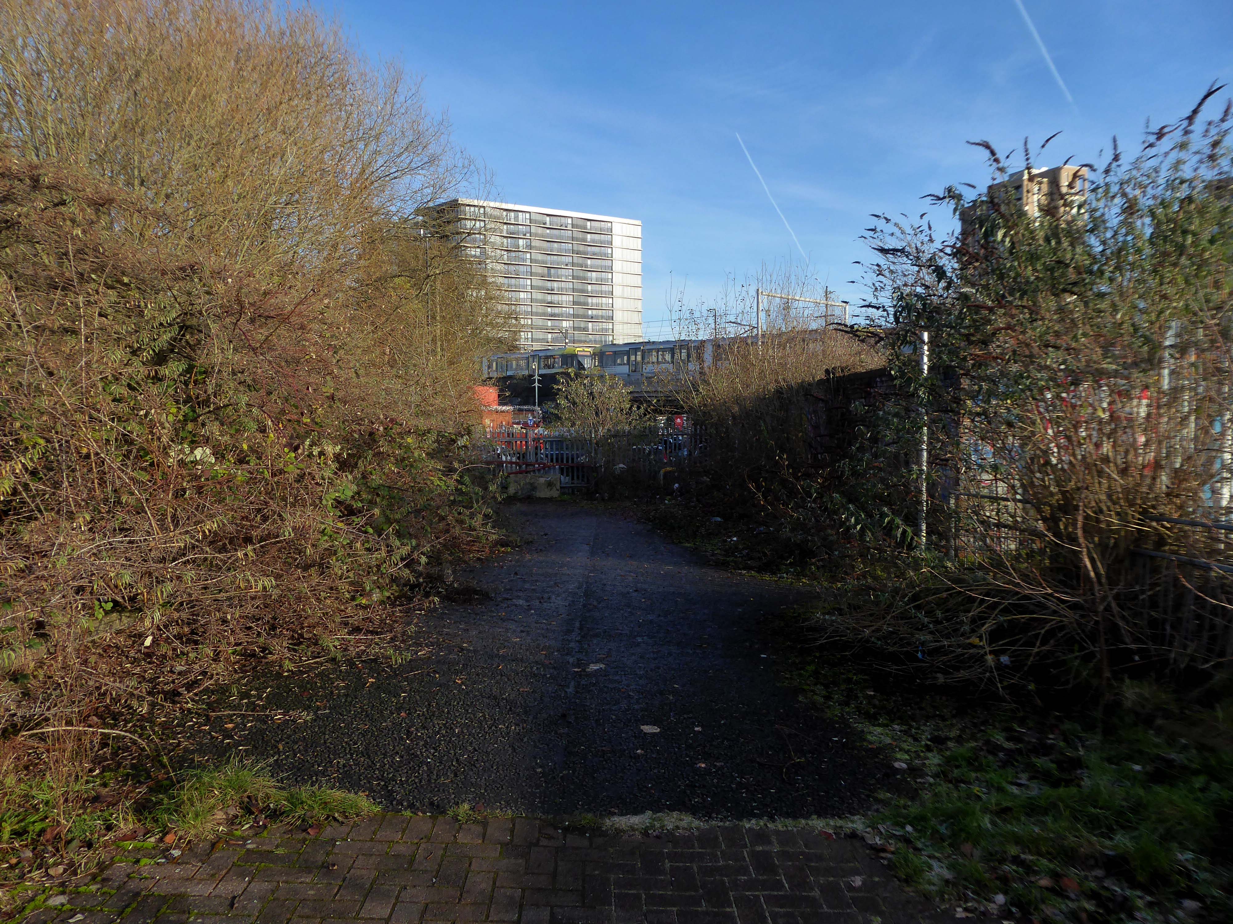
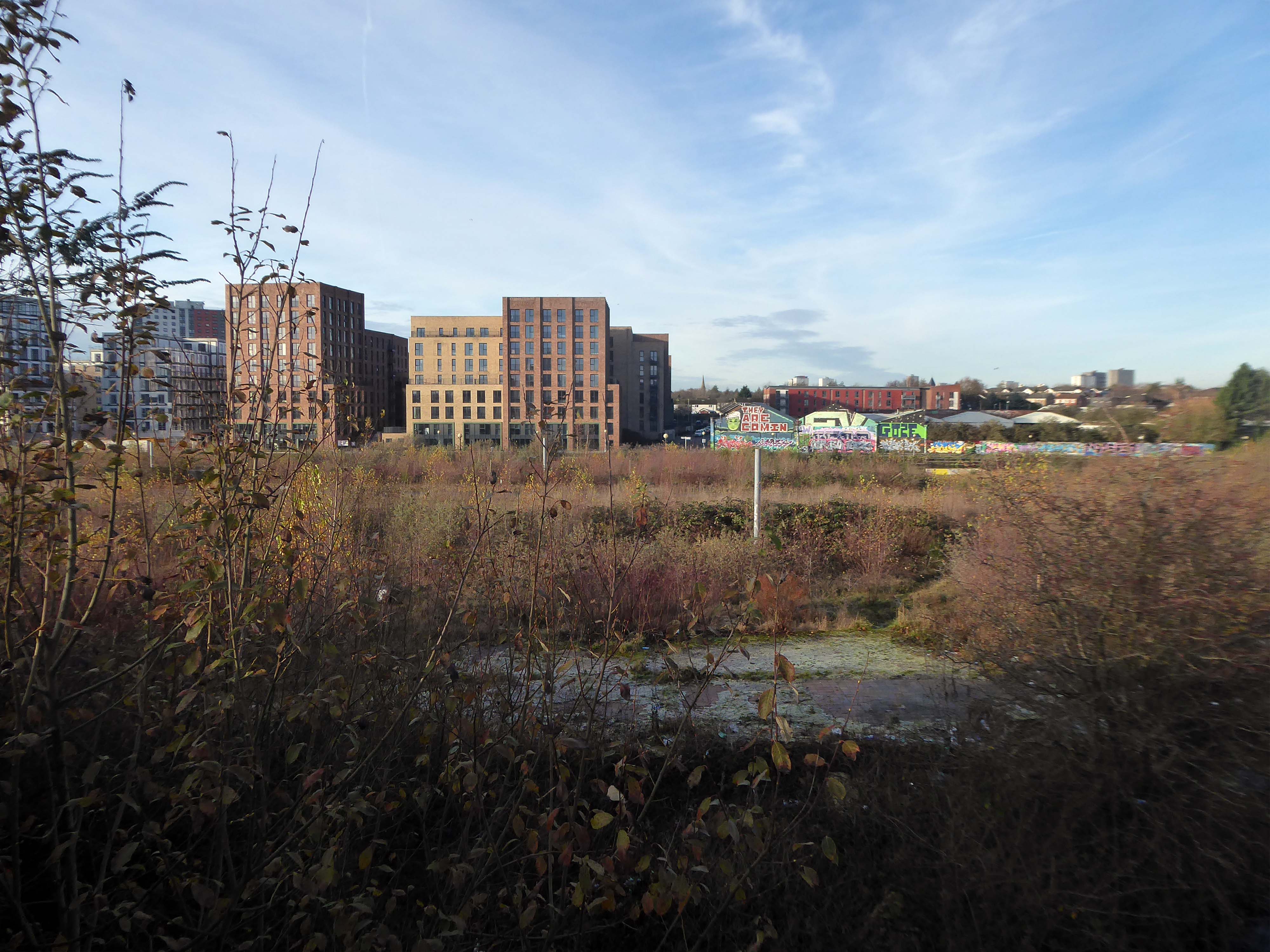
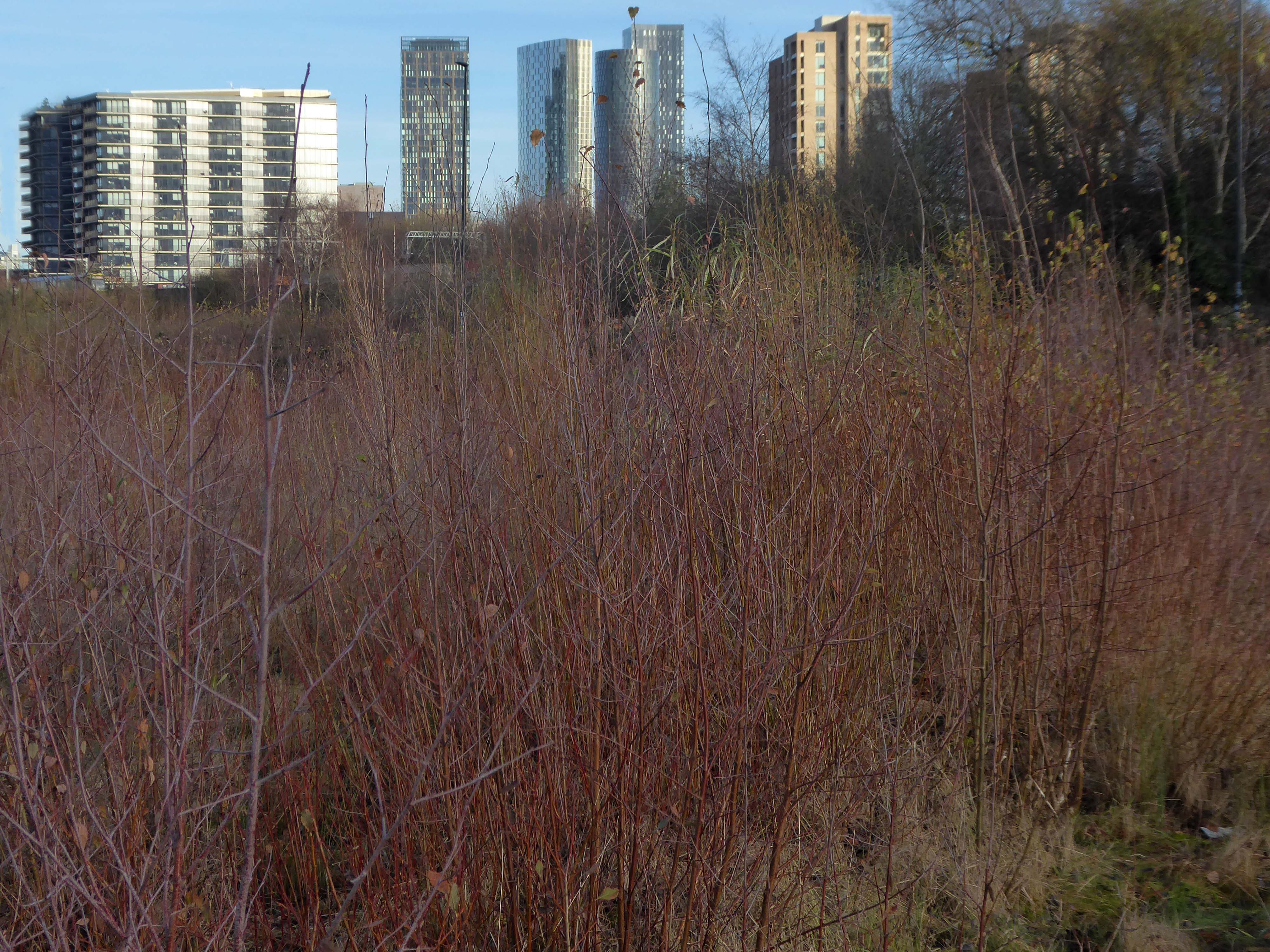
April 2020 a history and appraisal of Pomona Gardens – the undergrowth having recently having had a trim.
What were once opulent Pleasure Gardens now await the Midas touch of Peek Holdings.
What knows what fates awaits you?
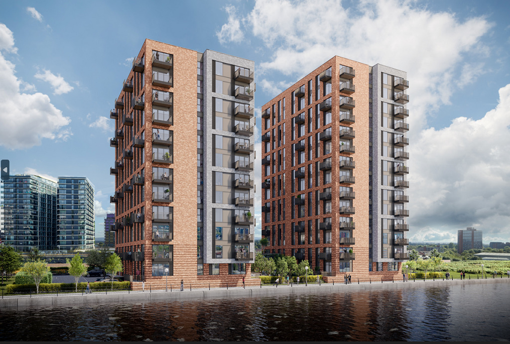
Long-awaited plans to redevelop the 26-acre swathe of land will not come forward until Peel L&P and Trafford Council reach an accord on the level of affordable housing to be provided on a separate project.
In 2021, Peel lodged plans for a 162-apartment build-to-rent scheme on part of Pomona Island.
The project featured no on-site affordable housing provision – although Peel did offer a ‘significant financial contribution’ towards off-site affordable housing – and Trafford Council subsequently recommended the development be refused.
This promoted Peel to withdraw the £35m proposals before they were discussed at committee.
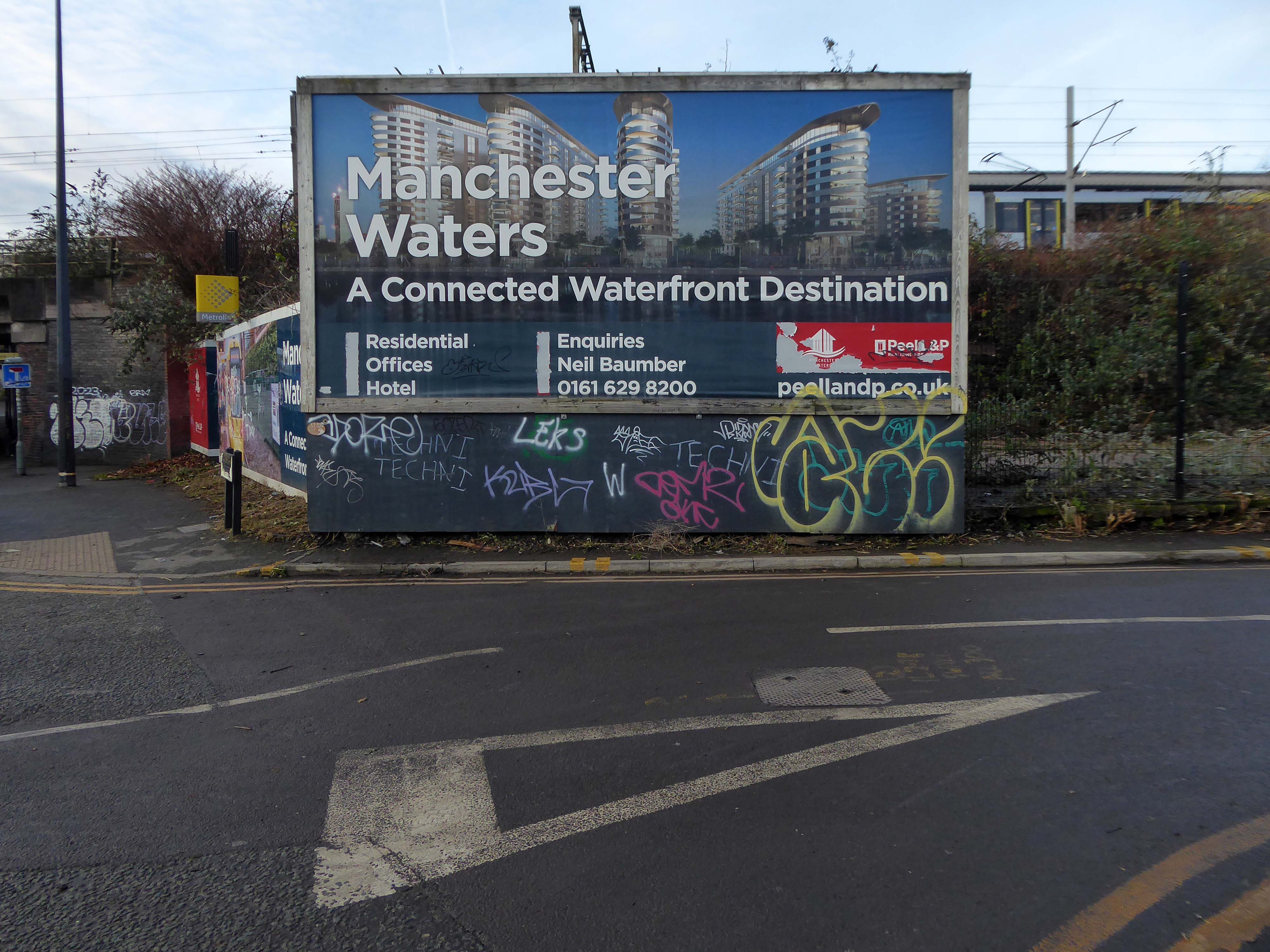
The 2023 iteration of the project, part of the developer’s Manchester Waters masterplan, also features no on-site affordable homes.
However, as part of the proposals, Peel will be making a contribution equivalent to 20% affordable housing within Trafford, the developer said. The earlier iteration proposed 5%.
The proposed nature reserve seem like a distant dream
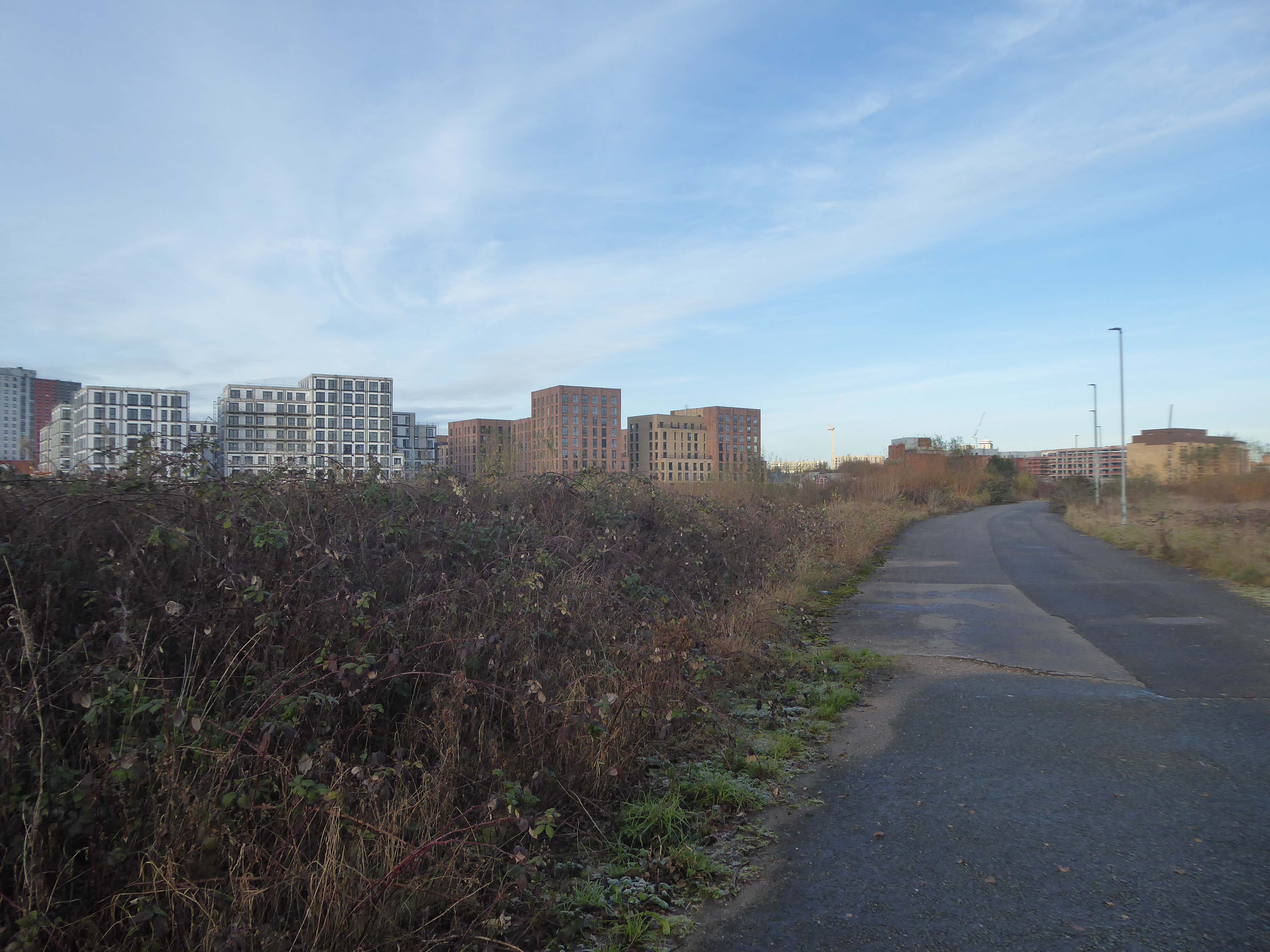
Despite suggestions that Pomona could become the Eden Project of the north, 3,000 homes are planned for the site by owners Peel L&P and the first development, Pomona Wharf, is already complete.
This green space could have been a globally significant urban park, and a powerful statement of Manchester’s commitment to fighting climate change and protecting green spaces.
Unfortunately, the city chose more apartments and financial growth over the natural world and not for the first time – Luke Blazejewski.
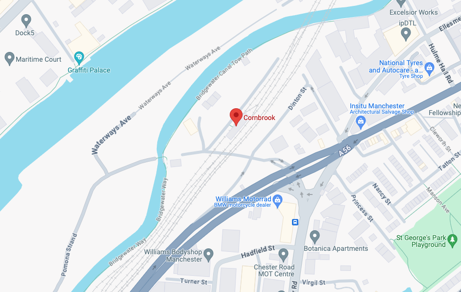
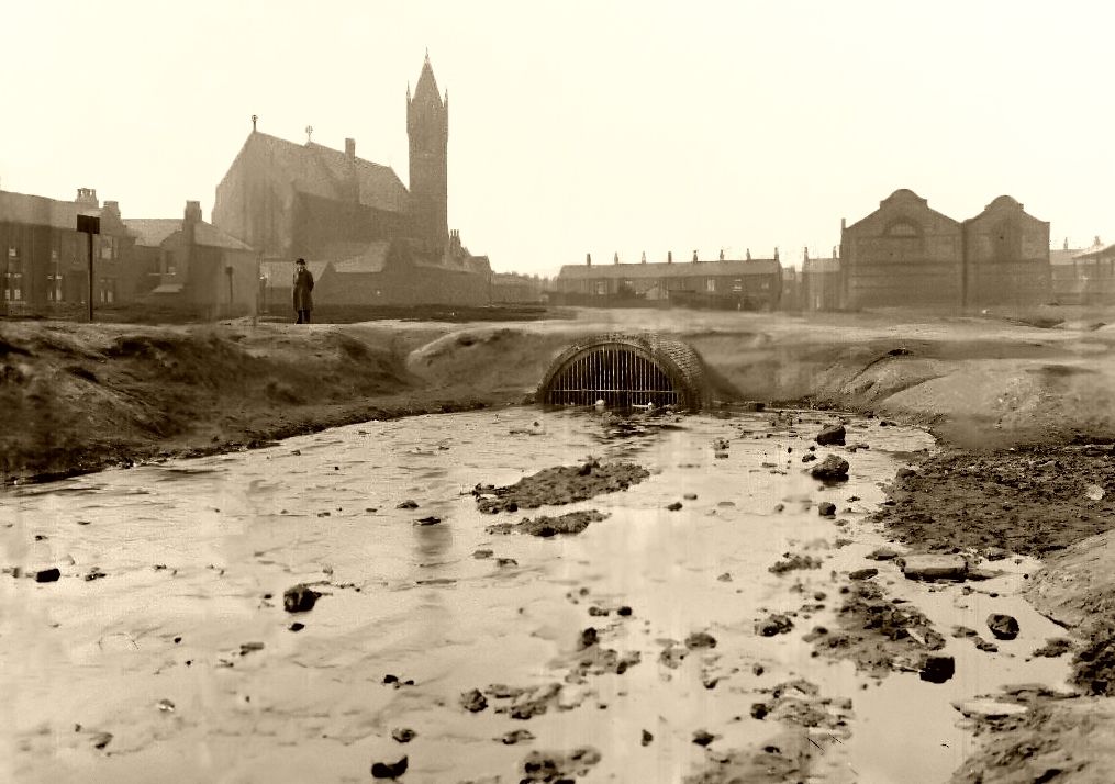
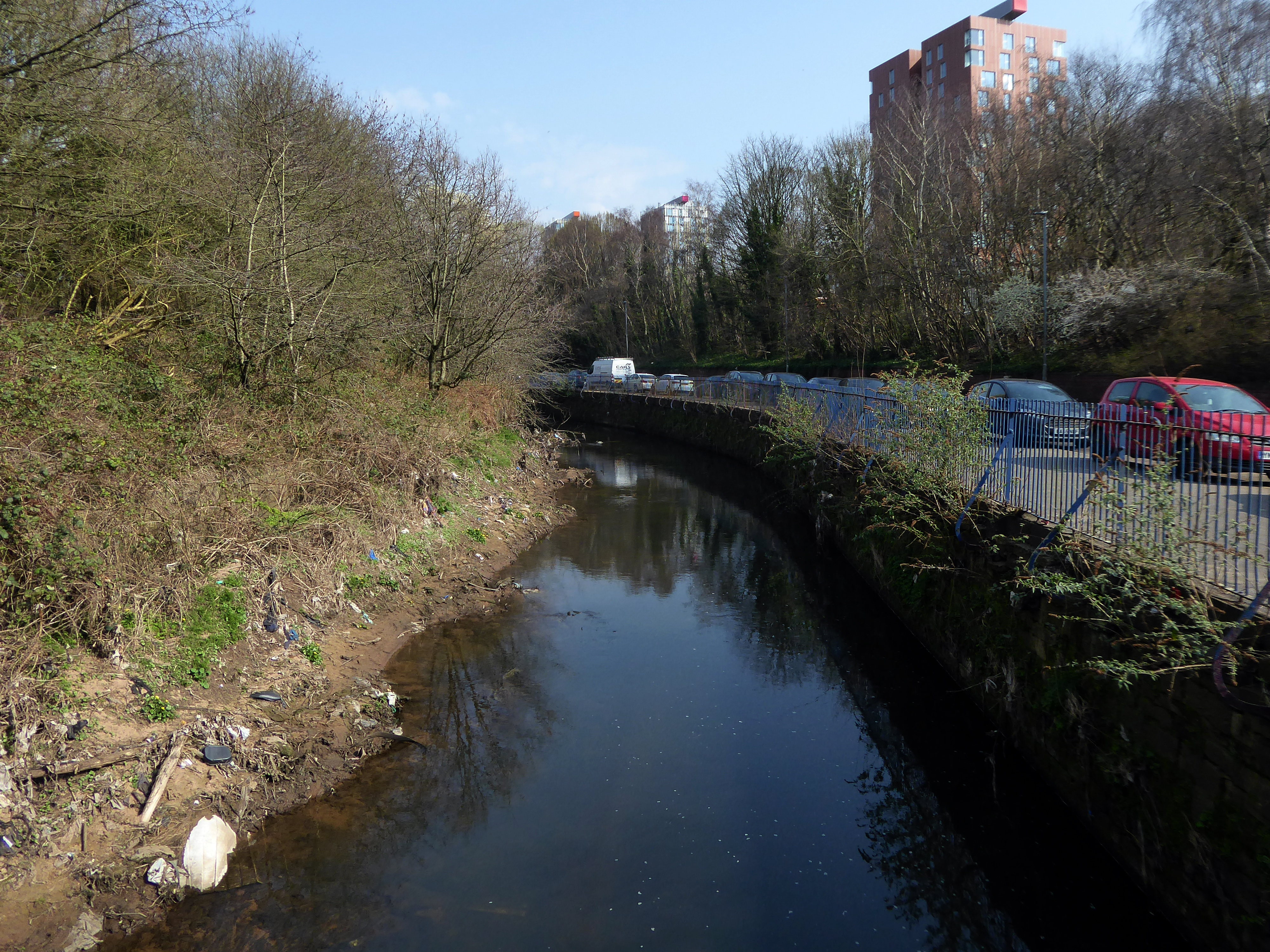
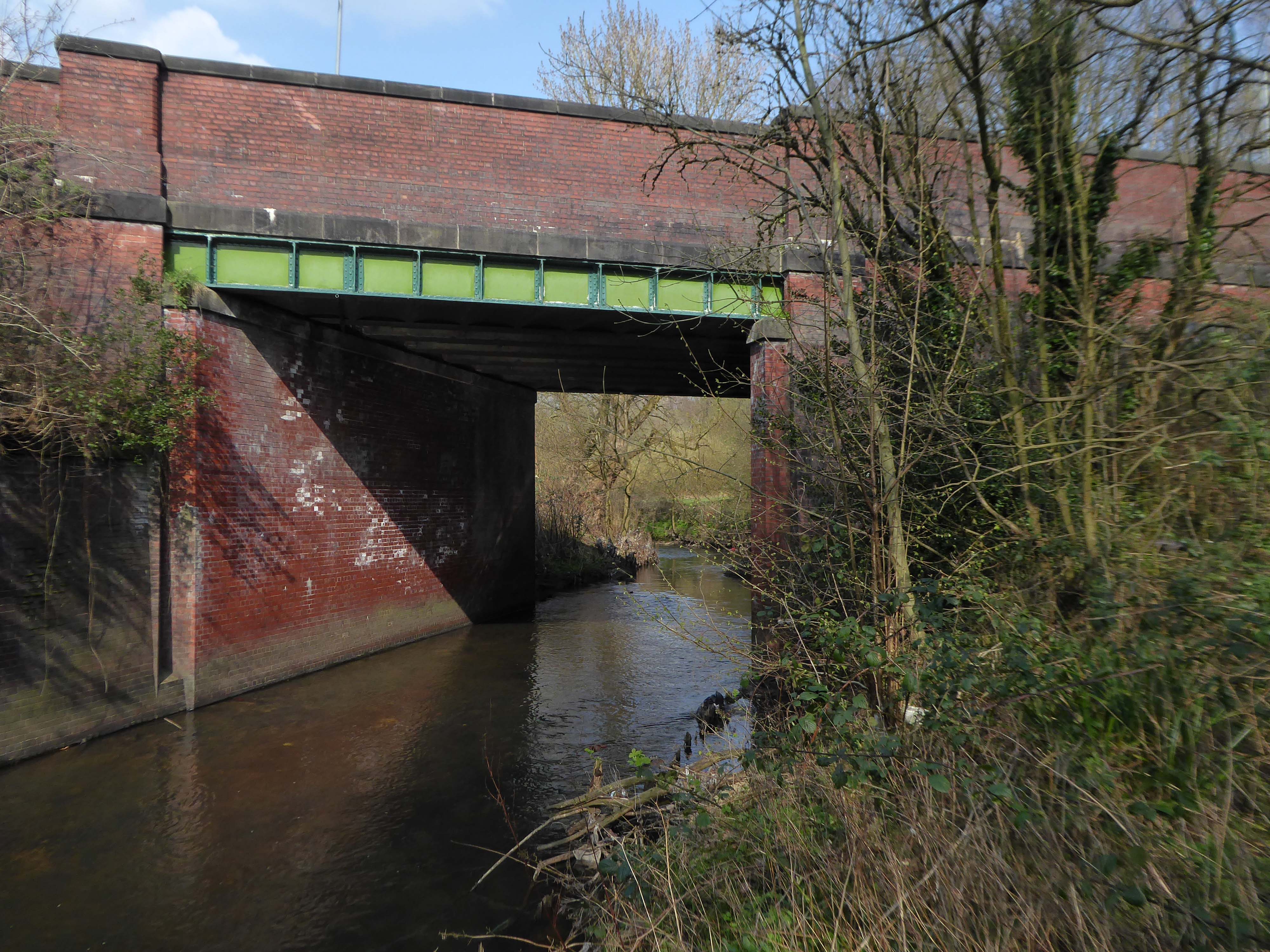
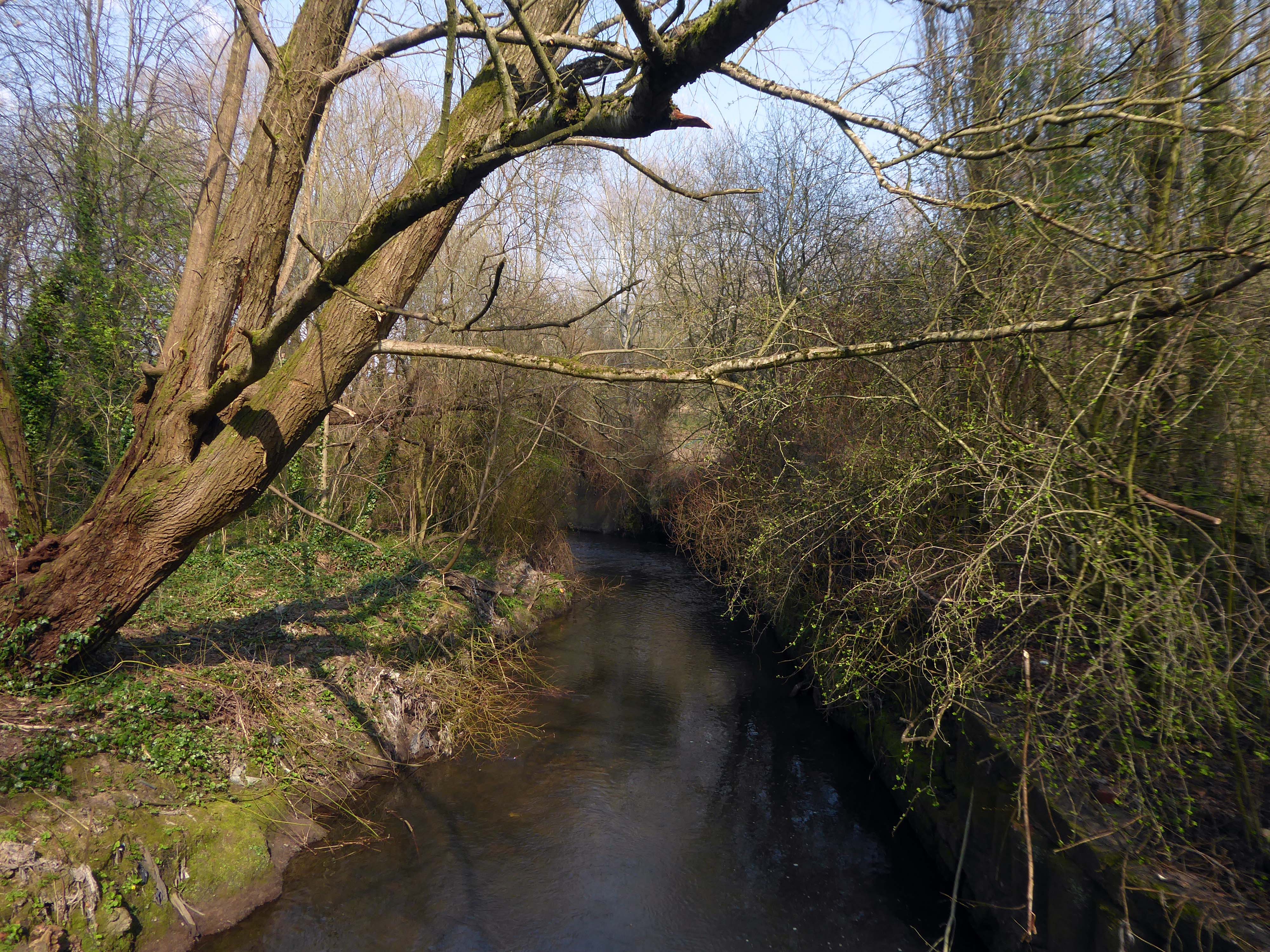
The Cornbrook drains the urban area South of the River Medlock, it rises in Gorton and follows a tortous path through Manchester’s Southern ‘inner city’ suburbs and empties itself into the Manchester Ship Canal at the Pomona Docks.
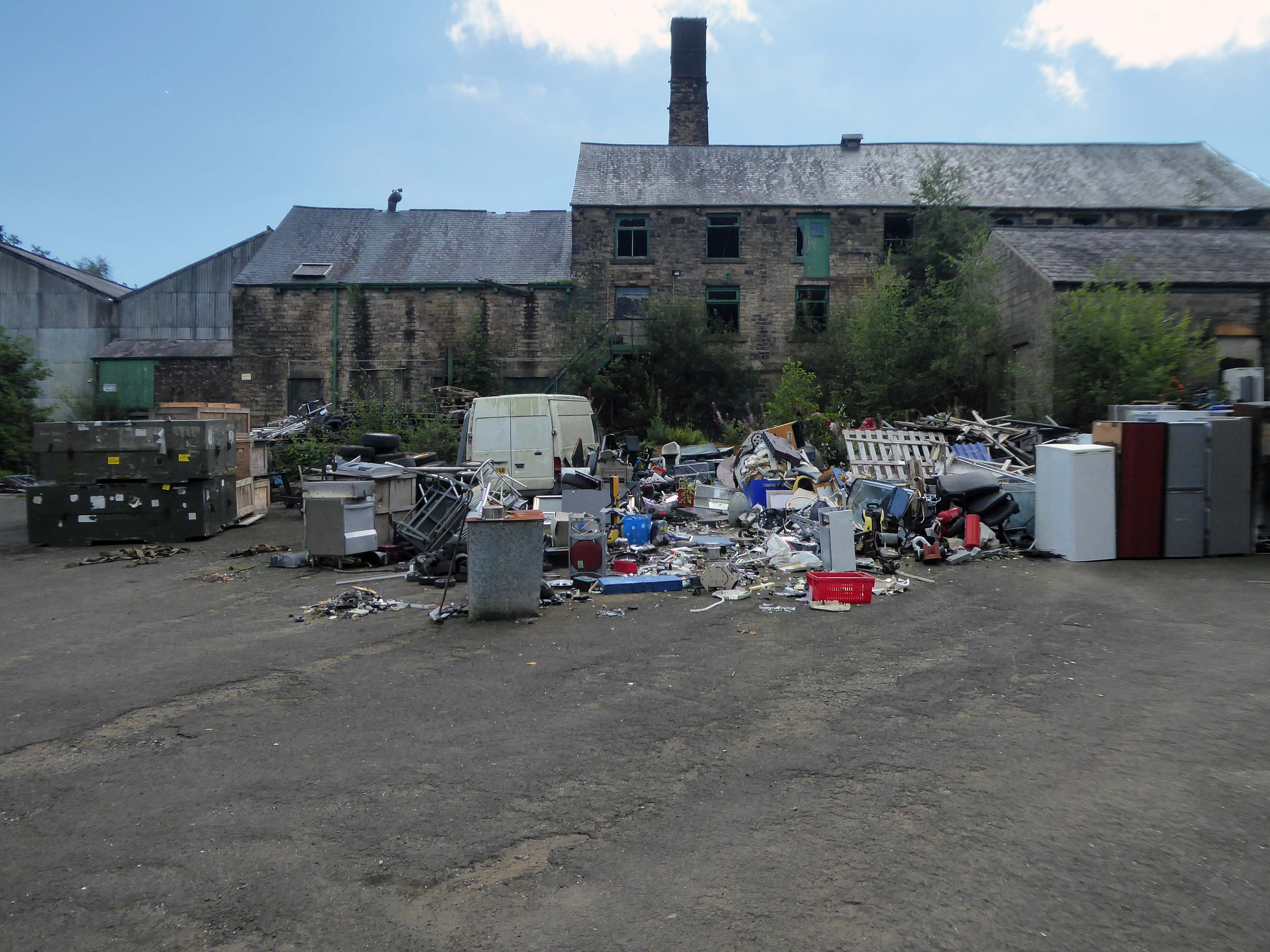
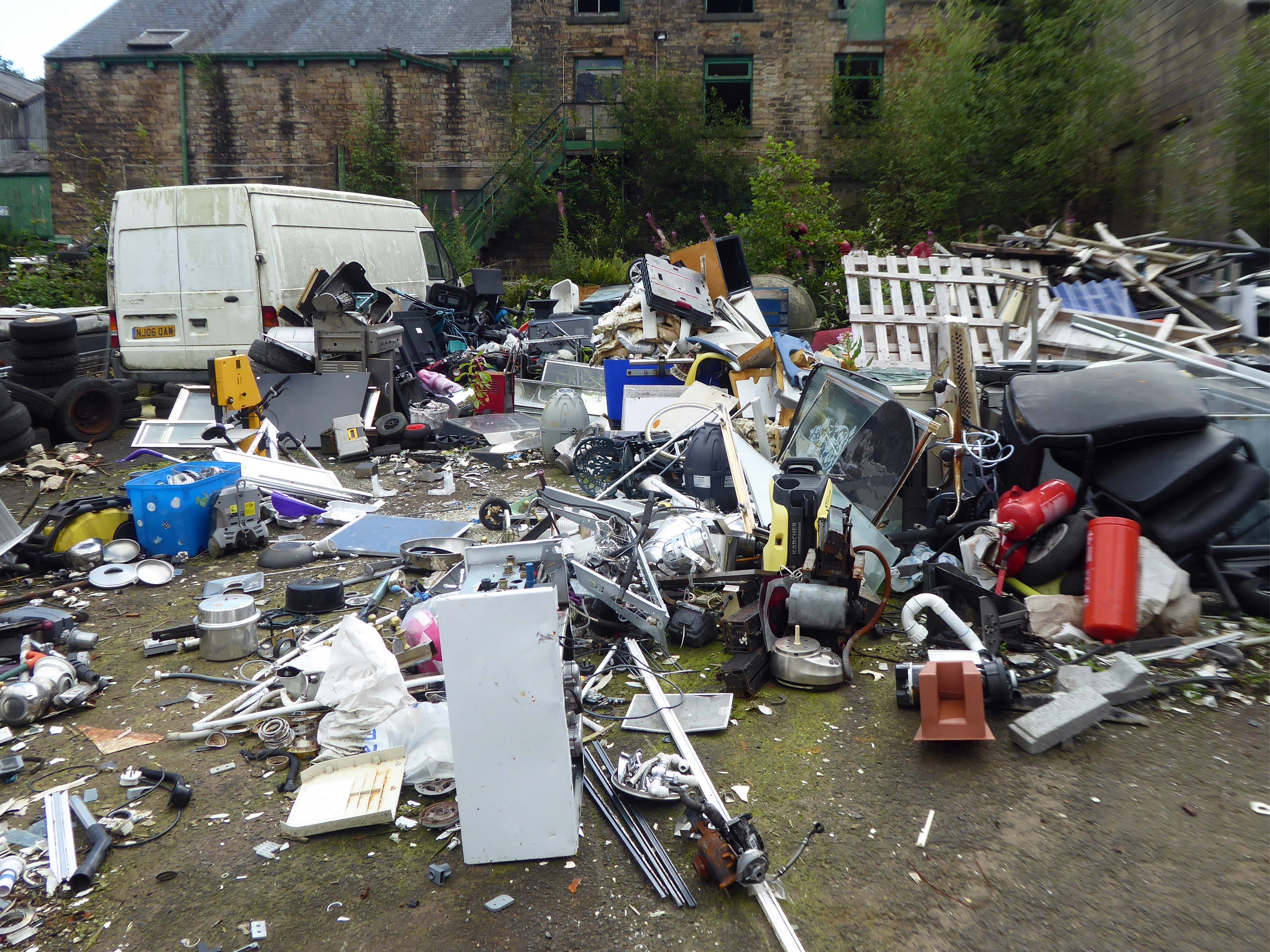
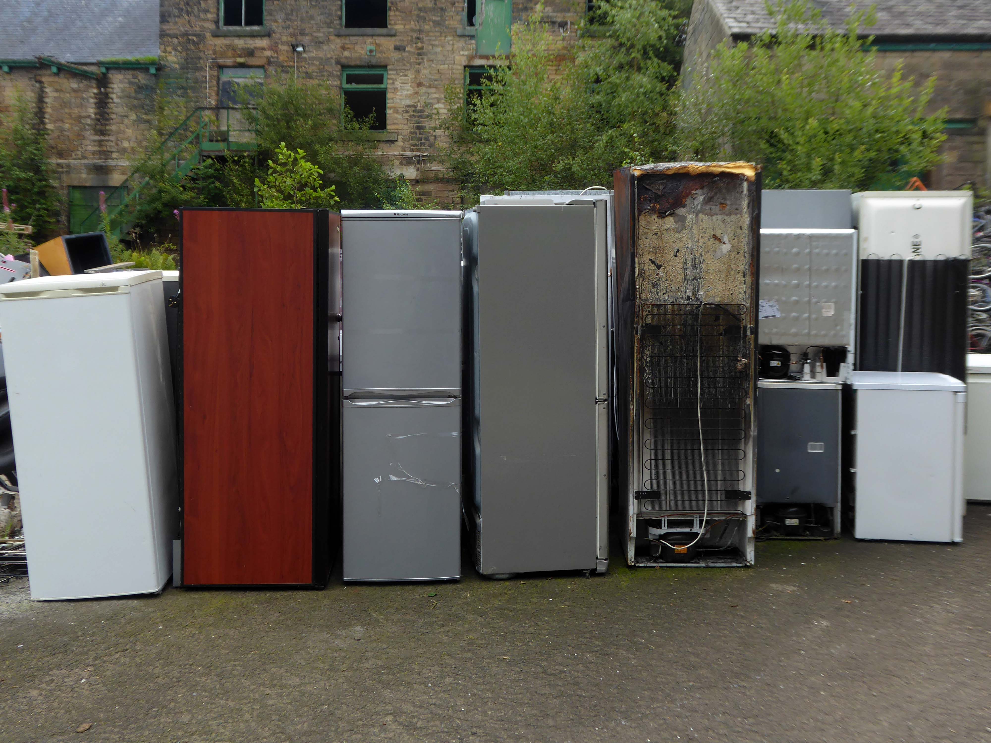
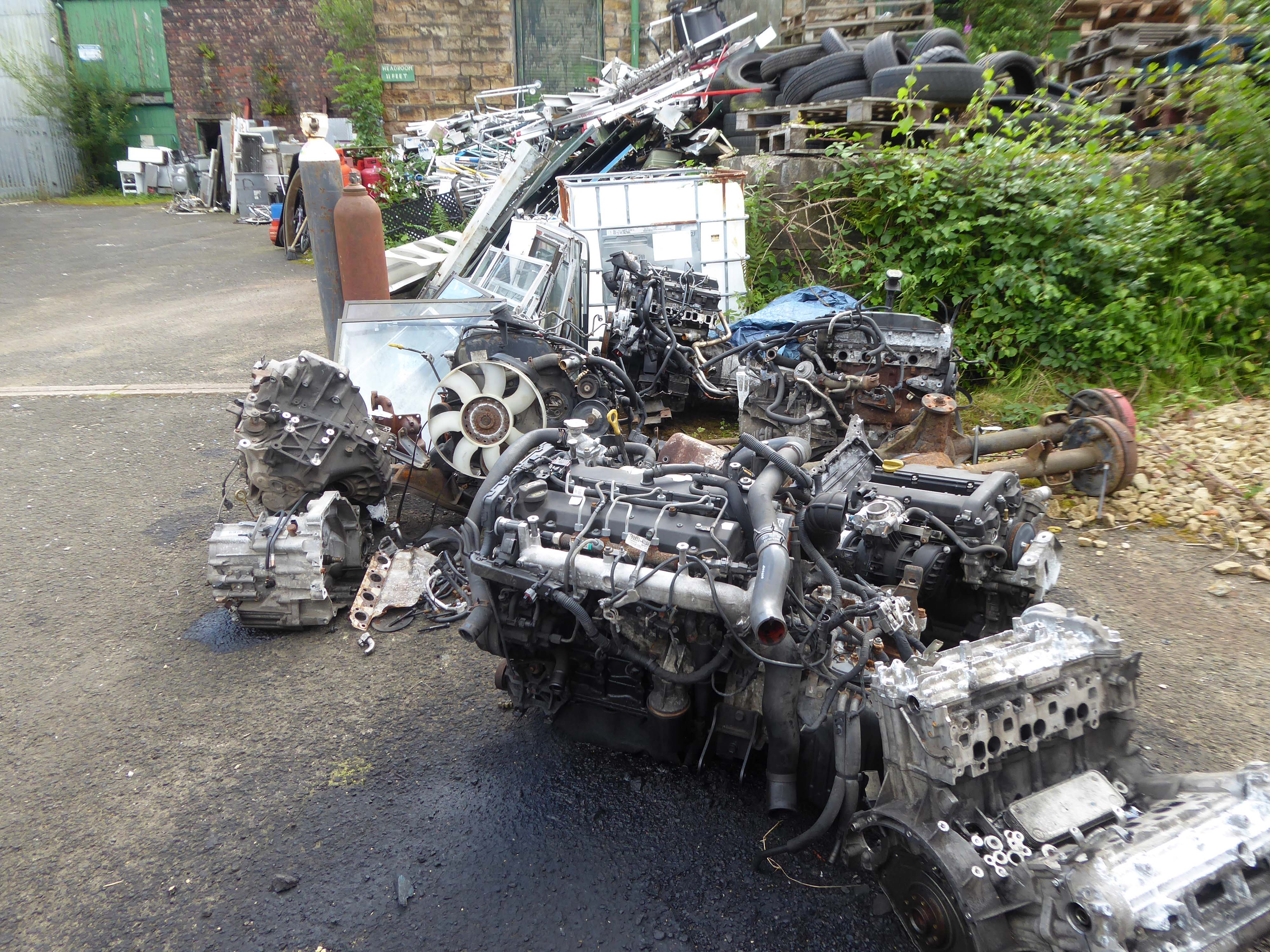
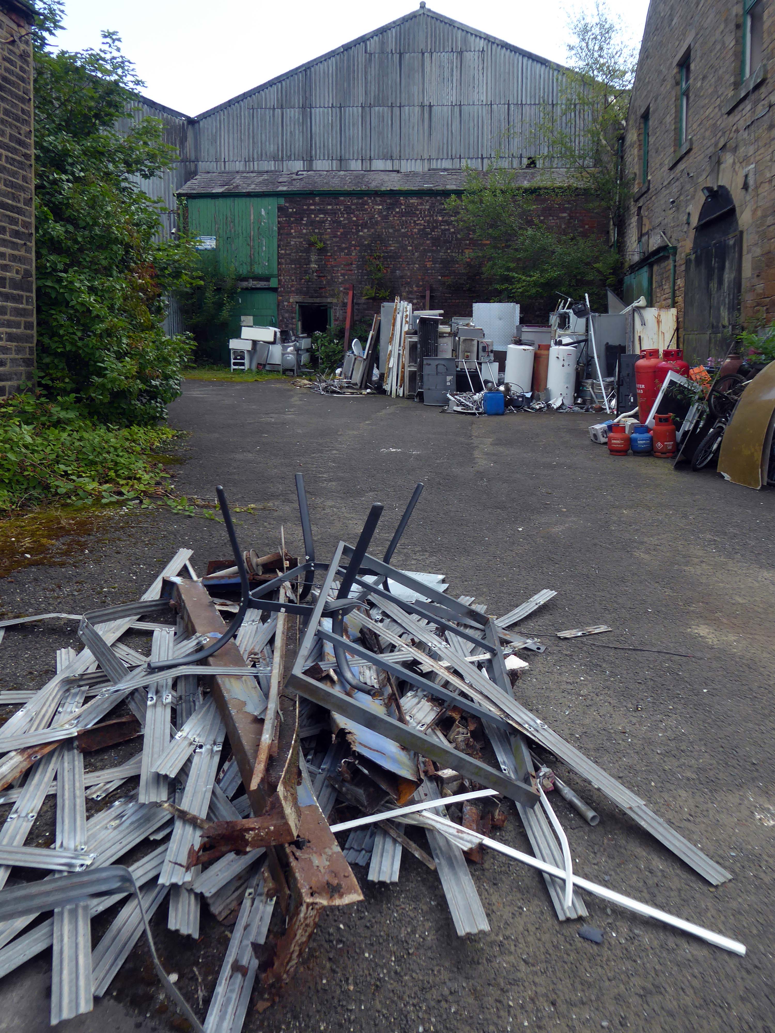
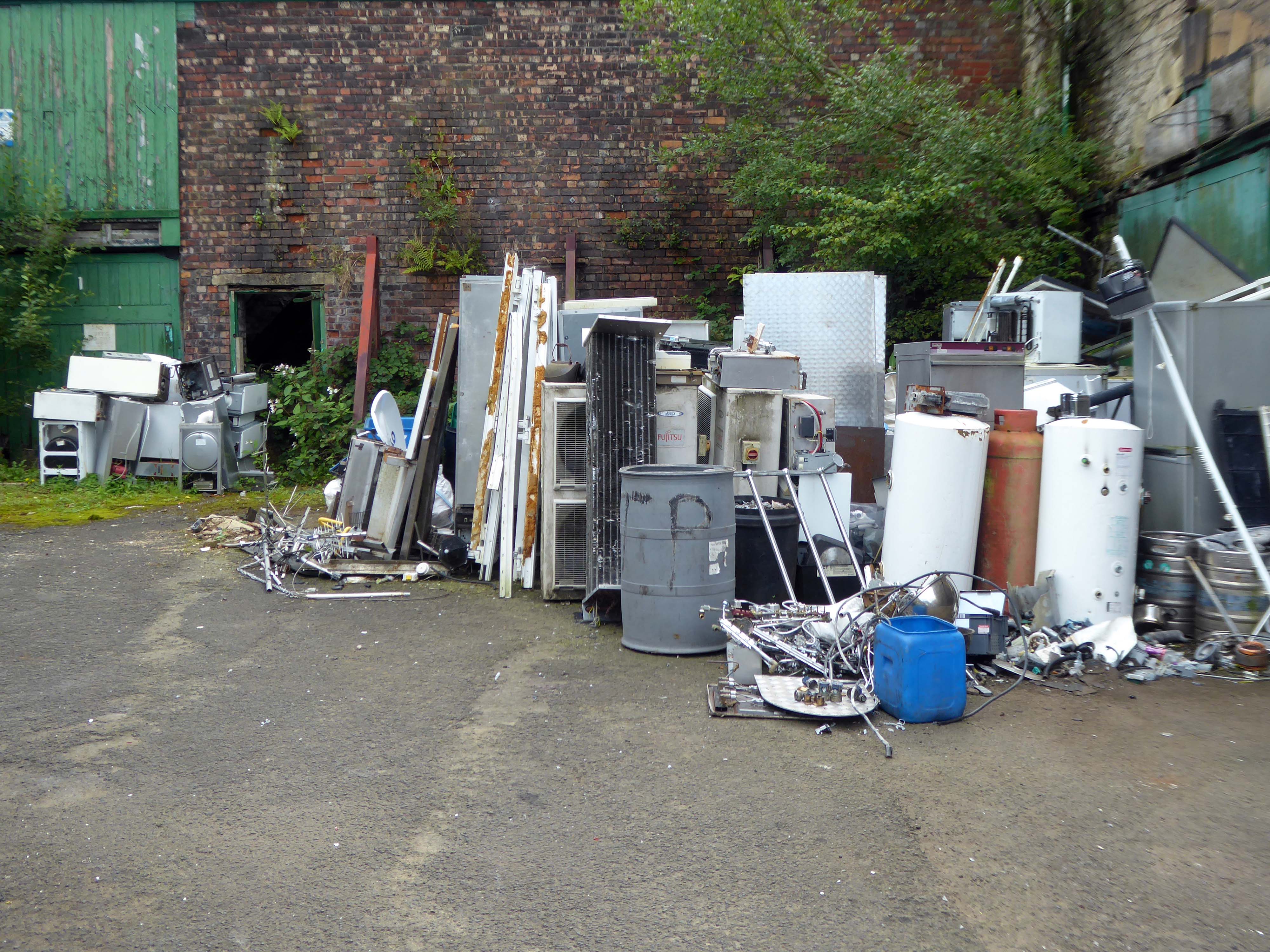
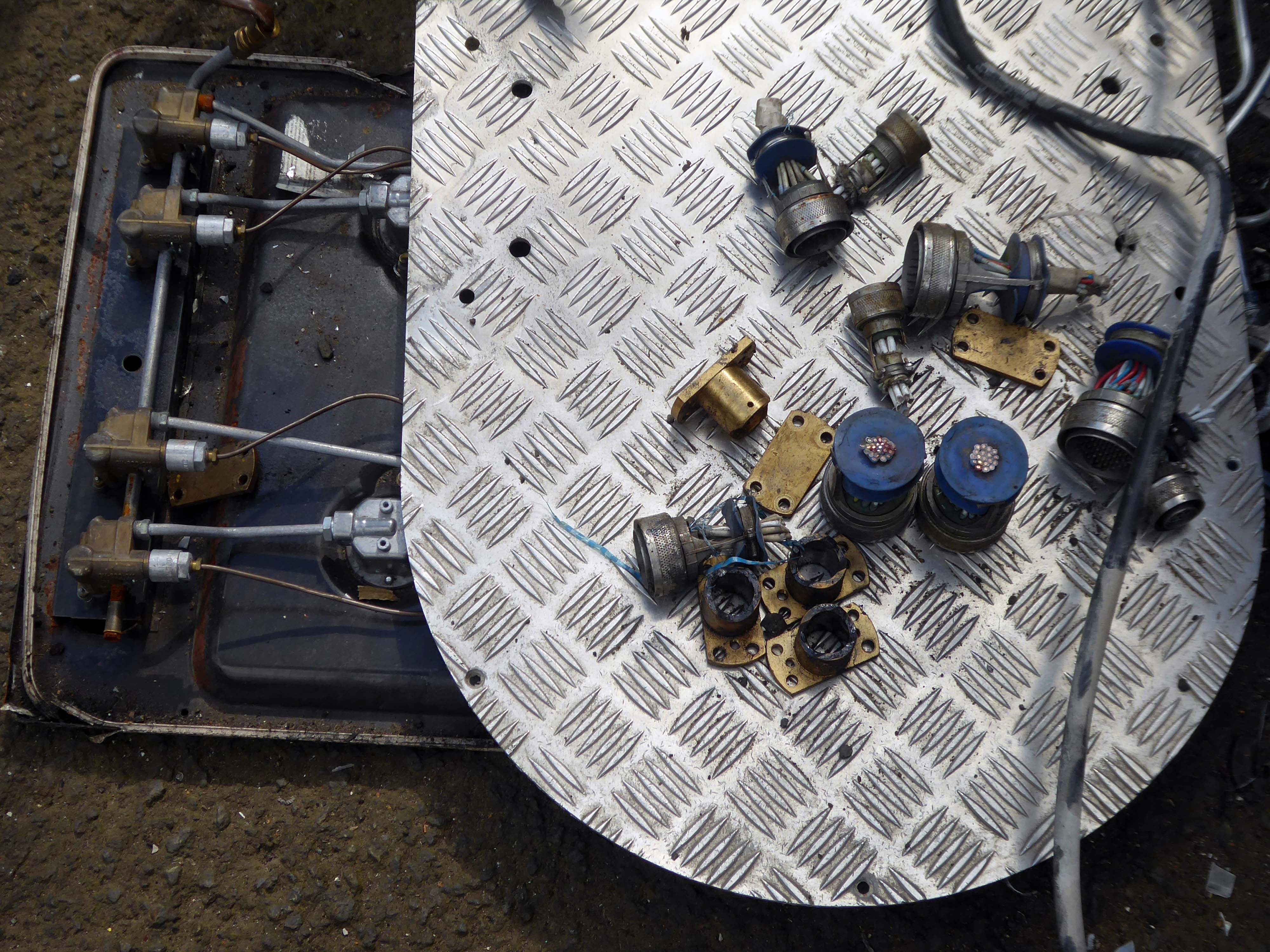
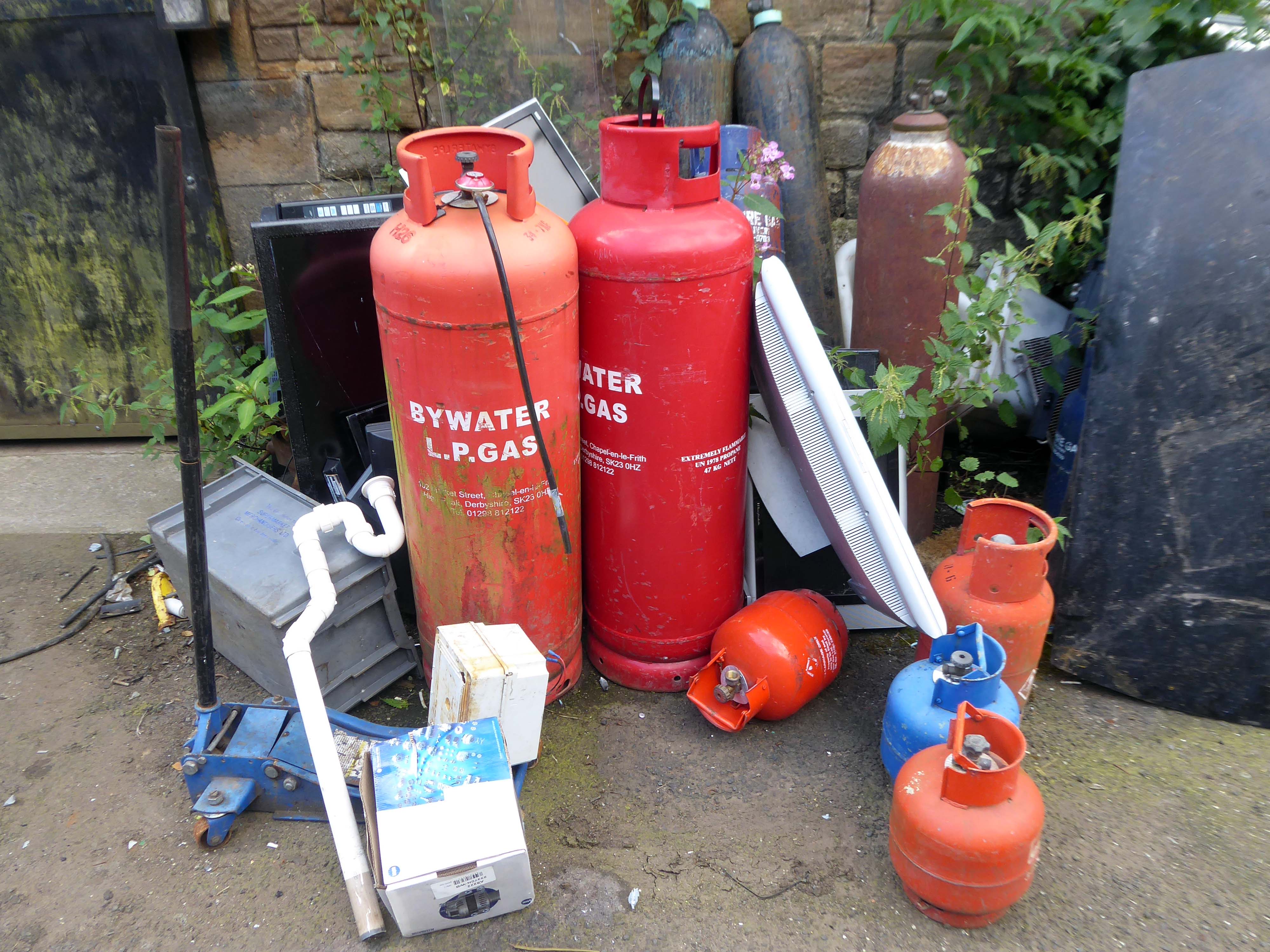
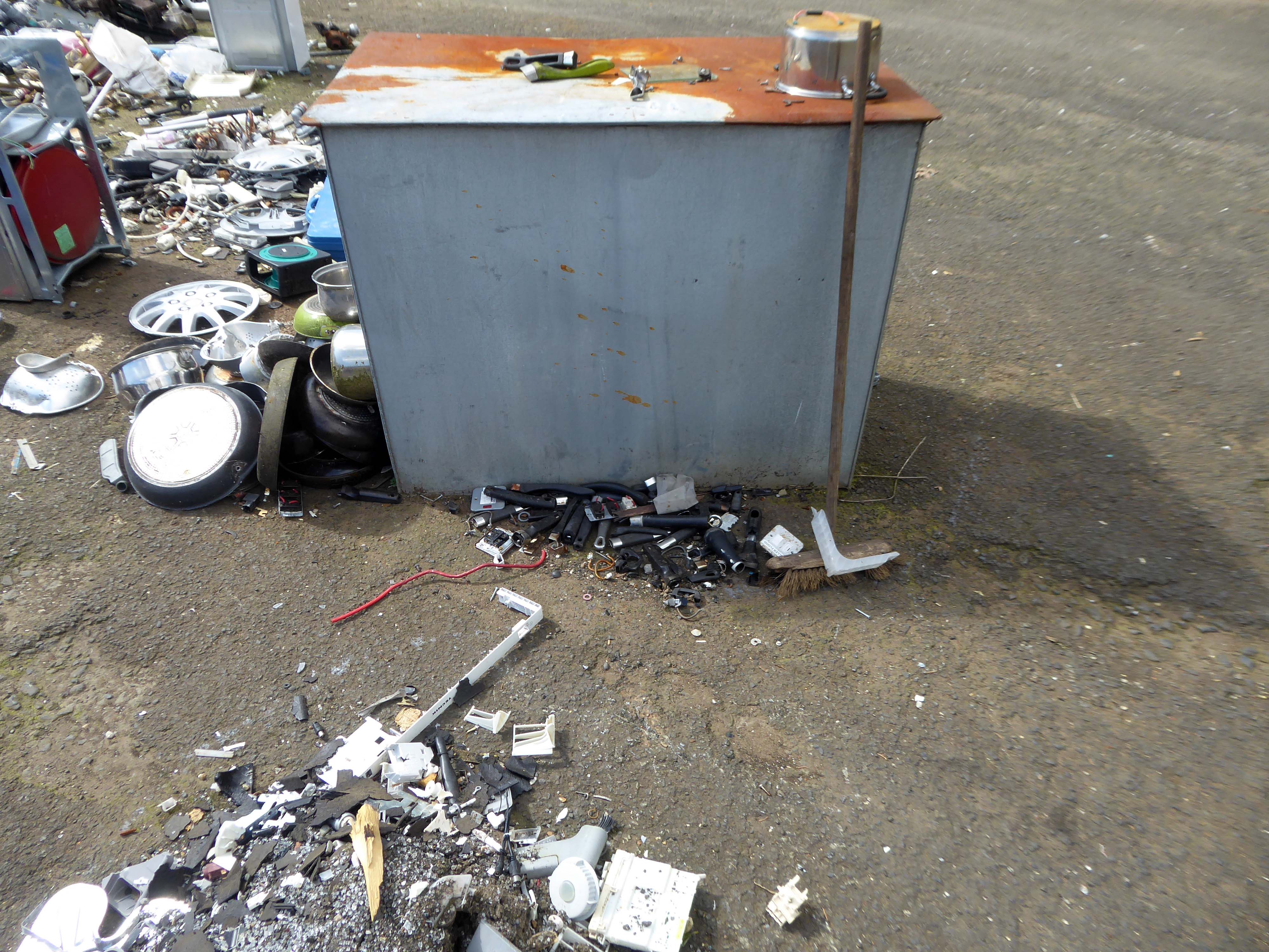
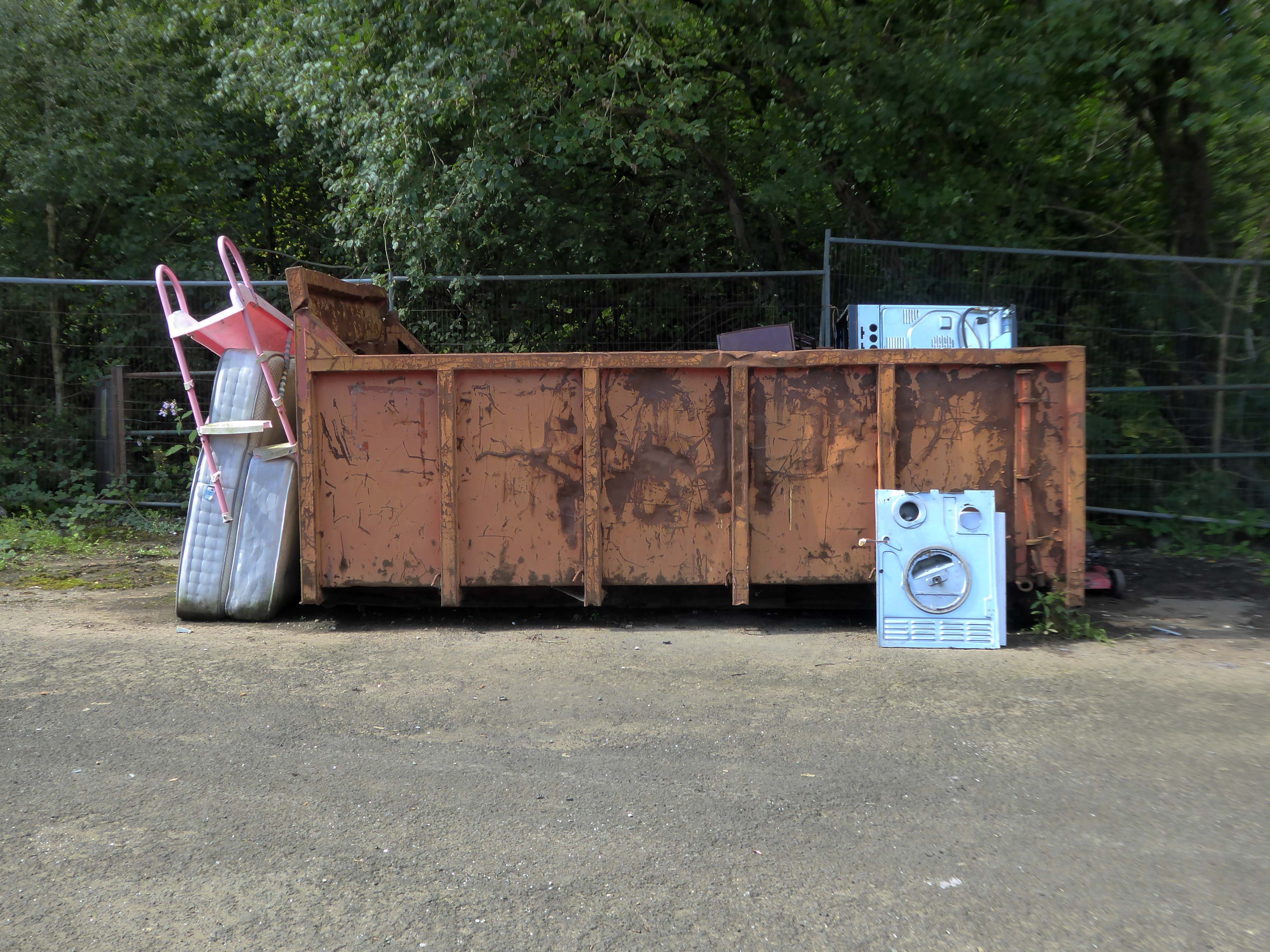
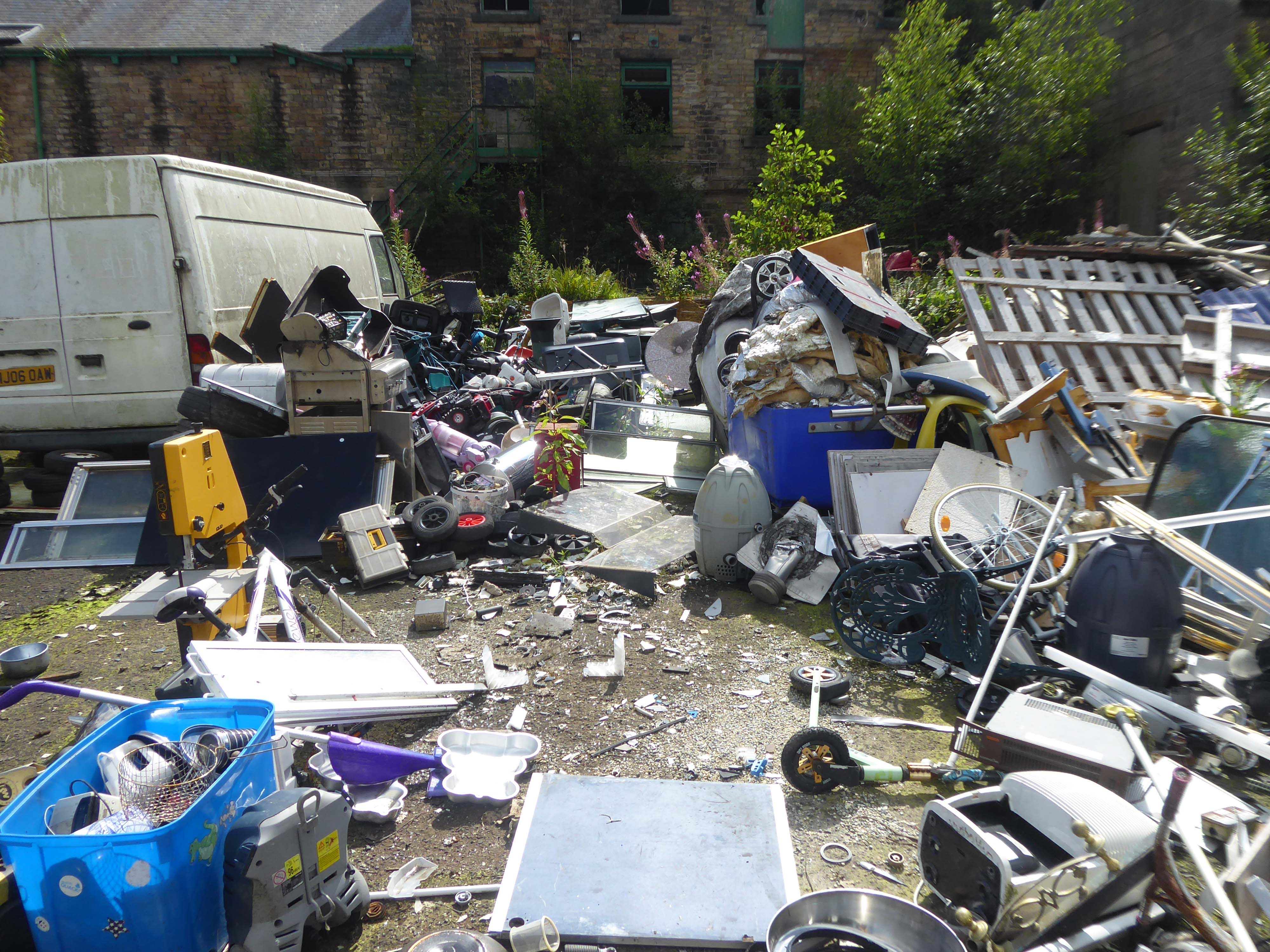
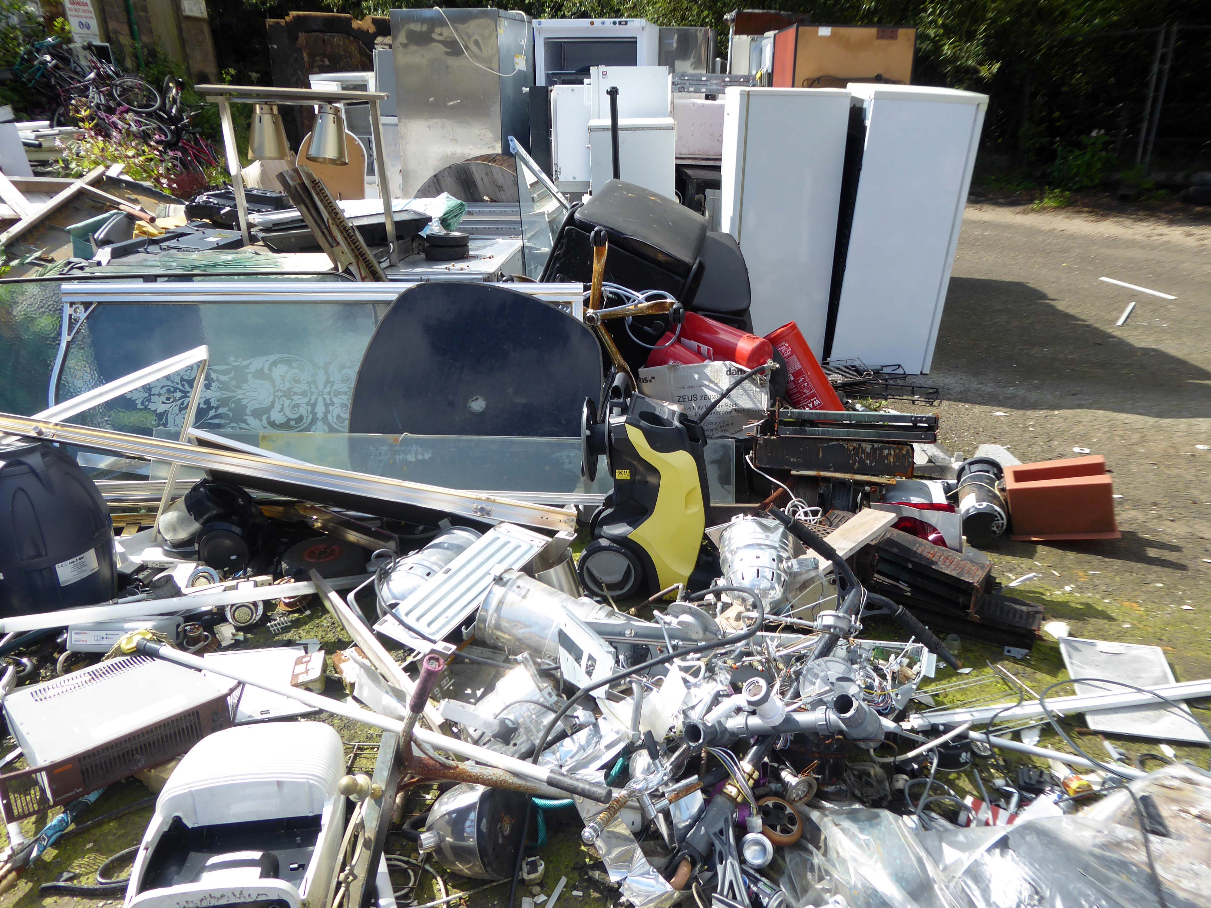
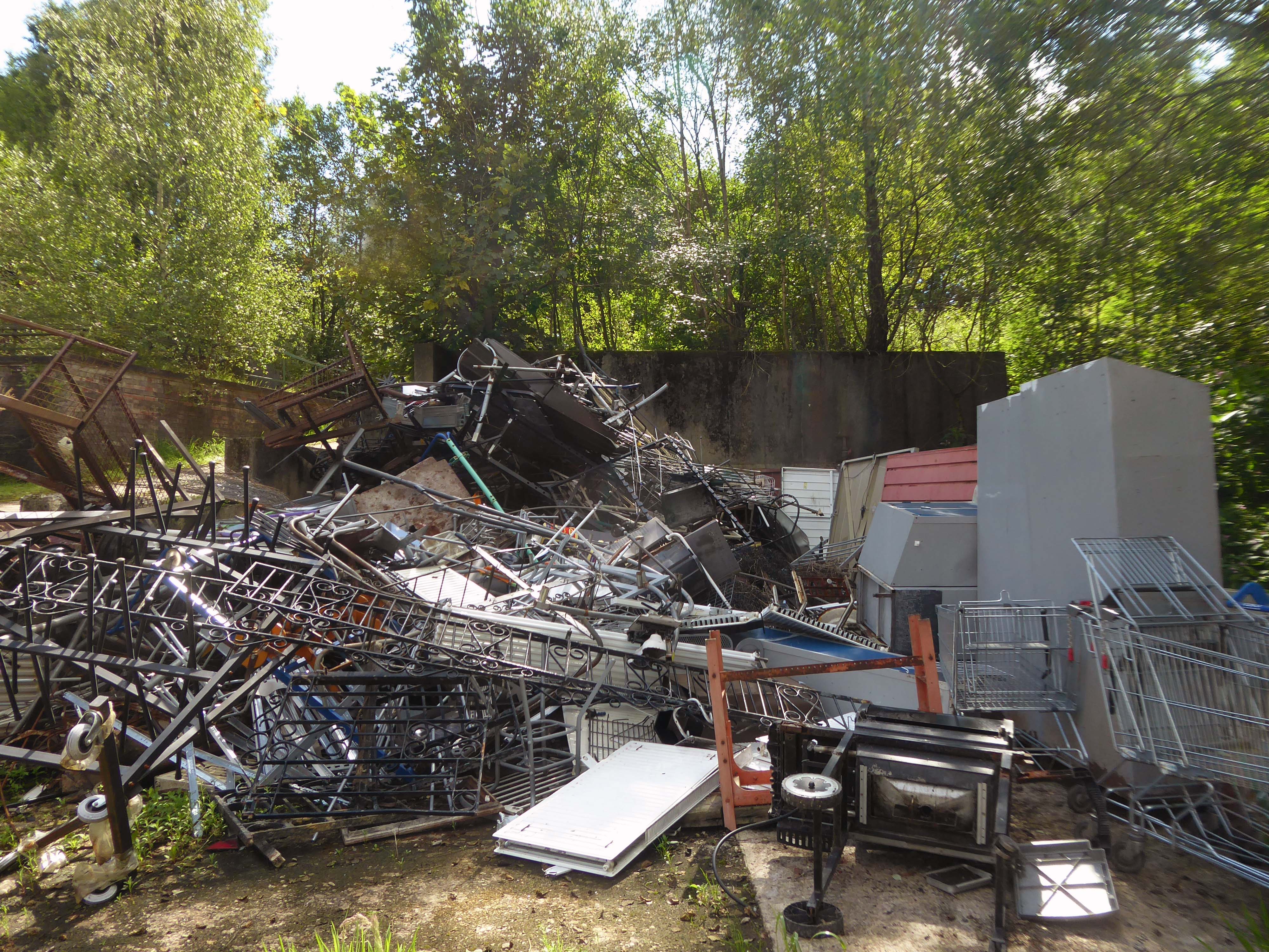
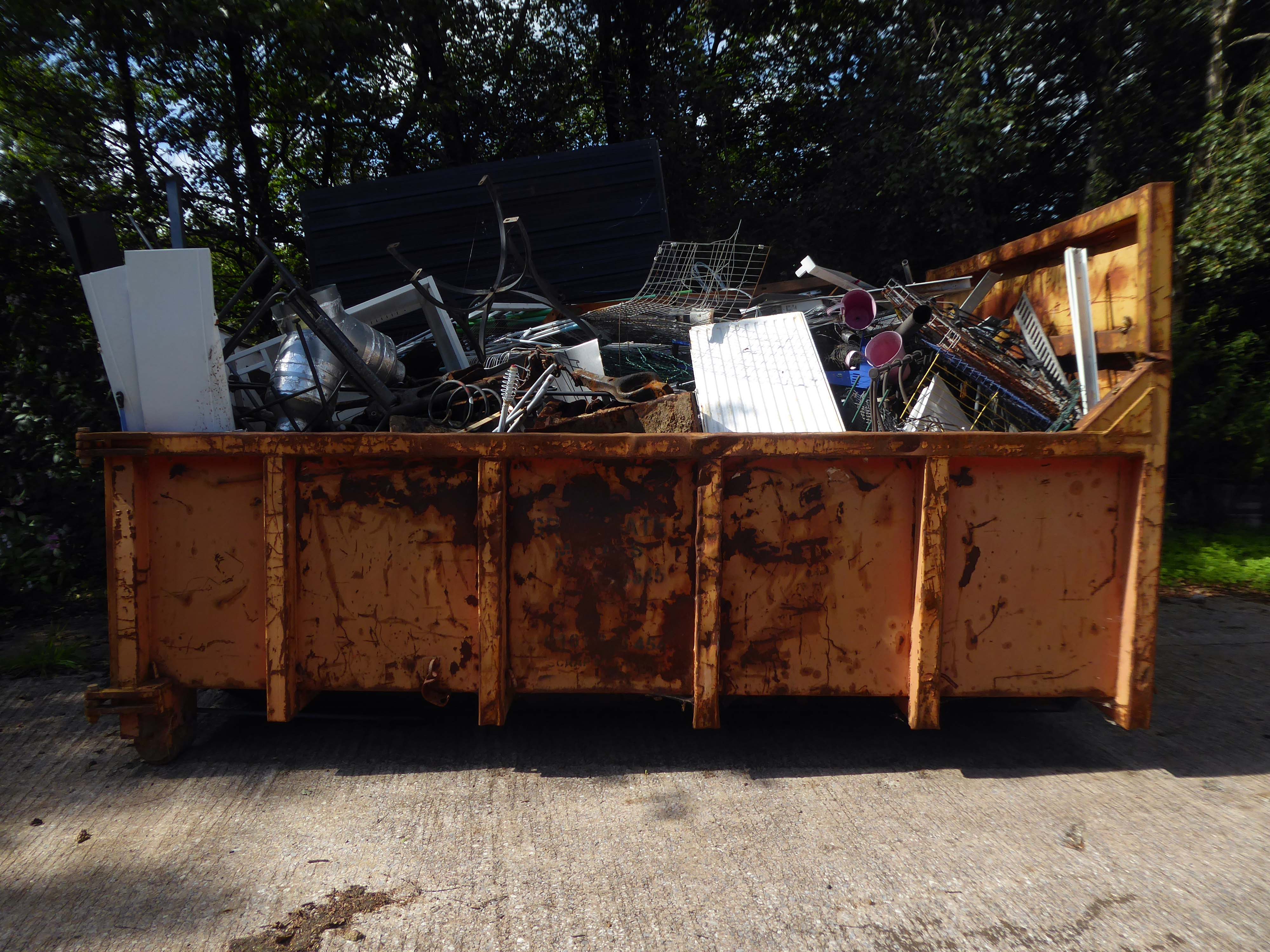
It’s a tram stop – primarily an interchange, though the brand new shiny residential new build has produced a brave band of brand new shiny residents in transit. Slipping and sliding ‘neath the bridge, skating over the age old accretion of filth, oil, diesel and detritus produced by the surrounding scrap yards.
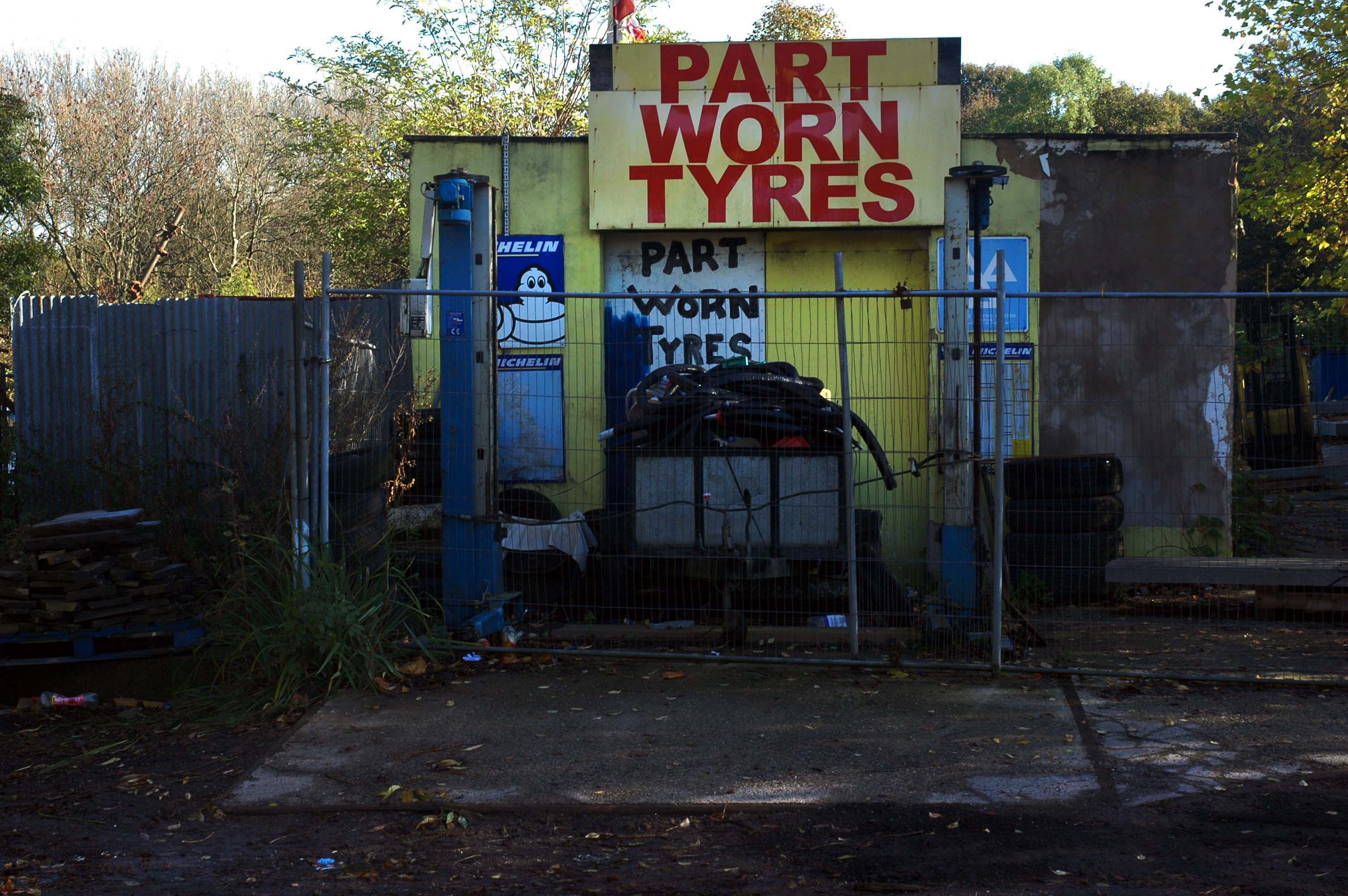
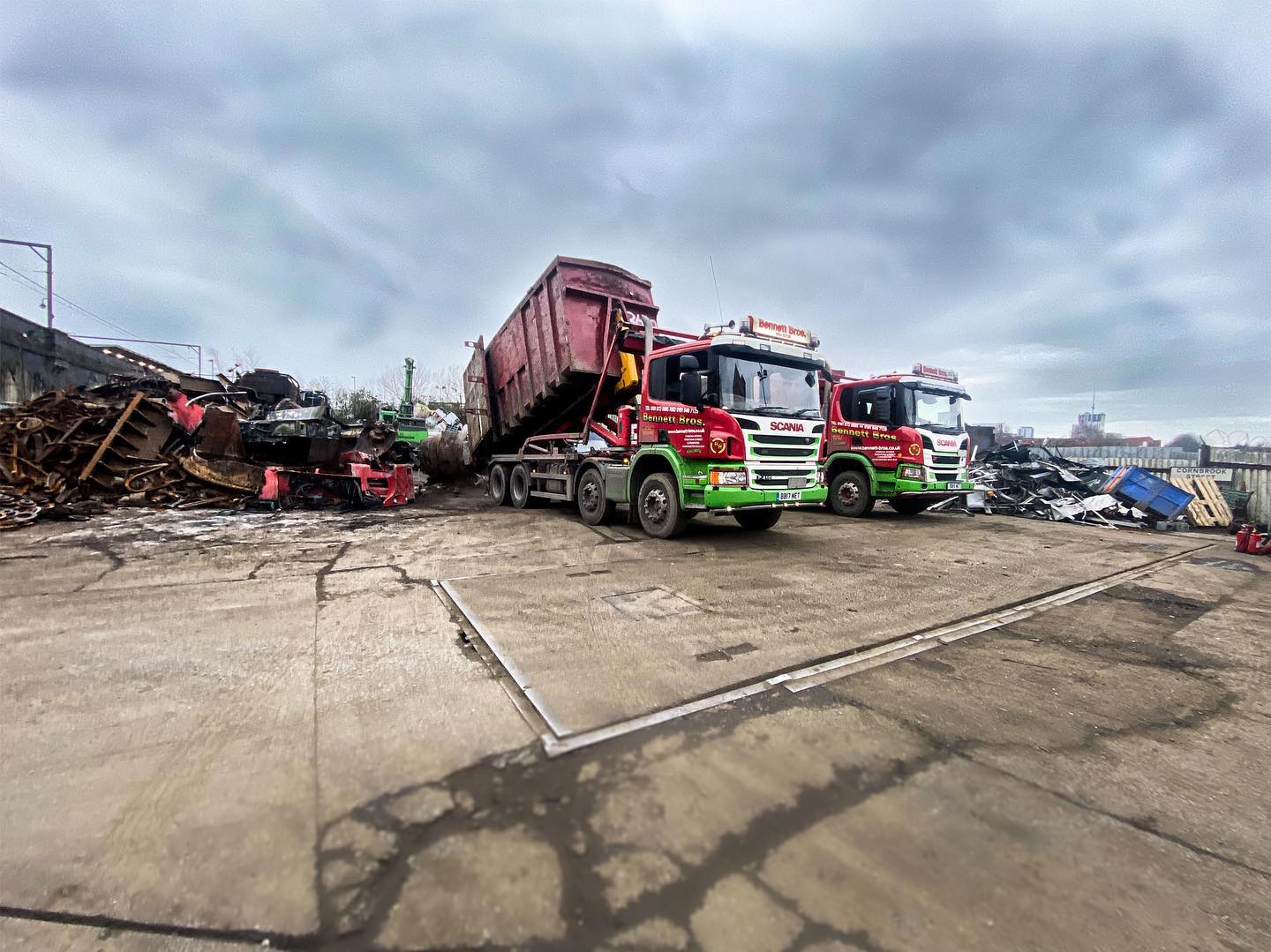
We are one of the first recycling companies operating in the North West, Bennett Bros was founded in 1948 by Francis William Bennett and Bernard Bennett, and remains a family-run business to this day. Bennett Bros was originally involved in loaning ponies to the many rag and bone men who collected unwanted household items and sold them to merchants, and while the recycling industry has now embraced modern technology, we are very proud of our heritage as innovators in what was then a new industry.
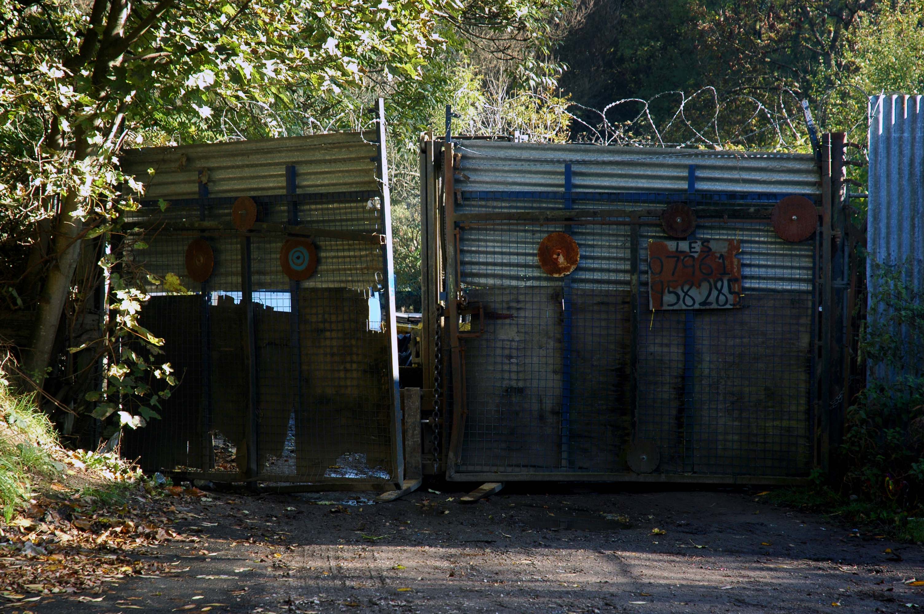
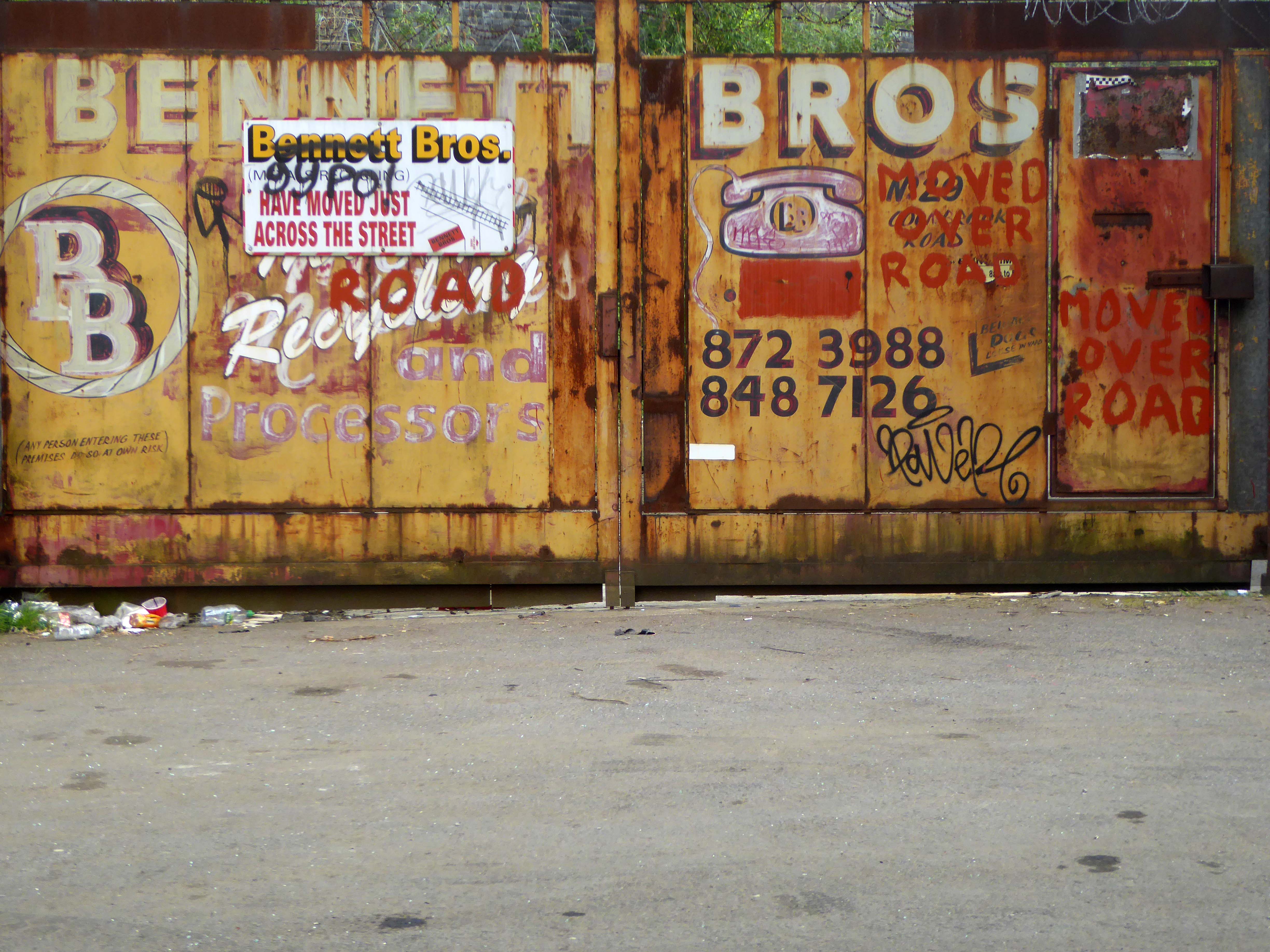
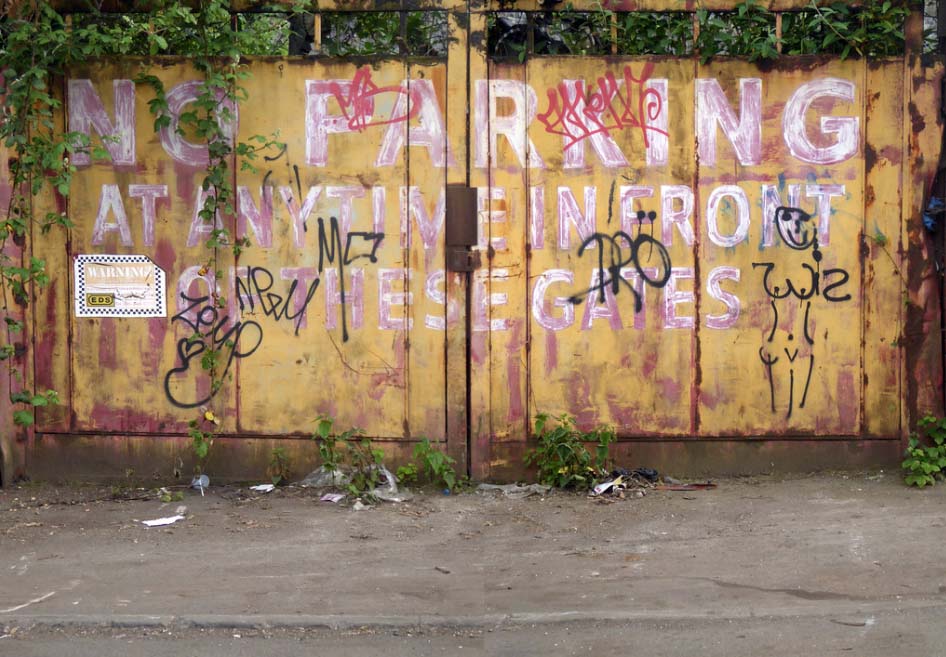
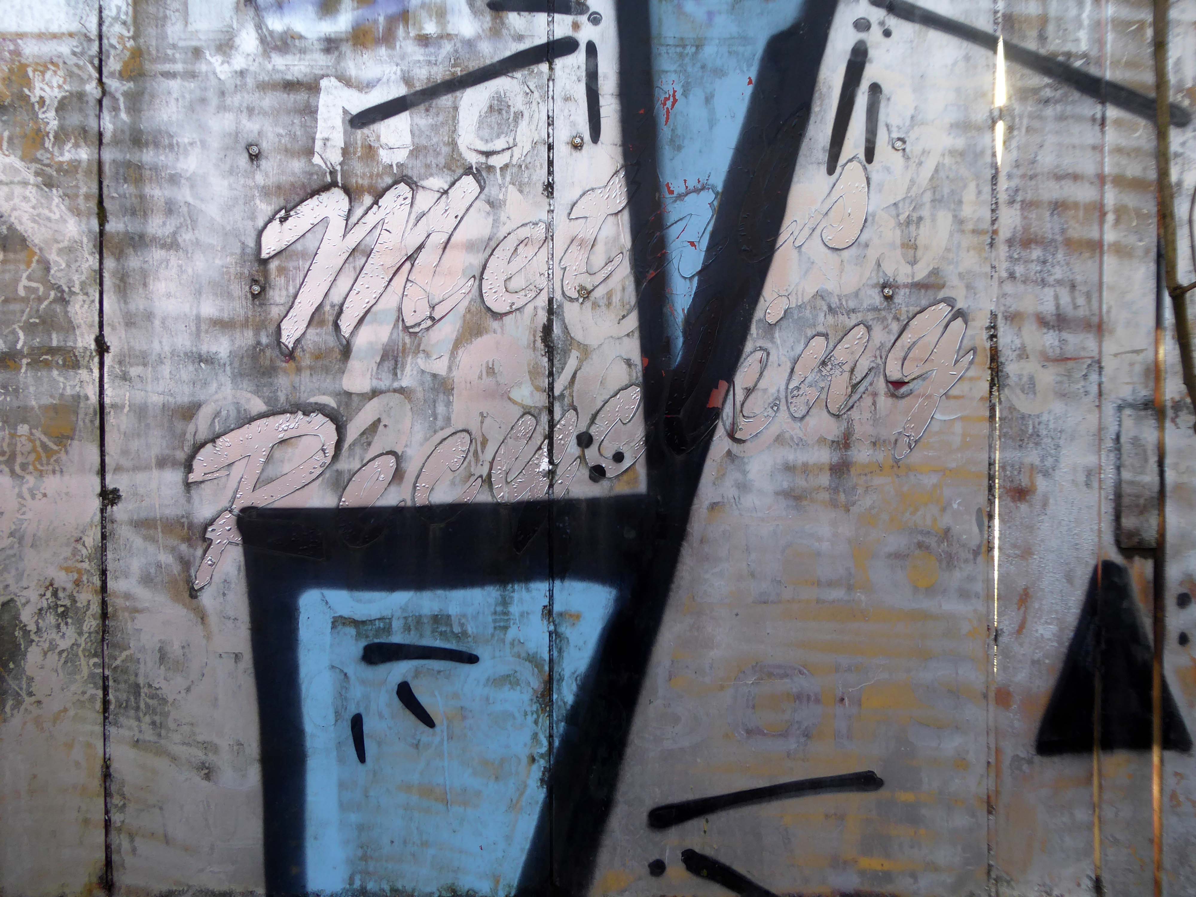
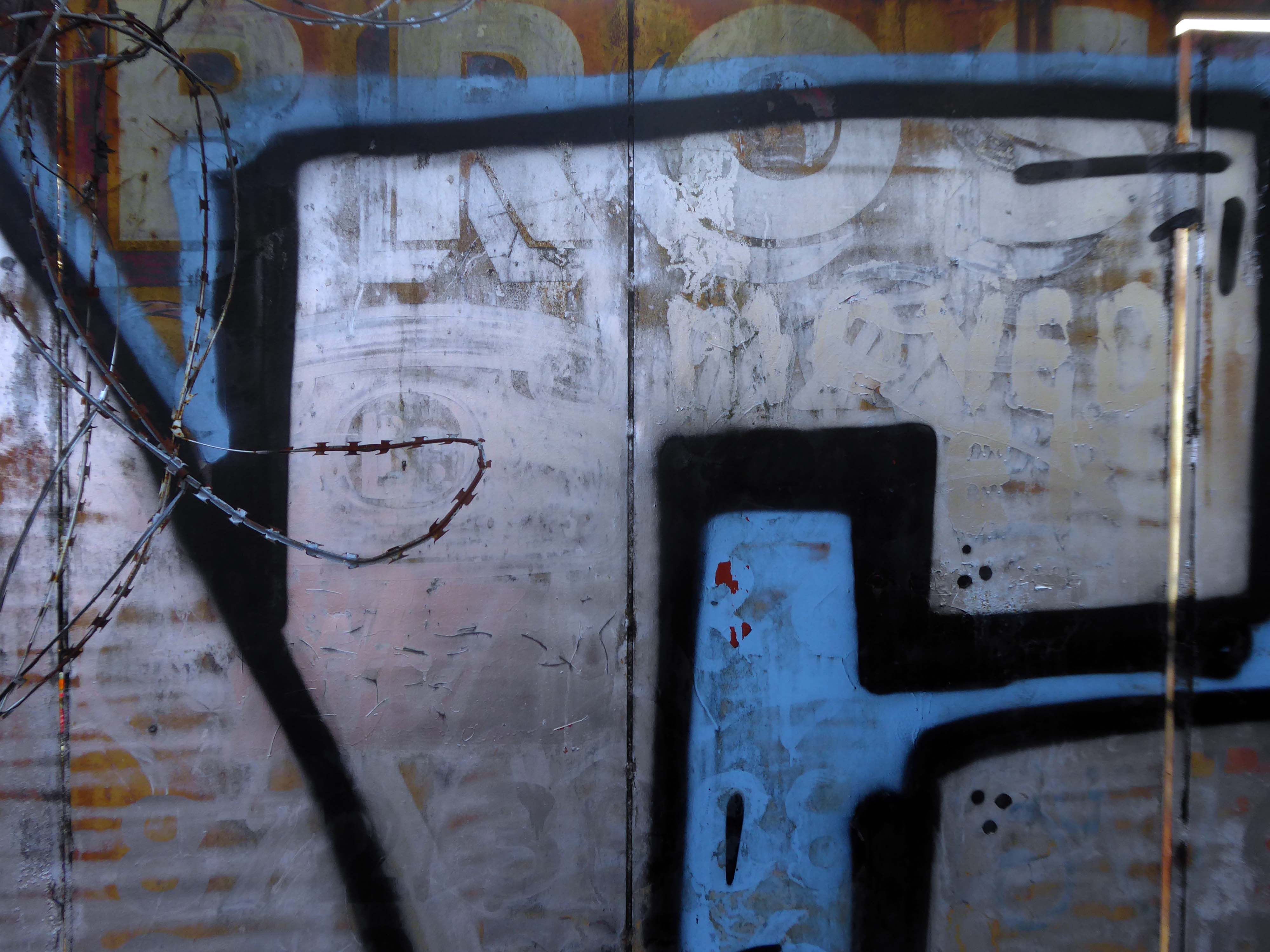
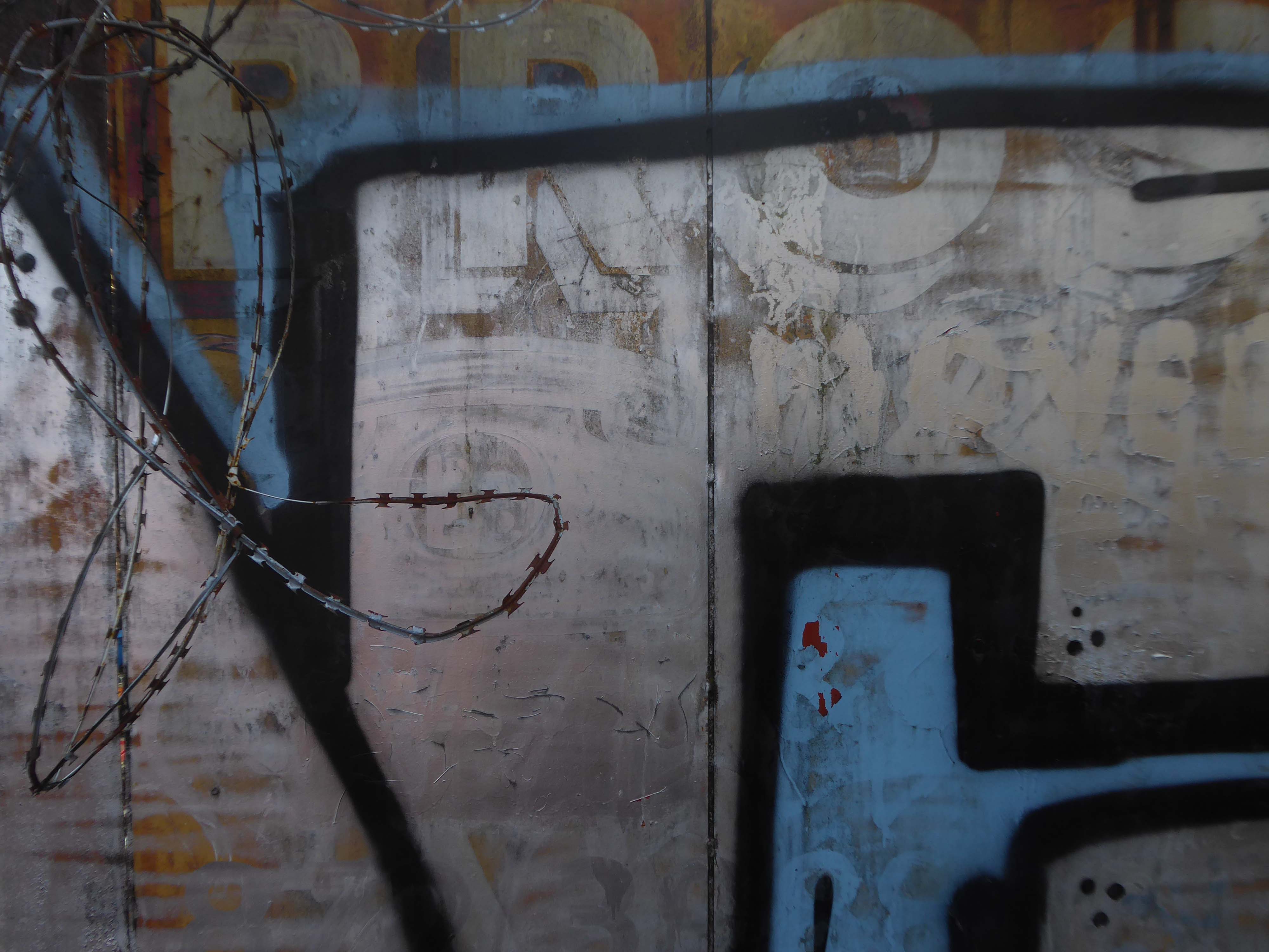
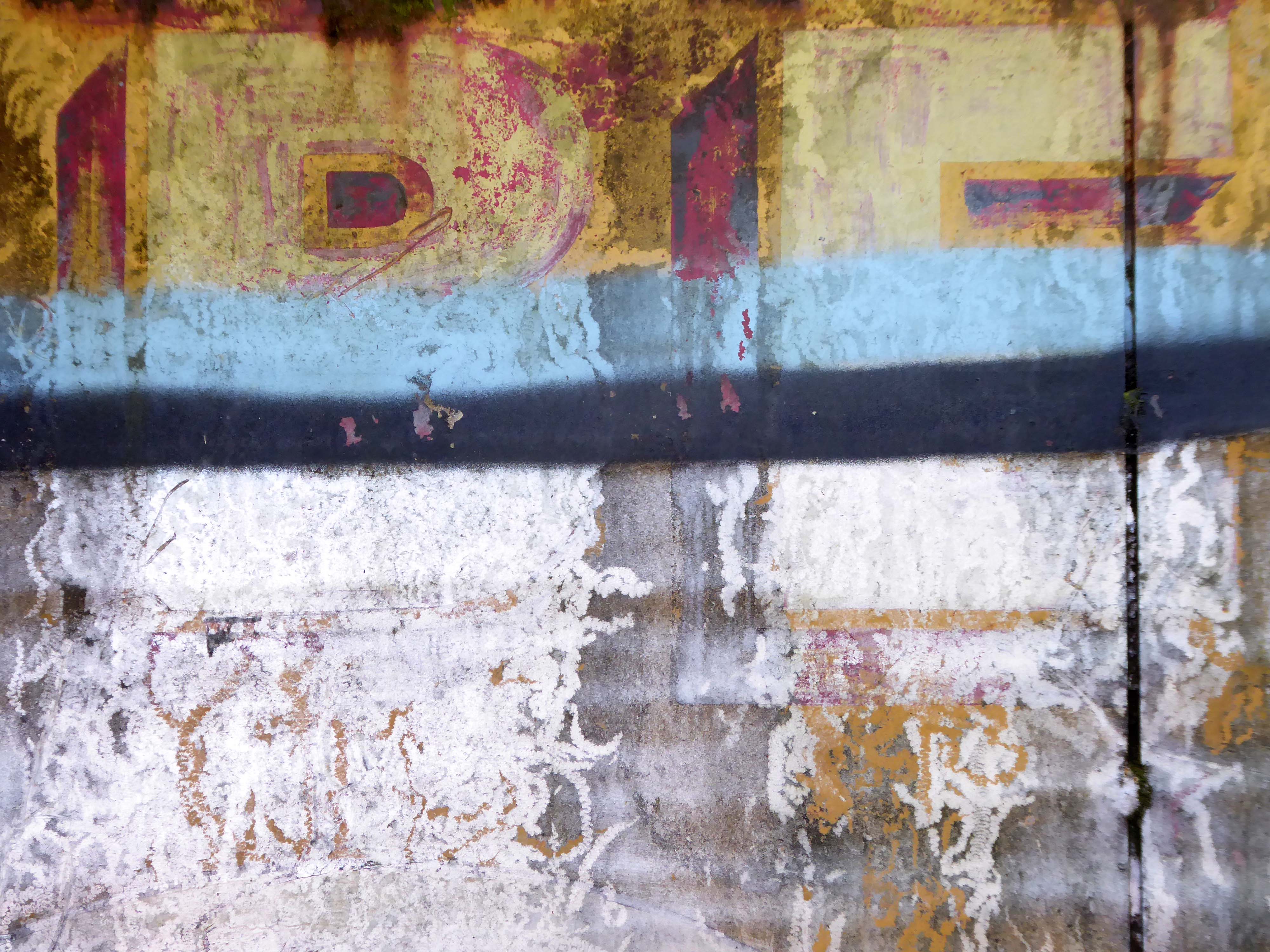
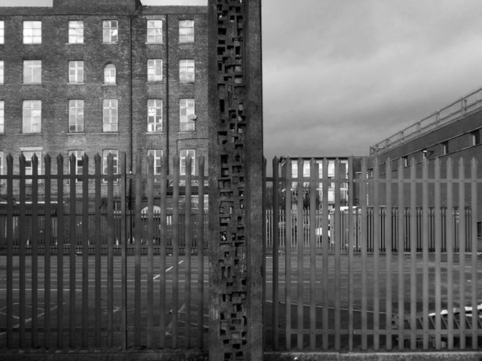
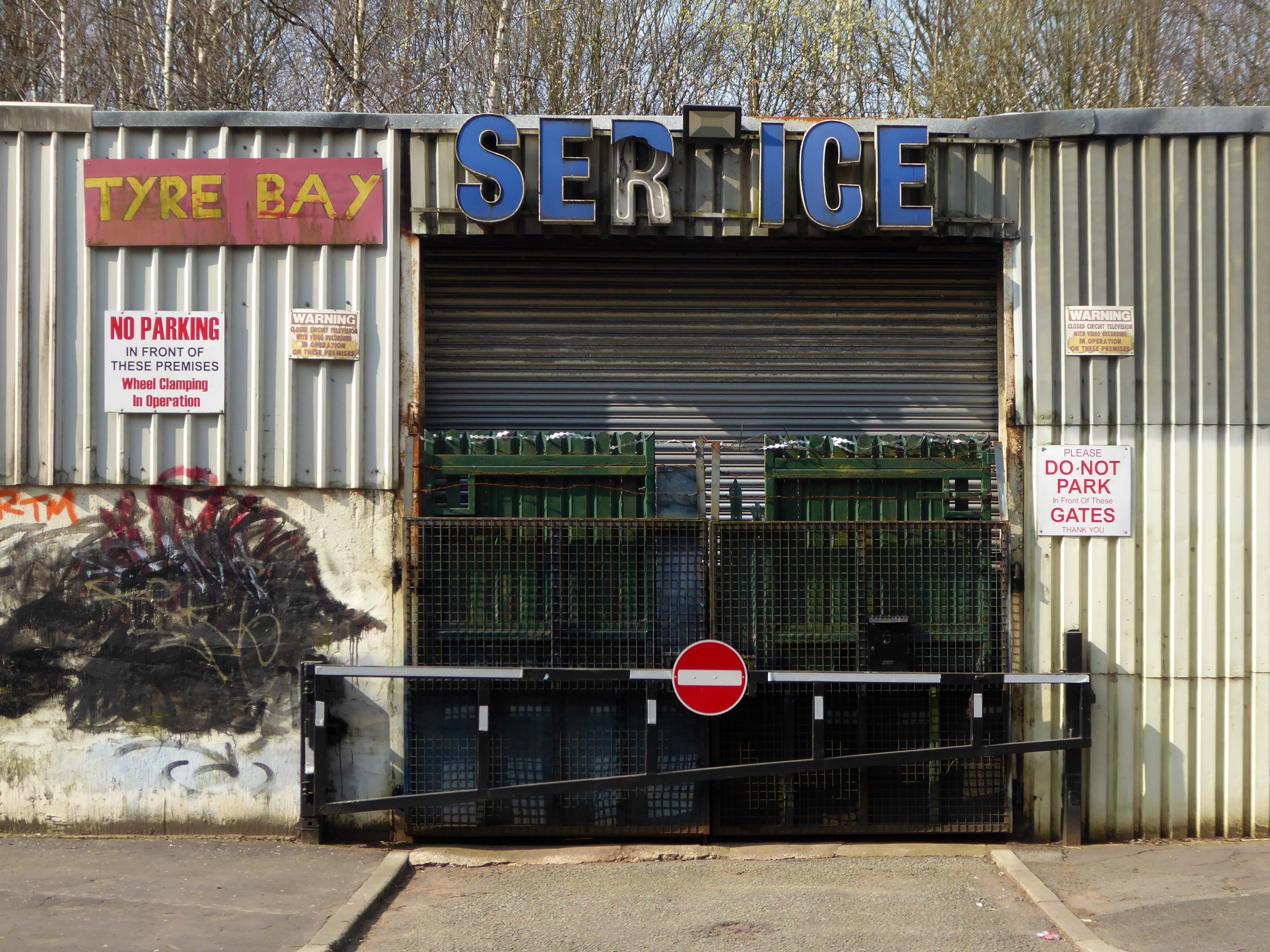
In 2017 I visited the area to snap the gates of their older site – as they had moved the business just across the street.
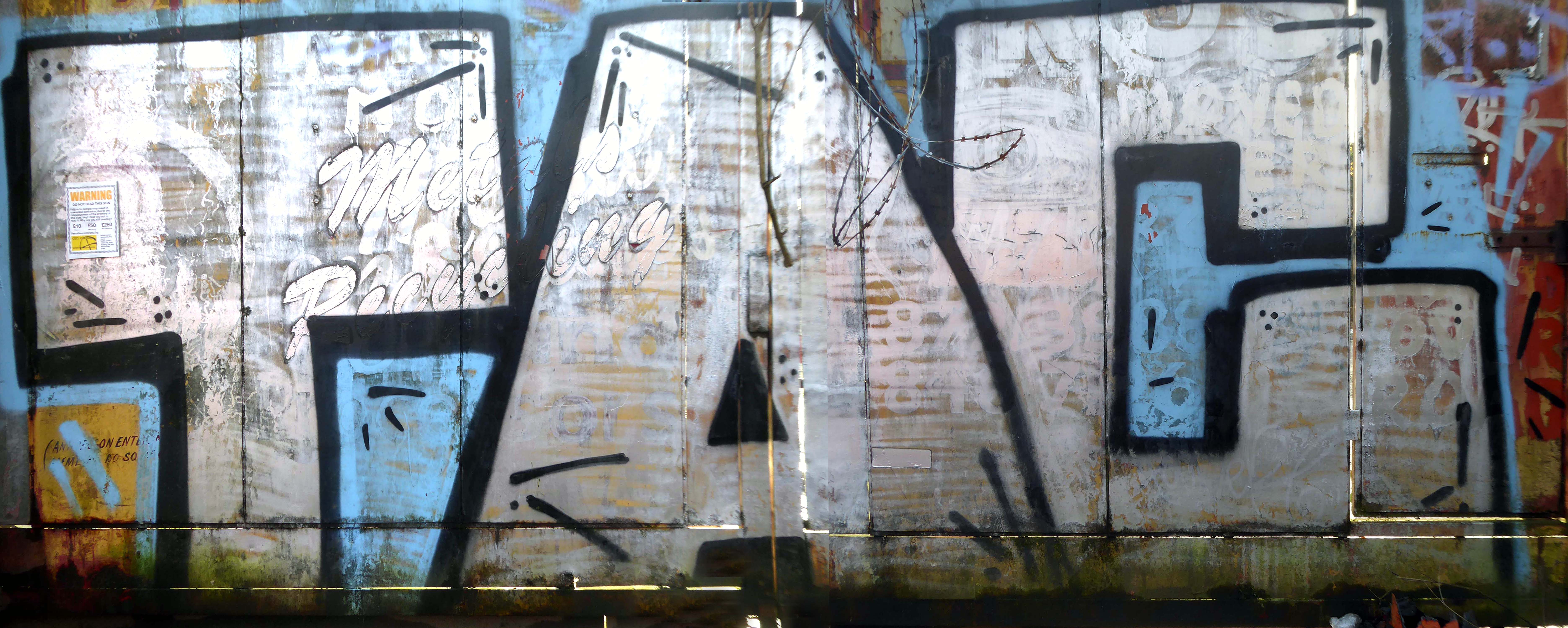
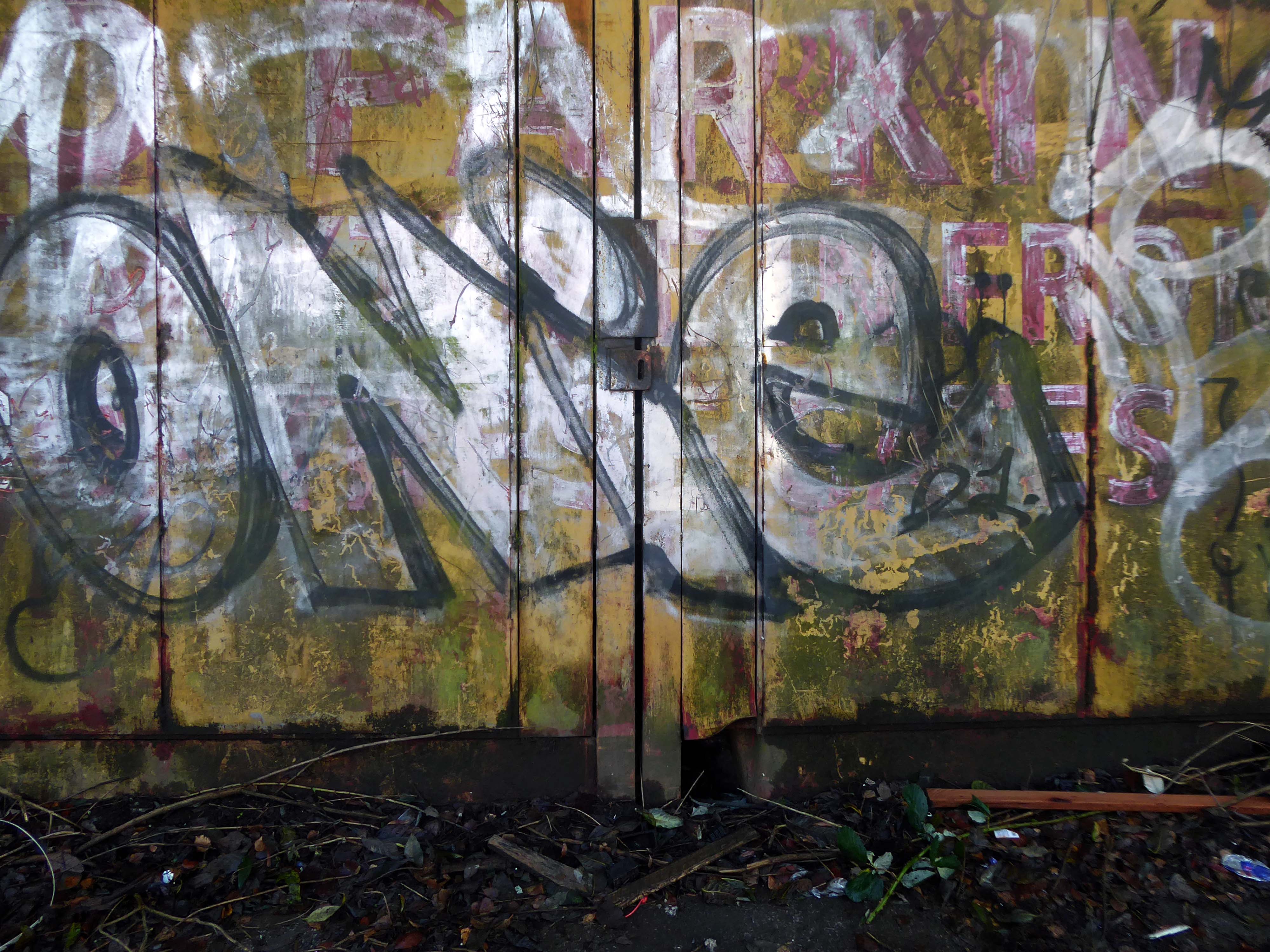
I returned in December 2023 to discover what had become of the gates.
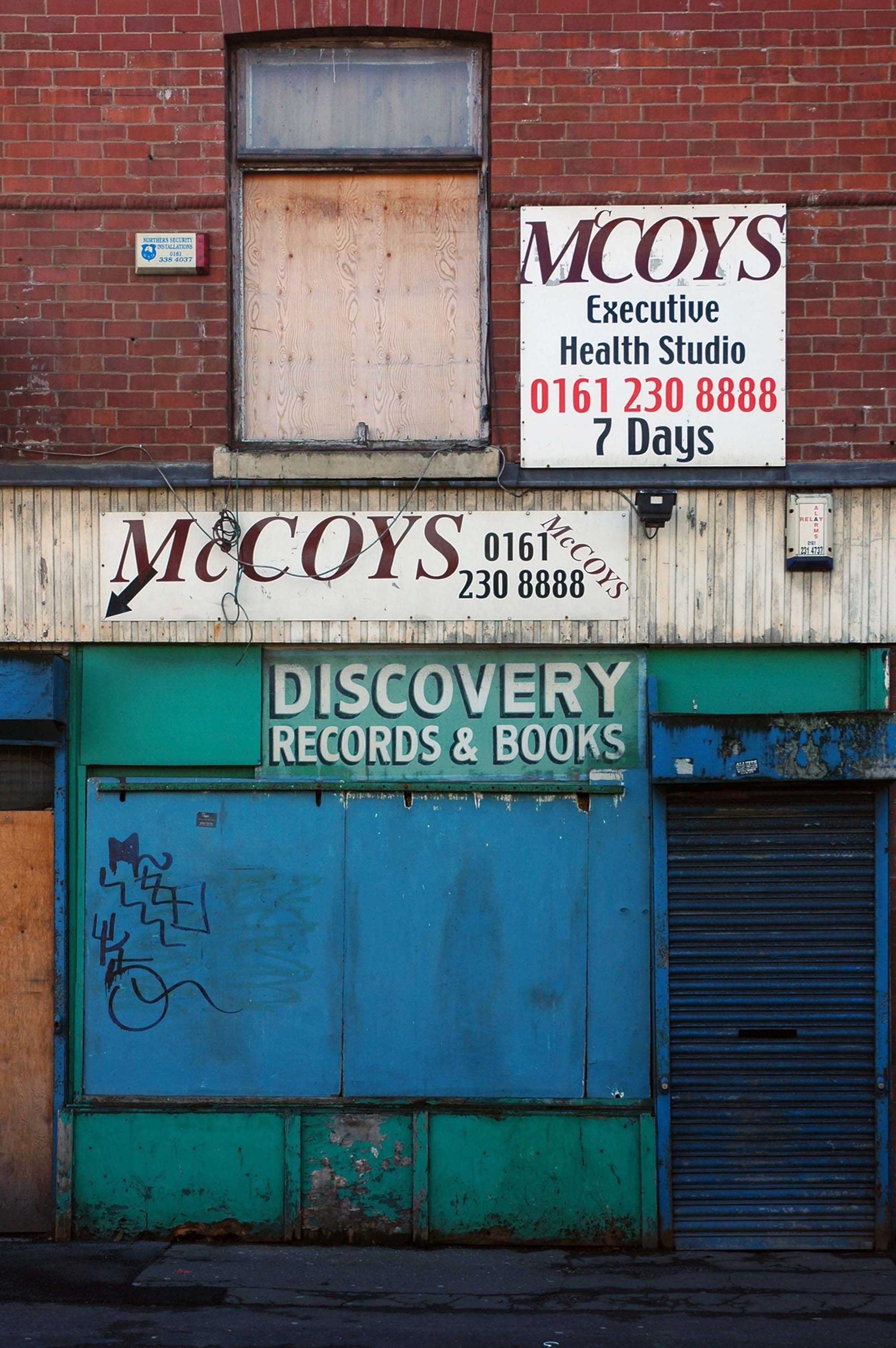
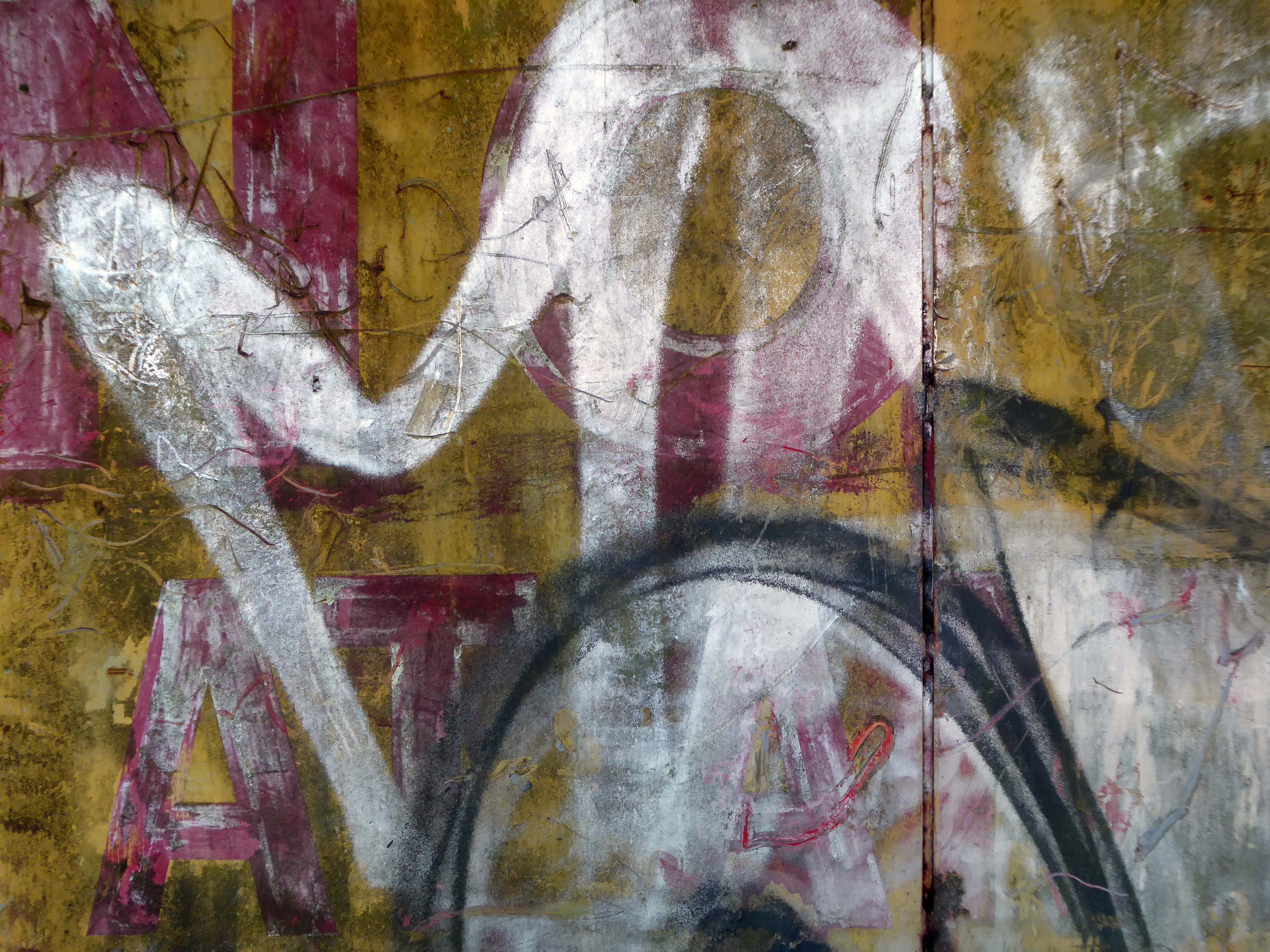
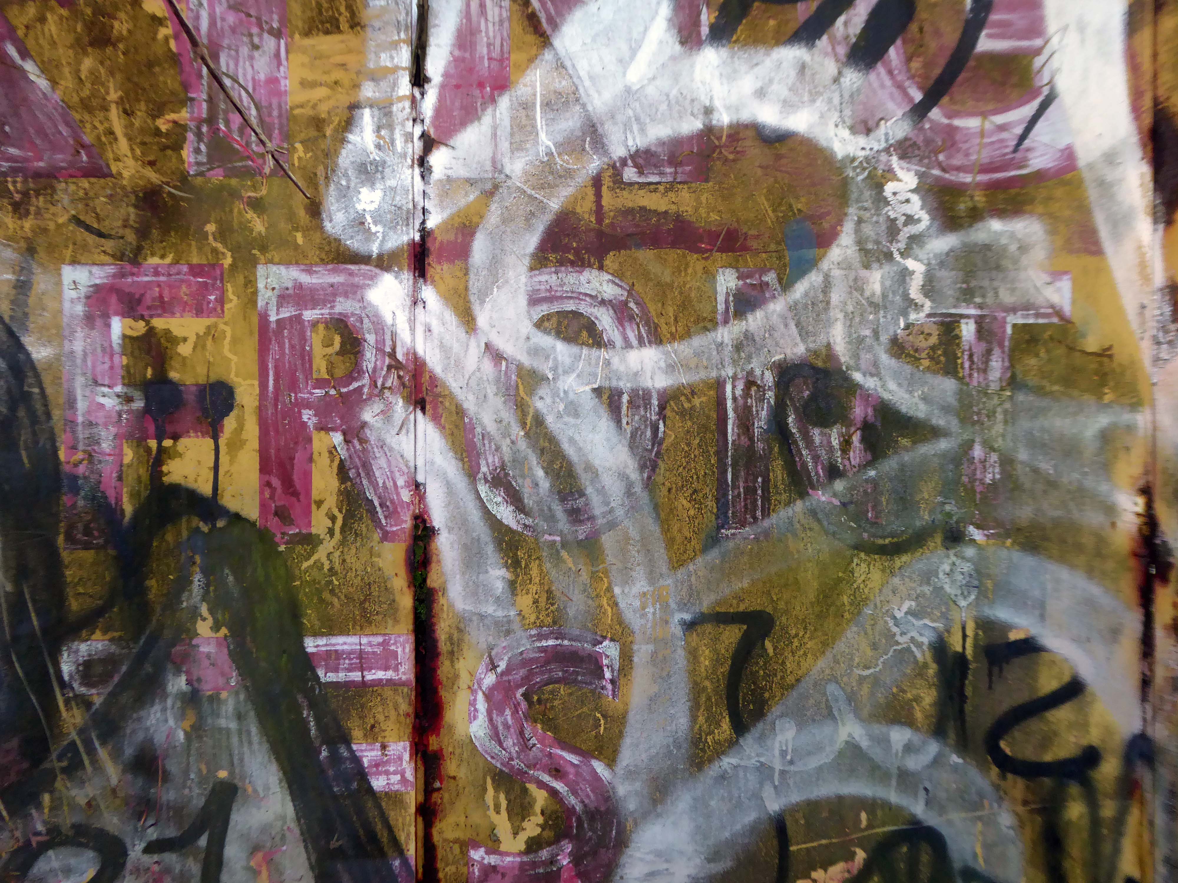
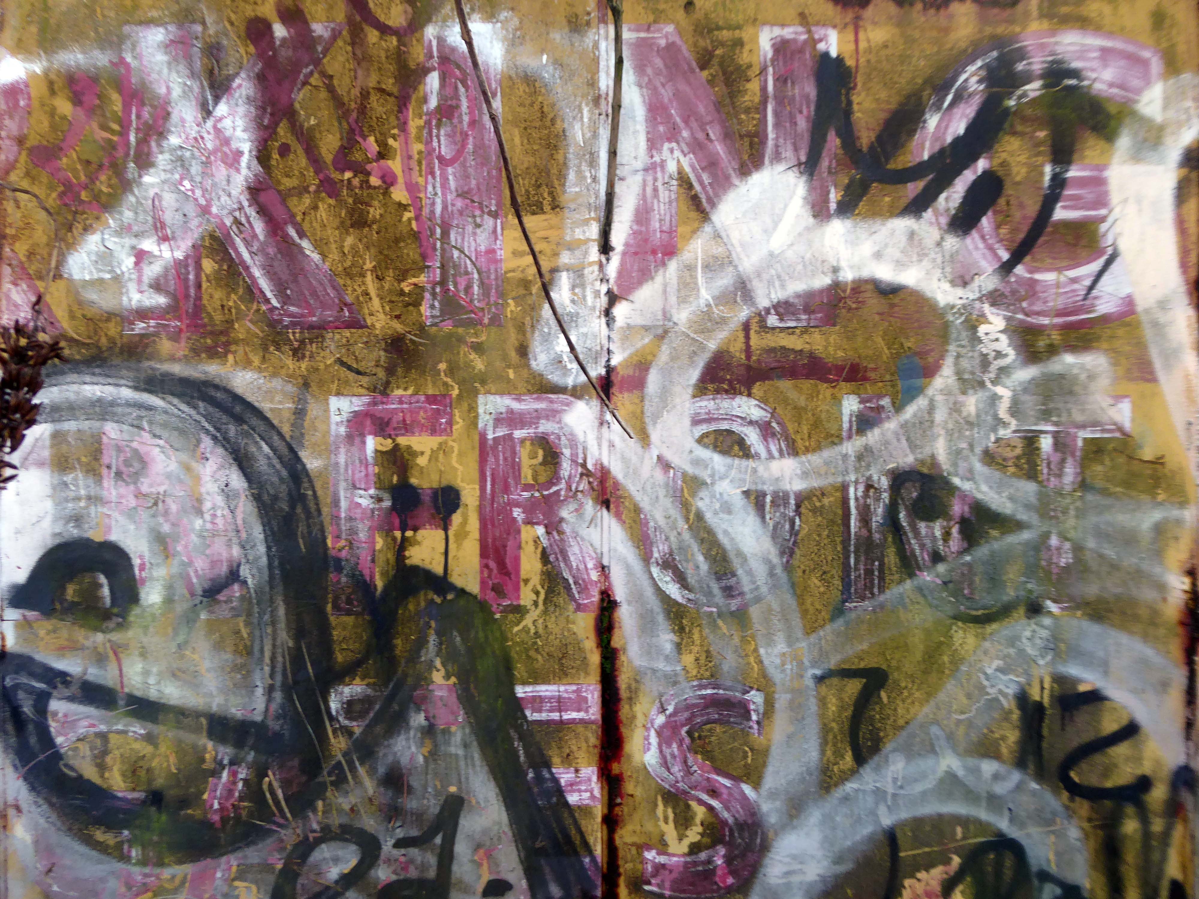
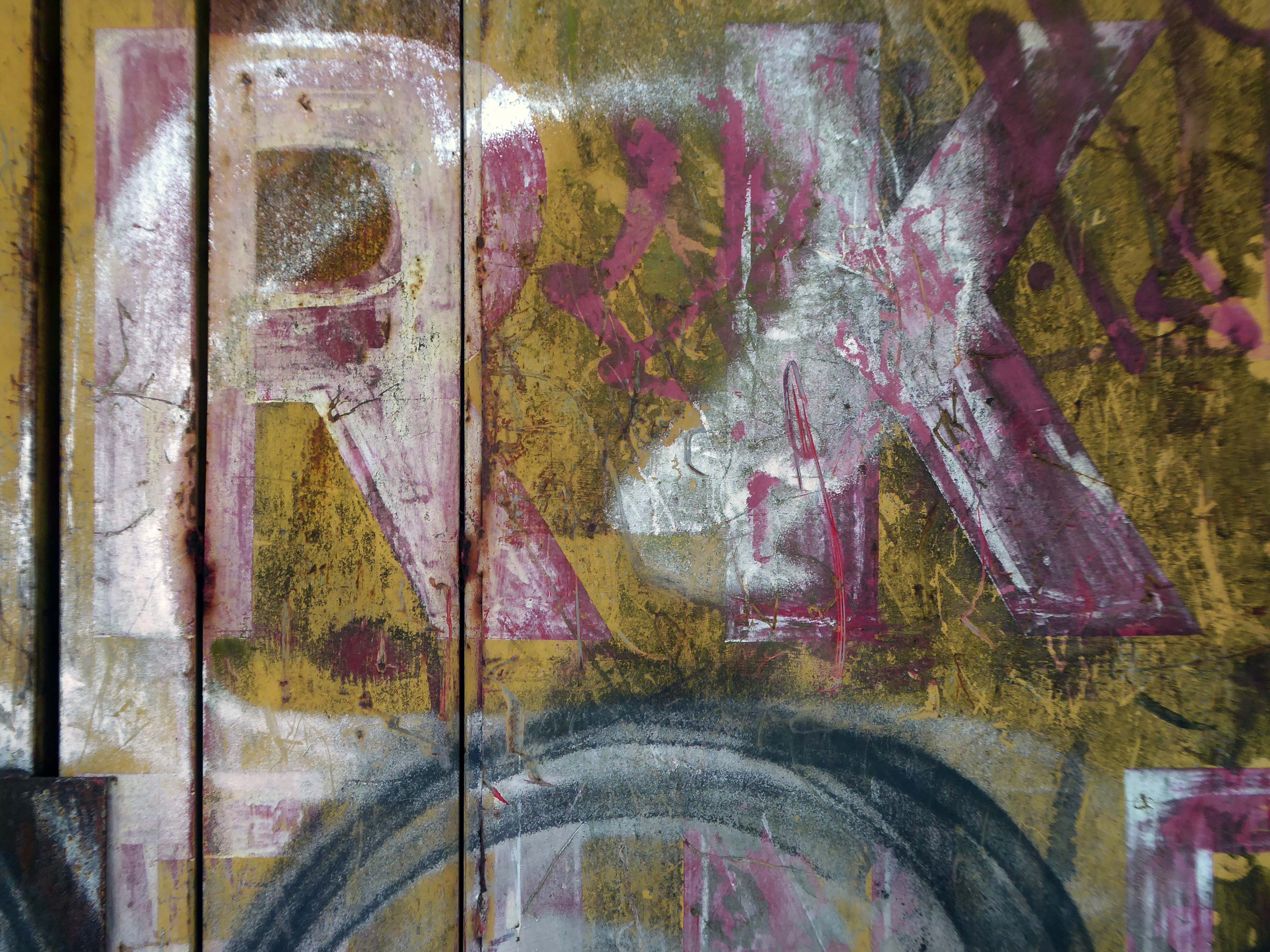
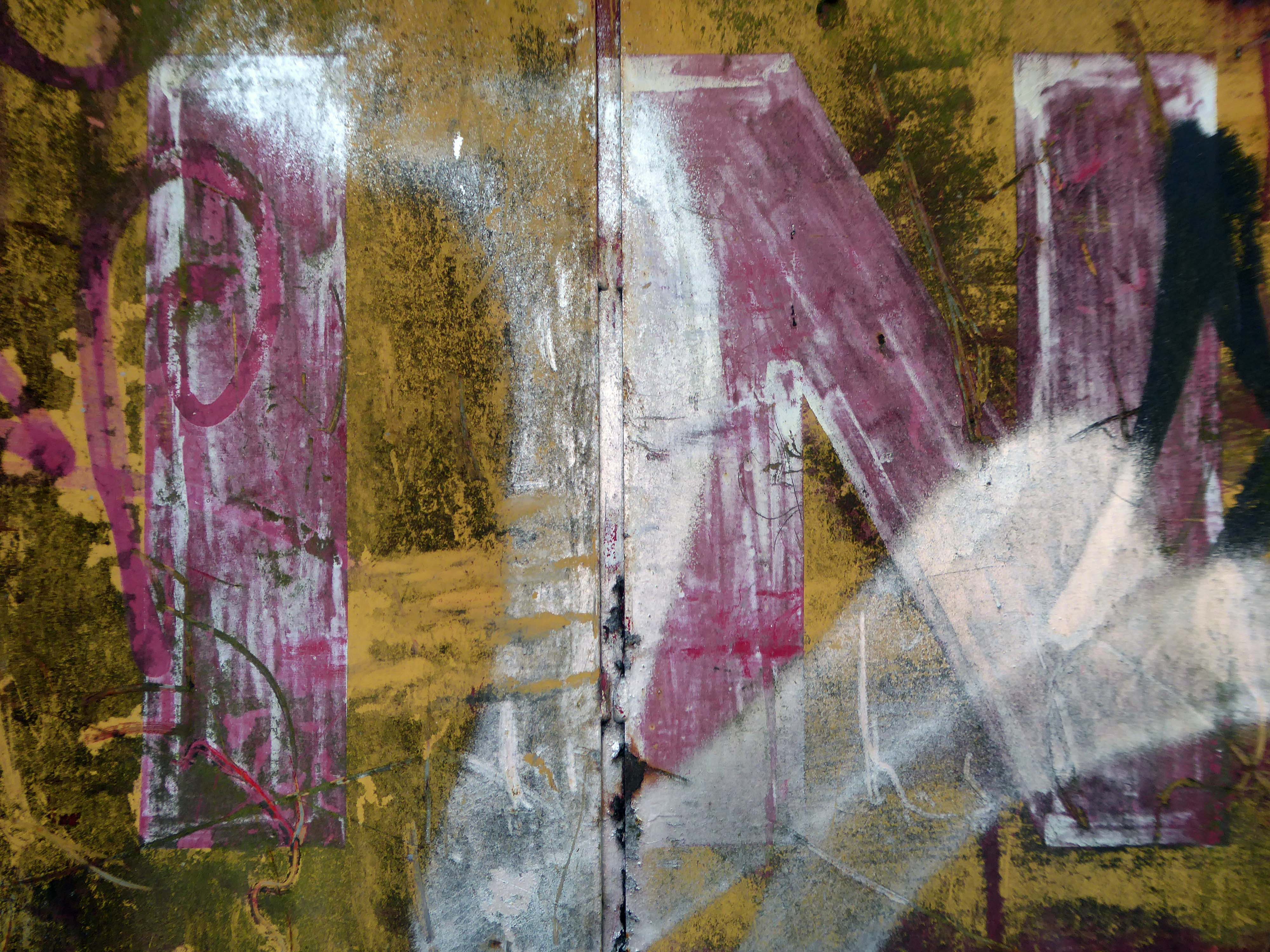
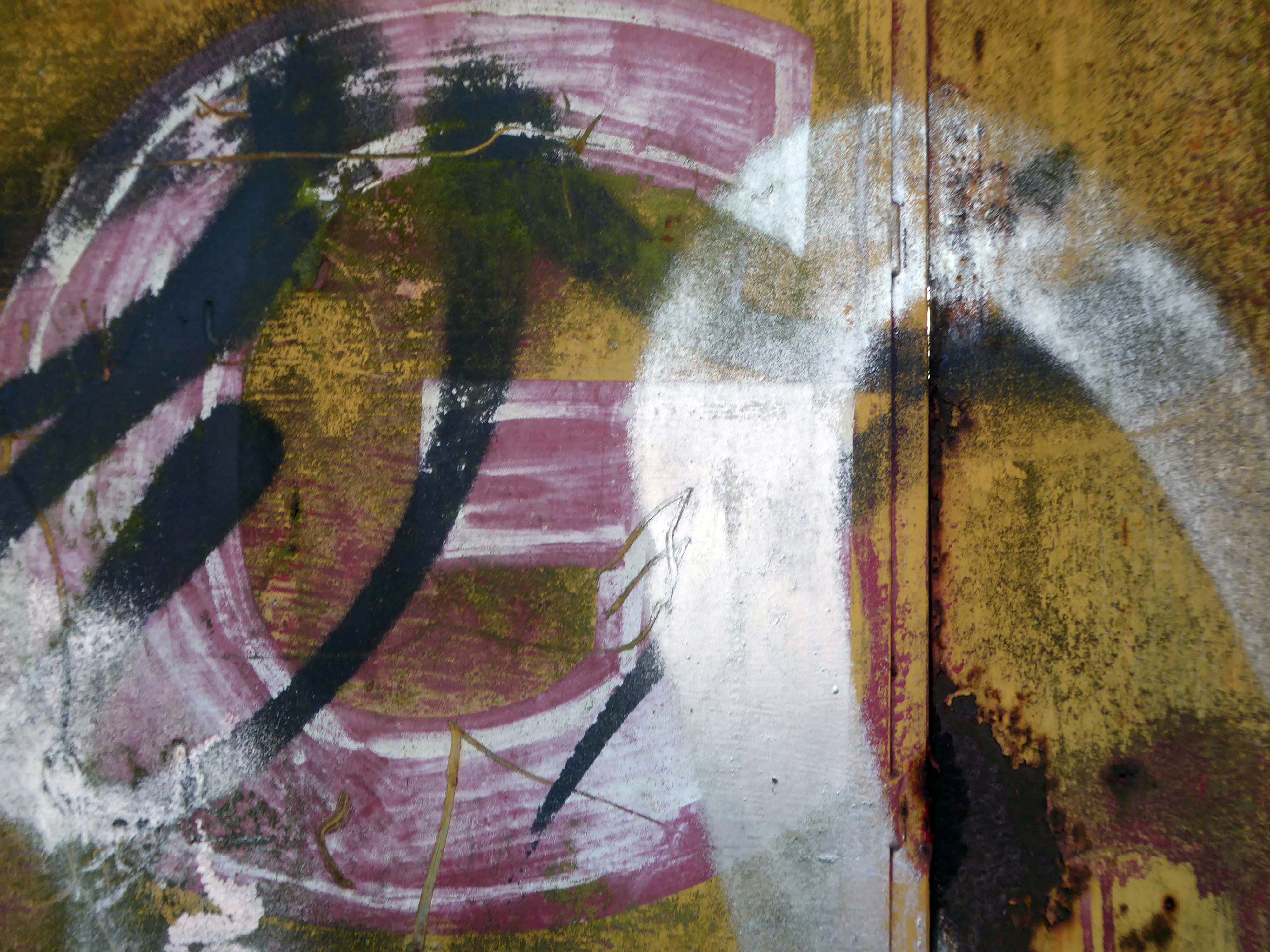
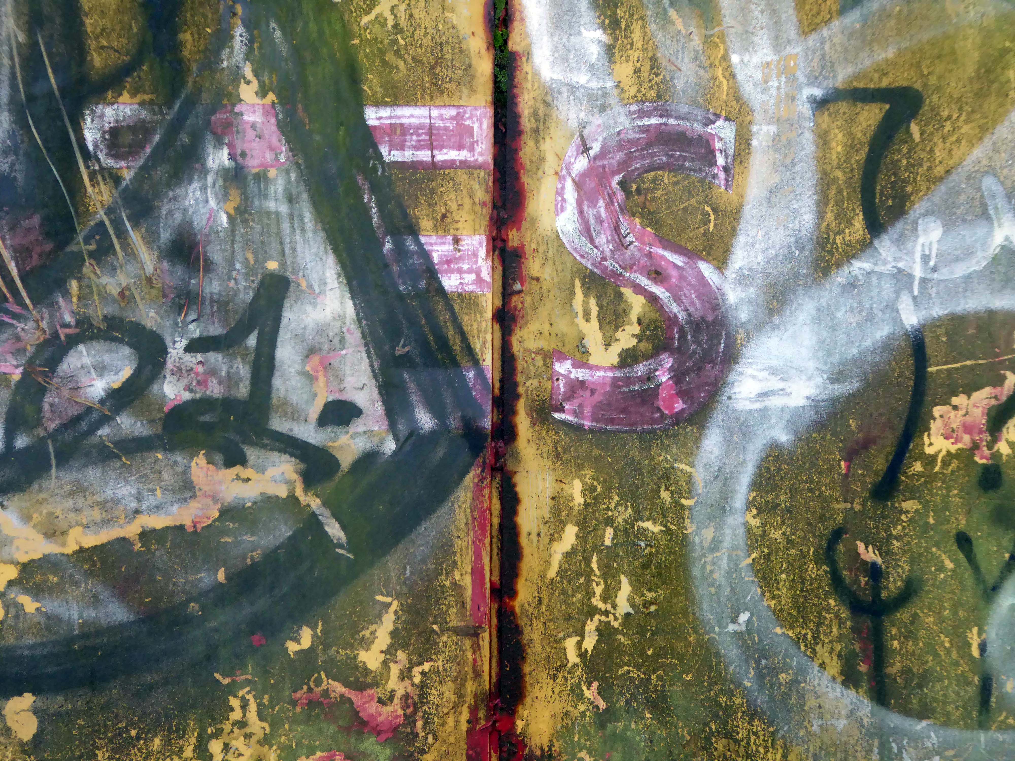
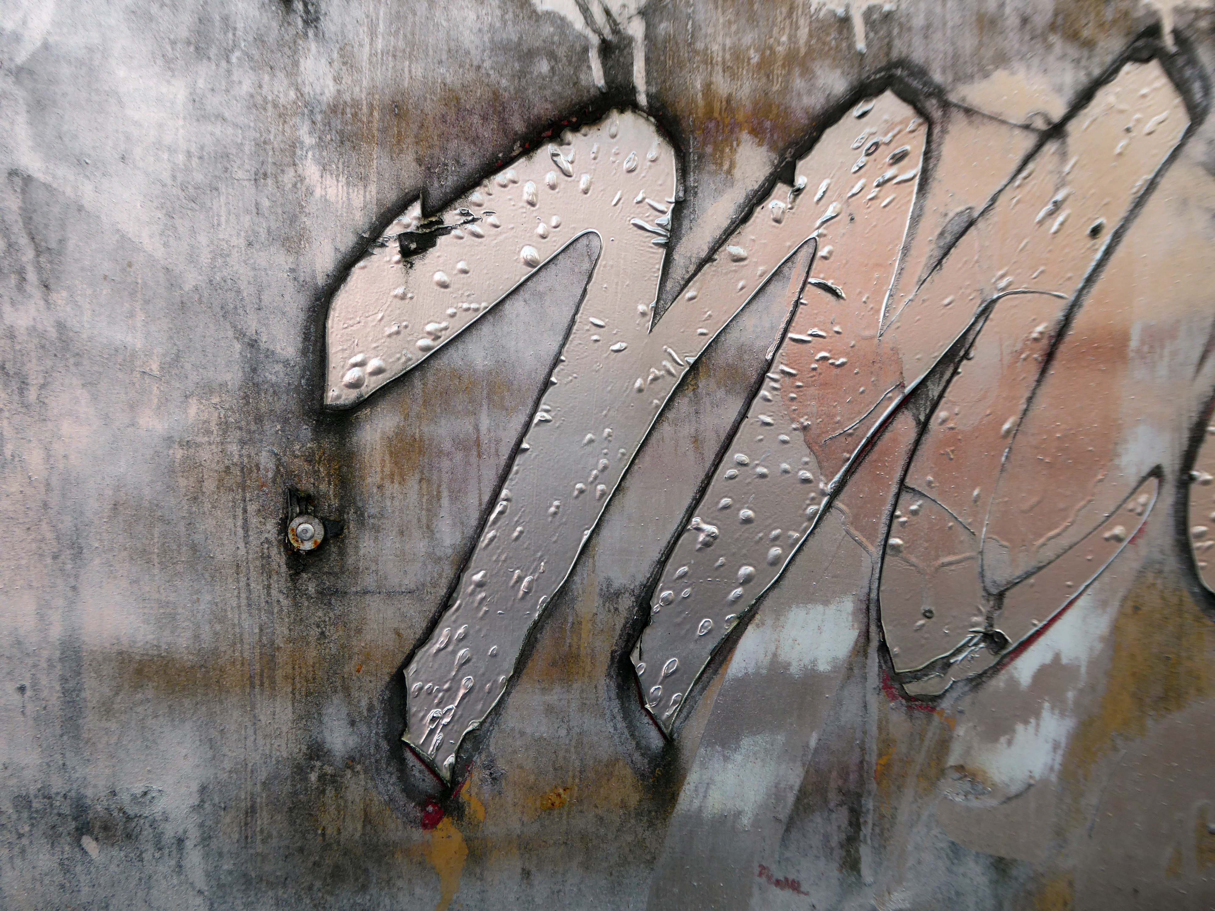
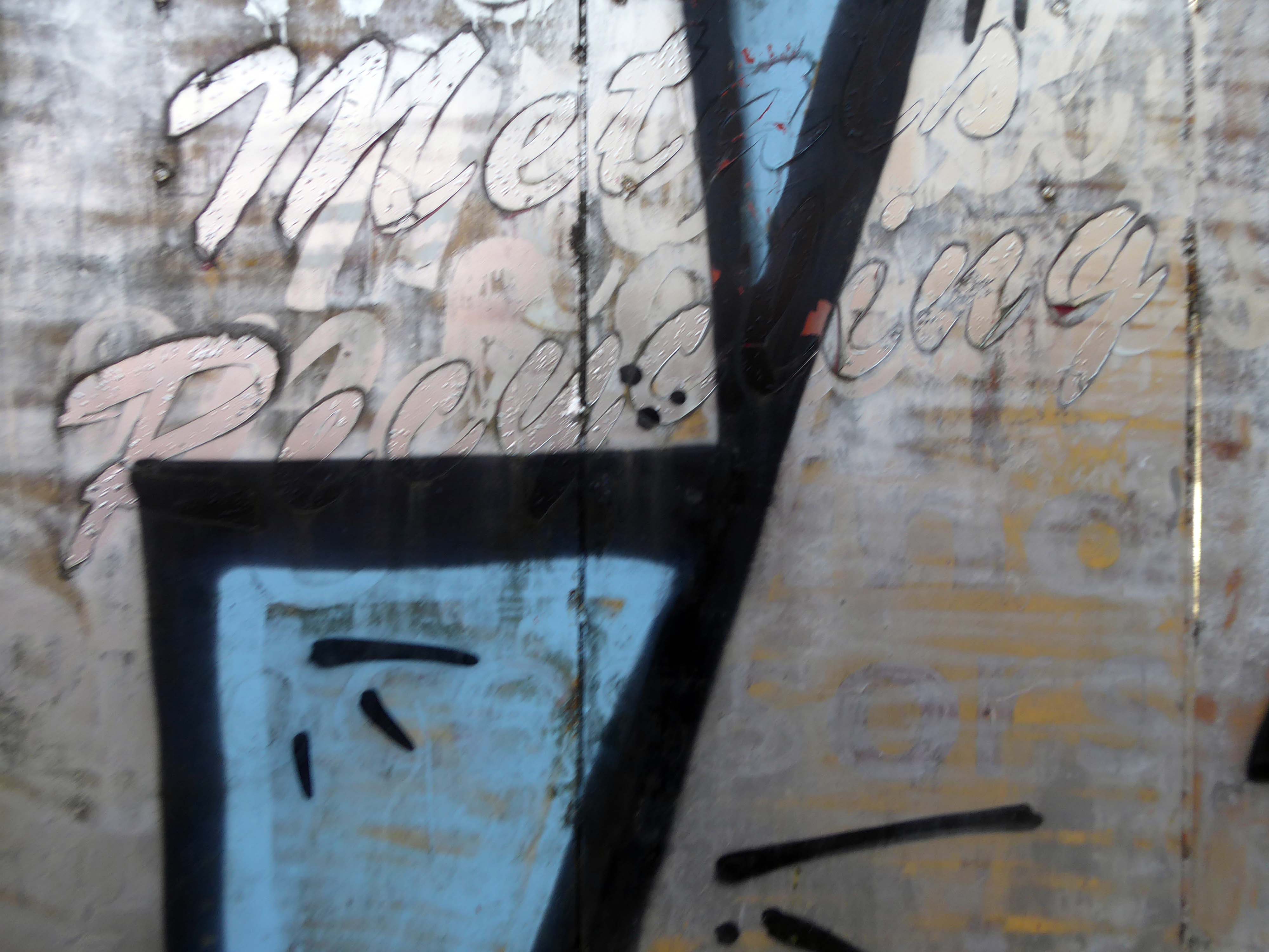
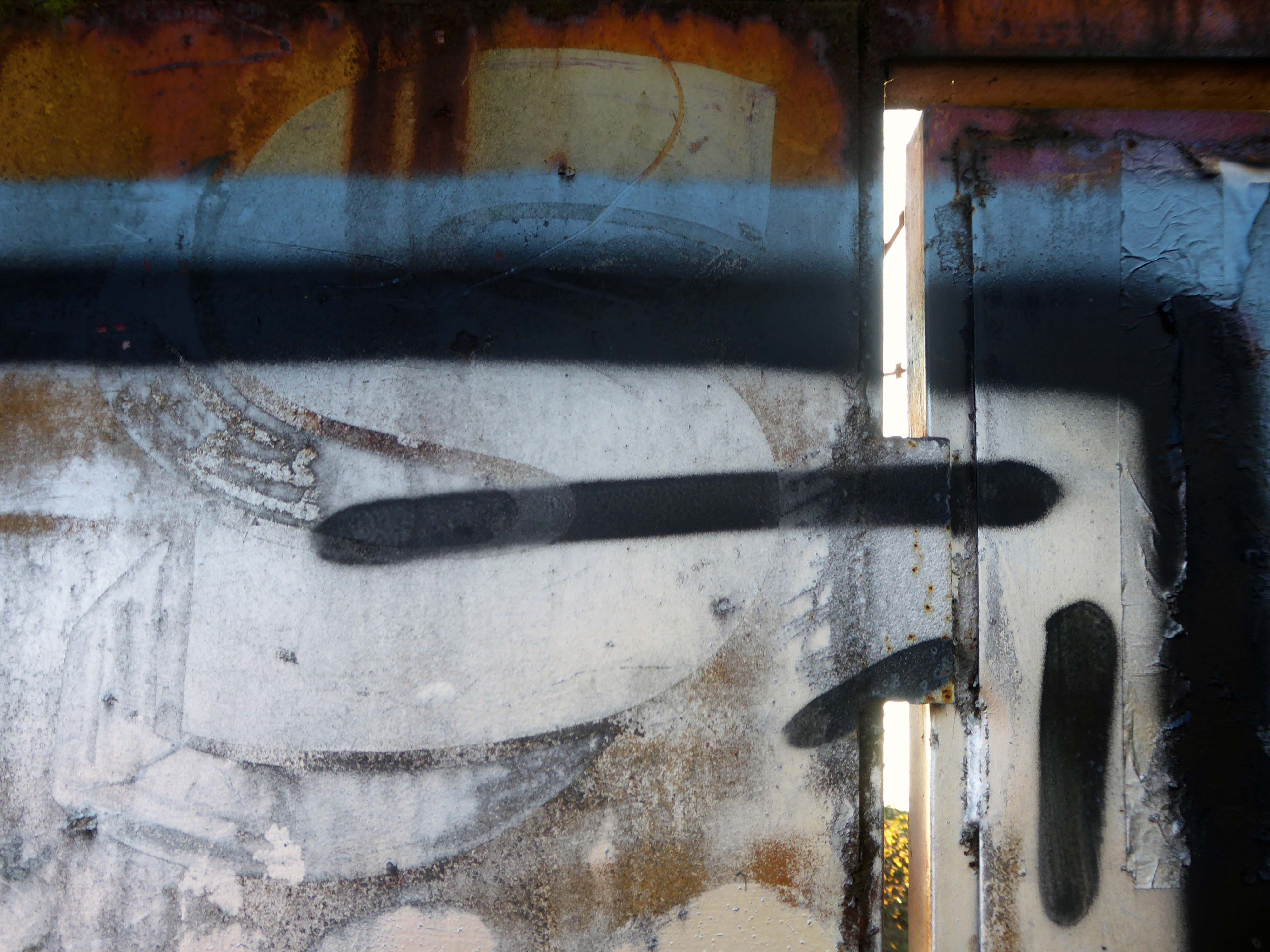
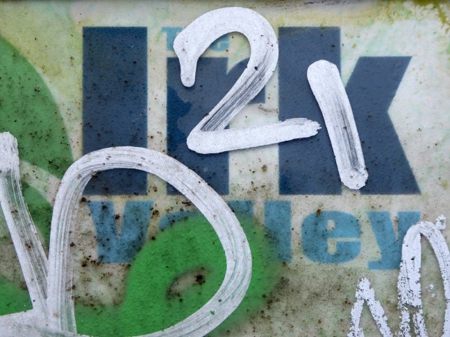
Remnants of the drop shadow block lettering remain, beneath a palimpsest of tags and grime.
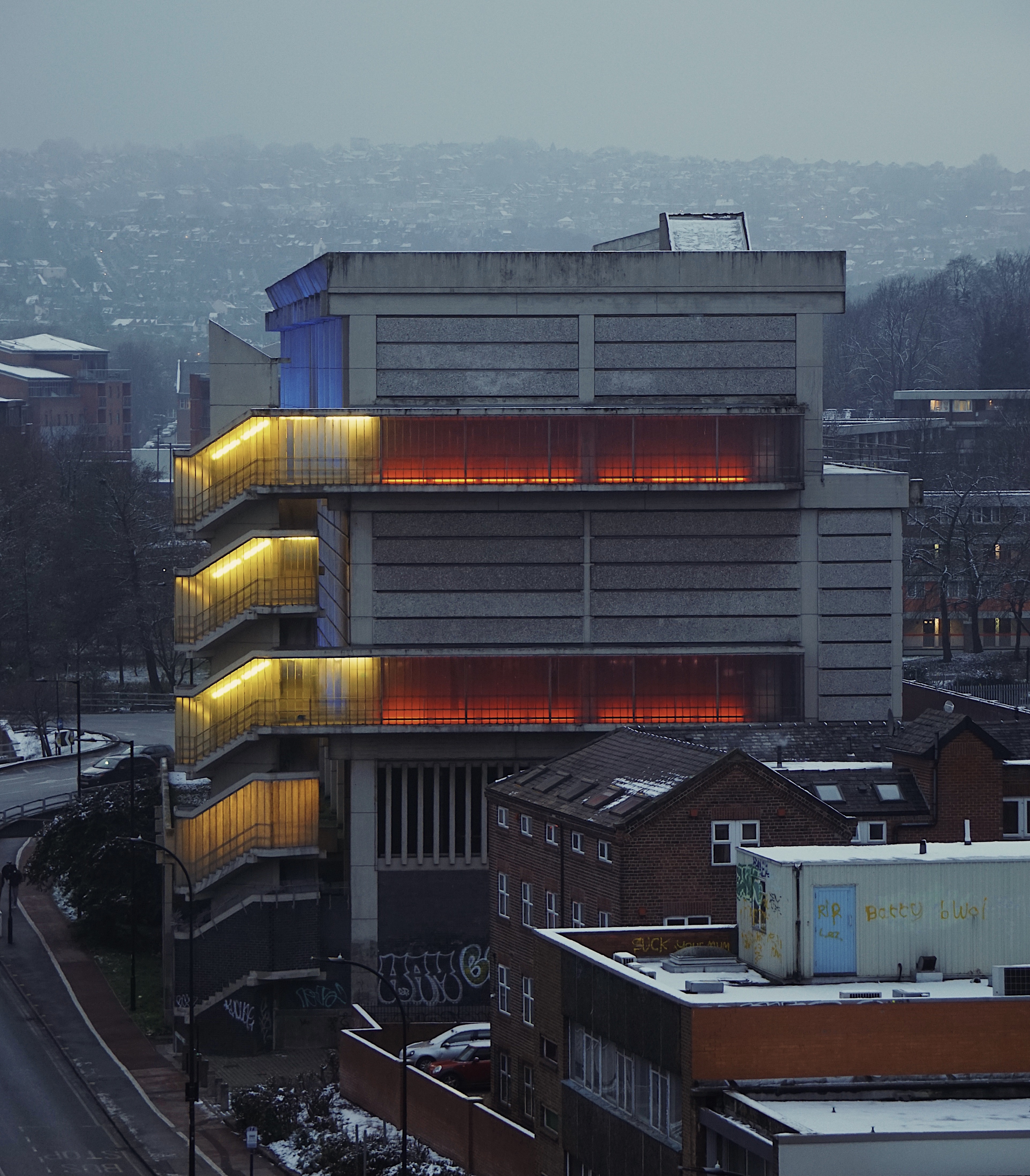
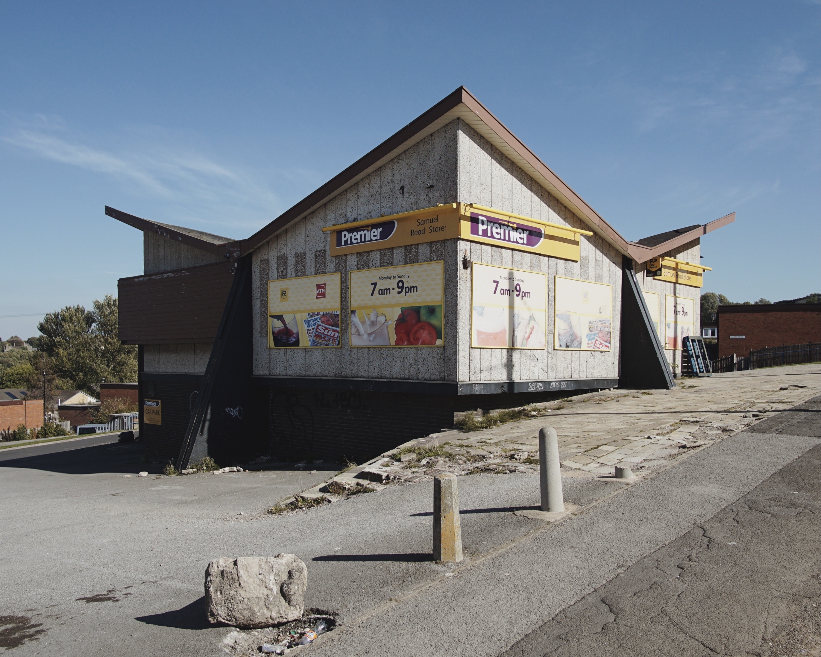
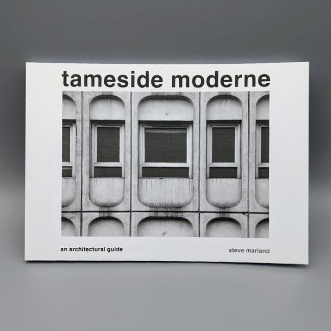
Illustrating a wide range of building types in and around Sheffield sheltering beneath the broad umbrella of Modernism.
By way of context the photographs are all Topographic in nature – in which a landscape subject is photographed, devoid of people, framed orthogonally and lacking artifice or effect.
Practiced most famously by the 1970s New Topographics photographers, including Robert Adams, Lewis Baltz, Nicholas Nixon, and Bernd and Hilla Becher.
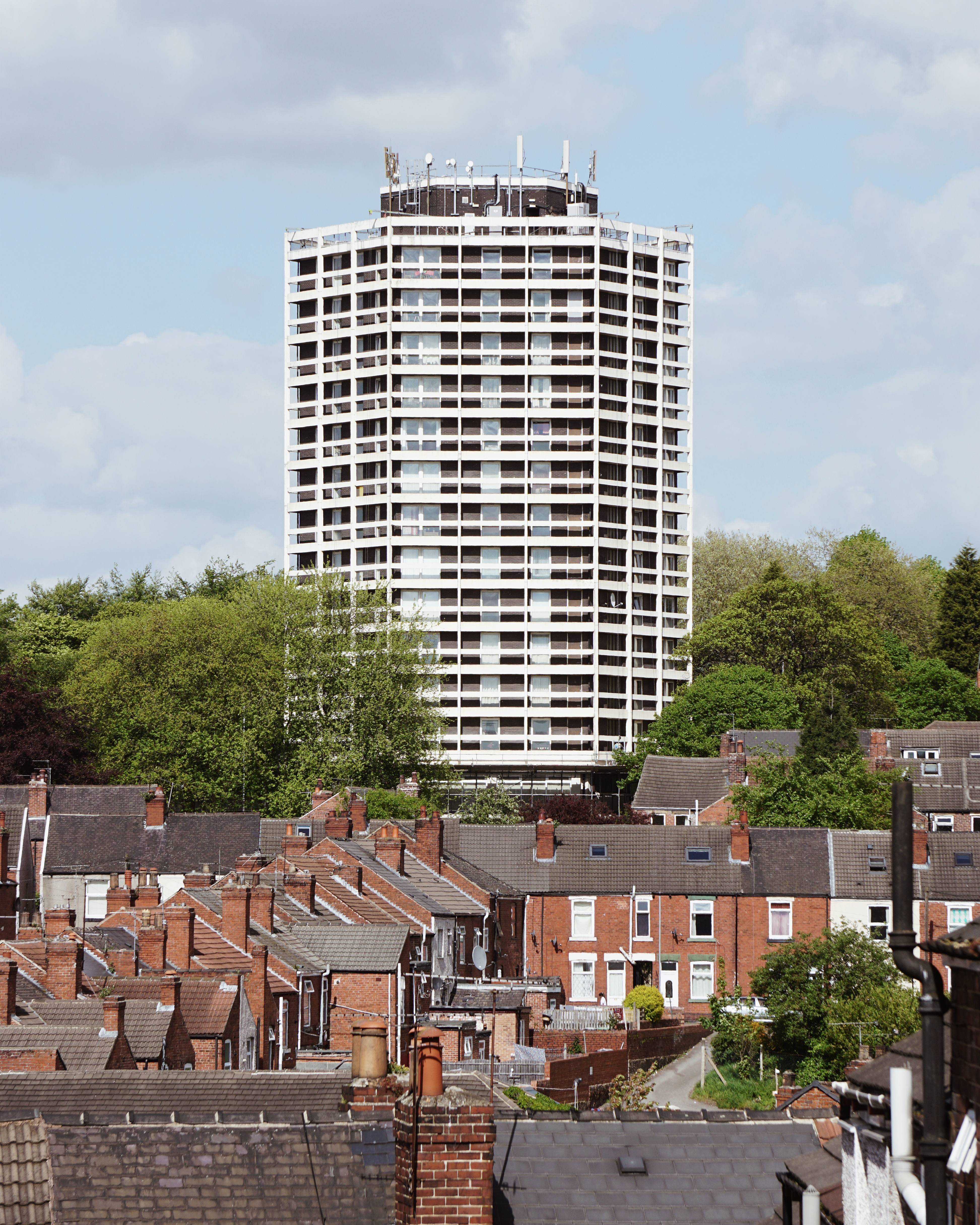
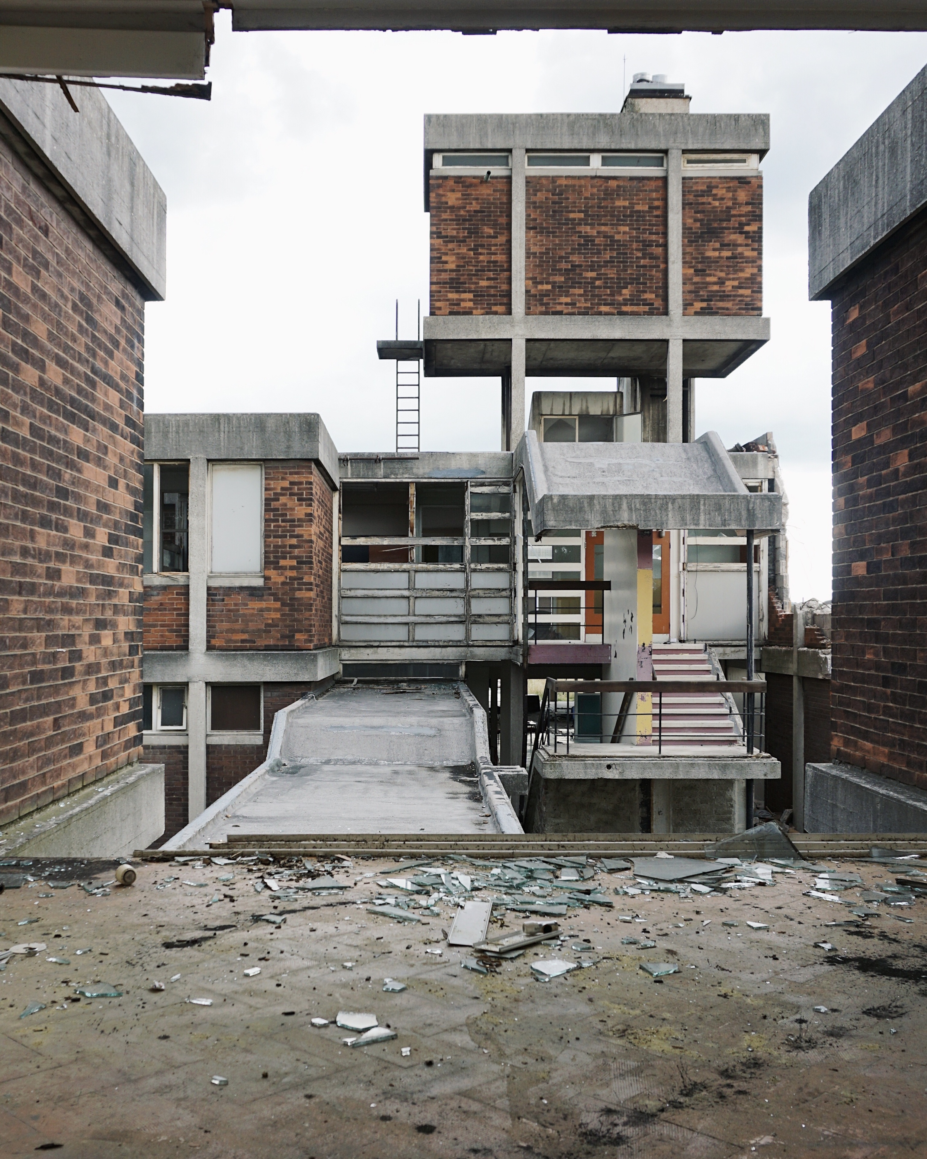
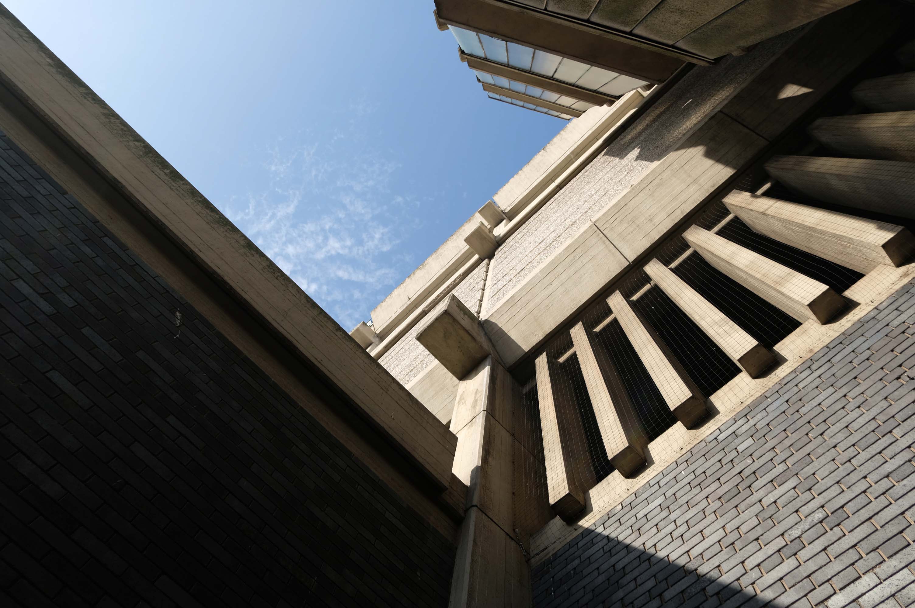
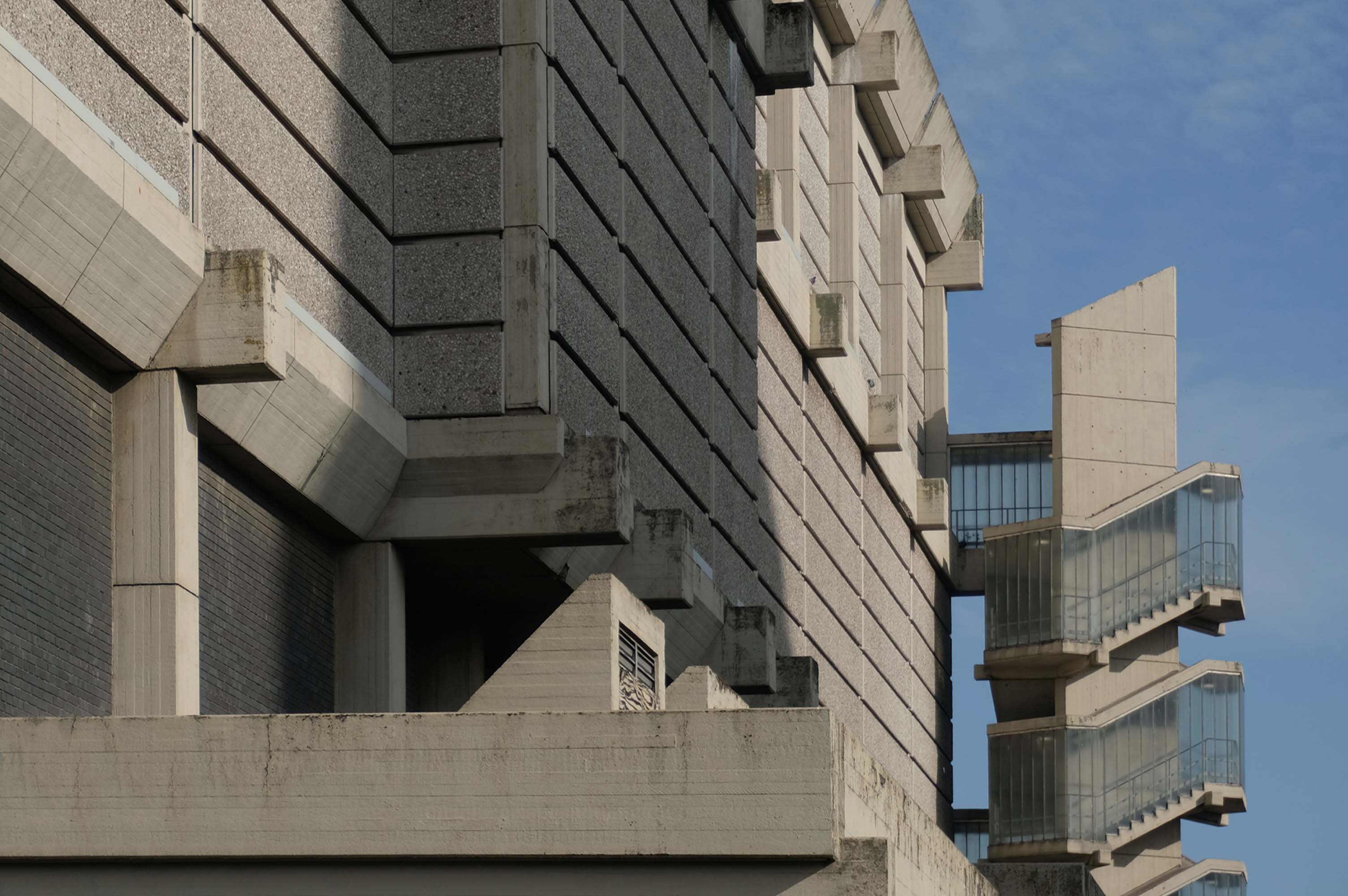
A shocking paroxysm of a building, an explosion in reinforced concrete, a bunker built with an aesthete’s attention to detail, a building which is genuinely Brutalist in both senses of the term.
With a hyper parabolic roof a doubly-curved surface that resembles the shape of a saddle, that is, it has a convex form along one axis, and a concave form on along the other.
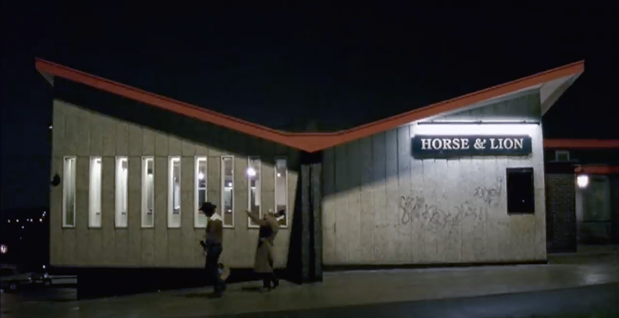
Featured in the video for the Arctic Monkeys’ 2006 number one hit – When the Sun Goes Down at 1.21.
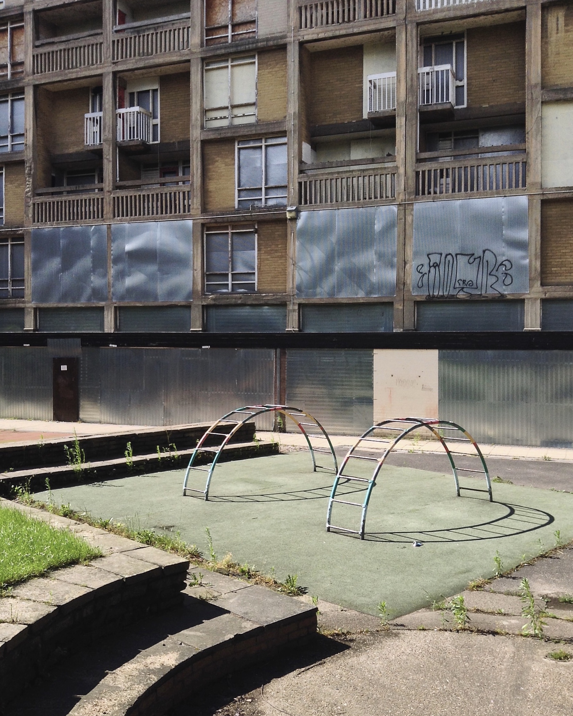
5 Park Hill – 1957 and 1961 Jack Lynn and Ivor Smith under the supervision of JL Womersley,
Grace Owen Nursery – with two Wicksteed climbing frames
The Play Ground should not be put in a corner behind railings, but in a conspicuous and beautiful part of a Park, free to all, where people can enjoy the play and charming scenery at the same time; where mothers can sit, while they are looking on and caring for their children.
The Sheffield Blitz in December 1940 killed almost 700 and damaged some 82,000 homes, over half the city’s housing stock. As the city looked to rebuilding, its 1952 Development Plan estimated the need to replace 20,000 unfit homes and build a further 15,000 to cater for the natural increase of population.
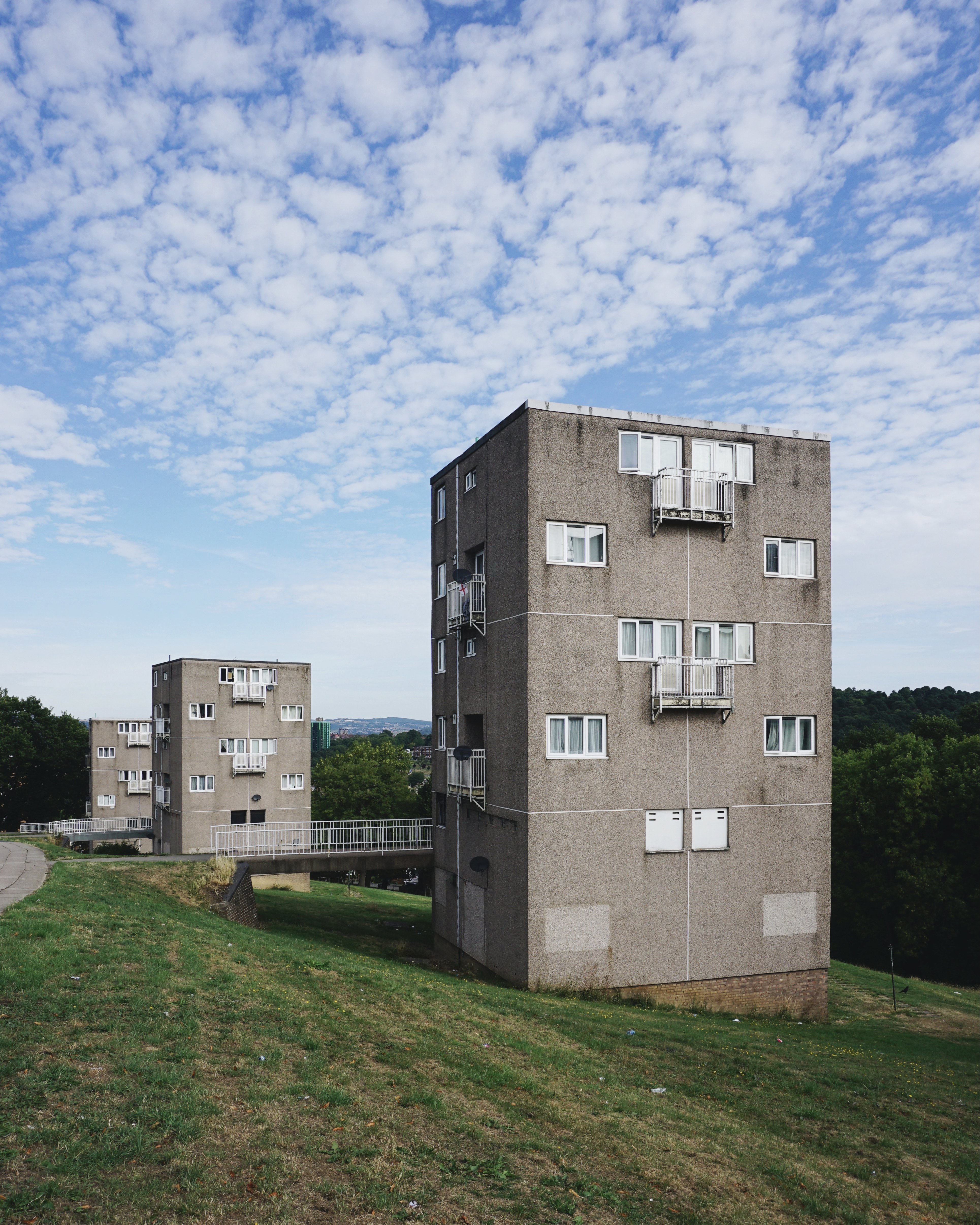
Supreme, but often overlooked, achievement … is the Gleadless Valley Estate which combined urban housing types and the natural landscape so effectively that it still looks stunning, especially on a bright winter’s day.
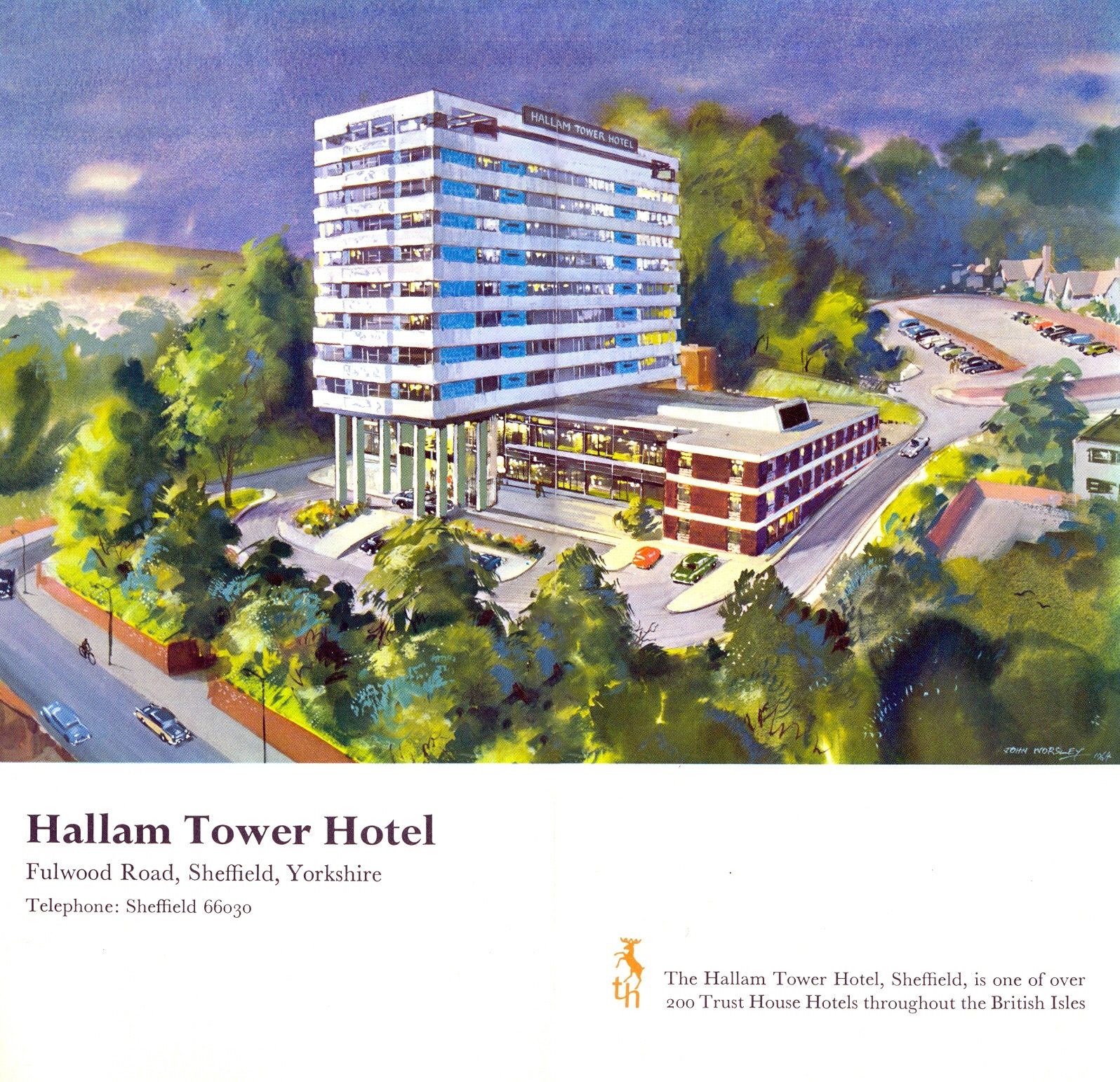
7 Hallam Tower Hotel 1965 Nelson Foley of Trust House Architectural Department
It opened officially on 24th March 1965 and was the first luxury hotel to be built in the north of England since the Second World War. The exterior was designed to complement Sheffield’s post-war modernist developments; the interior by Colefax and Fowler of Mayfair offered warm, gay colours to contrast with the black and grey tones of the city.
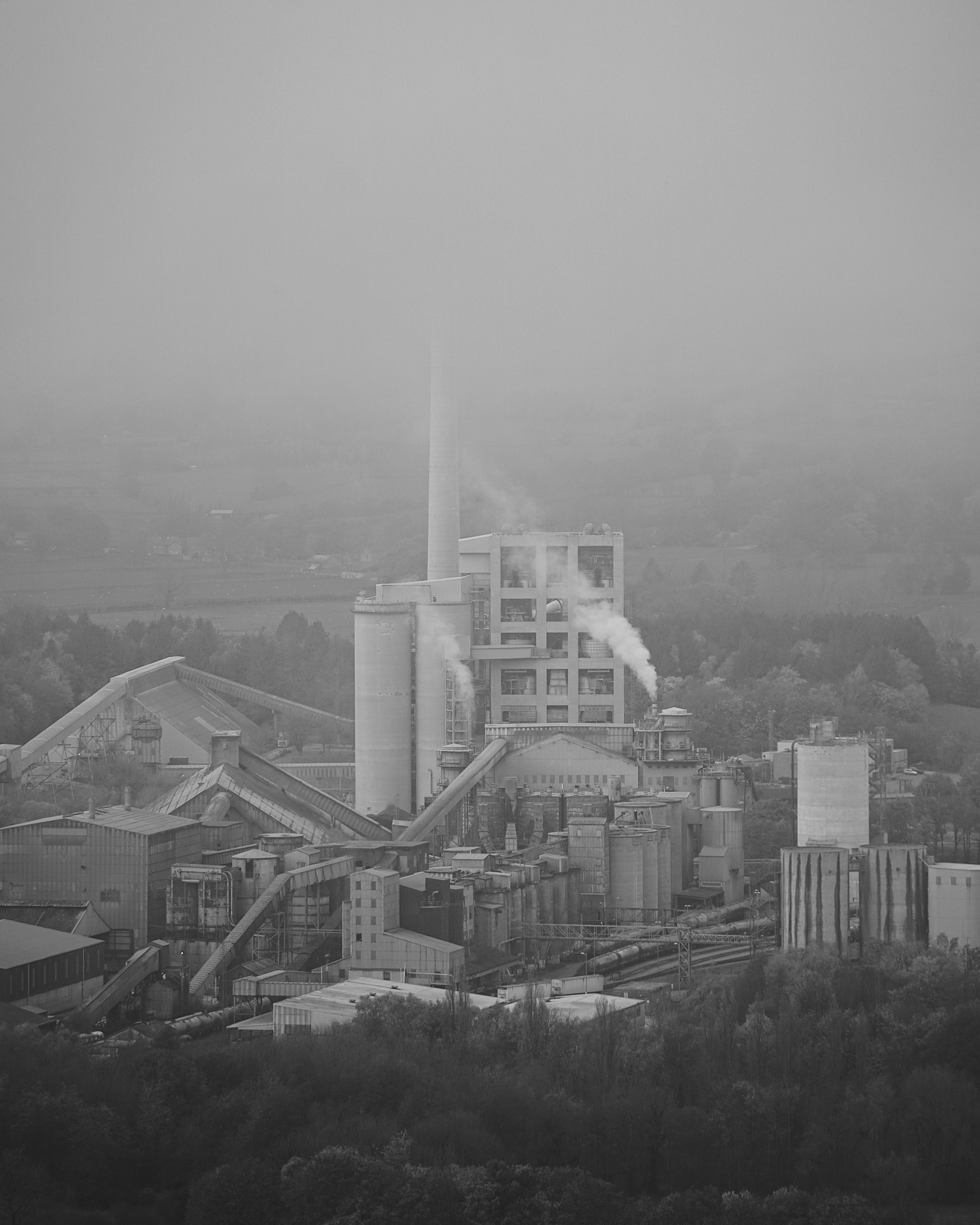
The plant started its first full year of production in 1929
The plant was located at Hope, because it is at the edge of where carboniferous limestone of the Monsal Dale Group, meets Edale Shale, the two main components of finished cement.
Since 1951, when the Peak District National Park was created, most of the outbound traffic from the plant has been exported by rail.
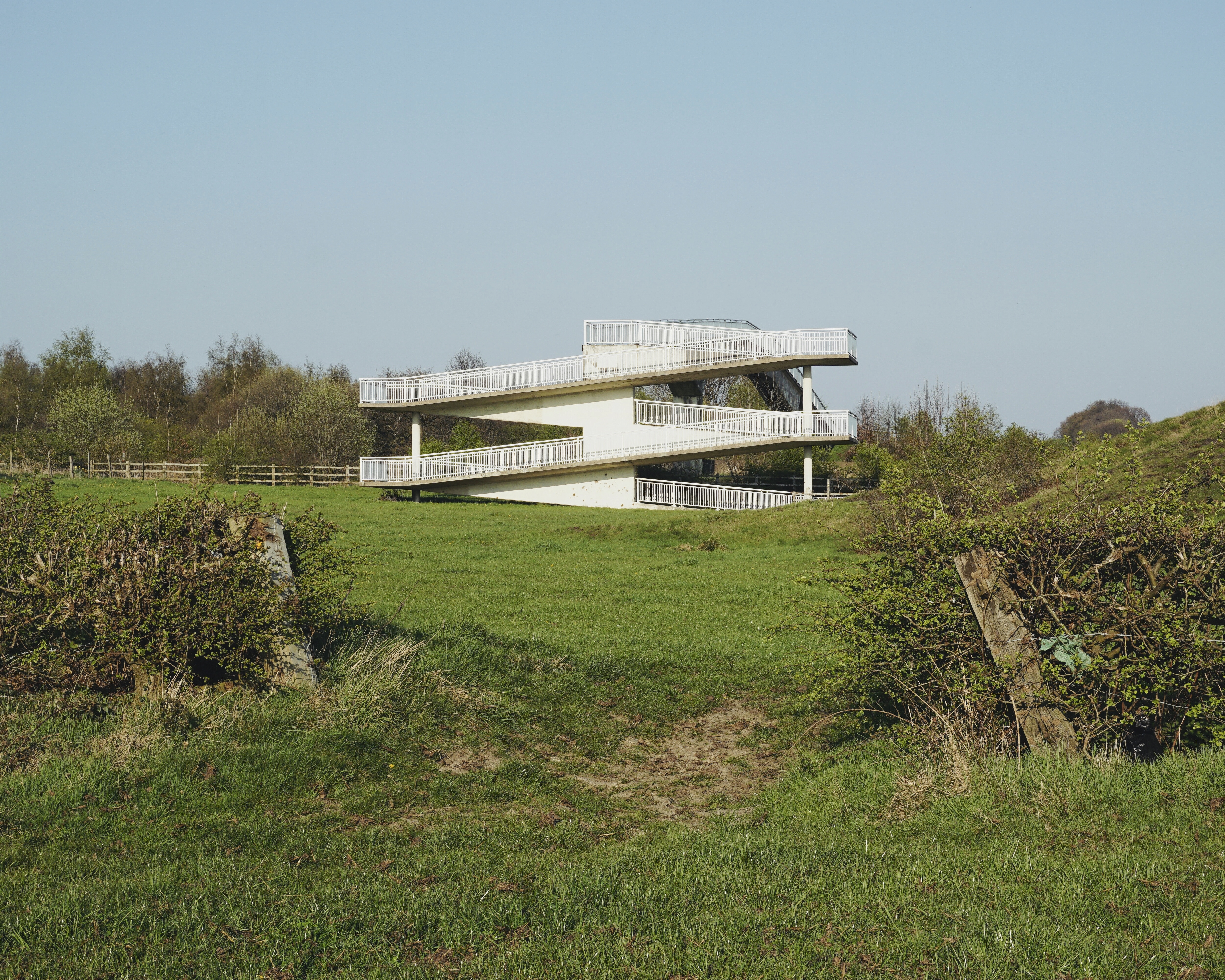
Colleagues in the team included Bill Varley, Ron Bridle, Sri Sriskandan and FA Joe Sims. The team was responsible for the introduction of a great deal of new computing technology into bridge design, as well as for some of the most imaginative bridge engineering going on anywhere in the country. Their design efforts were supported by close involvement in research and testing work, for example, on half-joints and concrete hinges. All the above named engineers went on to considerable seniority, some in the Department of Transport, and Sims and Bridle in particular have published various papers and contributed to books on the history of Britain’s motorway development.
I have walked around the exterior on more than one occasion.
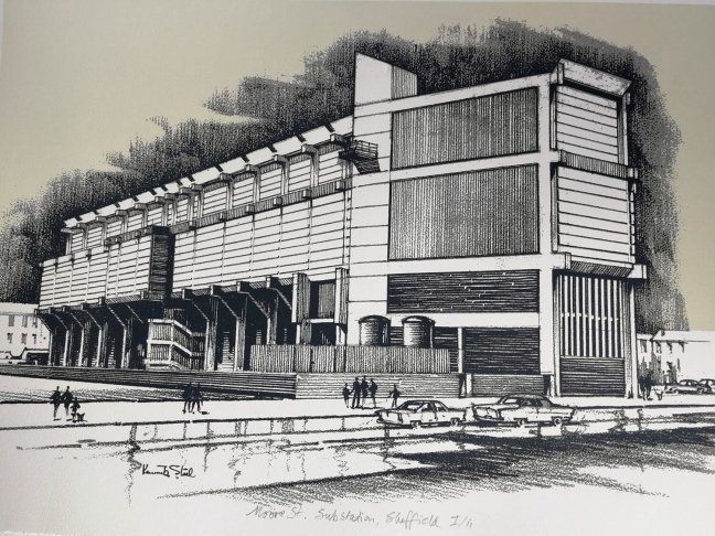
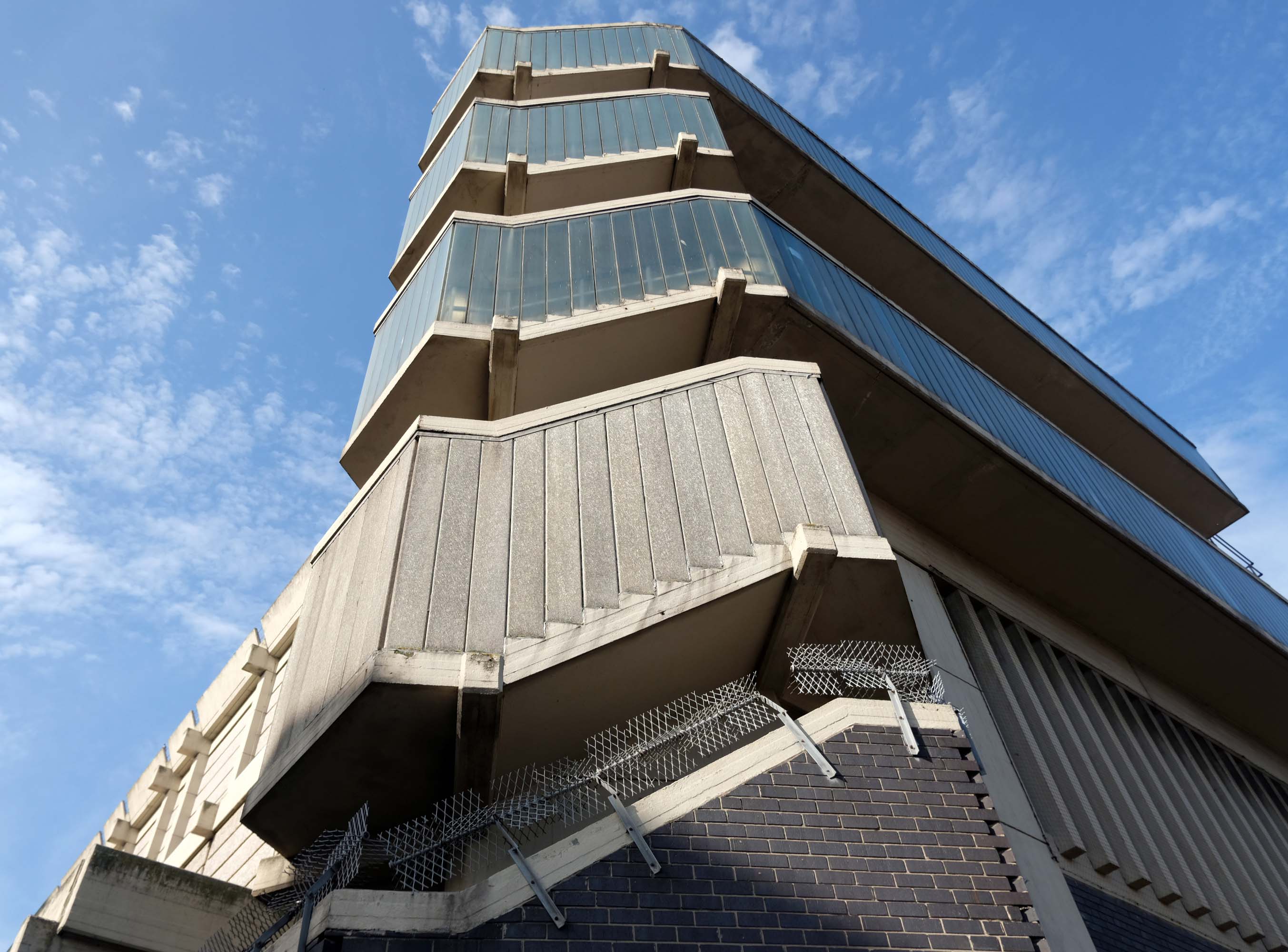
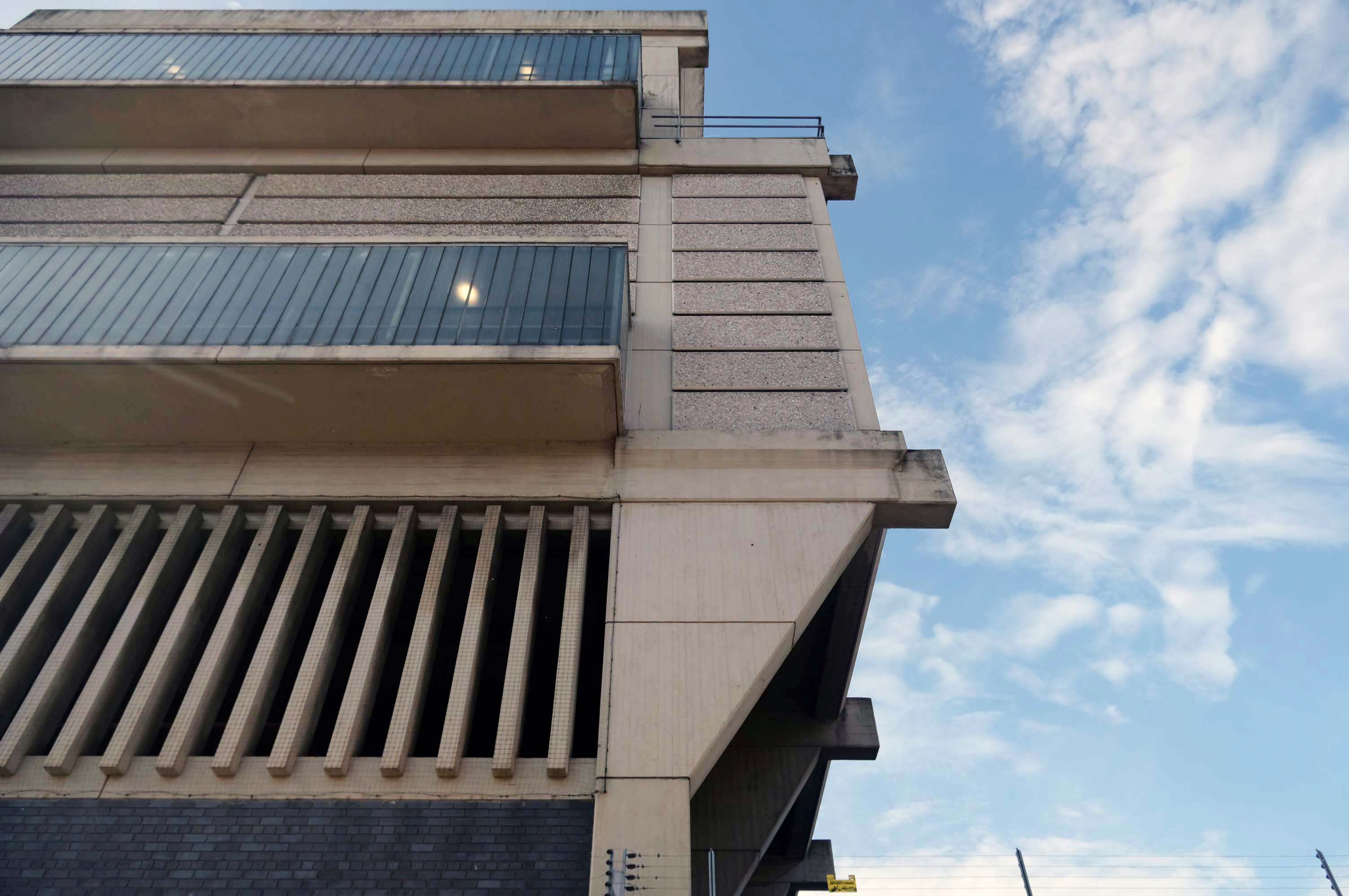
This concrete enclosed, collection of transformers and switchgear.
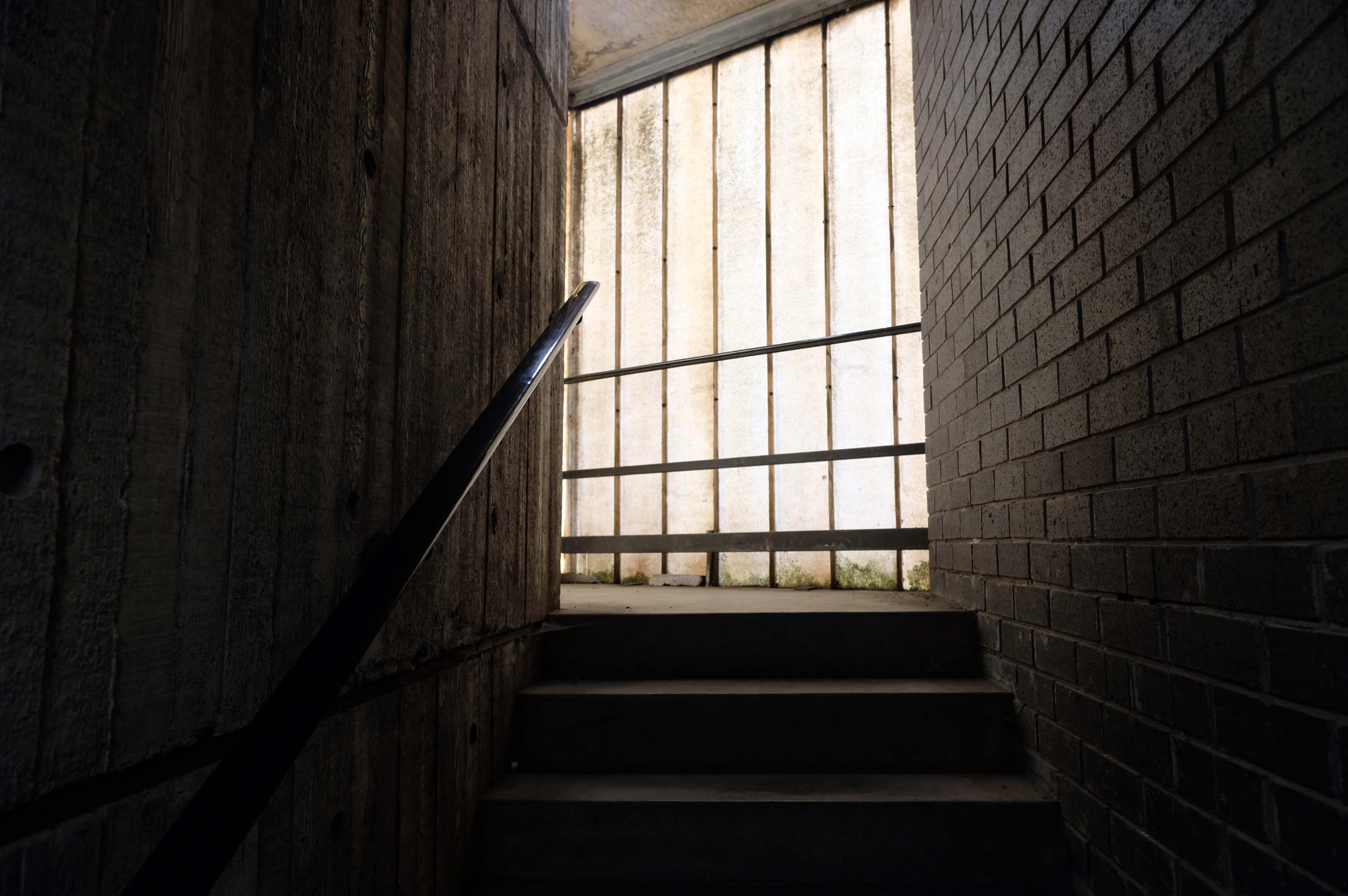
Electricity substation. 1968 to designs by consulting architects Jefferson, Sheard and Partners, Sheffield, led by Bryan Jefferson, in association with the Regional Civil Engineers’ Department of the CEGB North East Region. Contractors, Longden & Sons Ltd, Sheffield. Reinforced concrete frame with board-marked finish with formwork bolt marks, construction and daywork joints emphasised, concrete floor slabs, blue engineering facing bricks, cladding panels of Cornish granite aggregate.
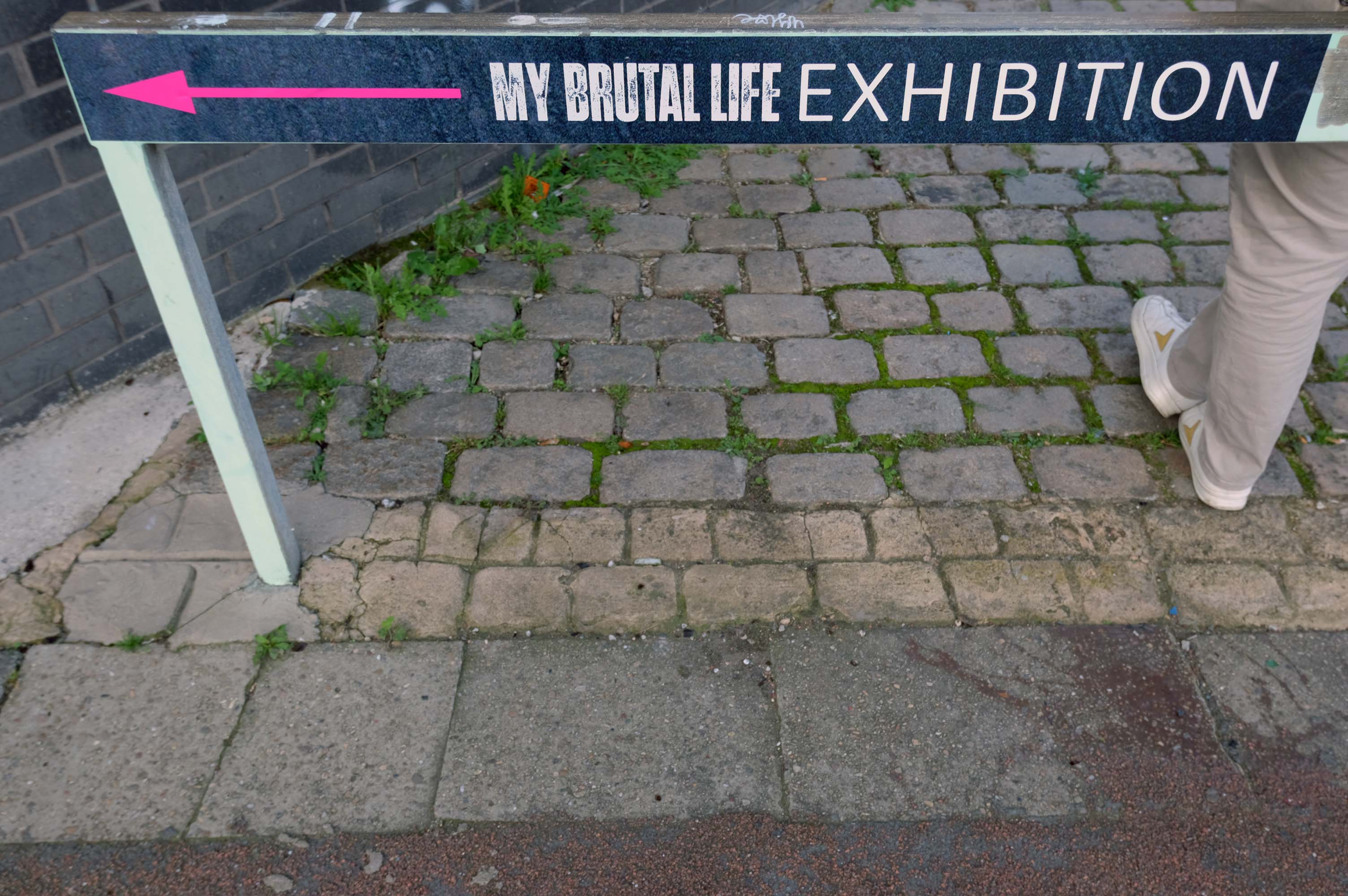
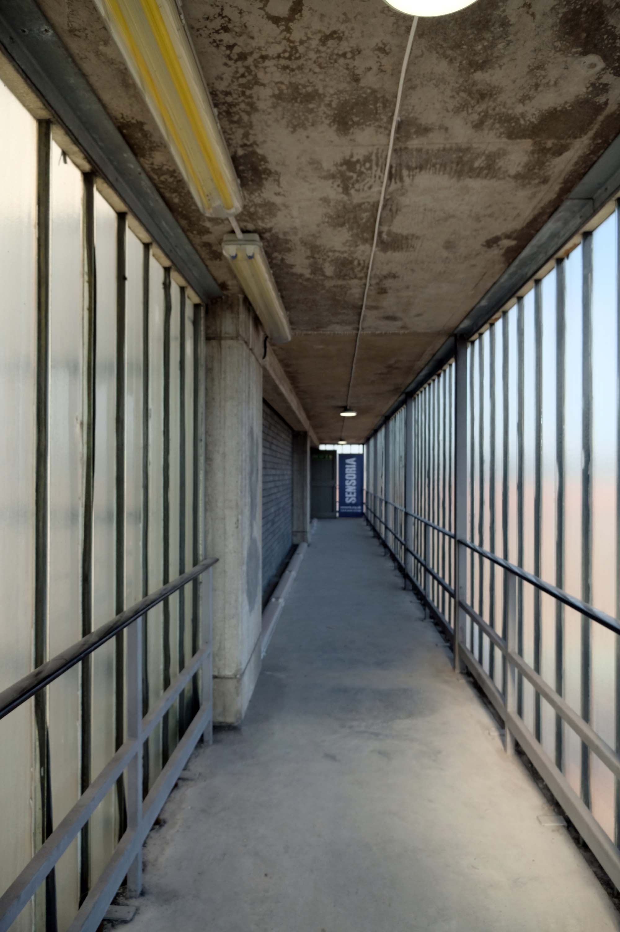
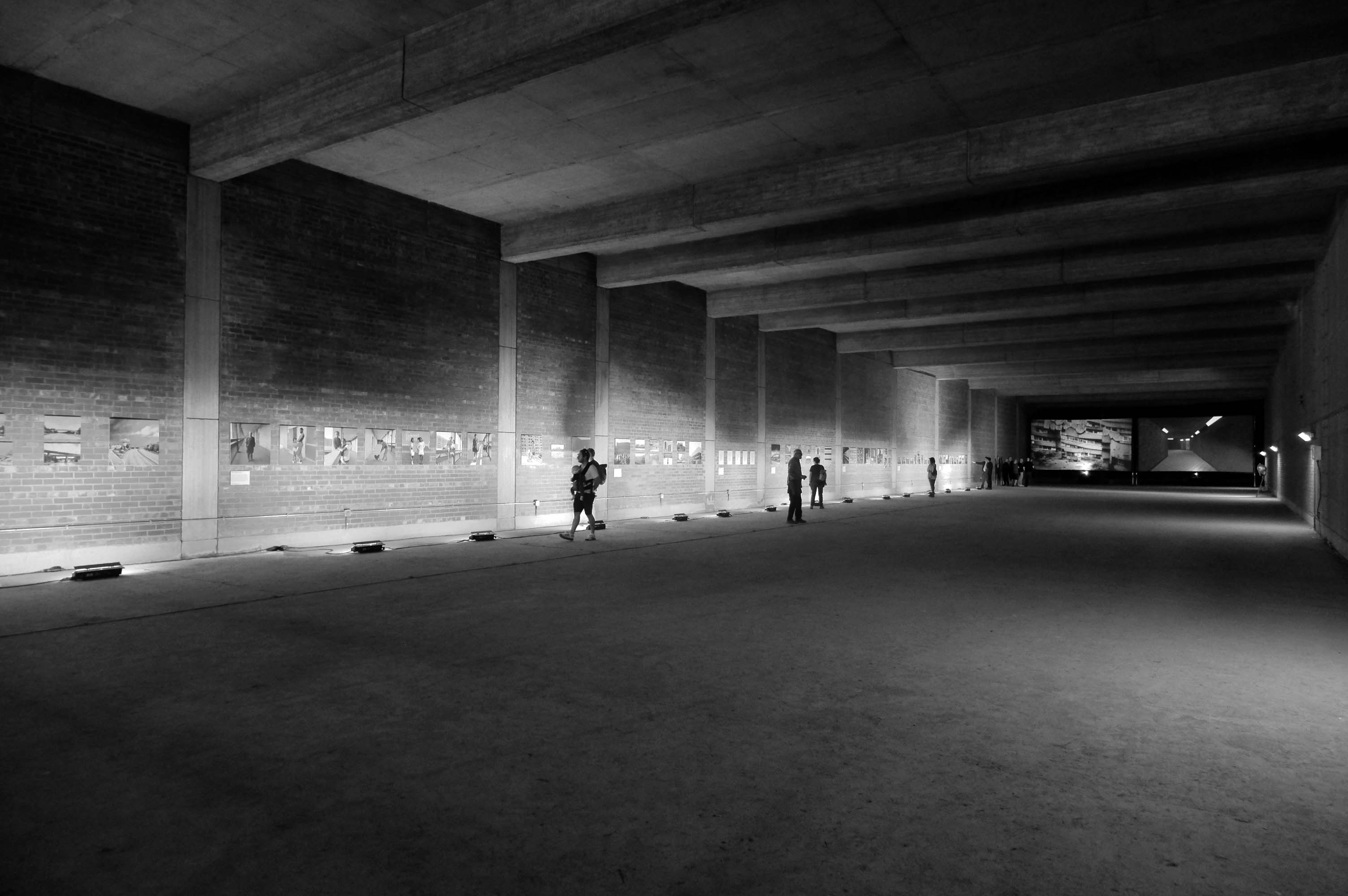
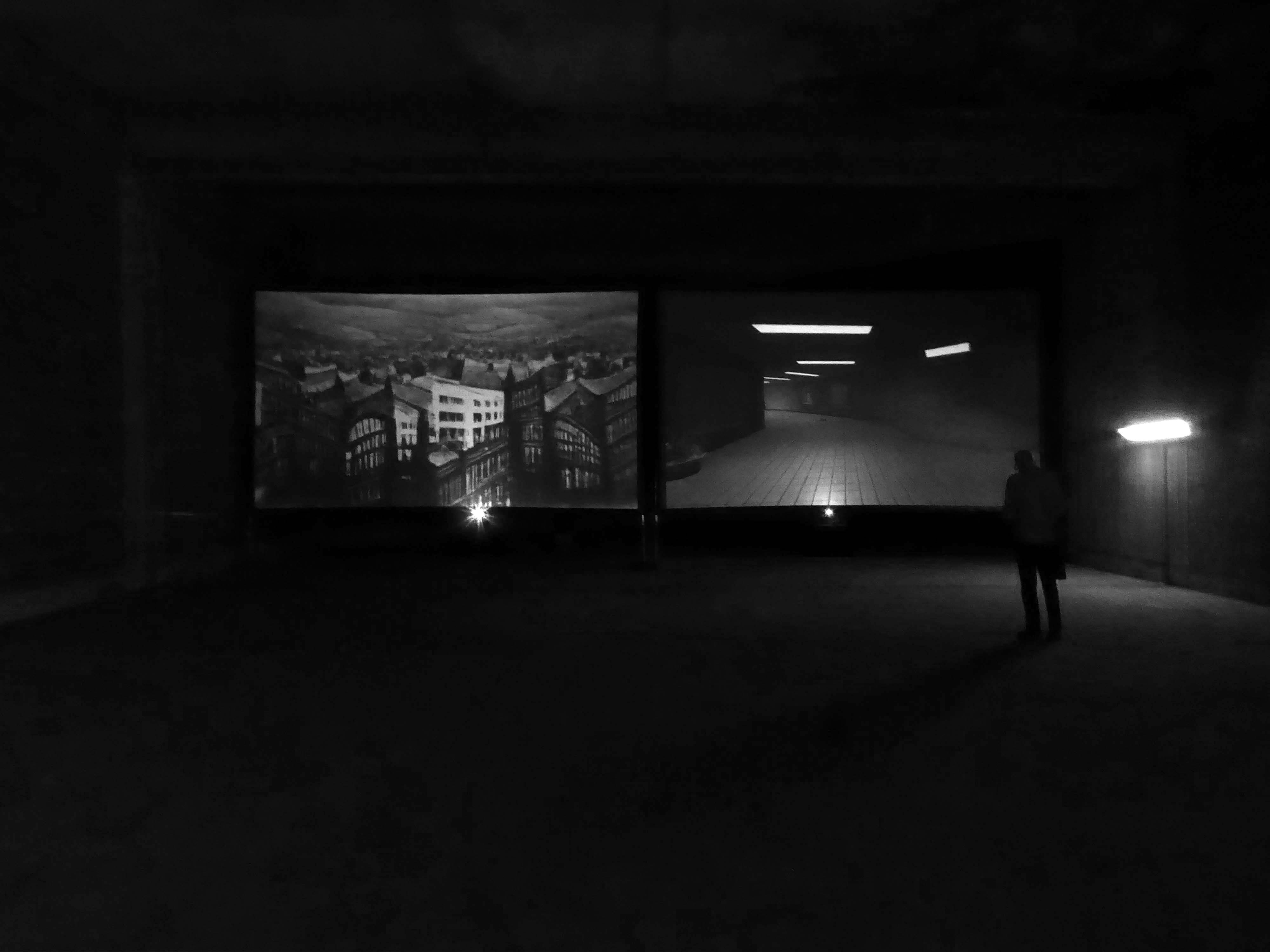
The good folk at Sensoria and The Black Dog staged My Brutal Life inside the building – using the void created by the non-expansion of expanded demand for electricity.
The exhibition features work byBill Stephenson, Mick Jones, Mandy Payne, Martin Dust, Scott Amoeba, Richard Davis, Jen Orpin, Alun Cocks, Human Studio, Sean Madner, Helen Angell and The Black Dog.
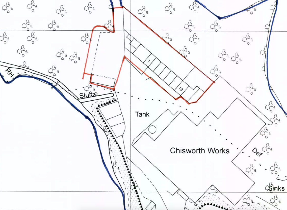
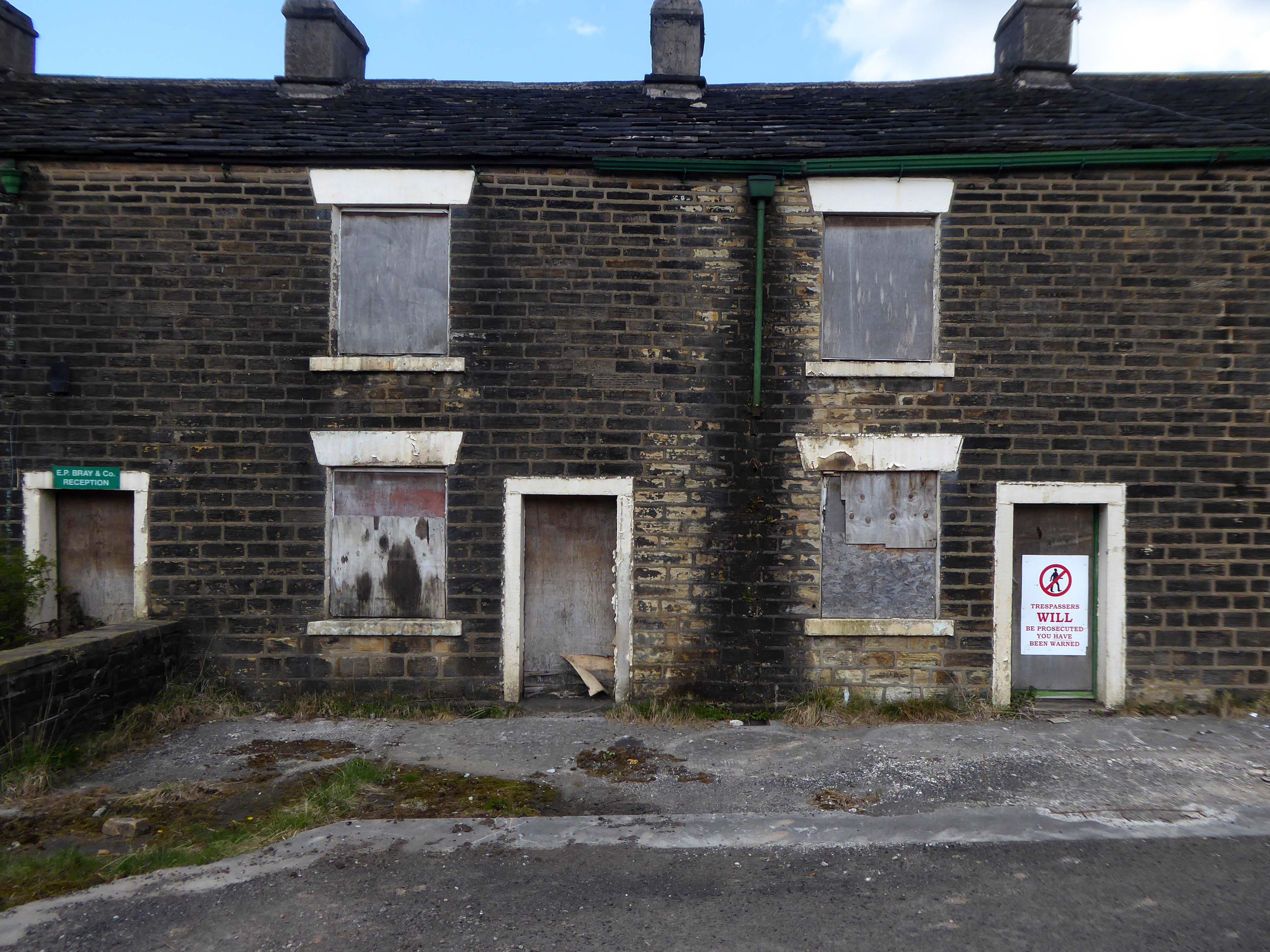
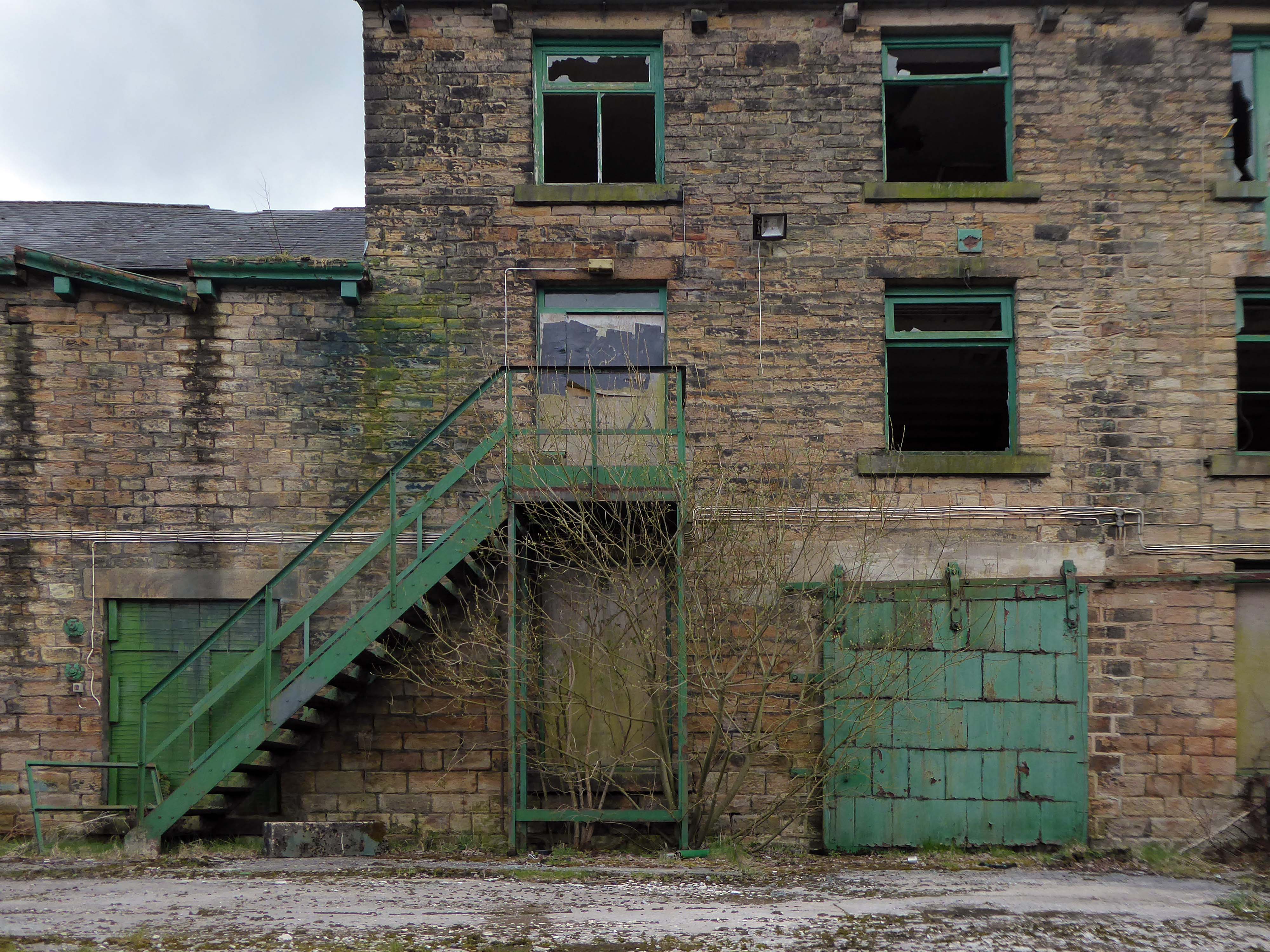
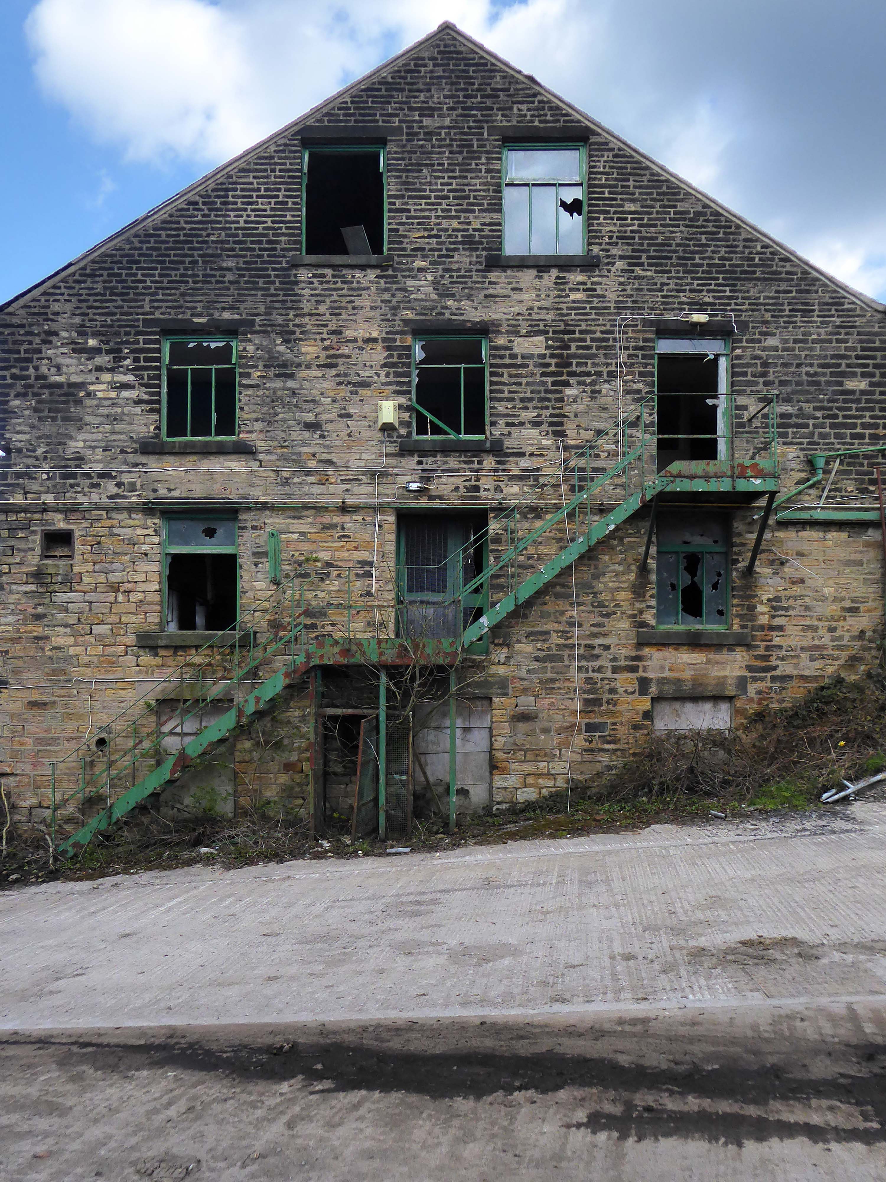
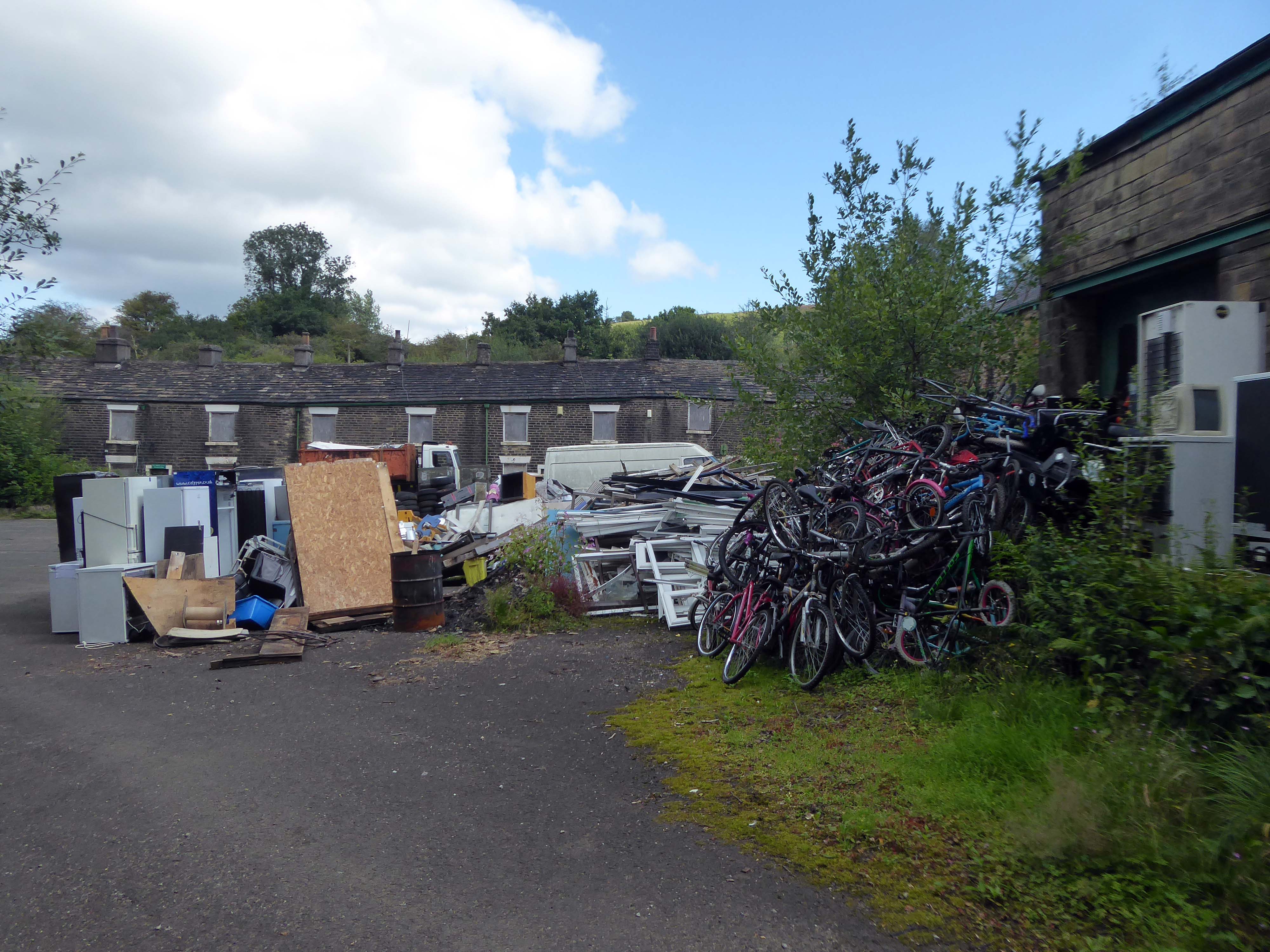
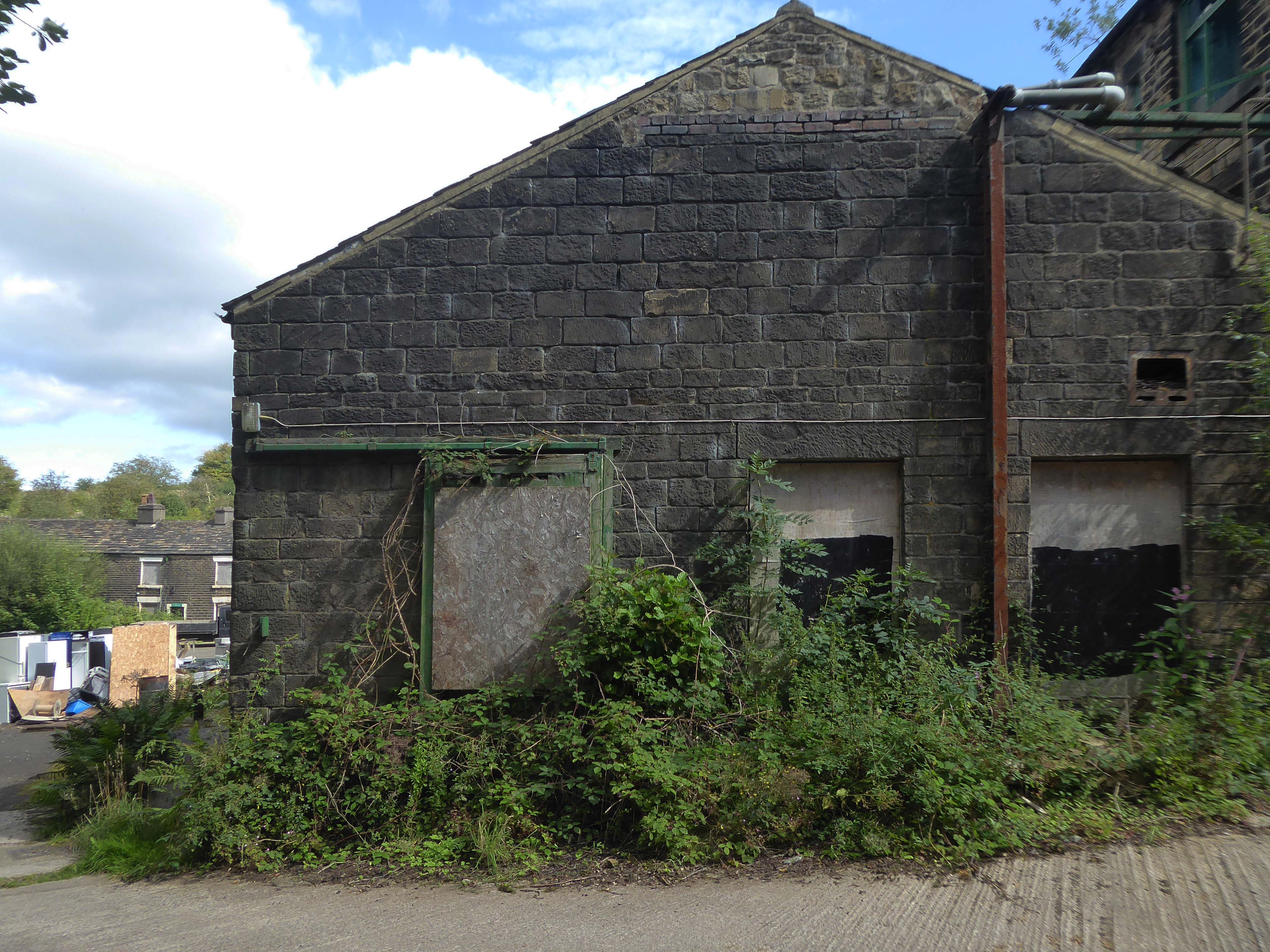
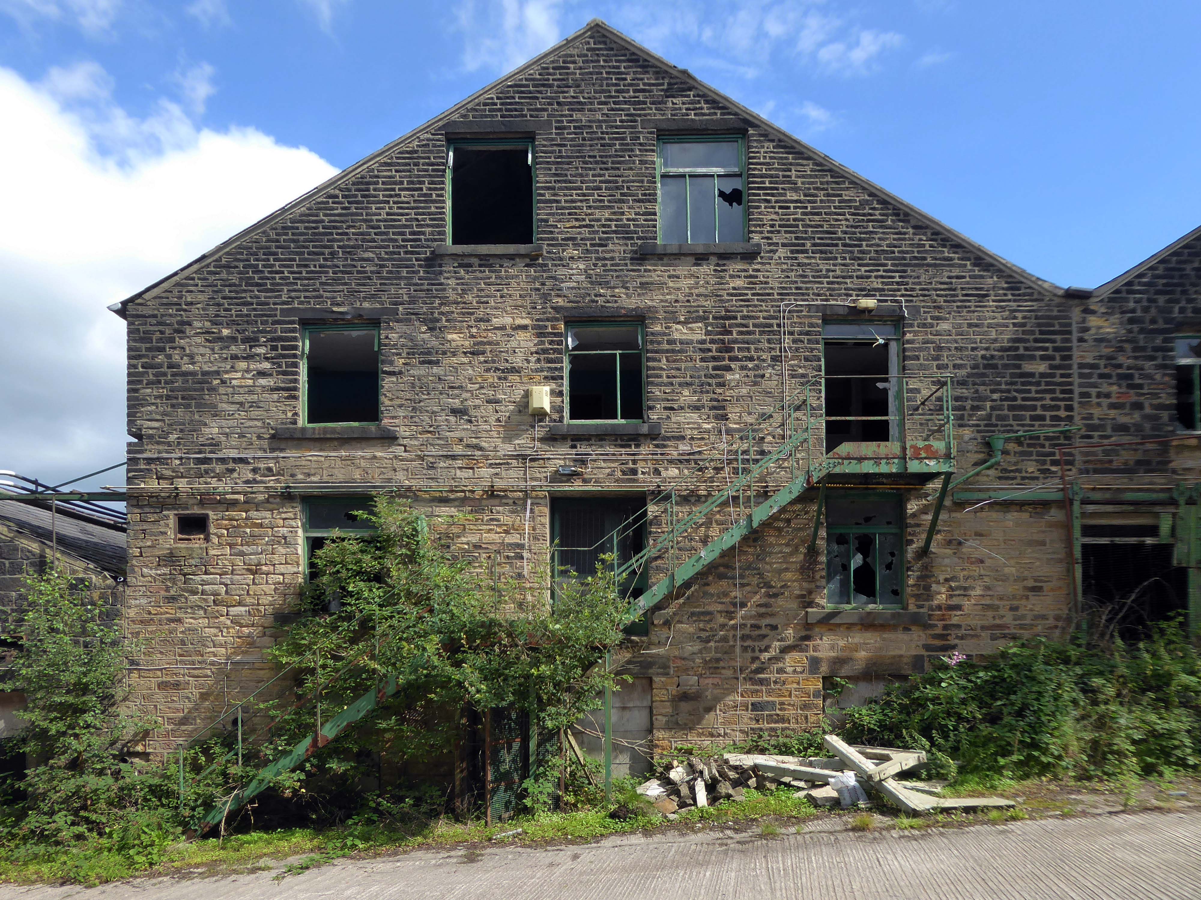
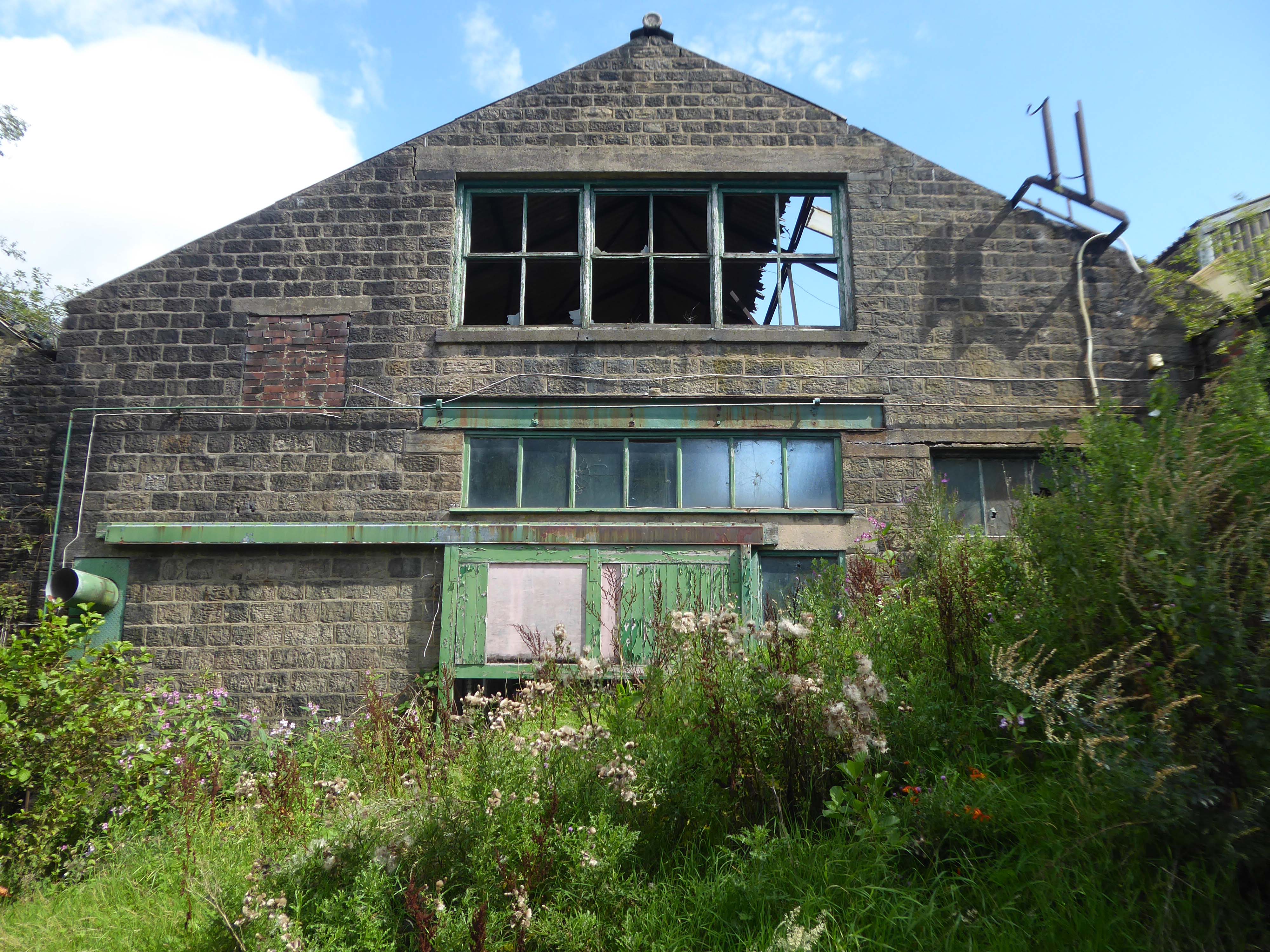
Chisworth Works Coombes Lane Holehouse Charlesworth and Chisworth SK13 5DQ
Built at the end of the 18th or in the early 19th centuries; Chisworth Works was as a cotton band manufactory. During these times, the site was called Higher Mill.
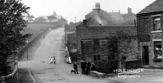
It was referred to as Higher Mill, as there was a lower works, Mouse Mill in Holehouse, owned by the Booth family.
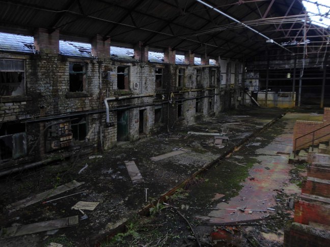
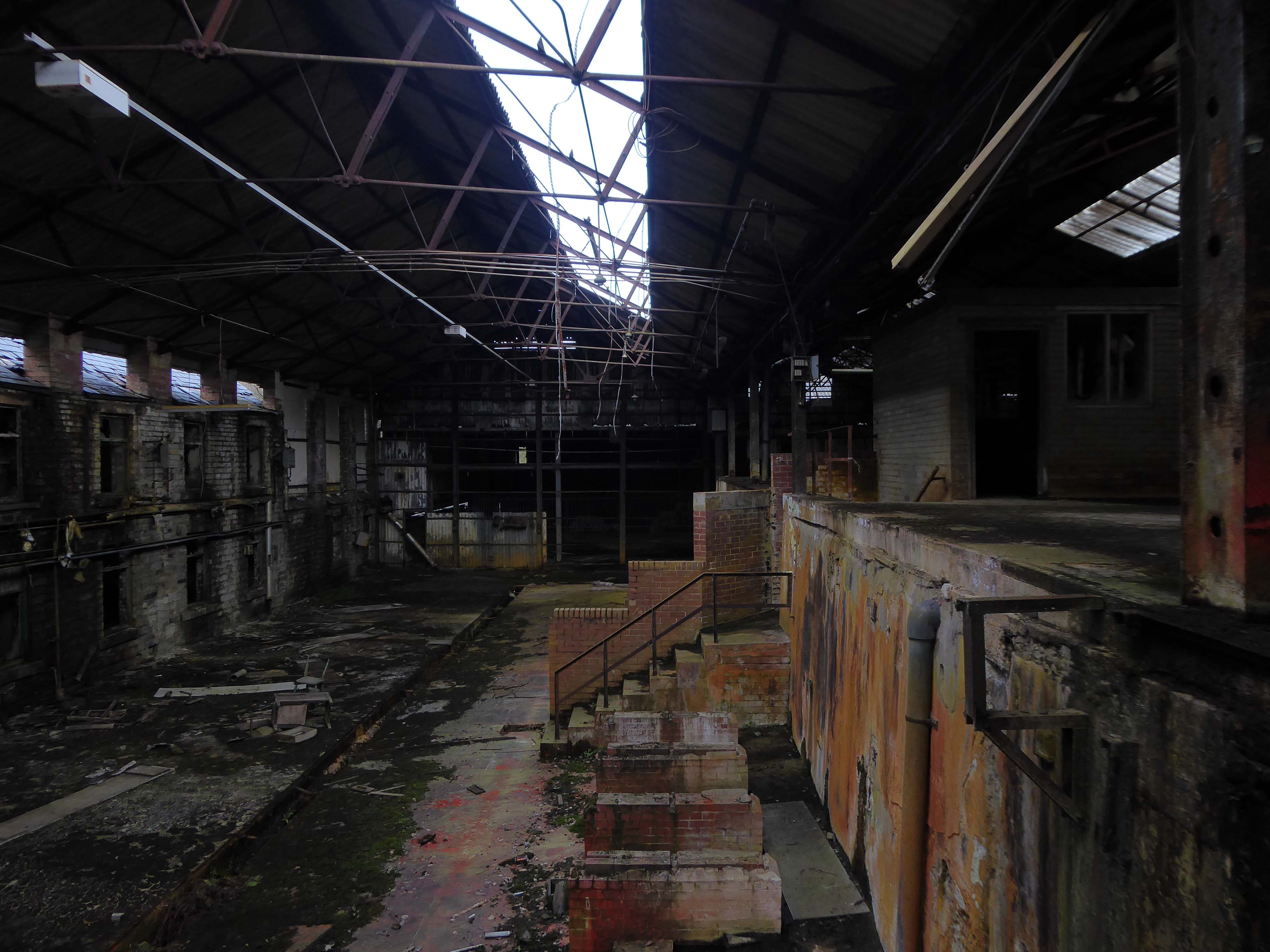
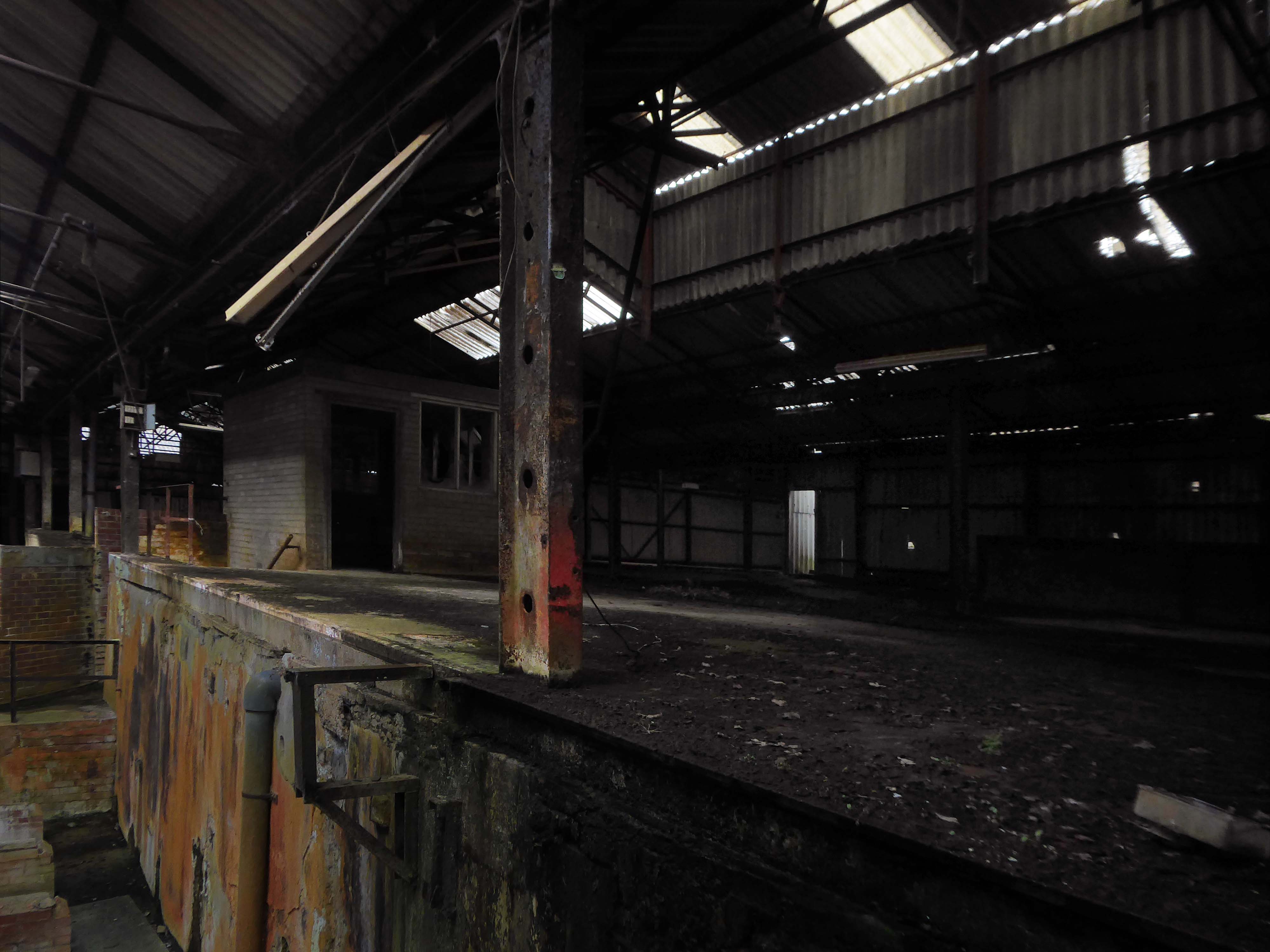
It has been a longstanding, low-lying object of interest to those intrepid Urban Explorers.
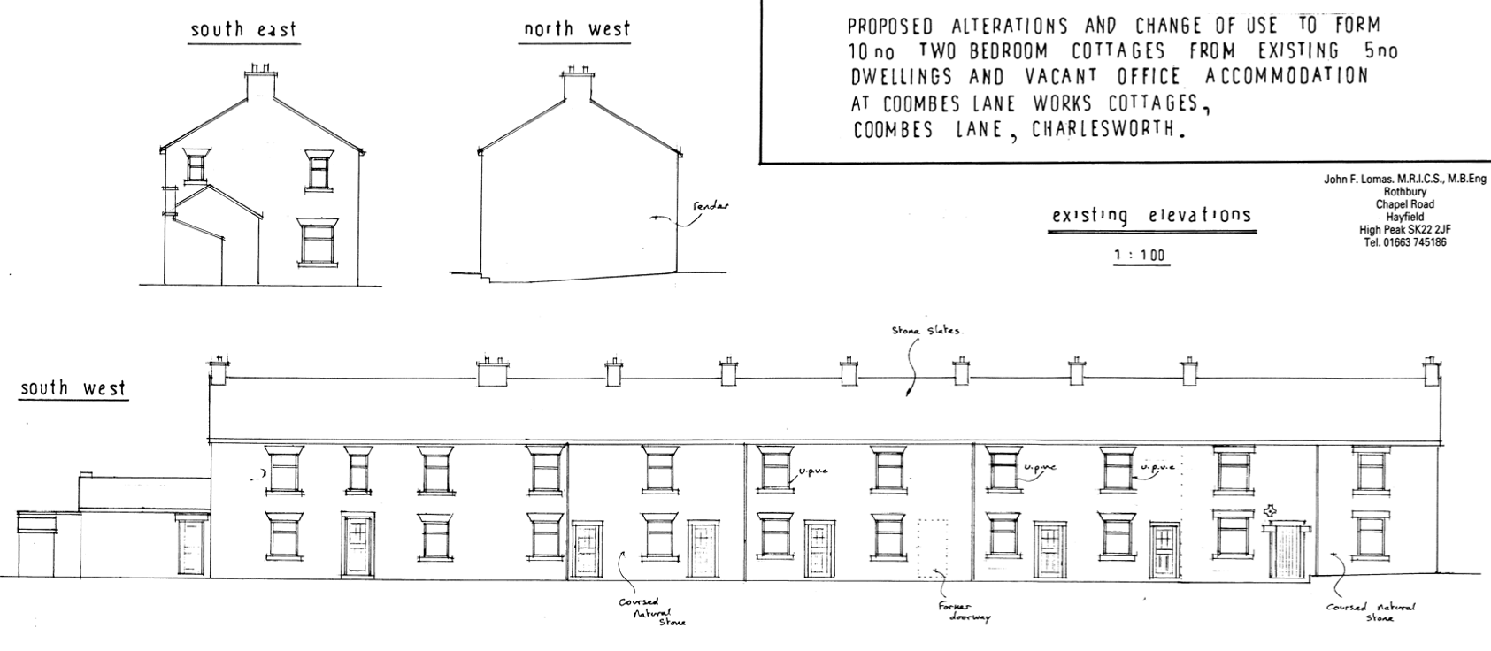
A planning application of 2009 was submitted for redevelopment of the terraced cottages.
Proposed alterations and change of use to form ten two bedroom cottages from existing five dwellings and vacant office accommodation.
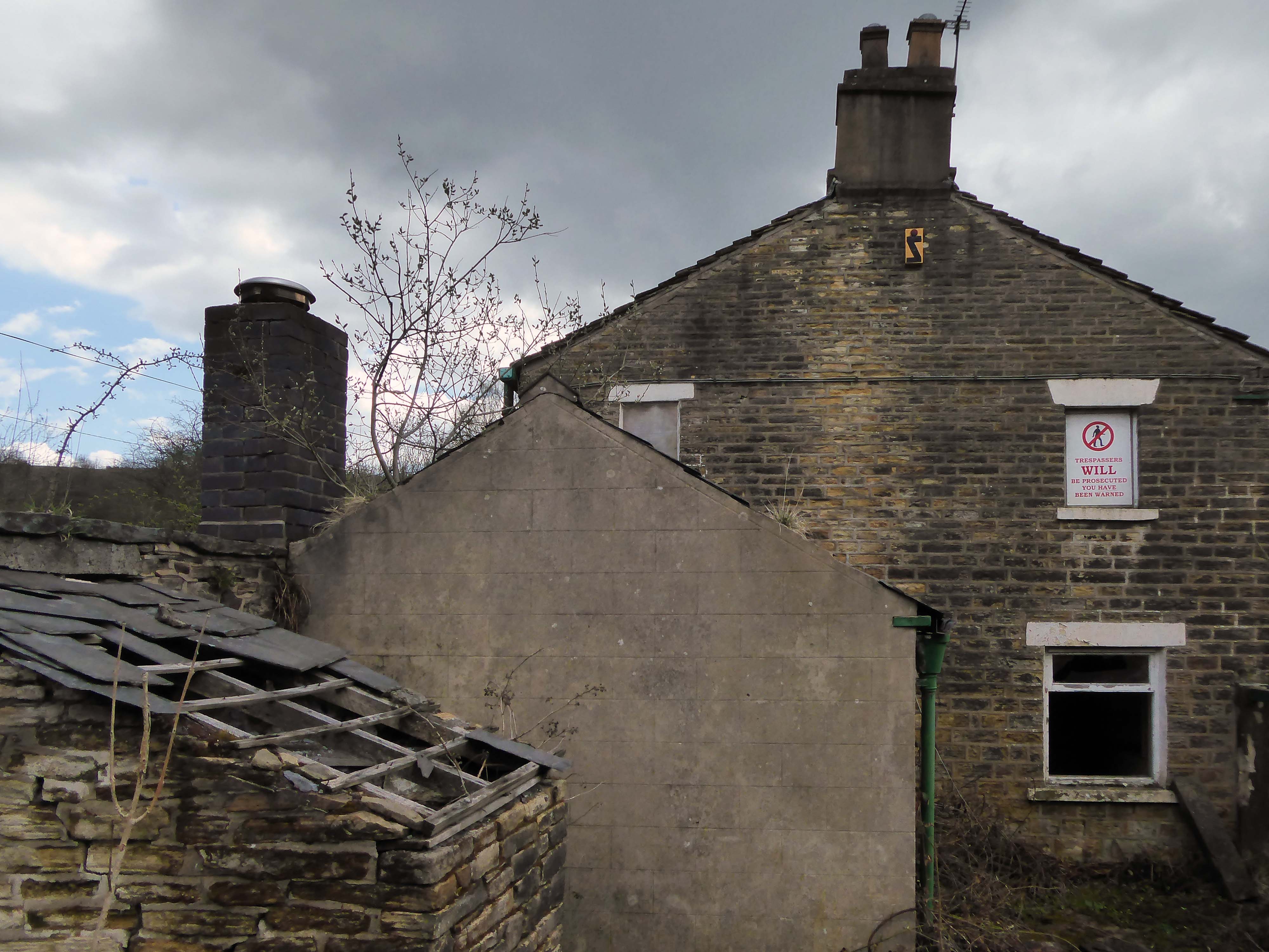
This was the state of play in April 2021 – the interior photographs were taken through an open aperture.
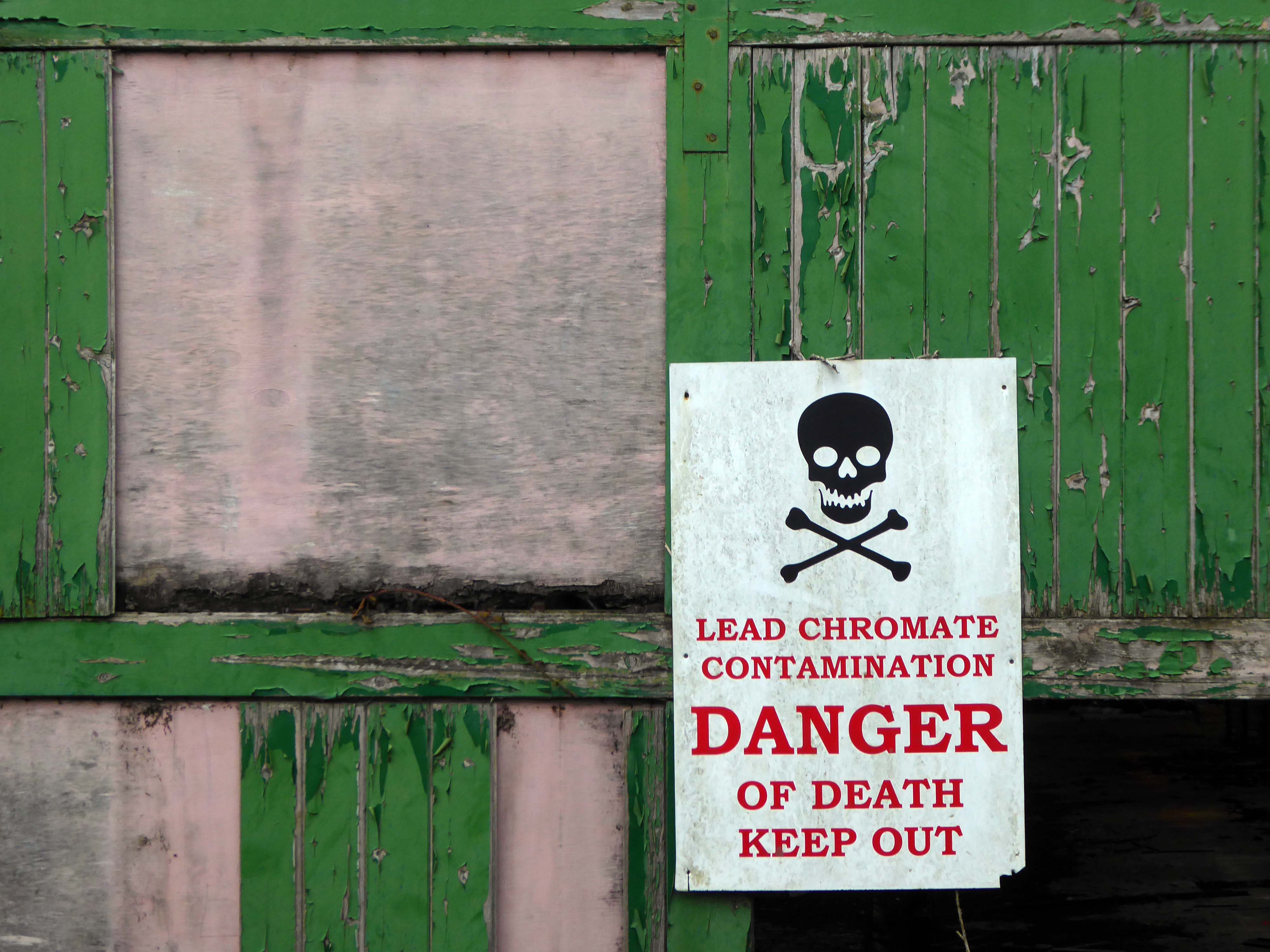
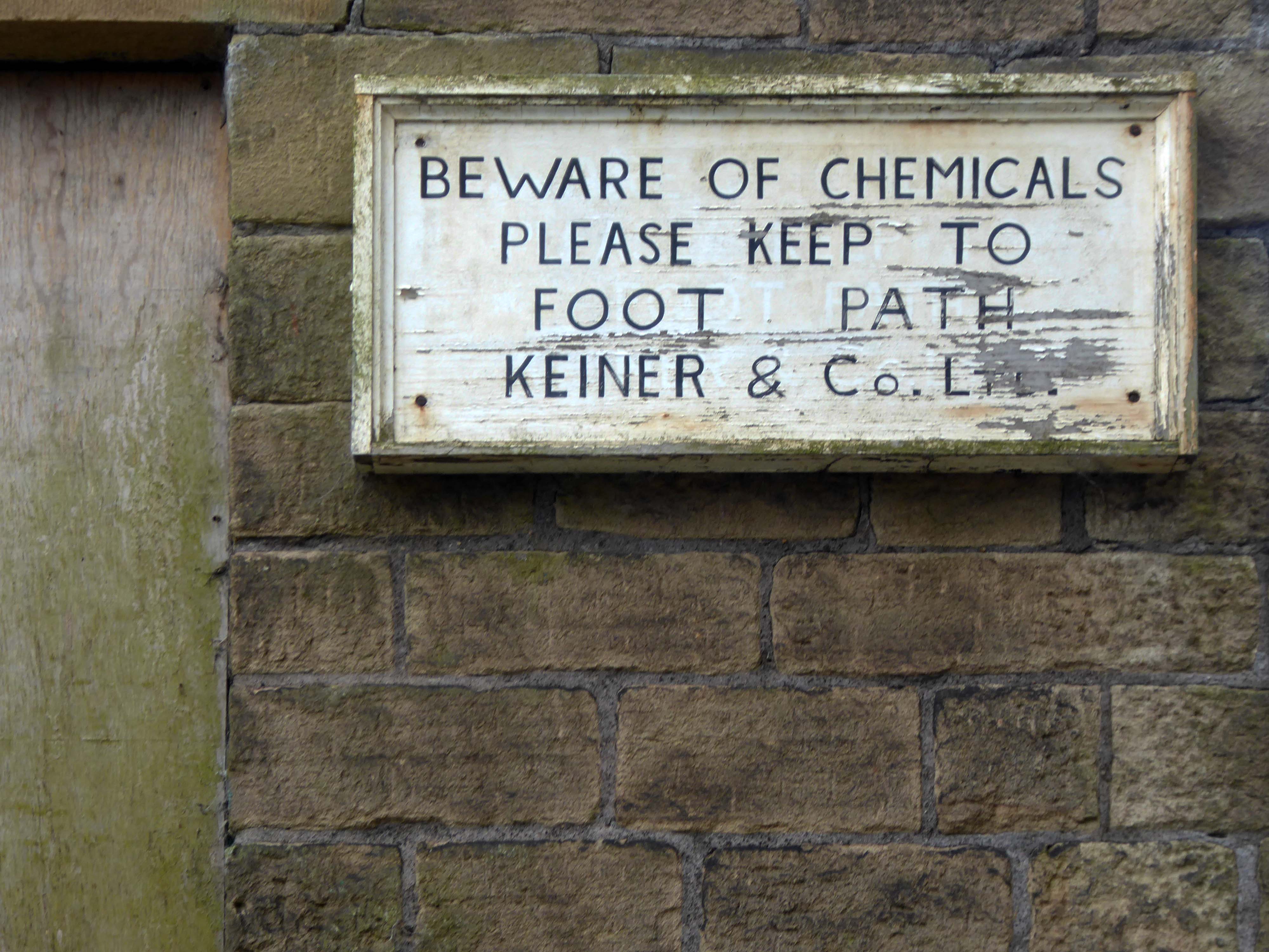
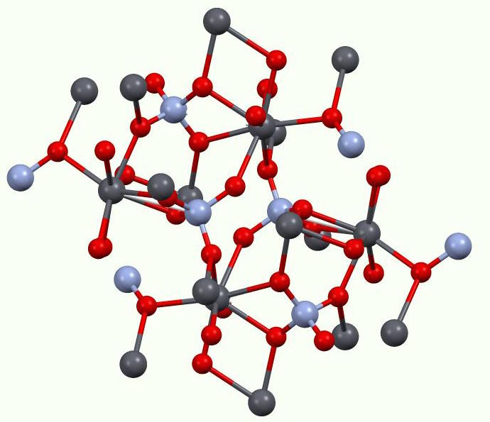
Lead Chromatecan affect you when inhaled or swallowed. Contact can irritate and burn the skin and eyes. Prolonged skin contact may cause blisters and deep ulcers.
Inhaling Lead Chromatecan irritate the nose, throat and lungs.Exposure can cause headache, irritability, and muscle and joint pain. Repeated exposure can cause Lead poisoningwith metallic taste, colic and muscle cramps.
Inhaling Lead Chromatecan cause a sore and/or a hole in the septum.
Lead Chromatemay cause a skin allergy.
Lead Chromatemay damage the nervous system. Exposure may cause kidney and brain damage, and anemia.
The building was subsequently owned by EP Bray.
Wherever the choice has had to be made between the man of reason and the madman, the world has unhesitatingly followed the madman.
For over two hundred years the site has been a place of toil, dangerous toil taking its toll.
The valleys which inevitably fed the Mersey, were home to the origins of the Industrial Revolution – people and water powered.
This is a toxic landscape, nestled in the heart of ancient post-glacial earth movements:
Geomorphological investigations of two landslide areas on the Cown Edge escarpment showed that slope failure was primarily the result of local stratigraphic and lithological conditions and not of past climatic vicissitudes or changes in the form of the relief. Failure on each occasion took place by shearing along the same line of weakness: shales either within a calcareous shale band or in close proximity to it became decomposed and unable to bear the weight of the slope forming material above it. Each displacement resulted in a bank slip failure and the formation of a block glide landslide. The morphology indicates that slip movements has occurred several times and the periods when these took place have been determined using palynological methods. These results indicate that the Cown Edge landslides date from a post-glacial period.
The weir and former causeway stands across the River Dee. It was originally built in 1093 by Hugh Lupus, first Earl of Chester. It was built for St Werburgh’s Benedictine Abbey – now Chester Cathedral. It channelled the water to allow it to power a series of mills along the Dee. These mills were amongst the largest and most valuable in England during the 13th century. They were in use until 1910.
The weir was restored in the early 20th century to serve the City Council’s hydro-electric power station
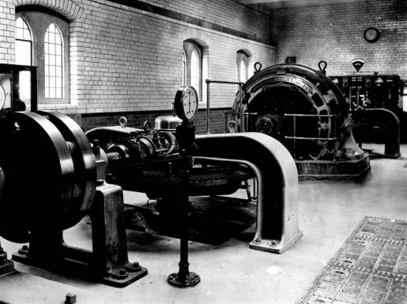
Chester generated its own clean carbon-free electricity for almost half of the city’s needs from the hydroelectric building on Castle Drive between 1914 and 1949.
From 1932 the city was buying electricity from the Central Electricity Board’s embryonic national grid in order to cope with demand which grew to over 23,000 consumers by 1946.
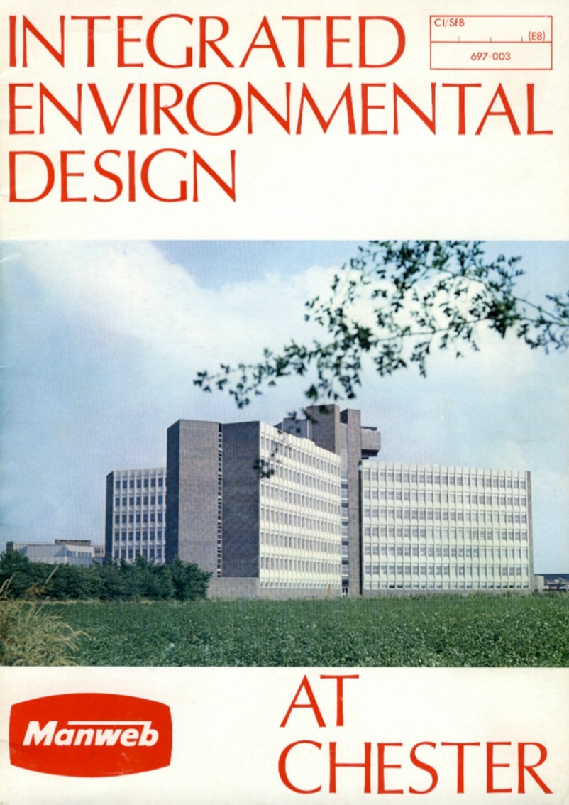
At nationalisation in 1948 the corporation’s system came under the Merseyside and North Wales Electricity Board – Manweb, which in 1968–70 built its administrative headquarters in Sealand Road. The buildings had as their centrepiece a seven-storey Y-plan office block, which dominated the skyline looking west from the city centre until it was demolished in the 1990s.
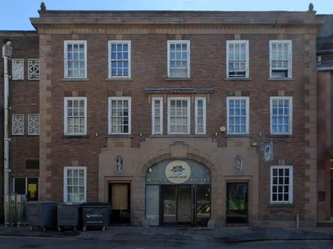
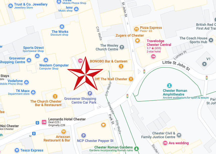
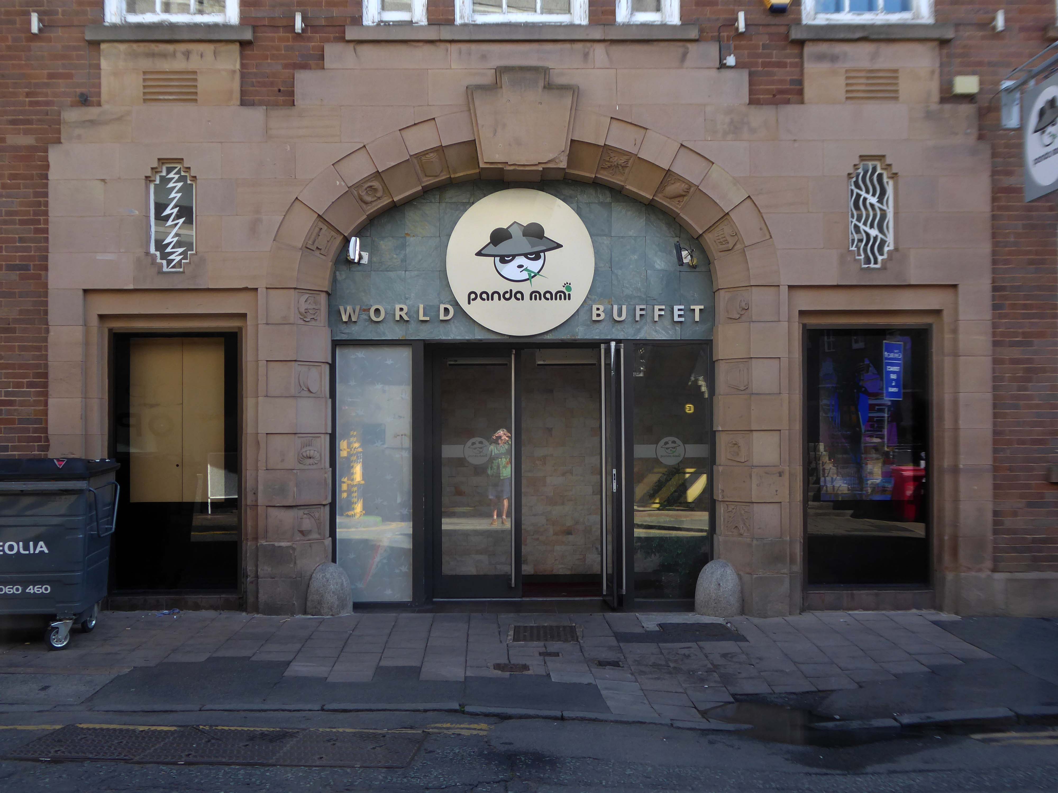
I was wandering the streets of Chester when I came upon this decorated doorway in Newgate Street.
In consultation with the current owners panda mami – we concurred that the building was once in service to the electrical generating industry.
Architecturally pre-National Grid, this implies that it would have been part of Chester’s independent provision.
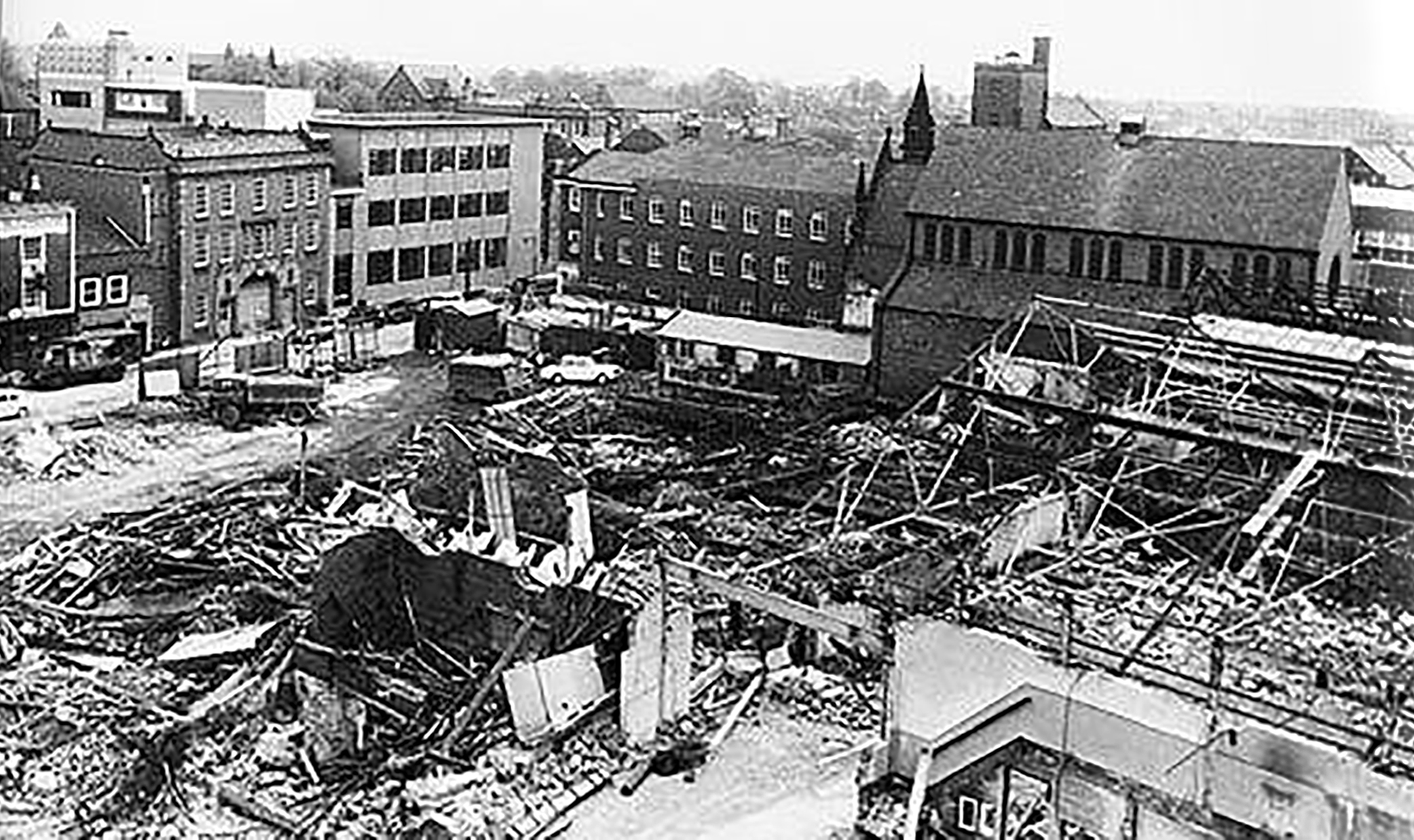
It can be seen in the top left of this archive photograph.
Electricity House in the days of Chester Corporation Electricity Department.
If she’s put together fine and she’s reading my mind I can’t stop I can’t stop myself Lightning is striking again Lightning is striking again and again and again and again
Lou Christie and Twyla Herbert
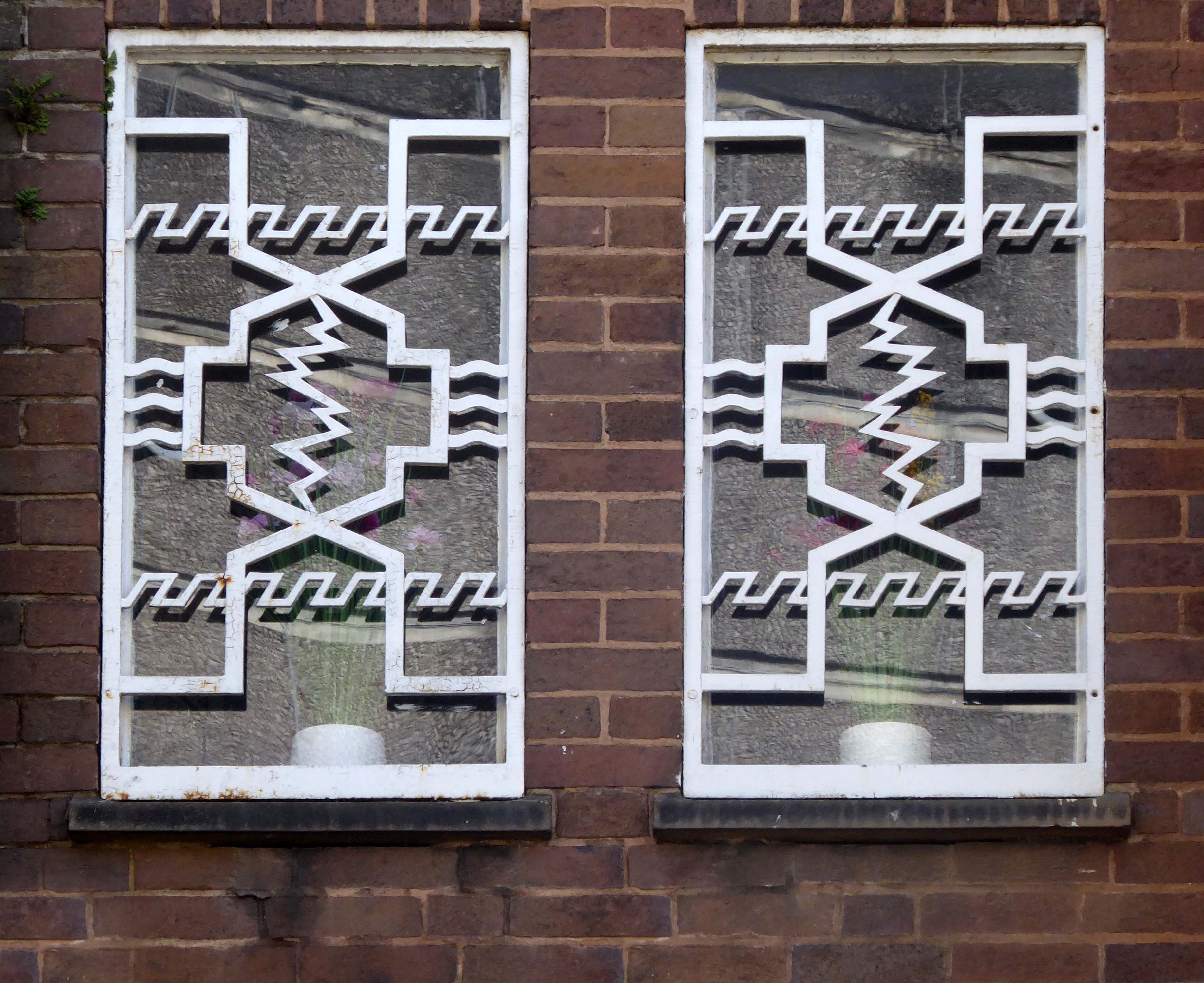
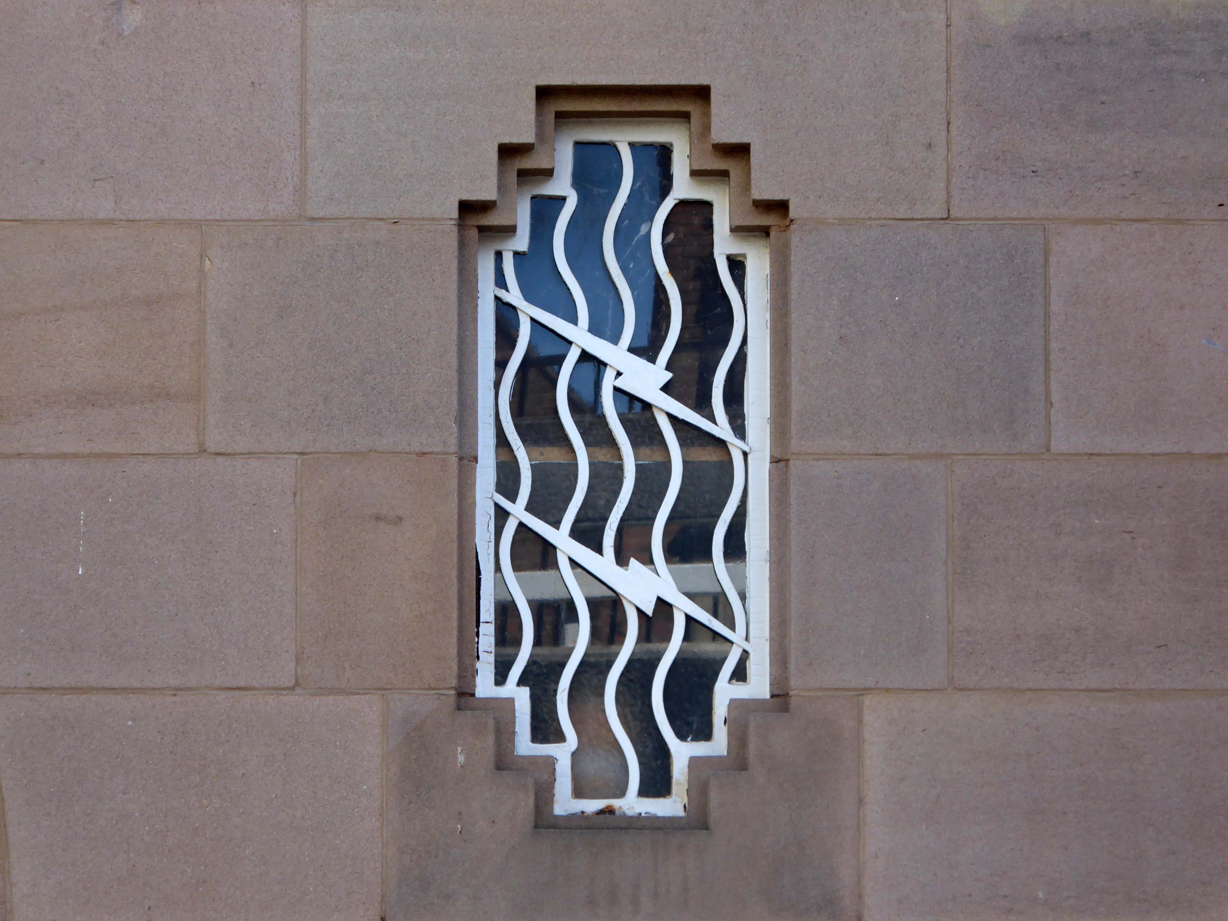
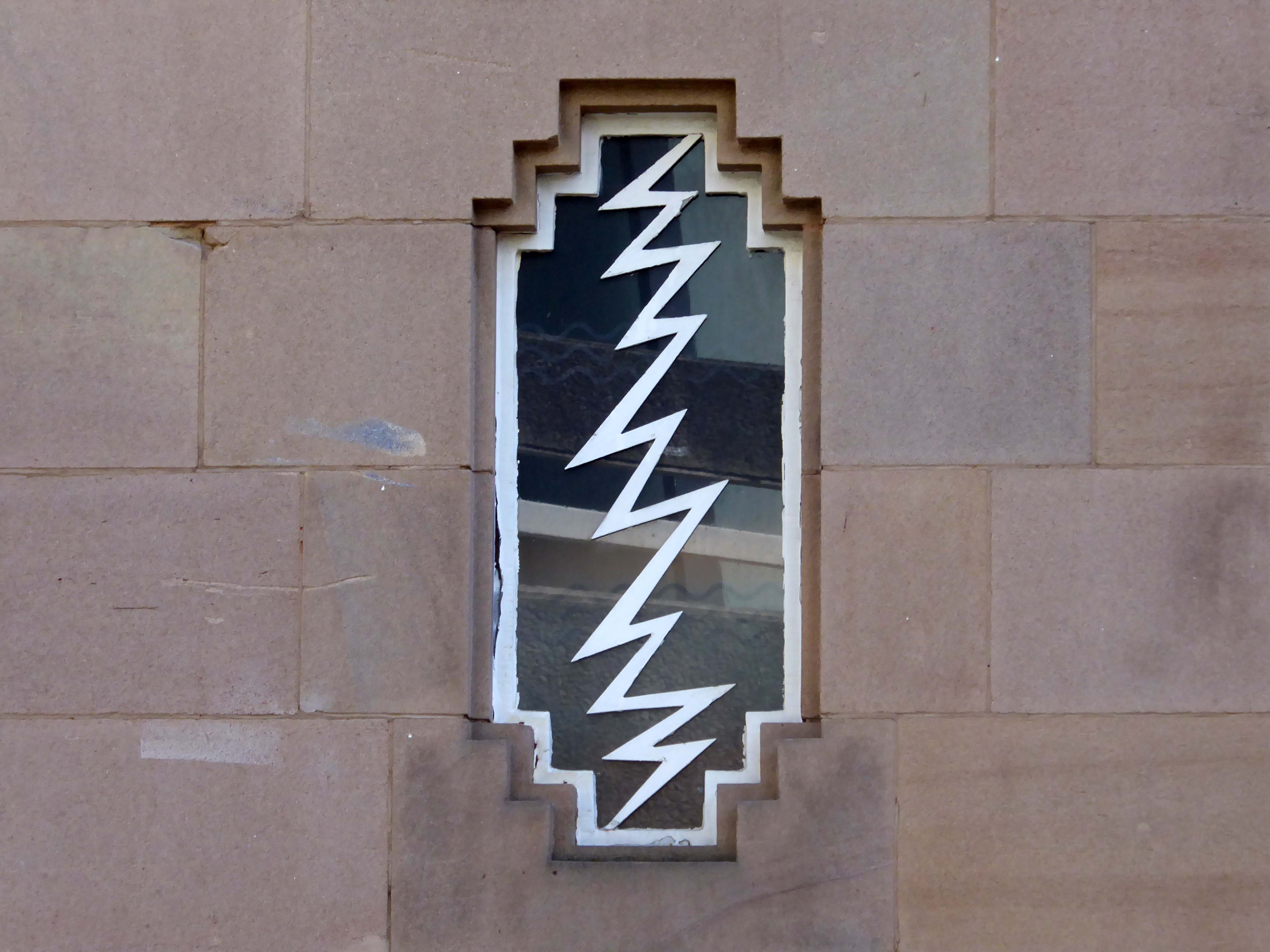
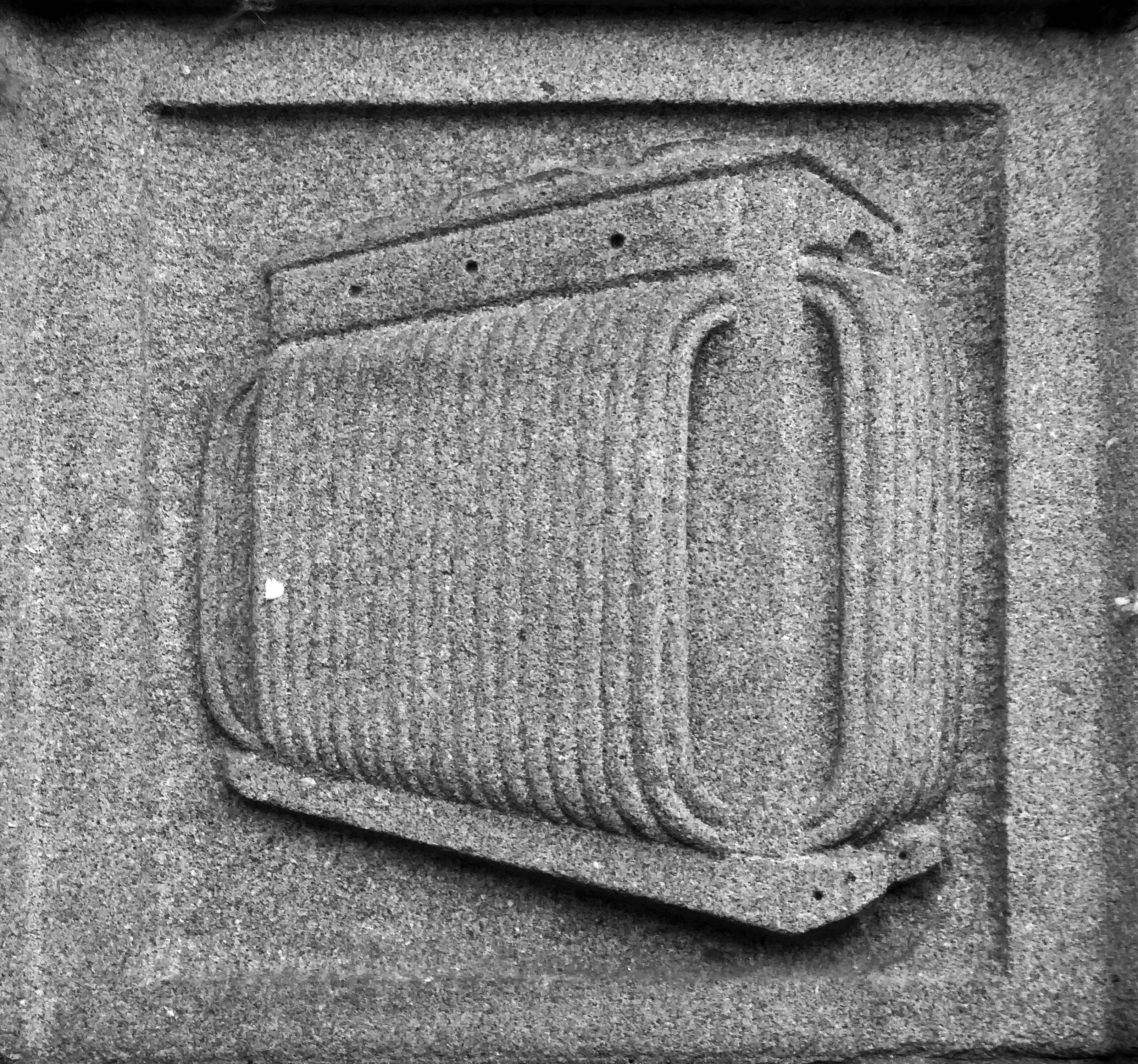
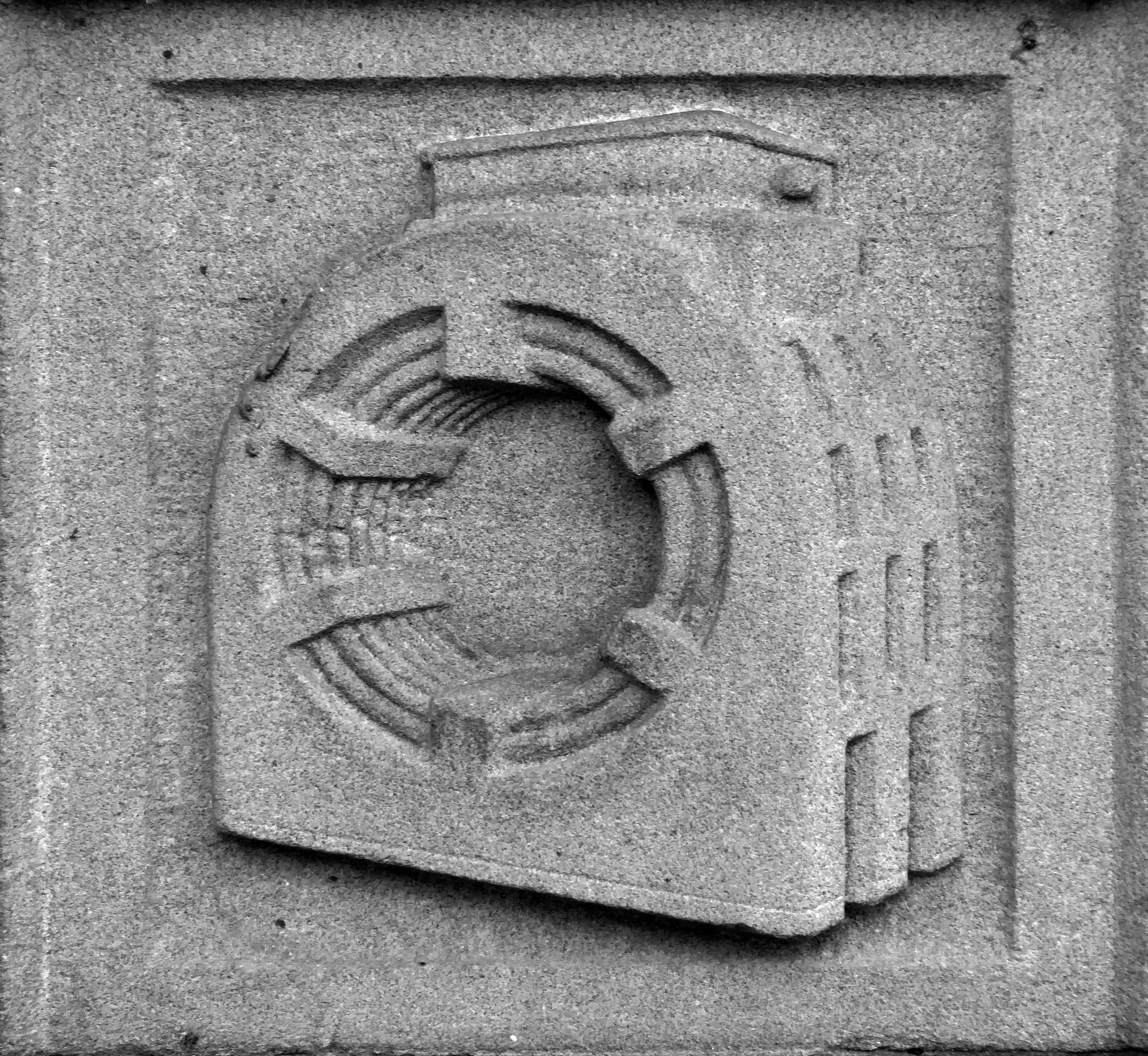
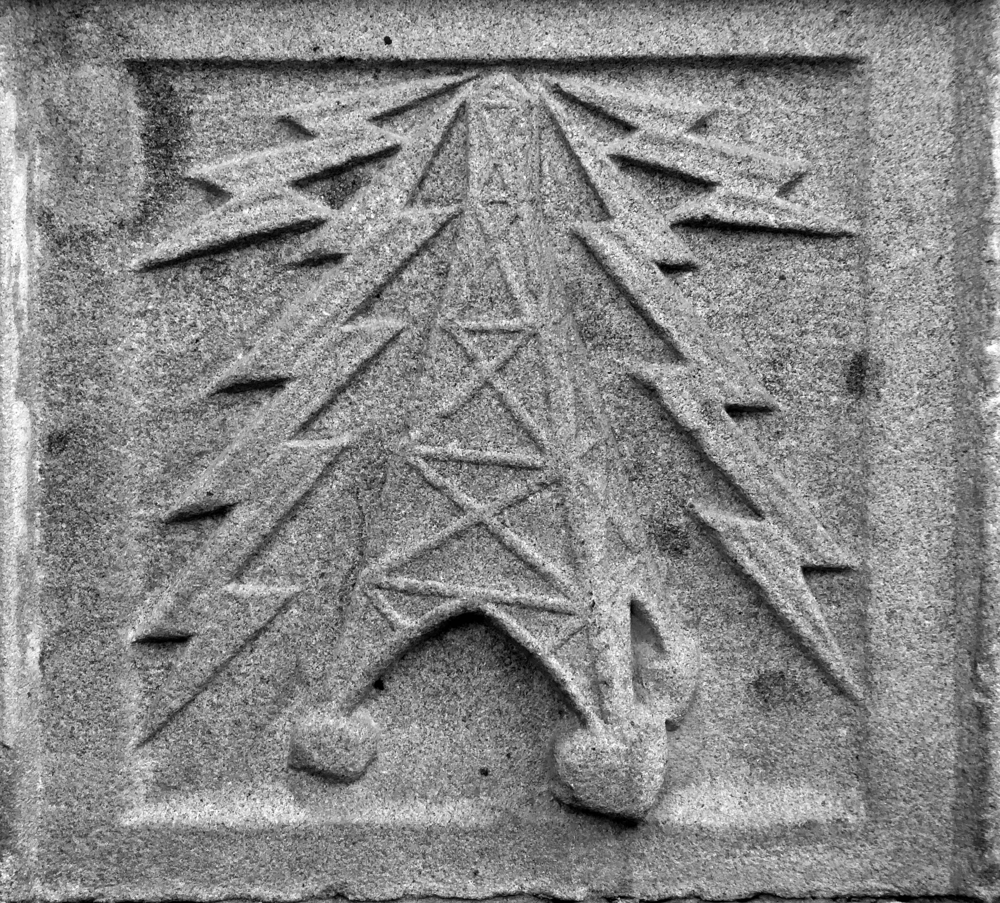
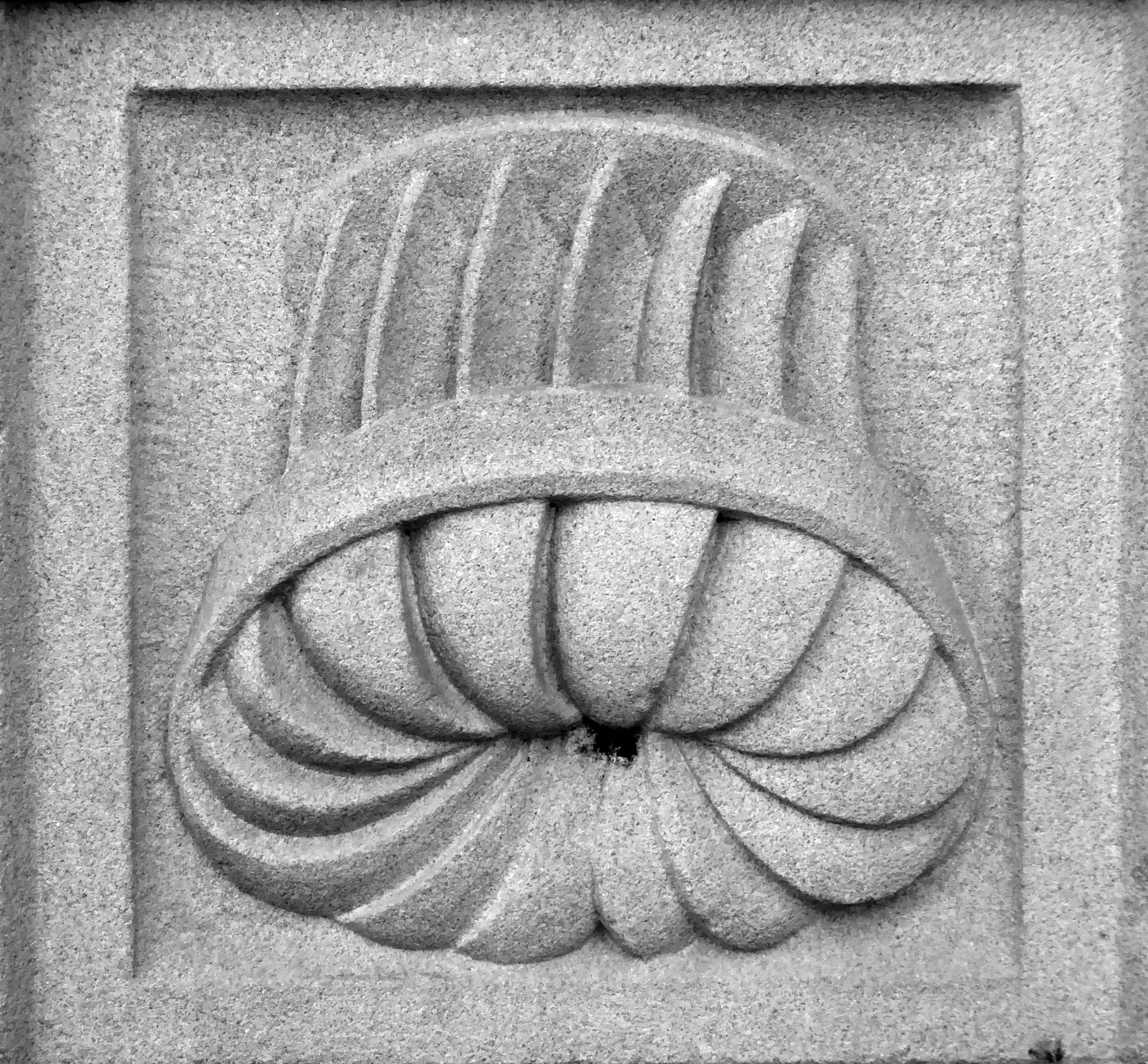
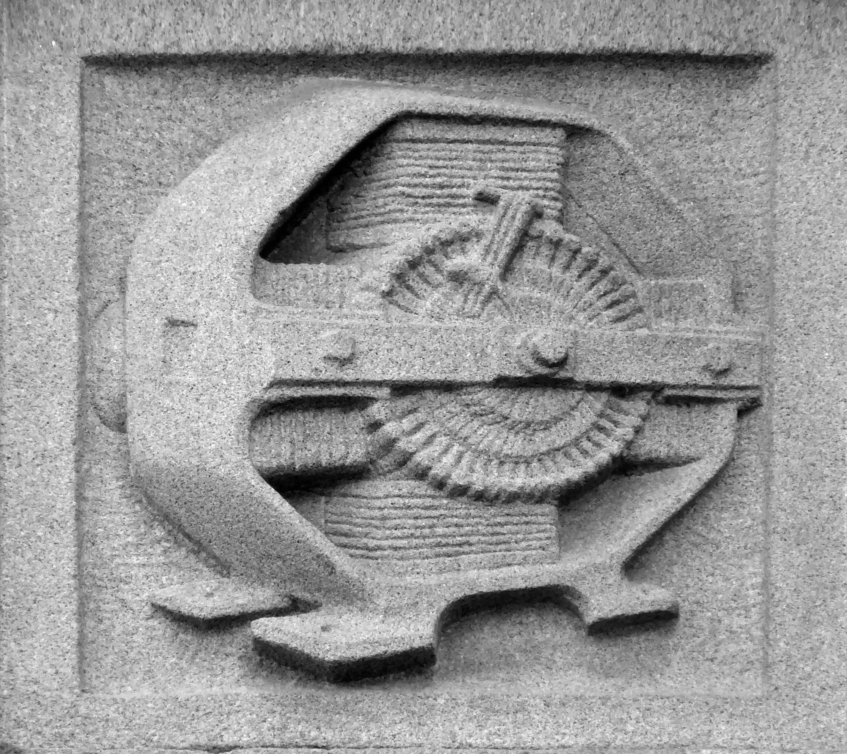
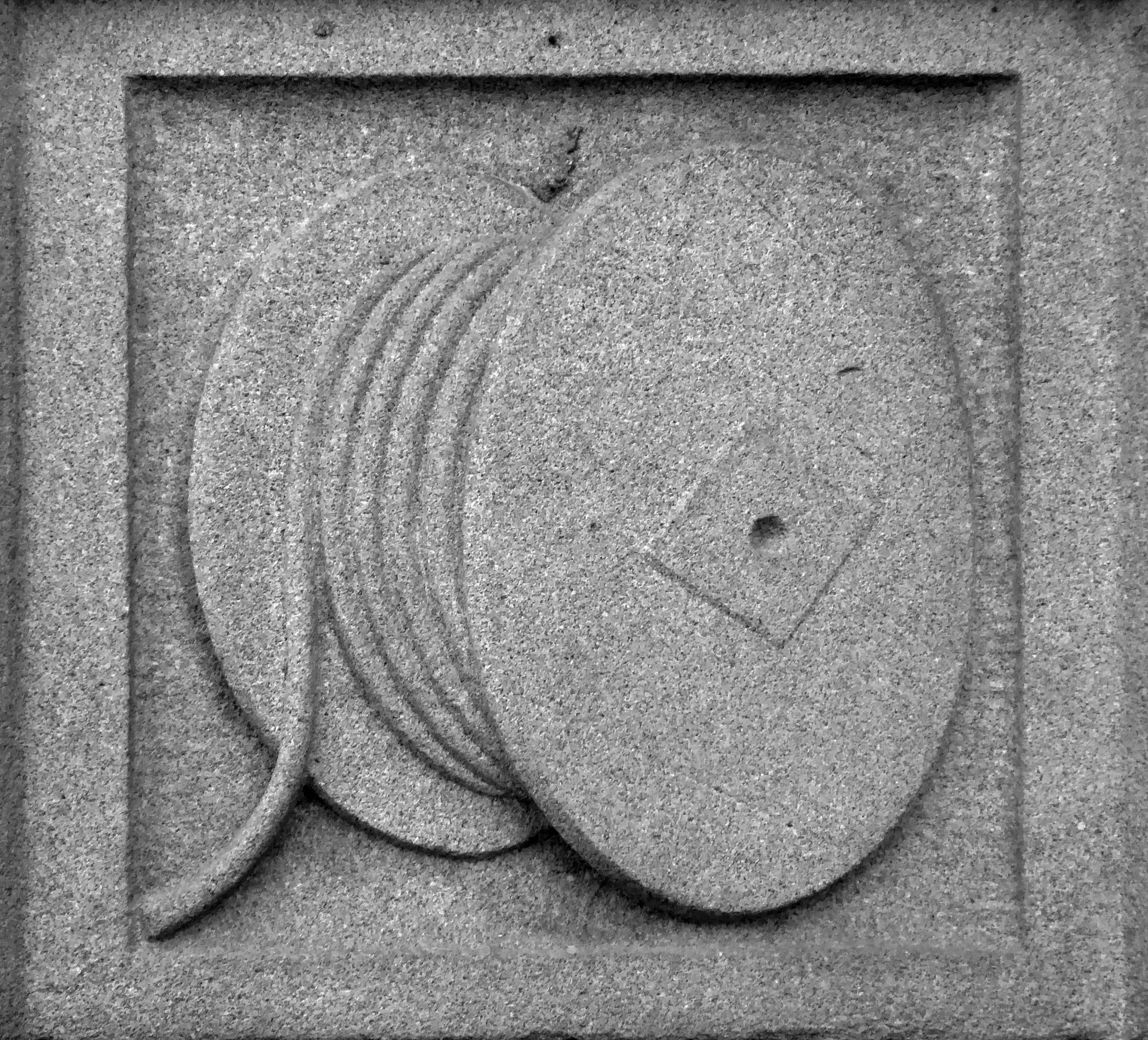
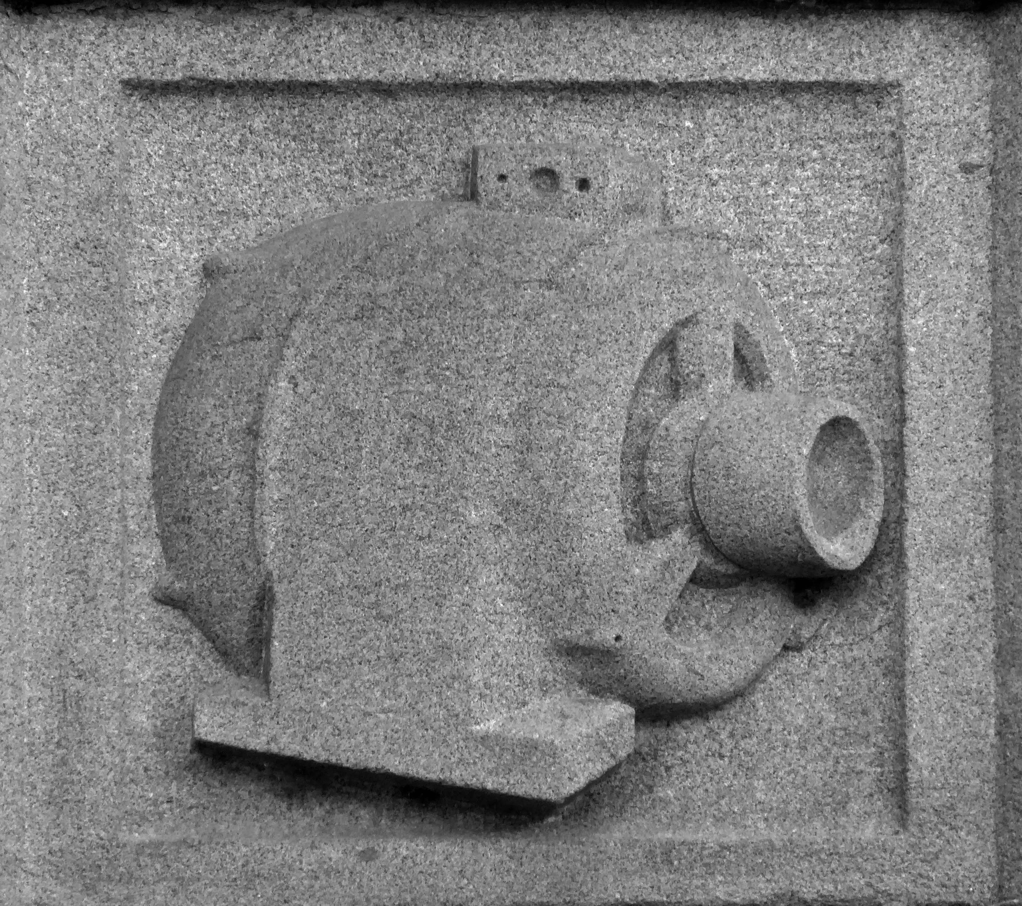
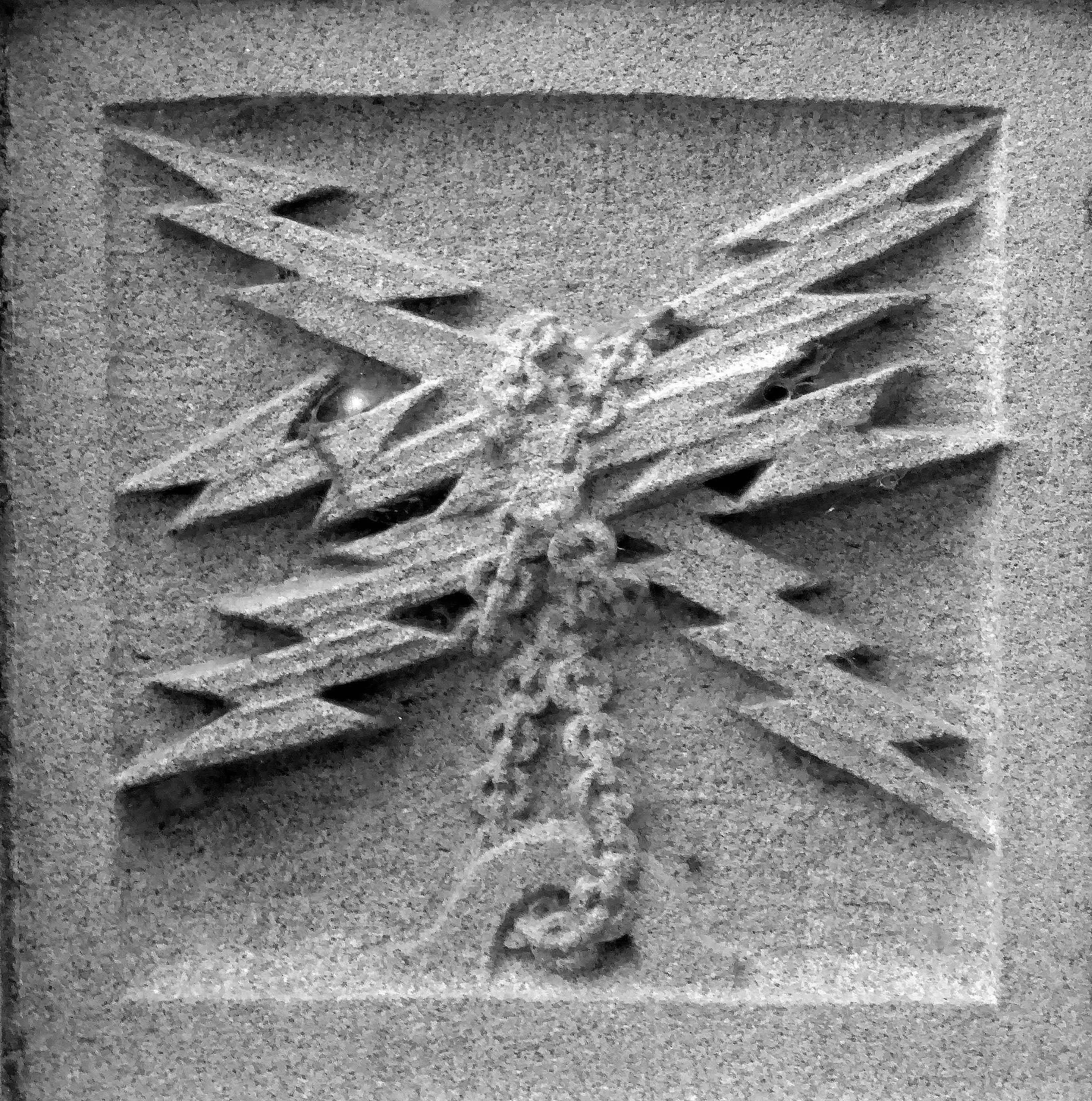
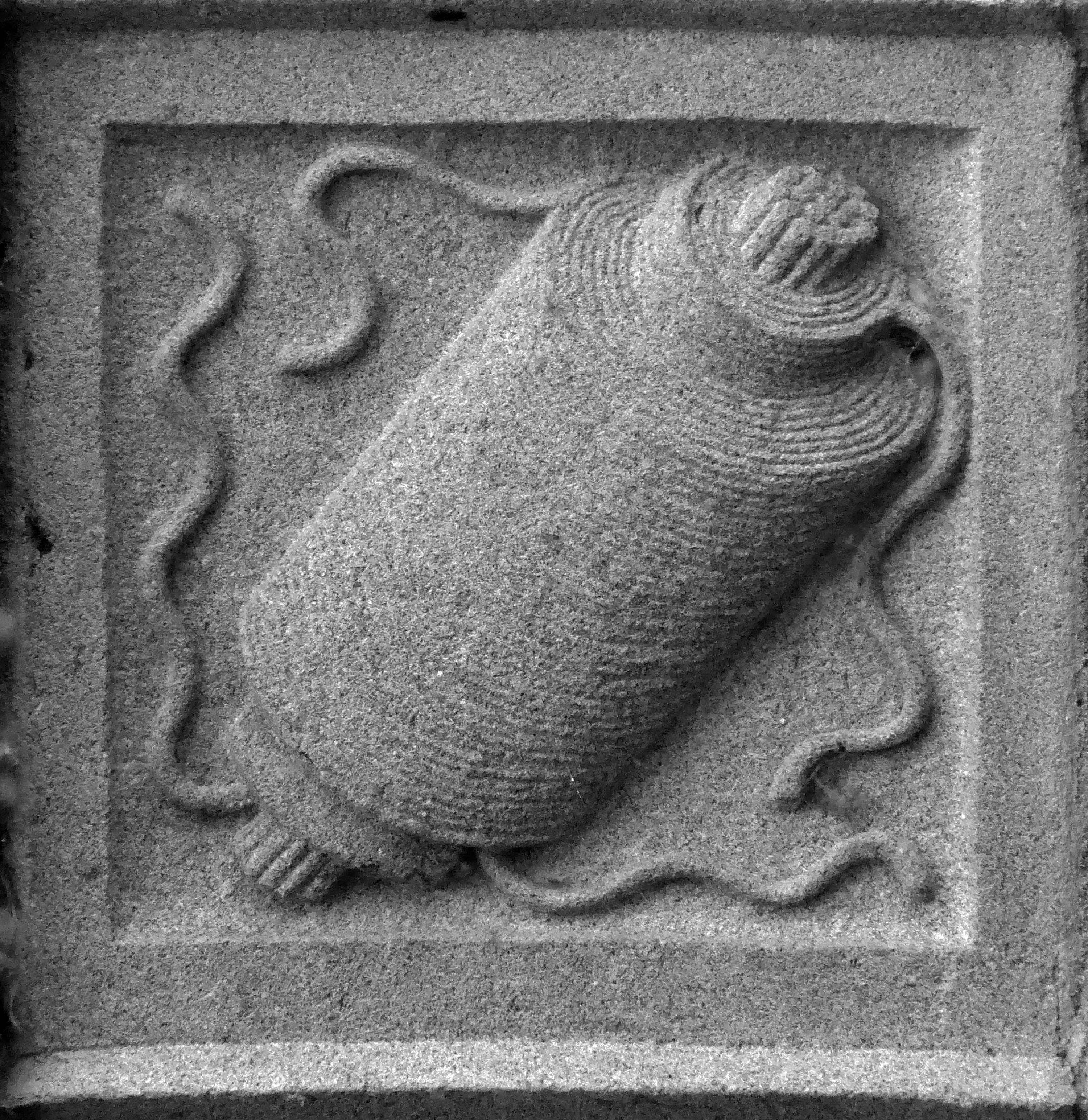
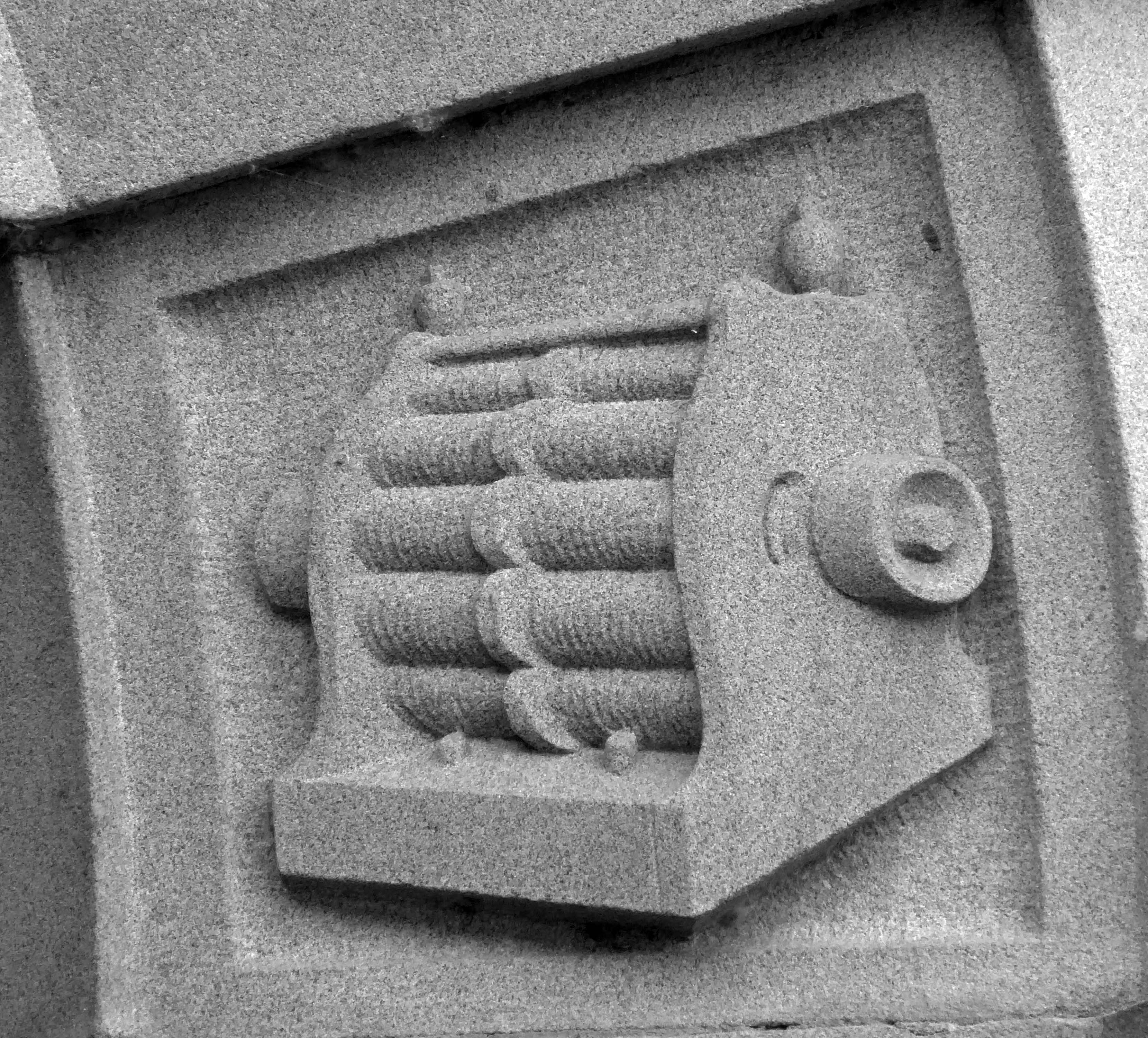
The arch above the entrance is adorned with these carved stone electrical emblems – also rendered in the Futurist Moderne manner.
The pumping house is to become a visitor’s centre – named the Hydro Hub.
Singin through you to me Thunderbolts caught easily Shouts the truth peacefully Electricity
One man who saw the wisdom of building a road infrastructure to deal with high volumes of traffic passing through Halifax and to provide convenient links to the M62.
That man was prominent town councillor John Burdock.
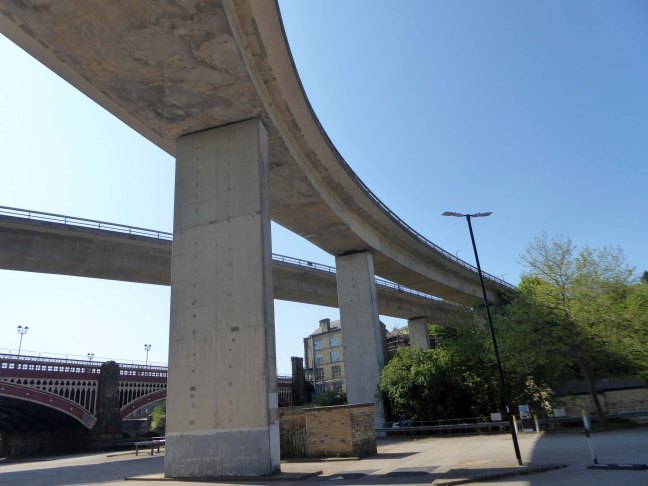
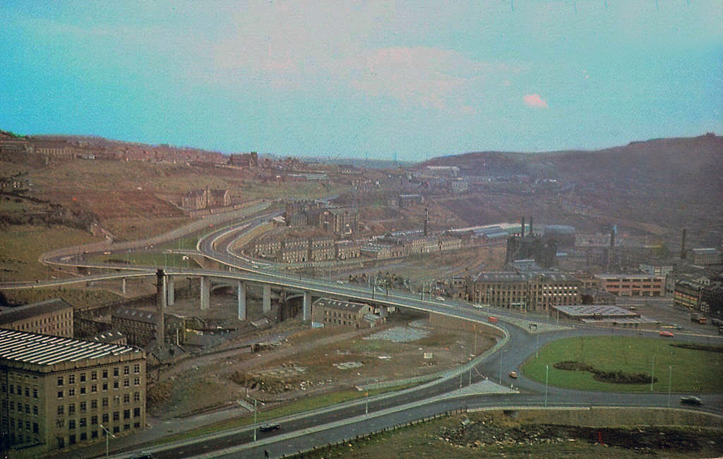
Burdock Way, the modern flyover system, was opened in 1973 to take the A58 and A629 traffic over the River Hebble.
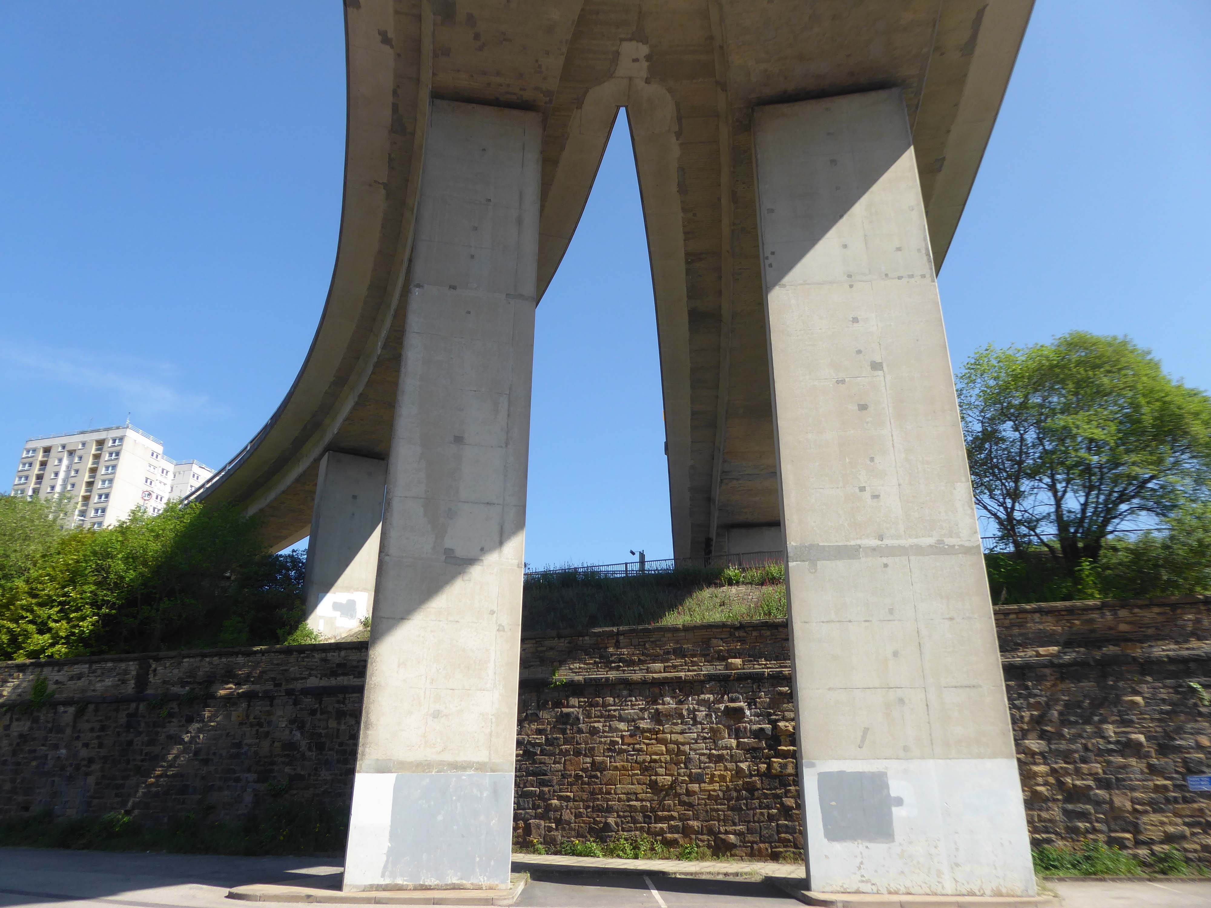
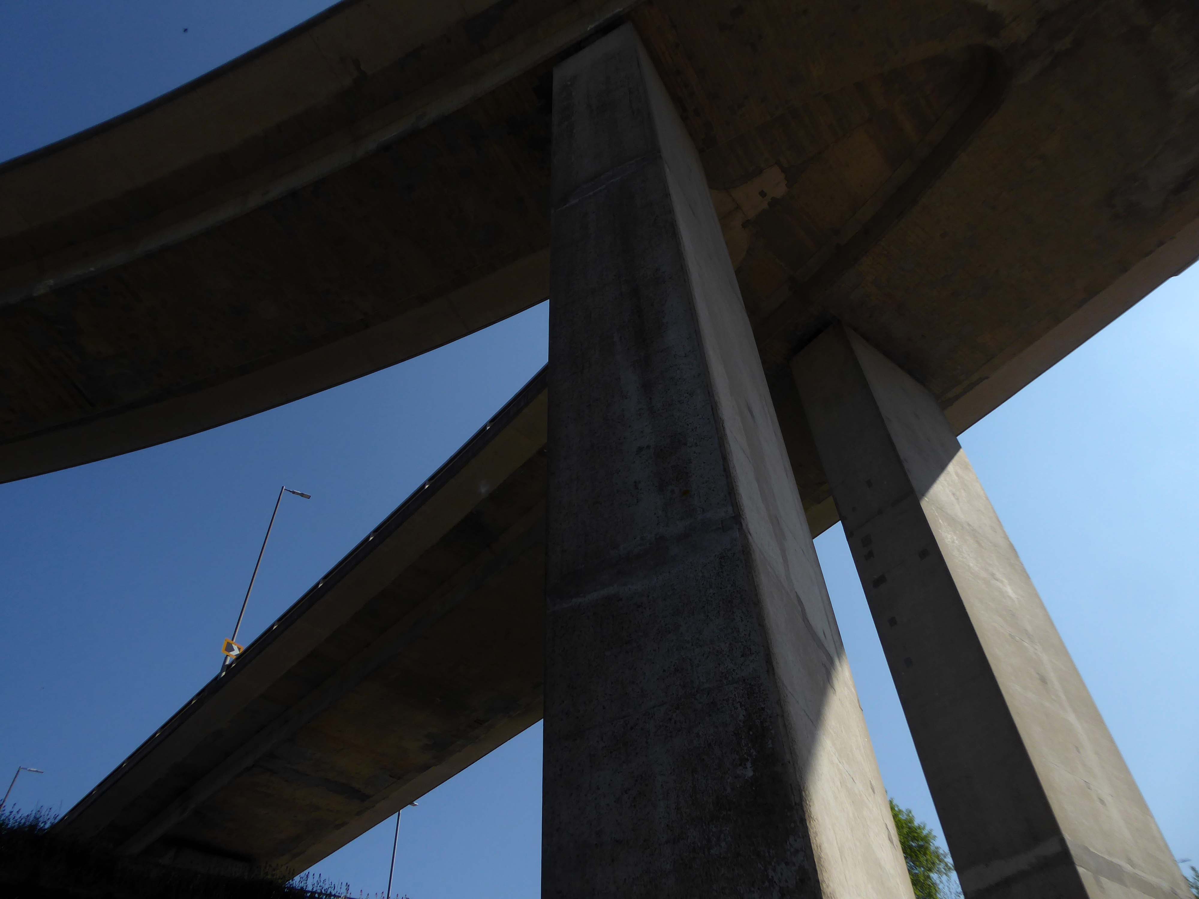
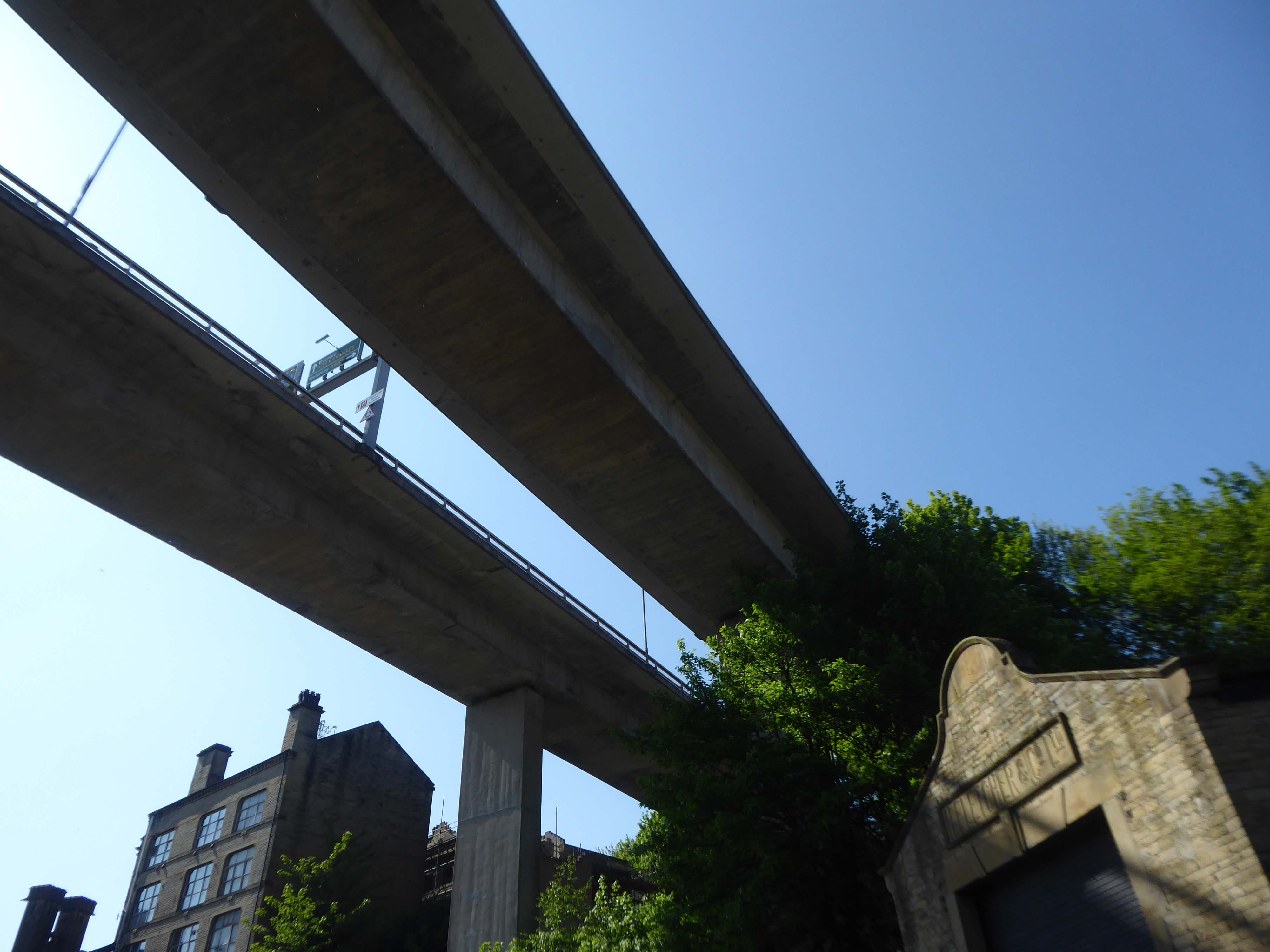
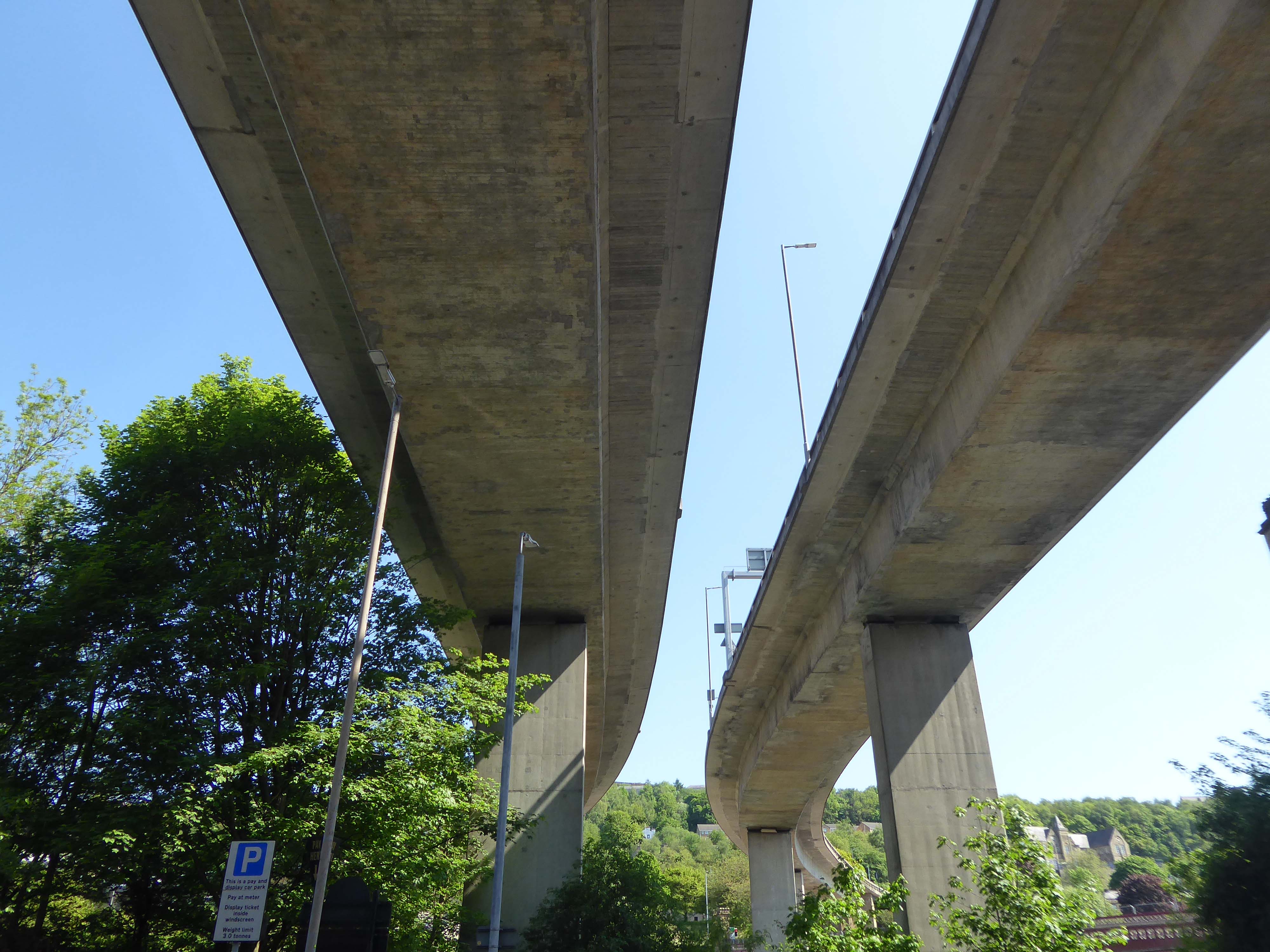
Faced with the problem of very high volumes of through traffic in its town centre, and with the impending construction of the M62 too far to the south to provide relief for the town, Halifax needed a bypass. The steep sided valley that the town centre inhabits prevented a conventional road from being built around the town, and so in the early 1970’s construction began on Burdock Way – one of the most adventurous relief road schemes built in Britain, certainly by a town the size of Halifax.
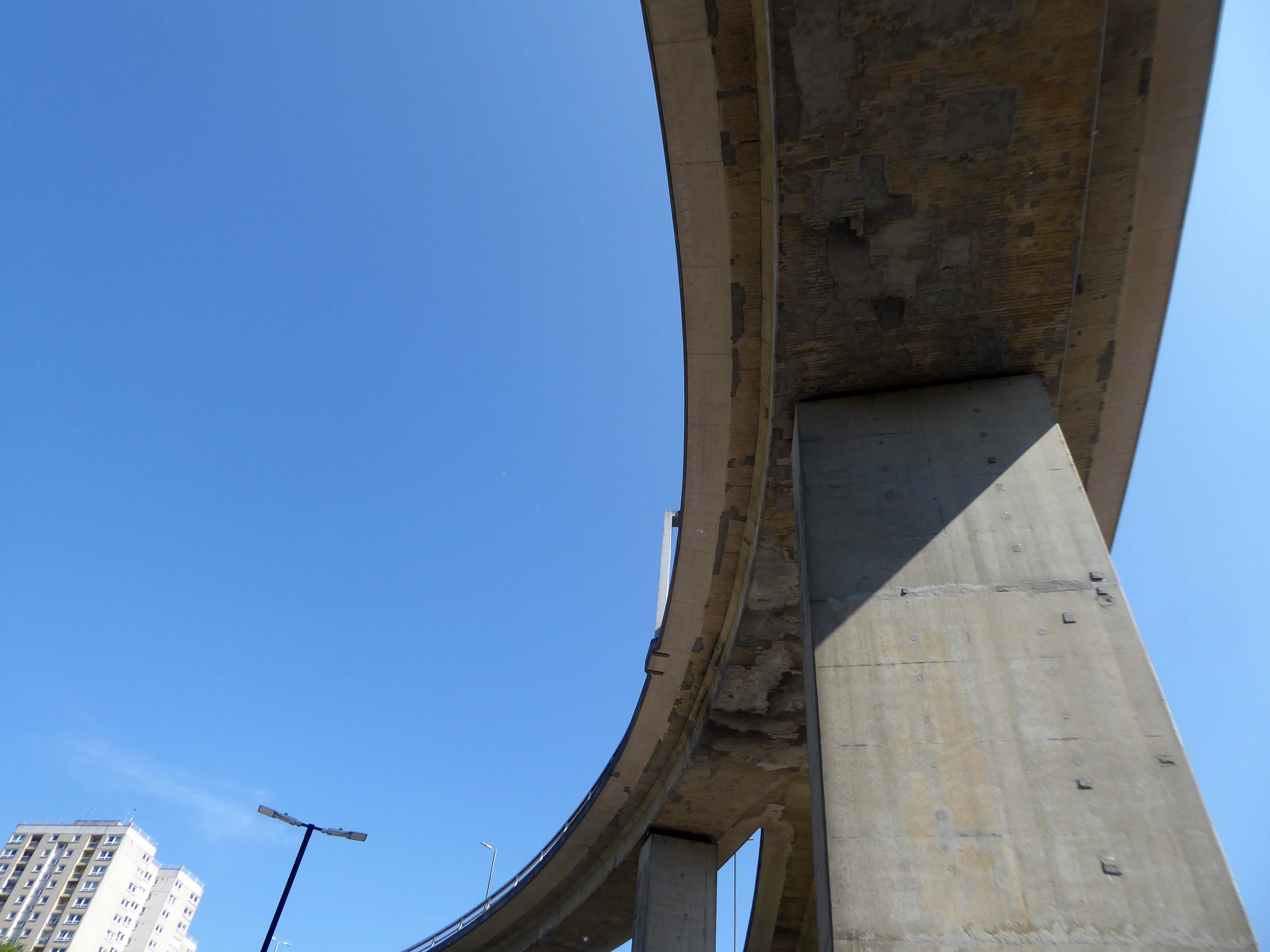
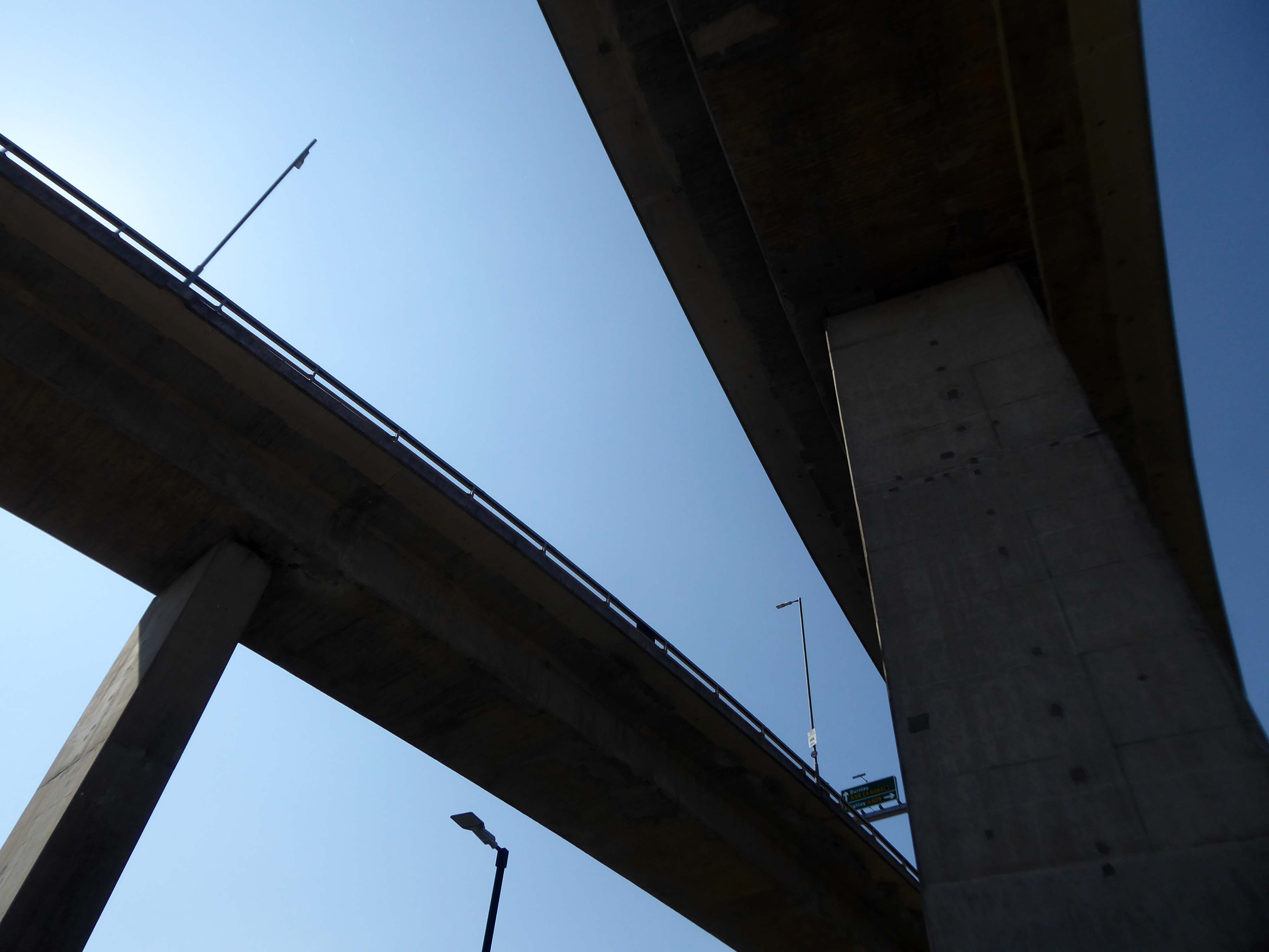
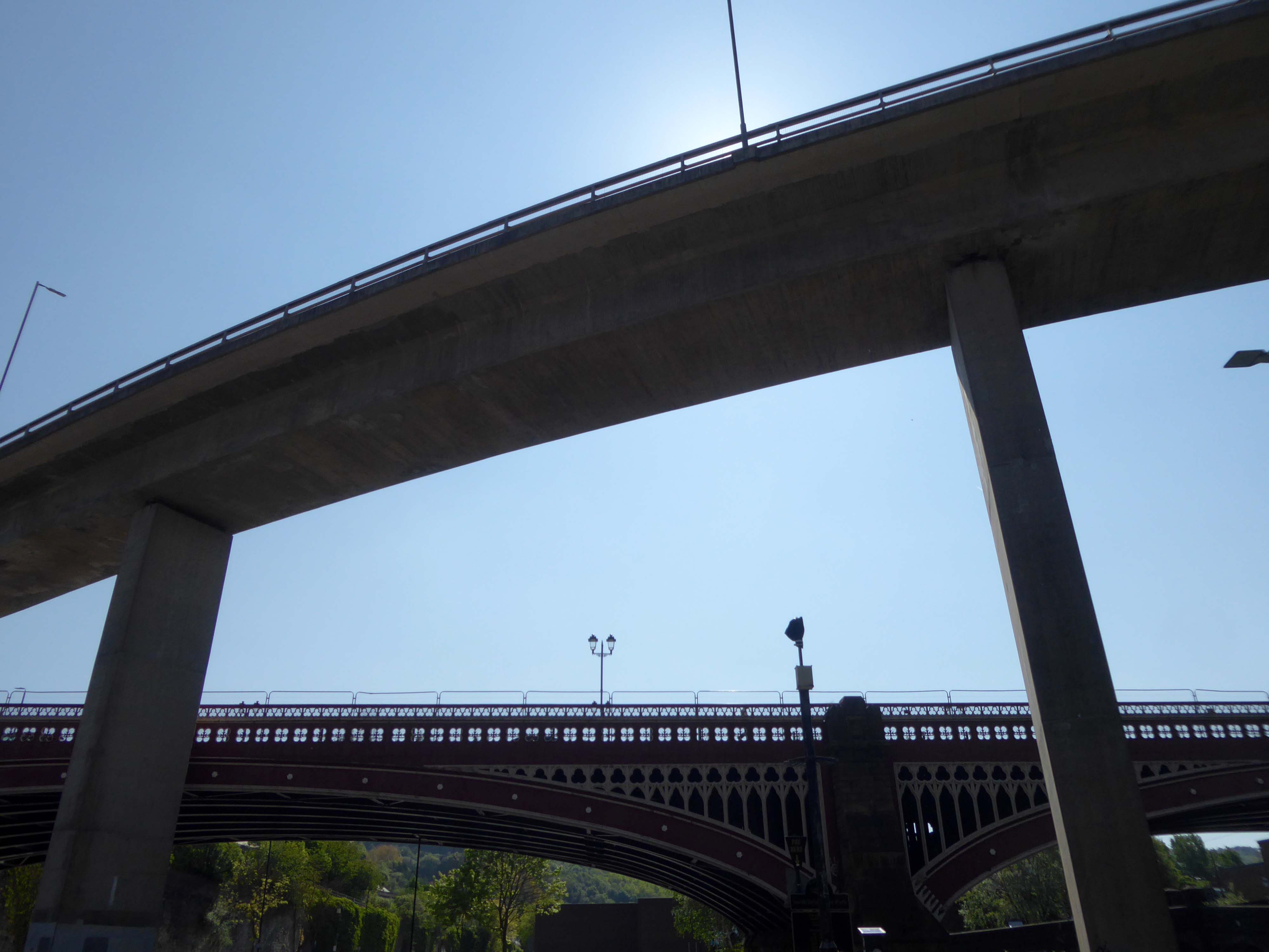
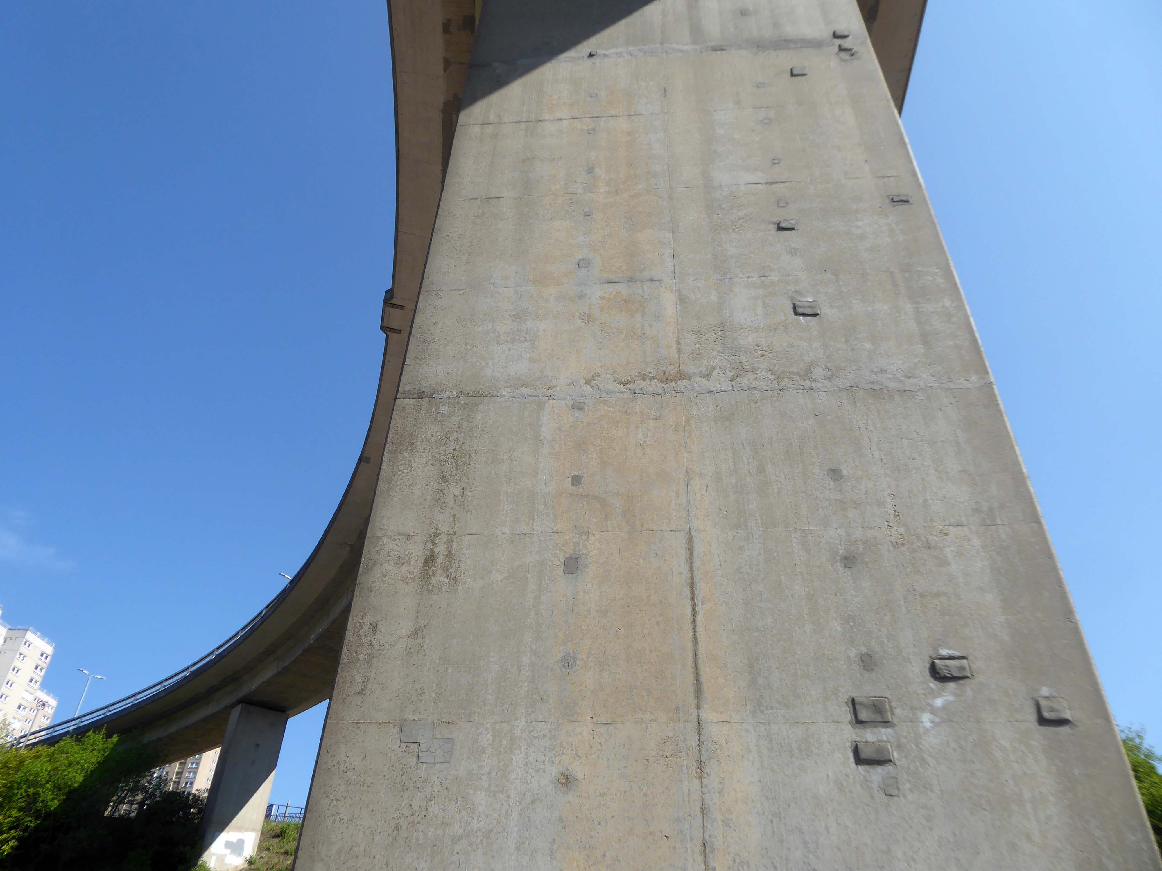
Only one phase of the futuristic road was ever built, but what exists is a partially grade-separated dual carriageway that runs through deep trenches and over tall viaducts close to the heart of the town. At its eastern end is a truly byzantine piece of traffic engineering that stretches the definition of a roundabout to its limit.
In October 1971 the official celebrations went anything but according to plan. It had been decided to give the people of Halifax a half day holiday so they could attend the opening, but there were not enough police on duty to control the sightseers. It was impossible to get complete silence for the speeches and arrangements to tell the artillery guns at Southowram Road when to fire broke down. They were fired prematurely while an archdeacon was offering prayers. The Mayor, HC McCrae, finally managed to announce that the bridge was officially open and he scurried back to the town hall where he hosted a banquet.
Burdock Way has never been fully completed as it is missing certain sections envisaged in the early 1960s plans. There are a number of reasons for this, but it is mainly owing to West Yorkshire County Council’s cost cutting in the 1970s.
Yorkshire Post
This is the Valley of the Gwangi in the West Riding – minus the dinosaurs.
An urban chasm, the gulf between everything and nothing.
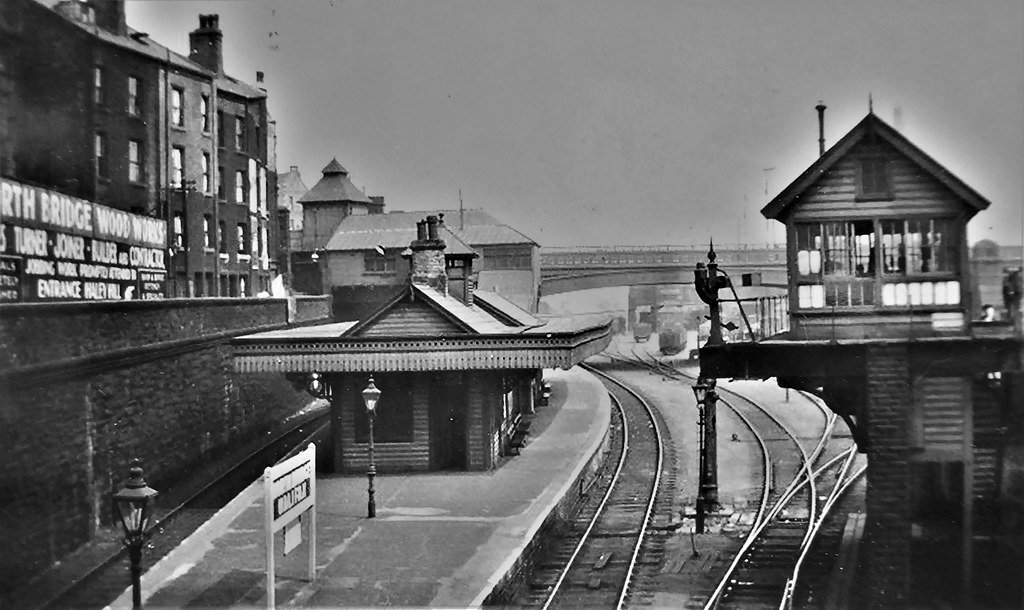
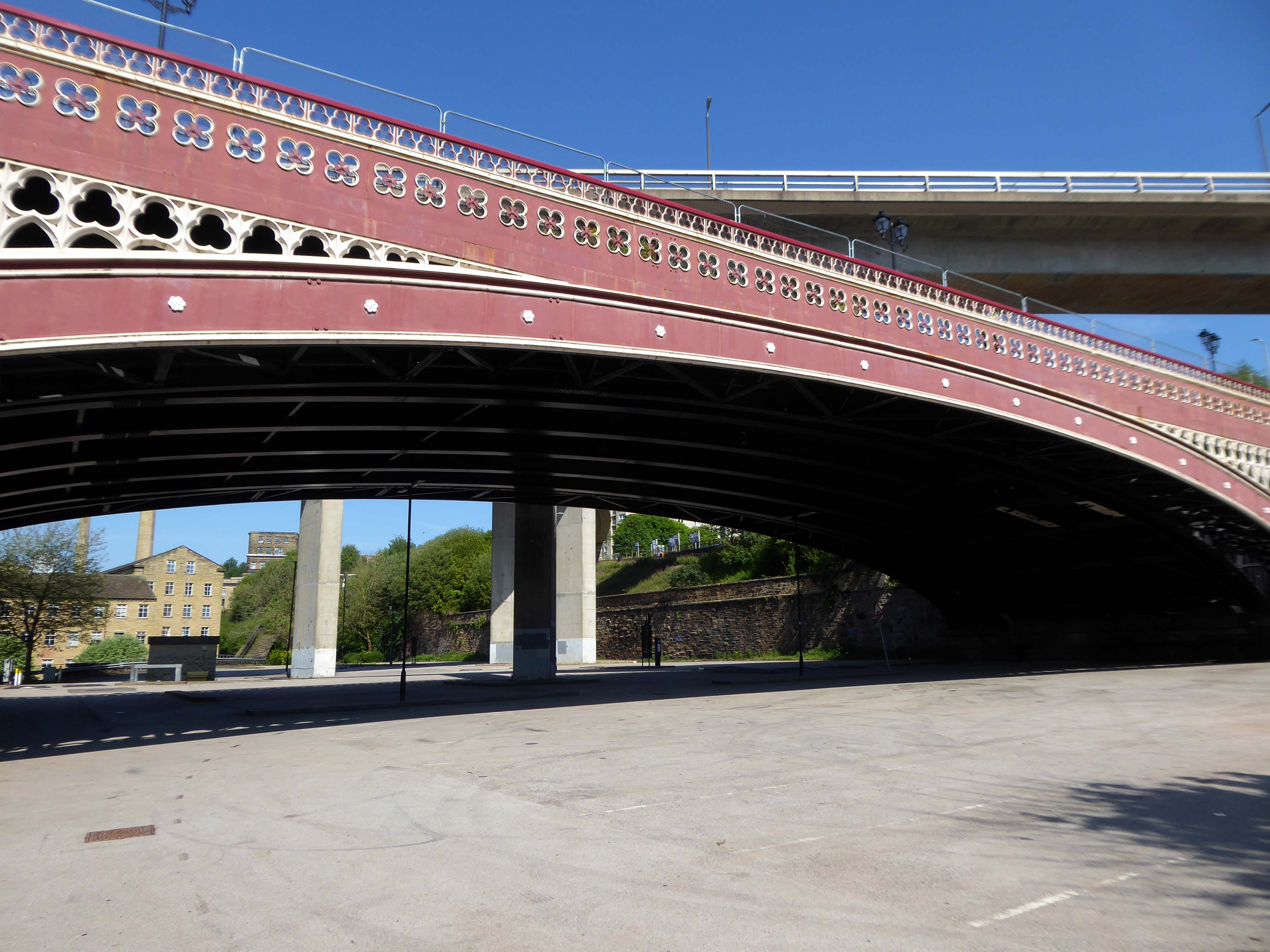
North Bridge is a Victorian iron and stone bridge crossing the valley of the River Hebble, connecting the town to roads to Bradford and Leeds. Replacing an earlier six arch stone bridge it was raised to allow the subsequent construction of the Halifax High Level Railway beneath it, along with an adjoining station.
Opened in 1871 amid chaotic crowd scenes it carried increasingly heavy traffic until it was by-passed by the Burdock Way in 1973.
Hyde Road was a football stadium in West Gorton, Manchester, England.
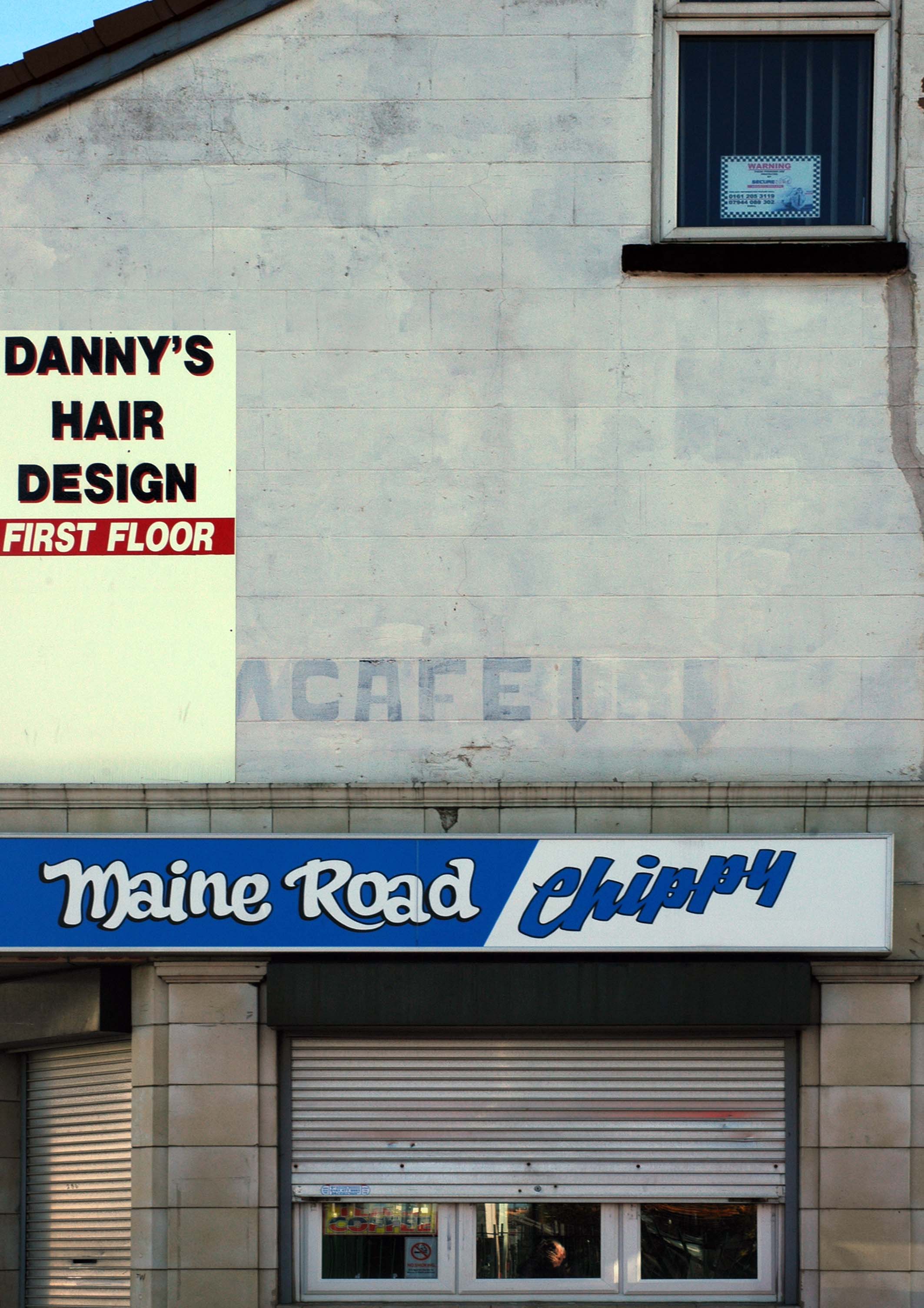
It was home to Manchester City FC and their predecessors, from its construction in 1887 until 1923, when the club moved to Maine Road.
Billy Gillespie on the ball.
Before its use as a football ground, the site was an area of waste ground, and in its early days the ground had only rudimentary facilities. The first stand was built in 1888, but the ground had no changing facilities until 1896; players had to change in a nearby public house, the Hyde Road Hotel.
As a Chester’s house, a condition of the club’s official link to the pub was that supporters and club officials and players would sup Chesters ales, and in return Stephen Chesters Thompson of the brewery helped finance stadium improvements.
The move of MCFC to Maine Road in 1923 following a fire at the Hyde Road ground, didn’t adversely affect the Hyde Road Hotel and it continued to serve the West Gorton community and the once-bustling Hyde Road thoroughfare.
As late as the 1980s, renamed the City Gates, it was a popular watering hole before the match for supporters travelling in from East Manchester. It was kitted out in all sorts of MCFC memorabilia and was run by George Heslop, City legend of the 1960s, after he’d had the Royal George in town.
Sadly, as the community around it was decimated, the pub struggled and its last hurrah was as the City Gates theme pub. The business failed in 1989 and the pub sat empty and rotting for twelve years until it was demolished, despite a half-hearted fans campaign to save it. Two keystones from the Hyde Road Hotel reside in the MCFC memorial garden and are all that remain of this significant Manchester pub.
By 1904 the ground had developed into a 40,000-capacity venue, hosting an FA Cup semi-final between Newcastle United and Sheffield Wednesday the following year.
The stands and terraces were arranged in a haphazard manner due to space constraints, and by 1920 the club had outgrown the cramped venue. A decision to seek an alternative venue was hastened in November 1920, when the Main Stand was destroyed by fire. Manchester City moved to the 80,000-capacity Maine Road in 1923, and Hyde Road was demolished shortly afterward. One structure from the ground is still in use in the 21st century, a section of roofing which was sold for use at The Shay, a stadium in Halifax.
Maine Road – which in turn closed on May 11th 2003, City losing 1-0 to Southampton
City are now at home at the Etihad – formerly the Commonwealth Games Stadium.
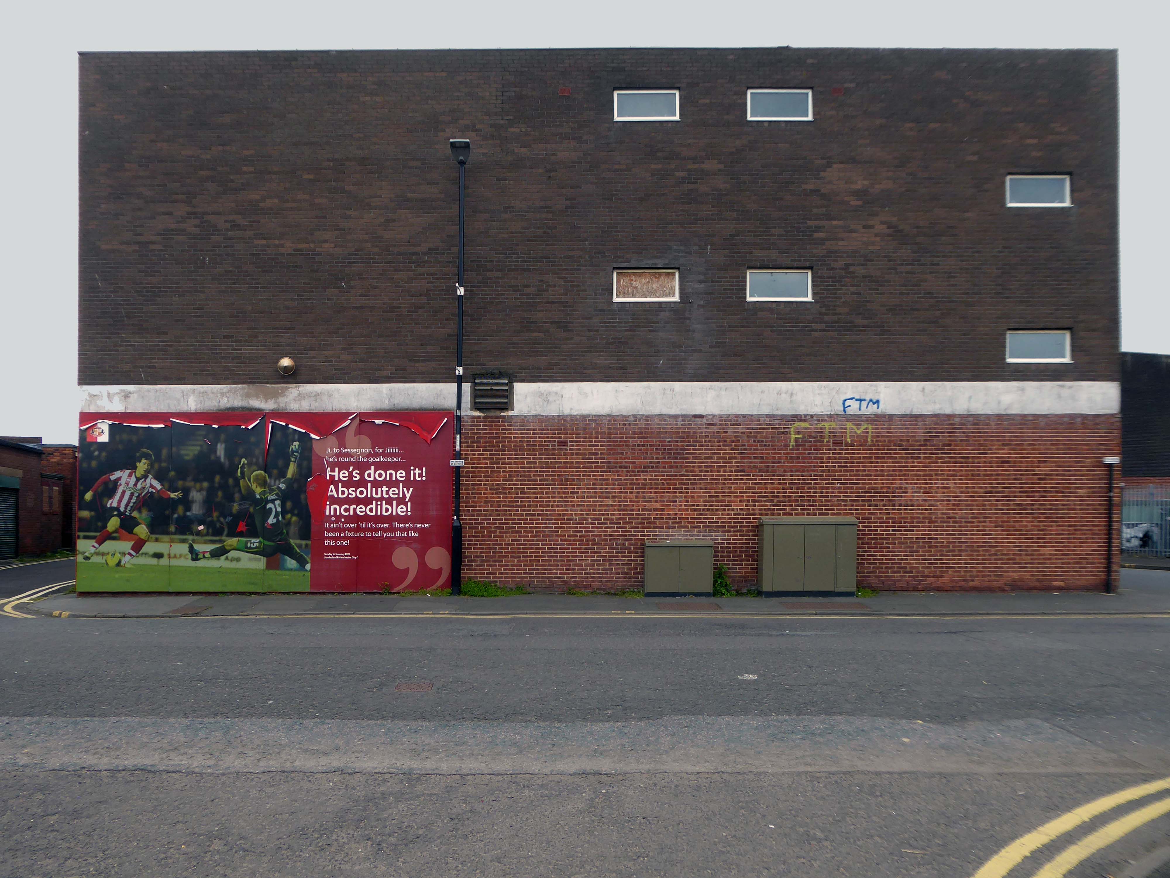
I had always known the area as the Olympic Freight Depot – seen from the passing train.
I cycled by the other day and the containers are long gone – the site is being cleansed to a depth of two metres.
Loitering by the gates, I asked if I may take some snaps .
Please y’self – so I did.
So what’s next on the cards, for this little corner of local history – set twixt Bennett Street and Hyde Road?
New homes is on the cards – and on the hoardings.
Plans have been revealed for a 337-home development on the Olympic Freight depot in West Gorton.
Brought forward by Sheffield-based Ascena Developments, the planning application to Manchester City Council outlines proposals for 191 houses and 146 apartments, split across two blocks.
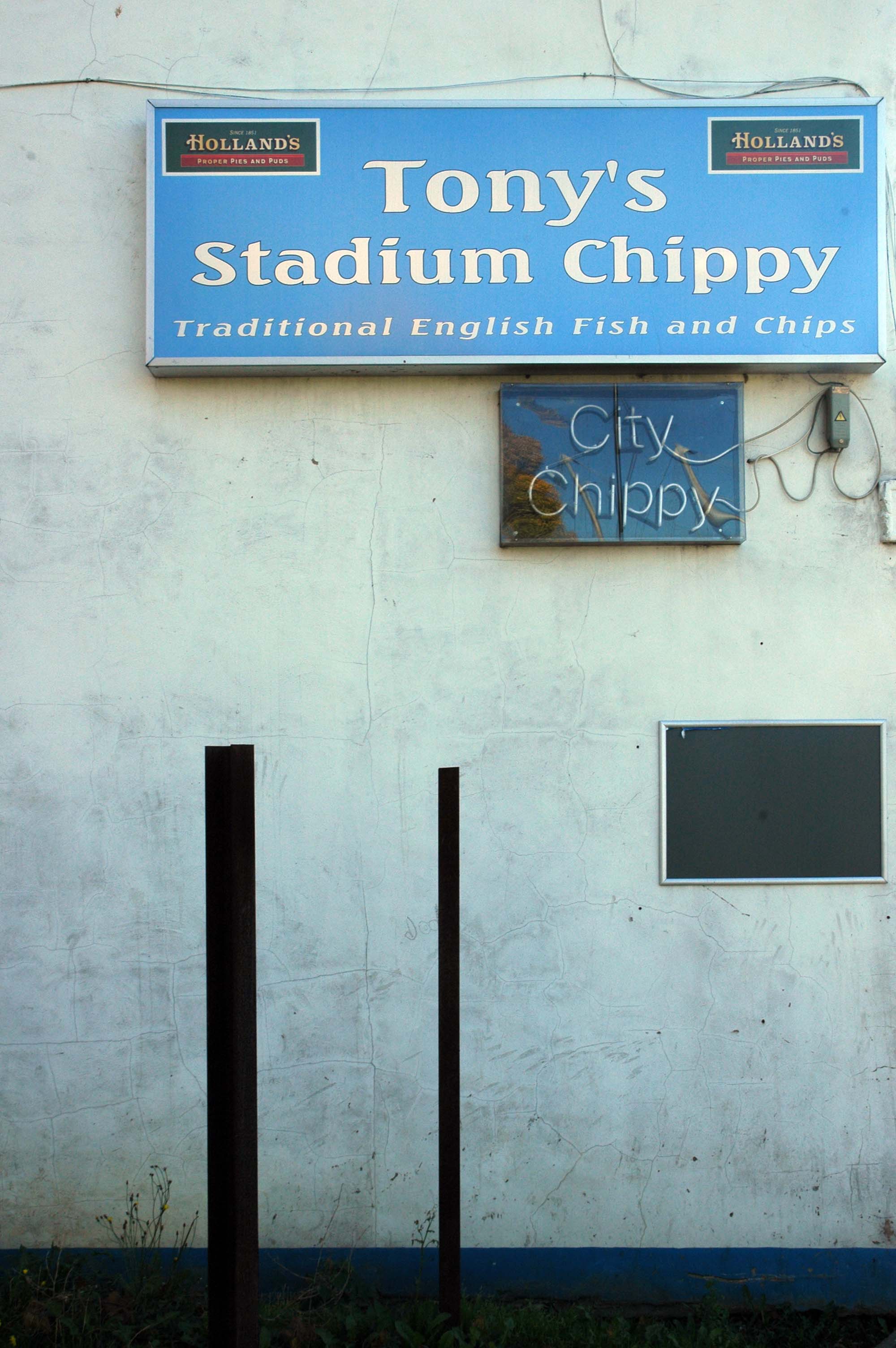
Alongside the homes, the development would include a 3,000 sq ft circular community centre and café, shop, and a unit which is earmarked for a chip shop.
Kellen Homes has been granted planning consent to redevelop the thirteen-acre Olympic Freight depot on Bennett Street in Manchester into 272 homes.
The developer, owned by Renaker founder Daren Whitaker, lodged plans for the West Gorton scheme last year following the withdrawal of an earlier and larger scheme drawn up by Sheffield-based Ascena Developments.
Two swans in front of his eyes Colored balls in front of his eyes It’s number one for his Kelly’s eye Treble-six right over his eye
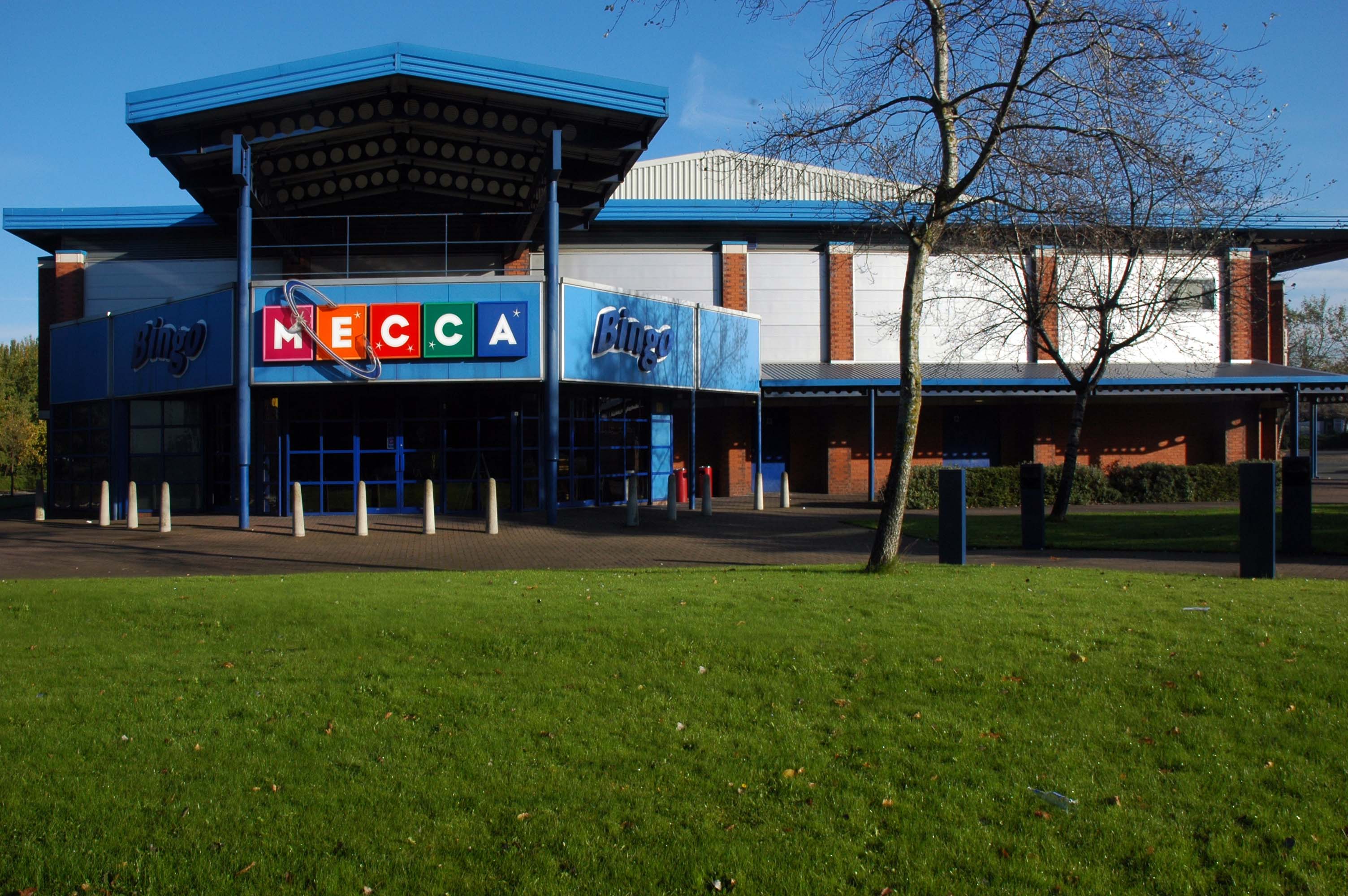
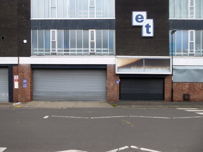
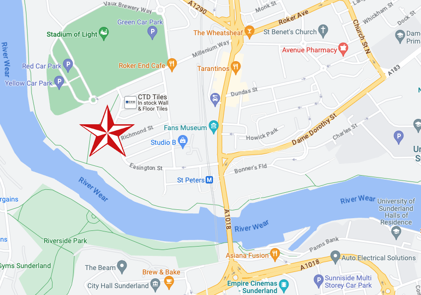
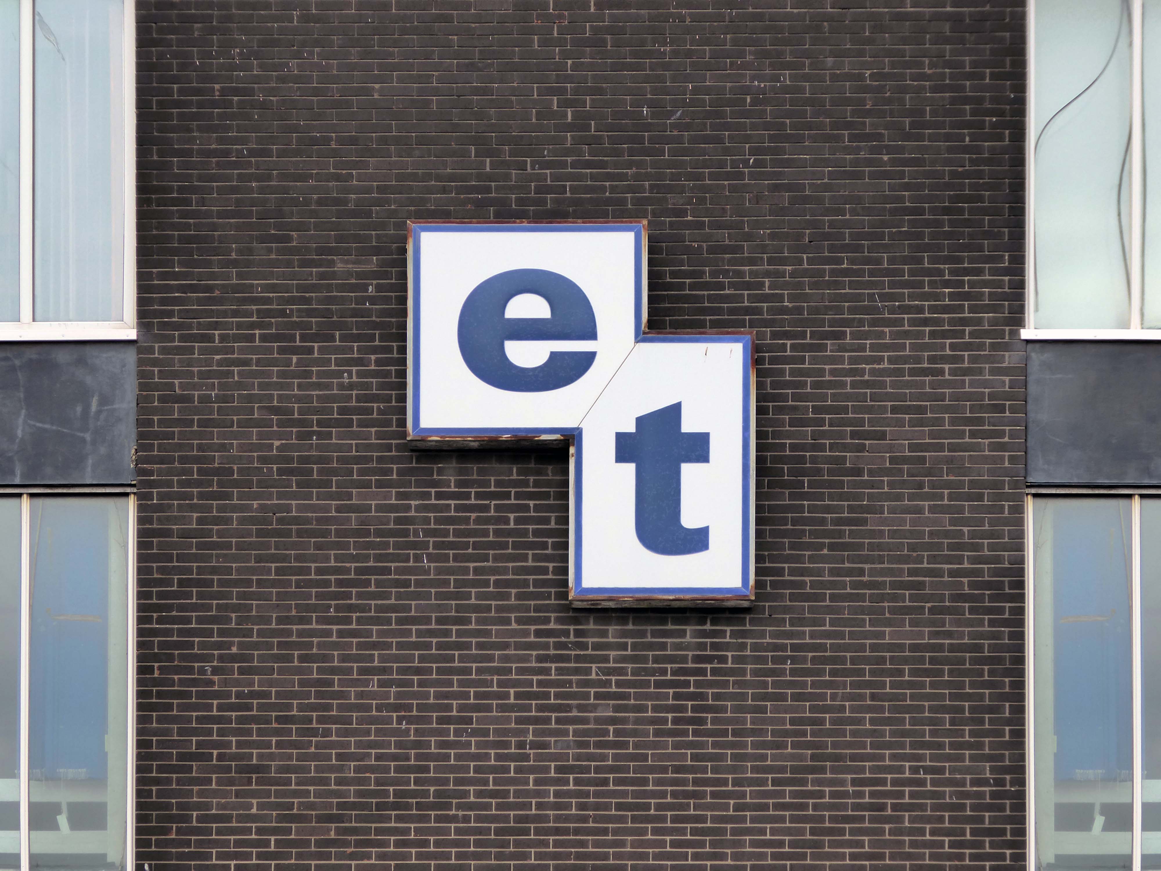
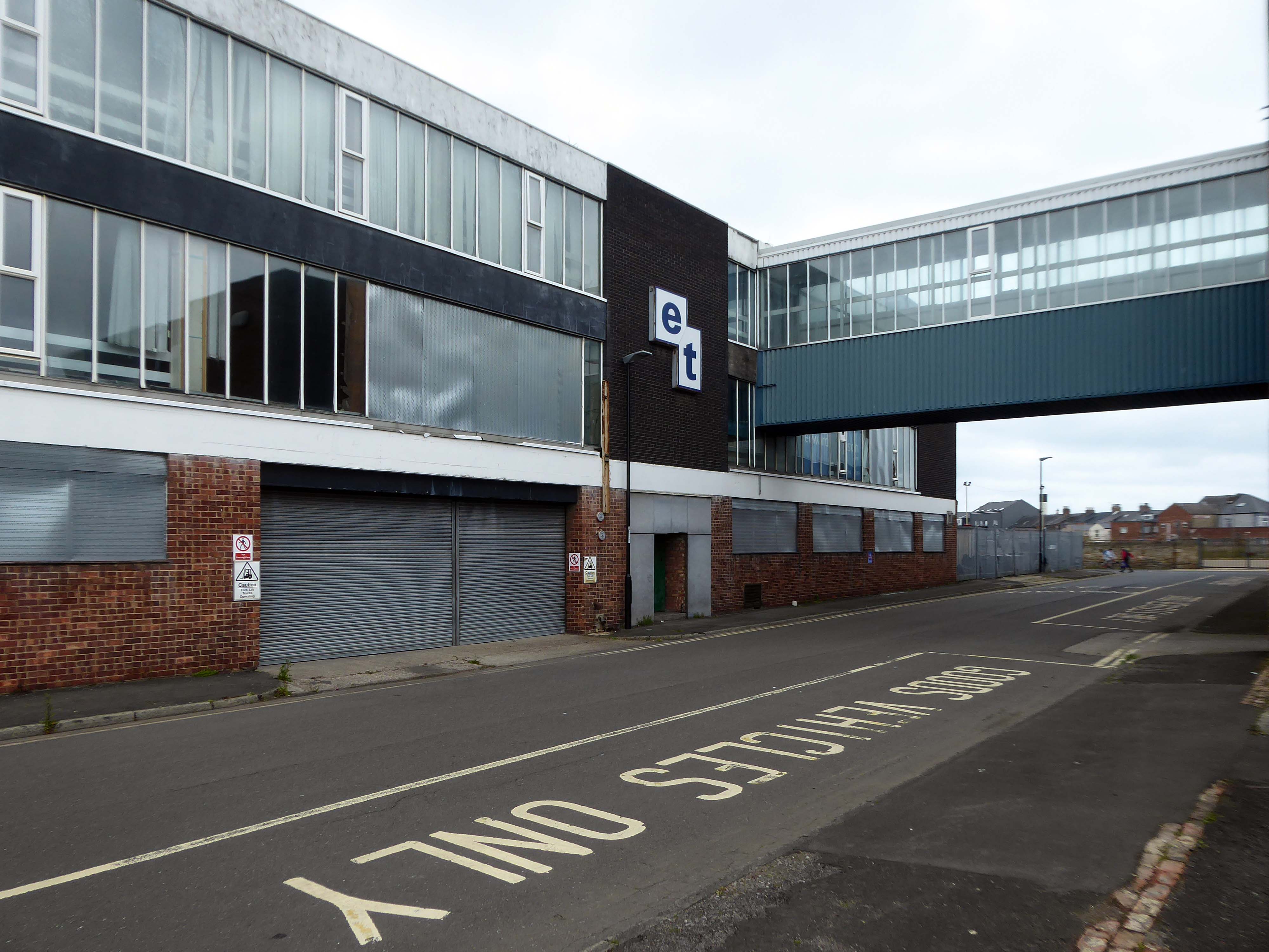
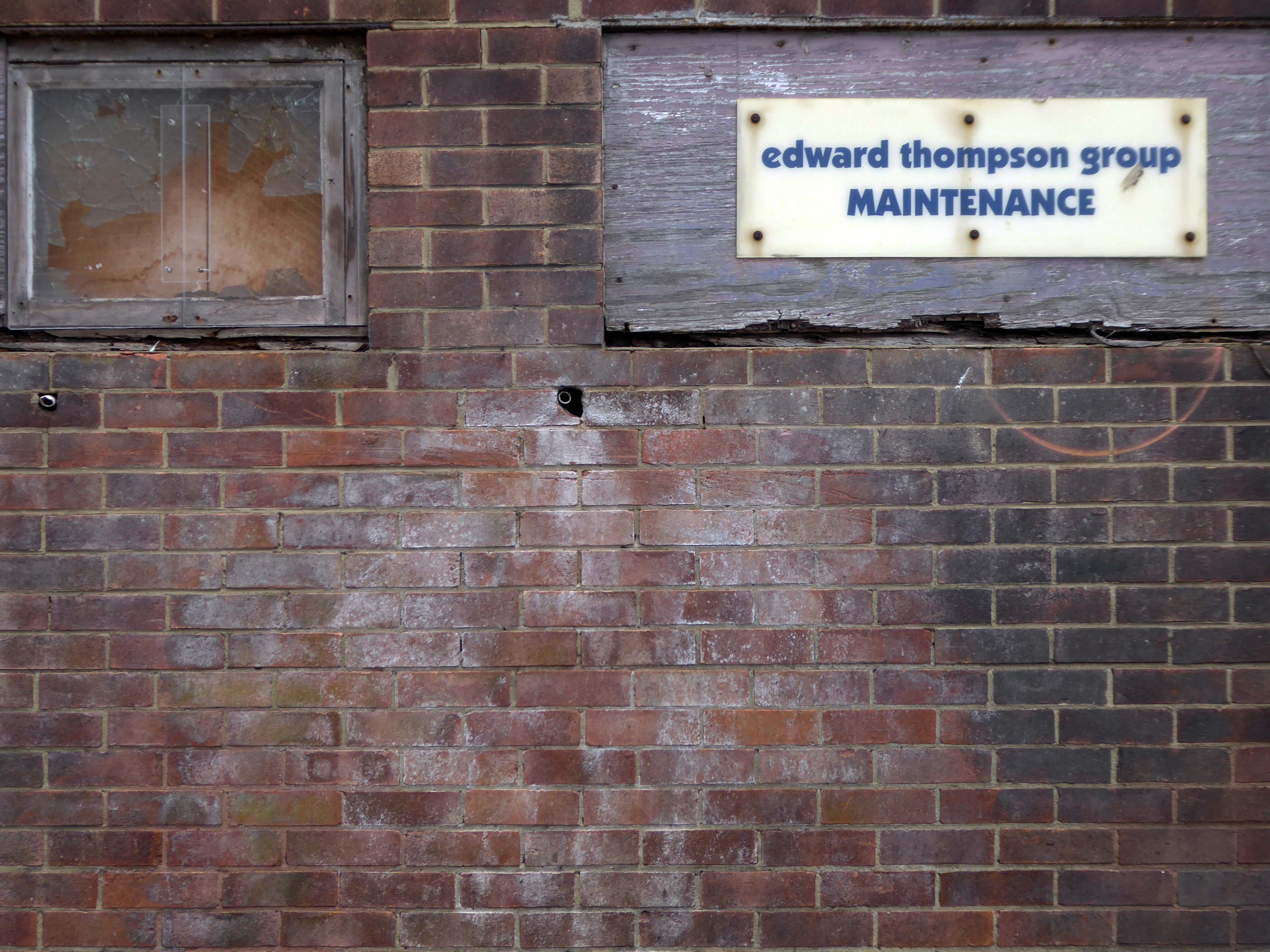
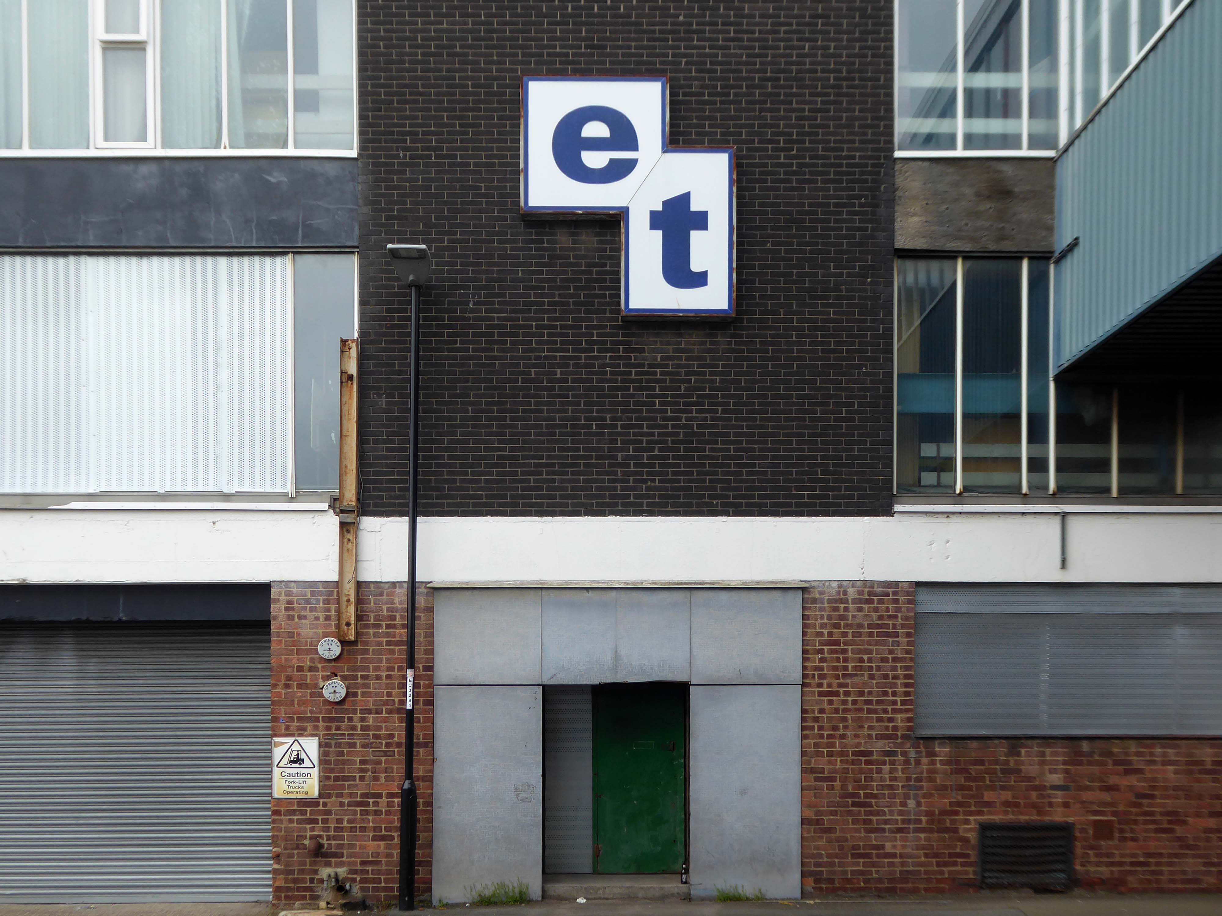
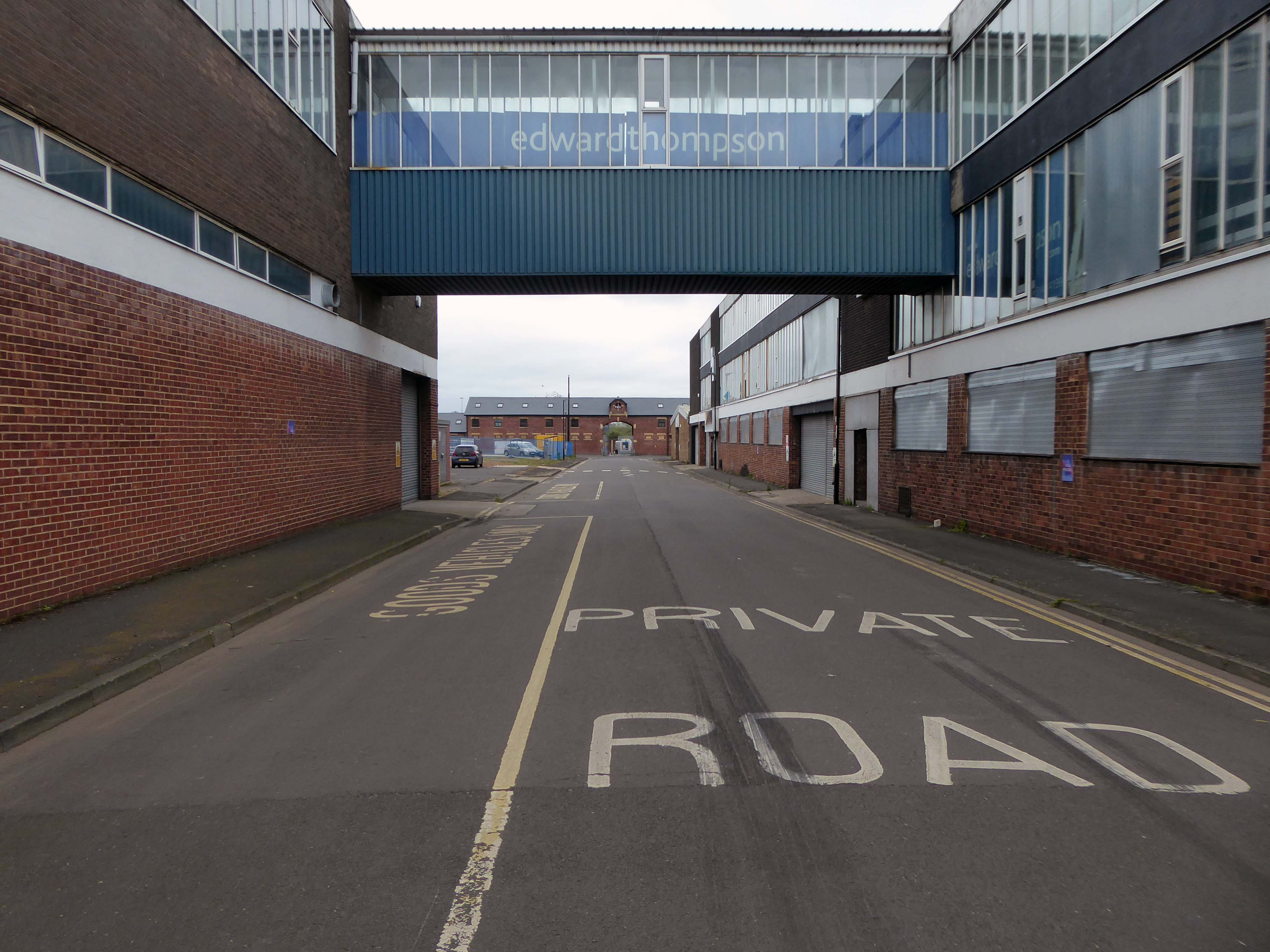
Edward Thompson, the family printing business, was founded in Sunderland in 1867.
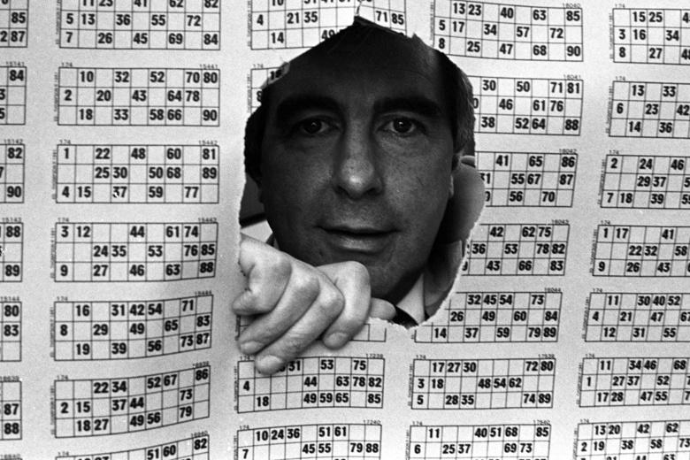
They identified a business opportunity when a local priest, Jeremiah O’Callaghan, ordered some bingo tickets for a parish fund-raising exercise.
From those humble beginnings, Edward Thompson mushroomed in size as Britain went bingo-mad in the 1960s, becoming first the UK’s and then the world’s biggest producer of bingo cards and tickets.
The company which has been printing for more than 155 years – has been hit hard by the crash in bingo hall use as Covid ripped through the leisure sector. CEO Paddy Cronin said he was ‘gutted’ but the business had finally had to face the inevitable as the cashflow dried up.
We were built on a bet but our luck has now run out – he told The Northern Echo.
Covid completely changed the market and as the halls went into decline it just became untenable so I had to break the news to the workers.
They were the pioneers of newspaper bingo, printing the first cards in 1975 and going on to work in places like Bolivia and Belgium and even printing the ballot papers for Nelson Mandela’s 1994 election in South Africa.
So their number is up the factory is tinned-up, house has been called for the very last time.
Yeah, yeah, industrial estate
Well you started here to earn your pay Clean neck and ears on your first day Well we tap one another as you walk in the gate And we’d build a canteen but we haven’t got much space
Having taken a particular interest in this particular piece of public art for some time – I need to go and take a little look.
But what will we see along the way, as we hasten along Rochdale Road?
Which once looked like this, way back when in 1904.
Though some things inevitably come and go, as some things are prone to do.
The city is undergoing yet another reinvention as Manchester becomes – an attractive place to invest and do business.
See, I am doing a new thing!
Now it springs up; do you not perceive it?
I am making a way in the wilderness and streams in the wasteland.
Isaiah 43:19
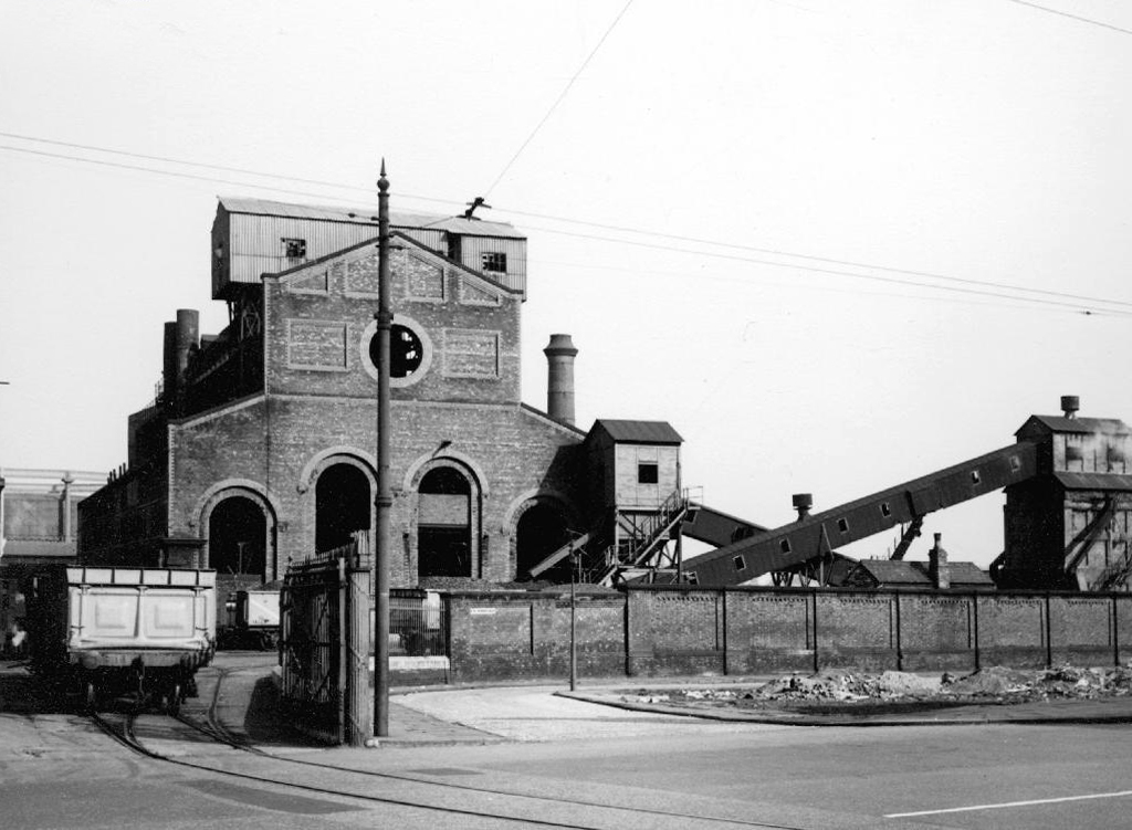
Once there was a gas works here – adjoining Gould Street, seen here in 1958.
The Gould Street Gas Works was a gas manufacturing plant located in Manchester, England. Originally built in 1824, the plant was operated by the Manchester Corporation Gas Department and was in operation from 1833 to 1969. It was named after the street on which it was located, which was named after John Gould, who was a prominent Manchester businessman in the 19th century.
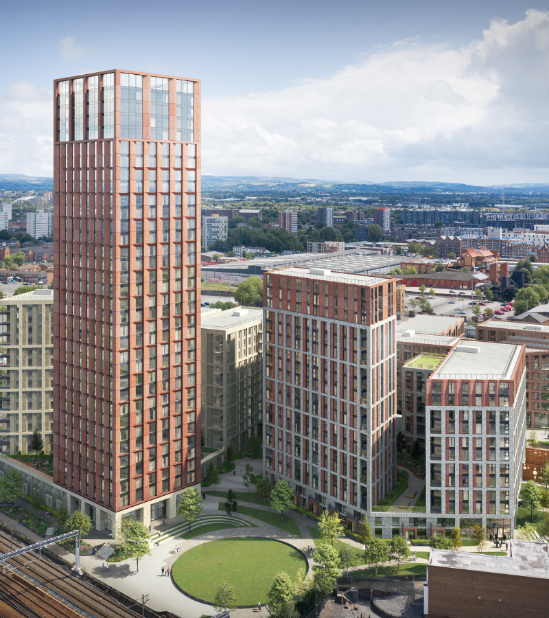
The Gasworks New Town neighbourhood is one of seven envisioned by the £4bn Victoria North masterplan. It will feature nine buildings ranging from 8 to 34 storeys. The 6.6-acre site has most recently been home to a car park but the green development will overwhelmingly prioritise walking and cycling over driving. It will result in tens of millions of pounds being pumped into the city’s economy over the lifetime of the development.
Plans for a trailblazing city centre regeneration scheme that will create more than 1200 homes has been approved by Manchester City Council.
A total of 85 of the 1200, will be affordable homes available through Shared Ownership.
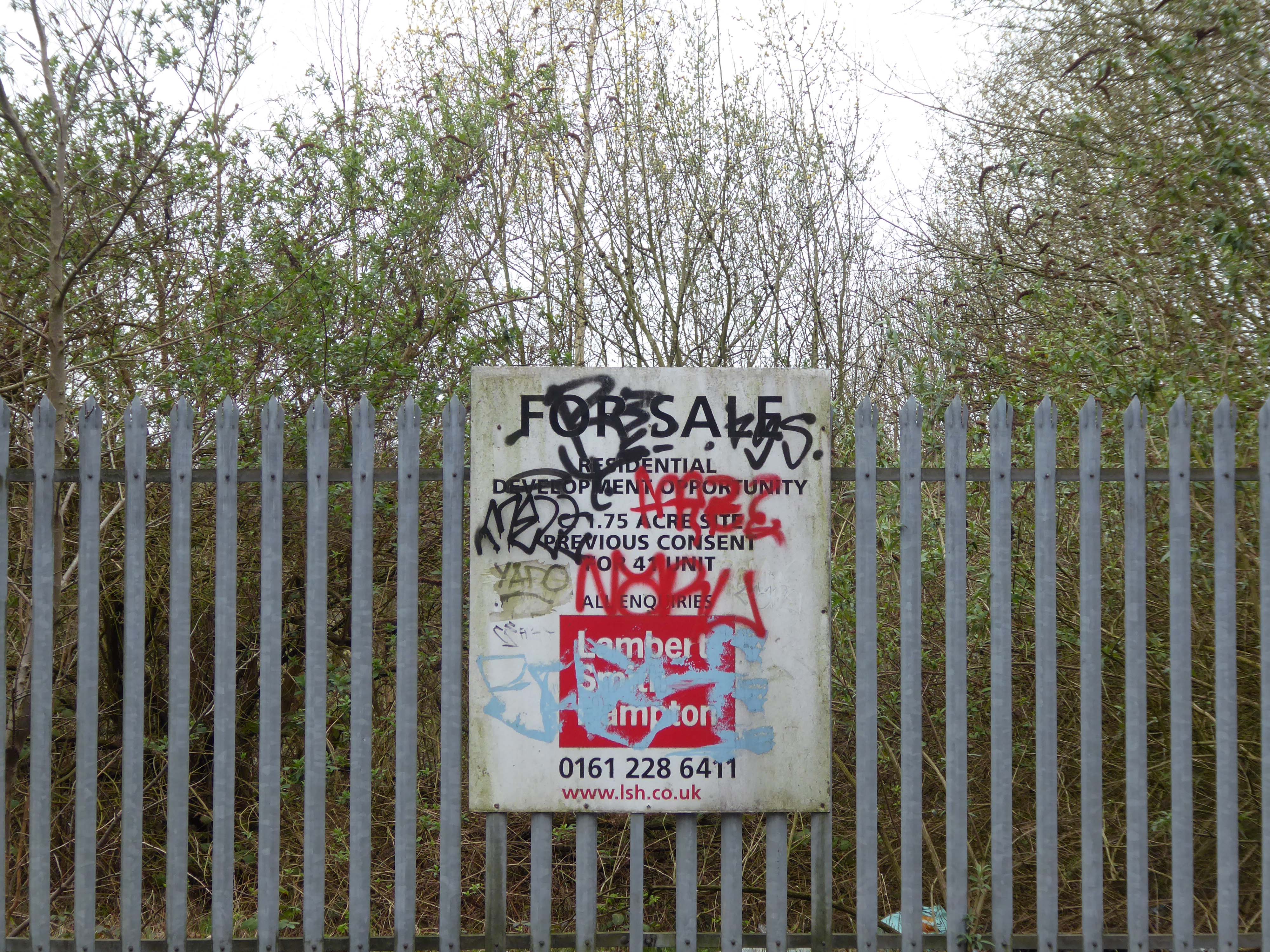
Though as of March 31st 2023 ground is yet to be broken, no signs of the:
New centre of gravity for central Manchester that will create thousands of jobs and inject tens of millions of pounds into the city’s economy.
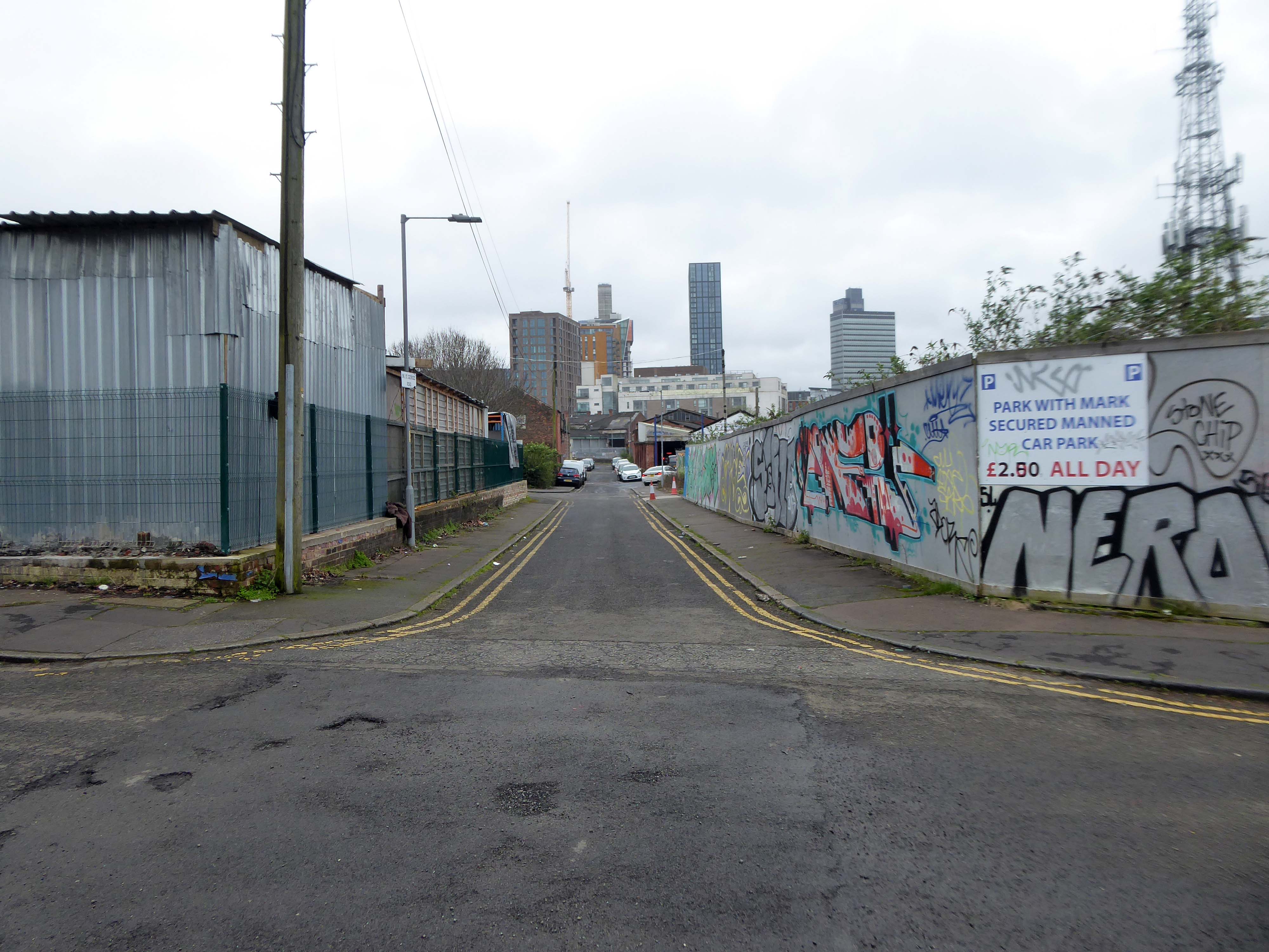
So you zig-zag wanderers, make the most of these wide open expanses of affordable car parking, while you can.
The future may yet be here today – or the next.
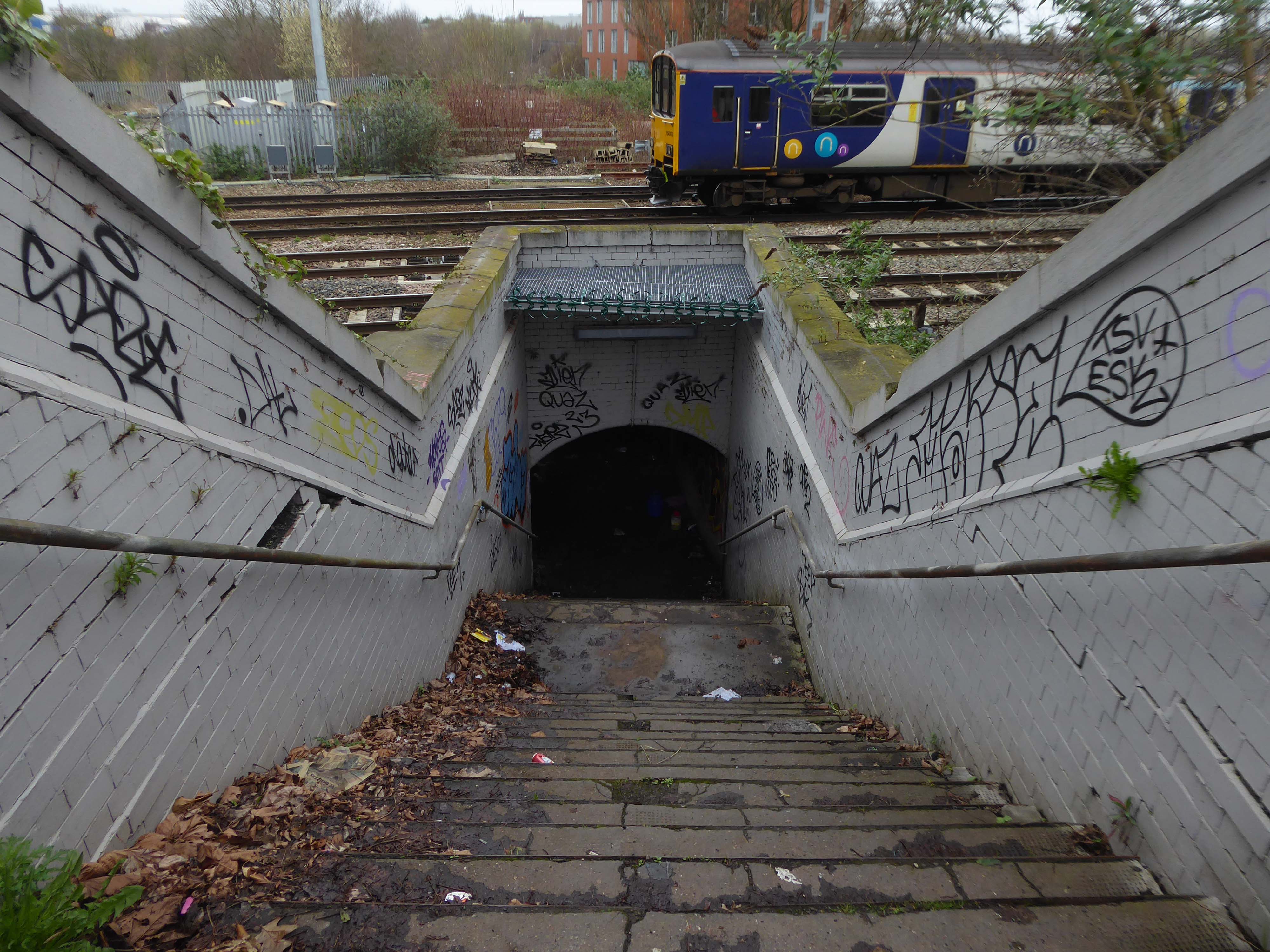
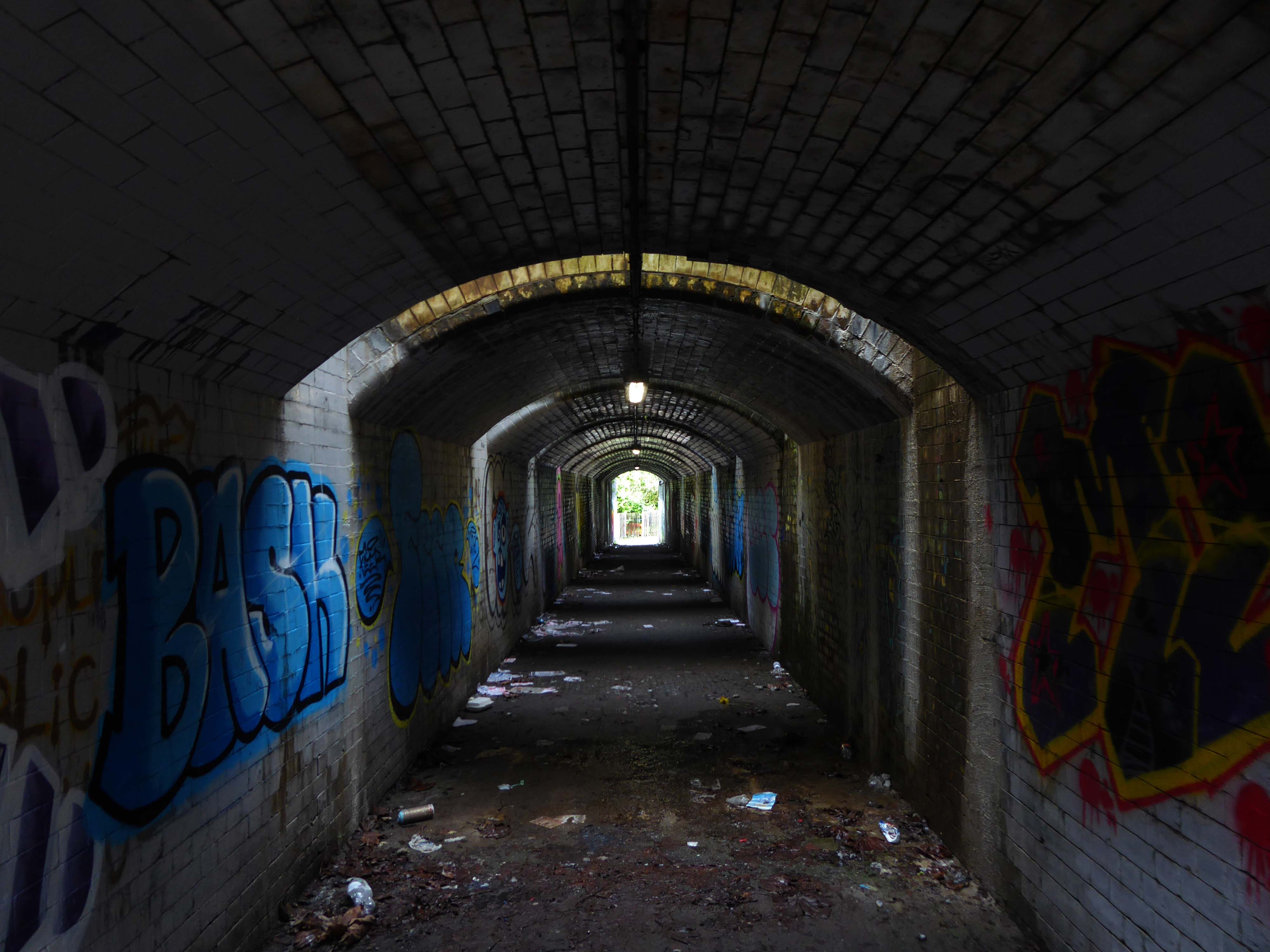
Let’s duck under the railway, through this sad damp pedestrian tunnel – the domain of the cash strapped daytime drinker, transient tagger and disaffected leaflet distributor.
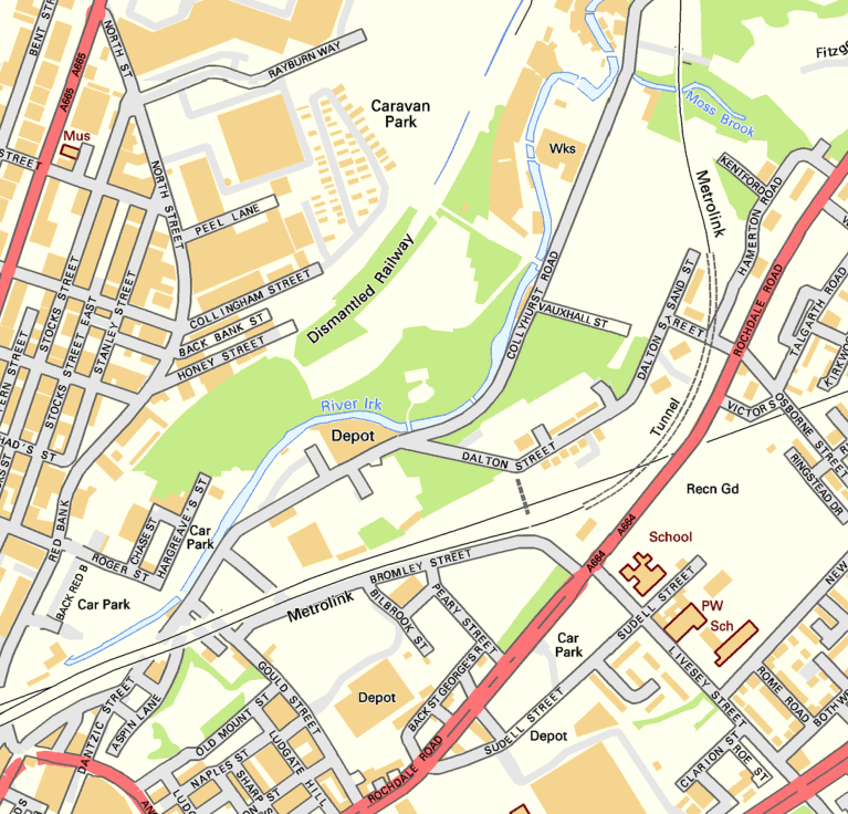
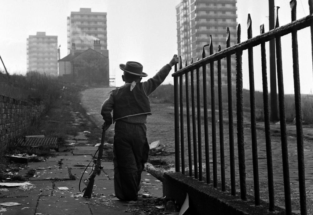
Next thing you know you have emerged into the daylight on Dalton Street – we have been here before seeking the Collyhurst Cowboy.
Photograph: Dennis Hussey
Onwards to Eastford Square.
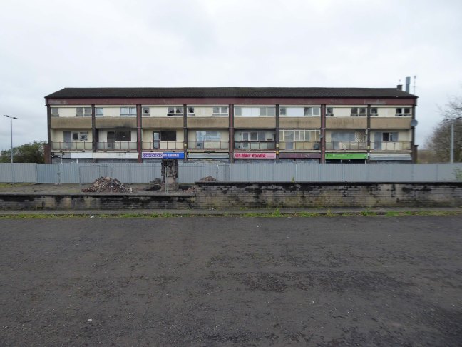
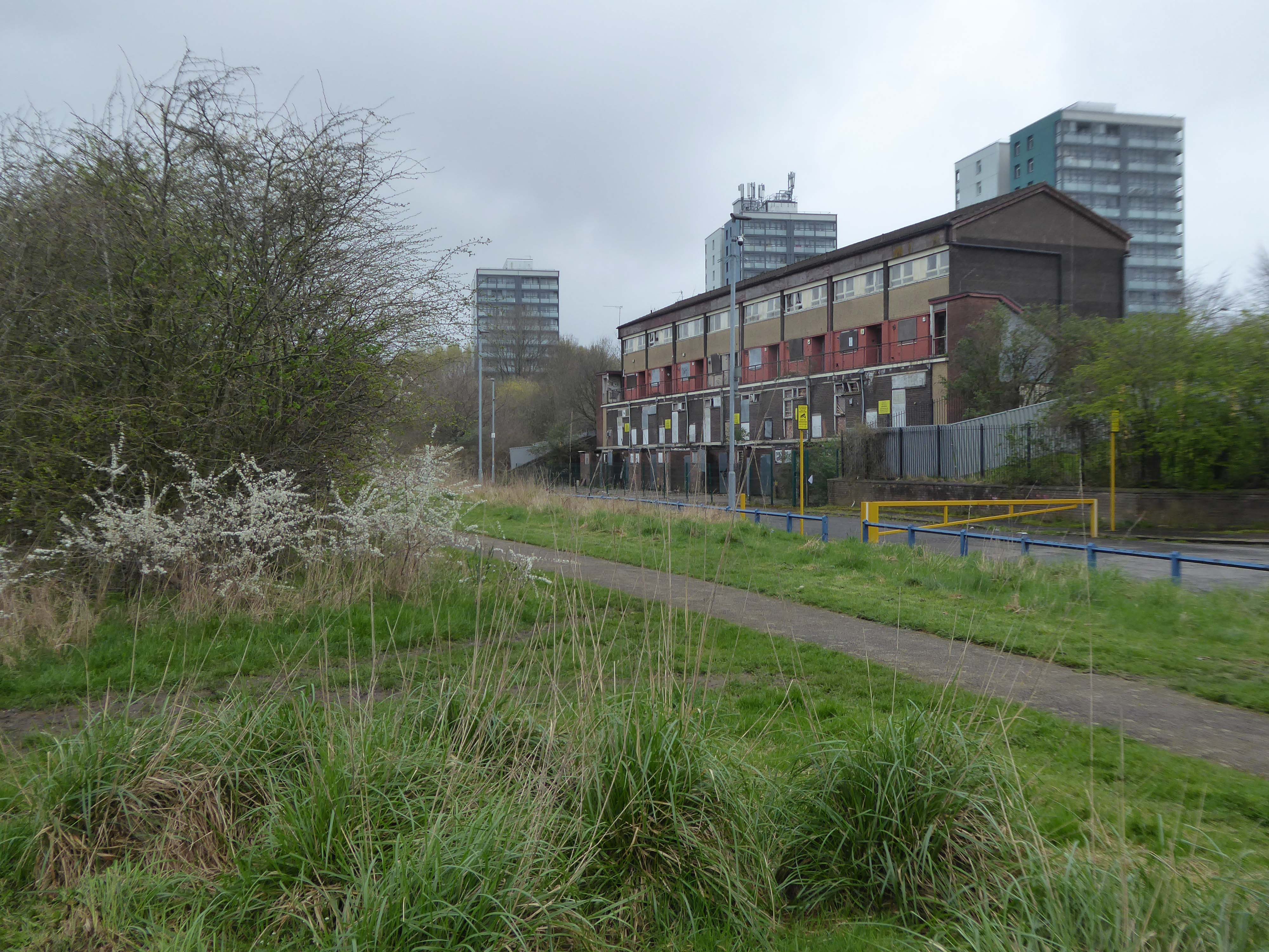
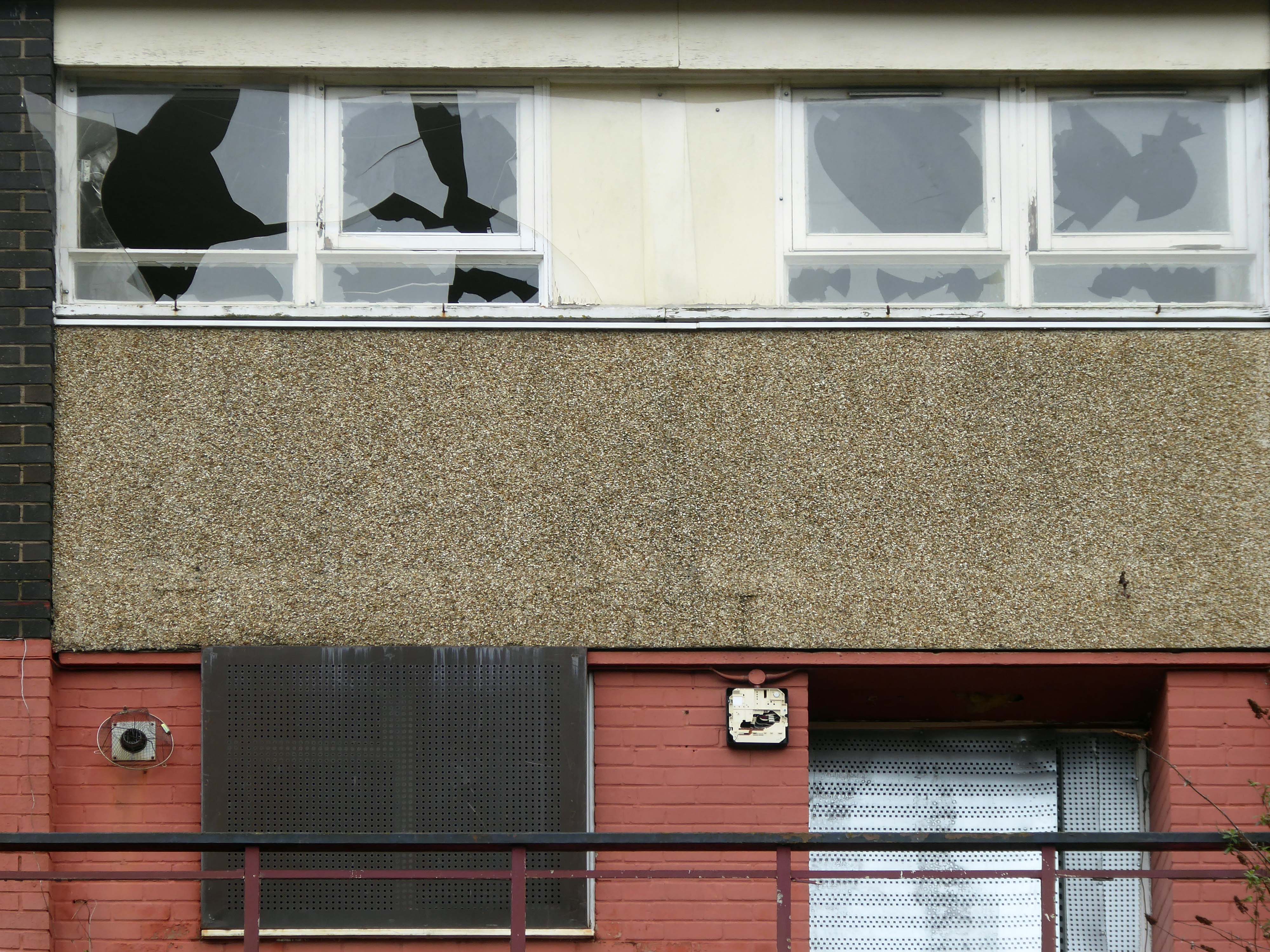
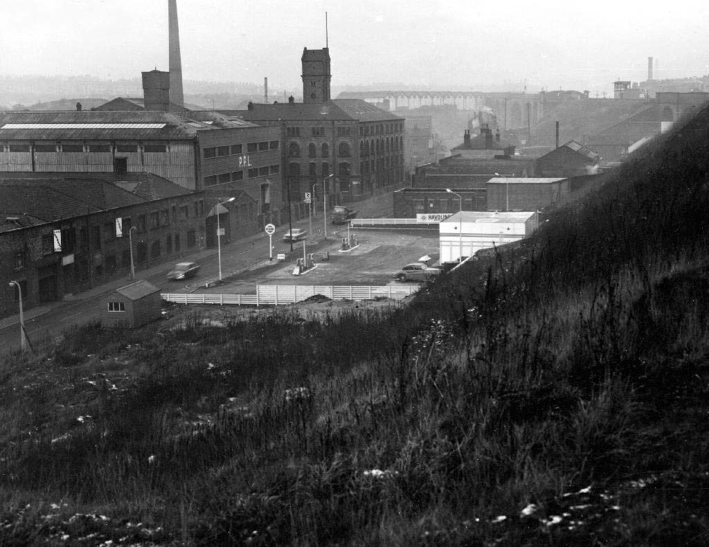
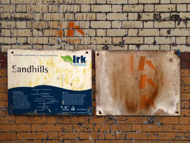
The shops and maisonettes are due to be demolished any day now – no longer to gaze open-eyed upon the former quarry of Sandhills.
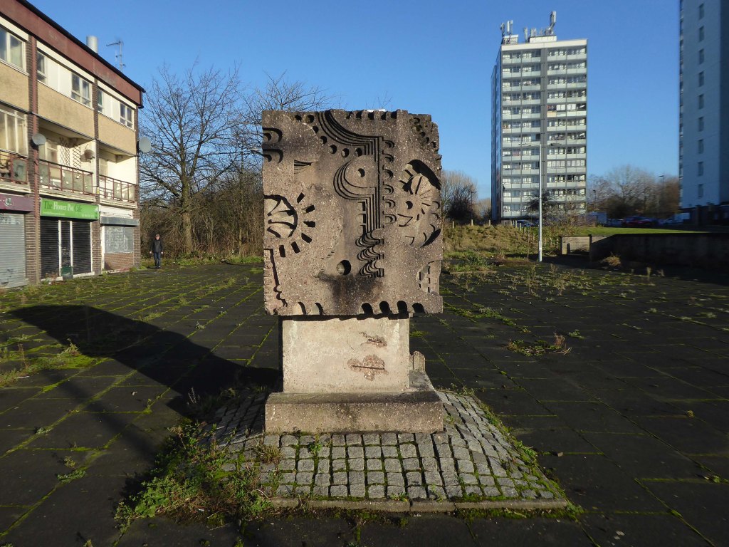
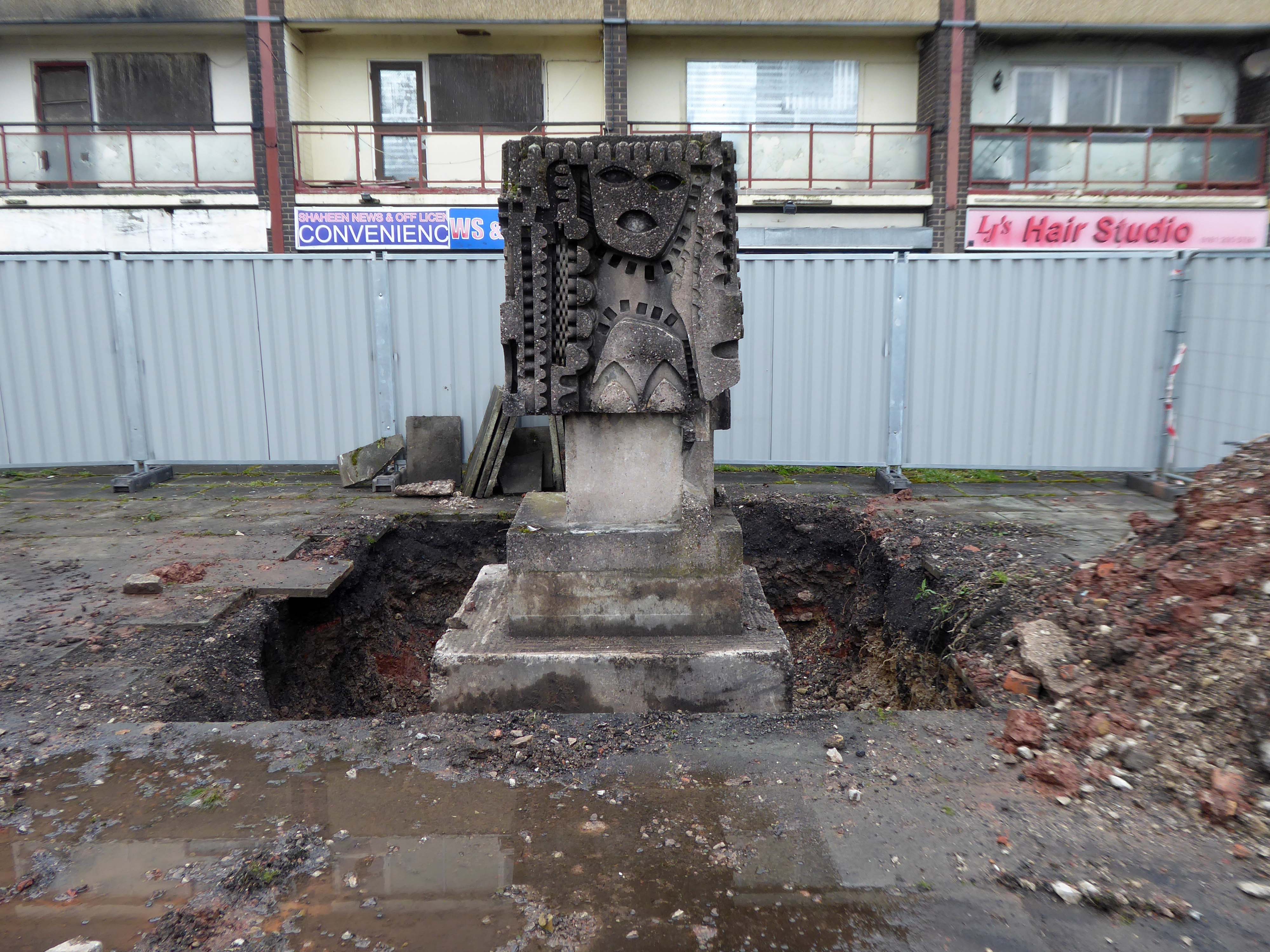
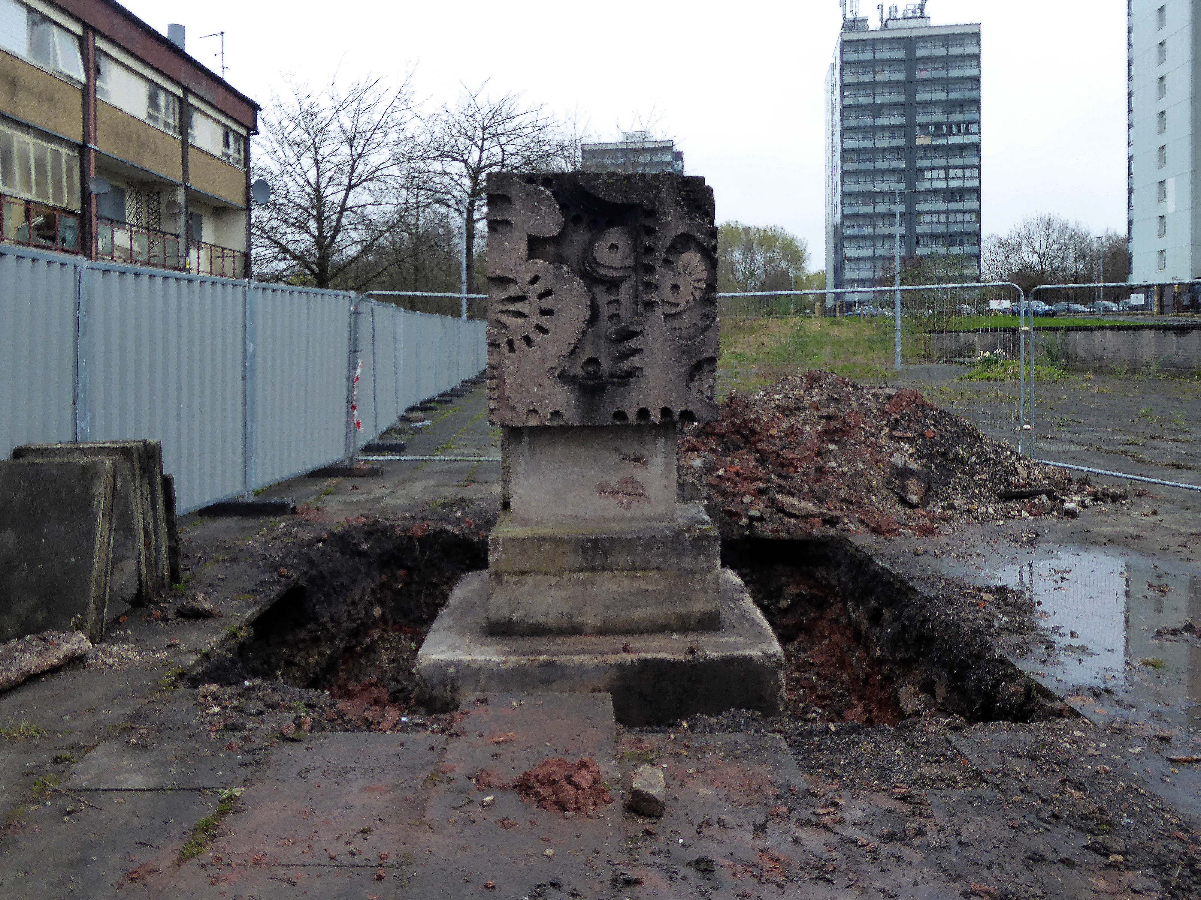
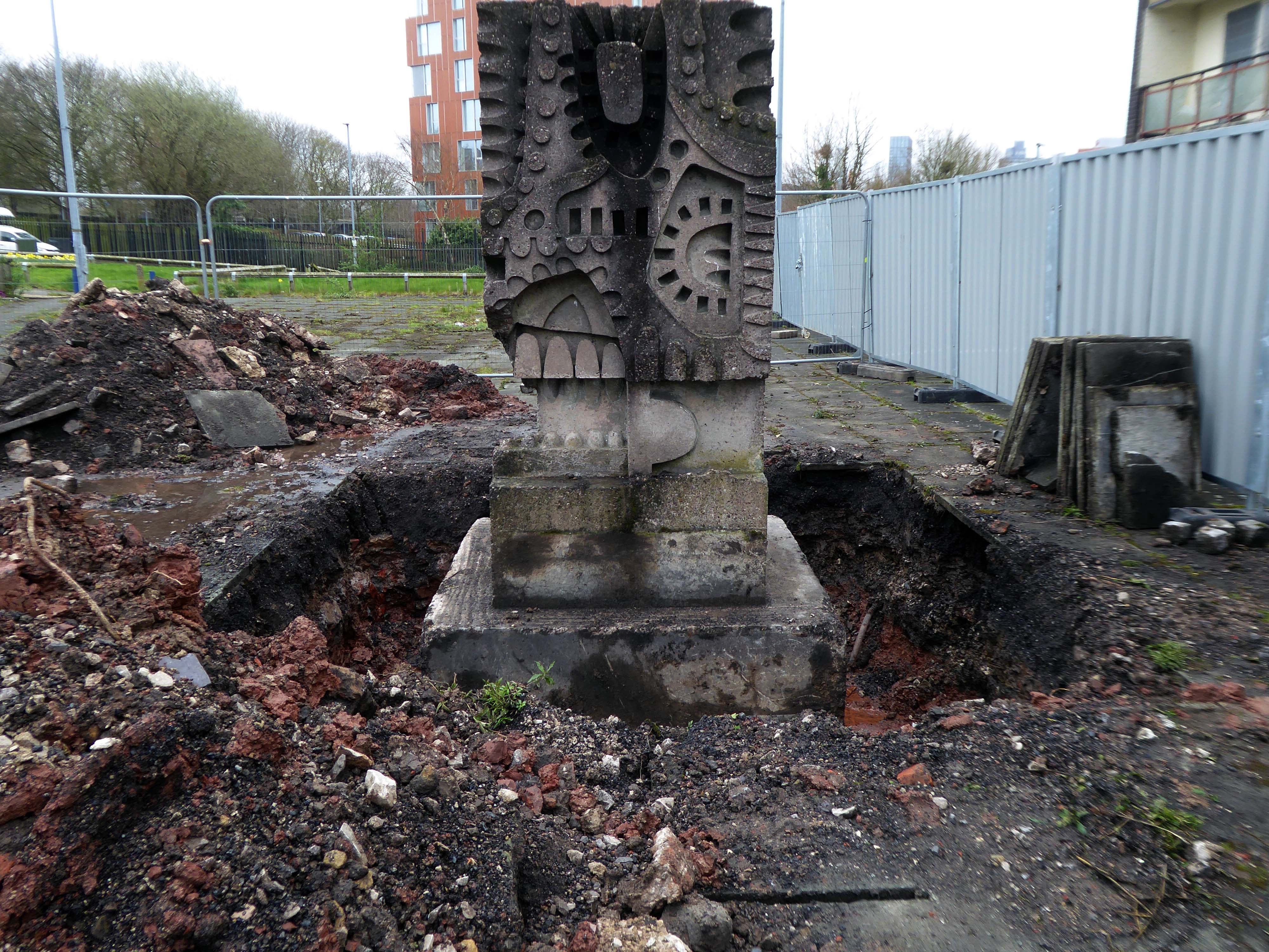
Around the front the diggers have been a digging – digging up around the base of the totem.
The work is to be re-sited by the nearby tower blocks.
The end is nigh.
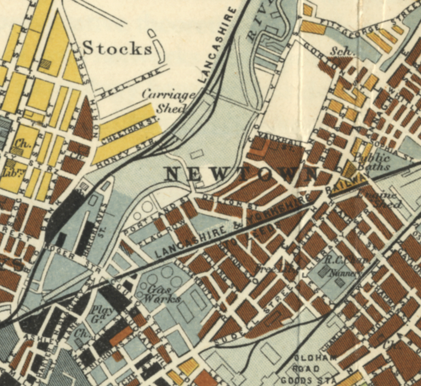
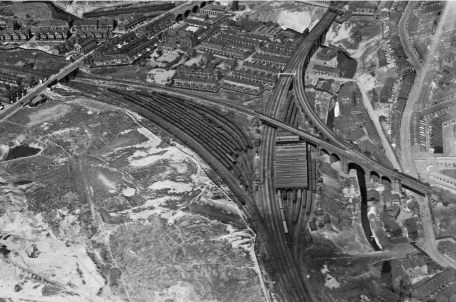
Heading now for Collyhurst Road and the Irk Valley – seen here in 1960.
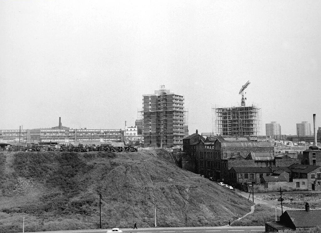
Looking back on the Square and the Dalton Street flats – Humphries, Dalton, Roach, Vauxhall and Moss Brook Courts under construction.
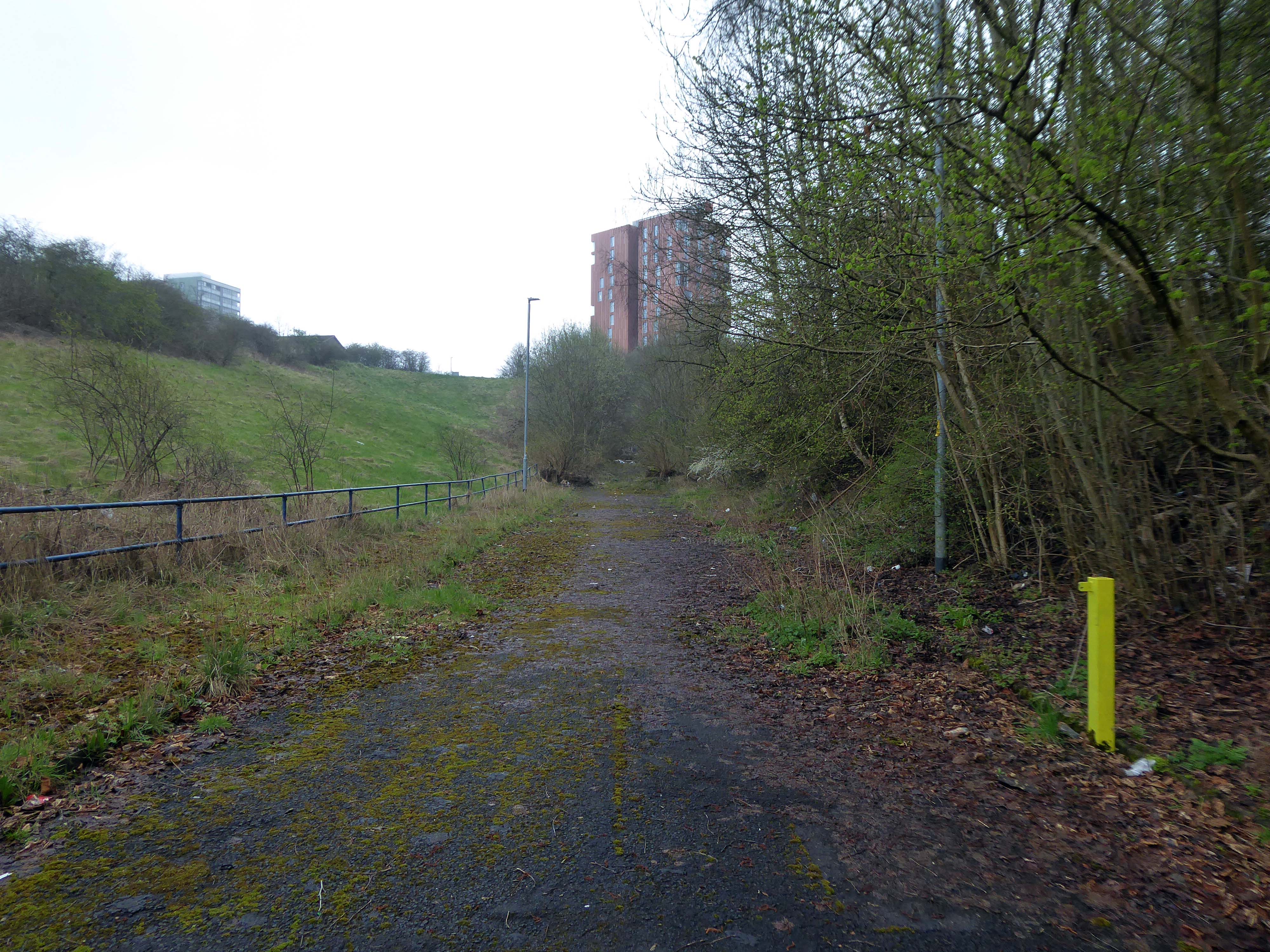
Vauxhall Street now but a shadow of its former self – the last traces of industry long gone.
Reclaimed over time by trees and dense underbrush.
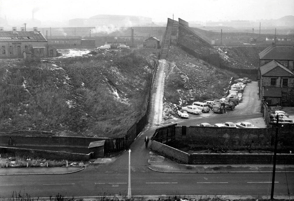
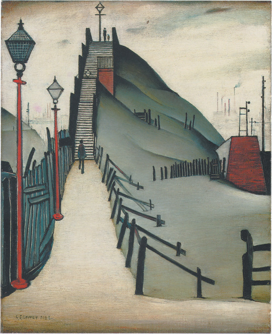
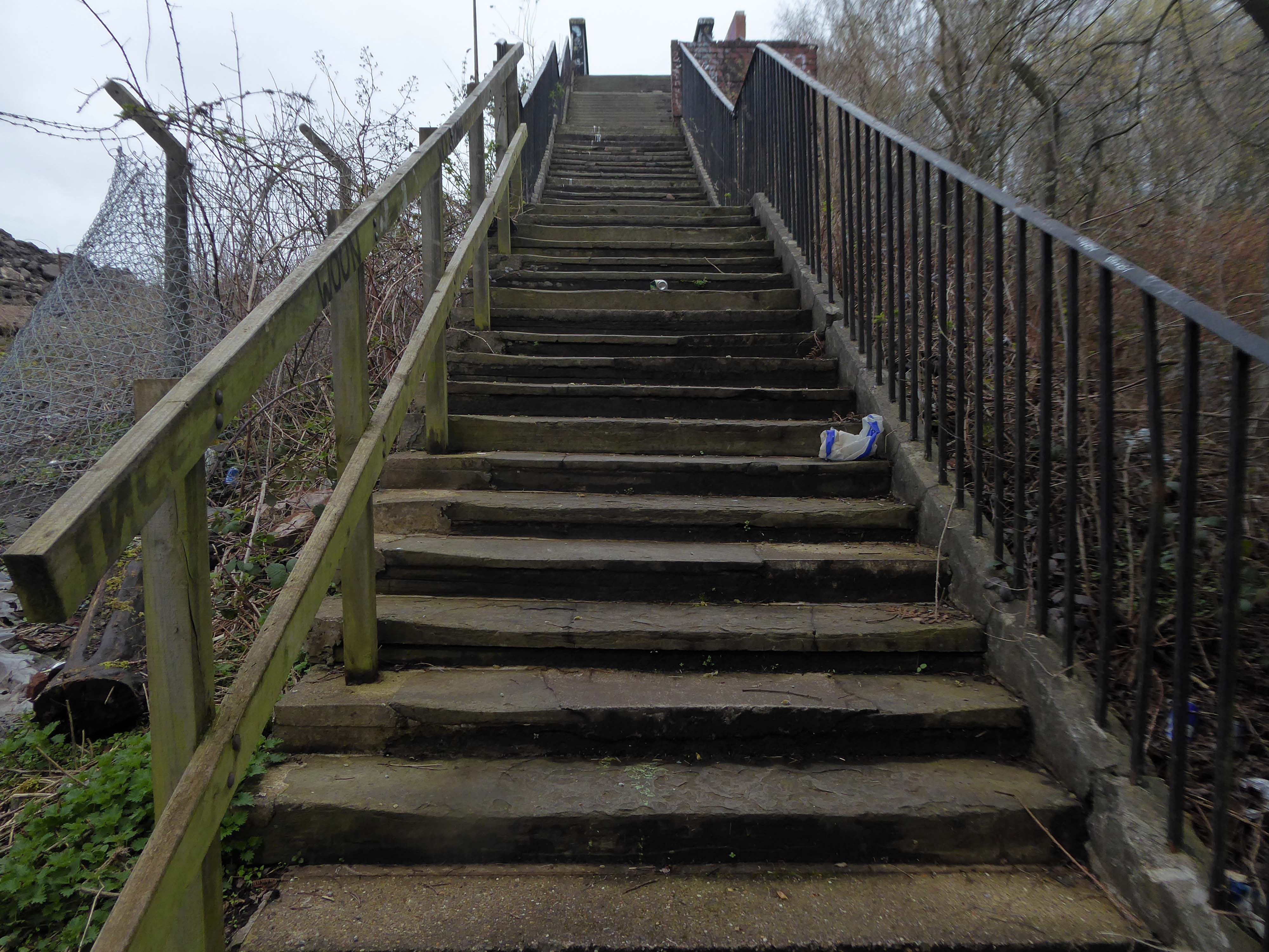
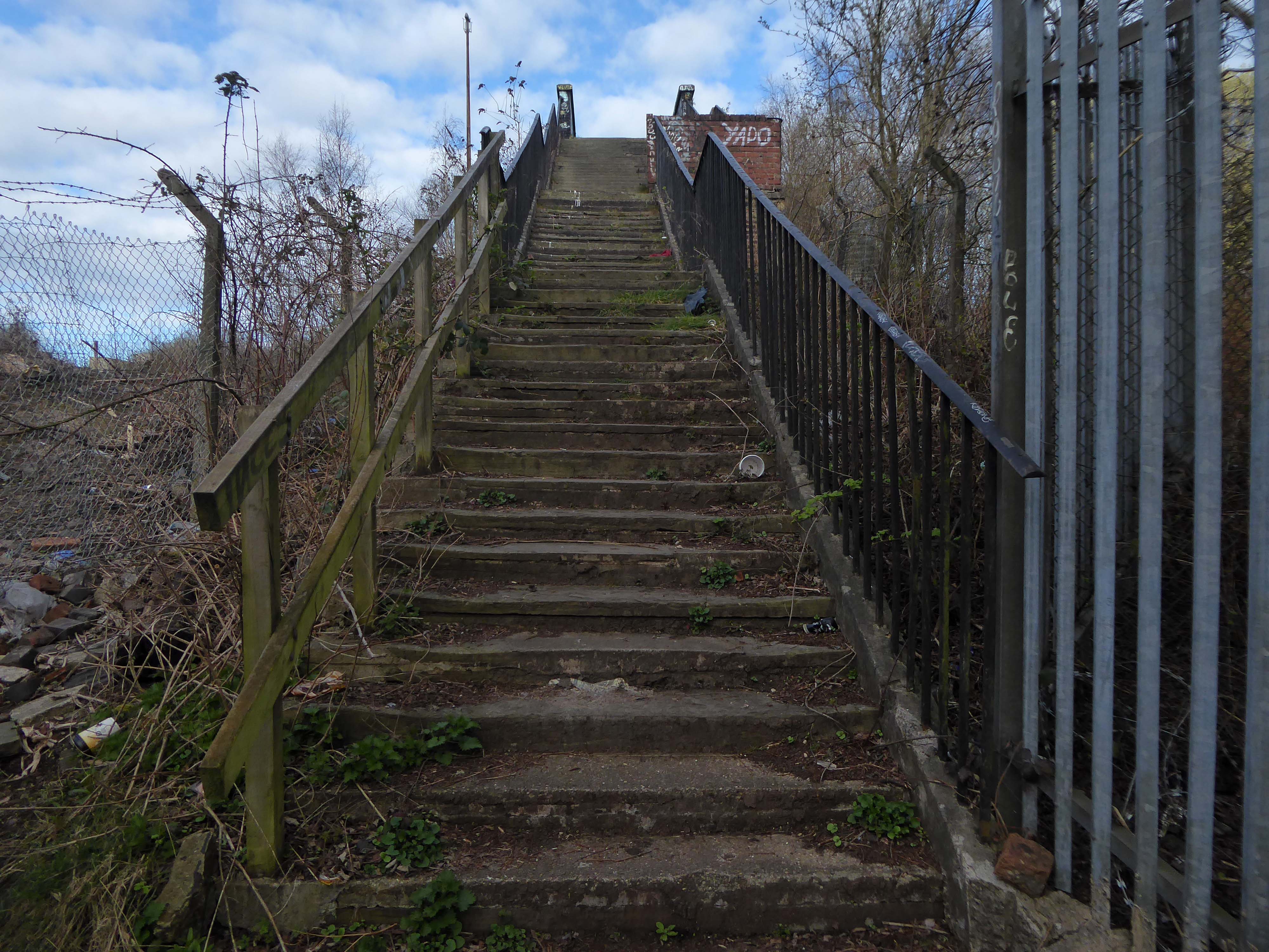
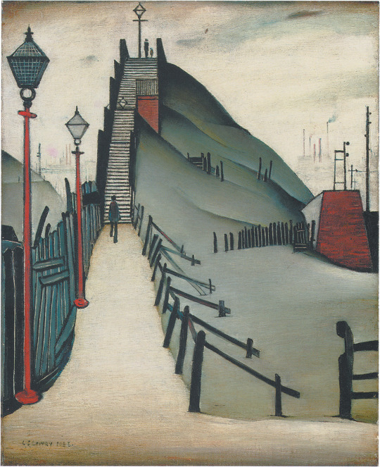
Crossing Collyhurst Road and up and over the railway via Barney’s Steps also known as the Lowry Steps.
LS Lowry
By the late 1950’s the whole of this area which we called Barney’s Tip became a refuse tip for Manchester City Council.
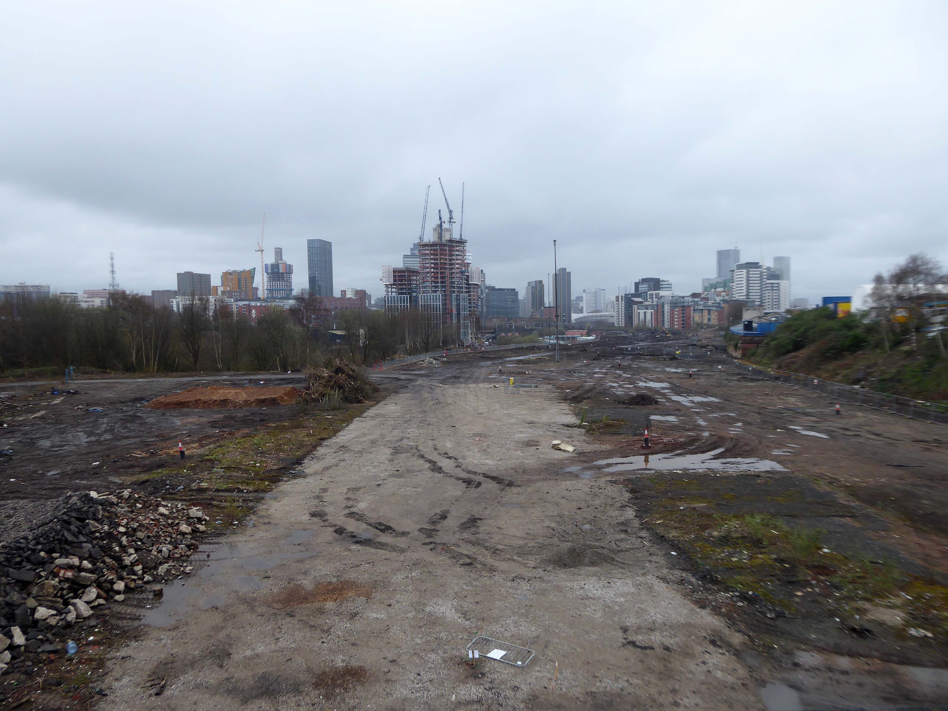
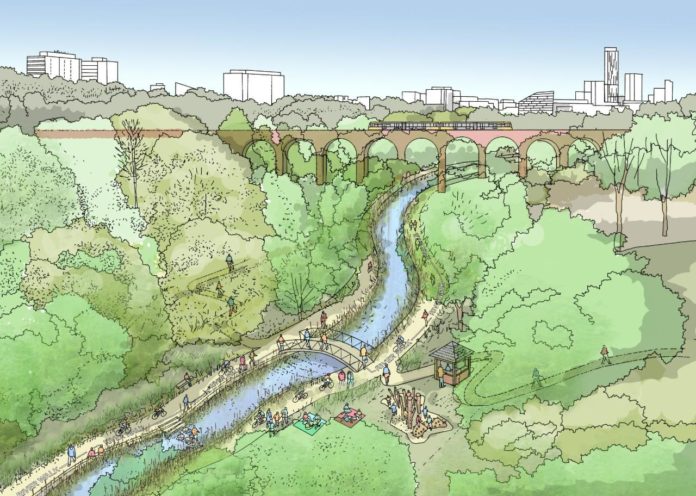
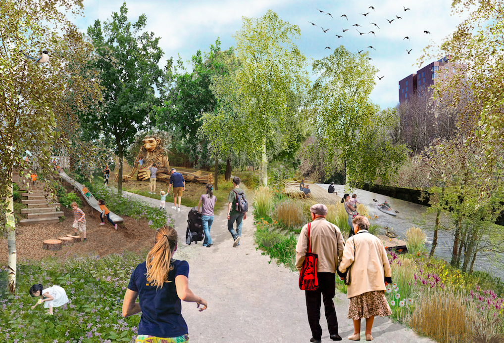
The area is in the process of being reconfigured as a delightful country park.
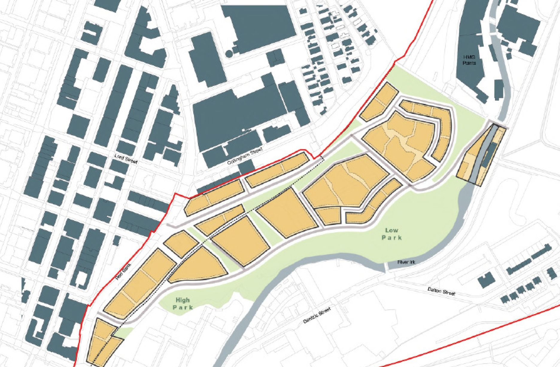
The investment will also help develop an initial phase of the planned City River Park incorporating St Catherine’s Wood as part of a network of public open space, including improvements along the River Irk and works to improve flood resilience, unlocking the potential of the Irk Valley that will characterise the wider Northern Gateway project.
The first phase of the City River Park will begin work to transform former railway architecture to develop the new Viaduct Linear Park north of Victoria Train Station, new stepped public realm space – Red Bank Terraces, along with new green space by the River Irk and the key improvements to St Catherine’s Wood.
Collingham Street is lined with trucks, trailers, stalls and mobile homes.
But there’s nothing temporary about this Cheetham Hill neighbourhood; most residents have lived here for years and many plan to spend the rest of their lives here.
Founded more than forty years ago, it was created by the Showman’s Guild of Great Britain – and it’s reserved exclusively for fairground workers both retired and current.
Built on Queens Road tip, a former rubbish dump, and rented out by Manchester Council, many of the 52 homes belong to older retired showmen or families for whom an itinerant lifestyle has become more challenging.
It’s a close-knit community with a unique shared history.
Though not without its own particular issues it would seem, according to the MEN.
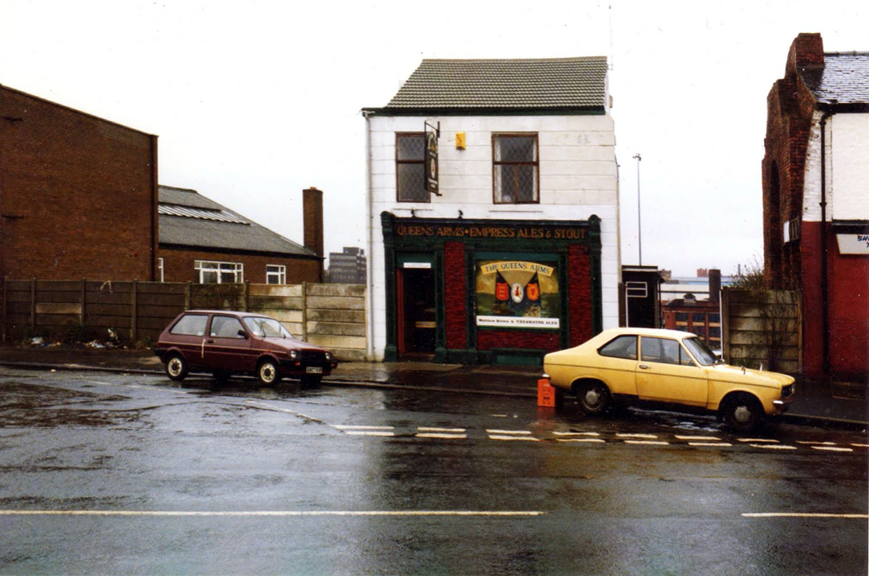
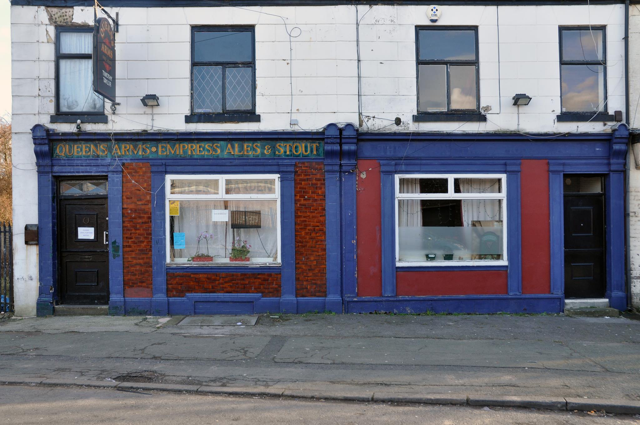
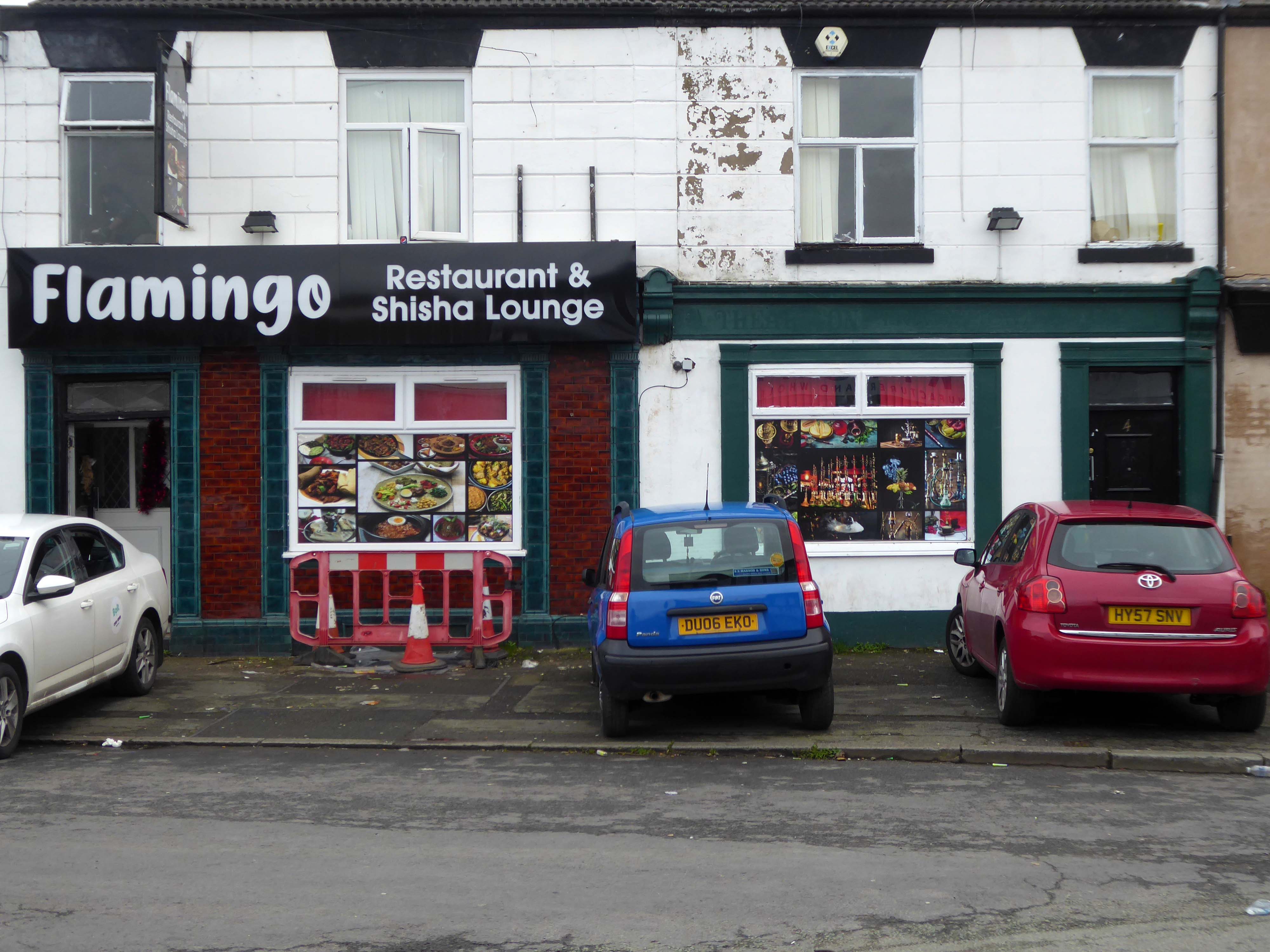
The licensing out of hours team has received noise complaints relating to the premises which was found to be open beyond permitted hours when visited. Officers also identified breaches of the Health Act during inspections in which people were seen smoking shisha pipes in an enclosed extension at the back.
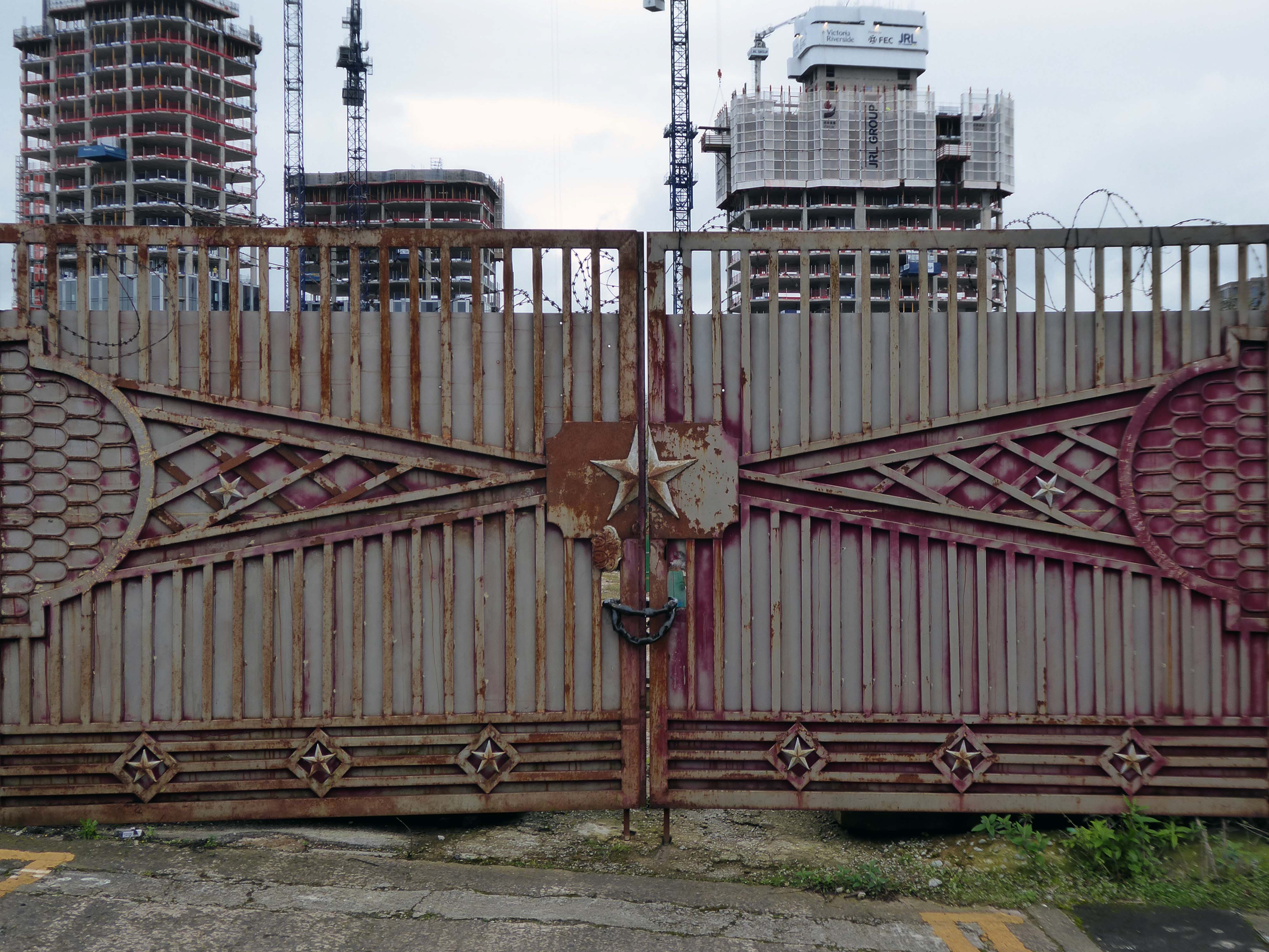
We will leave the Flamingo be and head back into town – but not without giving a nod to this confusing collision between this self-made scrapyard-man chic gate and the ever changing skyline of overheated urban regeneration.
The new creation has come: The old has gone, the new is here!
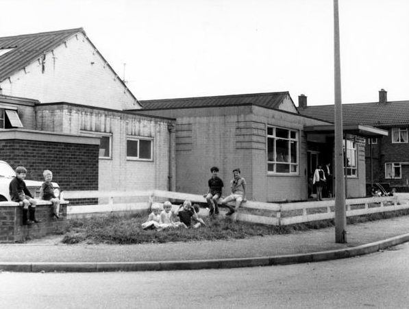
More recently it has had a renaissance under the stewardship of local lad Louis Beckett.
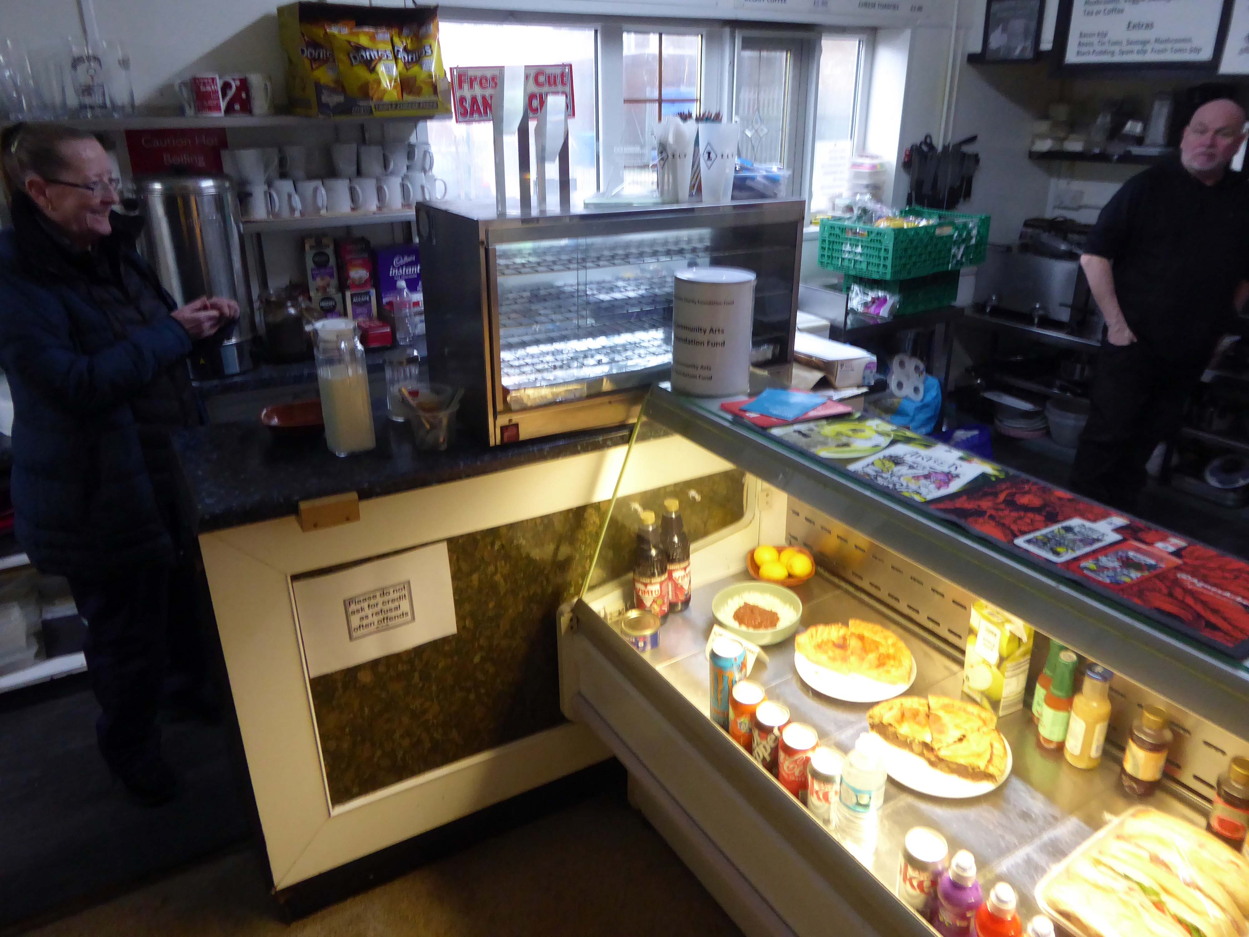
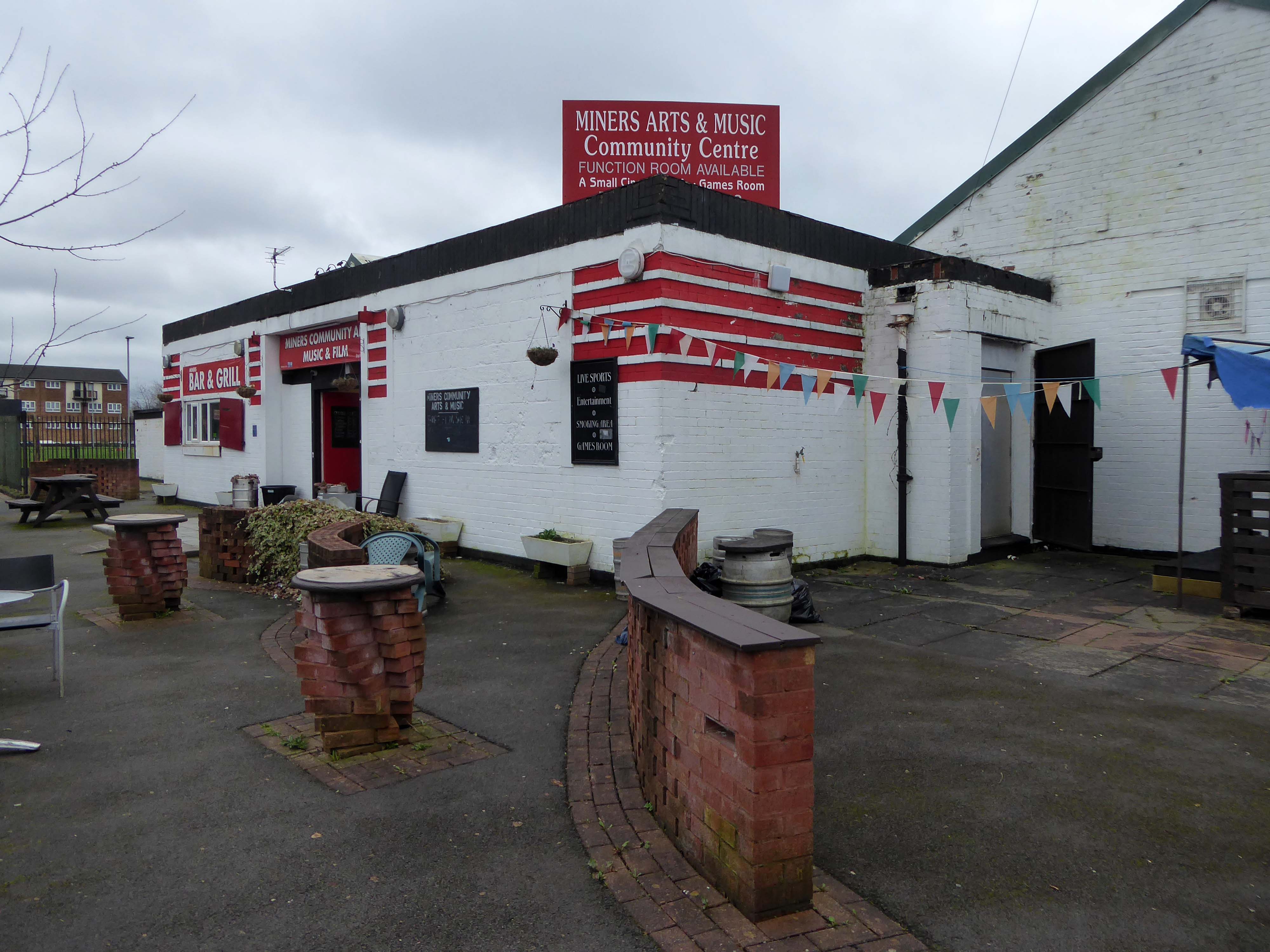
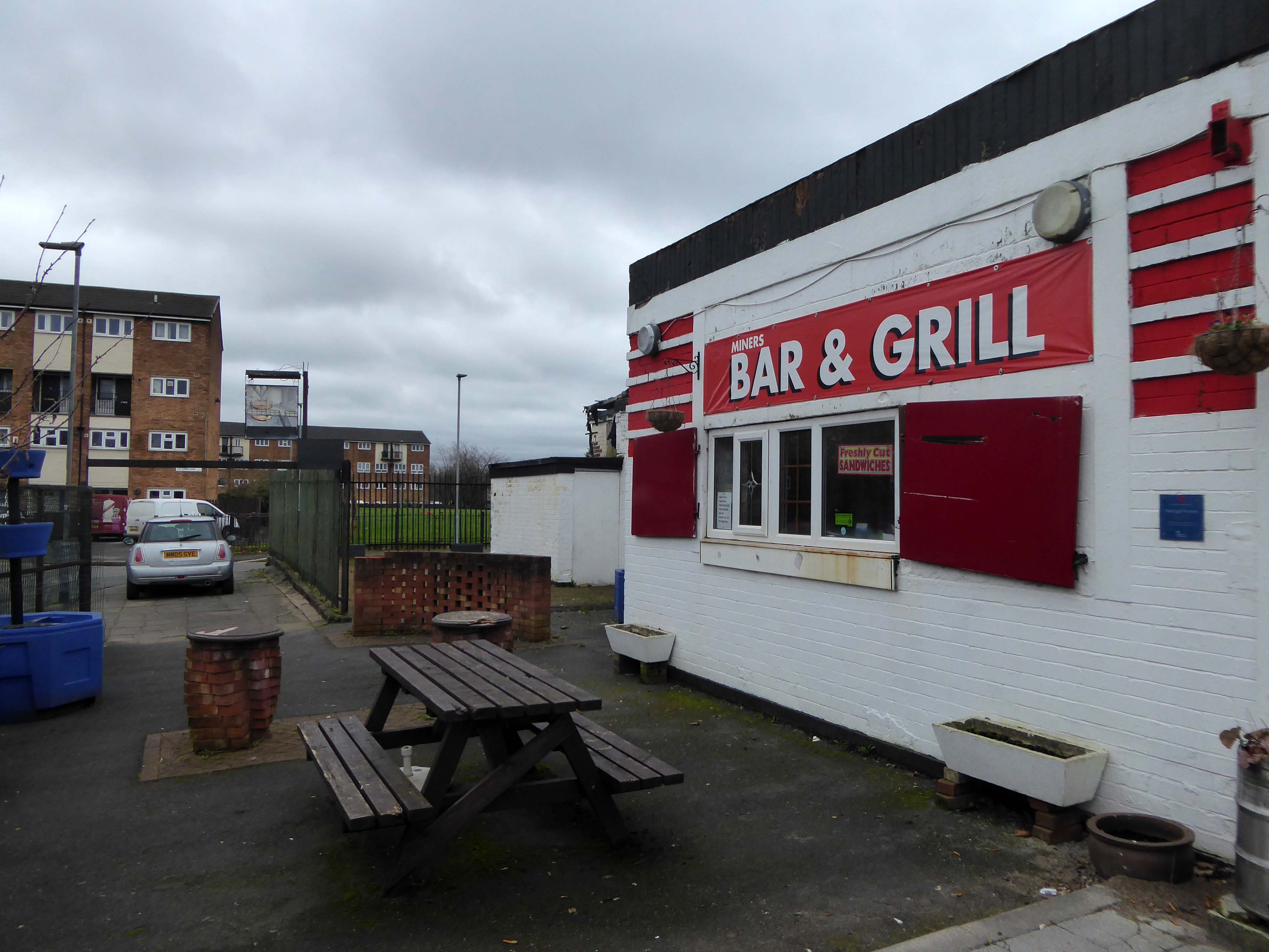
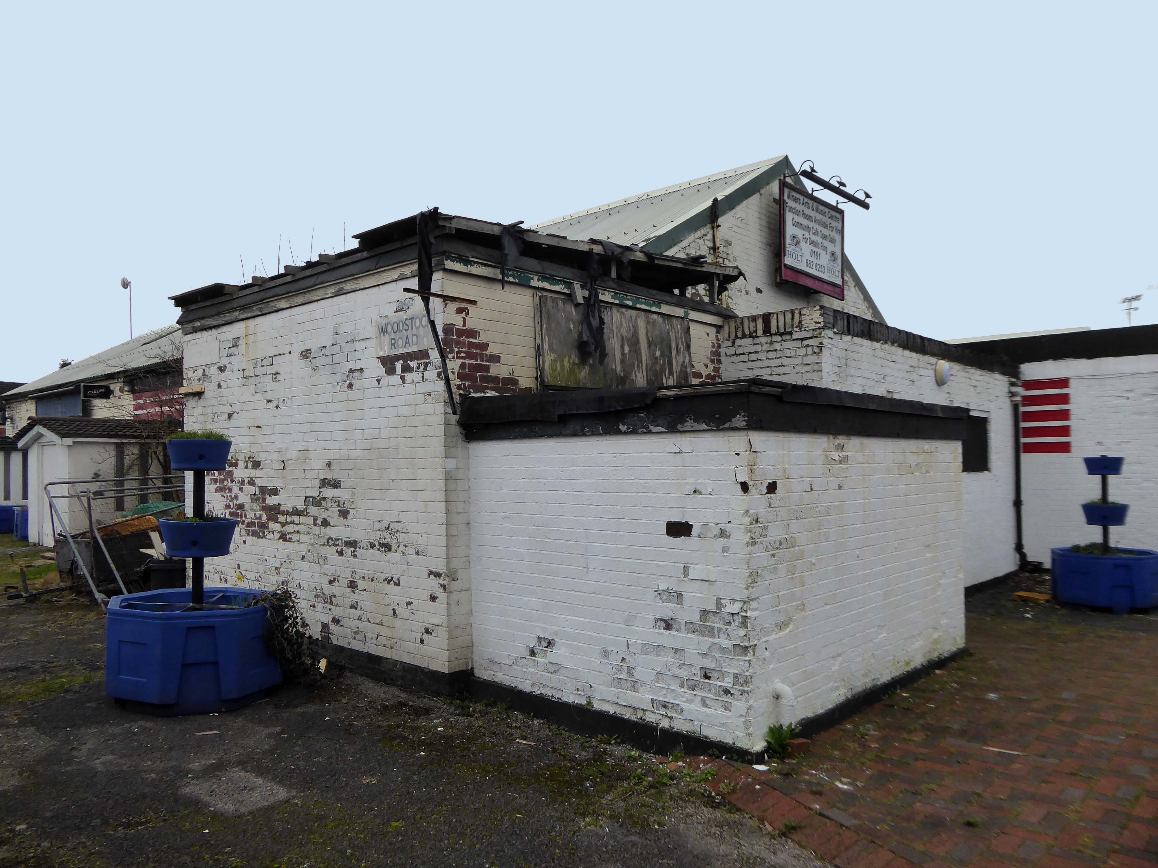
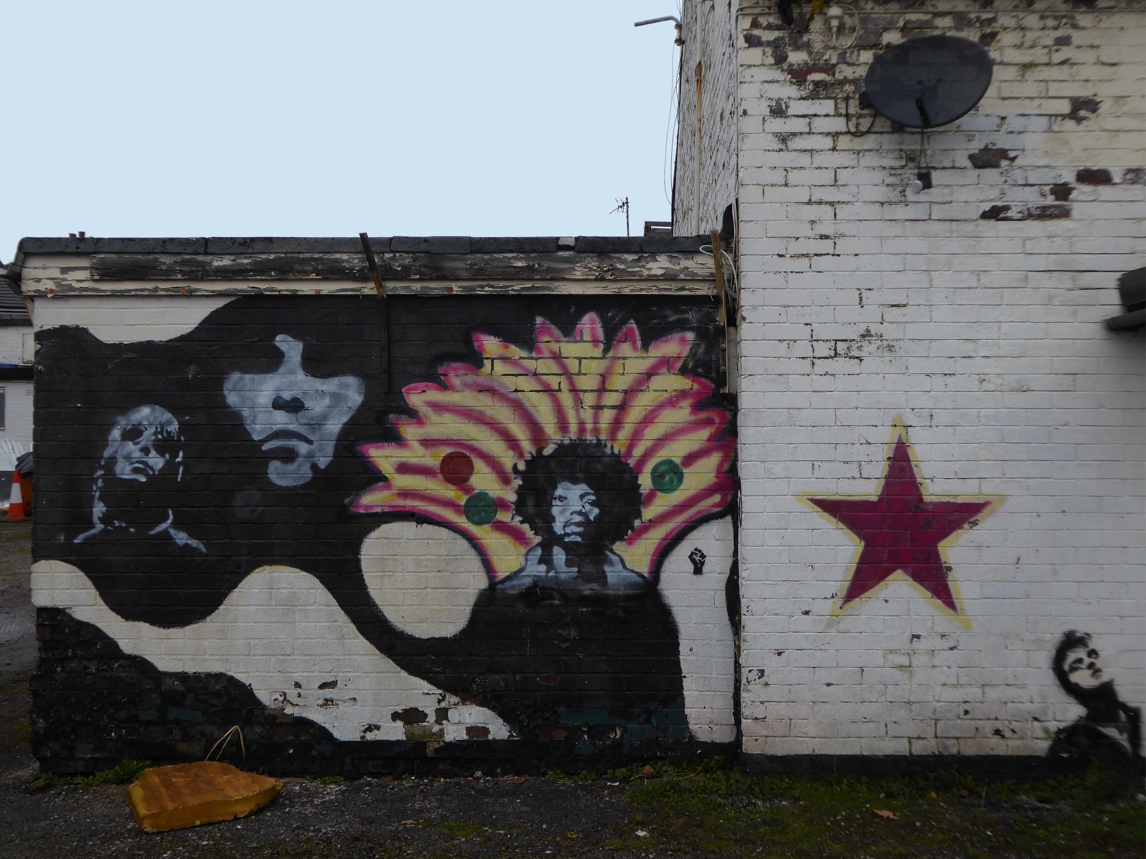
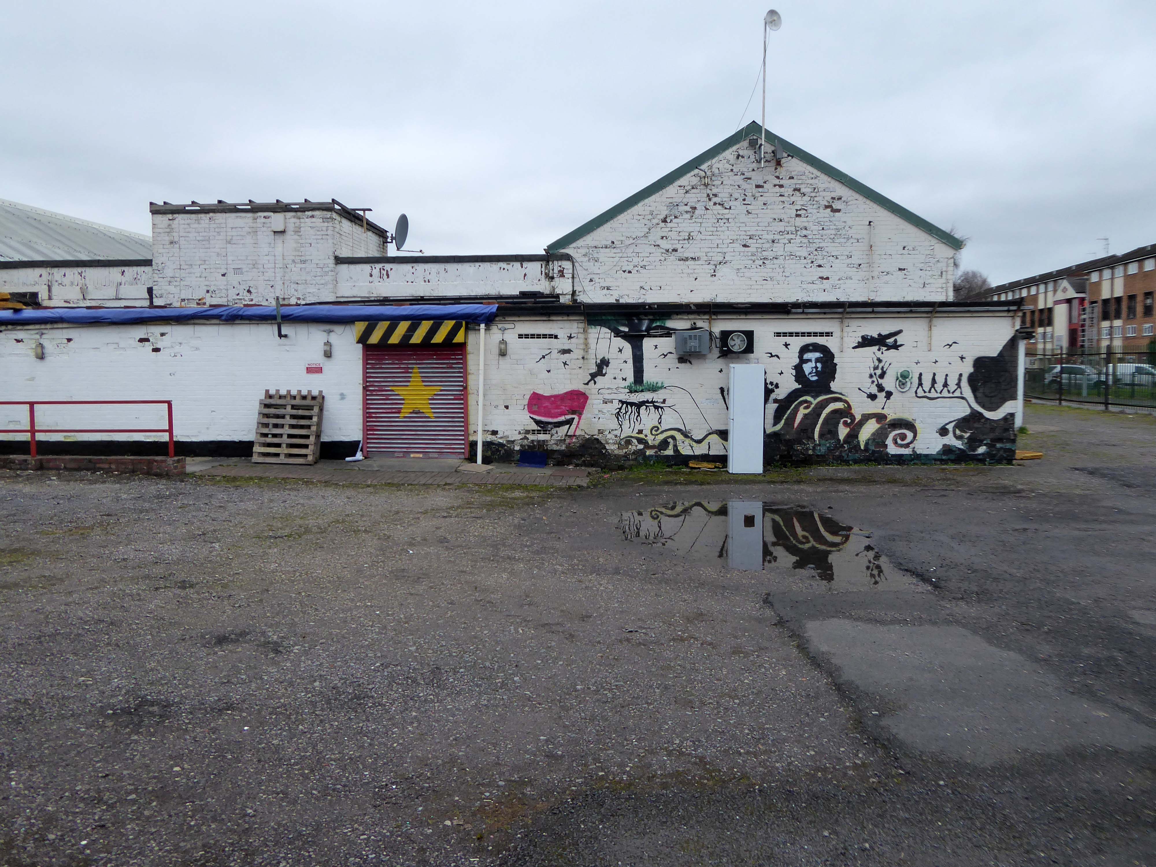
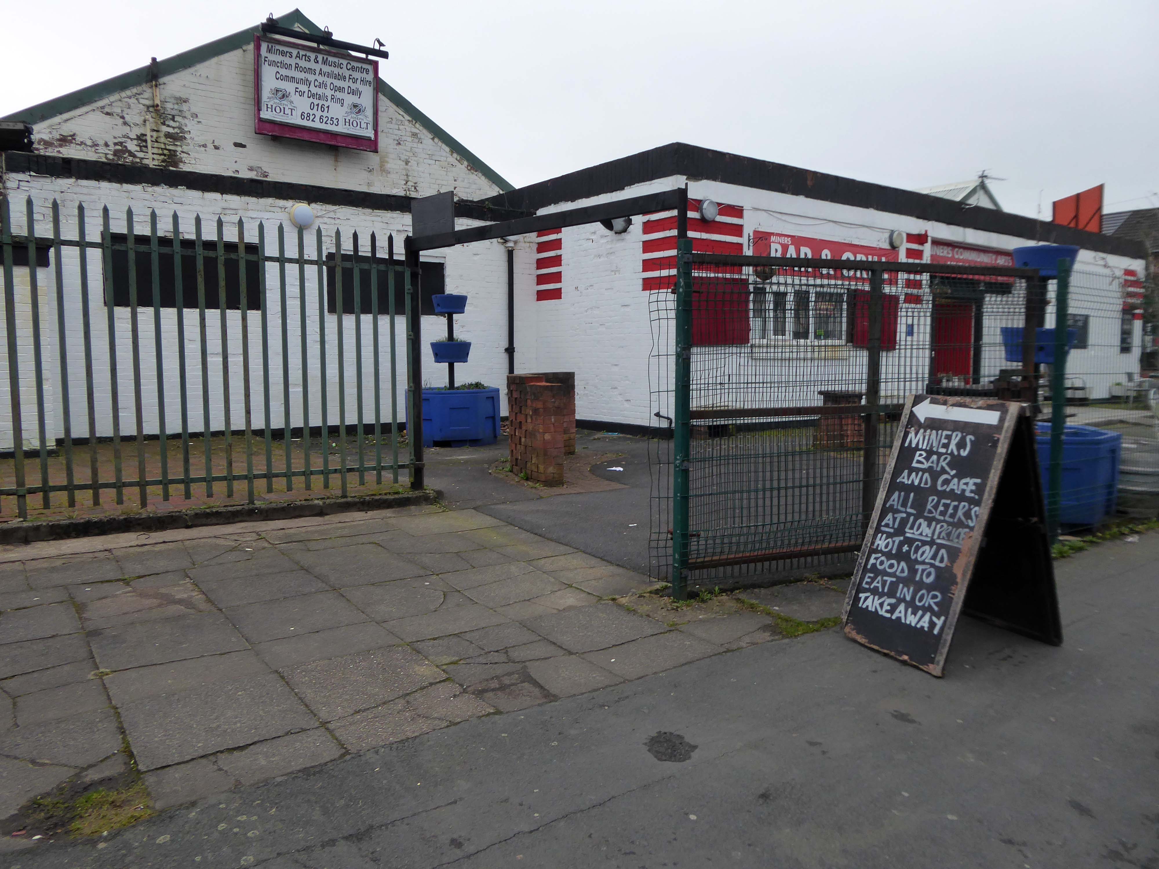
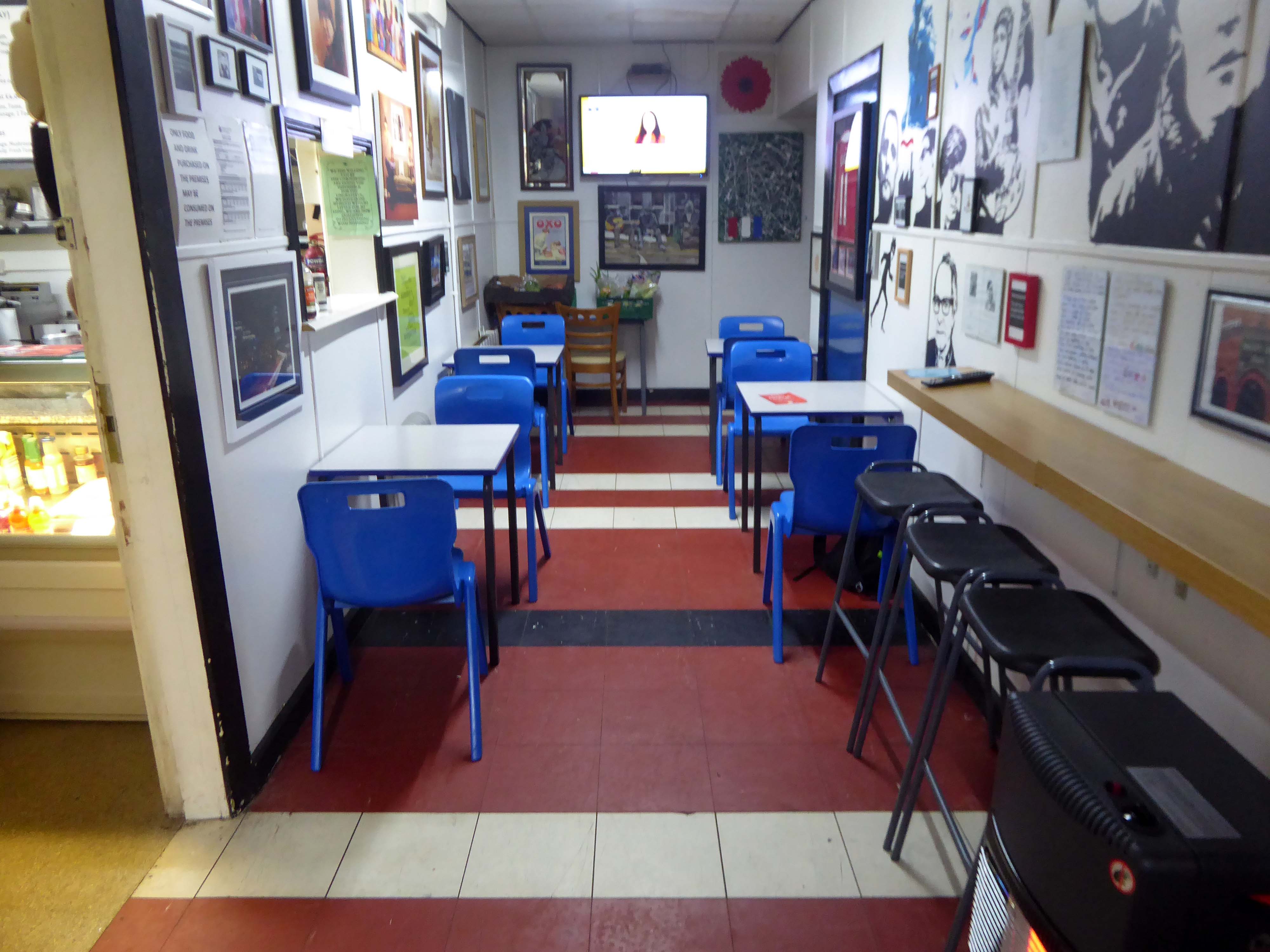
The community centre now provides space for local bands to rehearse, local artists to exhibit their work, a community cafe and larger function rooms that are available for events.
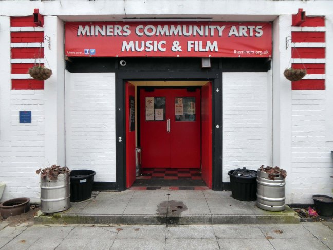
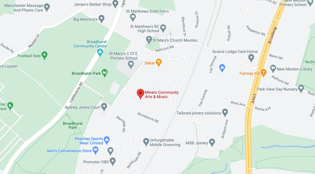
A wide range of events takes place here through the year including live gigs, pantomines, Halloween parties, cabaret nights and art exhibitions, and since 2012 it’s been home to the Moston Small Cinema which screens a range of films and sporting events.
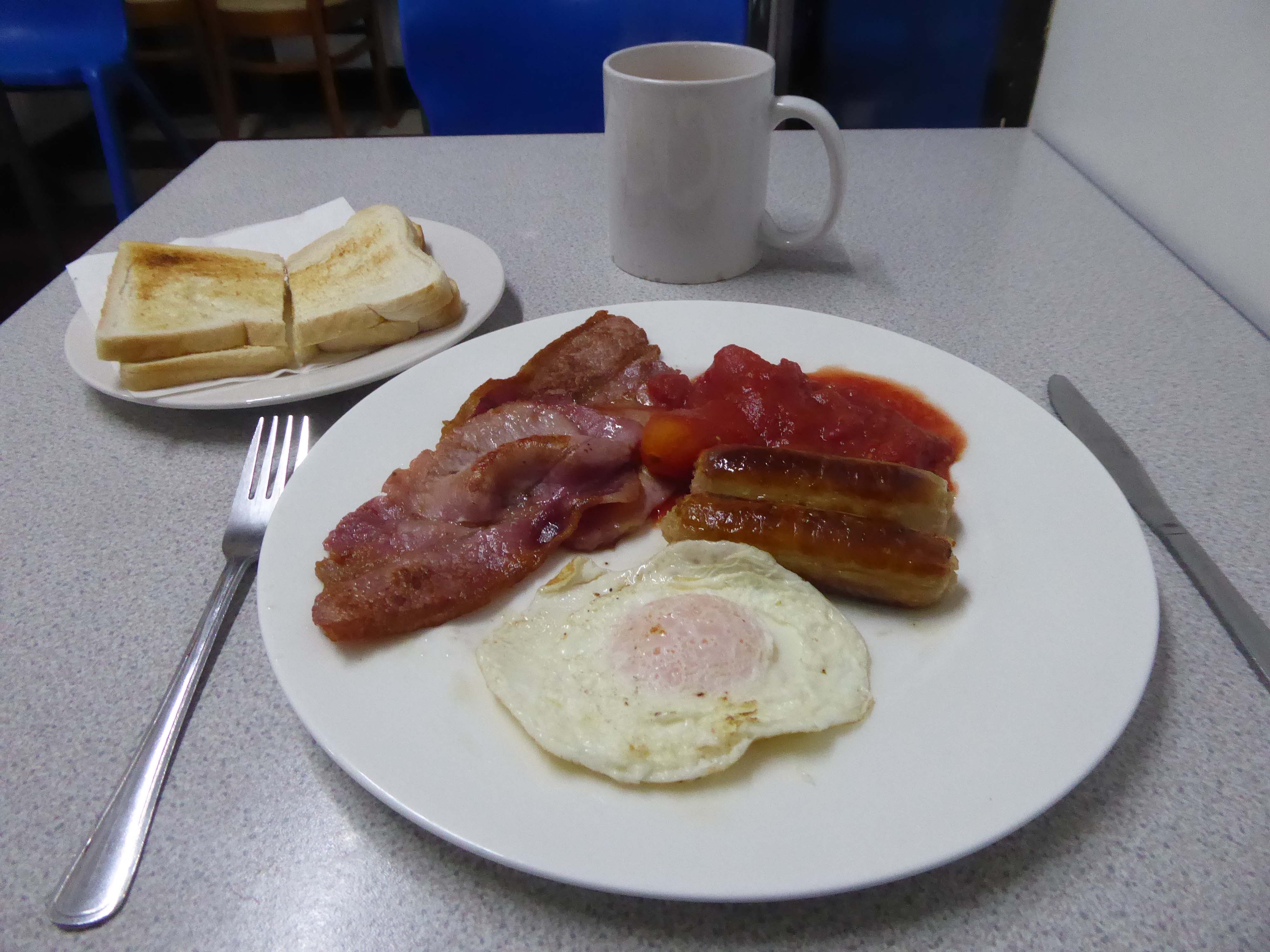
I popped by a couple of weeks ago and was given a terrific tour by Paula and Lou, along with a competitively priced tasty brew and breakfast.
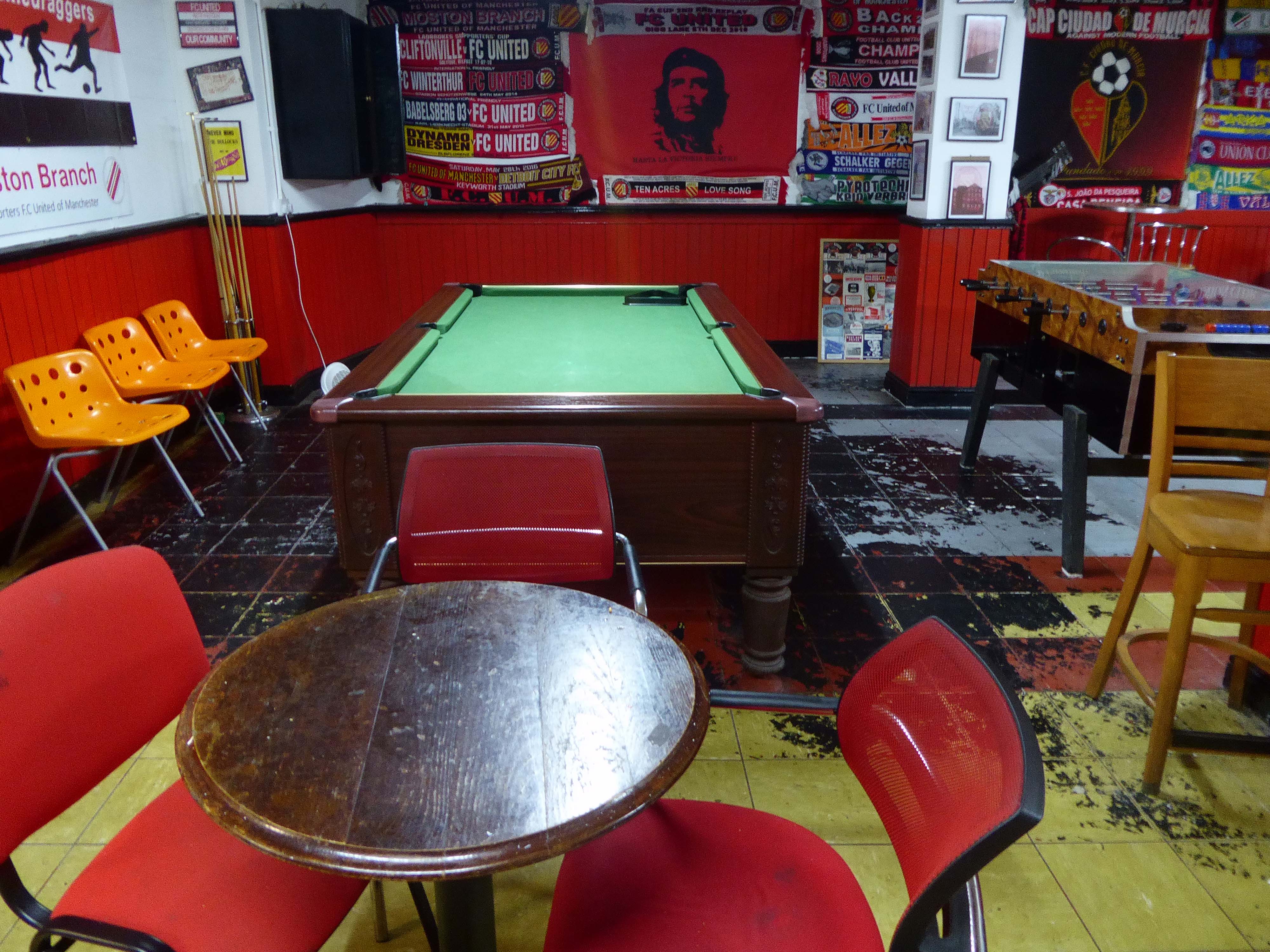
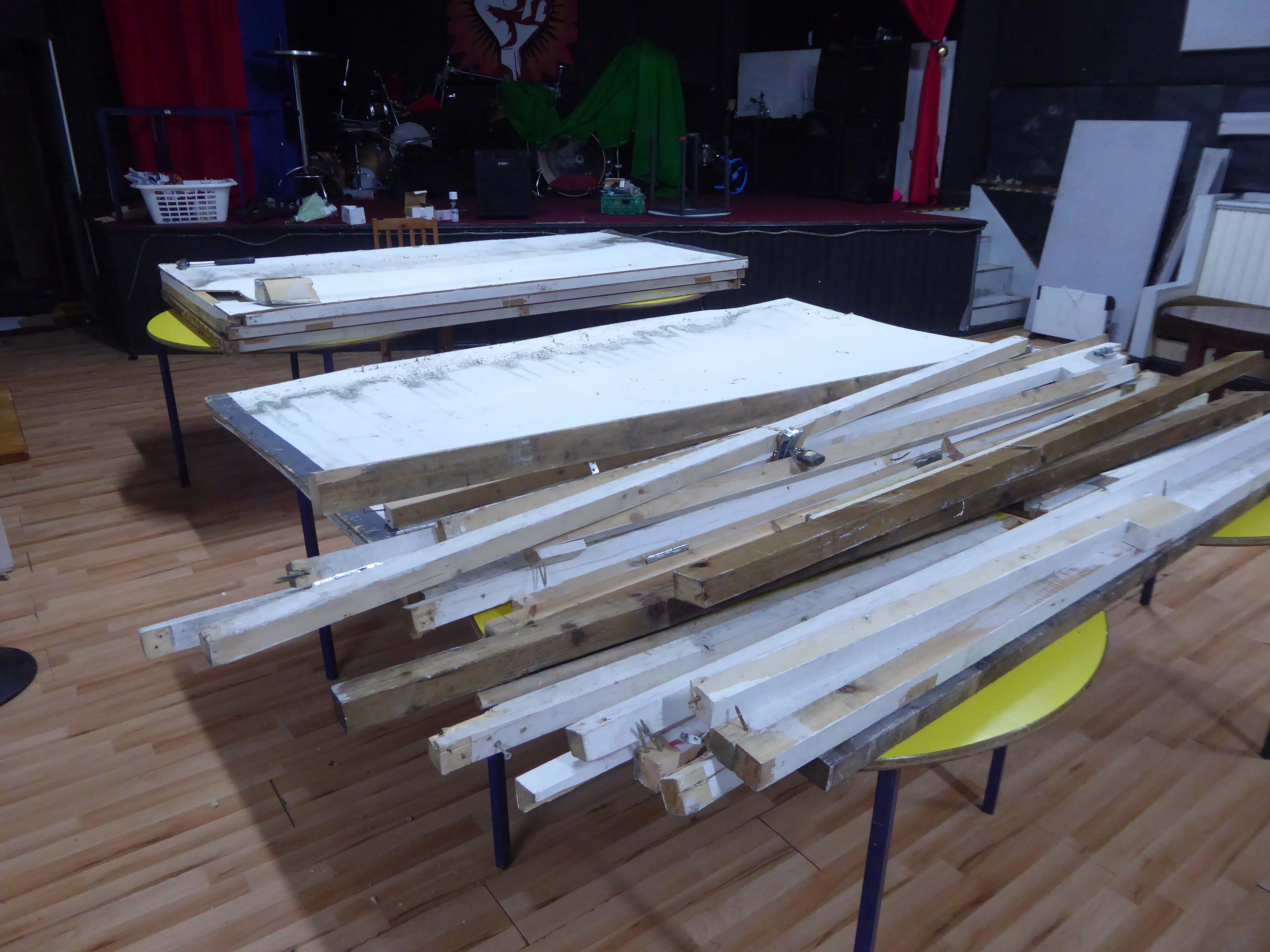
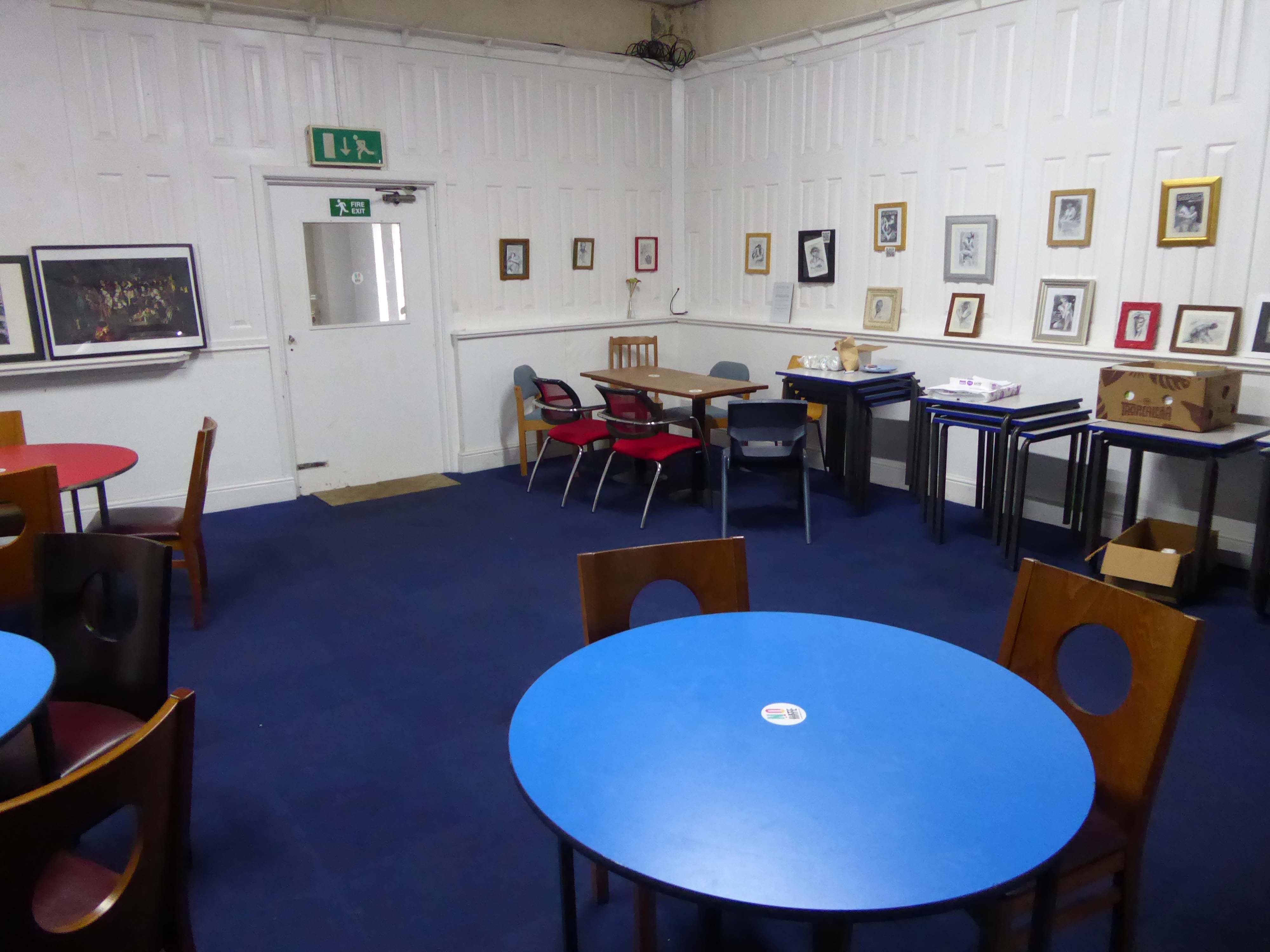
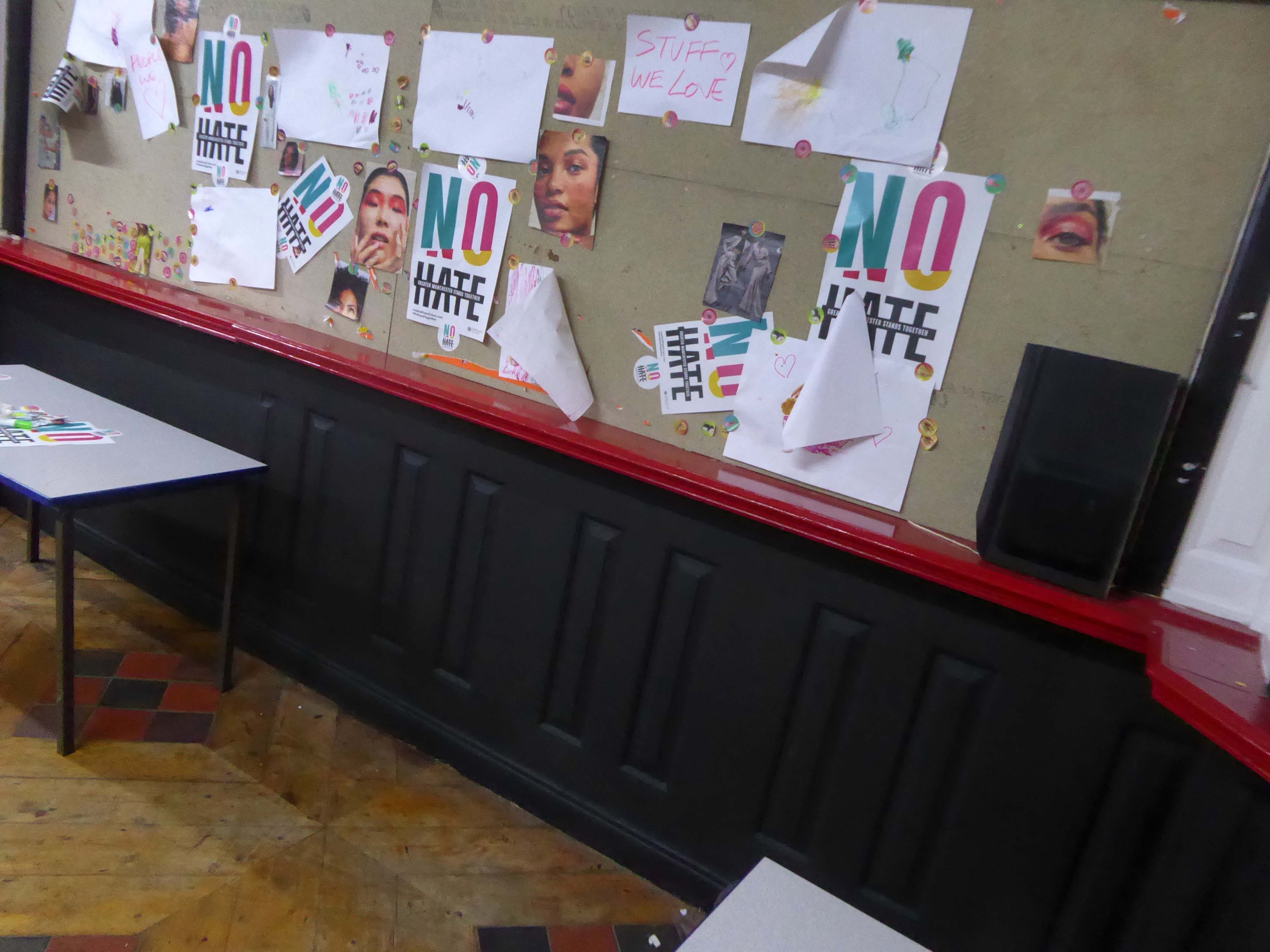
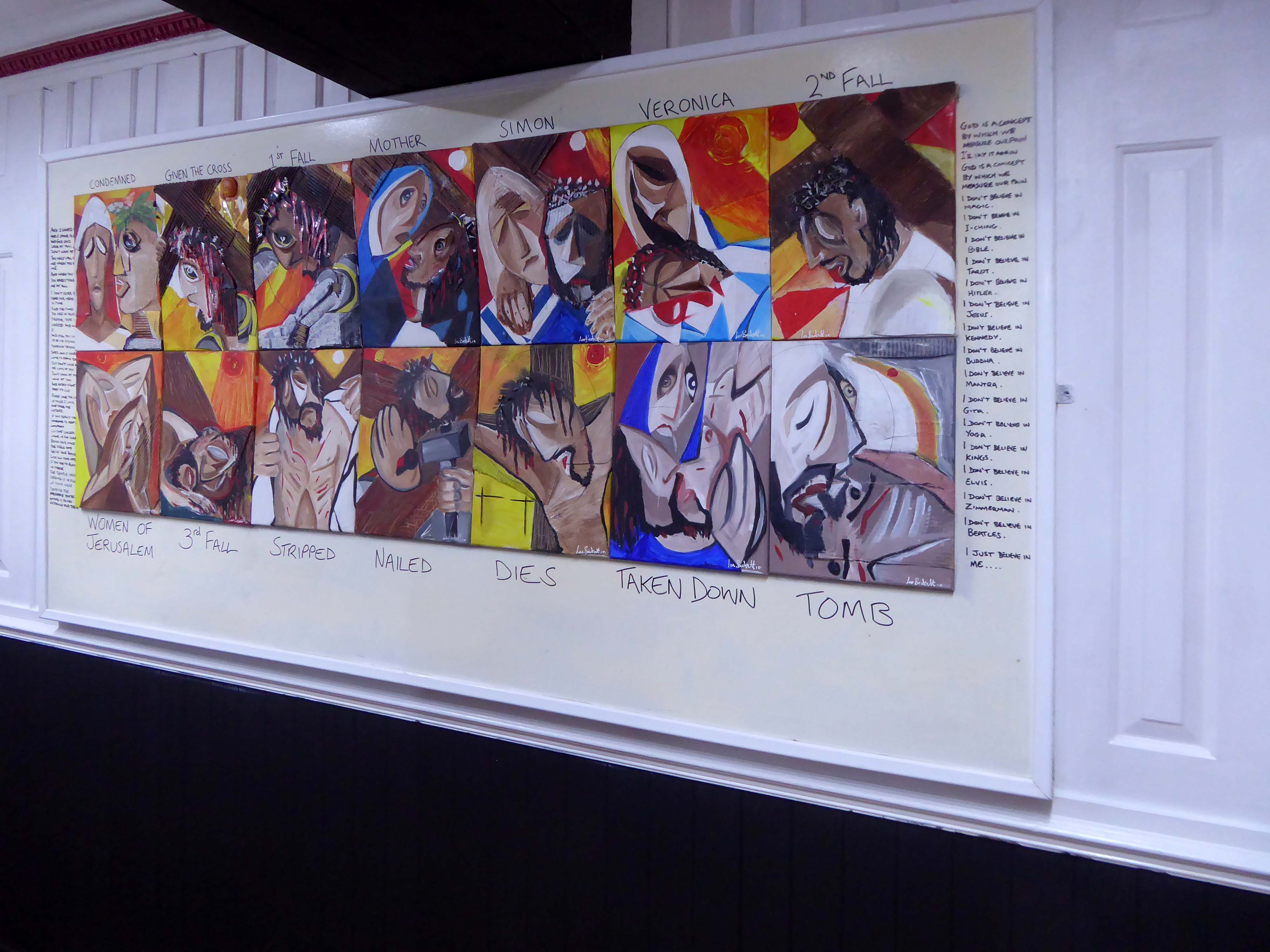
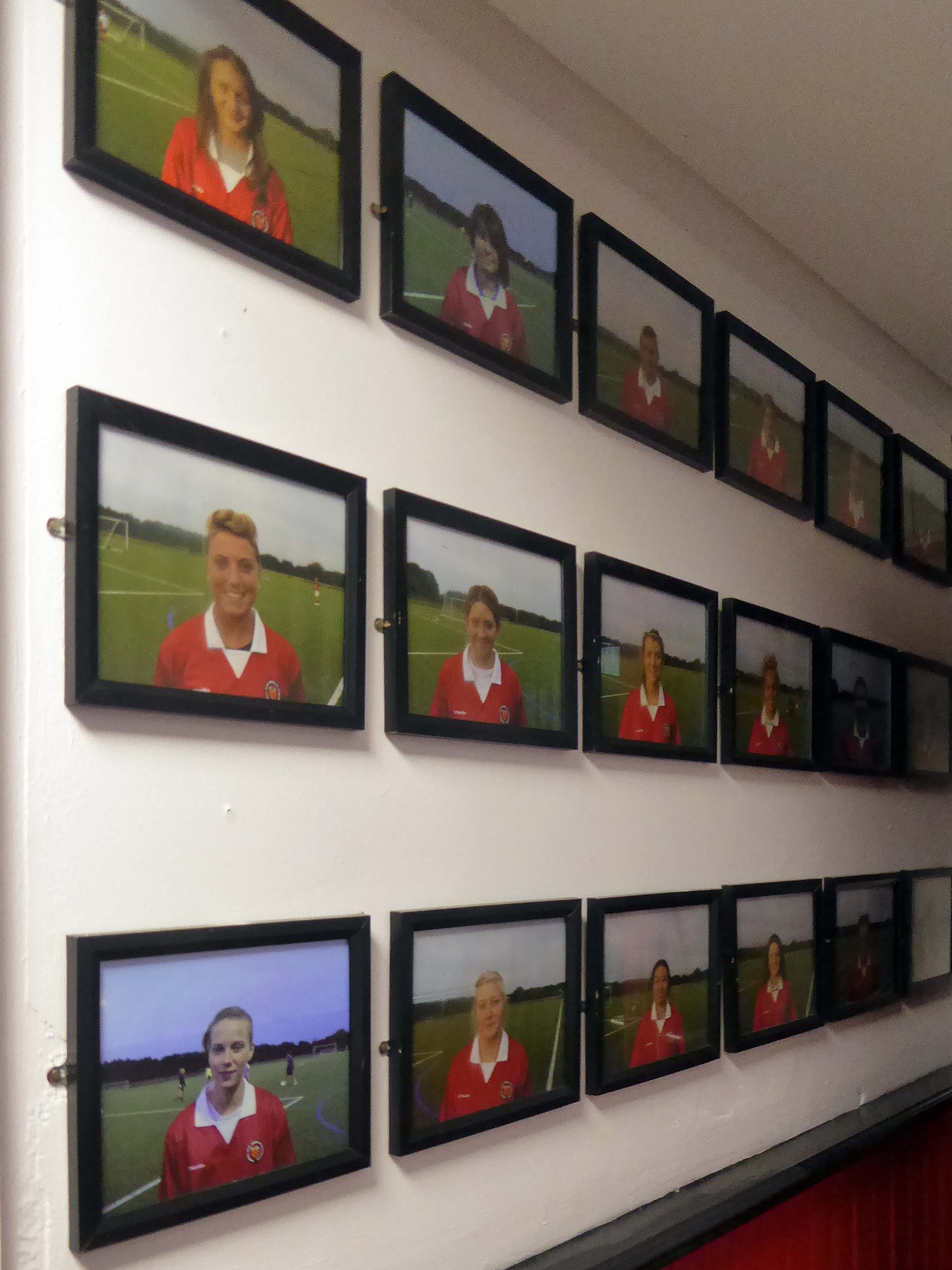
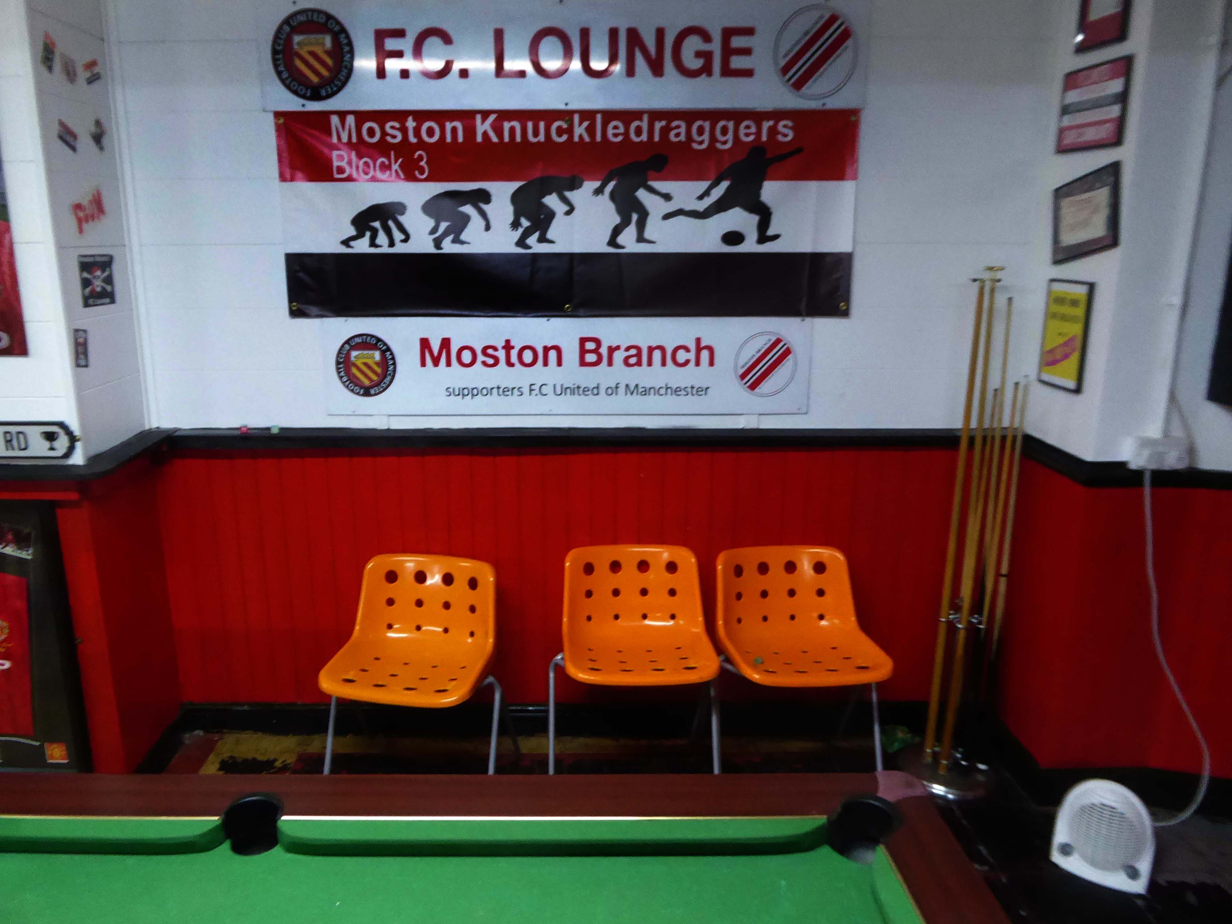
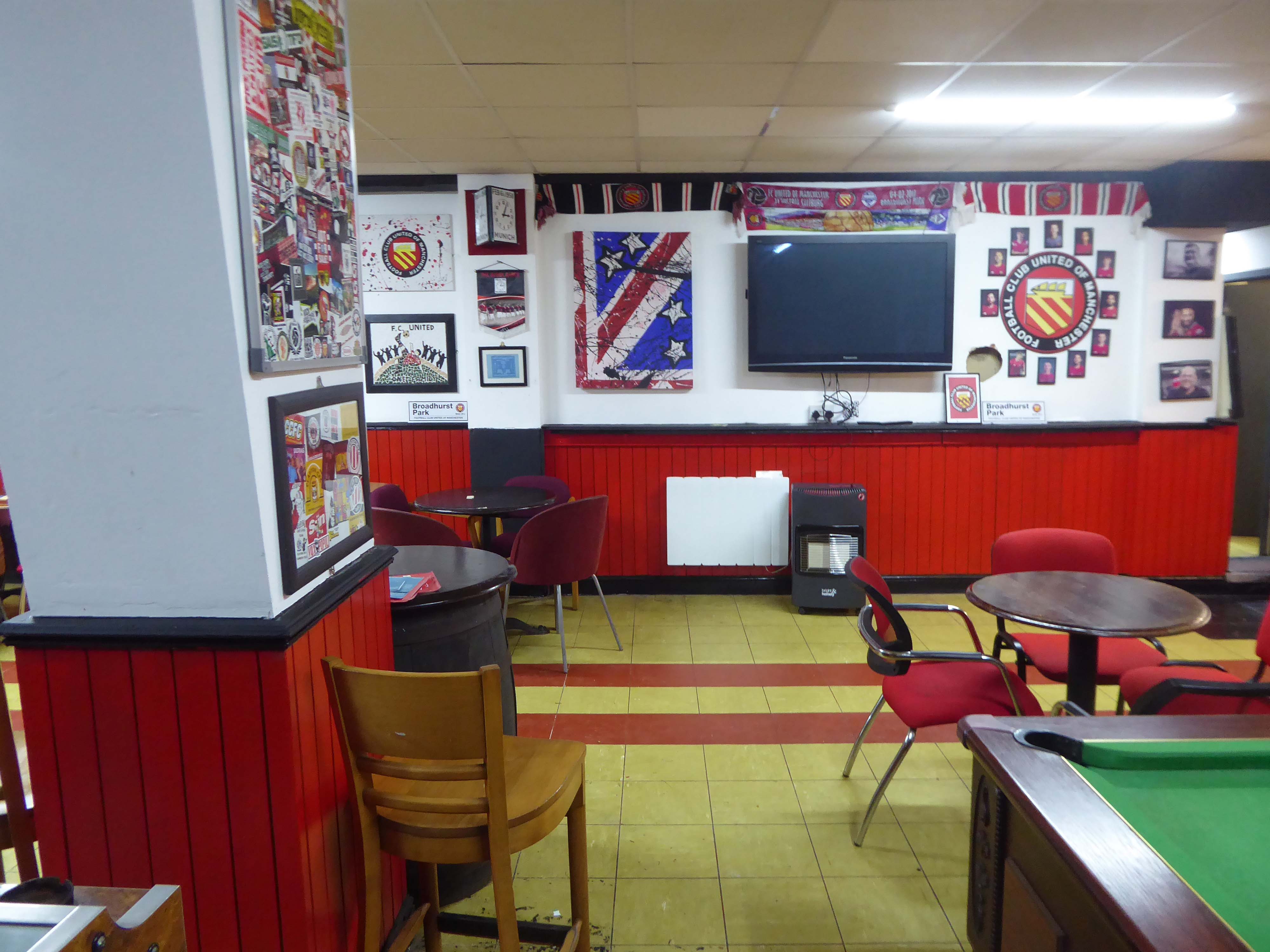
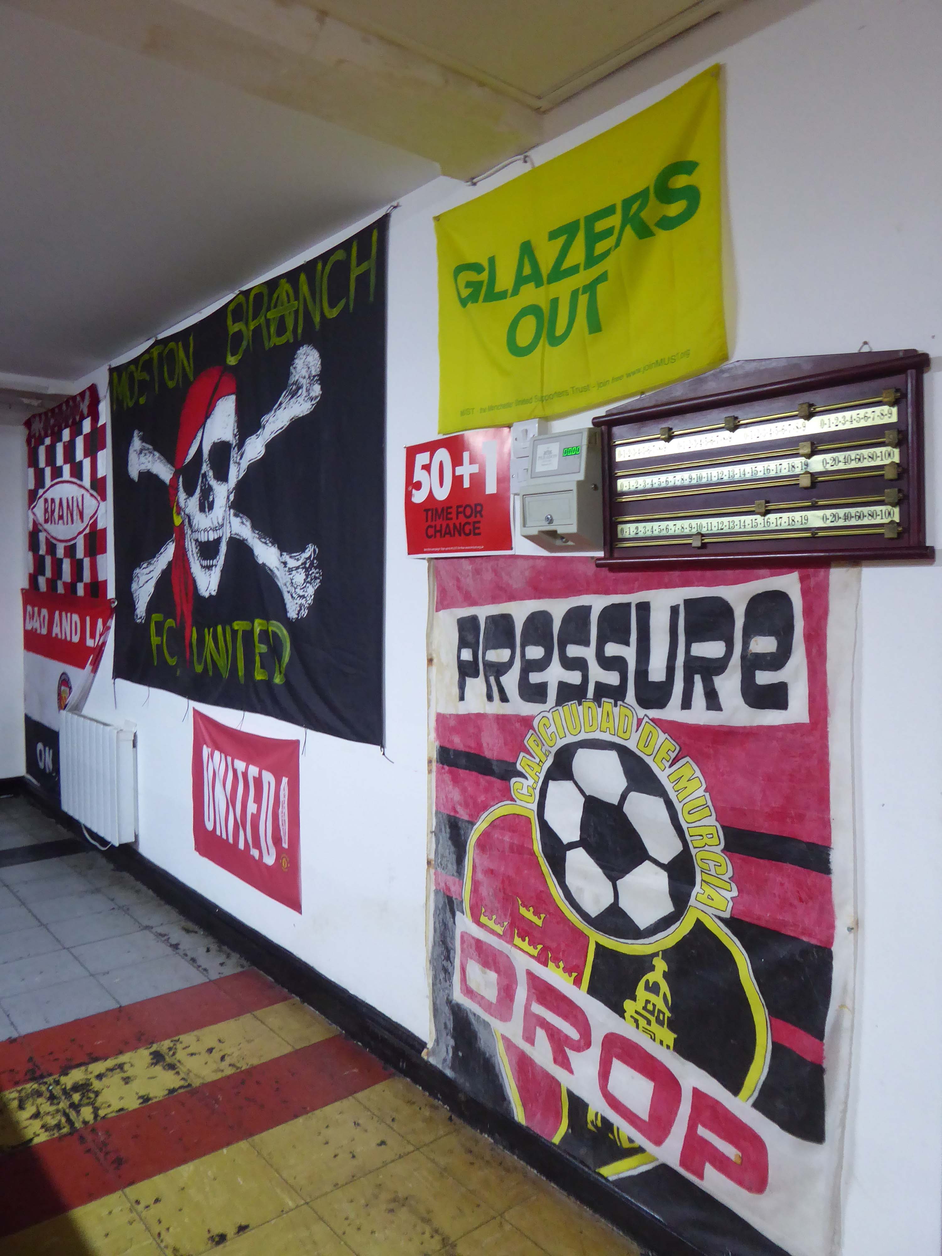
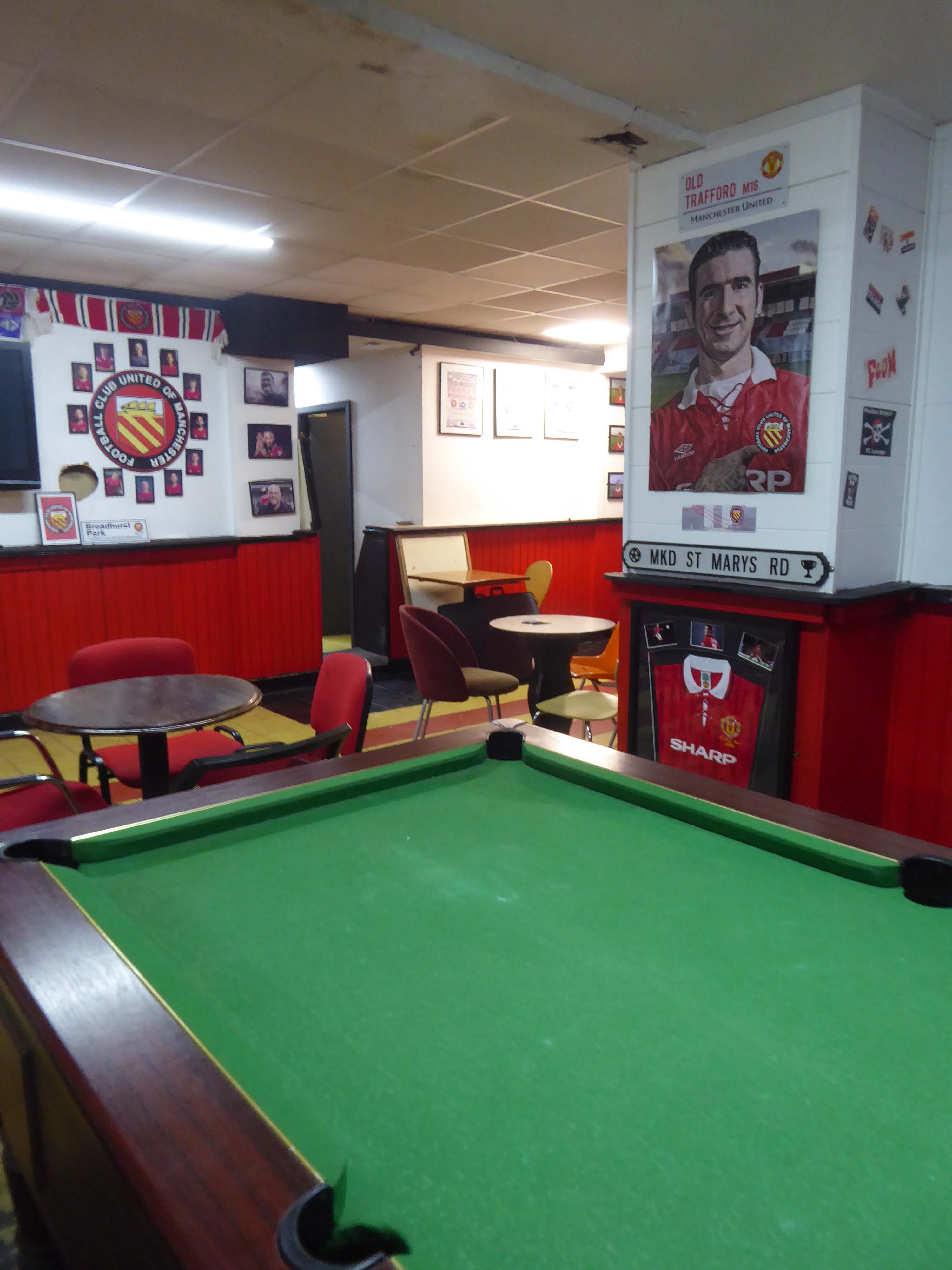
Work was underway for the current Art Show and evidence of the club’s affable affiliation with FC Unitedof Manchester, along with the results of the previous week’s art activities for the local youngsters.
Let’s take a look around outside and in.
Keep an eye and ear out for forthcoming events – get y’self up there soon!
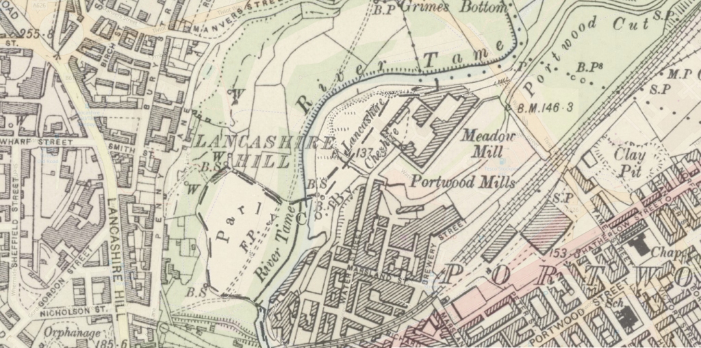
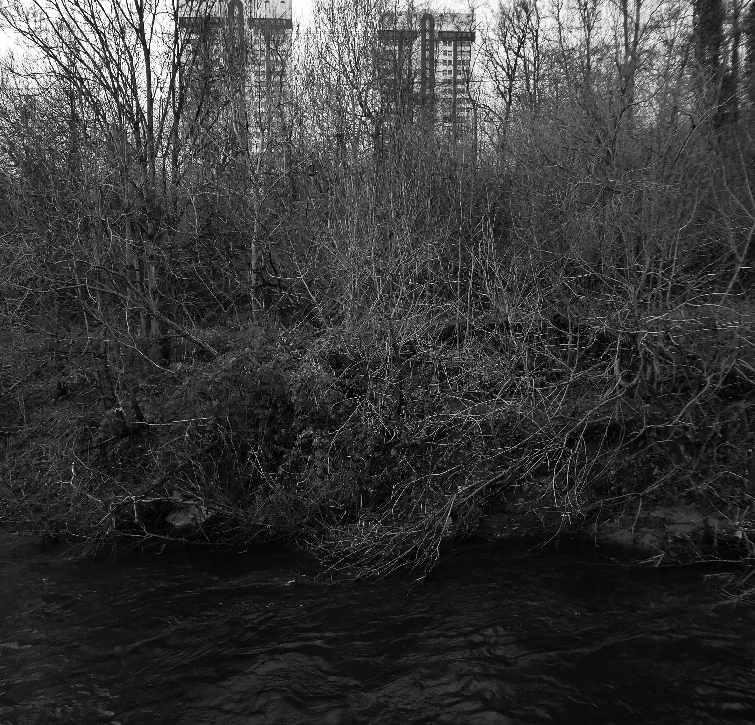
The 19th-century industrial concentrations in the above-named urban areas resulted in the Tame being a much polluted waterway. As well as industrial pollution from the dyes and bleaches used in textile mills, effluent from specialised paper-making cigarette papers, engineering effluents, including base metal washings from battery manufacture, phenols from the huge coal-gas plant in Denton, rain-wash from roads and abandoned coal spoil heaps there was also the sewage effluent from the surrounding population. Up to two-thirds of the river’s flow at its confluence with the Goyt had passed through a sewage works. The anti-pollution efforts of the last thirty years of the 20th century have resulted in positive fauna distributions.
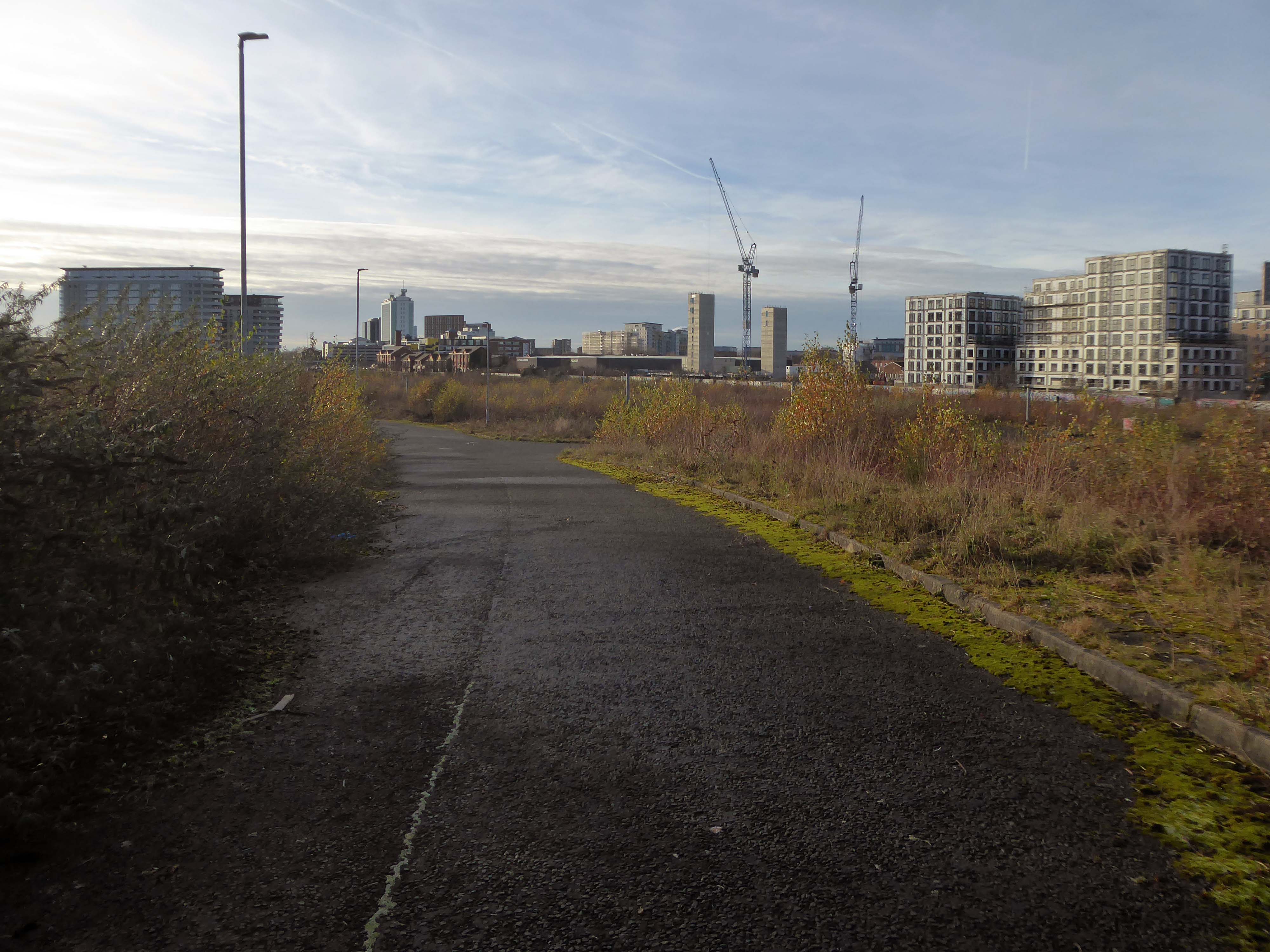
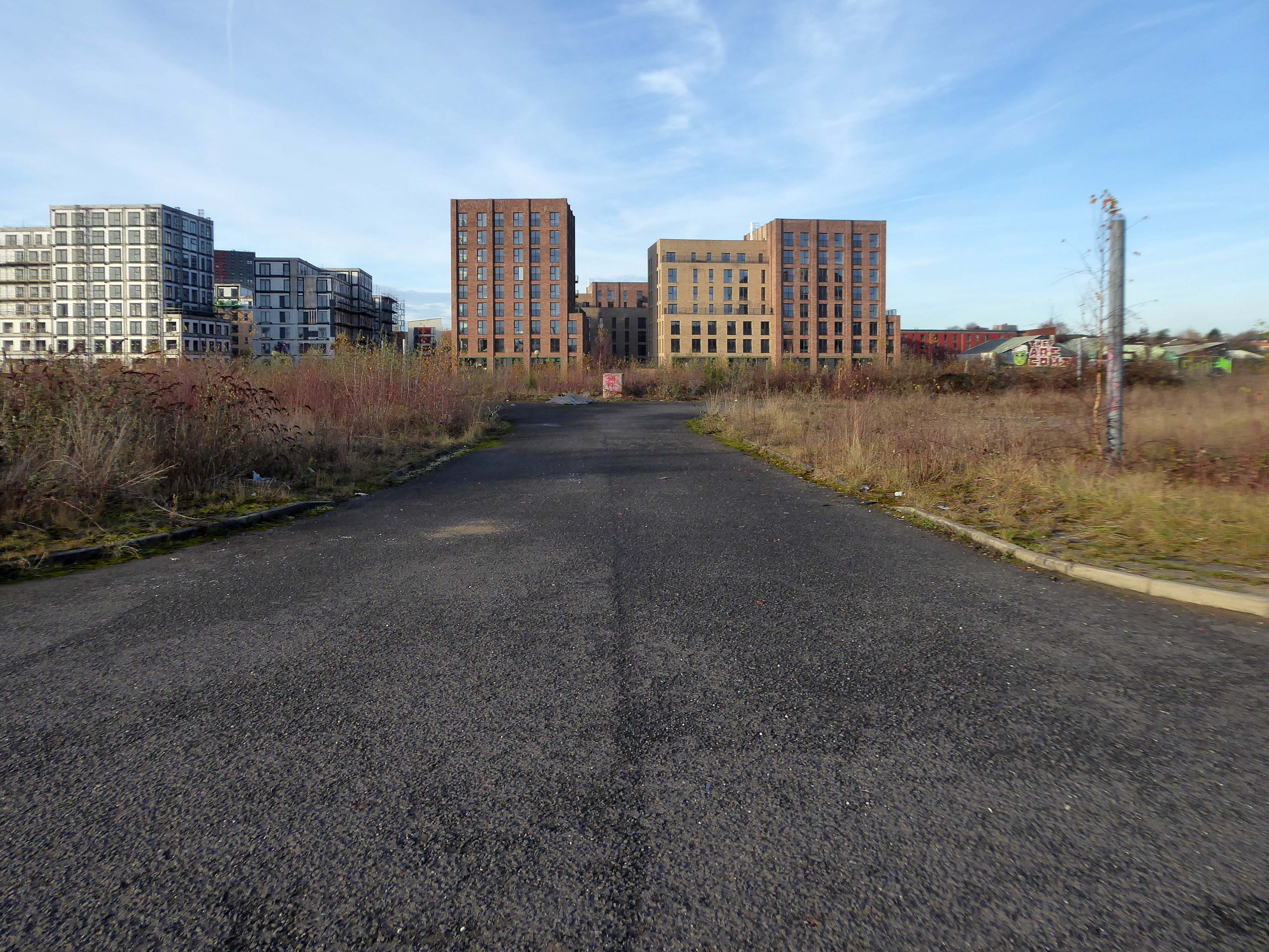
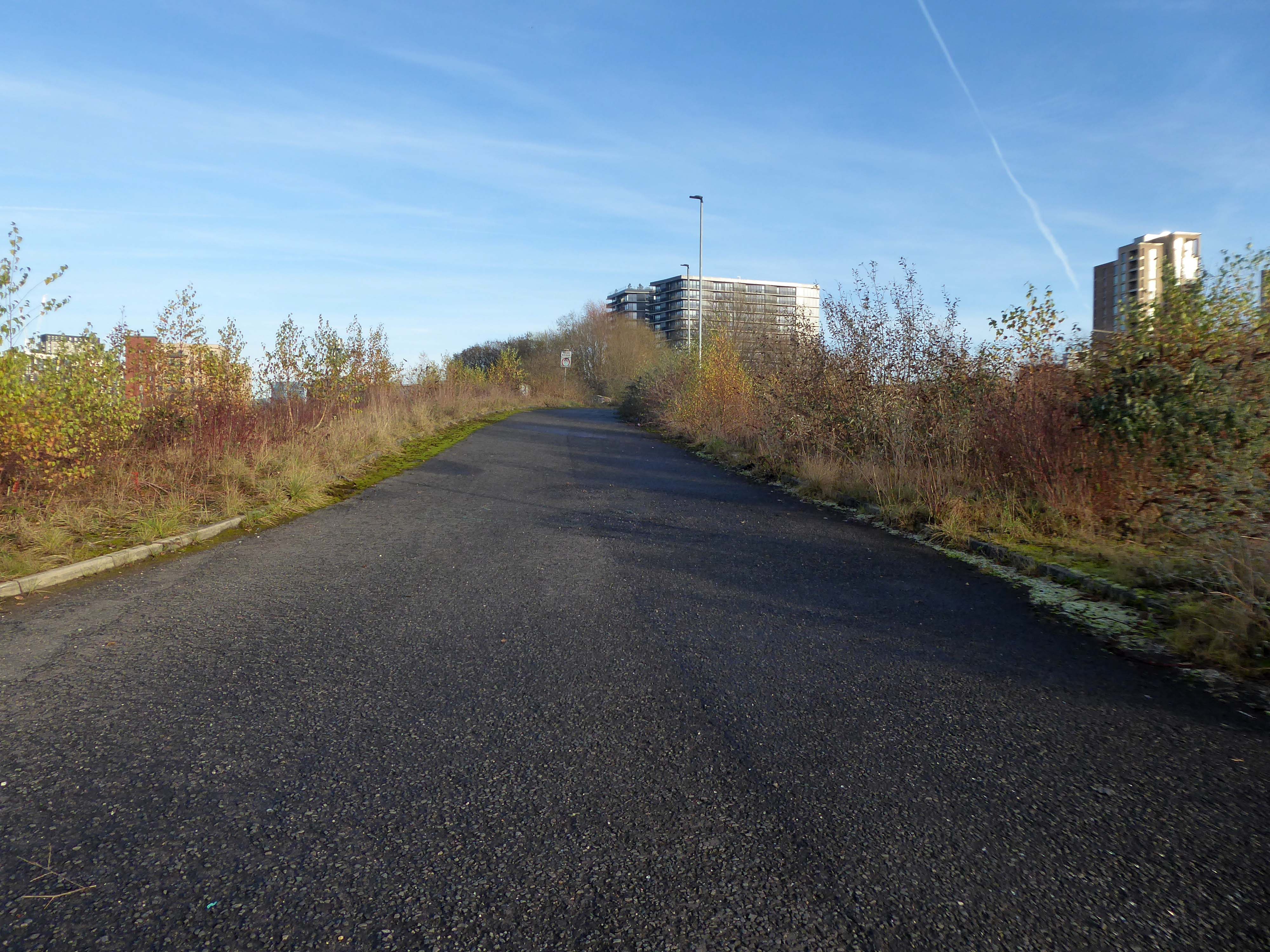
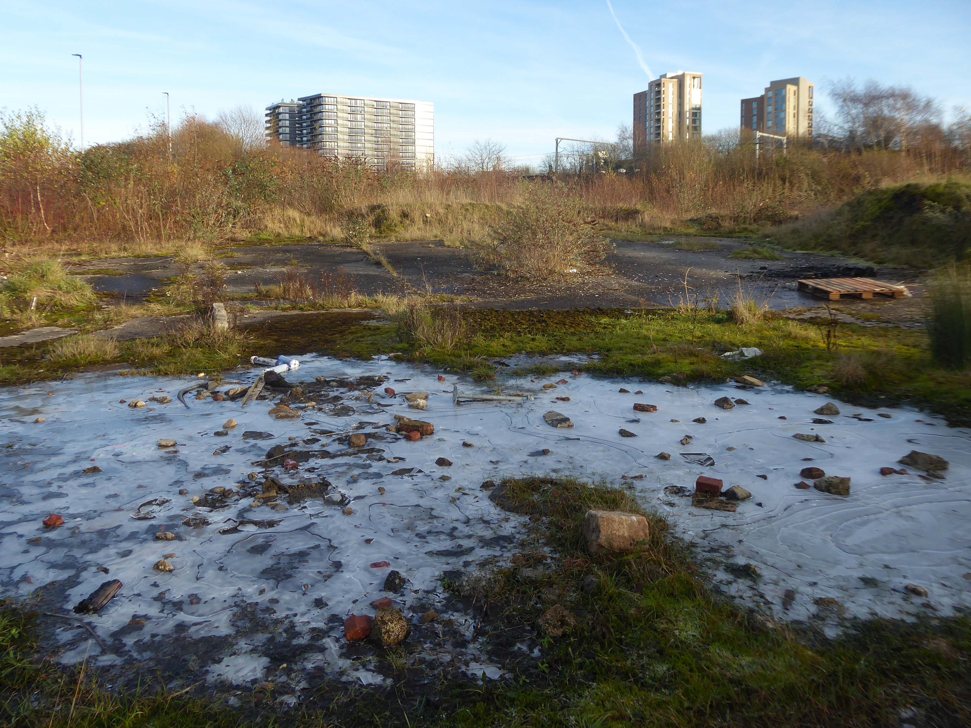
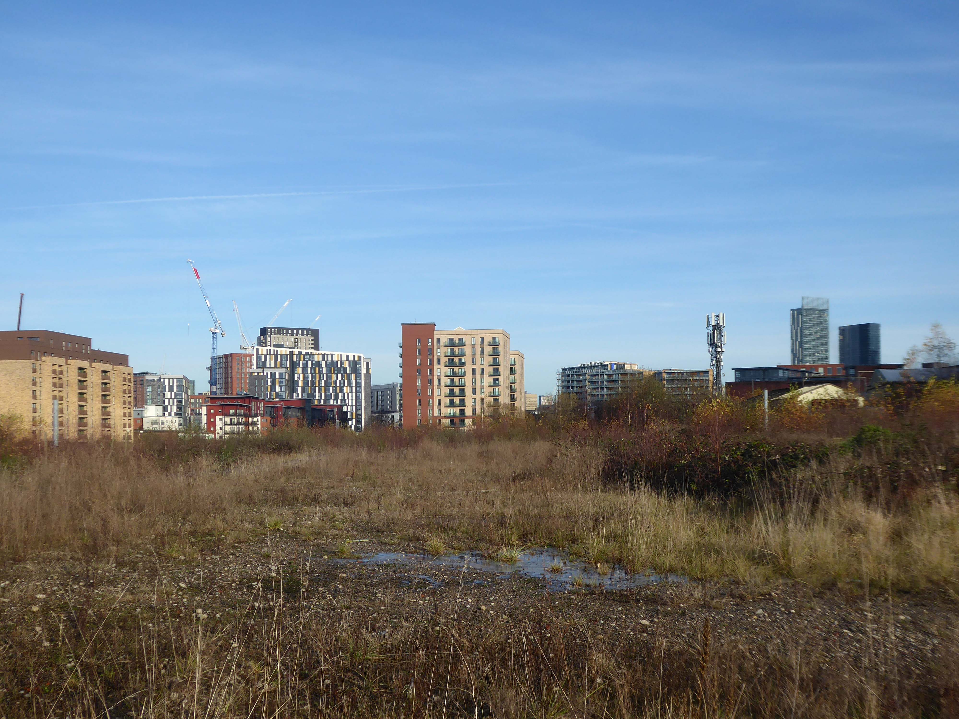
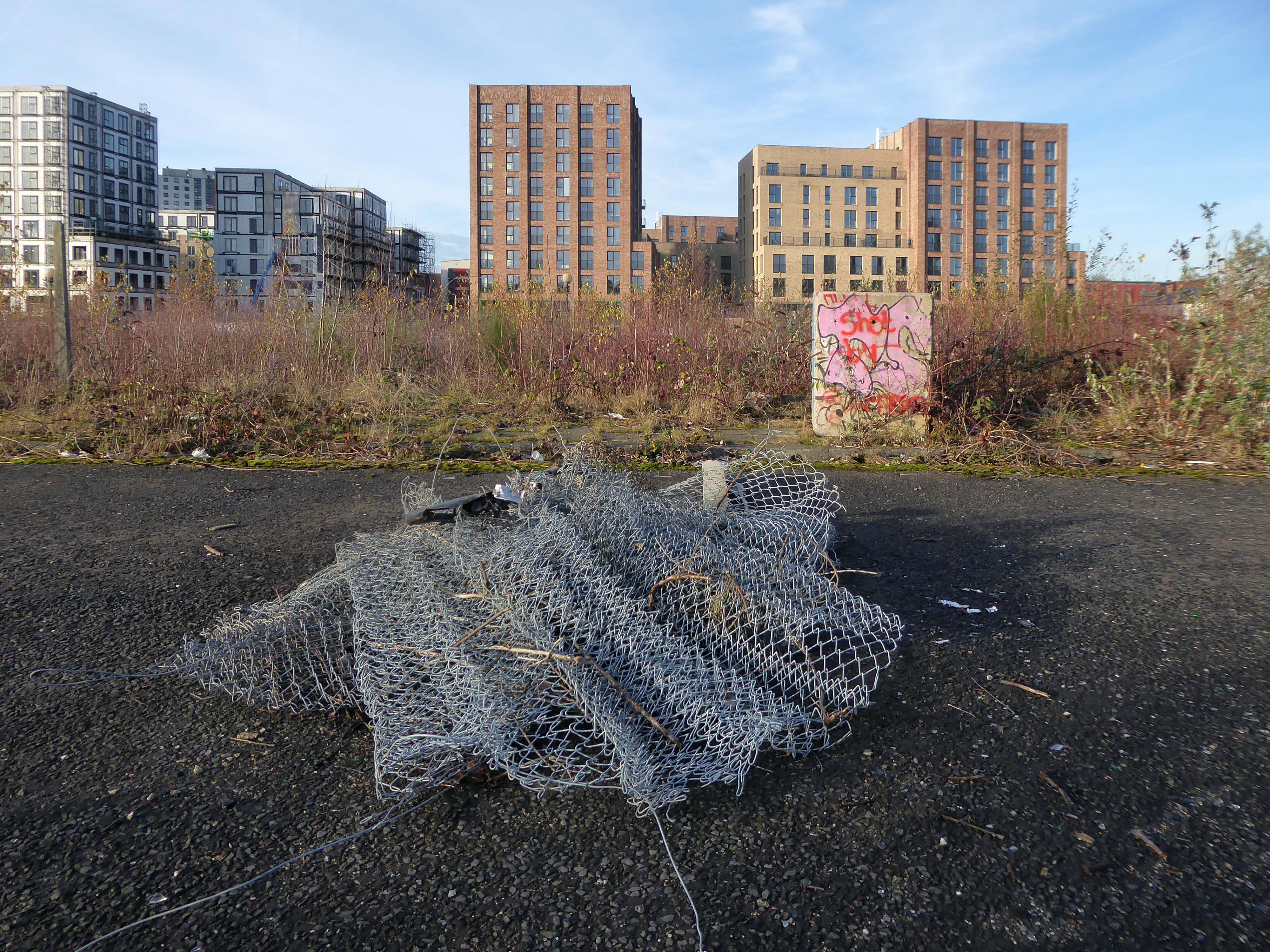
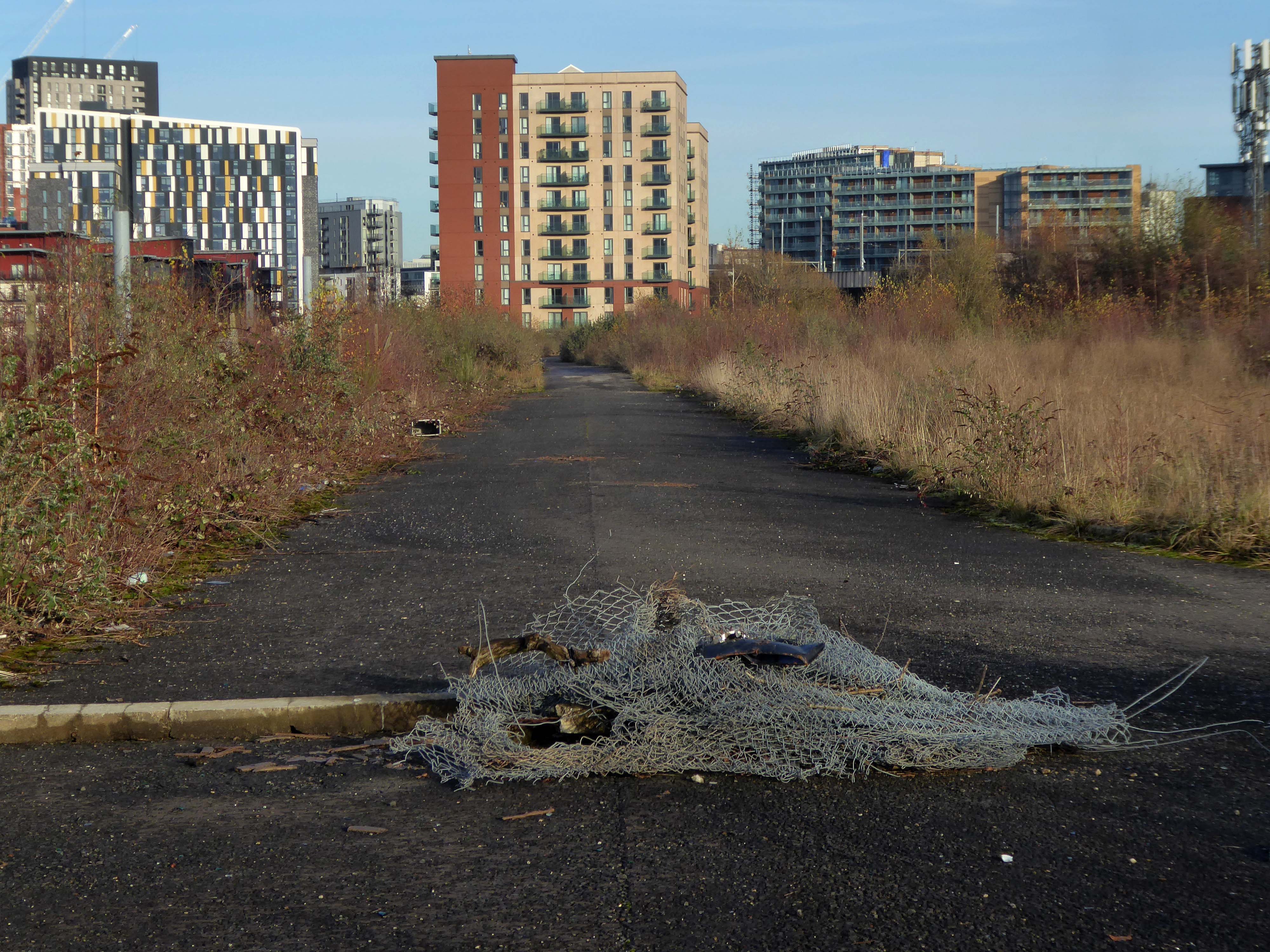
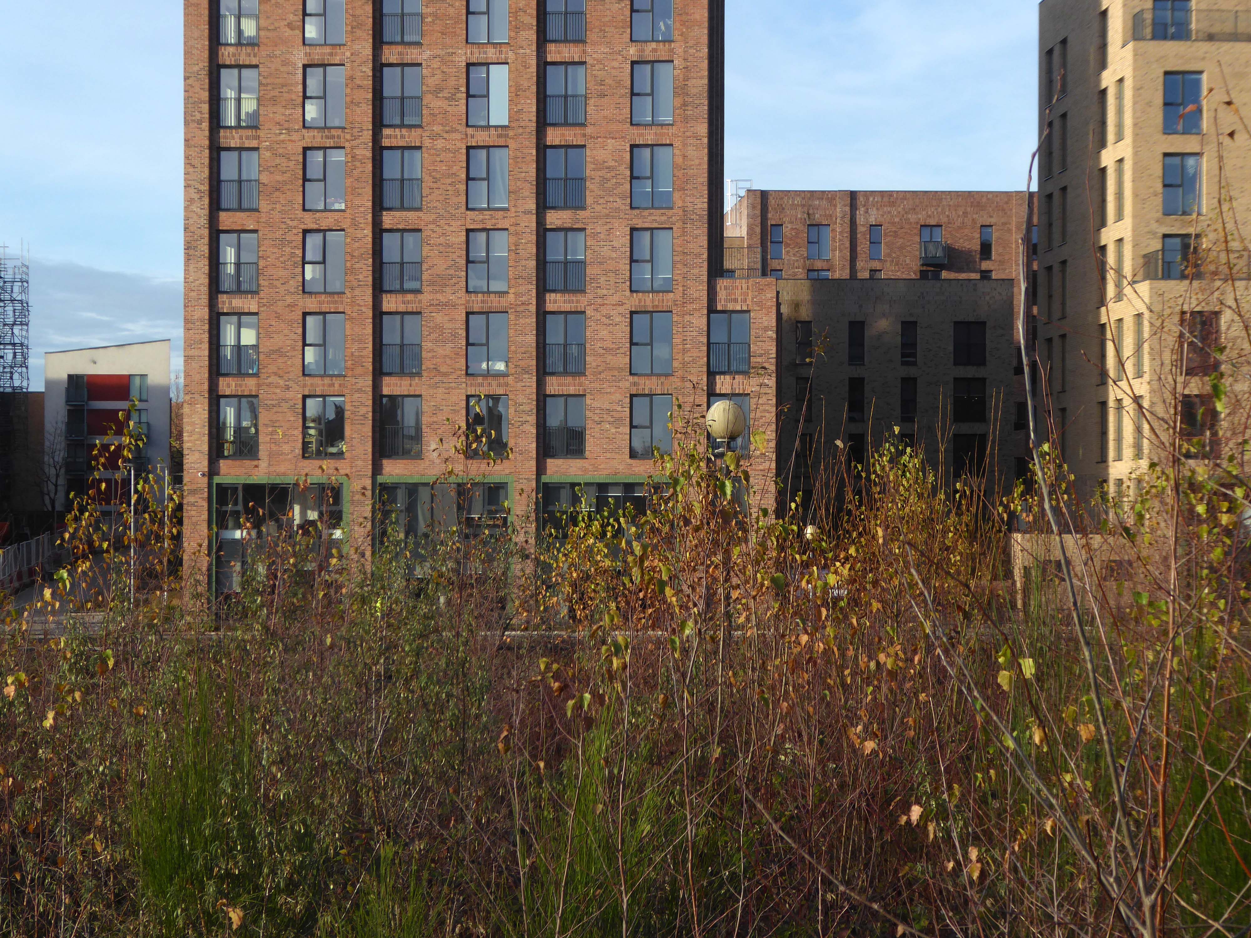
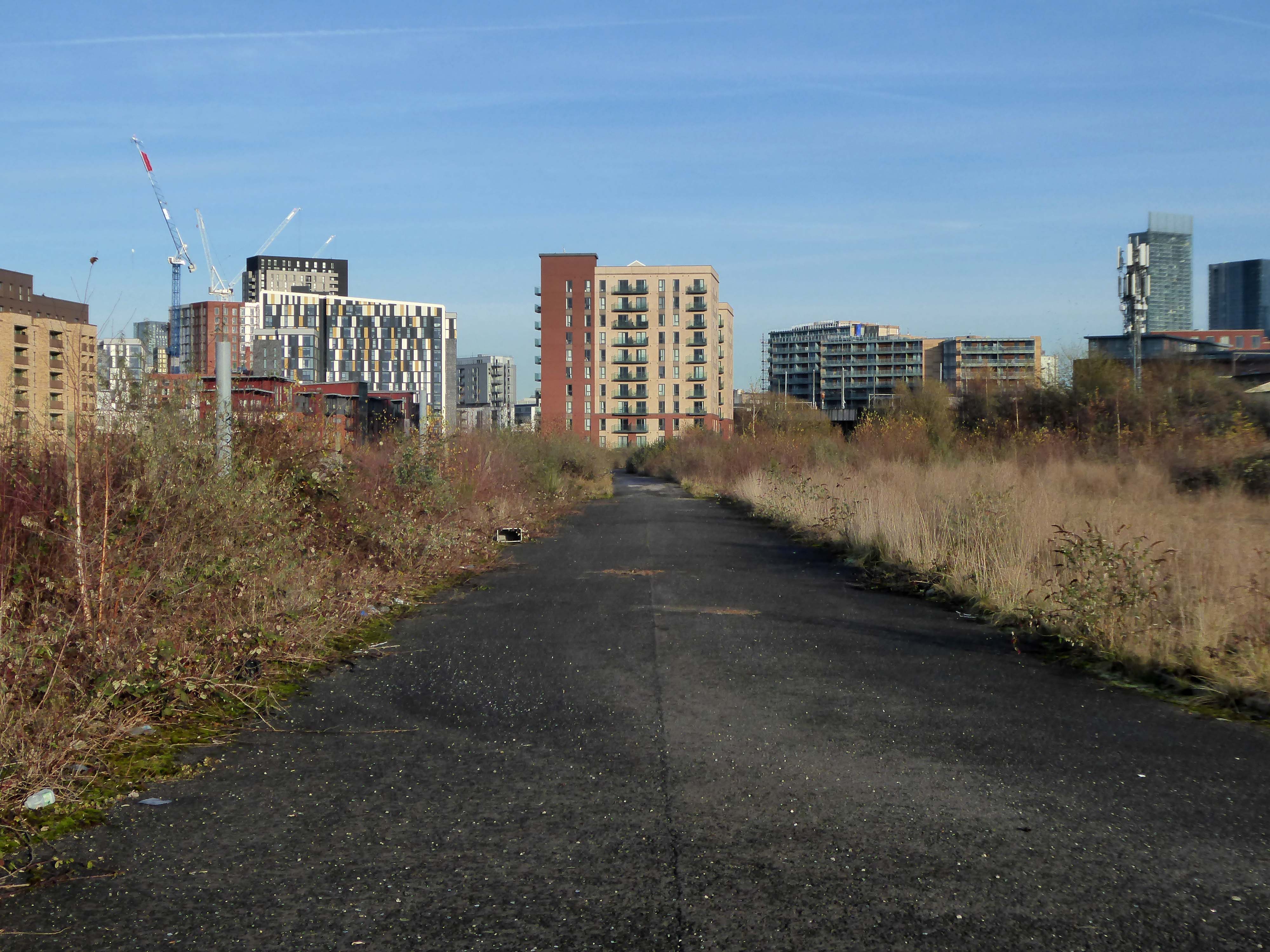
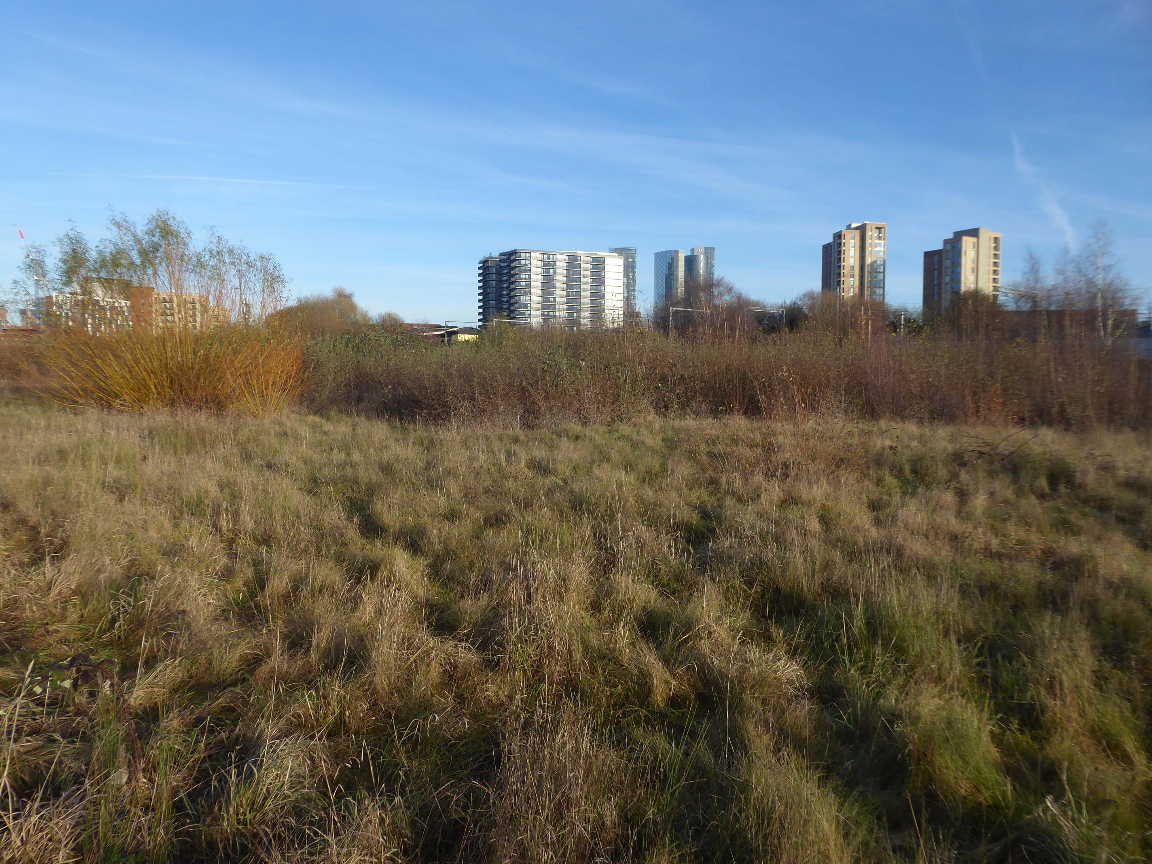
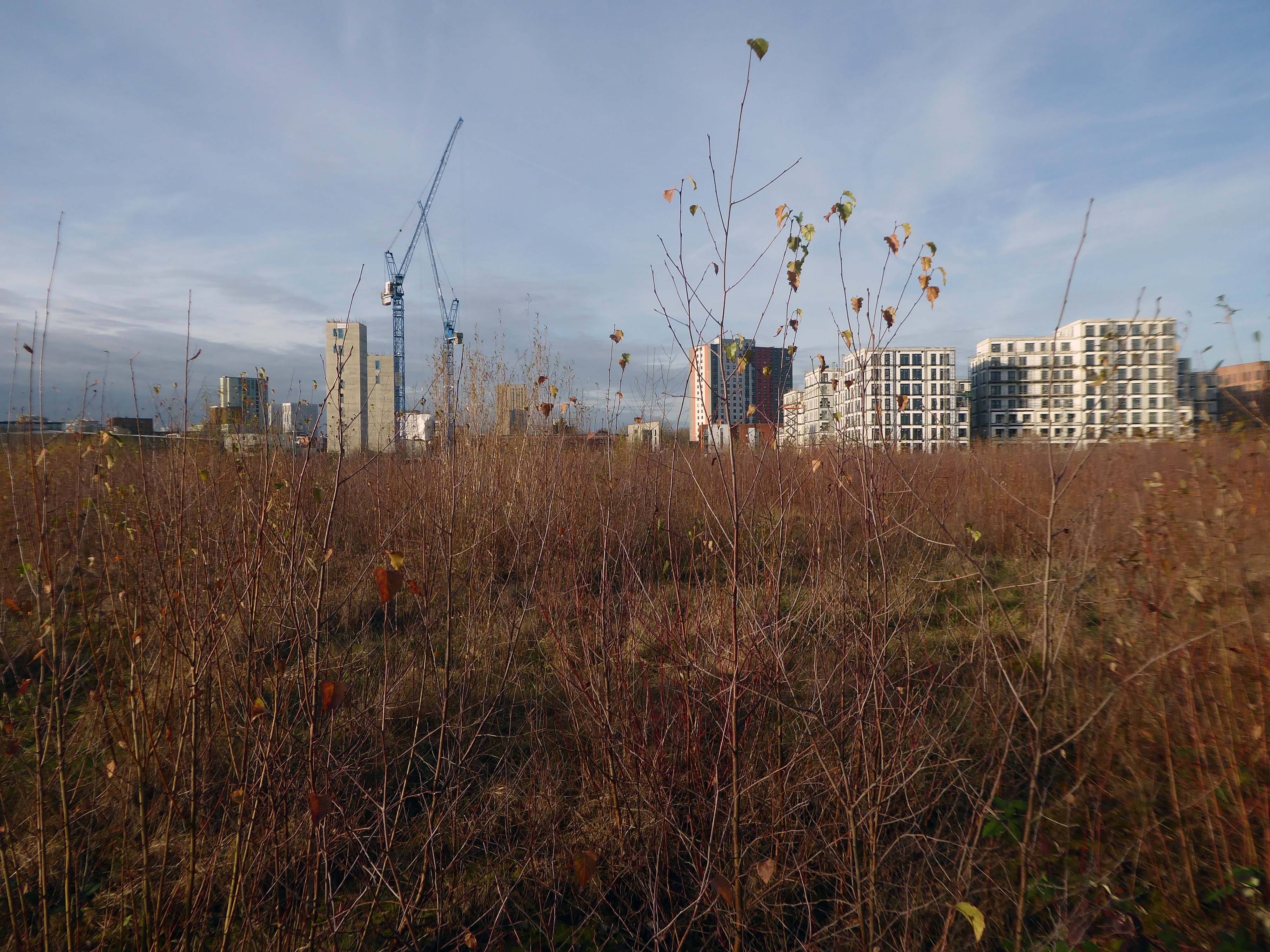
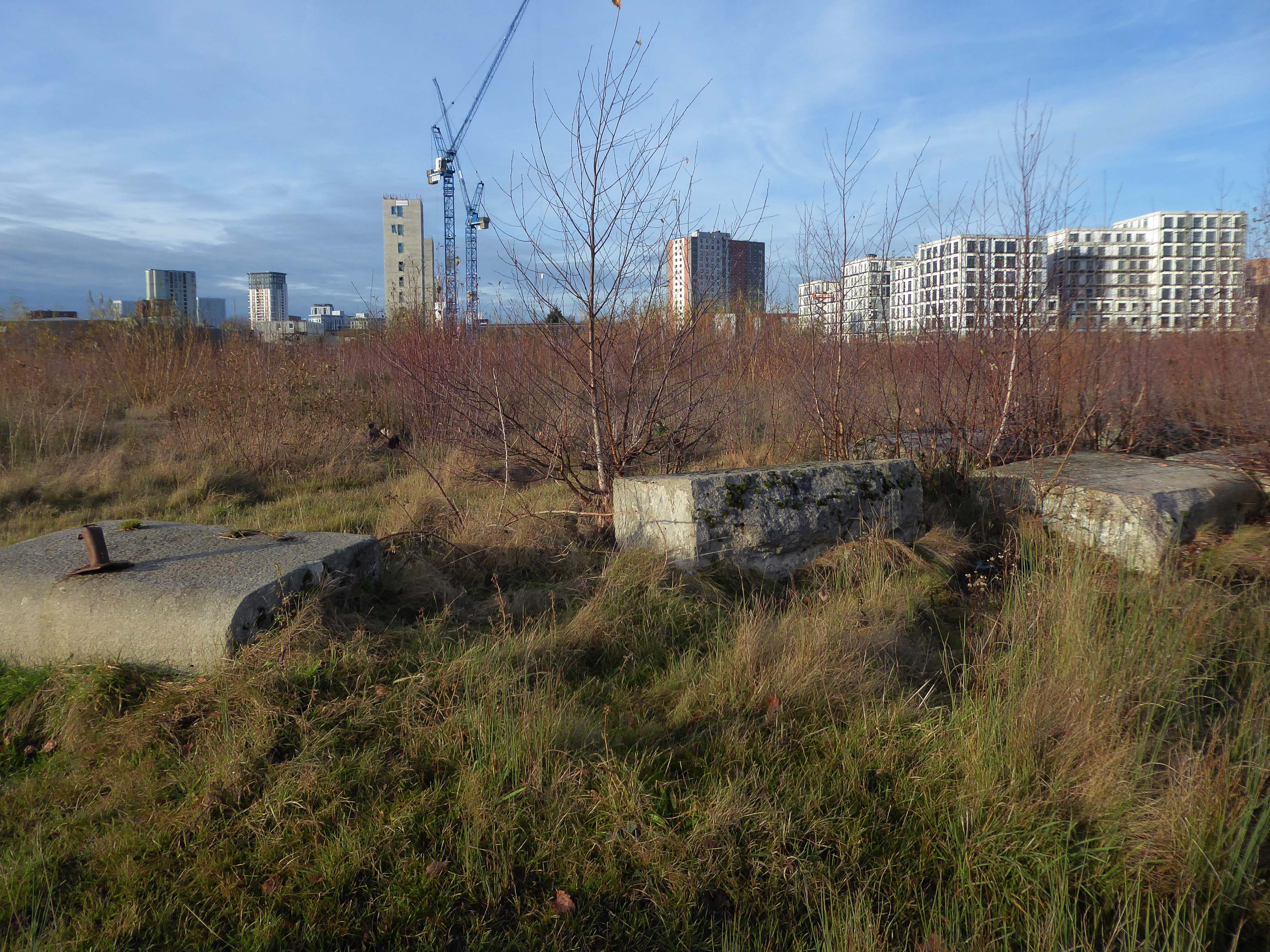
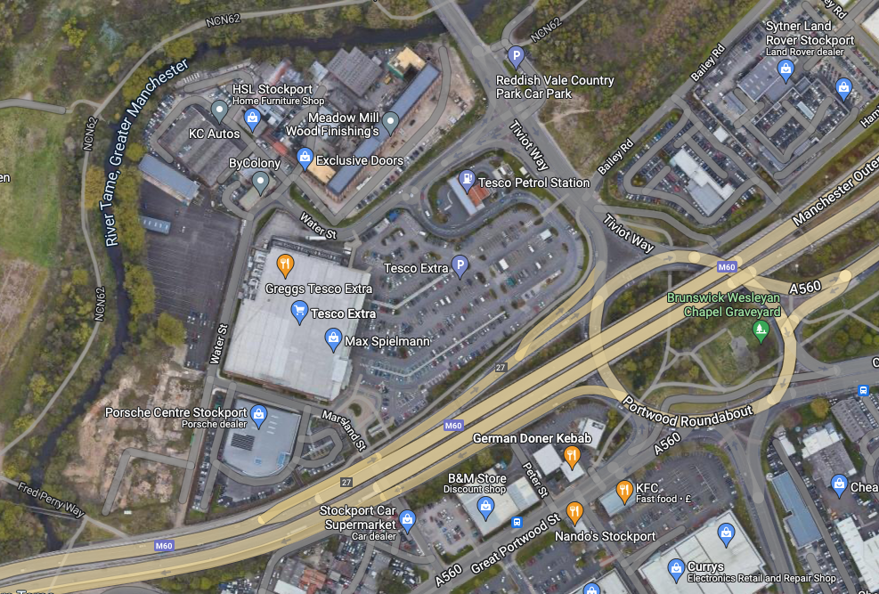
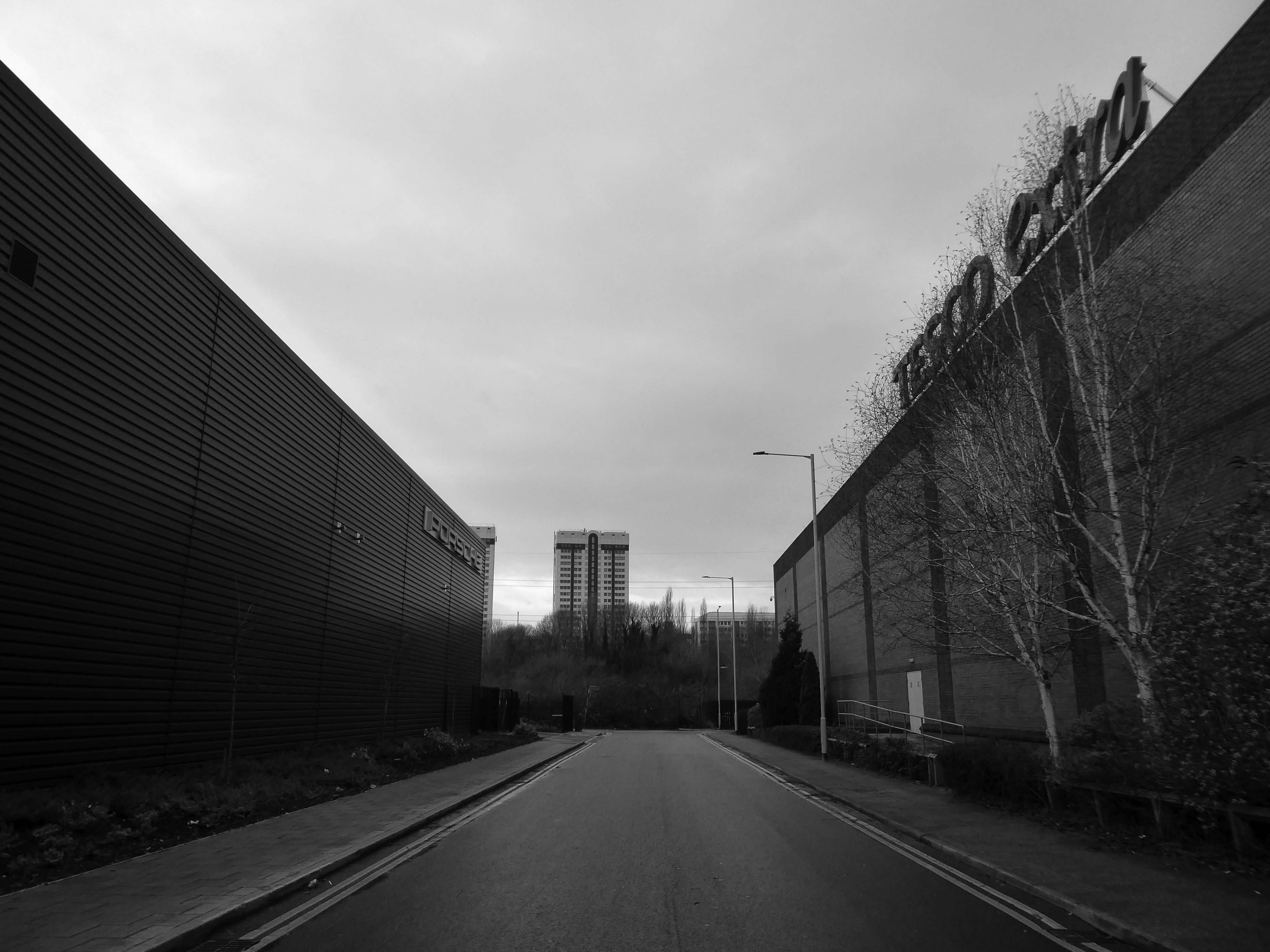
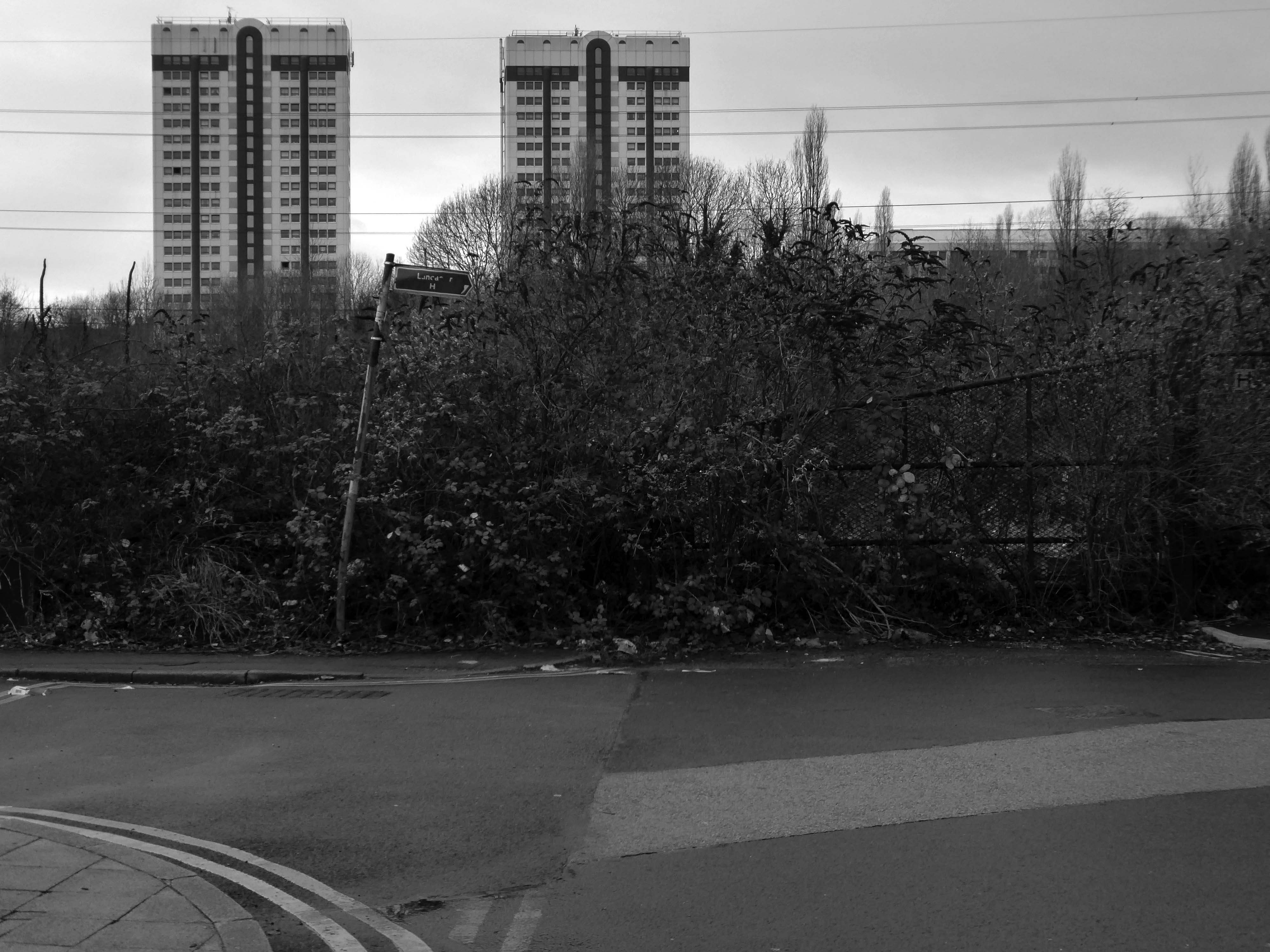
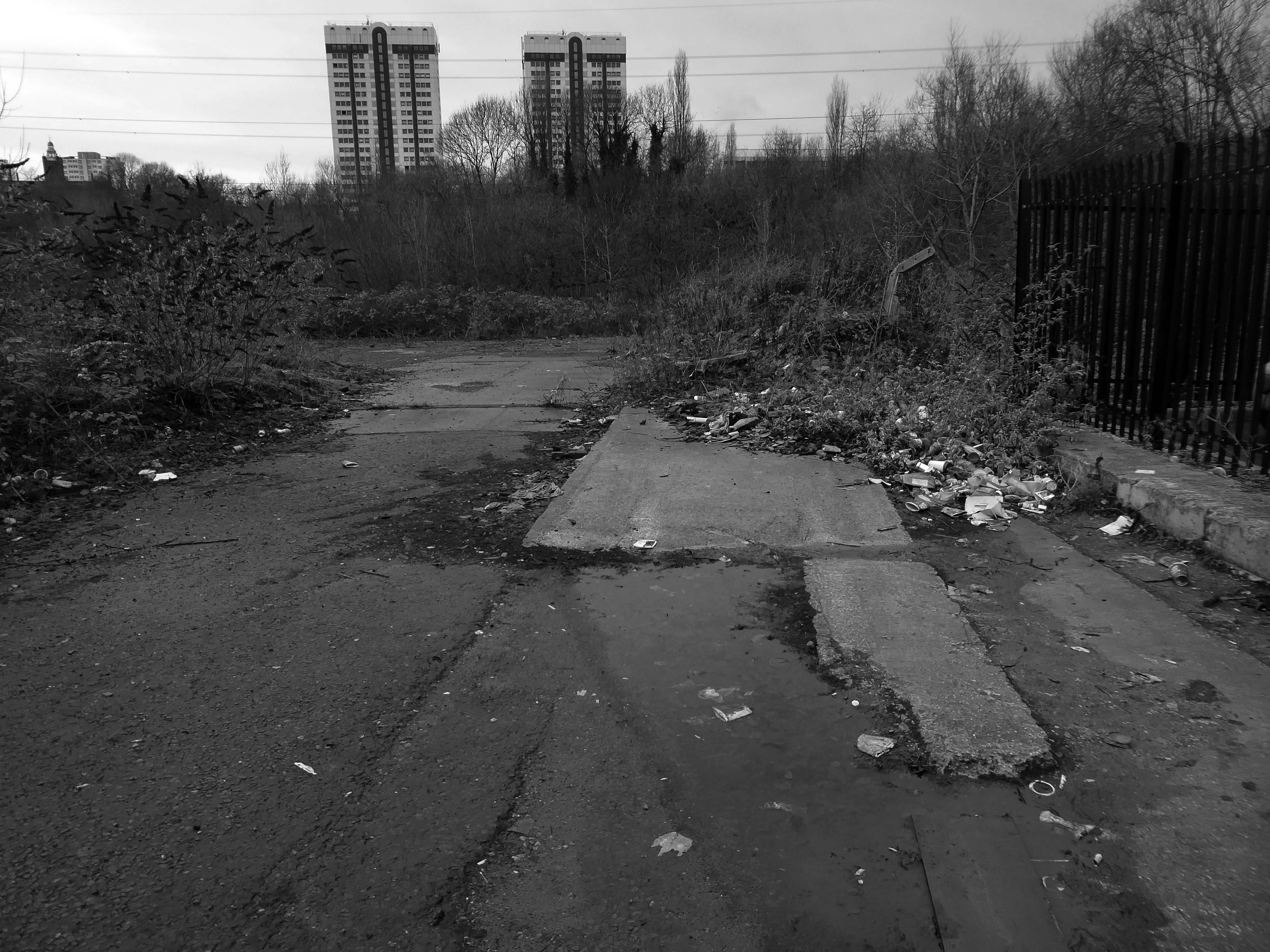
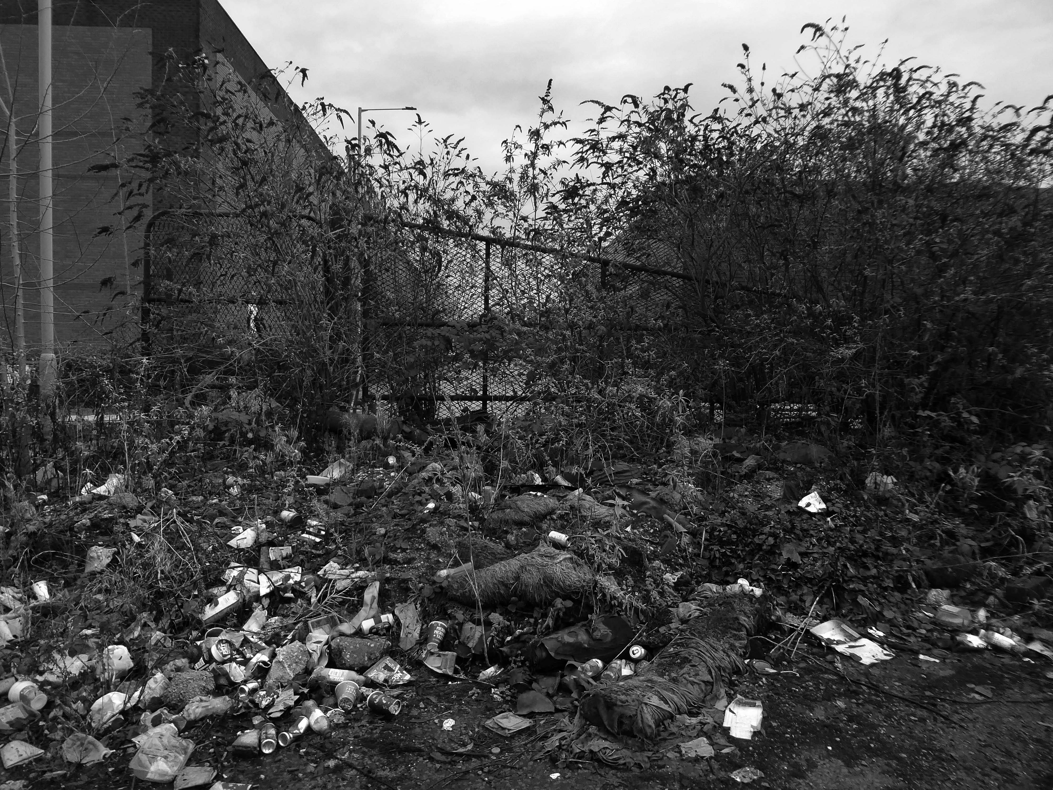
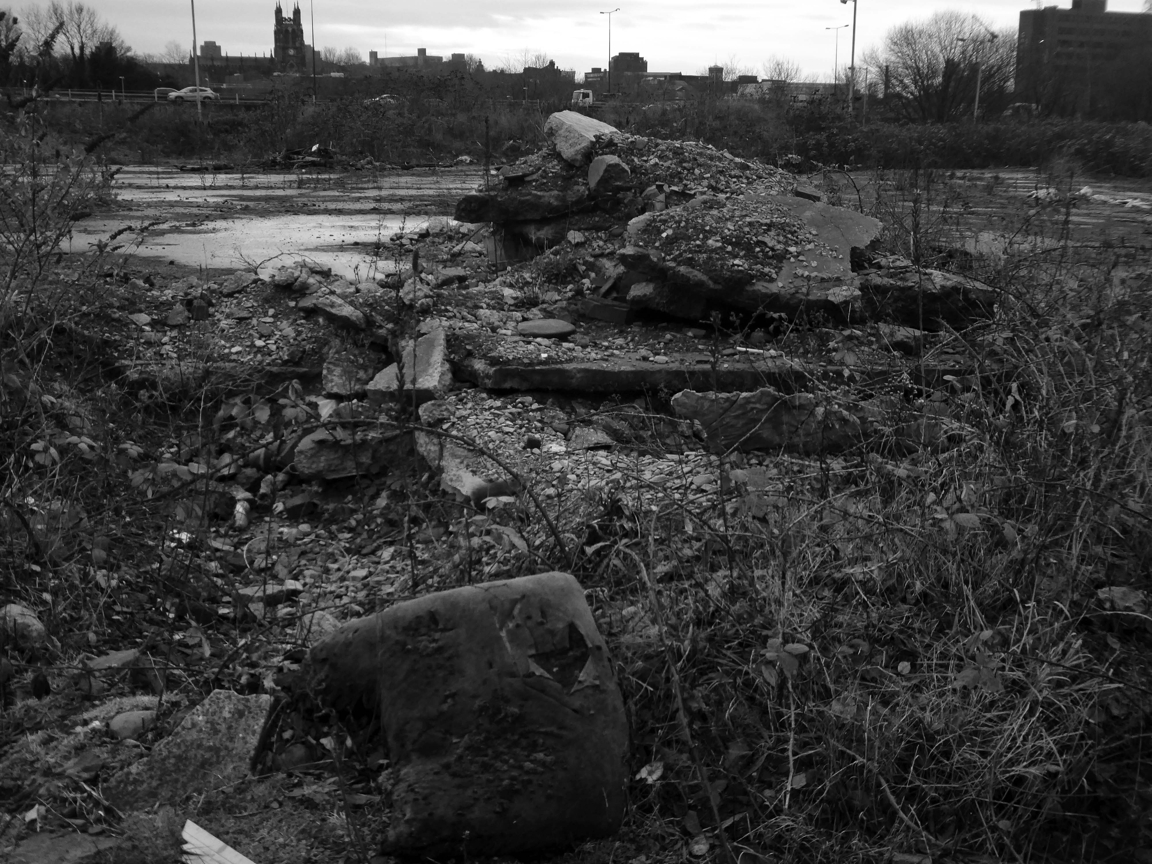
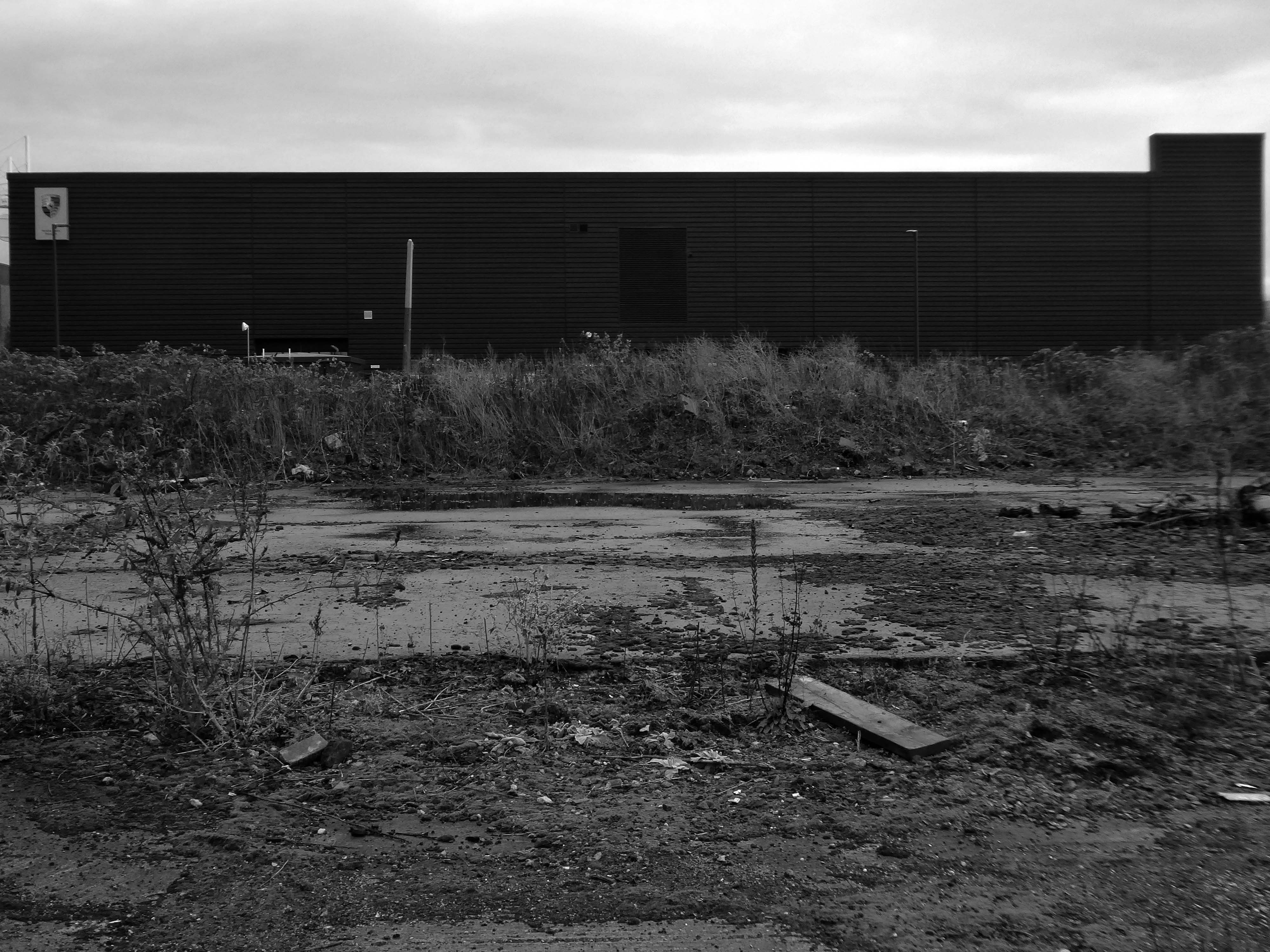
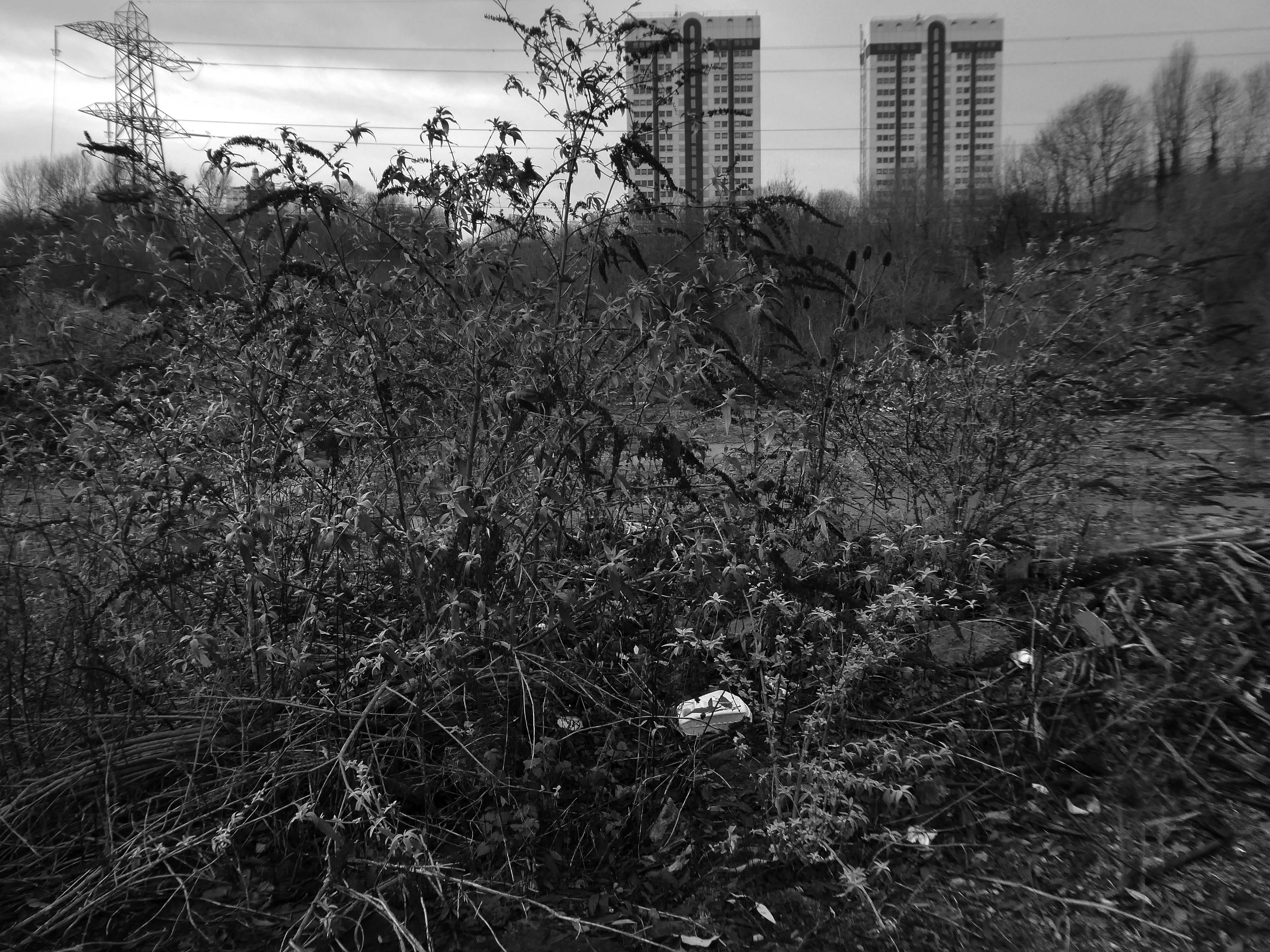
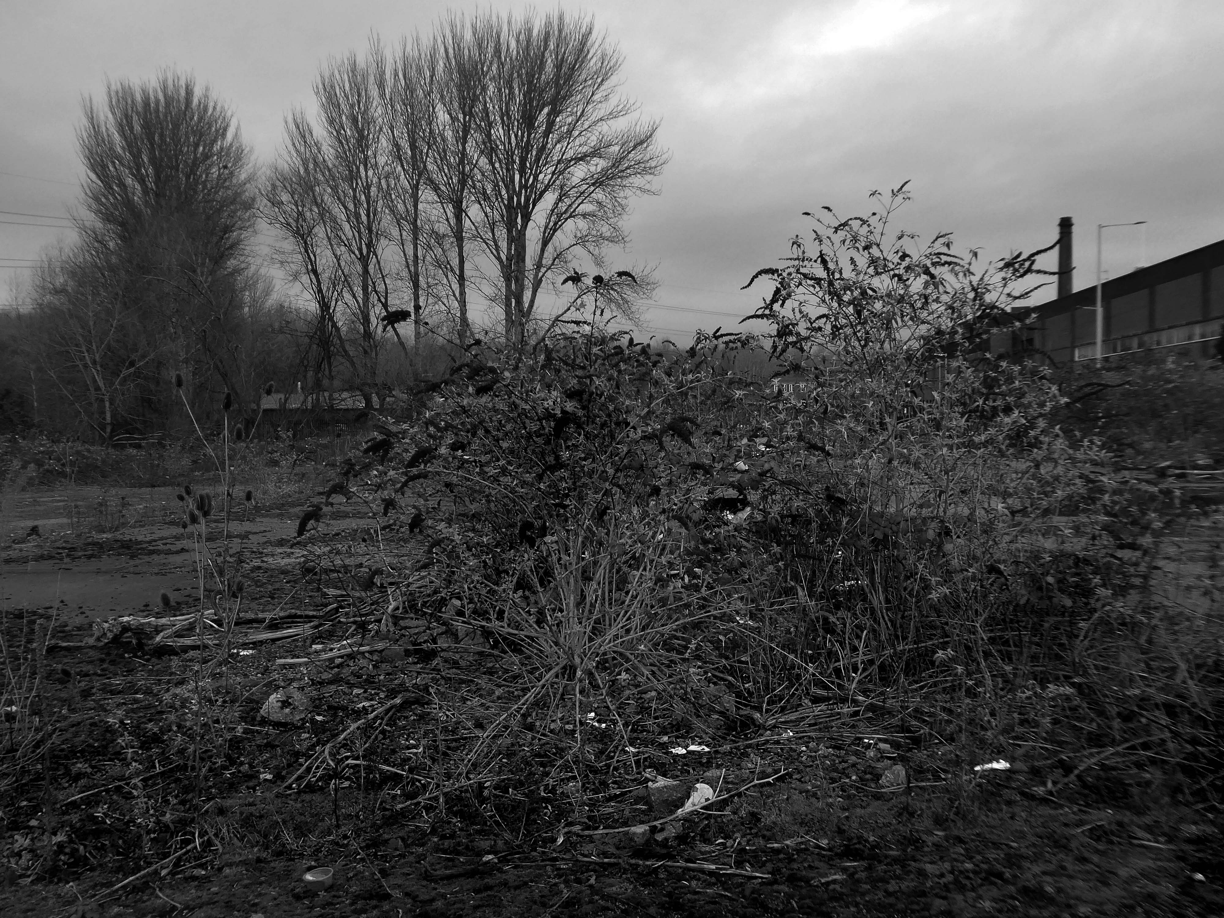
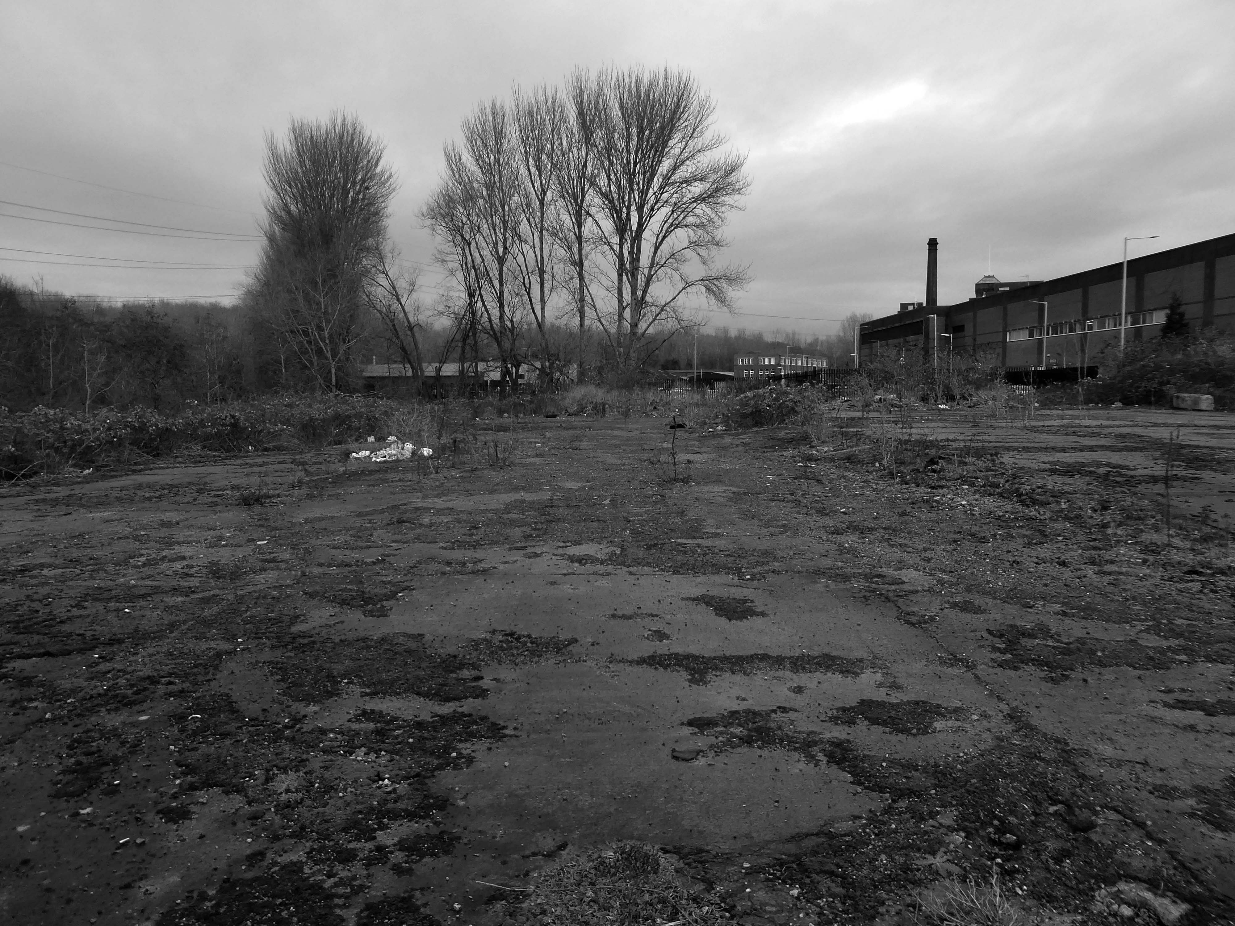
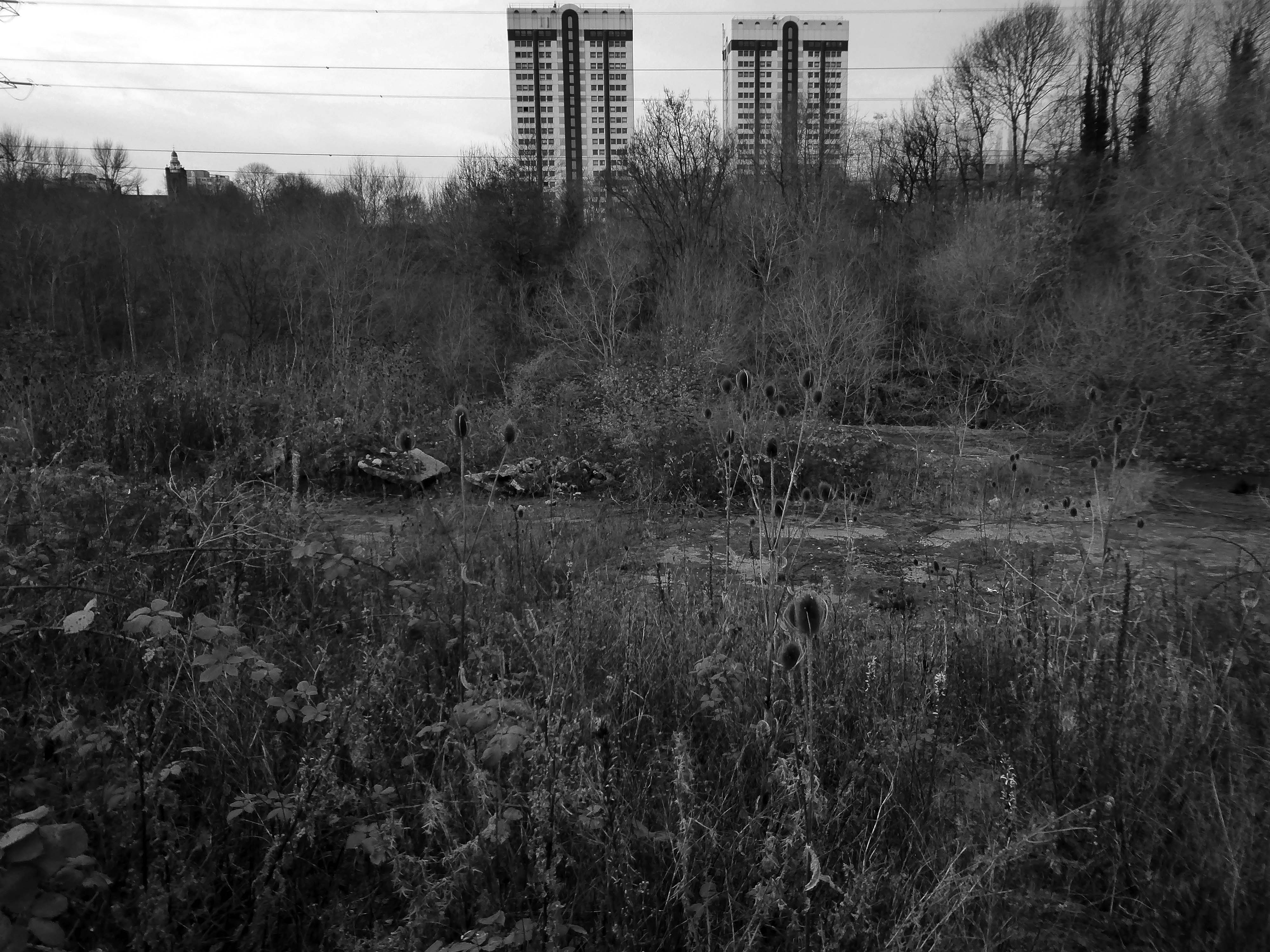
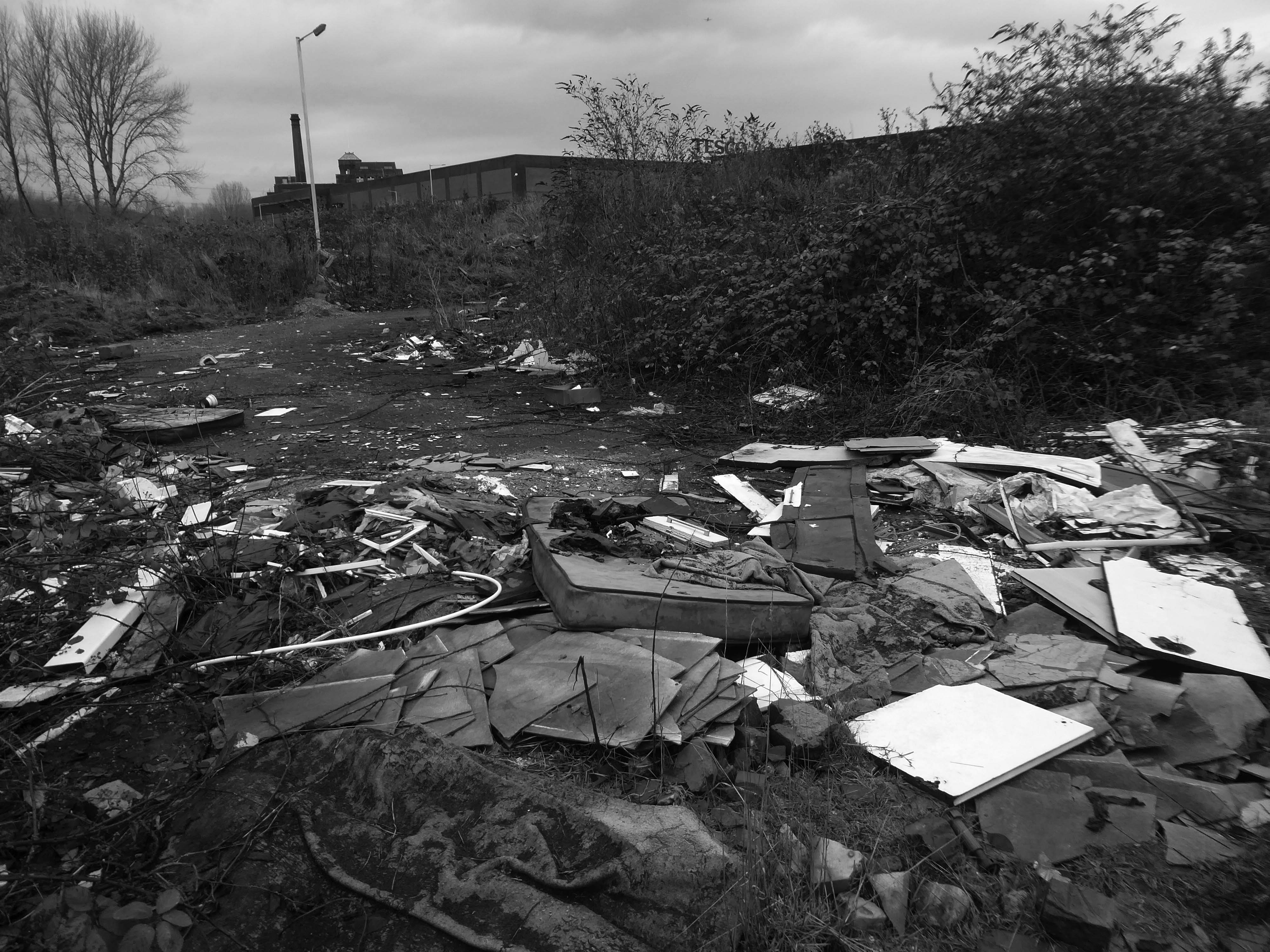
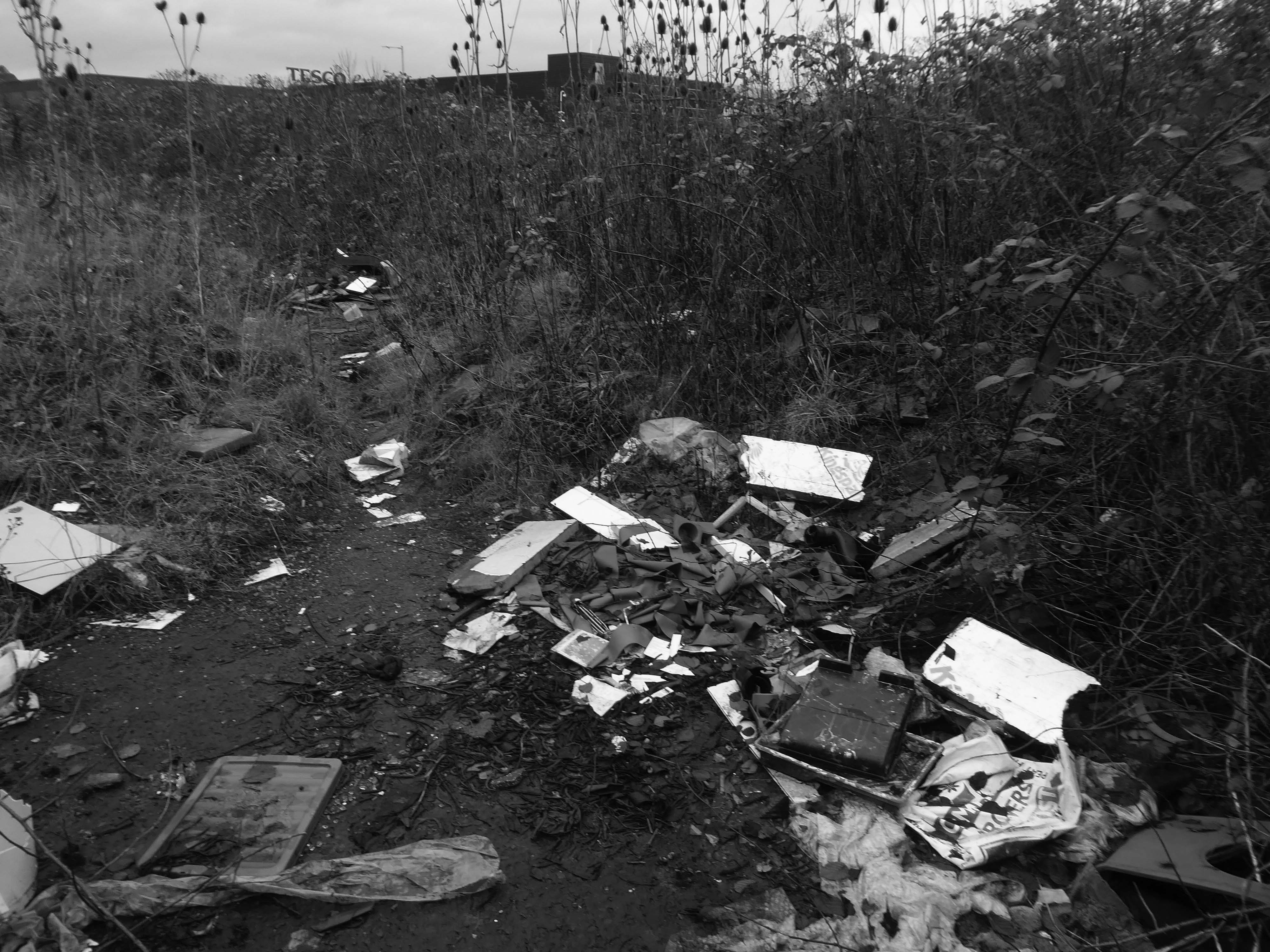
There is a plot of land to the left of Porsche which remains undeveloped, I often walk around this area, what would have once been for myself and others the place of childhood high jinx.
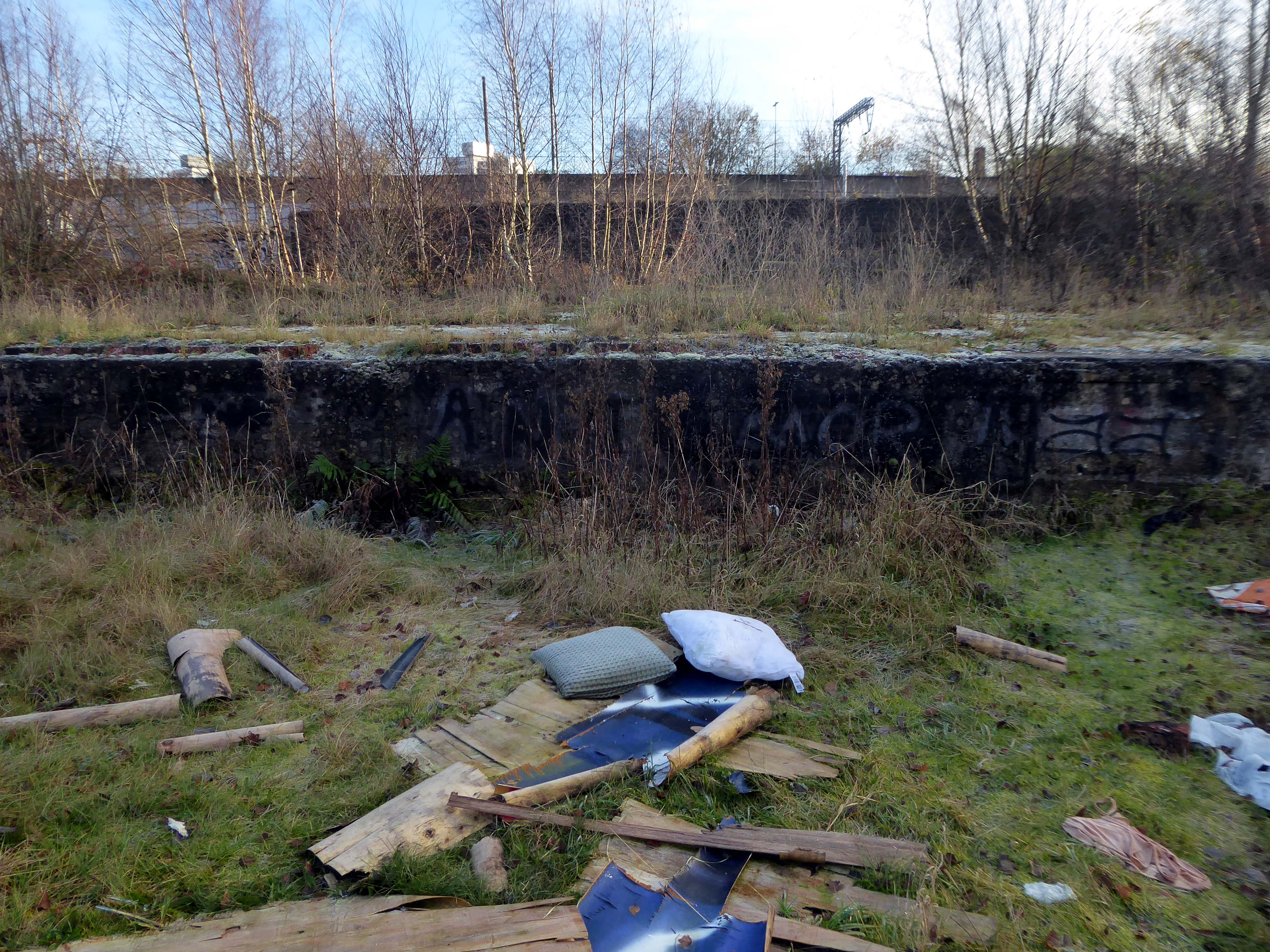
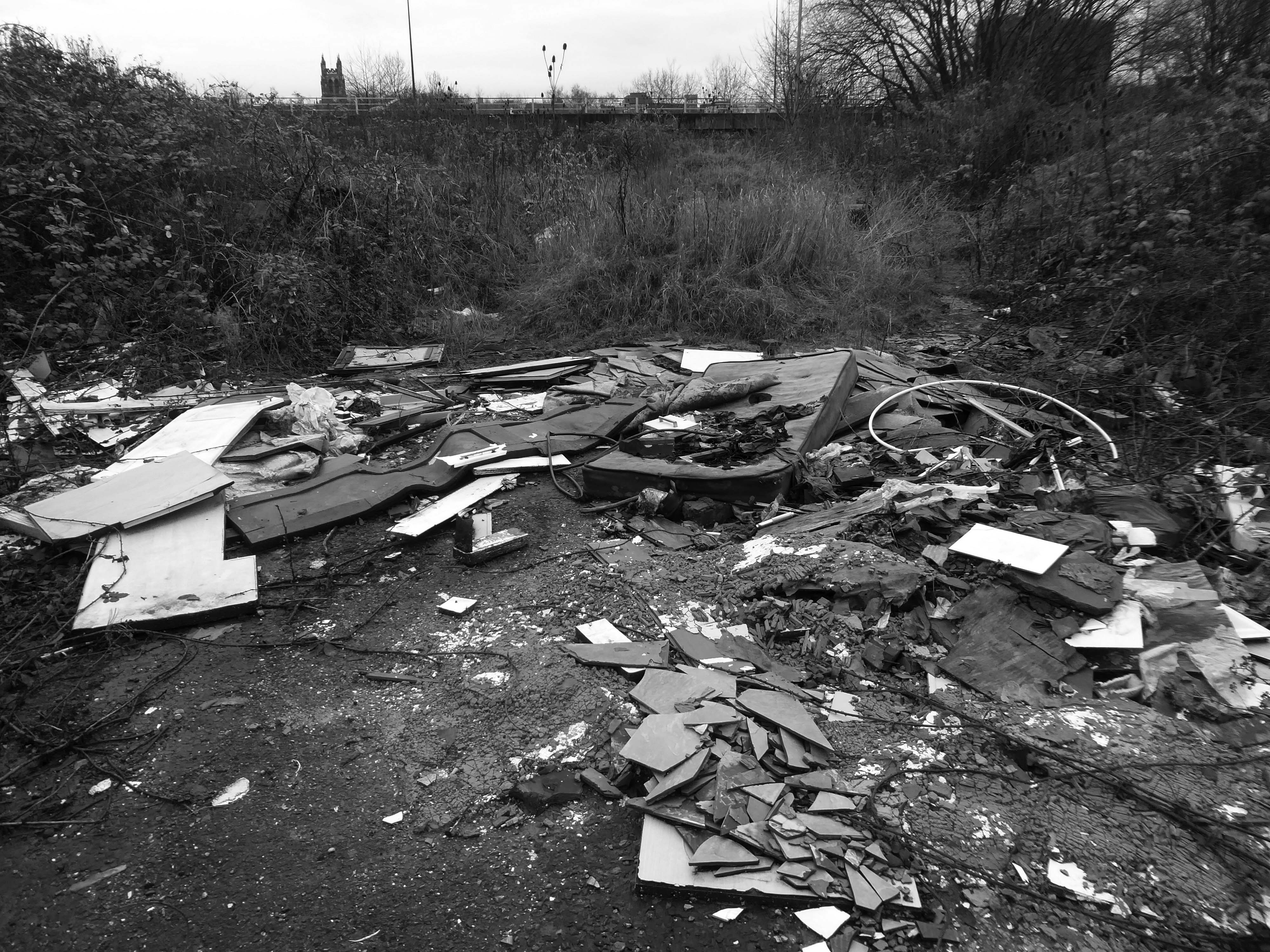
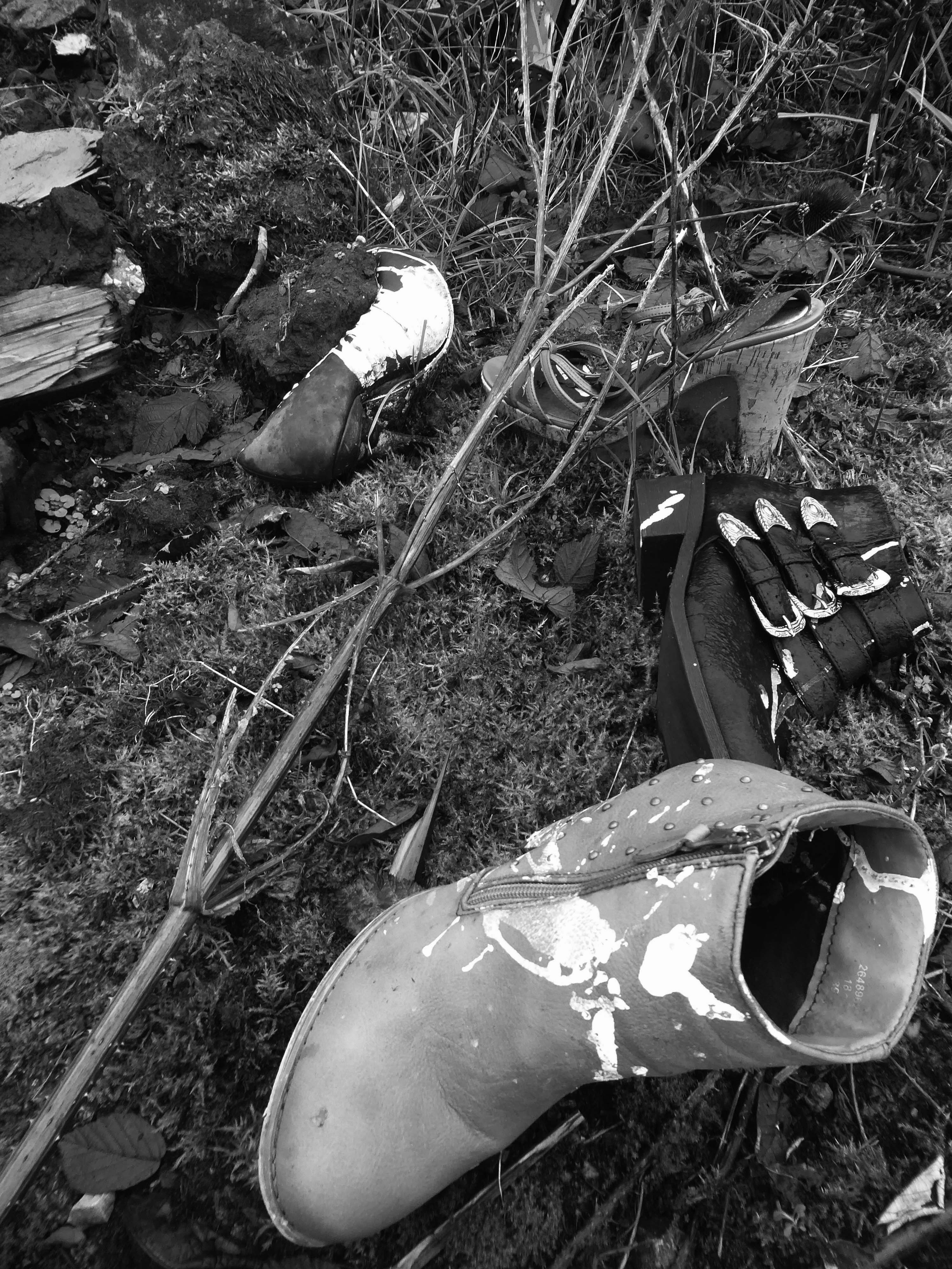
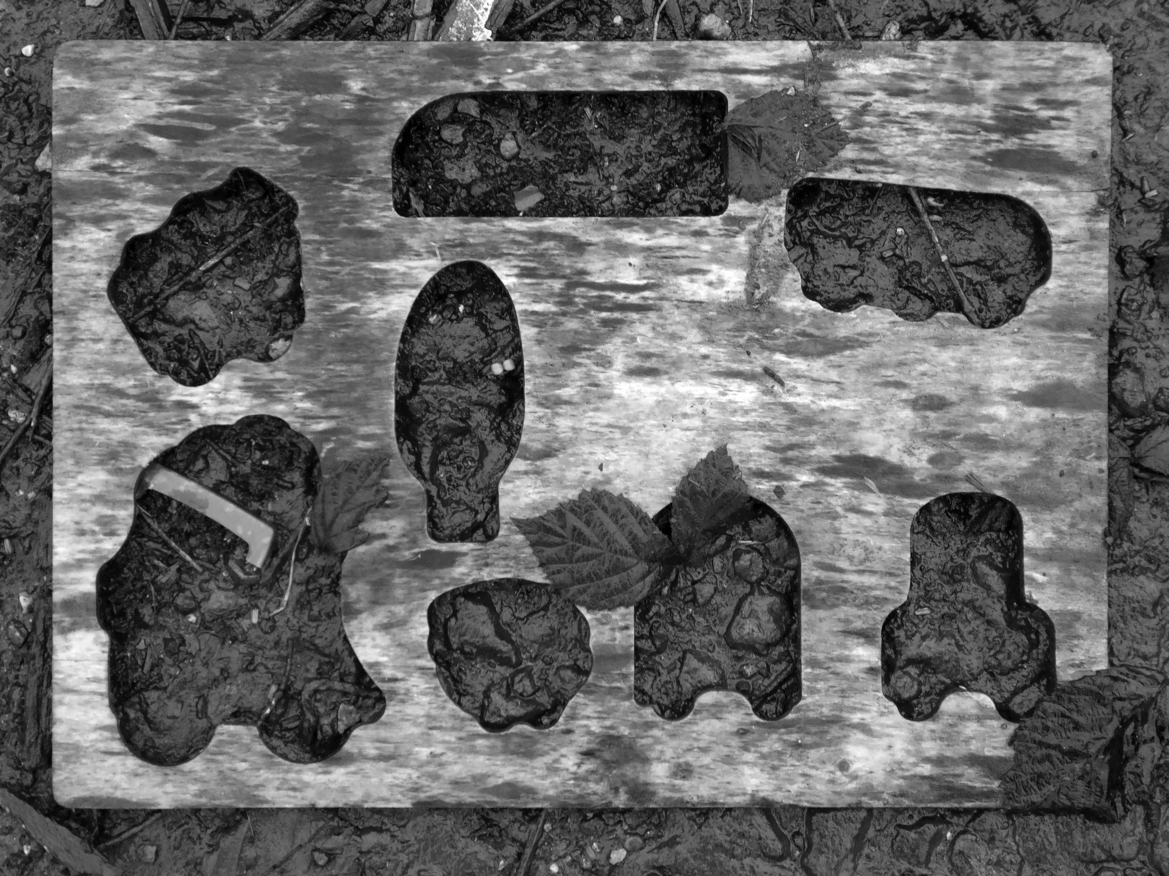
Now it is the domain of the fly-tipper, the home of the homeless, a war zone for a species which has declared war upon itself.
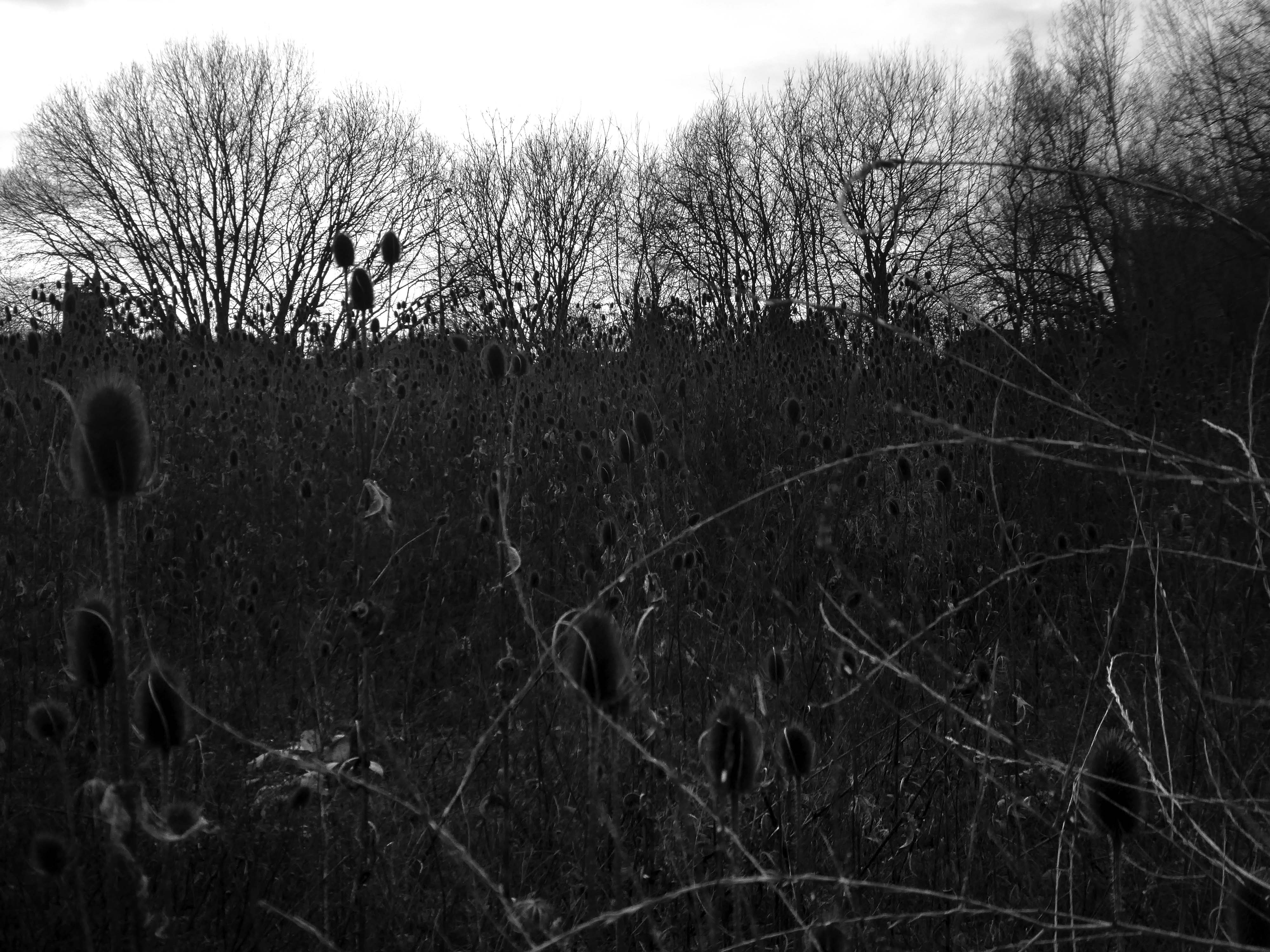
A desert of detritus, interpolated with tangles of brambles, seas of teasels and the ubiquitous buddleia.
This is the unofficial showroom for the unofficial Anthropocene Epoch – always crashing in a different car, during increasingly unseasonal weather, the superabundance of abundance.
It seems that the sun may set on us, before the sun finally sets.
Let’s take a peep at Portwood.
Game over.
Vehicle use affects our whole quality of local life. Traffic can be dangerous and intimidating, dividing communities and making street life unpleasant, whilst air pollution and traffic noise can make urban living uncomfortable.
The impacts of mass consumption are: Misuse of land and resources, exporting pollution and waste from rich countries to poor countries, obesity due to excessive consumption, a cycle of waste, disparities and poverty.
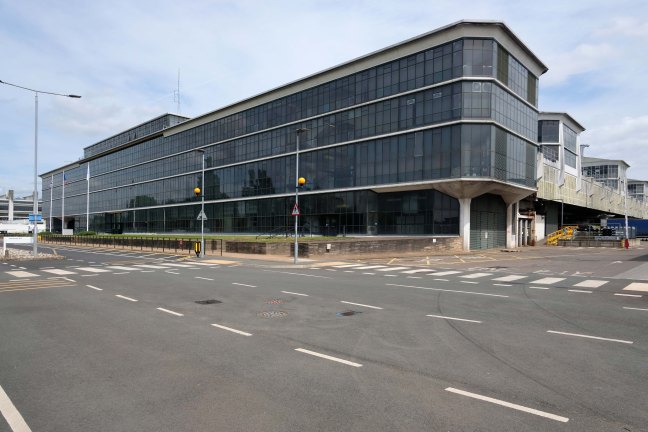
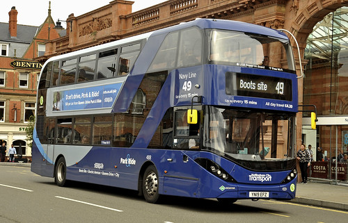
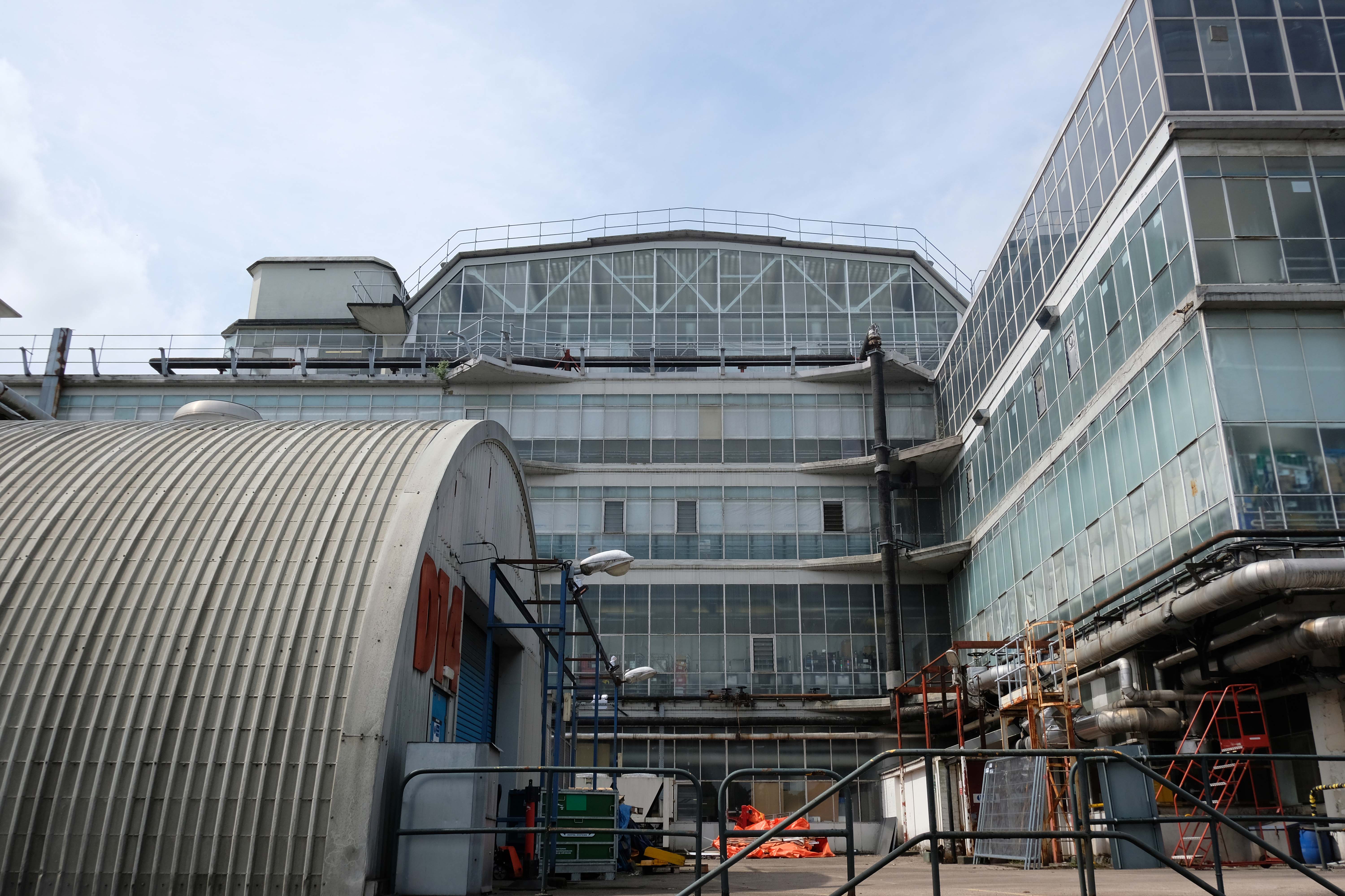
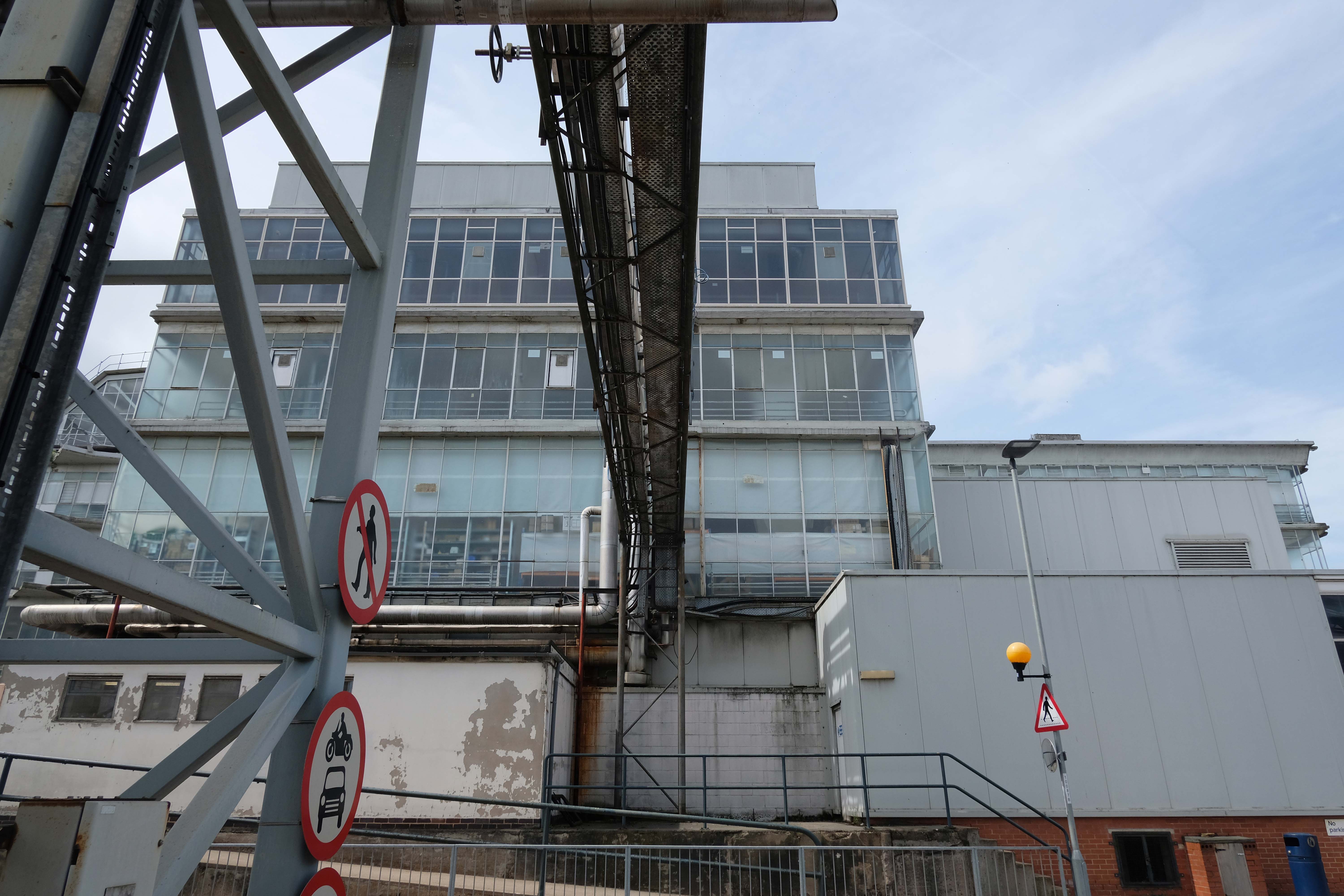
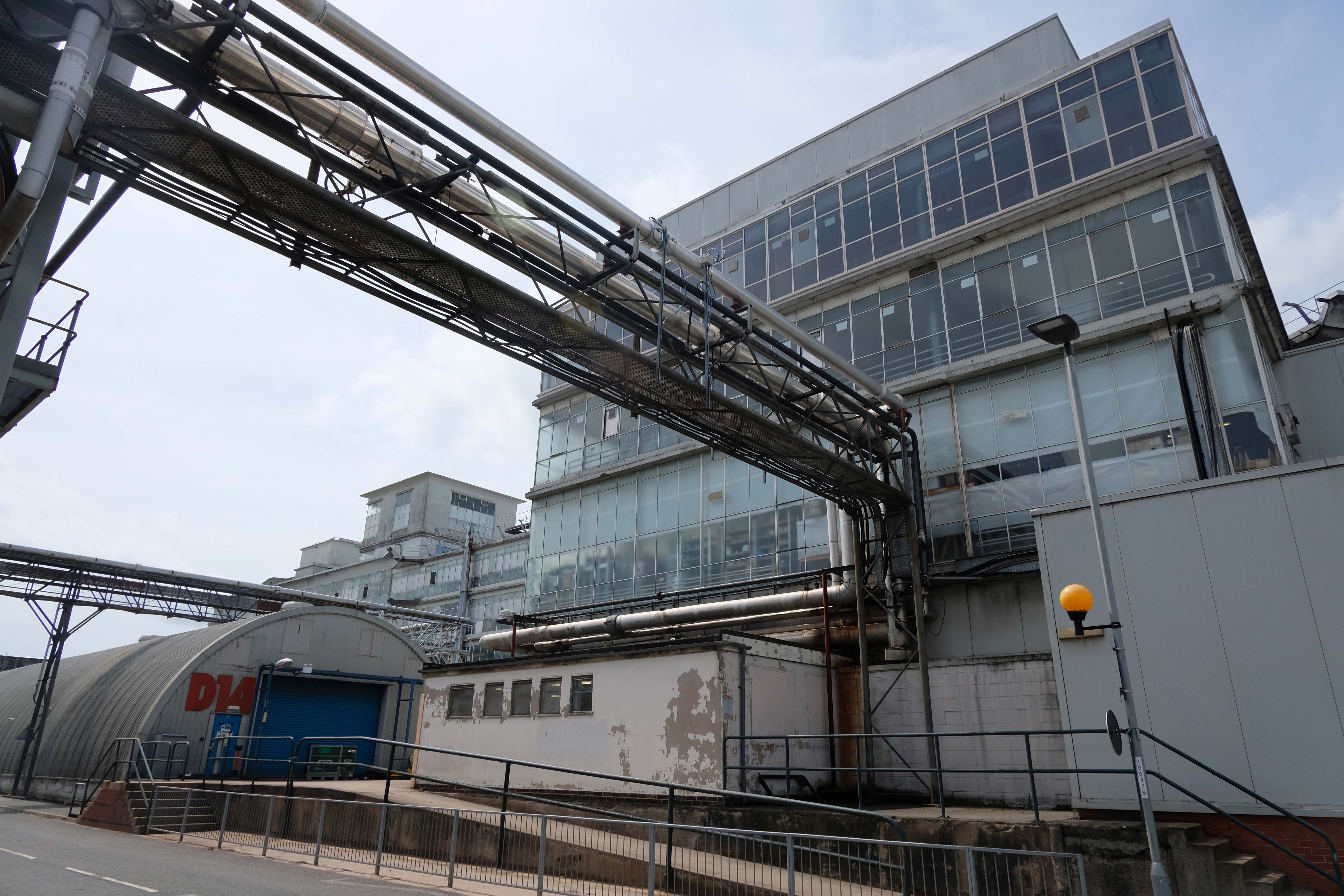
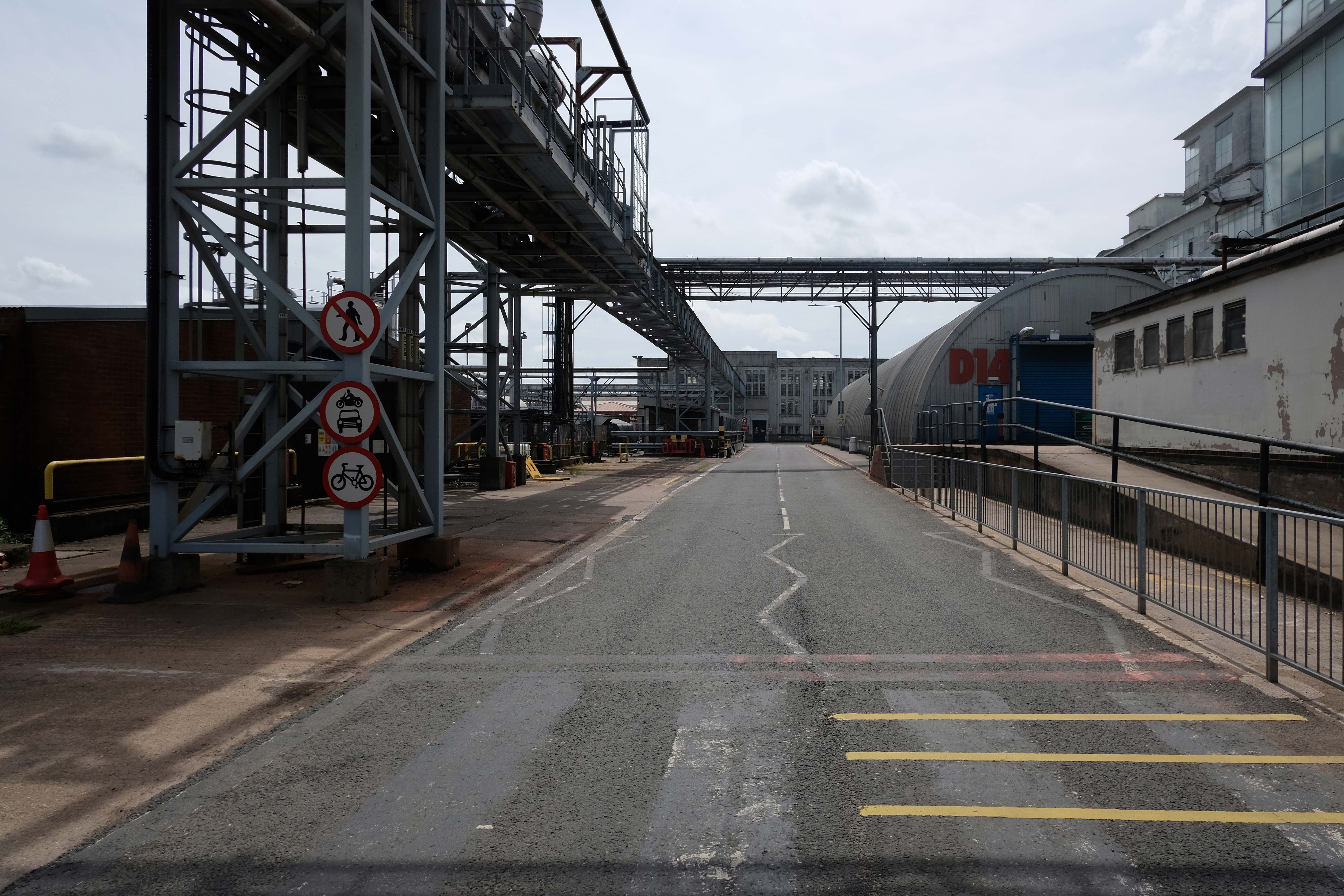
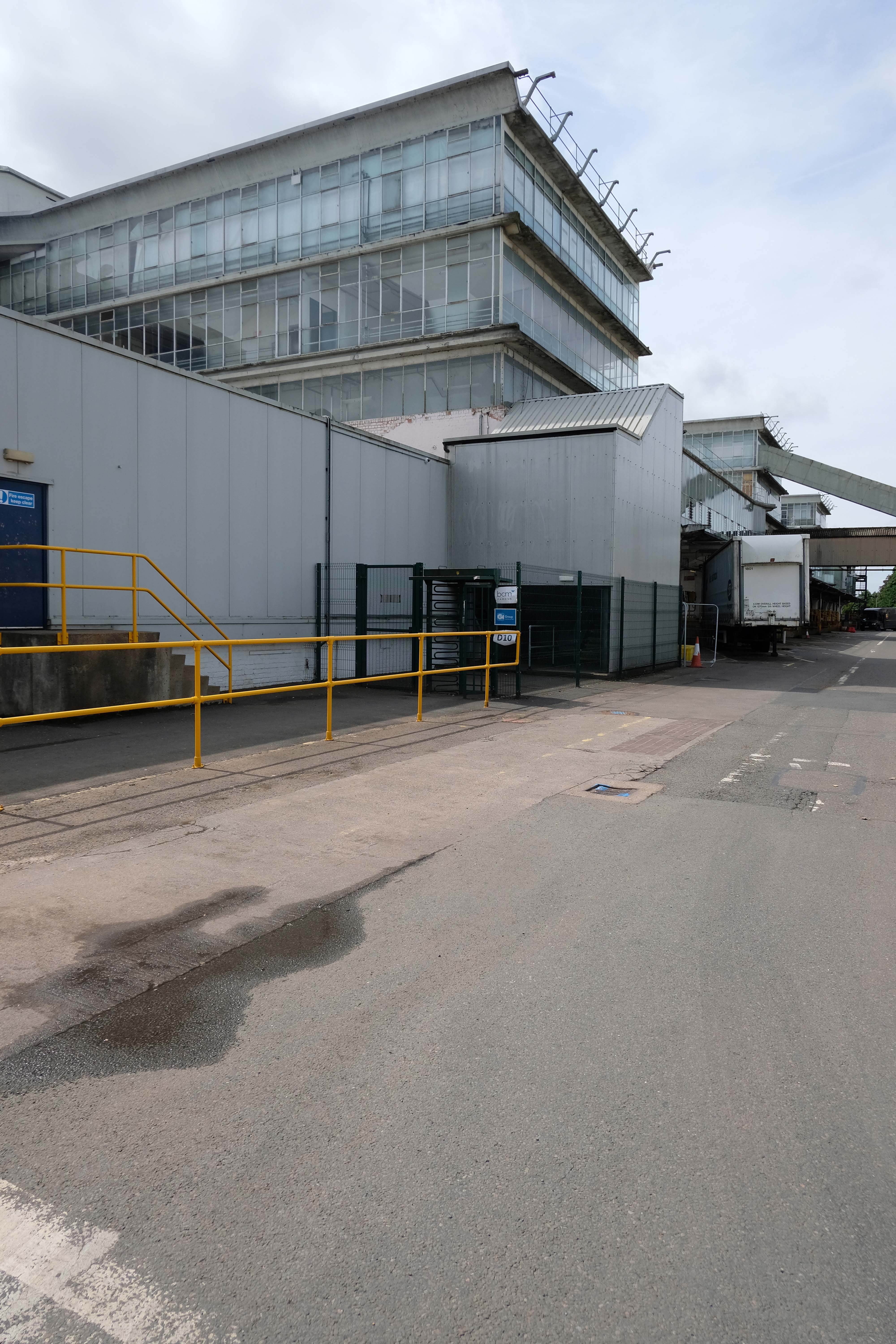
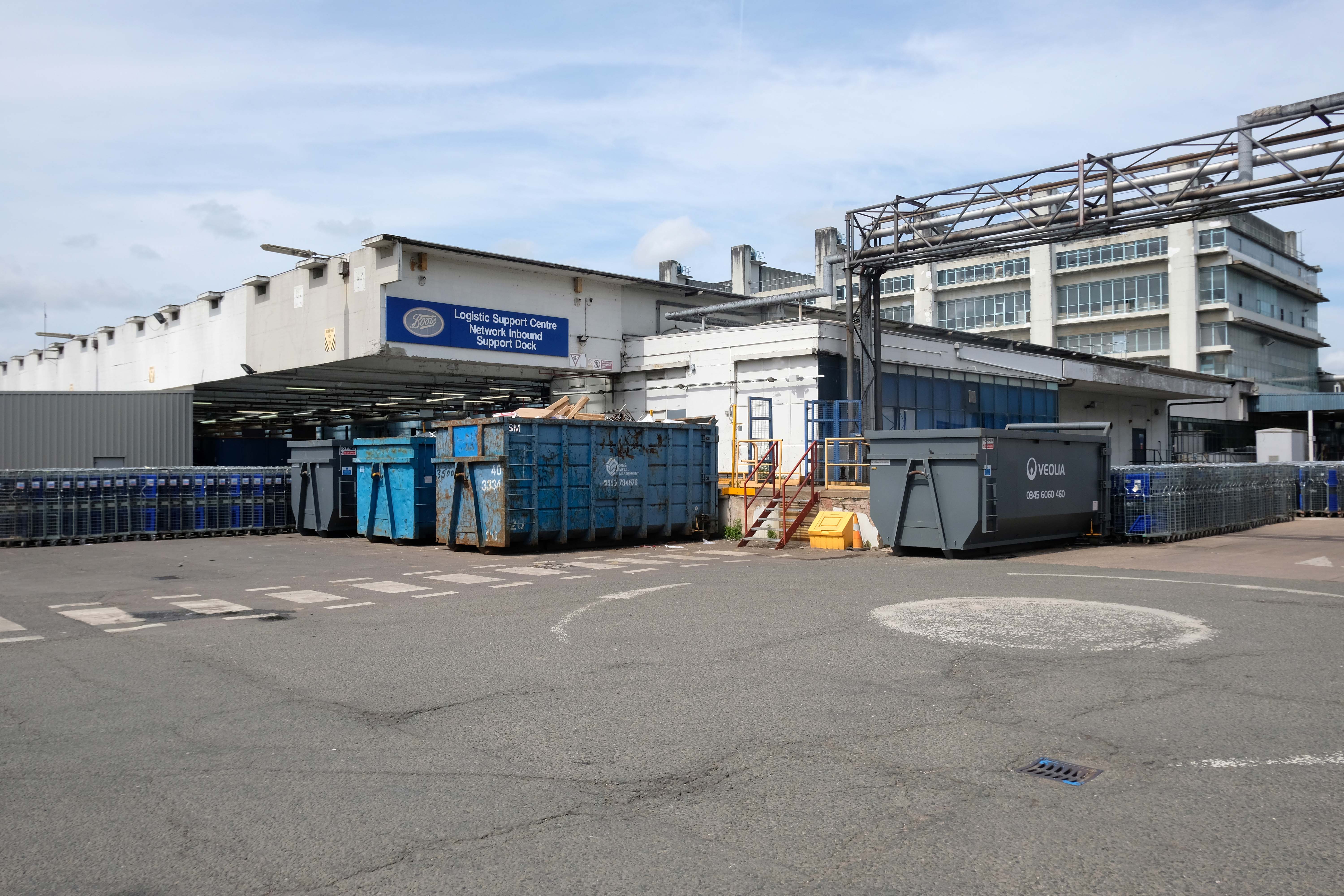
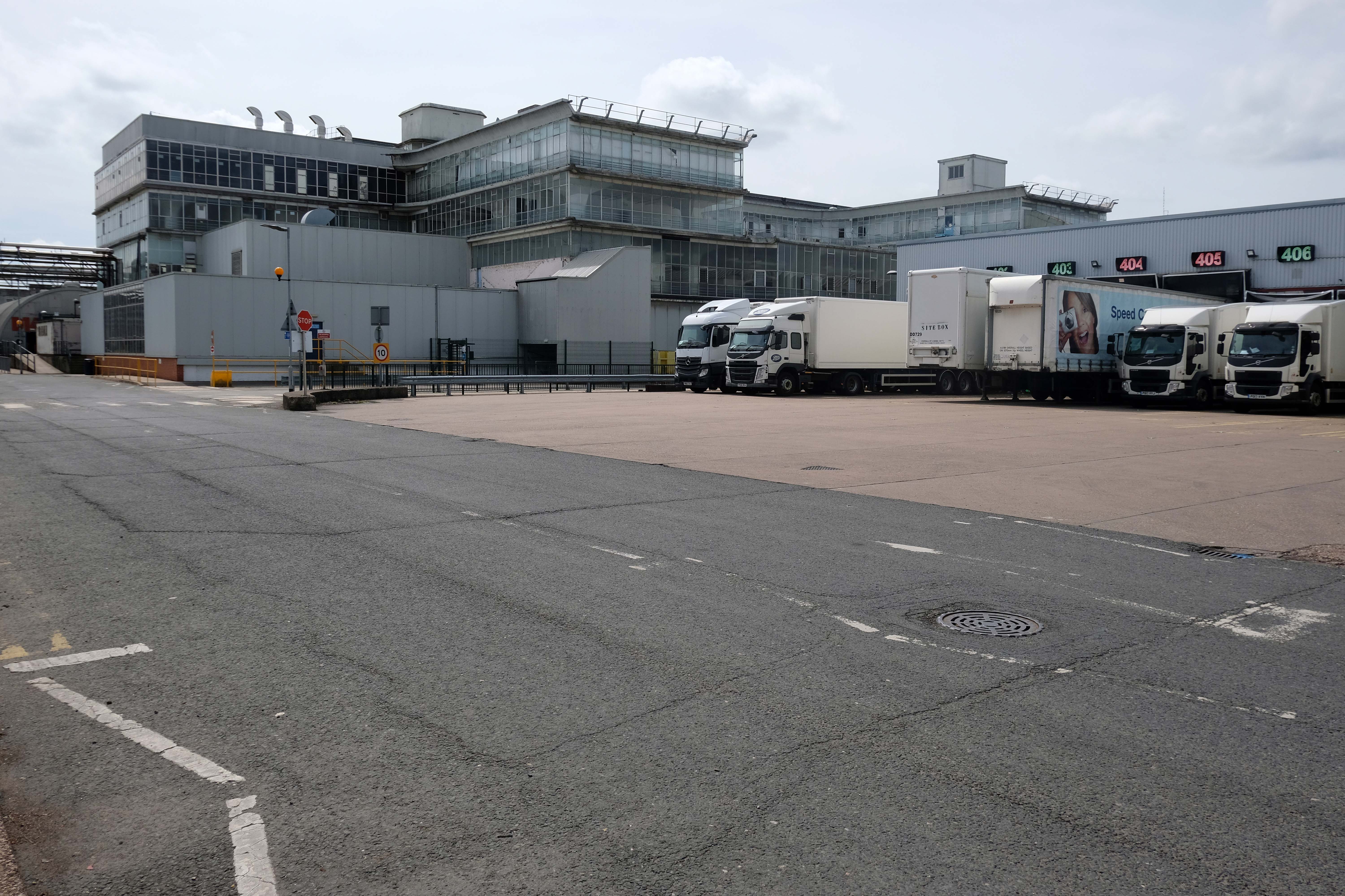
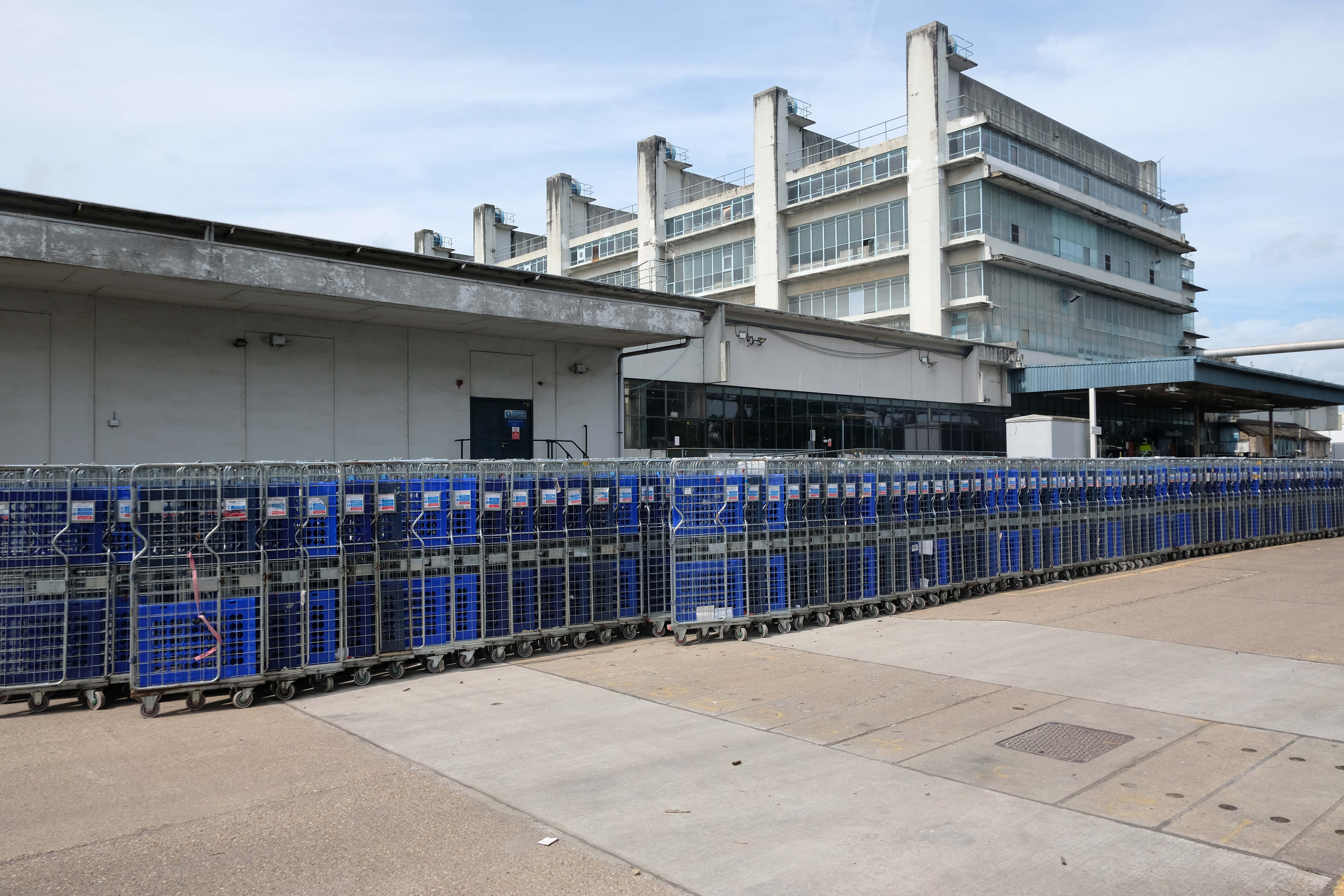
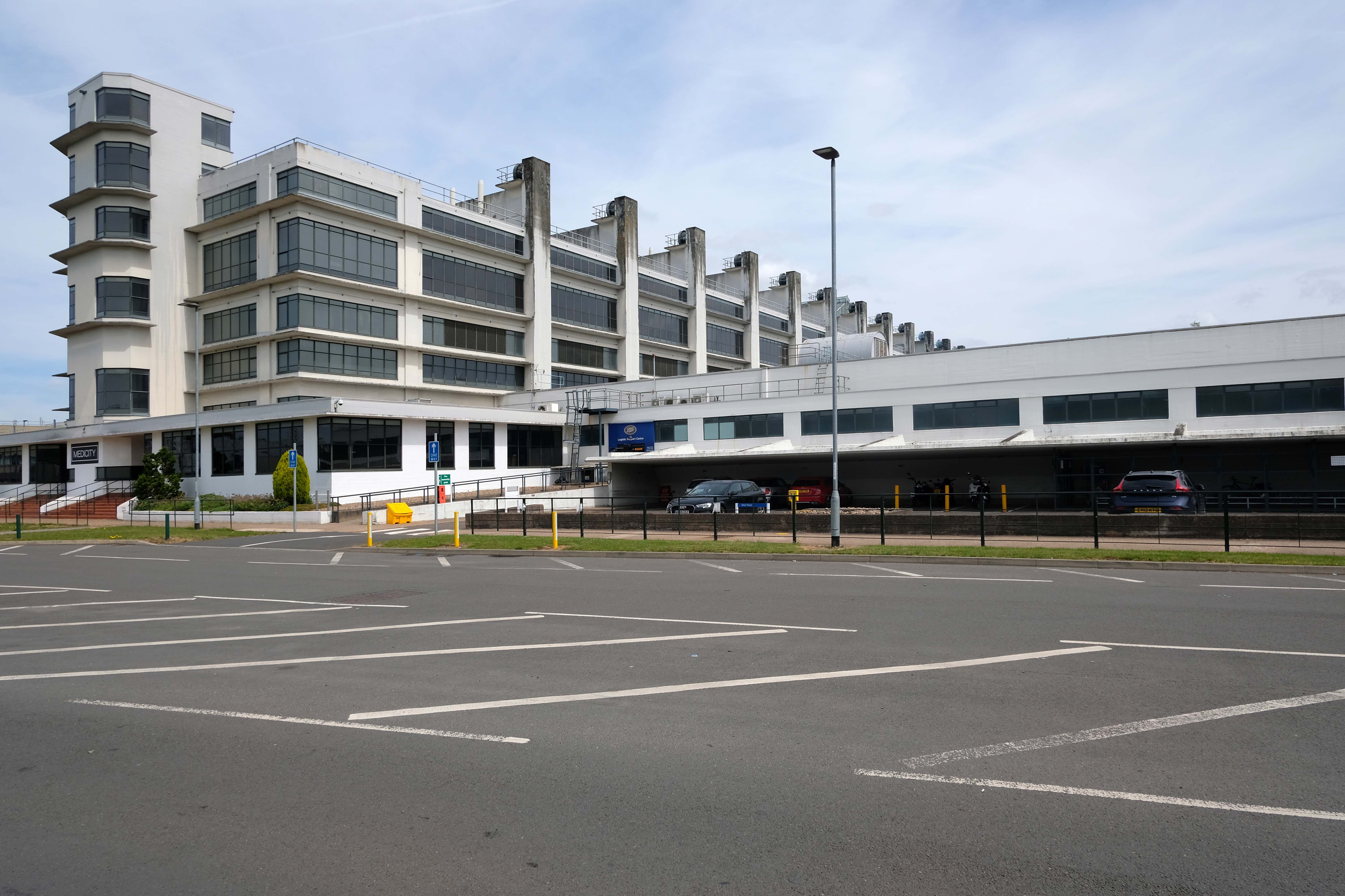
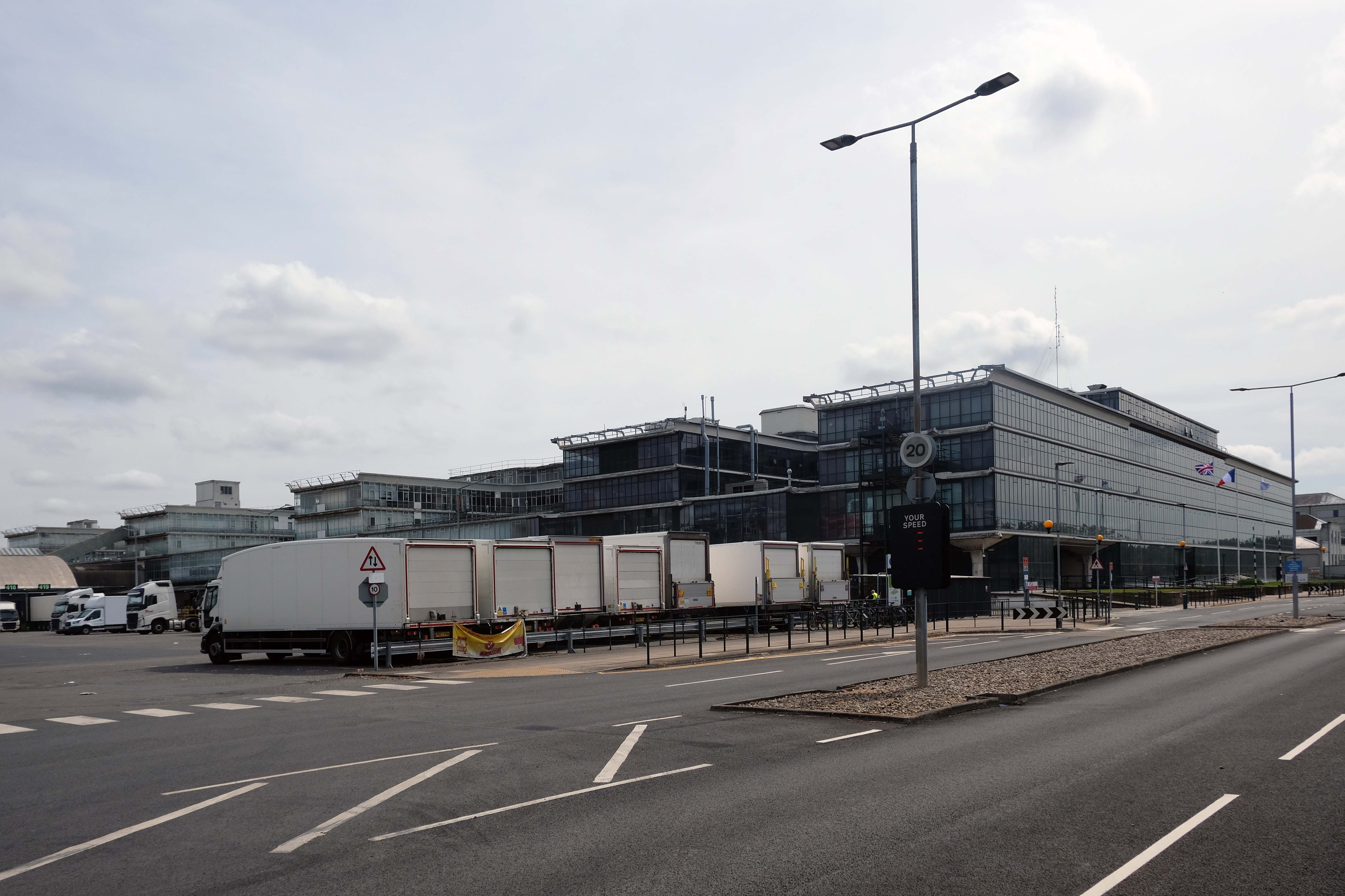
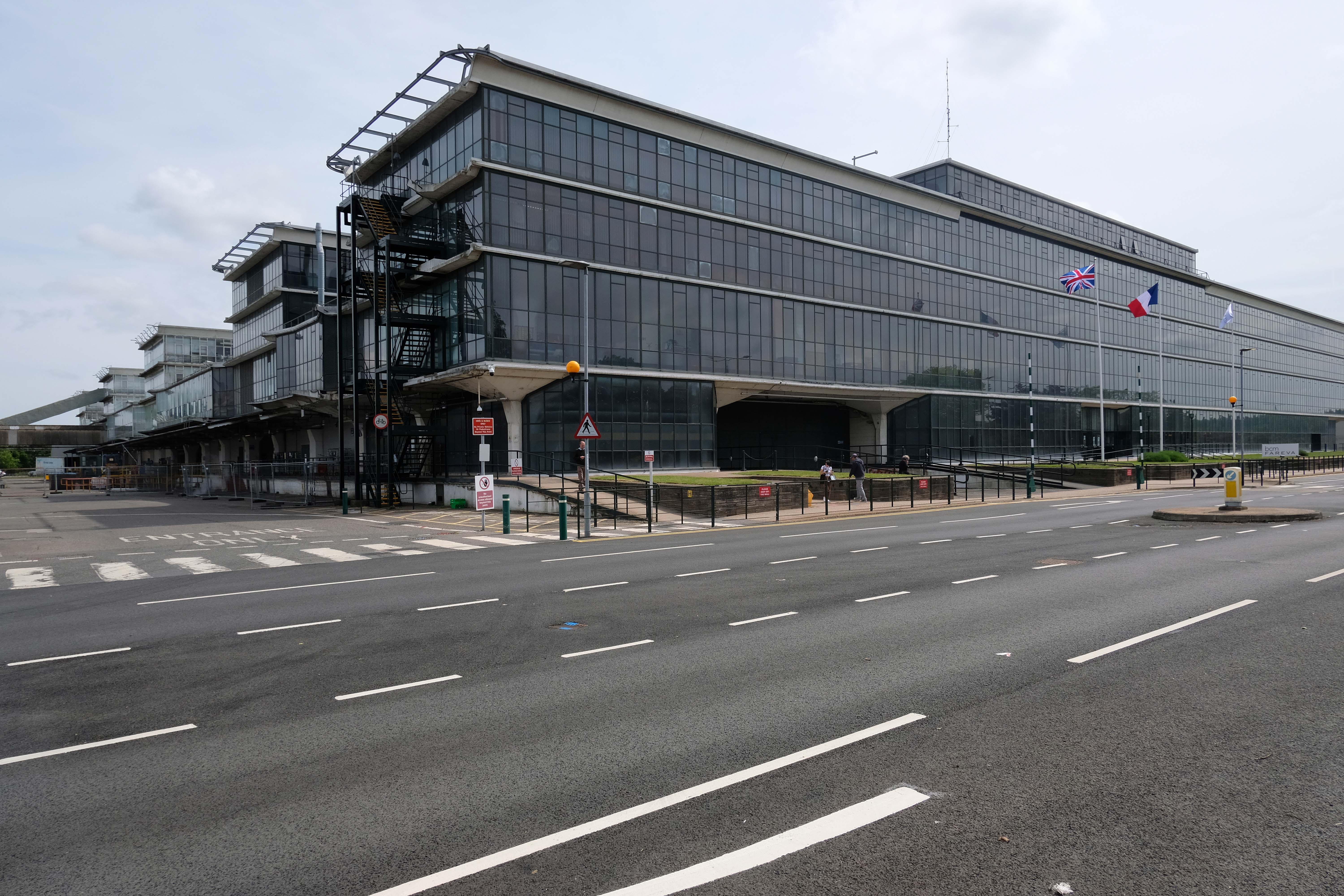
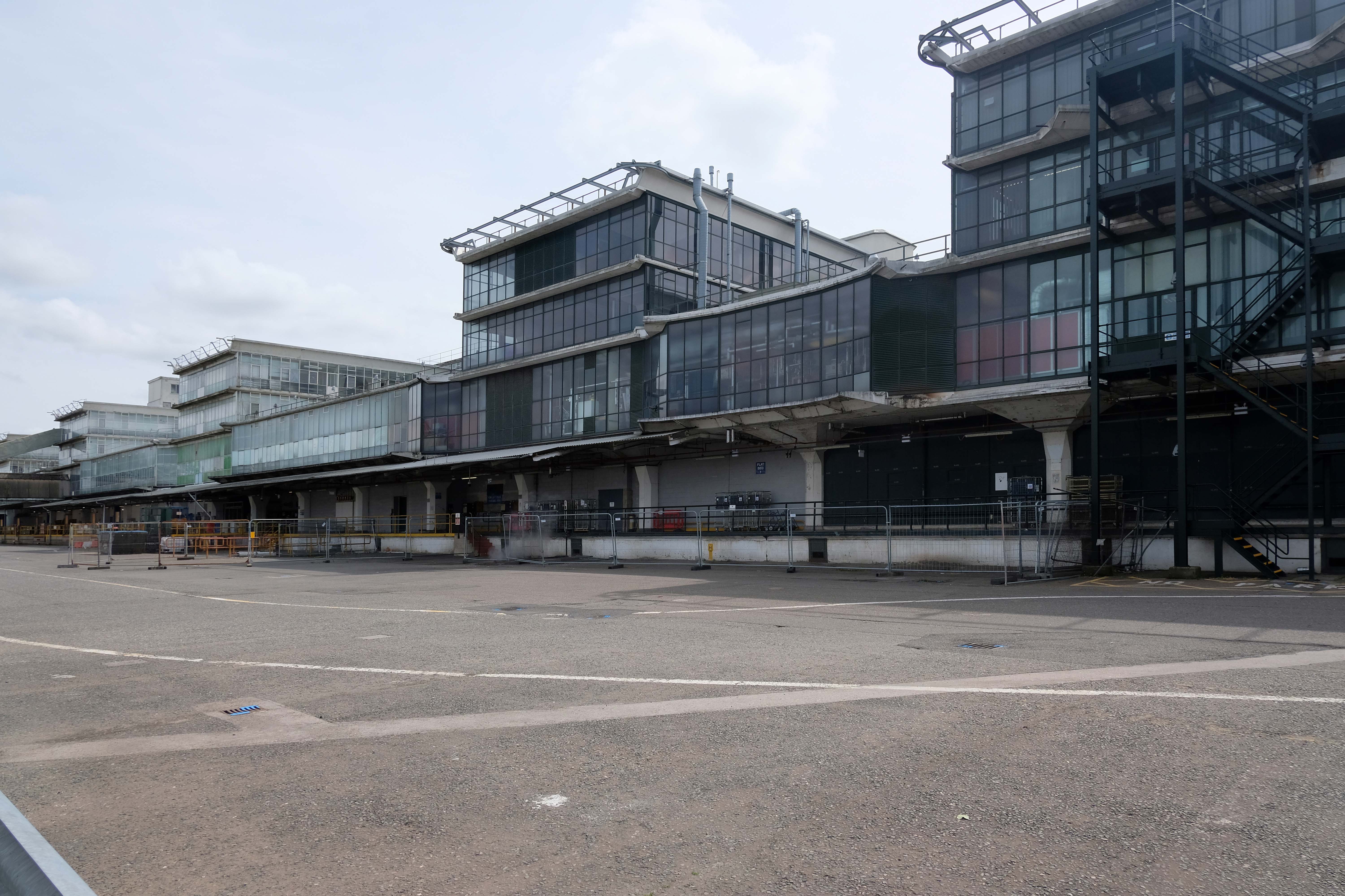
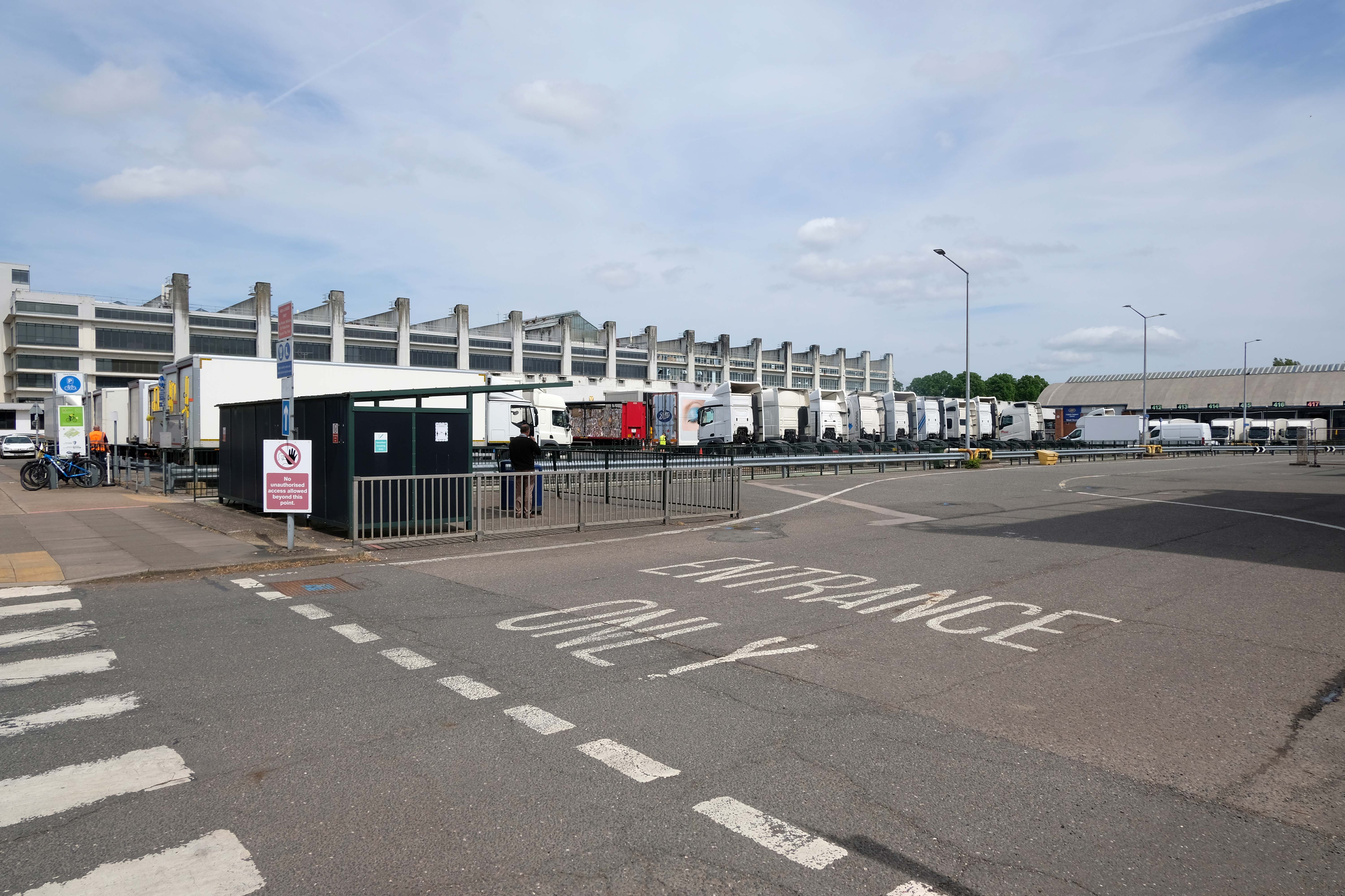
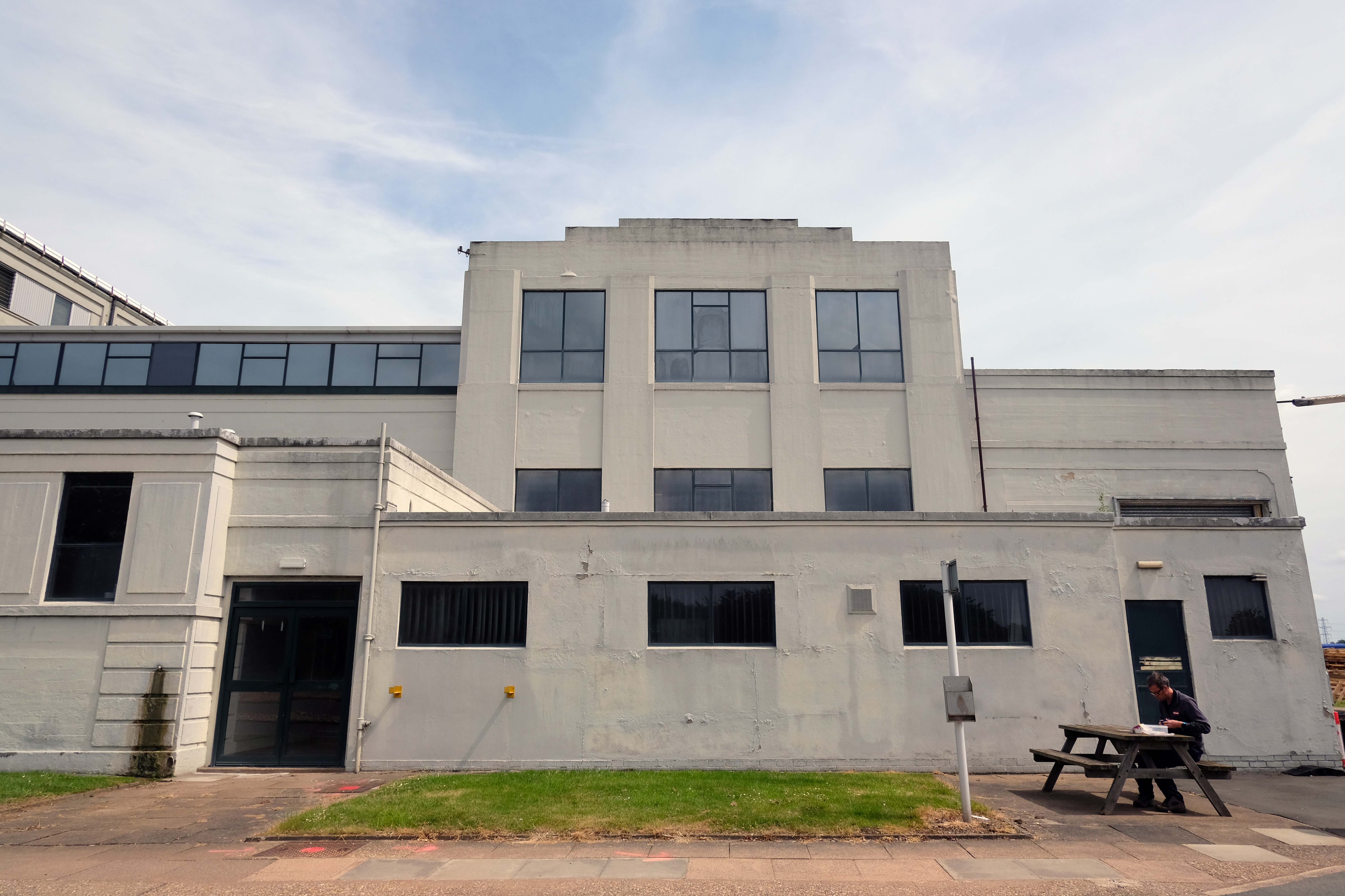
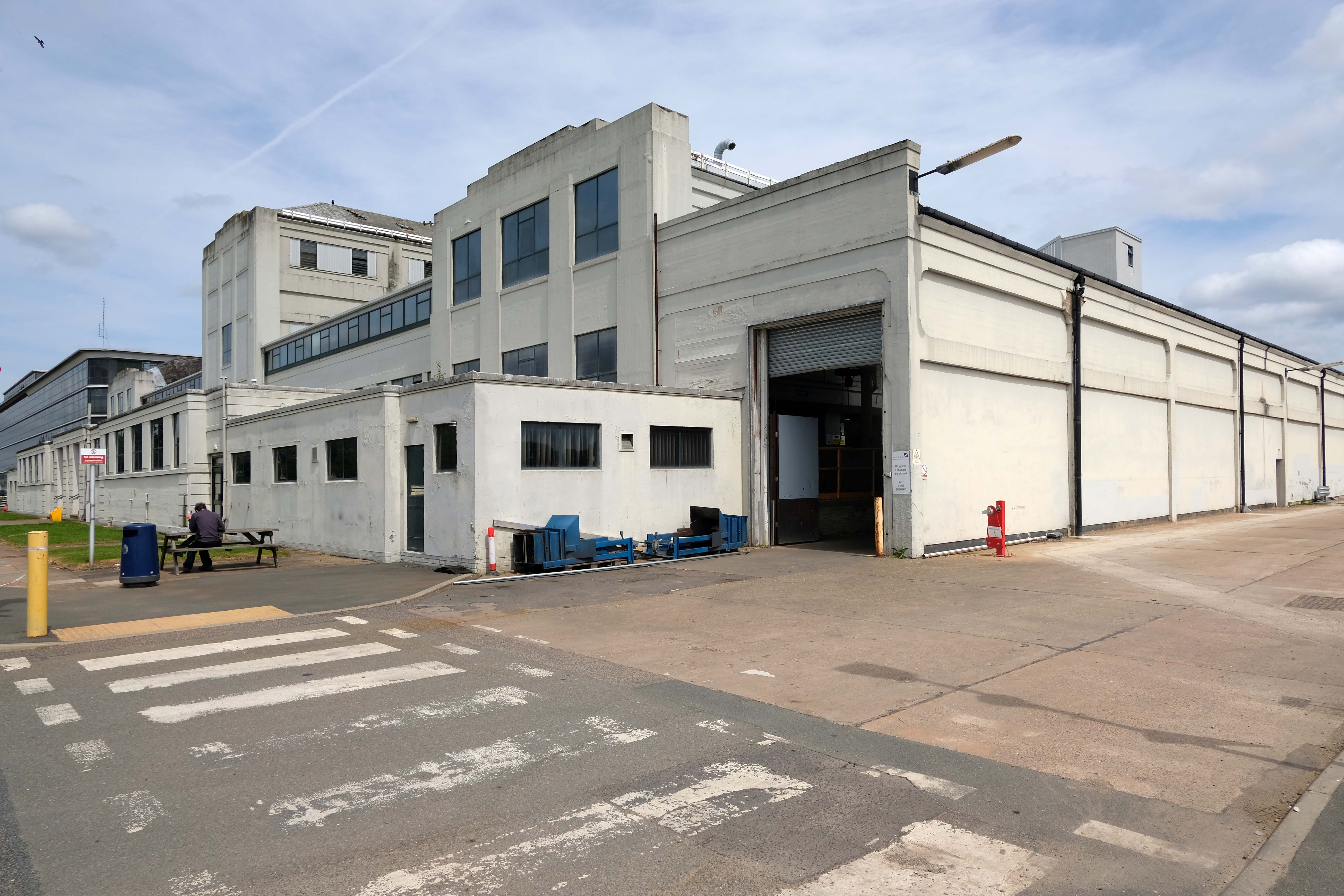
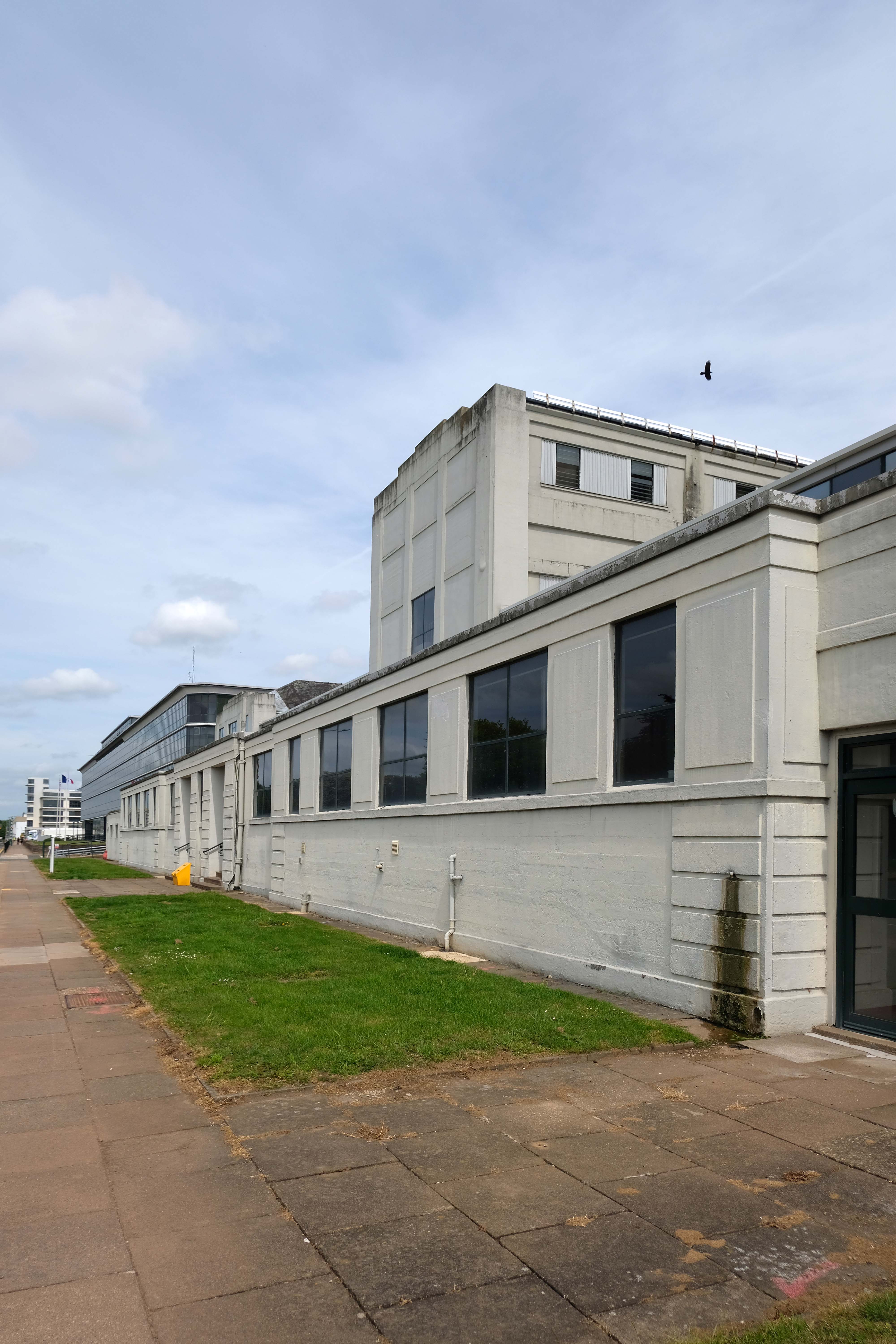
I alighted from the 49 bus at Boots and proceeded to take a look around.
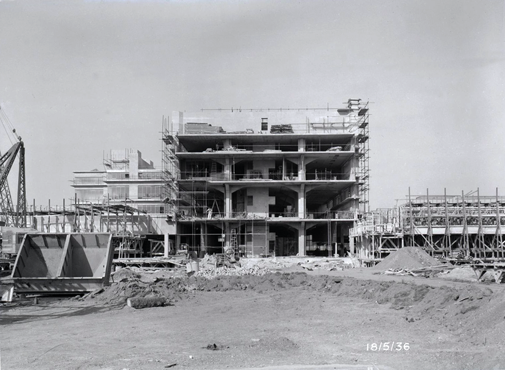
Unsurprisingly the construction work was now complete.
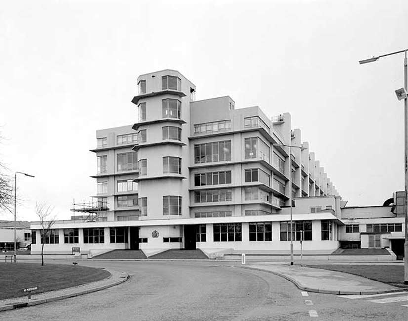
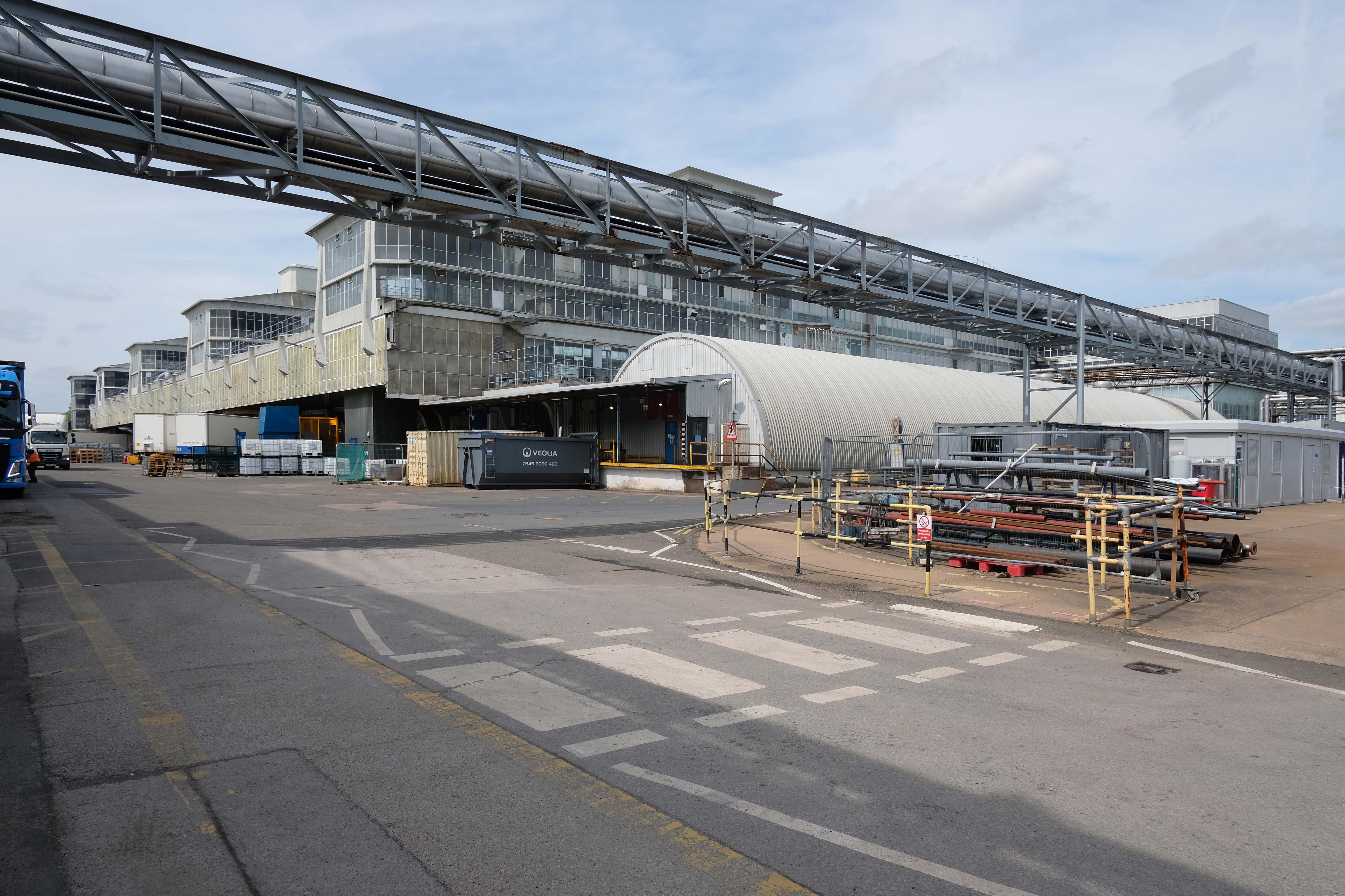
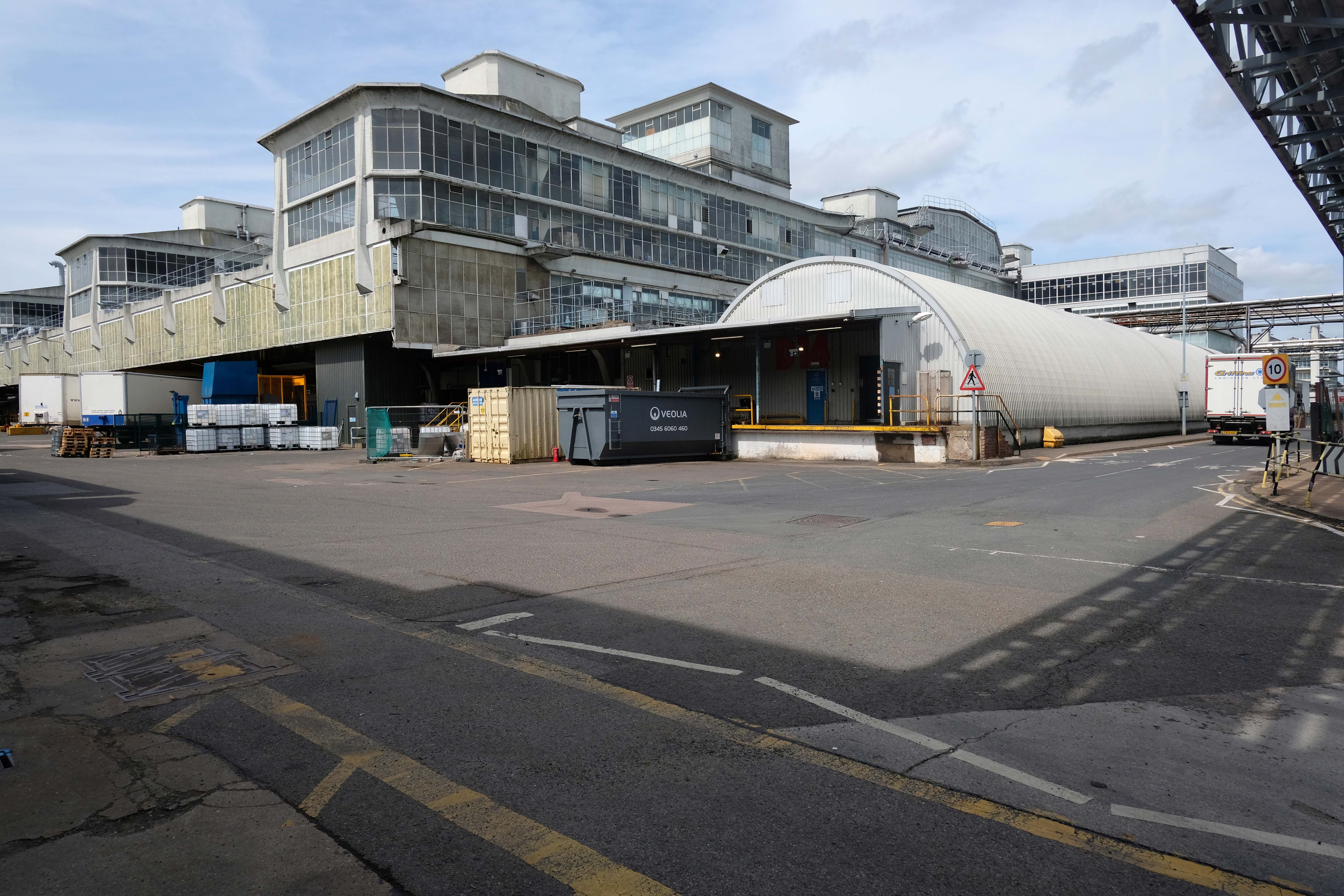
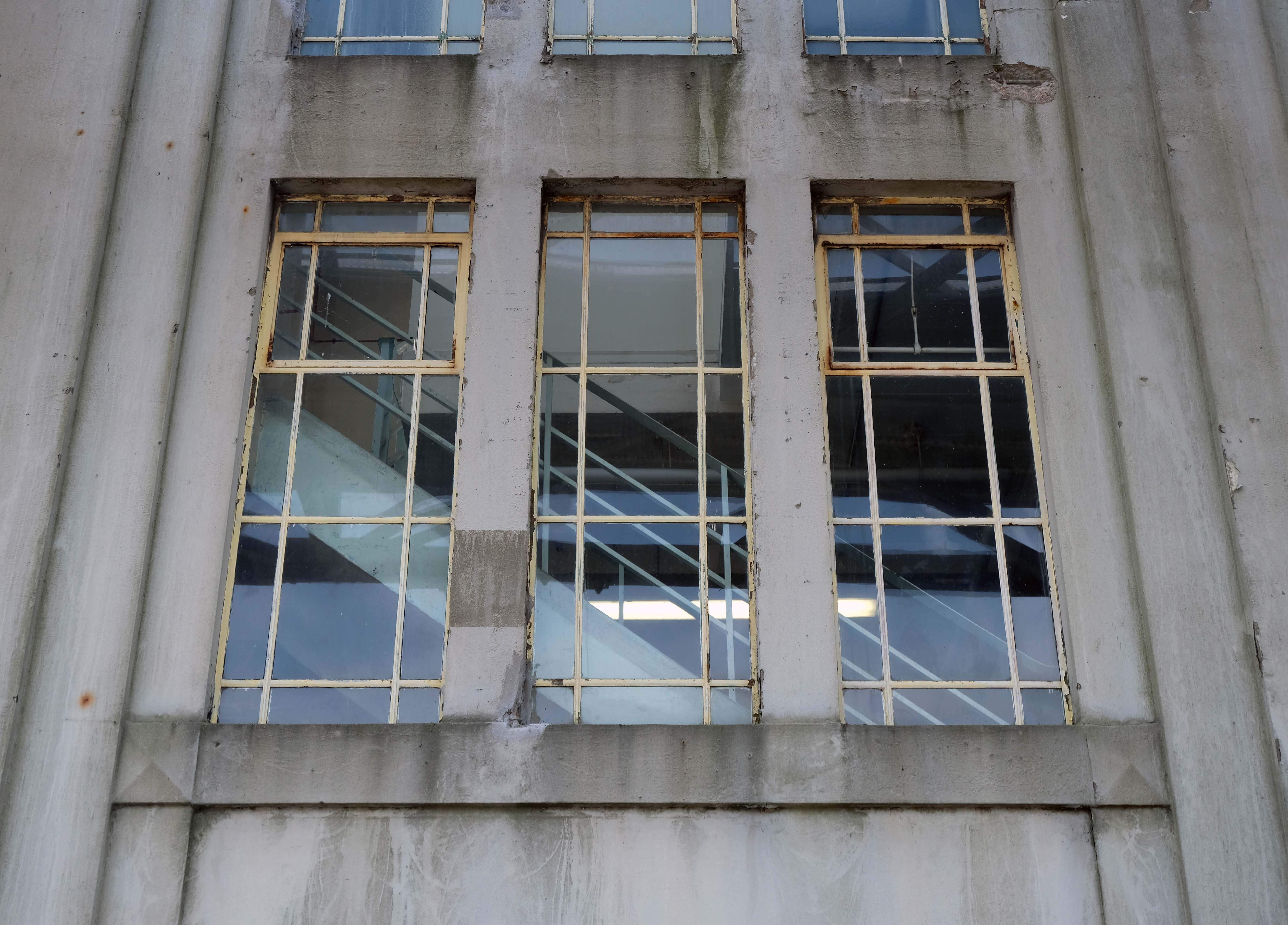
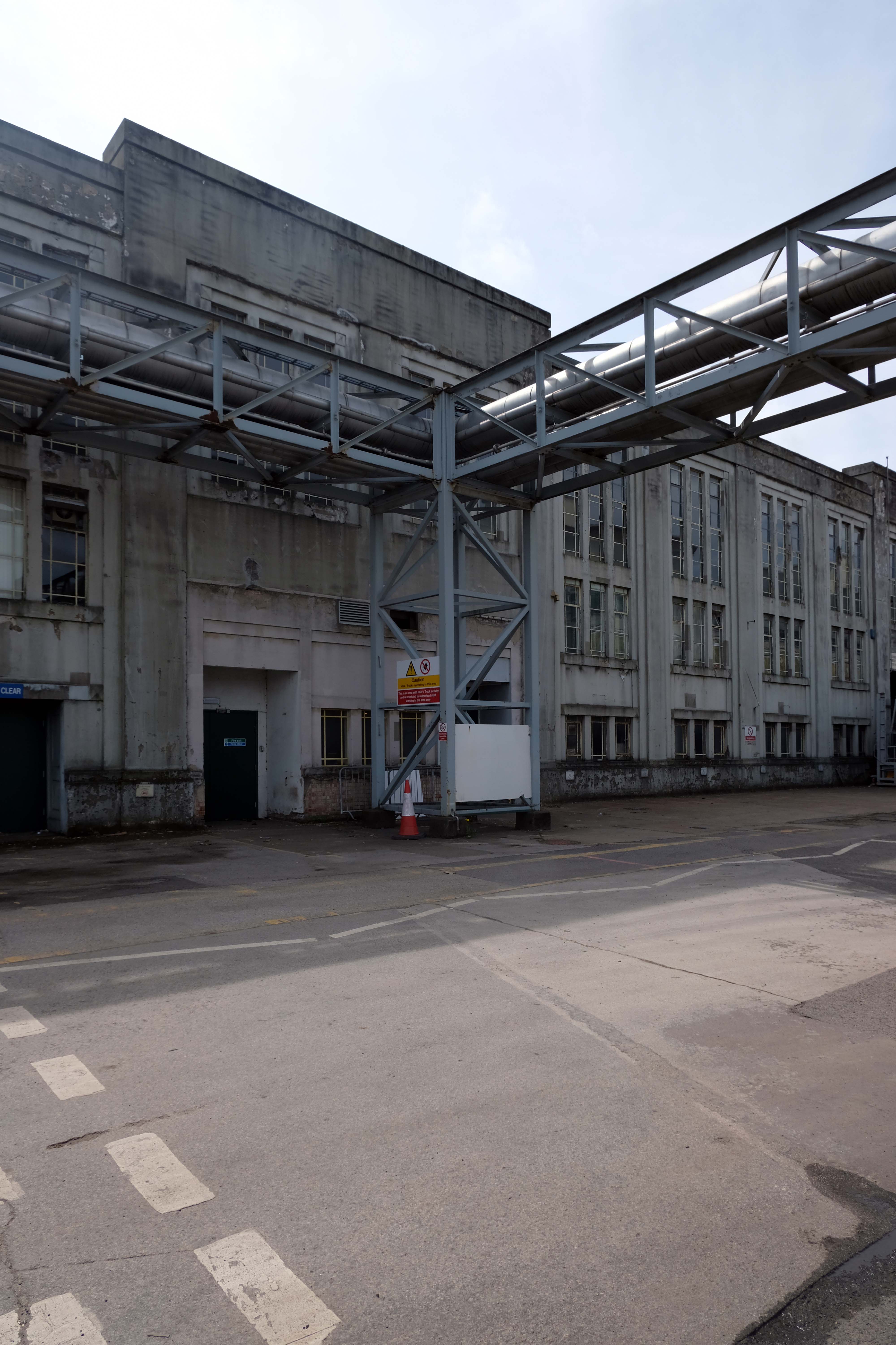
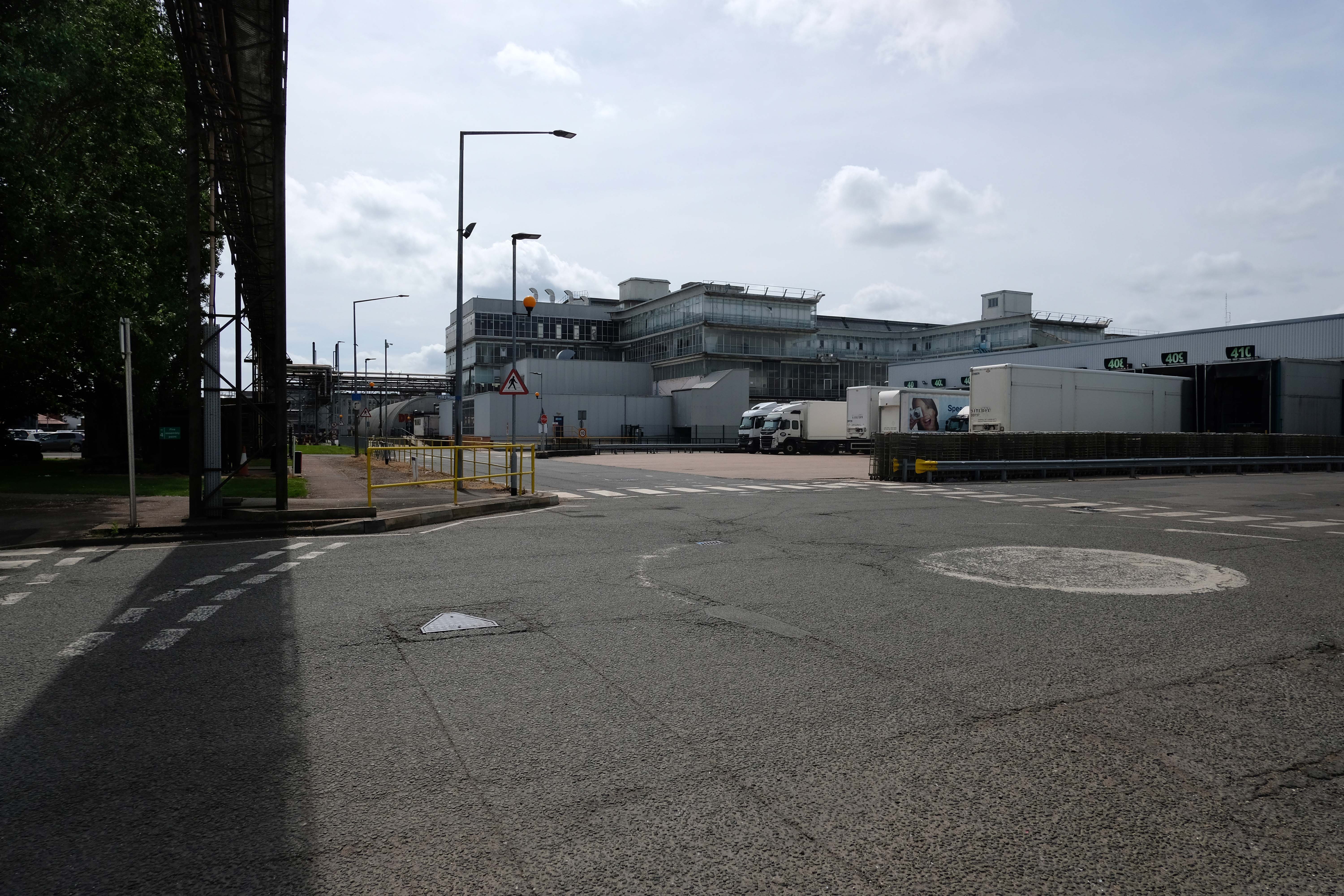
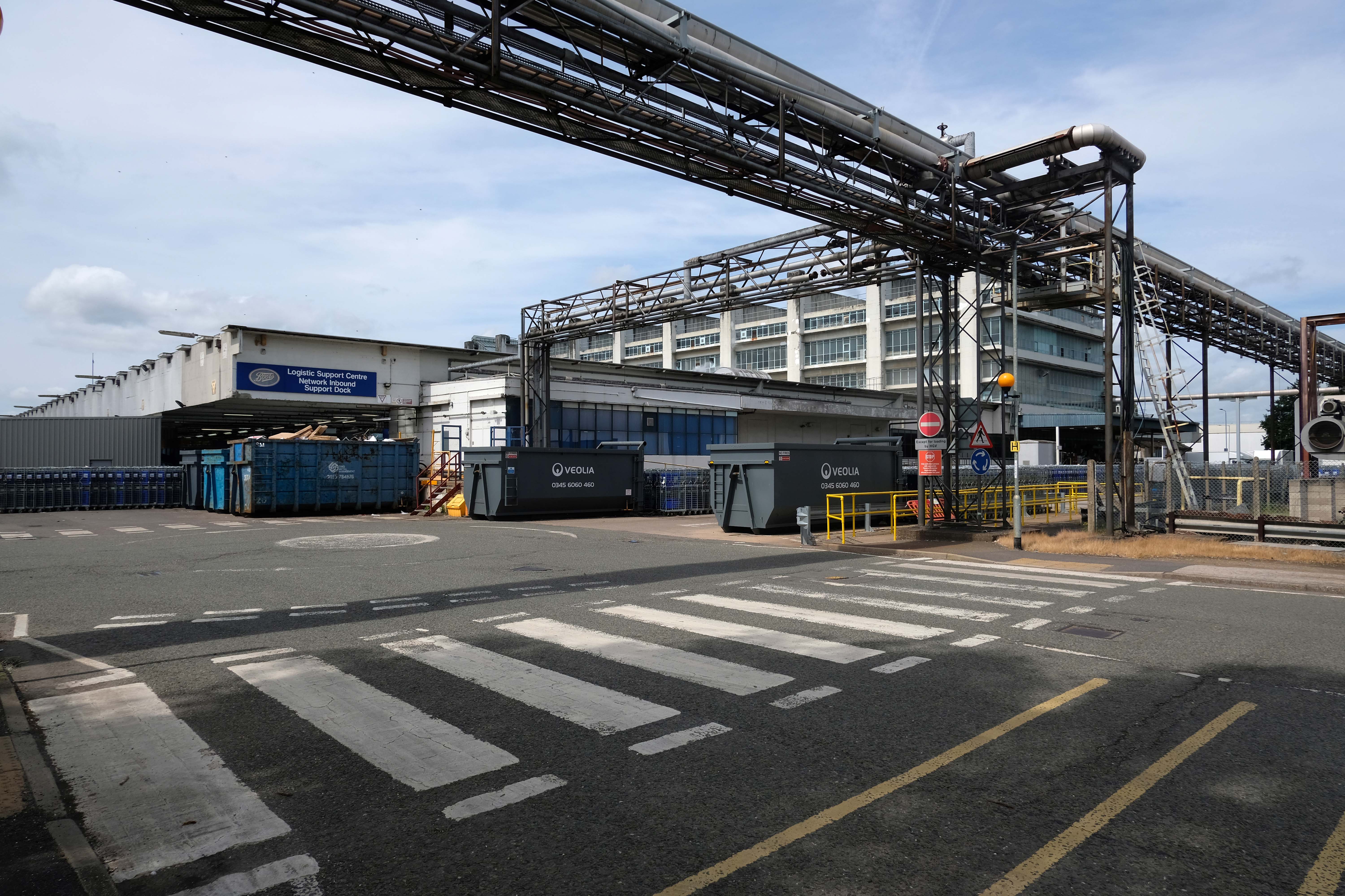
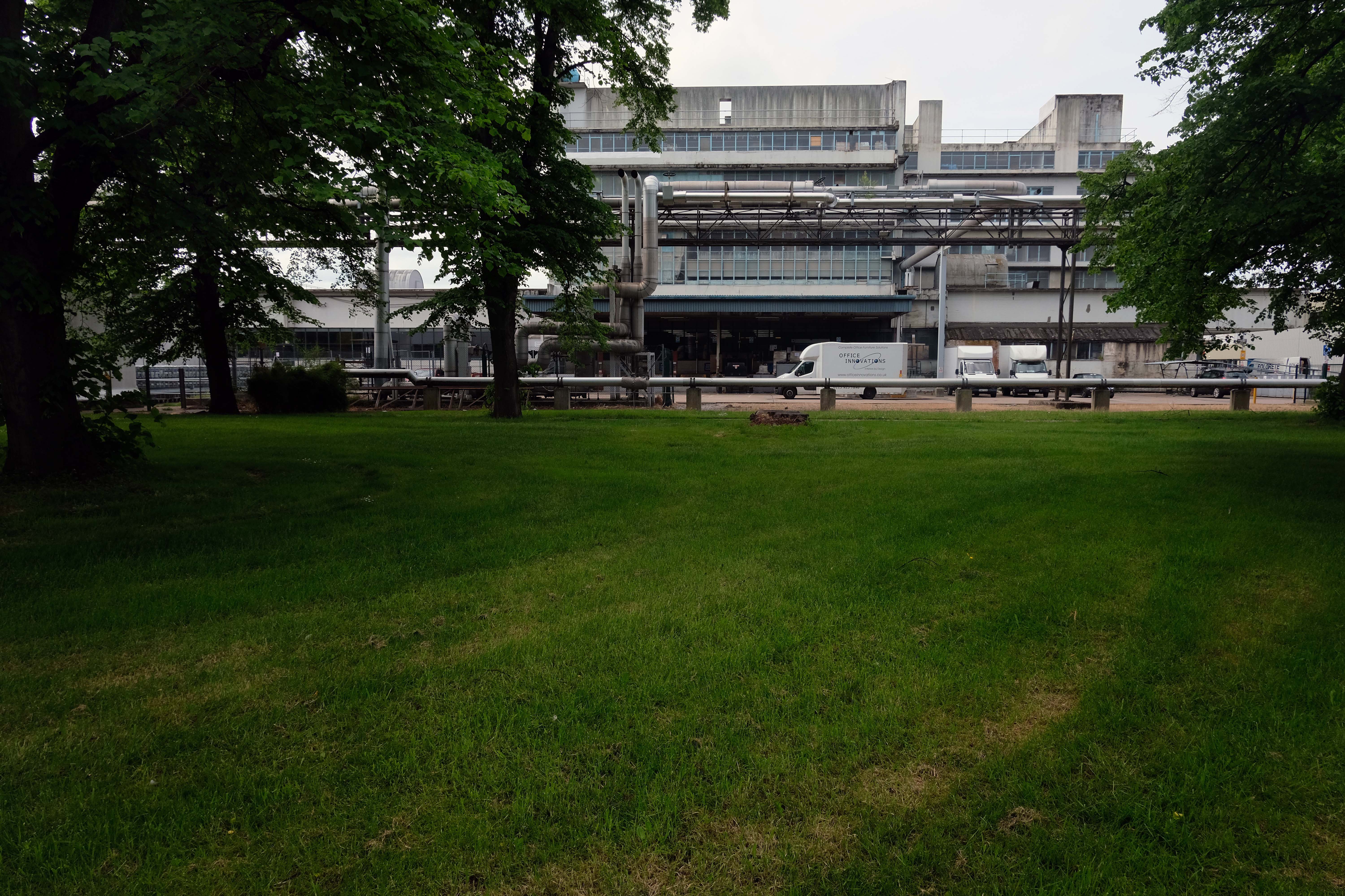
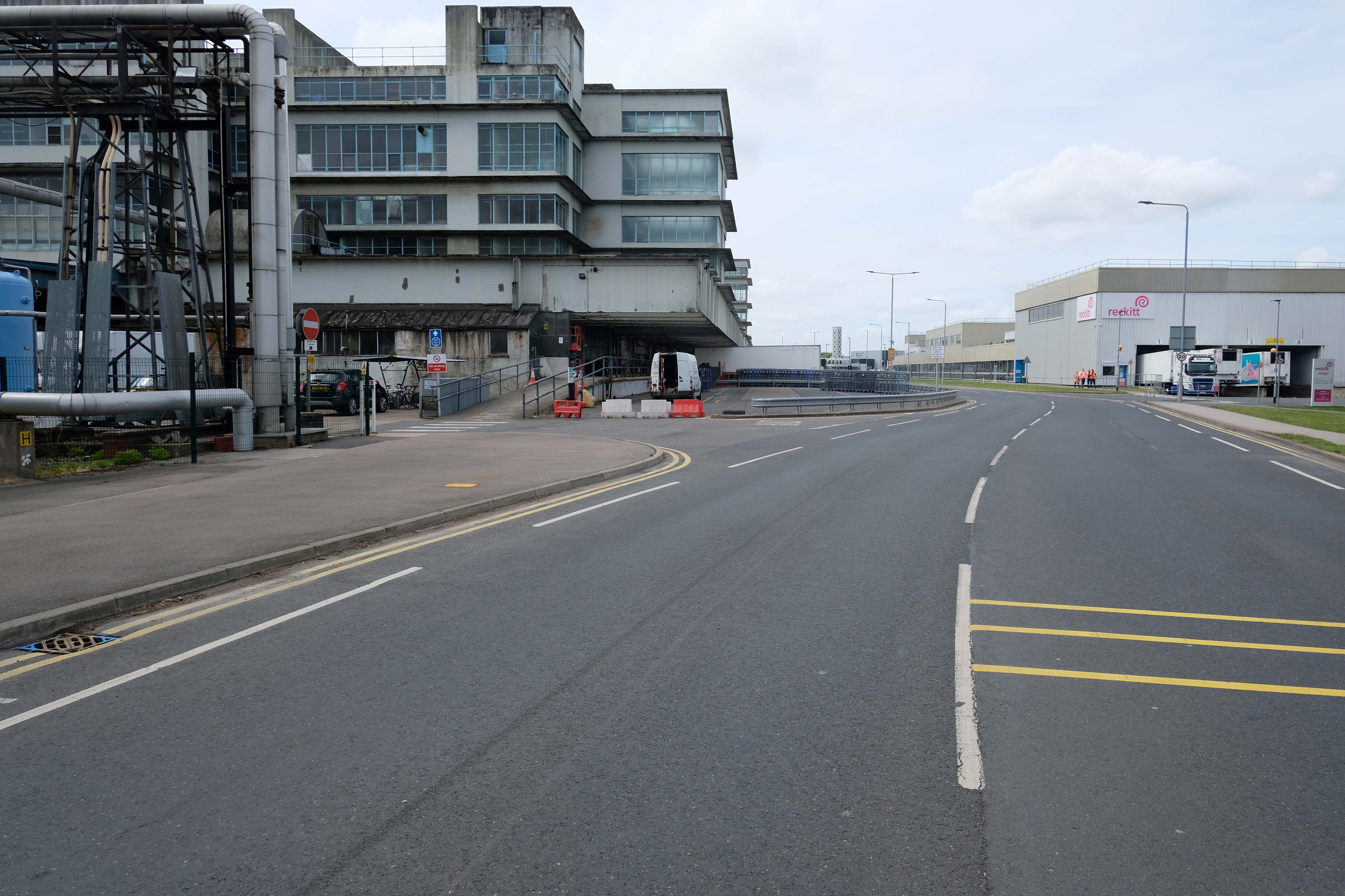
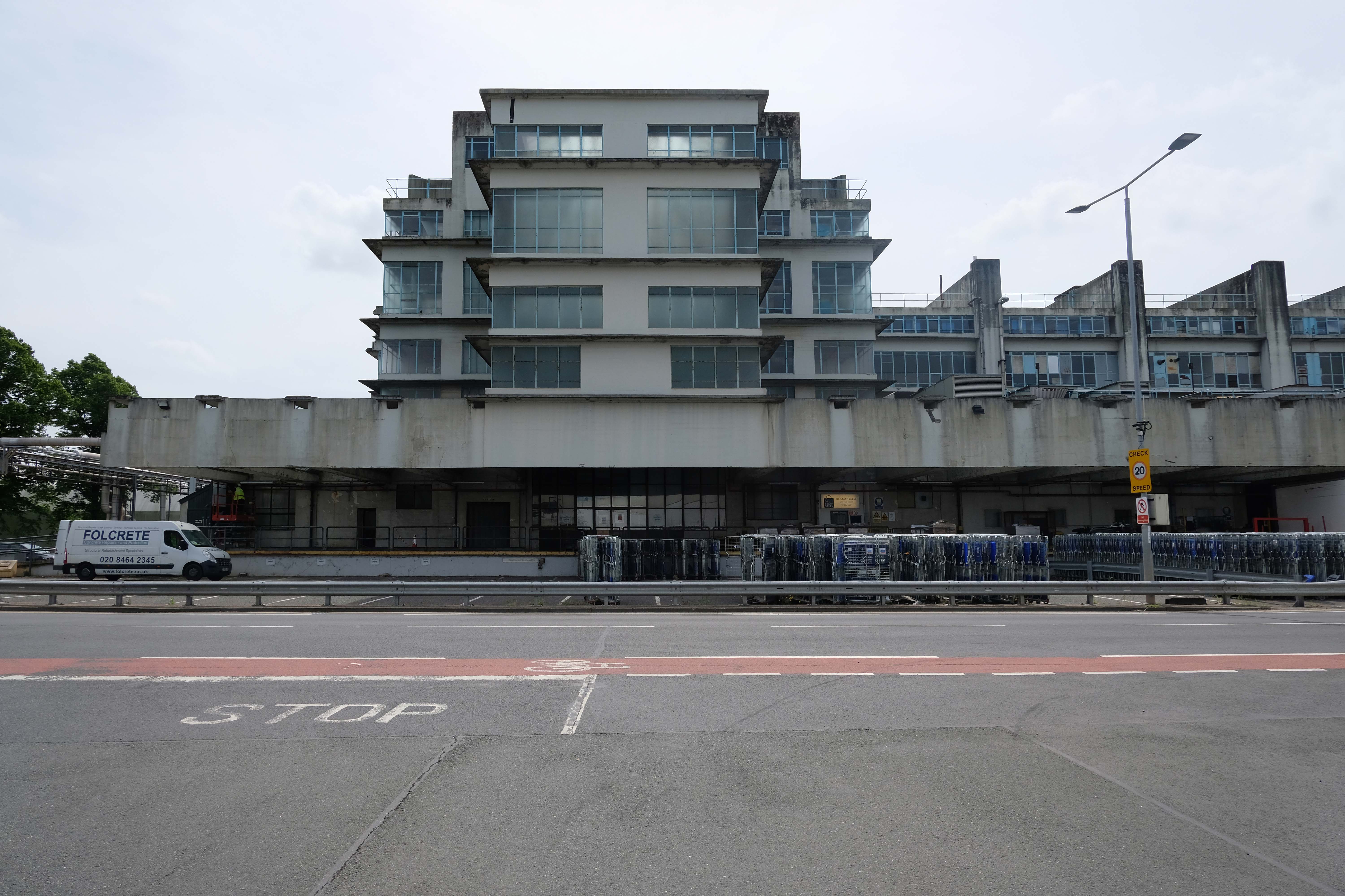
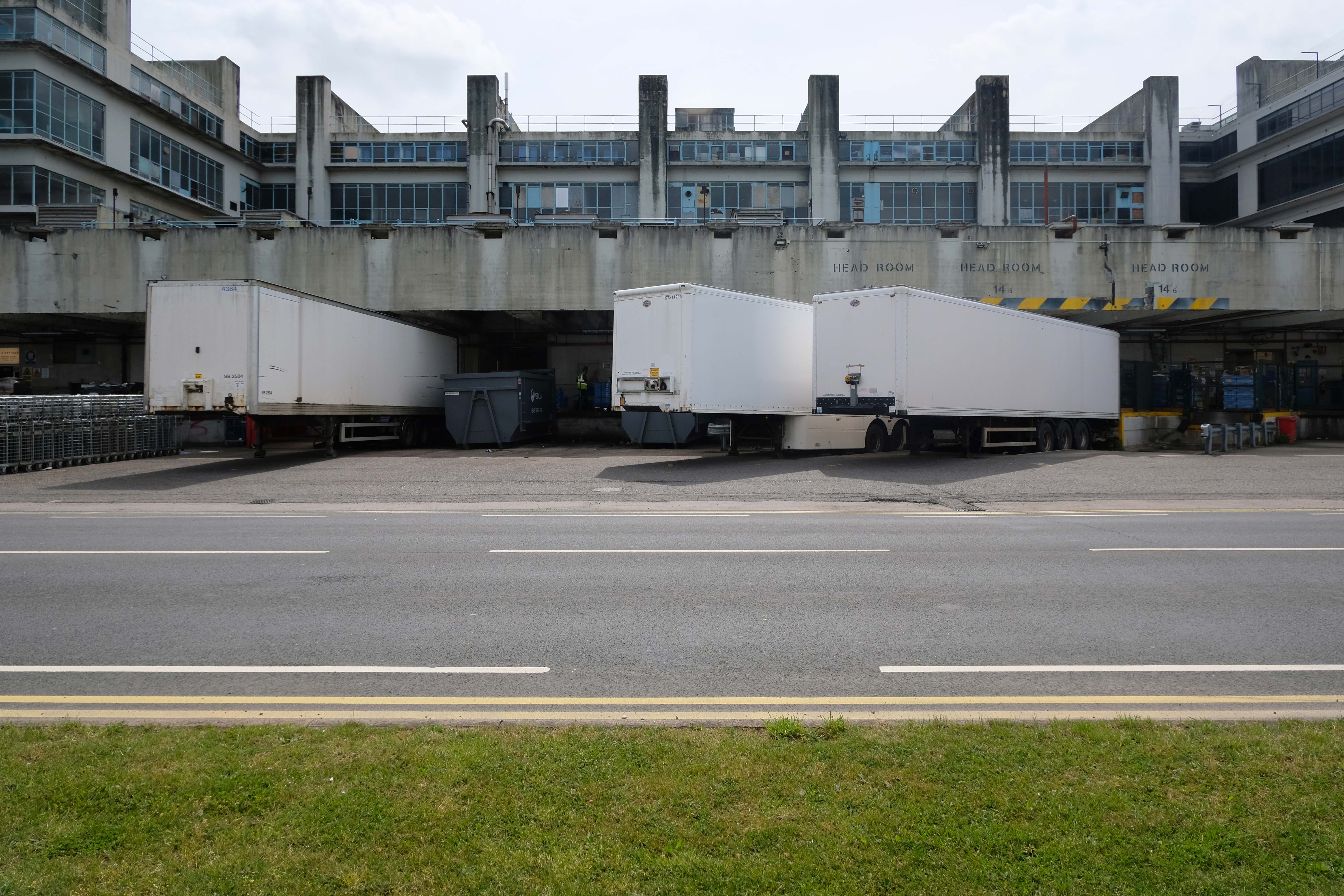
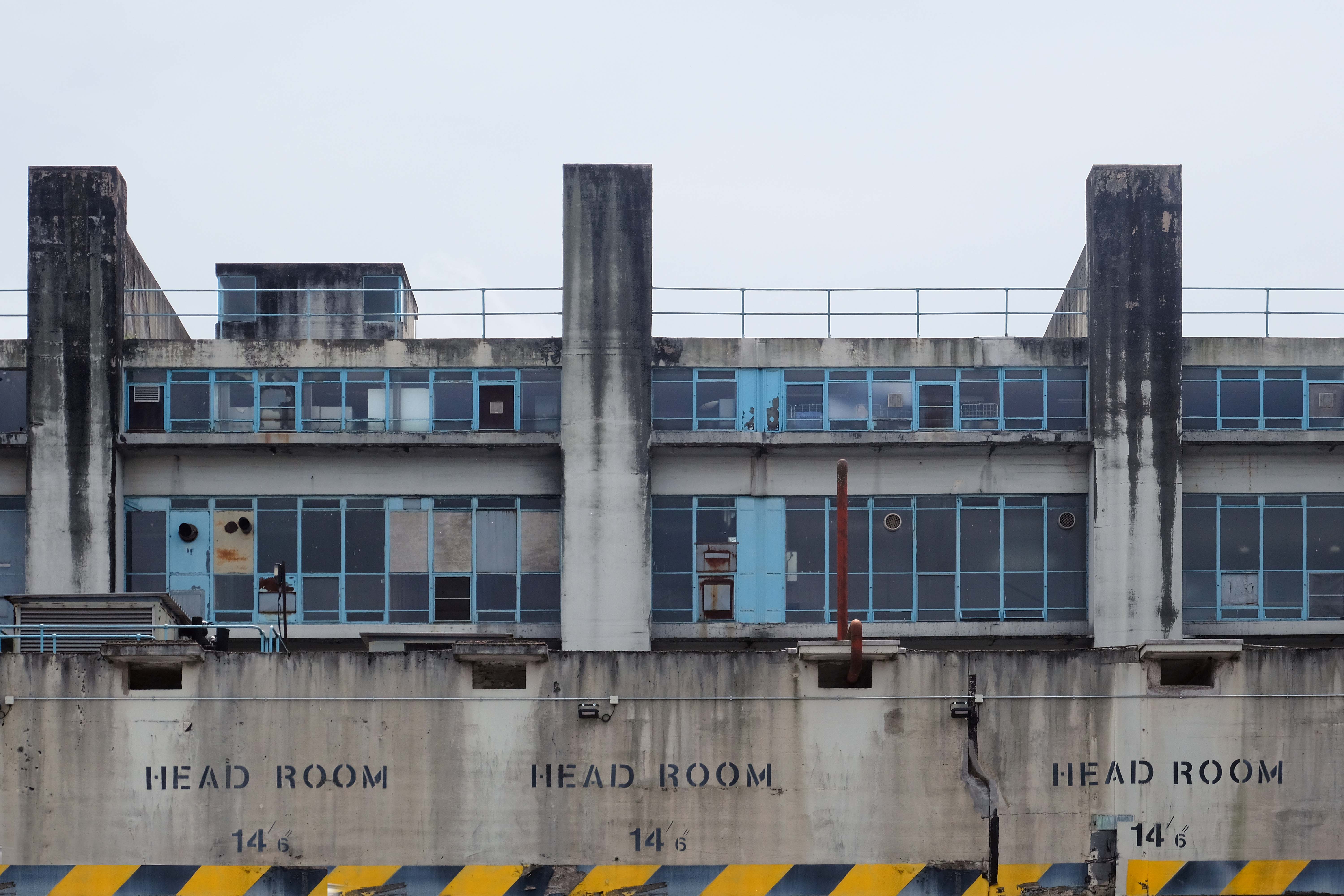
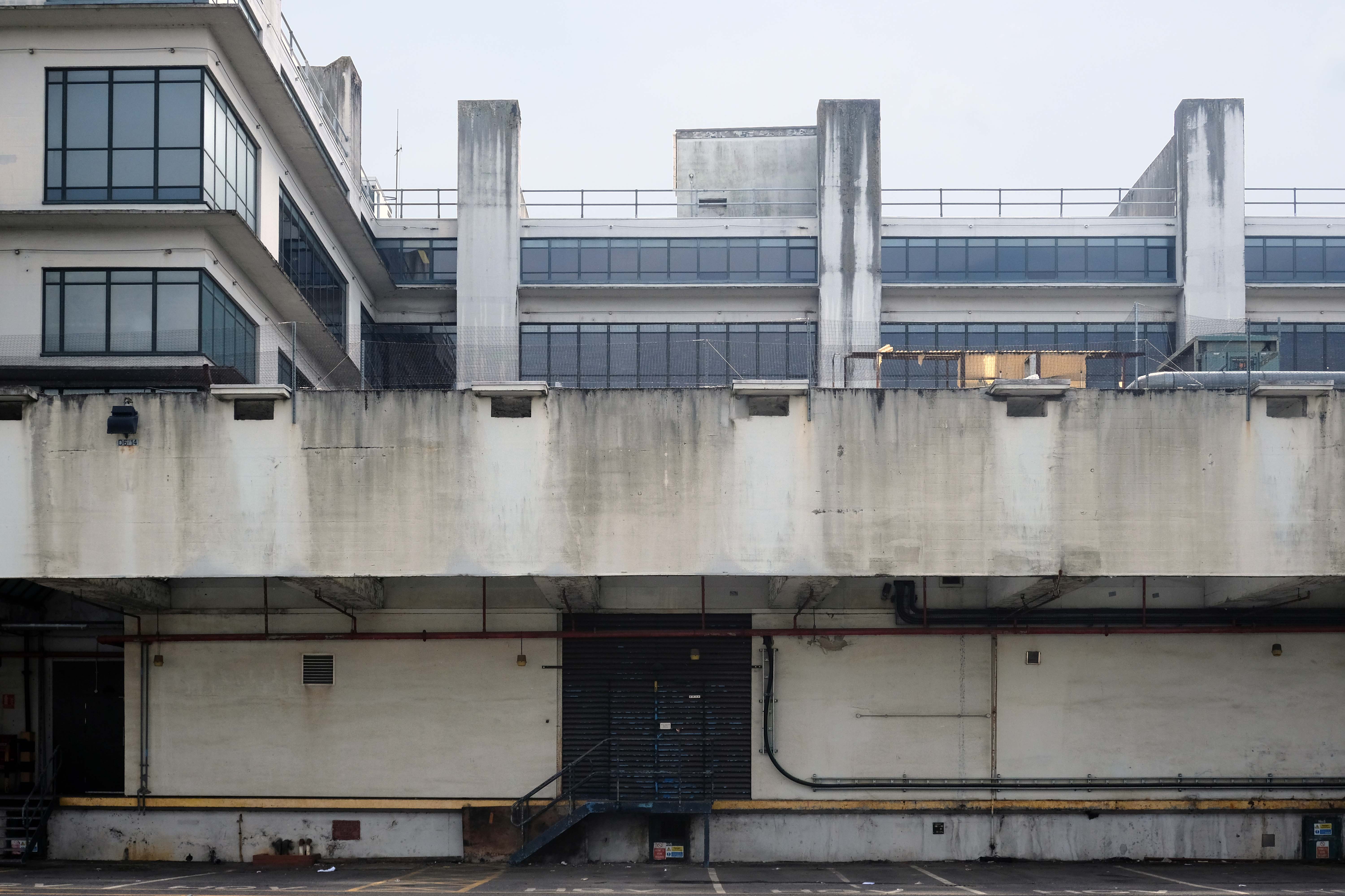
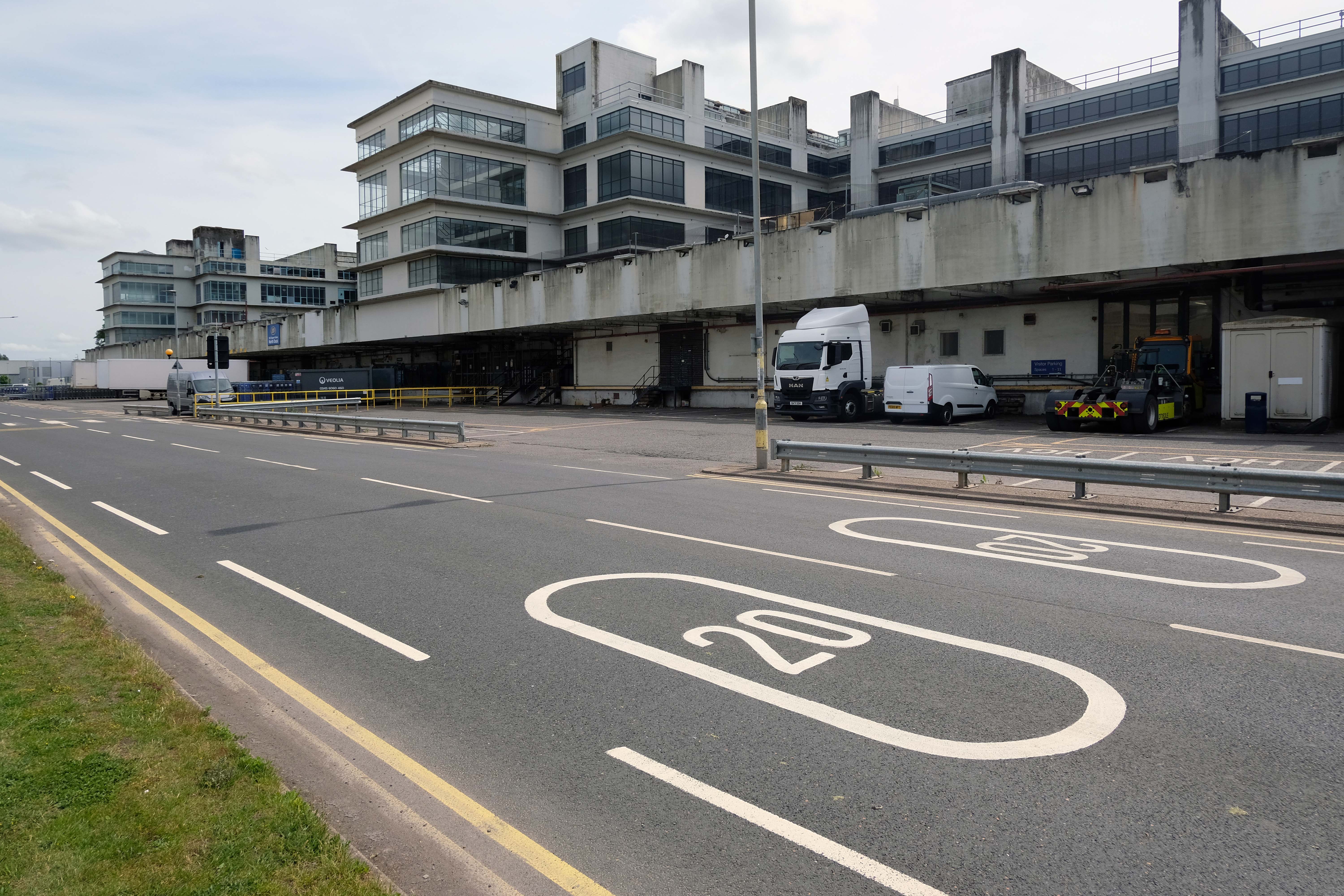
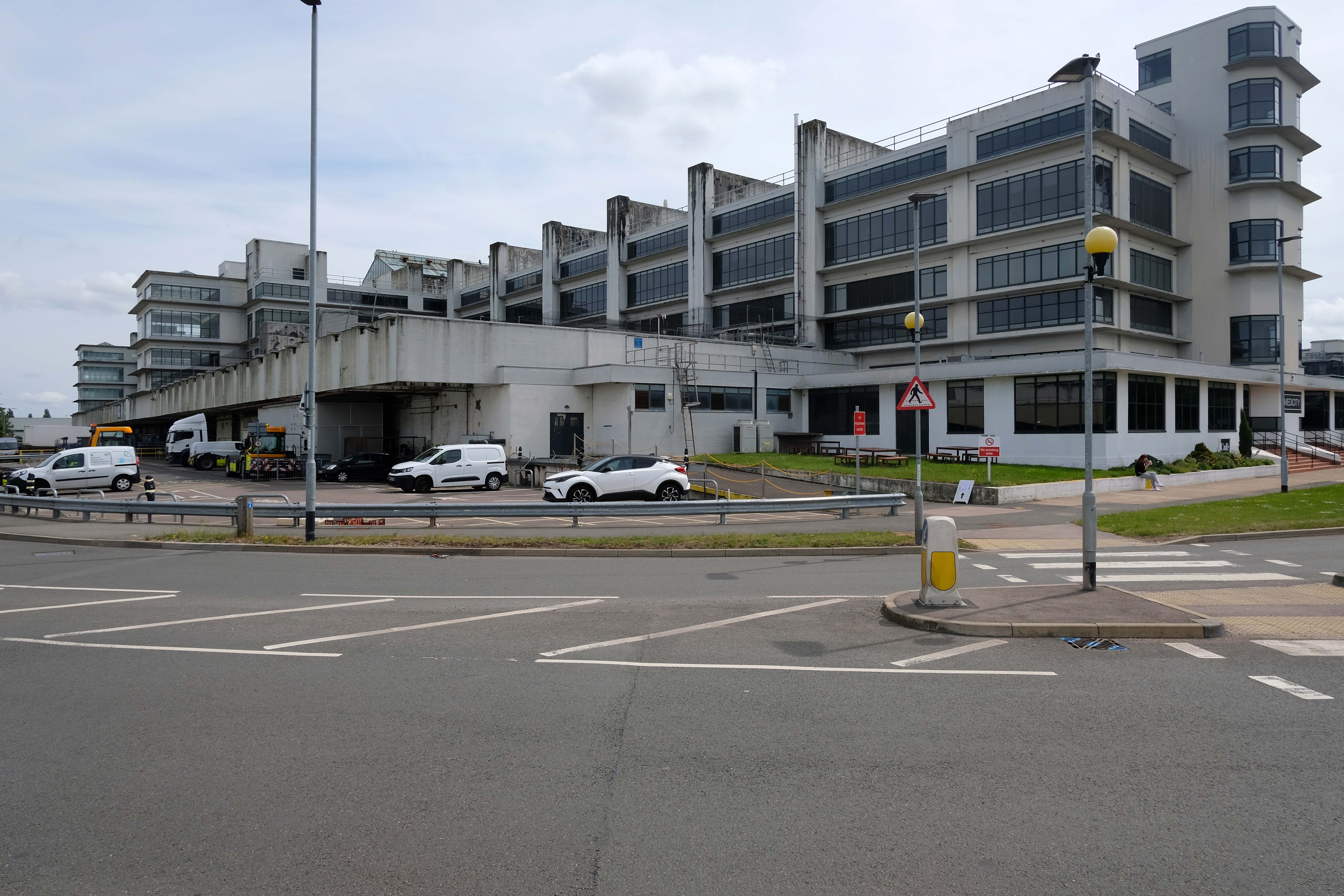
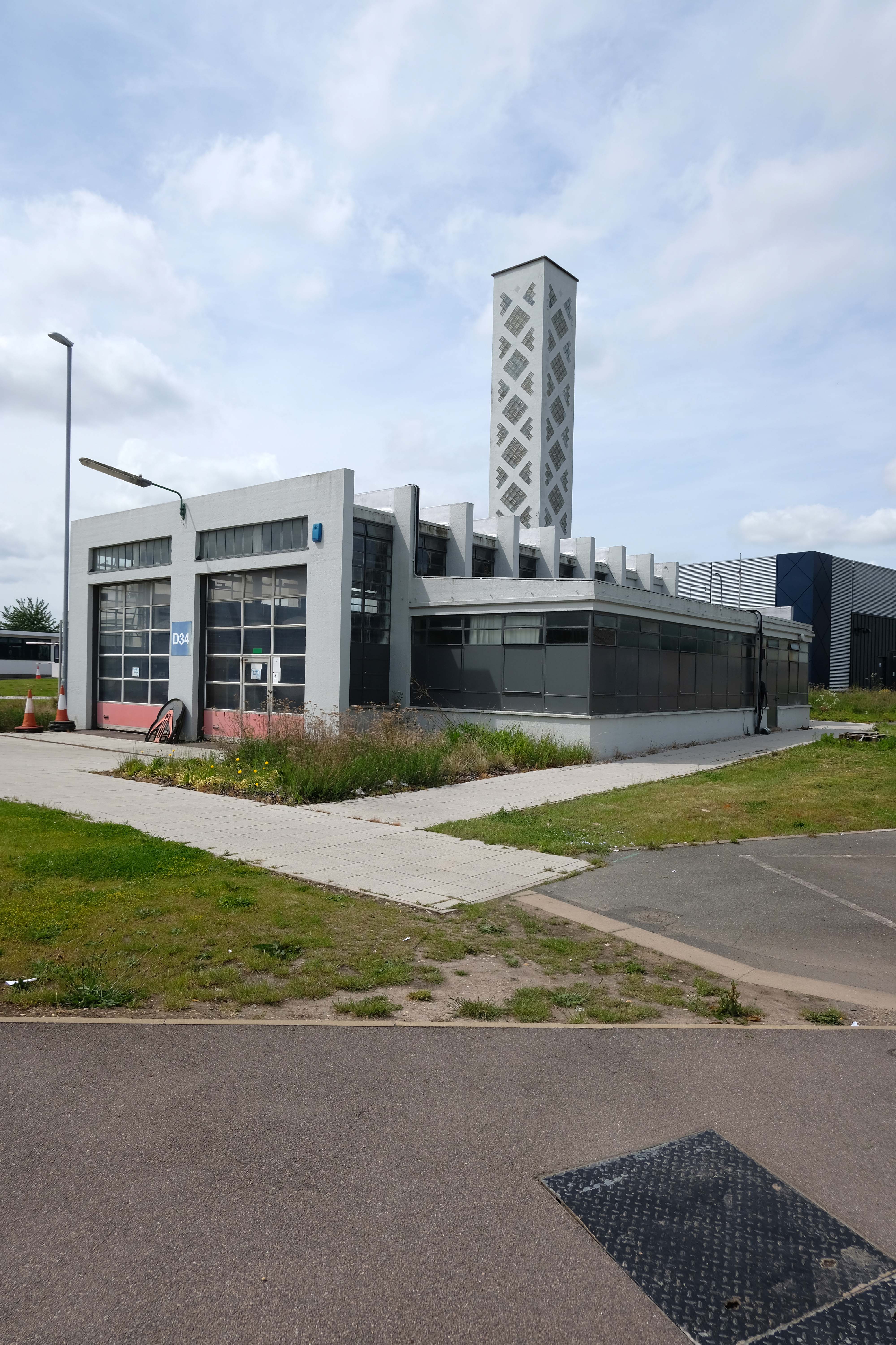
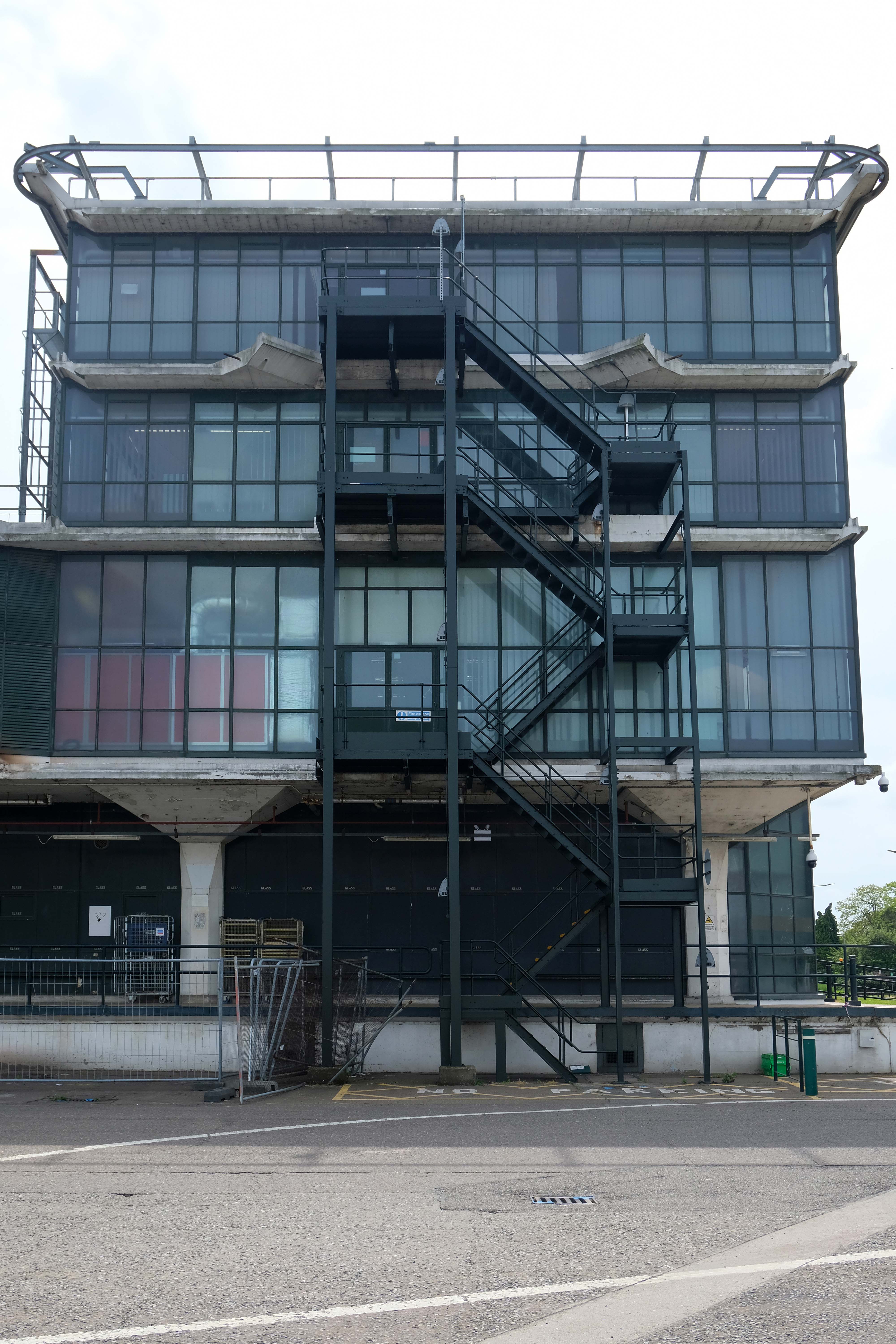
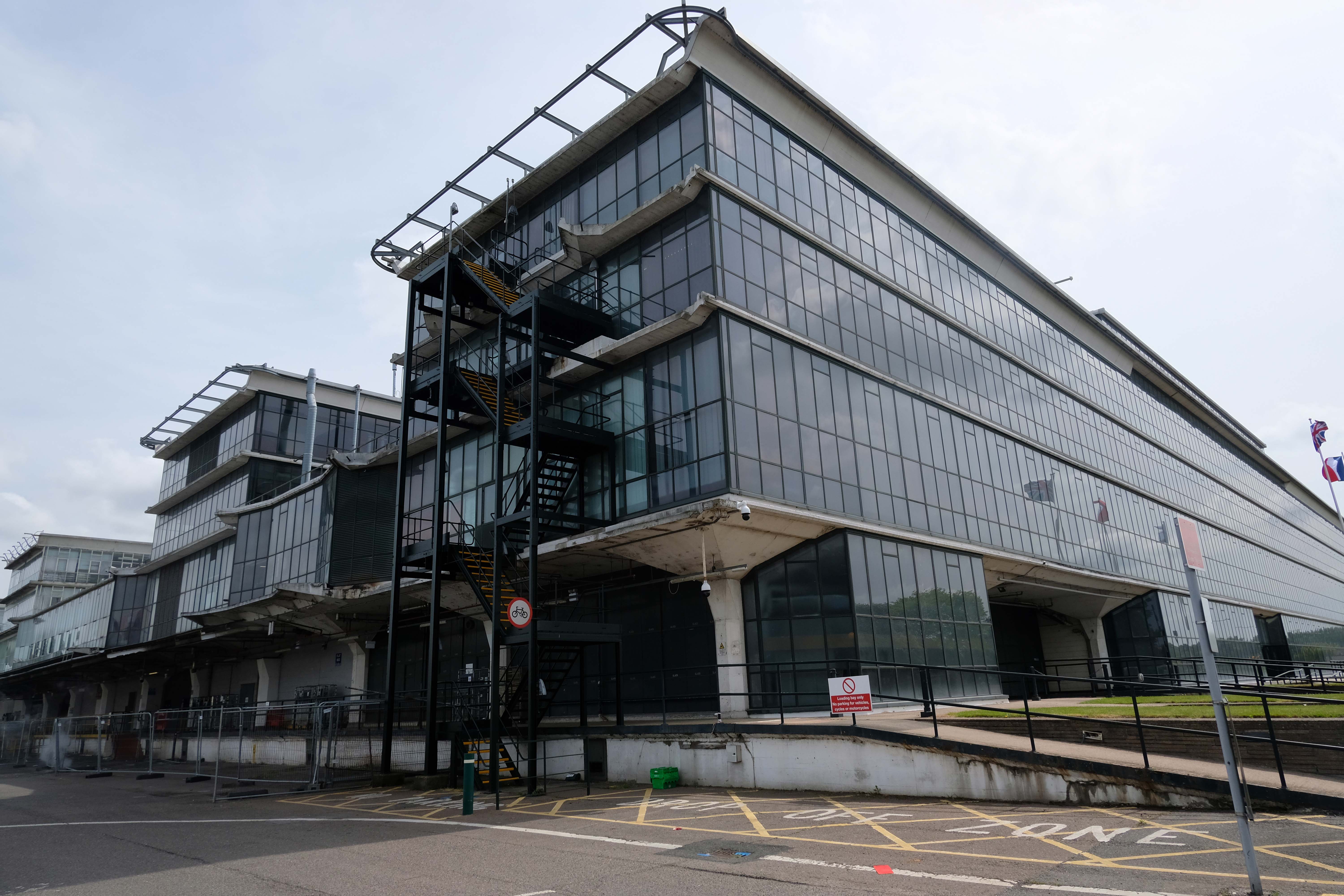
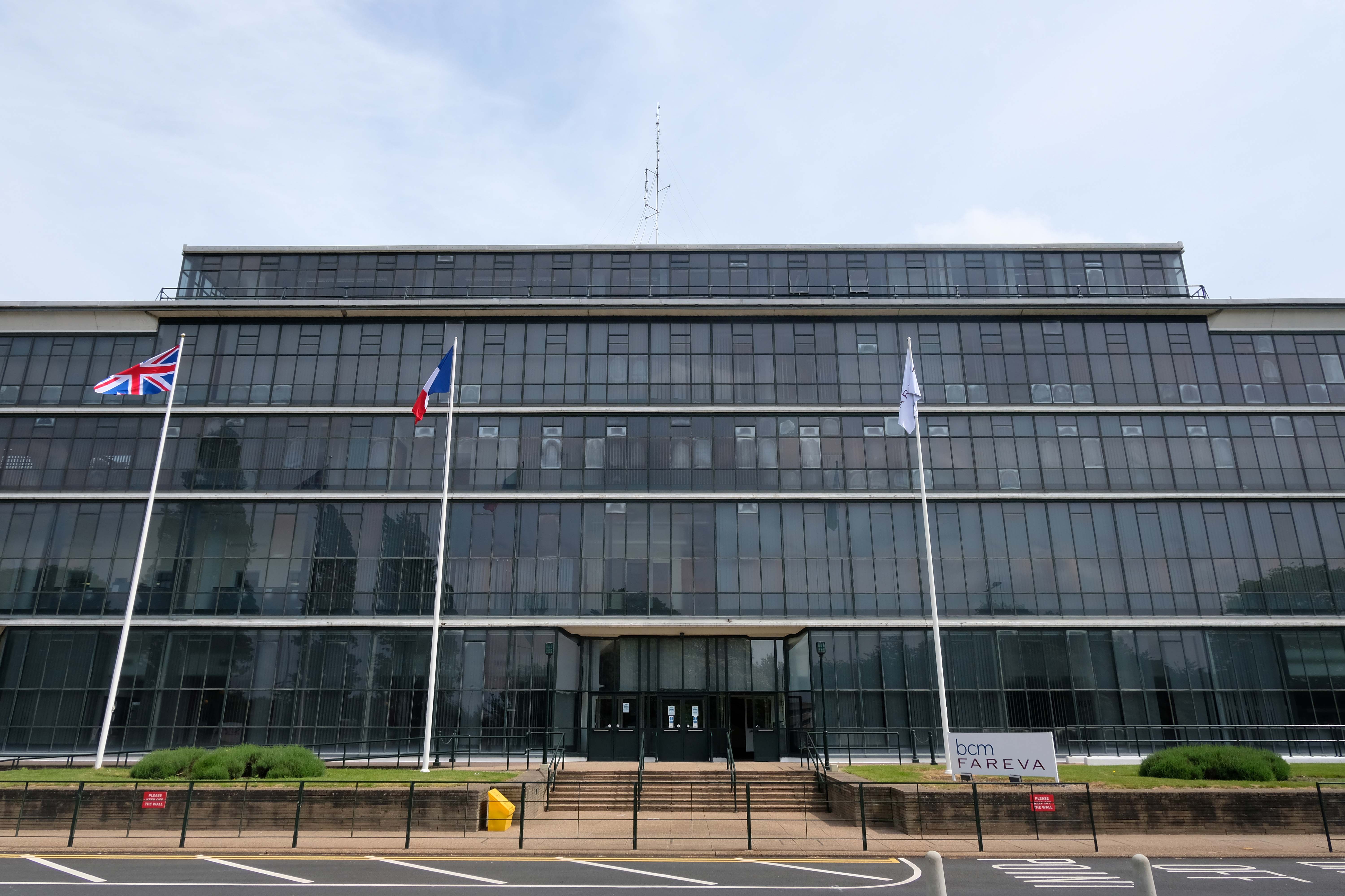
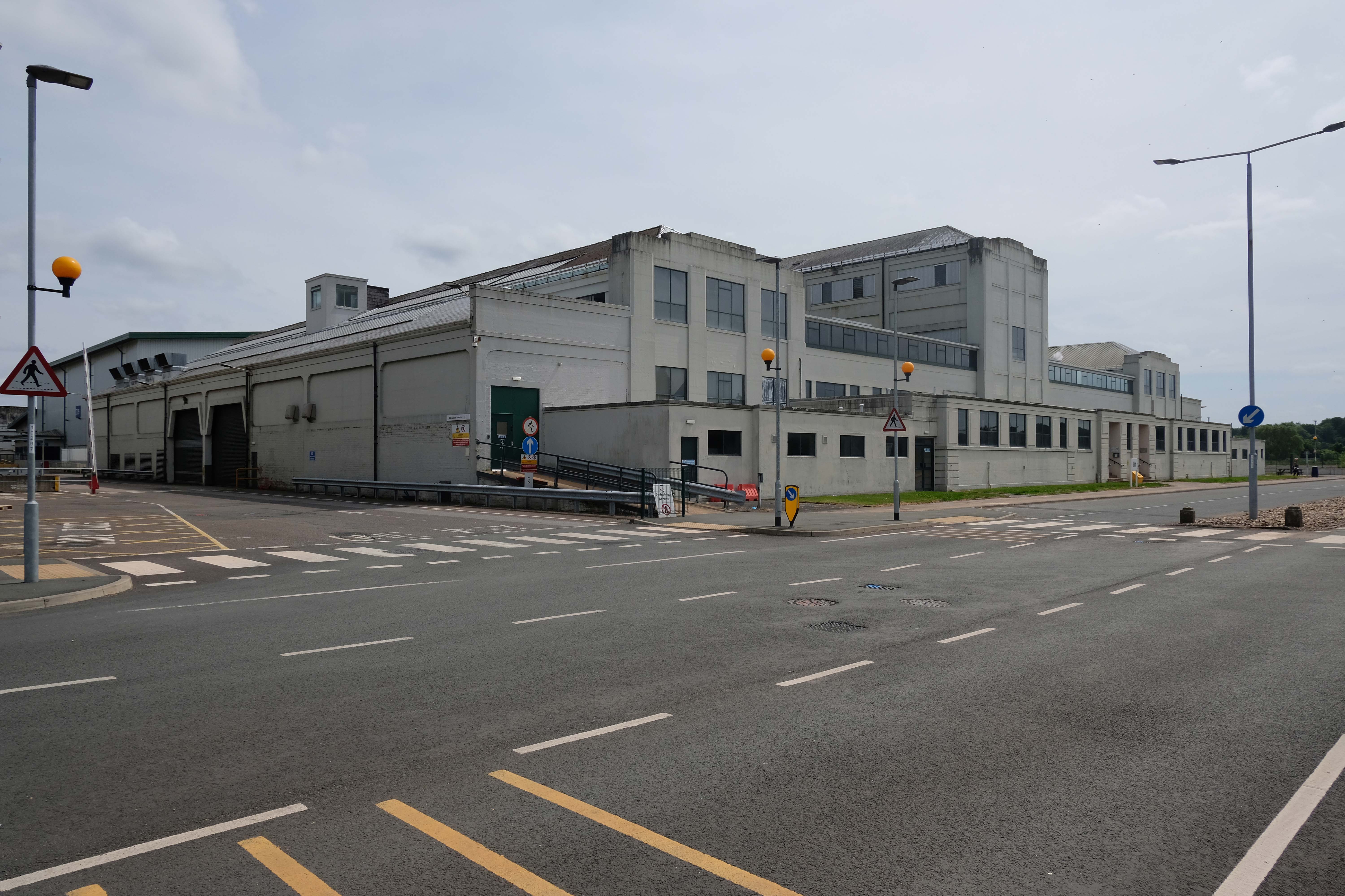
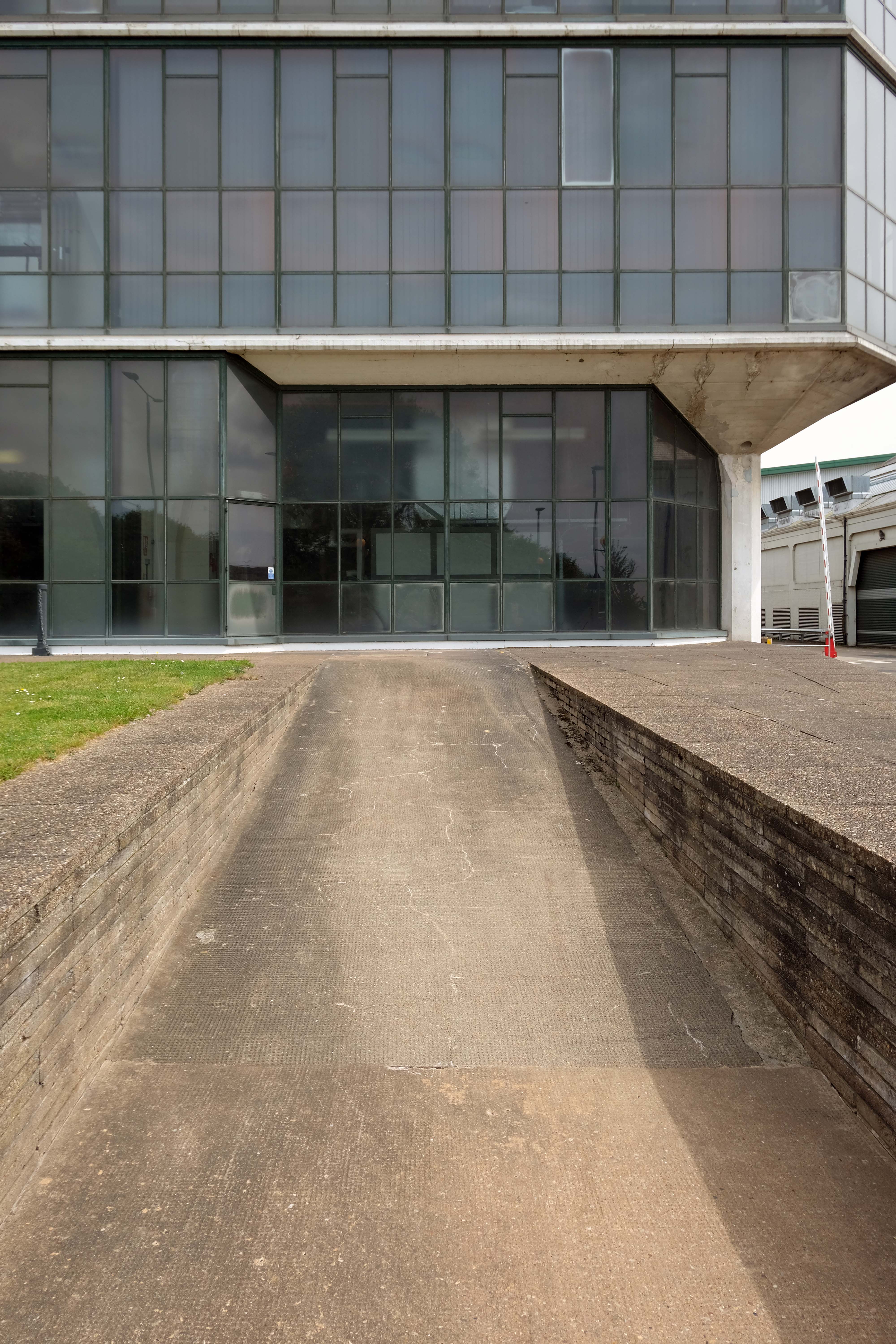
The pharmaceutical factory for the Boots Company was built in the 1930s and was designed by Sir E Owen Williams. It uses reinforced concrete as an external frame. The strength of the frame allowed the design to incorporate large areas of glass.
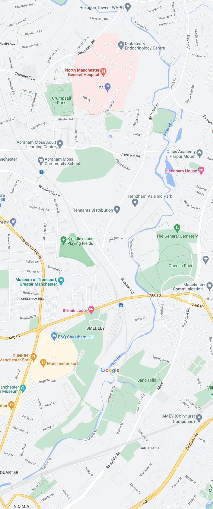
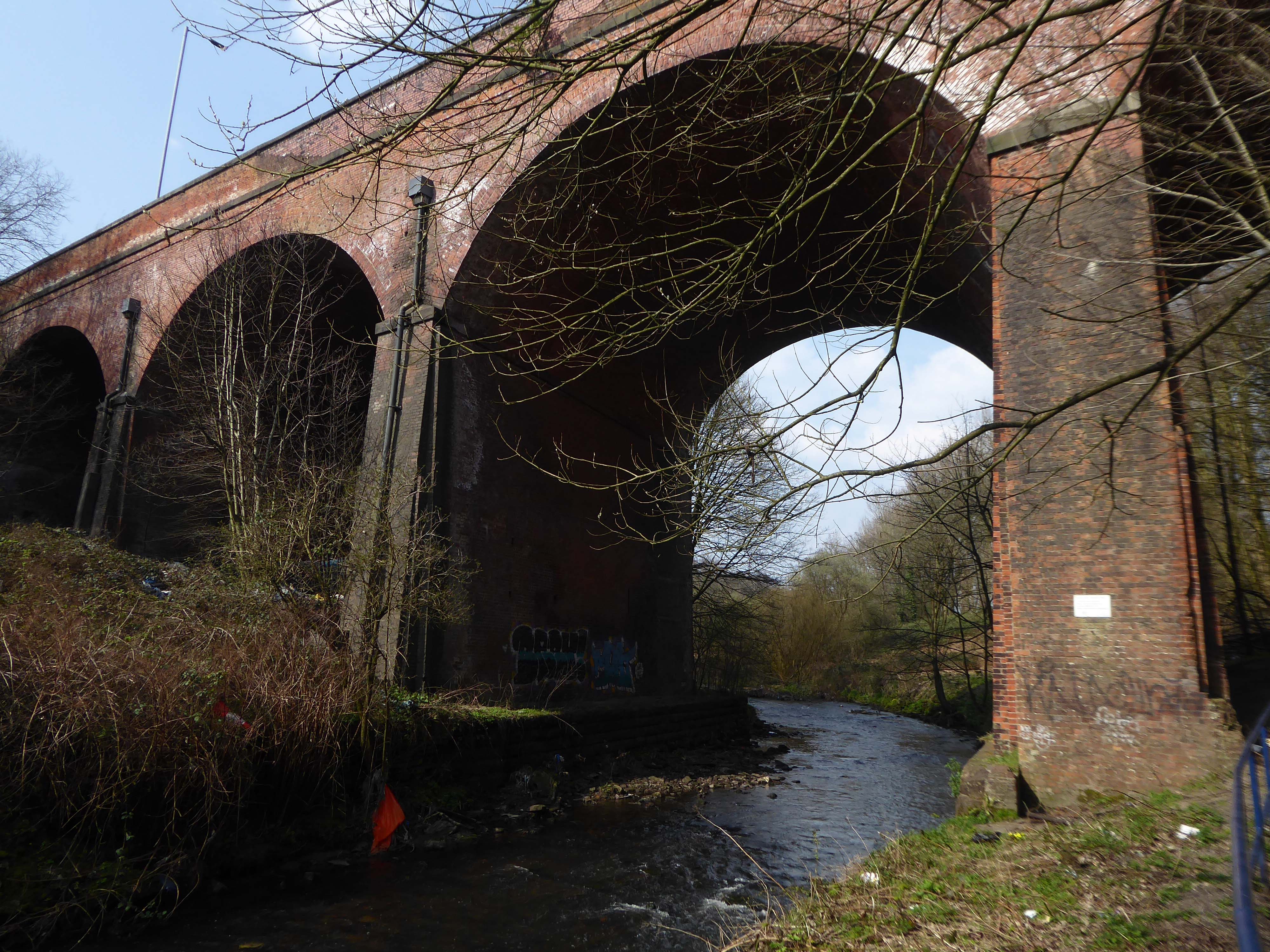
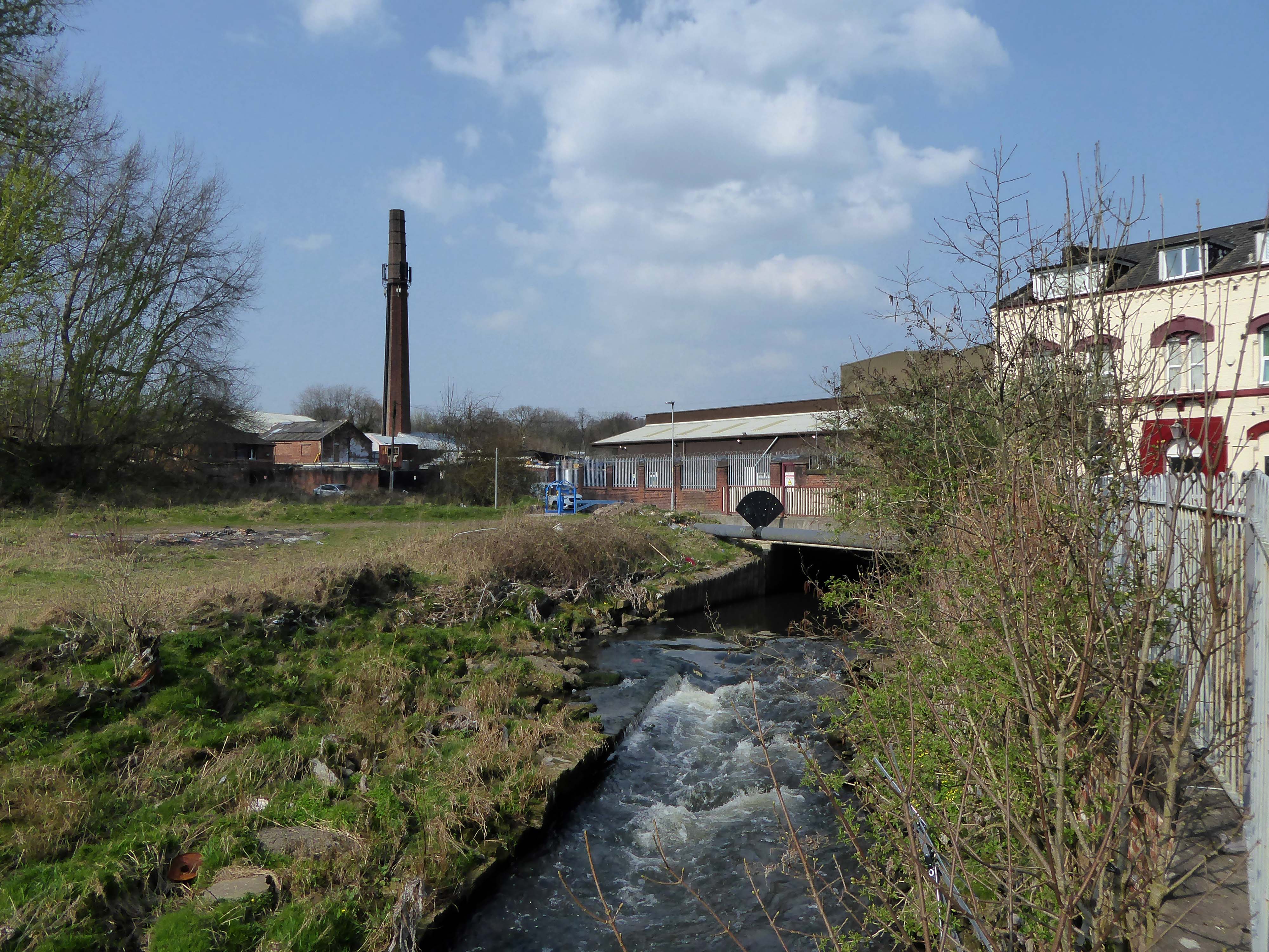
The first leg of a journey to the source of the River Irk beginning behind Victoria, finishing by the Hexagon Towerin Blackley.
The Irk’s name is of obscure etymology, but may be Brittonic in origin and related to the Welsh word iwrch, meaning roebuck
In medieval times, there was a mill by the Irk at which the tenants of the manor ground their corn and its fisheries were controlled by the lord of the manor. In the 16th century, throwing carrion and other offensive matter into the Irk was forbidden. Water for Manchester was drawn from the river before the Industrial Revolution. A bridge over the Irk was recorded in 1381. The river was noted for destructive floods. In 1480, the burgesses of Manchester described the highway between Manchester and Collyhurst which – the water of Irk had worn out. In 1816, of seven bridges over the Irk, six were liable to be flooded after heavy rain but the seventh, the Ducie Bridge completed in 1814 was above flood levels.
According to The New Gazetteer of Lancashire the Irk had – more mill seats upon it than any other stream of its length in the Kingdom and – the eels in this river were formerly remarkable for their fatness, which was attributed to the grease and oils expressed by the mills from the woollen cloths and mixed with the waters.
However, by the start of the 20th century the Irk Valley betweenCrumpsall and Blackley had been left a neglected river – not only the blackest but the most sluggish of all rivers.
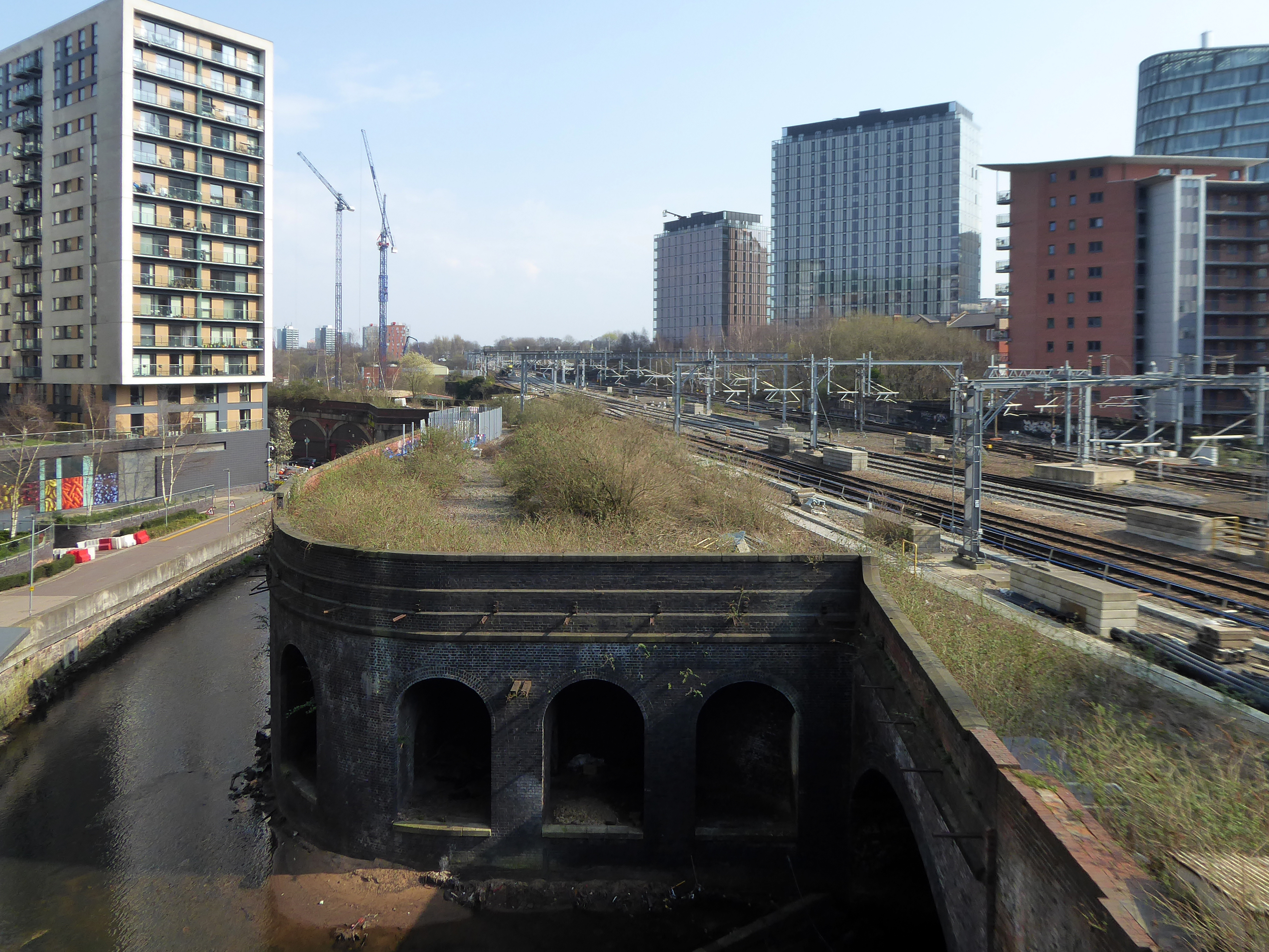
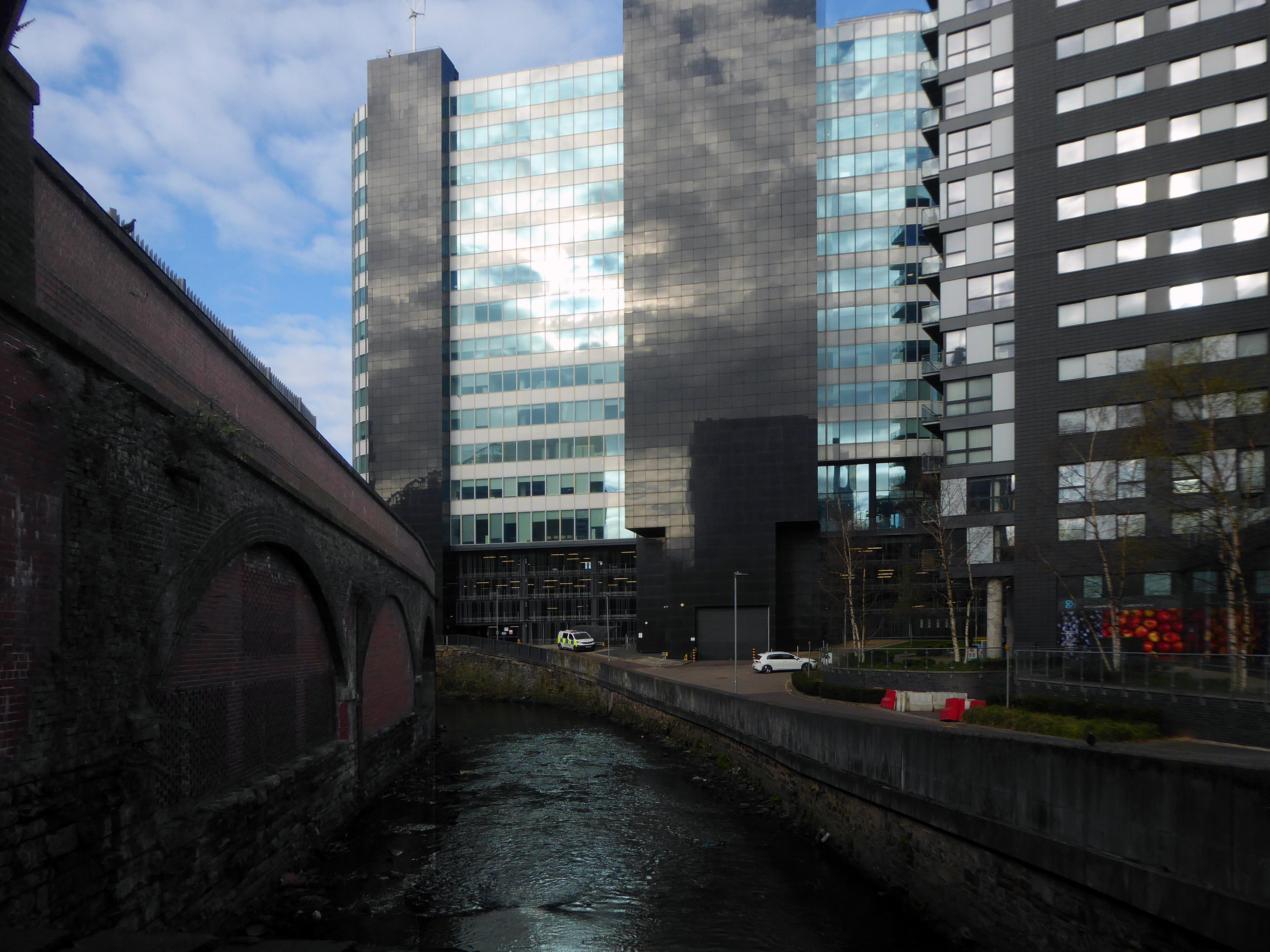
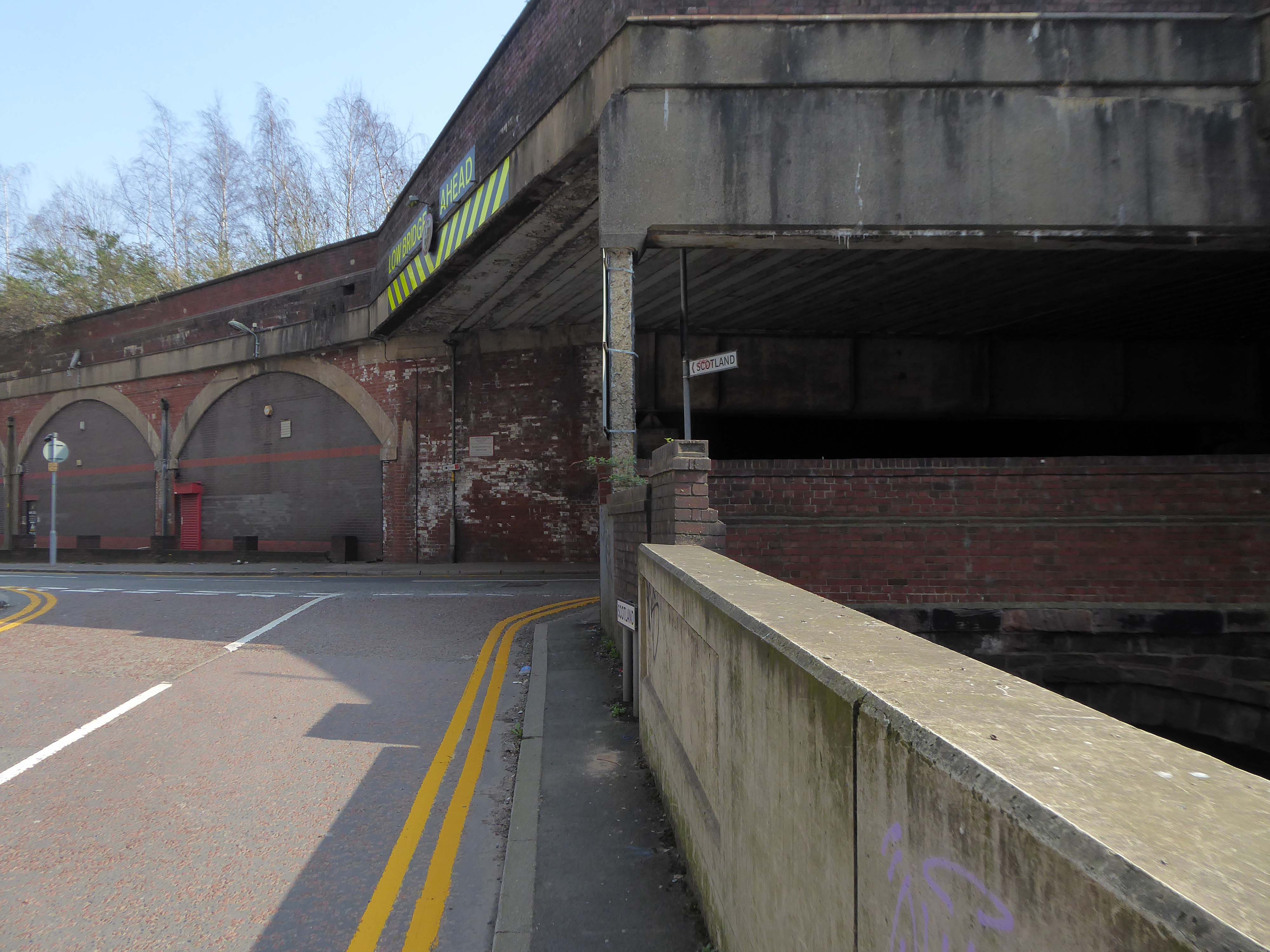
The river emerges from beneath the city into an area named Scotland – a remnant of Manchester’s links with the Jacobite Rebellion.
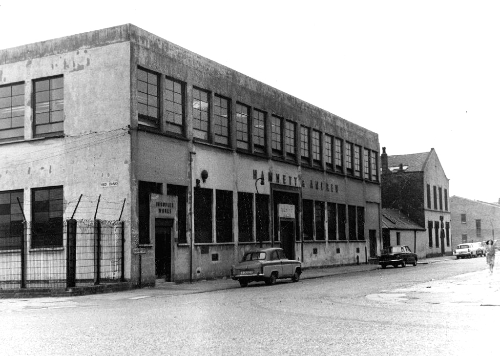
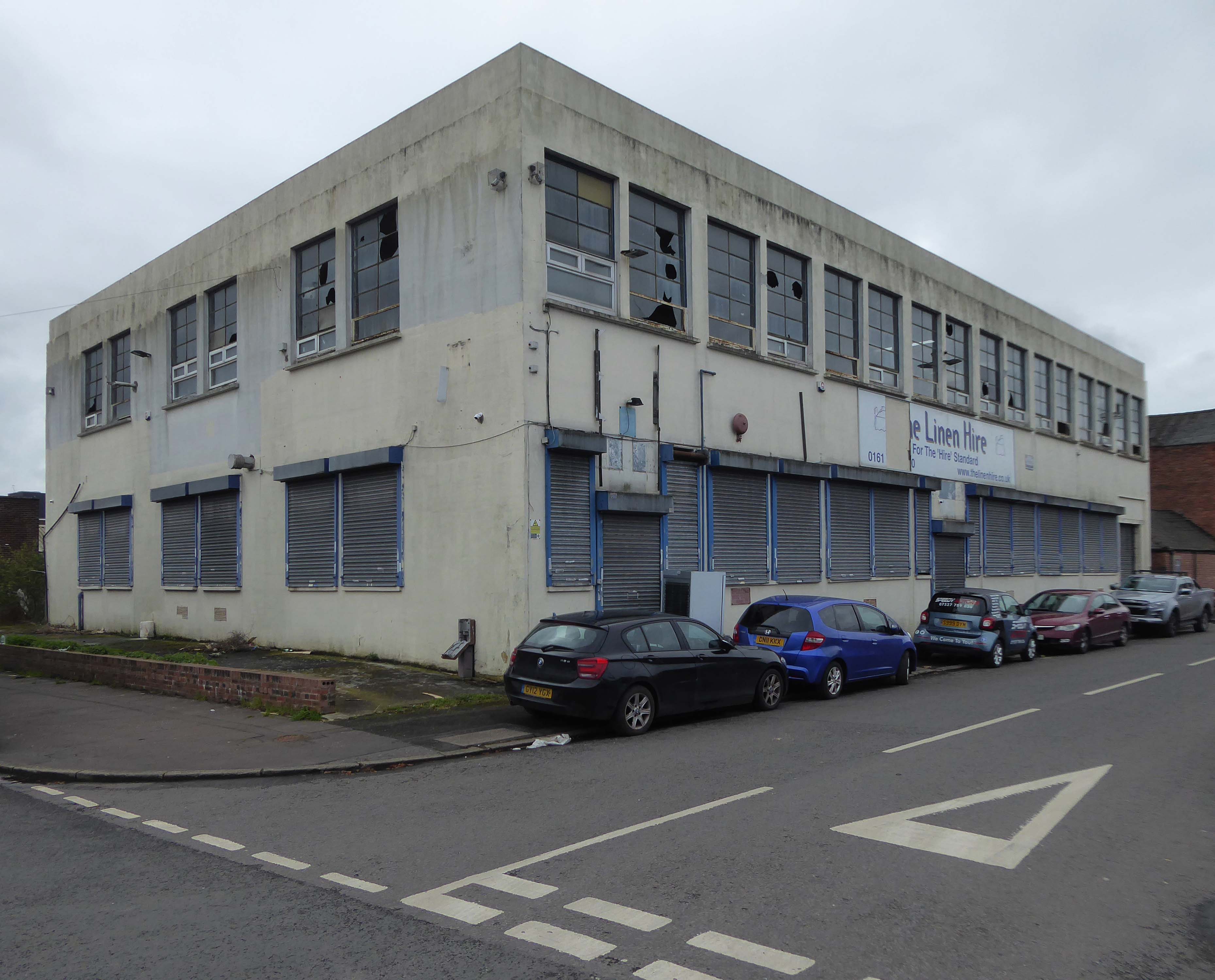
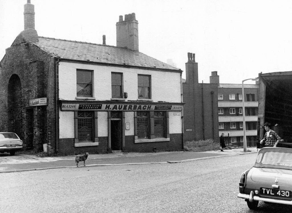
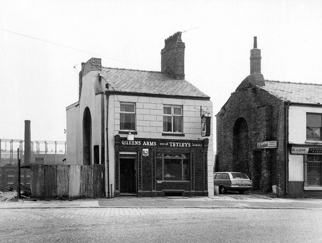
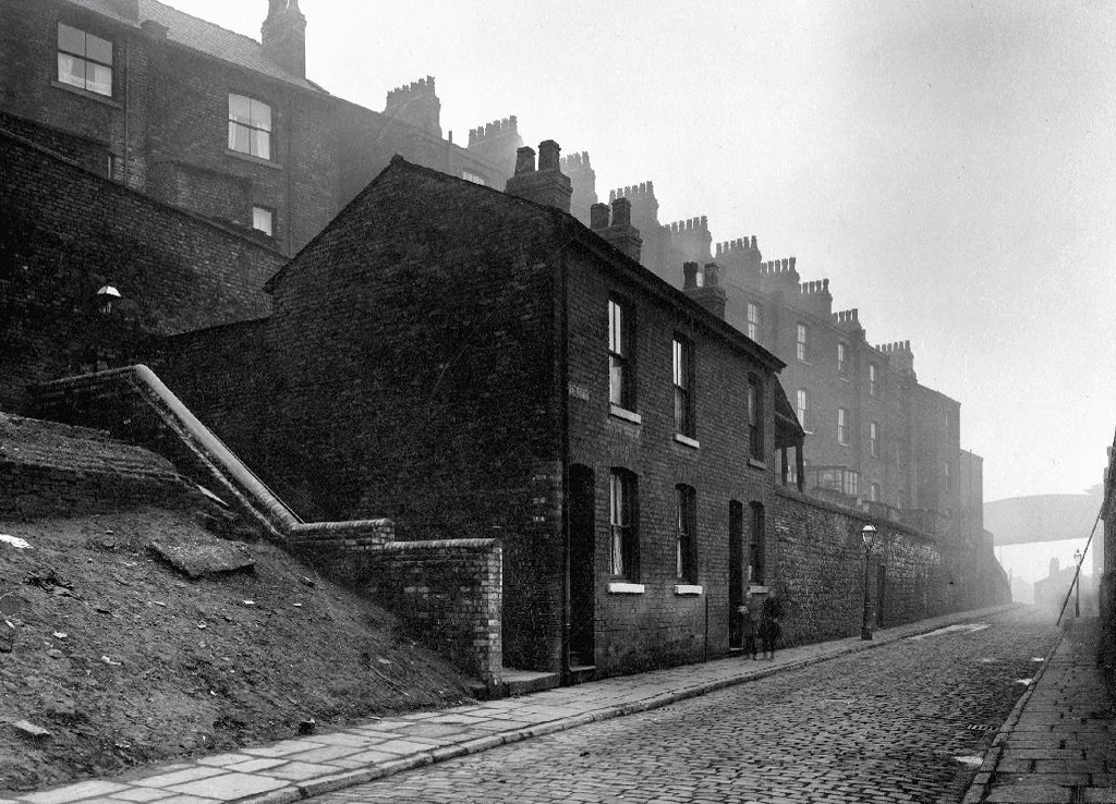
To the left were the squalid Victorian homes of Red Bank – currently presenting as the Green Quarter.
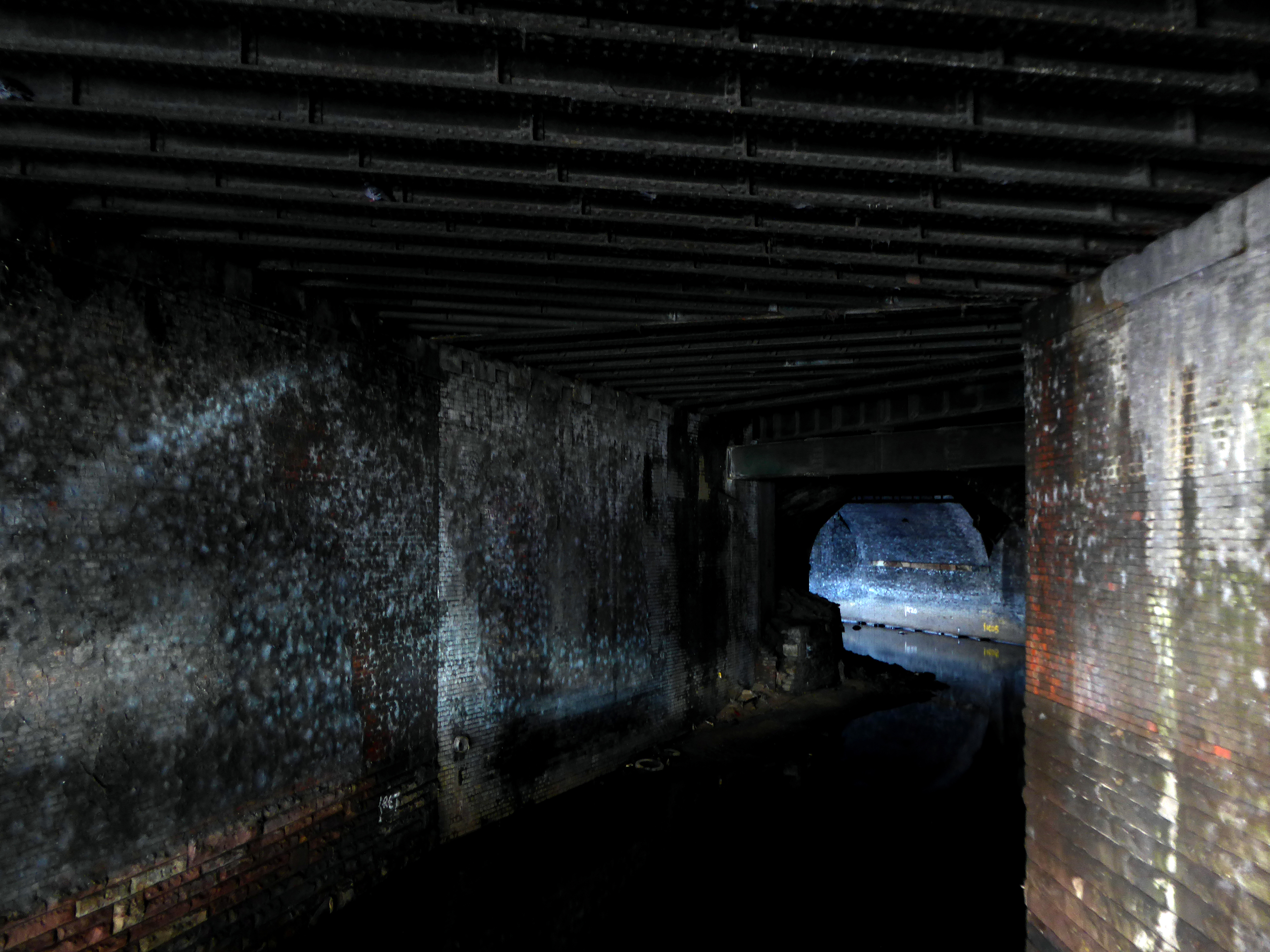
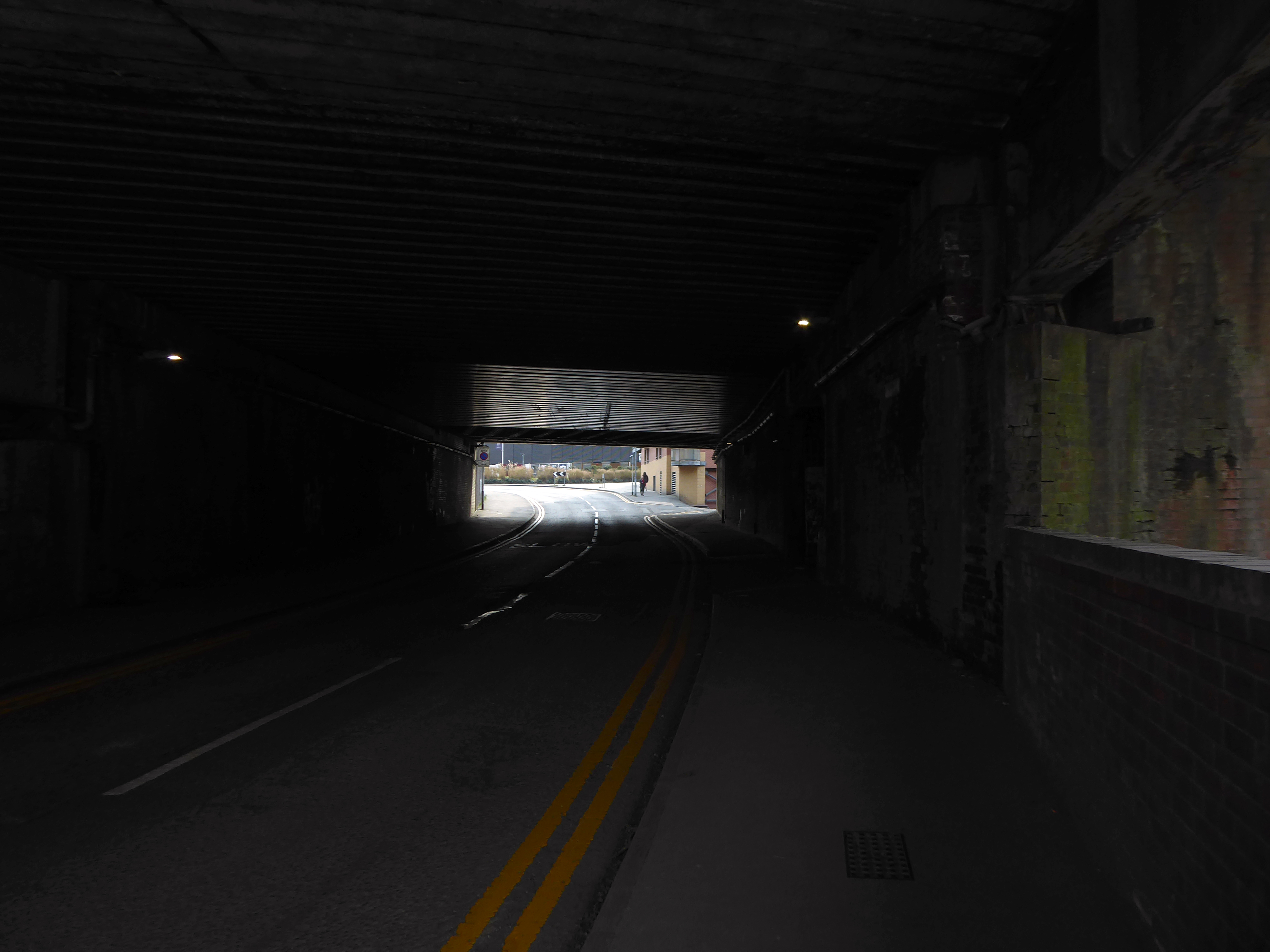
The river briefly becomes subterranean again.
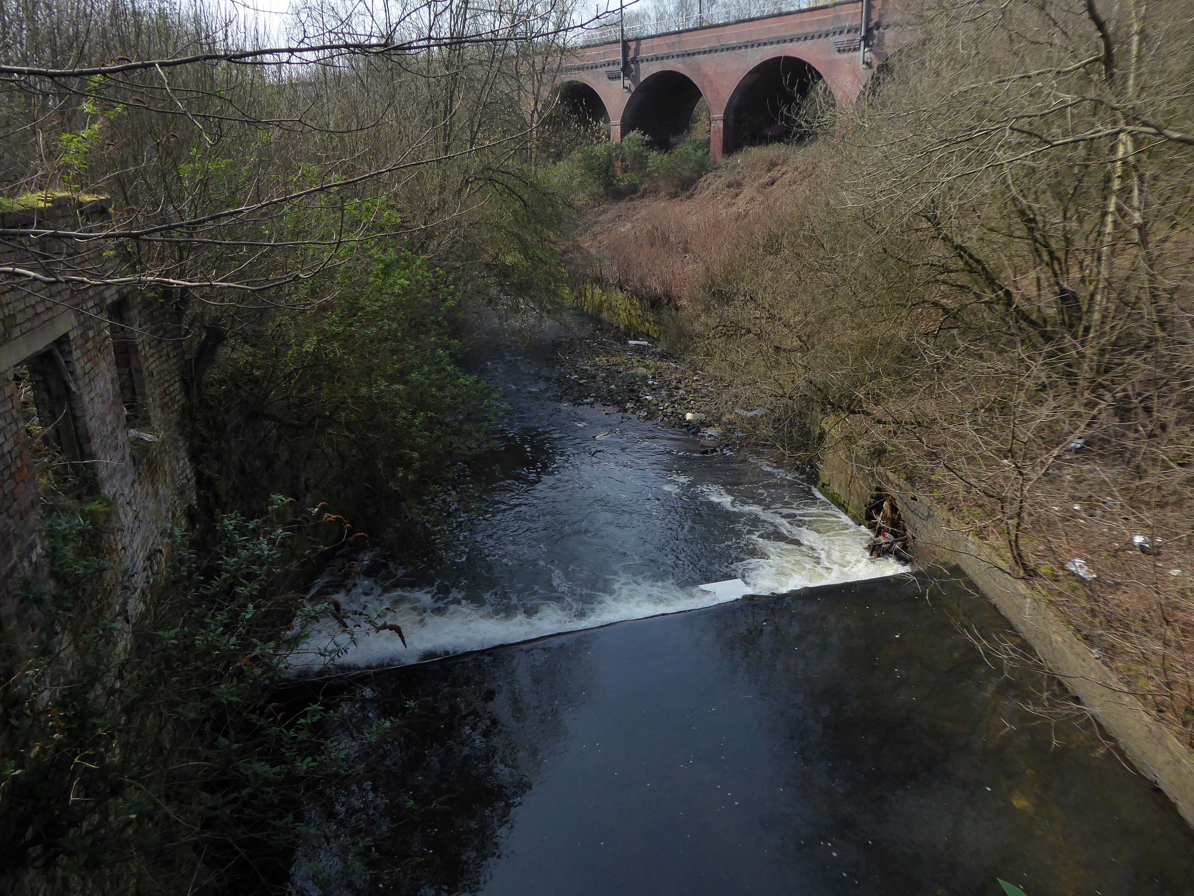
This is a river with an ignominious history – famously damned by émigré Friedrich Engels.
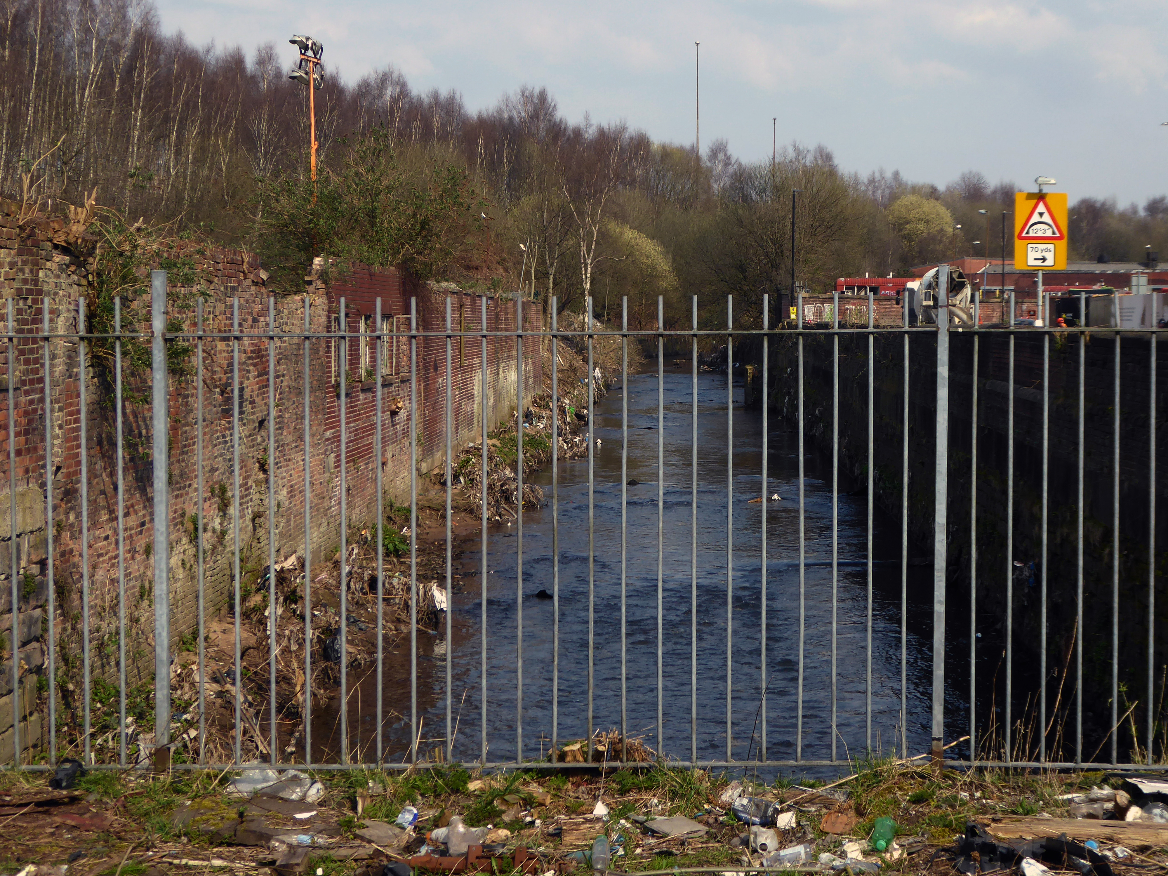
At the bottom flows, or rather stagnates, the Irk, a narrow, coal-black, foul-smelling stream, full of debris and refuse, which it deposits on the shallower right bank.
Spanning the defunct railway workings, affording a view of the brightly blooming city centre.
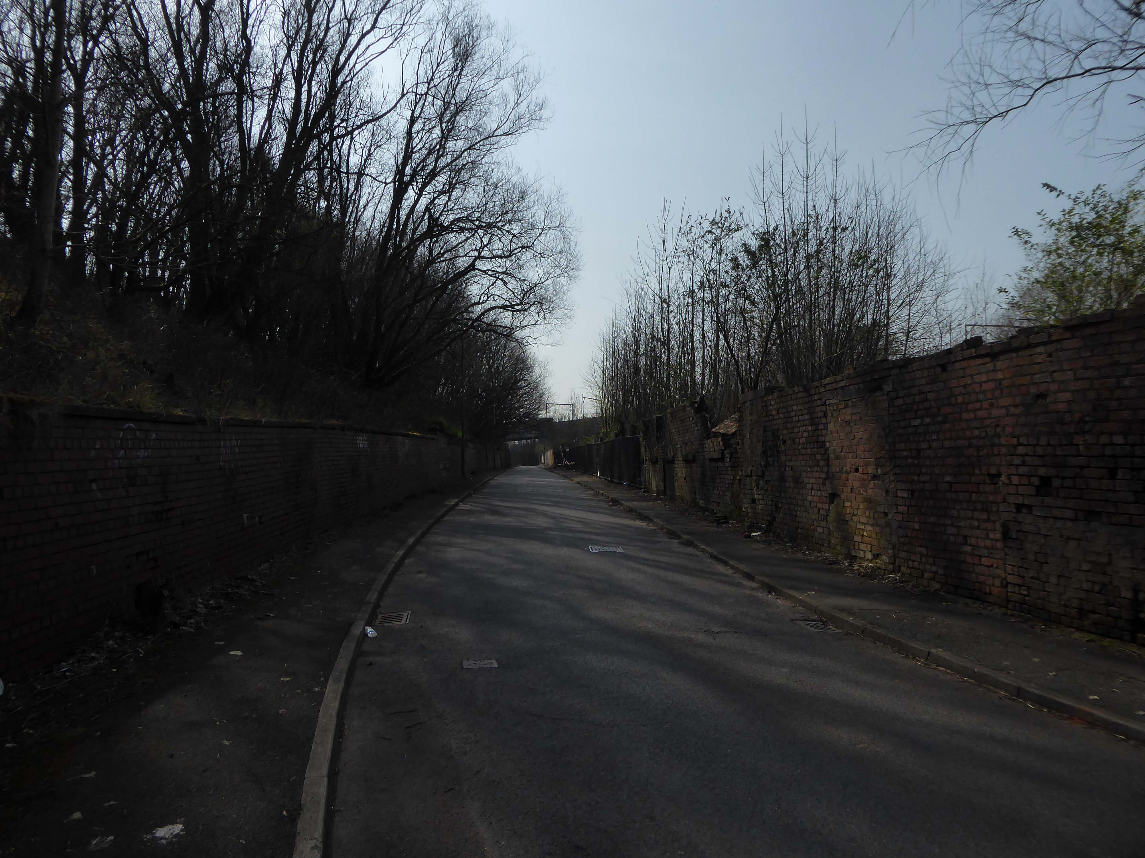
Leaving Collyhurst Road, we journey along Smedley Road.
Seen here in 1934.
Passing beneath Queens Road – Queens Park to the right.
Queen’s Park was one of Britain’s first municipal parks created in 1846. The park was originally arranged around Hendham Hall, home of the Houghton family however this was demolished in 1884.
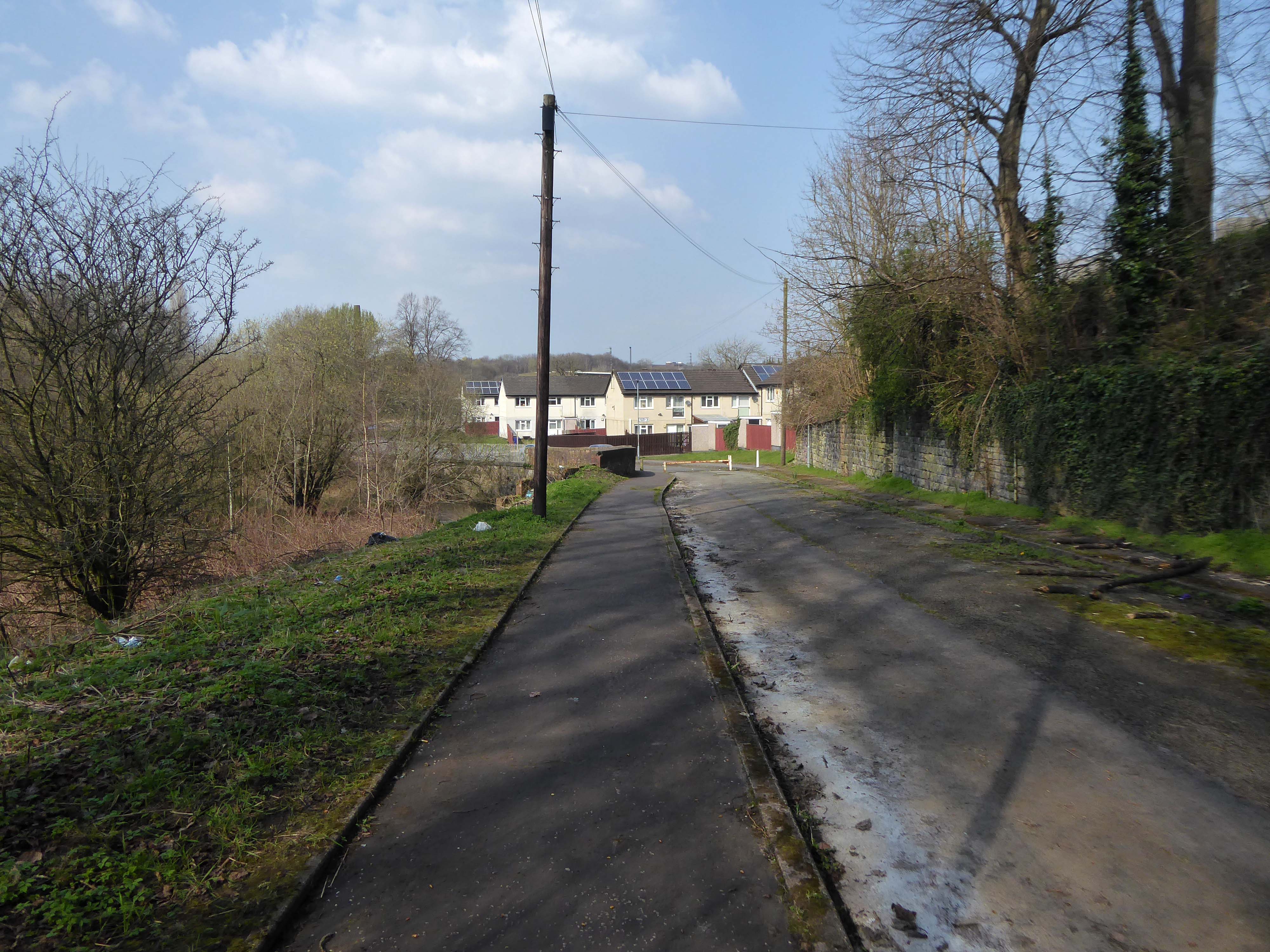
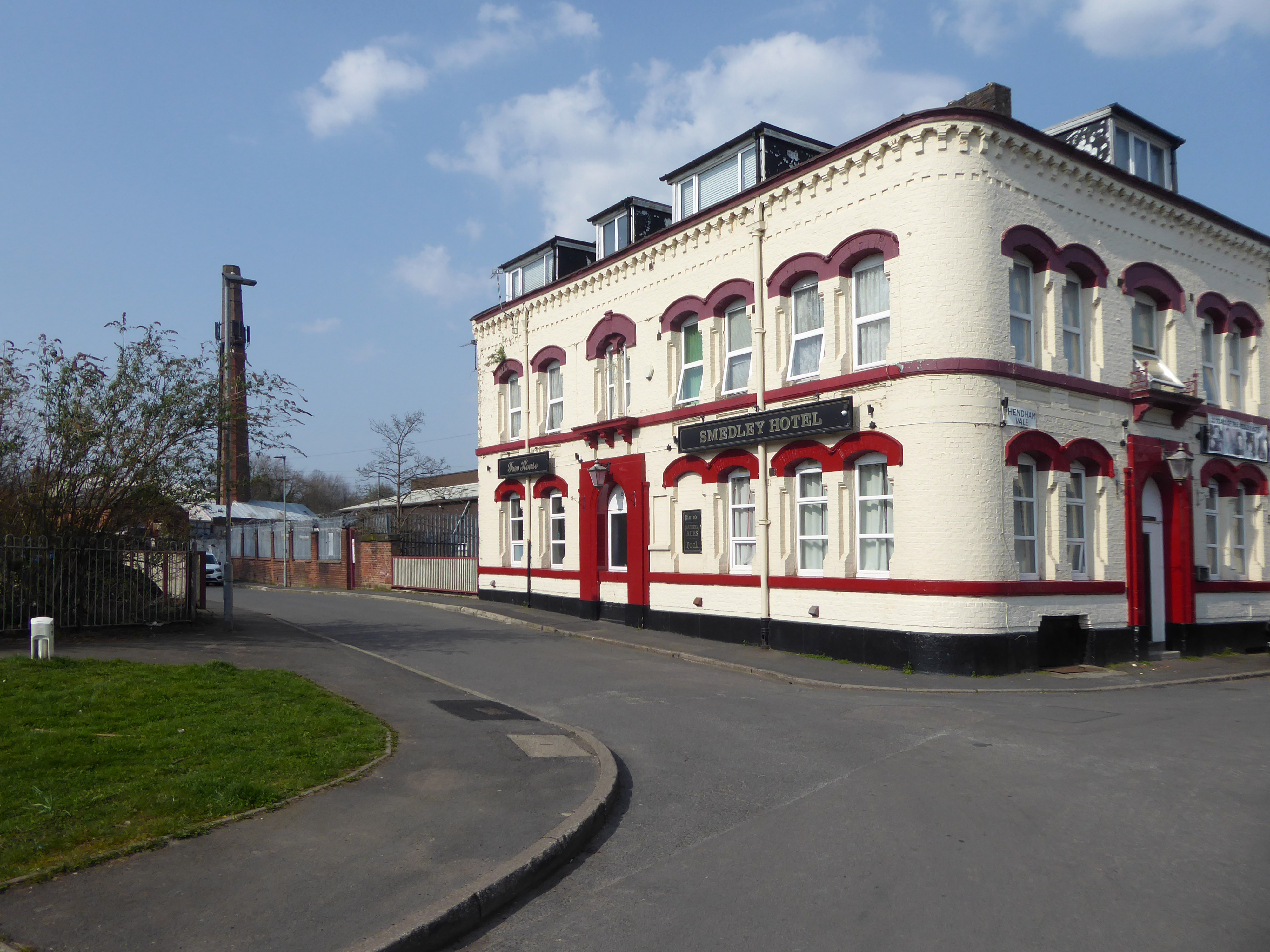
Dropping down to Hendham Vale.
To the right is the Smedley Hotel.
The Smedley Hotel is a very large pub that is hidden away on a quiet back street.Once inside there were a few different rooms and I had a drink in the bar which was fairly large and seemed in need of some attention. The pub still had its old Chesters signs outside and there were three real ales on the bar. I had a drink of Chesters bitter and this was a very nice drink the other beers were Chesters mild and Boddington’s bitter.
I thought this pub would be long gone but it is still standing and I think open for business.
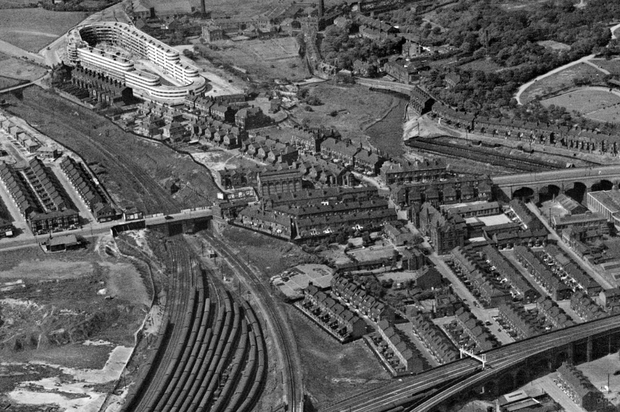
Lost to the world are the Manchester Moderne flats of Kennet House overlooking the Irk Valley on Smedley Lane.
Hendham Way becomes a pedestrianised lane.
Taking the road up and then down, returning to the river, and following the wrong path – alongside the Hapurhey Reservoir and Ponds.
A remnant of the industrial era the reservoirs and ponds, once used by the factories as a source of water, have over the year become a thriving habitat which supports a substantial amount of wildlife.
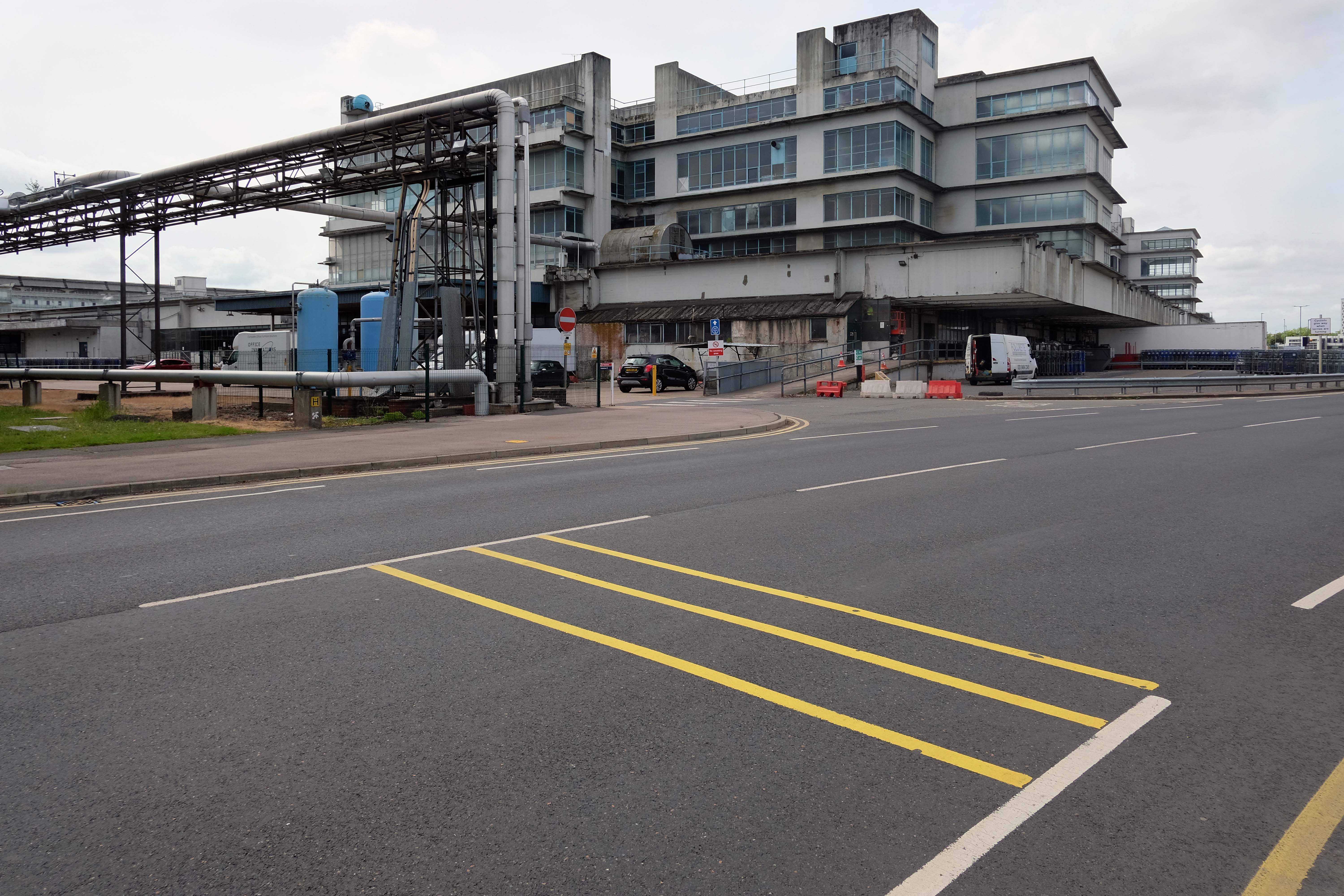
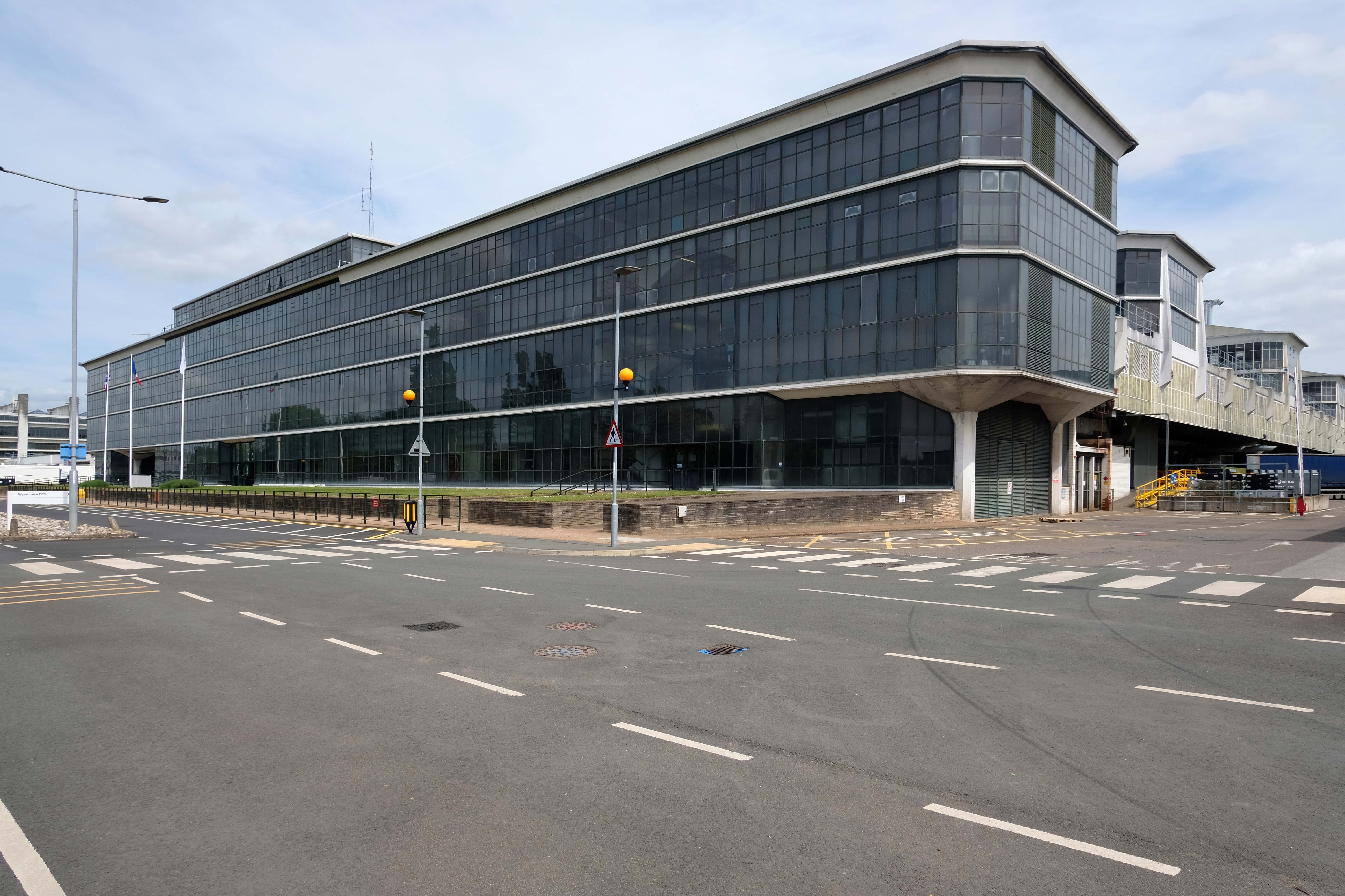
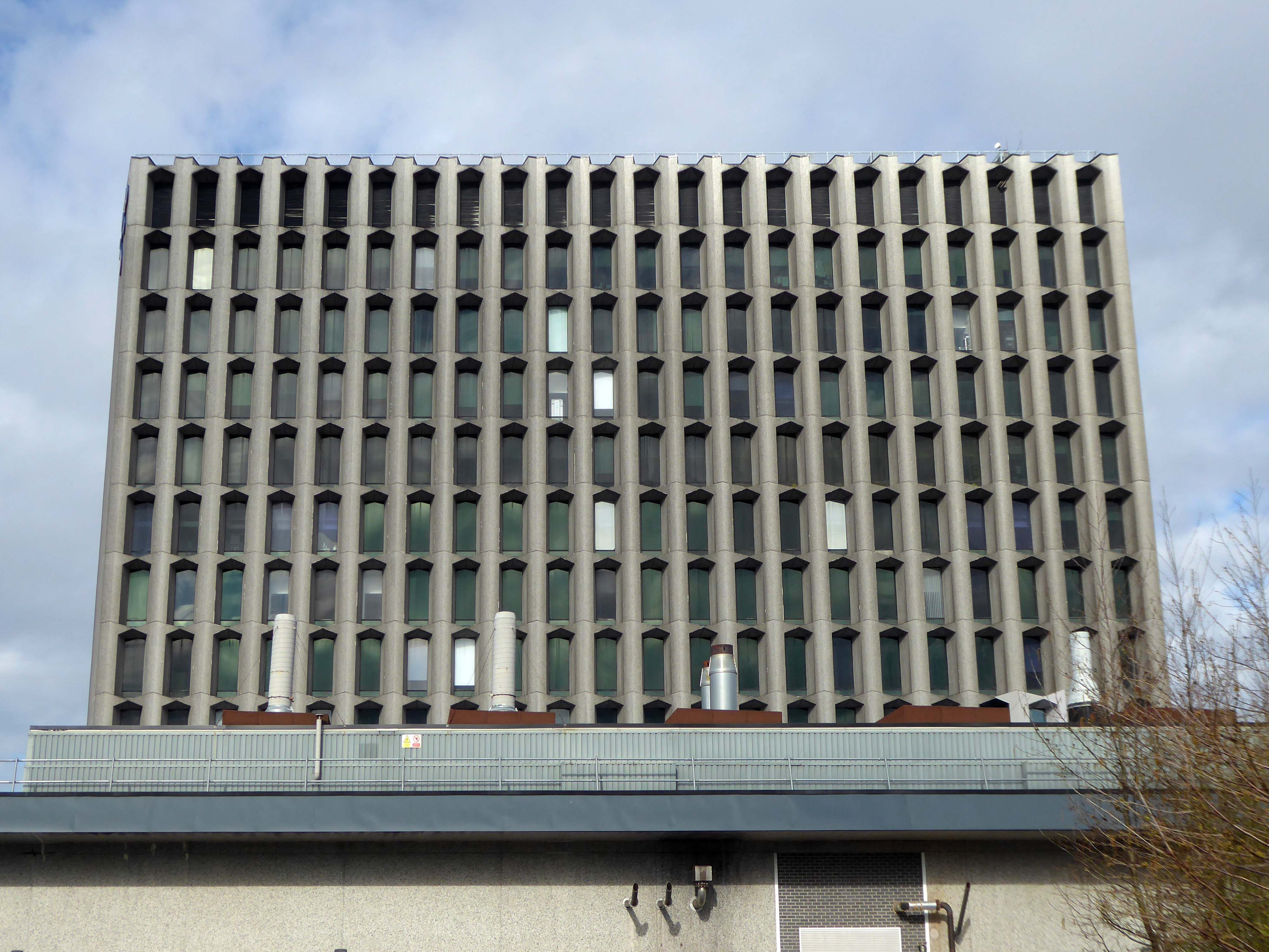
Then cutting back and regaining the correct path.Finally arriving at the Hexagon Tower.