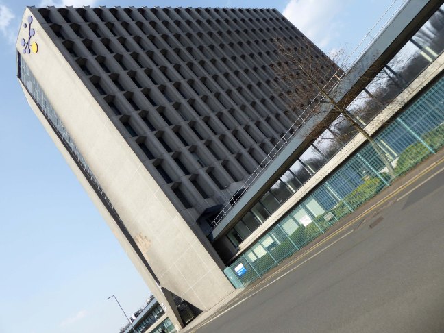
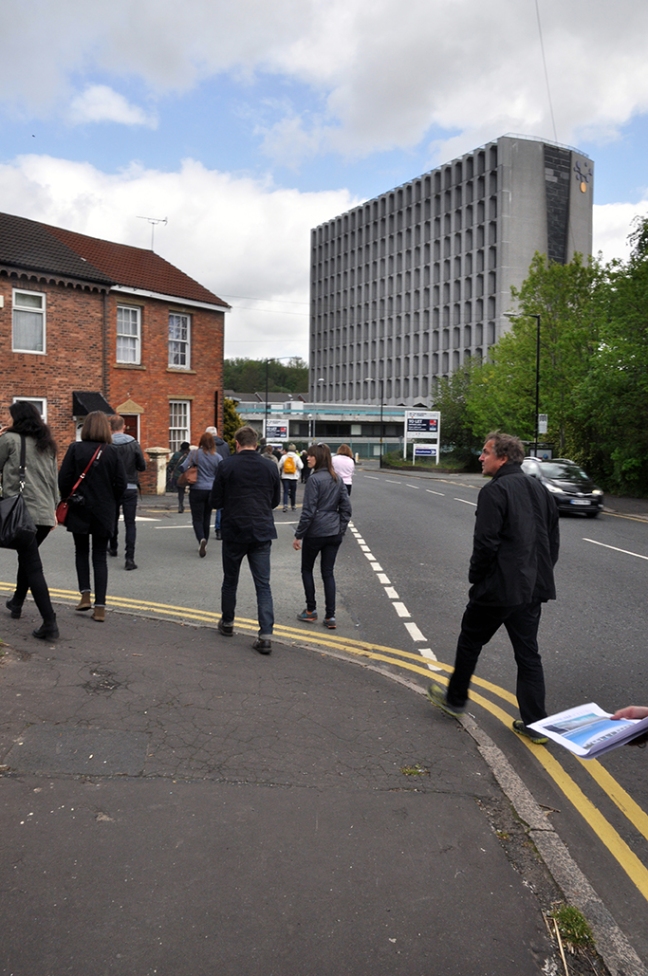
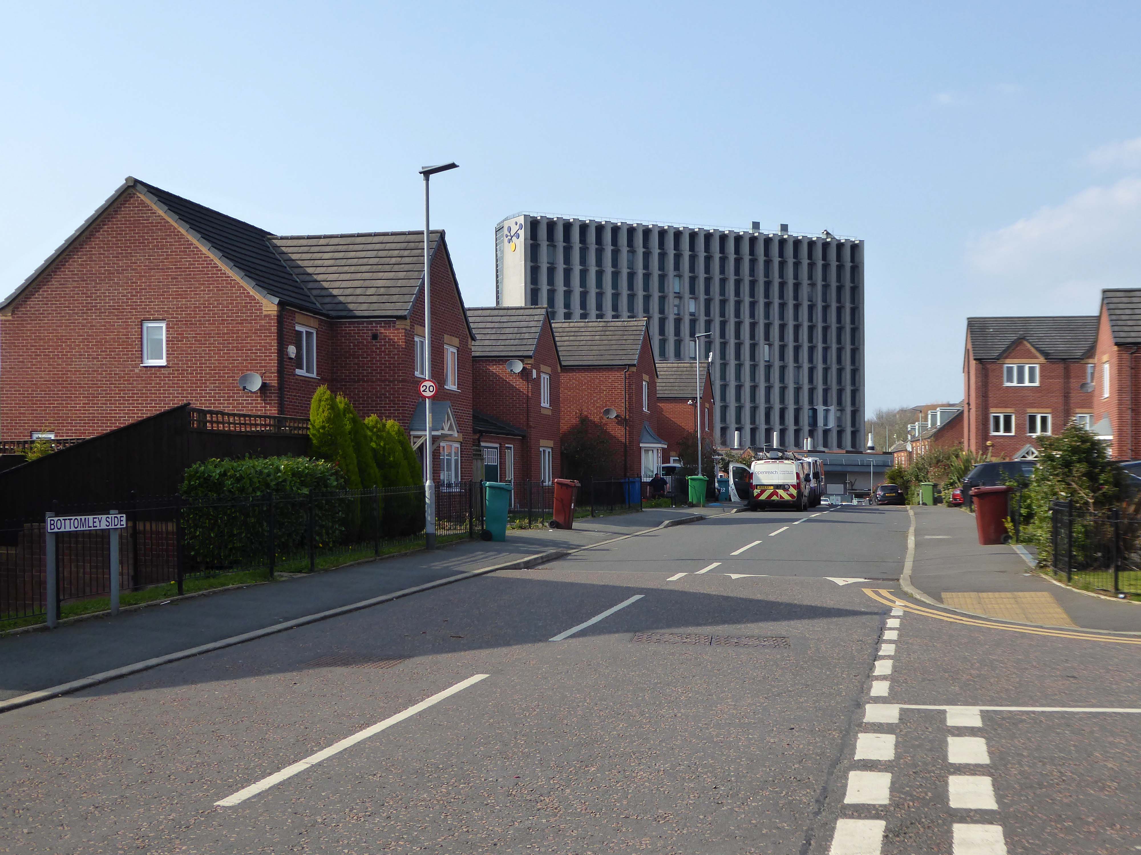
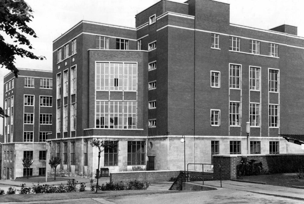
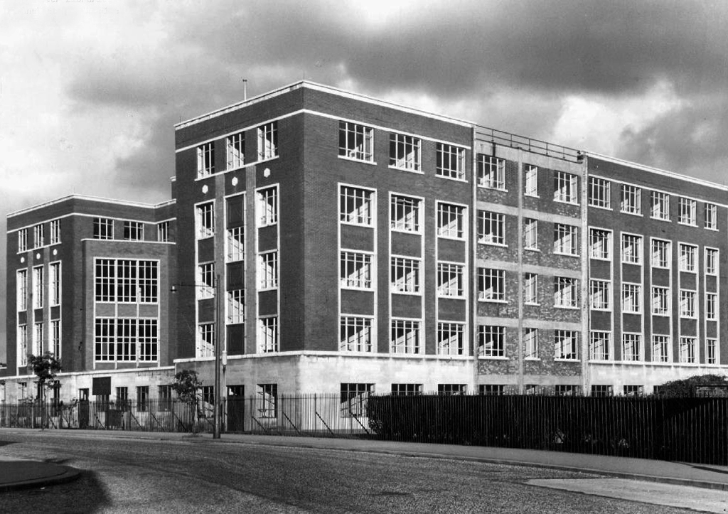
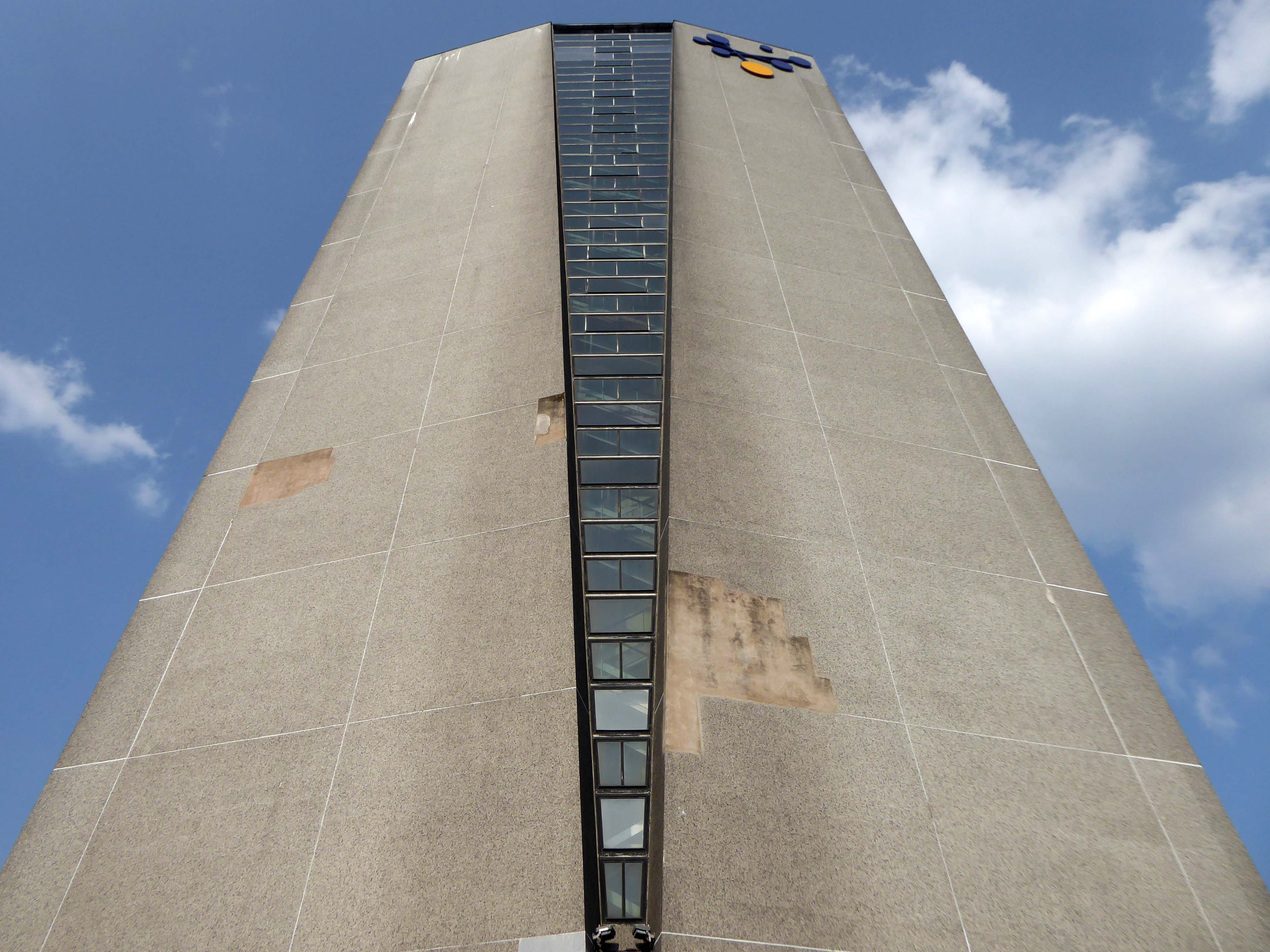
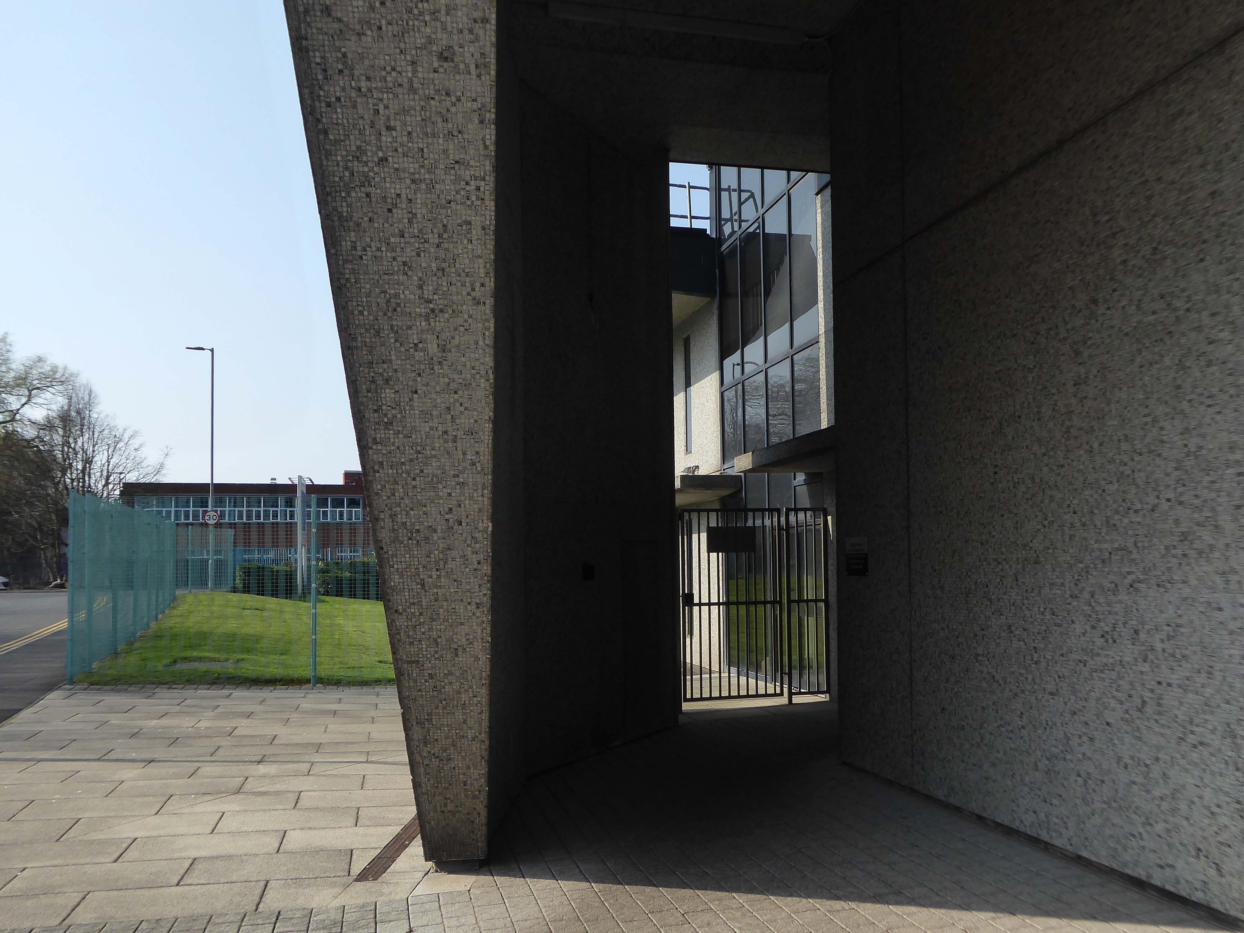
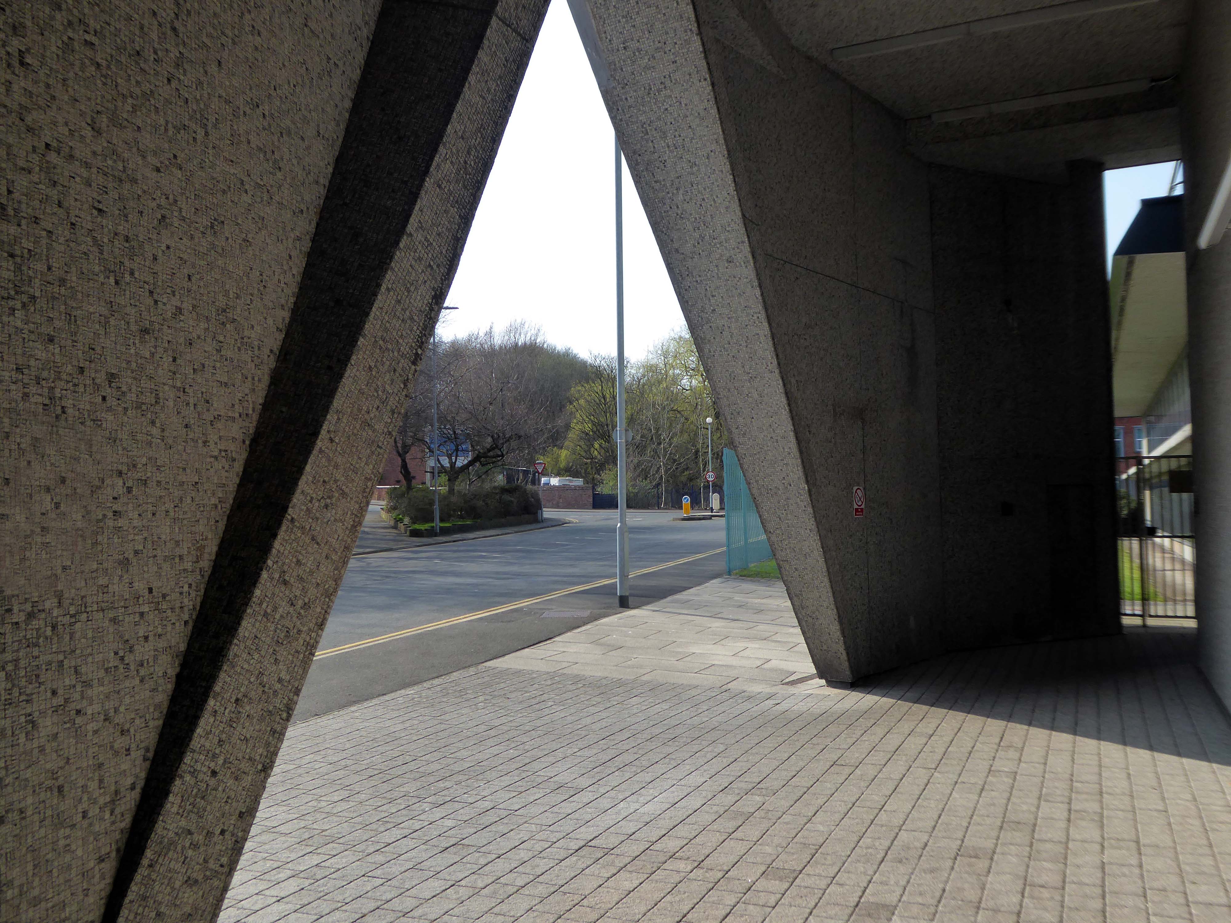
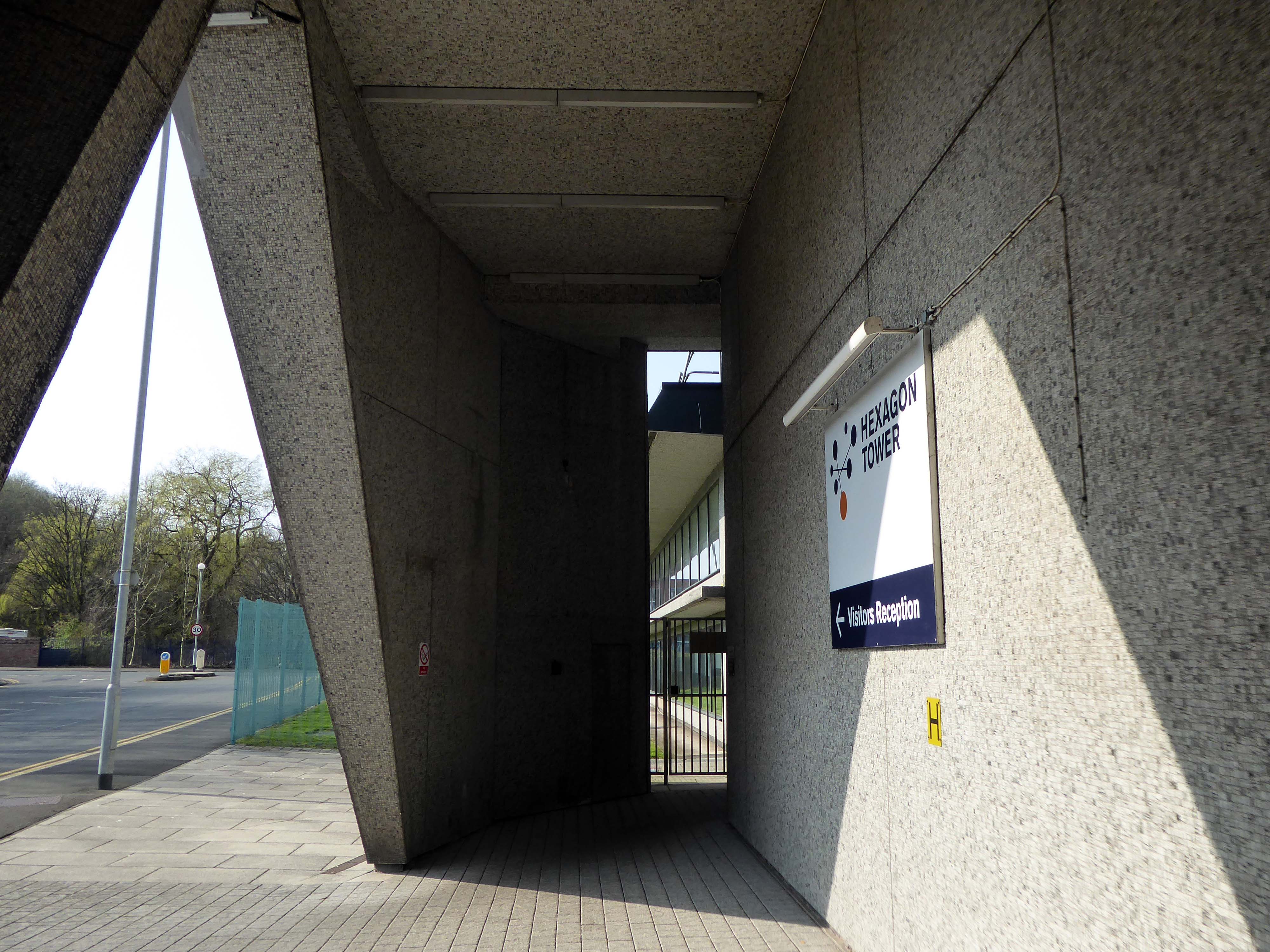
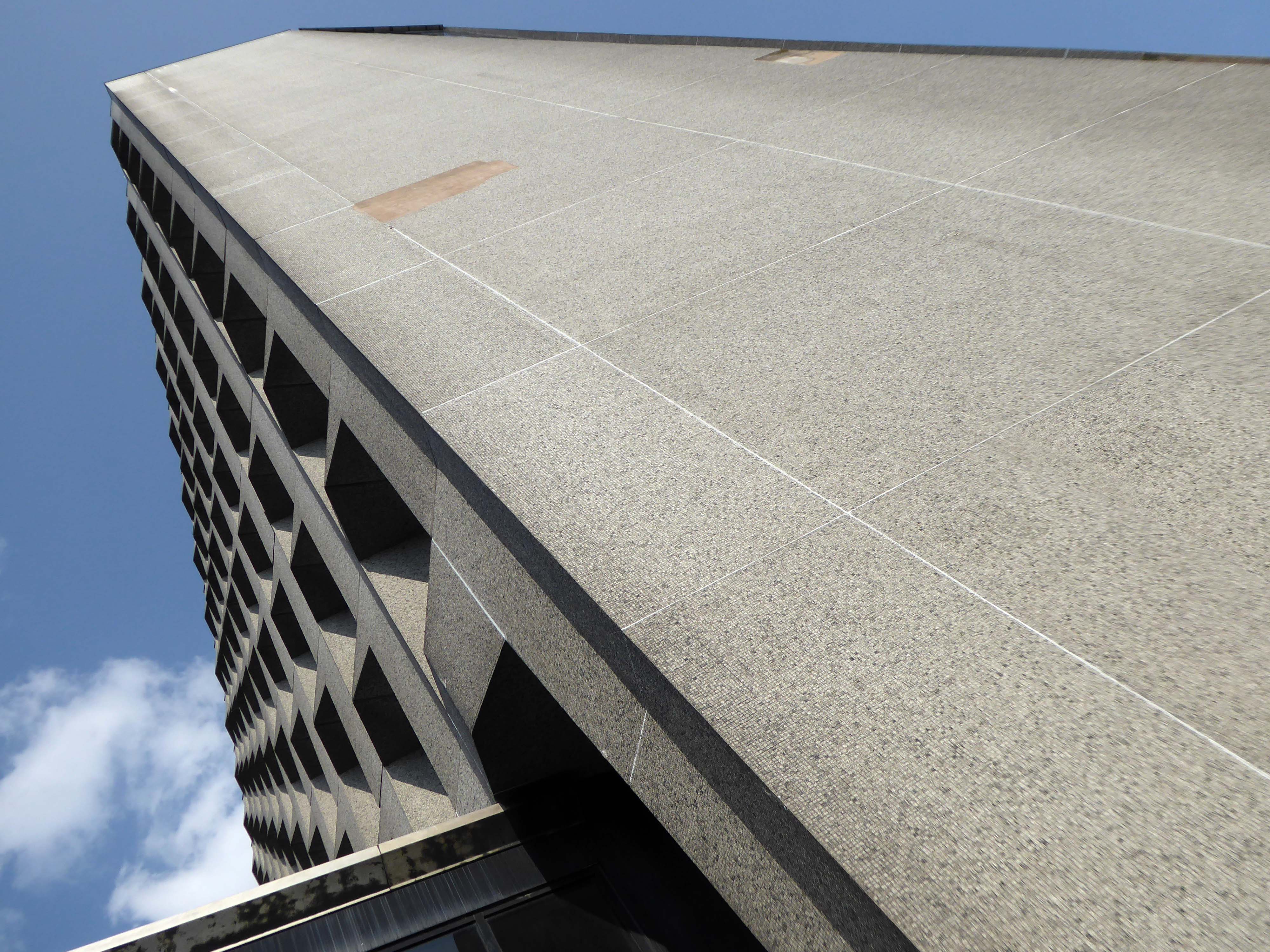
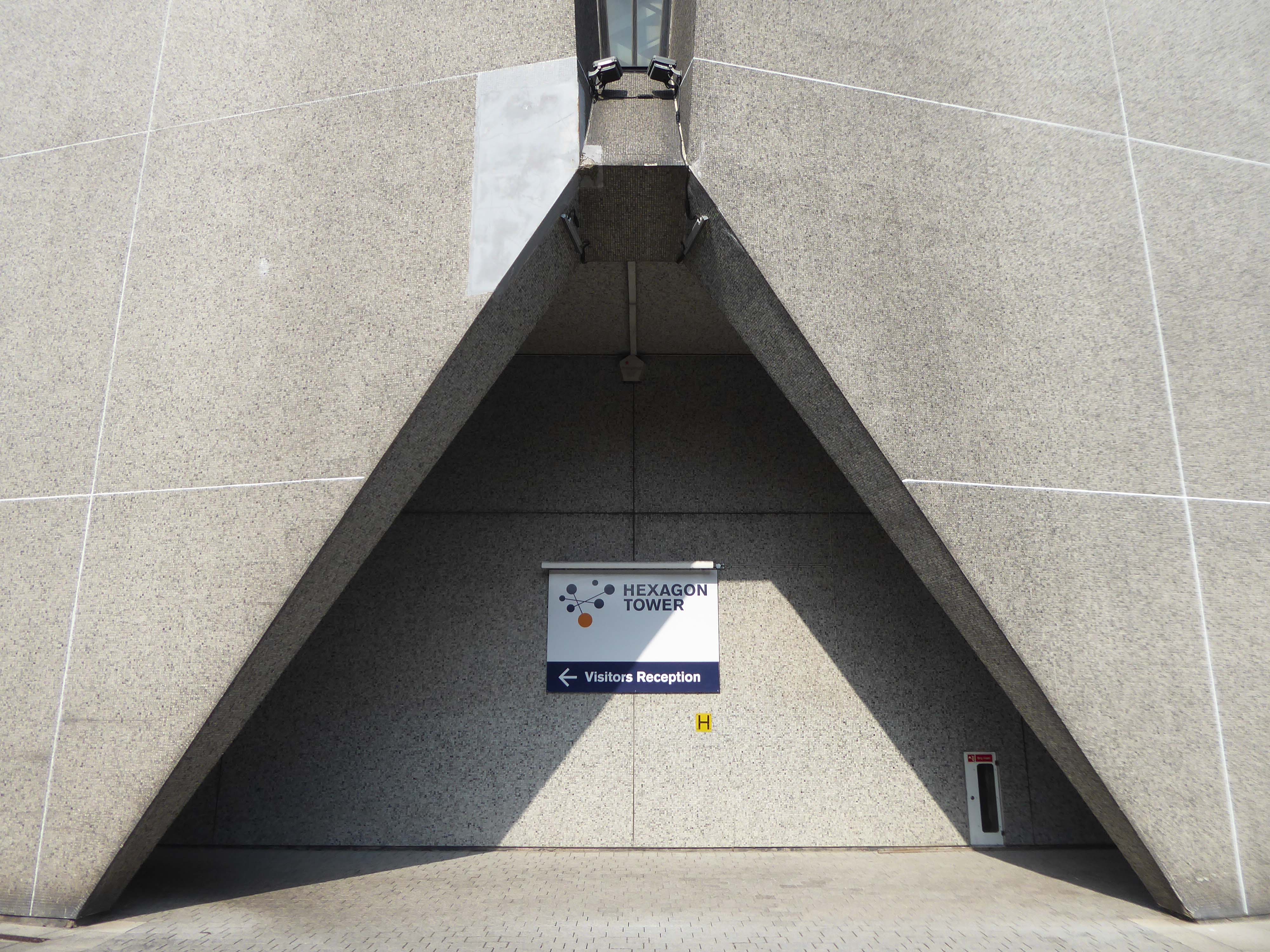
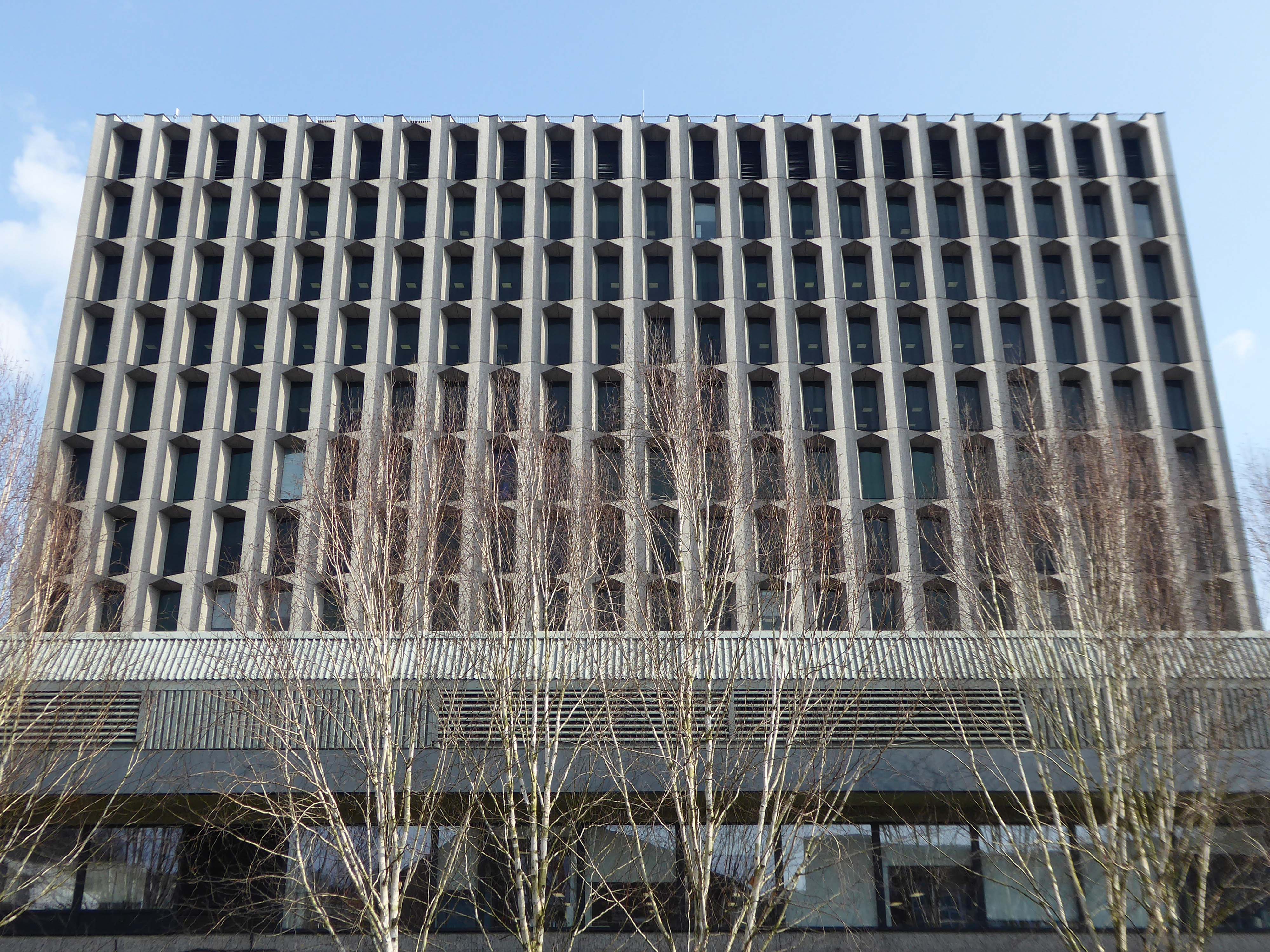
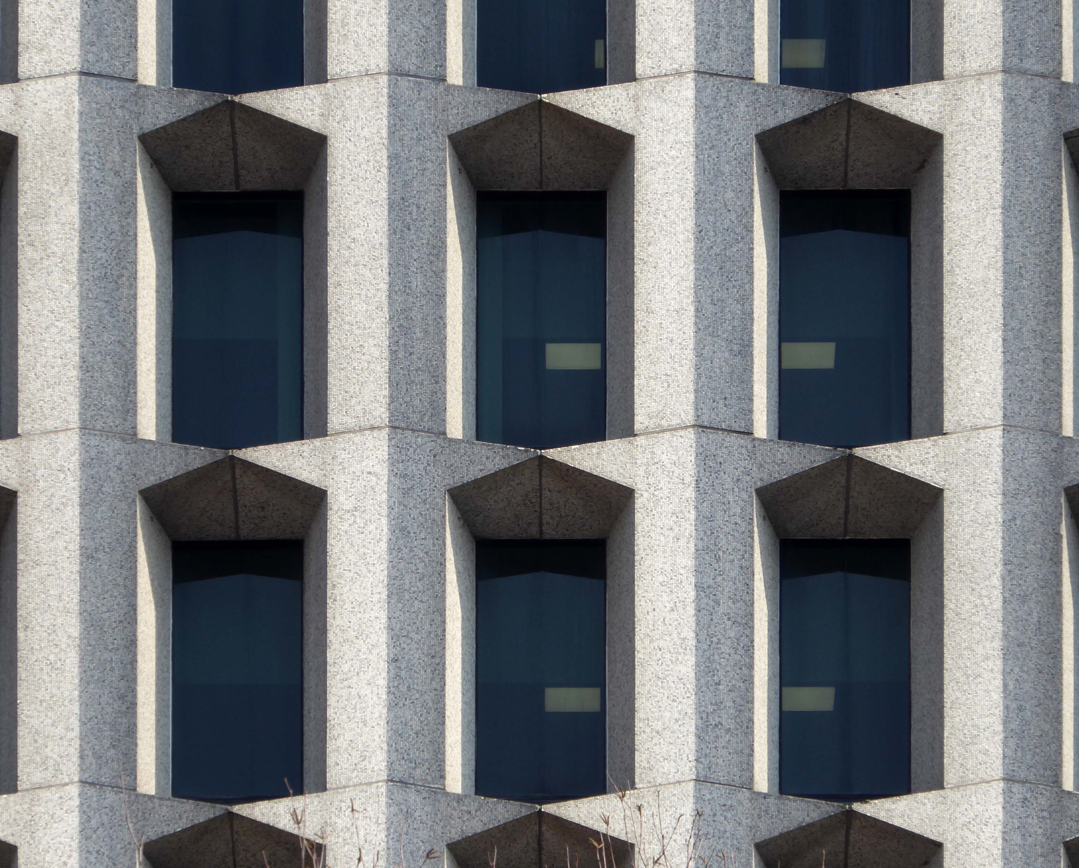
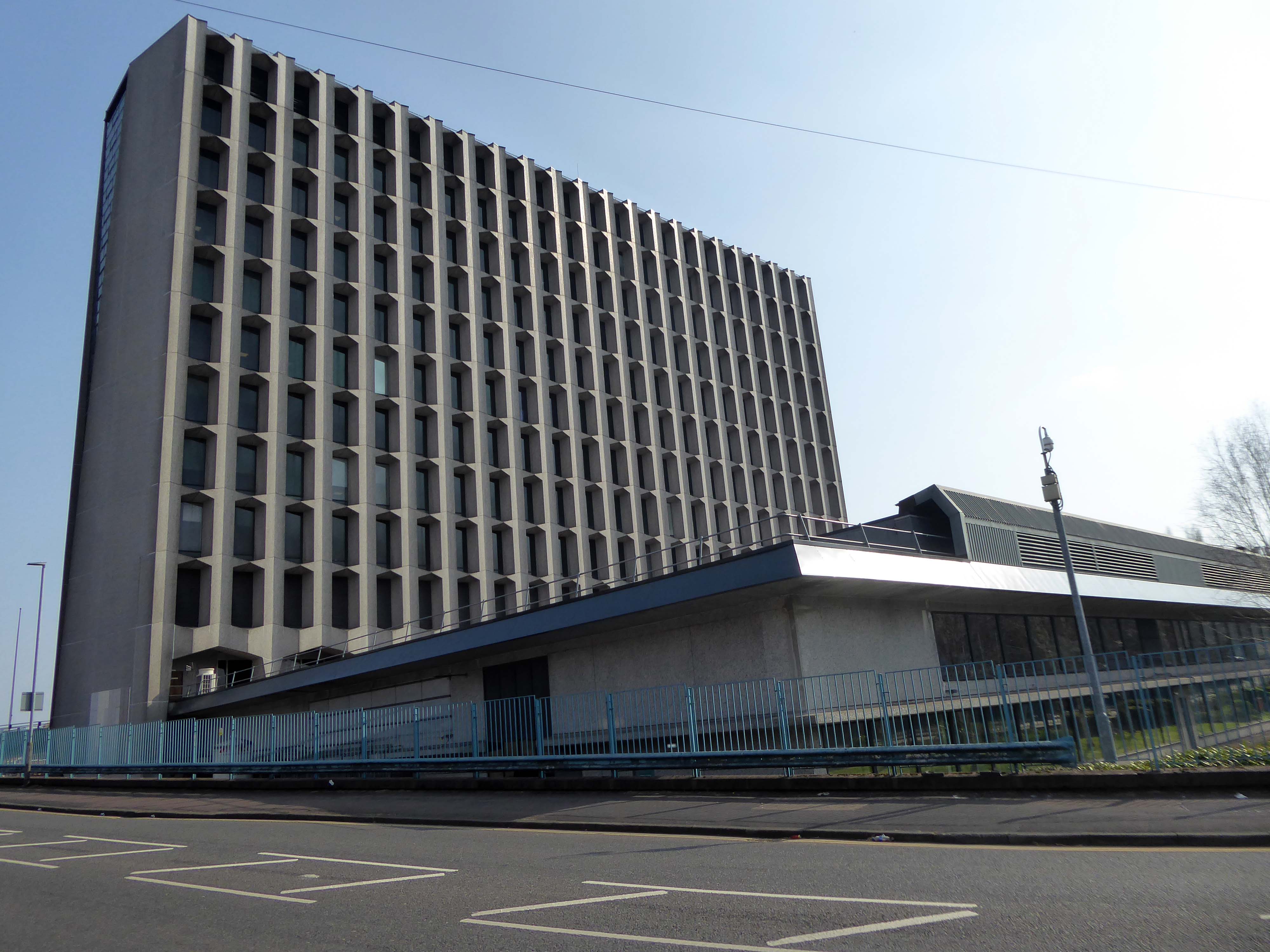
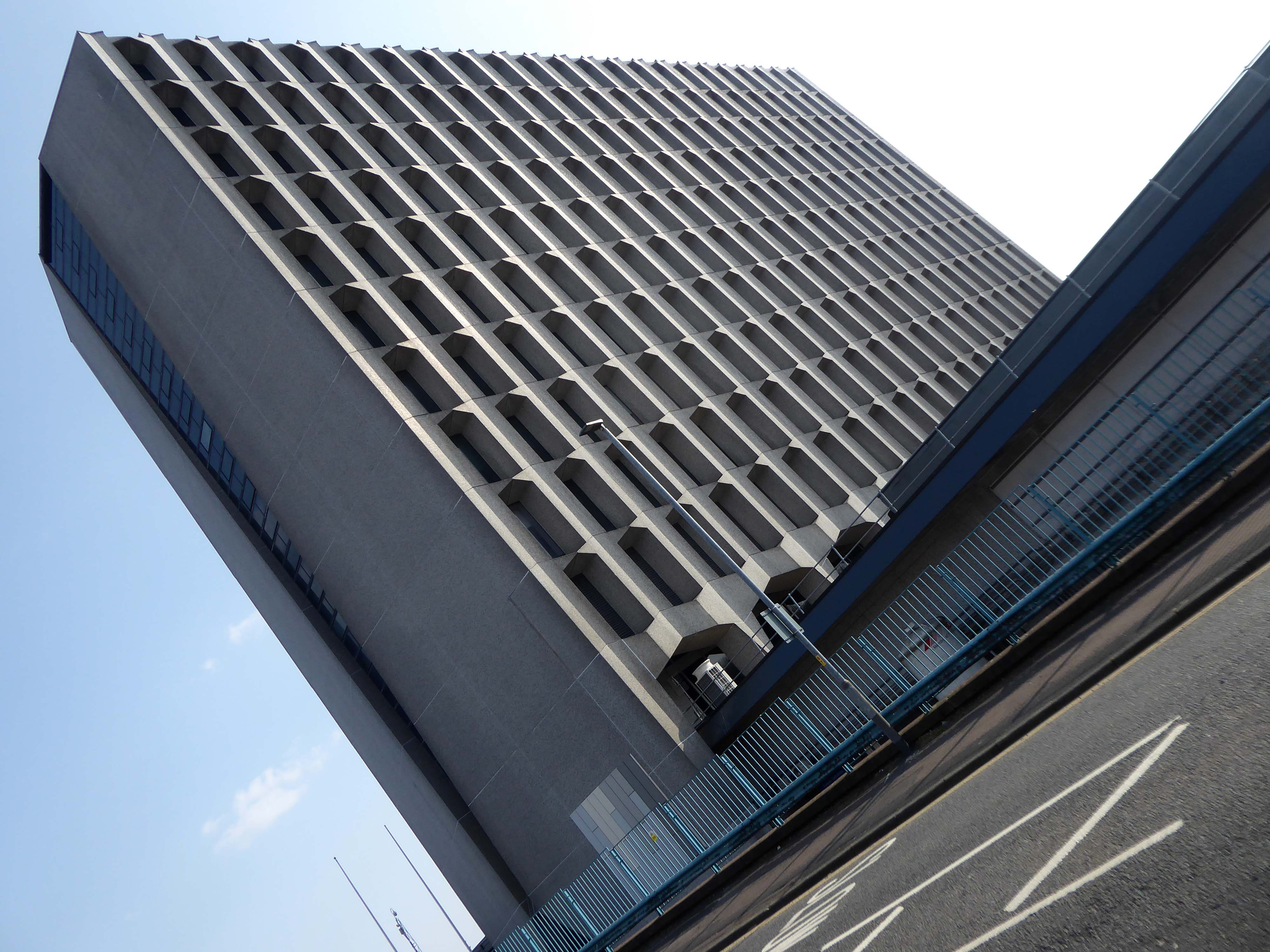
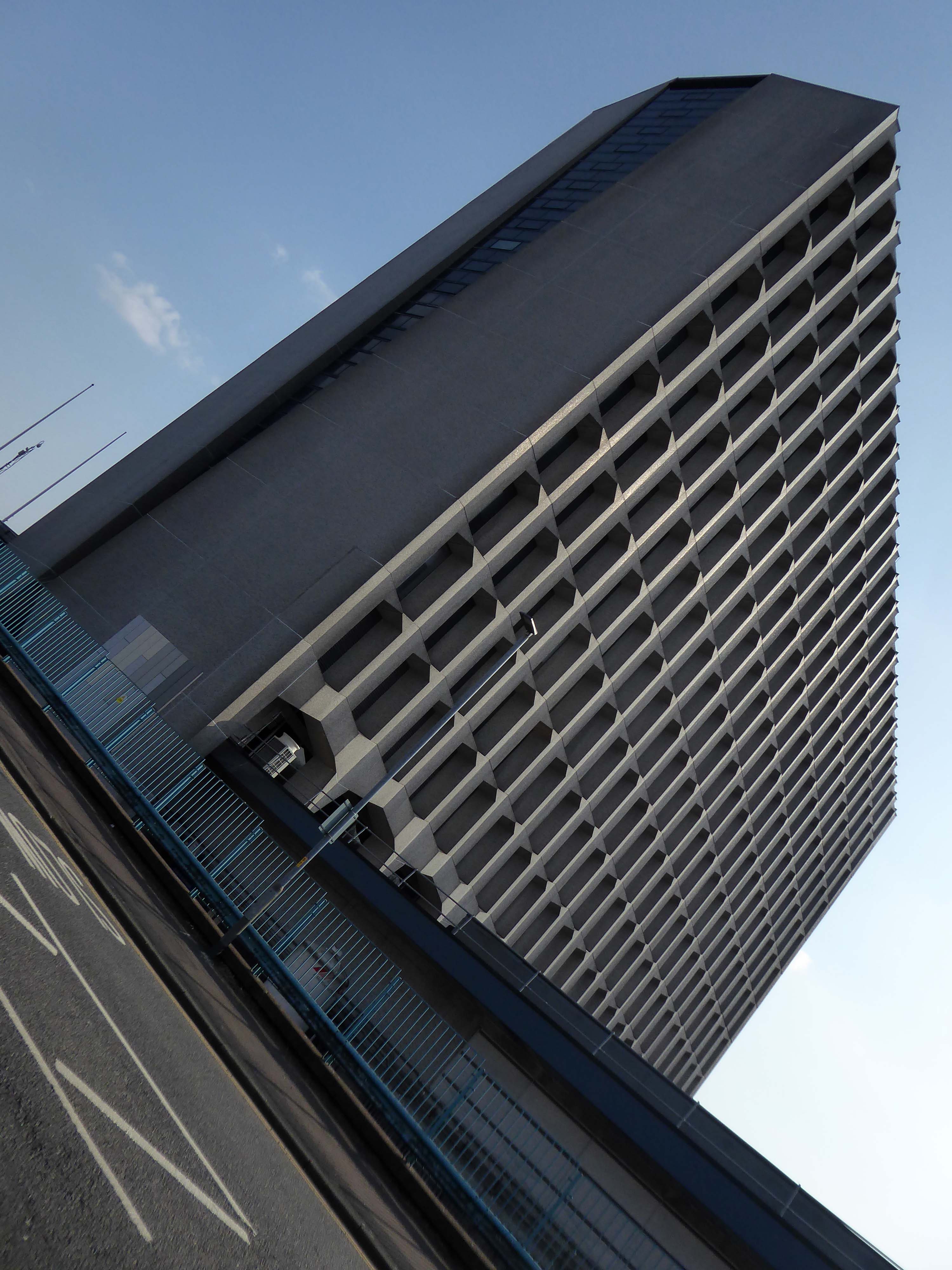
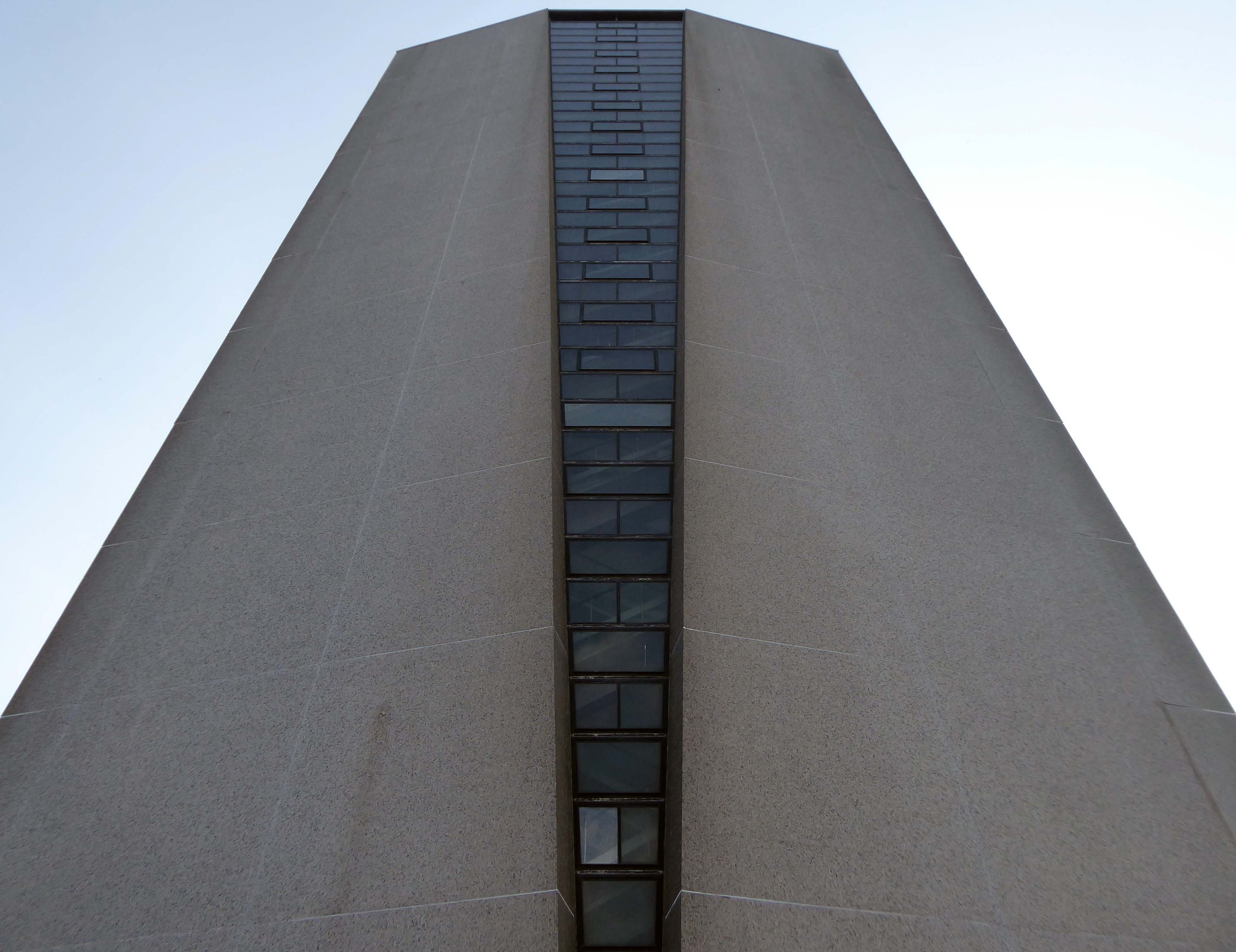
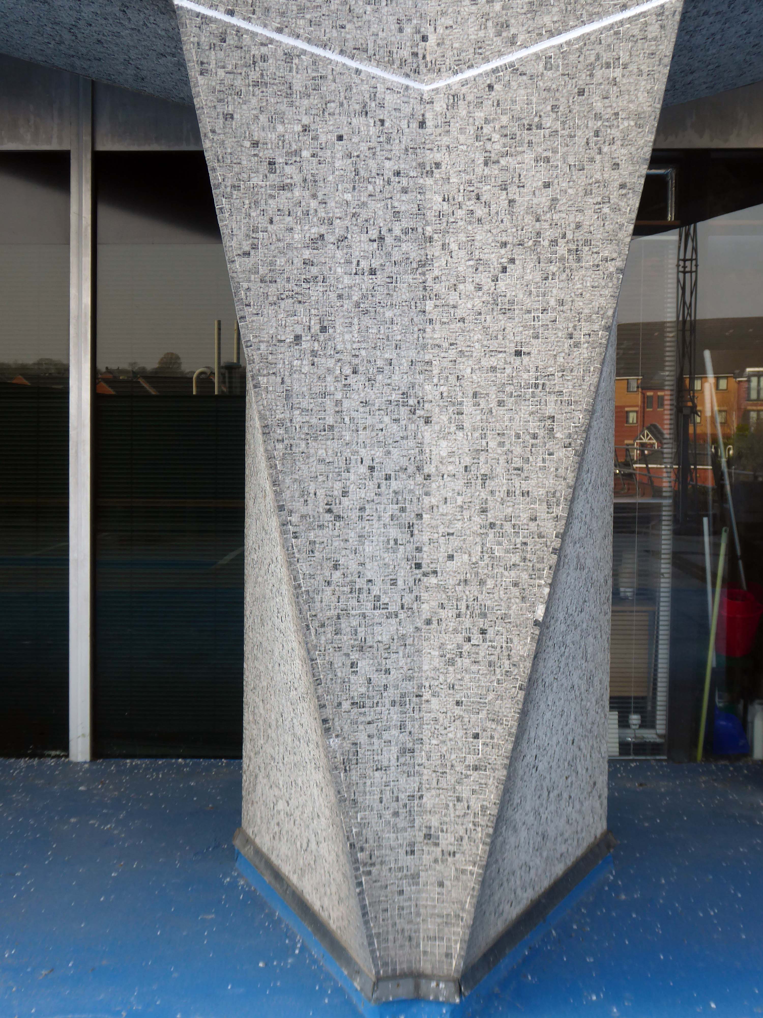
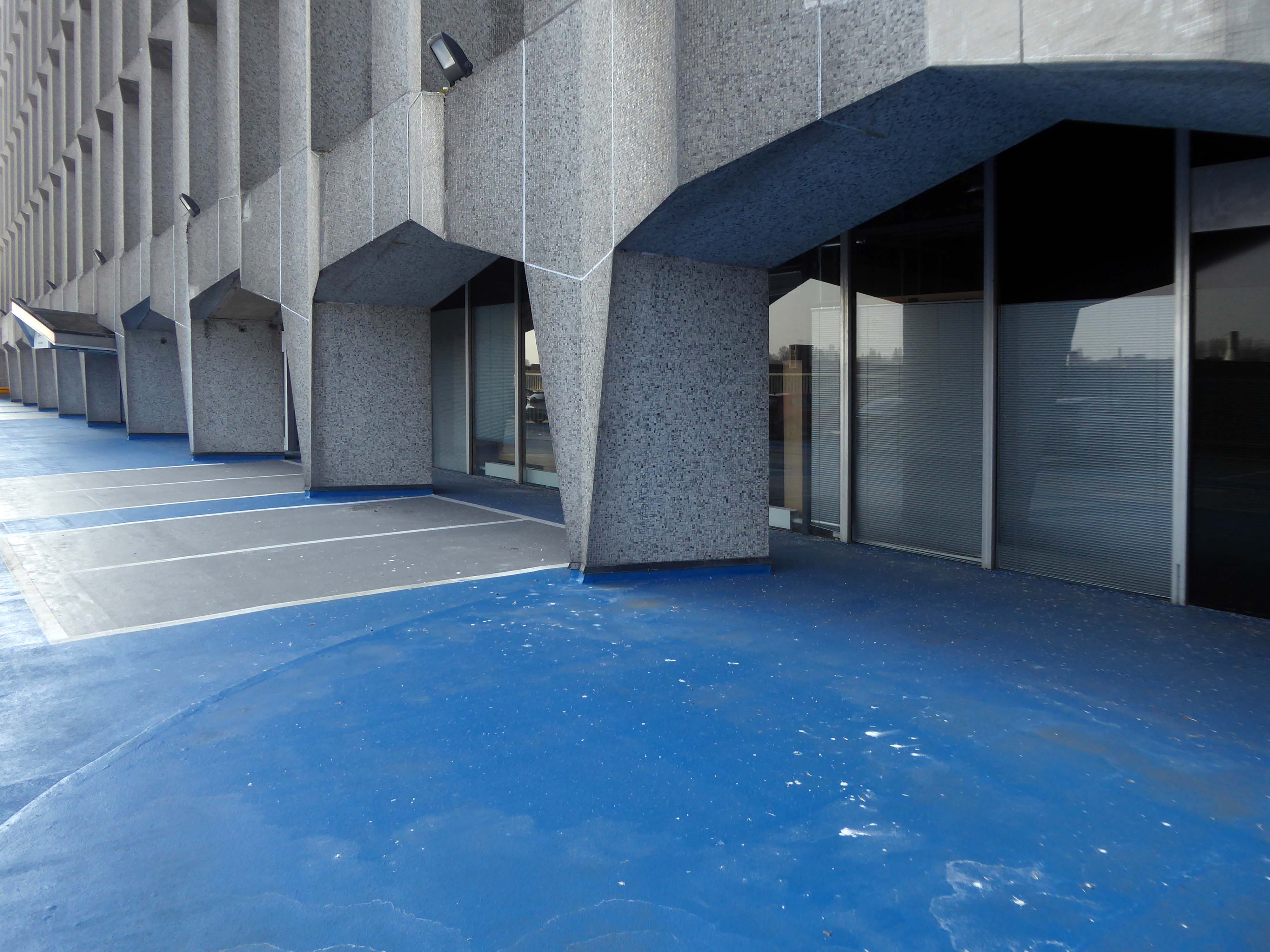
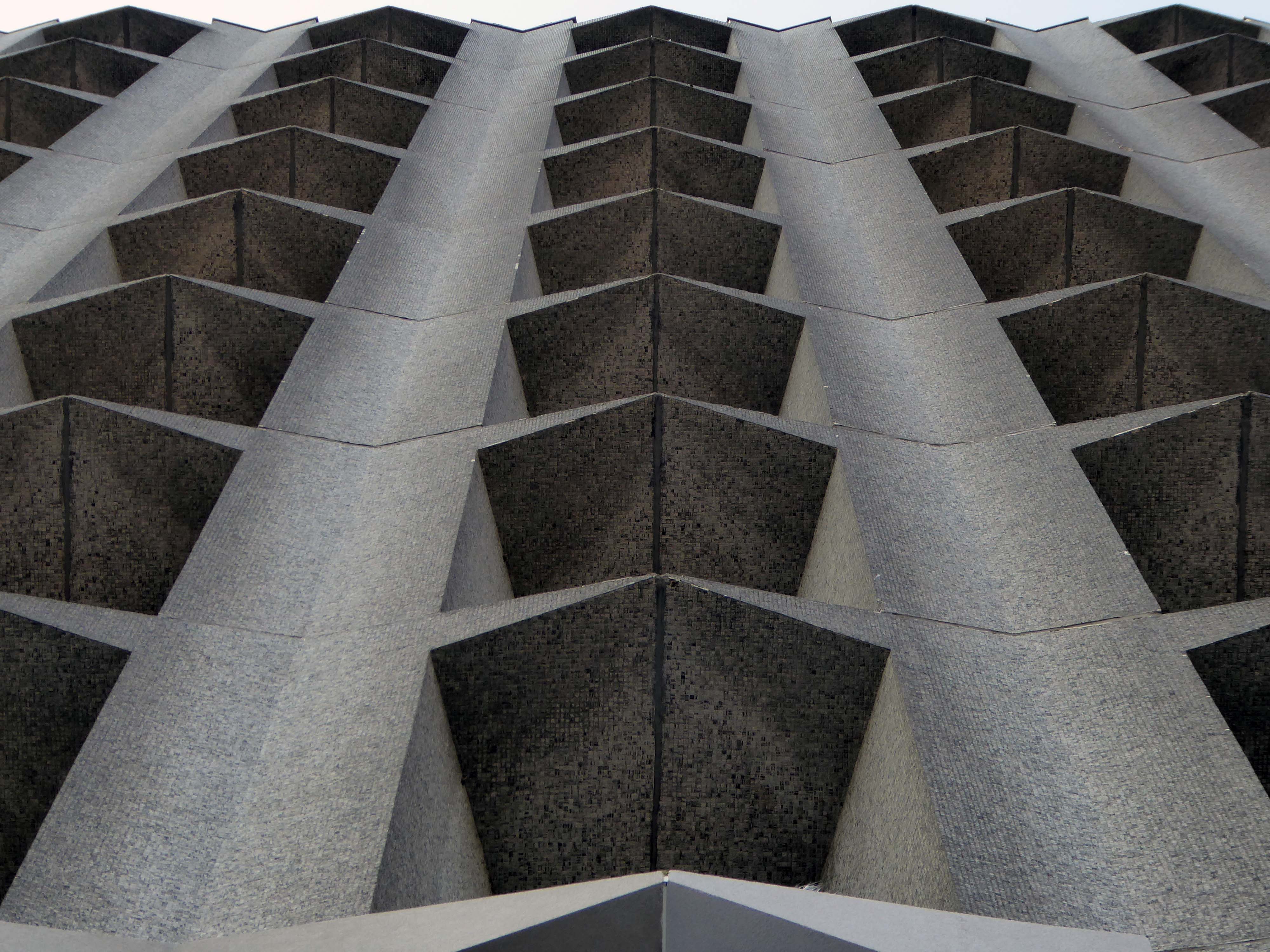
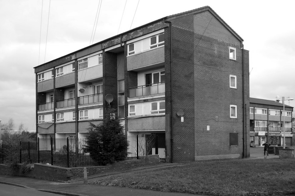
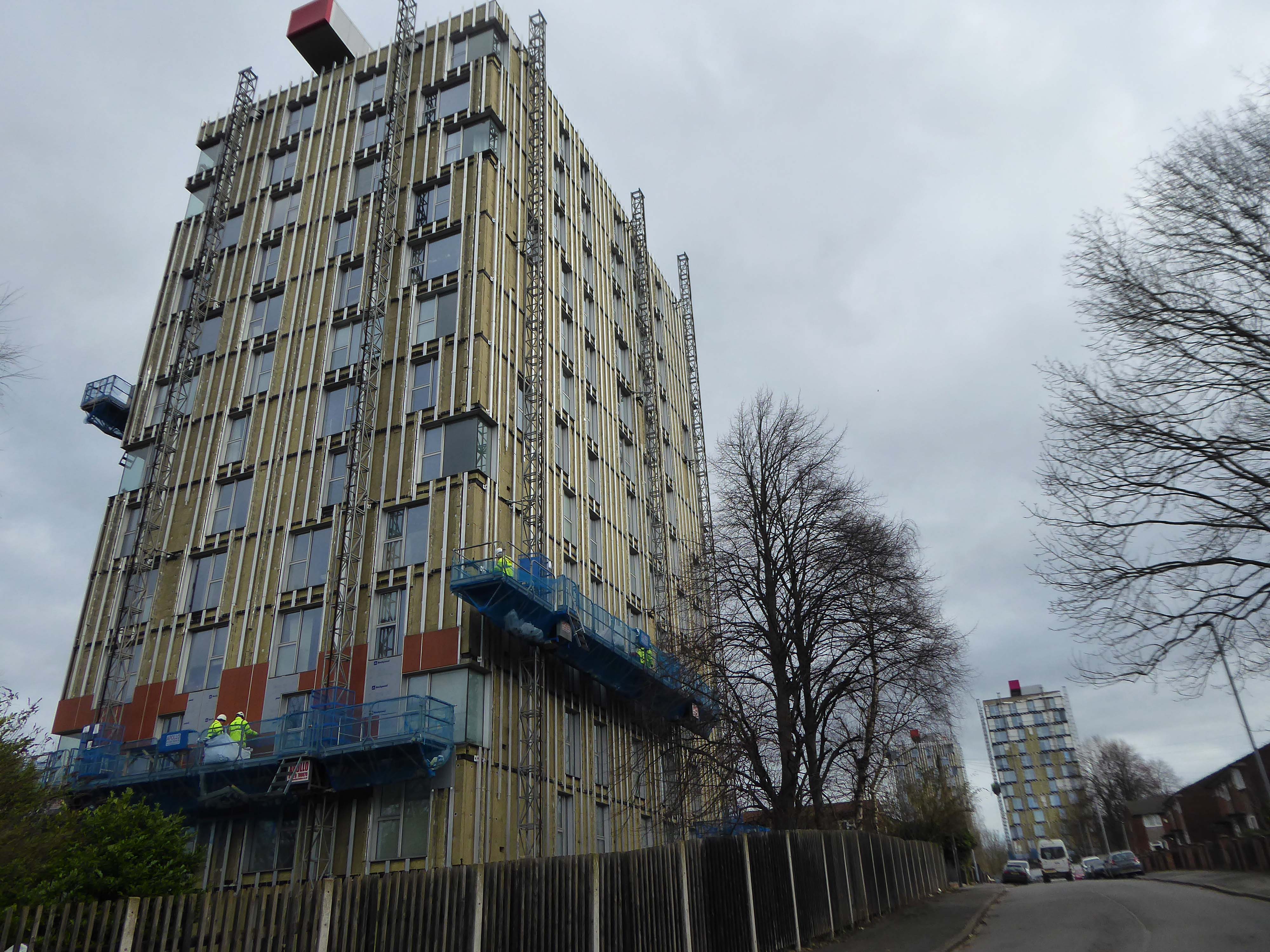
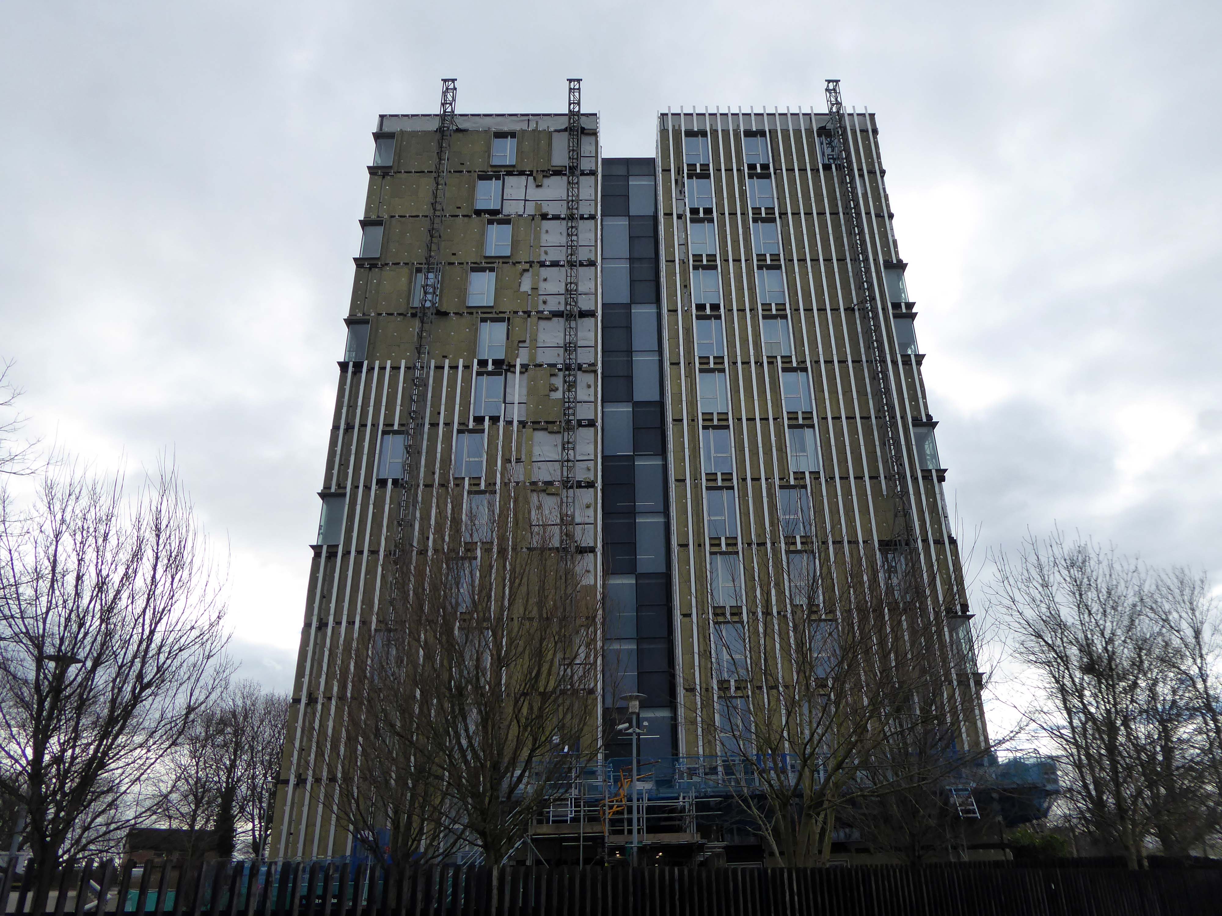
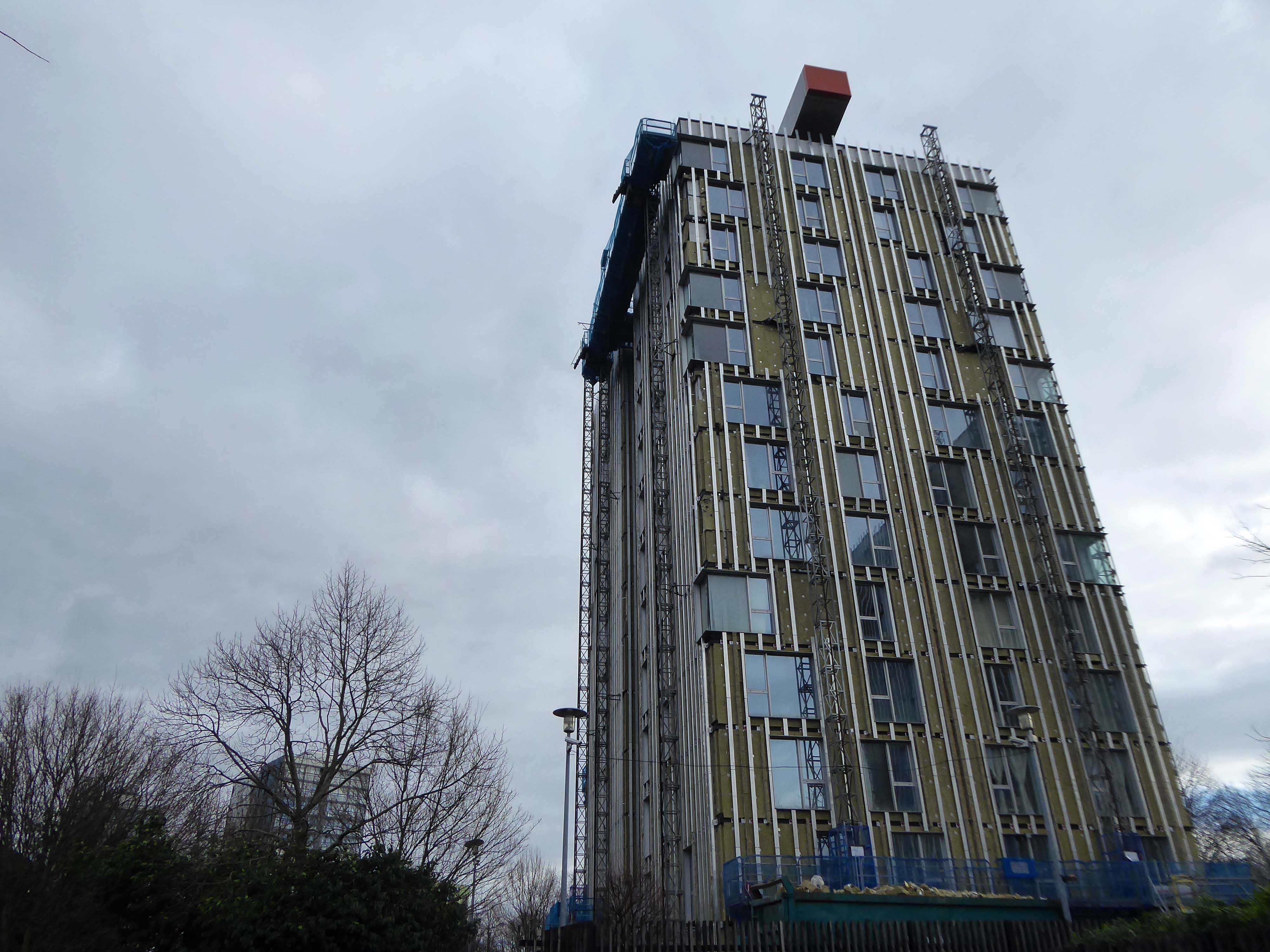
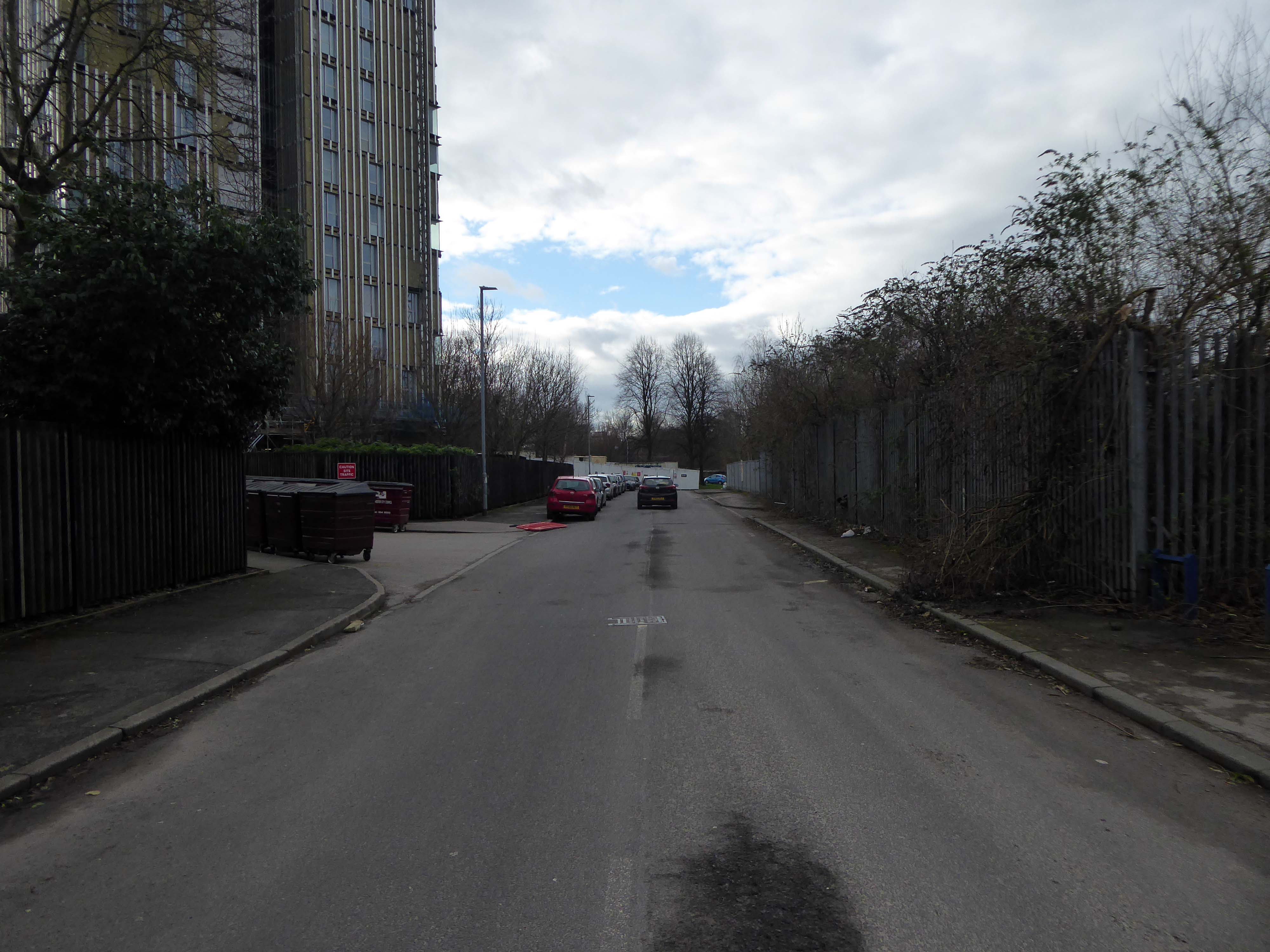
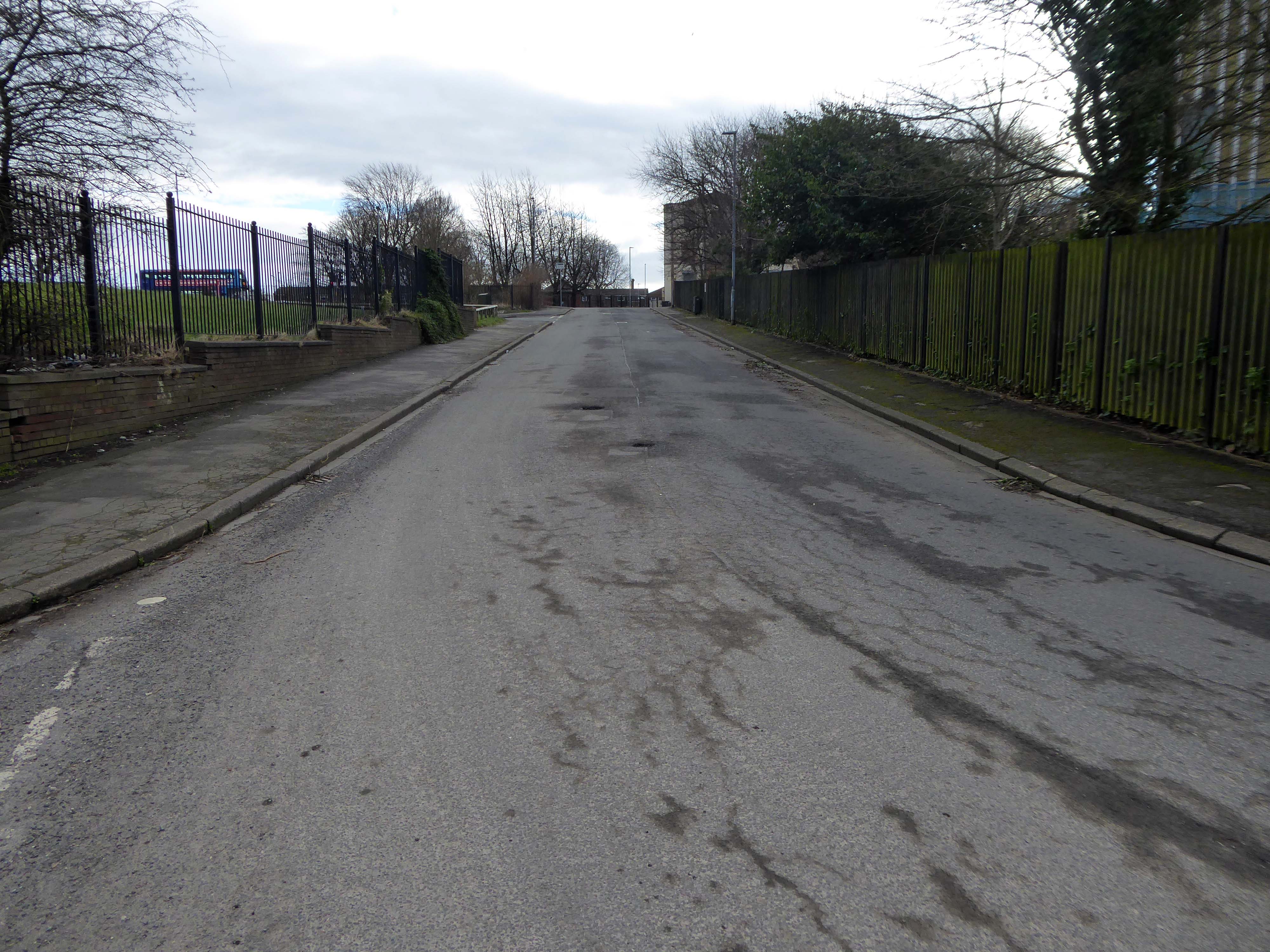
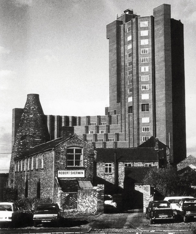
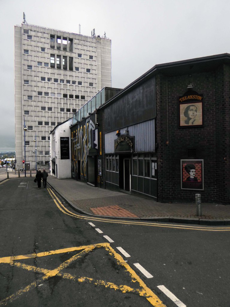
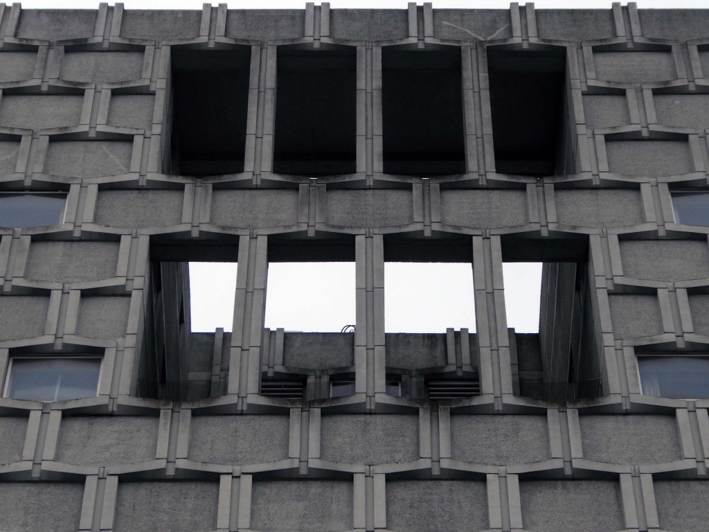
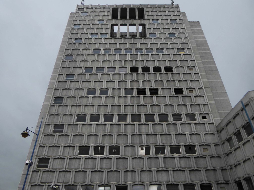
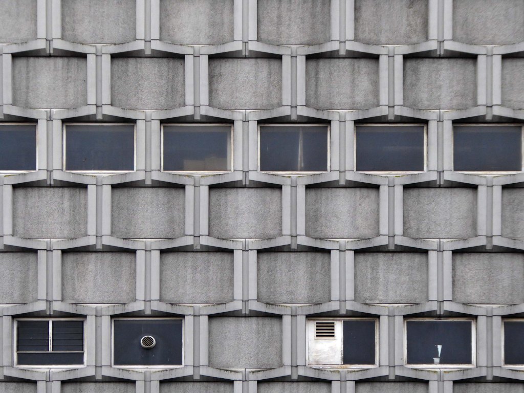
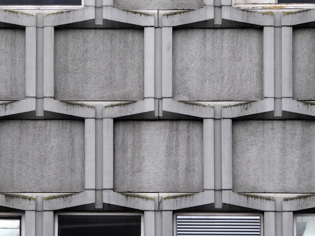
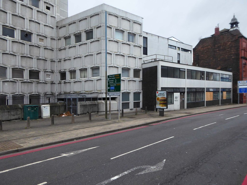
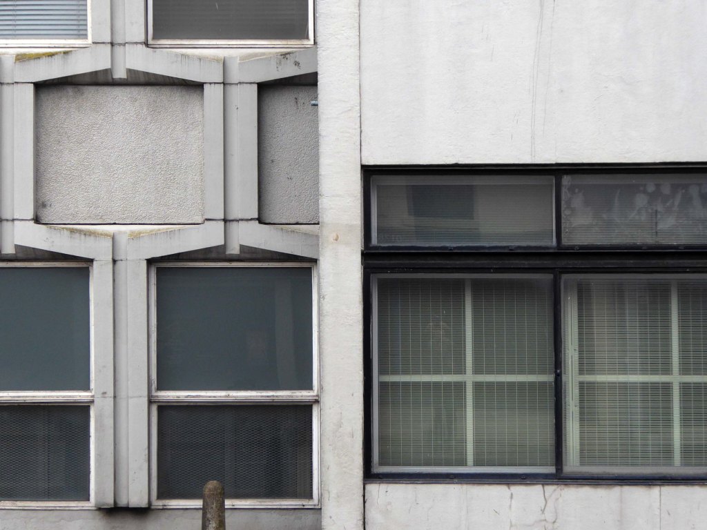
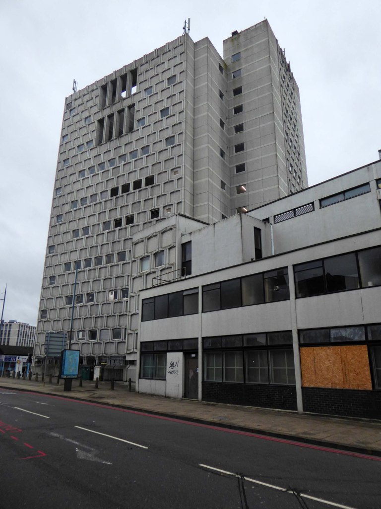
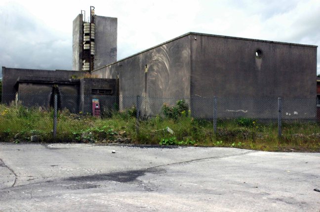
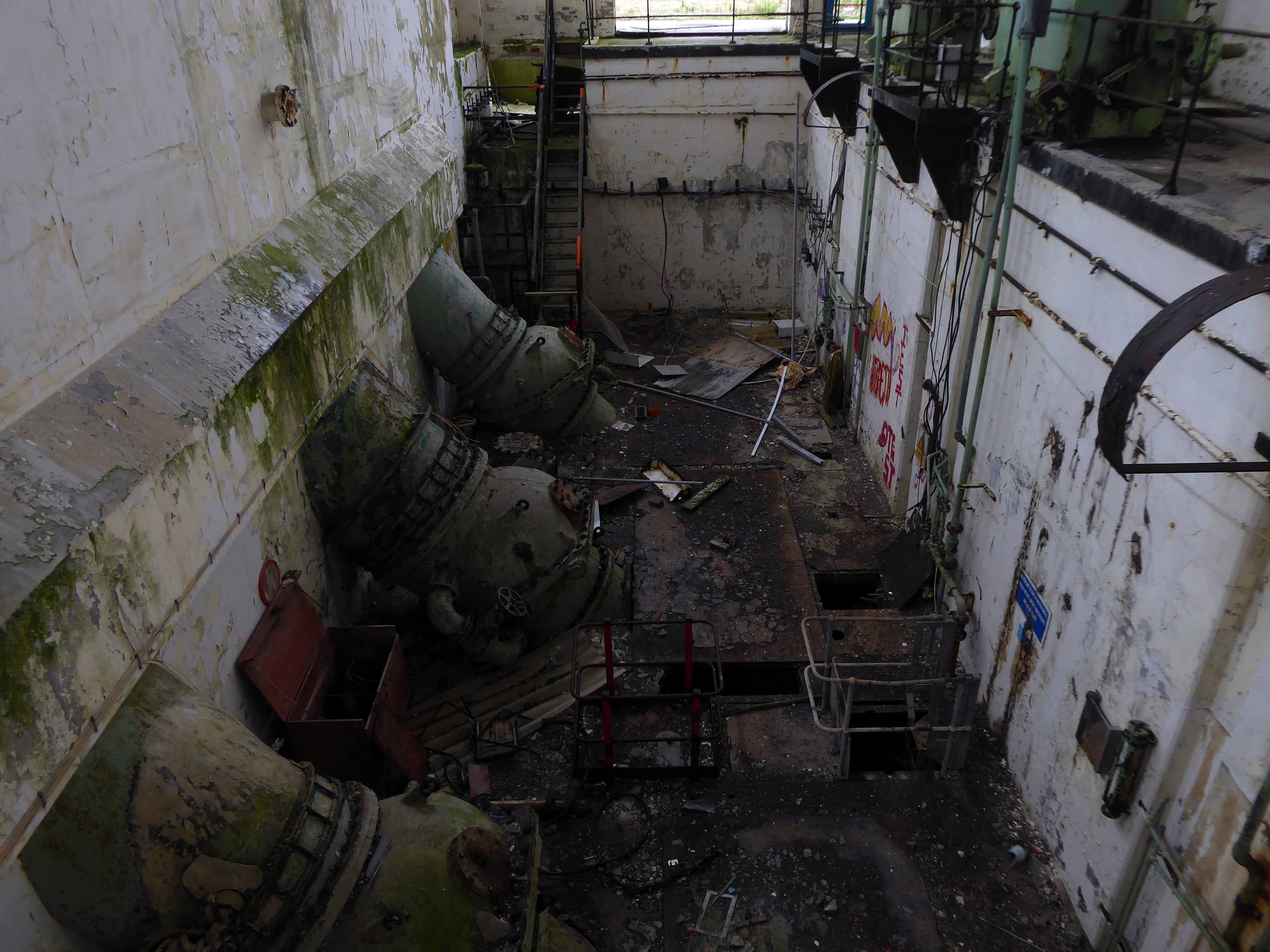
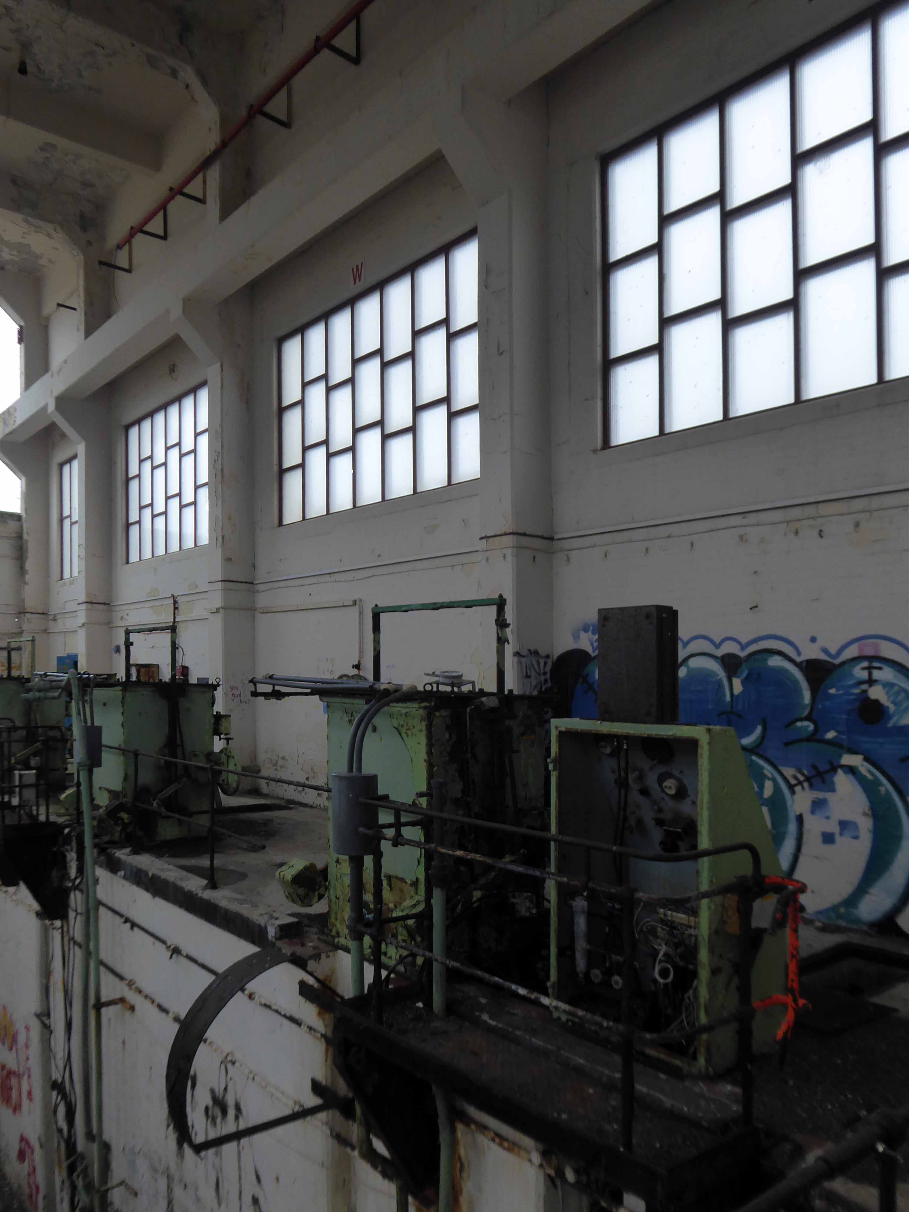
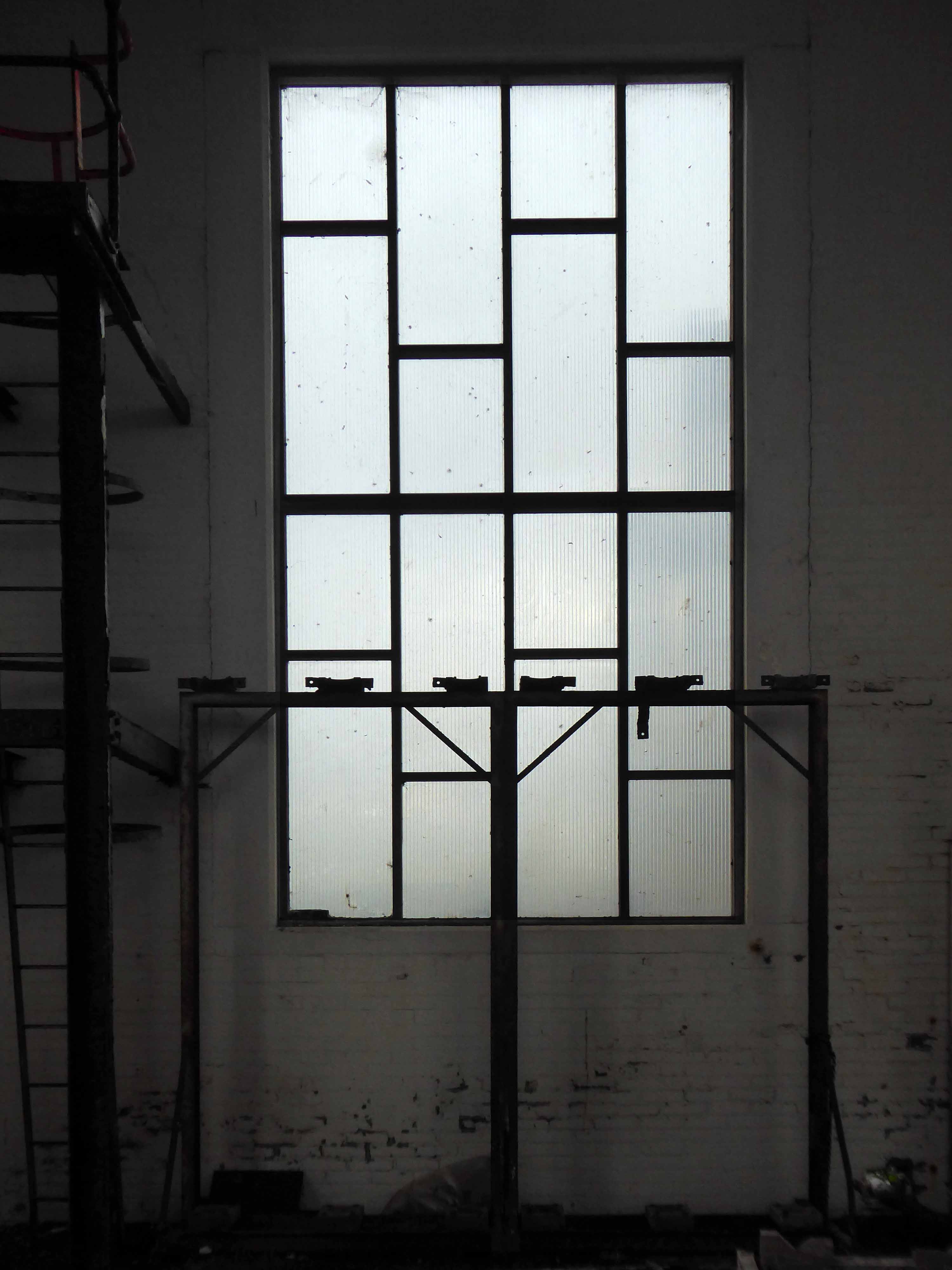
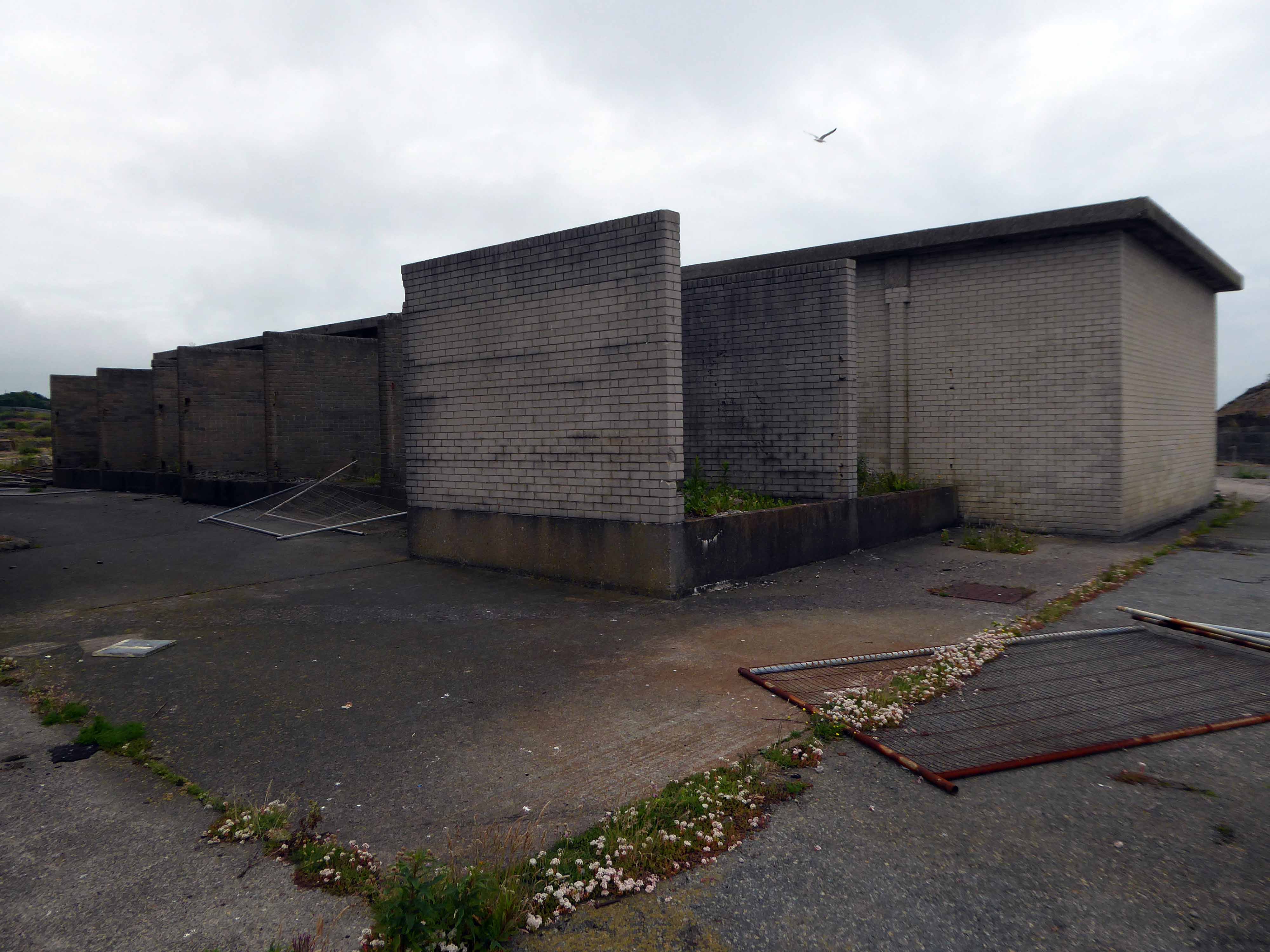
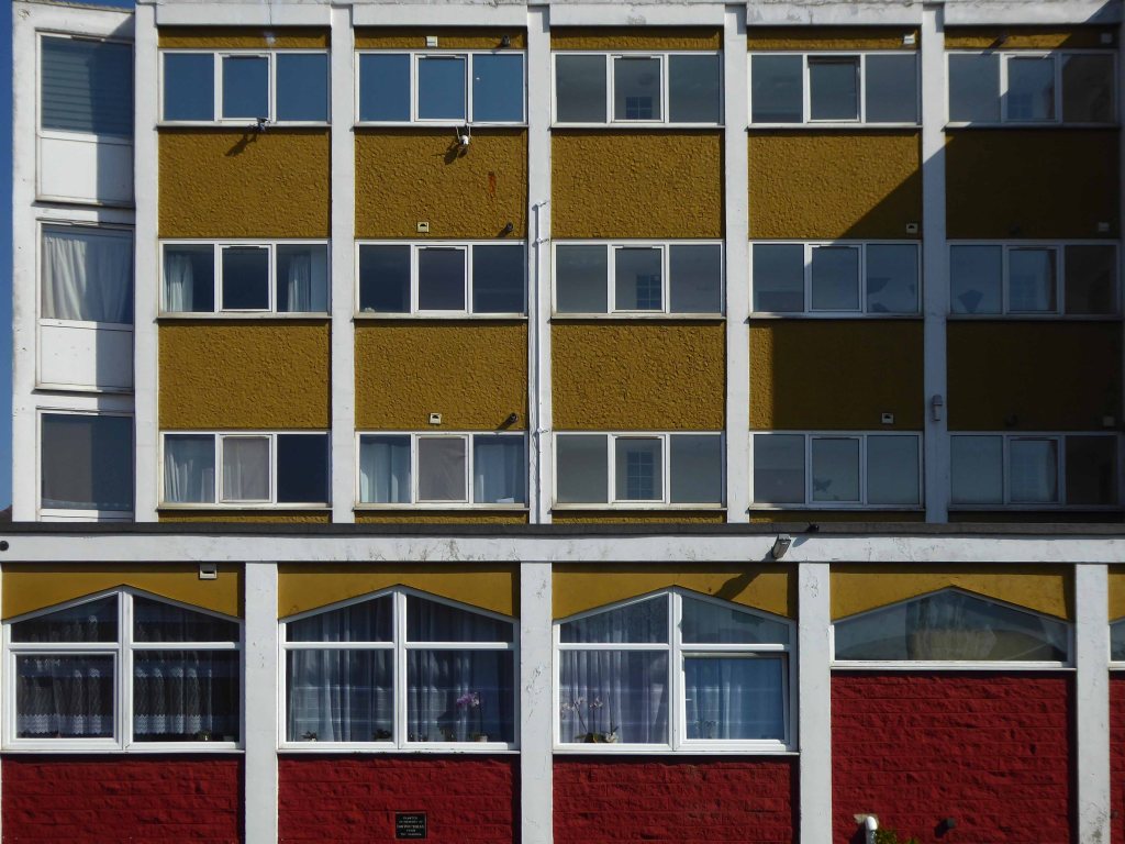
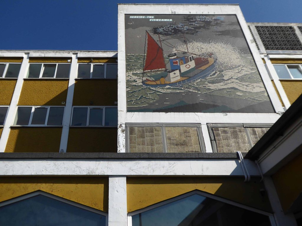
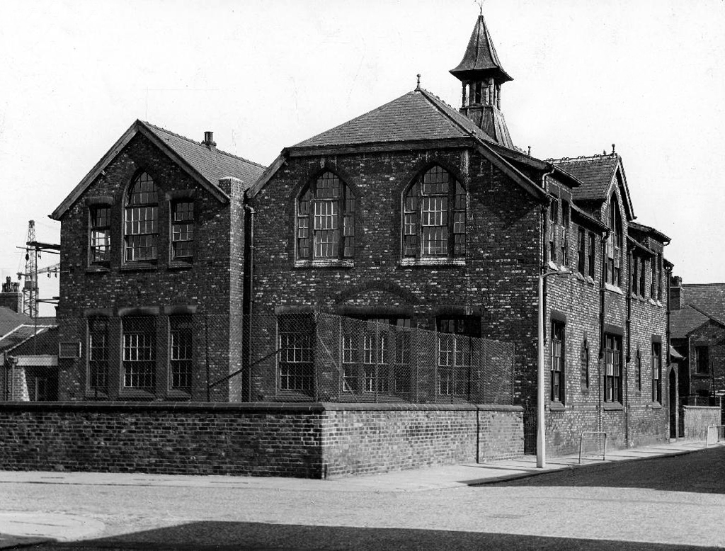
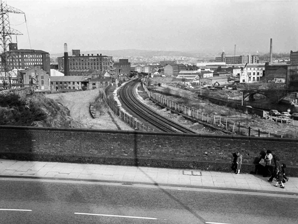
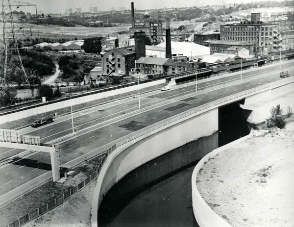
ICI’s Dyestuffs Division had its headquarters at Blackley in north Manchester, in a complex known as the Hexagon, which included its main R & D labs, and an experimental manufacturing plant.
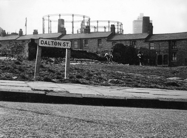
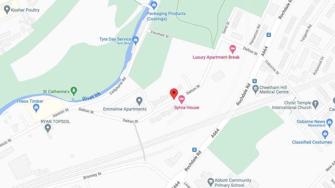
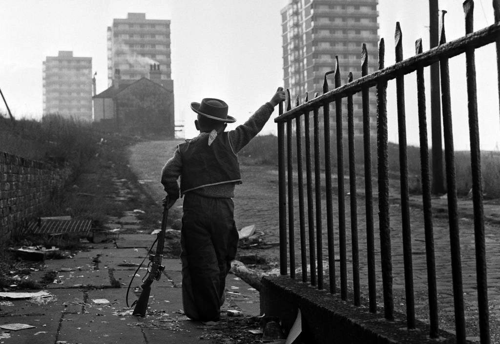
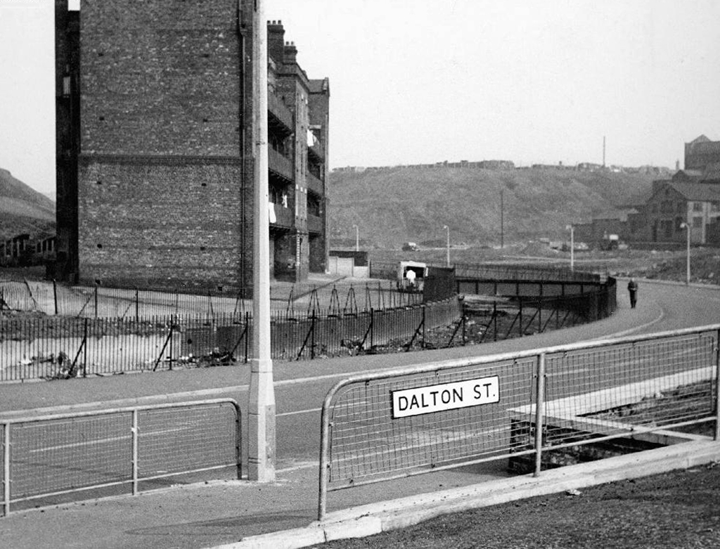
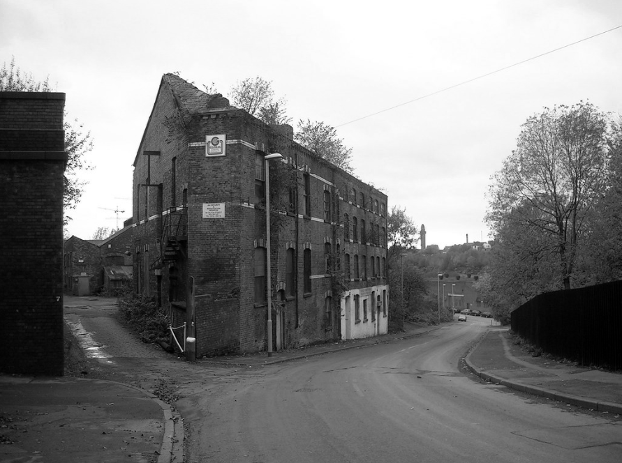
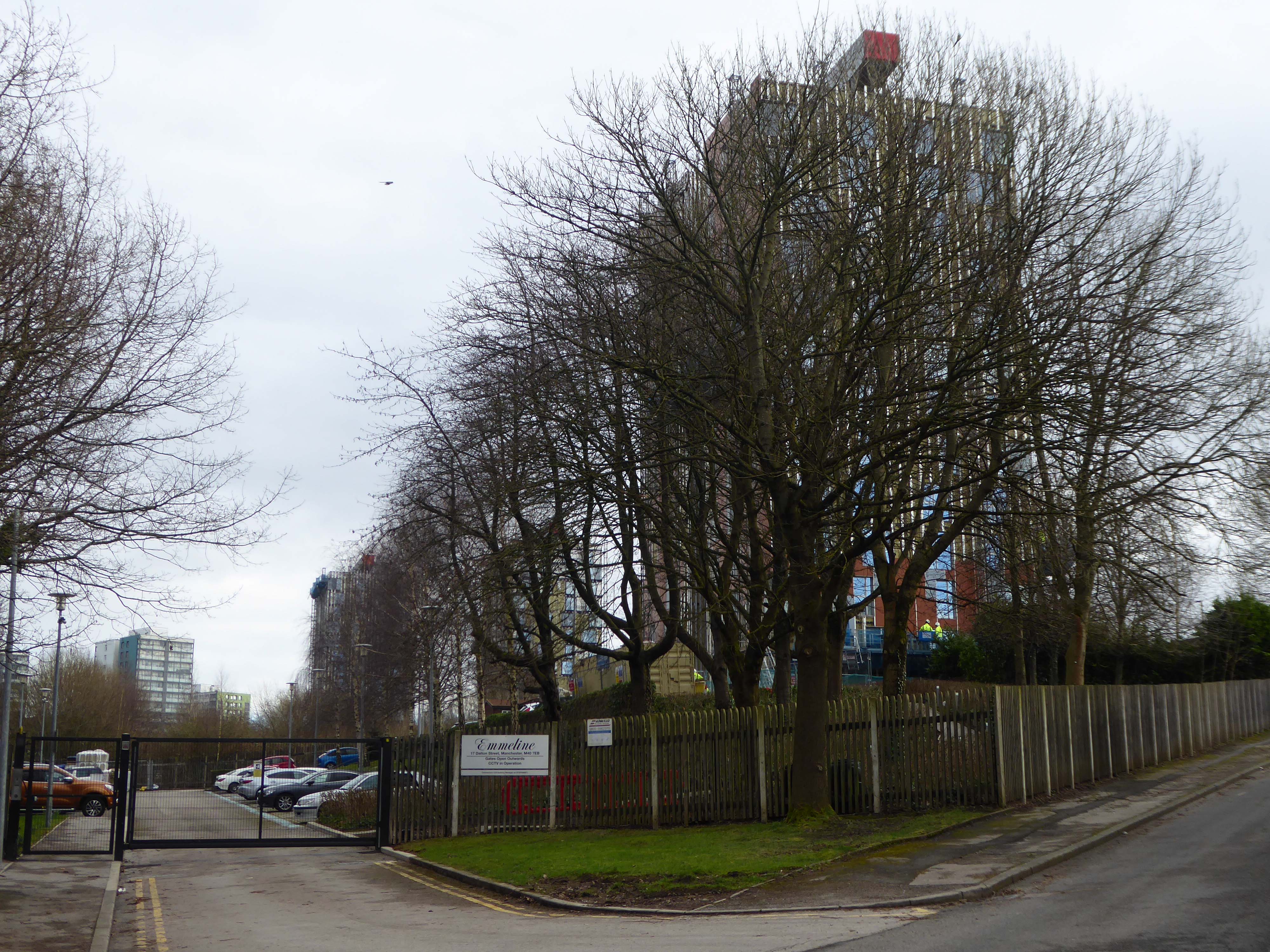
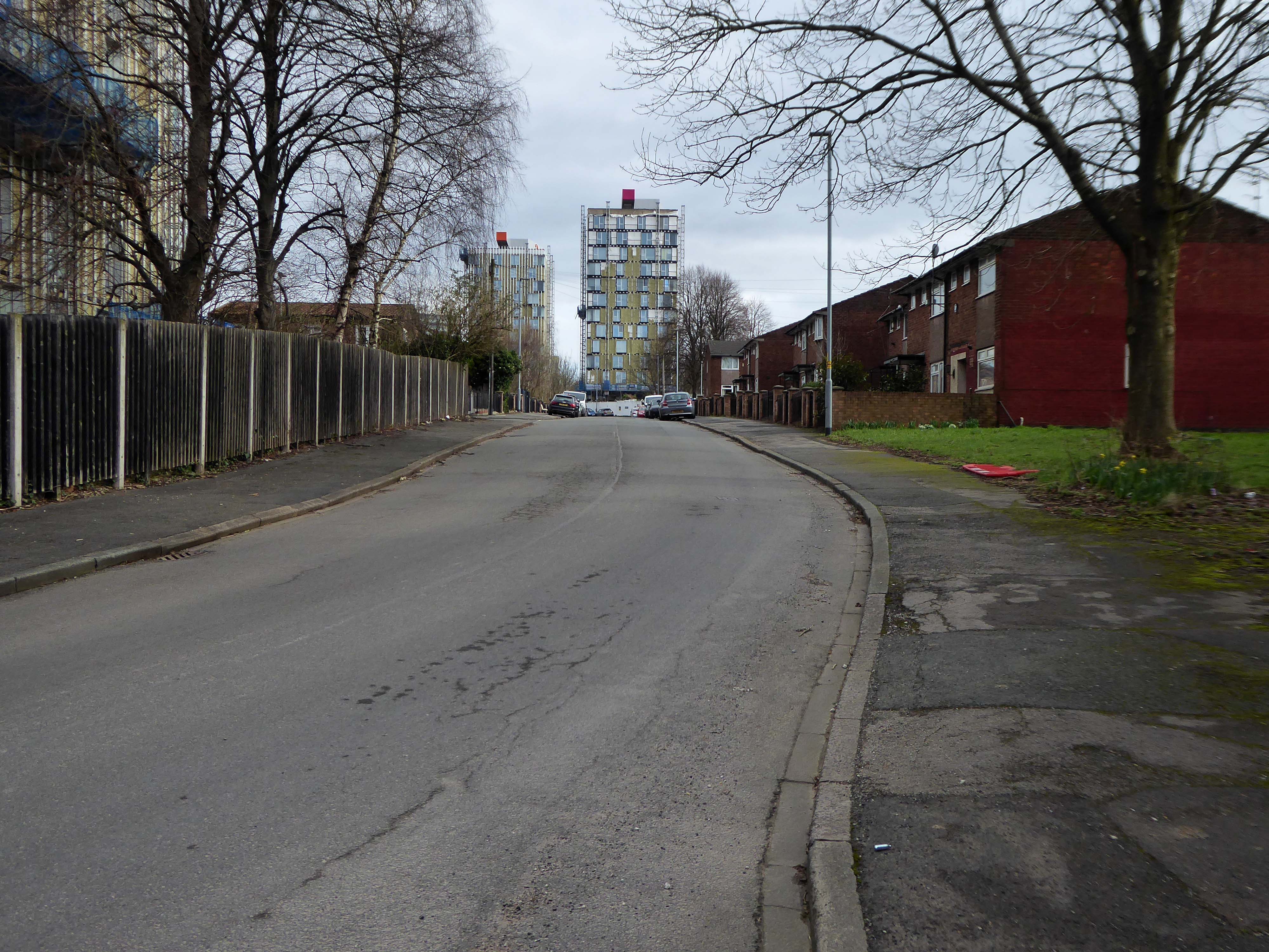
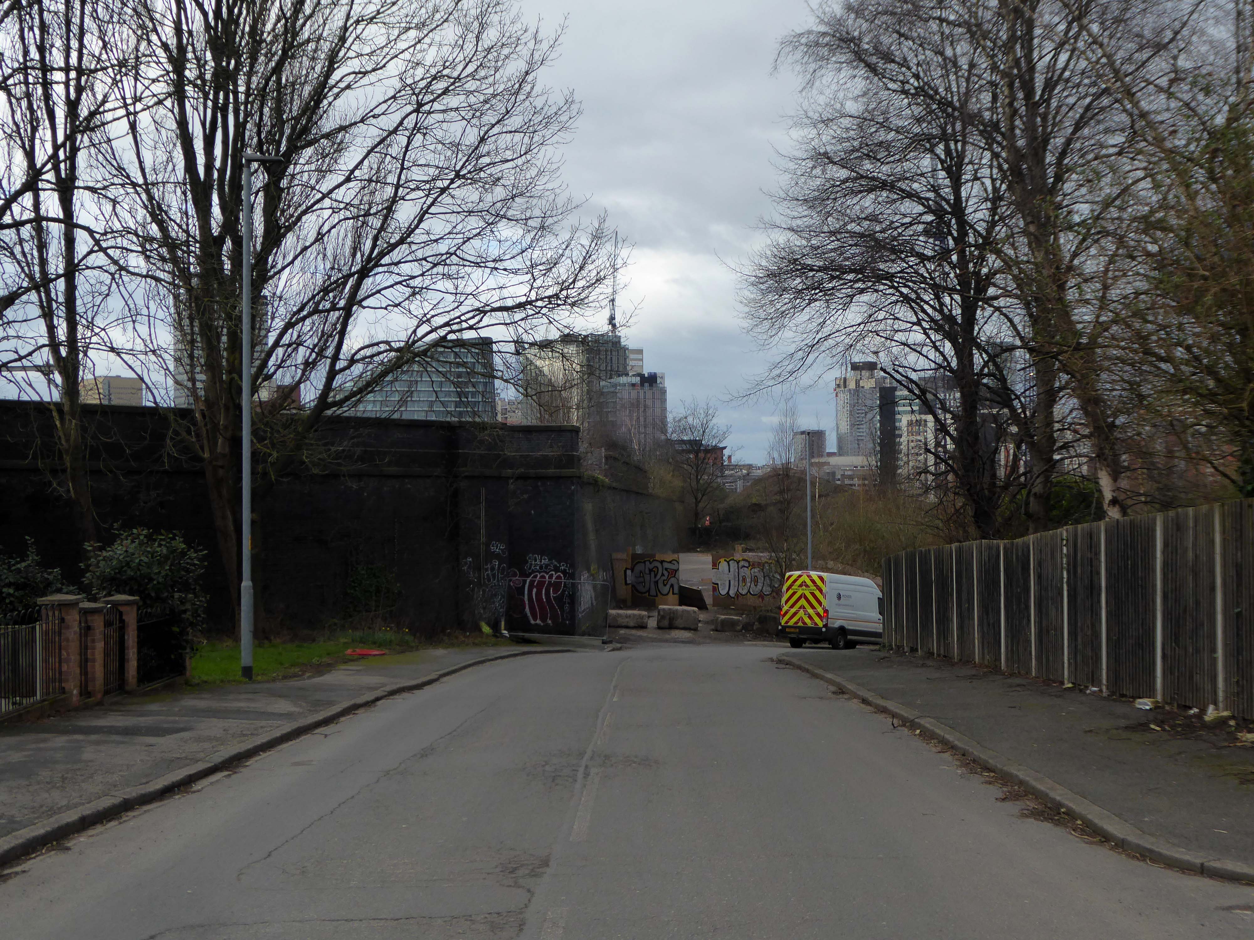
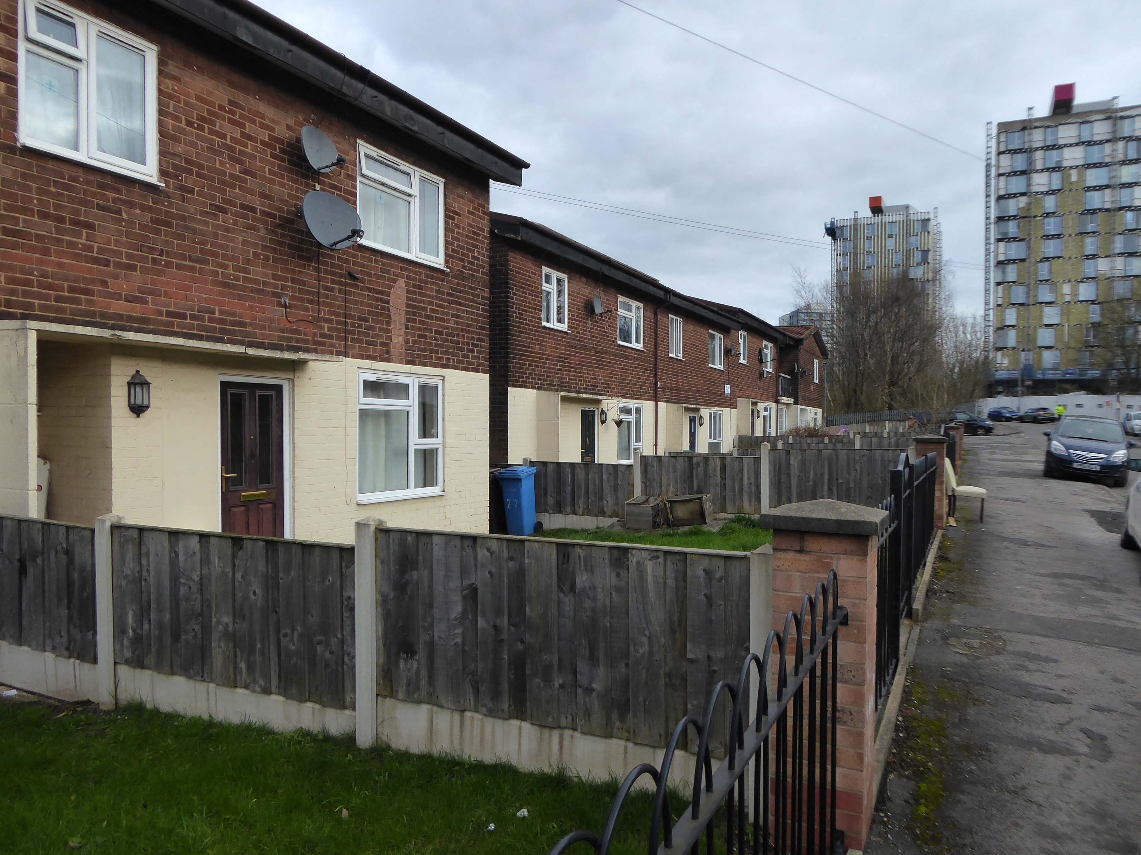
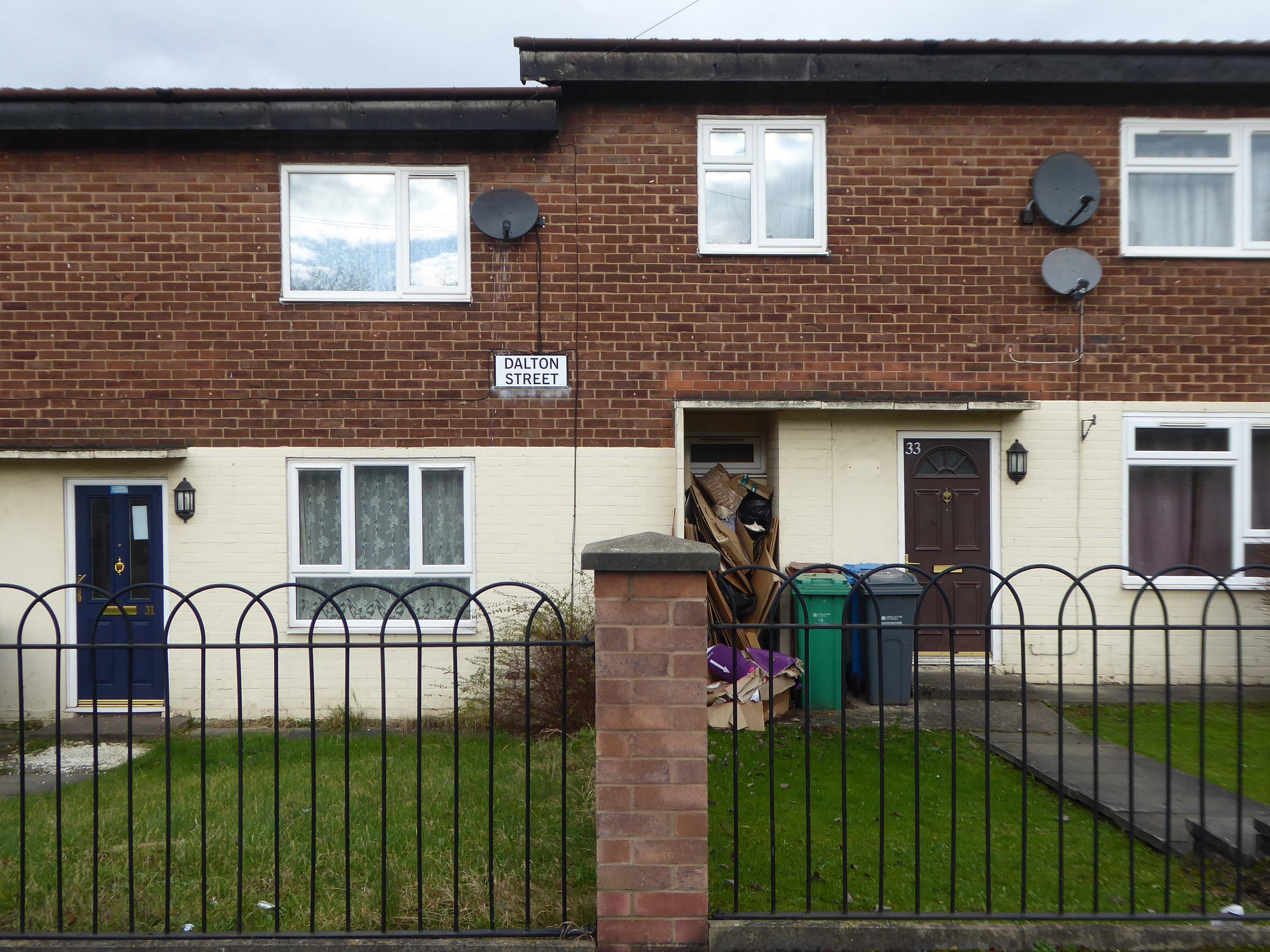
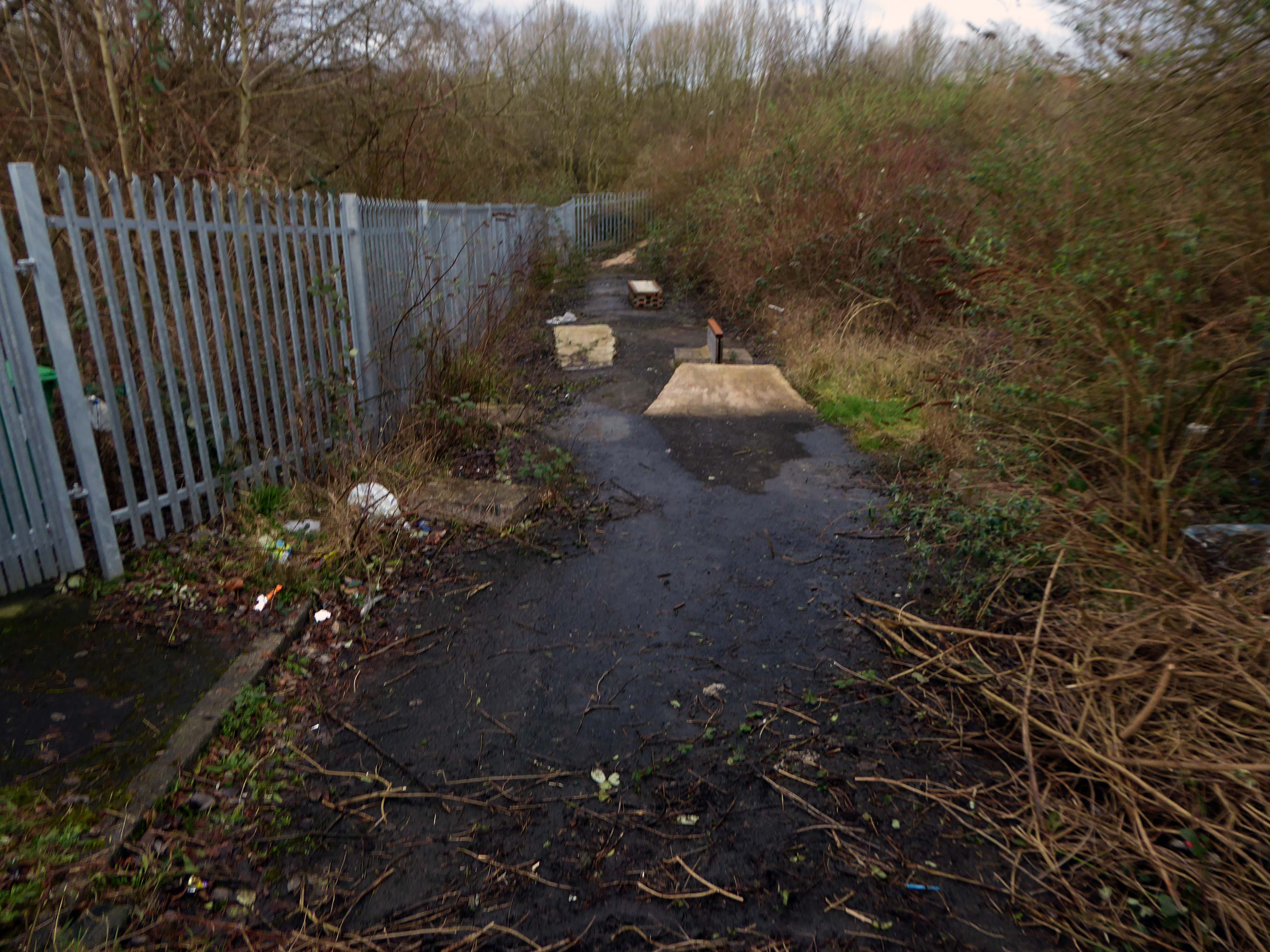
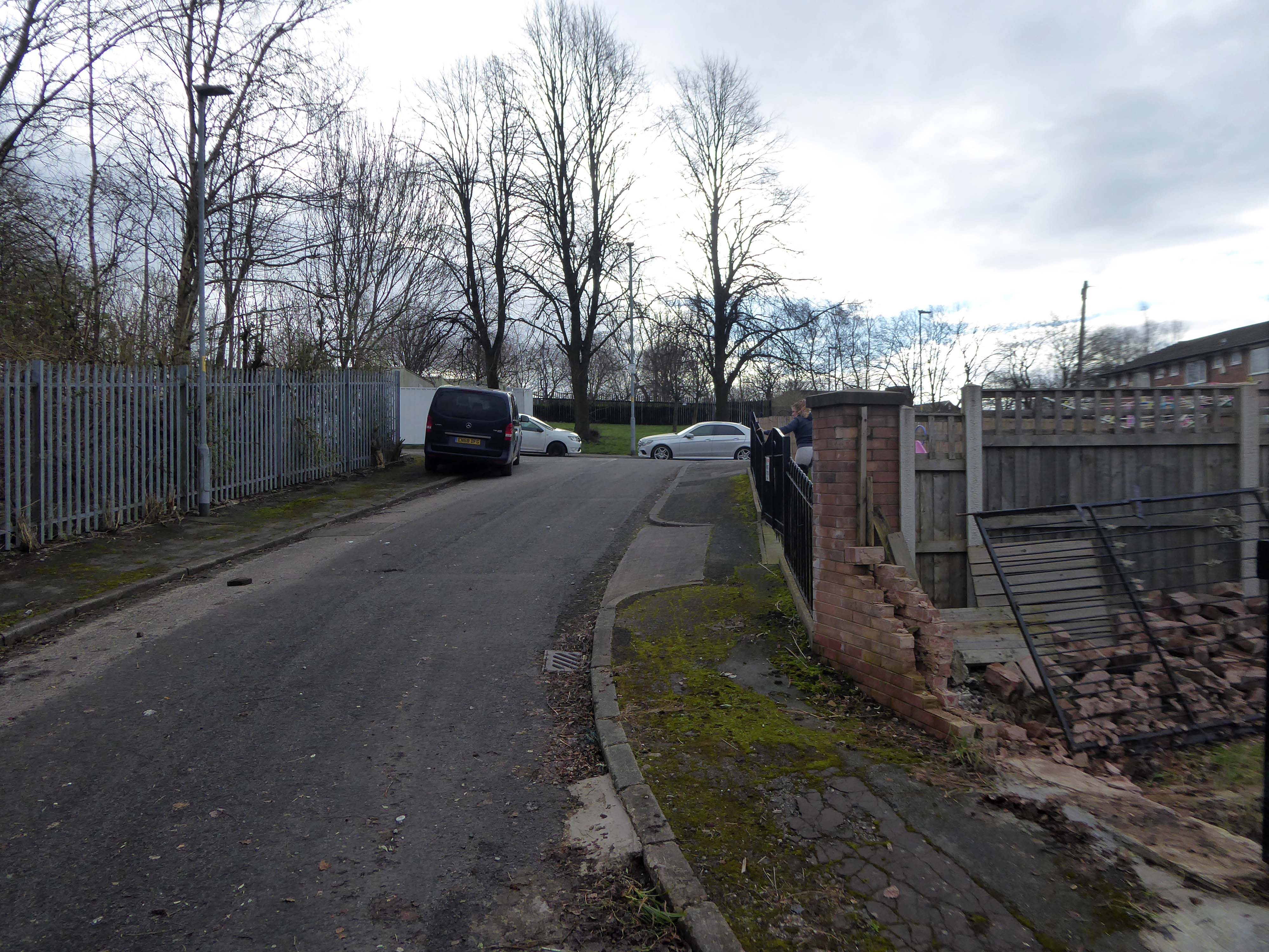
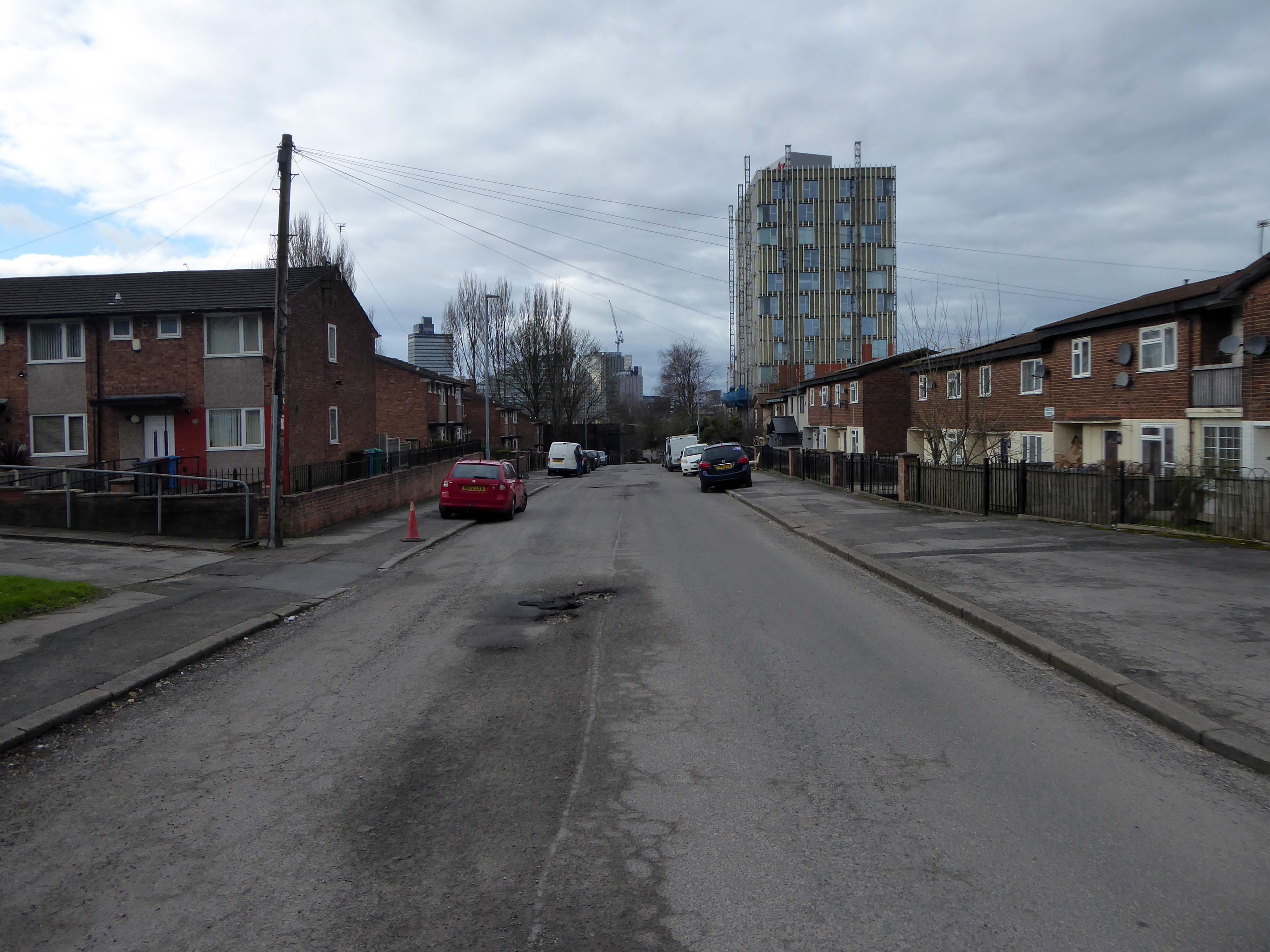
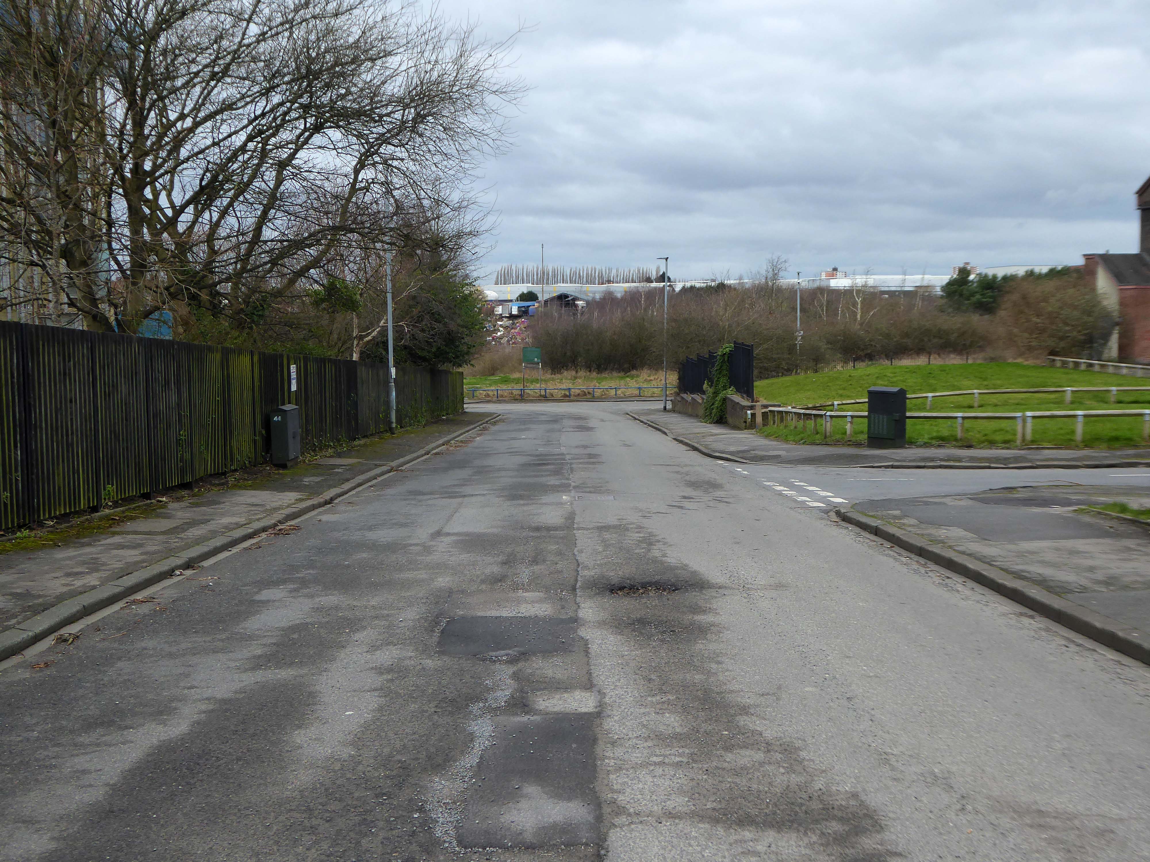
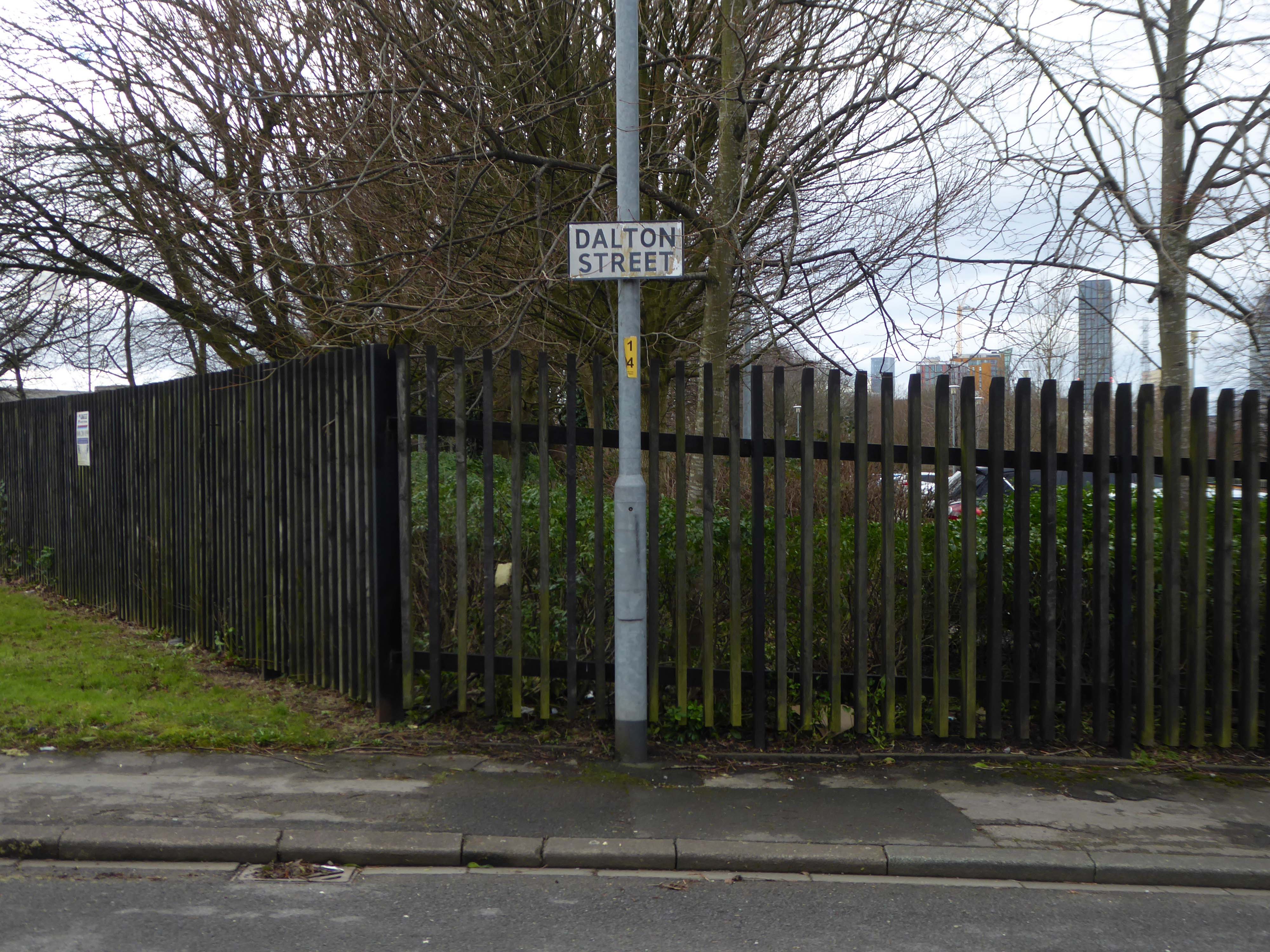
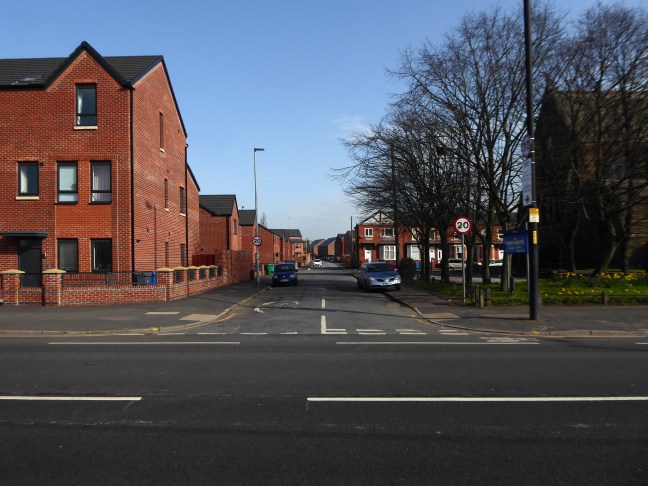
Now I’m going east to Dalton Street, home to the Collyhurst cowboy.
Photograph: Dennis Hussey
This is an illusion within an illusion, twice removed.
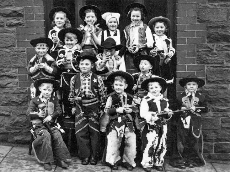
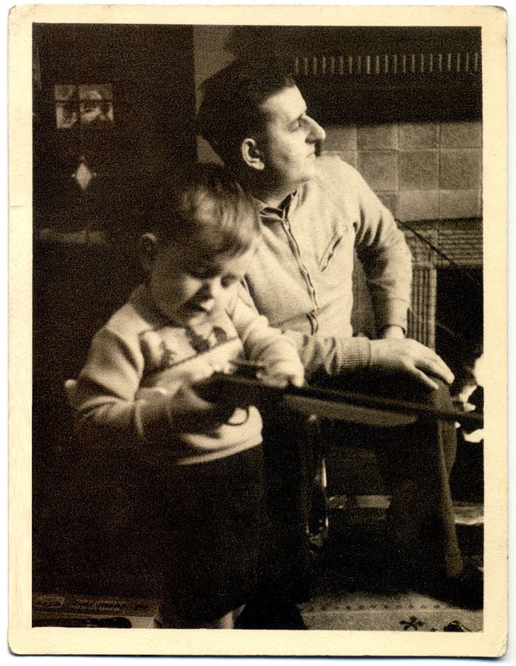
The Hollywood recreation, recreated on the rough ground of post war Britain.
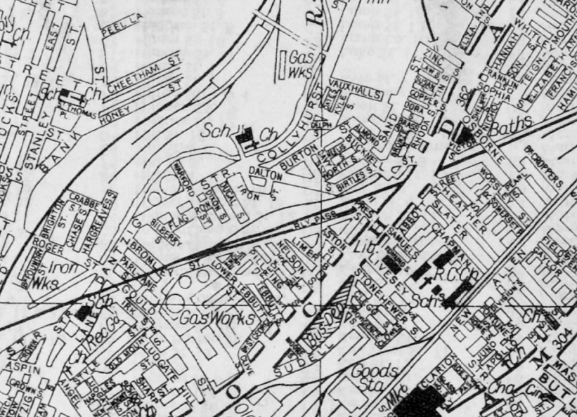
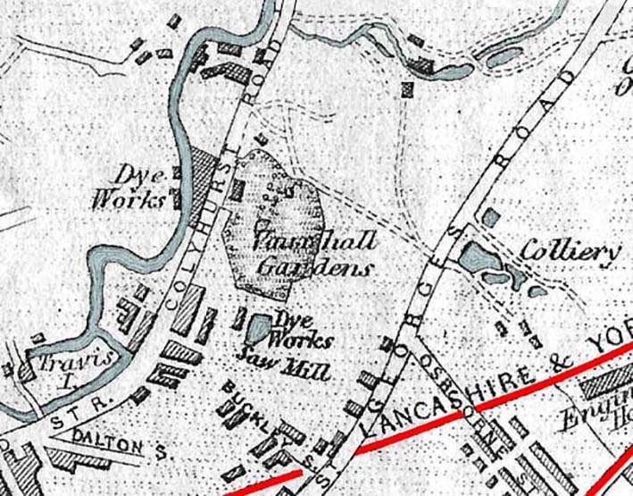
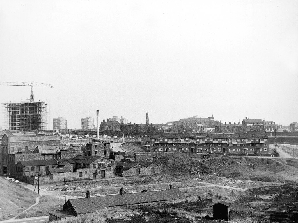
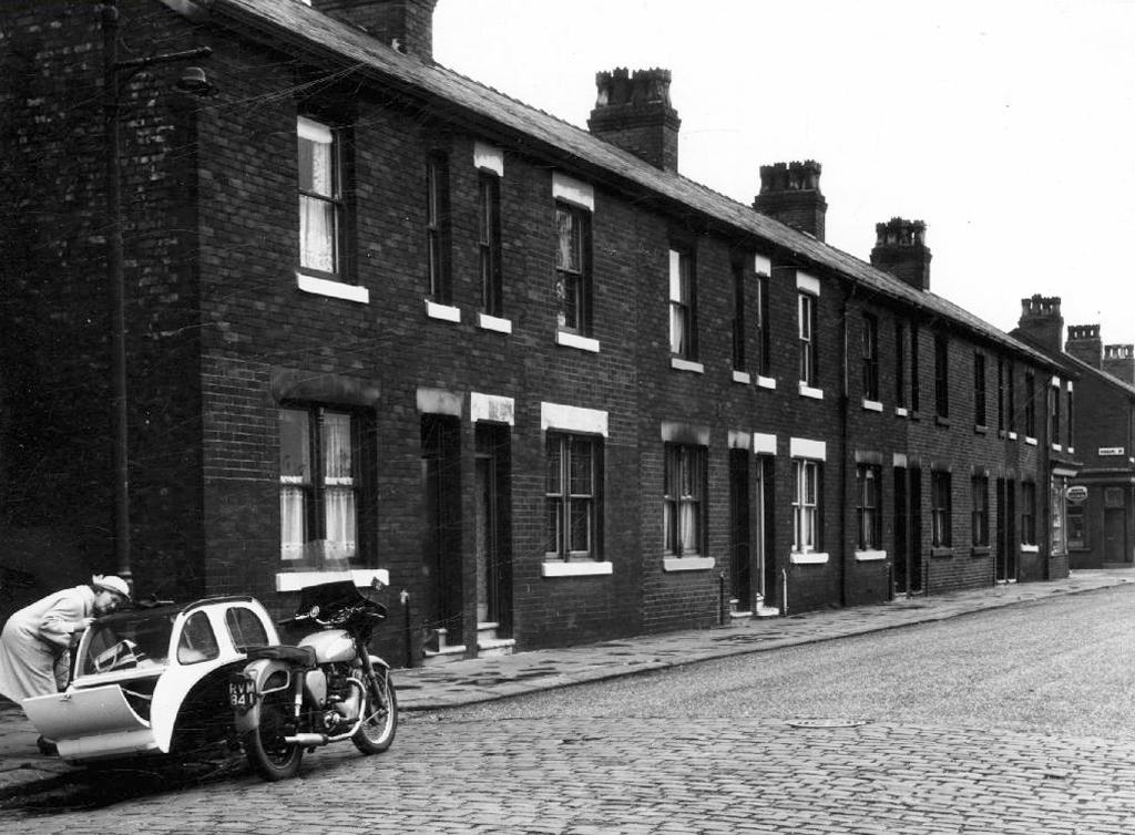
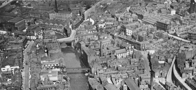
In 1960 the area was a dense network of streets, industry and homes – demolished during the period of slum clearance.
Escaping the dark, dank Irk Valley onwards and upwards to Rochdale Road.
The Dalton Works Arnac factory survived until 2008
Photograph: Mikey
The tight maze of Burton Street and beyond, reduced to rubble.
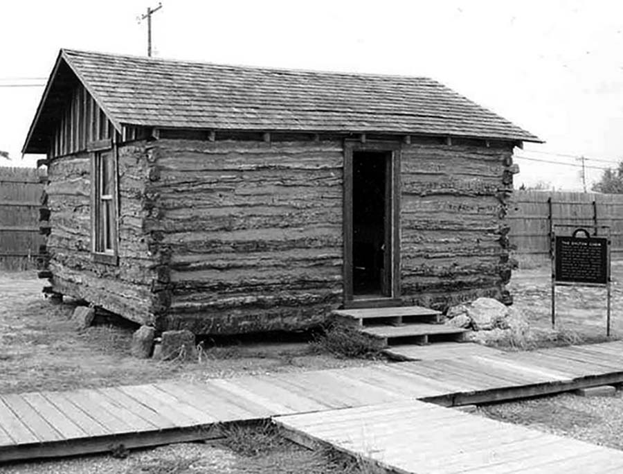
Dalton Street was not home to the Dalton Gang, they lived here in Oklahoma
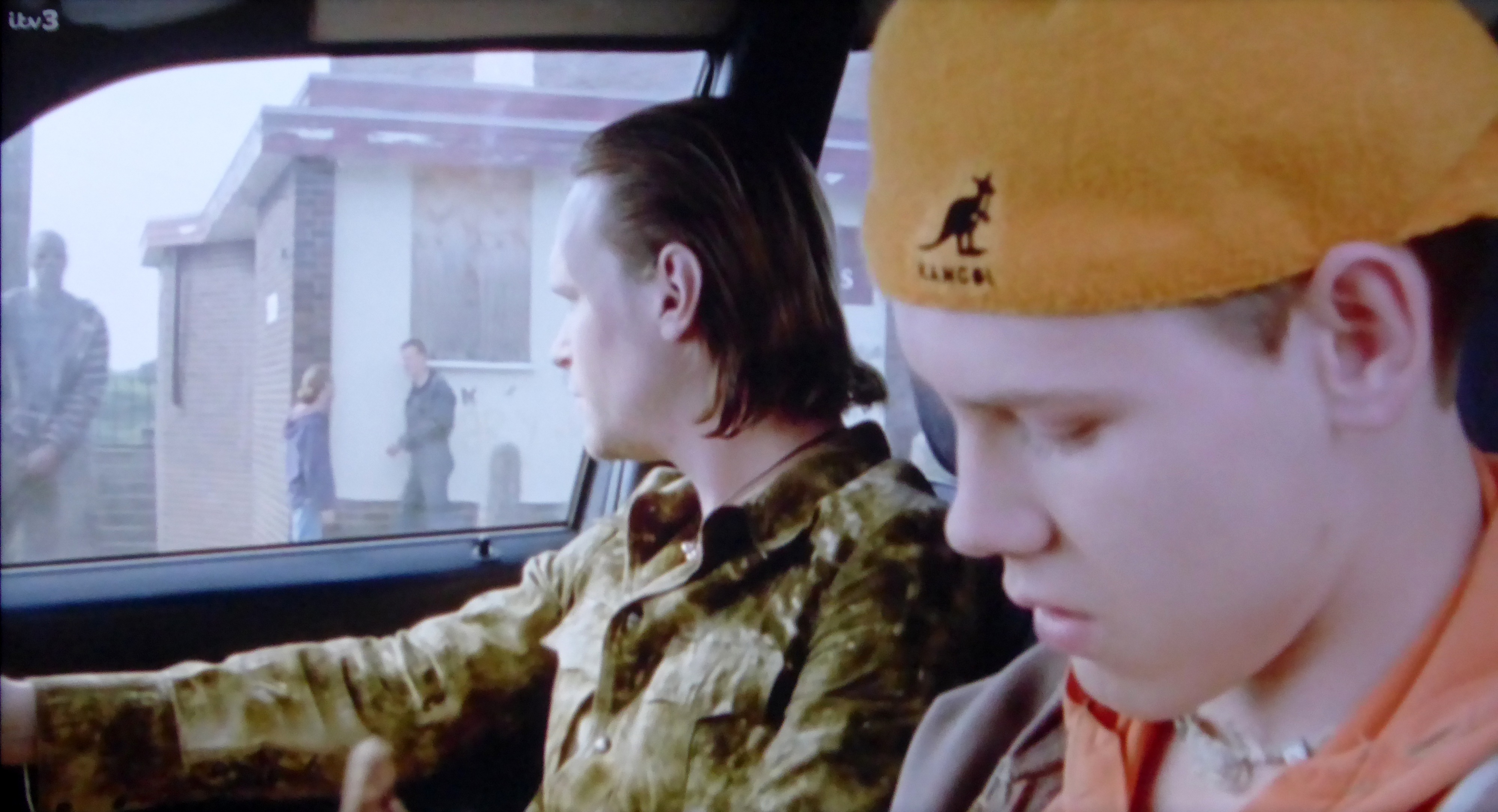
It was home to imaginary gangs, committing imaginary crimes, in an imaginary Manchester, in ITV’s Prime Suspect Five.
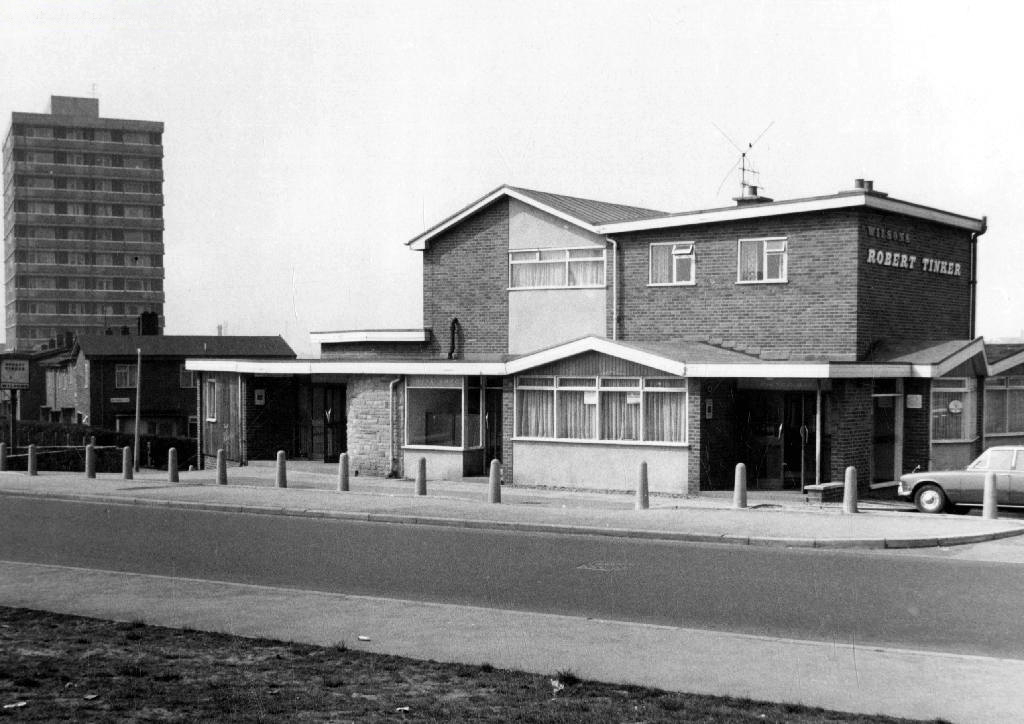
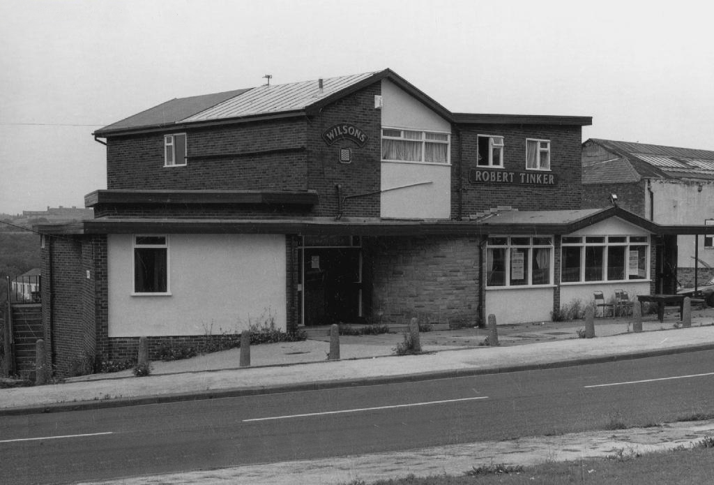
Kangol capped criminals doing business outside the Robert Tinker on the corner of the very real Dalton and Almond Streets.
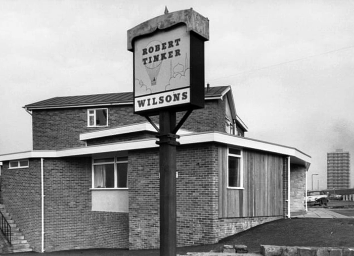
The Robert Tinker was an estate pub in a run down area of Collyhurst. The pub looked pretty grim from the outside, but it was smarter than I expected inside, I had a drink in the lounge which was carpeted and comfortable. This was a Banks’s tied house and there were two real ales on the bar, I had a drink of Banks’s bitter and this was a decent drink, the other beer was Banks’s mild. This pub closed about two years after my visit and looked derelict, it has now been demolished.
Robert Tinker was the owner of the Vauxhall Gardens, a Victorian pleasure venue.
At the openingthere was a special attraction, a giant cucumber which had been grown in the gardens reaching a length of seven feet and eight inches and a large and beautiful balloon was to be liberated at 9pm
Much of the red sandstone used for building in Manchester and the surrounding area, including stone for the Roman fort at Castlefield, St Ann’s Church in the city centre, Manchester Cathedral and the original buildings of Chetham’s Hospital, came from Collyhurst Quarry. Geologists use the term Collyhurst Sandstone for this type of soft red sandstone, which occurs in North West England
Tinker died in 1836 and gradually his gardens were whittled away, the subsoil was sold to iron moulders who cherished its certain properties and before long the trees were chopped down and houses were being built on the former site.
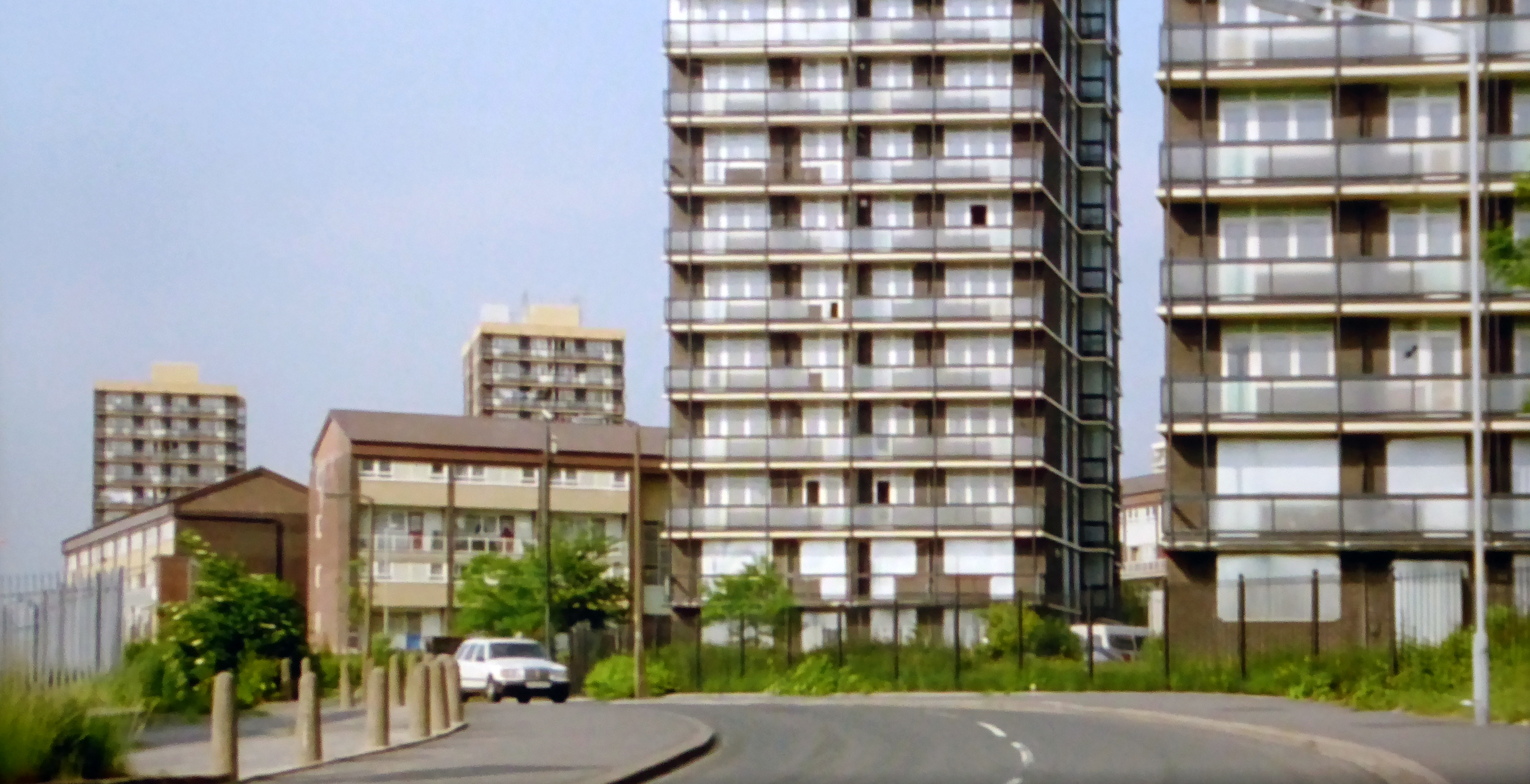
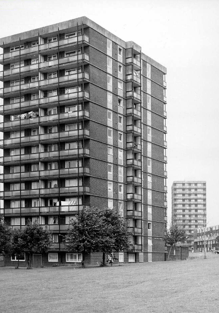
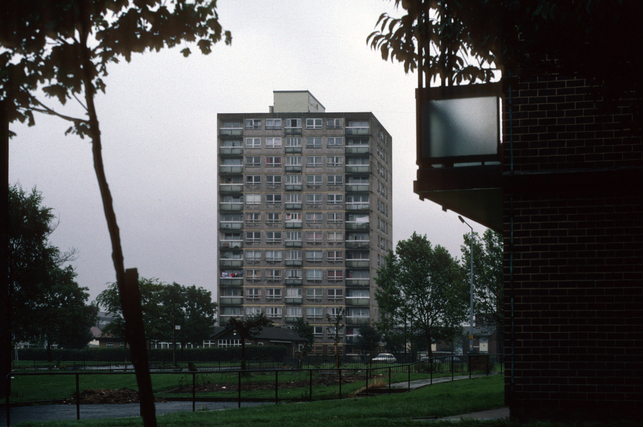
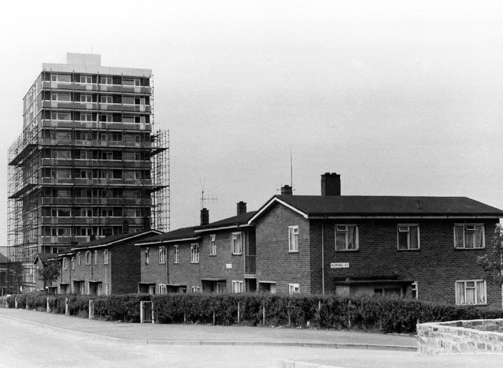
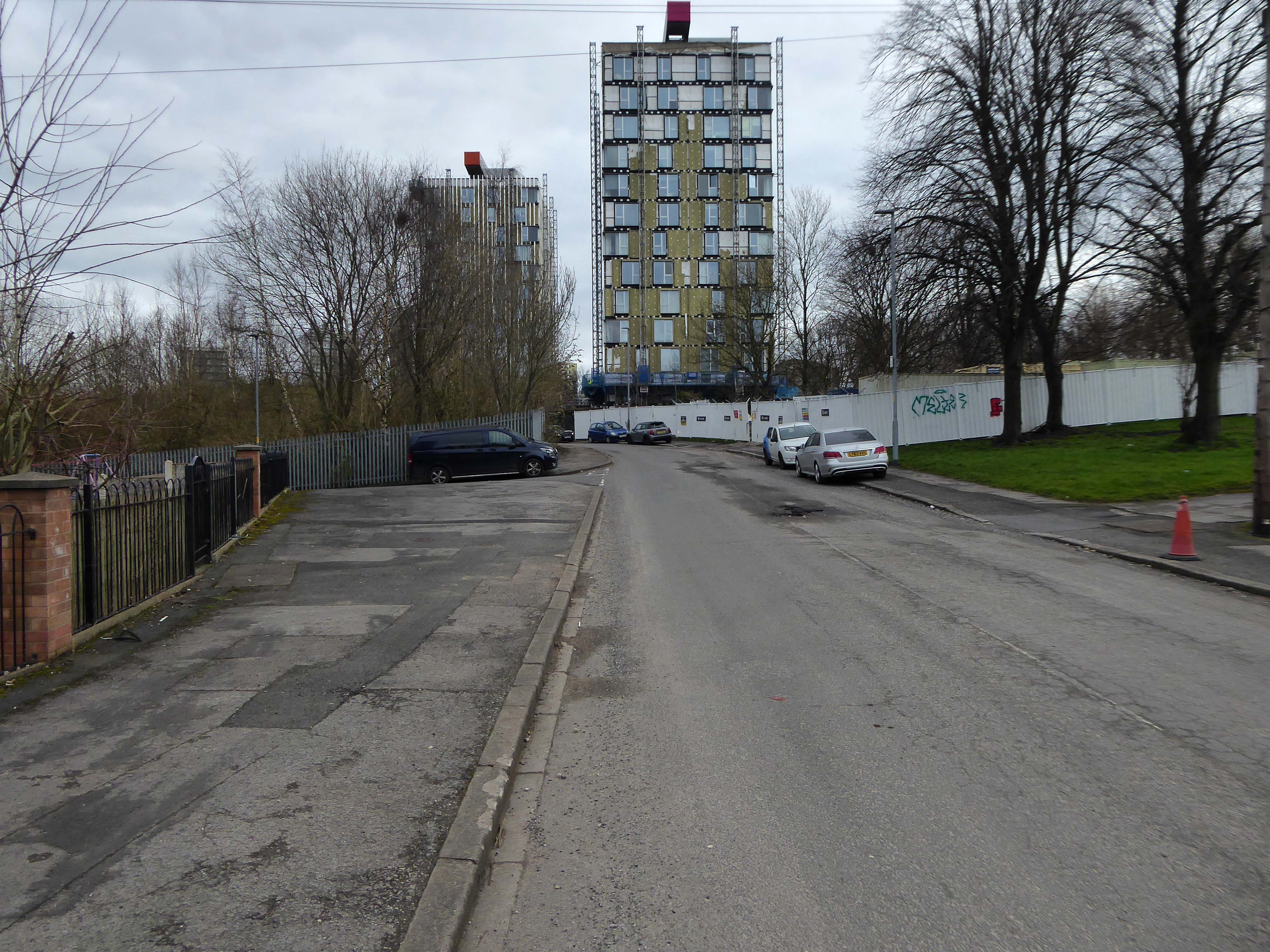
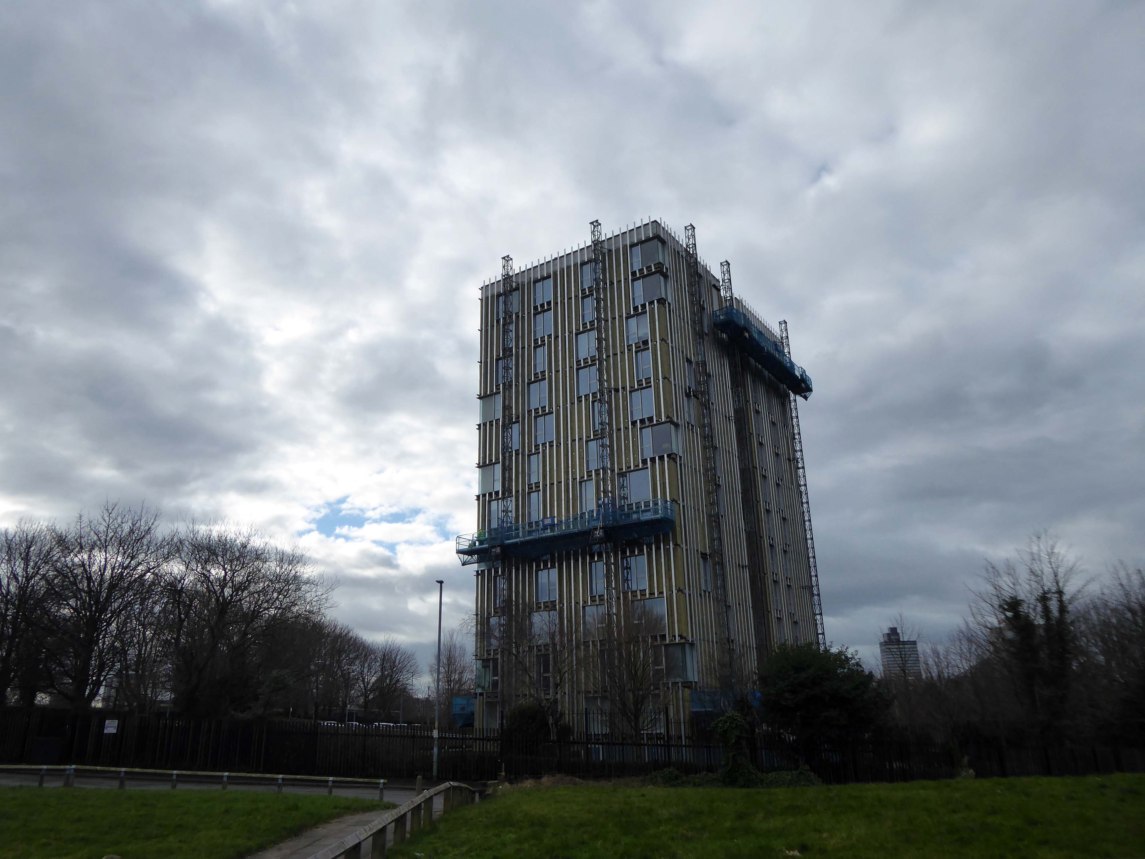
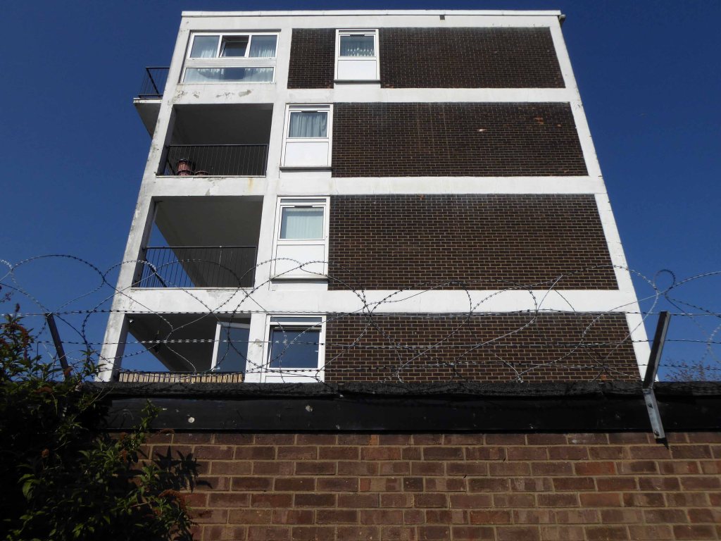
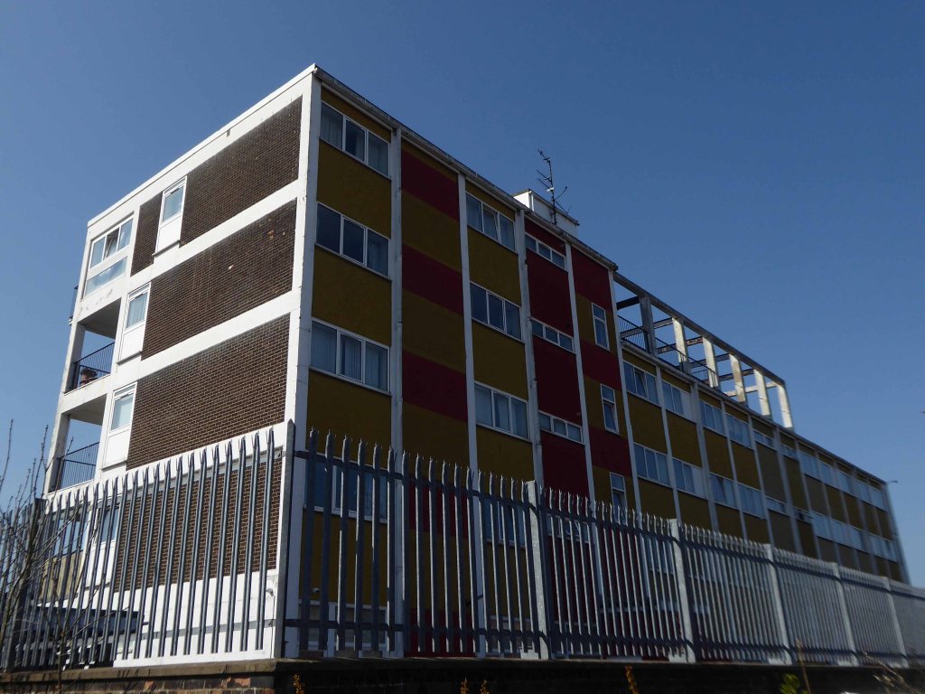
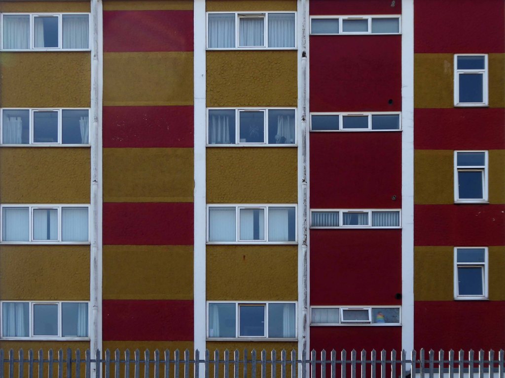
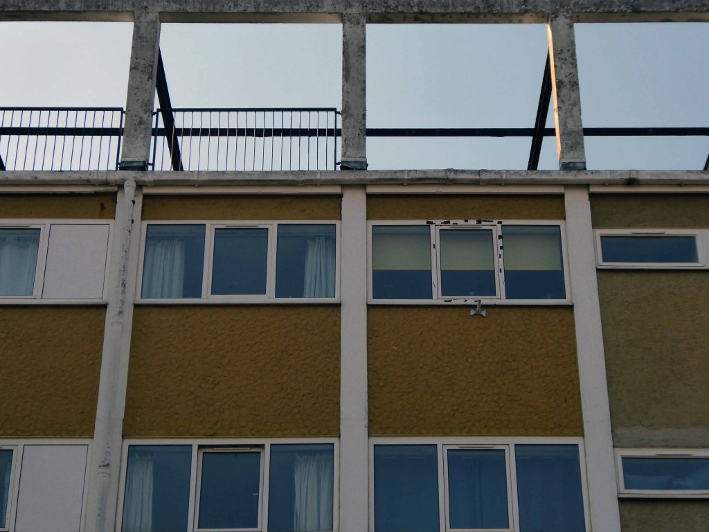
Those houses are in their turn whittled away, replaced in the 1960’s with fashionable tower blocks.
Architects: J Austen Bent 1965
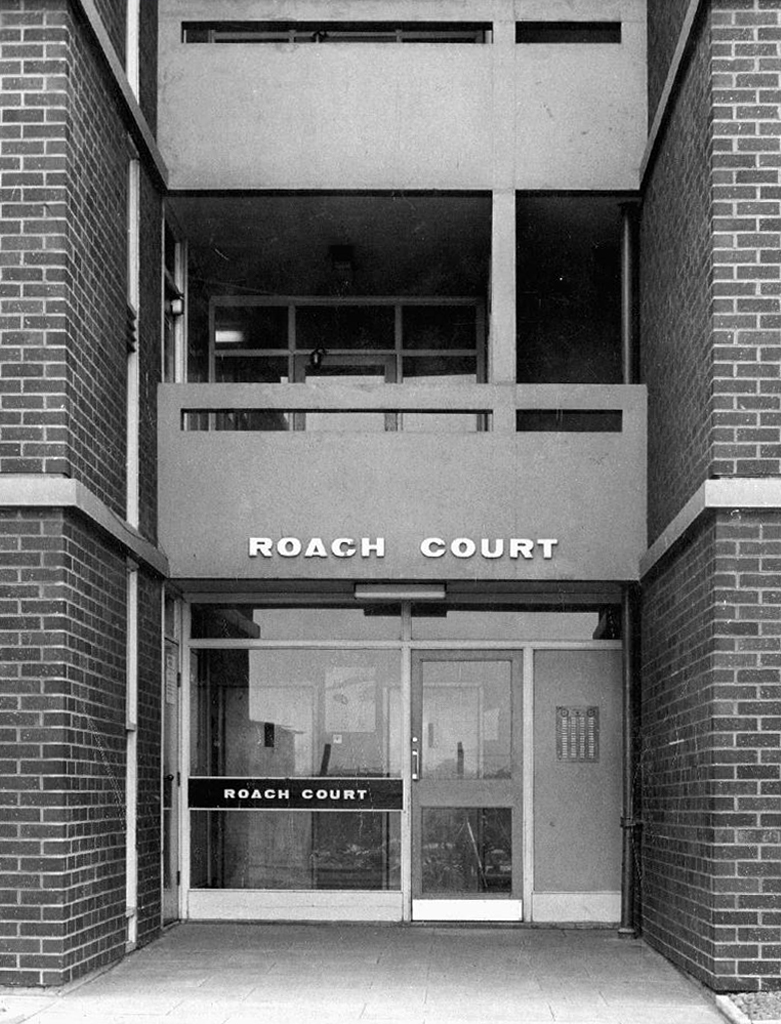
In total five thirteen storey blocks – Humphries, Dalton, Roach, Vauxhall and Moss Brook Courts
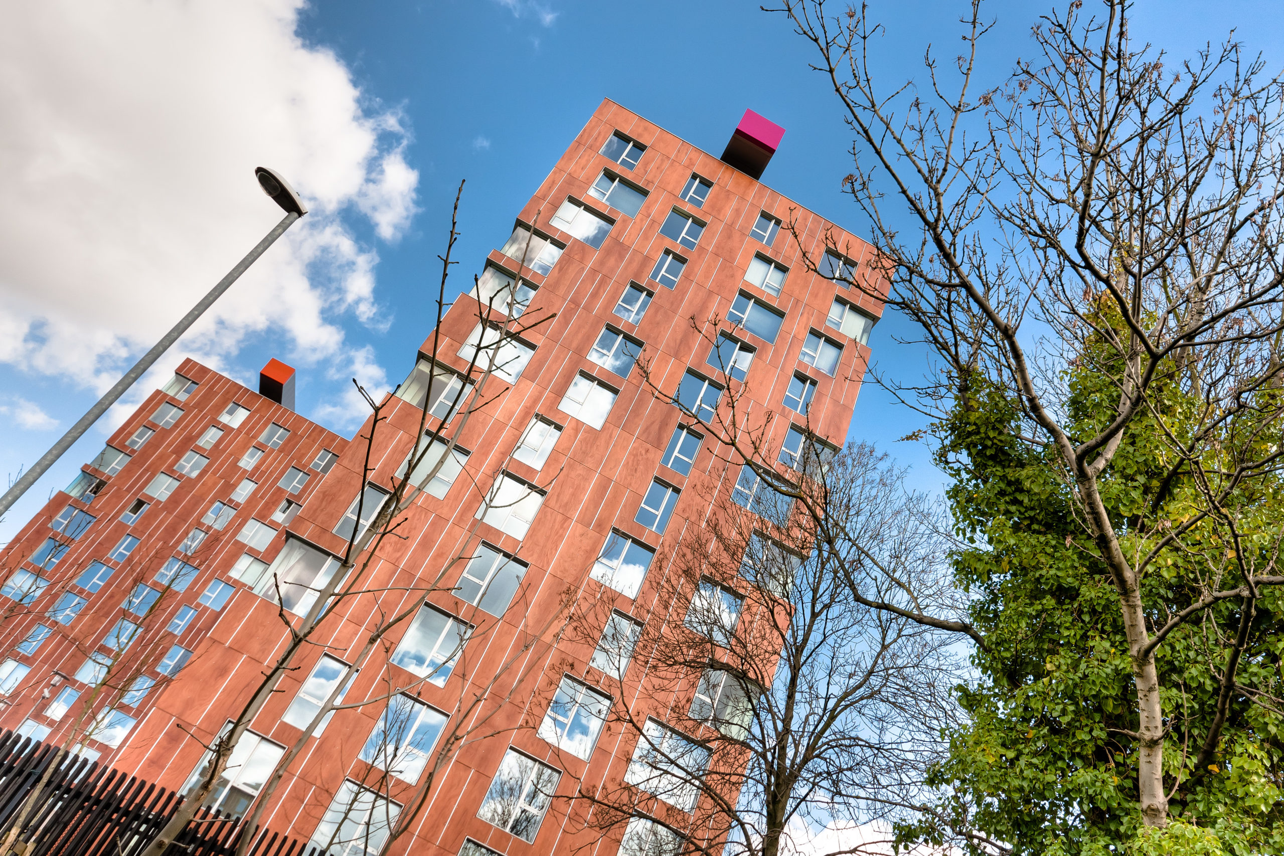
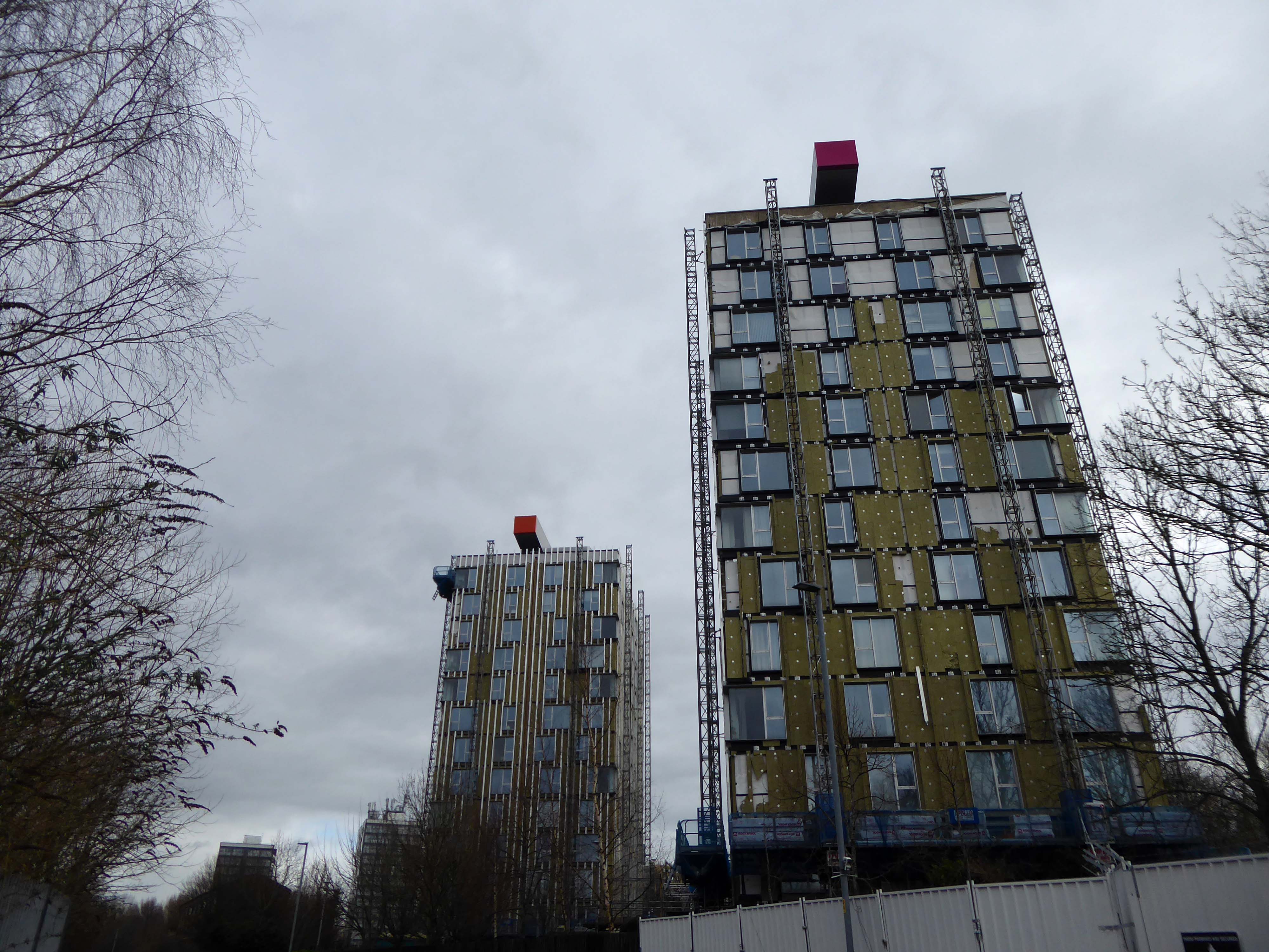
Subsequently purchased by Urban Splash and refurbished:
Designed by Union North Architects, the names for the Three Towers were decided in a public competition and the winning names were Emmeline, Christabel and Sylvia – naming the towers after the Pankhurst sisters and their mother.
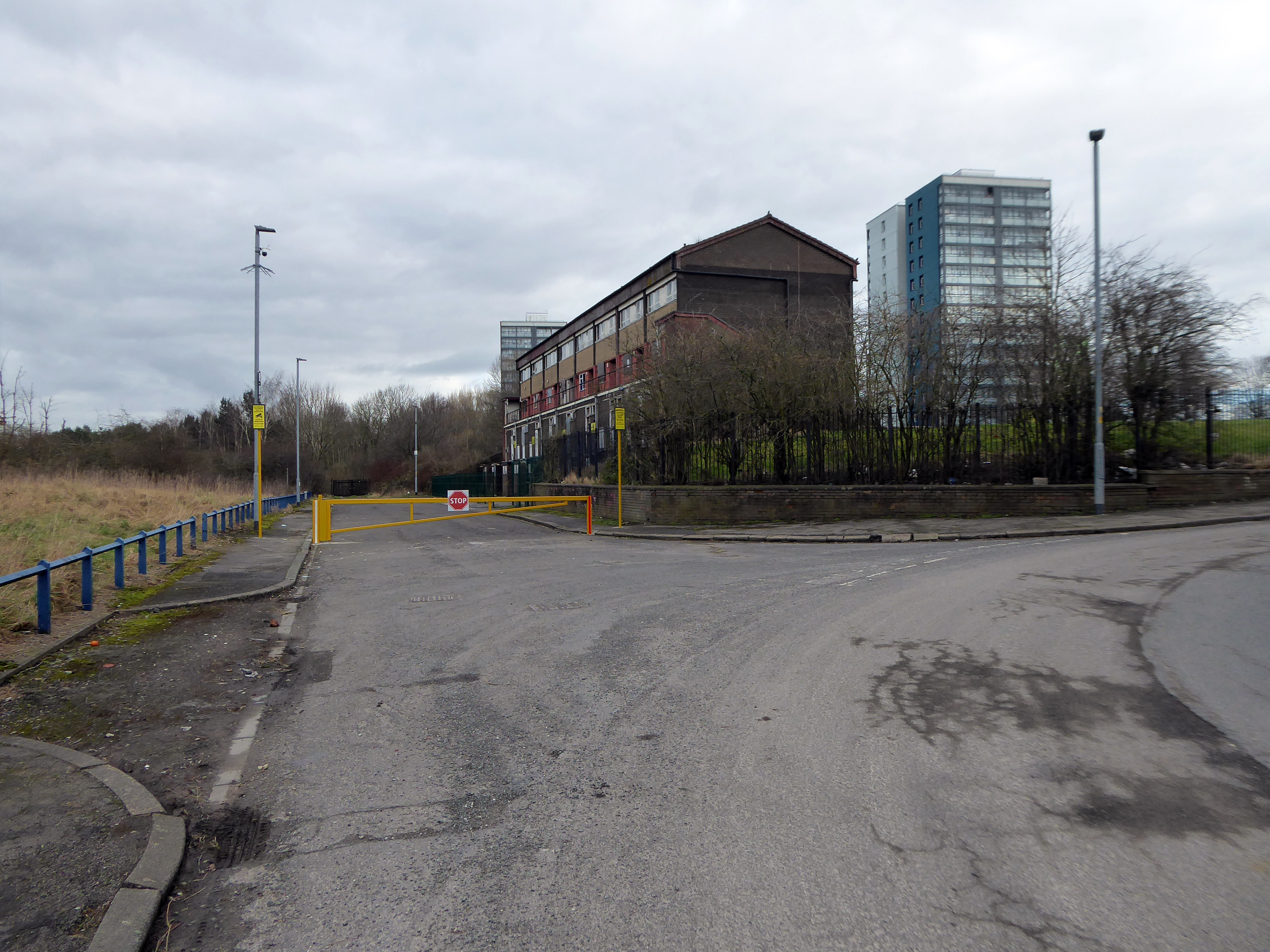
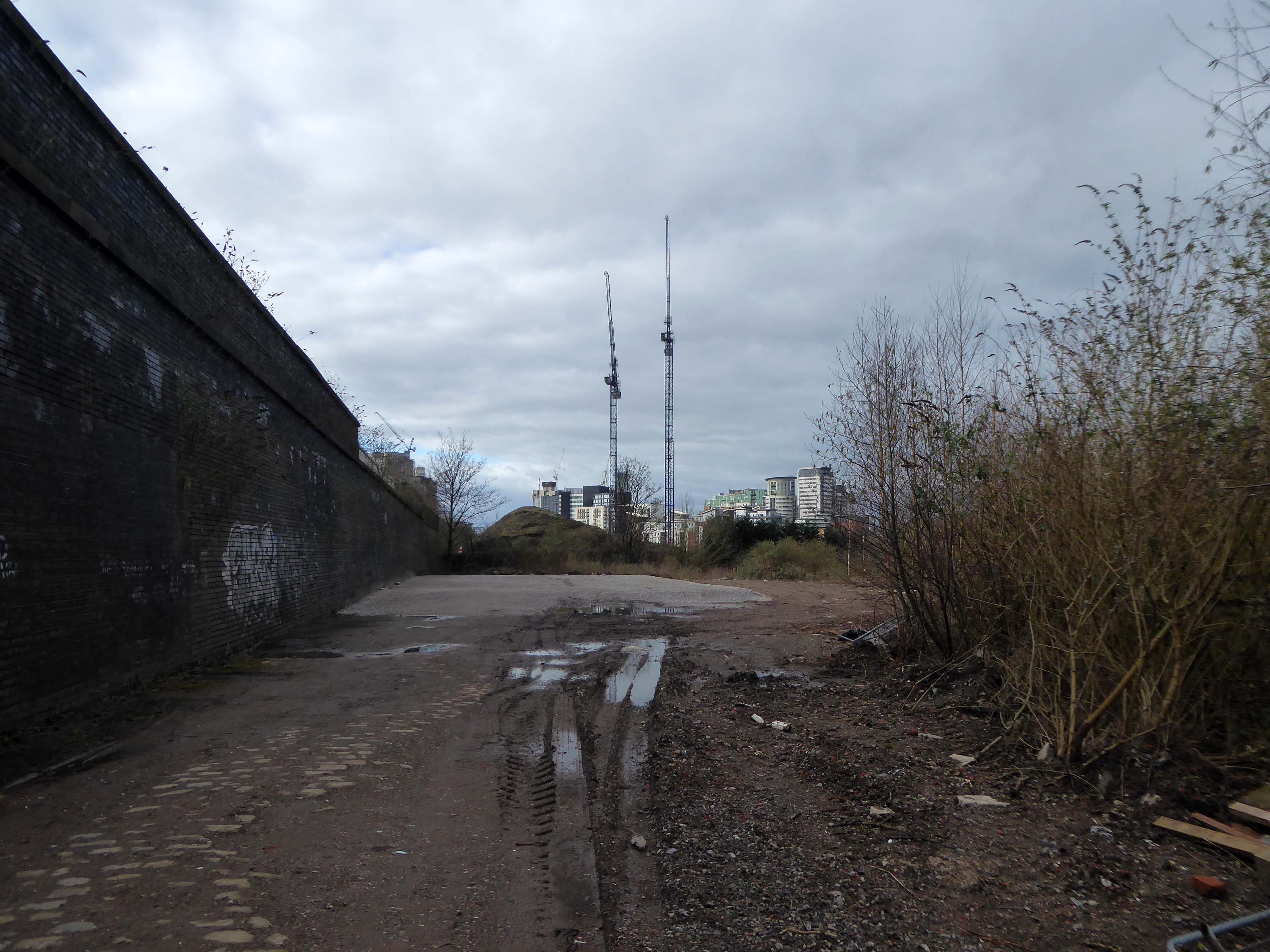
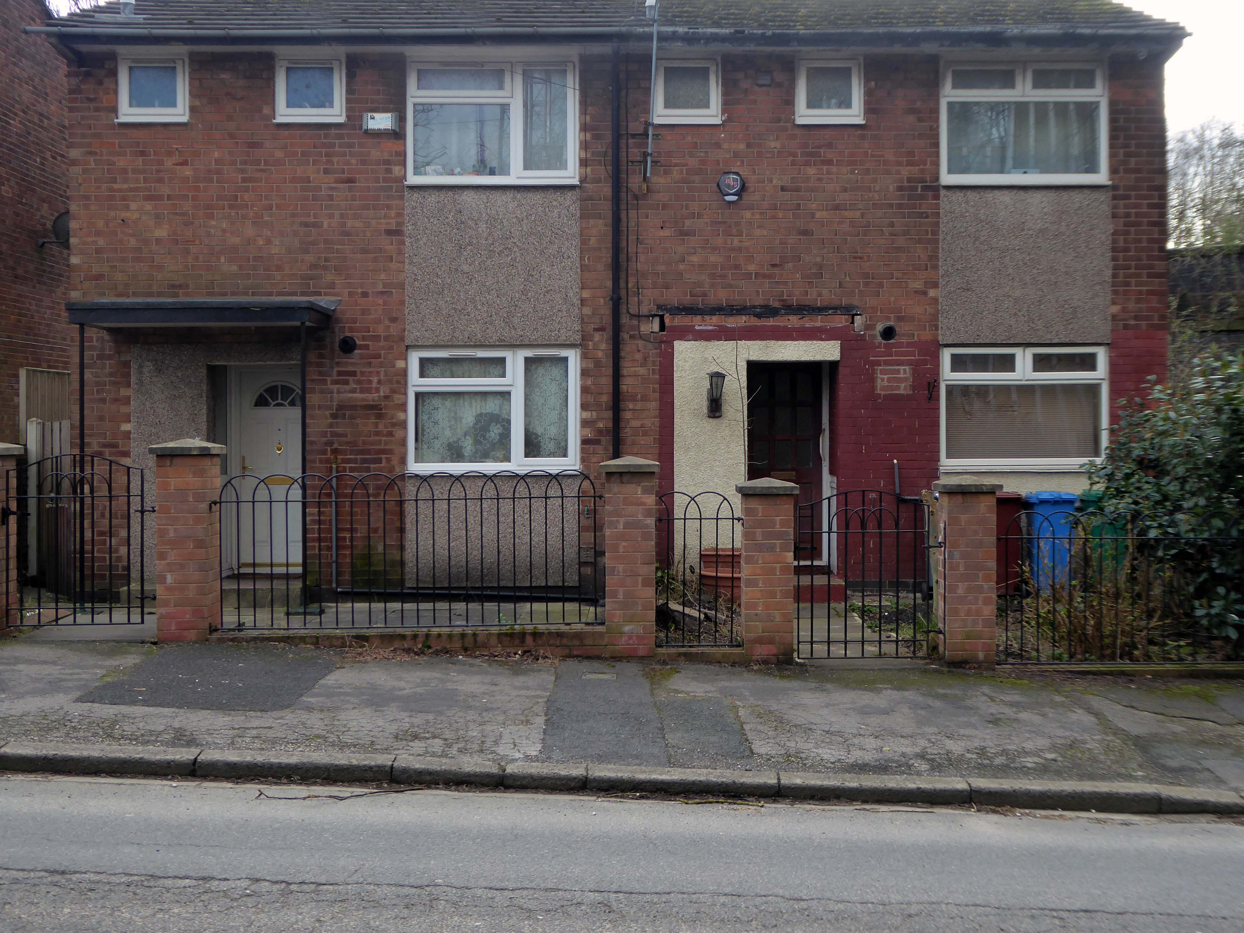
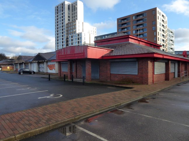
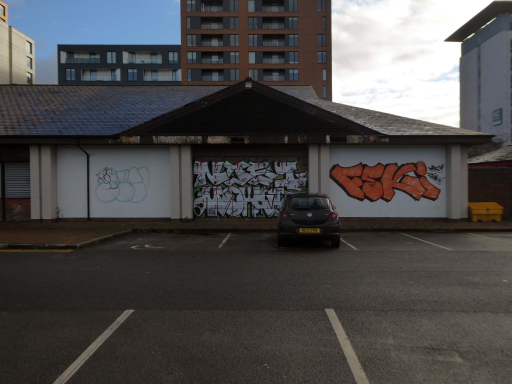
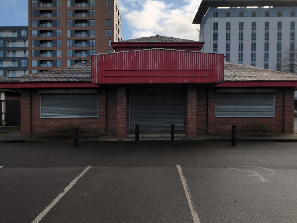
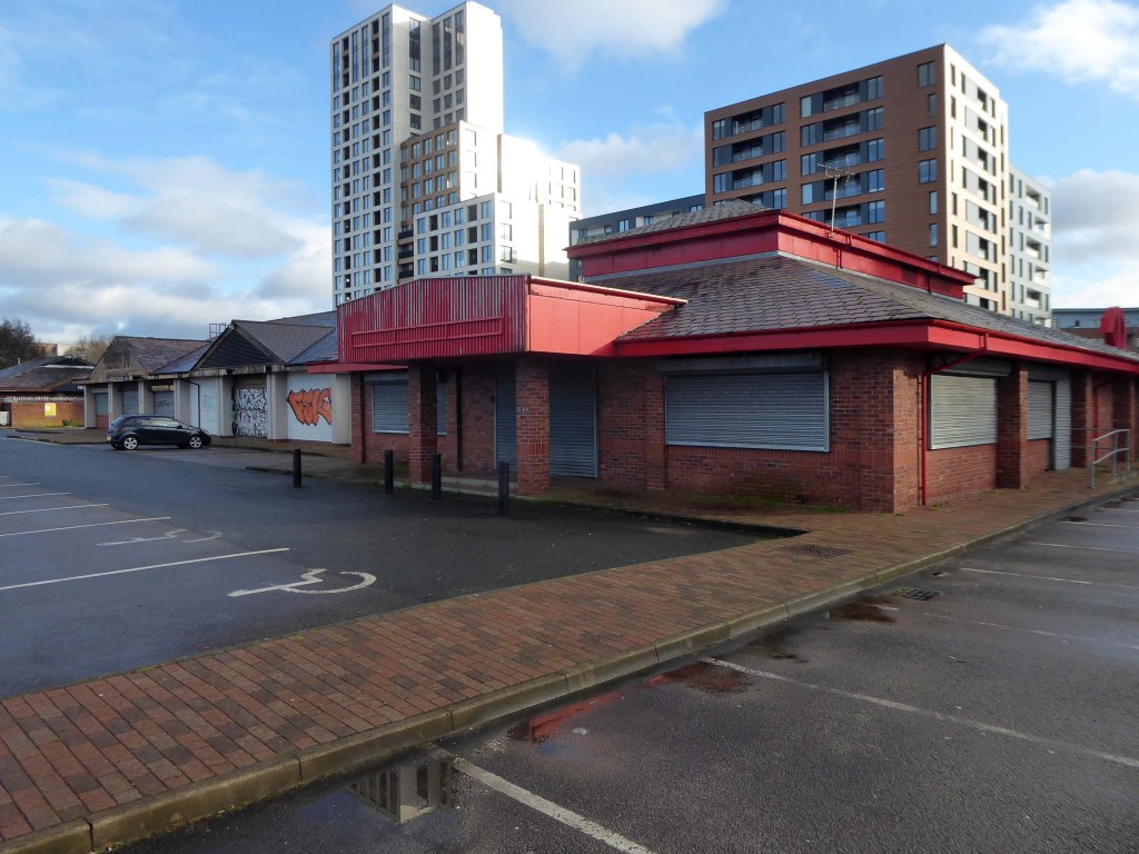
The remains of the remaining Eastford Square homes tinned up and secured awaiting who knows what.
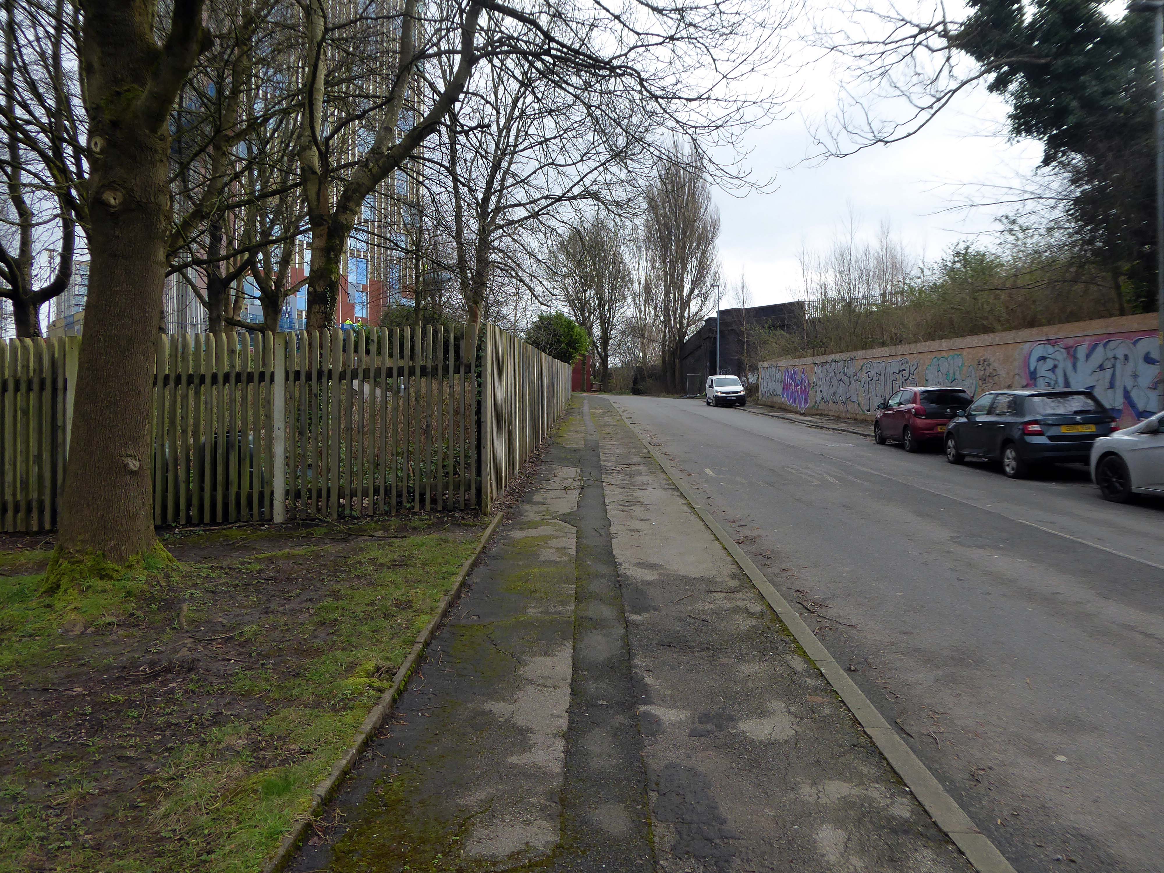
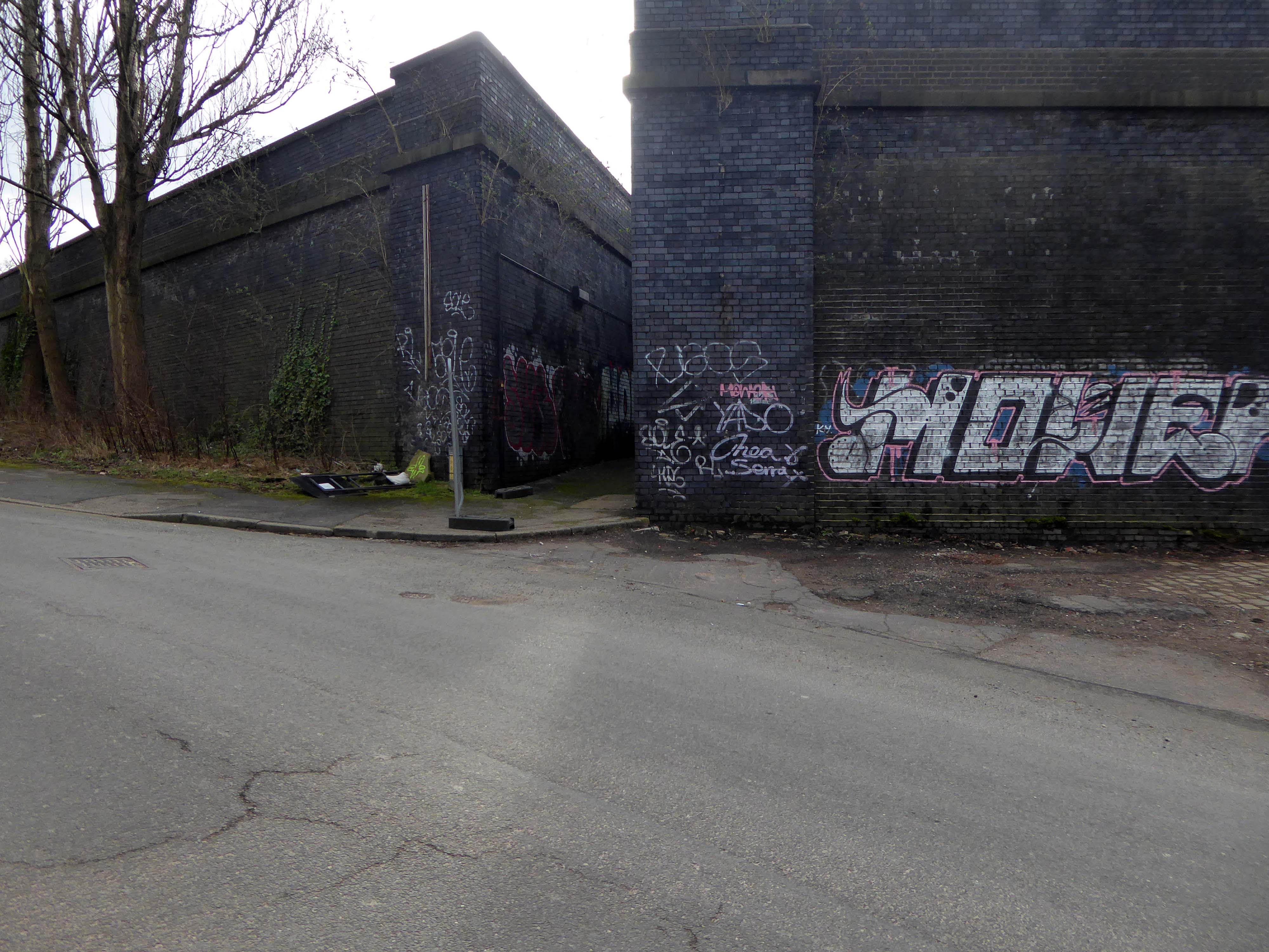
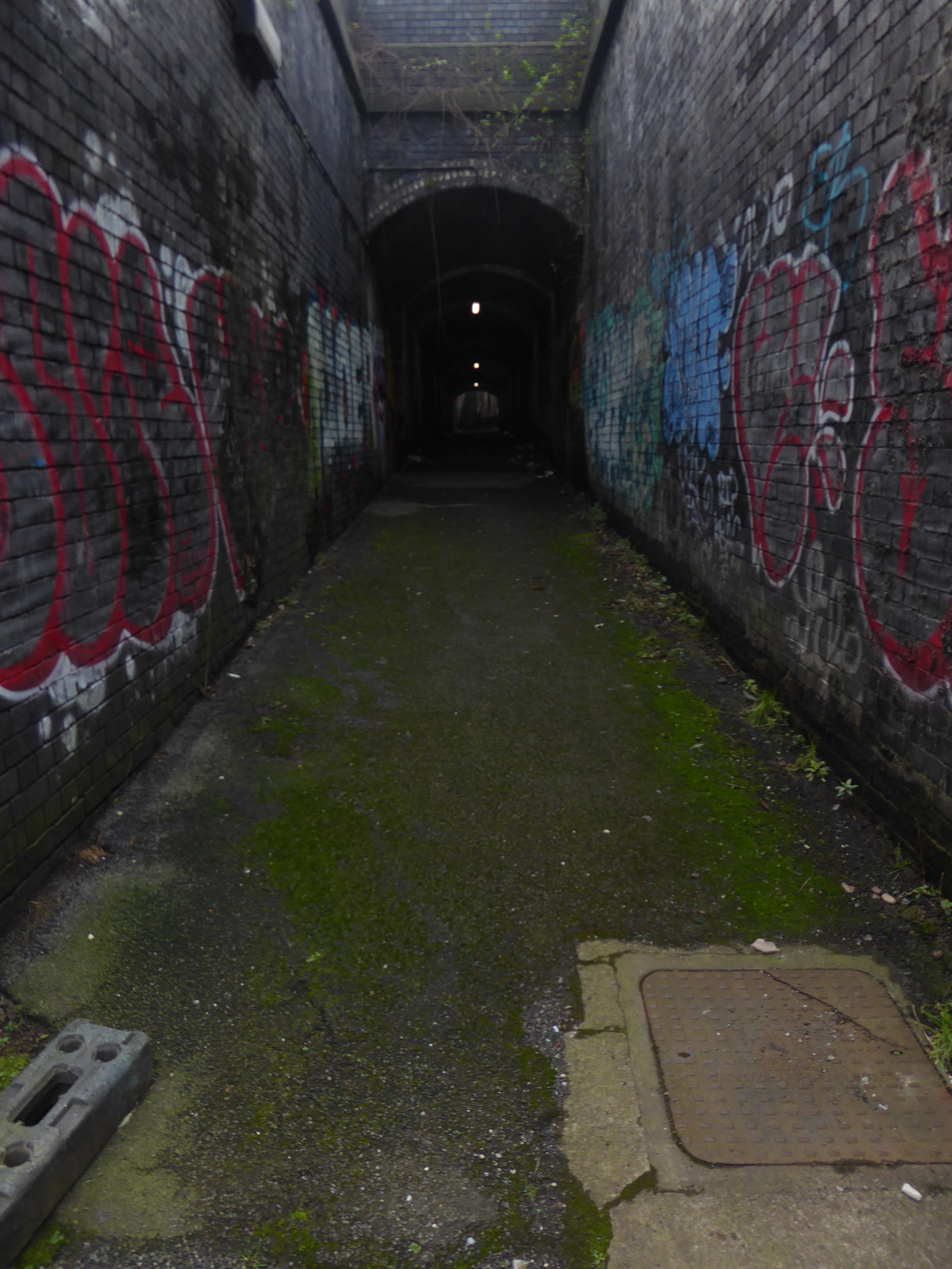
So let’s take a short walk, see how things stand.
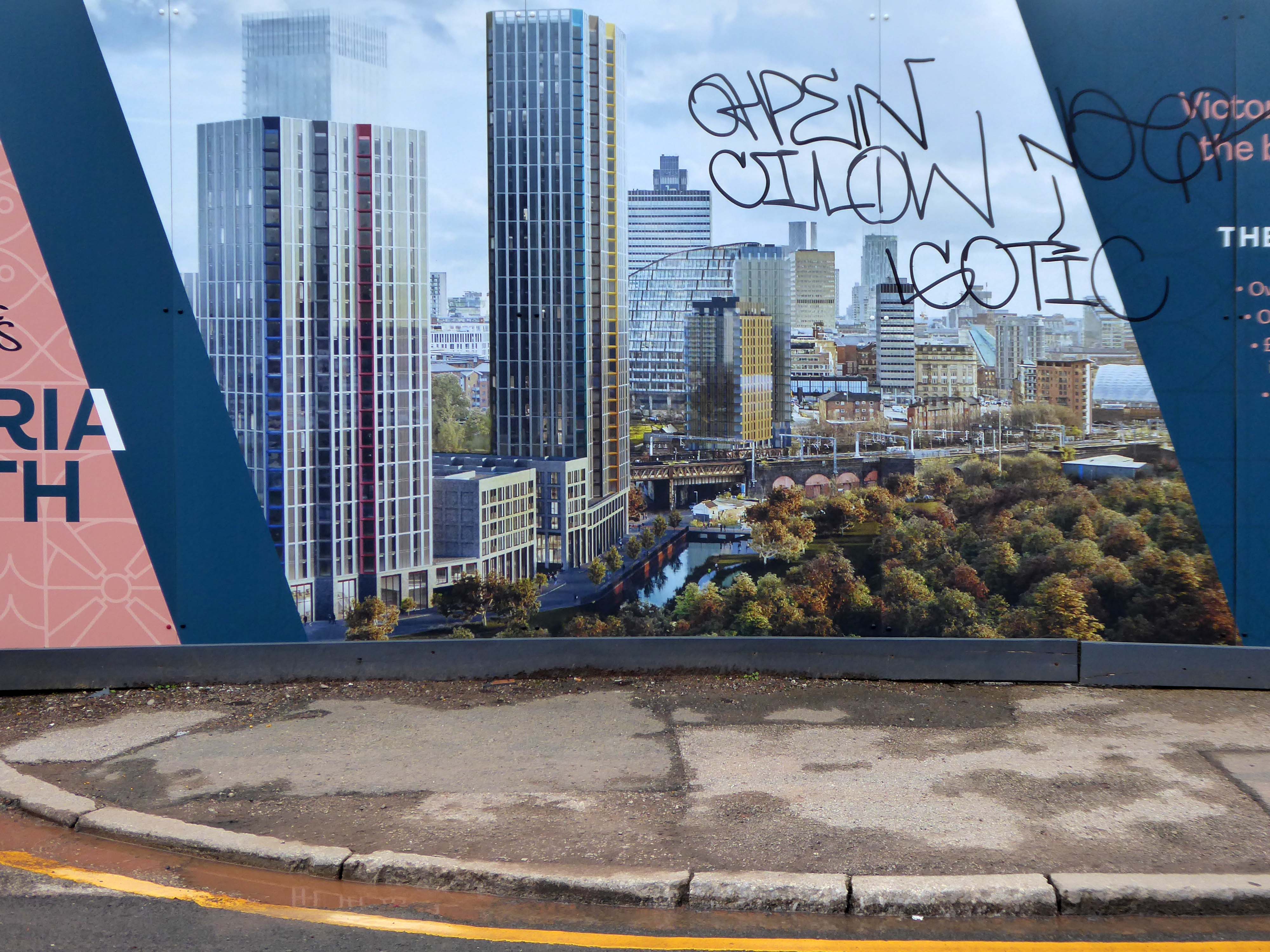
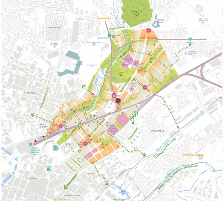
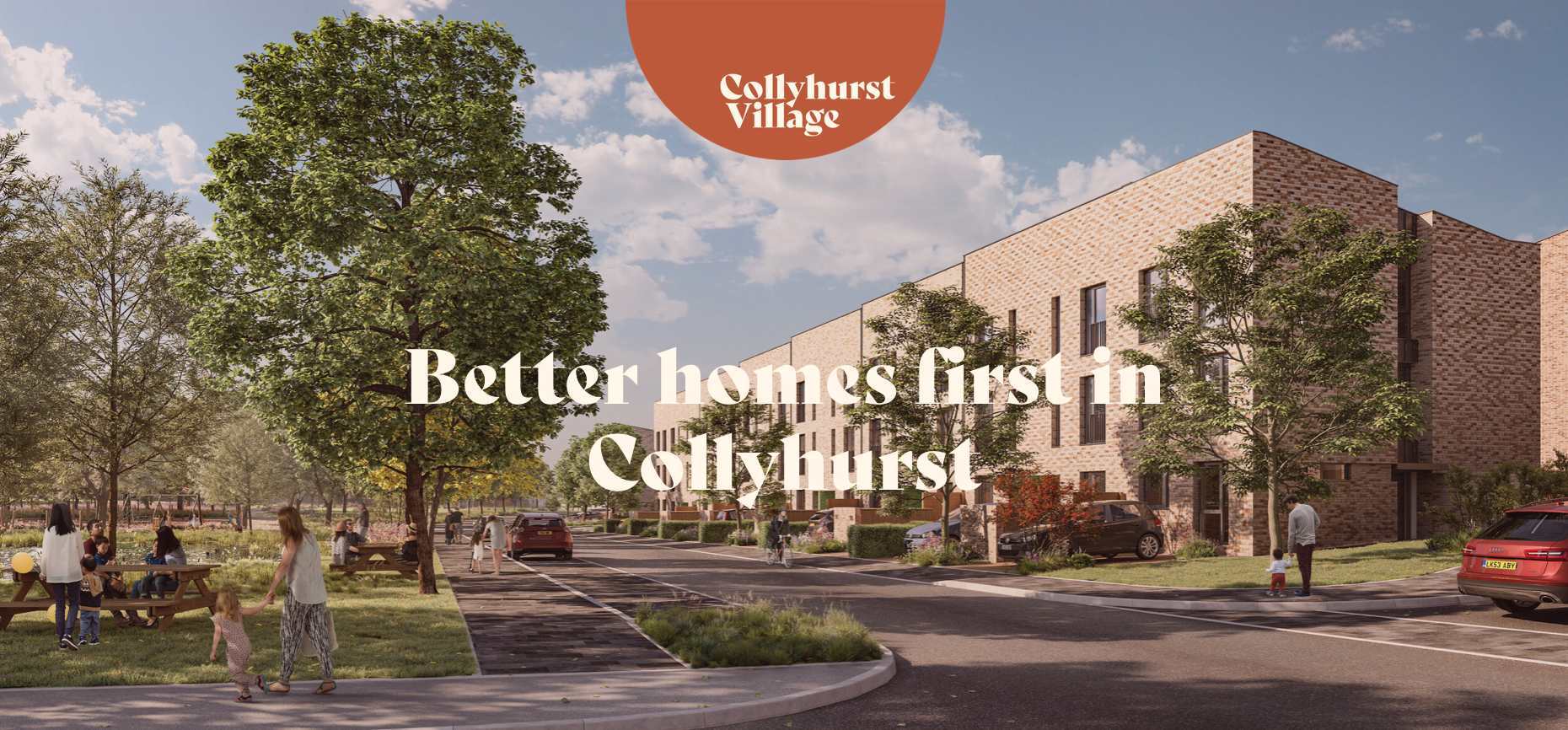
The area now forms the core of the latest municipal Masterplan – Victoria North.
Victoria North is a joint venture programme between Manchester City Council and developer Far East Consortium.
An internationally recognised developer, FEC specialises in residential led mixed-use developments and hotels, along with its casino and car park operations throughout mainland Europe.
The cowboys are now long gone – or are they?
When I was a cowboy out on the Western Plain Well, I made a half a million Working hard on the bridle reins
Come a cow-cow yicky come a cow-cow yicky, Harpurhey
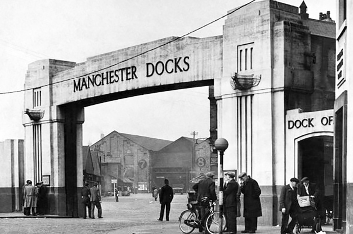
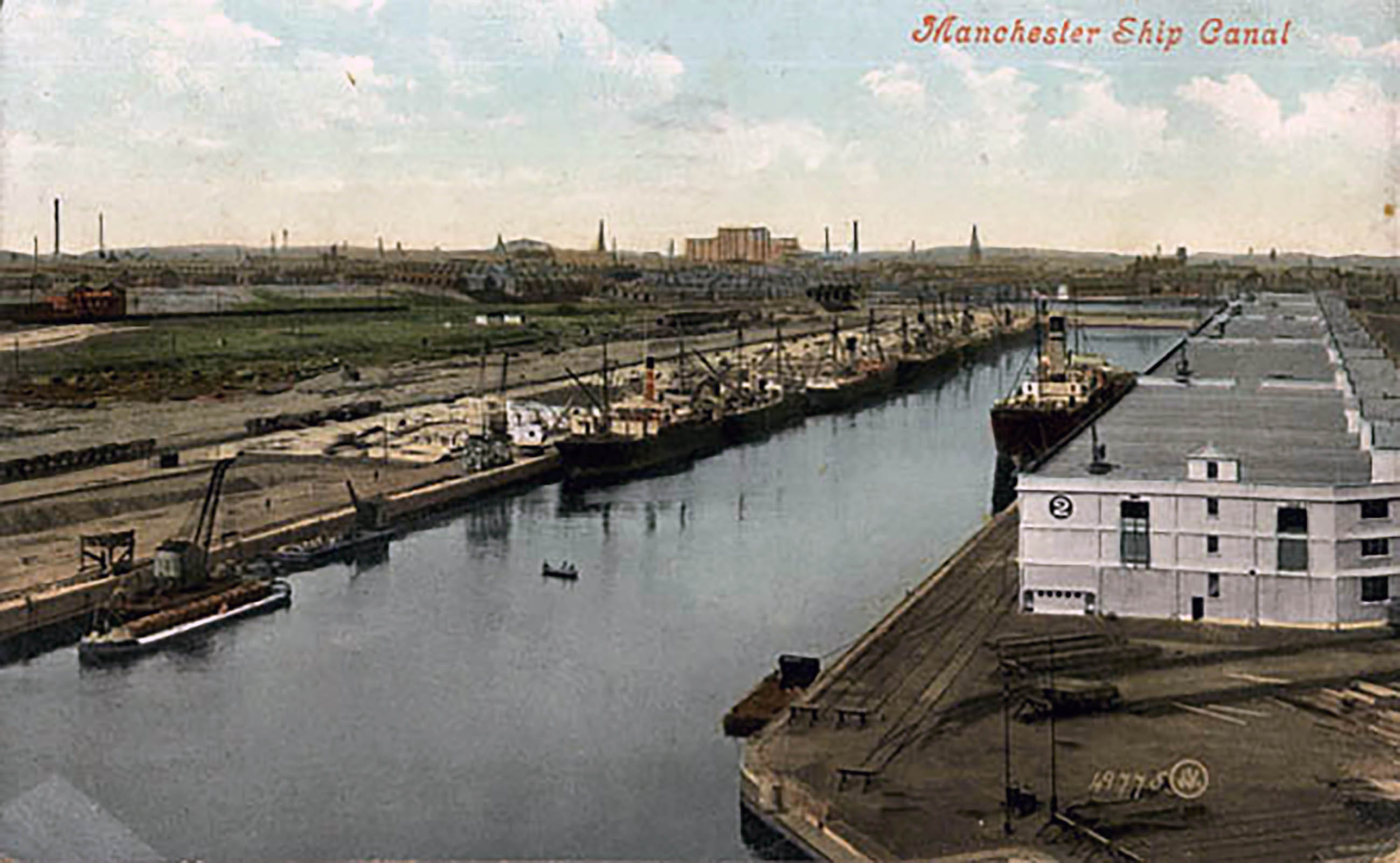
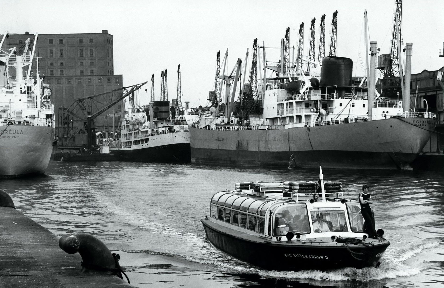
They were situatedin Salford, Stretford and Manchester at the east end of the Manchester Ship Canal. They formed part of the Port of Manchester from 1894 until their closure in 1982. The docks marked the upper reaches of the ship canal,and were a destination for both coastal and ocean-bound vessels carrying cargo and a limited number of passengers, often travelling to and from Canada.
Manchester Docks were divided into two sections; the larger Salford docks to the west of the Trafford Road swing bridge and Pomona docks to the east. Each section consisted of four docks in total, the largest being to the west; Dock 5 at Pomona was never fully completed. Of the eight working docks only one, Dock 1 at Pomona, was within Manchester itself. During much of 1948, Manchester Docks were Britain’s third busiest port owing to damage suffered by the Port of Hull during the Hull Blitz.
During the 1970s the docks began a rapid decline, largely due to containerisation. The increasing size of freight-carrying ships meant they could no longer navigate the ship canal and this, combined with increased trading with Europe and the east, saw use of Manchester Docks decrease. In 1982 the remaining docks closed and the area became derelict. Recognising the need to redevelop the area, Salford City Council purchased the docks in 1984 using a derelict land grant. The Salford Quays Development Plan was adopted in May 1985, proposing complete reclamation and development of the area for commercial, residential and leisure use.
You’re nobody ’til somebody loves you, You’re nobody ’til somebody cares. You may be king, you may possess the world and it’s gold, But gold won’t bring you happiness when you’re growing old.
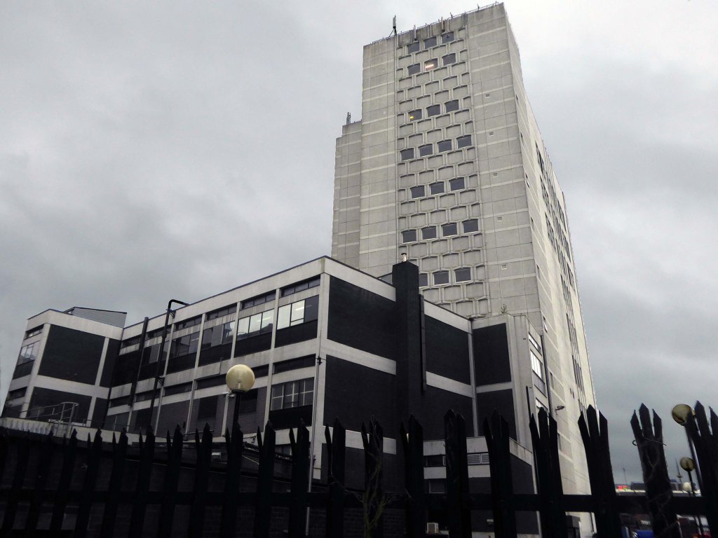
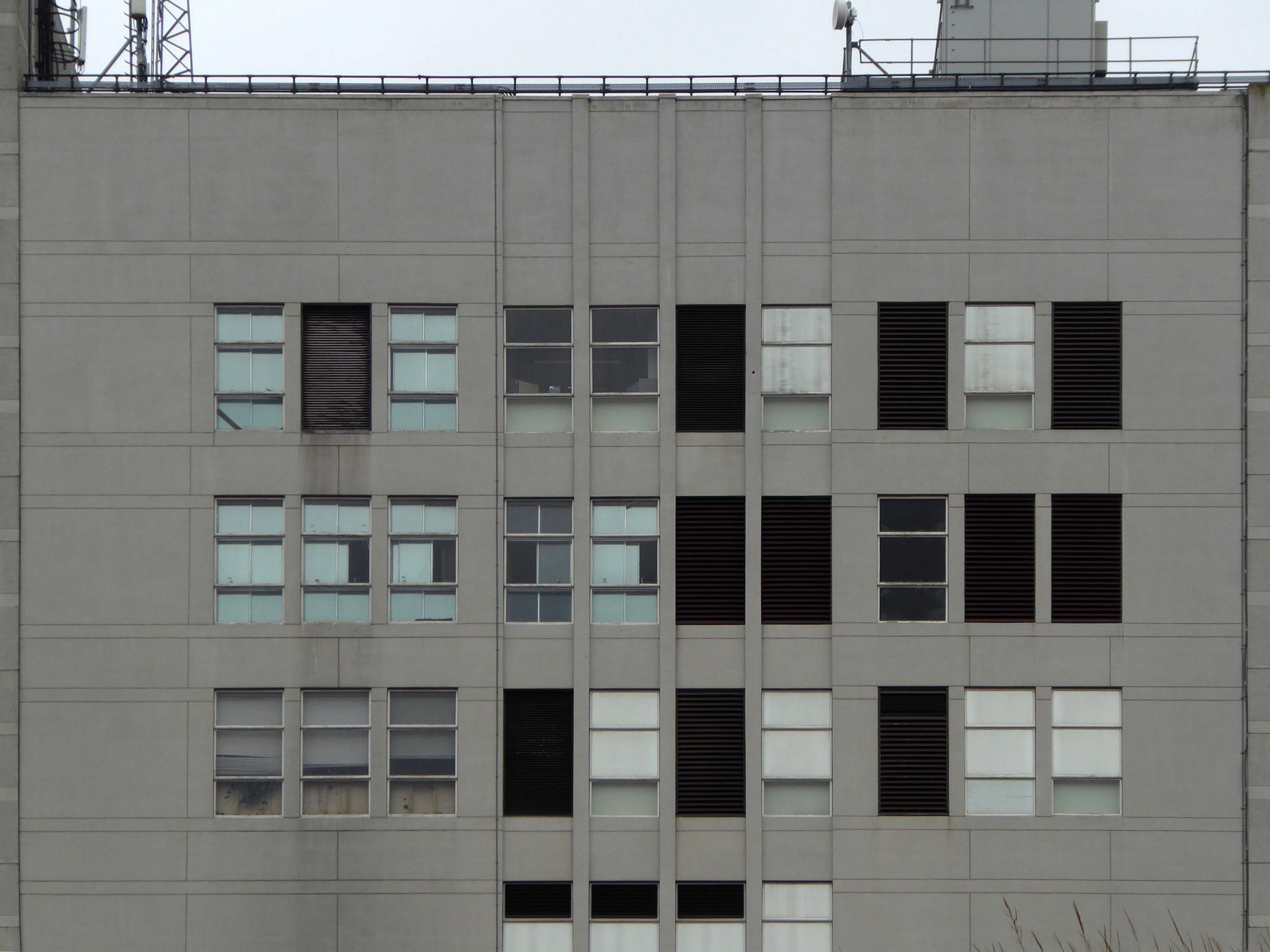
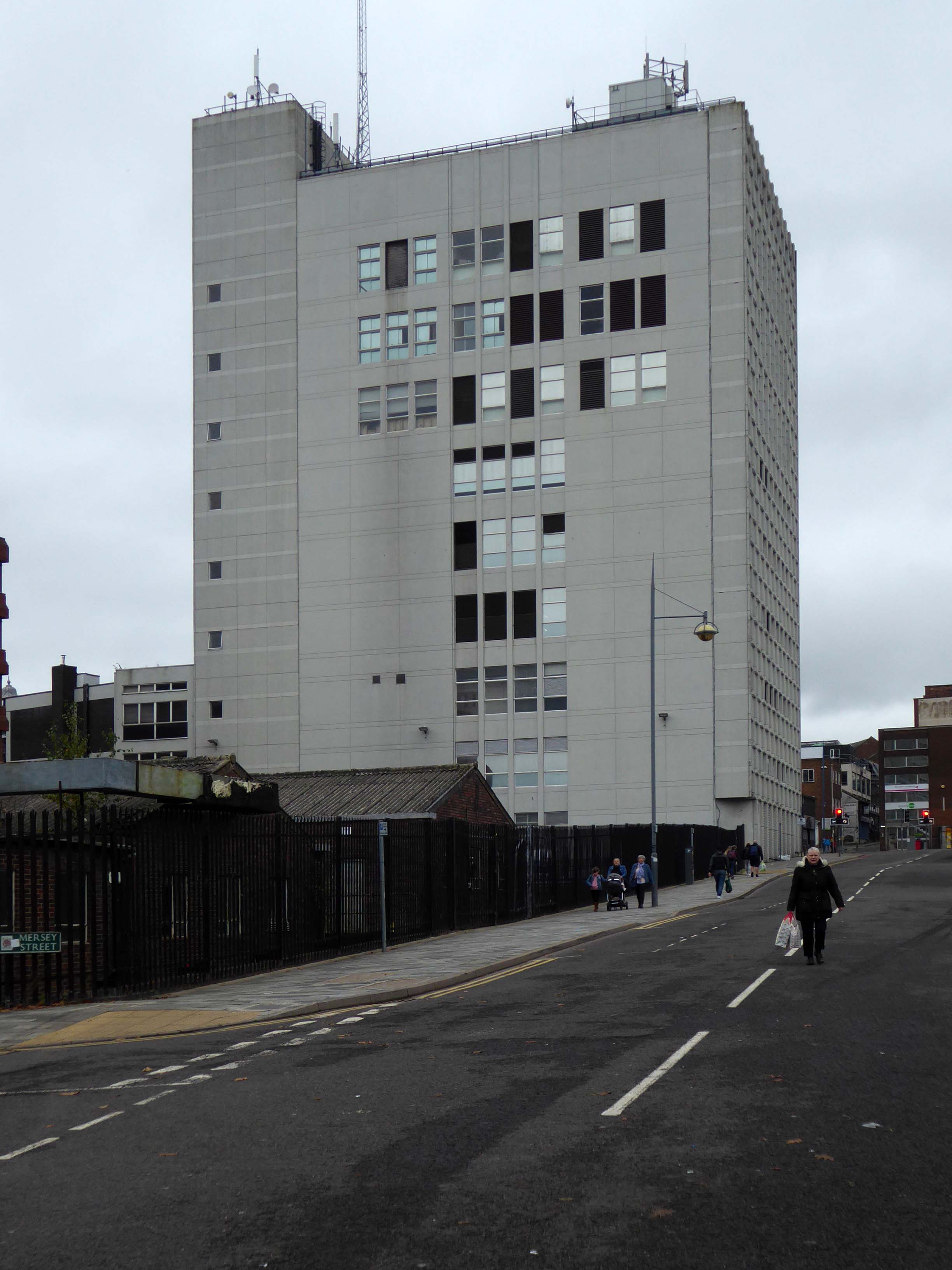
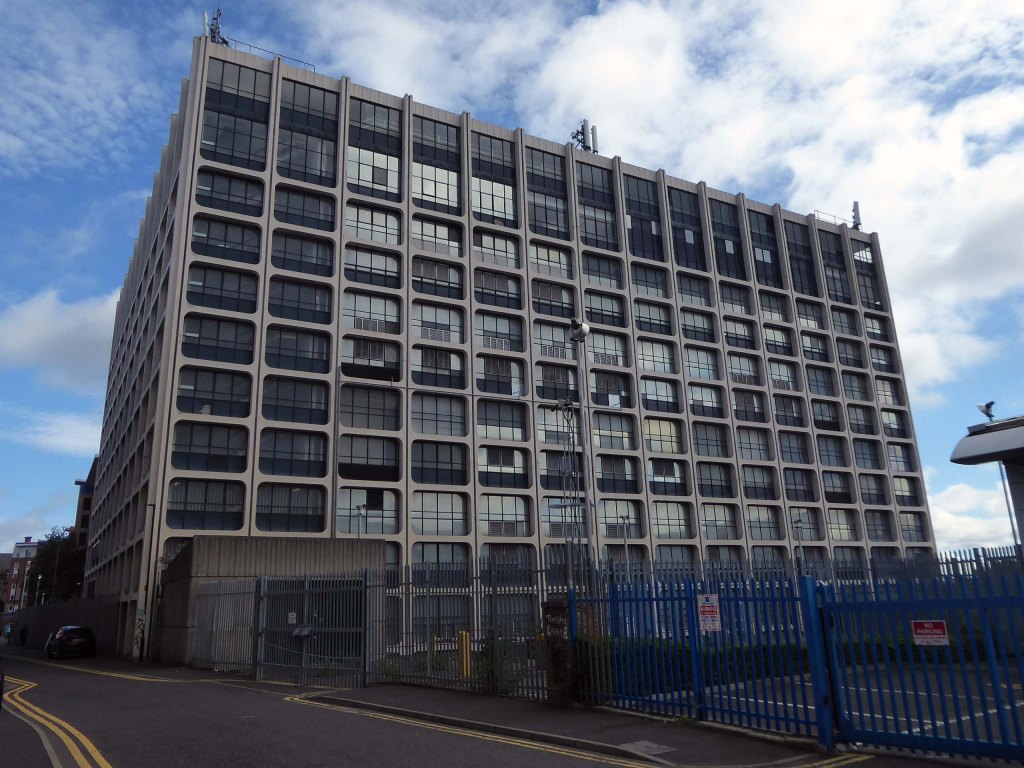
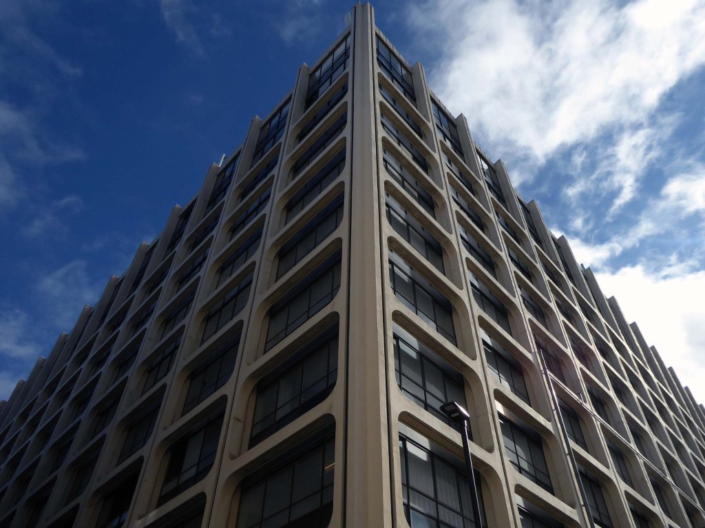
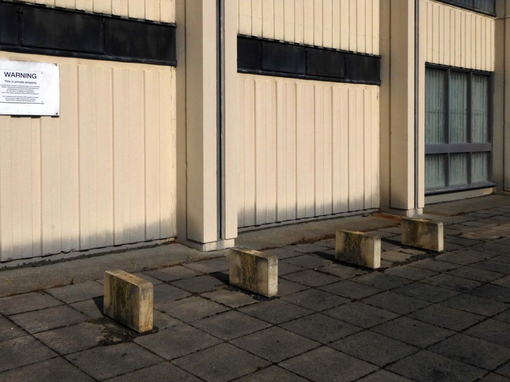
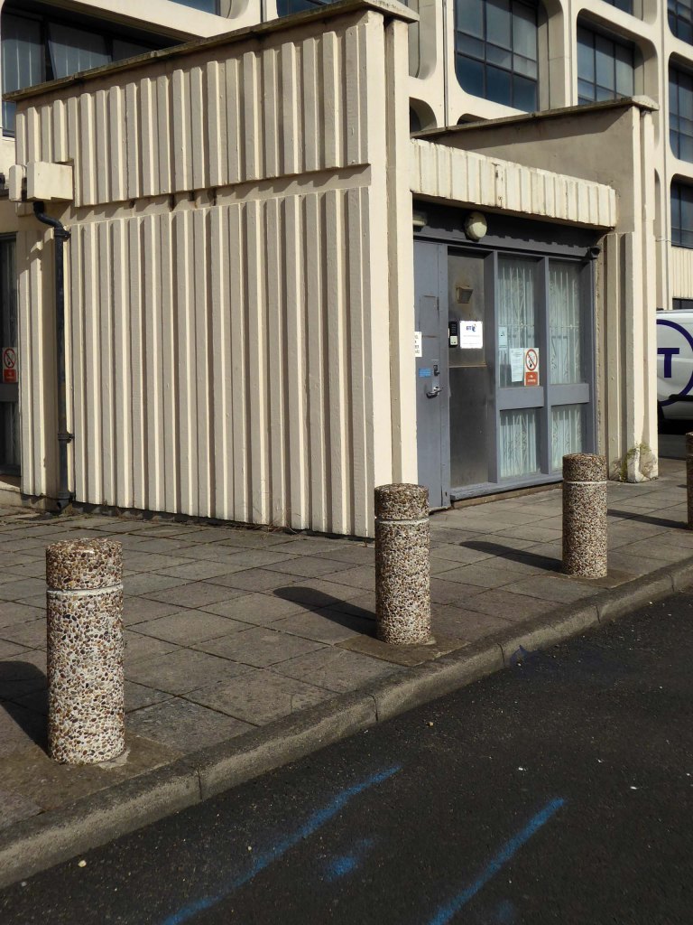
Hanley GSC represents a major telecommunication facility for BT and is positioned within the City boundaries of Stoke-on-Trent, on a very congested site.
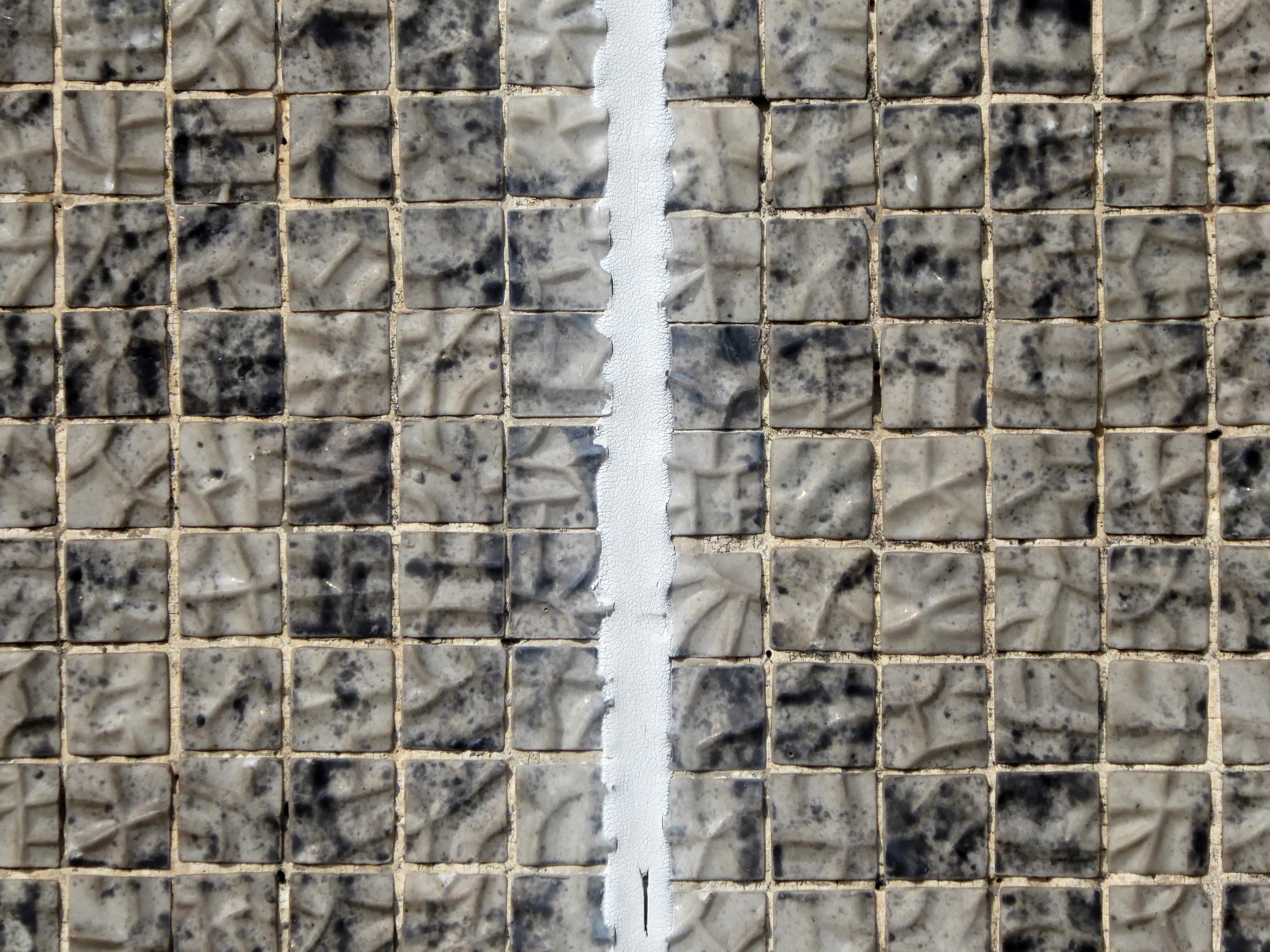
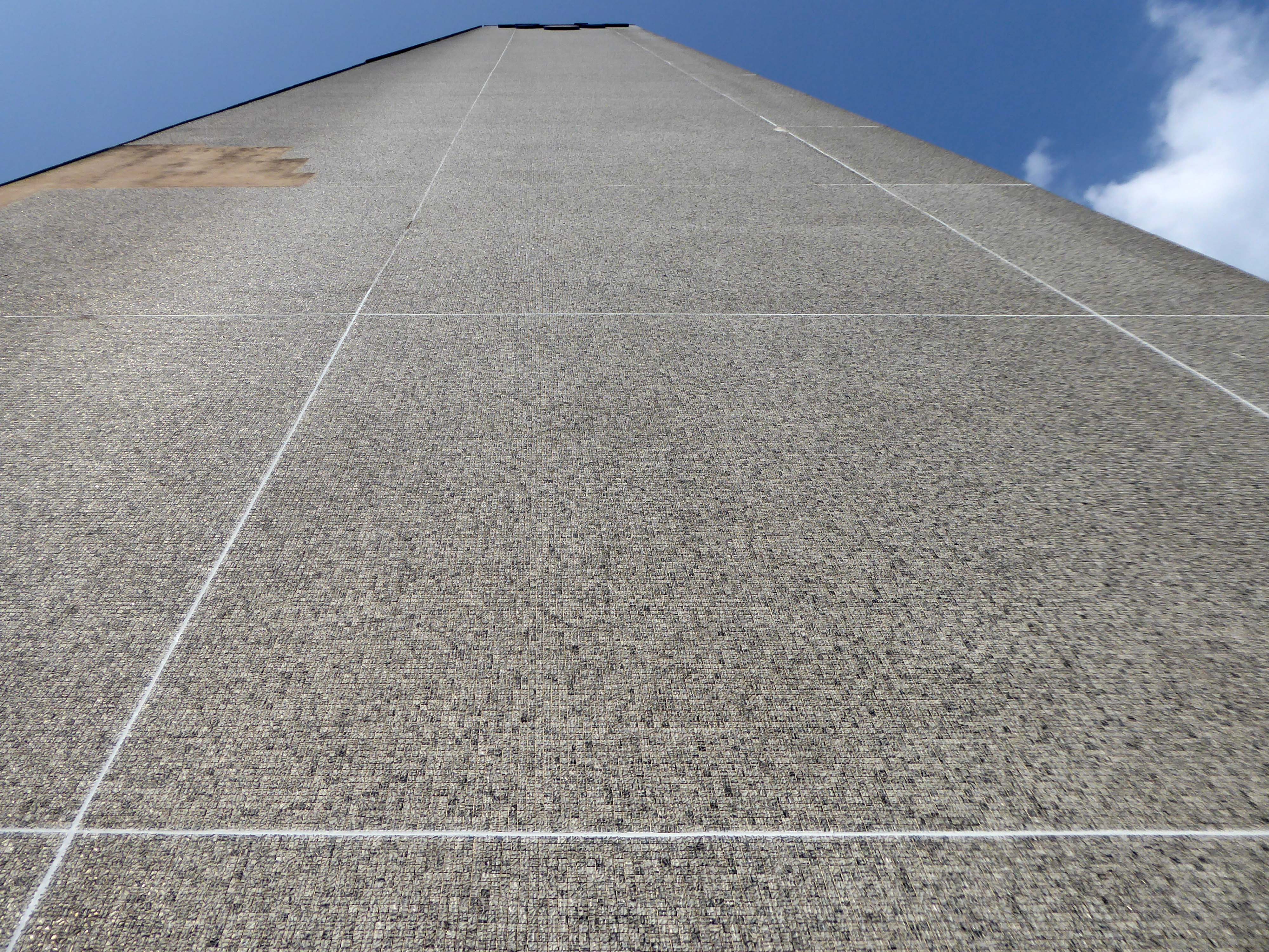
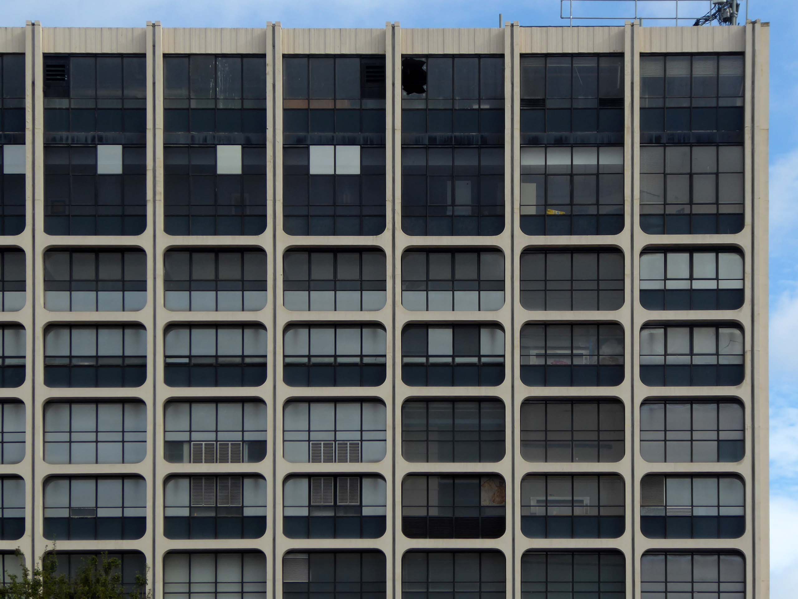
The building fabric was starting to degrade and in need of structural refurbishment.
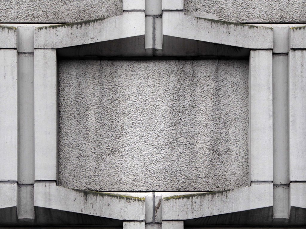
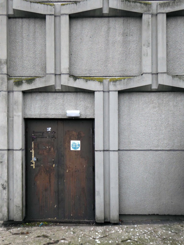
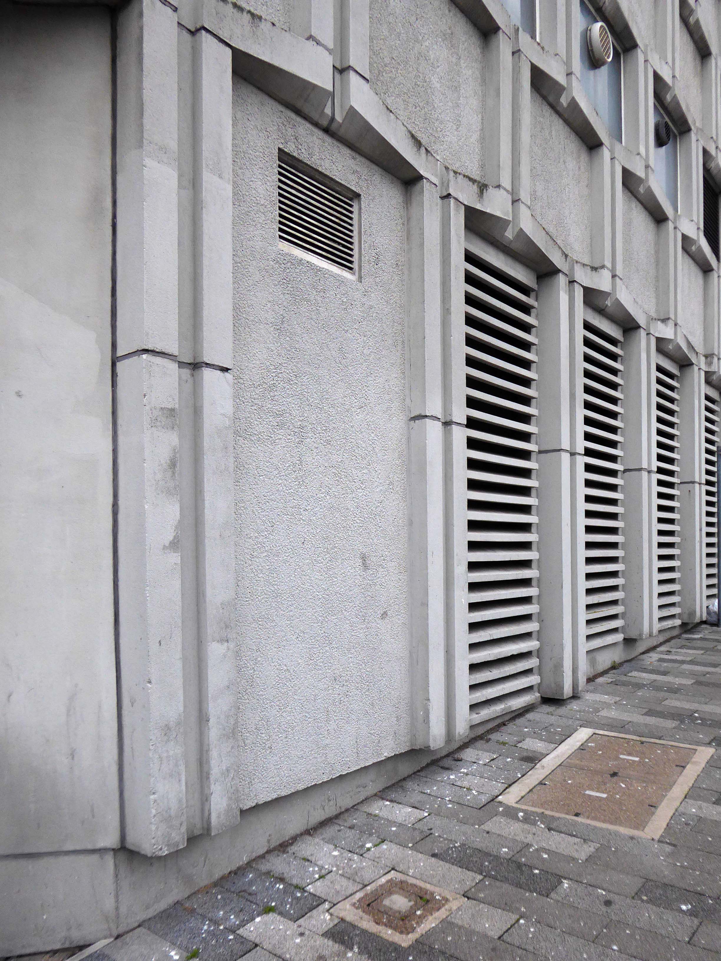
Works comprised of cleaning down the externals by high pressure water jetting, carrying out concrete repairs, applying an anti-carbonation coating, anti-corrosion treatments, painting the windows and applying sealants to windows and various joints around the structure.
All work was carried out whilst the exchange was fully manned and operational.
Works were carried outover a 26 week period, utilising mast climbers around the structure, with a limited amount of scaffolding on the low level structures.
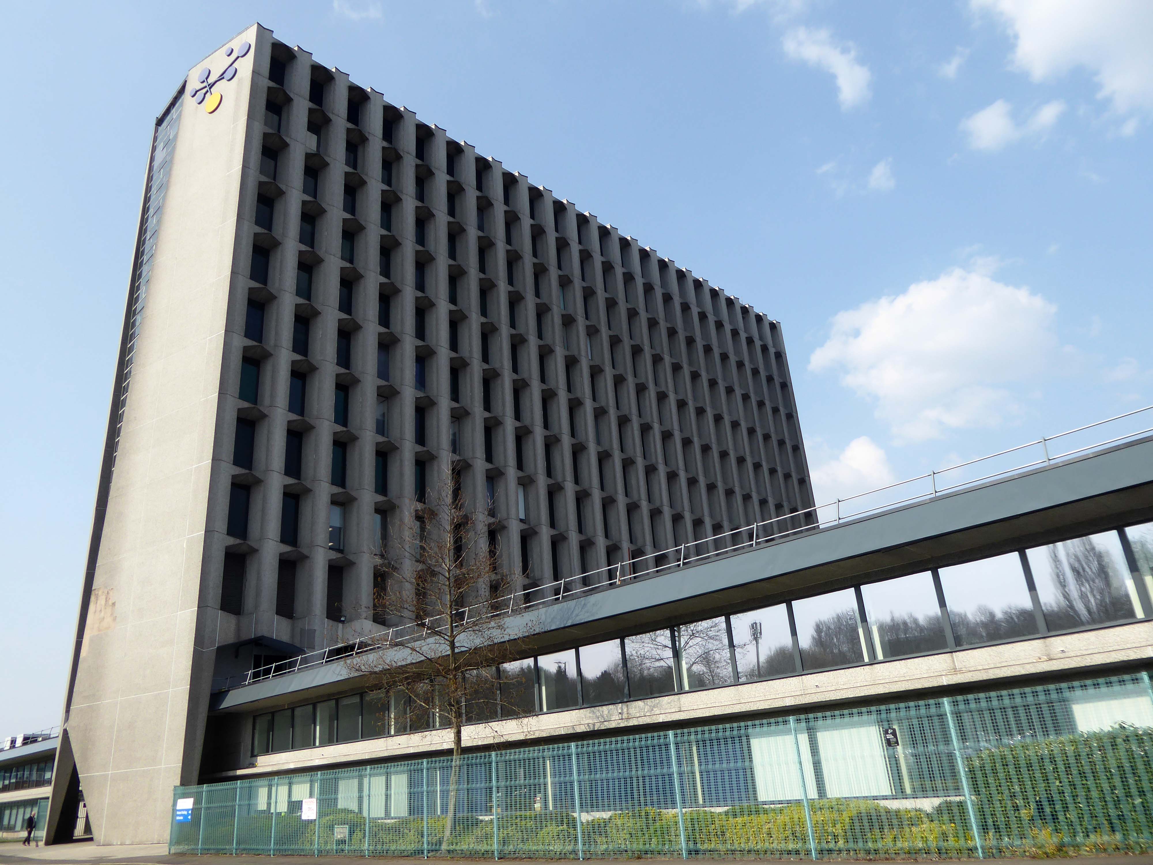
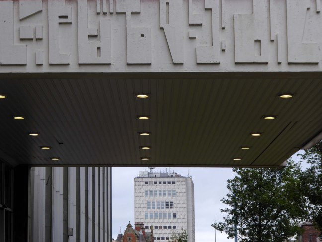
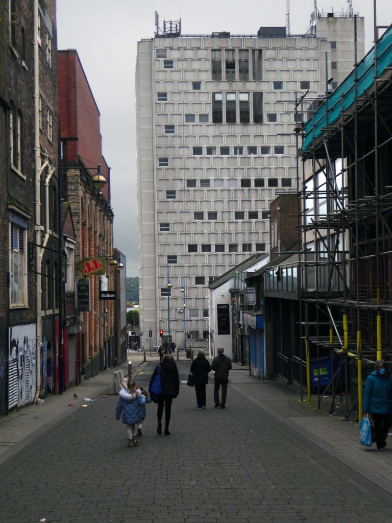
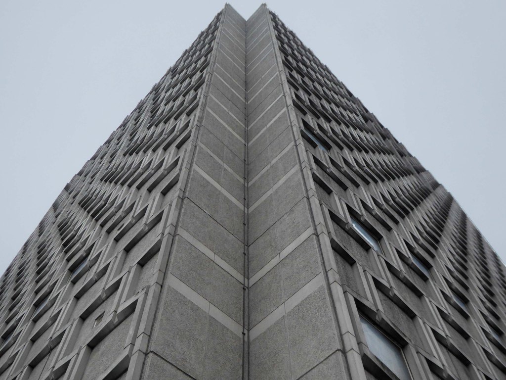
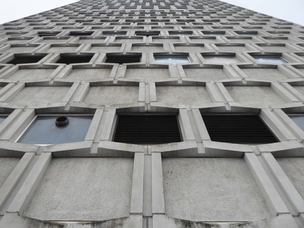
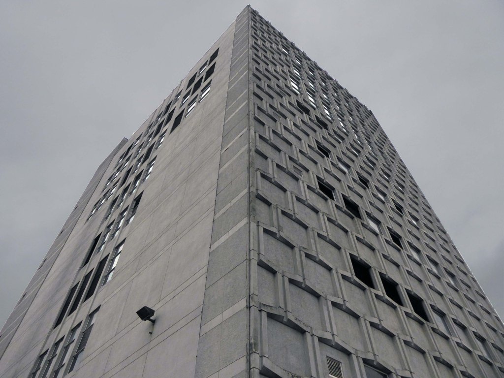
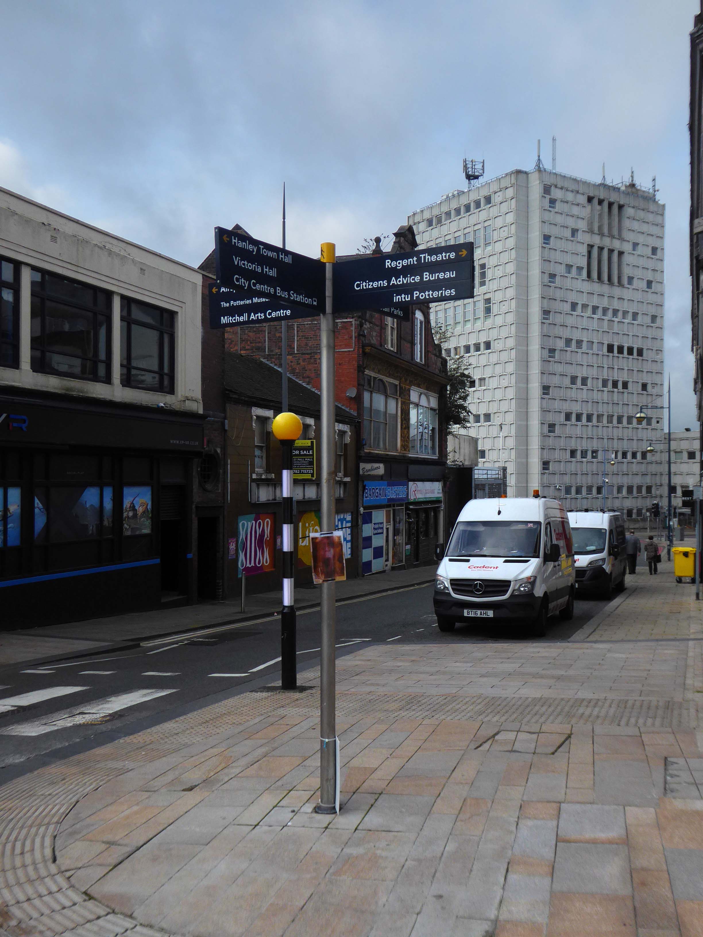
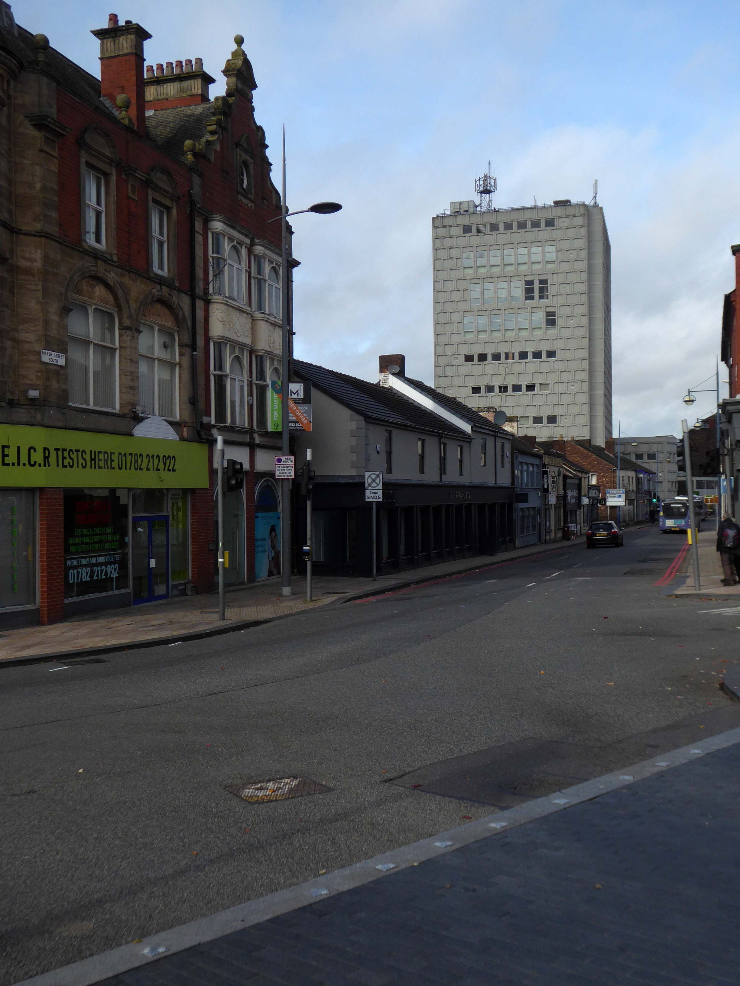
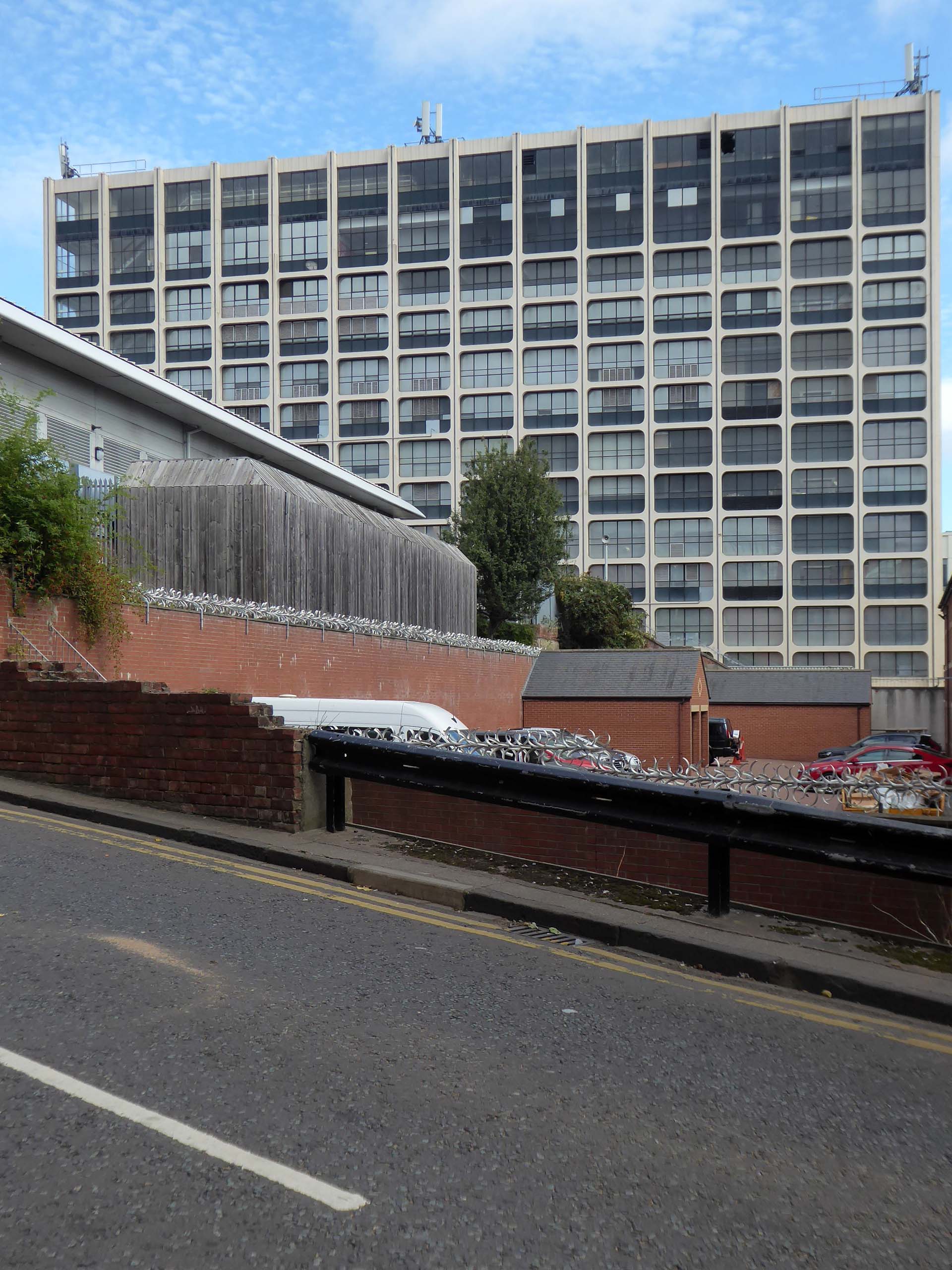
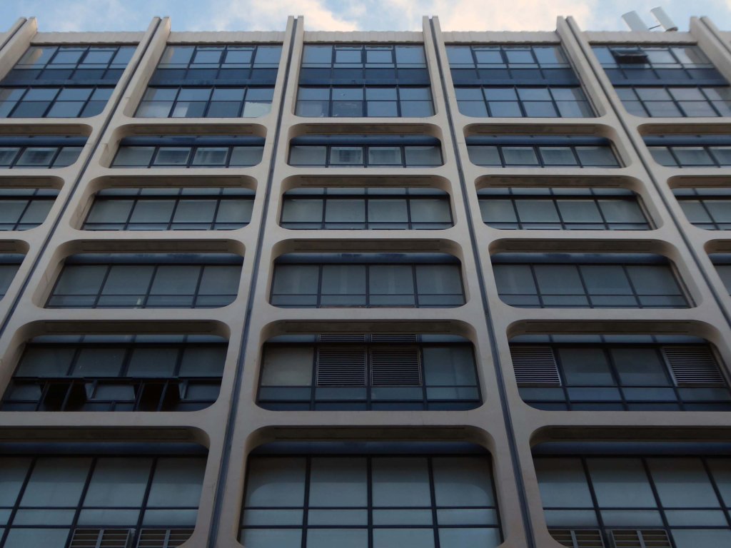
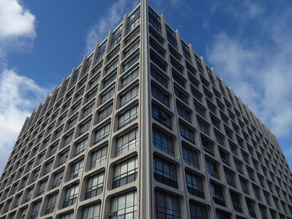
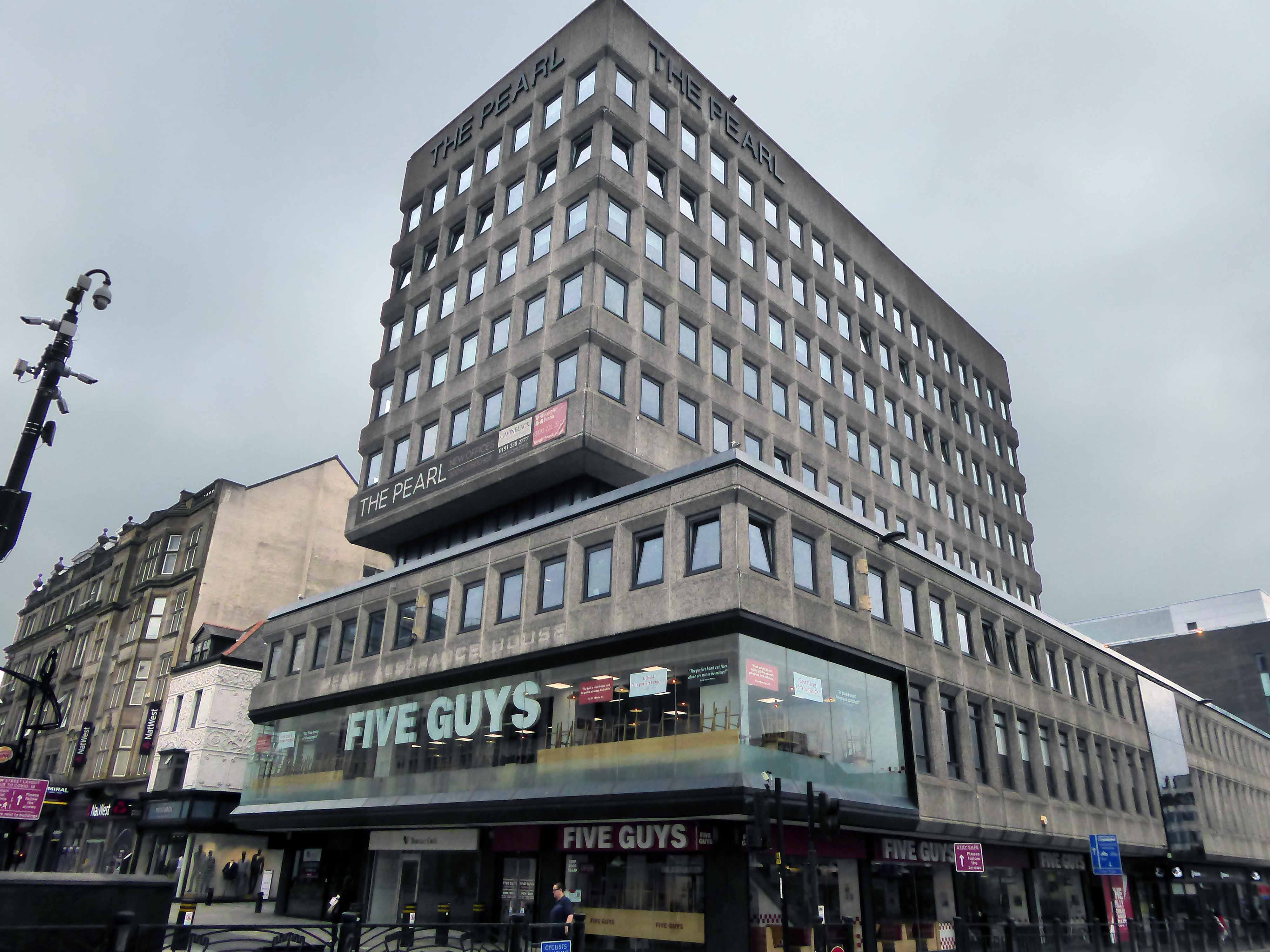
Derided locally as an eyesore, currently the tallest building in town following the demolition of Unity House.
It has an antecedent as an immediate neighbour.
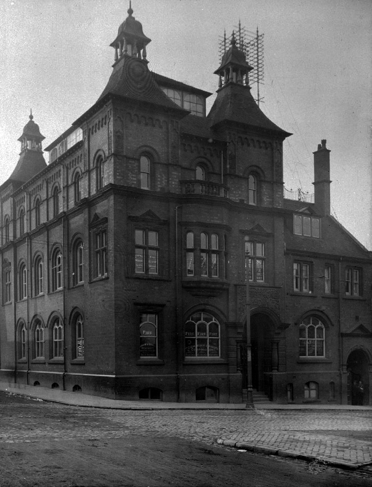
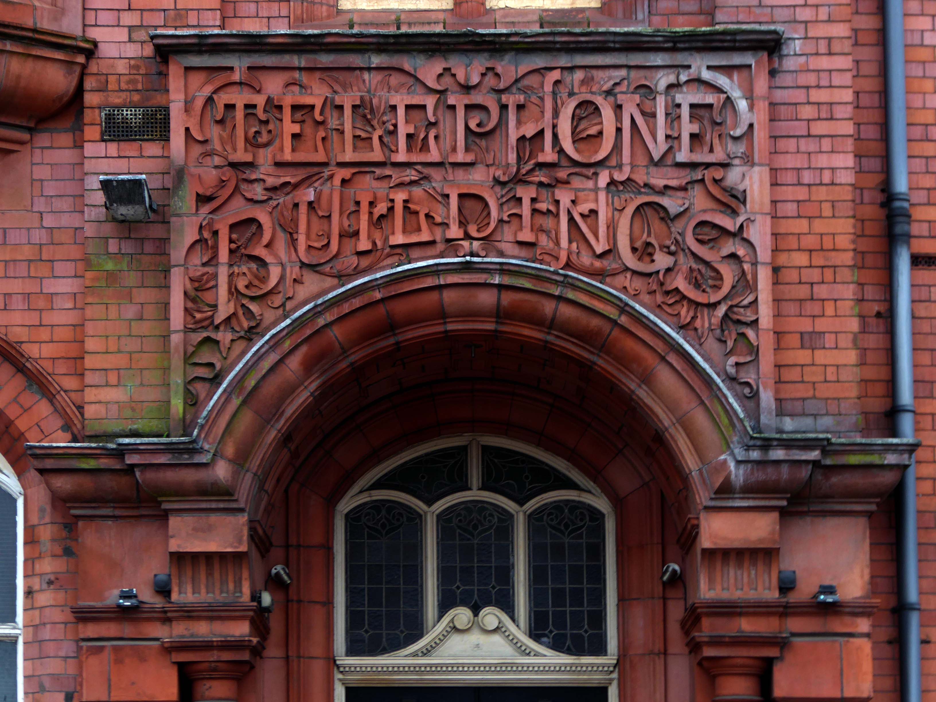
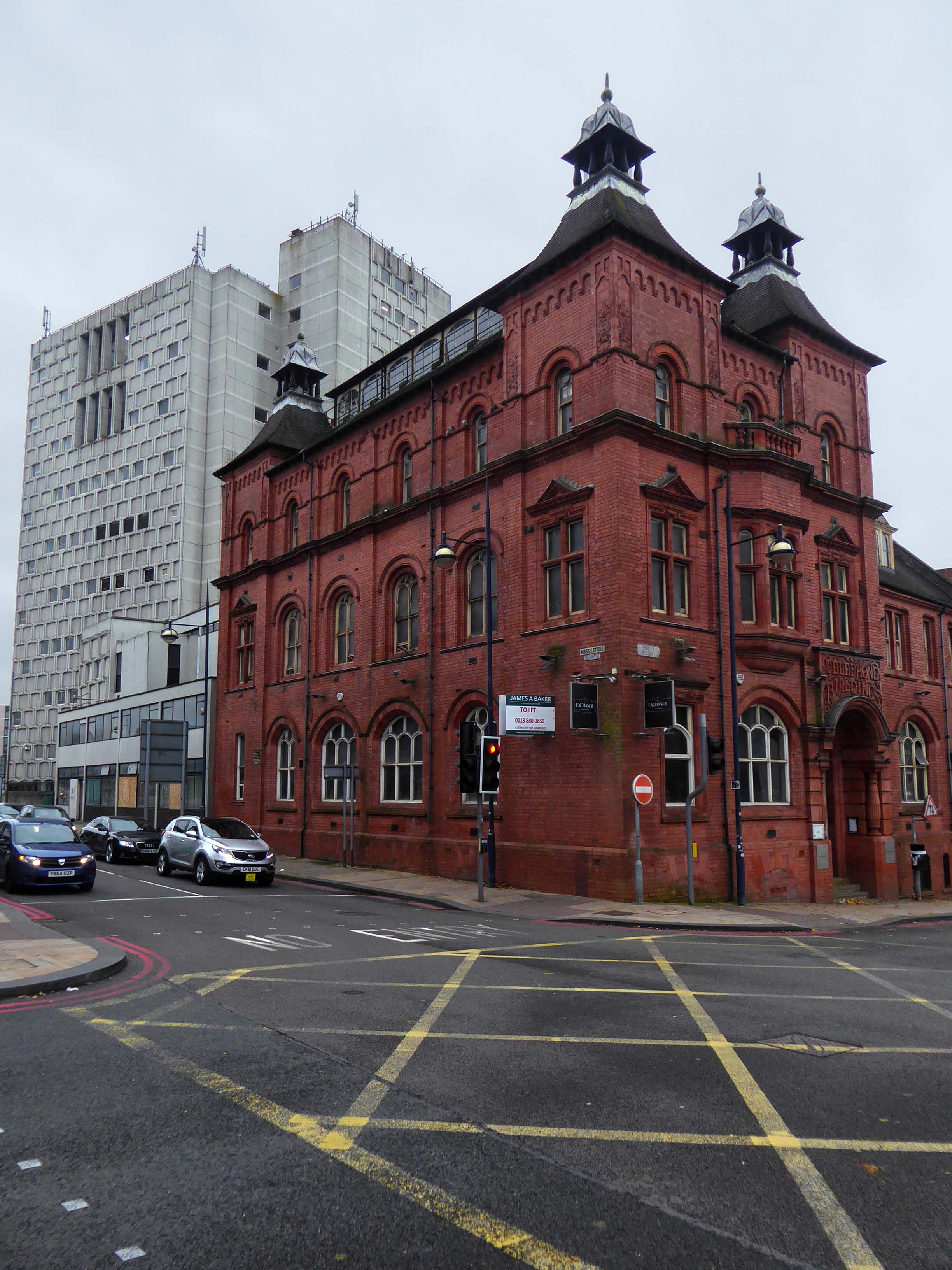
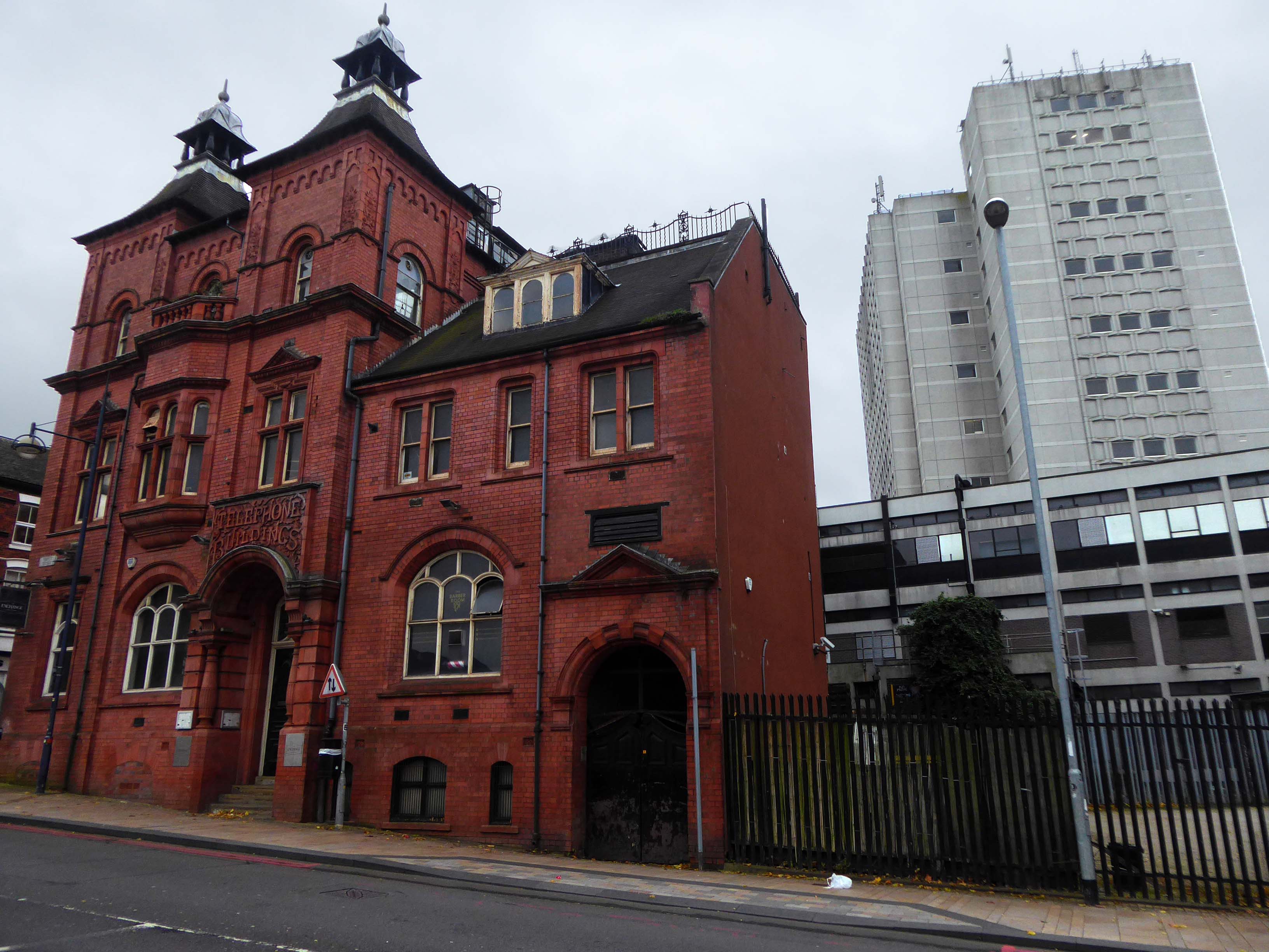
Former telephone exchange and offices – circa 1900.
Brick and terracotta with plain tiled roof. Eclectic style, with main block of three storeys, and three 3 narrow bays with flanking towers, all vertical spaces elongated.
These were demolished in 1966 to make way for the present development.
The current building was phase one of eleven, which was to include a further twenty two storey building with a planned capacity of twenty four thousand people by 1980.
Building construction started in 1969 and was completed in 1972.
Final cost was £1,218,401.
My thanks to Sonna Lawrence BT employee, for his time and information.
There is little by way of background information online, save for this thread.
It’s officially The Hadrian Trunk Switching Centre and it is indeed owned by BT. It’s just a telephone exchange with a handful of staff. I only know this as I used to work for BT 150 customer service when ISDN was being rolled out 20 years ago and when there was a fault in the Newcastle area it was usually something going wrong in this building.
I’ve heard that it goes down as far as it goes up.
Someone has mentioned the basement which is legendary amongst the people who work there. Some say it’s a nuclear bunker, some say there’s a tunnel that goes to the other BT building in Carliol Square, others say there’s nothing down there.
The rumour always was that the central core was nuclear bomb proof so people in power could still make phonecalls and there is also a service tunnel going across to the CTE on the other side of the central motorway.
Working as an architectural assistant in Colchester Borough Engineer’s Office in 1935, Winterburn was with the Ministry from the at least the mid-1950s, he is recorded as the Senior Architect for Norwich’s Post Office Sorting Office in 1955. He was also responsible for the now demolished Milburngate House in Durham that housed the Passport Office.
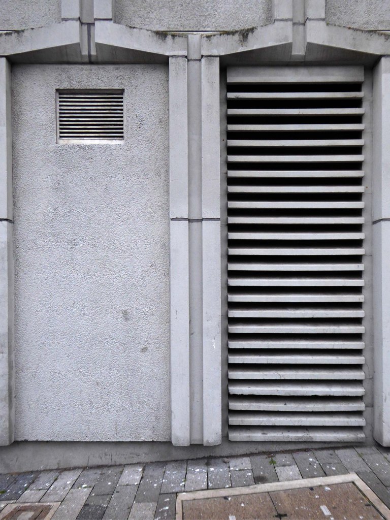
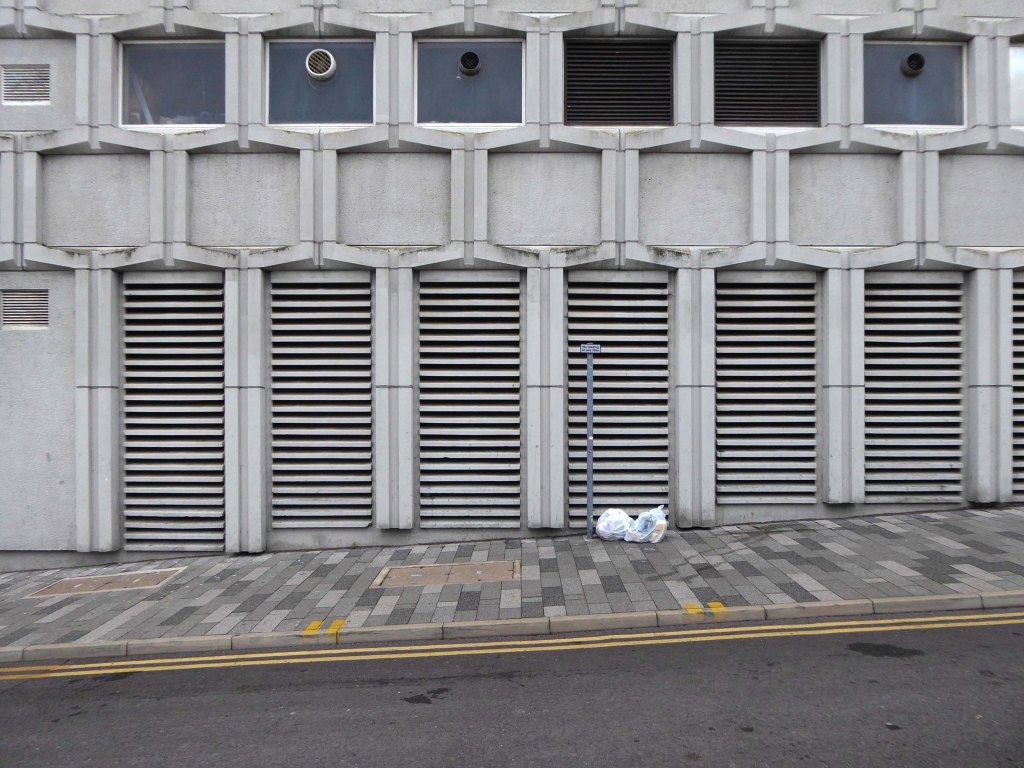
All that aside I took a look around outside, come along circumnavigate along with me.
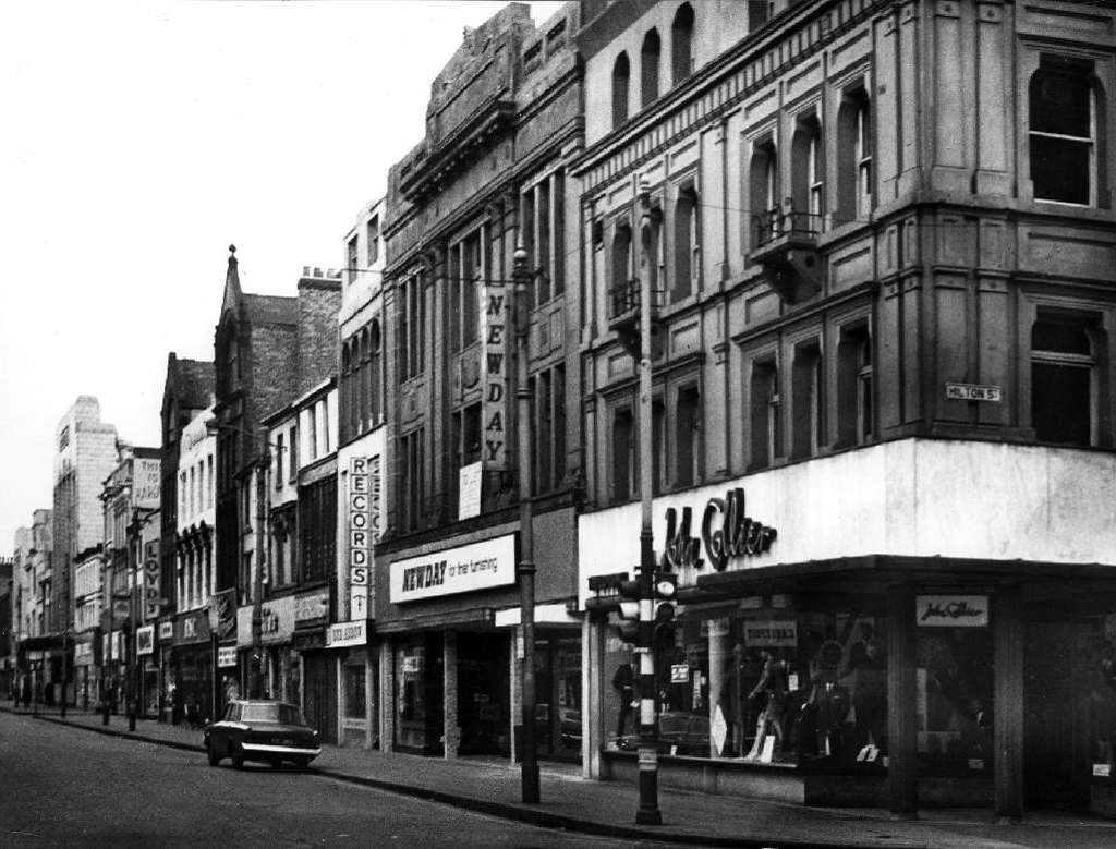
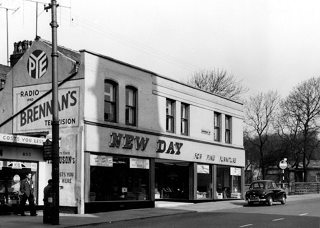
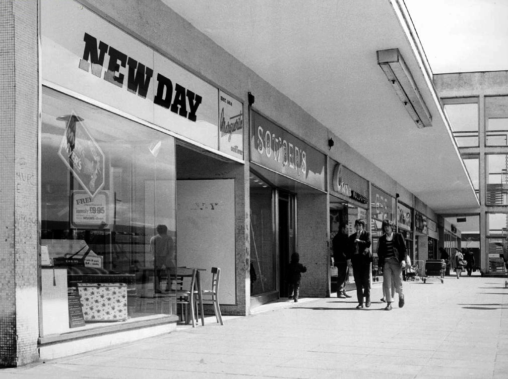
A local company which designed, manufactured and retailed furnishings around the North West.
Oldham Street ManchesterRochdale Road HarpurheyWythenshawe
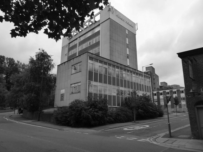
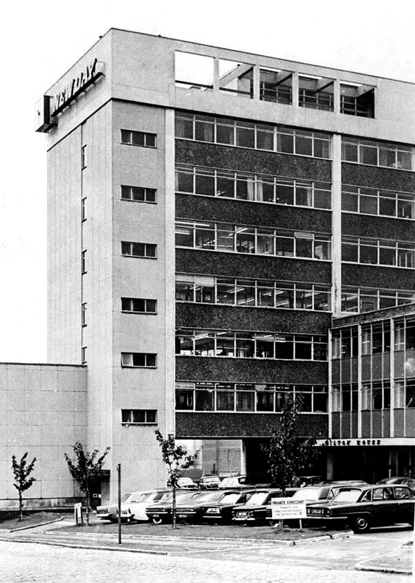
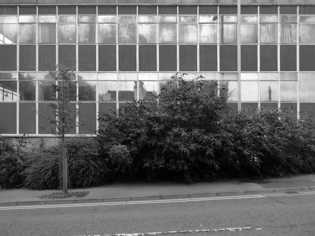
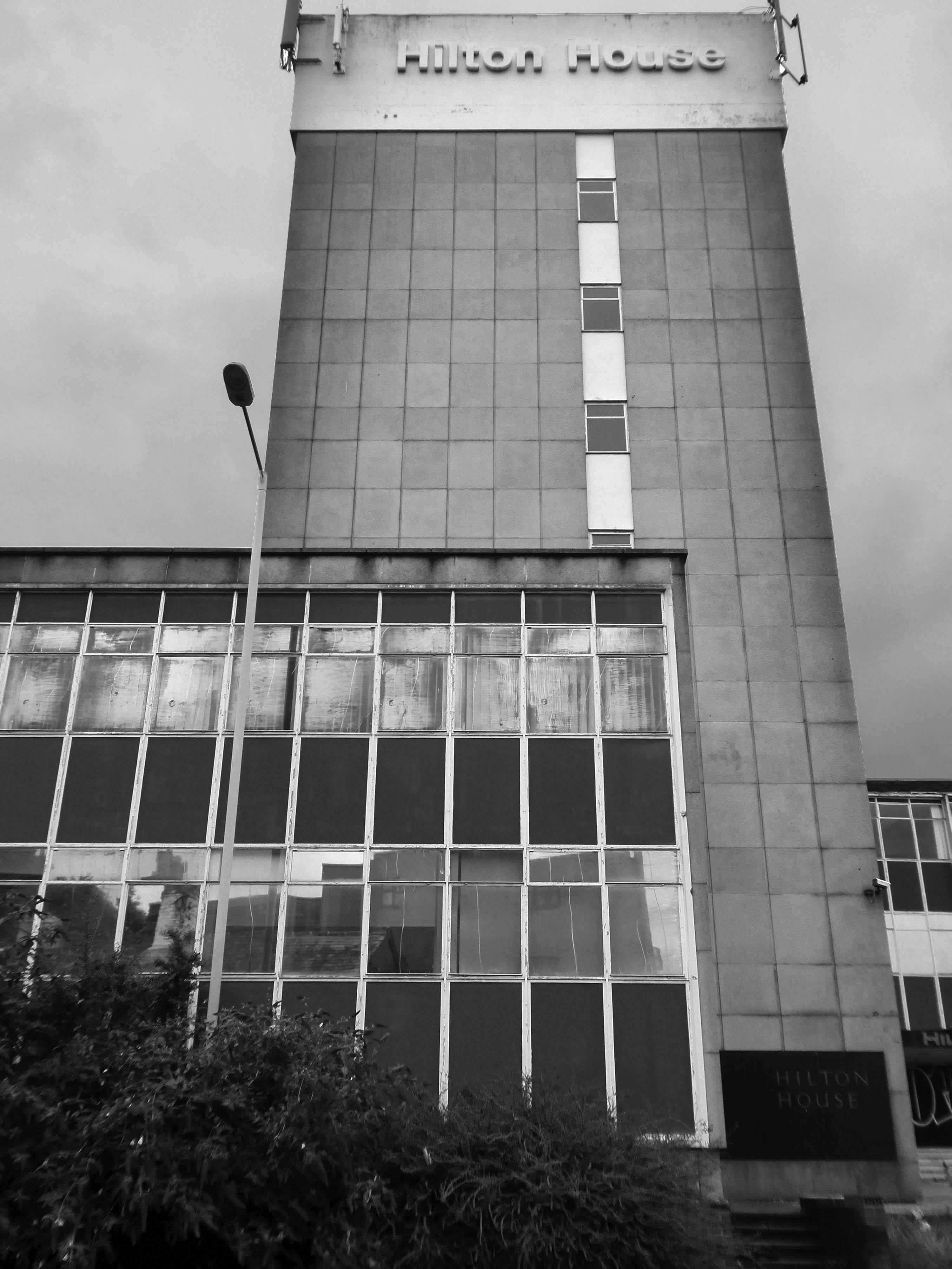
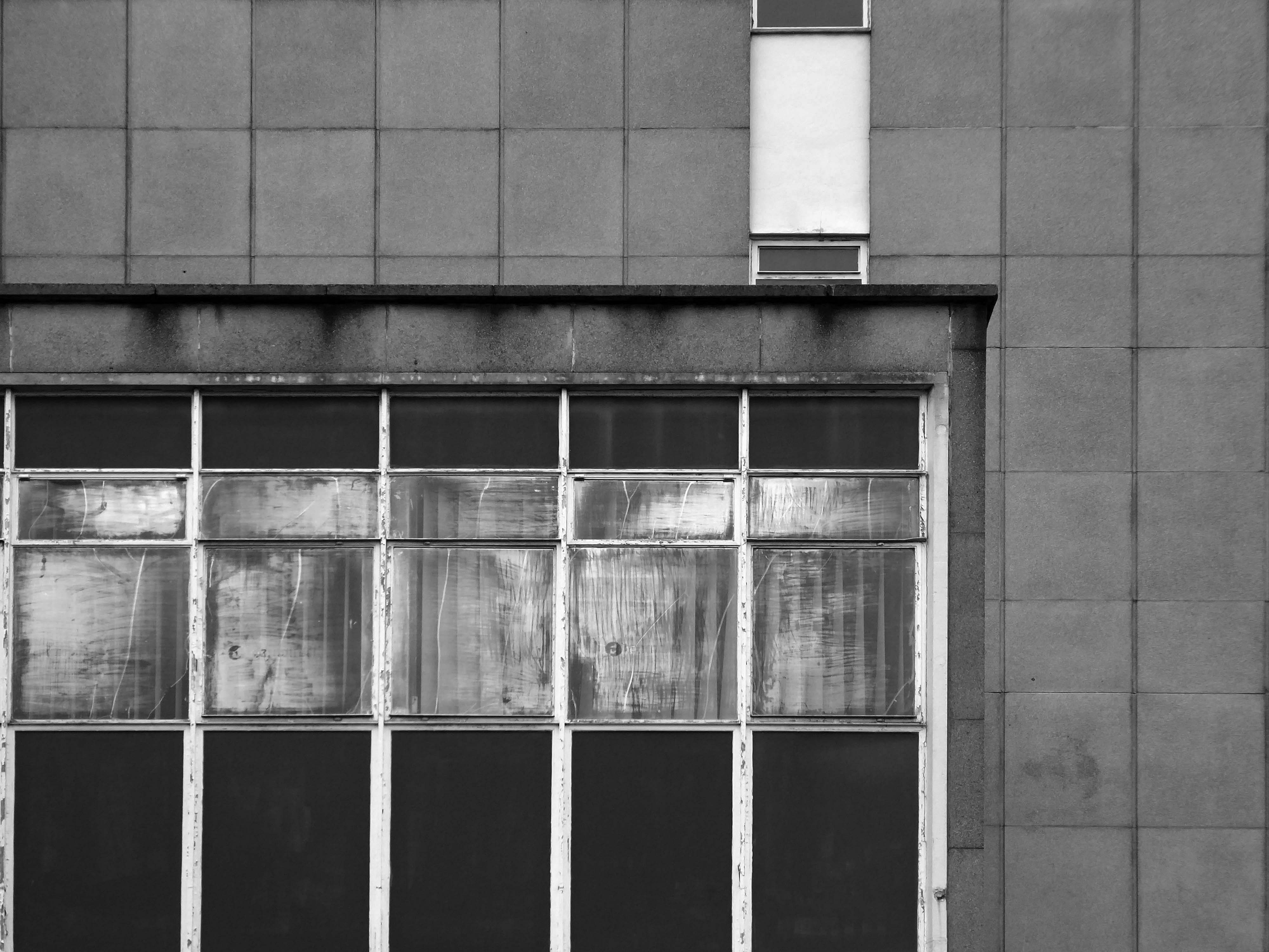
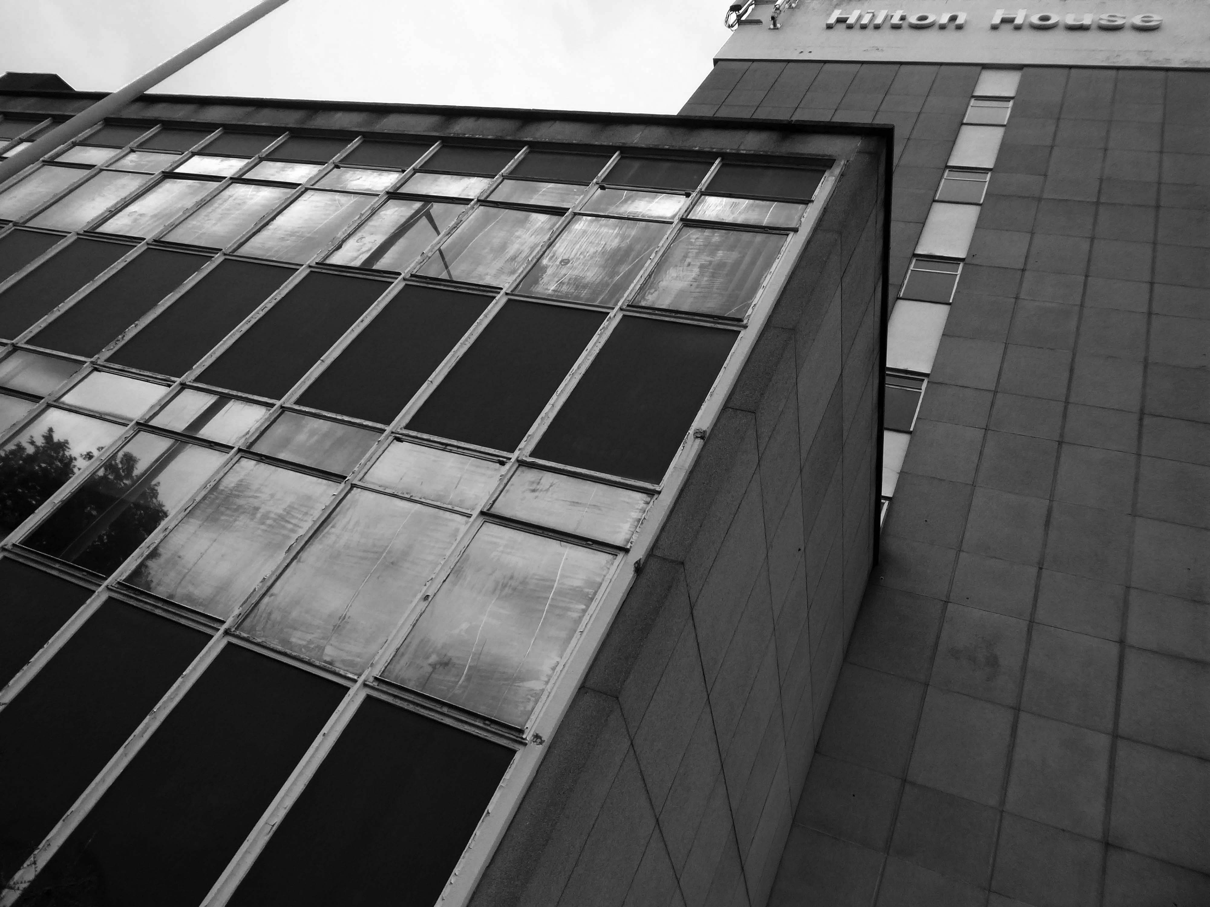
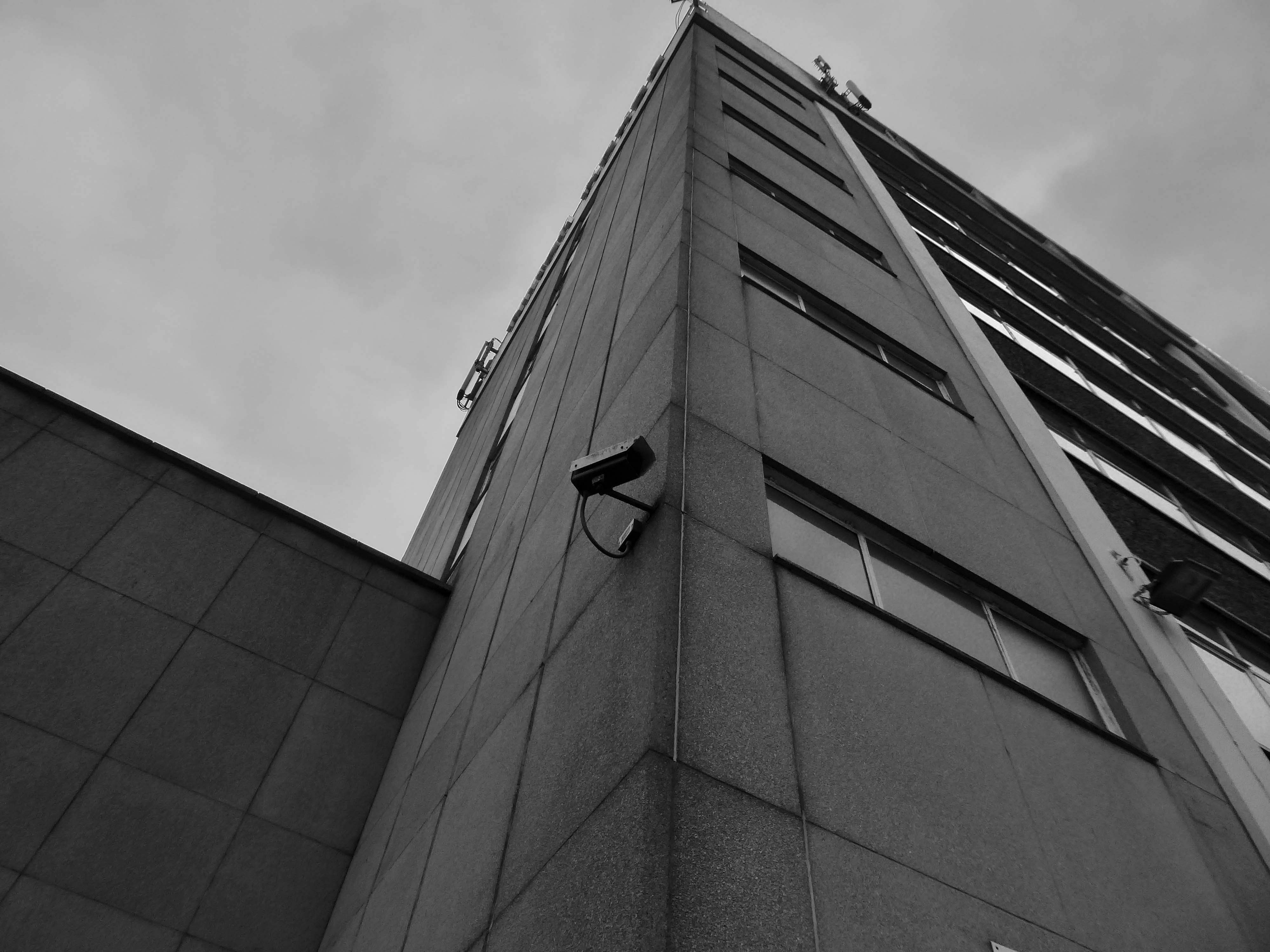
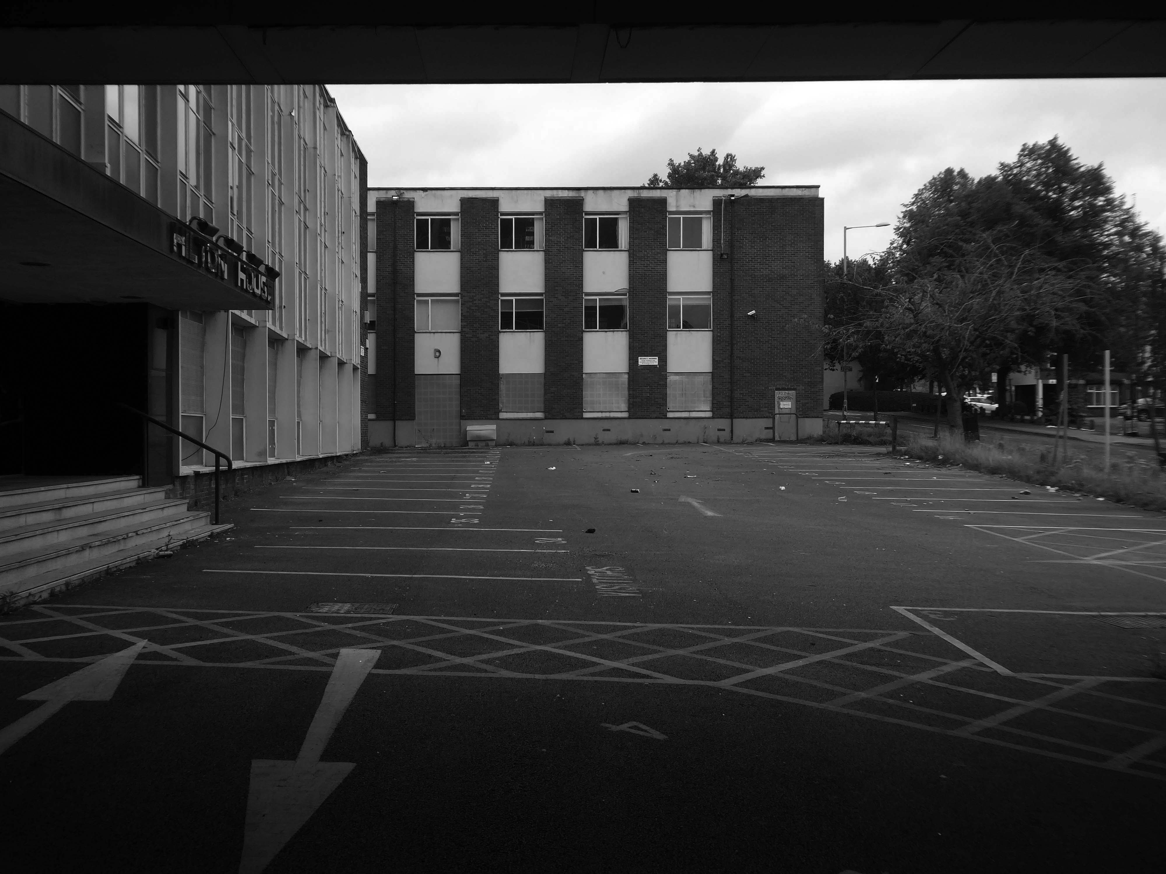
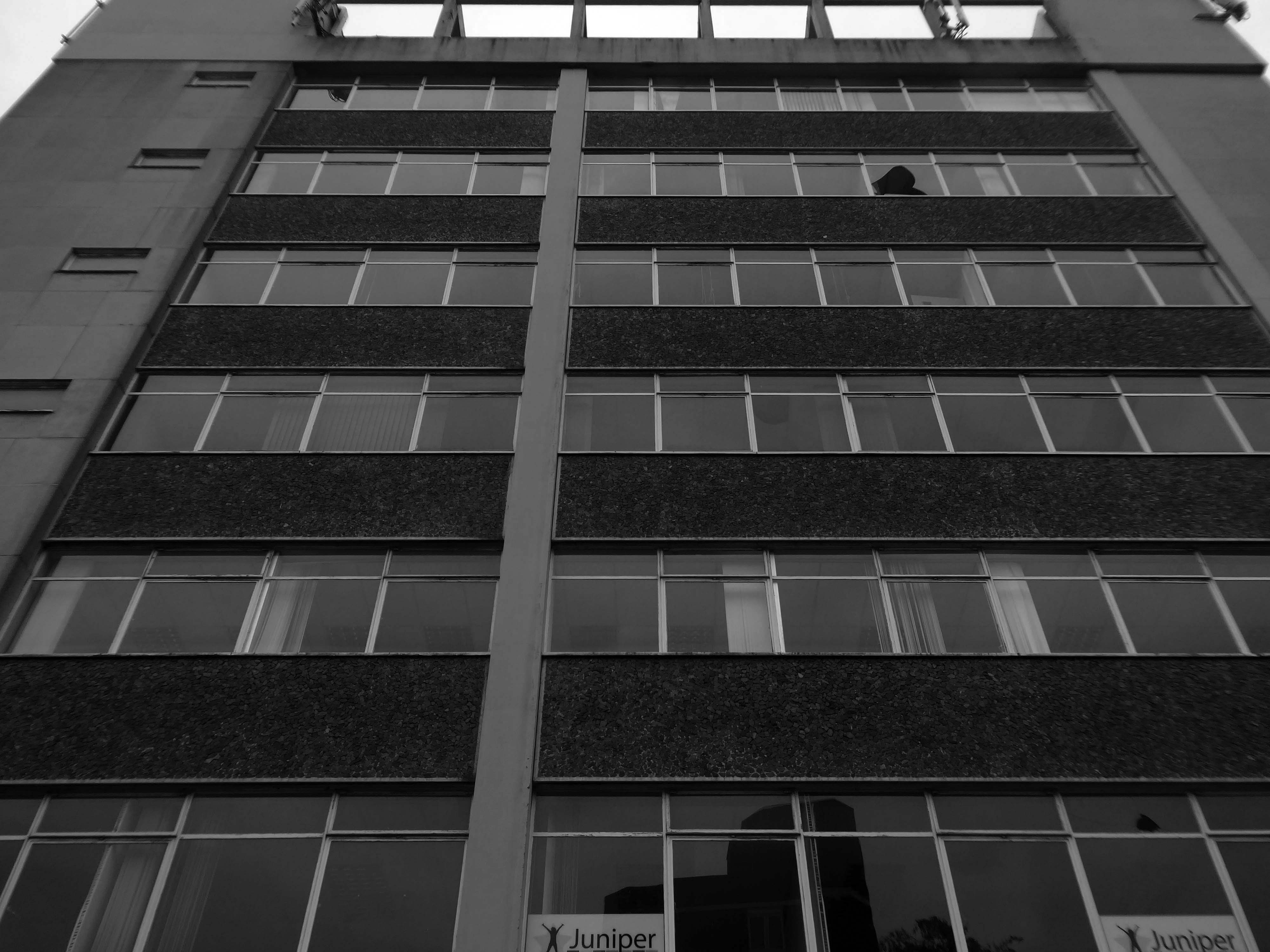
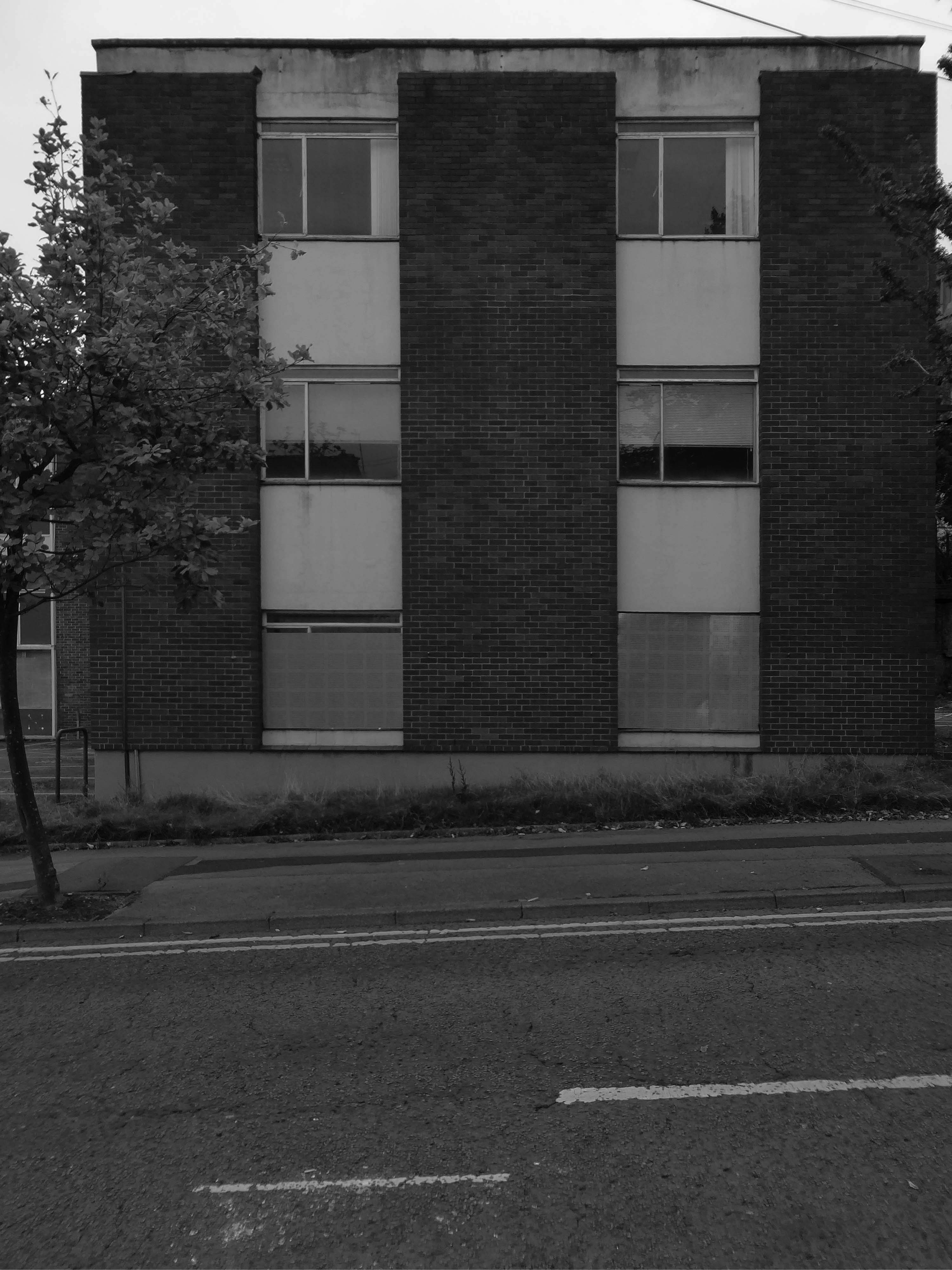
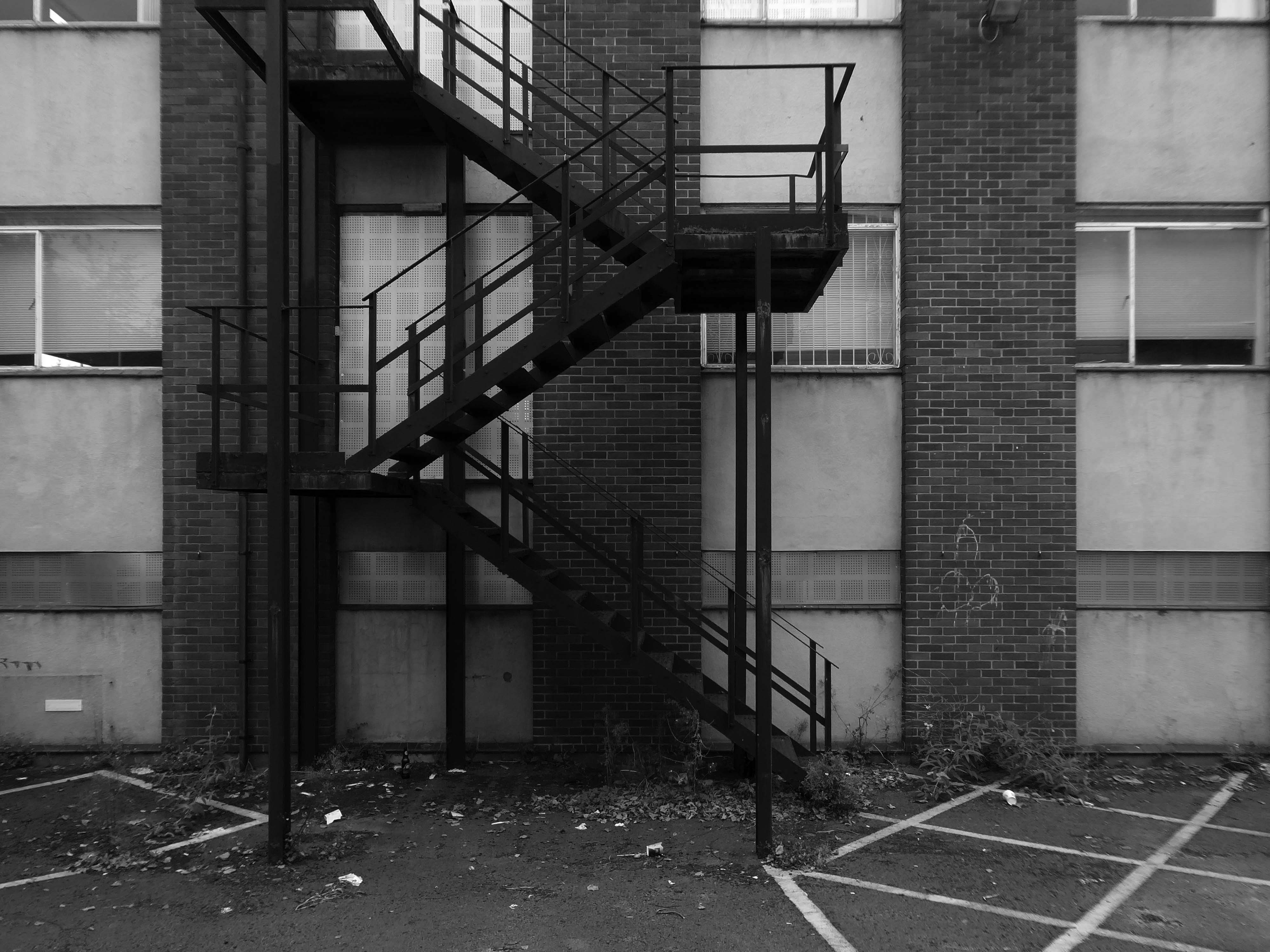
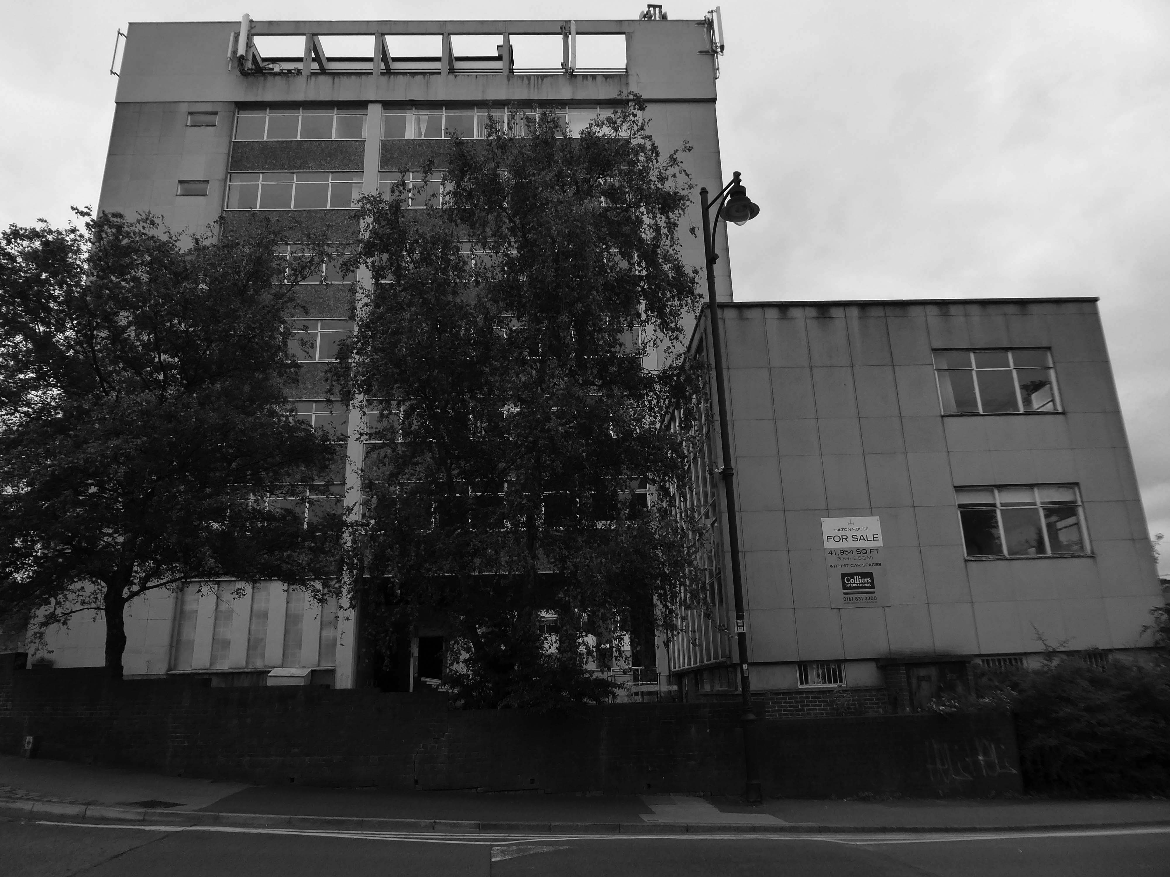
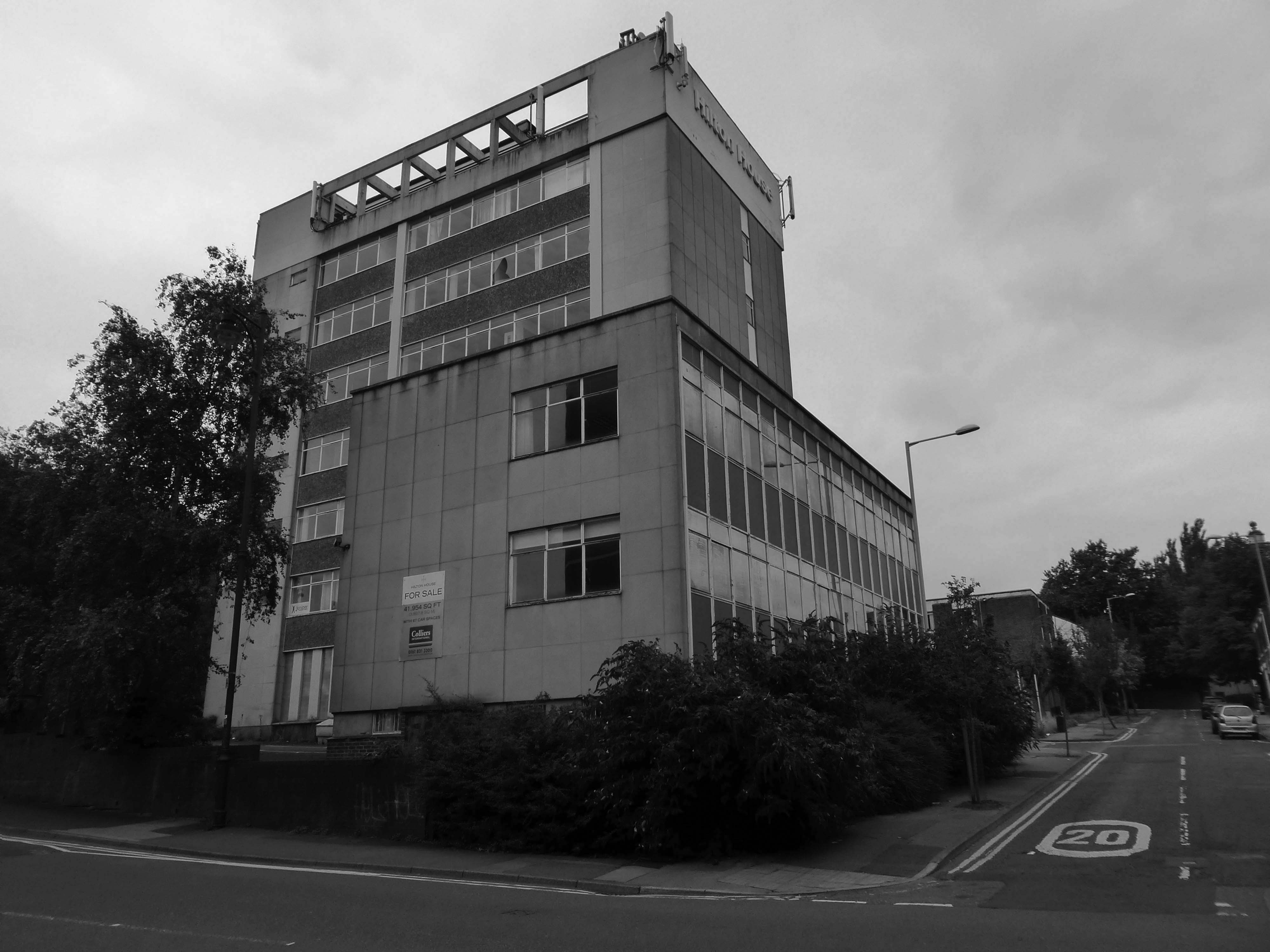
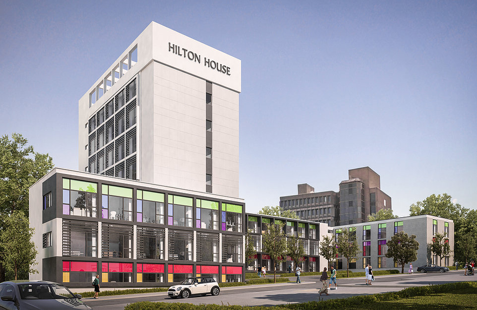
The office building is a highlight of my Stockport Walks – it has a lightness of touch incorporating a partial podium, slab block and lower rise extensions.
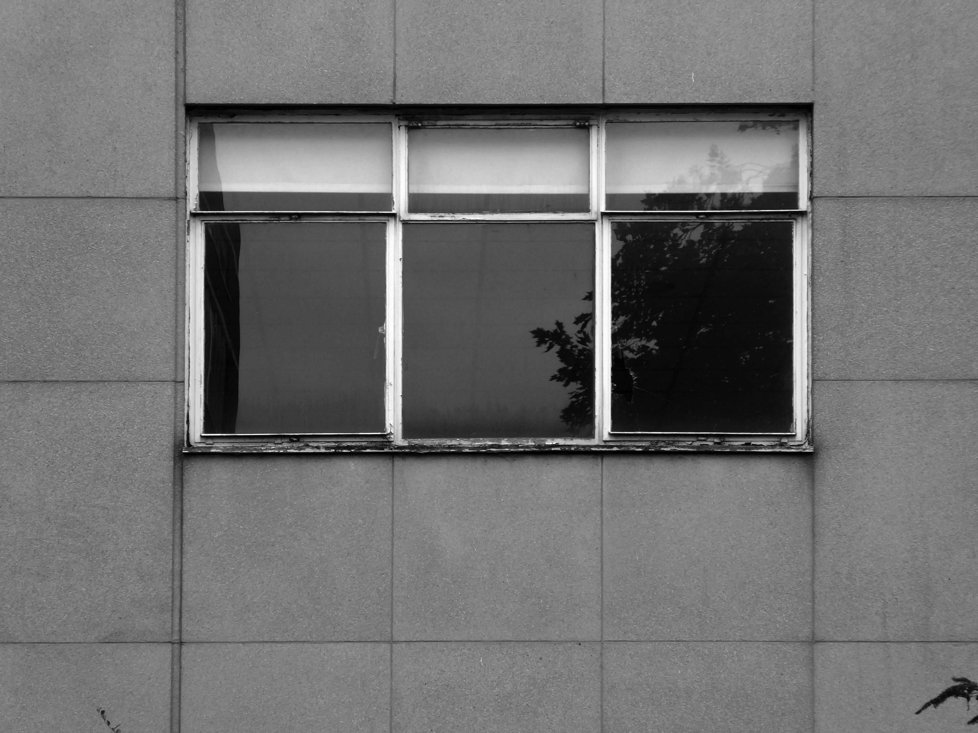
There is a sensitive mix of glass, stone, concrete and brick across a variety of scales and volumes.
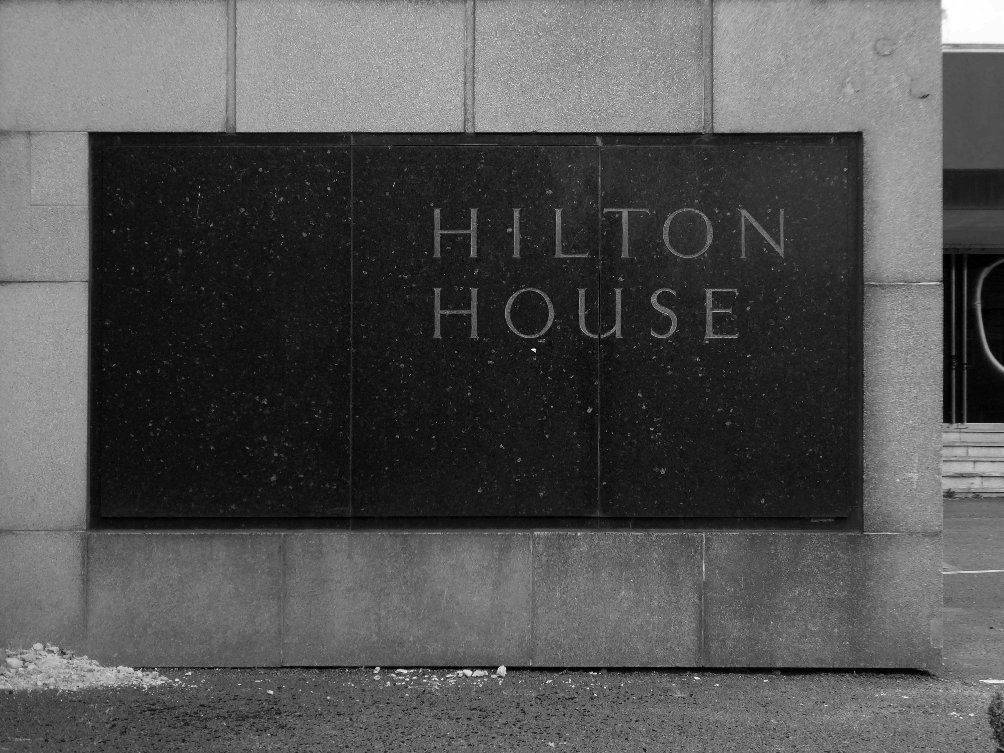
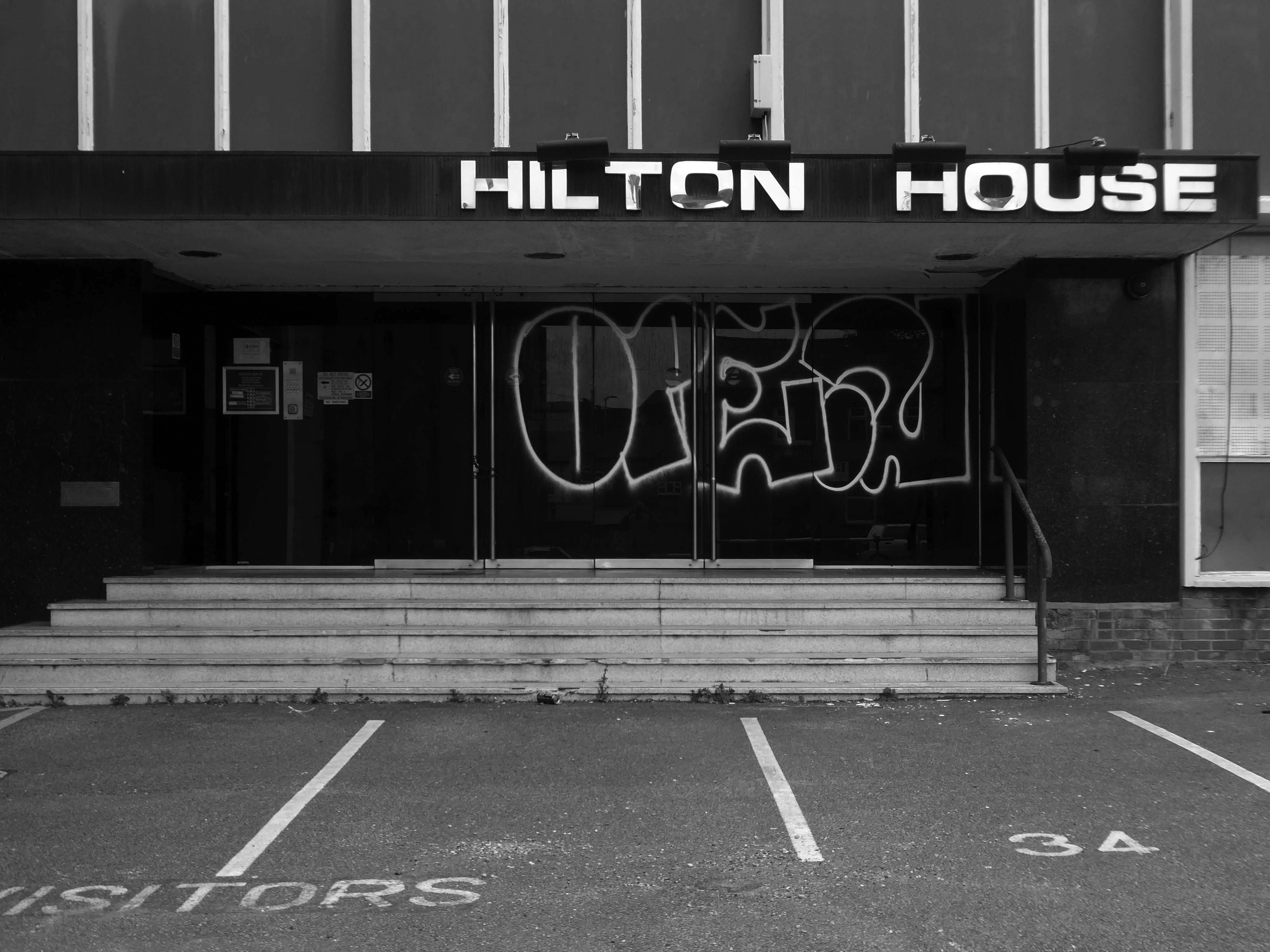
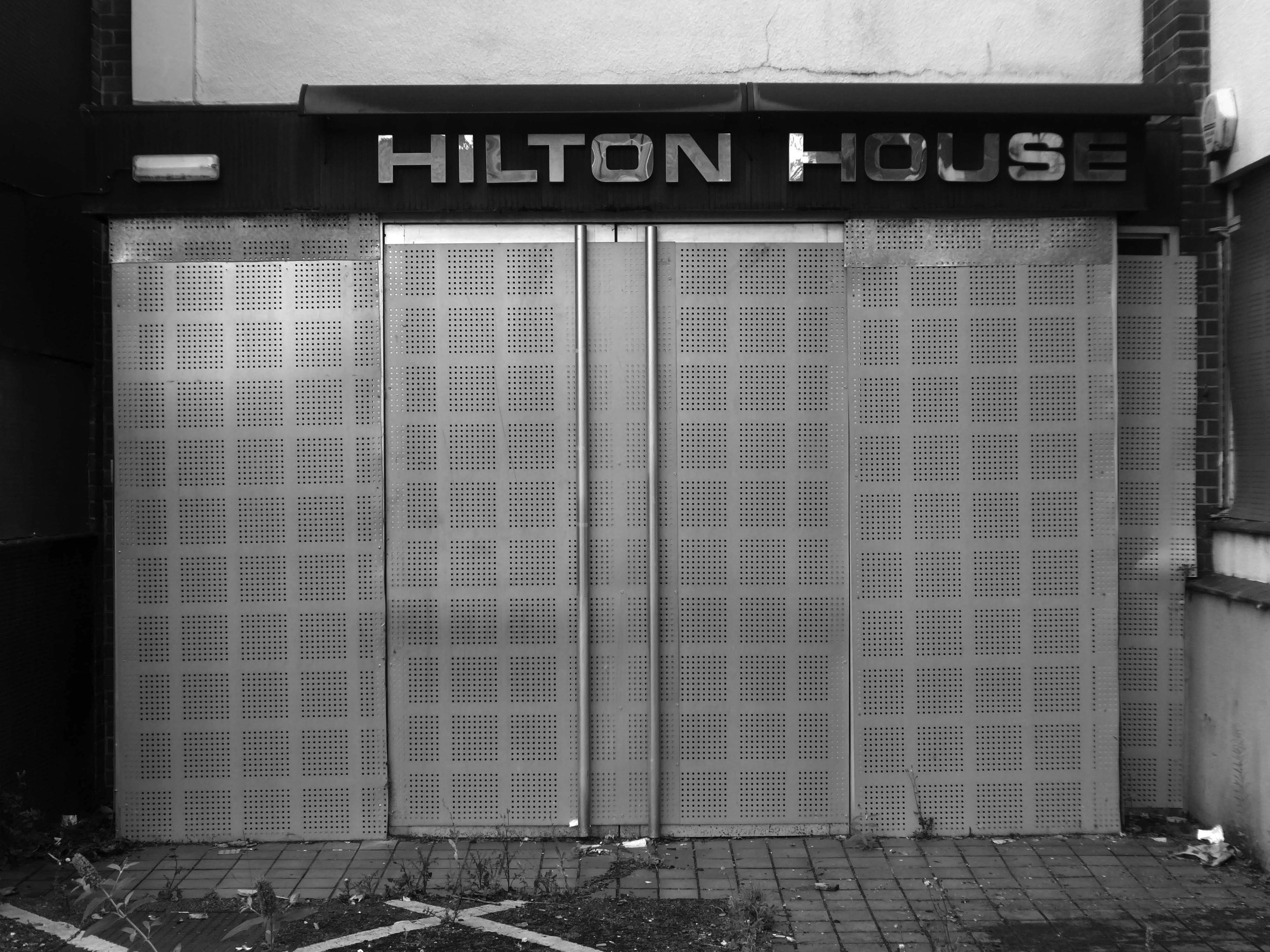
May 2020 – plans are submitted to remodel the exterior of Hilton House
The remodelling of the building include reparations and repainting brickwork, render and cladding as part of wider plans to rejuvenate Hilton House to rebrand as a more attractive and contemporary office location in Stockport town centre.
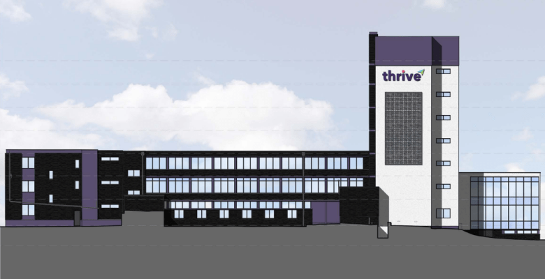
Studio KMA have proposed conversion to apartments.
Conversion of existing 1970s office building to apartments.
A combination of one-bed, two-bed and three-bed units ensure a new sustainable use in Stockport town centre.
The proposal incorporates the use of coloured glass panels to create a modern, fresh aesthetic.
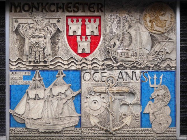
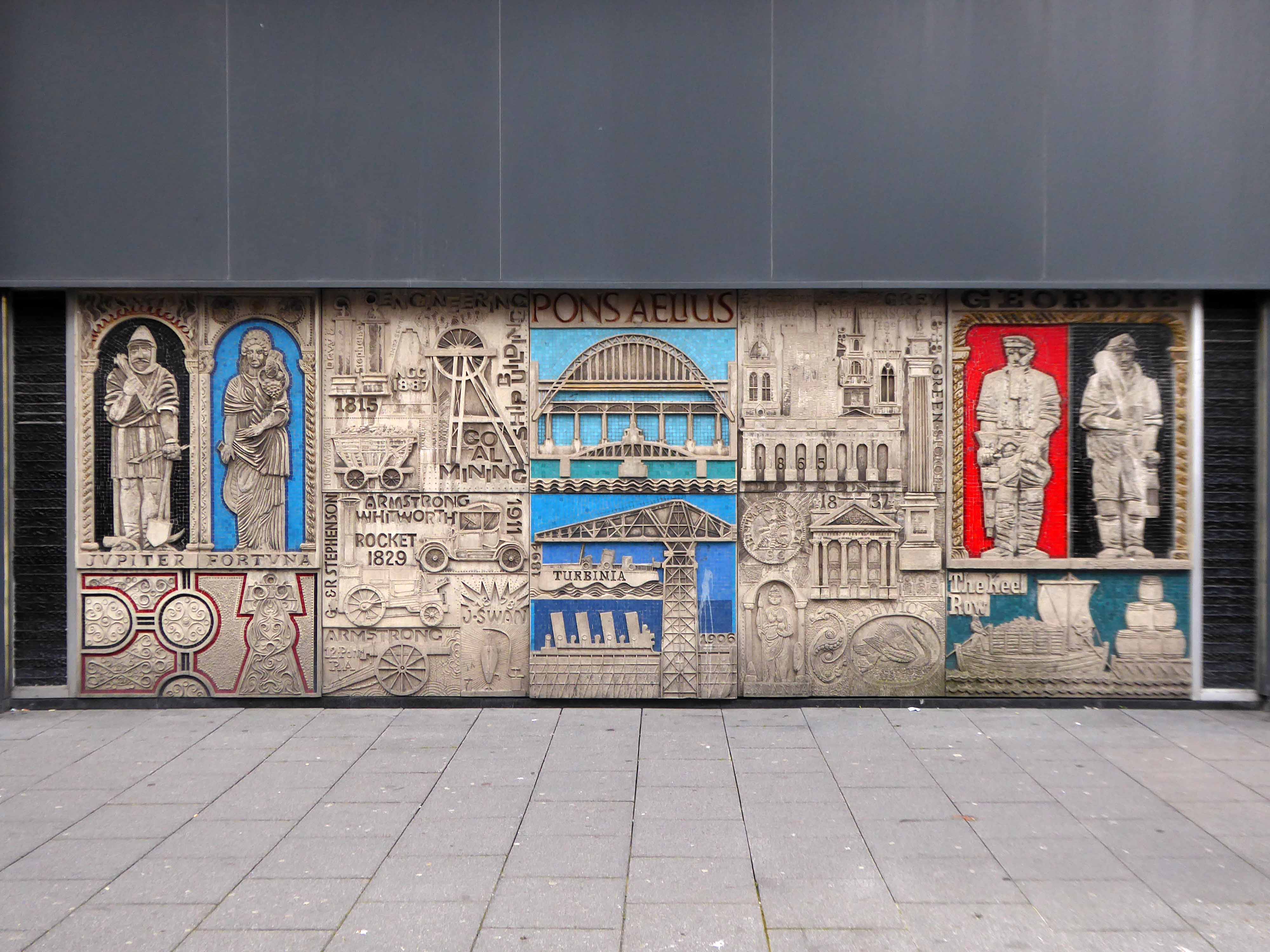
The building was originally developed by C&A and it is thought that funding for the reliefs might have been provided by the store and/or Northern Arts. It became BHS which subsequently closed, the building is now occupied by Primark, C&A estates still own the site.
Taking a bold leap into the unknown I left the city centre, unwisely following unfamiliar roads, predictably becoming very lost.
I sought assistance from a passing fellow cyclist, very kindly he guided me to Tynemouth, following a mysterious and circuitous course across the undulating terrain – thanks.
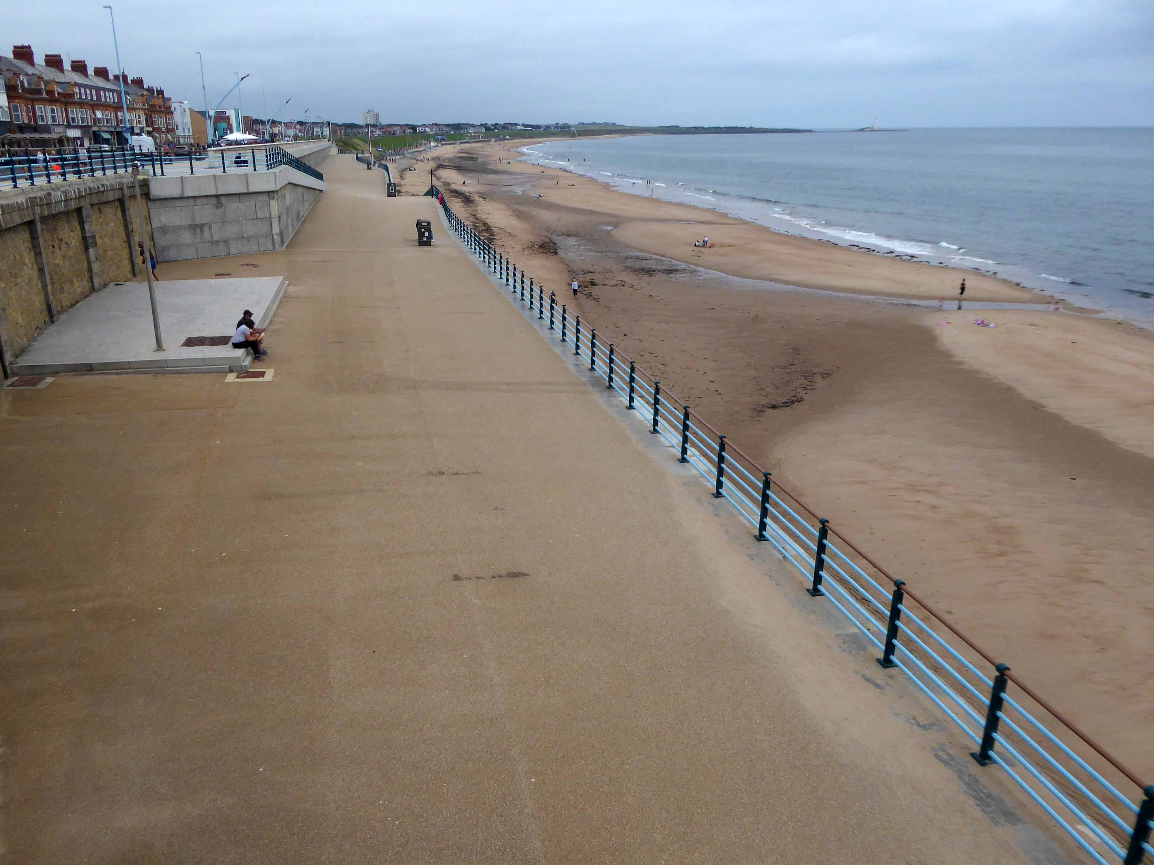
The city quickly becomes the seaside with its attendant retail bricolage.
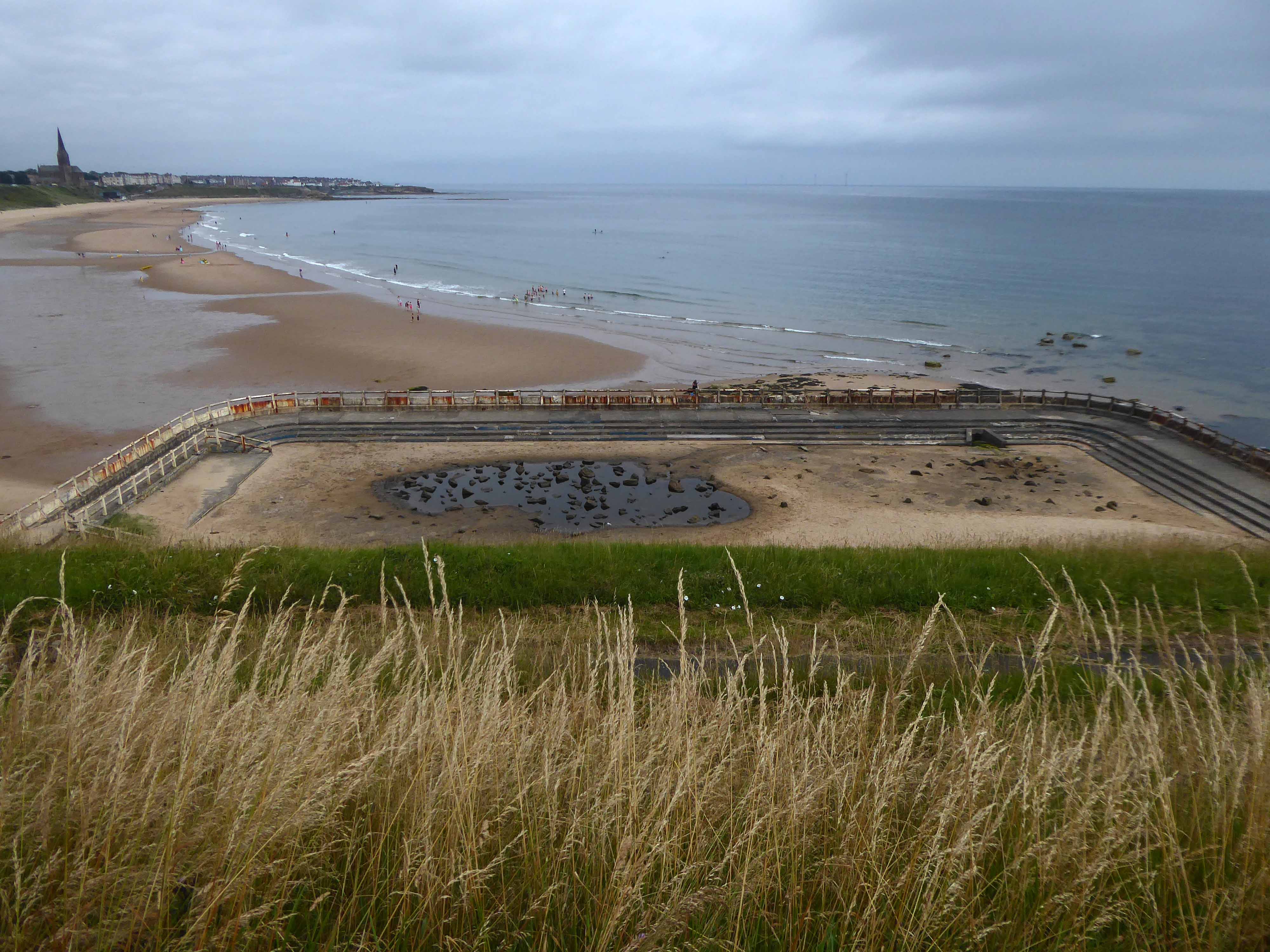
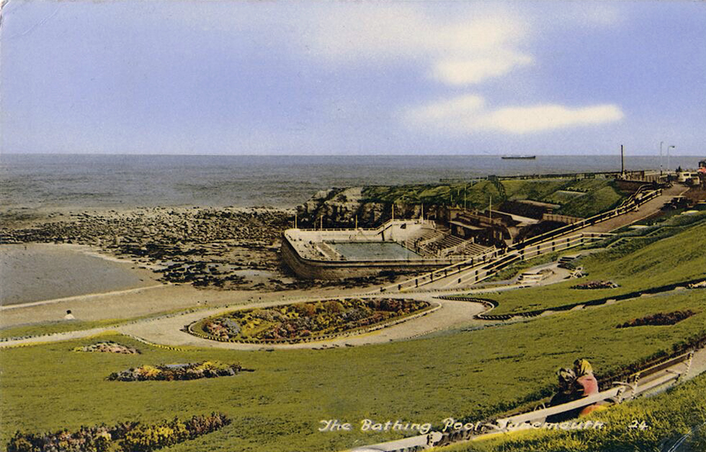
An all too familiar redundant Lido – opened in 1925 and closed in the mid 90’s – but a Friends Group aims to breathe new life into the site.
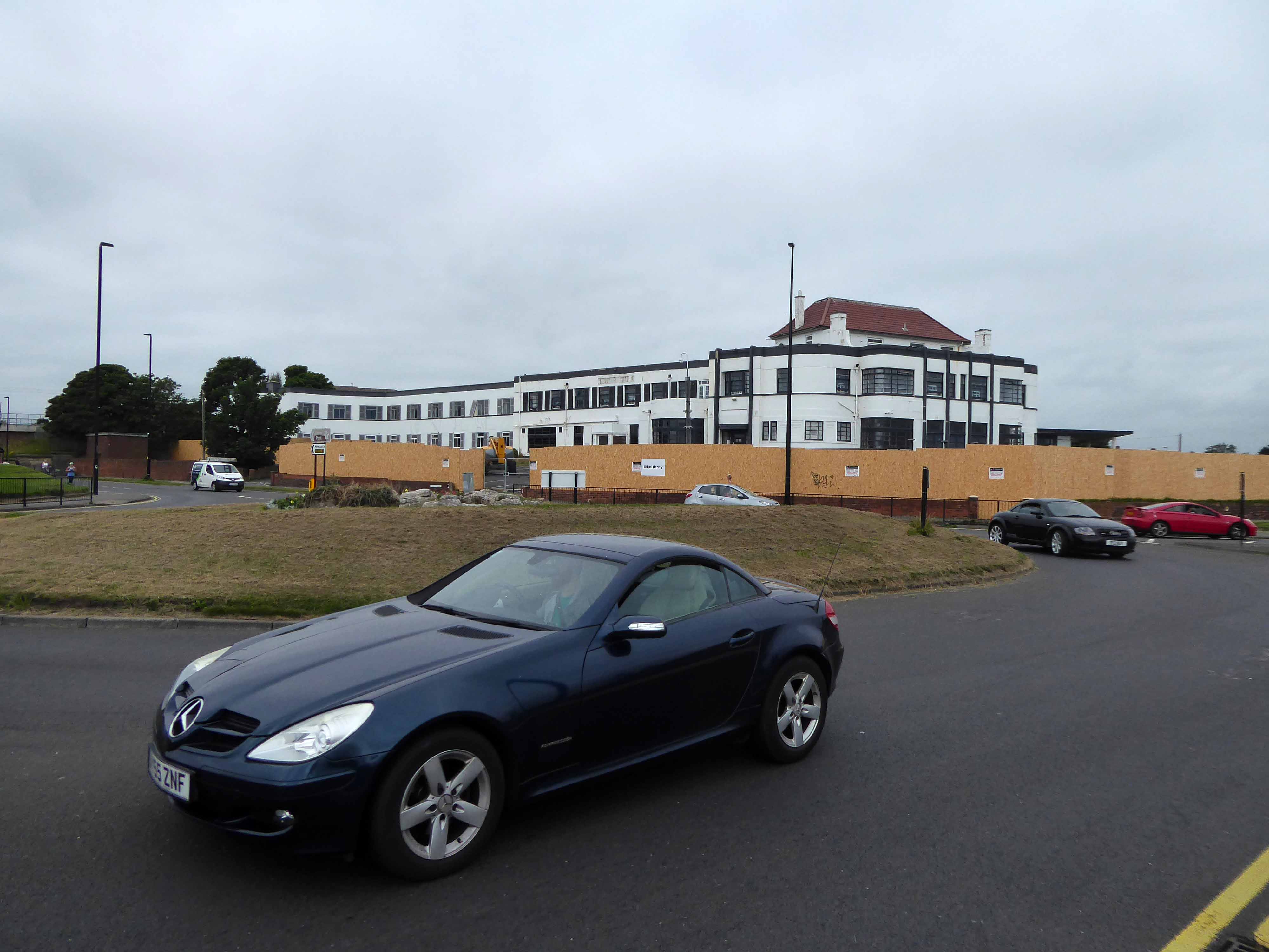
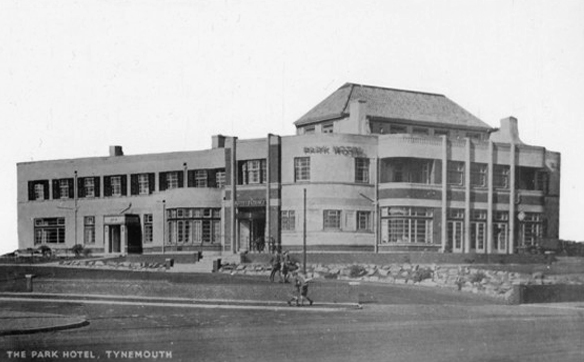
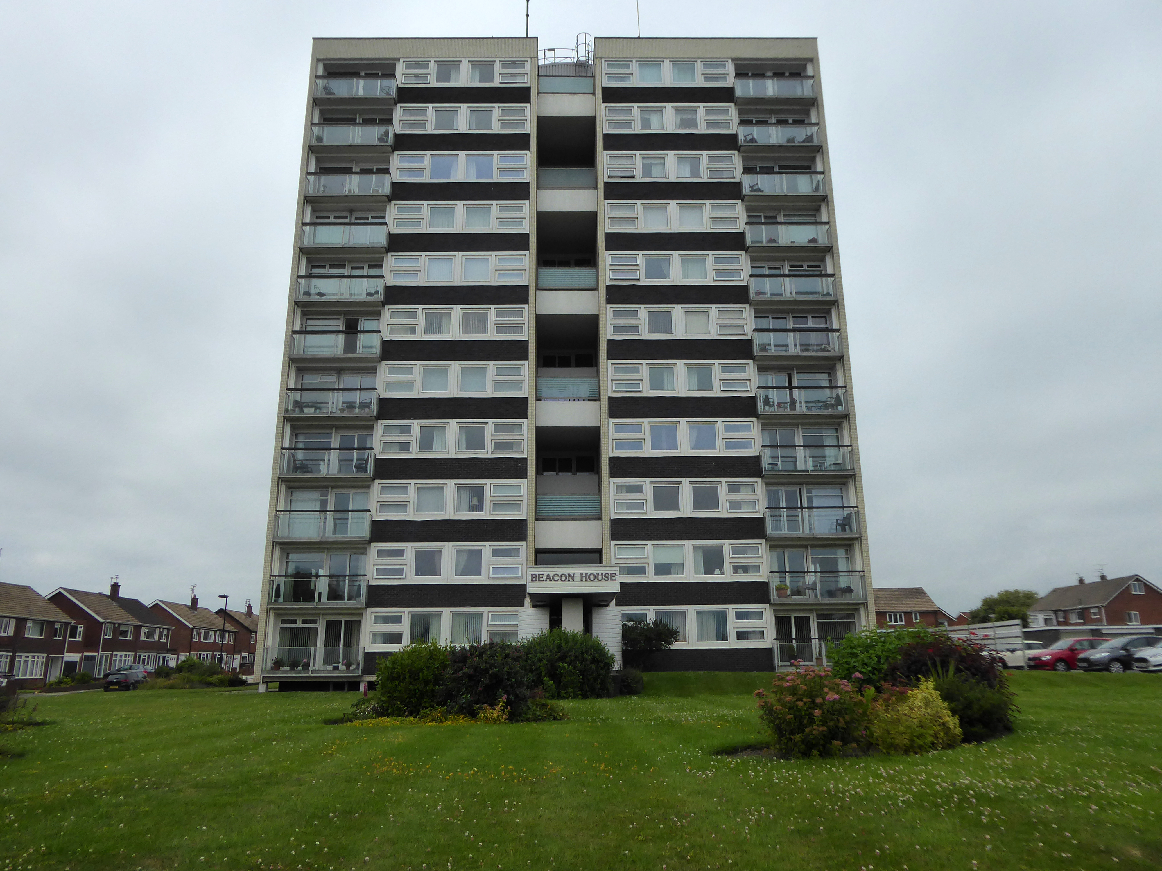
The Park Hotel built in the 1930’s and recently refurbished has been bought by The Inn Collection Group.
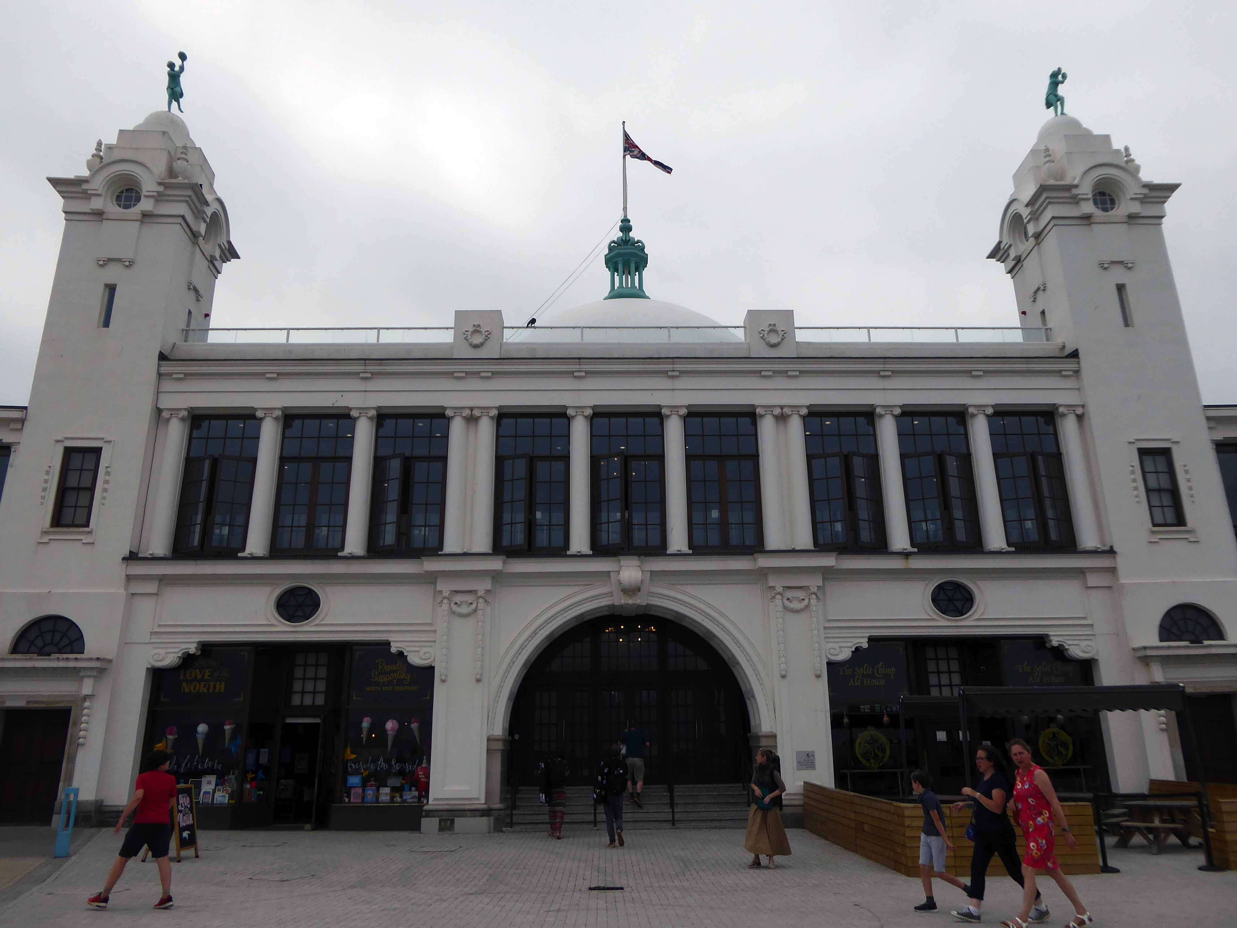
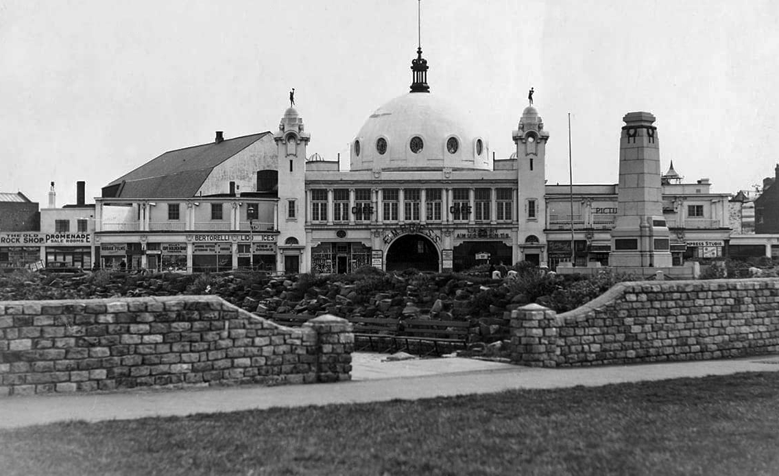
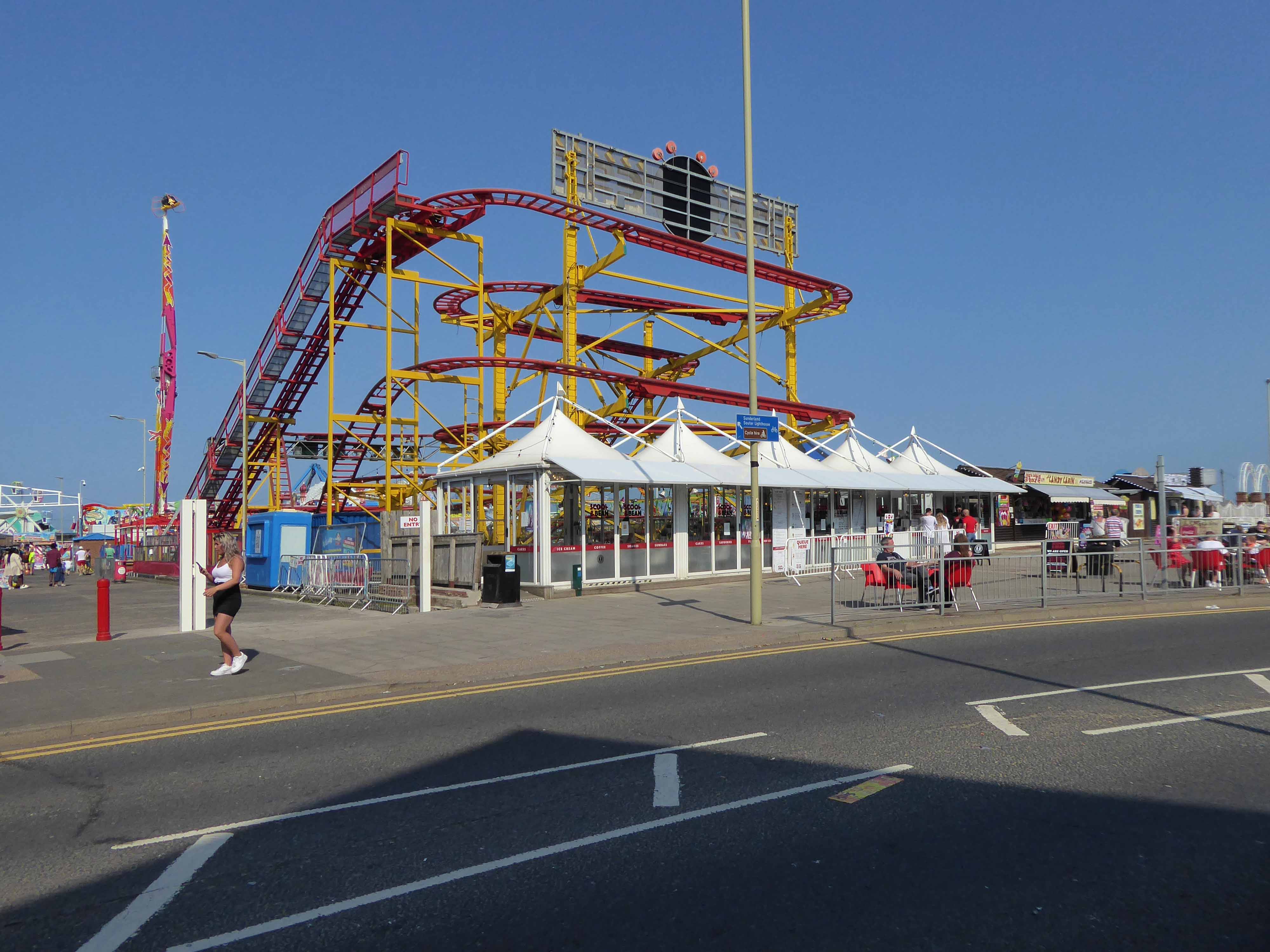
A simple three-arched entrance had been built facing the seafront and the area was now completely enclosed within a boundary. In 1909, large rides appeared, including a Figure Eight rollercoaster and a Water Chute. Elderton and Fail wanted to make a statement and create a new, grand entrance to the fairground. They hired the Newcastle architects Cackett& Burns Dick to survey the site and begin drawing up plans for new Pleasure Buildings.
Building began in February 1910 and the construction was completed by builders Davidson and Miller 60 days later. The use of the revolutionary reinforced concrete technique pioneered by Francois Hennebique was perfect for the job, being cheap and fast. The Dome and surrounding buildings – a theatre and two wings of shop units – opened on 14 May 1910 to great fanfare. Visitors marvelled at the great Spanish City Dome, the second largest in the country at the time after St. Paul’s Cathedral in London, which provided a spectacular meeting place with uninterrupted views from ground level to its ceiling, 75 feet above.
Telegraph-wire cyclists, acrobatic comedians, singing jockeys, mermaids, they all appeared at the Spanish City during its first decade. One of the wings hosted the menagerie, where visitors could see hyenas, antelopes and tigers! This was converted into the Picture House cinema in 1916.
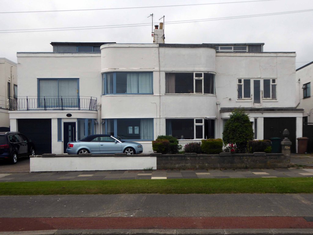
A little further along, a selection of Seaside Moderne semis in various states of amendment and alteration.
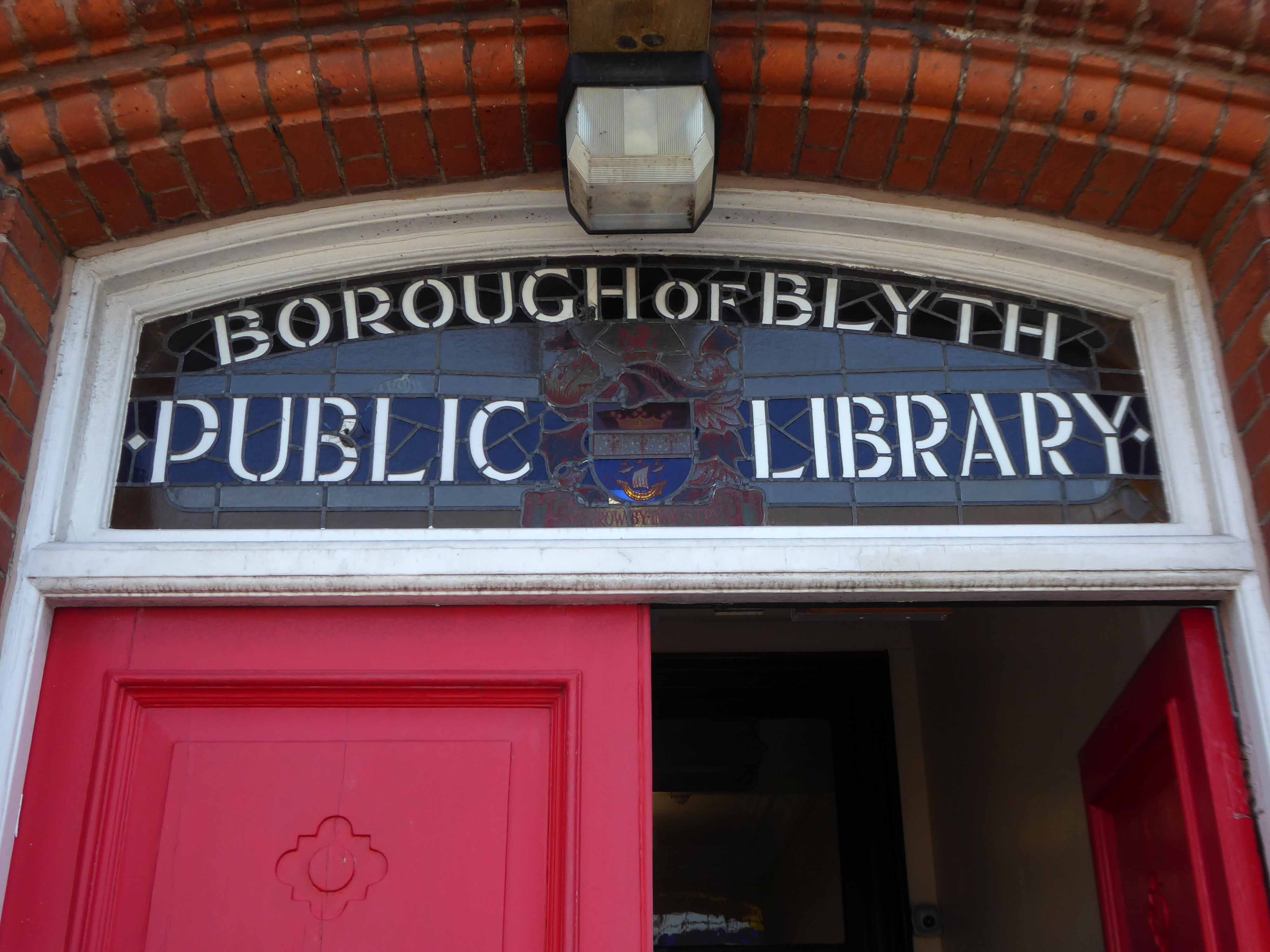
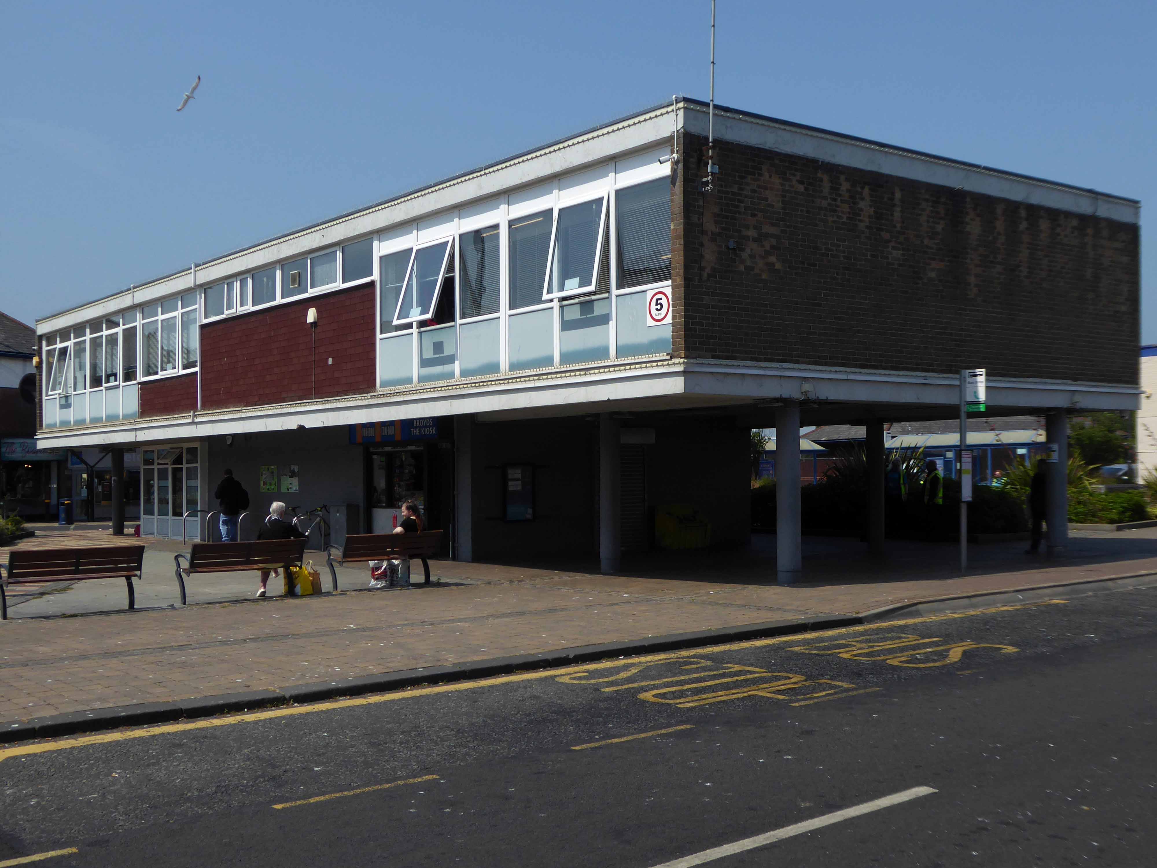
Before I knew it I was in Blyth.
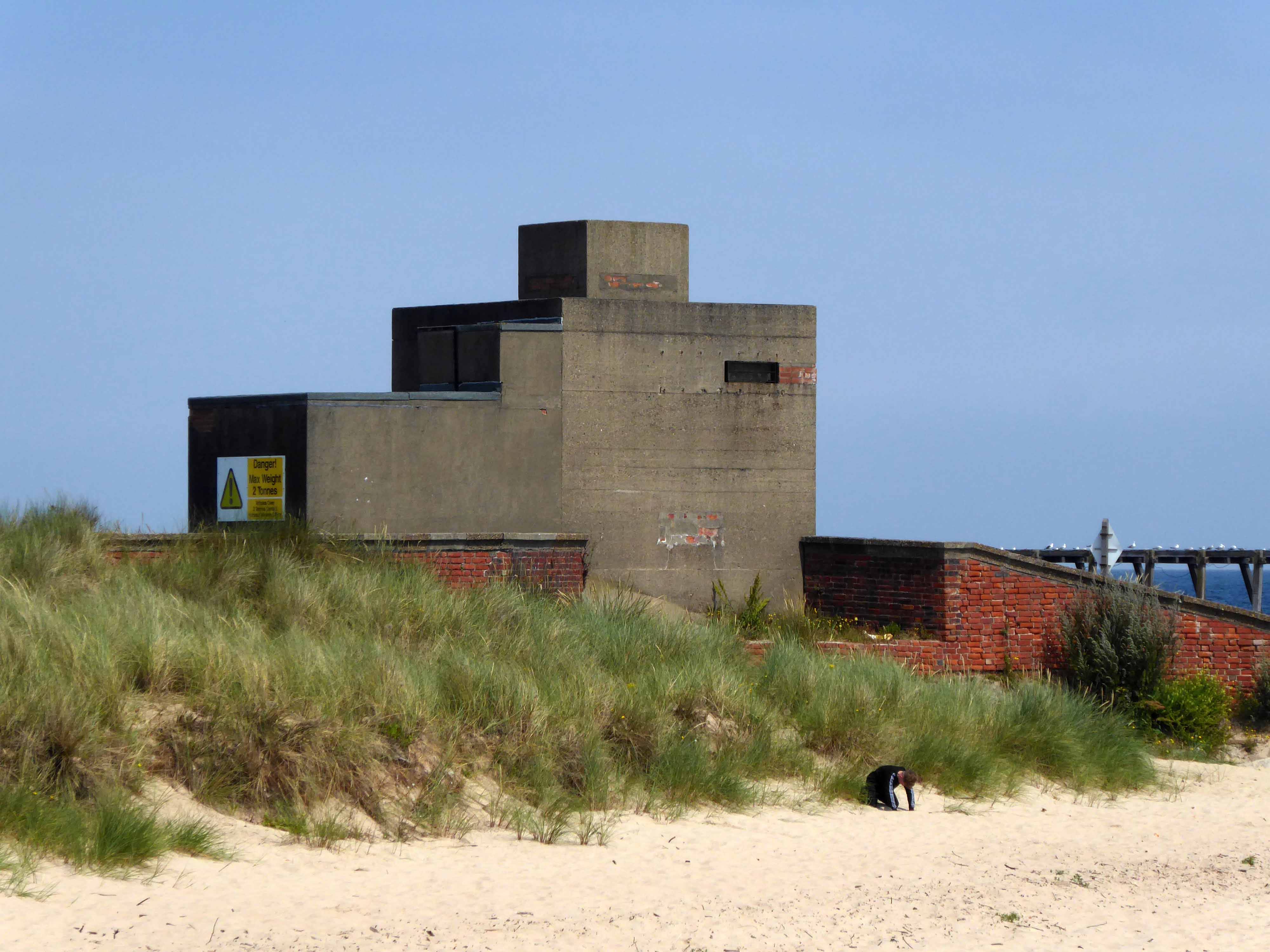
The town edged with military installations
Gloucester Lodge Battery includes the buried, earthwork and standing remains of a multi-phase Second World War heavy anti-aircraft gun battery and radar site, as well as a Cold War heavy anti-aircraft gun and radar site. The battery occupies a level pasture field retaining extensive rig and furrow cultivation.
During WW2 Blyth Harbour was used as a major submarine base and that combined with the heavy industry in the area it made a very good target for the Luftwaffe.
827 men of the 225th Antiaircraft Artillery Searchlight Battalion of the U.S. Army, arrived at this location in early March 1944 and were attached to the 30th British AAA Brigade. Here they sharpened their skills in the high-altitude tracking of aircraft.
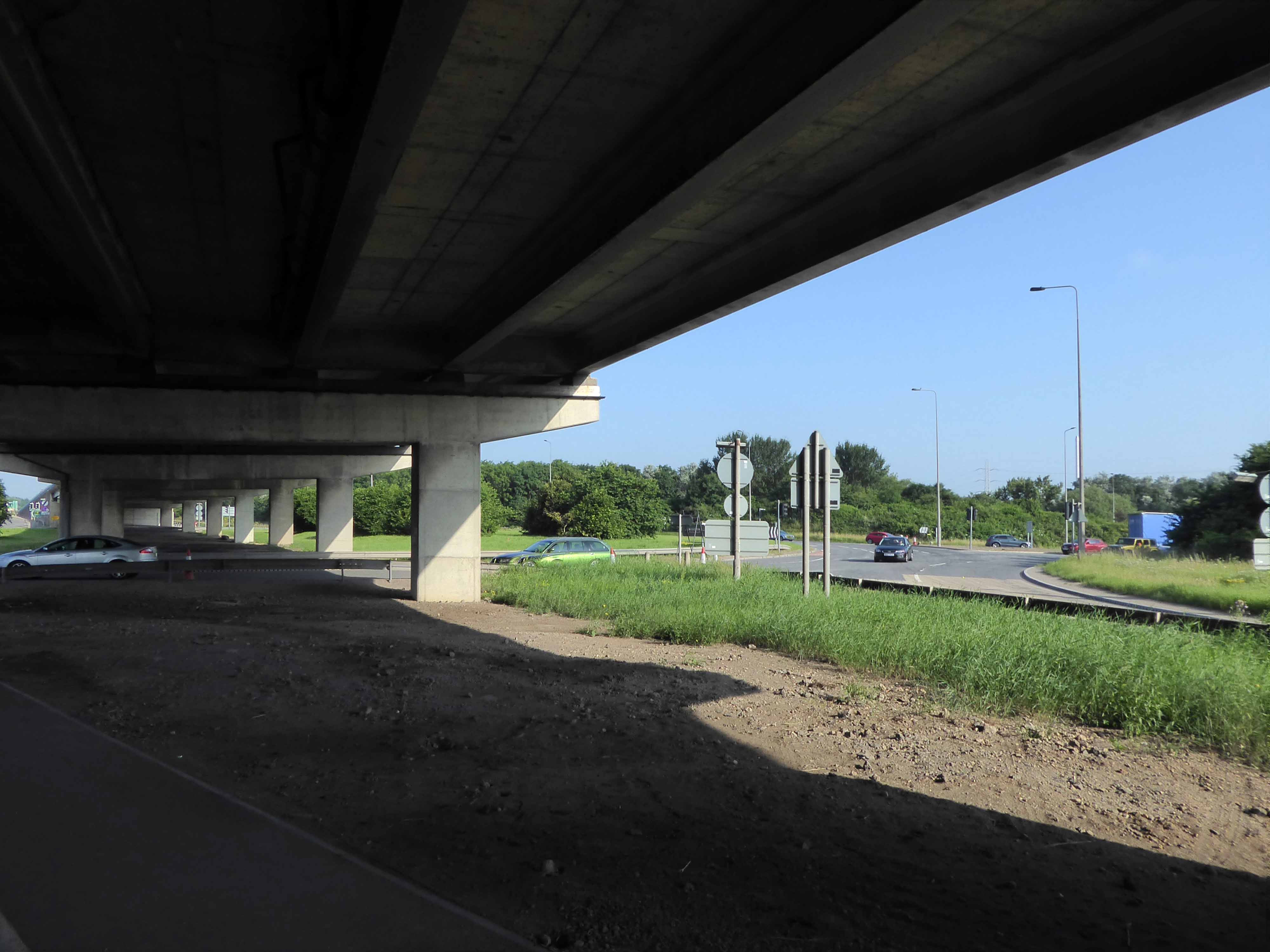
The cycle route took me off road along the estuary and under the flyover.
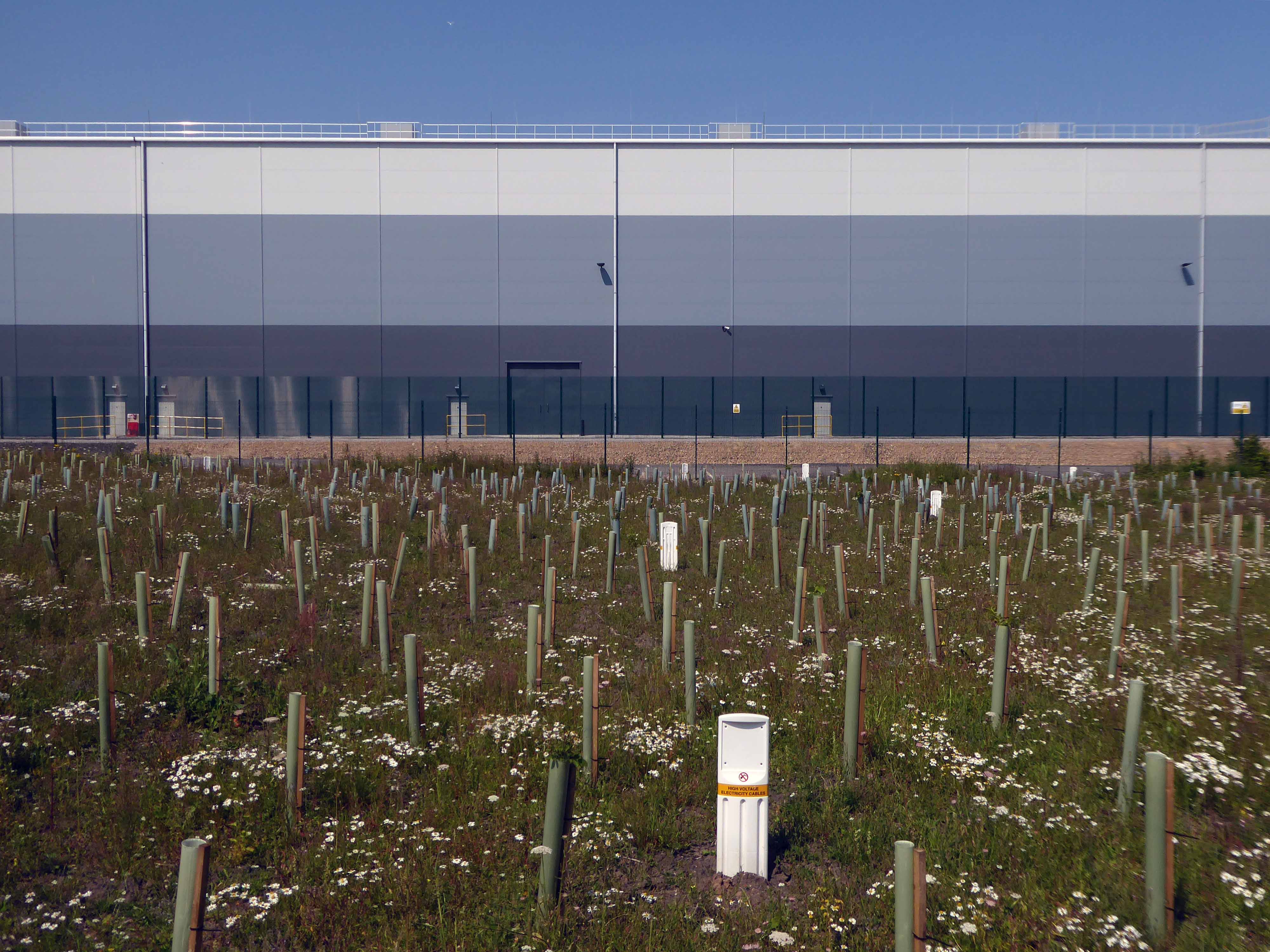
Encountering a brand new factory.
And the remnants of the old power station.
Blyth Power Station – also known as Cambois Power Station, refers to a pair of now demolished coal-fired power stationsThe two stations were built alongside each other on a site near Cambois in Northumberland, on the northern bank of the River Blyth, between its tidal estuary and the North Sea. The stations took their name from the town of Blyth on the opposite bank of the estuary. The power stations’ four large chimneys were a landmark of the Northumberland skyline for over 40 years.
After their closure in 2001, the stations were demolished over the course of two years, ending with the demolition of the stations’ chimneys on 7 December 2003.
UK battery tech investor Britishvolt has unveiled plans to build what is claimed to be Britain’s first gigaplant at the former coal-fired power station in Blyth in Northumberland.
The £2.6 billion project at the 95-hectare Blyth Power Station site will use renewable energy from the UK and possibly hydro-electric power generated in Norway and transmitted 447 miles under the North Sea through the ‘world’s longest inter-connector’ from the North Sea Link project.
By 2027, the firm estimates the gigaplant will be producing around 300,000 lithium-ion batteries a year.
The project is predicted to create 3,000 new jobs in the North East and another 5,000 in the wider supply chain.
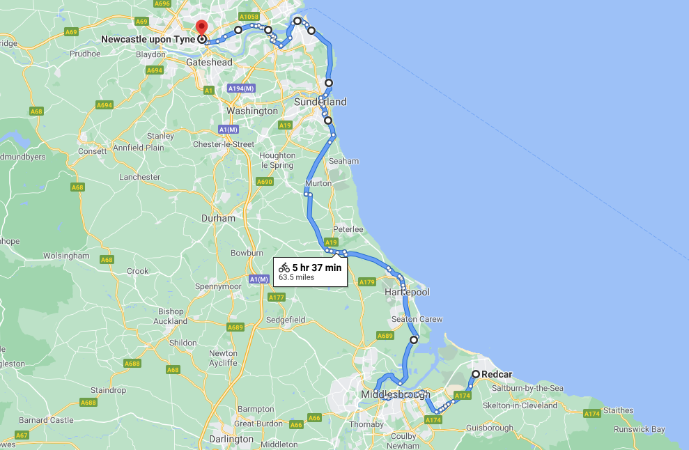
An early start on another sunny day, cycling along long straight roads out of town, towards Middlesborough.
Having previously visited Hull and Scarborough and all points in between.
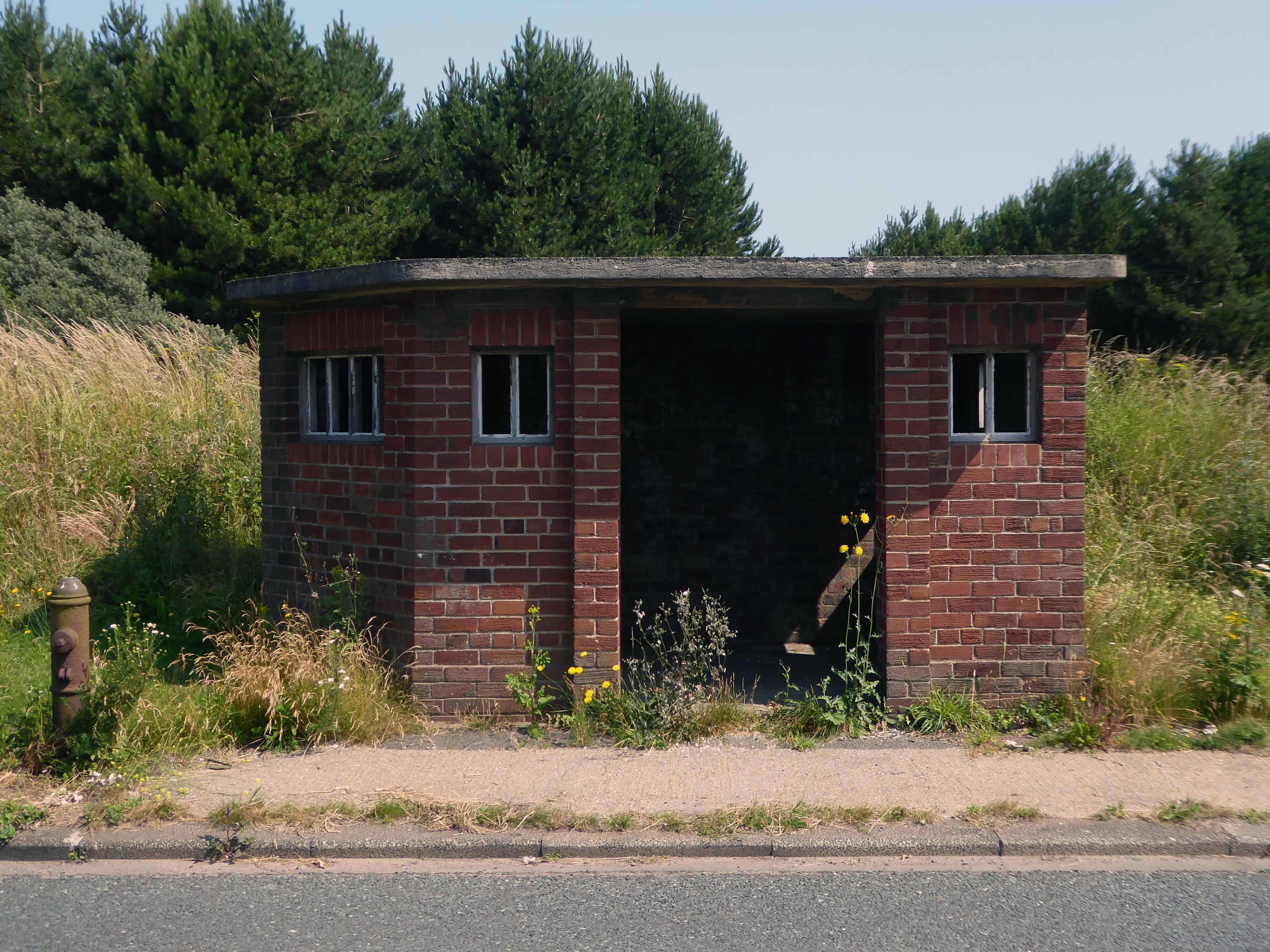
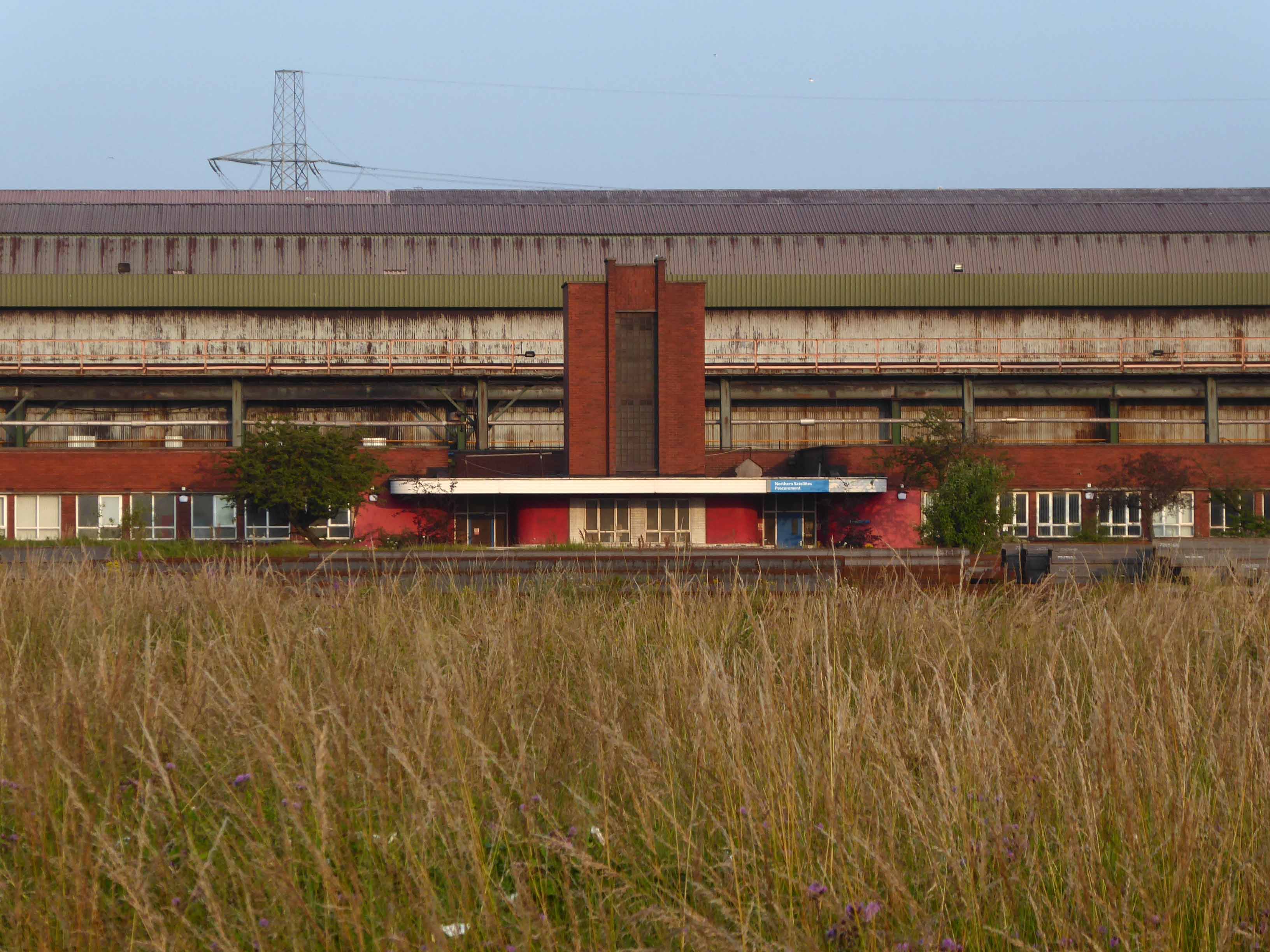
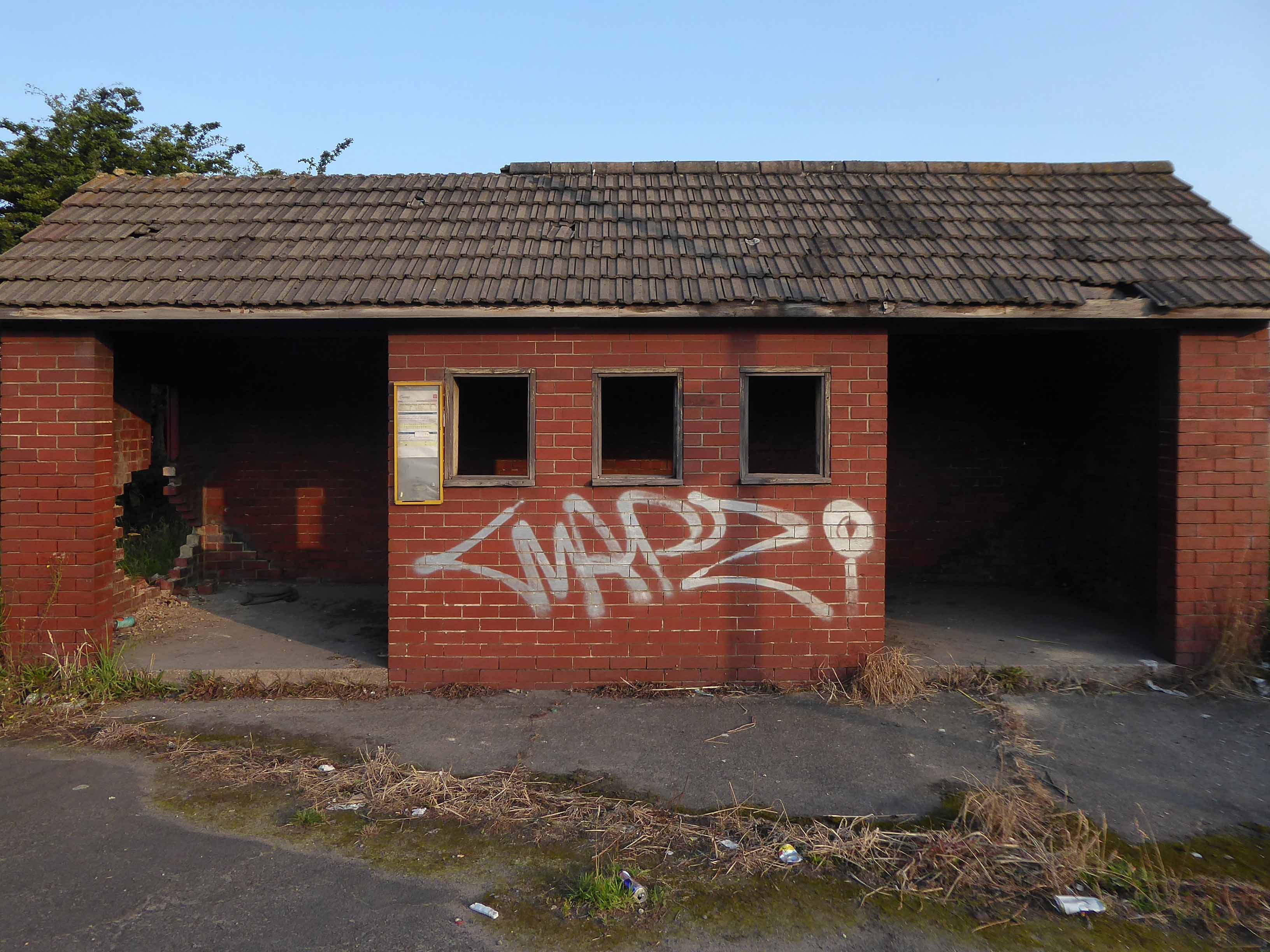
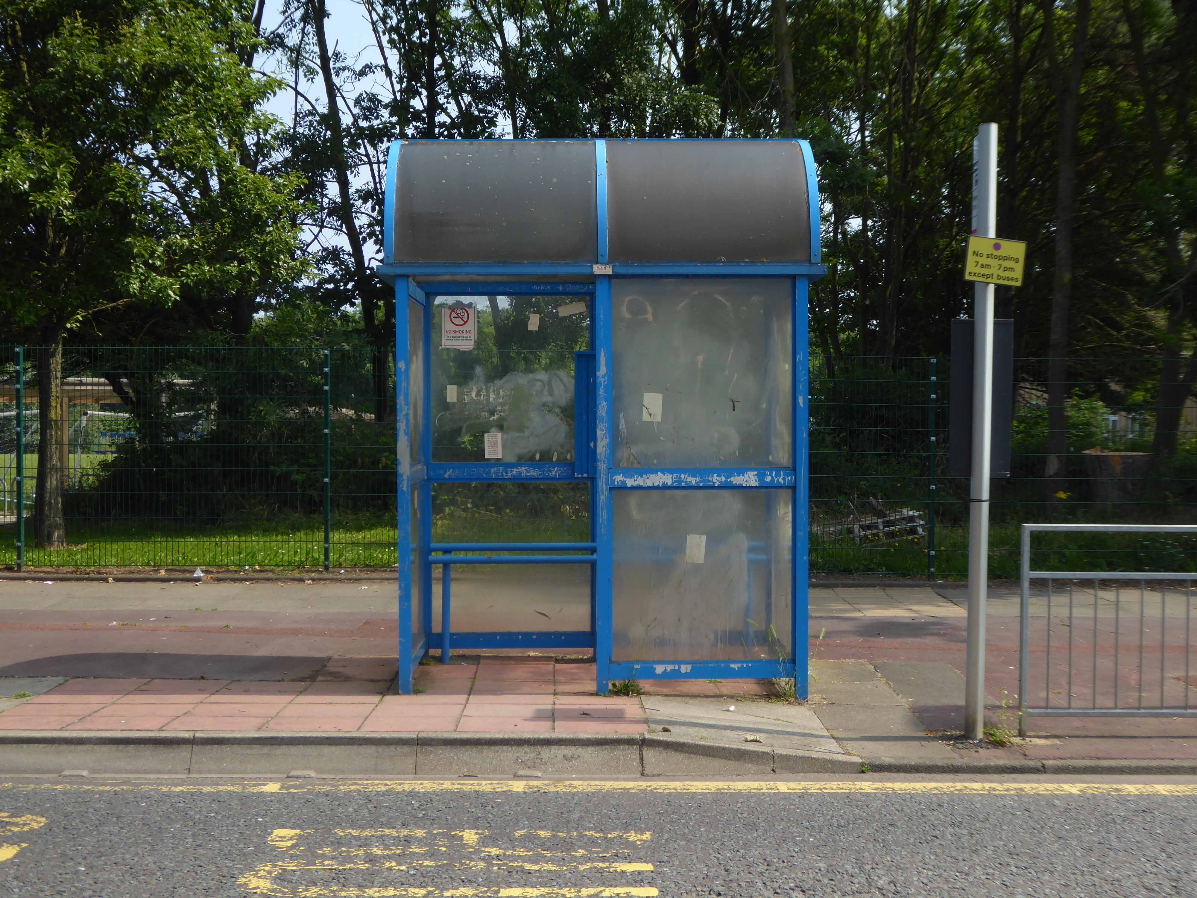
Slowly passing sleepy factories and desolate bus shelters.
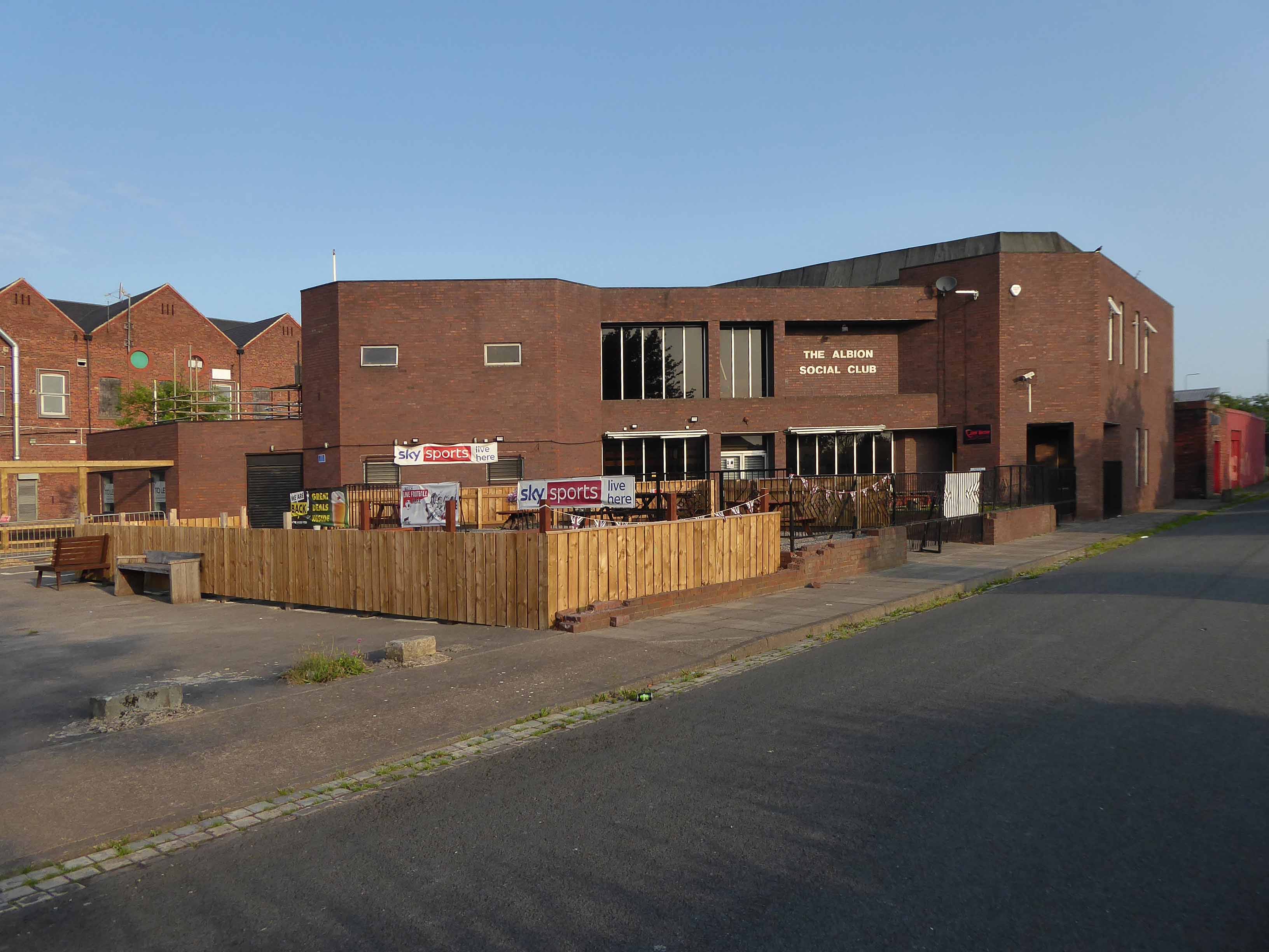
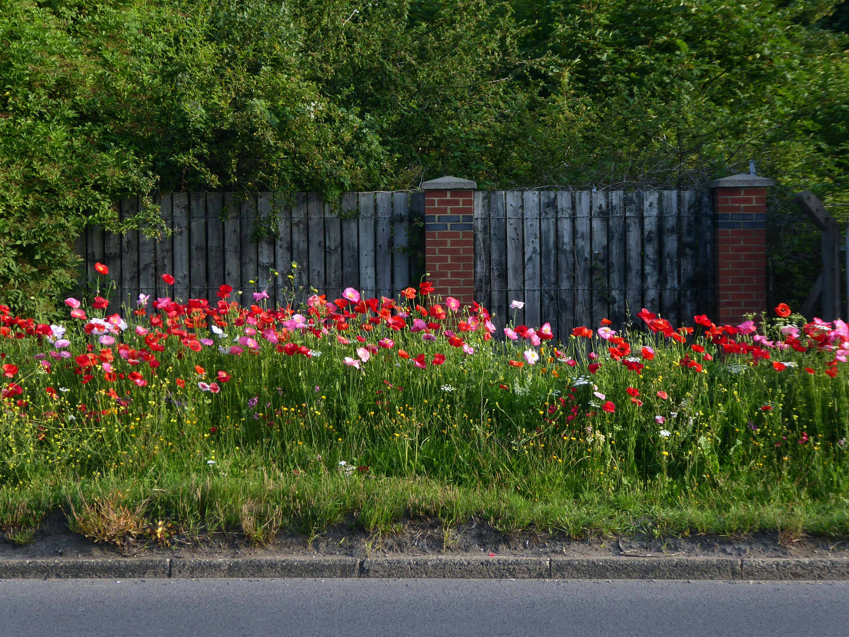
Bunker like social clubs and flower lined roads.
The Albion club in South Bank has stood empty for the last three years.
Now local lad Mark Trainor has the keys – and says opening the doors to the club his own family frequented for years will be a dream come true.
He’s planning to cater for everyone, he says, and it won’t just be all about drinking.
Parents will be able to call in for a coffee after dropping the kids at school, there will be pool nights and Mark’s personal favourite – Pie Day Fridays.
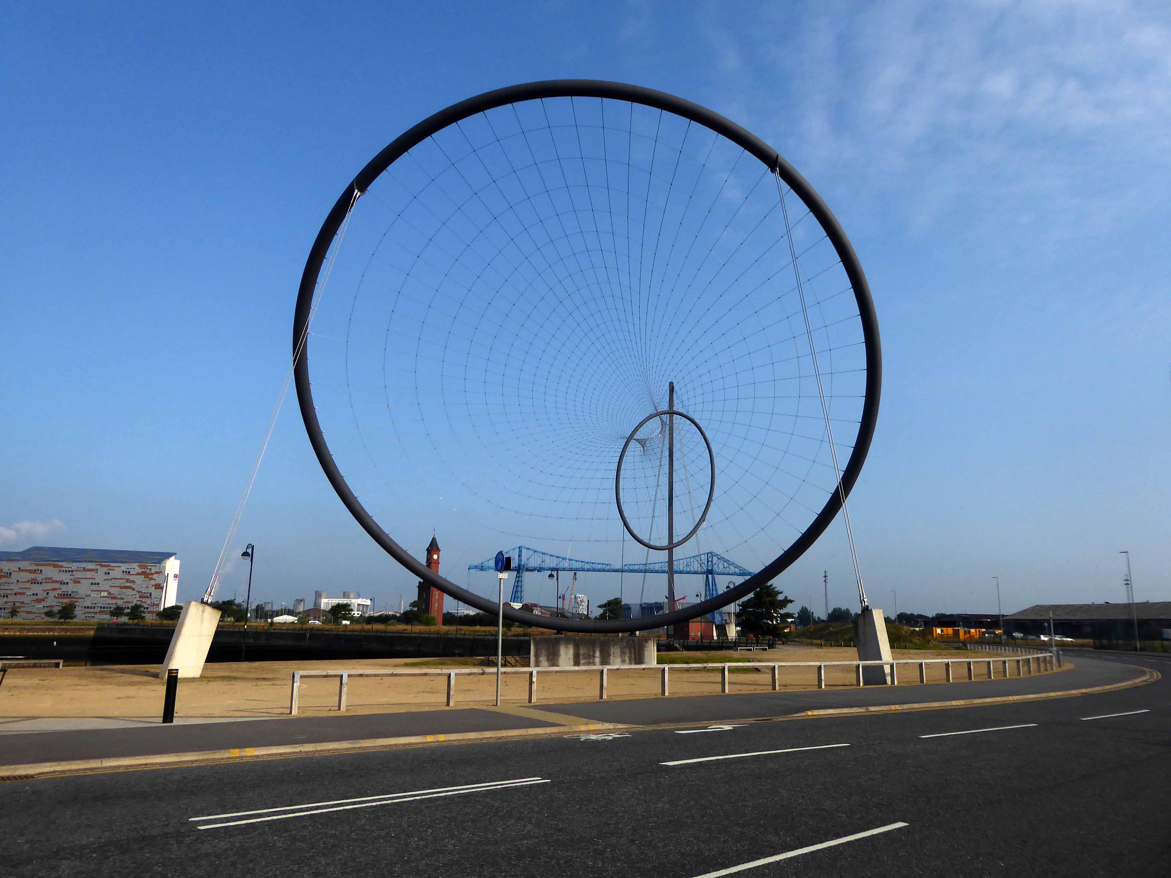
Temenos is a Greek word meaning land cut off and assigned as a sanctuary or holy area.
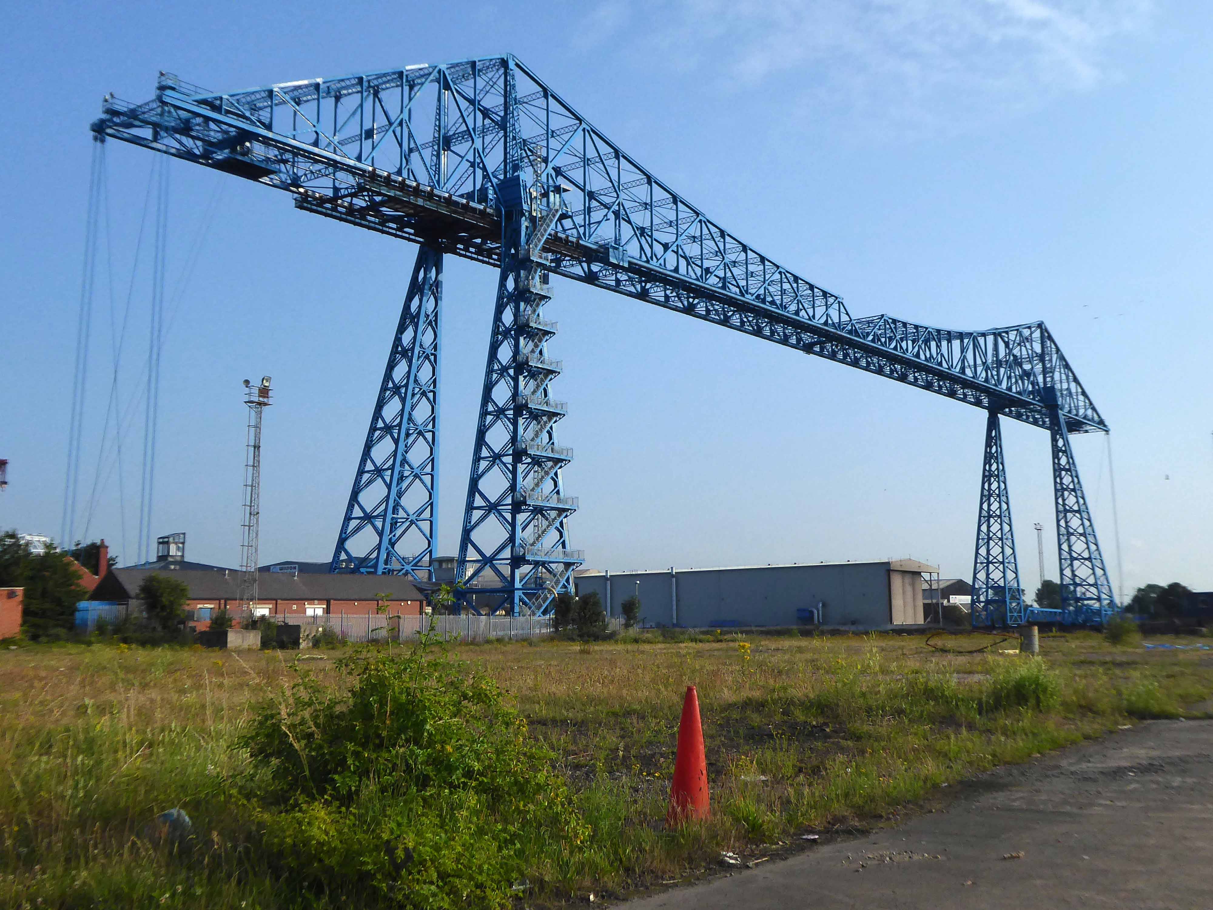
Following a 1907 Act of Parliament the bridge was built at a cost of £68,026 6s 8d by Sir William Arrol & Co. of Glasgow between 1910 and 1911 to replace the Hugh Bell and Erimus steam ferry services. A transporter bridge was chosen because Parliament ruled that the new scheme of crossing the river had to avoid affecting the river navigation.
The opening ceremony on 17 October 1911 was performed by Prince Arthur of Connaught, at its opening the bridge was painted red.
In 1961 the bridge was painted blue.
In 1974, the comedy actor Terry Scott, travelling between his hotel in Middlesbrough and a performance at the Billingham Forum, mistook the bridge for a regular toll crossing and drove his Jaguar off the end of the roadway, landing in the safety netting beneath.
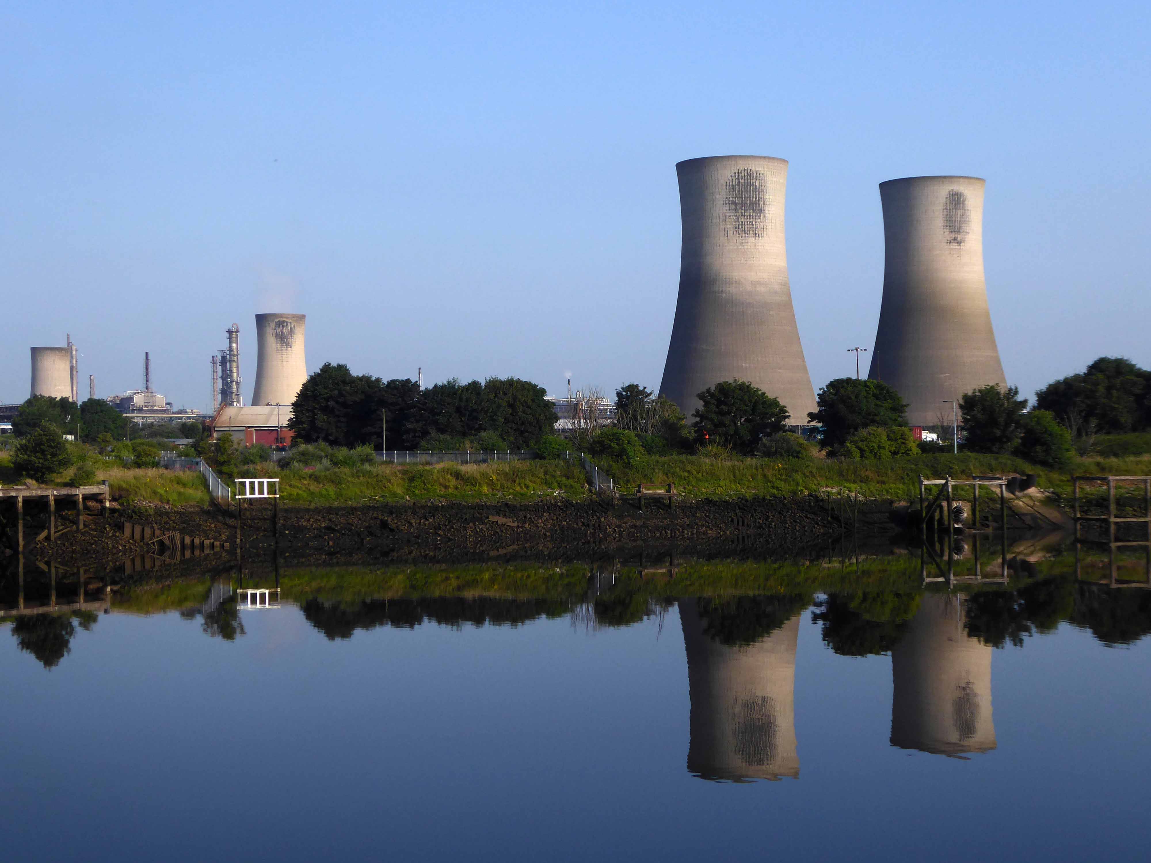
The cycle track followed the river, which sports a fine array of industrial architecture.
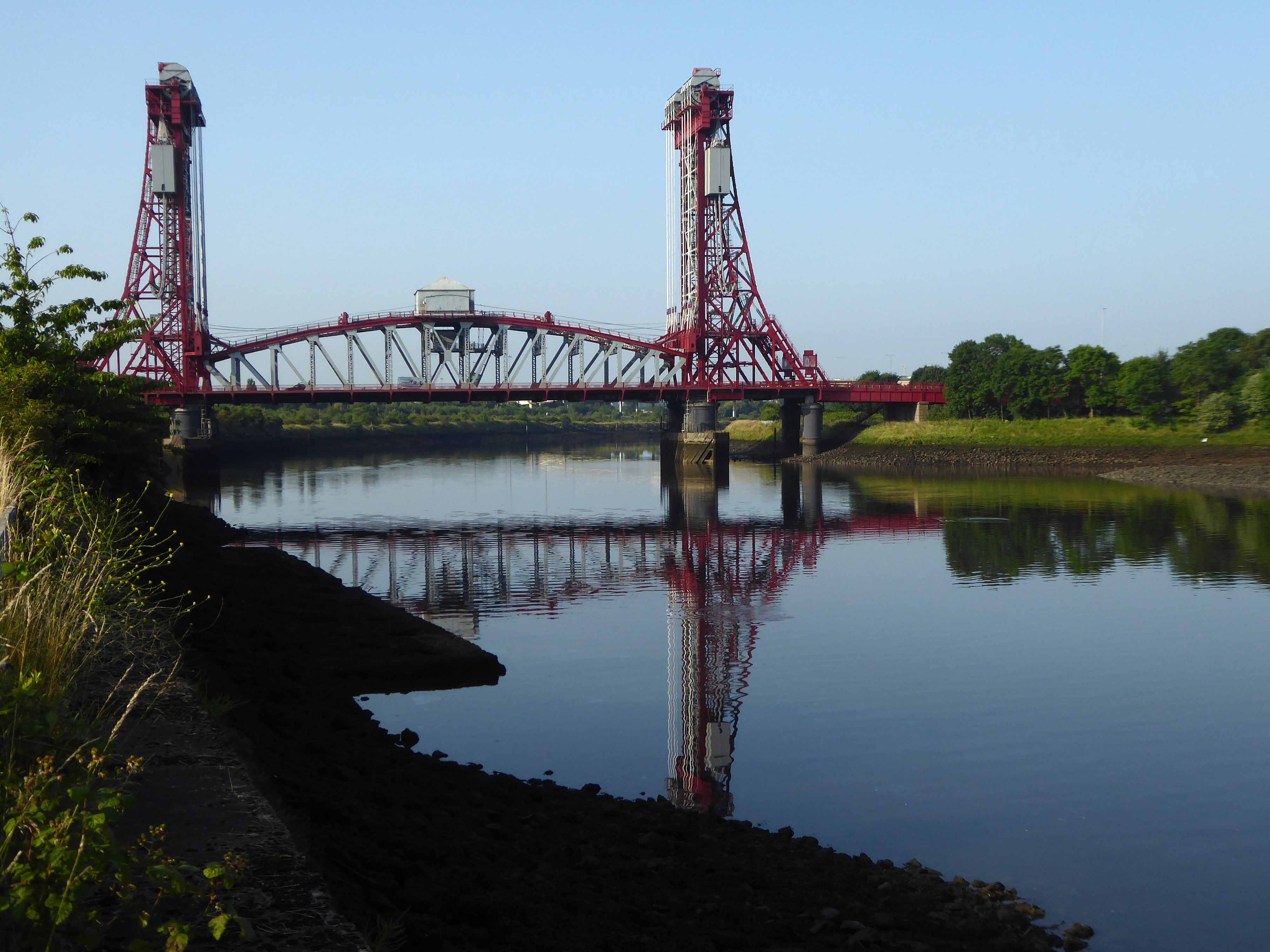
Tees Newport Bridge designed by Mott, Hay and Anderson and built by local company Dorman Long who have also been responsible for such structures as the Tyne Bridge and Sydney Harbour Bridge, it was the first large vertical-lift bridge in Britain.
In a slightly more upbeat mode St James the Apostle Owton Manor.
I convinced myself that this building on Station Road Seaton Carew was a former pub, I discovered following consultation with the local studies offices, that it was in fact a former children’s home destined to become a doctors.
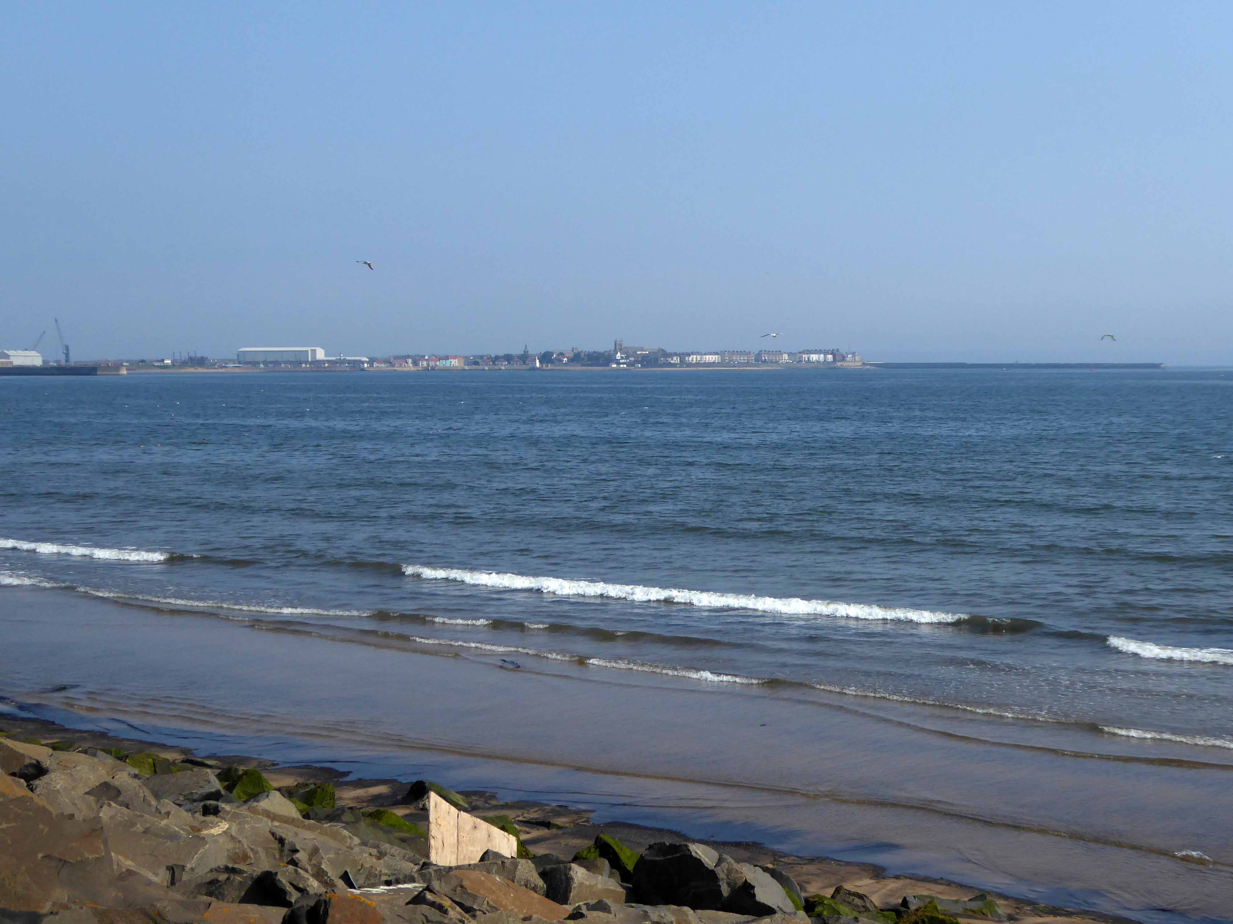
I found myself looking back across the estuary to Redcar.
Northward toward Hartlepool.
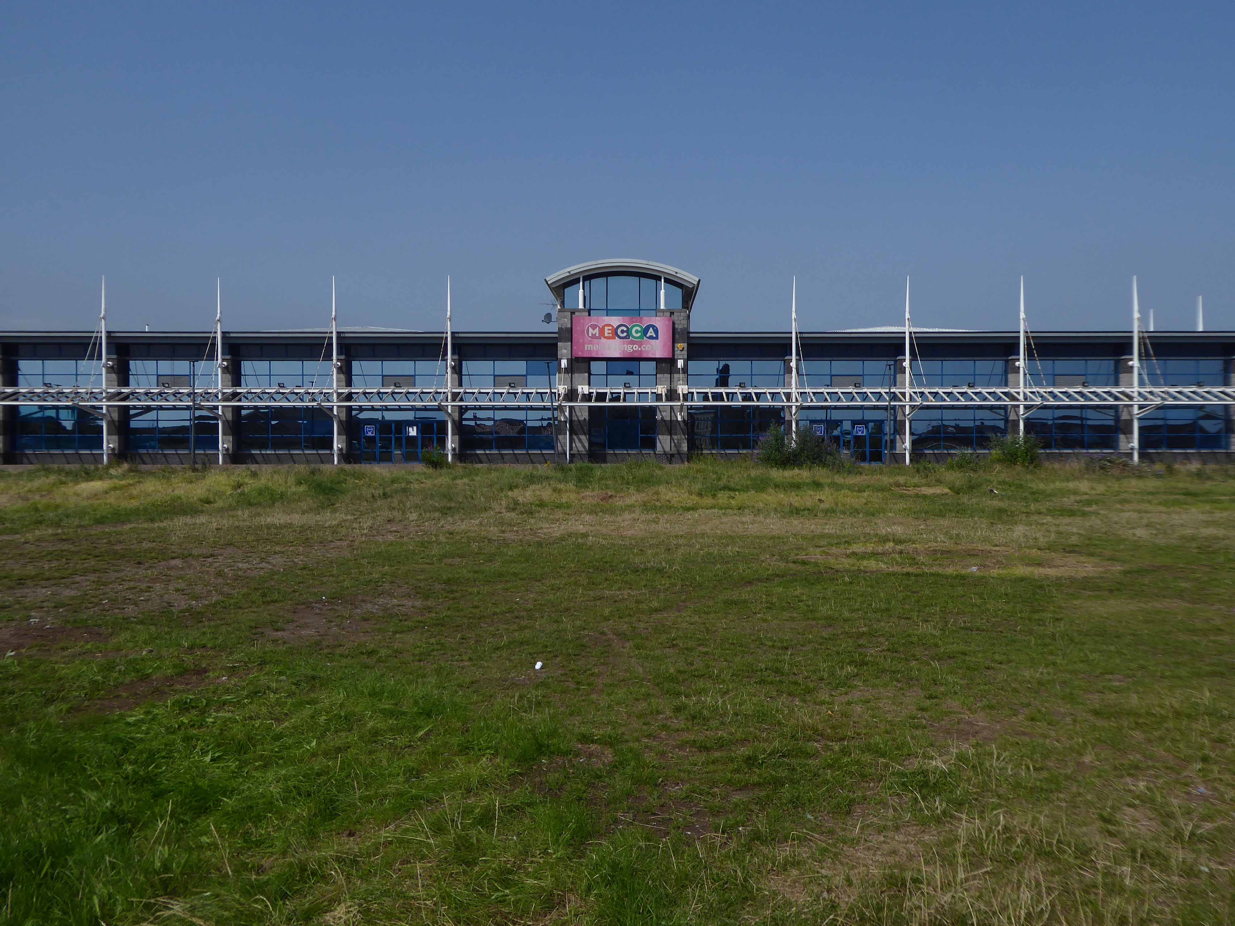
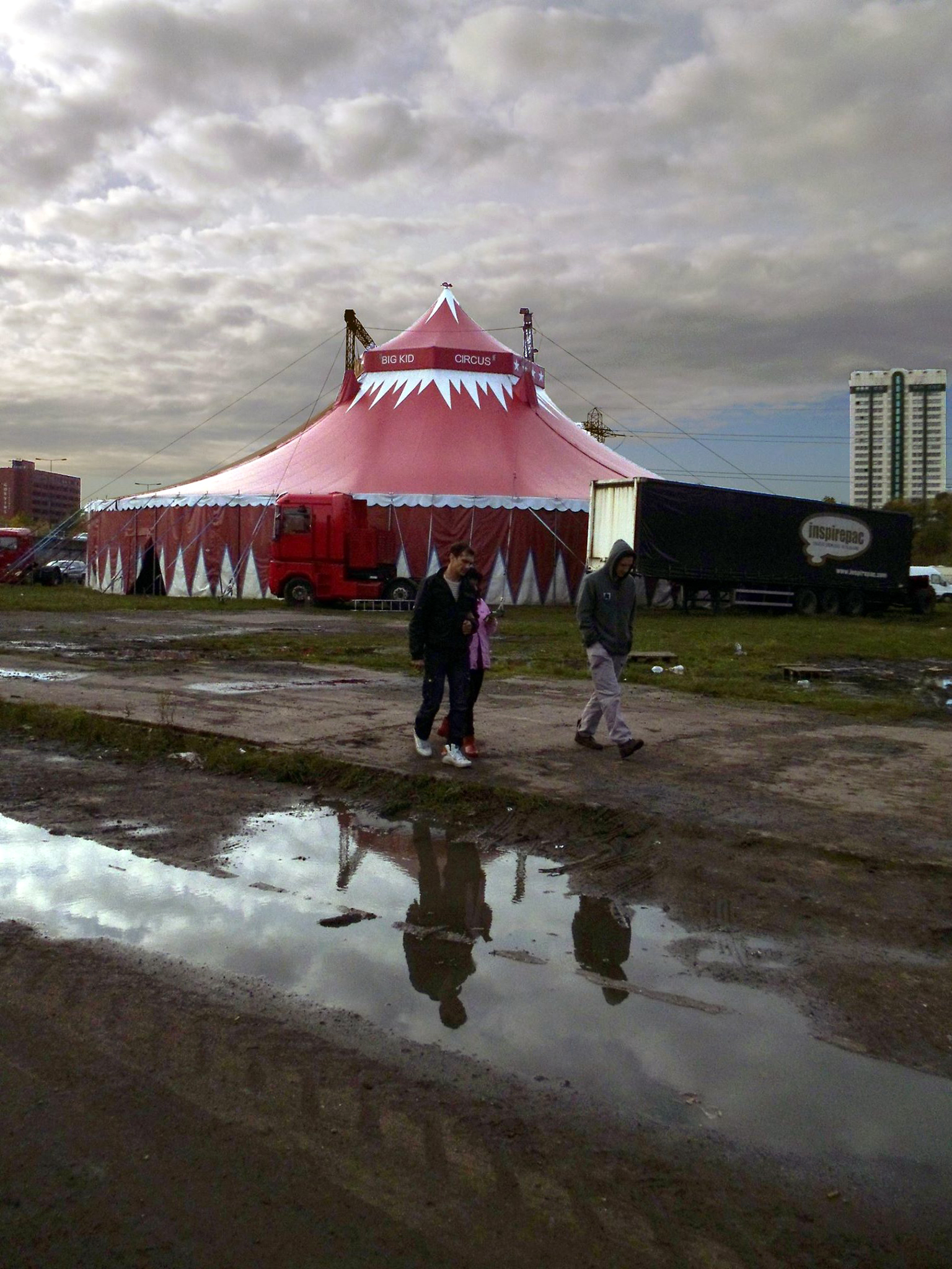
Where the bingo was closed and the circus had left town.
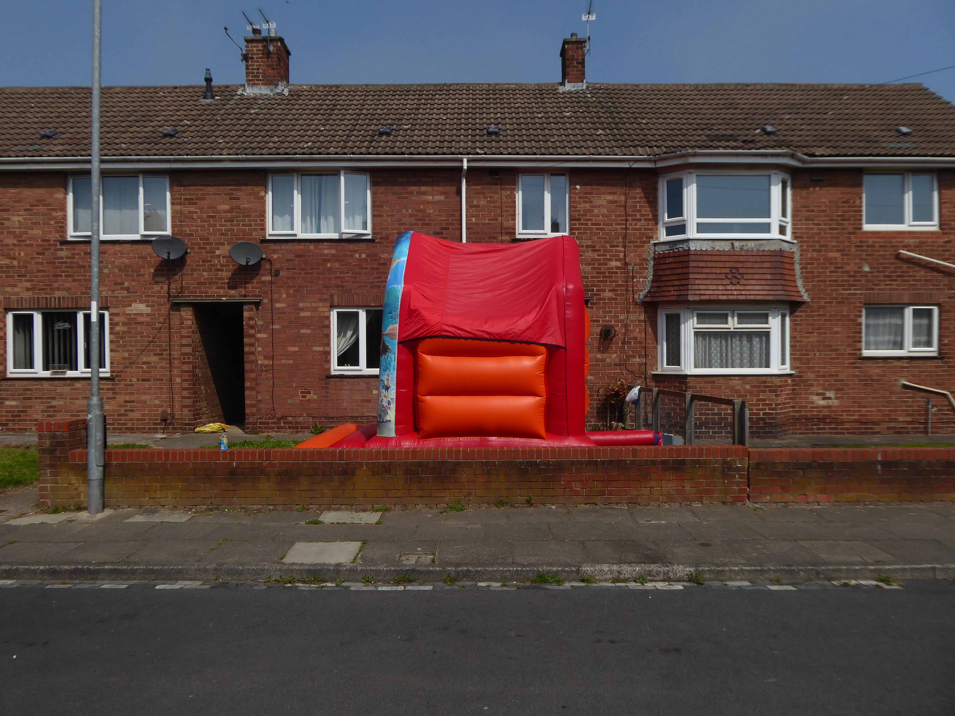
Every Englishman’s home is a bouncy castle.
St John Vianneylocated on King Oswy Drive West View Estate.
Architect: Crawford & Spencer Middlesbrough 1961.
A large post-war church built to serve a housing estate, economically built and with a functional interior. The campanile is a local landmark.
The parish of St John Vianney was created in 1959 to serve the growing West View Estate, on the north side of Hartlepool. The church was opened by Bishop Cunningham on 4 April 1961. The presbytery was built at the same time.
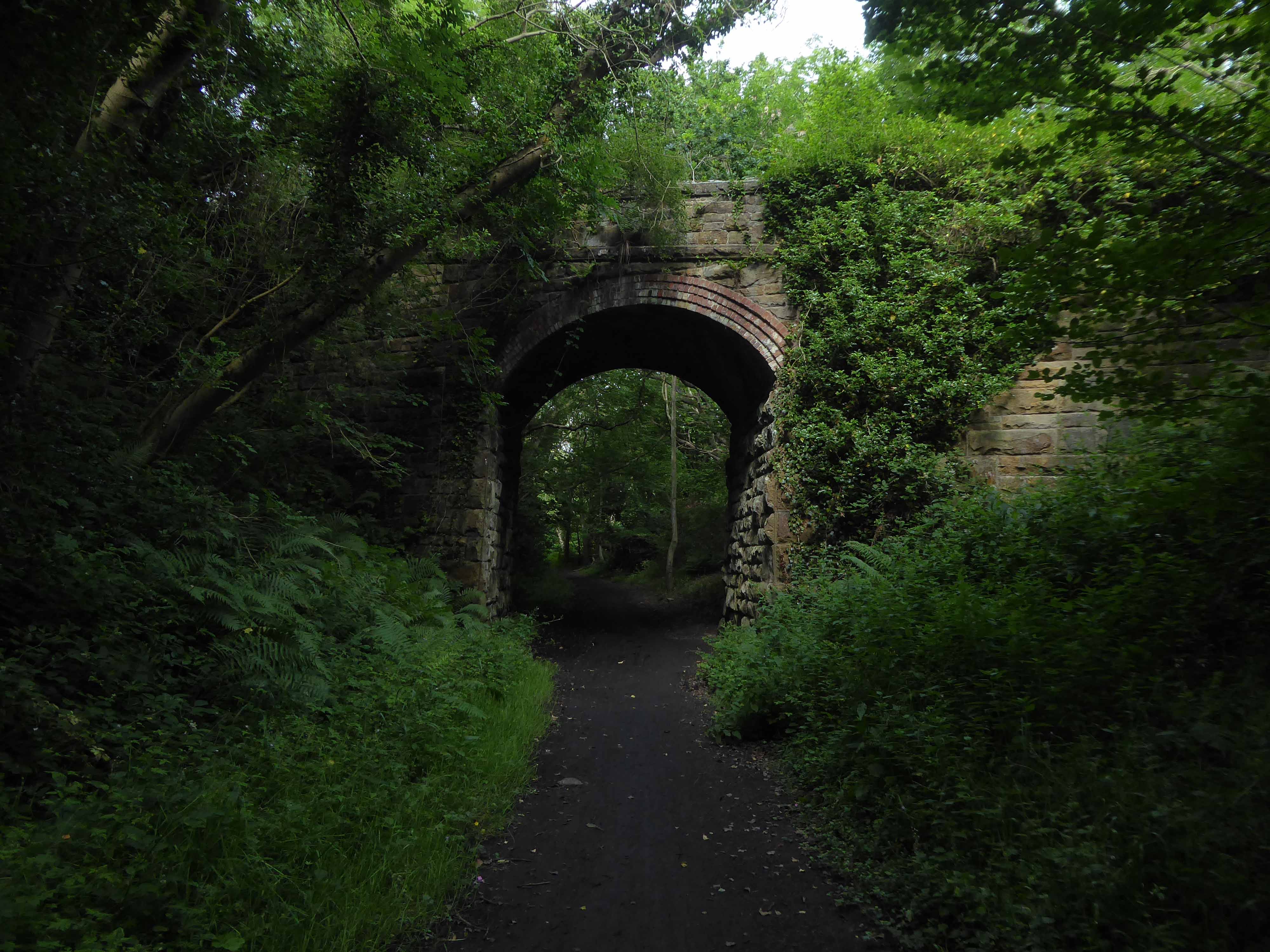
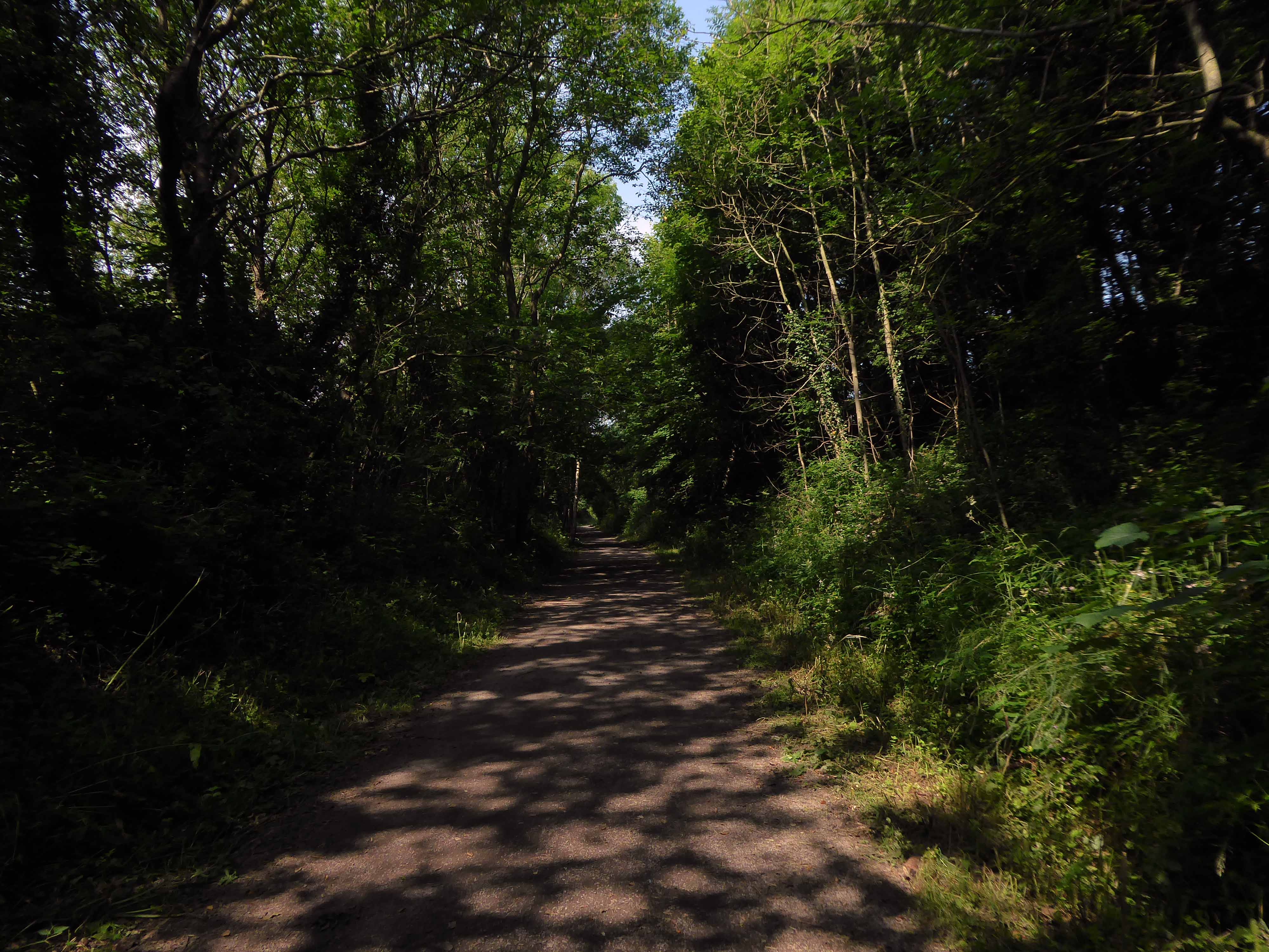
I found myself on yet another former railway line.
The Cycleway was once a railway line designed by George Stephenson to take coal from the Durham coal fields to the docks in Hartlepool, where the coal was then distributed throughout the world.
Seeking assistance from a passing cyclist I negotiated a safe passage to Sunderland.
The Sunderland Synagogue is a former synagogue building in Sunderland, England. The synagogue, on Ryhope Road, was designed by architect Marcus Kenneth Glass and completed in 1928. It is the last surviving synagogue to be designed by Glass.
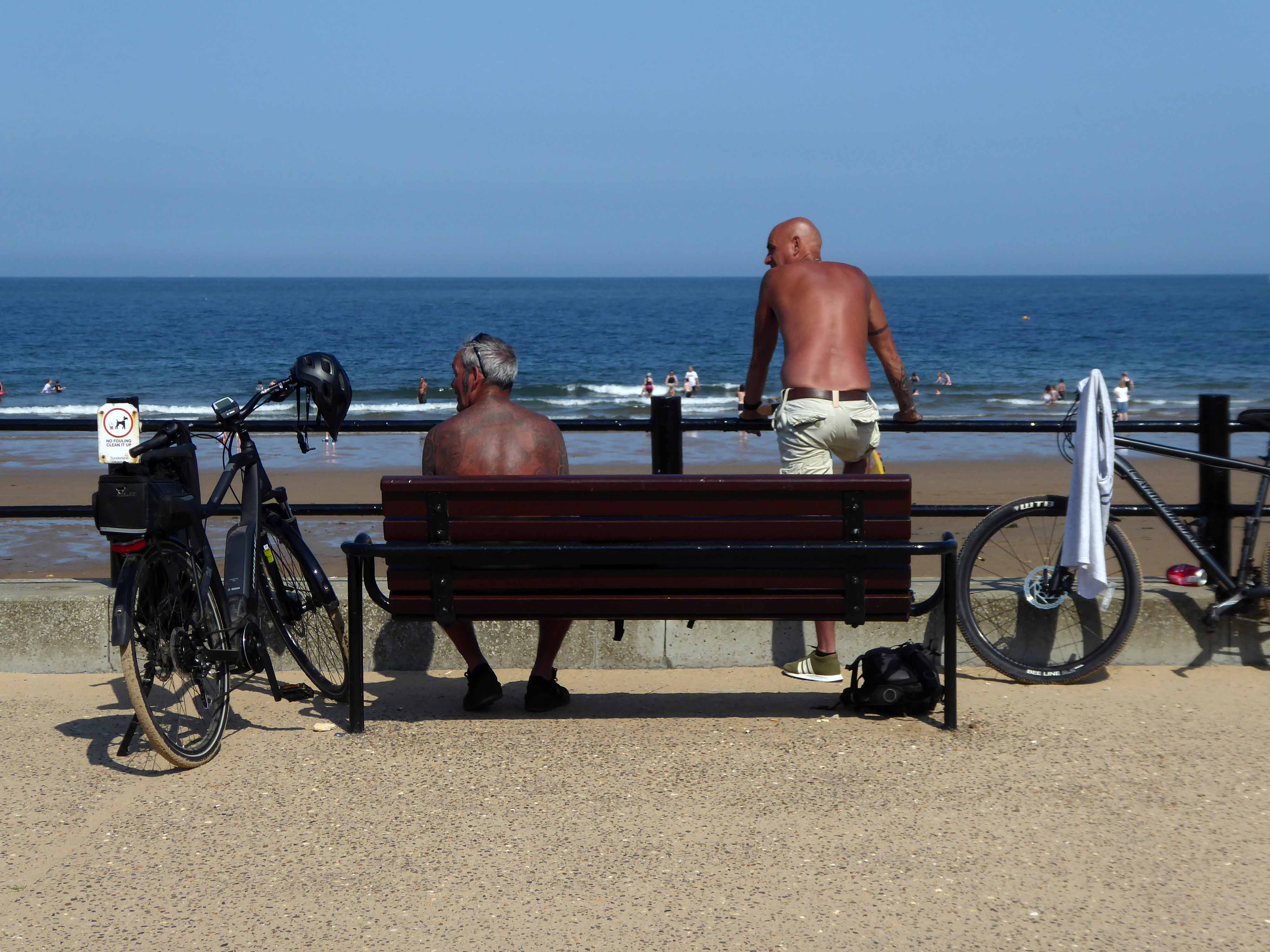
I took a right and arrived in Roker, where I saw these well tanned and tattooed cyclists taking a rest.
Pressed on, largely alongside the coast to South Shields.
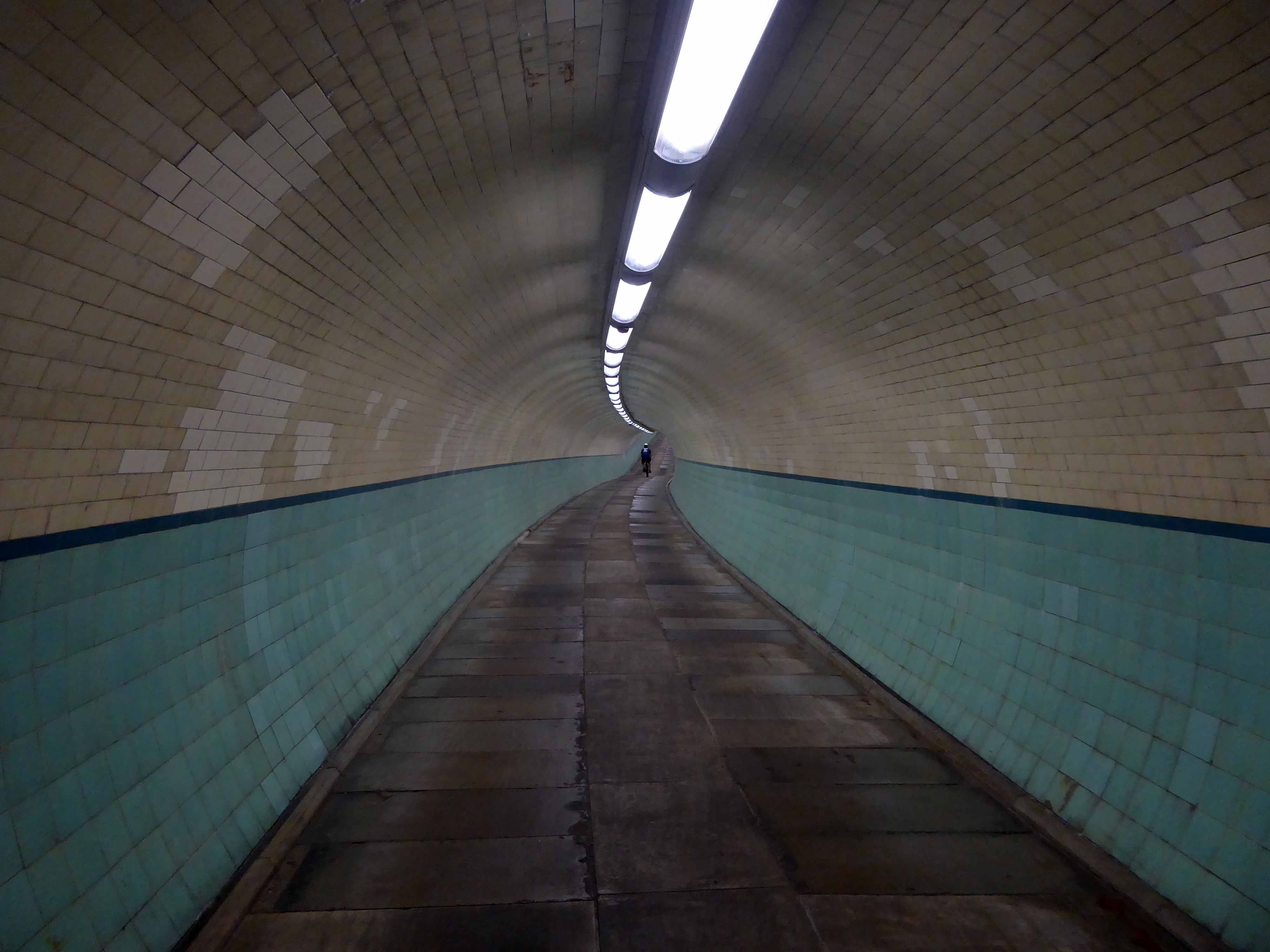
Under advisement from a jolly passing jogger I took the Tyne Pedestrian Tunnel.
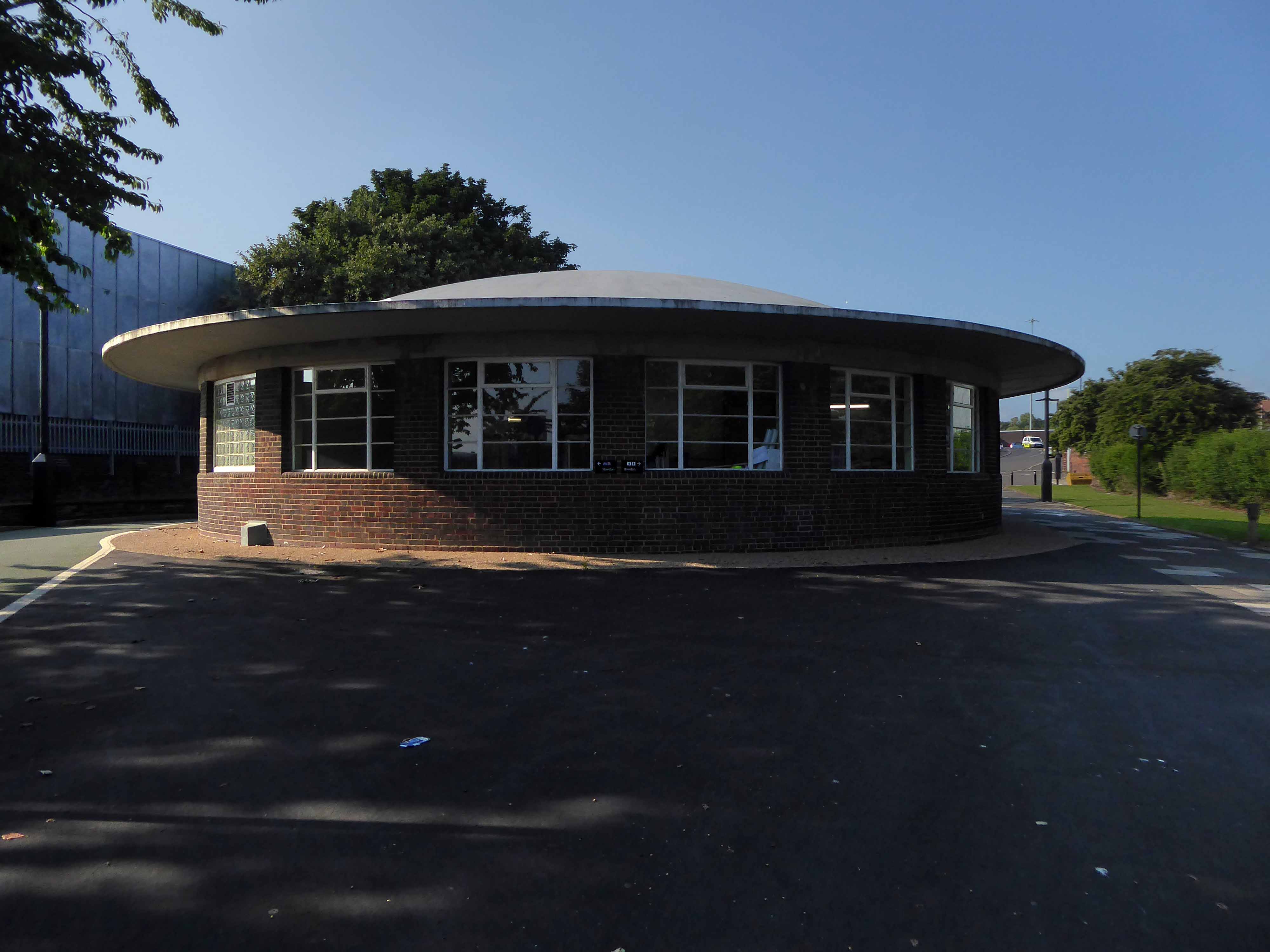
Tyne Cyclist and Pedestrian Tunnel was Britain’s first purpose-built cycling tunnel. It runs under the River Tyne between Howdon and Jarrow, and was opened in 1951, heralded as a contribution to the Festival of Britain.
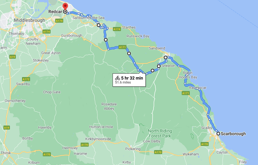
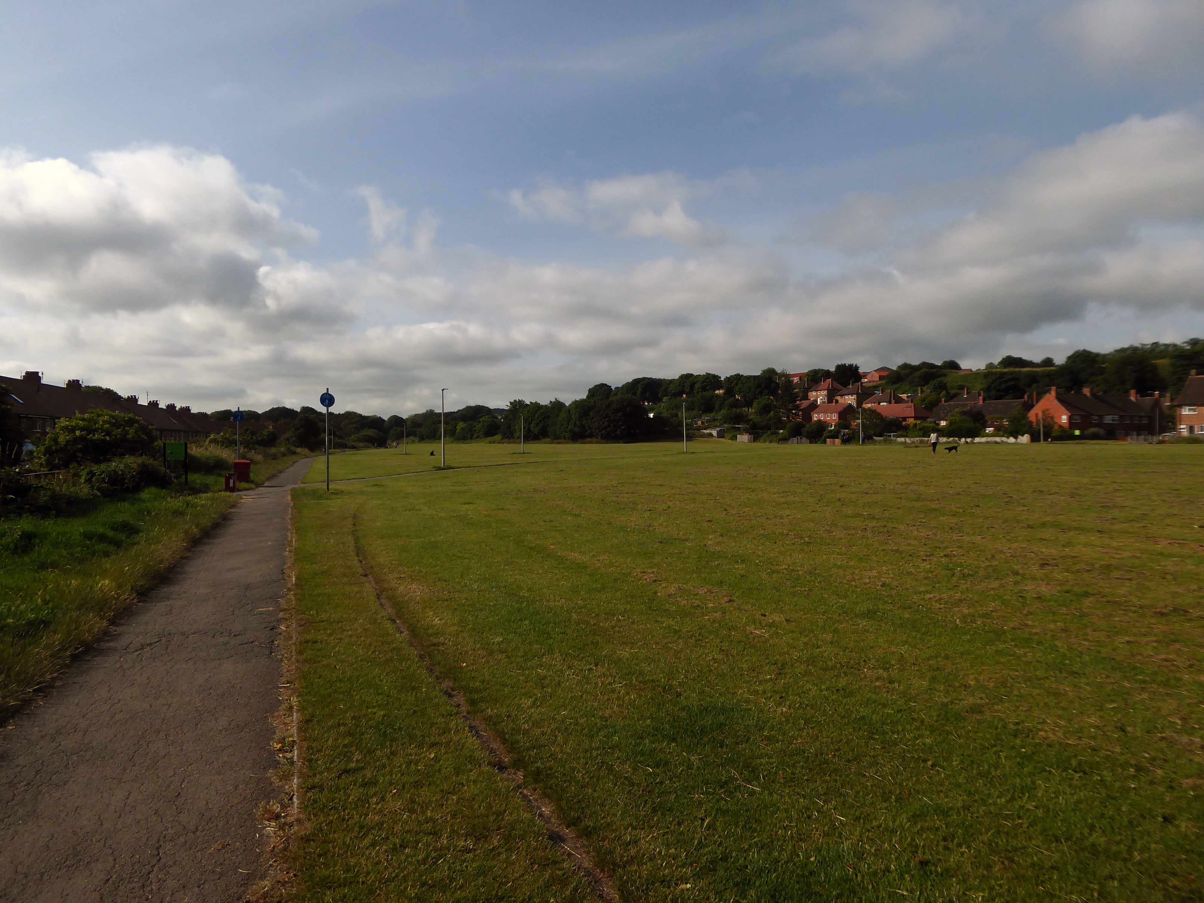
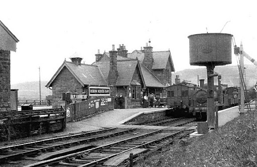
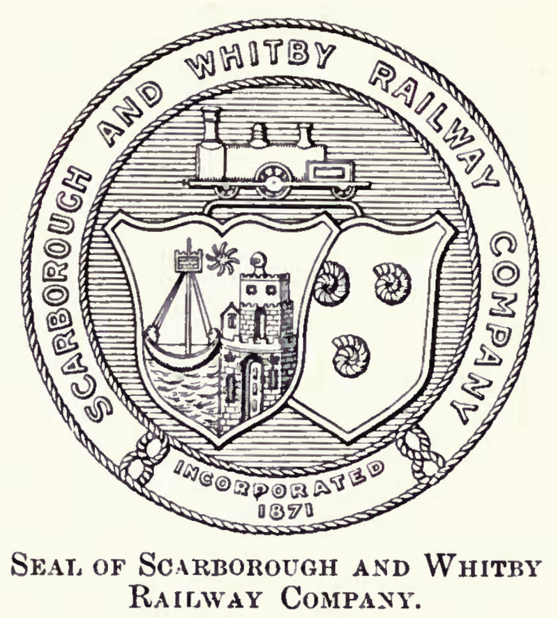
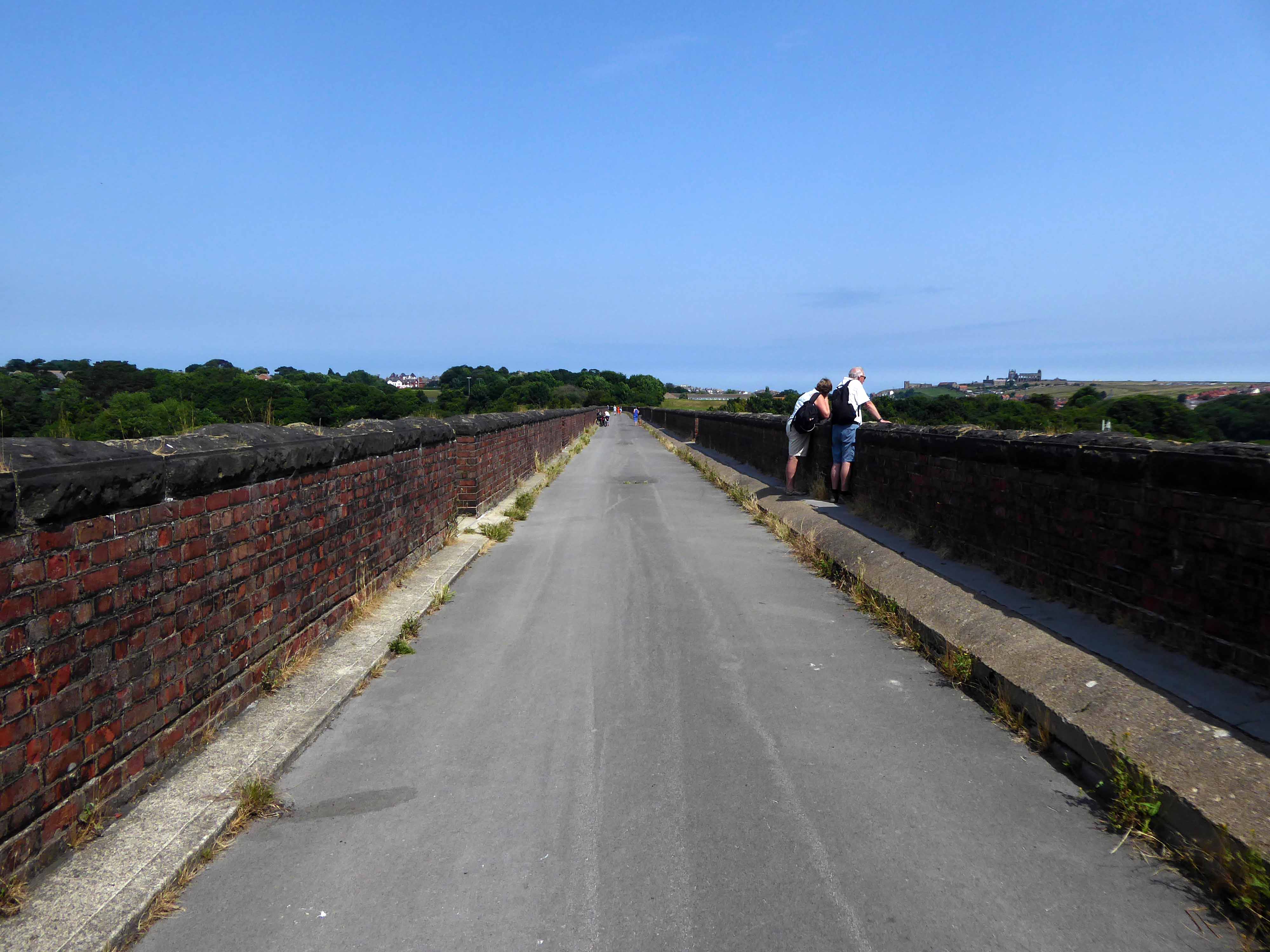
Formerly the Scarbough to Whitby Railway – the line opened in 1885 and closed in 1965 as part of the Beeching Axe.
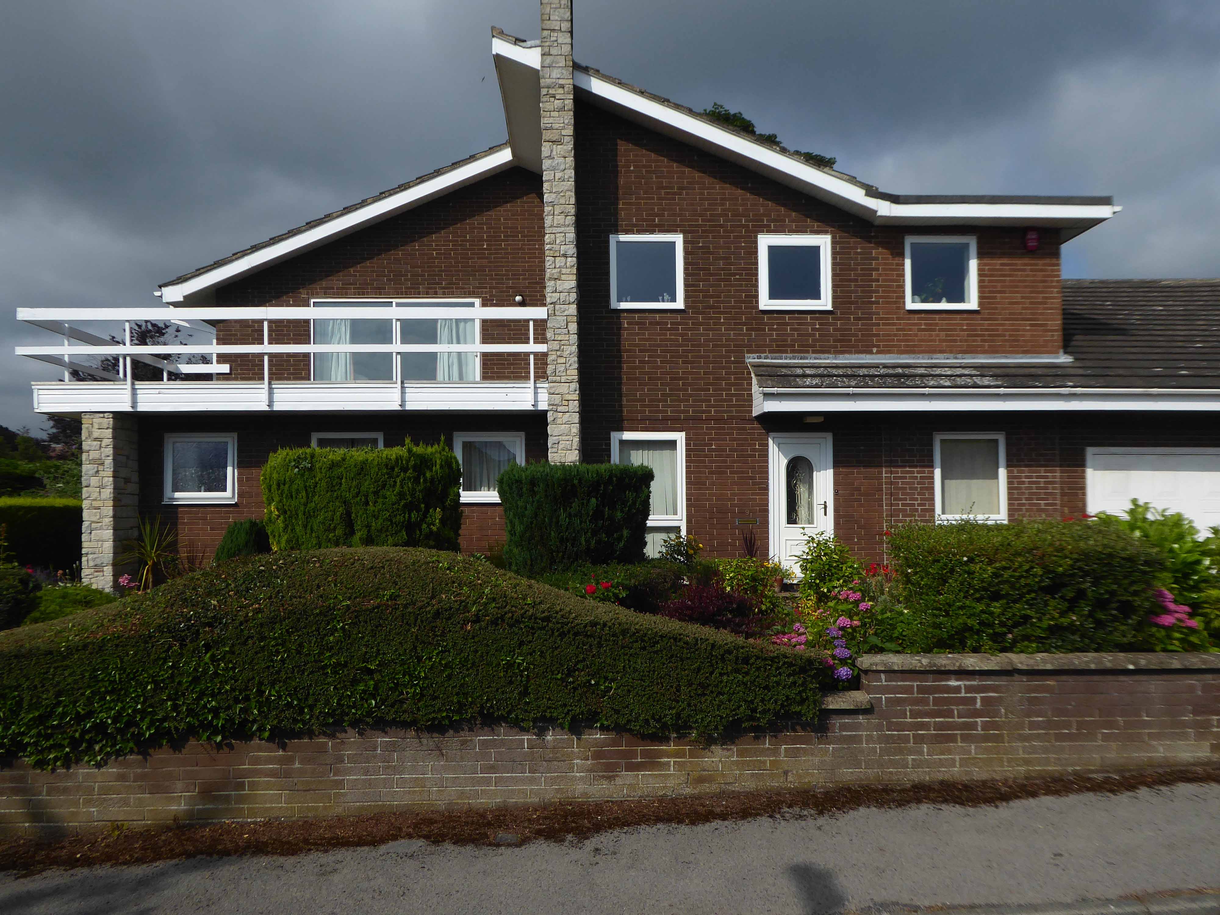
Yet again I chance upon a delightful post-war home.
I parted company with the track dropping down to the Esk Valley from the Larpool Viaduct.
Construction began in October 1882 and was complete by October 1884.
Two men fell from the piers during construction, but recovered.
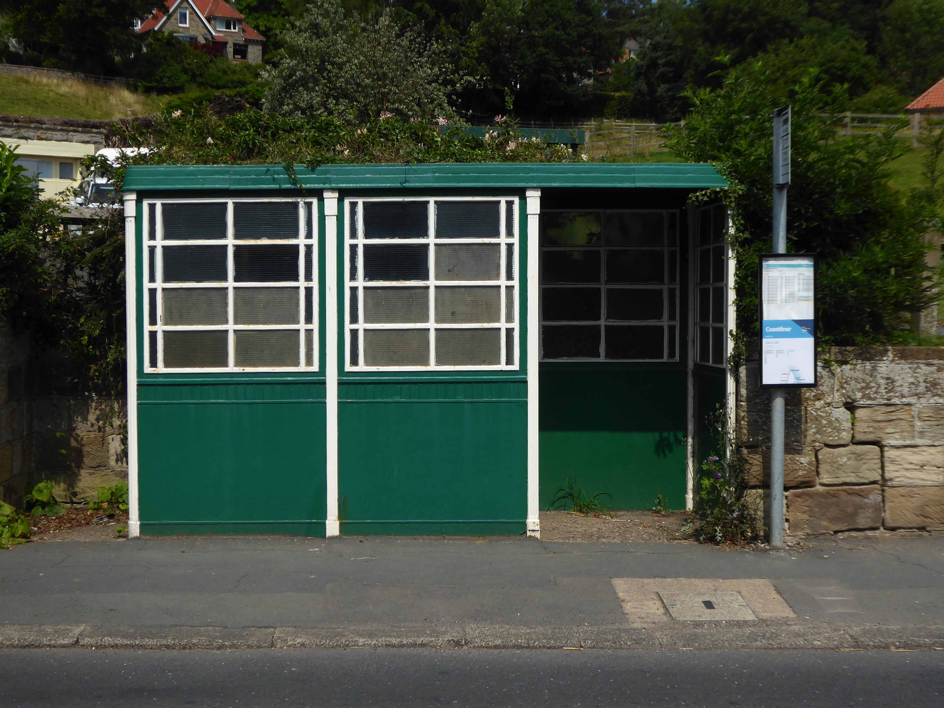
I found myself in Ruswarp, home to this enchanting bus shelter.
I bombed along the main road to Sleights.
There then followed a hesitant ascent, descent, ascent along a badly signed bridleway, fearing that I had climbed the hill in error I retraced, then retraced.
A difficult push ensued, a precipitous path, rough and untended, rising ever higher and higher.
Finally arriving at Aislaby, more than somewhat exhausted – the village is mentioned in the Domesday Book as Asuluesbi.
Pausing to catch my breath I took the wildly undulating road to Egton – along the way I was alerted to the presence of a tea stop by two touring cyclists from Nottingham.
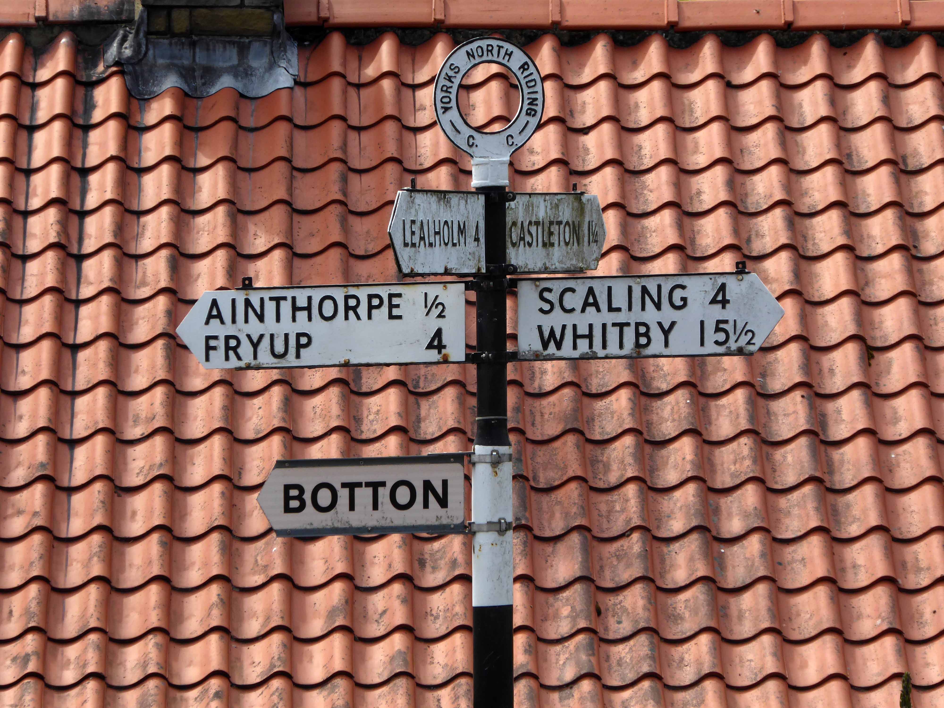
The curious name Fryup probably derives from the Old English reconstruction Frige-hop: Frige was an Anglo-Saxon goddess equated with the Old Norse Frigg; hop denoted a small valley.
An old woman at Fryup was well known locally for keeping the Mark’s e’en watch – 24 April, as she lived alongside a corpse road known as Old Hell Road.
The practice involved a village seer holding vigil between 11pm and 1am to watch for the wraiths of those who would die in the following 12 months.
Castleton Moor ghost.
In the village I was given further directions by two elderly gents, who had been engaged in a discussion concerning their long term mapping of acid rain levels in the area.
One was wearing a Marshall Jefferson t-shirt.
I climbed Langburn Bank onto the flatish open moorland.
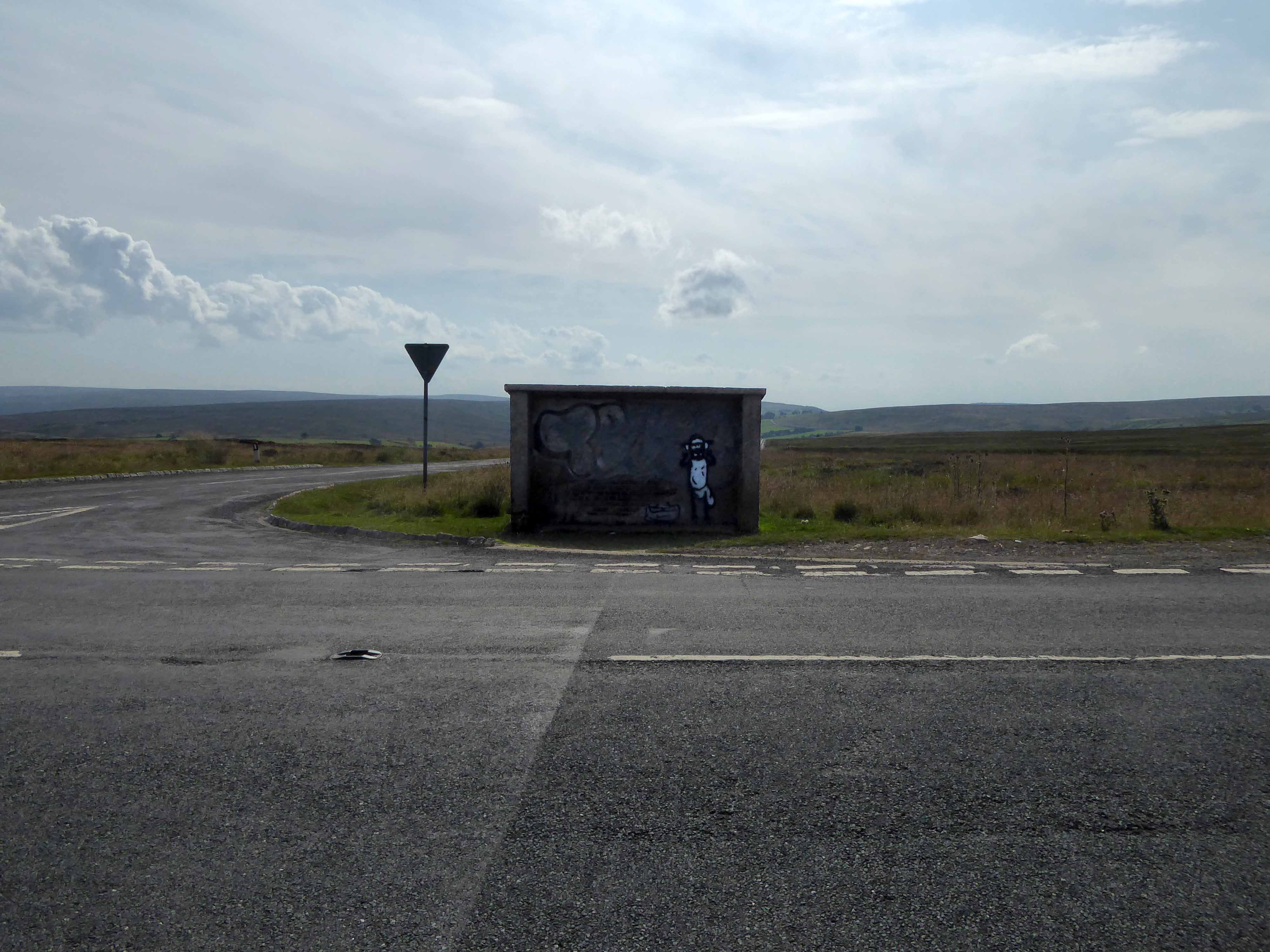
Taking a brief break to snap this concrete shelter.
There then followed a hair stirring series of hairpin descents to the coast at Saltburn.
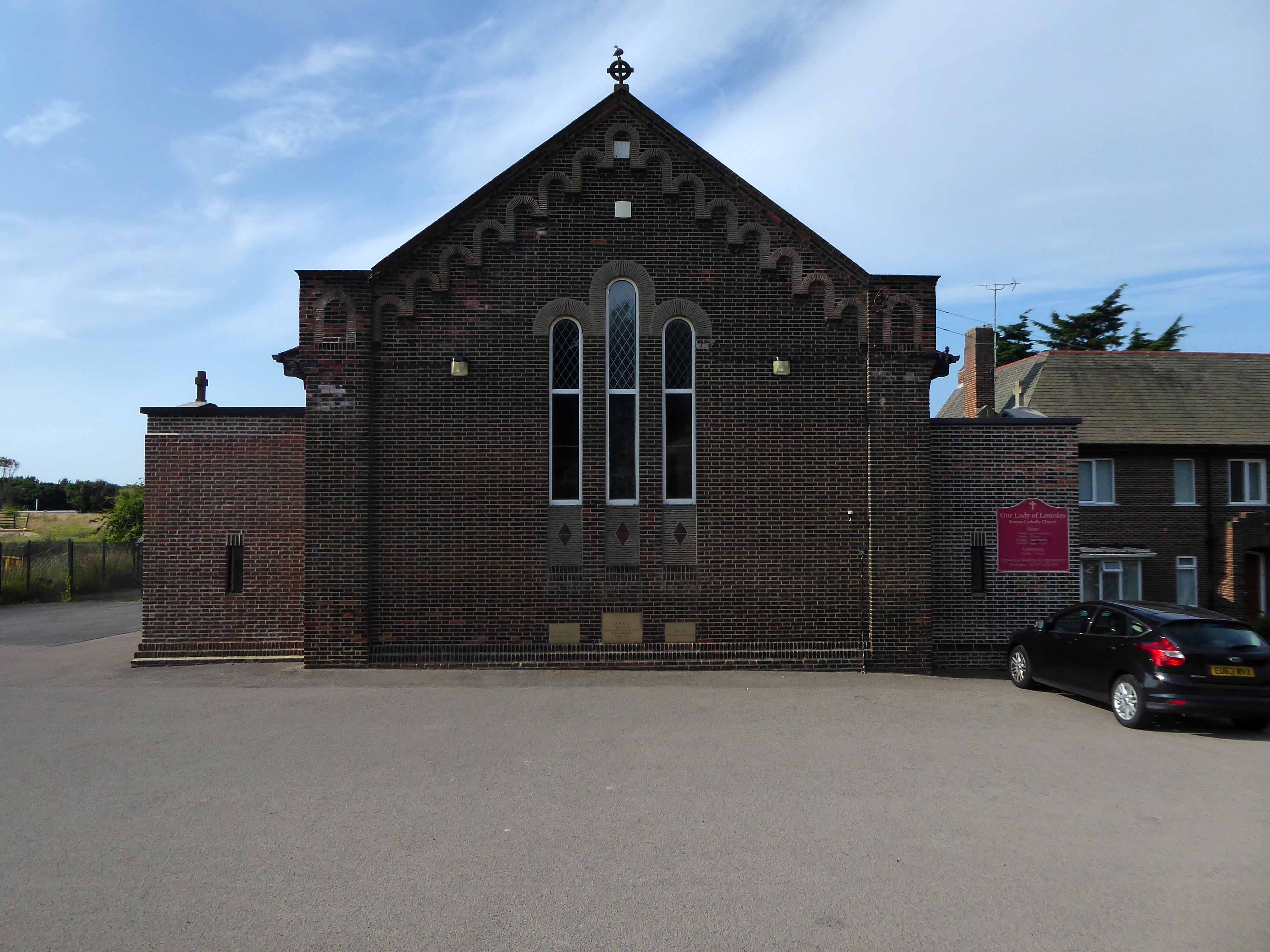
Built in 1928, this church was designed with some care and is an attractive, if fairly modest, Lombard Romanesque-style essay in brick. The use of a semi-circular apse, narrow brickwork and use of tile for decorative effect give it a pleasing appearance, typical of restrained but elegant work between the wars.
I arrived and took a look around, first time in town, here’s what I found.
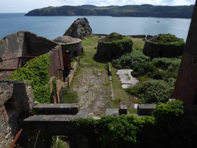
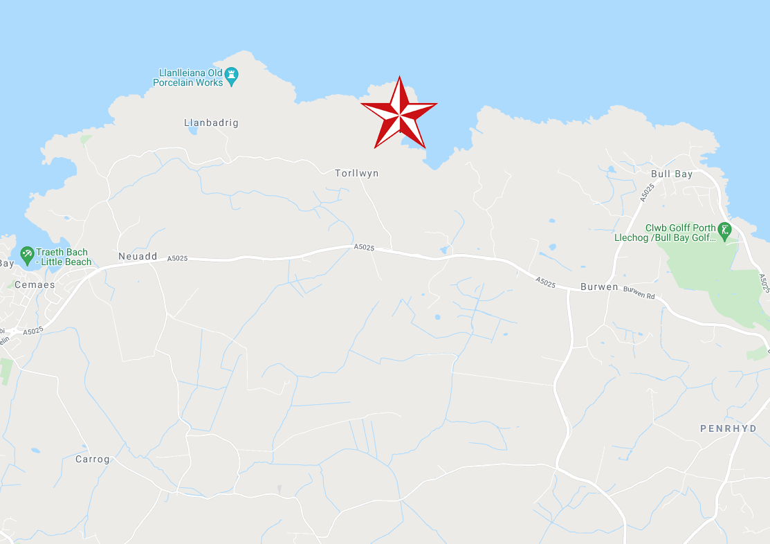
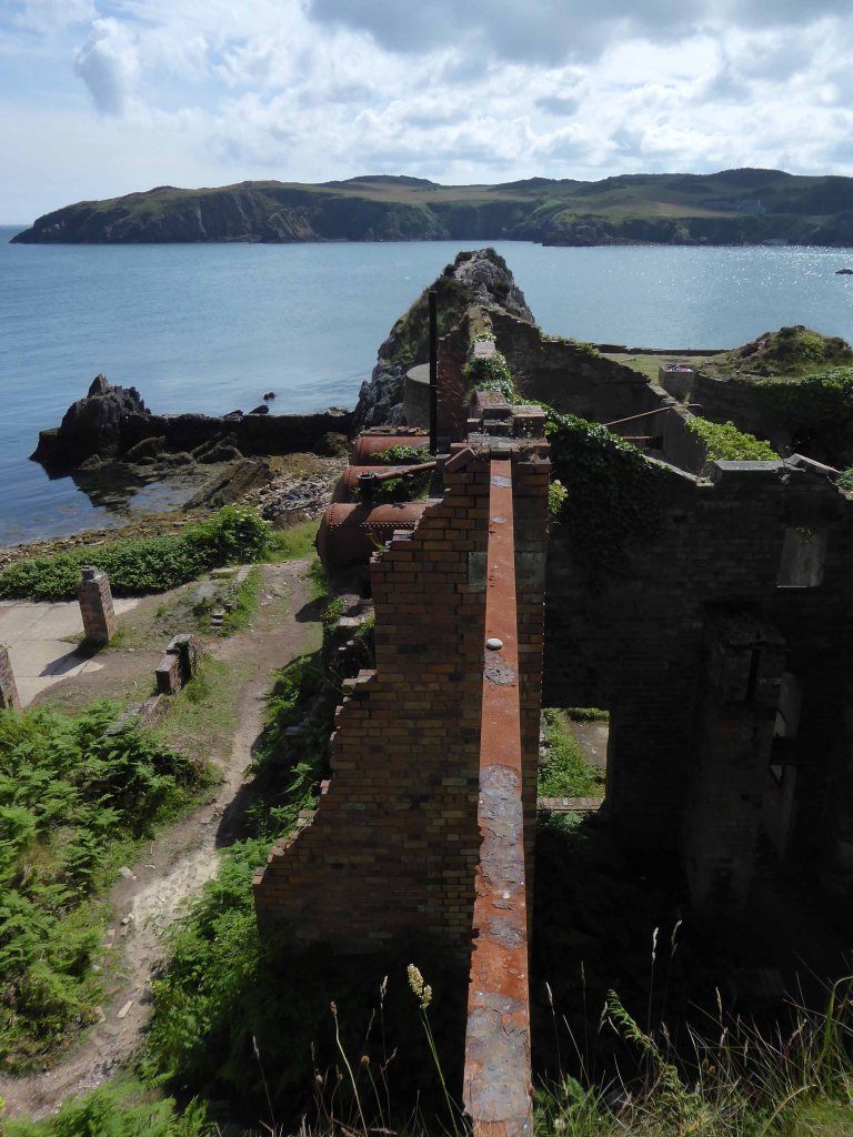
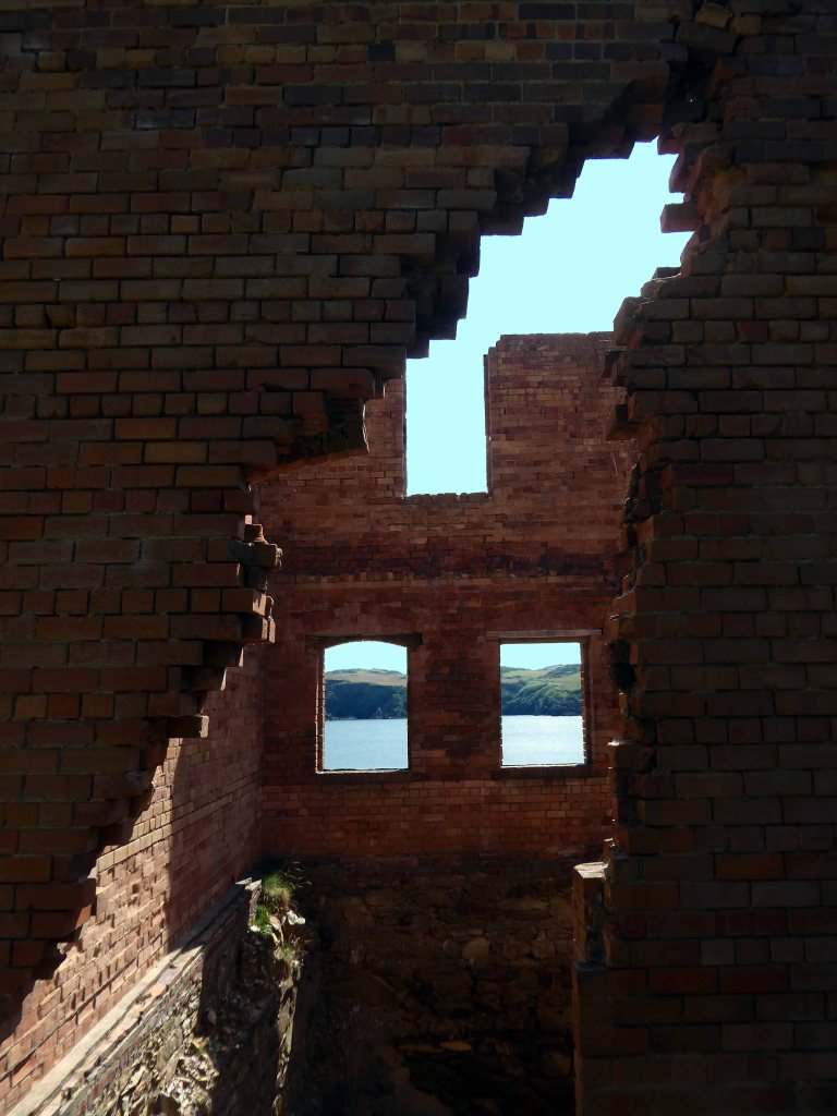
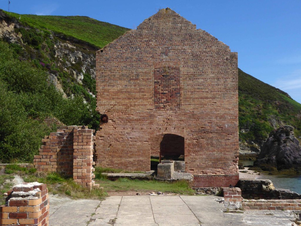
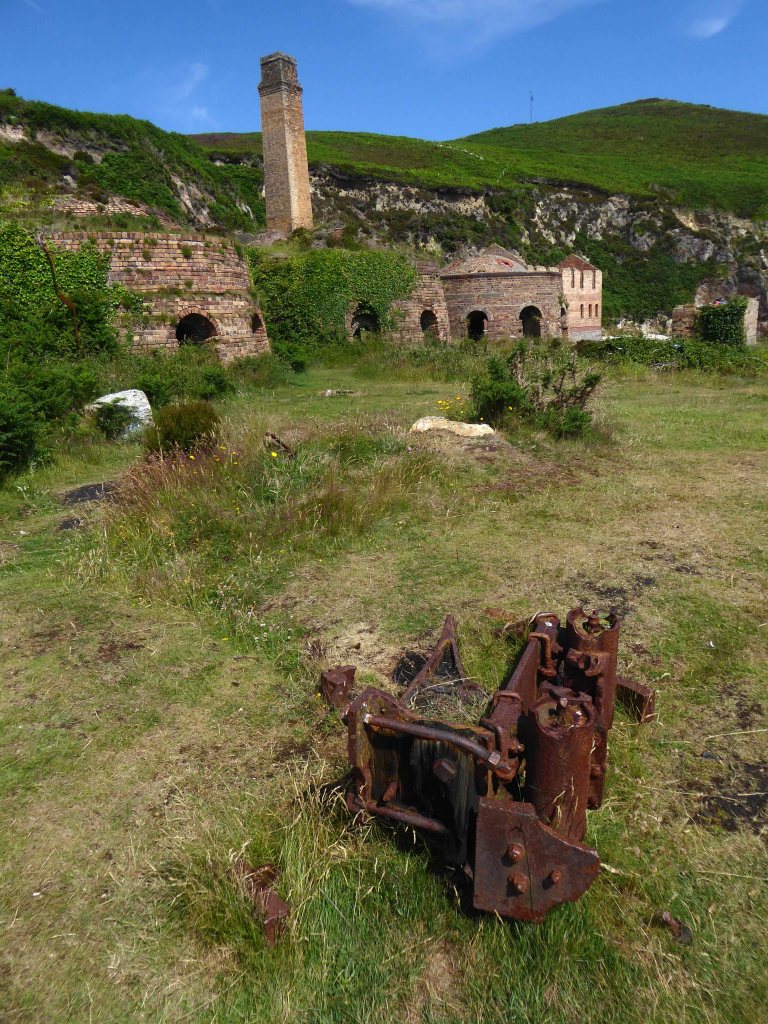
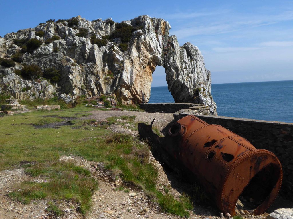
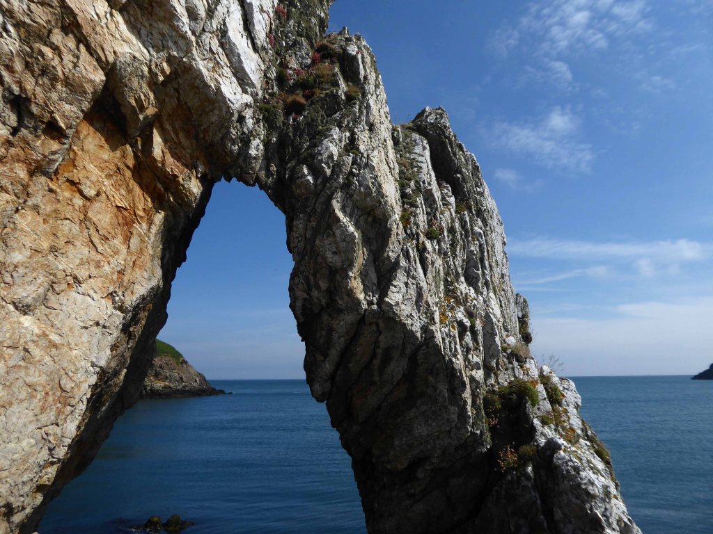
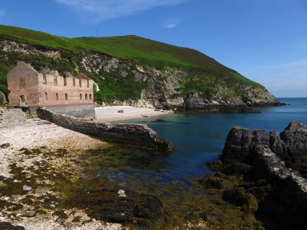
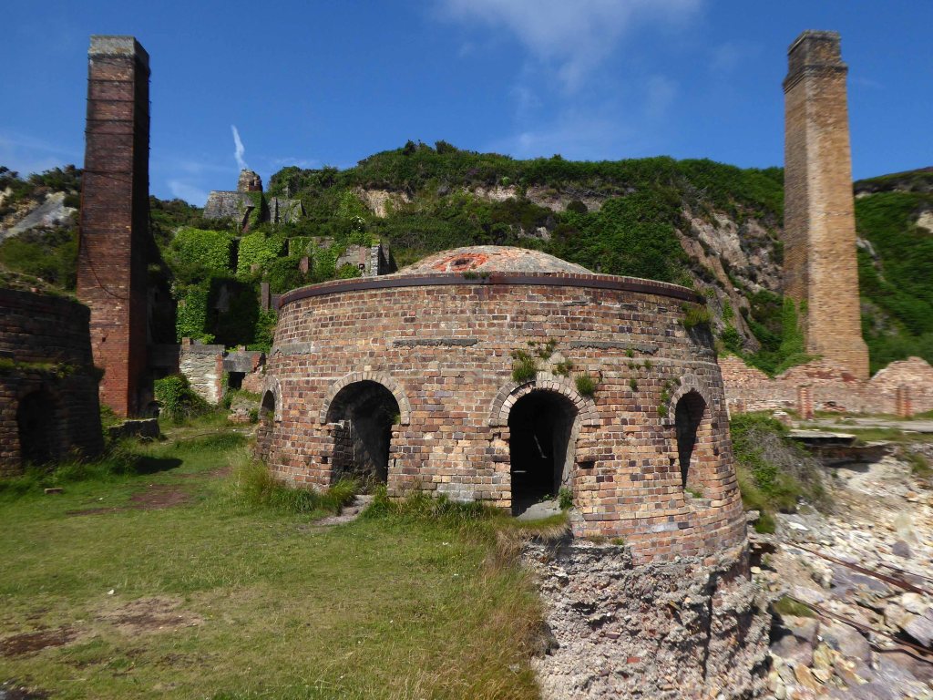
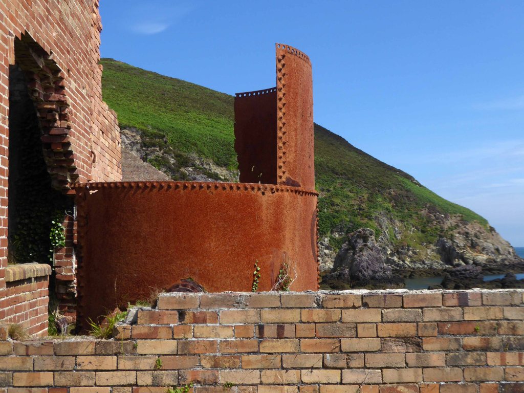
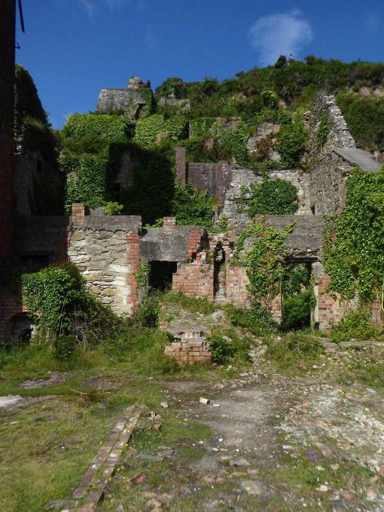
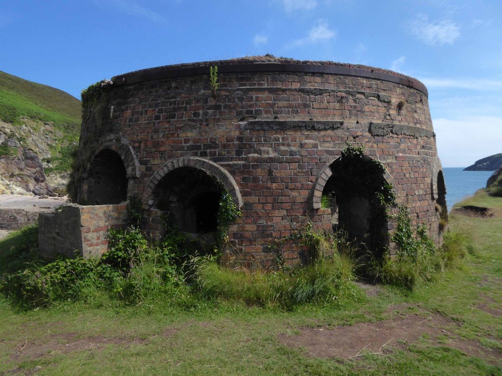
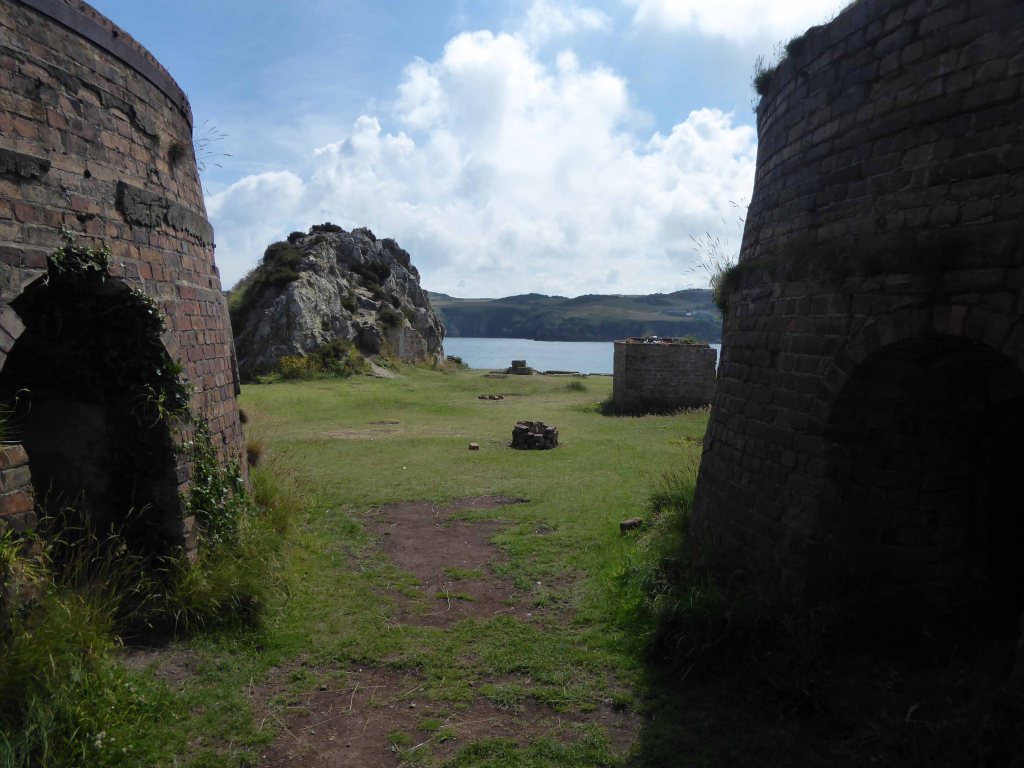
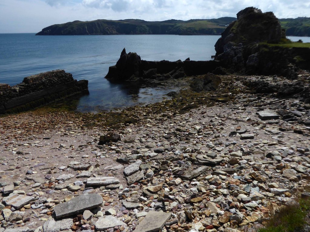
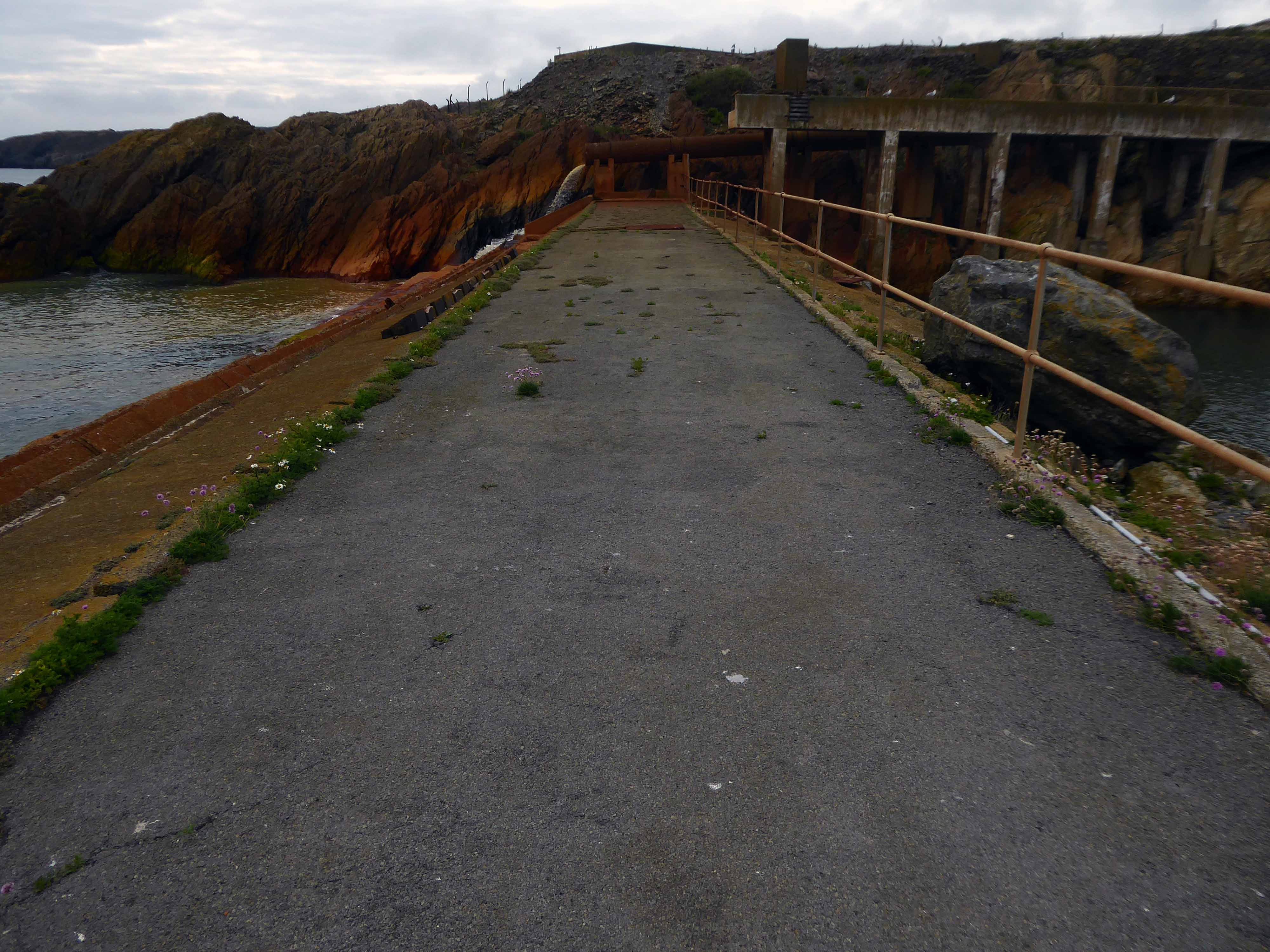
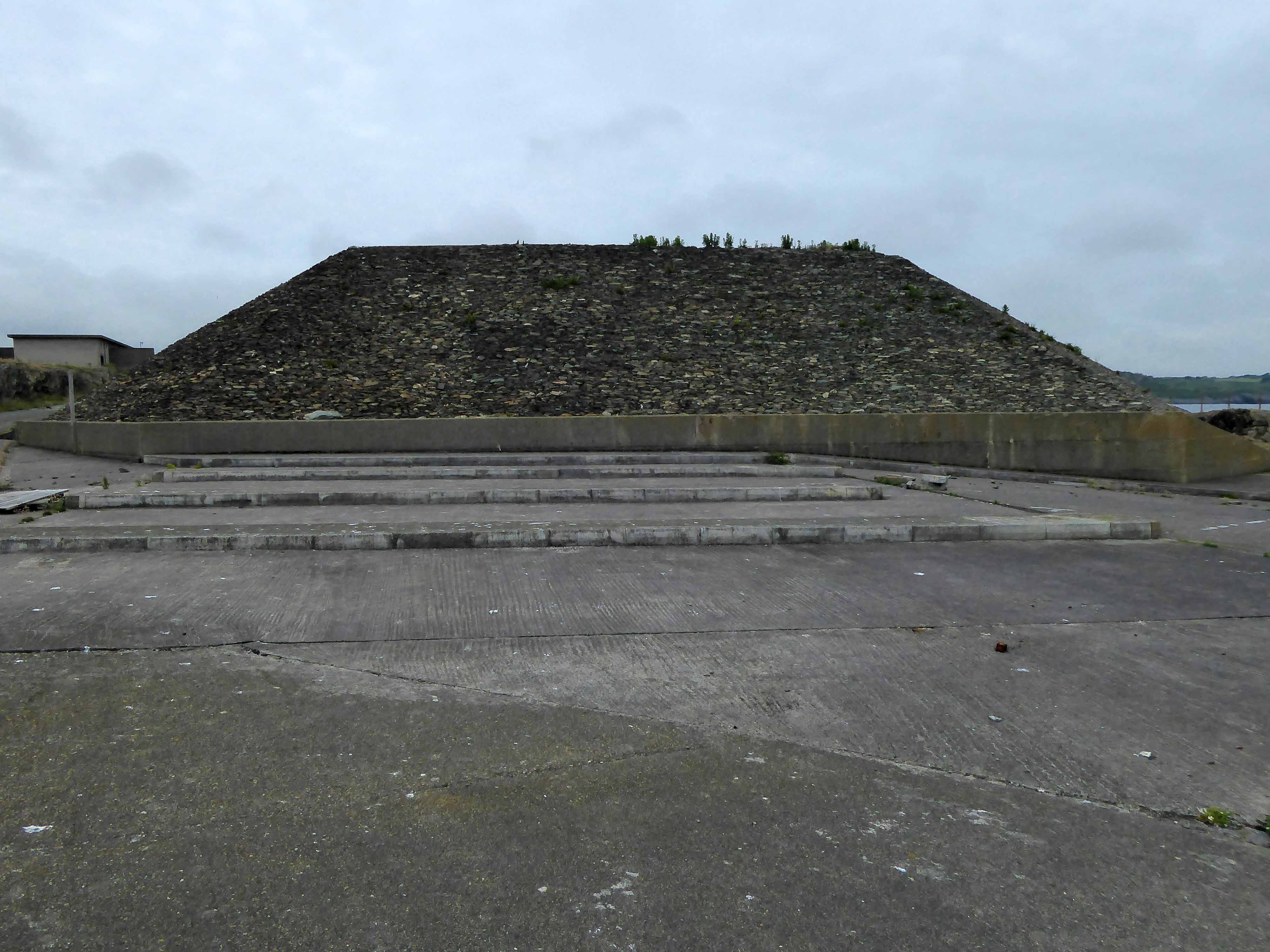
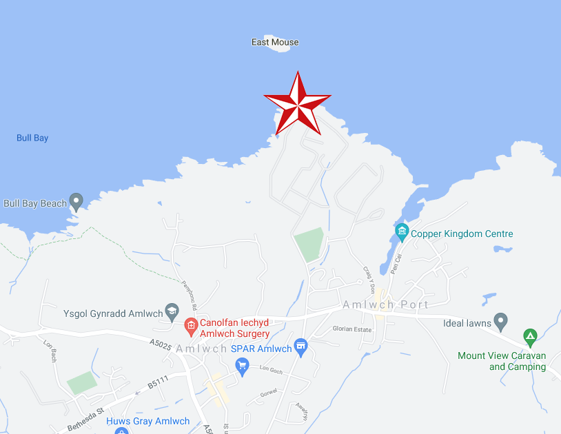
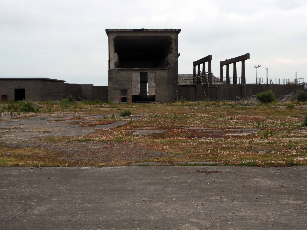
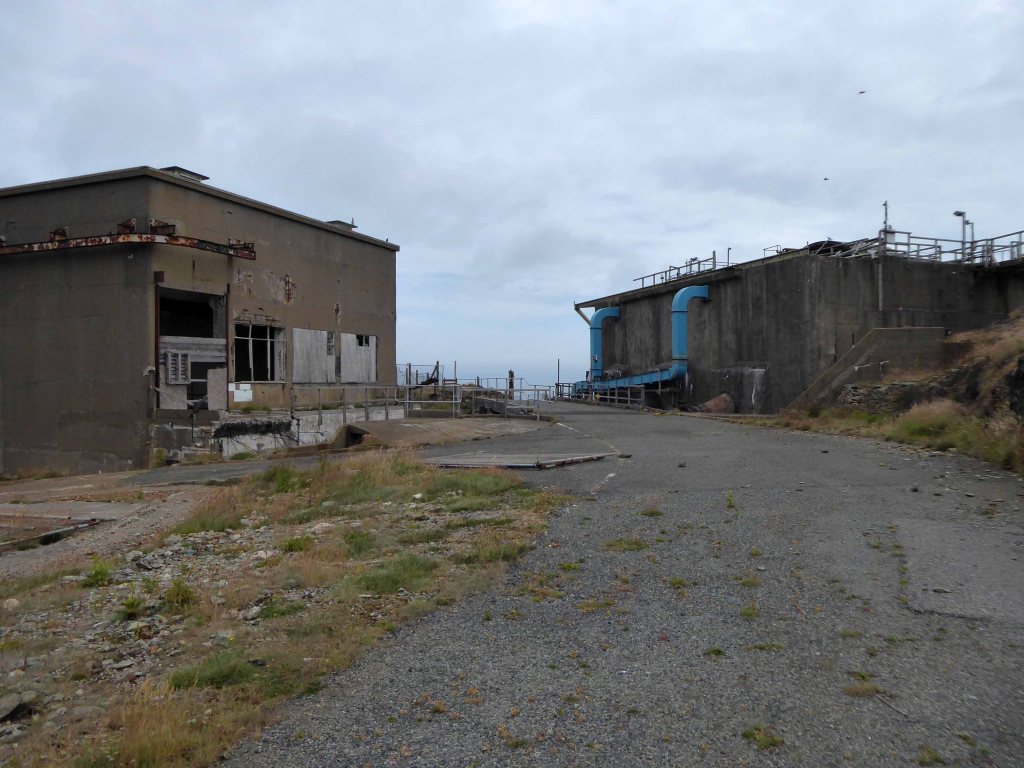
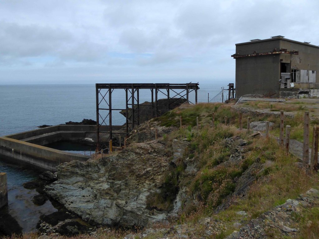
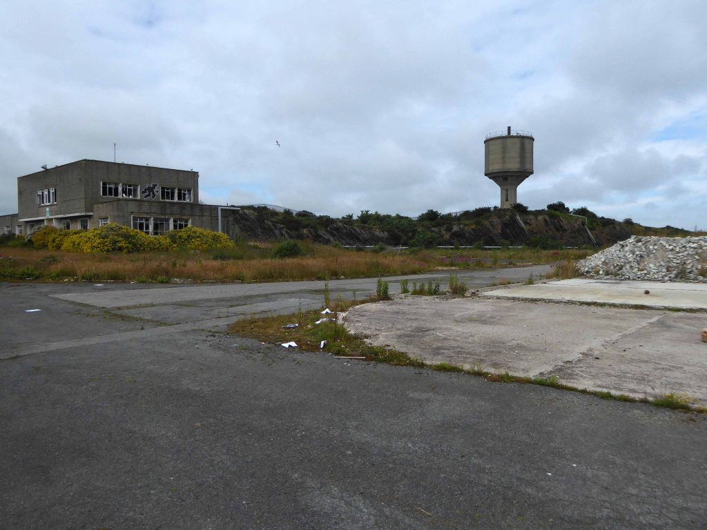
Located twixt Bull Bay and Cemaes Bay, accessed whilst walking the Anglesey Coastal Path.
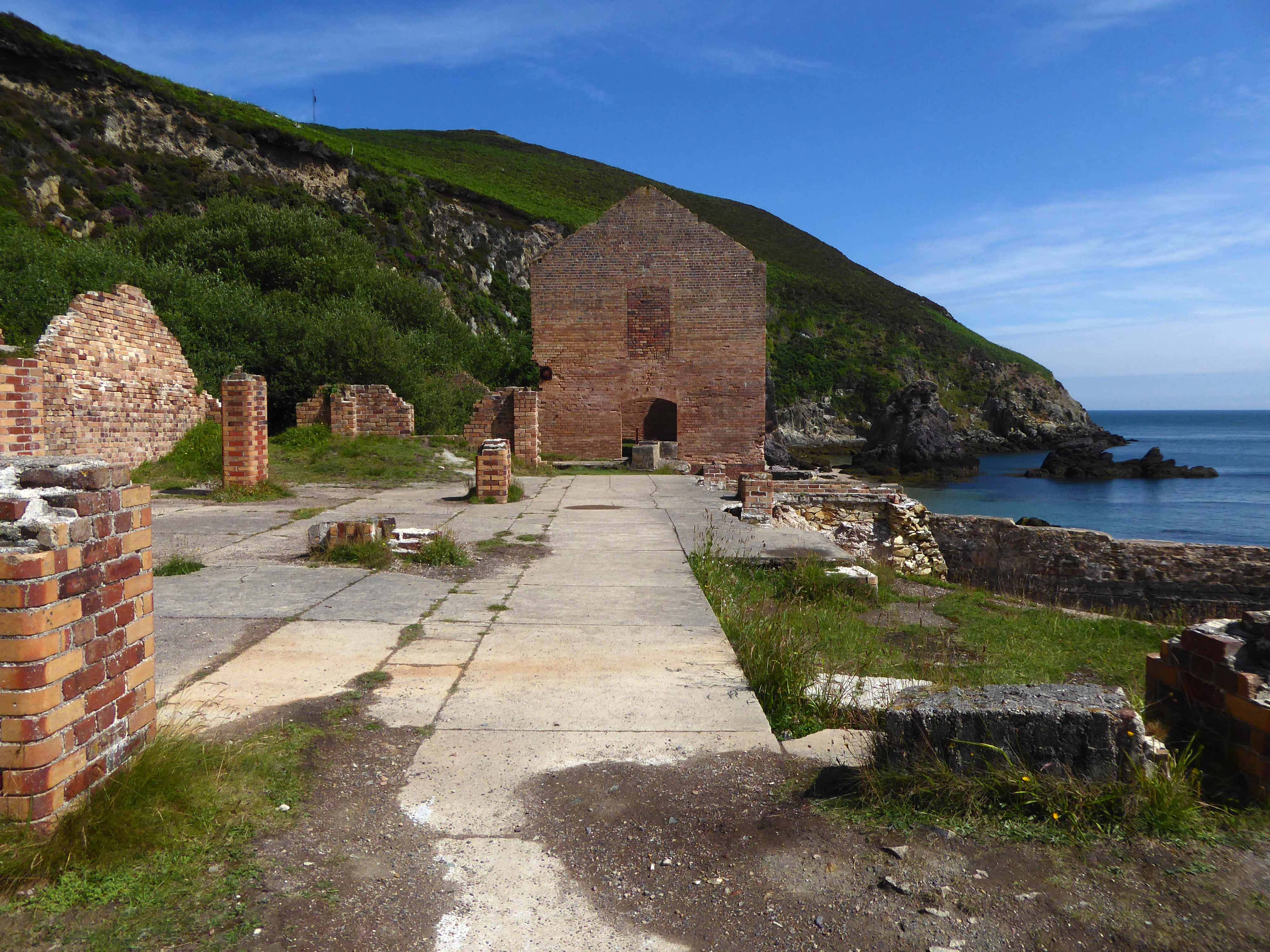
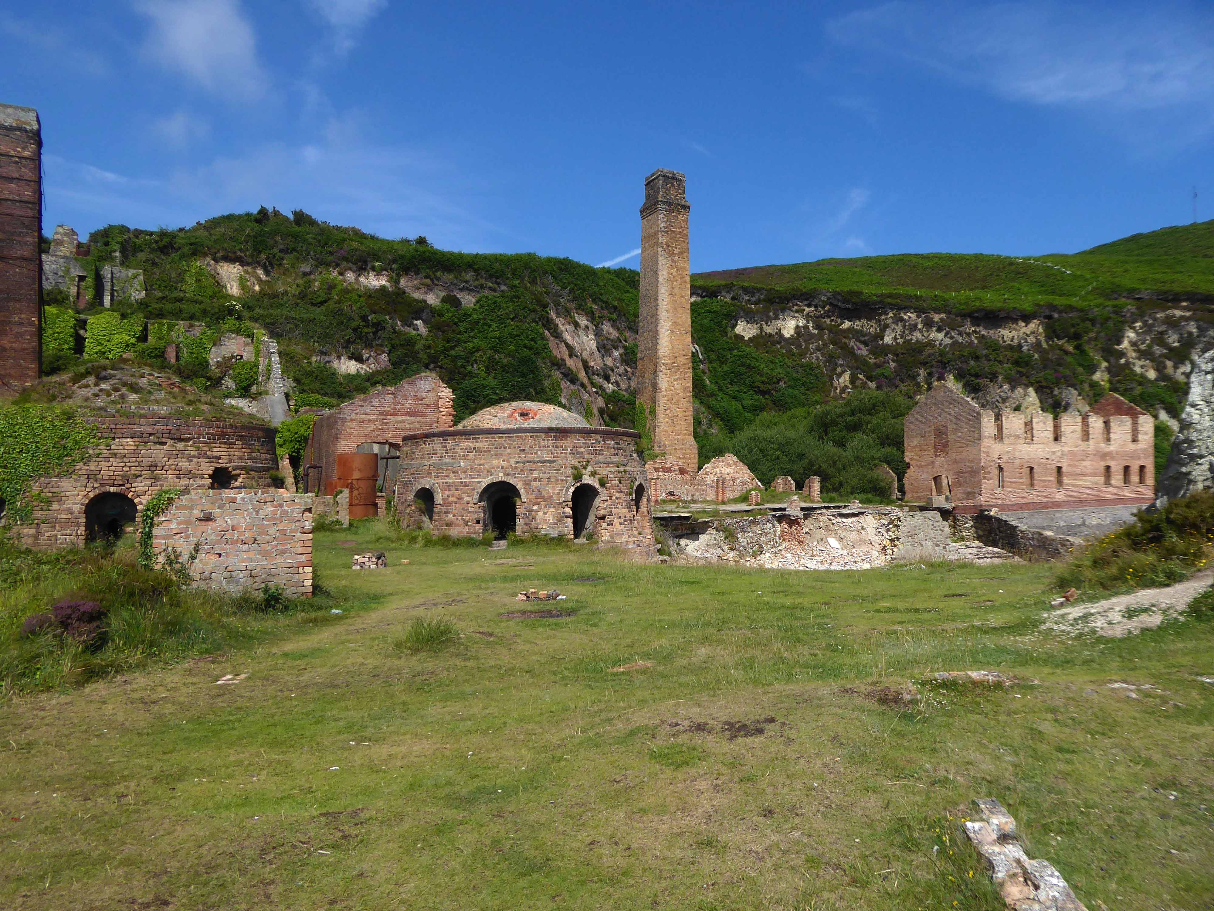
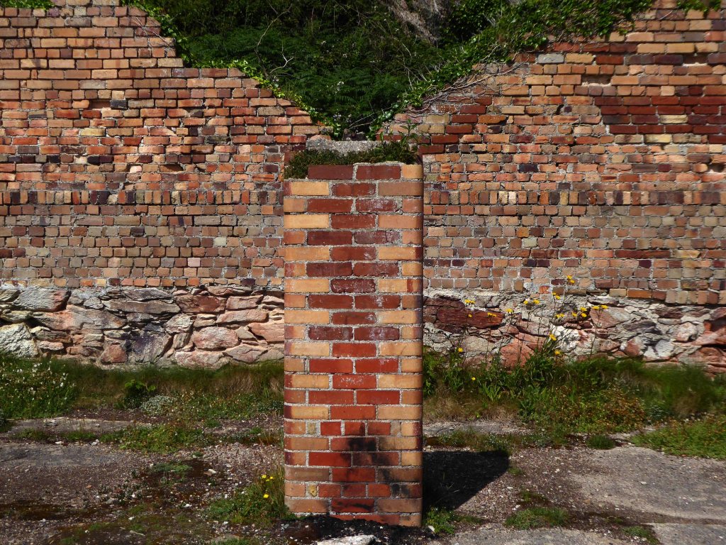
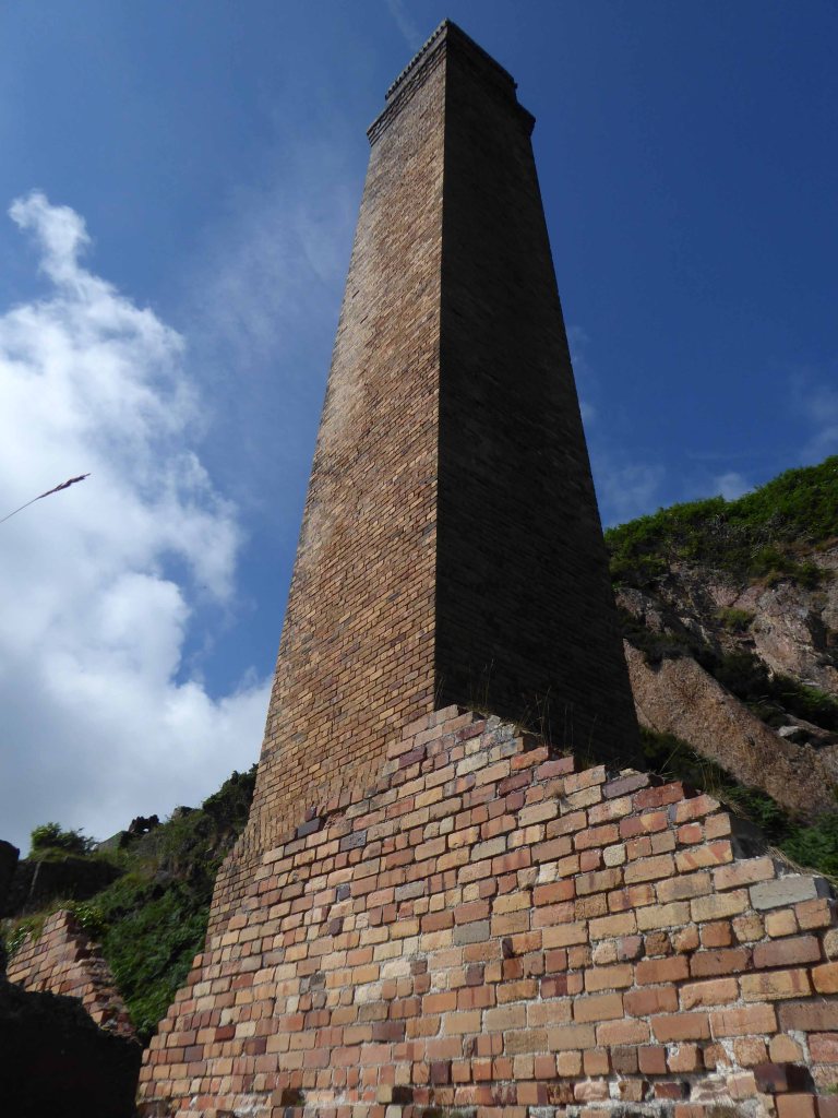
The area is rich in Quartzite, central to the production of Silica Bricks, which are resistant to high temperatures, much in demand at the height of the Industrial Revolution for lining steel furnaces.
The ore on the headland was first mined around 1850, with the ore being hewn out the living rock by hand.
A little railway brought the ore to the cliff above the brick works, then lowered by gravity to the works below, where the rocks would be pummelled and rendered to a size that could be further processed.
Mining by manual endeavour lasted from around 1850 to 1914, the hazardous harbour and alleged poor quality products hastening the enterprises’s demise.
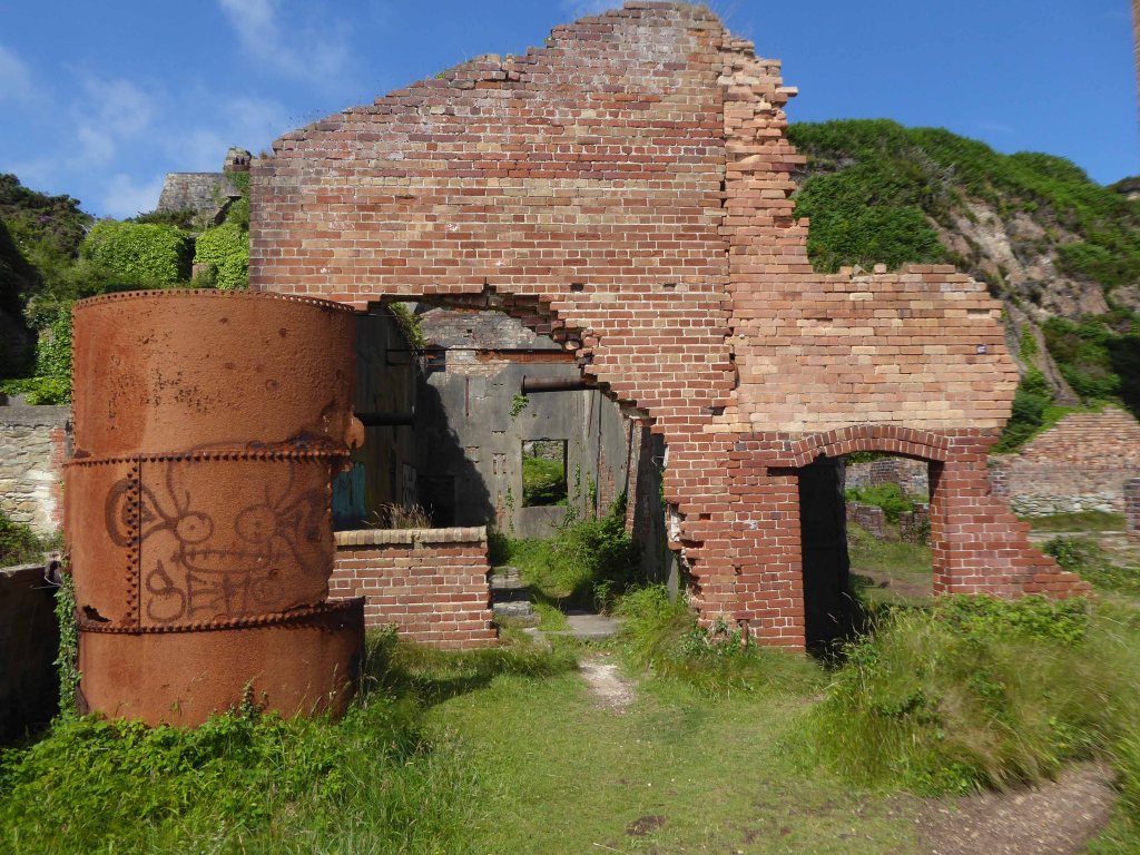
Porth Wen brickworks was designated as a scheduled monument by Cadw in 1986 and classified as a post-medieval industrial brickworks.
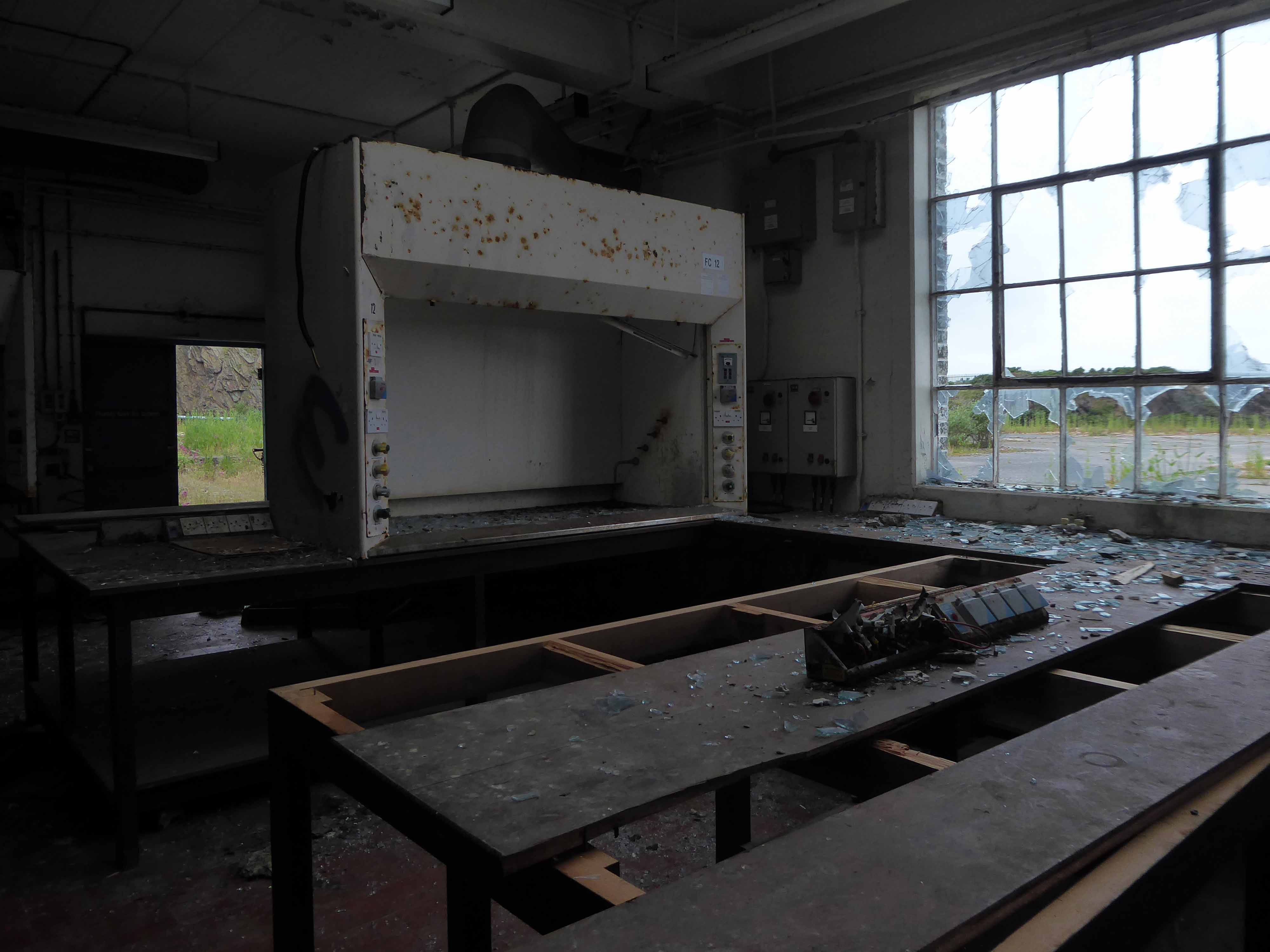
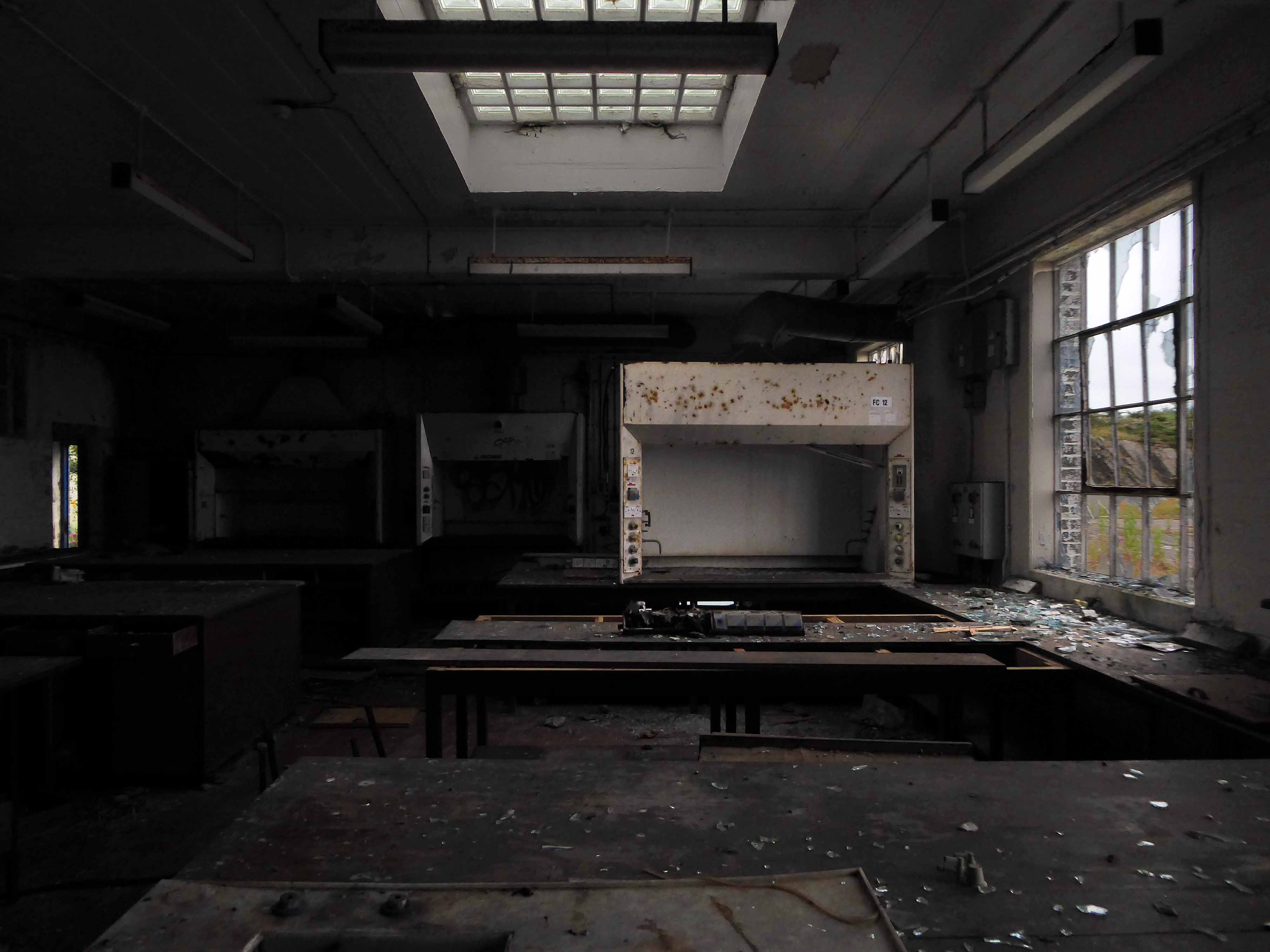
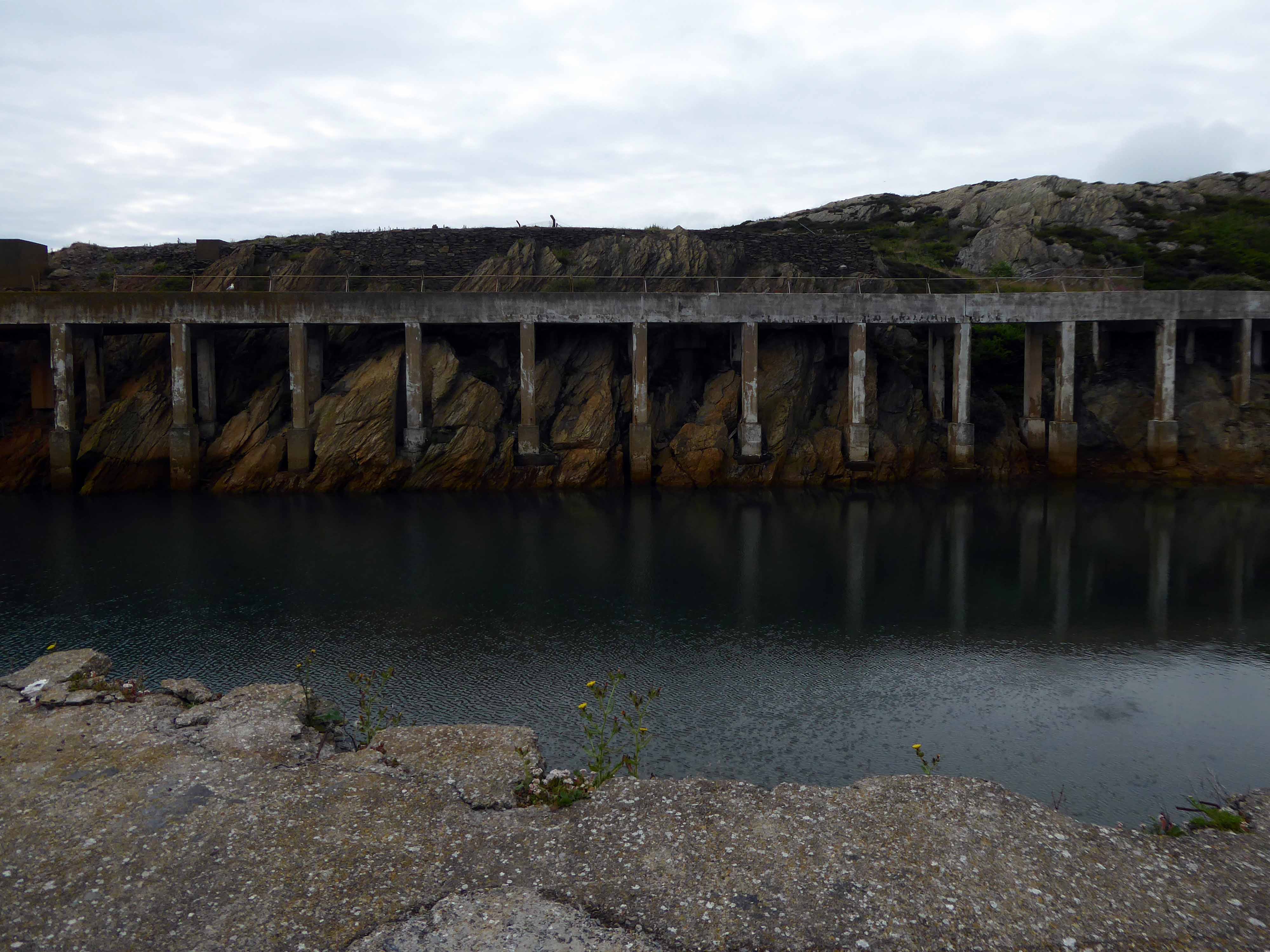
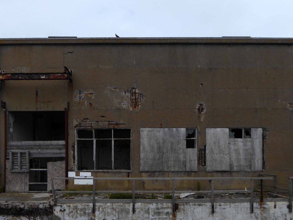
Having appraised the exteriors and pumping infrastructure, let us now consider the interior life of the site.
A site where a myriad working lives once unfolded – labourers, technicians, maintenance staff, administrators and managers.
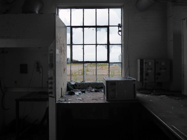
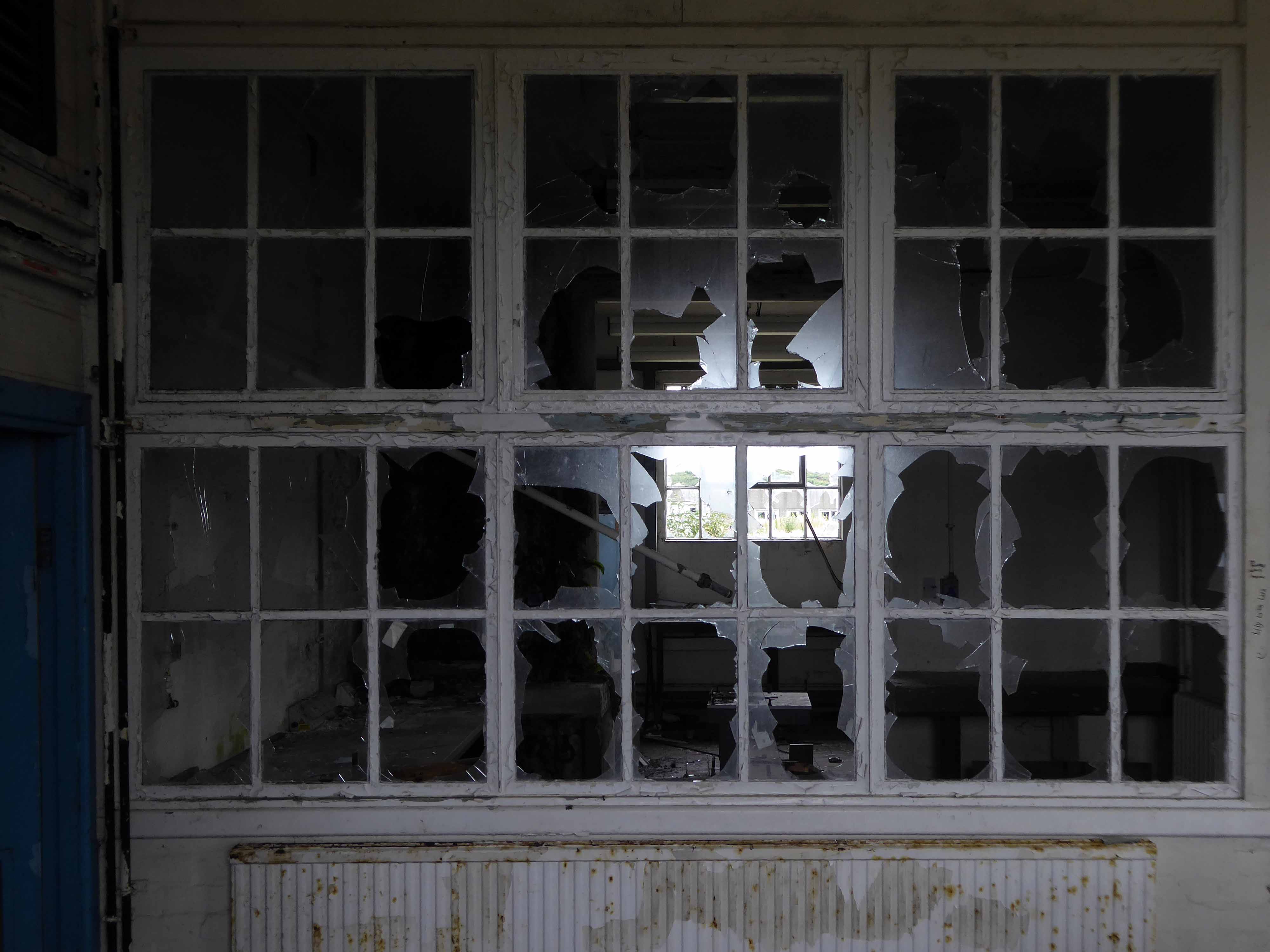
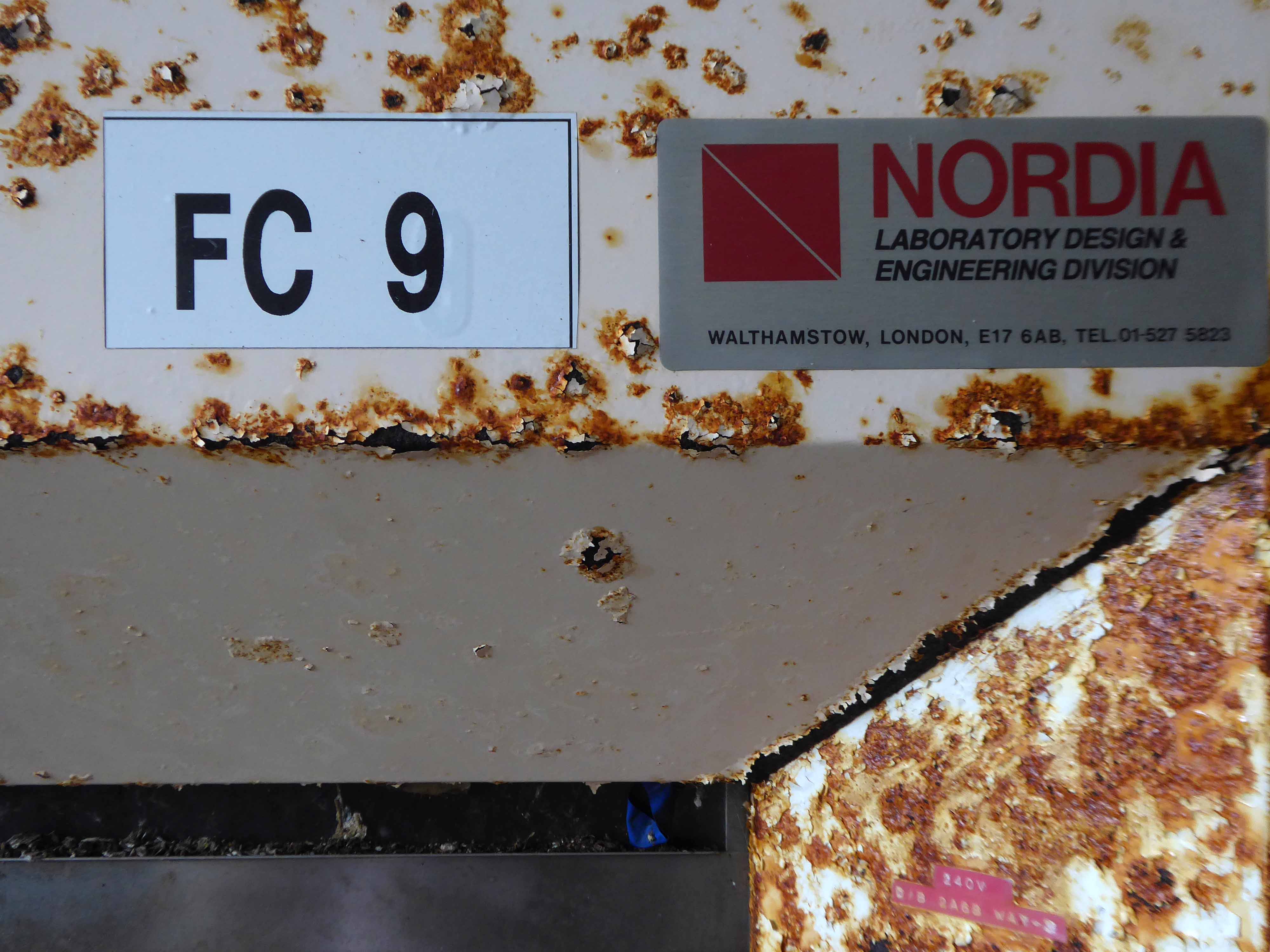
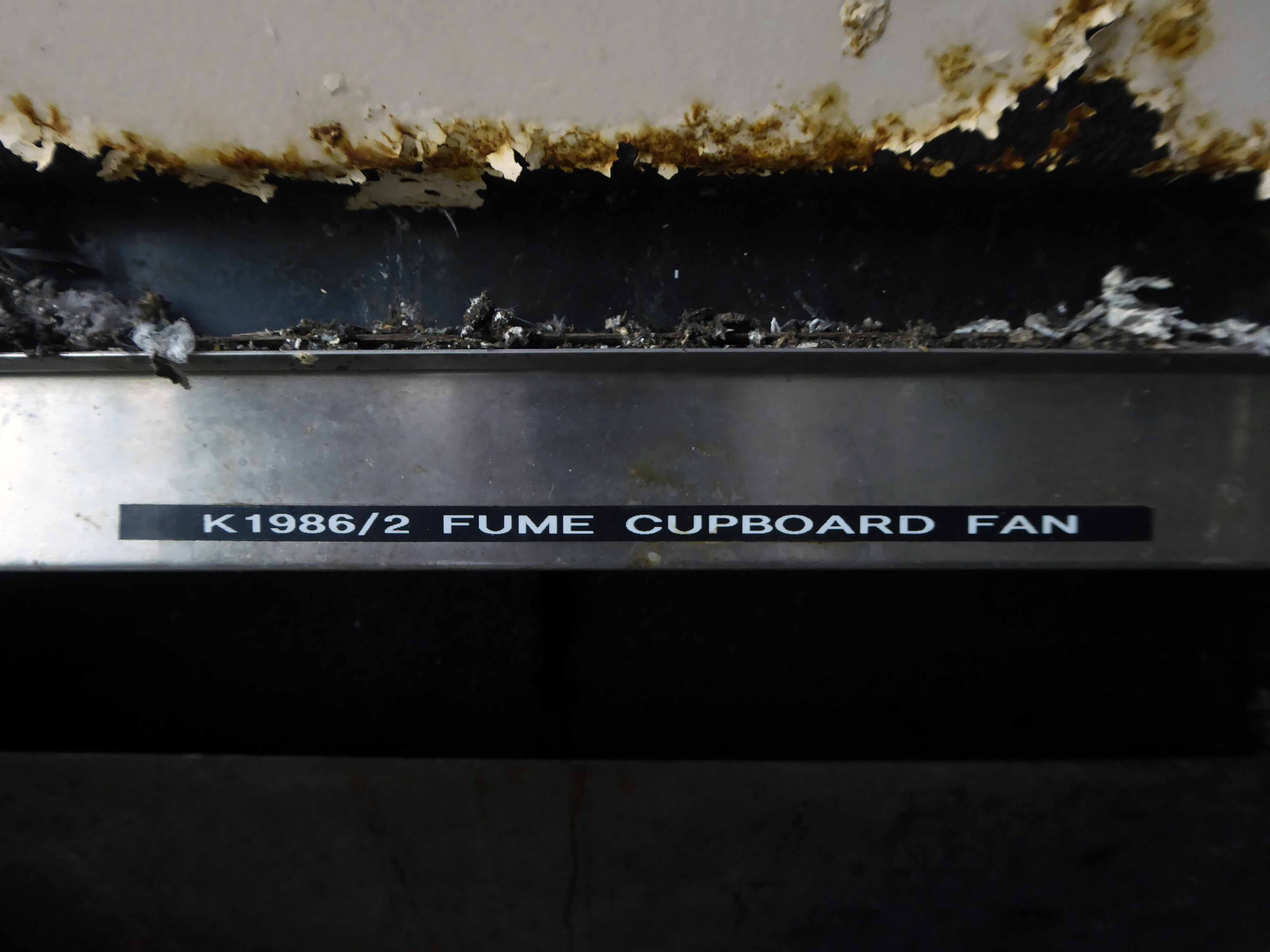
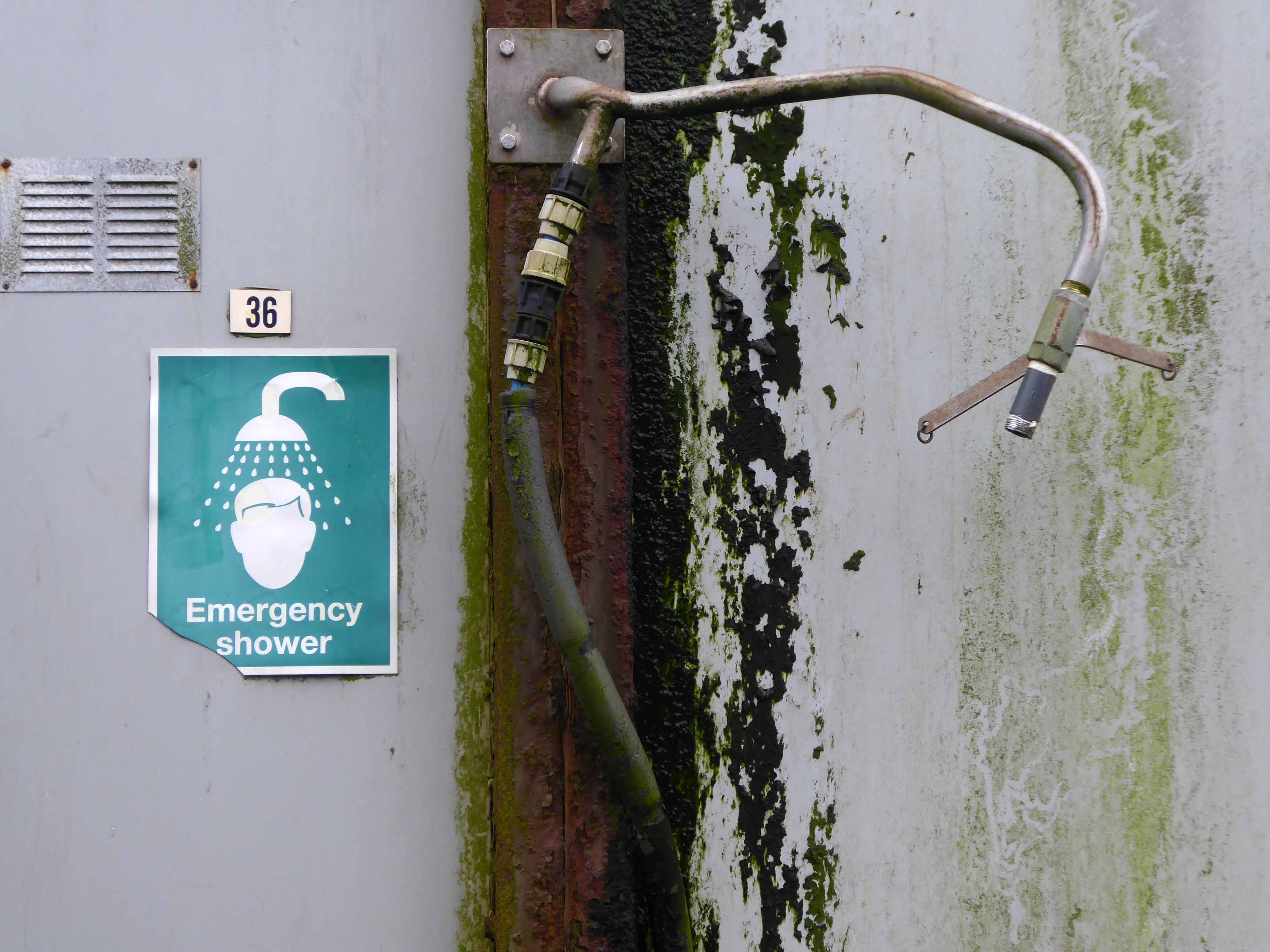
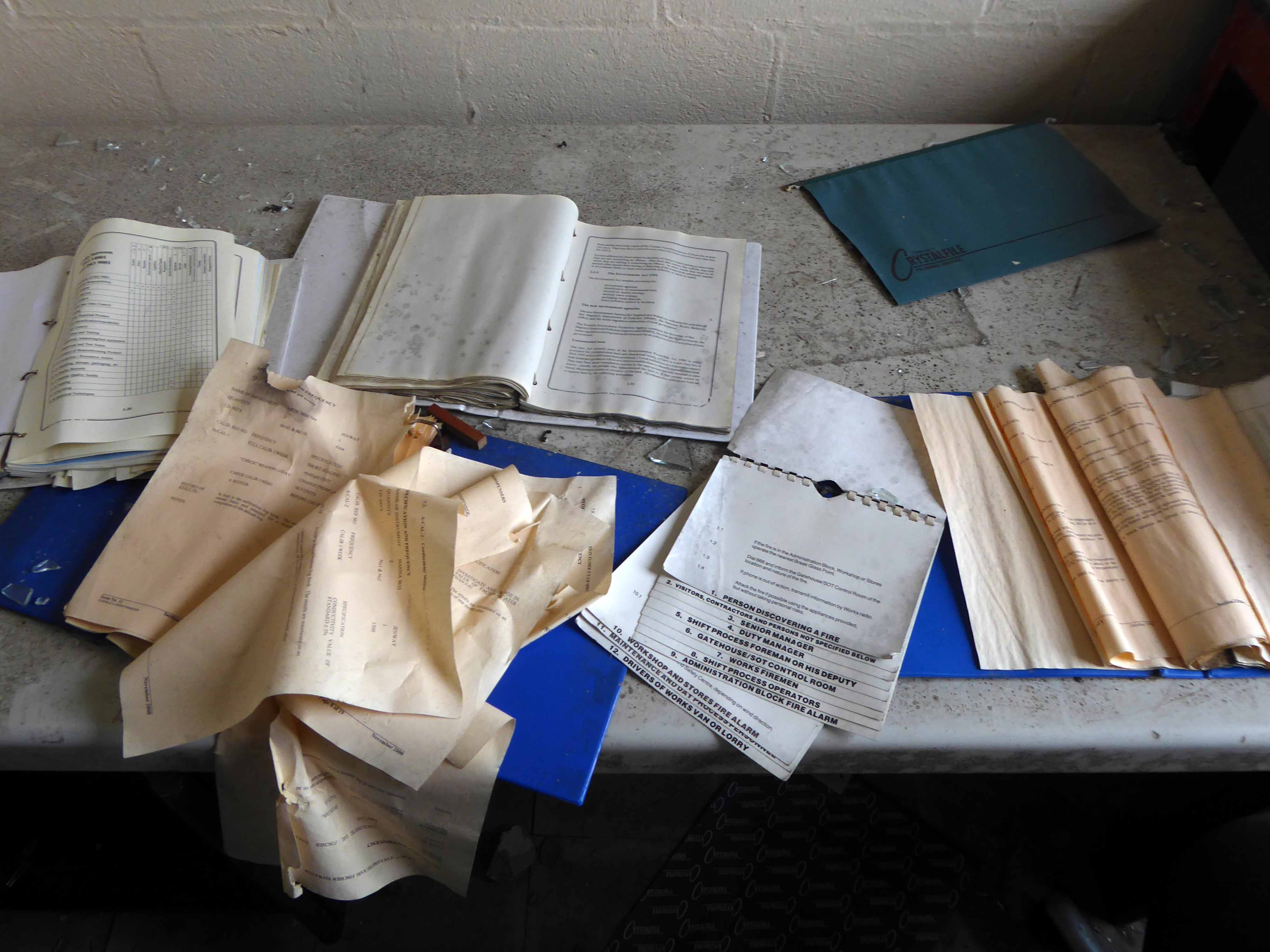
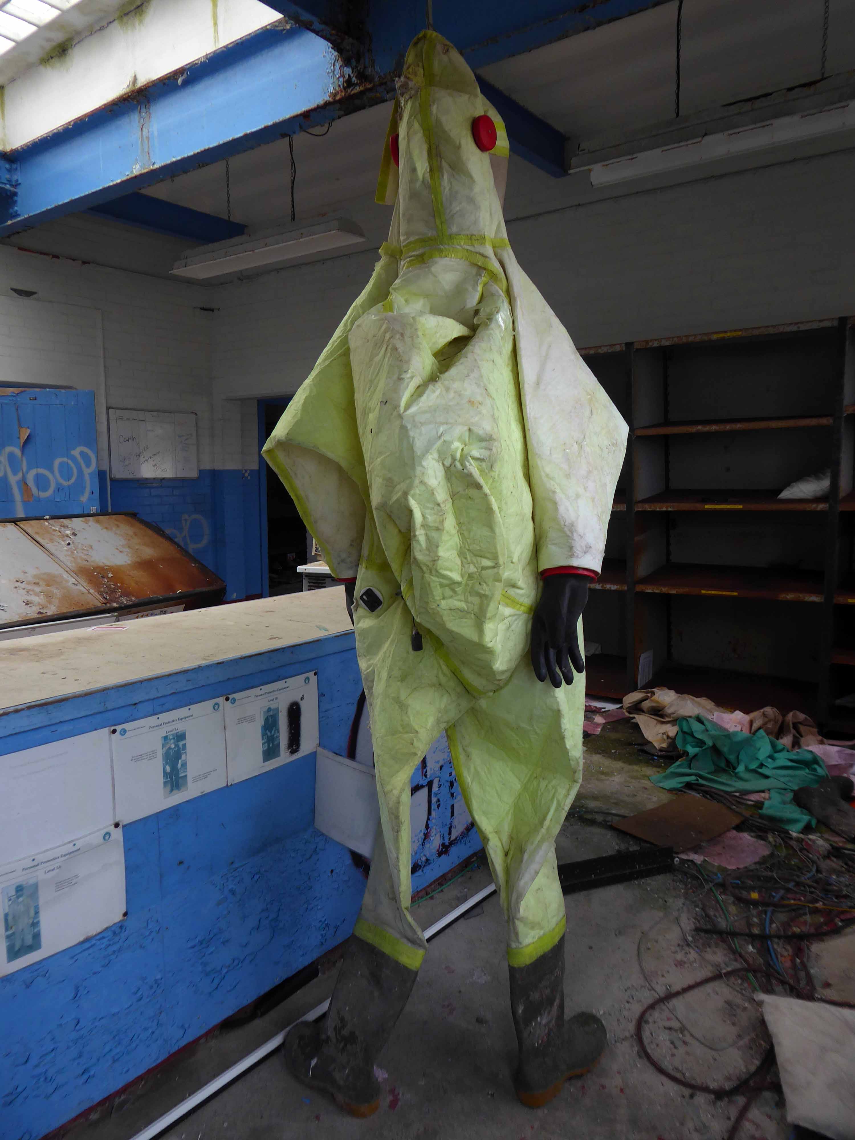
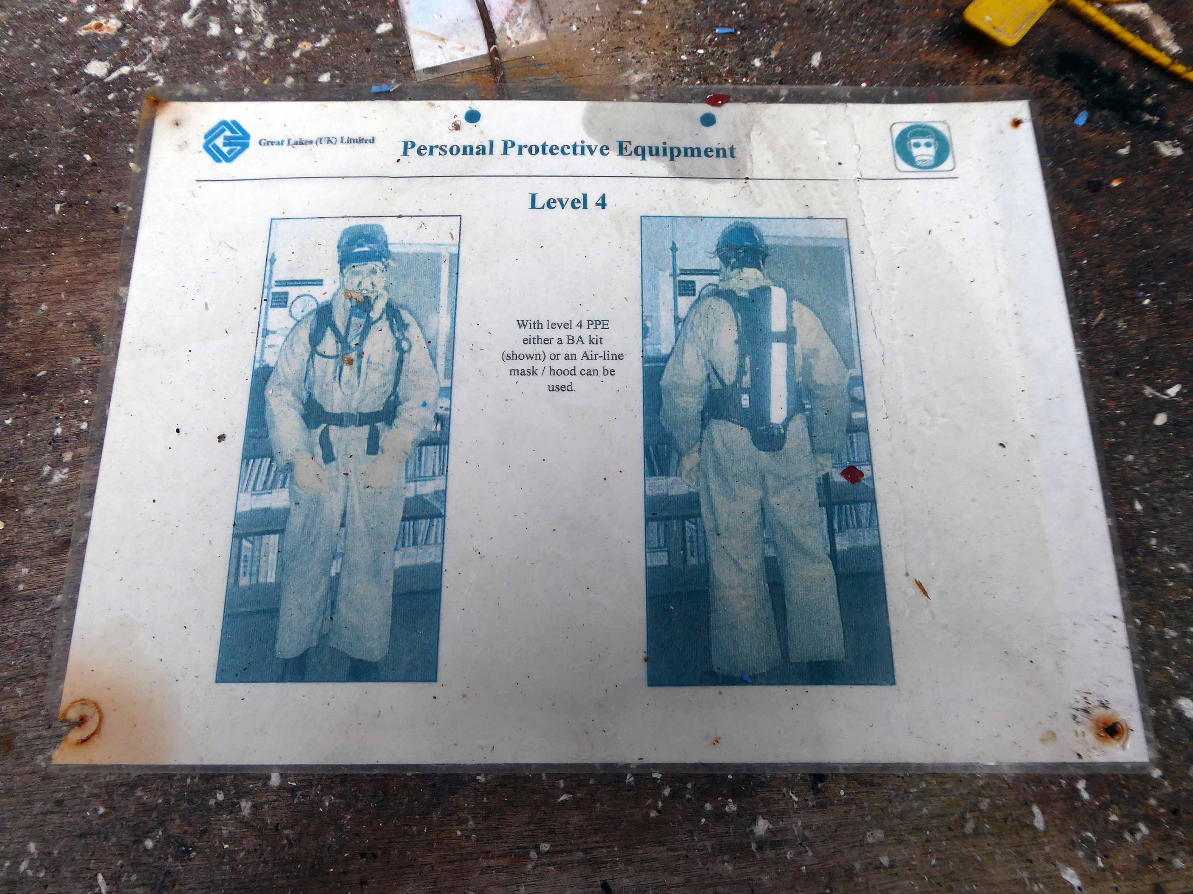
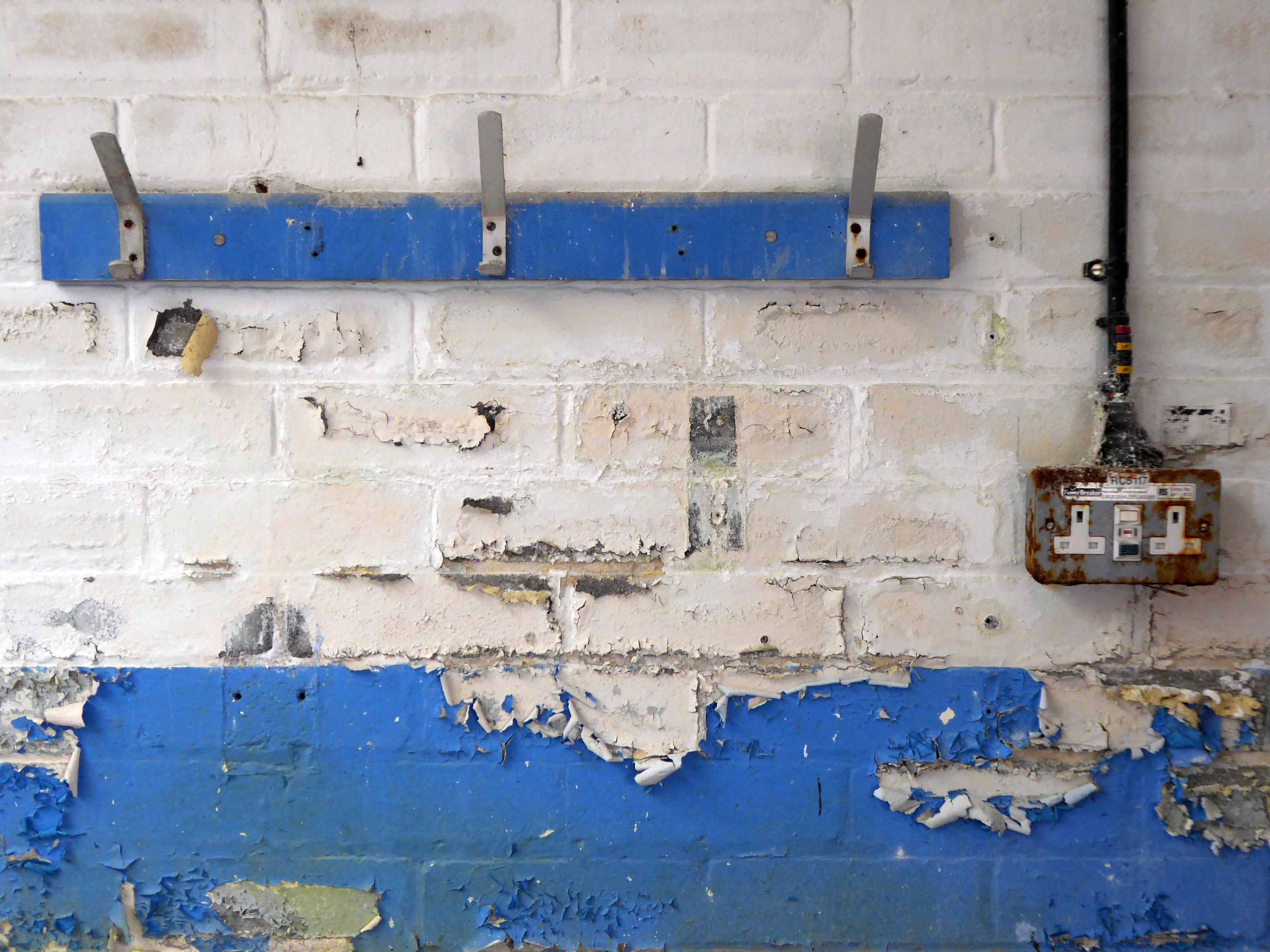
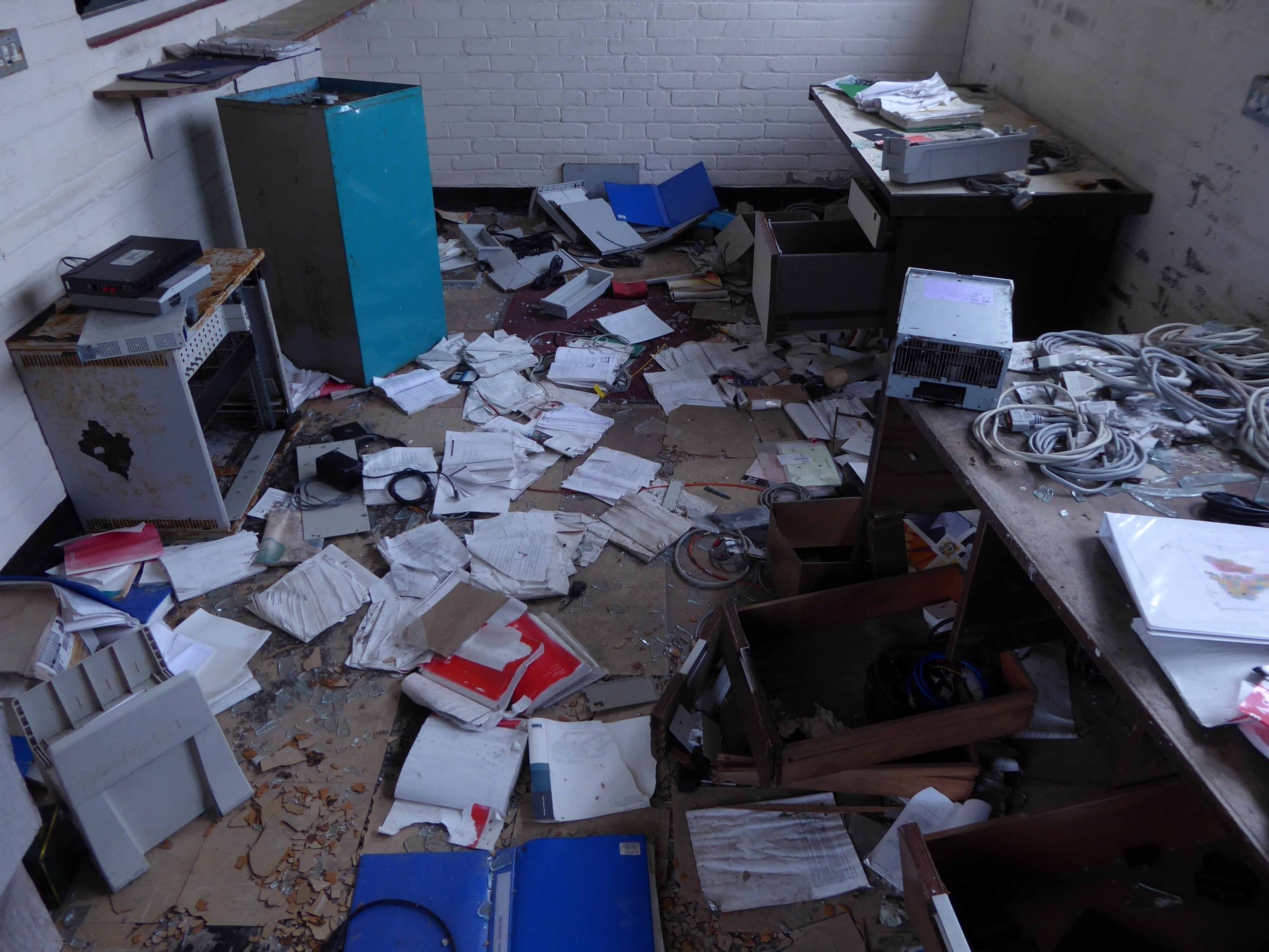
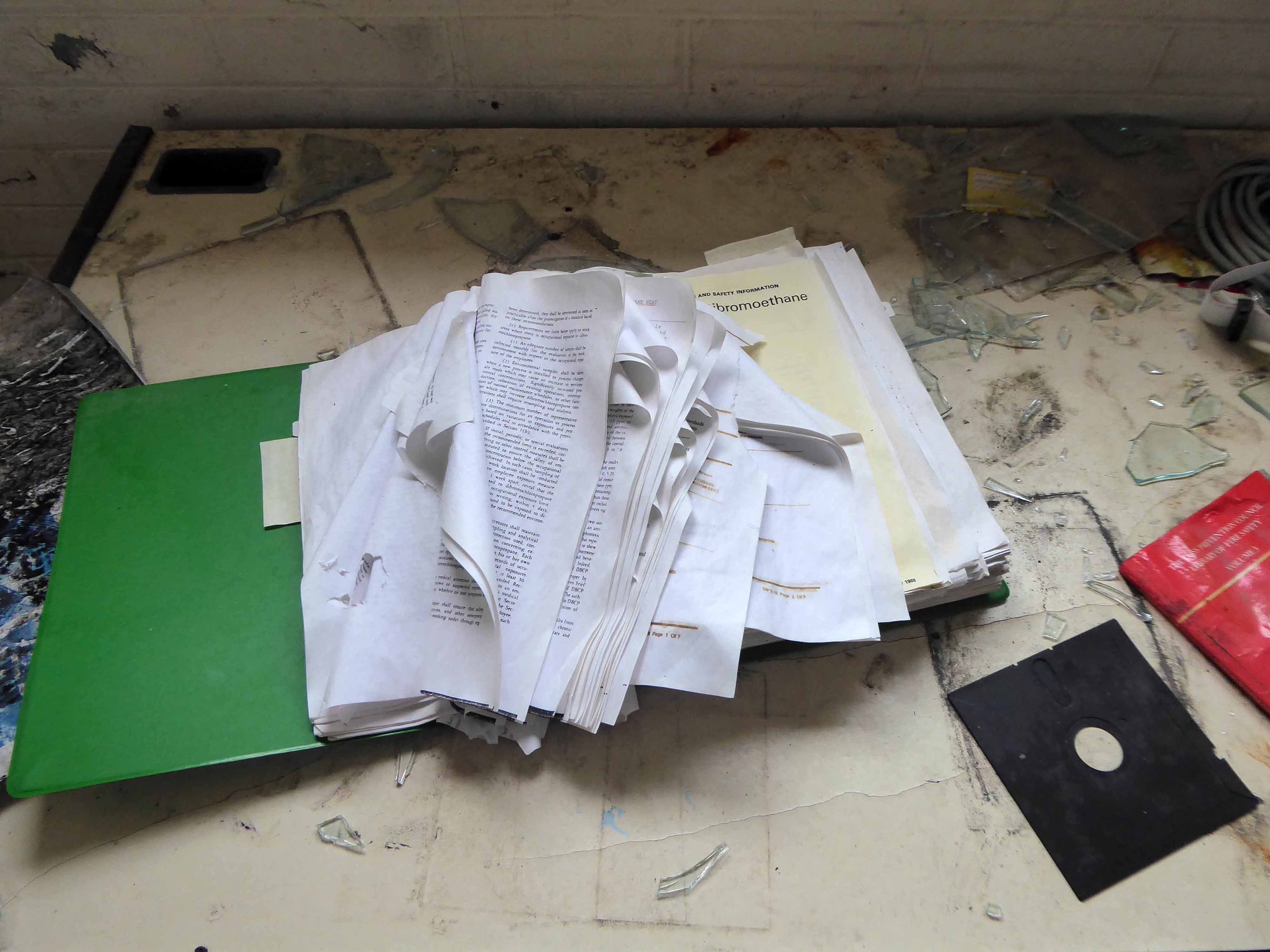
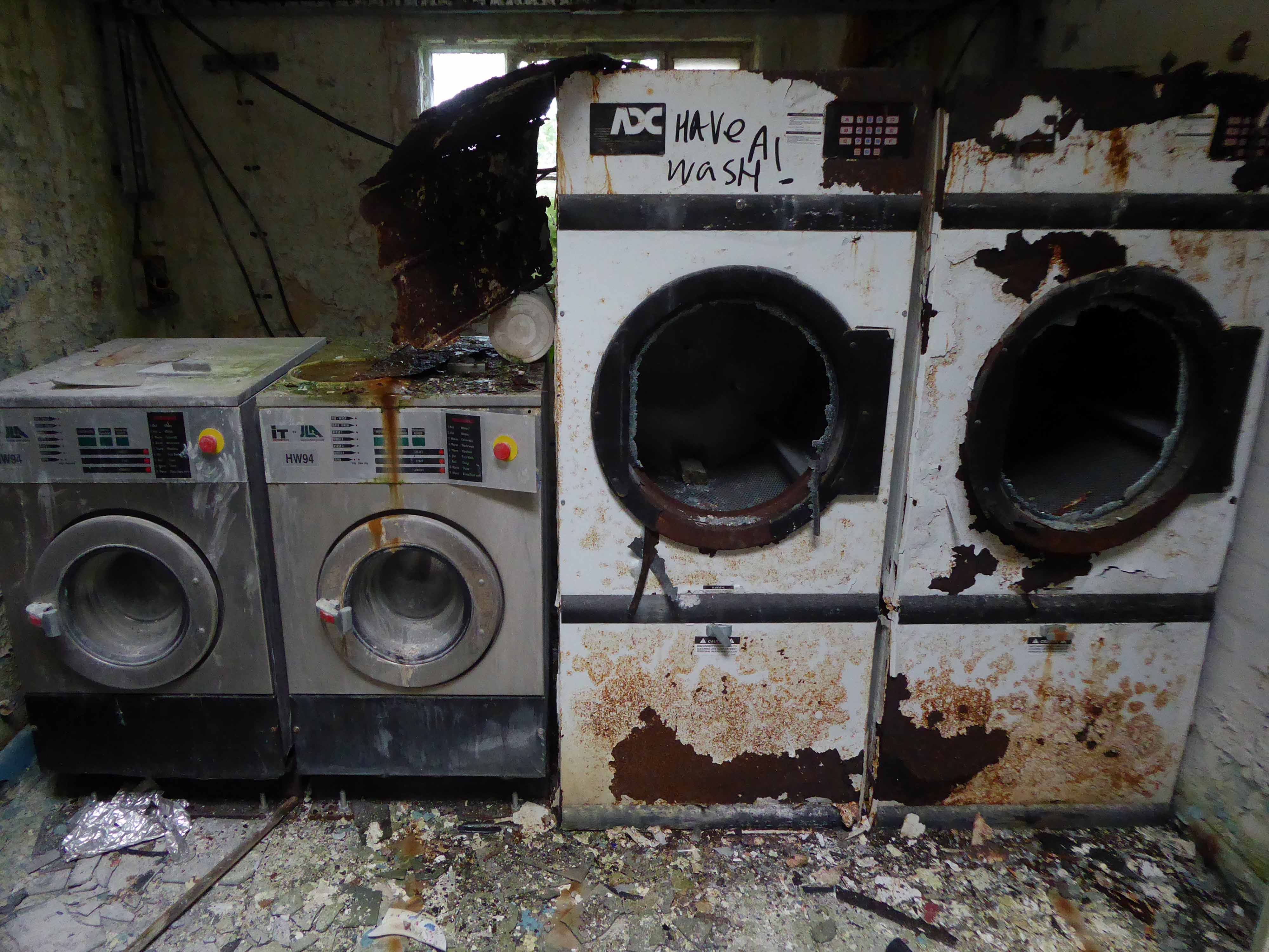
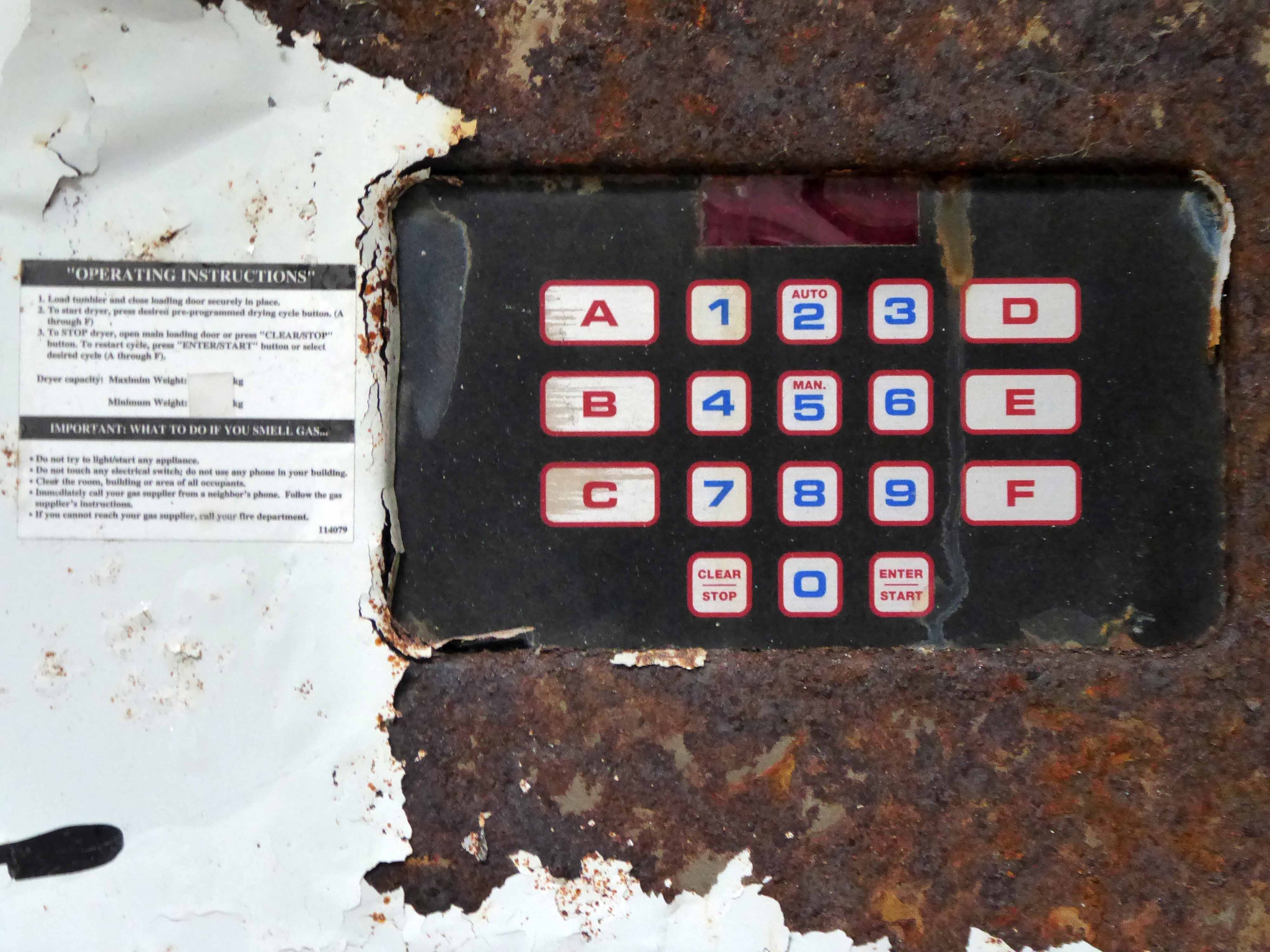
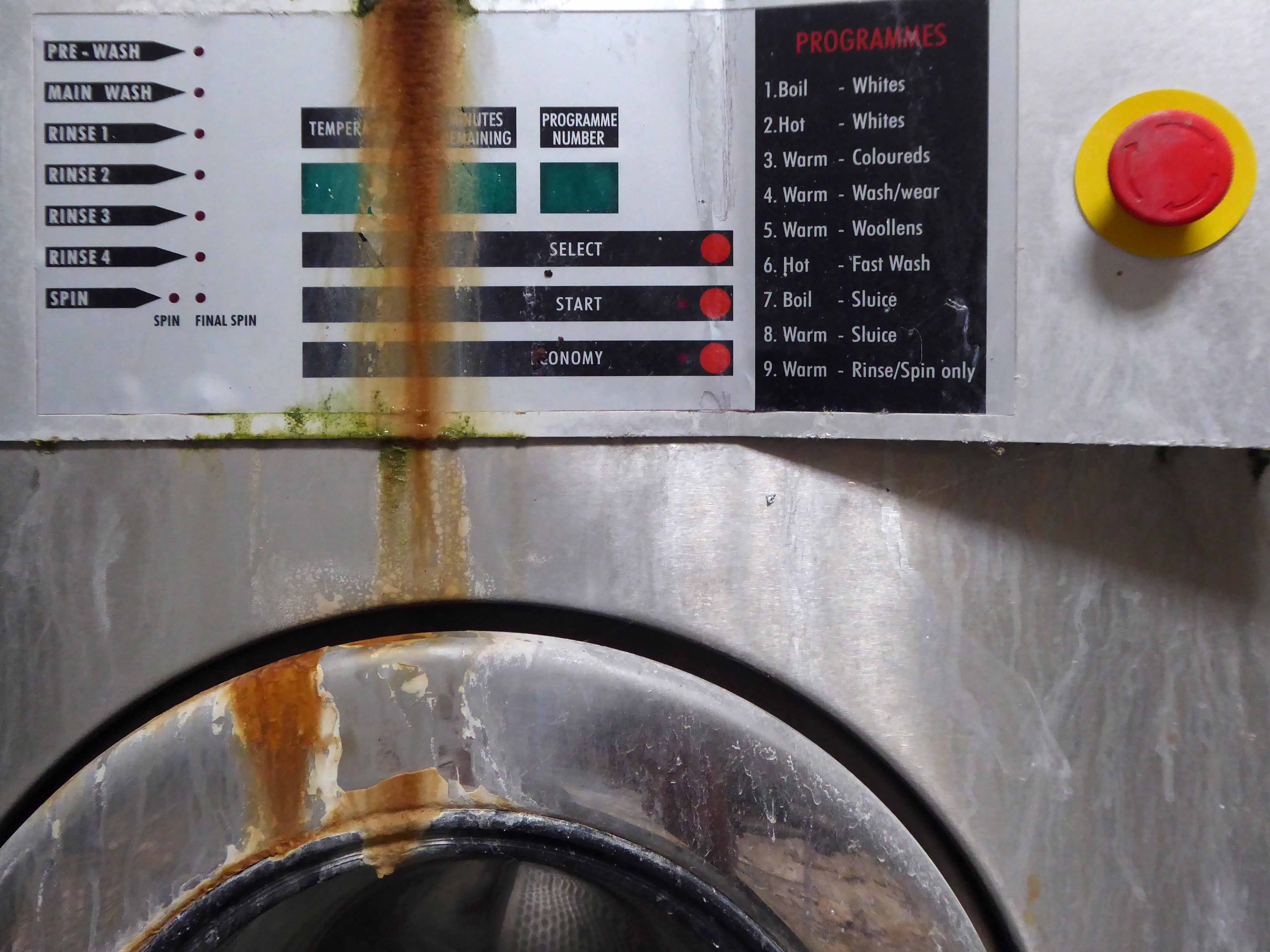
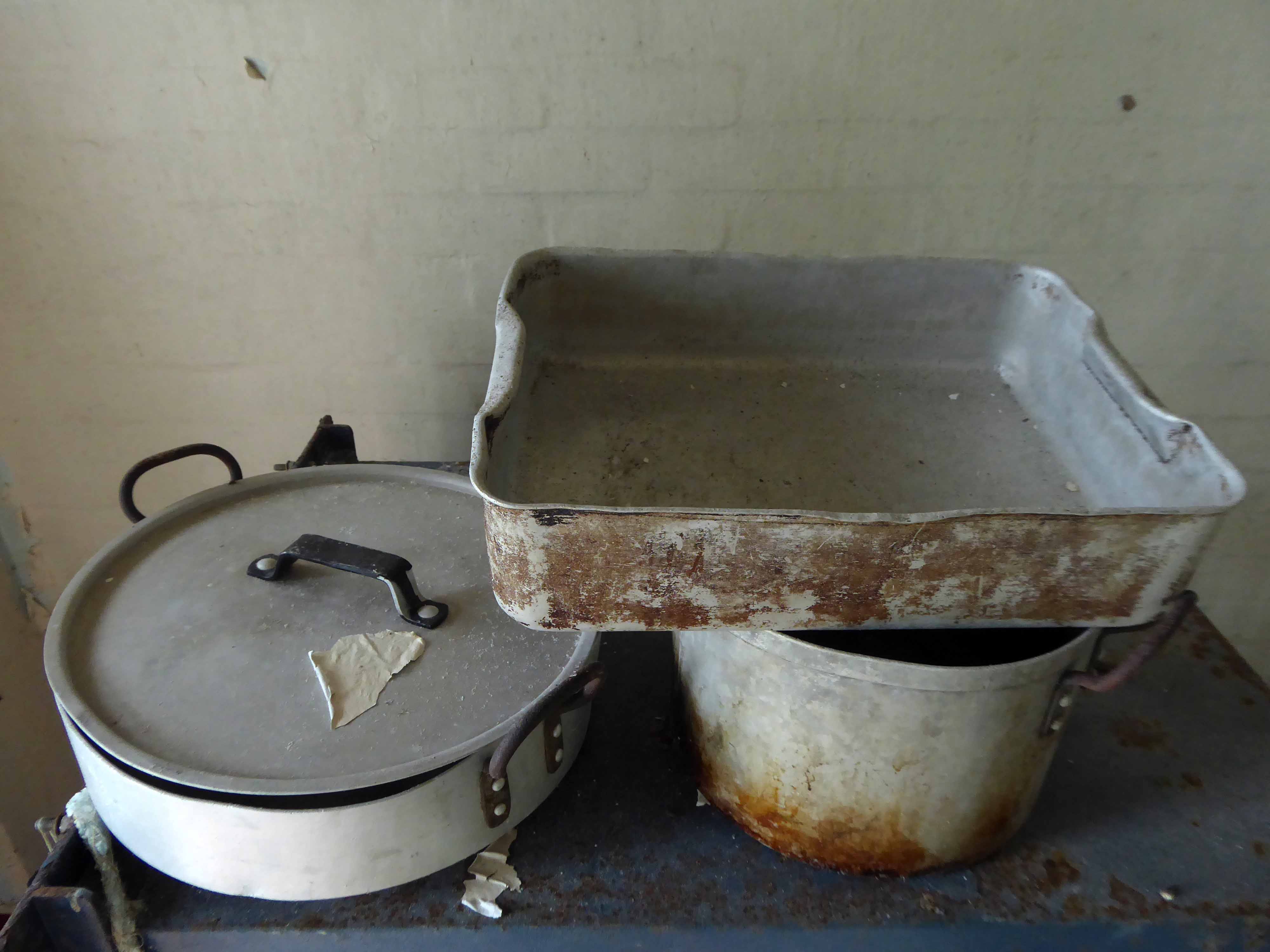
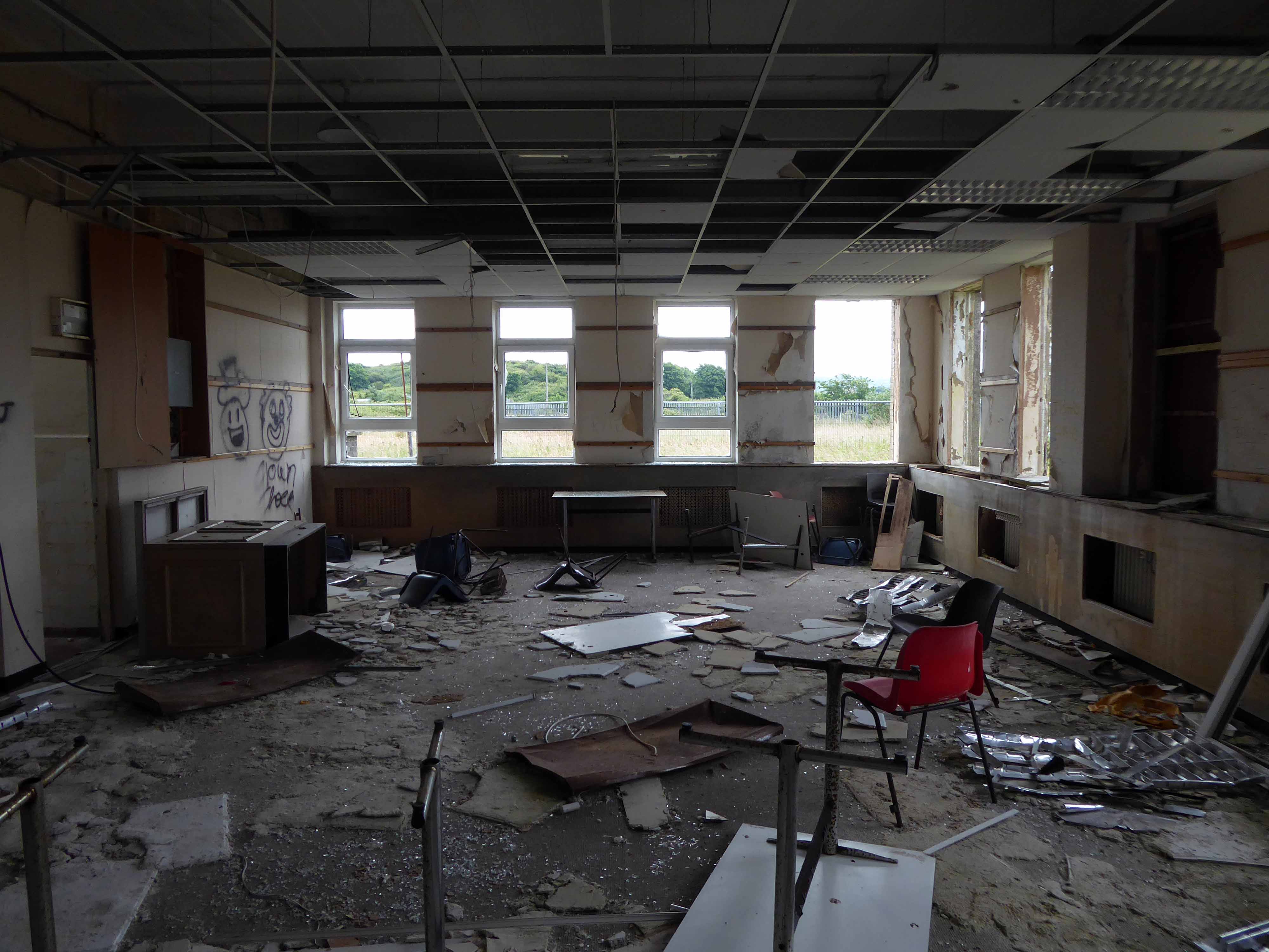
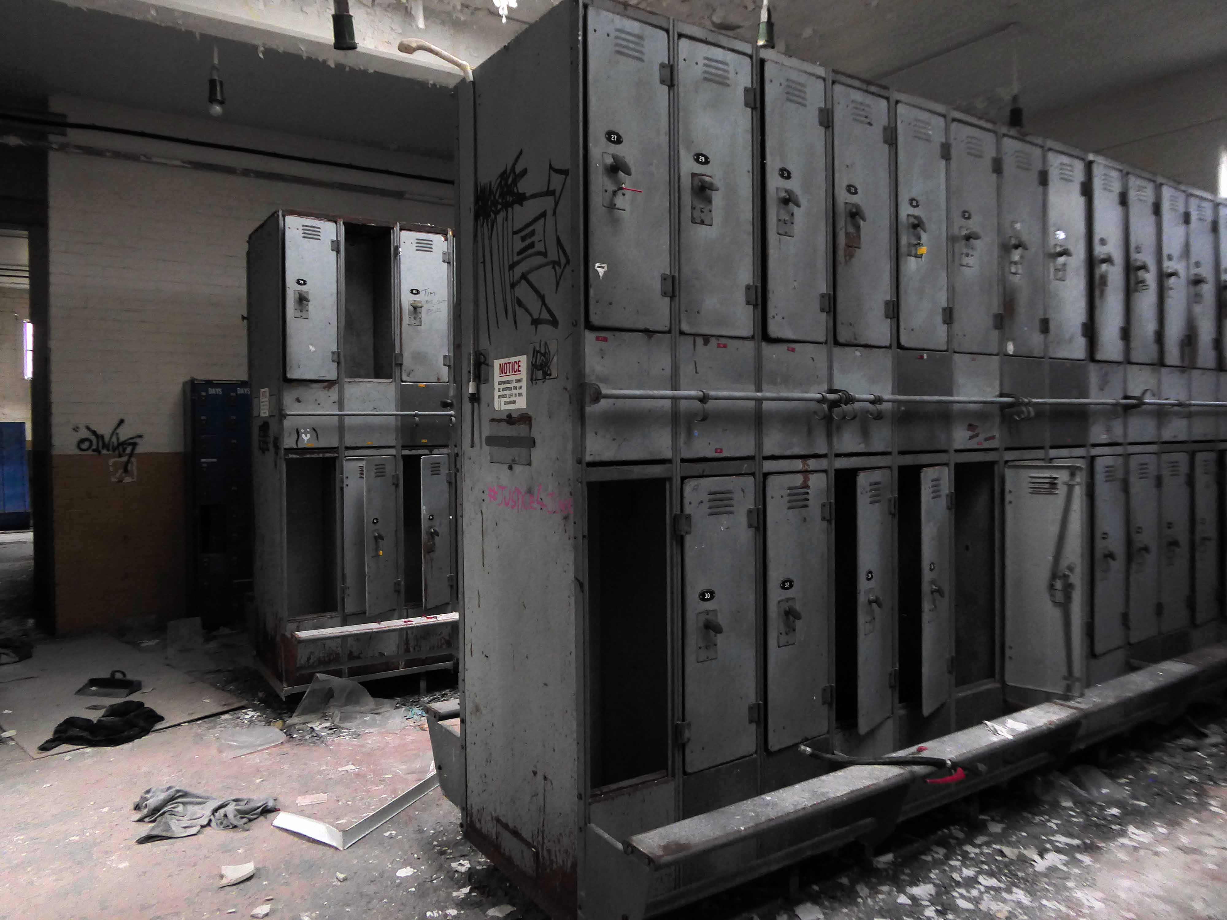
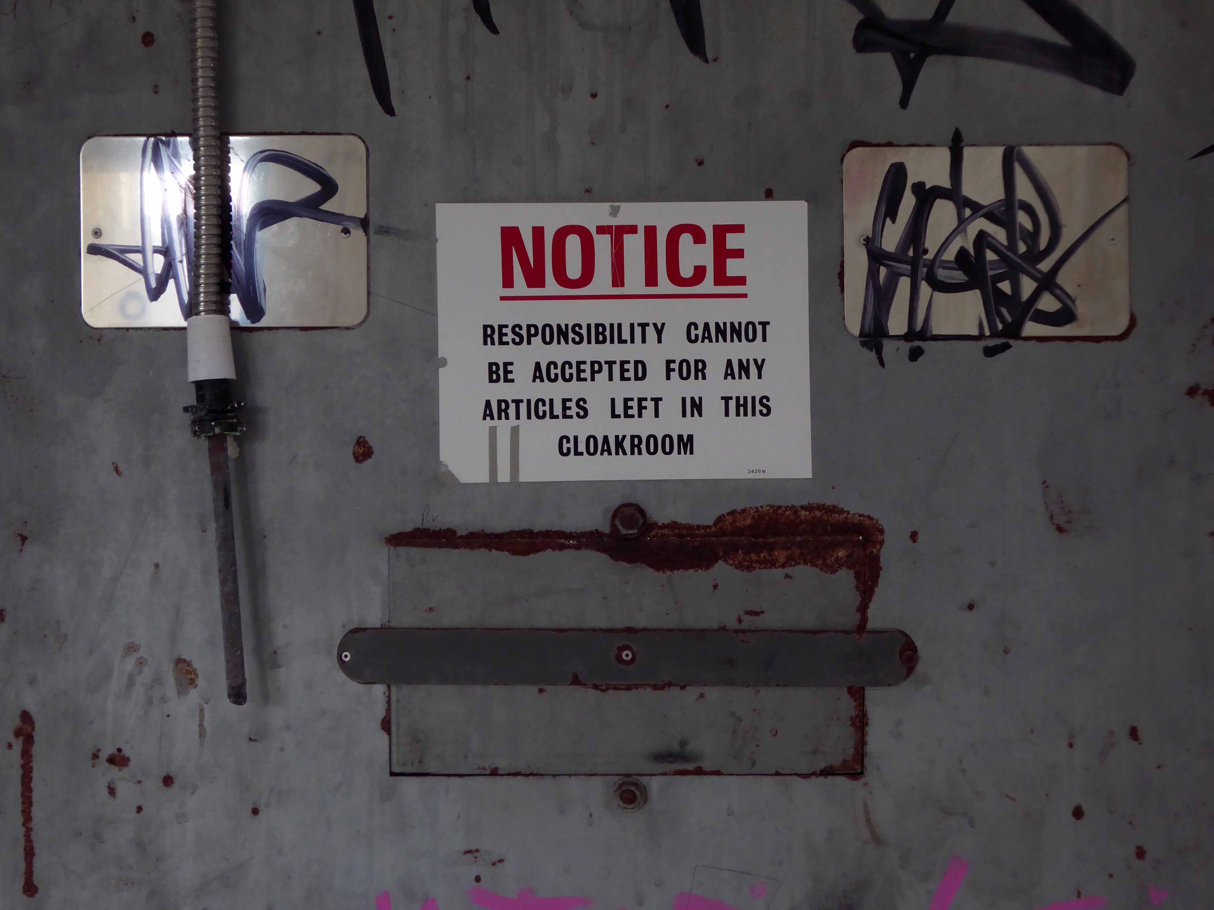
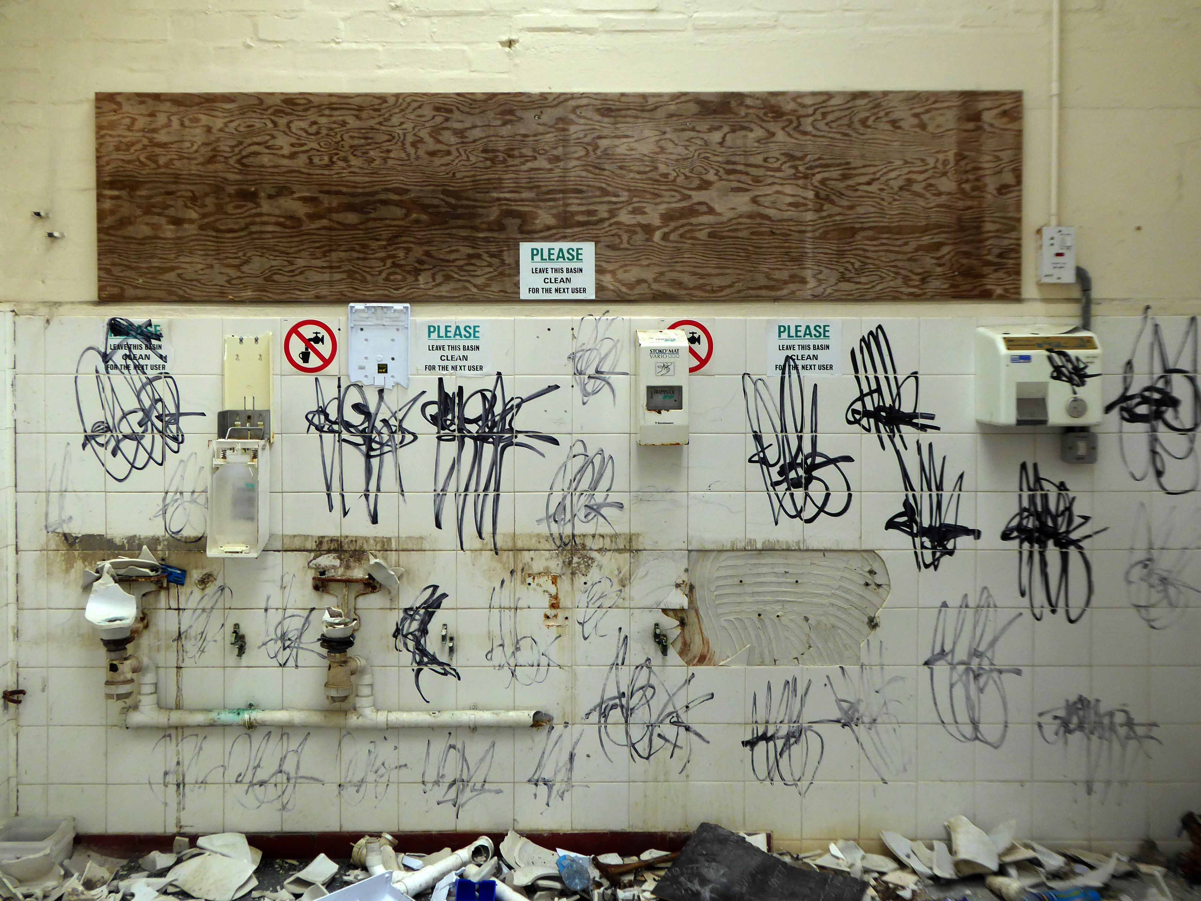
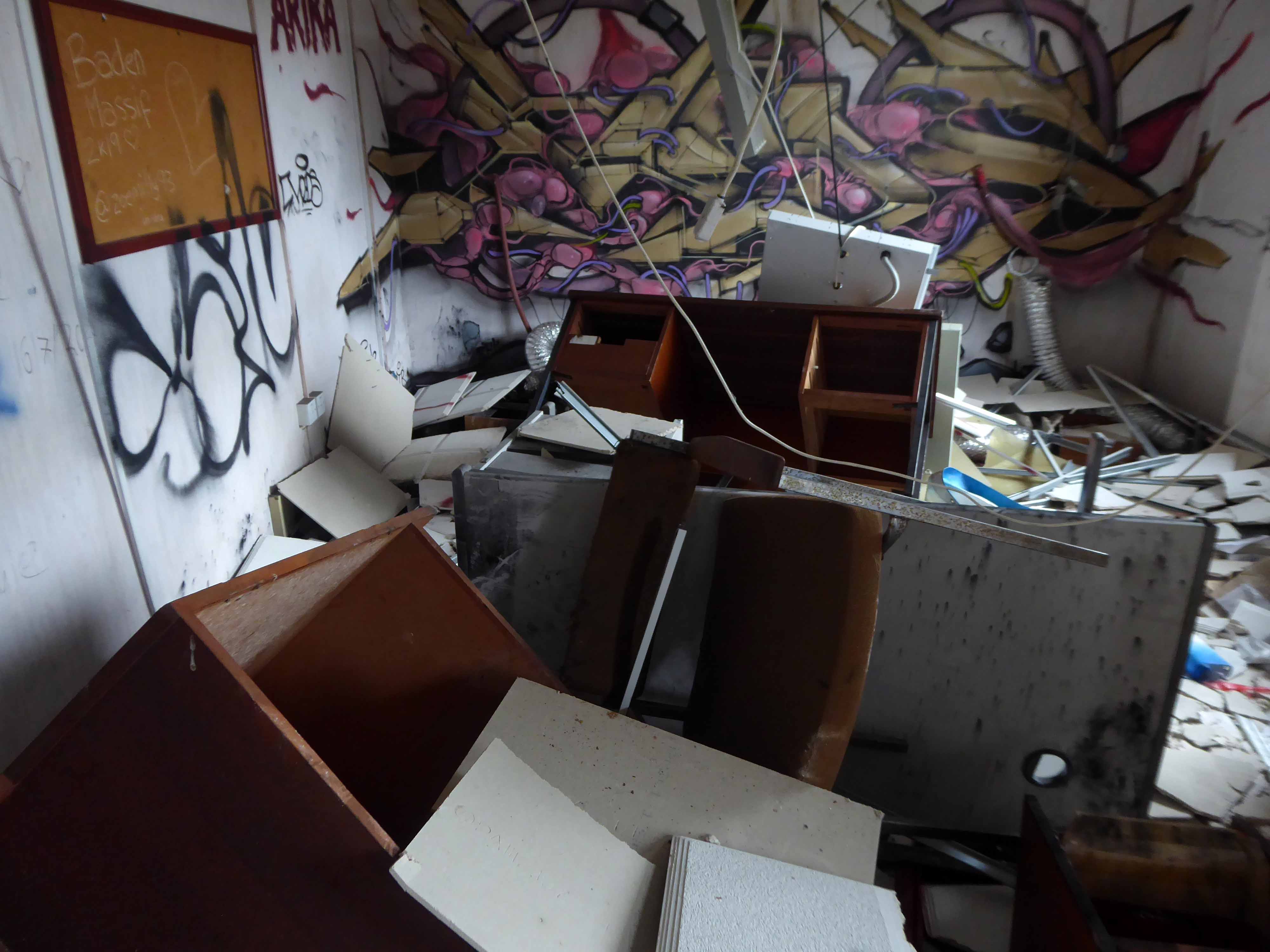
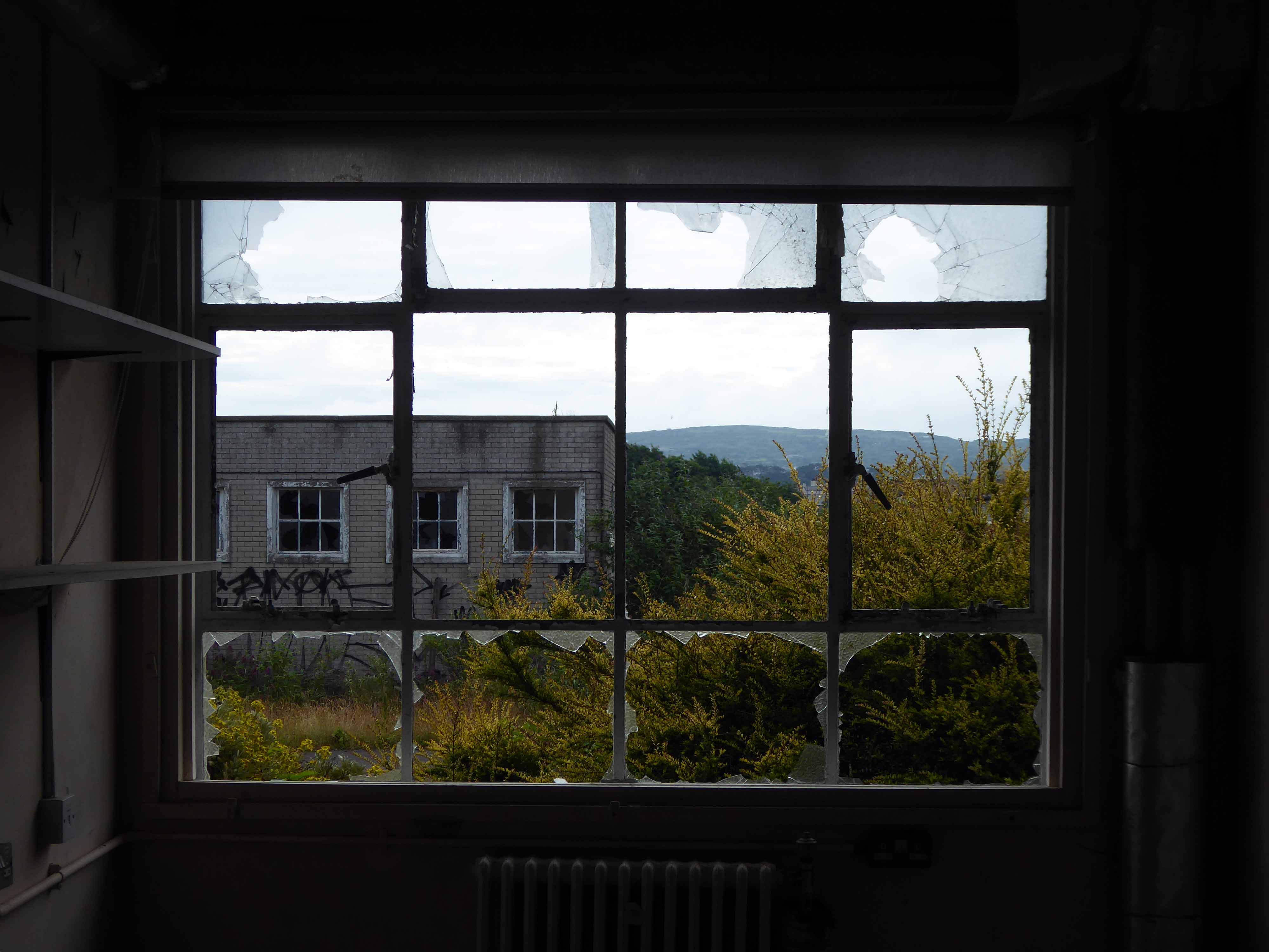
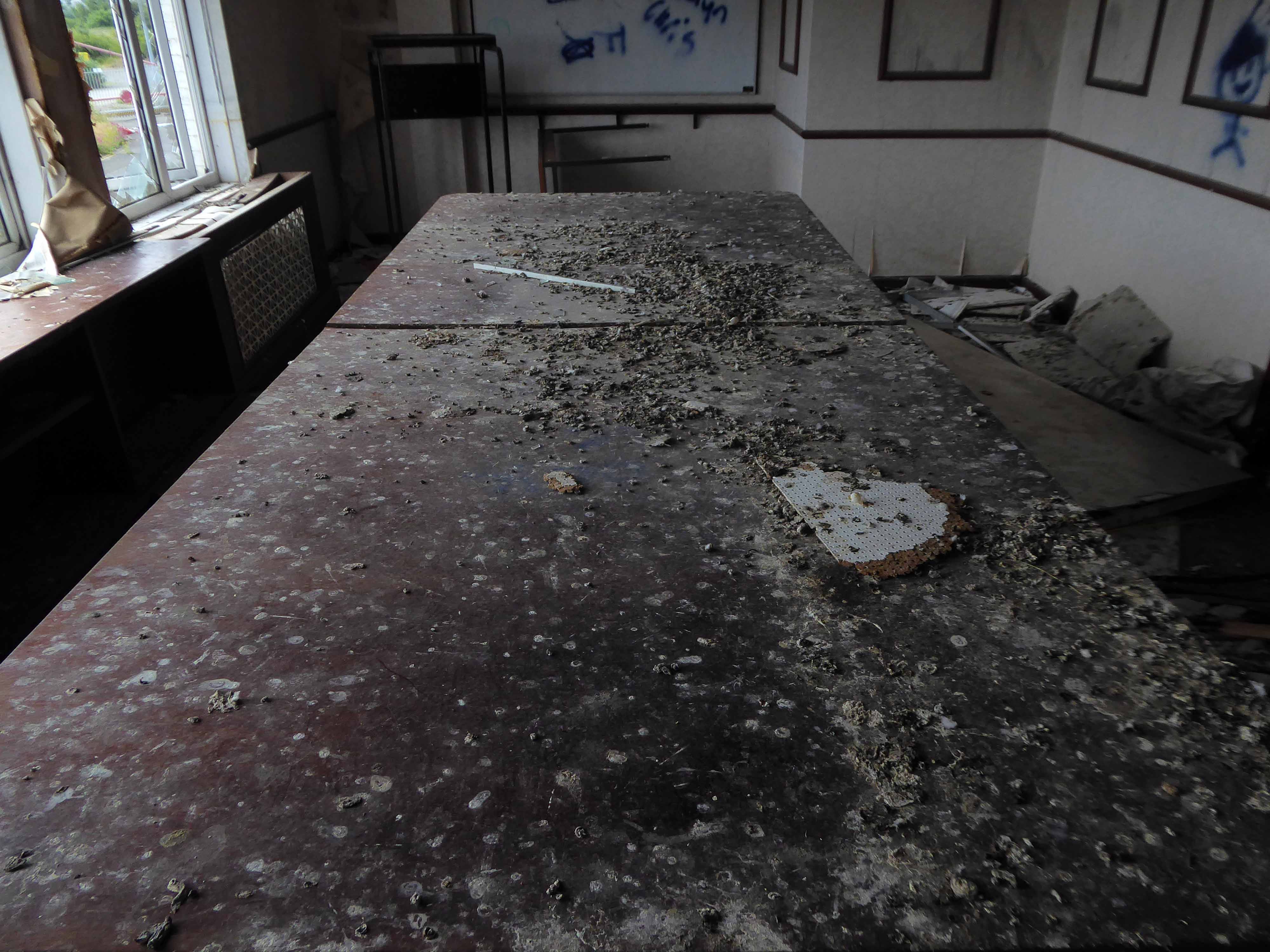
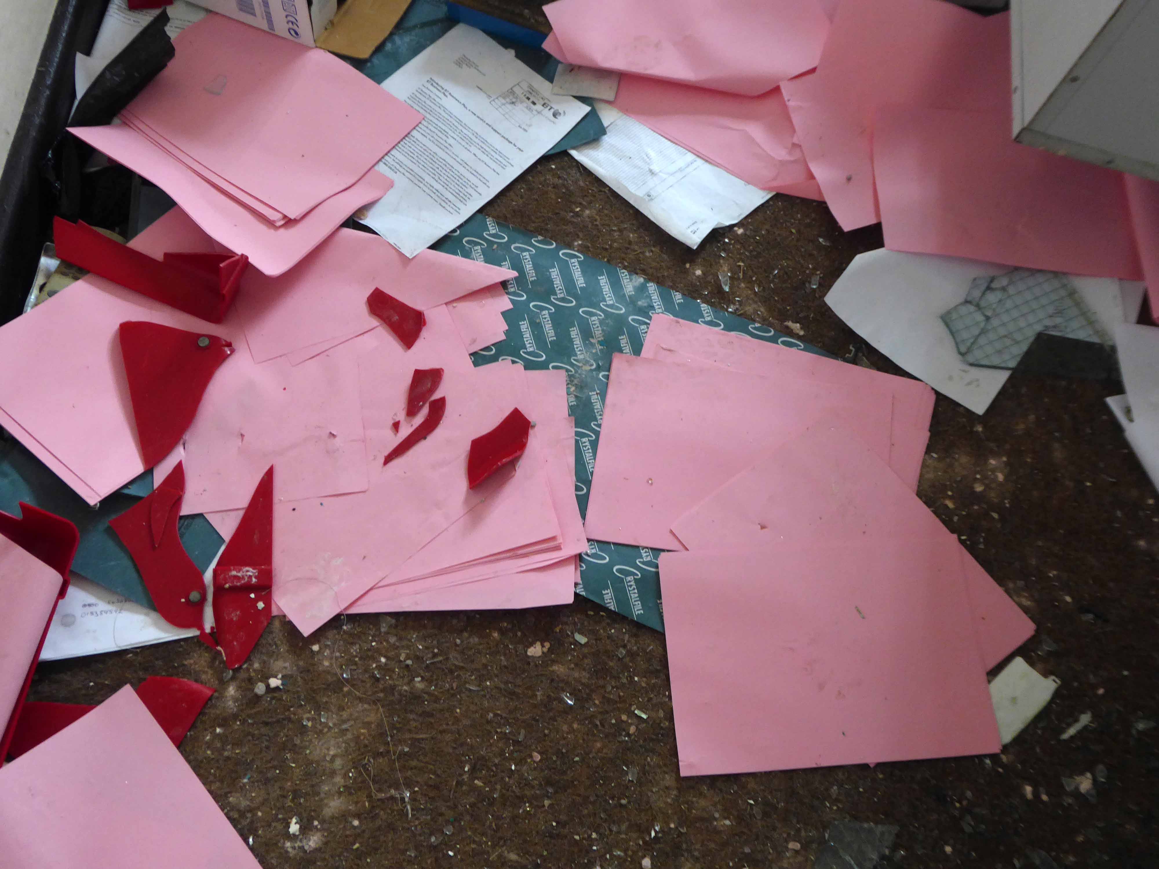
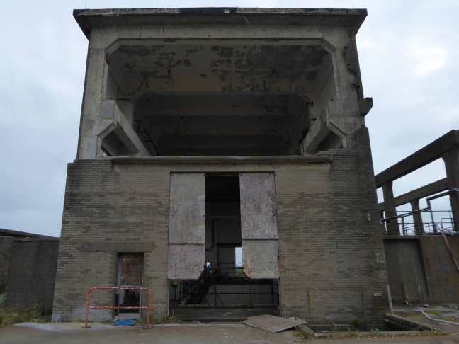
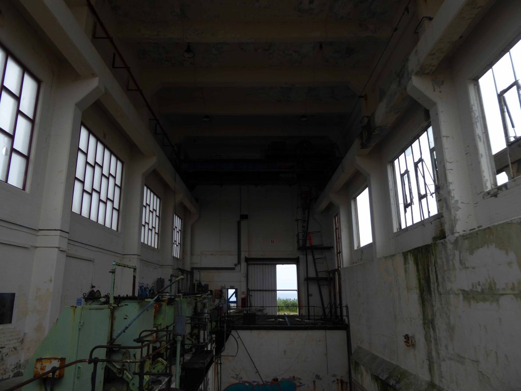
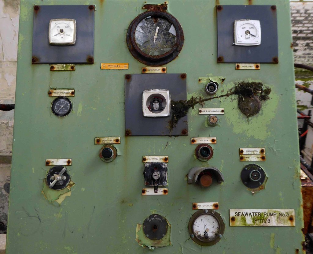
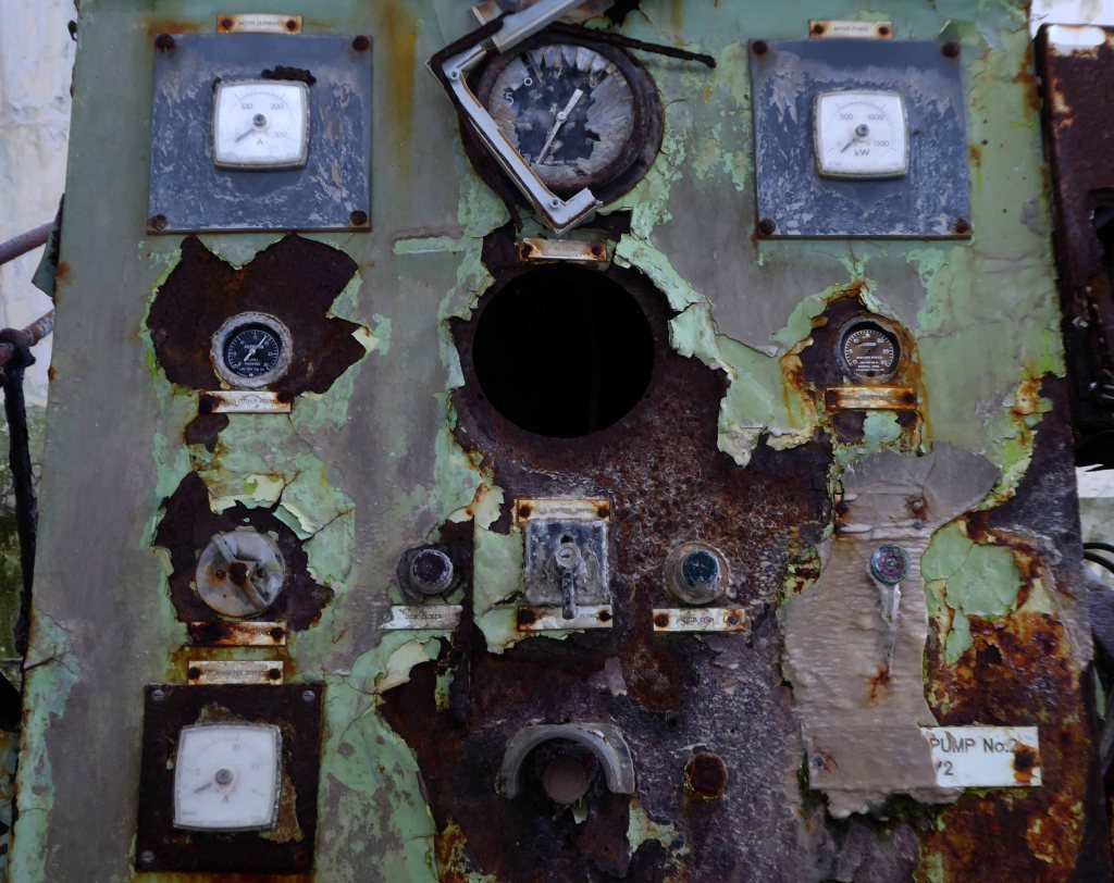
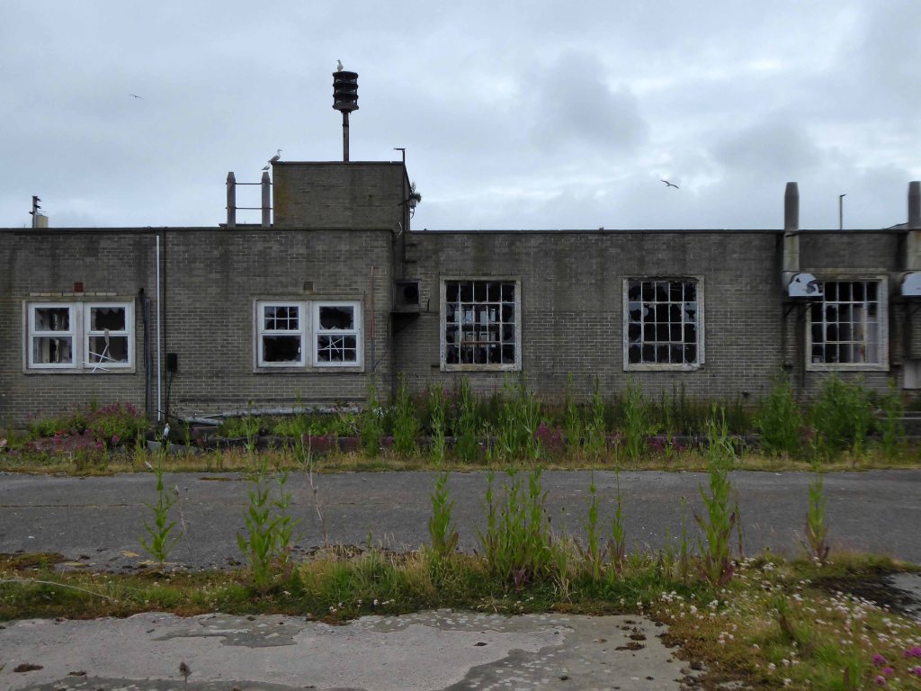
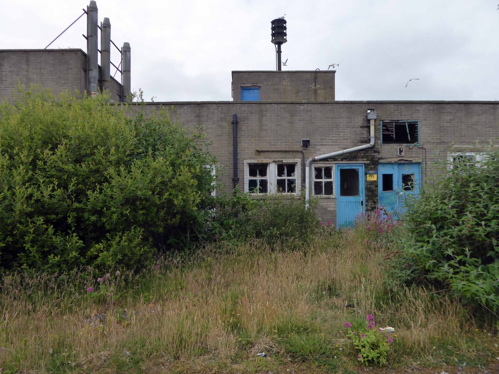
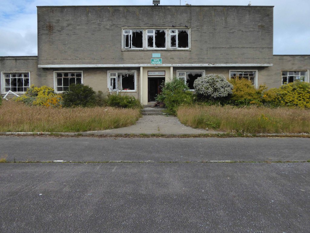
They are now but fleeting shadows, their documents strewn across upturned furniture, empty lockers their standing open and untended, laboratories whose processes have ceased. A chaotic canteen with no-one to cook for, unsafe safety suits and unwashed washrooms.
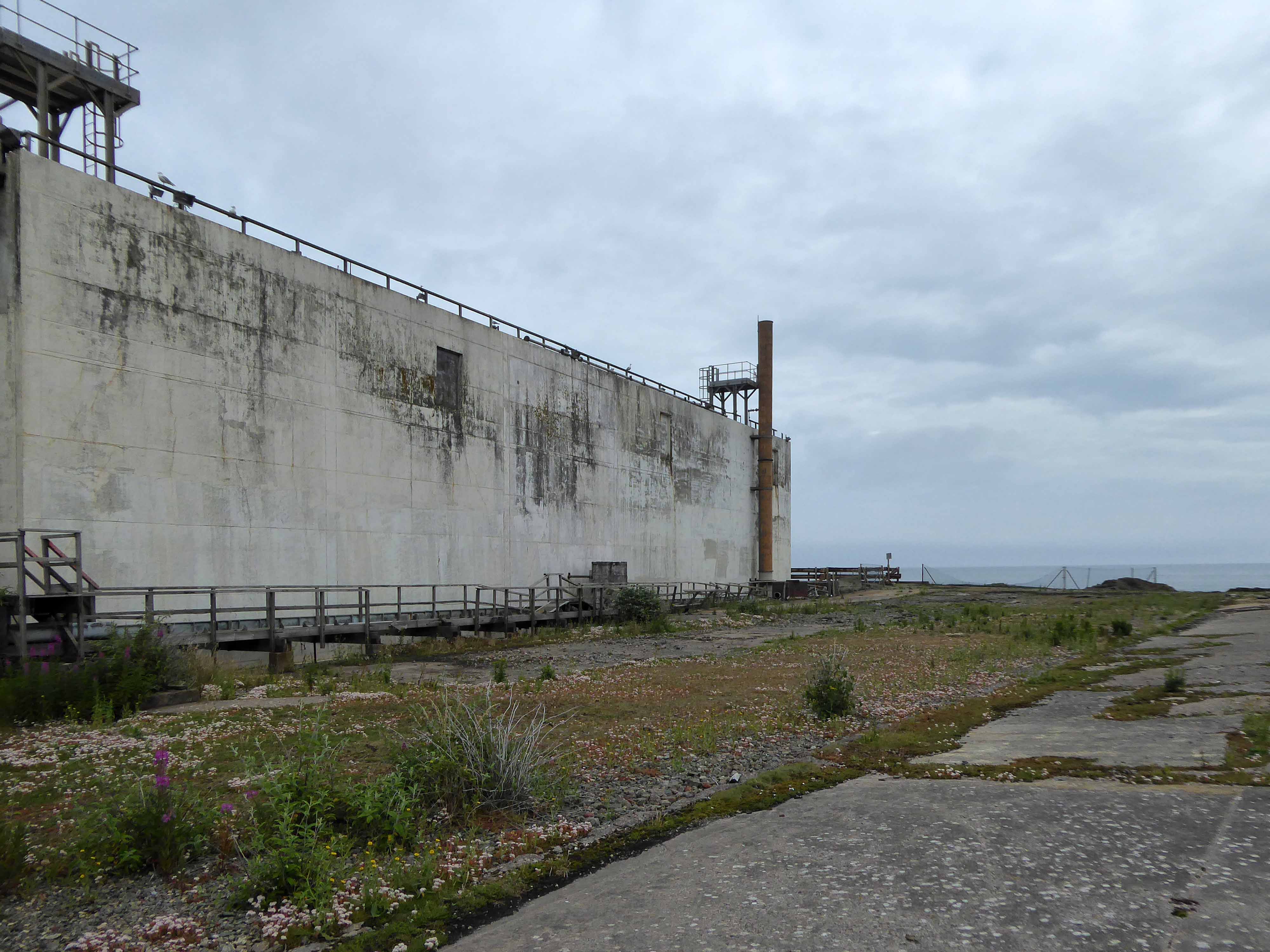
We have taken a trip around the extant exteriors of the processing plant.
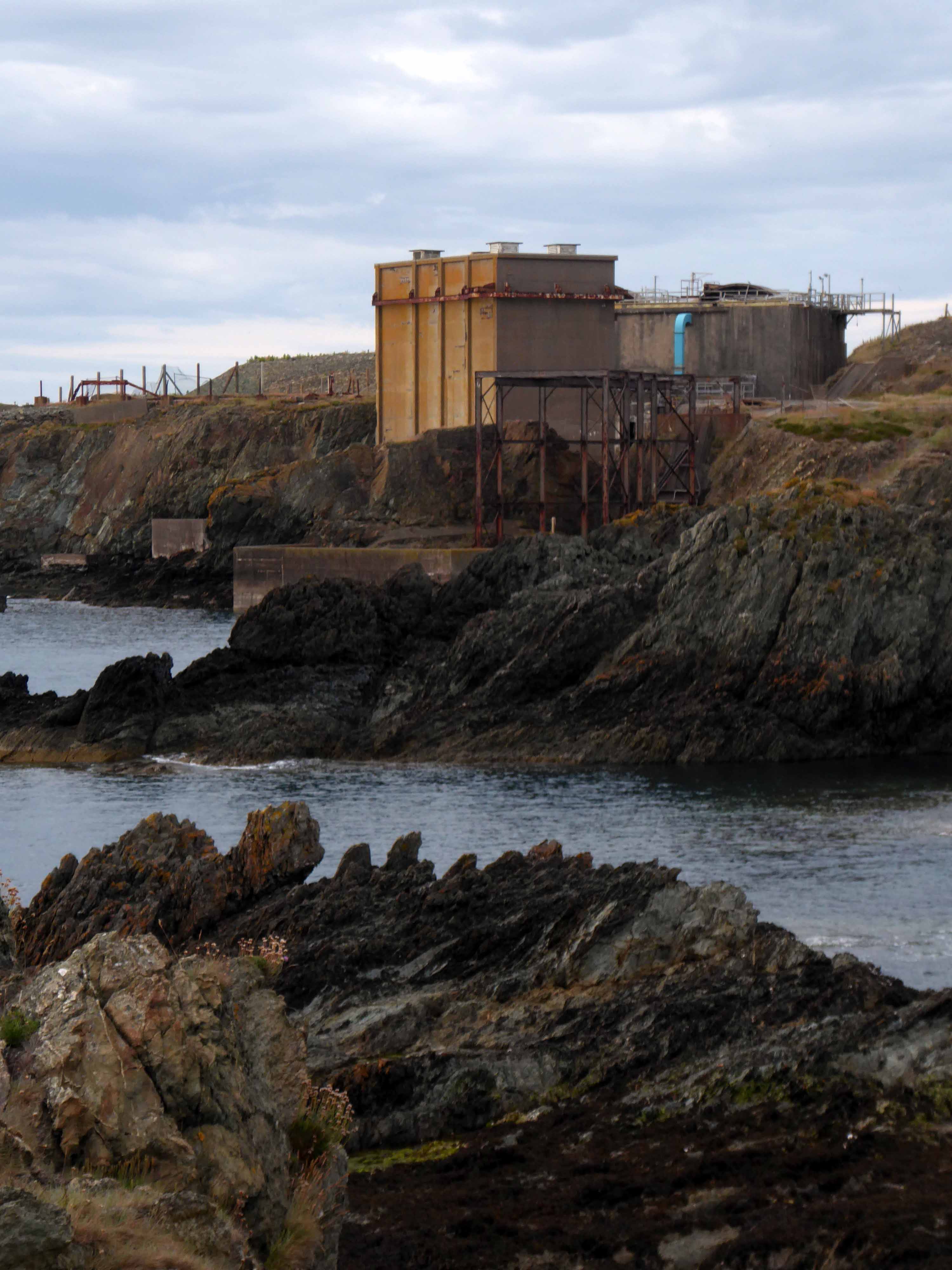
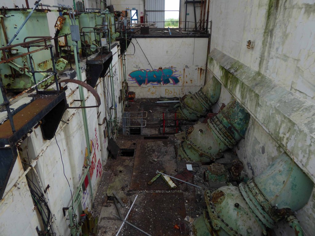
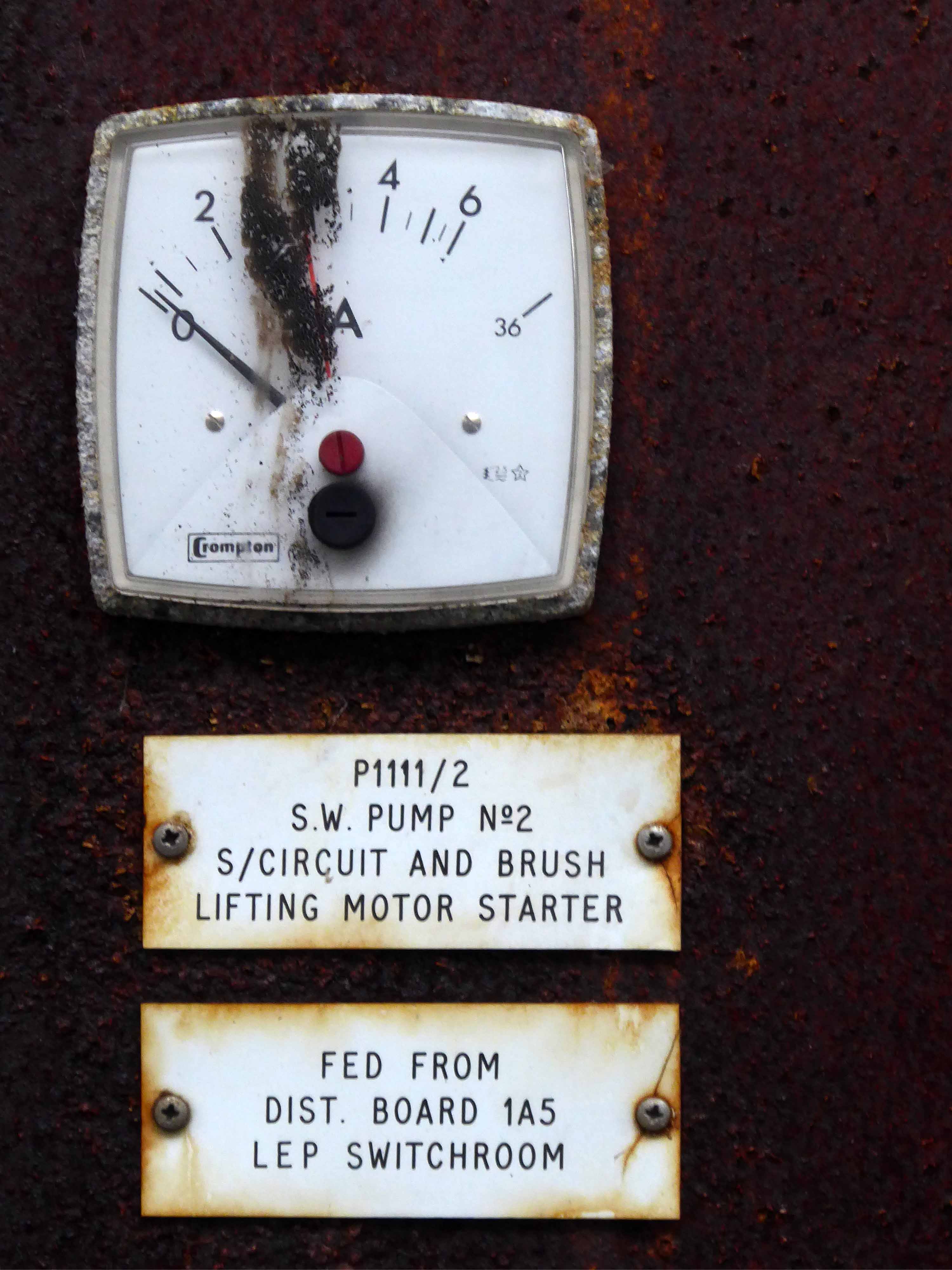
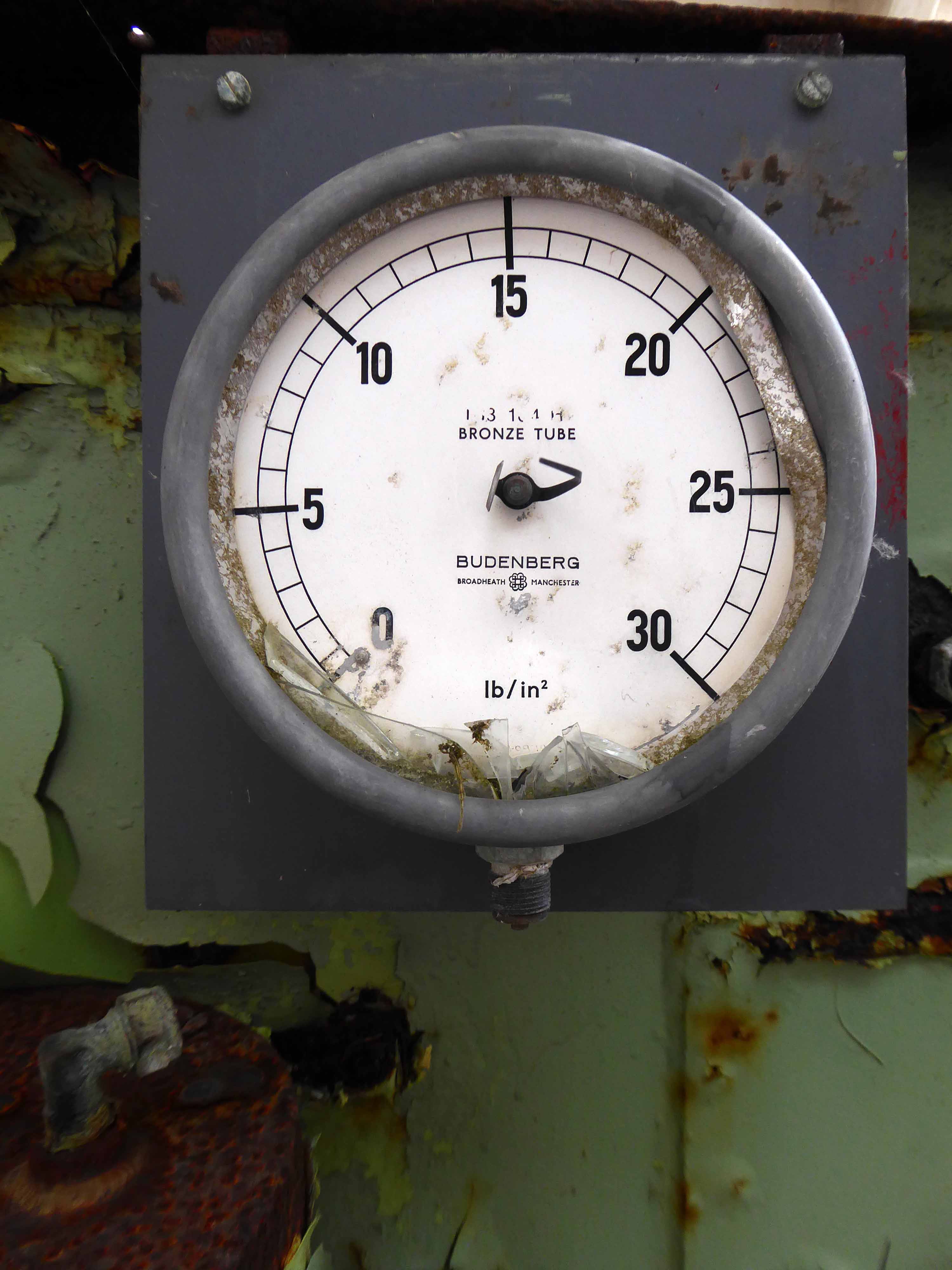
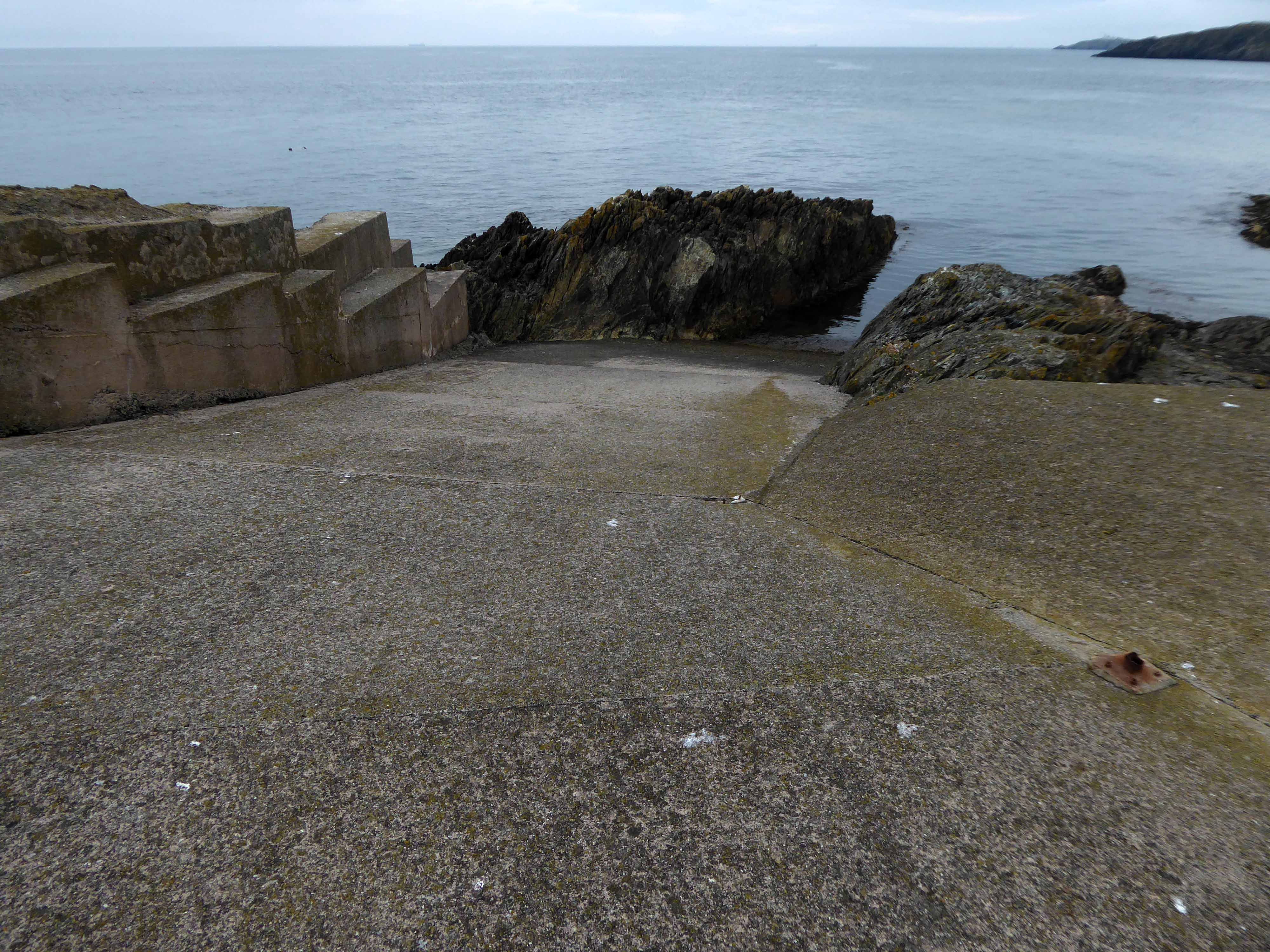
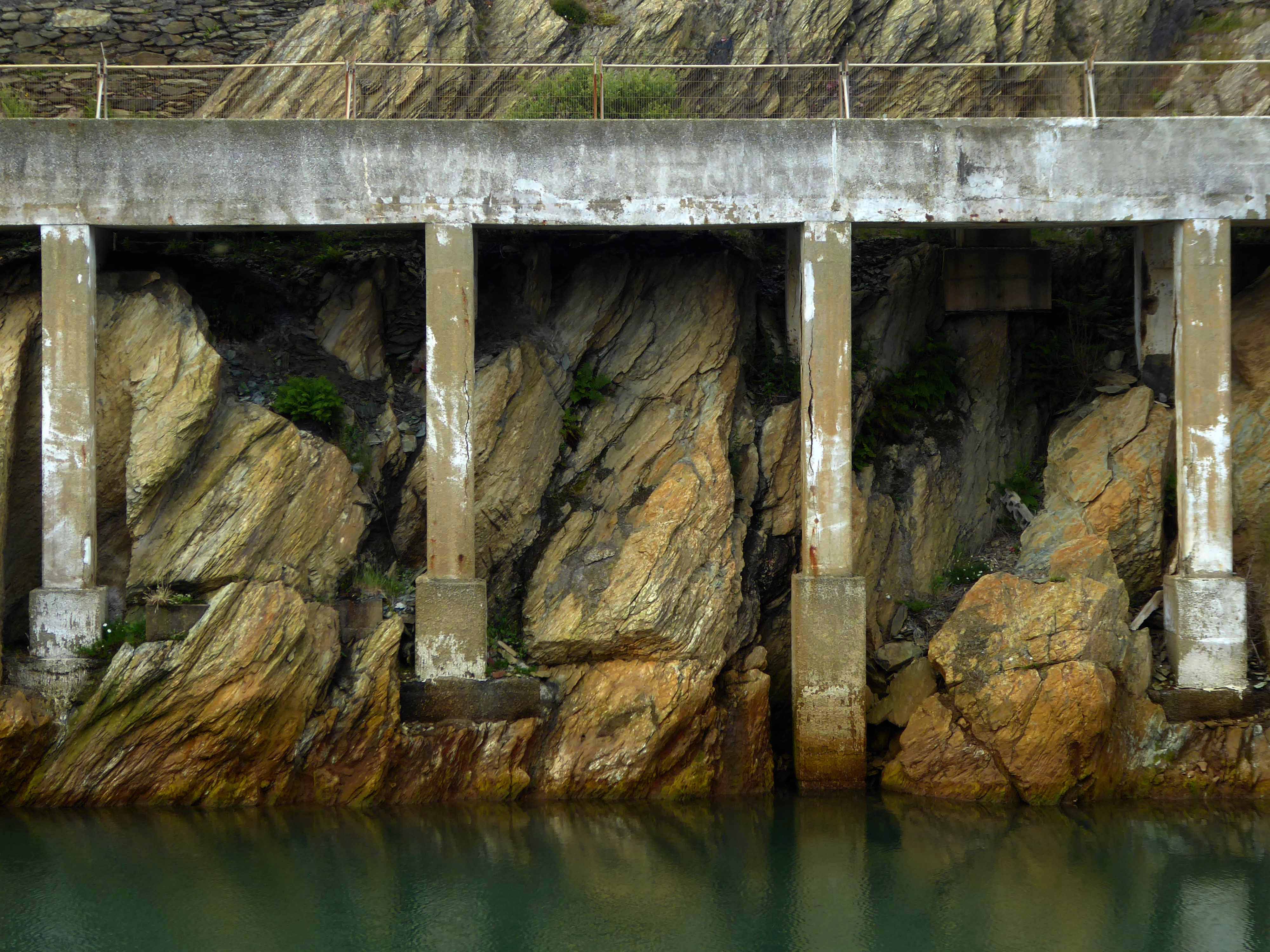
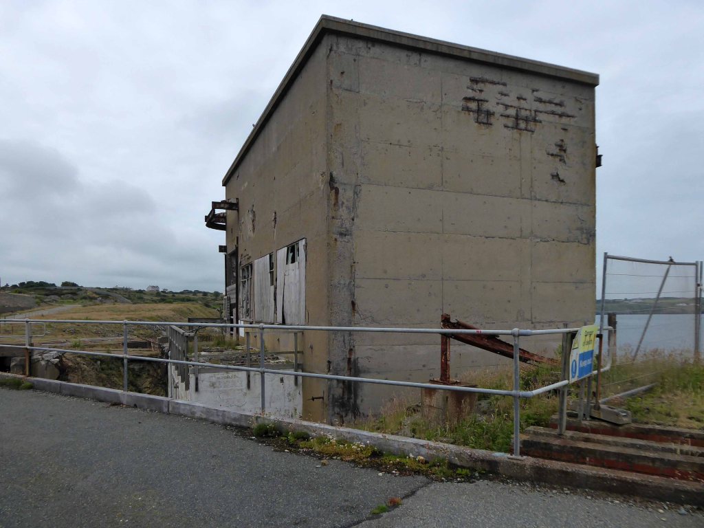
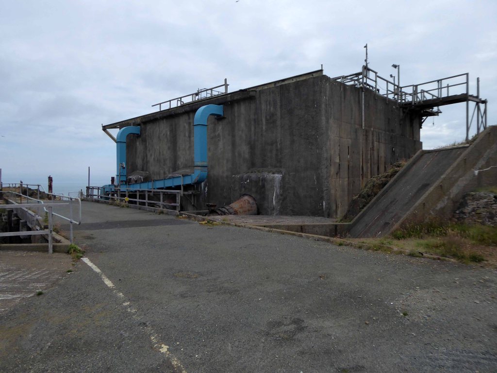
Now let’s turn our attention toward the epic infrastructure which extracted and pumped seawater.
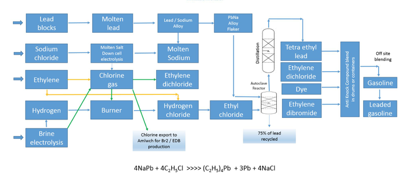
Sea water is sucked in and then lifted 50ft into sea water ponds by huge pumps where any debris is removed. It is then passed to the seawater main where chlorine and dilute sulphuric acid are added which releases the bromine. It is literally blown out of the water. This water is passed into the top of a tower where it drops over 20ft through the packed section of the tower. There it is met by currents of air travelling upwards. Where it meets these air currents the bromine gets stripped out the water, which is returned to the sea. Whilst the wet bromine laden air passes from the top of the tower to be treated with sulphur dioxide and water. This produces mists of hydrobromic and sulphuric acids.
This mist passes into an absorber, and the acid coalesces. From here, it blows to a collecting tank. The bromine free air returns to the blowing out tower and the cycle begins again. The acidic product is referred to as primary acid liquor. This is now pumped to the steaming out tower. It enters the top and is treated with chlorine and steam, which releases the bromine as vapour. It is then condensed to a liquid. The bulk of bromine goes to dibromoethane, whilst the remainder is sold or used to make other intermediates.
It takes about 22,000 tonnes of seawater to produce 1 tonne of bromine. Every minute 300,000 gallons of seawater are drawn in.
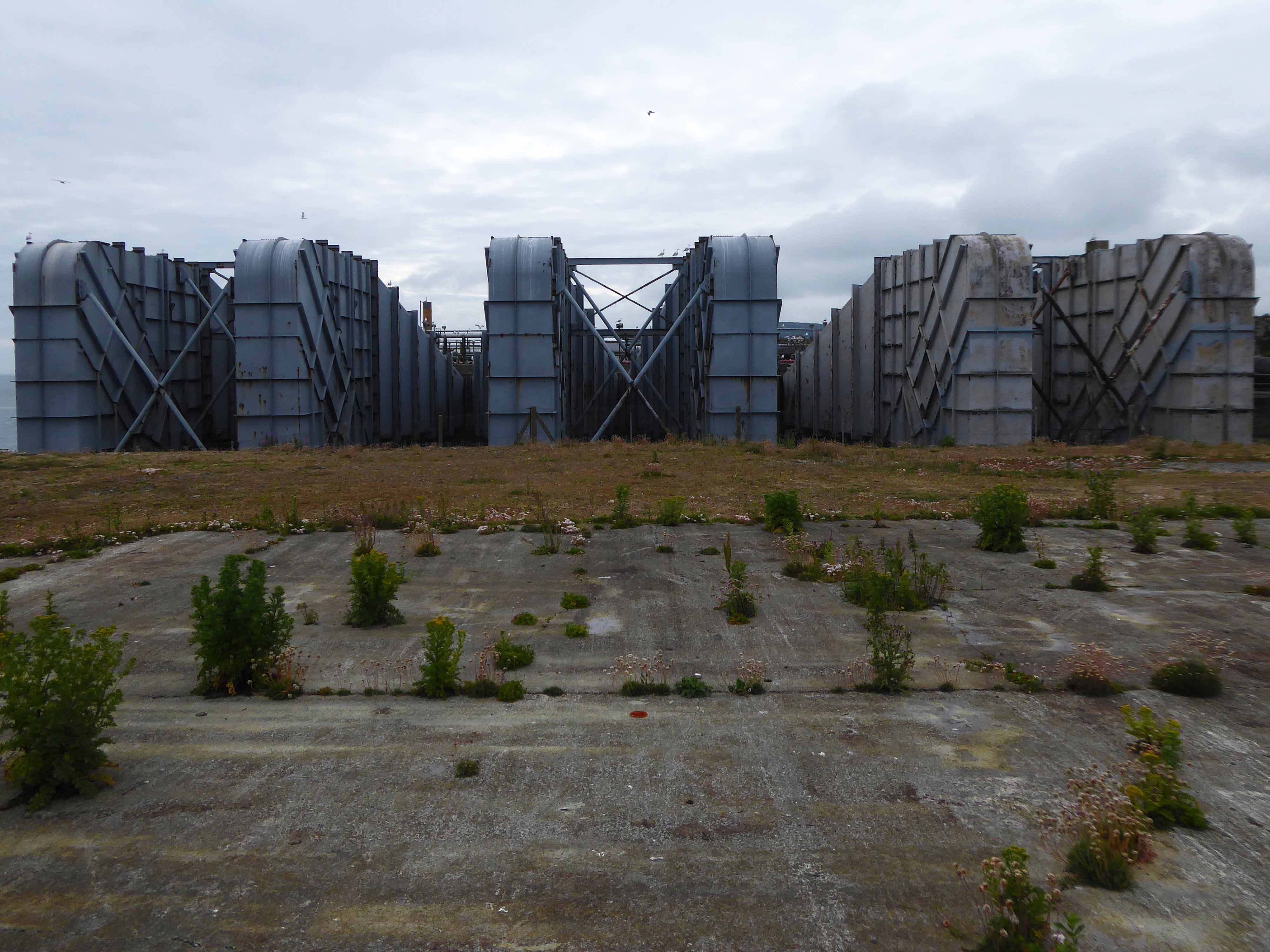
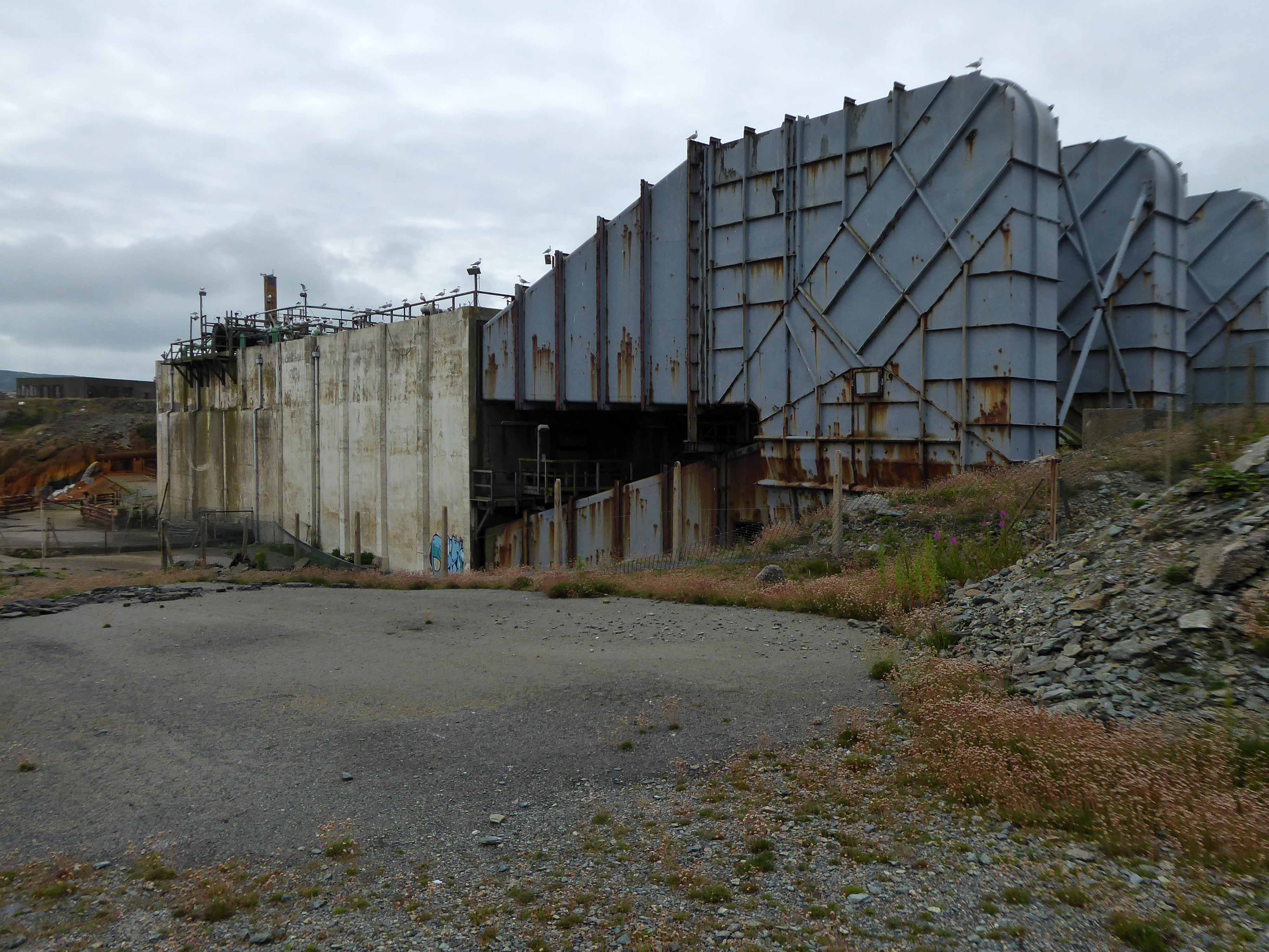
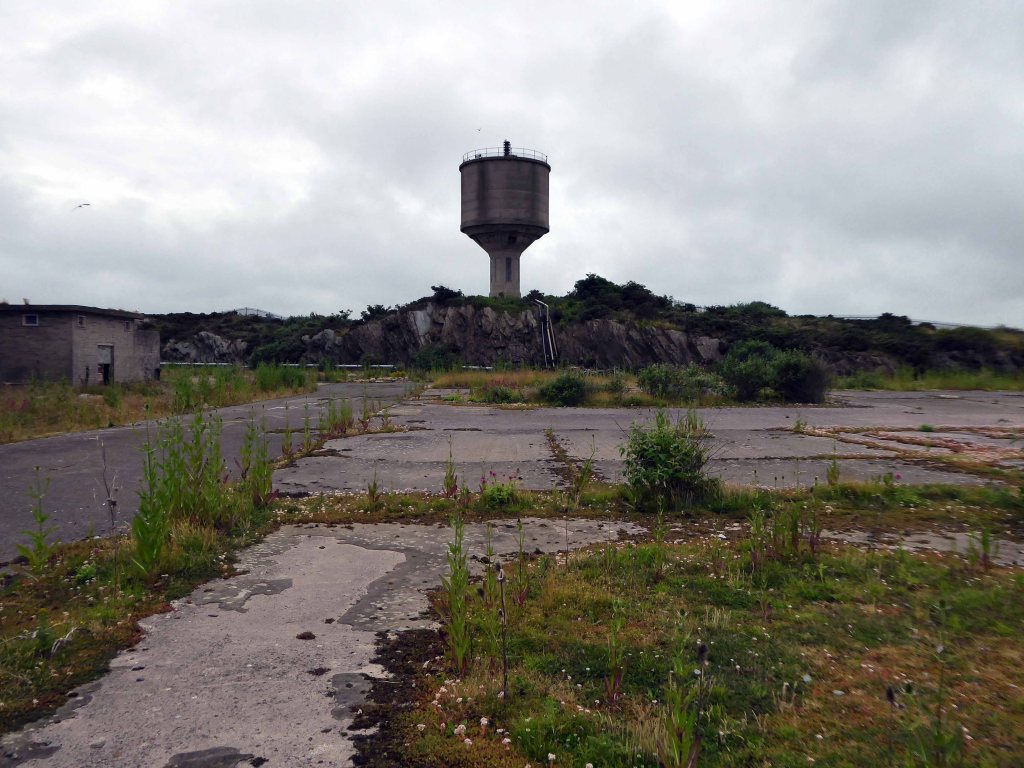
This now redundant technology has left a legacy of industrial dereliction amongst the ancient Pre-Cambrian rocks and sylvan seas of the Anglesey Coast.
This is a landscape which induces fear and fascination in equal measure.
Whatever is fitted in any sort to excite the ideas of pain, and danger, that is to say, whatever is in any sort terrible, or is conversant about terrible objects, or operates in a manner analogous to terror, is a source of the sublime; that is, it is productive of the strongest emotion which the mind is capable of feeling.
Amlwch has been the centre of the world’s copper industry, a coastal town on Anglesey with a long history of trade, the coming and going of goods.
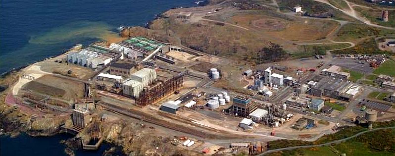
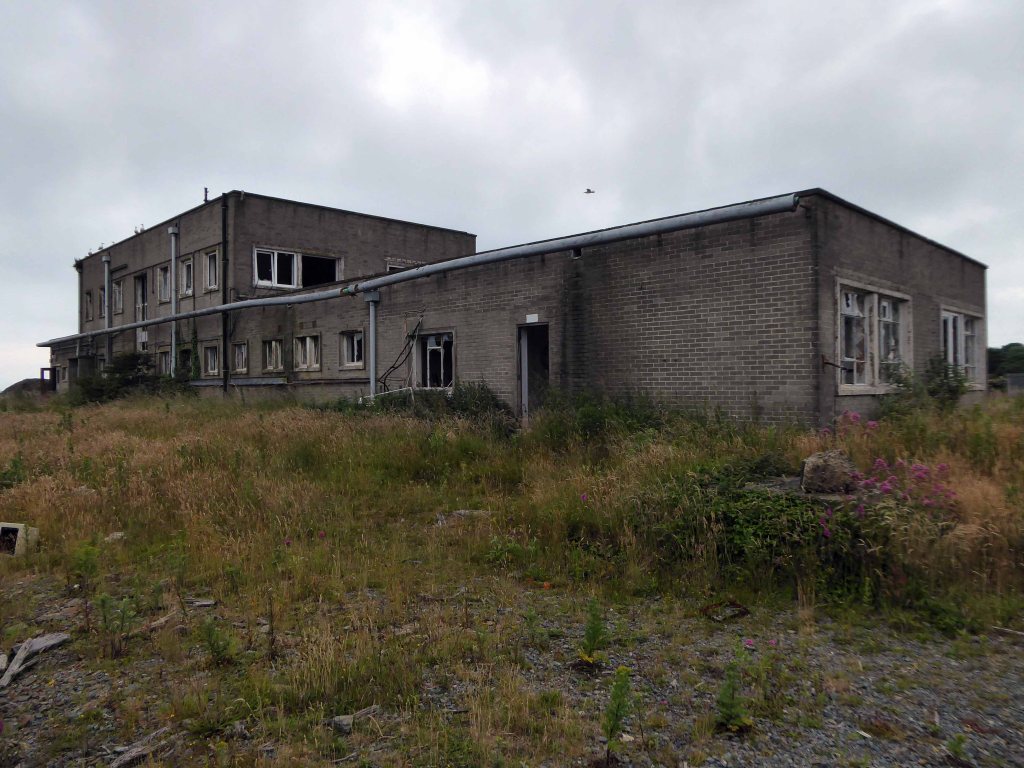
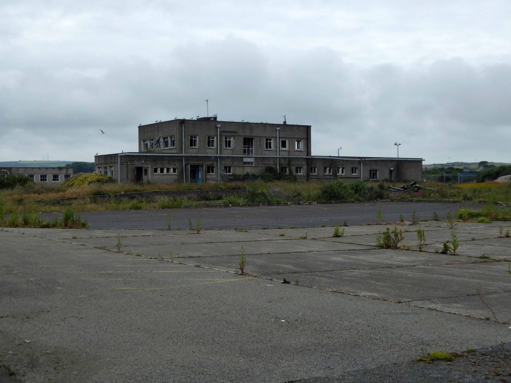
Once the site of a processing plant extracting bromine from sea water.
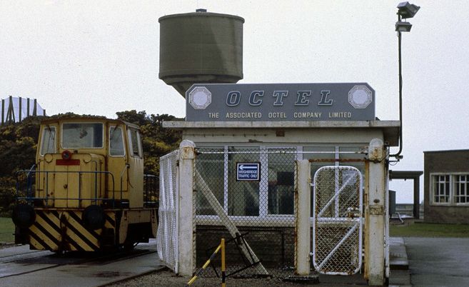
The Associated Octel factory was built to extract bromine from seawater and turn it into an additive for petrol engines. At the time, petrol used in road vehicles contained lead. Engine knocking was a common problem, when the mixture of air and fuel didn’t burn efficiently with each detonation. This could damage engine cylinders over time. The additive produced here reduced knocking and improved engine efficiency.
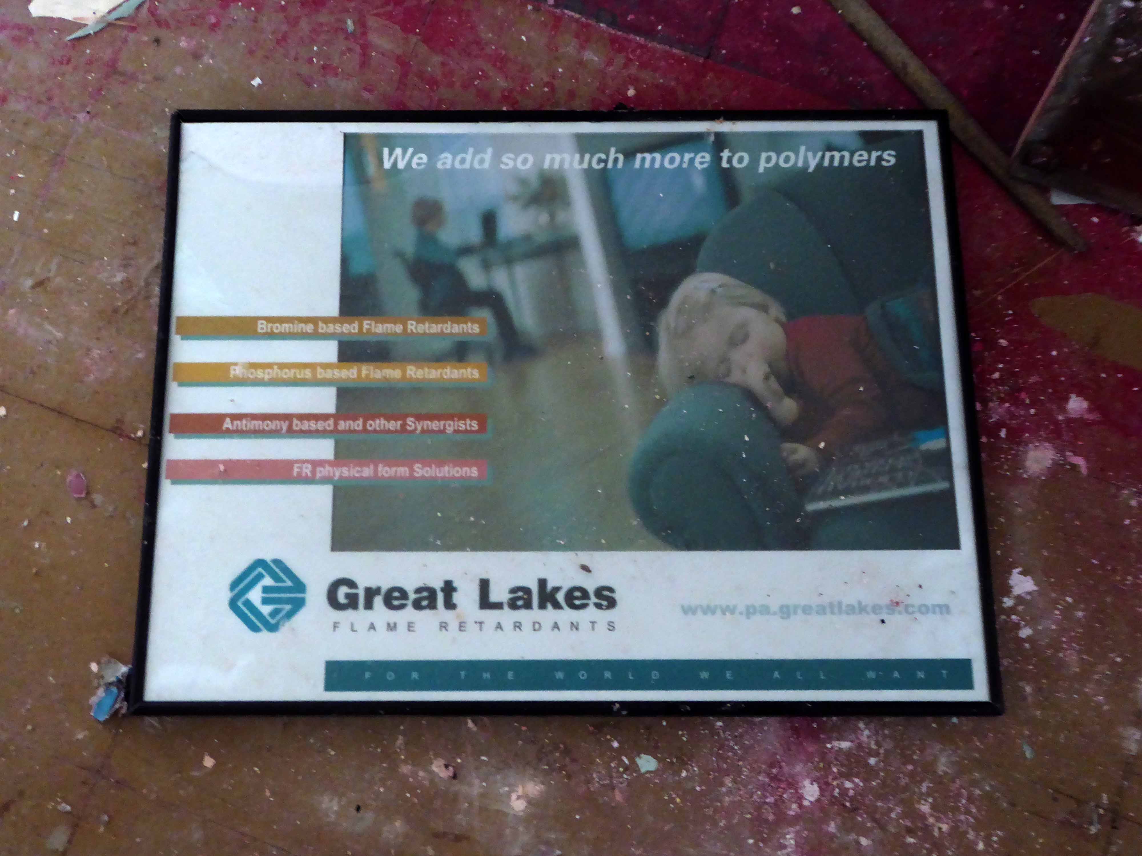
As the health effects of lead in vehicle exhaust gases became better understood, unleaded petrol was developed. It was introduced to UK filling stations in the 1980s, and leaded petrol was later phased out. As demand for anti-knock additive reduced, the Octel factory diversified into other bromine products and was taken over by Great Lakes Chemical Corporation. In 2003, the corporation decided to close the works with the loss of more than 100 jobs.
A detailed history of the site can be found here at Octel Amlwch.
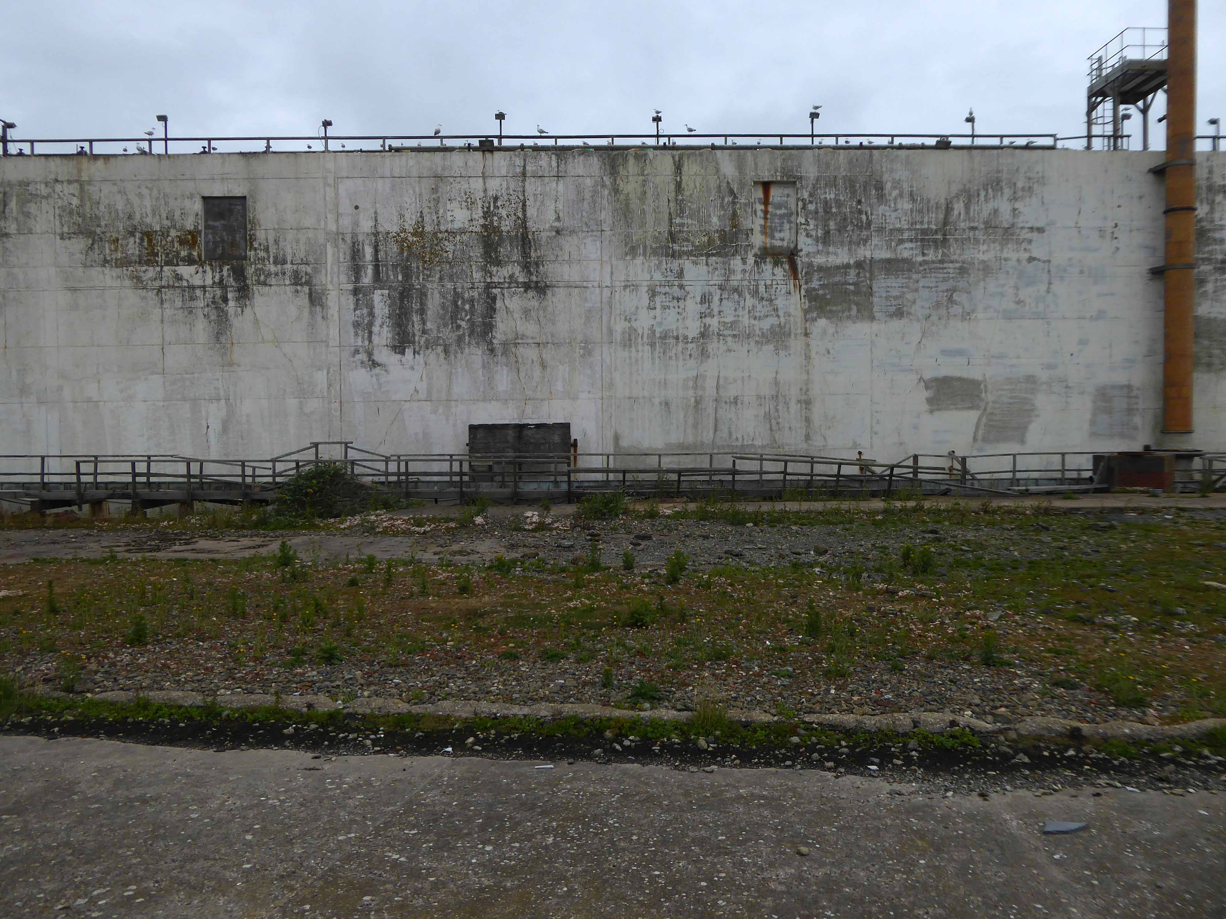
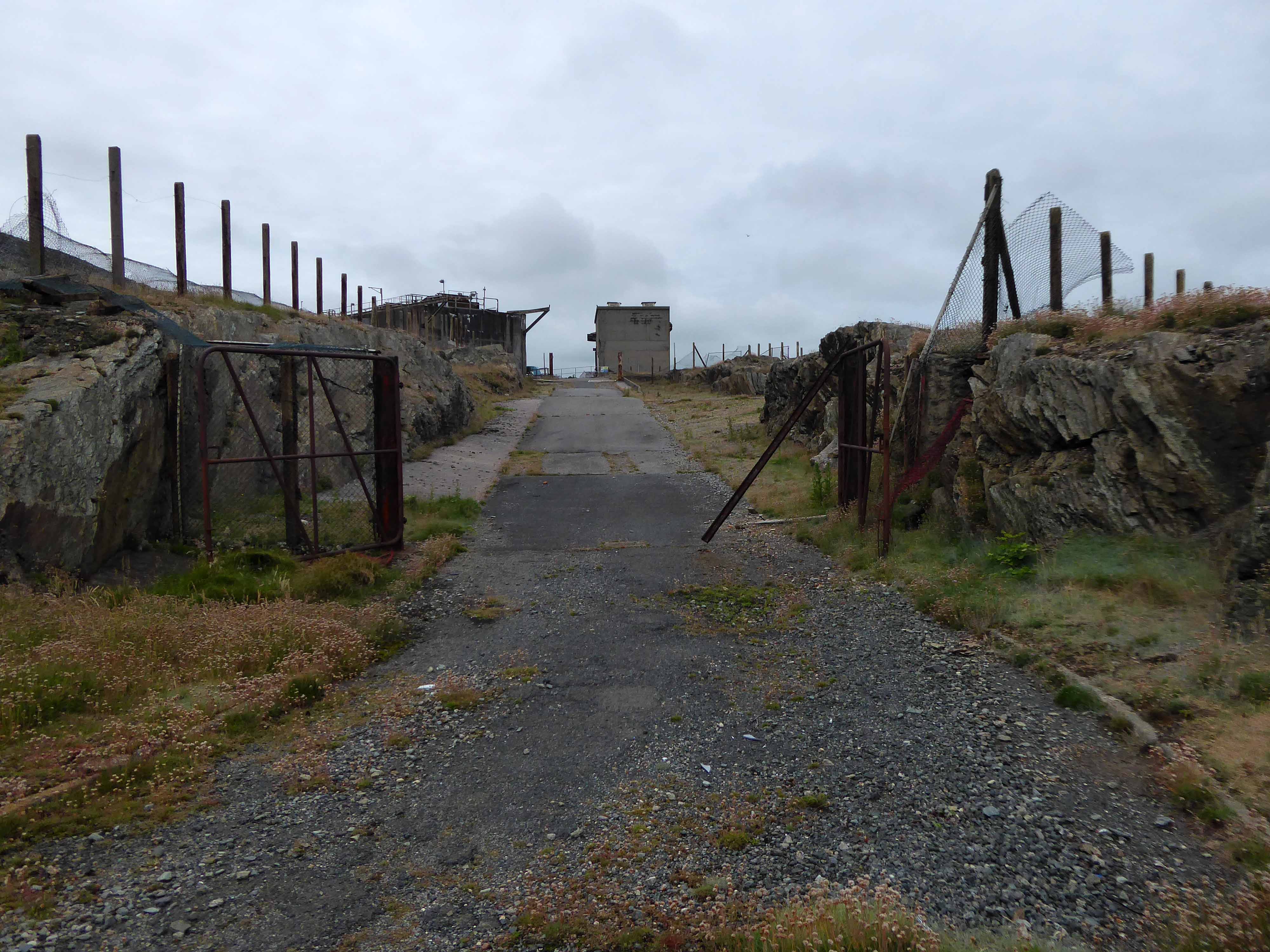
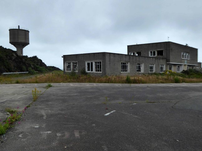
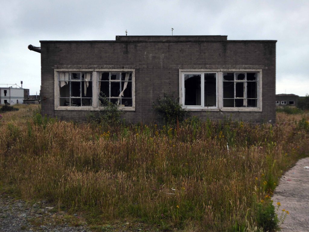
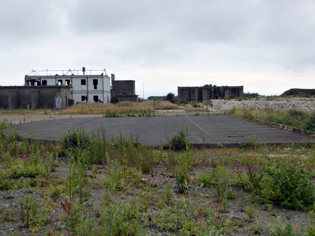
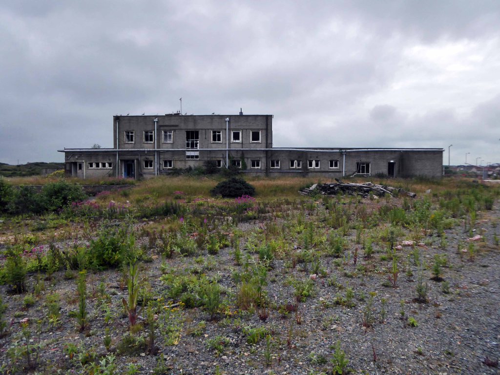
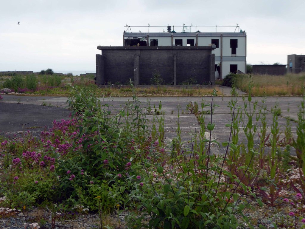
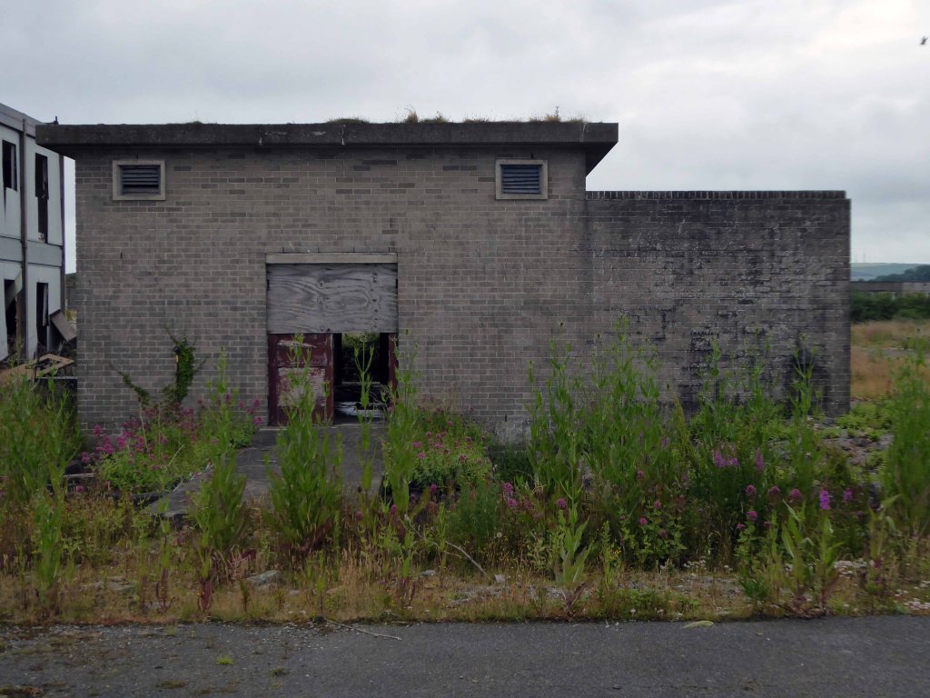
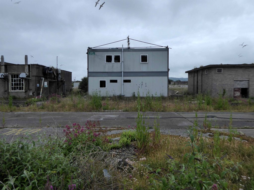
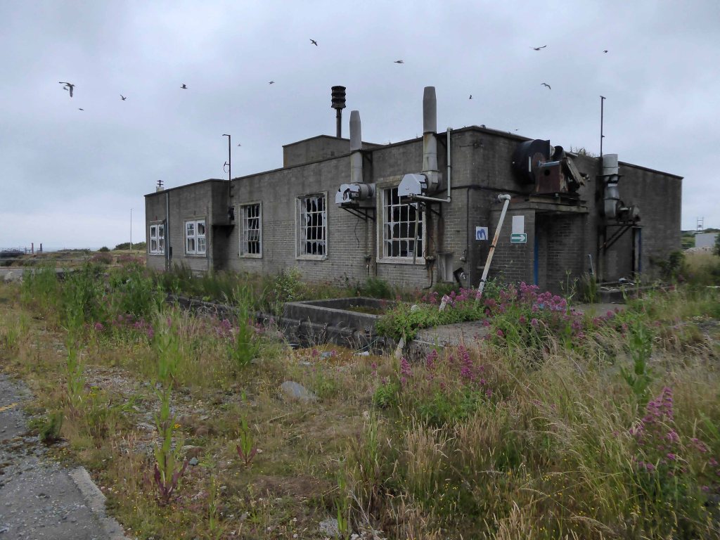
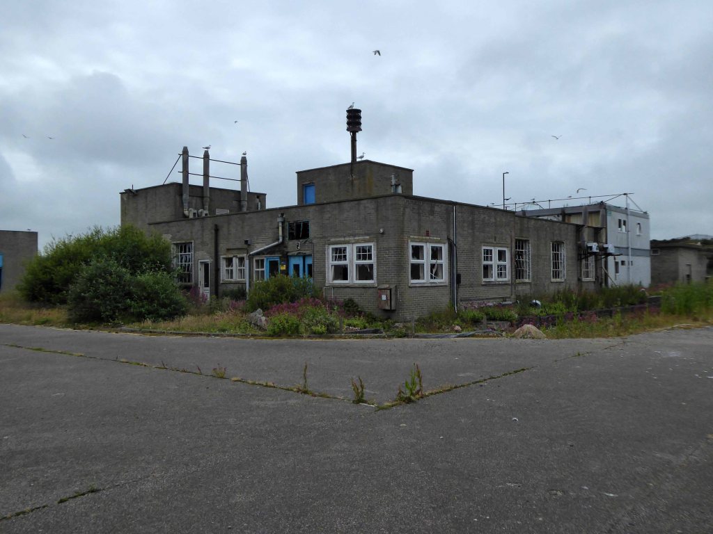
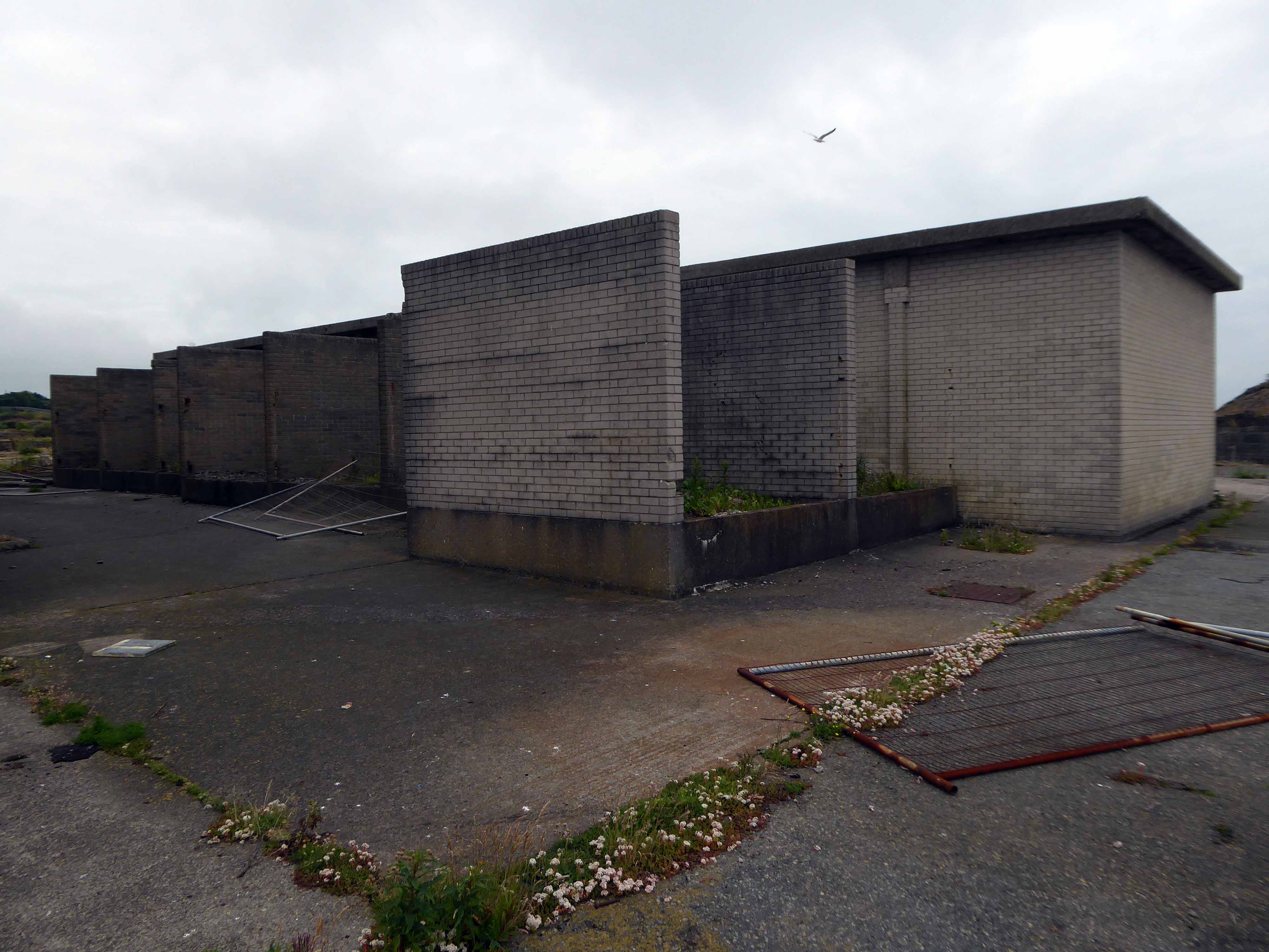
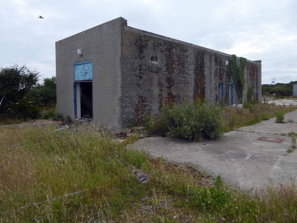
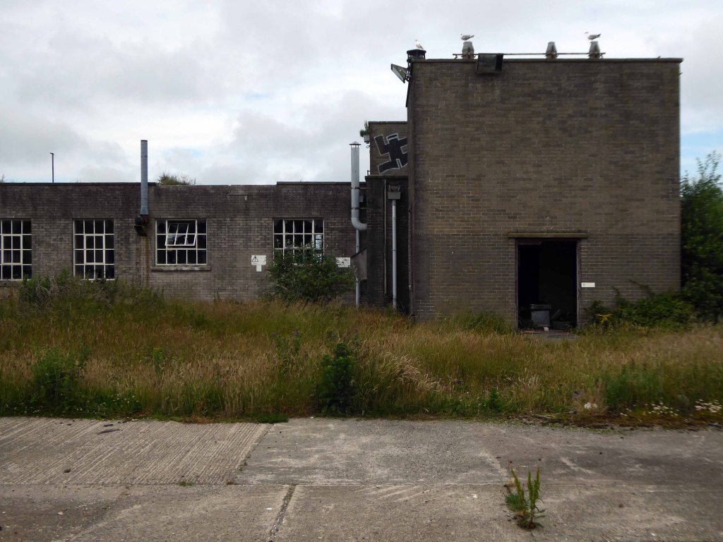
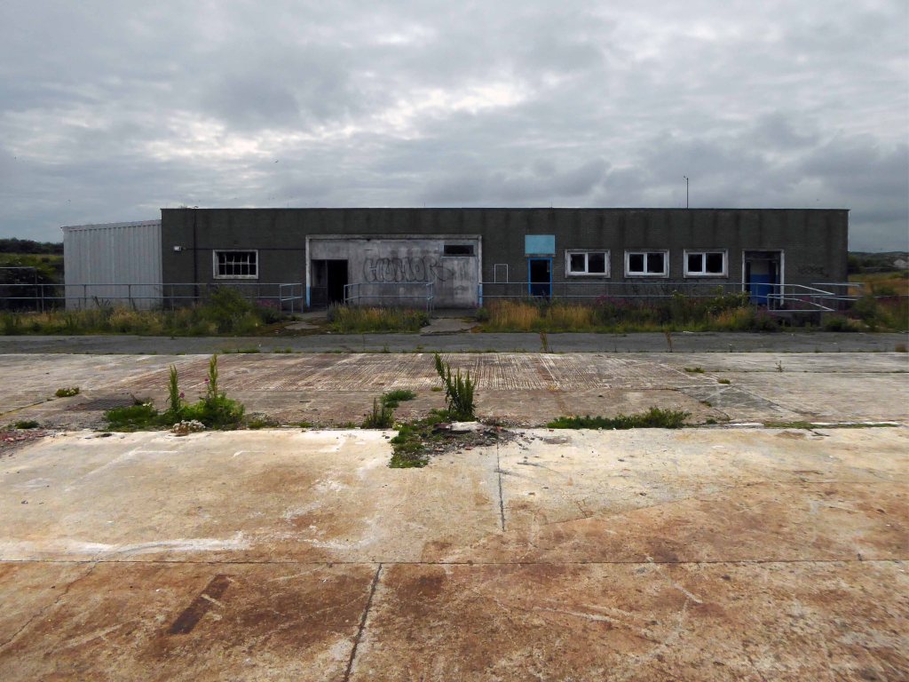
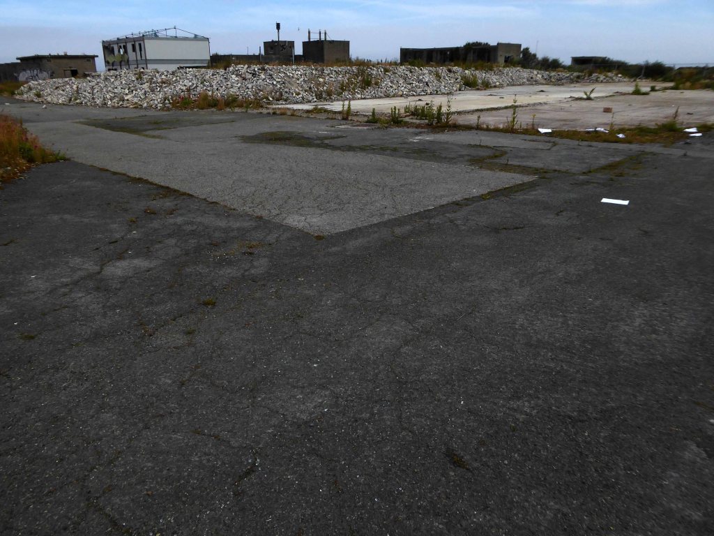
The site has been subject to arson attacks and partial demolition, the extant buildings tagged, tattered and torn.
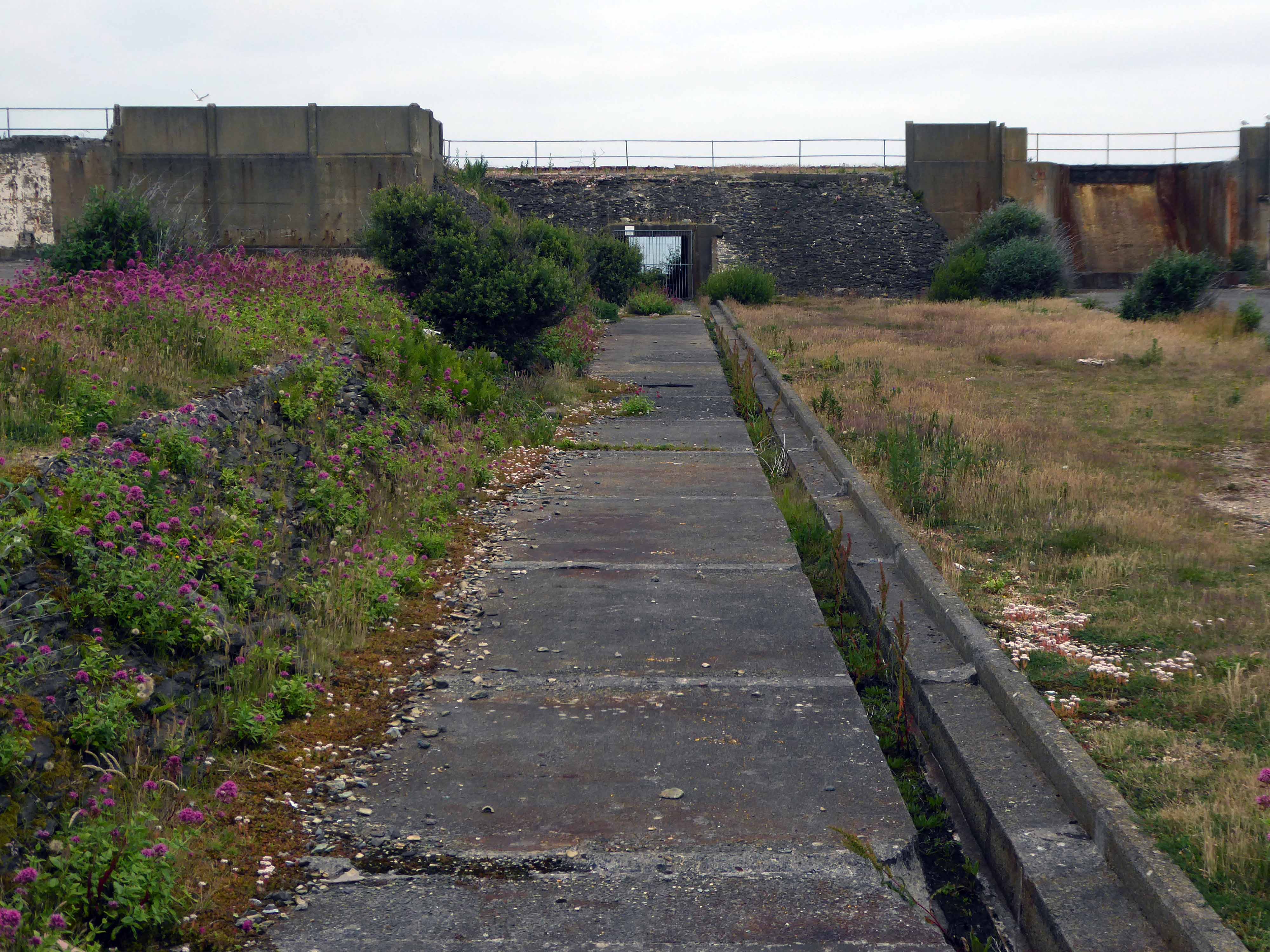
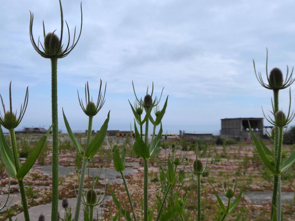
Slowly but surely nature breaks through the tarmac and concrete.
The gate is open, the lights are out, there’s nobody home.
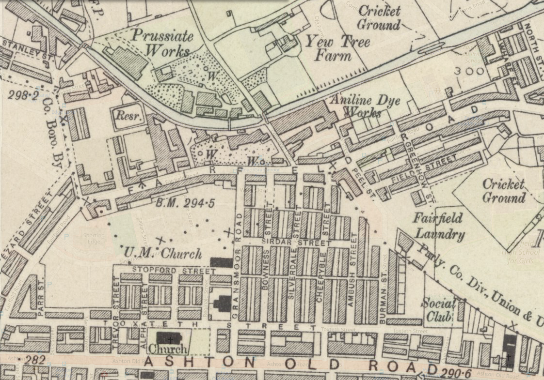
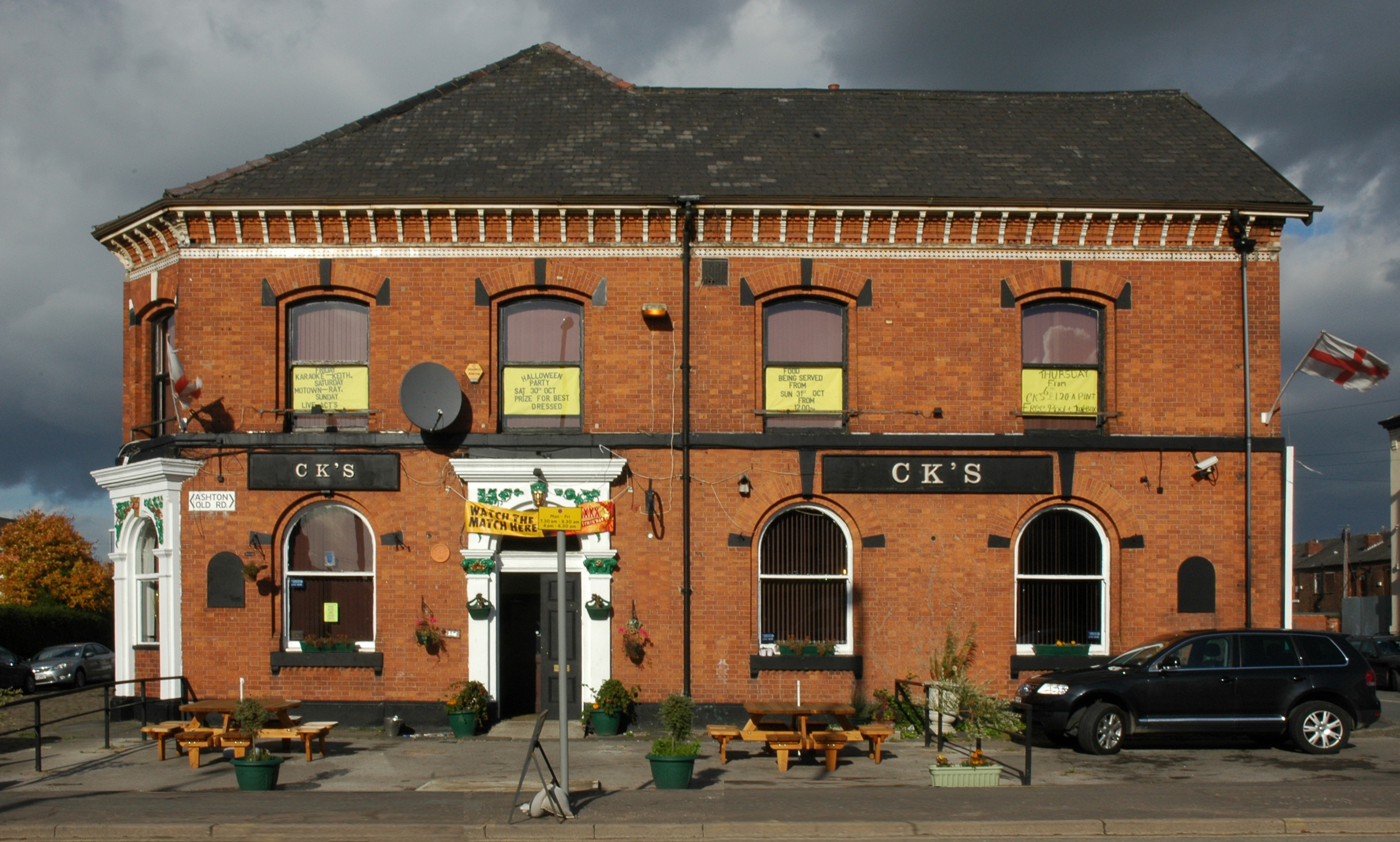
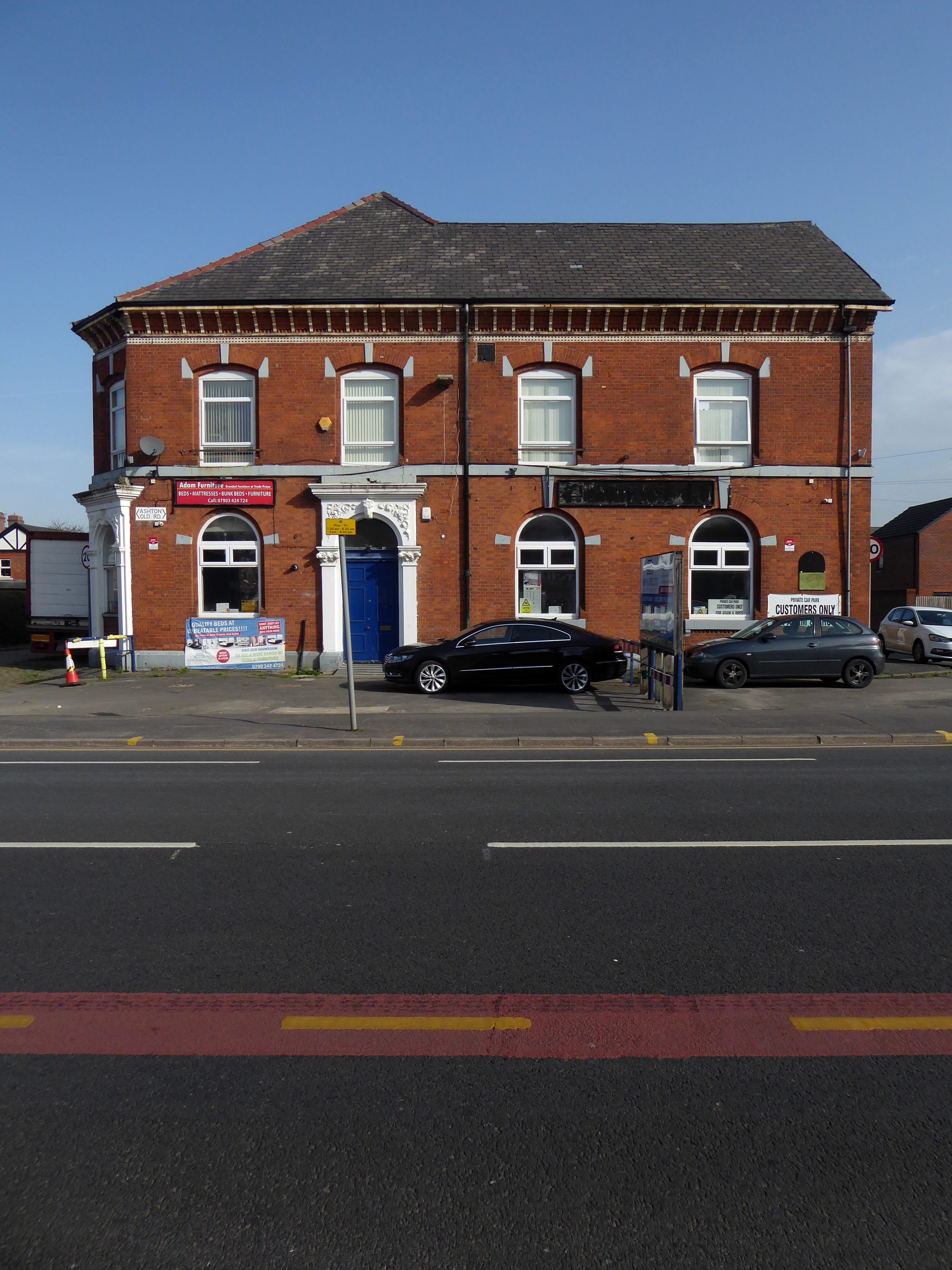
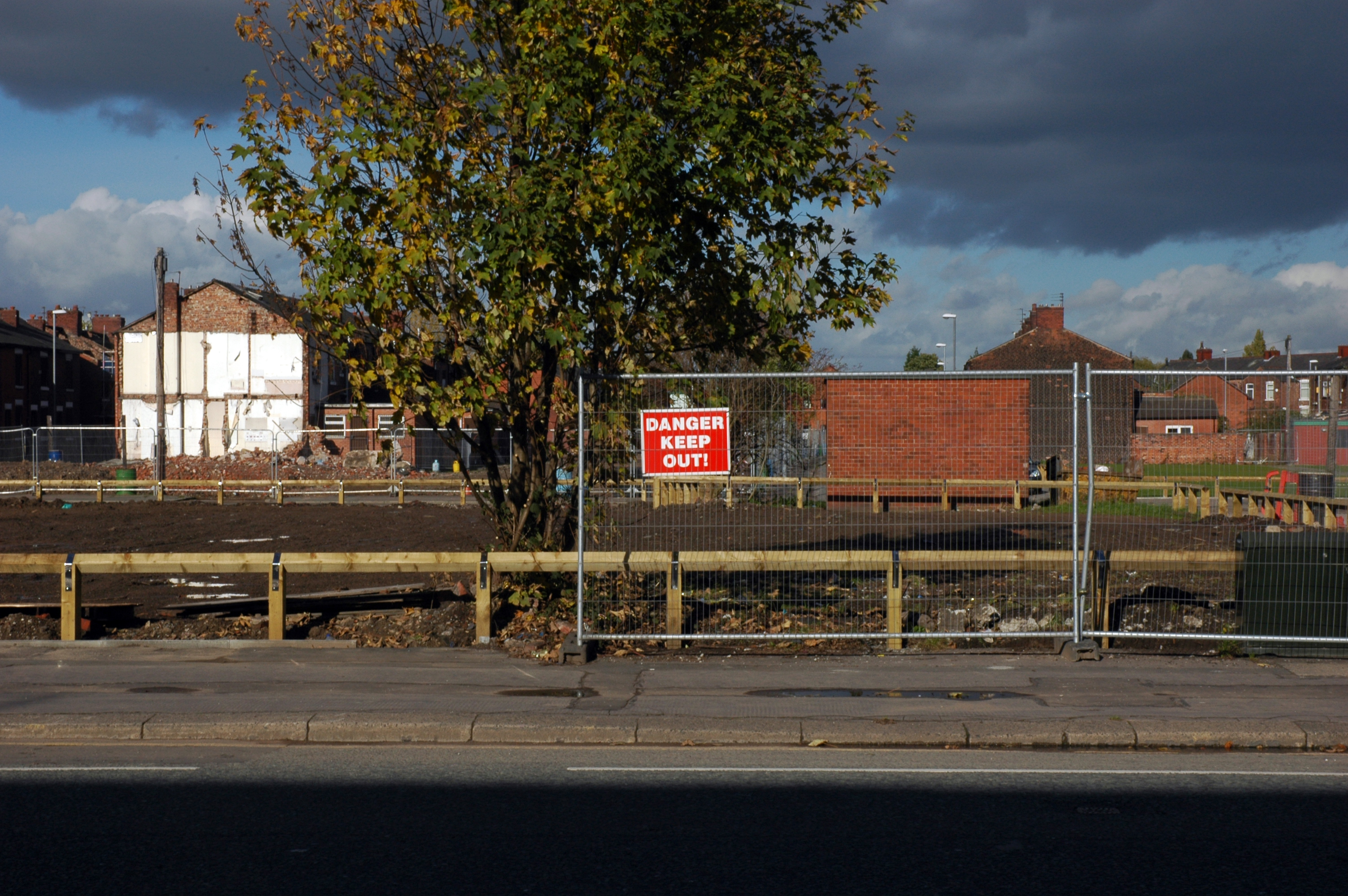
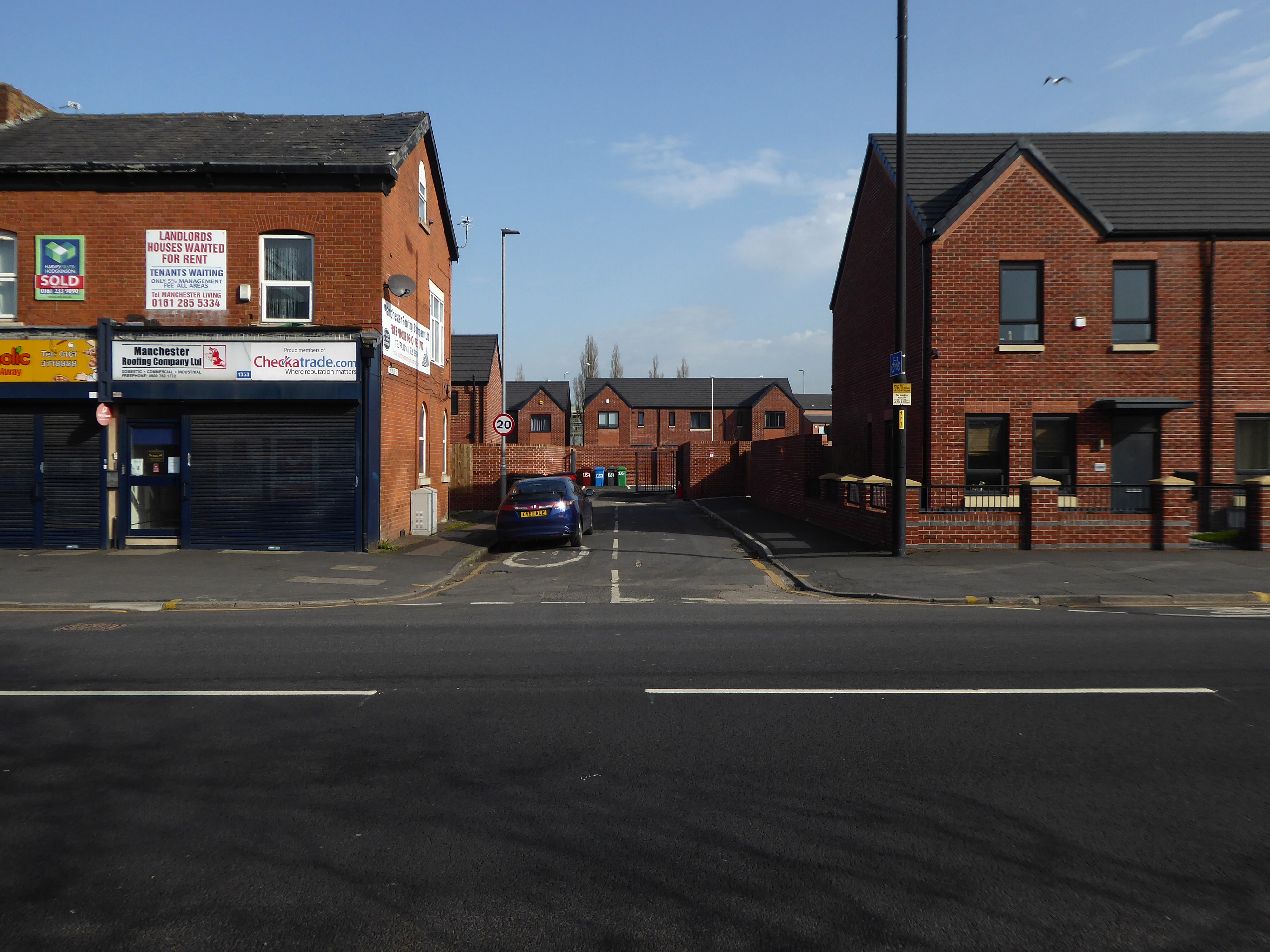
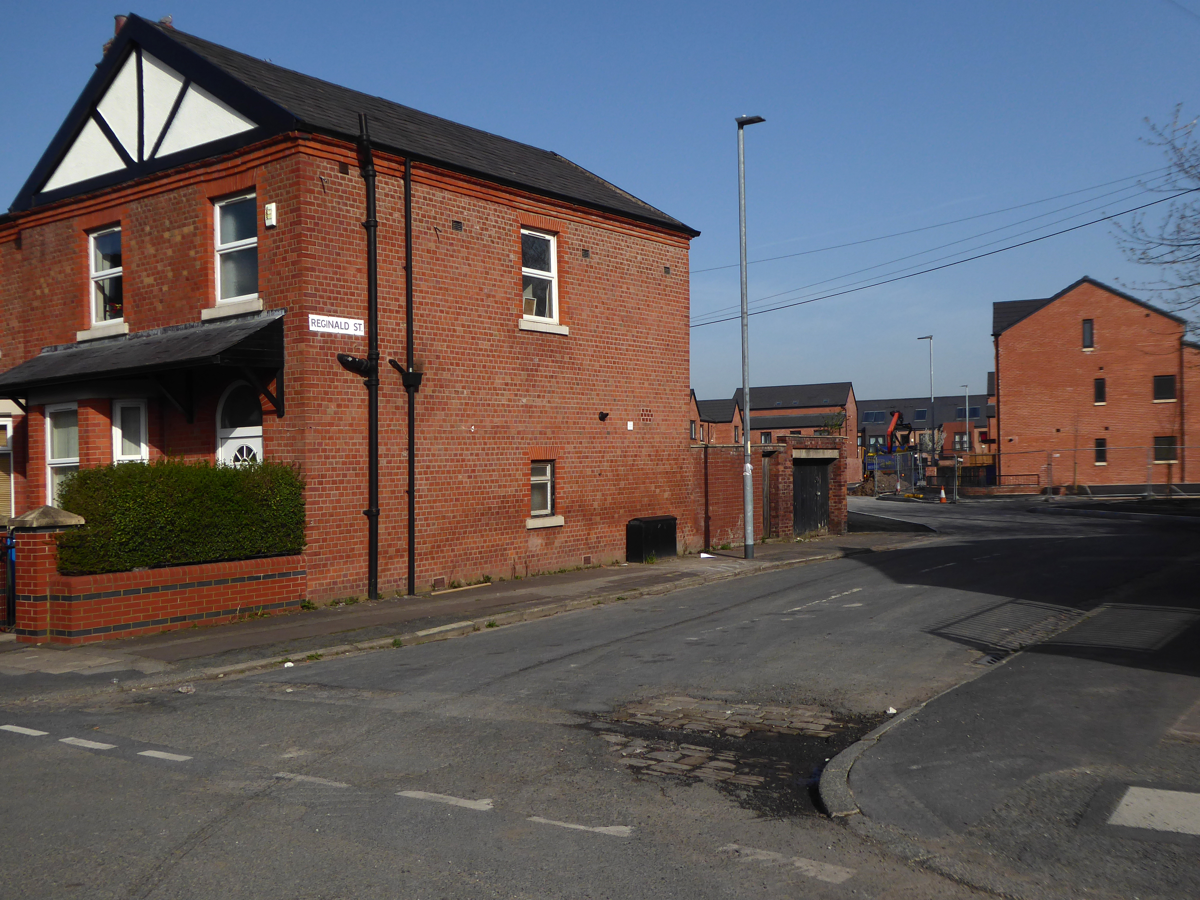
There’s been more than a few comings and goings along Ashton Old Road.
1906
Where once there were fields, homes and industry arrive, as the Industrial Revolution is in full swing.
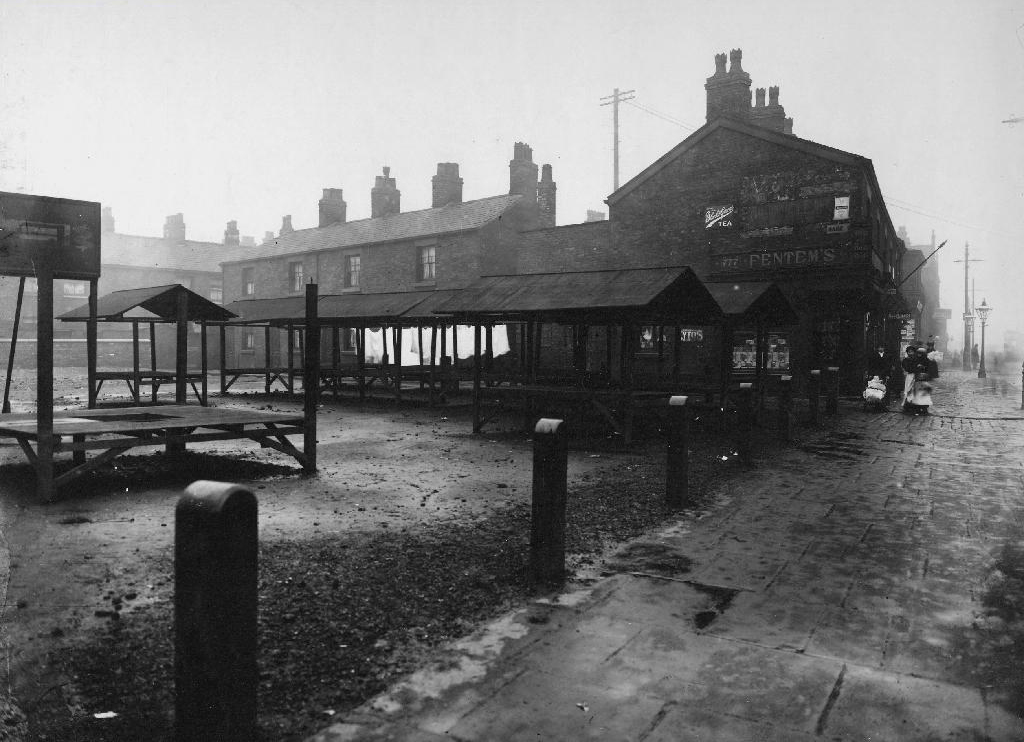
1908
The streets to the north of Ashton Old Road are alive with shops, homes, people and prams.
Along with the occasional motor car.
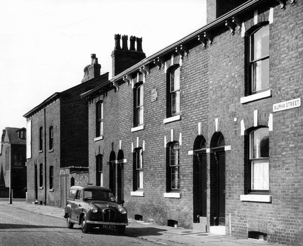
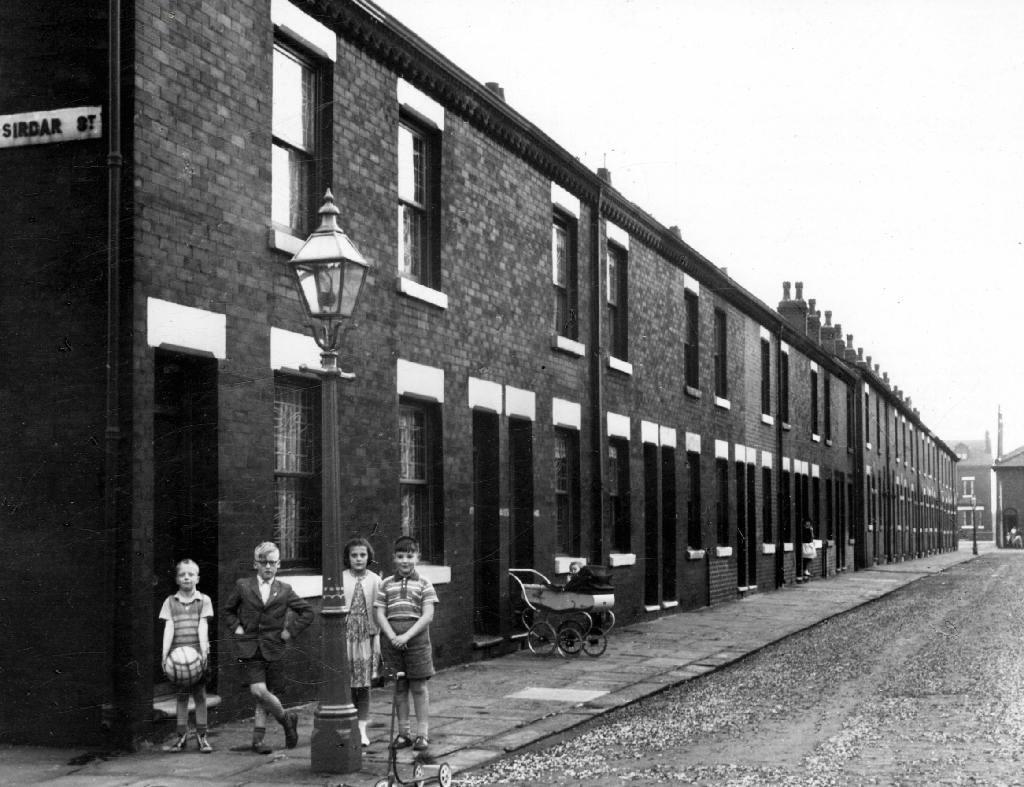
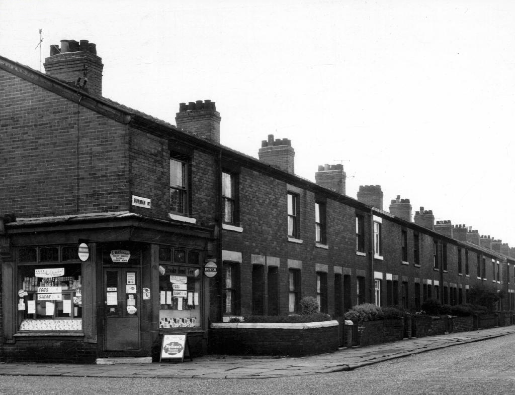
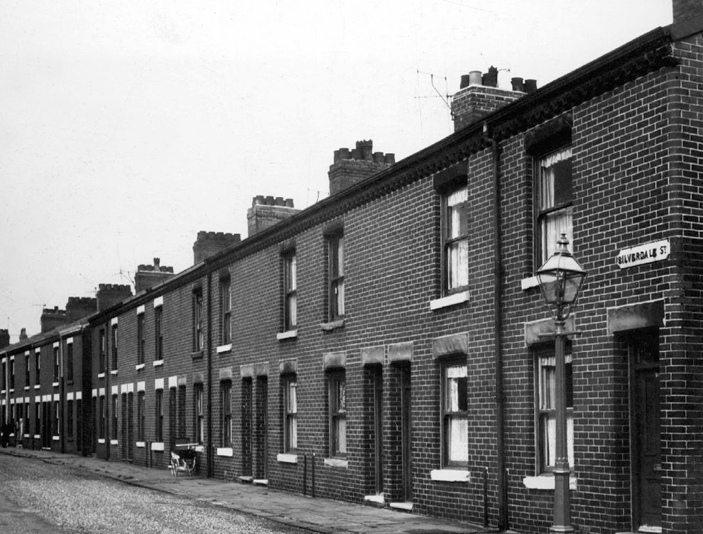
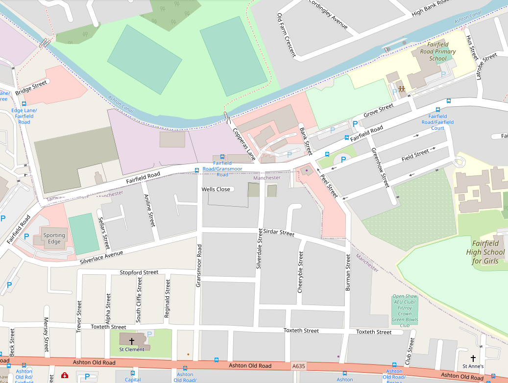
Alpha StreetBowness StreetBurman StreetSilverdale StreetToxteth StreetTrevor Street
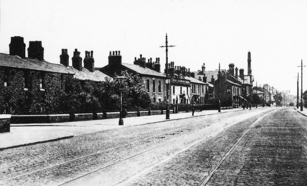
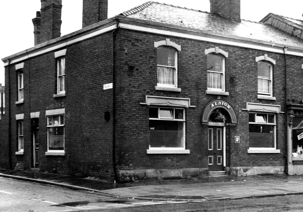
The Old Road boasted some fine busy boozers.
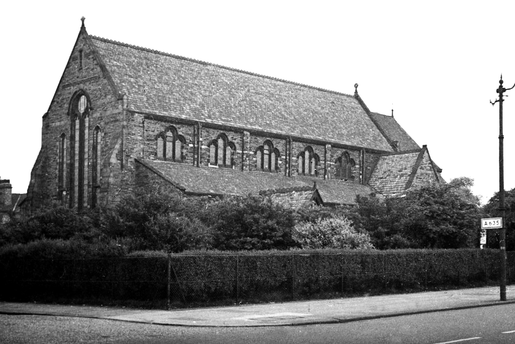
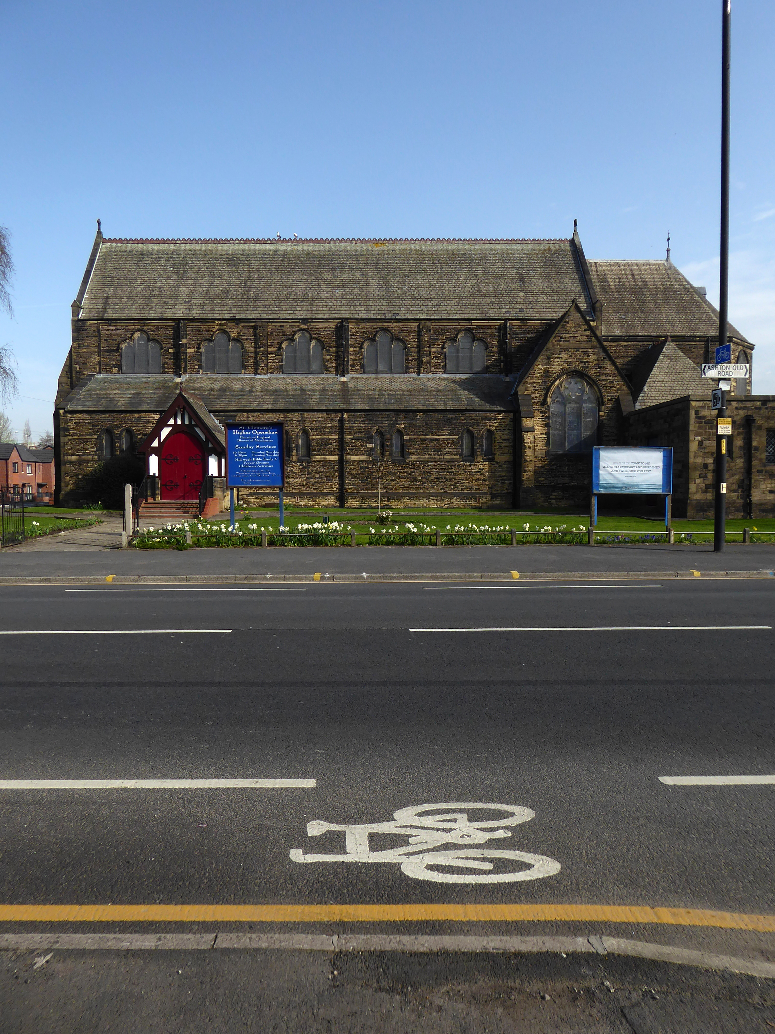
And a splendid church and school.
St Clements
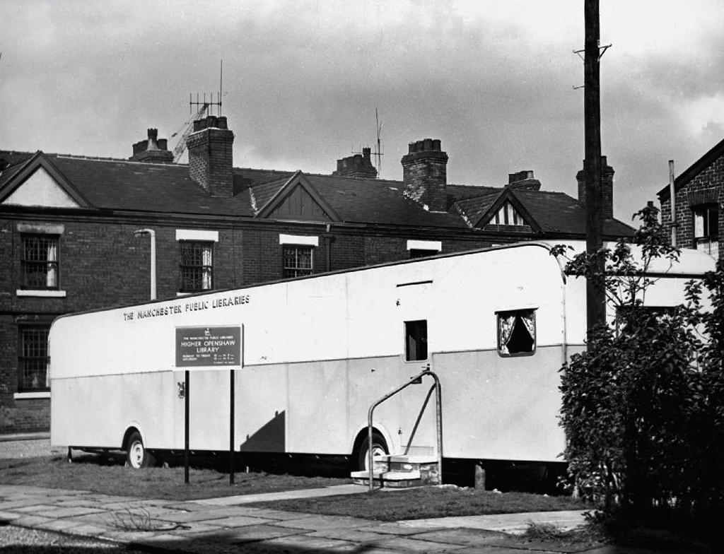
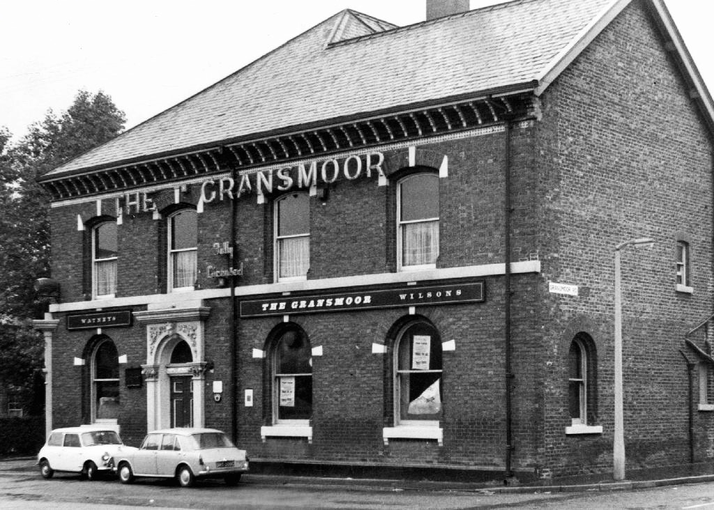
The man responsible for the majority of these archive photographs is Tommy Brooks of 56 Gransmoor Road.
He is my hero, a member go the Manchester Amateur Photographic Society, cycling the streets of Manchester to produce a unique record of life in the Sixties.
Converted to retail use 24th September 2012 after closure. This interesting Victorian building stands back from the road with what may well be a coach road in front. Inside the high ceilings and glorious plasterwork gave the impression of a gentlemen’s club. Though it previously sold cask Banks’s beers in its earlier years, its final days were seen out with only keg beers being available.
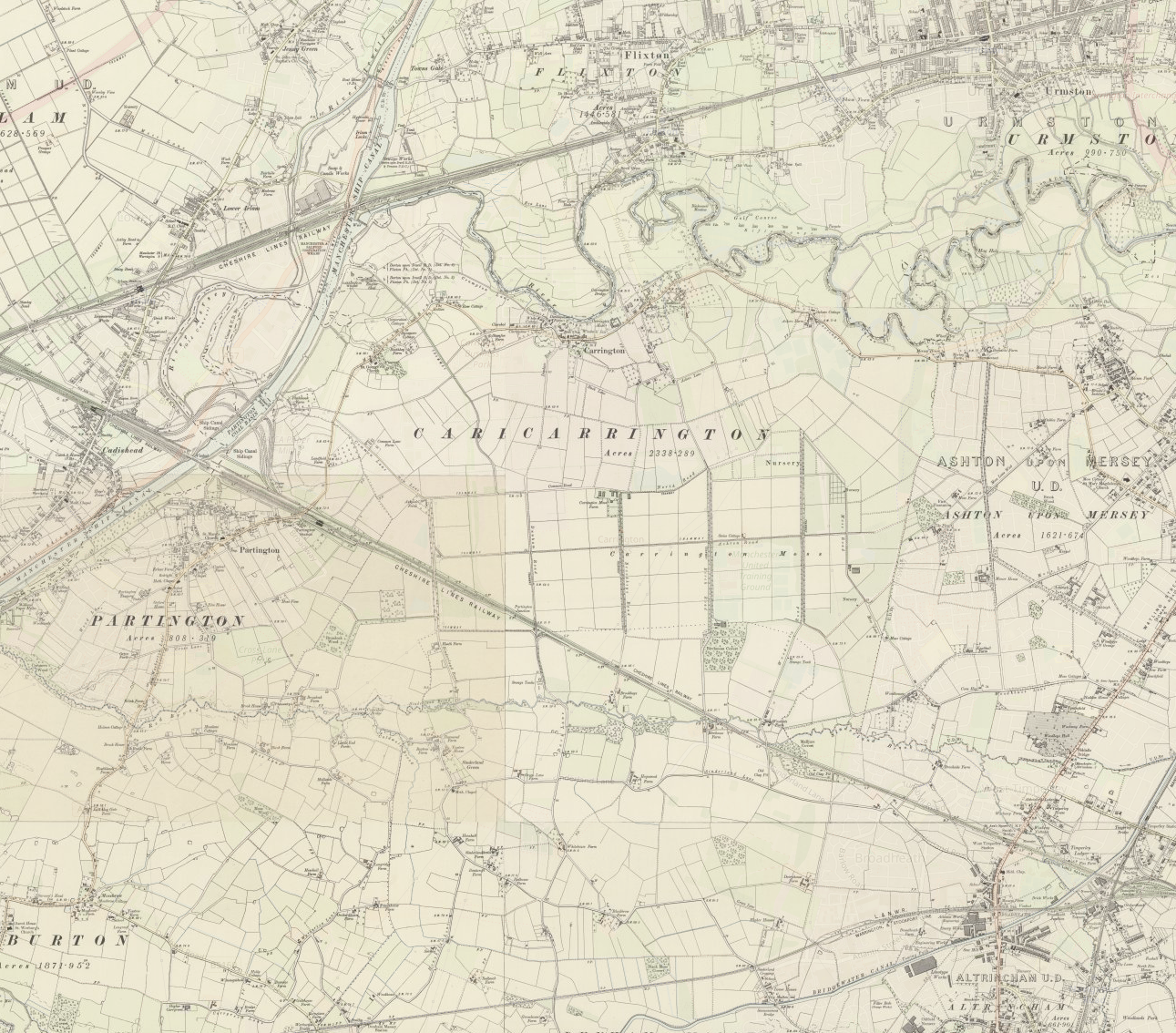
Carrington Moss is a large area of peat bog near Carrington in Greater Manchester, England. It lies south of the River Mersey, approximately ten miles south-west of Manchester, and occupies an area of about 1,100 acres..Originally an unused area of grouse moorland, the moss was reclaimed in the latter half of the 19th century for farming and the disposal of Manchester’s waste. A system of tramways was built to connect it with the Manchester Ship Canal and a nearby railway line. During the Second World War the land was used as a Starfish site and in the latter half of the 20th century, a large industrial complex was built along its northern edge. More recently, several sporting facilities have been built on Carrington Moss. Today, the land is still used for farming and several nature reserves have been established within its bounds.
Parts of Carrington Moss are accessible to the public over several rights of way.
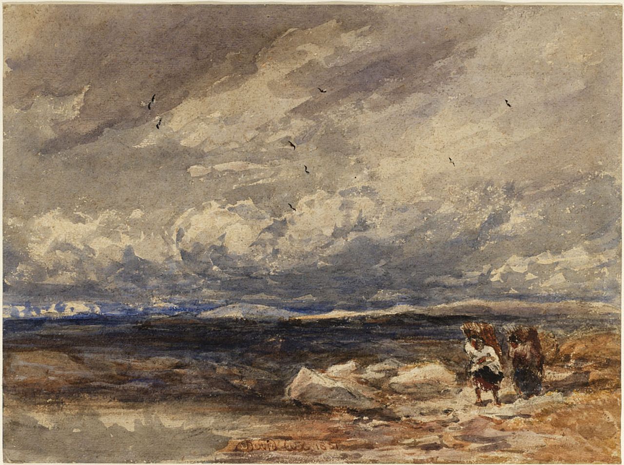
On Carrington Moss 1851 David Cox
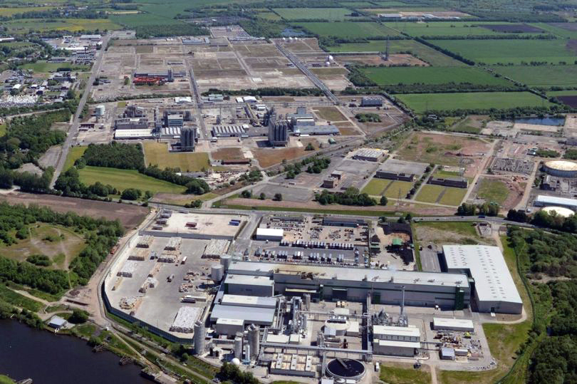
Industrialisation of the moss took place from 1947–1952 when Petro-Carbon ltd began to build what would later become known as the Shell Site. The estate was leased on 1 October 1968 to Shell Chemicals, who in 1957 had purchased a propylene oxide plant along the moss’s northern edge. Shell had built an ethylene oxide plant in 1958 and began to produce polyether polyols the following year. Council housing was built nearby, at Carrington and Partington, for workers and their families. By 1985 the Shell plant had a turnover of about £200M and employed 1,150 people, but a major restructuring of the business reduced the workforce to less than 500 by 1986. By 1994, four distinct plants operated on the 3,500-acre (14 km2) site, producing a range of chemicals, and materials including polystyrene, polyethylene and polypropylene.In 2005 it was reported that Shell would close their polyols and ethoxylates units, a decision which came into effect in 2007. The estate is currently managed by chartered surveyors Bell Ingram. Lyondell Basell operate the last remaining chemical plant on site.
Storm Christoph showed that Manchester is susceptible to the adverse effects of extreme weather events, which are forecast to become more regular occurrences.
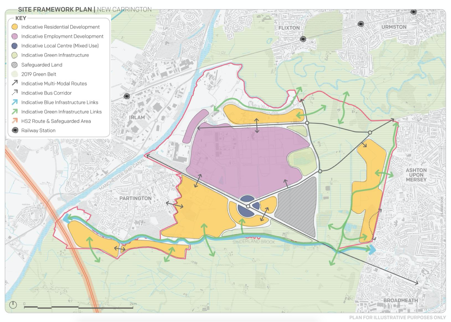
Greater Manchester Labour for a Green New Deal argue that we must abandon the idea of developing on greenbelt, and instead embrace bold alternatives which reflects the urgency of the climate crisis﹣starting with sites like Carrington Moss.
This is an area in liminal limbo, the pressures of the modern world leaning on its very being, as ash, alder, badger, field mouse, and kestrel give way to Wainhomes.
Where then will the wanderer wander, in search of solace?
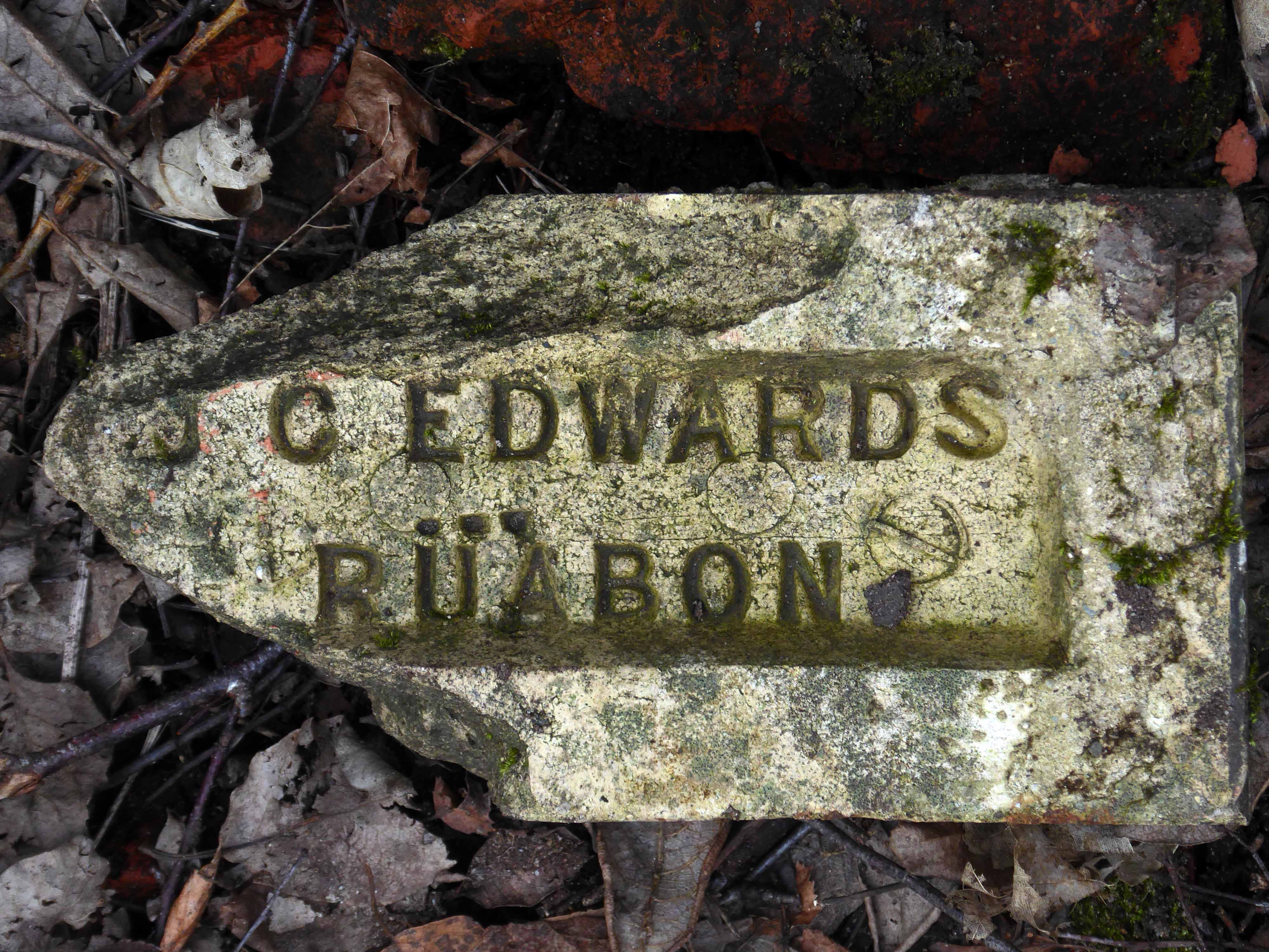
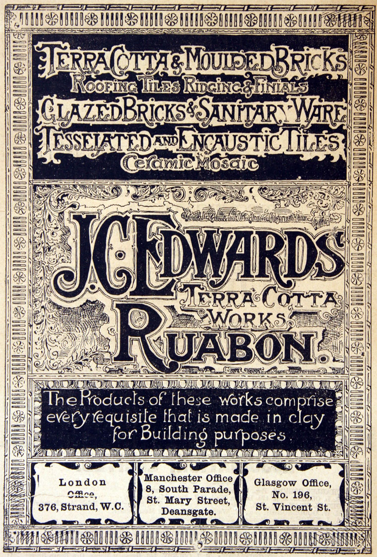
The company of J. C. Edwards Ruabon Ltd, was based in Ruabon, Denbighshire, and was active from 1903 to 1956 as a brick, tile and terracotta manufacturer from its works at Tref-y-Nant, Acrefair, Albert Works, Rhosllannerchrugog, and Pen-y-bont, Newbridge, Denbighshire.
James Coster Edwards (1828-1896) founded the company; it was sold in 1956.
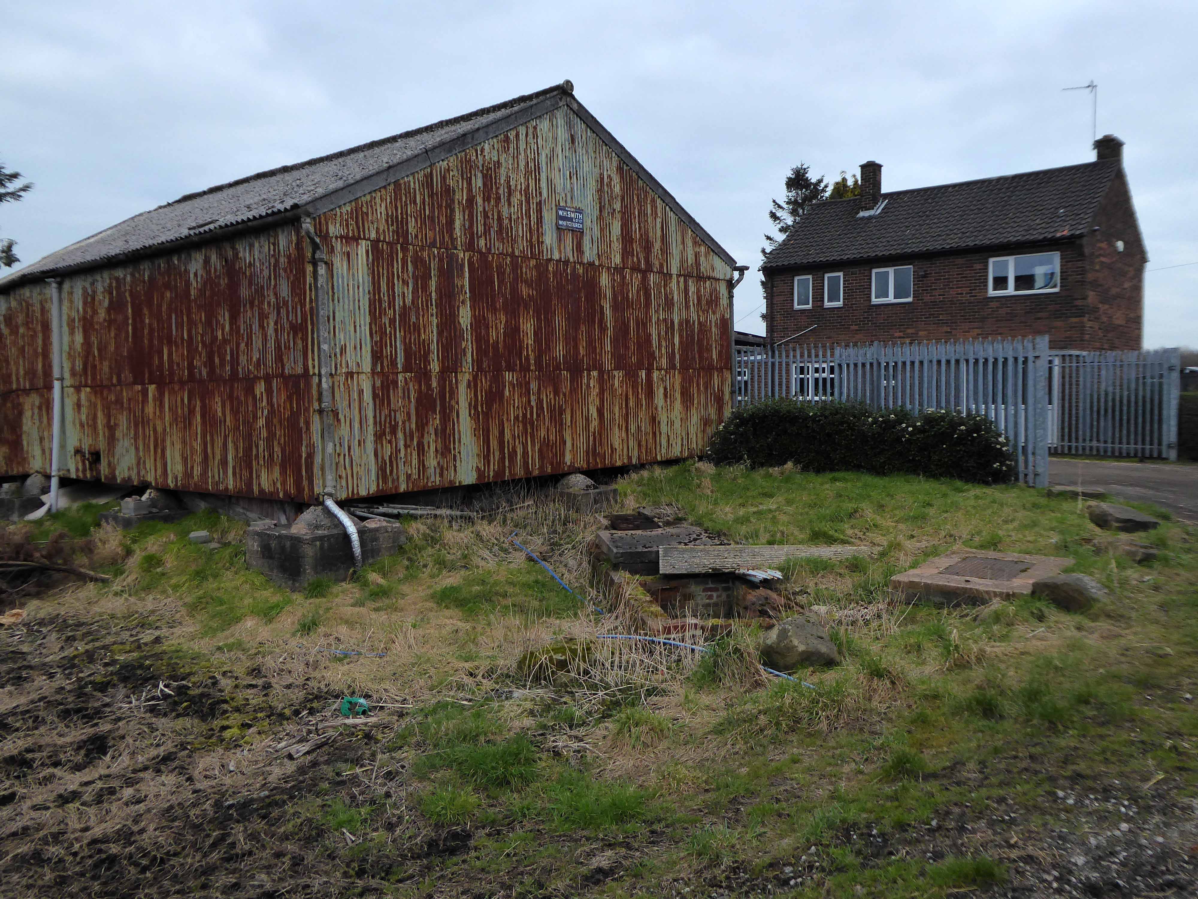
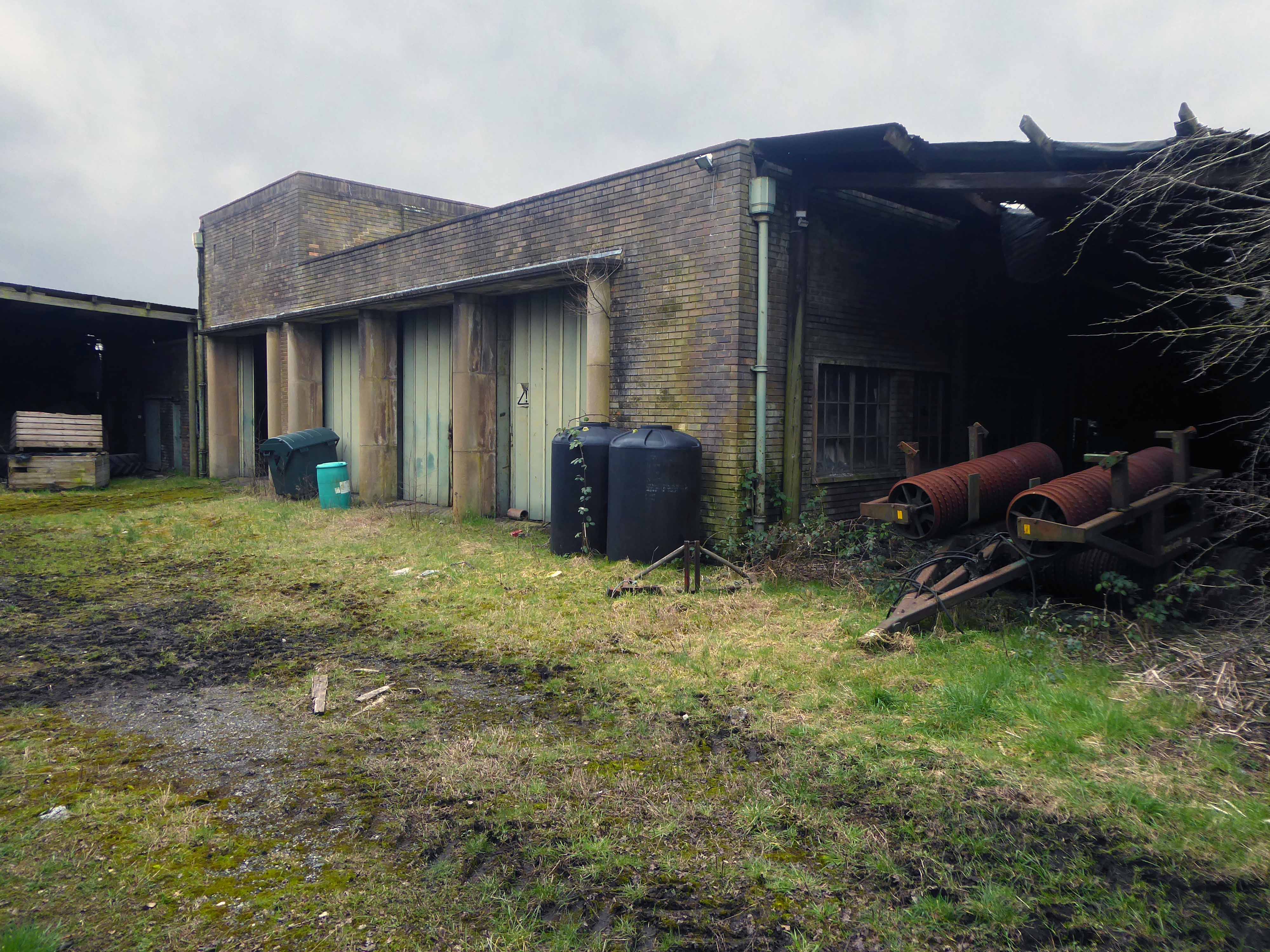
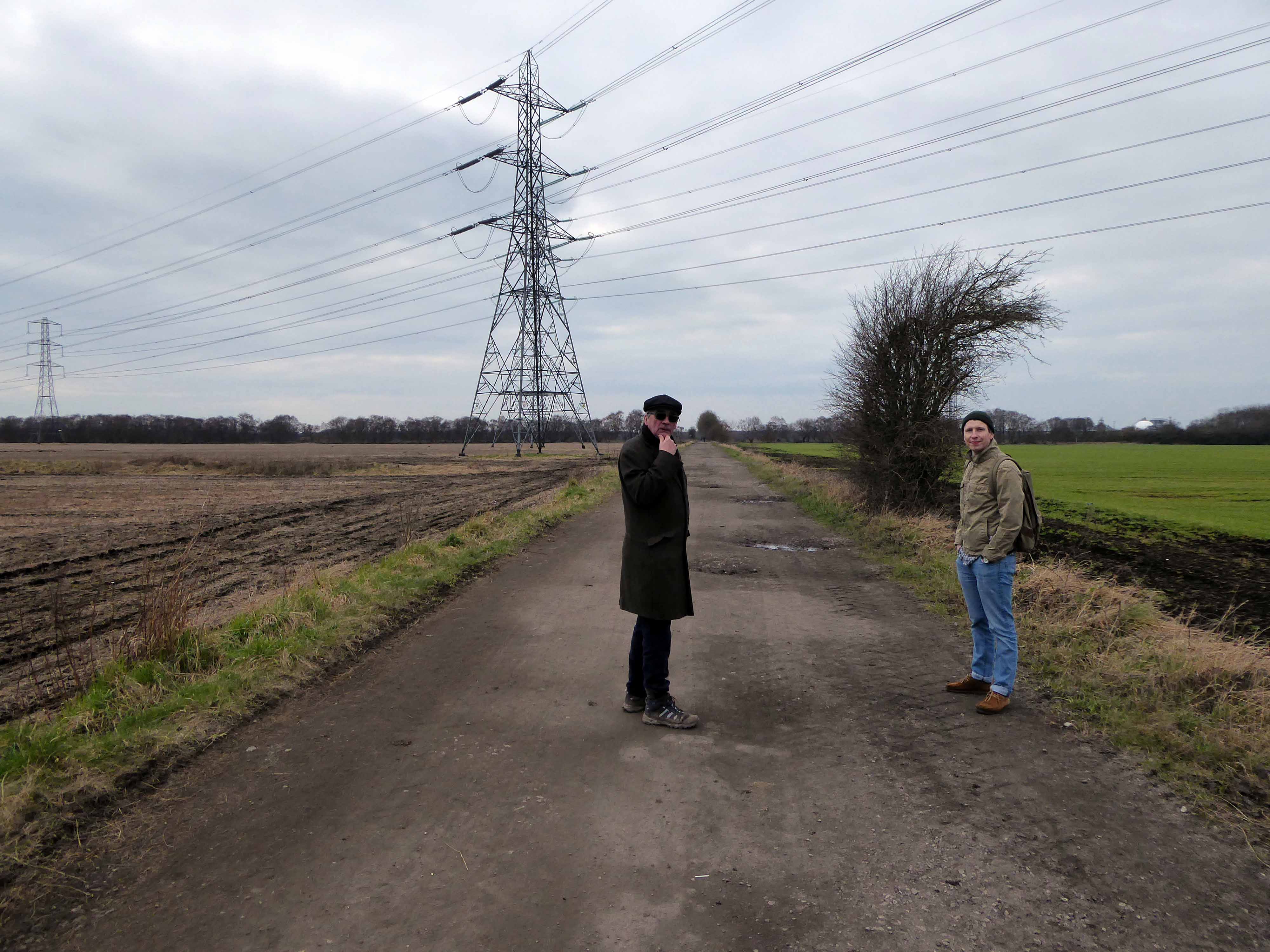
We begin at the beginning of the end – fields full of fields
Dotted with farm buildings – then, along comes an Aerodrome.
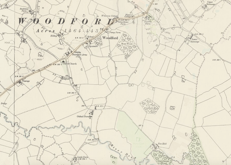
A serious problem arose in 1924 when Avro was notified that the current airfield used by the company at Alexandra Park would be closing. After a hurried search to find an alternative location, Avro settled on New Hall Farm at Woodford and completed the move later that year.
In 1999, Woodford became part of BAE Systems as a result of the merging of British Aerospace with Marconi Electronic Systems. Plans to build the Avro RJX airliner at Woodford were shelved in 2001 which left production of the Nimrod MRA4 as the only active project at the site. Woodford Aerodrome finally closed in 2011 when the Nimrod MRA4 project was cancelled, ending almost 80 years of almost continual aircraft manufacture at the site.
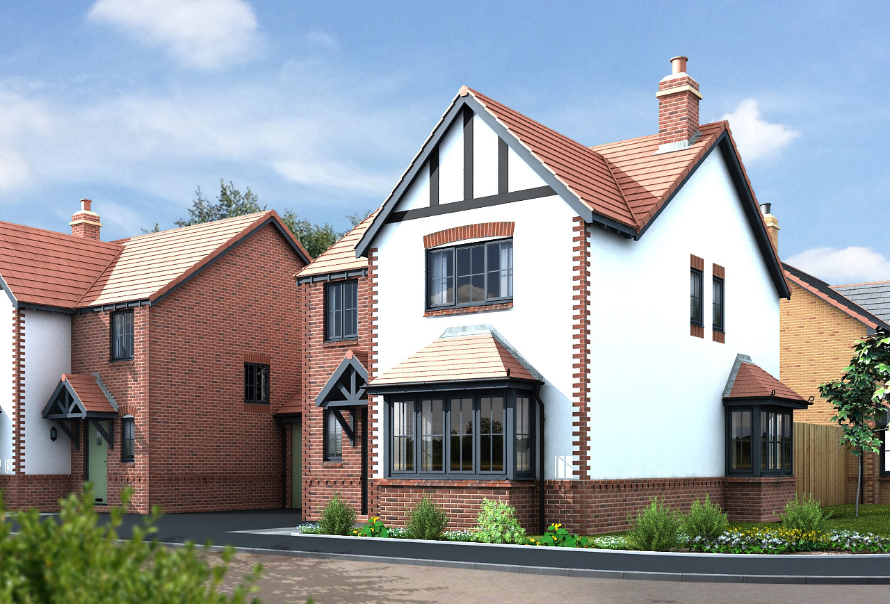
Redrow has started construction on the first phase of 950 homes at the 500-acre former Woodford Aerodrome site near Stockport, nearly two years after planning consent was granted.
Preparatory works are underway and sales of the houses are expected to launch in June with the opening of show homes on the site.
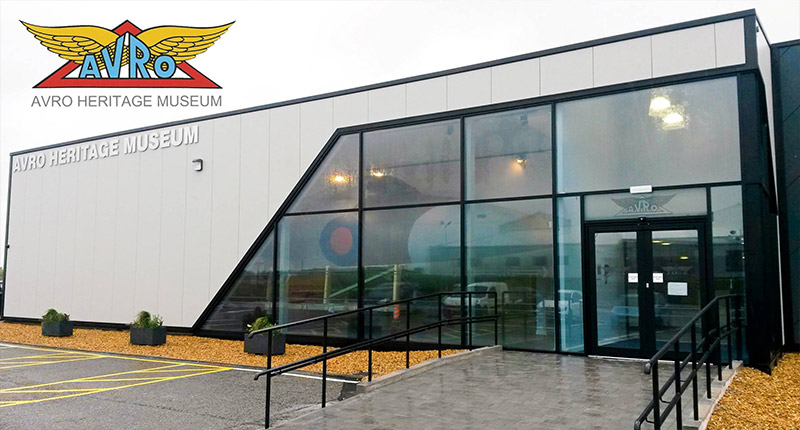
The redevelopment of the 500-acre site, which is being brought forward by a joint venture between Harrow Estates, part of Redrow, and Avro Heritage, will also feature a primary school, employment area, pub, shops, community facilities, and areas of open and recreational space.
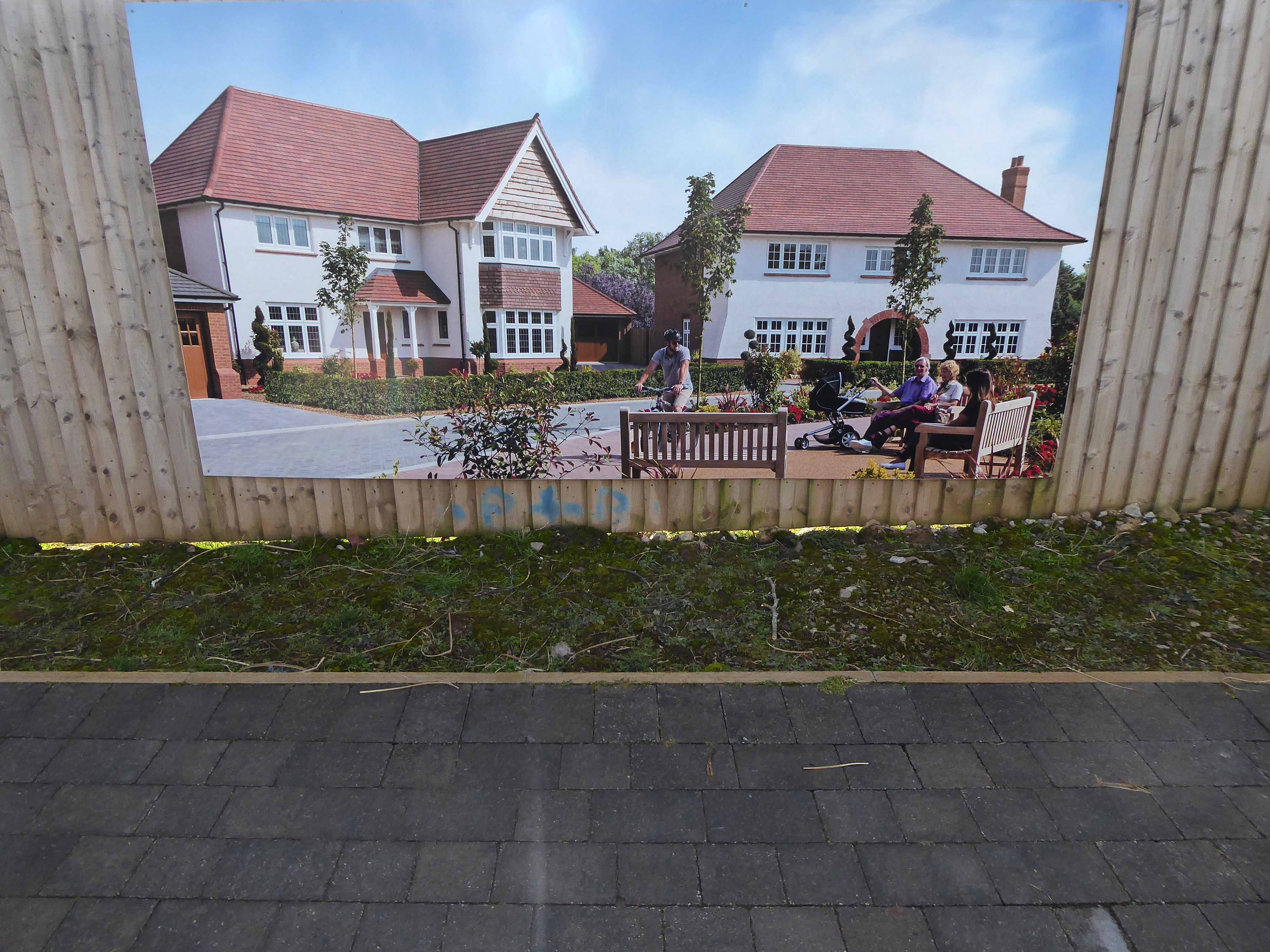
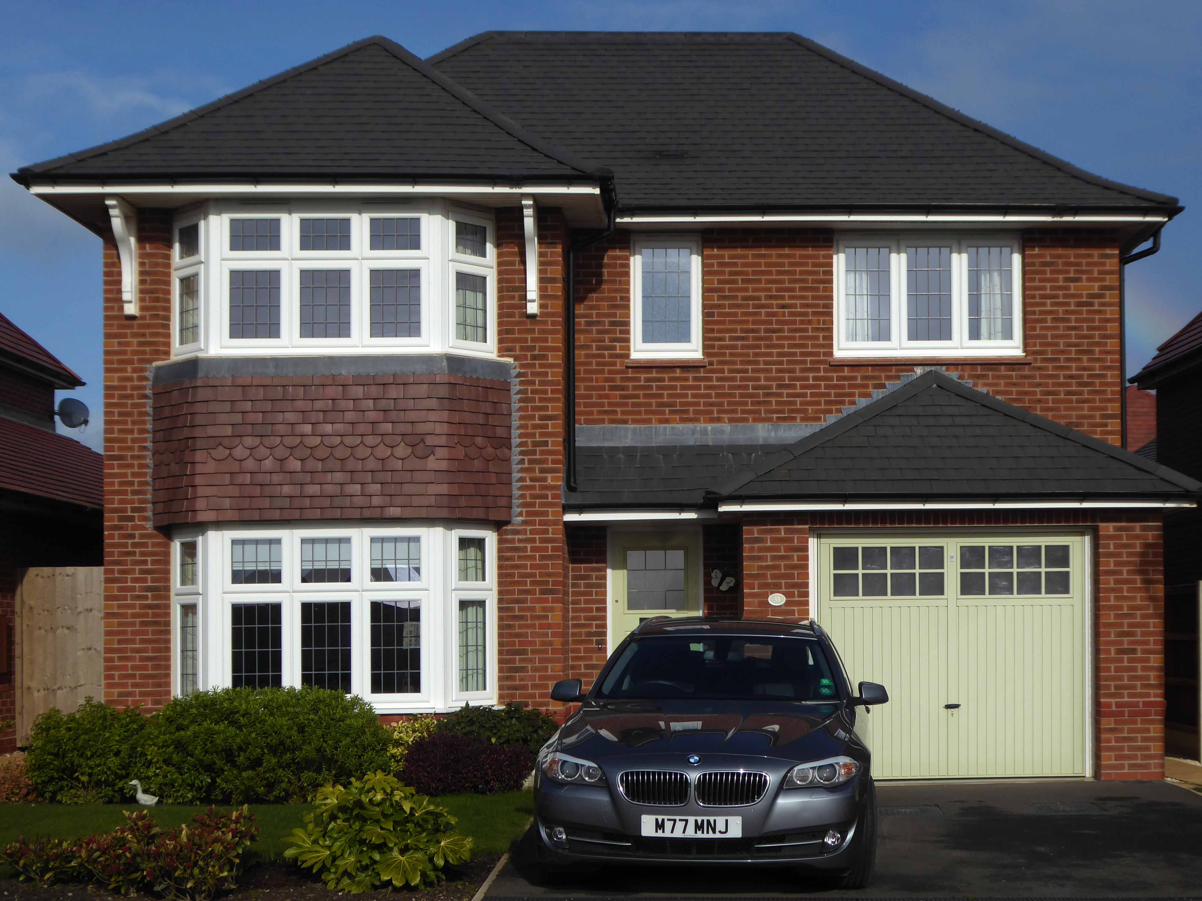
However, the architectural style owes more to Baron Hardup, than Flash Gordon.
The Tudor-Bethan style of Metro-Land, that oh so very, very English pantomime tradition of the village green, merry boys and girls dancing around Maypoles clutching wicker baskets, full of plastic daffodils.
For every raw obscenity Must have its small ‘amenity,’ Its patch of shaven green, And hoardings look a wonder In banks of floribunda With floodlights in between.
This is progress realised as regression, a pastiche of a pastiche, of a pastiche, of a pastiche.
Finding some small comfort in the imitation game, hurtling along radial roads, encased in the biggest, live now pay later motors, which borrowed money can buy.
Seeking succour in the certainty of an illusory past, whilst peering through the nets and blinds, at a seriously uncertain future.
You’re as pretty as a picture, a picture torn from a yellowing scrapbook, scanned and enhanced, to remove any unseemly rough edges and/or ruffians.
This was tomorrow calling, wishing you weren’t here.
Work is still underway and the surrounding landscape feels raw, windswept and wounded.
All of the plots on this phase are now reserved, but don’t miss out on the available homes on our other phases!
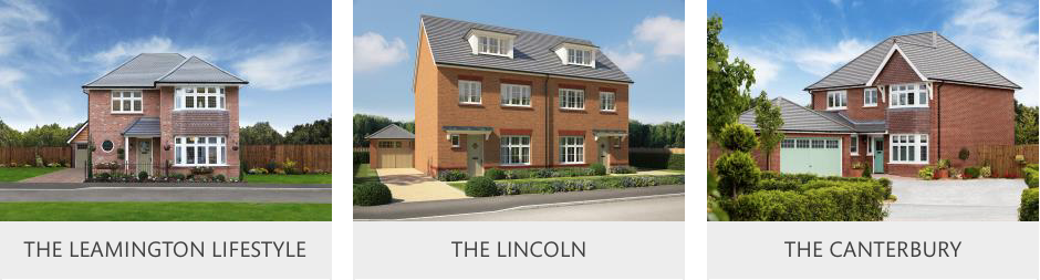
Just minutes from Wilmslow, Poynton and Bramhall, and within easy reach of Manchester for both work and leisure, Woodford is perfectly placed to offer the best of both the thriving city and the glorious Cheshire countryside. This makes it the perfect location for our high-quality Heritage Collection homes, which combine the very best of classic Arts & Crafts architecture with modern, family friendly interiors of the very highest specification.
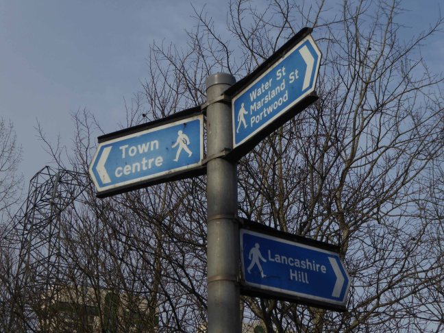
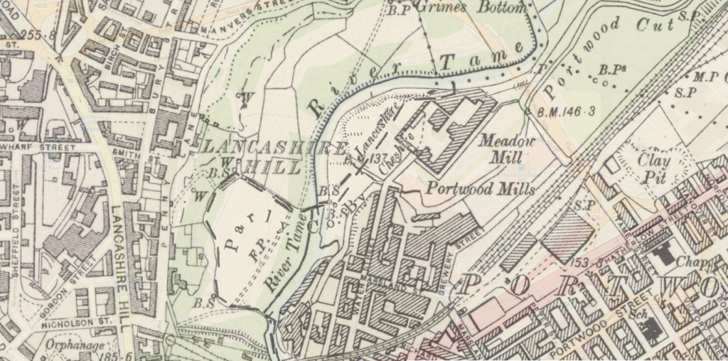
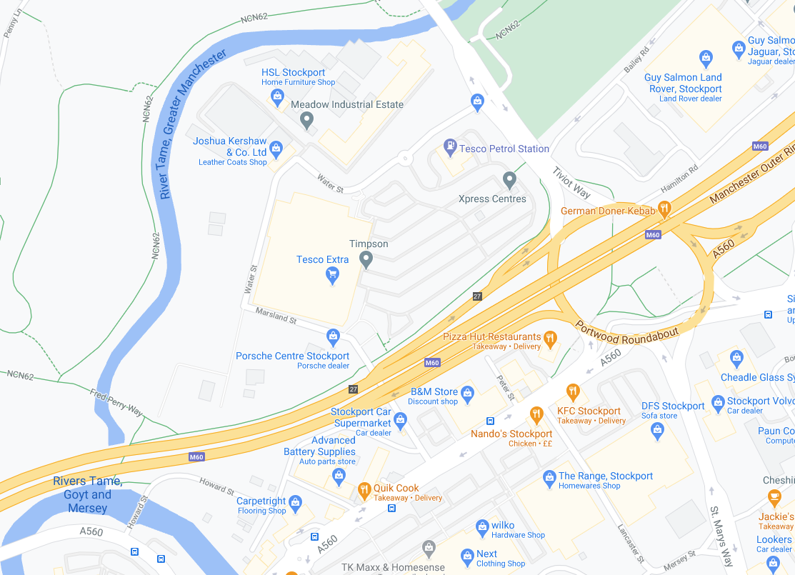
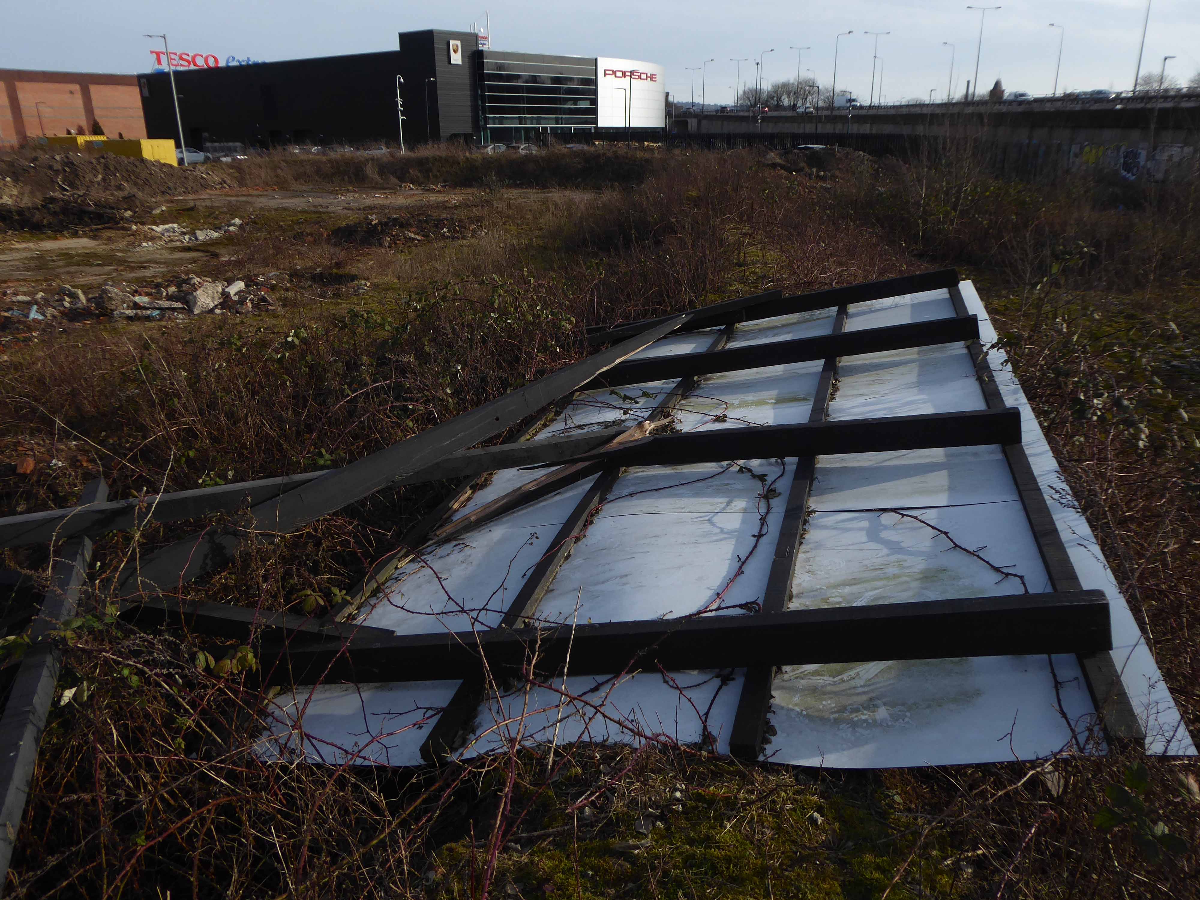
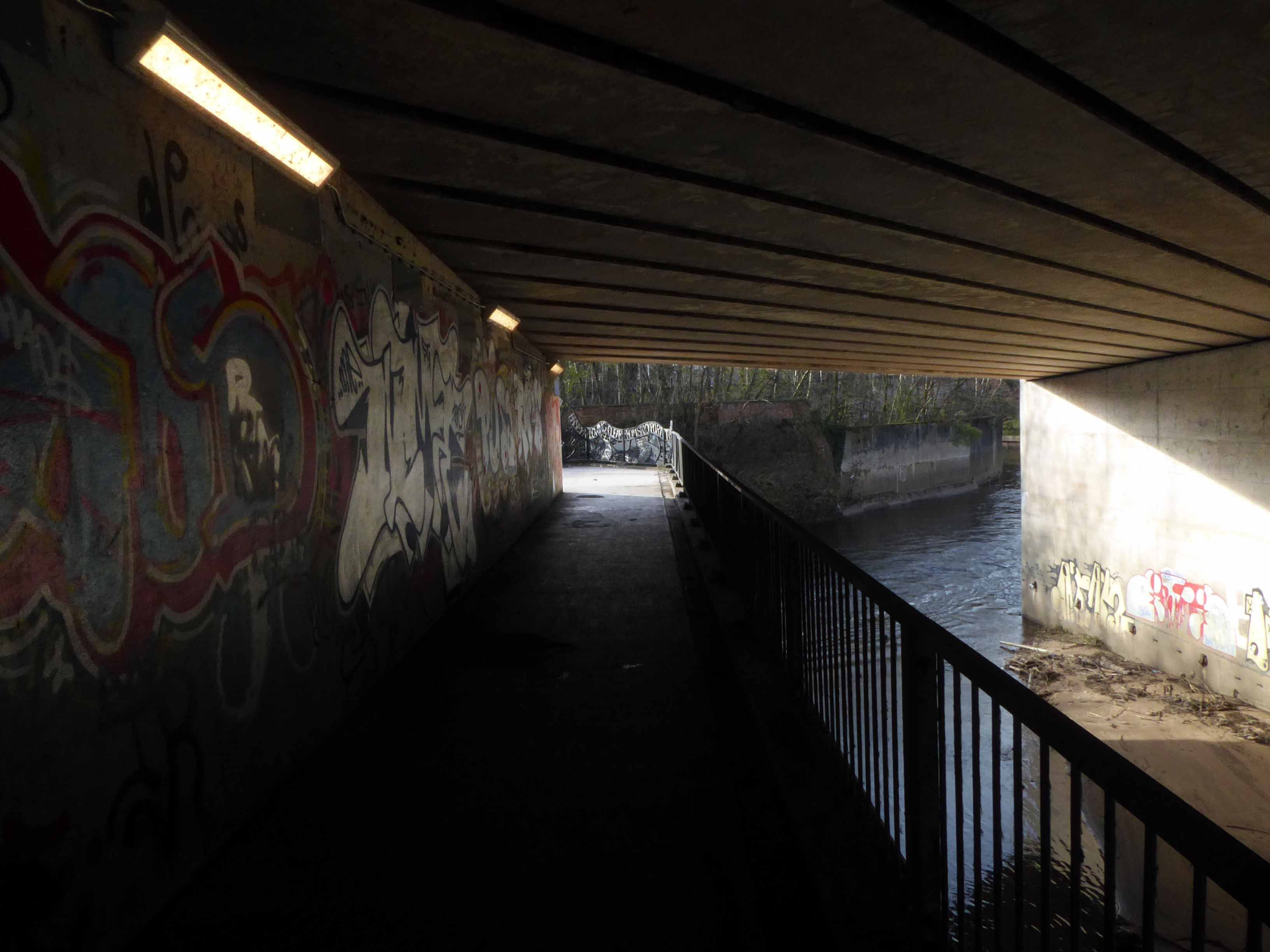
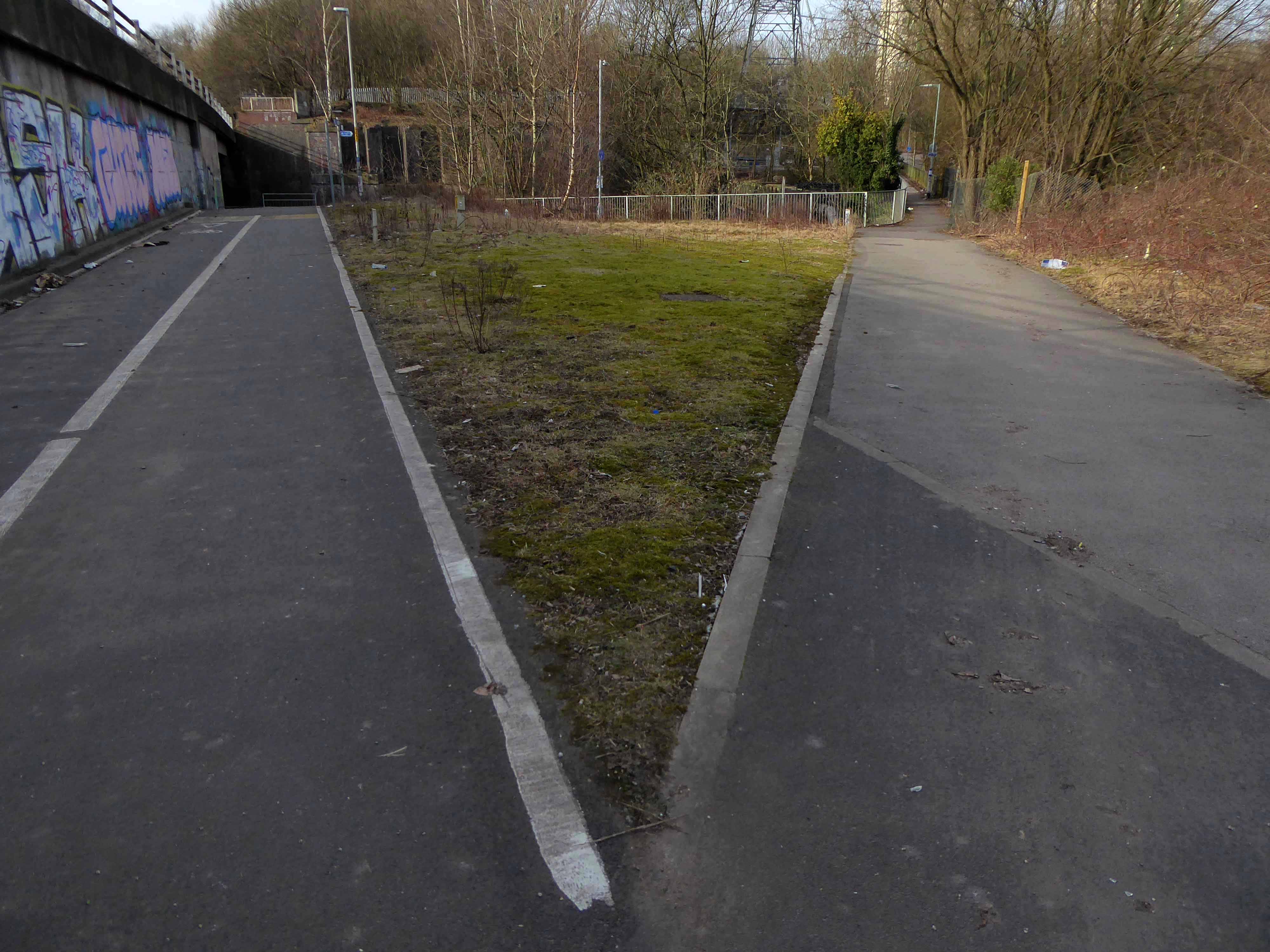
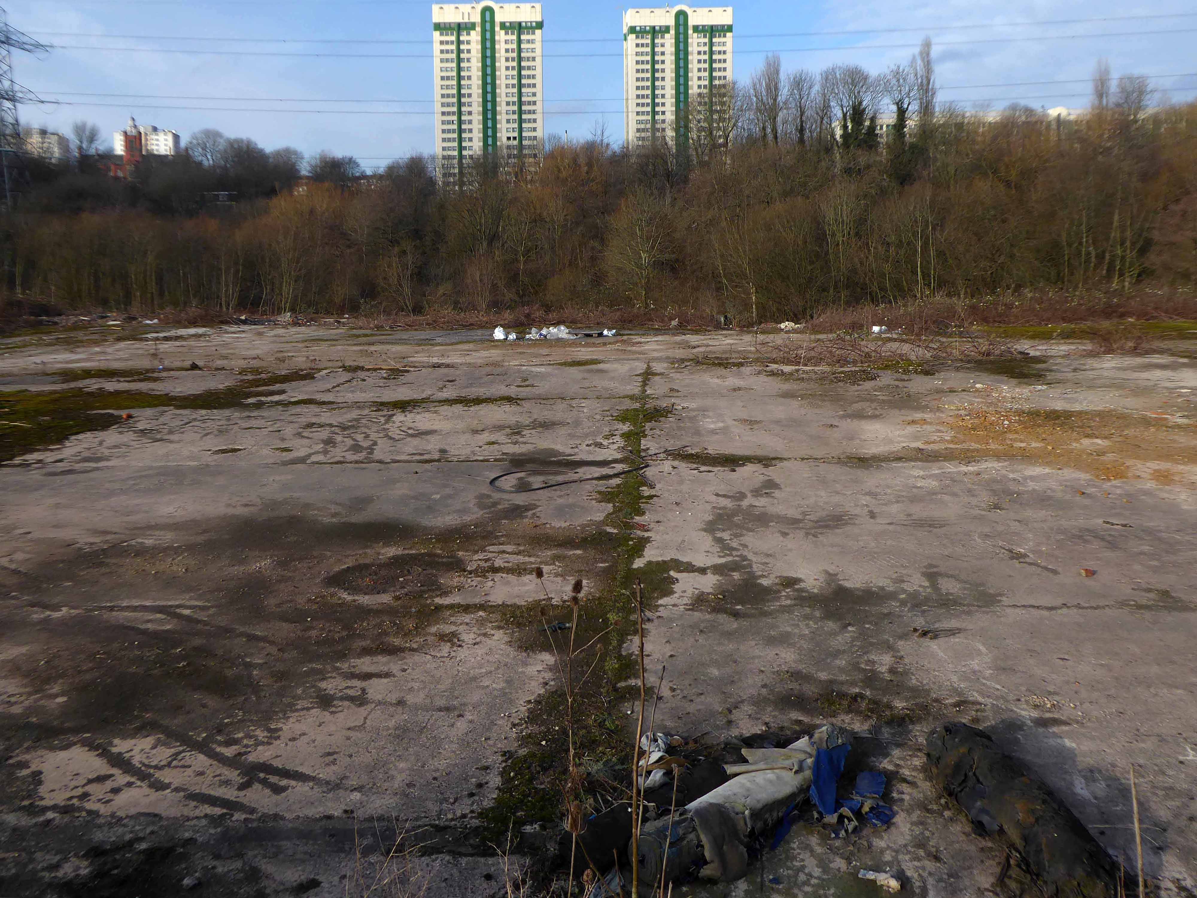
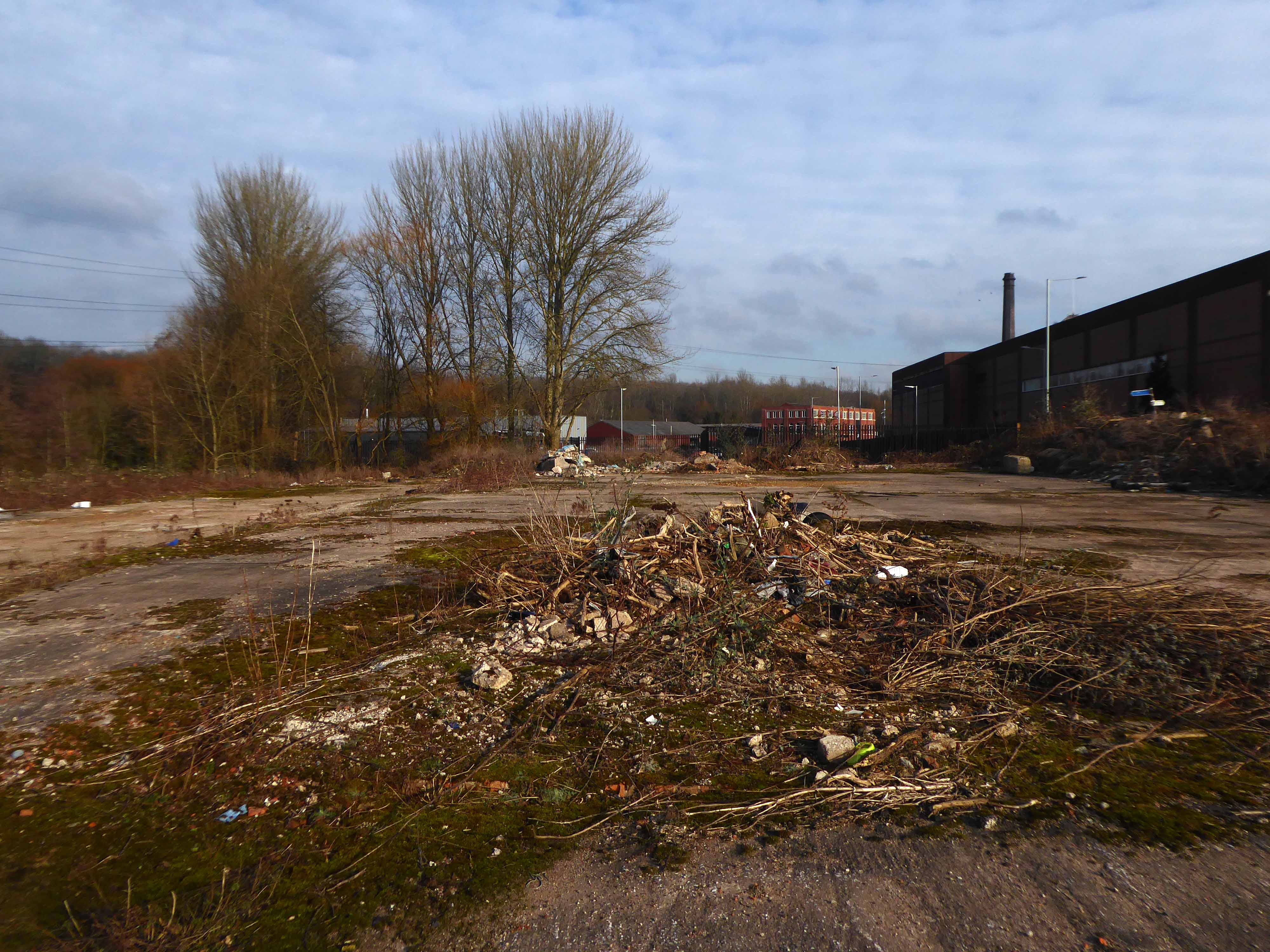
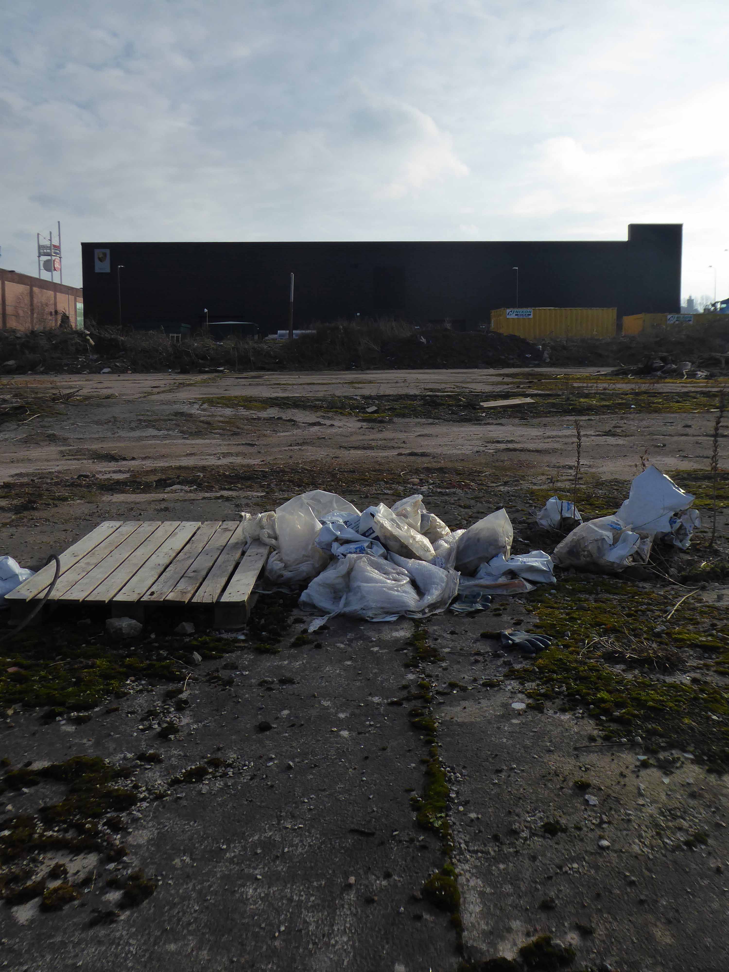
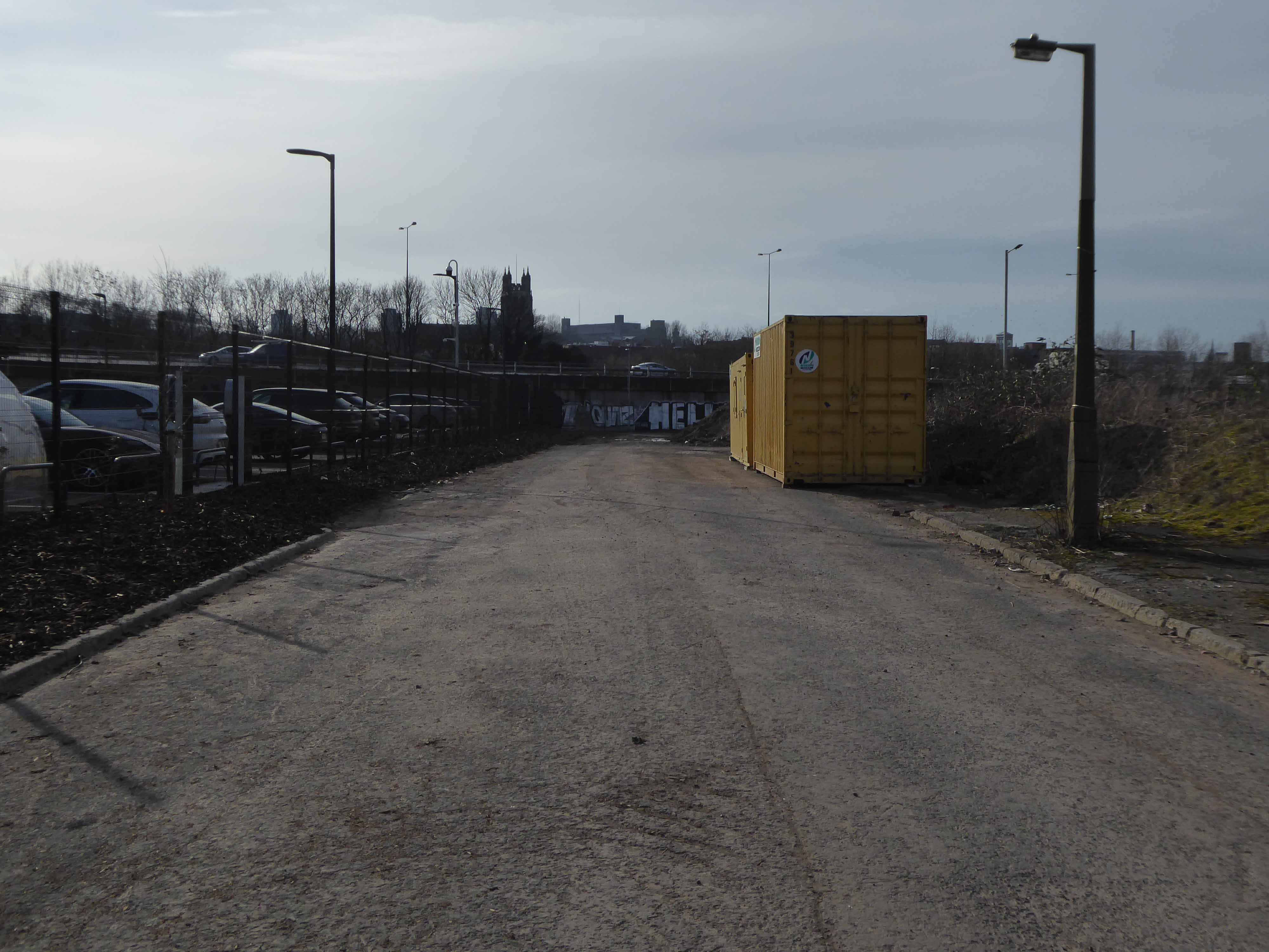
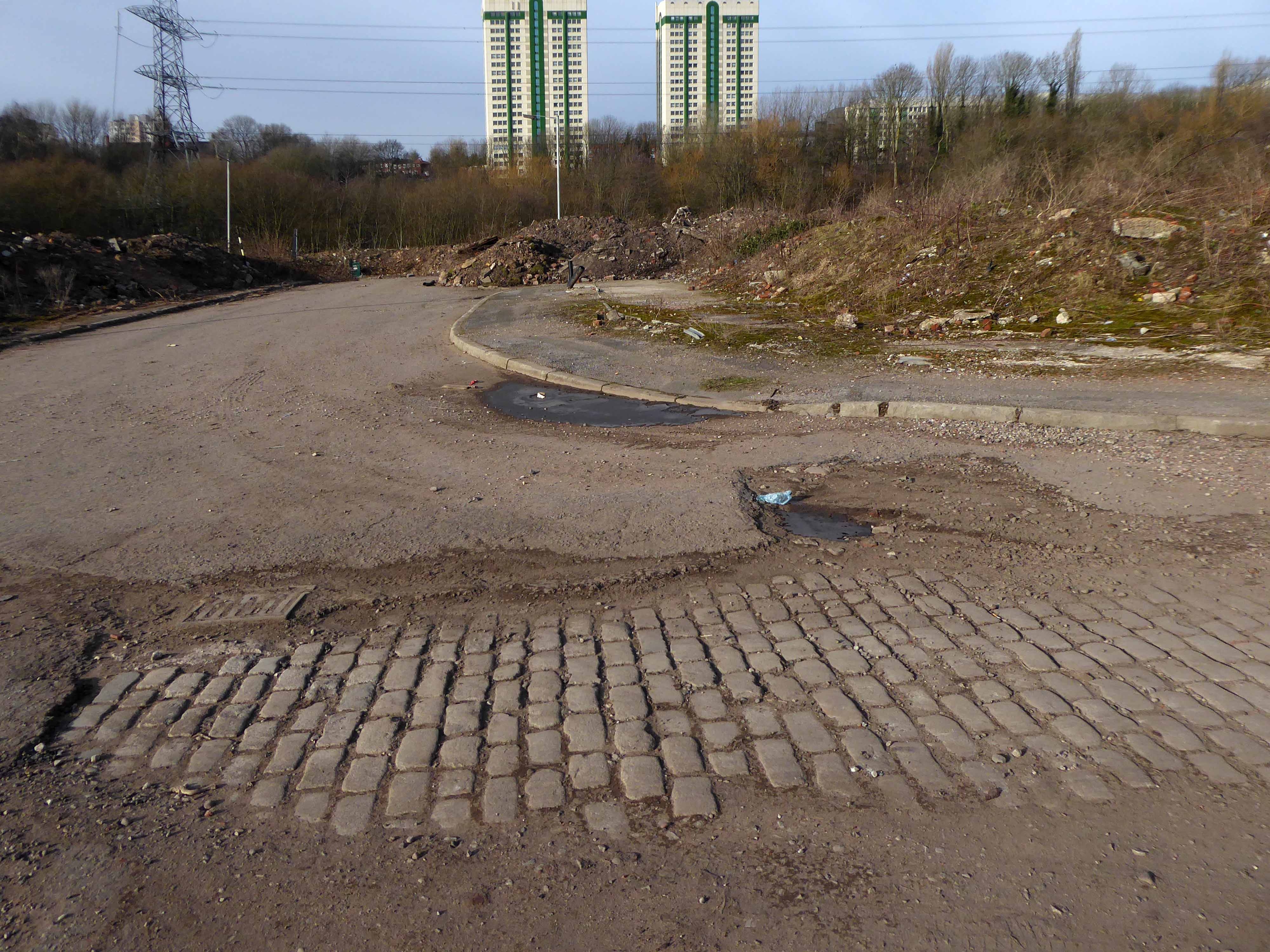
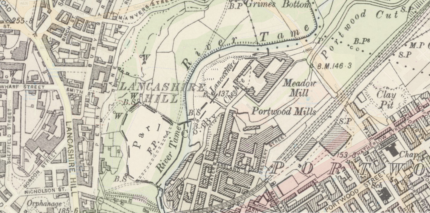
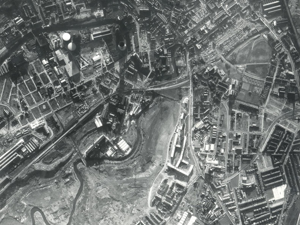
I often walk around here, the space enclosed by the River Tame and the M60, it was a maze of busy streets, home to peoples’ homes, industry, pubs, clubs and railways.
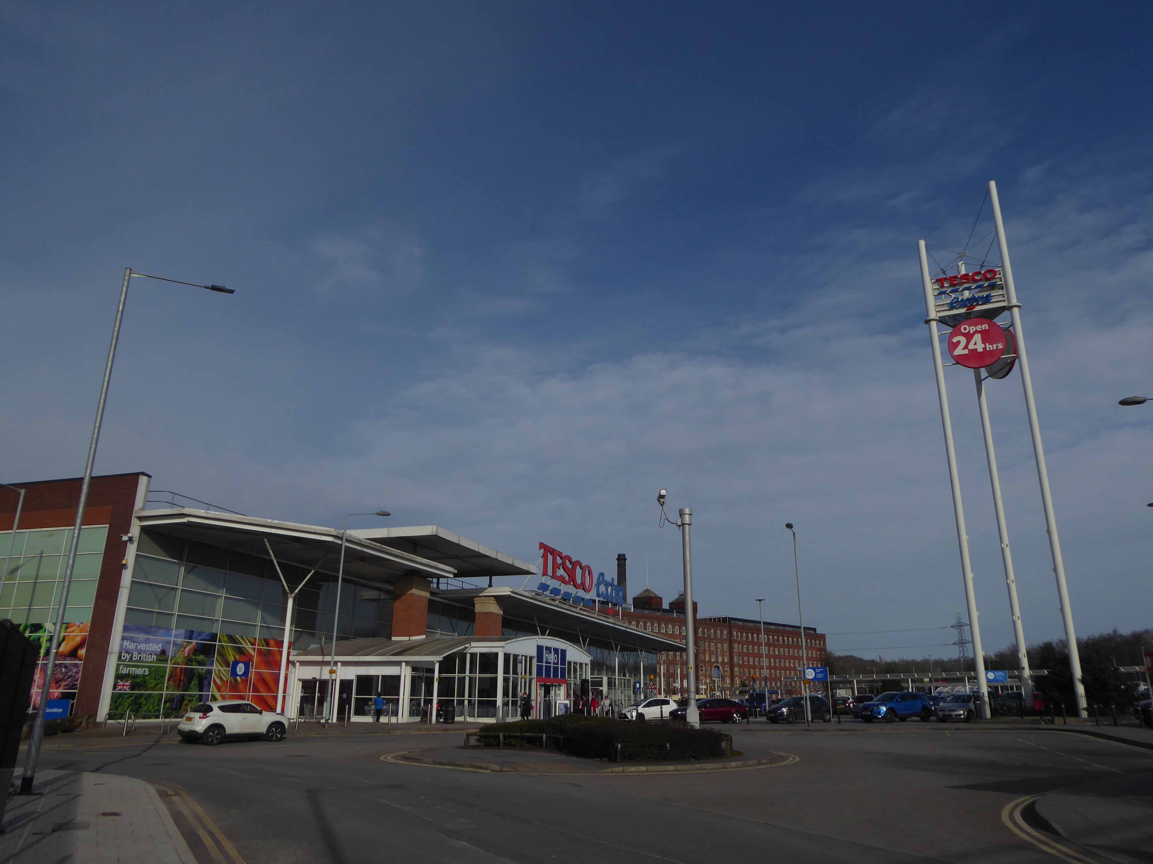
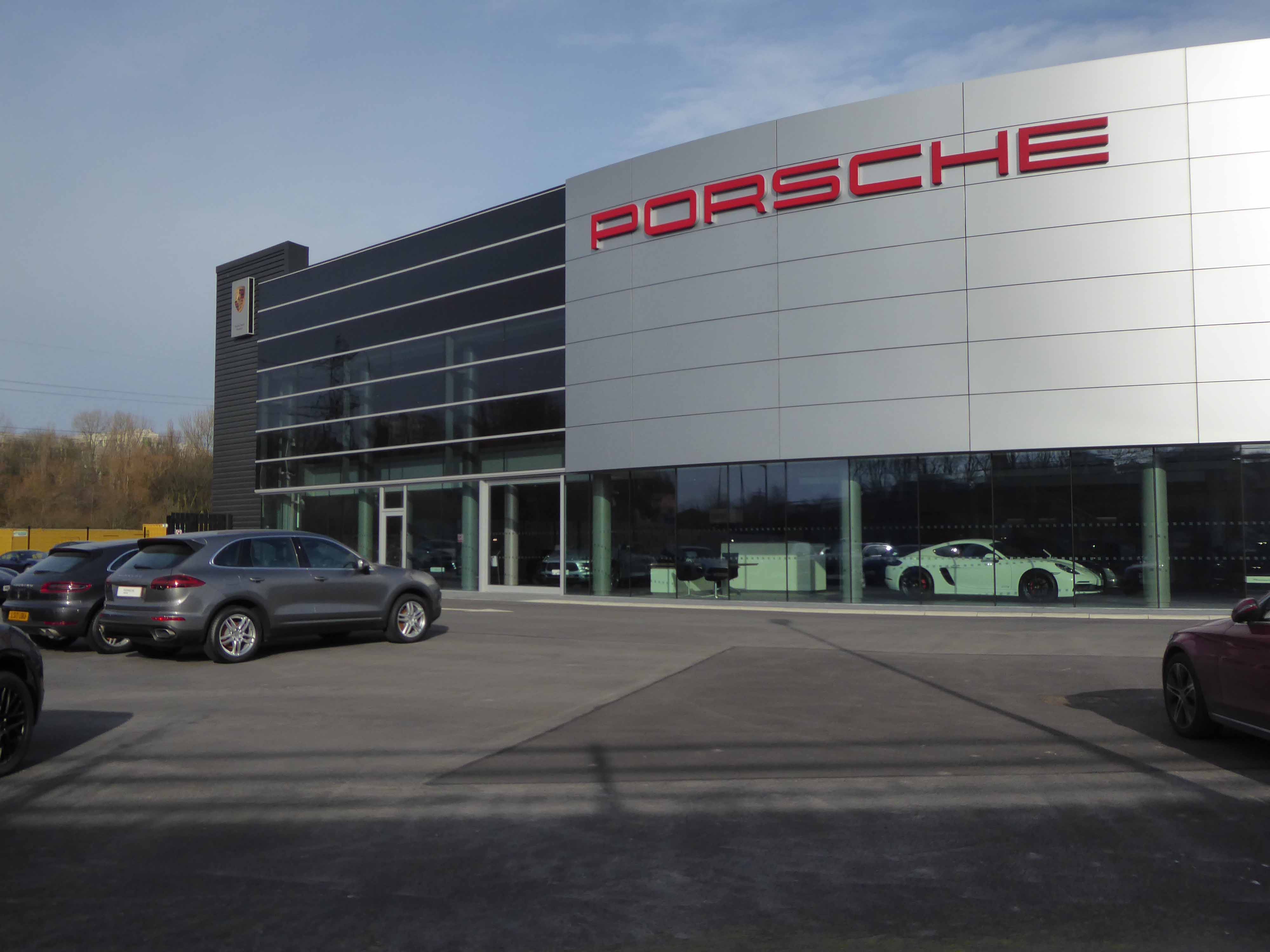
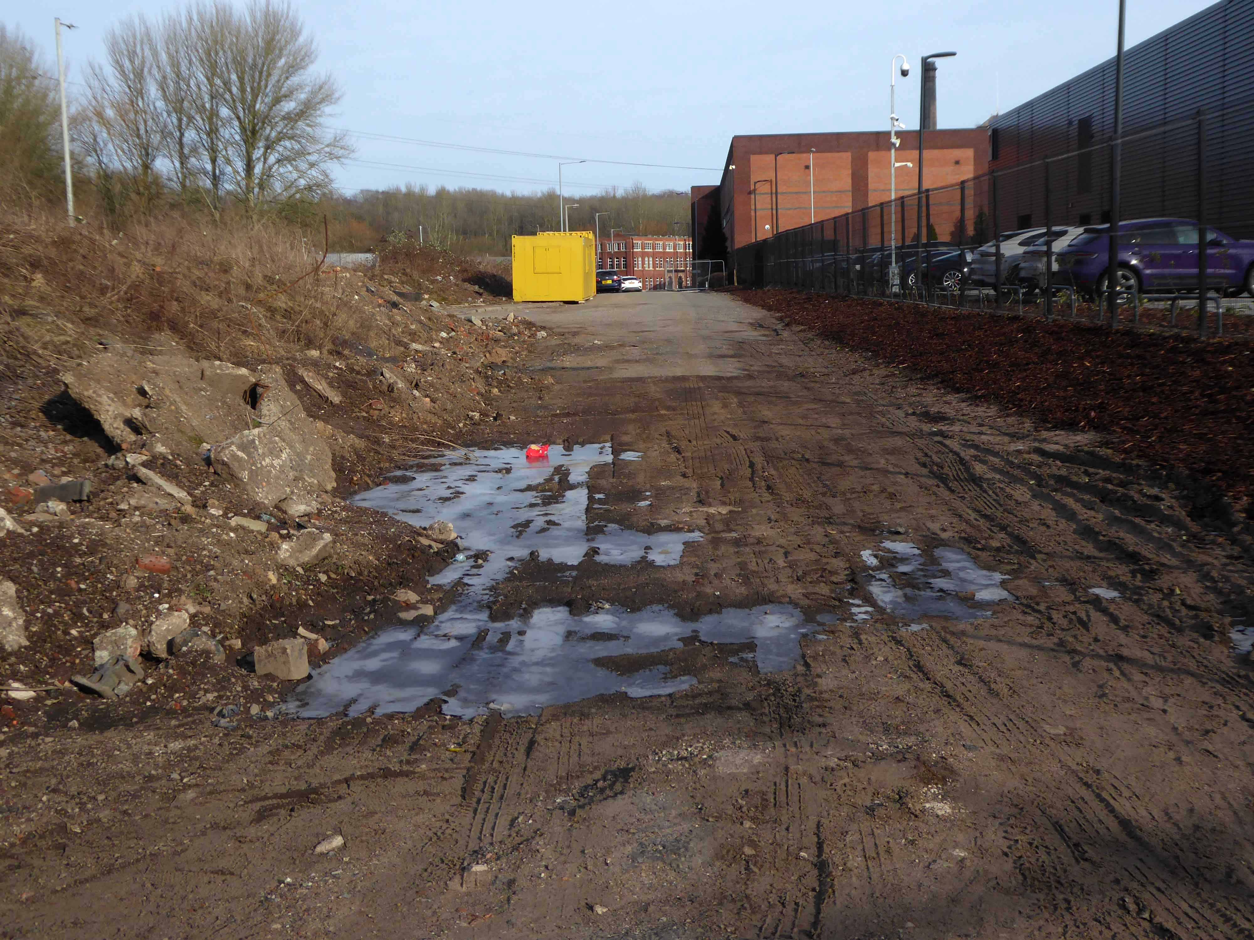
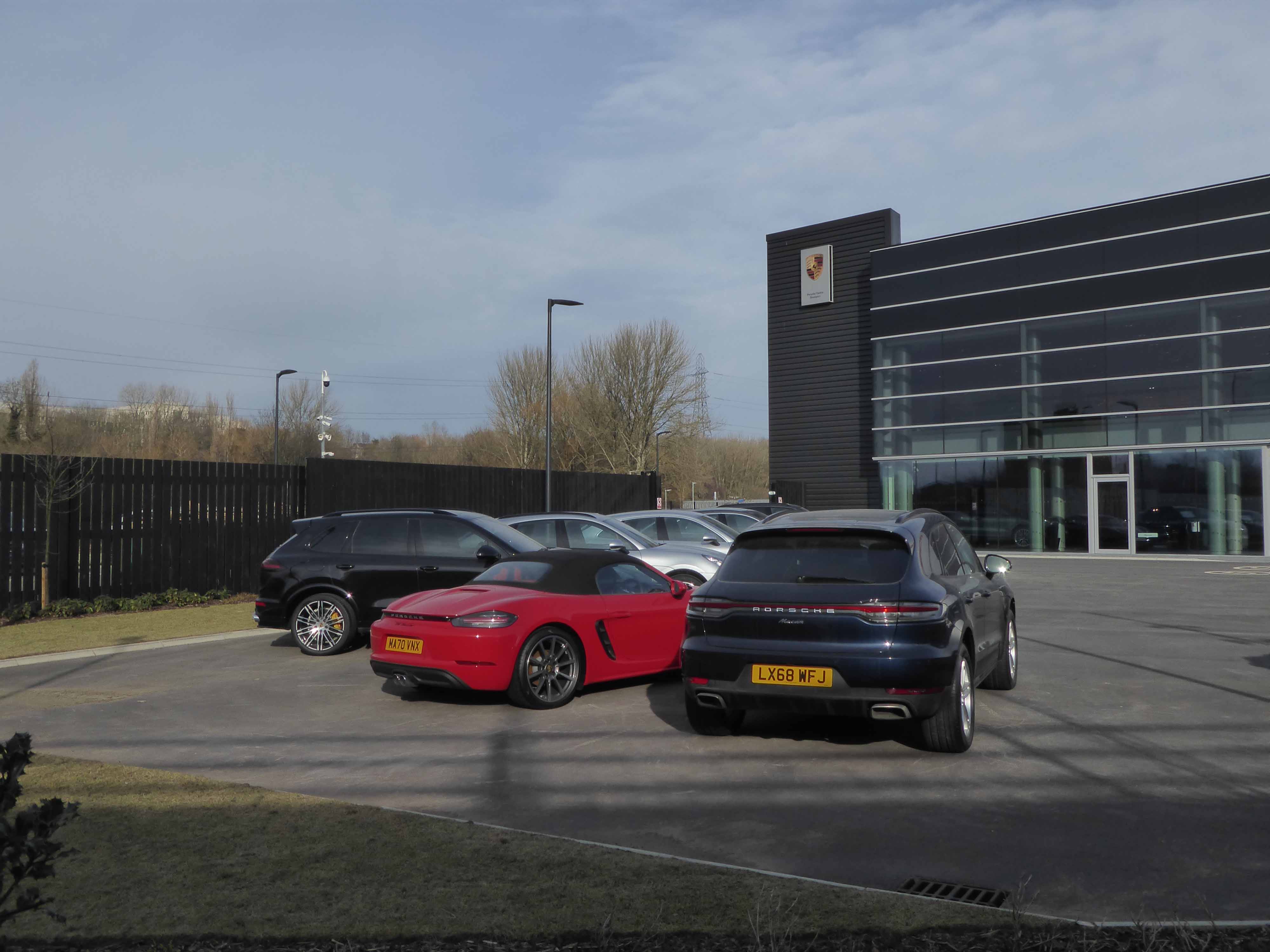
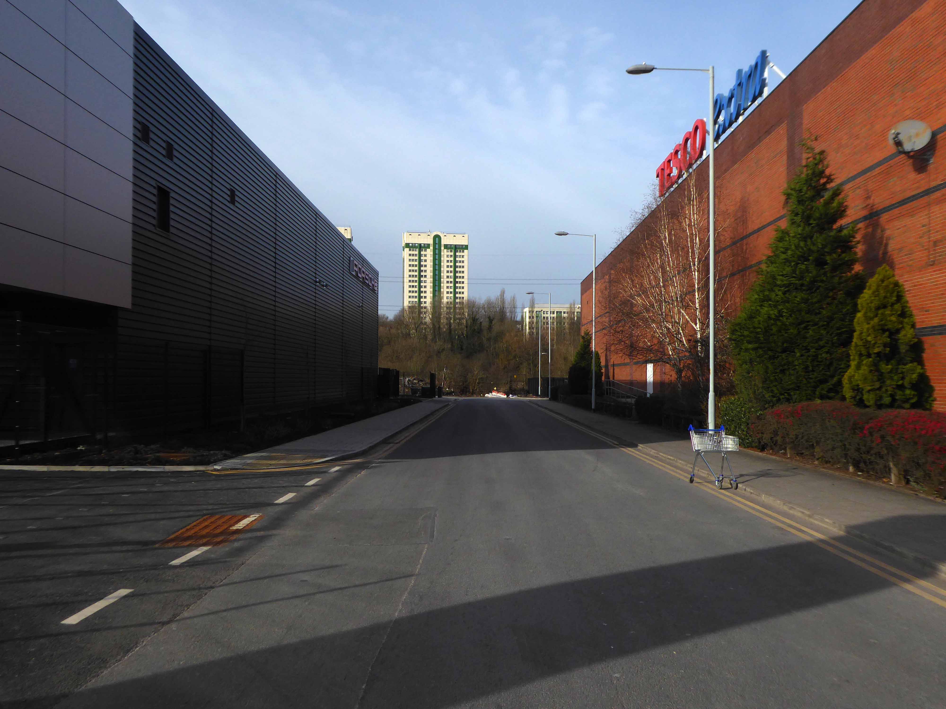
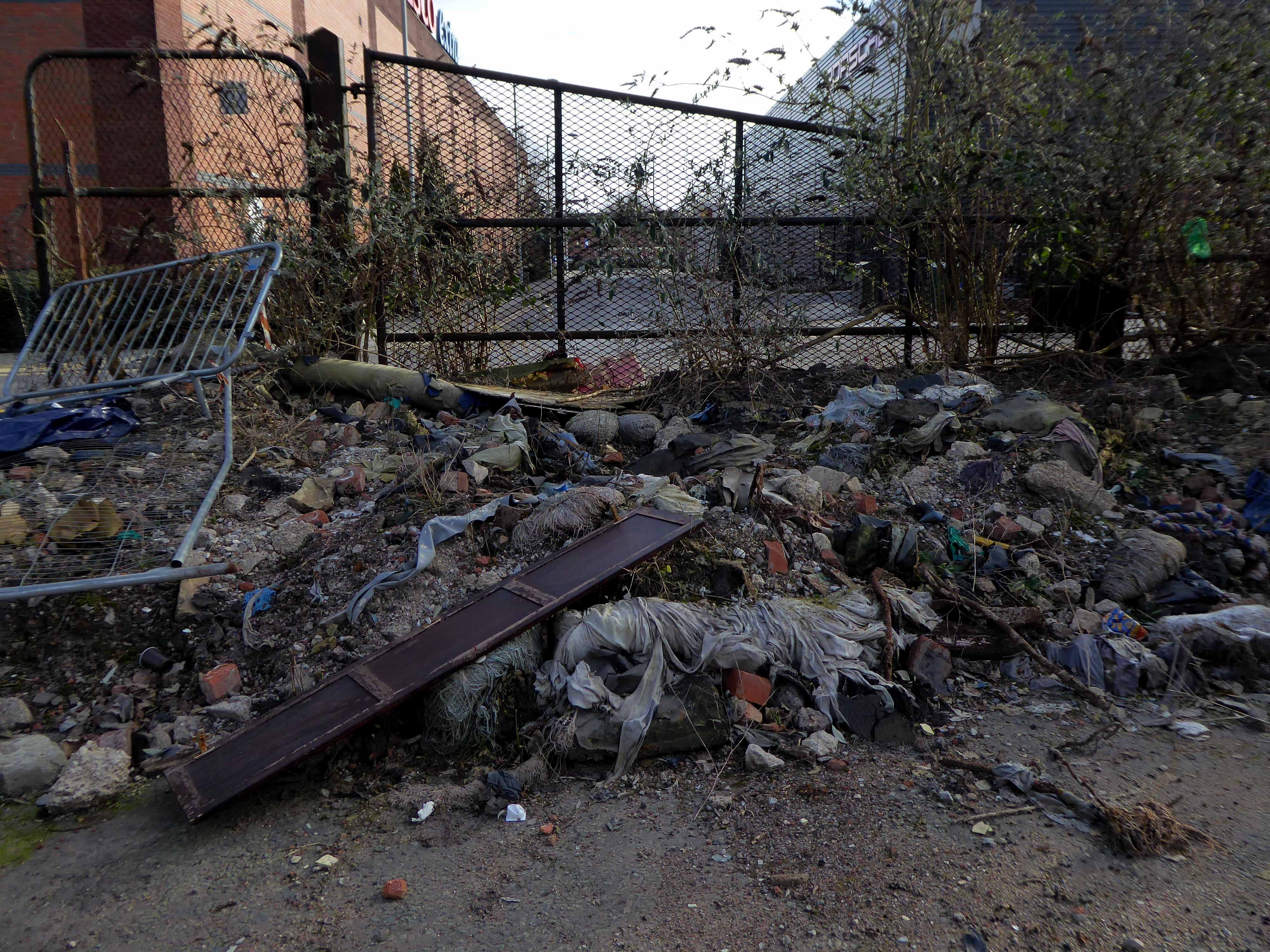
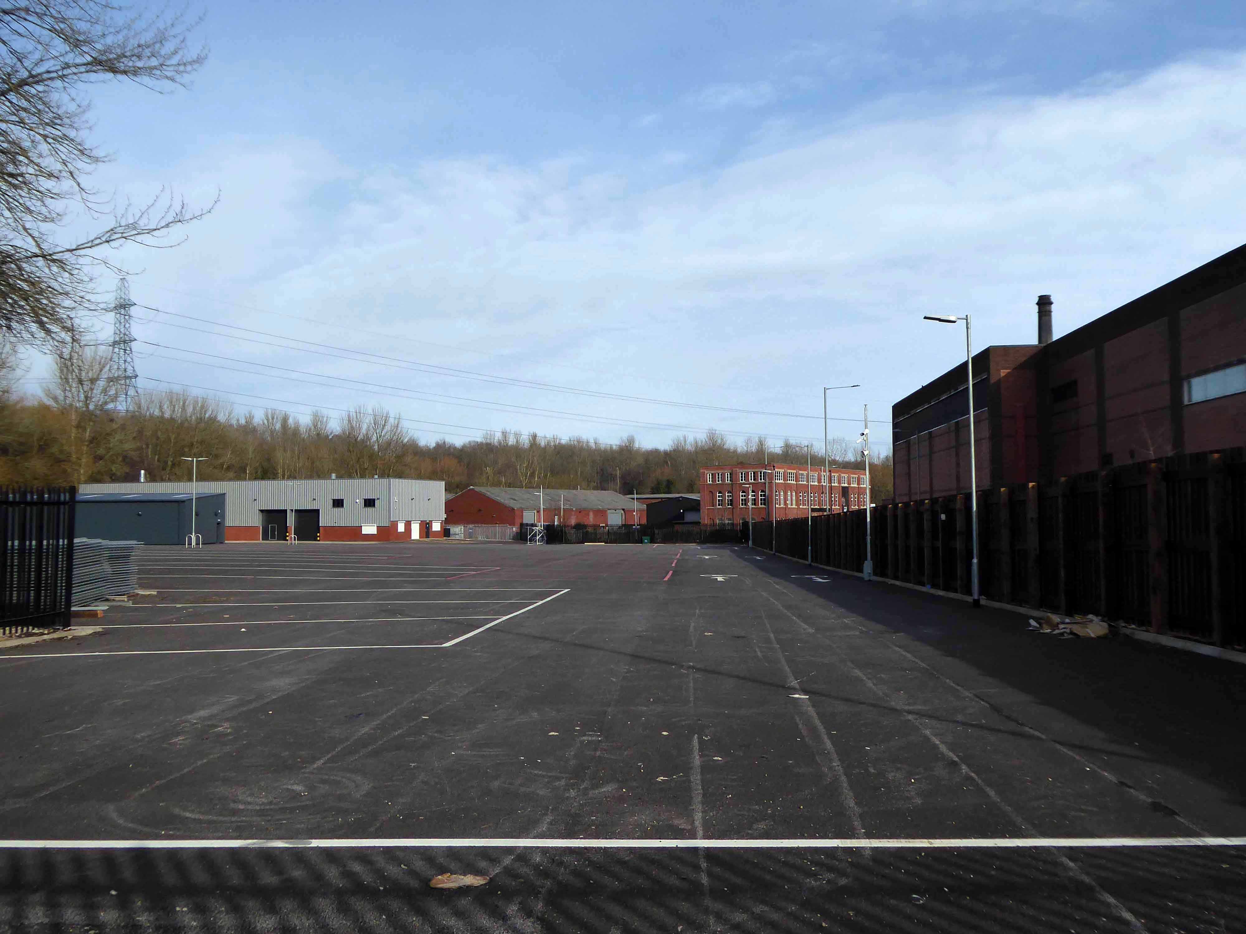
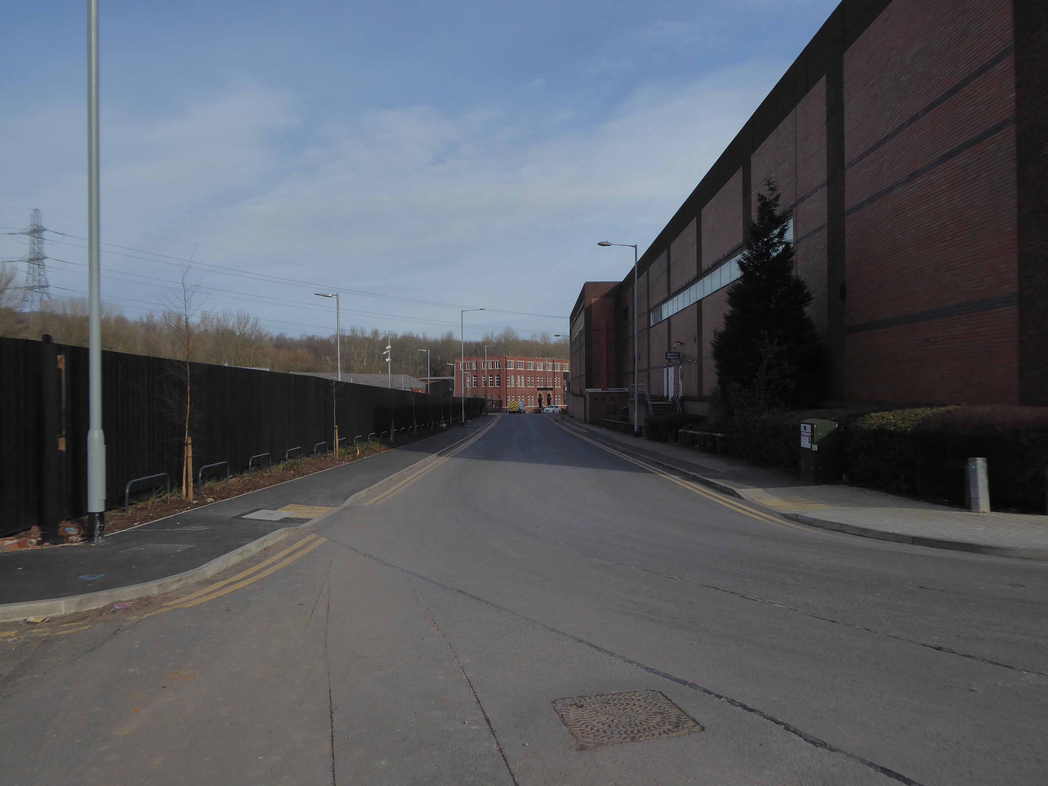
Much of that is now gone, either left to its own devices, untended rough empty ground, or overwritten by the newly built Tesco Extra and Porsche dealership.
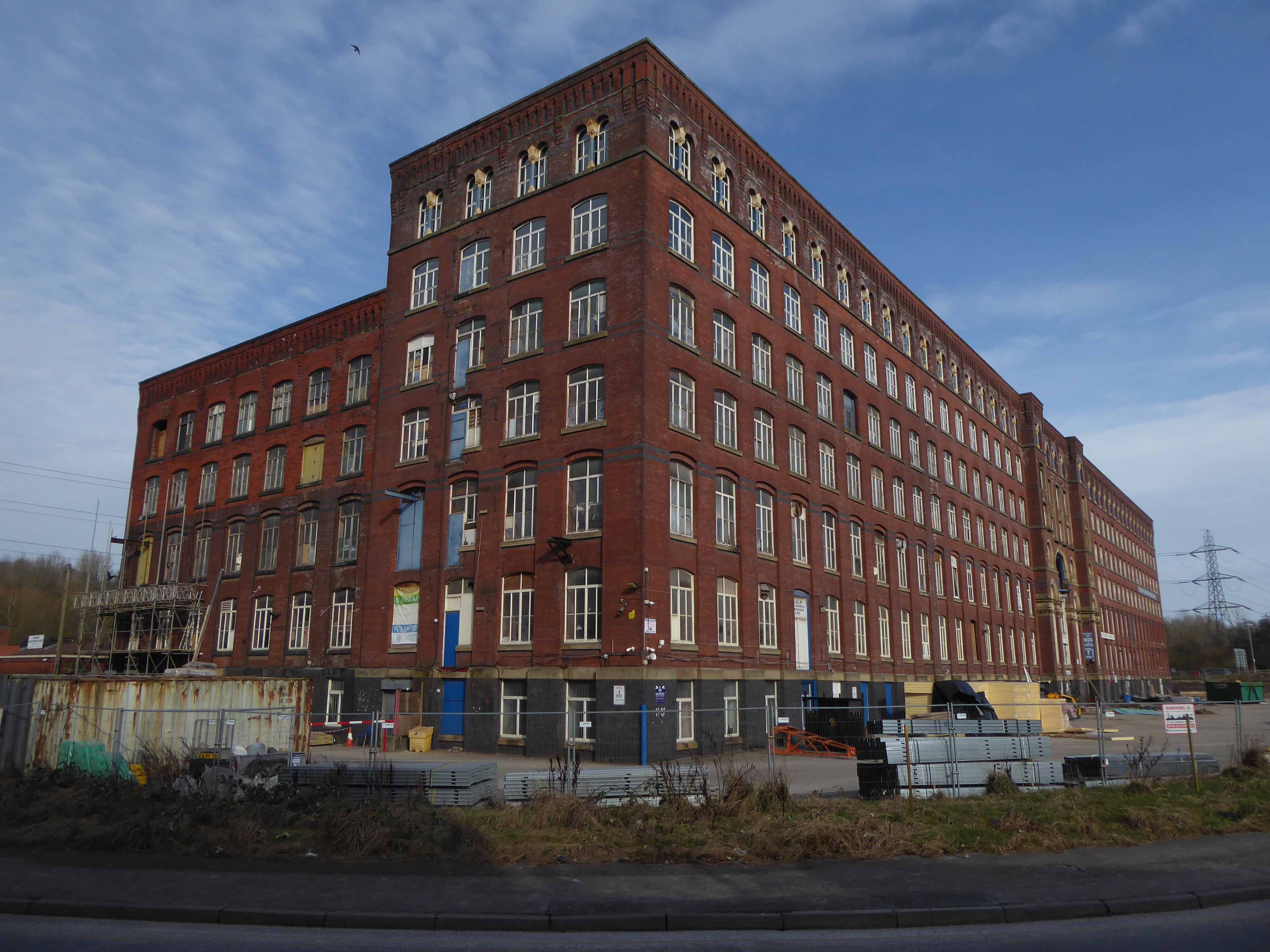
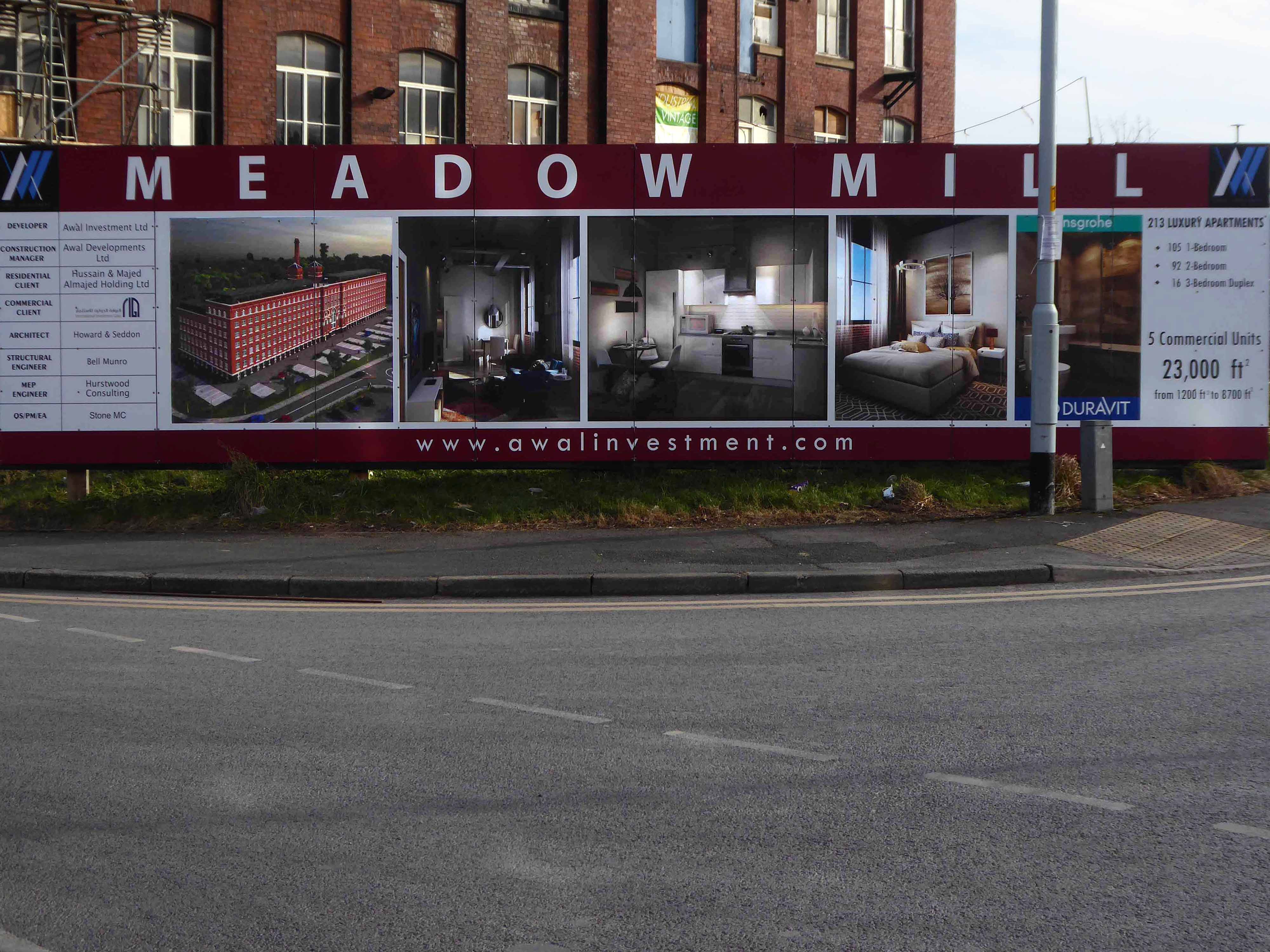
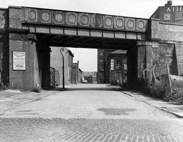
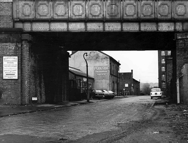
Water Street, Portwood looking north, taken from Avenue Street. Looking underneath the railway bridge, on the left hand side, the first building used to be a public house called ‘The Beehive’, further along was Kent & Swarbrick’s Tripeworks, now a precision engineers, then North West Concrete Works – Easymix. On the right is Coxson’s Brushworks, then the Portwood Mill, Kershaw’s Tannery and the Meadow Mill at the bottom of the street.
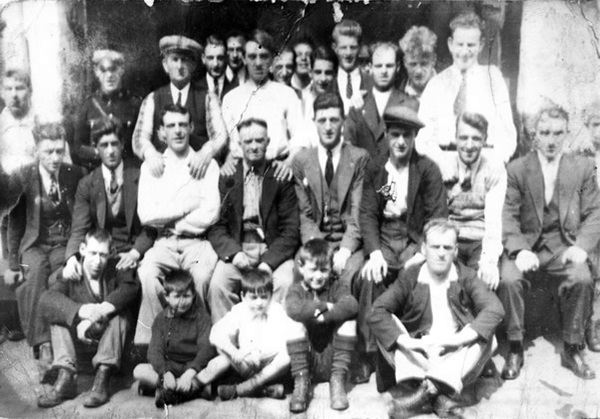
The area was also home to the Blood Tub boxing ring.
Outside the Blood Tub Back Water Street Portwood.
Centre row left to right Billy PittTaylor Micky PelhamJack HulmeJo Moran owner John MorryBobby RileyLaurie Glen a jockey
2nd row from the back – James Jimmy Rose.
Back row left to right – Charlie Dean An ambulance man Ike Irelands horse dealer – Team from Macclesfield.
Extreme right – Jo Mulrooney.
Front row left to right extreme left – Sidney Smith soft Sidney – a simpleton Jo Hulme.
Copied from a photograph lent by Eddie Pitt
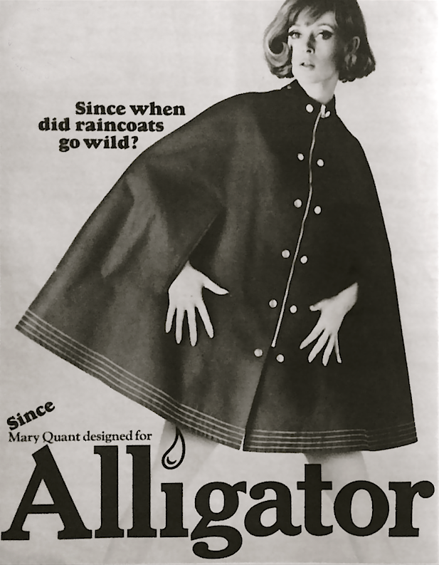
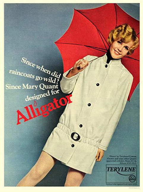
Alligator Rainwear – a British company, whose main factory was based in Beehive Mill. It was best known for its 1960s collaborations with Mary Quant in the design and production of her Wet Look collection of PVC raincoats.
The firm was started after the First World War by Reuben Satinoff, who had previously founded the London Waterproof Company – Silkimac. It was taken over by his sons after the Second World War. For decades, it manufactured traditional weatherproof raincoats in black, brown and beige, but the collaboration with Quant led to new fabrics including PVC and nylon, and a range of bright and vibrant colours.
At its peak in the 1960s and 1970s, Alligator had a turnover of £5 million per year and was exporting its products to Europe and North America. It was later owned by Baker Street Brands who describe it as one of their heritage brands.
Viewed from Tiviot Dale Viaduct
Tiviot Dale station was located on the Cheshire Lines Committee (CLC) operated Stockport, Timperley and Altrincham Junction Railway line from Portwood to Skelton Junction, a section of what became the Woodley to Glazebrook line. It was situated at the bottom of Lancashire Hill, next to the present motorway bridge. It was opened on 1 December 1865 and was originally known as Stockport Teviot Dale. From 1880, Tiviot Dale was also served by long-distance trains running on the Manchester South District Railway to London St Pancras.
Tiviot Dale remained a part of the CLC, which was jointly owned from 1923 by the London and North Eastern Railway and the London Midland and Scottish Railway, until 1948 when it became part of the British Railways London Midland Region.
The lines through the station remained in heavy use by coal trains heading for Fiddlers Ferry power station near Warrington from the Woodhead Line. These, however, ceased in 1980 when damage was caused to the nearby Tiviot Dale tunnel during construction work on the M63 motorway – now M60 motorway and the line temporarily closed for safety reasons. The closure was made permanent west of Bredbury’s stone terminal in 1982, following the demise of the Woodhead route; the track was subsequently lifted in 1986 and the tunnel partially filled in. The area surrounding the station was further altered at the beginning of the 21st century to allow the construction of a supermarket and office buildings, which now block the old trackbed.
Portwood Railway Station was on the Stockport and Woodley Junction Railway – later becoming part of Cheshire Lines Committee – Glazebrook to Woodley line. According to Bolger it opened to passengers on 12 January 1863, along with the rest of the Stockport and Woodley Junction Railway, although Butt suggests it opened on 1 December 1865 when the Stockport, Timperley and Altrincham Junction Railway opened.
The station opened for goods traffic in 1865, closing to passengers on 1 September 1875, when it became a goods station. It remained in use until 25 April 1966 when it closed except for coal traffic which continued until 27 March 1972 when it closed entirely except for a private siding.
Today no trace of the station remains, the site being buried under a slip road of the M60 motorway.
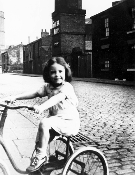
Monica Clarke on her tricycle in Marsland Street, behind her across the cobbled street is the Sheba Works – 1951.
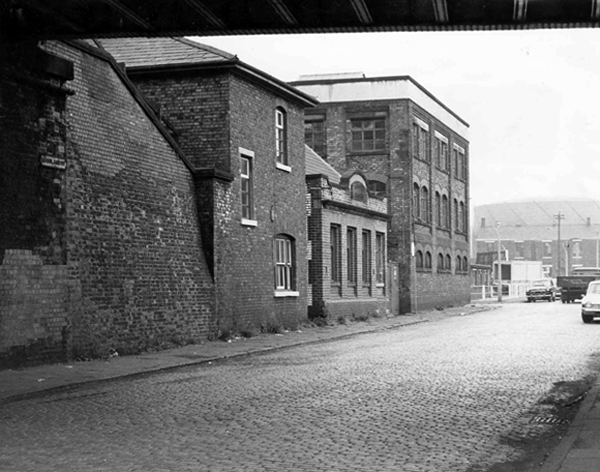
Marsland Street east, showing the Haymarket Chambers – 1967
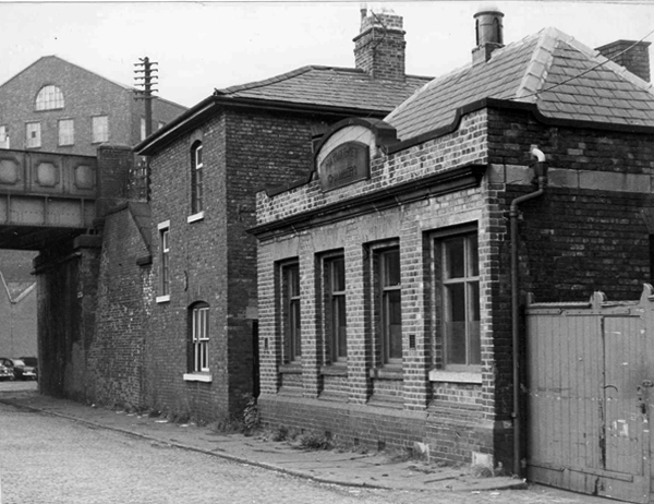
The front of Haymarket Chambers Marsland Street.
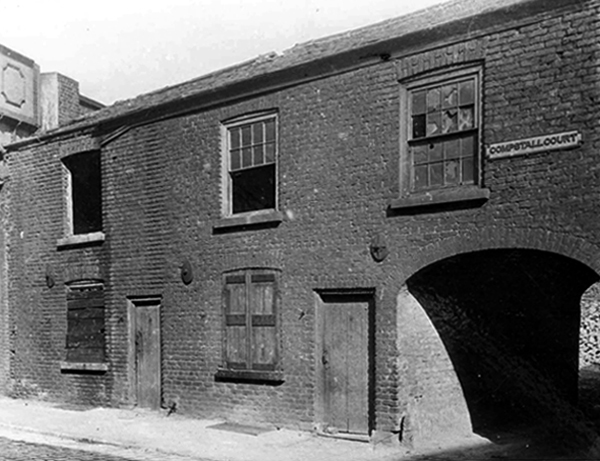
Boarded up dwellings on Compstall Court, off Marsland Street.
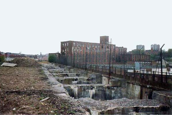
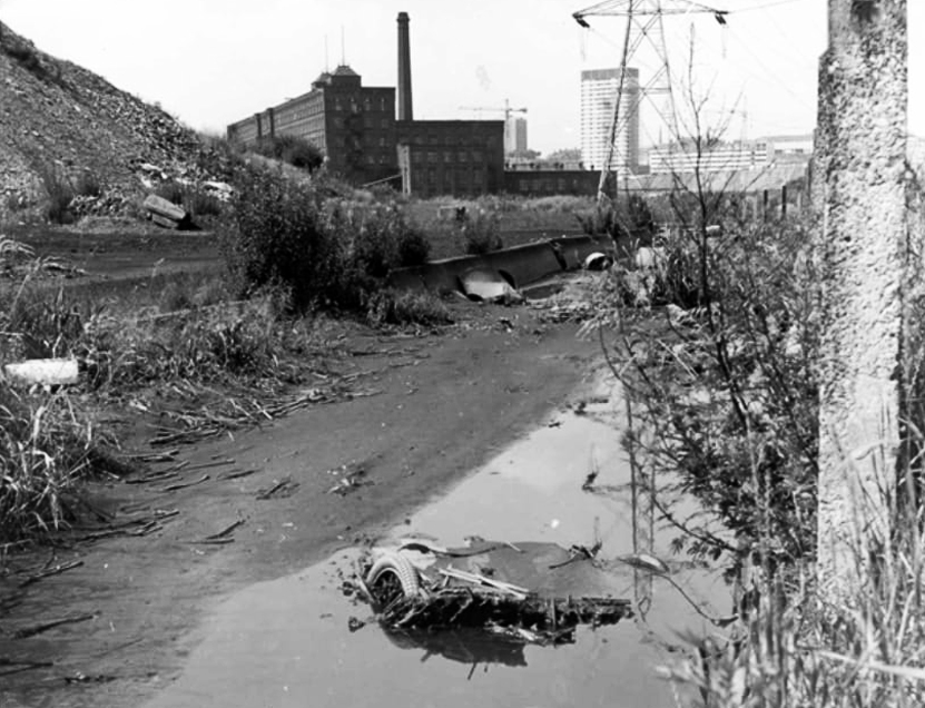
Portwood Cut 1968
James Harrison bought the manor of Brinnington in the early 1780’s – by 1790 Harrison had three factories in Portwood and others were to follow. In 1796, to provide sufficient water-power to this industrial zone he constructed a substancial millrace. Known as the Portwood Cut, it carried water across the Tame, between his Reddish and Brinnington estates. Harrison also planned the construction of factories at Wood Hall but that particular scheme was abandoned after his death in 1806.
Harrison’s Weir still survives on the river. To the south sections of the Portwood Cut also survive within Reddish Vale Country Park, both as a shallow depression and as water-filled, if somewhat silted and overgrown channel.
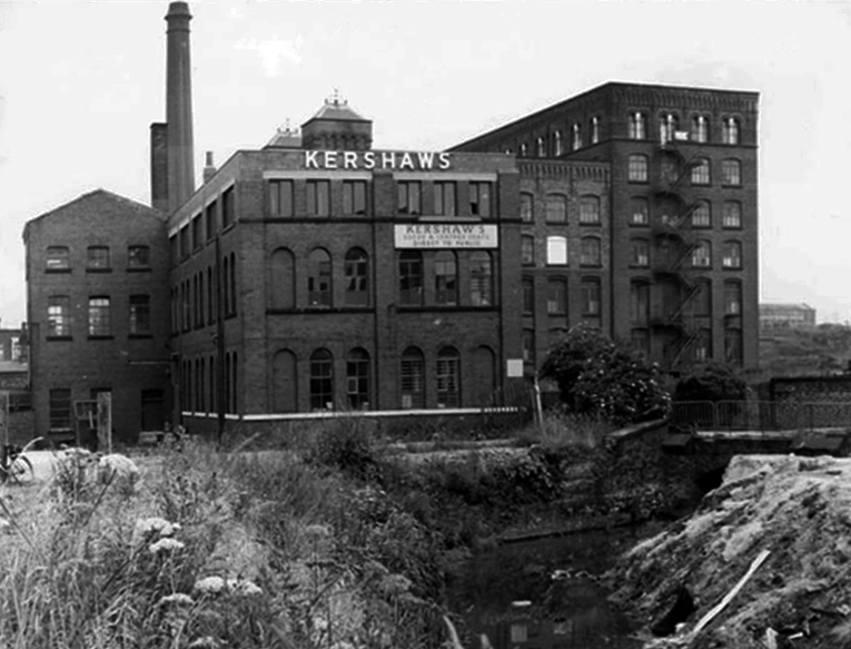
Kershaws is one of the only original businesses which still trades in the area.
Established back in 1855 by Joshua Kershaw, the company has gone from strength to strength.
Way back then, it was just a tannery. Today, seven generations on, Edward Kershaw heads a company that is known and respected for it’s quality leather in Europe, America and the Far East.
Kershaws also provide white leather for masonics and bagpipes.
Brewery Street – a view of the steps leading to the railway footpath to Tame Street – 1967.
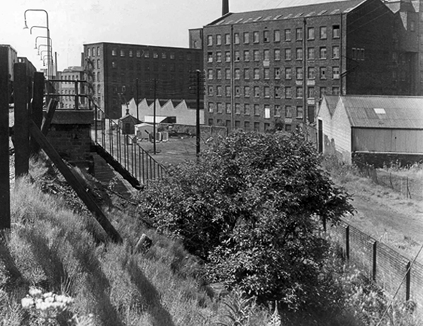
The mill in the foreground is the Portwood Spinning Mill now called Portwood Mill – on the front of the mill it states Sir Richard Arkwright Portwood Mill.
Employees – Portwood Spinning Company
Coal drops and yard at the rear of the Beehive Spinning Mill
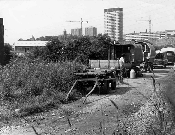
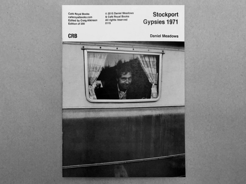
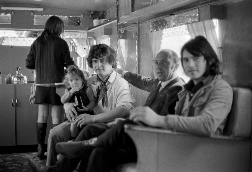
Tame Street gave motorized access to the Cut and here the caravans of travelling folk were parked several times a year, usually until the police ‘moved them on’. The men collected and sold scrap metal, the women sold clothes pegs and told fortunes from door to door. Many of the local people treated them with suspicion and some local pubs would not admit them.
Building work on Lancashire Hill can be seen in the background – 1968