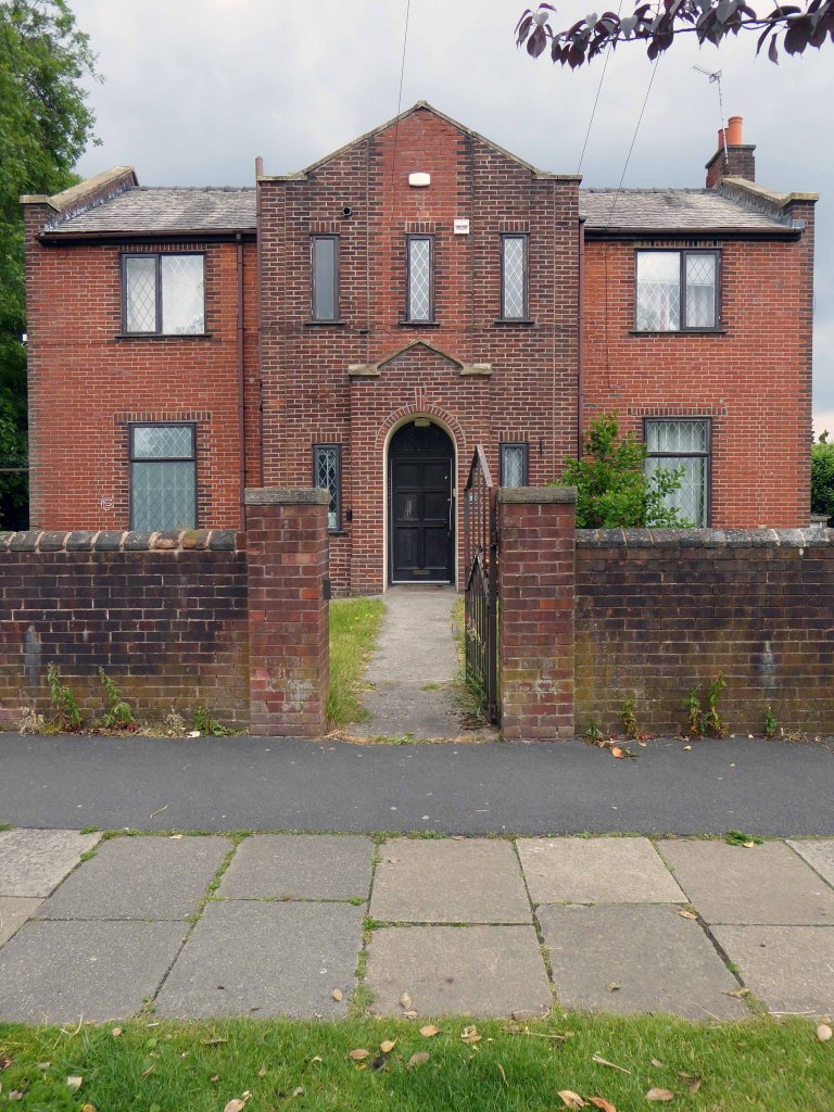
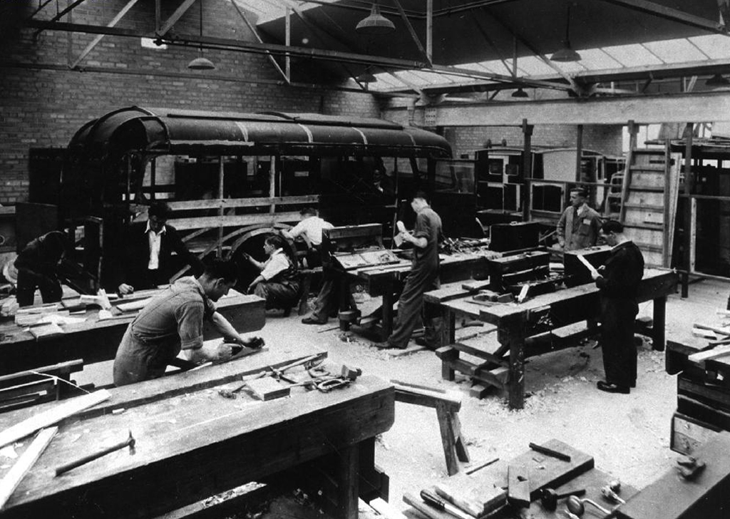
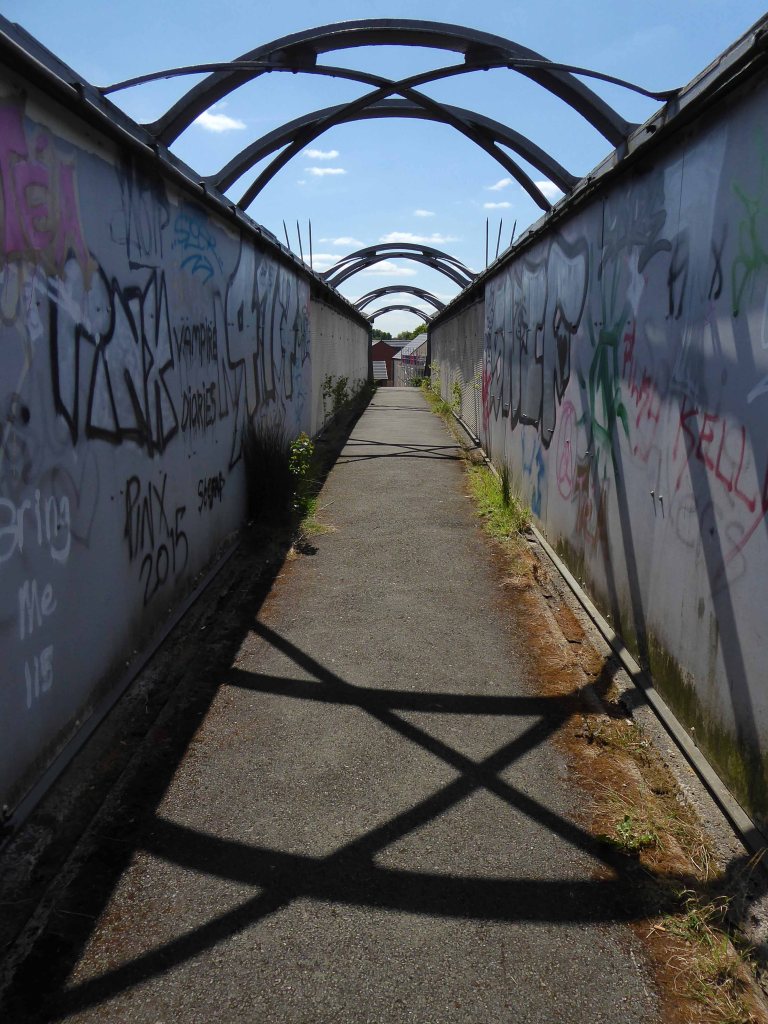
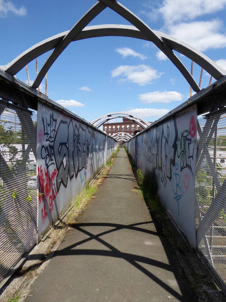
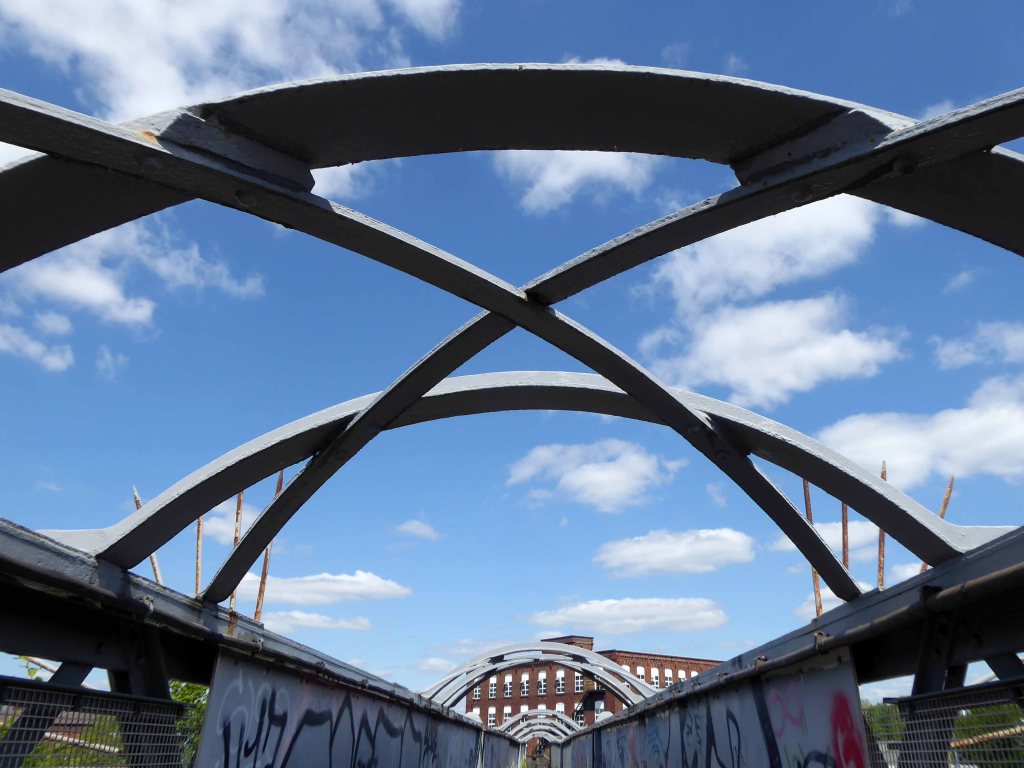
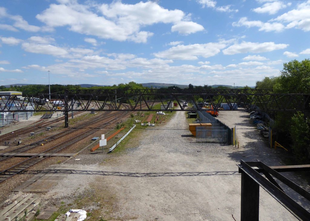
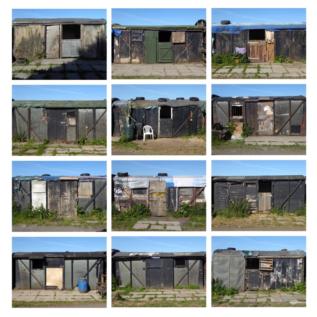
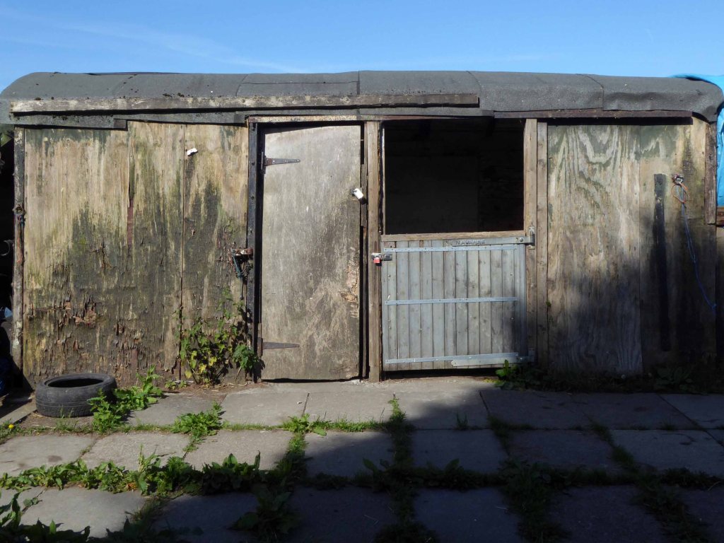
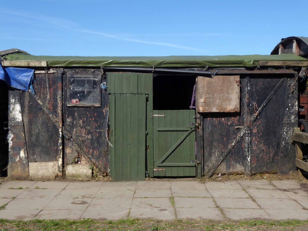
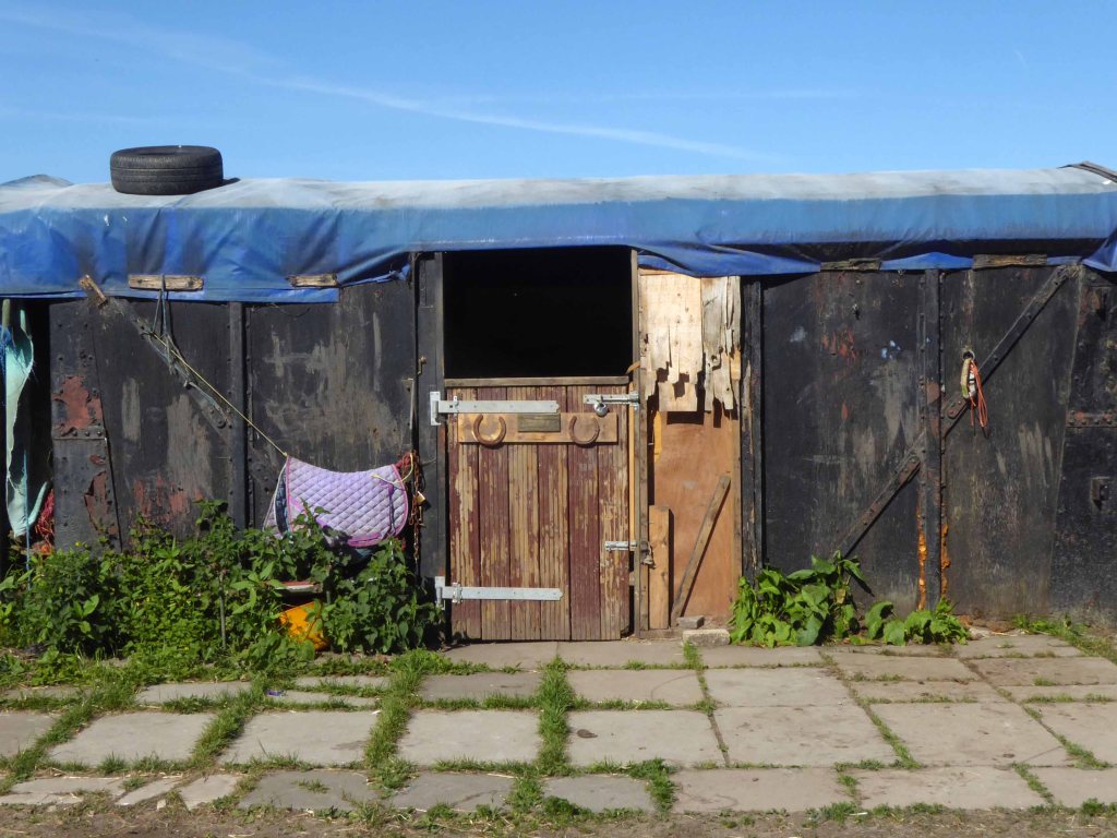
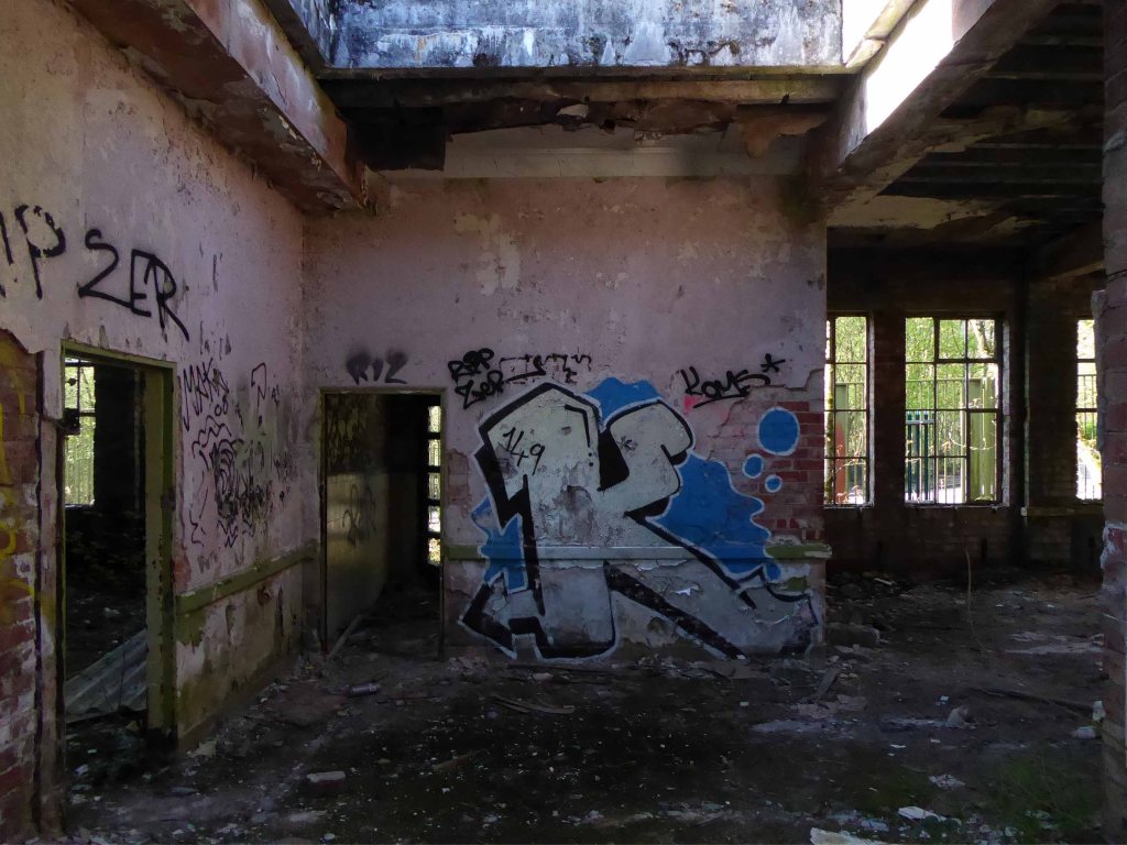
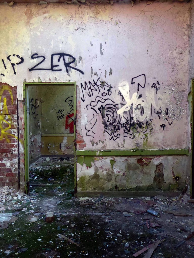
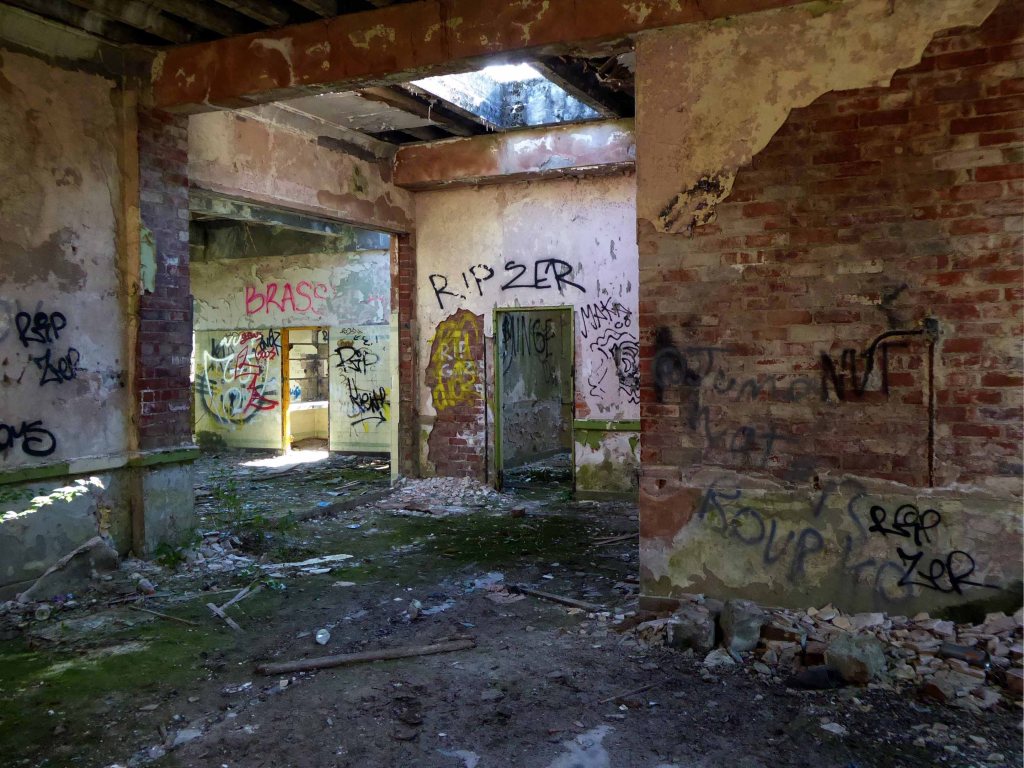
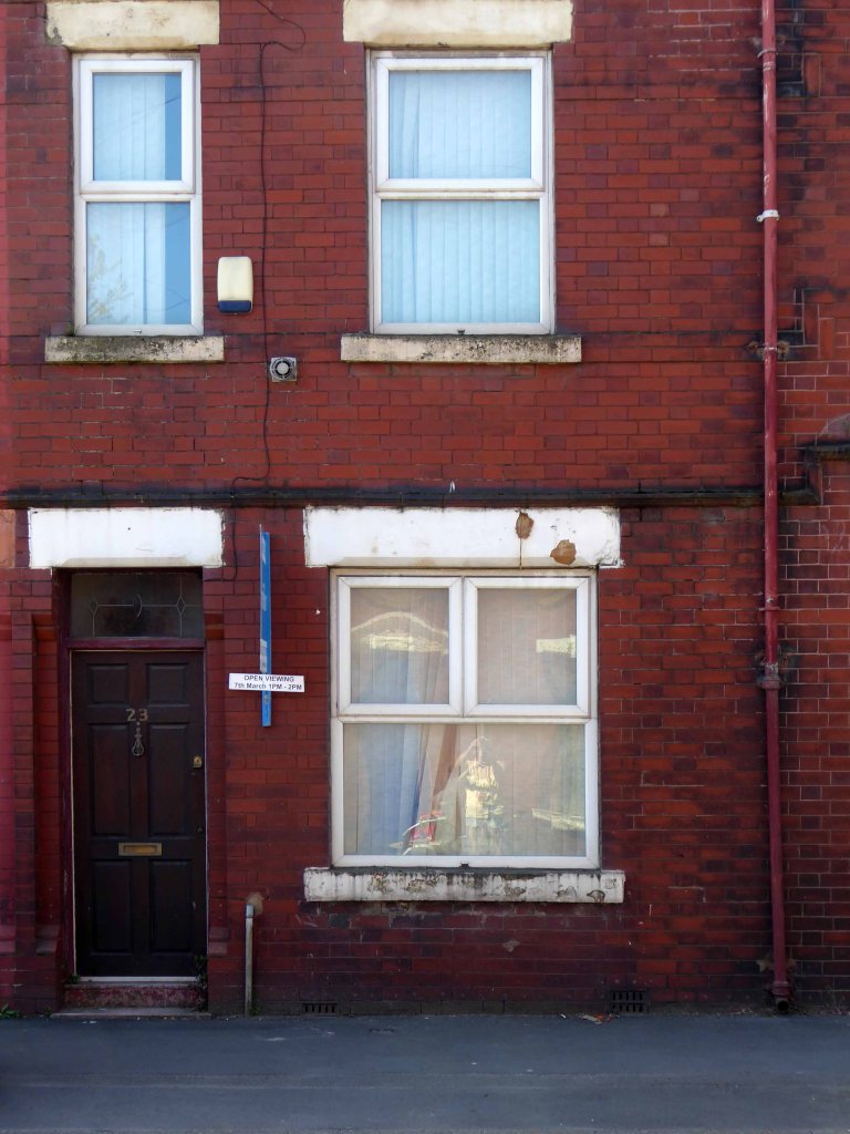
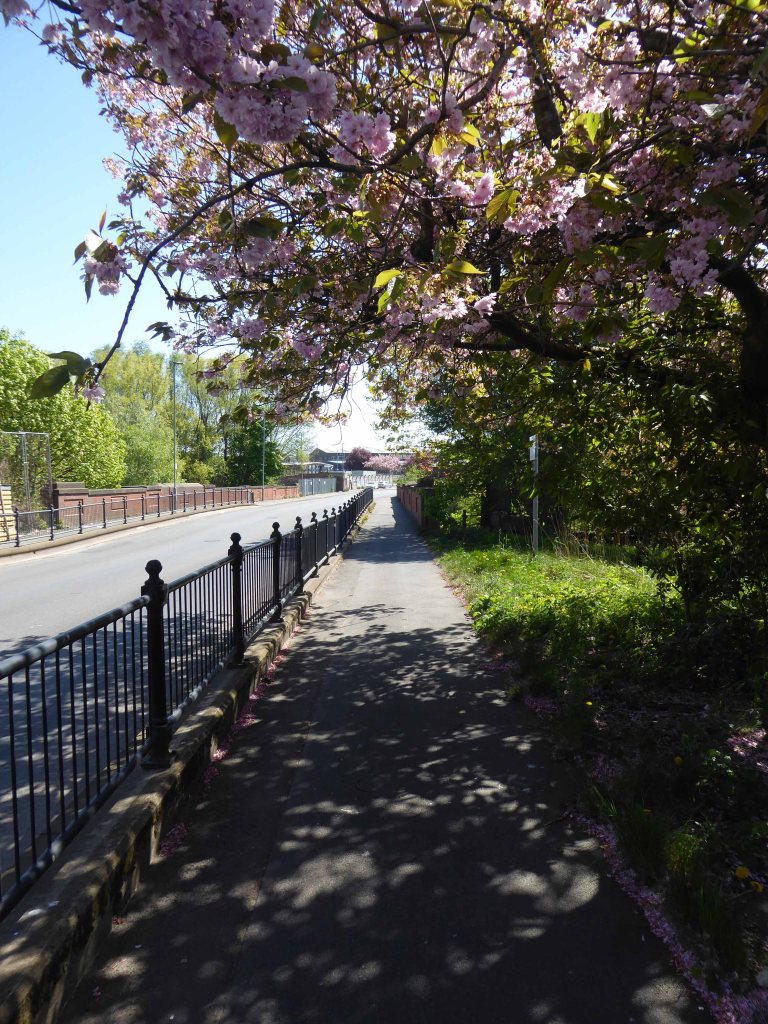
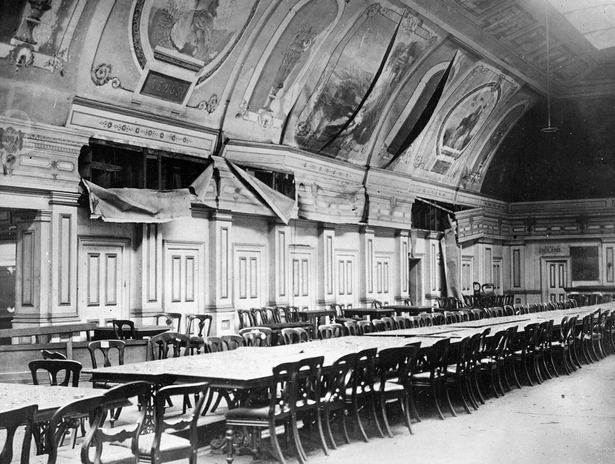
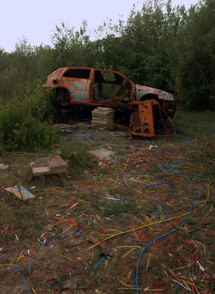
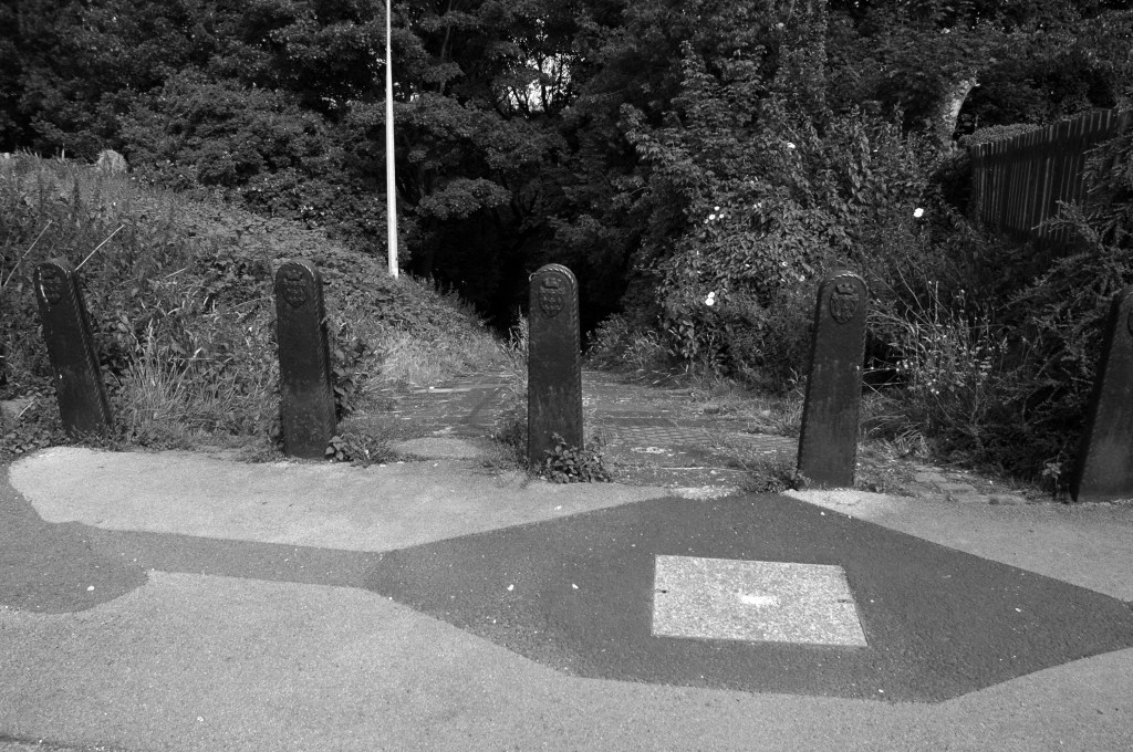
In casual conversation with Mr Matt Rettalick, at the Manchester Modernist HQ our attention casually turned to the topic of the prefabricated concrete garage.
I thought little more of it until yesterday, I then I resolved to get to the bottom of the matter.
Joseph Monier was a gardener and his idea was to develop permanent planters at a low price. In 1867, he patented different products made of reinforced concrete.
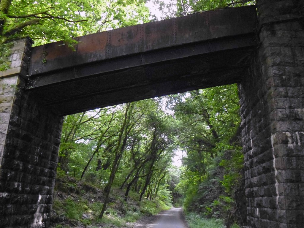
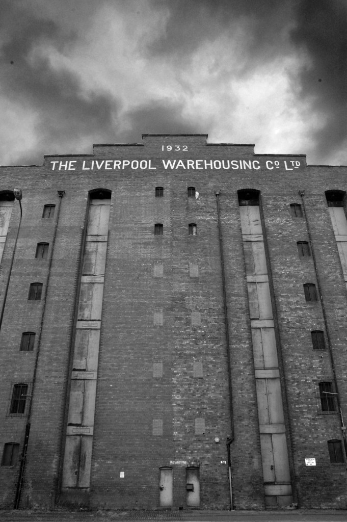
Precast panelled buildings were pioneered in Liverpool 1905. The process was invented by city engineer John Alexander Brodie, a creative genius who also invented the idea of the football goal net. The tram stables at Walton in Liverpool followed in 1906. The idea was not taken up extensively in Britain. However, it was adopted all over the world, particularly in Eastern Europe and Scandinavia.
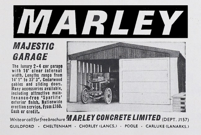
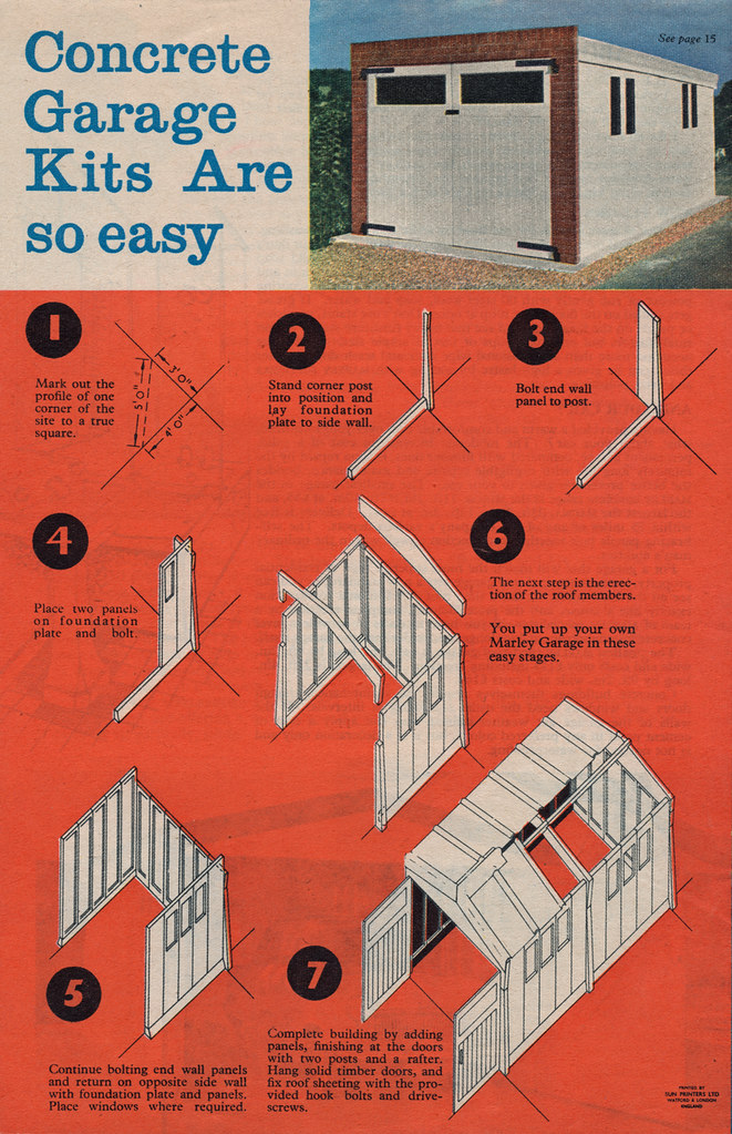
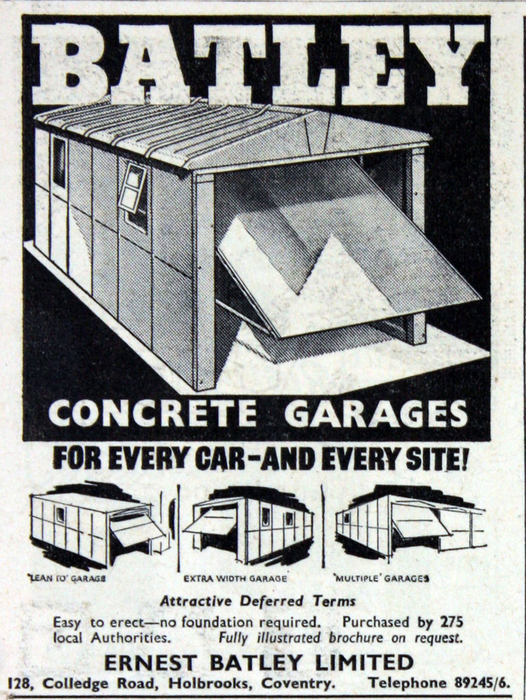
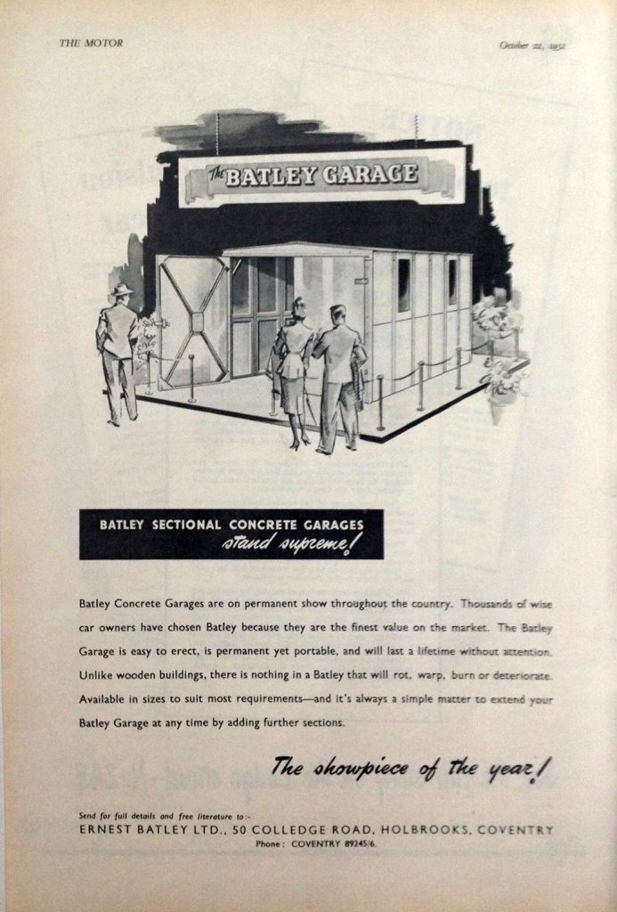
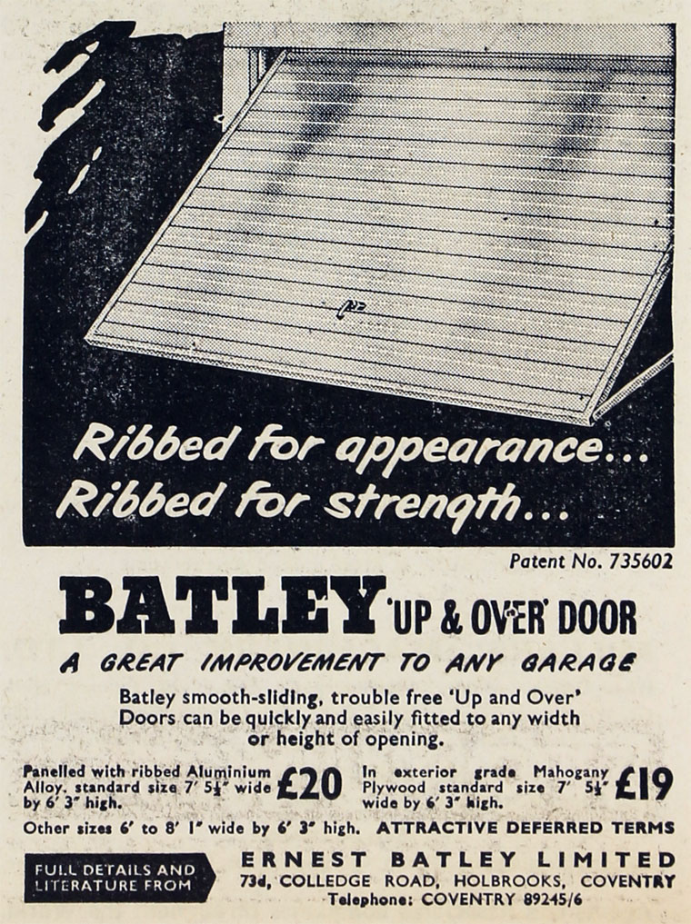
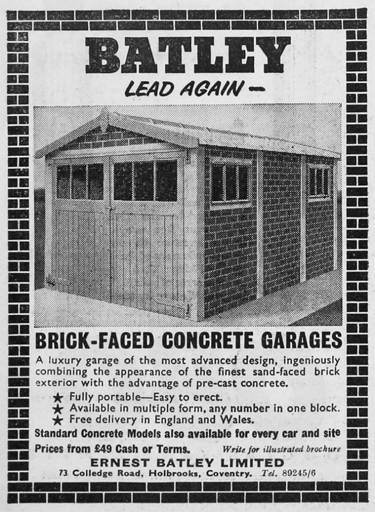
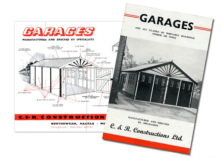
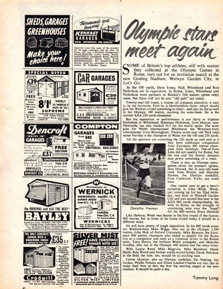
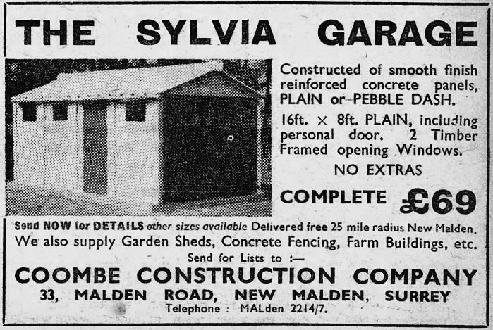
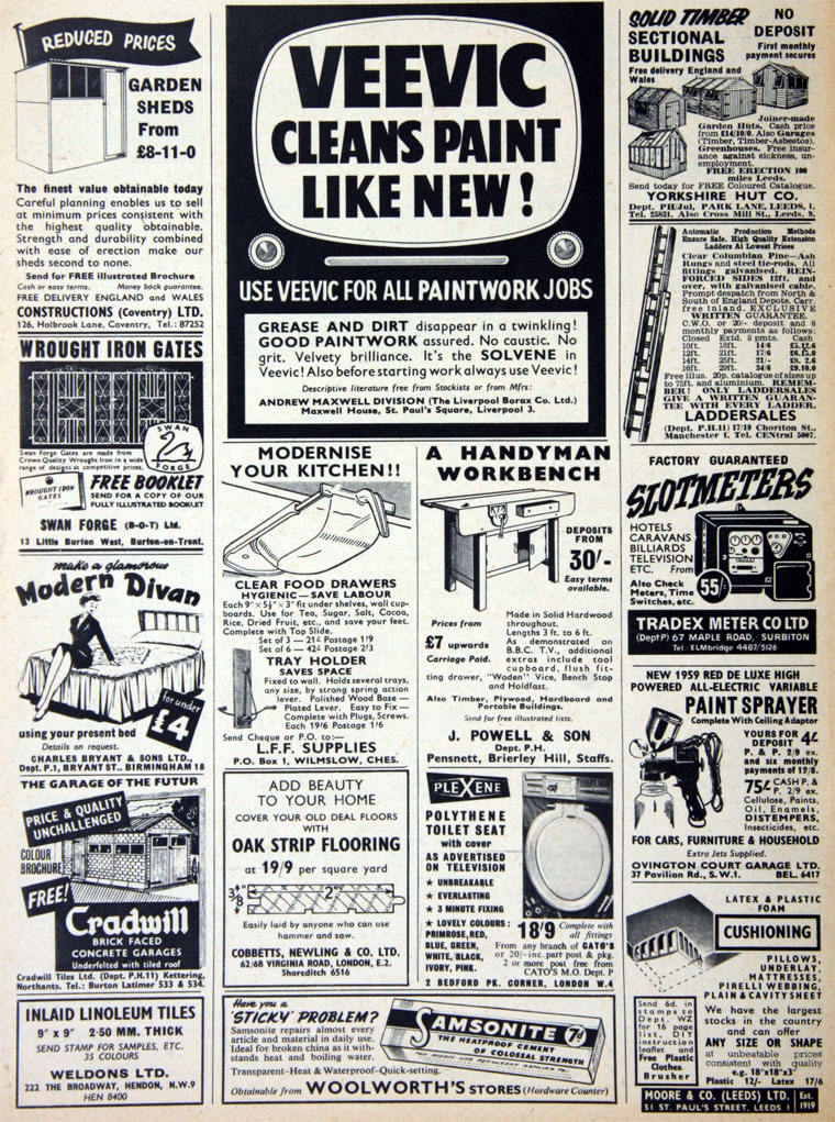
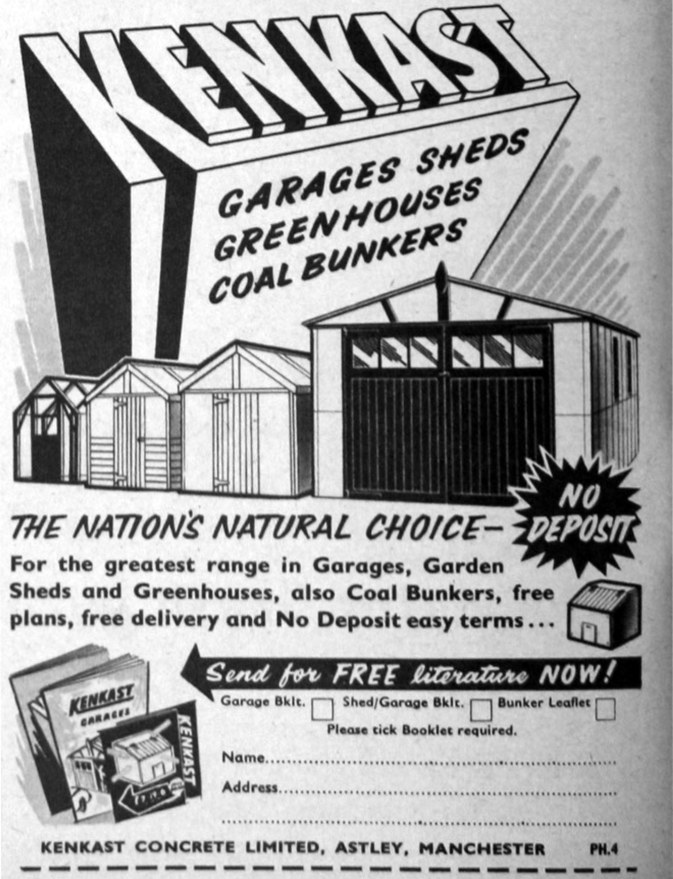
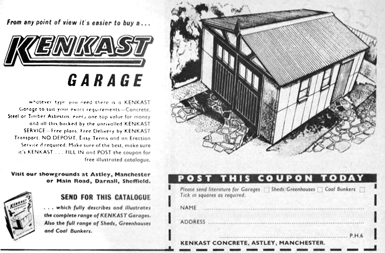
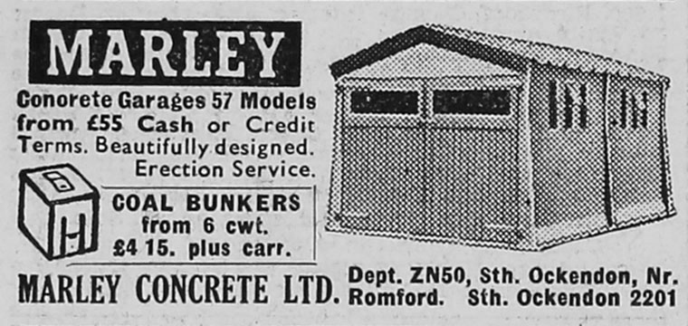
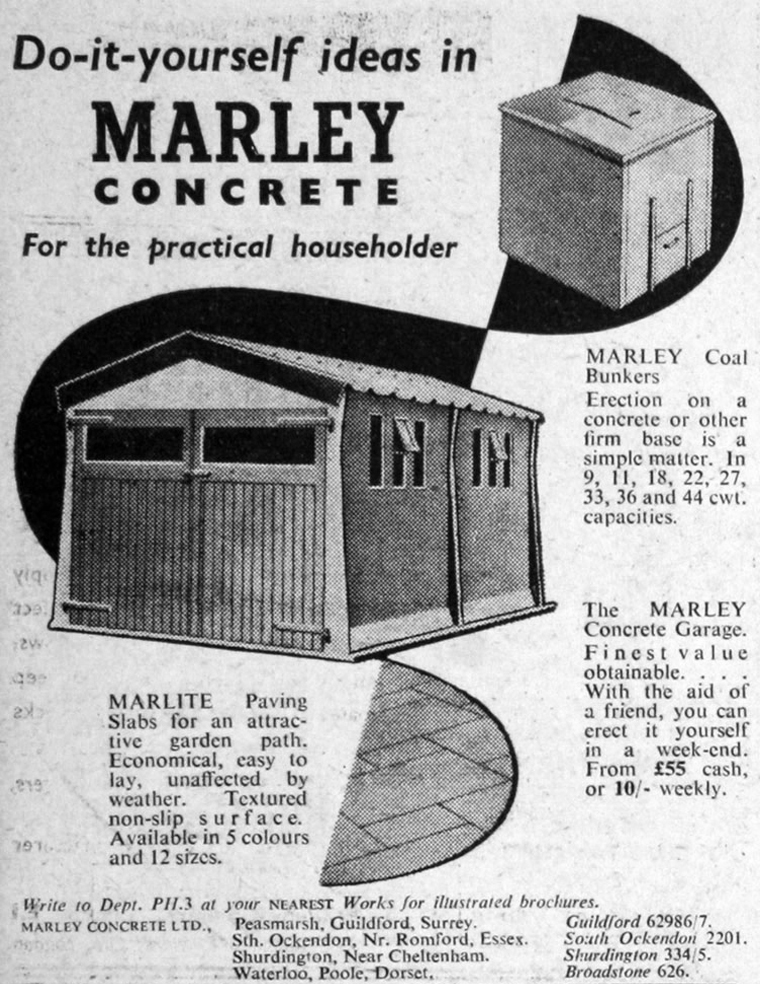
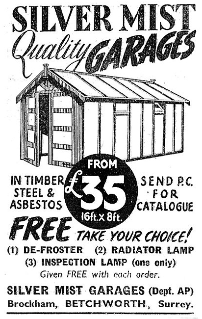
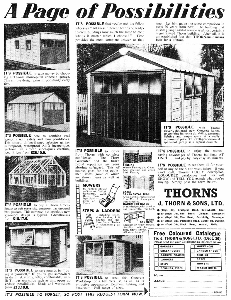
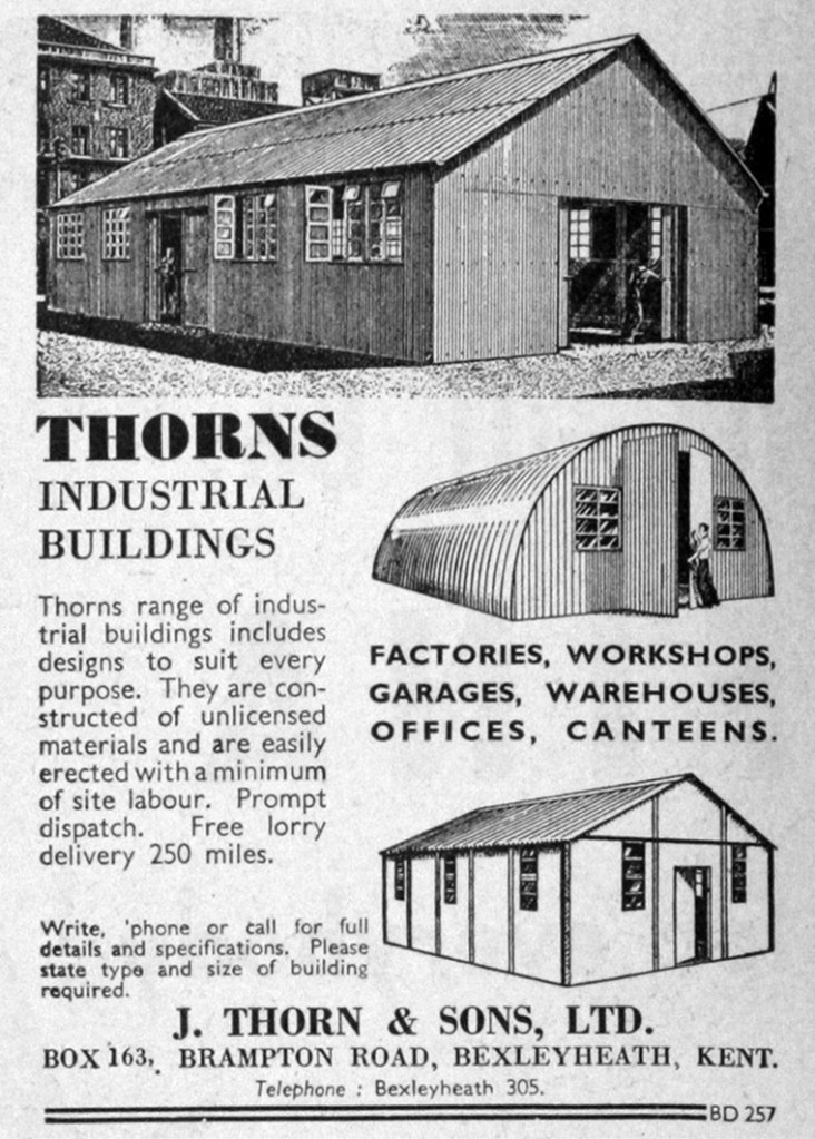
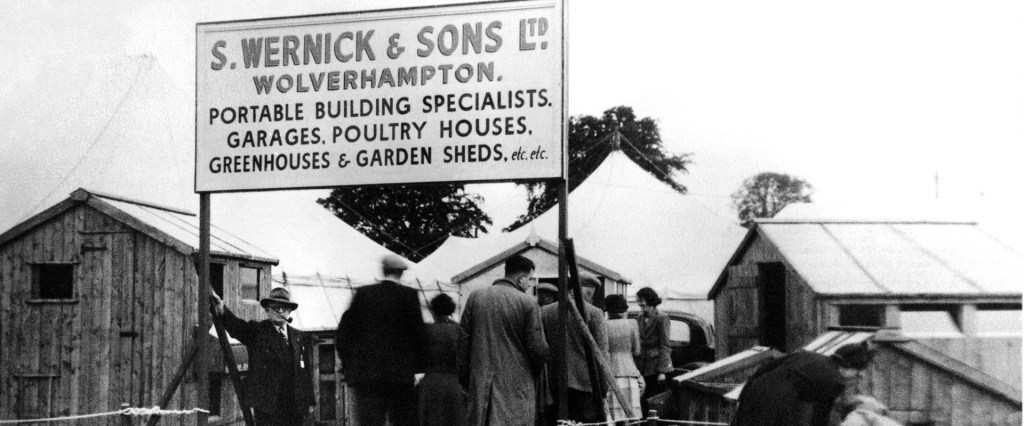
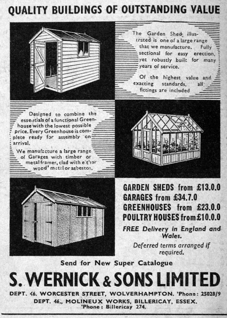
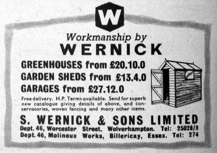
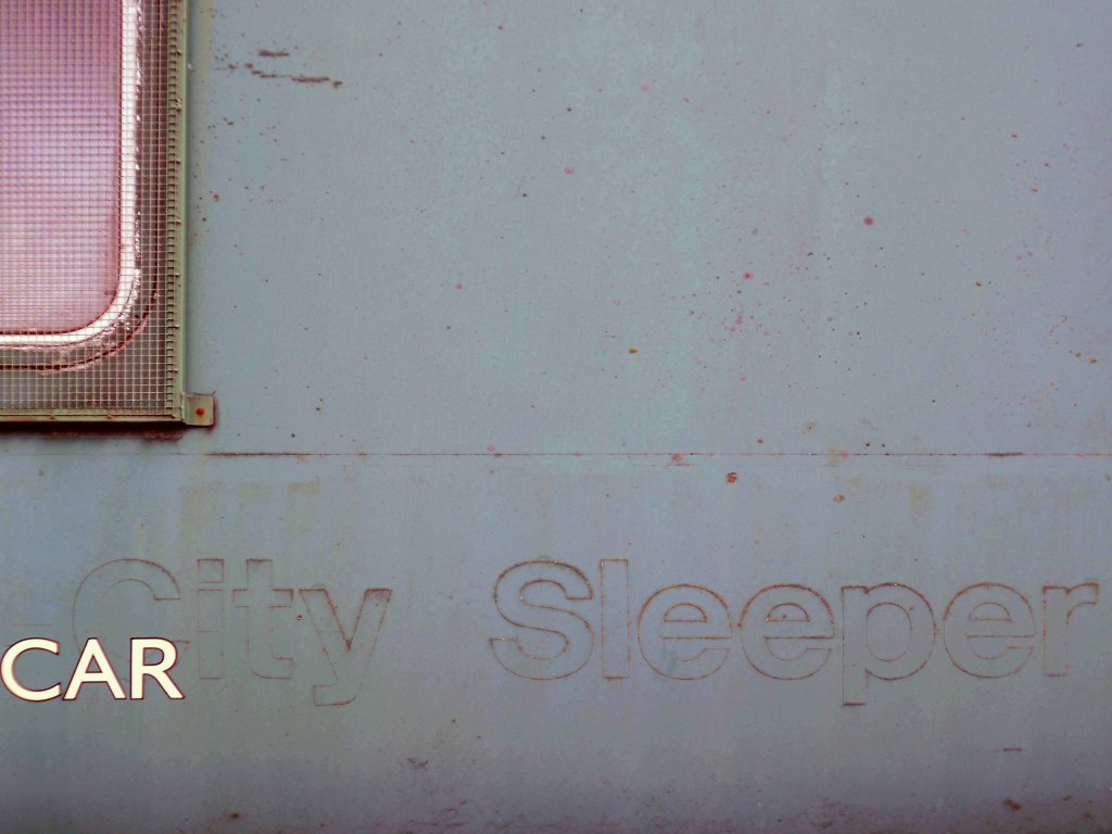
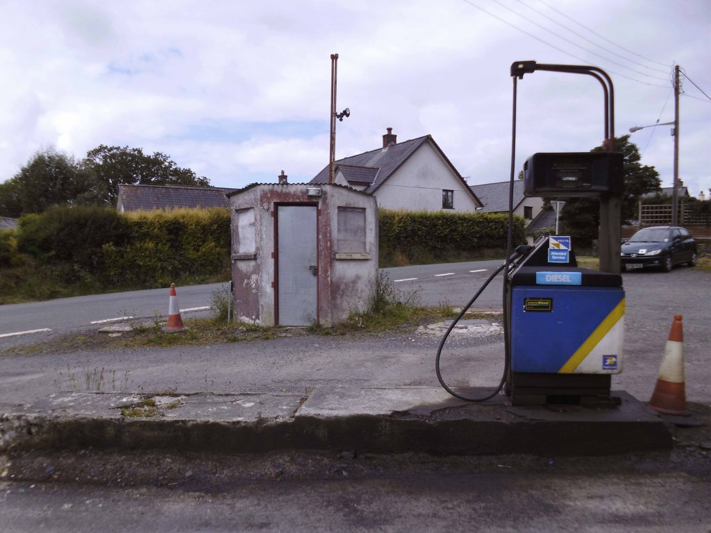
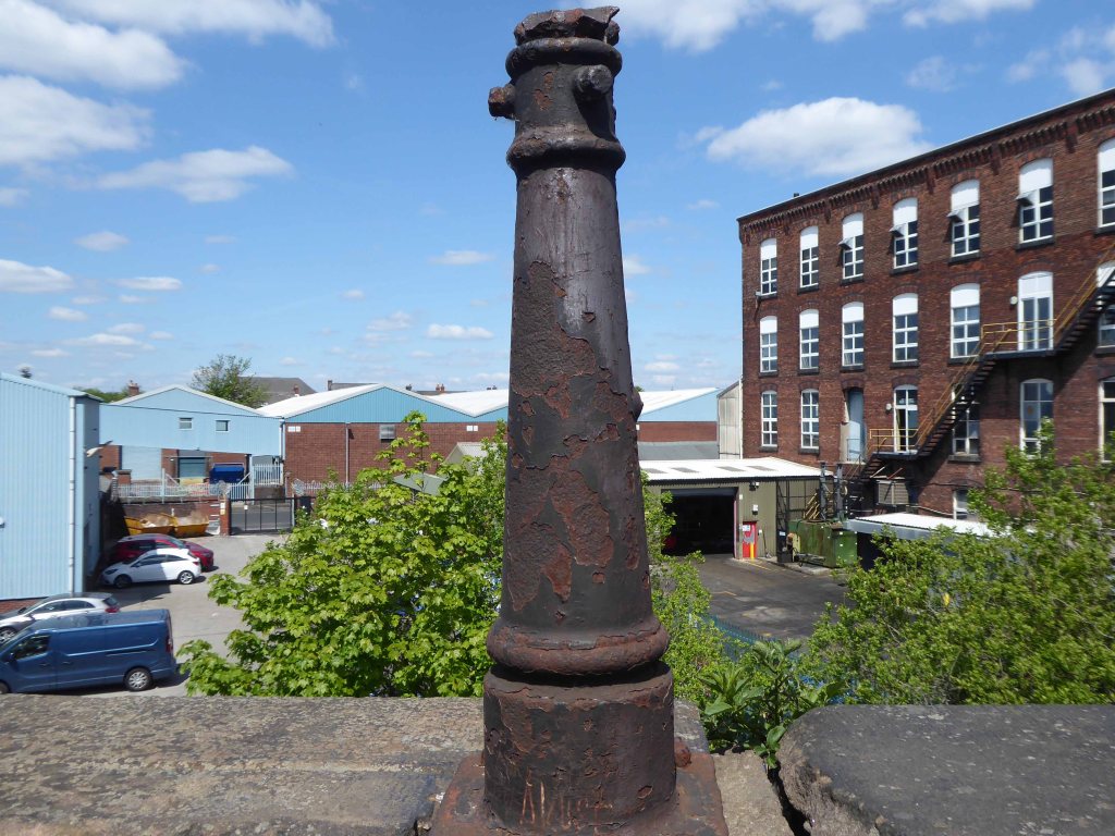
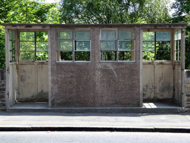
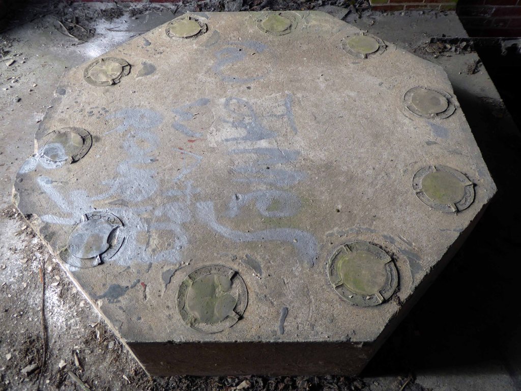
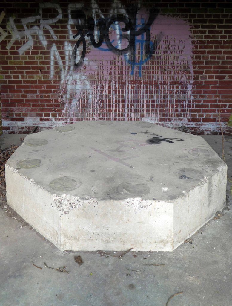
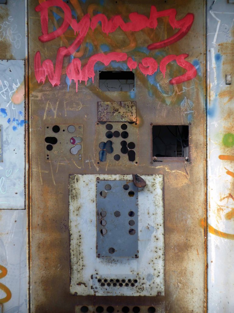
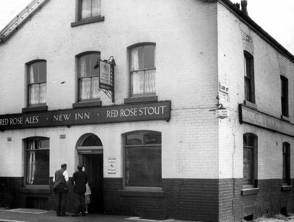
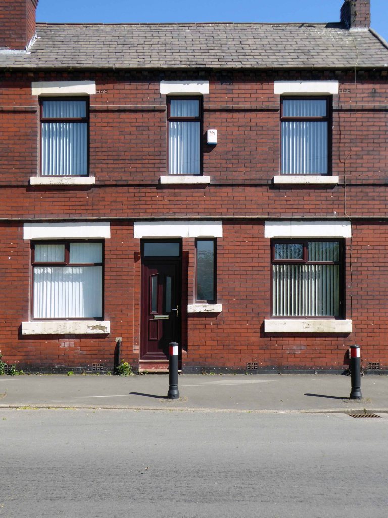
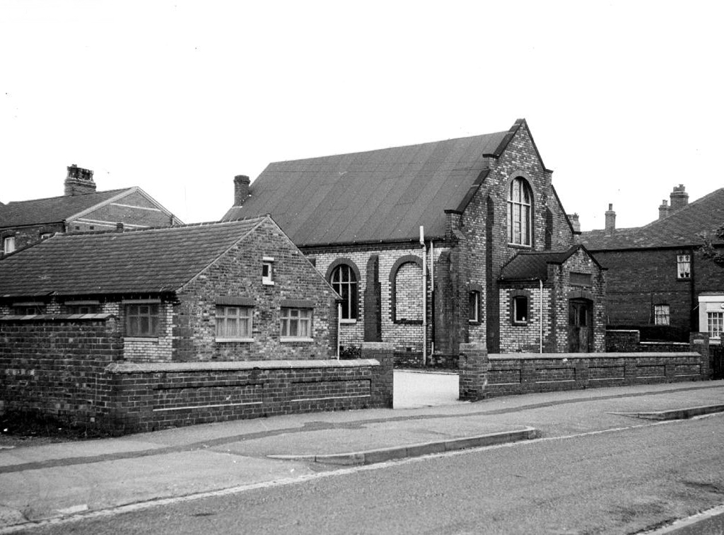
The first concrete kit garages appeared in 1952, manufactured by Marley, earlier models had been constructed from wood, asbestos, corrugated iron or galvanised steel.
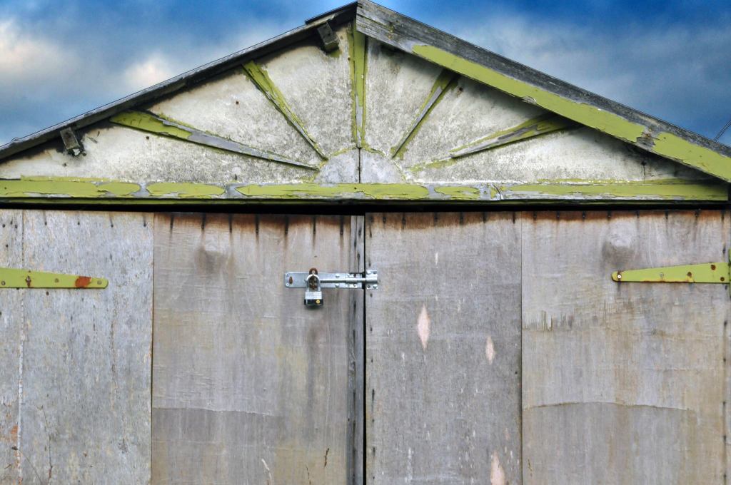
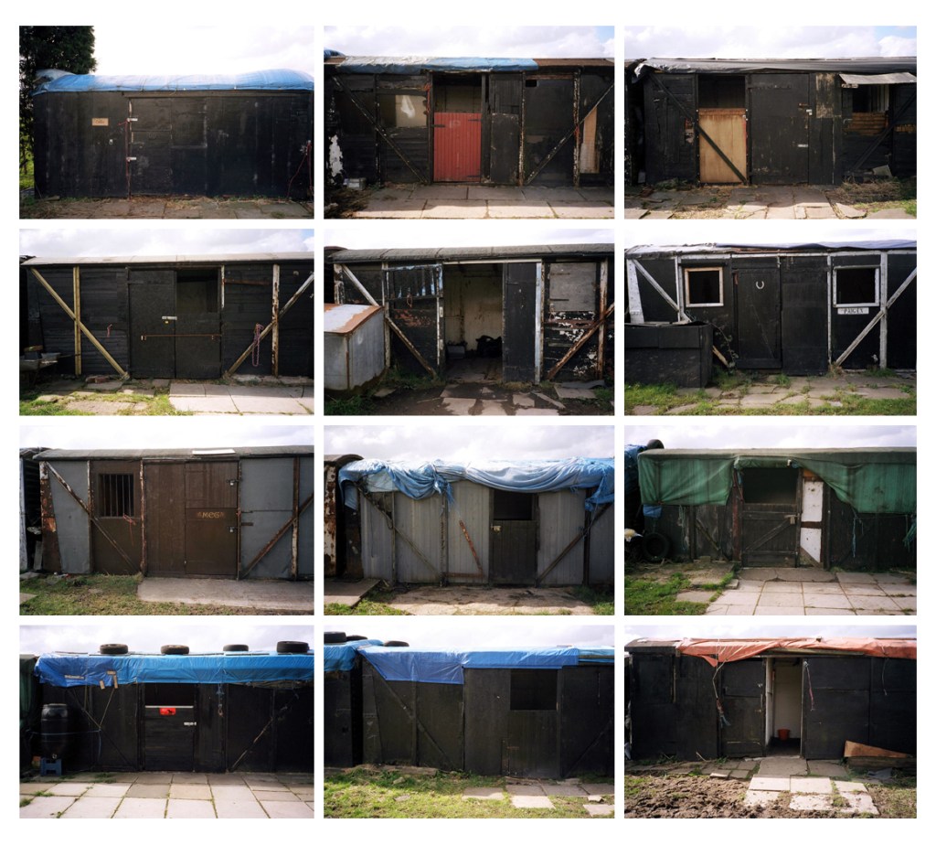
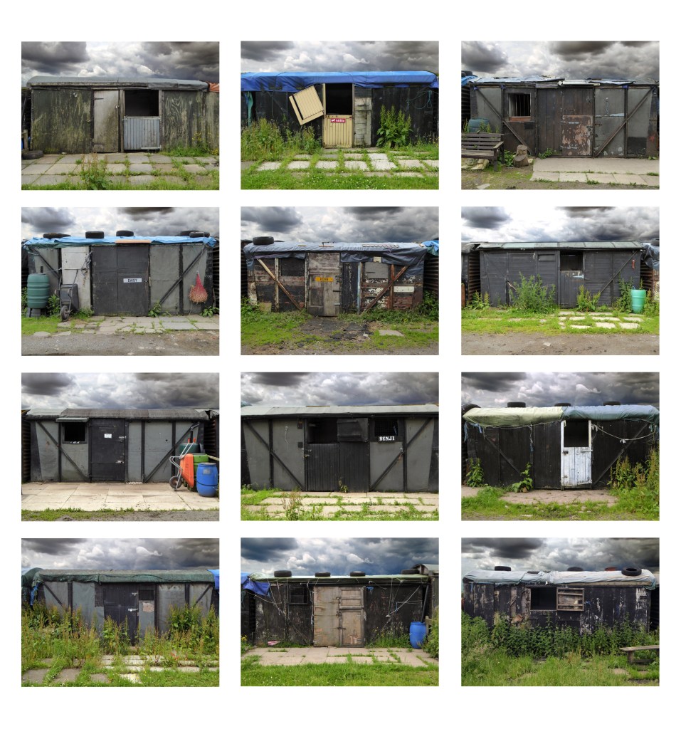
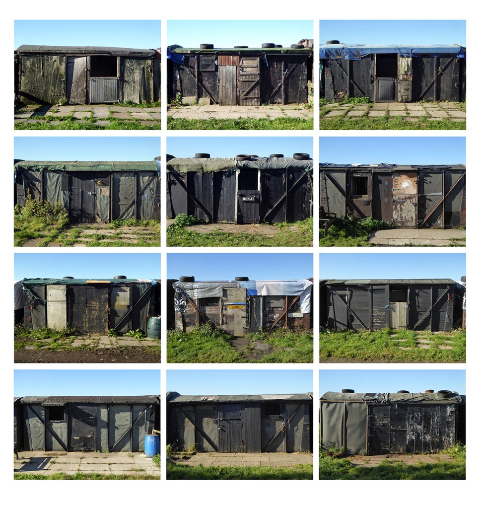
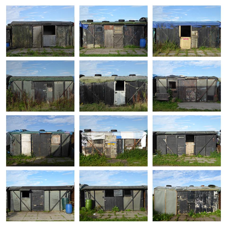
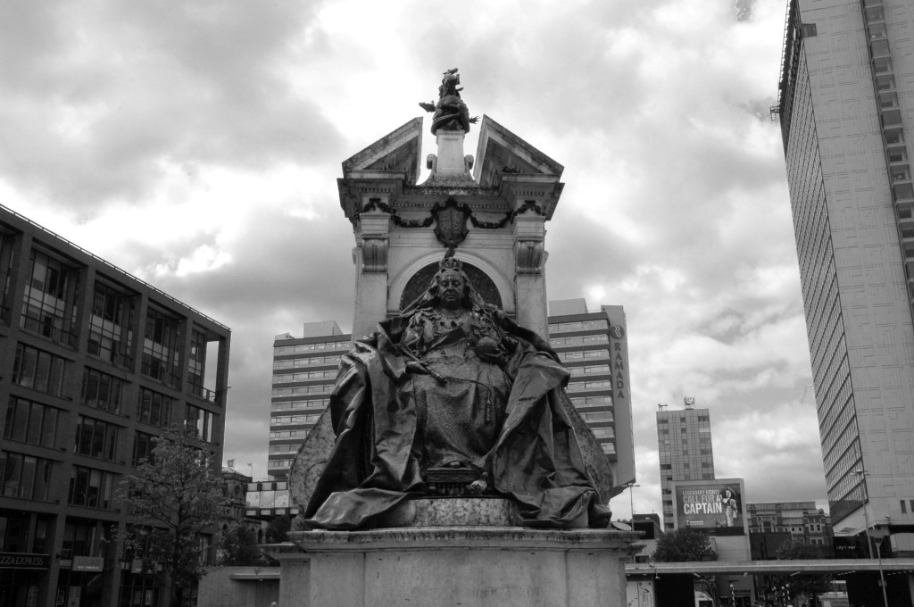
The sunrise became a common symbol of inter war optimism.
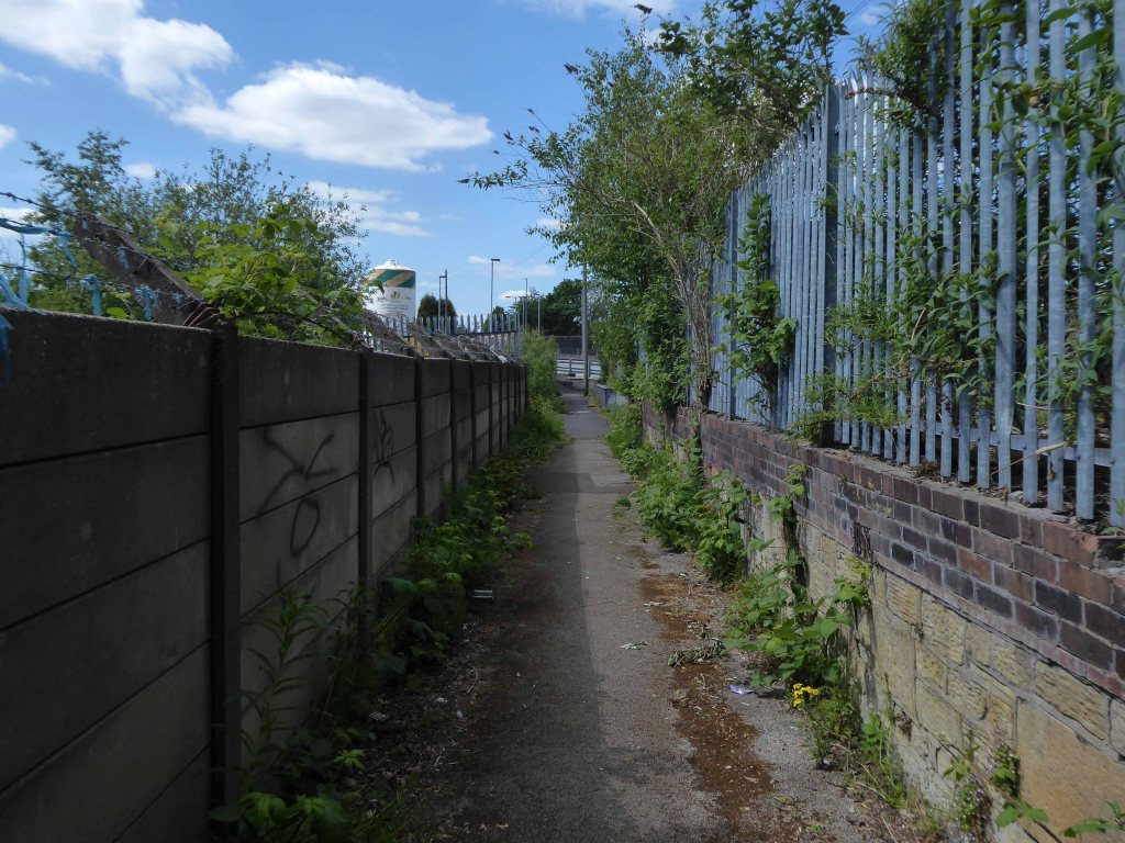
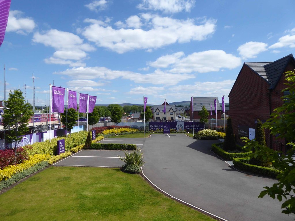
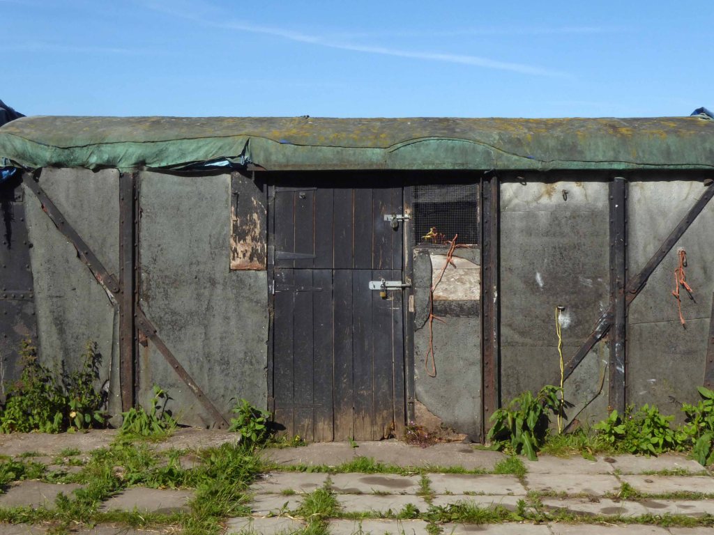
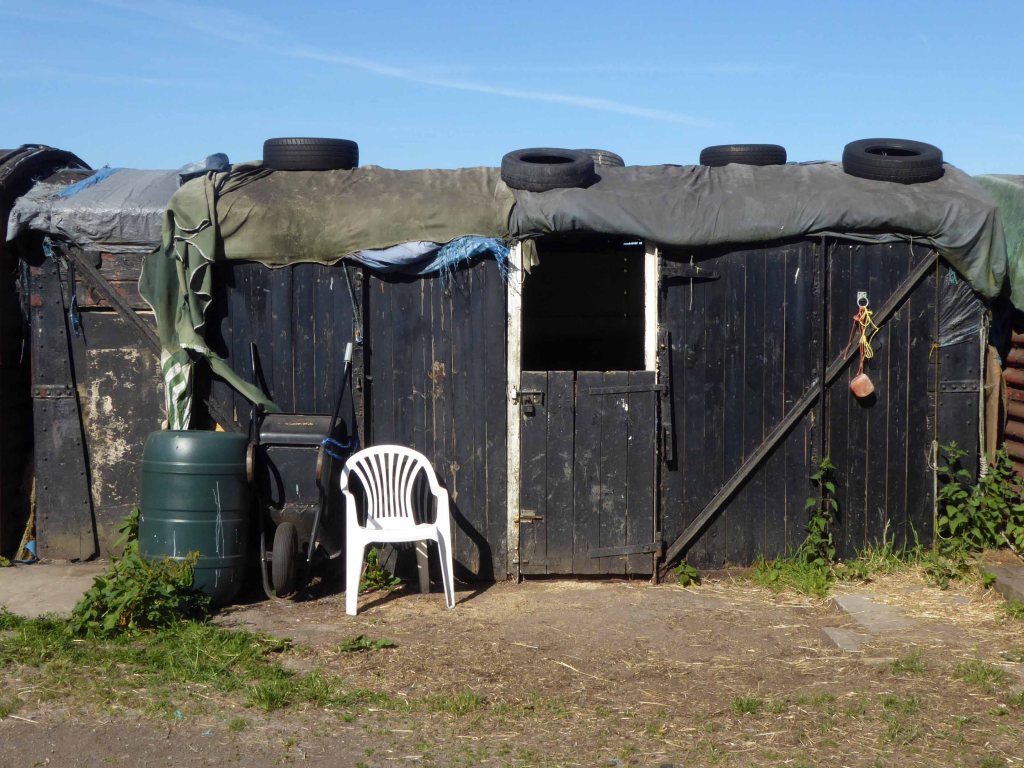
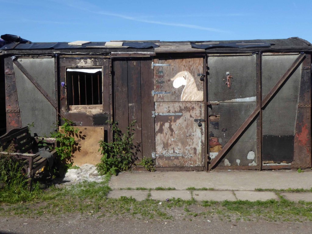
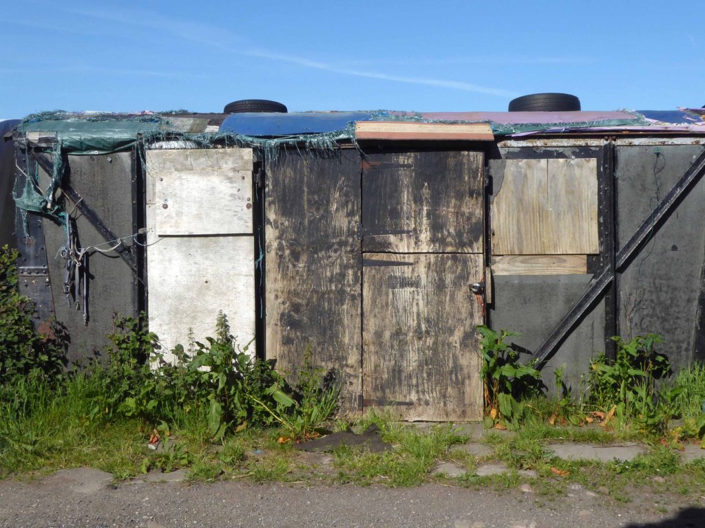
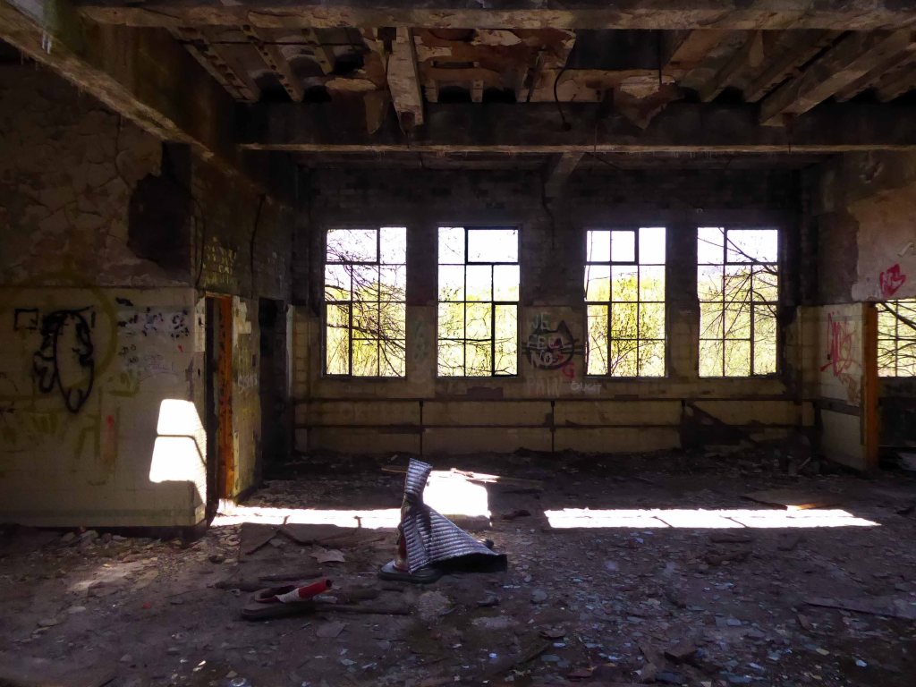
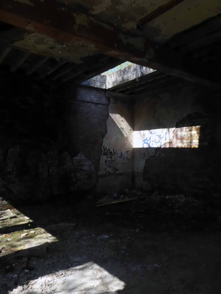
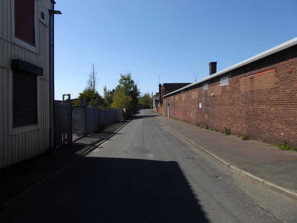
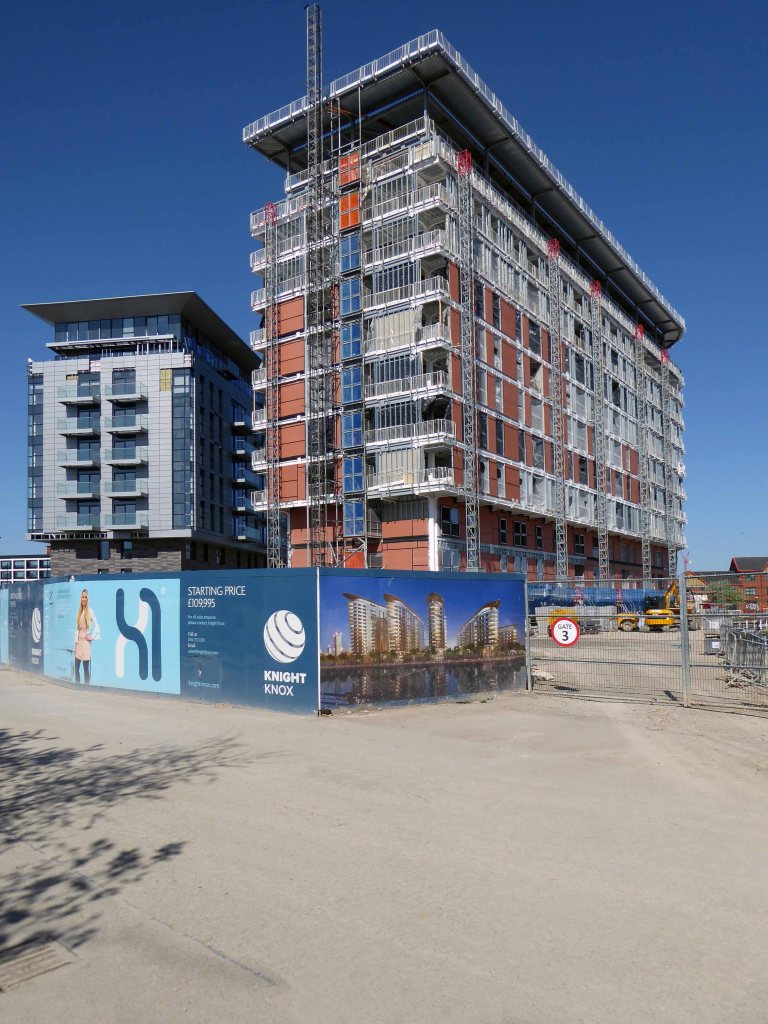
The increase in car ownership, the growth in the DIY ethic and the lack of an integrated garage, drove the demand for a pre-cast concrete auto-haven at the end of the drive.
They became a staple of the small ads.
Easy terms built to last.
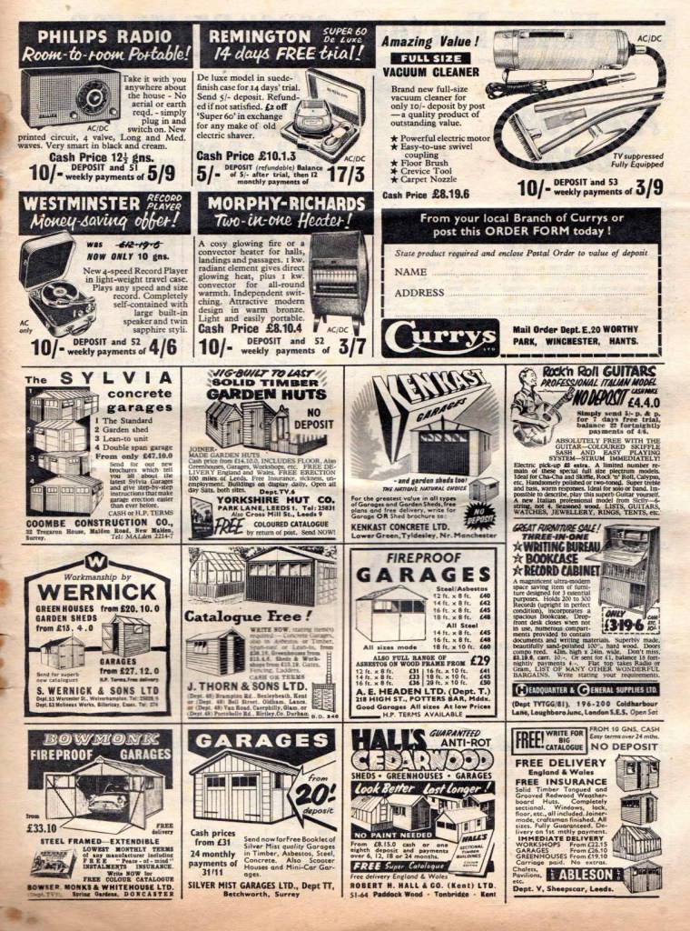
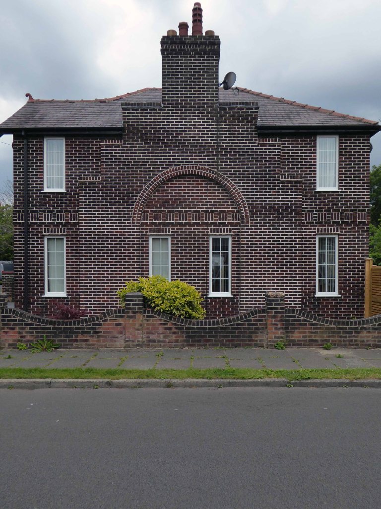
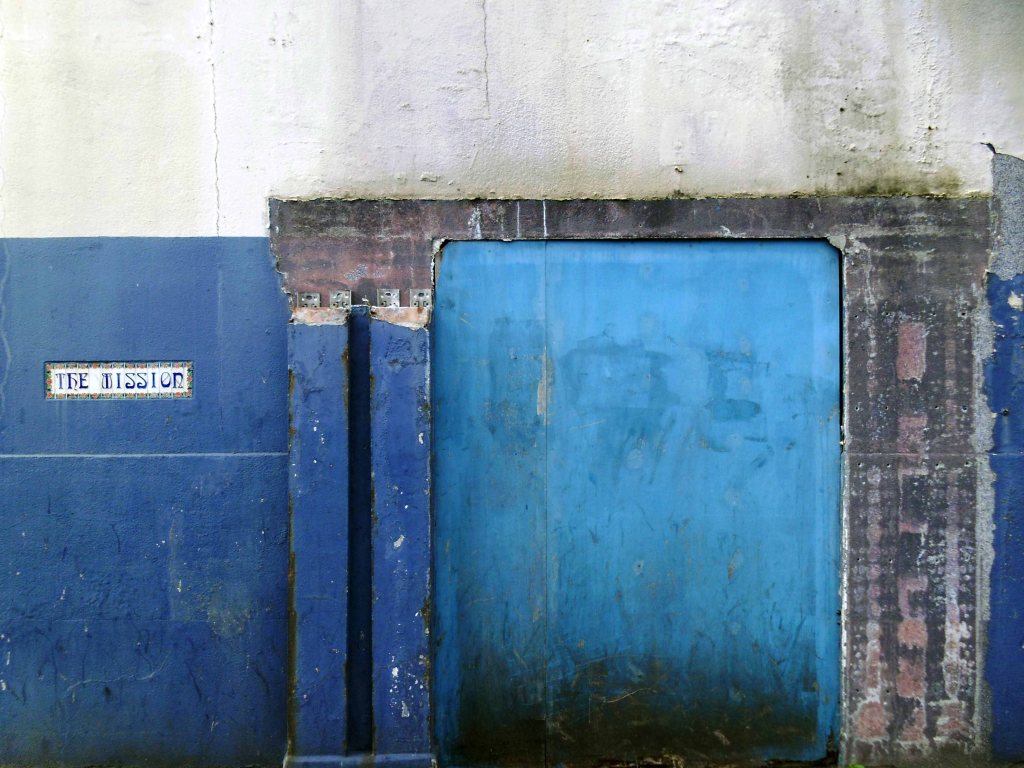
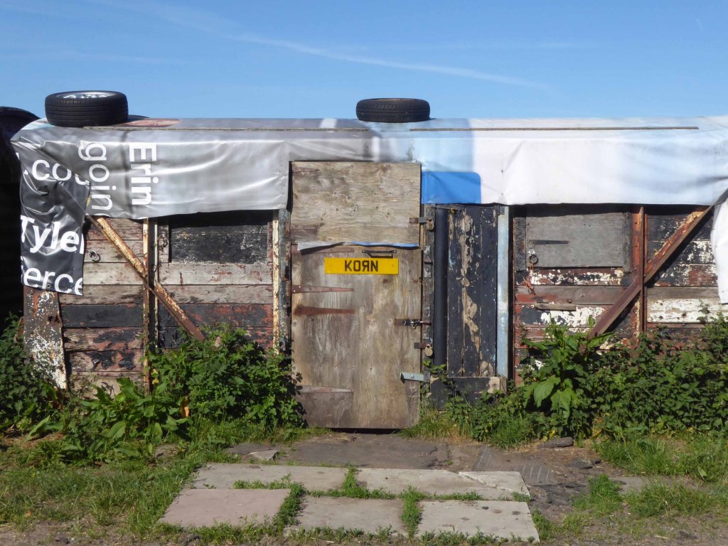
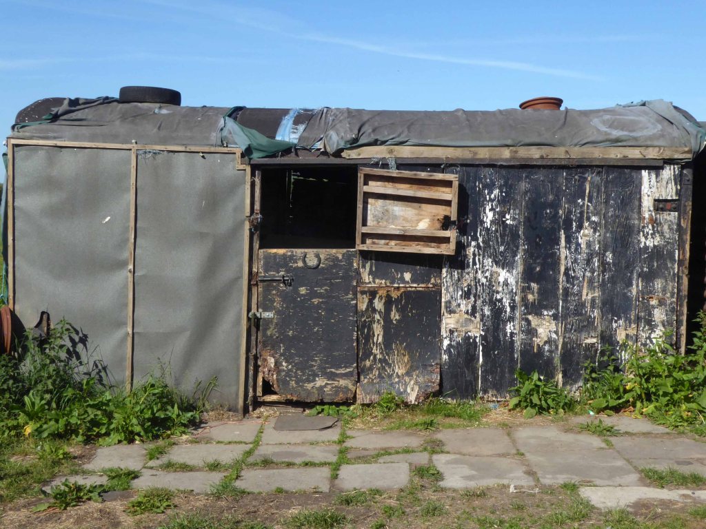
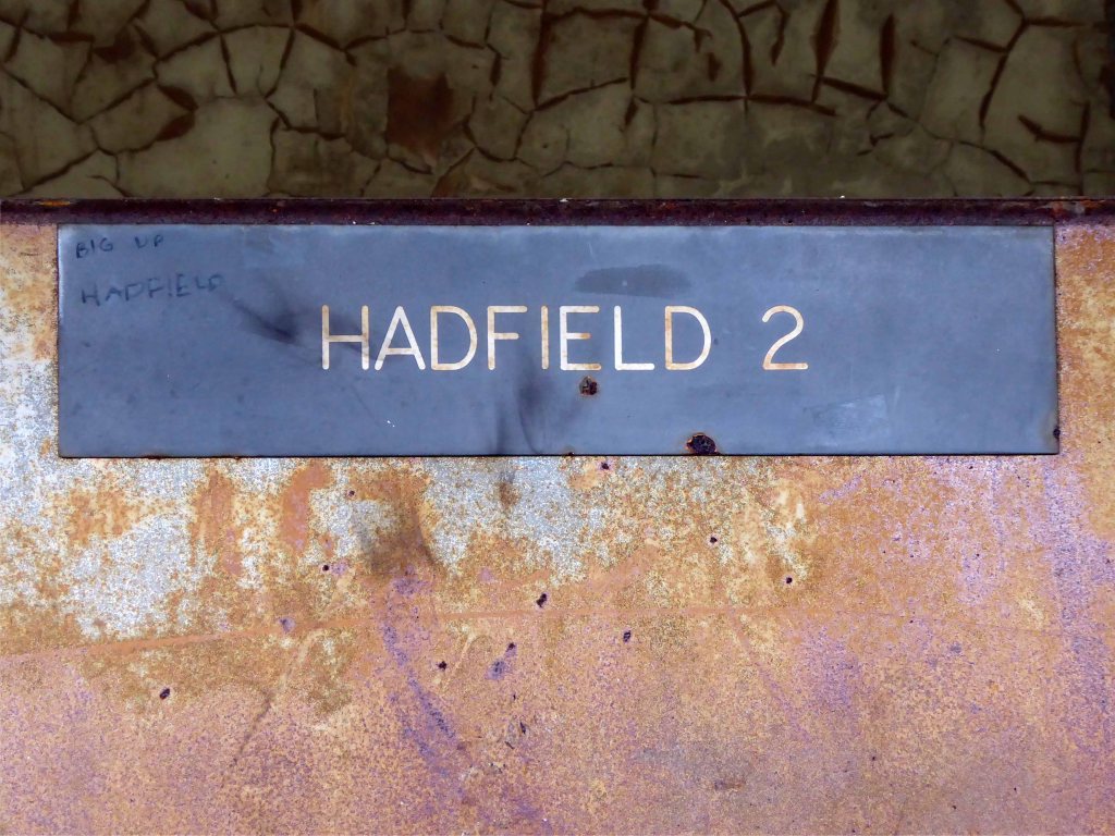
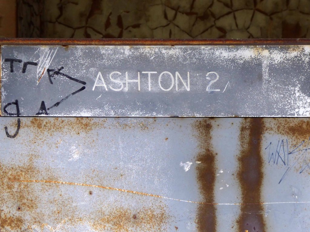
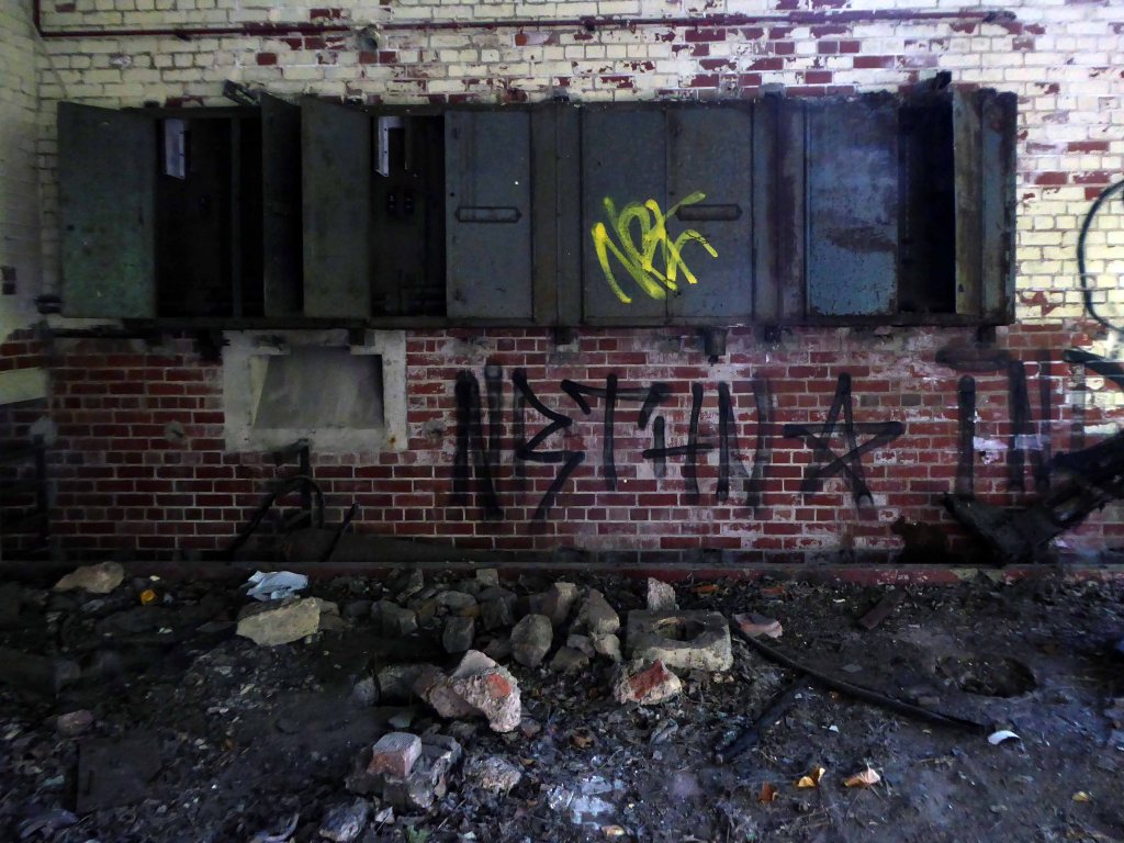
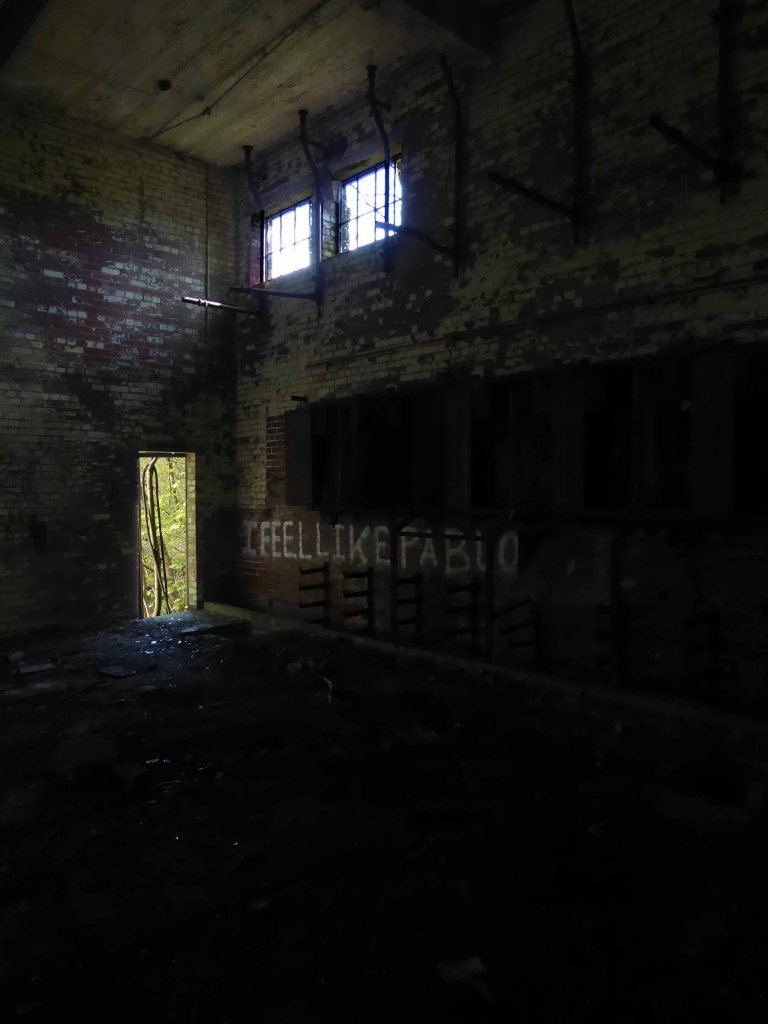
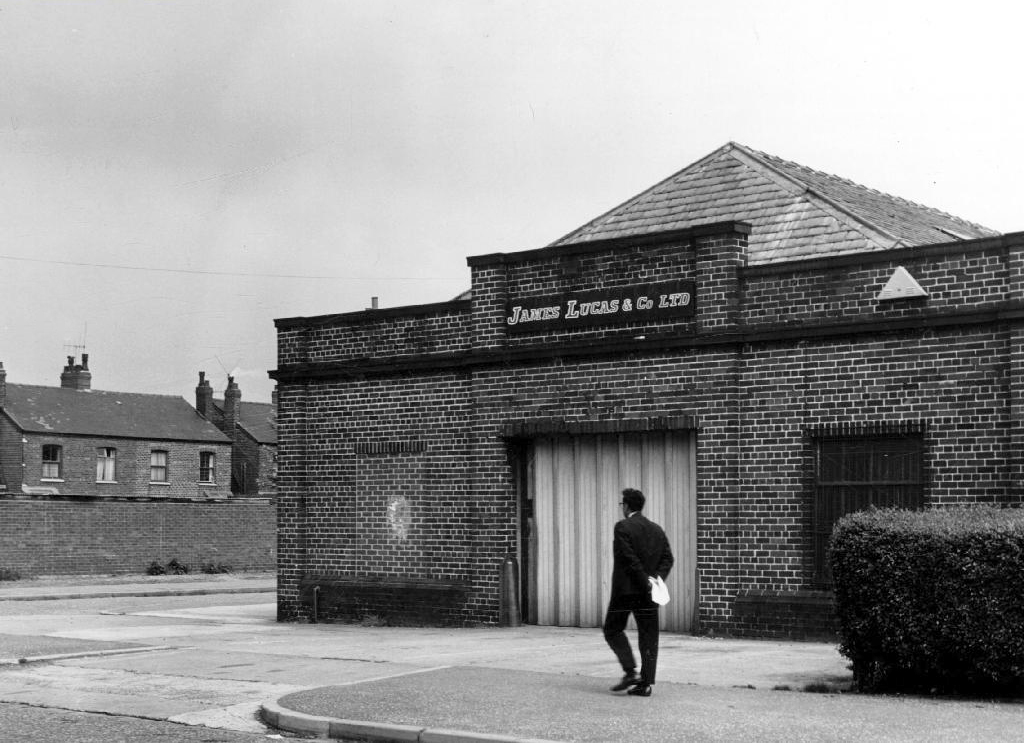
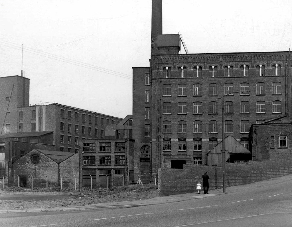
Kenkast is the name which for me resonates down through the years, though there were it seems, several other manufacturers.
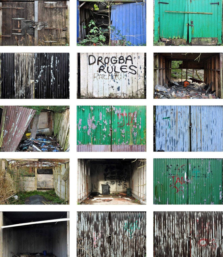
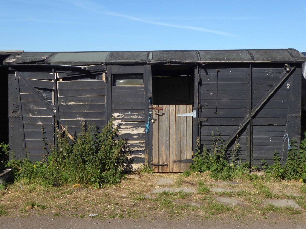
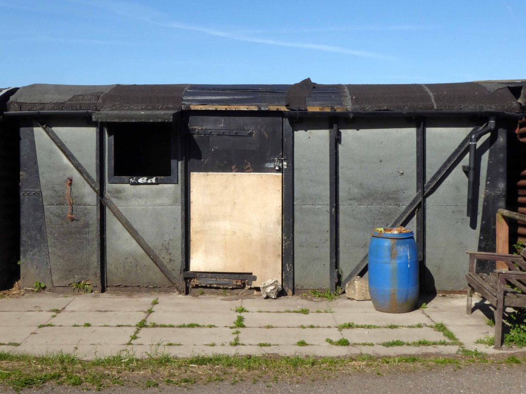
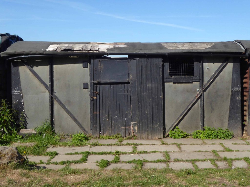
We now live in an age of endless non-stop domestic extension, all of the above are reminders of an age when extra external domestic space was added over a weekend, with help from a friend.
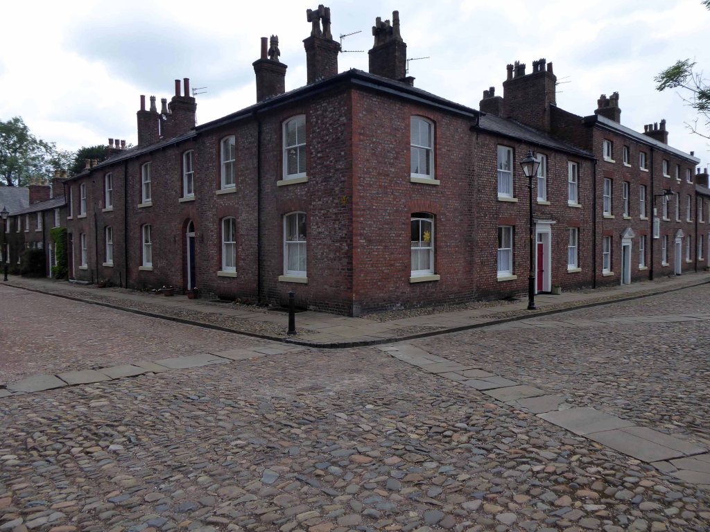
Fairfield is a suburb of Droylsden in Tameside, Greater Manchester, England. Historically in Lancashire, it is just south of the Ashton Canal on the A635 road. In the 19th century, it was described as “a seat of cotton manufacture”. W. M. Christy and Sons established a mill that produced the first woven towels in England at Fairfield Mill.
Fairfield is the location of Fairfield High School for Girls and Fairfield railway station.
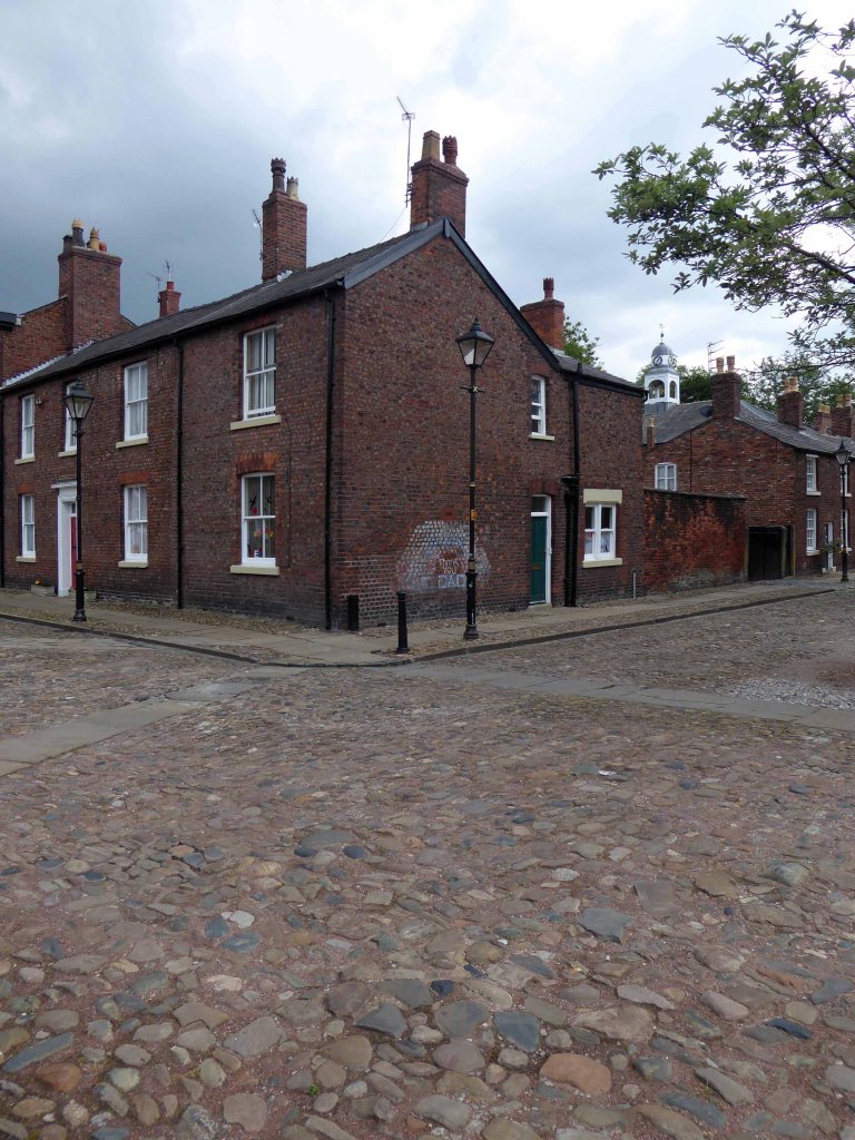
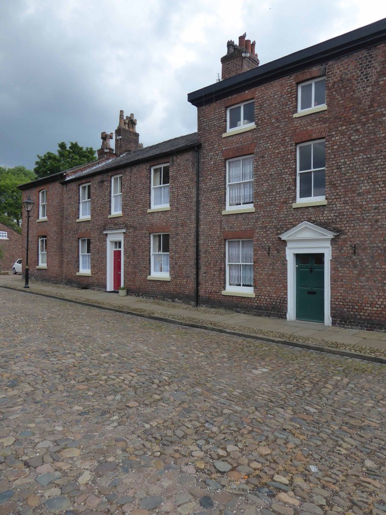
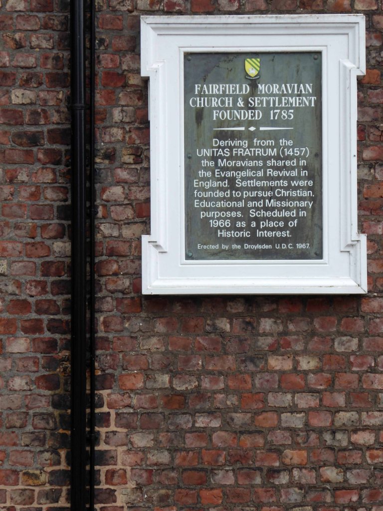
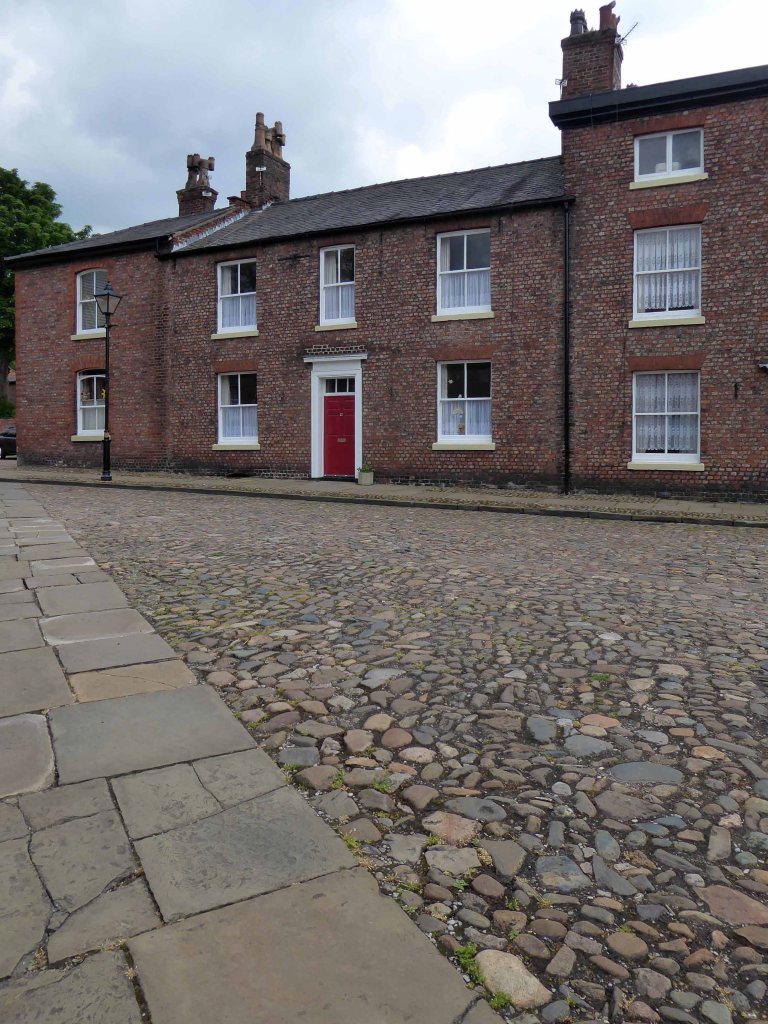
The community has been home to members of the Moravian Church for many years after Fairfield Moravian Church and Moravian Settlement were established in 1783.
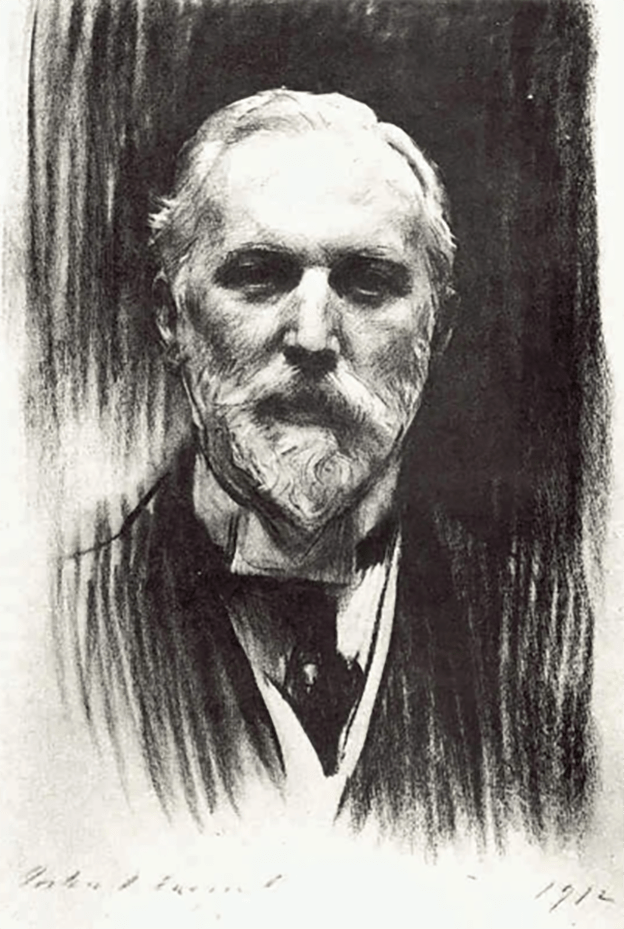
Also the merchant banker and art collector Robin Benson (1850–1929).
Drawing – John Singer Sargent
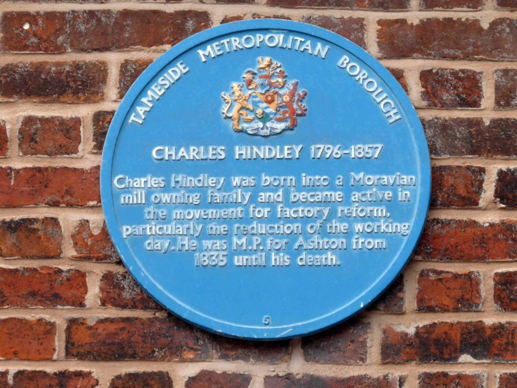
Charles Hindley 1796 – 1857 was an English cotton mill-owner and radical politician the first Moravian to be elected as an MP.
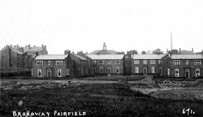
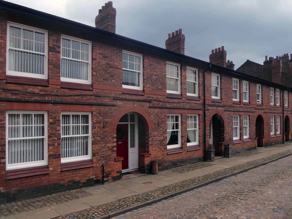
Turning into Fairfield Avenue from Ashton Old Road you’ll find Broadway sitting prettily on your right hand side. It was intended to be an extensive Garden Village but was abandoned at the outbreak of the First World War. The estate consists of 39 houses, built between 1914 and 1920 in a neo-Georgian style. These are a mixture of detached, semi-detached and terraces in a range of sizes.
Broadway is a small scale example of a garden suburb development and is composed of a mixture of detached, semi detached and terraced houses ranging in size and built in a reddish-orange brick with dark brick dressing and patterning. The properties appear to be generously proportioned and they share similarities in design and construction and a unifying scheme of decoration.
It issuggested that the ‘imaginative exploitation of the levels and texture suggest that Woods was responsible for the layout, but the chaste Neo-Georgian character of the houses undoubtedly reflects the taste of Sellers’.
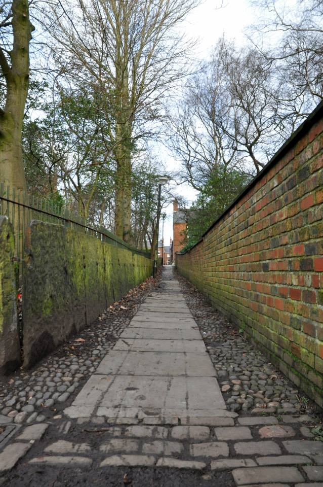
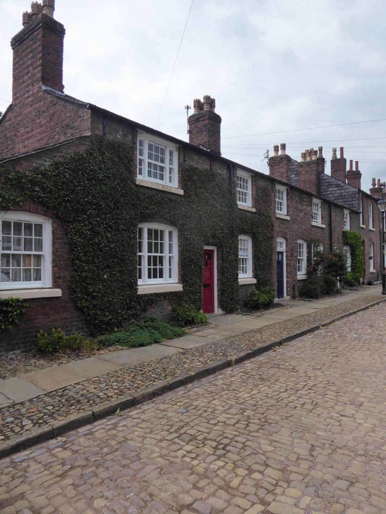
Sneaking through the alley – lined with a Yorkshire Stone fence you enter the Moravian Settlement.
Engraving 1794
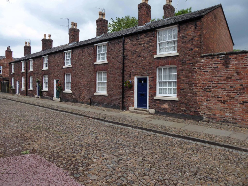
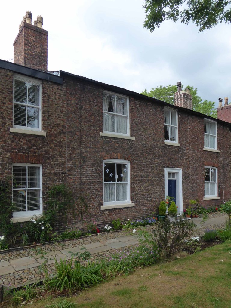
The Unitas Fratrum or Moravian Church is an international Protestant Christian group which originated from the followers of Jan Hus in Bohemia (now part of the Czech Republic) during the 15th century. As a result of persecution, the group eventually re-established itself in Saxony in the early 18th century, and it is from there that followers first came to this country in the 1730s, with the intention to go on to carry out missionary work in America and the Caribbean. A decision was taken to establish the first Moravian Settlement in England at Fulneck in Yorkshire in 1744. The first Moravian settlement to be located in Tameside was in Dukinfield during the 1740s. It was there that they laid the foundation stone for their chapel at the top of Old Road in May 1751. By 1783, 40 years after their first arrival in Tameside, the lease on their land at Dukinfield expired, and negotiations for a new one proved difficult. This resulted in the purchase and removal of the community to a 54 acres site at Broad Oak Farm in Droylsden where they established a new settlement known as Fairfield.
As well as providing domestic accommodation, the buildings at Fairfield had industrial functions. During the late 18th and 19th centuries the Settlement would have been a hive of religious and industrial activity, which included the church, schools, domestic dwellings, inn, shop, bakery, laundry, farm, fire engine, night-watchman, inspector of weights and measures, an overseer of roads, physician, as well as handloom weaving and embroidery.
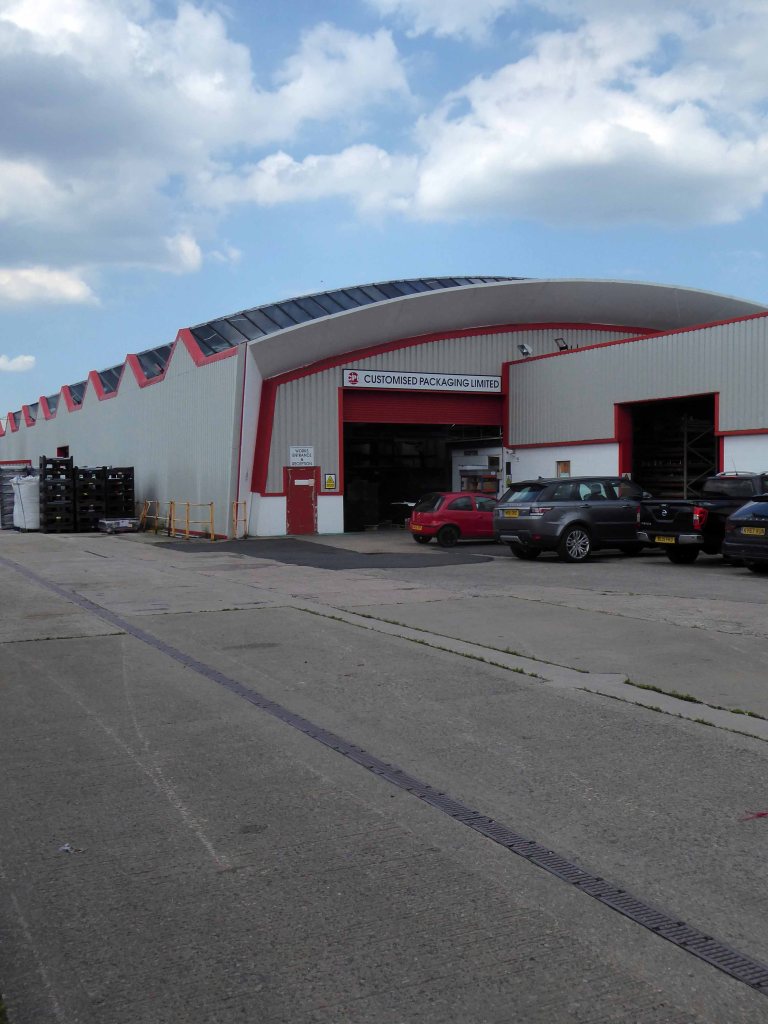
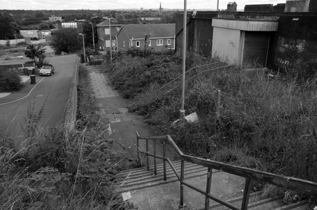
I’ve cycled by here for some fifty years or more – always admiring its serrated roof.
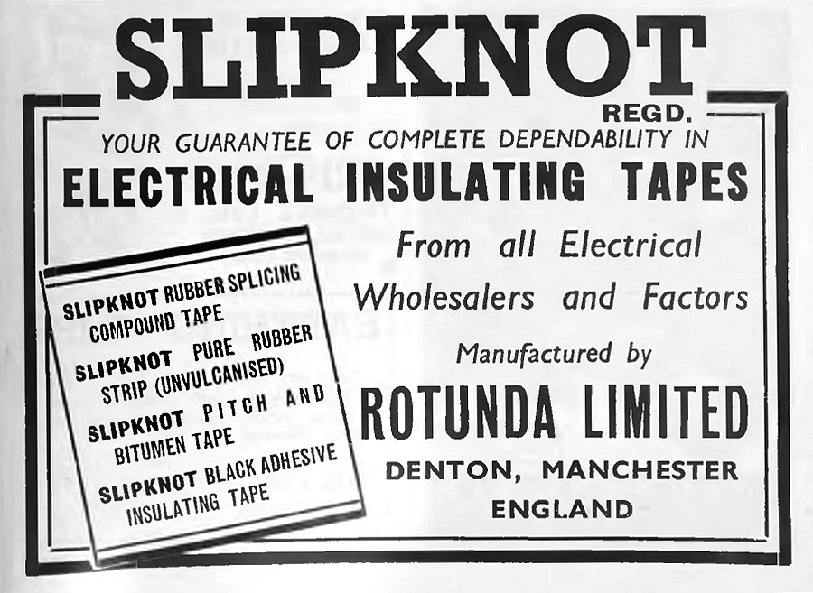
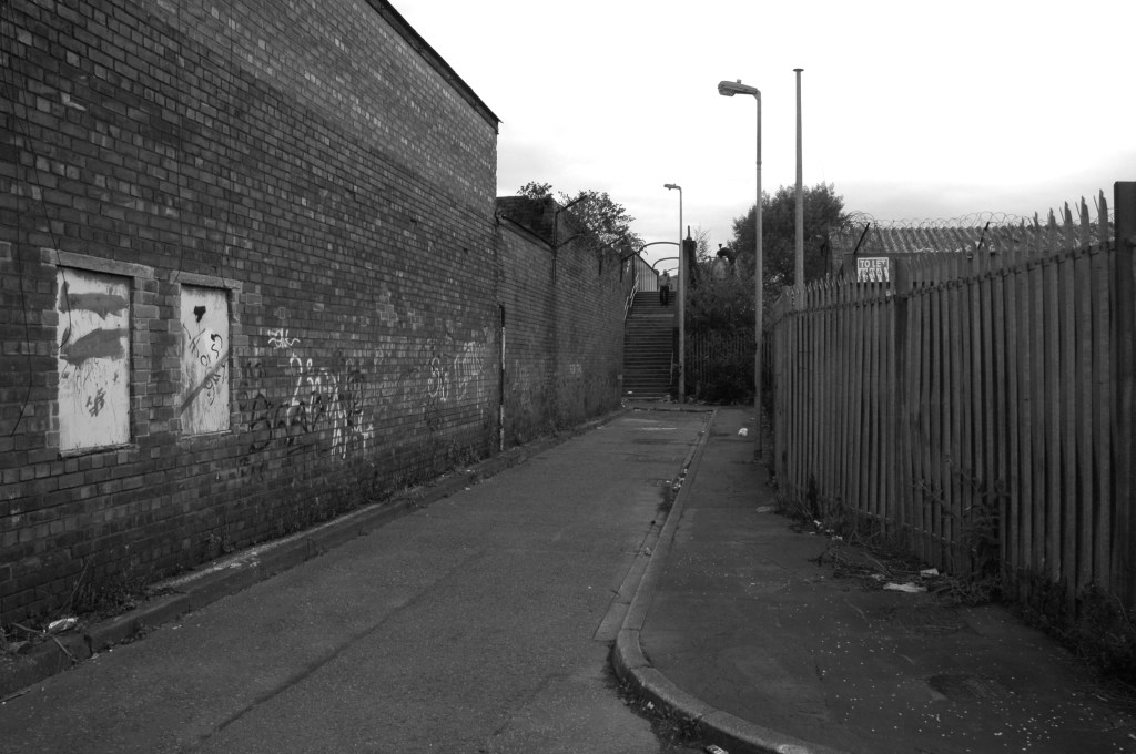
Way back when we would roam around on our bikes, exploring the waste ground adjacent to Jackson’s Brickworks.
Where we would scavenge tape from the Rotunda tip.
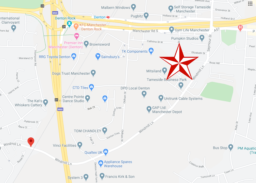
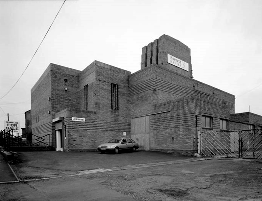
I remember it as a Remploy Centre.
My last 13 years prior to retirement last May were spent at the centre, on Windmill Lane, Denton. Just before I left, a lot of demolition work was done, prior to redevelopment of much of the site.
I seem to remember the place always being referred to locally as Th’ Rehab – the Rehabilitation Centre, a Government training centre, where skills were taught, such as joinery, bricklaying etc, and there was also a Remploy Unit housed there.
Local men could go for a free haircut, administered by a well supervised trainee.
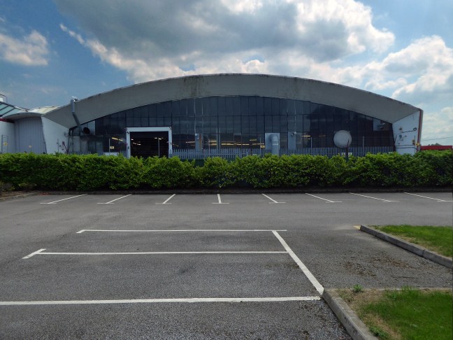
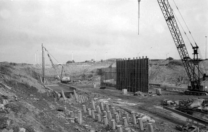
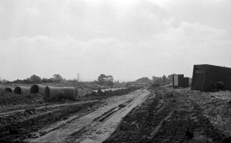
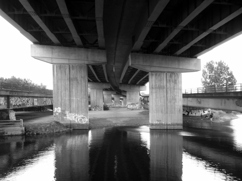
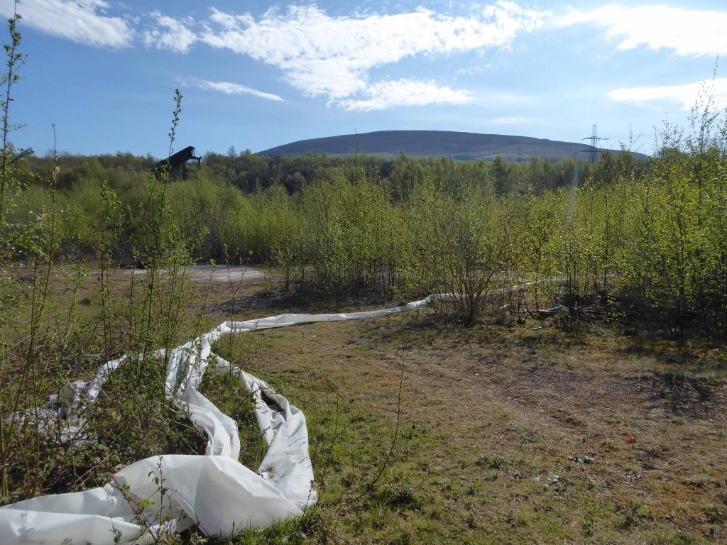
Proximity to the M60, seen here under construction is paramount to its future success.
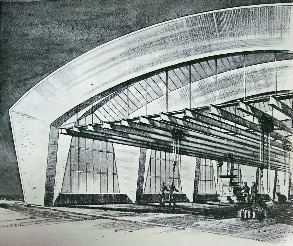
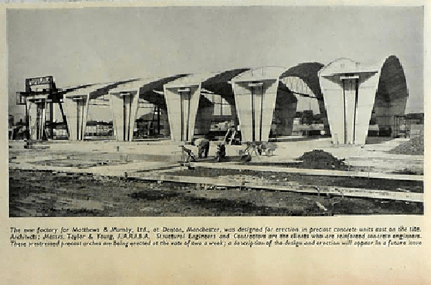
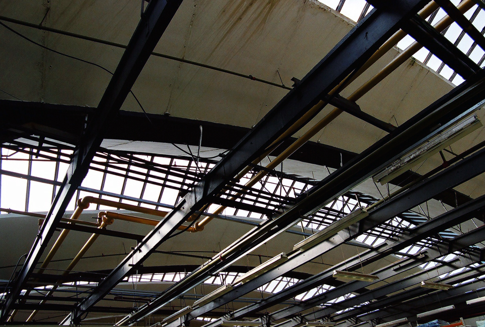
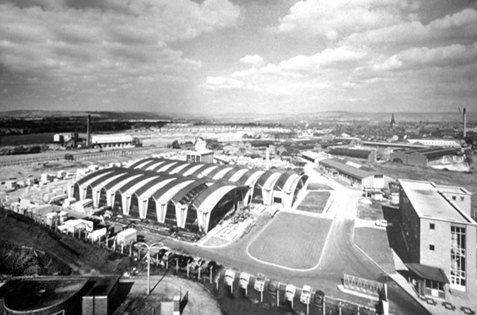
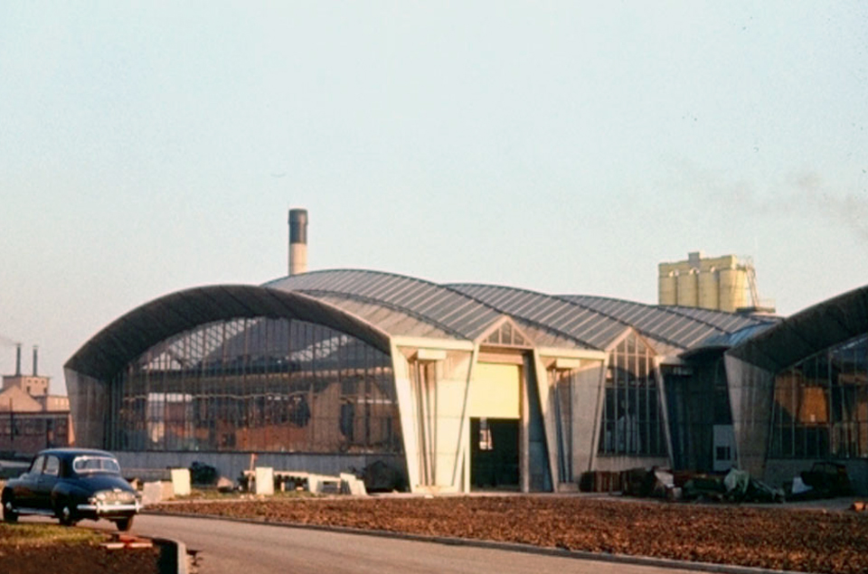
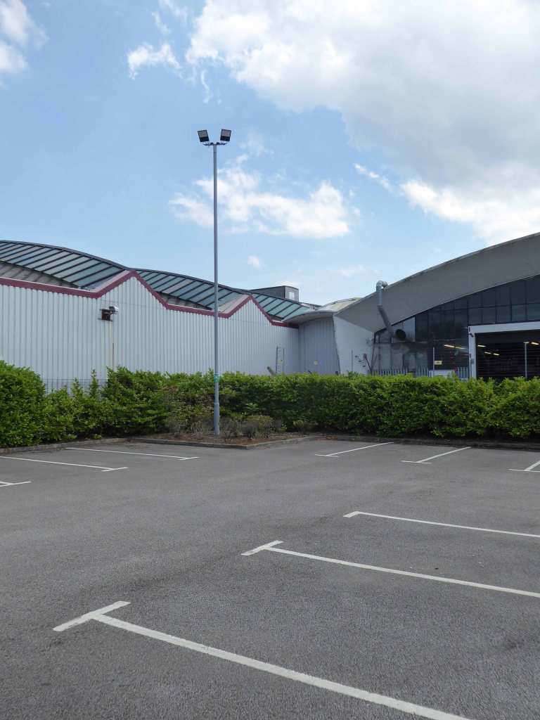
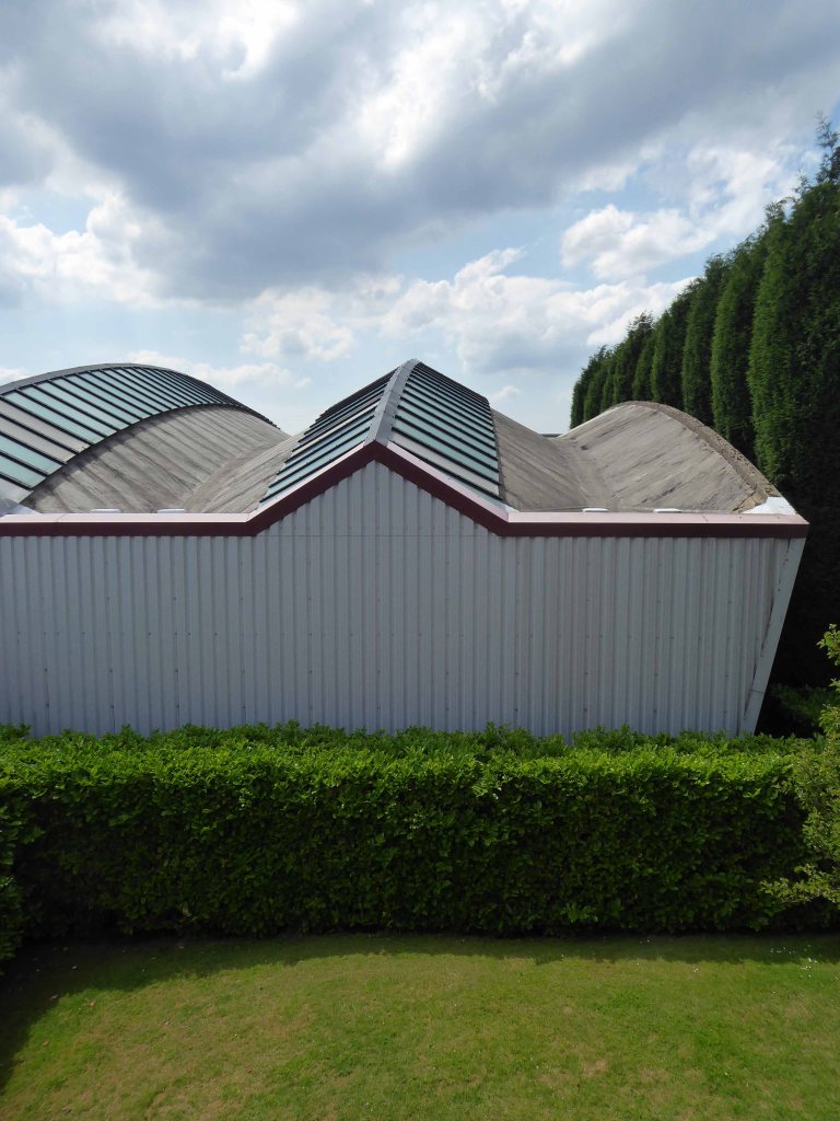
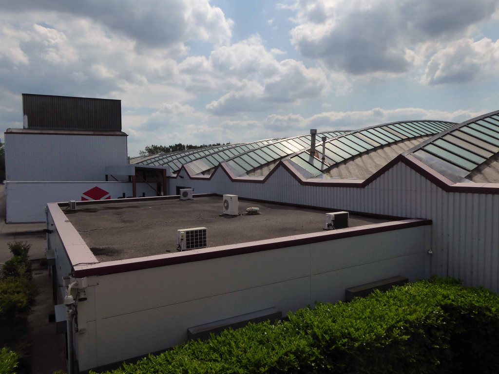
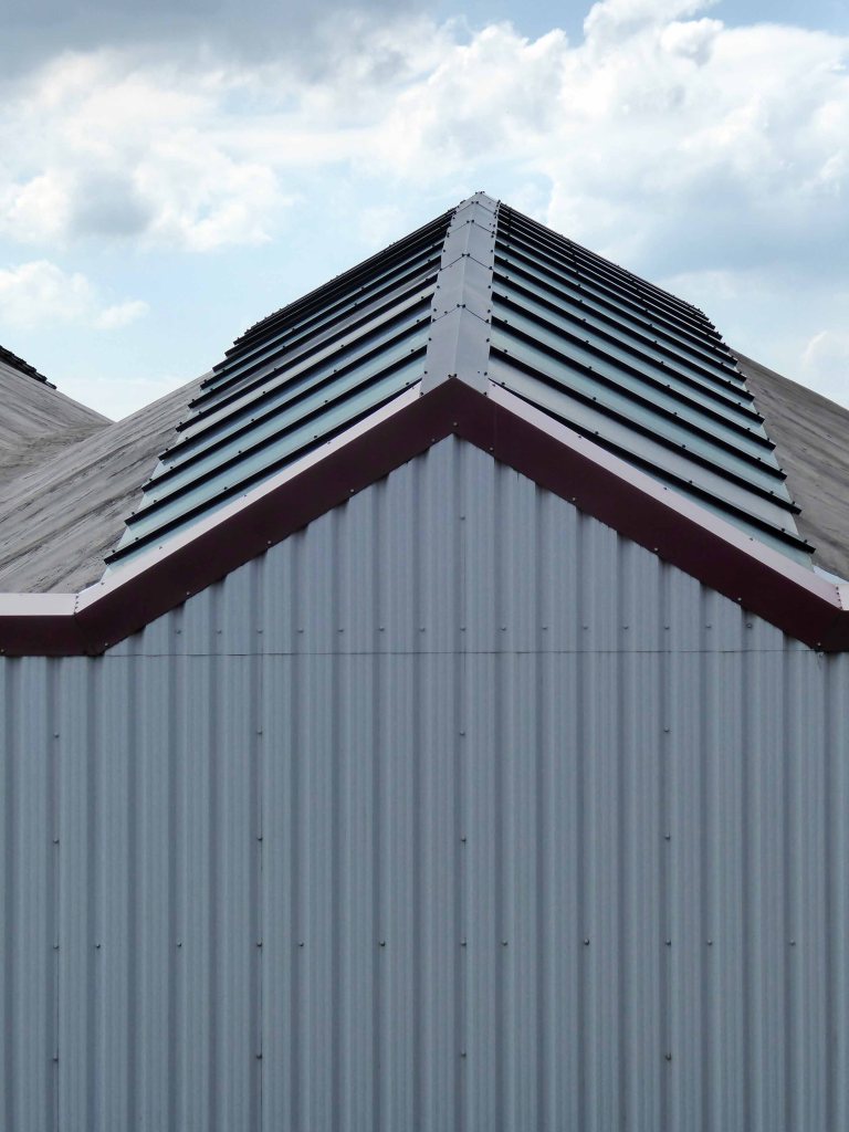
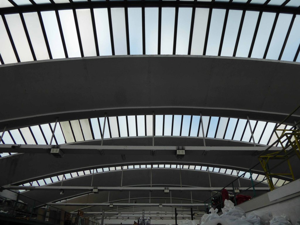
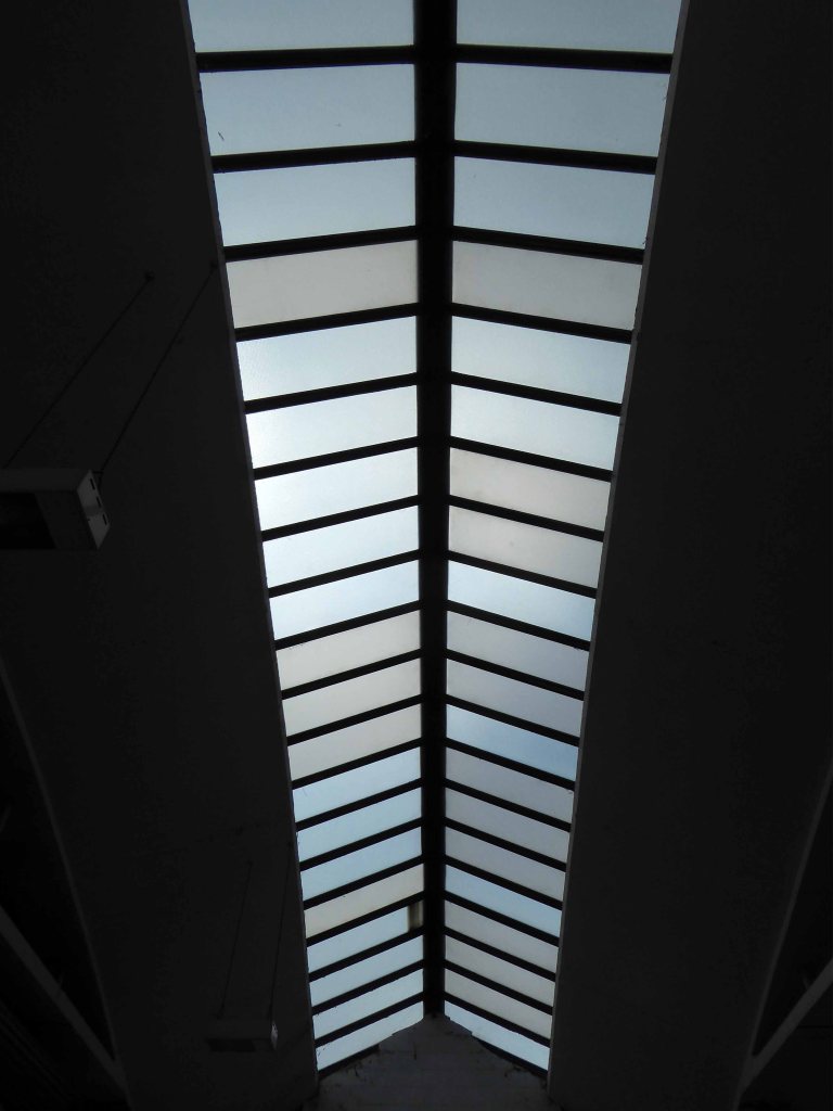
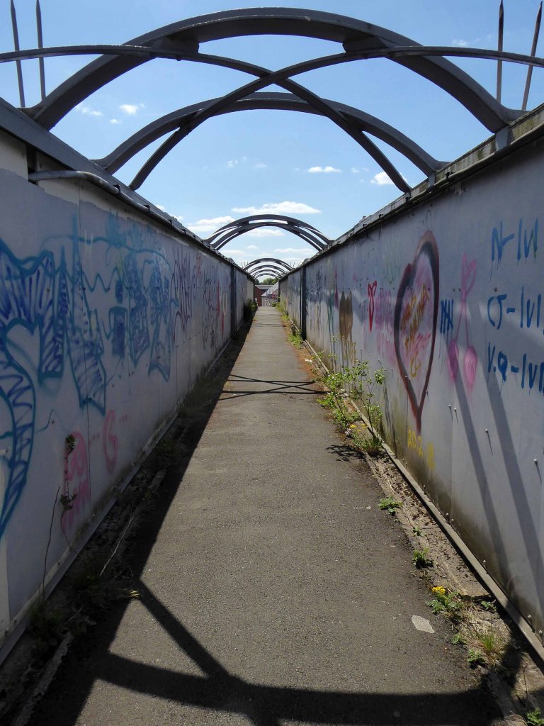
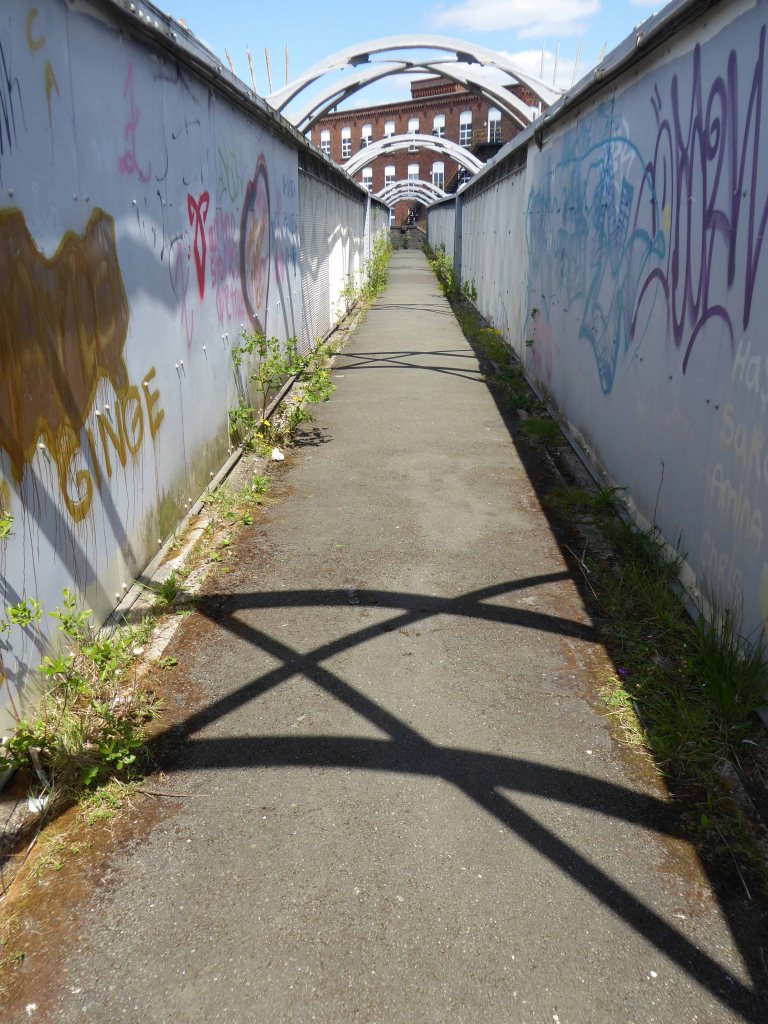
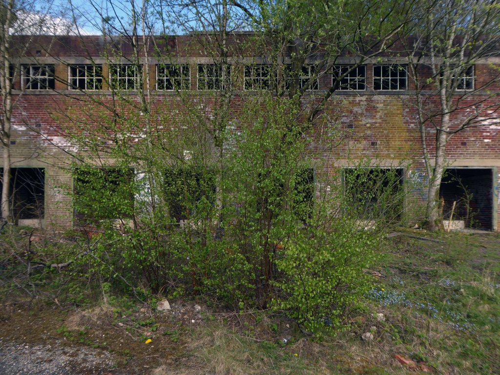
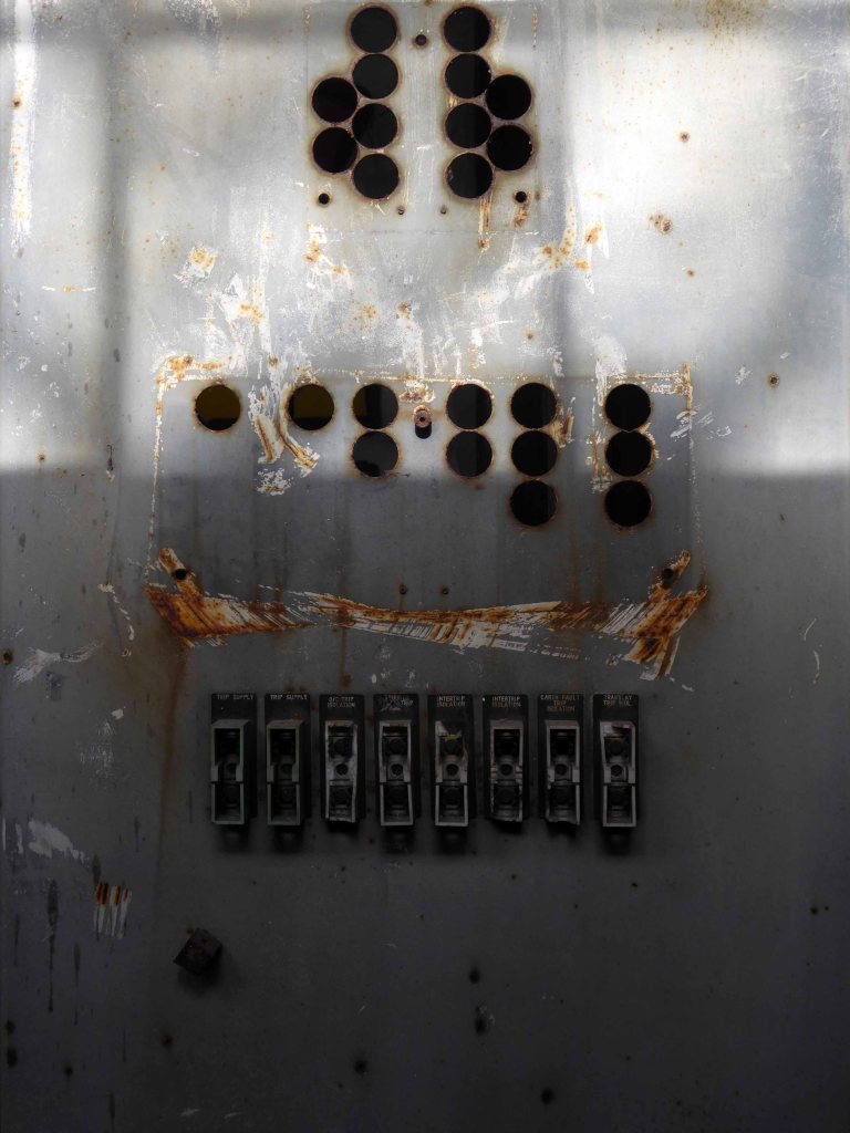
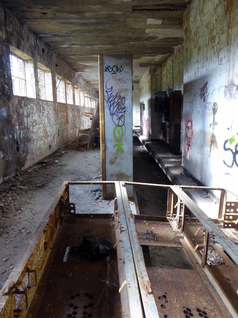
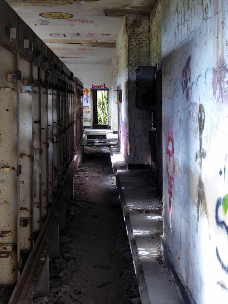
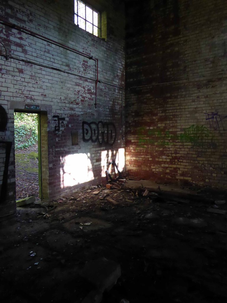
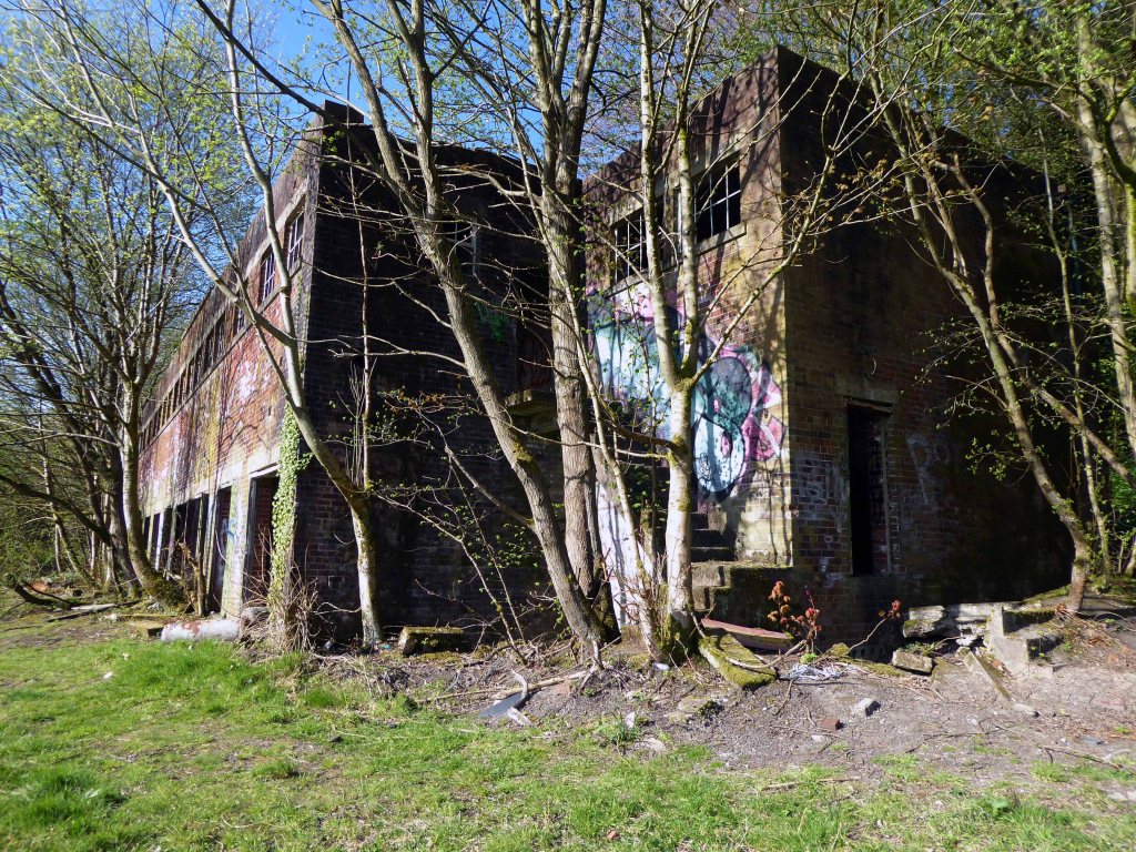
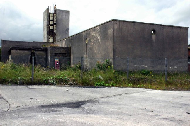
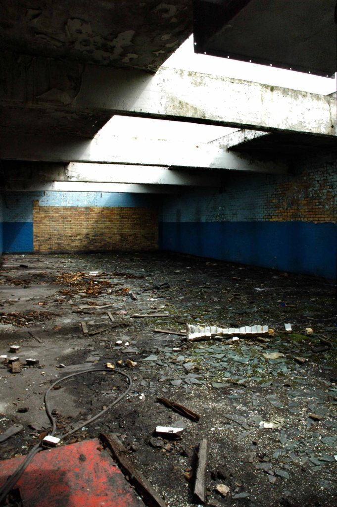
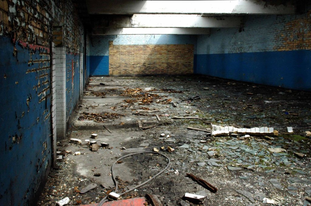
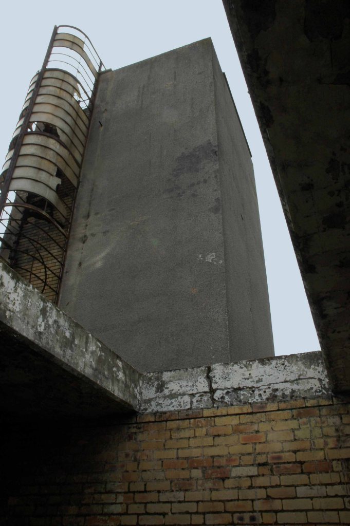
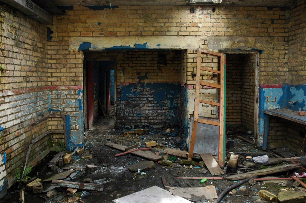
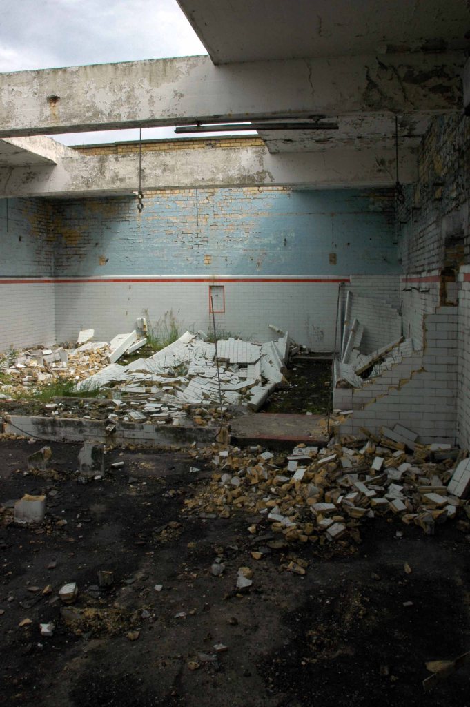
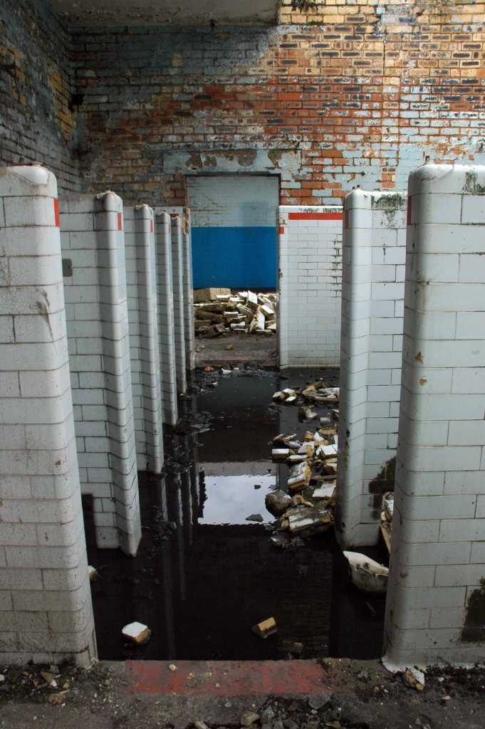
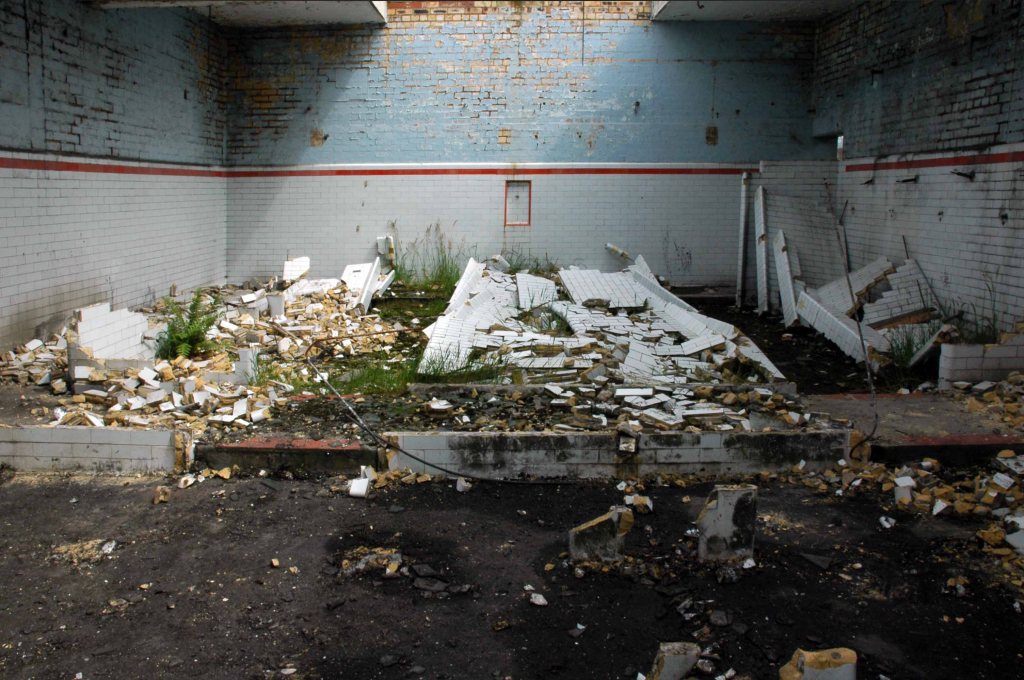
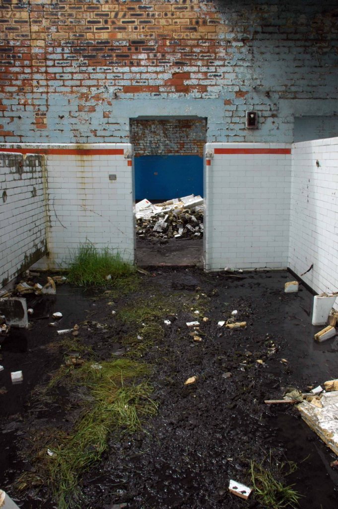
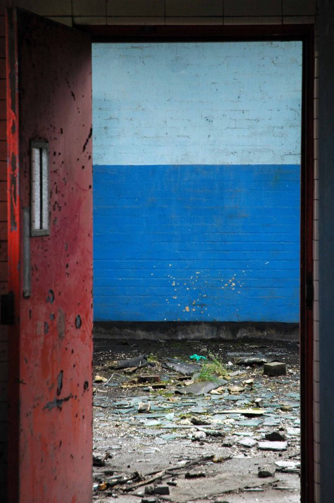
This former production plant for concrete components is now sadly partitioned and houses a number of businesses, only one of which still has a manufacturing base. The engineer for the project was also the client; reinforced concrete engineers, Matthews & Mumby. The intention was to create large floor areas, free from columns, to accommodate fourteen casting beds of about fifty metres in length. The structure of the two sheds was formed from arch units assembled on the ground, jacked into position and post-tensioned to form large tied span arches. Each arch spans approximately thirty metres and was designed to carry up to fourteen one tonne loads along the monorail hangers that ran the length of the factory, centred to each casting bed and suspended from the arches. Lantern section glazing hugs the curve of the arches that act as a reflective surface to provide an even light across the factory floor. The rails and hangers added a further louvered filter to the light, described at the time as ‘the ‘venetian blind’ effect. Originally the elevation between the V shaped columns was also glazed, this has now been filled and significantly reduces the aesthetic presence of the exposed structure and a distinctly ‘modern’ building of the time.
Mainstream Modern – my thanks to Richard Brook for the text and archive images.
So one sunny day last week, on a lockdown walk I went to take a look around.
The addition of cladding is never an uplifting sight on any site – the integrity of the building is seriously challenged.
Sometimes a former Rehabilitation Centre can do without rehabilitation it seems.
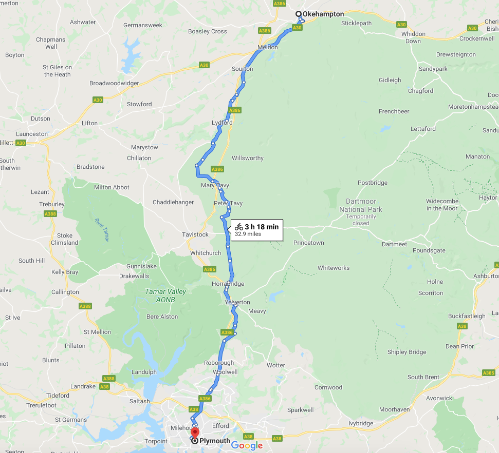
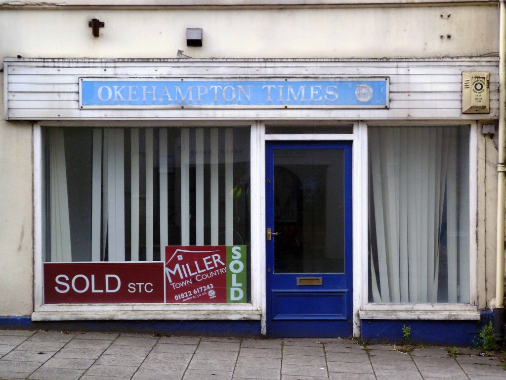
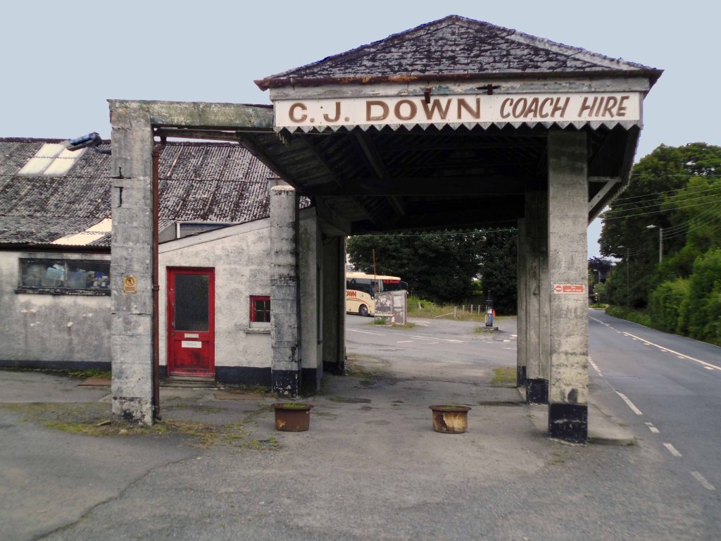
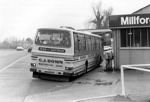
Tuesday 28th July 2015 waking up early on the outskirts of Okehampton – I went next door to explore – the Wash and Go.
I went back to Okehampton.
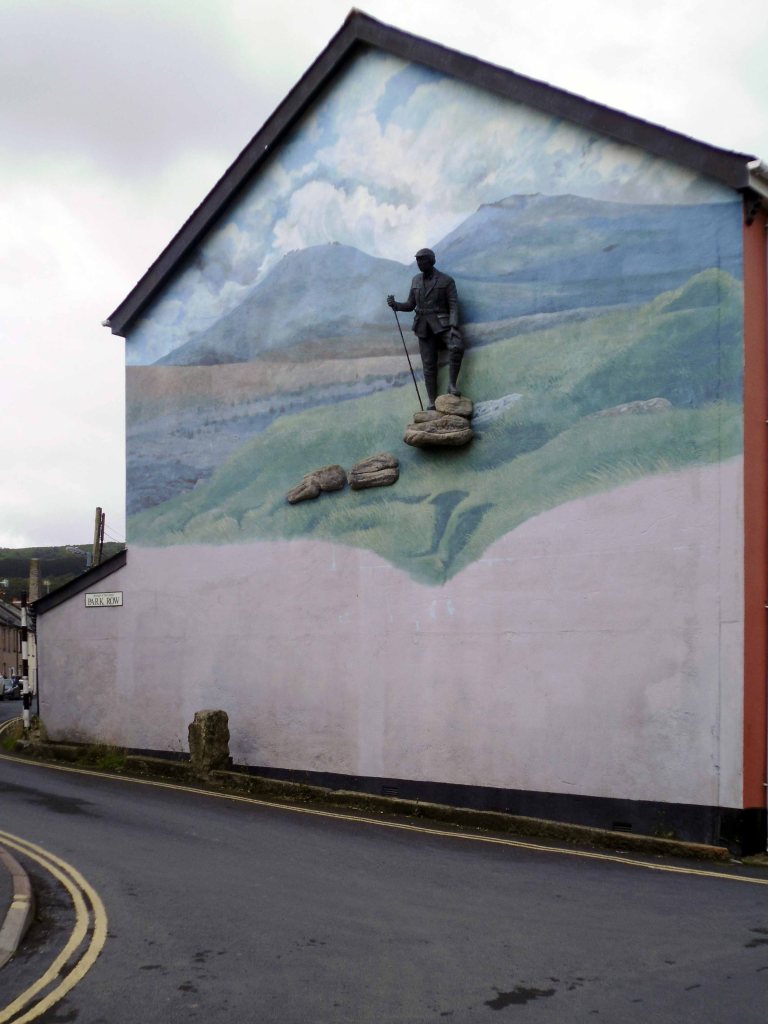
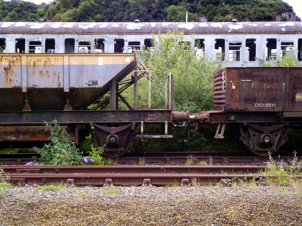
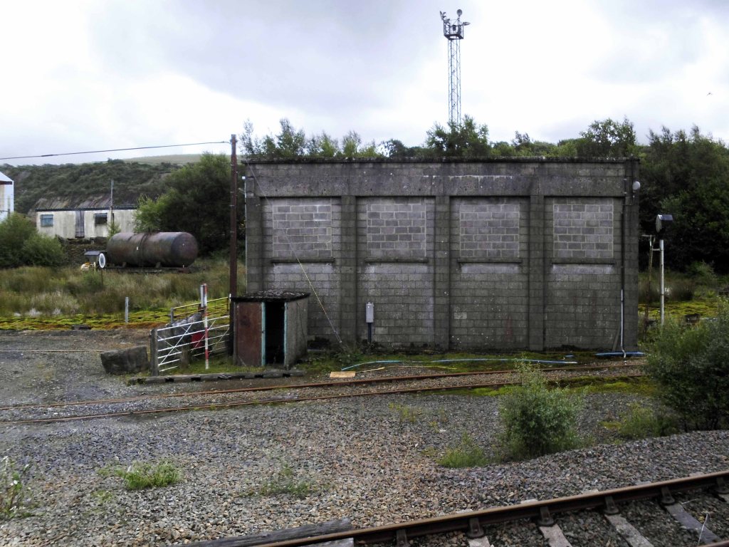
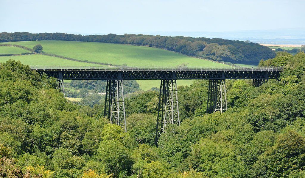
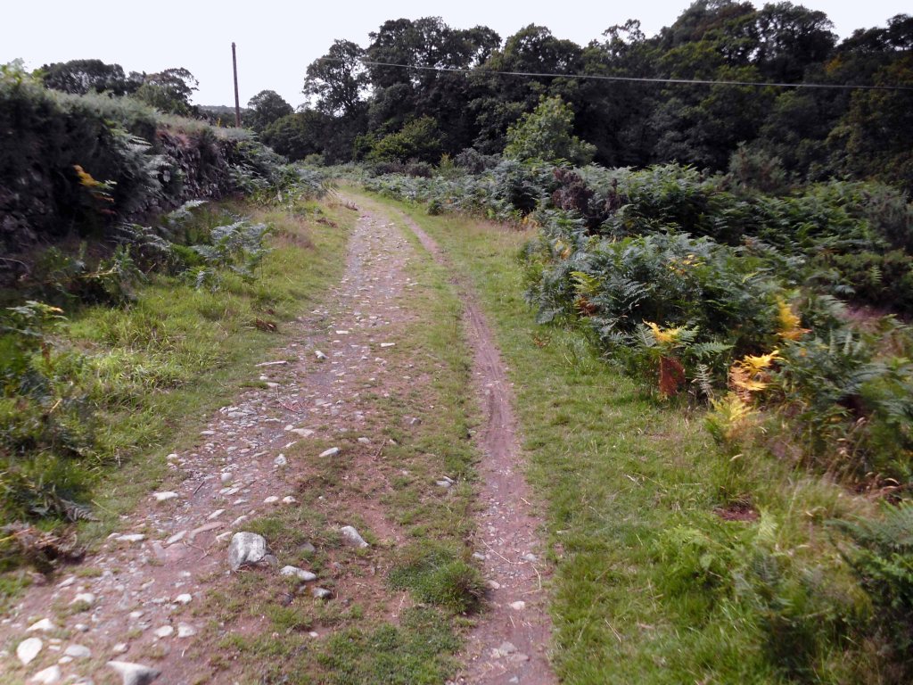
Headed out of town along the old railway line to Plymouth – where rests the solemn remains of previous railway activity and Meldon Quarry.
It’s believed that the first quarrying began around the late 1700s when the local limestone was extracted. Over the years this gradually gave over to aggregate quarrying and apelite quarrying until it final closure. The original owners of the quarry were the London and South Western Railway and then came Britsh Rail and finally EEC Aggregates.
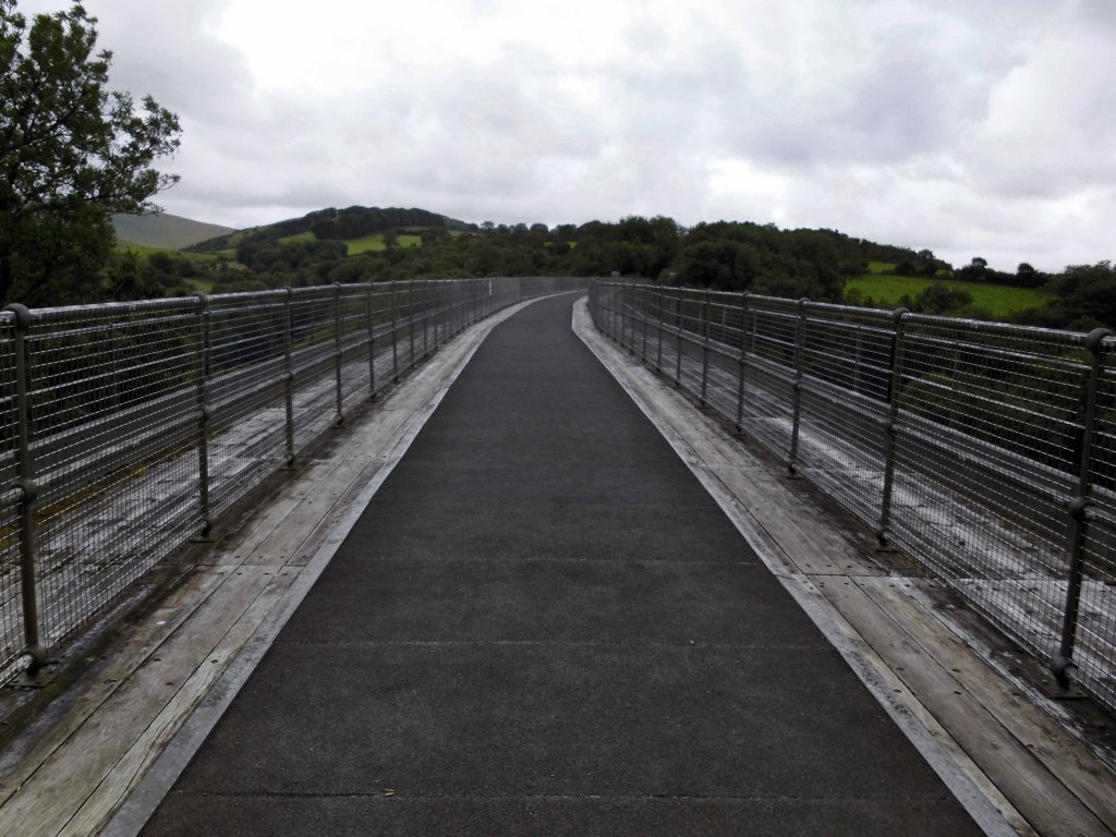
Crossing Meldon Viaduct.
Meldon Viaduct carried the London and South Western Railway across the West Okement River at Meldon on Dartmoor. The truss bridge, which was constructed from wrought iron and cast iron not stone or brick arches, was built under the direction of the LSWR’s chief engineer, WR Galbraith. After taking three years to build, the dual-tracked bridge opened to rail traffic in 1874. Usage was limited to certain classes of locomotive because the viaduct had an axle load limit. Although regular services were withdrawn in 1968, the bridge was used for shunting by a local quarry. In the 1990s the remaining single line was removed after the viaduct was deemed to be too weak to carry rail traffic.
The crossing is now used by The Granite Way, a long-distance cycle track across Dartmoor. The viaduct, which is a Scheduled Monument, is now one of only two such surviving railway bridges in the United Kingdom that uses wrought iron lattice piers to support the cast iron trusses – the other is Bennerley Viaduct between Nottinghamshire and Derbyshire.
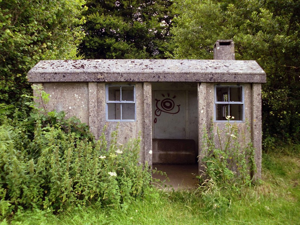
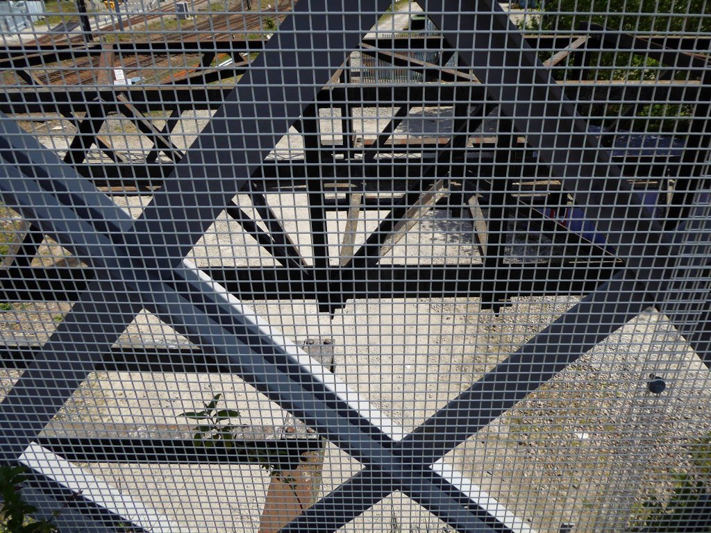
On an old railway line with prefabricated concrete railway huts.
And a bus stop at Mary Tavy a village with a population of around 600, located four miles north of Tavistock.
And a population of one delightful litter bin.
And CJ Down Coach Hire – the pride of Dartmoor.
Don’t the road look rough and rocky, will the sea look wide and deep?
Time for a timely tea and flapjack stop.
So far so good the nicest weather of the tour, shortest yet most amenable distance through moorland, upland and downland – with a final traffic free descent into Plymouth.
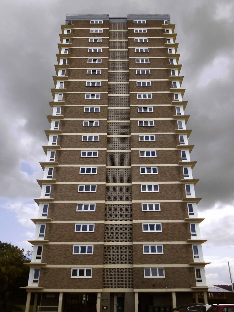
Back in the land of the tower block.
Chichester House Citadel Road The Hoe Plymouth PL1 3BA
Architects– Percy Bartlett and William Henry Watkins
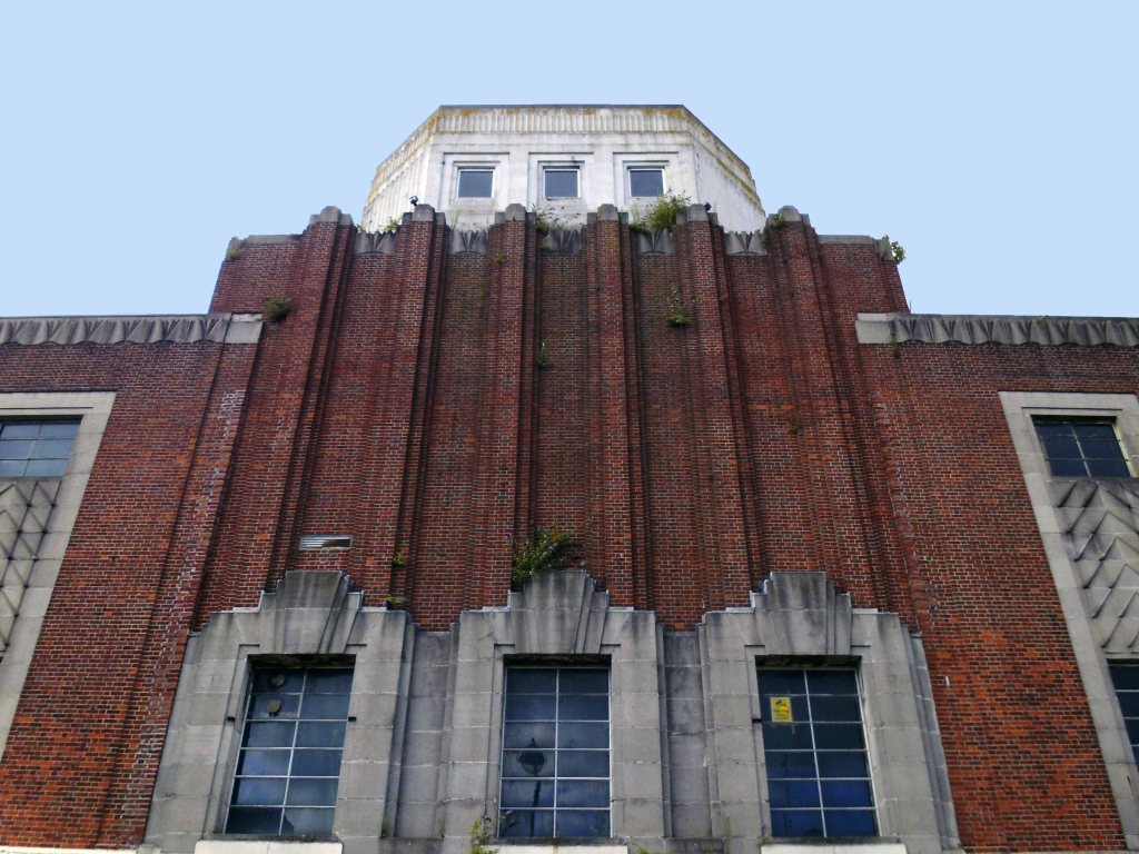
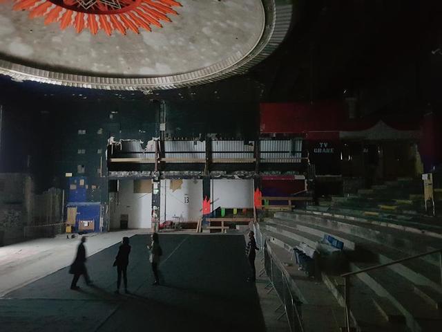
Built on the site of the Andrews New Picture Palace, which had opened in 1910, and was demolished in 1930. The Gaumont Palace was opened on 16th November 1931 with Jack Hulbert in “The Ghost Train” and Sydney Howard in “Almost a Divorce”.
The imposing brick building has a white stone tower feature in the central section above the entrance. Seating inside the auditorium was provided for 1,462 in the stalls and 790 in the circle.
It was re-named Gaumont in 1937 currently closed and at risk.
The post war redevelopment of Plymouth produced this sizable Portland Stone Shopping Centre.
‘A Plan for Plymouth’ was a report prepared for the City Council by James Paton Watson, City Engineer and Surveyor, and Patrick Abercrombie, Consultant Architect, published in 1943.
Planning is not merely the plotting of the streets of a town; its fundamental essence is the conscious co-relation of the various uses of the land to the best advantage of all inhabitants. Good planning therefore, presupposes a knowledge and understanding of the people, their relationship to their work, their play, and to each other, so that in the shaping of the urban pattern, the uses to which the land is put are so arranged as to secure an efficient, well- balanced and harmonious whole.
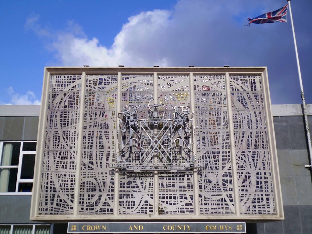
The magnificent dalle de verre fascia of the Crown and County Courts.
having had a good old look around I sought shelter for the night, with some difficulty I found a profoundly plain room. The town seemingly full of itinerant contractors, filling the vast majority of available space.
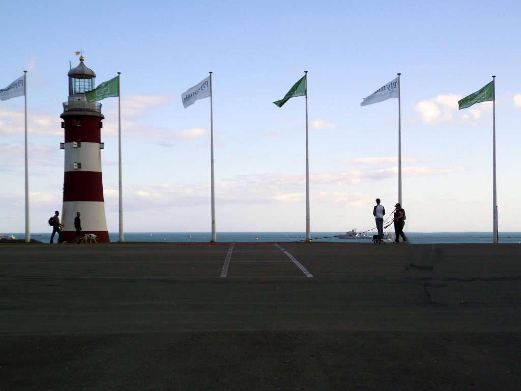
Not to worry let’s have a look at the seafront.
Tinside Lido by J Wibberley Borough Engineer, with Edmund Nuttall and Sons and John Mowlem and Company, builders, with entrance building of 1933 by the same engineer.
Set in a beautiful location overlooking the sea at the tip of Plymouth Hoe and voted one of the top 10 best outdoor pools in Europe, Tinside Lidois an attraction not to be missed.
Built in 1935, Tinside is a slice of the quintessential British seaside from a bygone era. The Lido is a wonderful example of art-deco style and is Grade II listed.
Time for a timely 99 tub – what ho!
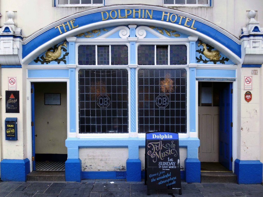
Followed by several pints of Dartmoor Jail in the delightful Dolphin Hotel.
The Dolphin Hotel is a pub on the Barbican , the building, which is known as either the Dolphin Inn or Dolphin Hotel, is a Grade II listed building. It notable as the setting of several of the artist Beryl Cook’s paintings.
The three storey building was constructed in the early 19th century, although it may contain fabric from an earlier structure. It has a slate mansard roof surrounded by a tall parapet with a moulded cornice. The front has white stucco with plaster reliefs of dolphins. The pub is associated with the Tolpuddle Martyrs, some of whom stayed at the hotel on their return from exile in Australia in 1838, when a Mr Morgan was the landlord.
It is a no-frills unmodernised pub famous for its cask ale, draught Bass served straight from the barrel. The sign on the front of the building has always called the pub the ‘Dolphin Hotel’. In 2010 the pub was refurbished, but vandalised in 2014.
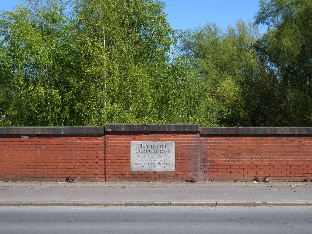
The canal received its Act of Parliament in 1792. It was built to supply coal from Oldham and Ashton under Lyne to Manchester. The first section between Ancoats Lane to Ashton-under-Lyne and Hollinwood was completed in 1796.
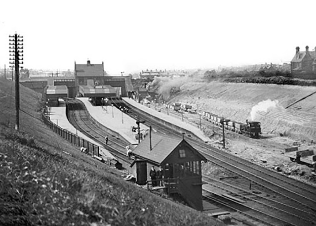
The Great Central Railway in England came into being when the Manchester, Sheffield and Lincolnshire Railway changed its name in 1897, anticipating the opening in 1899 of its London Extension. On 1 January 1923, the company was grouped into the London and North Eastern Railway.
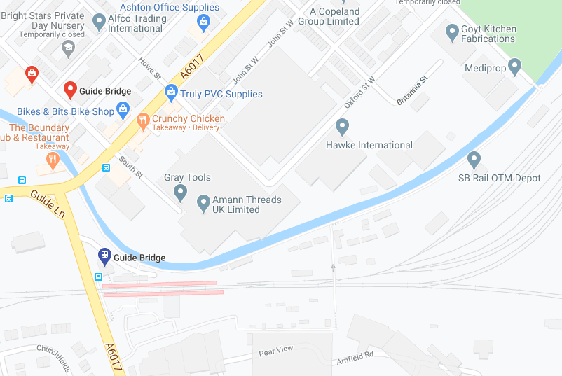
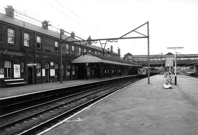
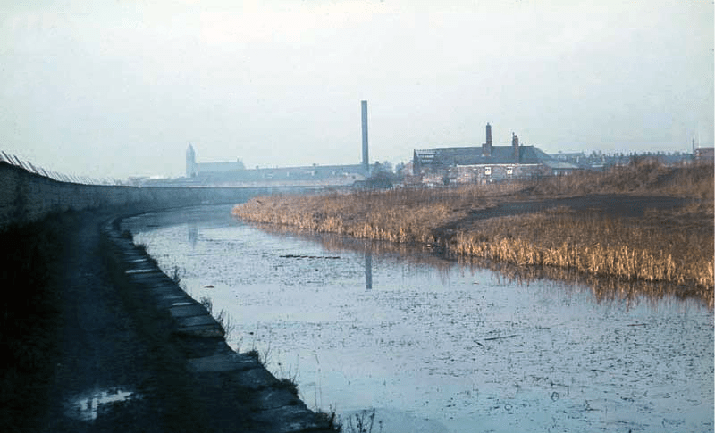
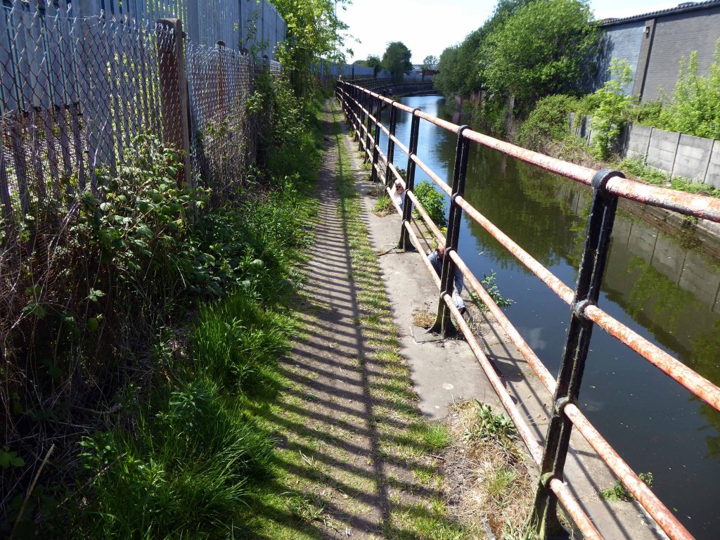
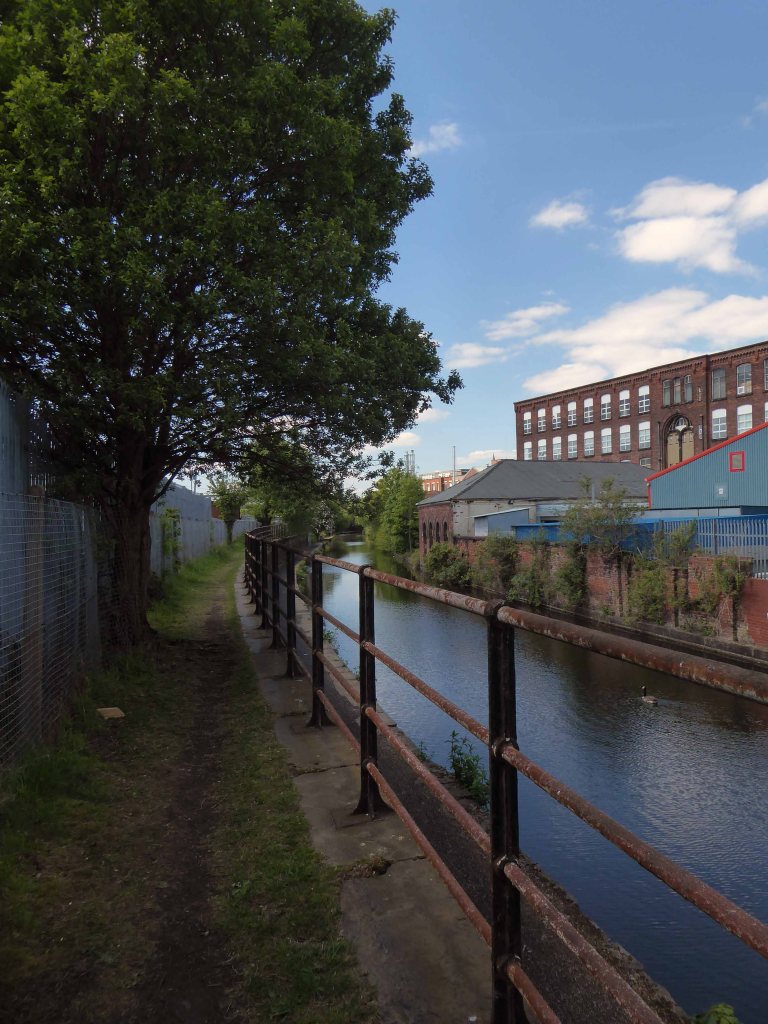
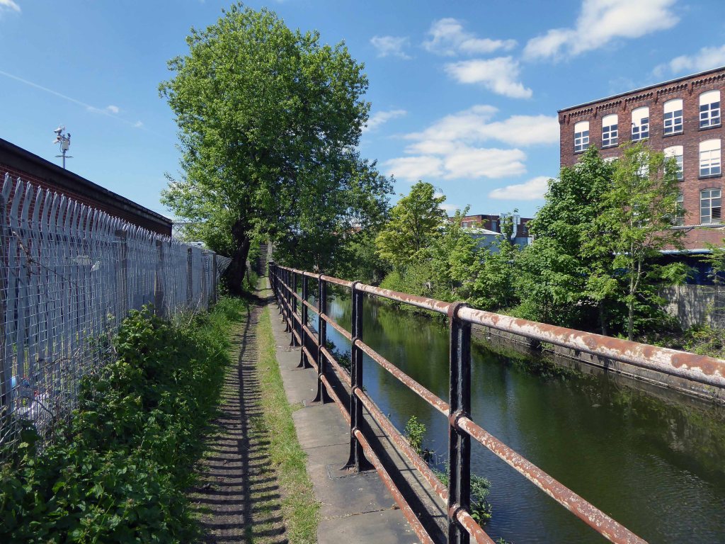
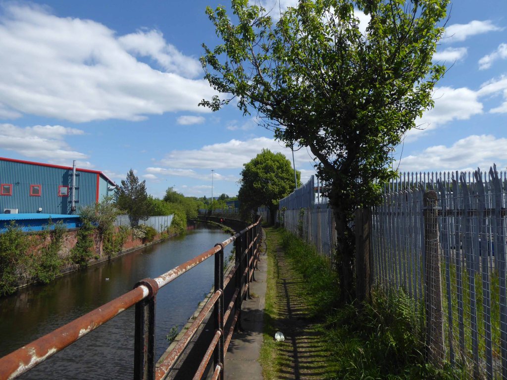
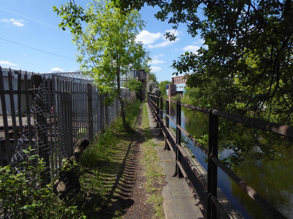
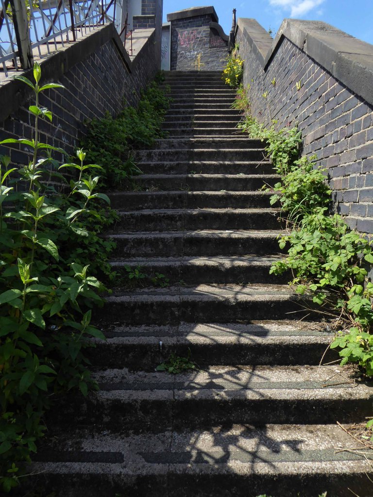
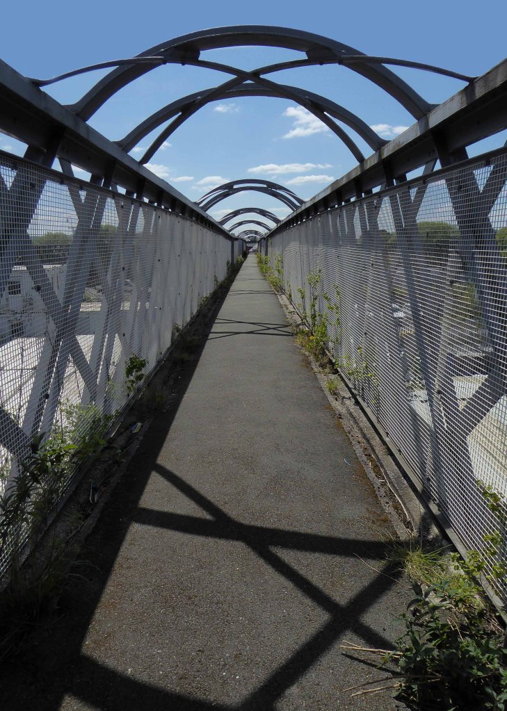
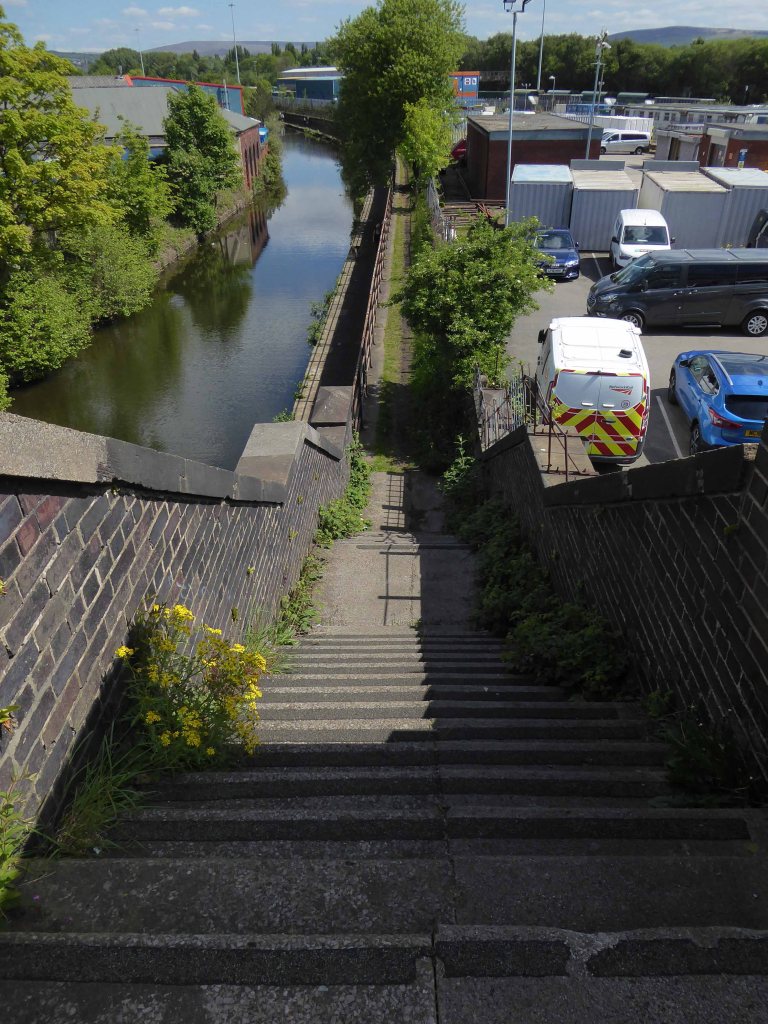
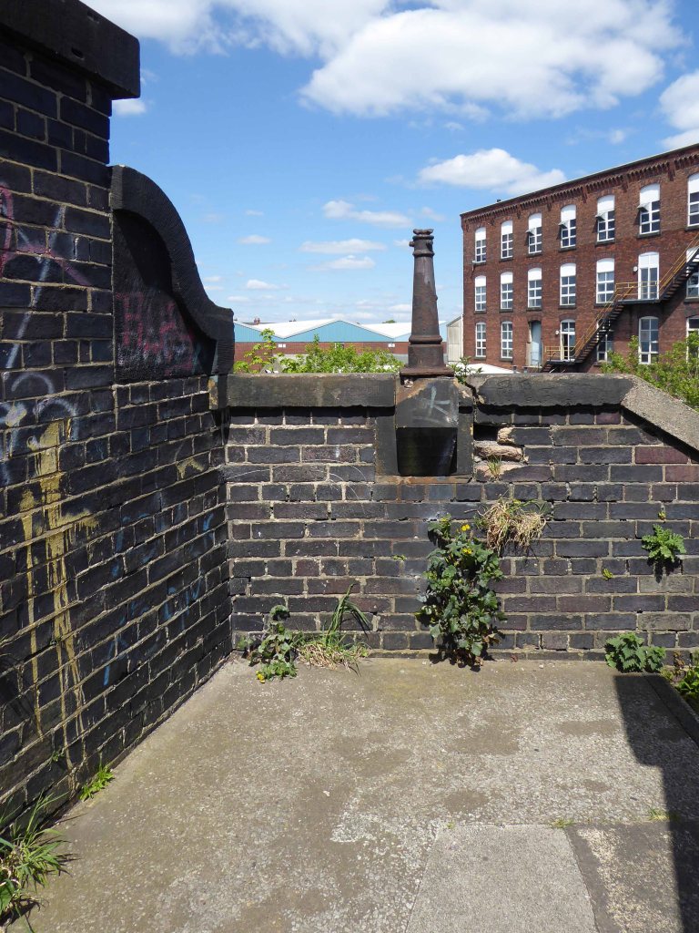
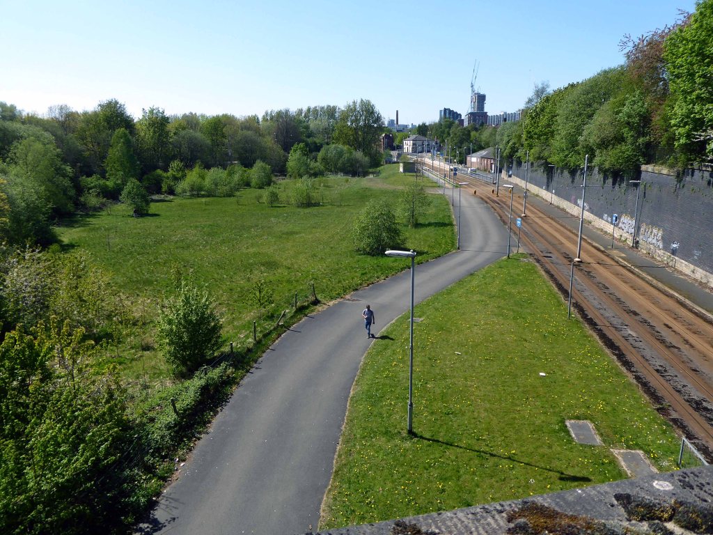
I had walked beside the elevated path, alongside the canal coming home from school, rode by it whilst working as a Guide Bridge goods guard.
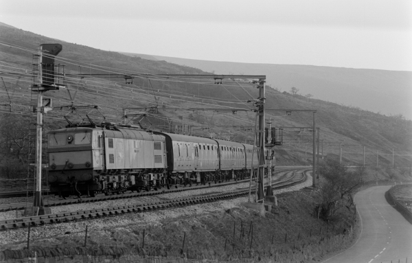
This was busy railway, steel coal, oil and people hurtling back and forth across the Pennines, under the DC wires of the Woodhead Line.
One memorable night the Royal Train stayed overnight, in what are now the SB Rail OTM sidings.
Toffs in dinner jackets were leaning from the windows, as we gazed in awe from the platform.
Swietelsky is one of Austria’s leading construction companies with international contracts encompassing highways, tunnelling, residential and commercial developments, alpine construction and railways.
The journey ends by the seriously depleted station buildings, the buffet bar, depot and engine shed long gone.
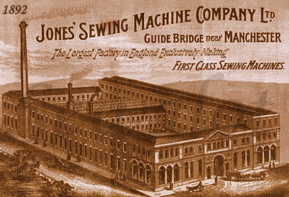
Thomas Chadwick later joined Bradbury & Co. William Jones opened a factory in Guide Bridge, Manchester in 1869. In 1893 a Jones advertising sheet claimed that this factory was the – Largest Factory in England Exclusively Making First Class Sewing Machines. The firm was renamed as the Jones Sewing Machine Co. Ltd and was later acquired by Brother Industries of Japan, in 1968. The Jones name still appeared on the machines till the late 1980s.
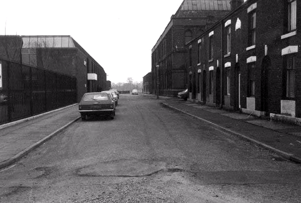
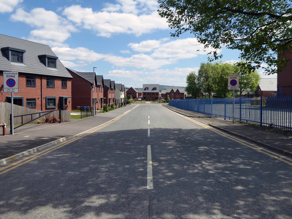
The site is now home to new homes and homeowners, as the area seeks to capitalise on the spread of wealth from Central Manchester.
Arnfield Woods is an exclusive development offering two, three and four bedroom homes, located adjacent to the Guide Bridge train station, which provides direct access into Manchester City Centre and direct access into Glossop.
The world turns:
Time changes everything except something within us which is always surprised by change.
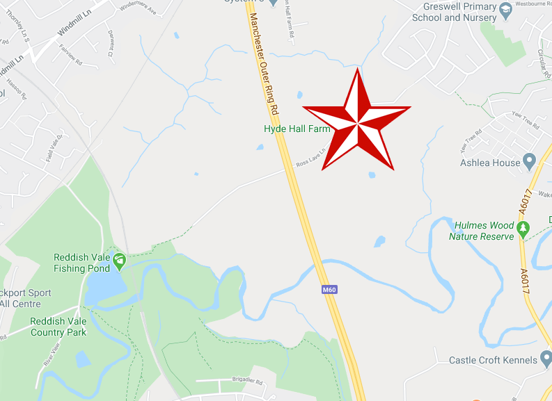
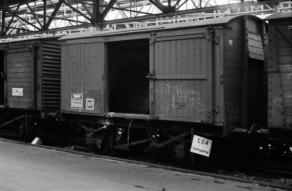
Hyde Hall Farm is Grade II Listed one of the few Tudor model farms in the region, a building of immense importance.
Alongside the farm are twelve stable blocks, formed from former British Rail Vanfit rolling stock.
Derby Works
I have cycled by here for some fifty years ago man and boy, sadly observing a slow decline, as the structures are kept in service with the addition of sheeting, rope, tyres and will power.
In recent years I have stopped to take photographs:
20082016201720182020
They have survived wind, rain and hail, just about intact, providing adequate shelter for their equine inhabitants.
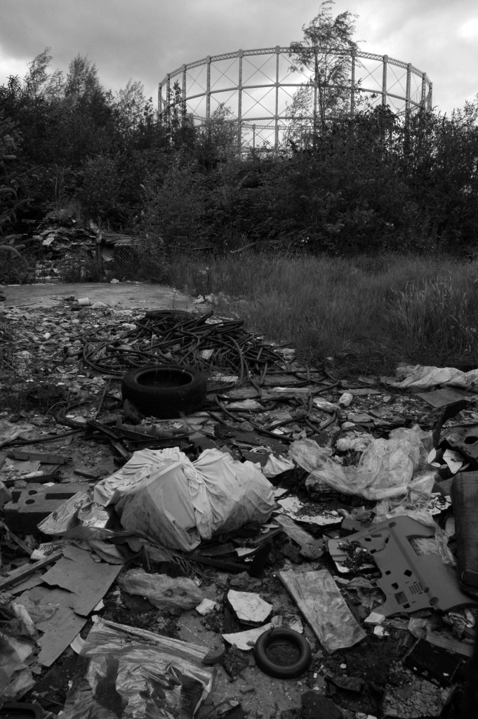
The area was formerly a dense web of housing and industry.
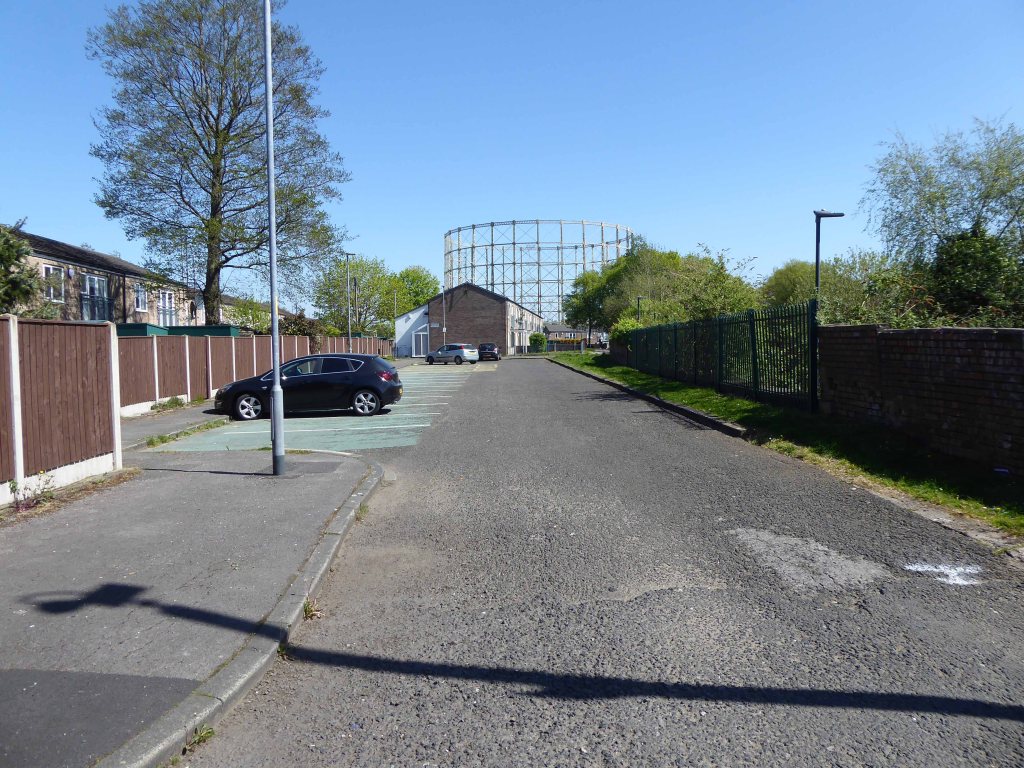
With the gas works at its heart .
High speed gas once the fuel of the future is almost a thing of the past. Coal Gas produced in coke retorts long gone, North Sea Gas hissed off.
Low carbon heating will replace domestic boilers from 2025, the need for gas storage holders is minimal.
Goodnight Mr Therm.
There are currently 53 listed holders on the Historic England site.
Some have been repurposed – WilkinsonEyre has completed work on Gasholders London; a development of 145 apartments within a triplet of listed gasholder guide frames.
Little now remains of the Portwood Gas Works.
These are the rearranged remnants re-sited by Dunelm Mill – it’s curtains for our industrial heritage.
Your business is unique, so we don’t offer a one-size-fits-all.
Instead, we layer six Protective Services for your complete security.
Unlock six Protective Services
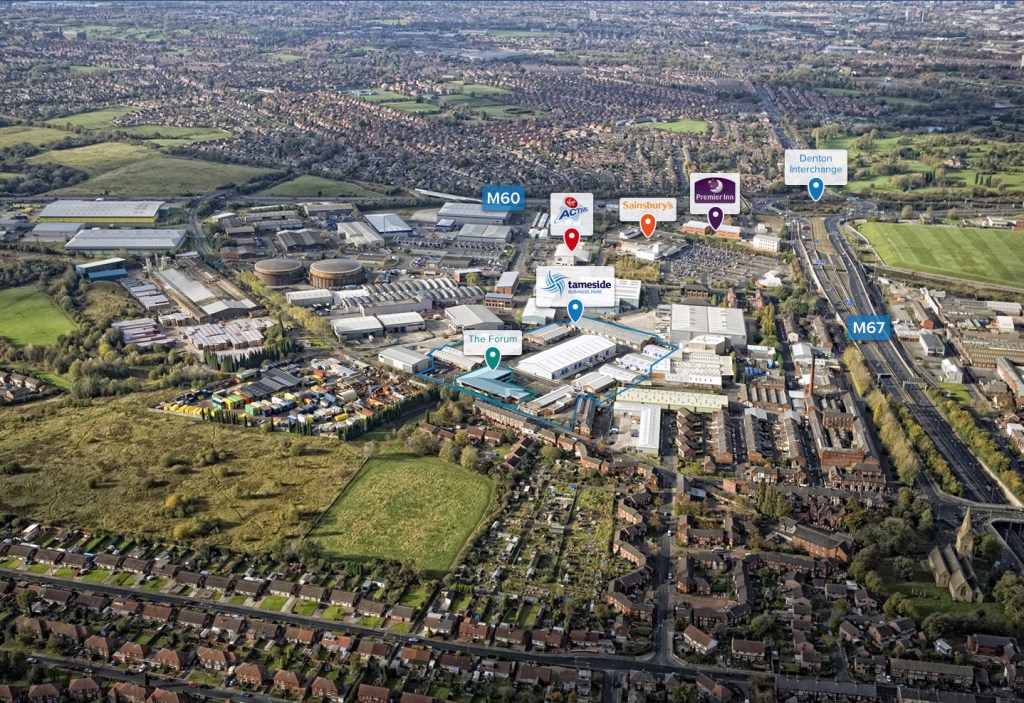
One of the UK’s largest retail parks, Stockport Retail Park benefits from a strategic location on the M60 Manchester orbital motorway making it one of the city’s most accessible parks. The park forms a natural extension to the town centre, offering a wide range of uses from value convenience to fashion and home as well as a number of cafés and restaurants.
This is the post industrial landscape of consumption and its infrastructure that faces the defunct and mothballed site, whatever next?
All that is solid melts into air as Marx and Marshall Berman told us.
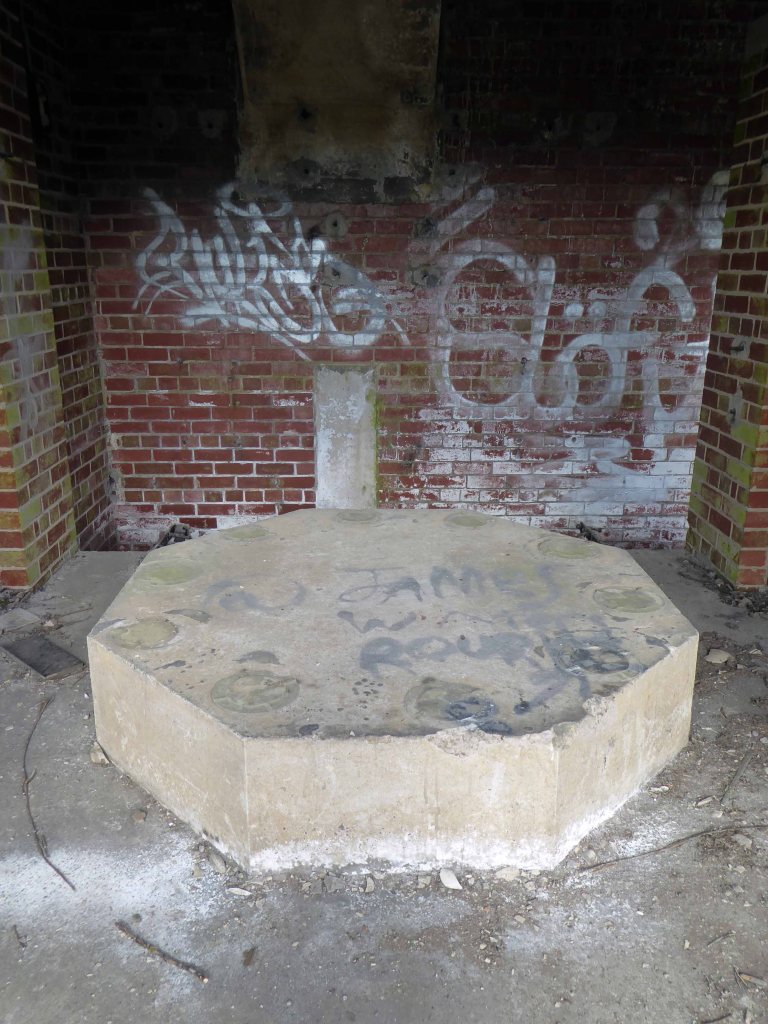
Though remnants remain – this is a short journey through a hole in fence, down into the warren of power station offices past.
They have been stripped of their former use and meaning, transformed into a transitory art performance space, paint and plaster now peeling, appealing to the passing painter, partially reclaimed by nature.
Charles Dreyfus was a French emigrant chemist and entrepreneur, who founded the Clayton Aniline Company on 29 May 1876. The company obtained a lease on a parcel of land in Clayton, Manchester, sandwiched between the Manchester and Ashton Canal and Chatham Street – later known as Clipstone Street.
1904
At its peak in the 1970s, the site occupied over 57 acres and employed over 2,000 people. However, due to the gradual demise of the British textile industry, most textile production shifted to countries such as China and India with the textile dye industry following.
1960
In 2002, the company made 70 members of staff redundant and in 2004 the announcement was made that the site would be closing with the loss of over 300 jobs. A small number of staff were retained to assist in the decommissioning of the plant. The last workers left the site in 2007 and the remainder of the buildings were demolished shortly afterwards.
Like much of the industry of east Manchester its tenure was relatively short – money was made and the owners departed, without wiping their dirty feet.
The site remained derelict until demolition, followed by extensive site cleansing – to remove the dangerous detritus of 200 years of hazardous chemical production.
Vincent Kompany had just completed his £6million move from Hamburg when he realised that Mark Hughes’ sales pitch about the direction the club was going was not entirely accurate.
They took me for a look around the training ground at Carrington – it wasn’t fit for purpose, it was a dump.
I remember there was a punch bag in the gym – and only one boxing glove. And even that had a big split in it!
Then in 2008 the corrupt boss Thai PM Thaksin Shinawatra is bought out by Sheik Mansour – the rest is history/mystery.
Mr Peter Swales makes no comment.
My interest lies in the company’s Ashton New Road offices – seen here in 1960.
Demolished and replaced by a distinctly Modernist block by 1964.
A flank was added on Bank Street along with a bank.
The office complex is still standing, now home to Manchester Police, I risked arrest and incarceration, in order to record the distinctive tile work, rectilinear grid and concrete facades.
Attracting several suspicious stares from the open glazed stairwells.
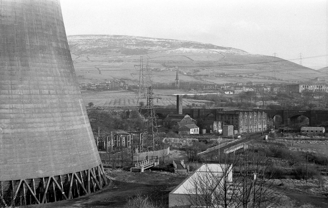
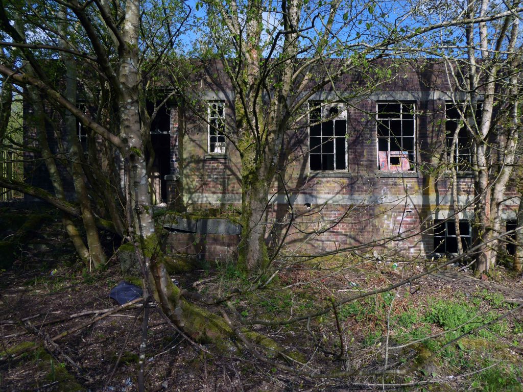
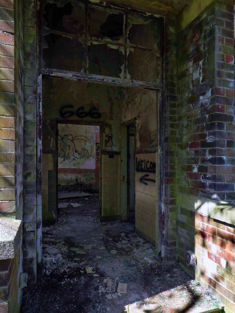
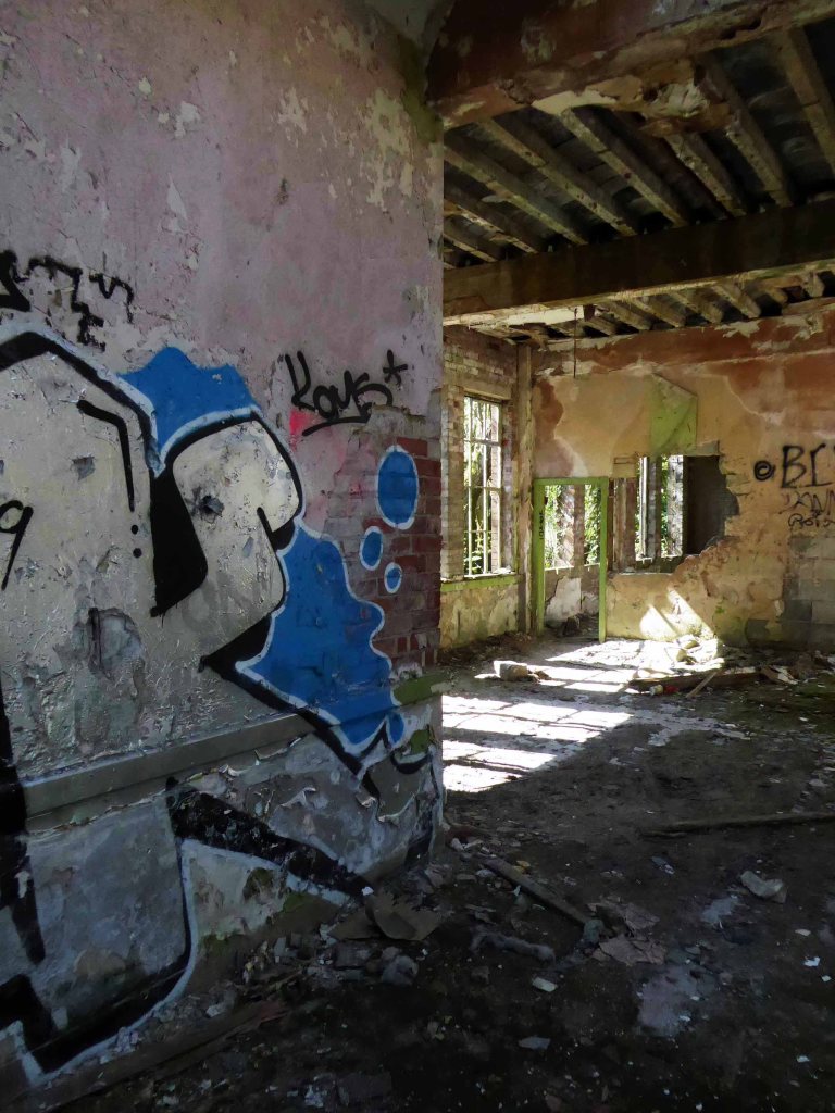
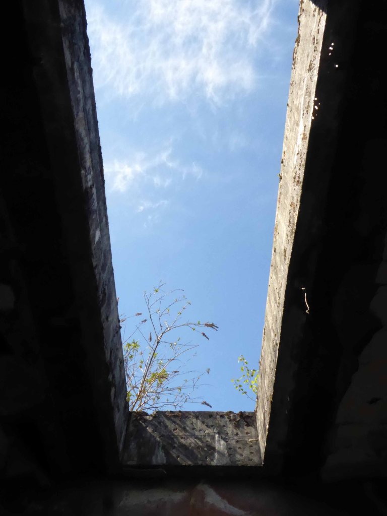
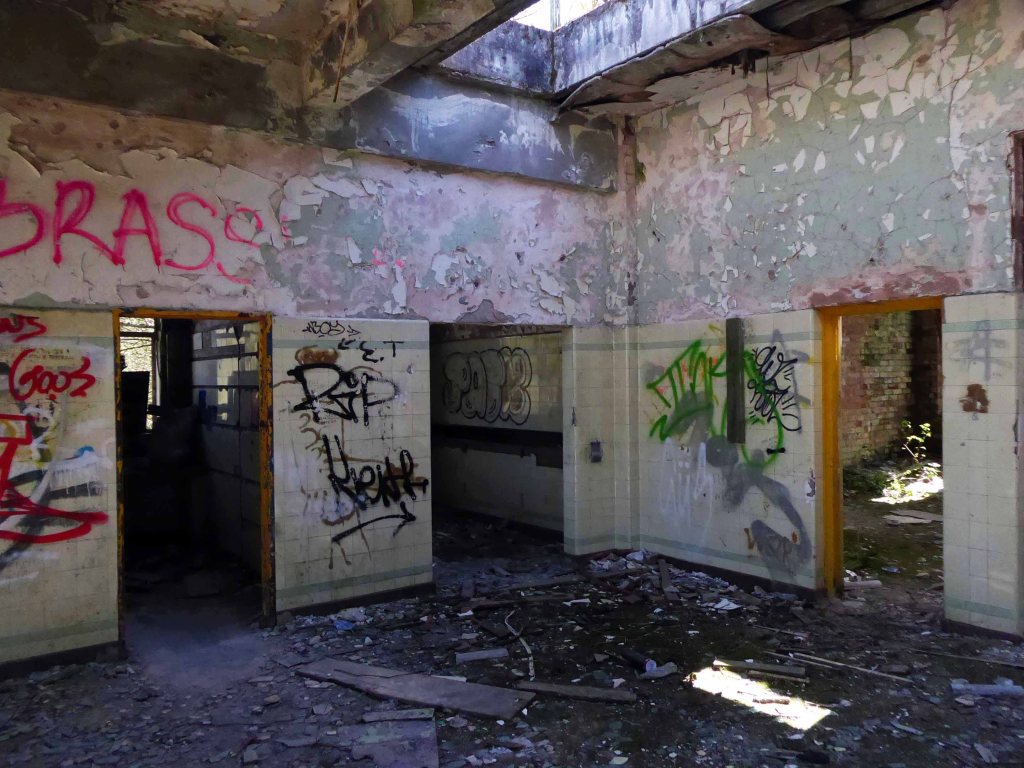
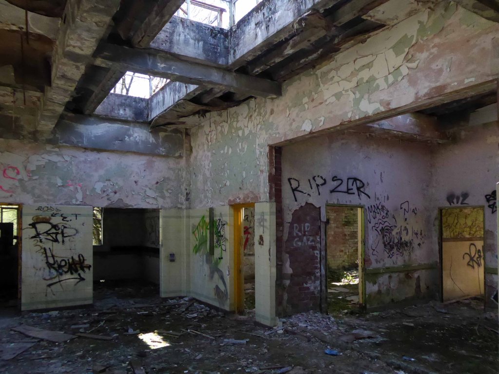
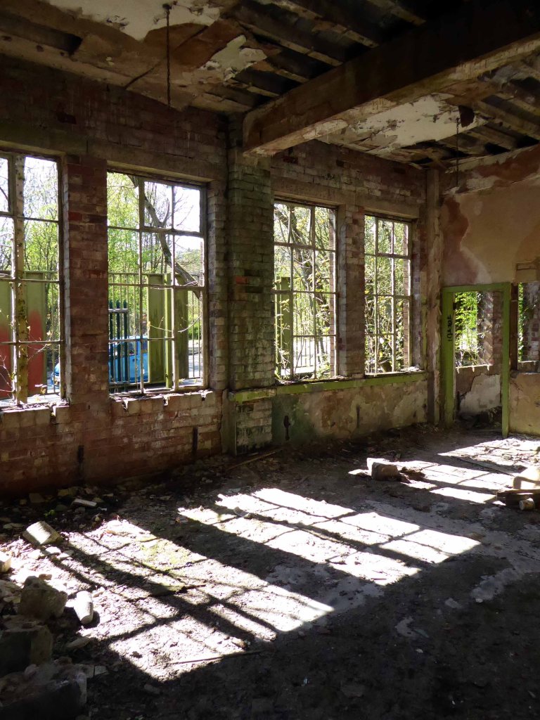
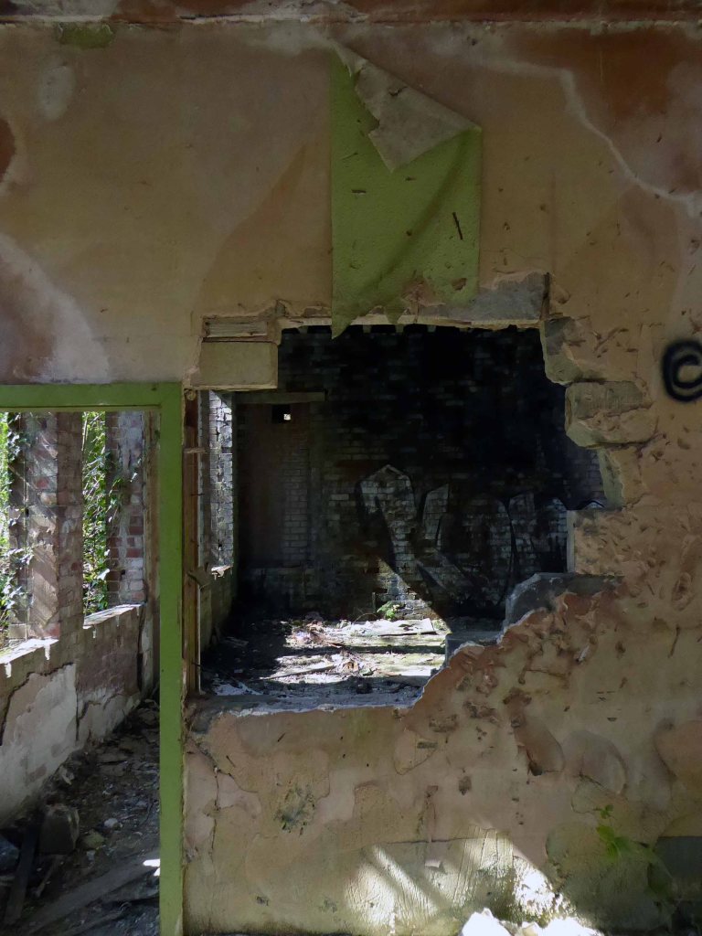
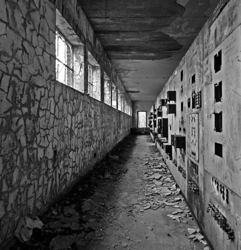
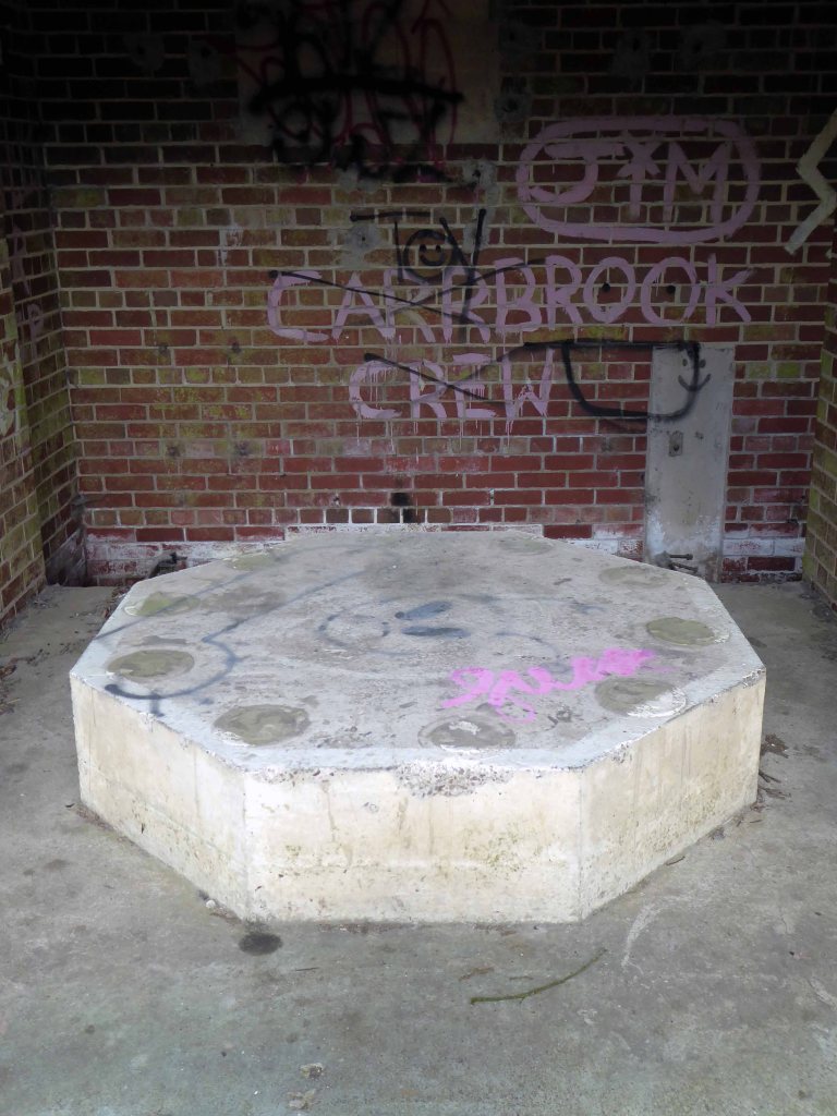
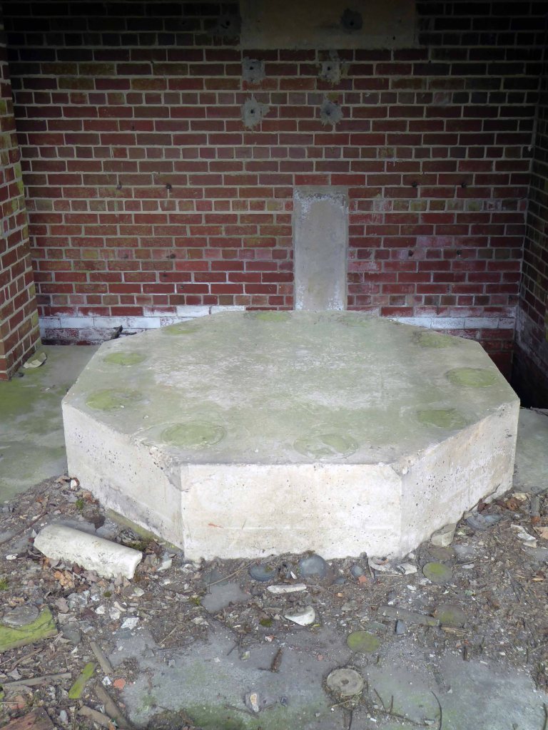
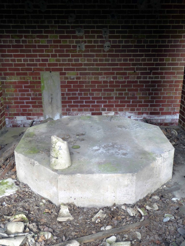
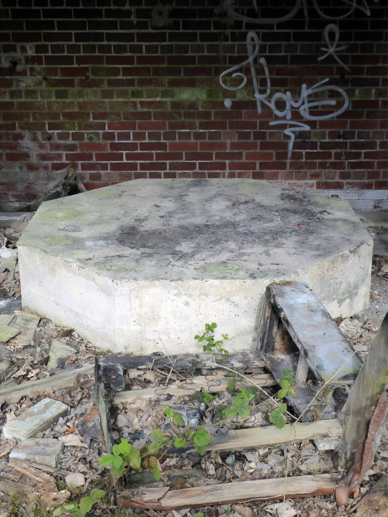
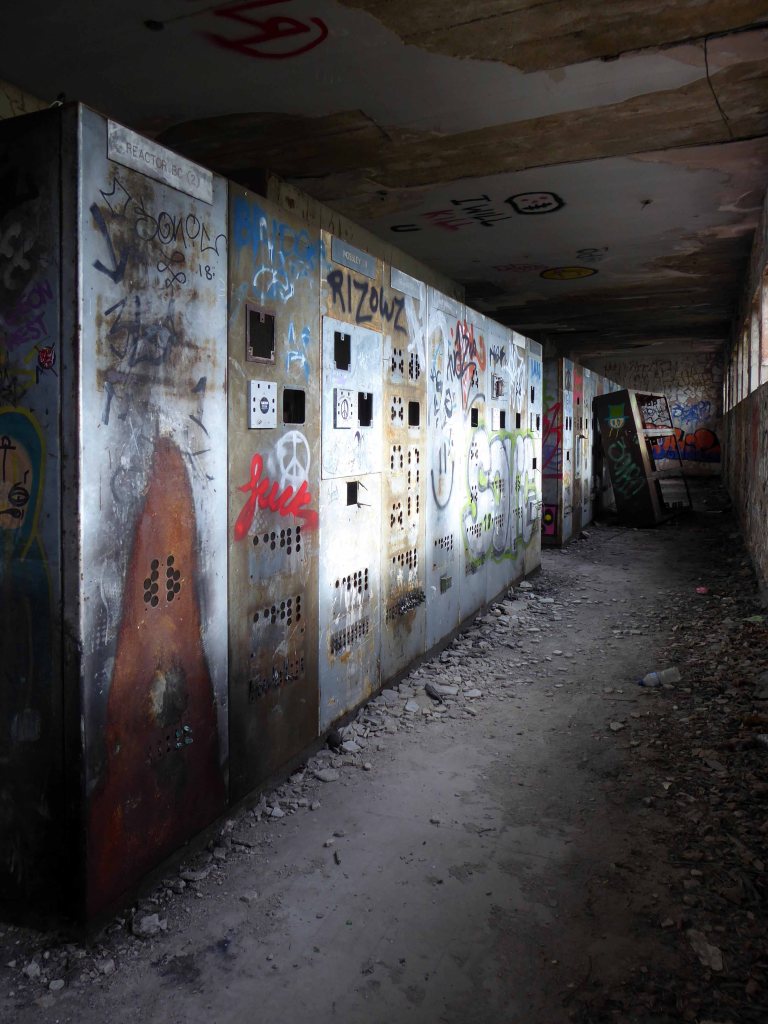
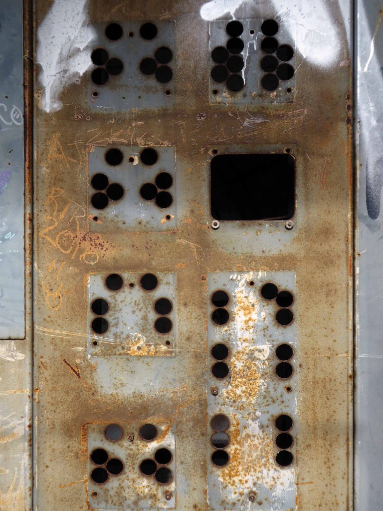
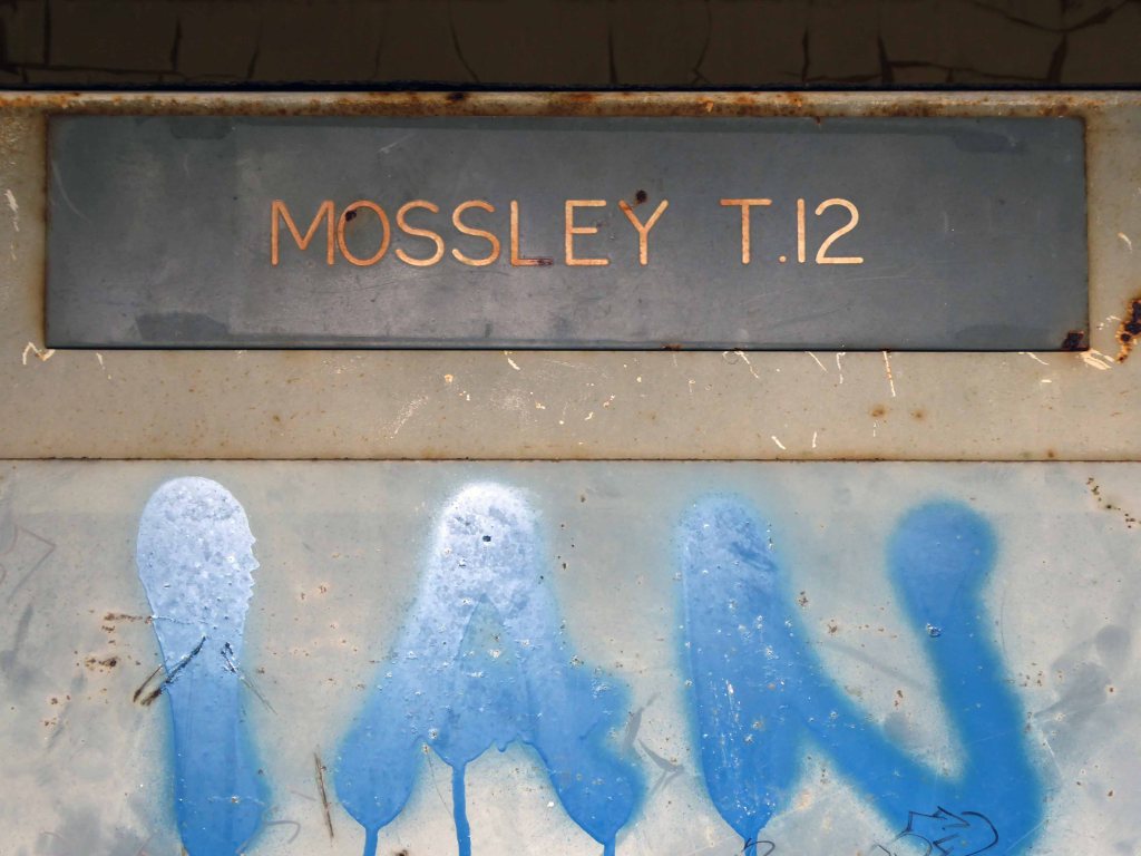
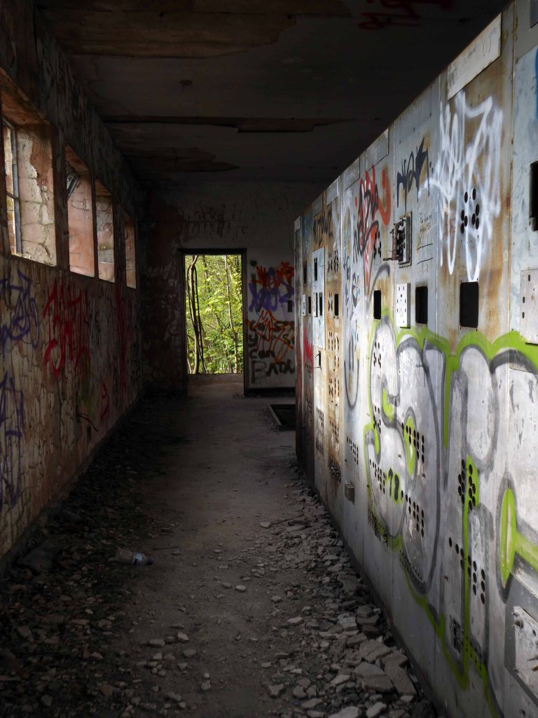
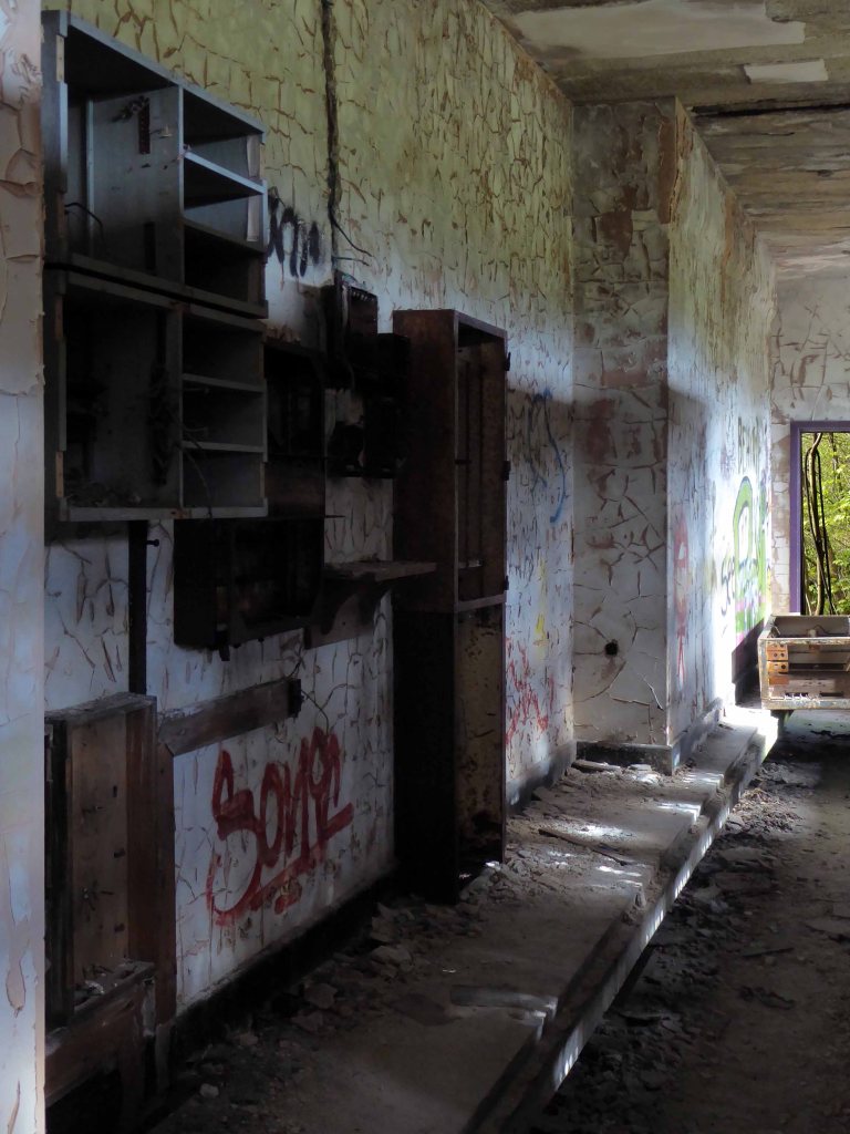
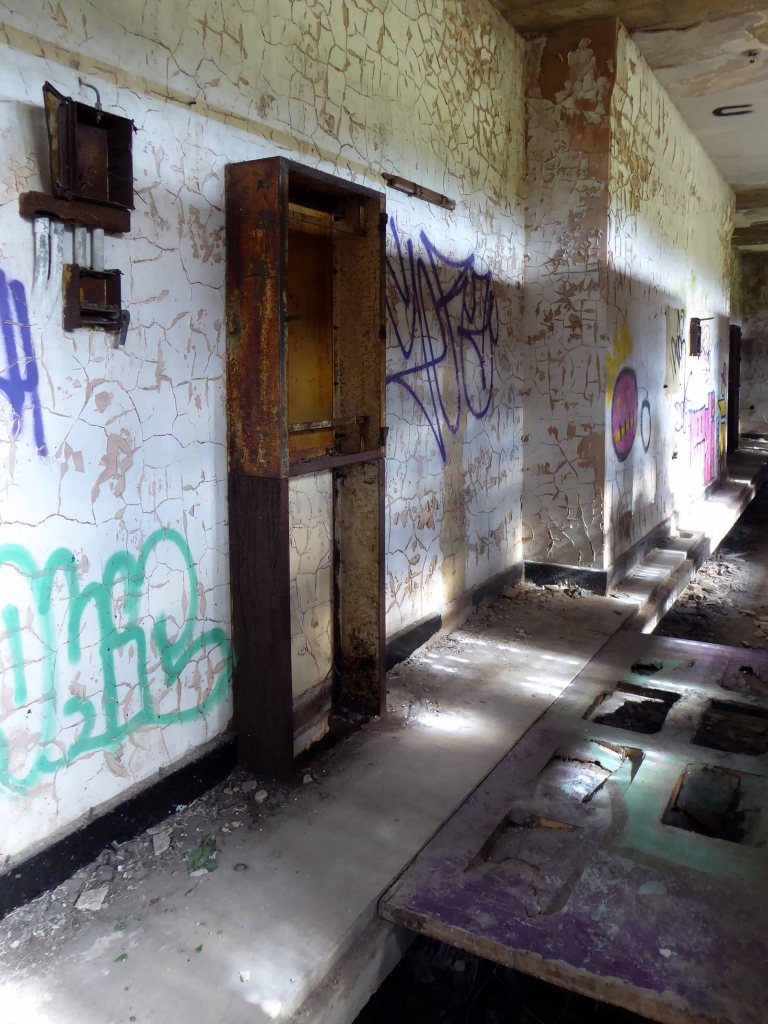
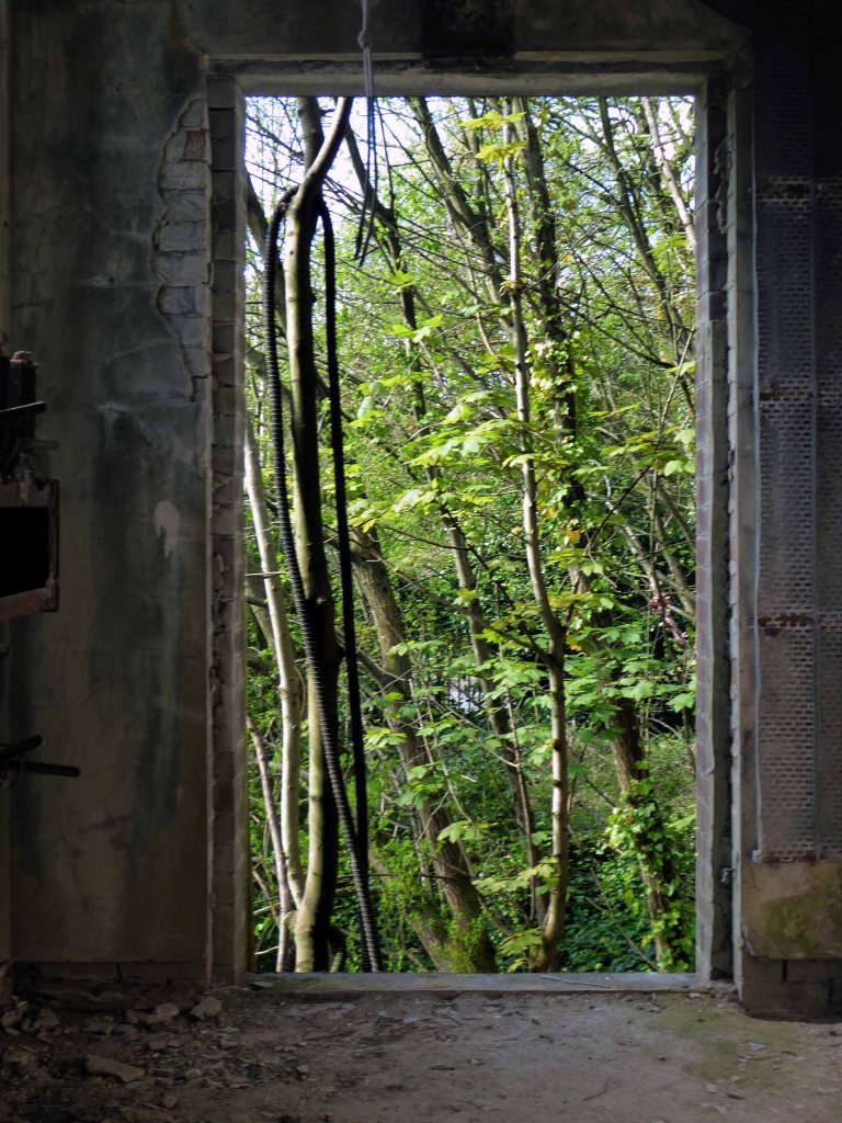
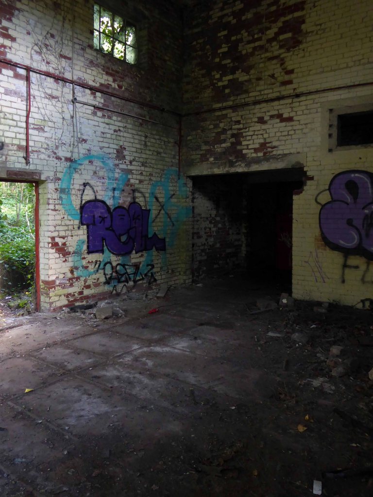
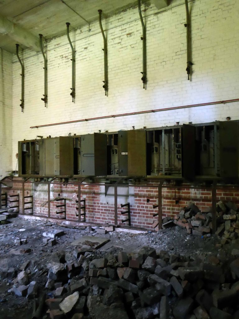
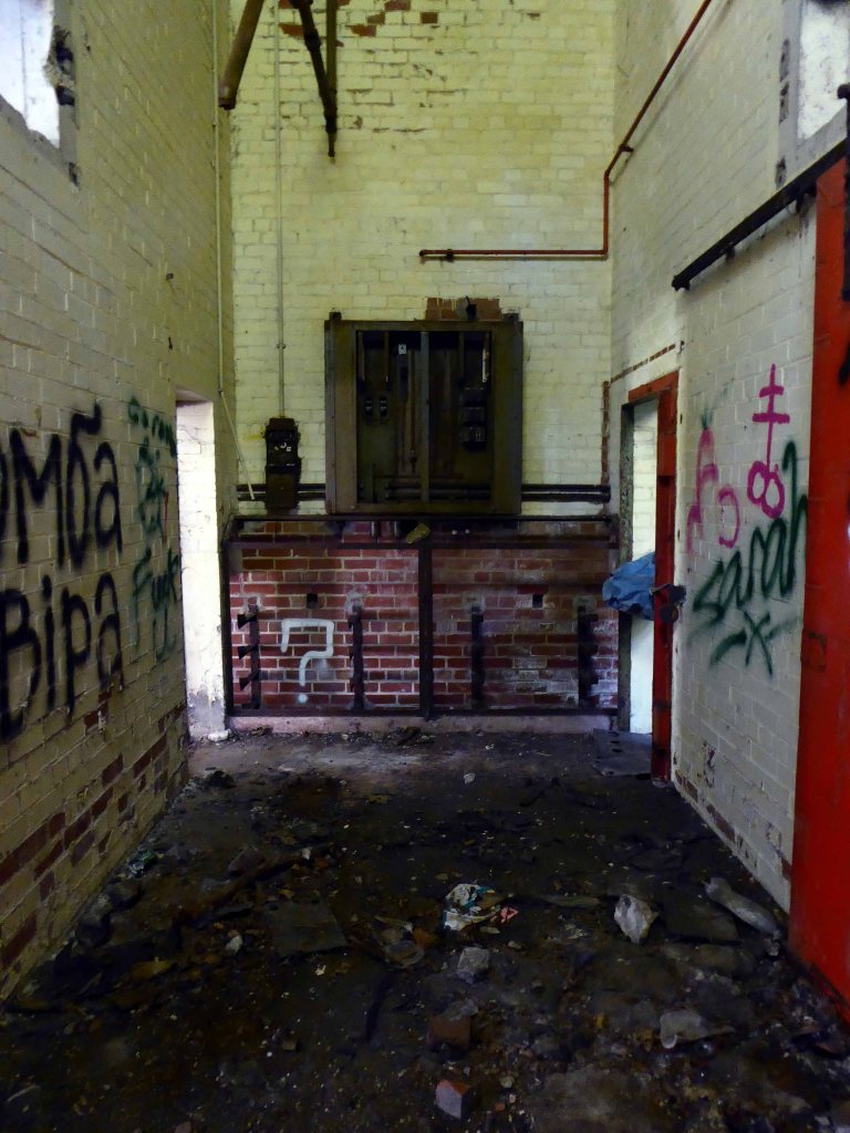
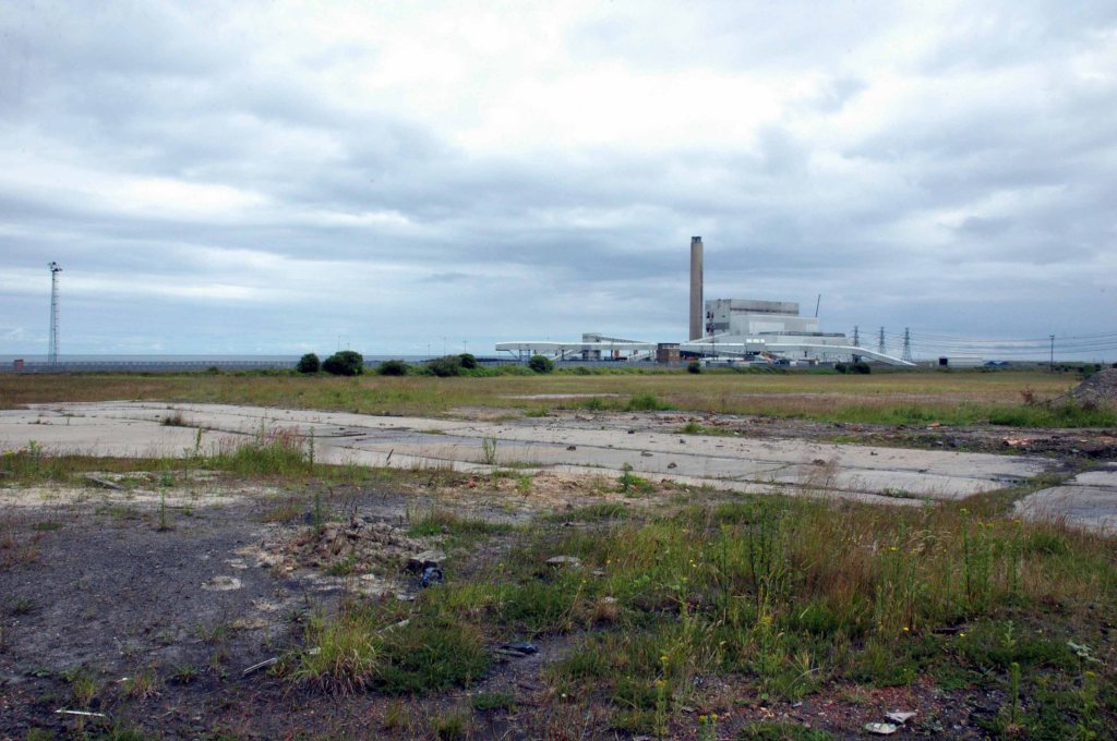
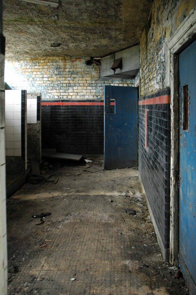
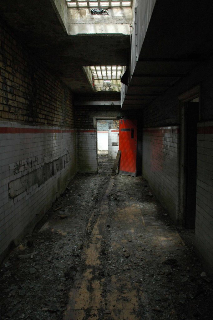
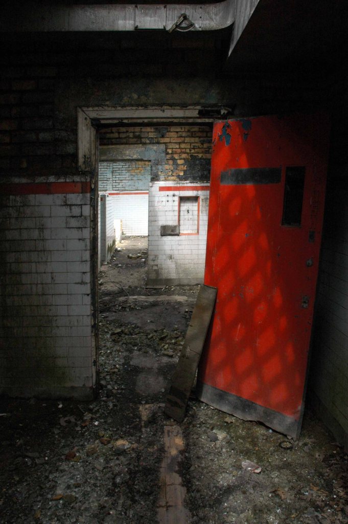
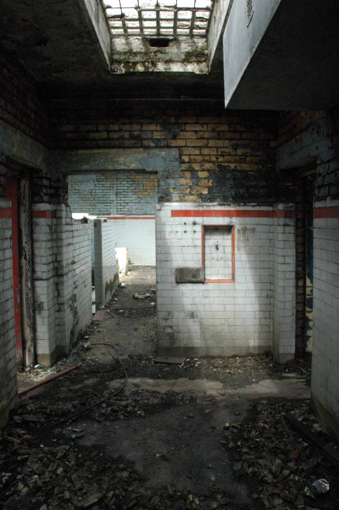
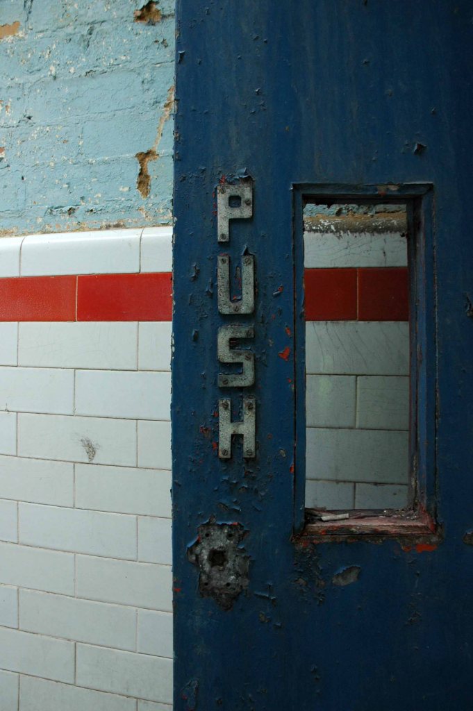
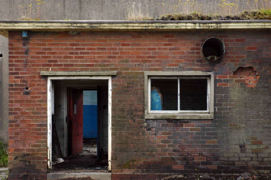
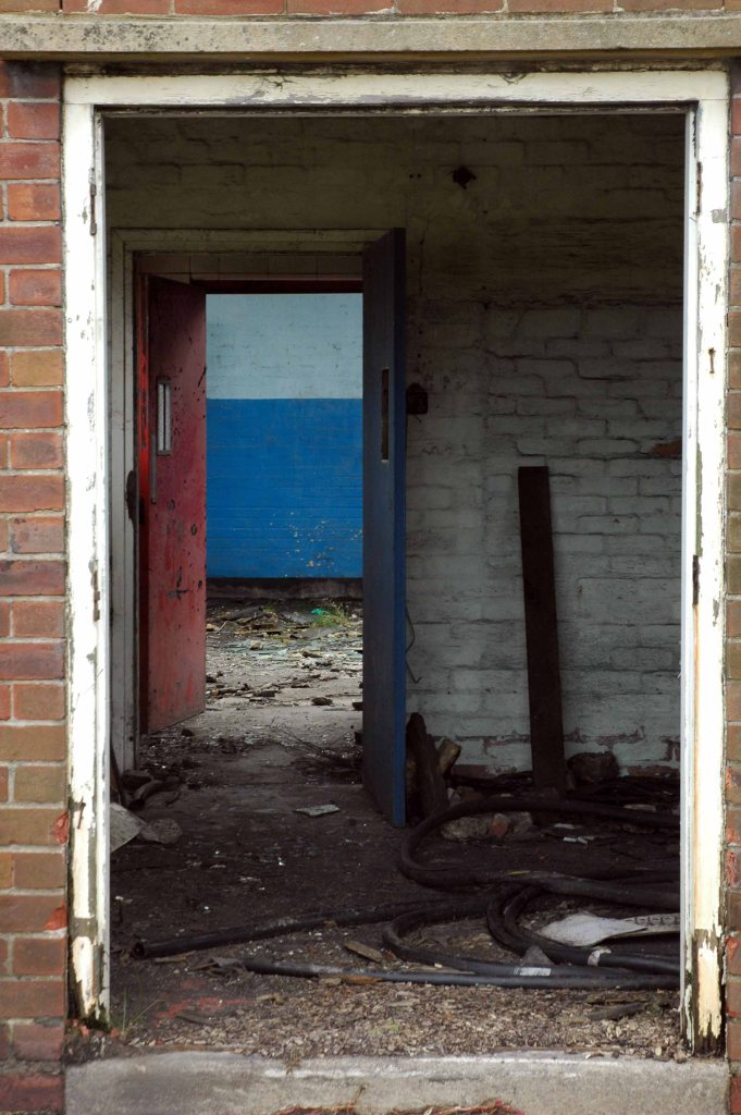
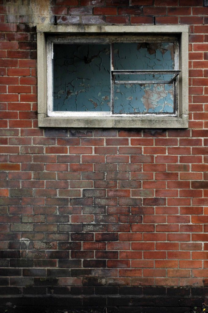
I’m back here to day in search of an abandoned control centre at the long gone Hartshead Power Station.
The station was opened in 1926 by the Stalybridge, Hyde, Mossley and Dukinfield Transport and Electricity Board.
The station was closed on 29 October 1979 with a generating capacity of 64 megawatts. It was demolished during the late 1980s, although part of the site is still used as an electrical substation.
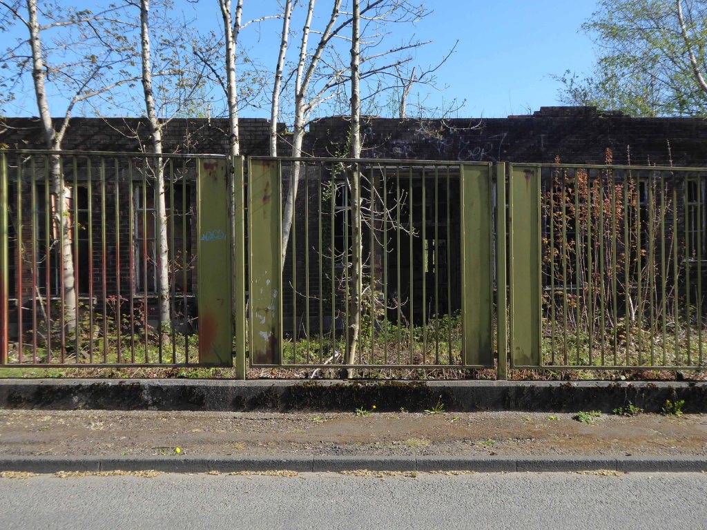
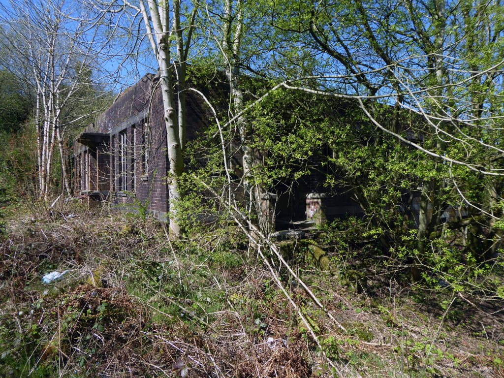
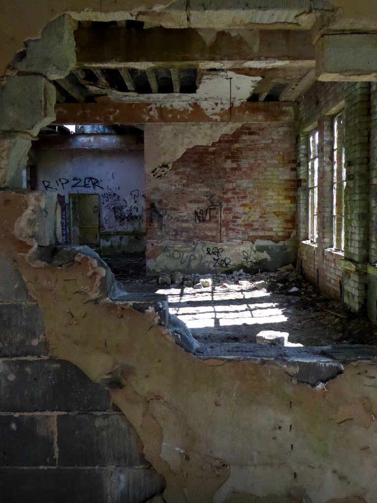
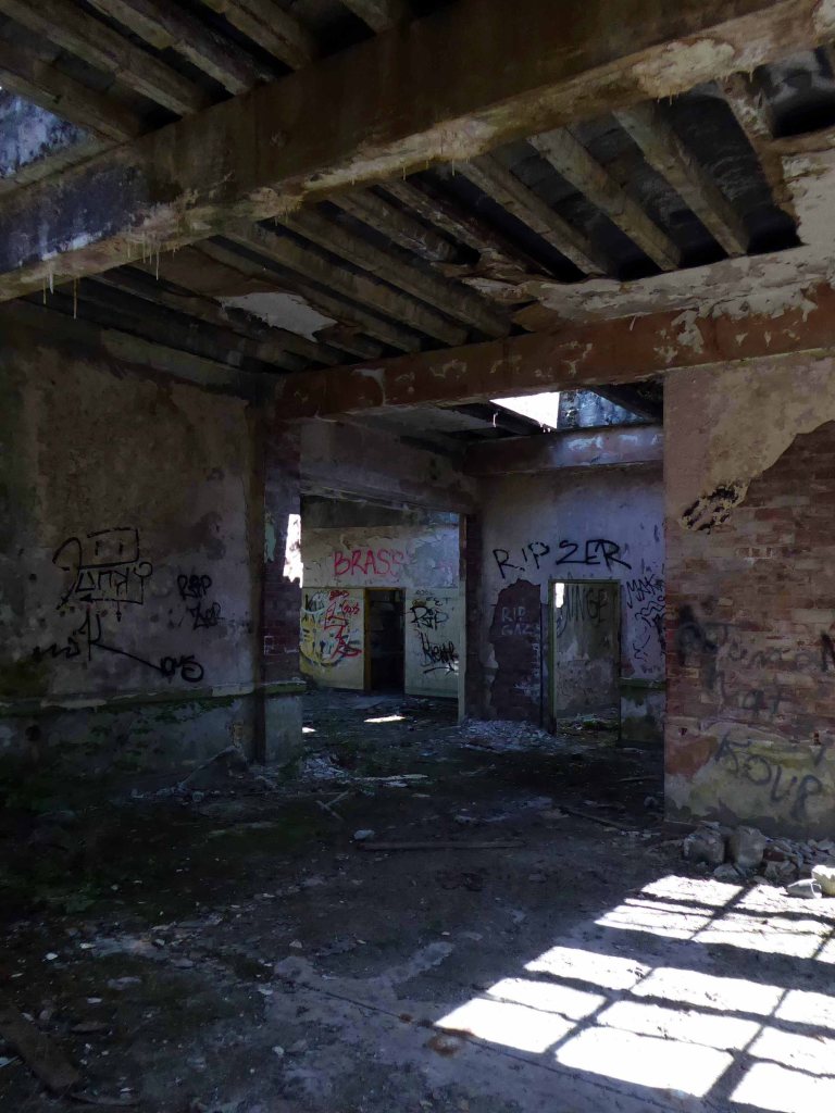
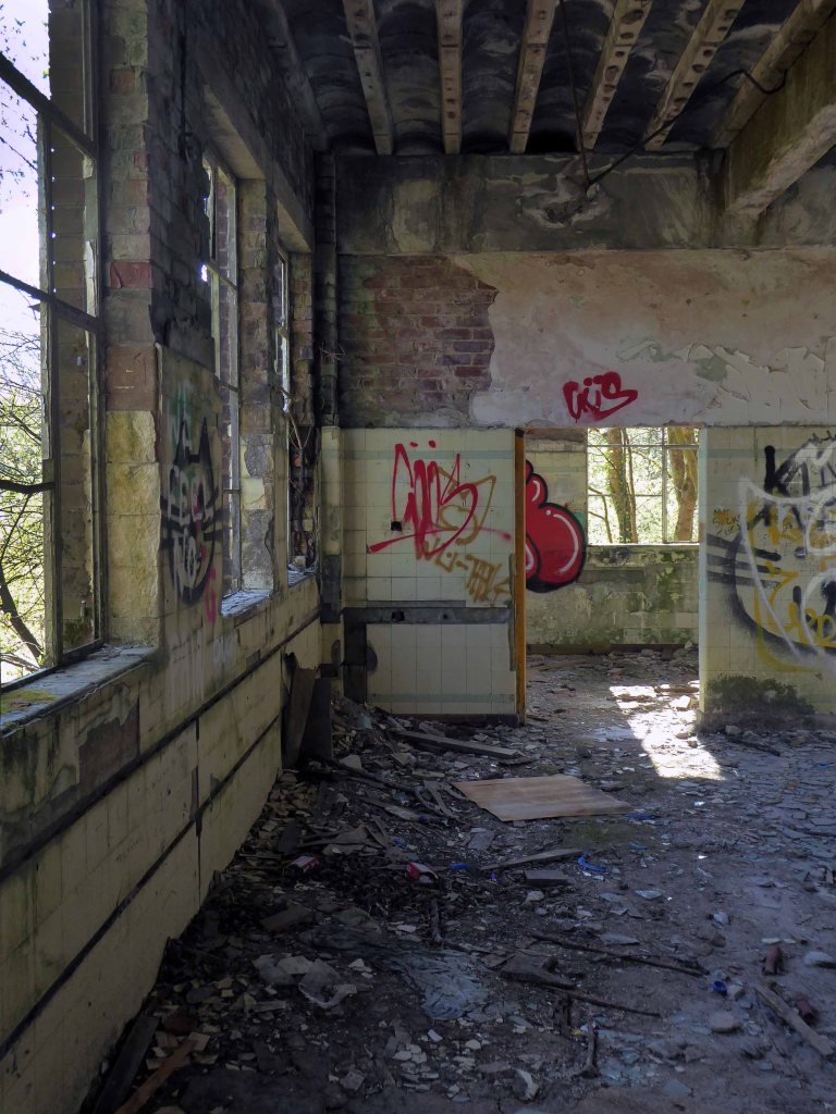
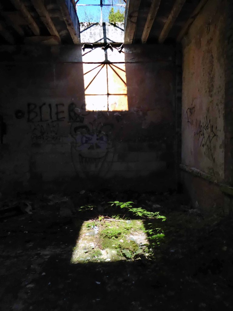
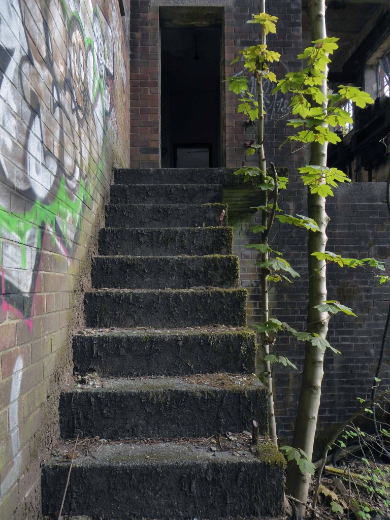
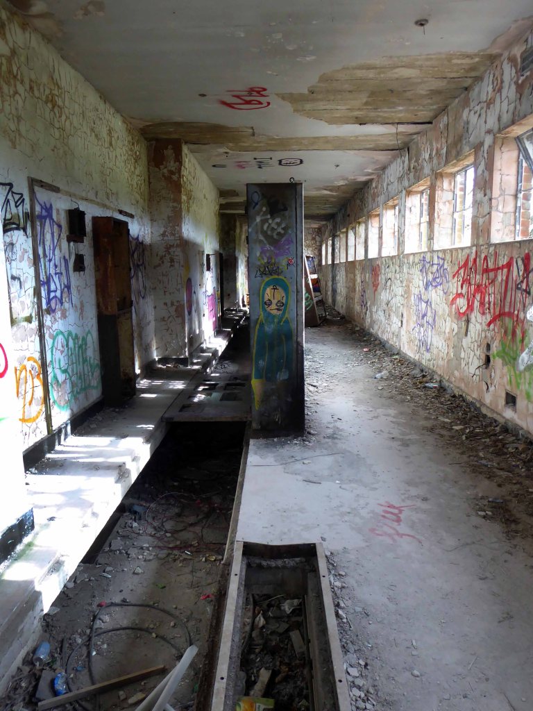
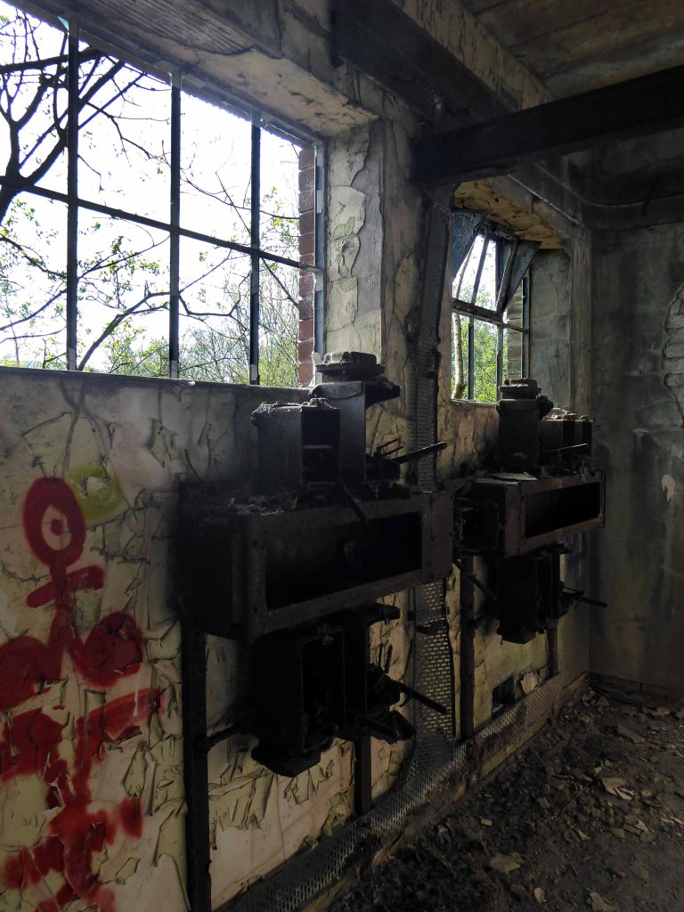
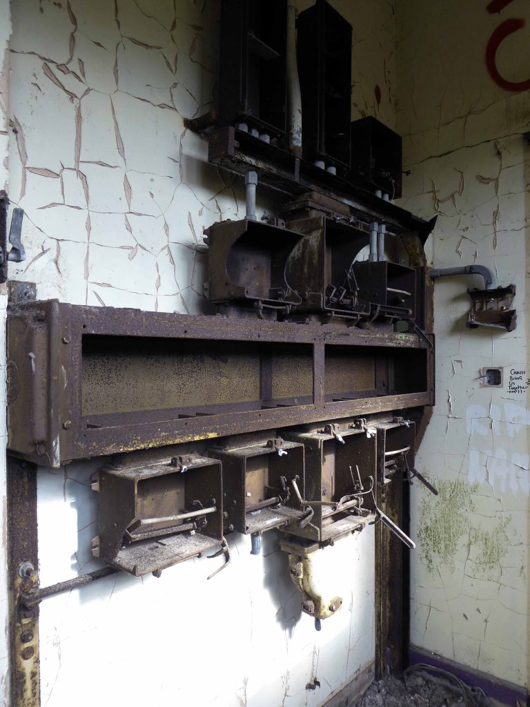
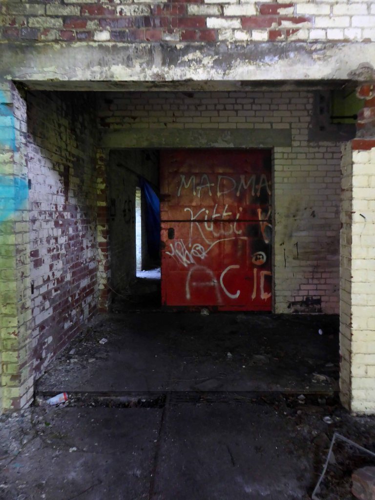
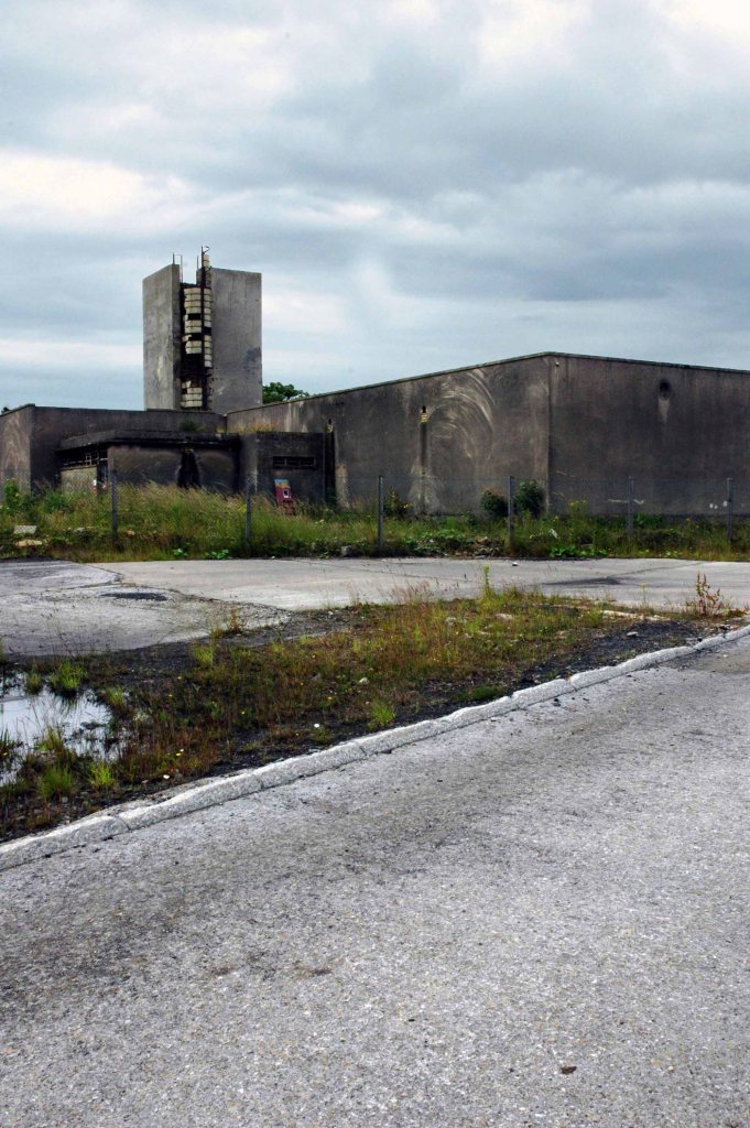
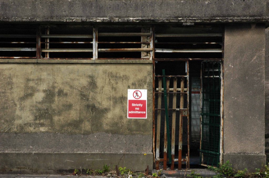
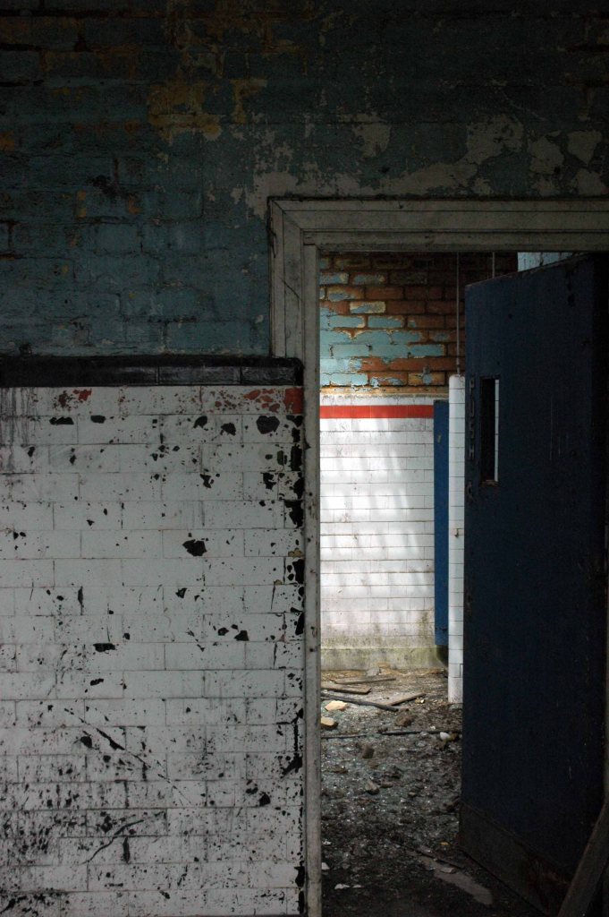
First glimpsed on an urban exploration site, I had awaited an opportunity to slip through the fence and take a look around – here’s what I found.
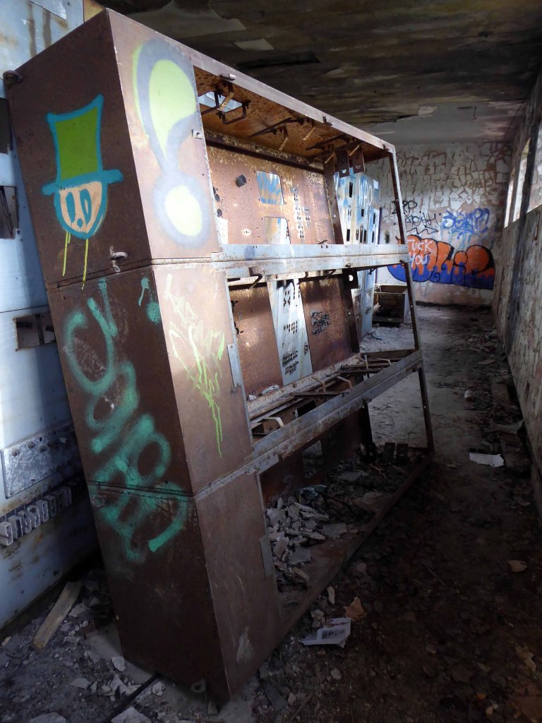
Most of the valuable equipment stripped out leaving and empty shell, covered in layers of the taggers’ interventions.
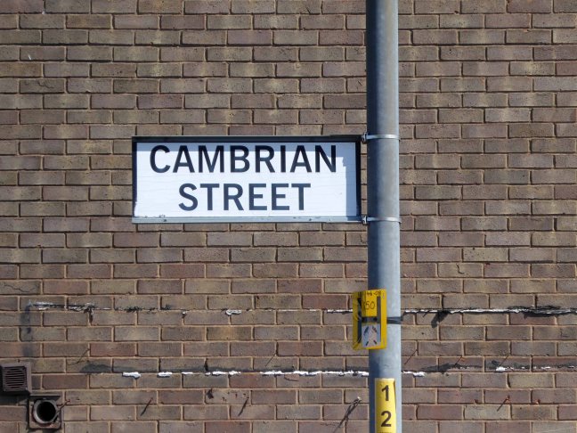
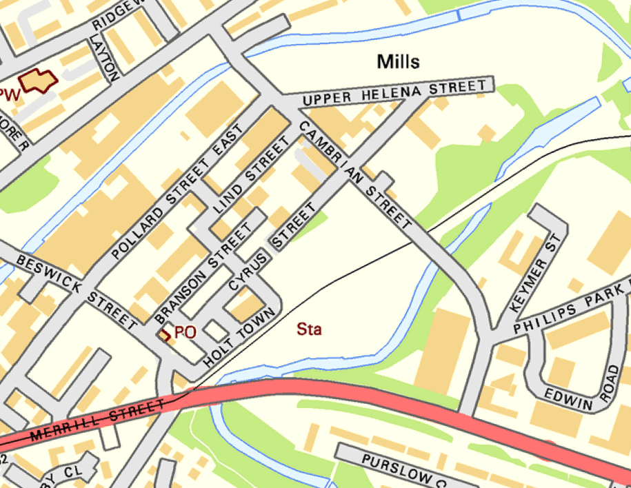
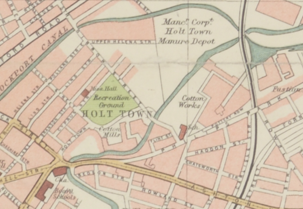
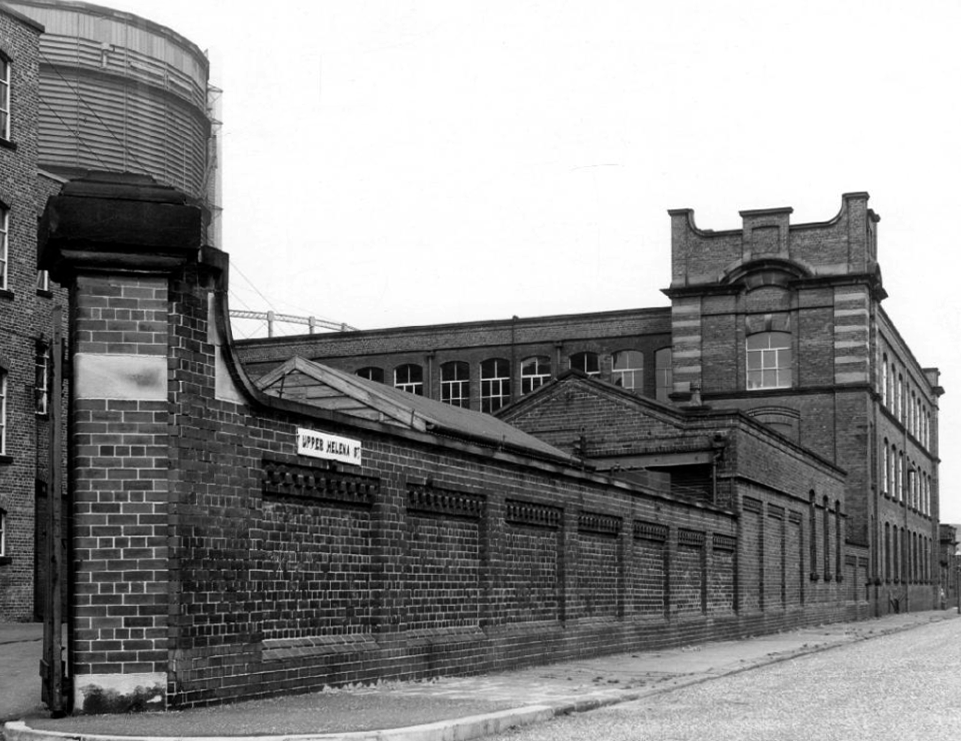
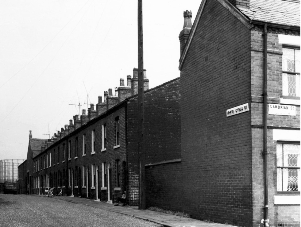
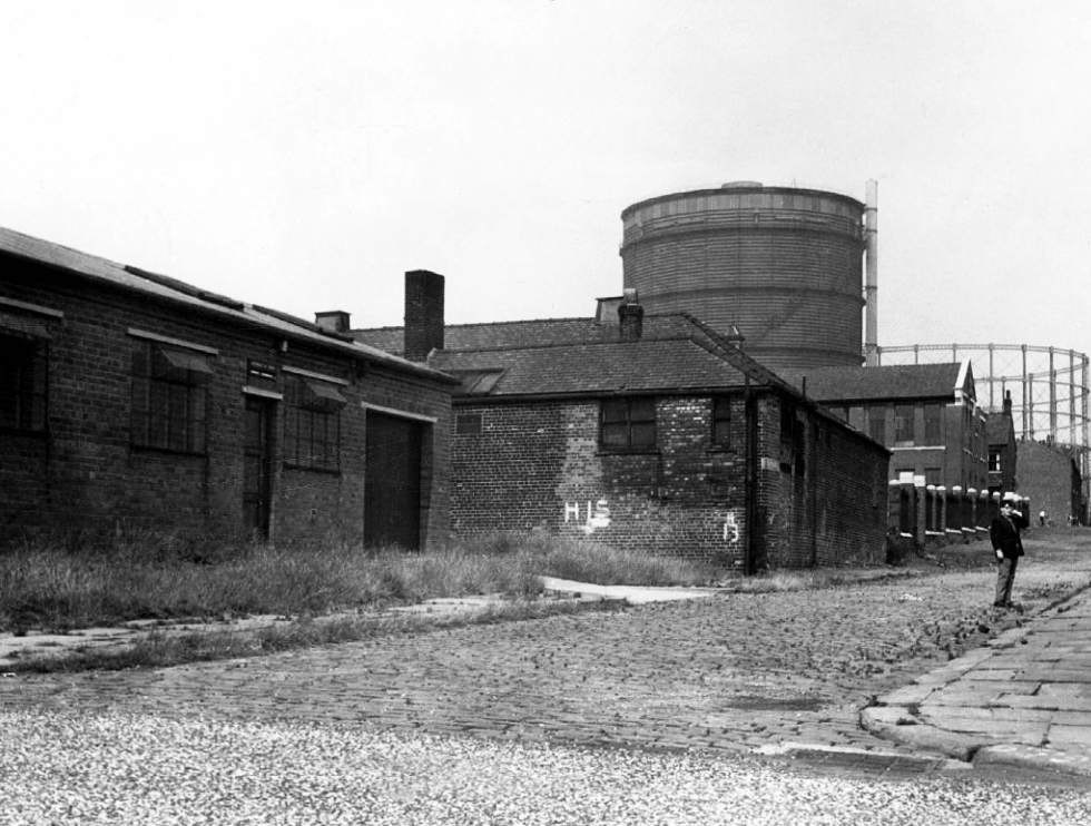
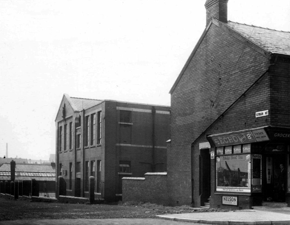
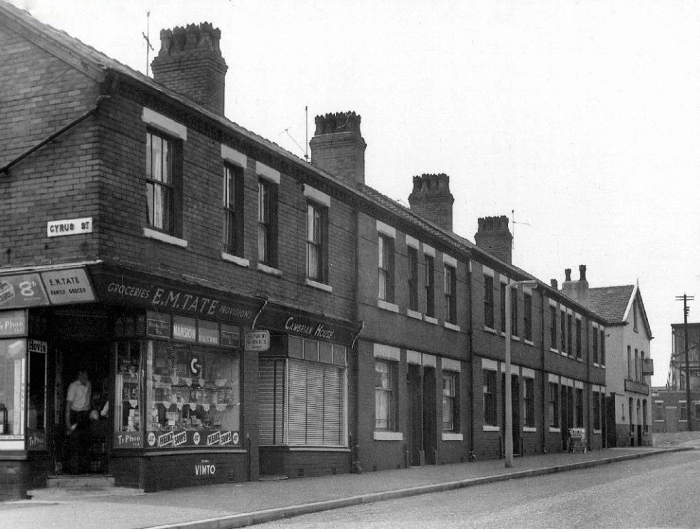
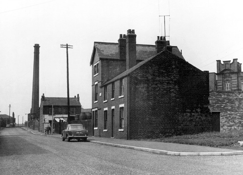
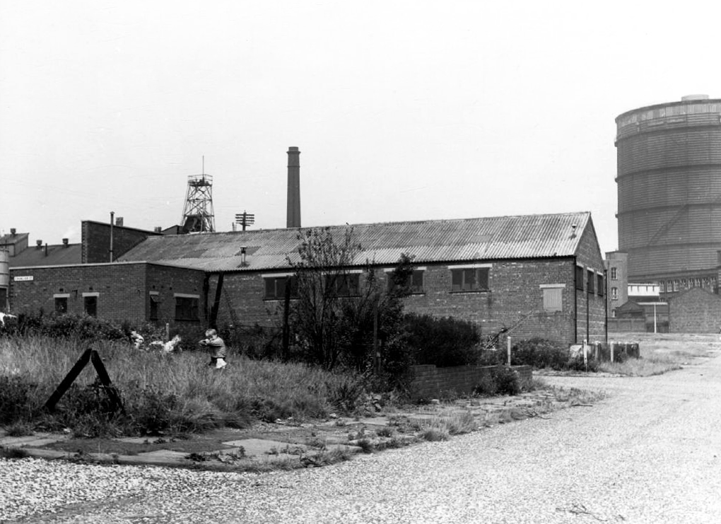
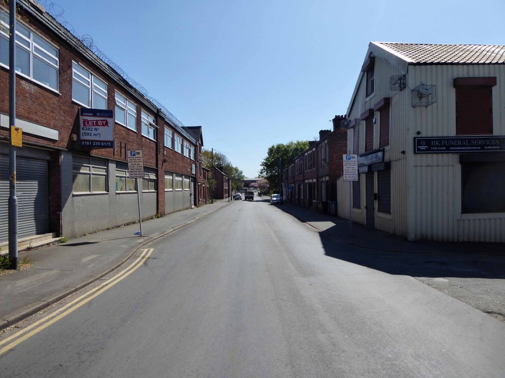
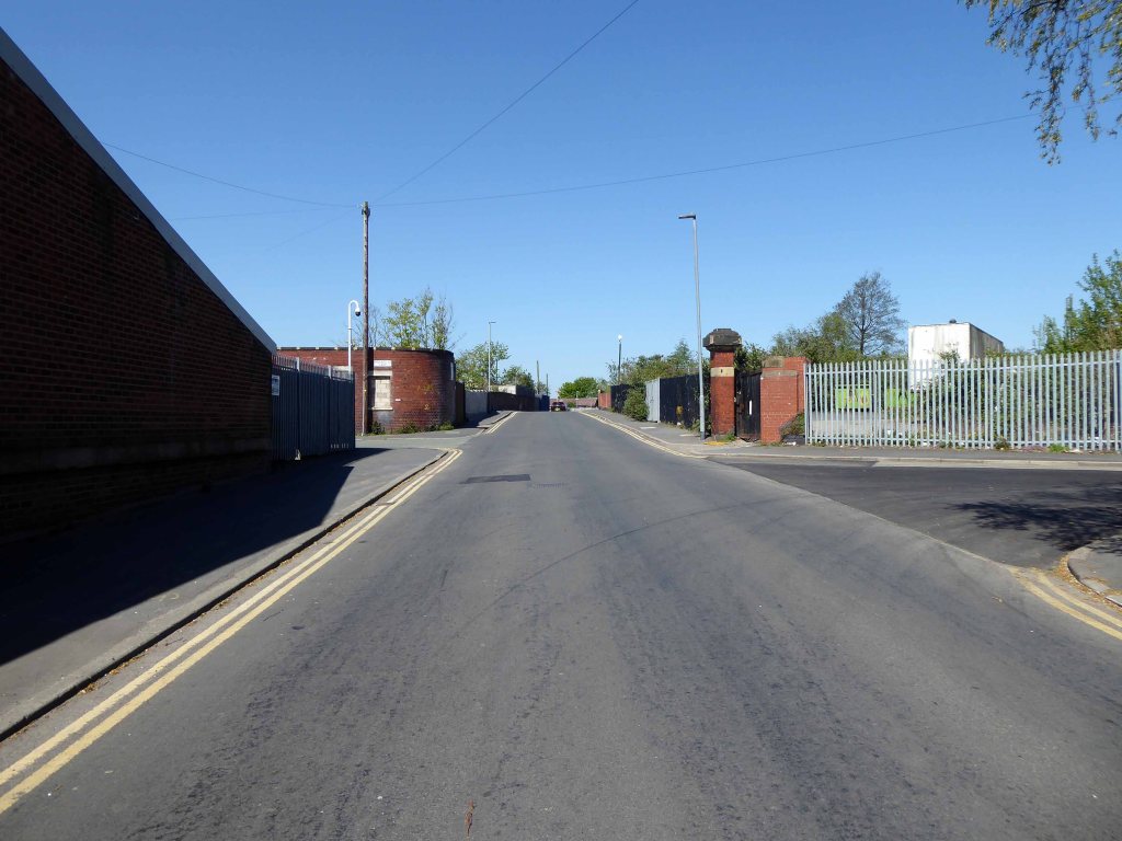
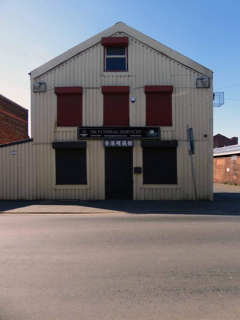
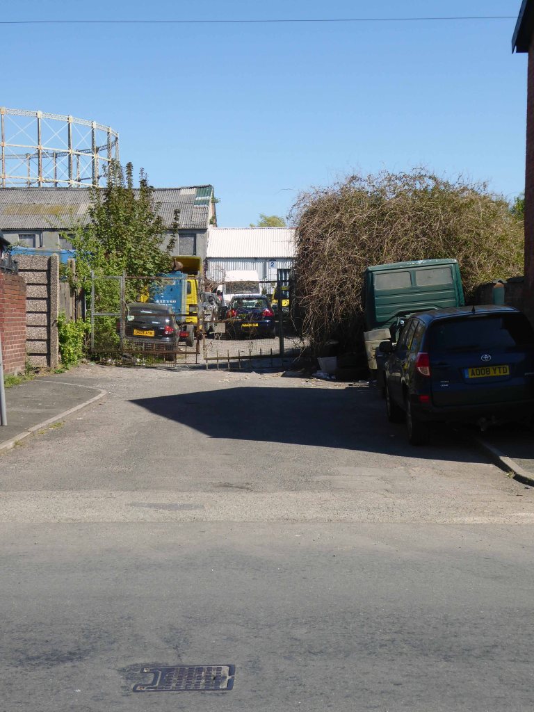
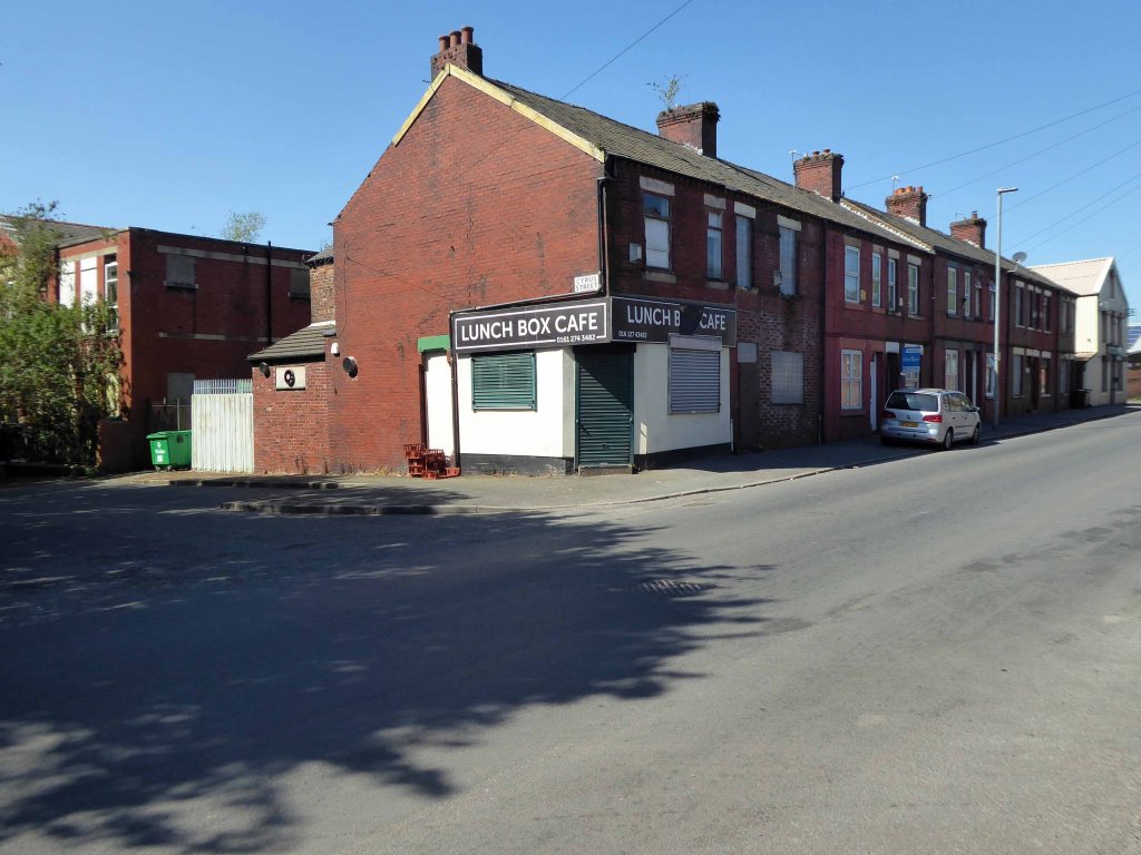
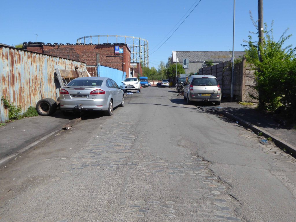
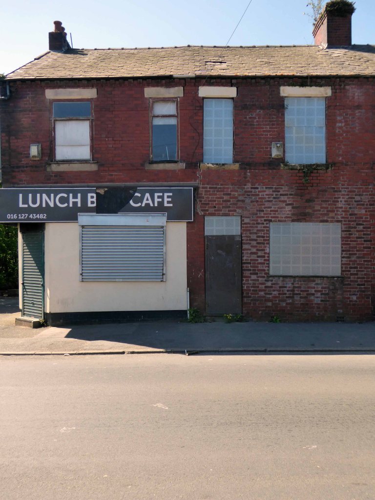
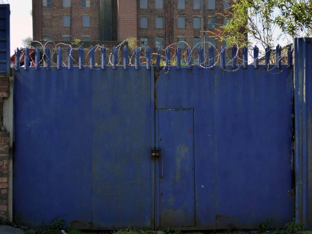
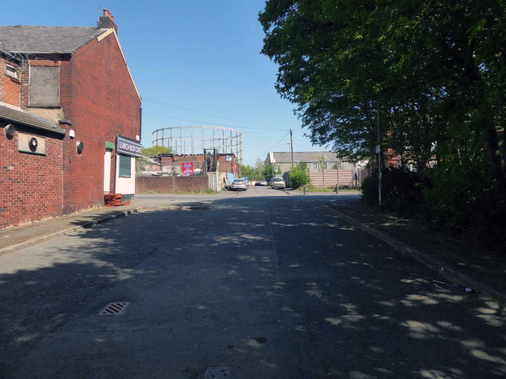
Nothing now remains of this mill complex on Upper Helena StreetThe homes on Upper Cyrus Street are long goneCyrus Street now over grown and Big Bertha demolishedThe New Inn now the Hong Kong Funeral HomeSt Annes School and the shop now closedIt had become the Luchbox Café now also closedStill standing
The area was my playground. Holt Town was always a but scary, there were old factories along the opposite side with wartime helmets in. A scrap yard under the arch. I remember sucking up mercury off the floor with a straw obviously from a spillage, no thoughts of danger, I’m alright now. The Seven Wonders, as we knew it, River, canal, railway, road, waterfall all crossing each other, not sure why? A fantastic industrial area to grow up in. The Don Cinema at the top corner at Mitchell Street and Ashton New Road.
I could go on.
Philip Gregson
Time’s up for the tiny urban cowboys.
Let’s see what’s going on.
Former football fieldUpper Cyrus StreetLind StreetUpper Helena StreetPollard StreetLanstead DriveCyrus StreetSt Annes SchoolCyrus StreetDevil’s StepsRiver Medlock
The River Irwell bisects Salford and Manchester, joining the rivers Irk and Medlock, and then turns west toward Irlam, as part of the Manchester Ship Canal. Its course ends just east of Irlam, where it empties into the Mersey.
Urban development is ever so often dependent upon rivers – for sustenance, commerce and amusement. The Irwell and latterly the developments of the canal system has provided all of these in superabundance.
By 1870 the Pomona Gardens is thriving , boasting a concert hall and banqueting suite – further details here from Skyliner.
In the summer of 1887, a nearby chemicals factory exploded, damaging the palace – the area was under threat and destined to rot away to obscurity: the following year the gardens closed forever.
By 1900 the Ship Canal, docks and railways had arrived – Manchester and Salford are at the centre of an unprecedented growth in manufacture and trade.
189119231950
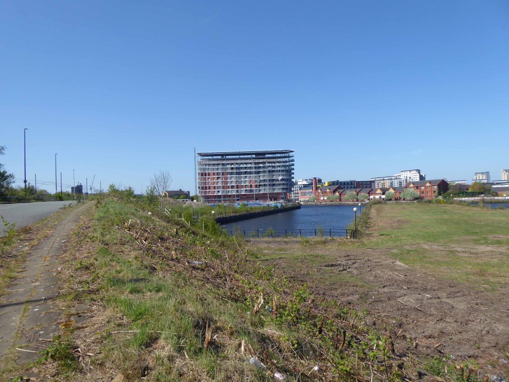
During the 1970’s the docks began a rapid decline, largely due to containerisation. The increasing size of freight-carrying ships meant they could no longer navigate the ship canal and this, combined with increased trading with Europe and the east, saw use of Manchester Docks decrease. In 1982 the remaining docks closed and the area became derelict. Recognising the need to redevelop the area, Salford City Council purchased the docks in 1984 using a derelict land grant. The Salford Quays Development Plan was adopted in May 1985, proposing complete reclamation and development of the area for commercial, residential and leisure use.
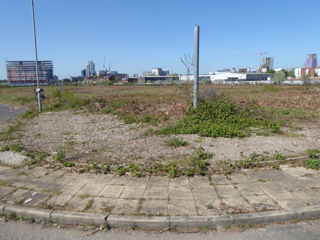
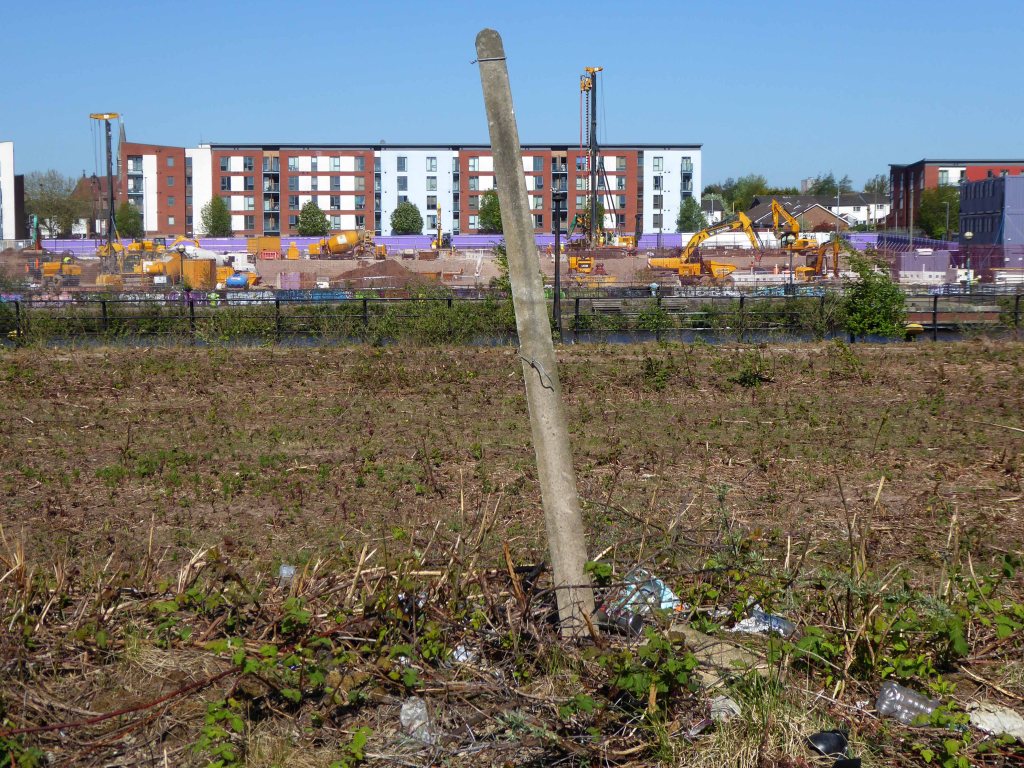
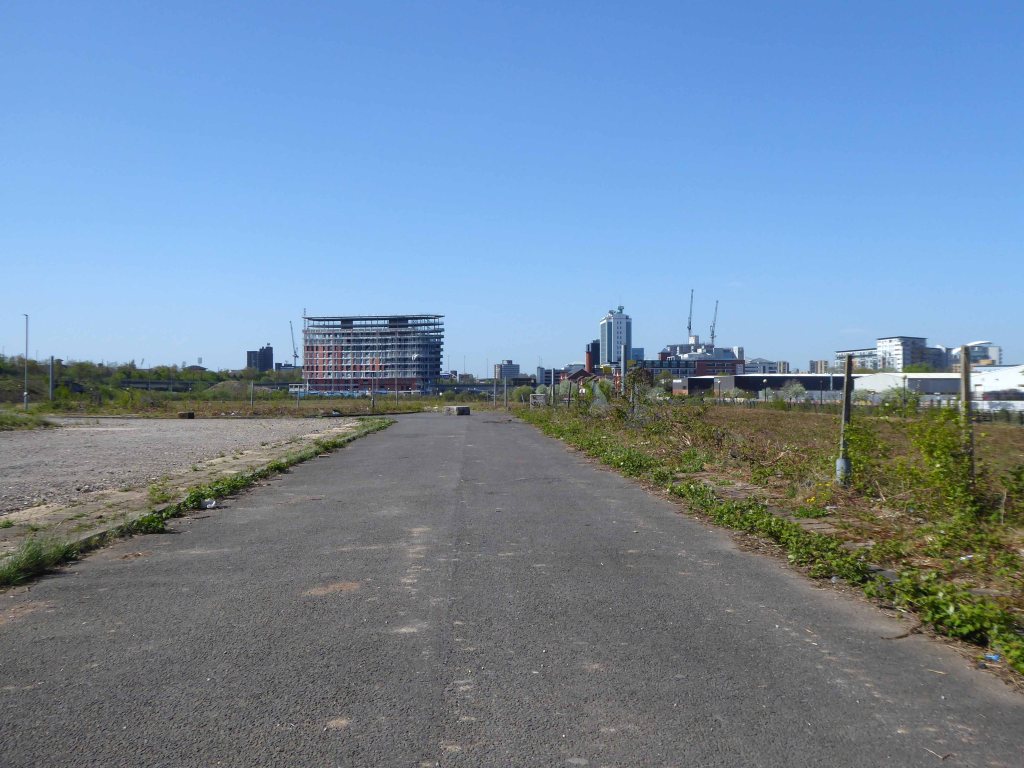
Manchester and Salford begin the long haul from post industrial decline to service centred cities – there were even seeds sewn for the development of a luxury marina. When I first visited Pomona the area was seriously overgrown and the underground wiring stripped out.
201020102020
Remnant of the initial scheme – pedestrian access, balustrade and lighting.
What would poor old Pomona make of all this?
There was a failed attempt to prevent further development and return the area to nature. Peel Holdings prevailed and pressed on relentlessly with their programme of urbanisation.
So it’s April 2020 – I’m on my way from somewhere else to somewhere else, I’ll cut across Pomona Island – the building site is in lockdown – ain’t nobody home.
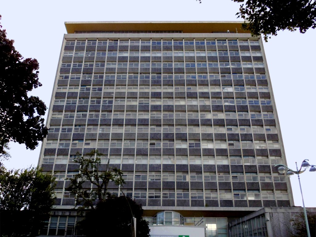
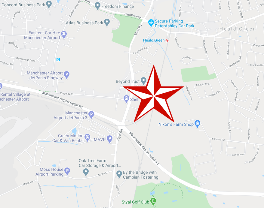
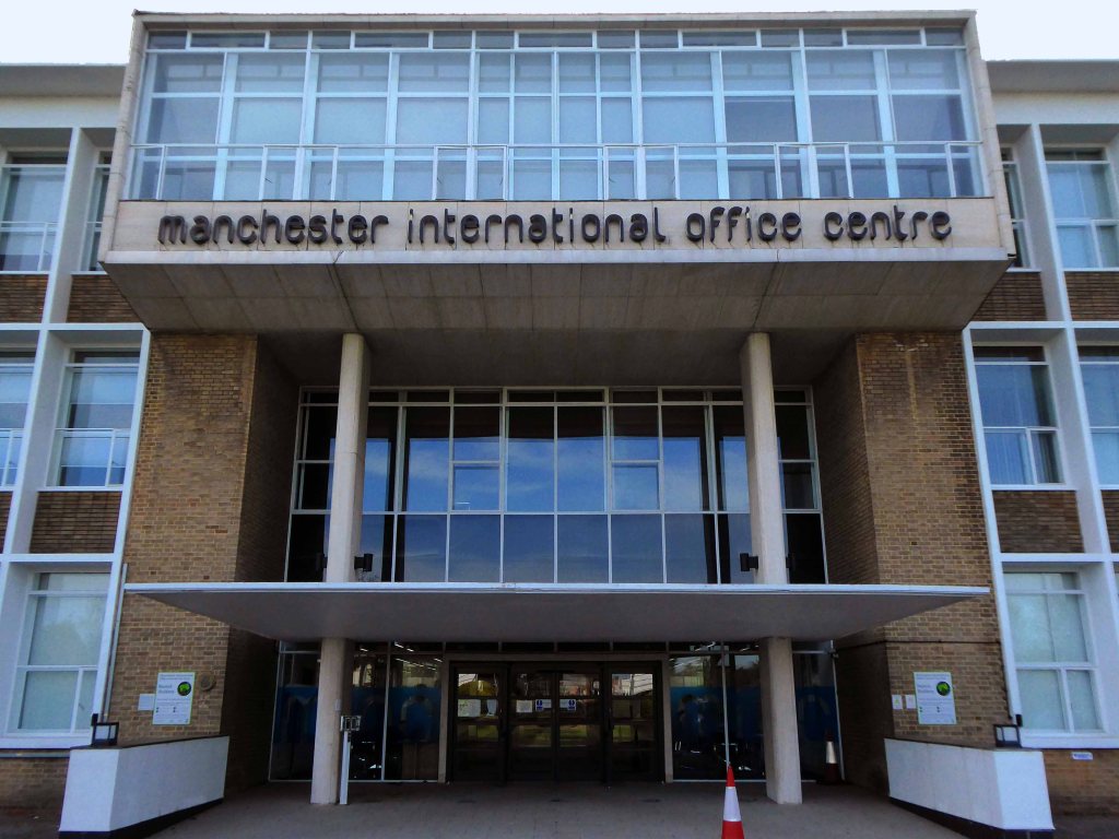
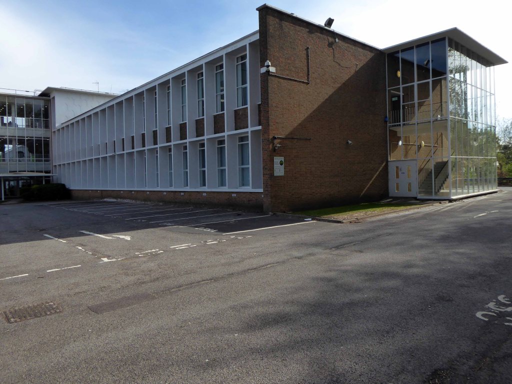
Manchester International Office Centre 11 Styal Rd Wythenshawe Manchester M22 5WB
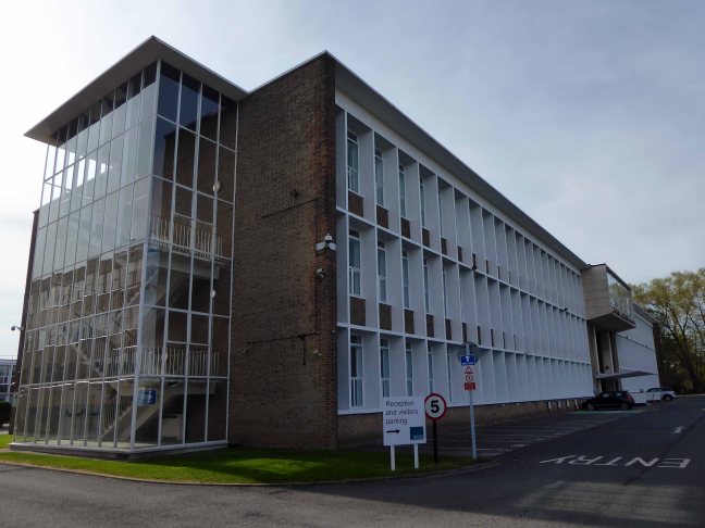
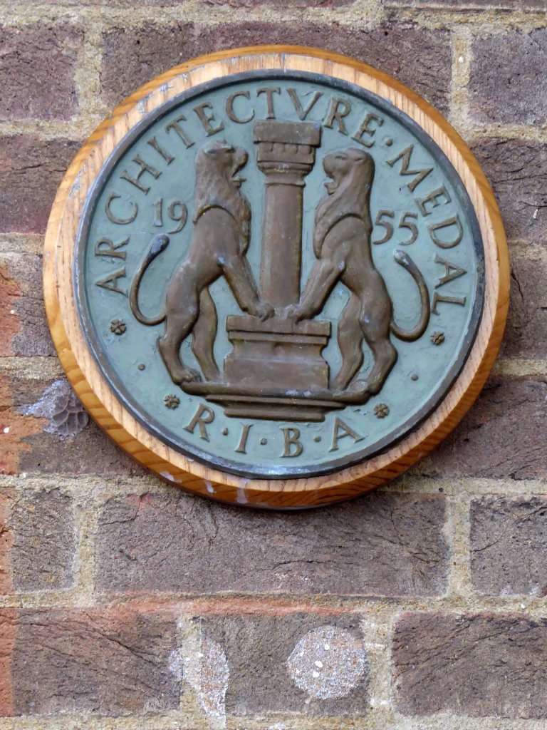
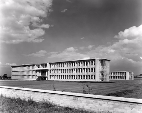
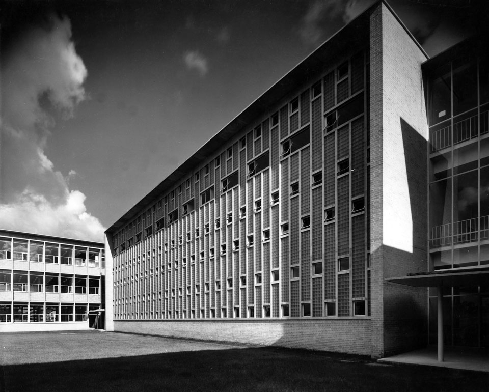
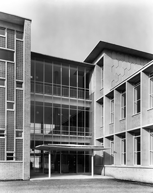
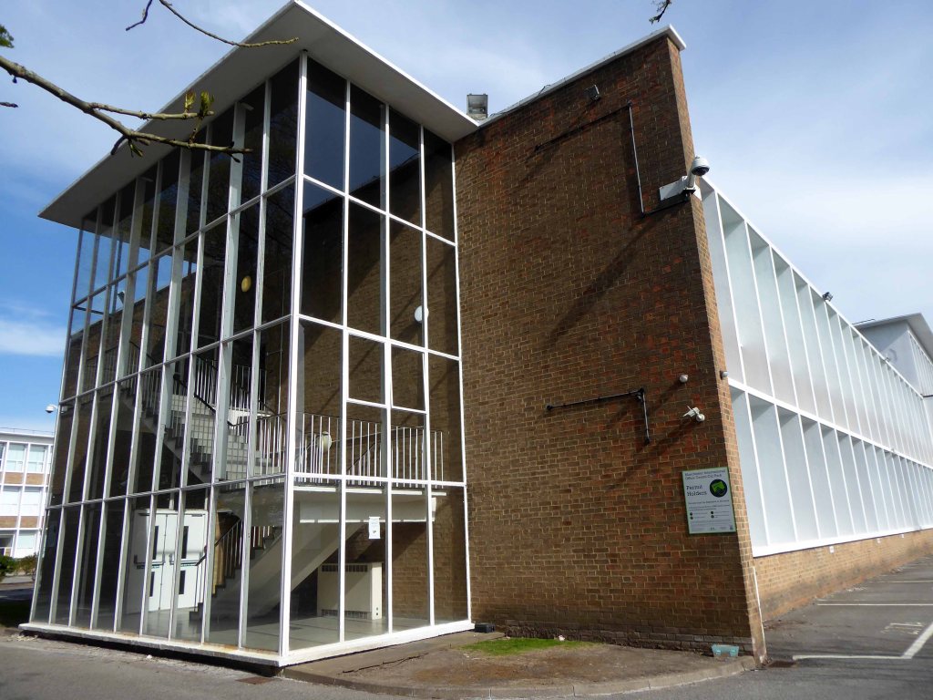
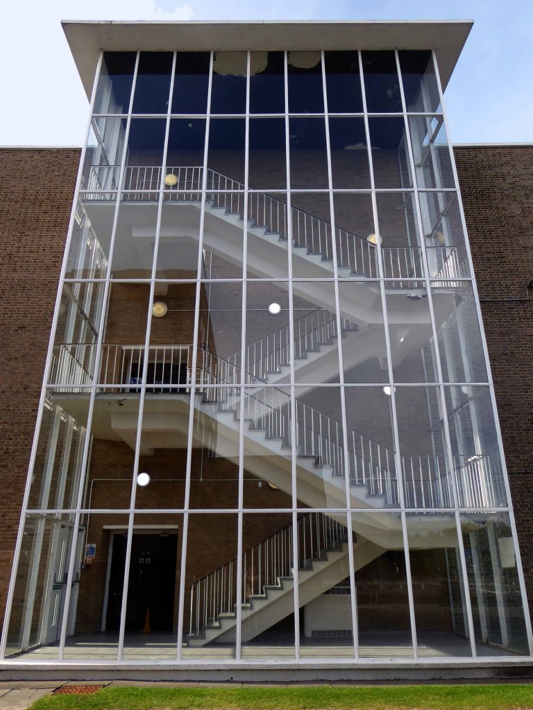
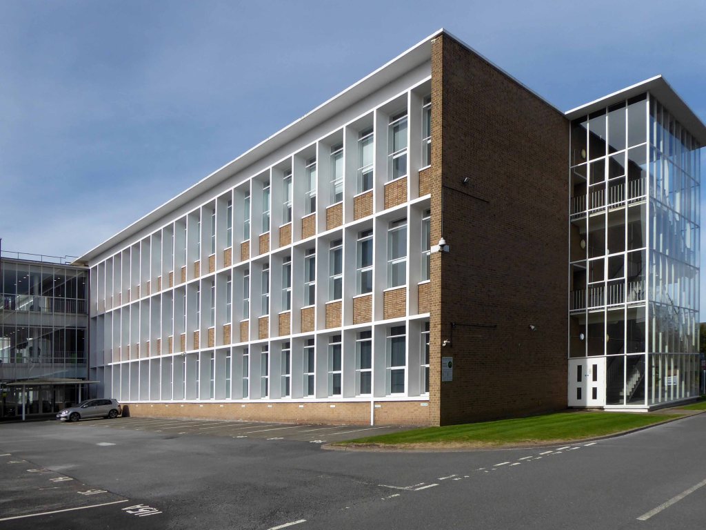
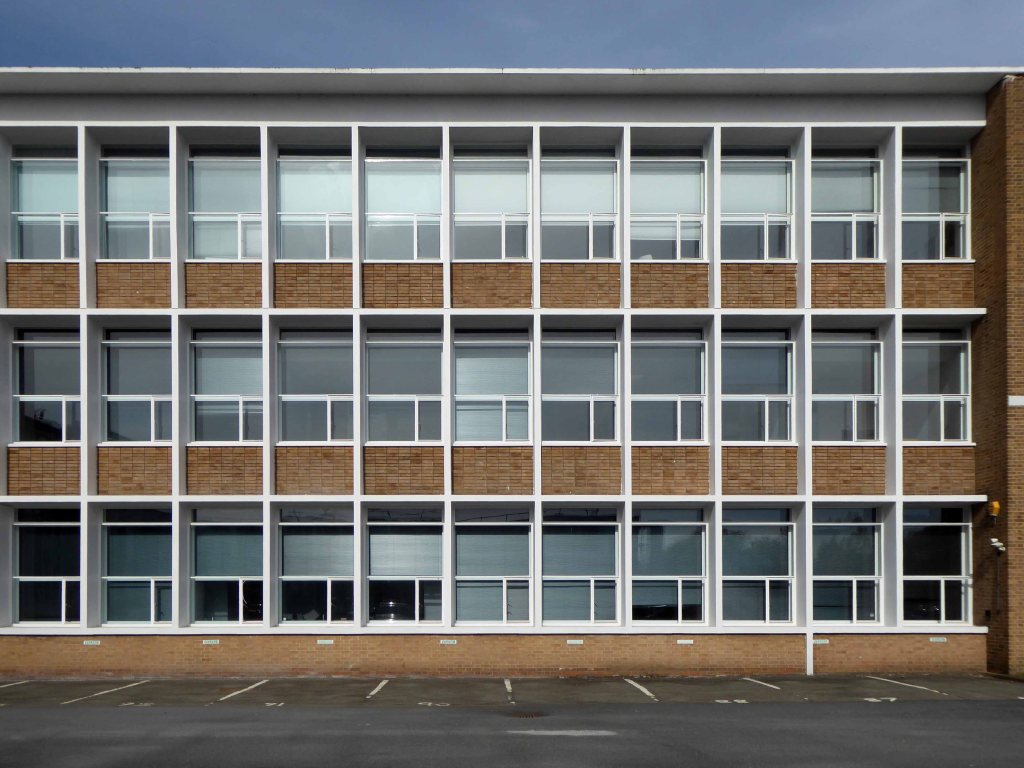
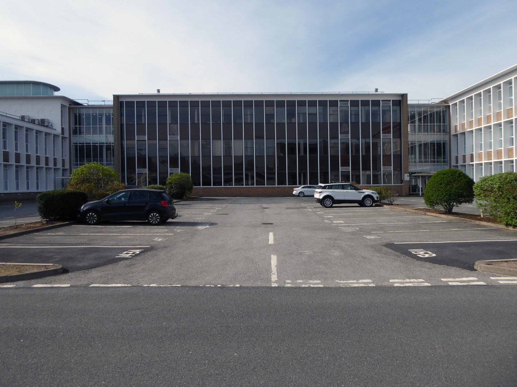
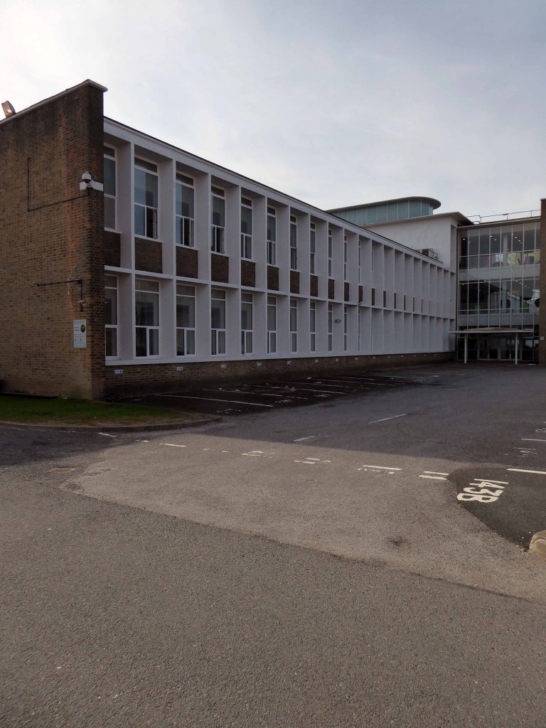
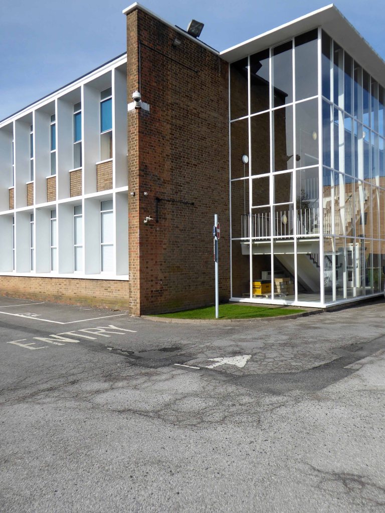
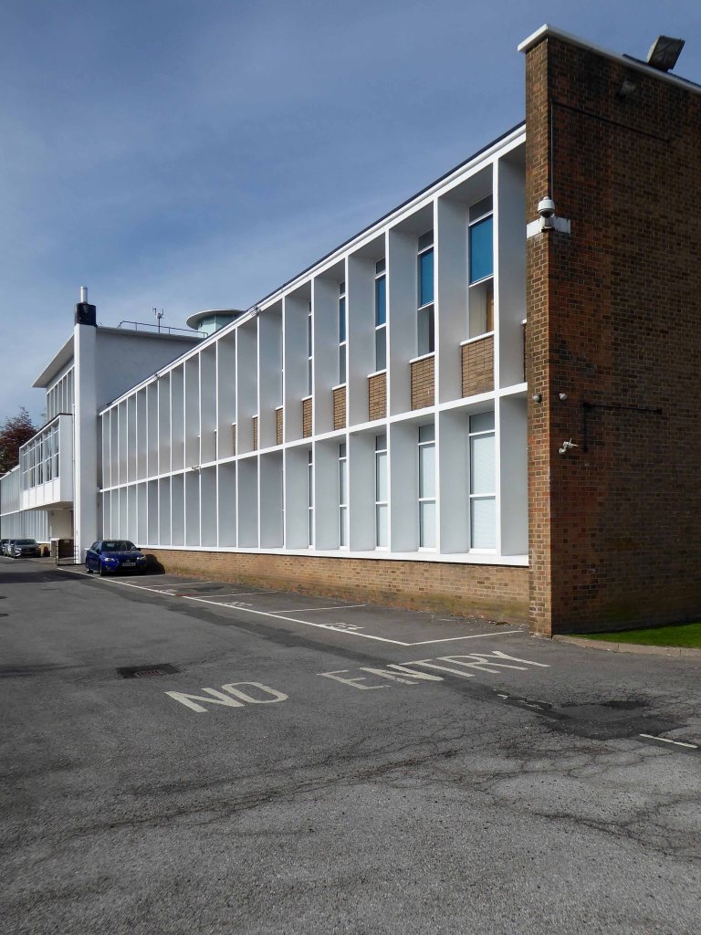
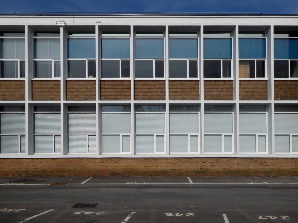
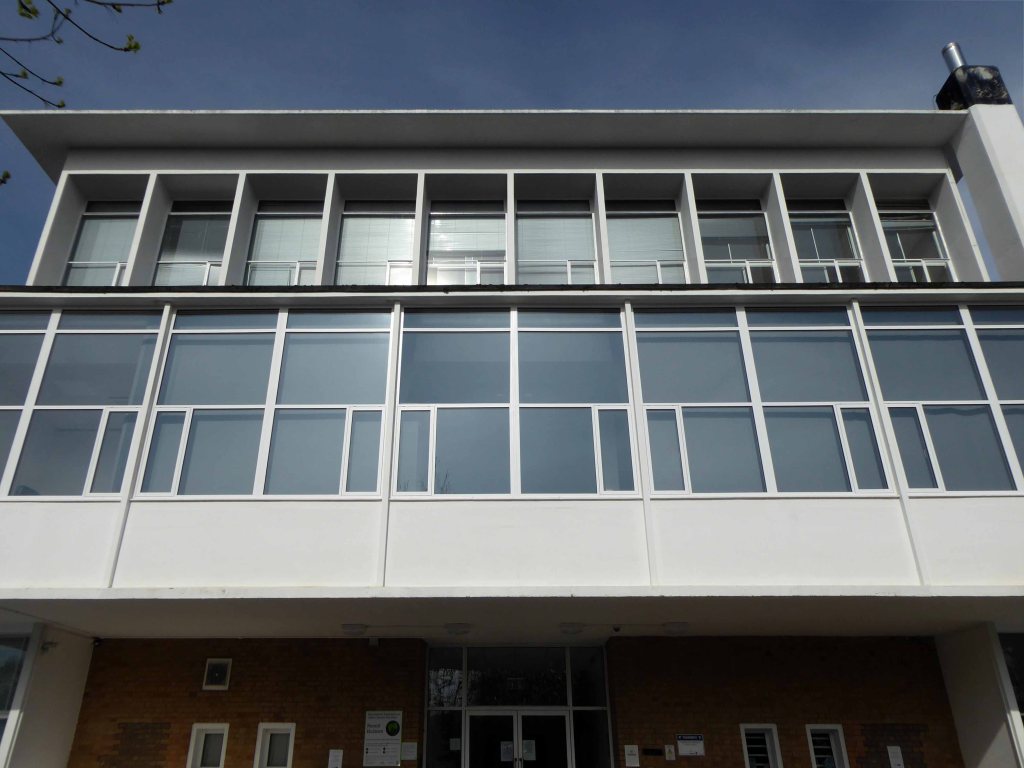
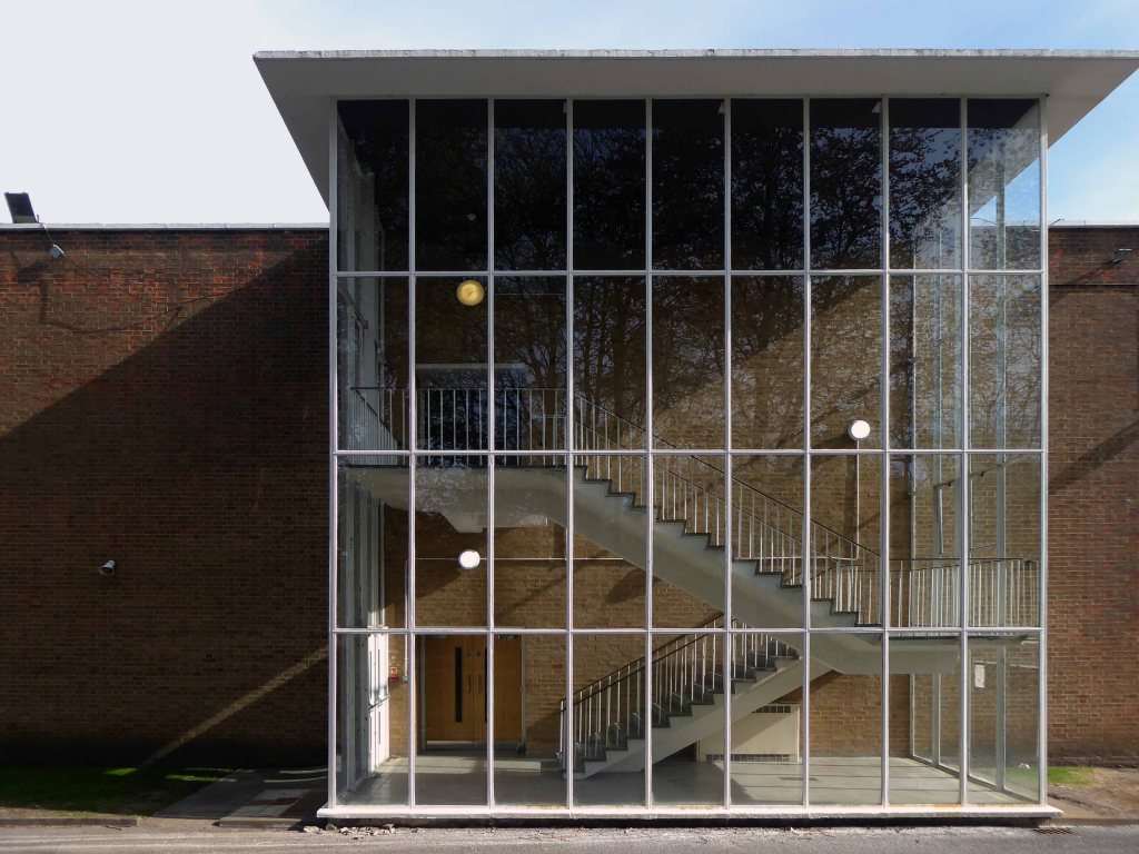
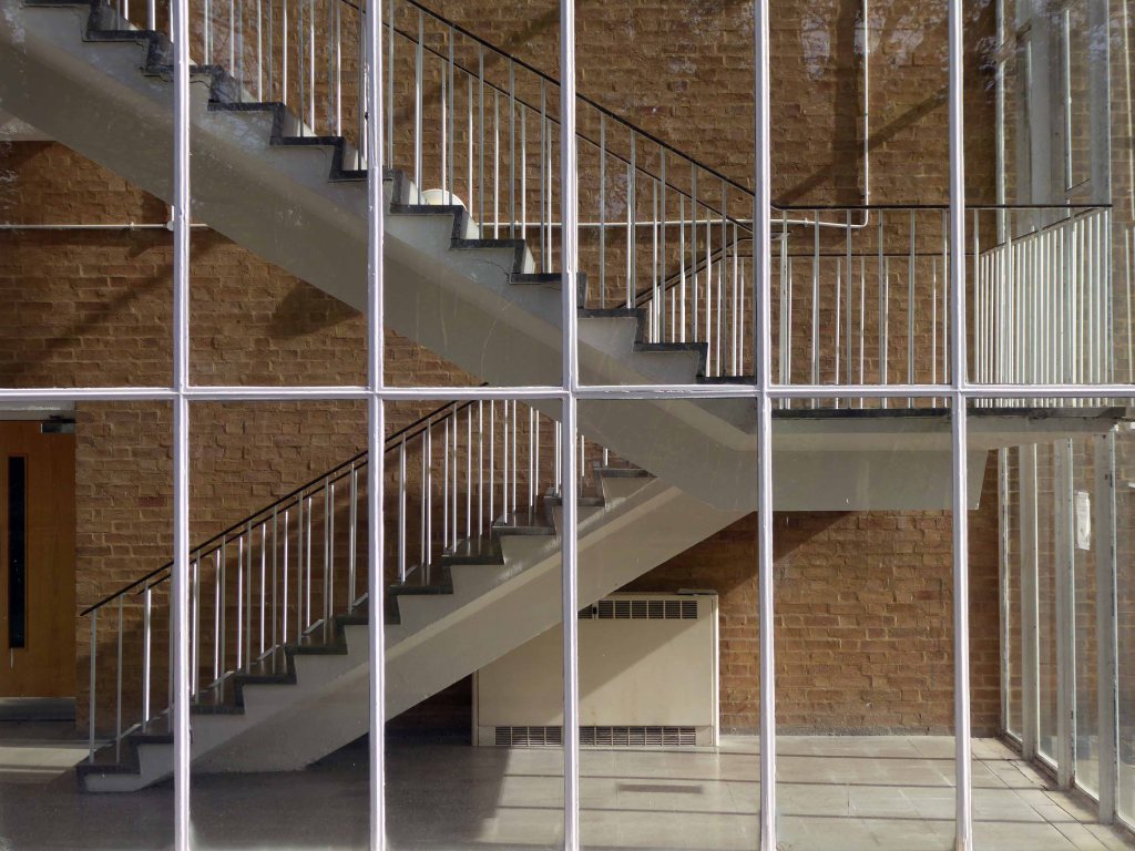
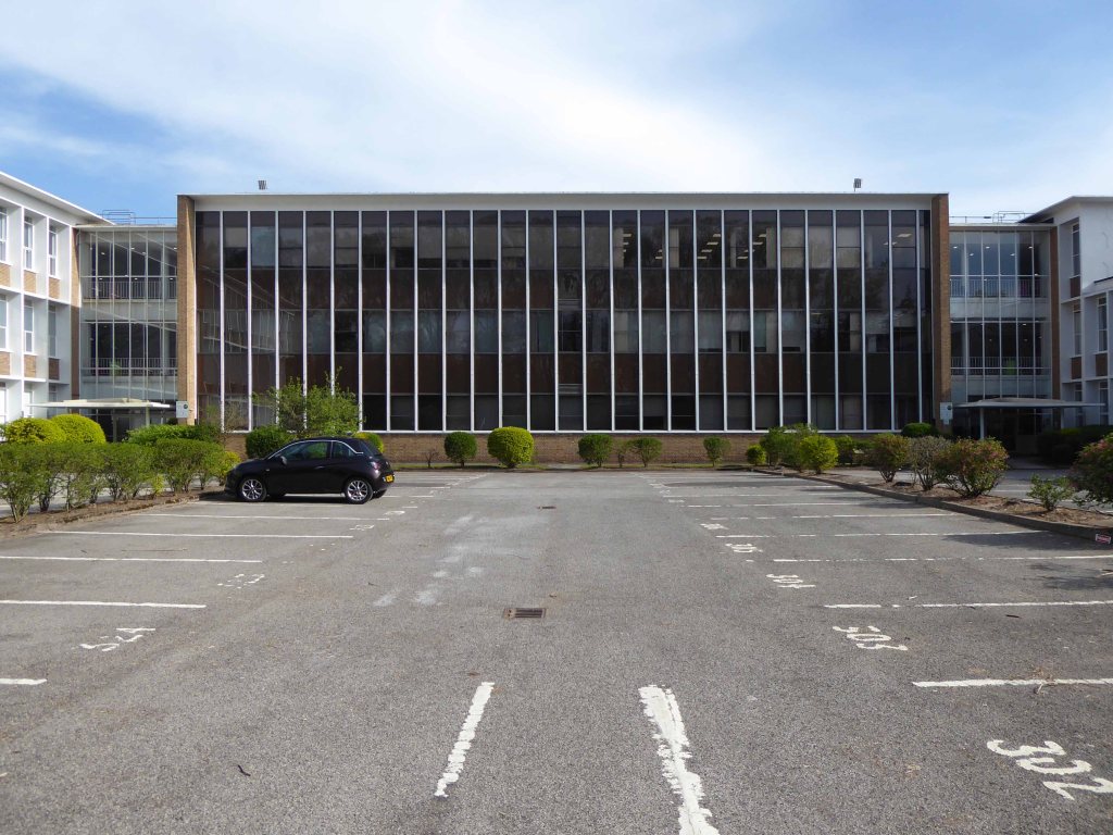
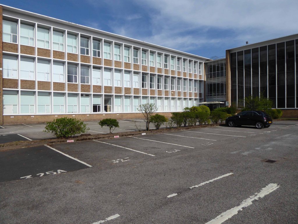
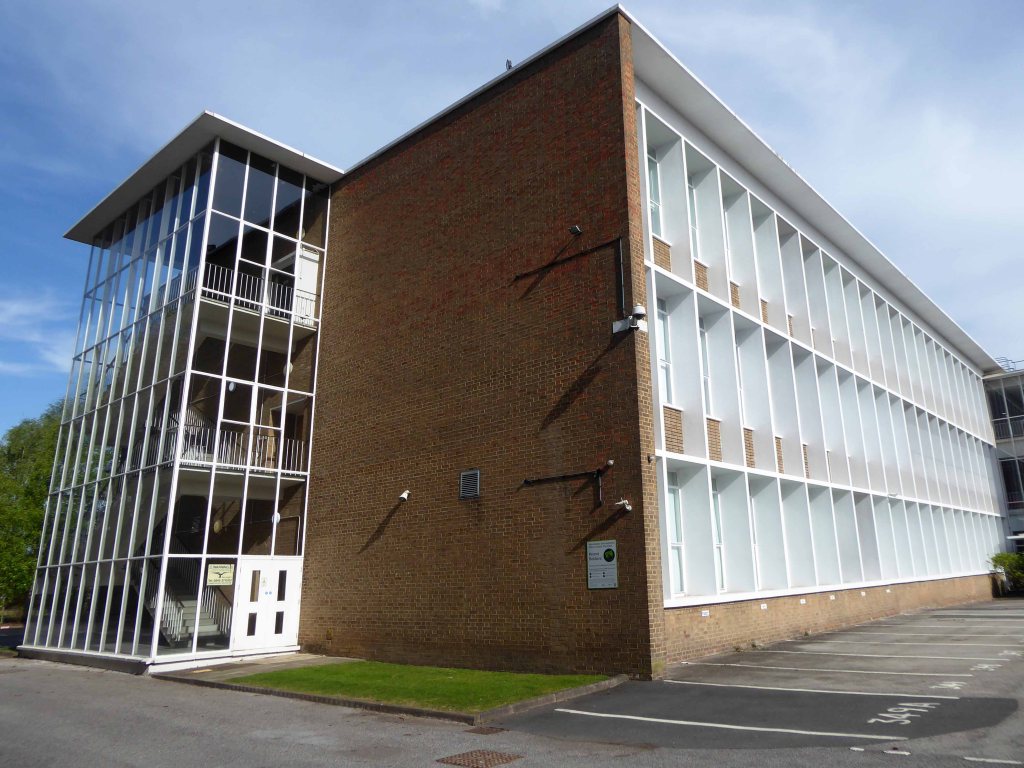
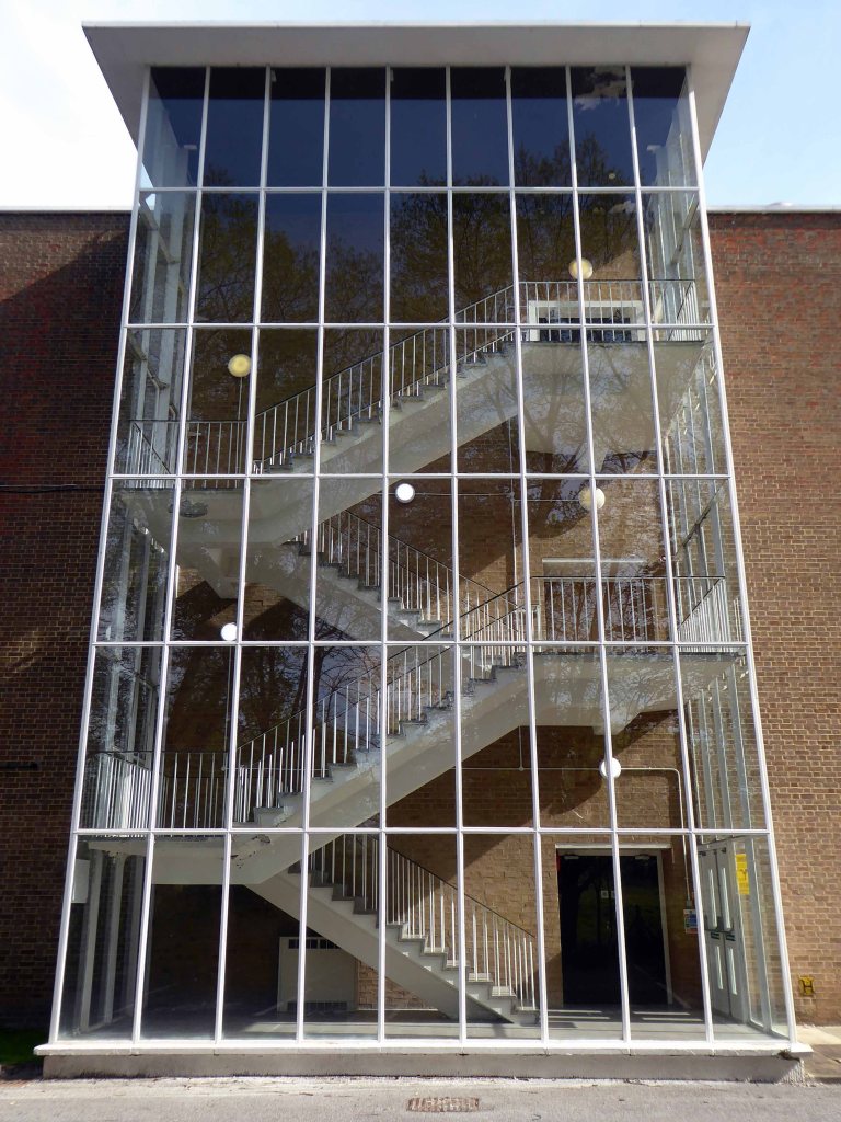
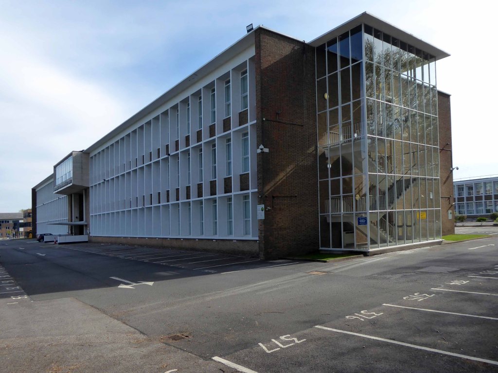
Renold Chains were once a huge firm employing thousands in south Manchester, their main factory at Burnage, now demolished to make way for a supermarket. This grouping was designed as the administrative headquarters for the company and was in receipt of an RIBA Architecture Bronze Medal in 1955. The scheme, of two parallel wings connected by a central hub running perpendicular, now seems fairly pedestrian, though still exudes some presence by virtue of the evident control in the design and construction of relief within the main façade. This building, though, actually points toward the moment where Cruickshank & Seward were turning, with the rest of the profession, toward new engineered, curtain walling solutions. The three storey glazed stair towers are made of a relatively fine steel section glazing bar and are clearly expressed at the ends of the blocks; these perhaps pre-empt the altogether more refined towers at the Renold Building and Roscoe Building of the Universities. The third floor boardroom was also positively expressed as a curved solid, cantilevered above the entrance canopy. That the building was developed in such close proximity to the airport has ensured its continued viability as office and conferencing space. The firm also delivered the adjacent building for the same client in the 1970s.
Four weeks into a pandemic – cycling somewhere else. I turned off and into the grounds of the former Renold House, currently trading as Manchester International Office Ccentre.
Manchester International Office Centre (MIOC) is a prominent landmark office building extending to some 100,000 sq ft which provides occupiers with high quality space ranging from suites of 450 to 8,000 sq ft.
The building has undergone a complete internal transformation with a total refurbishment of the reception and common areas. The office suites provide a superb working environment in line with the demands of todays occupier.
On arriving home I hungrily rustled up a few RIBA Archive images from 1954.
Much remains intact – though gone is the concrete grid and glass brick insertions of the 1954 central section – replaced with a slick glass and steel skin.
And there are unpleasant intrusions made by the fitting of contemporary security and lighting – using intrusive exterior conduit.
It’s a sunny day with a southwest light – there’s nobody about, let’s take a look around.
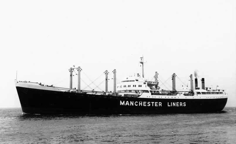
In 1898 Manchester Liners Ltd was launched, four second hand ships were purchased and the company naming policy of applying the prefix Manchester was established.
The company began to operate services to Canada and the USA. Manchester Liners started WW1 with 15 ships in its fleet. During the war 10 ships were lost to enemy action, but because of the purchase of replacements the fleet was at 12 in 1918.At the outbreak of WW2, Manchester Liners had 10 ships in service. War losses were 7 ships, but the delivery of war-standard ships maintained the fleet at 8, which was sufficient to resume a weekly service to Canada.
The Manchester dockworkers strike record became so bad, that in 1973 the company decided to move half of its container services to Felixstowe. Furthermore, to obtain lower costs per unit, container ships were becoming bigger than the Canal limits.
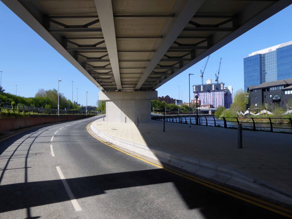
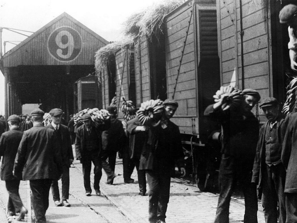
This was a history of economic growth and prosperity, for some. Tangible commerce, the wealth of a nation built on making things, moving things. Cranes, ships, stevedores and sailors, the world and his wife converging at the base of the Manchester Ship Canal.
All this is long gone, containerisation, recession and state engineered shifts in global manufacture and trade.
They took away the cranes.
The area is now awash with intangible activity – what goes on behind the smoked and mirrored glass?
Just who is moving what around, how, where and why?
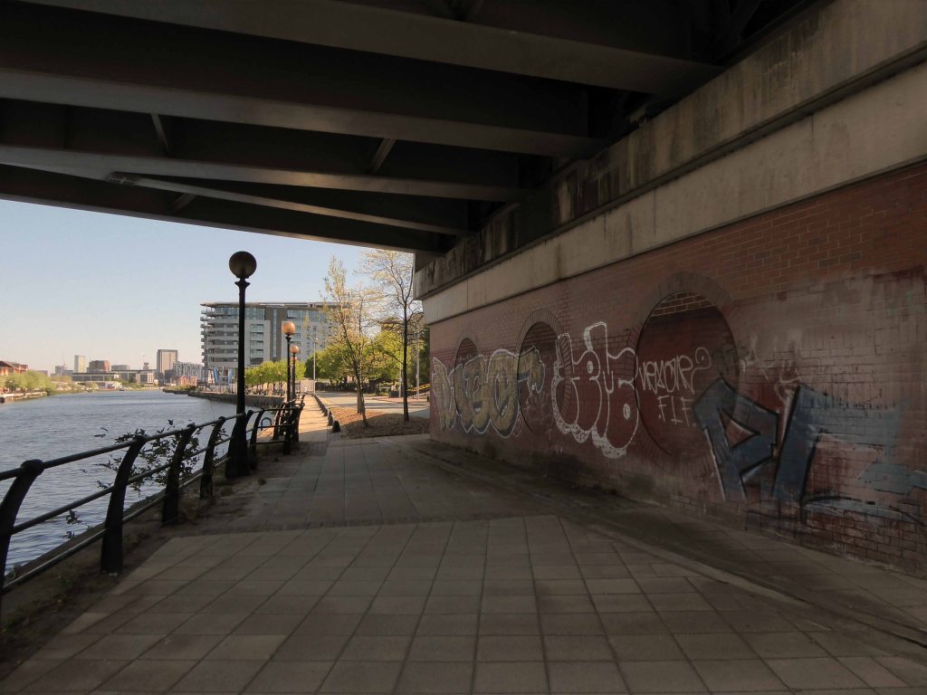
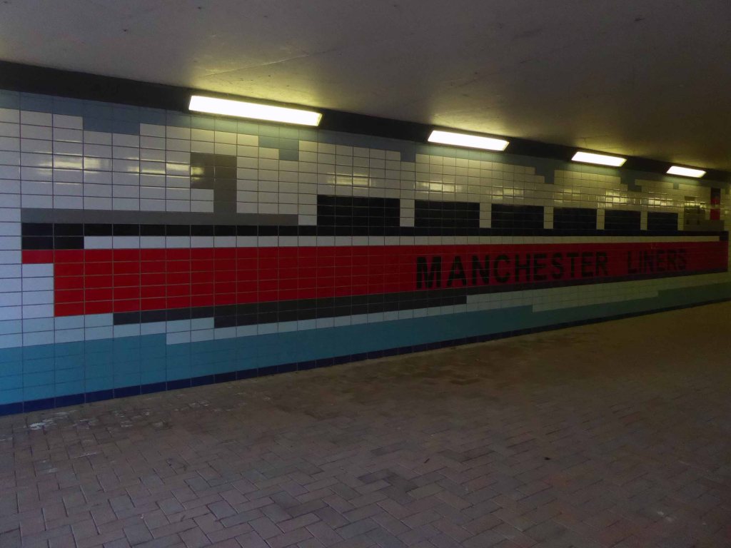
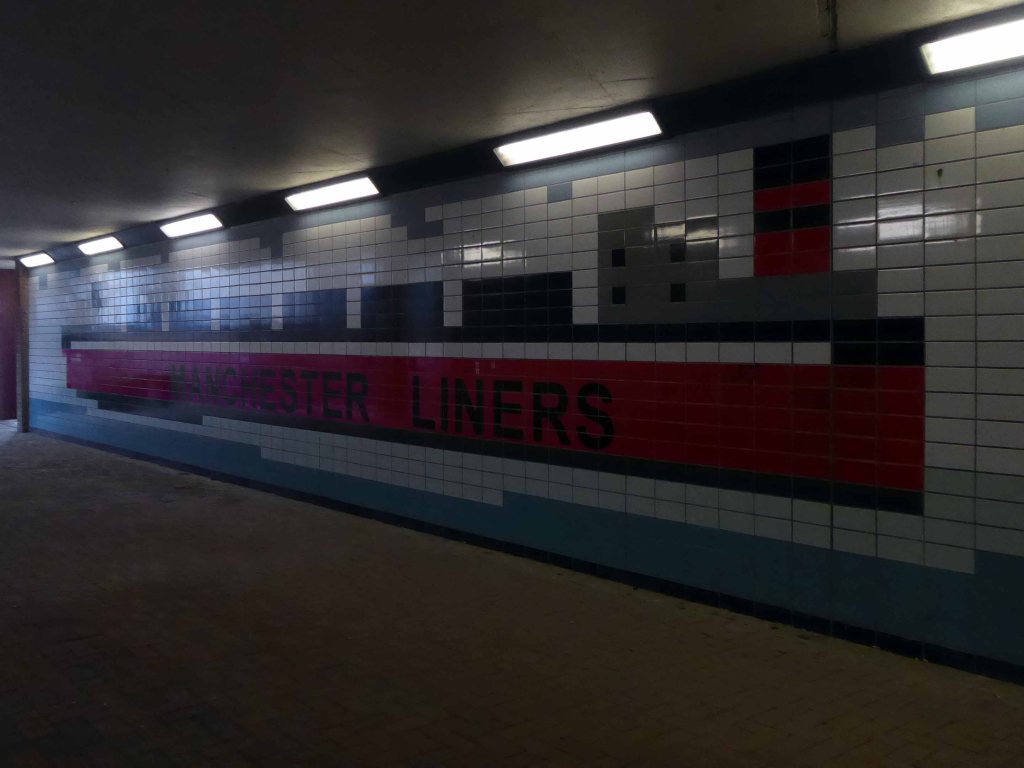
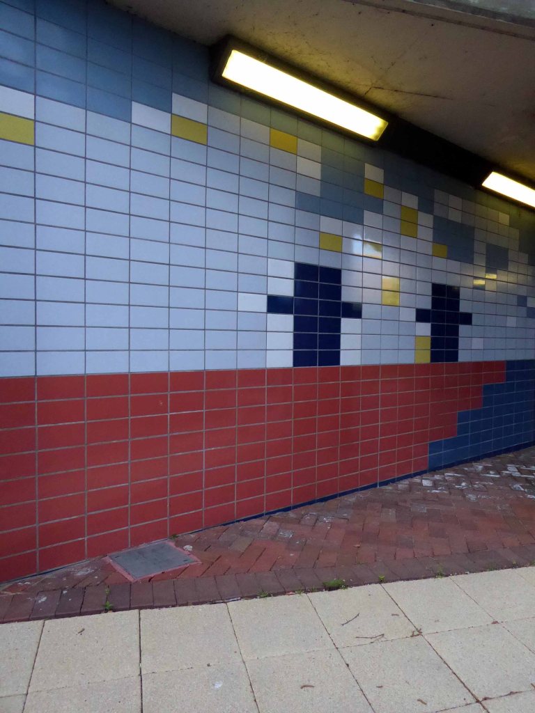
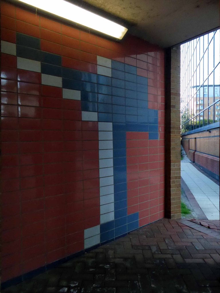
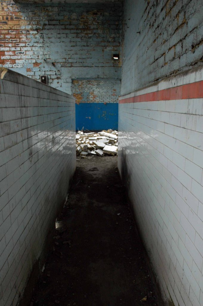
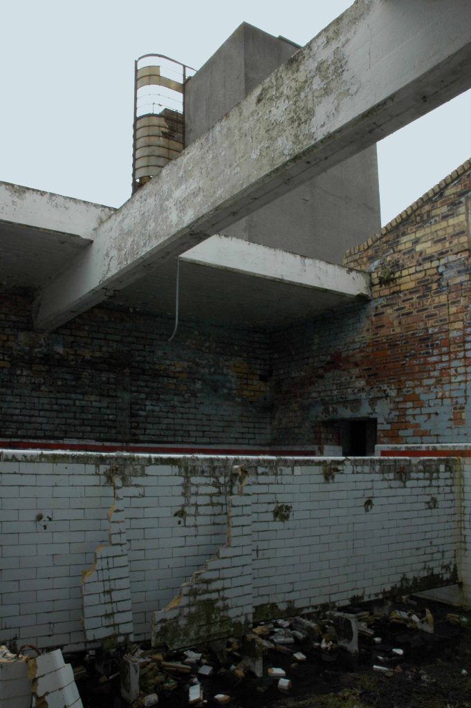
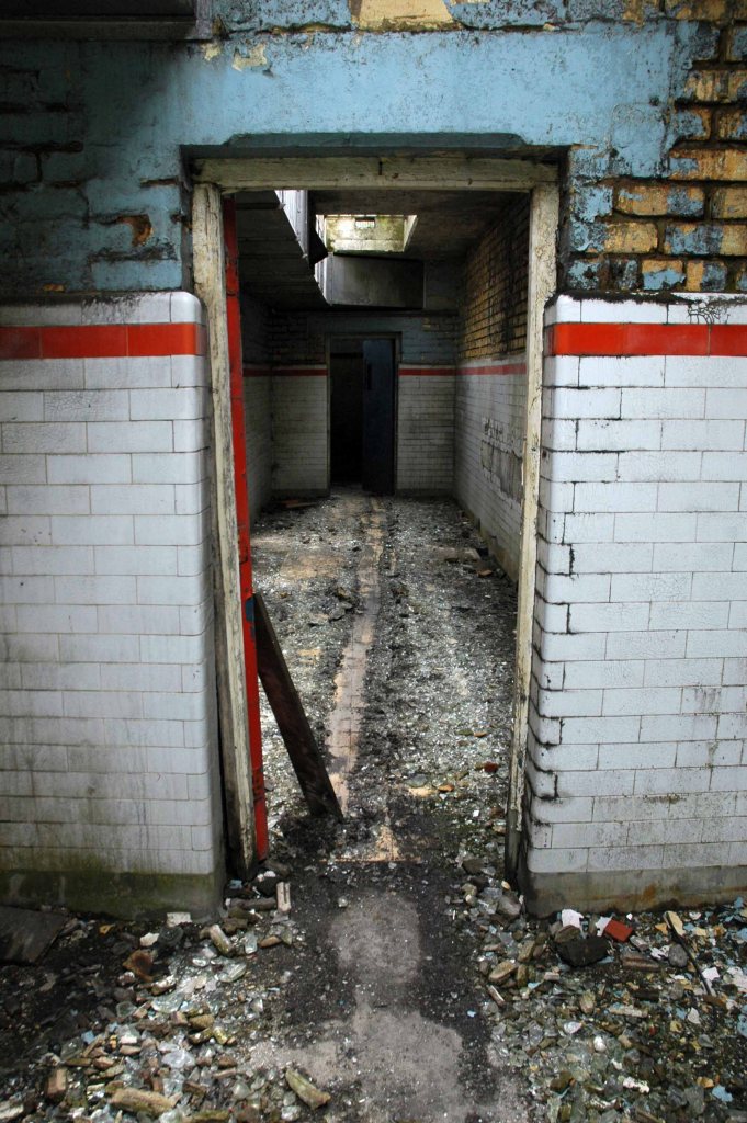
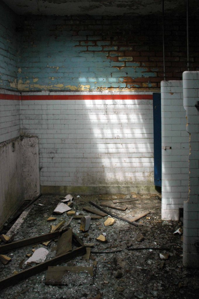
But hidden away between here and there is a tiled underpass.
A permissive path.
Where once there was a bridge – before the Manchester Ship Canal was built, the course of the River Irwell was approx. 50-100 yards further north of where the Ship Canal now passes under Trafford Road. This plaque is next to a pedestrian tunnel under Trafford Road, roughly on the line of the old navigation.
So here it is a hidden, harshly lit, slightly disabused tribute to the brave souls who sailed the seven seas, stayed ashore, weighed, loaded and shifted stuff.
This is a film that has stayed with me for most of my life – first seen as a nipper, fascinated by the fact that it was shot in a very familiar landscape.
As years have passed I have watched and rewatched it, finally resolving to track down the local locations used in its filming.
Studying and pausing the DVD, making thumbnail sketches of frames, researching online – referring to Reelstreets.
I have previously written about the way in which the movie shaped a particular image of the North.
And examined particular areas of Manchester such as Barmouth Street.
The film generated world wide attention and remains just as popular today.
Still watched, still loved, still relevant – here are a selection of photographs I took in 2011 – cycling around Manchester, Salford and just a little closer to home in Stockport.
Timpson’s shoe shop now demolished opposite the Etihad
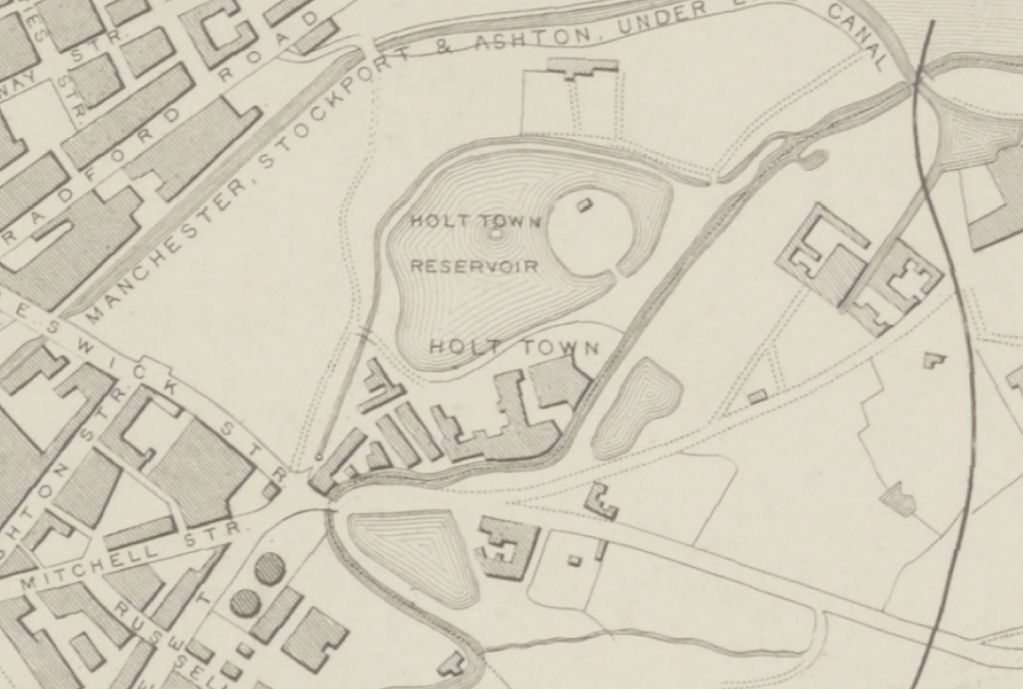
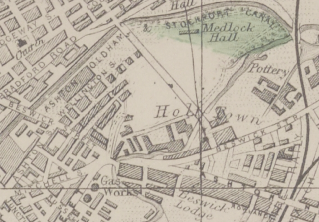
Phillips Park the back of the gas works in Holt Town
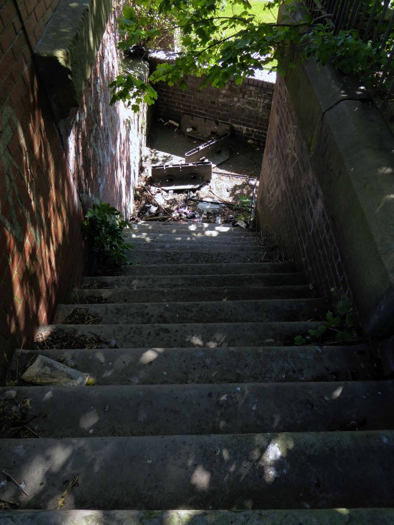
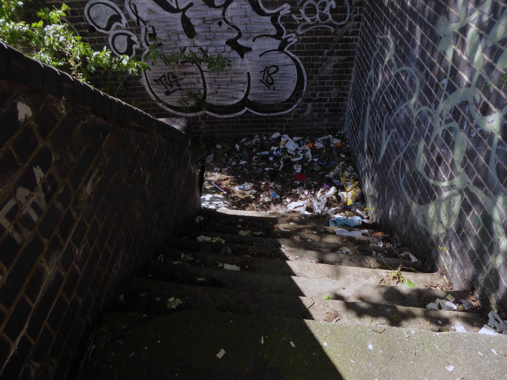
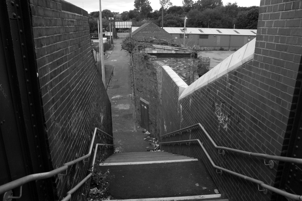
The Devil’s Steps Holt Town
Rochdale Canal
Ashton Canal
All Souls Church Every Street Ancoats
Piccadilly Gardens as we view the city from a moving bus.
Manchester Art gallery – where they watched the Whit Walks.
Albert Square part of the earlier bus ride.
Trafford Swing Bridge
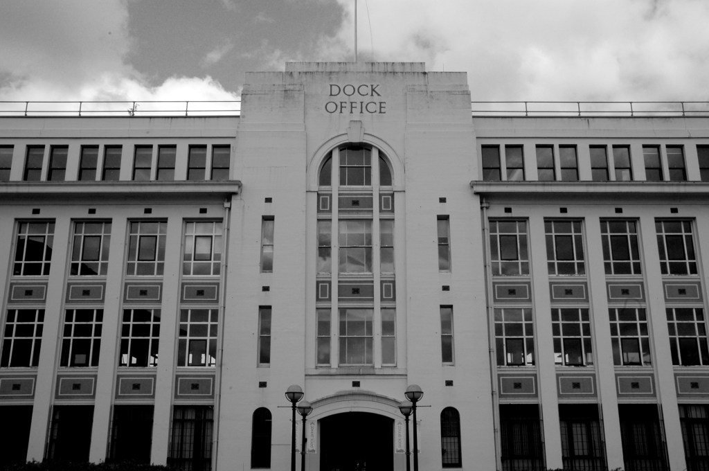
Dock Offices
Chimney Pot Park Salford
Pendleton
Barton Aqueduct
Through my tour I have attempted to capture a sense of the settings as they are – how, if at all, the areas have changed.
There may be some minor inaccuracies or omissions which I am happy to amend.
You may wish to visit the sites yourselves, the majority of which are easily accessible, above all watch the film and appreciate that which is around you.
Pebbledashed over white brick. Roofs part concrete slab, part glazed behind parapet. Irregular plan, Modern Movement style. Group of blocks of varying height round tall central tower with rounded, glazed stair turret. Walls mainly sheer, with plinth and slight roof projection.
Long block on east of tower has central south projection with glazed, banded steel double door under high strip of windows beneath eaves overhang. Taller storeroom to west has similar doors in 2 recessed banded glazed bays; and abuts on south-east corner of tower. Similar double doors in base of tower. Large lower south-western canteen wing abuts on west side of tower and has banded glazing around two sides above a projecting sill. Slightly-projecting 3-bay office section to north has steel cross casements; on its return another casement and a door with hollow-chamfered jambs and flat hood. Taller bath block behind. Wave pattern on rainwater heads.
This is the youngest colliery in the neighbourhood, having commenced operations for the Ashington Coal Co Lt. in 1934. The shafts, which are situated comparatively near to the coast, are two in number, and both were sunk to the High Main seam level, which is 486 ft from the surface. The downcast No. 1 is 18 ft in diameter and is used for coal-raising on two shifts per day, and the upcast, which has a diameter of 15 ft, is used for ventilation and emergency man riding only.
The seams being worked are the High Main, the Diamond, the Main, and the Yard. Each of these seams shows practically the same nature of roof and floor as throughout the two neighbouring collieries and the distance between the seams is also comparable. They are, of course, found at slightly greater depths at Lynemouth, the Yard seam, for example, being 660 ft. below the surface near to the shafts, as compared with some 300 ft. at Ellington.
It was one of Britain’s largest collieries until it was closed in 1994.
I was cycling the coast in July 2012 and happened by, seeing the tower of the baths from an adjacent path, passing by the faded signage.
Into the raw expanse of a now empty post-industrial landscape.
And on towards the bath house.
I am not by nature an urbex urban explorer, simply an explorer.
Entering the open site, I was well aware of the significance of the building and its history – working lives that had constructed the baths, entered and left through those very same doors.
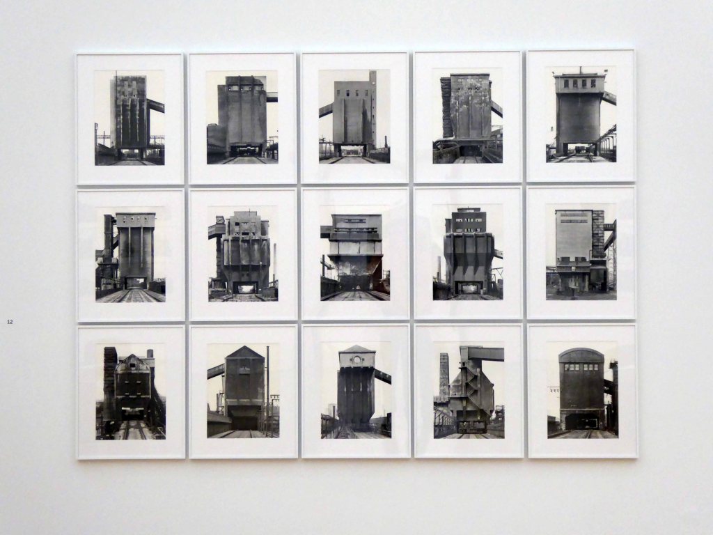
I have admired the work of Bernhard and Hilla Becher ever since seeing their photographs in the one and only Tate at the time, in old London town.
An early example, possibly twelve small black and white prints of pit head winding gear, assembled in a three by four grid.
I became intrigued by the notion of serial art and typology, later in the seventies working as a Systems printmaker.
Very much in the tradition of Max Bill and Richard Paul Lohse.
In more recent years I have worked as a documentary photographer, at time paying homage to Bernhard and Hilla.
By placing several cooling towers side by side something happened, something like tonal music; you don’t see what makes the objects different until you bring them together, so subtle are their differences.
So on hearing of their exhibition at the National Museum of Wales in Cardiff, I excitedly booked my train ticket from Manchester.
Saturday 29th February 2020 – an auspicious Leap Year – knowingly taking a leap into the known unknown.
Braving the imminent threat of Storm Jorge.
I was given the warmest of welcomes by the gallery staff, spending a good while chatting to James, a fellow enthusiast.
My first surprise was the Bechers’ drawings, painting and notebooks.
A revelation.
Then onwards into two large, light spaces, with the work – actual Becher archive prints, displayed with the reverence that they deserve.
Given space to breath, in a calm contemplative area.
With a quiet attentive audience.
So here that are in situ – worth the wait, worth the train ticket, worth the two way seven hour rail trip. Seeing the prints close up reading the exposure, the thrill of the dodge and burn, a lifetime’s ambition realised.
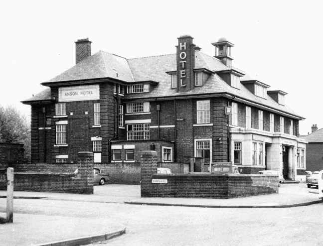
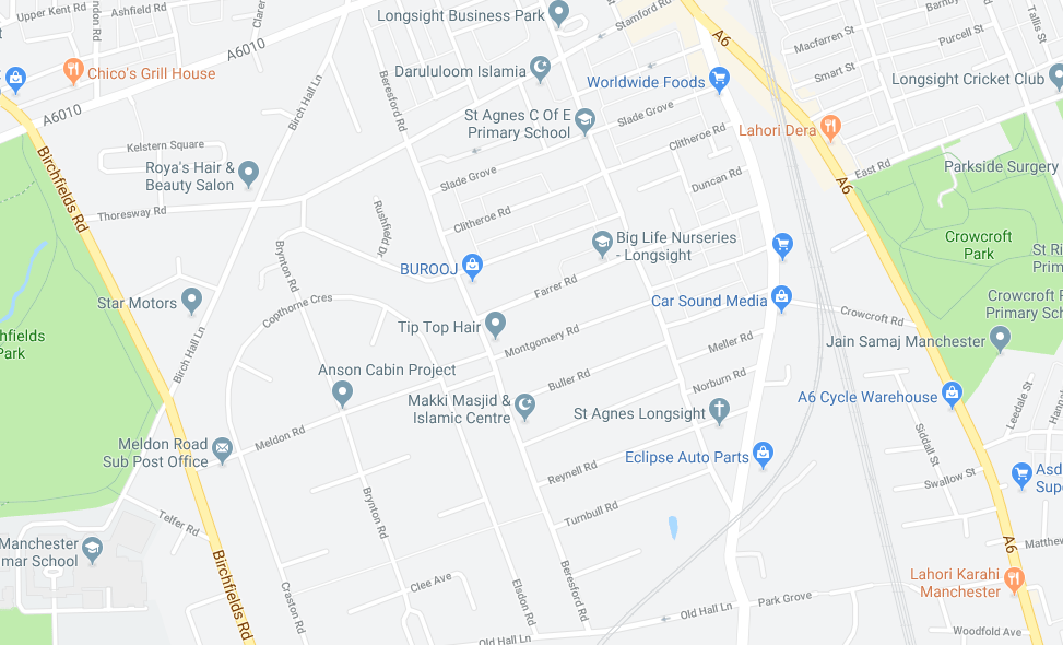
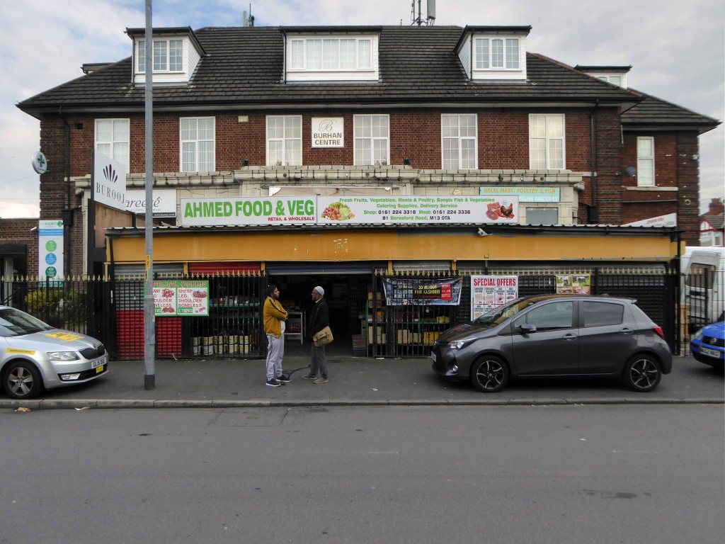
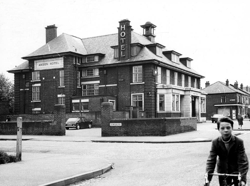
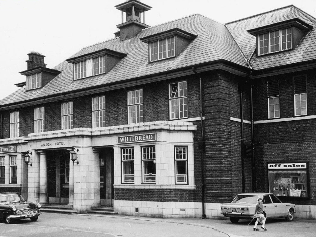
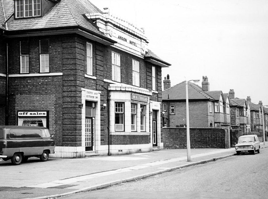
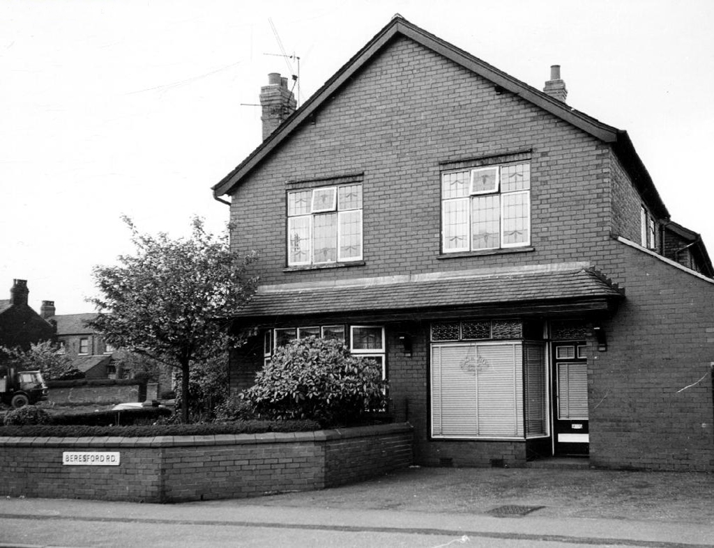
Cycling back from Town, zig zagging between the A6 and Birchfields Road, I headed down Beresford Road and bumped into a behemoth.
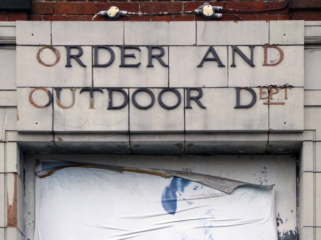
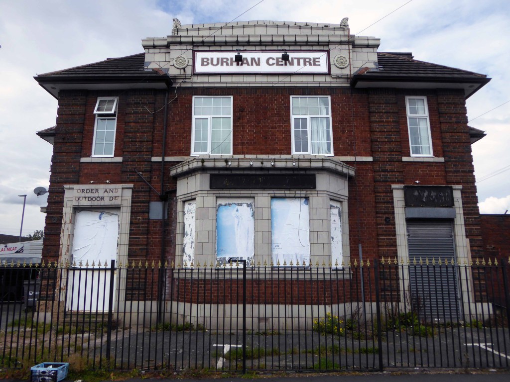
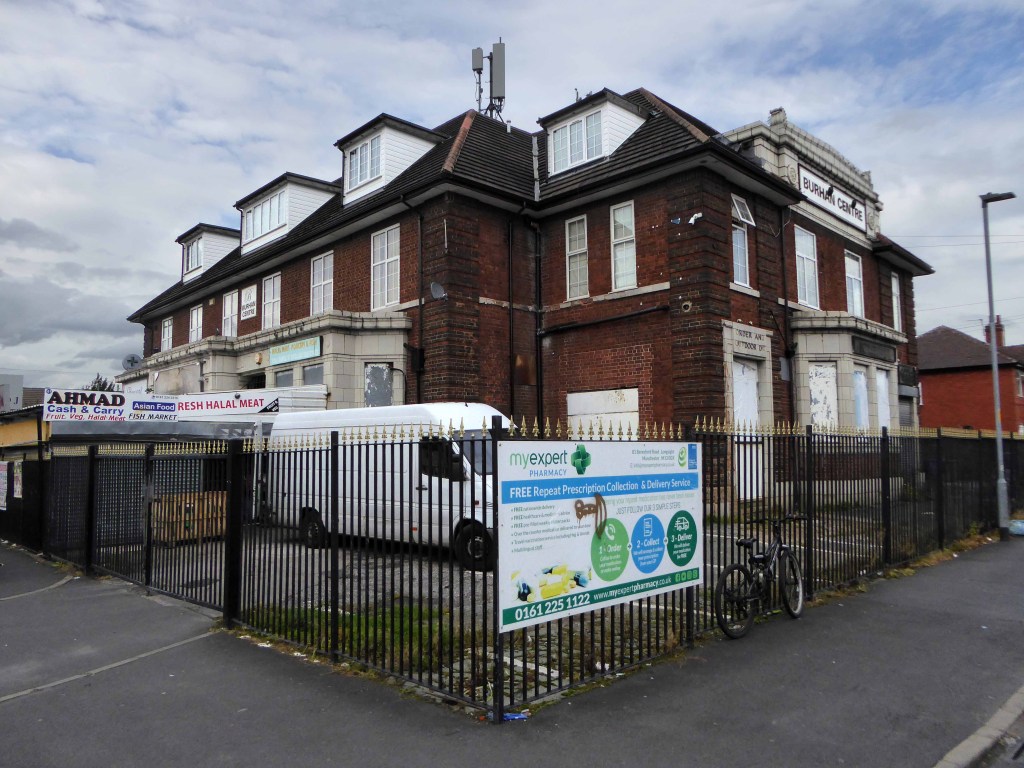
A huge inter-war Whitbread boozer long since closed, now a retail food outlet and badged as the Buhran Centre, also trading as Burooj.
This change of use is far from uncommon, the demographics, socio-economic conditions and drinking habits which shape this and countless other pubs, have since shifted away from the lost world of this immense, roadhouse-style palace of fun.
No more outdoor or orders here – the supermarket now supplies the supplies for the self satisfied home drinker.
The sheer scale of the building guaranteed its demise, a three storey house with no more stories to tell.
Searching online for some clues as to its history there is but one mention, on the Pubs of Manchester:
This is my attempt, in some small way, to redress the balance, snapping what remains of this once top pub.
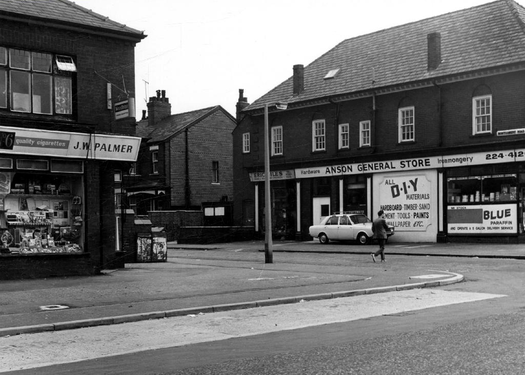
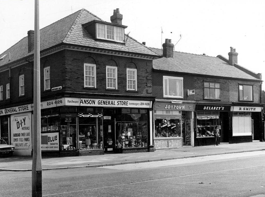
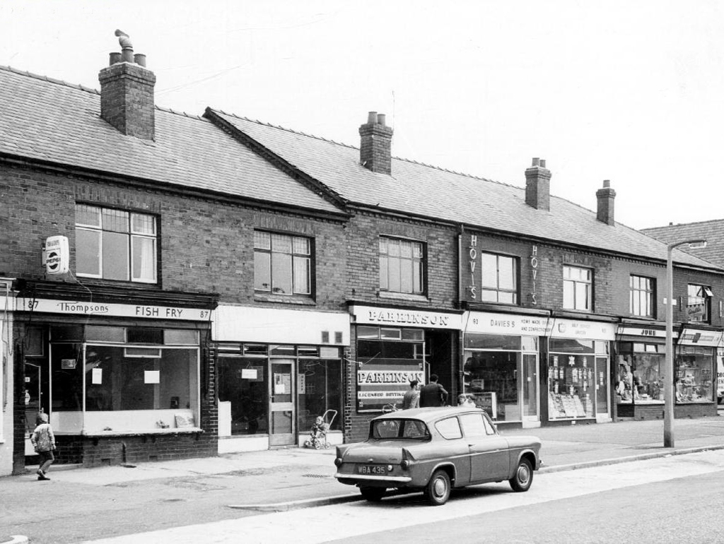
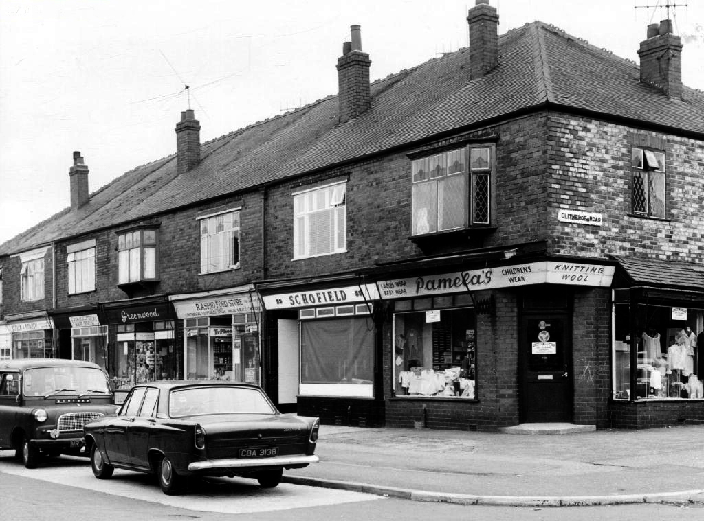
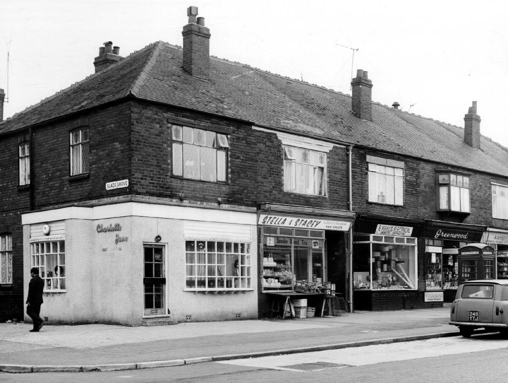
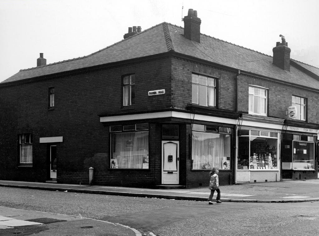
Safe home I searched the Manchester Local Image Collection, hoping to find some clues and/or images elucidating Beresford Road and the Anson in times gone by.
I found a typical inner Manchester suburban thoroughfare, a healthy mix of homes socially and privately owned, industry, independents shops, schools and such. Kids at play, passers-by passing by, captured in 1971 by the Council’s housing department photographers.
This was not a Golden Age – wasn’t the past much better, brighter, cheerier and cleaner reminiscence – simply a series of observations.
As with all things material and corporeal there was a time when you simply didn’t exist.
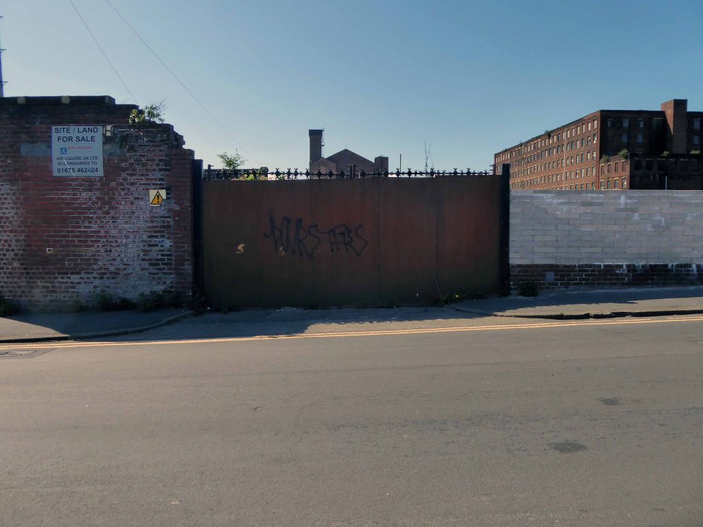
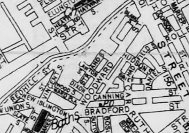
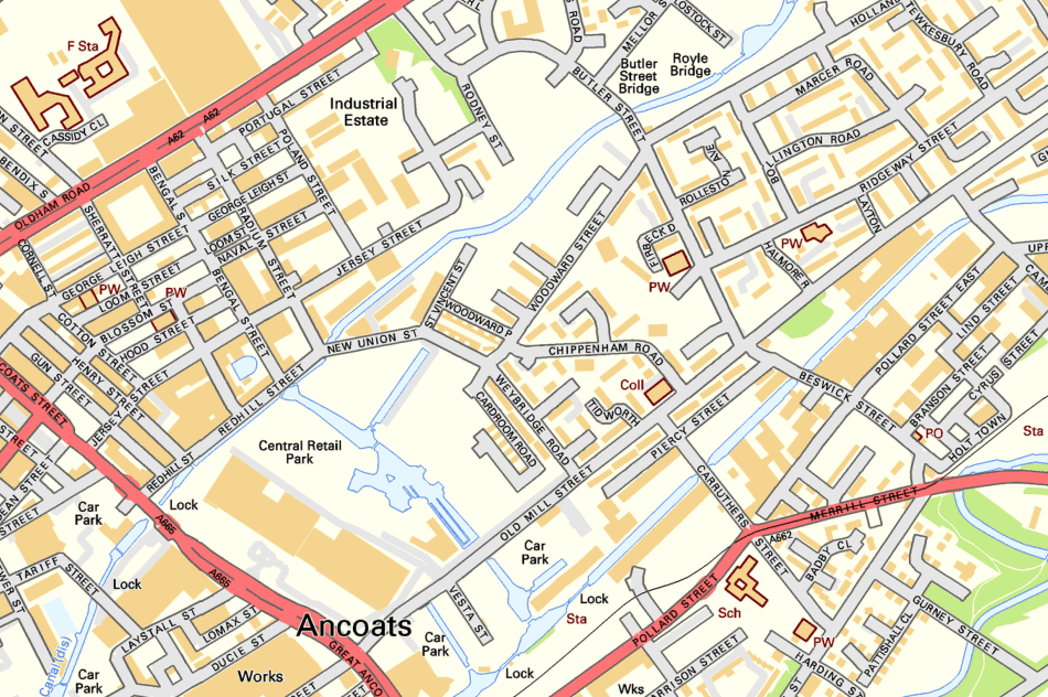
1860 adjacent to Woodward Street and the Rochdale Canal, a simple agglomeration of loose limbed industrial buildings and such – yet to be christened Blank.
adjective
Unrelieved by decorative or other features; bare, empty, or plain a blank wall.
Showing a lack of comprehension or reaction – we were met by blank looks – synonyms: expressionless, empty, vacant, deadpan, wooden, stony, impassive, inanimate, vacuous, glazed, fixed, lifeless, uninterested, emotionless, unresponsive, inscrutable.
noun
A space left to be filled in a document – leave blanks to type in the appropriate names – synonyms: space, gap, blank space, empty space.
A cartridge containing gunpowder but no bullet, used for training or as a signal.
verb
Make (something) blank or empty – electronic countermeasures blanked out the radar signals.
Informal North American defeat (a sports team) without allowing them to score – Baltimore blanked Toronto in a 7–0 victory.
Though contradictorily I have found reference to a bankrupt foundry in the London Gazette 1857.
You appear again during the Manchester Blitz.
By 1960 you are on the map and the area is on the up and up.
Though I have to ask the question of the namers of streets – why so Blank, an off day at the office – we have whole blocks named for poets, painters, and far flung places, so why so Blank?
Hadn’t they heard of nominative determinism – born to be Blank.
Whilst in search of a Brown Cow I found a photograph on the Local Image Collection of 60’s maisonettes in the area alongside Woodward Street.
This Municipal Modernist development seems to have been short-lived and subject to yet more demolition in the area, to be replaced by late 70’s terraced housing.
Blank Street inexplicably became Fulmer Drive.
Which in turn had been tinned up and demolished around 2008.
How did that happen – seemingly viable homes previously changing hands for £100,000 deemed surplus to requirements – land banking, ahead of an as yet unseen masterplan?
Your life was short and sharp – shaped by economic shifts, world war and the local authorities ephemeral housing policies. There is little evidence of your existence, photographic or otherwise, so I want to set the record straight – draw a blank.
Here you are as of July 2019 – tarmac intact, drains fully functioning, pavements paved, awaiting orders. A circuitous run of grassy ridges resembling the remains of some Roman or Iron Age fortification.
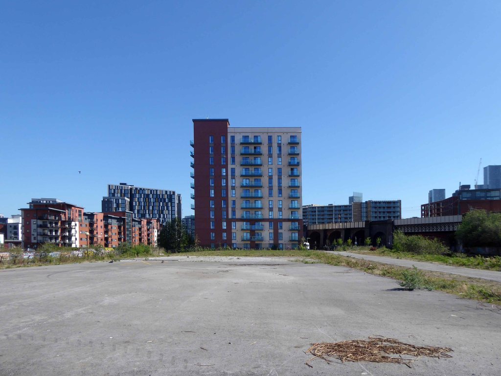
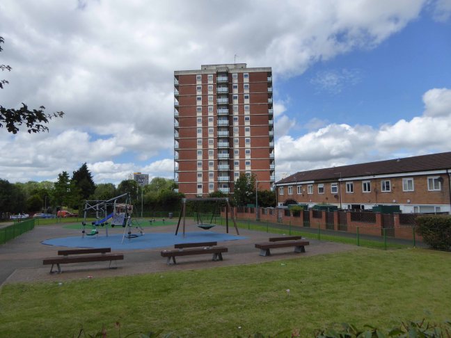
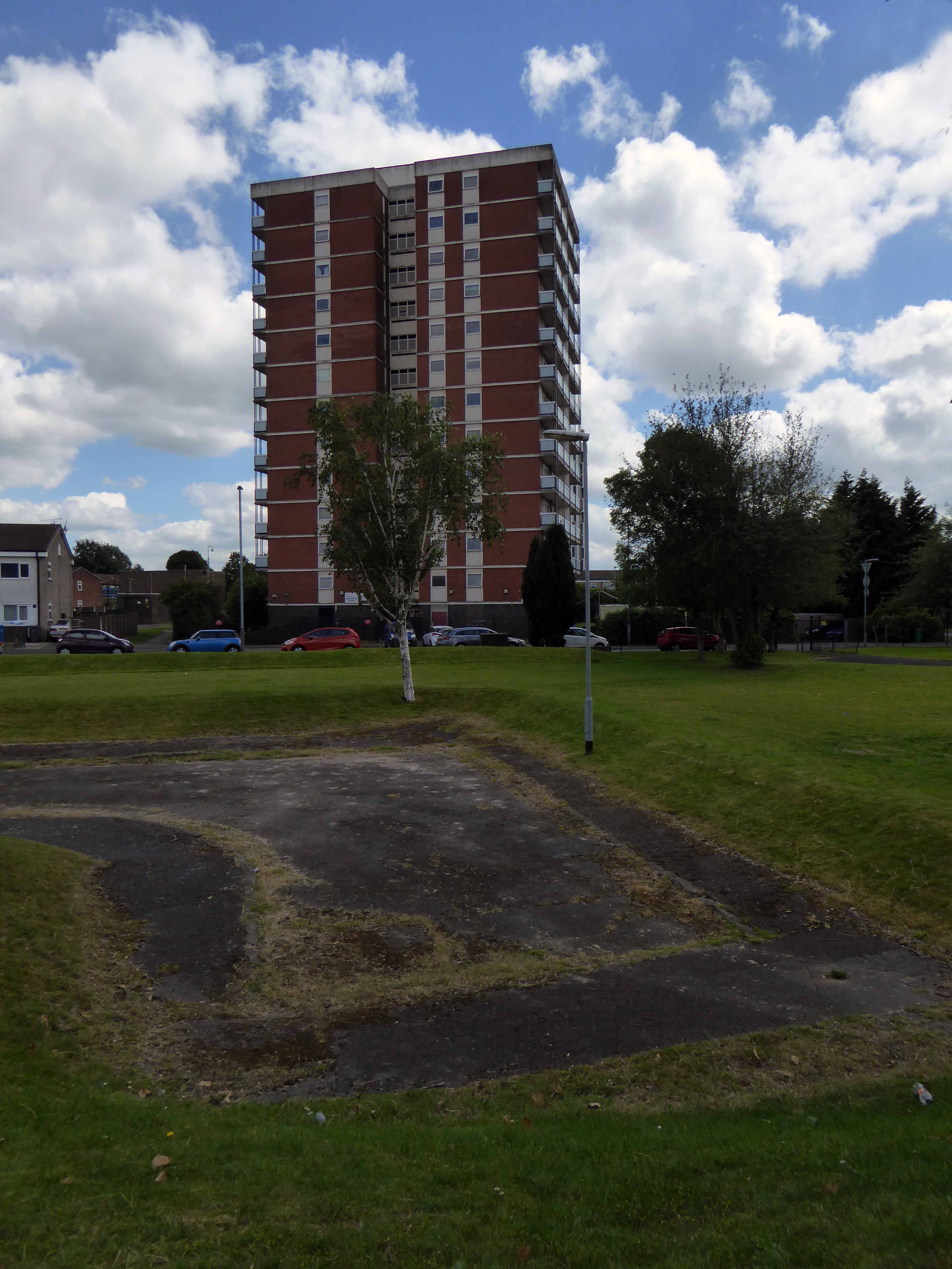
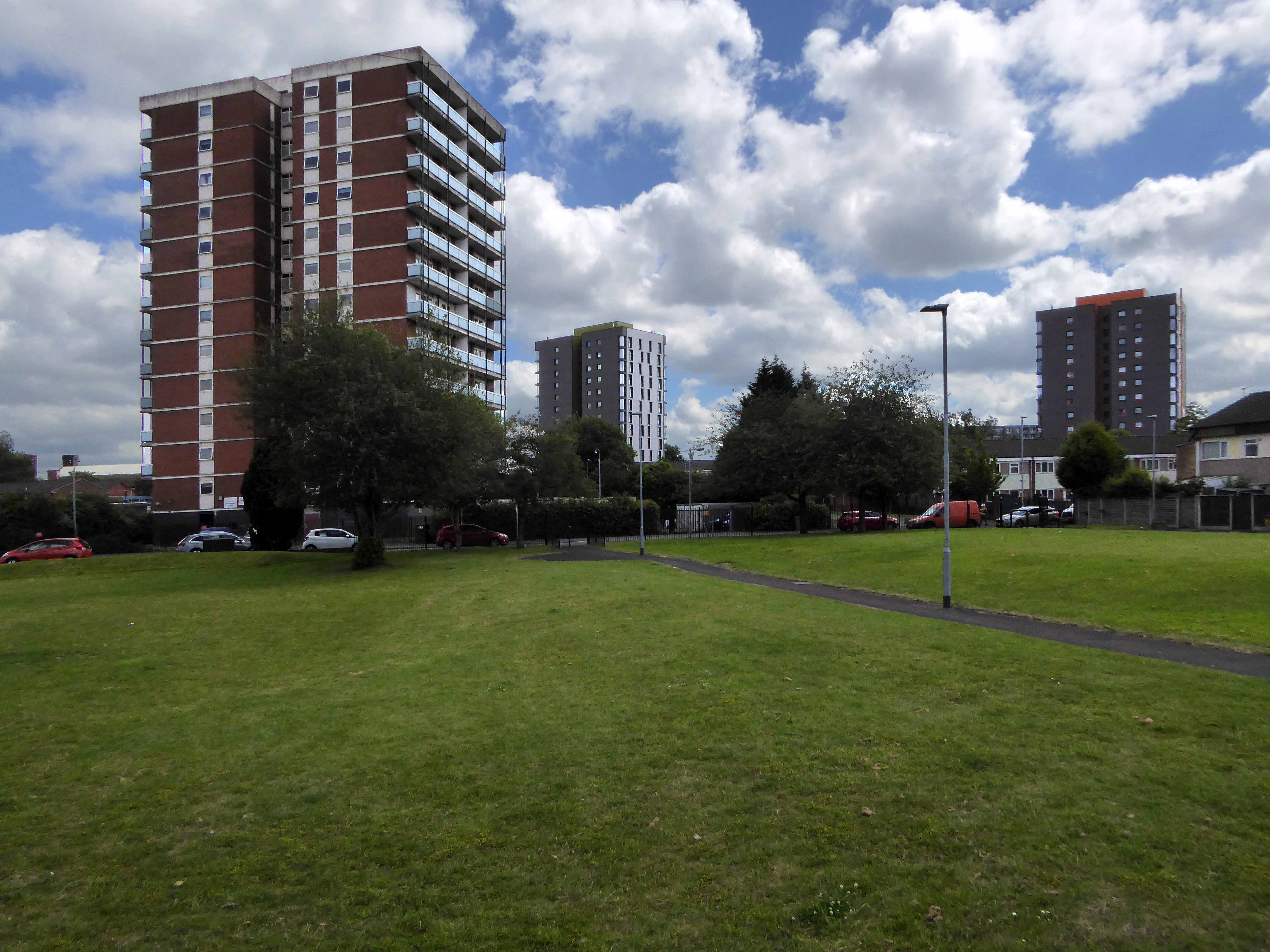
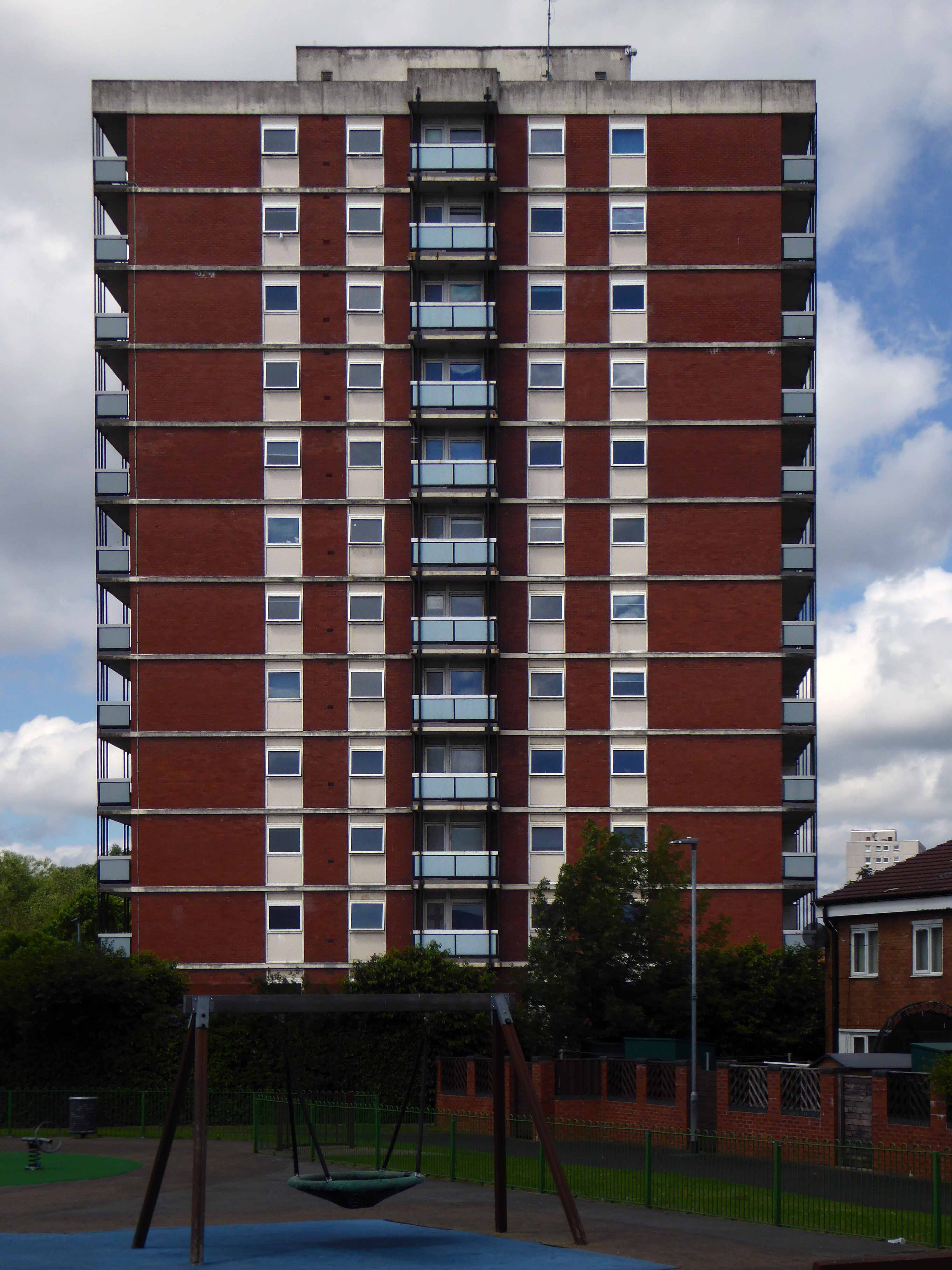
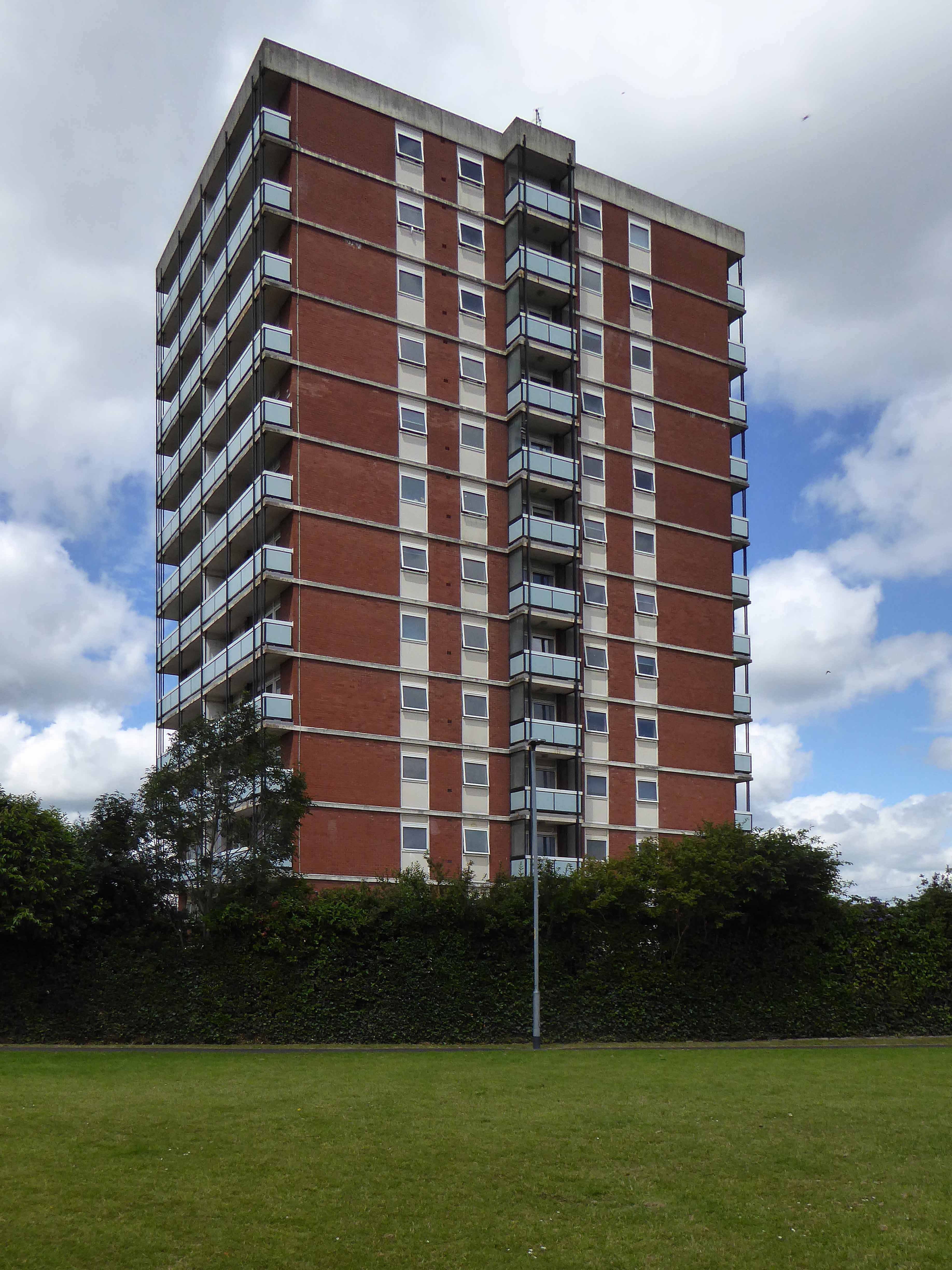
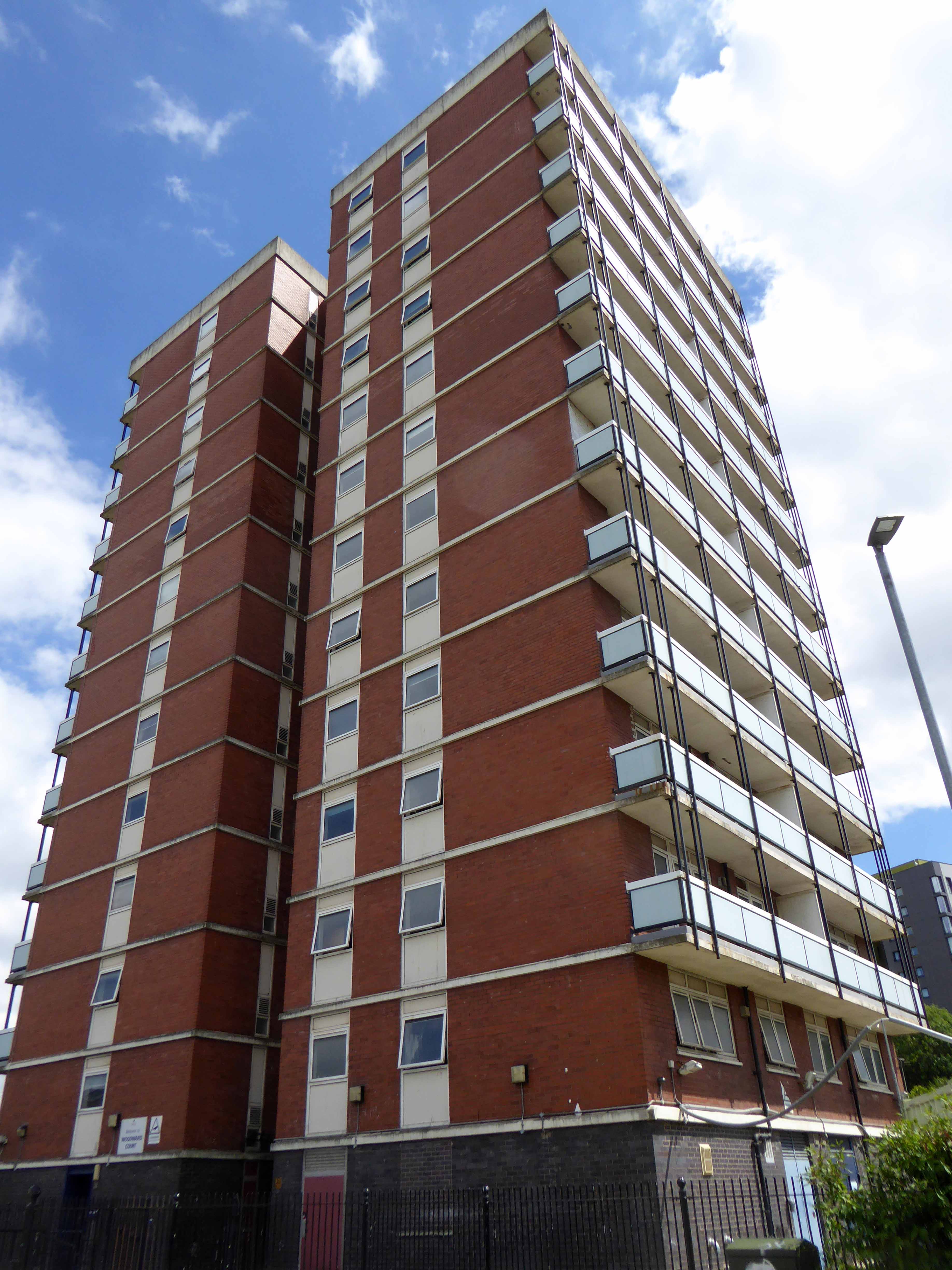
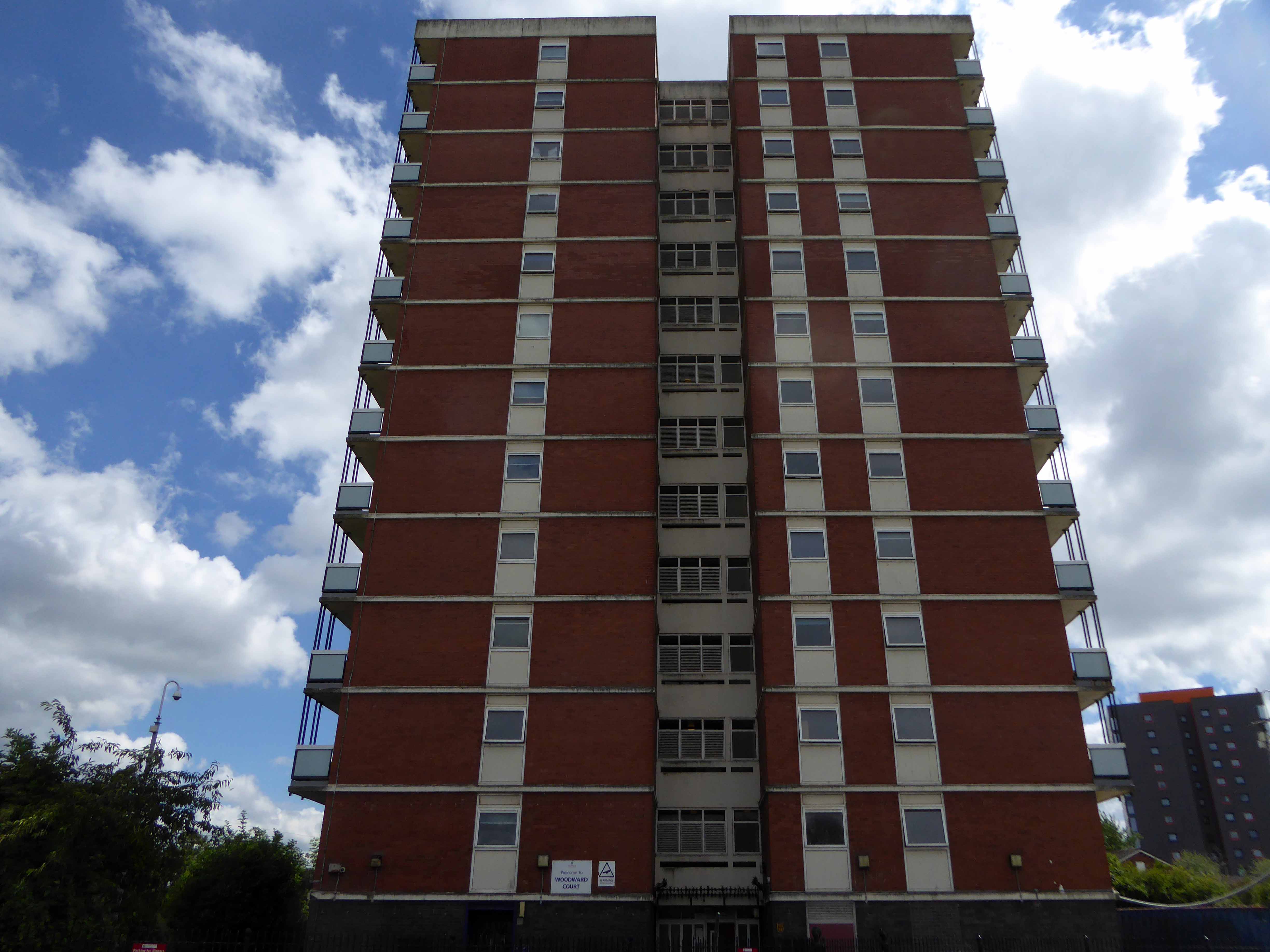
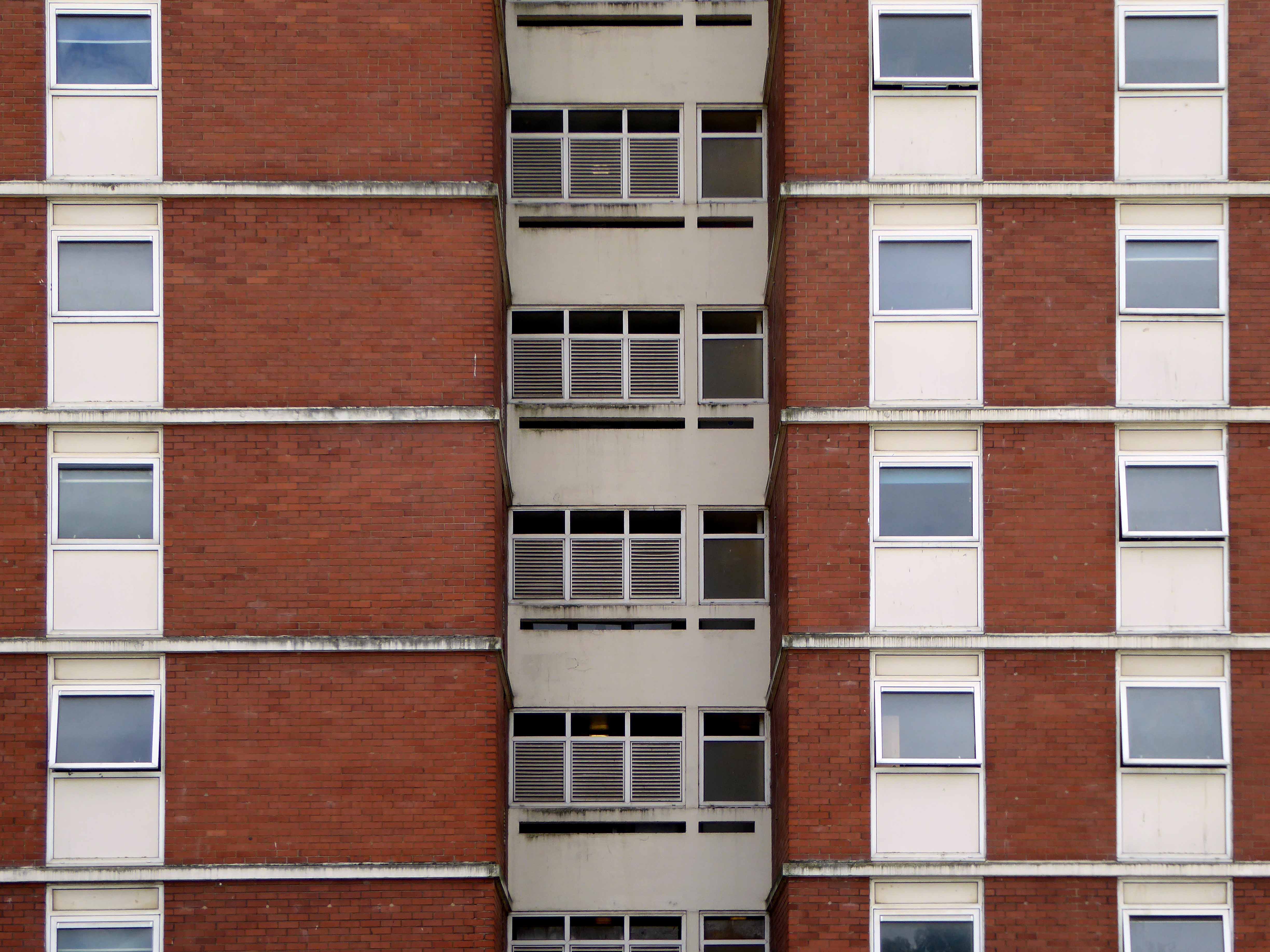
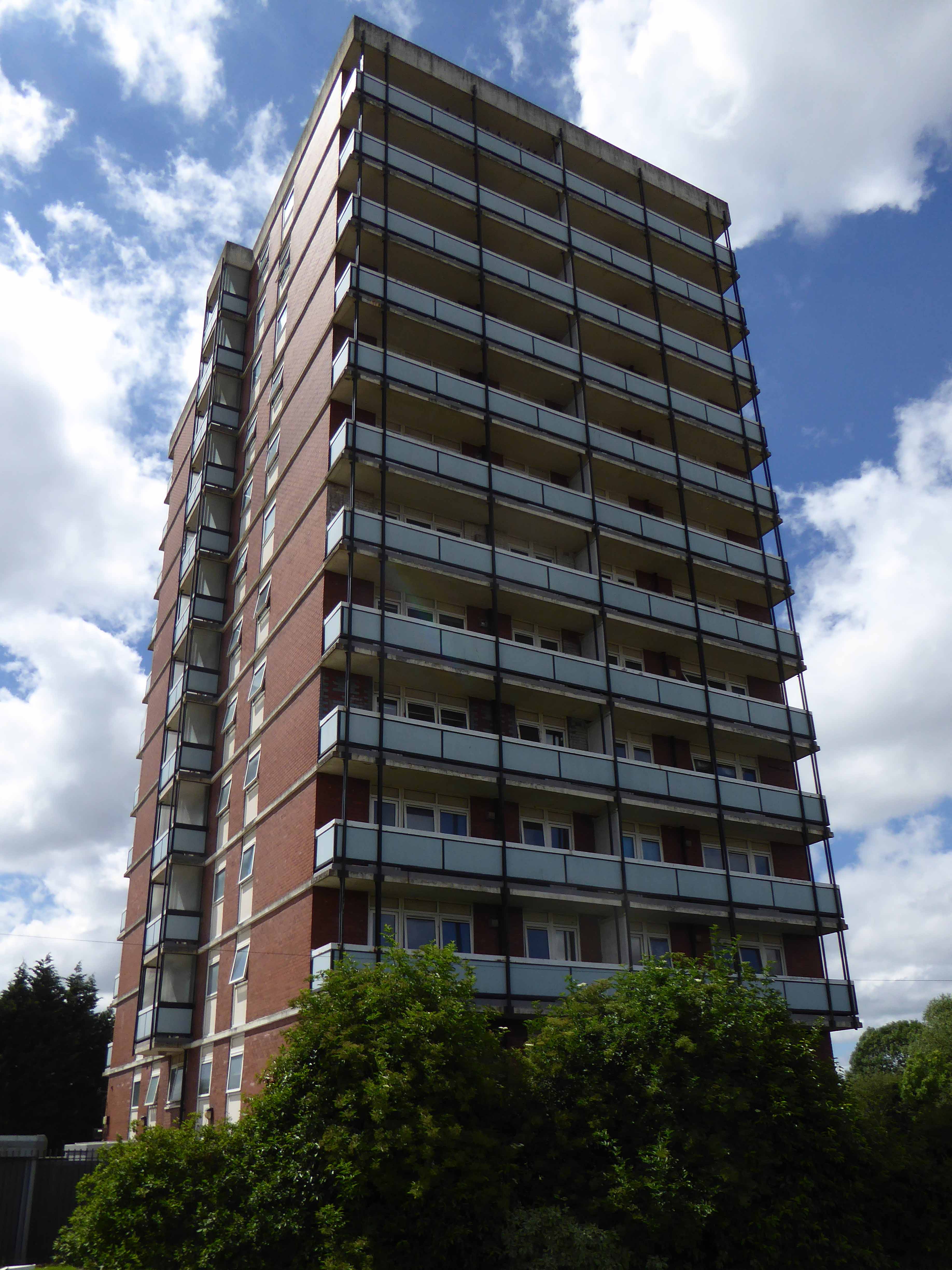
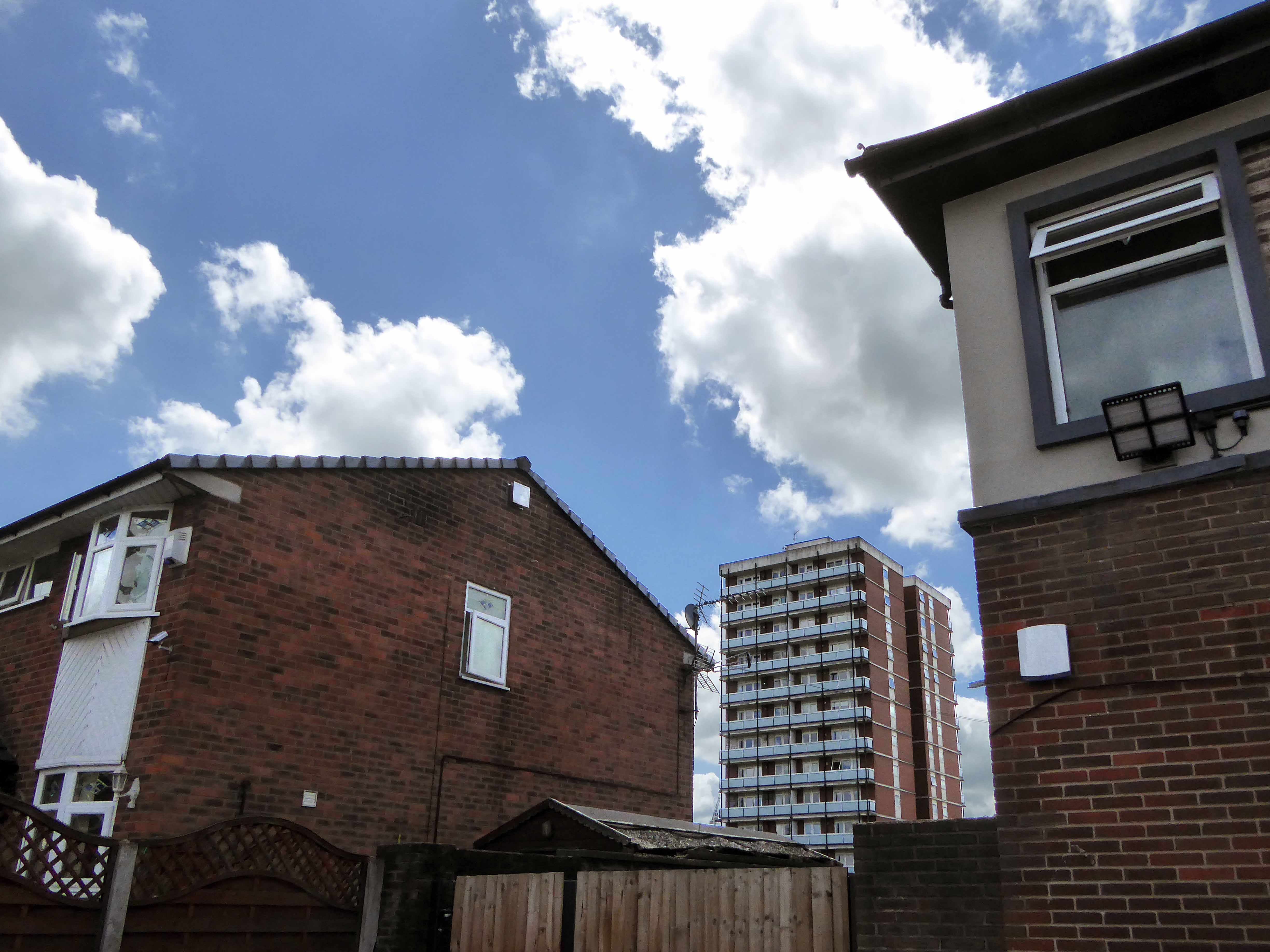
Why is there just one remaining tower block dancing unclad around Ancoats?
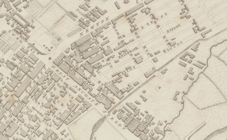
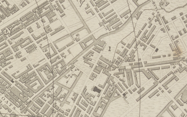
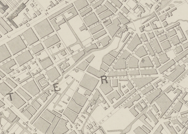
Let’s go back in time and see if we can find out – it seems that back in 1807 there wasn’t a Woodward Street to be found, the ever expanding industrial might of Manchester had not yet reached these particular green fields of Ancoats.
By 1824 it shows a fresh face to the world christened Woodworth Street, sparsely dotted with new development.
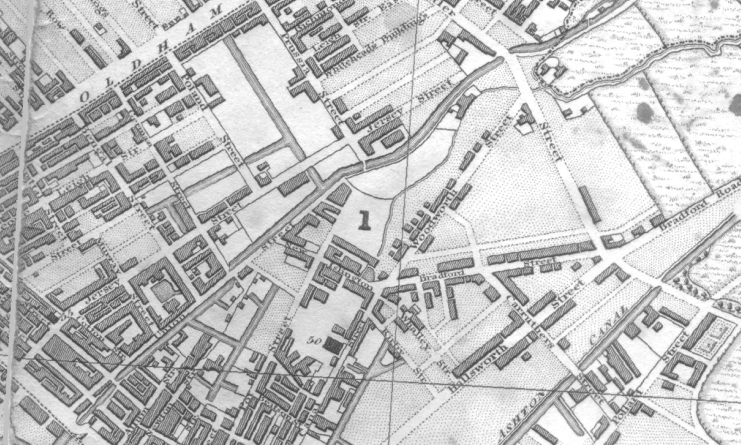
Almost fully formed in 1836 and renamed as Woodward Street, the area begins to accumulate the familiar domestic and industrial clutter of a burgeoning Victorian City.
By 1860 the street is fully formed and open for business.
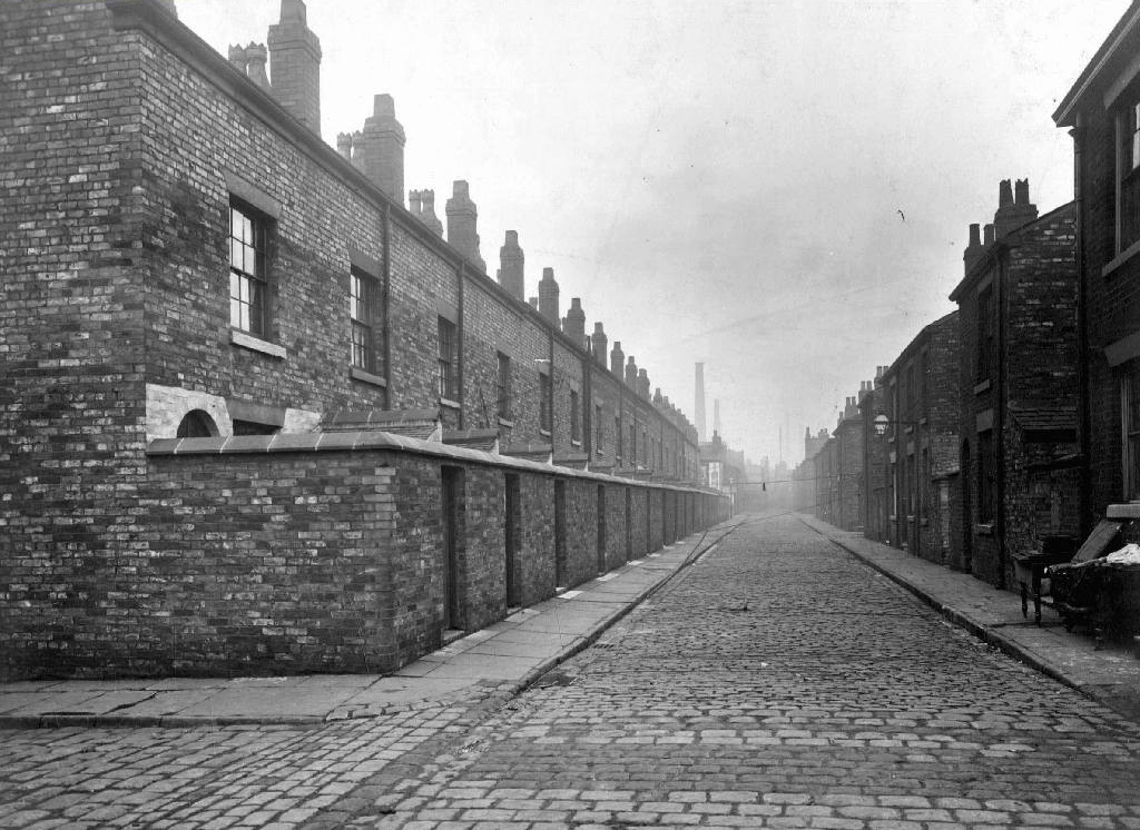
Workers finding homes in austere and functional brick back to backs, typical of the period’s housing.
Fast forward to the early Sixties and the street is showing signs of age – the century old industries are already in decline, steady jobs, mills and factories gone west and east, well-worn housing looking terminally tired and in need of a little care and attention.
But wait what’s this coming around the bend?
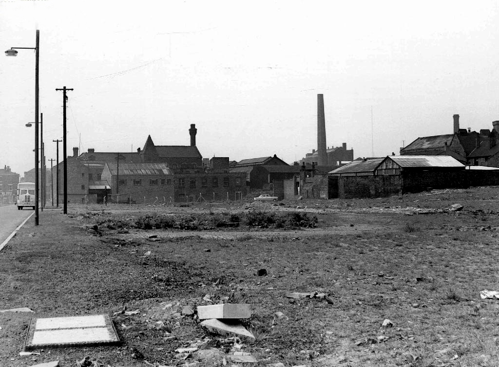
The first wave of urban regeneration, post war optimism incarnate, a bright new shiny future – out with the old and in with the new, as Municipal Modernism stamps its big broad architectural feet all over Woodward Street.
Our story is far from over, this optimism is short-lived the homes, houses and industry are swept away yet again, replaced with two story modern terraced housing and an all too obvious absence of regular employment – yet the tower blocks prevailed.
Former streets were over written and remain as poignant vestigial marks in the landscape.
Though their future was built on more than somewhat shifting and uncertain sands.
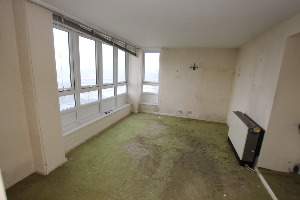
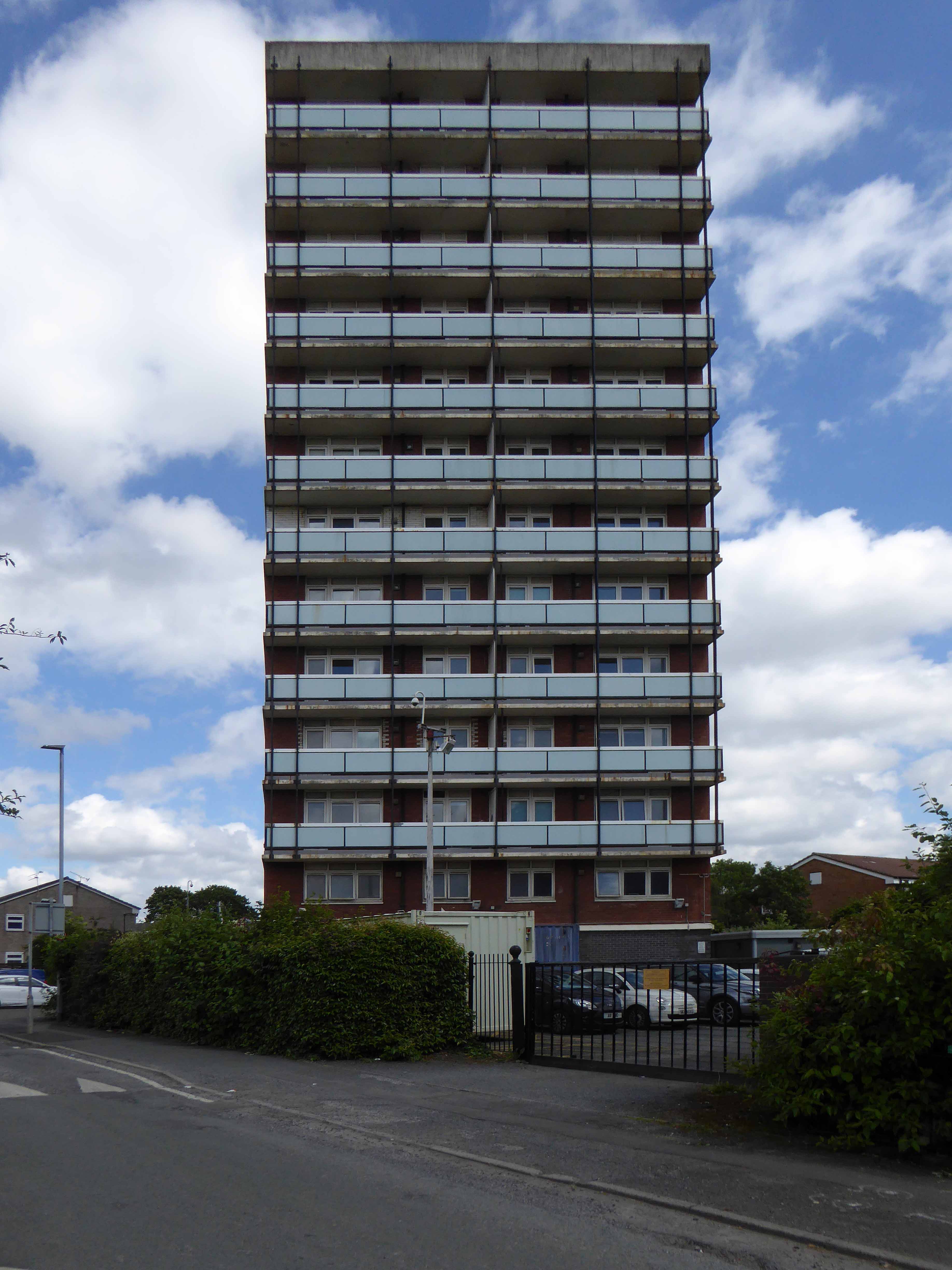
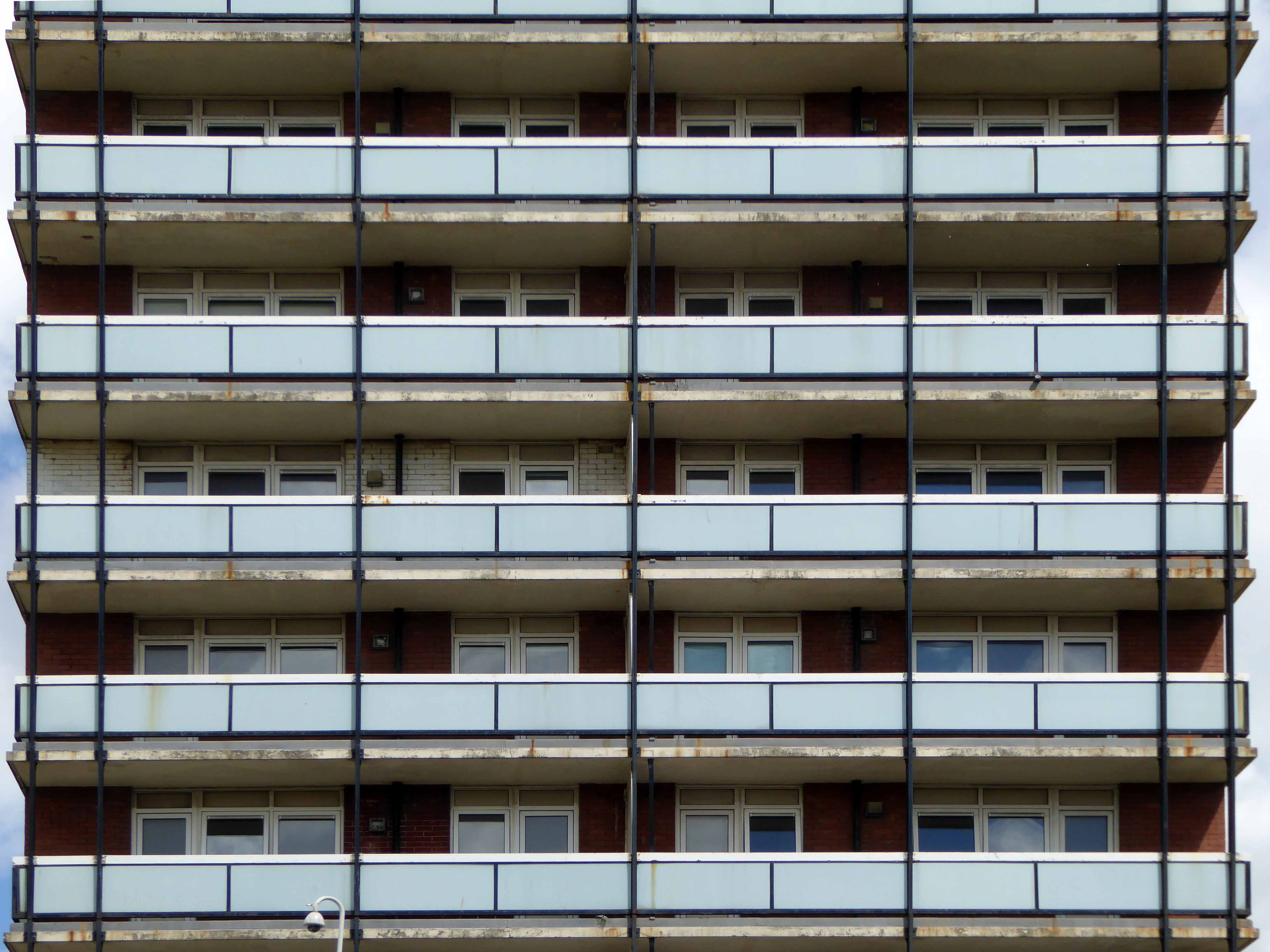
A tower block has been left lying empty for a whopping 18 years. The 13-storey building at Saltford Court in Ancoats has been unoccupied since Manchester council closed it in the 1990s. It was bought by top developers Urban Splash six years ago but residents have now hit out about it still being empty. Neighbours of Saltford Court say it has become an ‘eyesore’ and magnet for vermin since the firm bought it.
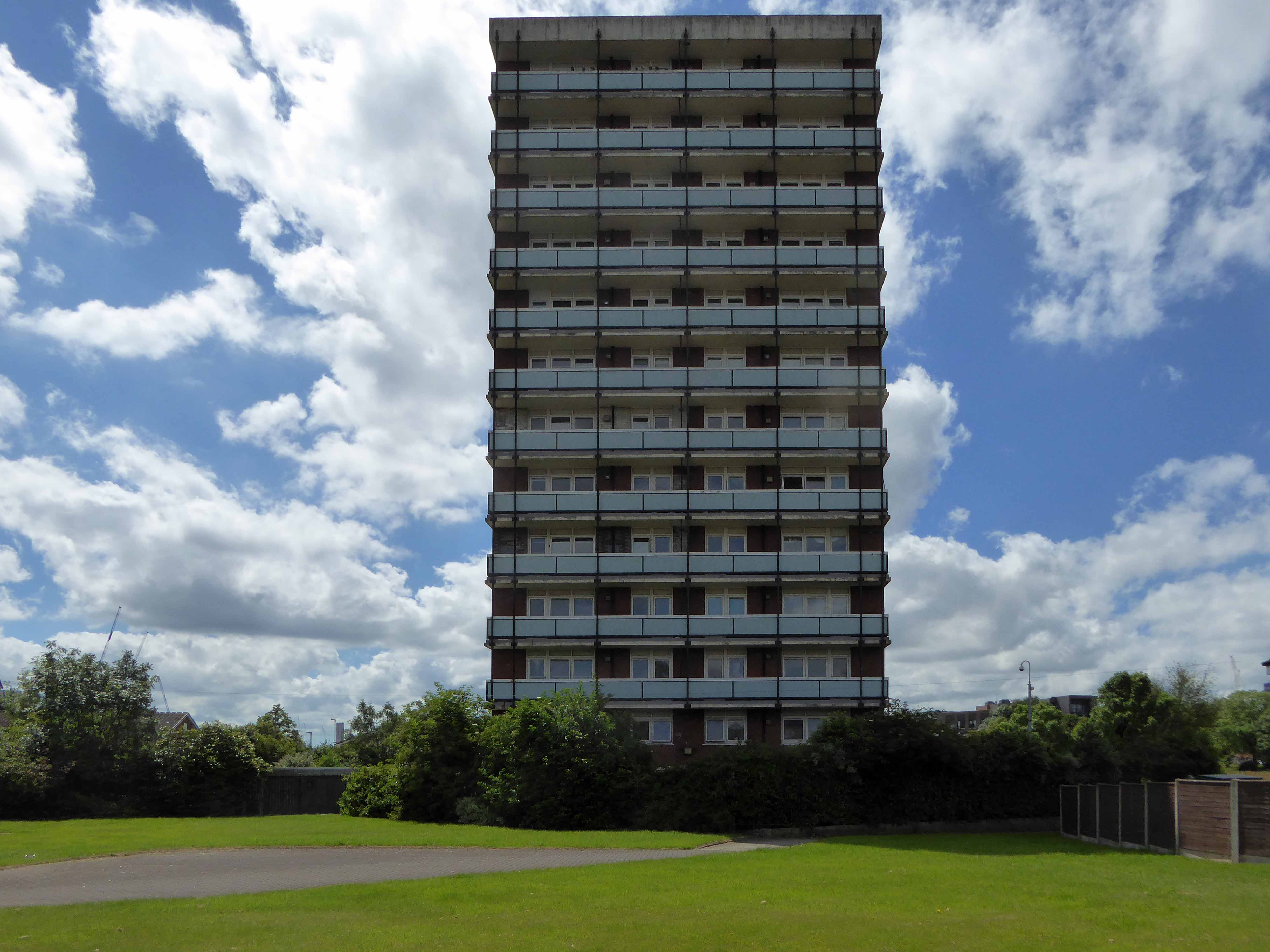
A large group of blocks stood tinned up and unloved, yet owned, for a number of years, victims one supposes of land-bankers, developers speculating on an even better return, as the warm waves of gentrification washed slowly over them, from nearby New Islington.
All but one was refurbished, clad and re-let.
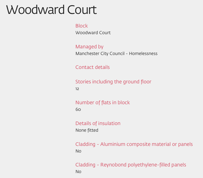
Woodward Court was spared – set aside for the homeless.
A period piece surrounded by Post Modern and Revivalist pretenders.